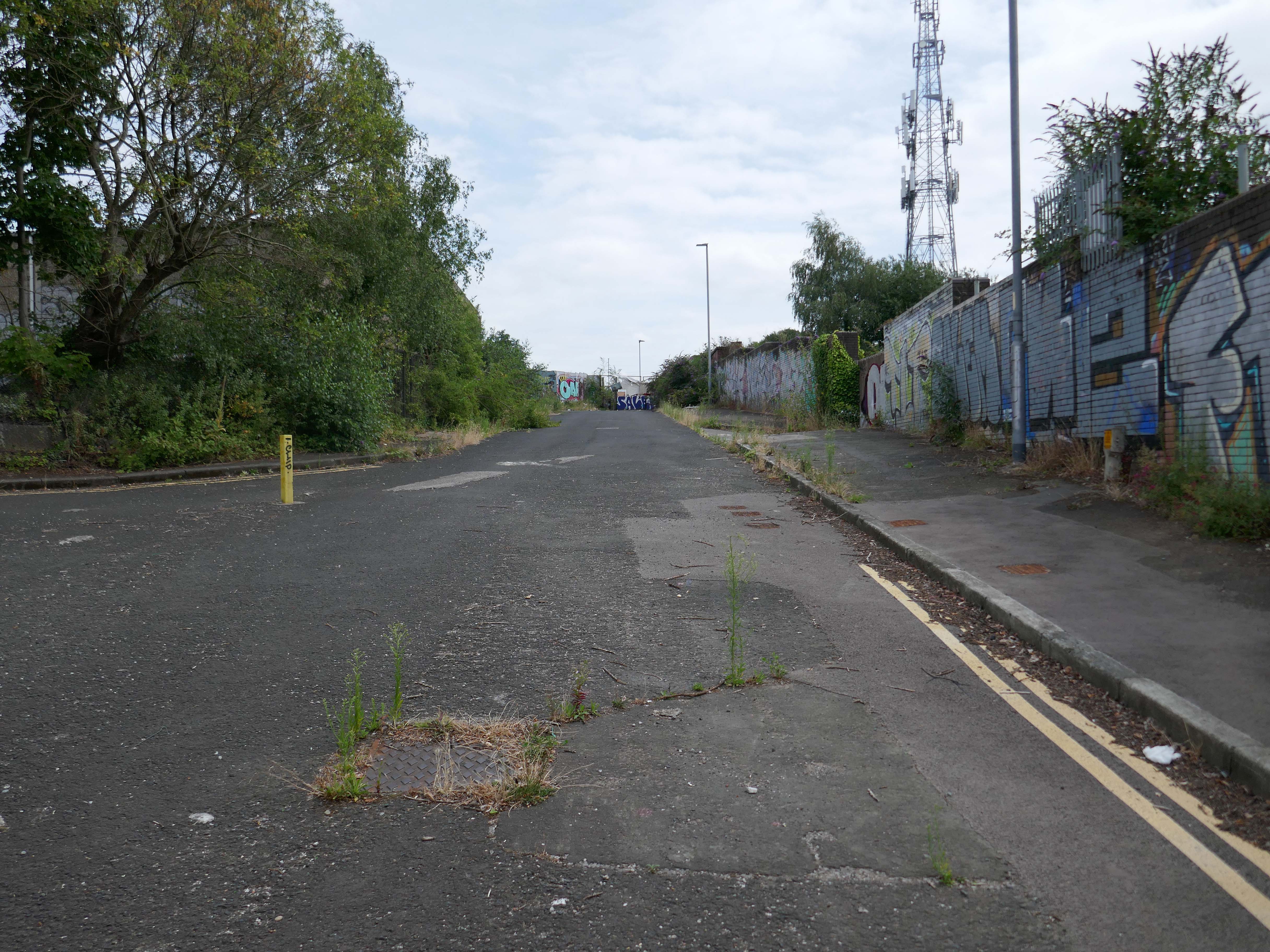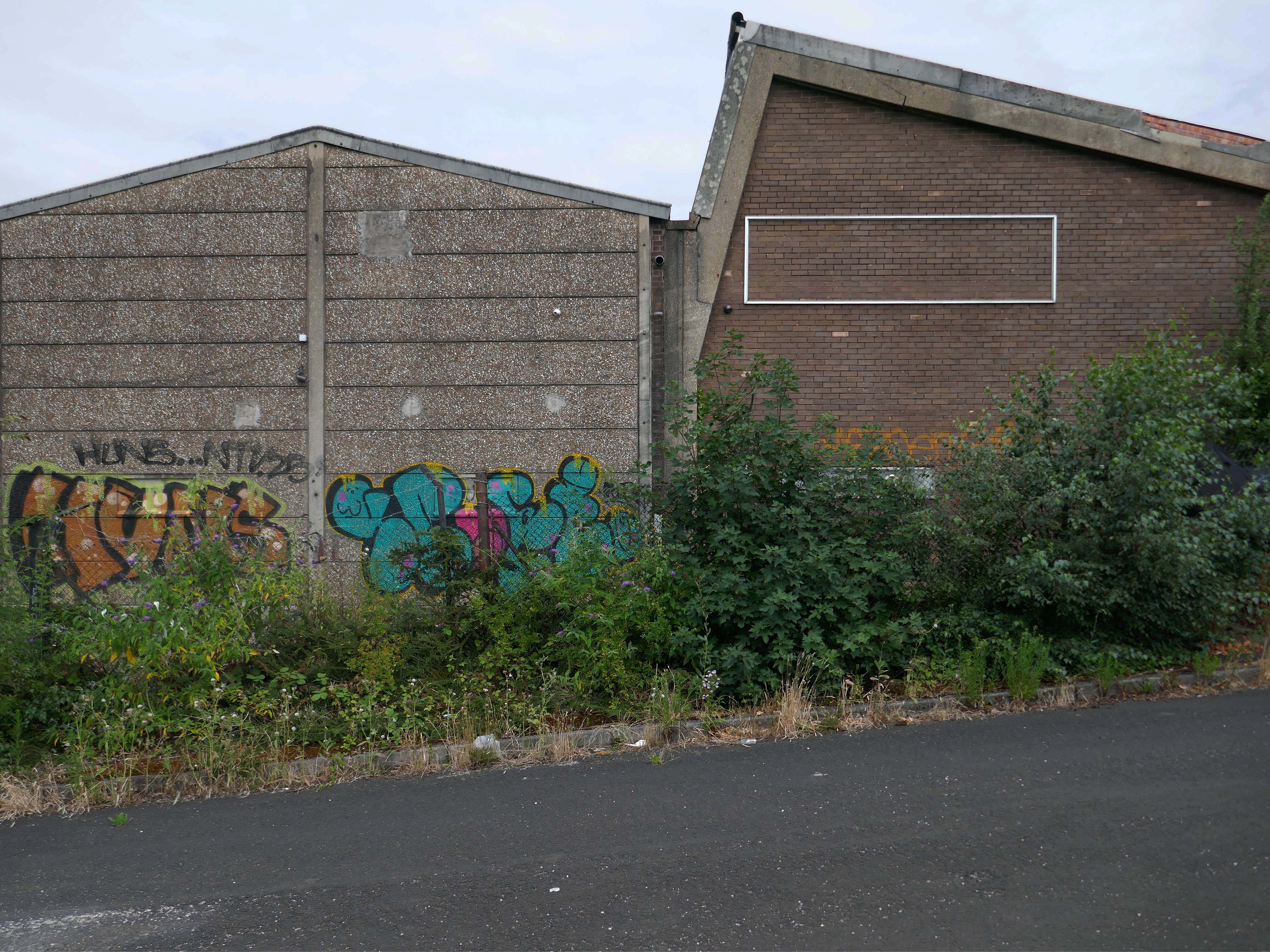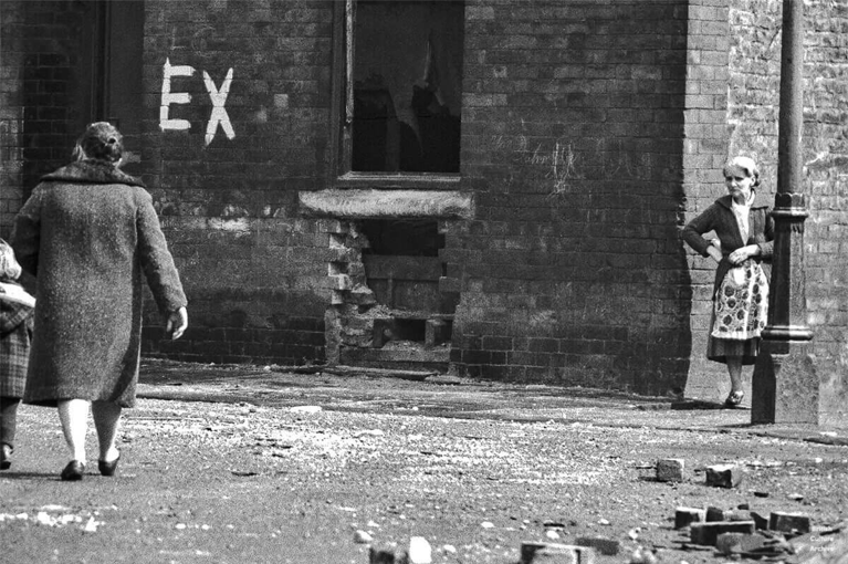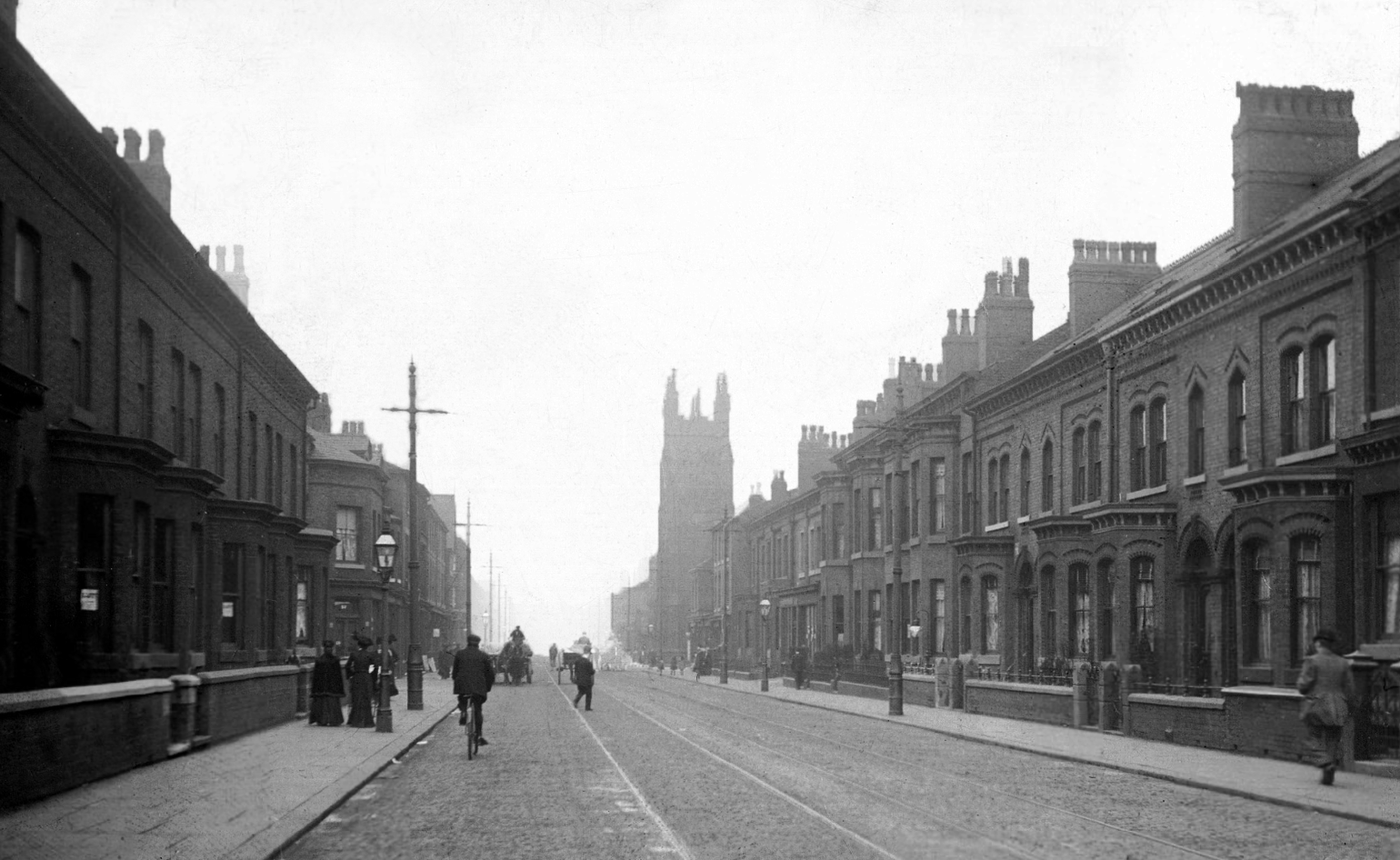
Post Industrial Ancoats

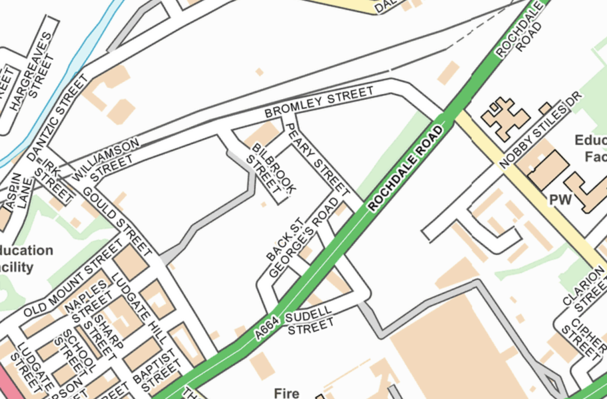
This is a story of streets which almost existed in 1836, an area enclosed by Gould Street, Bromley Street and Rochdale Road.

Further developing my Collyhurst Cheetham Circular.
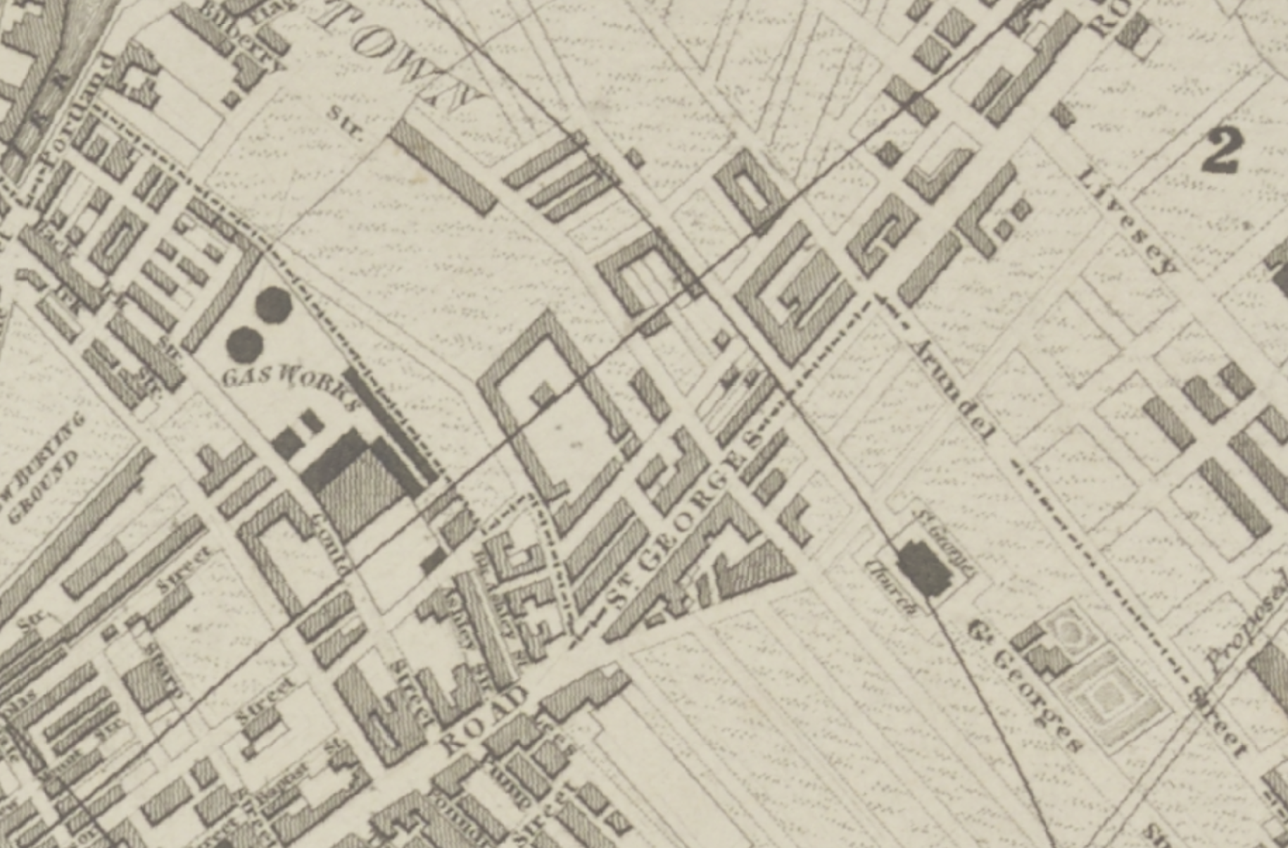
By 1870 there are a number of streets which now no longer exist, along with the homes and industry, they have been subsumed by car parks.
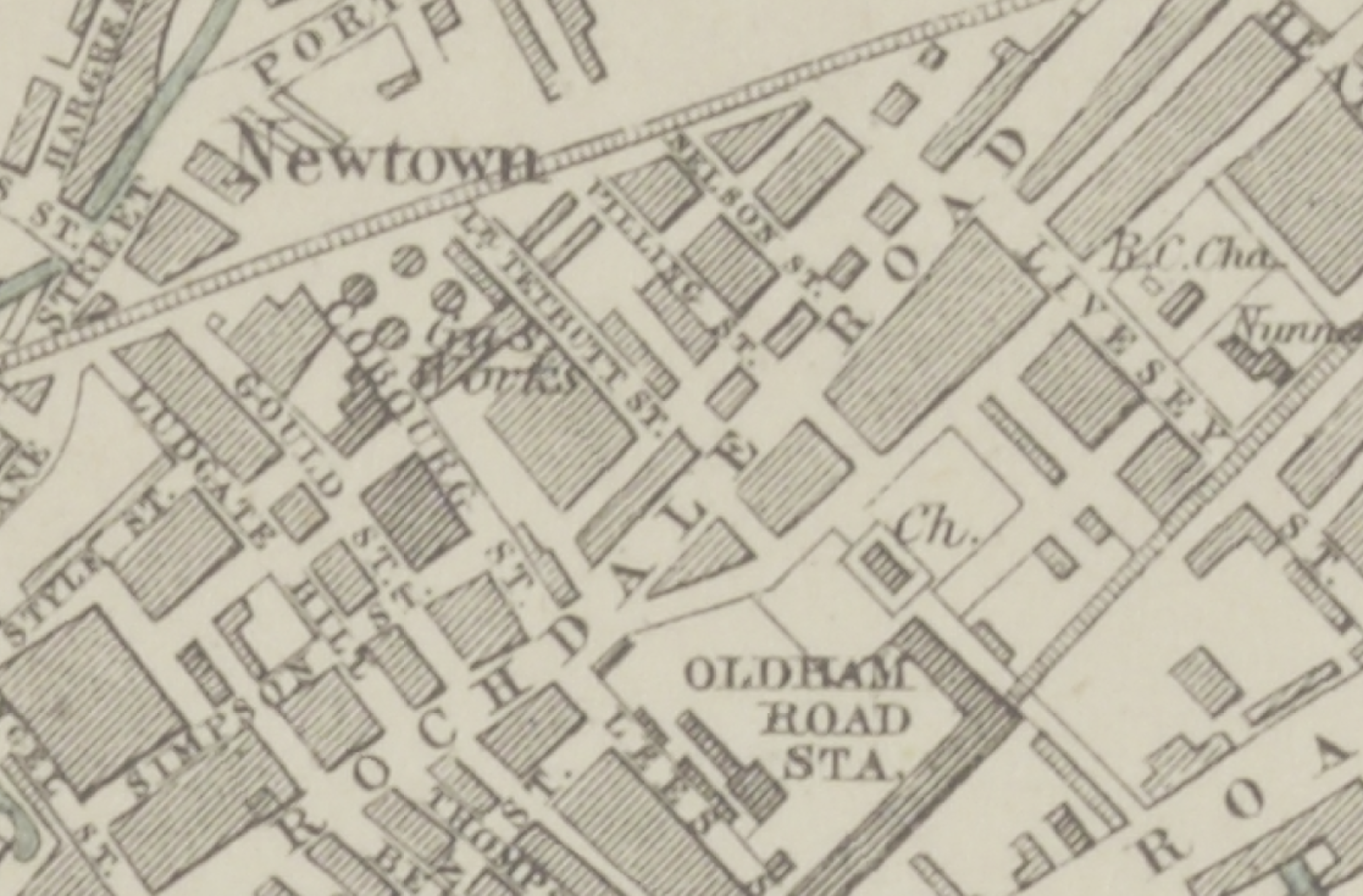
In 1960 the Rochdale Road Gas Works built in 1824, is then still extant.

The expansive site spanned over nine acres, including four retort houses, with a capacity of producing 8,500,000 cubic feet of gas daily. Since the end of the 18th century, the site was home to a locomotive/goods shed outside of the main works tramline infrastructure which was used for coal transportation for off-site refining. In the early 1940s, reorganisation and reconstruction ledto alterations and clearance of existing above-ground structures.
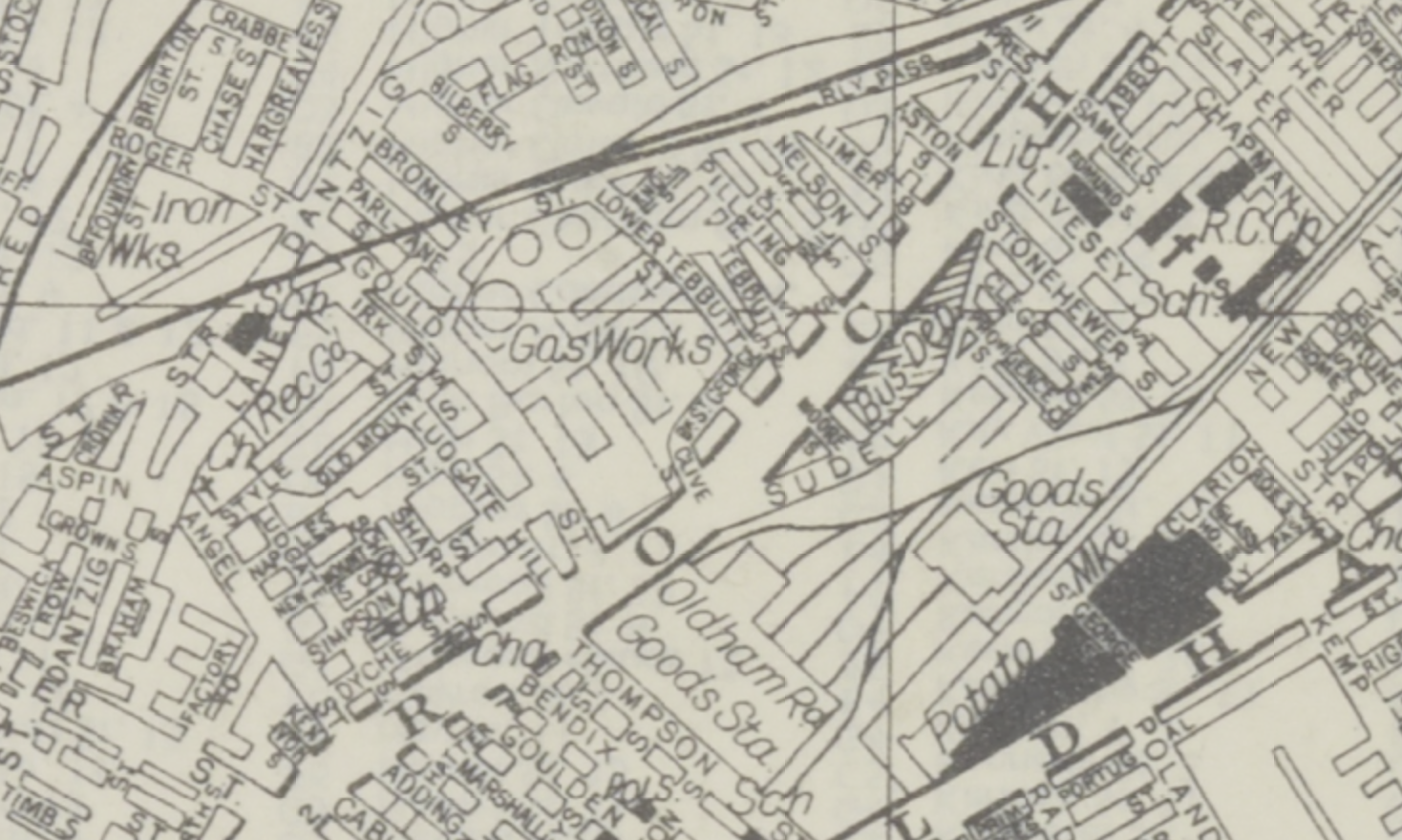
Image – Britain from the Air
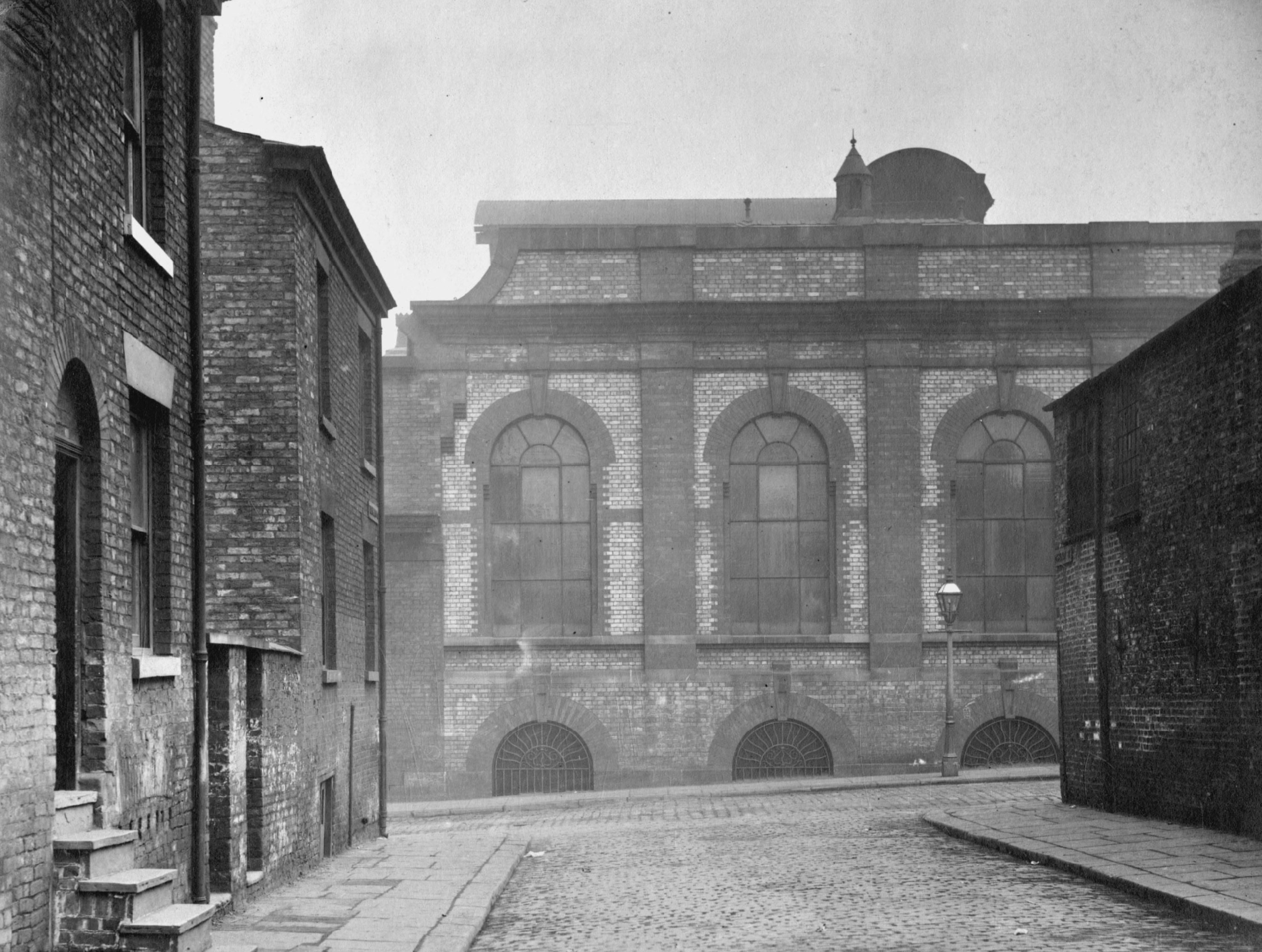
Image 1907 J Jackson Manchester Local Image Collection.
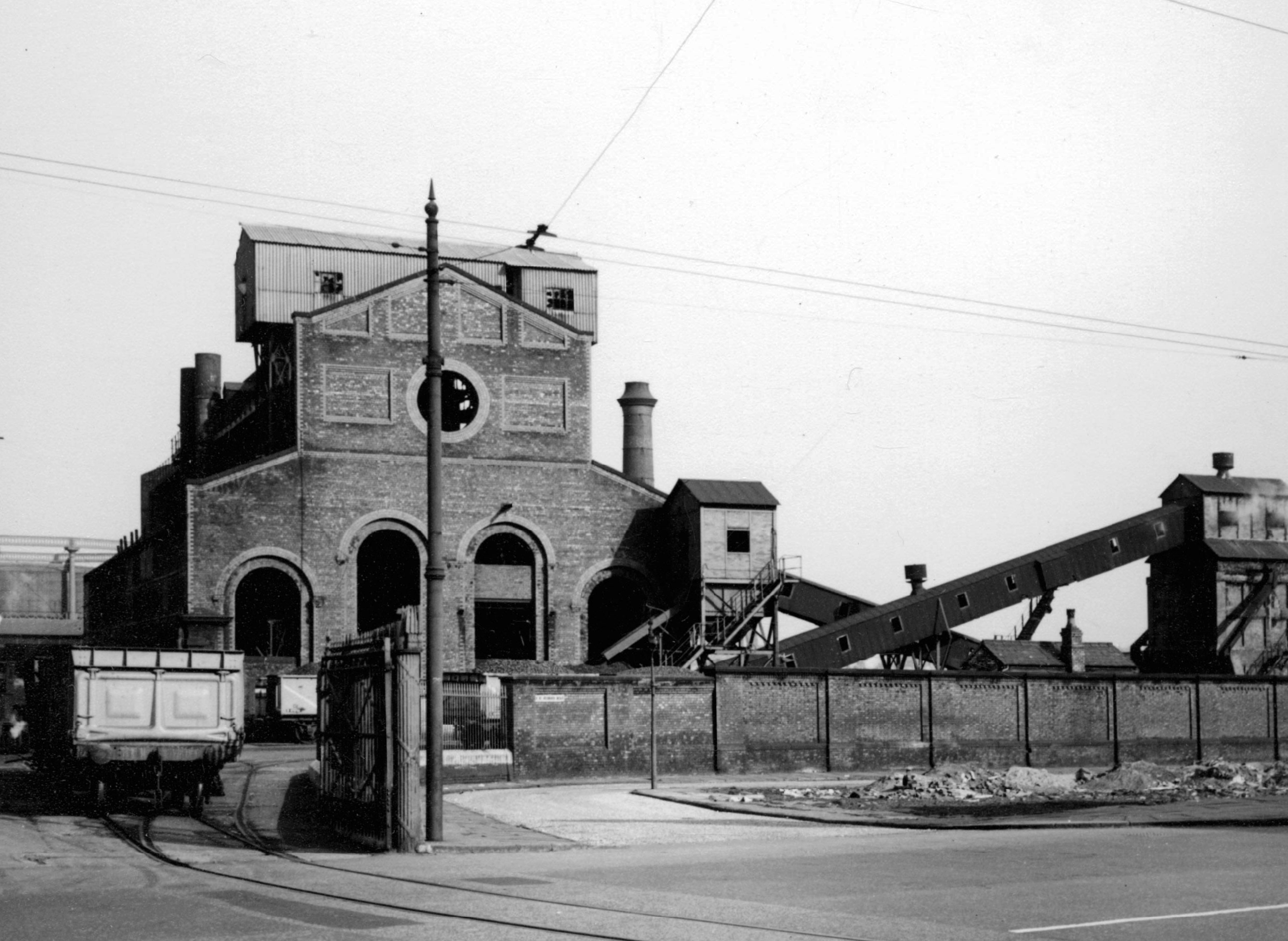
Image 1958 Lawrence Kaye Manchester Local Image Collection.

Bromley Street.
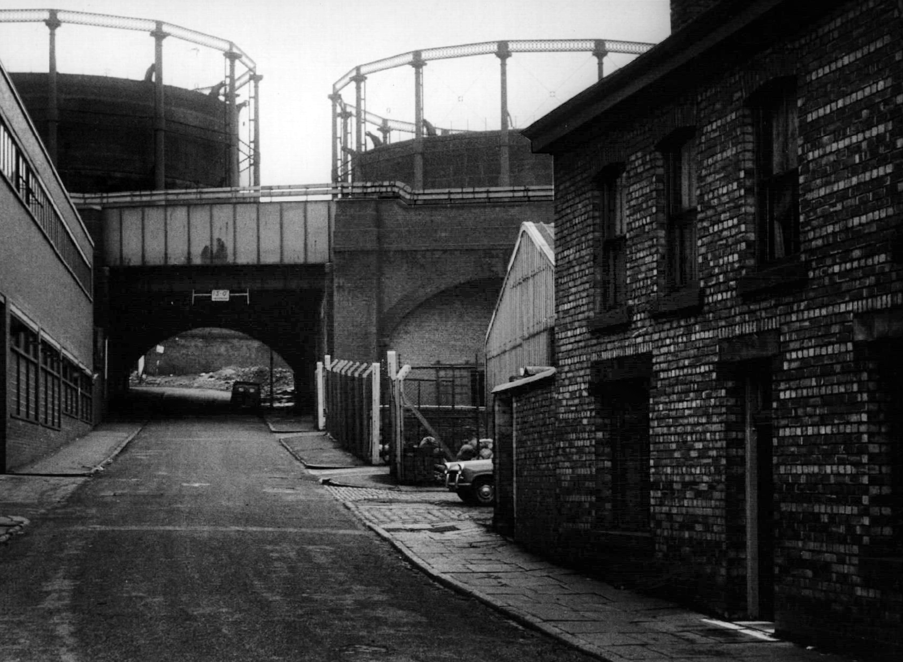
Image 1964 Lawrence Kaye Manchester Local Image Collection.

Image 1966 Thomas Brooks Manchester Local Image Collection.

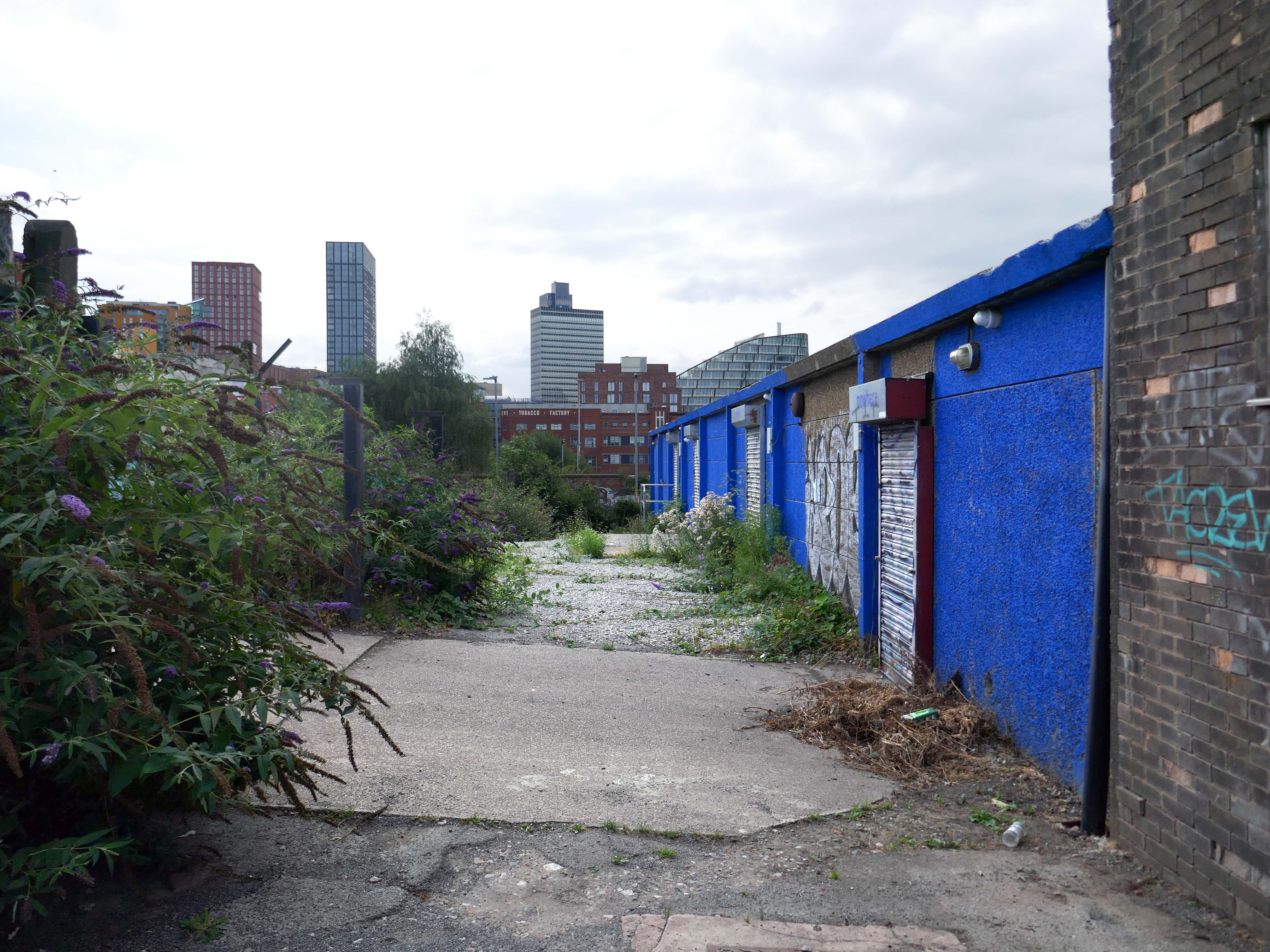
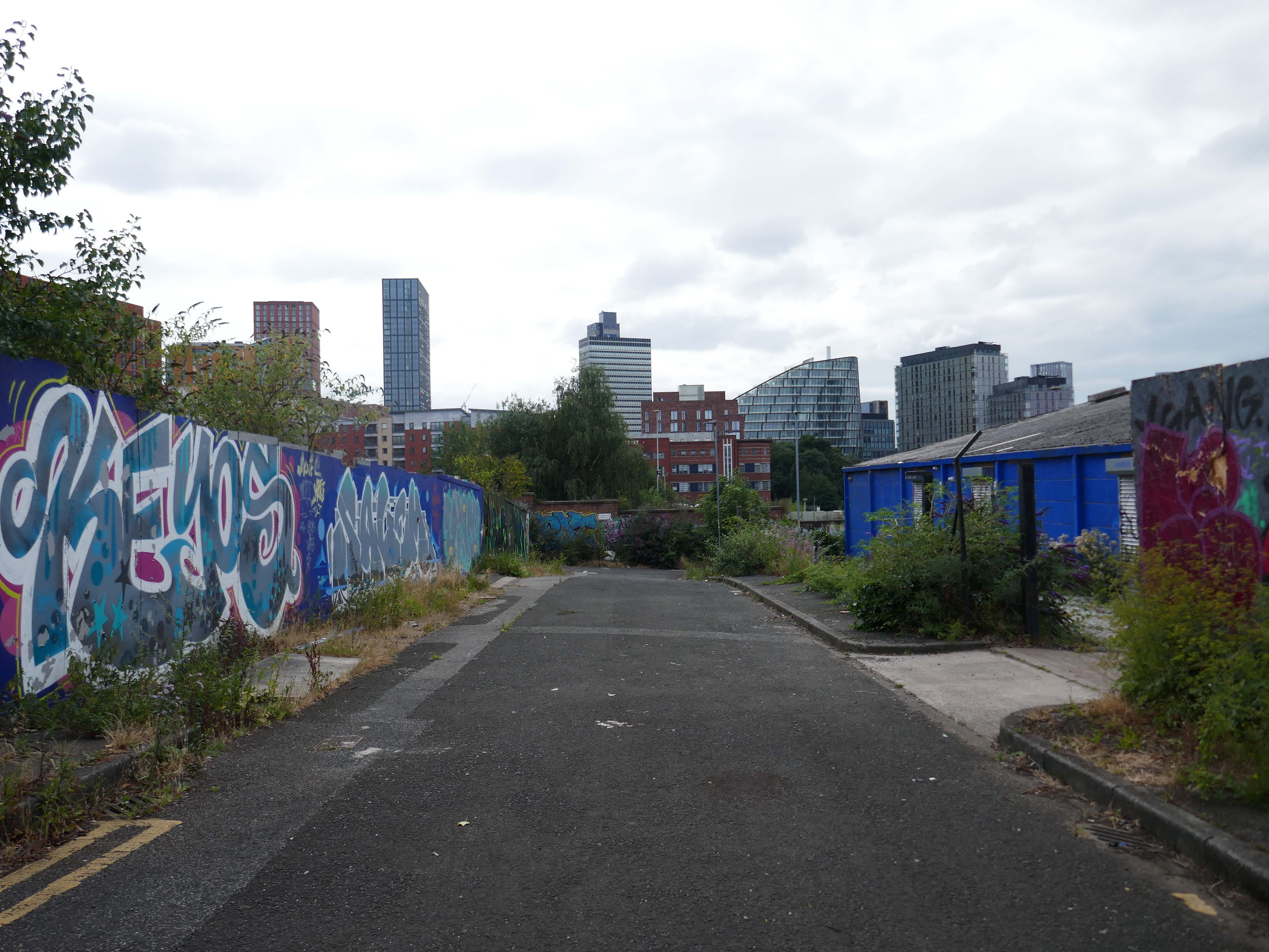
It’s 2026 and almost everything has been erased.
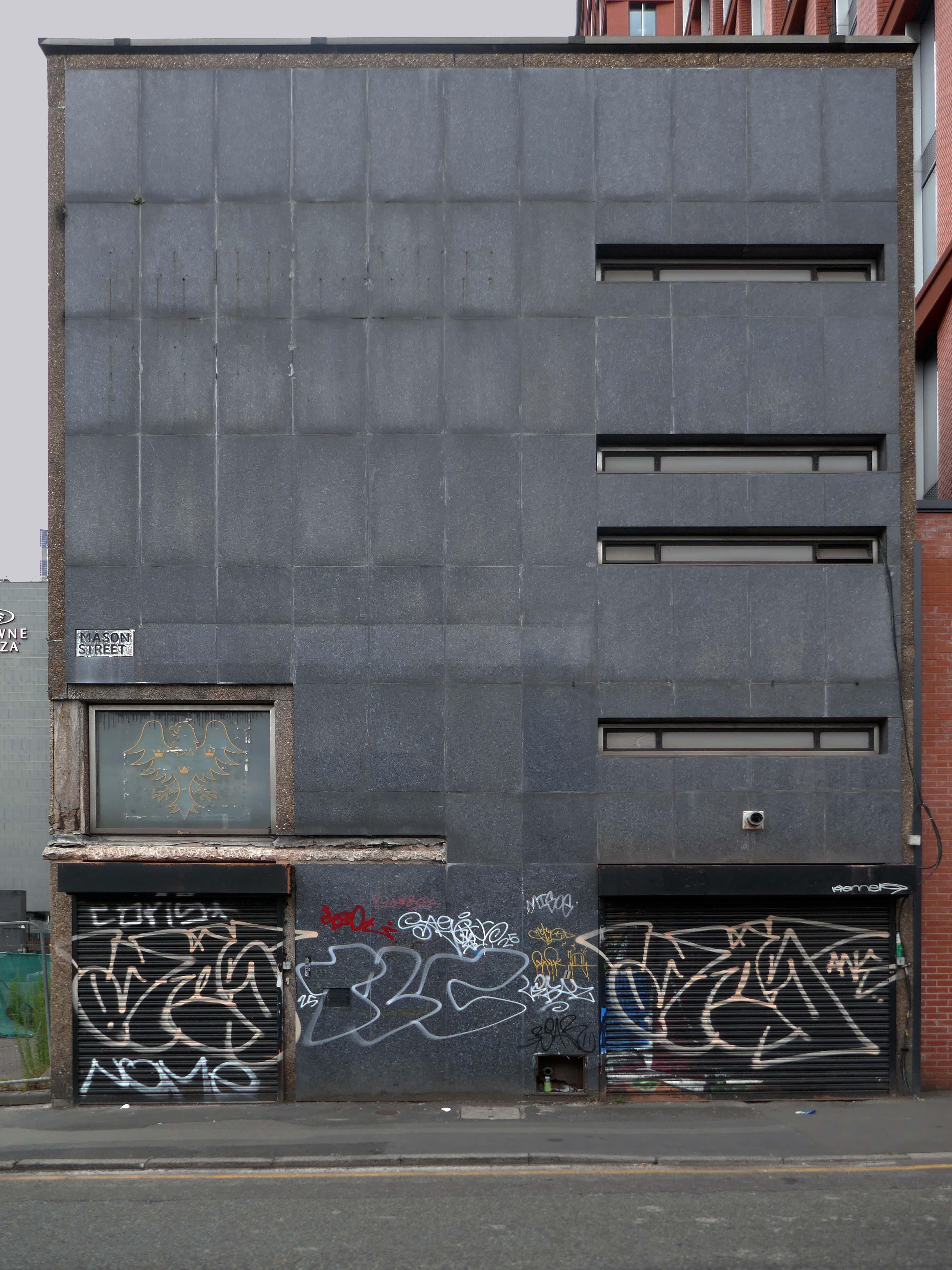
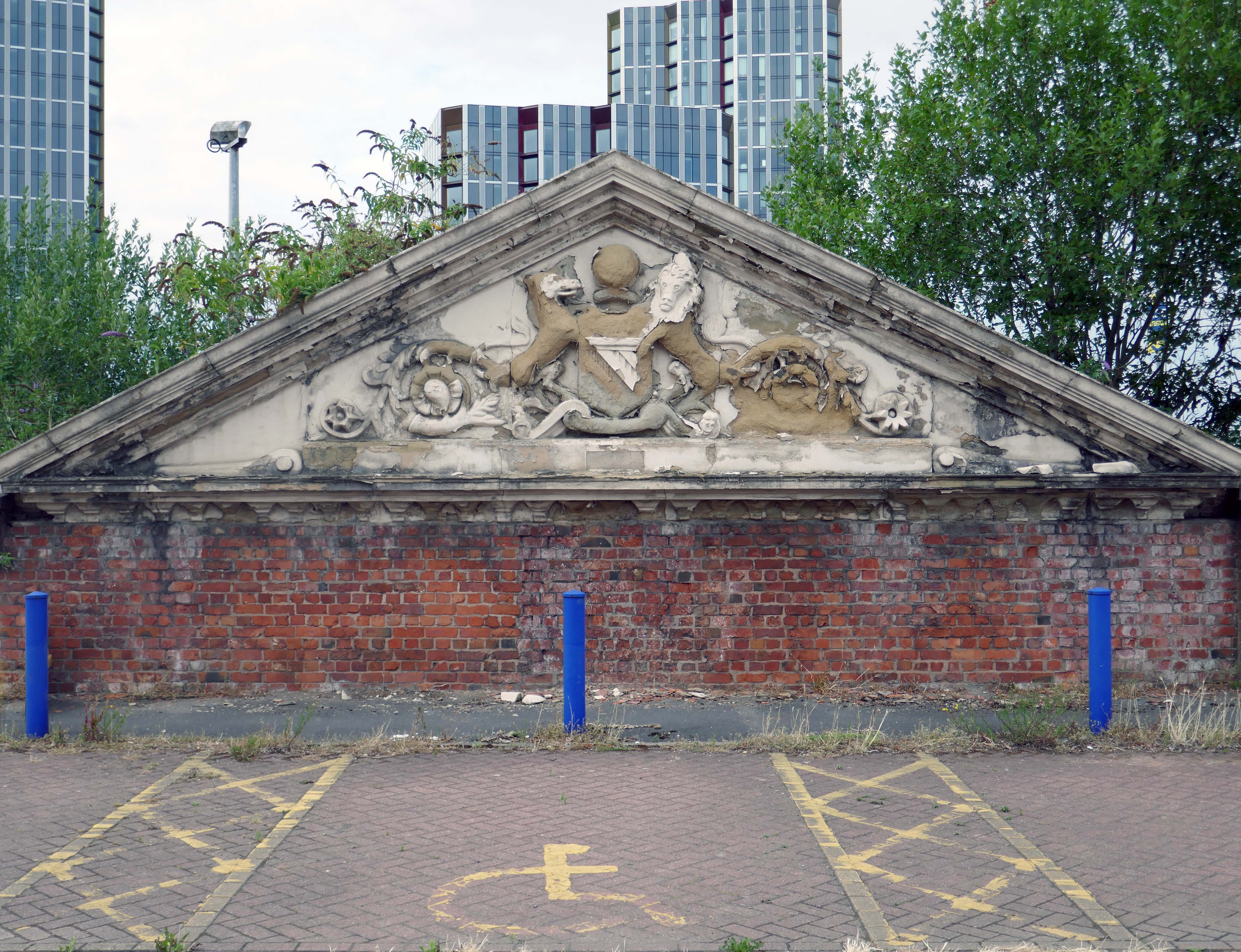
This is the only remnant of the former gasworks, preserved on Gould Street car park.
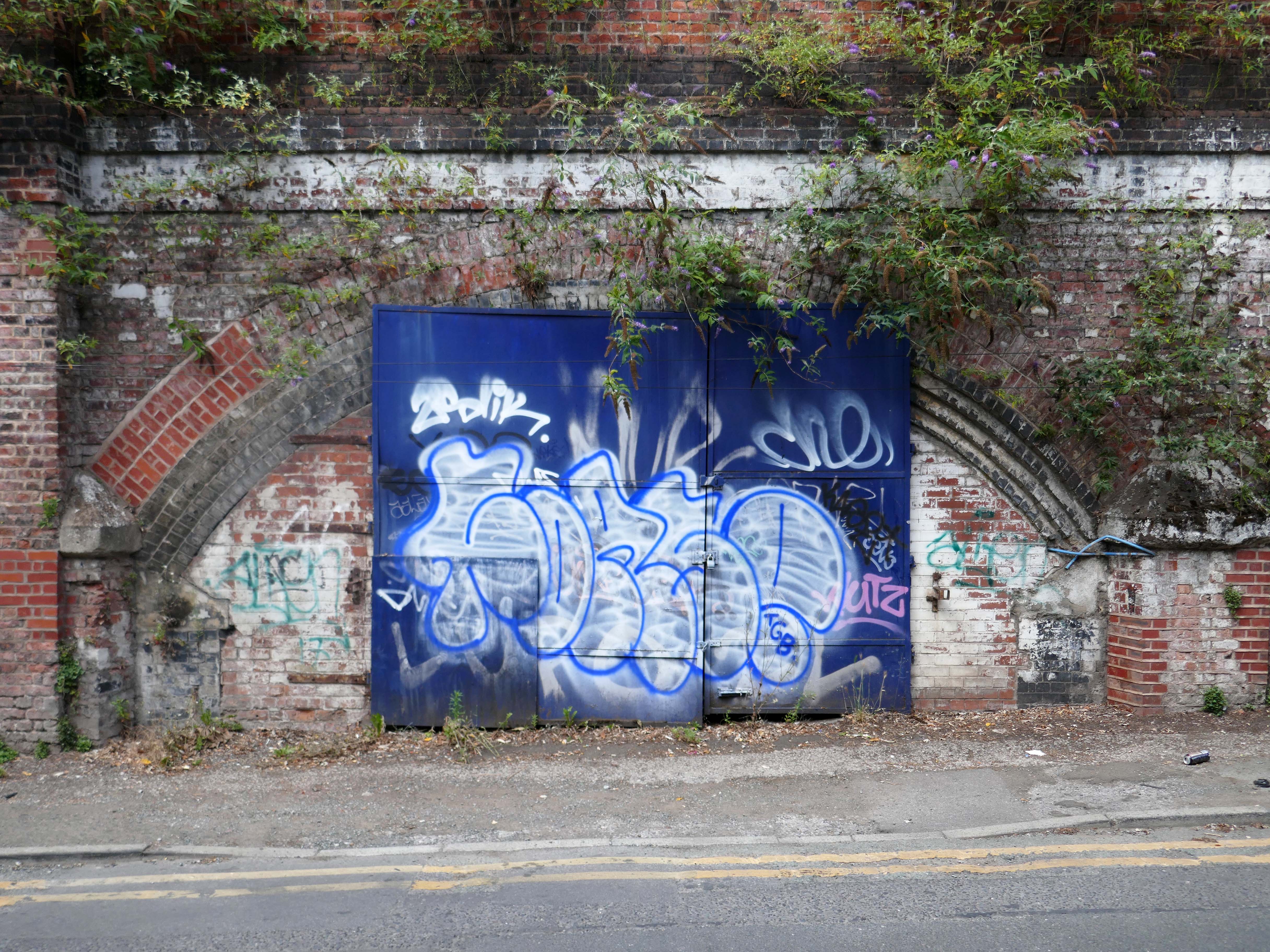
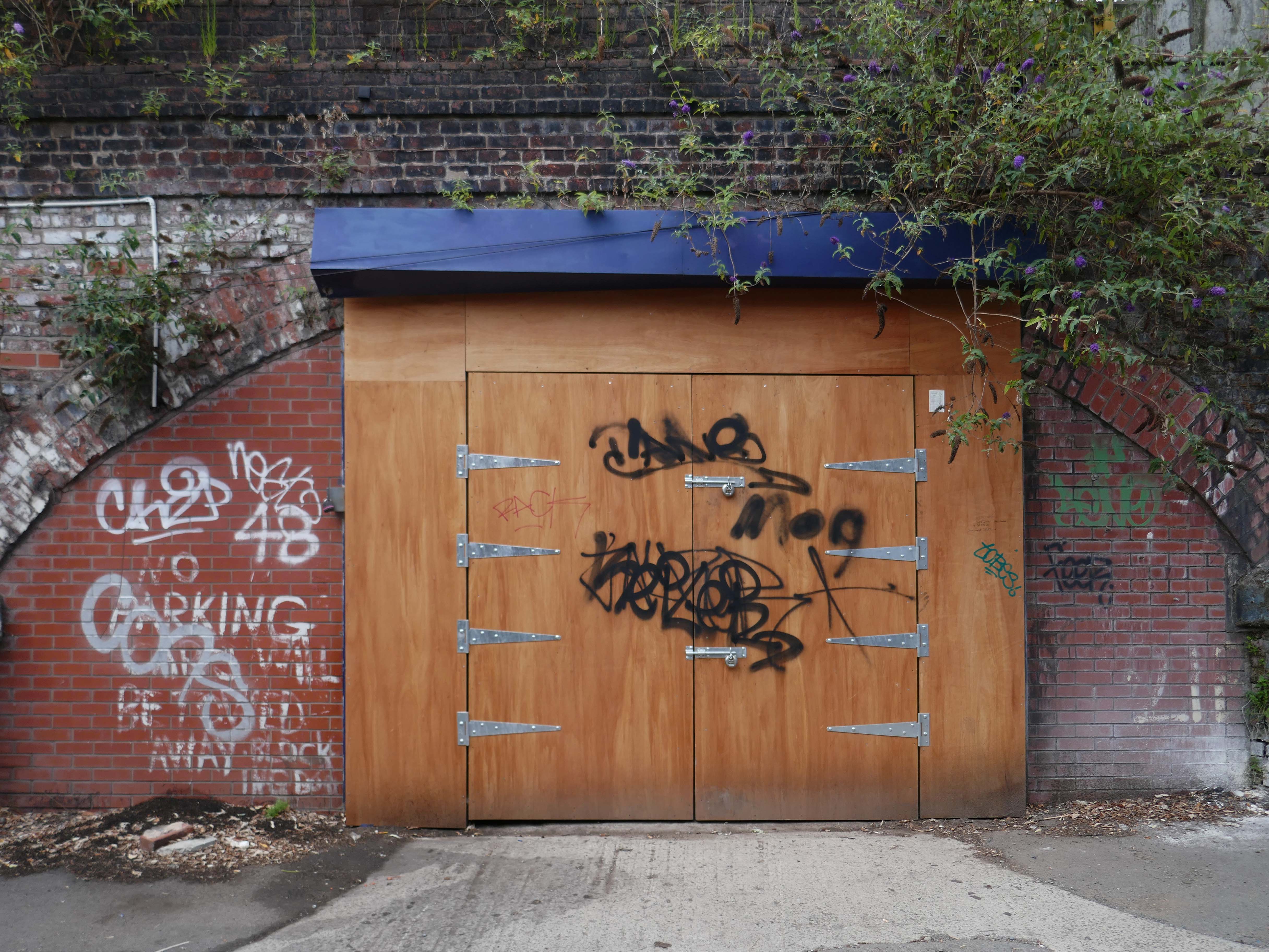
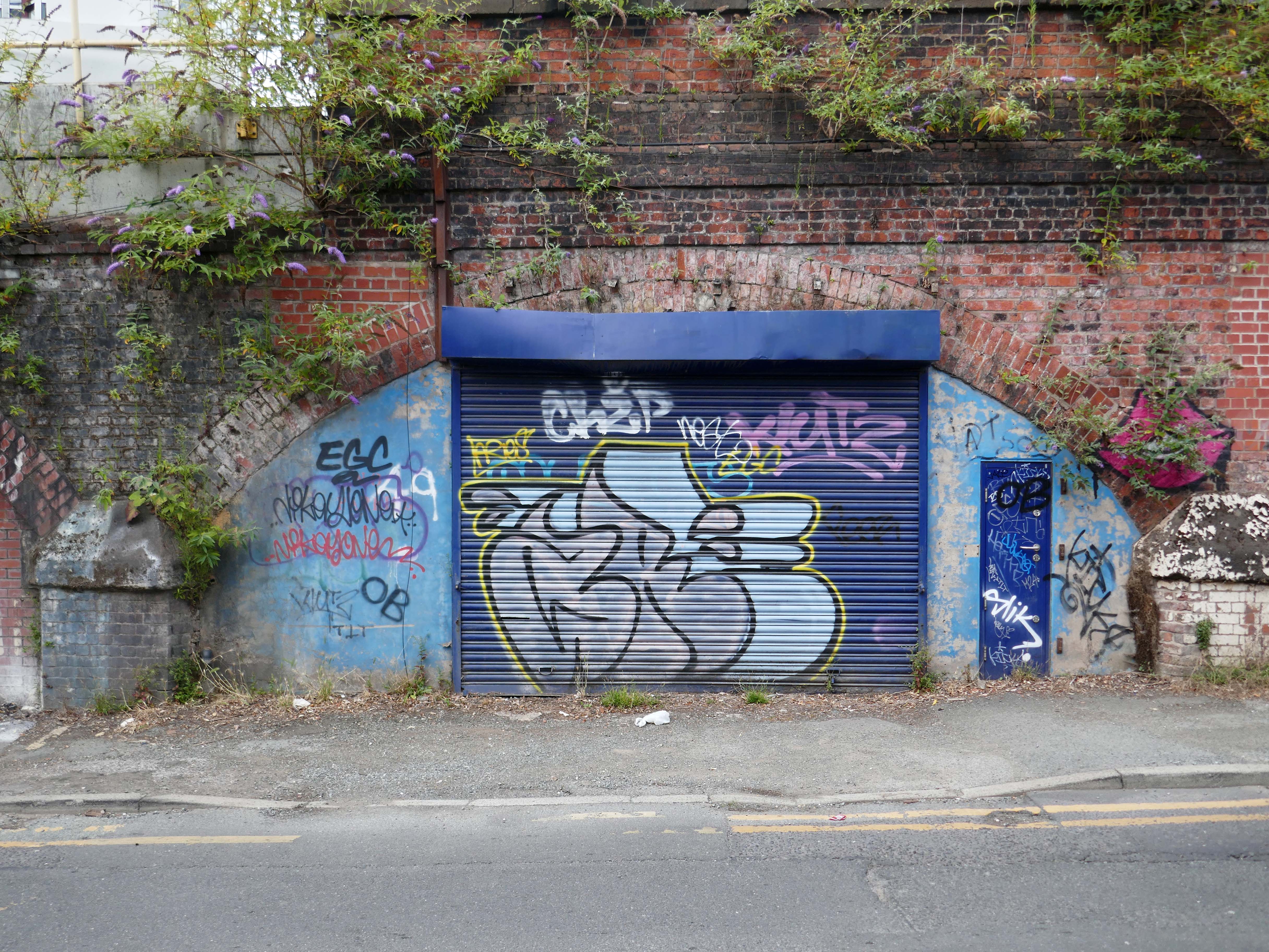
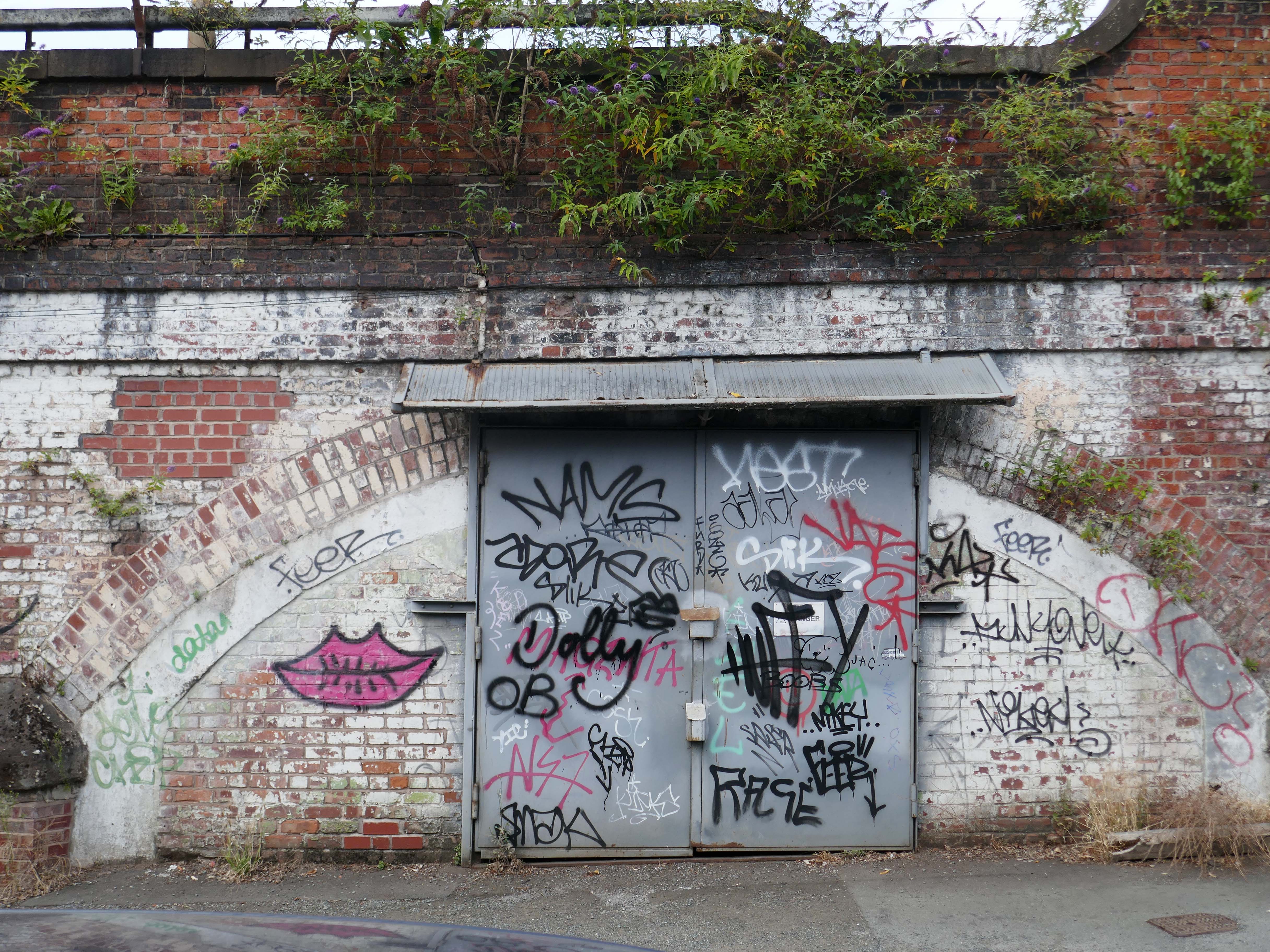
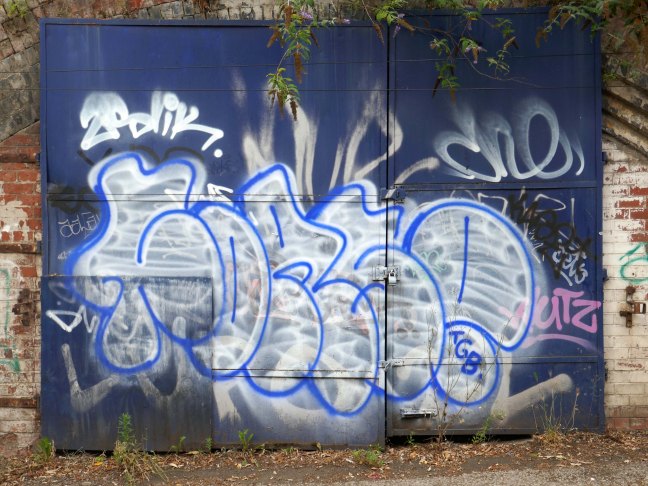
The raggle-taggle gaggle of businesses cling on to the Bromley Street arches beneath the railway.

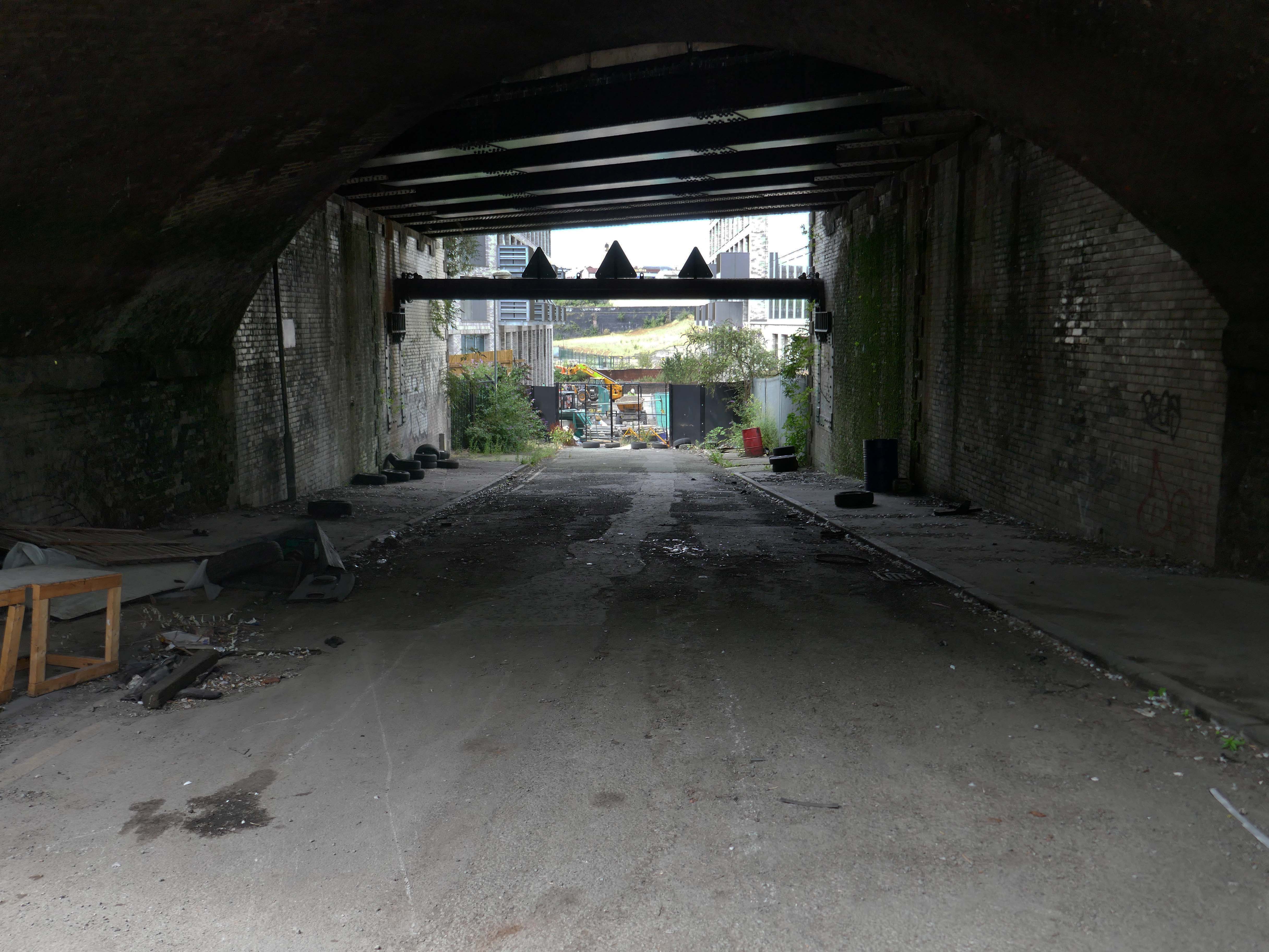
The other side of the tracks.
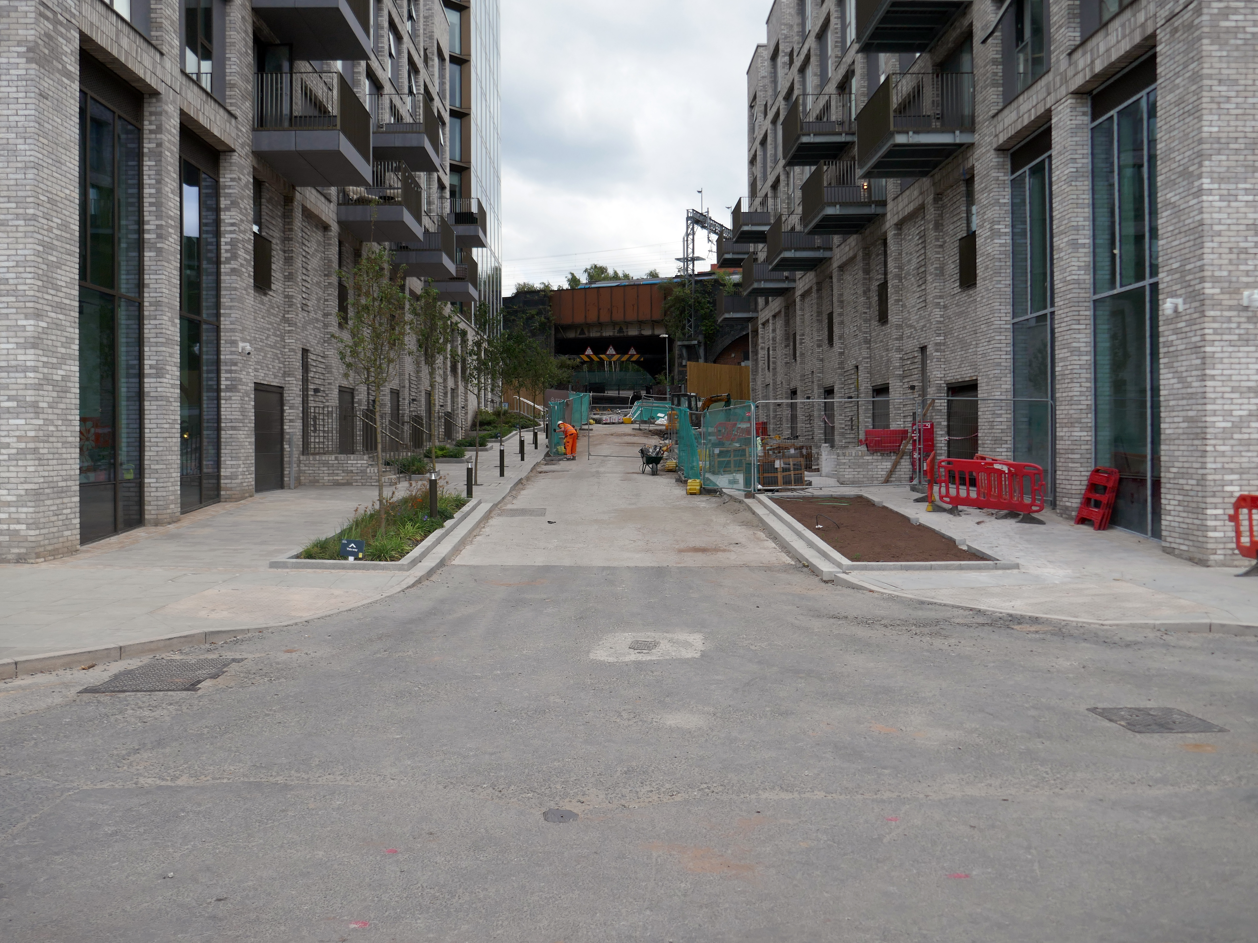
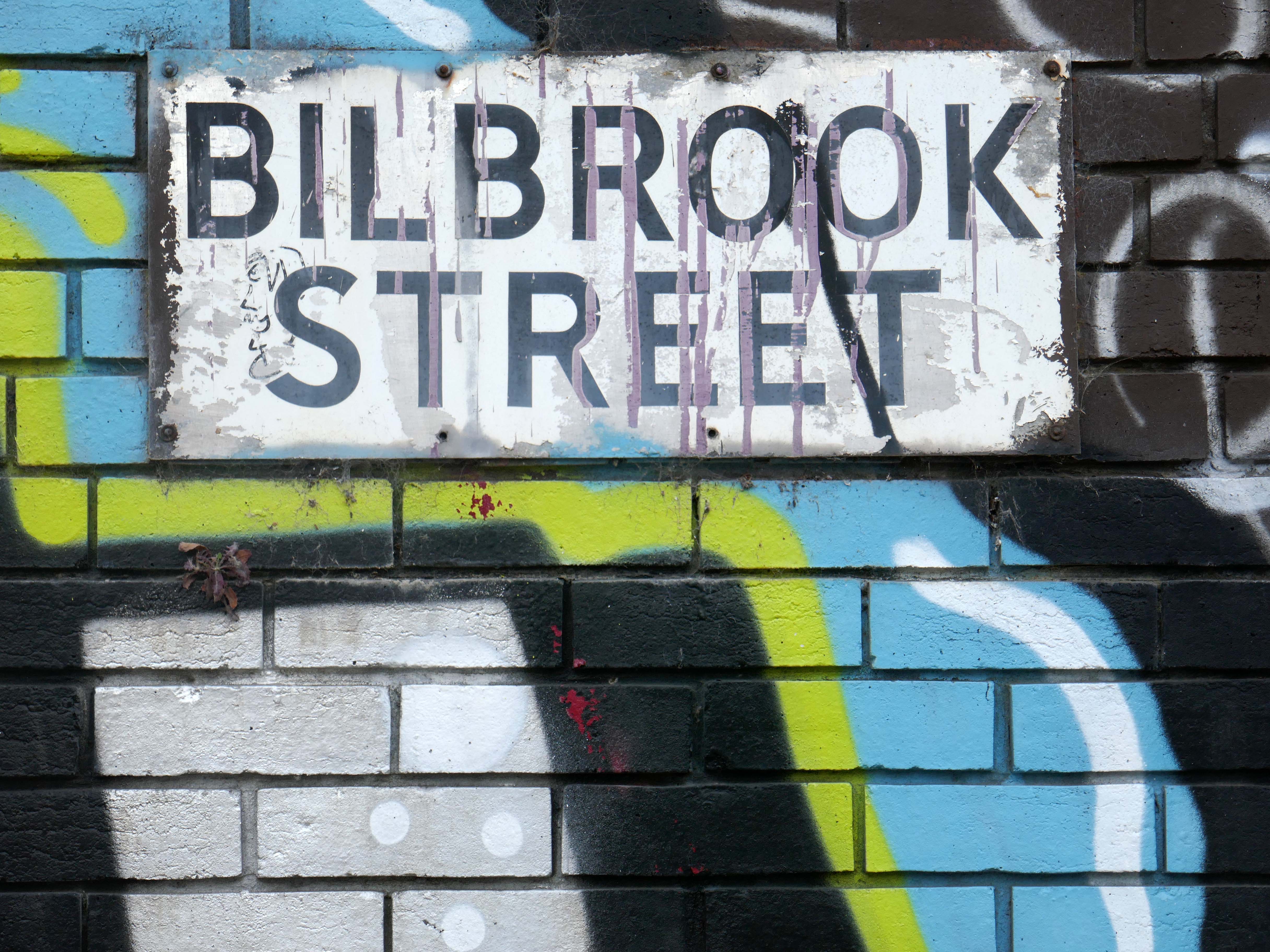
Bilbrook Street just about hanging in there.
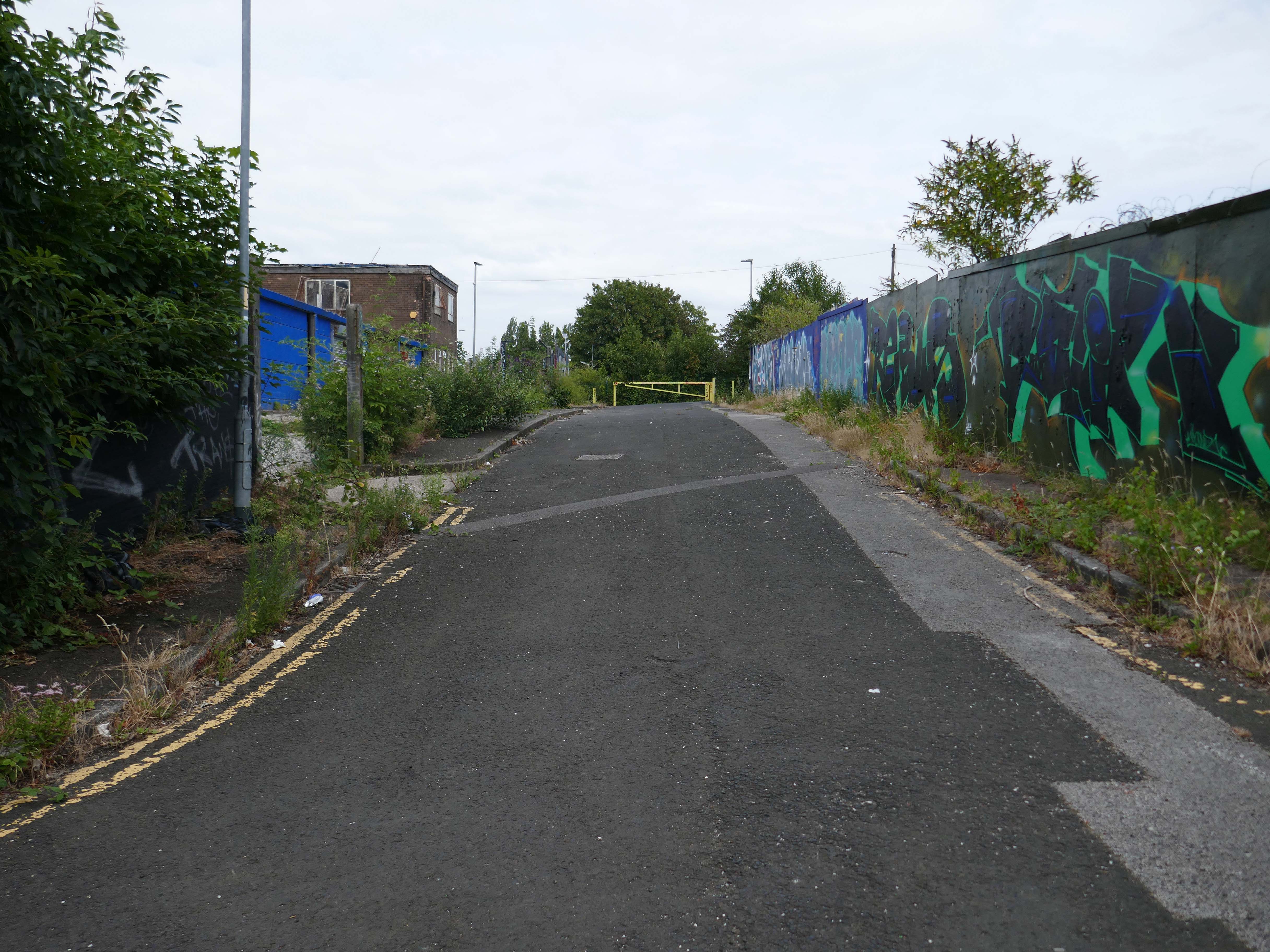
Burstock Street.
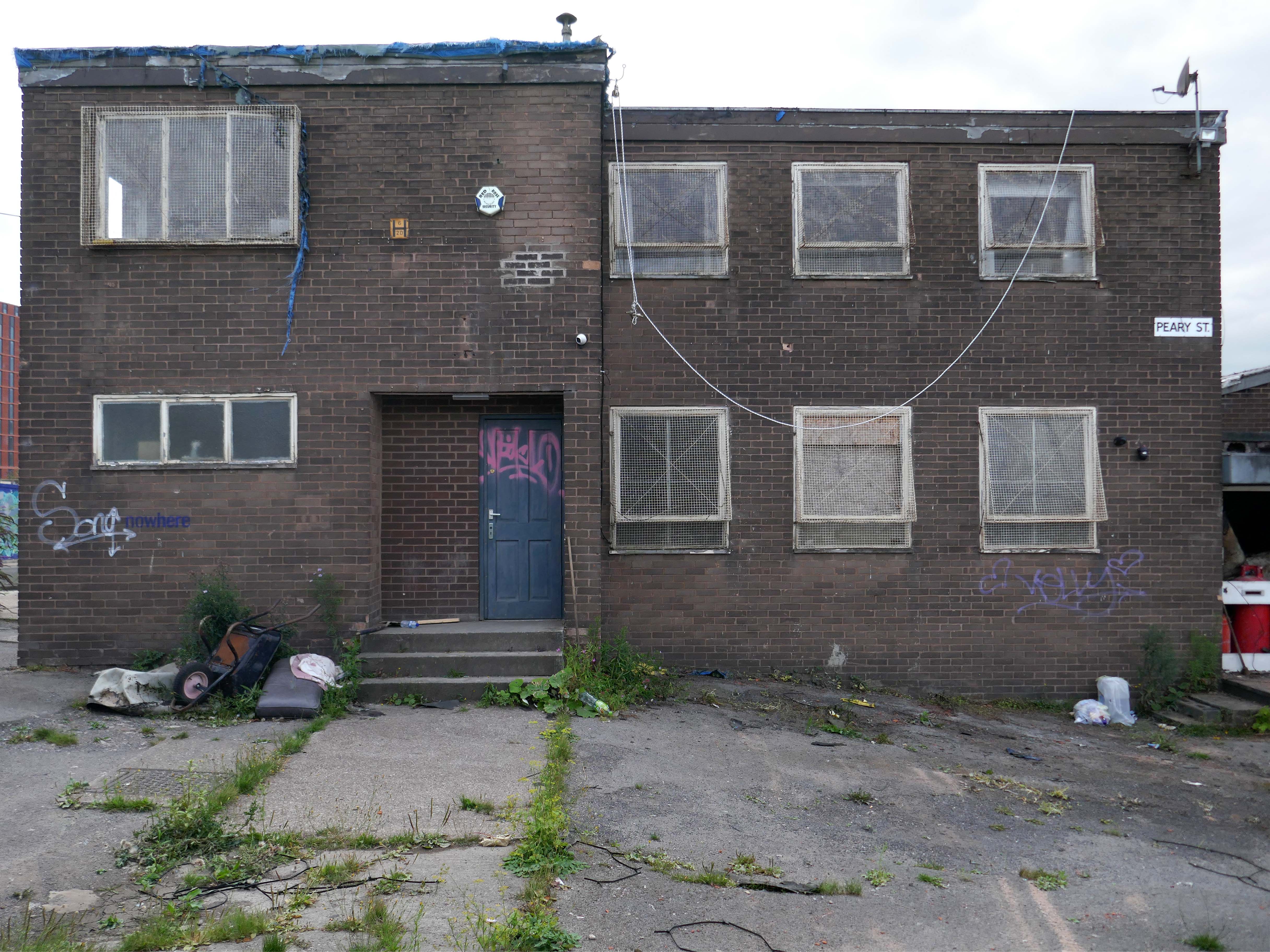
Here we are at the former home of Isomax Construction Company Ltd.

Manufacturing and execution of liquid waterproofing systems since 1990. All products are unique development, protected by patents and trademarks. All products are water-based and thus are 100% ecological. More than 1,200,000 sqm of executed projects with ten years warranty, since 1990.

Export to Serbia, Poland, Spain, Montenegro, France,
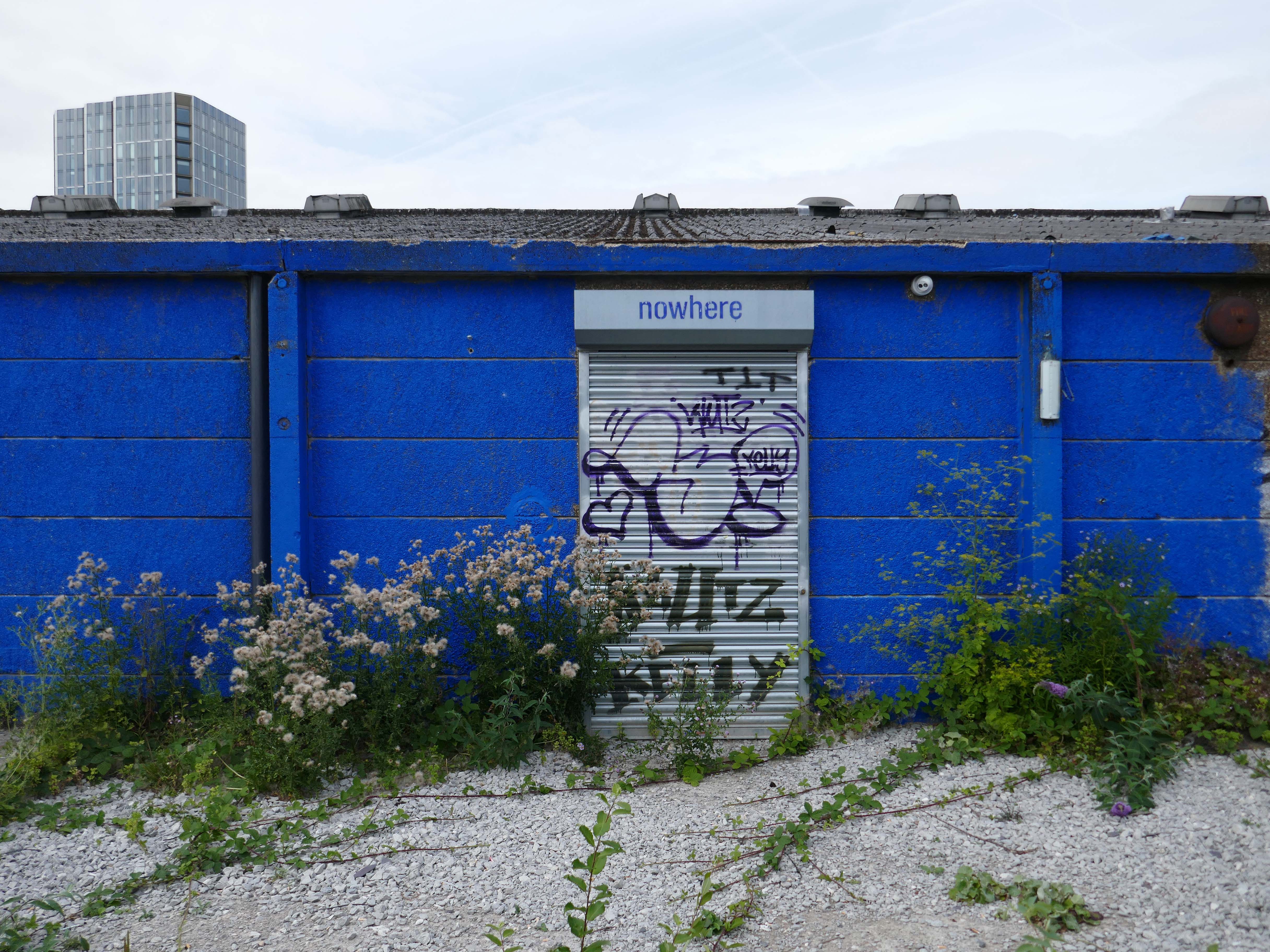
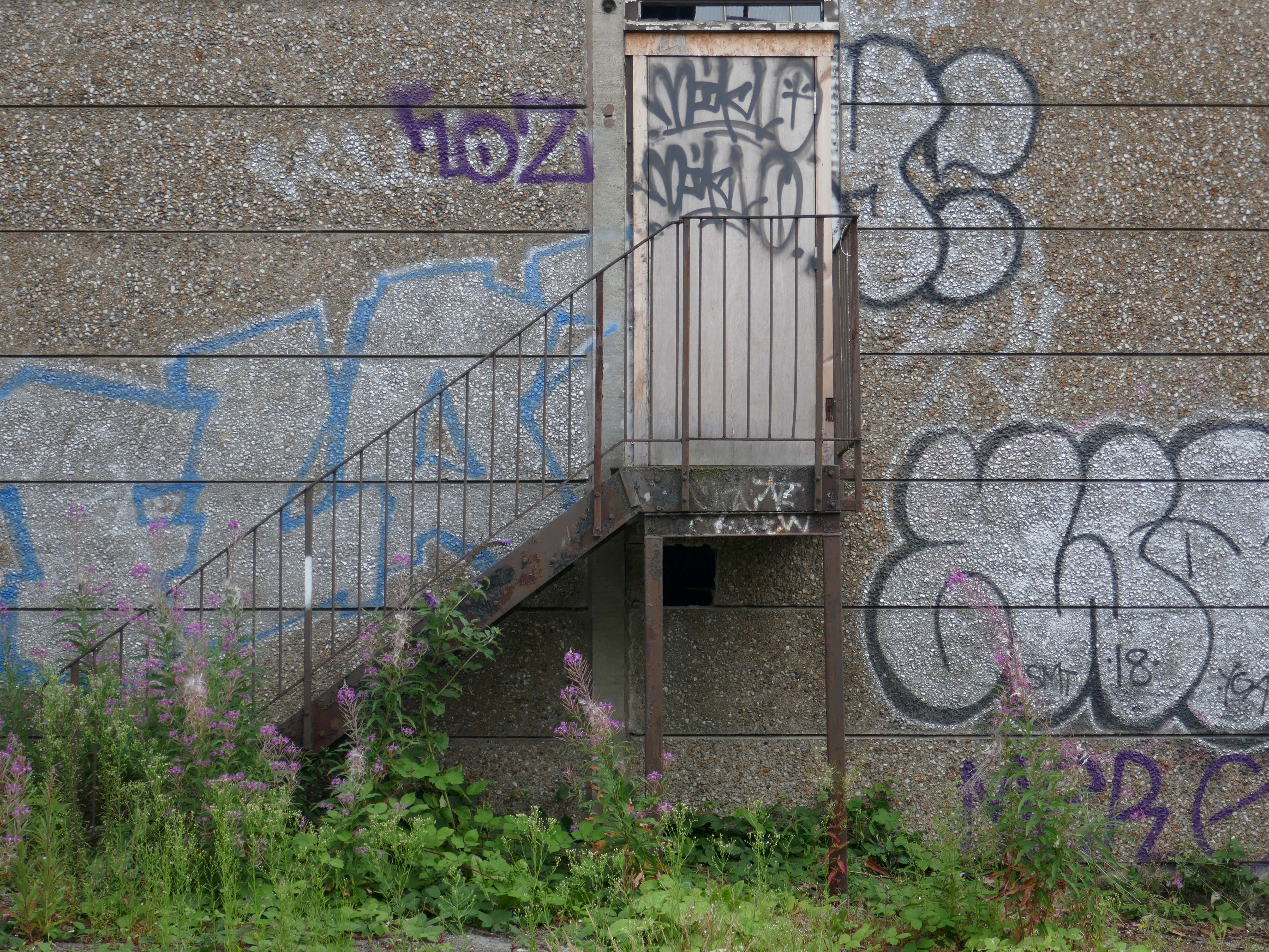
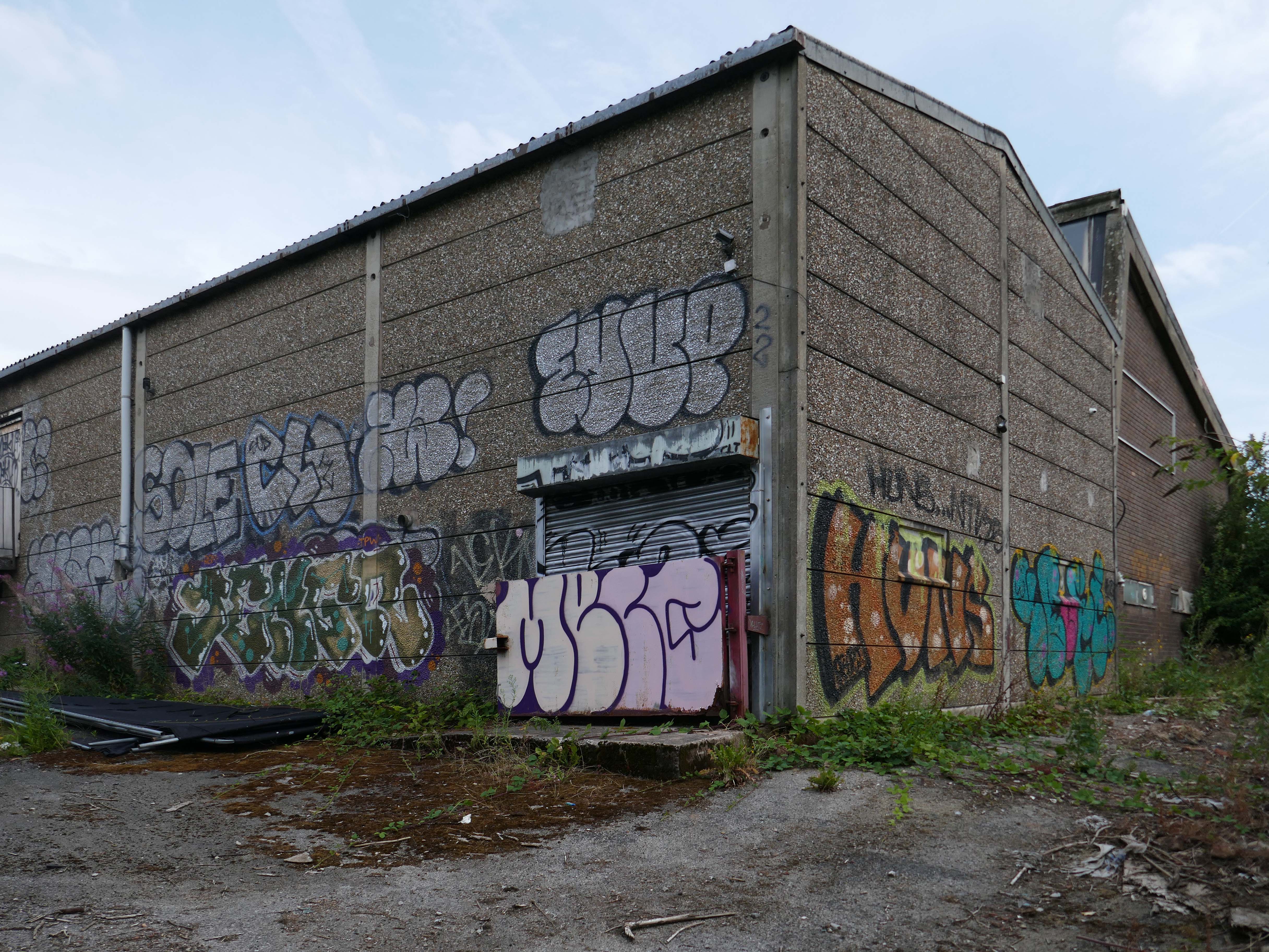
Latterly the former industrial premises have become temporary home to a Warehouse House Party – under the banner of We Are Nowhere.
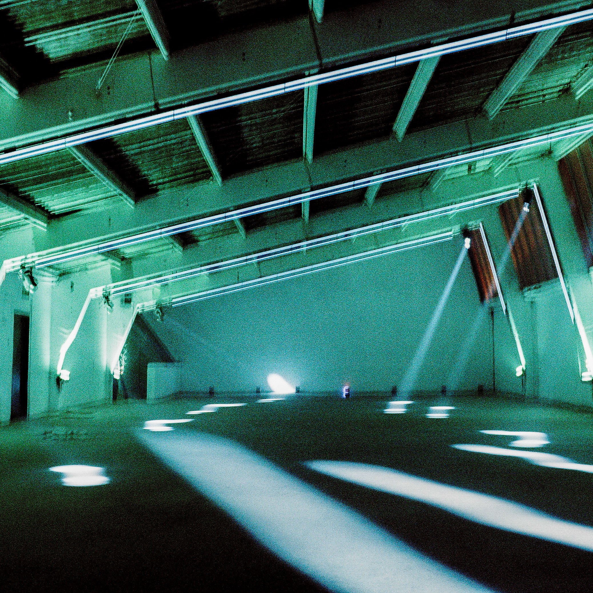
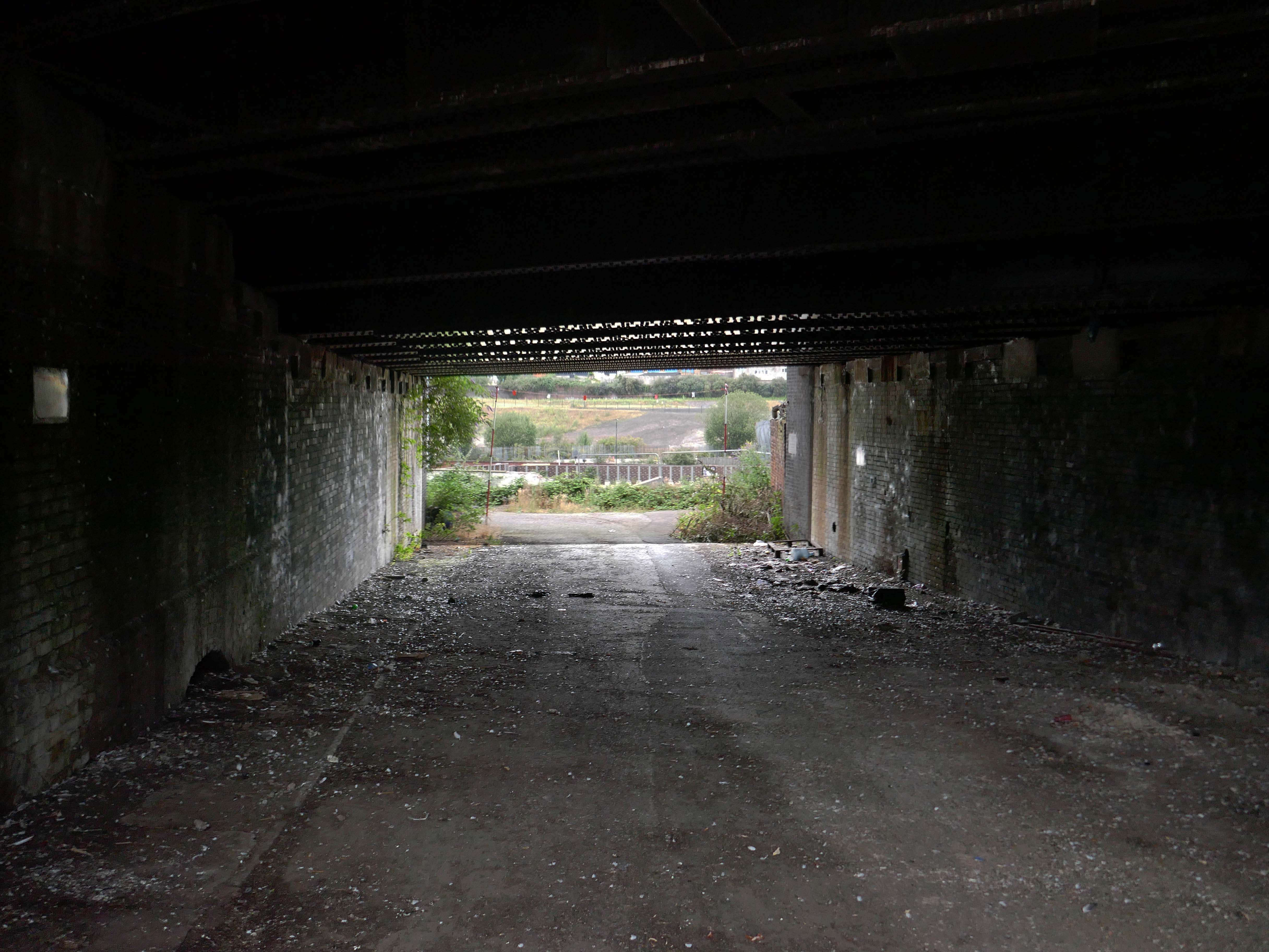
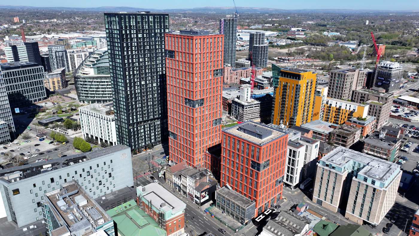
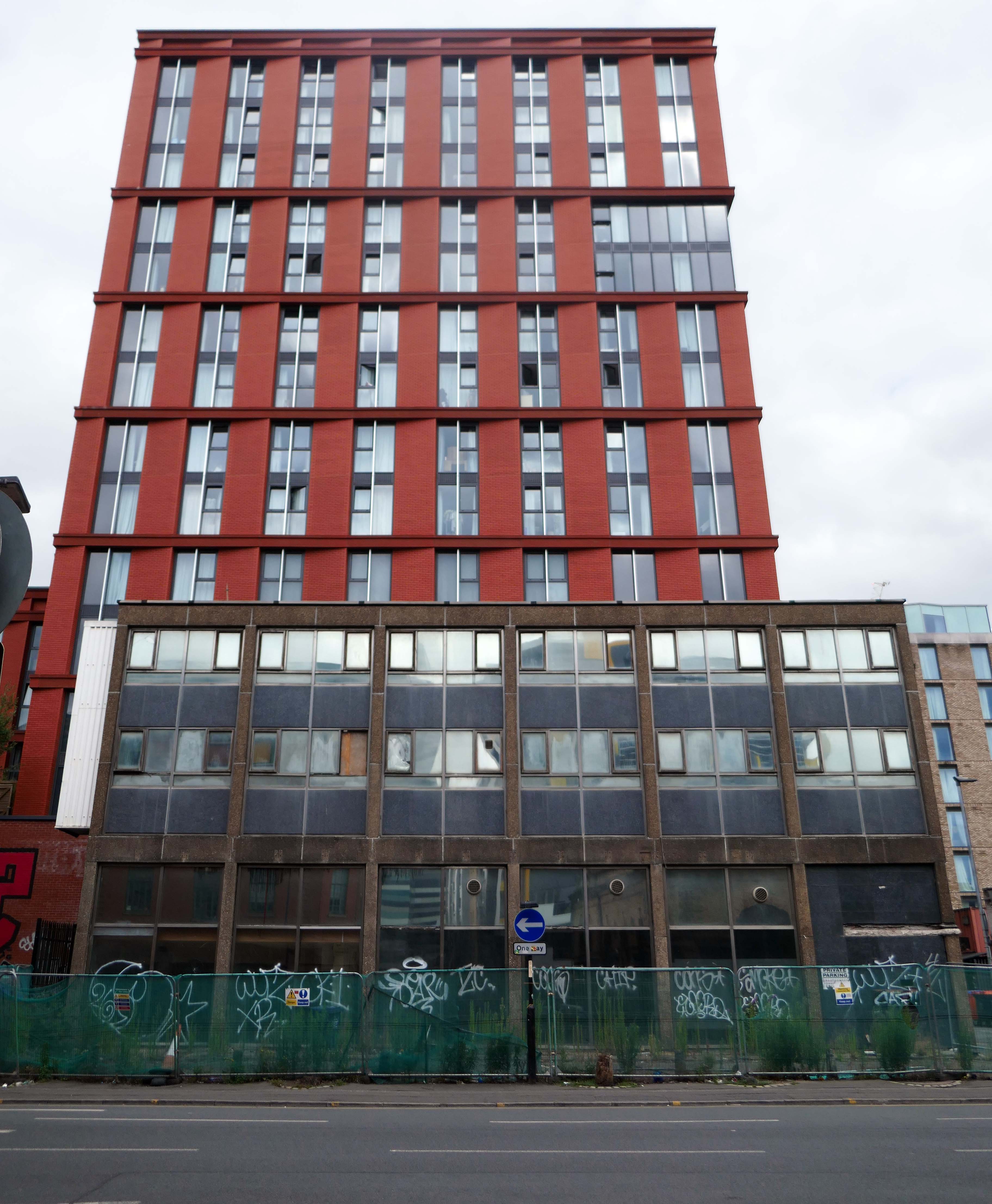
In 2024 the are was becoming Victoria North – with the incipient intrusion of gargantuan residential blocks.
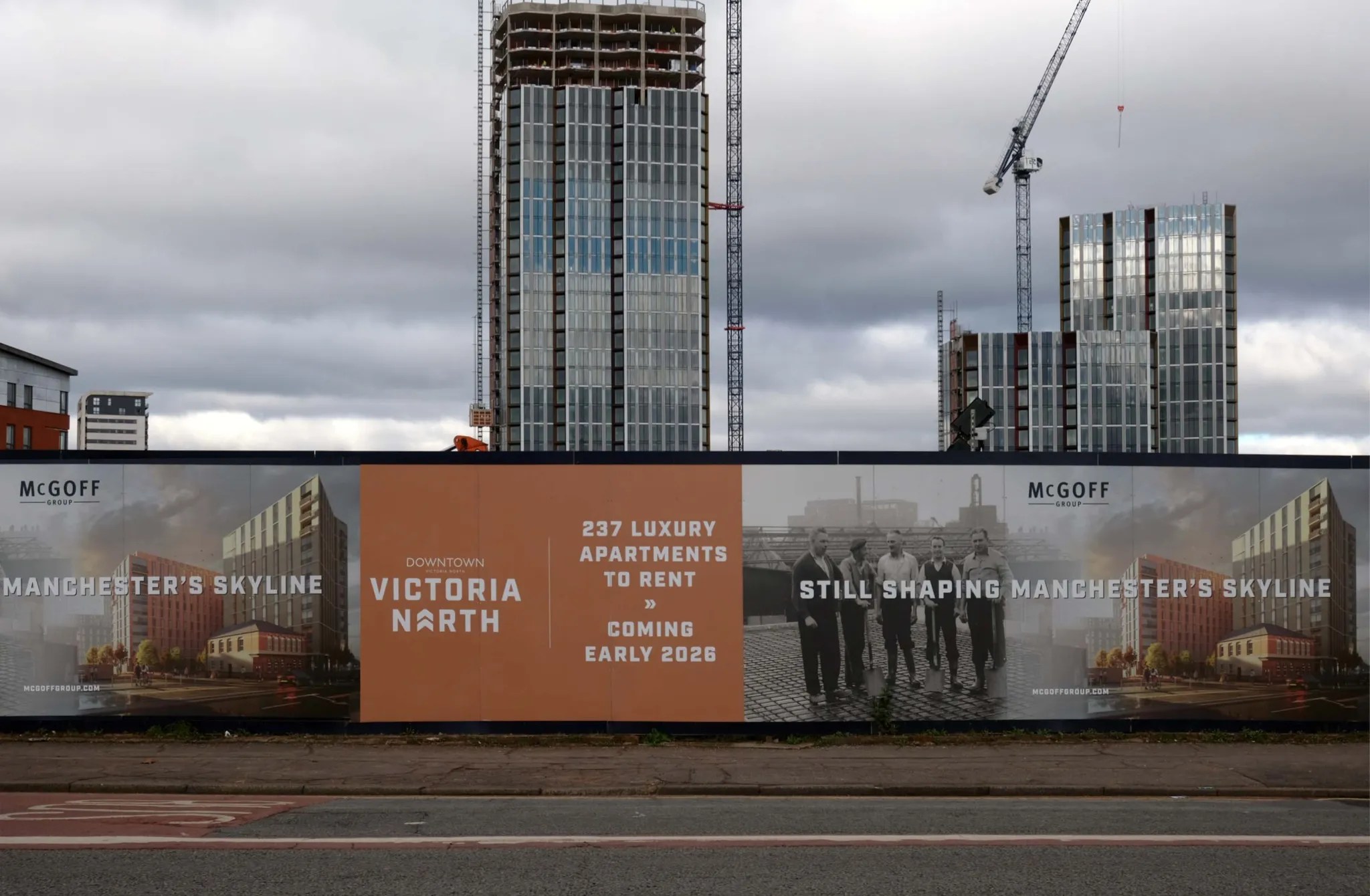
A far cry from the workers’ homes of Sudell Street.
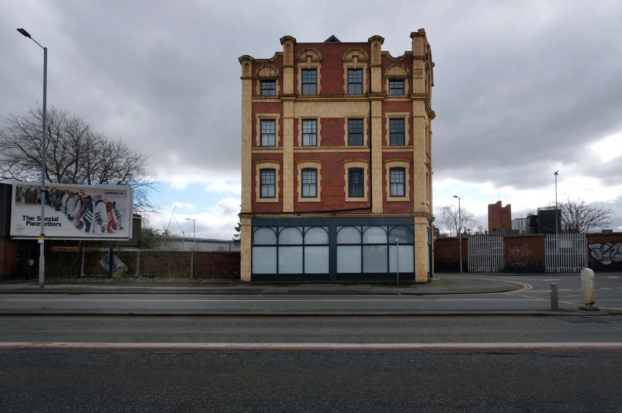
The redevelopment project will create better-connected public spaces, new and improved transport links, and more homes, parks and retail spaces for the city’s growing population. Victoria Riverside is at the forefront of the new, distinct residential neighbourhood at Red Bank and New Town, benefitting from its location within Manchester City Centre, but offering something new to its community.
Victoria Riverside

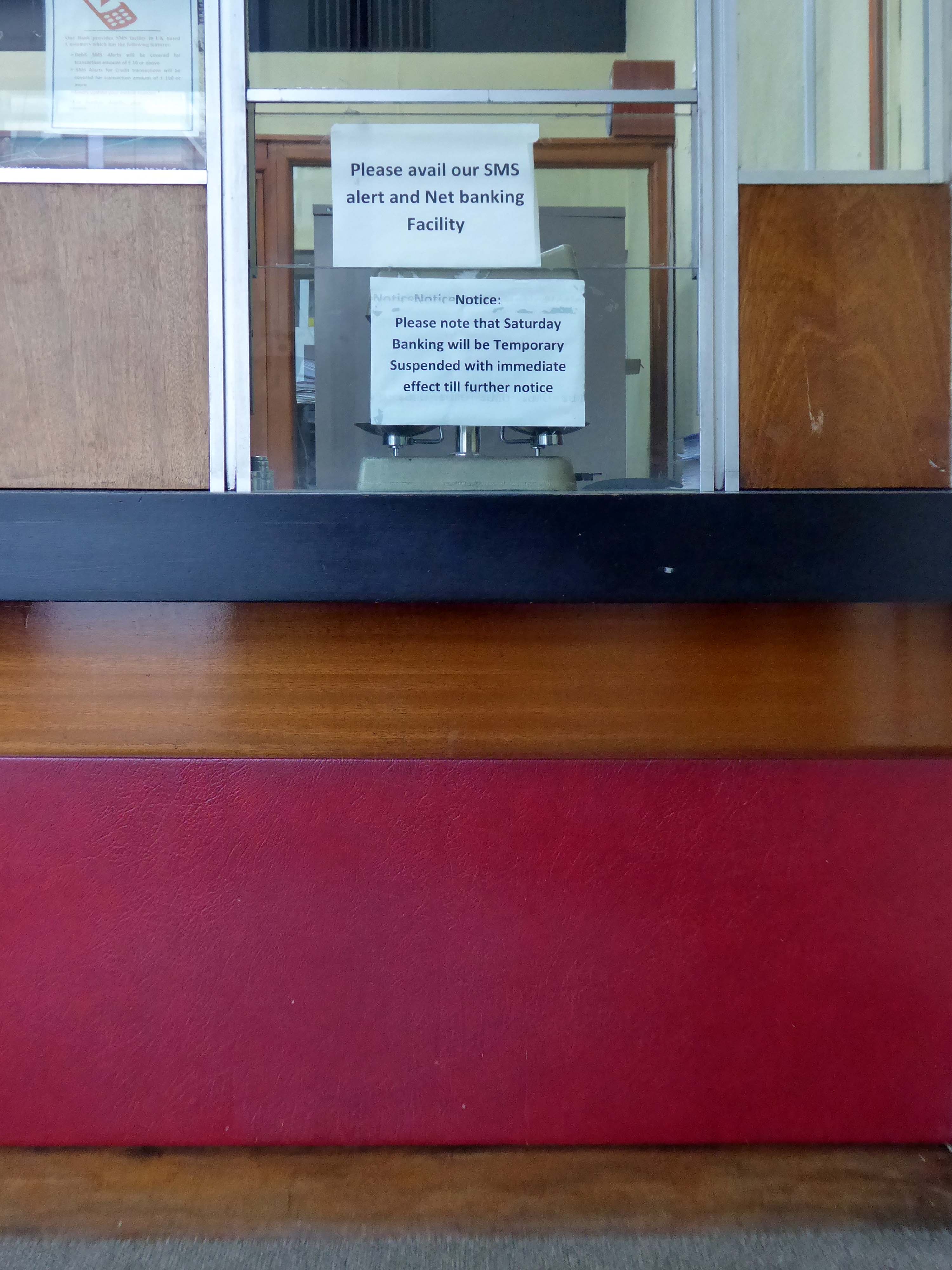
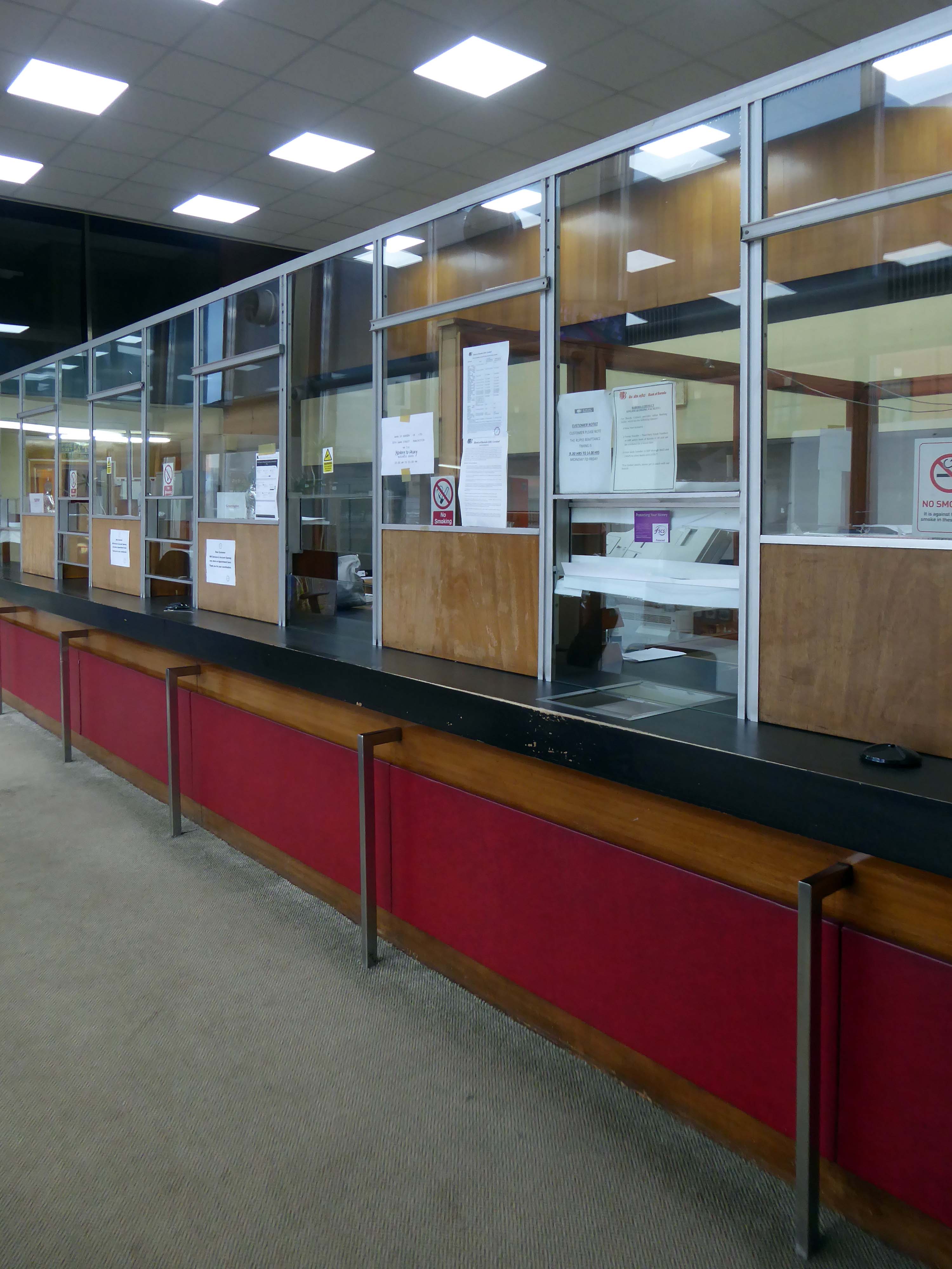
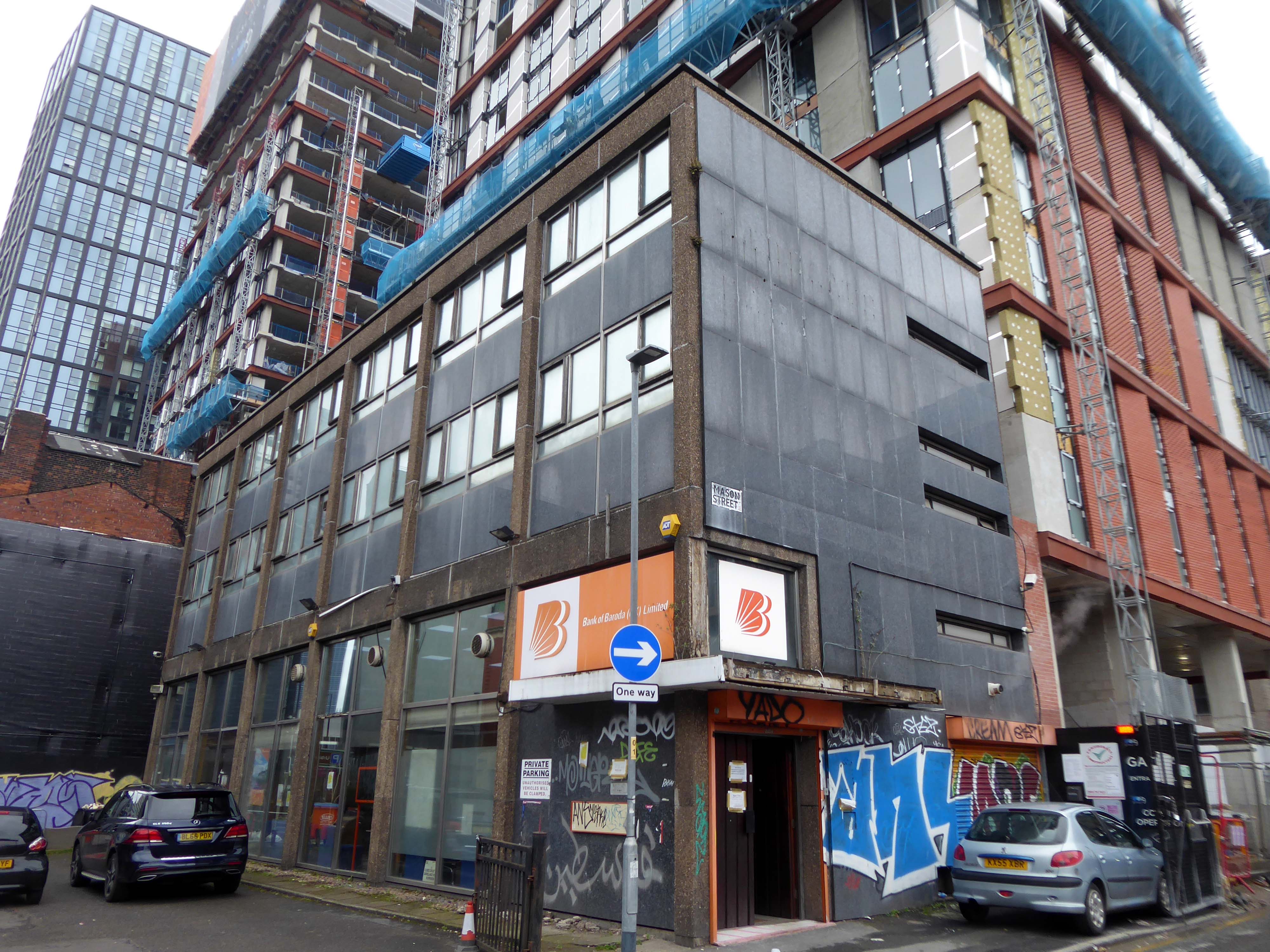
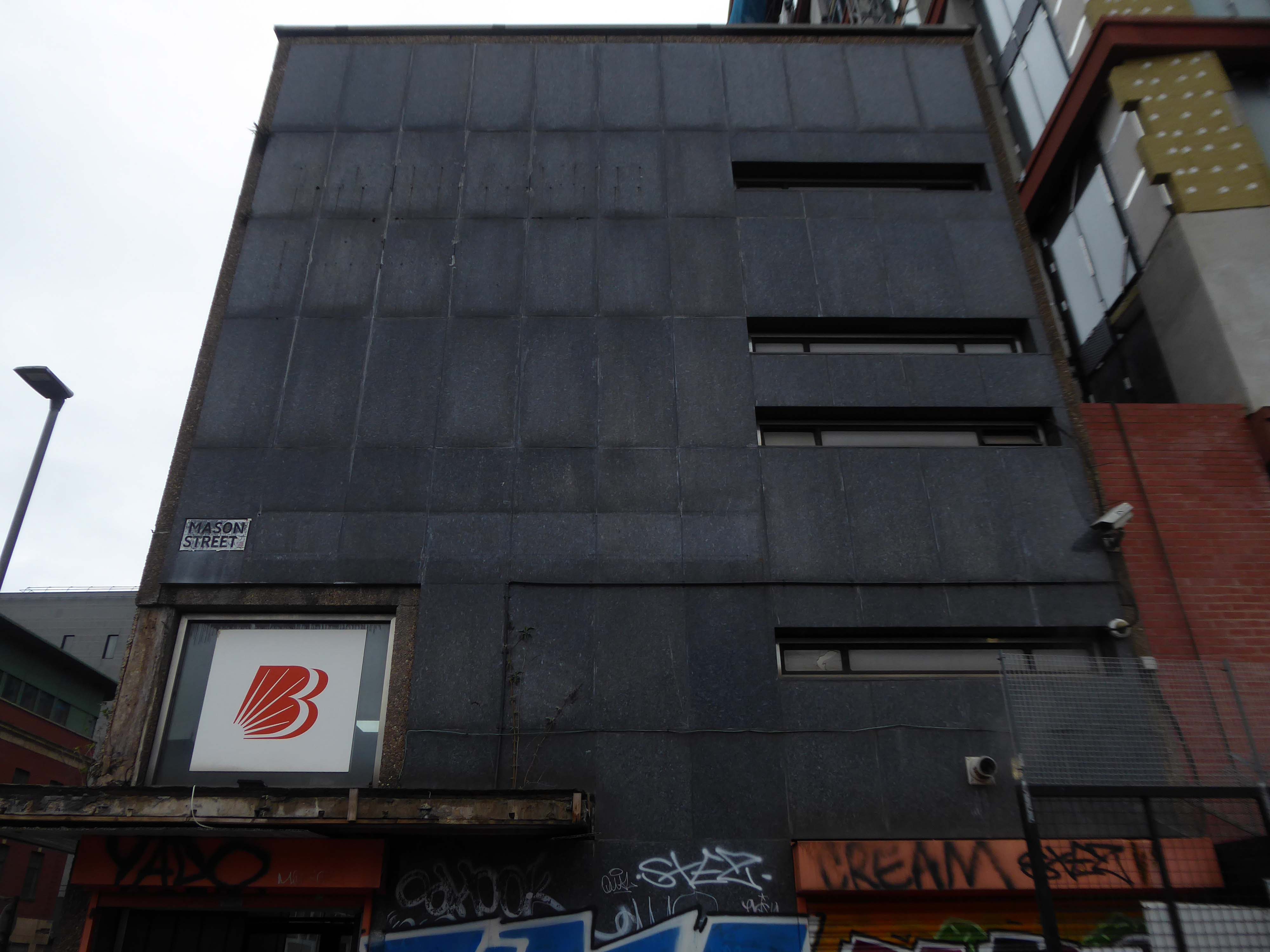
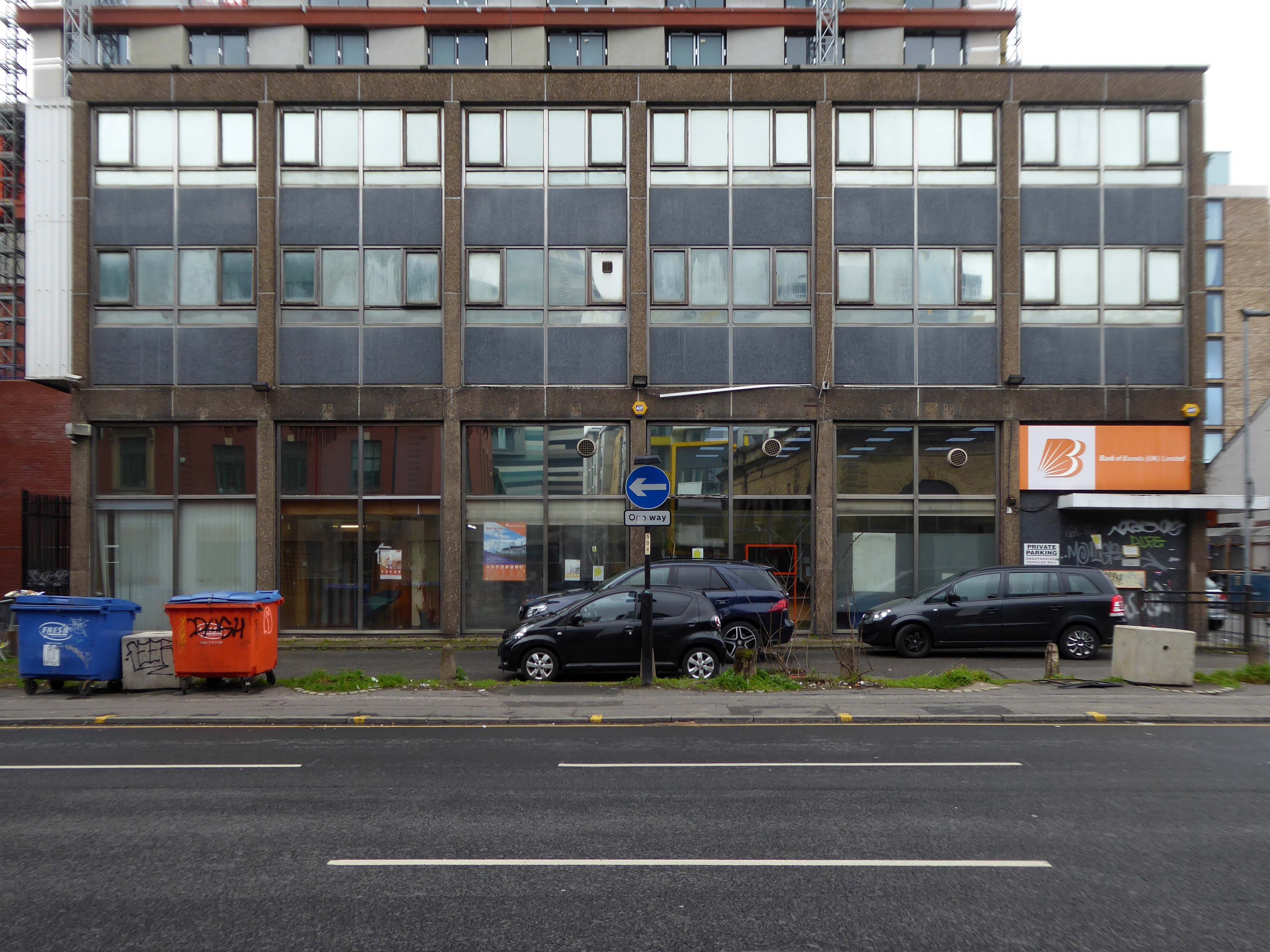
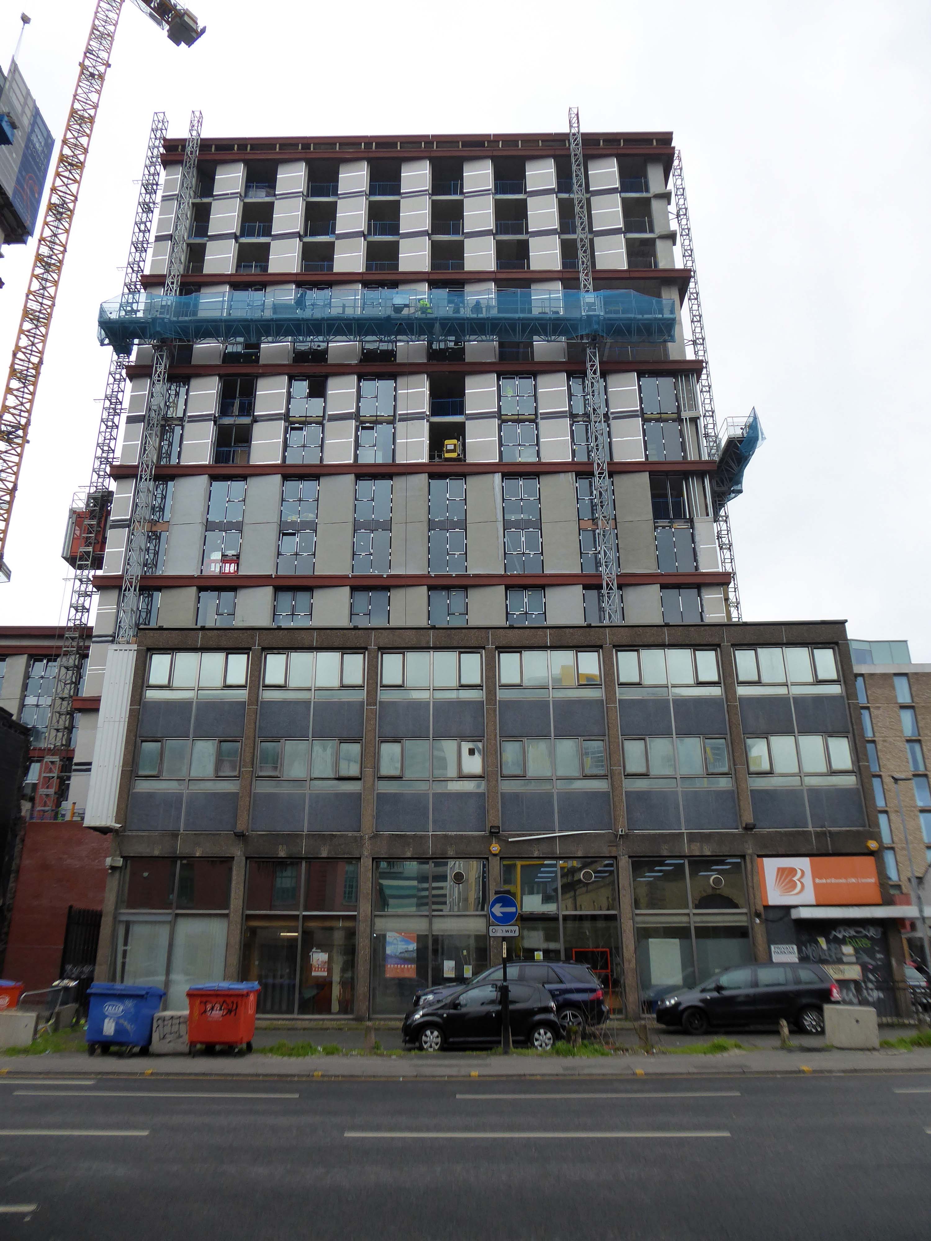
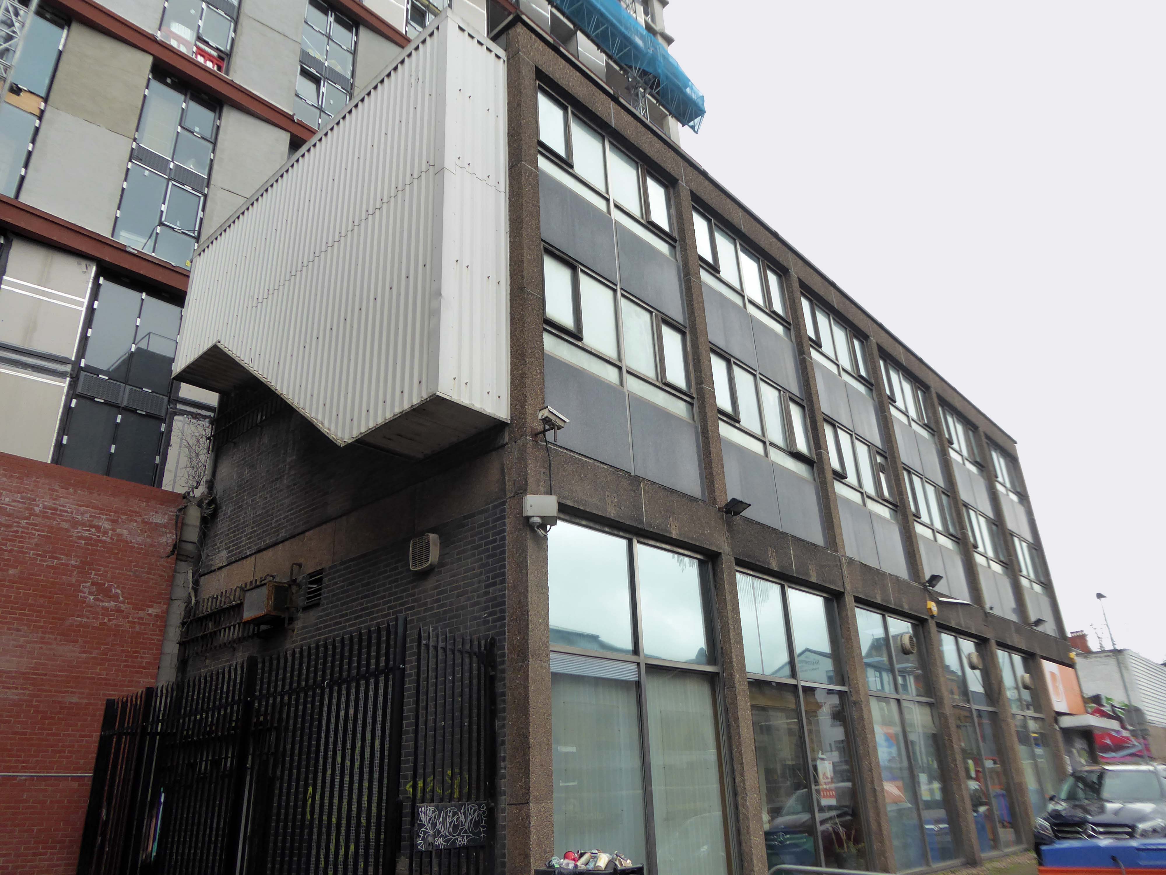
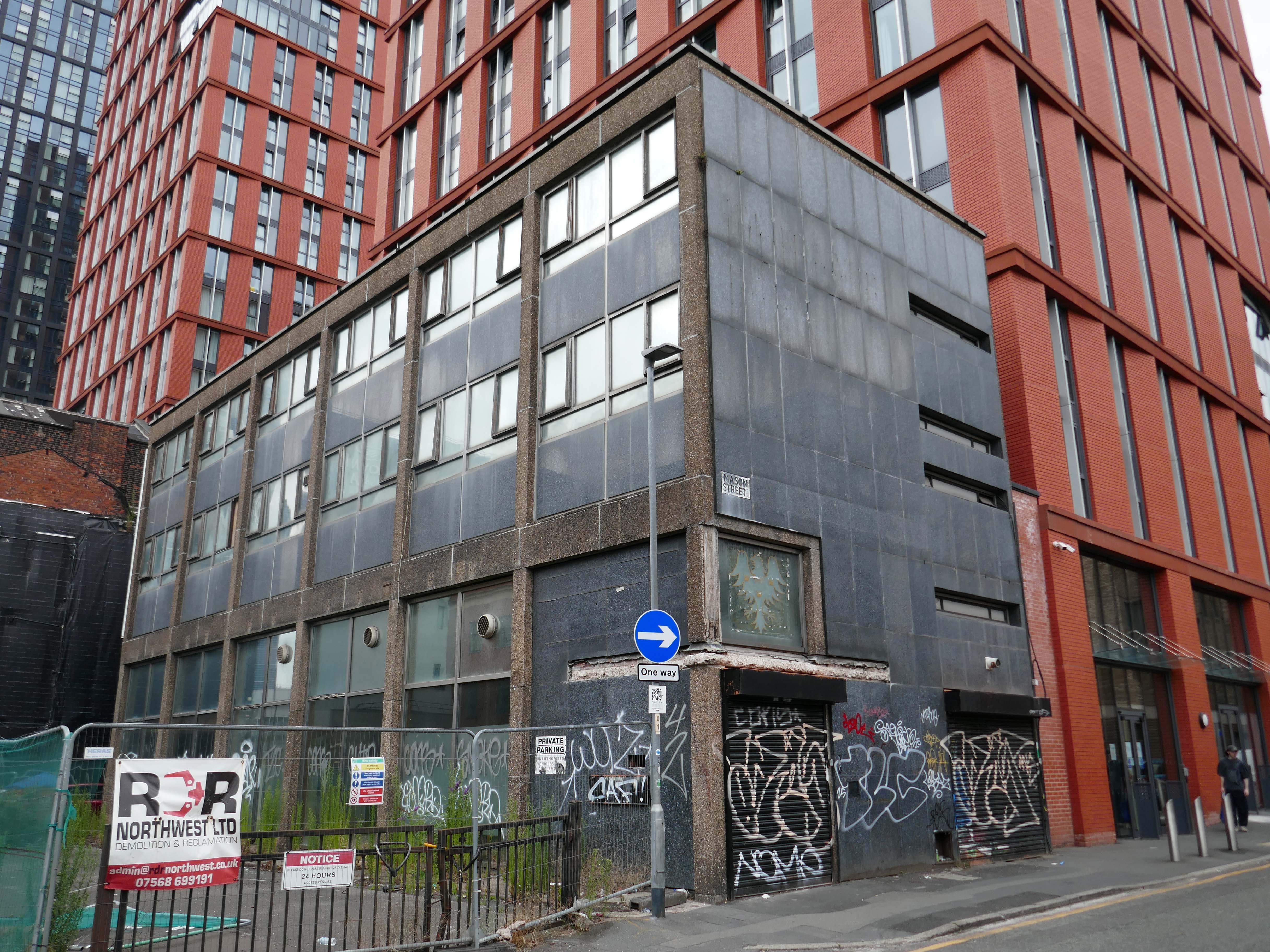
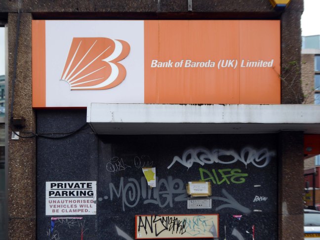
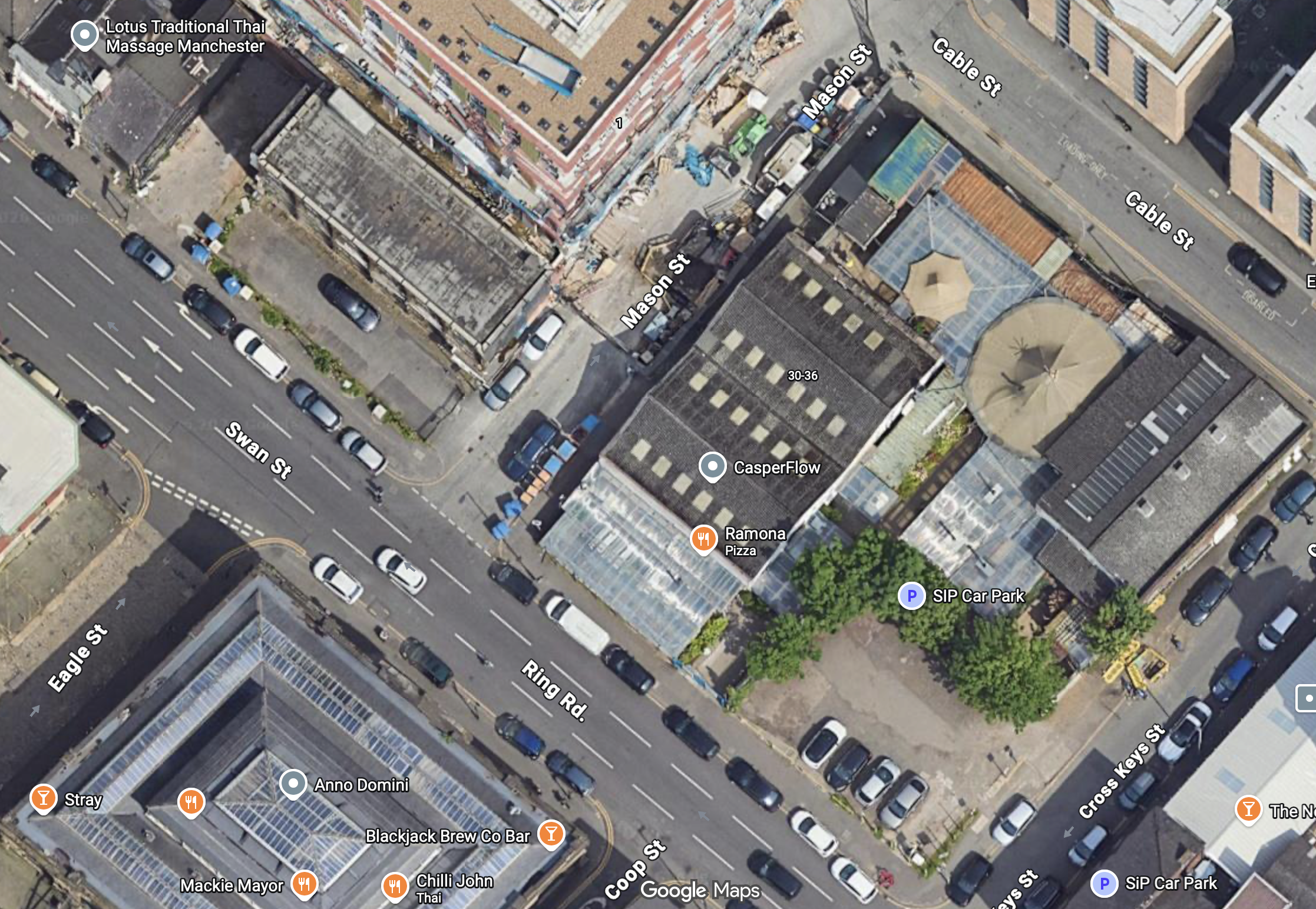
Former Barclays and Bank of Baroda Manchester

50 Swan St Manchester M4 5JU

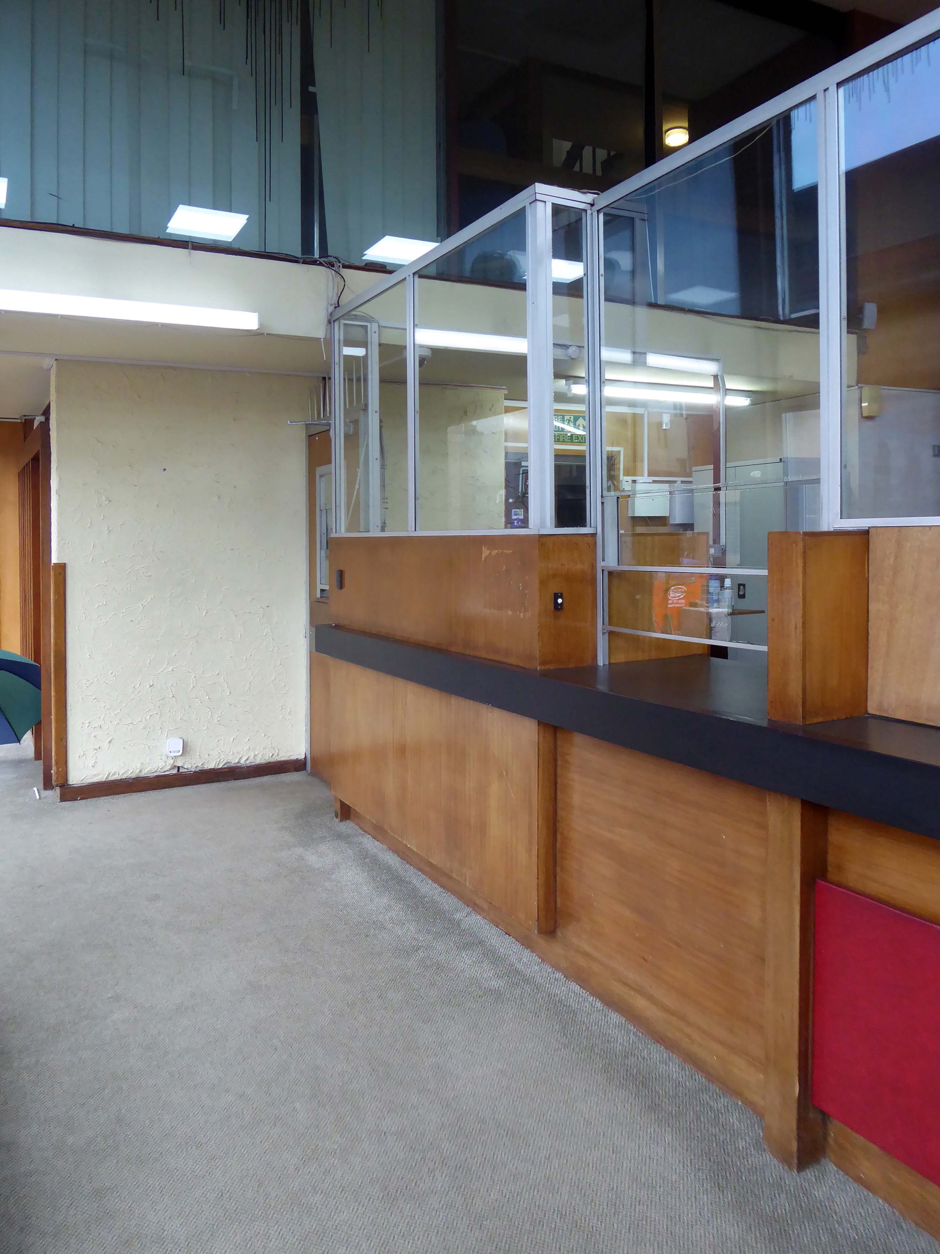
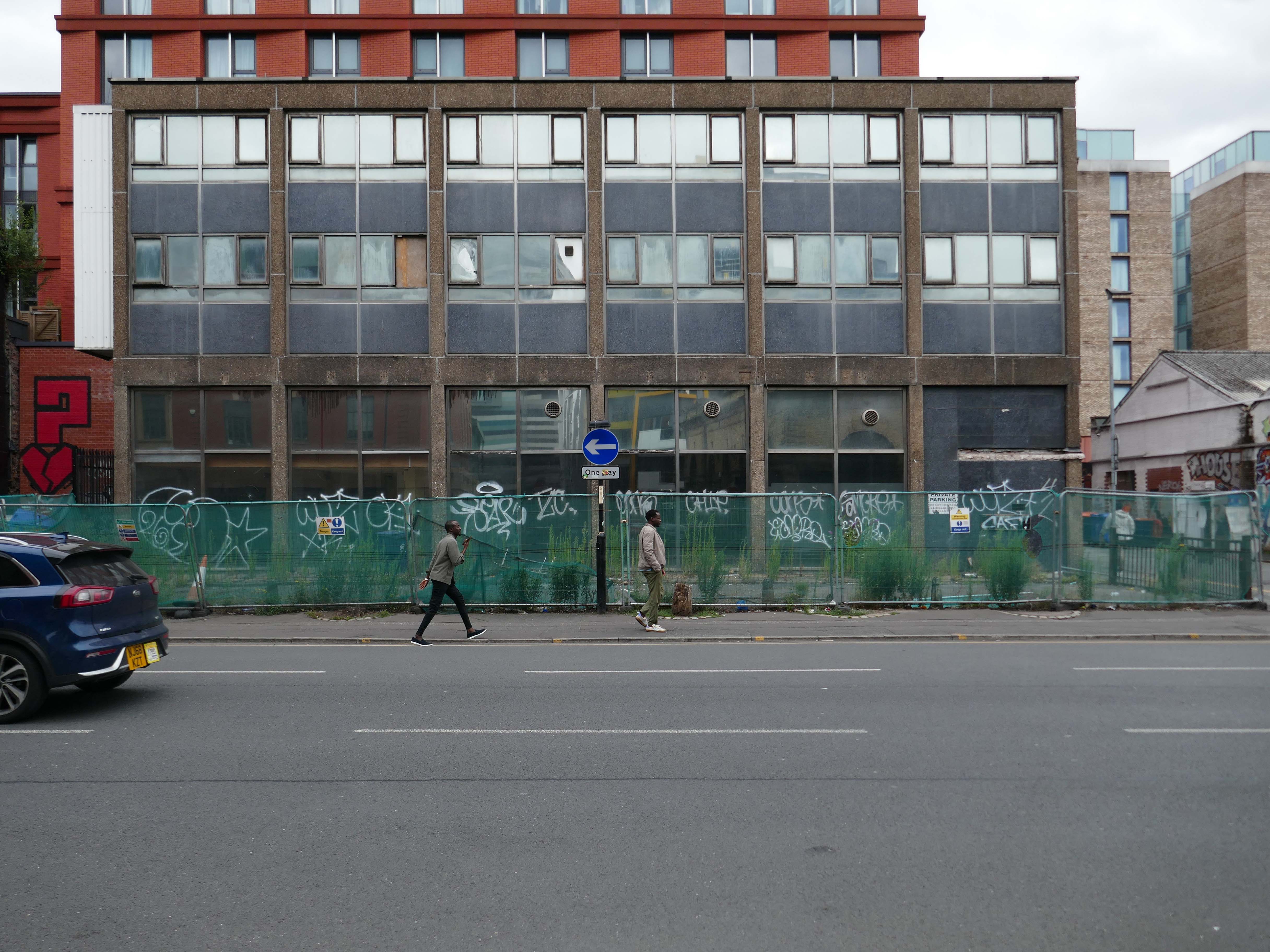
This is a relatively diminutive building, which has been a constant source of fascination down the years, walking to and fro down Swan Street.

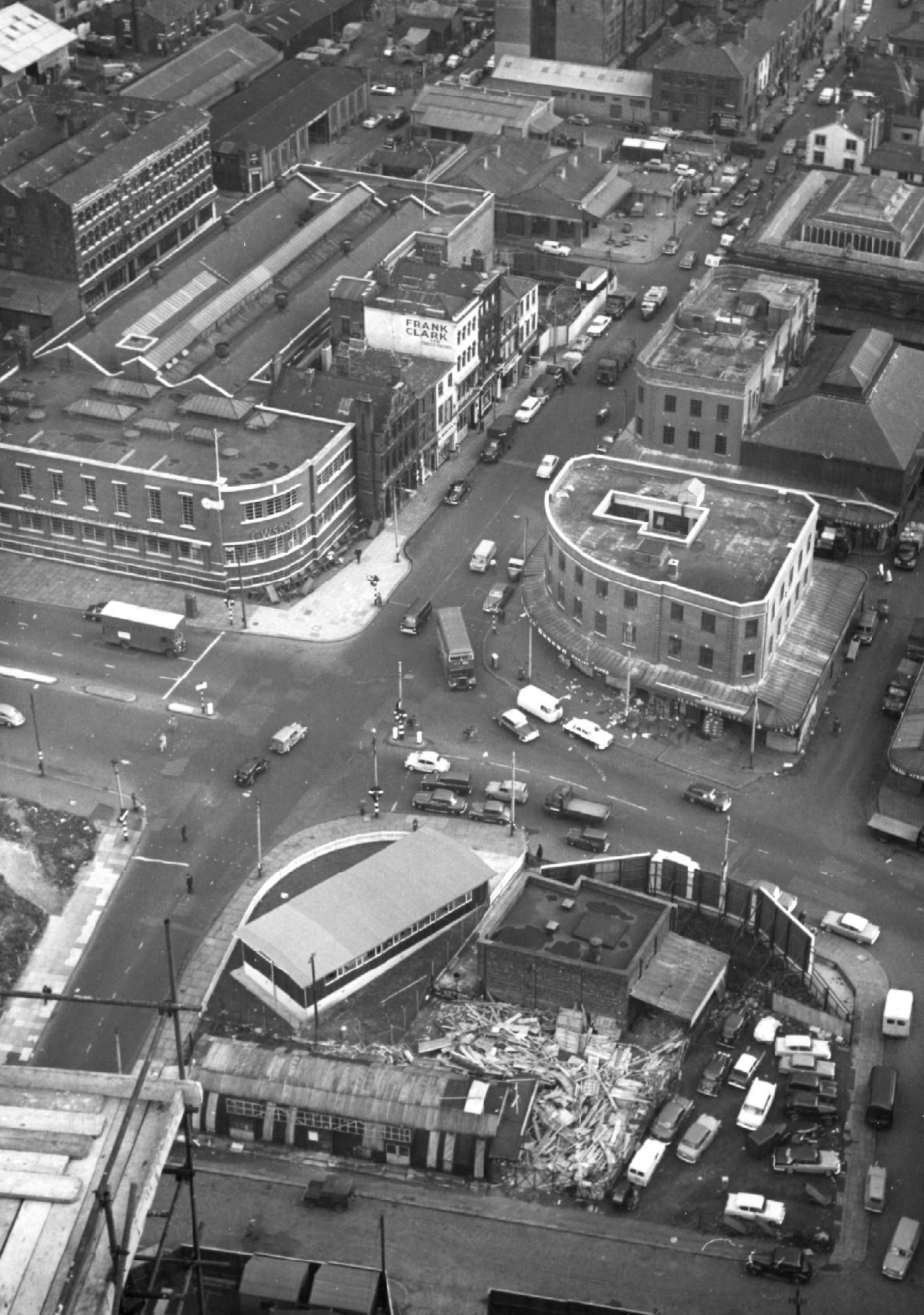
This is the site top centre, almost under construction in 1970.

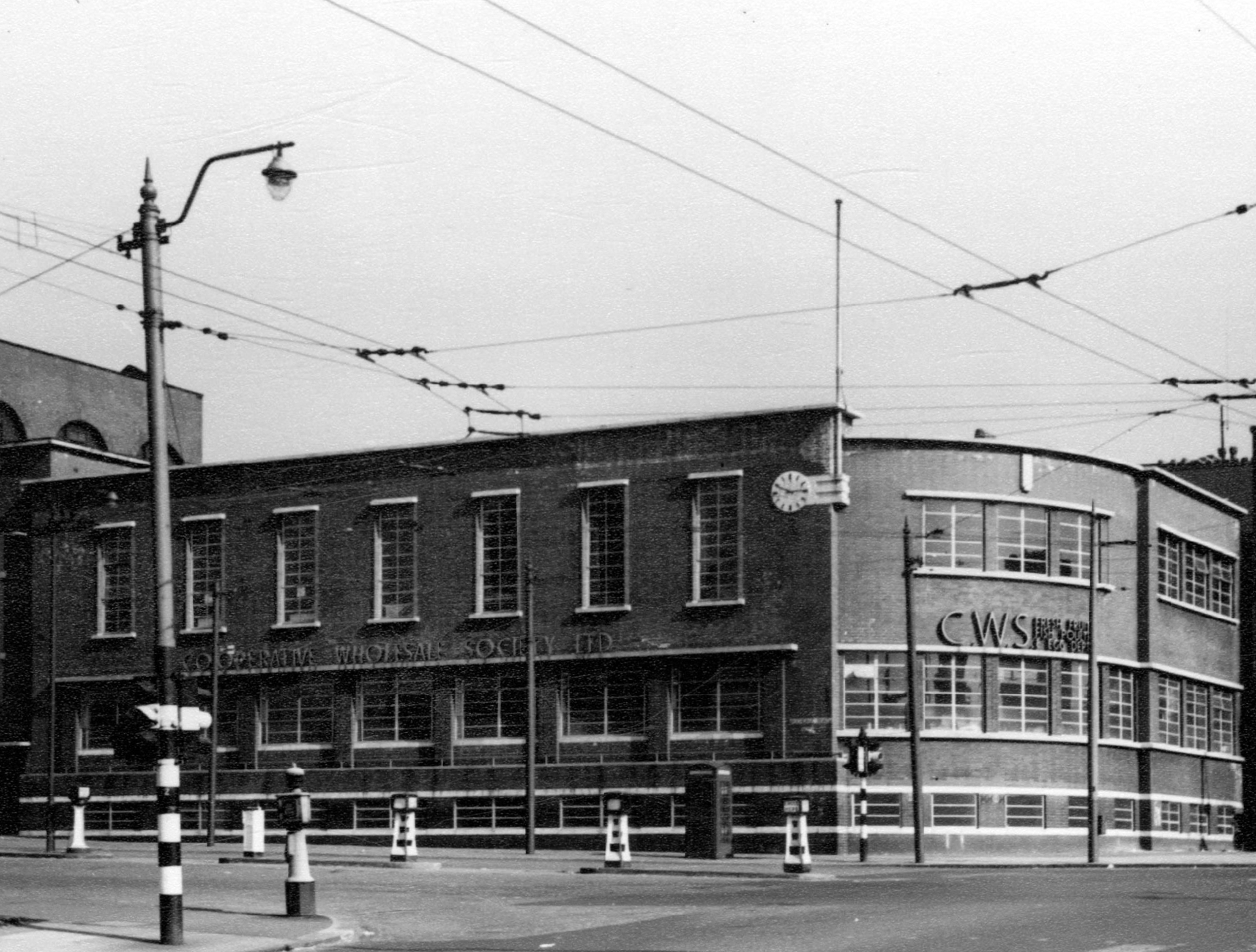
To the left can be seen the long gone CWS Fresh Fruit Fish Poultry & Egg Depot.

Photo WM Johnstone 1970 Manchester Local Image Collection.

Photo Lawrence Kaye 1958 Manchester Local Image Collection.

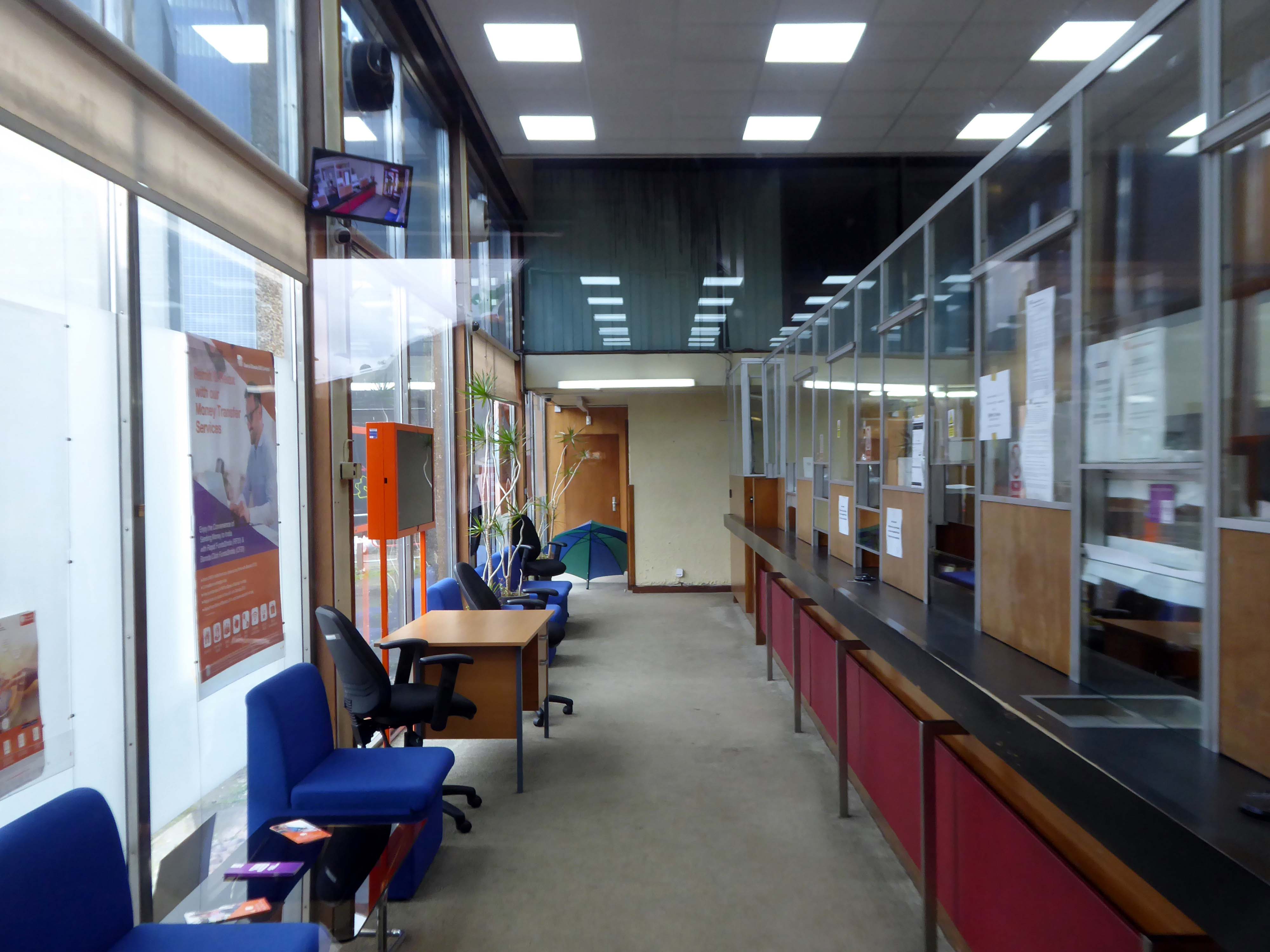
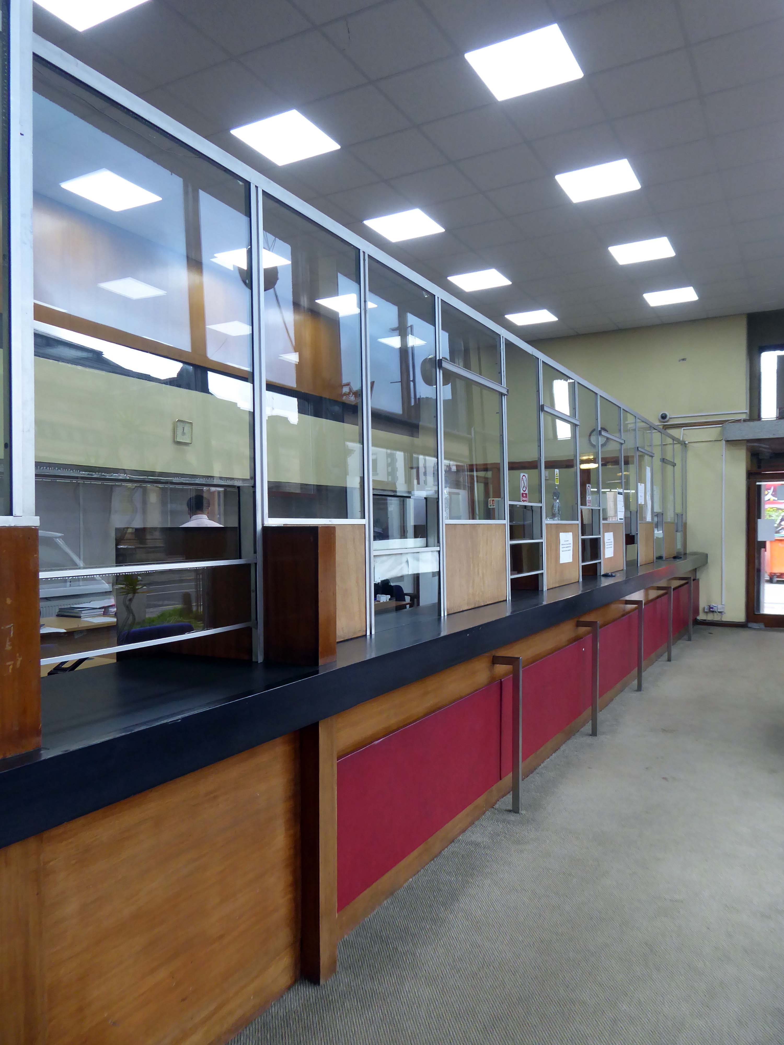
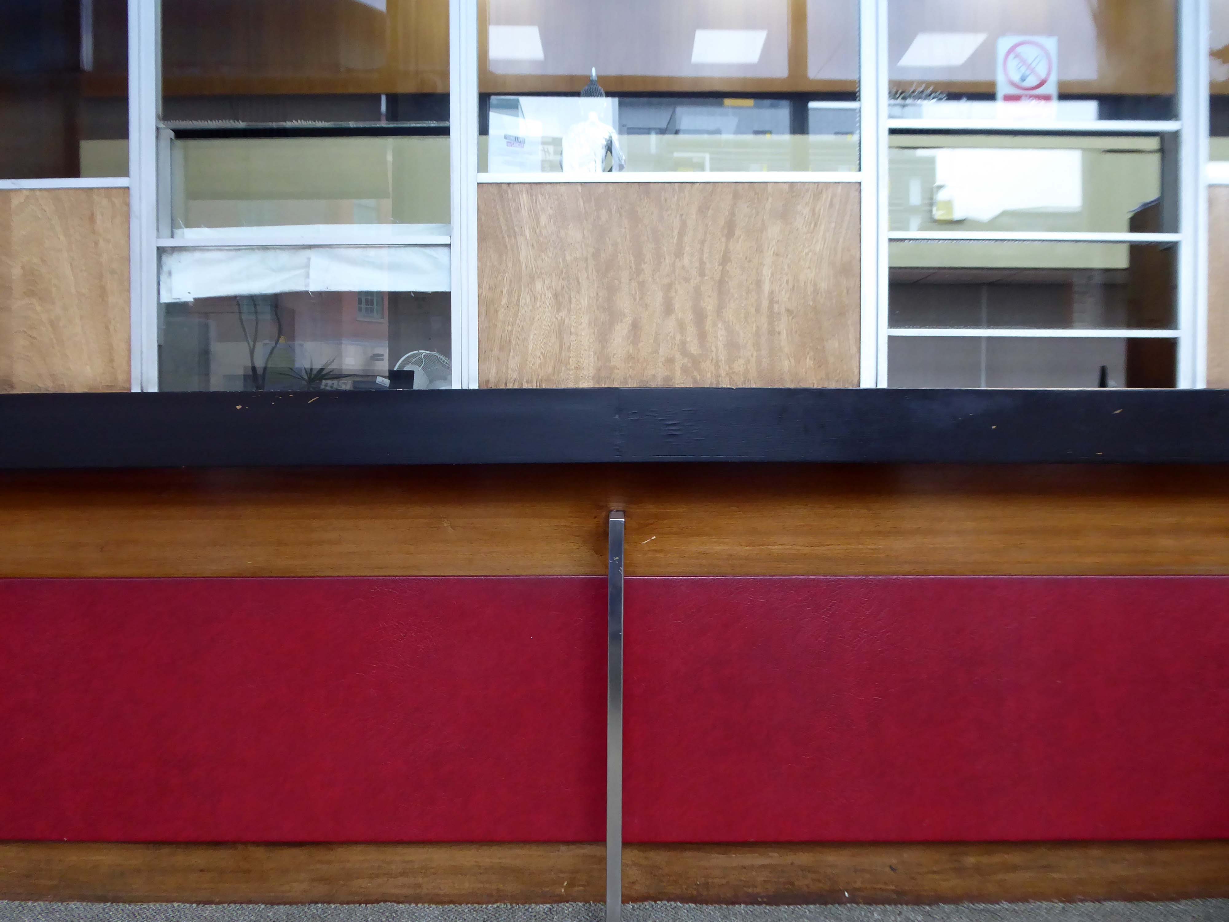
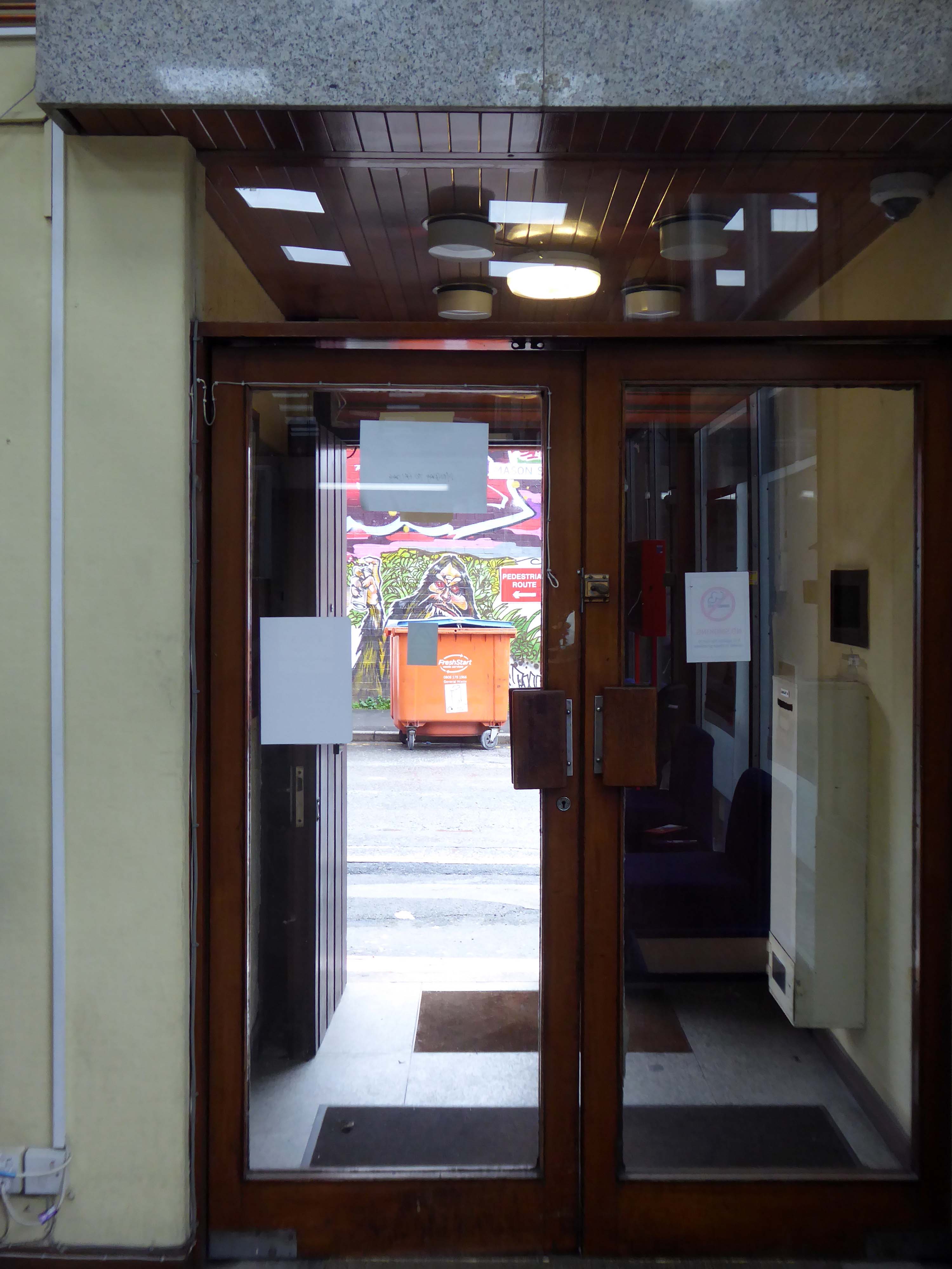
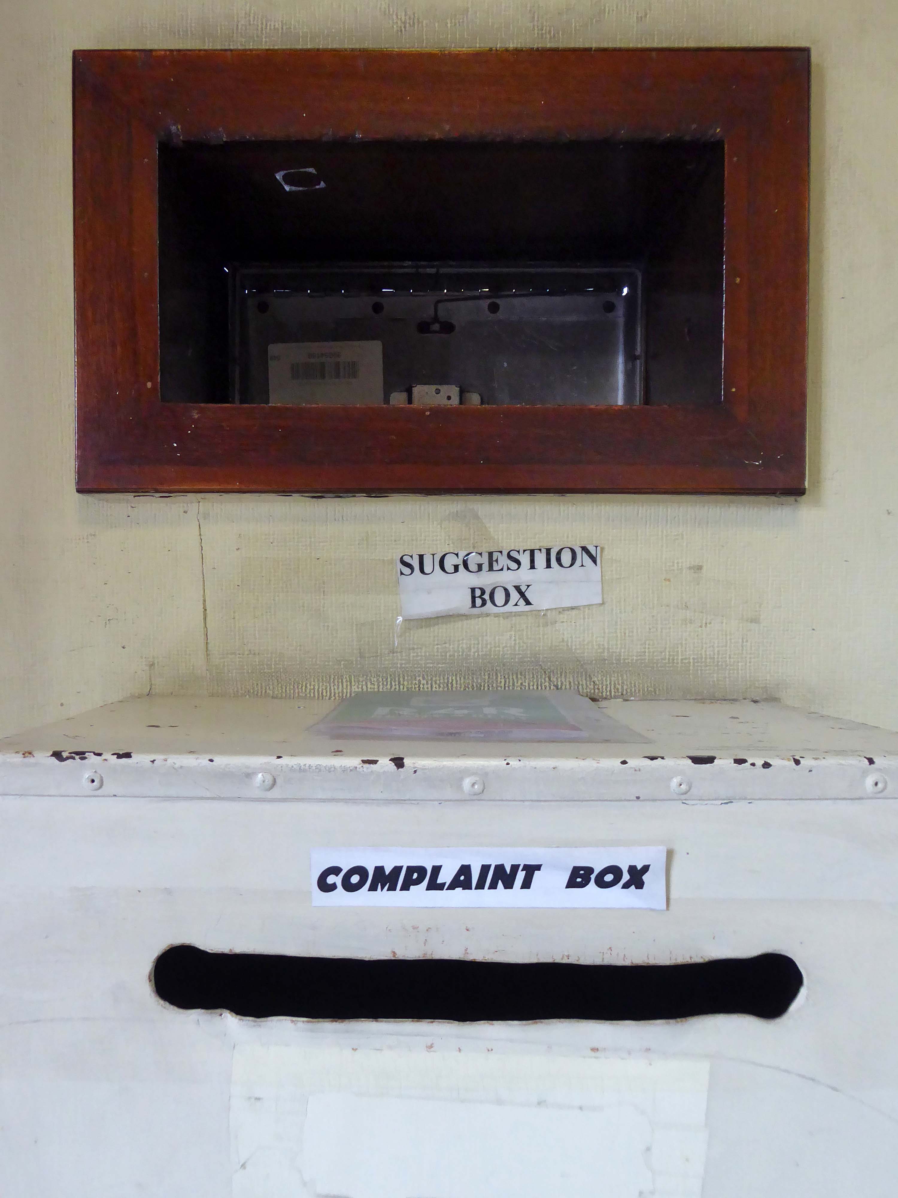
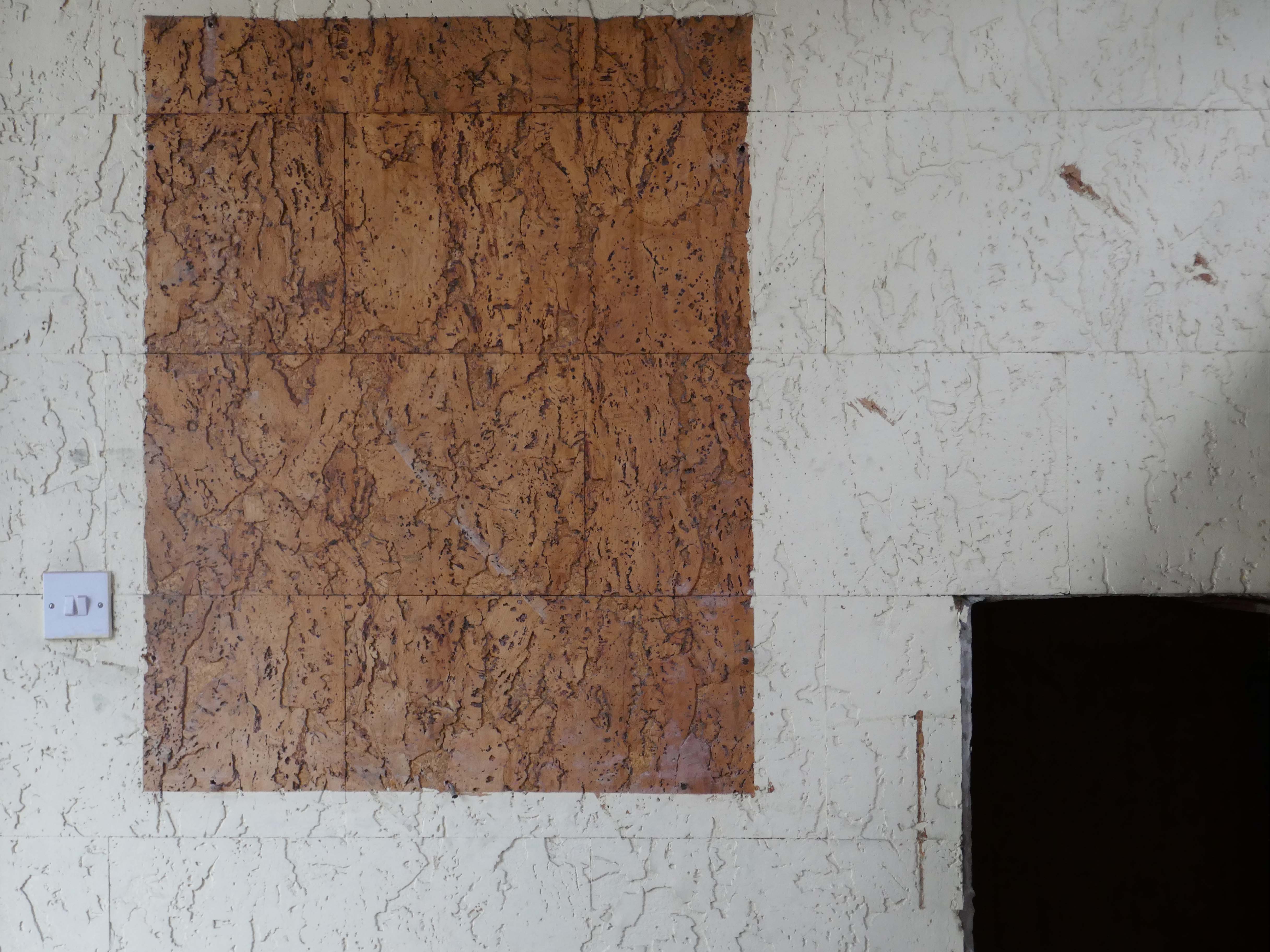
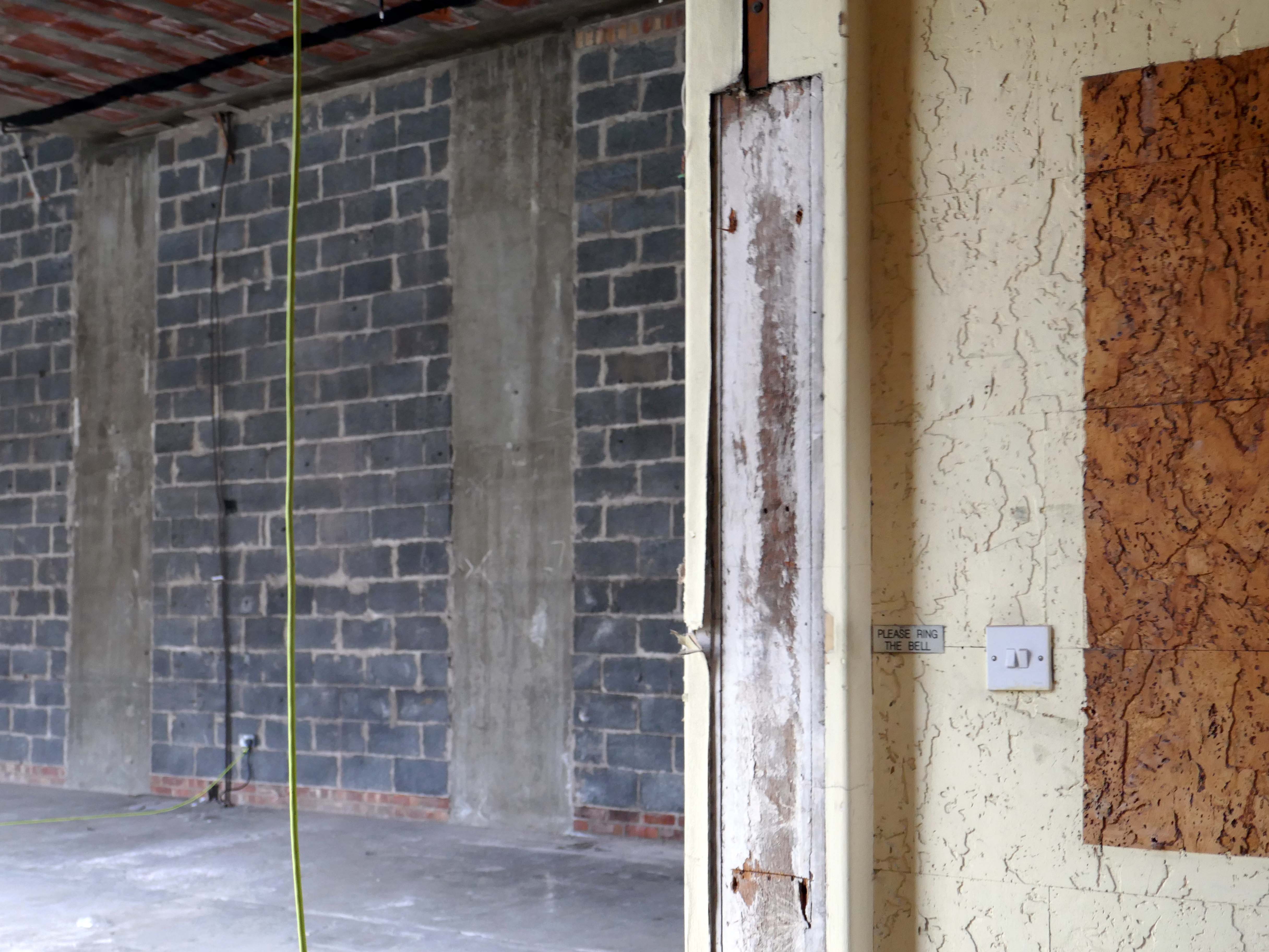
I visited the Bank of Baroda in 2023 – but agreed to keep the interior views under wraps.

But now the bank has vacated the premises – so all can be revealed.

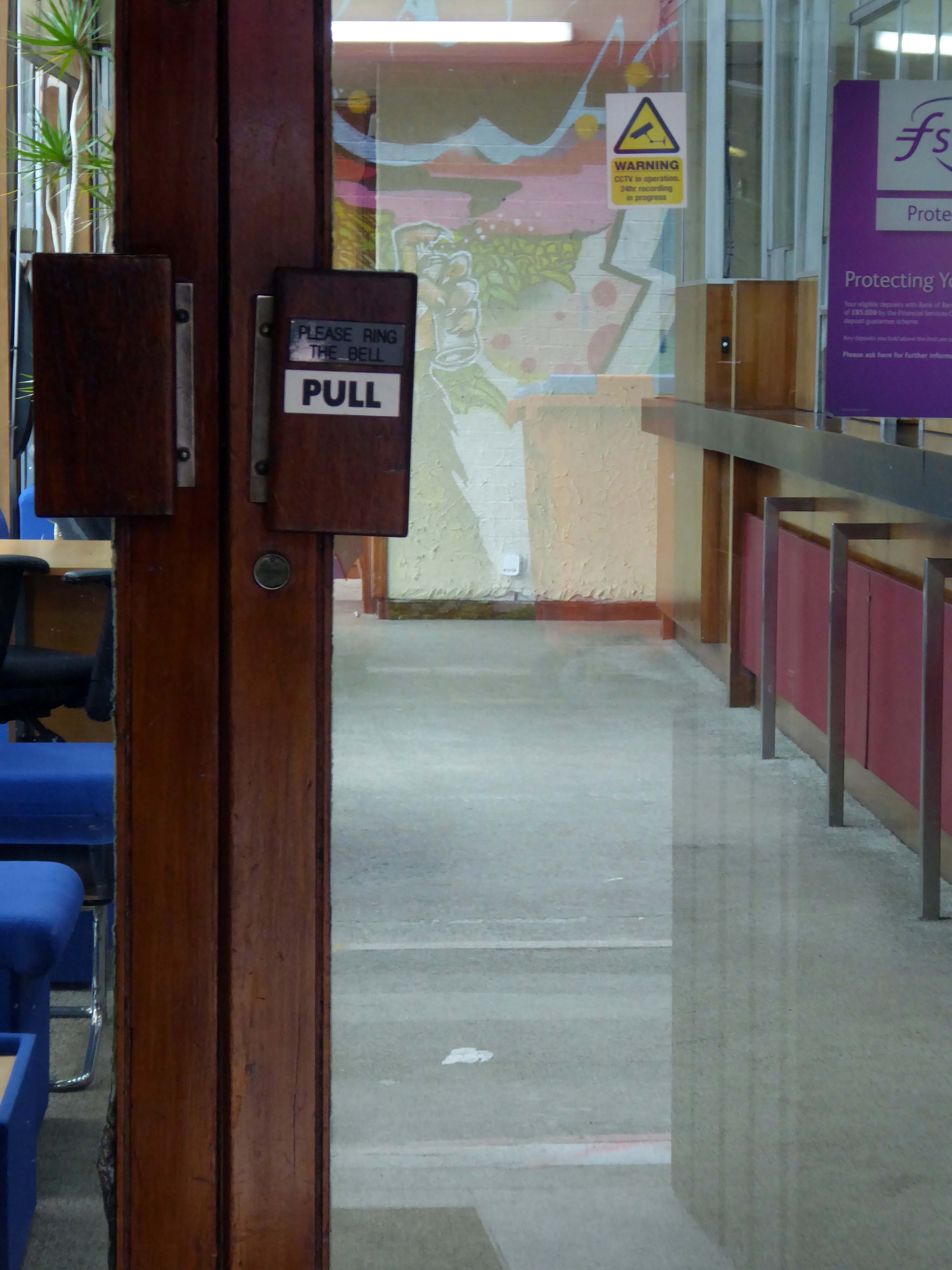
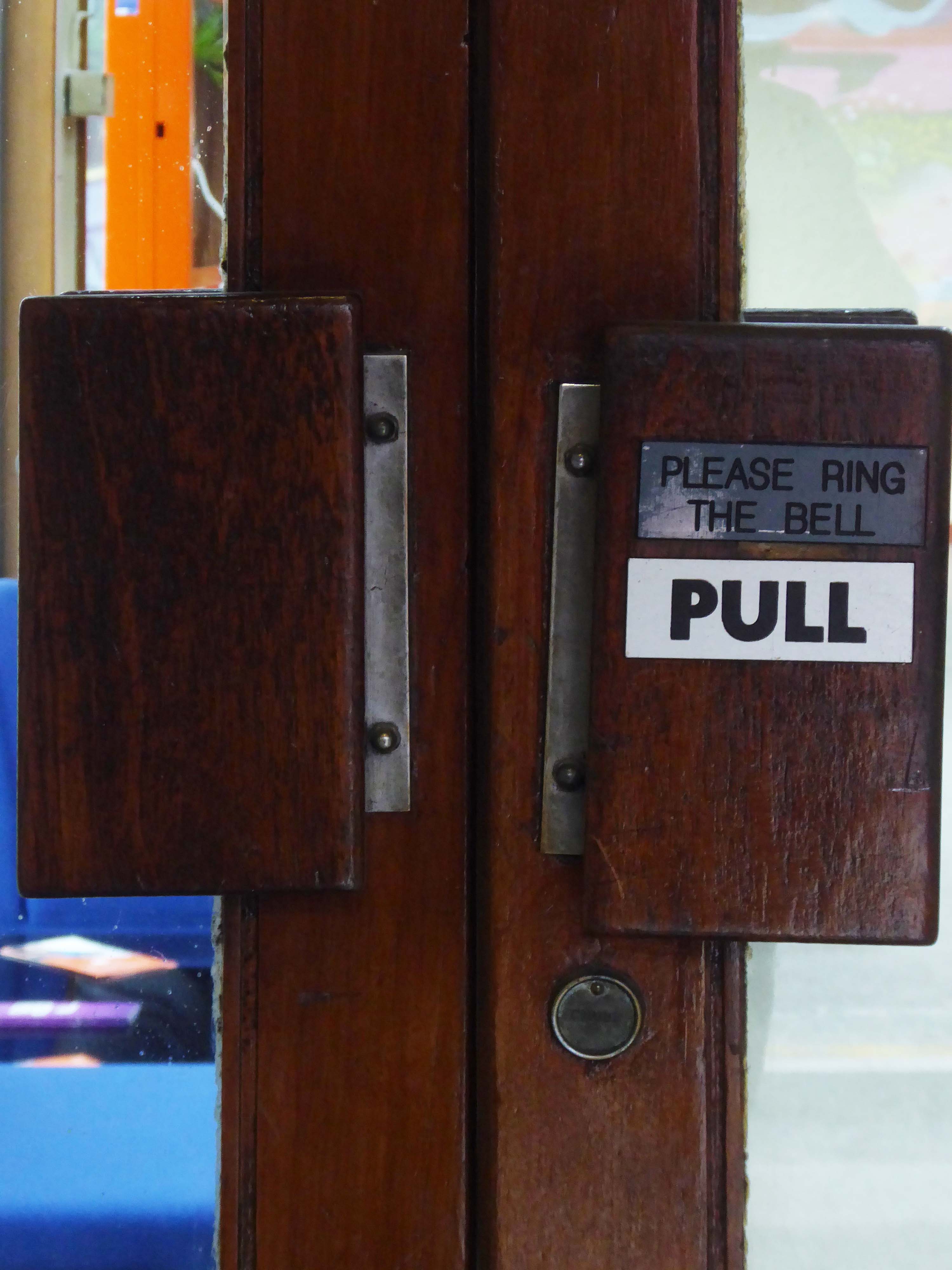
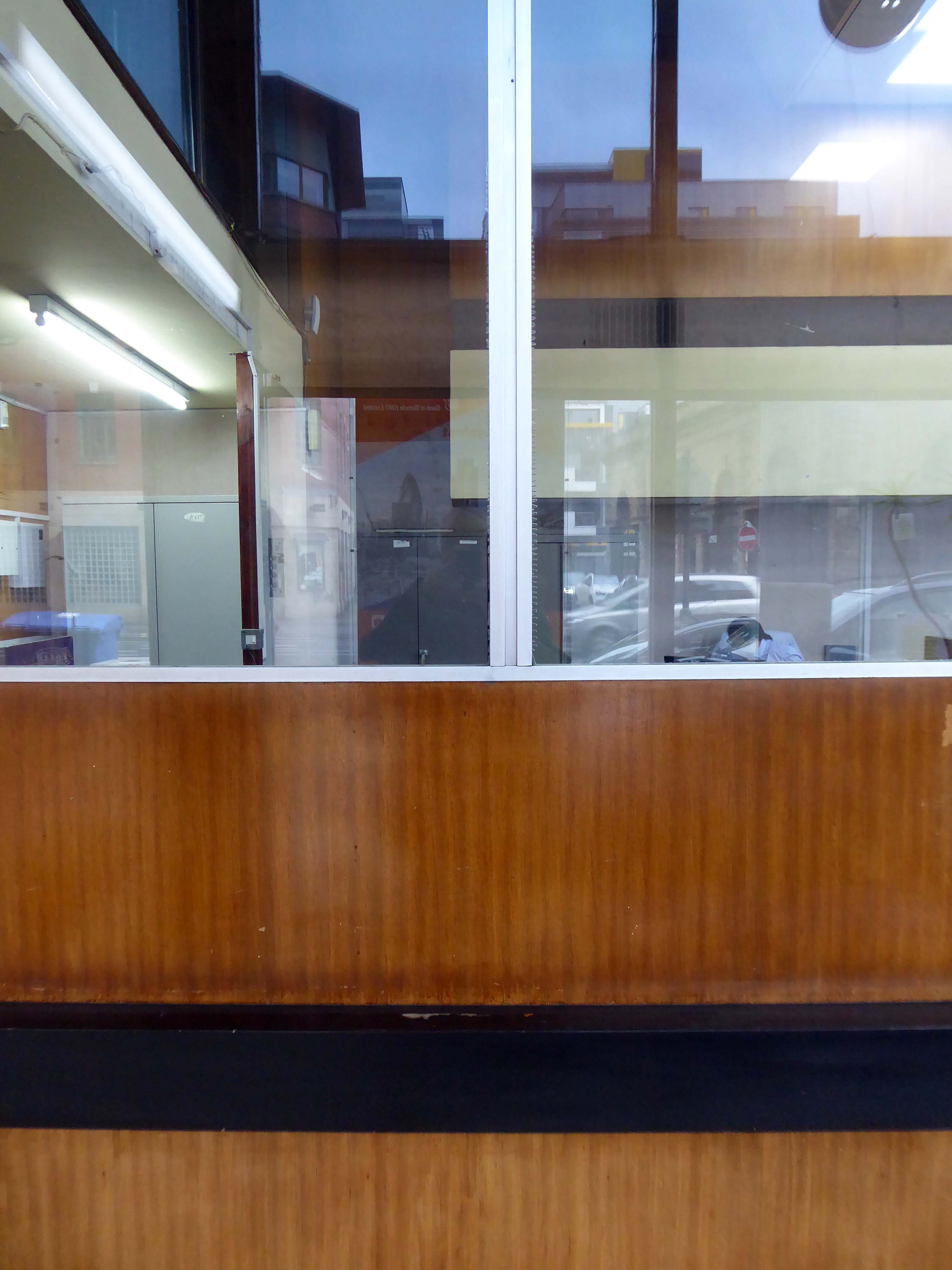
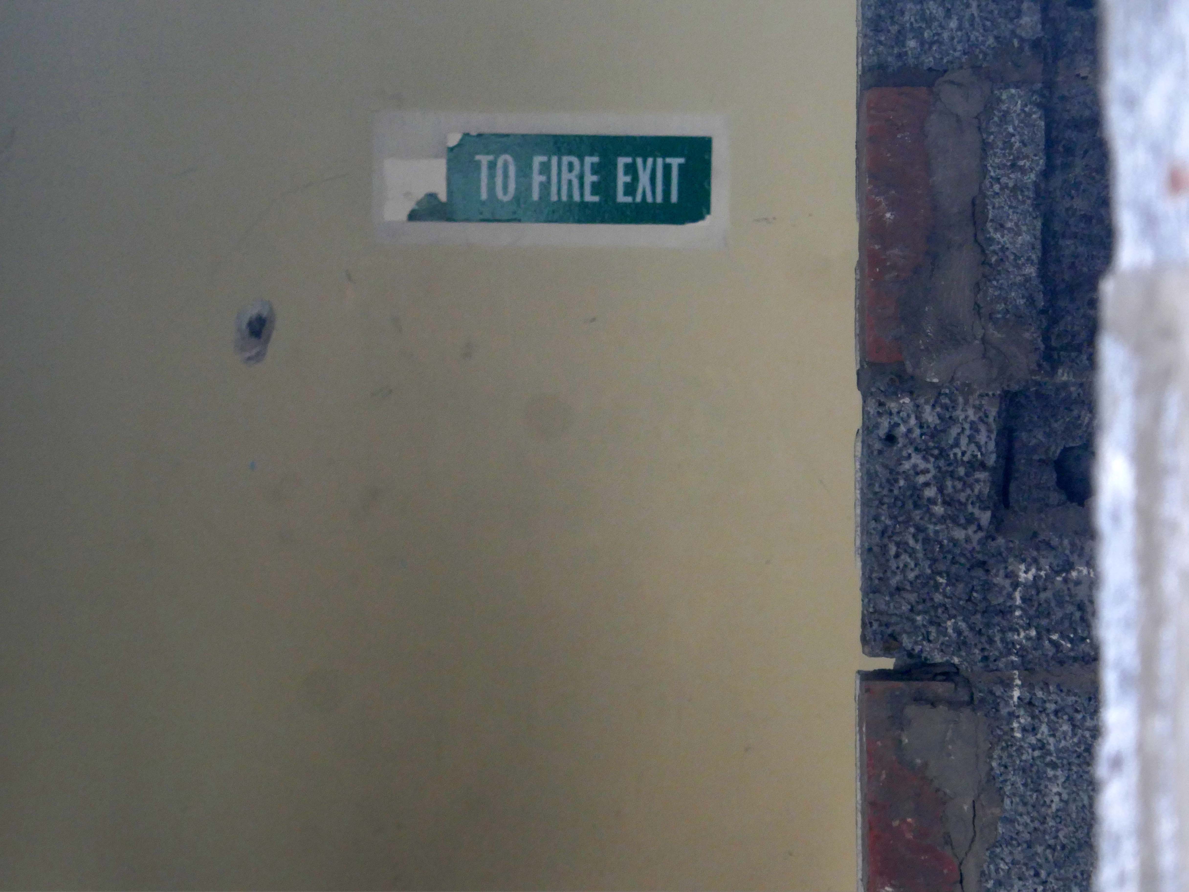
Then yesterday I took these snaps the interior seen through murky windows.

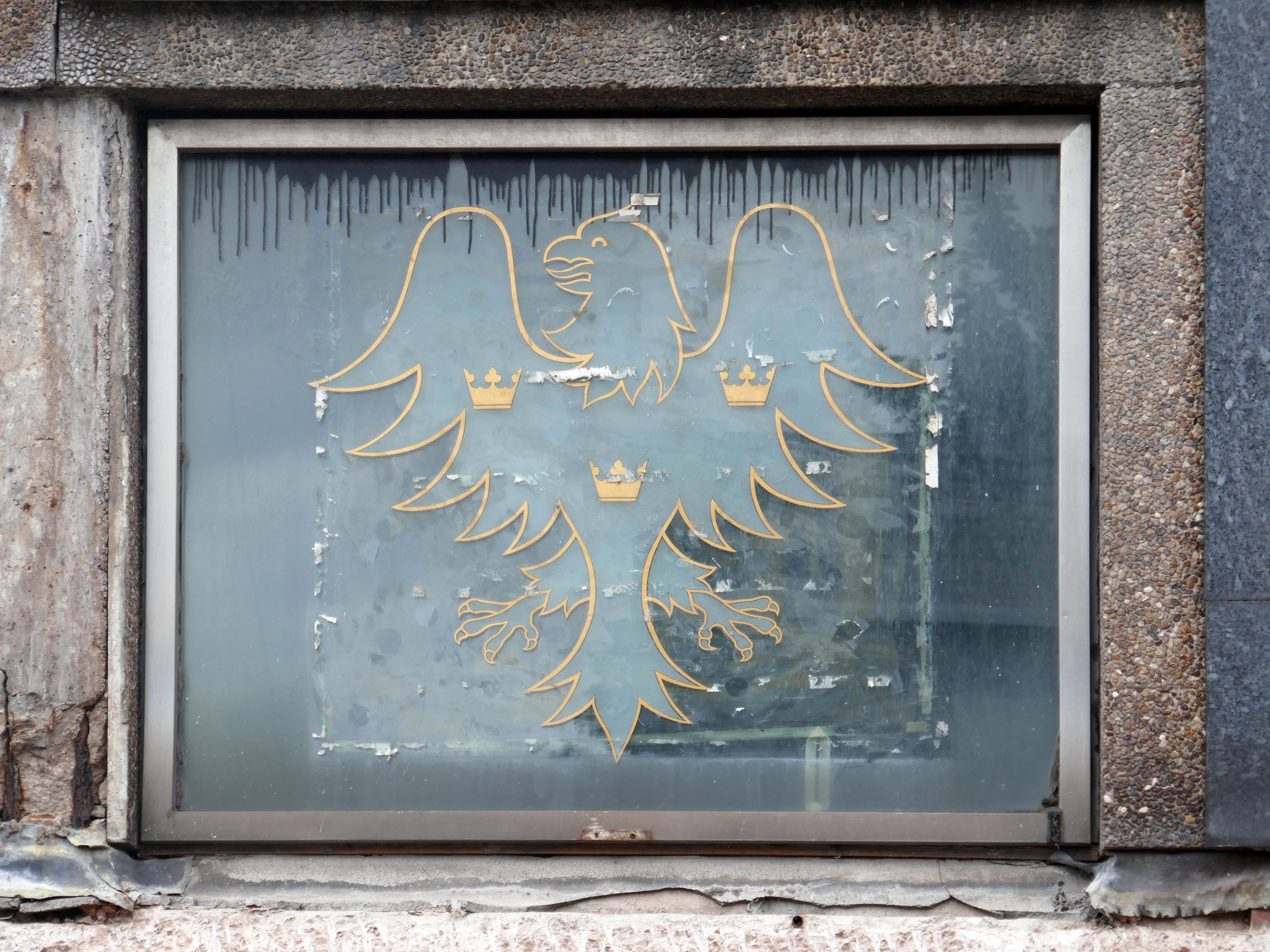
The Barclays insignia now revealed.

Brunswick Estate – History

1813

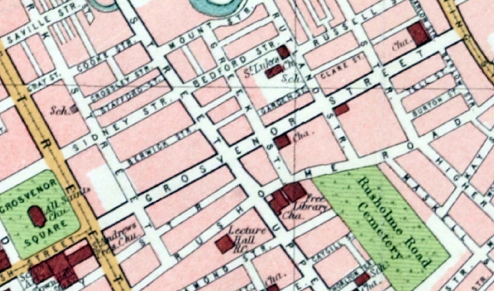
1836

1900

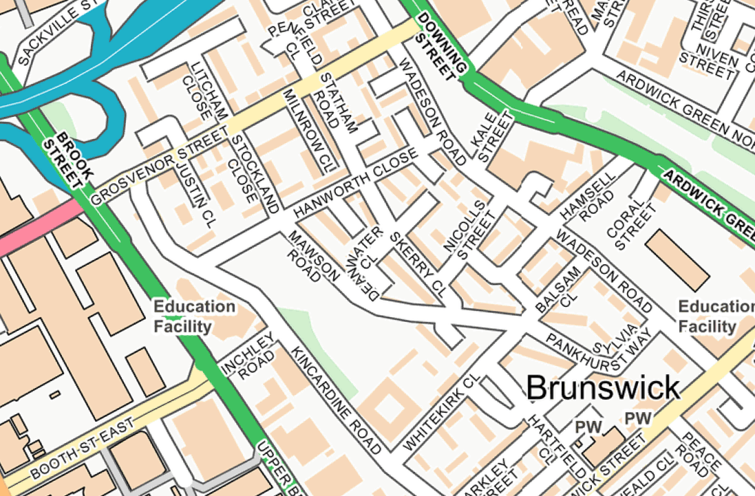
2025

Manchester Historical Maps

I was walking around town, with a view to updating my Ardwick Walk.

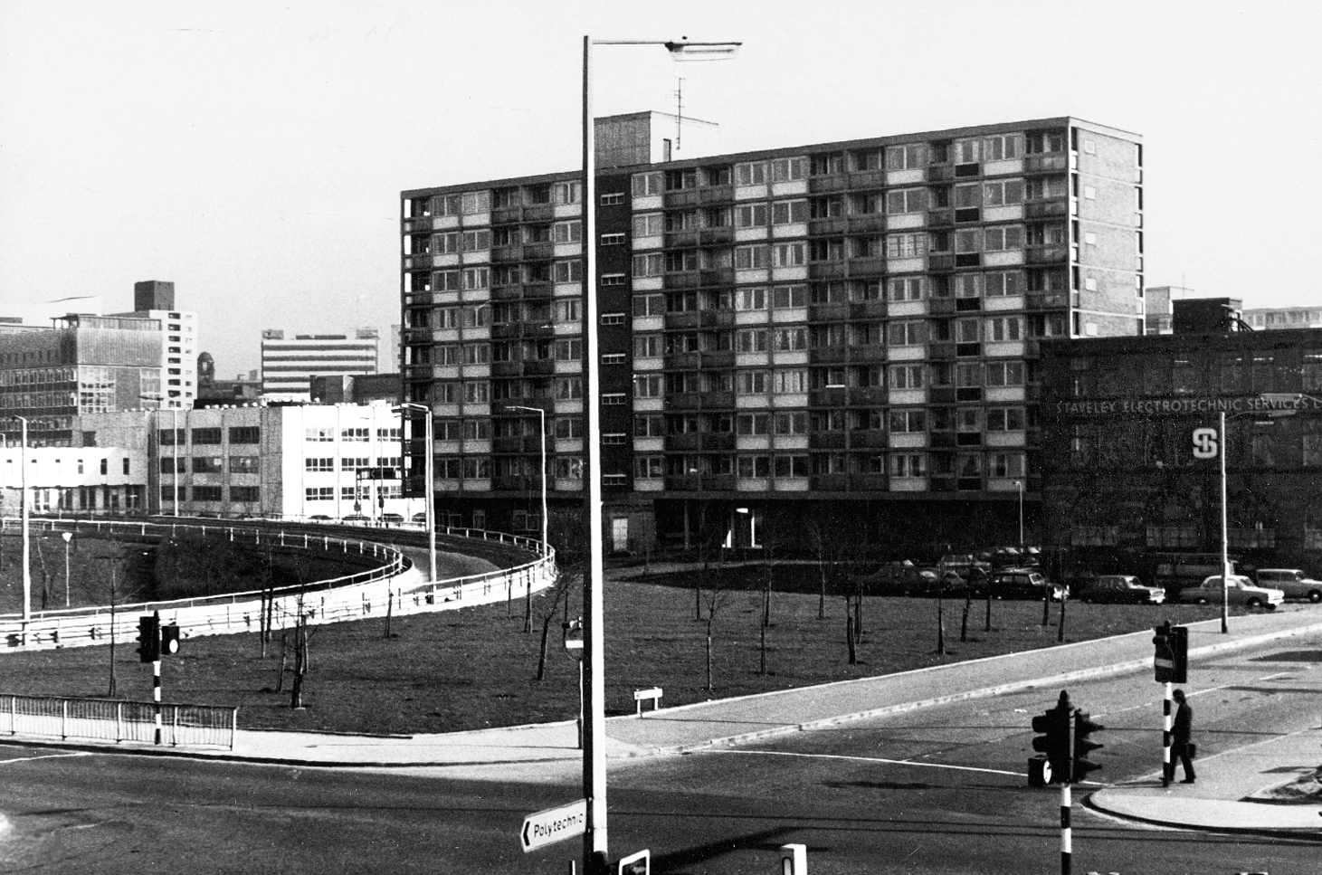
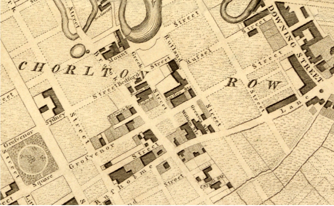
Idle curiosity took me toward the Brunswick Estate – that pocket of housing nestle twixt the Mancunian Way/River Medlock, Ardwick Green, Brunswick Street and Upper Brook Street.

A subset of the greater set of Chorlton on Medlock.

Back in 1813, a web of streets and enclosed fields, and more fields, along with small groups of higher status housing, but by the early 20th century it was very much a working class district, within which industry began to grow.

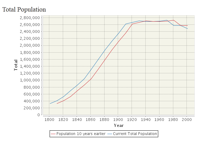
The population of Manchester expanded unstoppably throughout the nineteenth century.

Here’s a personal and insightful family history of the area, along with a broader history from the Evening News.

Extensive slum clearance in the nineteen sixties saw the area and its street names change, some erased forever in the new build.

In Manchester, in a vast belt immediately outside the central area of the city, there still exist all too many remnants of a planless, knotted chaos of dark, dismal and crumbling homes. Many of these crossed the verge of uninhabit-ableness long before their most elderly inhabitants were born.

Alfred Morris MP 1965

As recorded by photographer Roger Shelley.

Brunswick Street 1904.

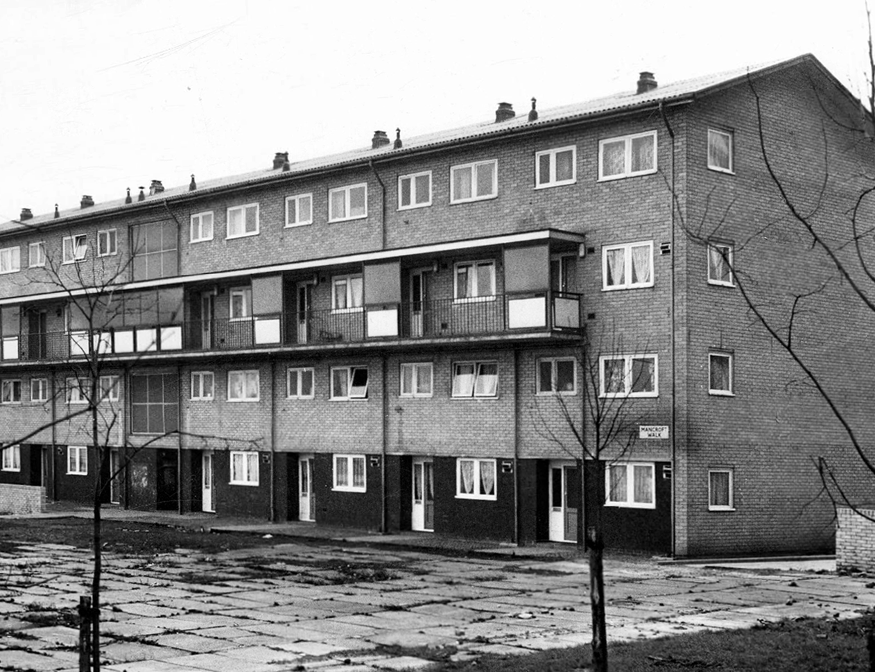
Mancroft Walk W Higham 1969

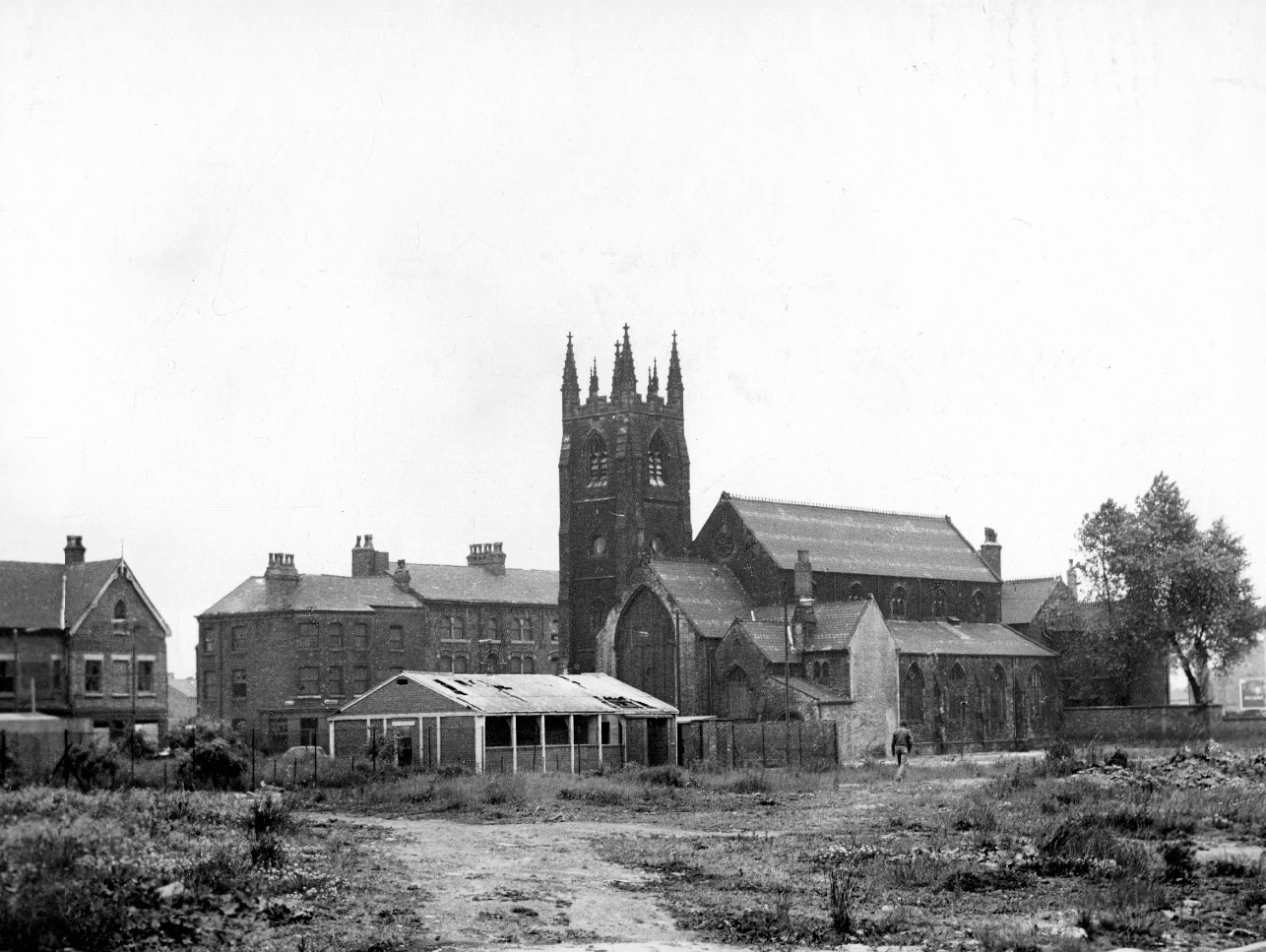
St Paul’s and St Luke’s Brunswick Street W Higham 1970

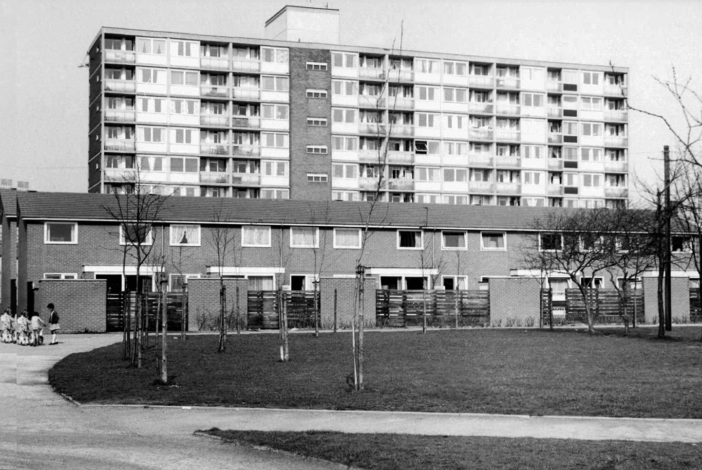
Lamport Court W Higham 1970

One of three nine-storey blocks, containing two hundred and nineteen dwellings; also including Silkin Court and Lockton Court.

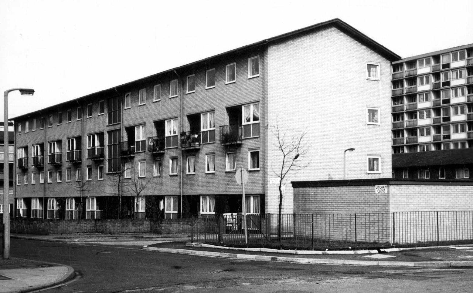
Litcham Close W Higham 1970

Harry Milligan 1903 – 1986 worked as the photographer at Manchester Central Library until his retirement in around 1968. He was instrumental in setting up the Manchester Region Industrial Archaeology Society in 1965. He volunteered at the North Western Museum of Science and Industry from 1968, assisting with reprographics requests. His knowledge of the history of photography in Manchester and the UK led to him taking on the role of Honorary Curator of Photography at the museum.

These are his photographs taken from the Manchester Local Image Collection.

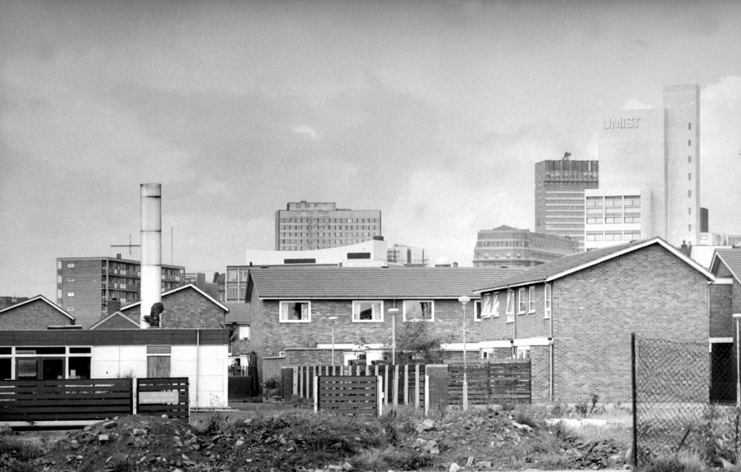
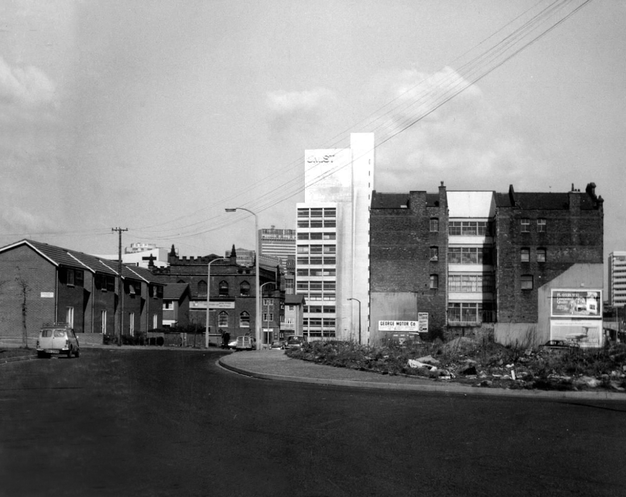
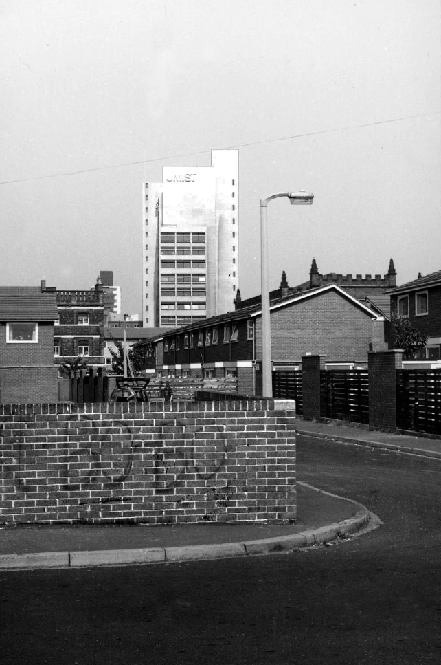
Panorama of Brunswick with UMIST in the background.

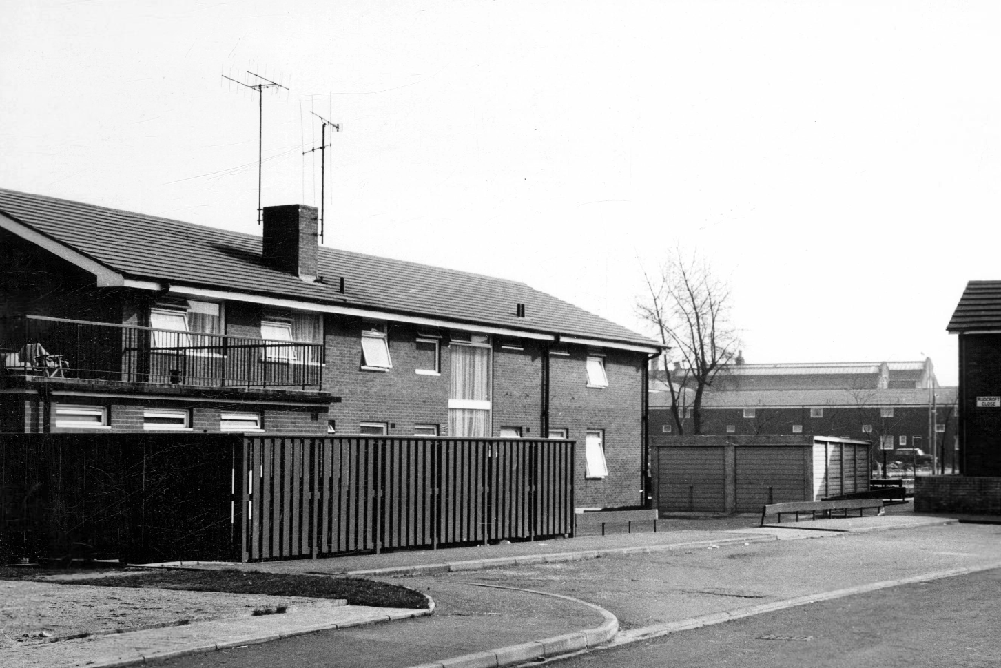
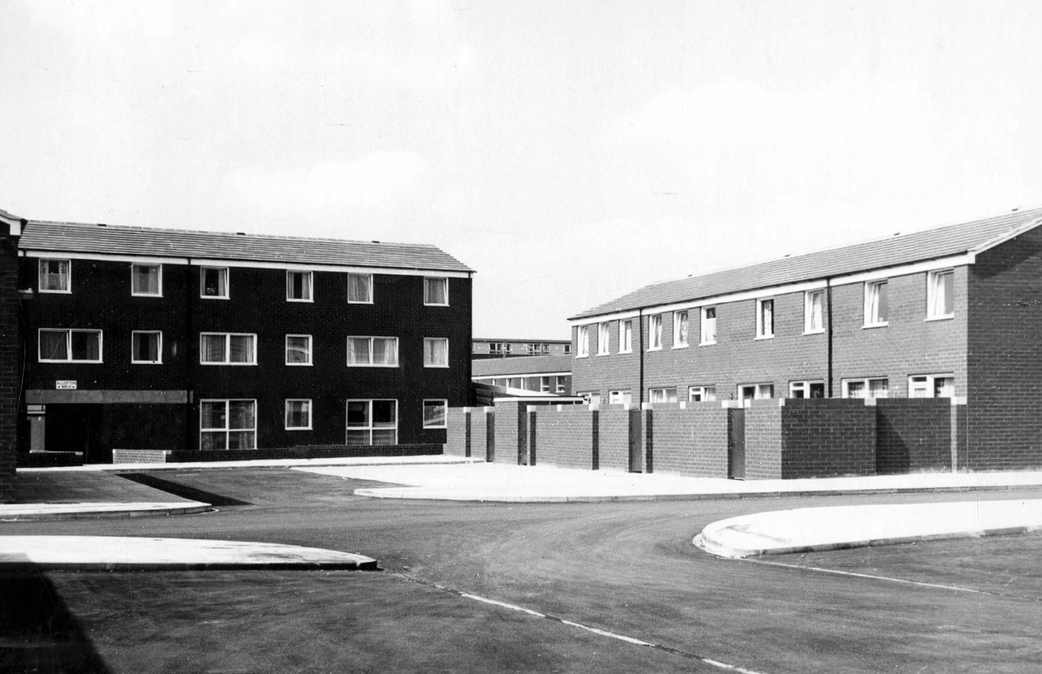
Hanworth Close area terraced housing and flats 1972.

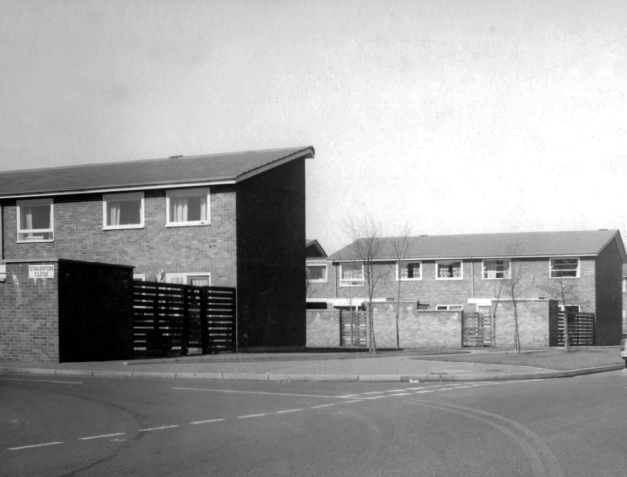
Staverton Close

Melcroft Close

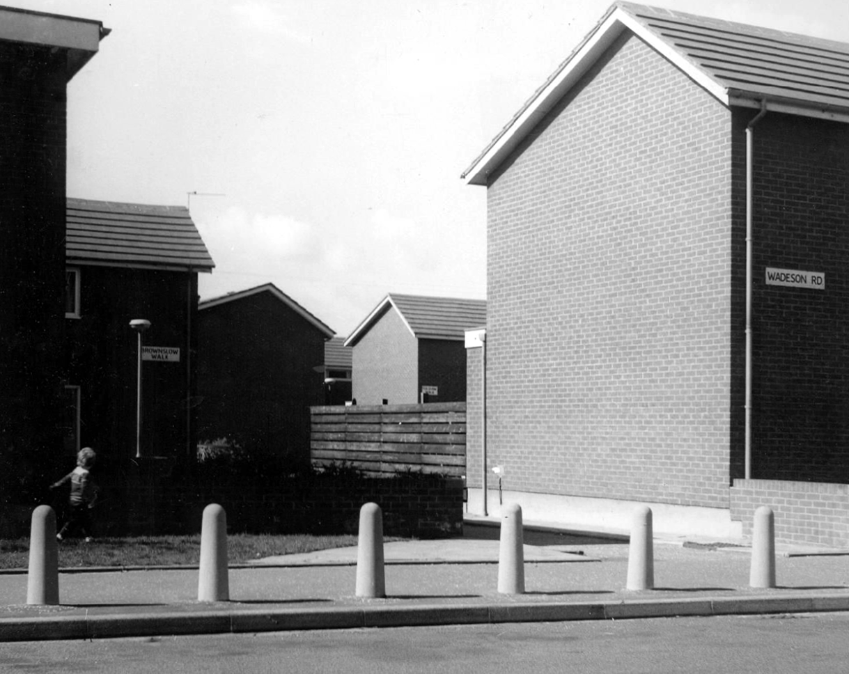
Wadeson Road

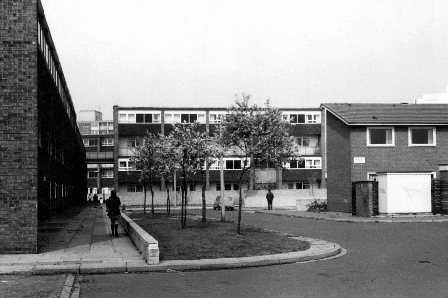
Helmshore WalkSkerry Close

Cherryton Walk

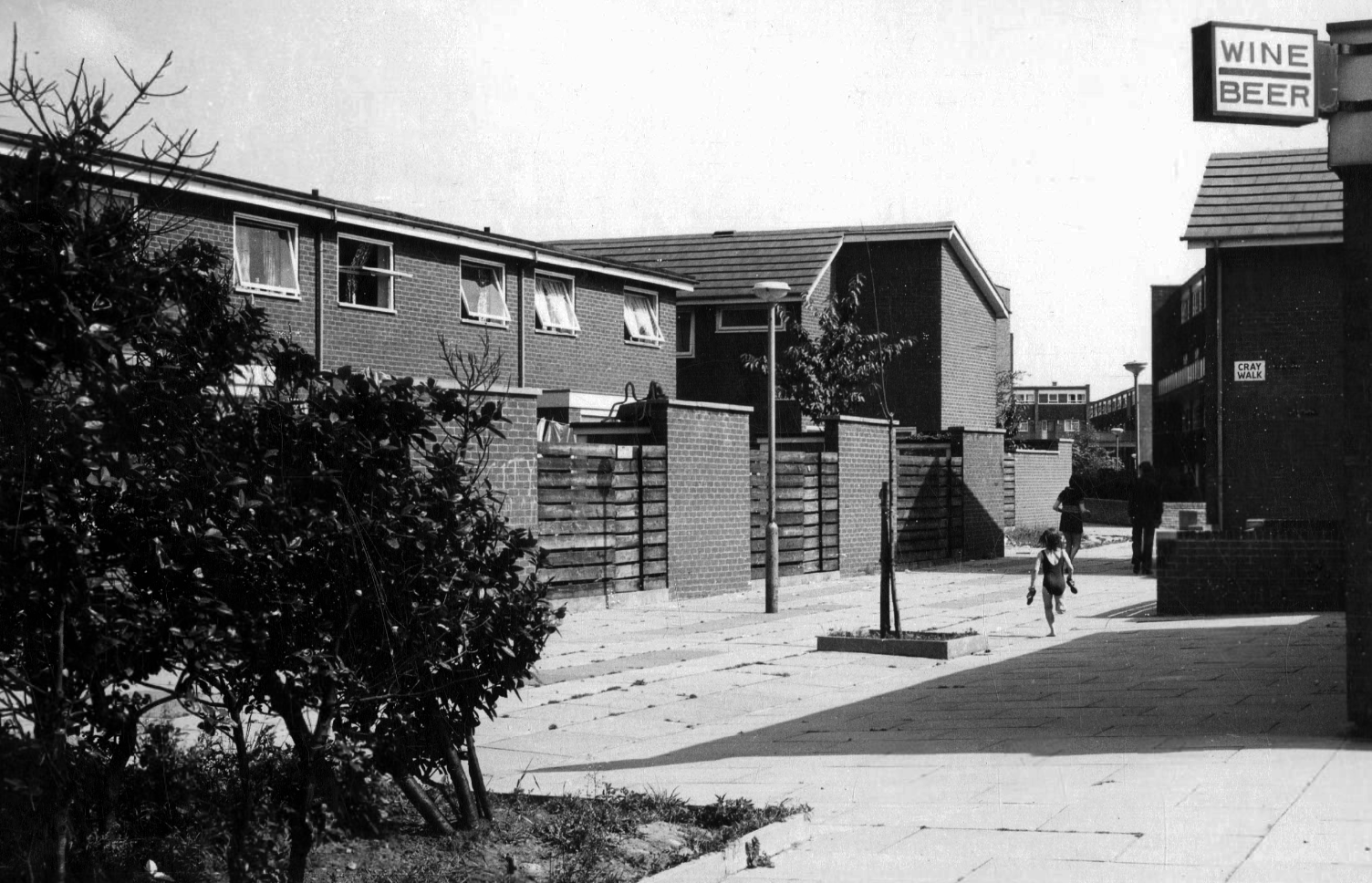
Cray Walk

Wadeson Road

Hanworth Close

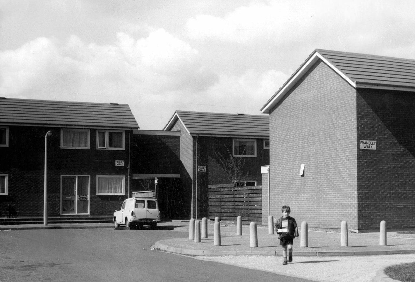
Pedley Walk

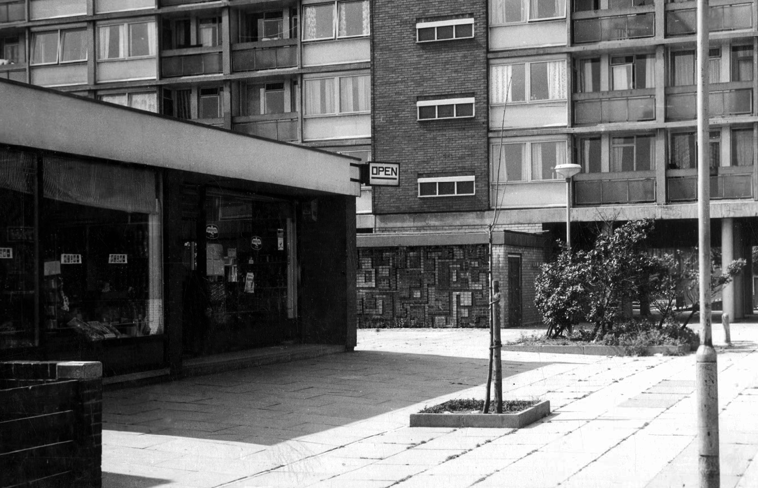
Cray Walk – note the decorative brick relief

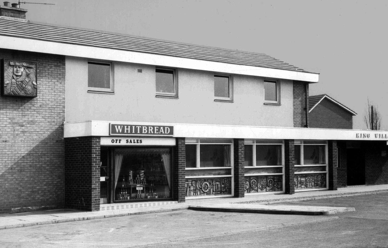
King William IV

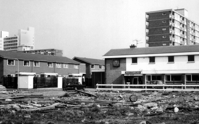
Former Chesters then Whitbread estate pub was built in 1967. Closed in 1996 when it was converted to residential property. It had a brief spell 1991 to 1995 as brewery premises for the Dobbin’s West Coast Brewery, during this period the interior was stripped out to accommodate the brewery paraphernalia.
As a companion to the radical reshaping of Manchester see also All Saints, plus look around Brunswick Parish Church, close by the lost terrace of Hartfield Close.

In addition the Brunswick Street Launderette.

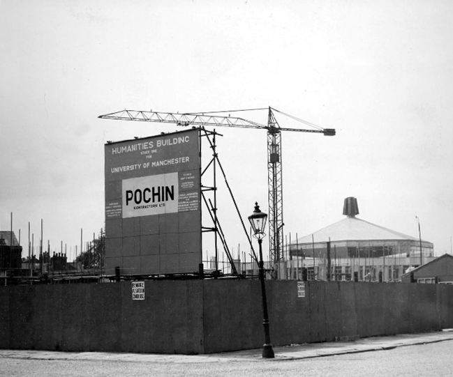
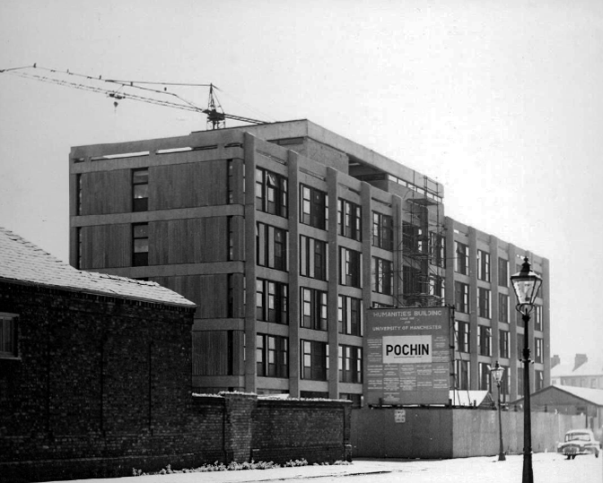
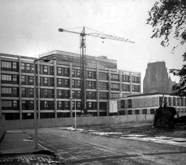
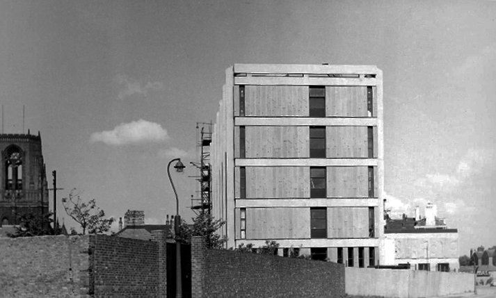
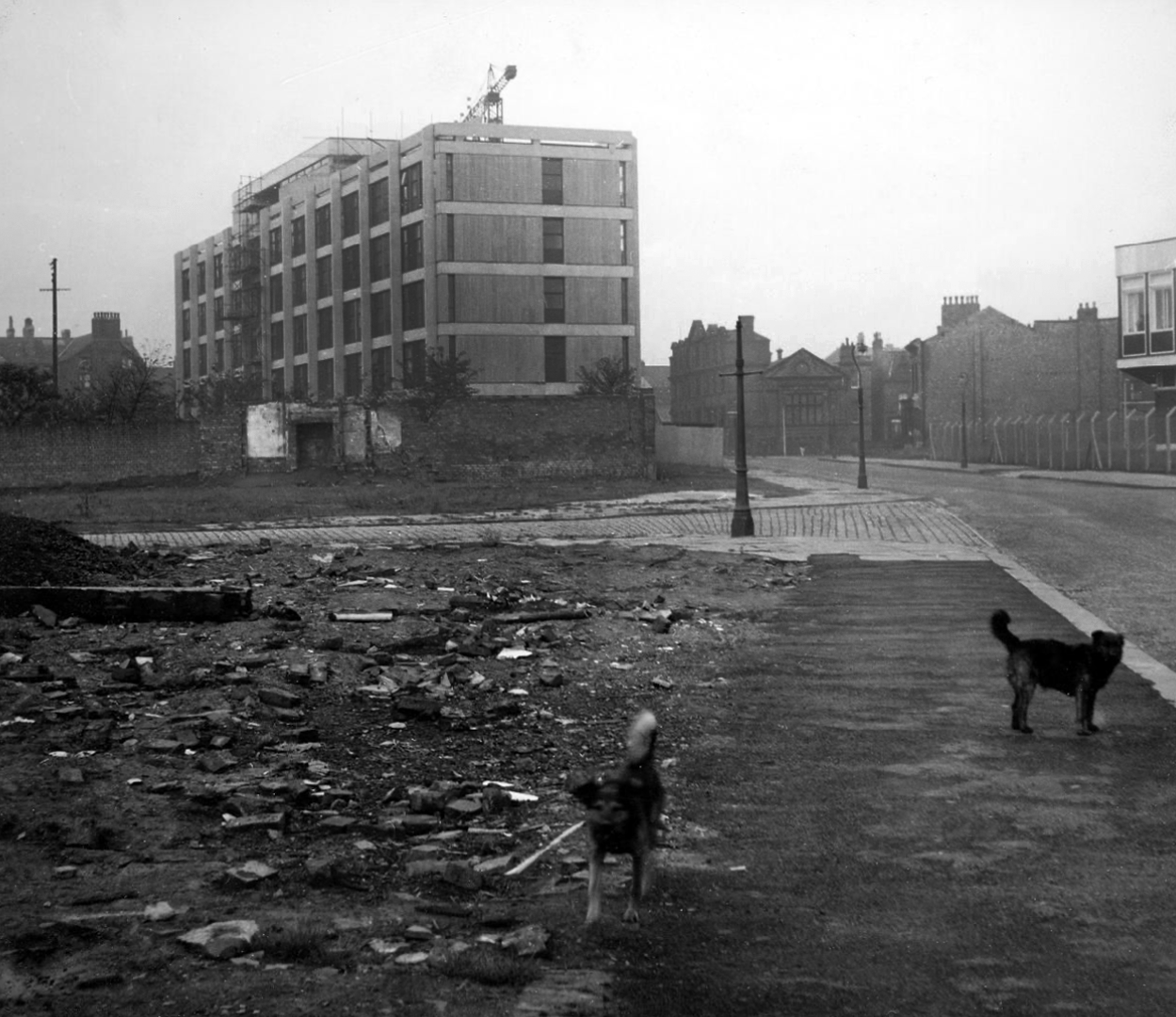
Ellen Wilkinson Humanities Building

Second time around, following my post in 2019.

A terminal halt on the Campus Capers walk.

Taking a walk around town on an overcast and intermittently showery Friday, we’re all here again.

Sat at home on an overcast and intermittently showery Monday, I took a walk around online archives.

1962 to 1963 Photos: Local Image Archive

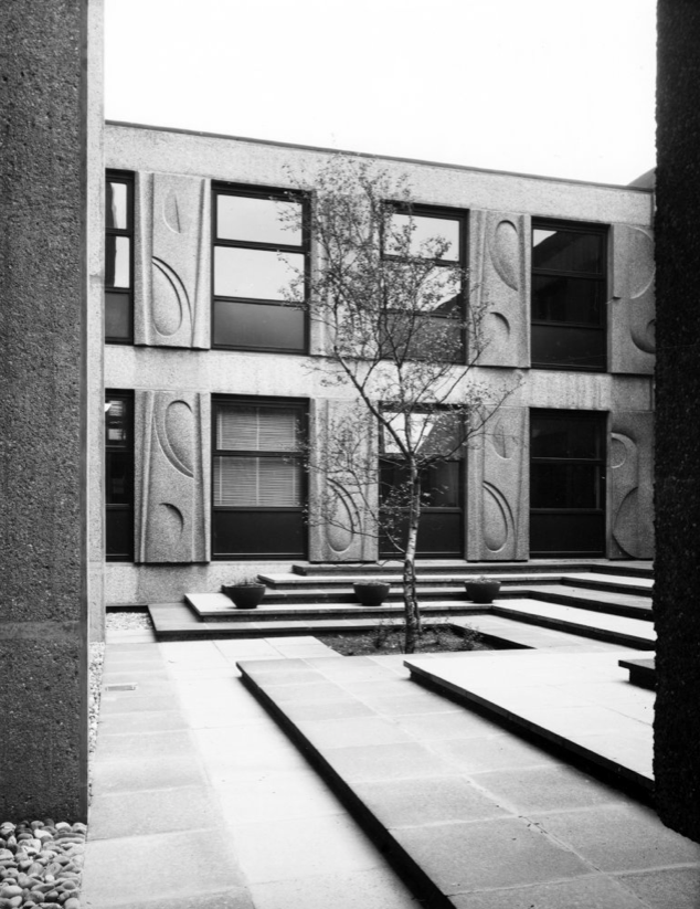
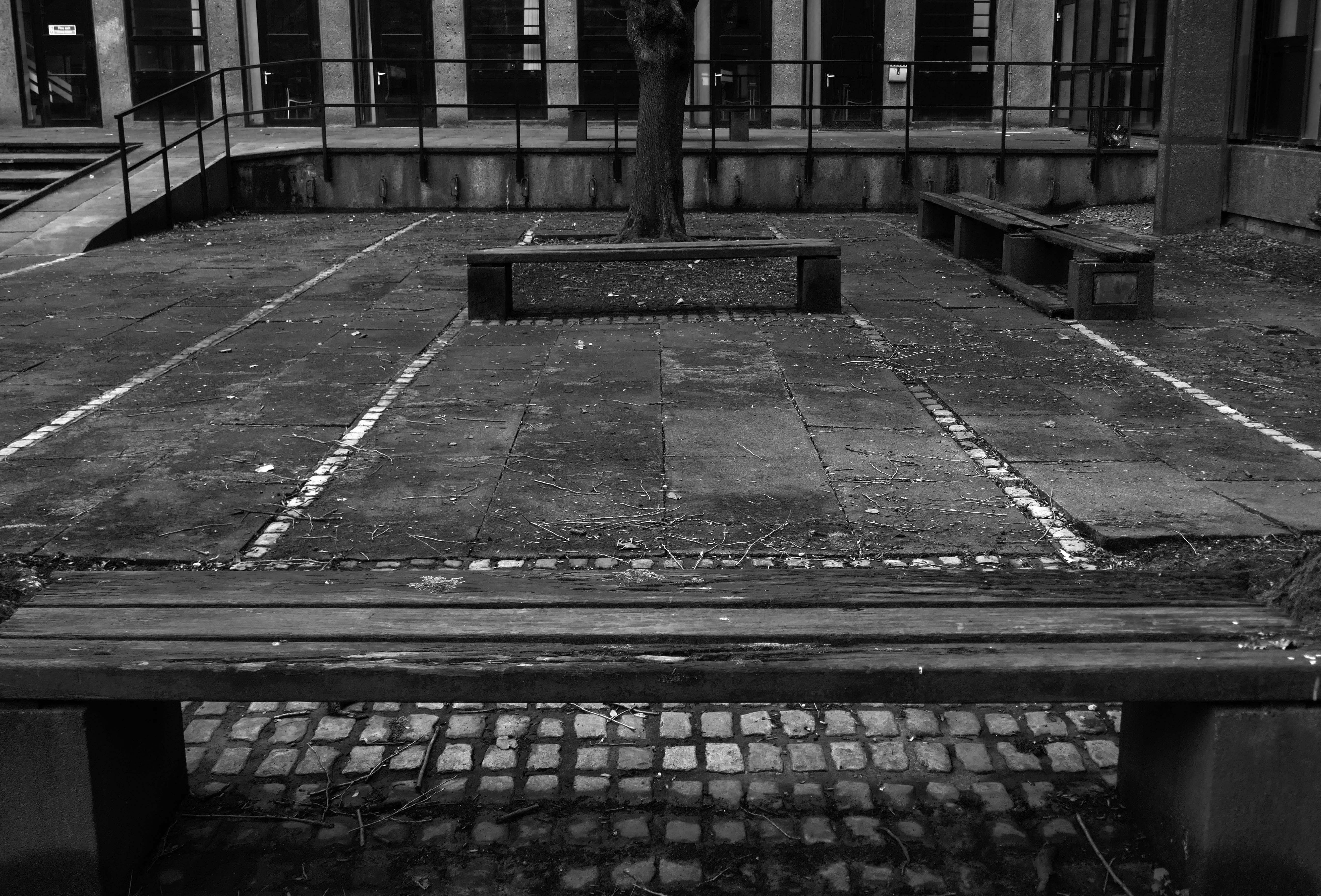
The inner courtyard was originally paved, subsequently grassed over.

The lack of sunlight has resulted in the grass becoming both waterlogged and moss-bound.

As a former TMBC maintenance gardener I recommend raking out, aeration and a top dressing of light river sand as a remedy.
Ribapix 1964

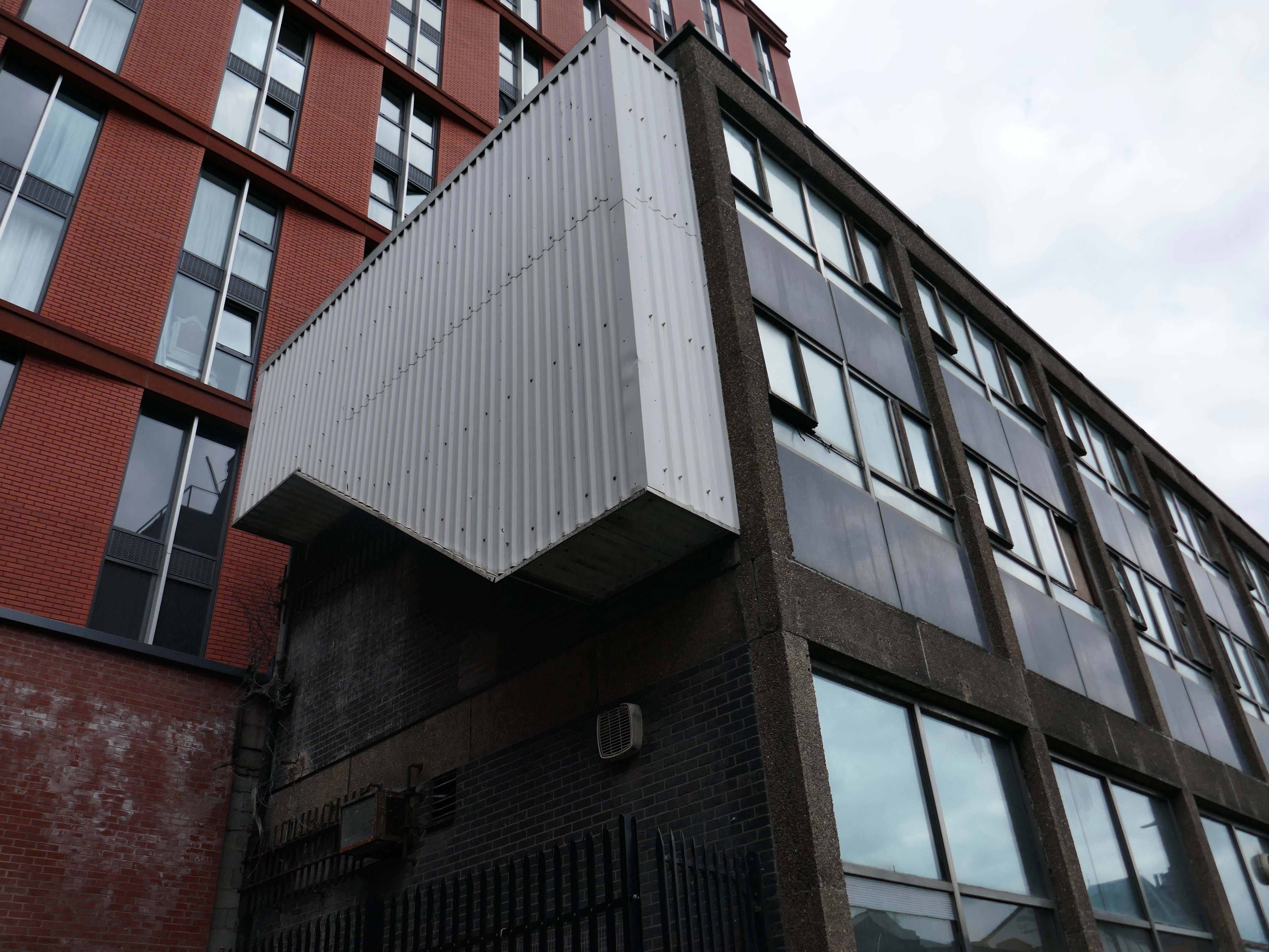
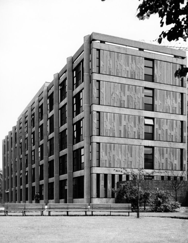
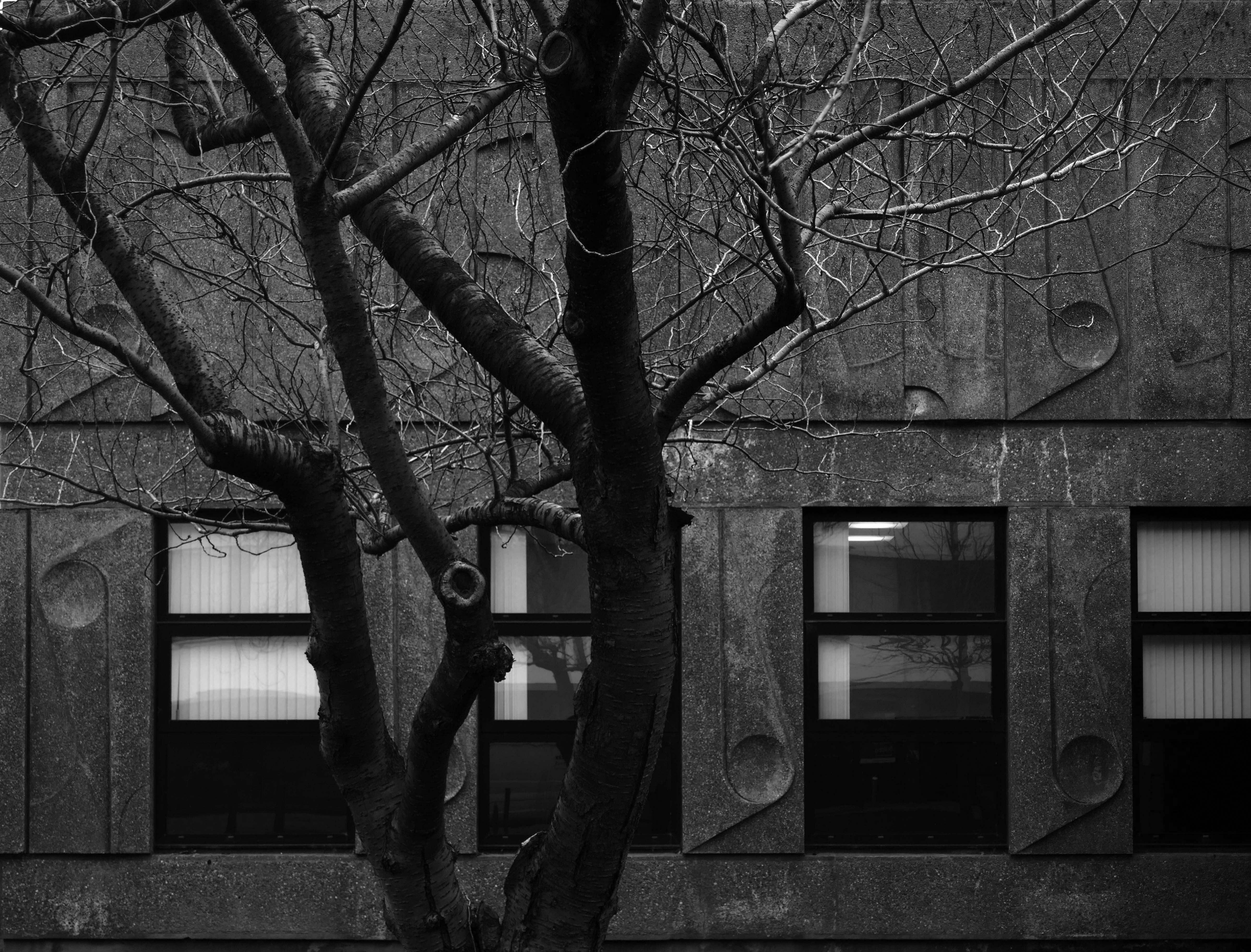
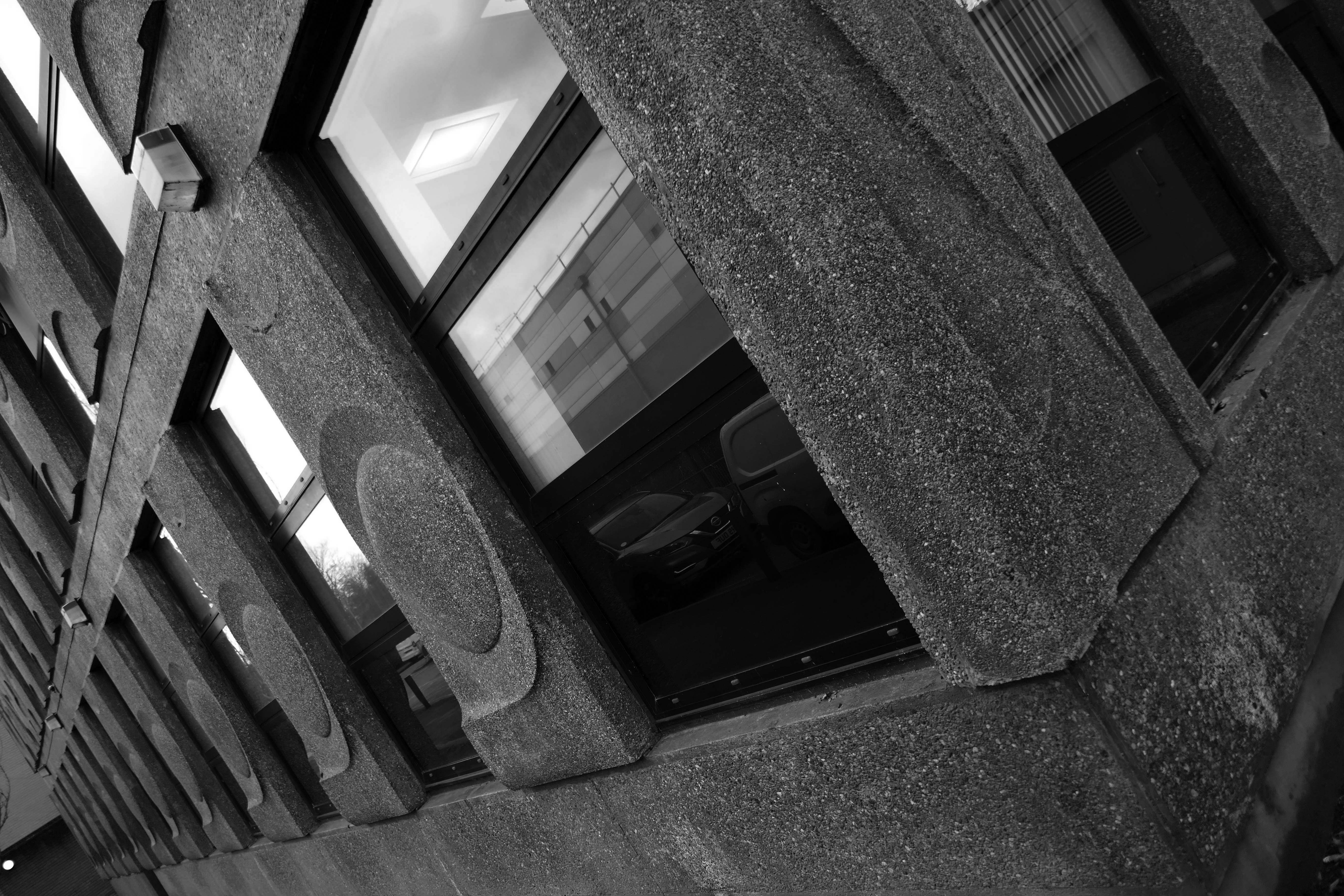
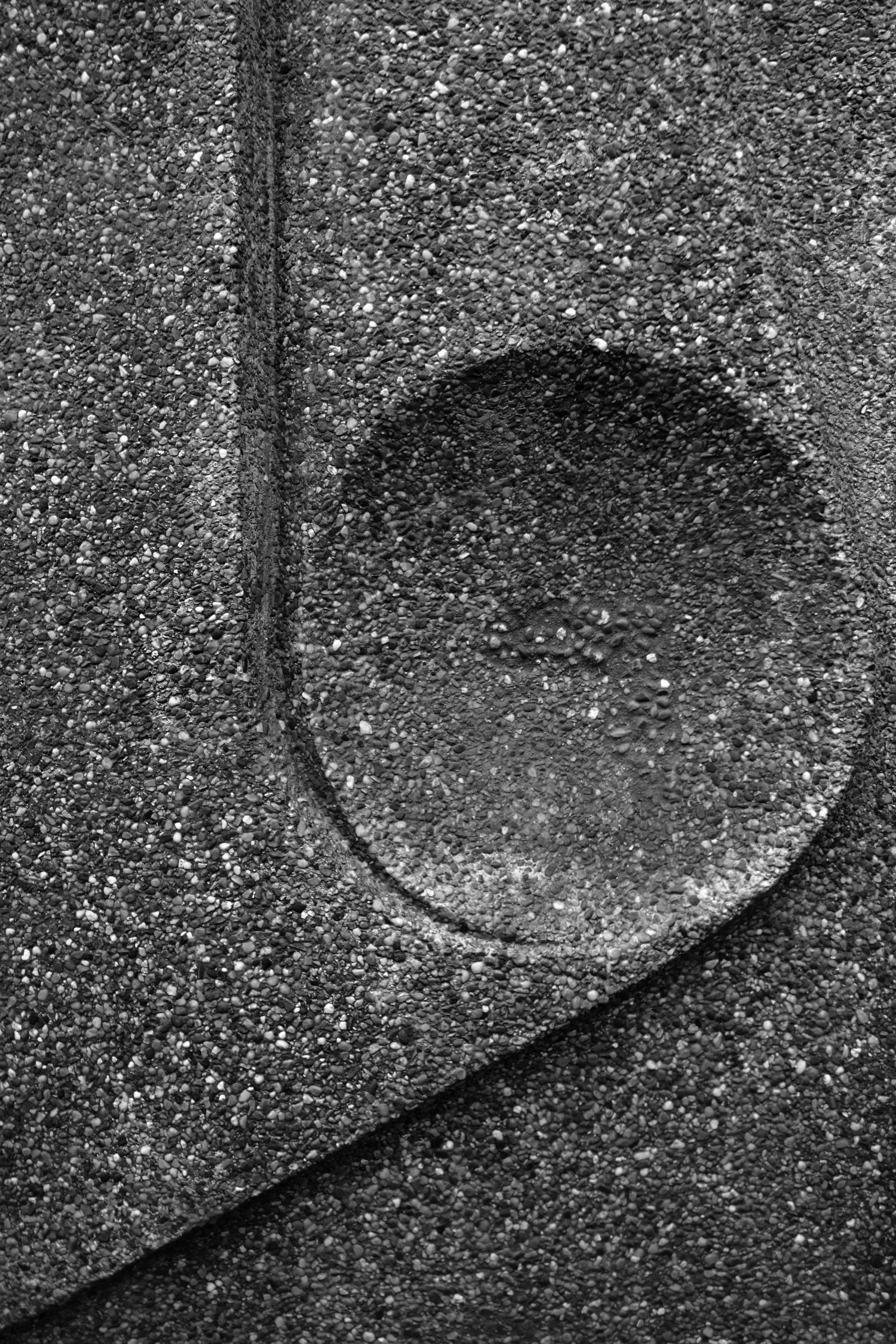
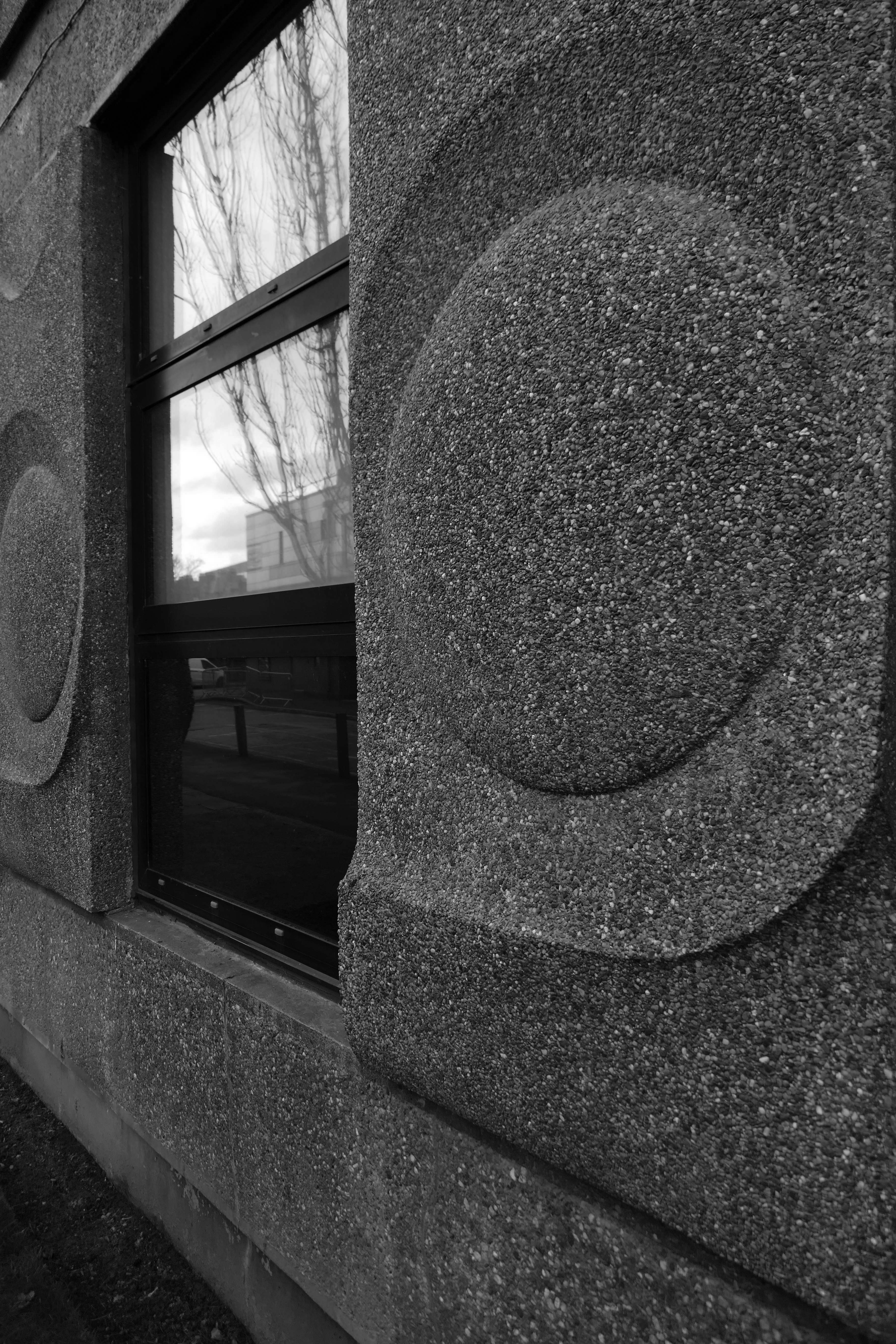
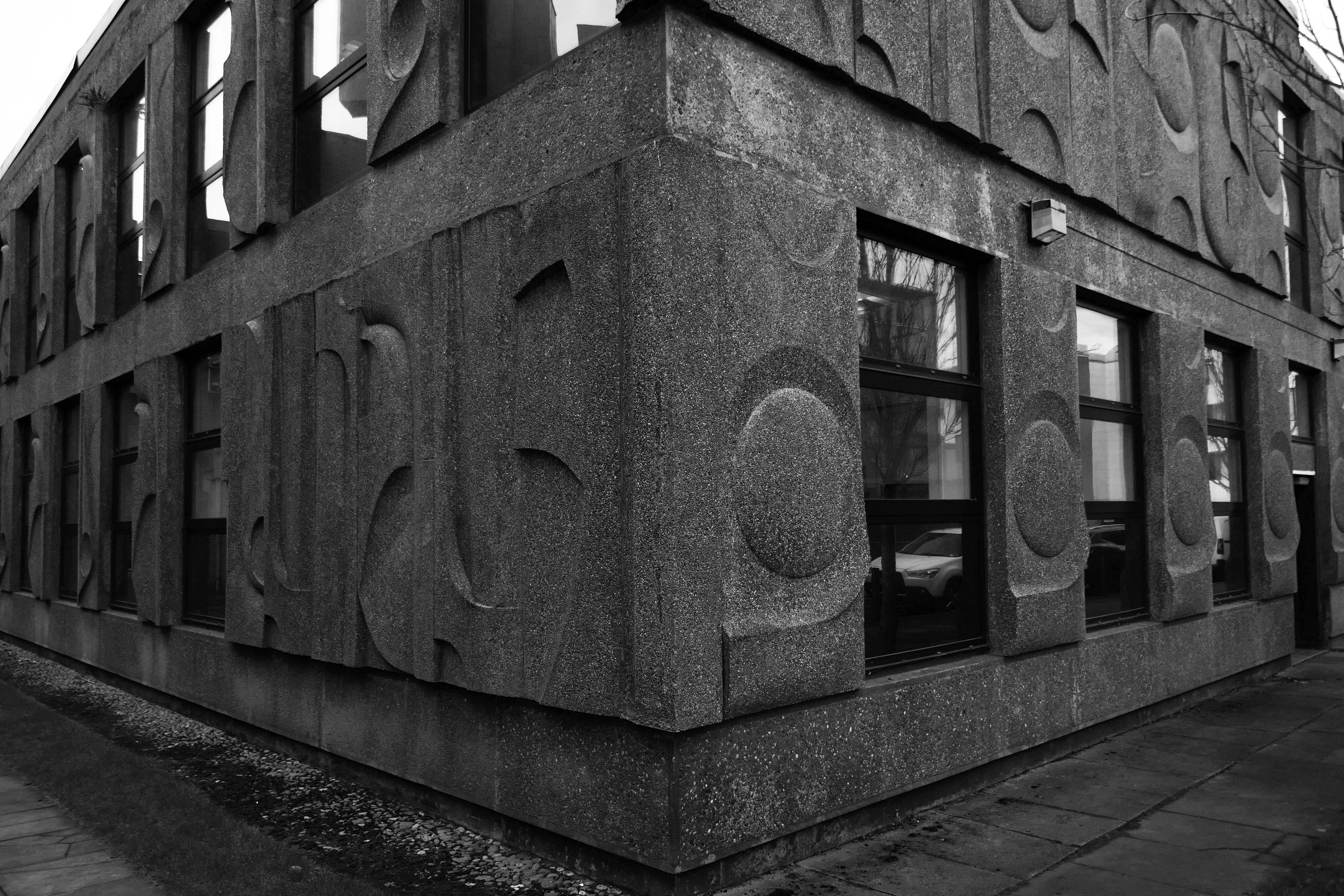
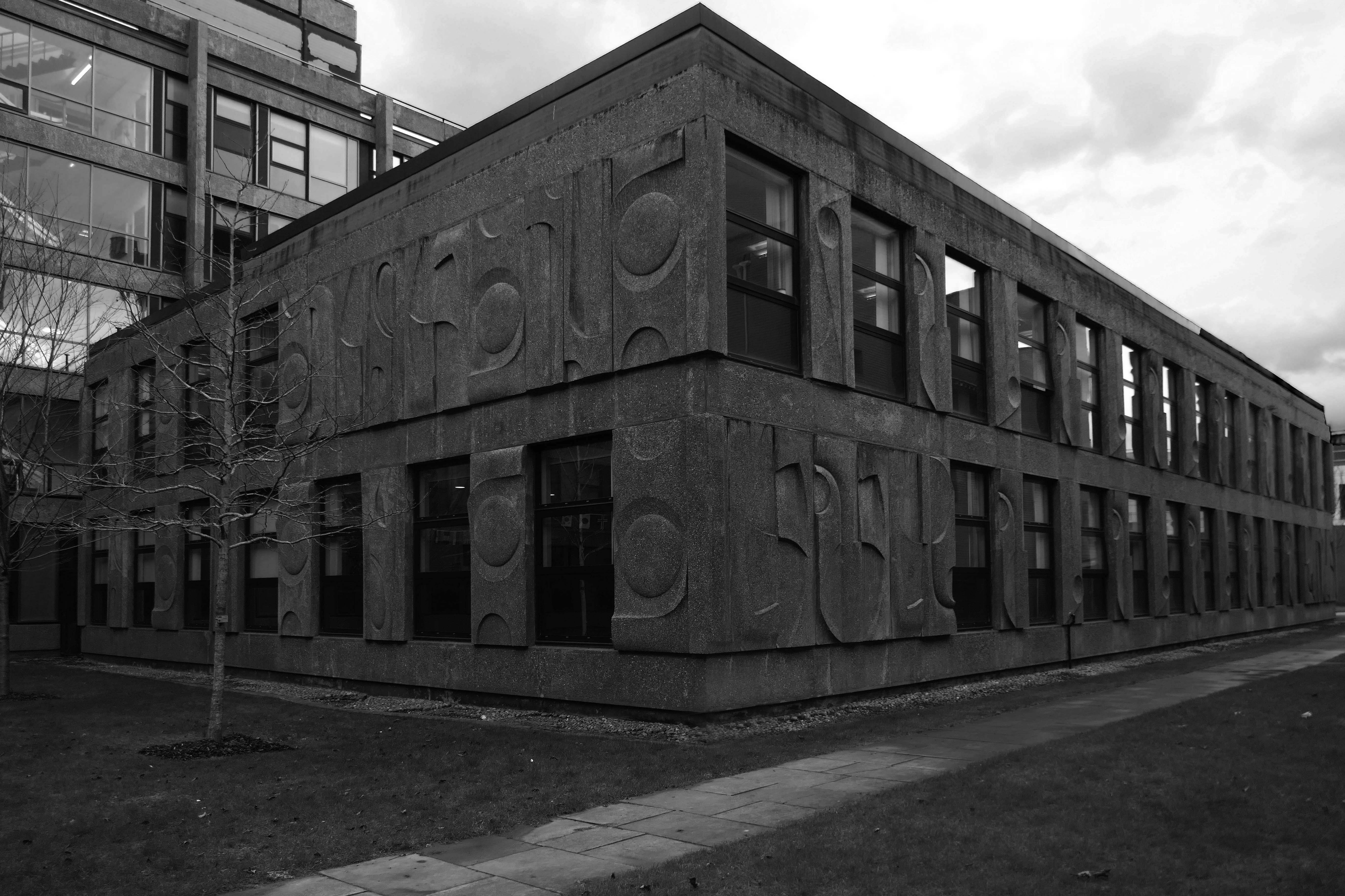
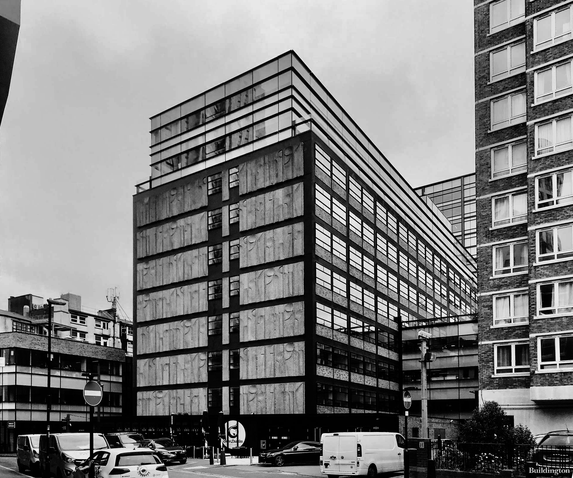
The William Mitchell concrete panels are of a modular design, rotated to form distinct groups of horizontal and vertical rhythms. A number of the buildings elevations are clad in linear, diagonal and vertical forms, though the majority are curvilinear and organic.
Local Image Collection 1972

The Ellen Wilkinson building, home to Education and Communication, is one of the few buildings on campus named after a woman. She gained the nickname of ‘Red Ellen’ in her political career, due to her socialist politics and vibrant red hair colour.

Wilkinson was a successful Labour party politician and feminist activist, and a passionate and bold personality in the Houses of Parliament. She was made Minister of Education under Clement Atlee’s government, making her the second woman to ever get a role in the British cabinet. She was brought up and educated in Manchester, making her legacy on the Manchester campus even more significant.

Mancunion

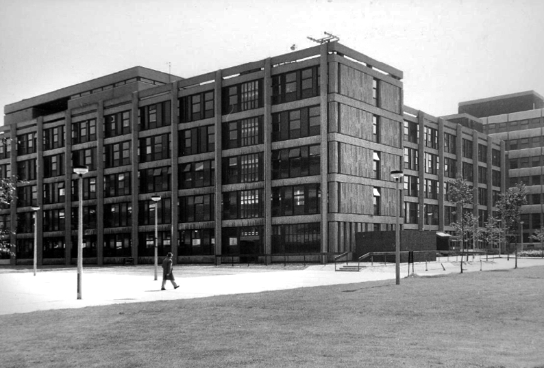
Ellen Wilkinson is a large sized building with three blocks. There are six floors in C Block, five floors in B Block and seven floors in A Block.

There are three lifts and six main staircases within the building.

The floors are signed as Ground, 1, 2, 3, 4, 5 and 6. This is slightly different inside the lifts where control buttons are marked as 0 instead of Ground.

There are link passages from A and B Block to C Block on levels Ground, 1 and 3.

The building was the work of George GrenvilleGG’ Baines and Building Design Partnership.

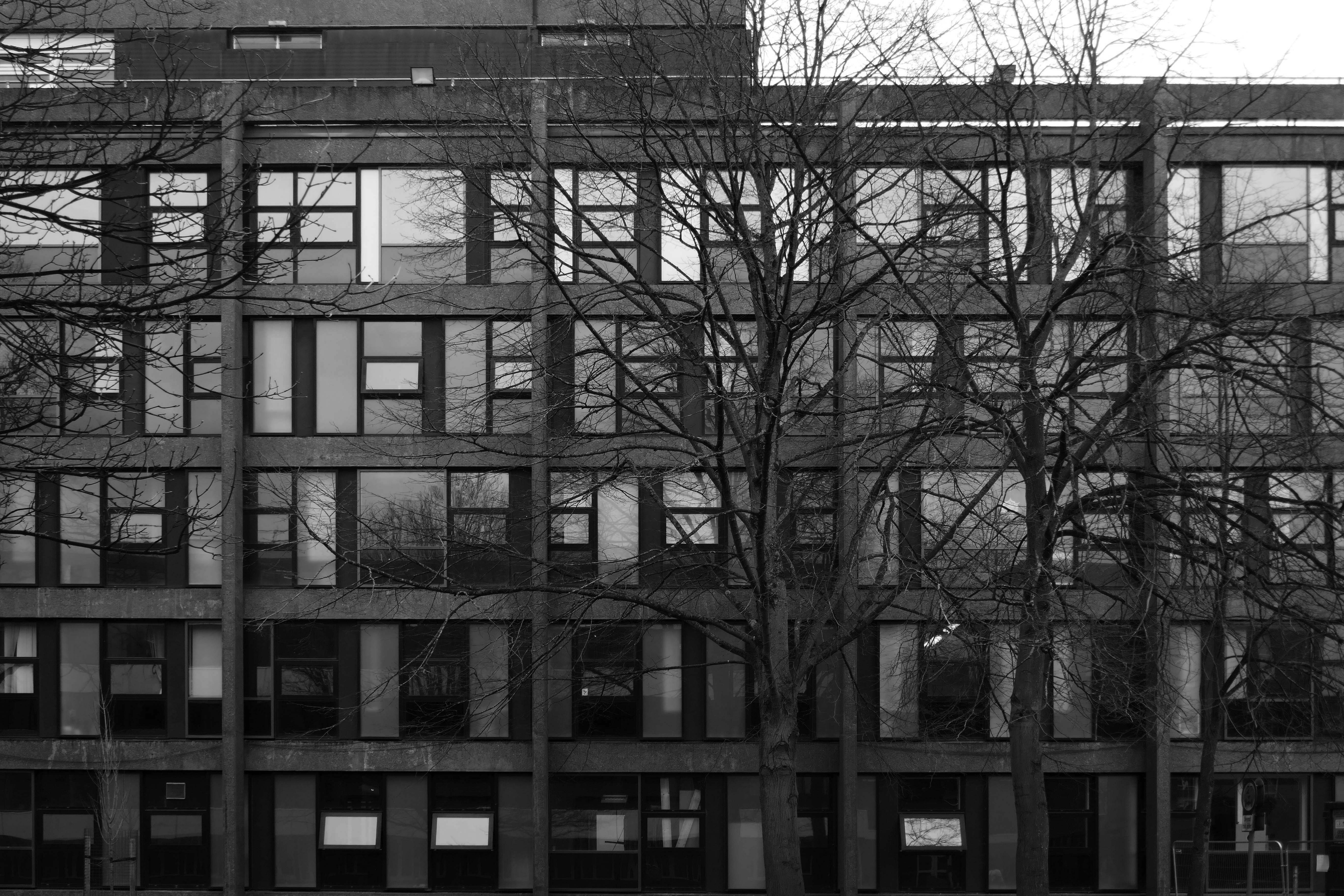
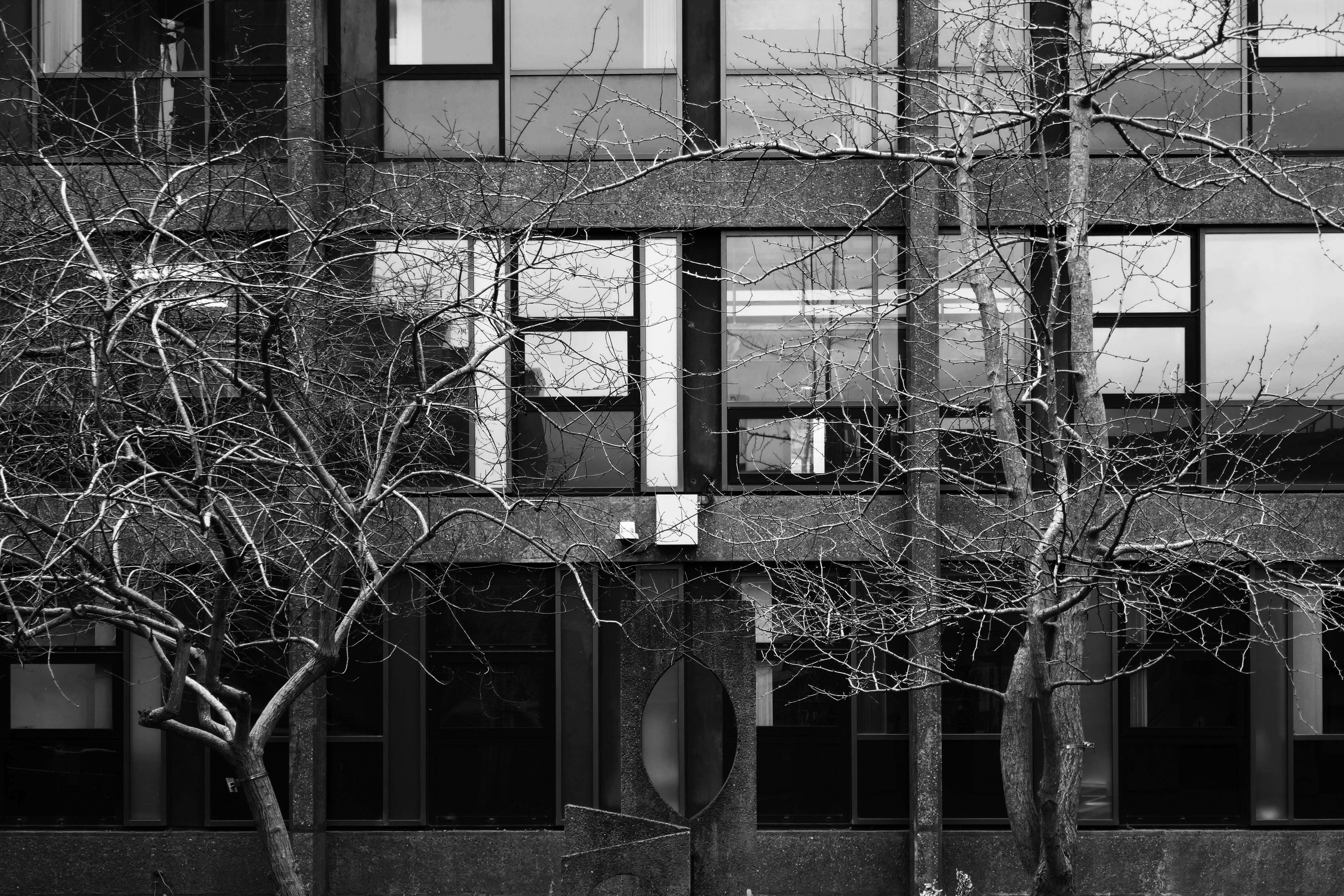
This scheme pre-dates Wilson Womersley’s appointment as masterplanners for the Education Precinct but exists harmoniously with the later series of buildings. This is most likely due to the method of development before any ‘grand concept’. The incremental expansion of the University, following WWII, was largely dictated by the progress of compulsory purchase orders; this group was no exception. At the planning stages, the lack of a masterplan led to organising the wings of the buildings in an open, orthogonal arrangement. This would allow expansion in a number of directions, according to the next available site in ‘the dynamic situation’. The result was the creation of a small courtyard flanked by two five-storey blocks and a two-storey structure. All three buildings use the same pink-grey concrete. The plastic qualities of concrete were explored in both cladding and structural panels and the textural qualities exposed in the bush hammered columns, to reveal the Derbyshire gravel aggregate. The sculpted and moulded panels on the two-storey block and on the gable ends of the larger blocks were designed in collaboration with William Mitchell. The only other materials in the external envelope were the windows of variously clear and tinted glass. The window modules were set out against a basic geometry in three standard patterns and applied across the façade. This resulted in a clever interplay of vertical and horizontal expression. Phase II, a seven-storey teaching block, was not as refined in its details.

Mainstream Modern

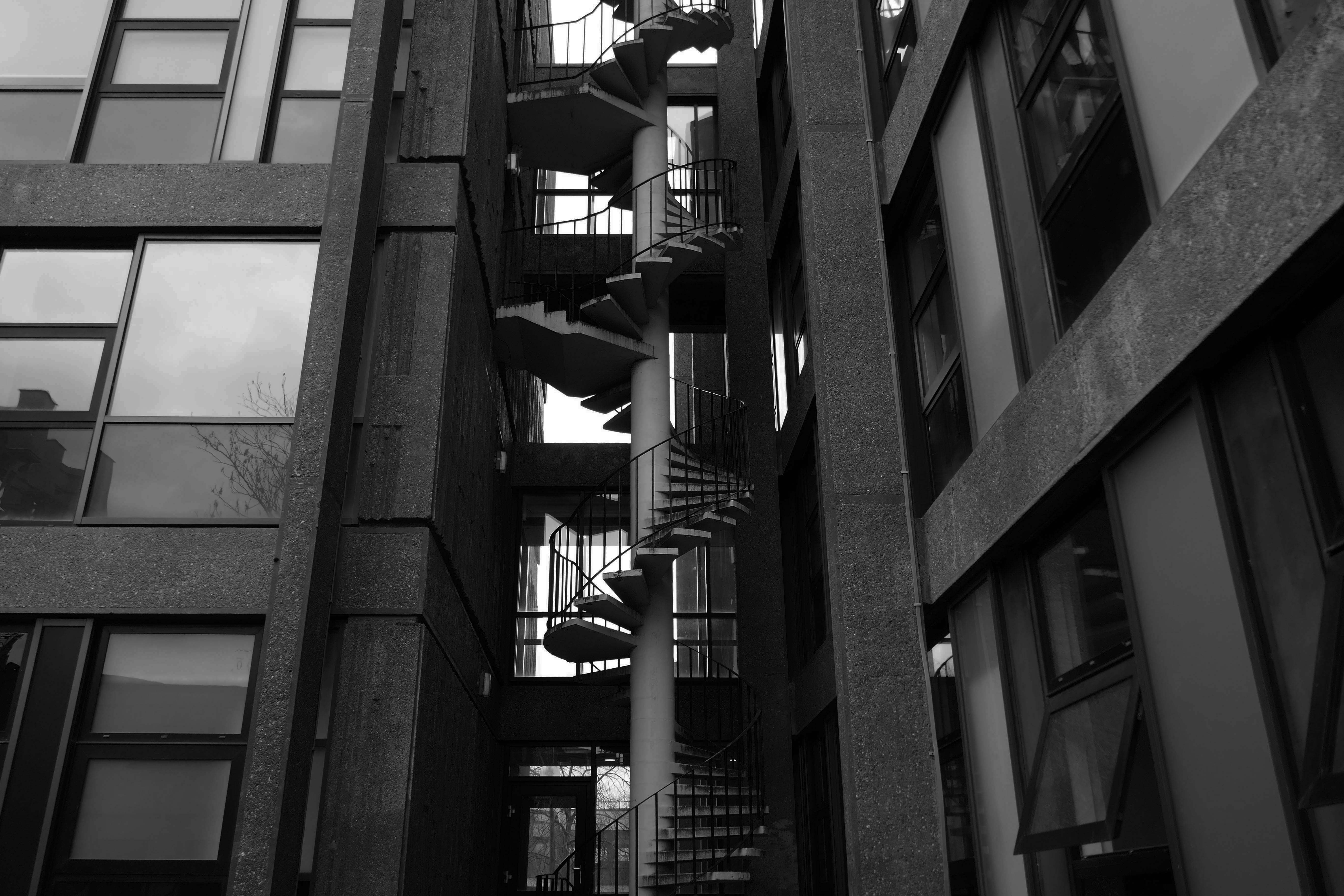
if you have a moment to spare, why not ascend and descend the spiral stairway.

The seating area is almost intact.

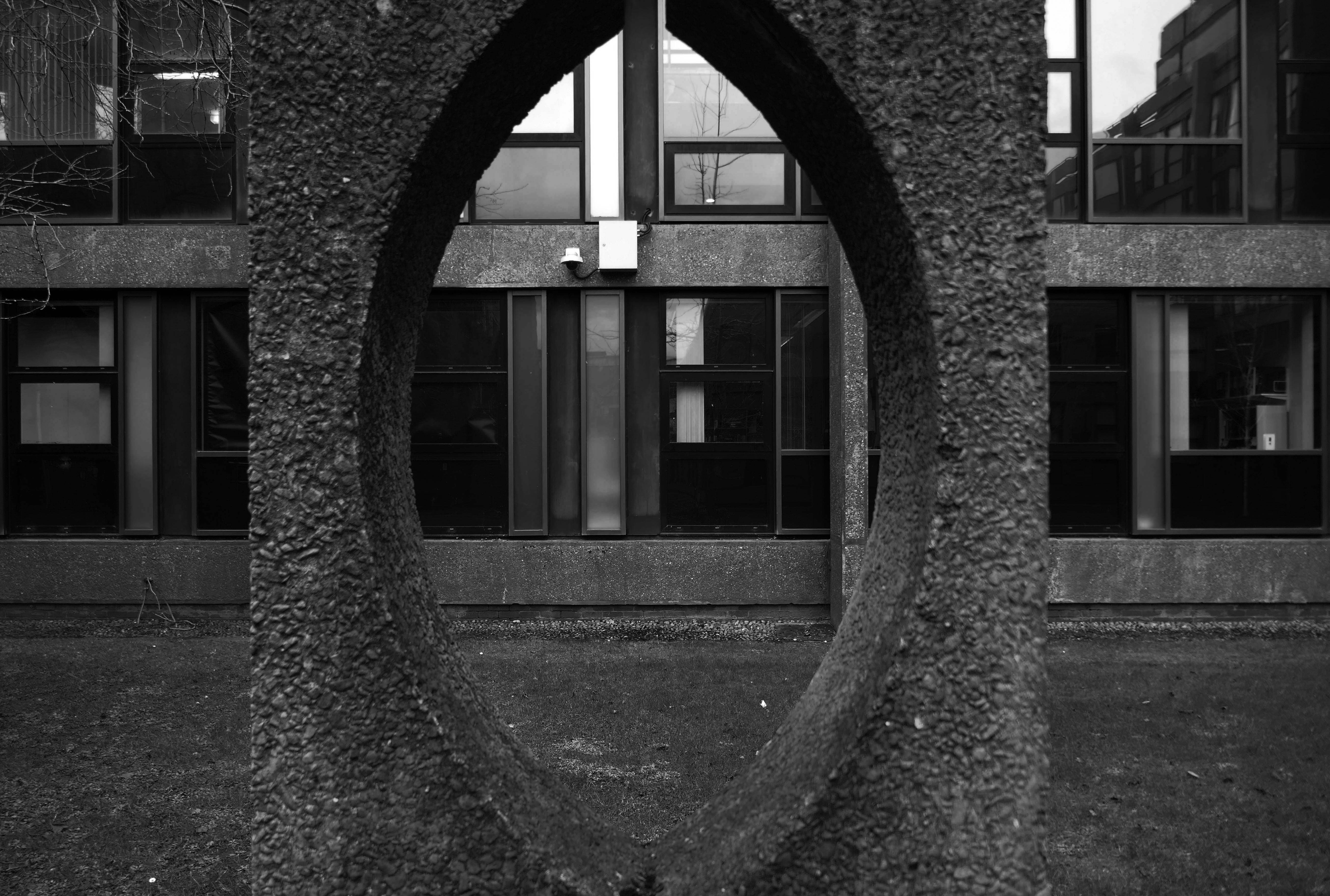
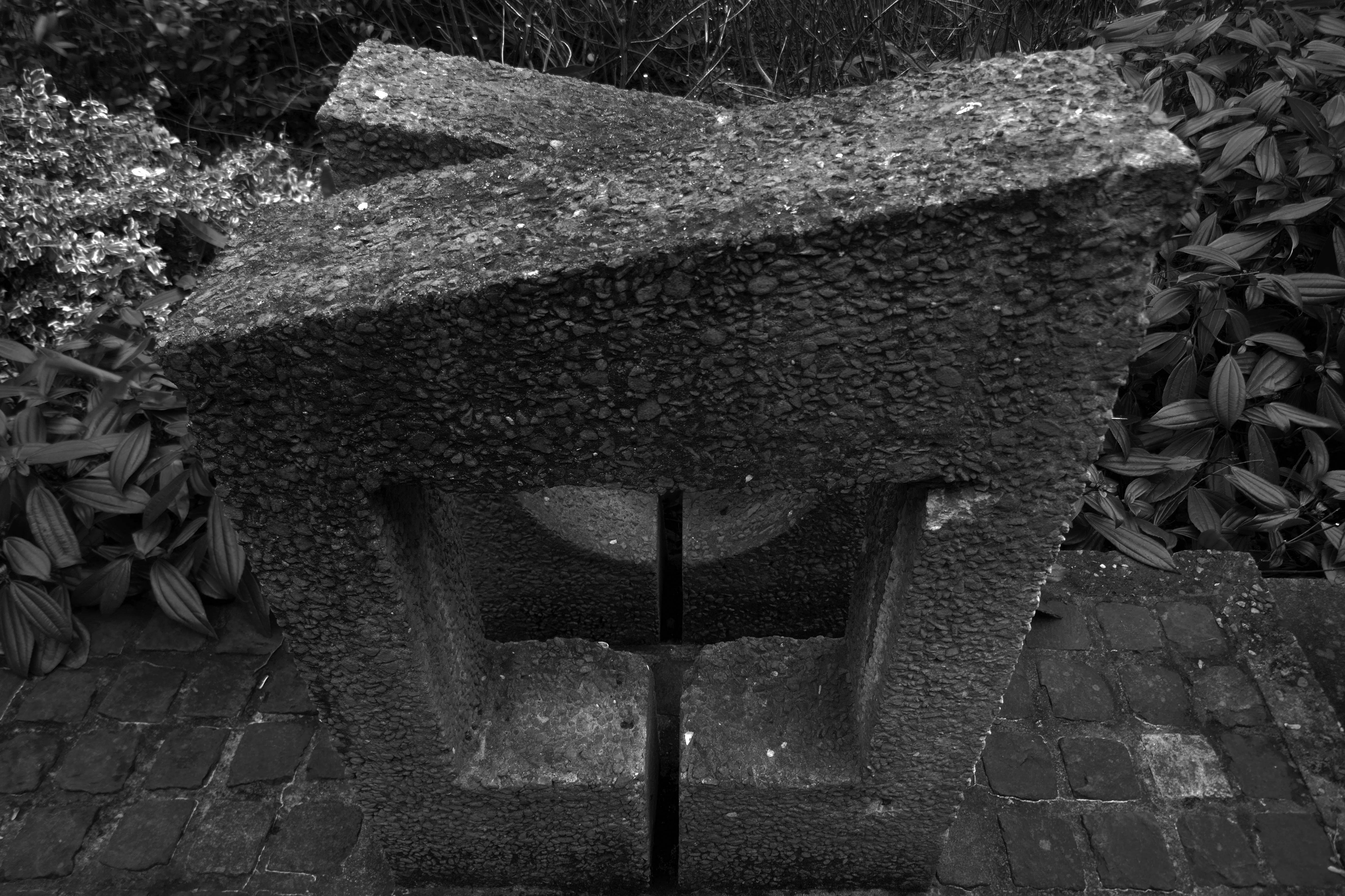
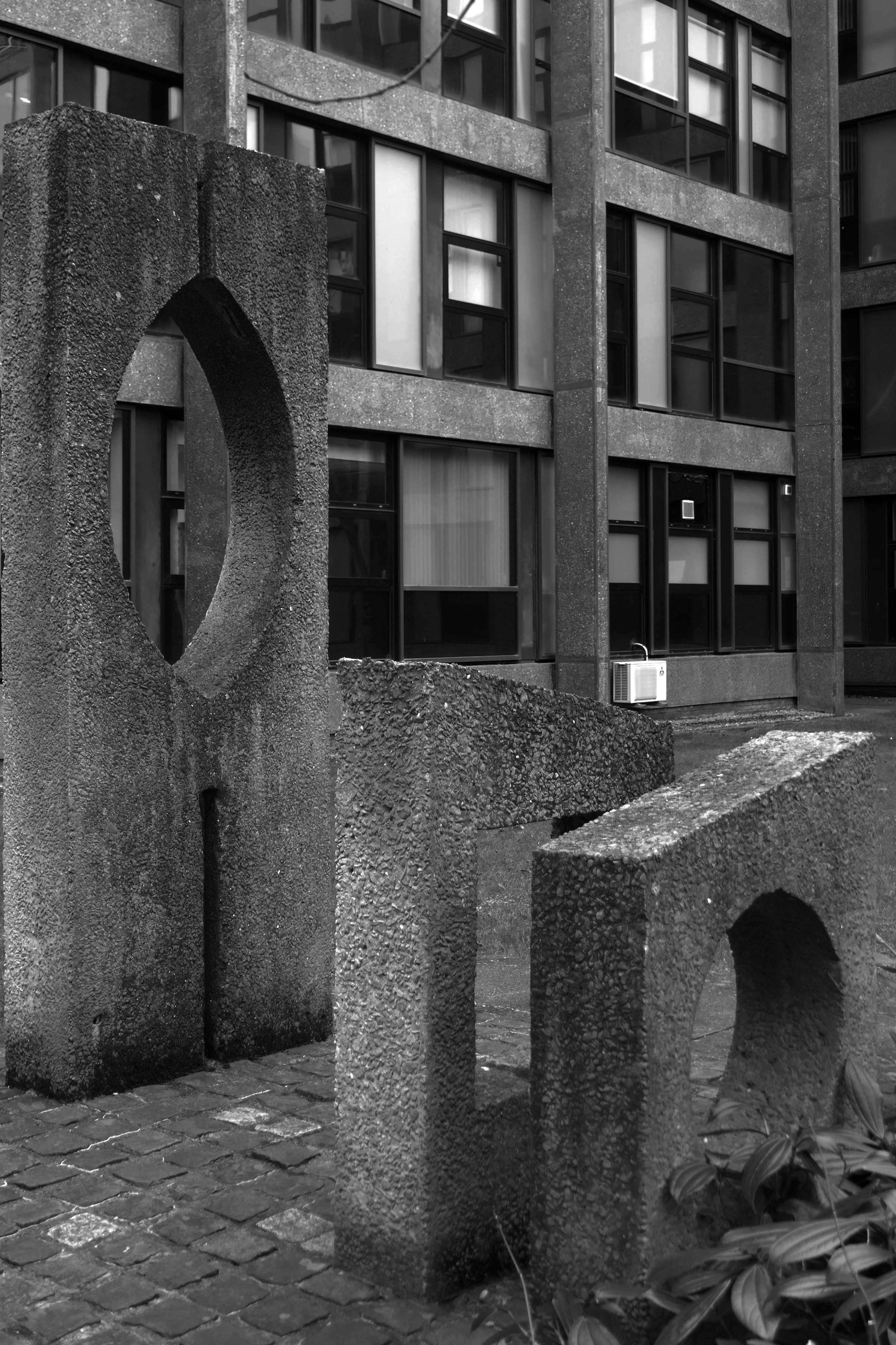
This trio of abstract concrete forms, a B&Q Barbara Hepworth, has defied attribution, I adore it.

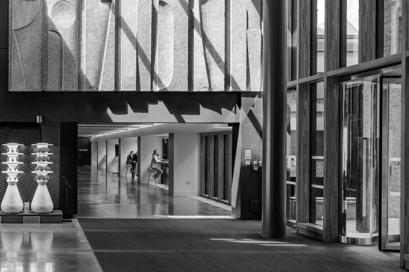
Similar curved panels have also been used at The Bower – Old Street London.