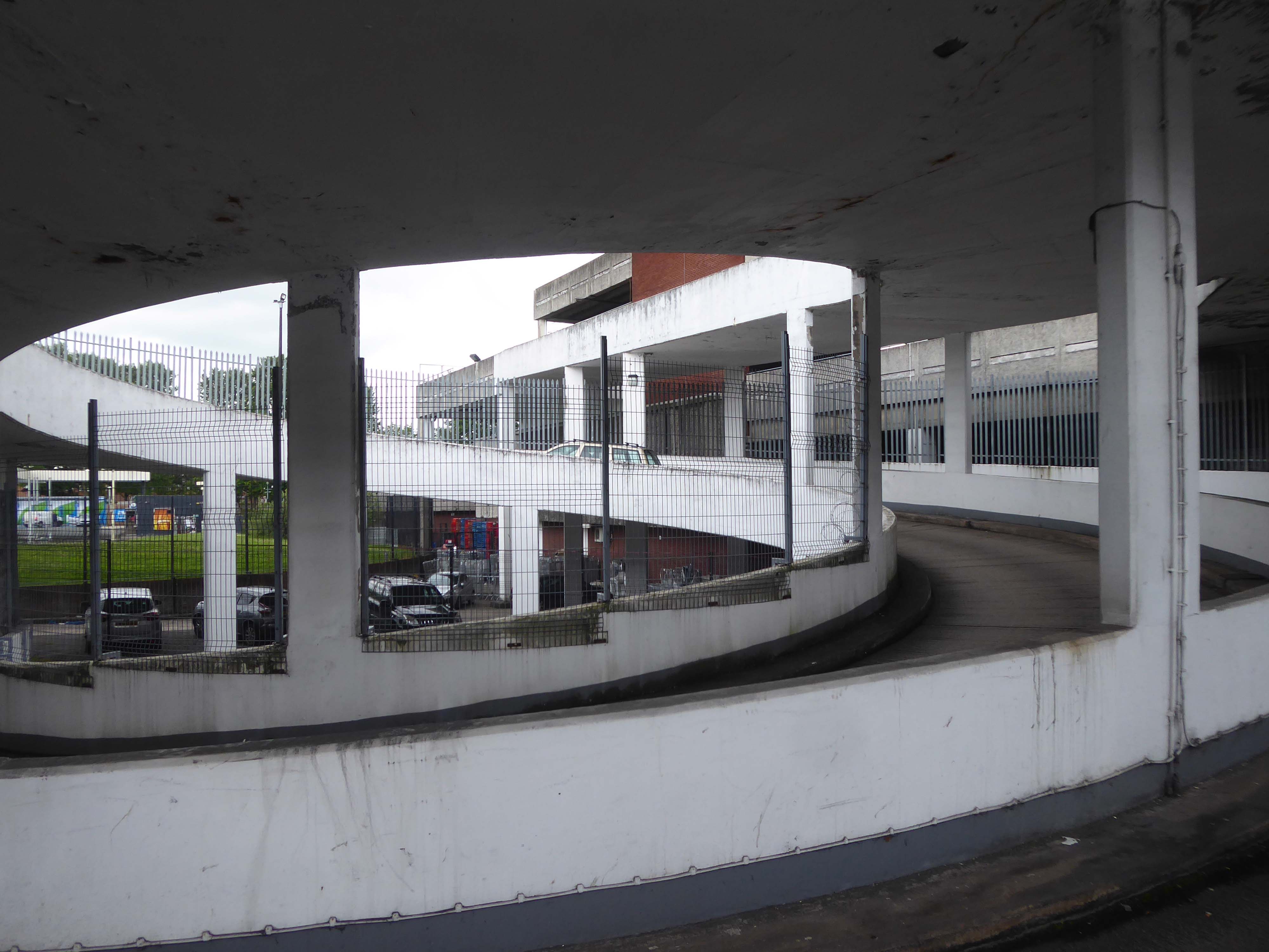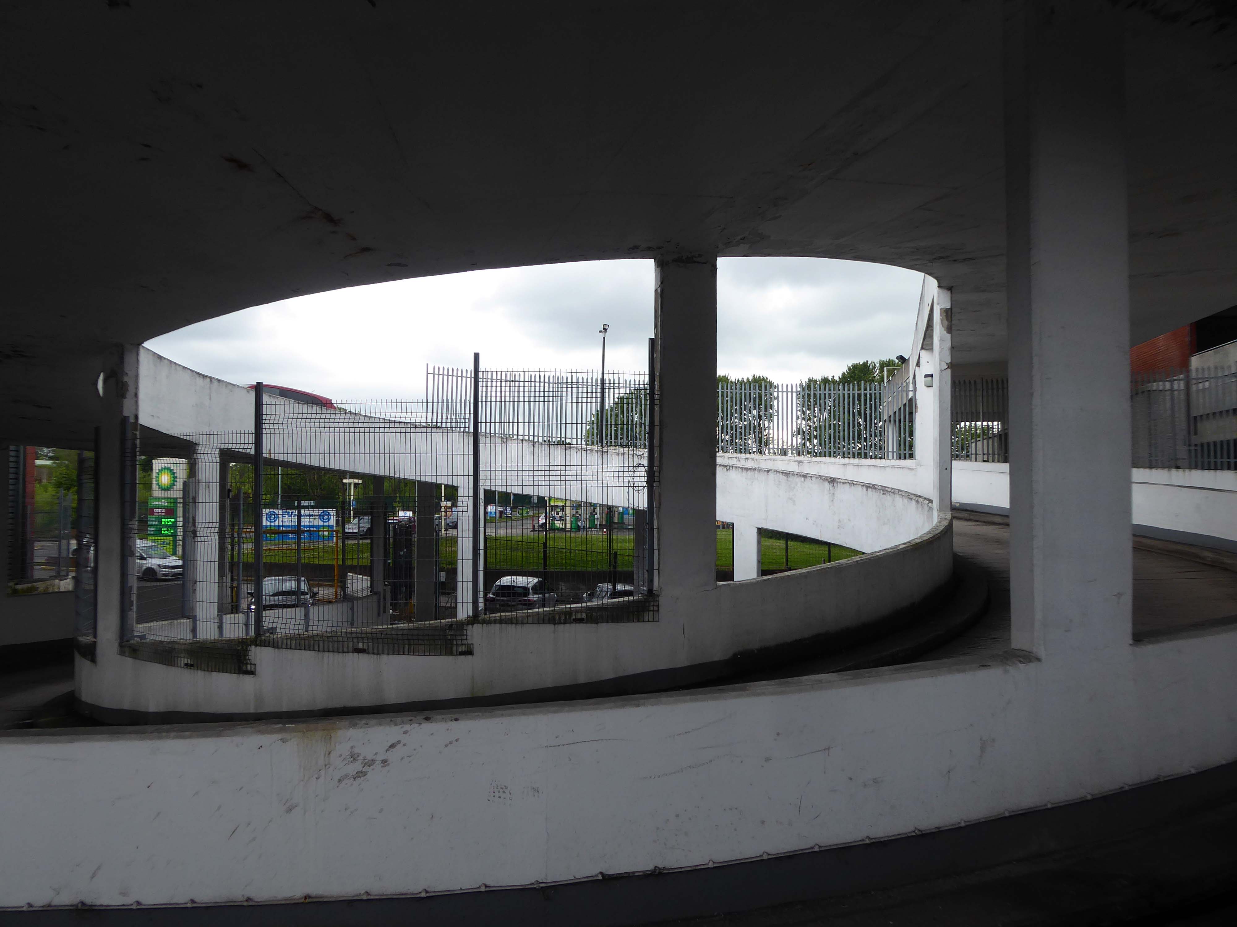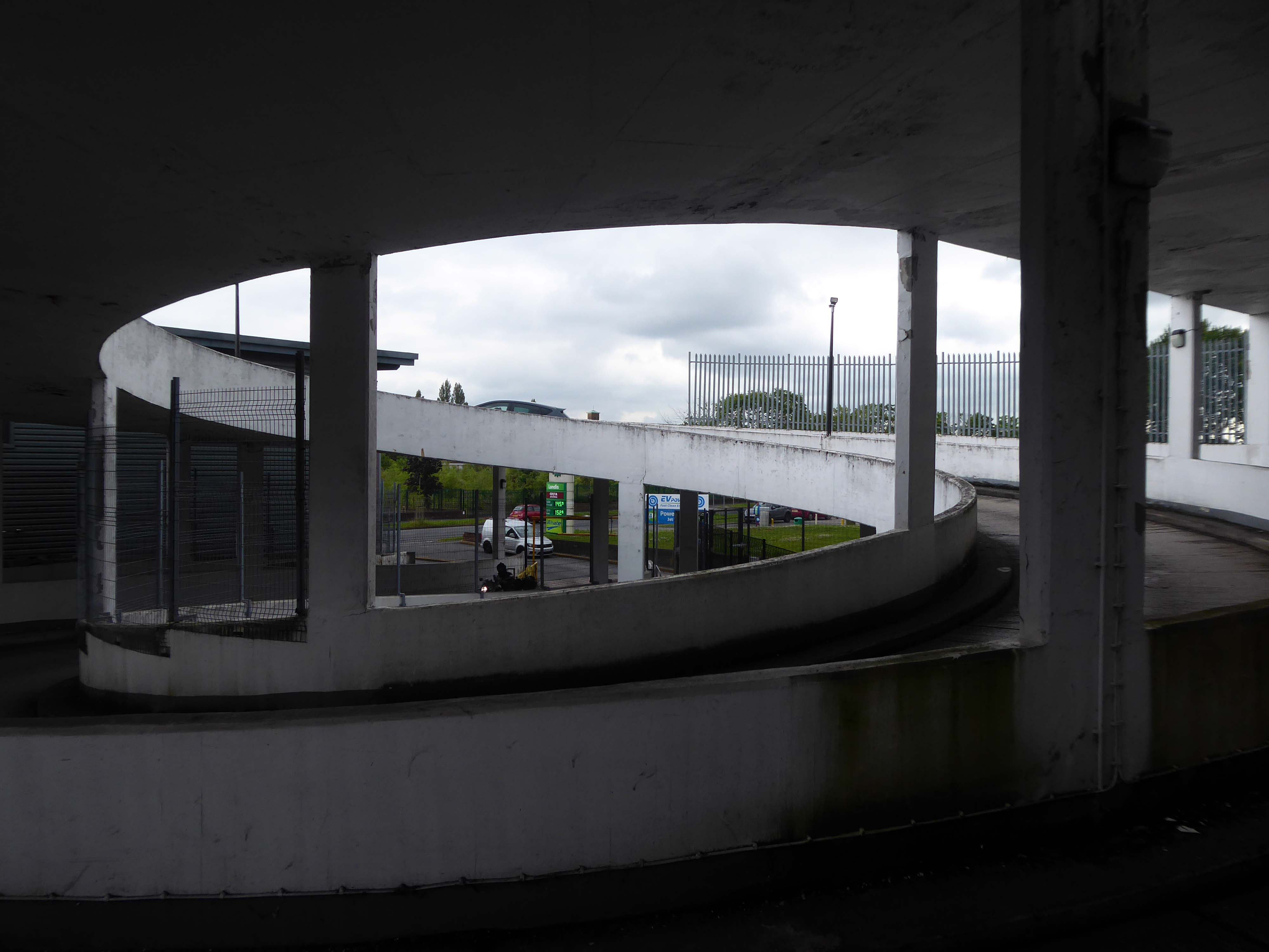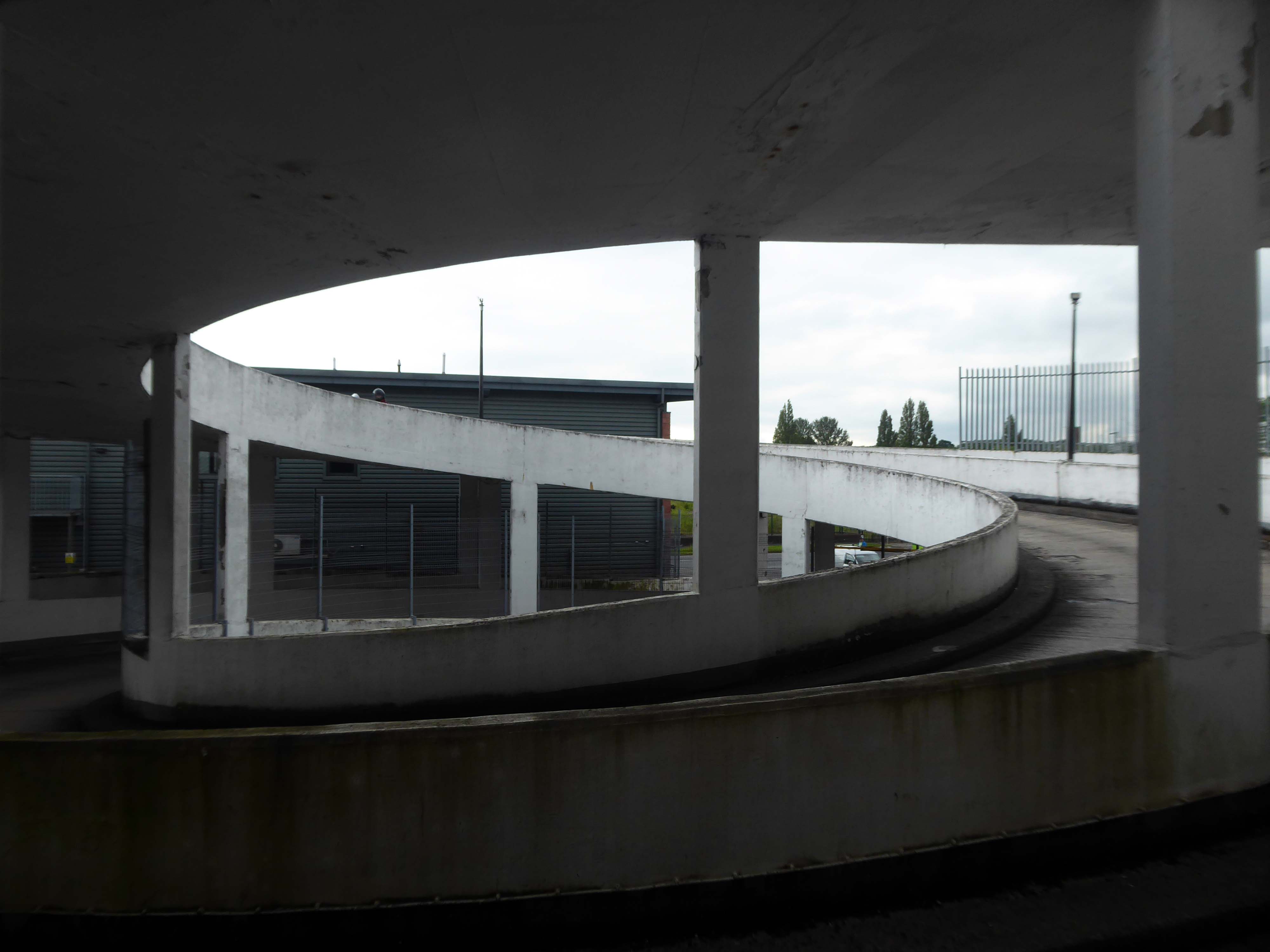
Walking – Talking

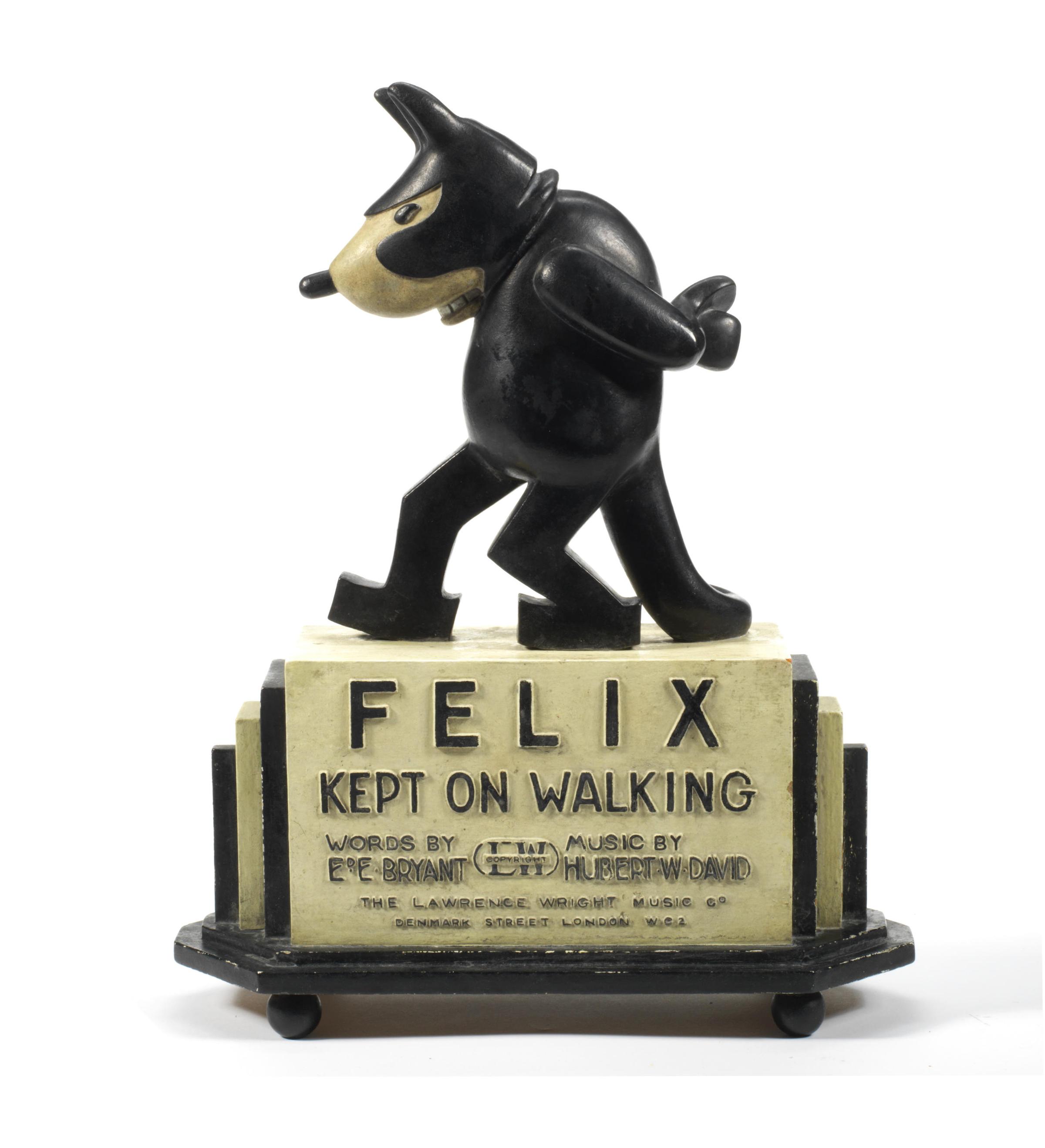
I began walking when quite young, then like Felix, I kept on walking, walking still.
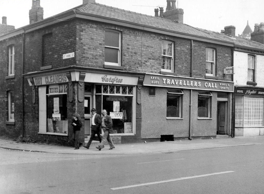
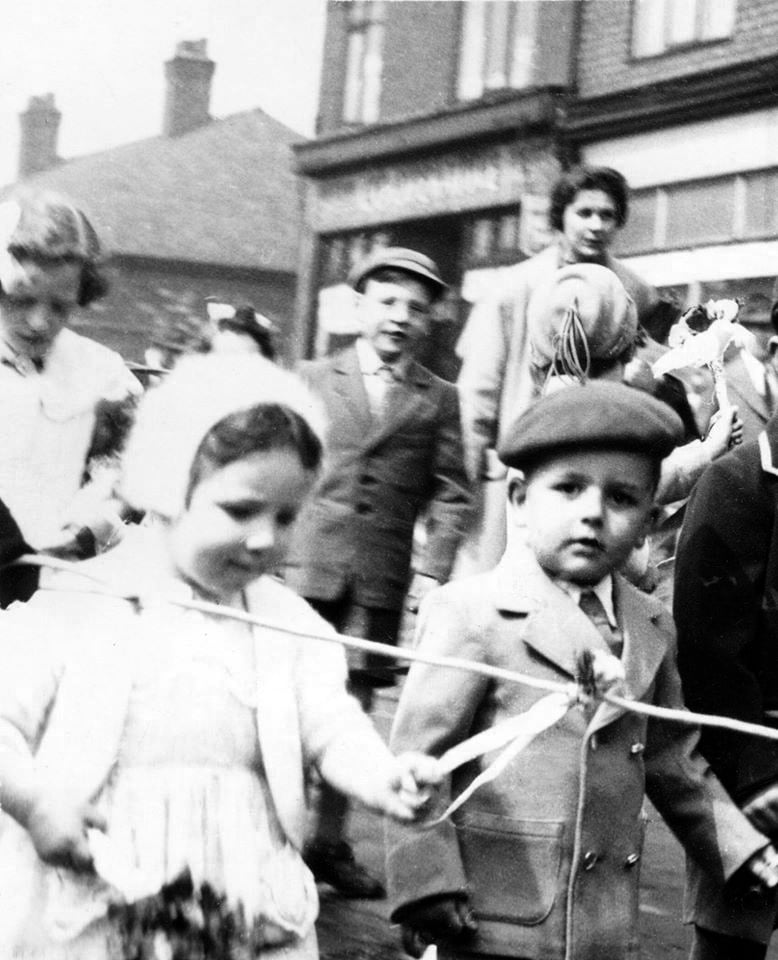
The photograph was taking during the Whit Walks in 1958 – aged three, I was engaged in religious pilgrimage, as we know there are many reasons for walking, this is but one.

I was fortunate to grow up at a time when youngsters were permitted to roam freely, less traffic, less anxiety, gave me access to a wider axis of exploration.

The photograph would have been taken I assume, by my mam, on the Brownie 127. When aged nine I wandered alone through the local woods and exposed twelve frames of 44mm 127 film, the prints are long gone, yet I remember each of the photographs and locations clearly.

I went to school, then I didn’t, then I went to Art School, eventually becoming a teenage Constructivist, tutored by Jeffrey Steele, a leading light in the British Systems movement.

The rigidity of the grid, symmetry and orthogonal framing have stayed with me.

Then I went to work for a very long time indeed, then all of a sudden I didn’t. Taking early retirement aged 59 some ten years ago, subsequently taking to the roads, streets and hills of Britain in search of nothing in particular.

In recent years there has been a rapid development in the culture of walking, theories, films, guides, songs and literature. I am fully cognisant of such, yet believe at heart that walking can be free of such baggage, we can stride unhindered, atavistic and carefree/less.

Walk tall, walk straight and look the world right in the eye.

Getting lost is about the unfamiliar appearing.
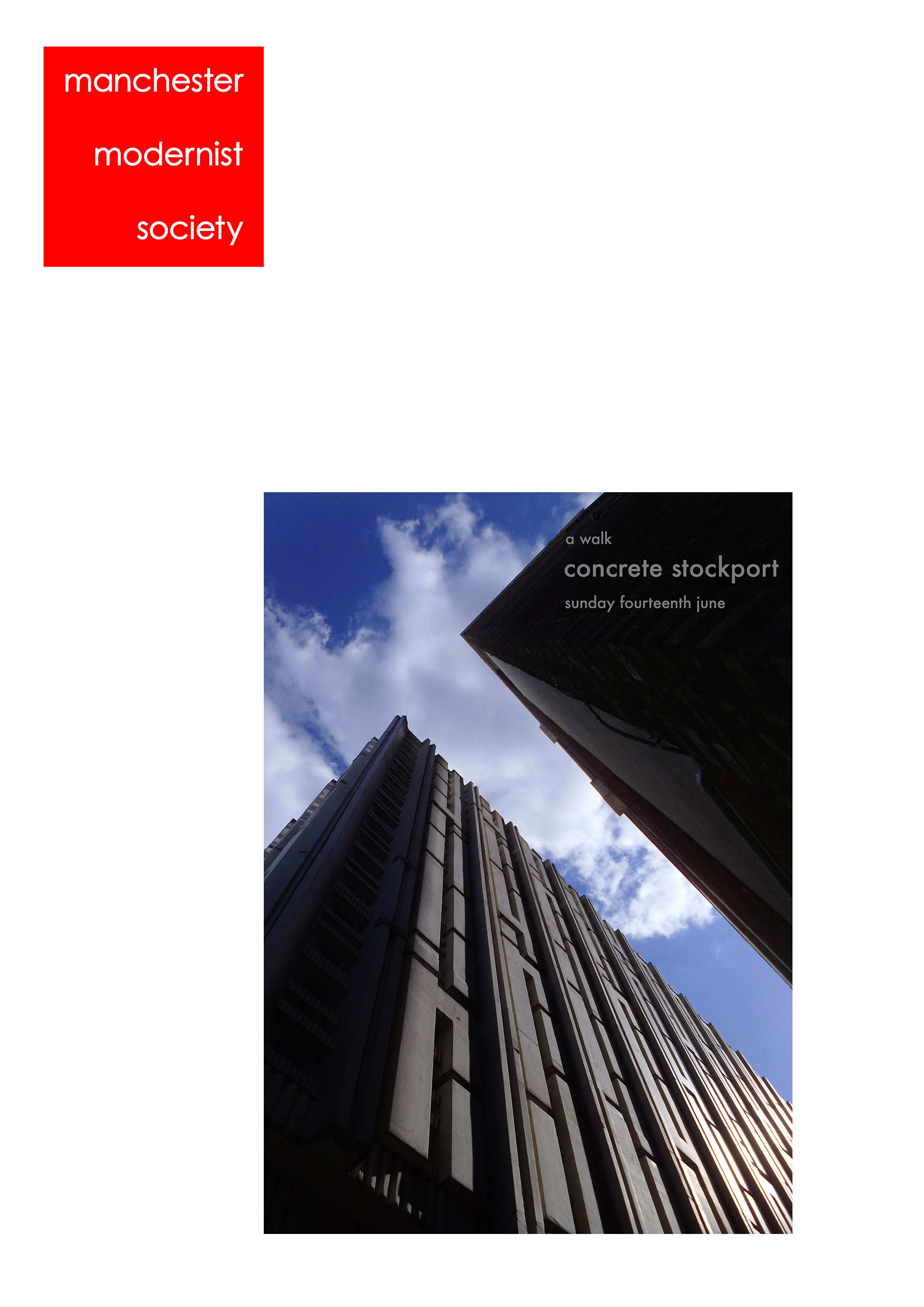
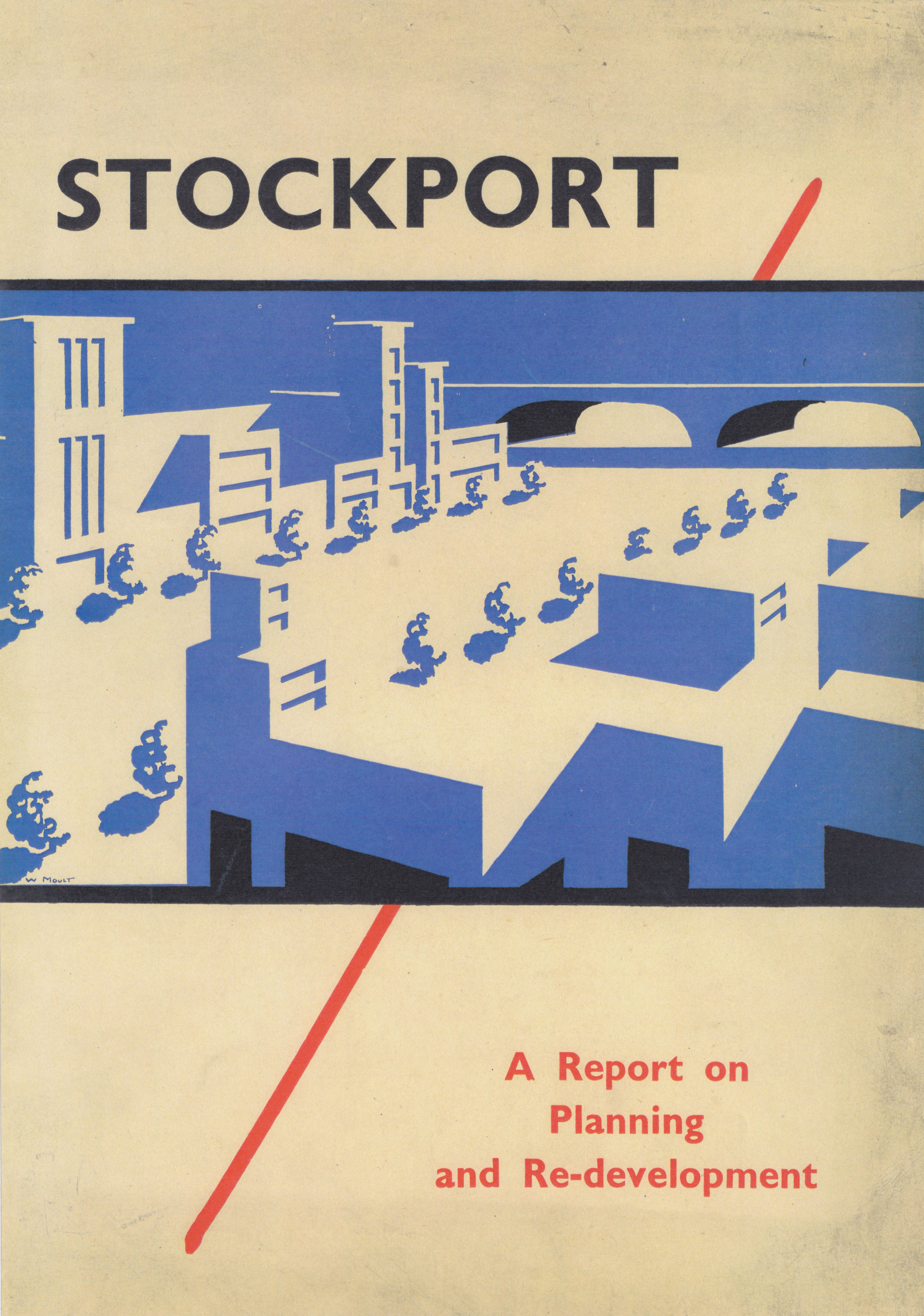
In my own small way, I have become part of that baggage, having been asked to lead a walk around Stockport by the the modernist neé Manchester Modernist Society.
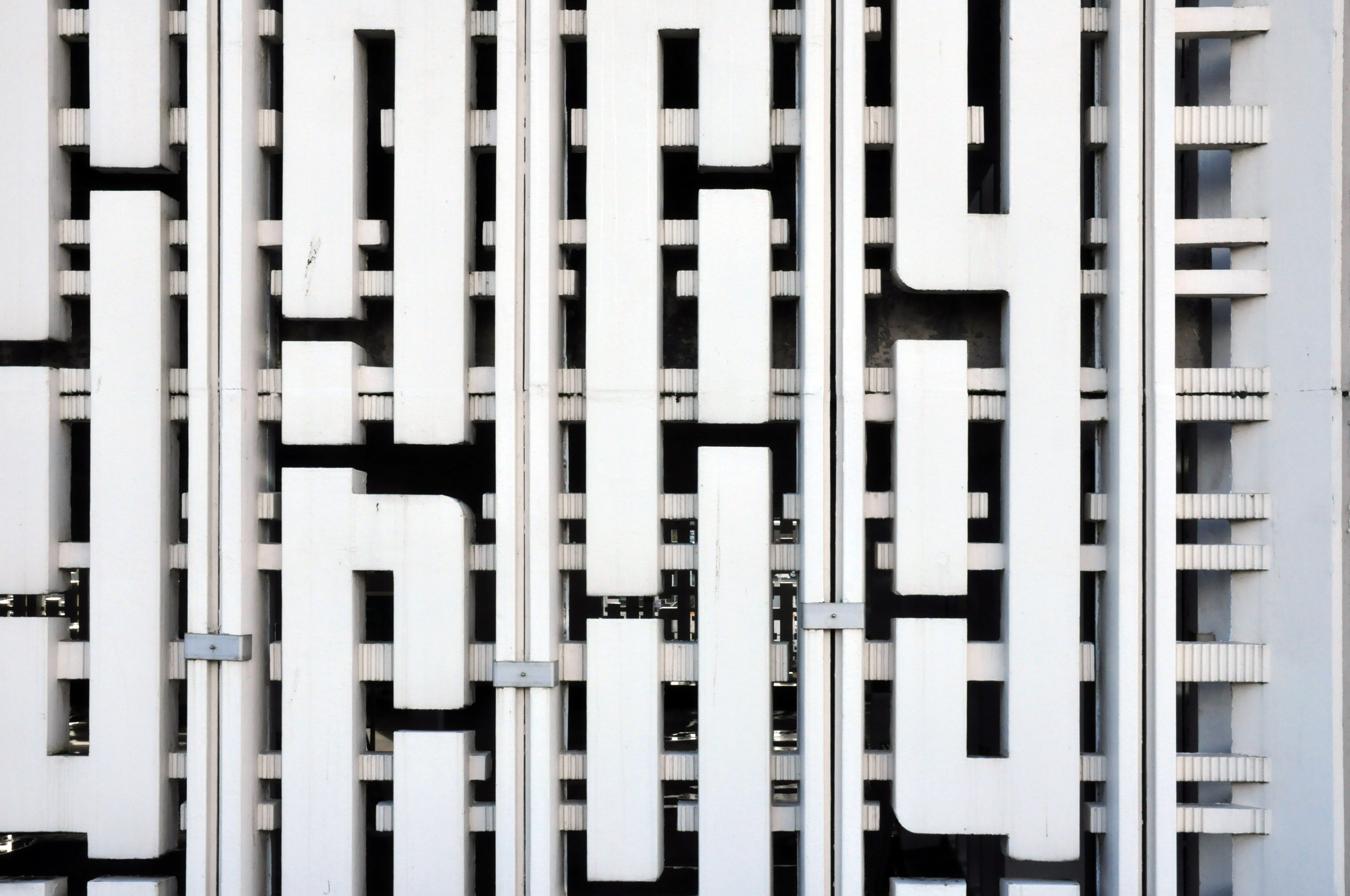
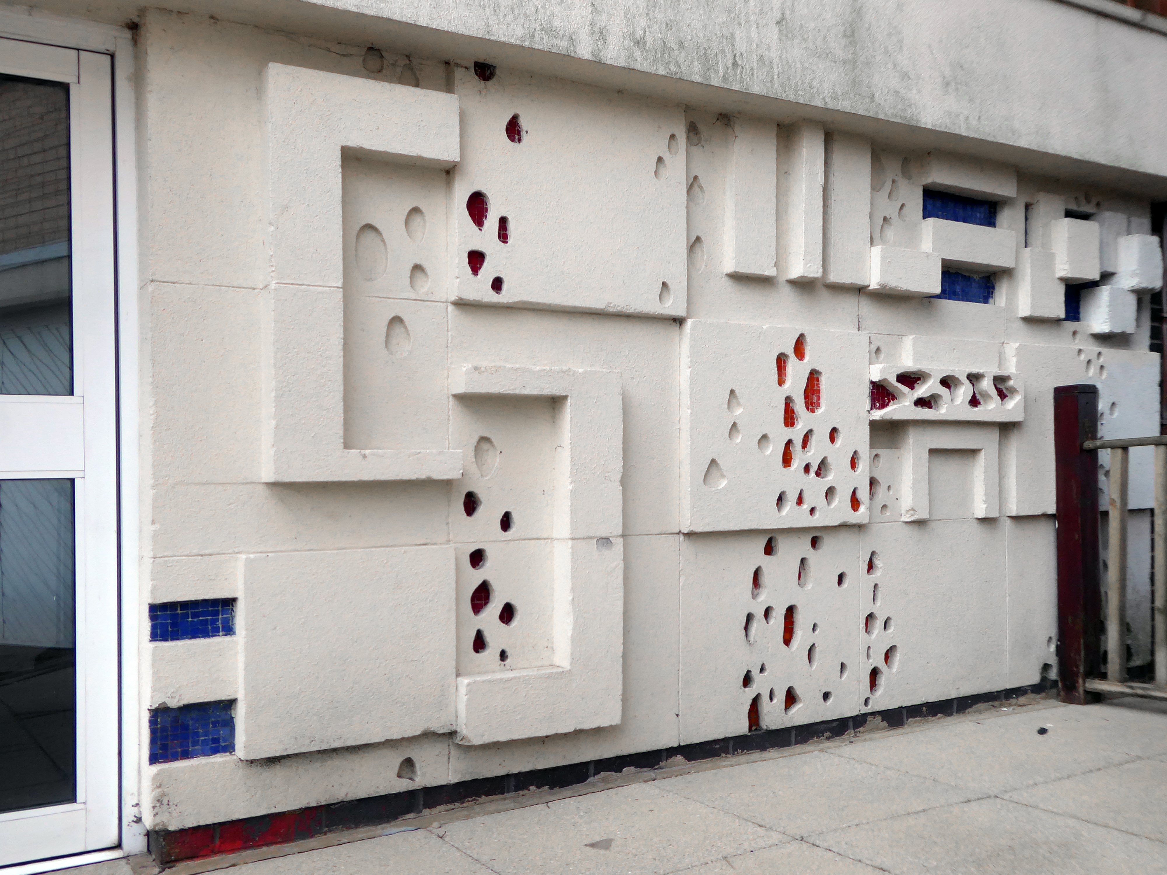
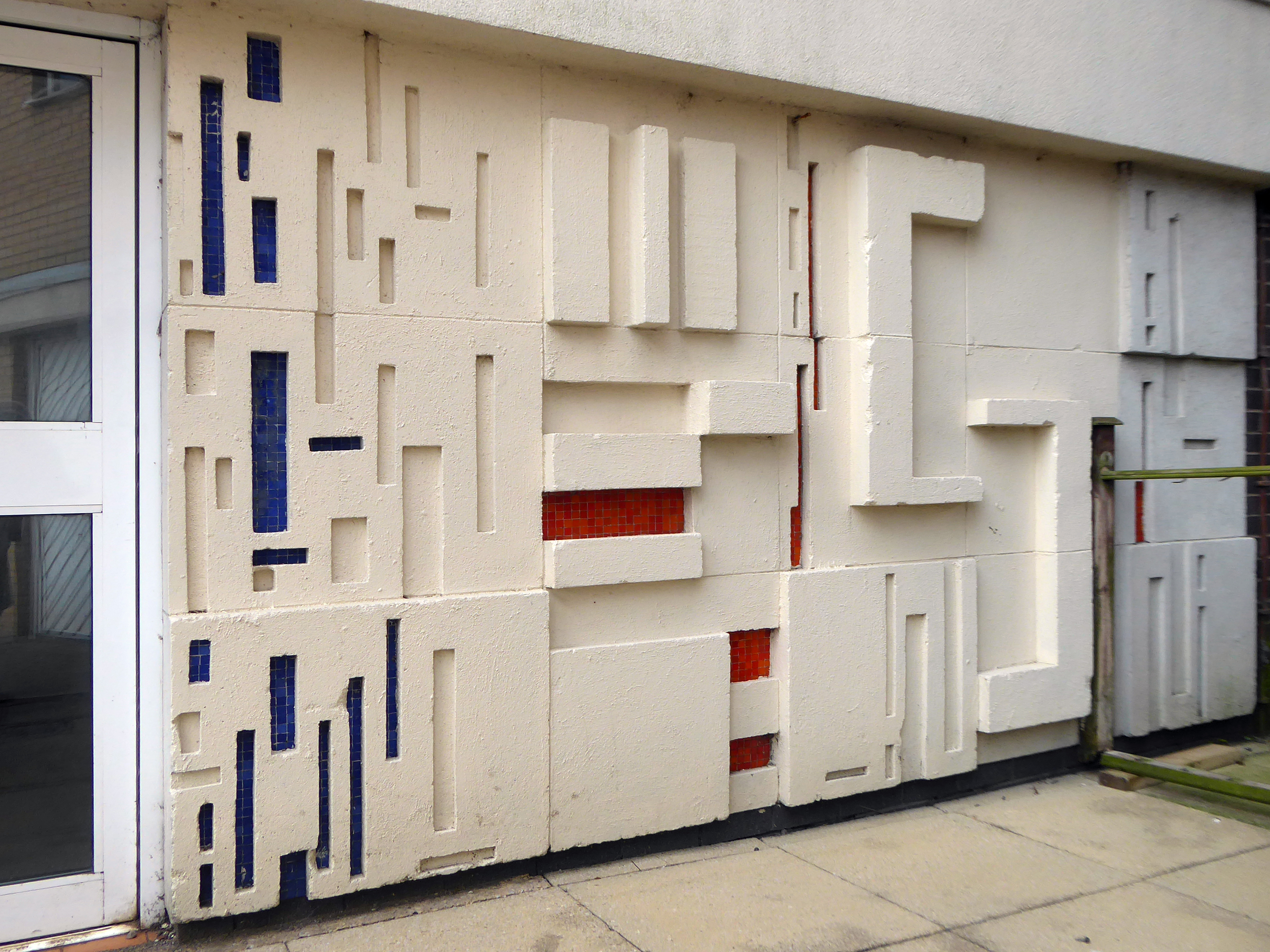
The photograph depicts Alan Boyson’s concrete screen wall, attached to the former Cooperative super store designed by Philip Andrew. The two worked to gather on the Hull Cooperative store, which is adorned by Alan’s huge Three Ships mosaic.

Philip was a childhood friend of Alan Boyson and it was Alan’s father, manager of the Marple Co-operative Society, that recommended Philip for an apprenticeship job in 1951 to the chief architect at the CWS in Manchester HQ.

Ships in the Sky

In preparation for the tour, I visited the town’s Local Heritage Library and read extensively from serendipitous charity shop finds.

The two hour route was designed around an economy of distance and elevation, allowing time for others to take in, what may be for them unfamiliar surroundings. A group of around twenty or so folk became sociable and engaged, with a suitably concise and apposite contribution from myself. There are those who busied themselves taking snaps along the way, chatting amiably or simply gazing in amazement.
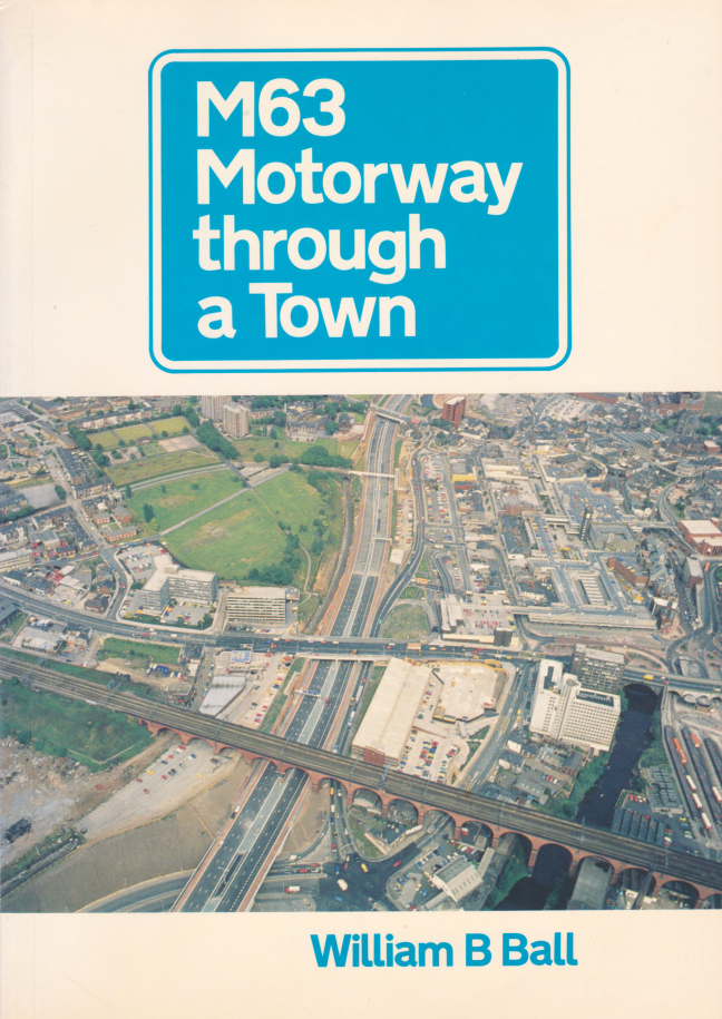
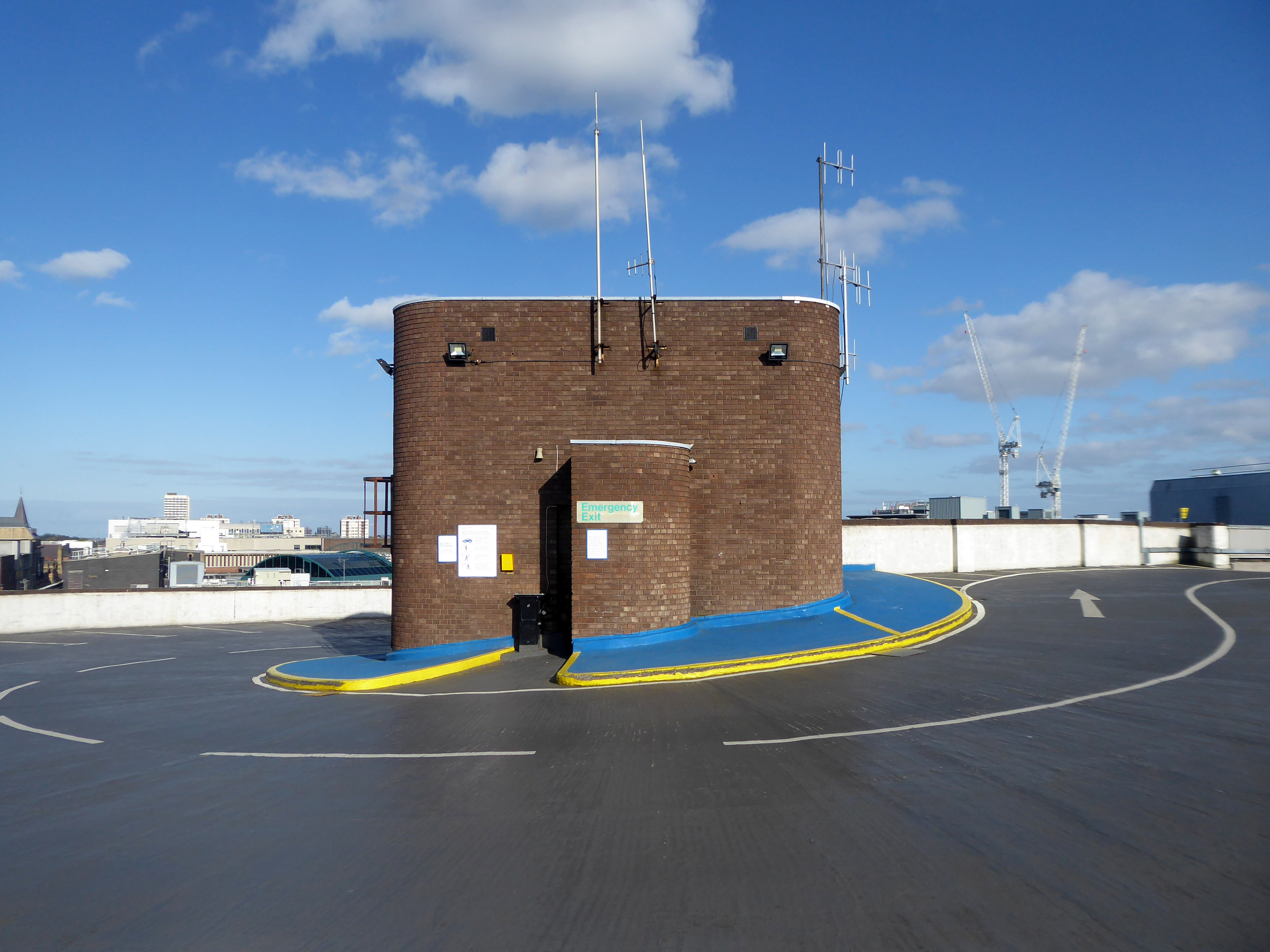
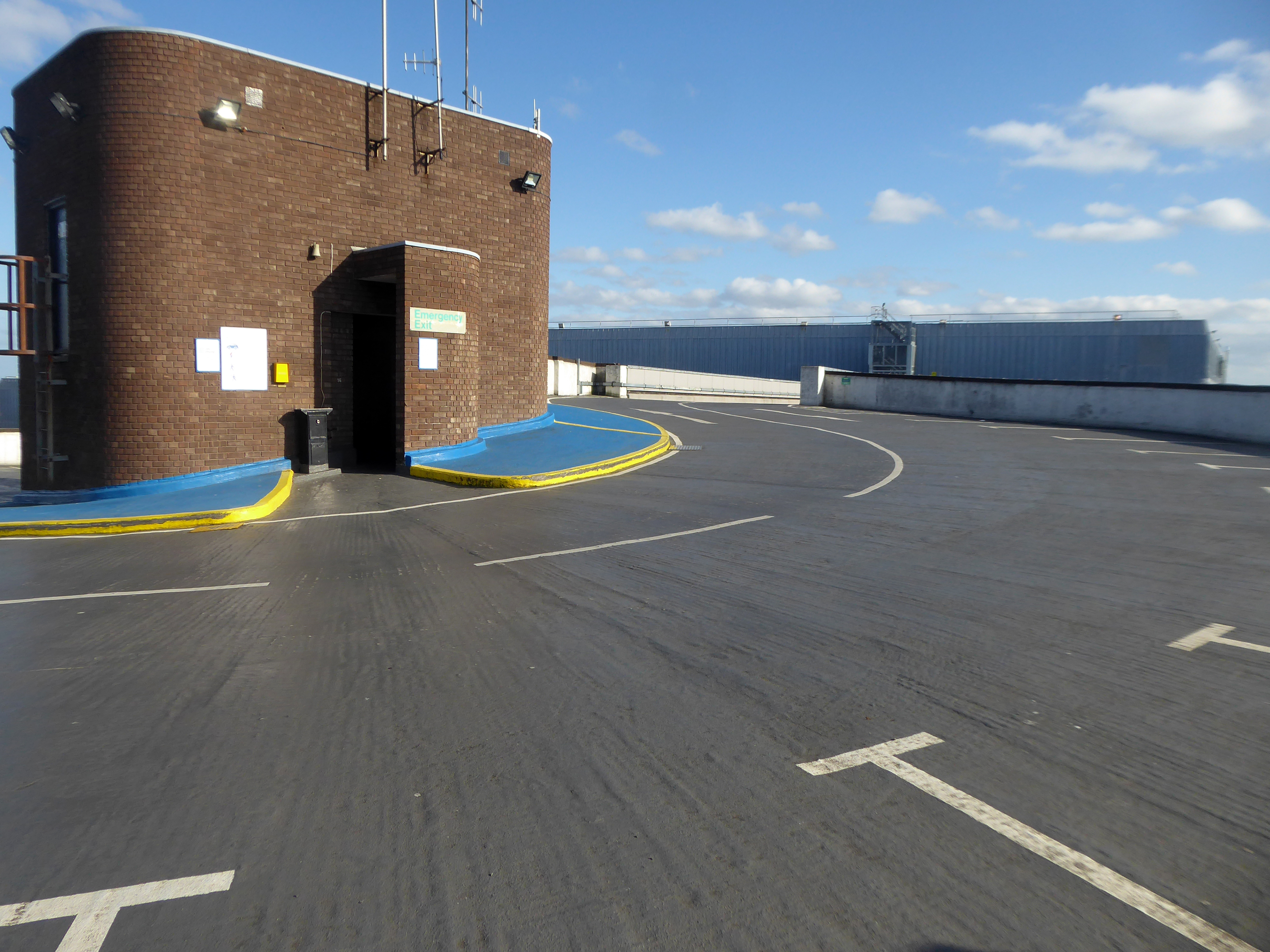
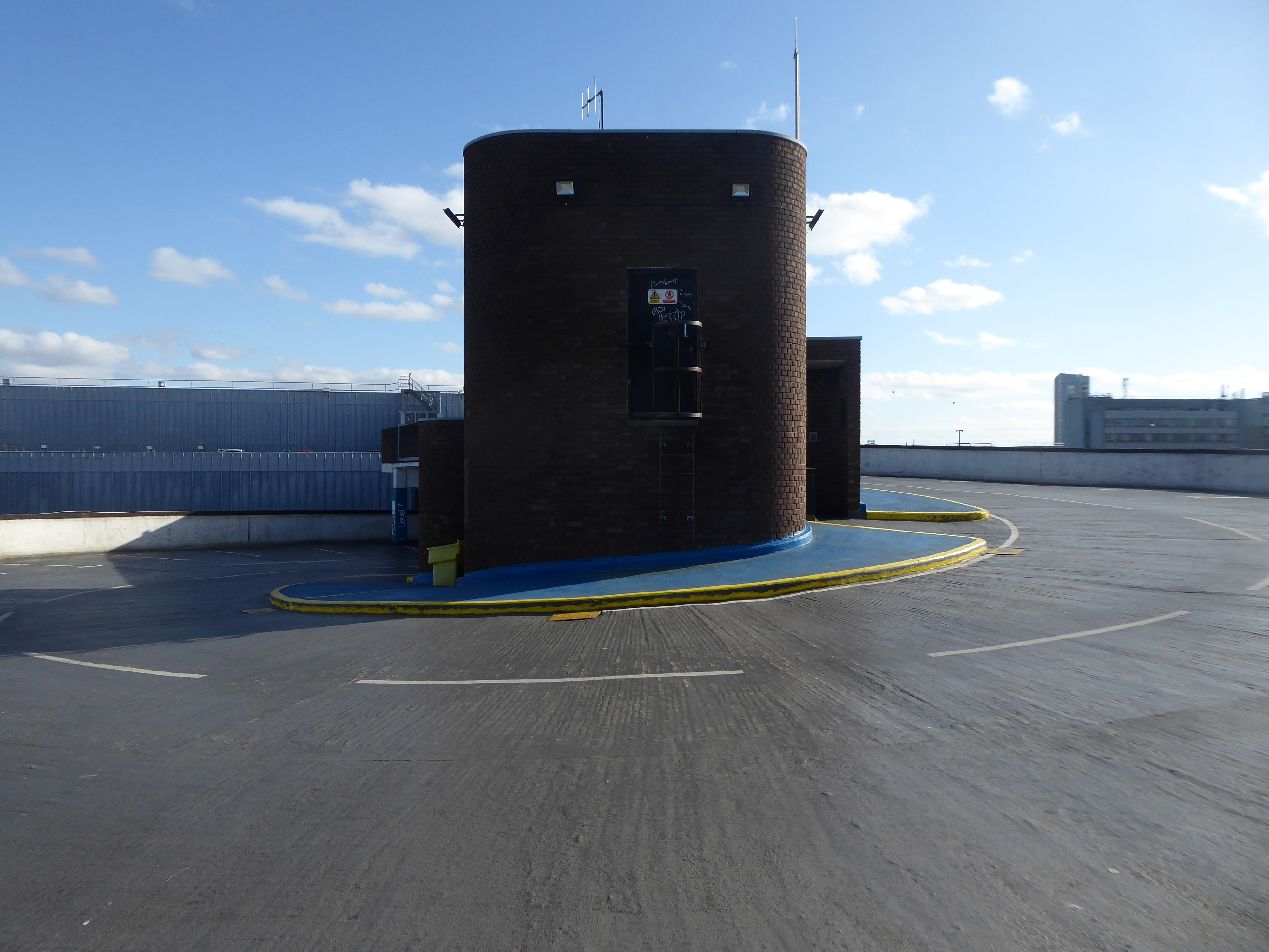
The service building above the former Debenham’s store.
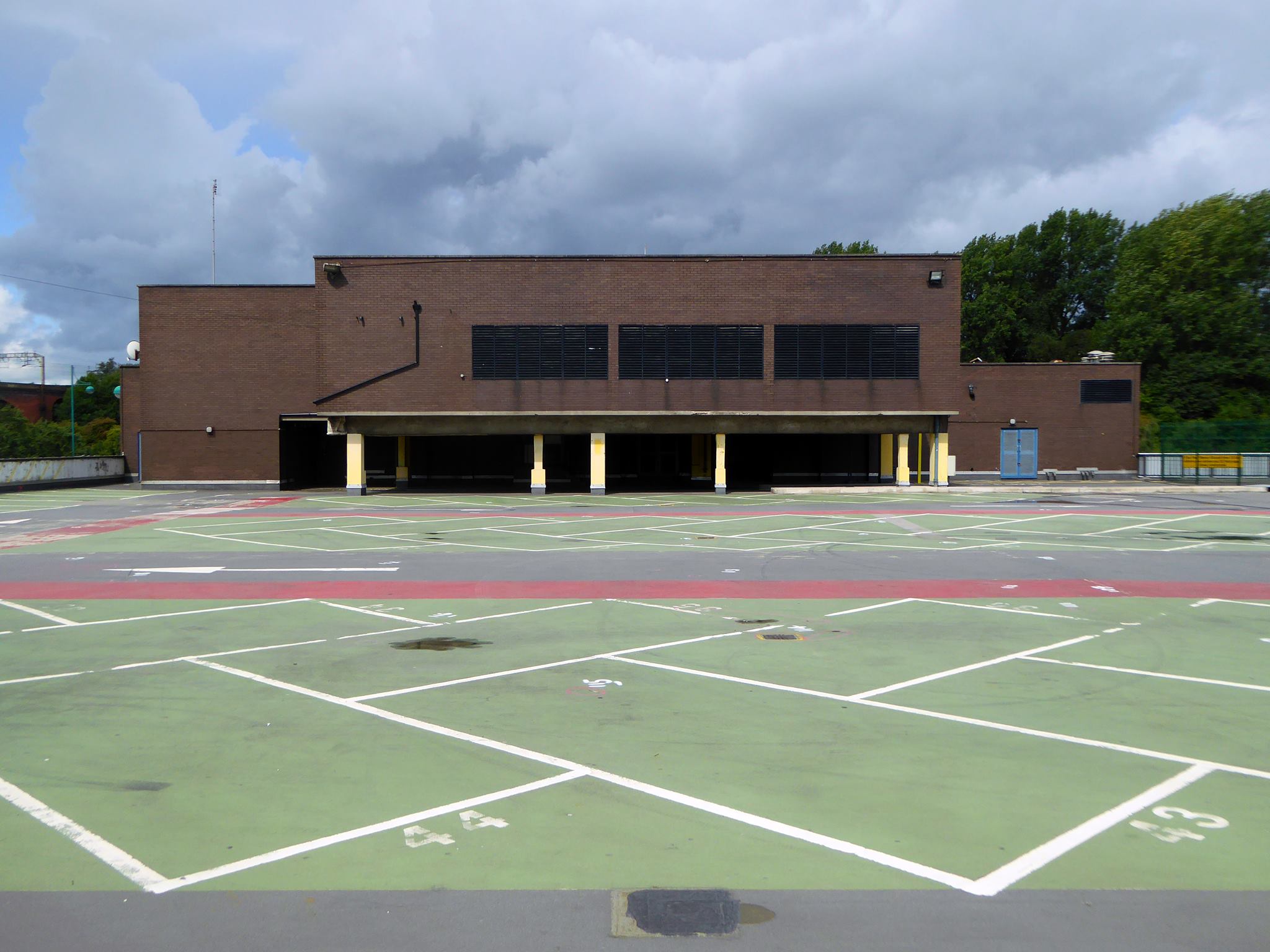
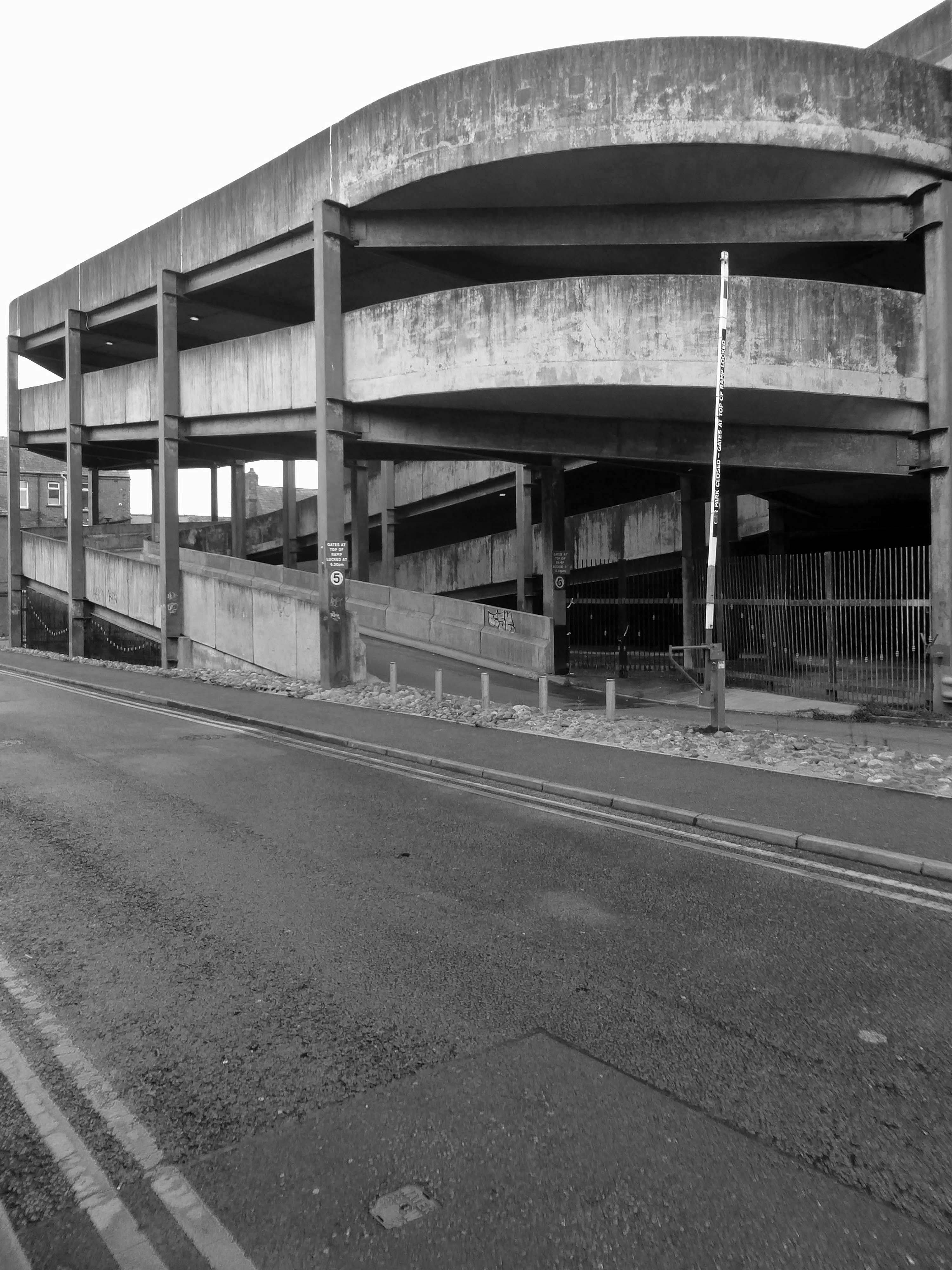
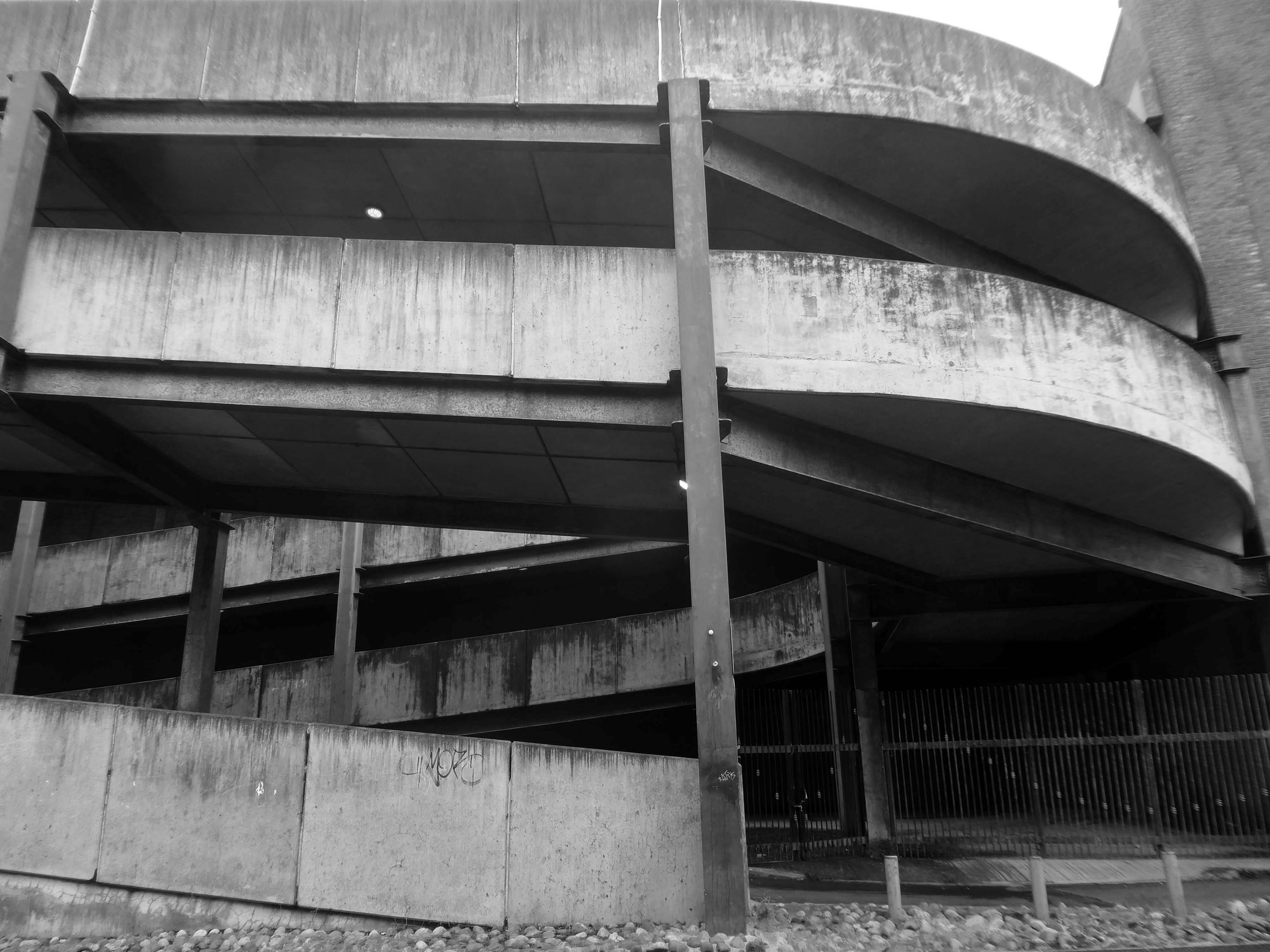
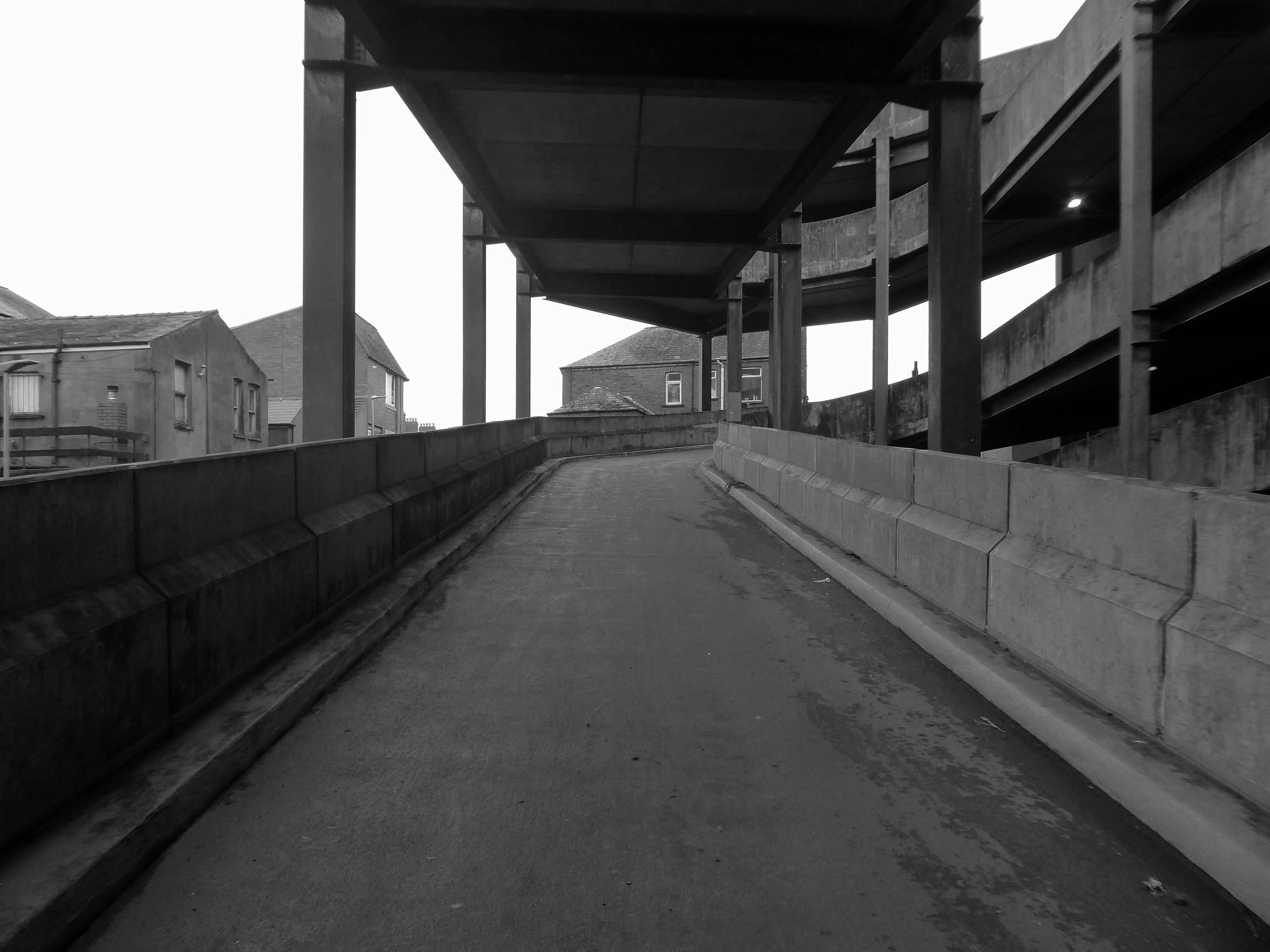
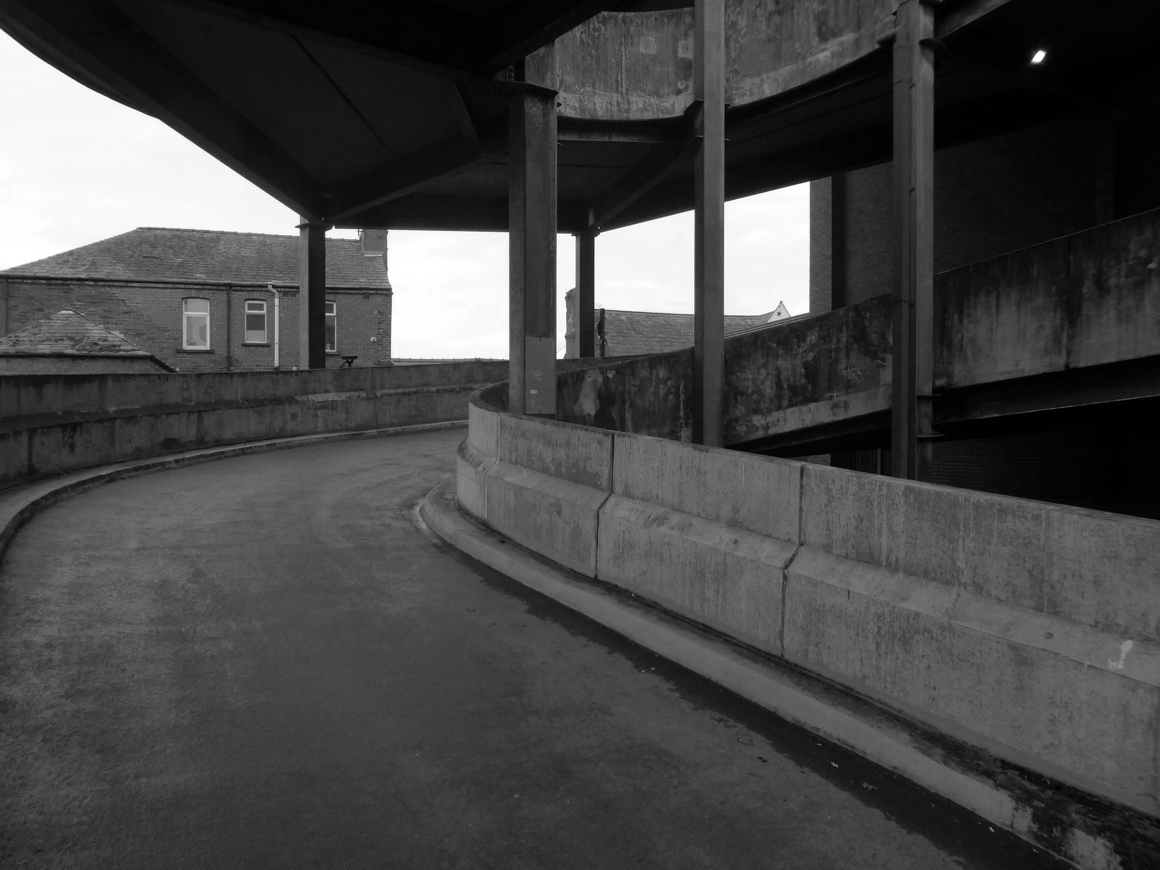
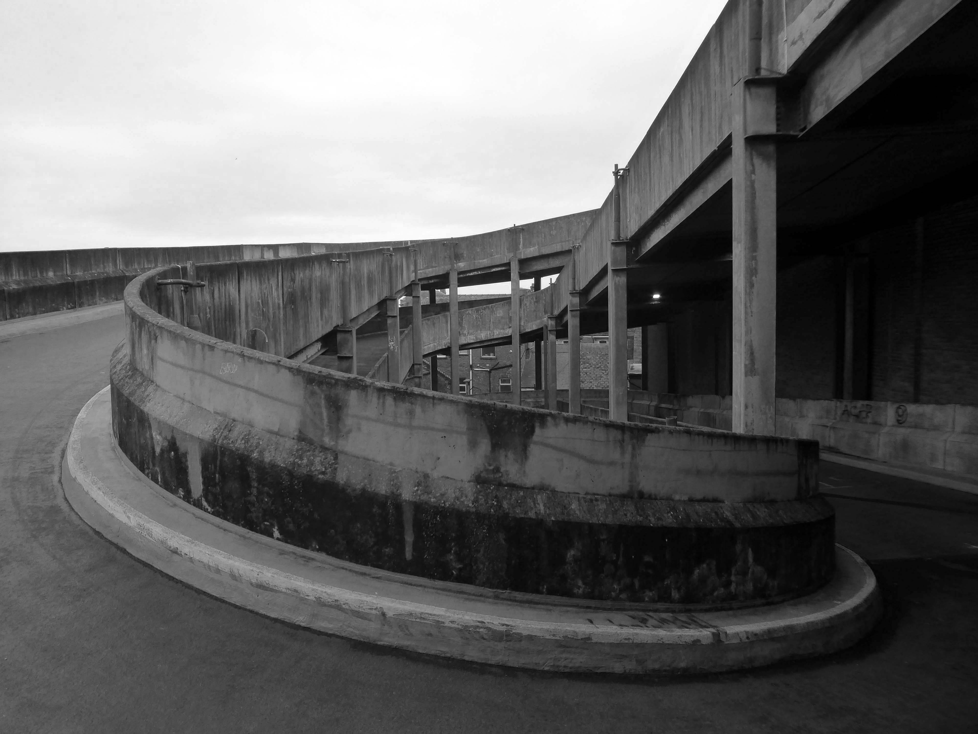
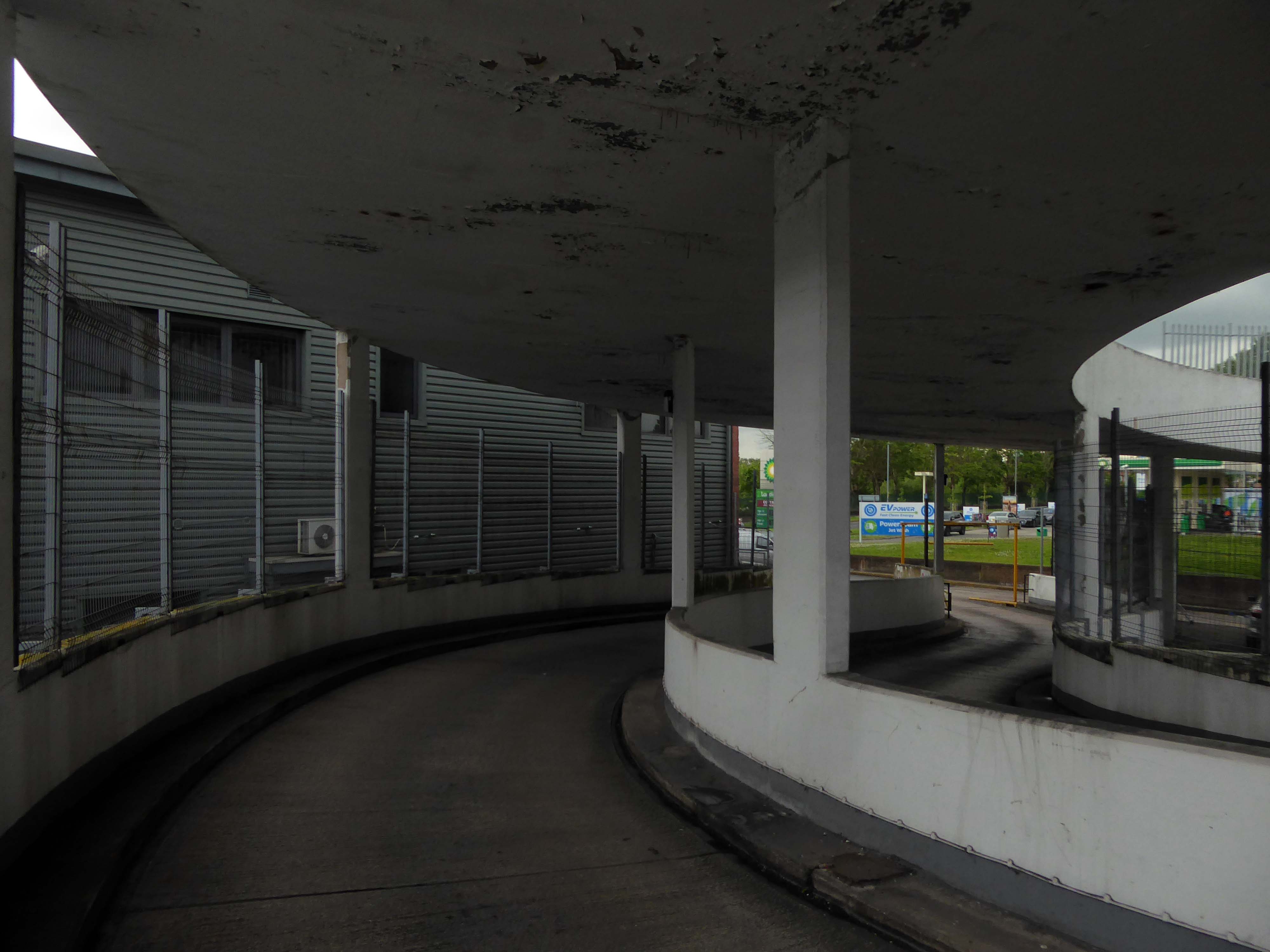
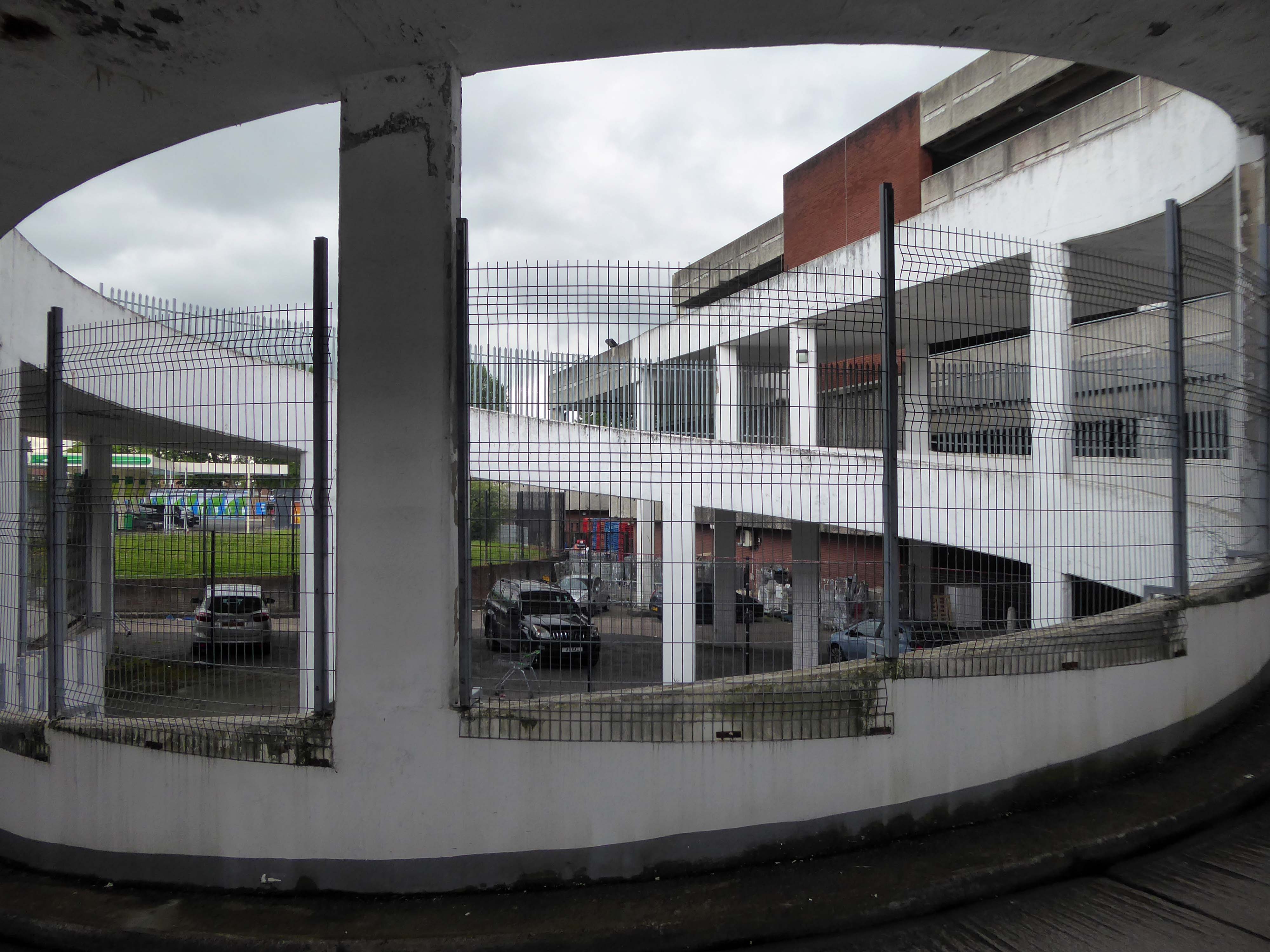
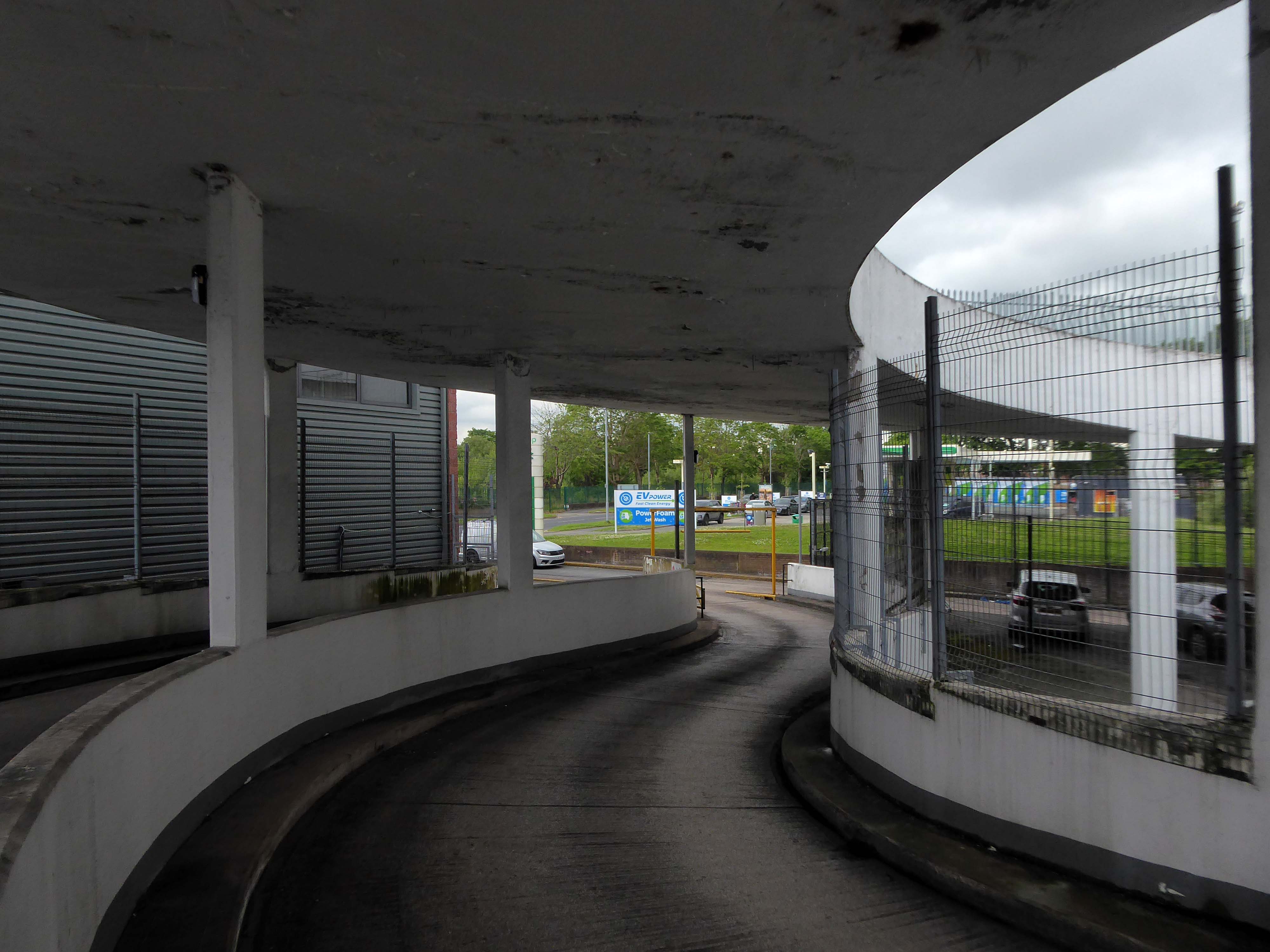
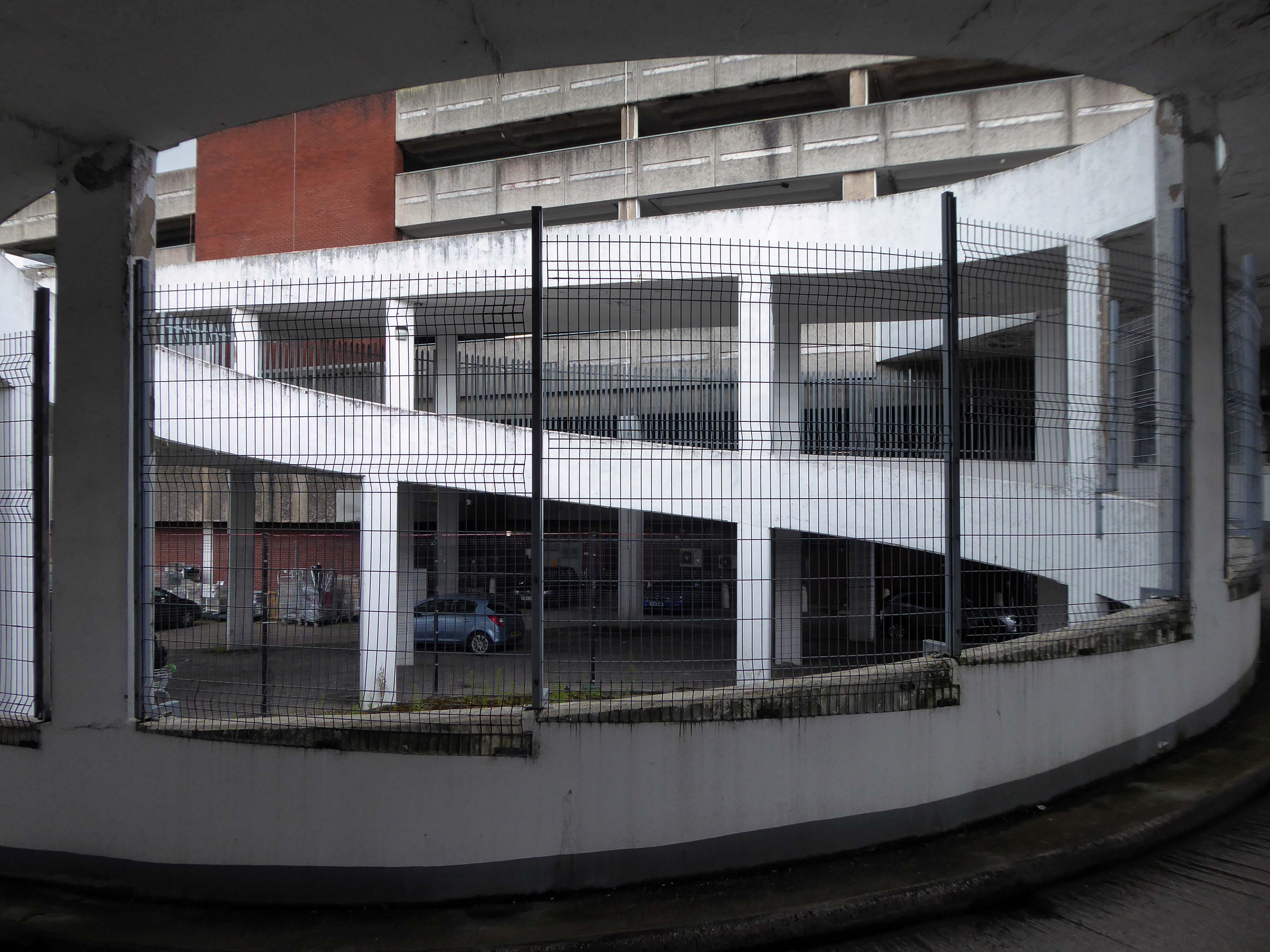
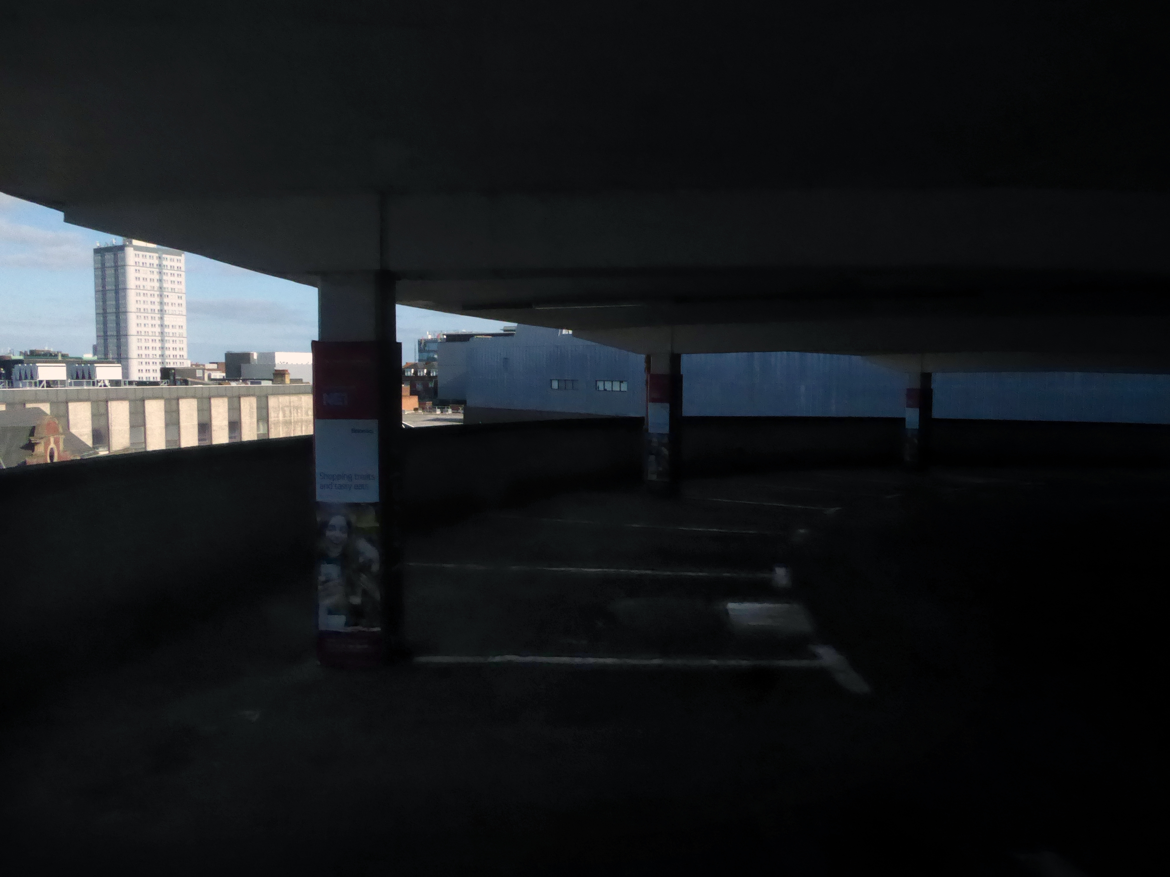
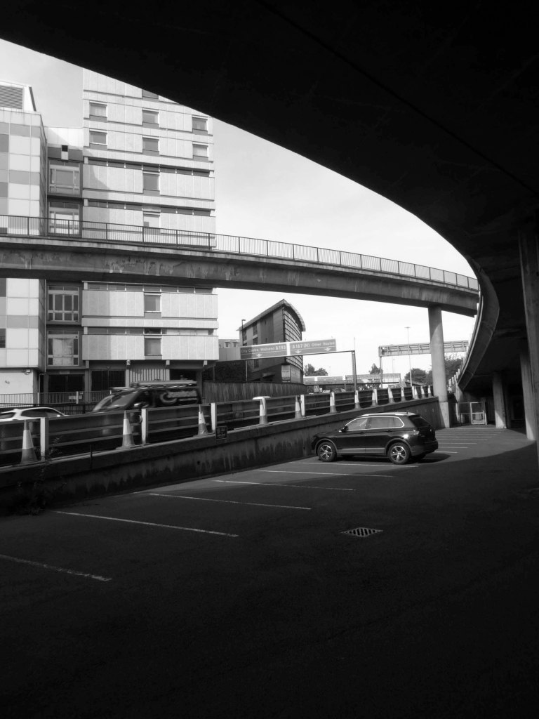
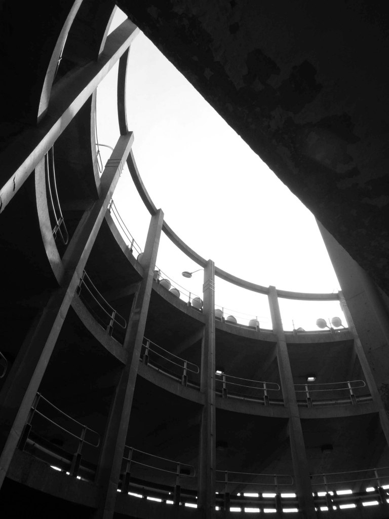
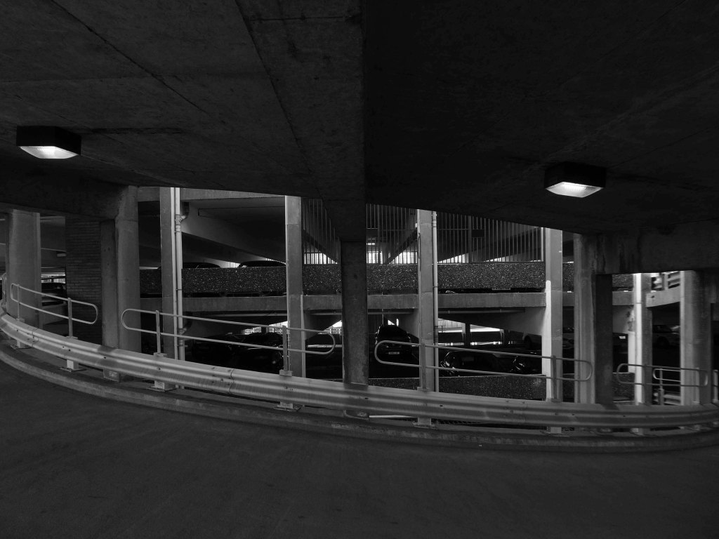
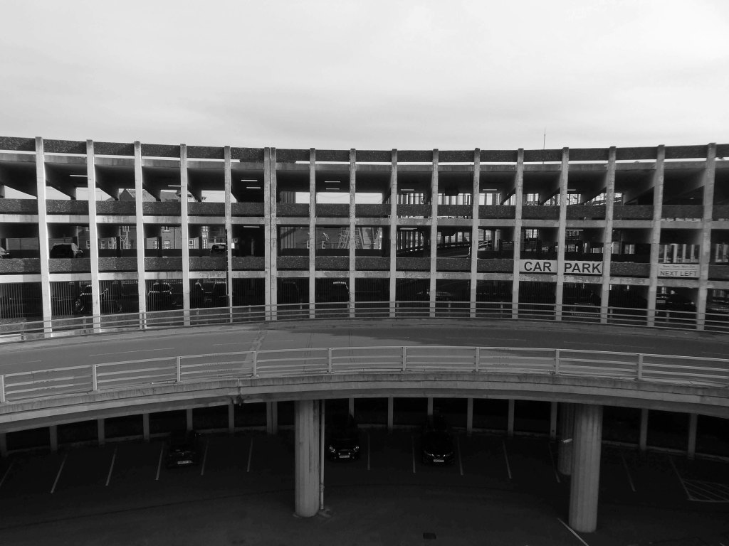
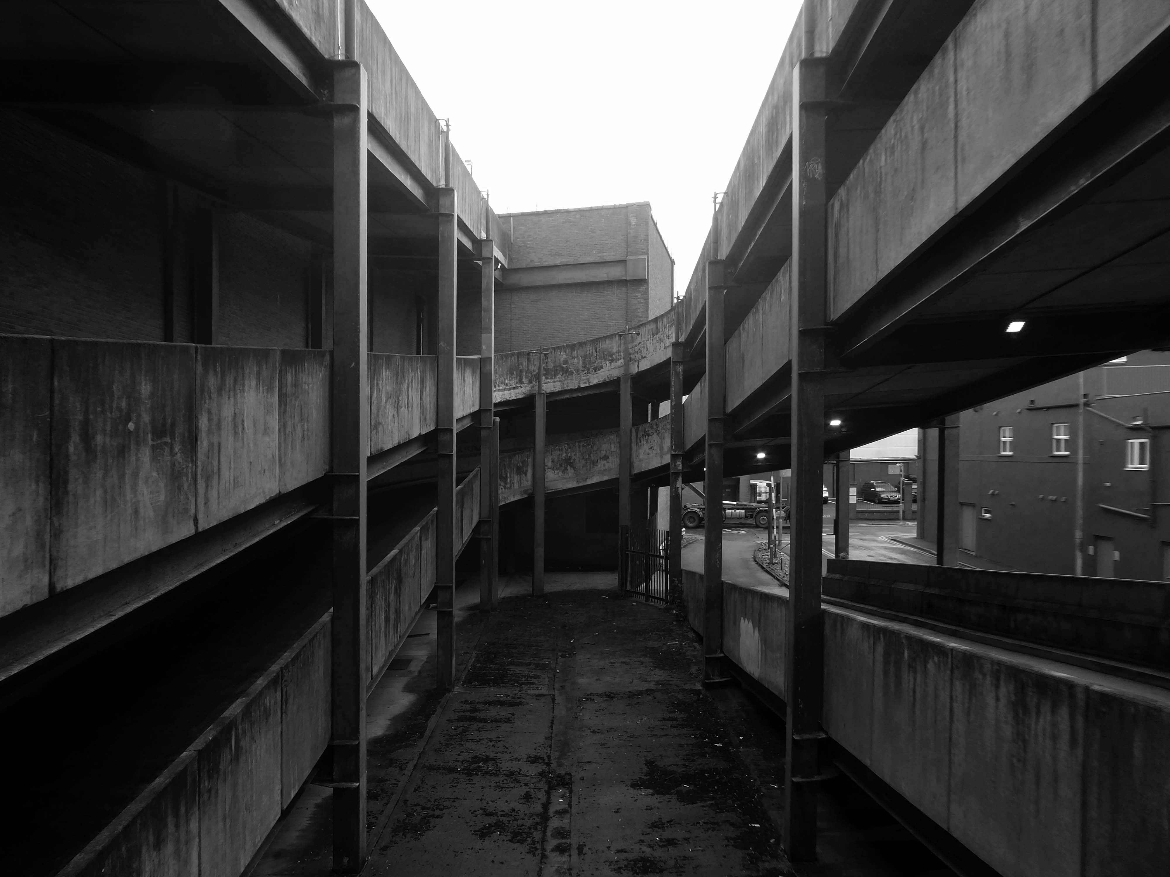
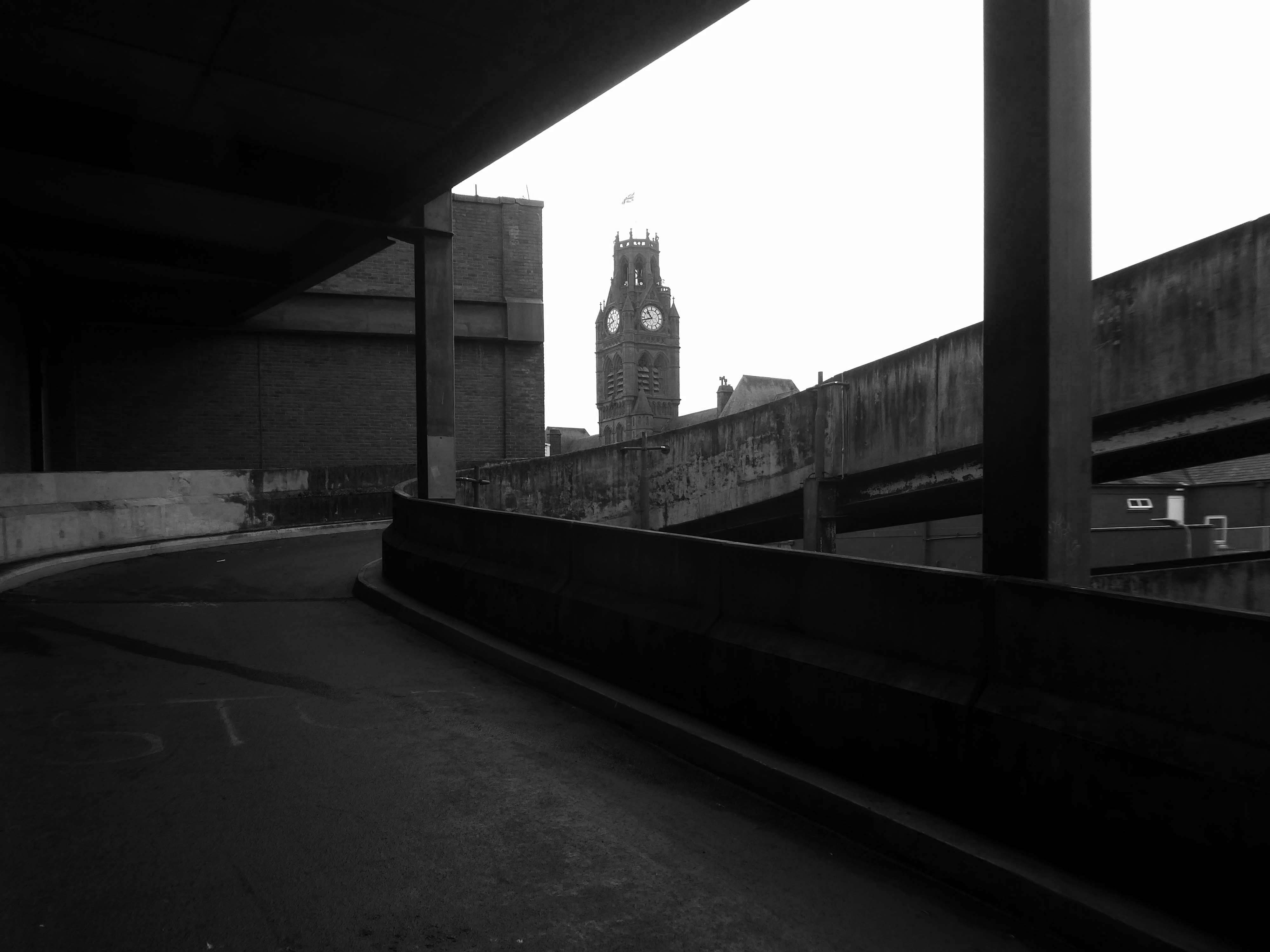
Beneath the spiral ramp which leads to the Red Rock car park.

The architects for the scheme were BDP – the building was not well received as it was awarded the Carbuncle of the Year 2018.
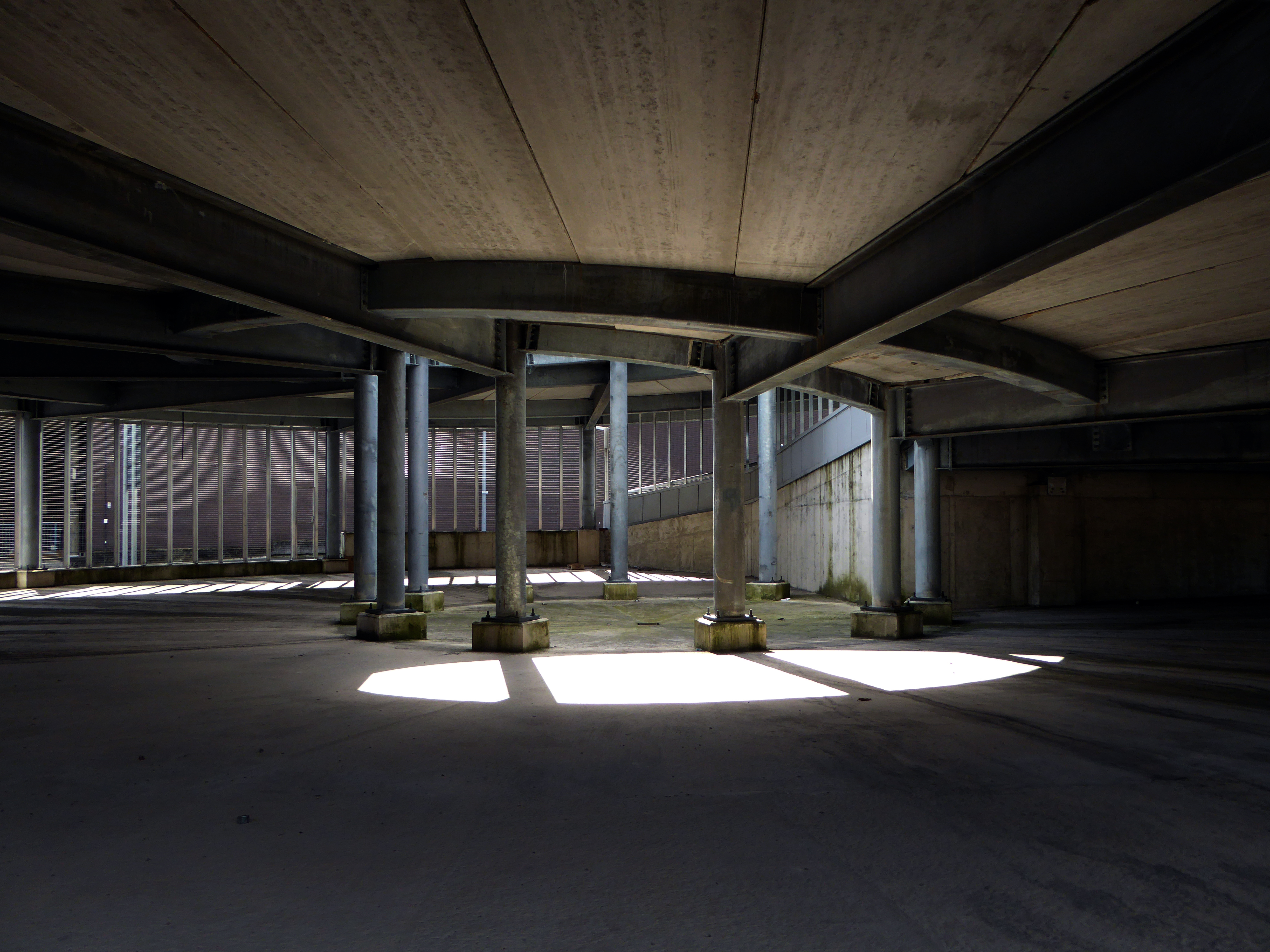
Stockport’s Town Hall extension Stopford House.

Famed as an imaginary TV police station, this civic building is a civic building I simply can’t resist. I return on a regular basis to wander and snap. This is an open public space that seems little loved and has few visitors.
From then onwards I have been taking folks on Modernist Mooches on a regular basis, two or so a month, during the less inclement times of year.

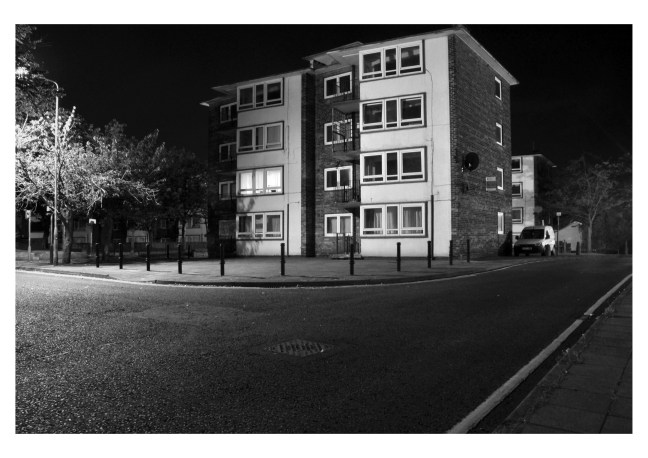
At about the same time I was asked to exhibit my photographs in Stockport, I chose to mooch about at night. Walking around an almost deserted town, avoiding the glare of streetlights, there is a mild frisson to be about when nobody else is about. The air feels different, exposures are longer, the almost waking world feels arrested, by the low available light.

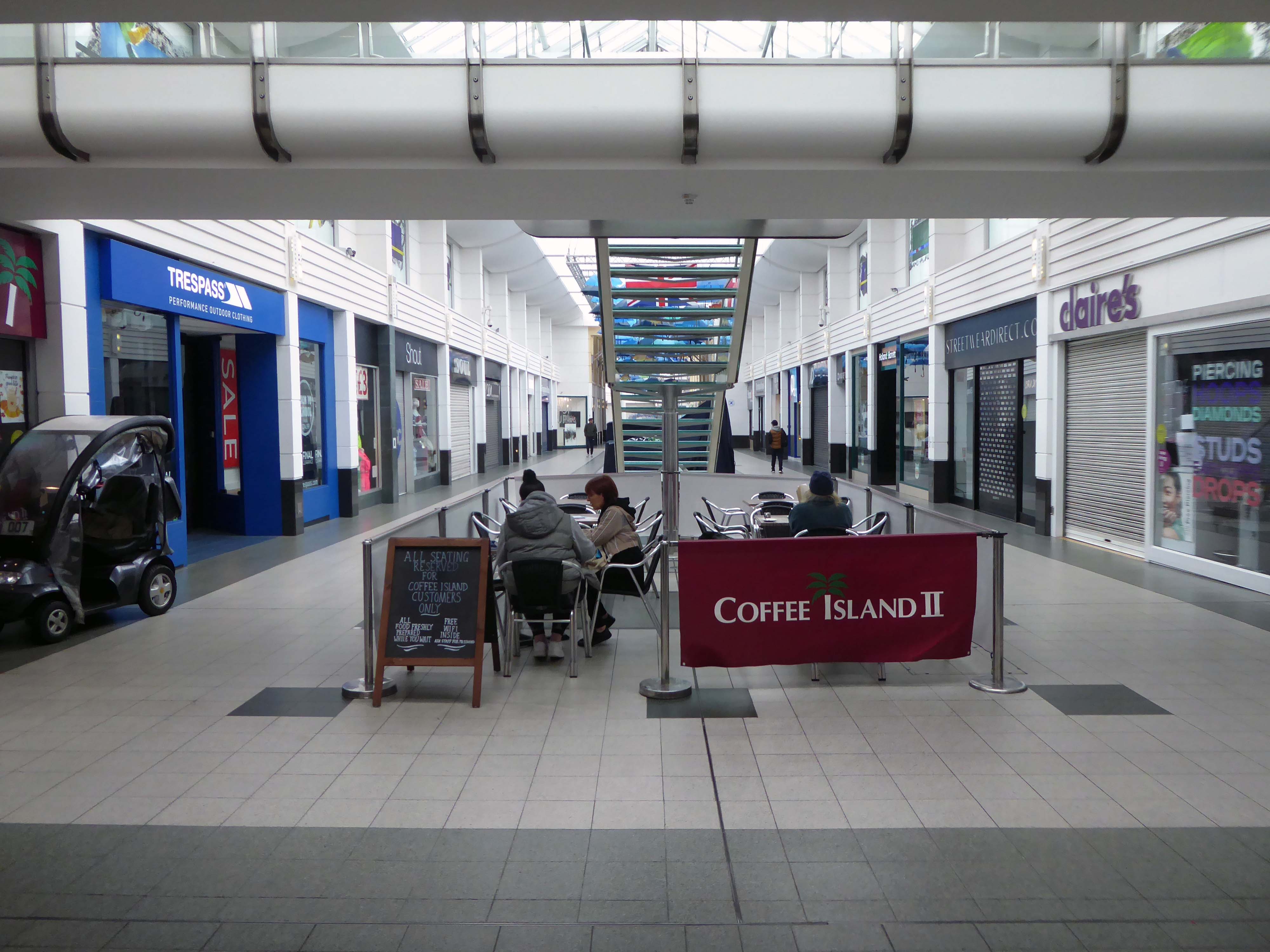
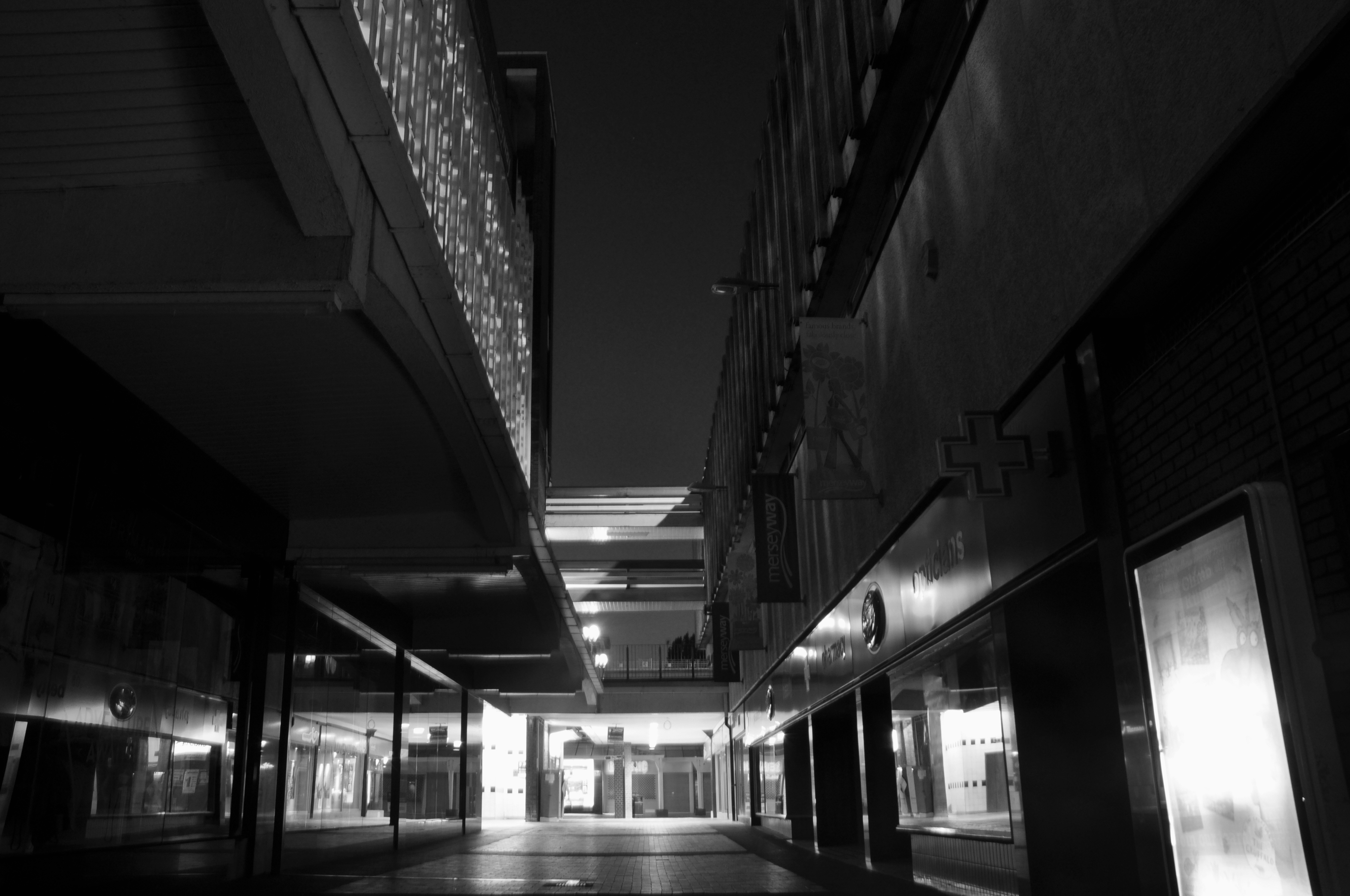
Merseyway Shopping Centre designed by Bernard Engle and Partners, opened in 1965.

My local shopping centre and as such part of my weekly walking and shopping life.
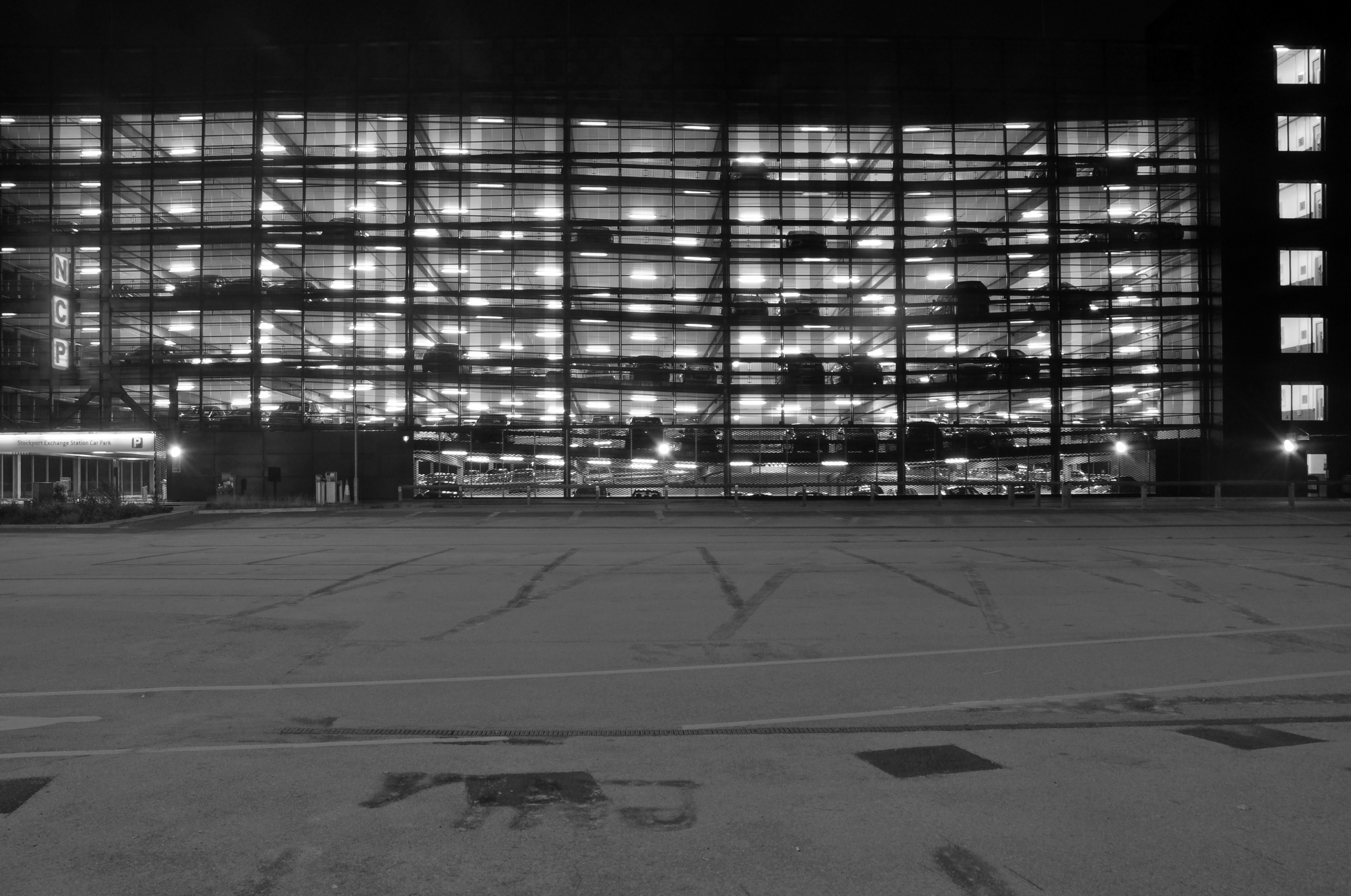
NCP Car Park located on Stockport Station approach.
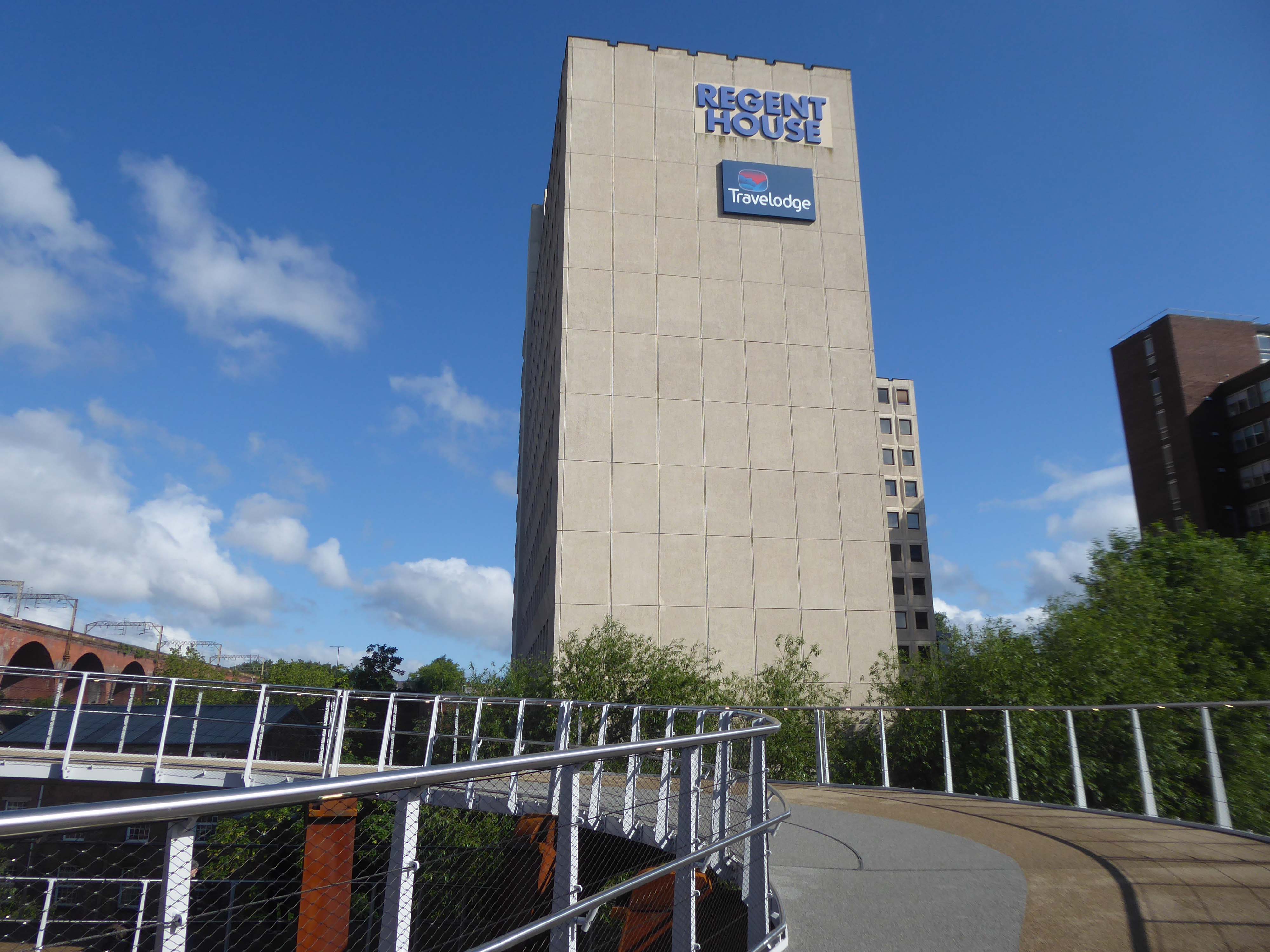
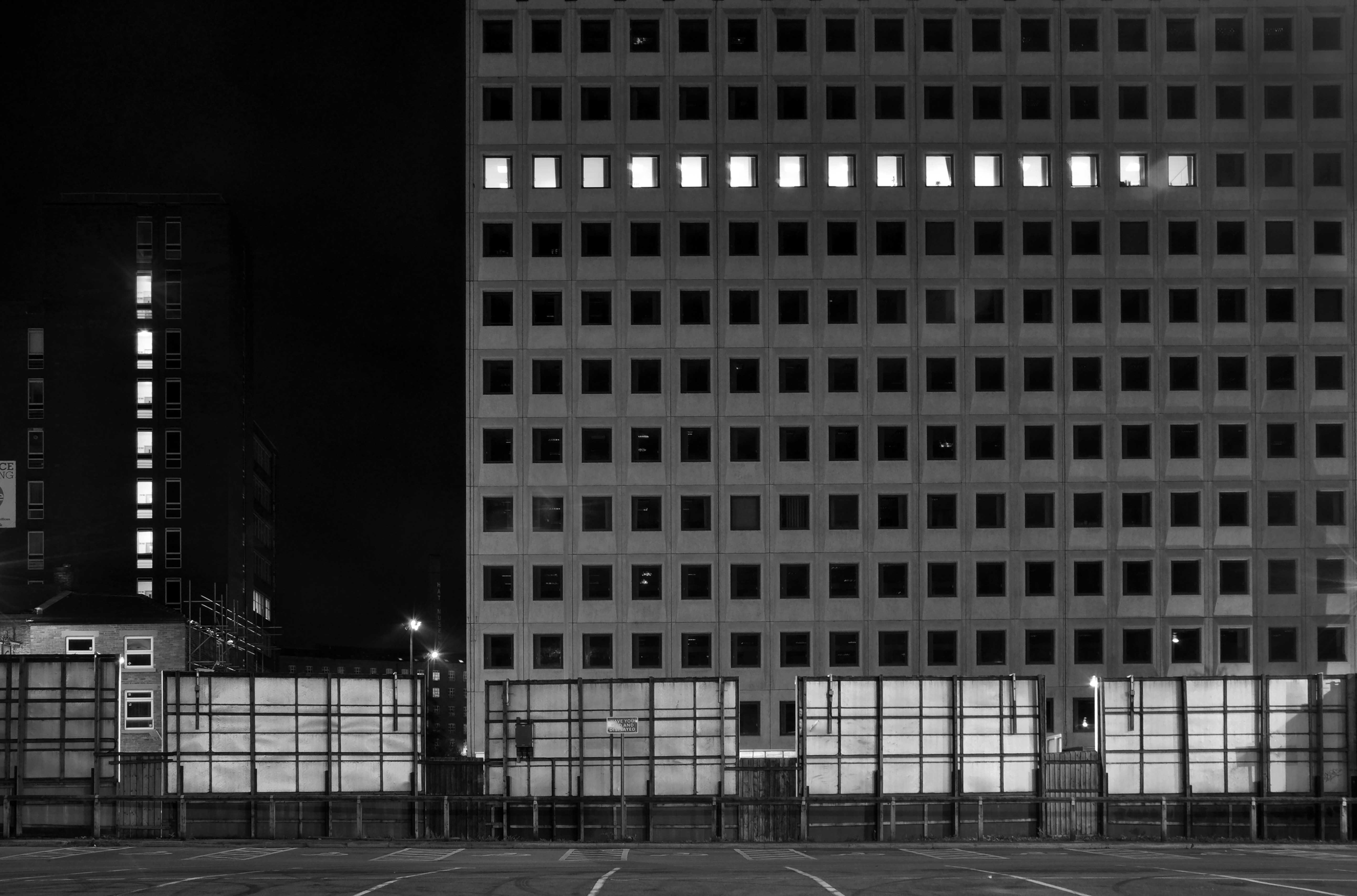
Regent House
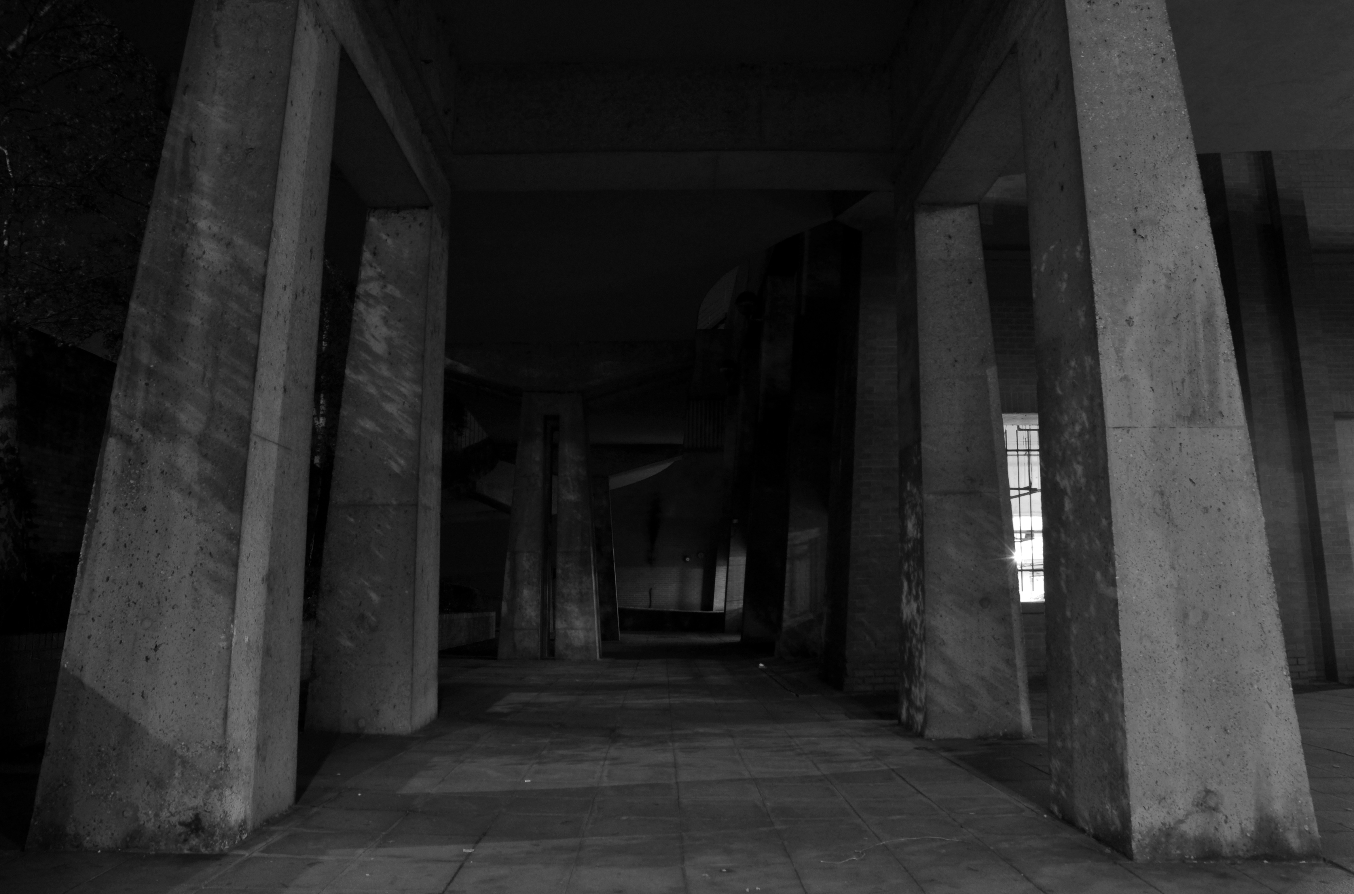
Asda superstore
I found a copy of Charlie Meecham’s book Oldham Road in a charity shop.
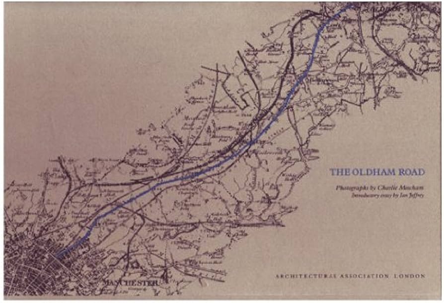
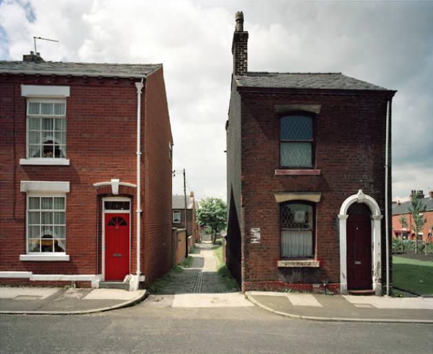
Inspiring me in 2014, to walk in mostly straight lines, though often as not zig zagging along the main arterial roads of Manchester.

Taking pictures on Sunday mornings, in order to avoid traffic, mildly amused to be ignoring the primary function of the routes.

This is one of the more familiar roads, having walked up and down several times over several years. It was to have been an extension of the Mancunian Way, forming a trans-pennine motorway. Much of the property lining the route was cleared in preparation, it was never built, and for years a strange semi-deserted ambience hung over the A57.
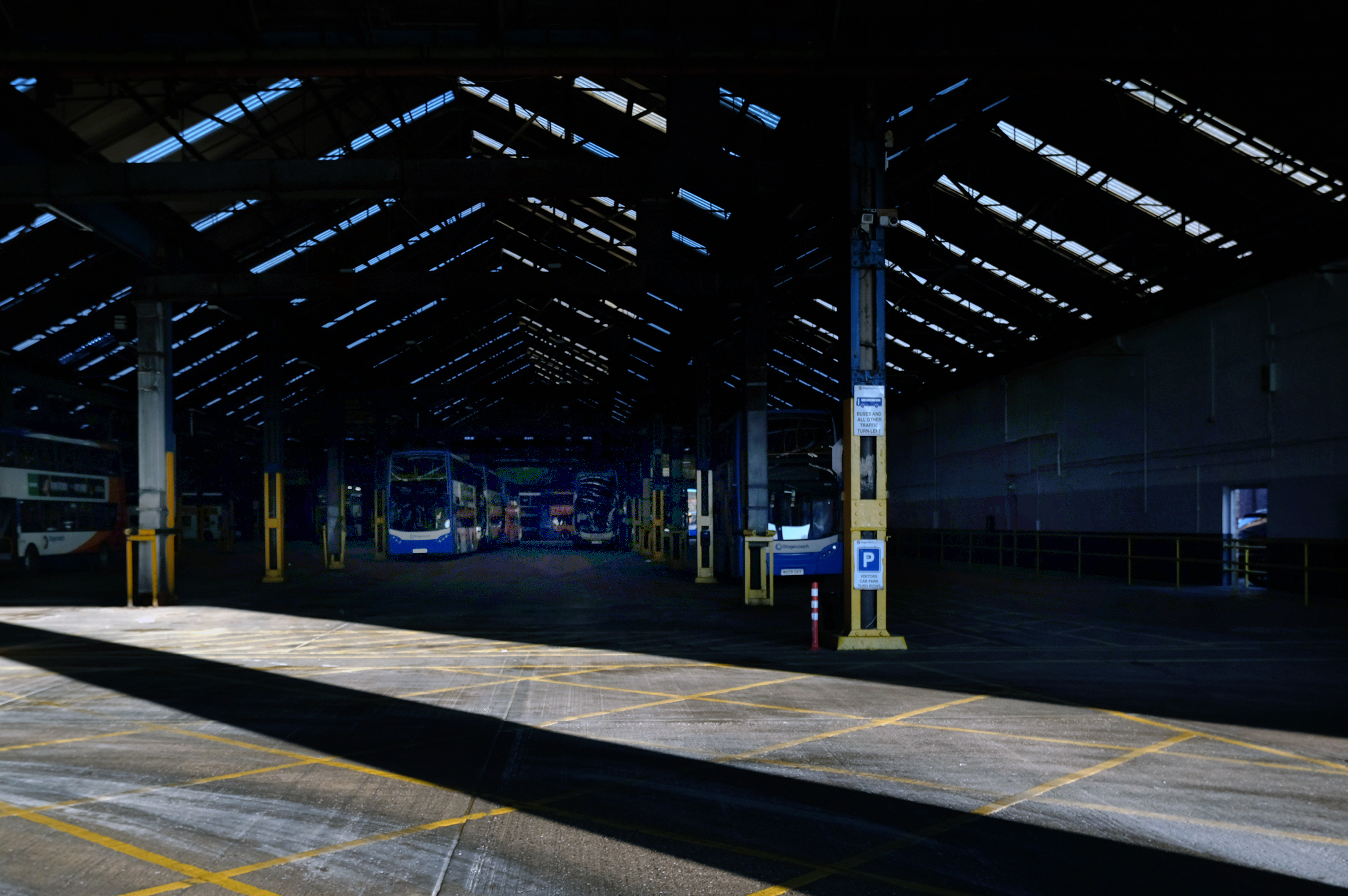
Bus Depot
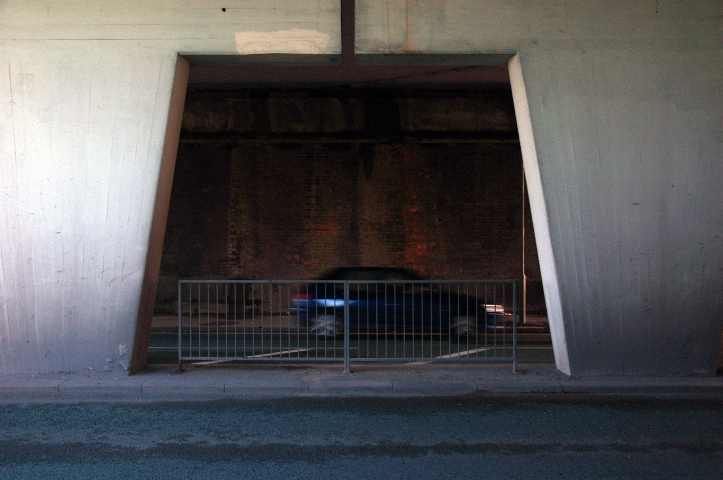
Railway Bridge
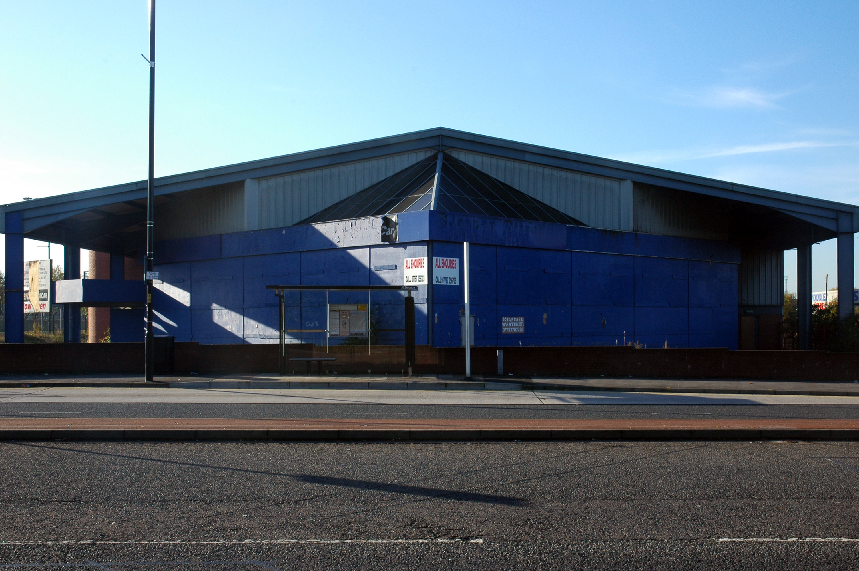
The car showrooms which later became an African Evangalist church.
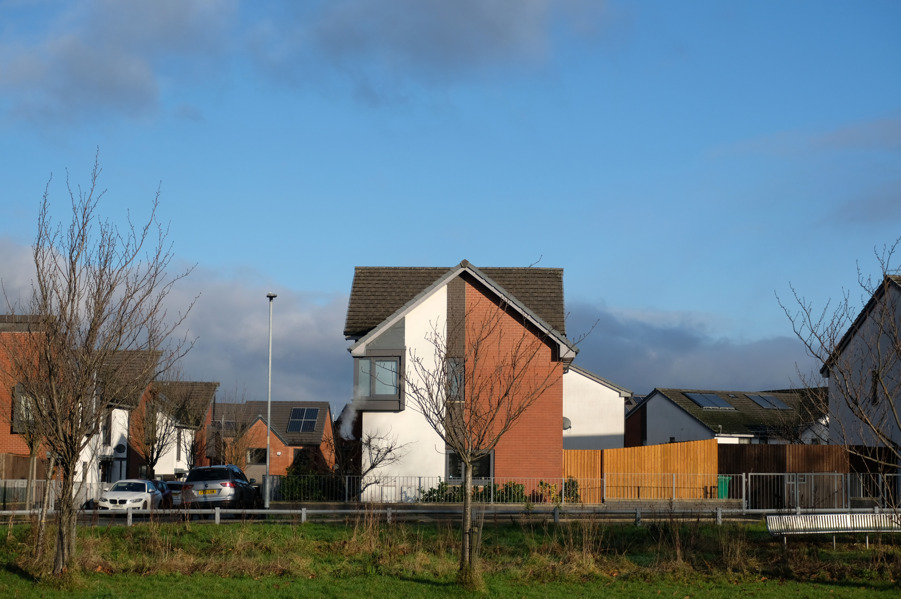
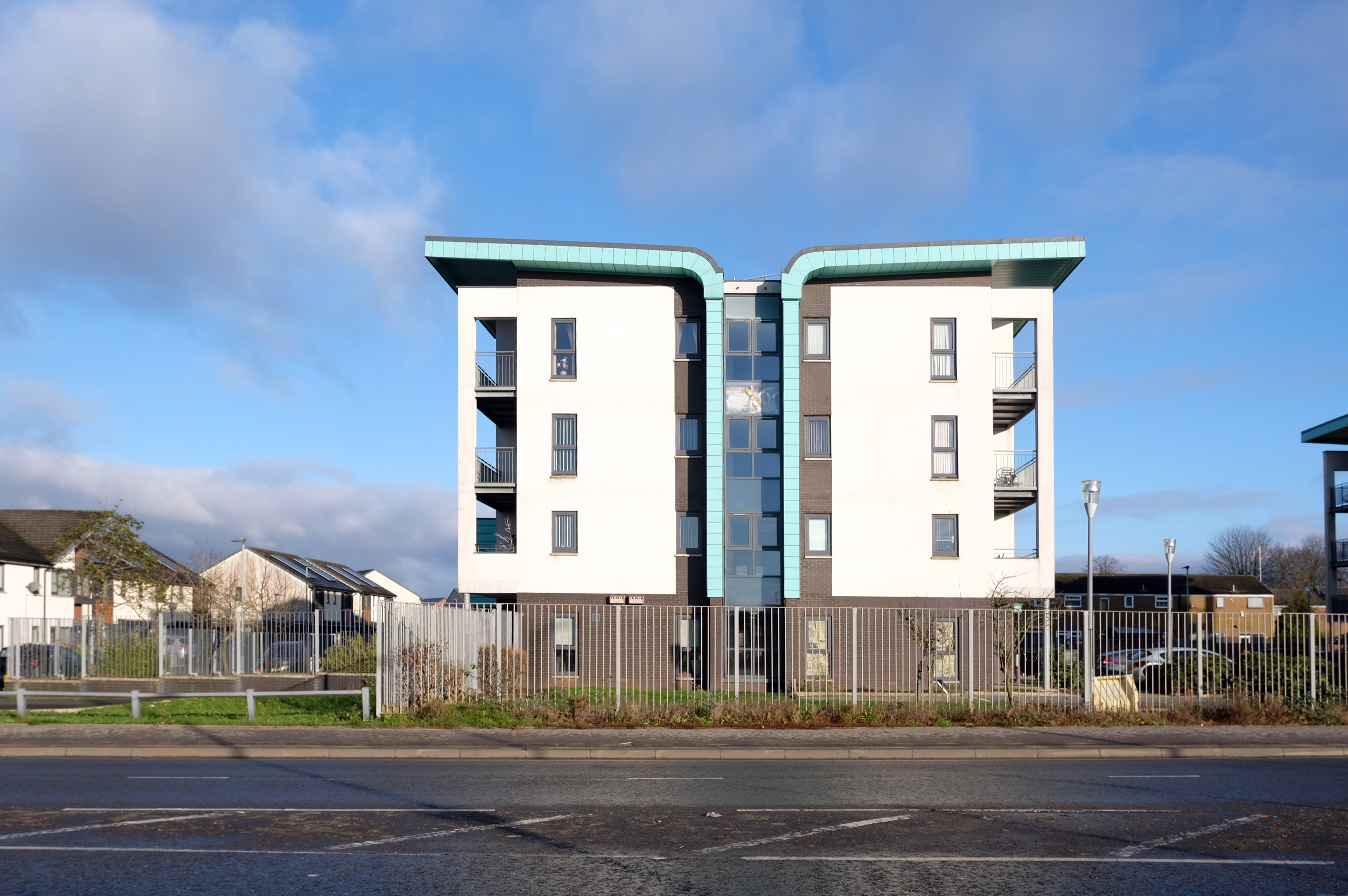
Having cleared away both Victorian and Sixties housing, new architectural forms arose in West Gorton.
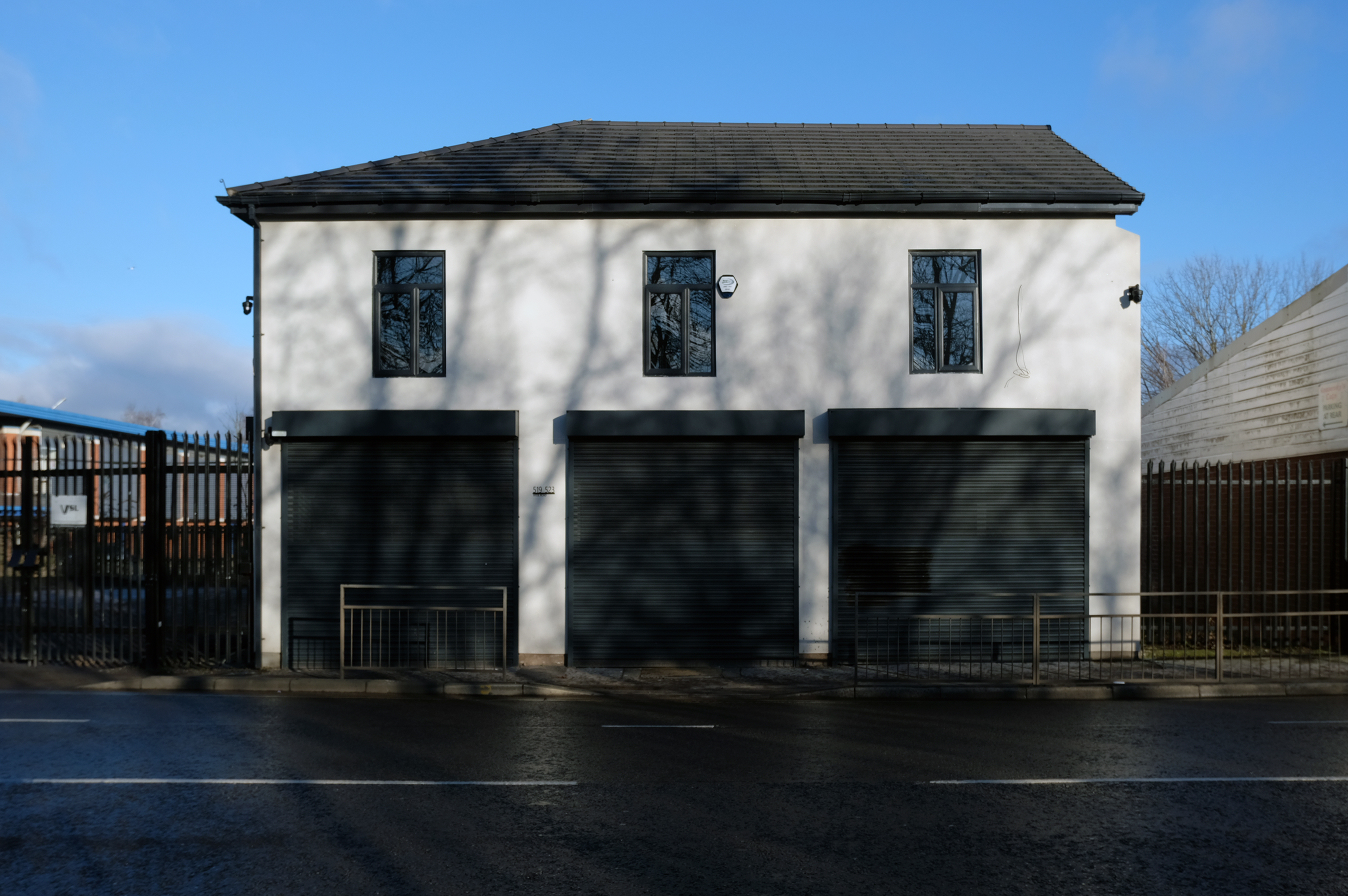
Where there were once dozens of pubs, often there are now none.
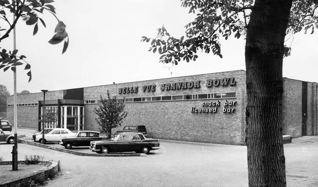
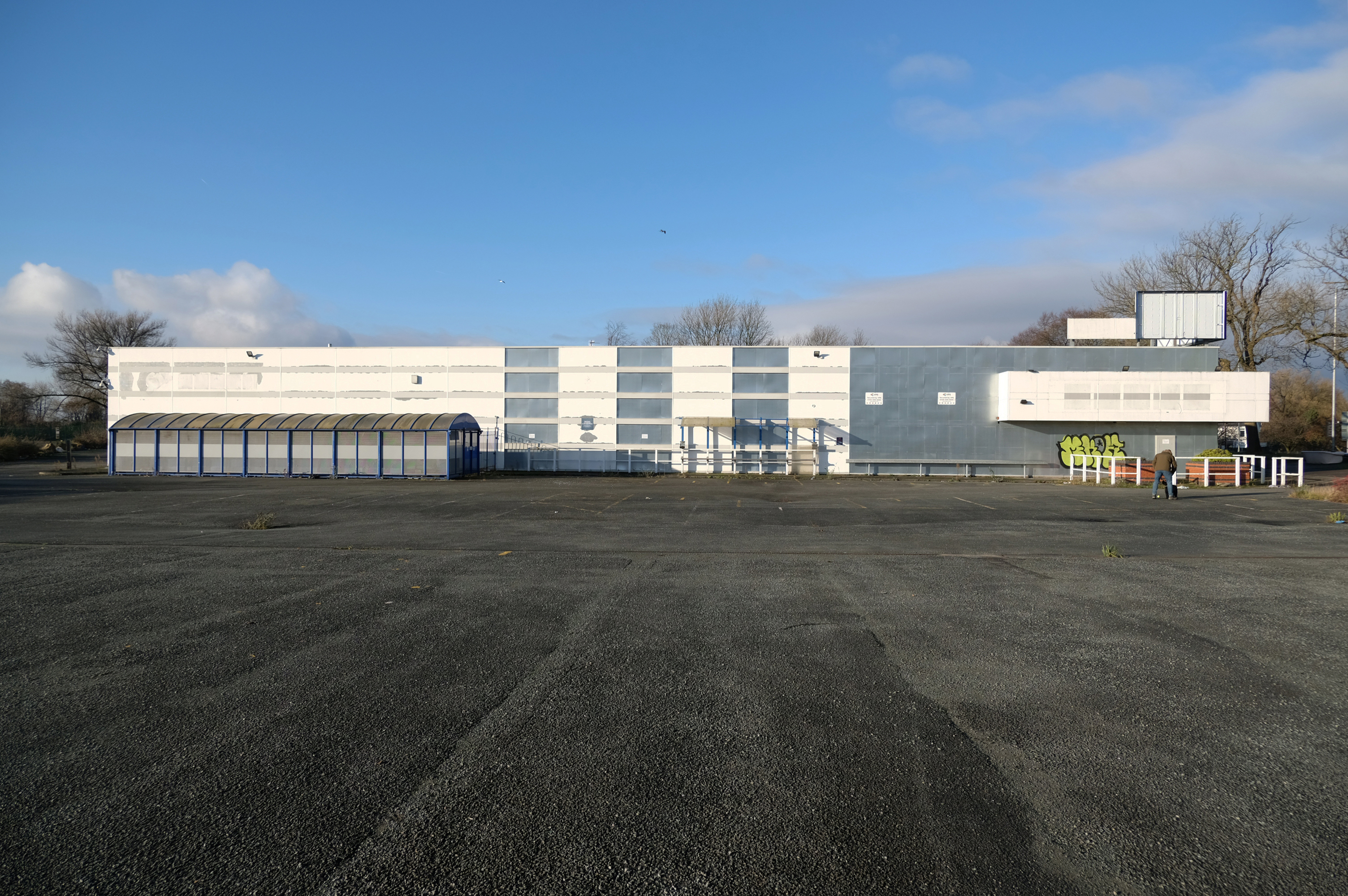
The Belle Vue Granada Bowl became a Bingo Hall then became nothing.
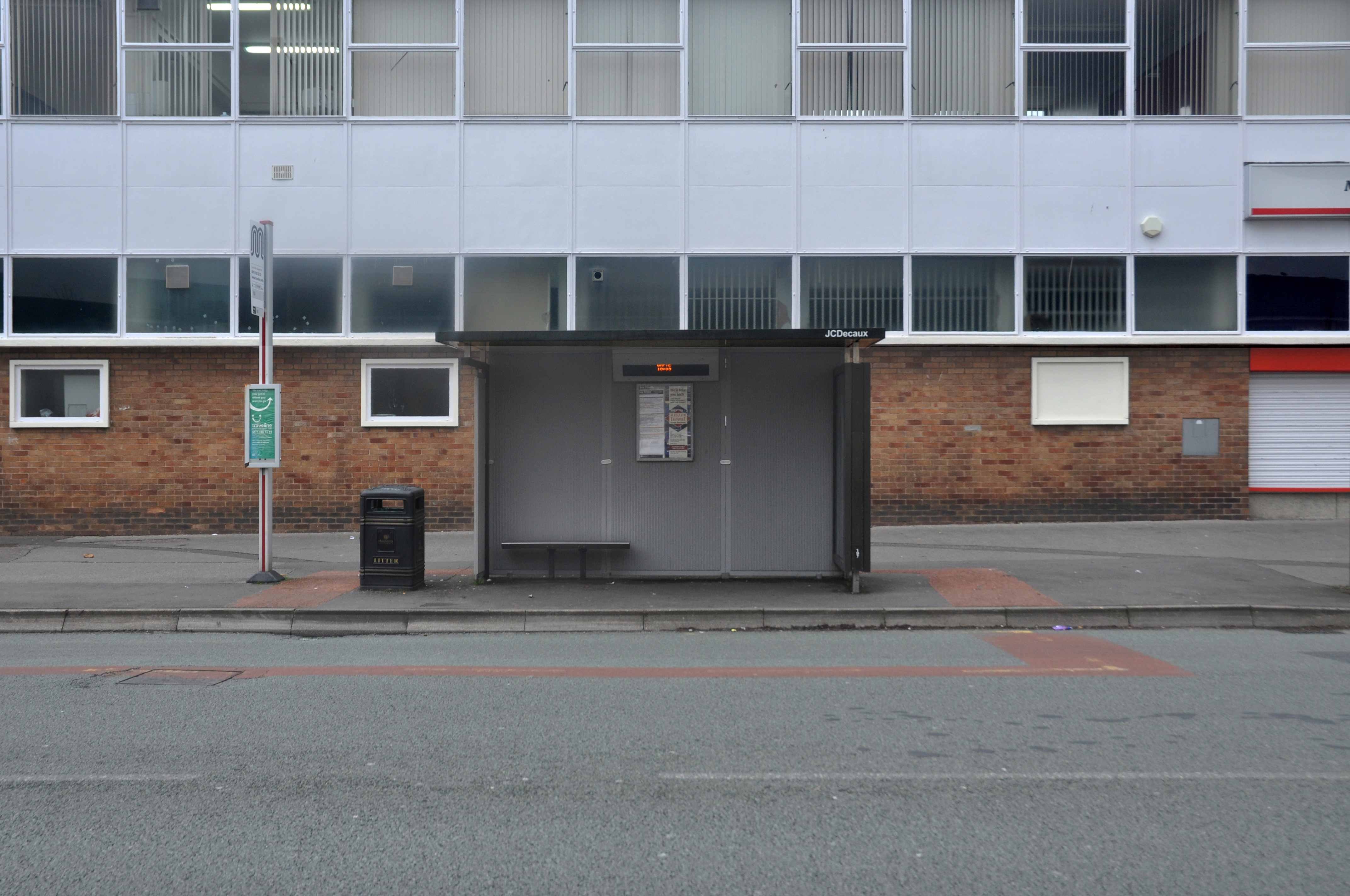
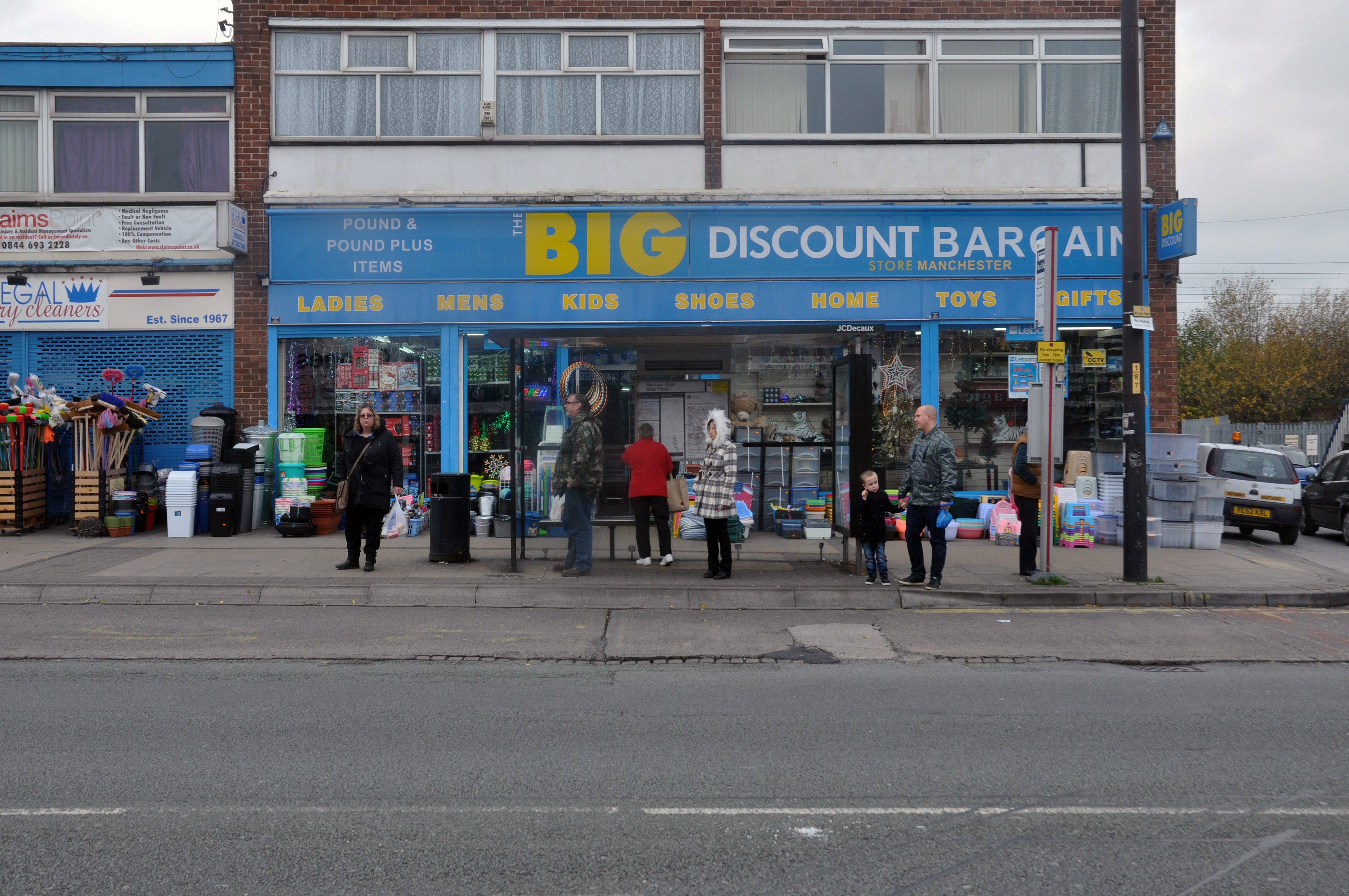

The 192 bus runs between Manchester Piccadilly and hazel Grove, I often ride between Stockport and town, and back.

I decided to walk the route, photographing each of the ninety eight bus stops along the way.
Piccadilly Station
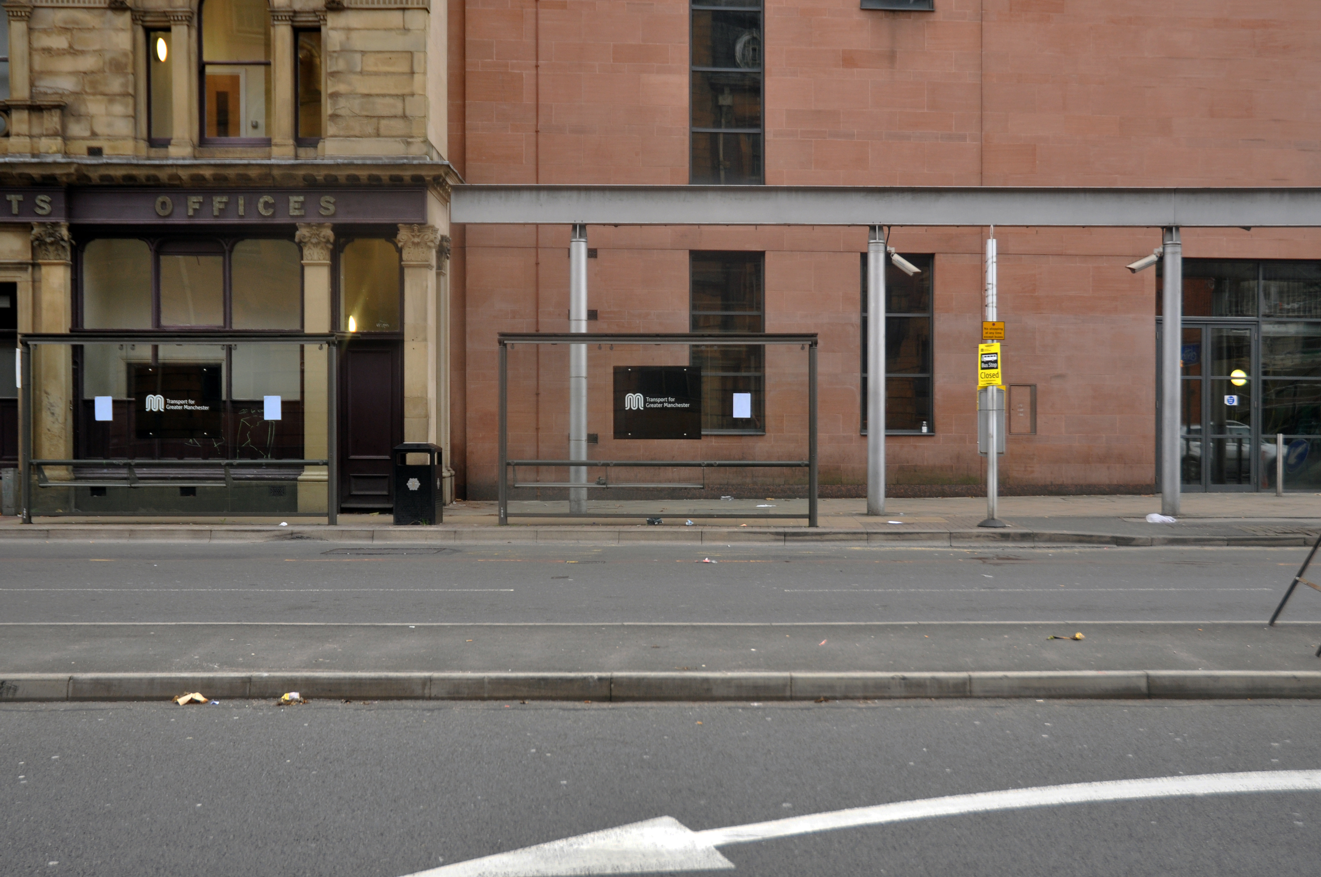
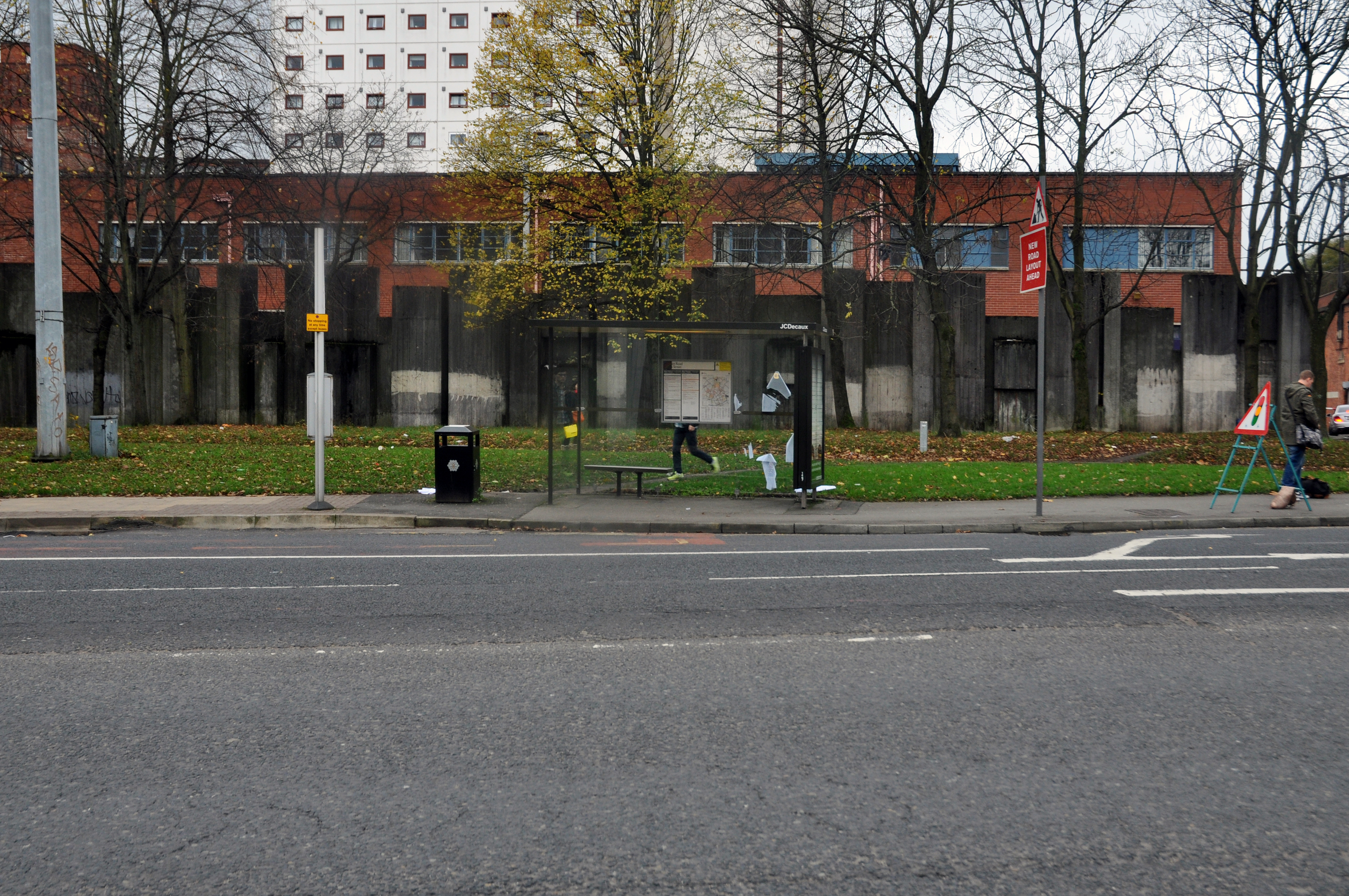
UMIST Retaining Wall

Ardwick Post Office

Levenshulme

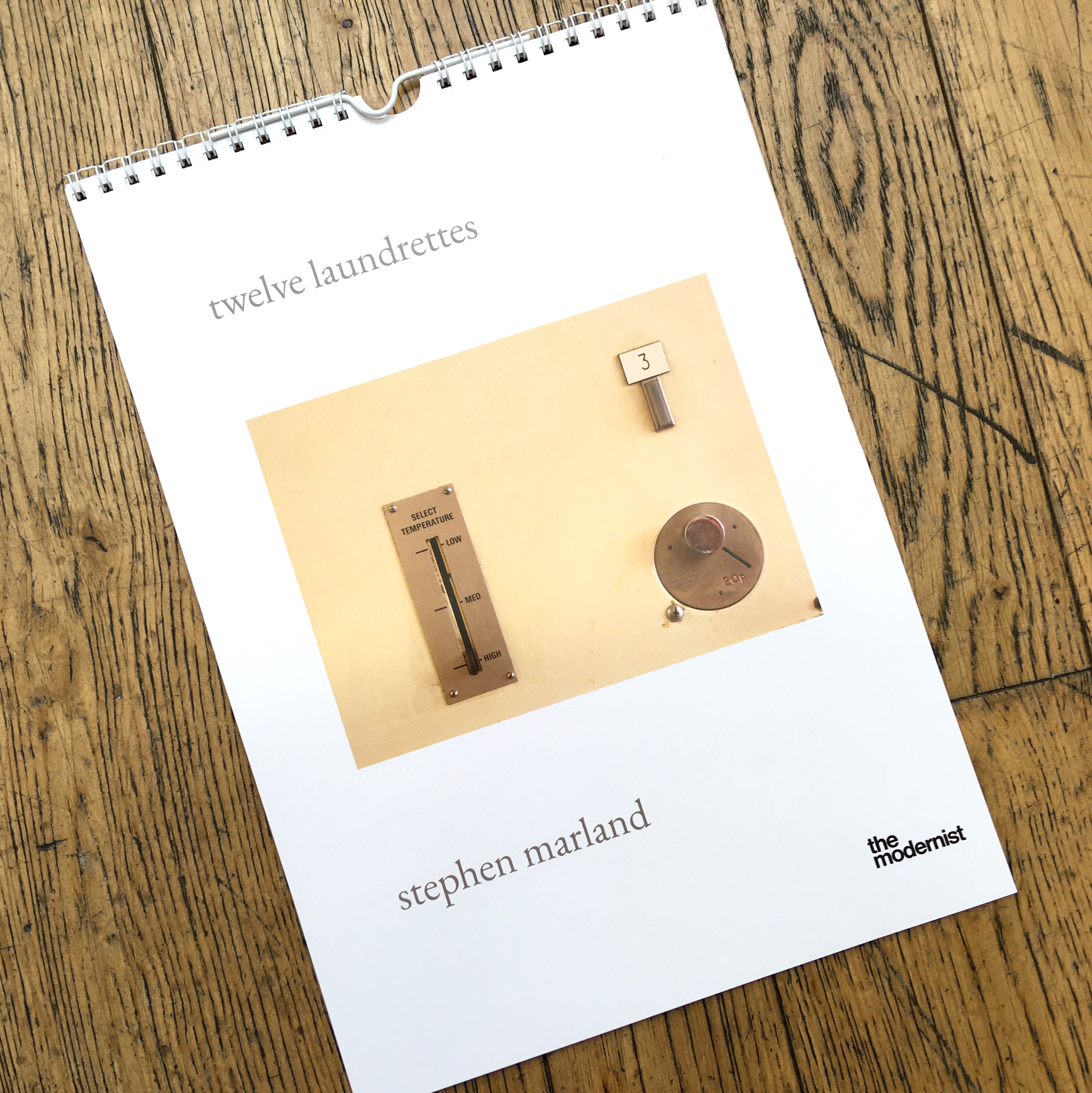
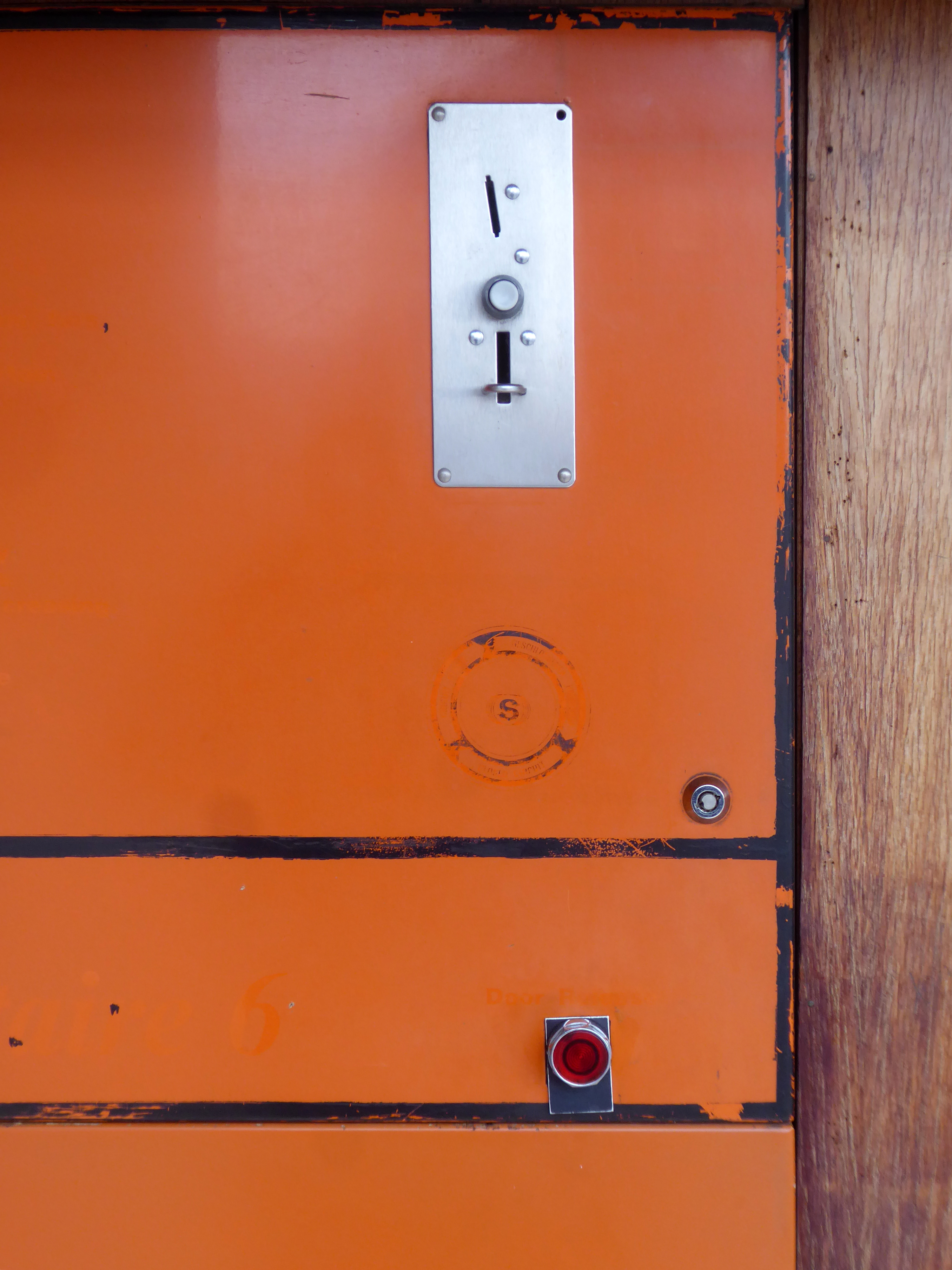
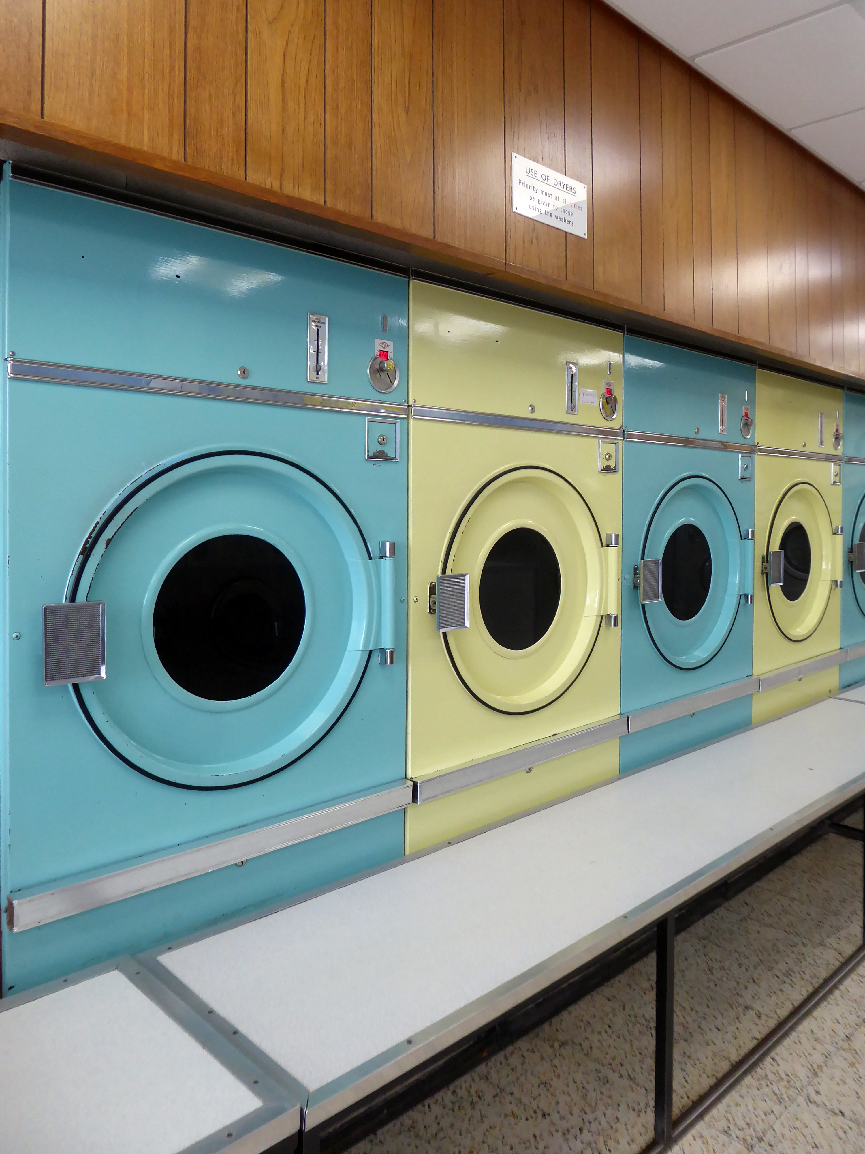
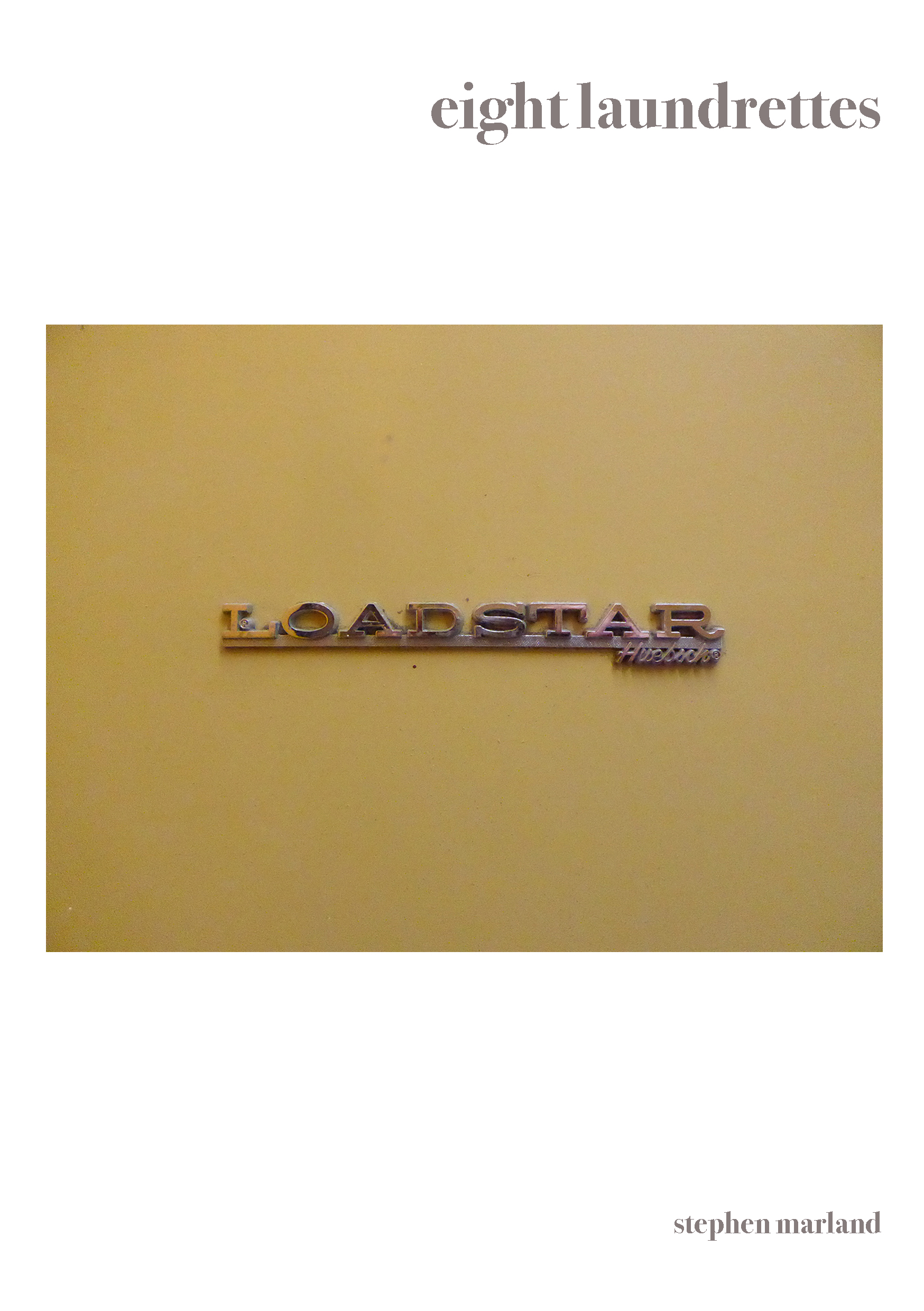
A book published by the modernist – literally eight launderettes.

Which became the first modernist calendar.
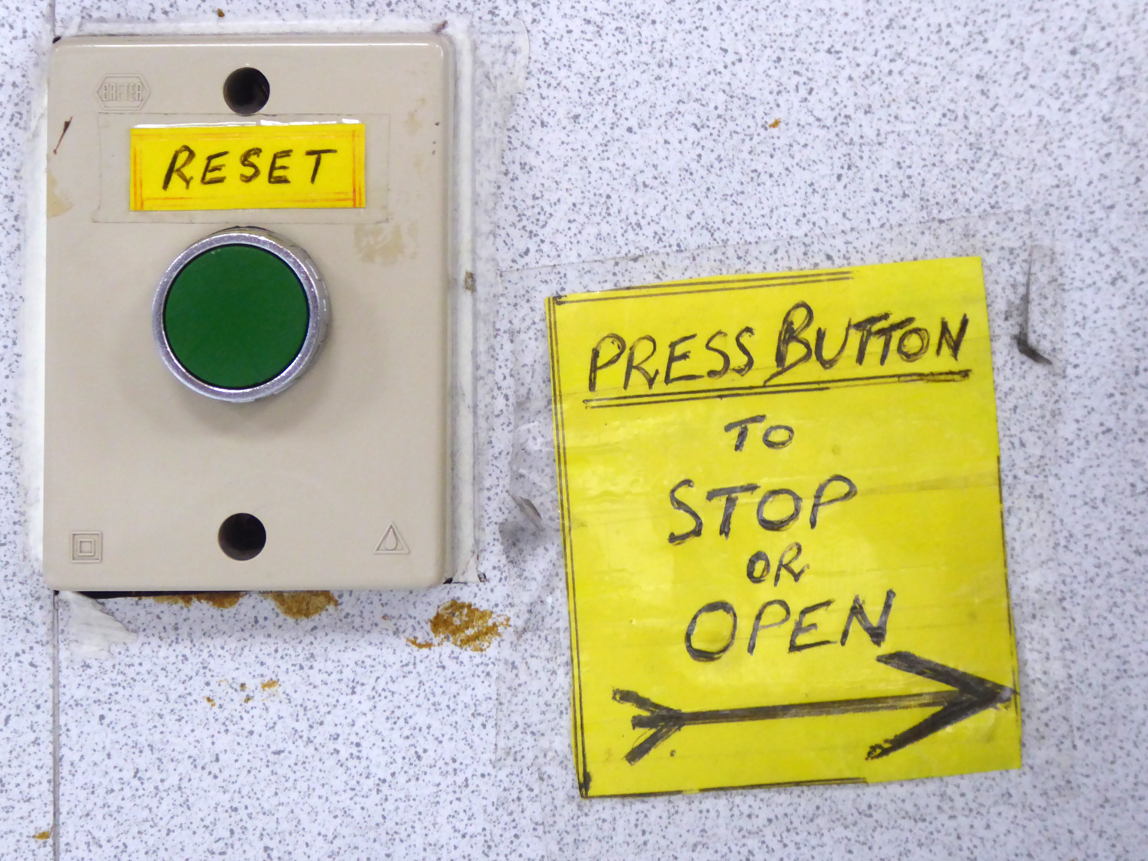
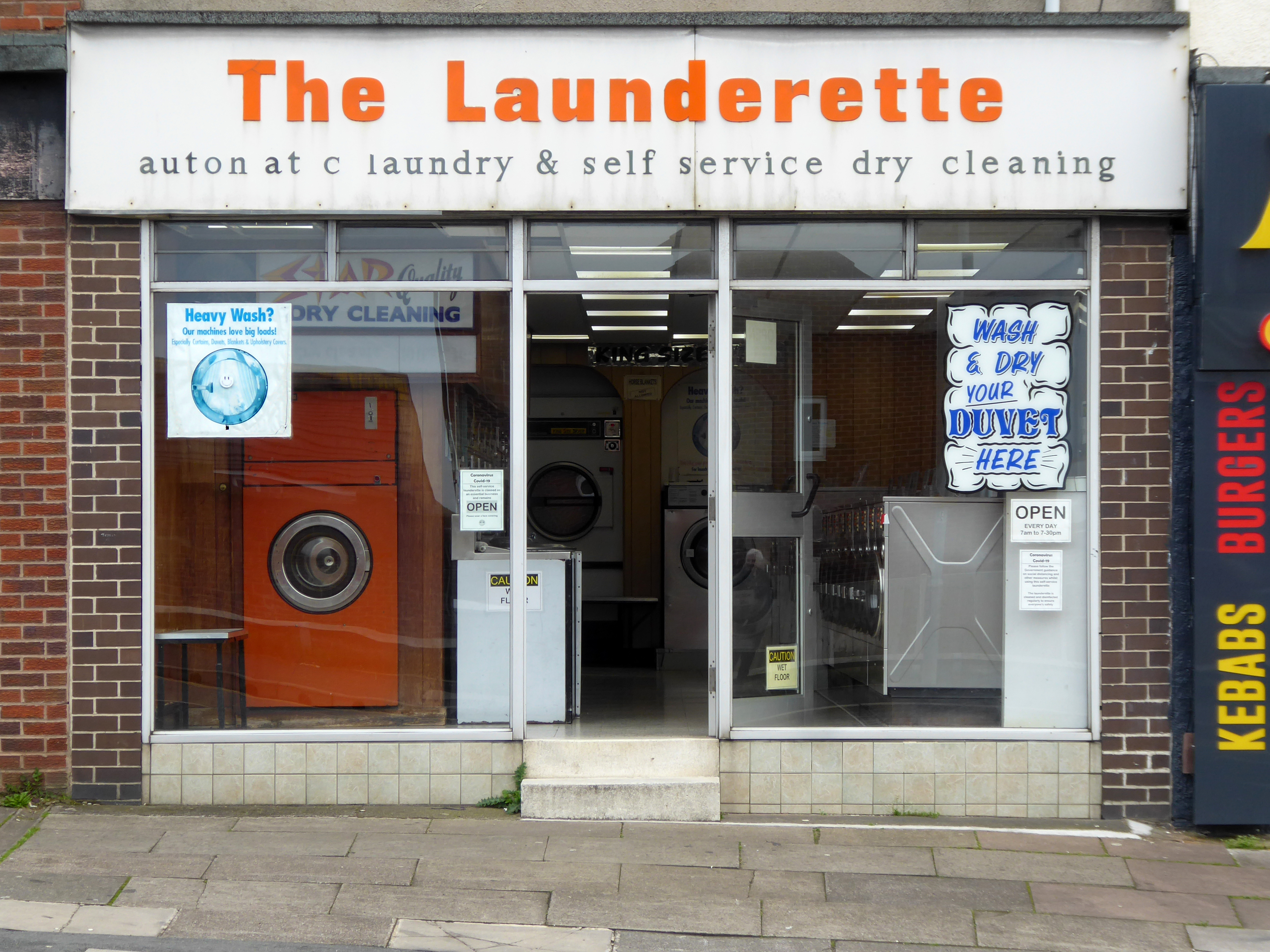
Now, everywhere I go, I see launderettes – so arriving in Hanley with time on my hands, wandering around I found this exemplary example.

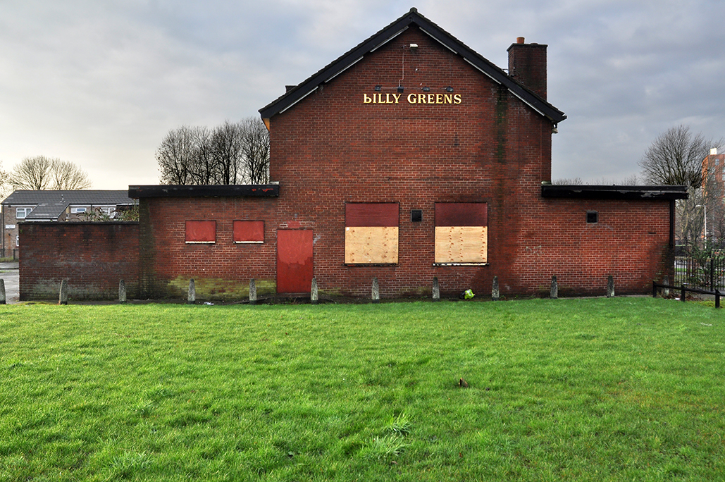
Having a blog entitled Manchester Estate Pubs, the national media became interested in my photographs. I had spent quite some time, wandering around in search of this endangered architectural typology.
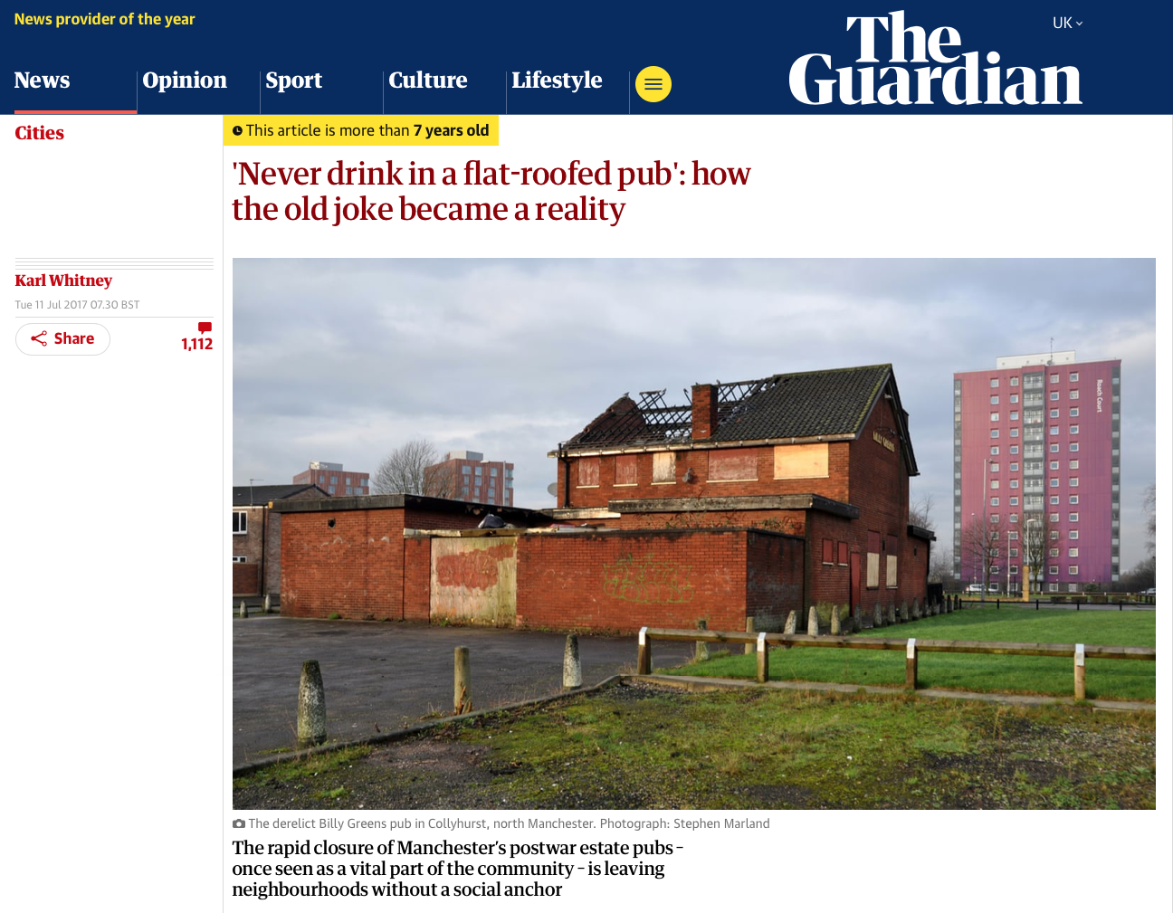
This was Billy Greens in Collyhurst, named for a local boxer, now demolished.
Which in turn became the second modernist calendar.
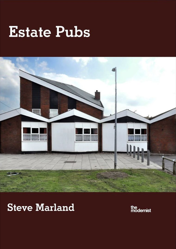
Followed the following year by fish and chip shops.

So building a vocabulary for my mooching, discovering yet another chippy, laundry, pub, Burton’s, telephone exchange, glazed stairway or underpass.

These things find you, yearning for some small amount of attention and affection.

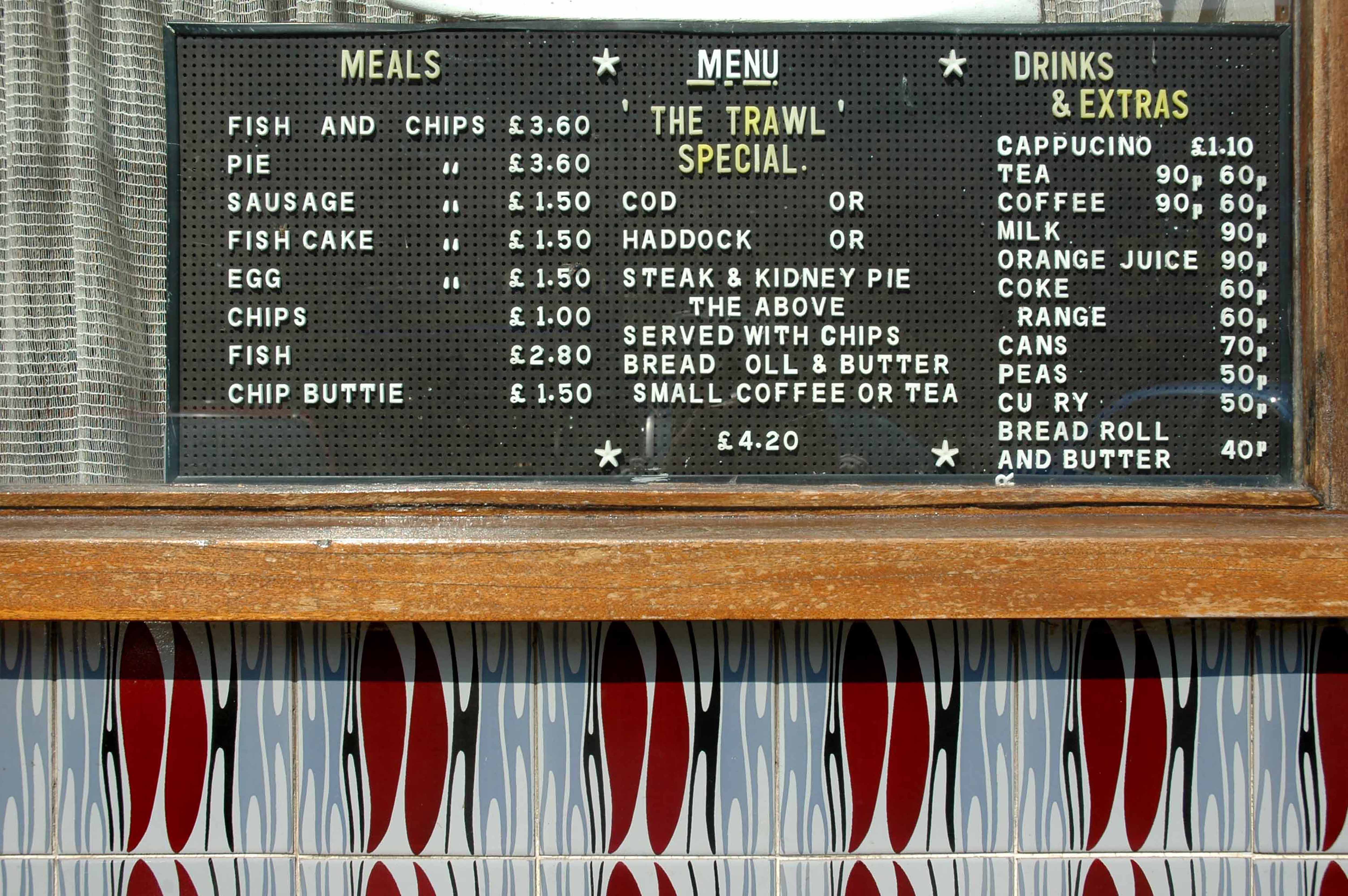
The Trawl – my favourite peg board menu, my favourite Bridlington chippy.
We are now coming to the end of the car park year – seen here on the wall of my command centre.
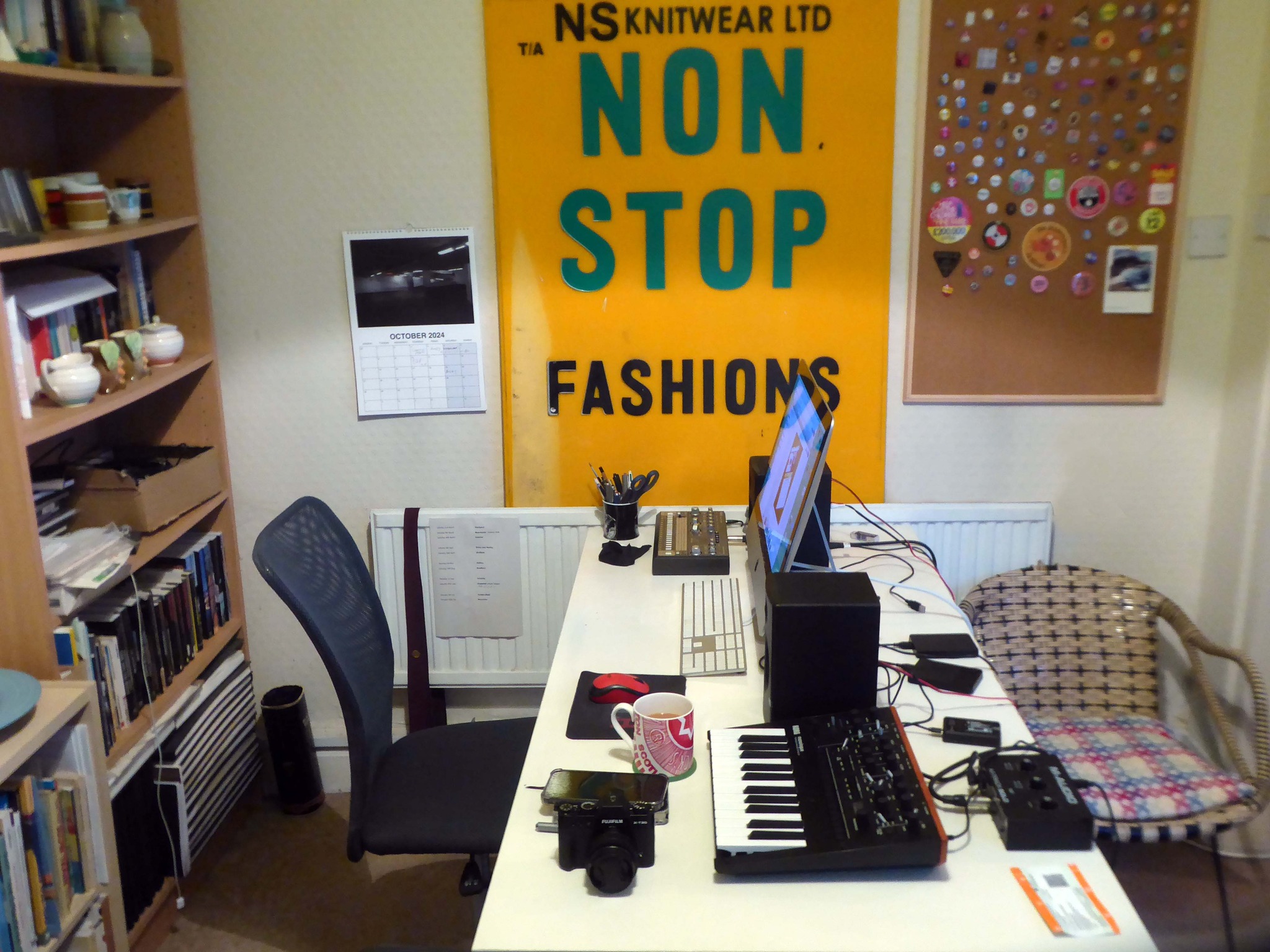
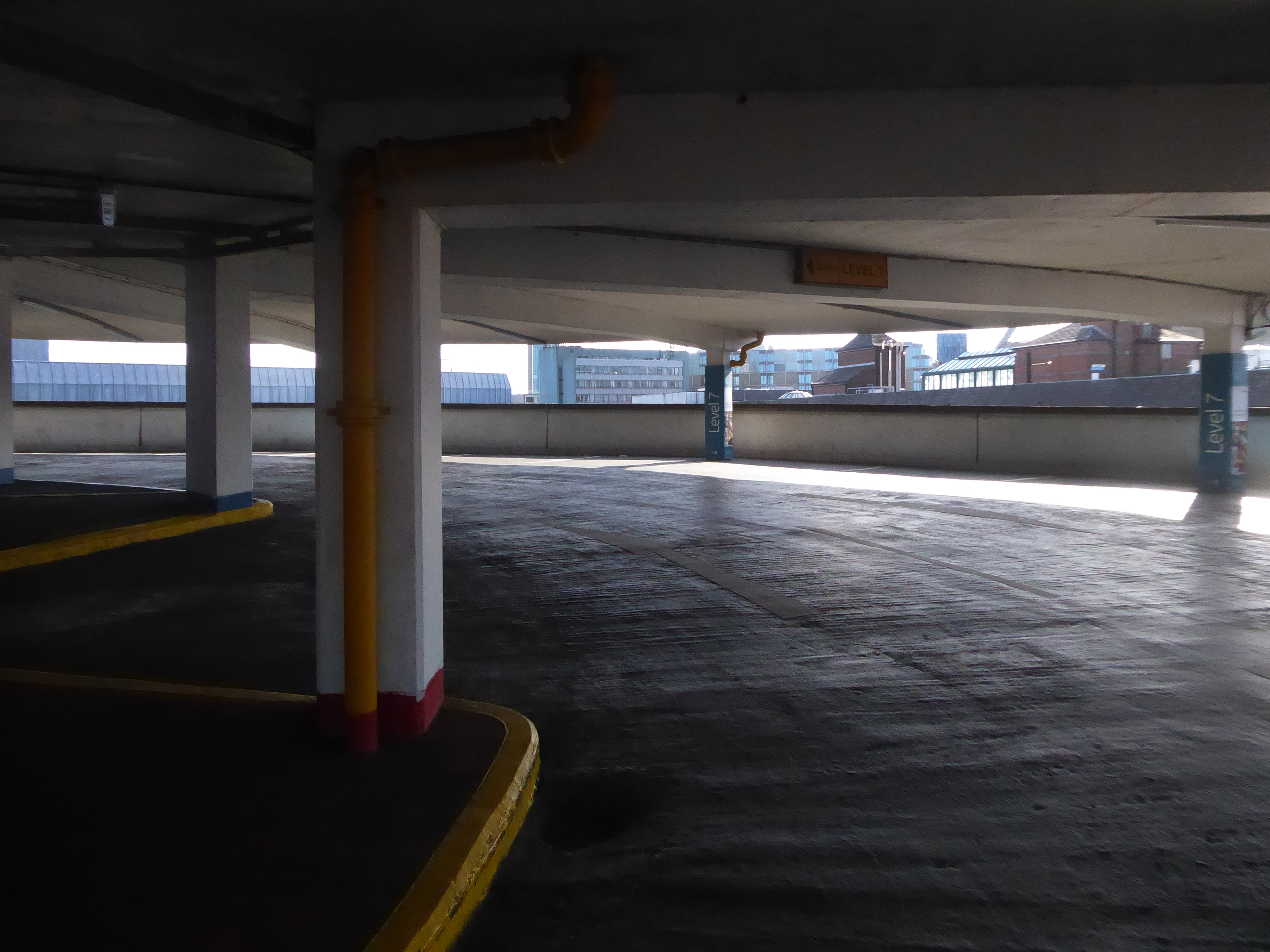
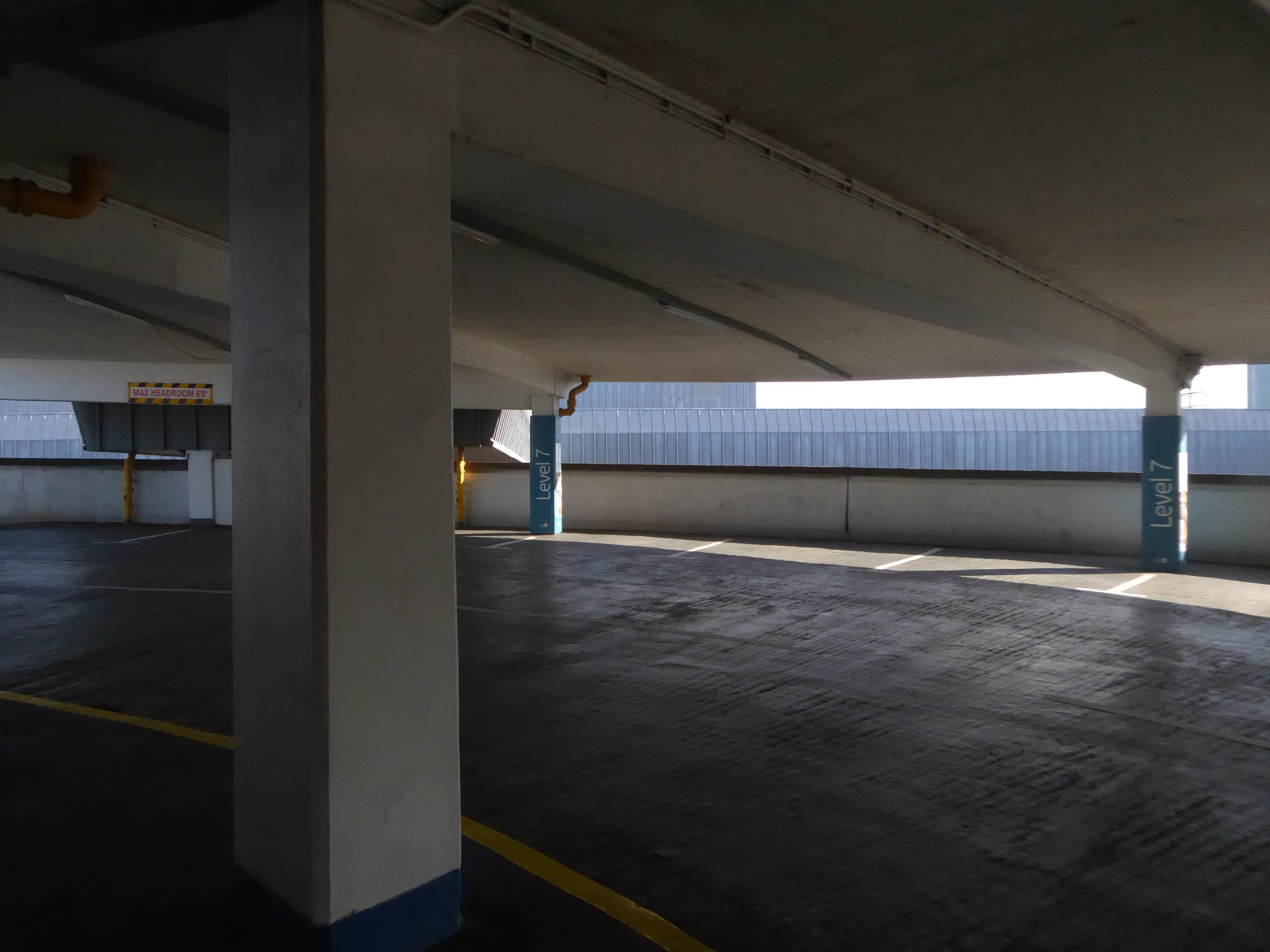
The calendar was an adjunct to a walk – Twelve Car Parks.

Here we all are at Circle Square – Fielden Clegg Bradley were concept architects while Leach Rhodes Walker were delivery architects.
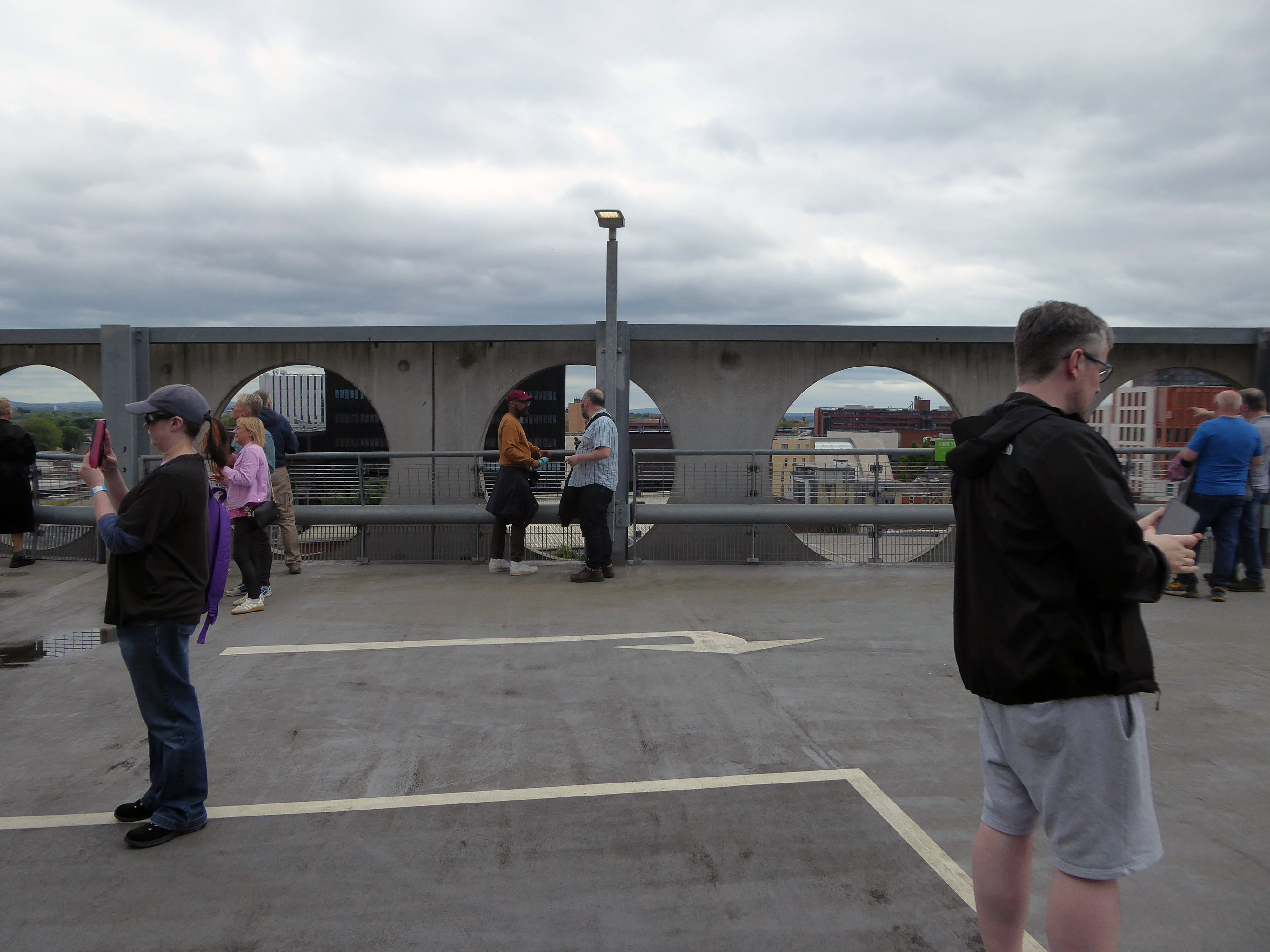
In September we walked around Newcastle for a weekend away – taking in Eldon Square, ably guided by local modernist Euan Lynn.
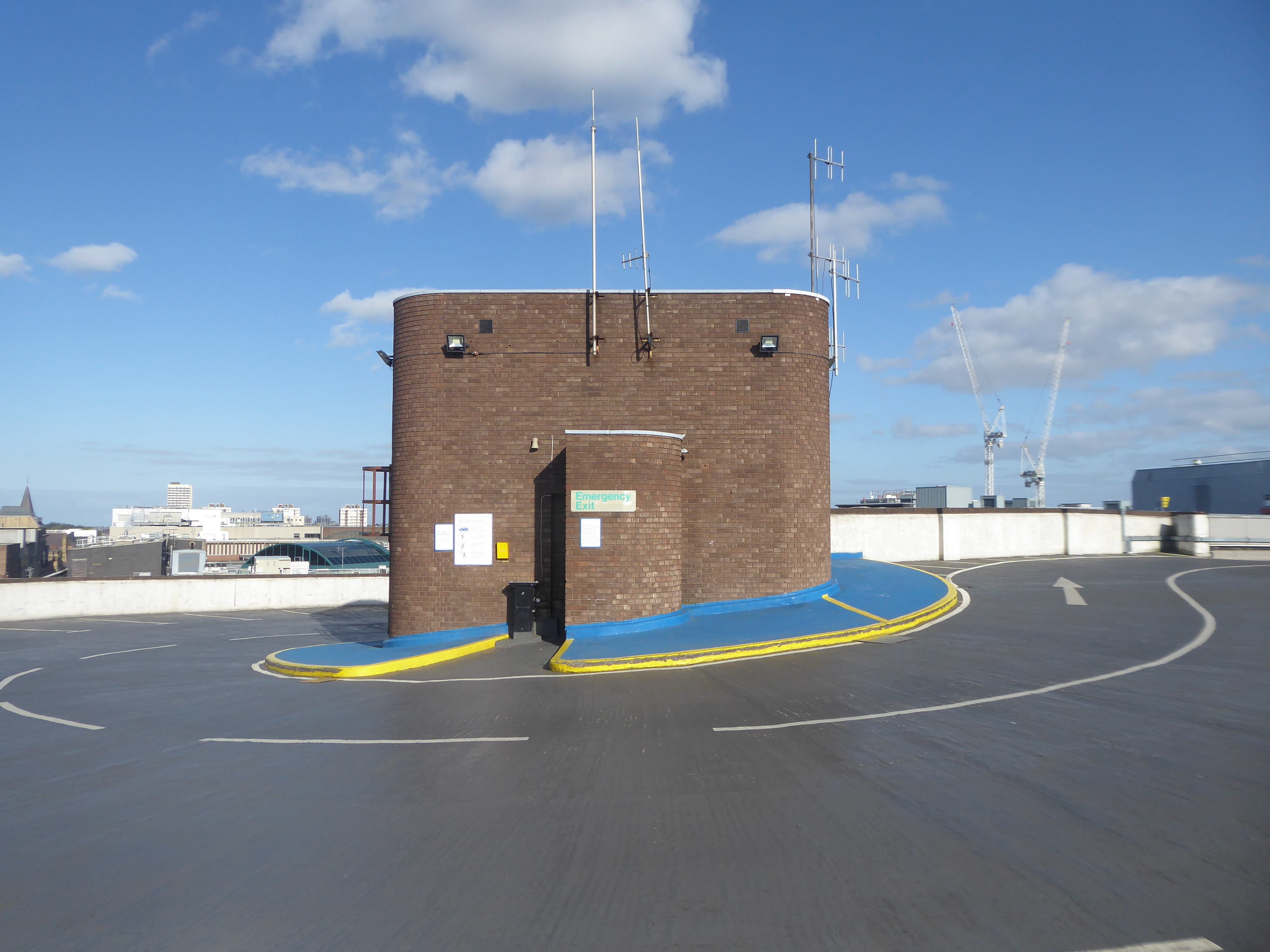
Ending our tour at Manors Car Park.
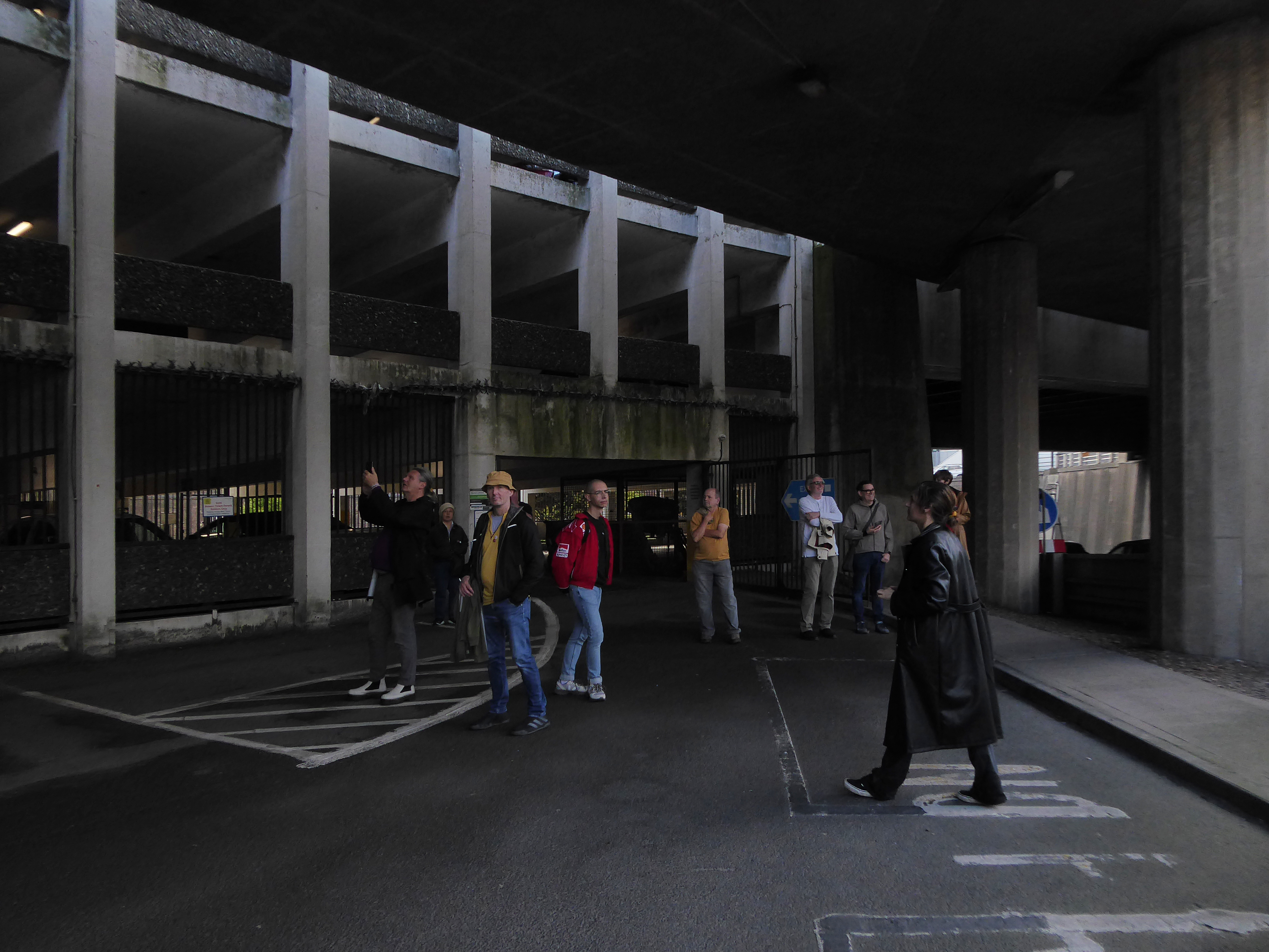
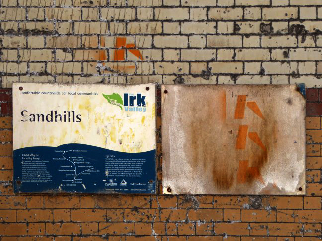
Following an urban river – the River Irk, an excellent way to devise a linear walk.
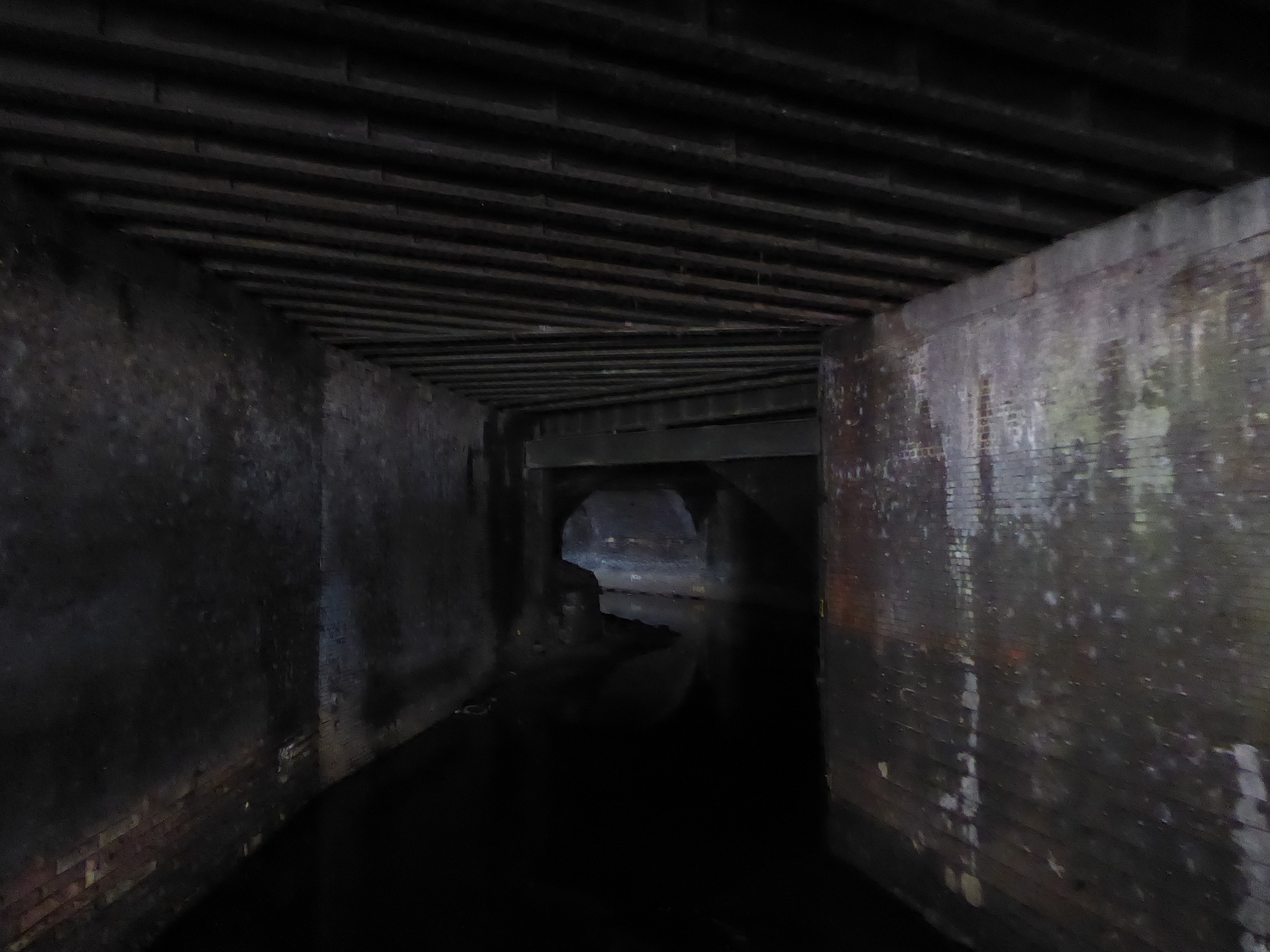
The river enclosed in blue engineers brick as it passes under the railway.
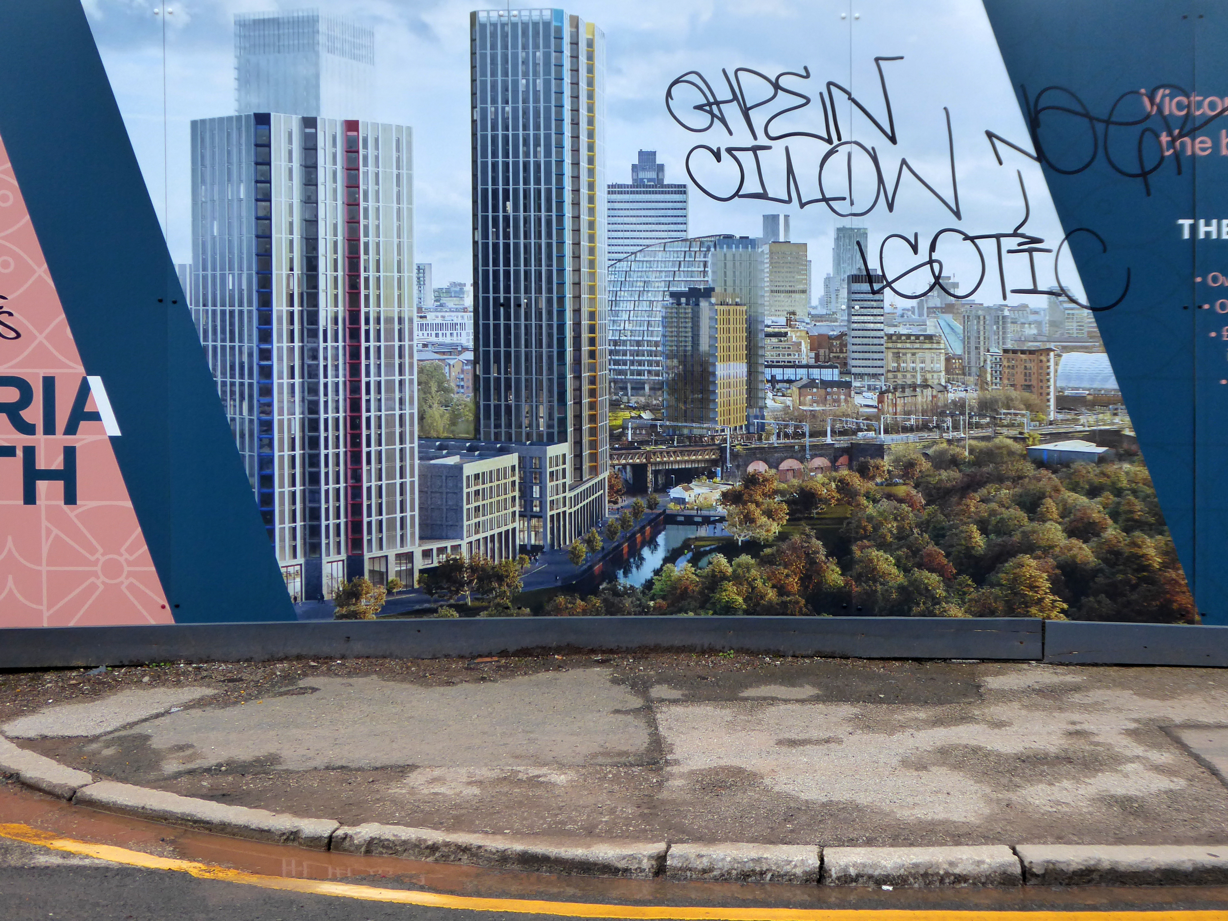
A long neglected are is now the scene of mass regeneration – rebranded Victoria North.
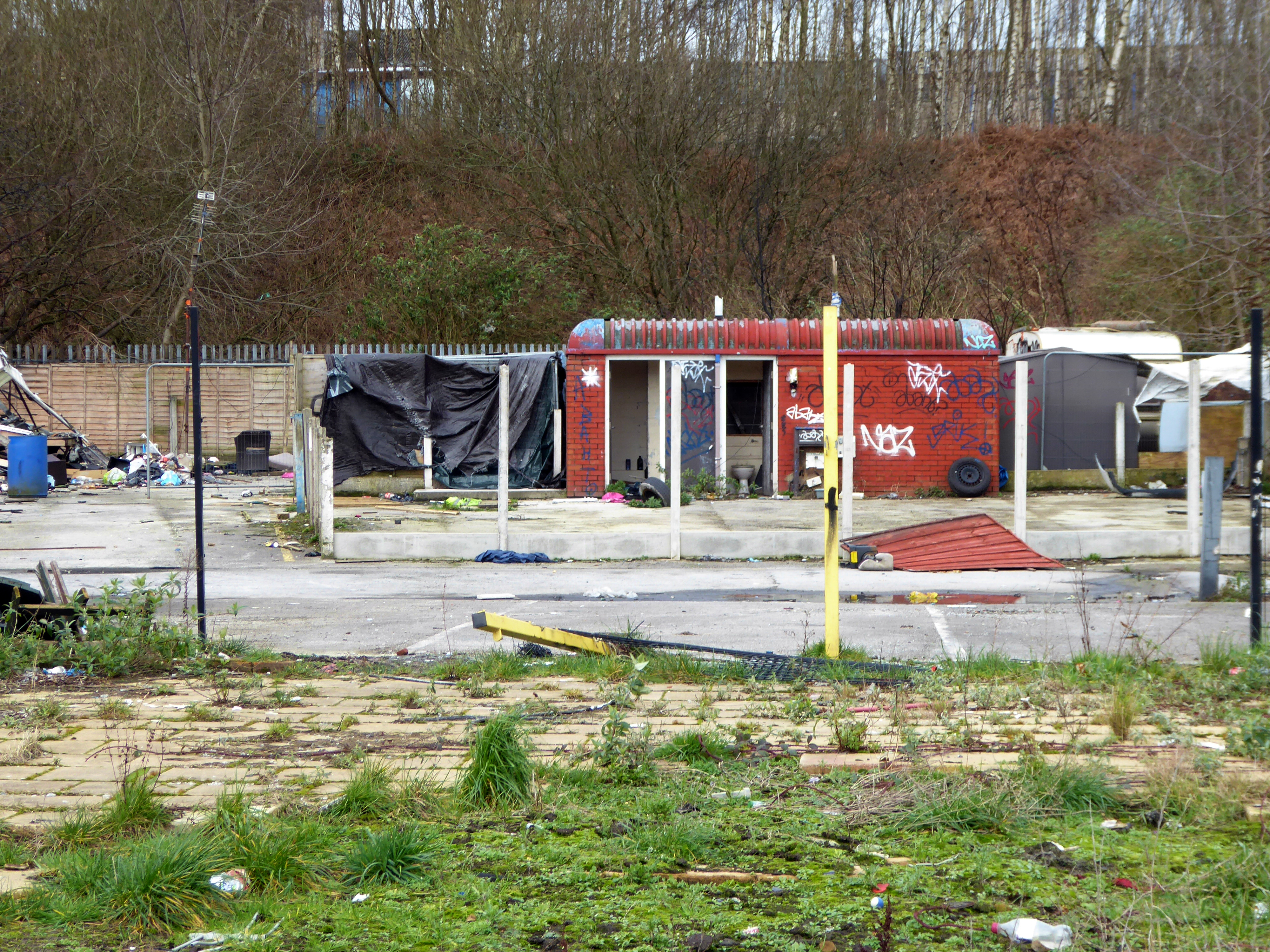
The former Traveller’s homes are now rubble.
Rushing miles ahead to Blackley the home of Richard Siefert’s ICI Tower.
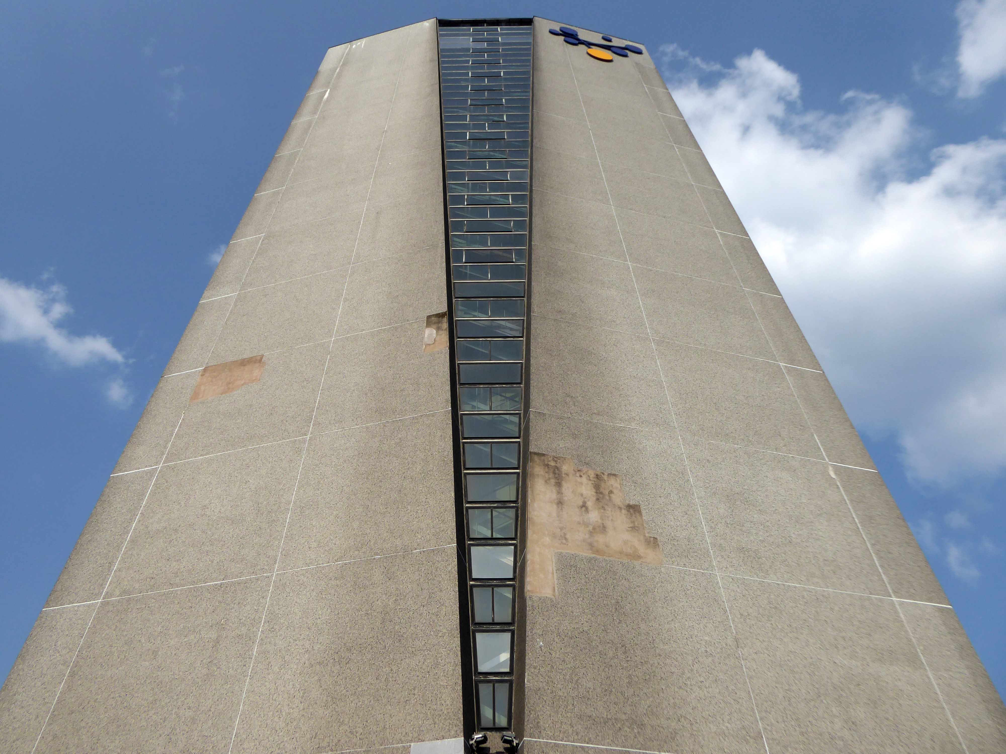
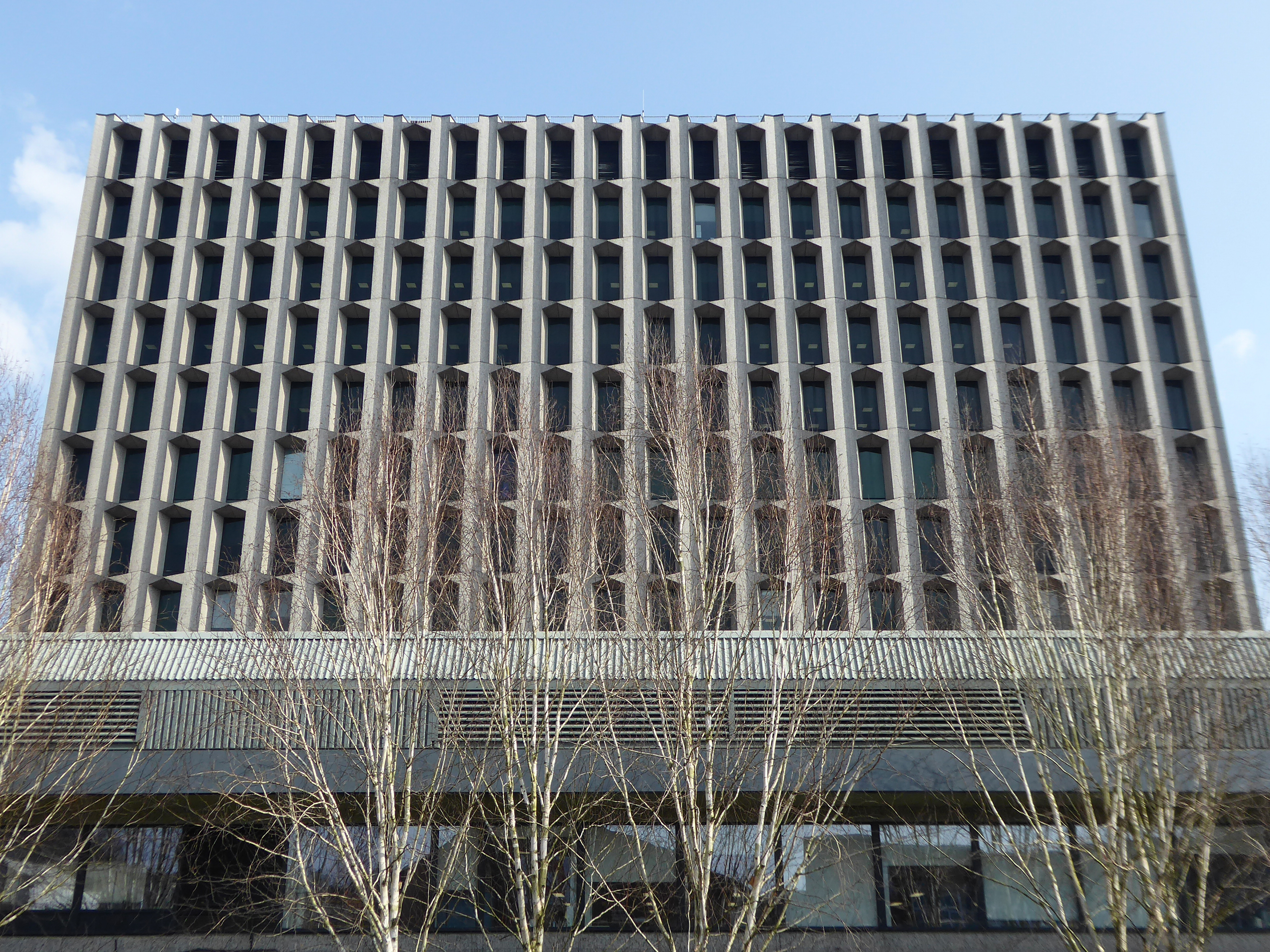
And around the corner, these delightful reliefs attached to the Tower Blocks.
I was asked to assist in putting together an exhibition for Collyhurst Voices – walking through the memories of a community under threat.

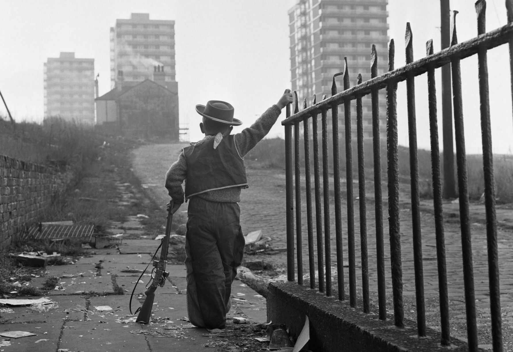
Walking in the footsteps of Dennis Hussey’s Collyhurst Cowboy – looking toward Dalton Street
Then uphill to Eastford Square and the long lost homes.
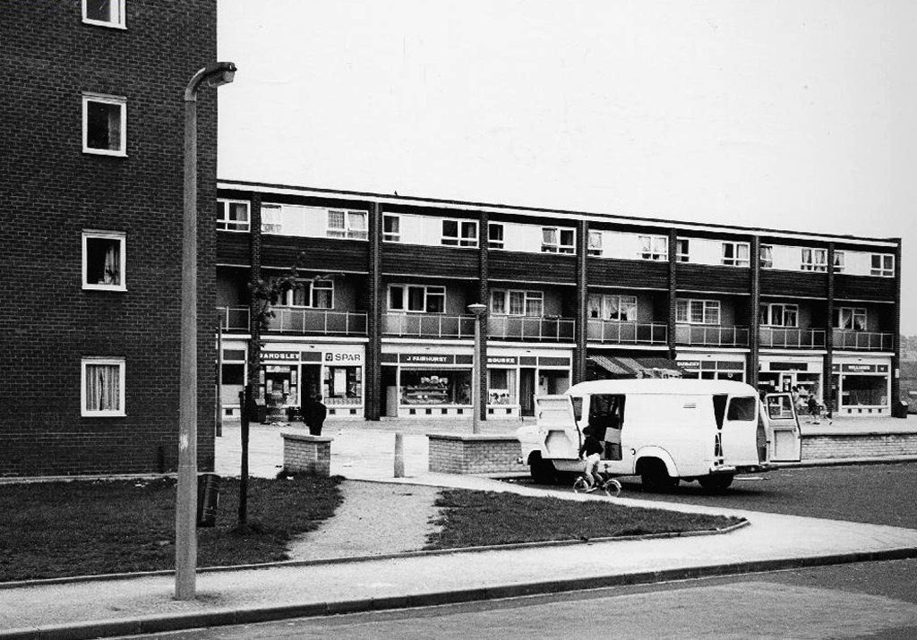
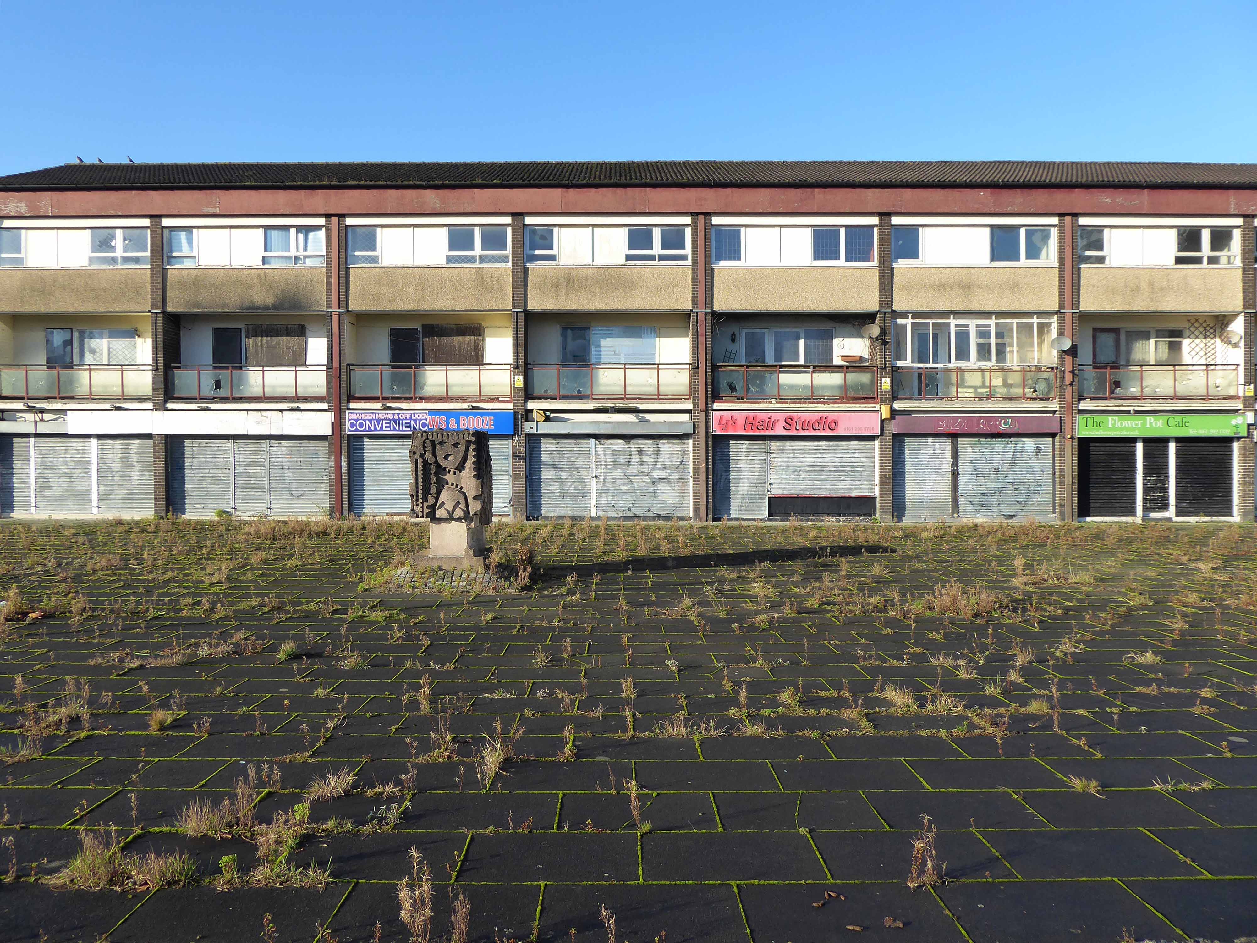
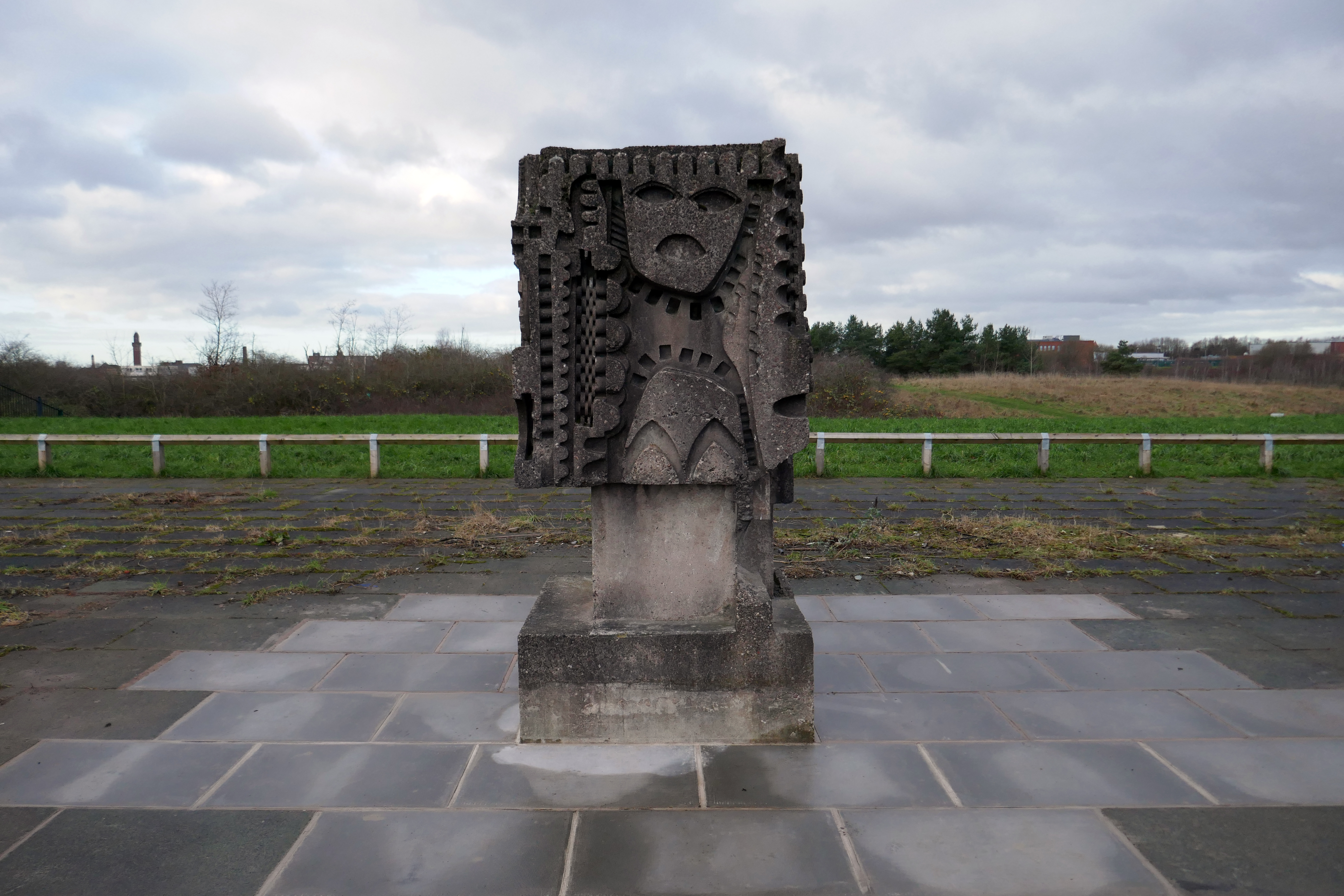
Home to William Mitchell’s Totem, the homes long gone and the Council pledged to move the totem too.
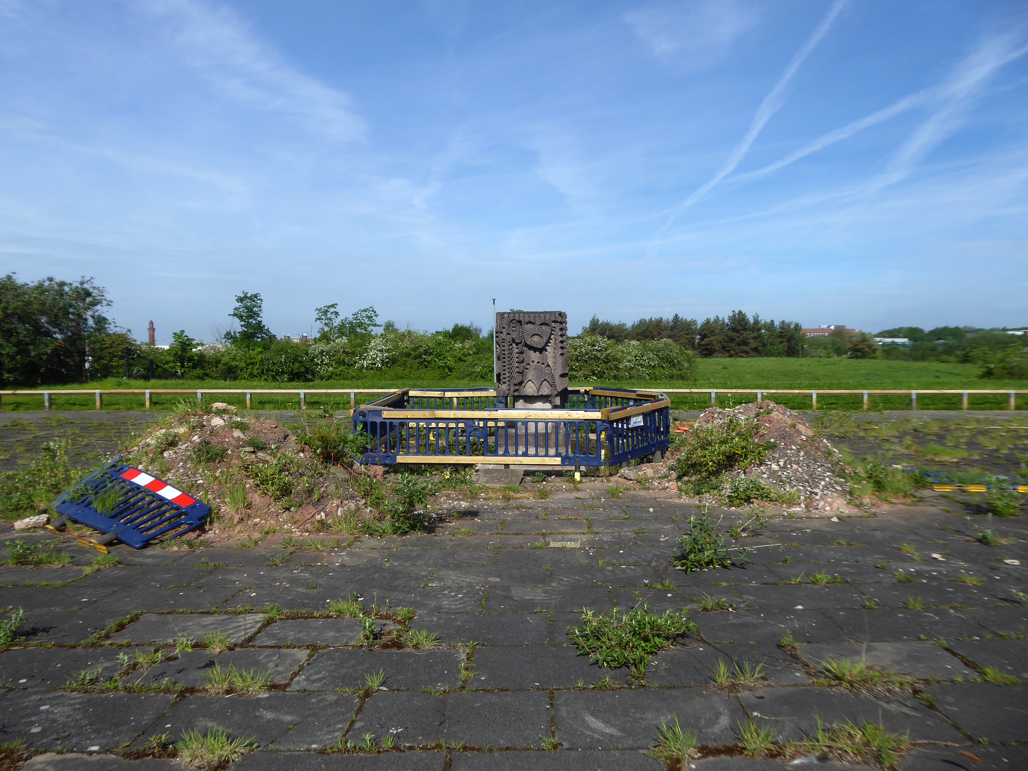
The state of play this week, the detritus removed and the base filled in, repaved and safe for a while.
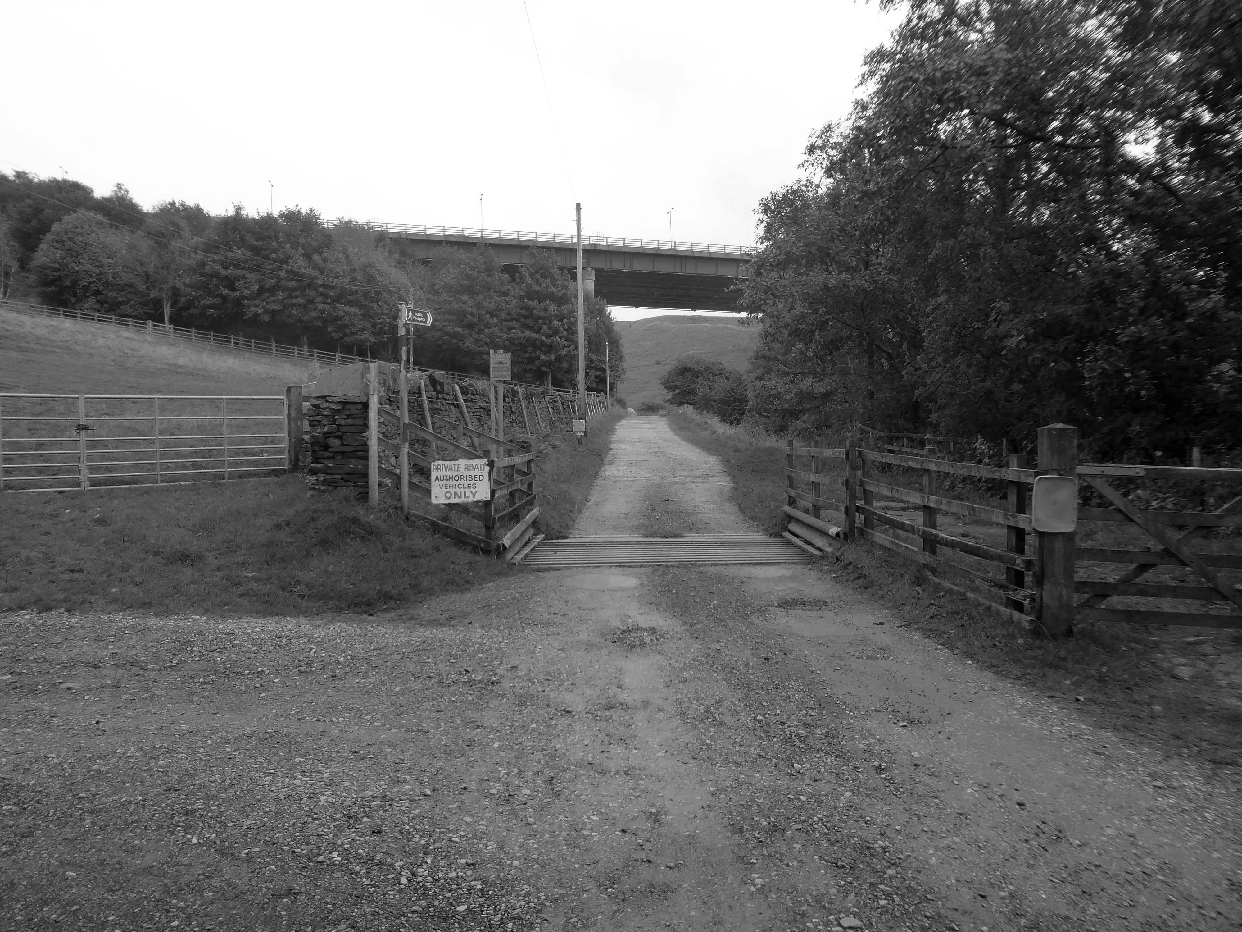
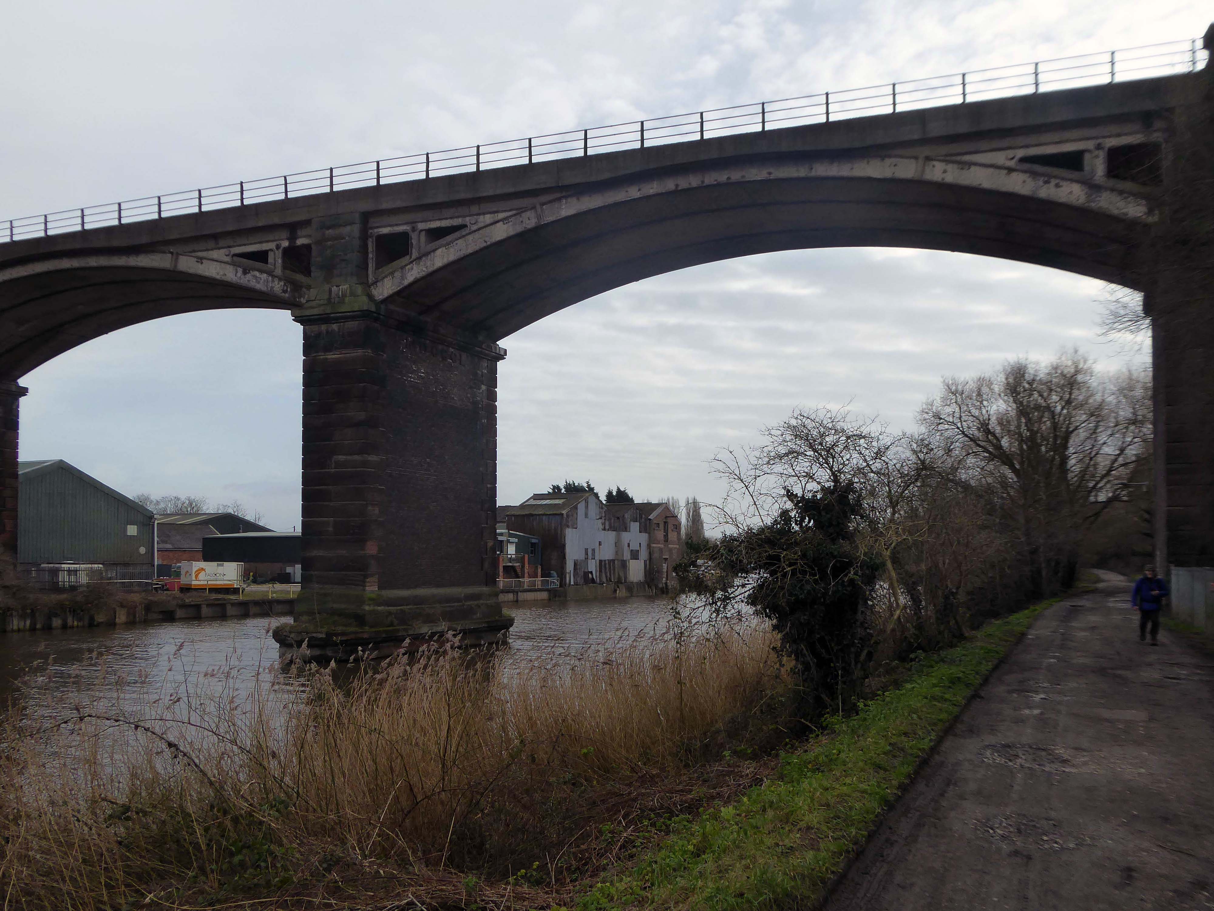
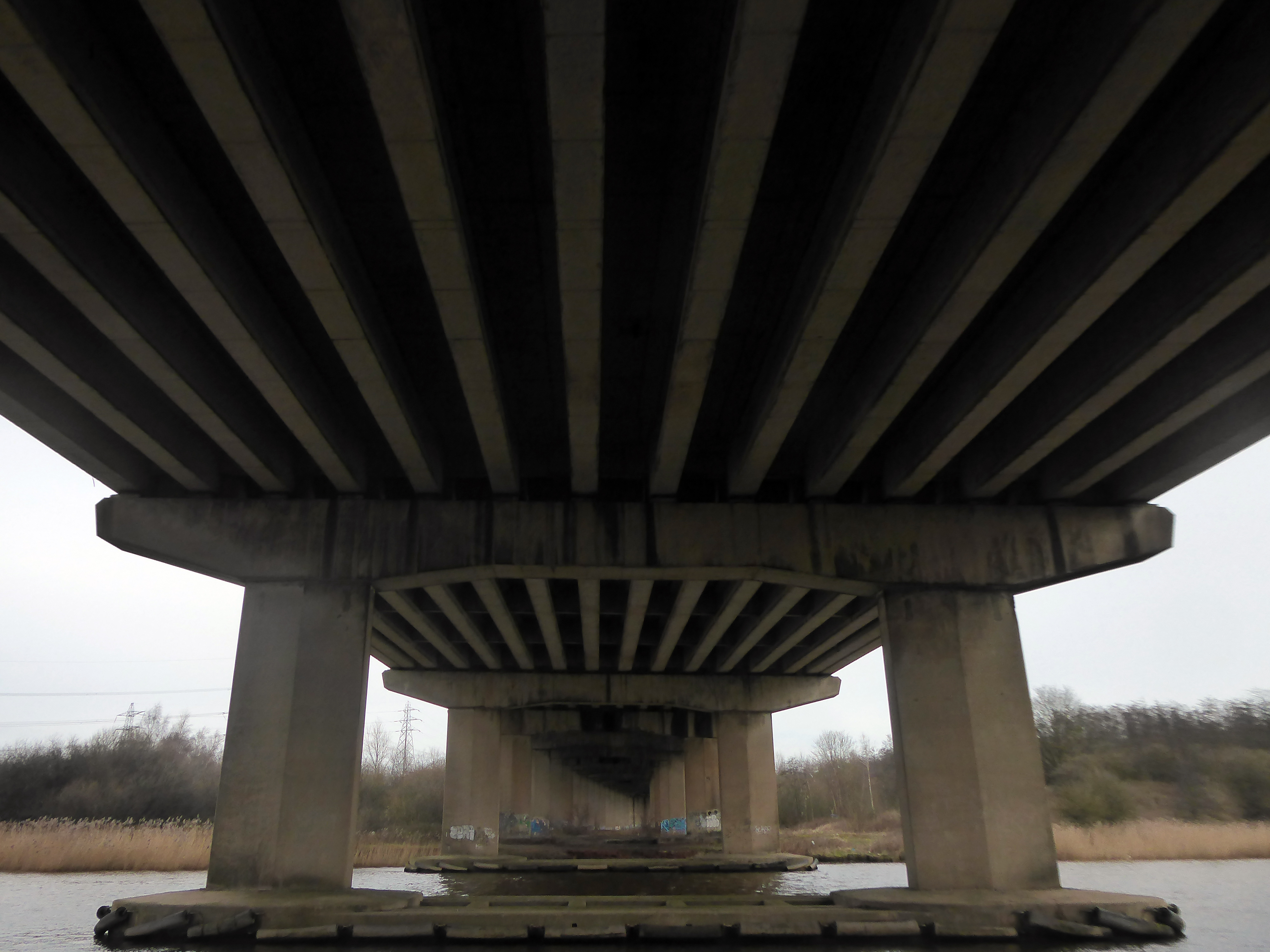
Off now to the Weaver Valley another day another river, passing under Weaver Viaduct
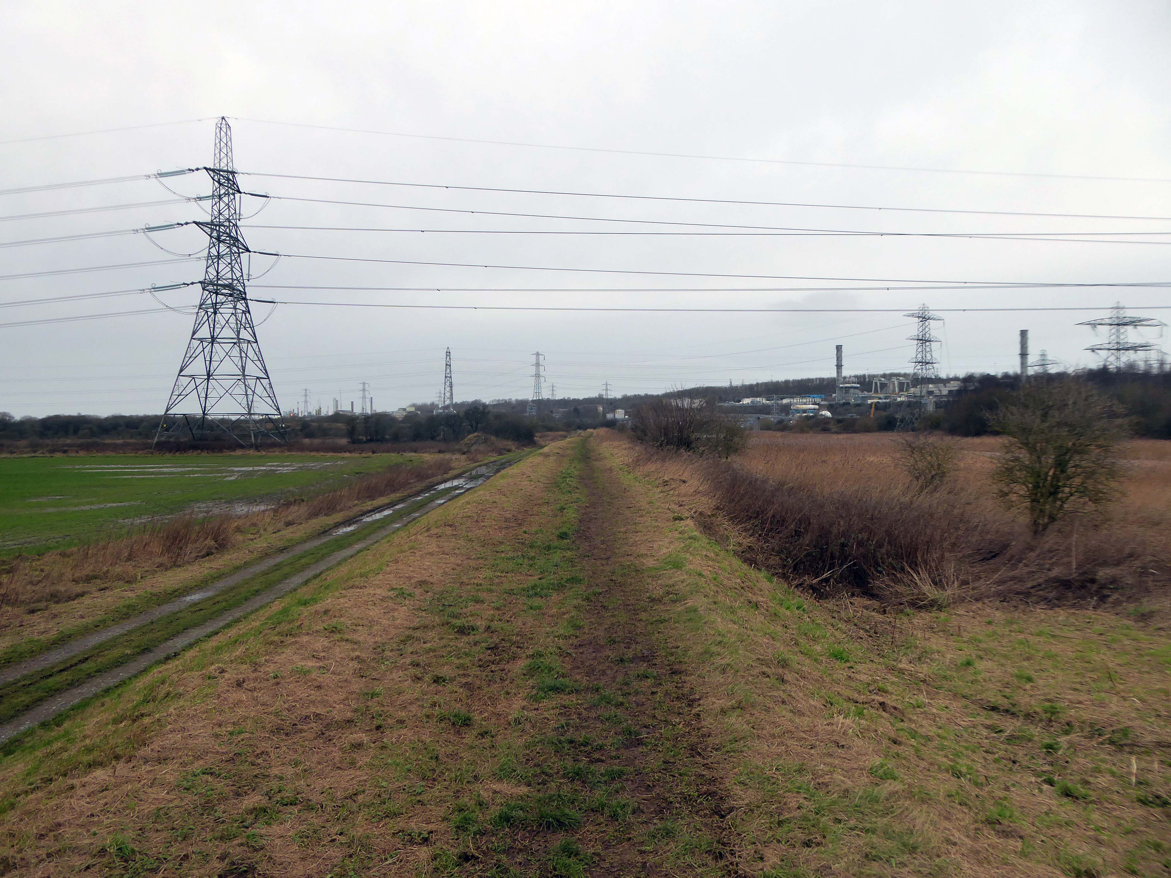
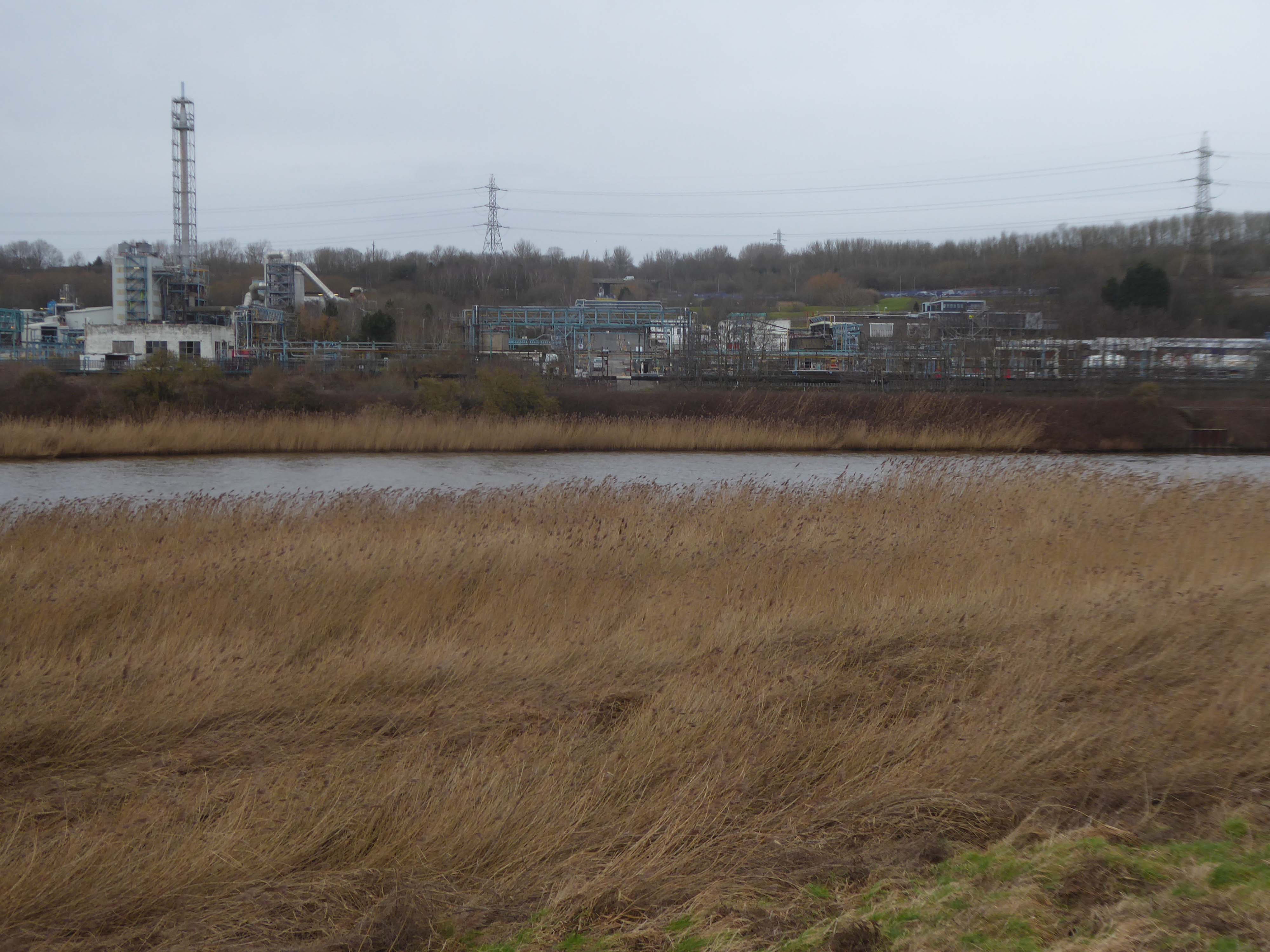
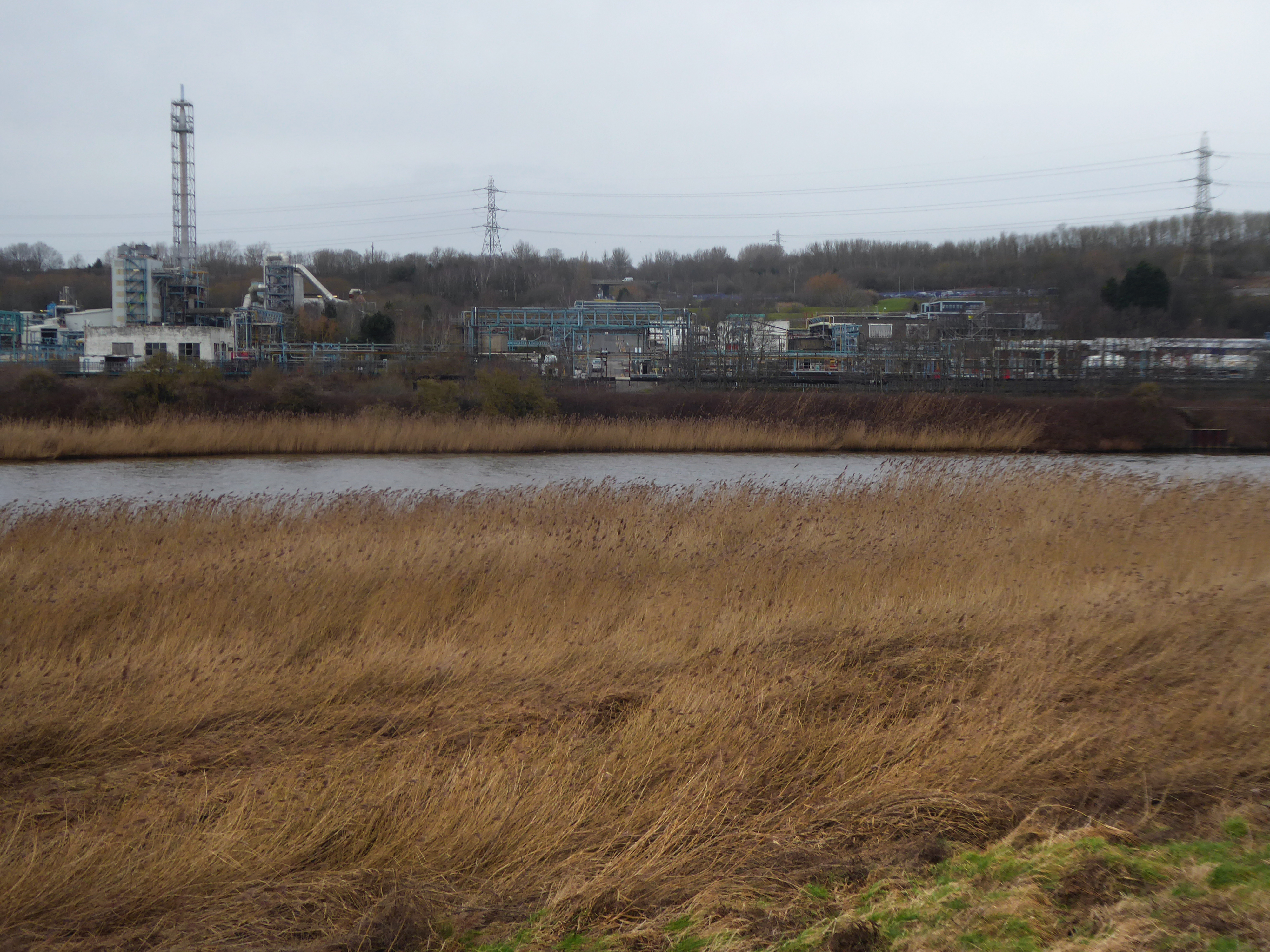
The looking toward Koura Global – leader in the development, manufacture, and supply of fluoro products and technologies, opened a new HFA 152a production facility at their Runcorn site in the UK.
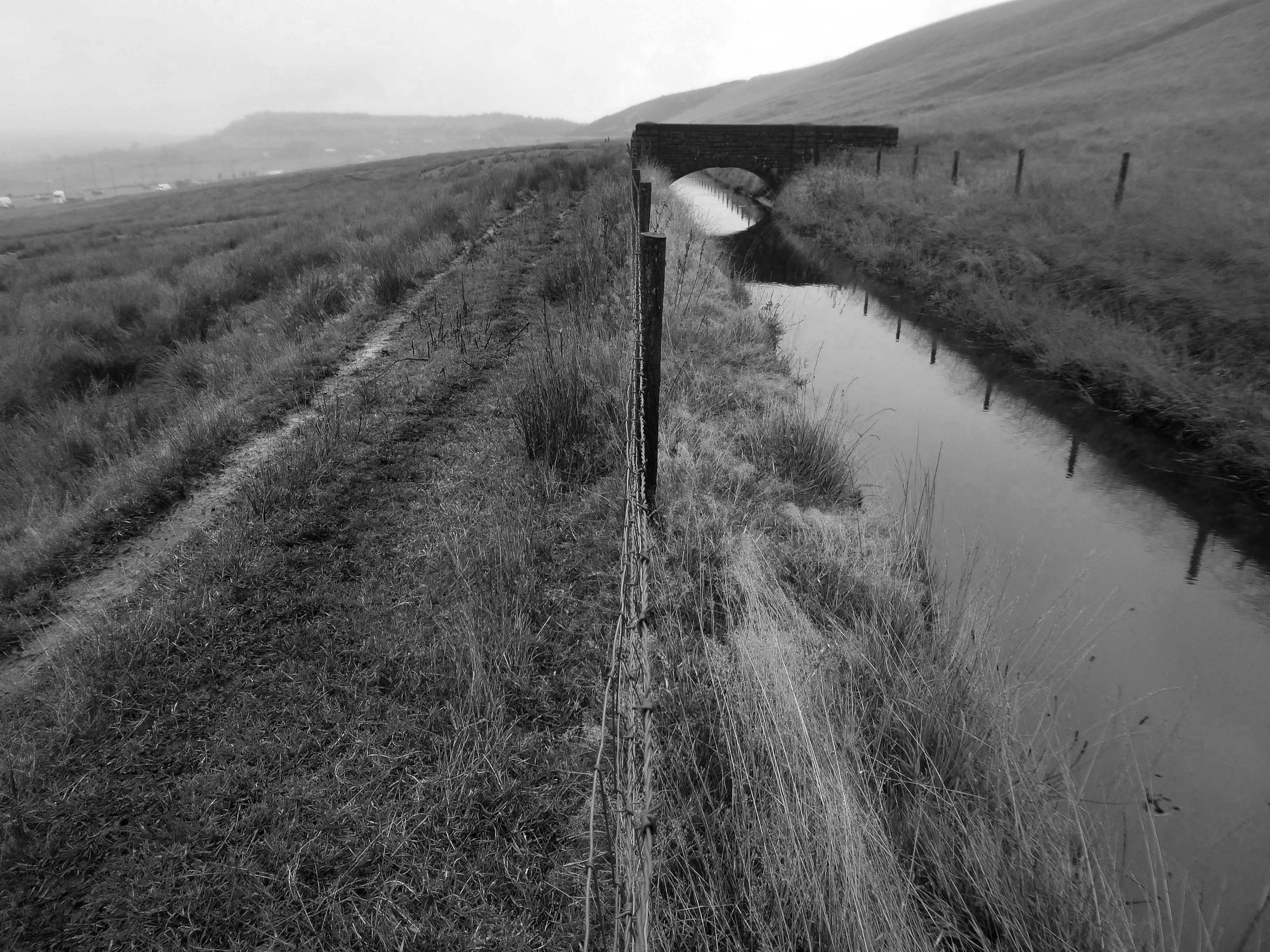
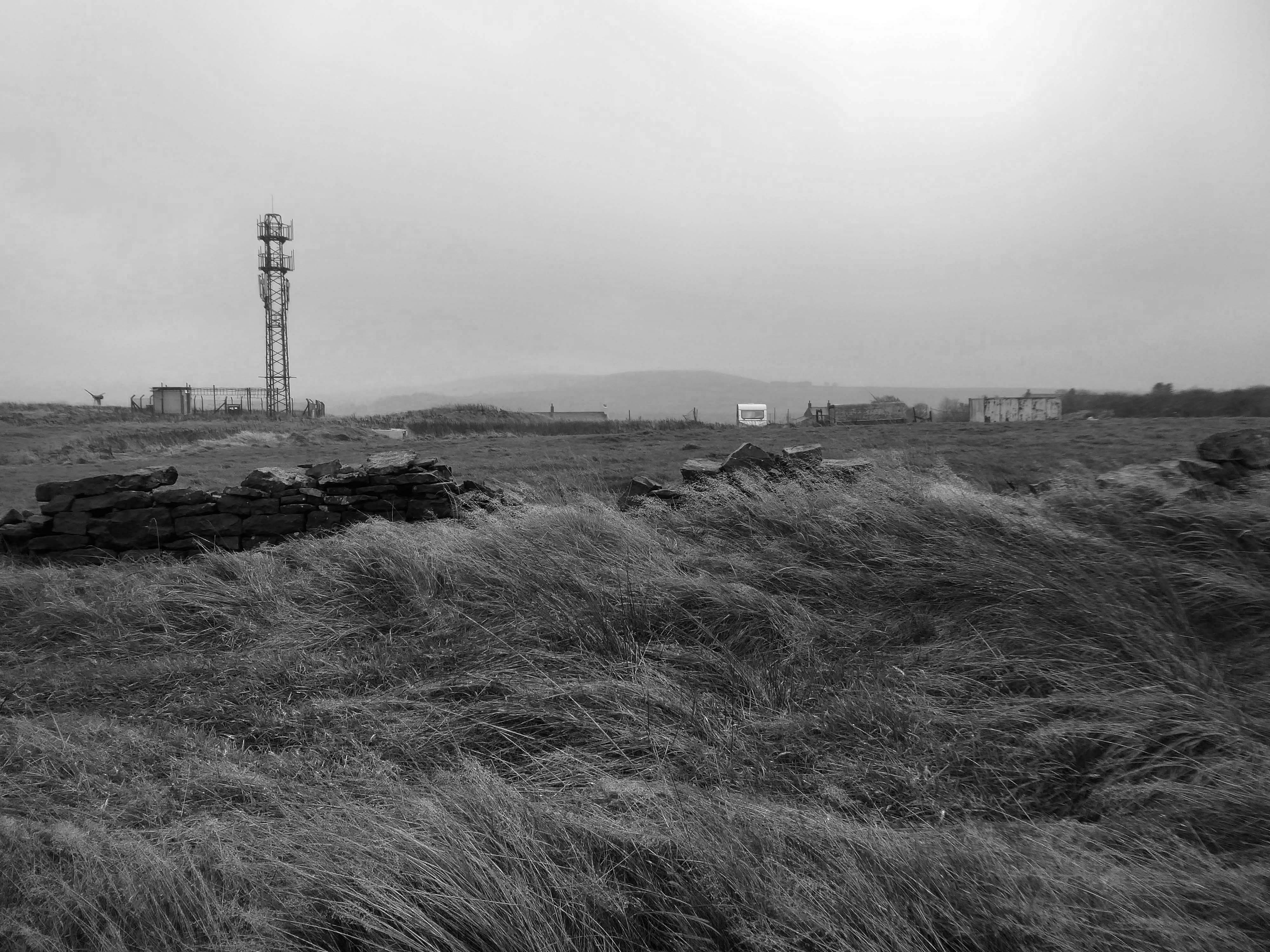
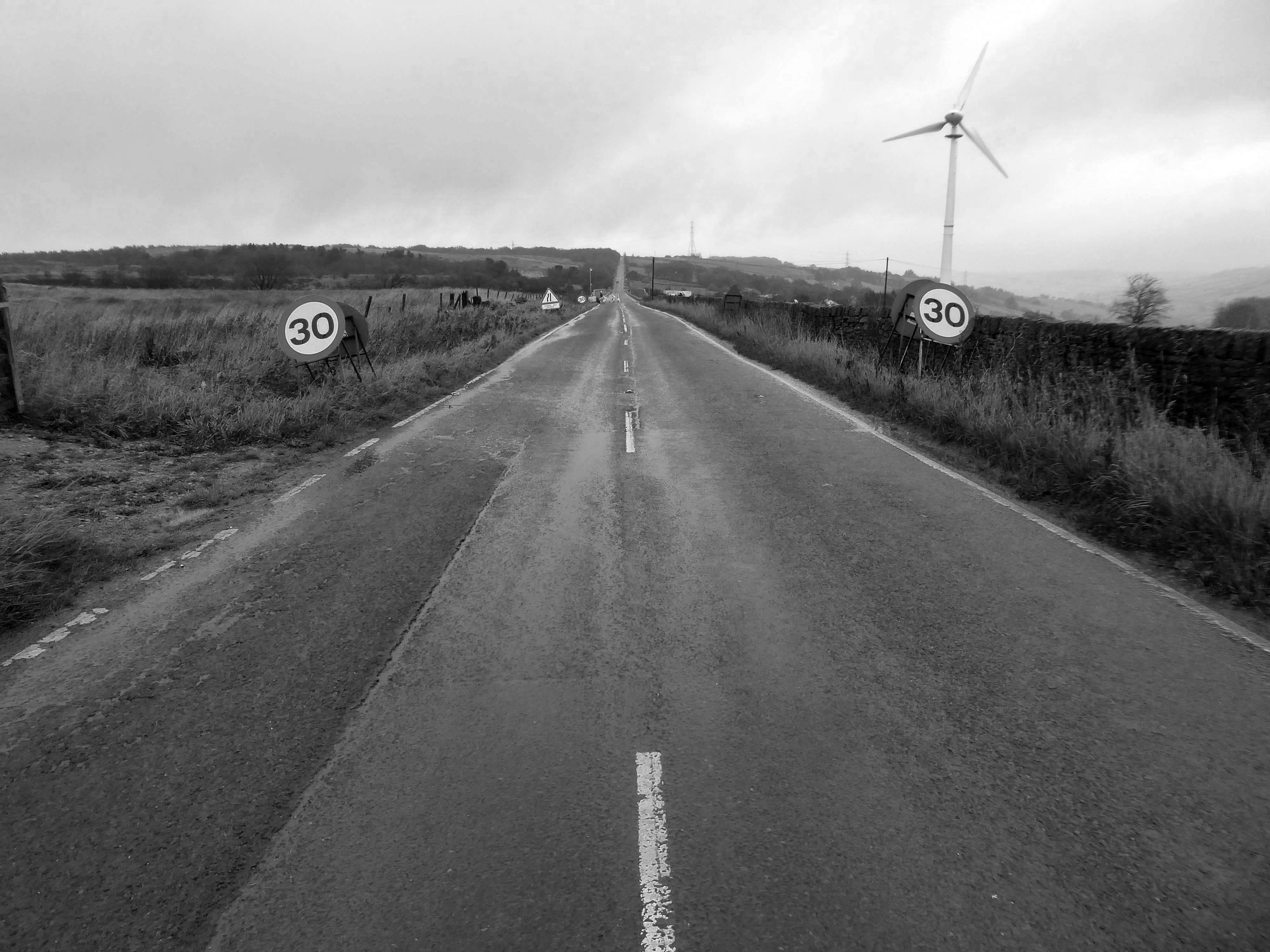
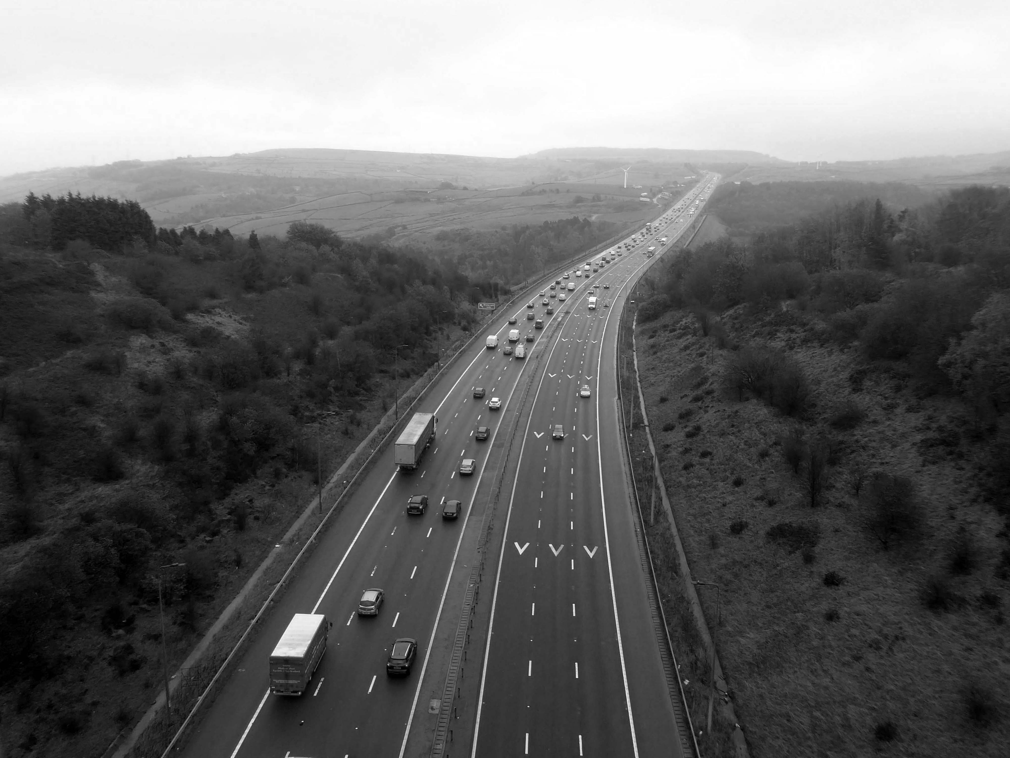
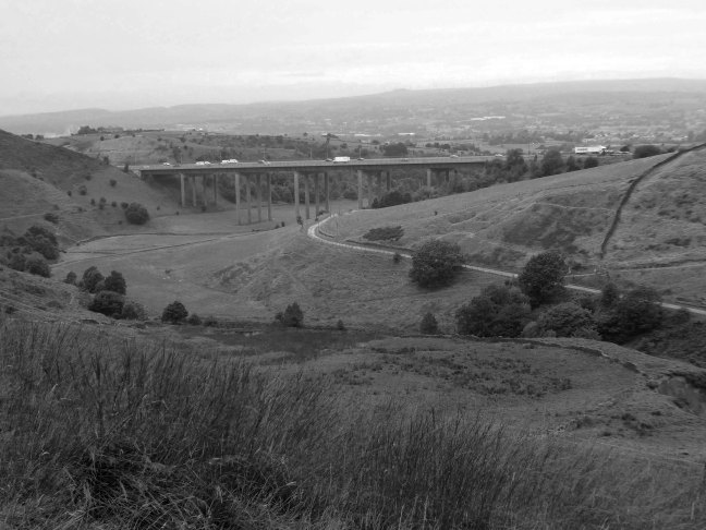
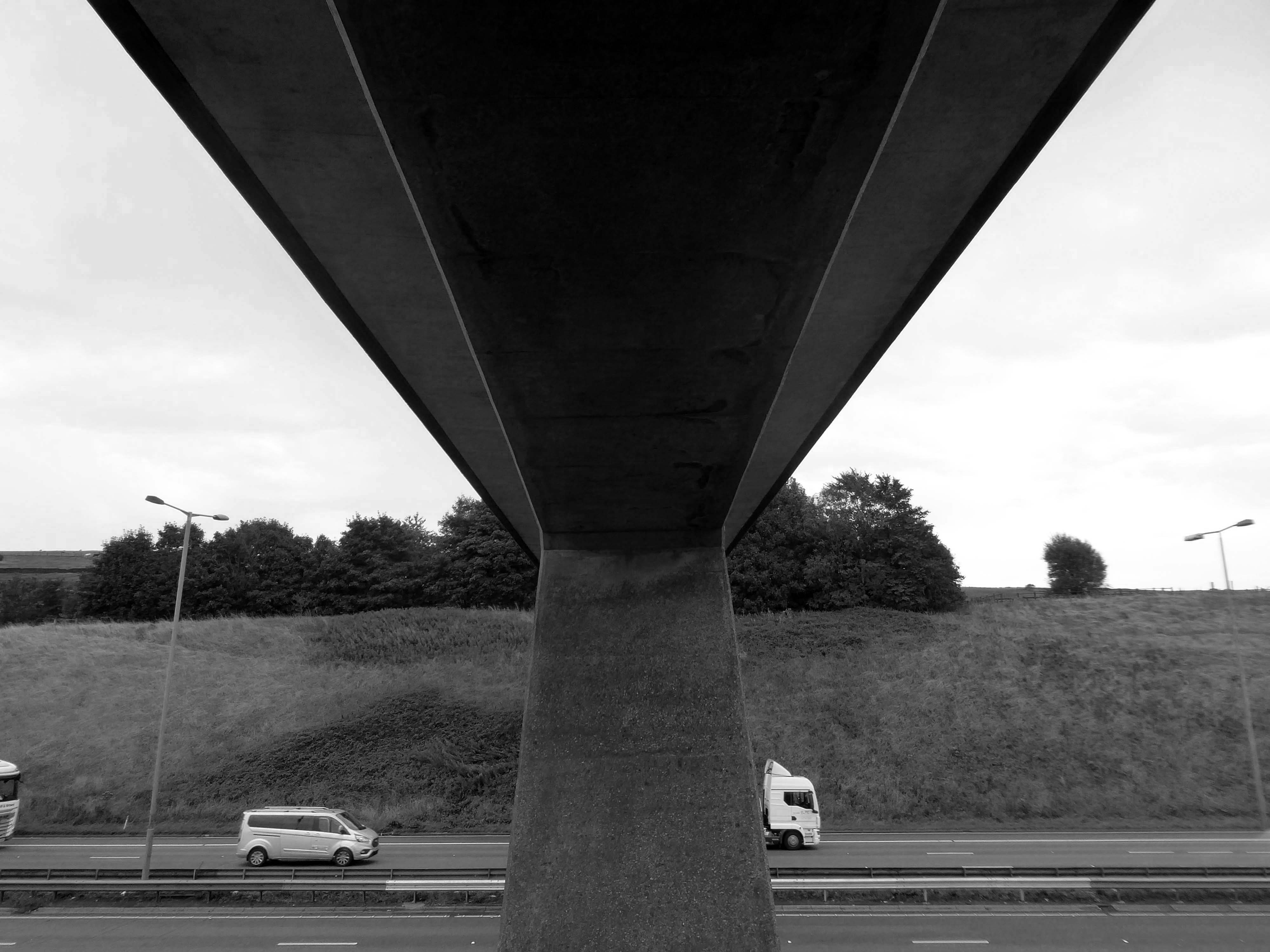
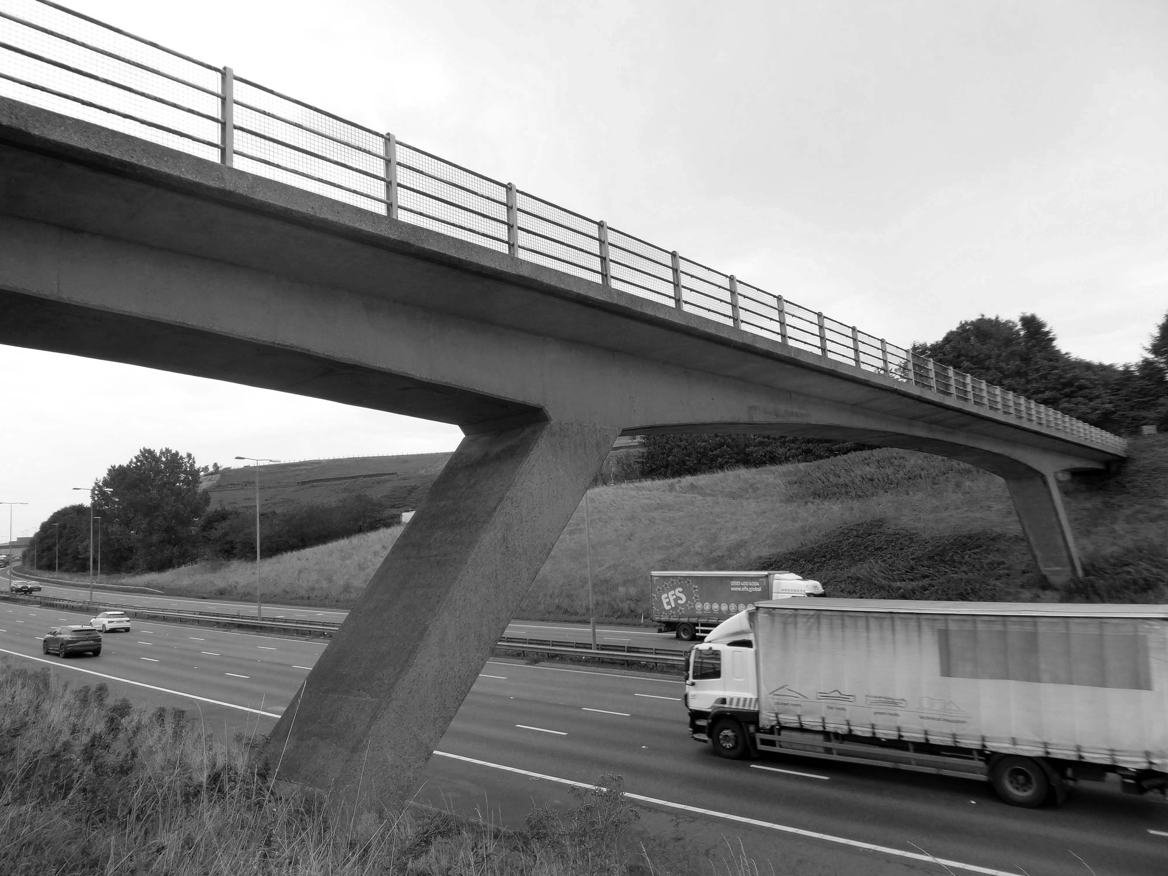
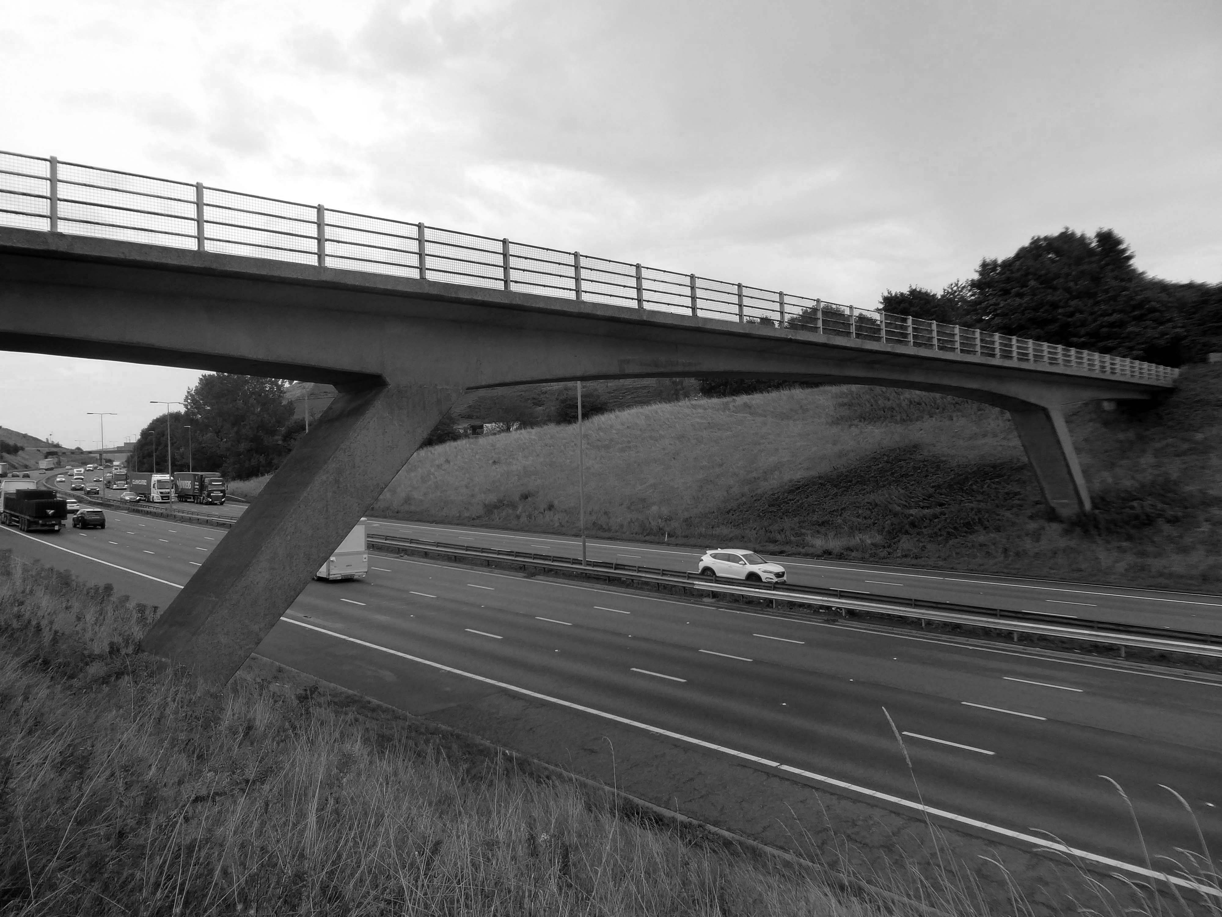
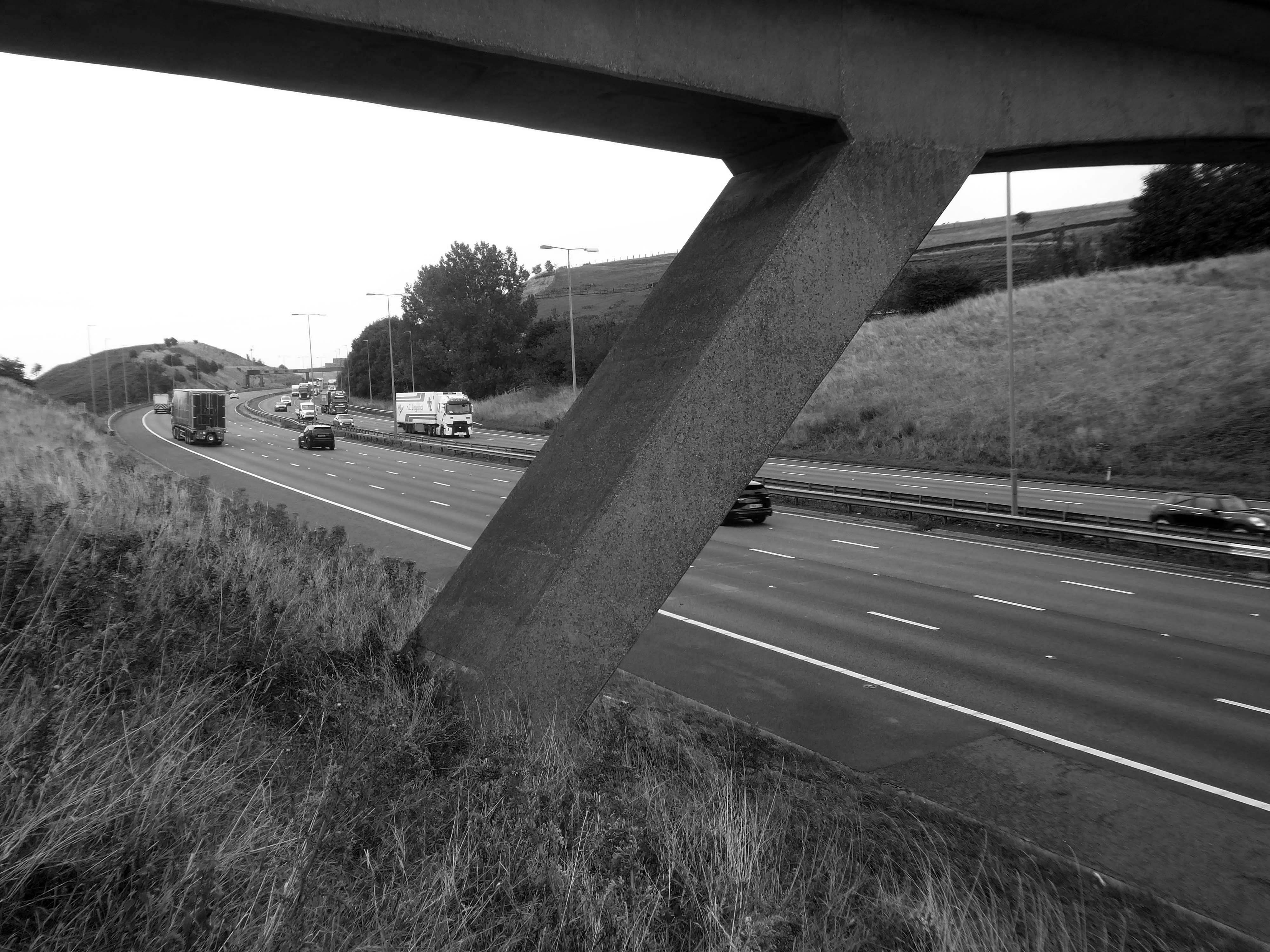
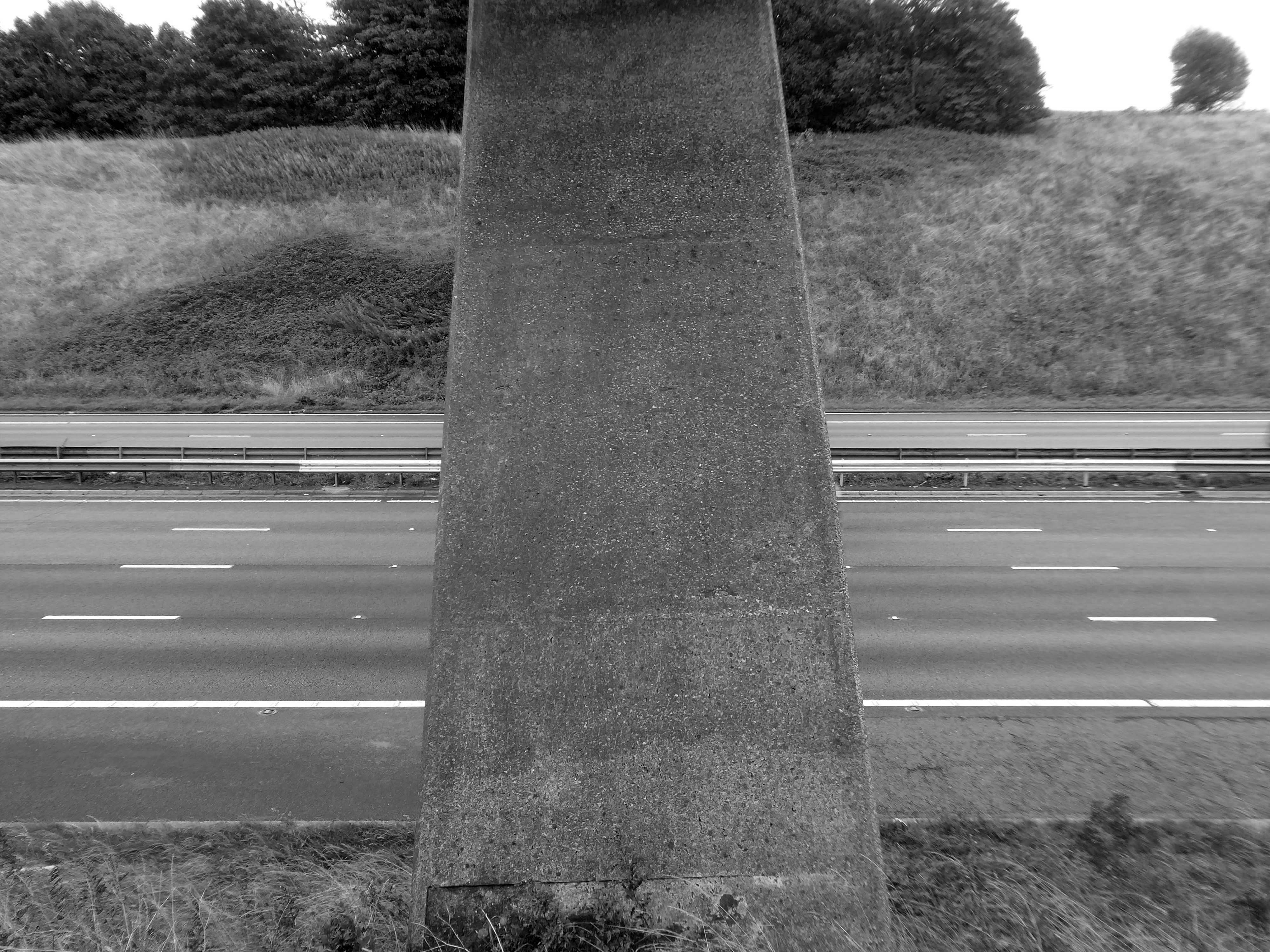
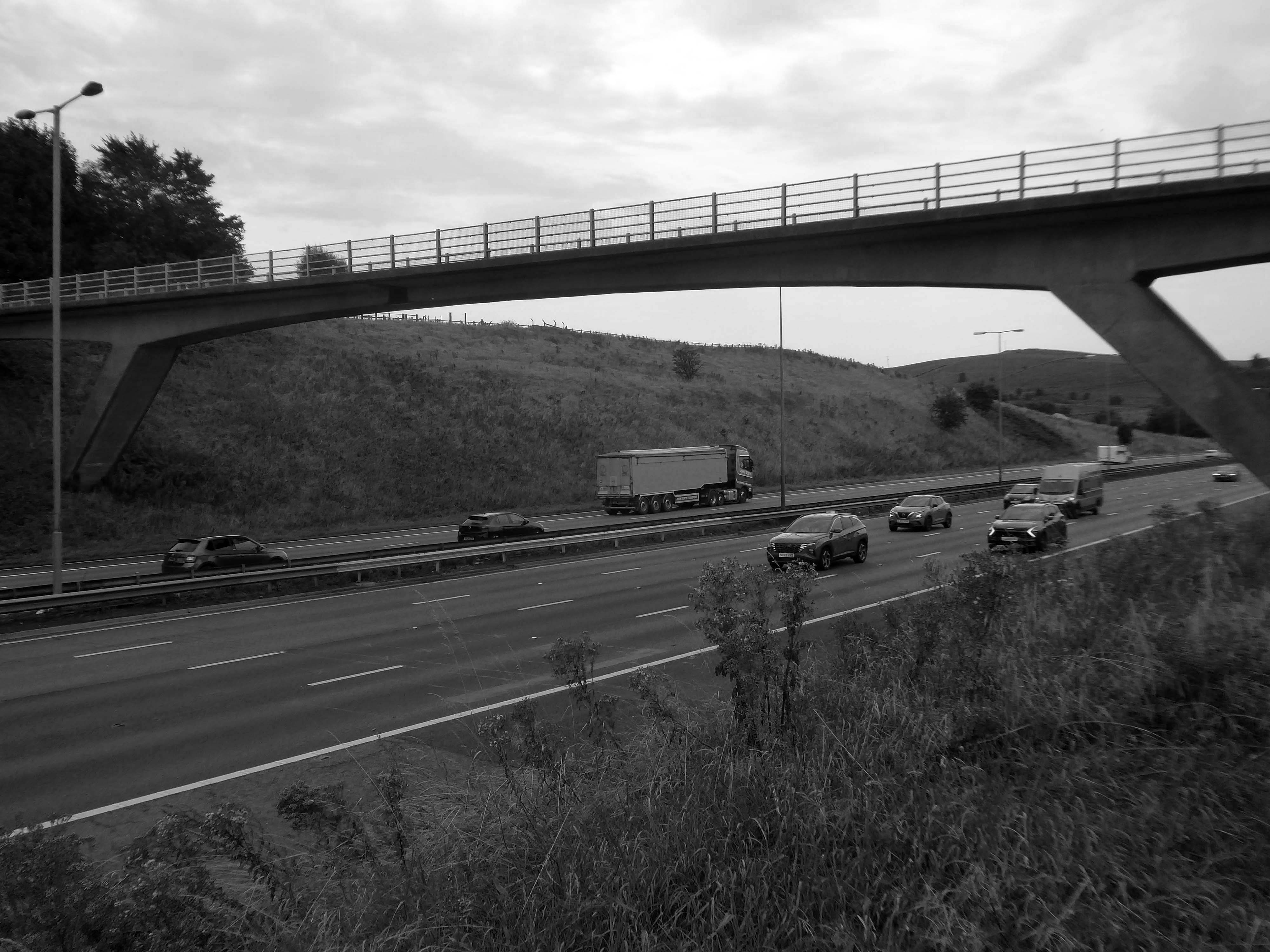
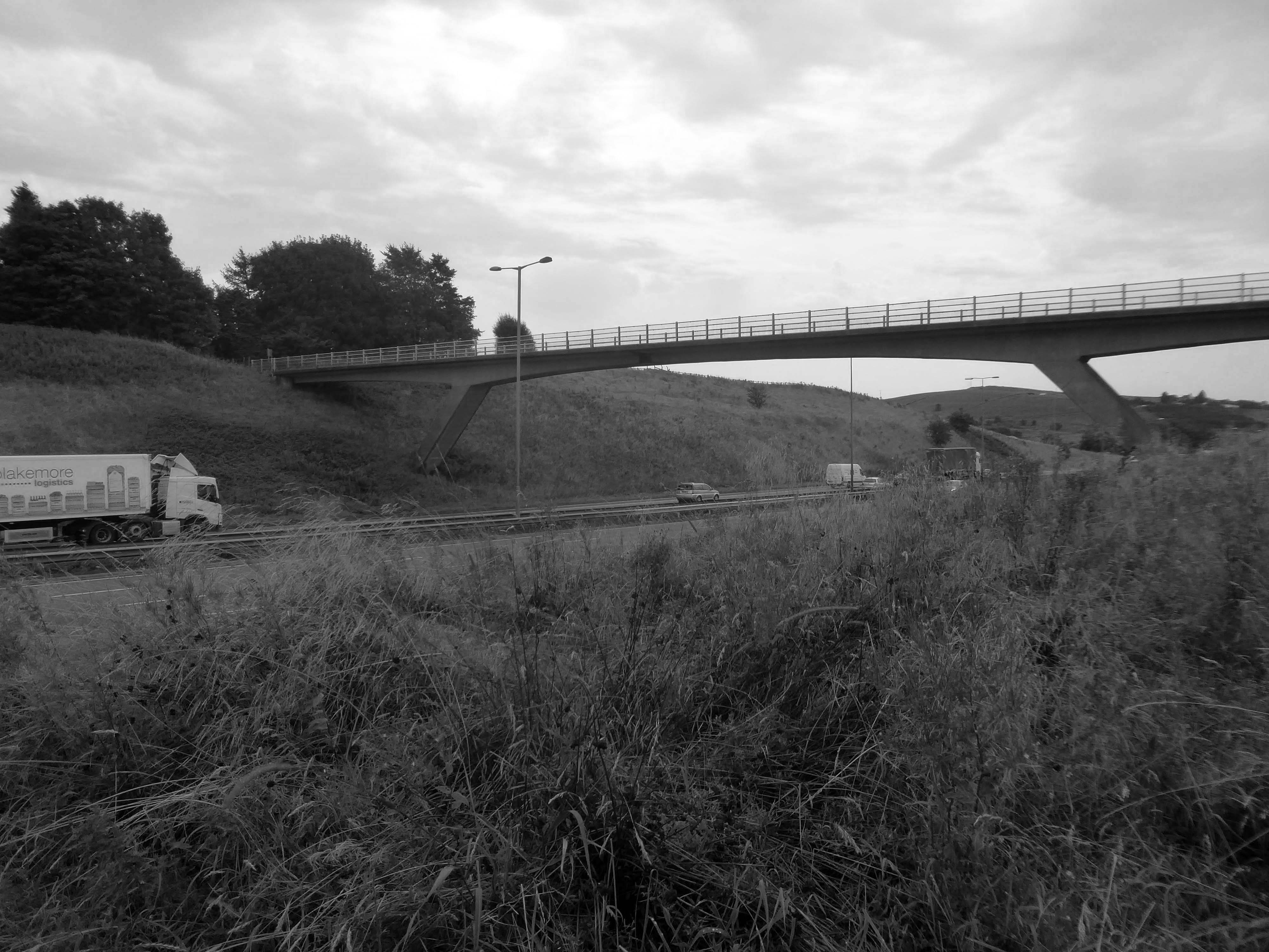
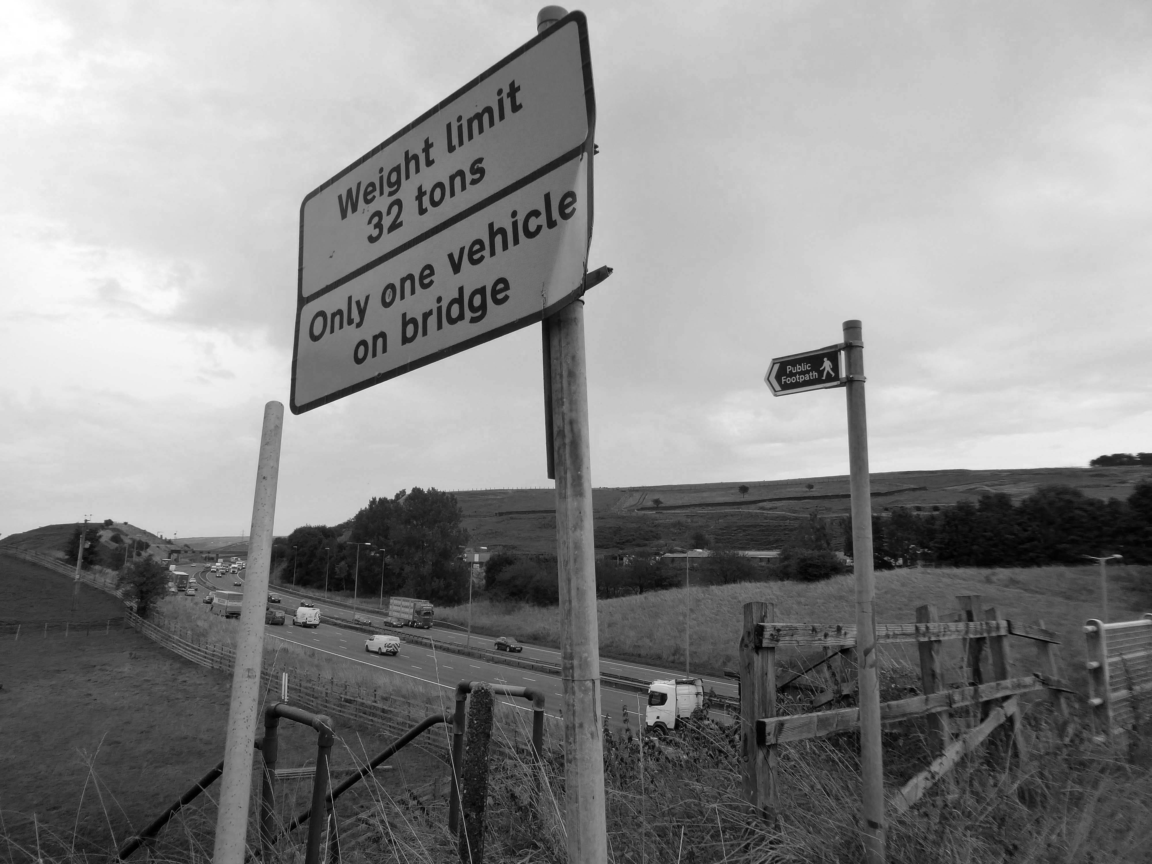
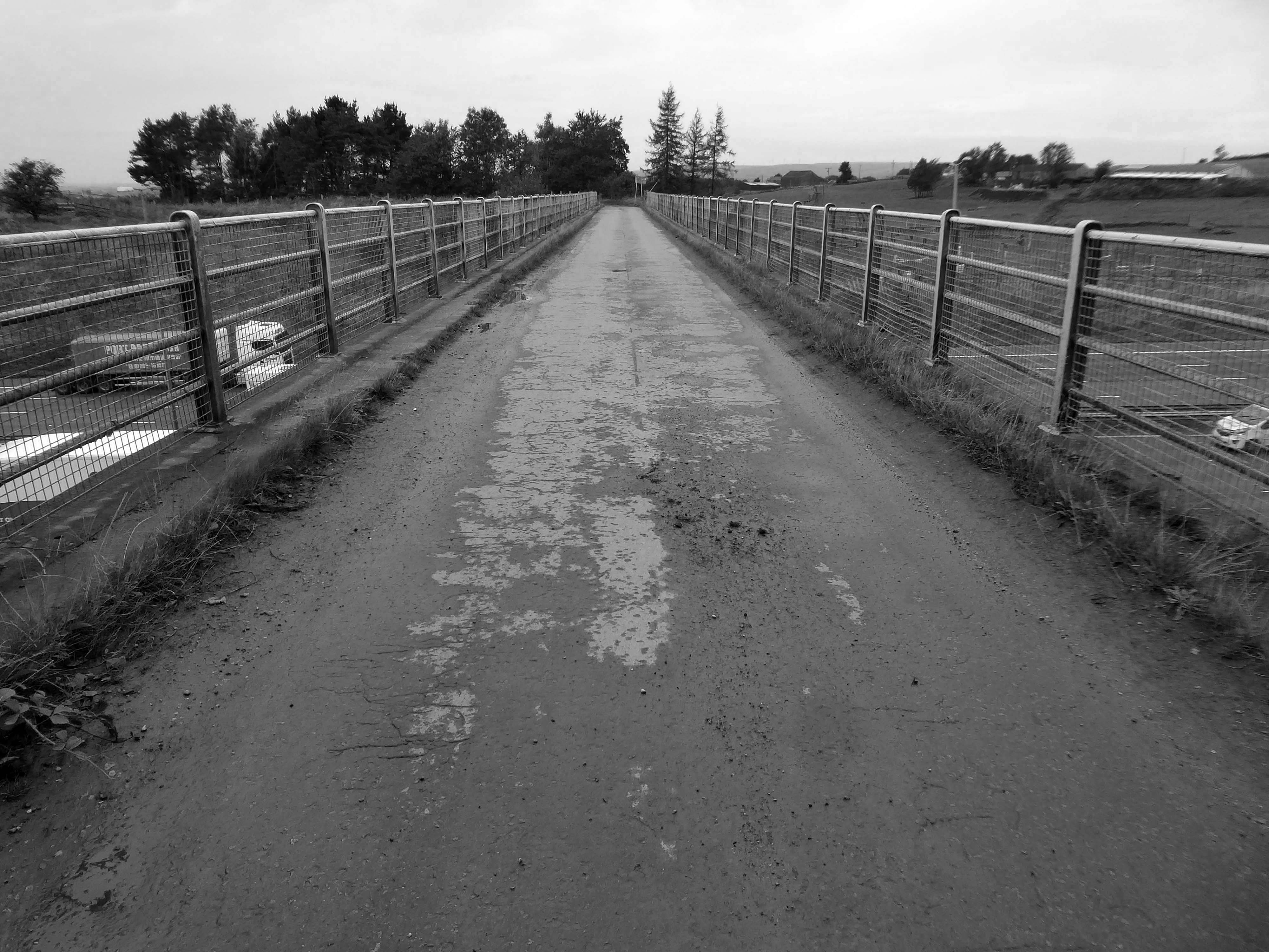
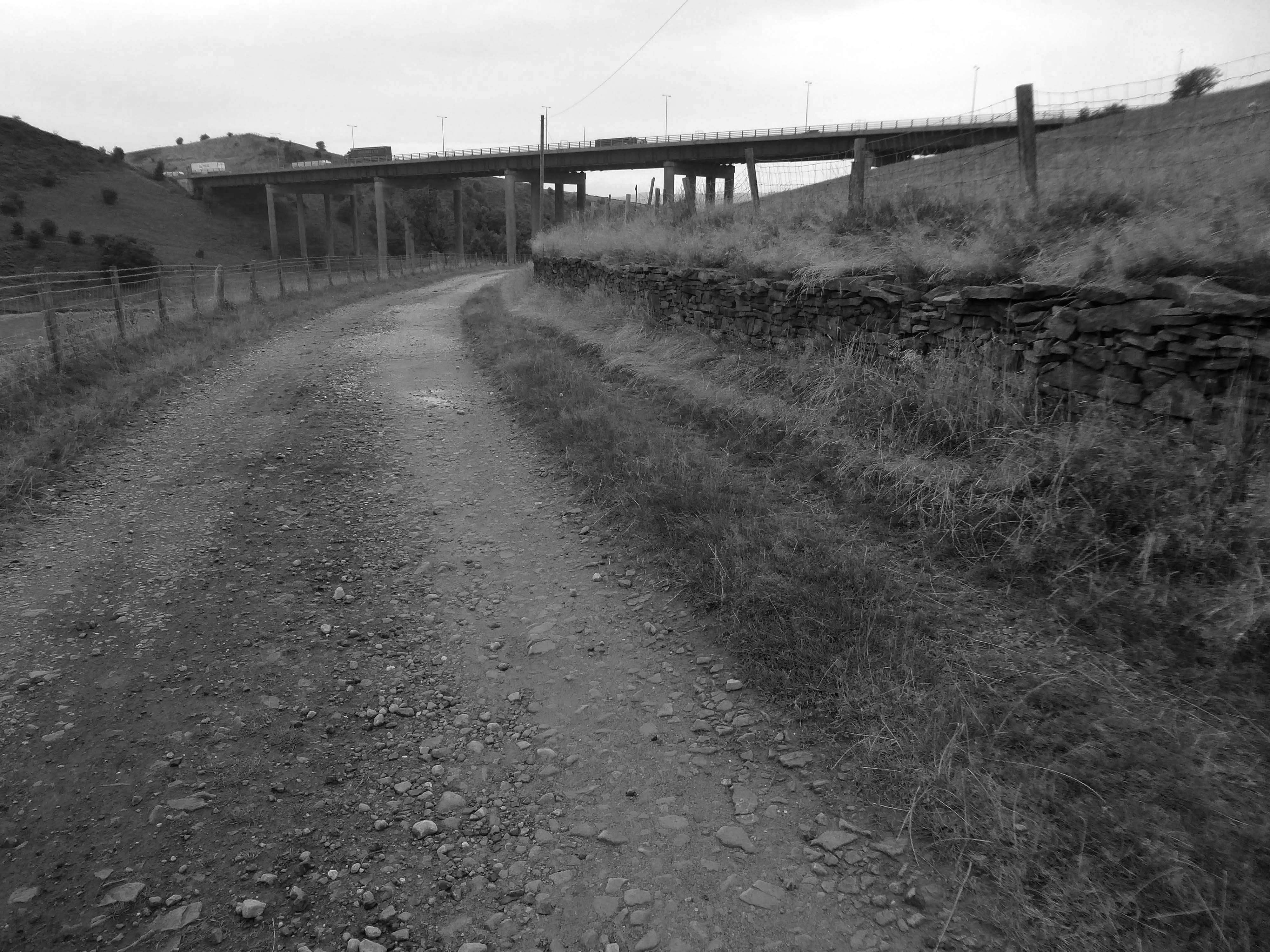
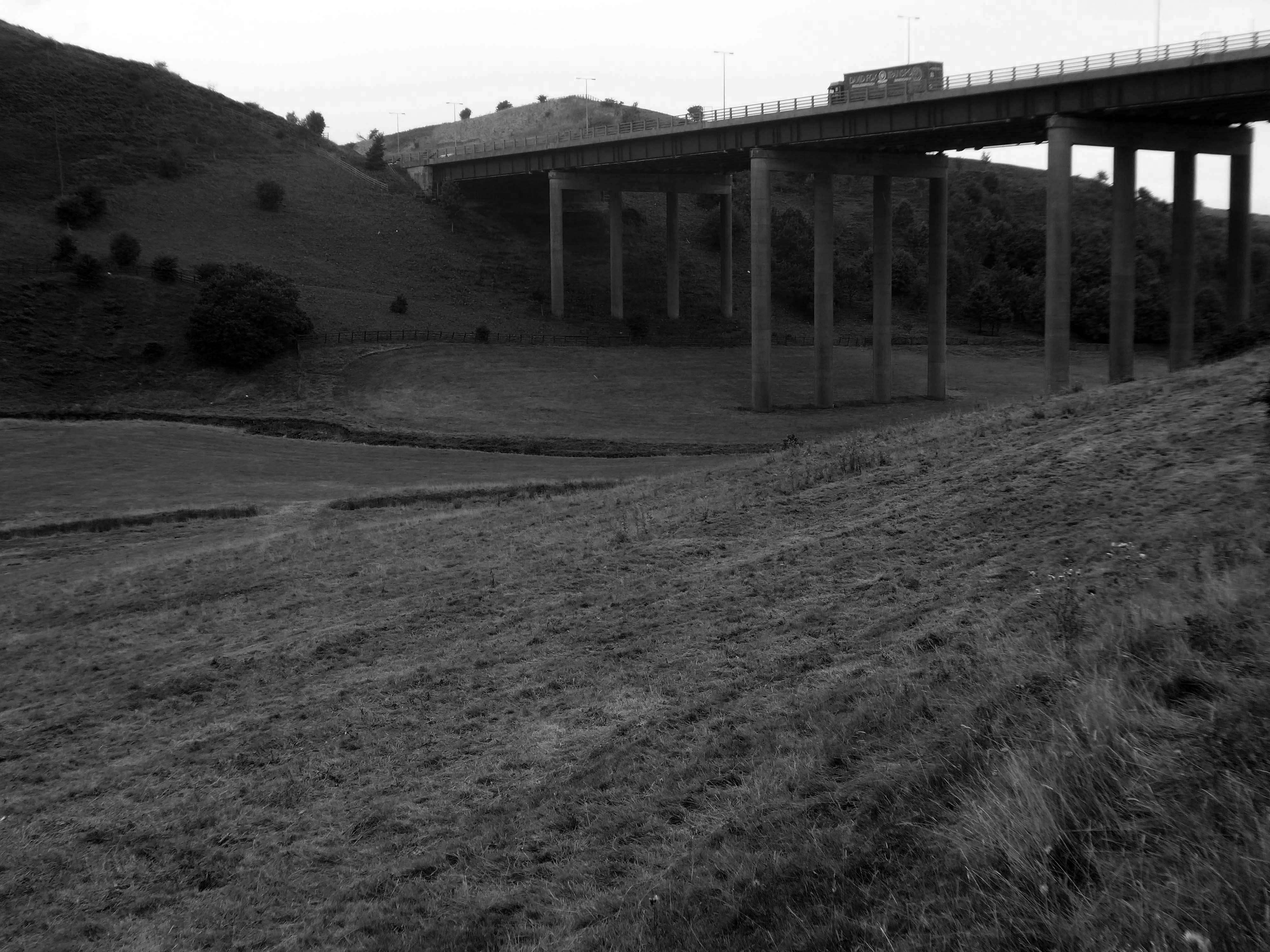
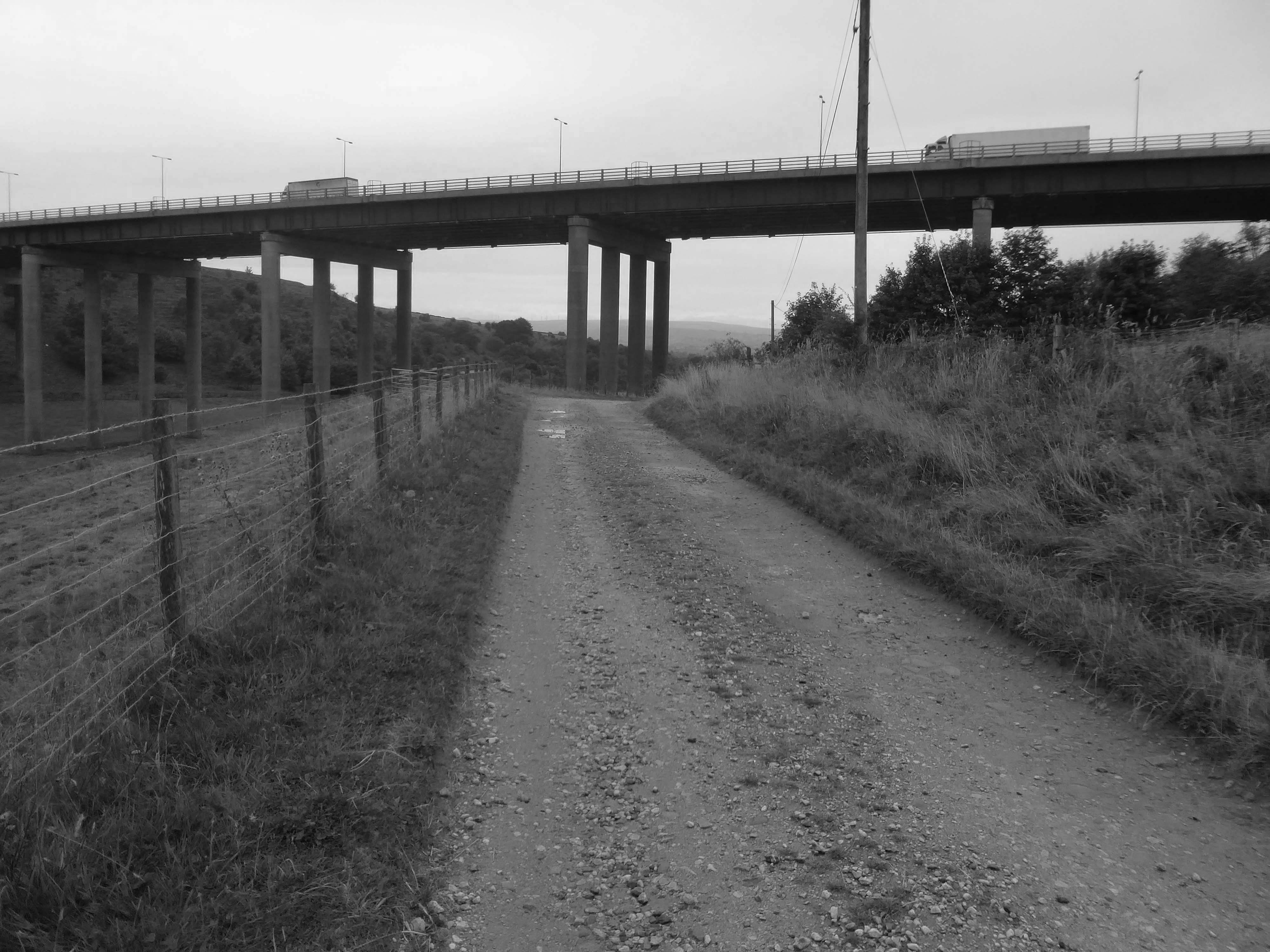
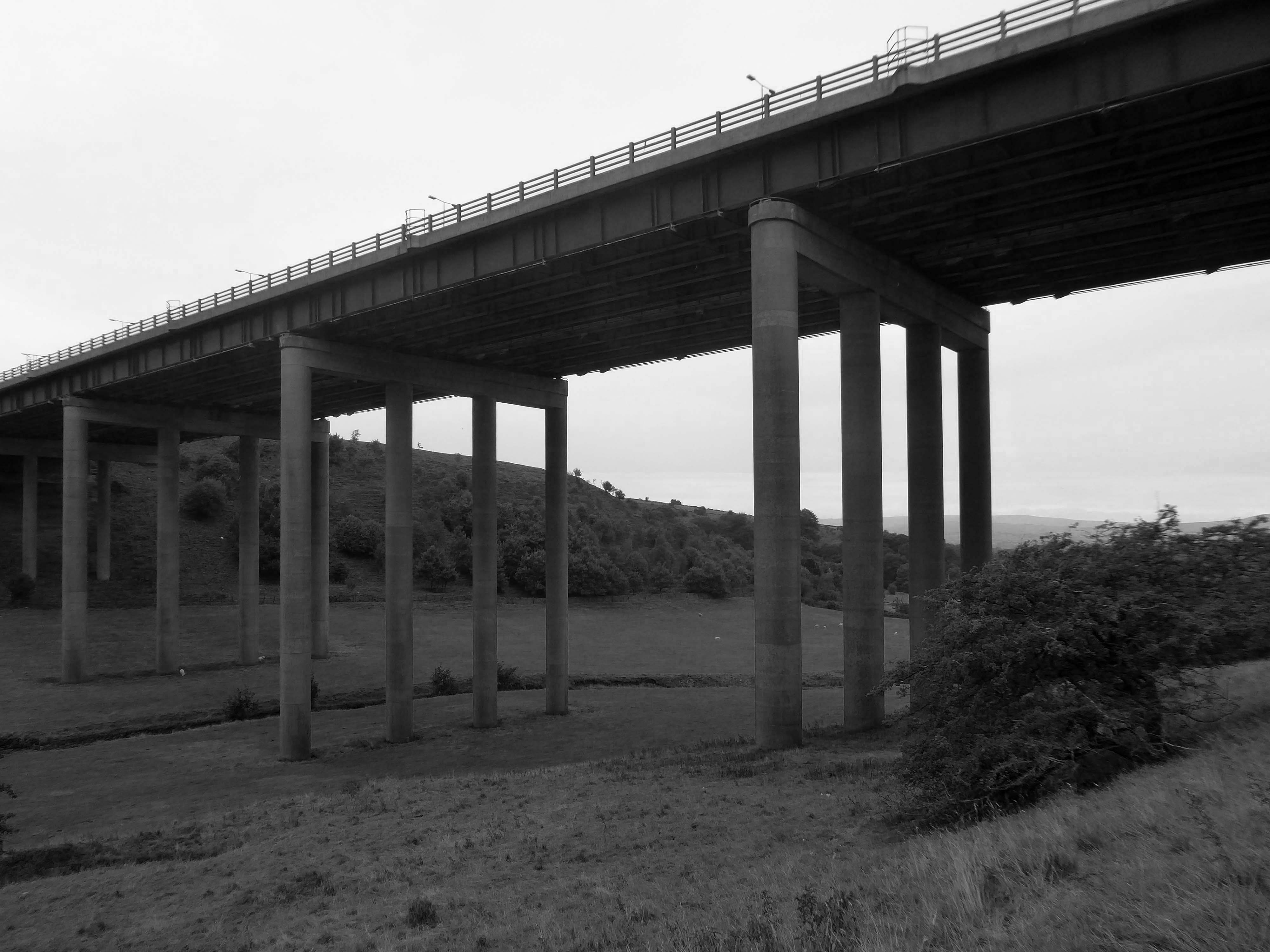
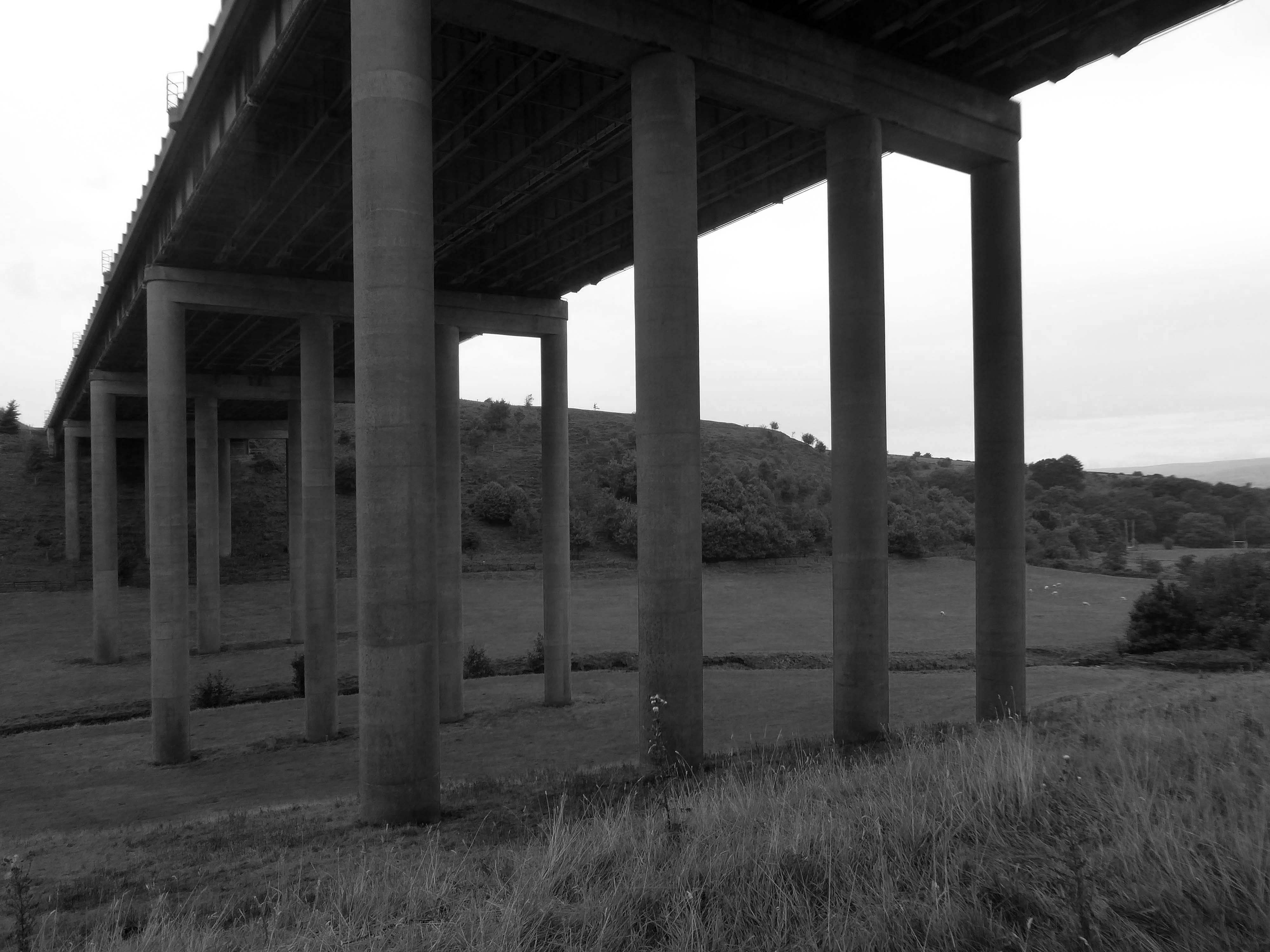
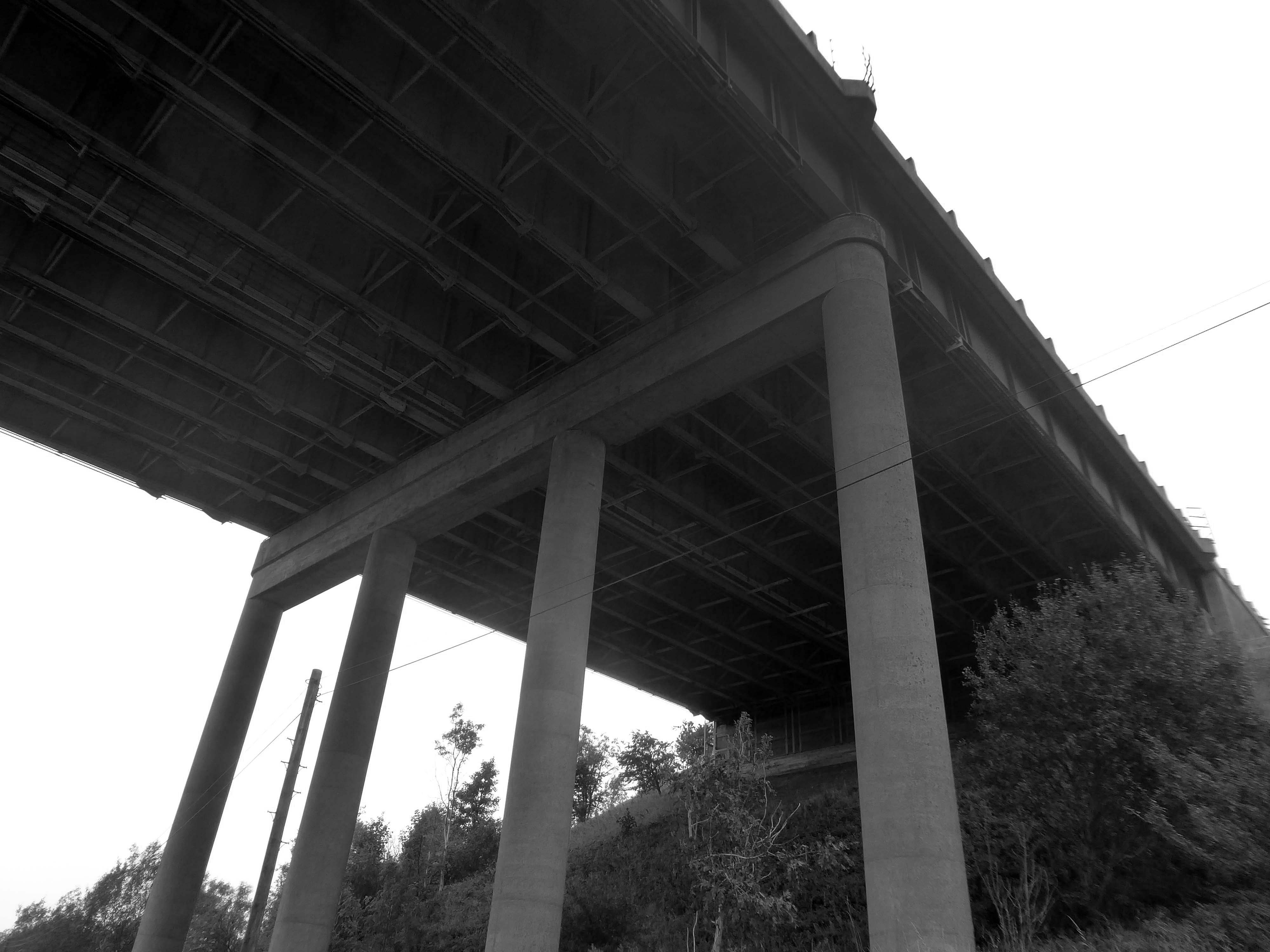
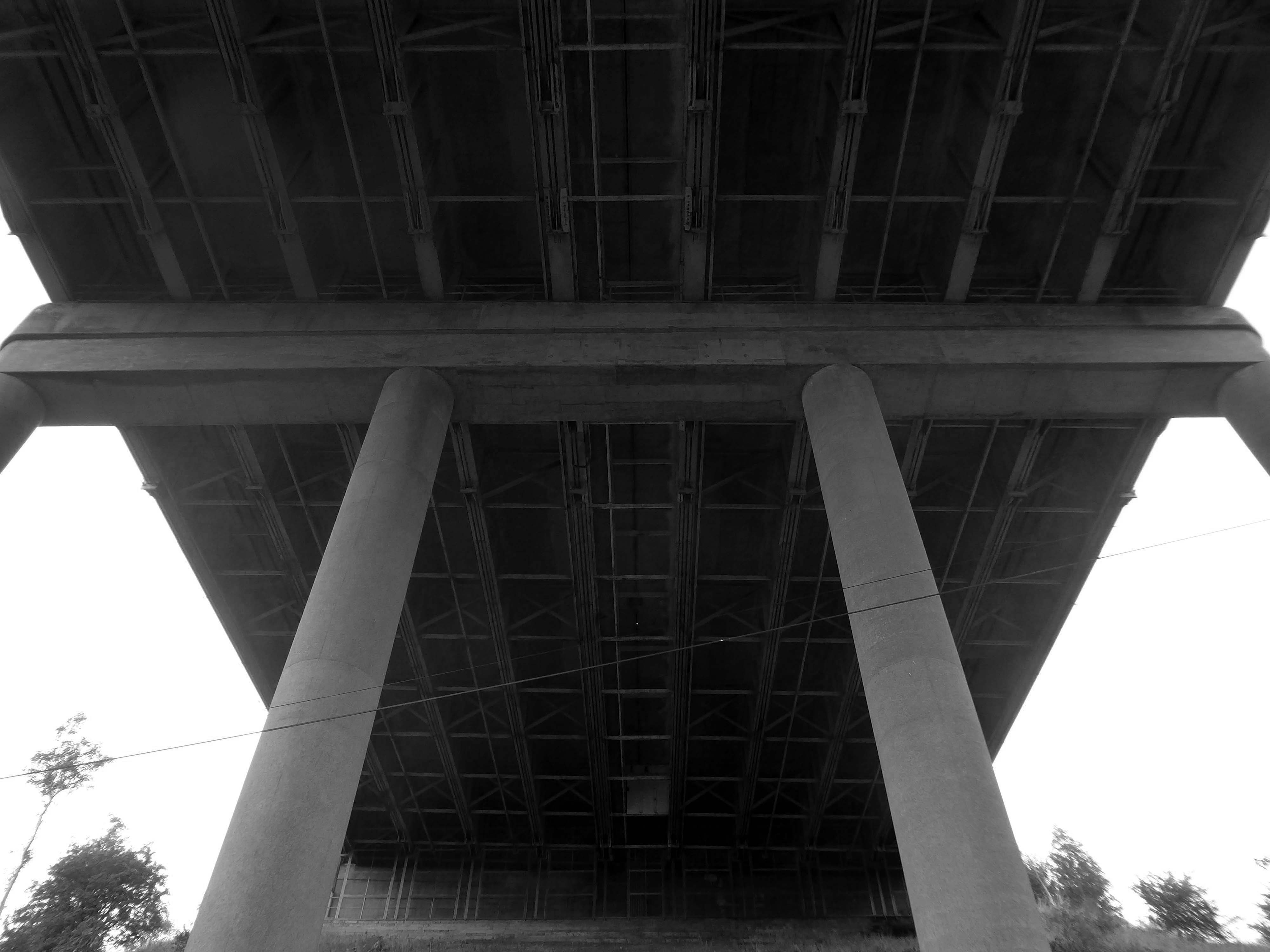
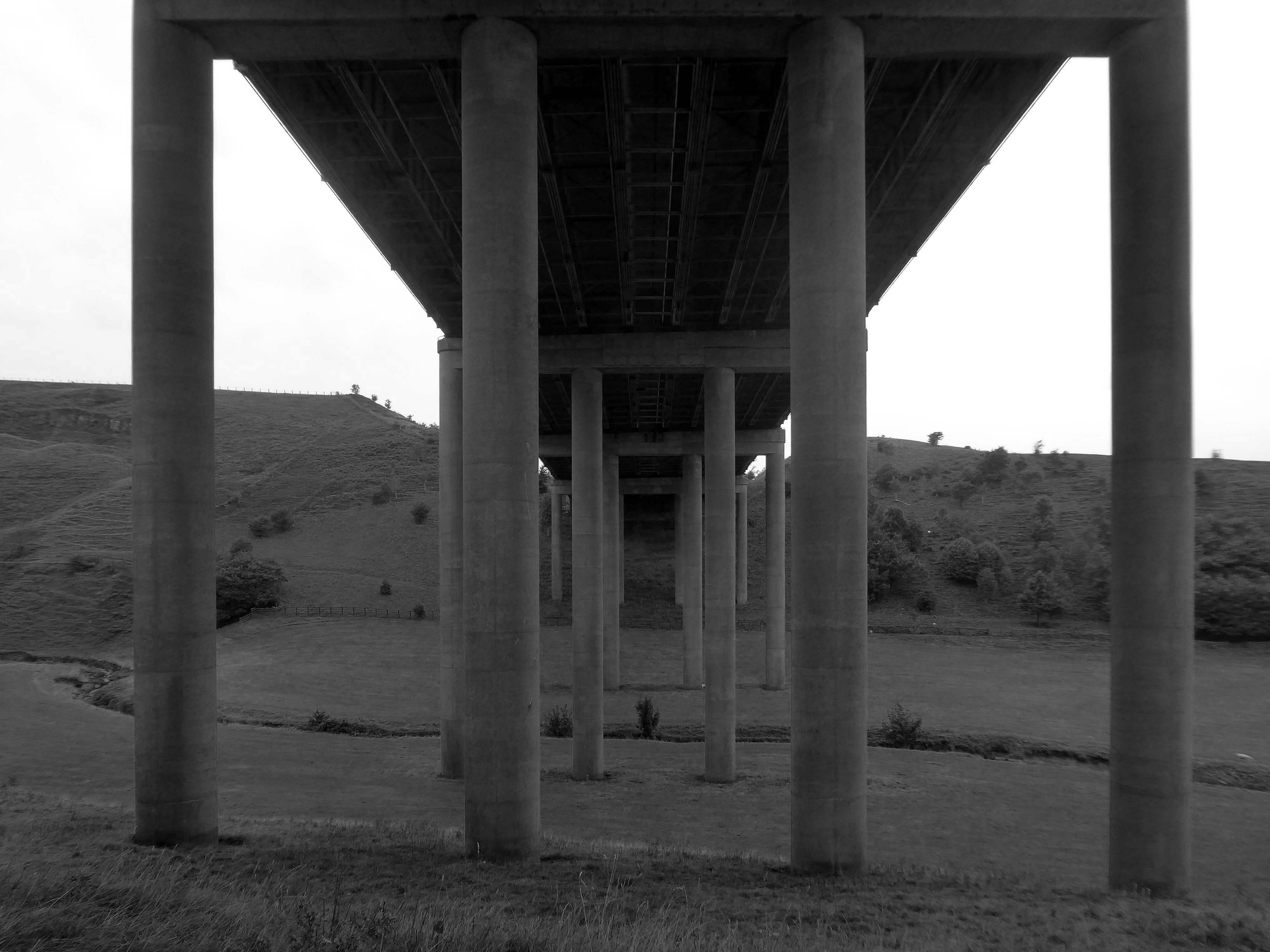
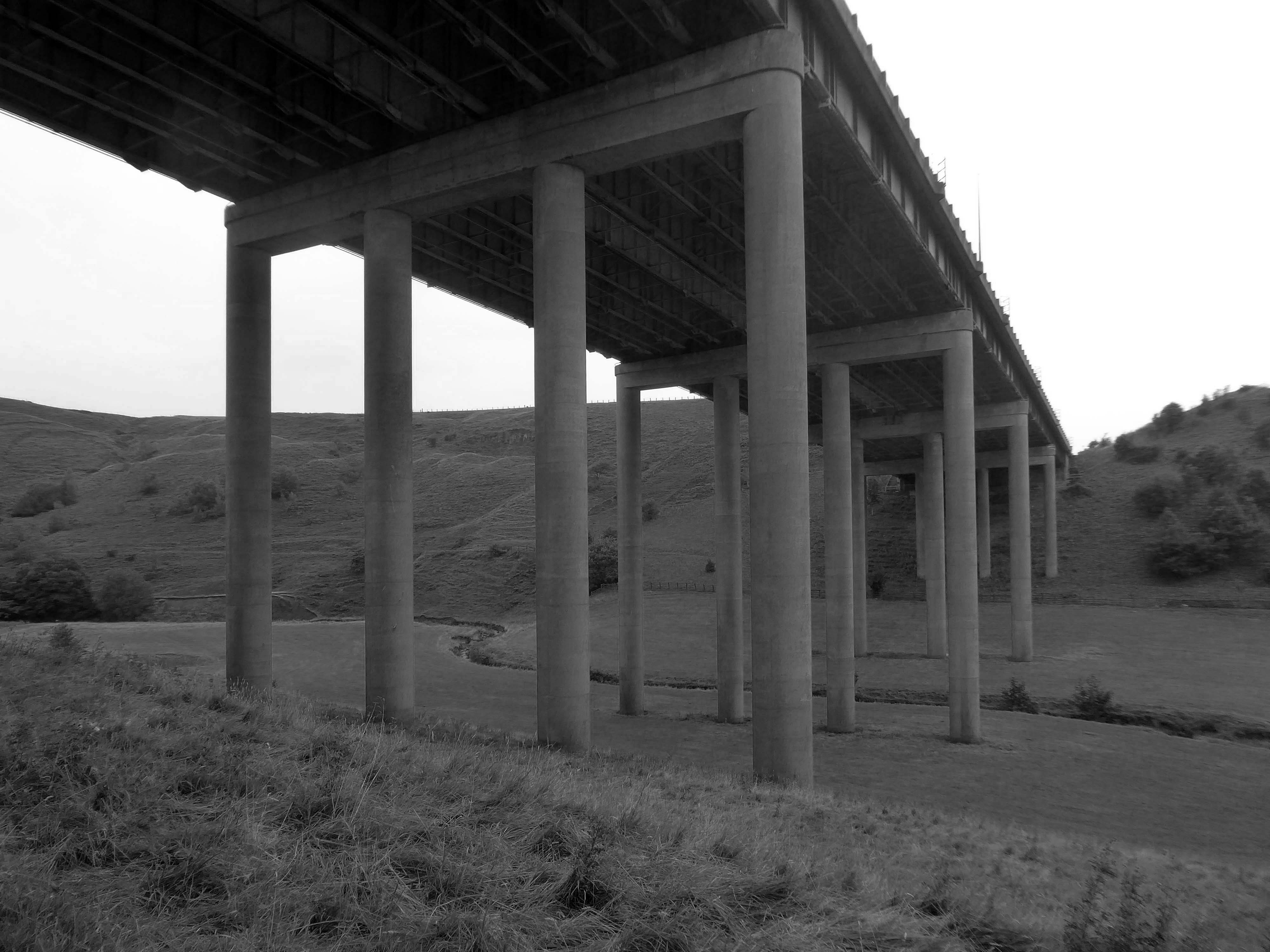
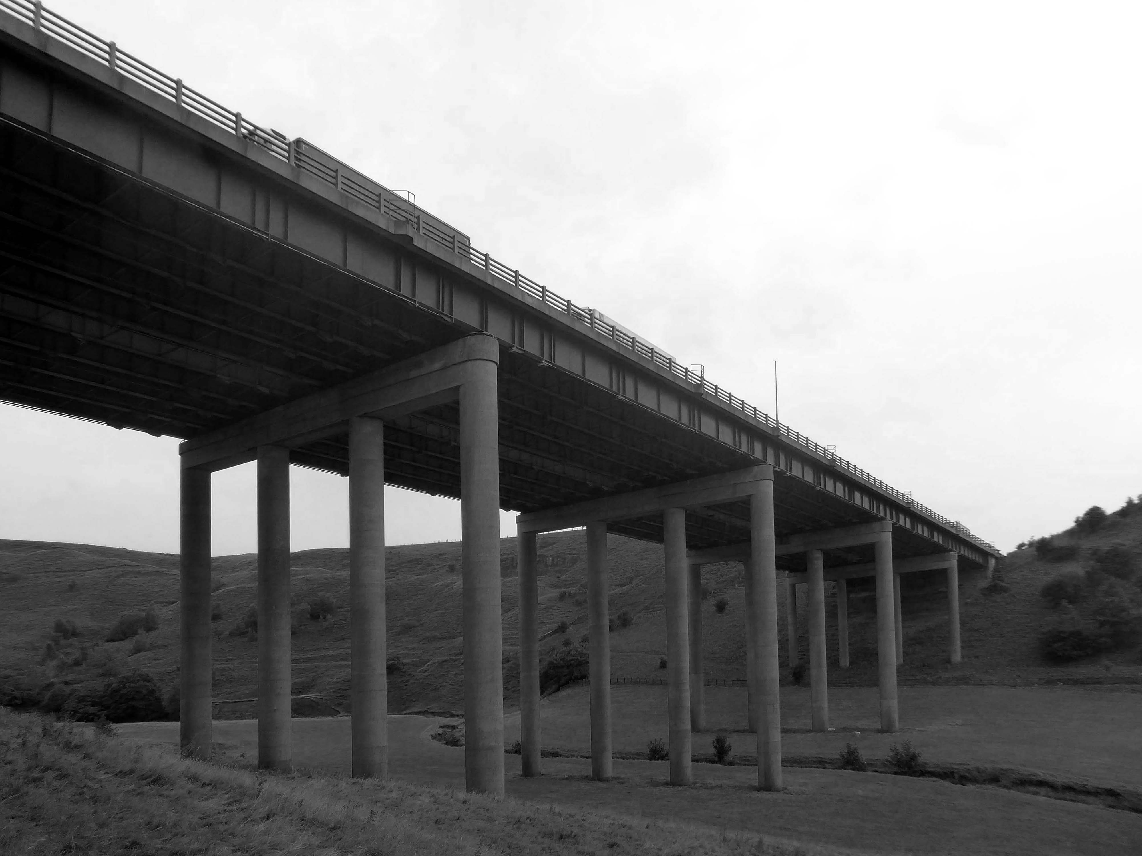
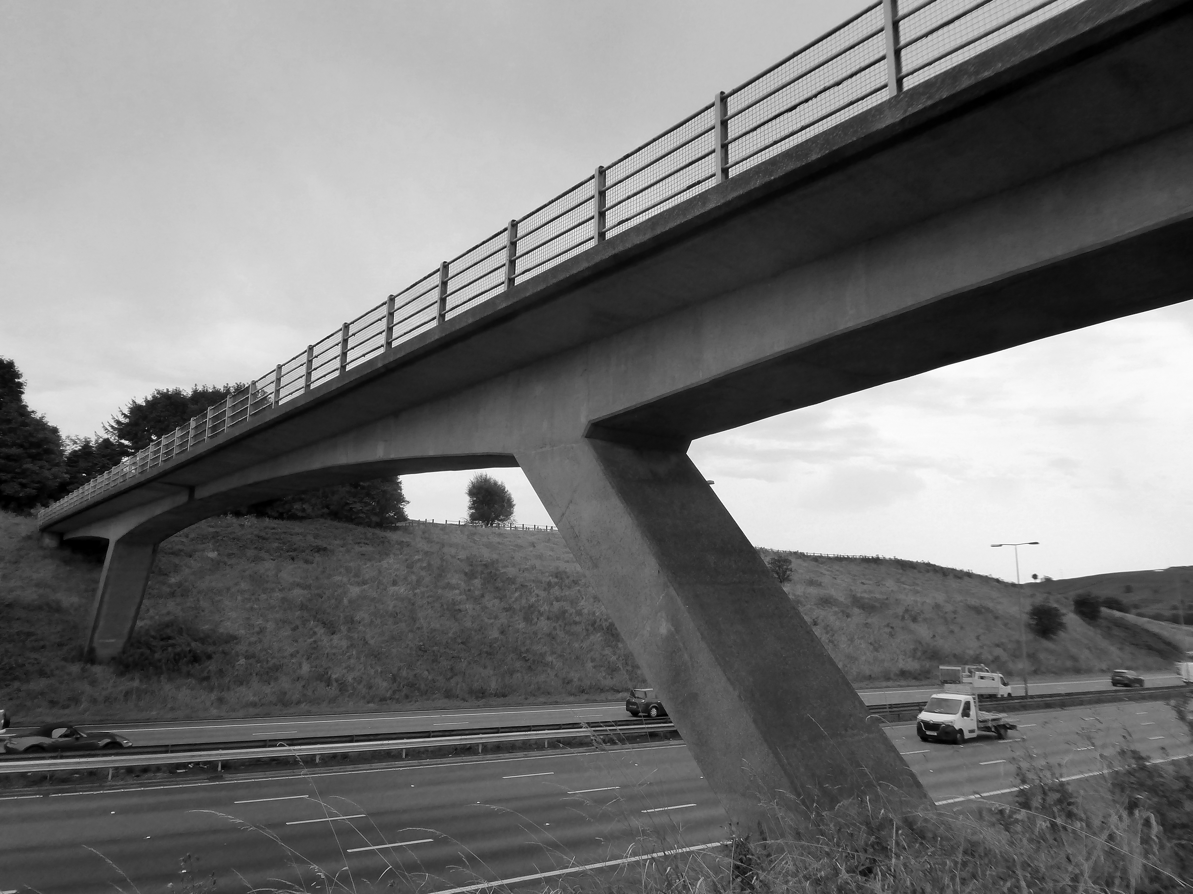
Further rural Modernism as we pass under and traverse the M62, whilst walking around the Piethorn Valley
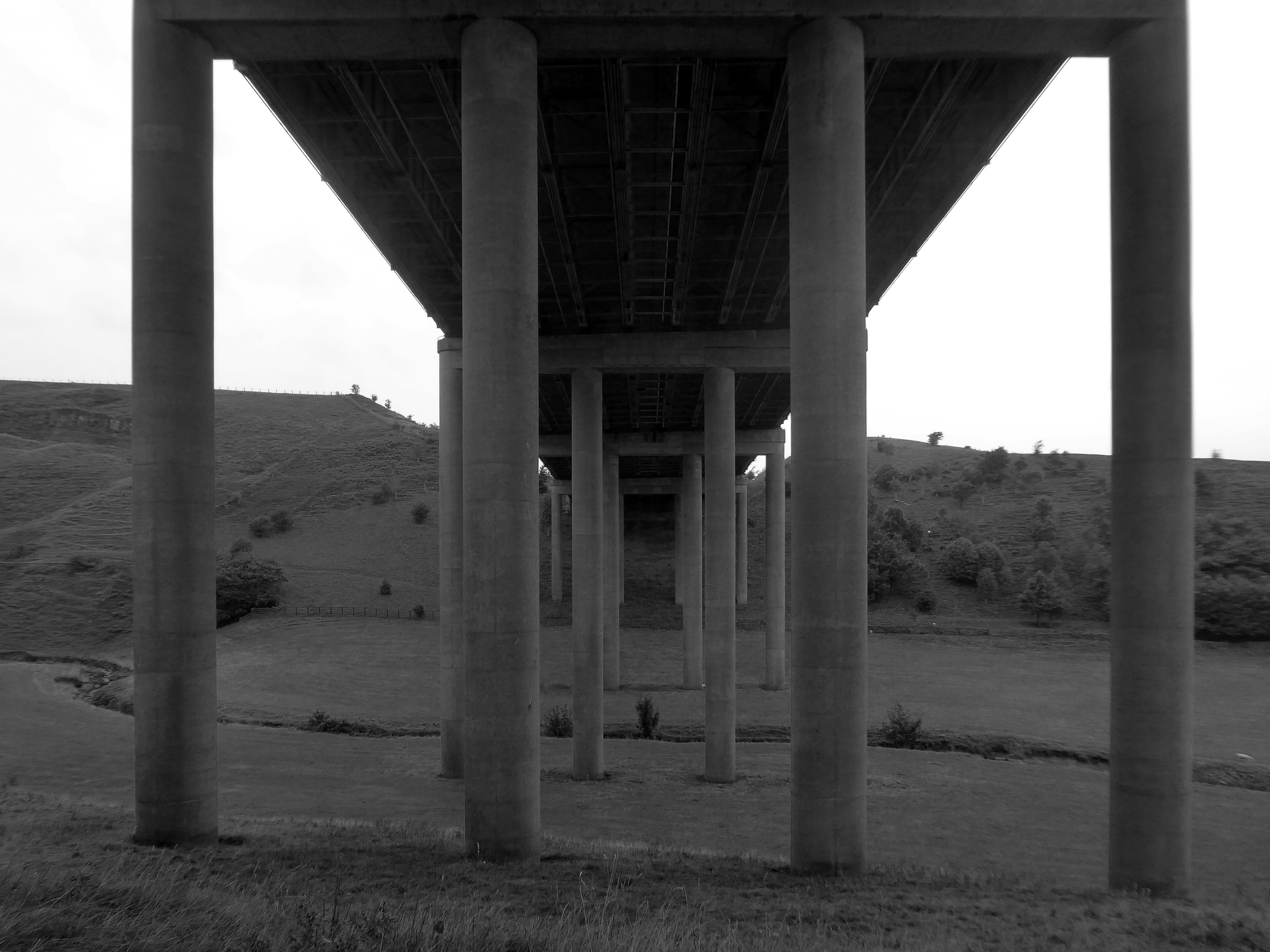
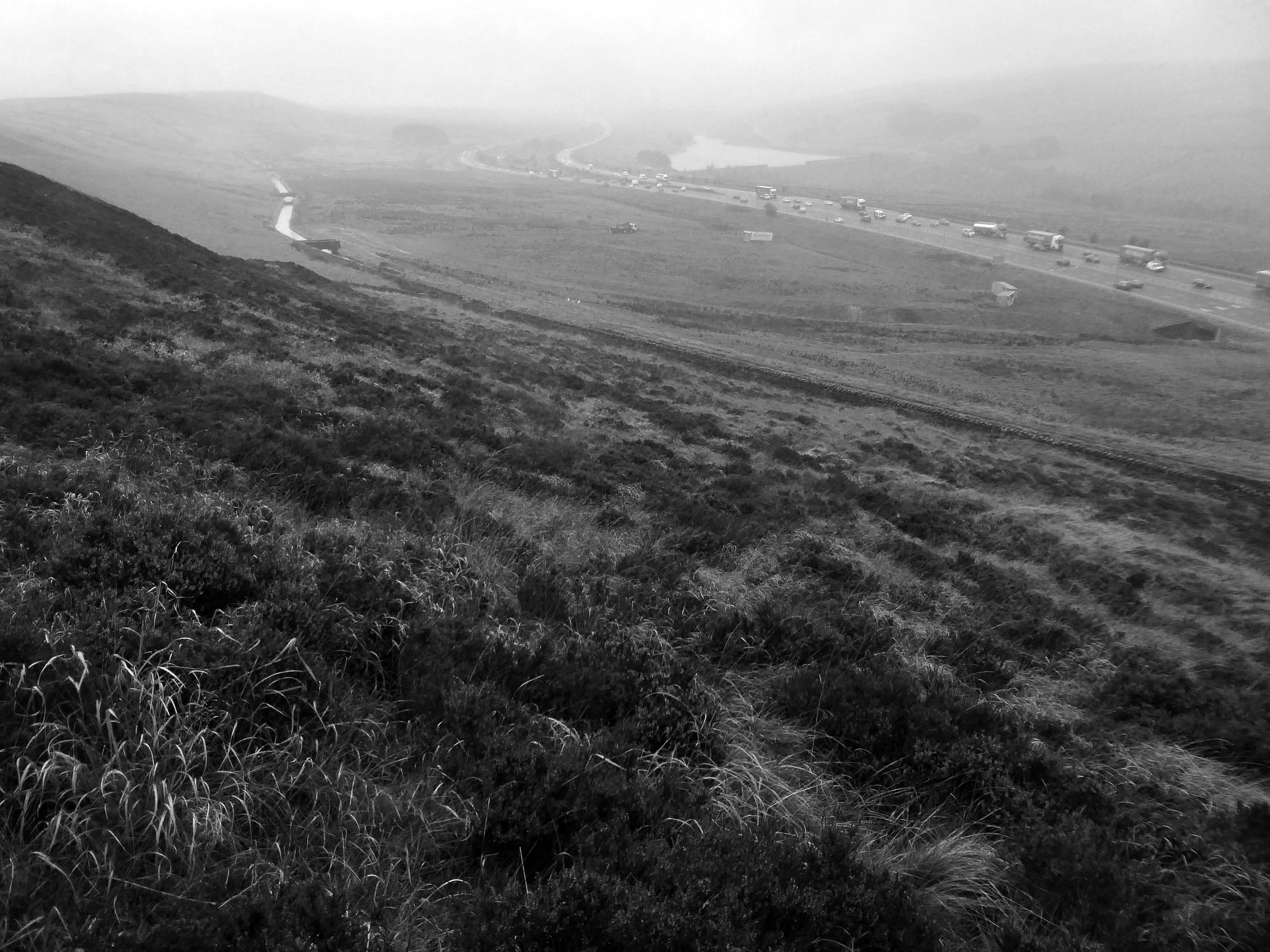
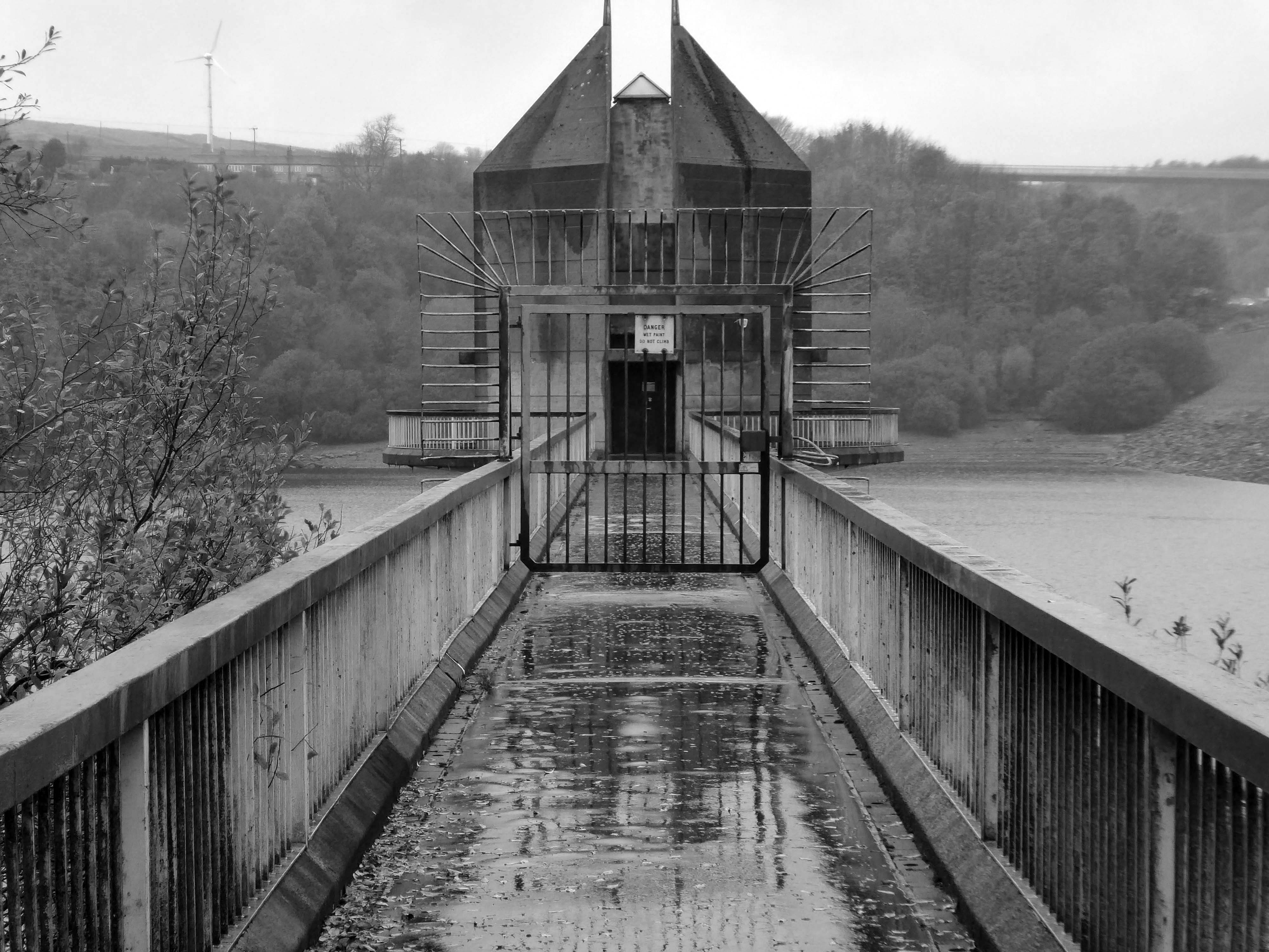
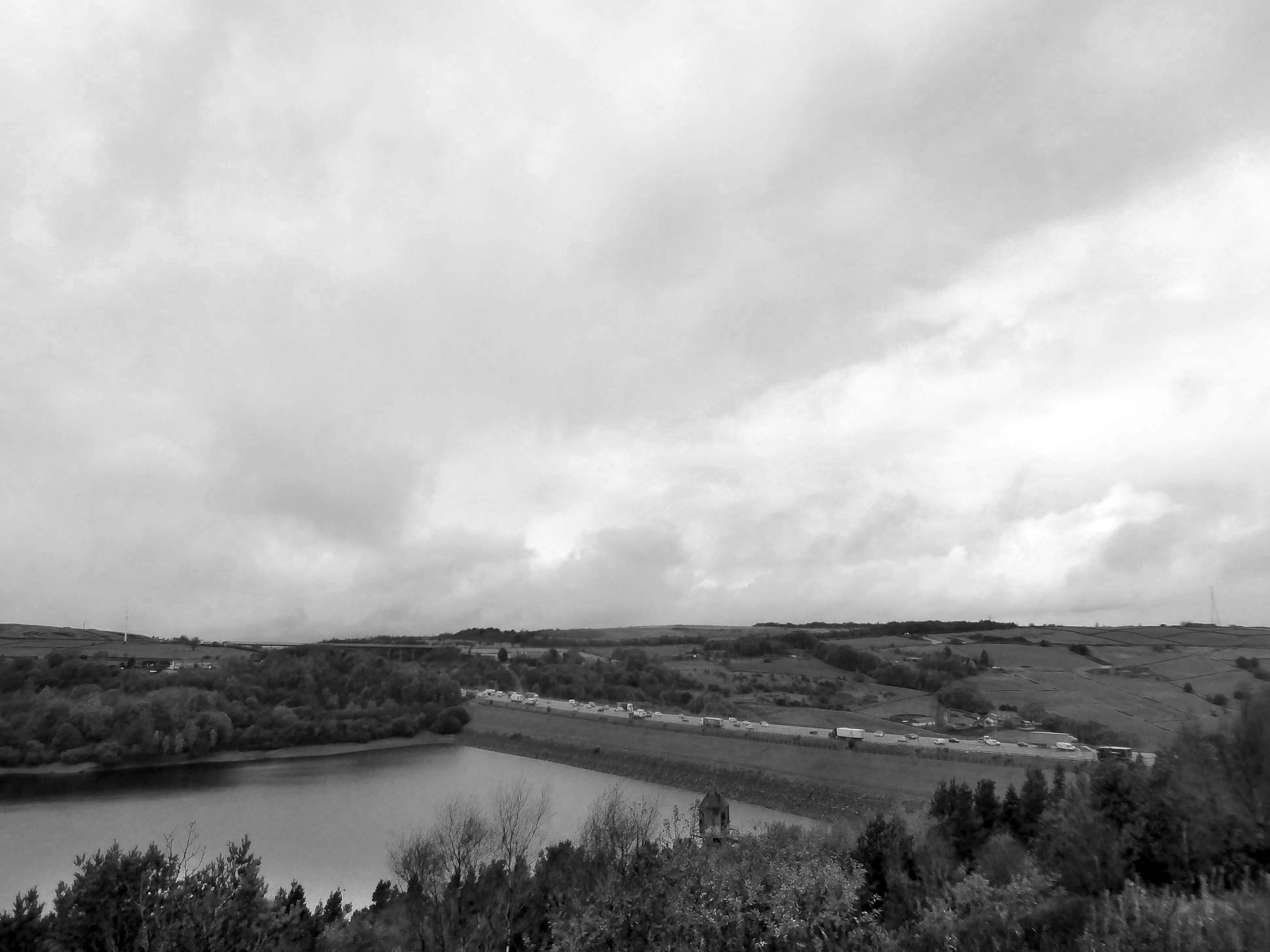
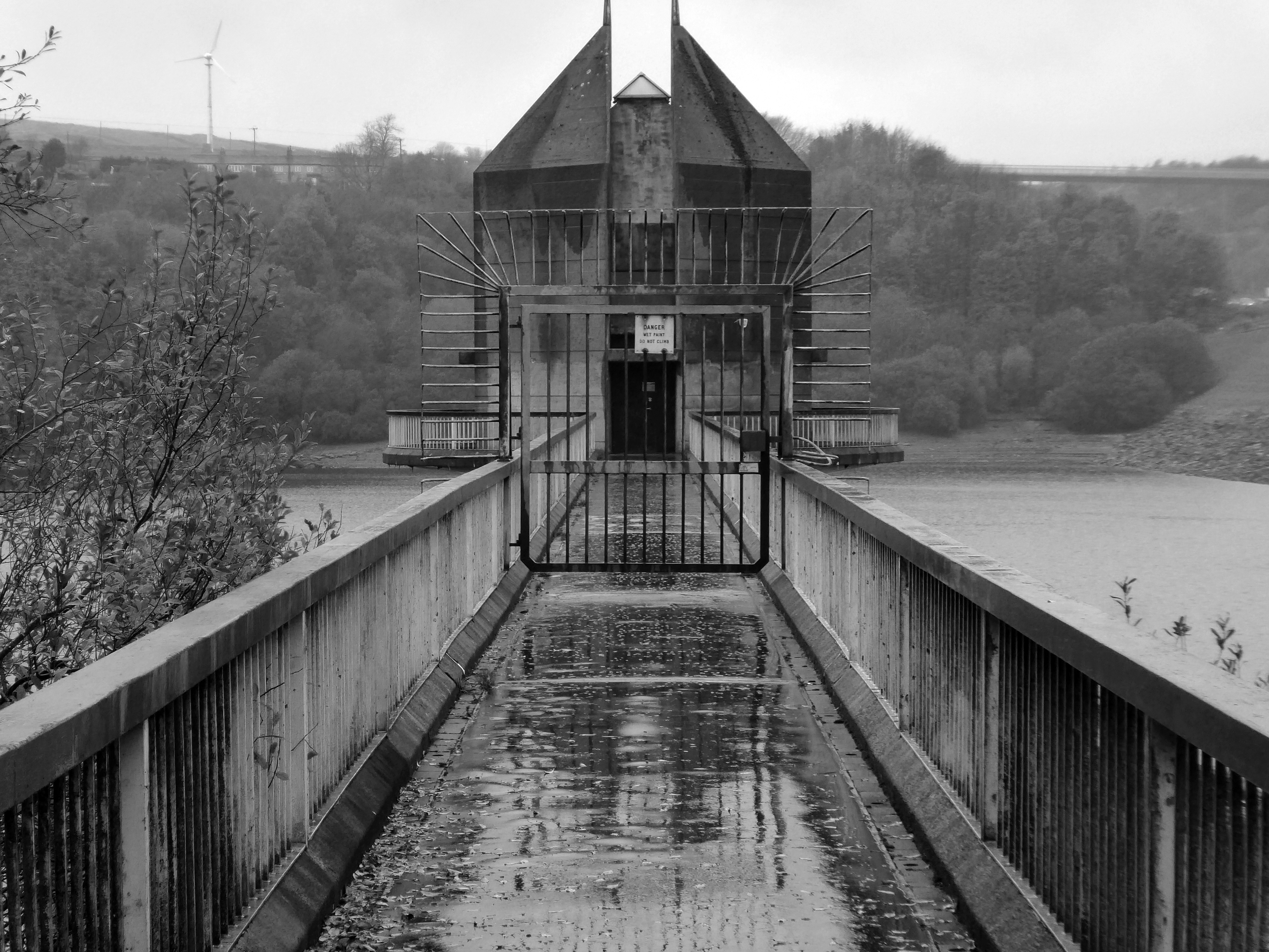
Then recently visiting several Yorkshire Reservoirs – here we are at Scammonden.
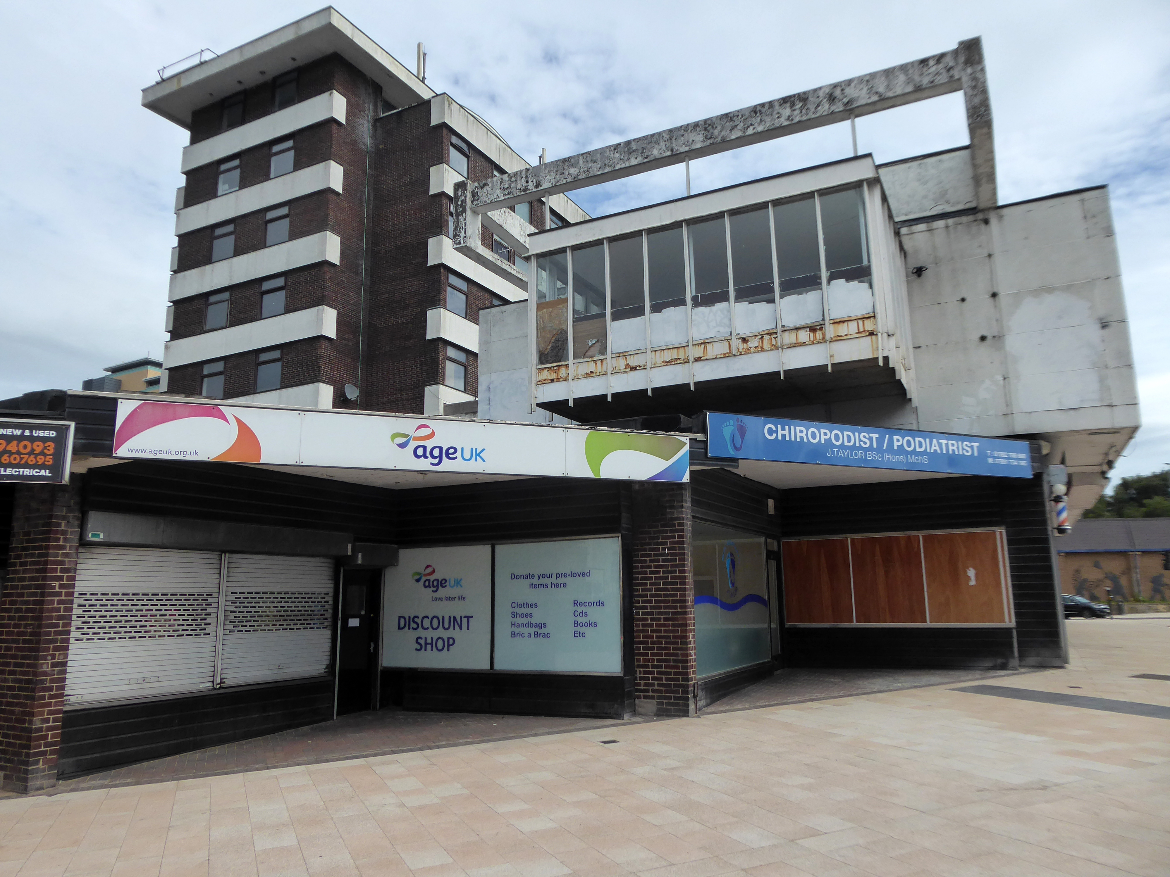
The newest of the Modernist Mooches was to Burnley where we visited the Keirby Hotel.
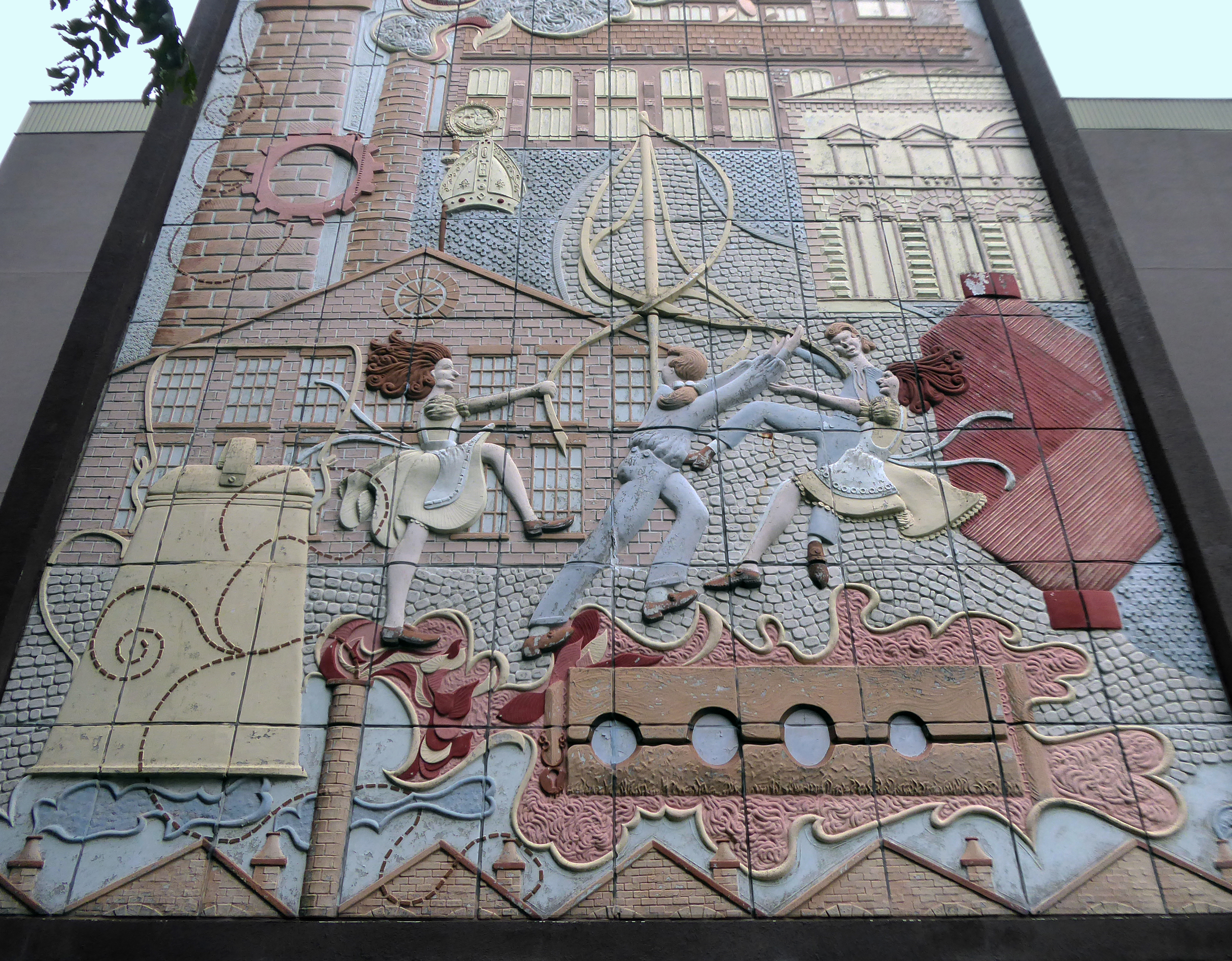
The former GUS Offices with a mural by Diane and William Morris.
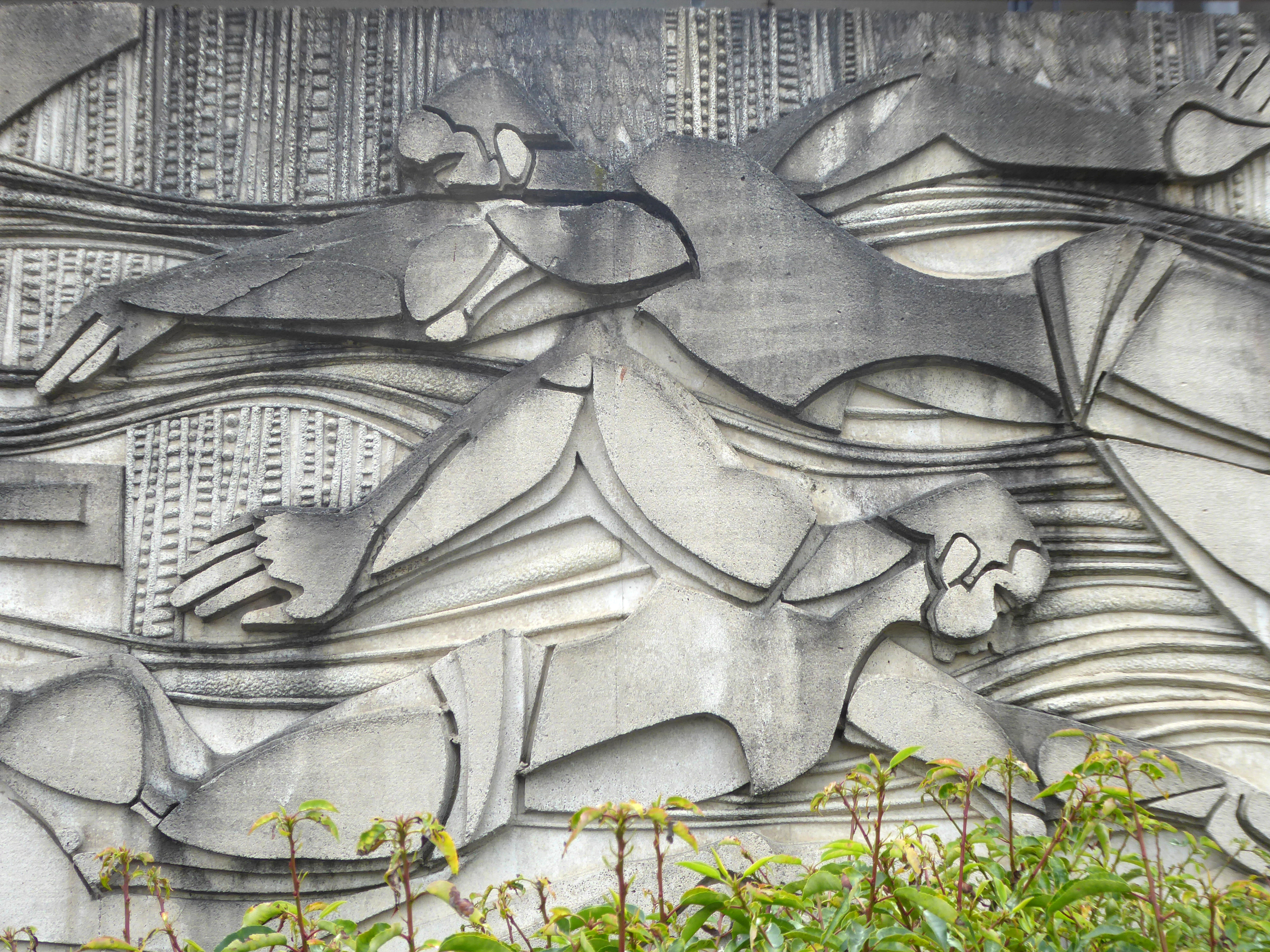
Plus the Charles Anderson concrete relief at the Crow Wood Hotel.
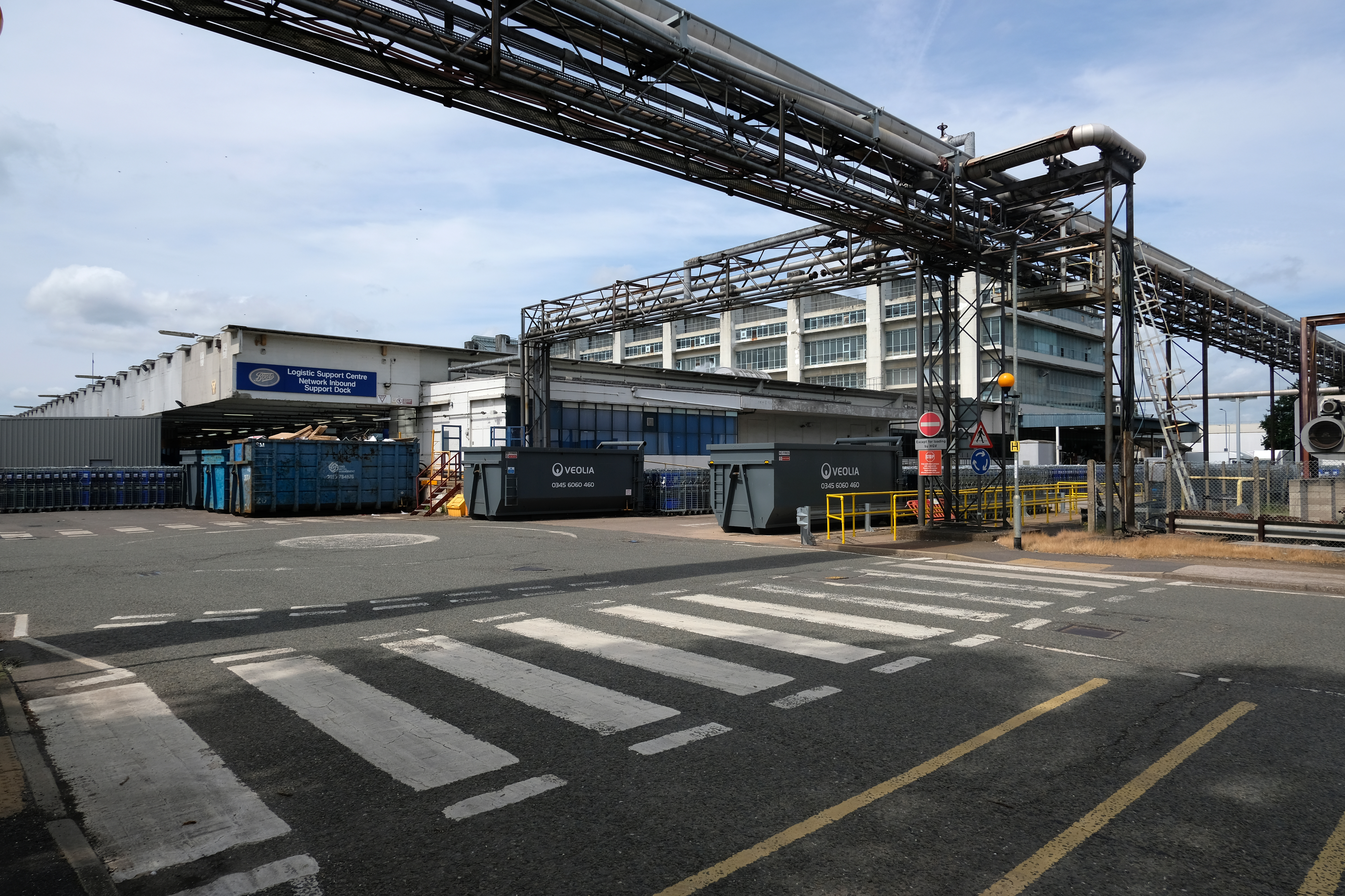
Finally a little light relief – a visit to the Boots factory in Nottingham.

Having innocently board a bus outside the station with a Boots head code , I alighted within the factory gates. Then innocently walking around taking snaps, unheeded until the men in the van stopped me in my tracks.

Who are you, what are you doing?

I am the Modern Moocher going about my business – well it turns out this was not permitted and I was red carded by the earnest security guards and asked to leave forthwith. Suitably rebuked, I politely bade them farewell and headed for the gates.
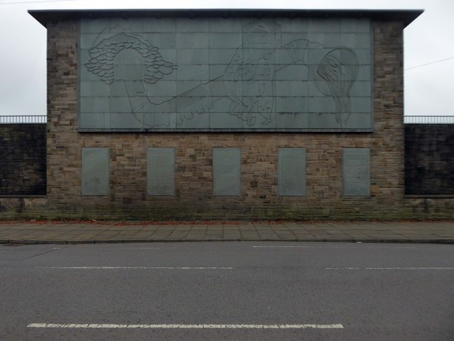
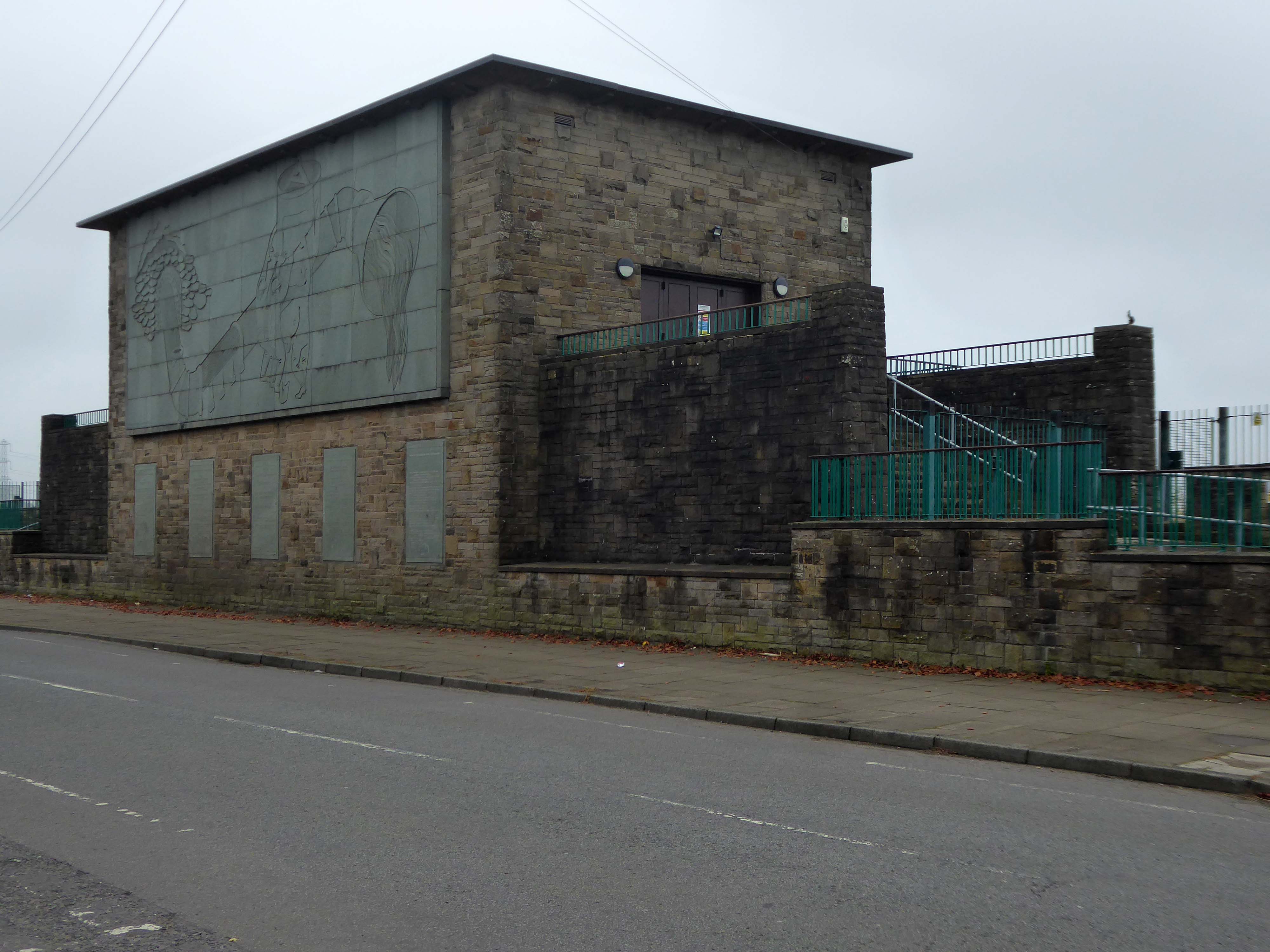
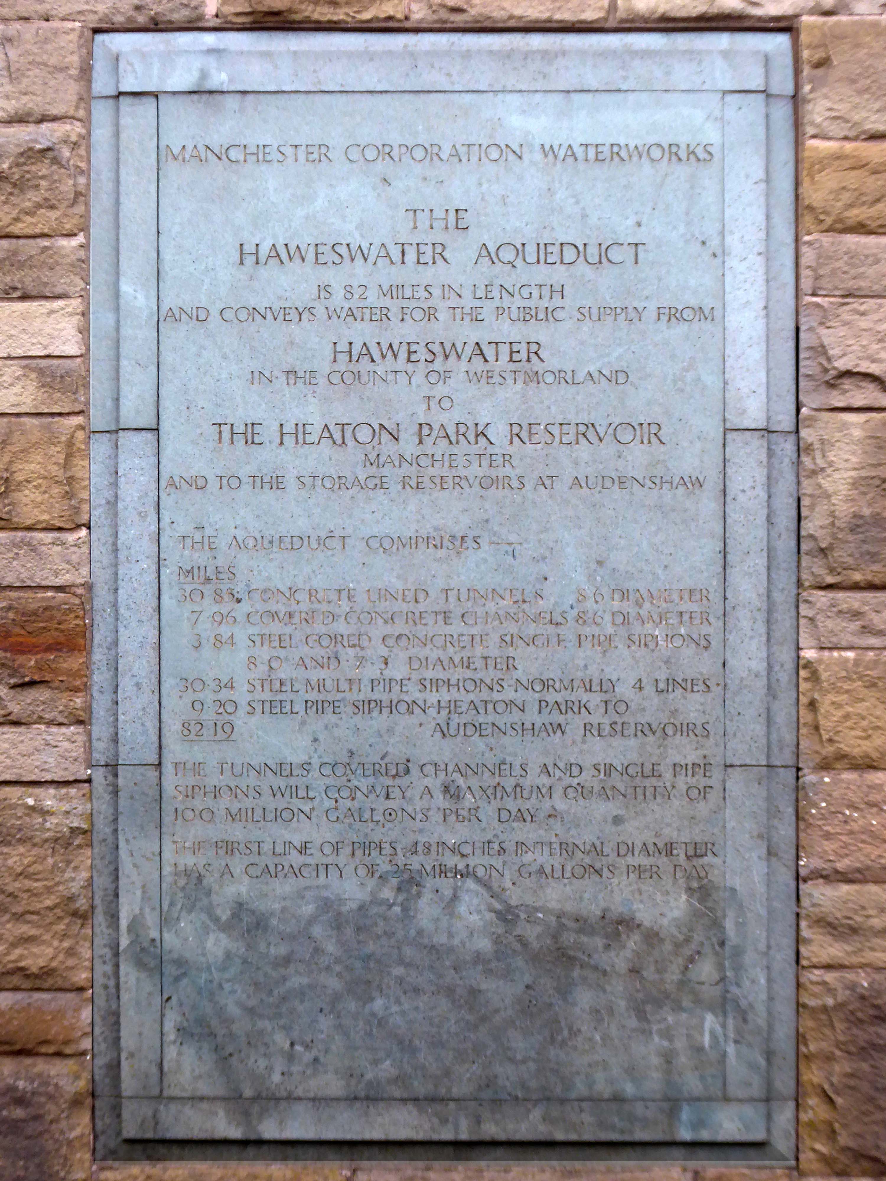
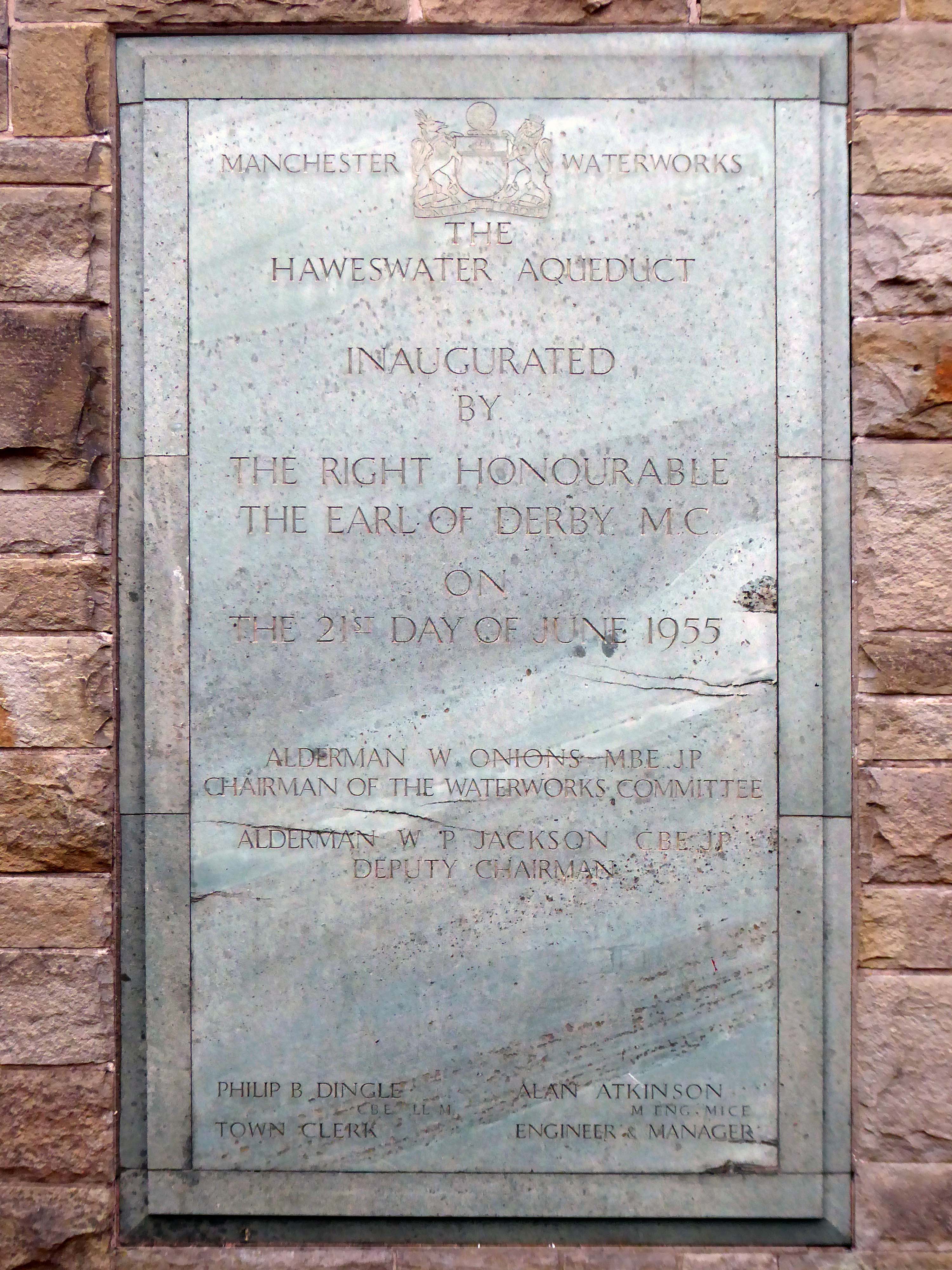
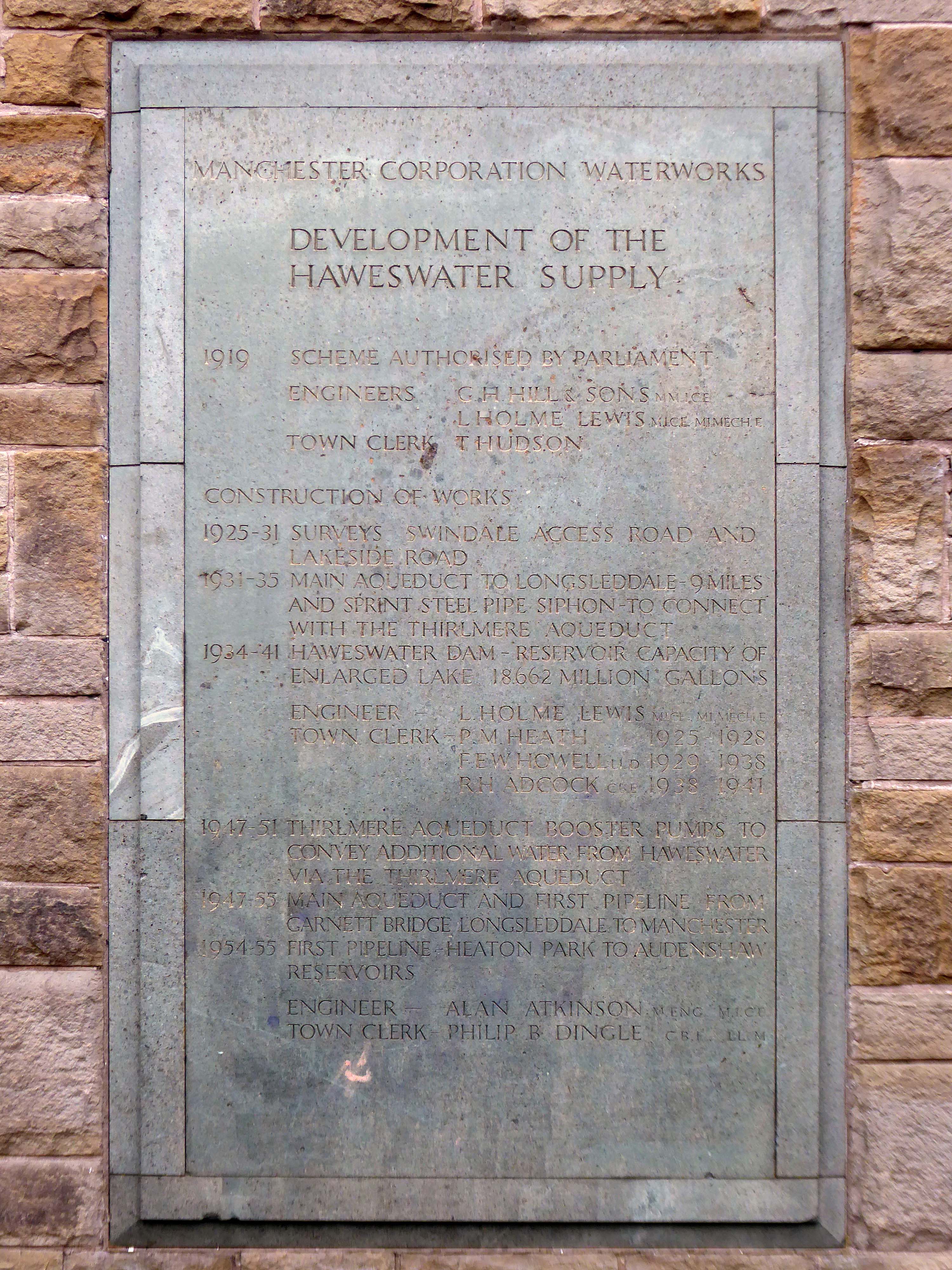
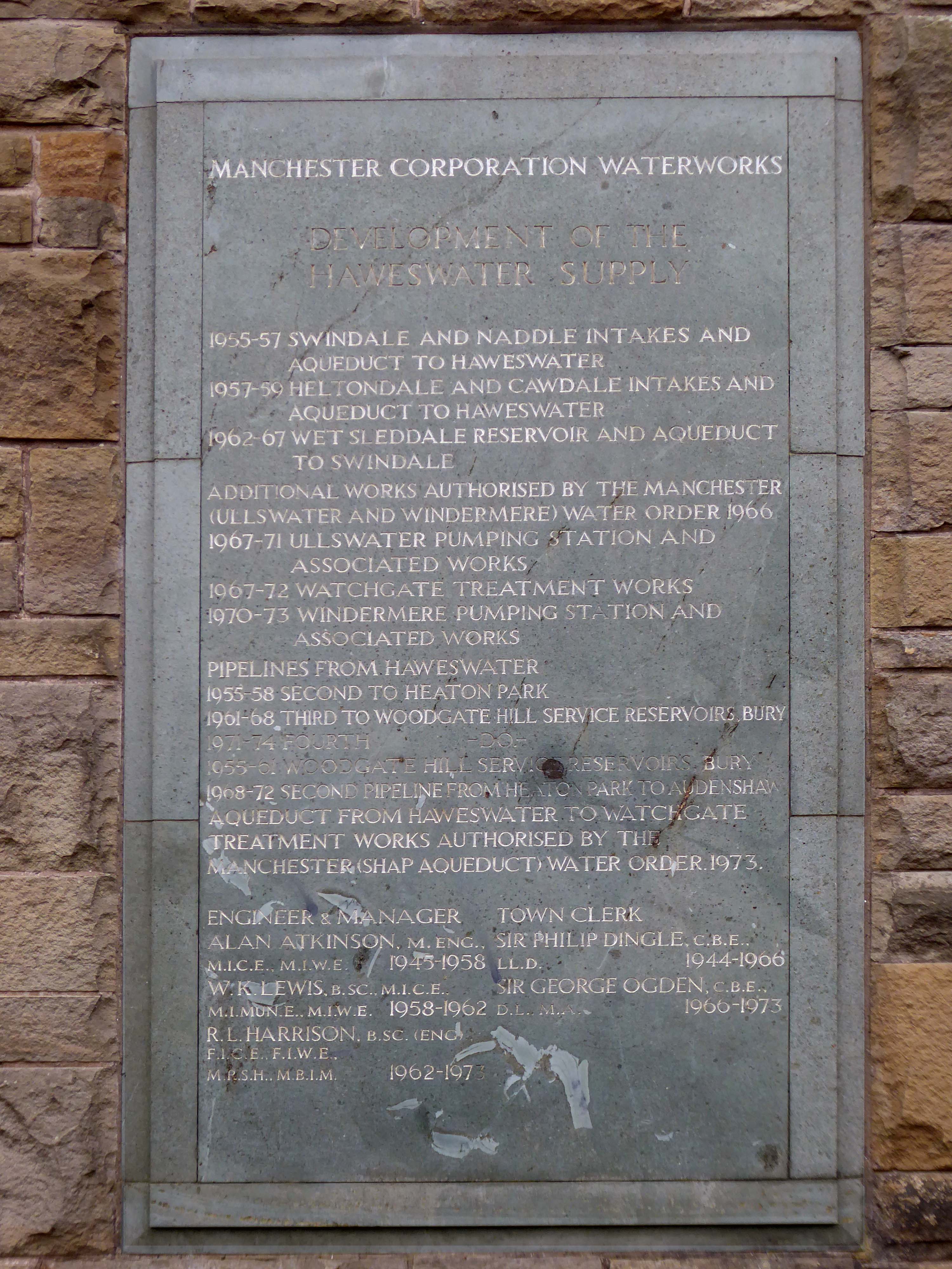
Heaton Park Reservoir Pumping Station

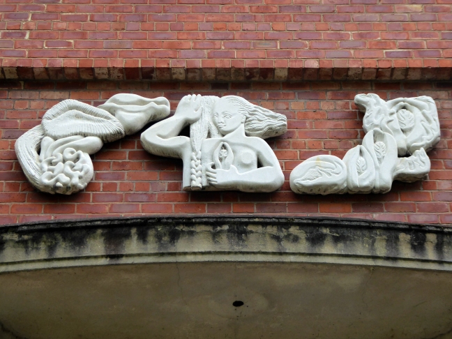
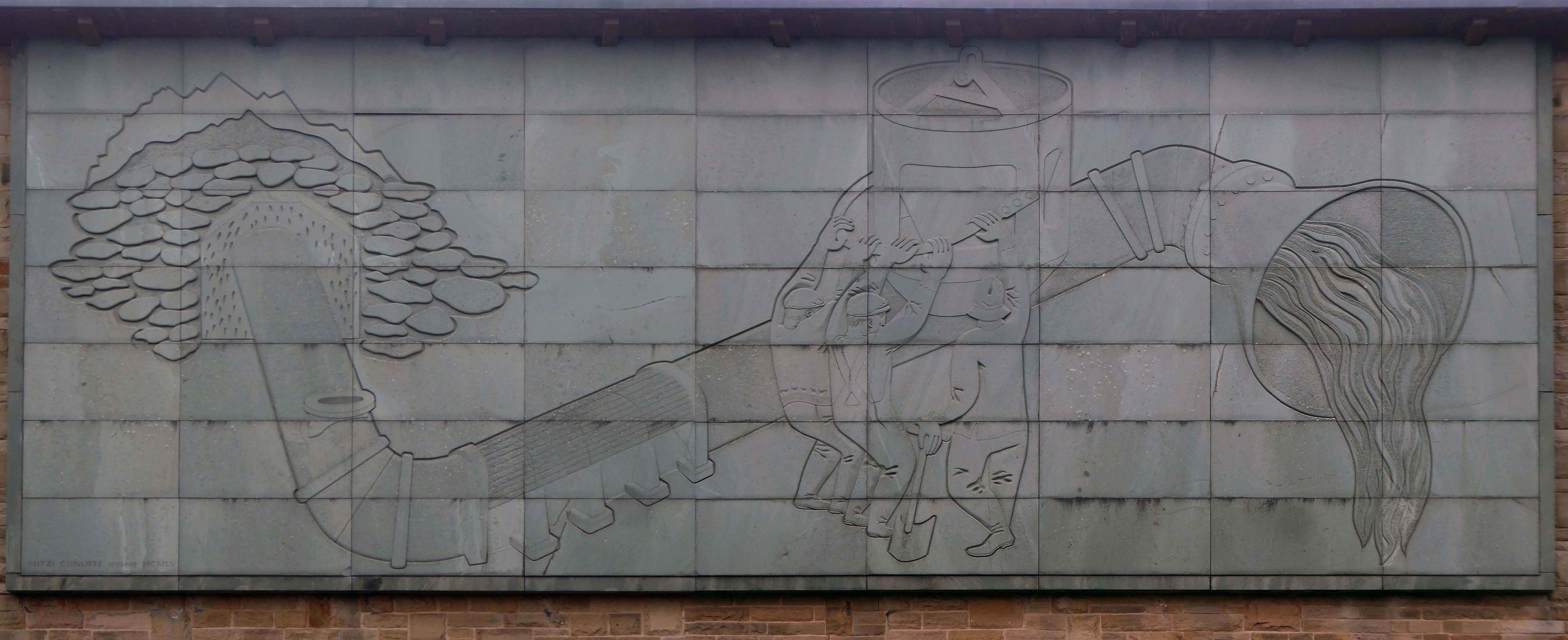
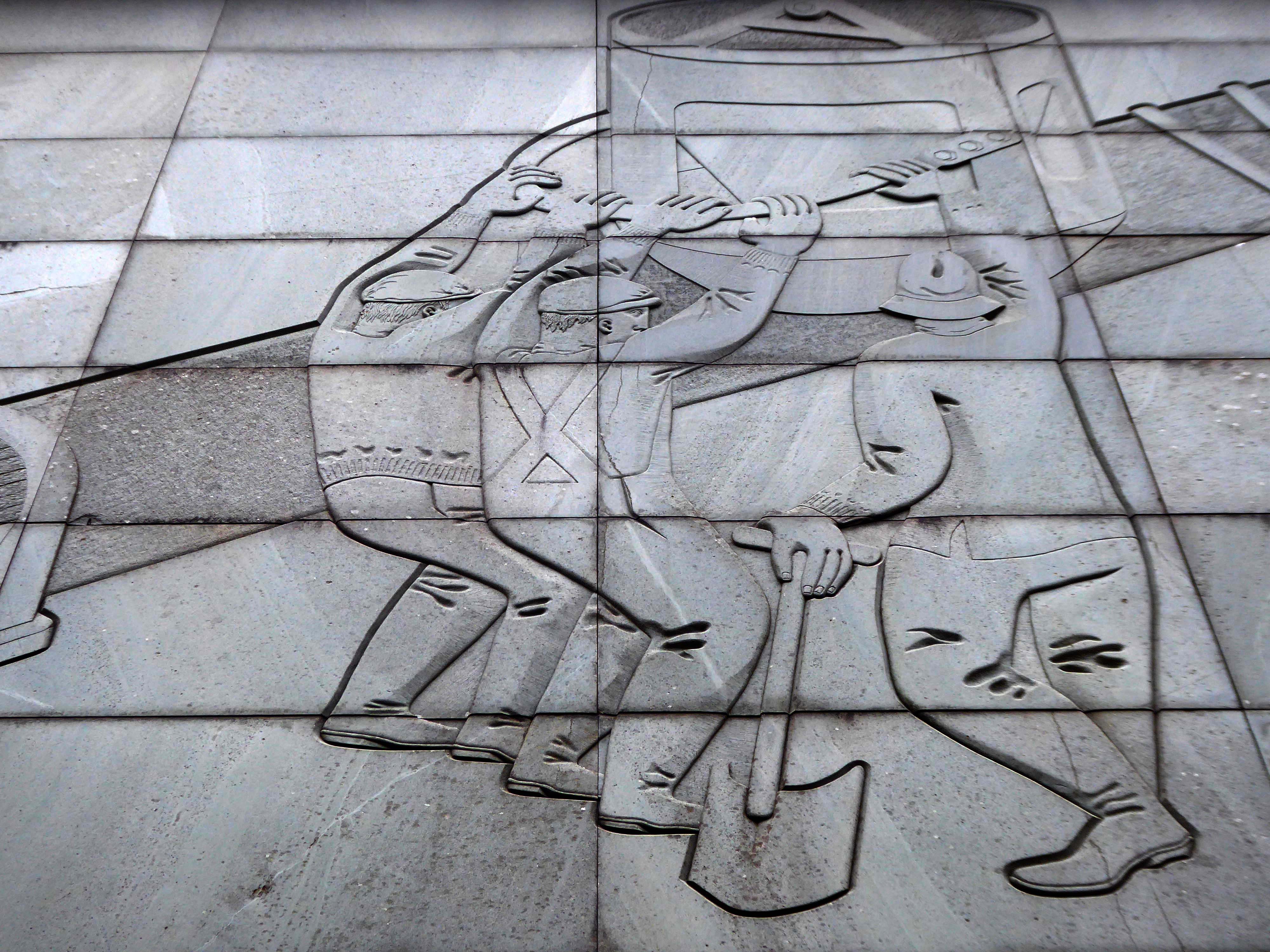
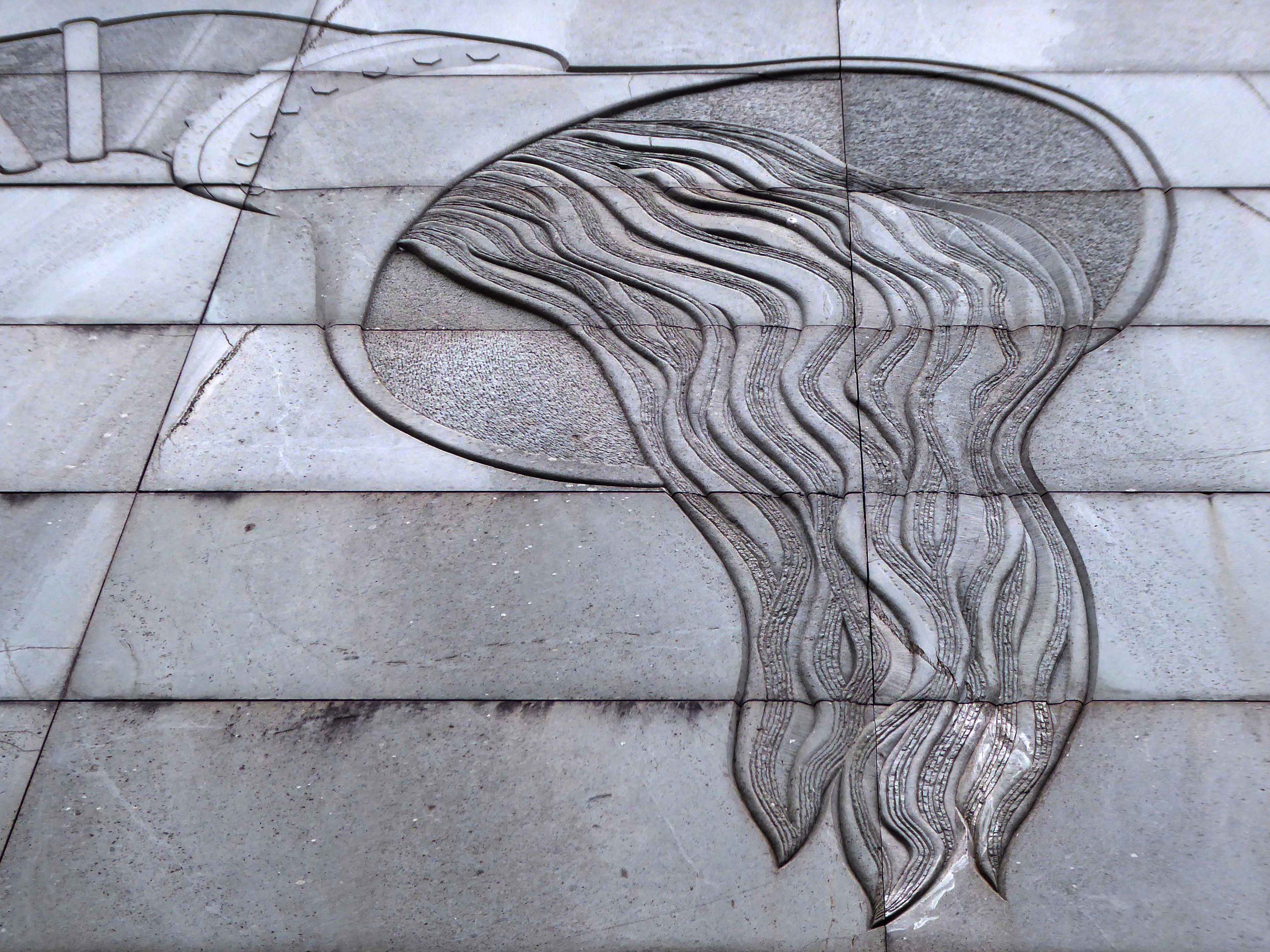
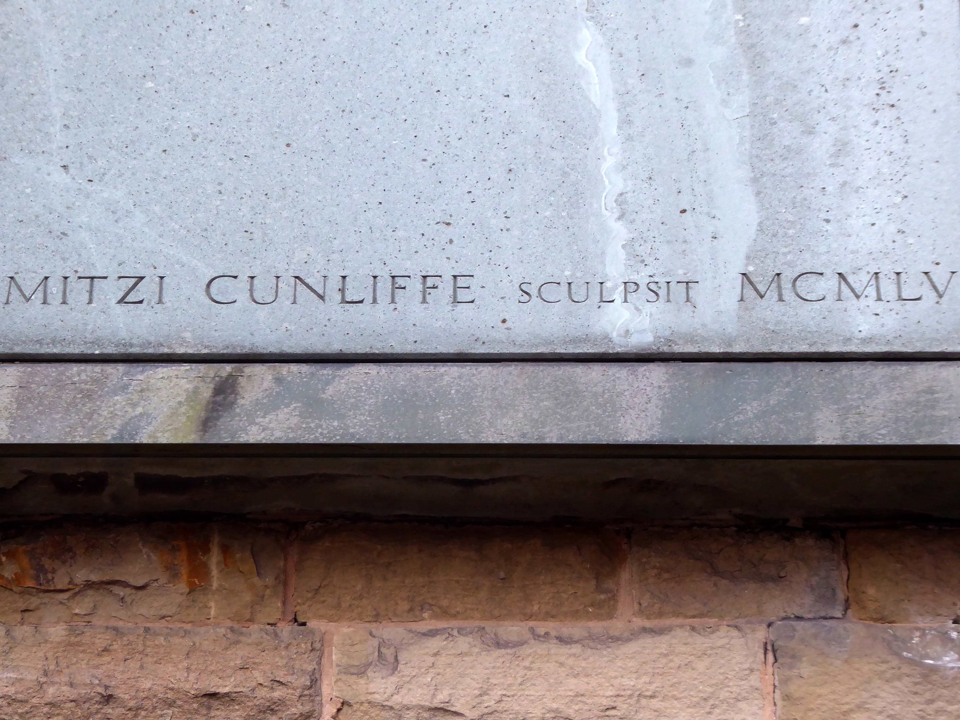
Built between 1954-5 by the Manchester City Architect’s Department, Chief Architect Leonard C Howitt, for the Manchester Corporation Waterworks. Alan Atkinson, engineer. Incorporates large relief by Mitzi Cunliffe, signed and dated 1955. Yorkshire sandstone, with Westmorland greenstone from Broughton Moor used as relief. Roof not seen above dentiled overhang.

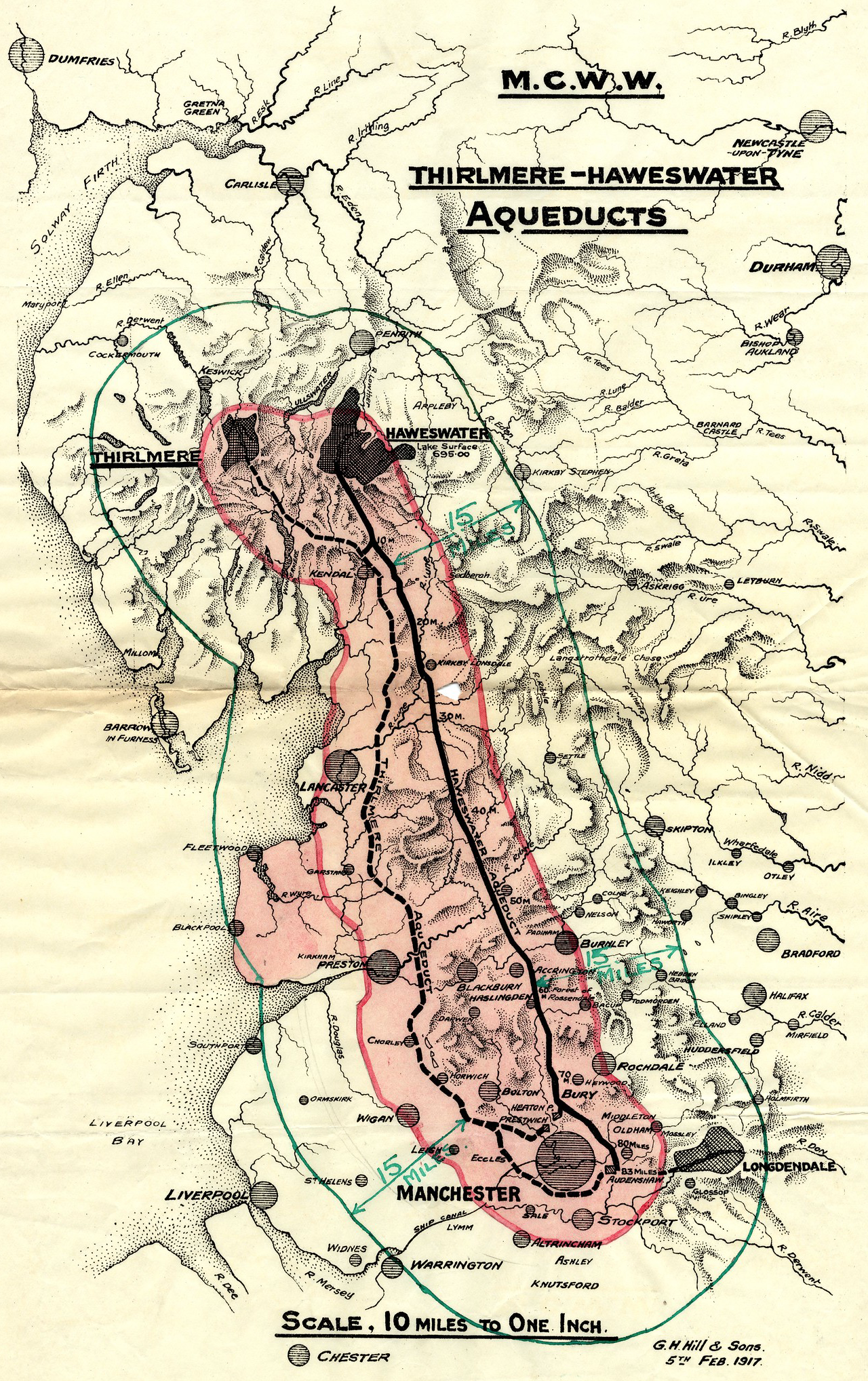
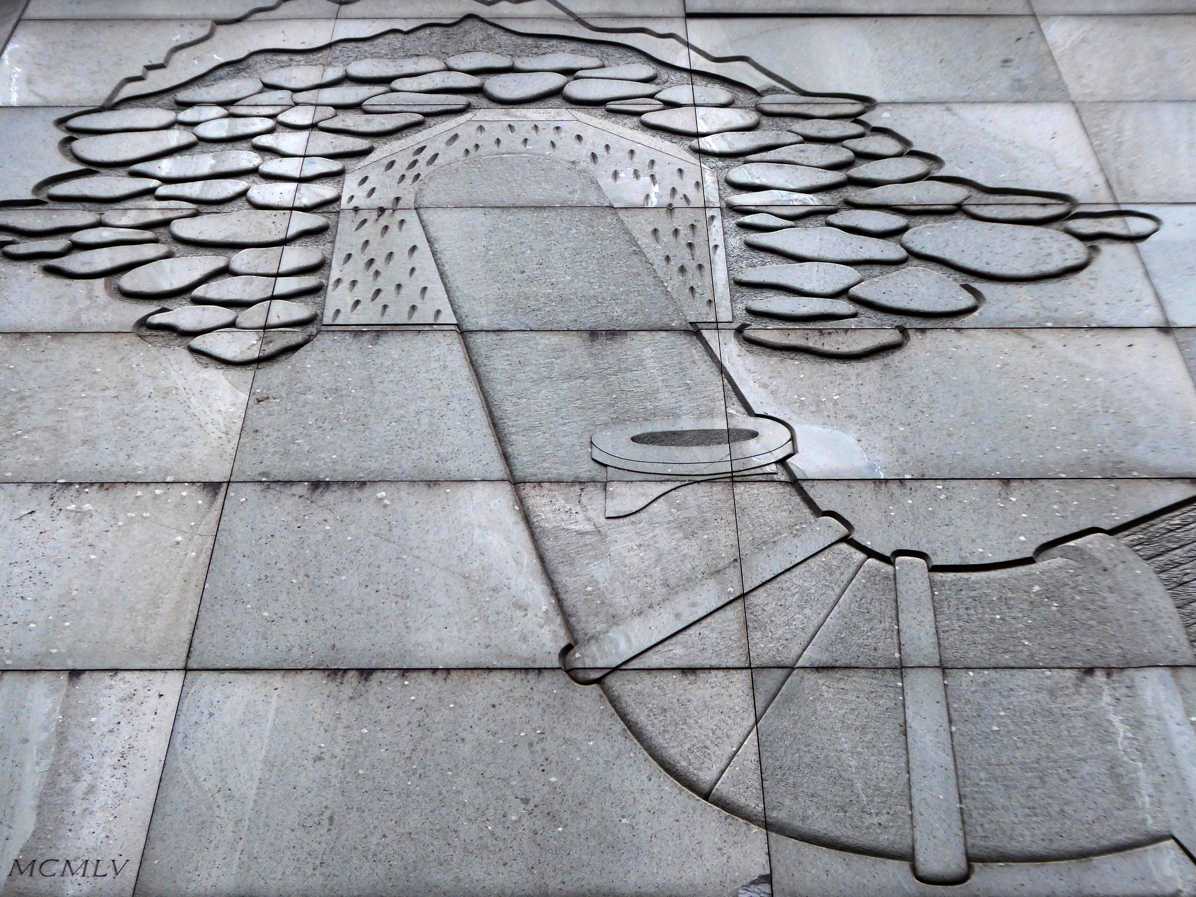
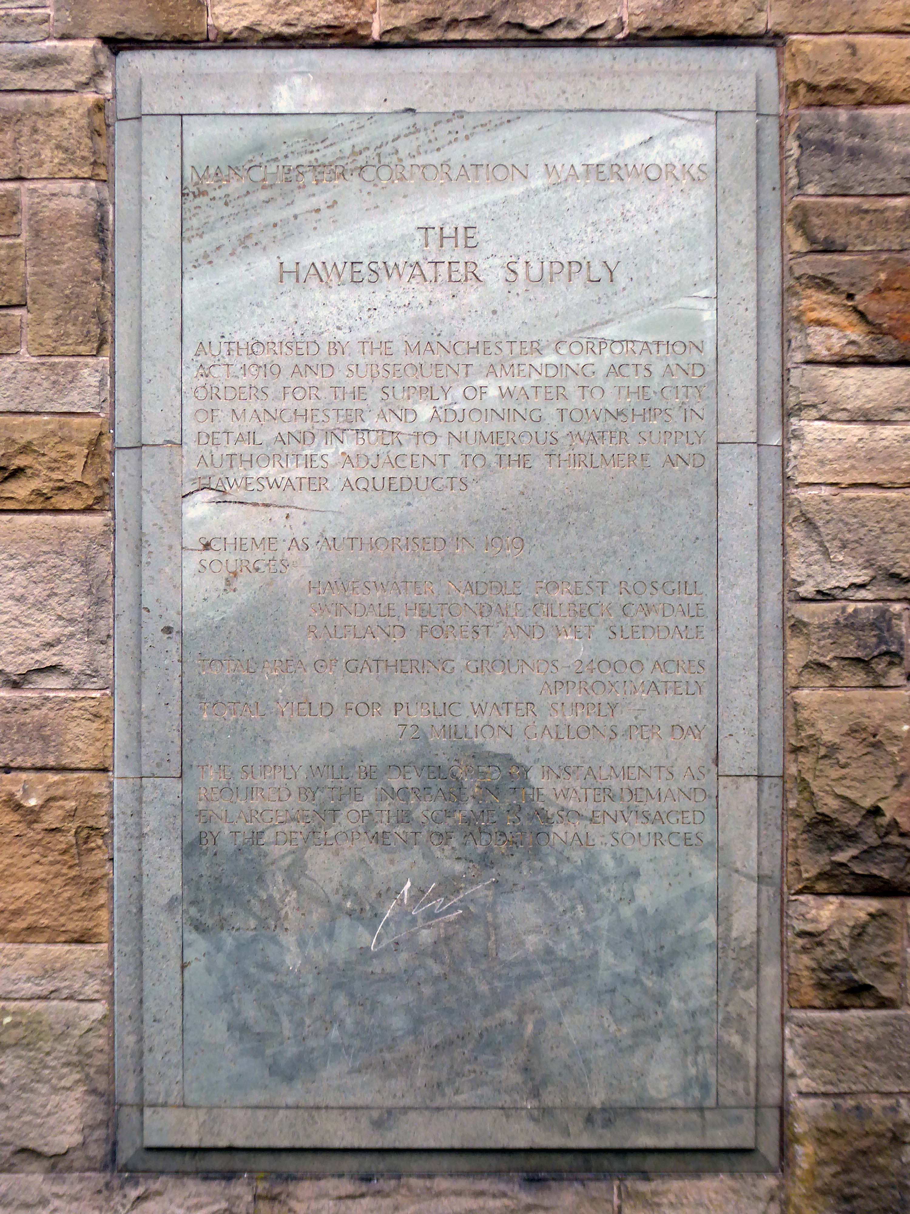
Carved relief is a highly stylised depiction of the bringing of water from Haweswater to Manchester with contemporary figures supporting the pipeline and a curious flat relief designed to be seen from below. It was designed to commemorate those who constructed it as well as the origin and course of the aqueduct. Beneath it five plaques tell the history of the Haweswater supply.

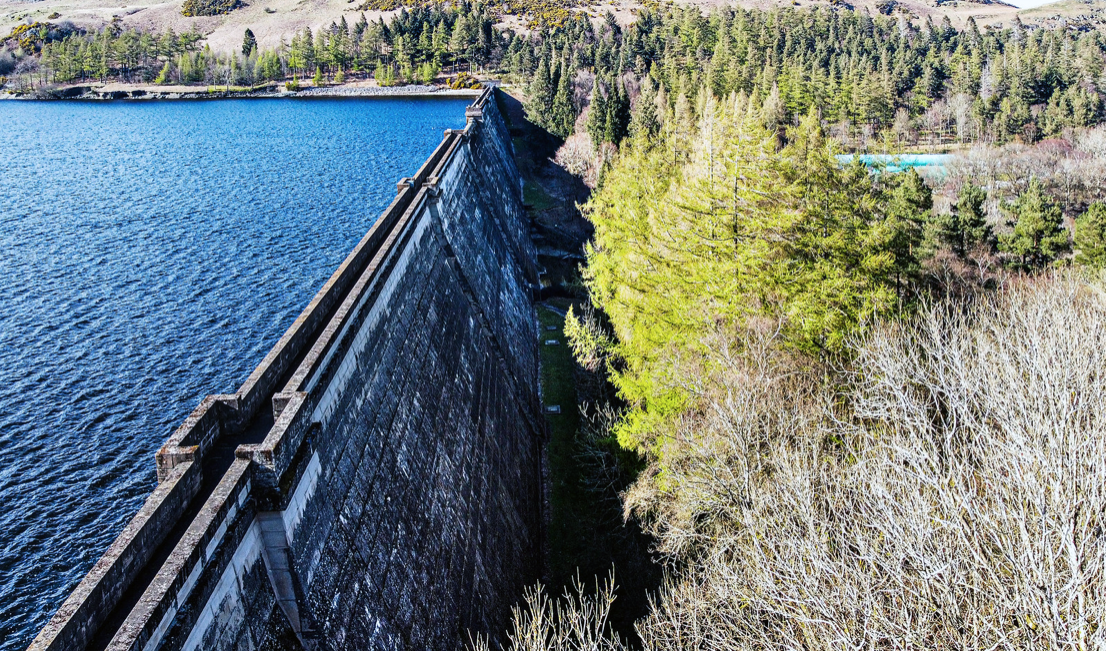
Haweswater Dam – Paul King

Completely preserved interior fully lined in beige marble, with contrasting green marble skirting continued as door surround. Behind the Cunliffe mural is a wood relief section in sycamore depicting the 82 mile route of the pipe.

The bringing of water to Manchester from a new reservoir at Haweswater was a major undertaking which cost £14,000,000. The sectional relief plan and the mural were conceived as part of the original brief to give a ‘monumental’ character to the city’s remarkable achievement. Included as a remarkable synthesis of architectural design and fine sculpture, with the dominance of the latter in this tiny building. The building materials and the reliefs are all symbolic of the achievement in bringing of water from the Lake District to Manchester.

Historic England Grade II Listed

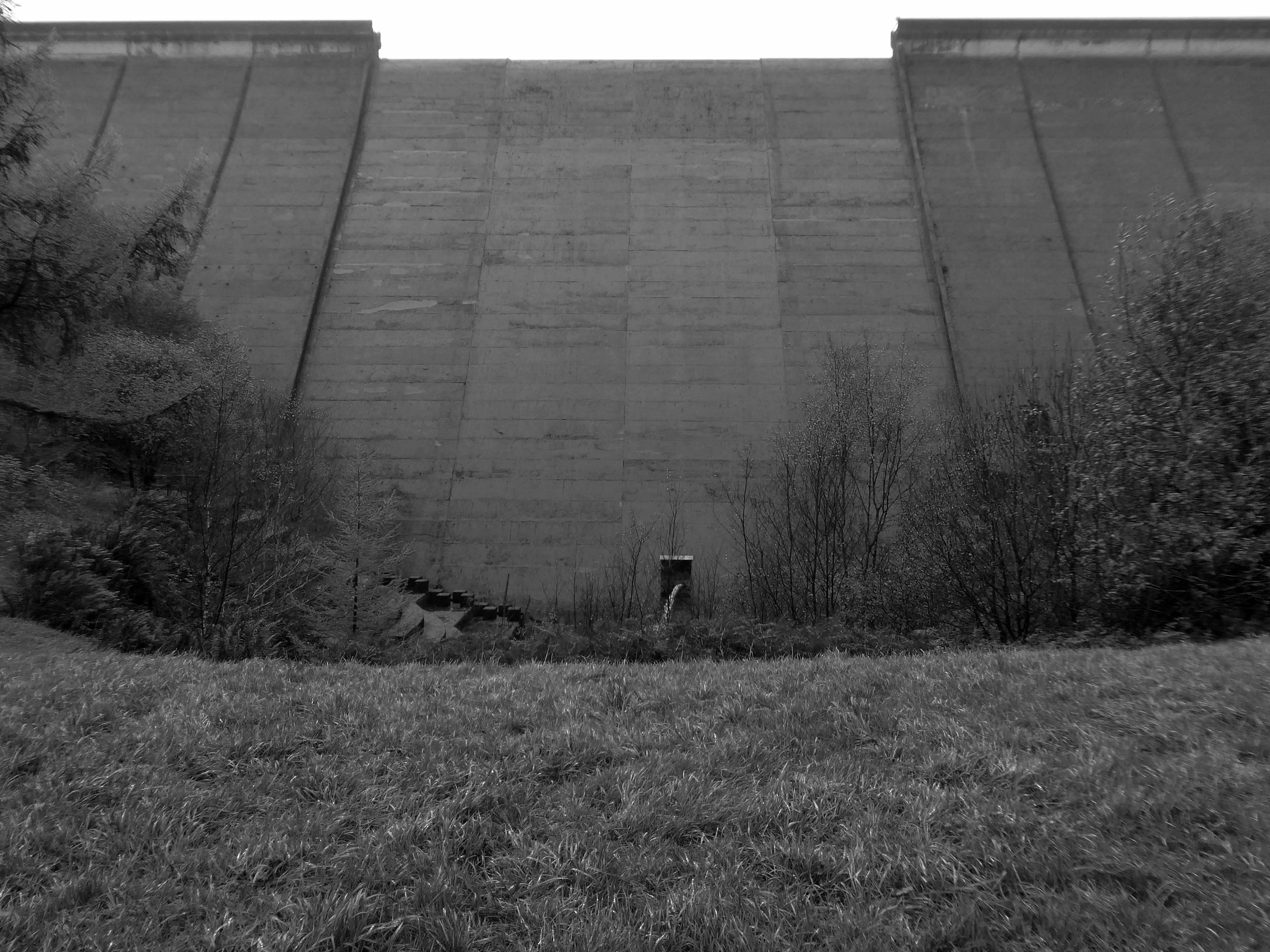
In 1929 work started to build the dam wall across the valley floor. At the time of construction, its design was considered to be at the forefront of civil engineering technology because it was the world’s first hollow buttress dam.

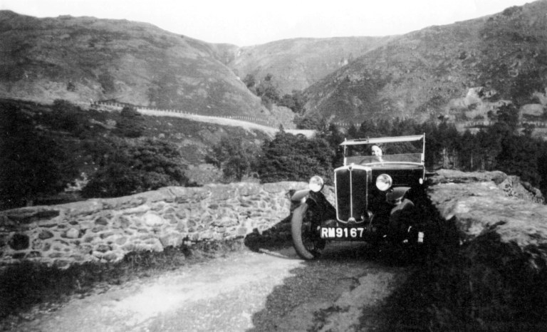
Chapel Bridge Mardale

Before the valley was flooded in 1935, all the farms and dwellings of the villages of Mardale Green and Measand were demolished, as well as the centuries-old Dun Bull Inn at Mardale Green. The village church was dismantled and the stone used in constructing the dam; all the bodies in the churchyard were exhumed and re-buried at Shap.

Wikipedia

I have previously led Mitzi Cunliffe walks in south Manchester – taking in her works at Owens Park and Manchester High School for Girls.

Mitzi Cunliffe is primarily known as the designer of the BAFTA Award, but her work encompasses both ceramics and textiles, in addition to her extensive public art works – as illustrated here.

Mitzi Cunliffe – An American in Manchester is available from the Modernist Shop.

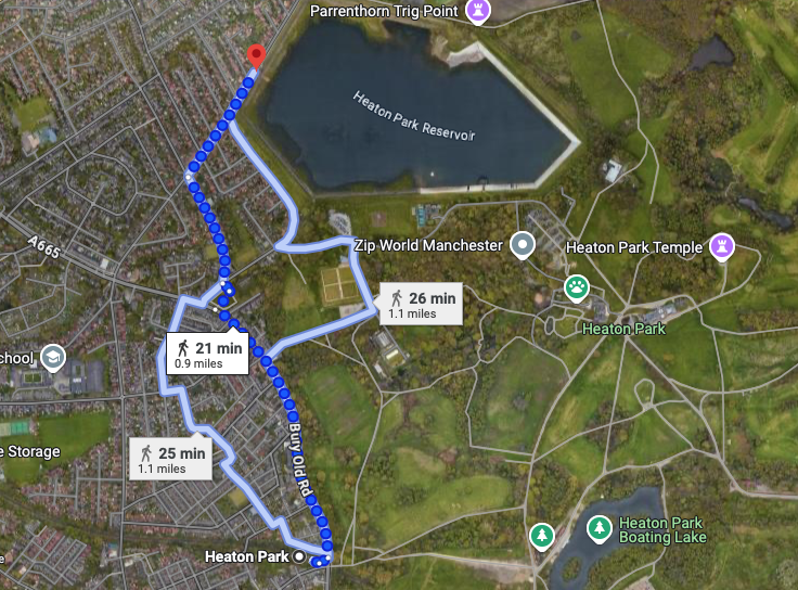
I took the tram to Heaton Park Station and walked the rest of the way.

The imposing structure, clad in the dramatic relief dominates this domesticated street of well behaved semis. As I stood admiring the work, a passerby joined me in a mutual appreciation of its beauty and significance.

Do yourself a favour – take a trip, take a look for yourself.

Several Yorkshire Reservoirs

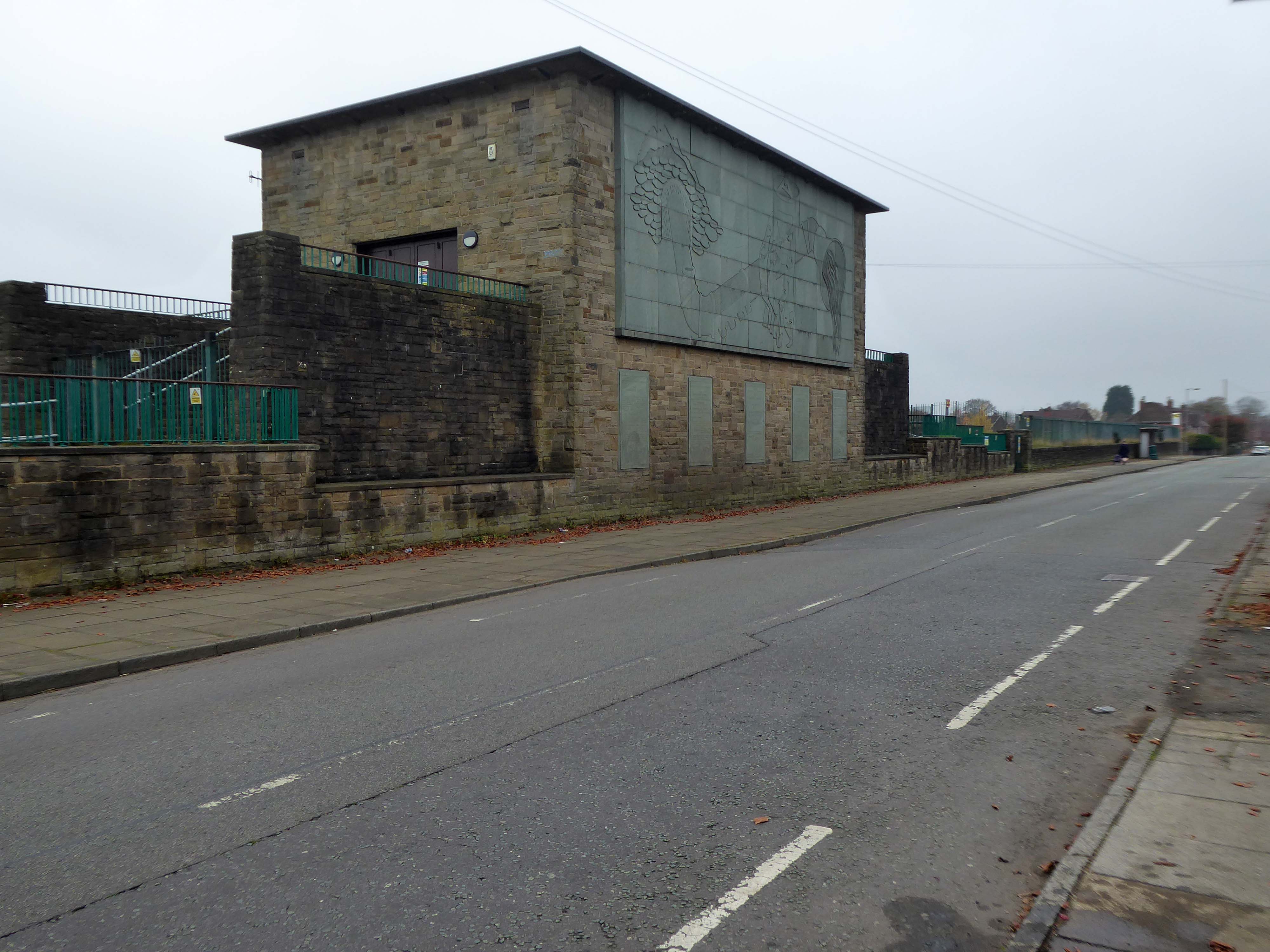
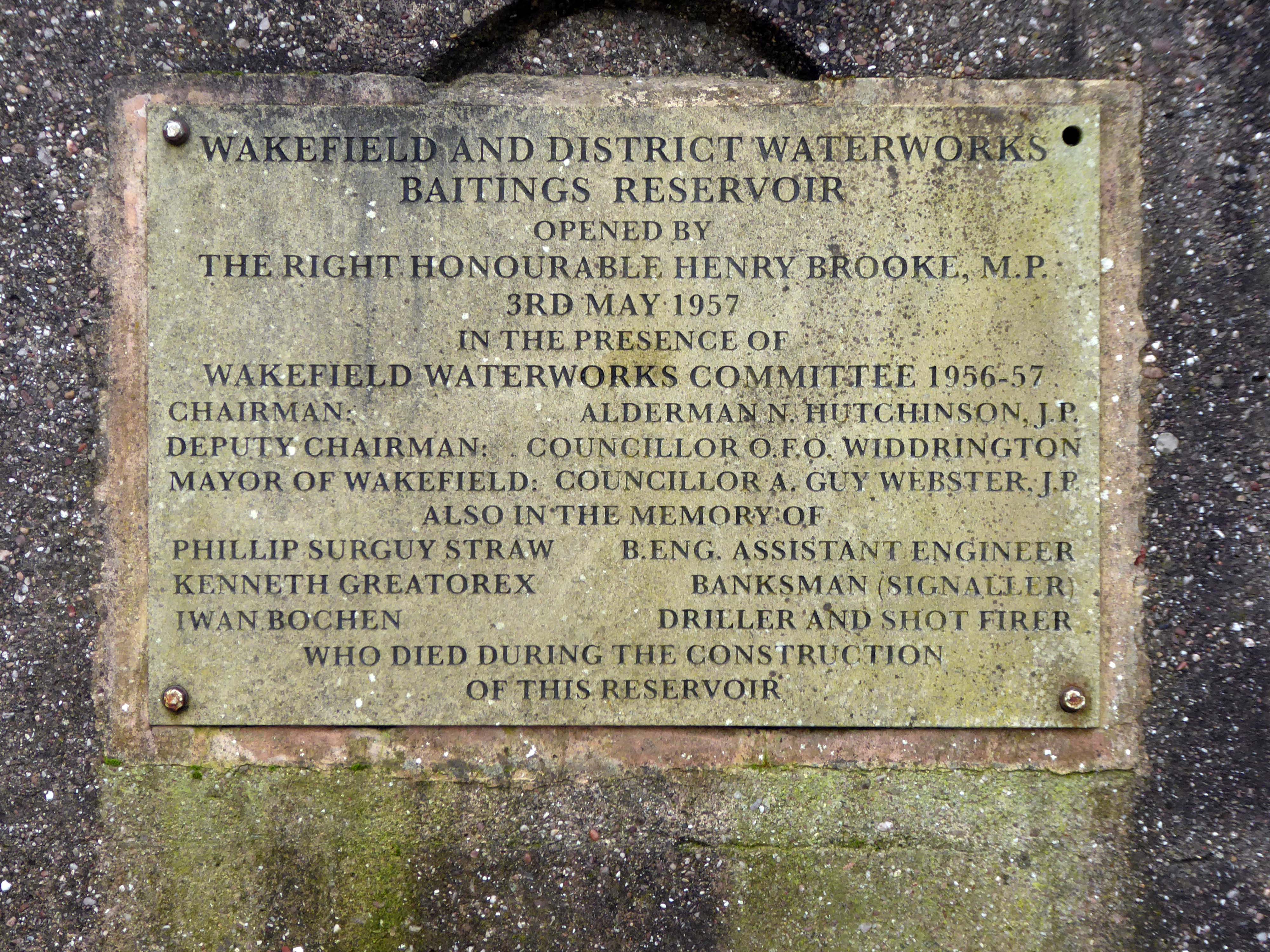
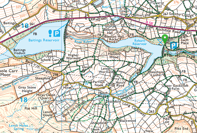
To begin at the beginning, to begin at Baitings Reservoir.

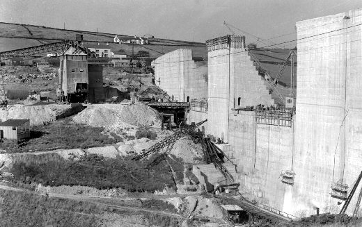
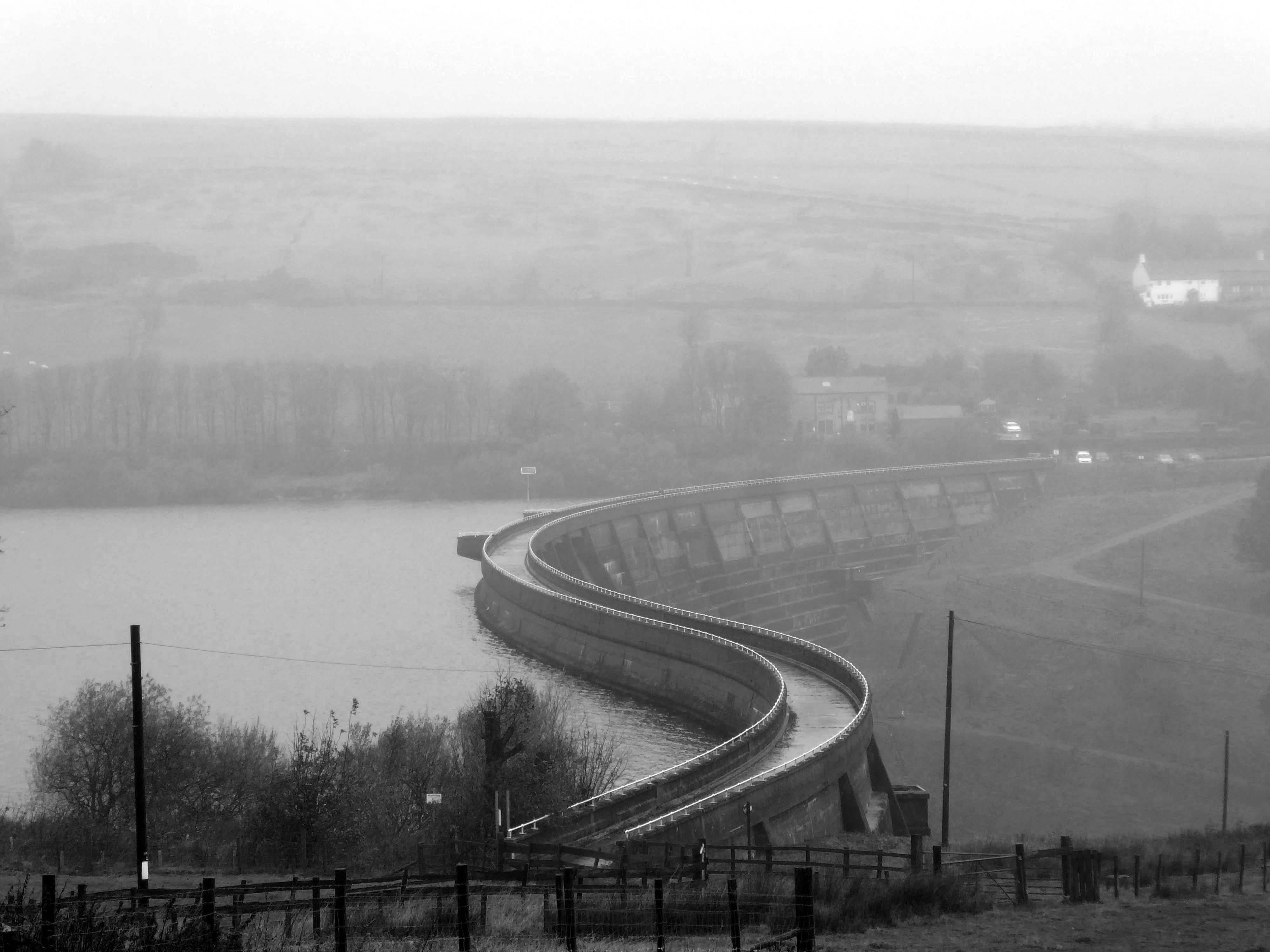
Wakefield Corporation Waterworks started impounding the valley of the River Ryburn in the 1930s, with Ryburn Reservoir being completed in 1933. Construction on Baitings took place 20 years later with completion in 1956.  Baitings Bridge, on an old road linking Yorkshire and Lancashire, was to be flooded under the reservoir so a concrete viaduct was built. During spells of very hot weather and drought conditions, the old packhorse bridge is revealed.

Wakefield Express: 31st August 1955

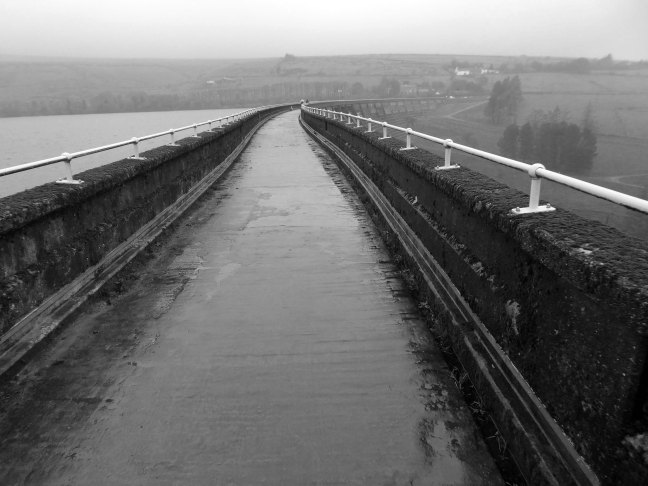
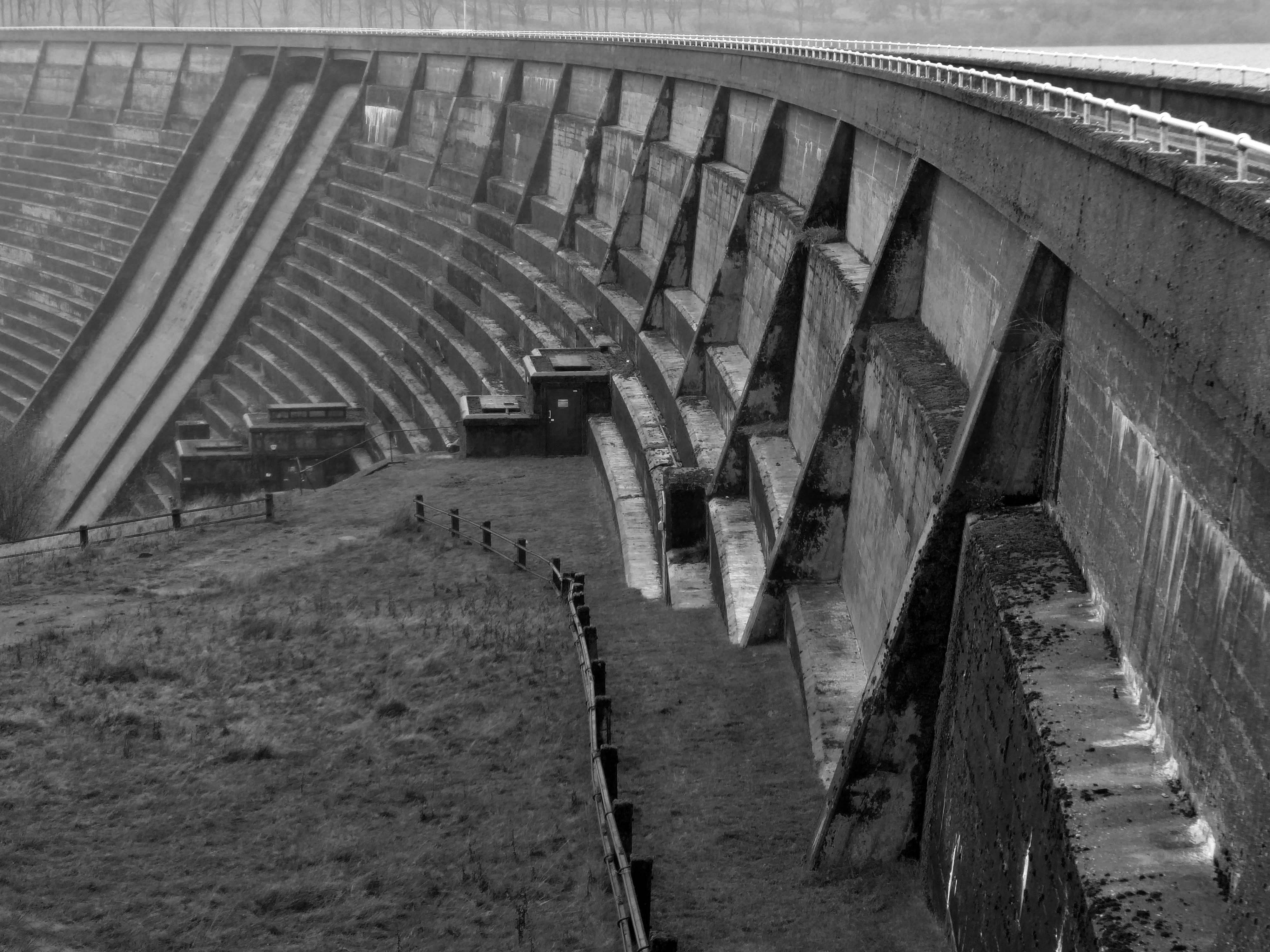
The dam head is a curved structure that is 1,540 feet long and over 160 feet high. The reservoir covers 59 acres and has a catchment of 1,830 acres , and when it is full, it holds over 113,000,000 cubic feet of water. The dam took eight years to complete at a cost of £1.4 million, and is located at 840 feet above sea level. A tunnel connects reservoirs in valleys to the north with Baitings to allow for the transfer of water. Manshead Tunnel is 8,000 feet long and was opened in 1962.

Wikipedia

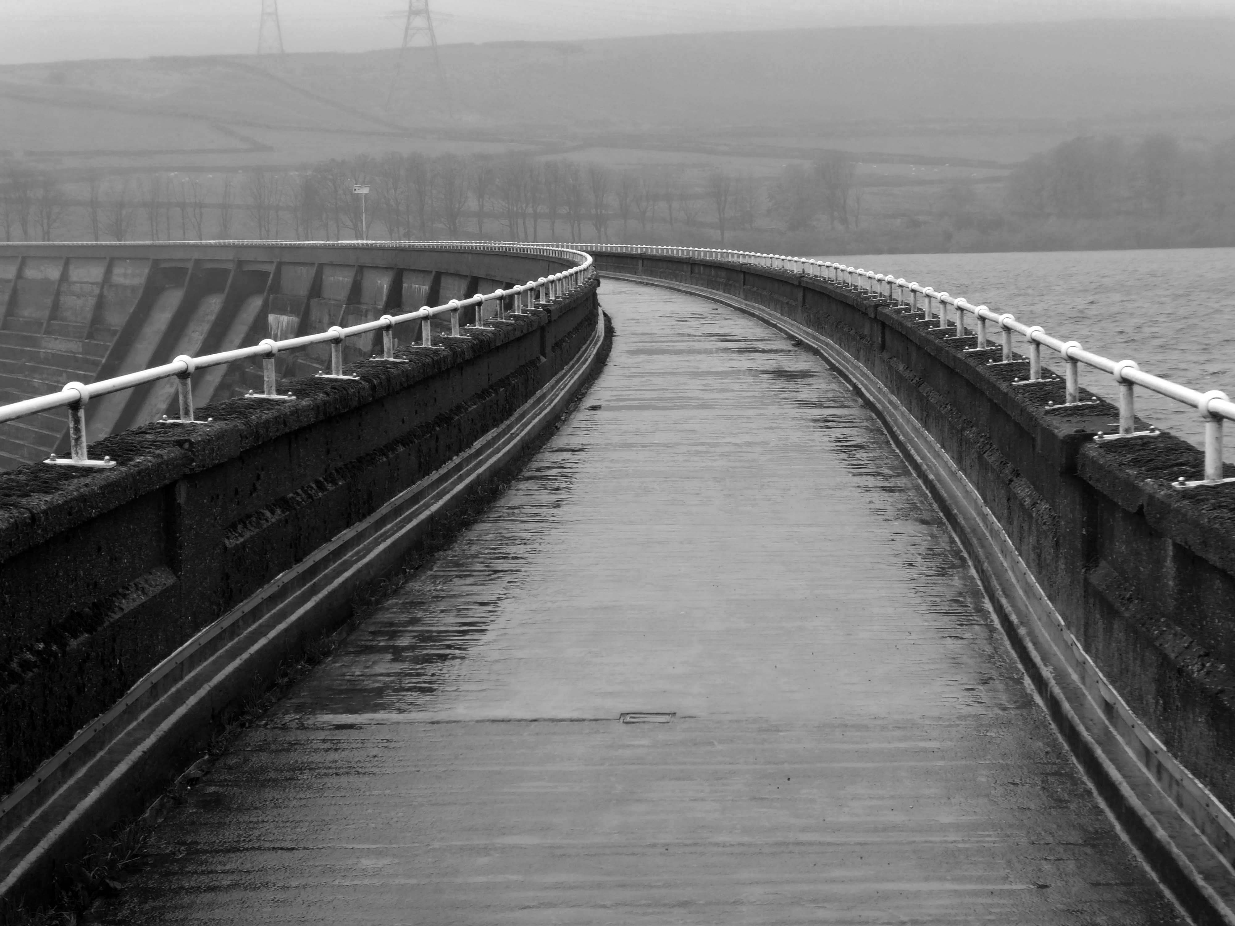
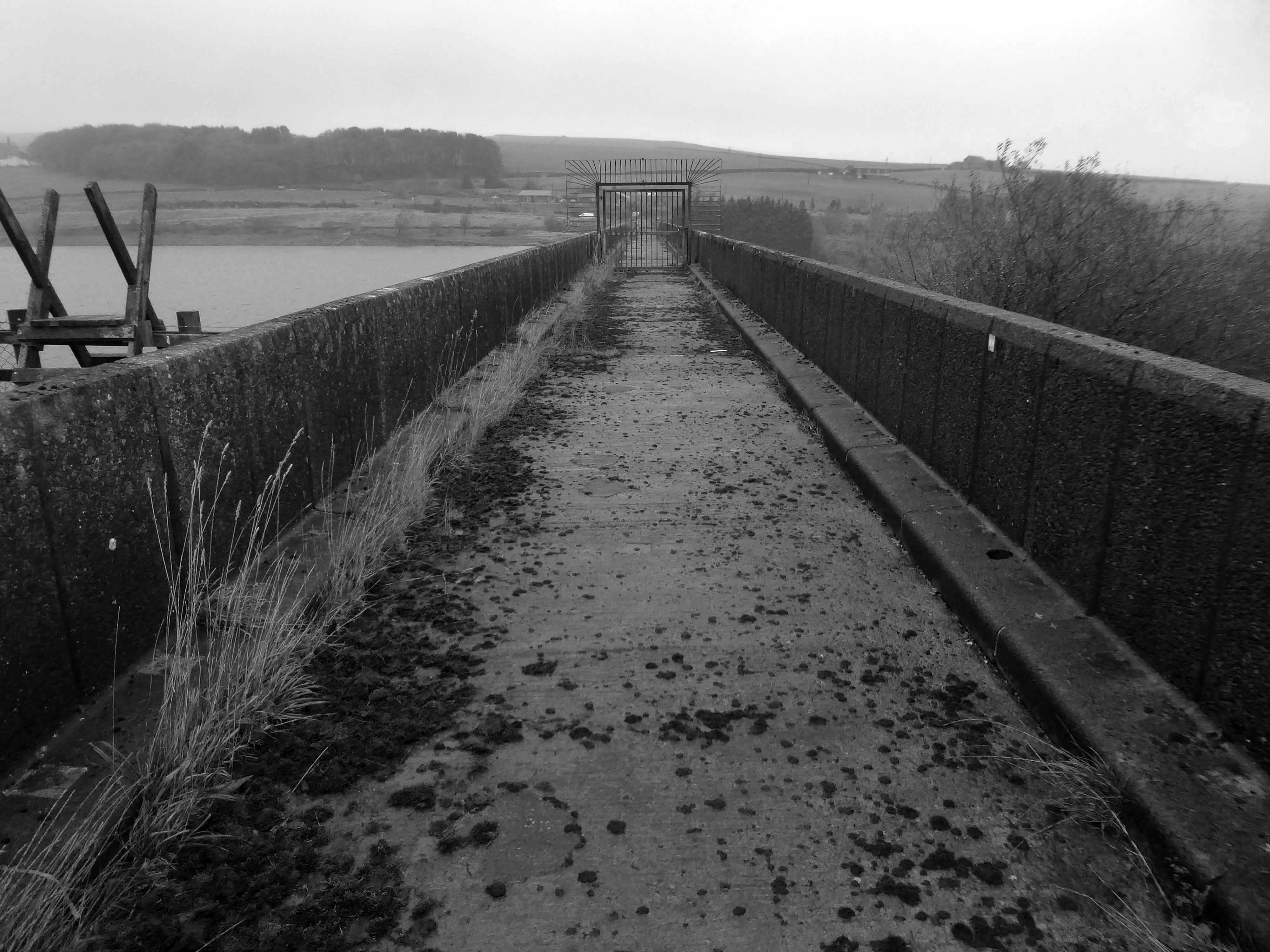
Inconveniently, the footpath to the lower Ryburn Reservoir was closed – we were diverted over the dam.

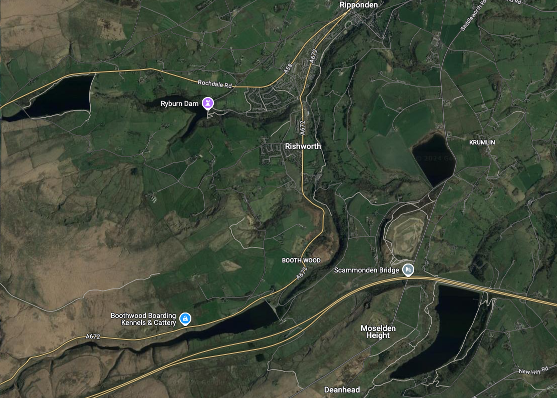
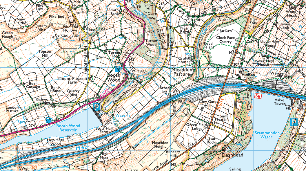
We took the pathway to Booth Wood Reservoir – over Pike End and beyond.

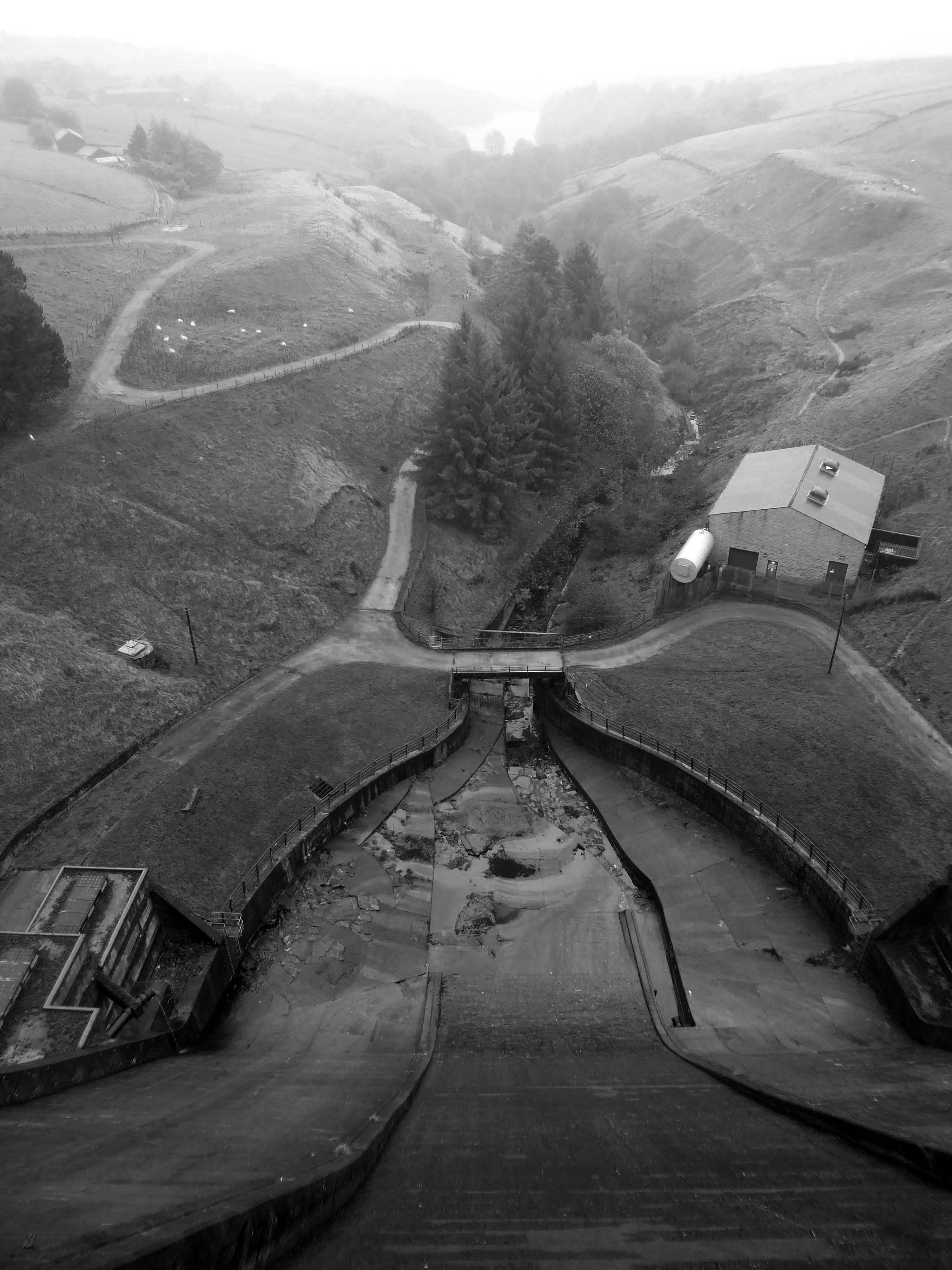
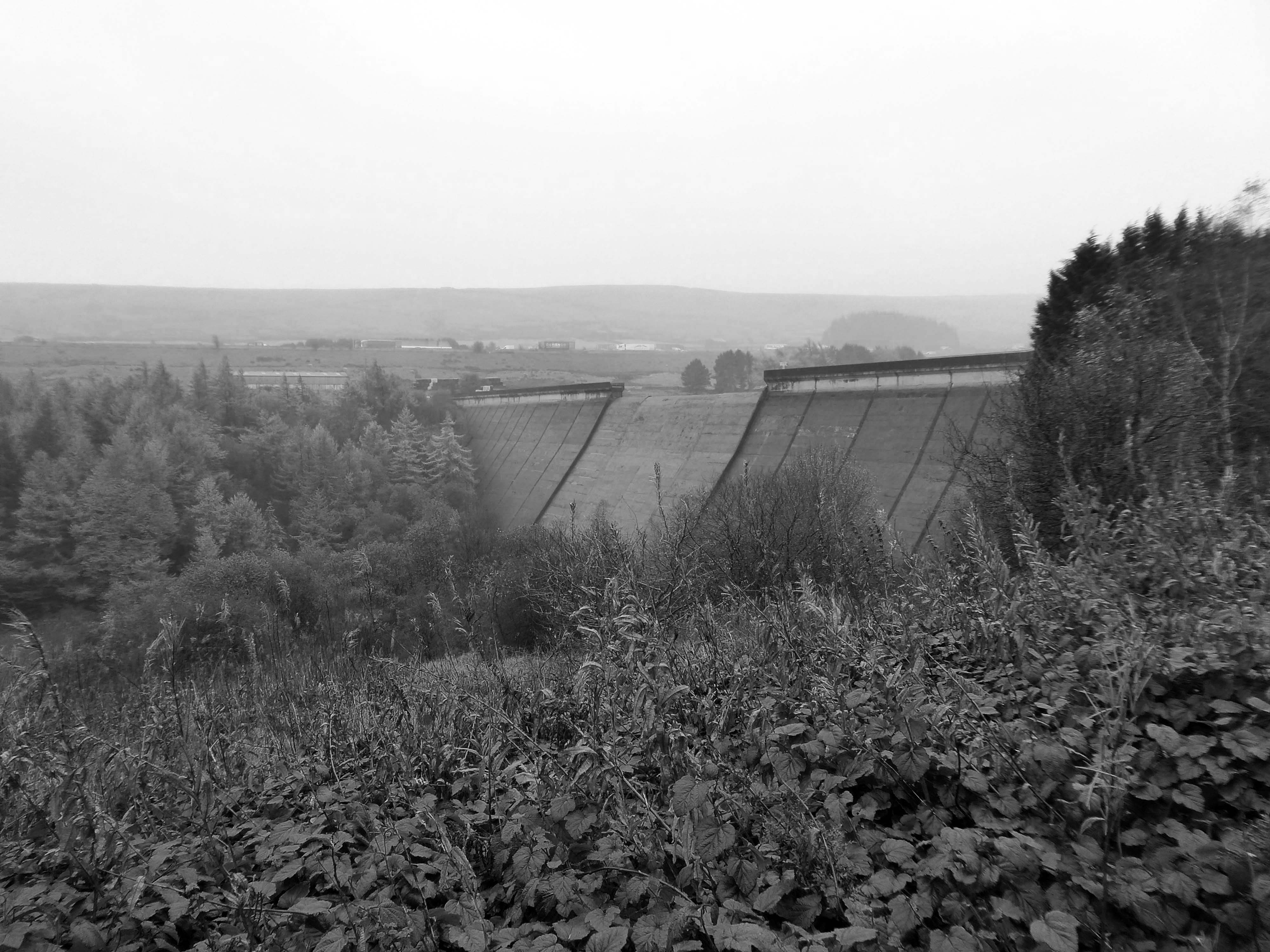
We dropped down beneath the Booth Wood Dam.

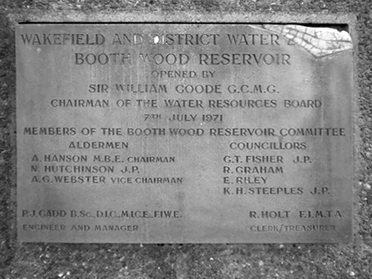
Booth Wood Reservoir is a man-made upland reservoir that lies north of the M62 motorway and south of the A672 road near to Rishworth and Ripponden in Calderdale, West Yorkshire. The reservoir was approved for construction in 1966 and completed in 1971.

It supplies water to Wakefield.

The reservoir dams the Booth Dean Clough watercourse and takes water directly from the surrounding moorland. It has a plain concrete crest on the dam head which is straight and extends to a length of 1,150 feet and a height of 157 feet.

Wikipedia

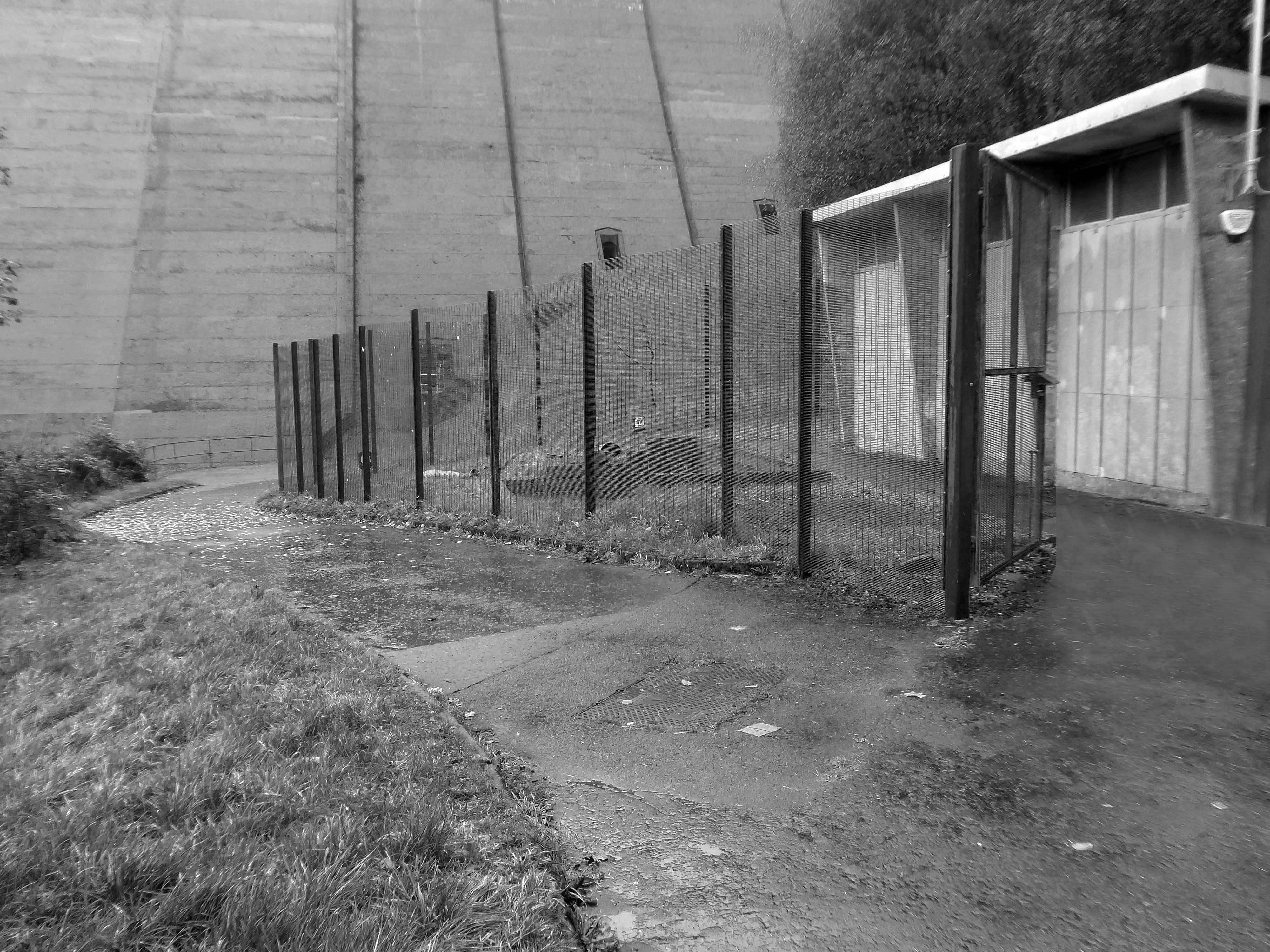
Below is a dinky pumping station, tucked beneath the dam.

We took a precipitous path through the wood – up to the level of the reservoir.

Under the the M62 and past the infamous Stott Hall Farm.

Stott Hall Farm is a farm located between the eastbound and westbound carriageways of the M62 motorway in Calderdale. It is the only farm in the UK situated in the middle of a motorway and was built in the 18th century on Moss Moor. It lies south of Booth Wood Reservoir where the carriageways are separated between junctions 22 and 23. The road divides for much of its length between the Windy Hill and Deanhead cuttings because of the surrounding geography; but a myth persists that it was split because Ken and Beth Wild refused to sell. However, the farm was actually owned by Yorkshire Water at the time the M62 was built.

Wikipedia

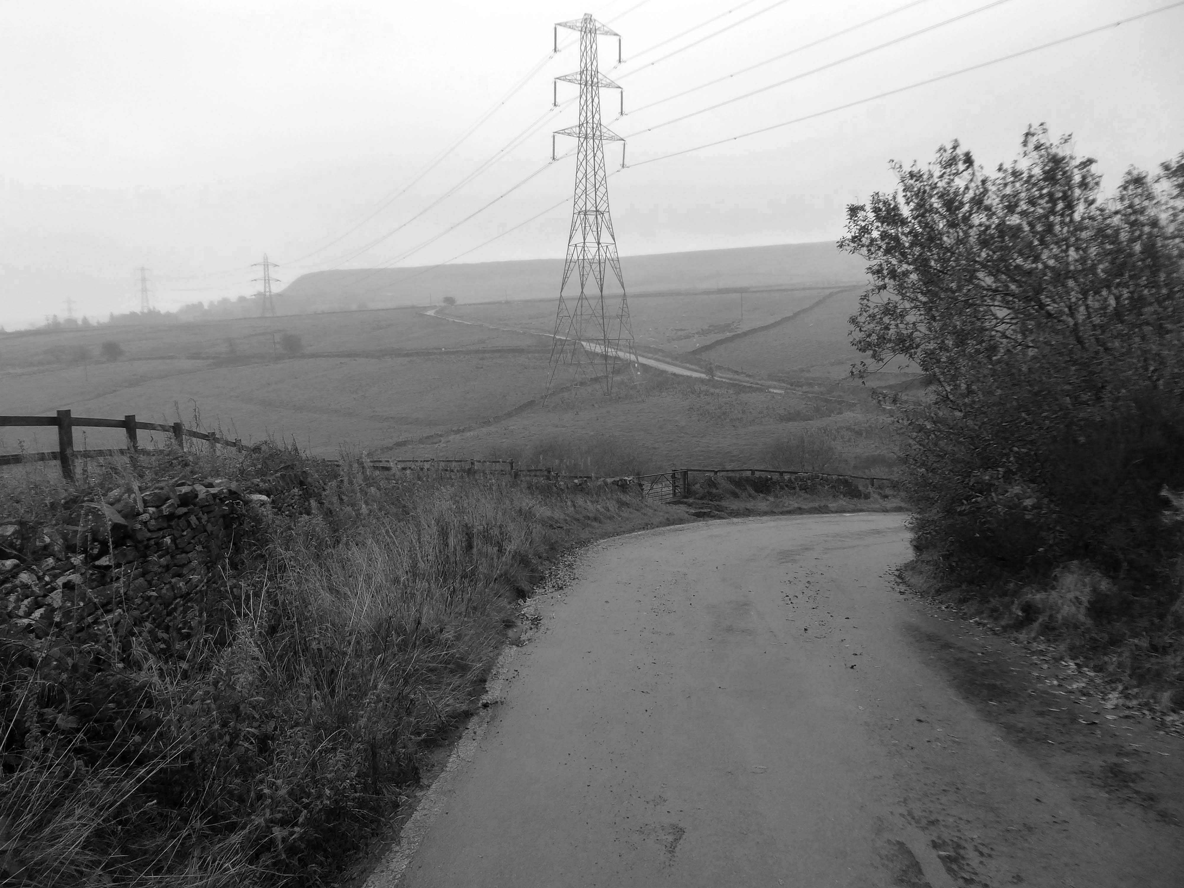
We walked over the upland moors to meet with the Catchwater, which formerly fed the Ringstone Edge Reservoir, prior to the construction of the motorway cutting.

Climbing again over Cow Gate Hill to meet the Saddleworth Road.

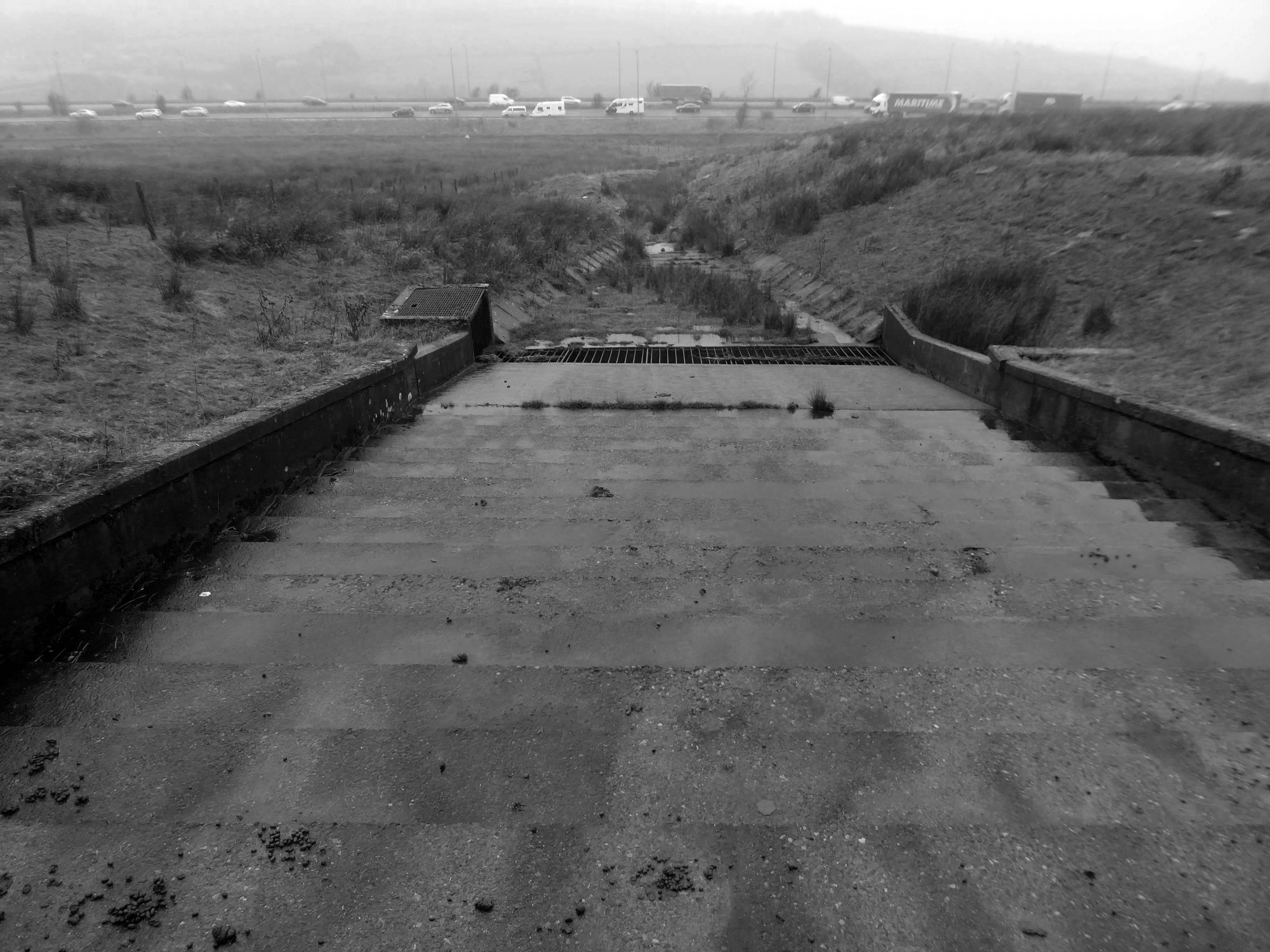
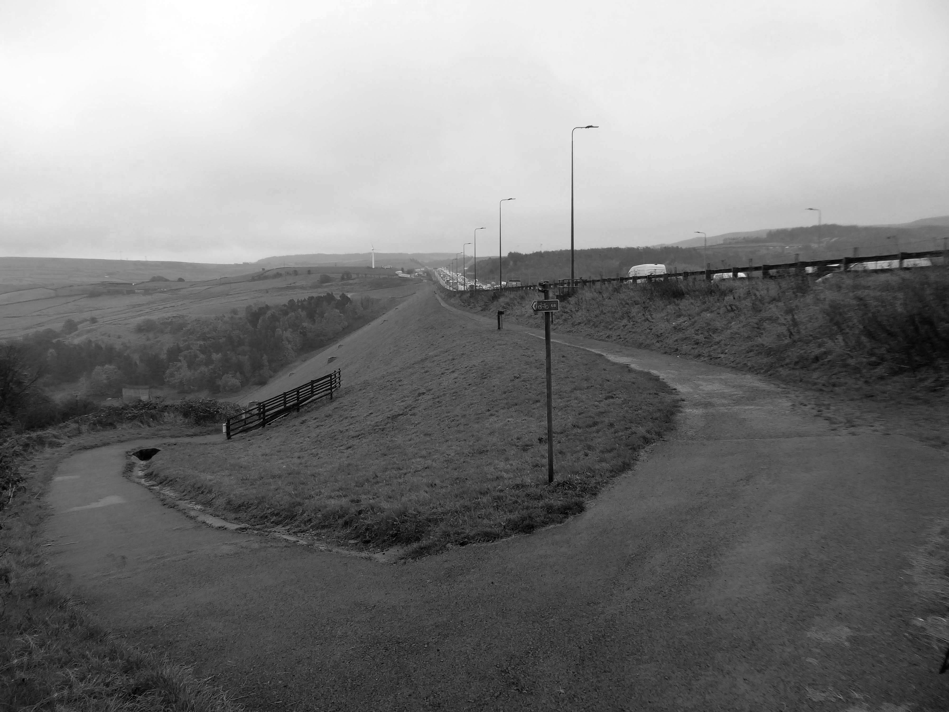
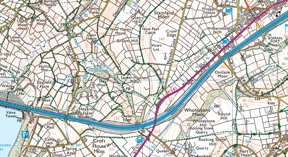
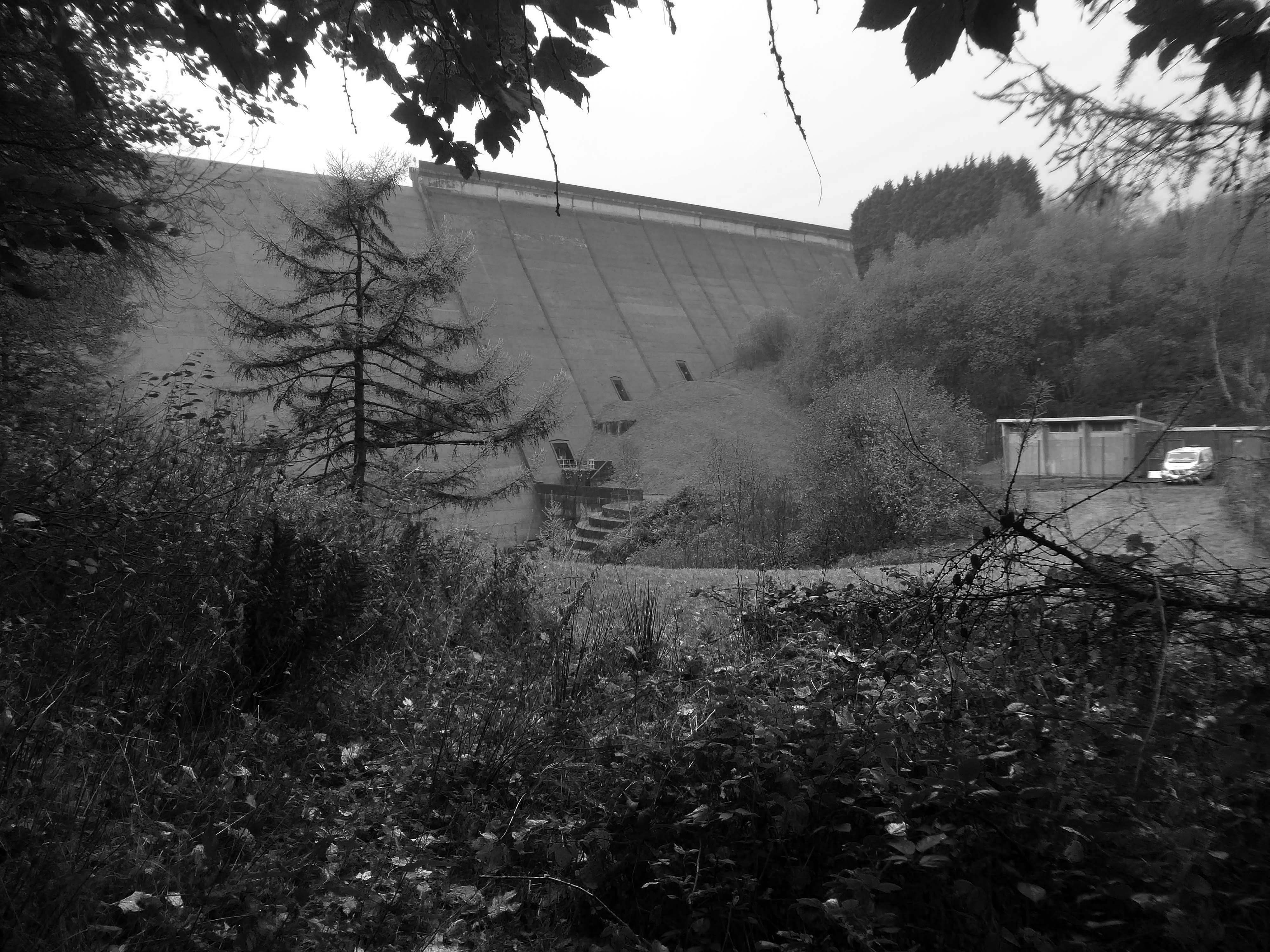
Crossing the motorway and dropping down to meet the Scammonden Dam.

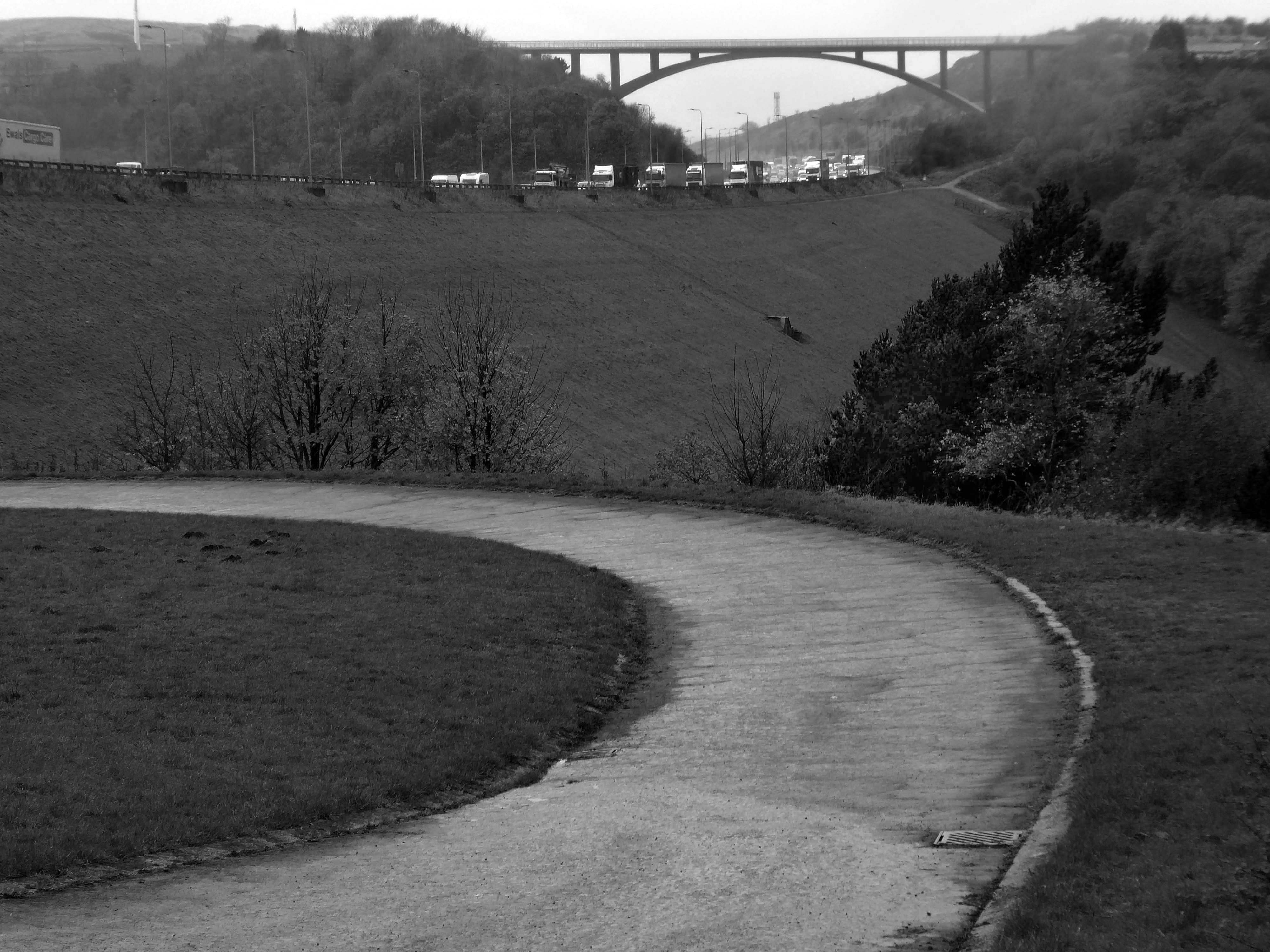
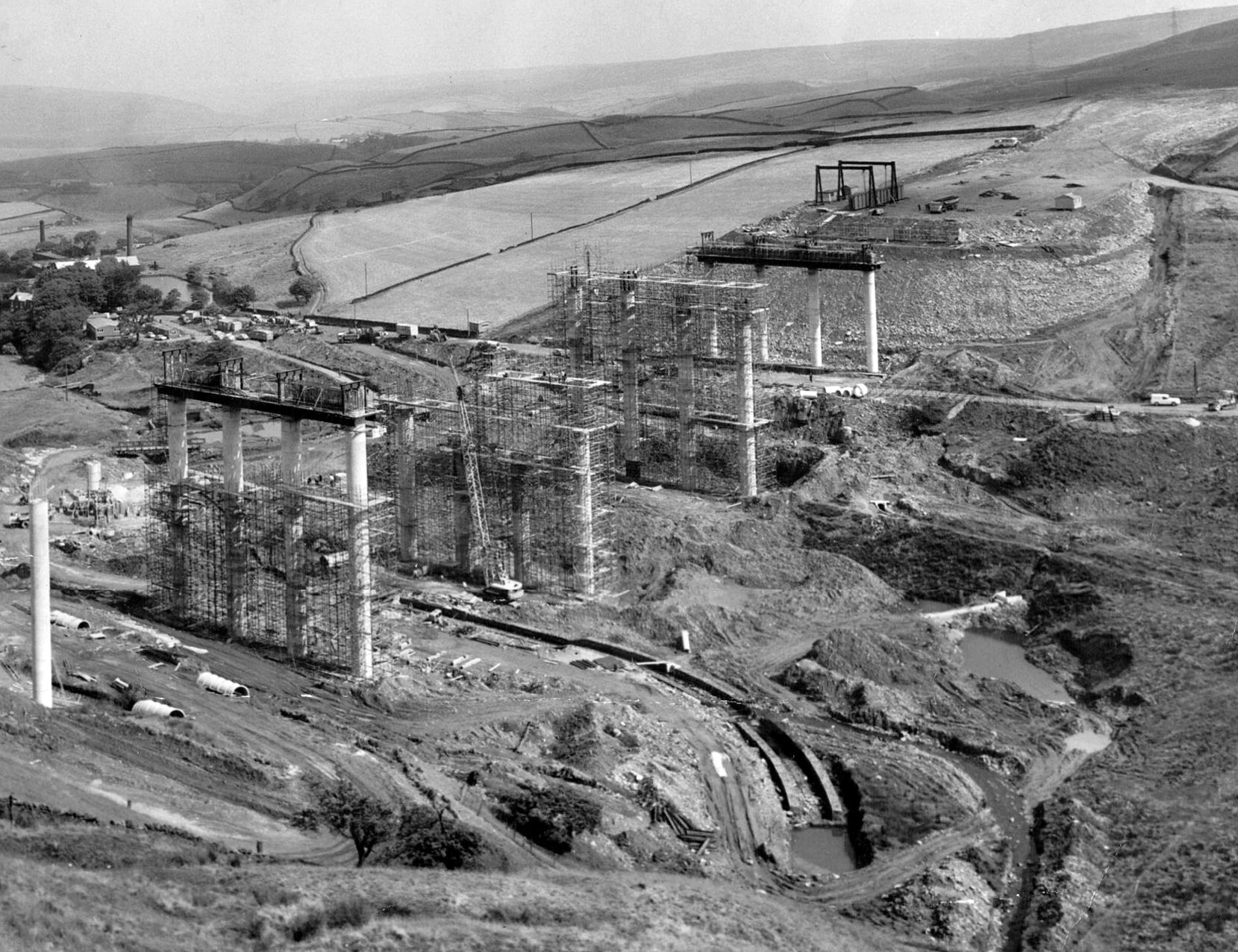
Scammonden Dam is part of the M62 motorway between junctions 22 and 23, the only such structure in Britain. Its construction by the Ministry of Transport and Huddersfield Corporation Waterworks required the passing of the Huddersfield Corporation Act 1965. The motorway dam spans the Deanhead Valley in the Pennines between Huddersfield and Rochdale and the main contractor for the project was  Sir Alfred McAlpine & Sons.

It was designed by Rofe, Kennard and Lapworth

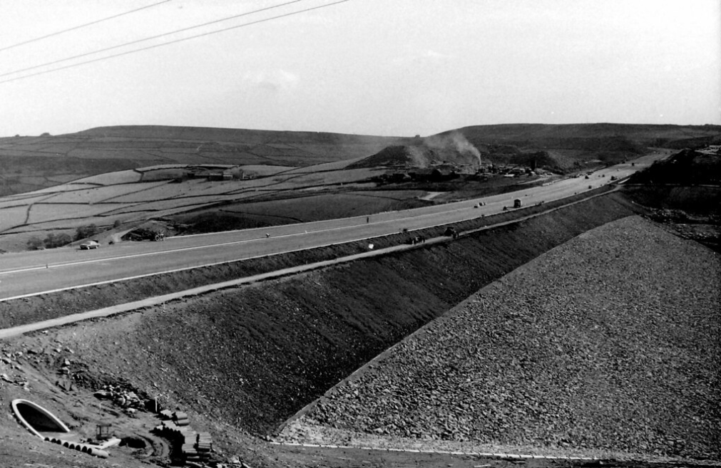
Surveying began in November 1961 and the route of the carriageway was determined in mid 1963. Excavation in the Deanhead Valley commenced the following year and for the dam in 1966. This required the removal of 25,200,000 cu ft of peat bog to reach the solid rock base nearly 43 ft below ground level. Material excavated elsewhere on the line of the motorway, clay from cuttings between Lofthouse and Gildersome, and 3.4 million cubic metres from the Deanhead excavations was used to build the dam’s embankment which is 2,051 ft in length and 207 ft above the original valley floor. The embankment is 1,427 ft wide at its base and 180 ft at road level.

Wikipedia

Barry Skilbeck: Flickr

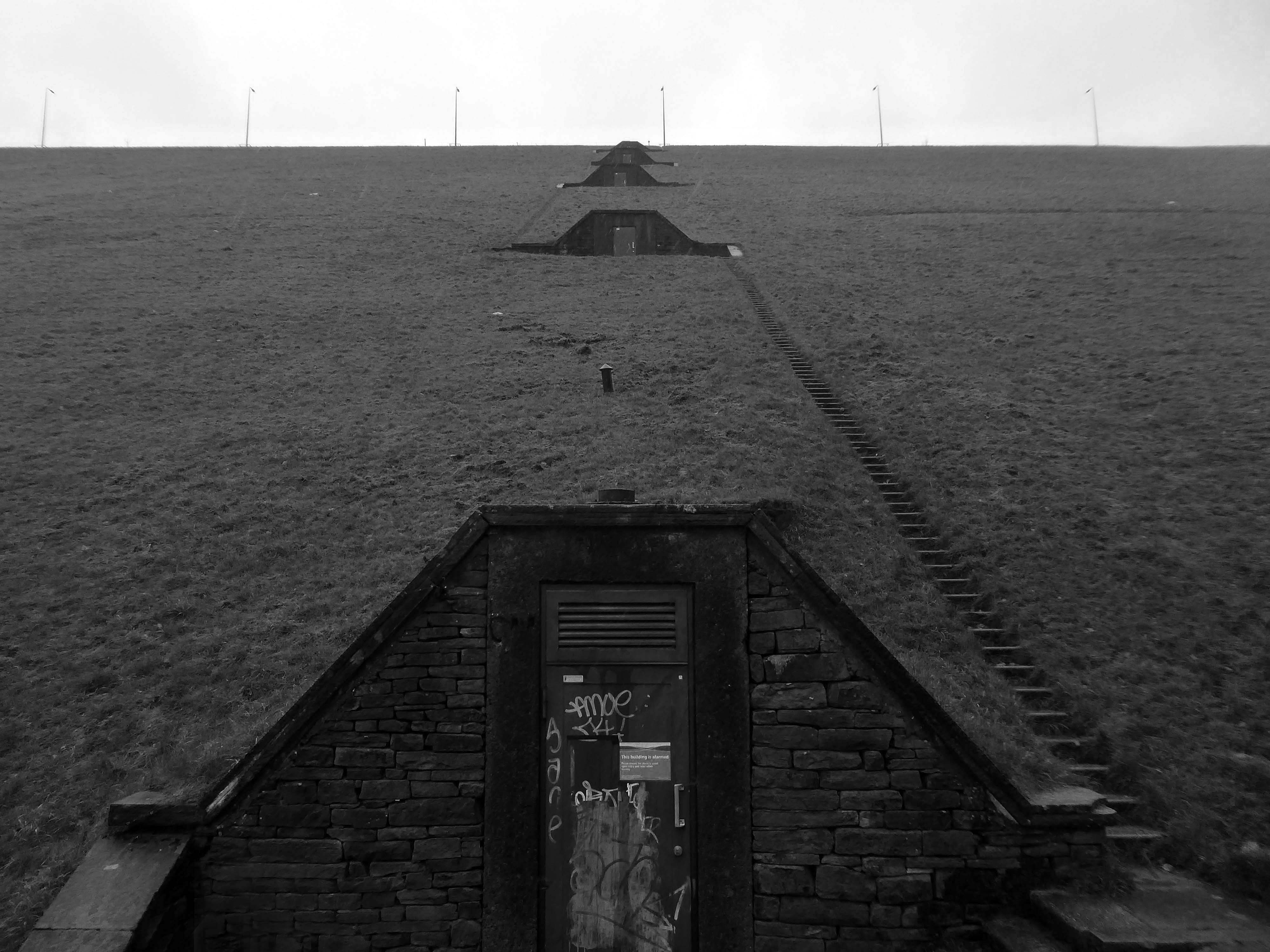
Scammonden steps comprises five flights of steps up the hillside from the valley below. Totaling 458 steps, the cumulative step count when ascending each of the five flights is 95, 200, 287, 363 then 458.

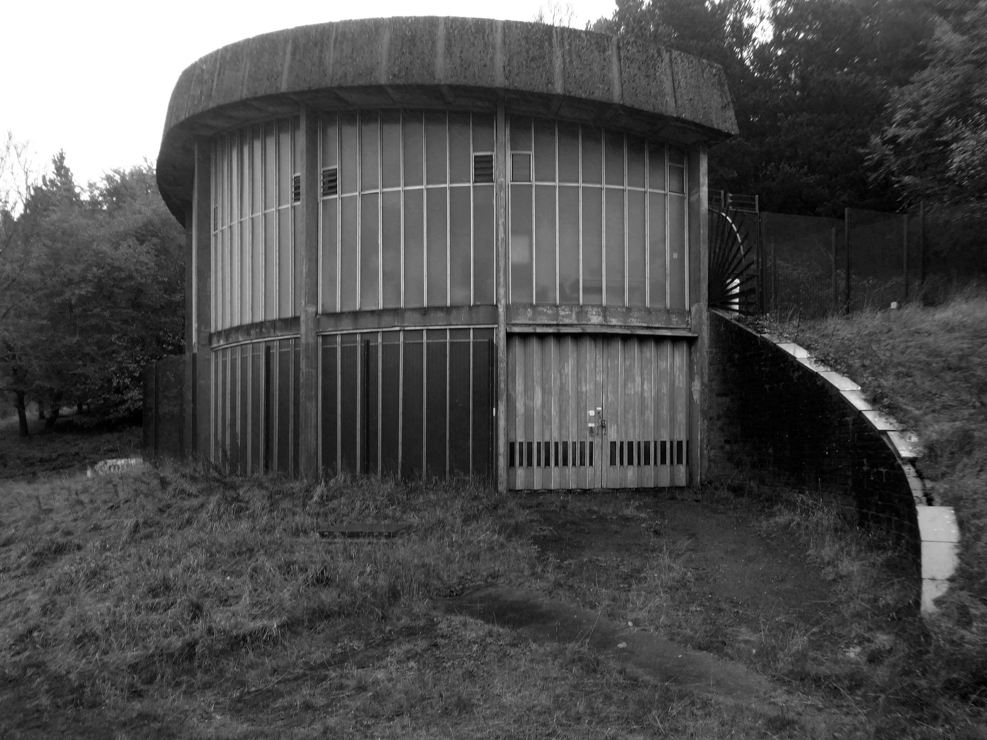
At the base of the dam is this delightful Pumping House.

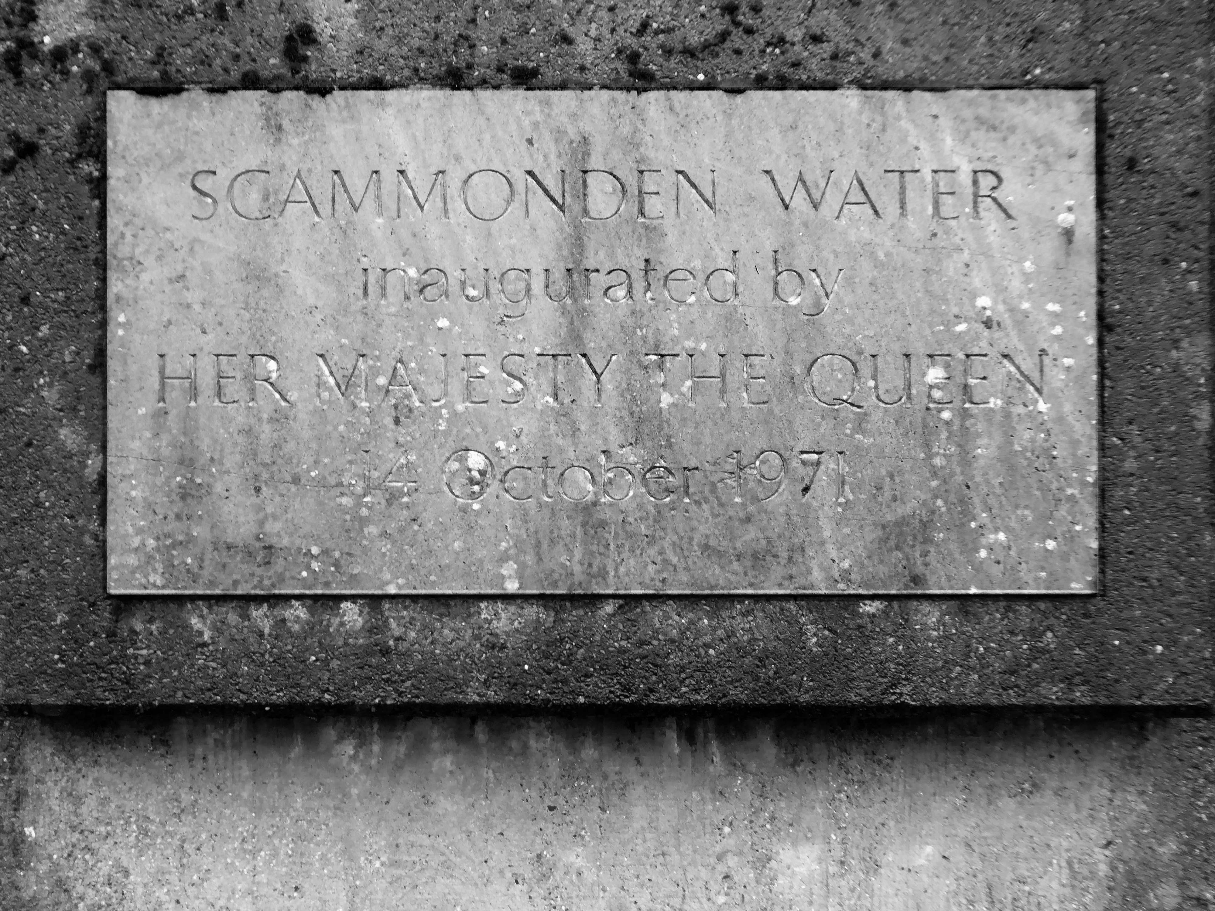
The motorway, which was dependent on the completion of the dam, was opened to traffic on 20th December 1970 and officially opened by Queen Elizabeth II who unveiled a plaque near the valve tower of Scammonden Water on 14 October 1971.

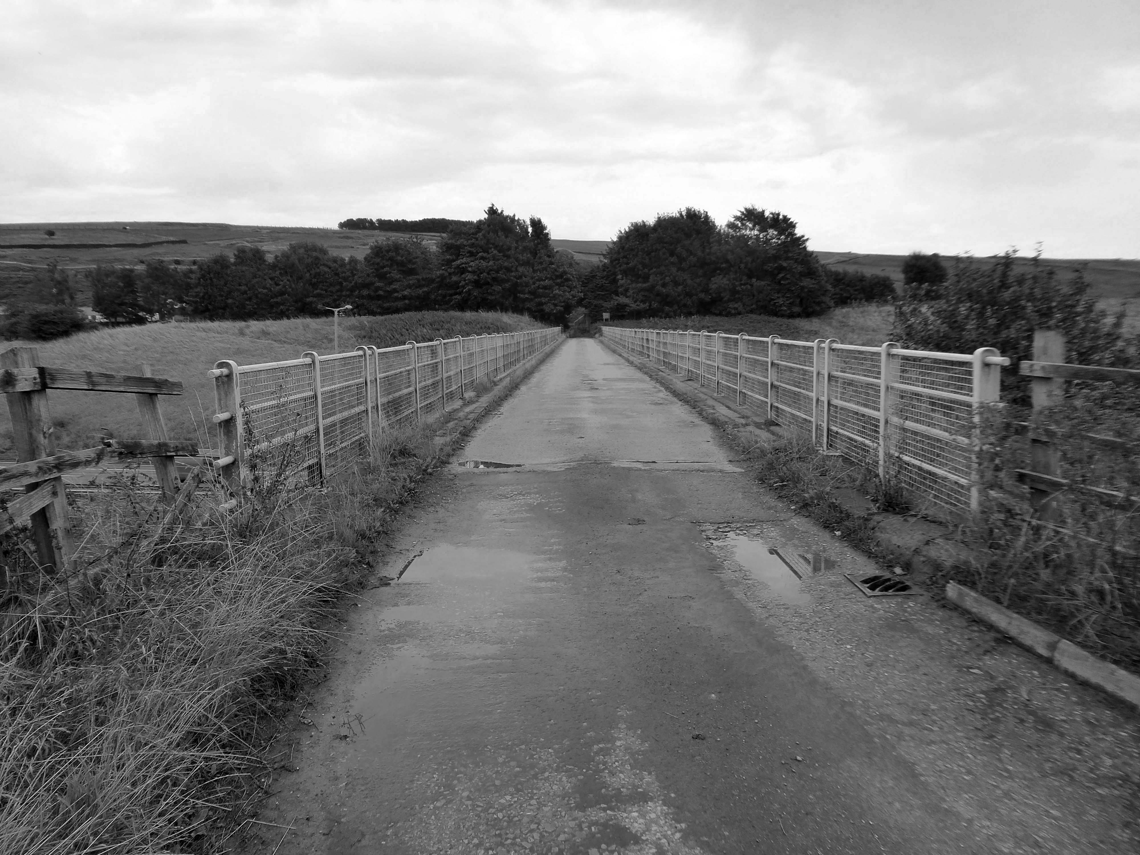
Ascending and looking back toward Scammonden Bridge also known locally as the Brown Cow Bridge – after the nearby Brown Cow Inn, now closed, spans the Deanhead cutting carrying the B6114.

The bridge was built for the West Riding County Council to the designs of the county surveyor, Colonel S Maynard Lovell.

It opened to traffic on Monday 18 May 1970 by Major Bruce Eccles – Huddersfield Transport ran buses to see the bridge.

Wikipedia

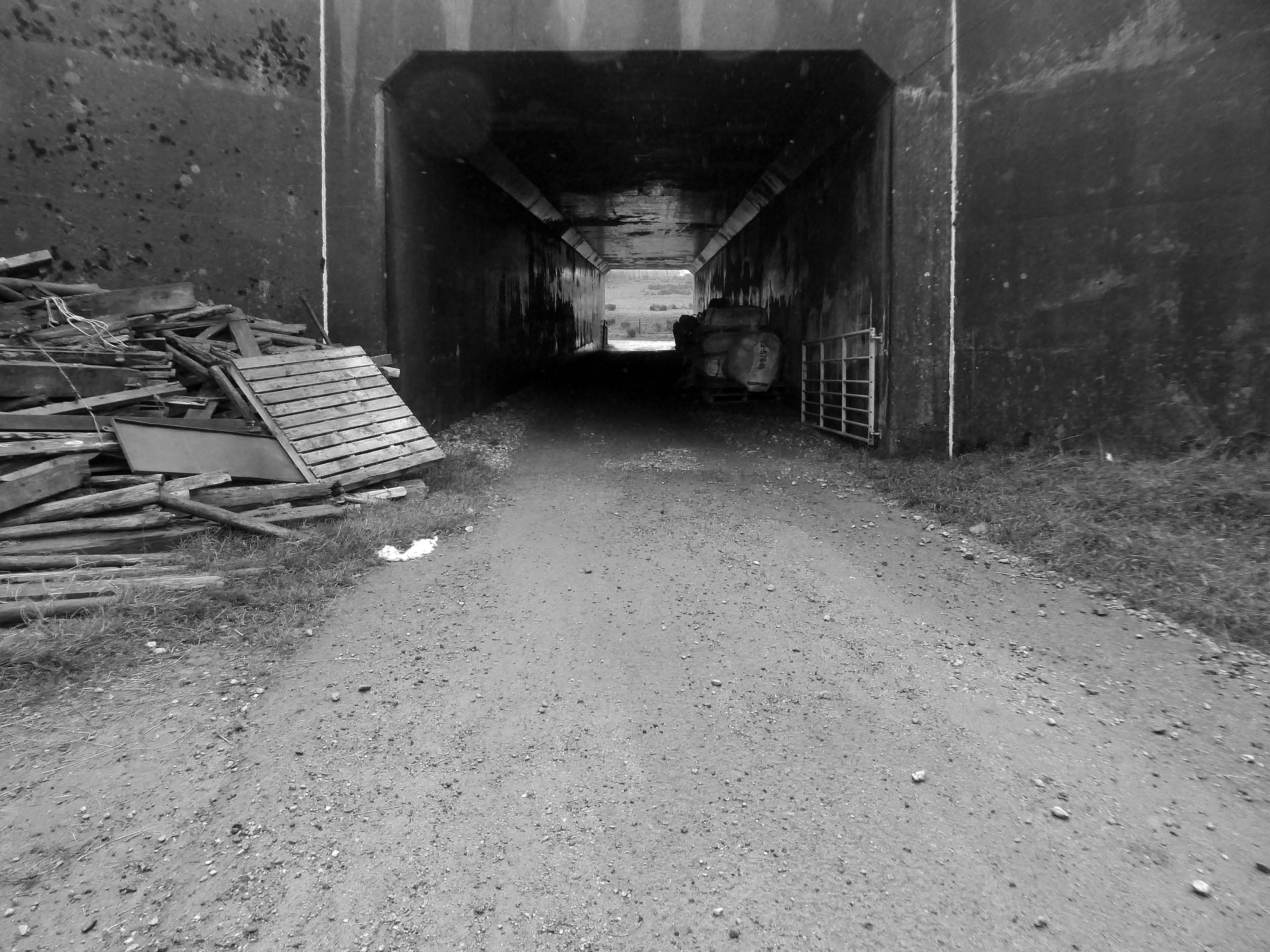
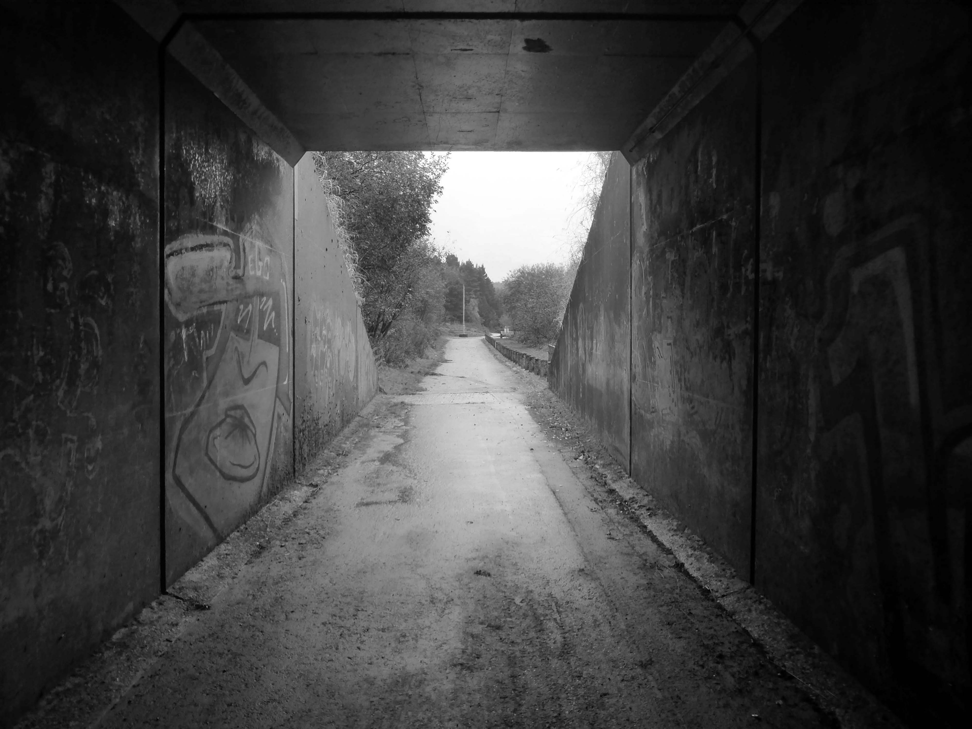
We took the tunnel through the dam.

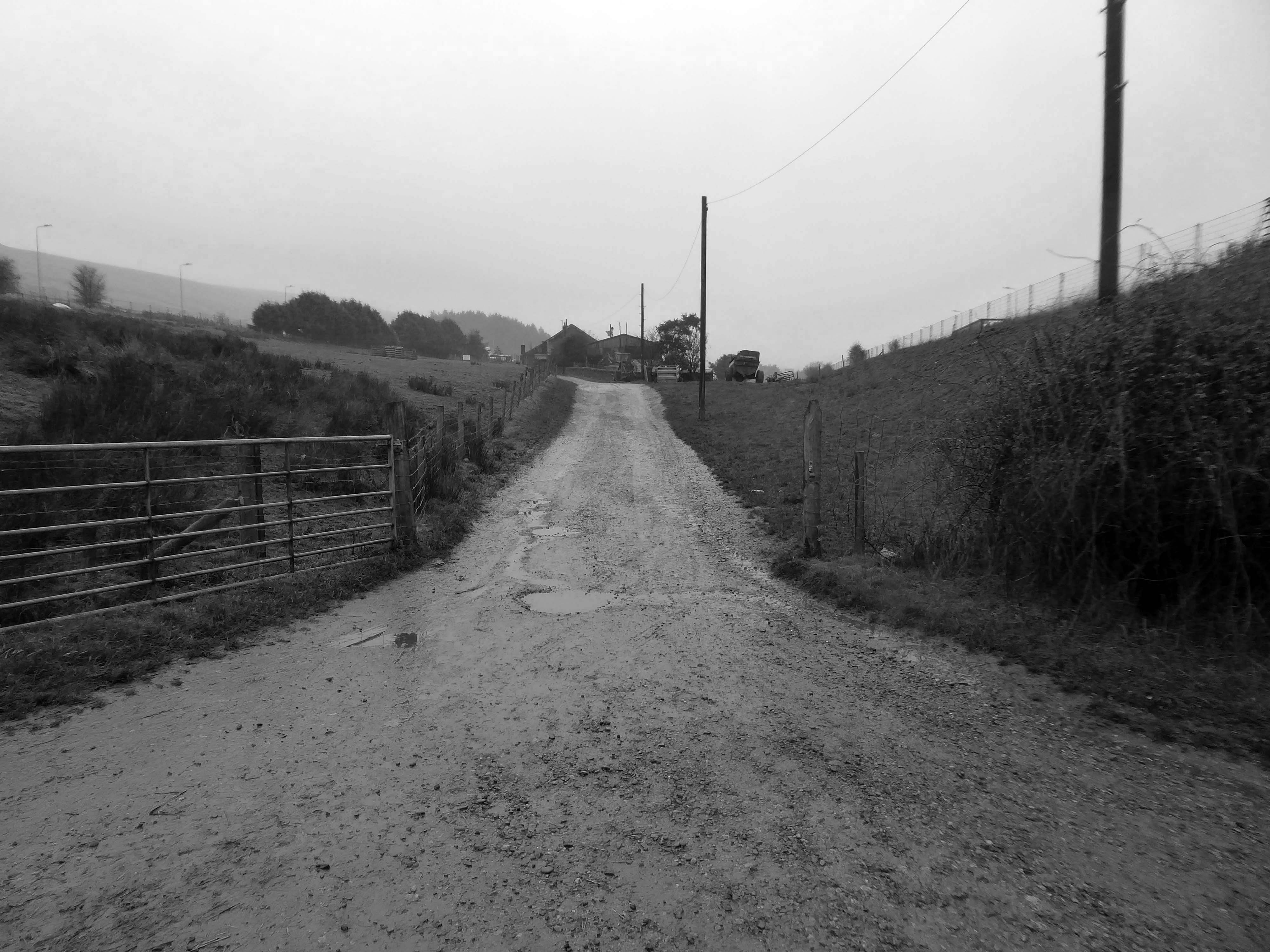
We walked back through Spring Royd, to meet the Newhey Road and onward to Outland and the bus back to Huddersfield.

My sincere thanks to my erstwhile and educated guide Mr Phil Wood – so ably steering us along our watery way.

Over And Under The M62

The M62 is a 107-mile-long west–east trans-Pennine motorway, connecting Liverpool and Hull via Manchester, Bradford, Leeds and Wakefield; 7 miles of the route is shared with the M60 orbital motorway around Manchester.

The motorway, which was first proposed in the 1930s, and conceived as two separate routes, was opened in stages between 1971 and 1976, with construction beginning at Pole Moor near Huddersfield and finishing at that time in Tarbock on the outskirts of Liverpool. The motorway absorbed the northern end of the Stretford-Eccles bypass, which was built between 1957 and 1960. Adjusted for inflation to 2007, its construction cost approximately £765 million. The motorway has an average daily traffic flow of 144,000 vehicles in West Yorkshire, and has several sections prone to gridlock, in particular, between Leeds and Huddersfield and the M60 section around Eccles.

Wikipedia

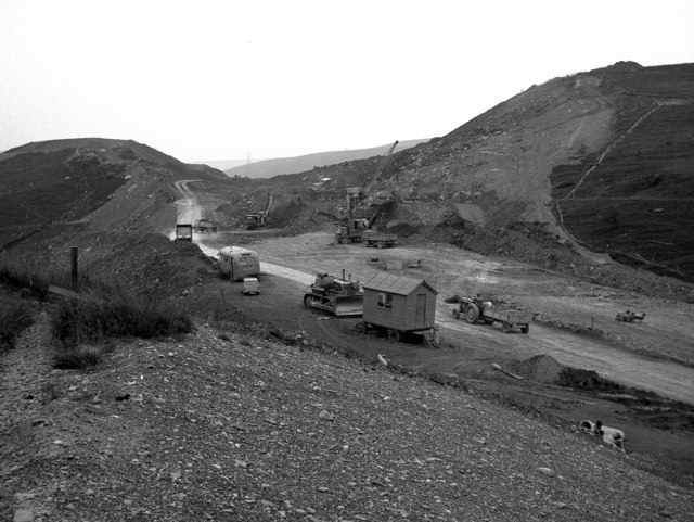
Construction in Milnrow July 1968

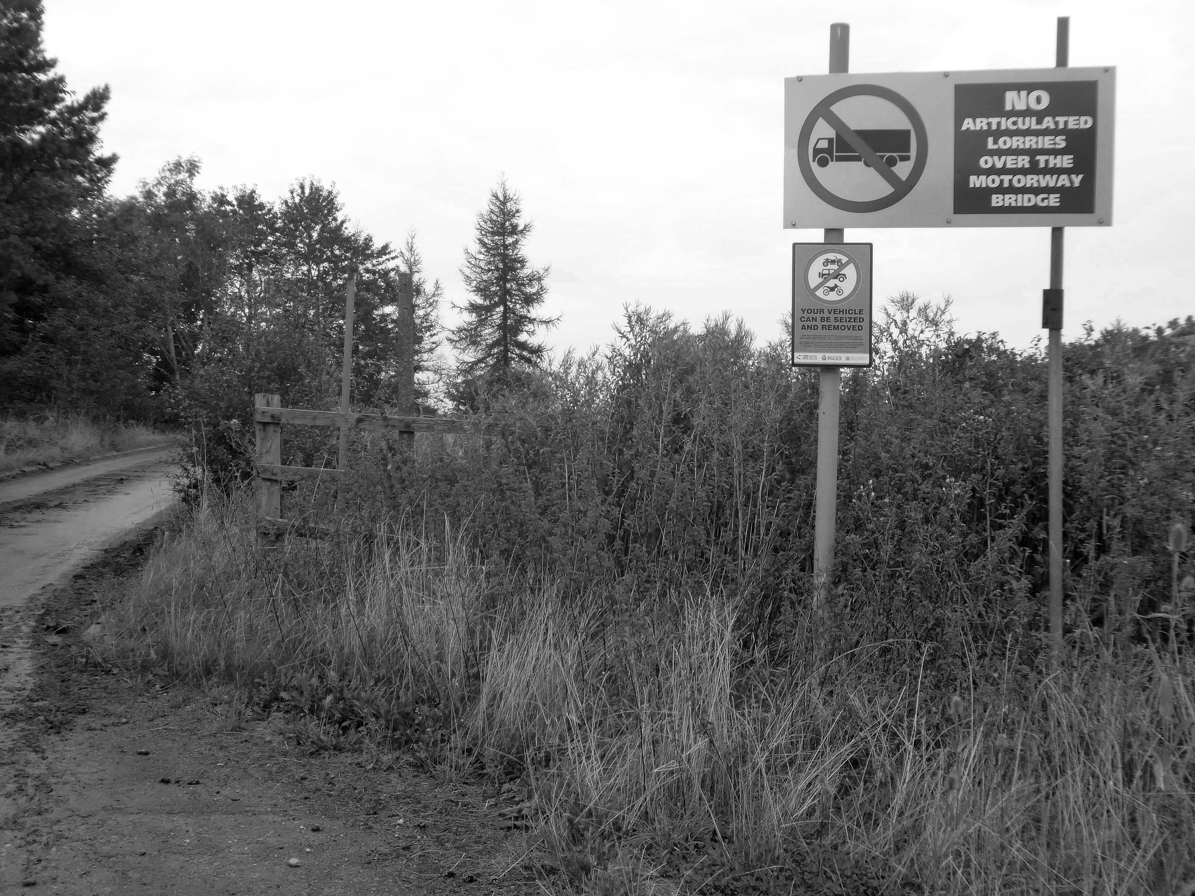
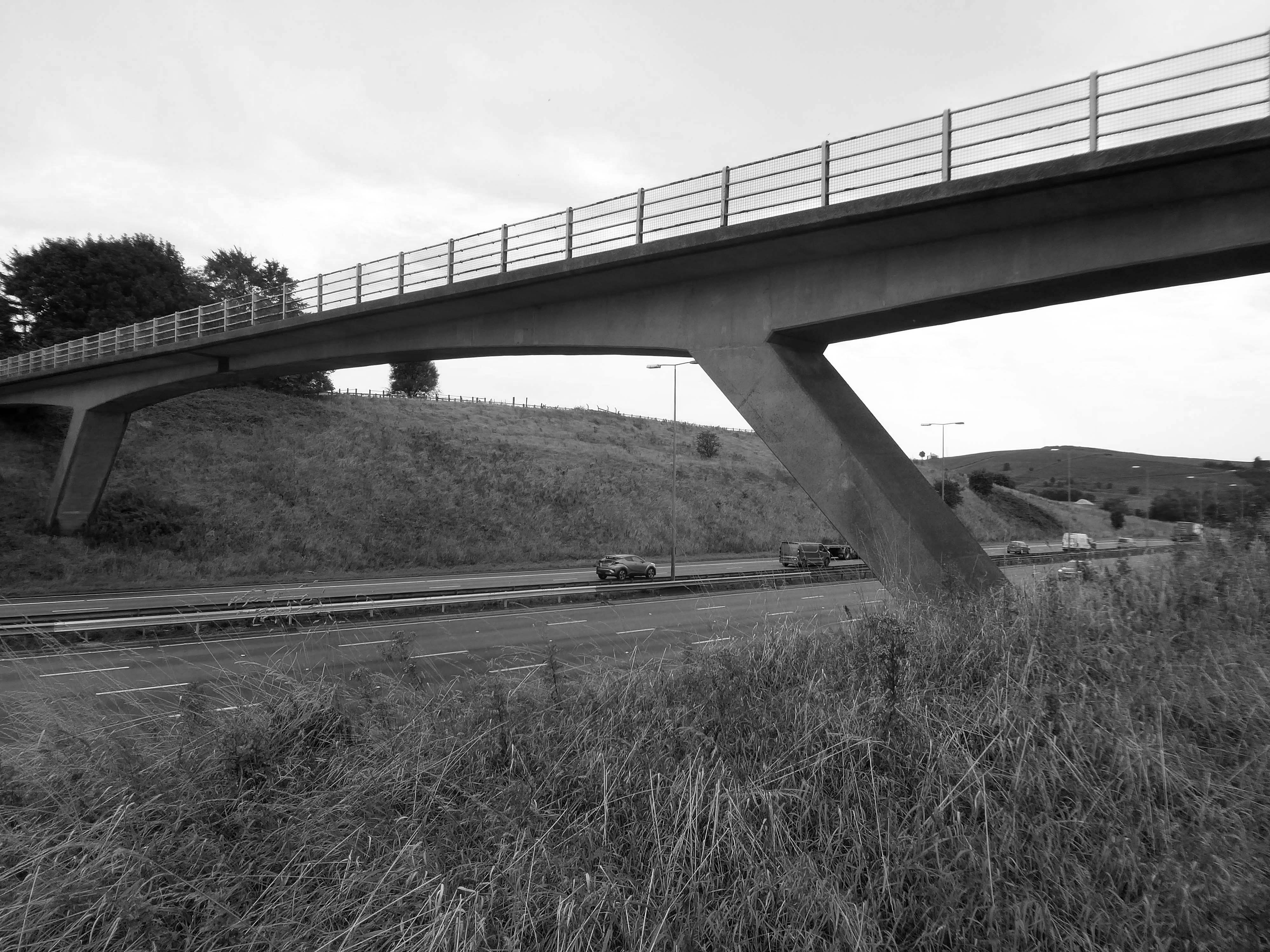
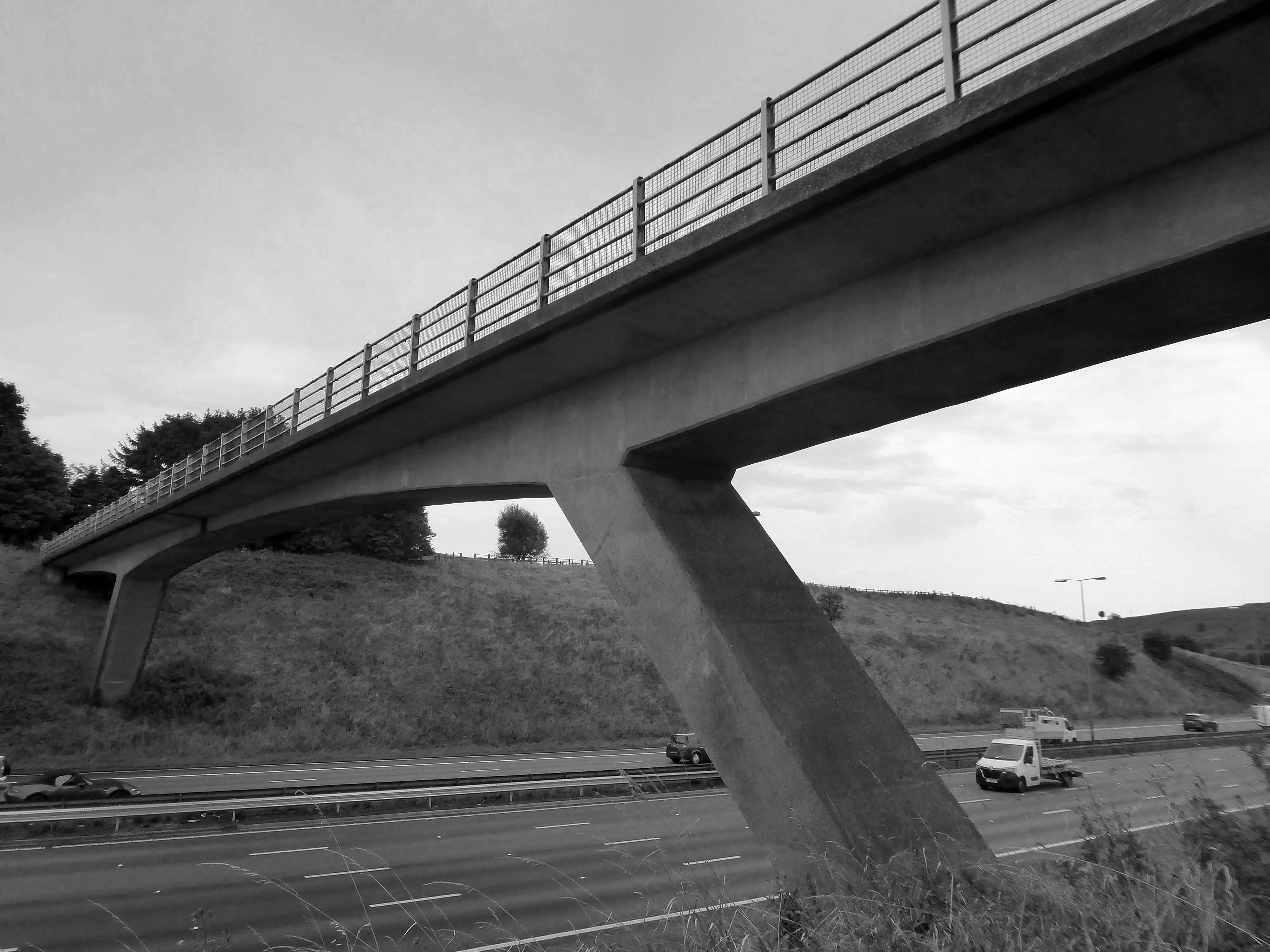
We were walking along Tunshill Lane on our way to the Piethorn Valley, our crossing of the M62 facilitated by this elegant road bridge.

A notable structure between junctions 21 and 22 on the uphill section towards Windy Hill is the Rakewood Viaduct which carries the road over the Longden End Brook.

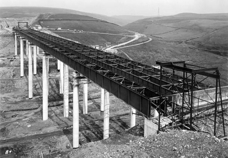
The viaduct is 280 yards long and 140 ft above the valley floor. It was built in 1966 by Reed & Mallik and opened to motorway traffic in October 1971. It has a sister bridge, the Gathurst Viaduct in Wigan, which carries the M6 motorway over the Leeds & Liverpool Canal, the Manchester-Southport line and the River Douglas and was constructed before the Rakewood Viaduct.

The steelwork deck was subcontracted to Robert Watson Steelwork of Bolton.

Wikipedia

Under construction 1968.

We returned to Smithy Bridge Station passing under the viaduct.

The Modern Mooch is a pedestrian – yet has written of motorway matters here and here.

Drive and arrive safely you motorway motorists!

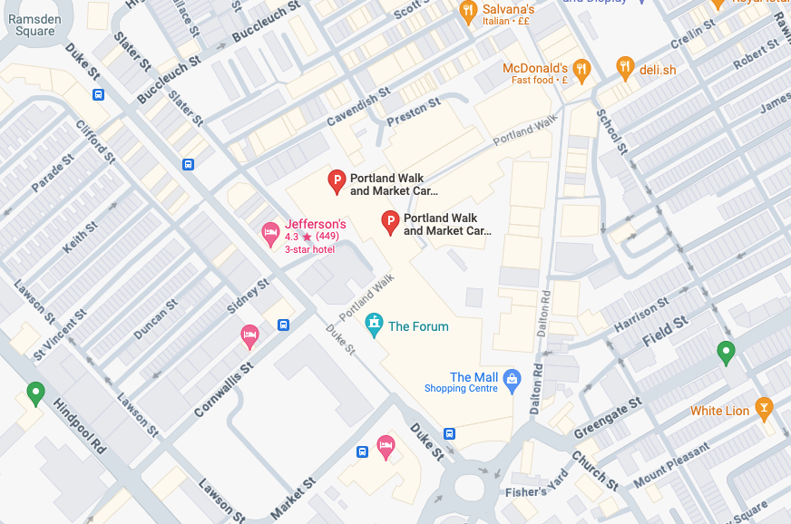
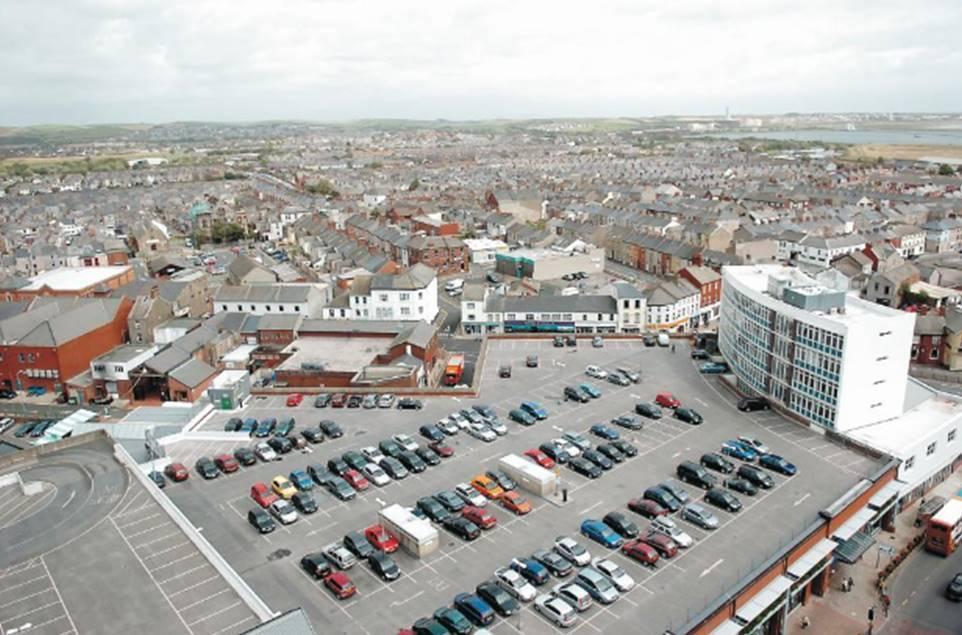
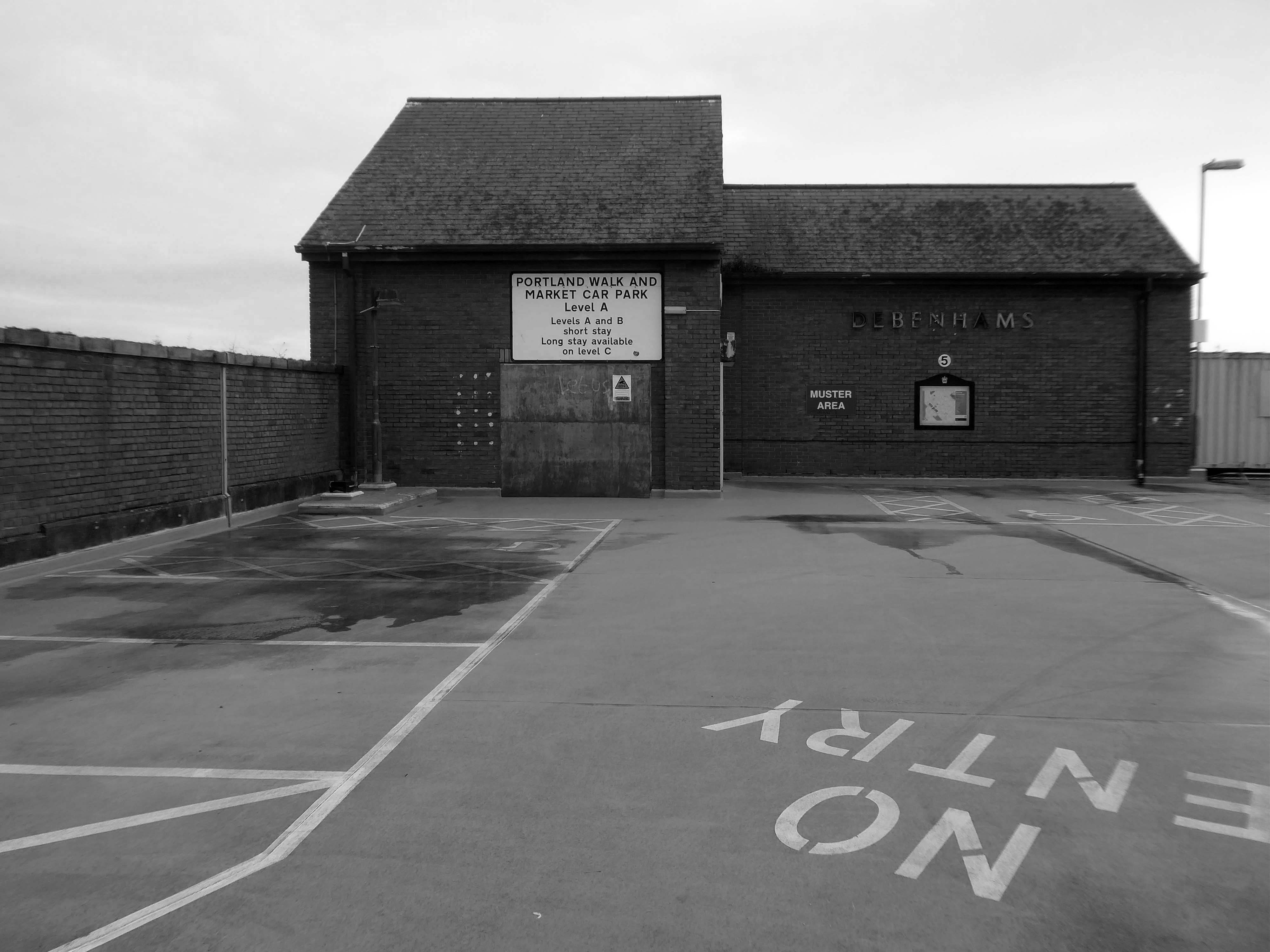
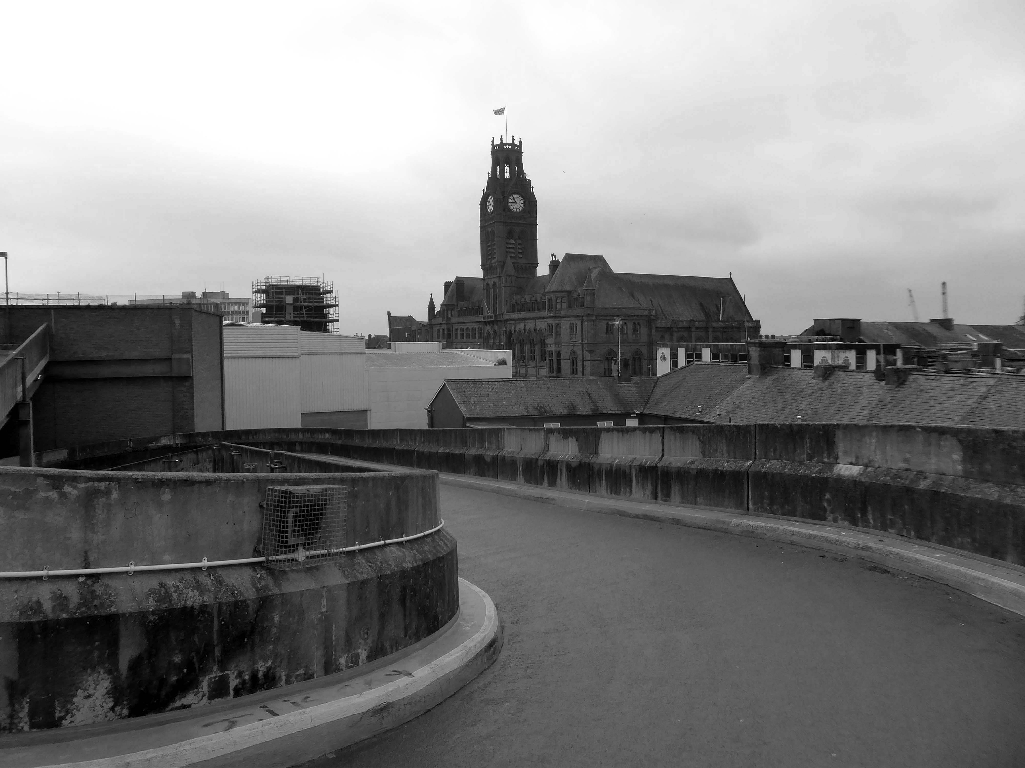
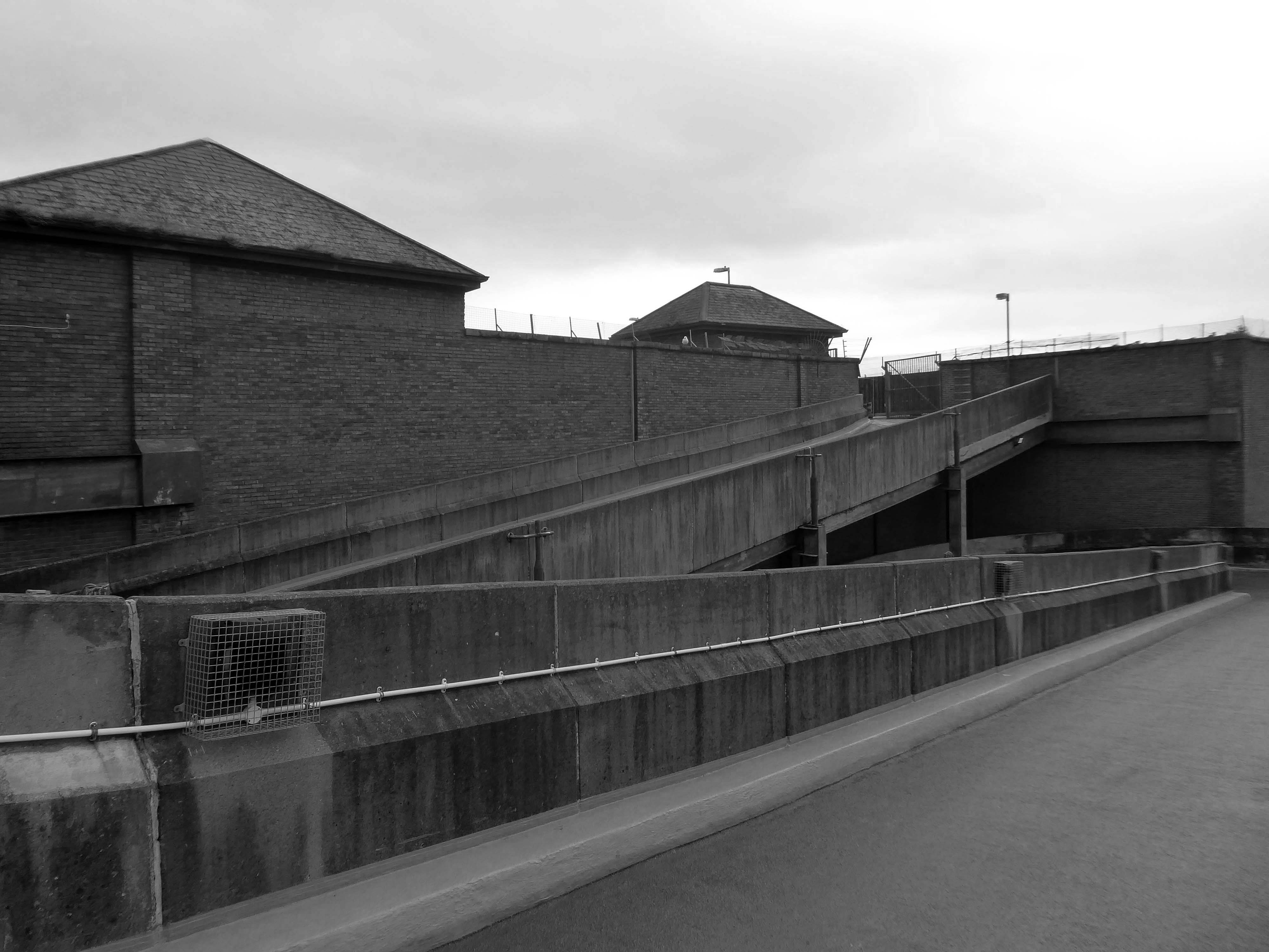
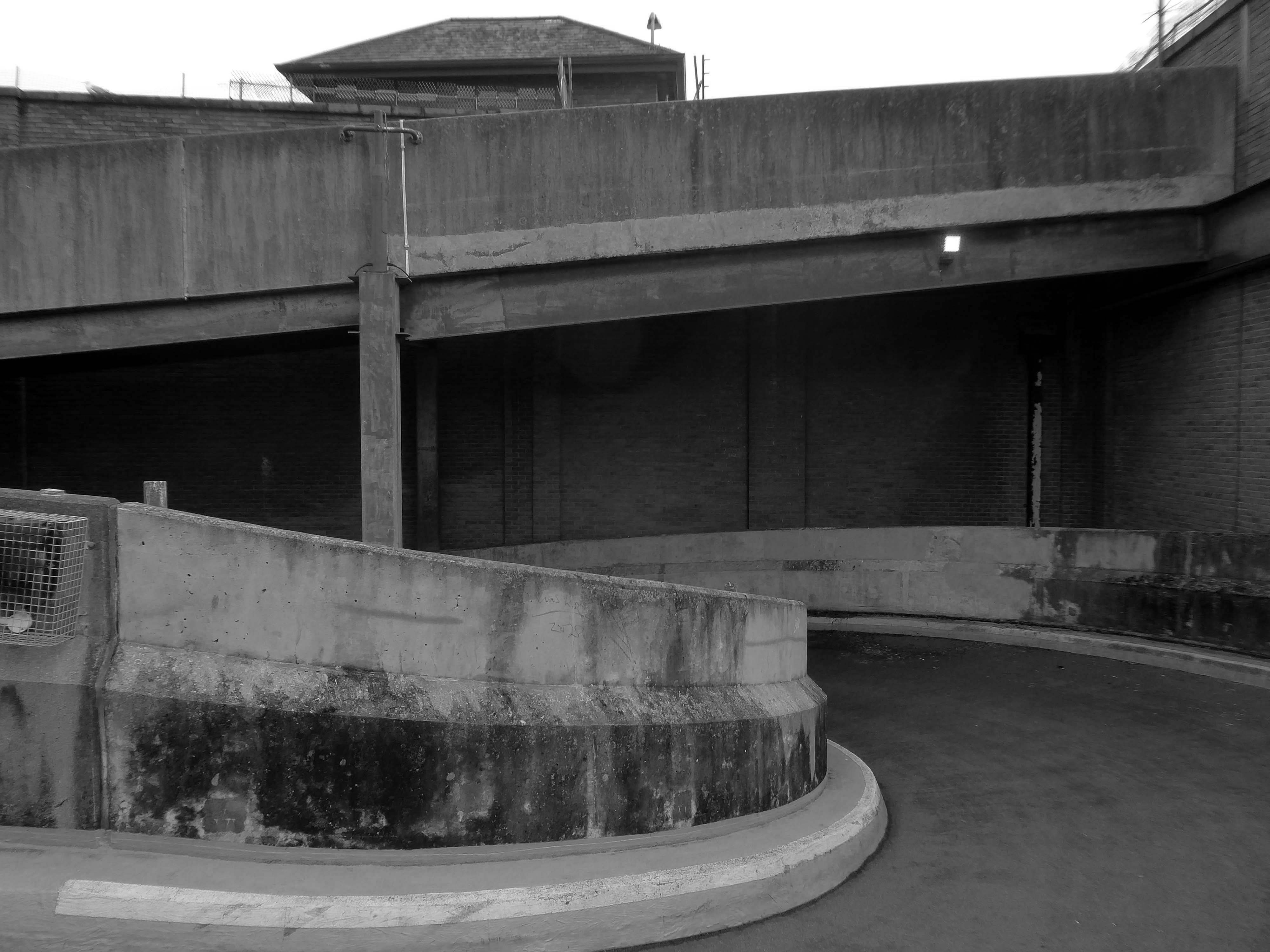
Portland Walk Car Park – Barrow in Furness

Slater St Barrow-in-Furness LA14 1RU

Westmorland and Furness Council said Portland Walk car park will close from the start of July.

In a statement the council revealed the rooftop car park will permanently close from July 1 following a review which found said it had ‘very low usage’.

The Mail

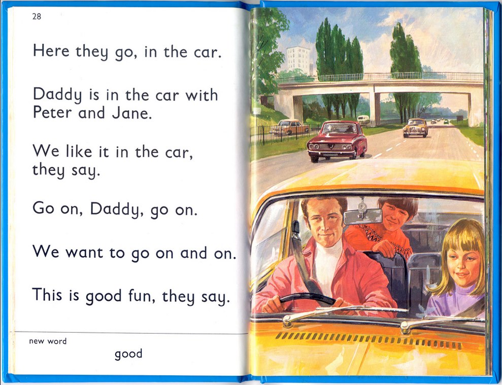
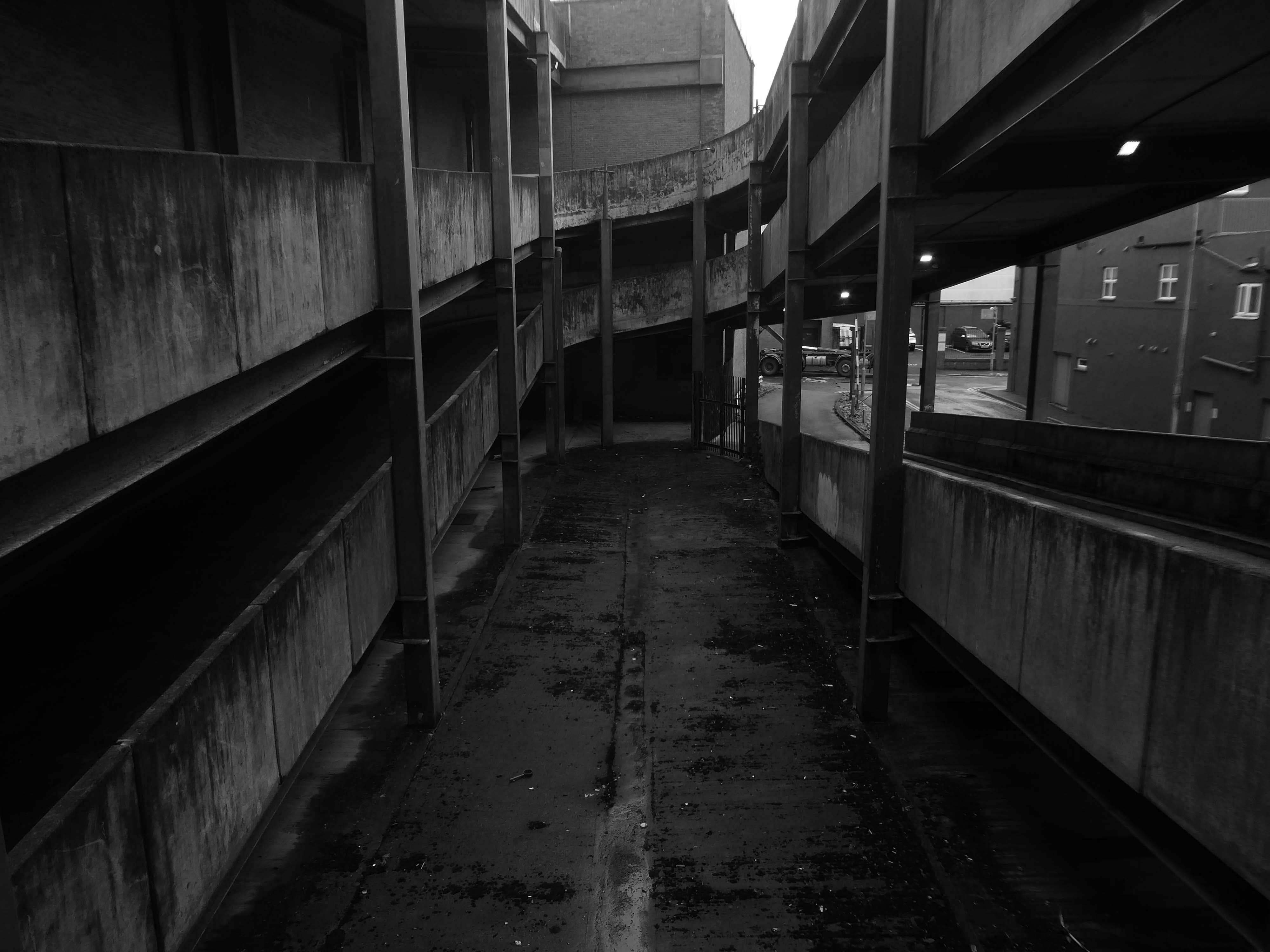
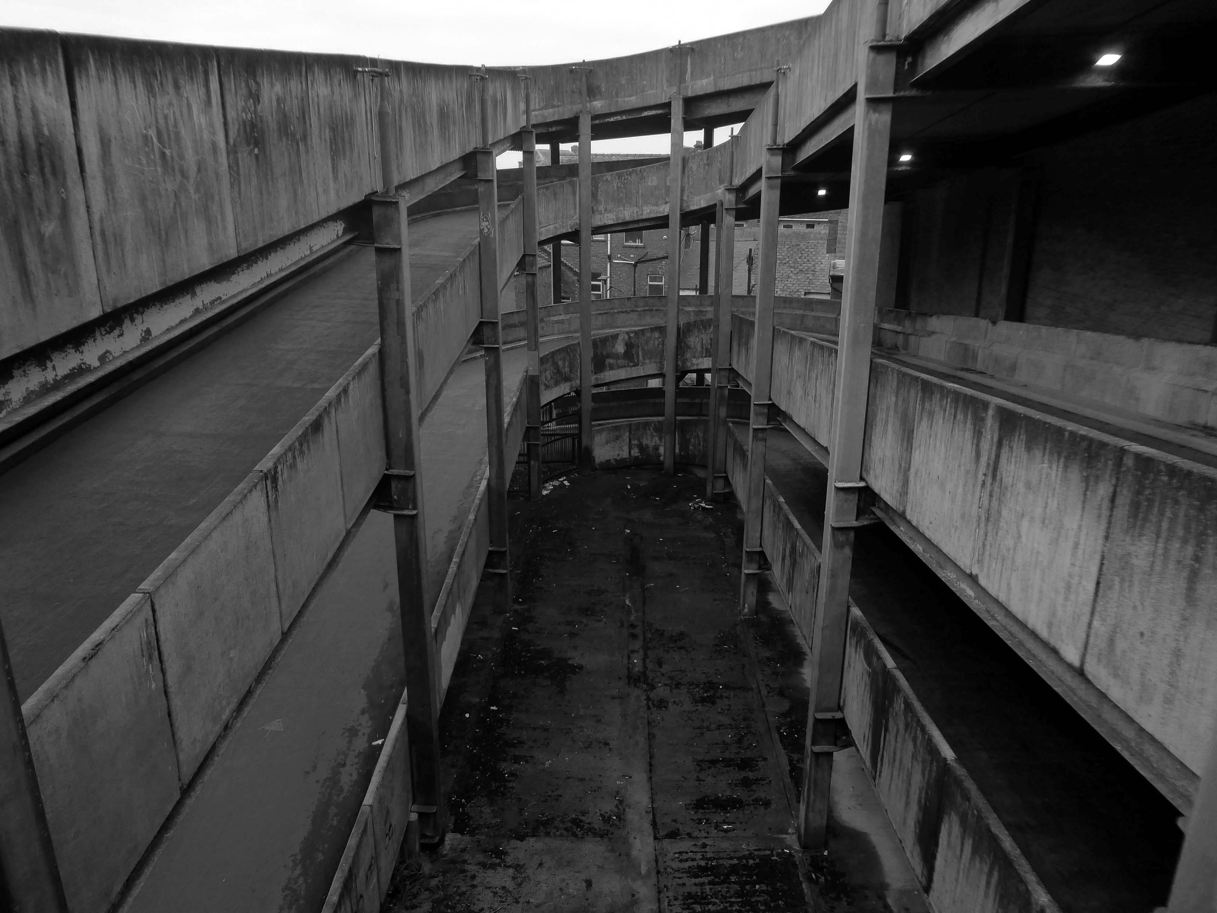
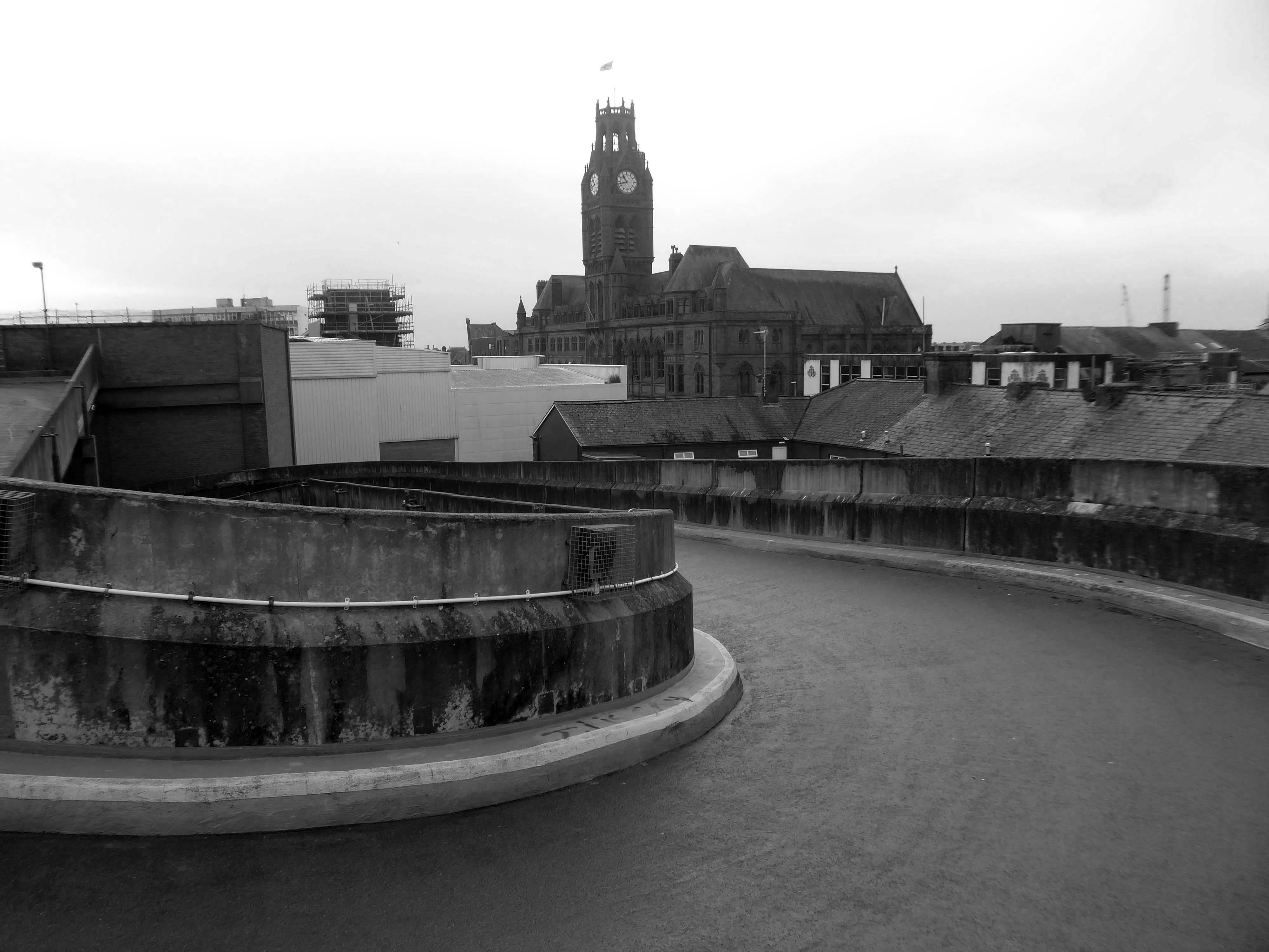
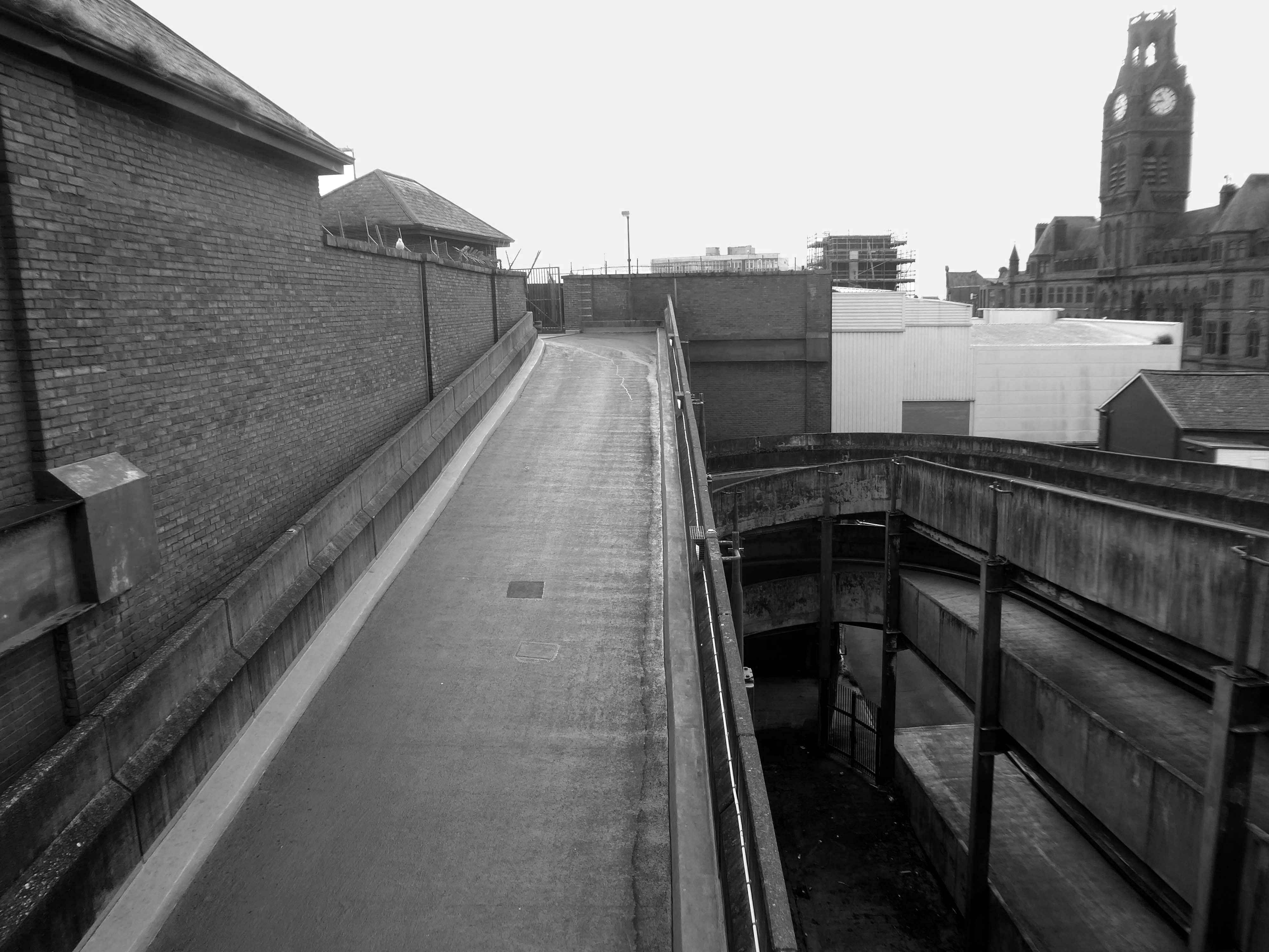
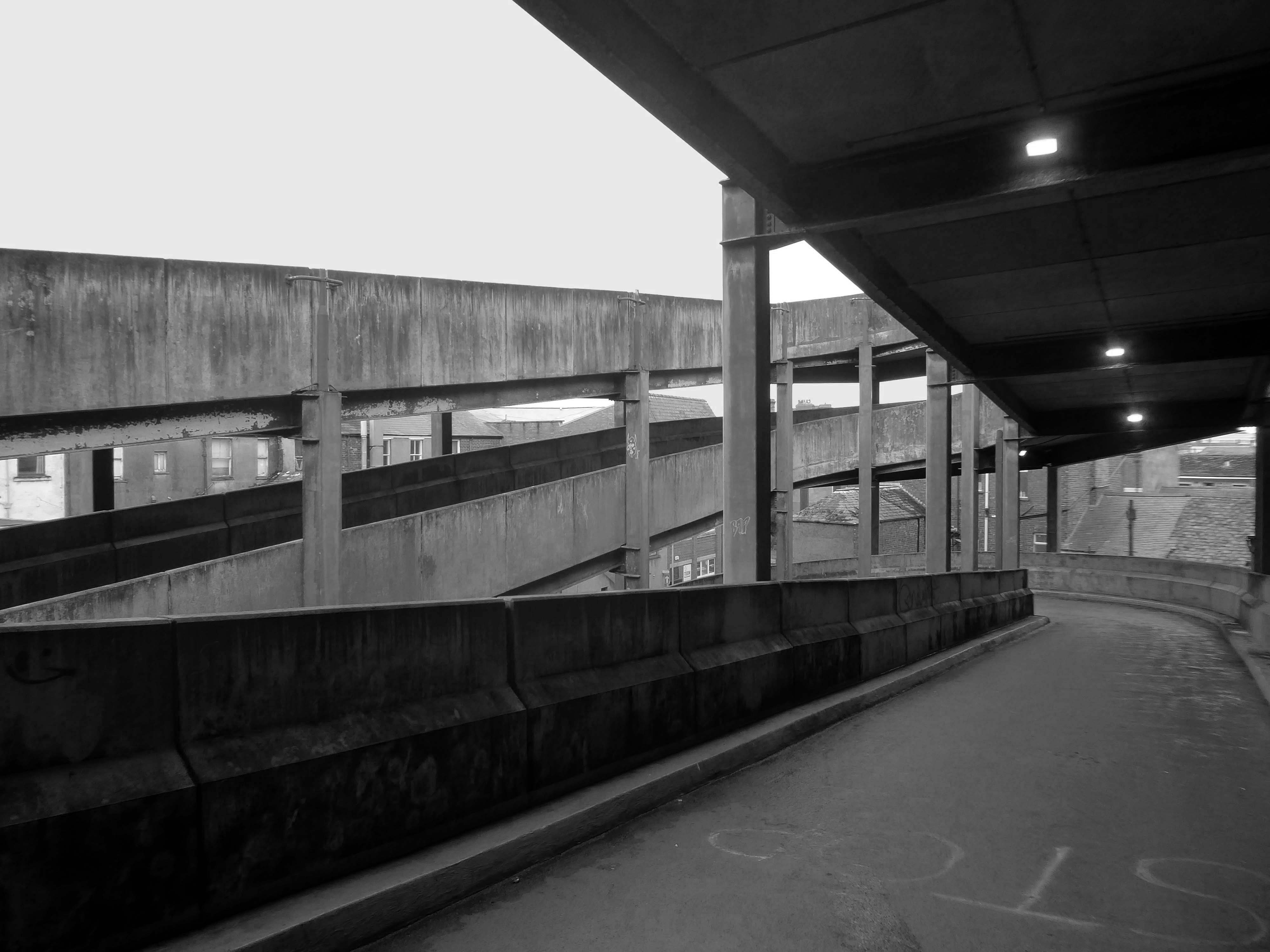
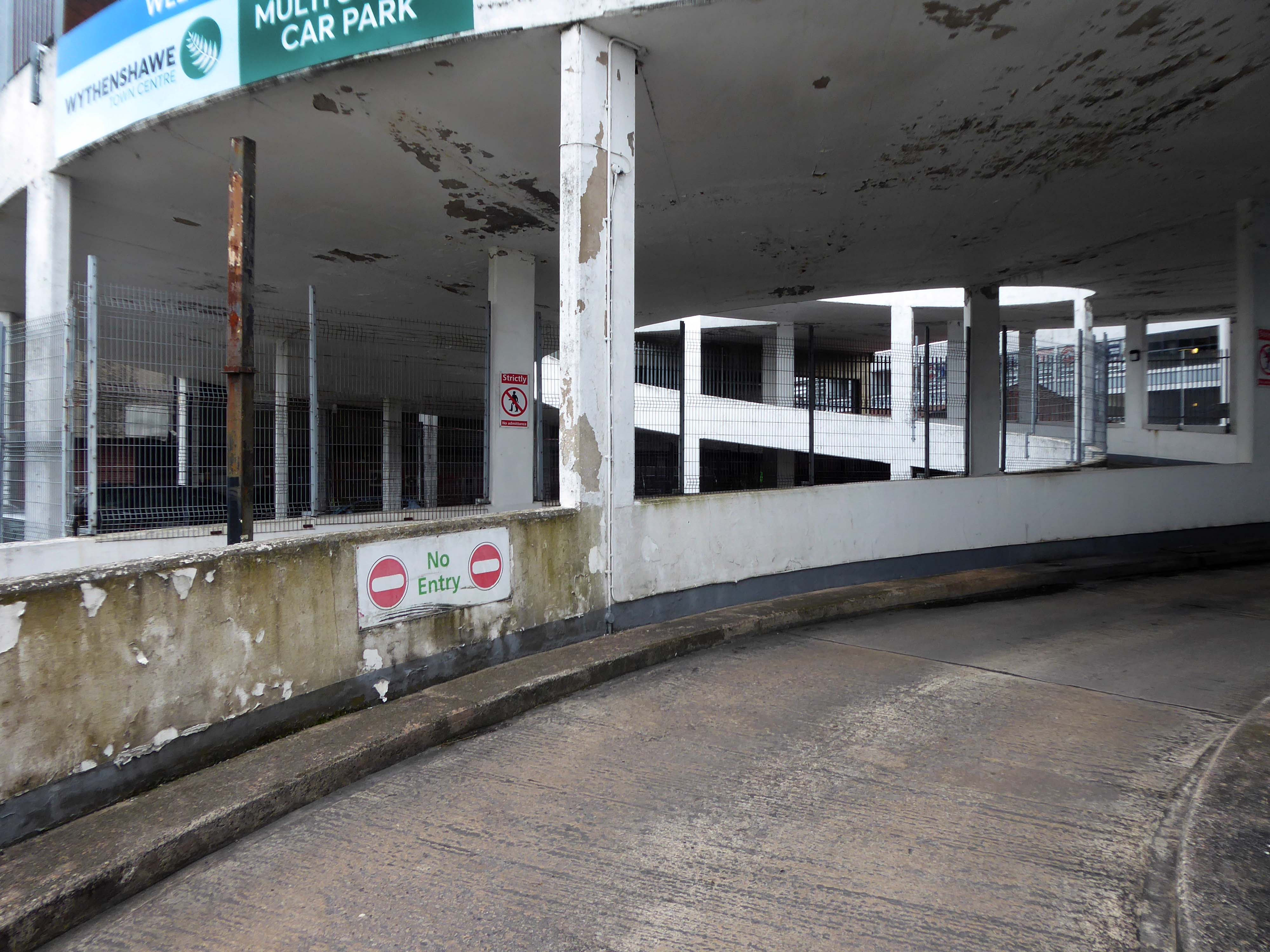
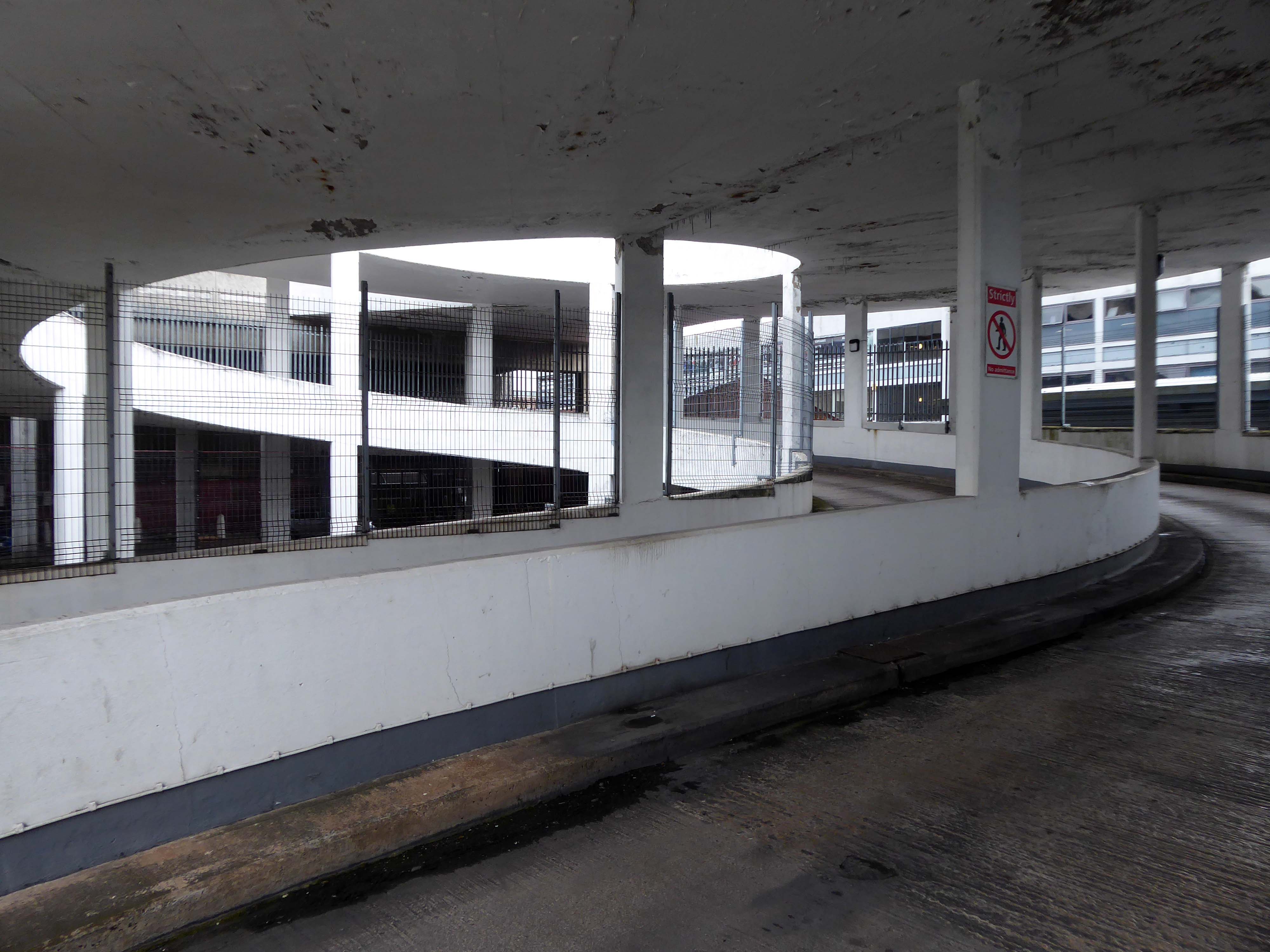
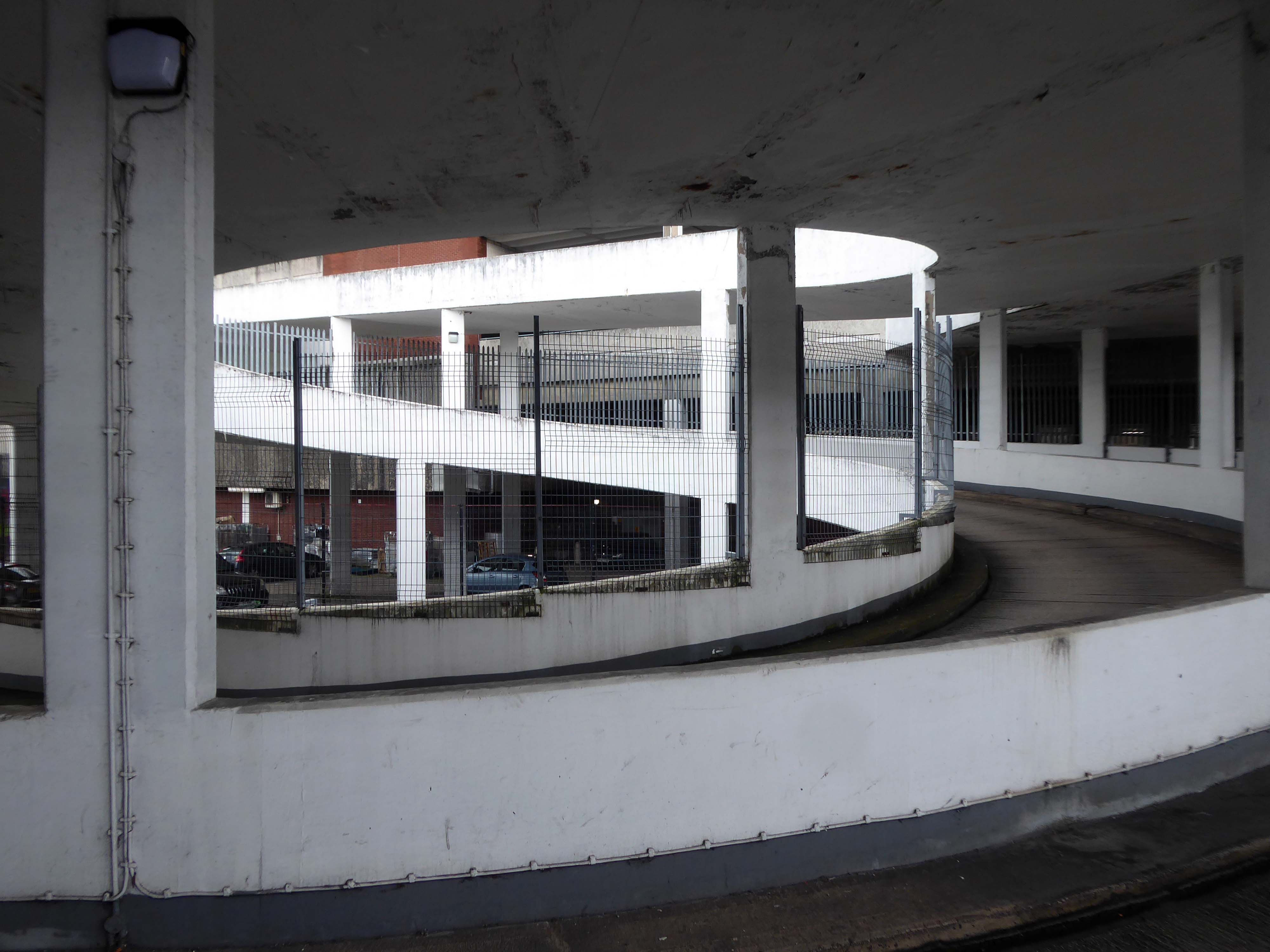
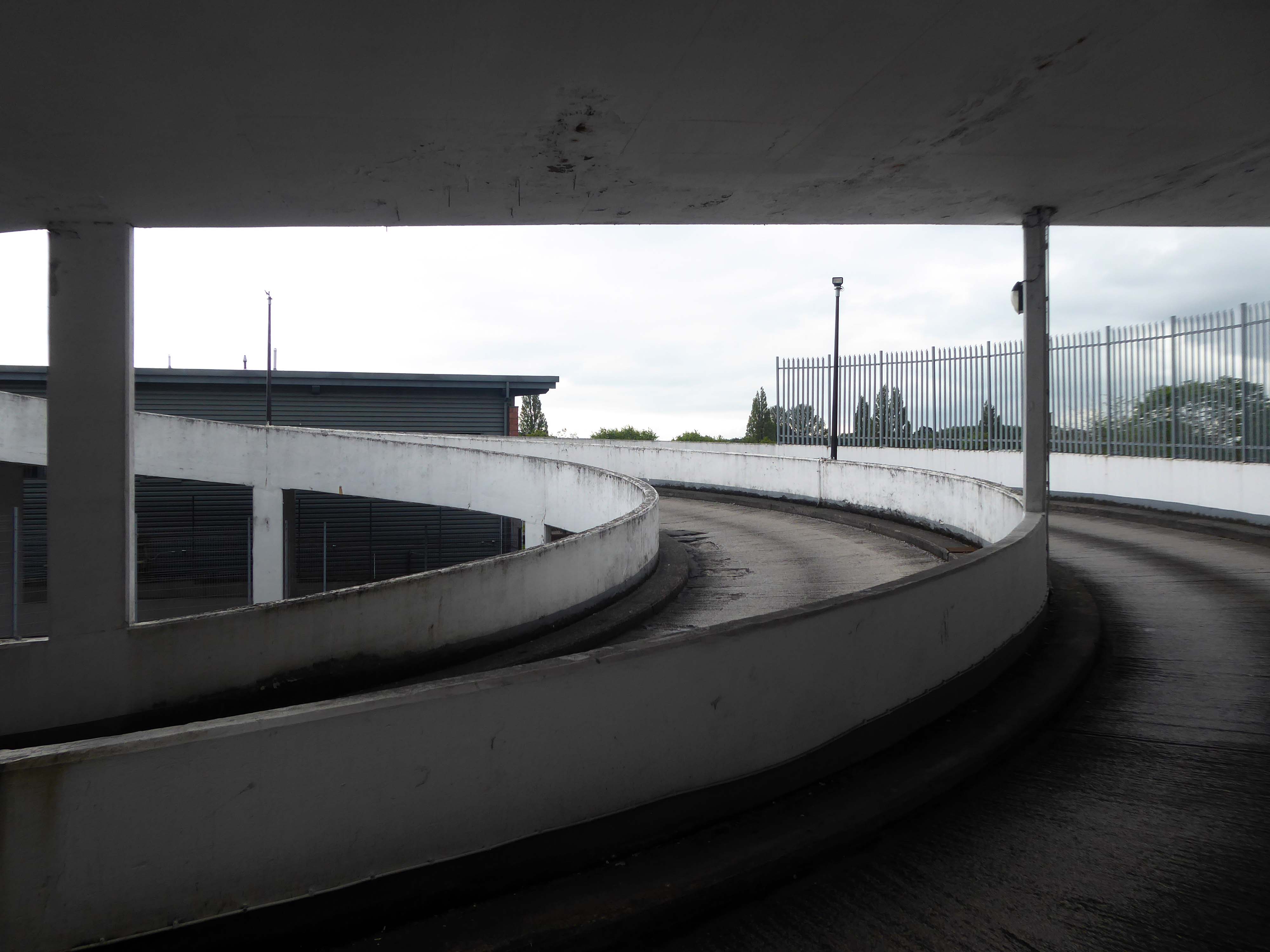
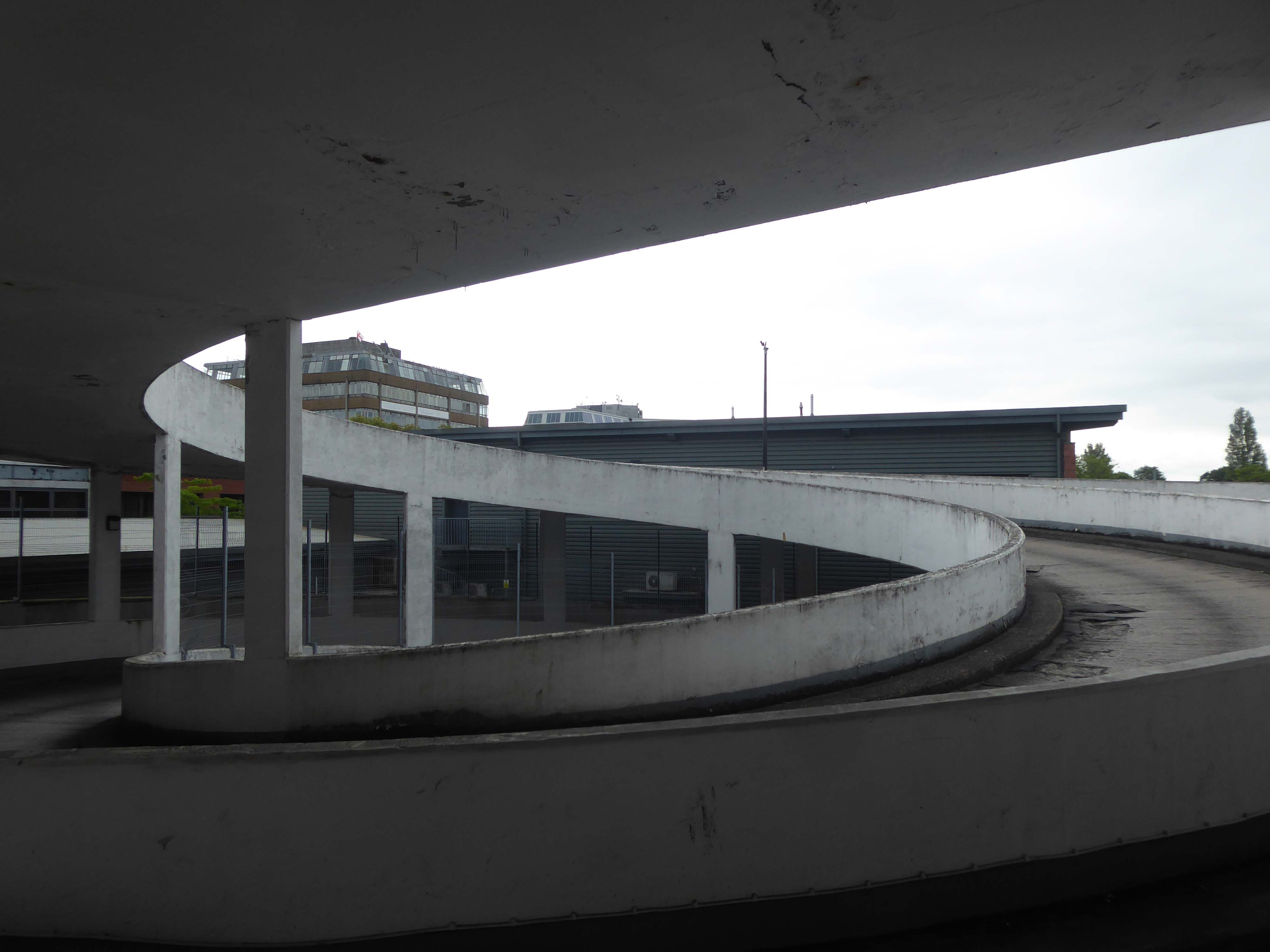
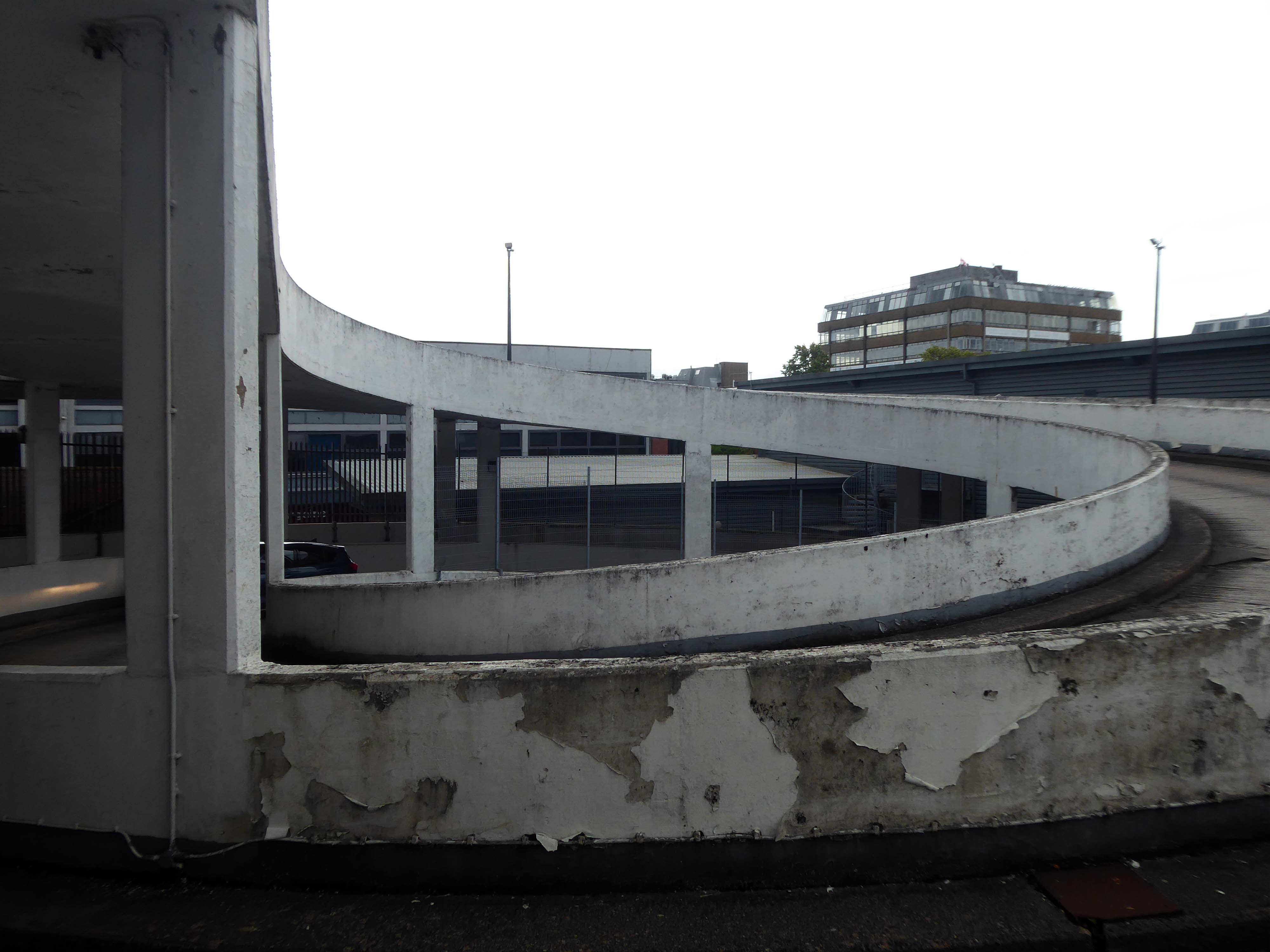
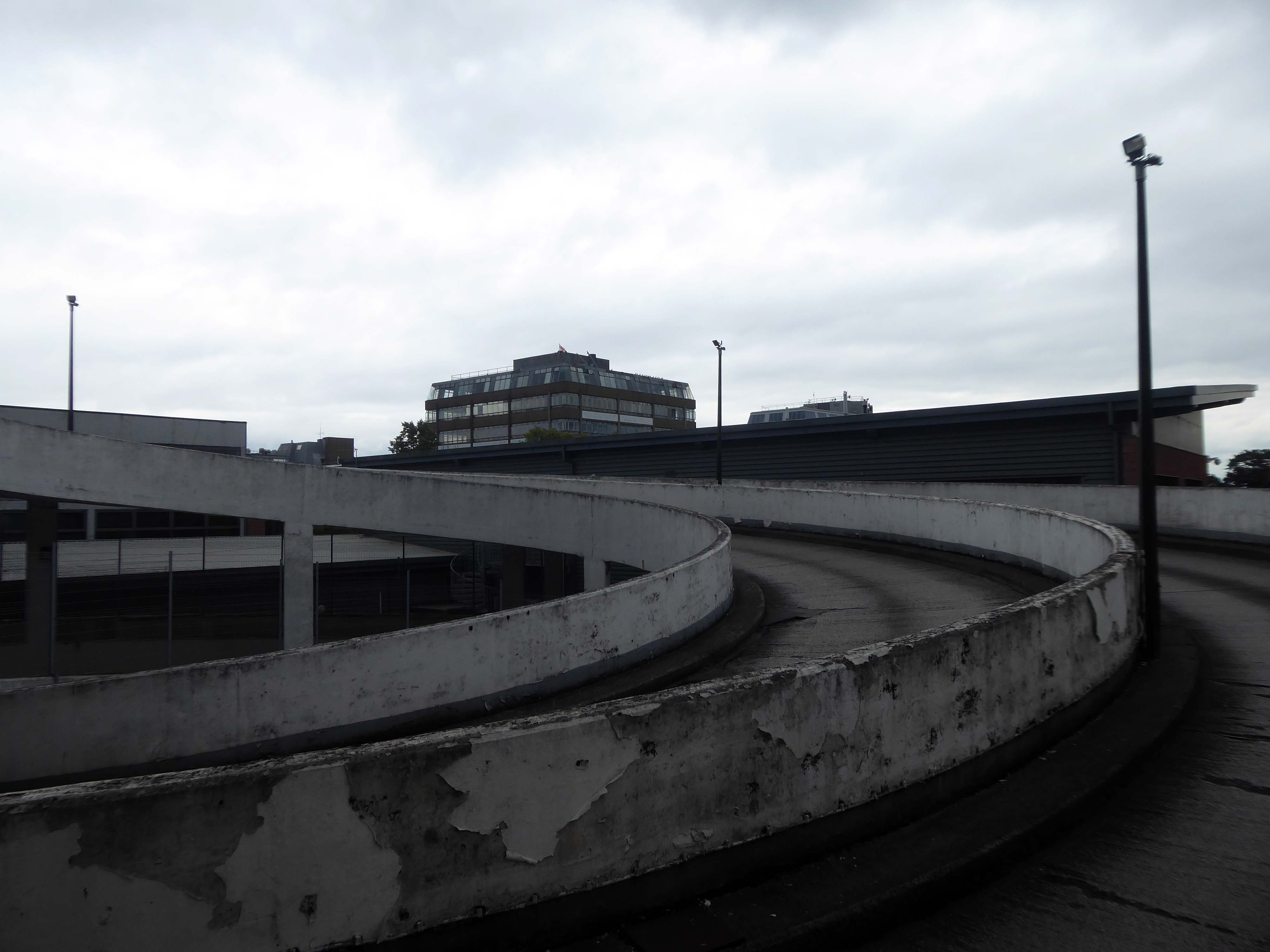
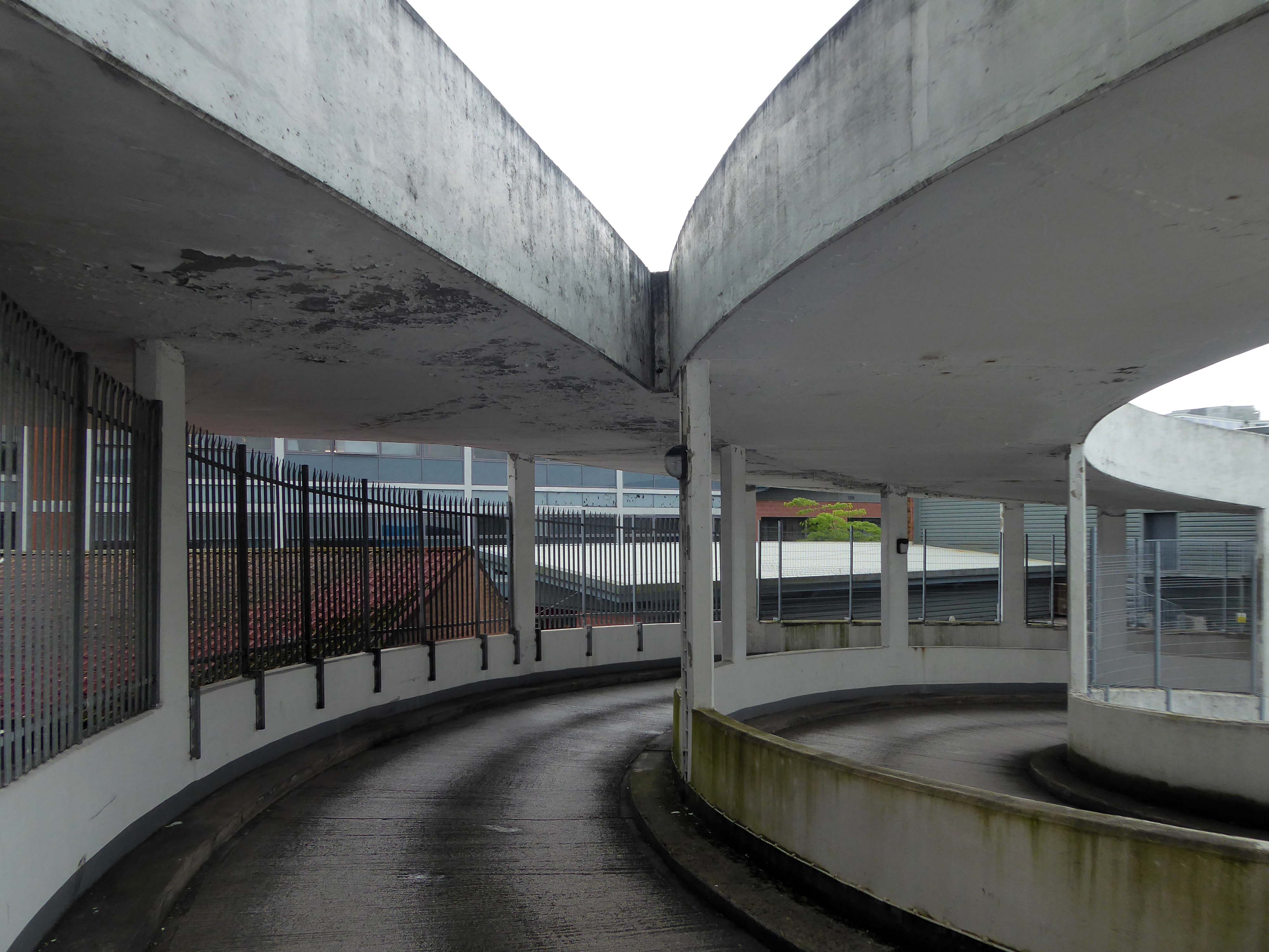
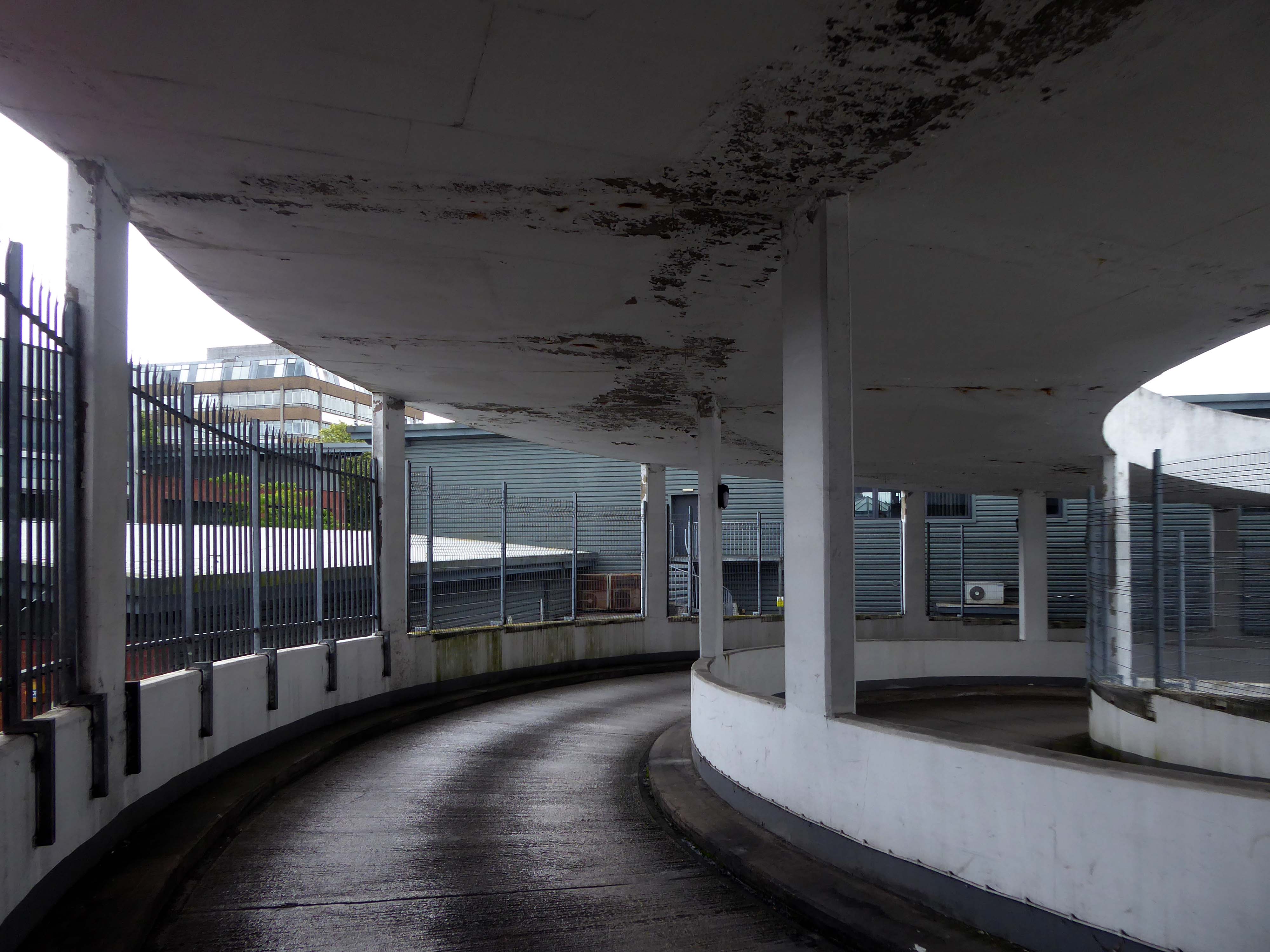
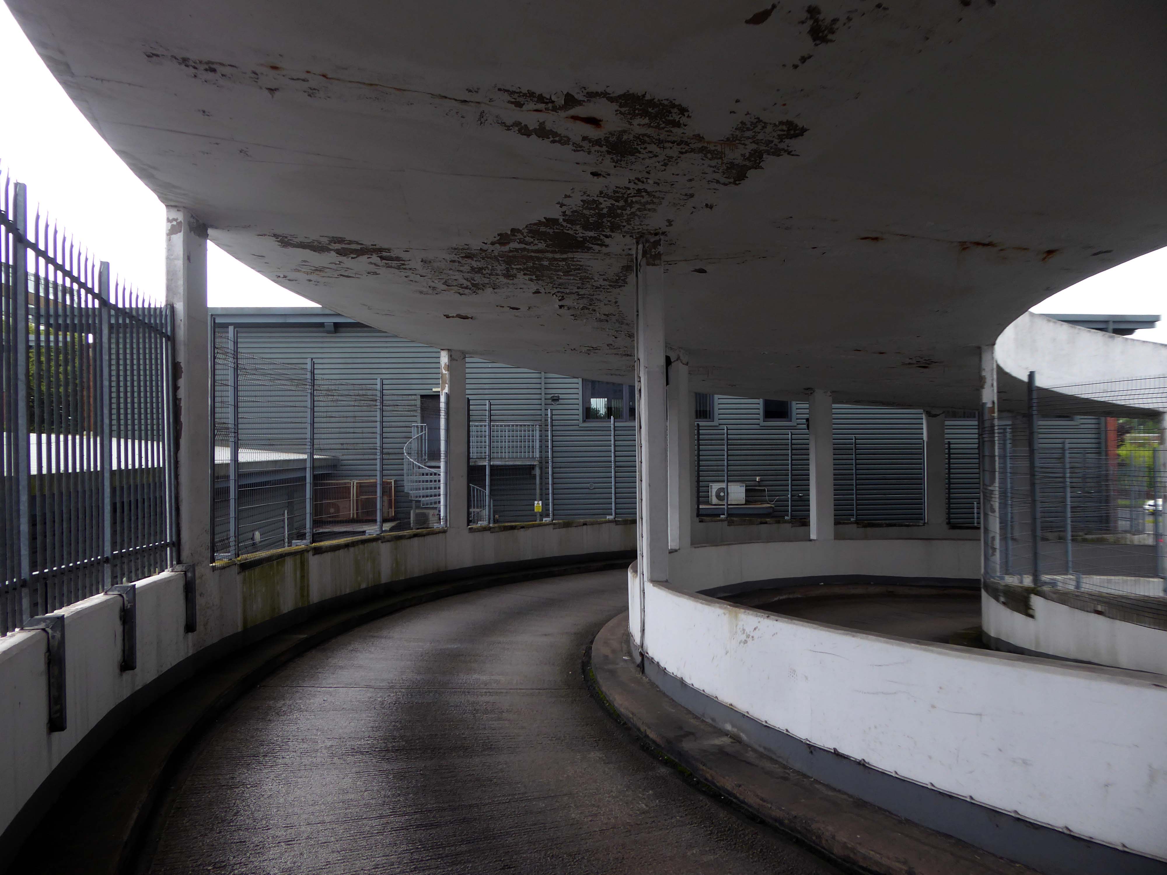
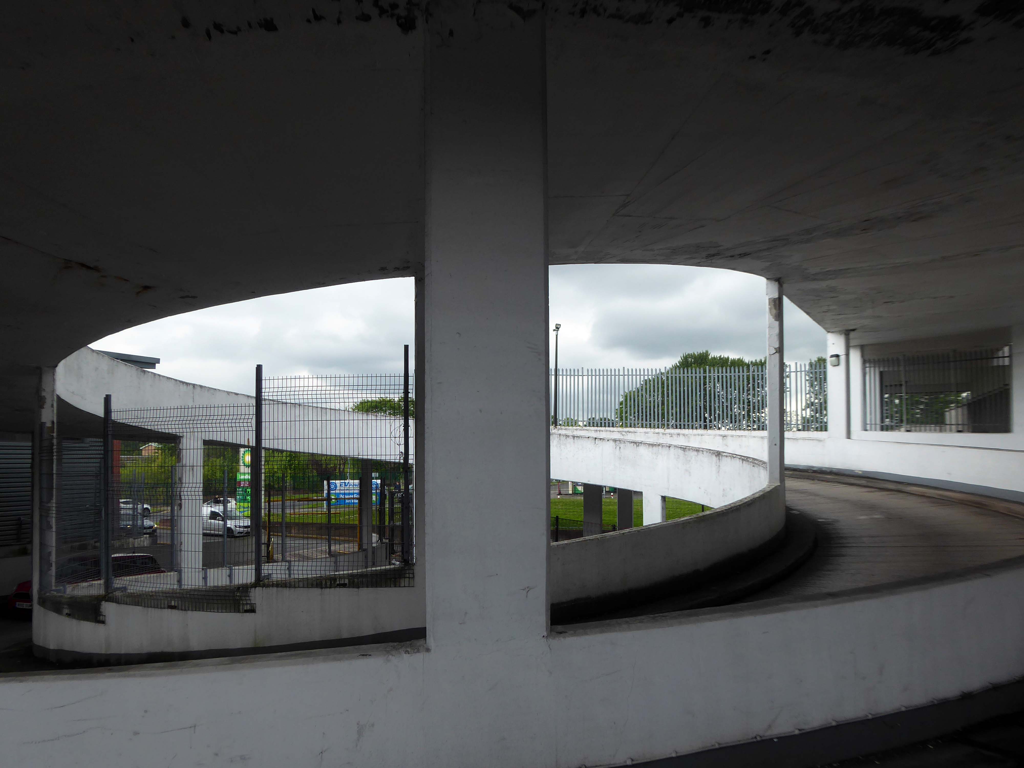
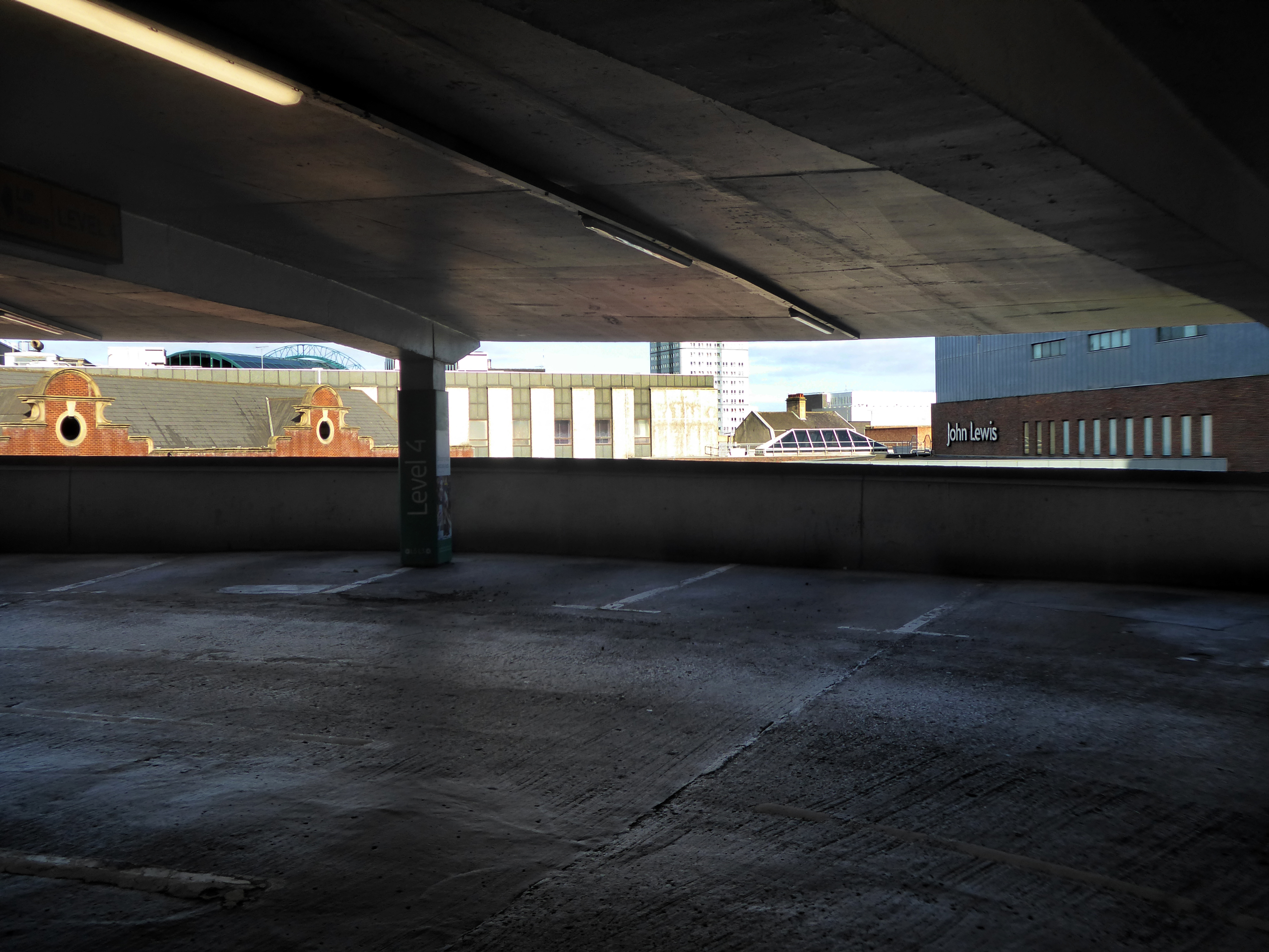
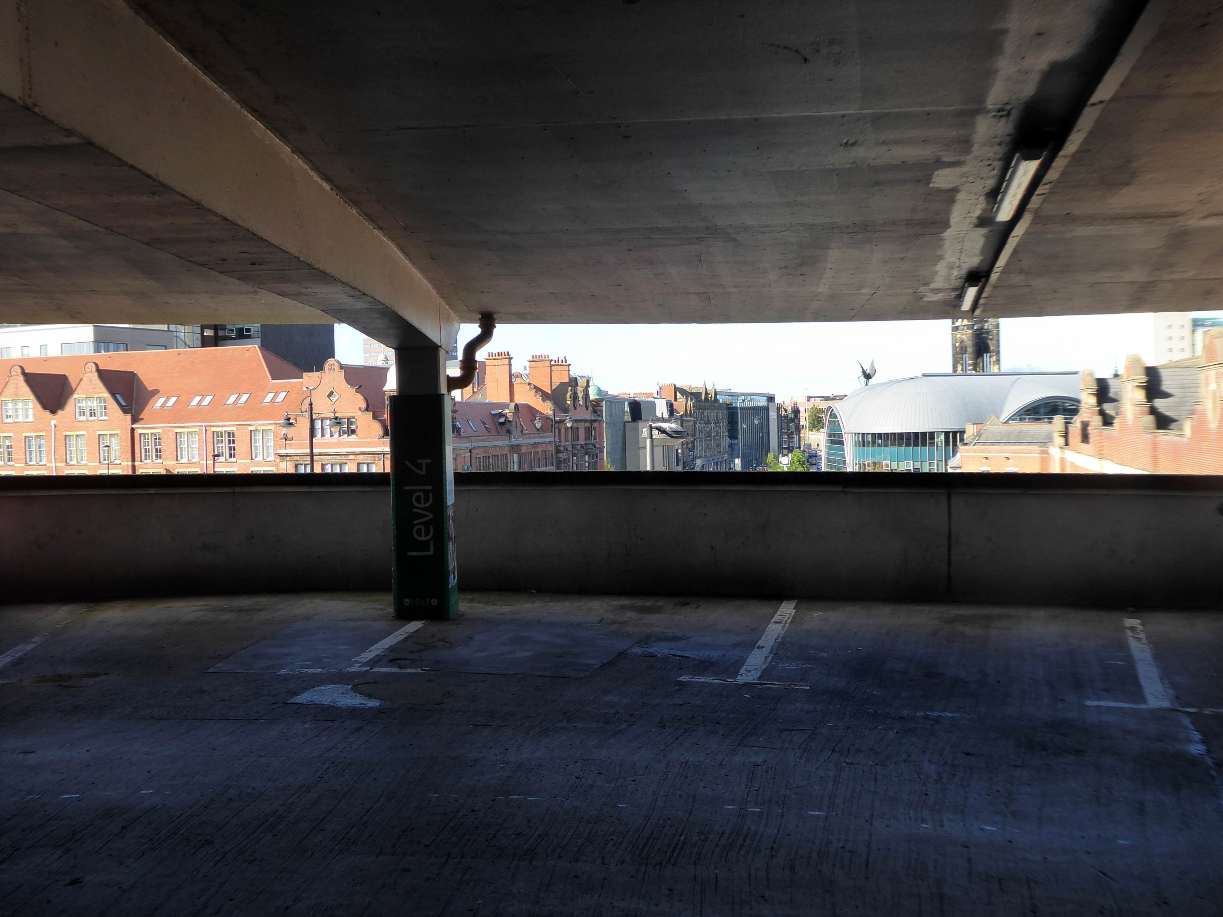
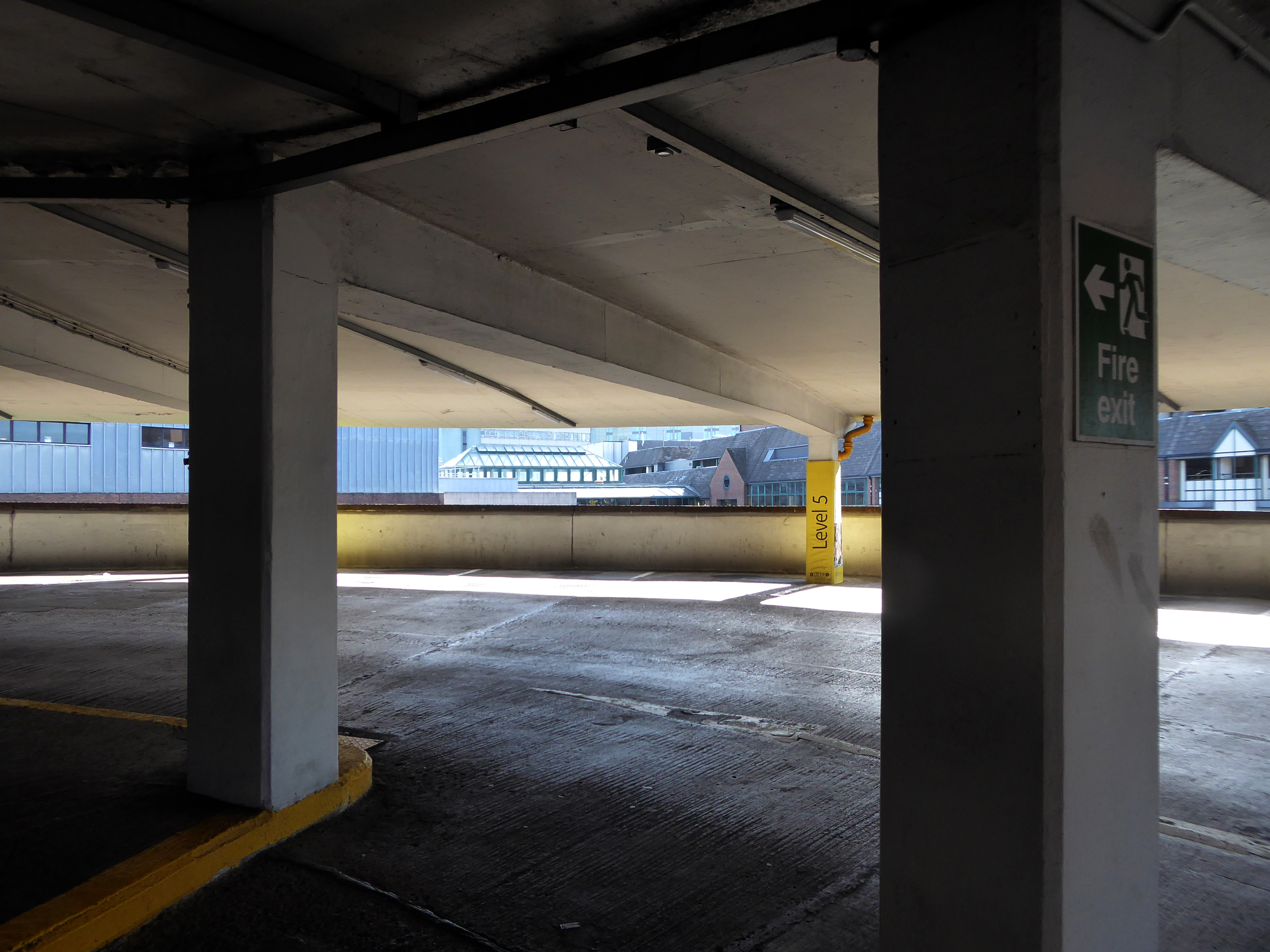
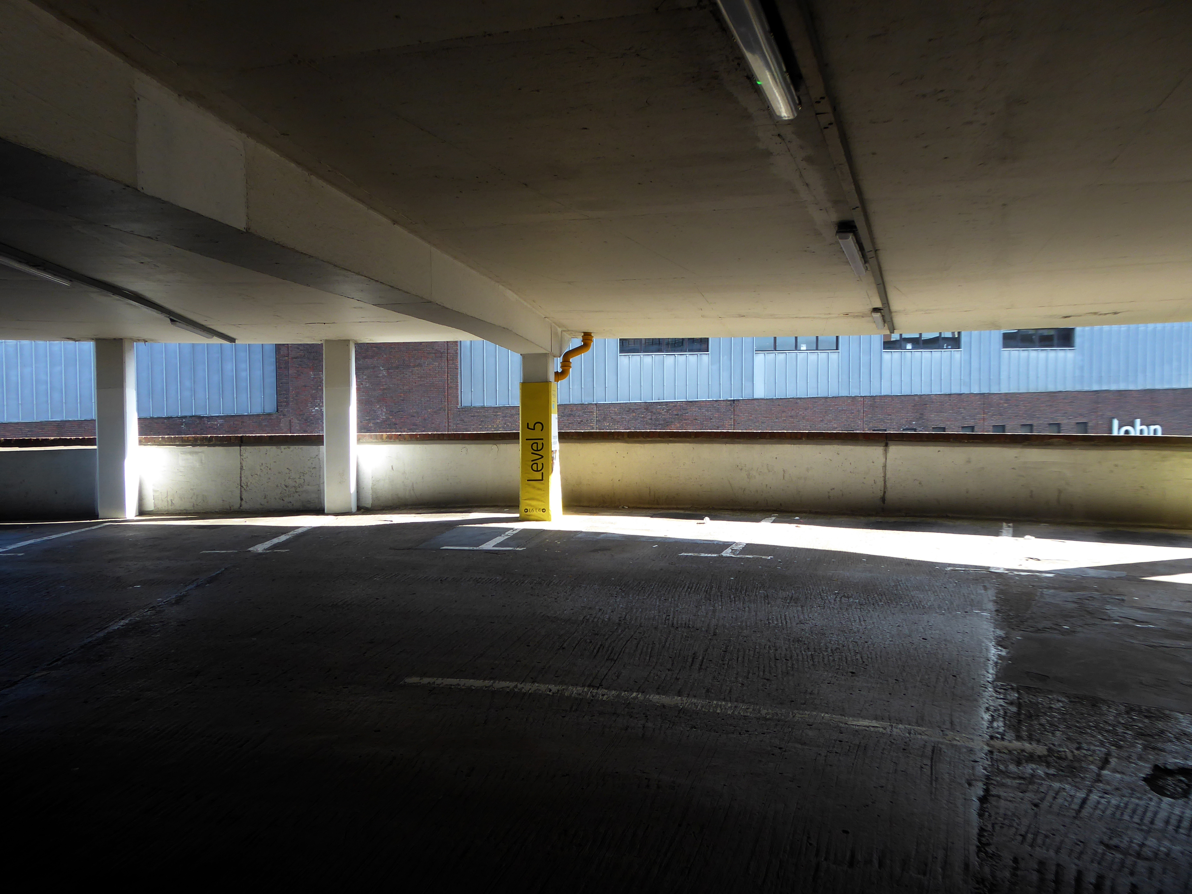
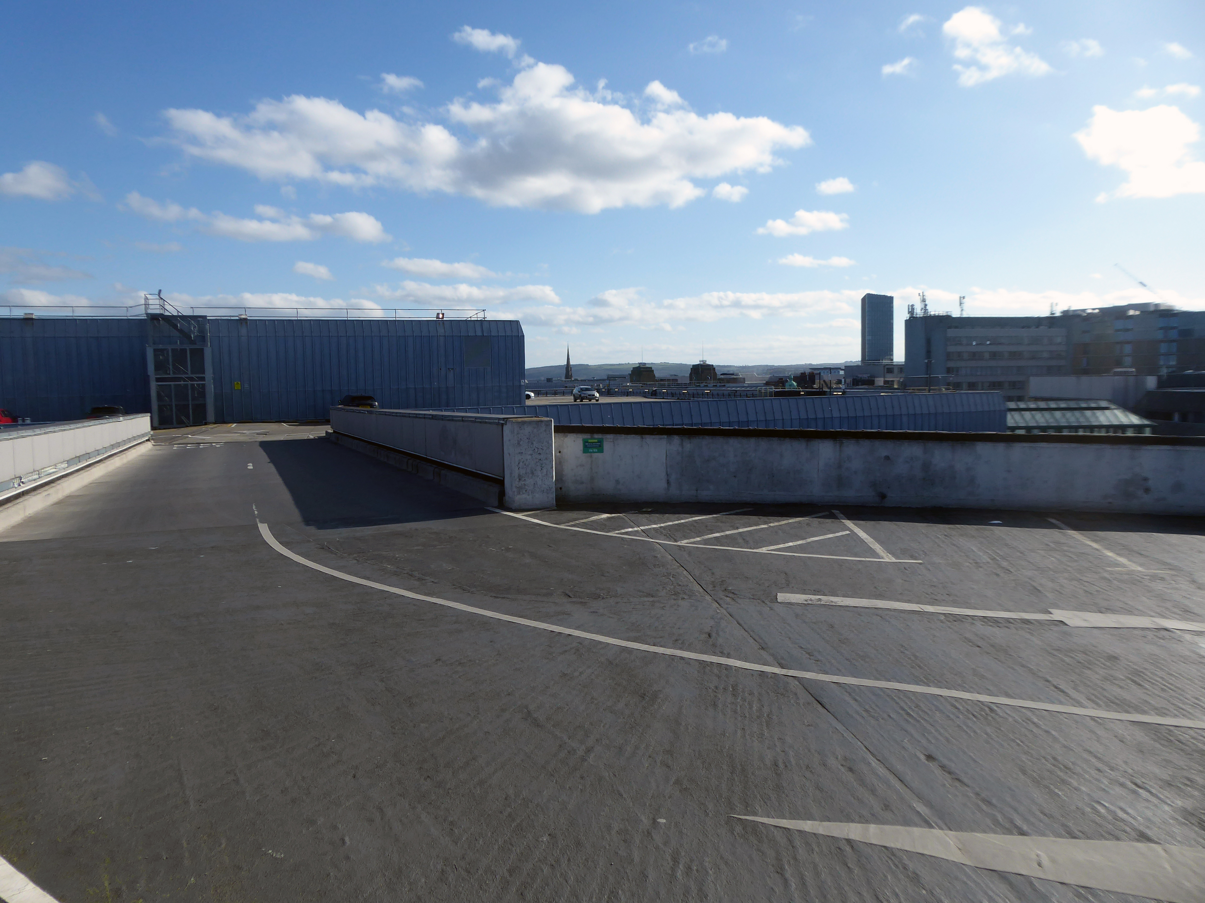
I turned a corner, then another corner and caught sight of a concrete car park ramp.

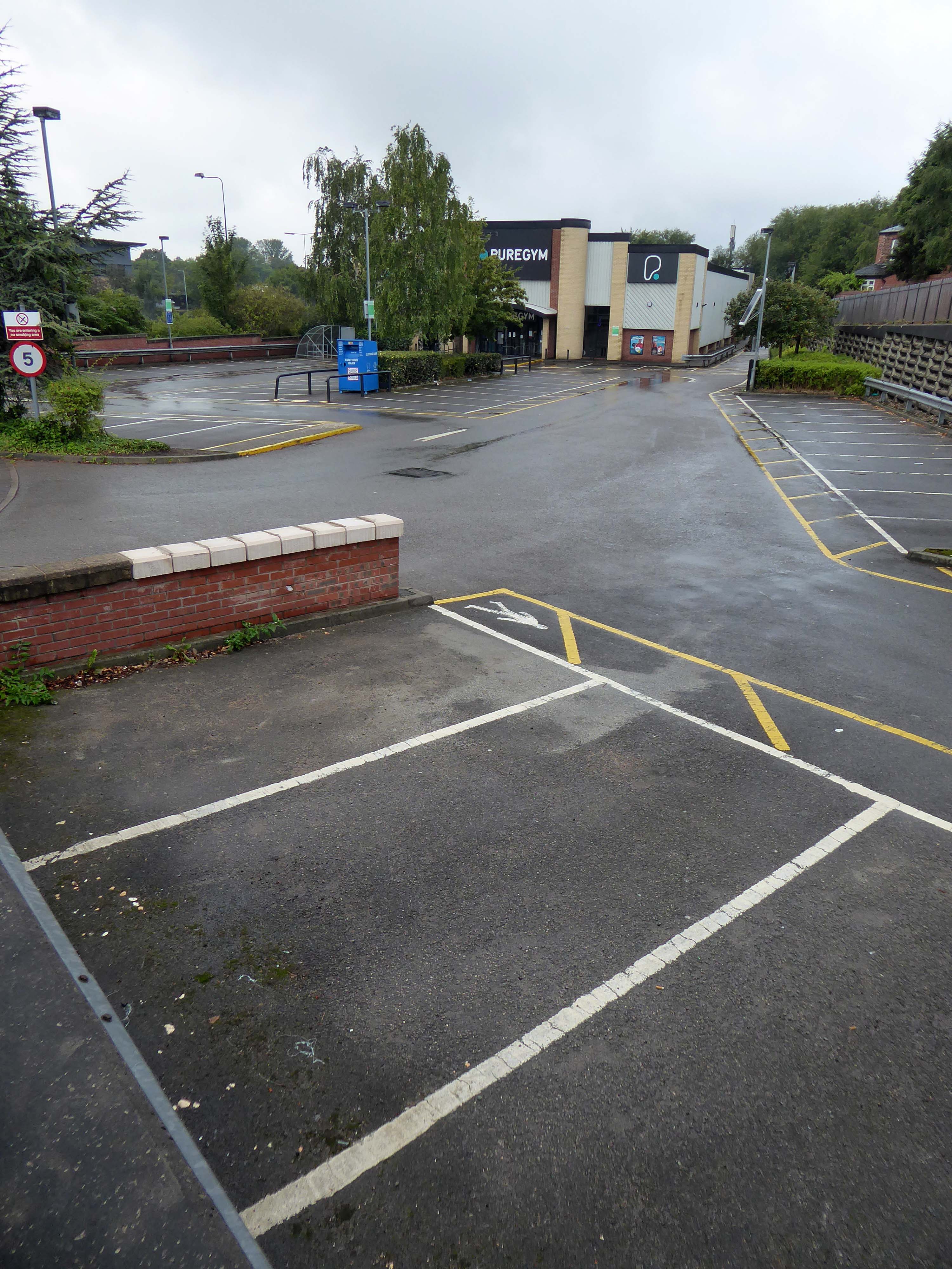
I thought, I think – therefore, I am going to walk up and down it.

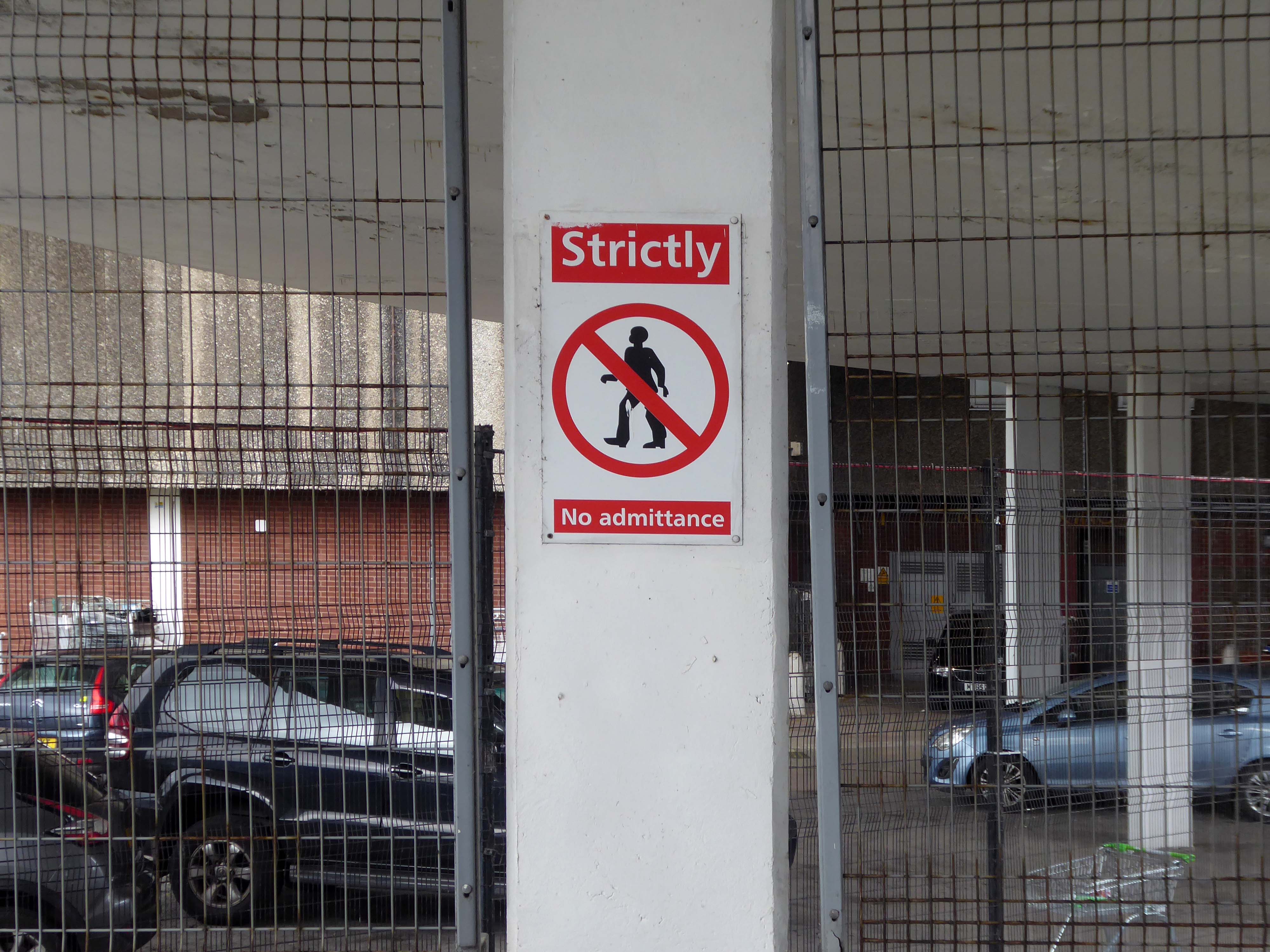
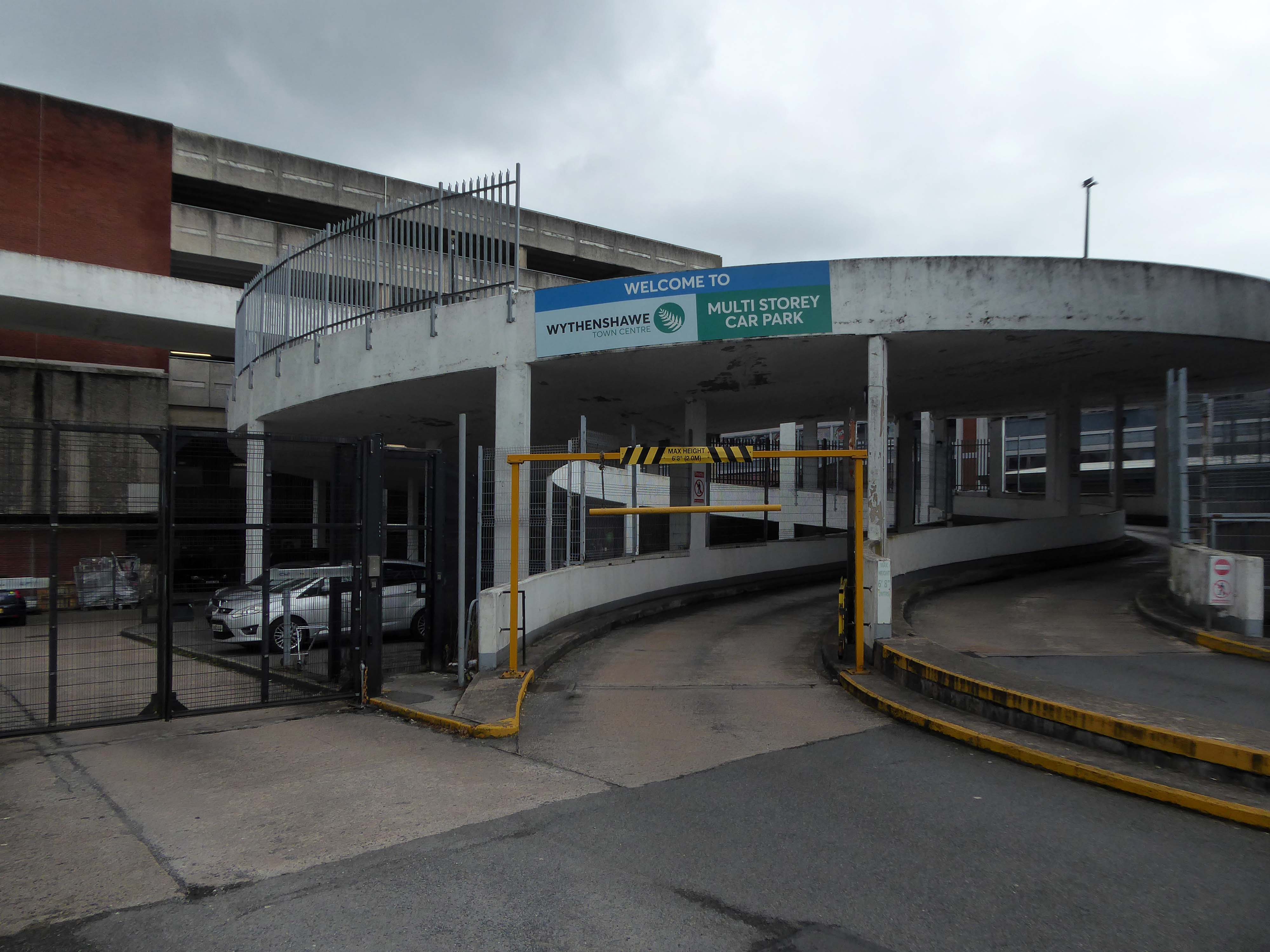
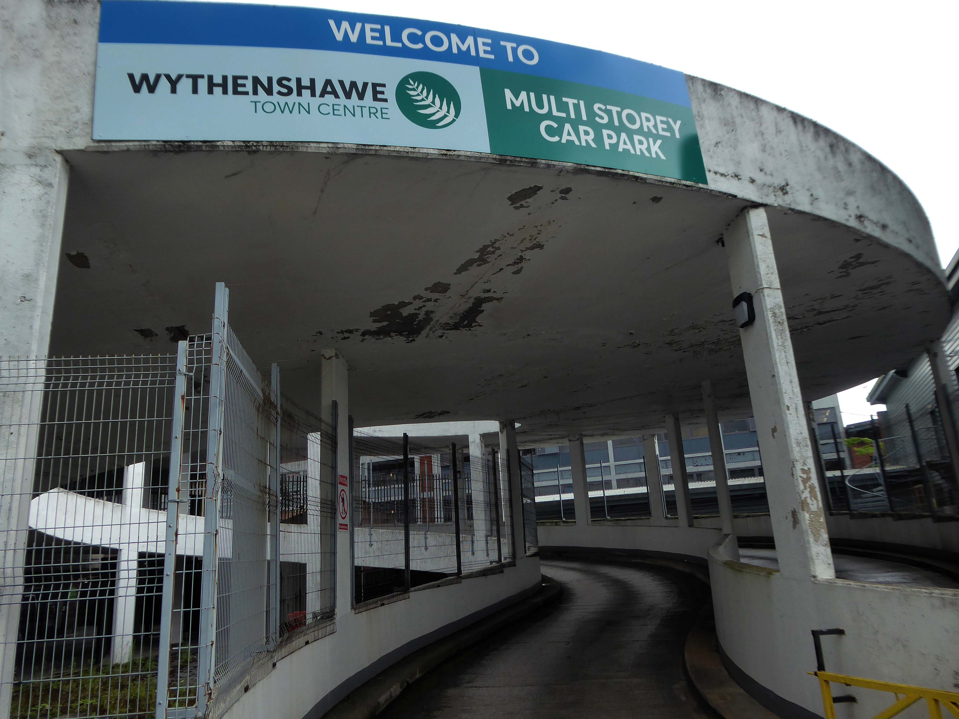
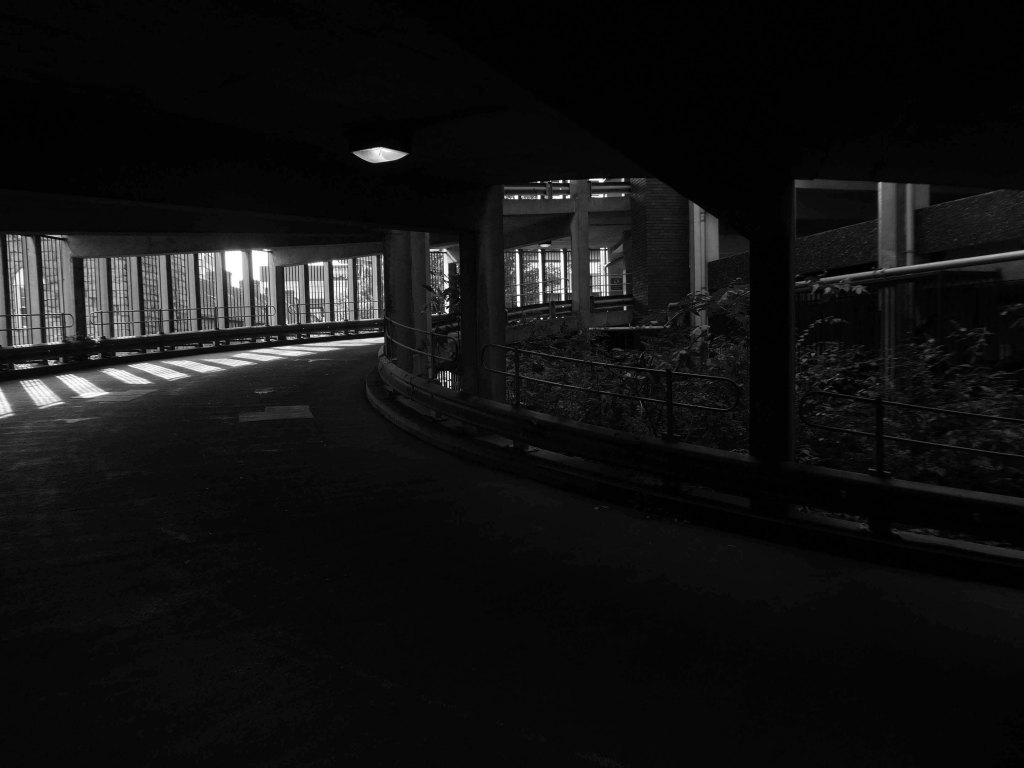
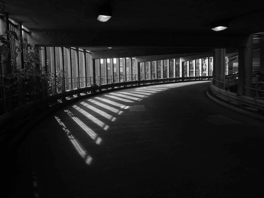
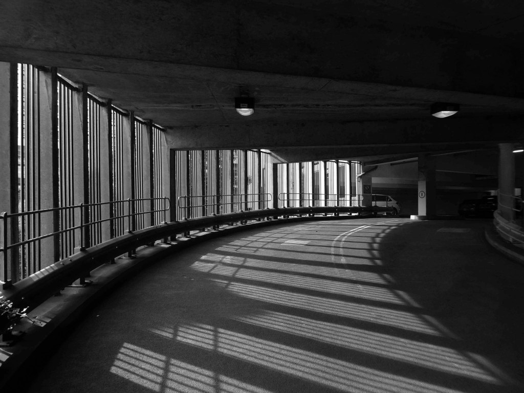
Wythenshawe Town Centre Car Park

Multi Storey Car Park Rowlandsway Manchester M22 5RG

I’ve lost count of the countless times I have visited countless car parks.

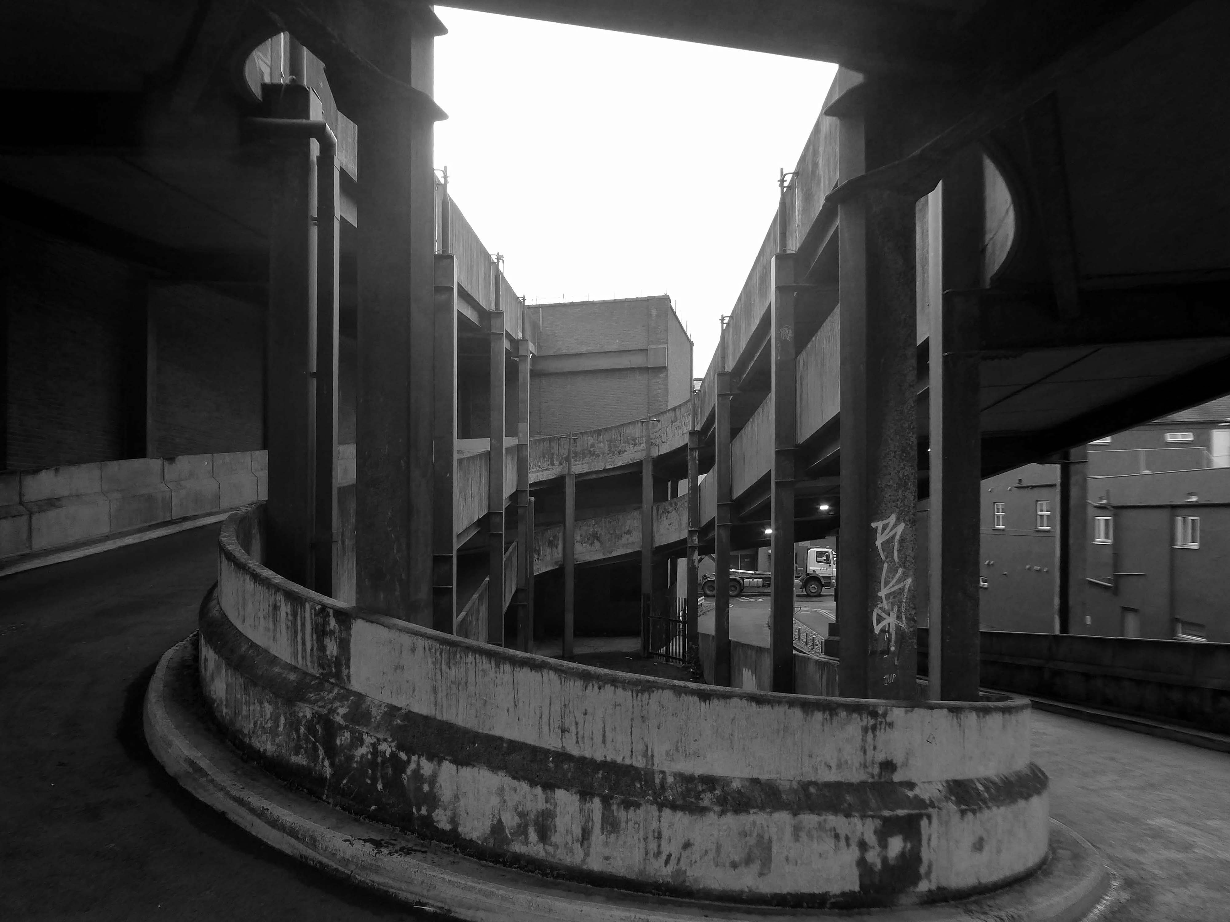
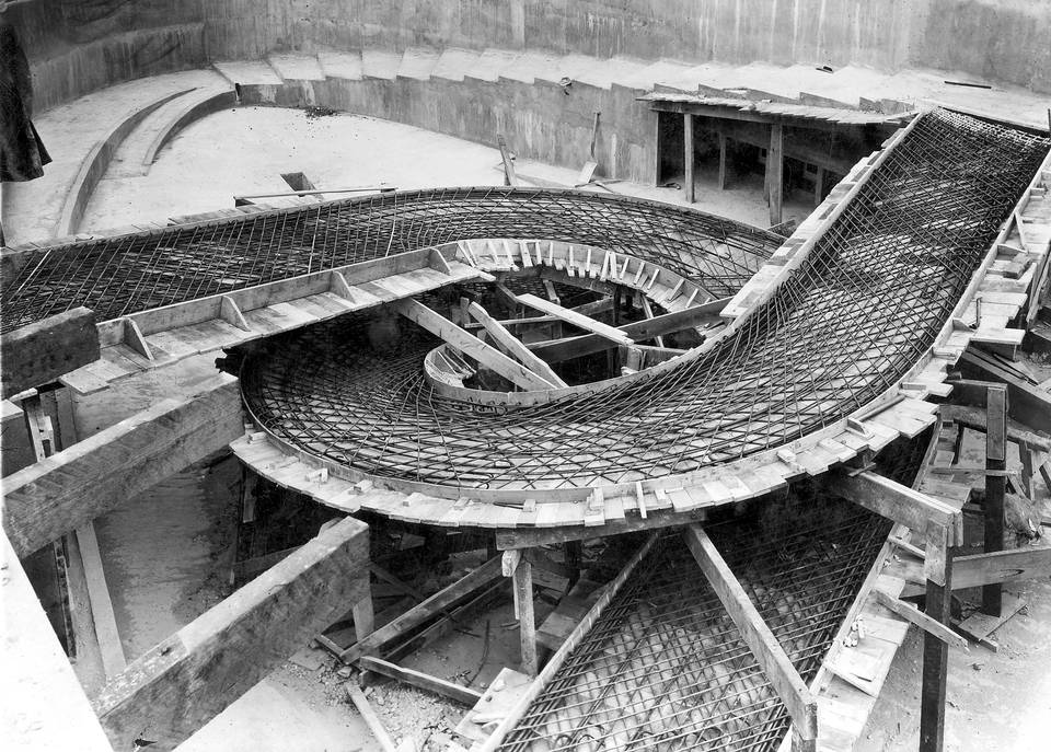
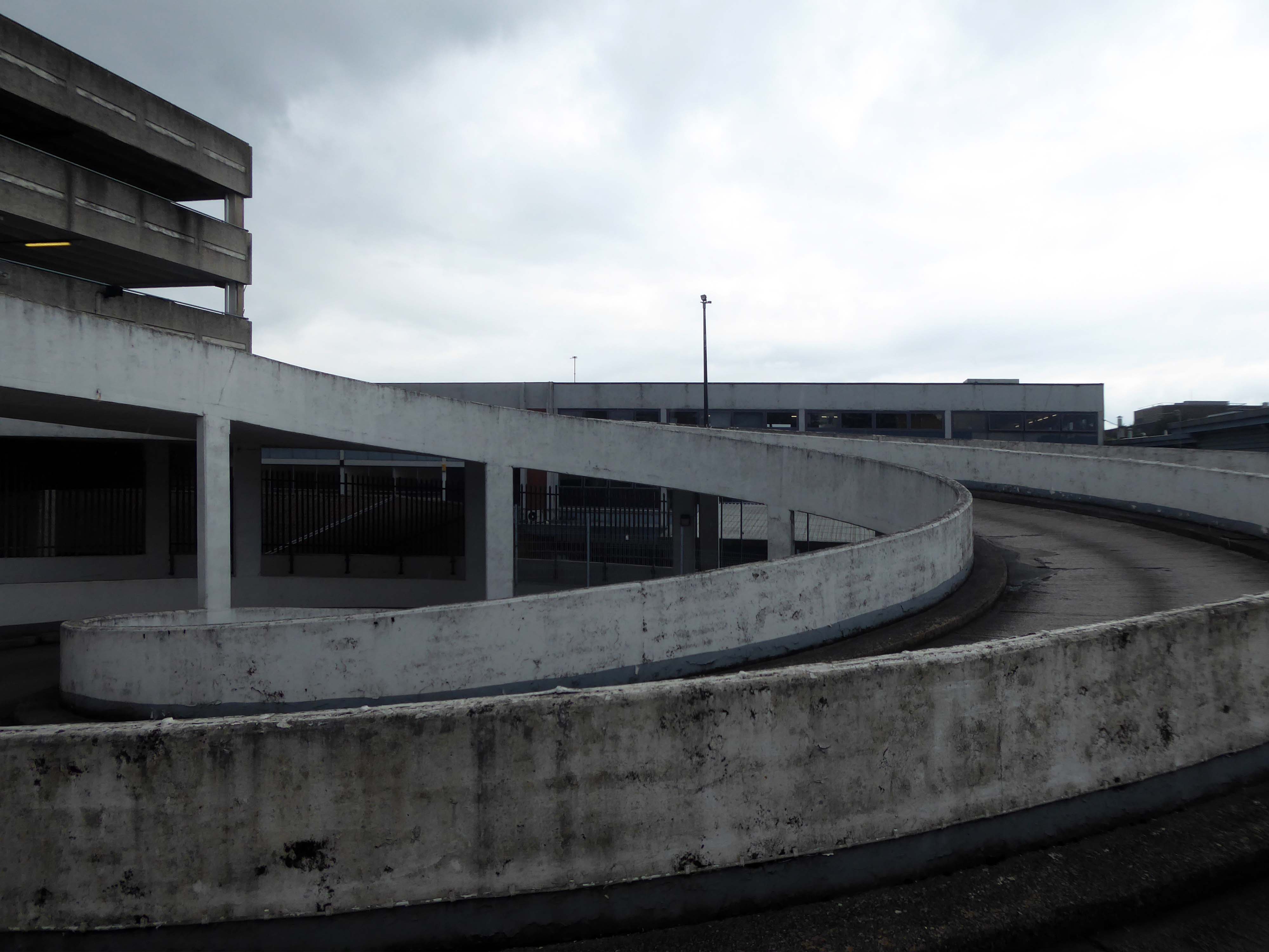
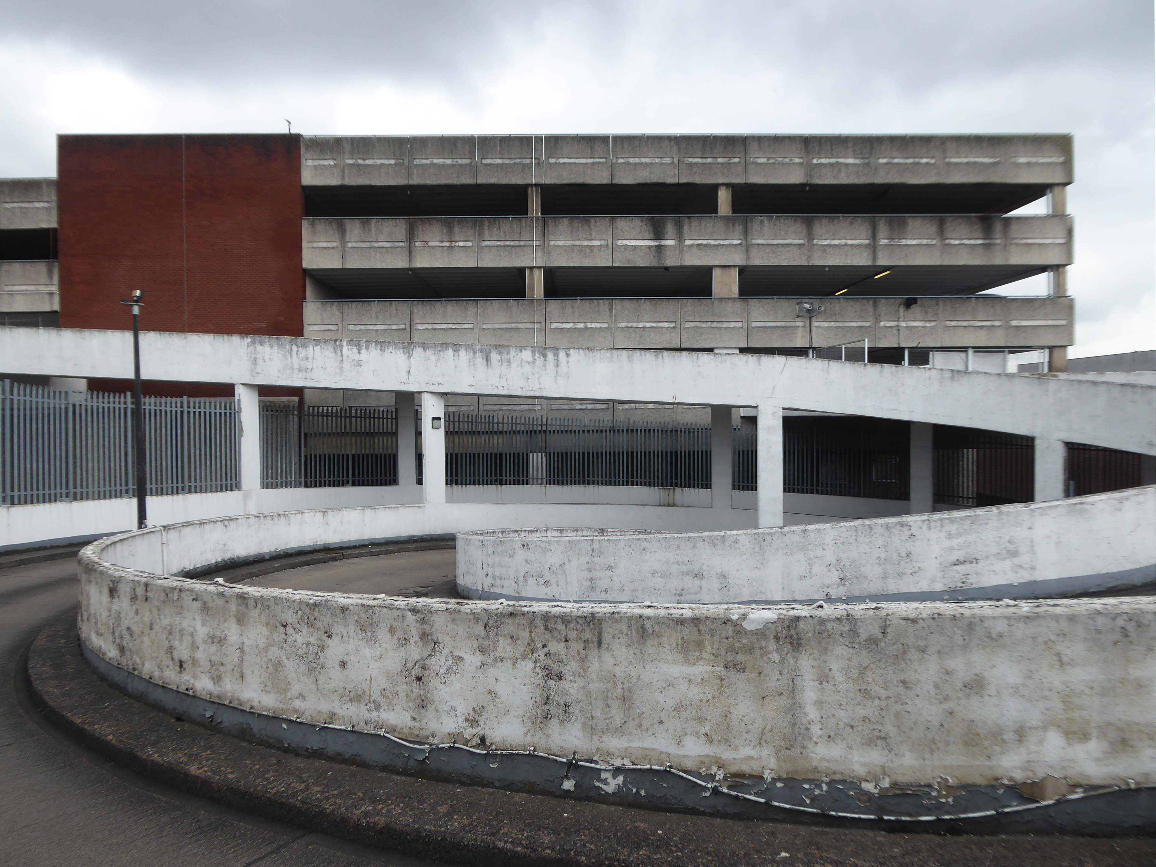
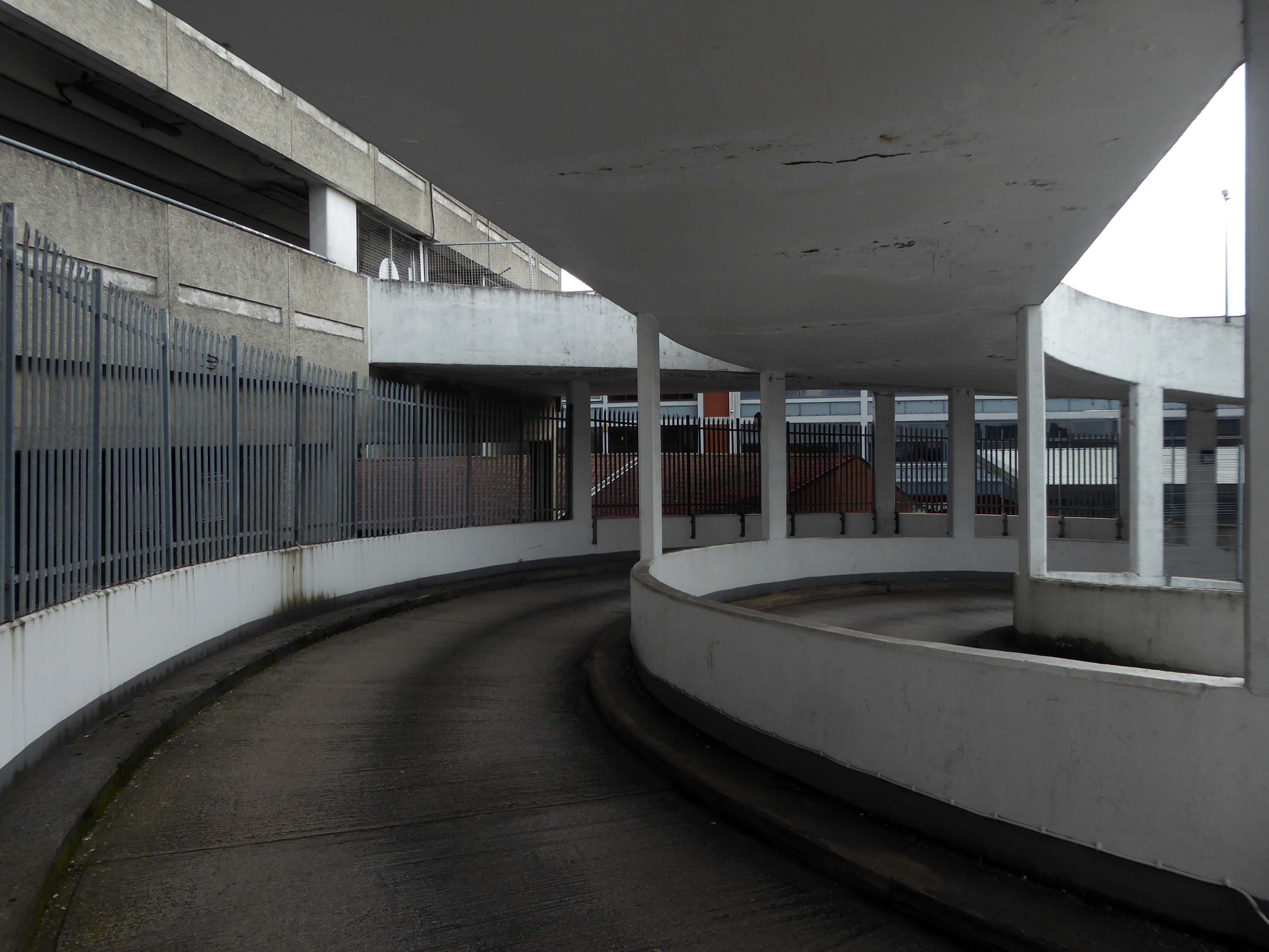
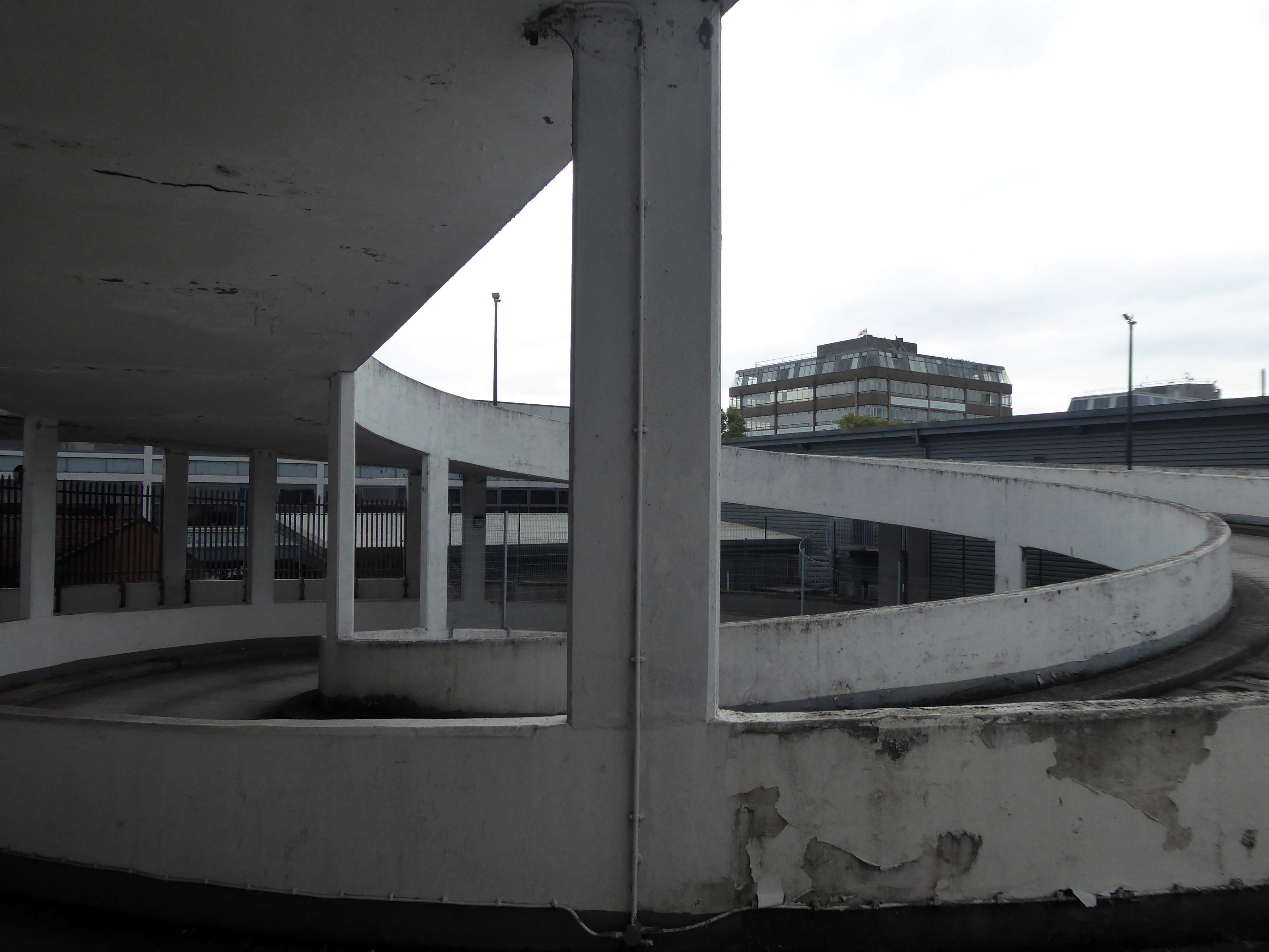
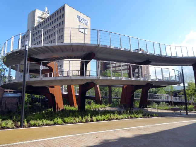
I do have a fondness for ramps – particularly helical ramps, one of my most memorable early modernist encounters, was with Lubetkin’s penguin pool.

The cast concrete taking on a truly sculptural dimension.

There is also the Proustian recollection of a collection of geometry lessons and Helix instruments.

It has all left a lasting impression and I have subsequently taken every opportunity to waddle penguin like up and down several concrete car park ramps.

Here’s the most recent.

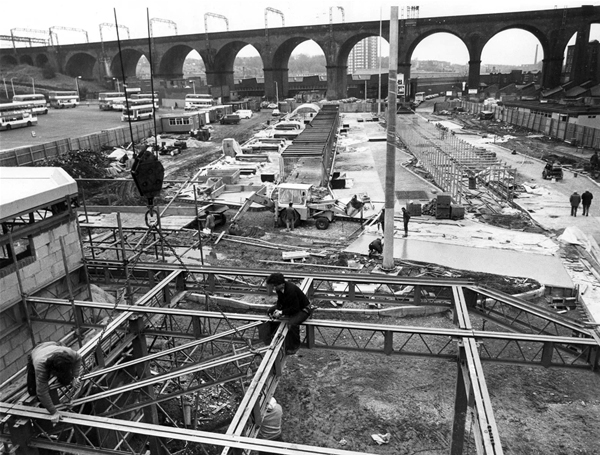
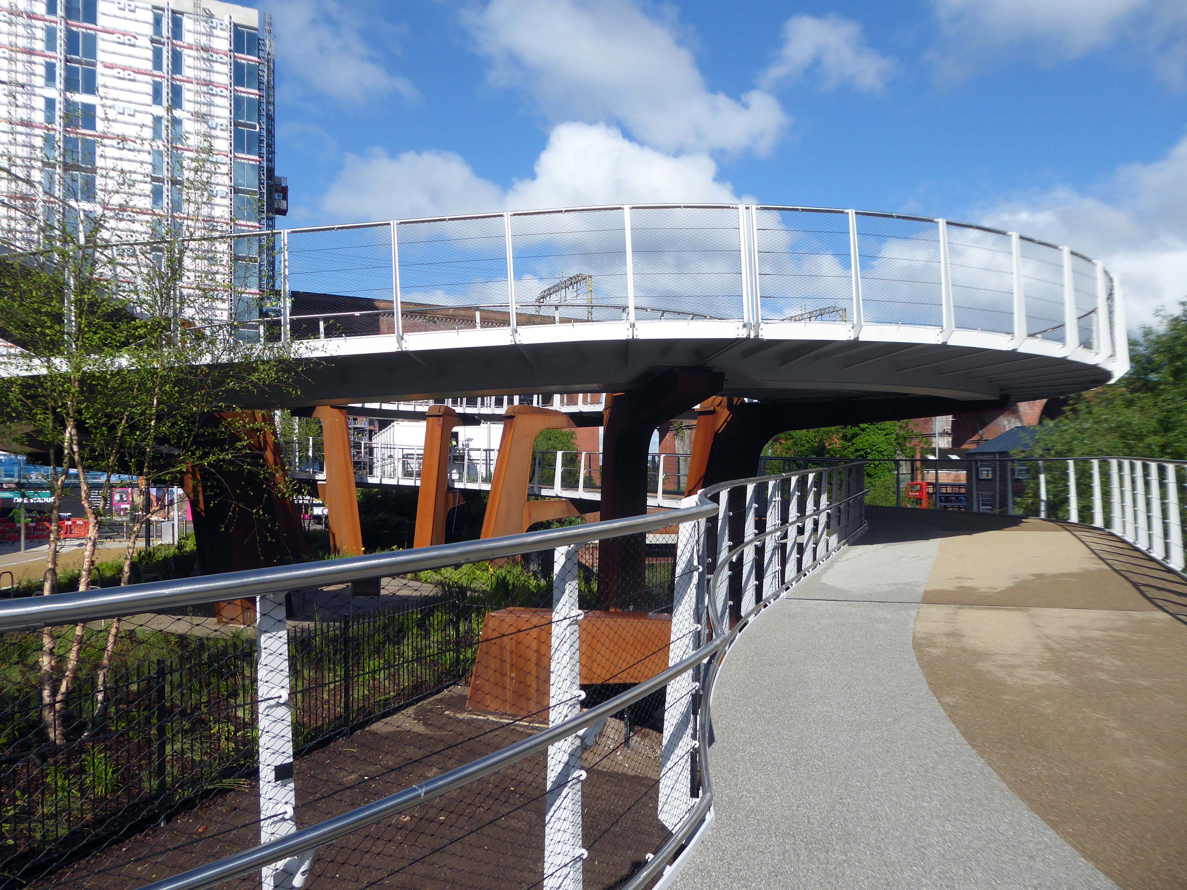
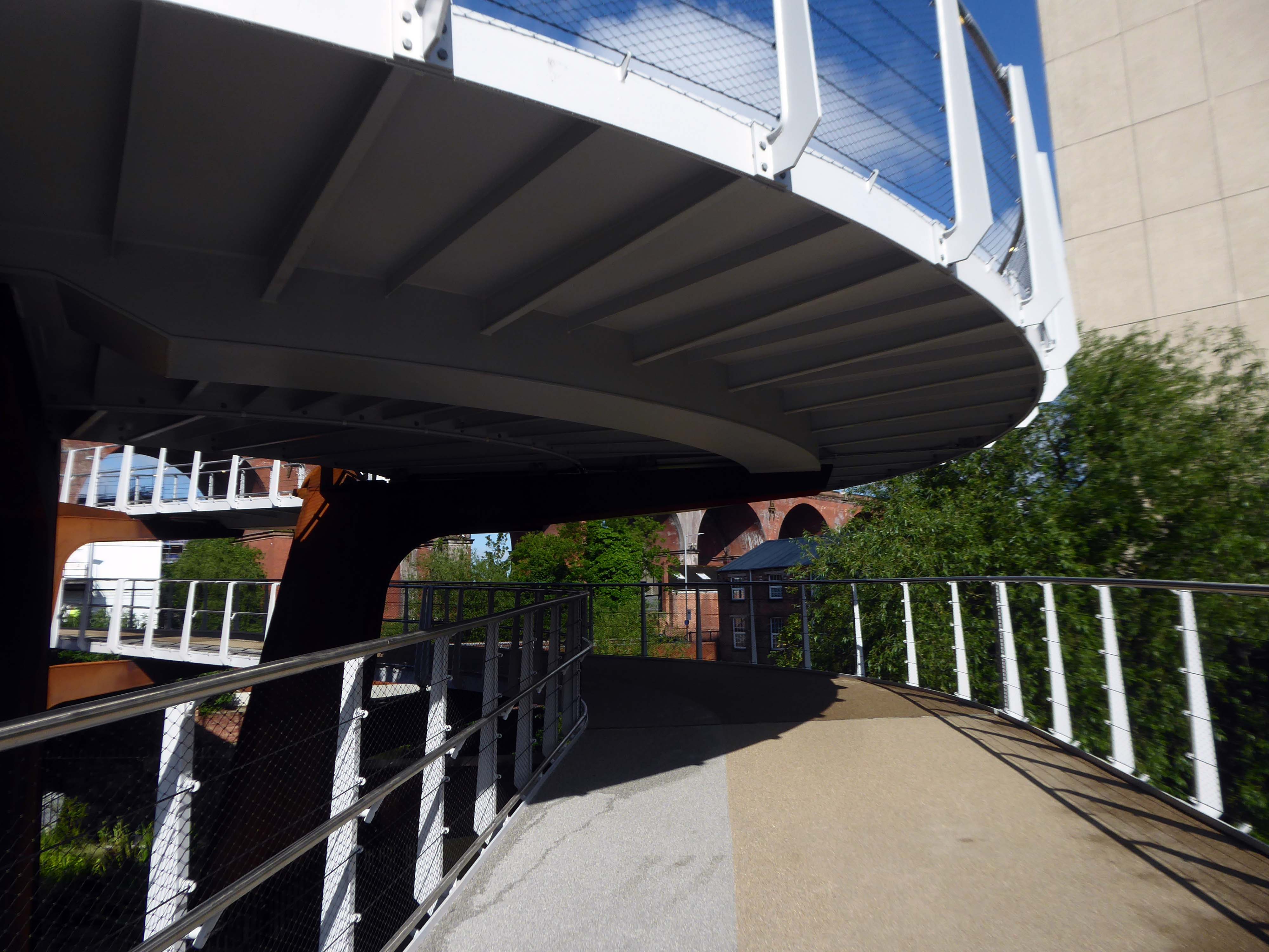
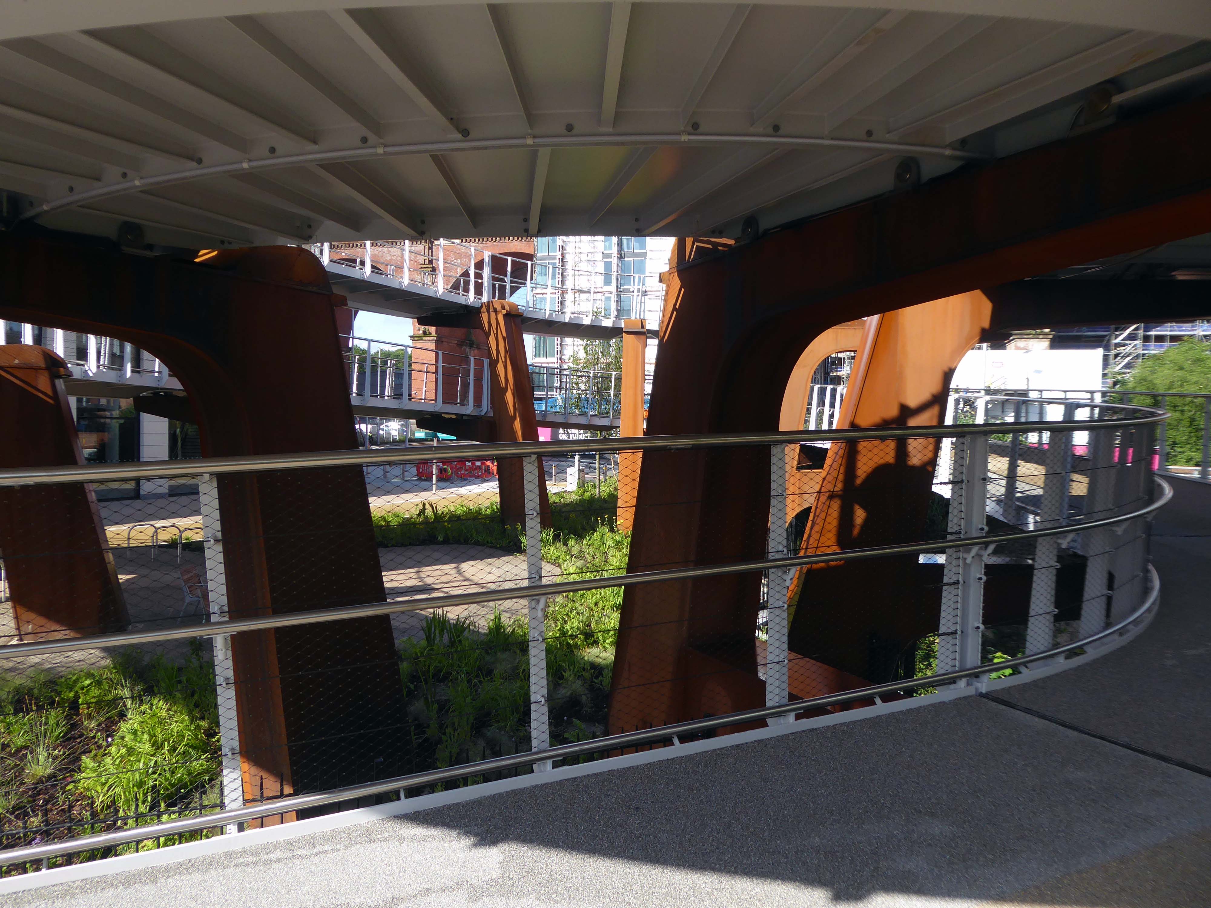
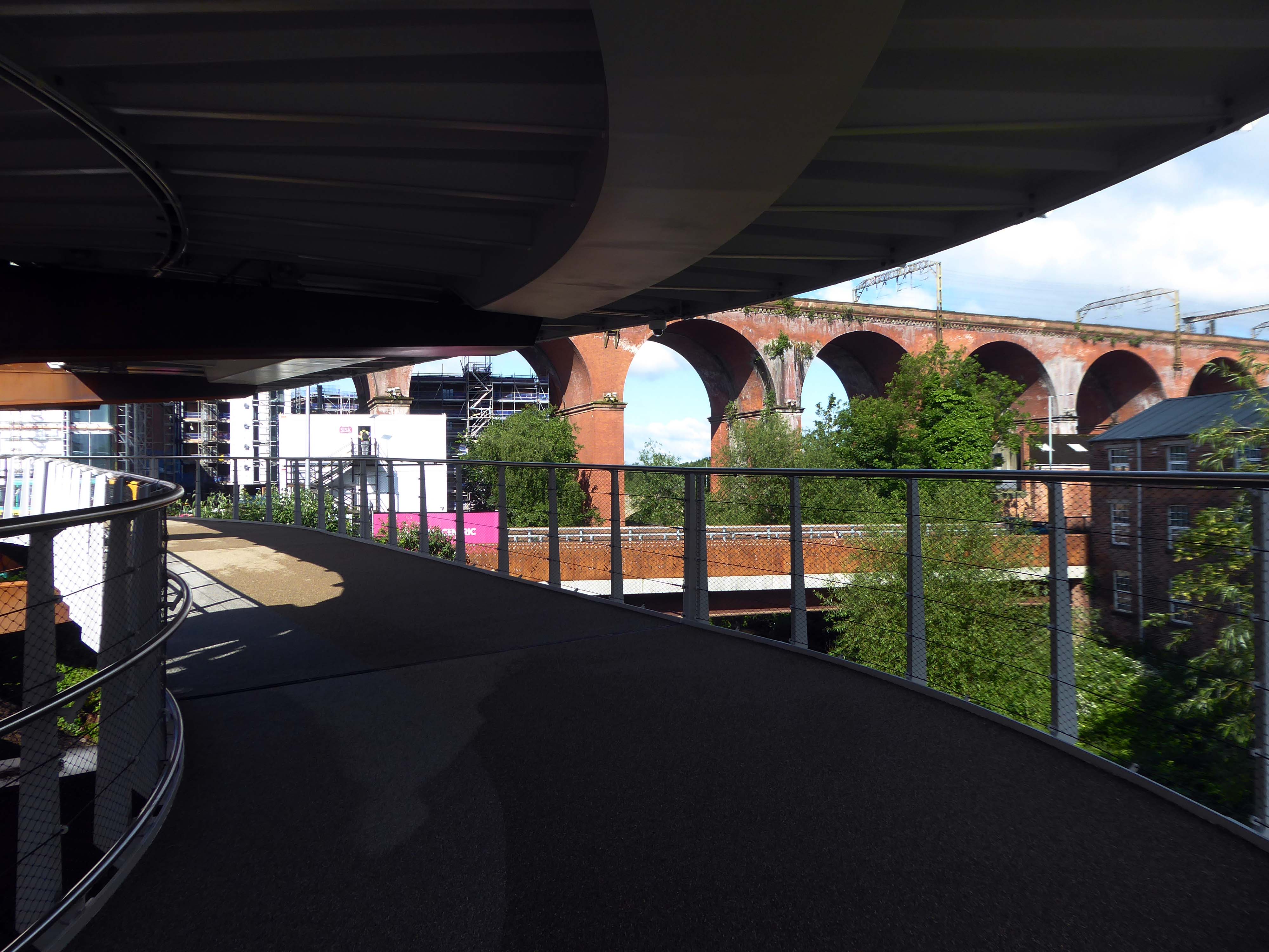
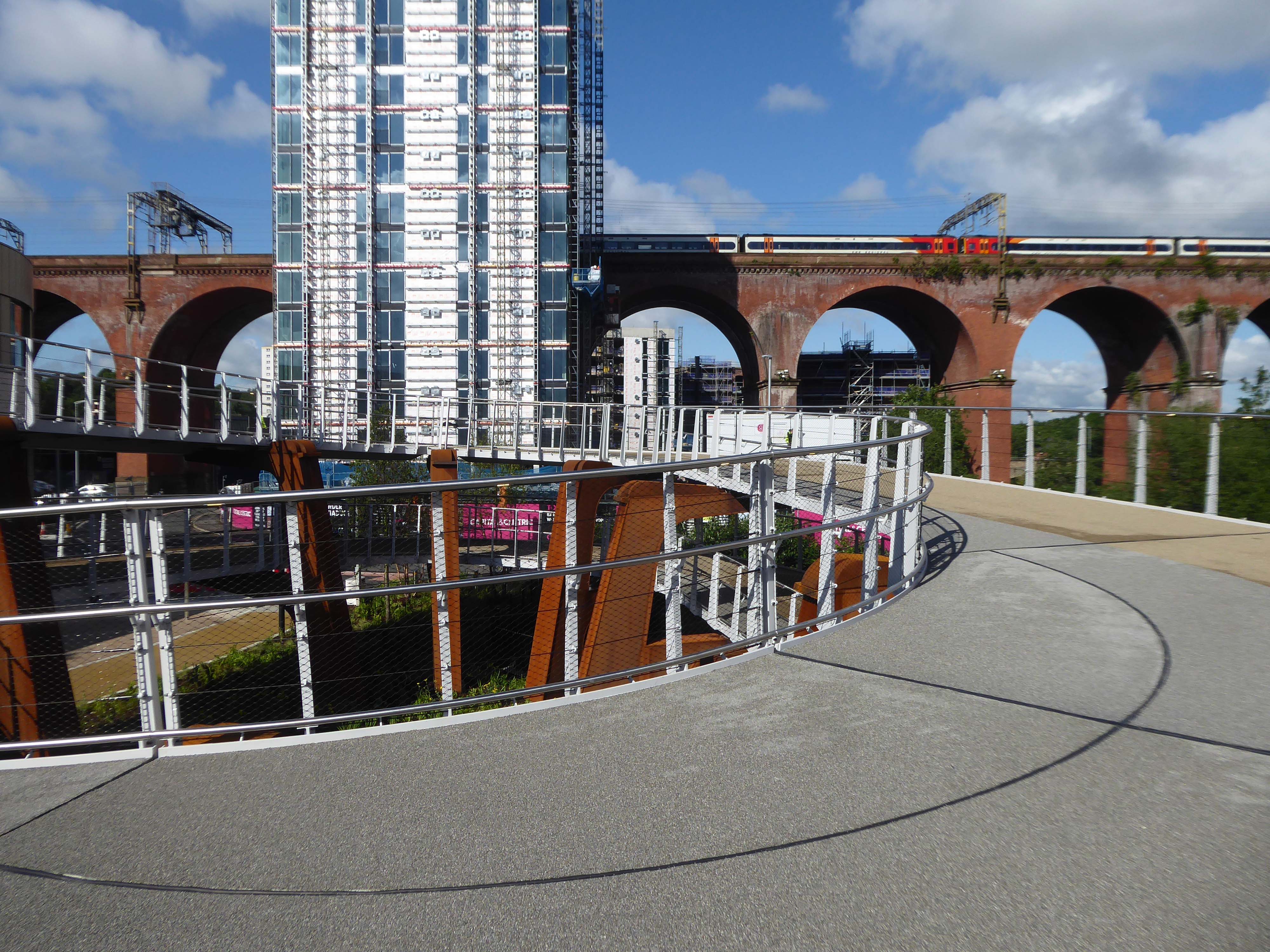
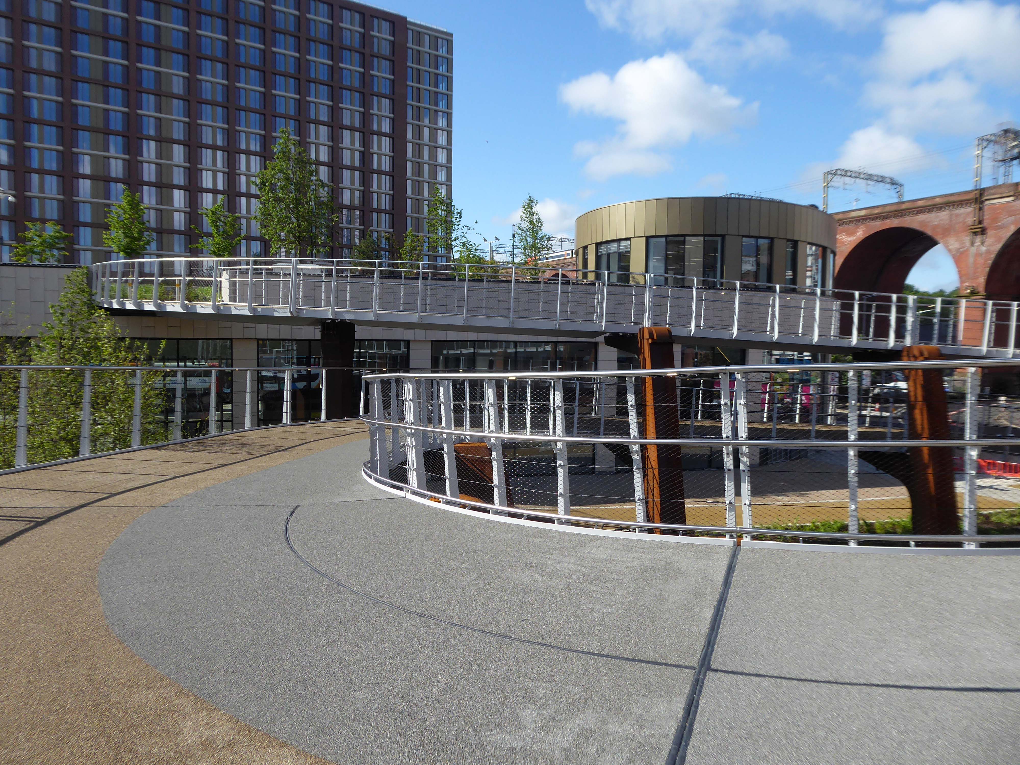
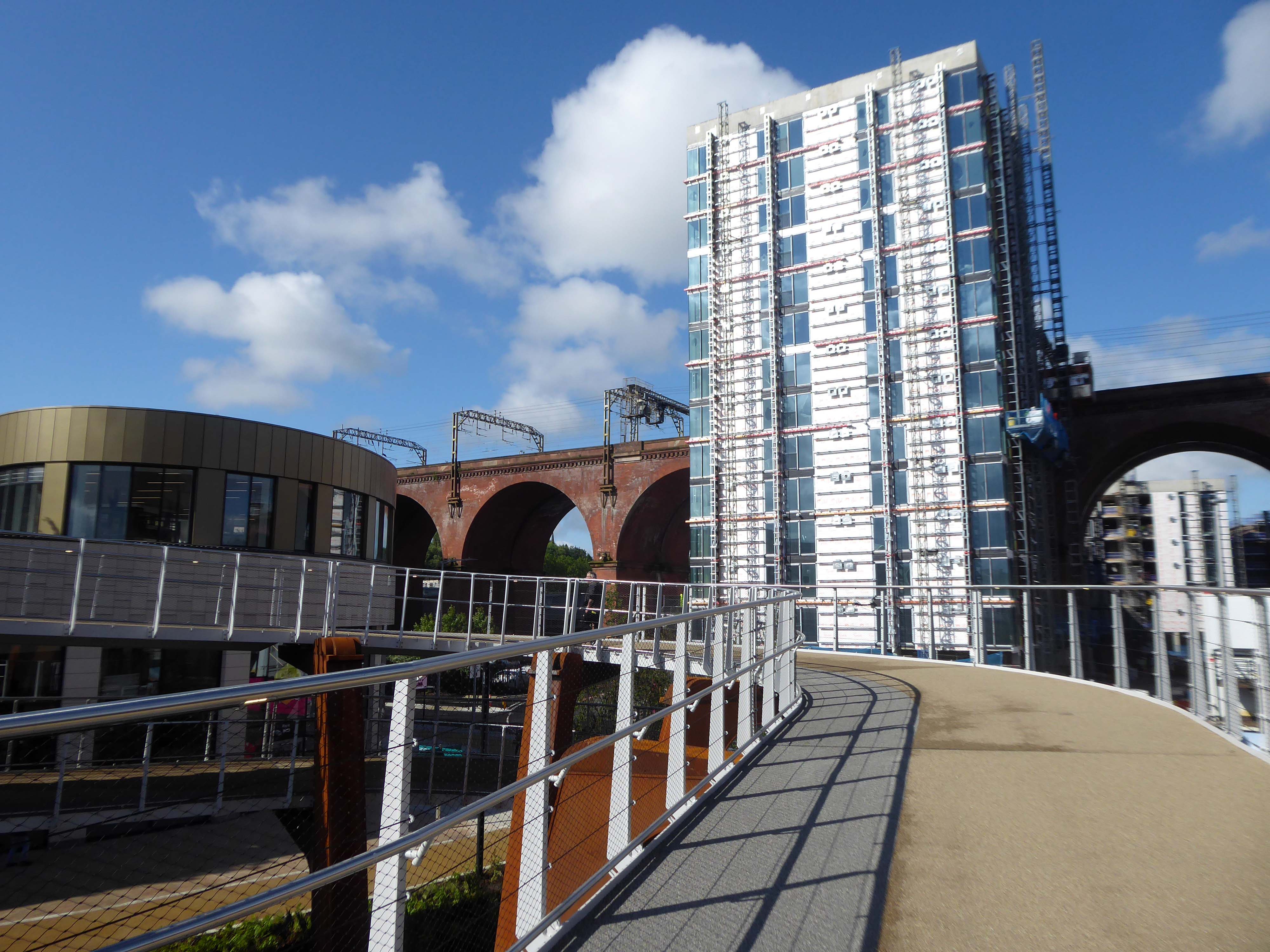
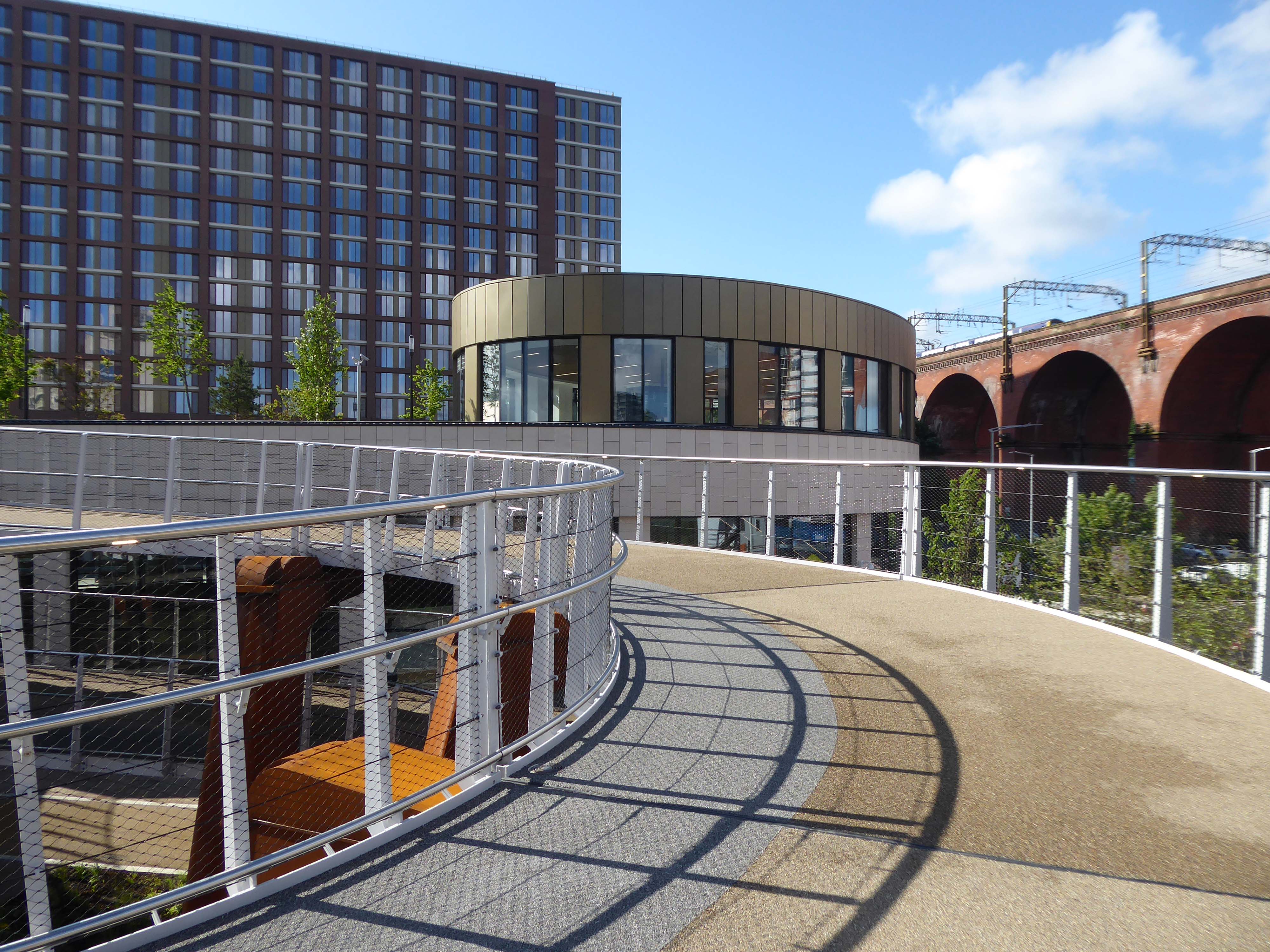
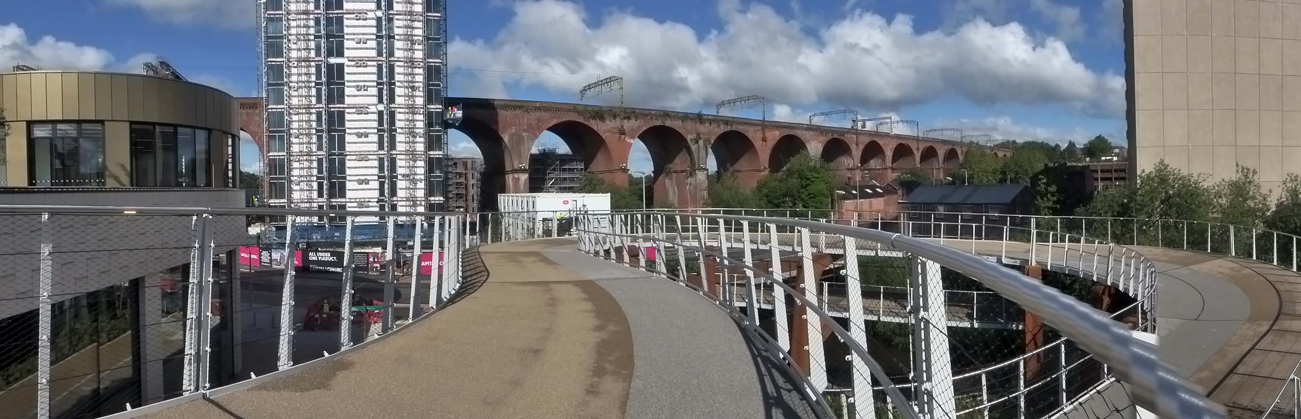
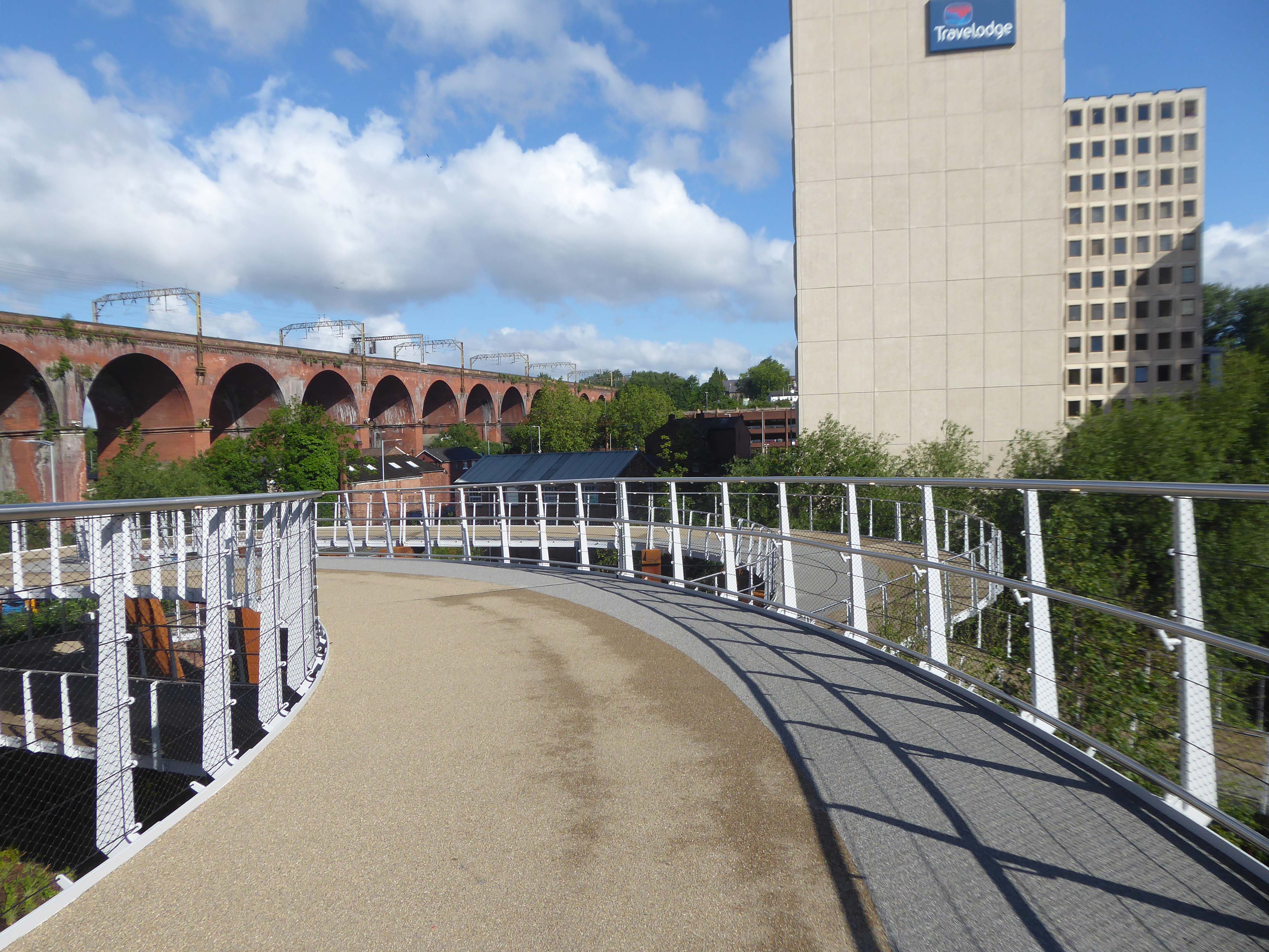
Ramp – Stockport Interchange

I have written several time about the former bus station.

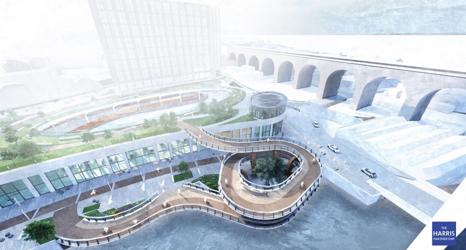
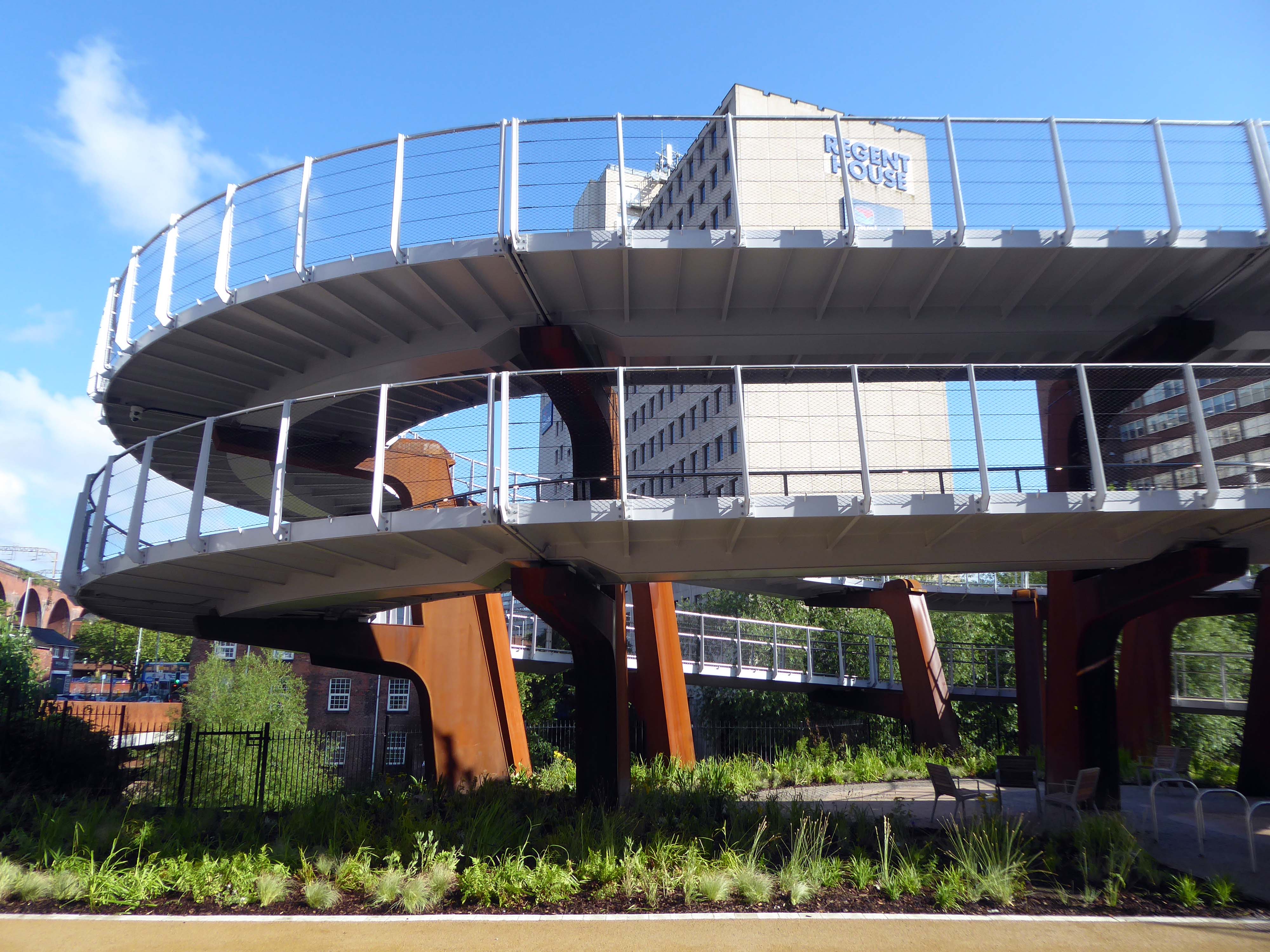
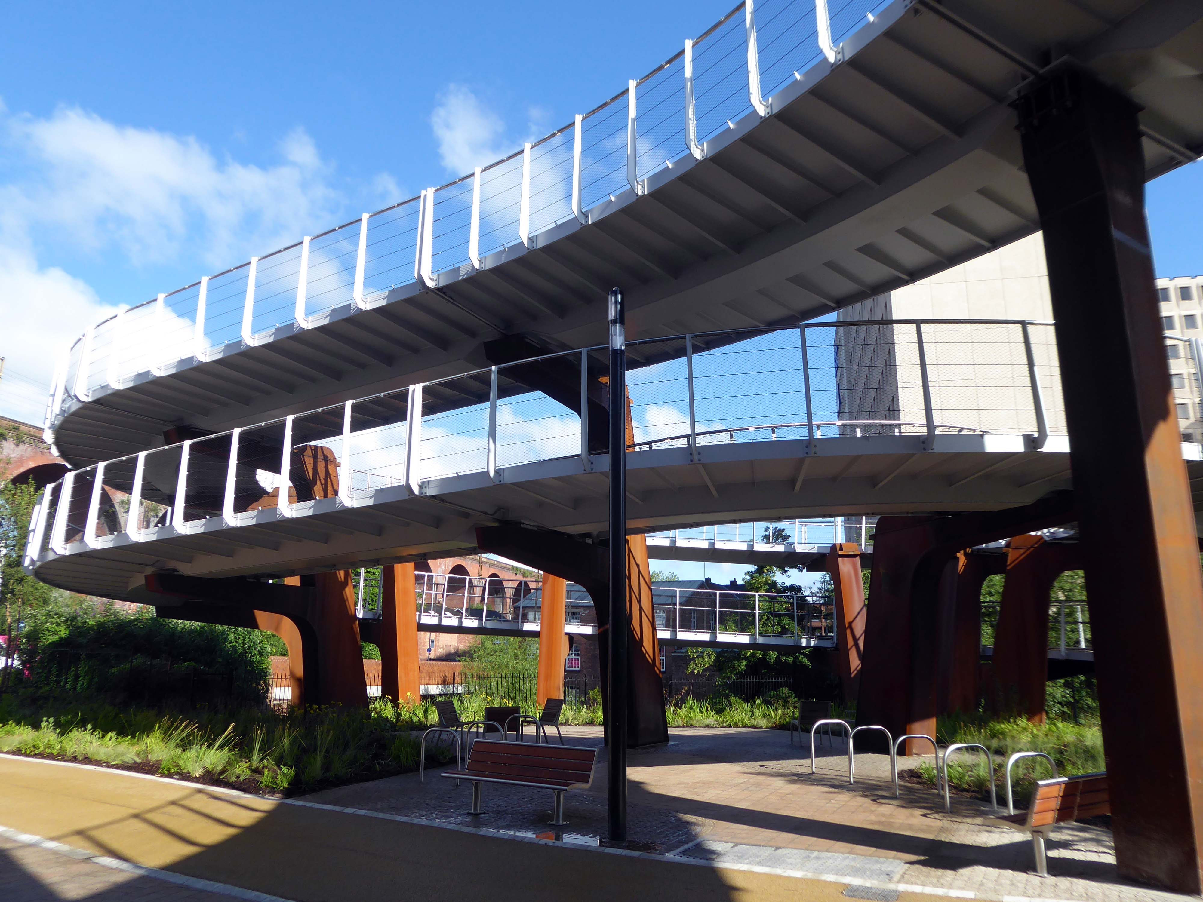
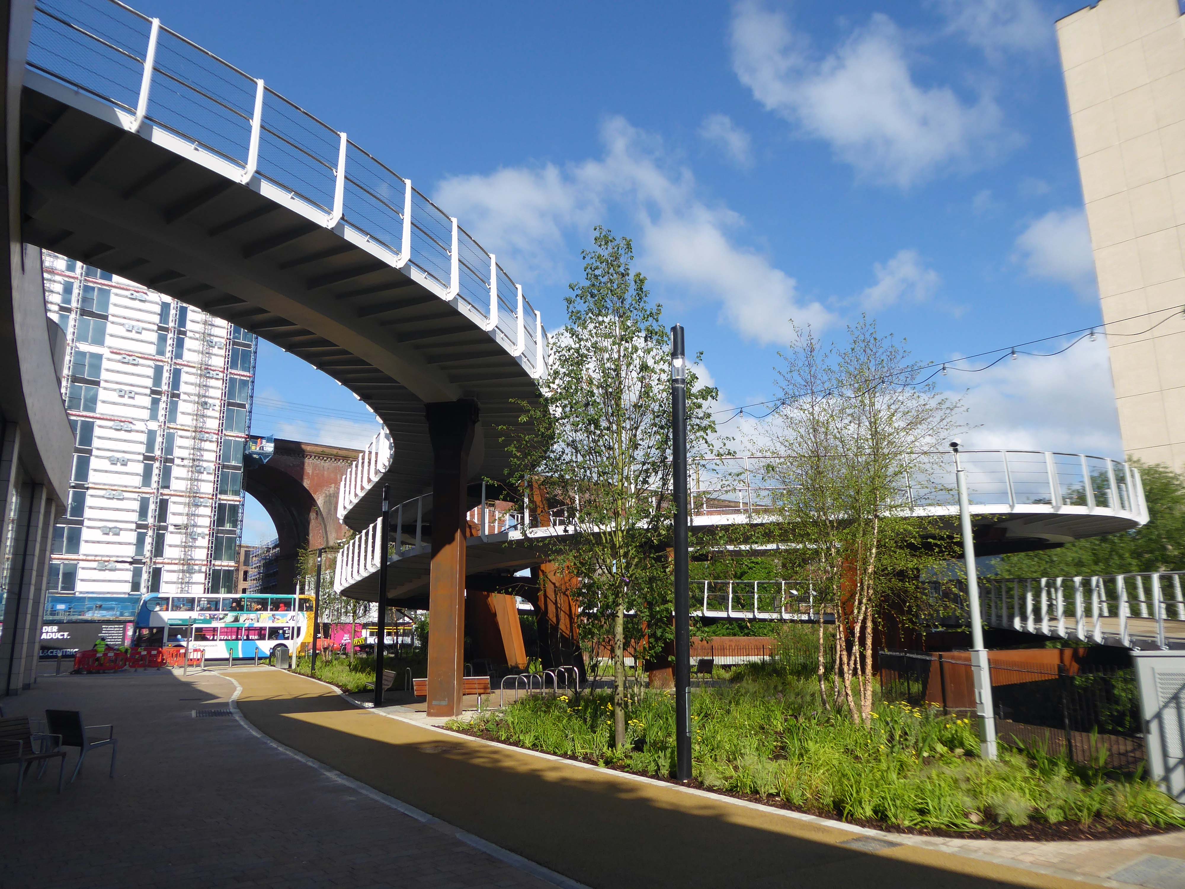
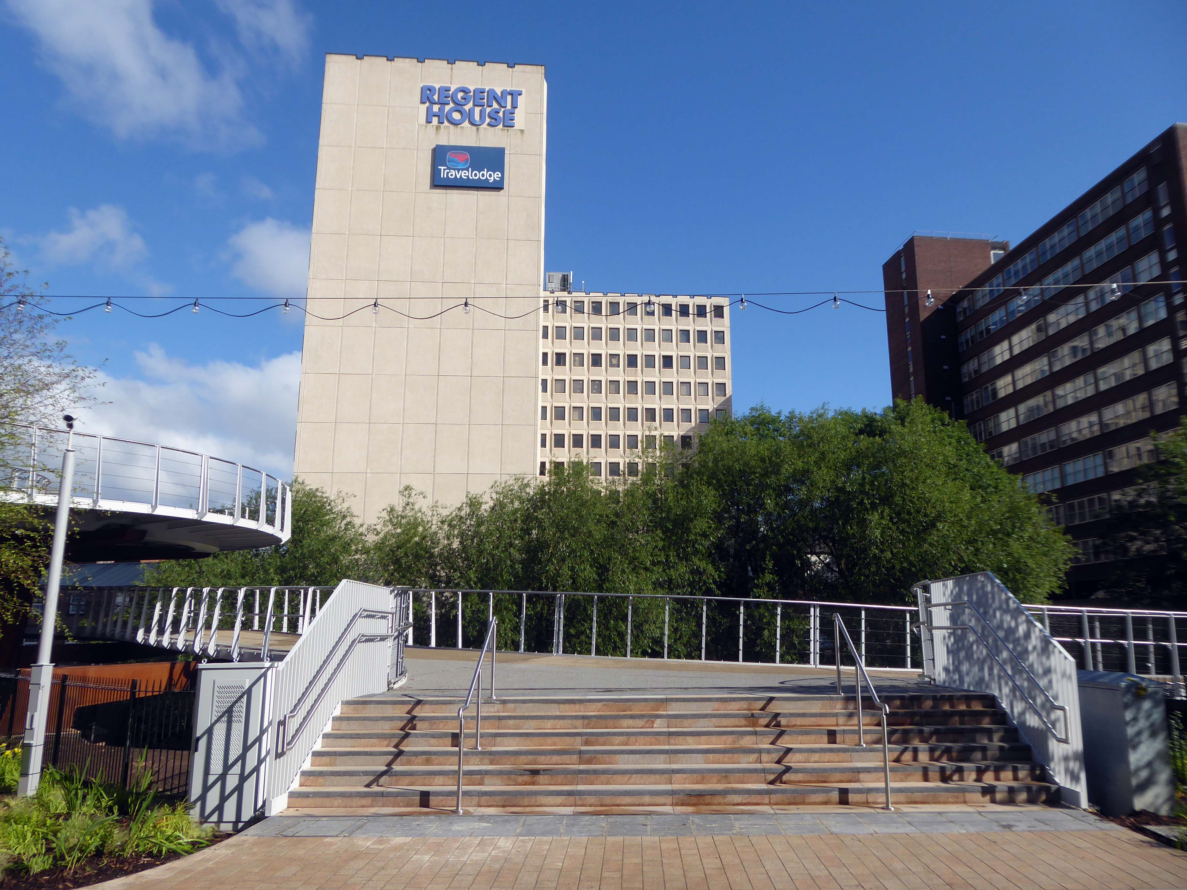
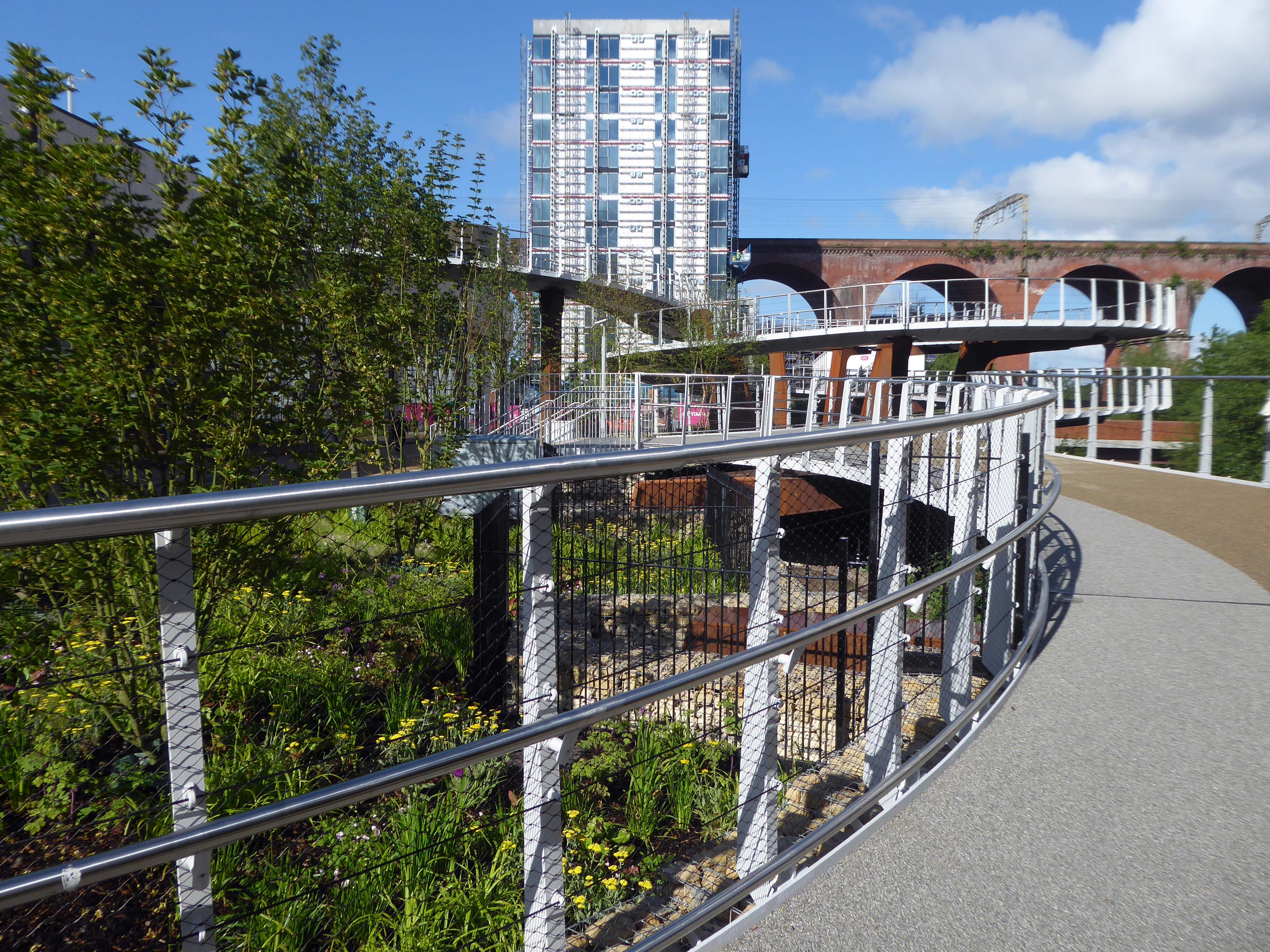
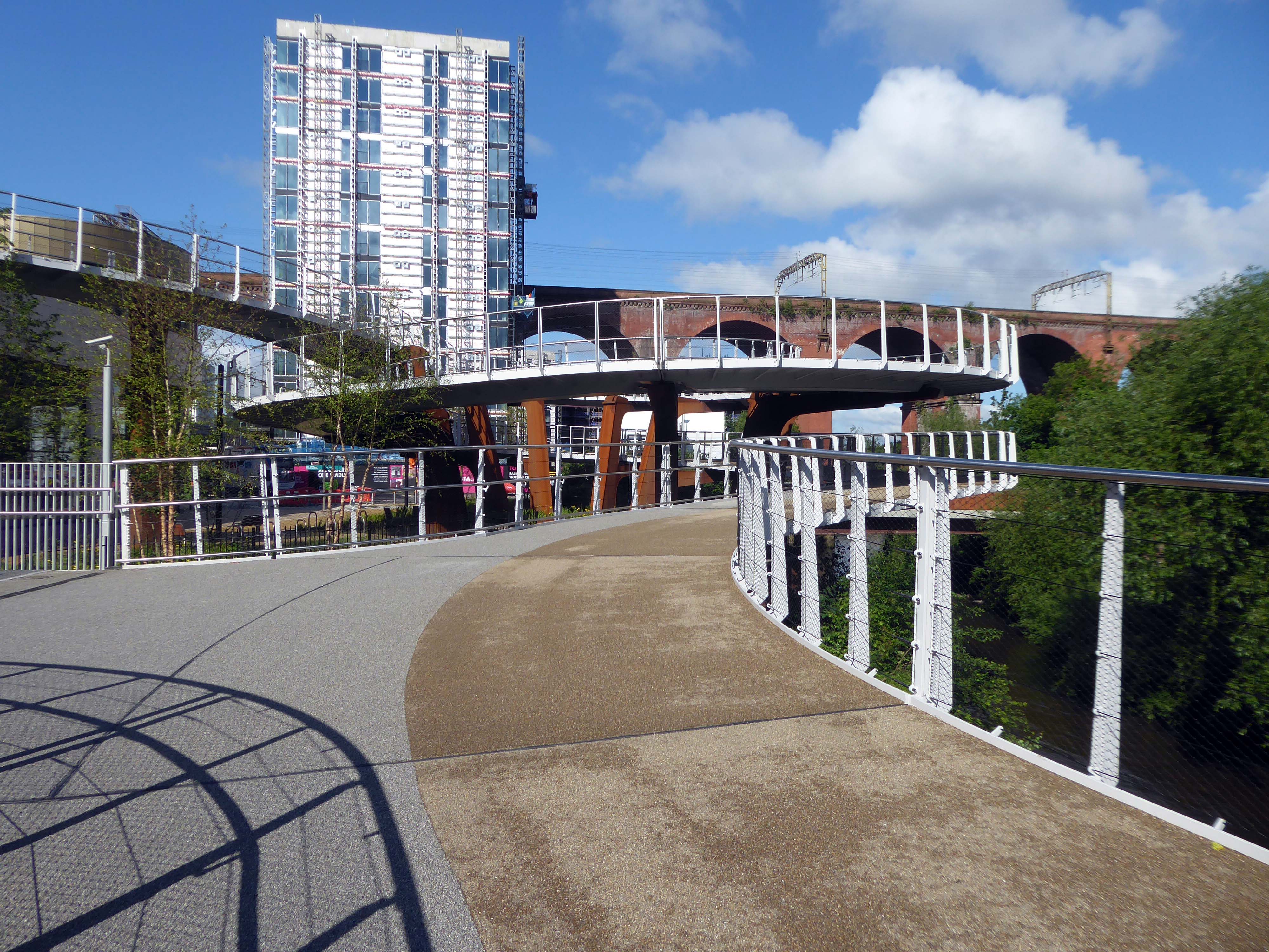
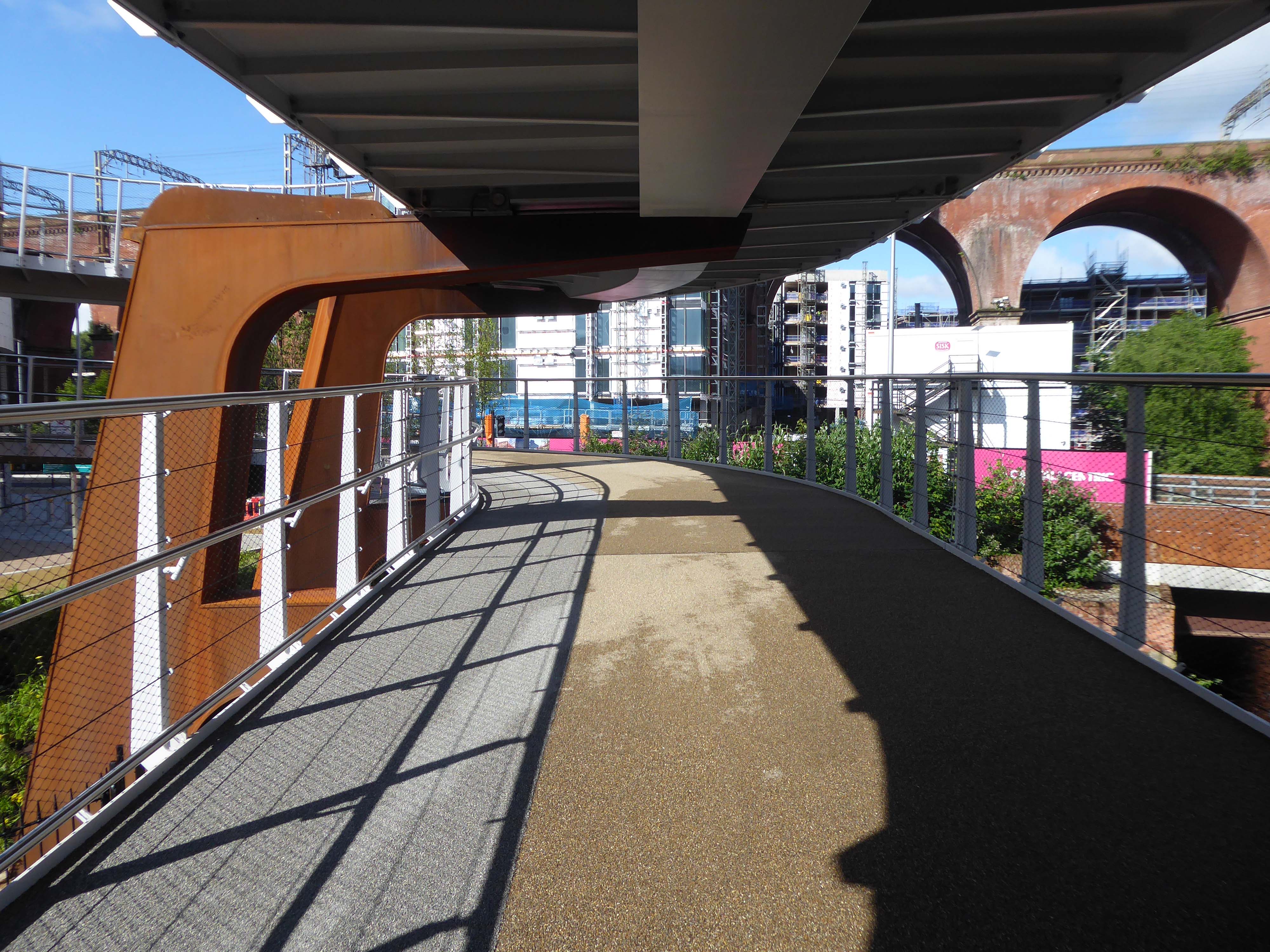
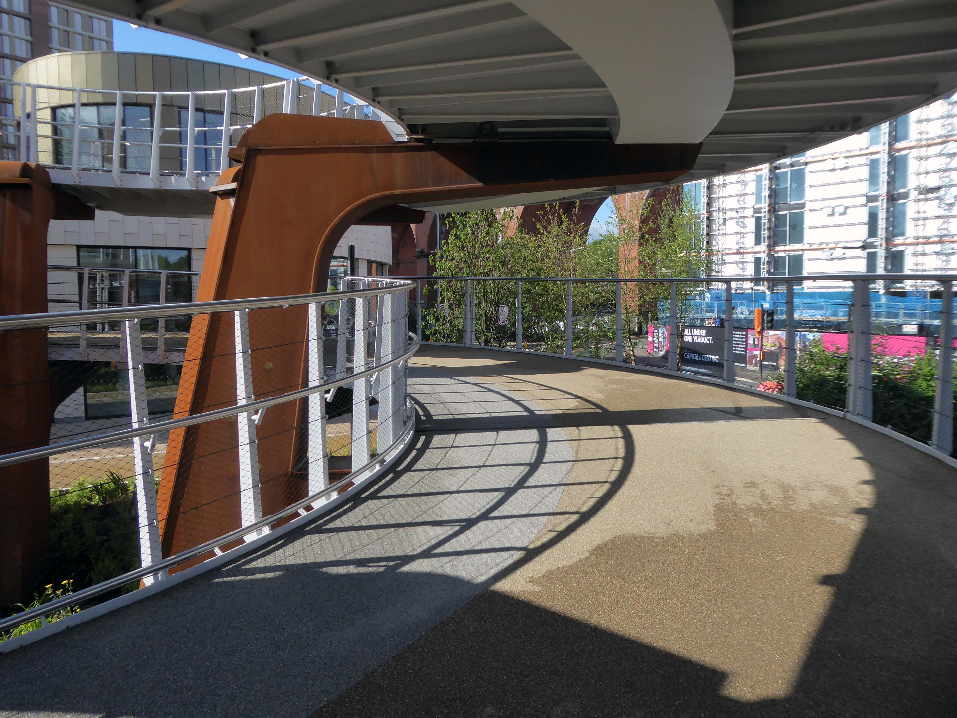
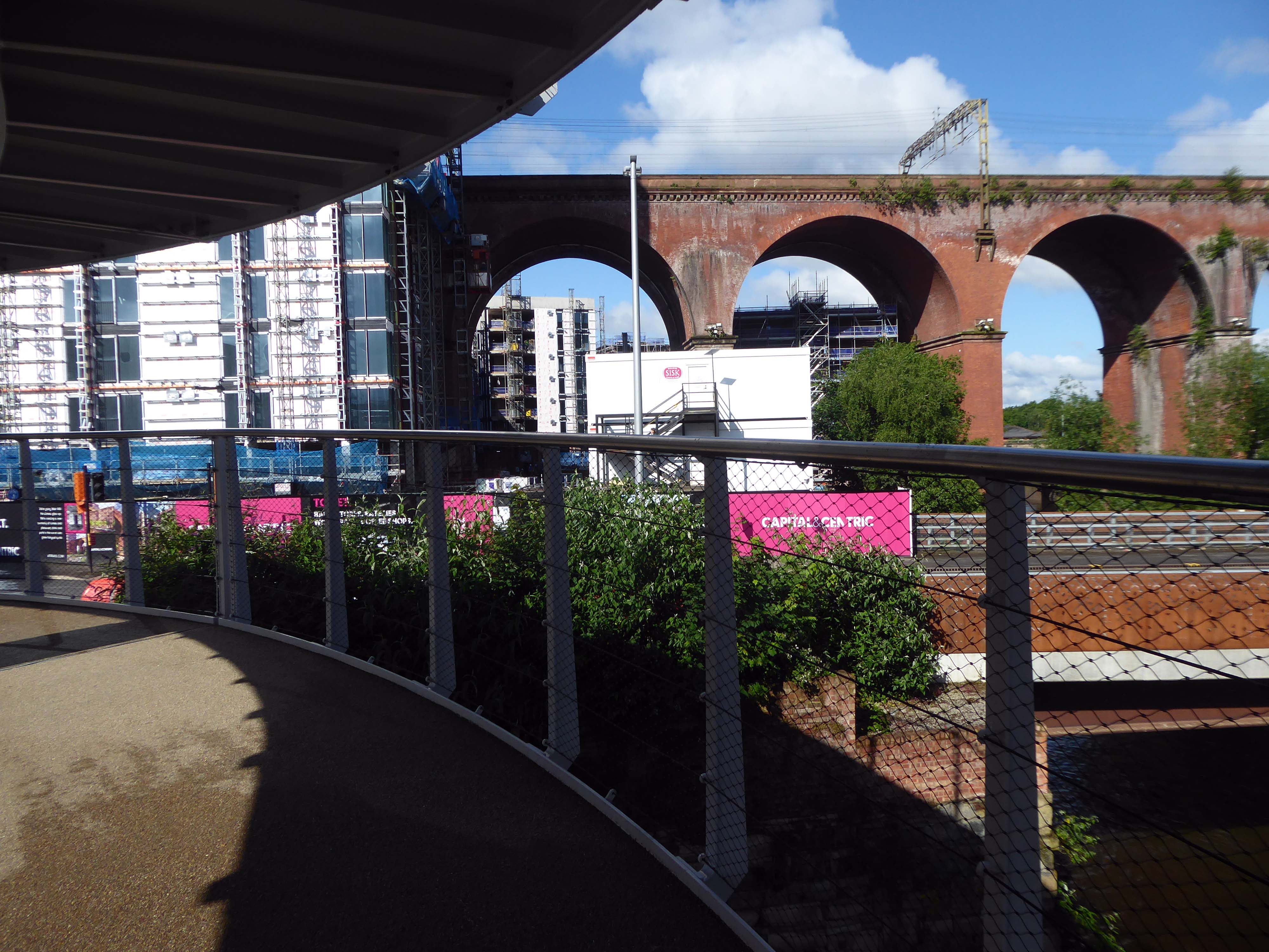
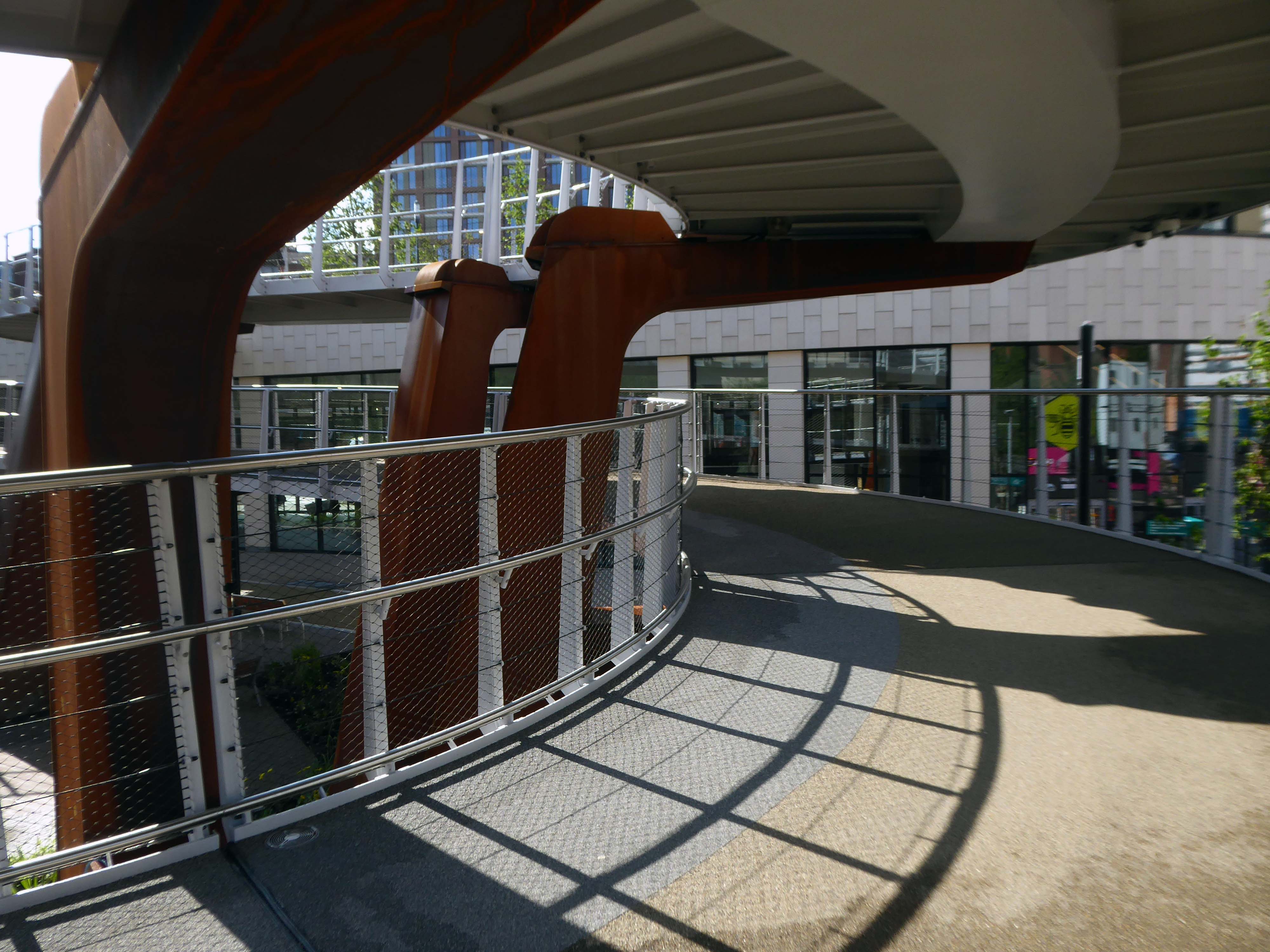
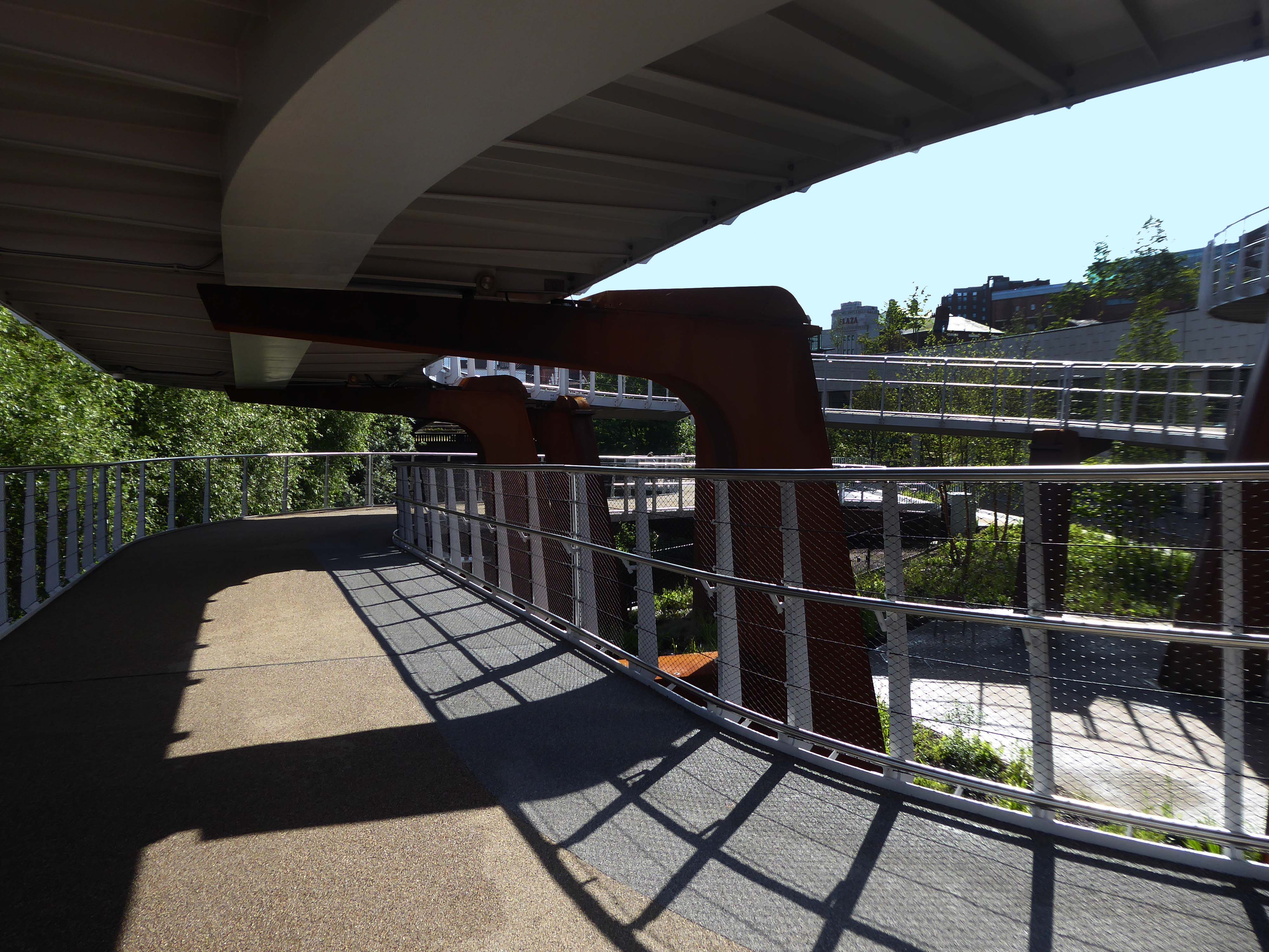
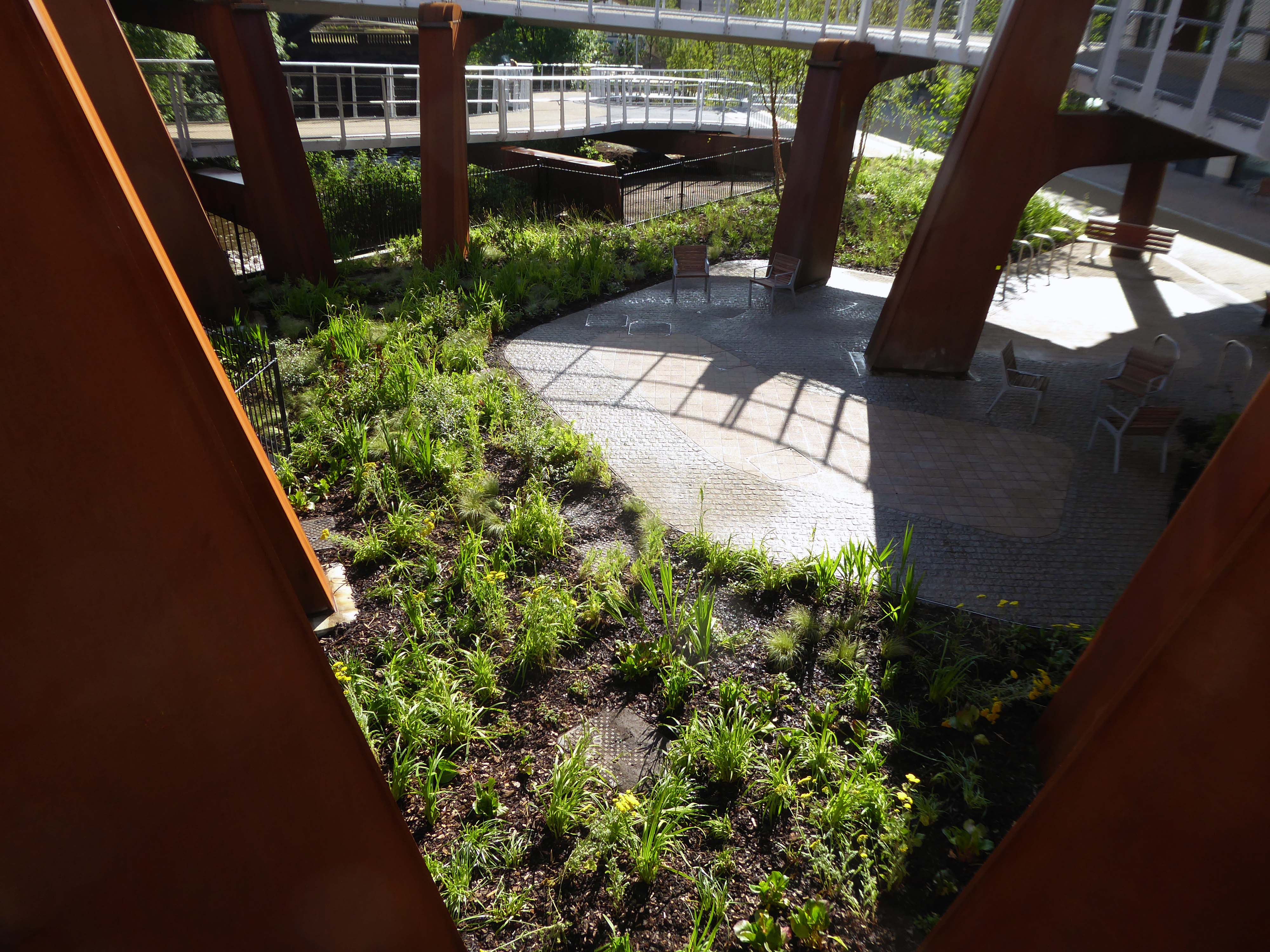
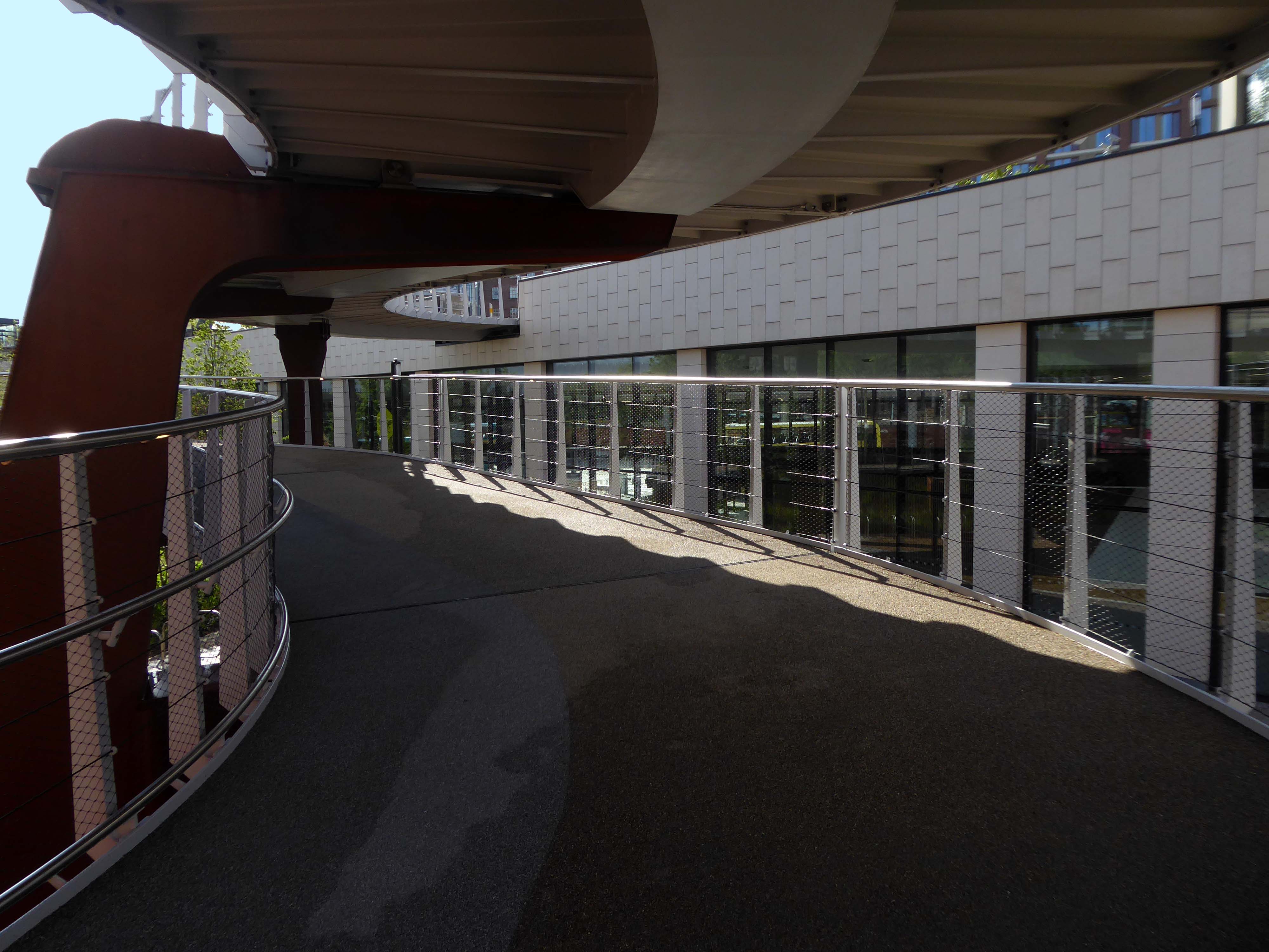
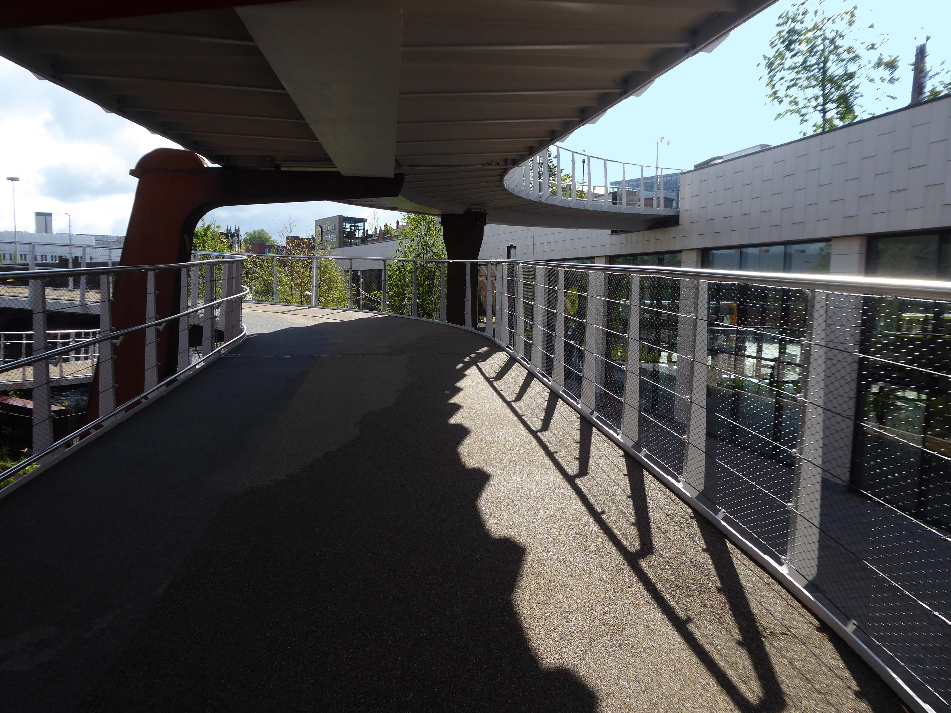
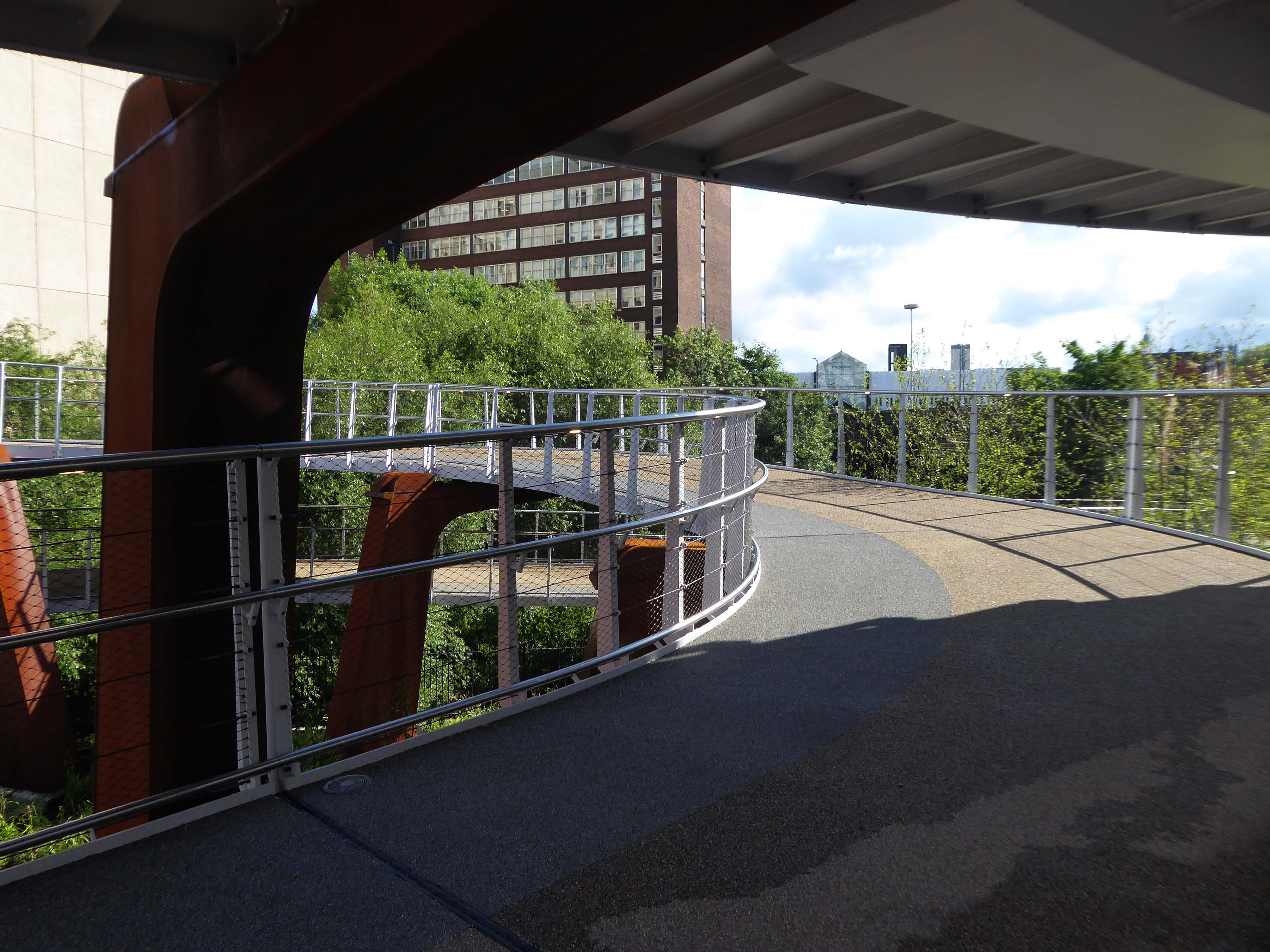
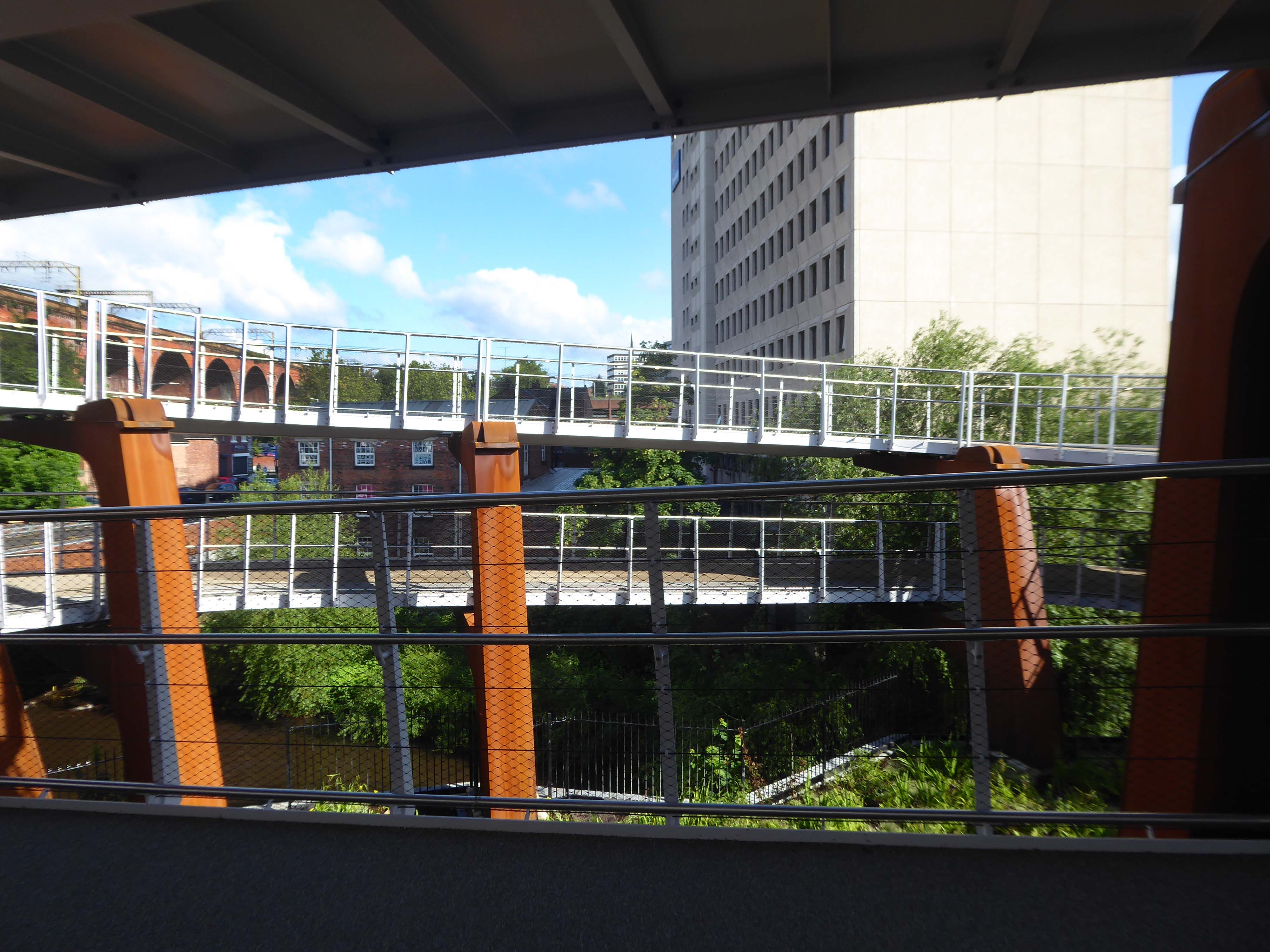
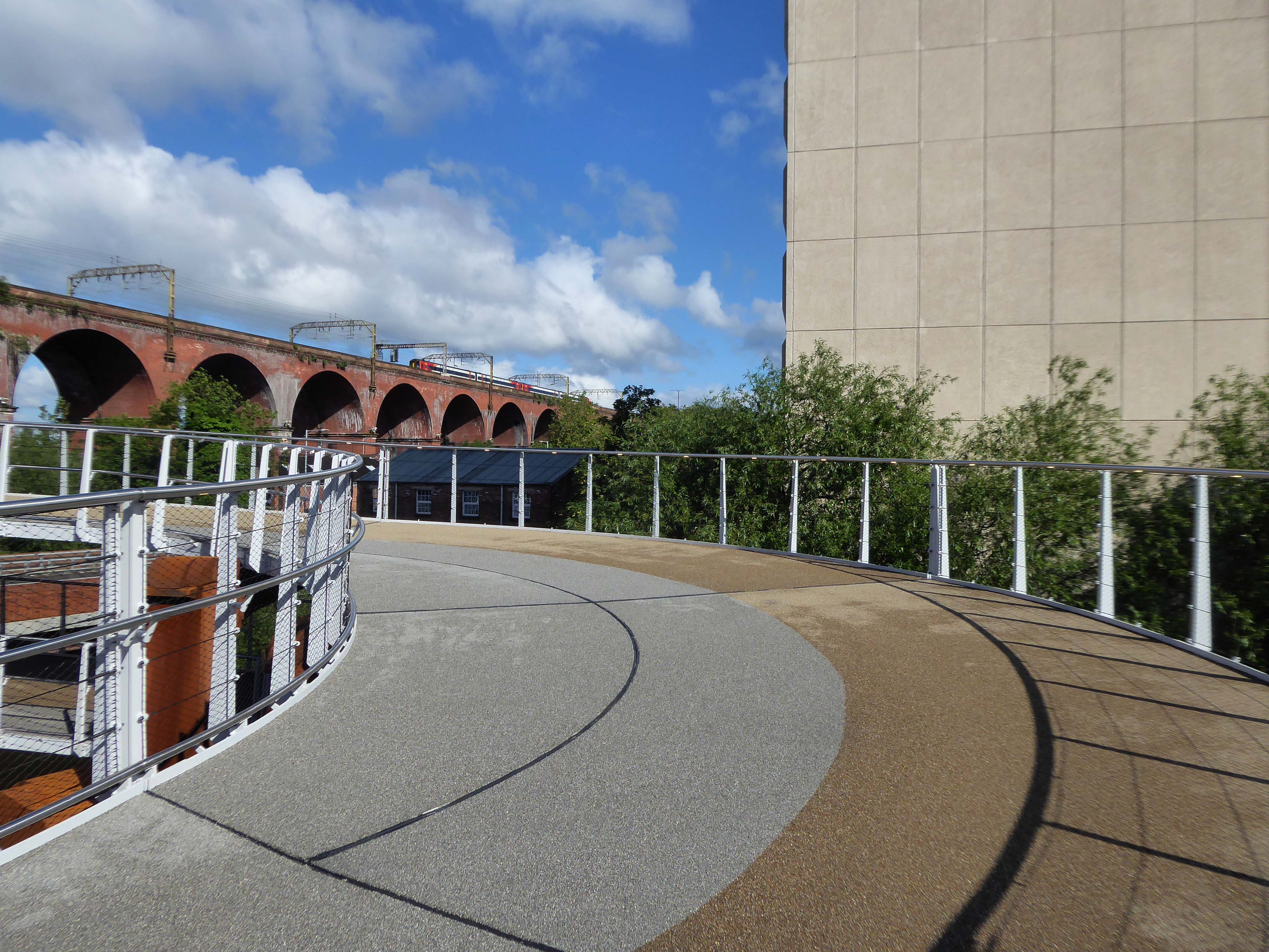
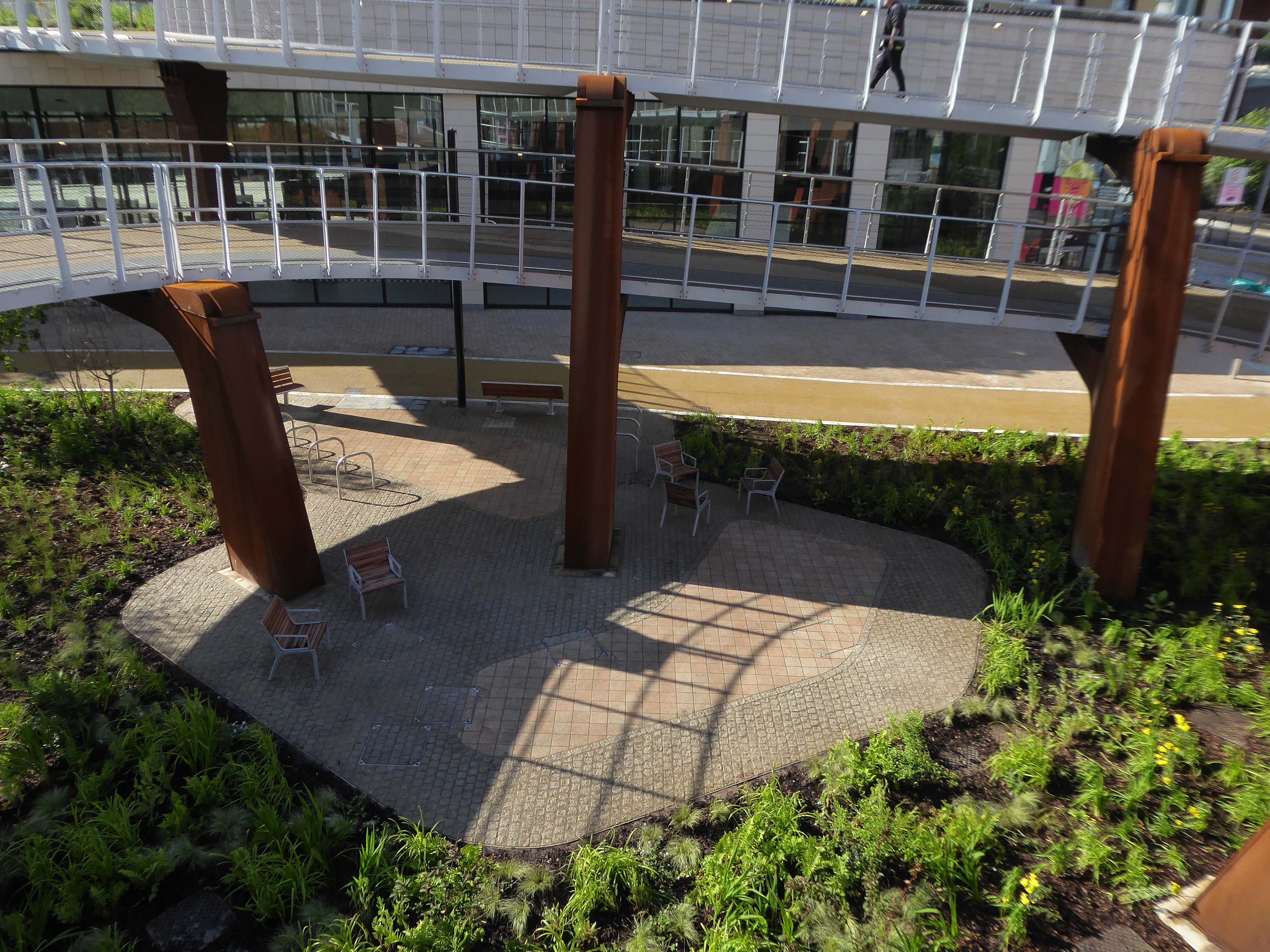
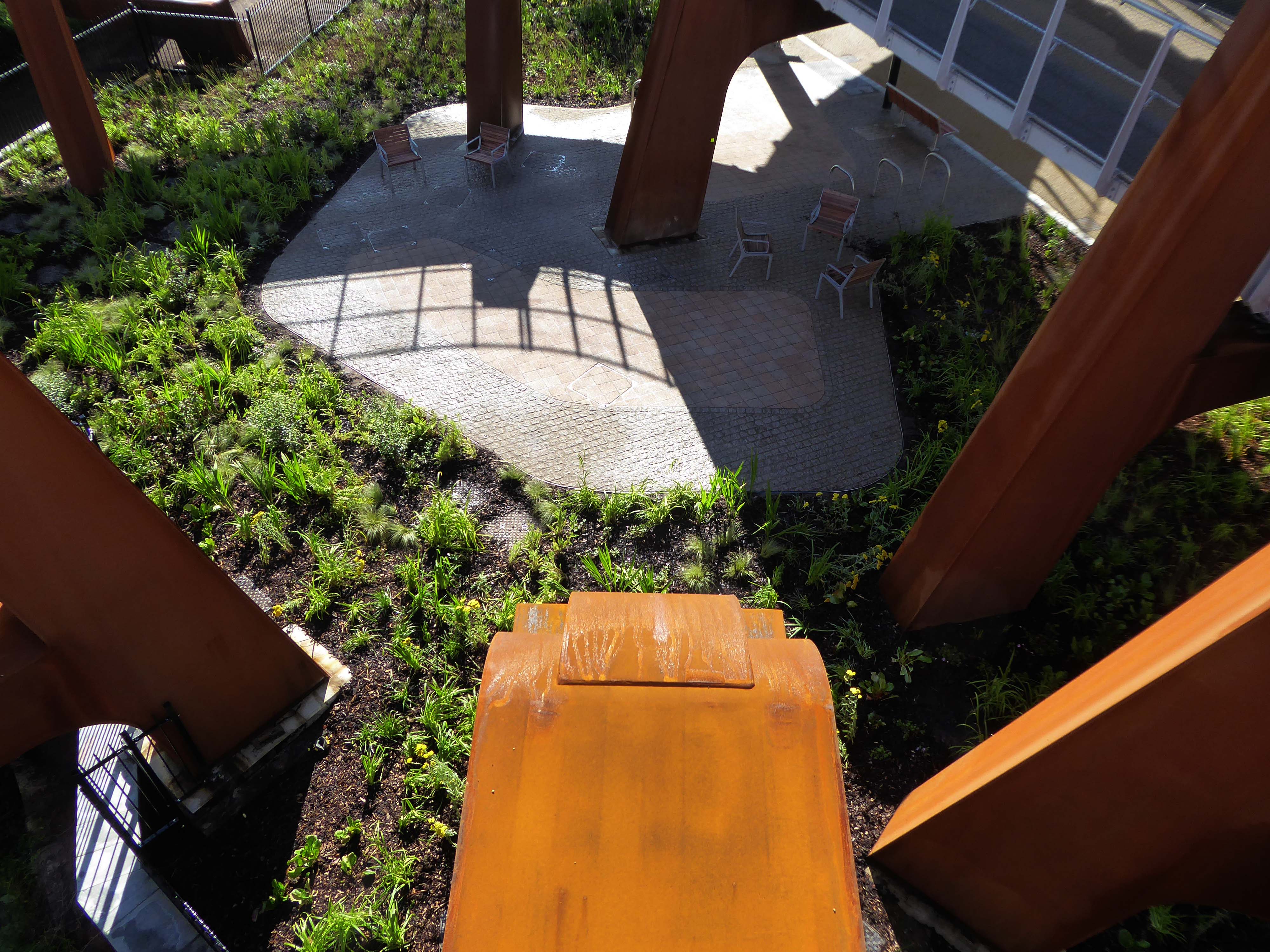
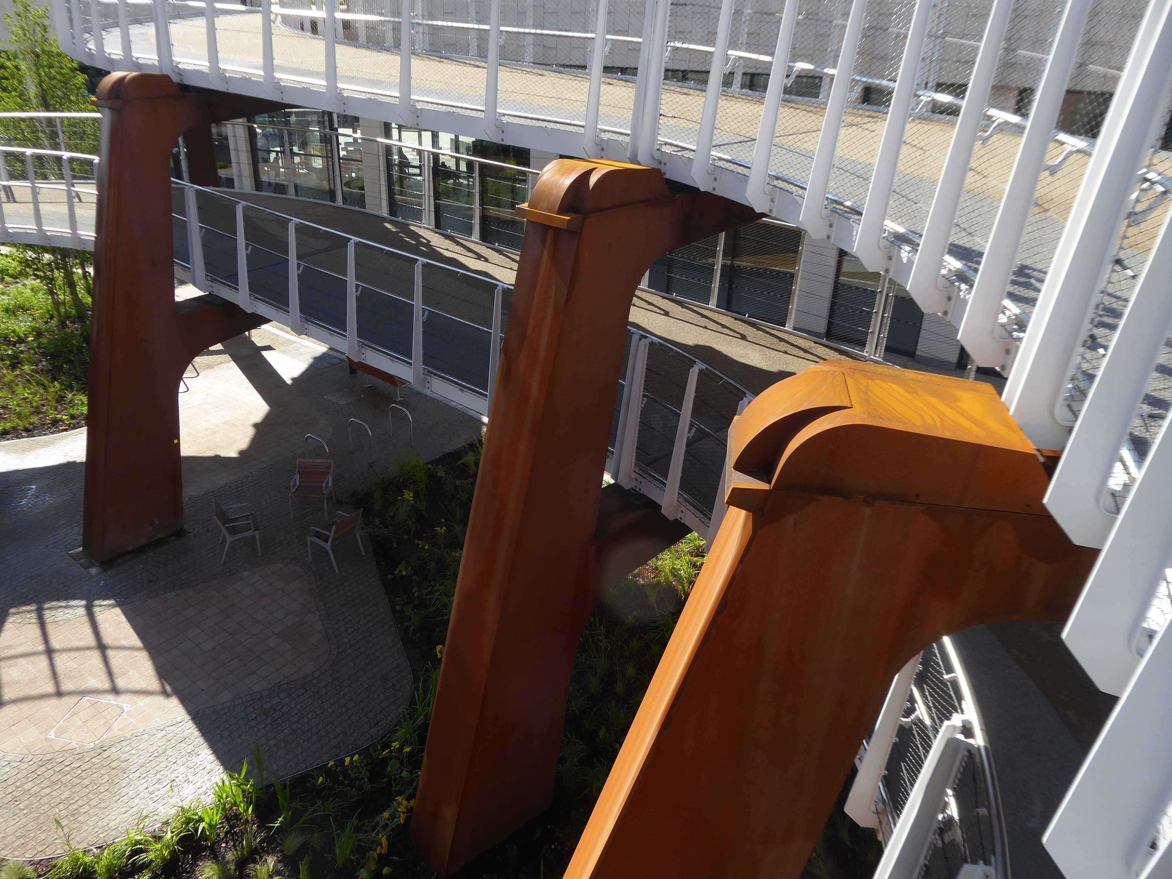
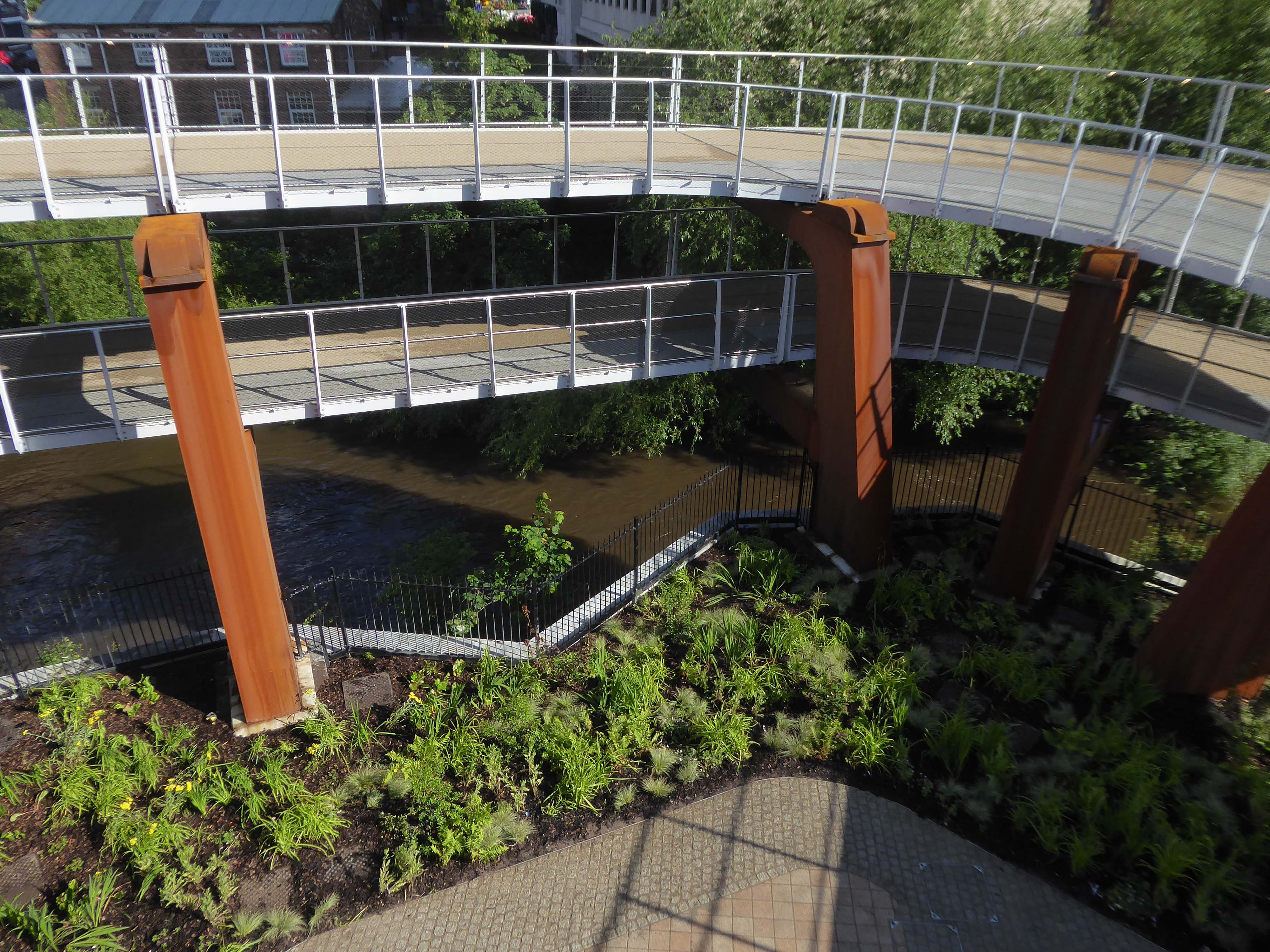
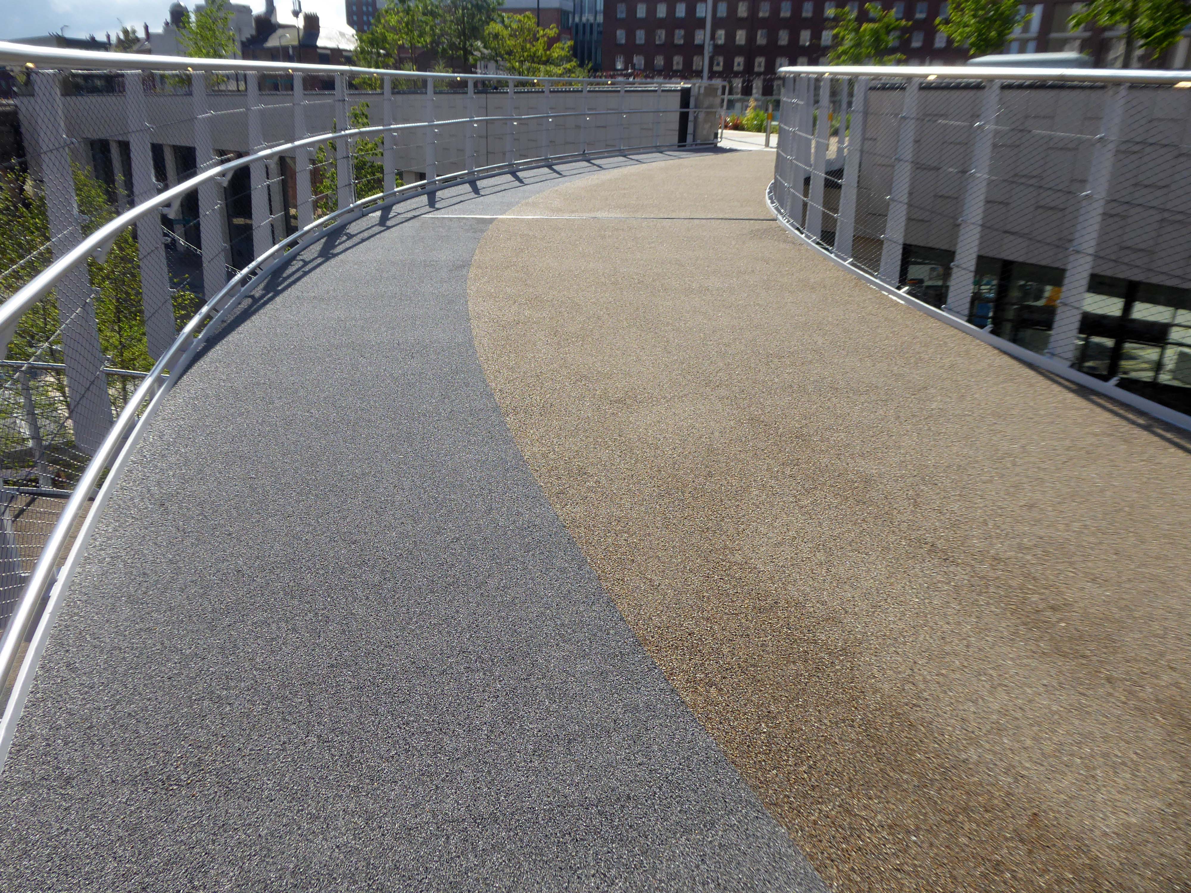
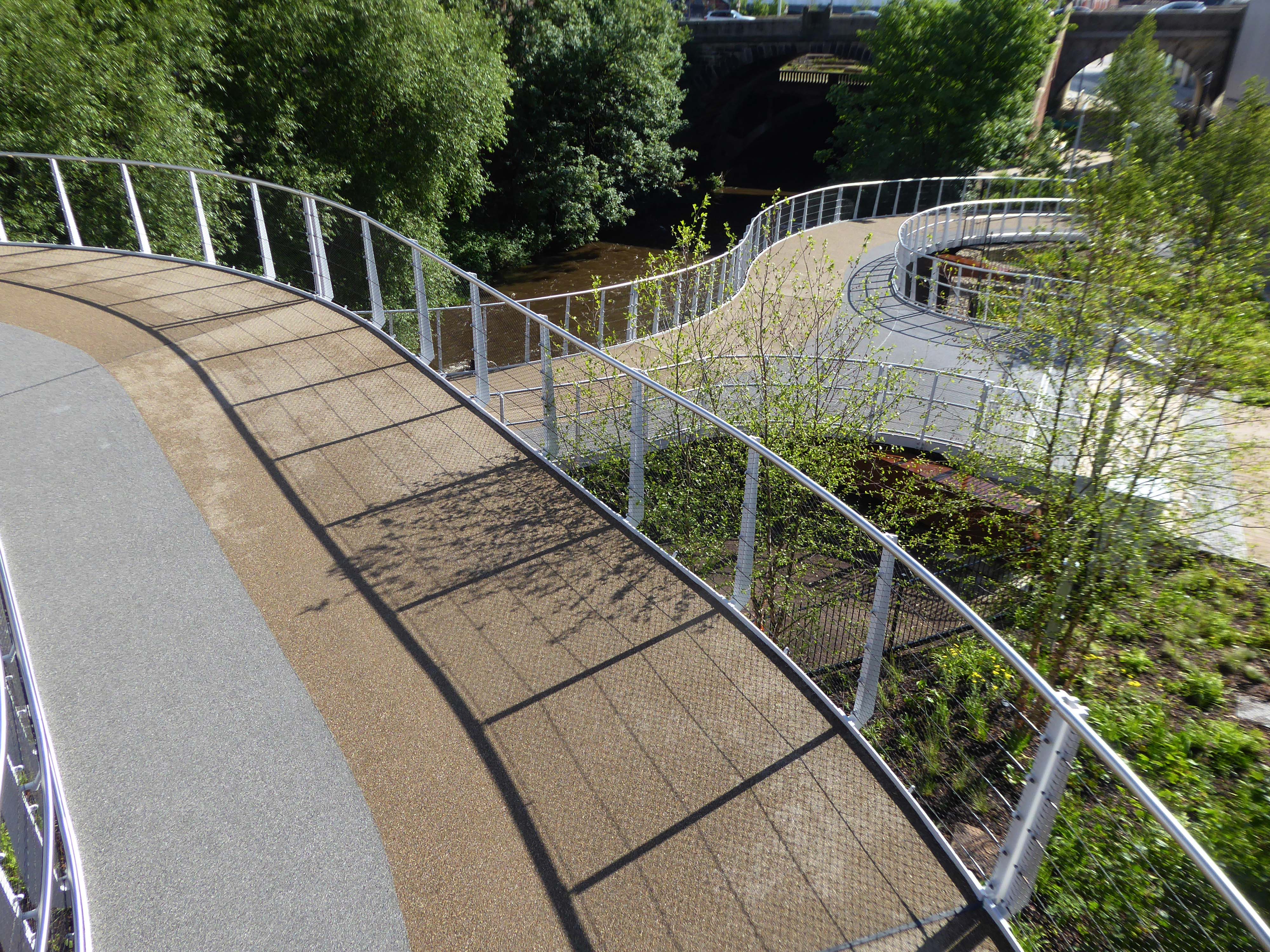
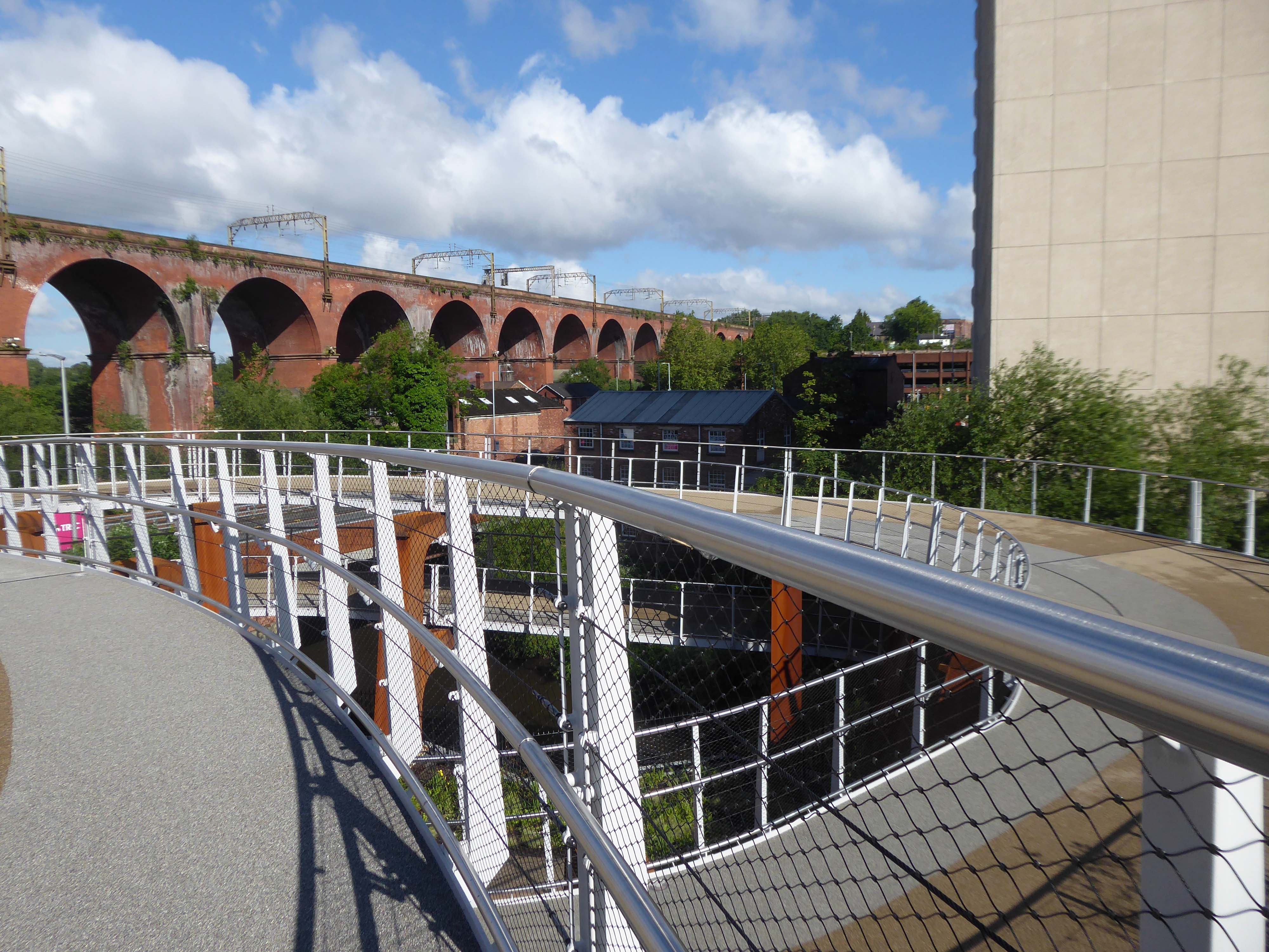
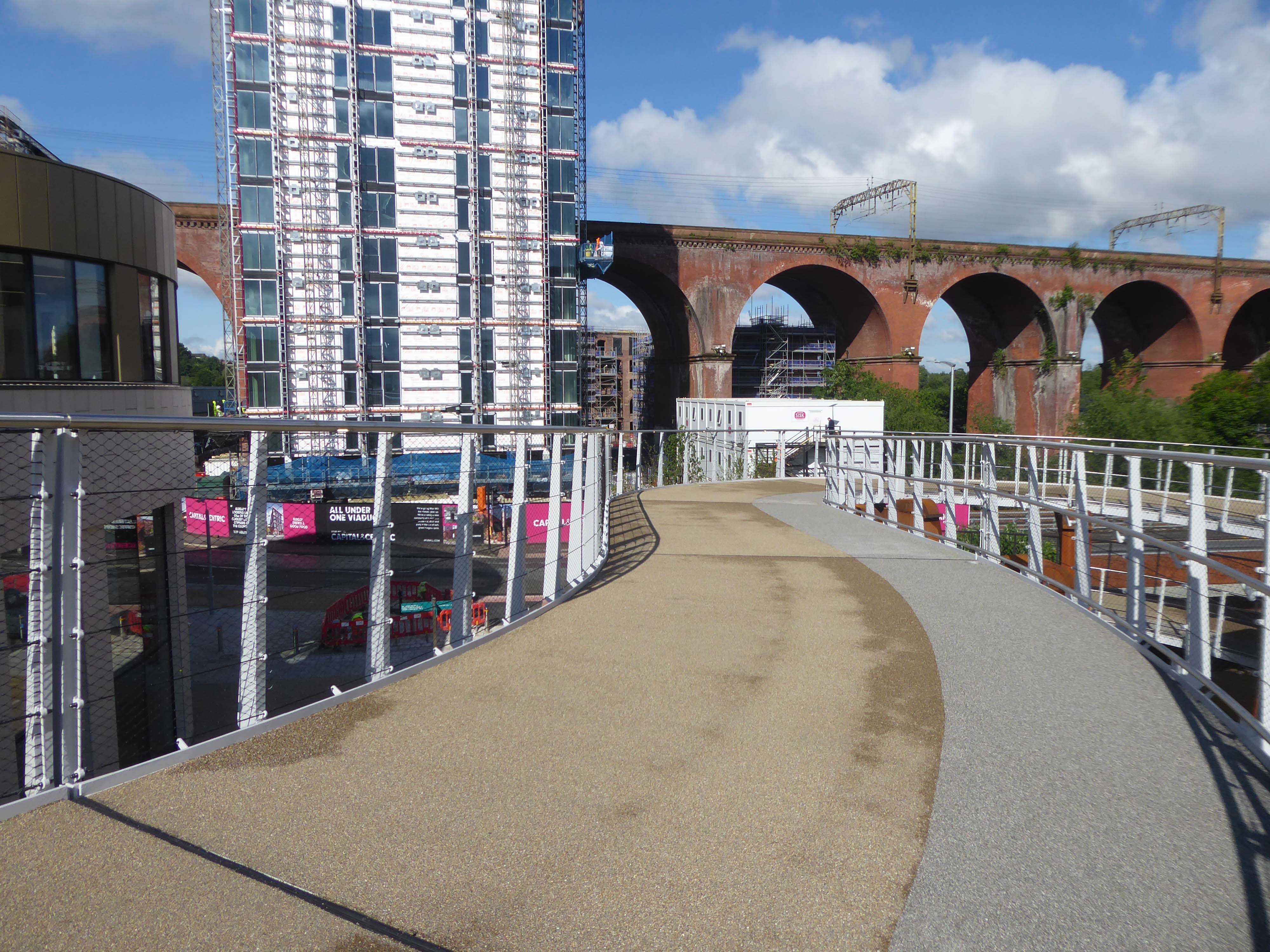
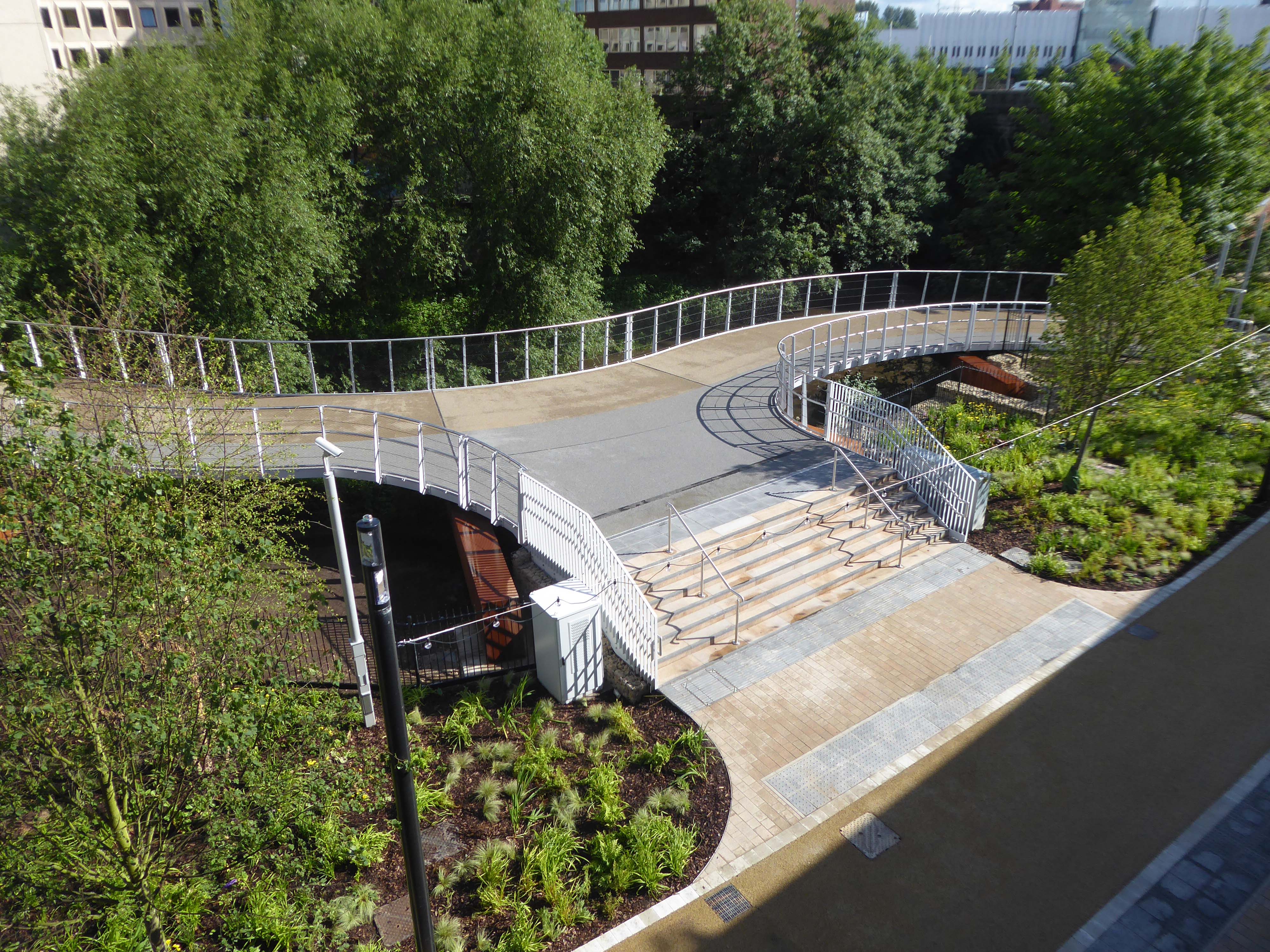
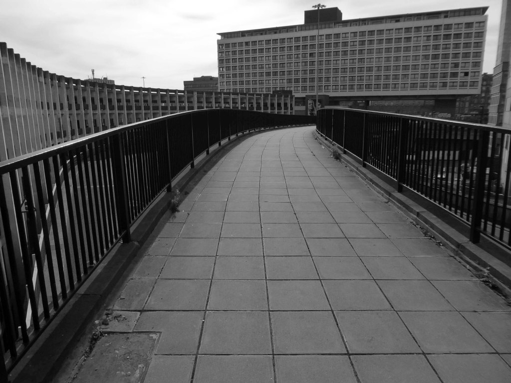
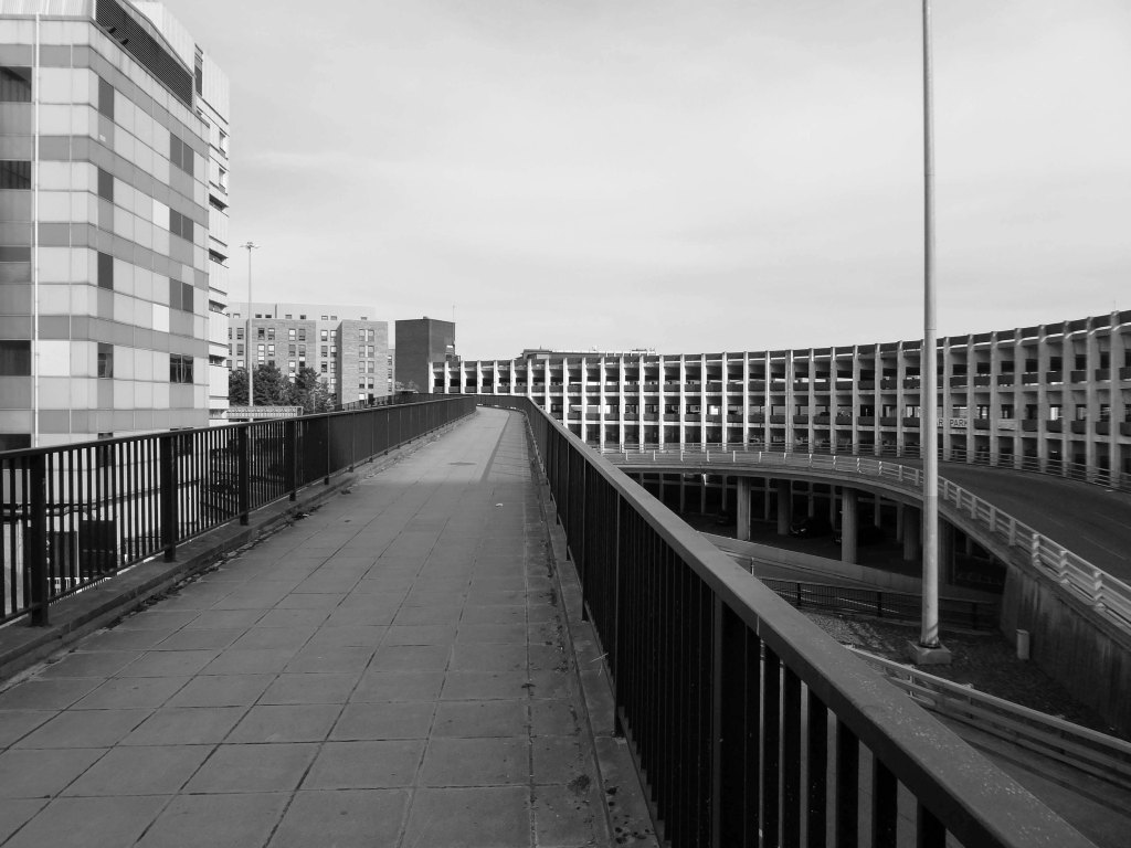
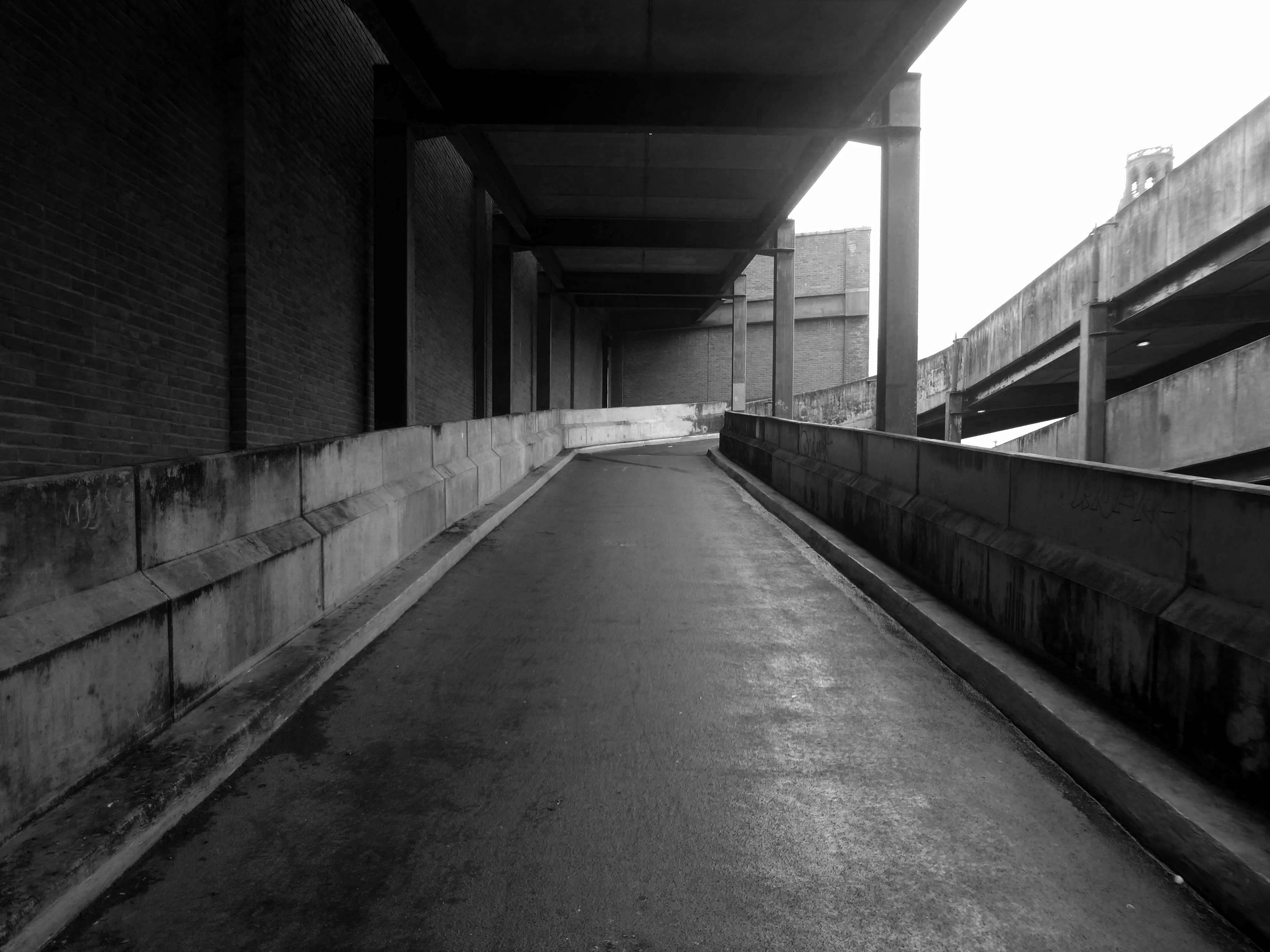
It’s now all grown up into a fully fledged transport interchange – with its very own pedestrian and cycling ramp.

The 189-metre ramp provides a seamless and accessible route to navigate the level change from the rooftop park to the river Mersey frontage, leading to the Trans Pennine Trail route.

Forming part of the Stockport Interchange Mixed Use development scheme, and which also includes a new cycle and pedestrian link from Stockport rail station to the new park, as well as connecting the new facility to the wider Bee Network cycling and walking infrastructure, which is designed to encourage more people to make journeys on foot or by bike.

One Stockport

Architect: The Harris Partnership
Steelwork Contractor: SH Structures
Main Contractor: Willmot Dixon
Structural Engineer: OPS Structures Ltd

Here is a time-lapse video of the whole construction site.

As a pedestrian, cyclist, train and bus user I wholeheartedly approve of the whole shebang.

Let’s take a walk up the ramp together.

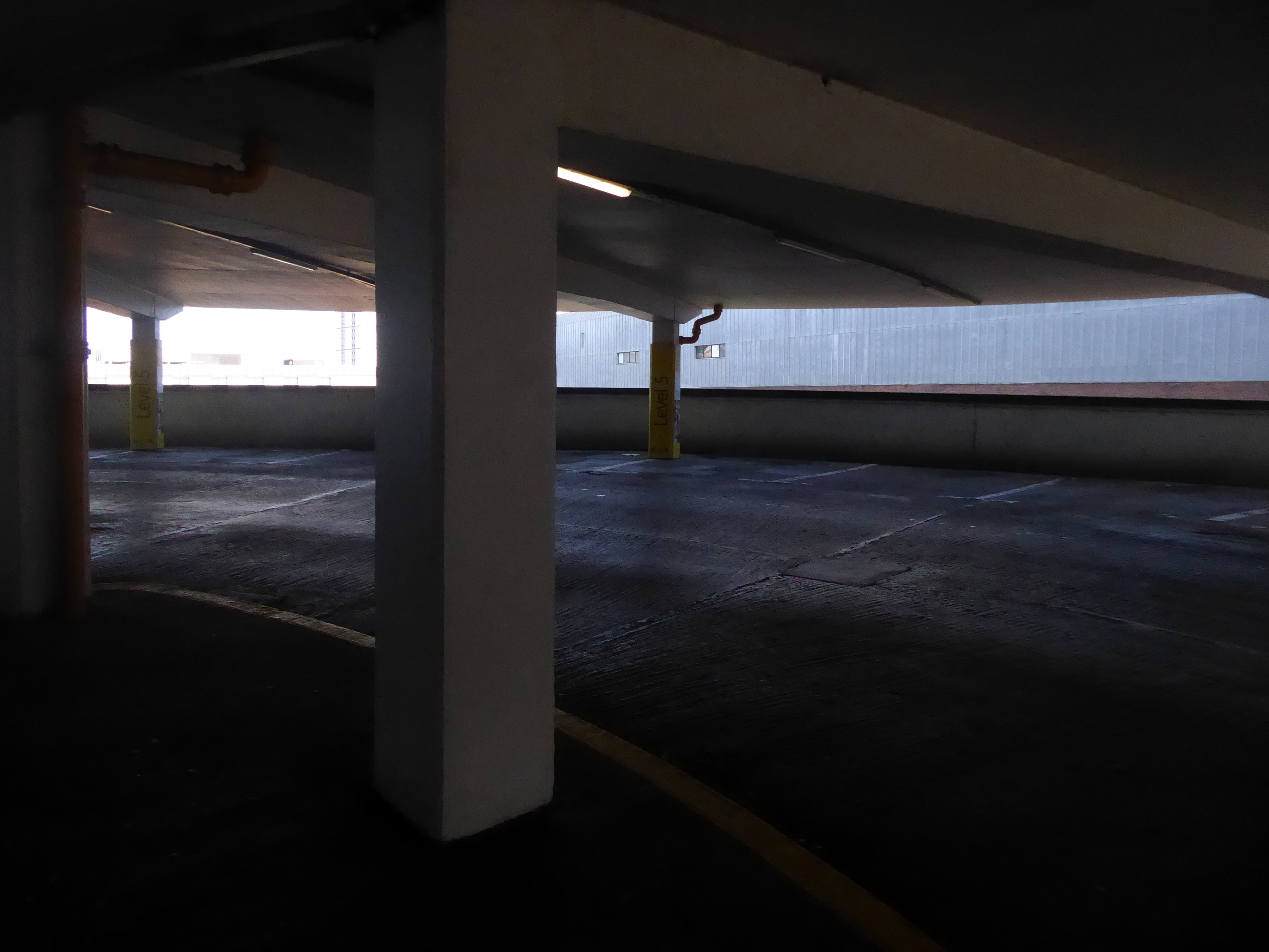
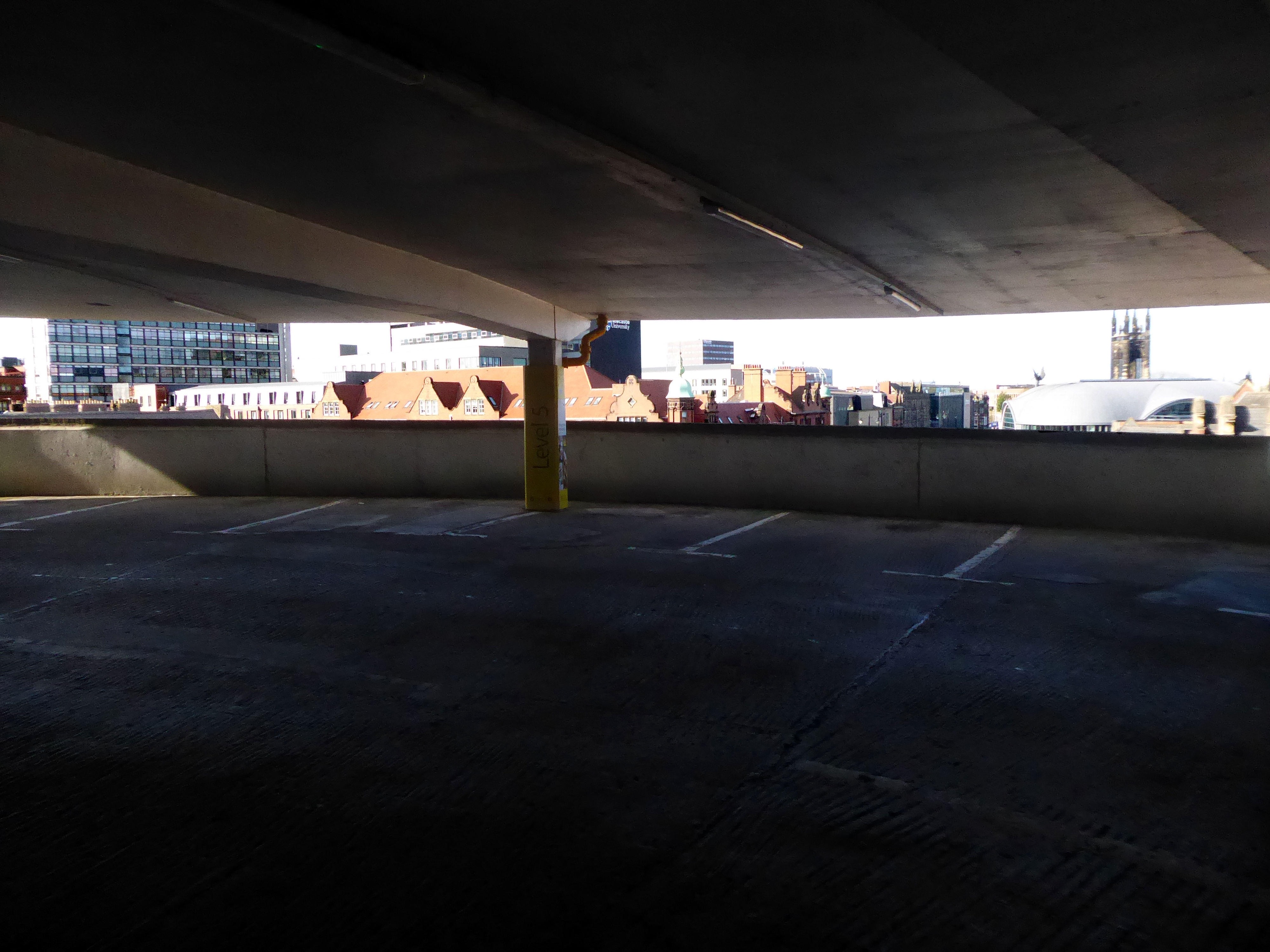
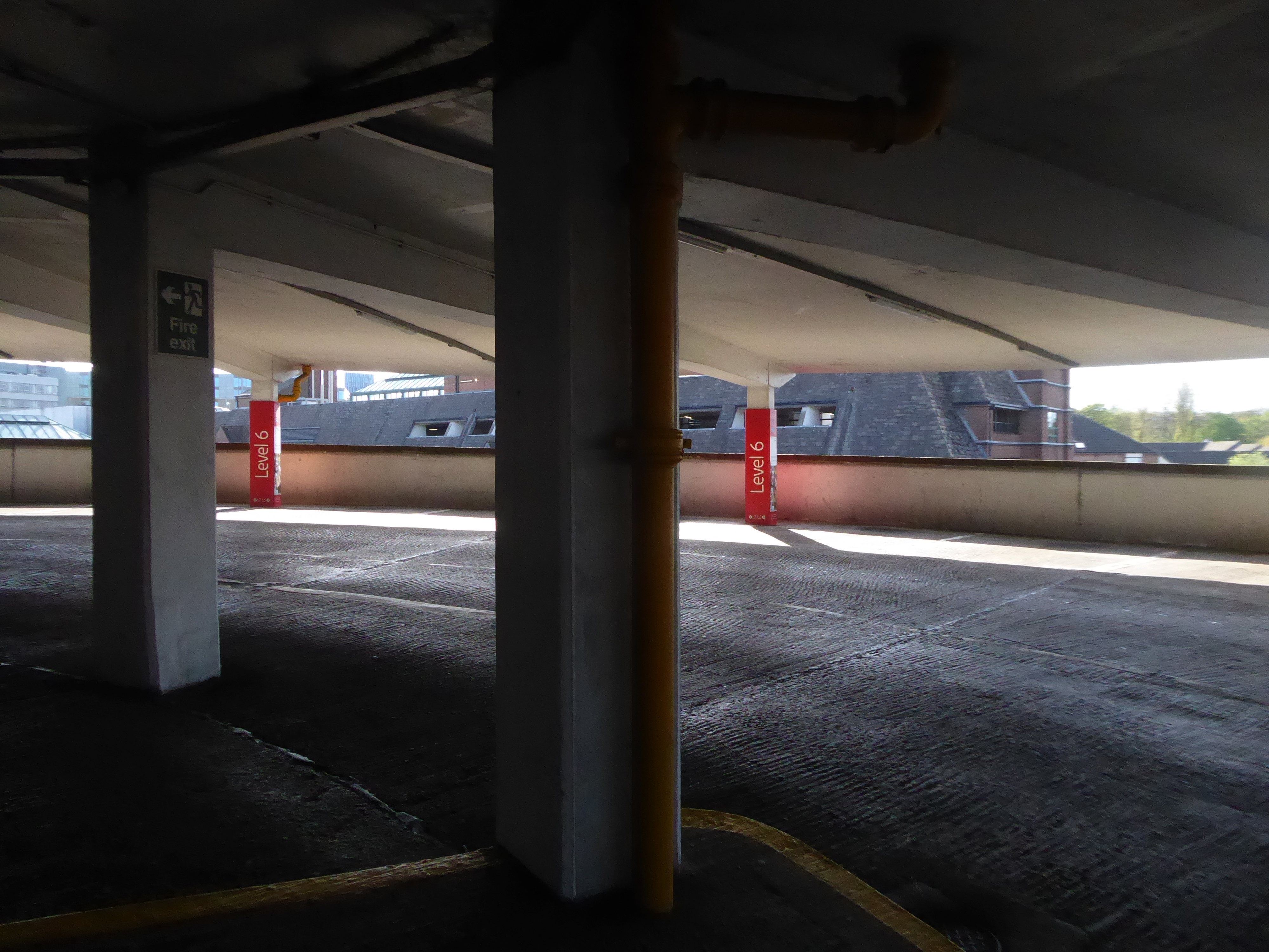
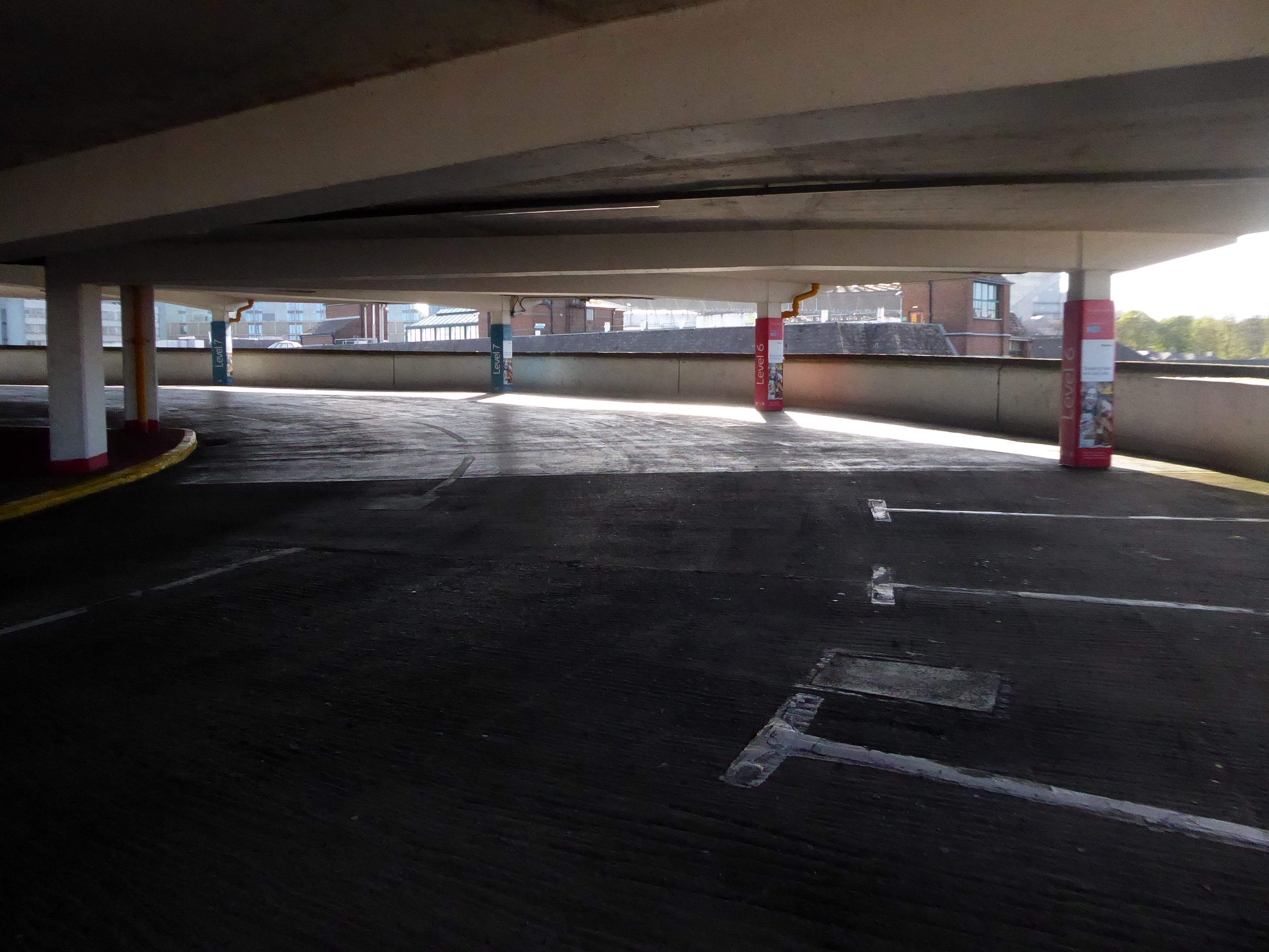
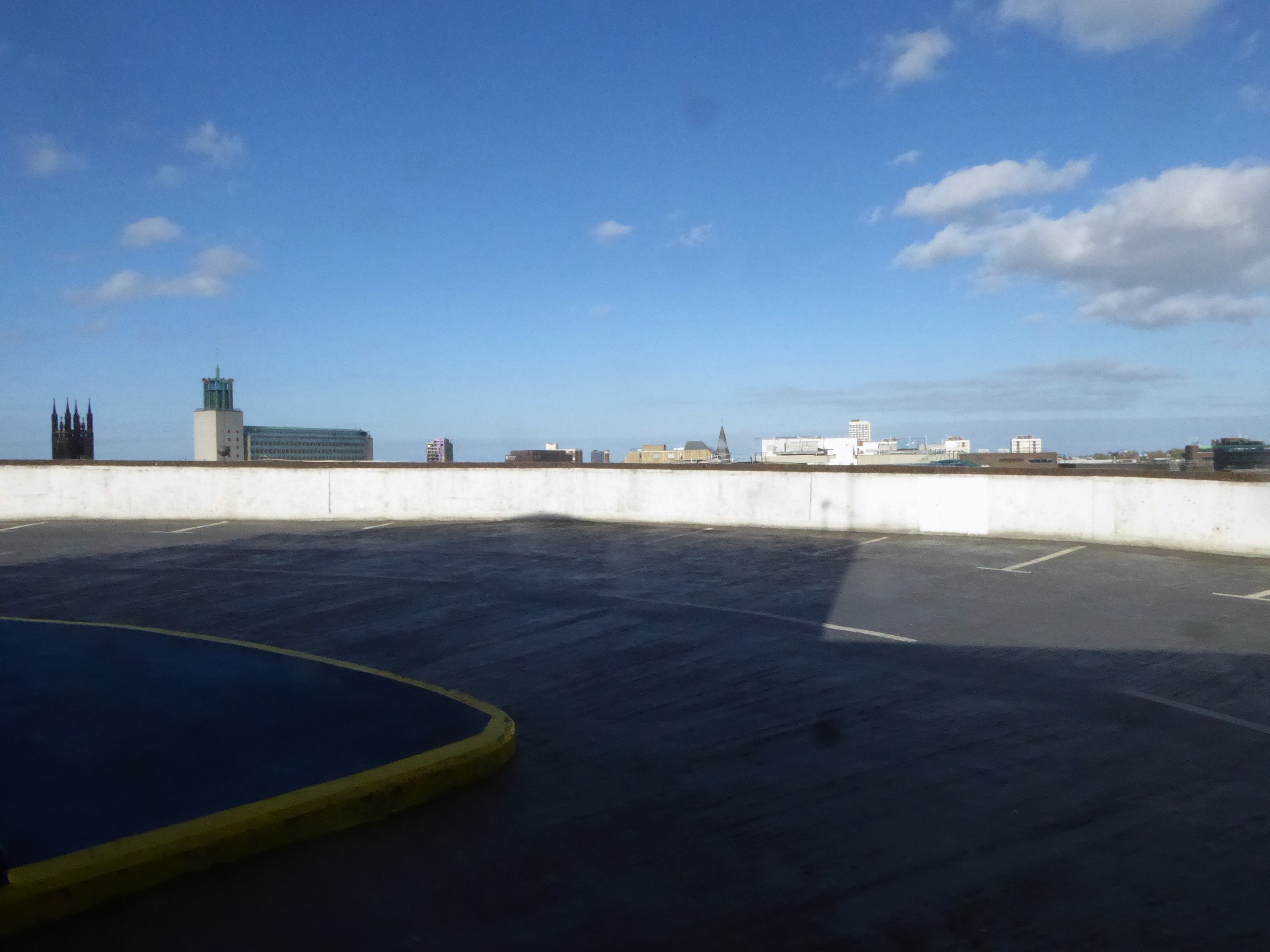
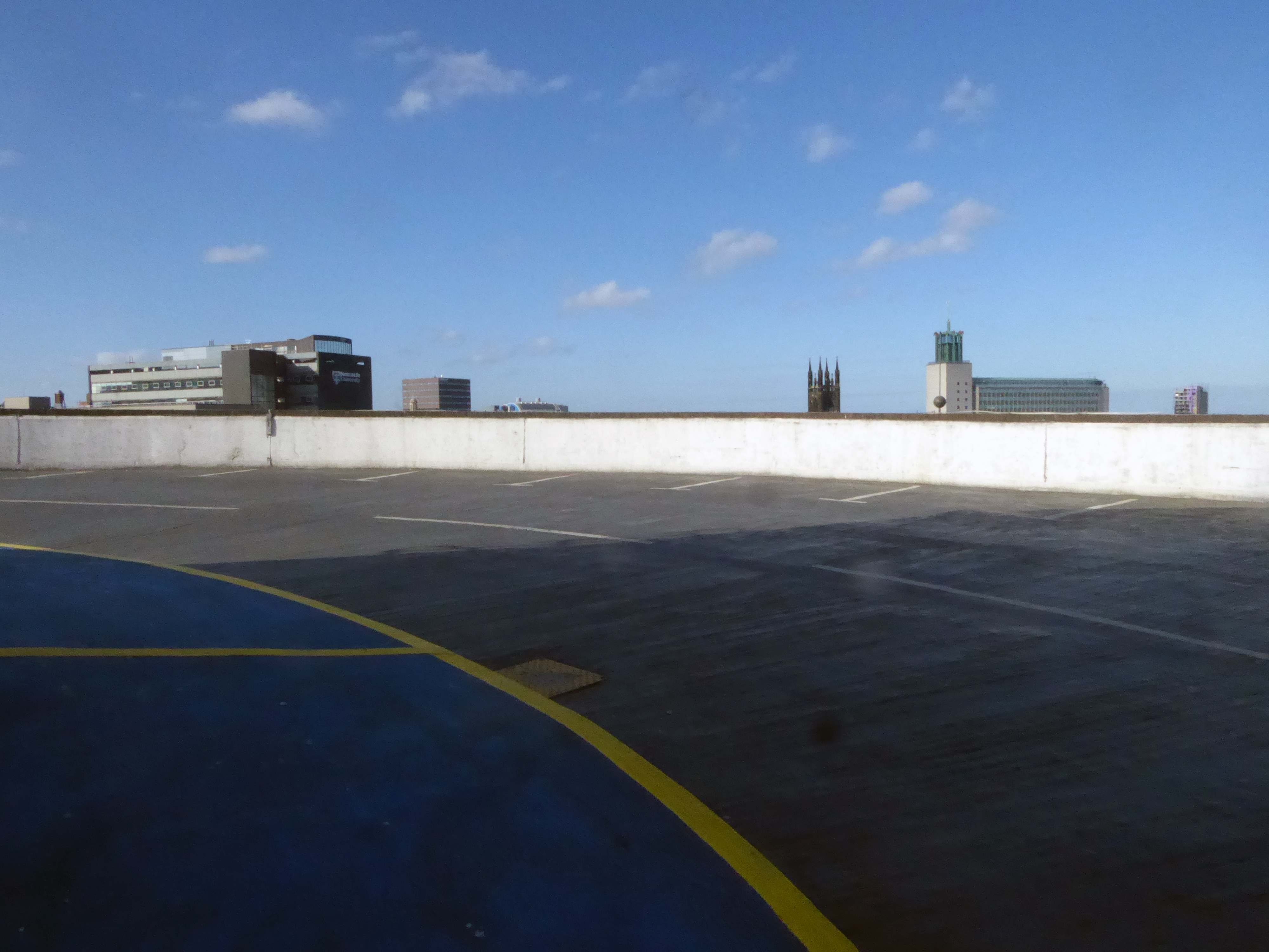
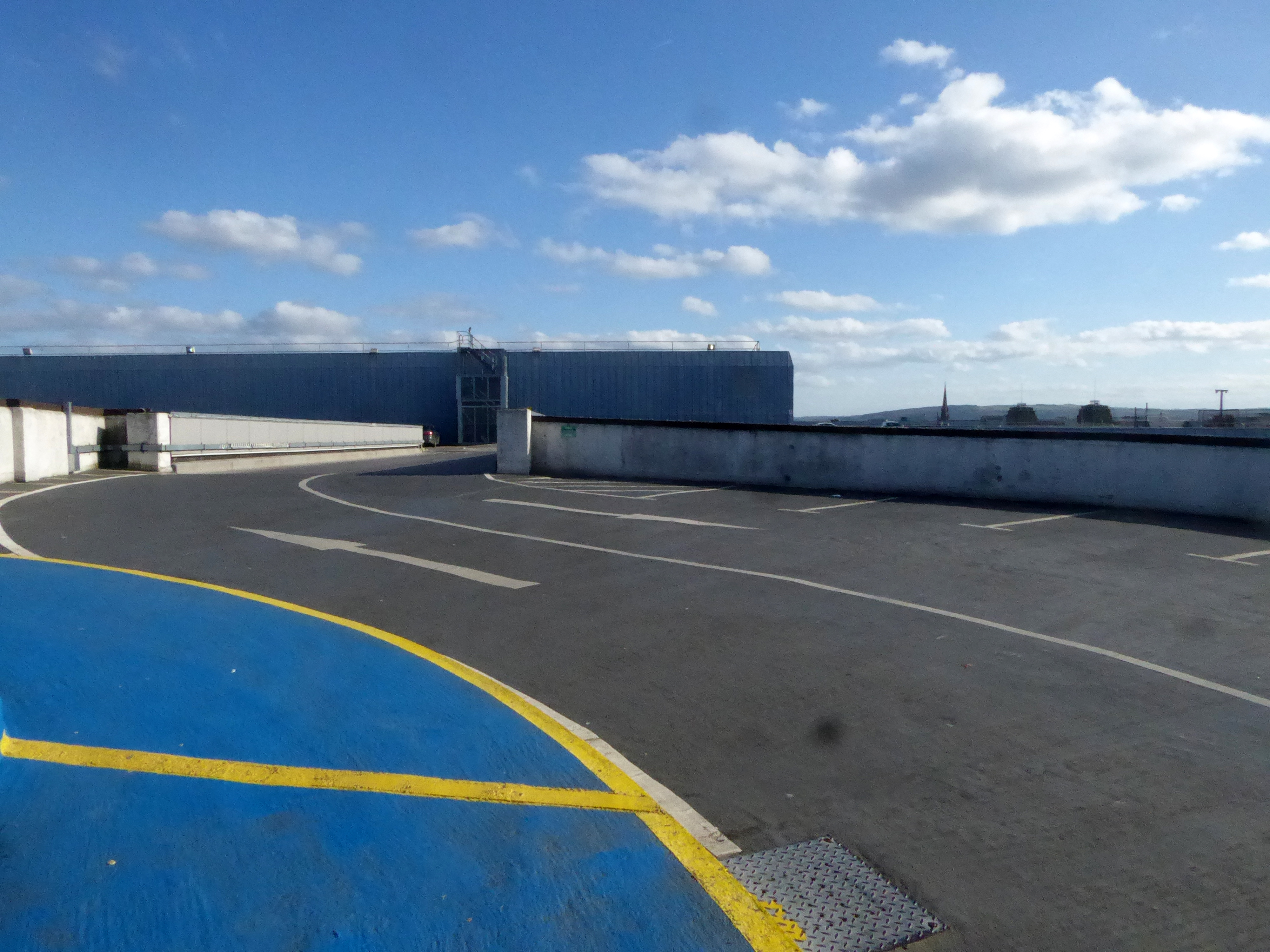
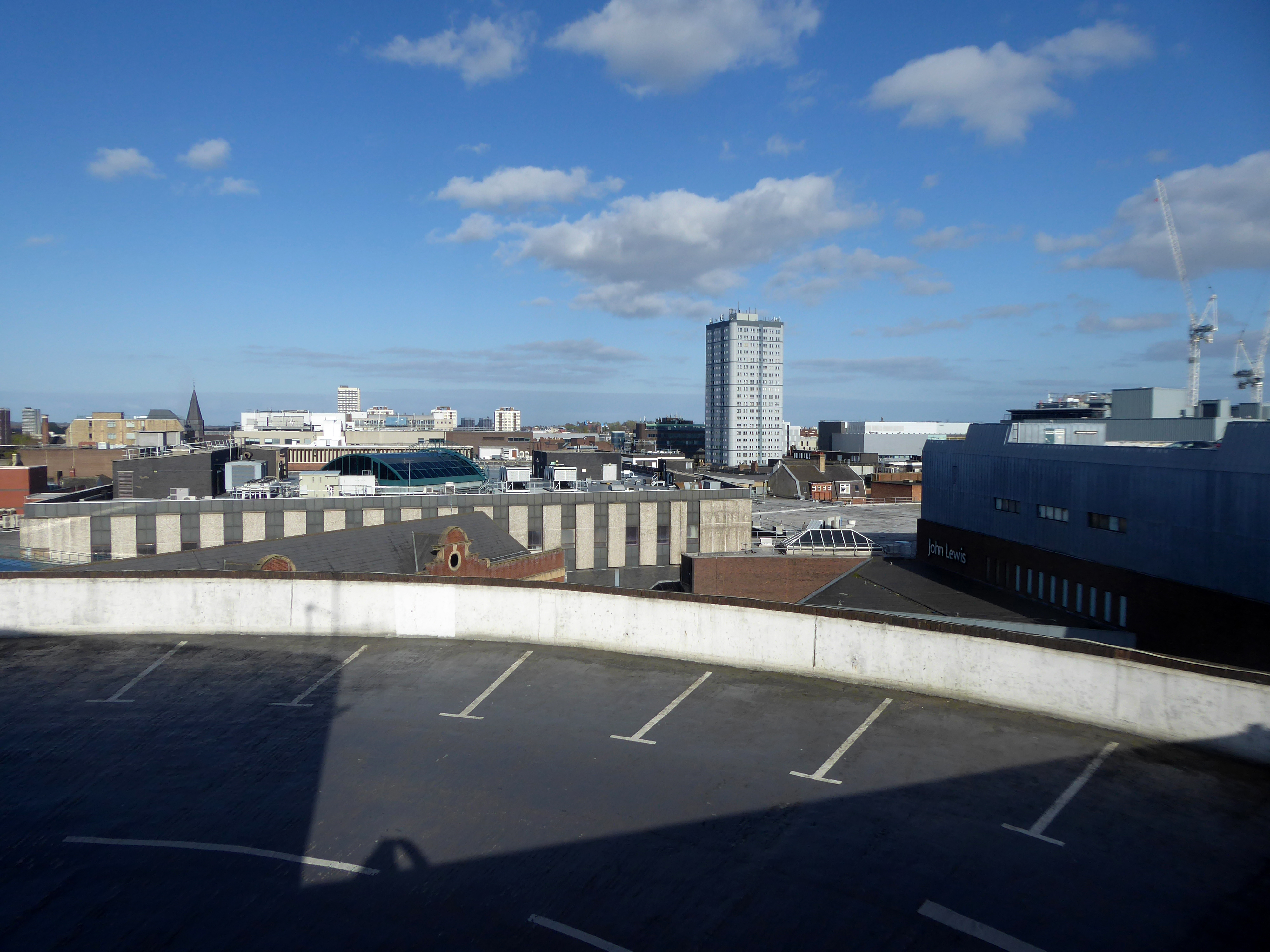
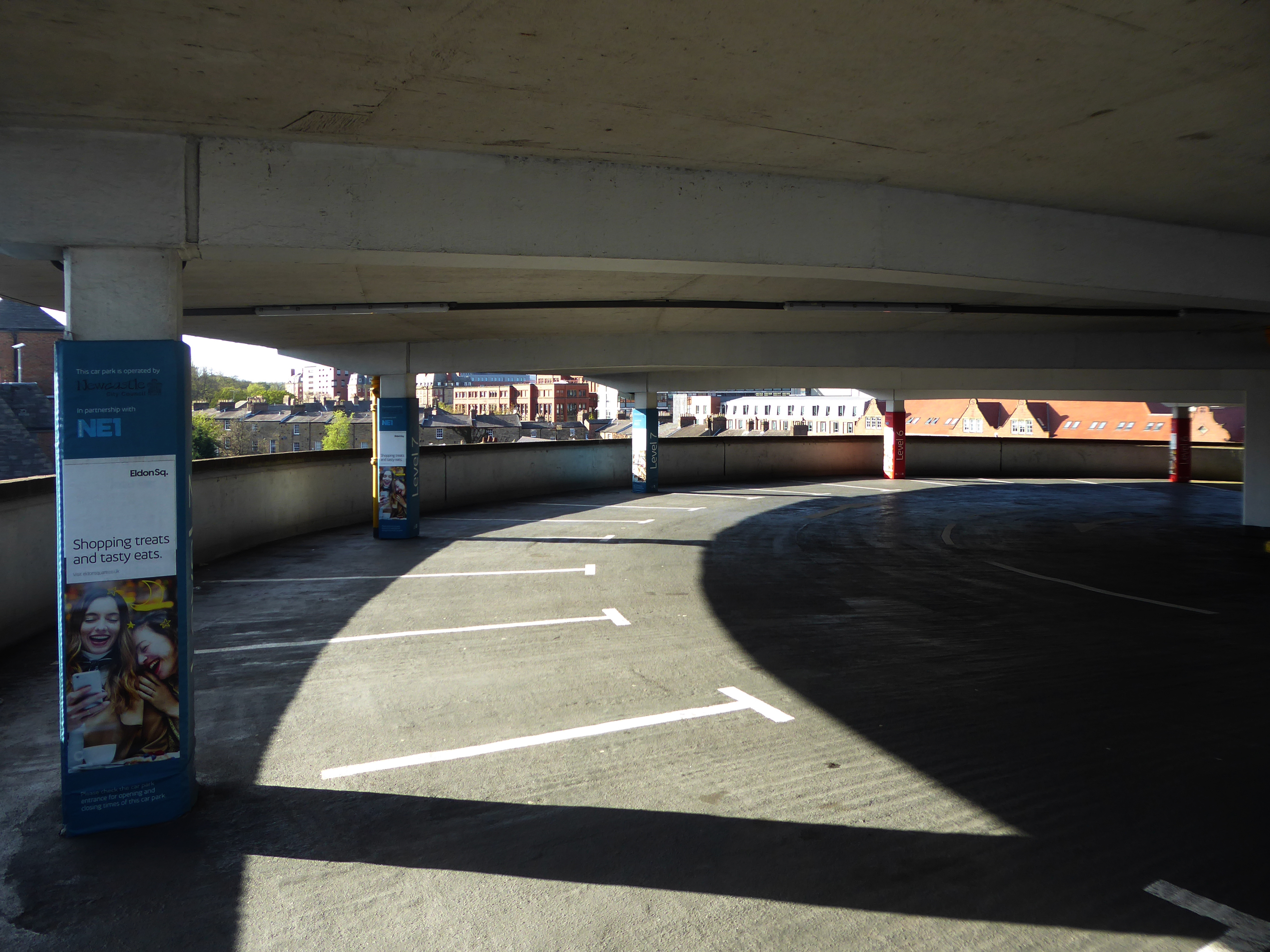
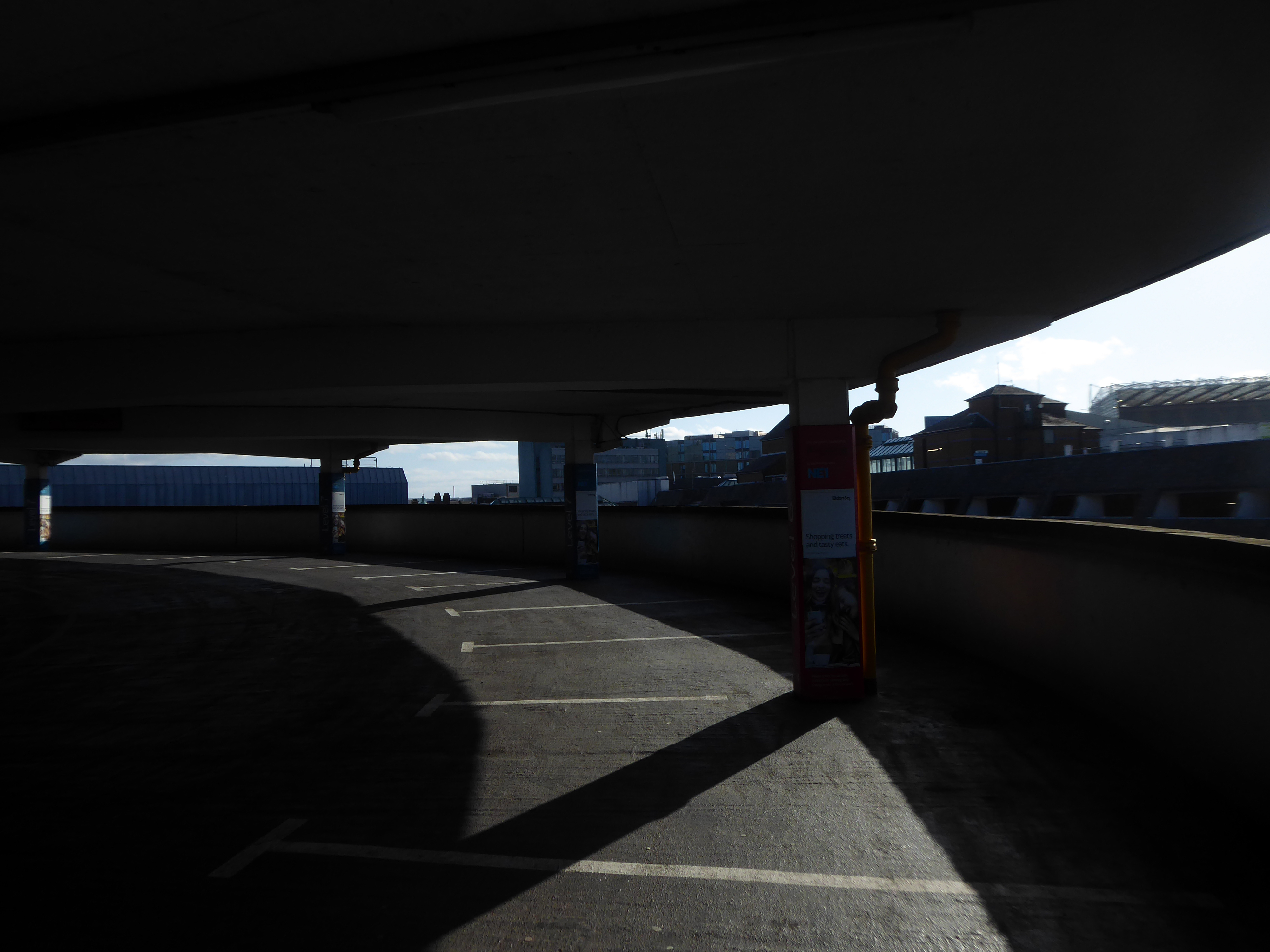
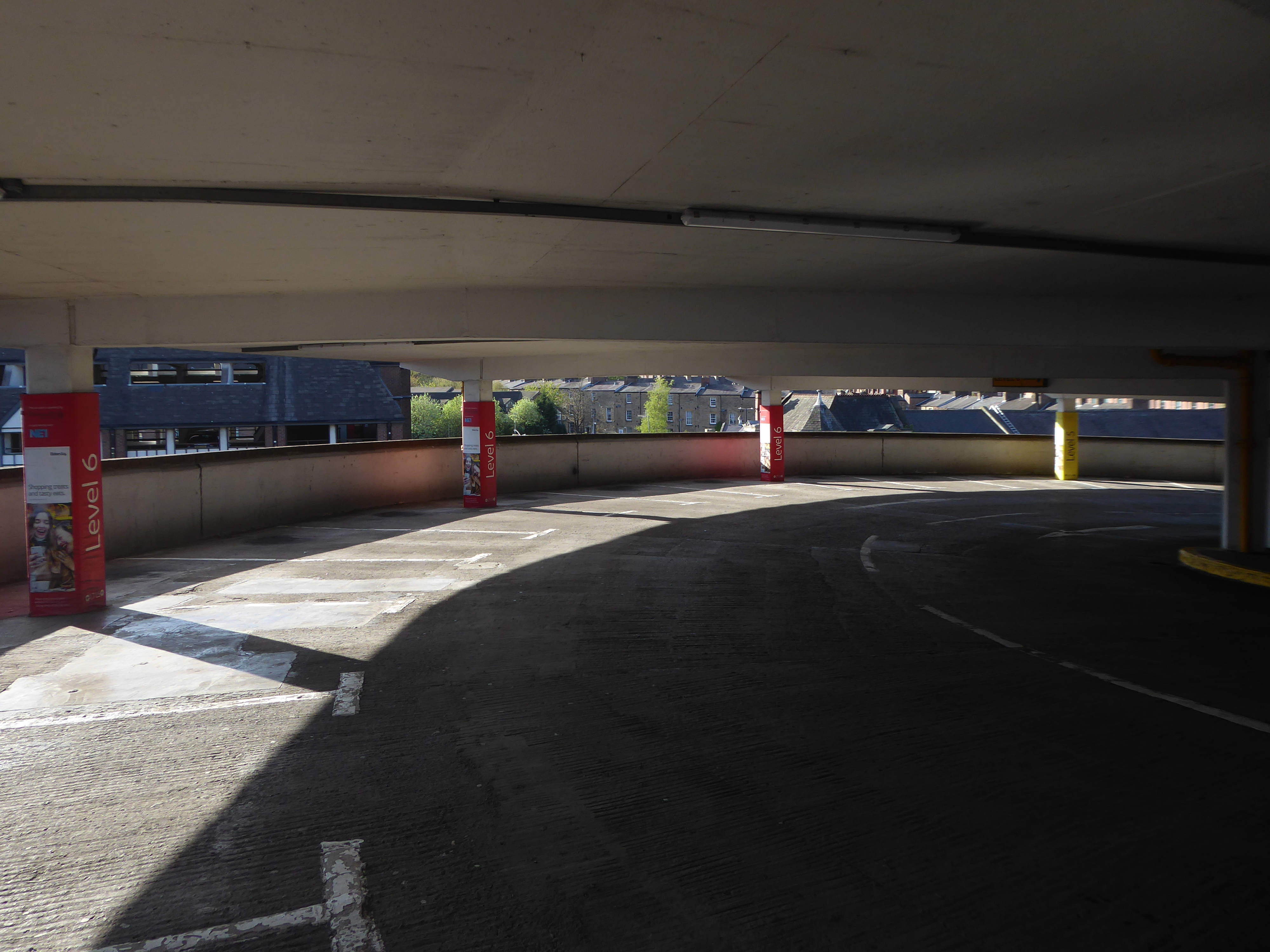
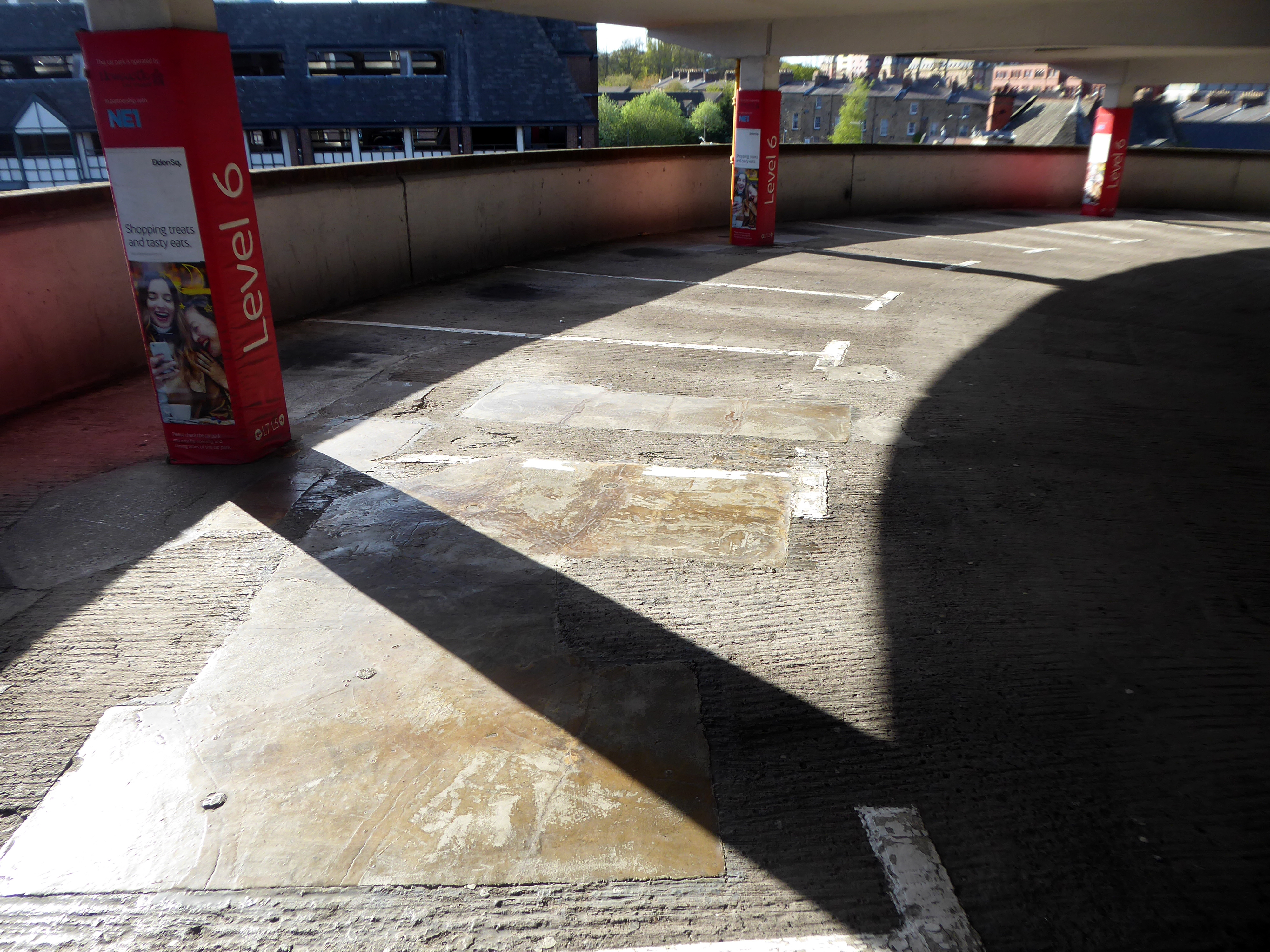
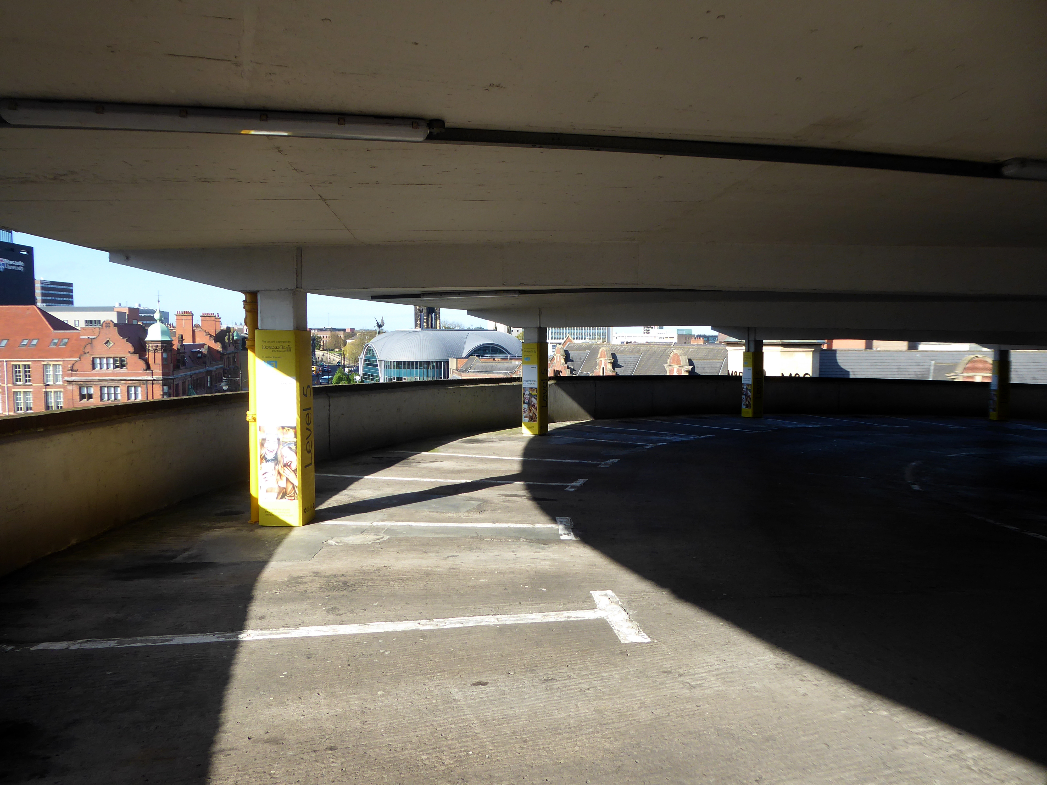
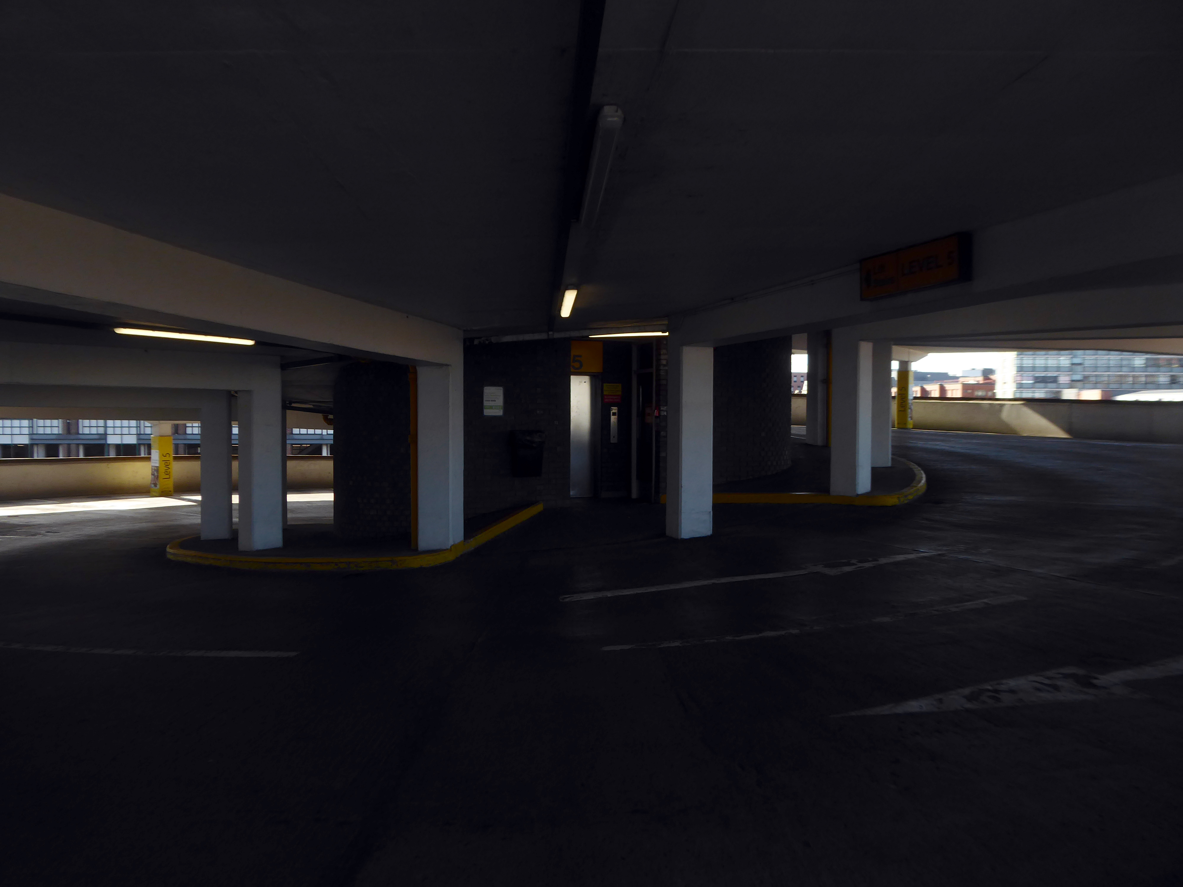
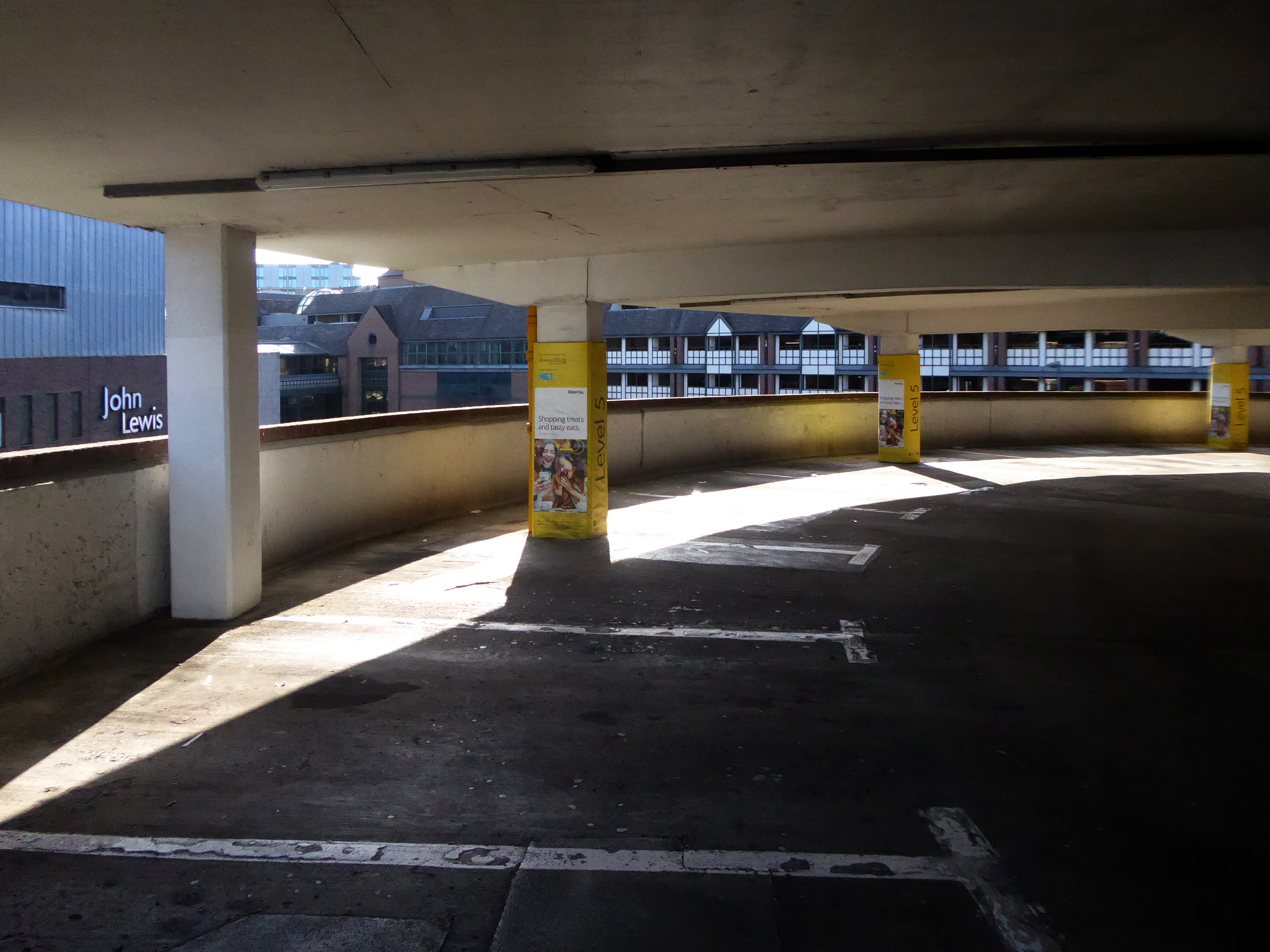
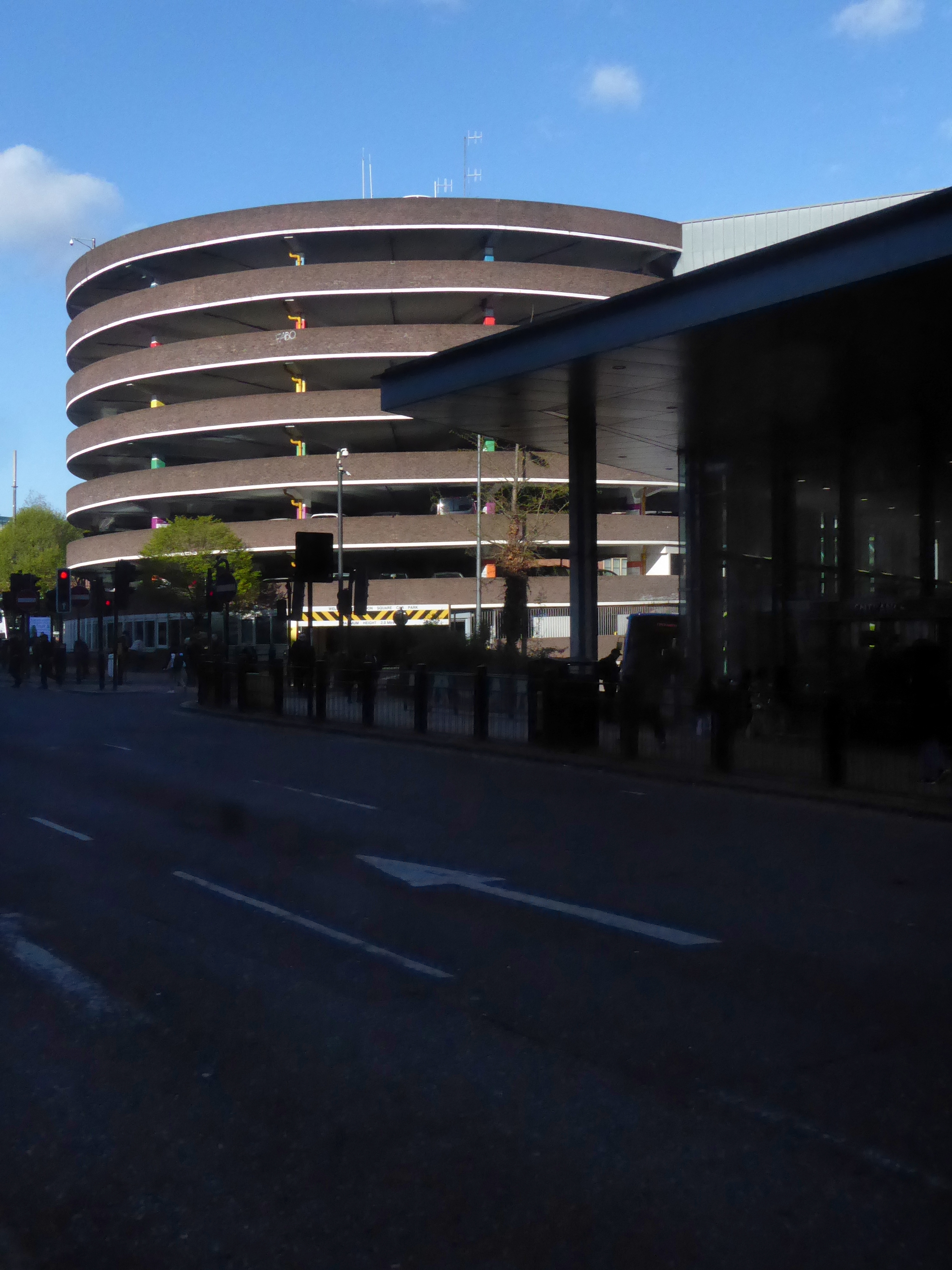
Car Park – Eldon Square

Eldon Square Percy Street Newcastle upon Tyne NE1 7RZ

Well here we are in Newcastle again exploring a car park – last time was the Manors.

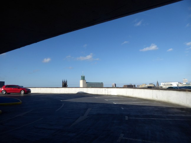
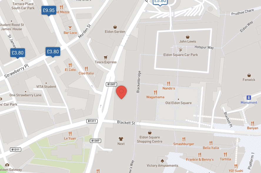
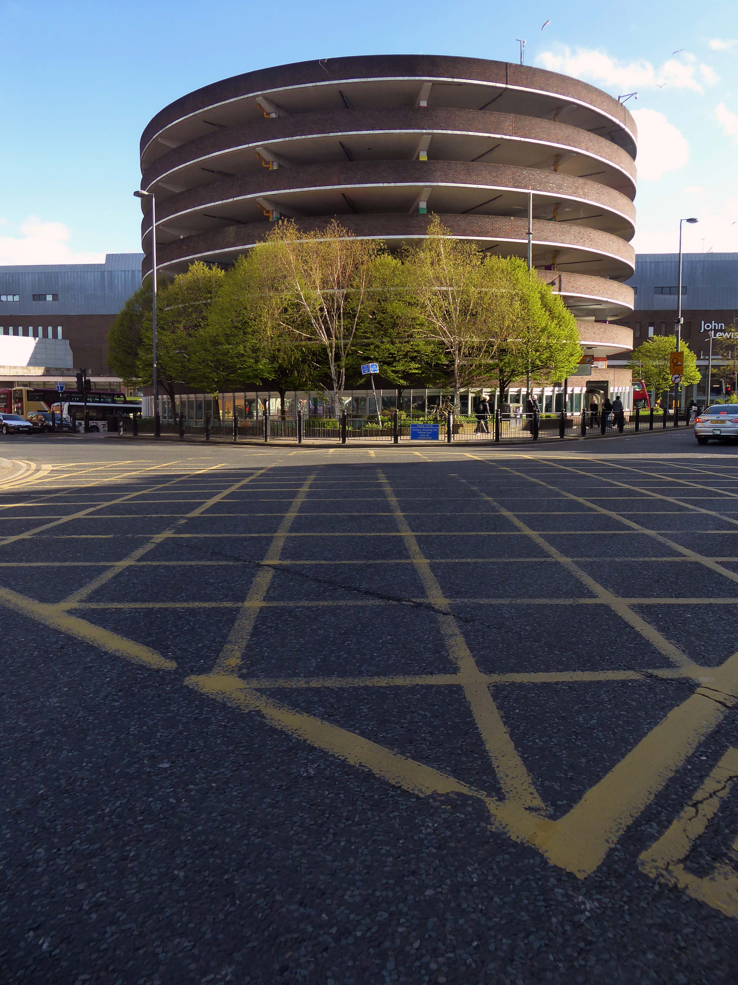
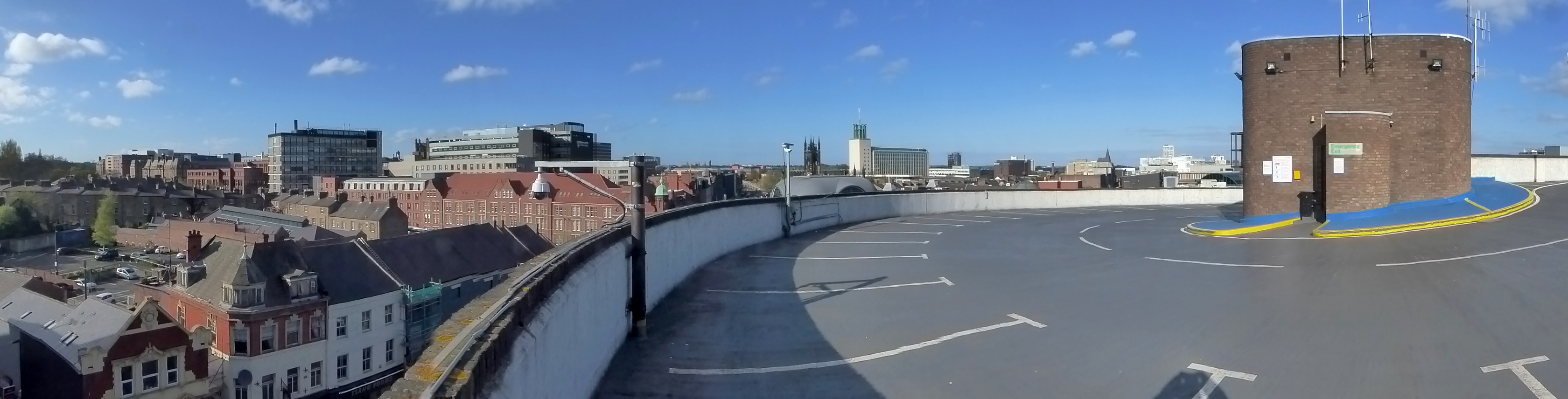
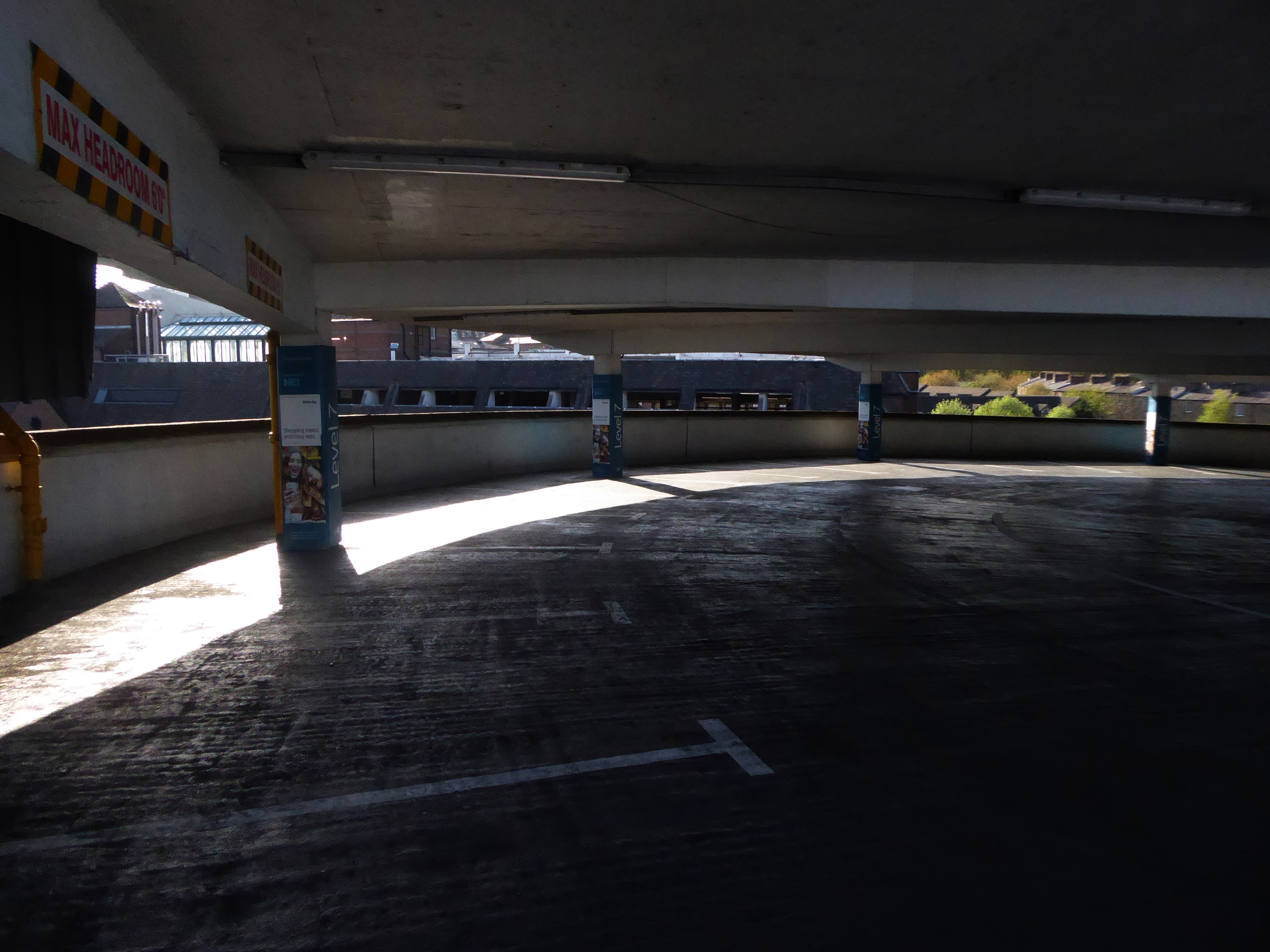
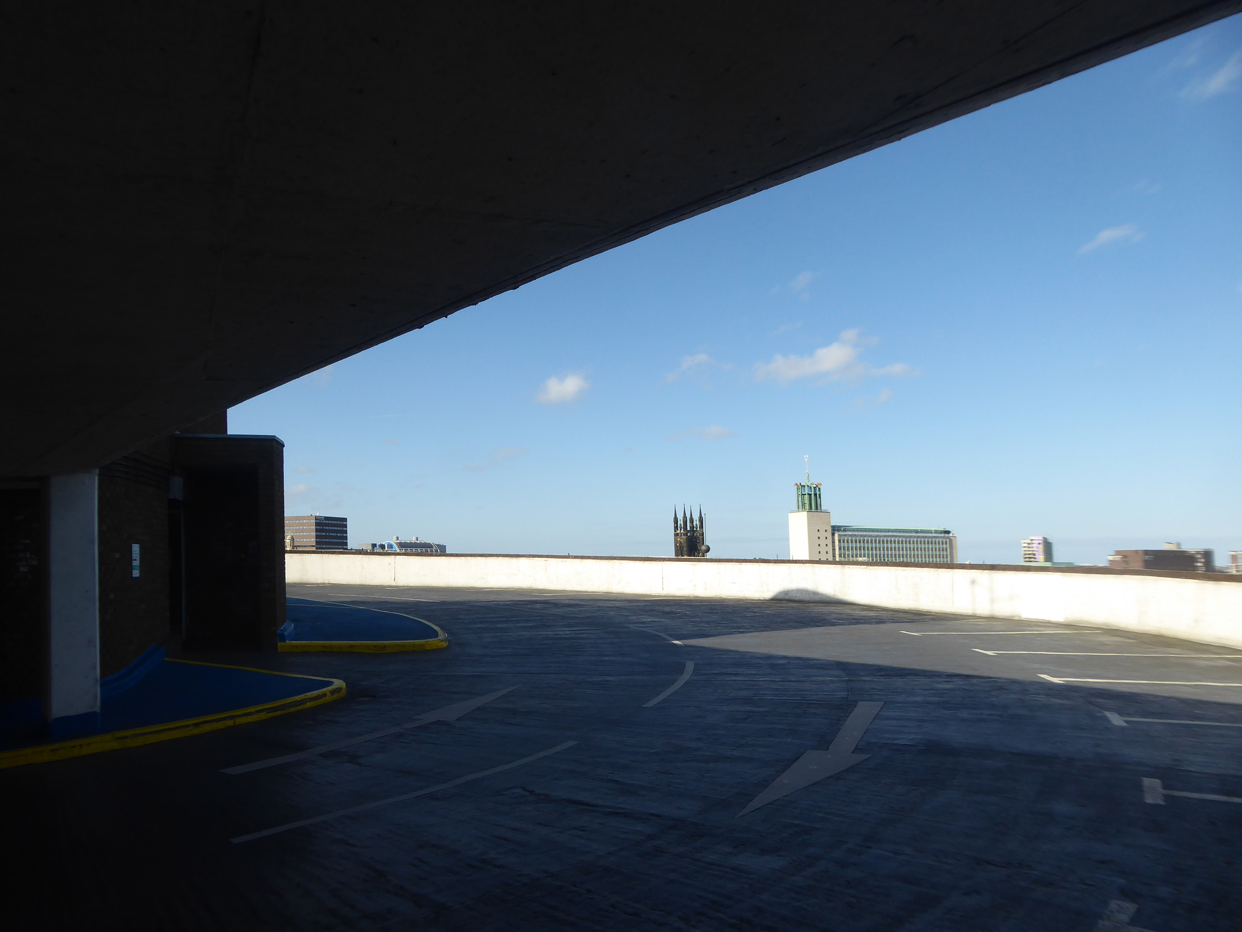
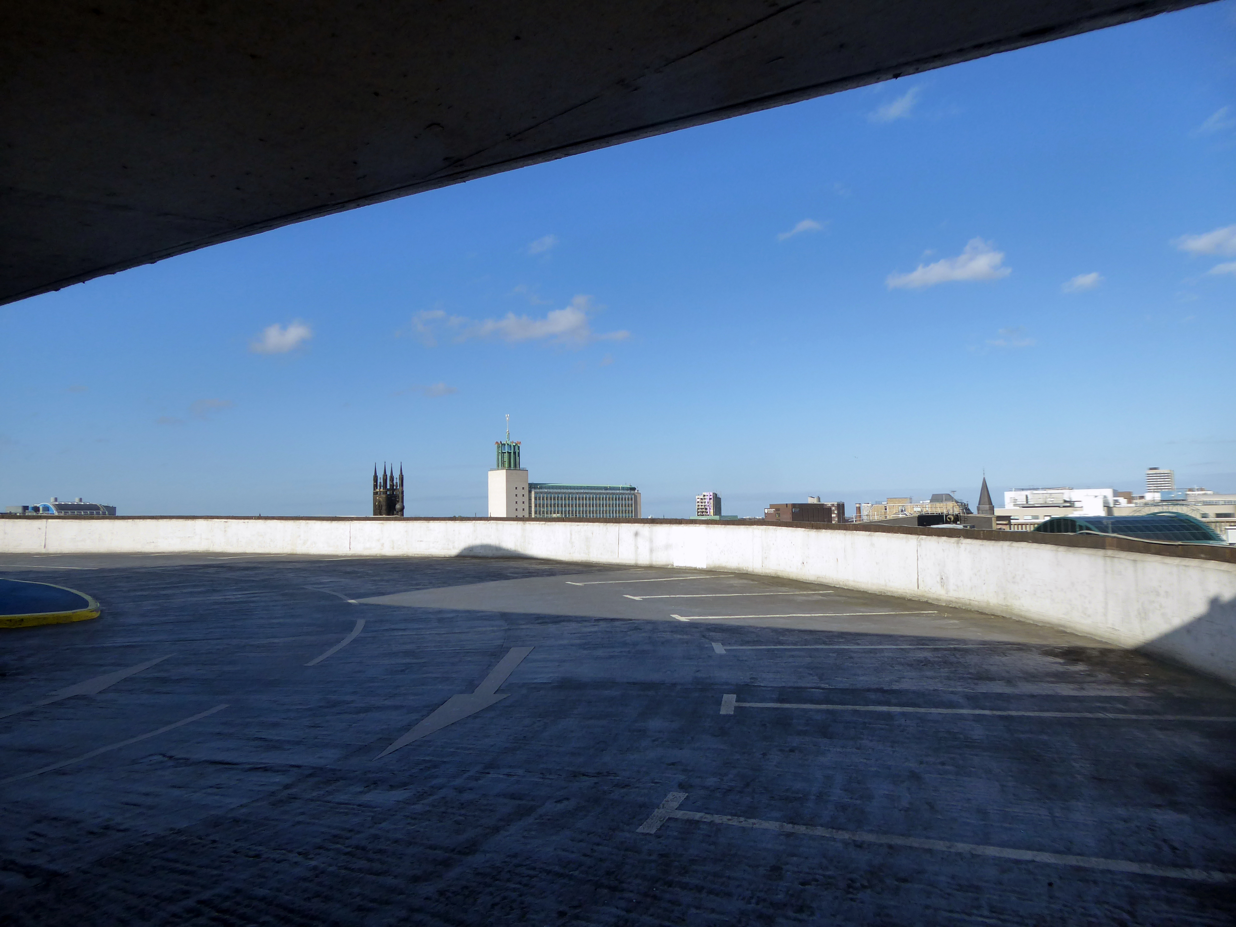
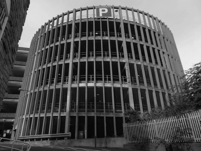
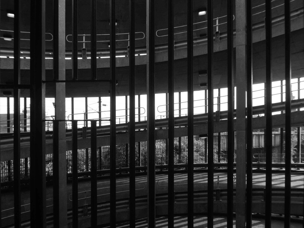
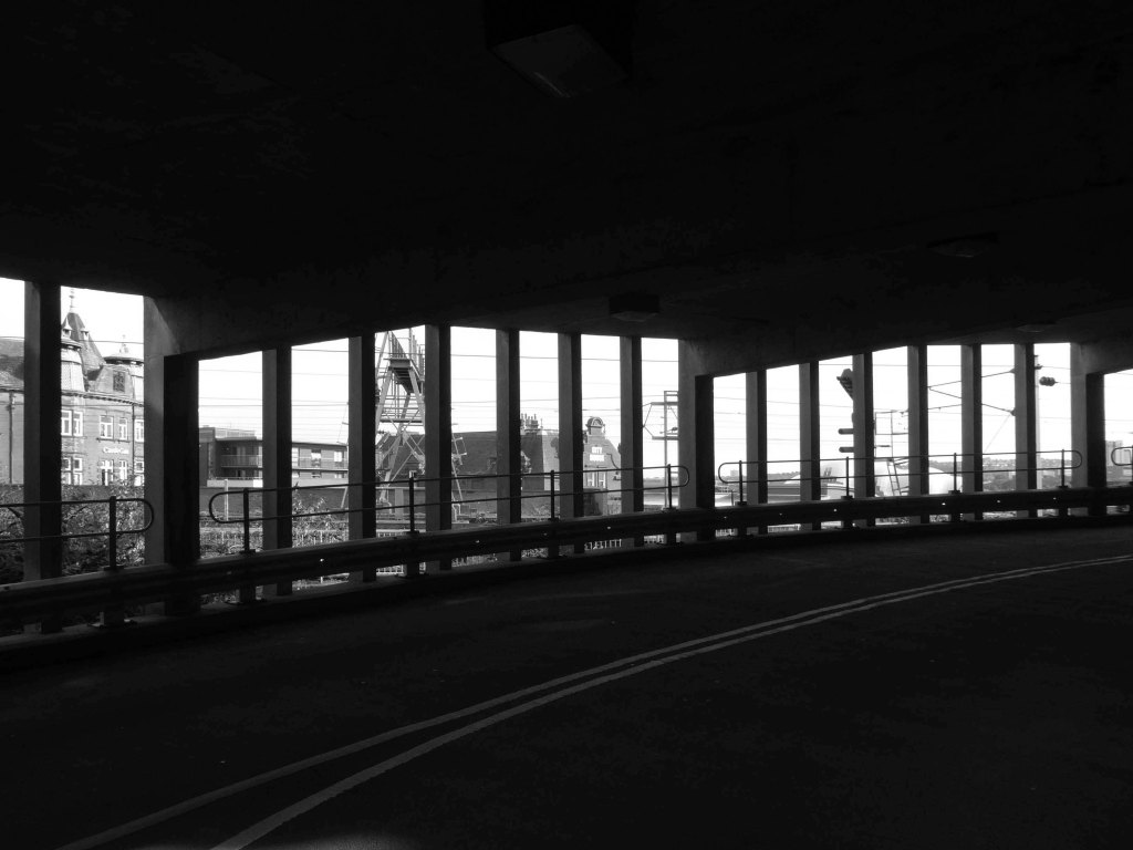
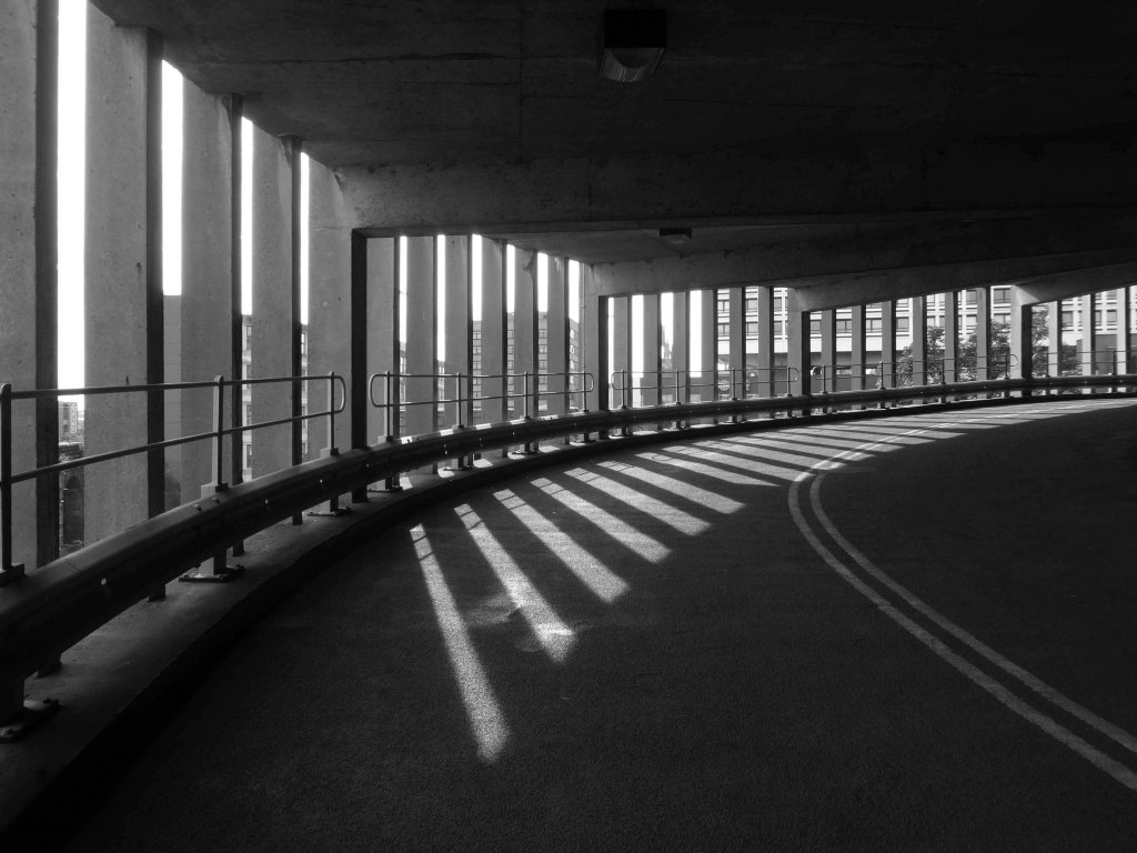
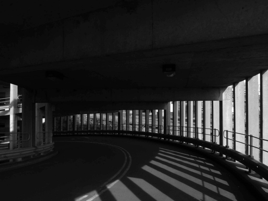
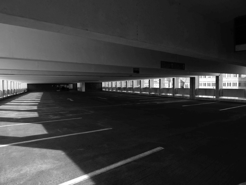
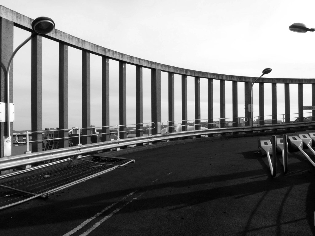
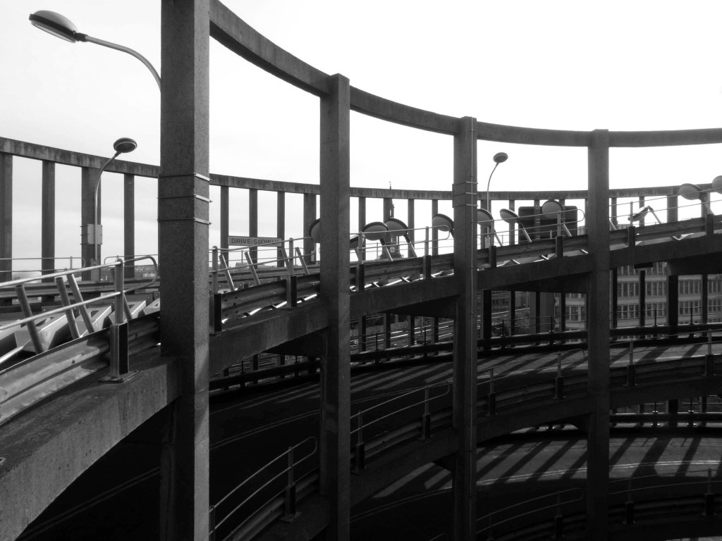
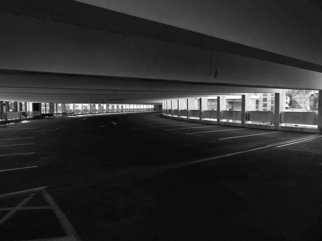
We are a walkway and a walk away at Eldon Square – a great big drum of a spiral ramped cylinder.

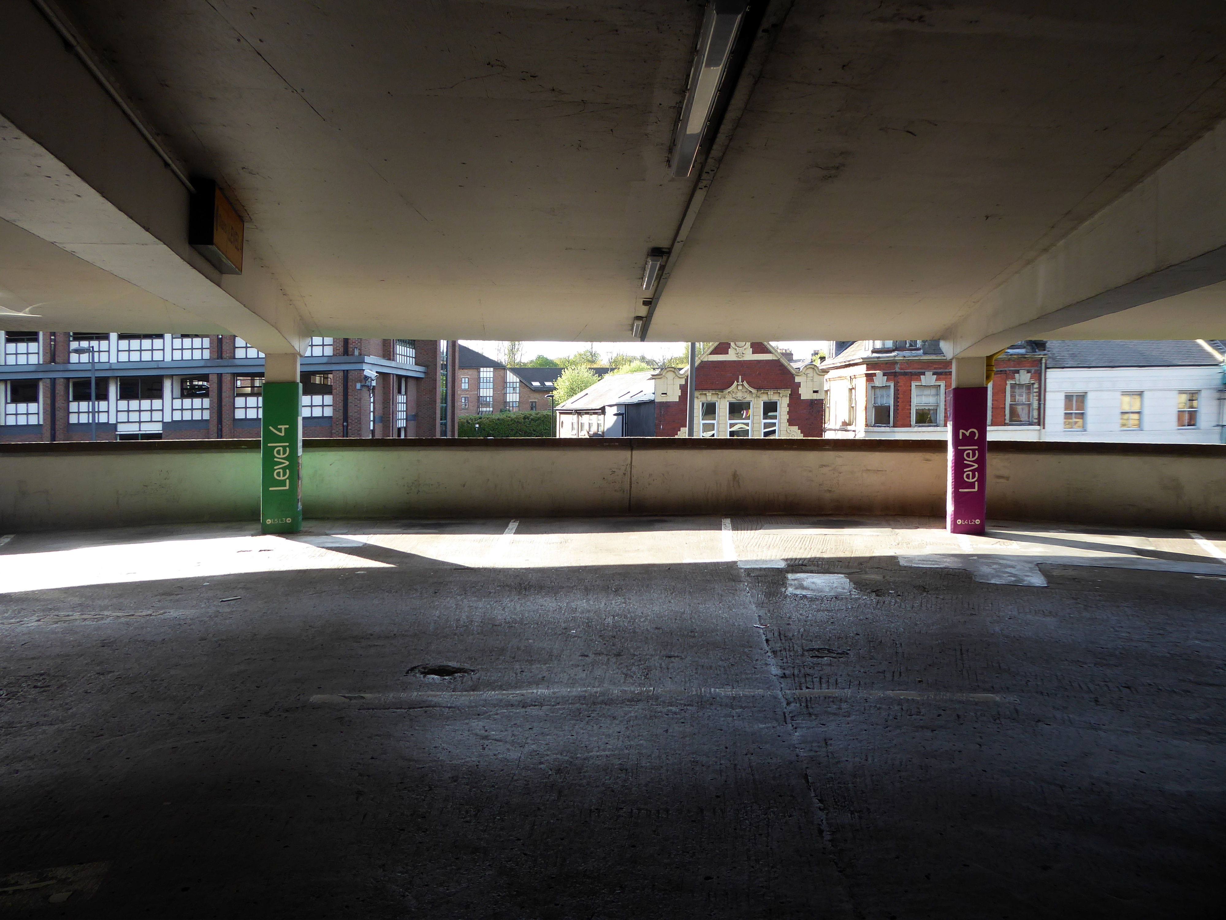
So well worth a look – by walking the ramp with outside in, and inside out views.

A Short Walk Along The Weaver

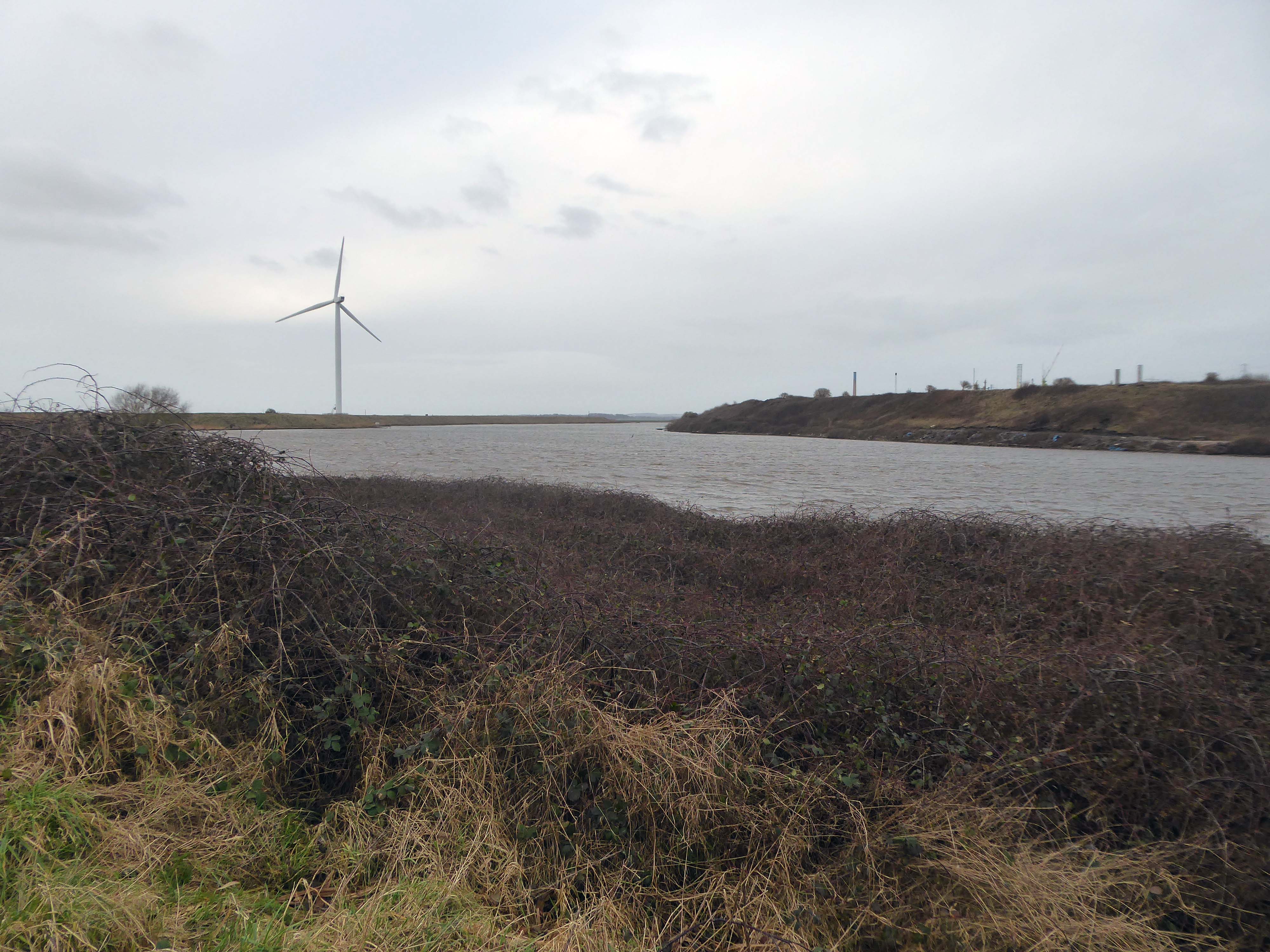
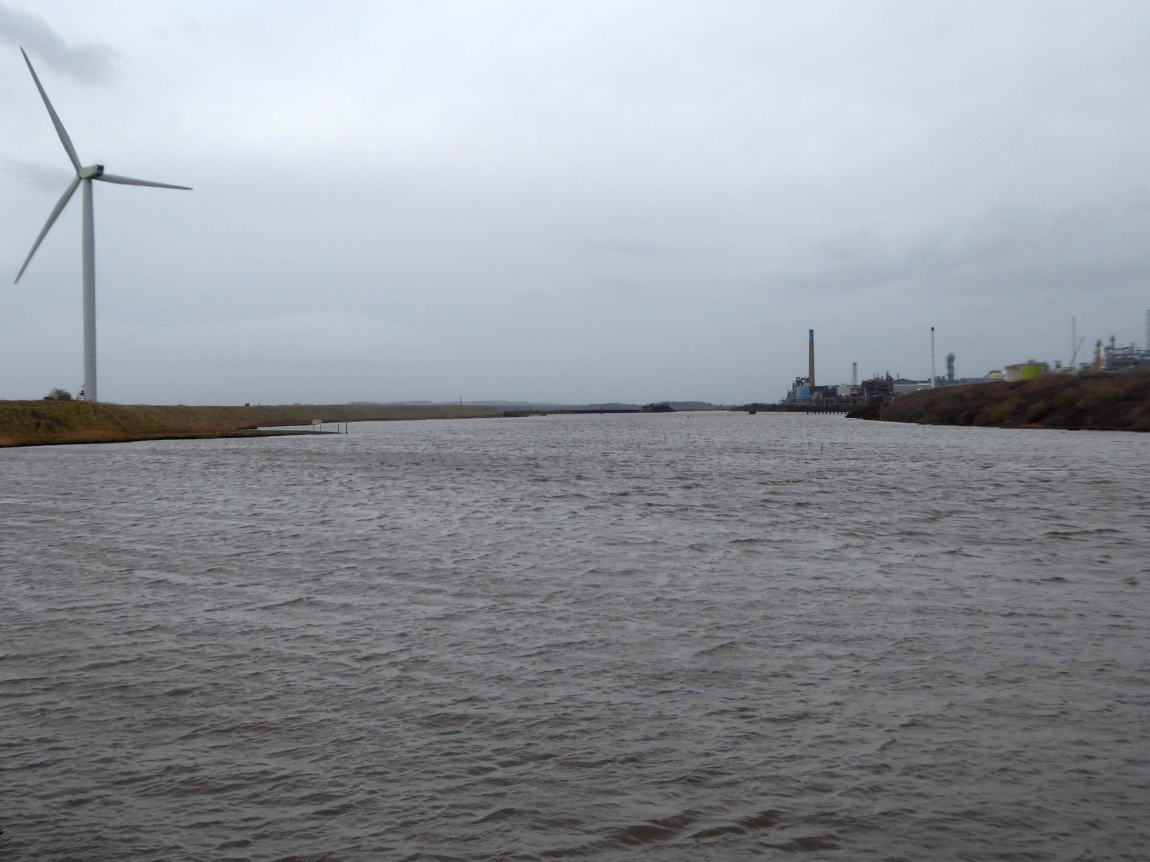
Along with my almost lifelong friend Mr Tim Rushton – I took a trip along a short stretch of the River Weaver, walking from east to west.

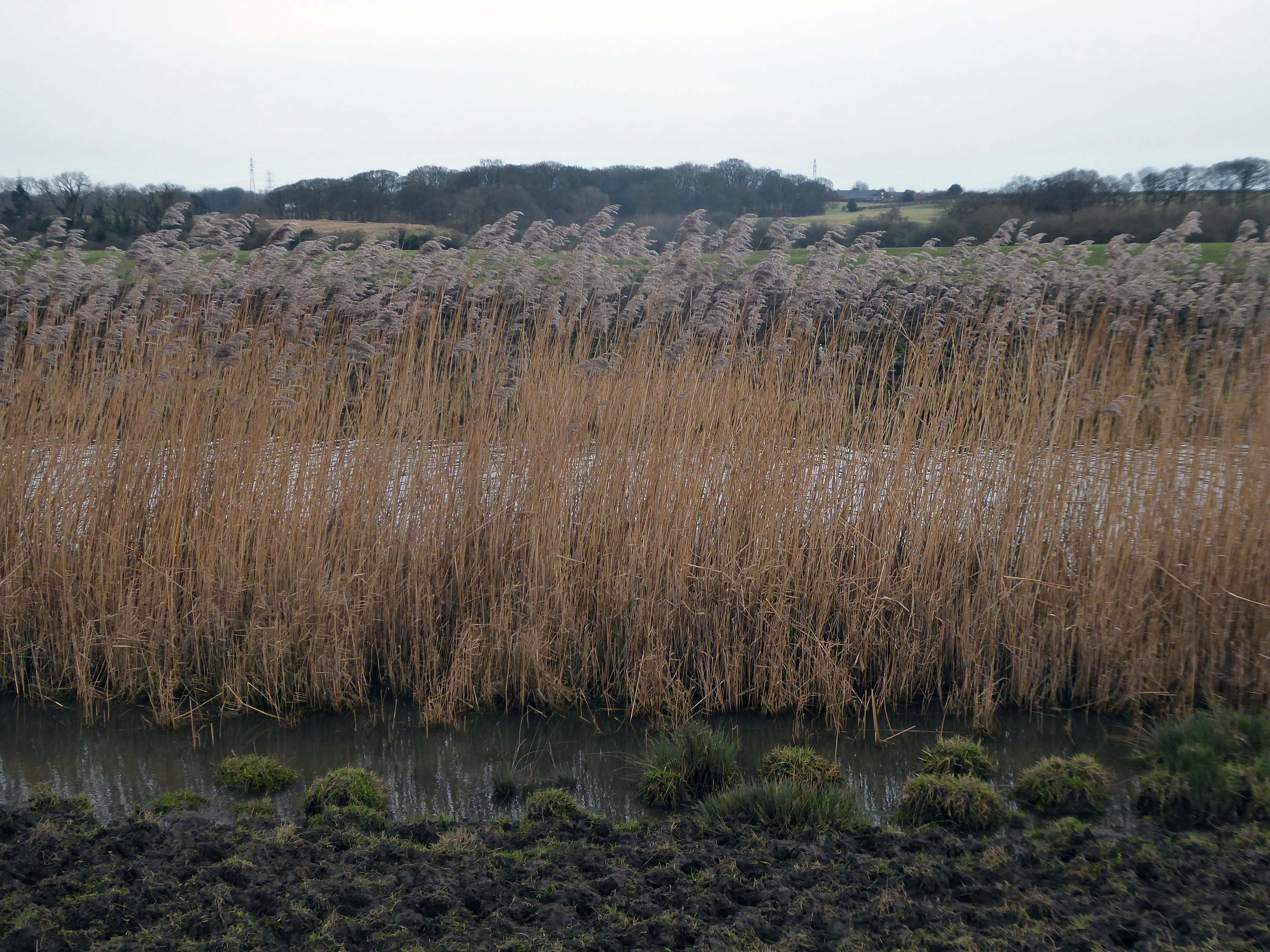
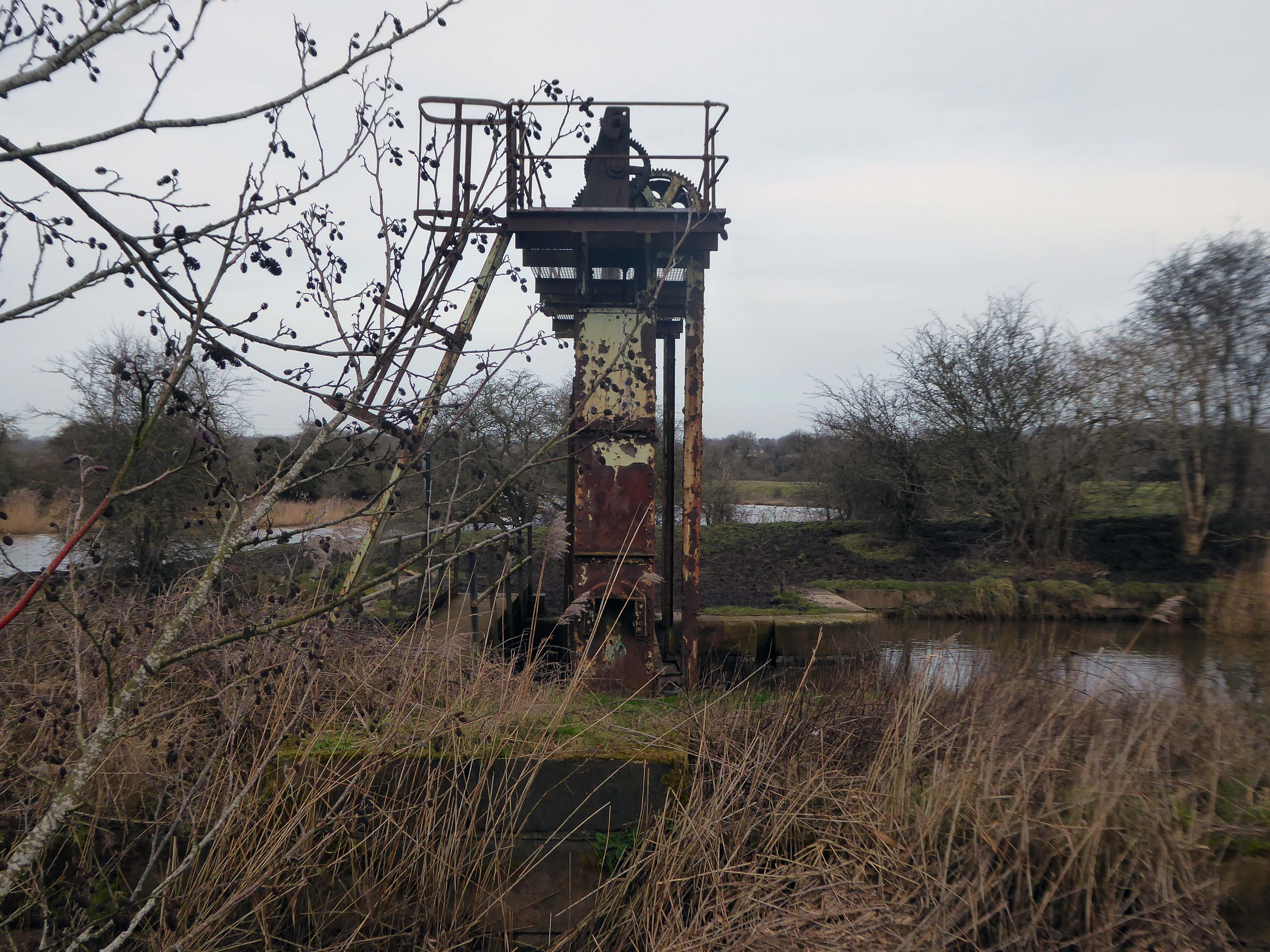
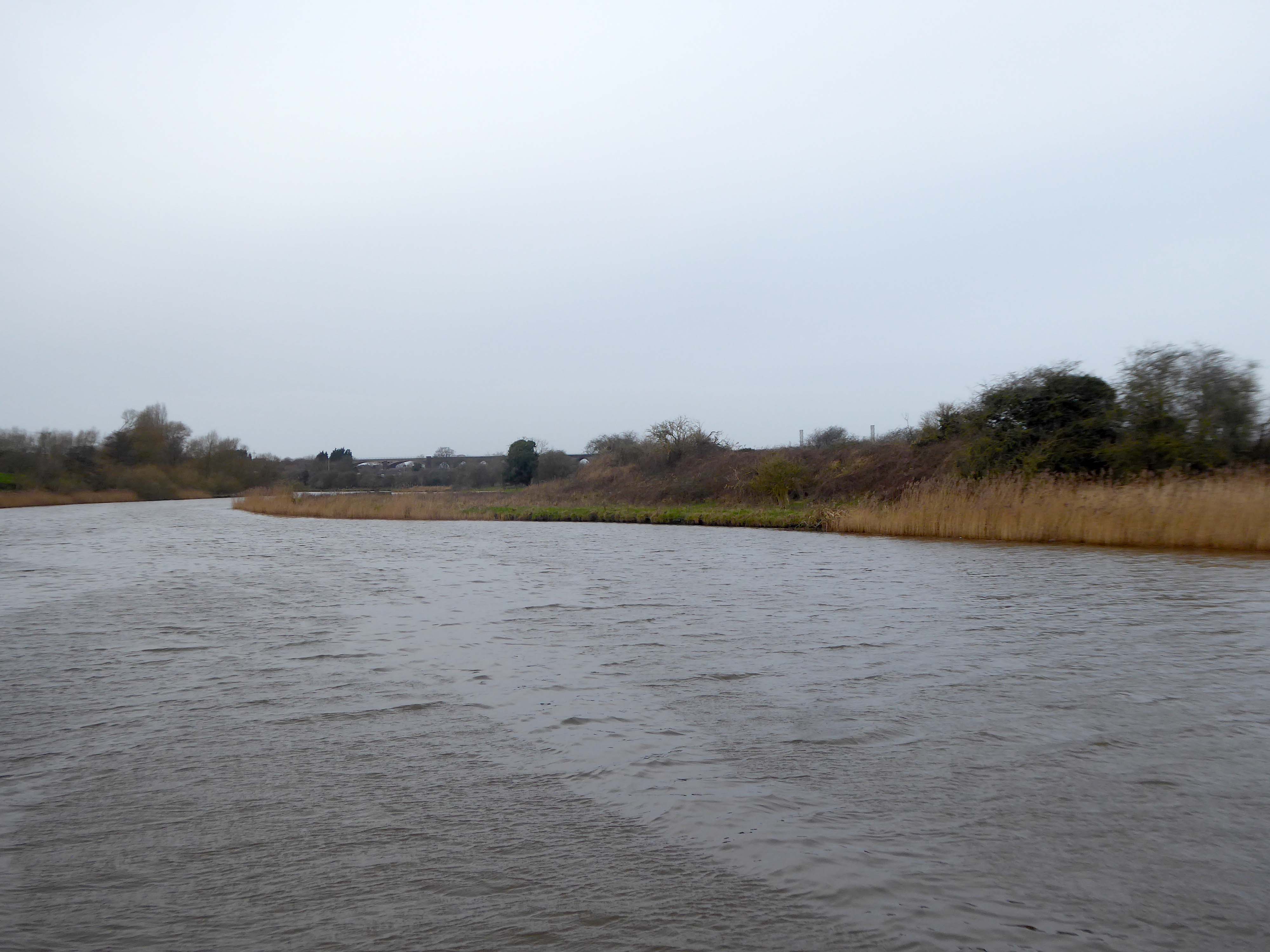
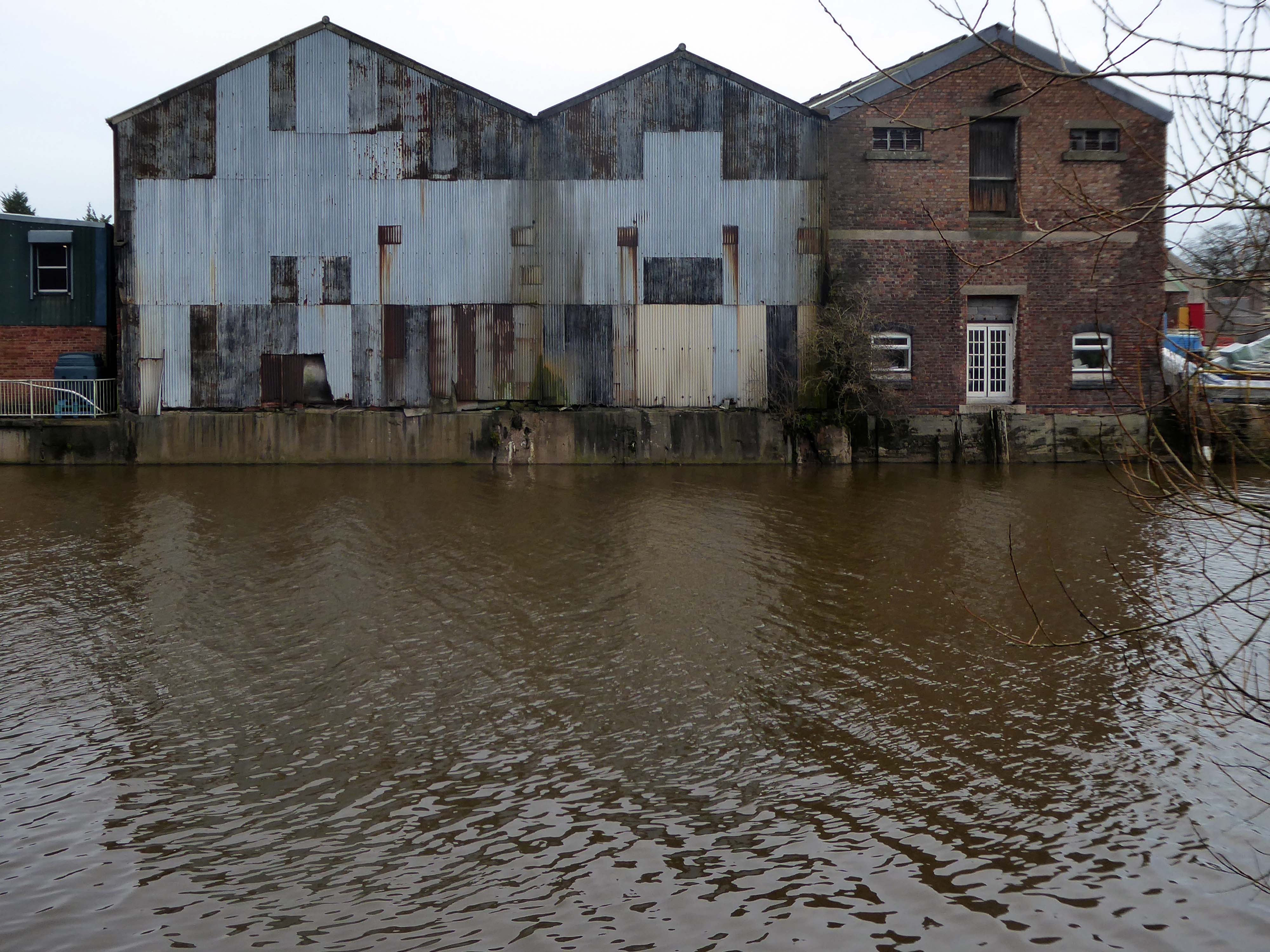
River Weaver – rising on the boundary between the counties of Shropshire and Cheshire and then flowing 45 miles north to reach the Irish Sea estuary of the River Mersey to the west of Runcorn.

Below Winsford, the course of the river has been altered several times, by the construction of cuts and locks, to enable small ships to trade on it. The river formerly joined the River Mersey at Weston Marsh, but since the construction of the Manchester Ship Canal, begun in 1887, it has flowed into the canal, from where surplus water enters the Mersey by the Weaver sluices, just upstream of the junction. The tidal river section below Frodsham has been bypassed by the Weston Canal since 1810 and is no longer navigable, as Frodsham Lock is derelict.

Wikipedia

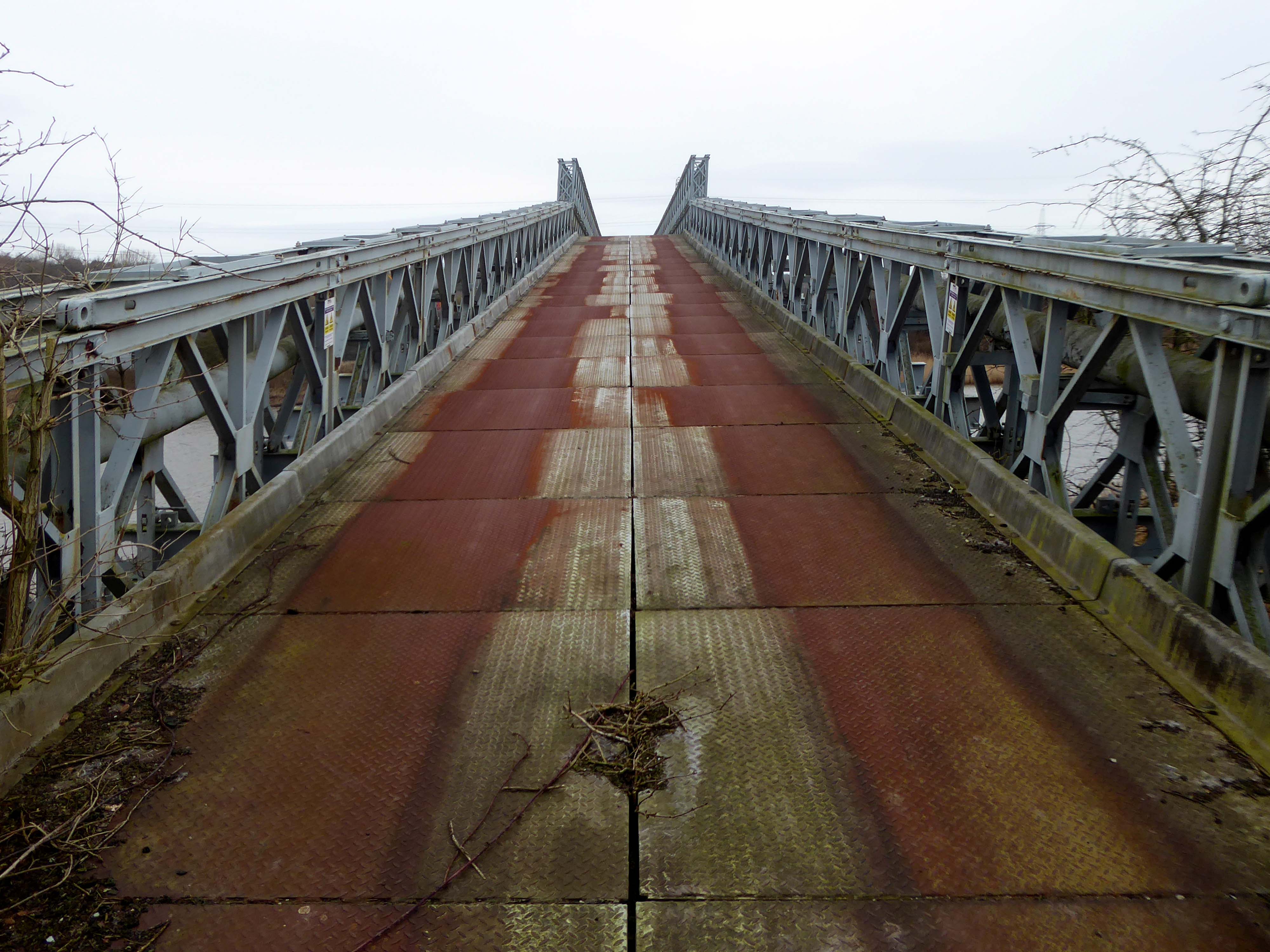
Railway viaduct over River Weaver and adjoining land by A Rendel Engineer and Thomas Brassey, contractor 1848-1850 – for Birkenhead Lancs & Cheshire Junction Railway Co.

Red sandstone, brown brick and cast iron, two segmental-arched iron spans of circa thirty metres over river; two round arches on west bank and twenty one on east bank. Piers to iron spans are rusticated tooled ashlar; the other spans have rusticated voussoirs, pier faces and quoins and rock-faced spandrels with brick reveals, cornice to iron-span piers, plainer imposts to others.

Top of central pier to river modified to take mid C20 concrete track bed.

Grade II Listed

Weaver Viaduct is one of the outstanding features of M56 and its design was approved by the Royal Fine Arts Commission. The three-quarter mile of elevated motorway and approach embankments over the River Weaver and Weaver Navigation Canal opened on 21 February 1971.

Design was by Husband and Co of Sheffield – acting for Department of Environment, who also supervised the project. The contractor was Christiani Shand with a tender price of £3,146,387 in March 1968.

Work began in April 1968 – the eventual cost was put at £3.5 million.

Sabre Roads

Thirty two 125-foot concrete 100-tonne beams were put into place in July 1970; the concrete beams were made by Matthews & Mumby of Windmill Lane Denton. 

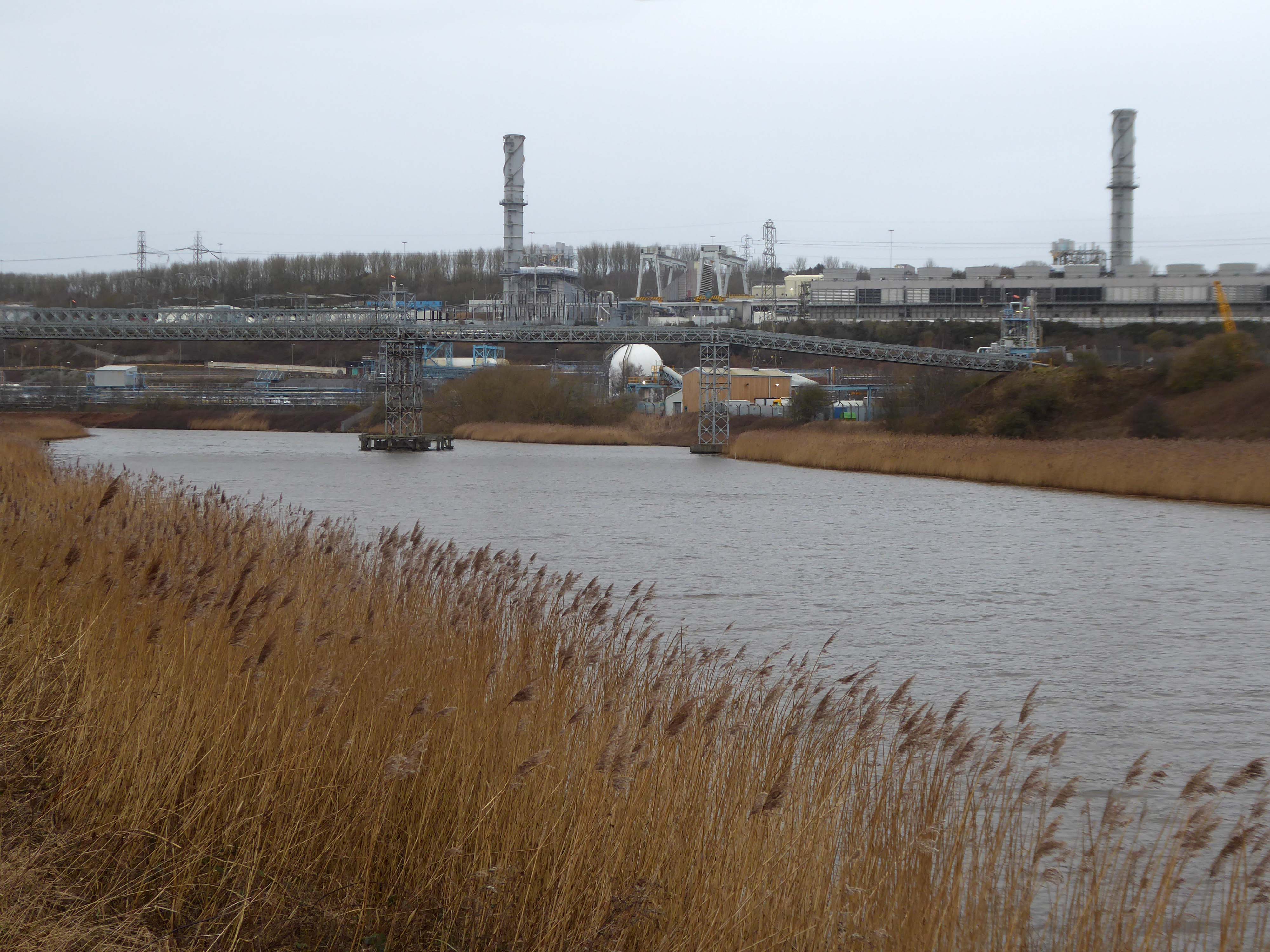
High-Voltage Frodsham Substation – Rock Savage power station

Rock Savage Power Station is an 800 MWe gas-fired power station.

It was opened by Queen Elizabeth II on 31 July 1998, and owned by InterGen, a company that is now jointly owned by Ontario Teachers’ Pension Plan and China Huaneng Group, it cost £375m.

It sponsors the Runcorn Jets baseball club, the Highfield Male Voice Choir and the Weston Angling Club.

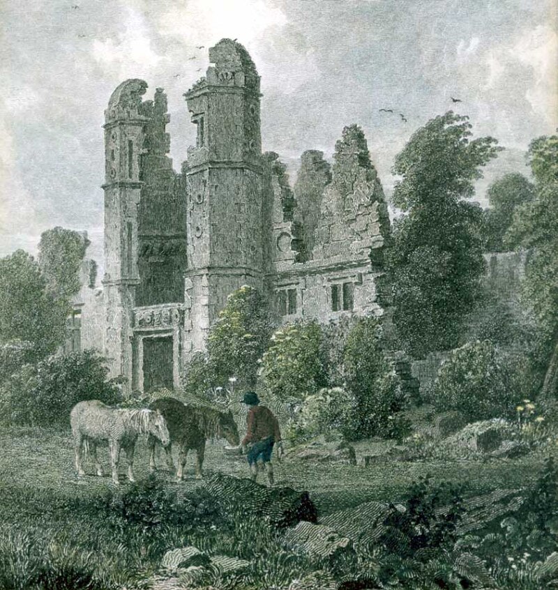
The name comes from the nearby ruined Elizabethan mansion – Rocksavage.

Wikipedia

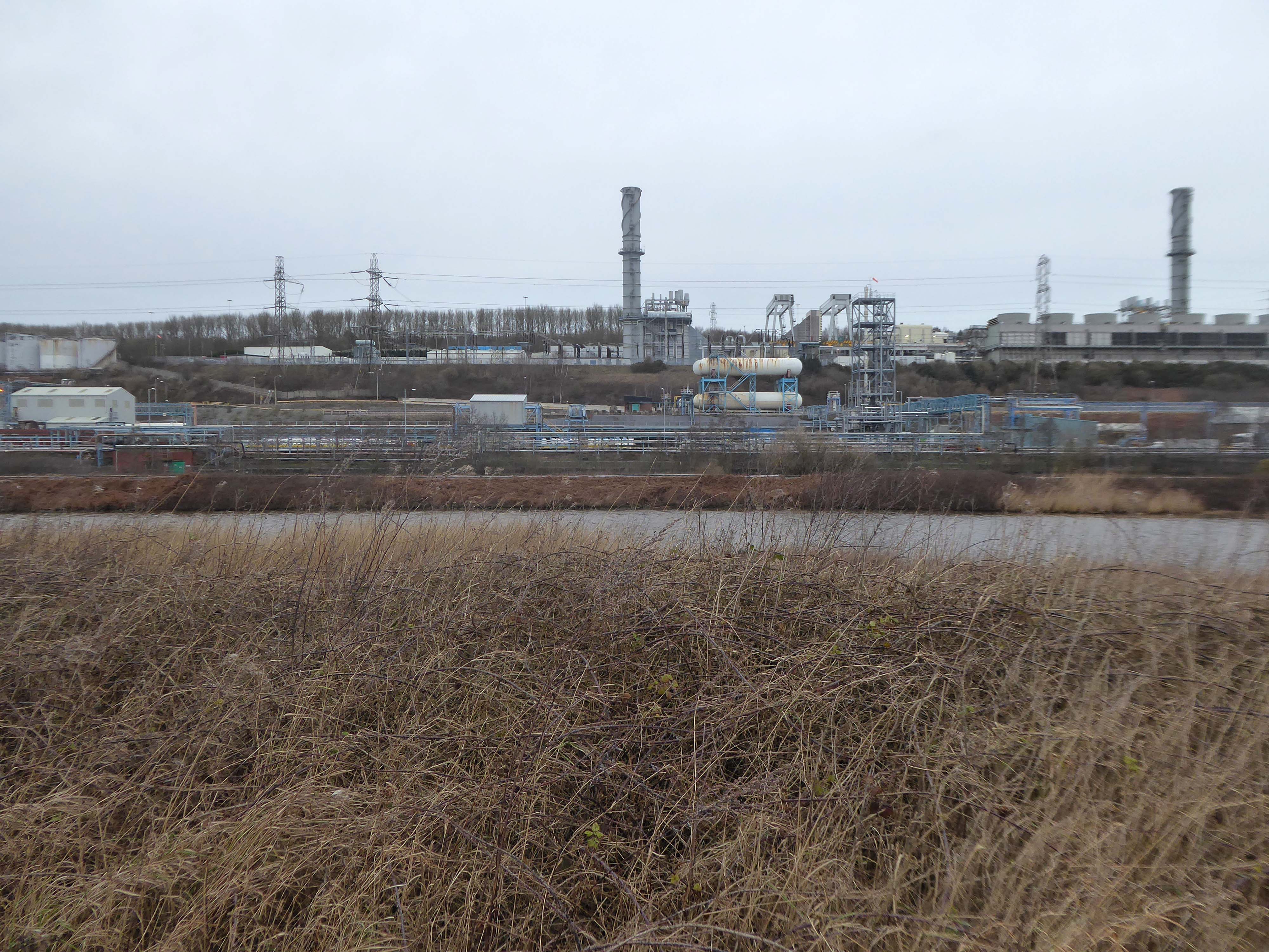
Koura Global – leader in the development, manufacture, and supply of fluoro products and technologies, opened a new HFA 152a production facility at their Runcorn site in the UK.

Chiesi, the international research-focused pharmaceuticals and healthcare group, signed a commercial agreement to use the new low carbon footprint medical propellant for inhalation product development and clinical trials in 2019.

Britain from Above 1948

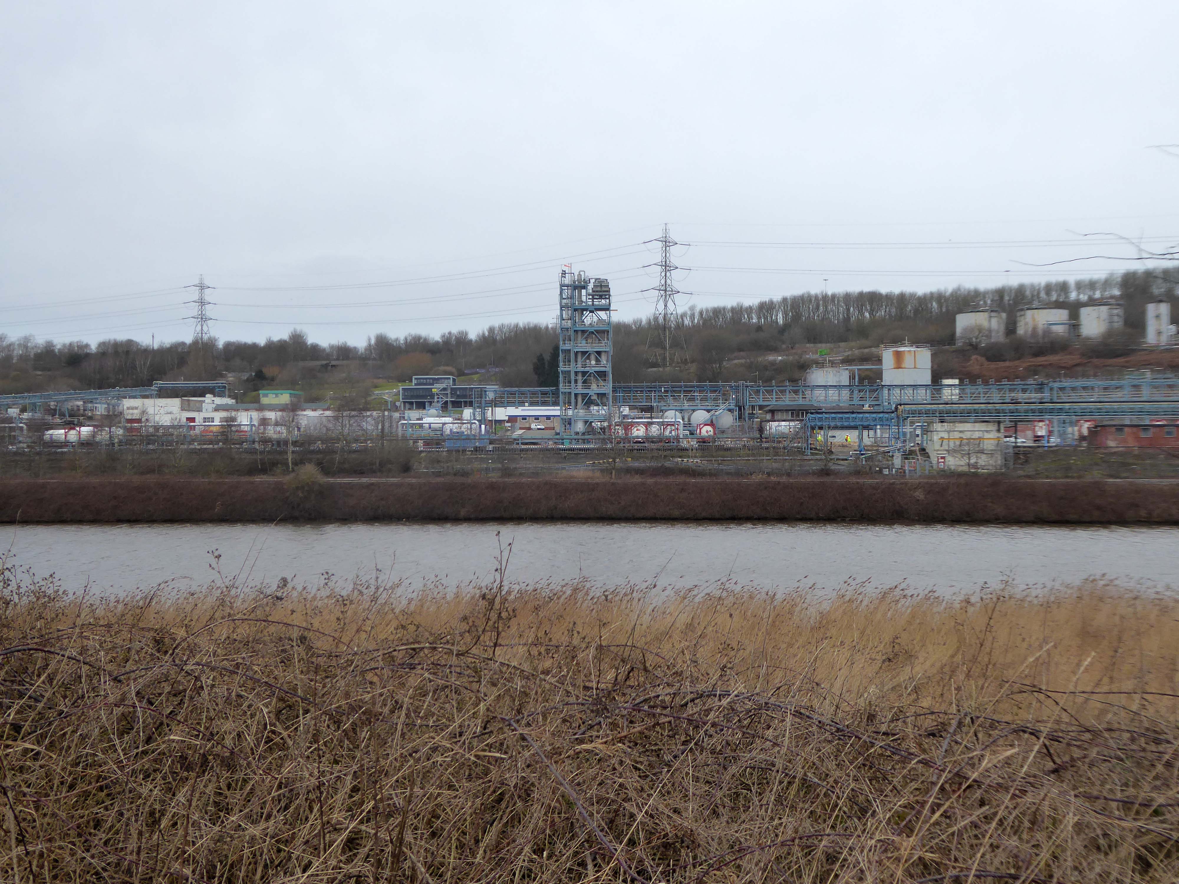
Ineos Chemical Complex formerly ICI Rocksavage Works on the banks of the River Mersey River Weaver and Manchester Ship Canal in Runcorn formerly ICI works of Rocksavage and Castner Kelner Works which produced fluorcarbons such as aerosol propellants dry cleaning solvents and chlorine UK January 2007

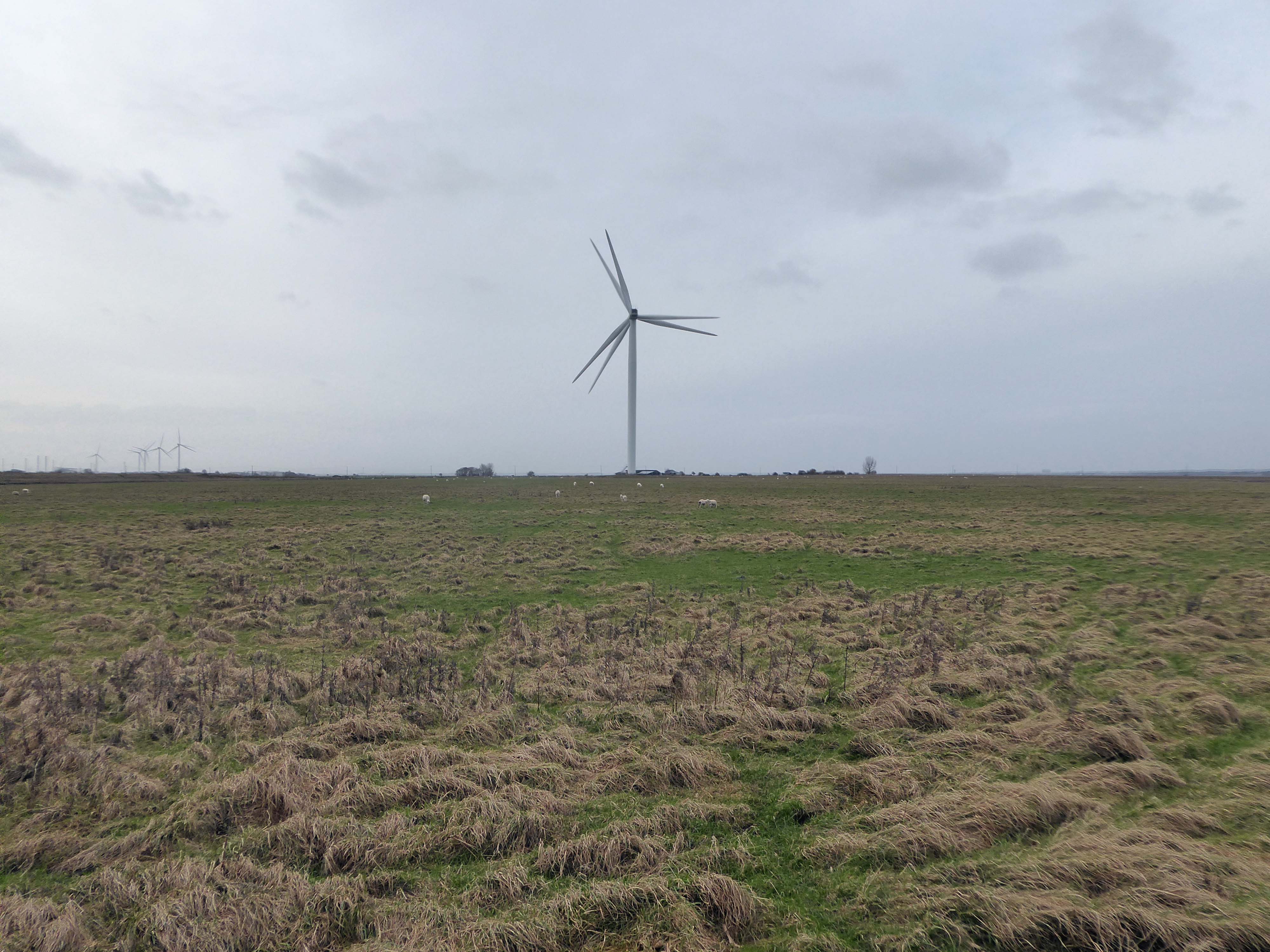
Frodsham Wind Farm is one of England’s largest onshore generating stations, and the largest in the Cheshire region, with an installed capacity of more than 50 MW. Construction of the wind farm began in March 2015 and became fully operational in February 2017.

Manchester Arterial – A34

The A34 is a major route from the ports on the South Coast of England to the Midlands and the North West, with the standard varying from rural dual carriageway sections in the south to urban single carriageway in the north, and everything else in between.

Slade Lane junction, Rushford Park to Parr’s Wood, East Didsbury – to connect to Manchester Road to Cheadle. It continued on to Laneside Road as a residential road. Opened on 11 April 1923 by Mary Cundiff, Lady Mayoress, and Margaret Turnbull, daughter of Alderman Turnbull, Chairman of Manchester Town Planning Committee. Width was 100 feet and it was designed for tram tracks in the central reservation. The dual road carriageways were 20 feet wide. Manchester’s tram system was closed in 1949. The carriageways were widened and central reservation grassed over. Originally opened as A5079.

Laneside Road, East Didsbury to Schools Hill/ Wilmslow Road junction, Cheadle. Opened on 12 October 1959. The official opening was on 15 October 1959. Planning for the bypass had been halted by the war. In December 1949 Manchester Corporation stated that it was not a priority since the Corporation was only responsible for the 200 yards to the proposed bridge over the River Mersey and Cheshire County Council had not asked for a joint approach to Ministry of Transport to build it. Work was finally authorised in January 1957 and started in the June. Width was 90 feet with dual 24 foot carriageways. Expected cost was £600,000 to £700,000.

Sabre Roads

In 2014, having taken early retirement from teaching photography, I embarked on a series of walks along the arterial roads of Manchester.

See also Bury New Road and Cheetham Hill Road and Rochdale Road and Oldham Road and Ashton New Road and Ashton Old Road and Hyde Road and Stockport Road.

Manchester Arterial – A662

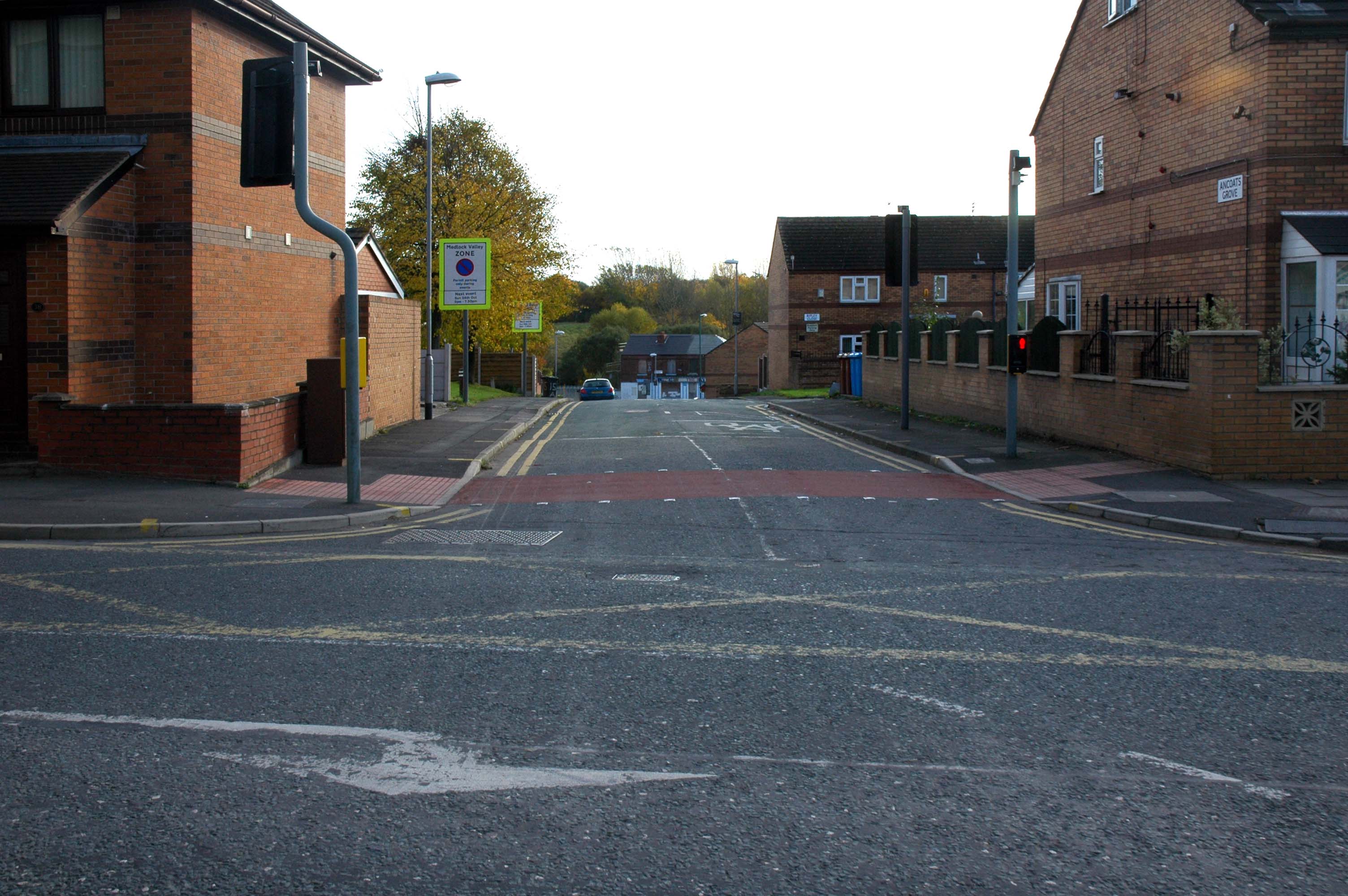
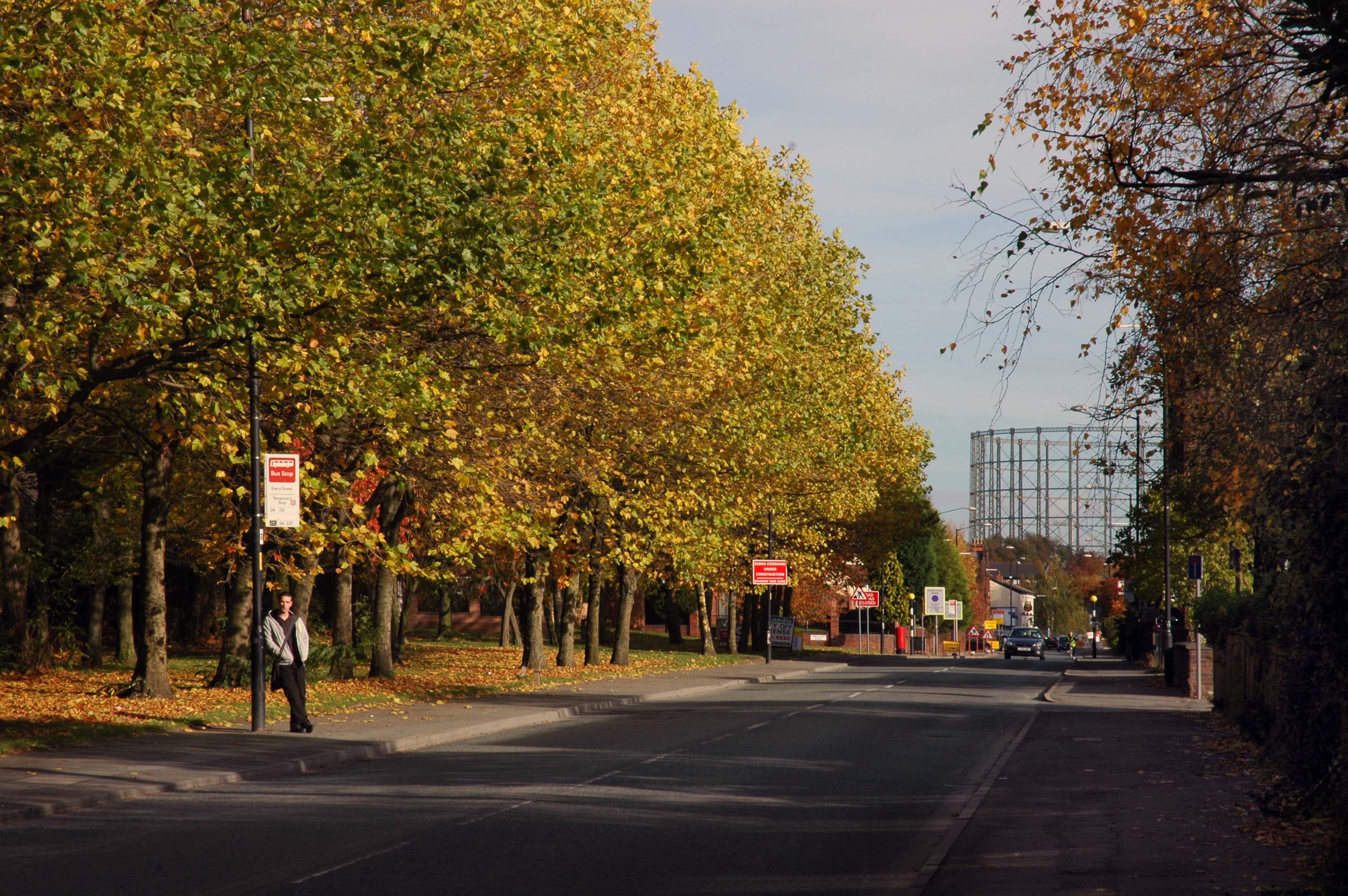
Starting at traffic lights on the A665 the road heads northeastwards, initially with the Metrolink on the left and a factory building on the right. The road then bears right at traffic lights marking the first section of on-street running for the trams, which lasts until just before a bridge over the River Medlock, after which the road passes to the south of the Sportcity complex whilst the tram line runs through the middle.

The A6010 is crossed at traffic lights, after which we see the tram lines on the left once more. We go over the Ashton Canal, then the tram lines at grade before bearing to the right to pass Clayton Park before another section of on-street running for the Metrolink begins, which continues for some distance. Just after crossing the Manchester city limit there is a set of traffic lights, after which the road becomes D2 for a short distance to allow a tram stop – Edge Lane, to be located in the central reservation. The tram leaves the road to the right for the next stop – Cemetery Road, and the stop in Droylsden town centre is once again in the central reservation. In all three cases the street running recommences after the stop.

Sabre Roads

In 2014, having taken early retirement from teaching photography, I embarked on a series of walks along the arterial roads of Manchester.

See also Bury New Road and Cheetham Hill Road and Rochdale Road and Oldham Road.

Manchester Arterial – A56

First crossing the M60 Manchester Outer Ring Road at Junction 7 into Stretford.

The A56 takes the name of Chester Road and continues north-eastwards through Stretford and Hulme into Manchester city centre, where it takes on the name Deansgate, one of Manchester’s main shopping streets and thoroughfares. At the end of Deansgate, the A56 takes on the name of Victoria Street as it passes Manchester Victoria railway station. Since 2012, most of Victoria Street has been pedestrianised with planters, but the road markings still remain underneath.

Wikipedia

In 2014, having taken early retirement from teaching photography, I embarked on a series of walks along the arterial roads of Manchester.

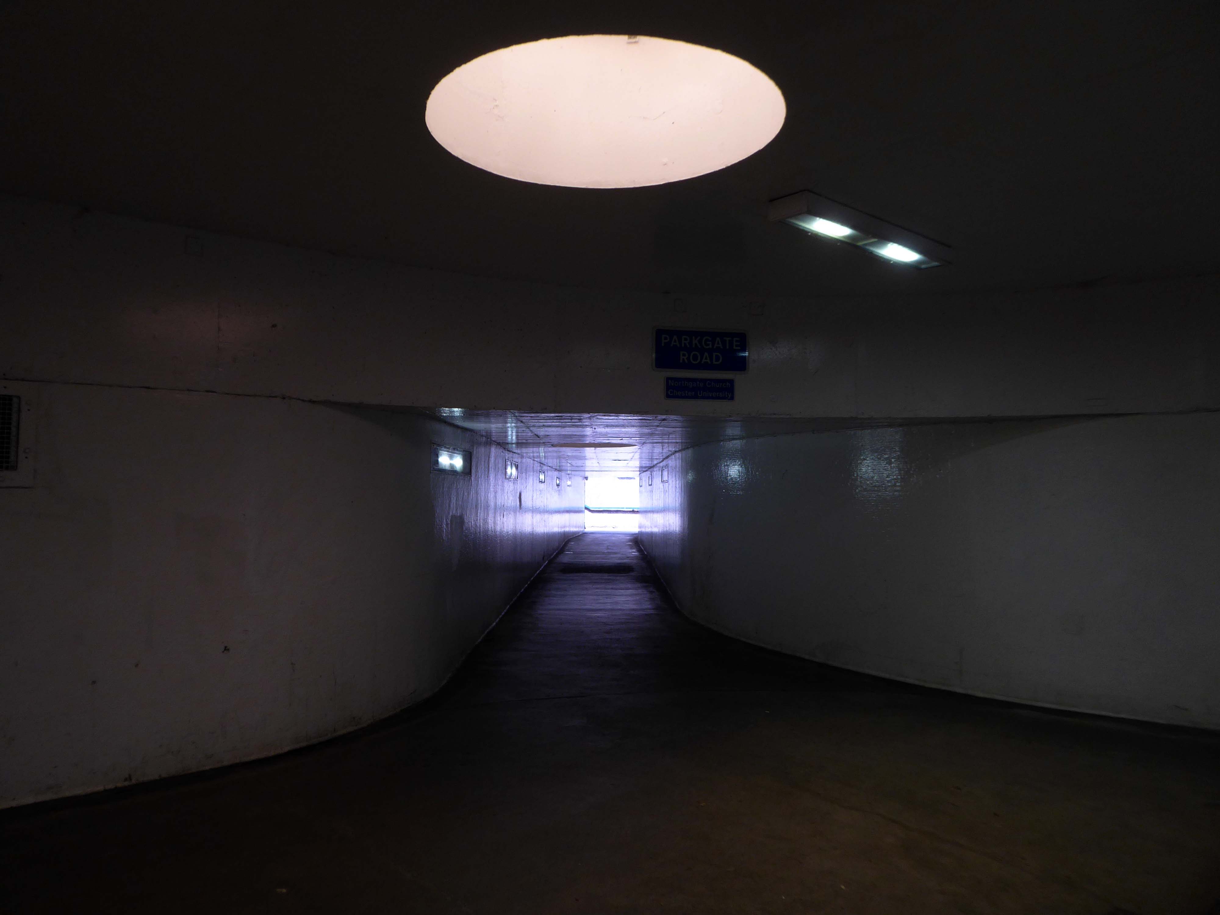
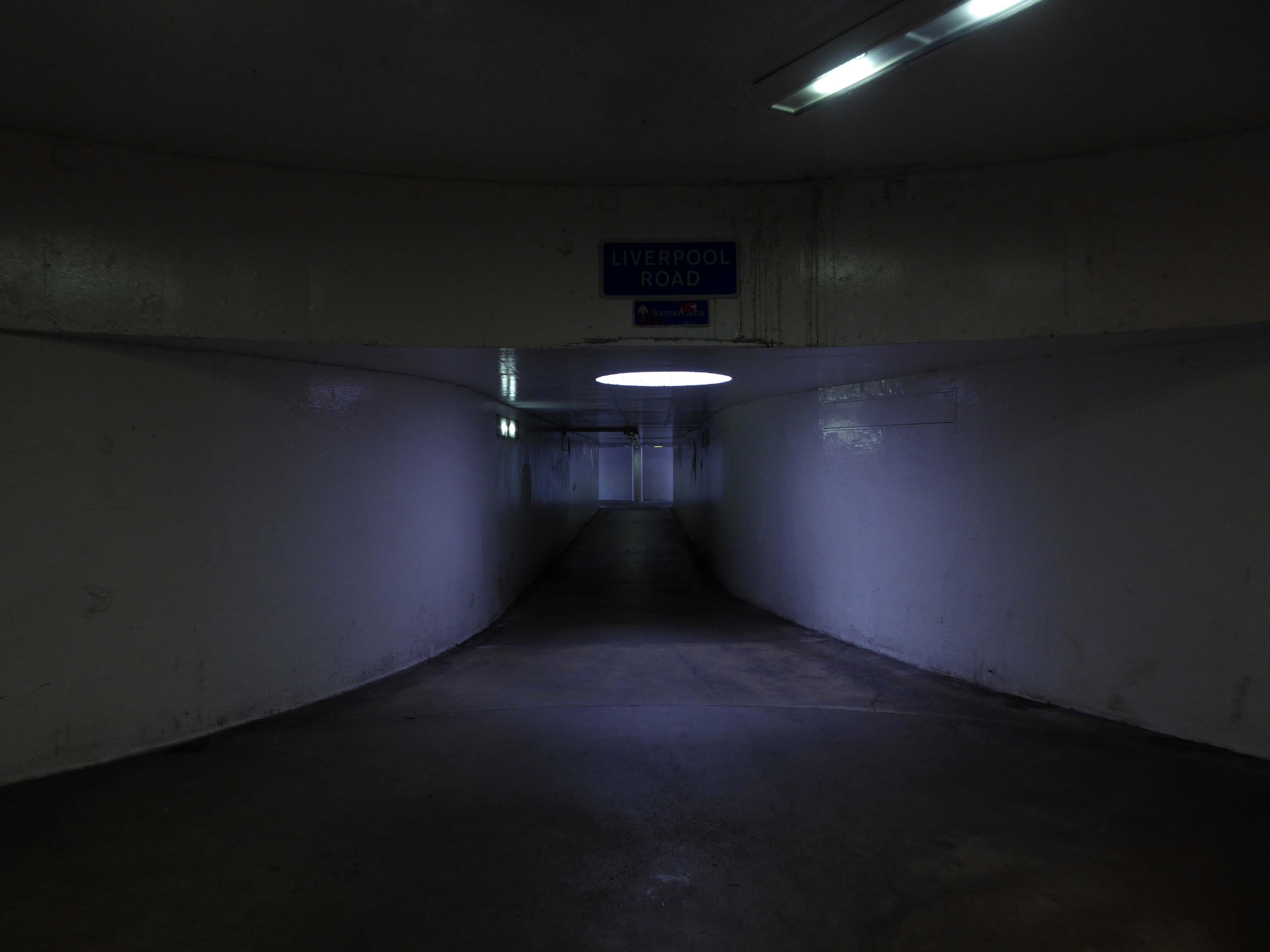
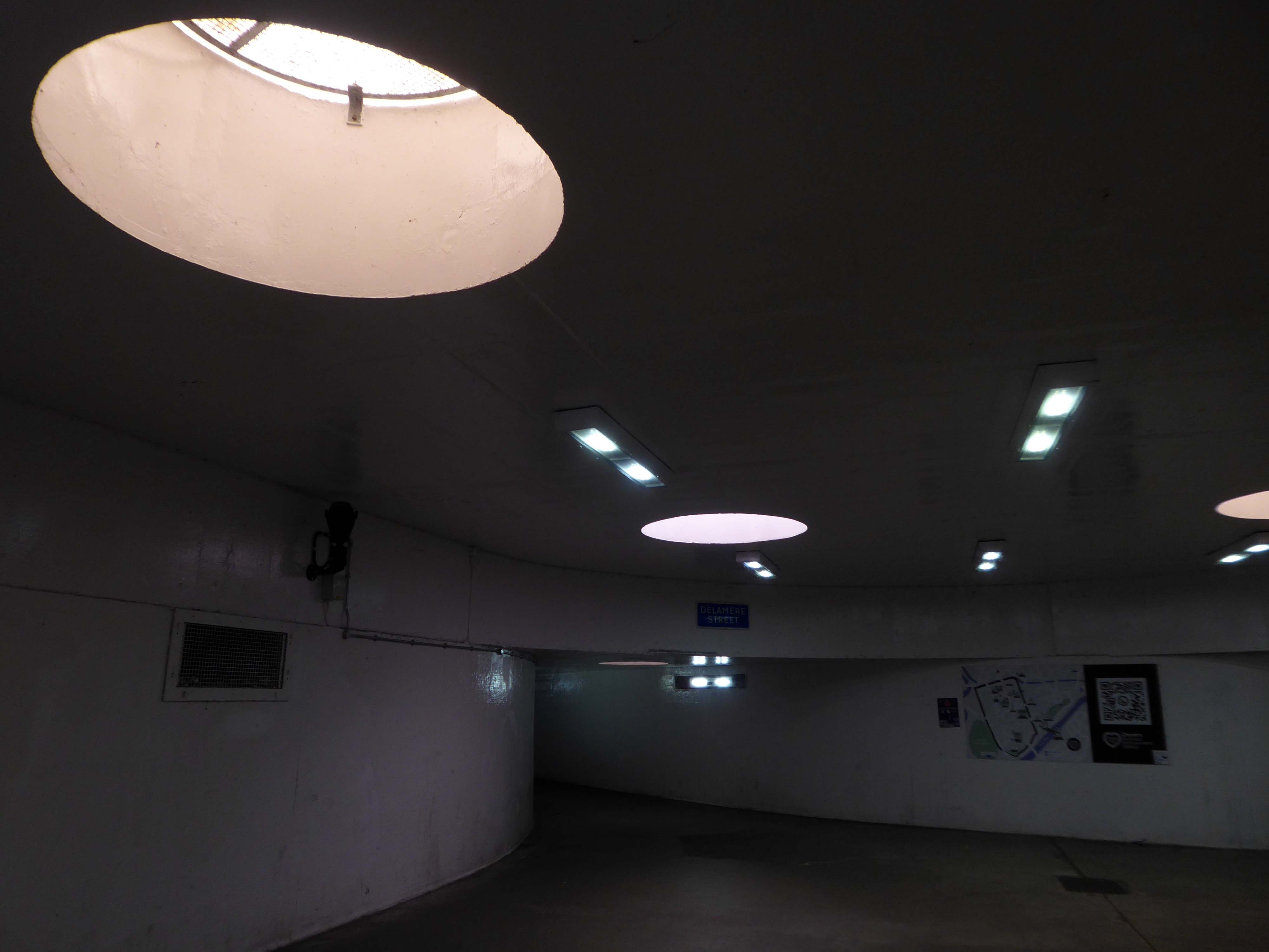
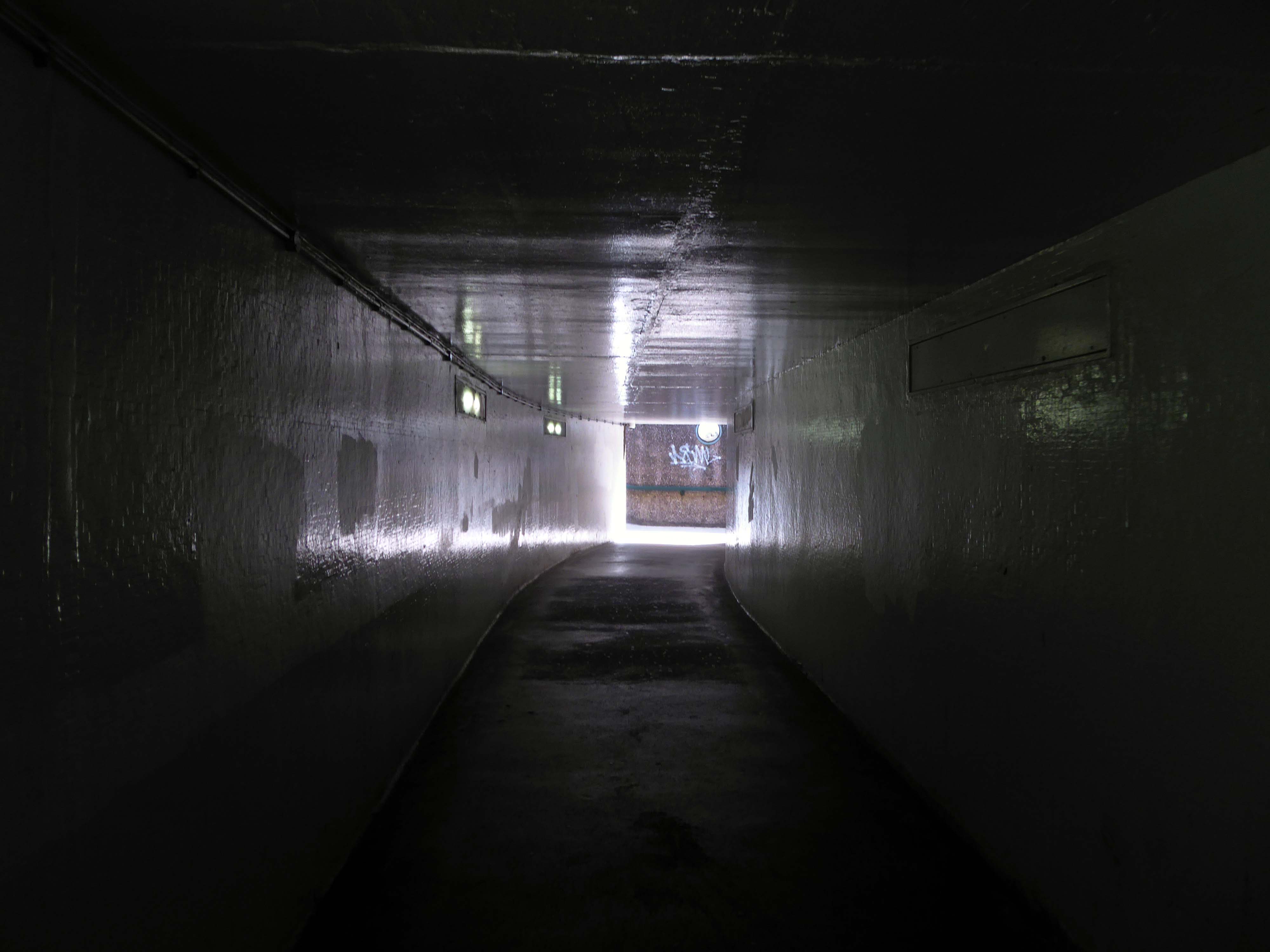
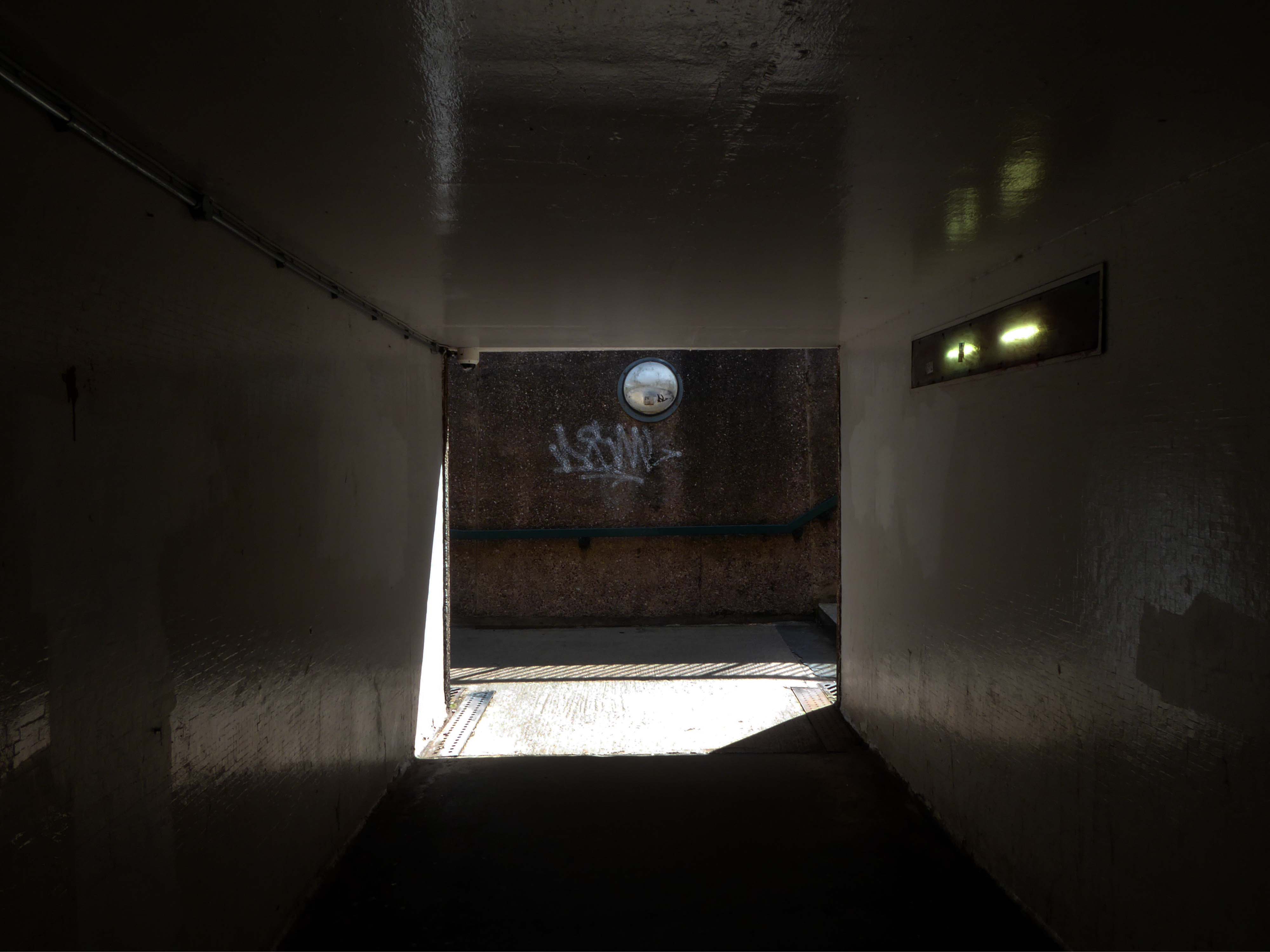
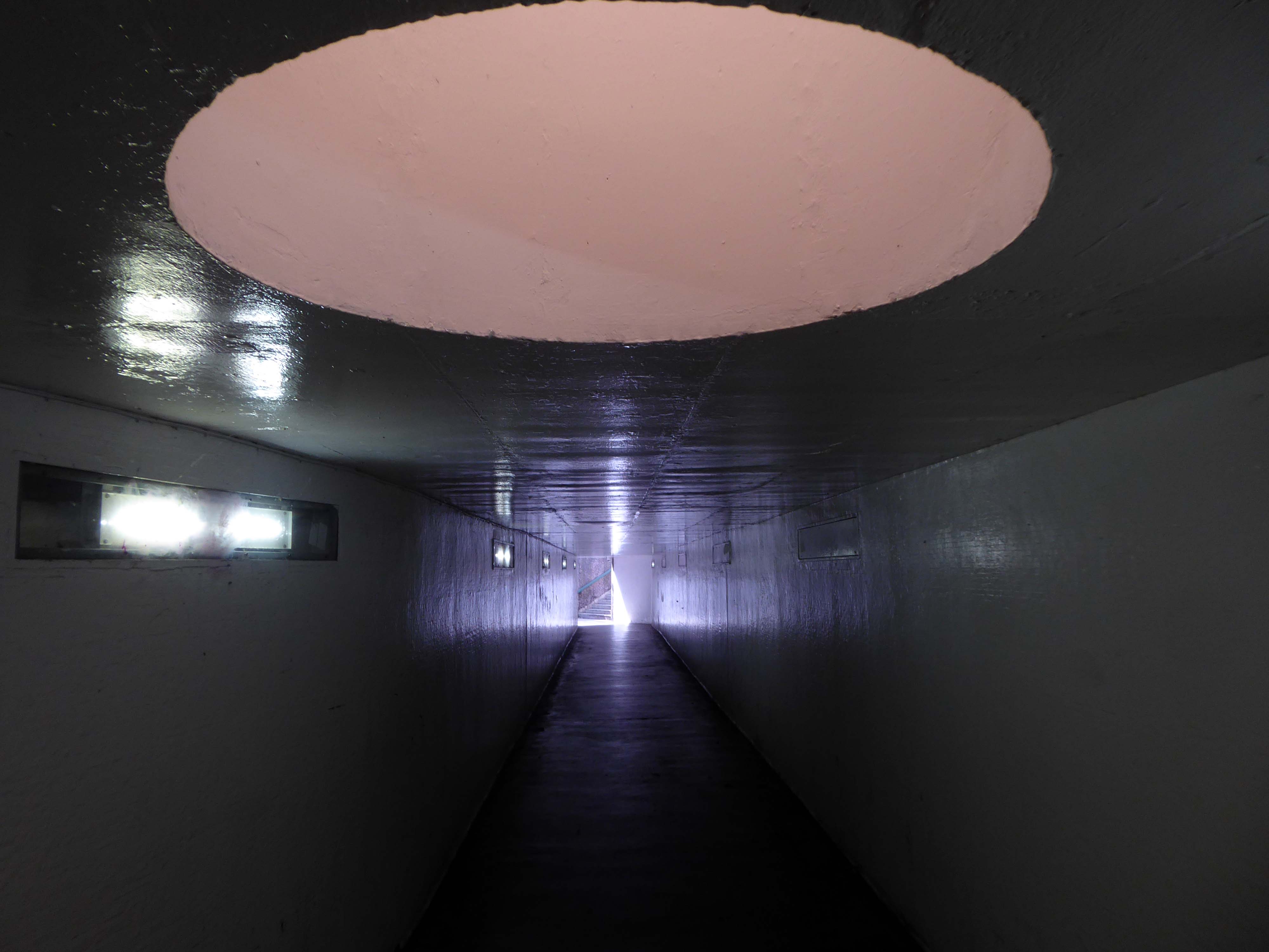
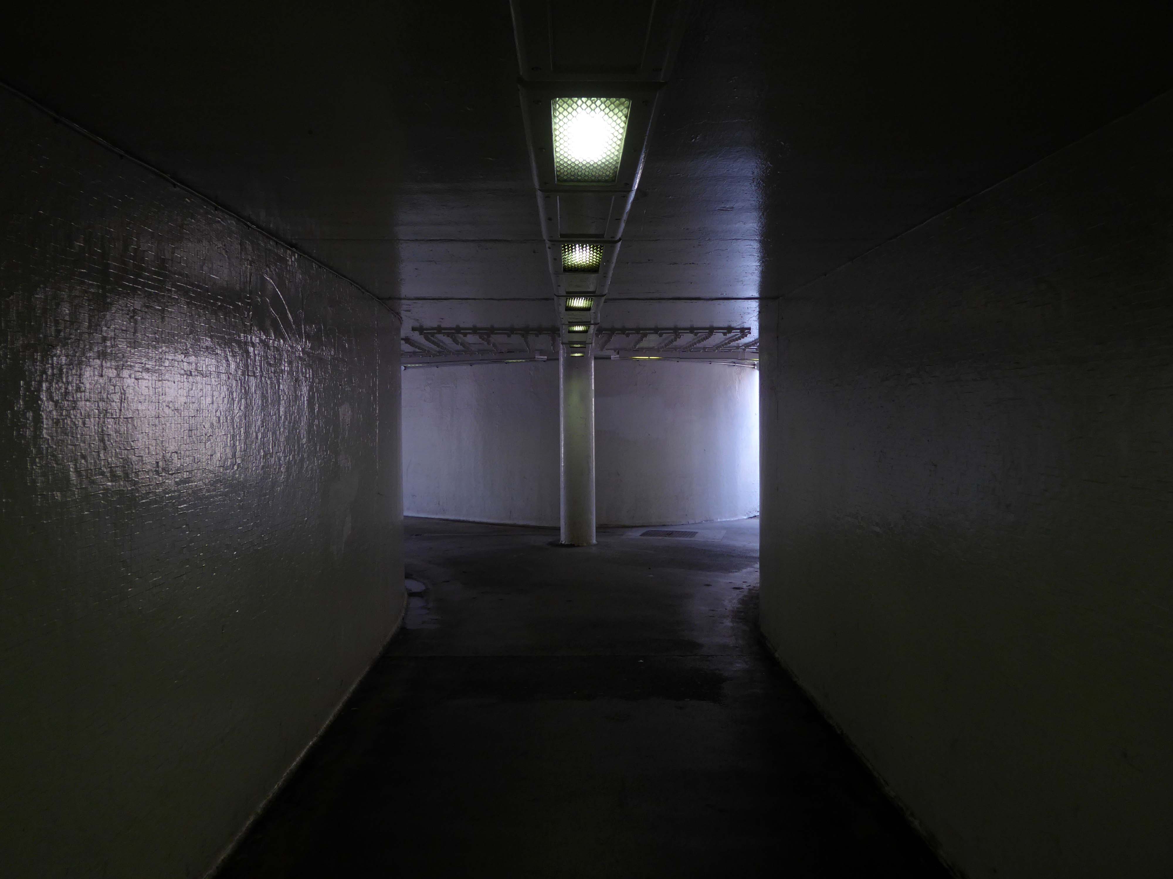
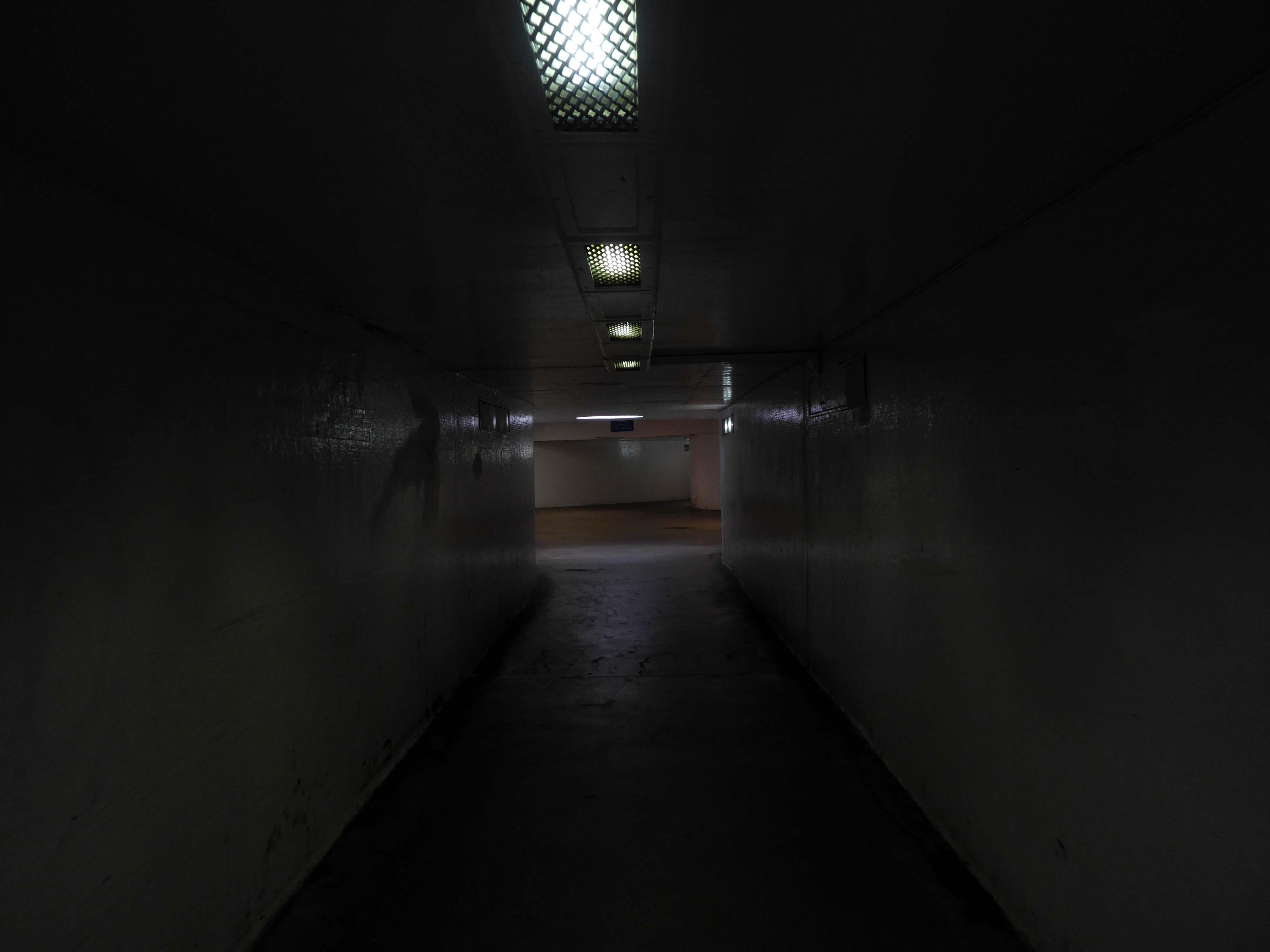
Underpass – Chester

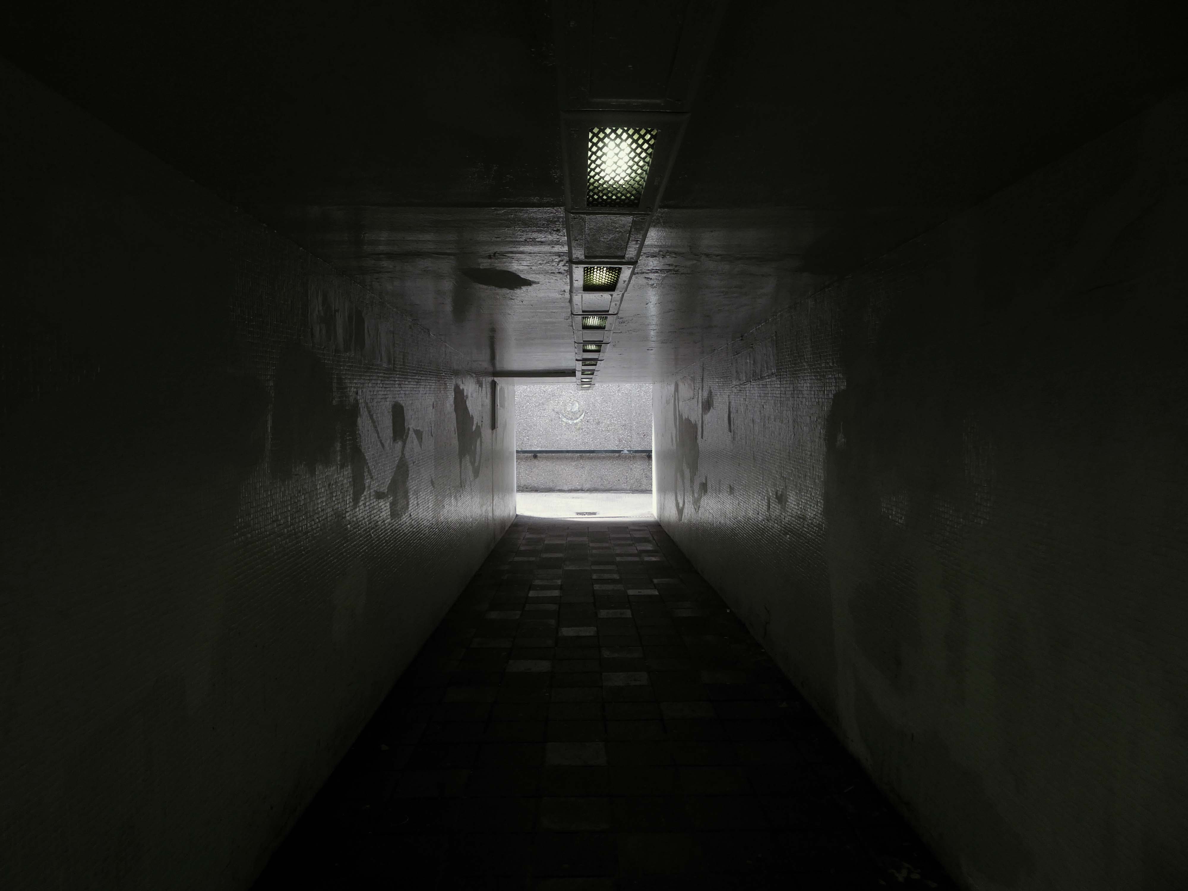
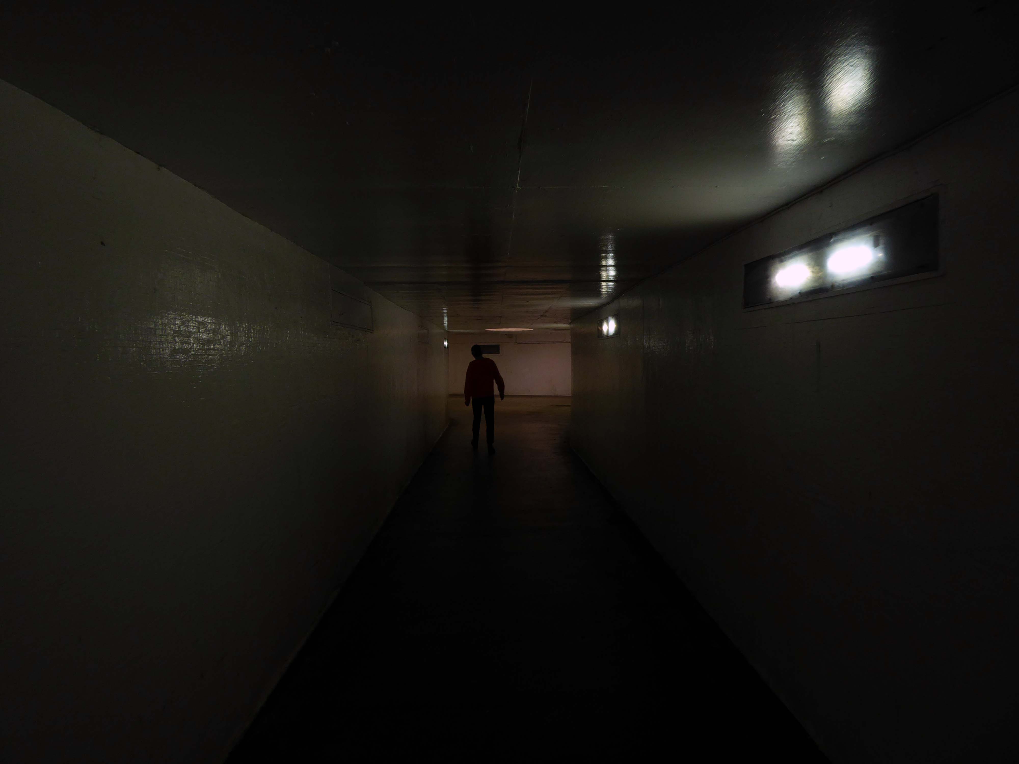
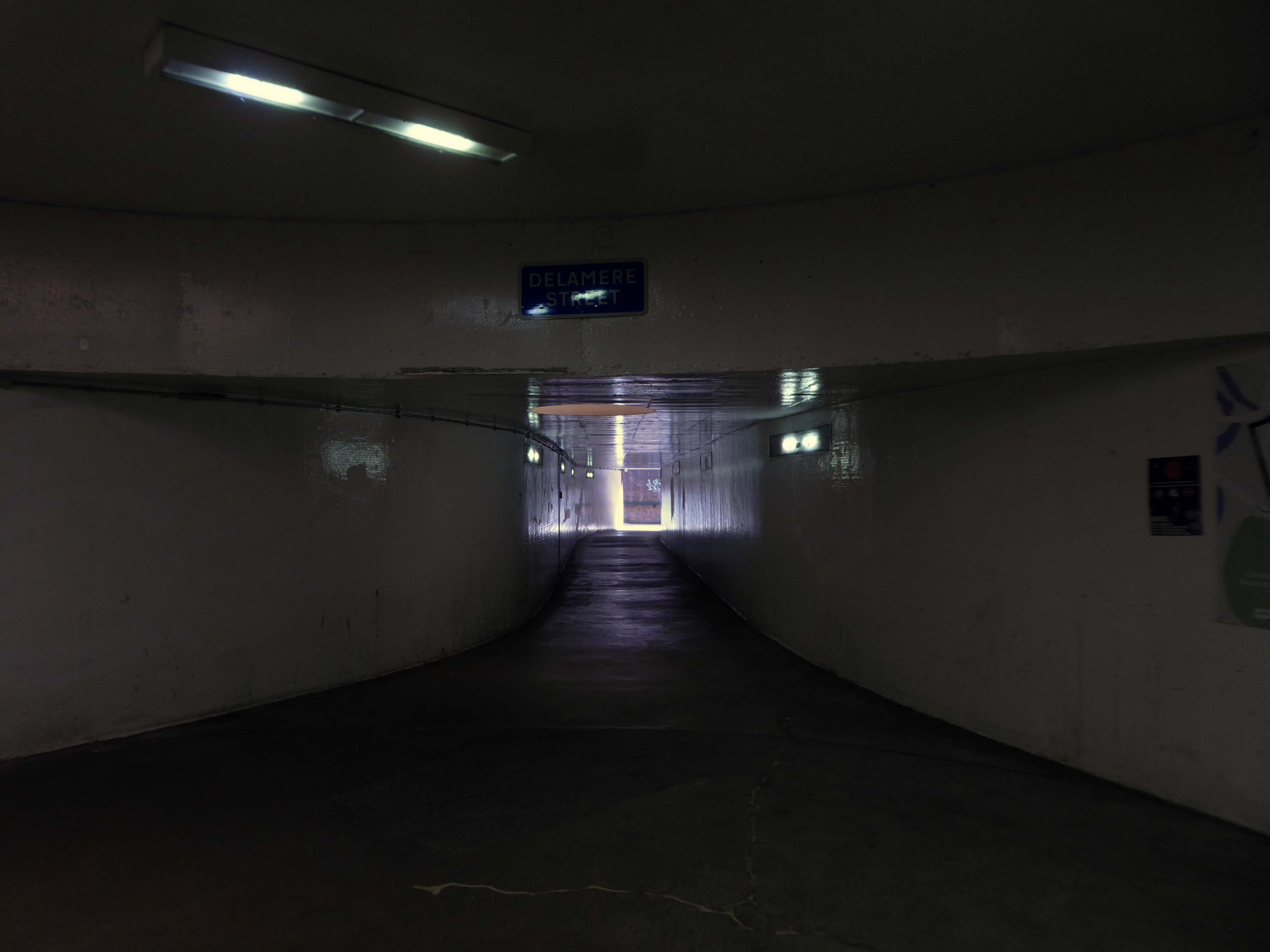
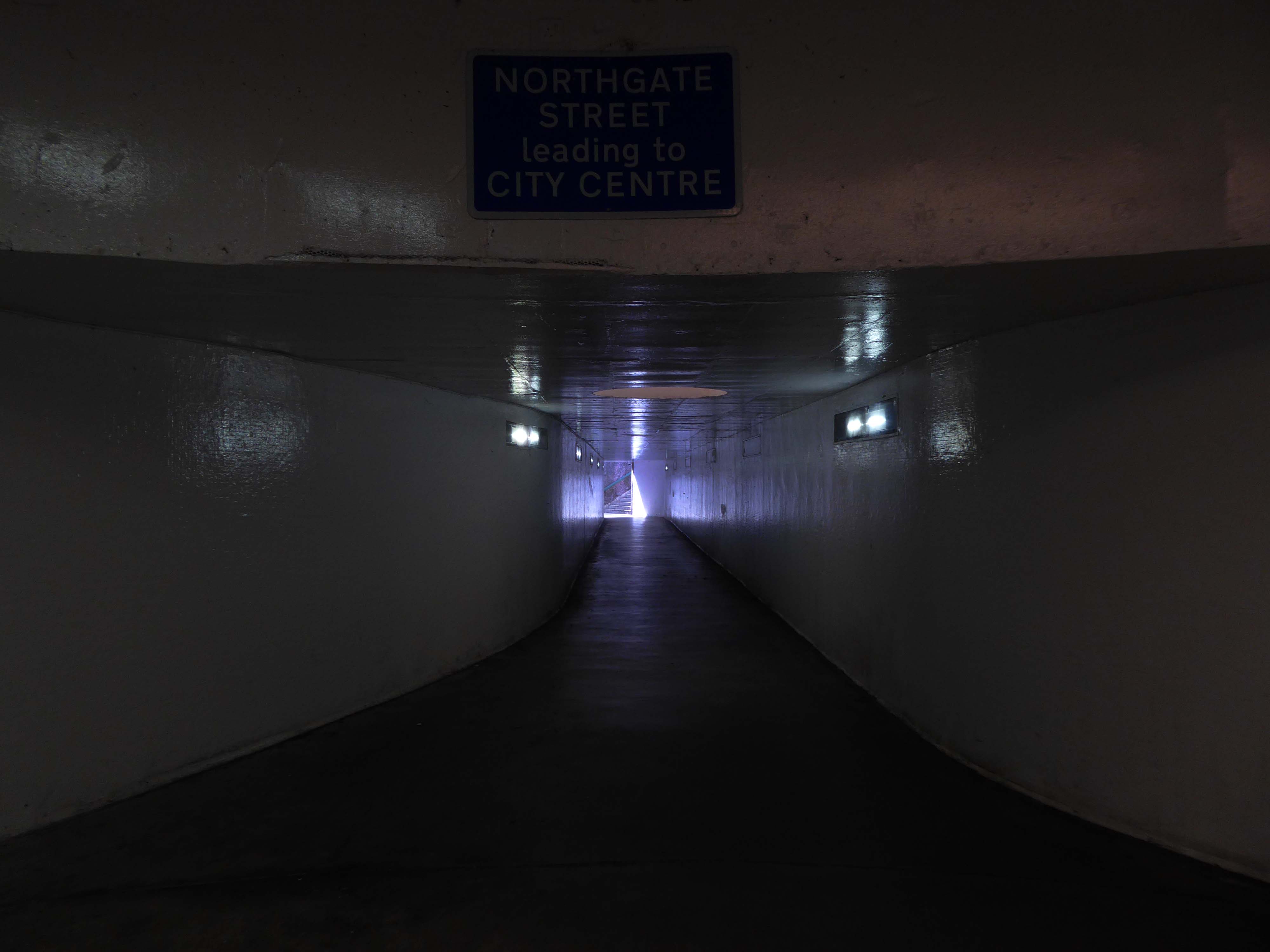
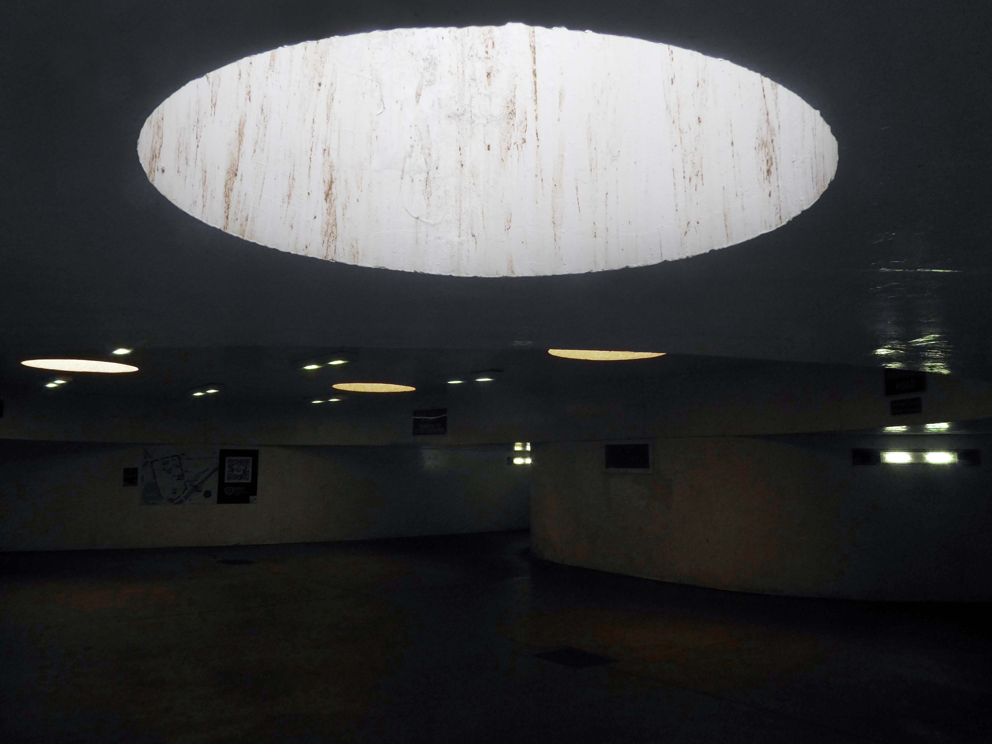
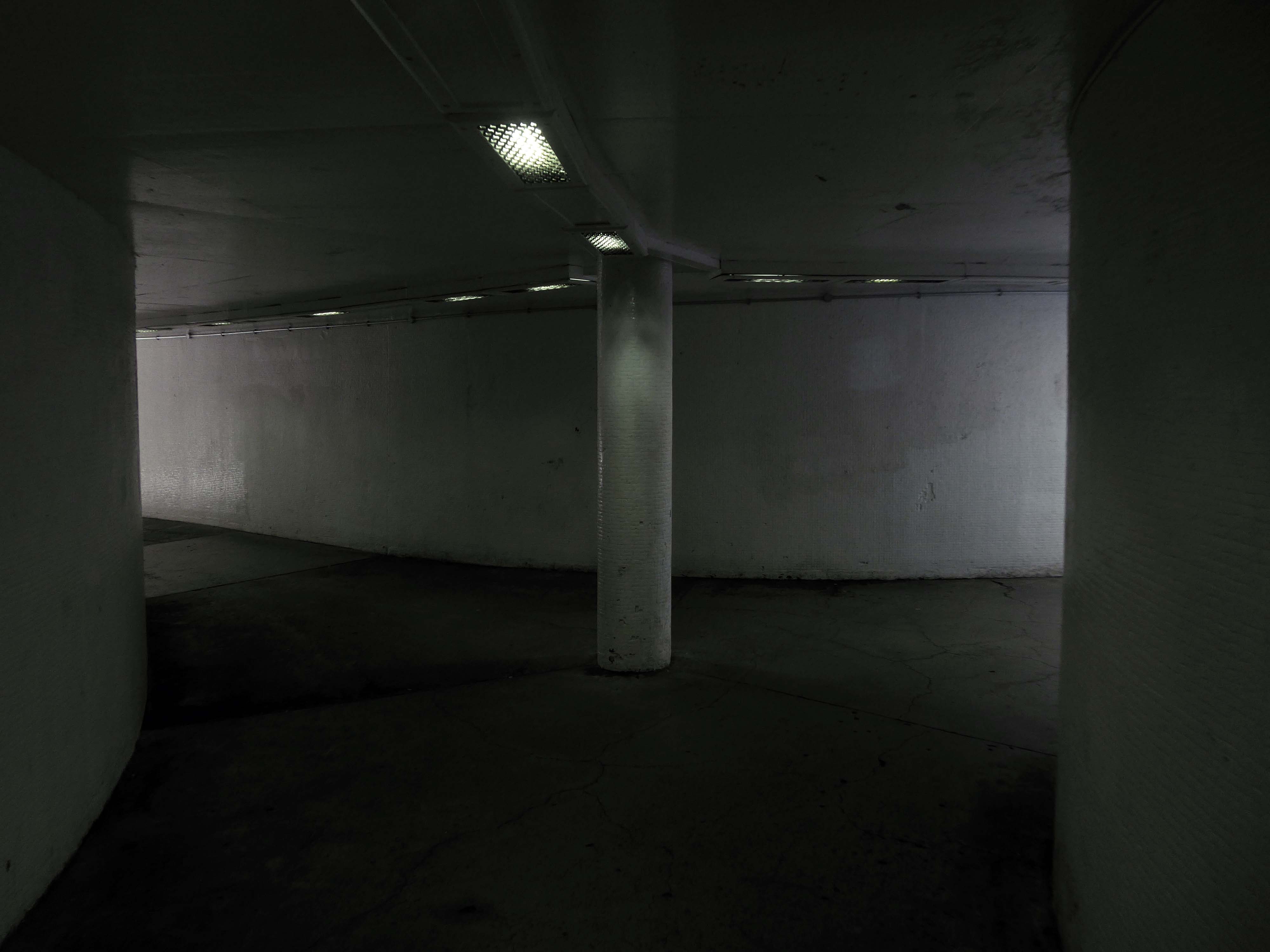
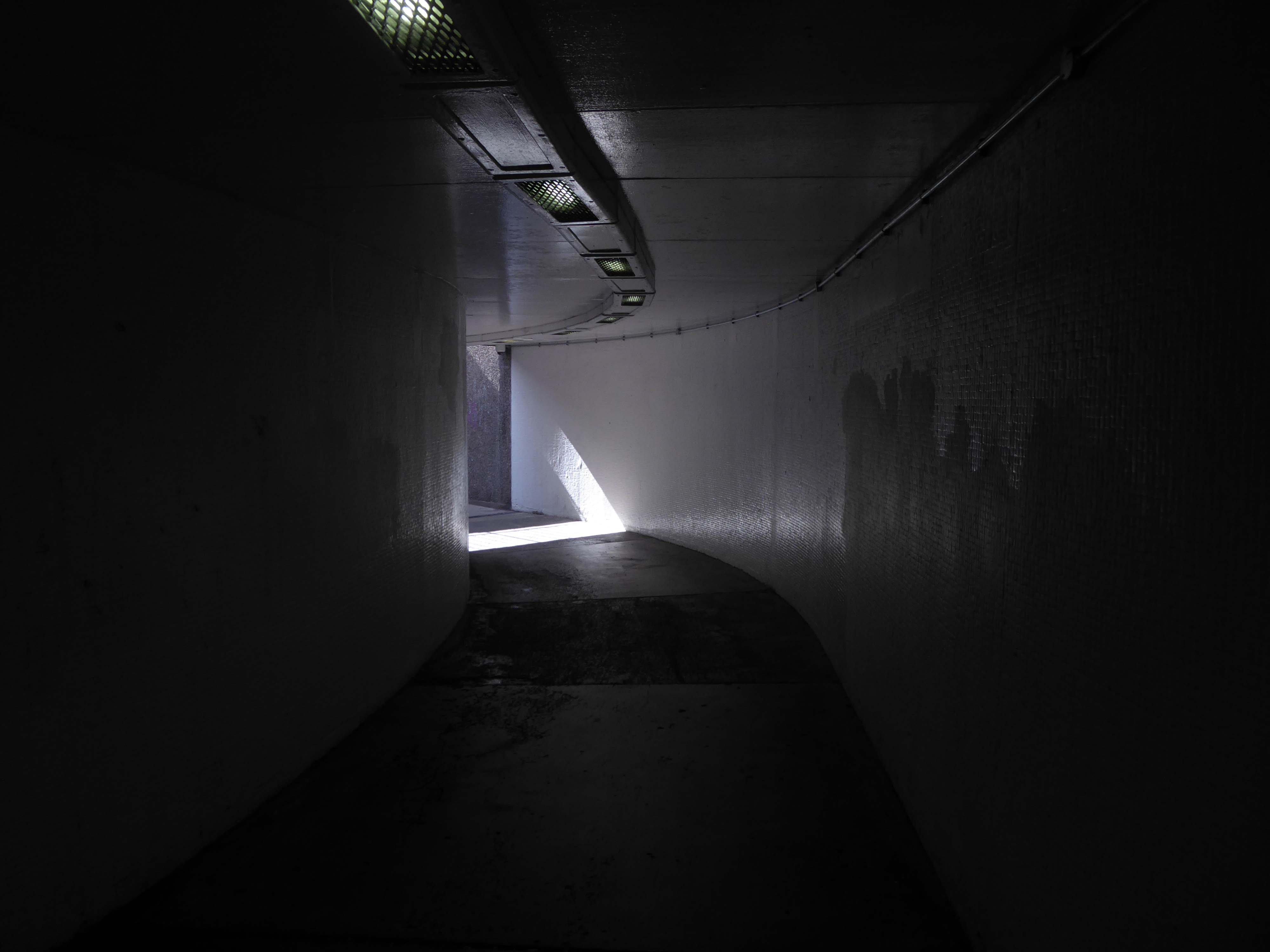
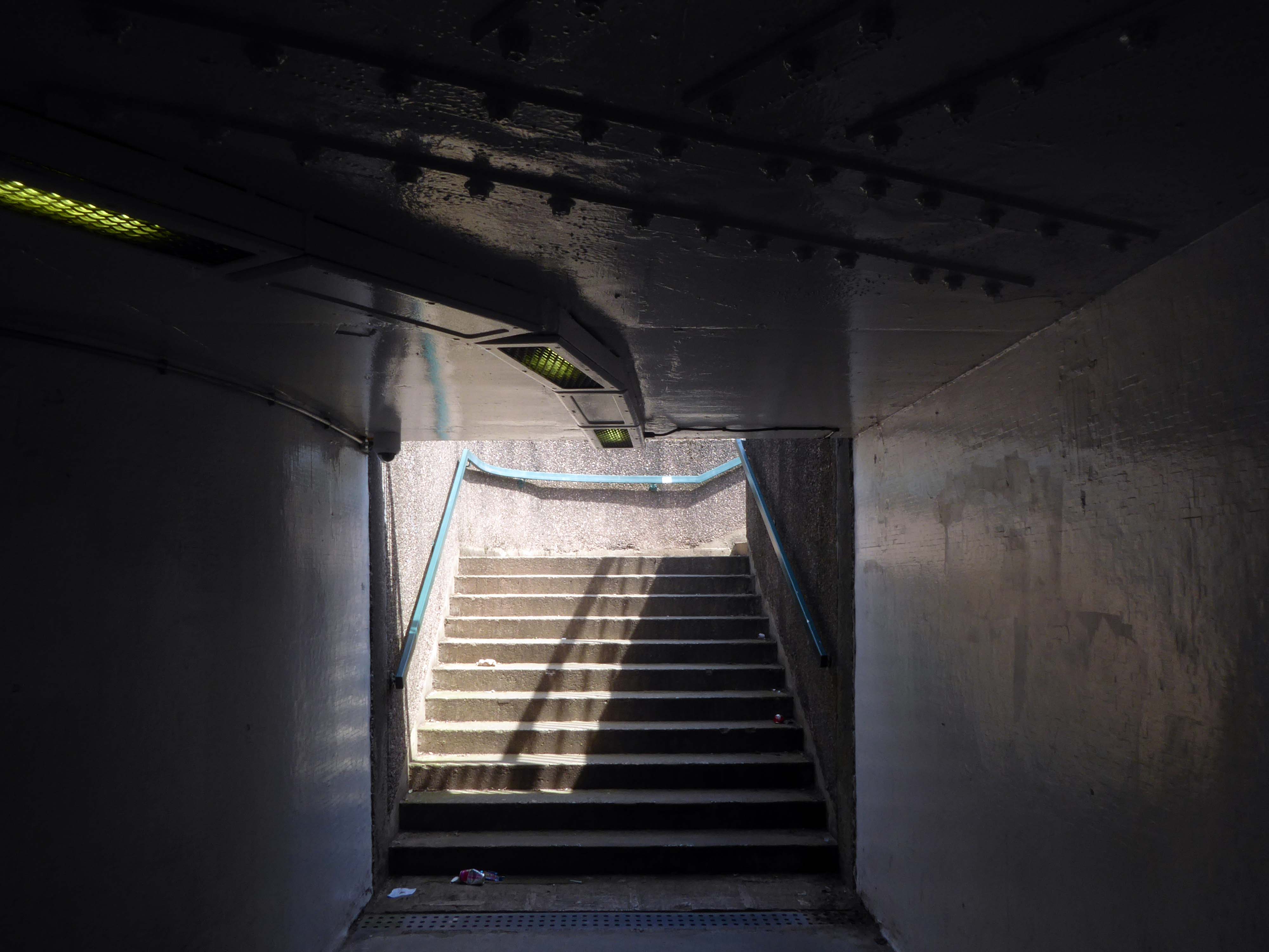
So it came to pass I visited another underpass or two – I’m a one man subway sect.

Having been to Scarborough, Rotherham, Milton Keynes, Newcastle and Stockport.

I’m overwhelmed by the underpass, where the passage of time is both slowed and hurried.

A feeling of unease will hasten your pace, a strange sense of transcendence allows you to linger longer.

There’s a world going on underground.

Rattle big black bones in the danger zone
There’s a rumblin’ groan down below
There’s a big dark town, it’s a place I’ve found
There’s a world going on underground

Tom Waits

The interlocking, converging and diverging passageways lit by both daylight, LED and UV have given the images a variety of colour casts.

Let’s take a look!

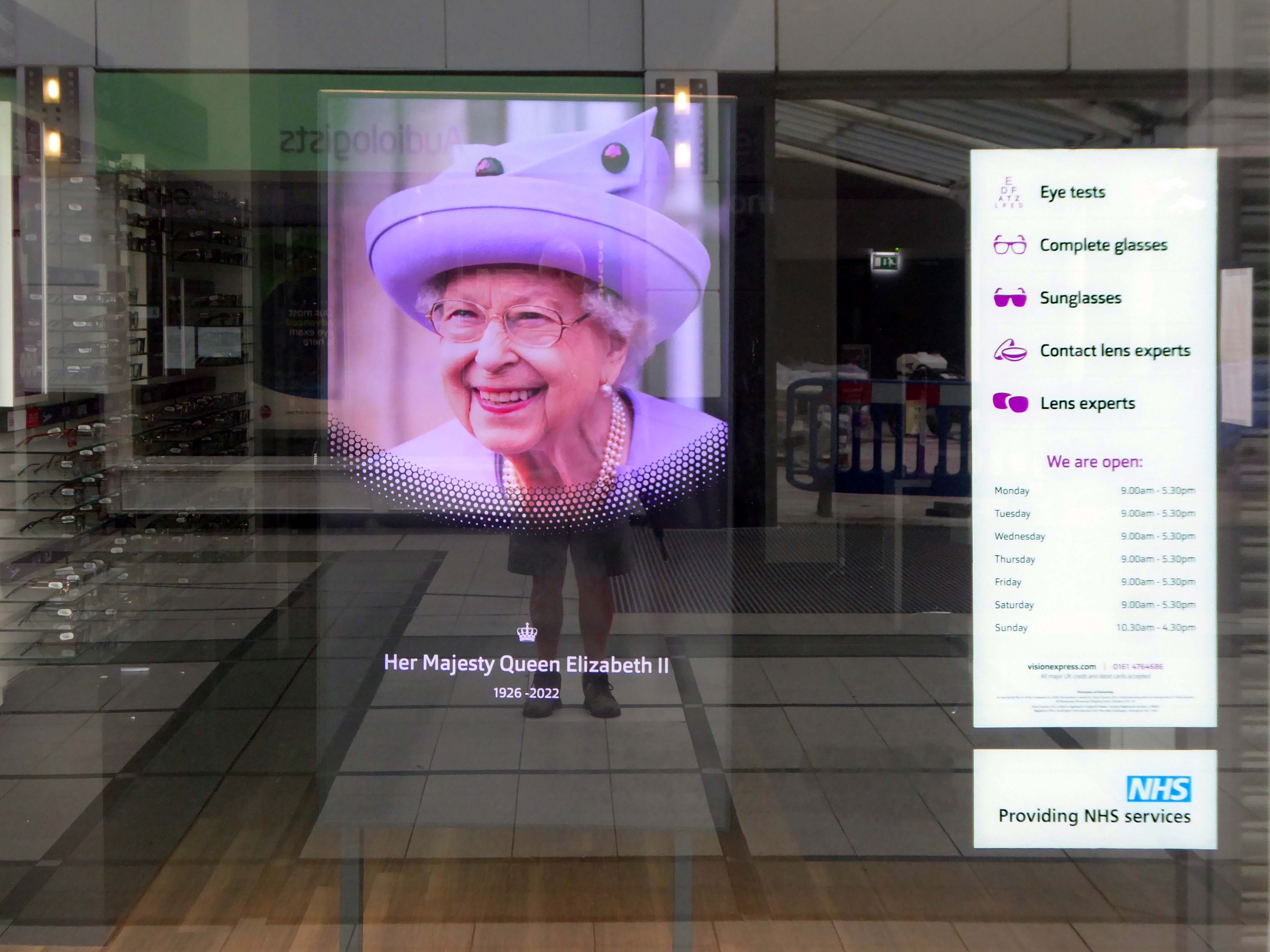
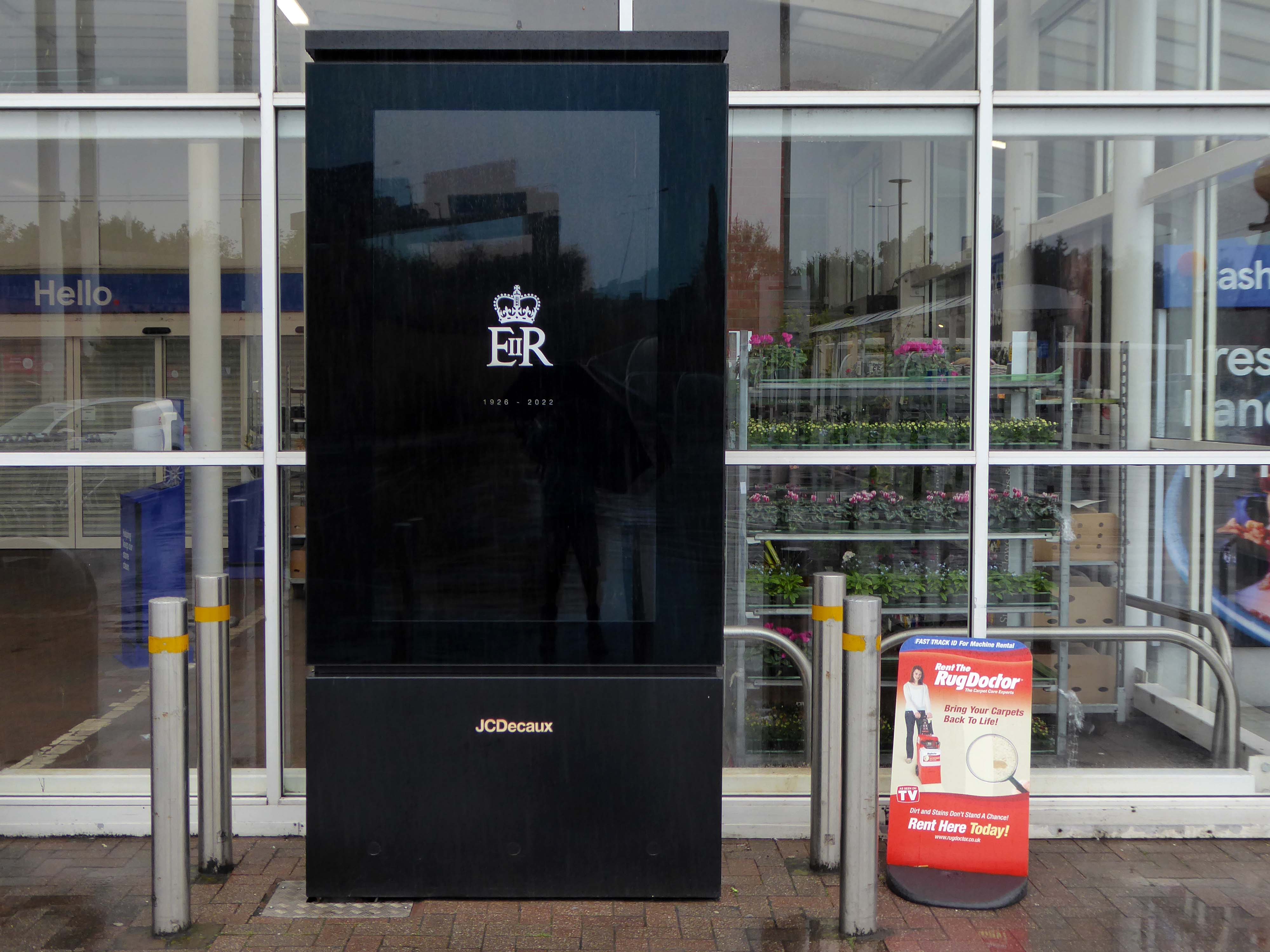
The Queen and I

On the day of HM Queen Elizabeth II’s Diamond Jubilee, I cycled around Ashton under Lyne in search of landmarks of her sixty year reign.

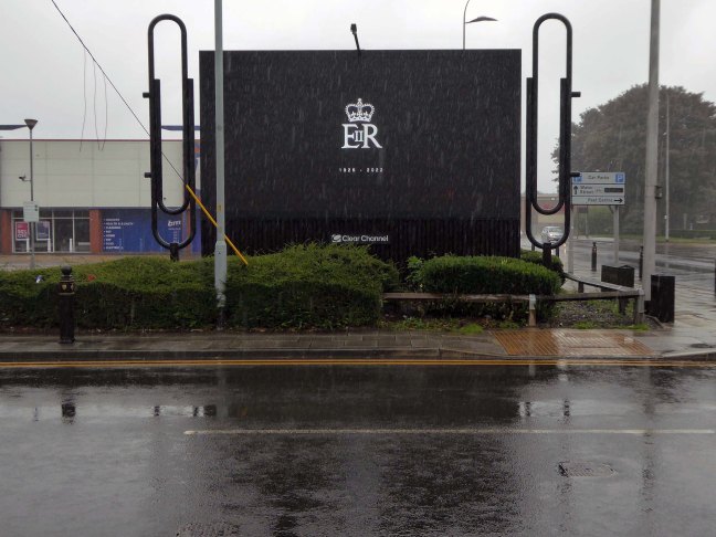
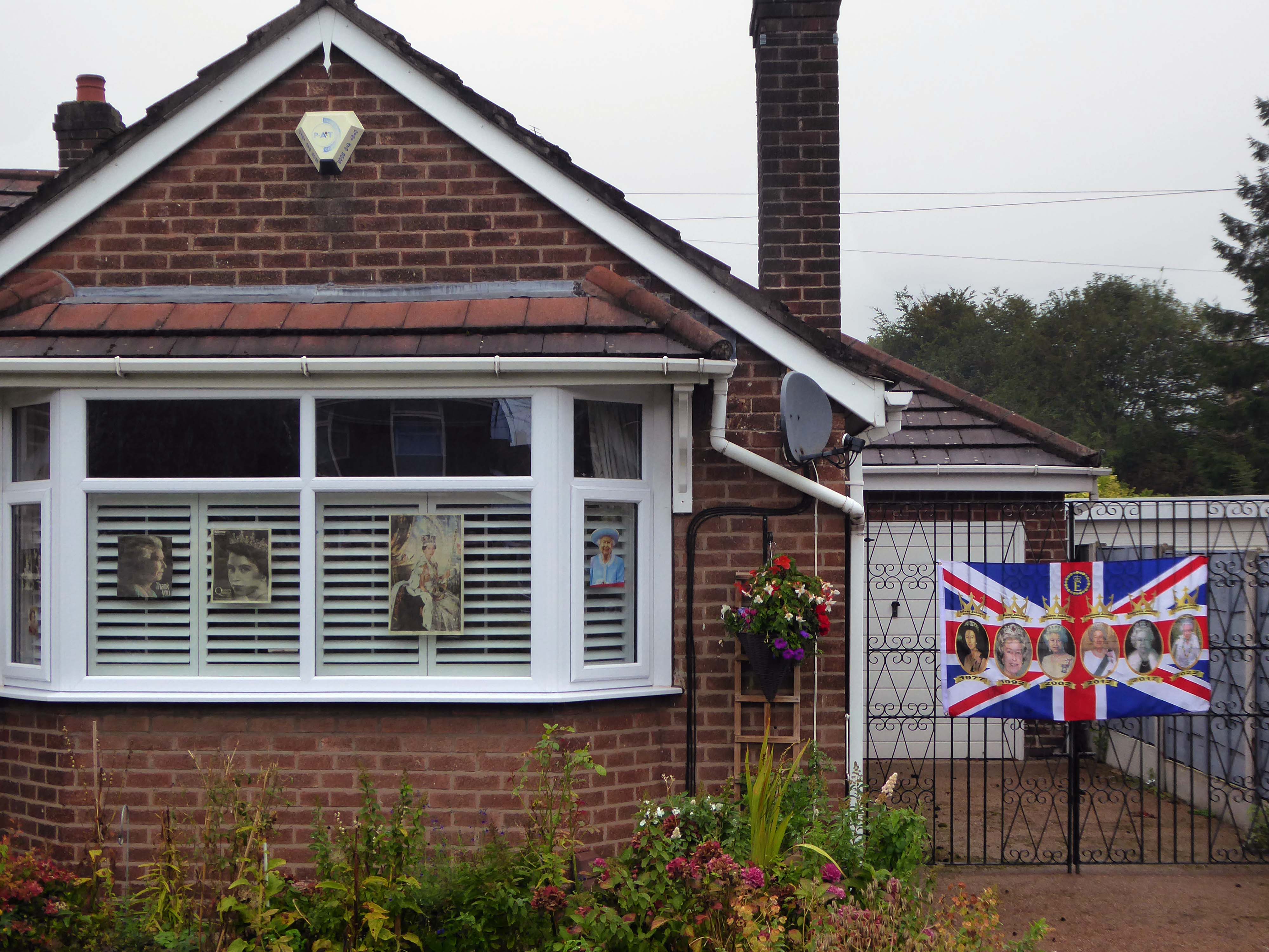
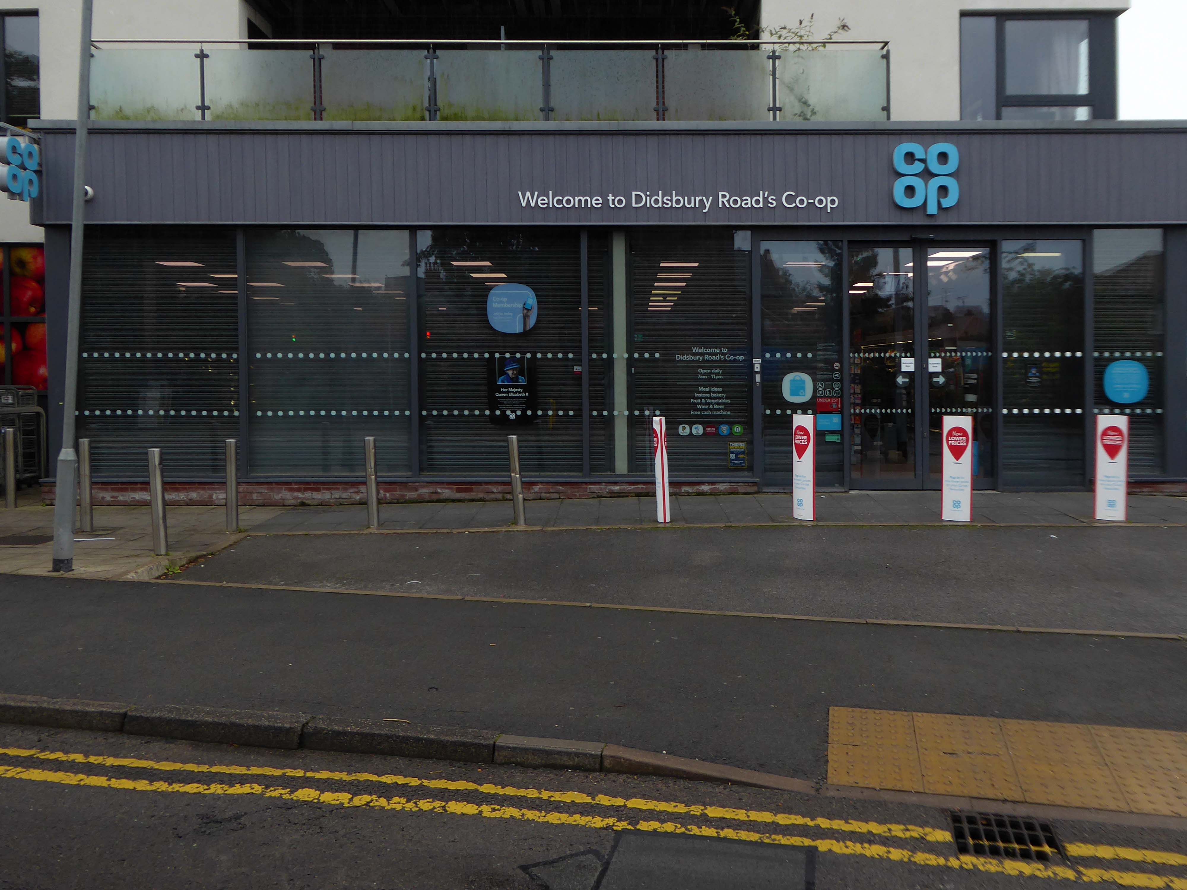
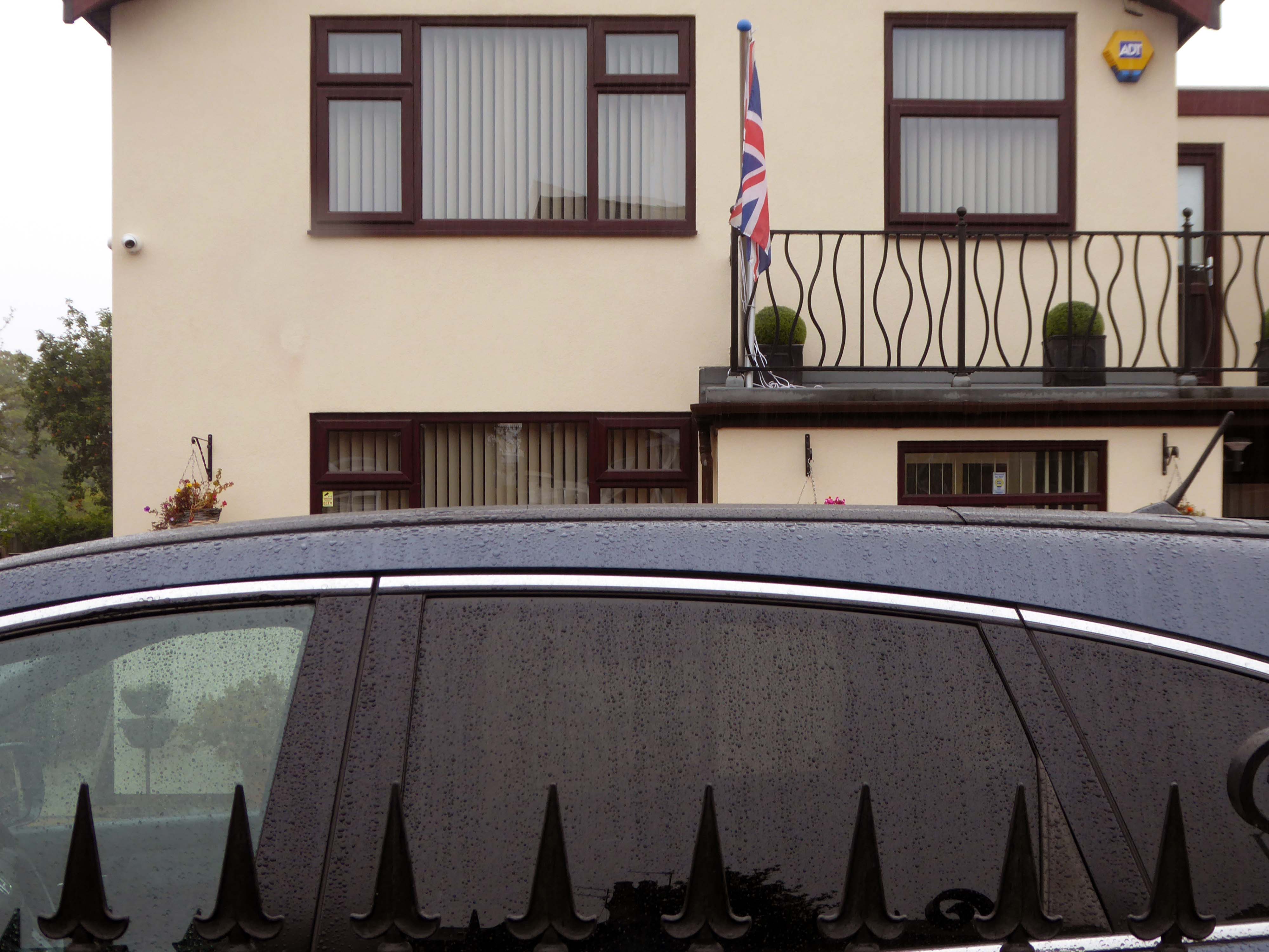
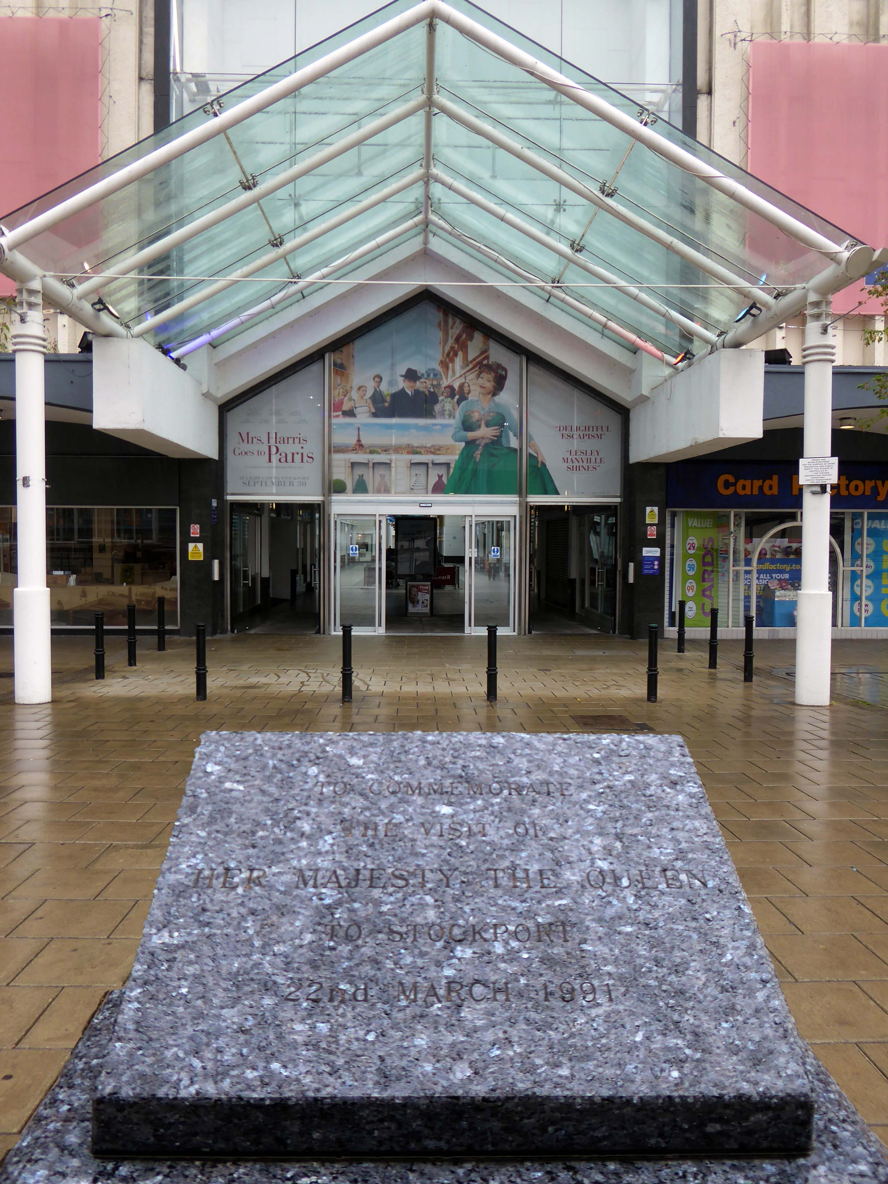
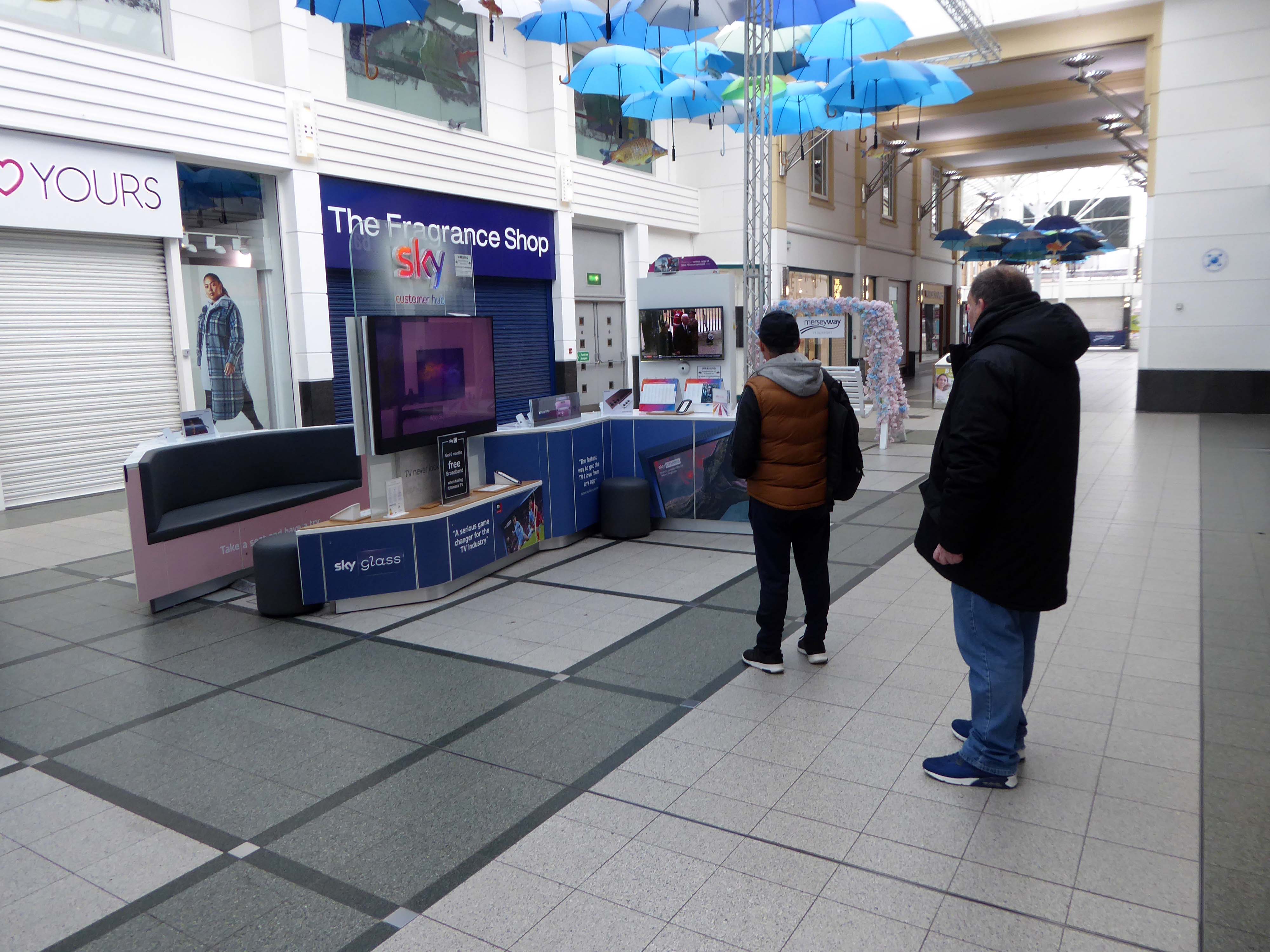
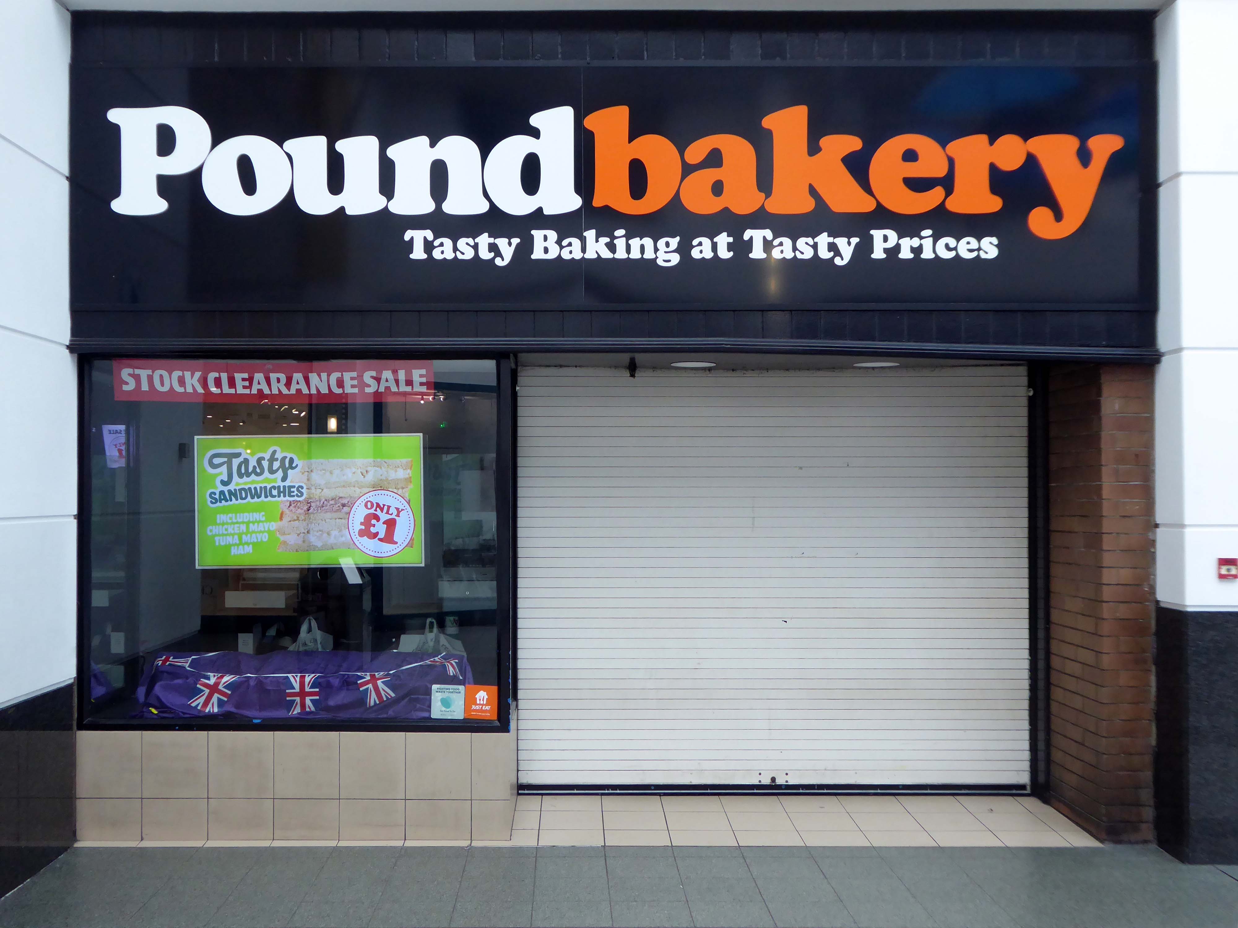
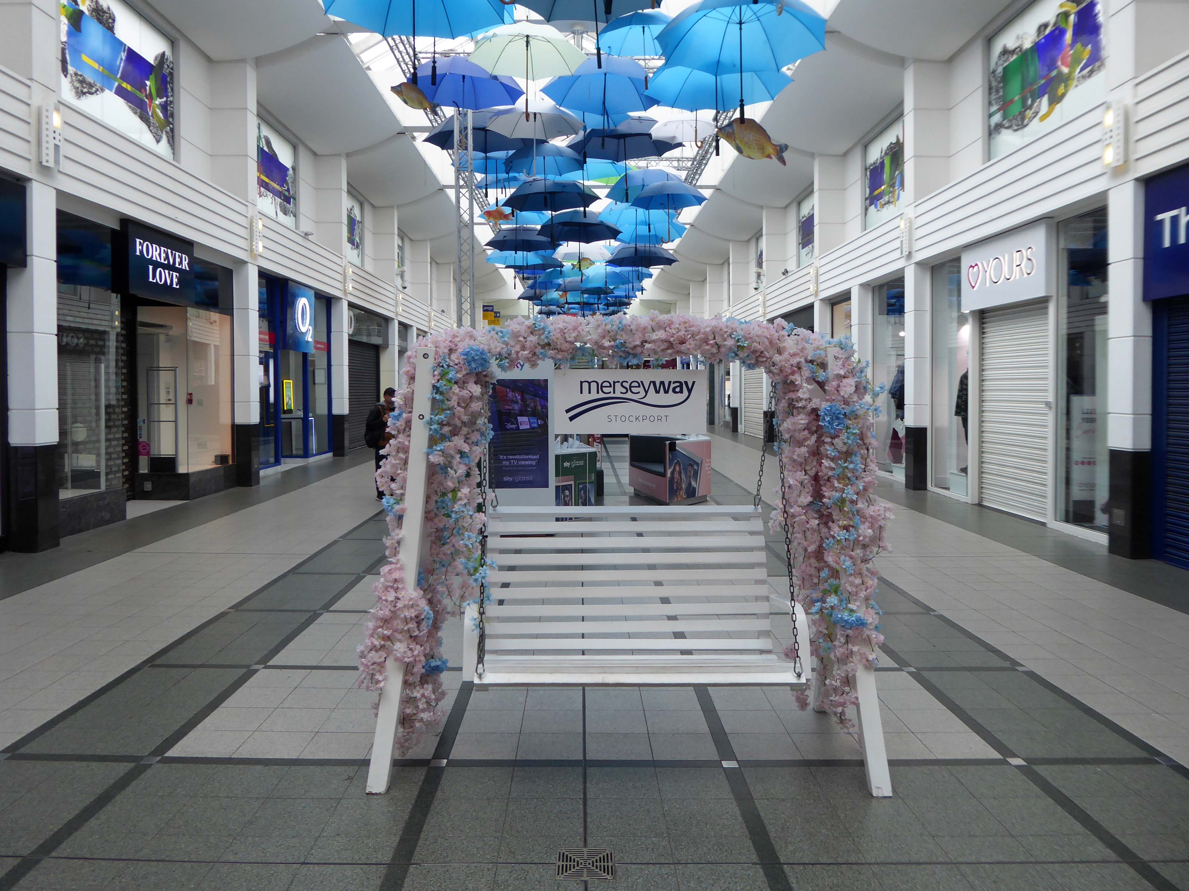
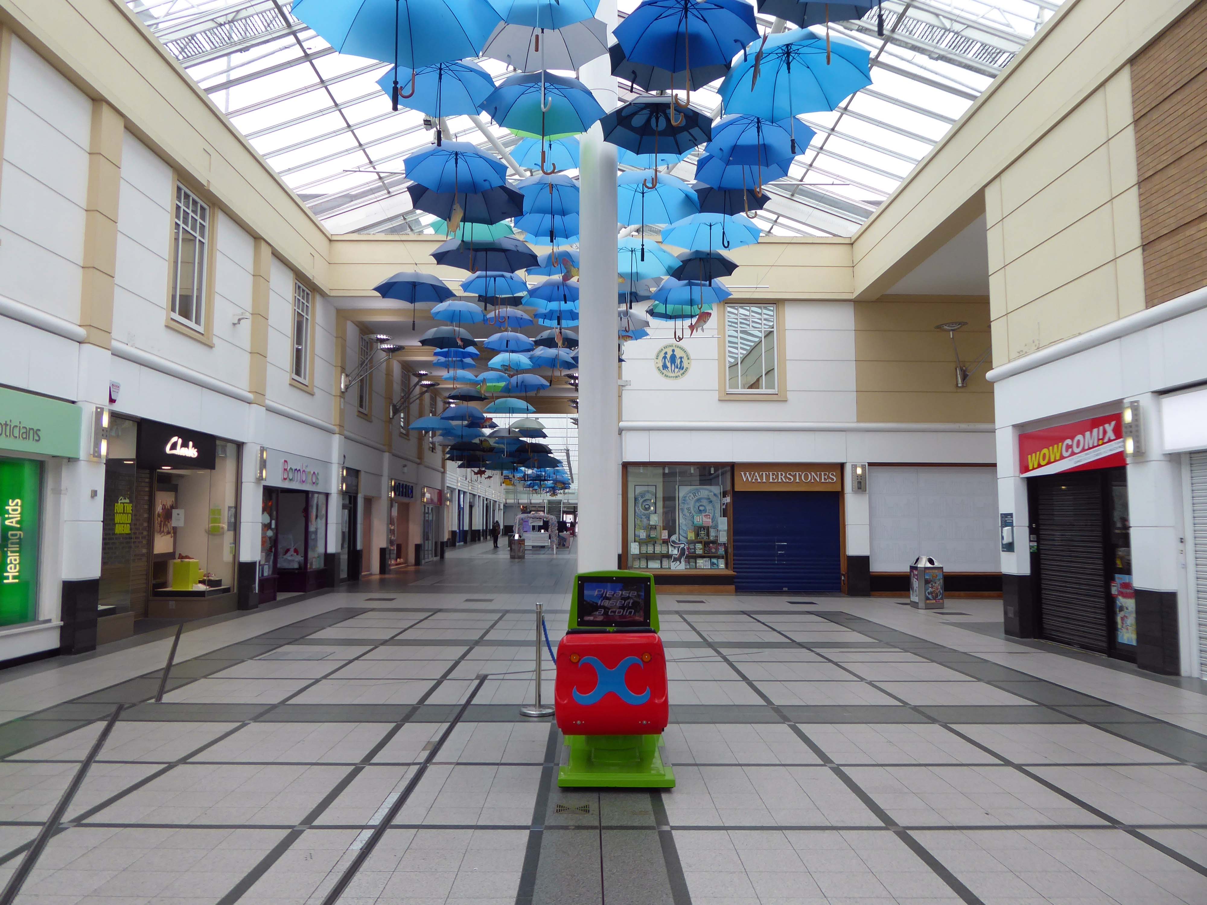
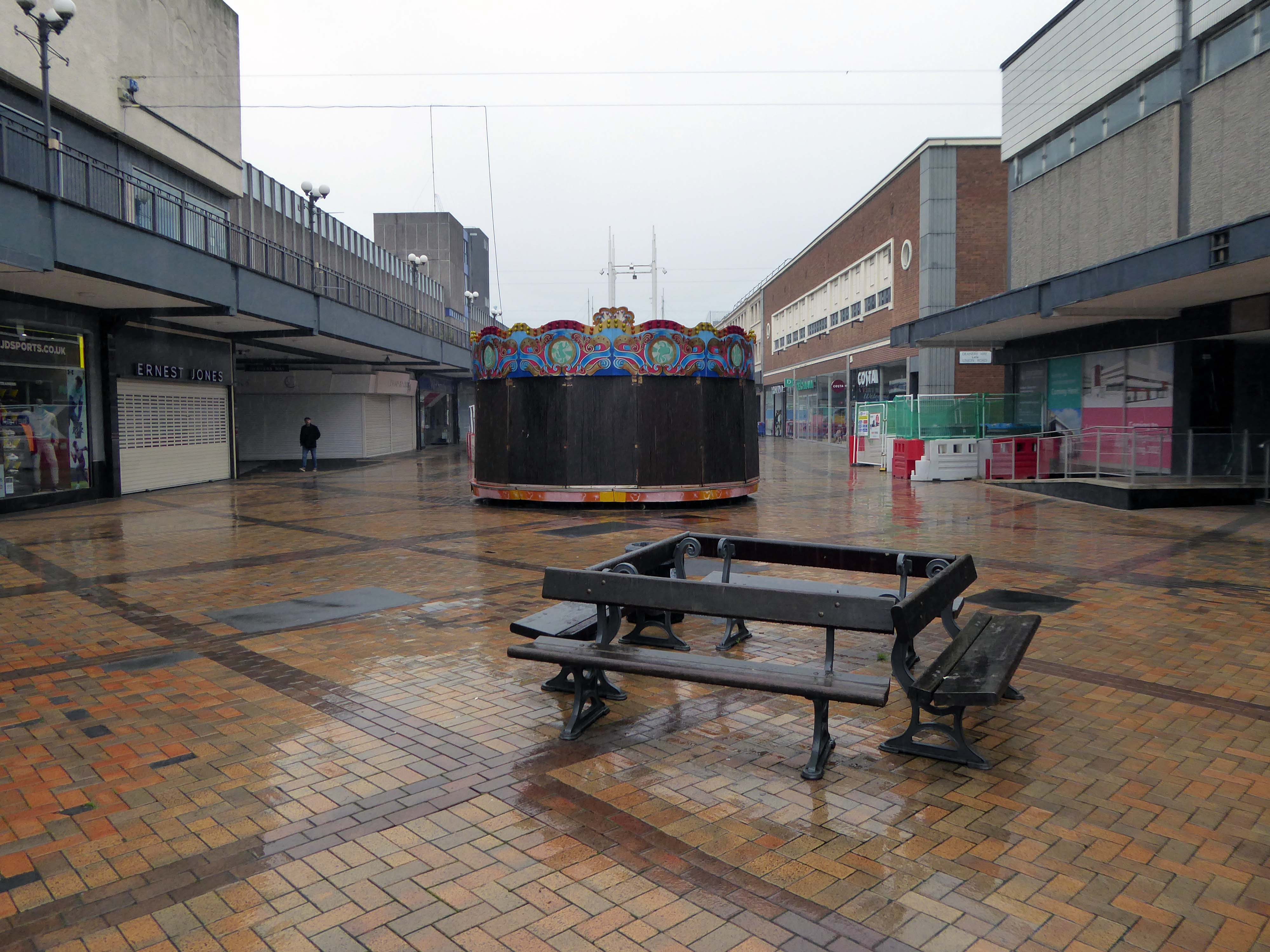
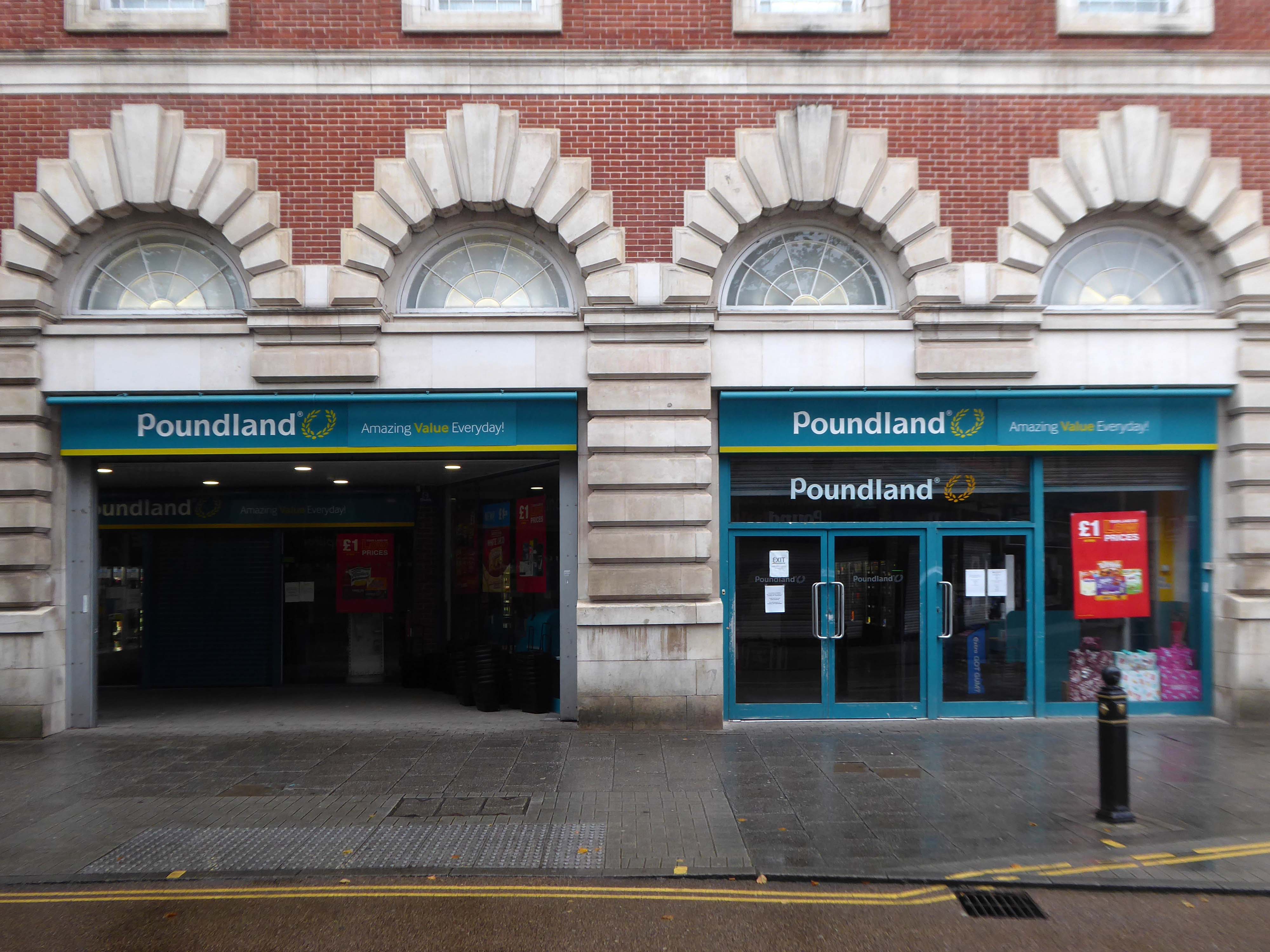
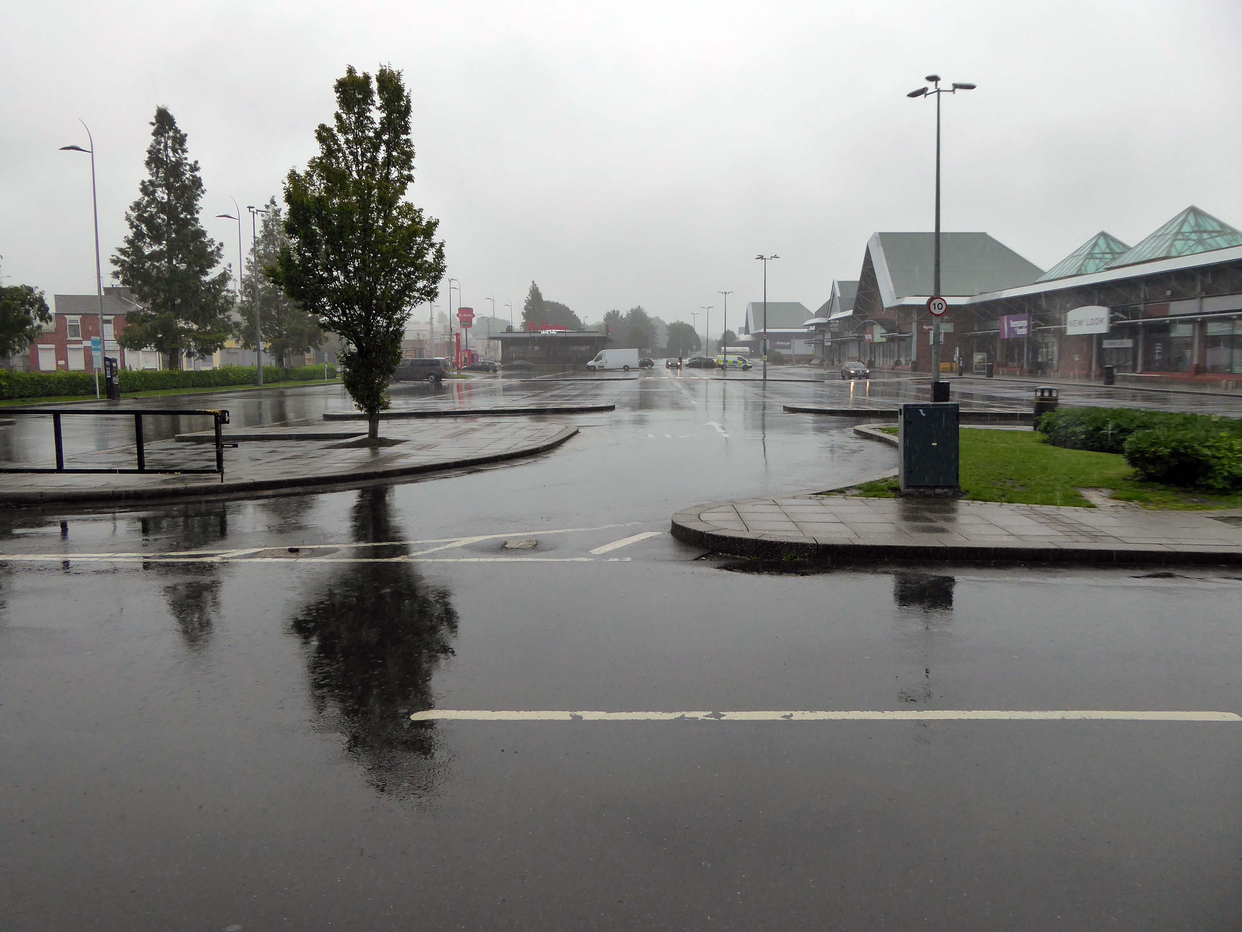
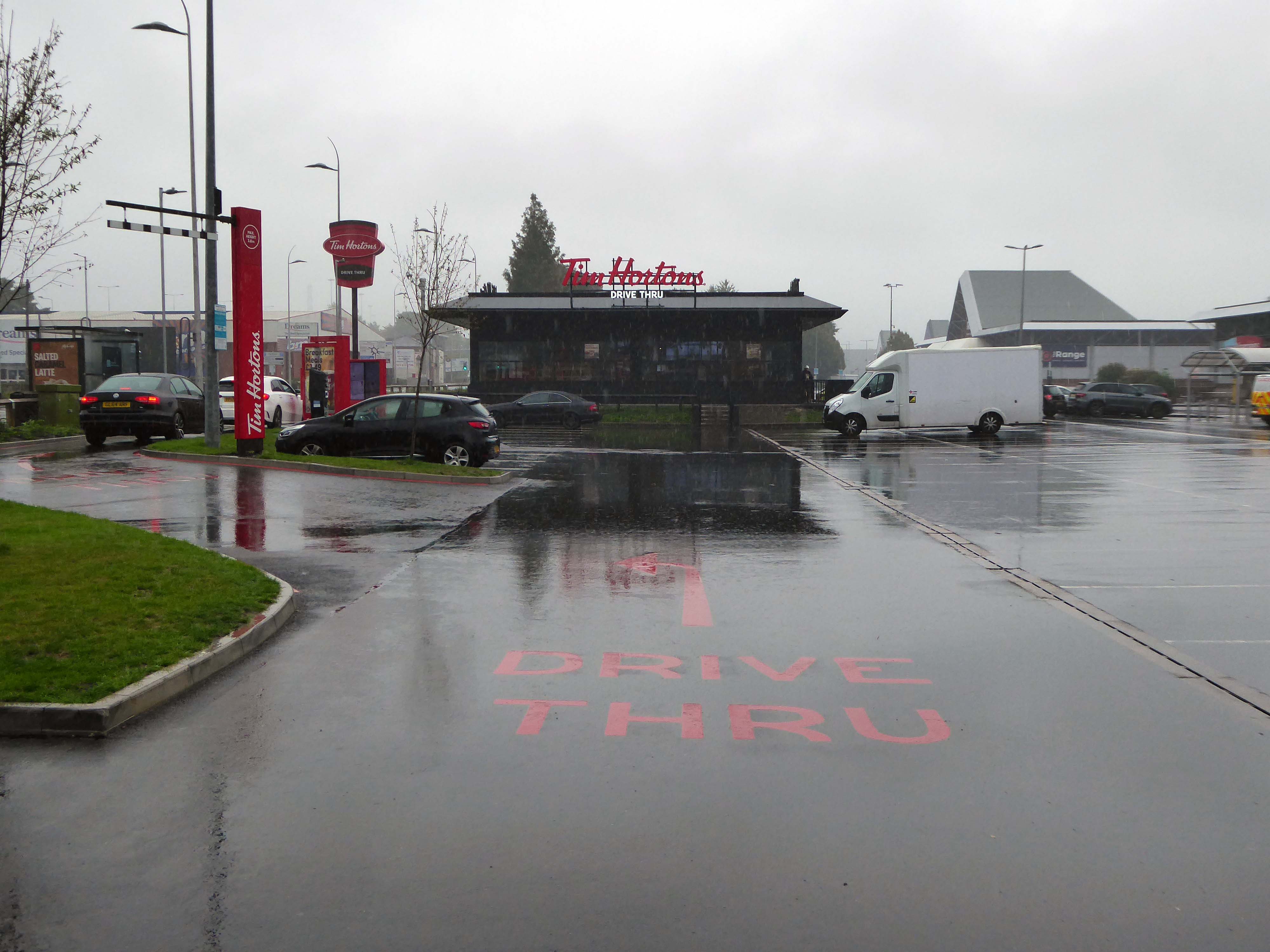
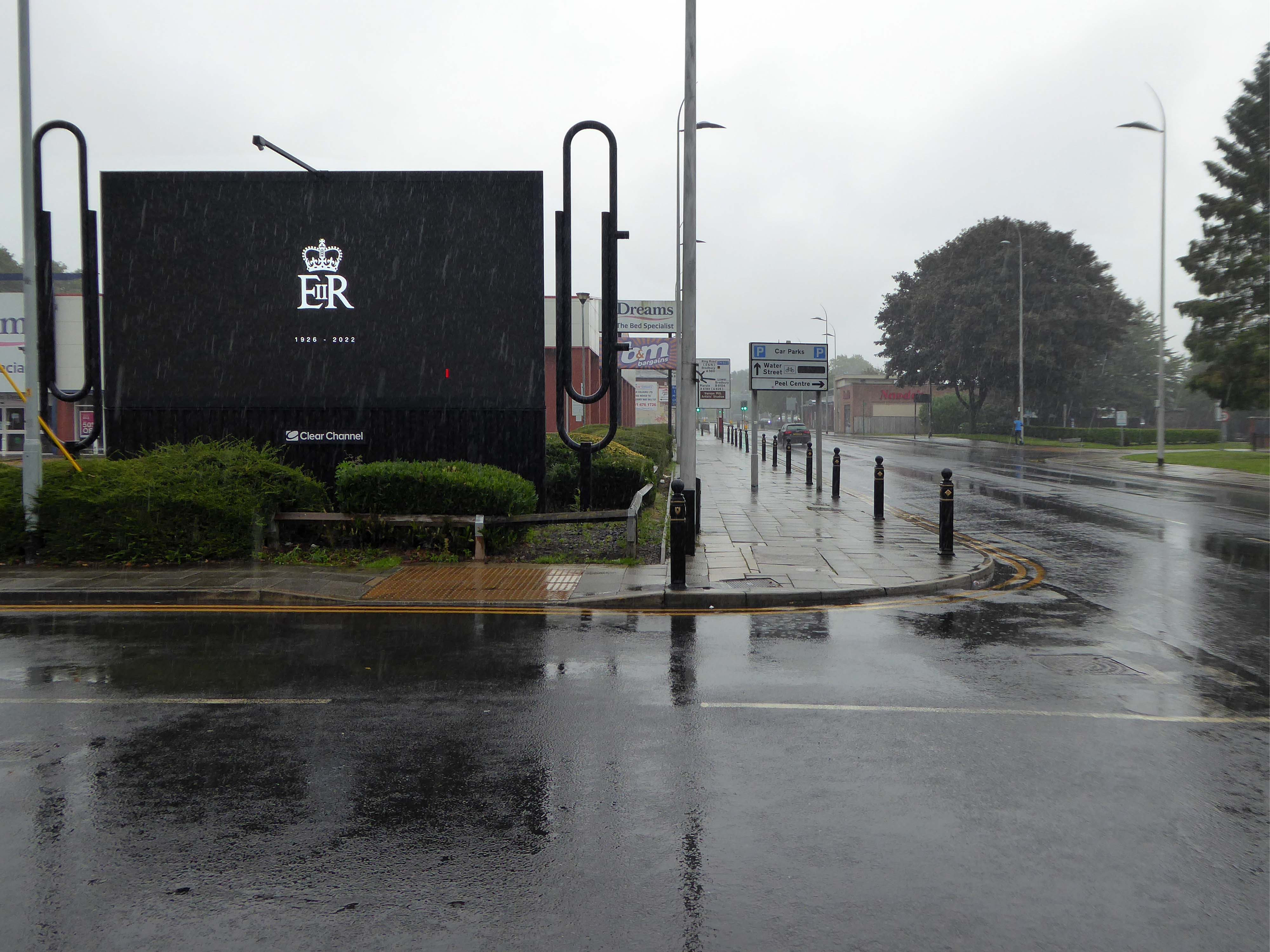
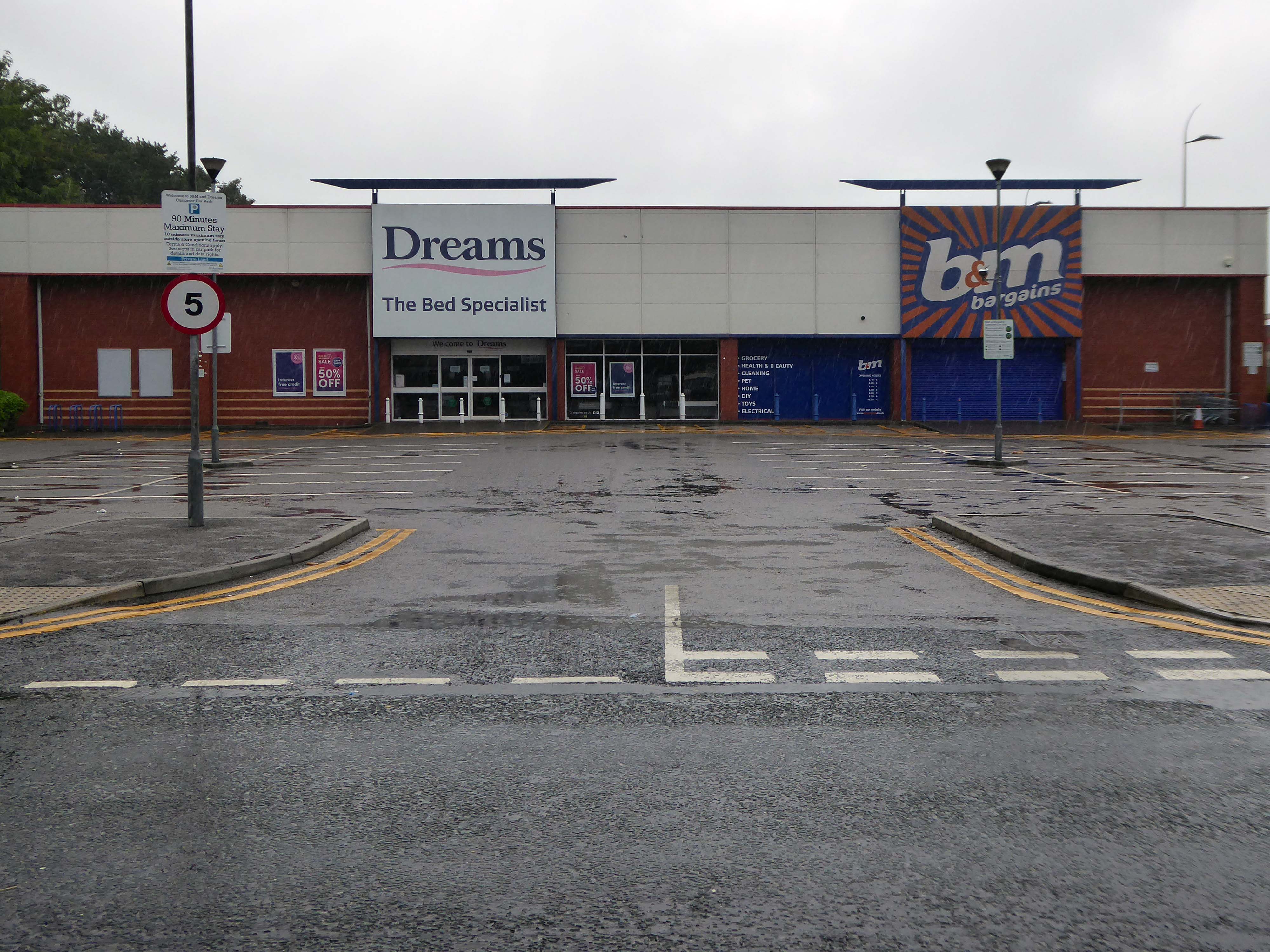
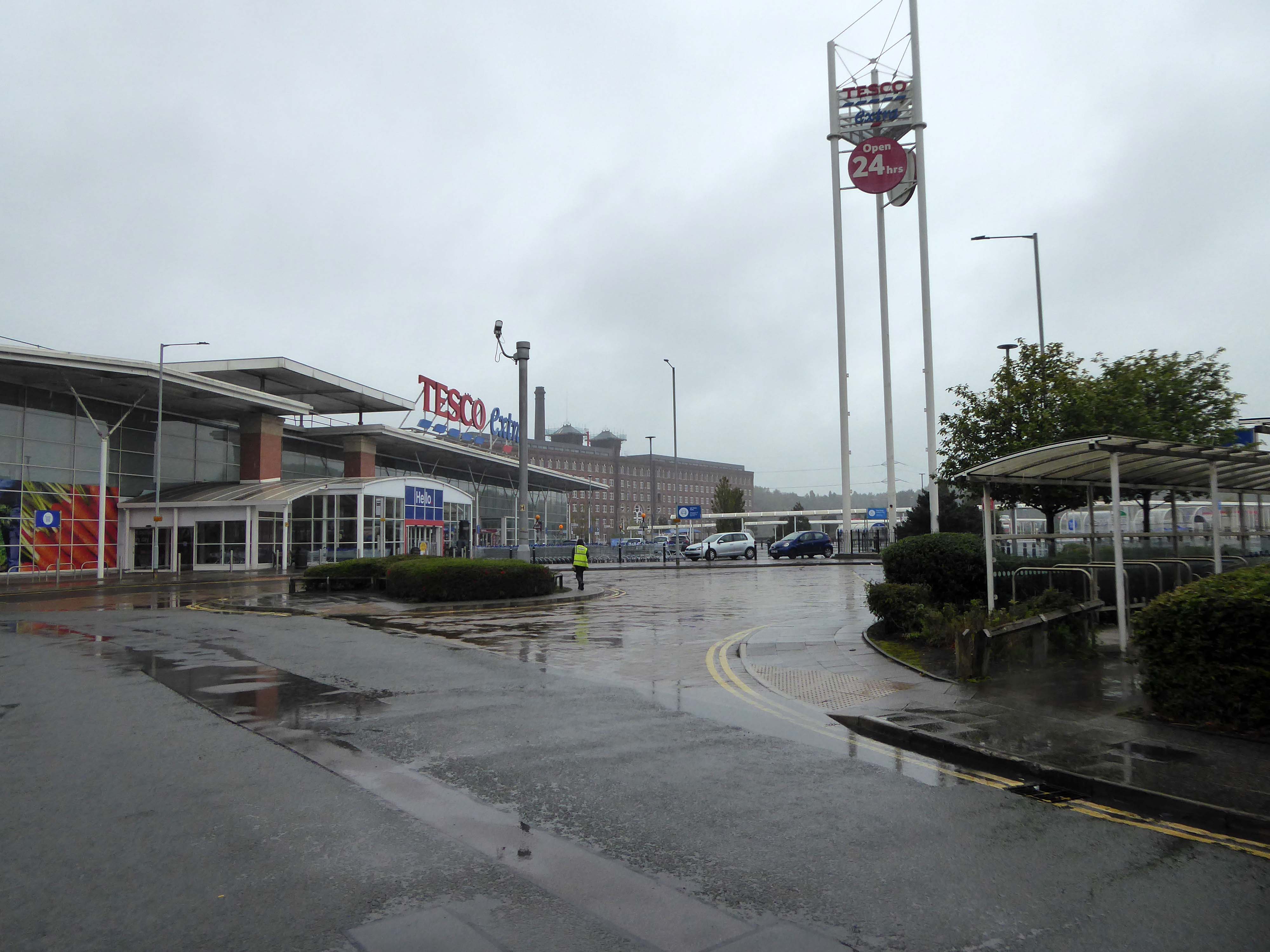
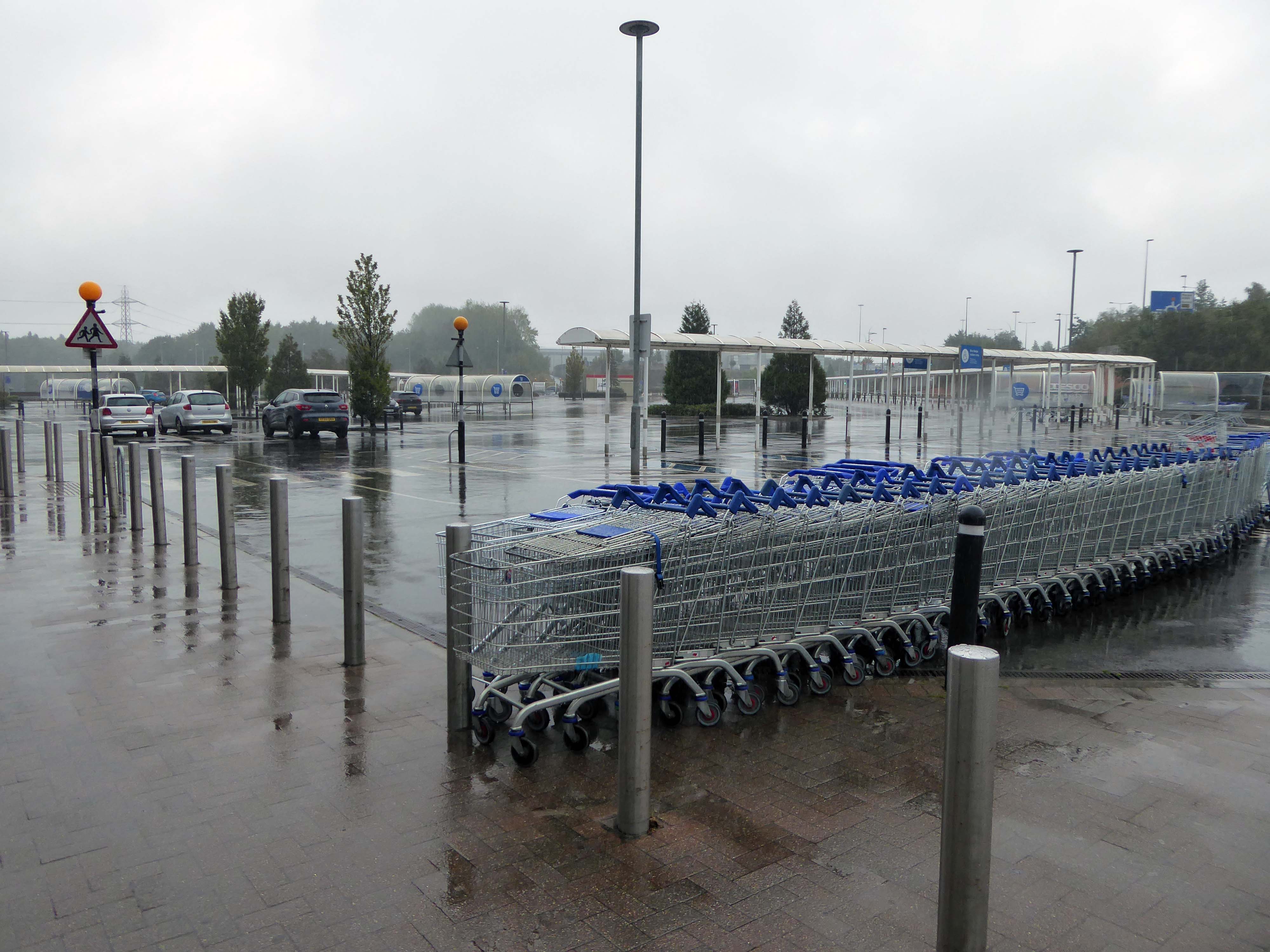
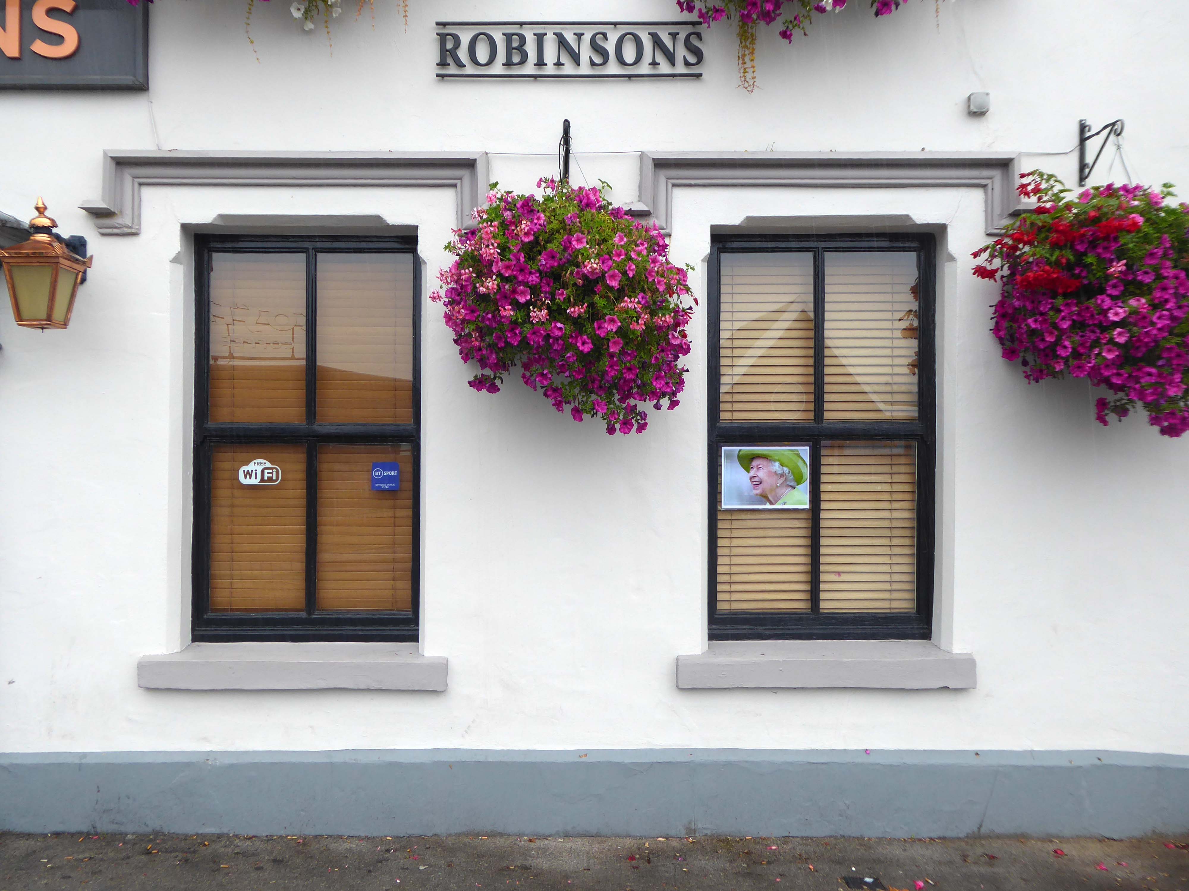
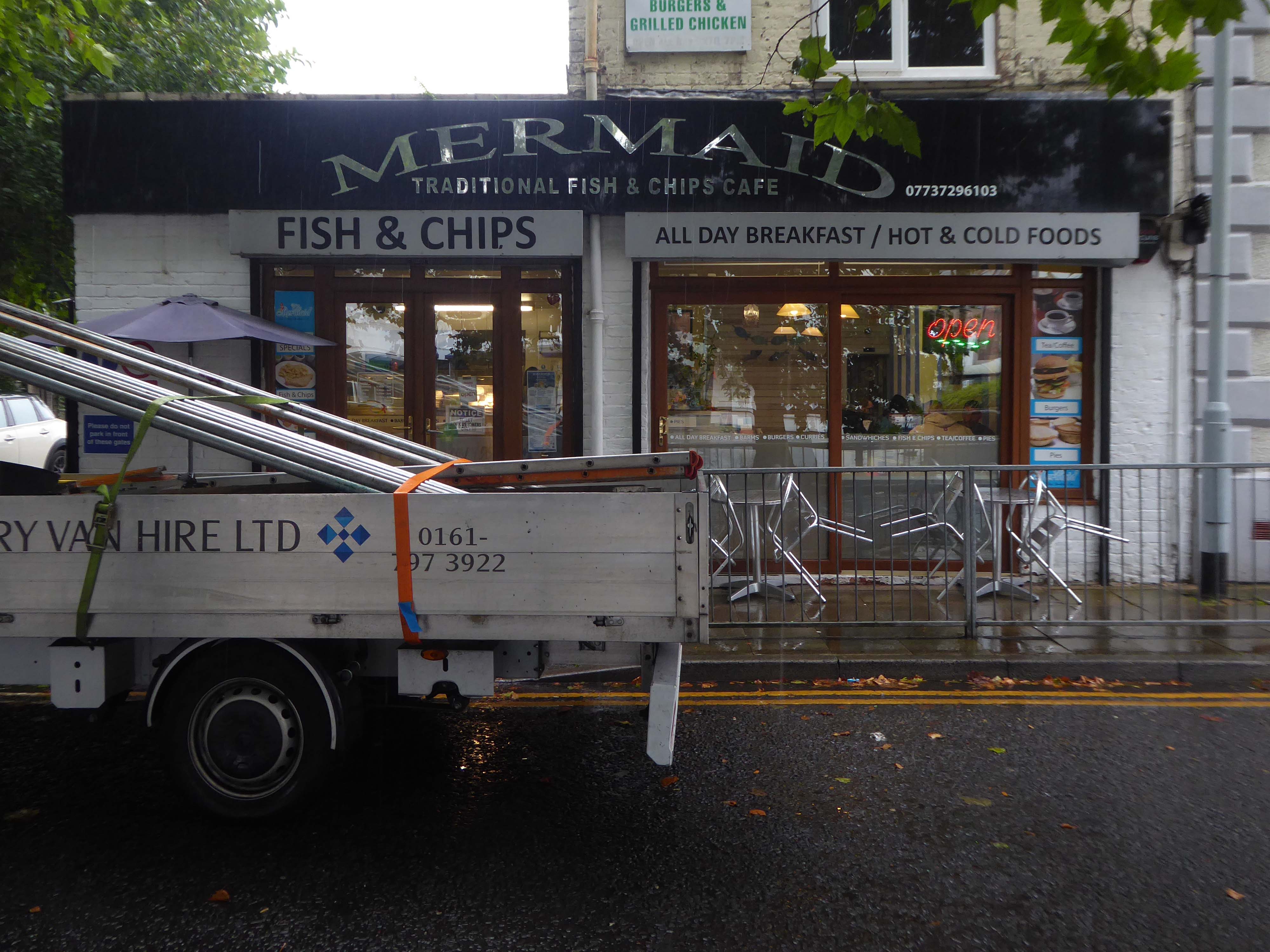
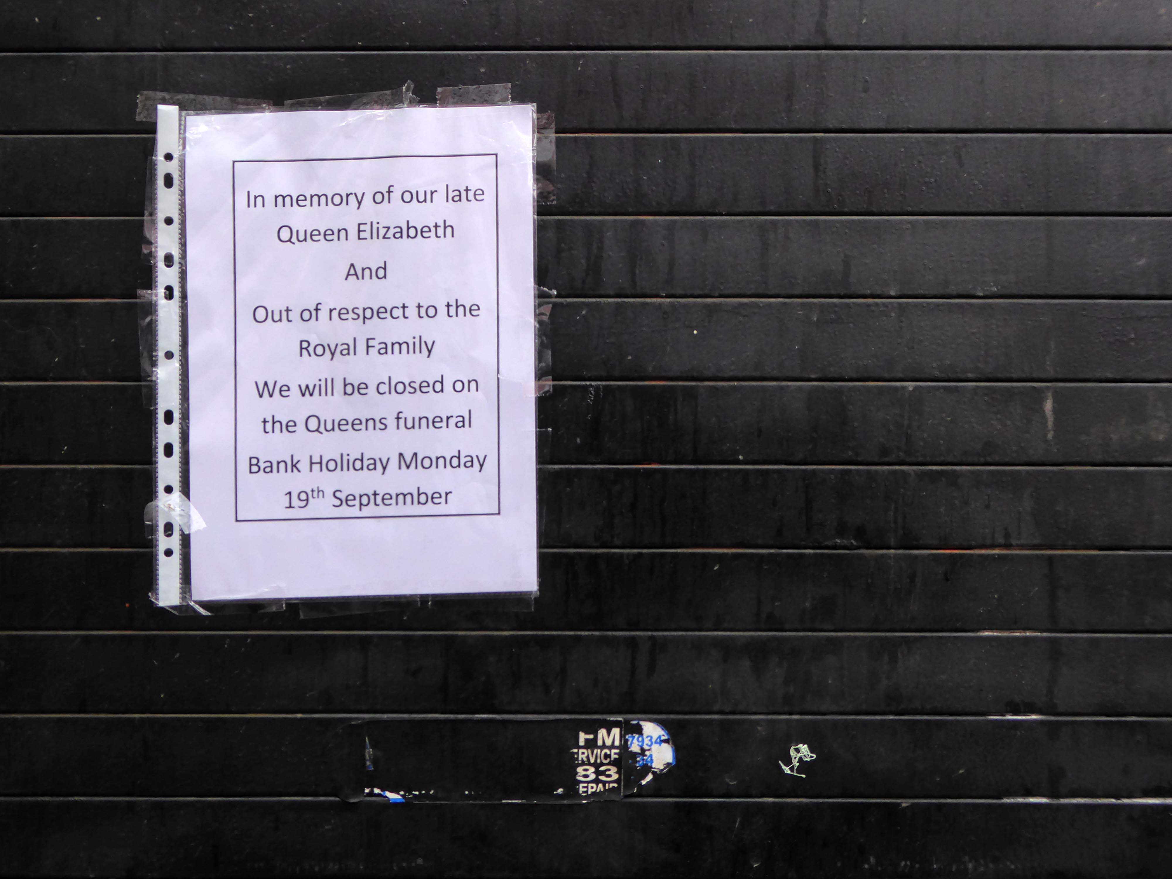
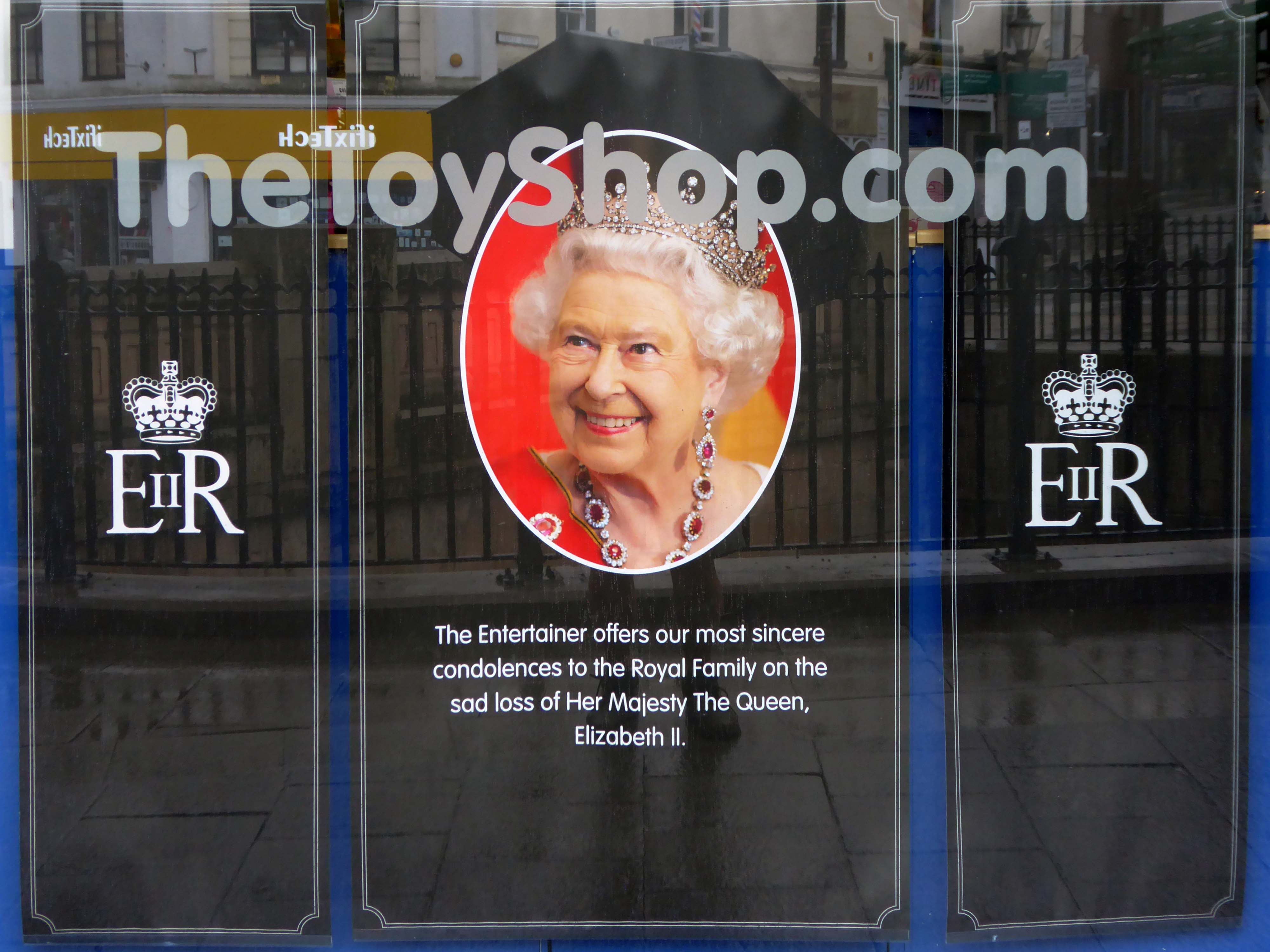
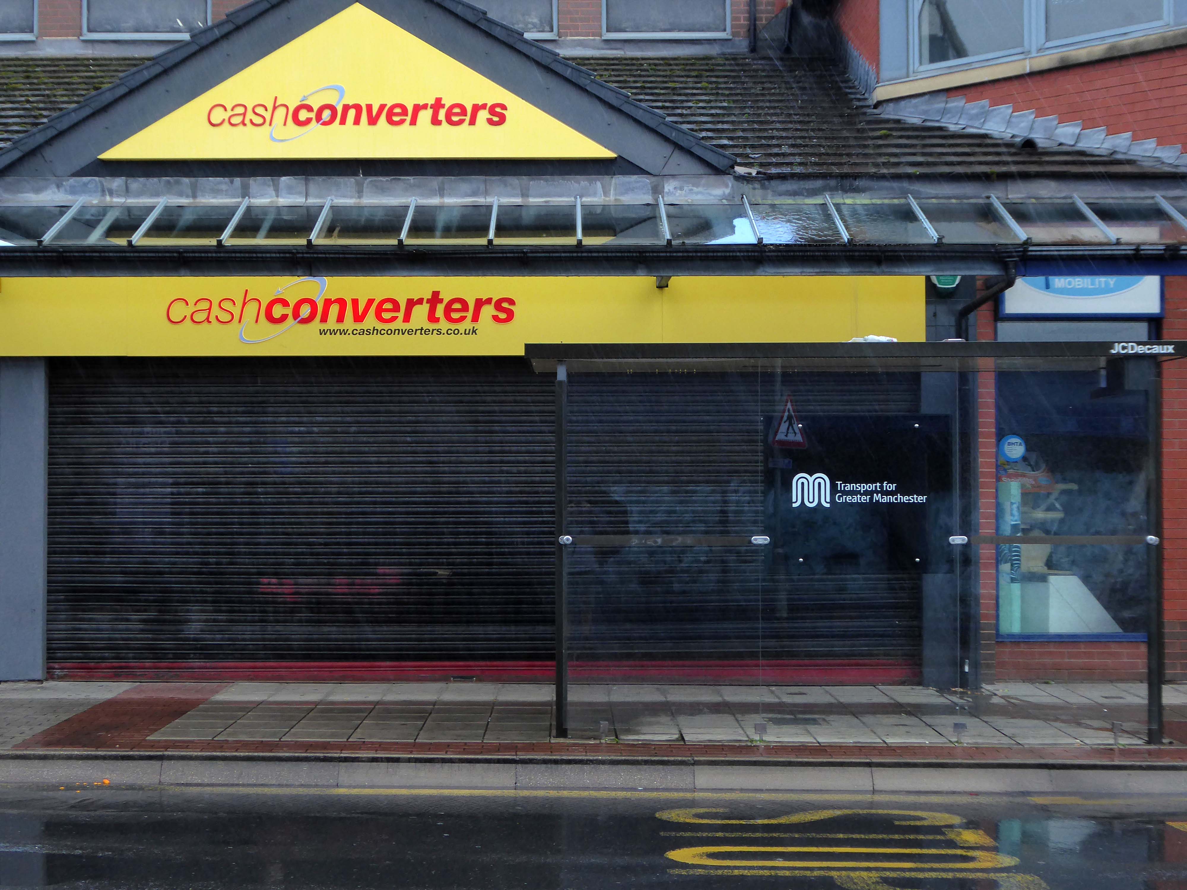
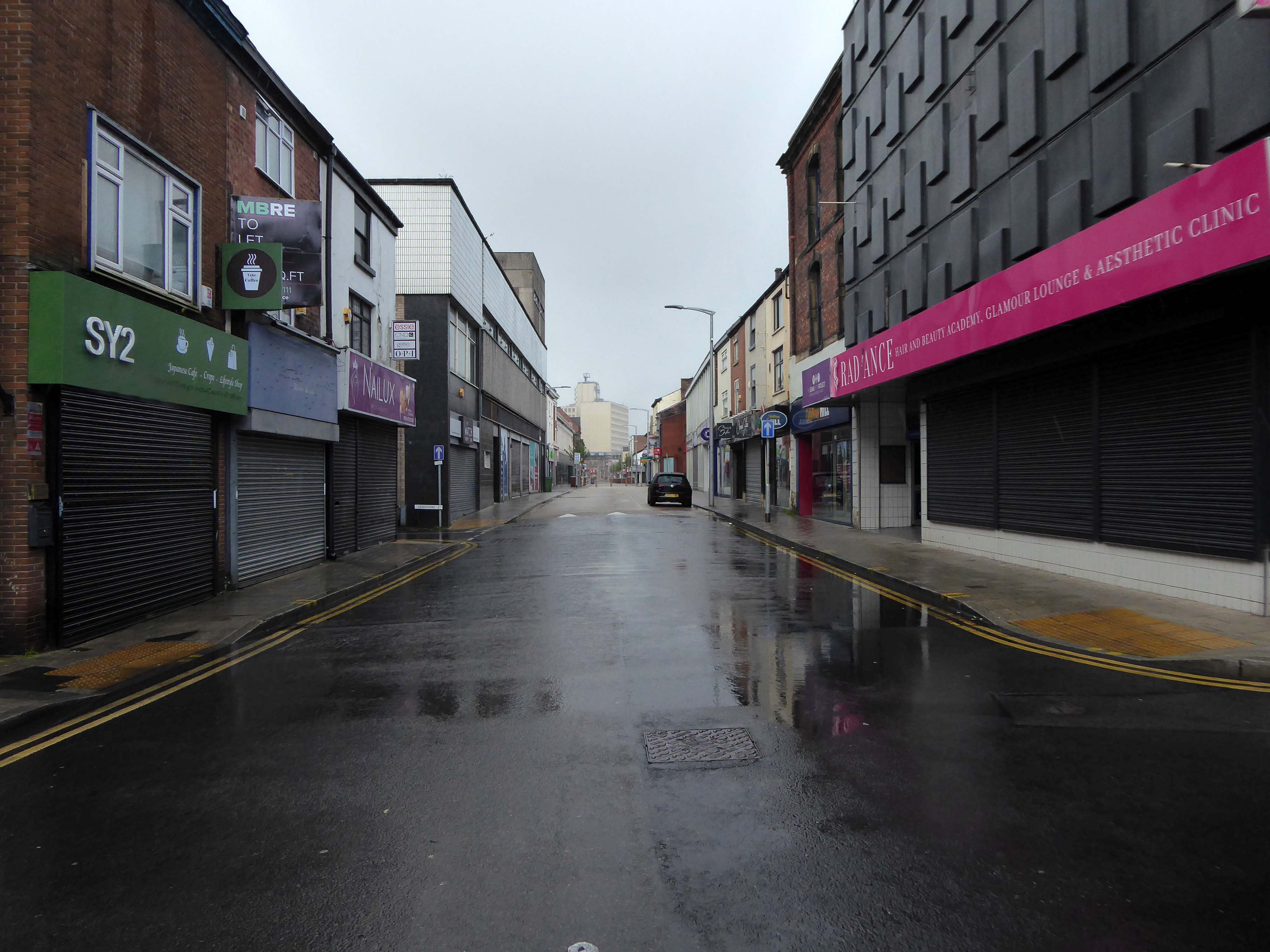
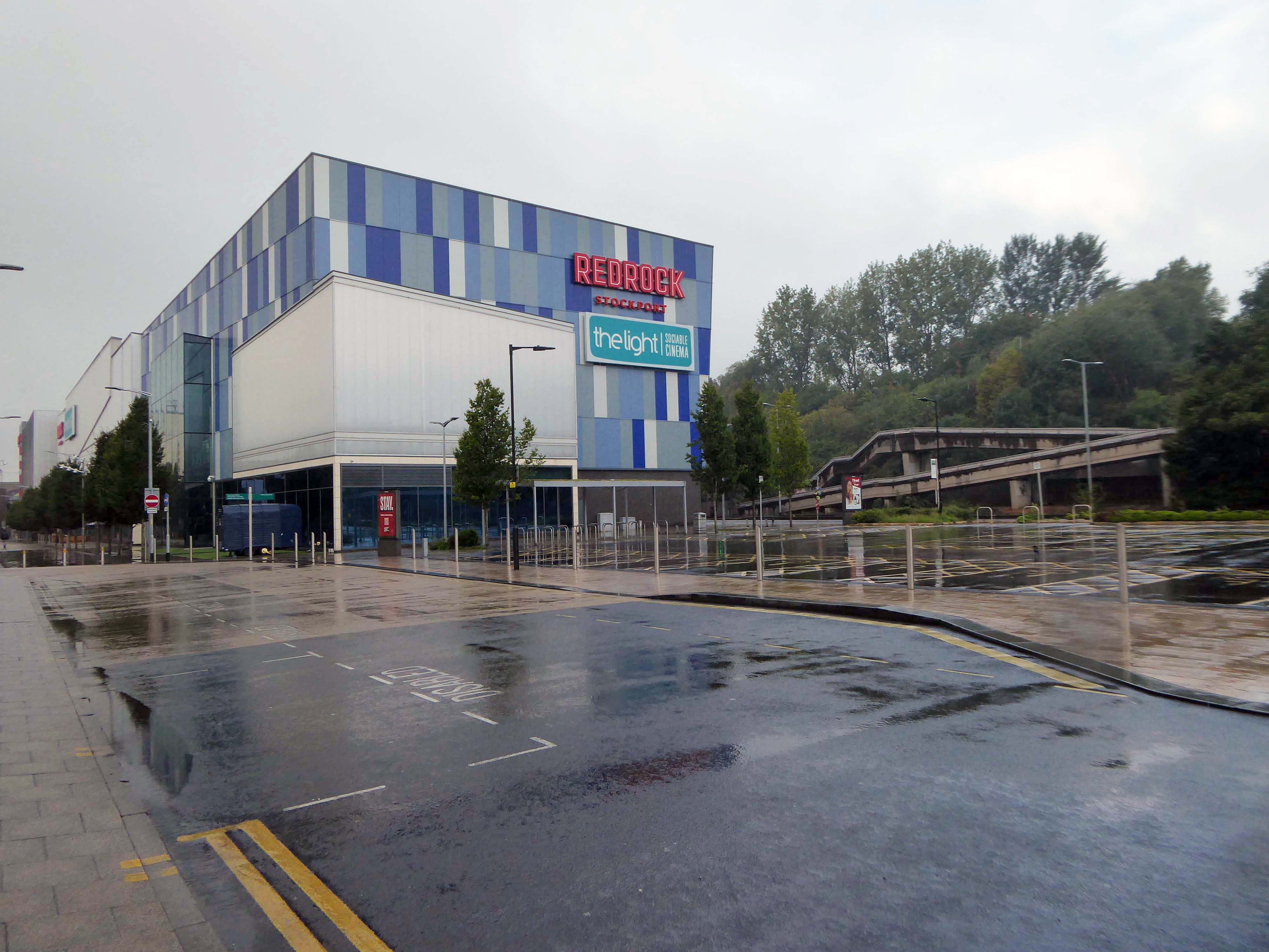
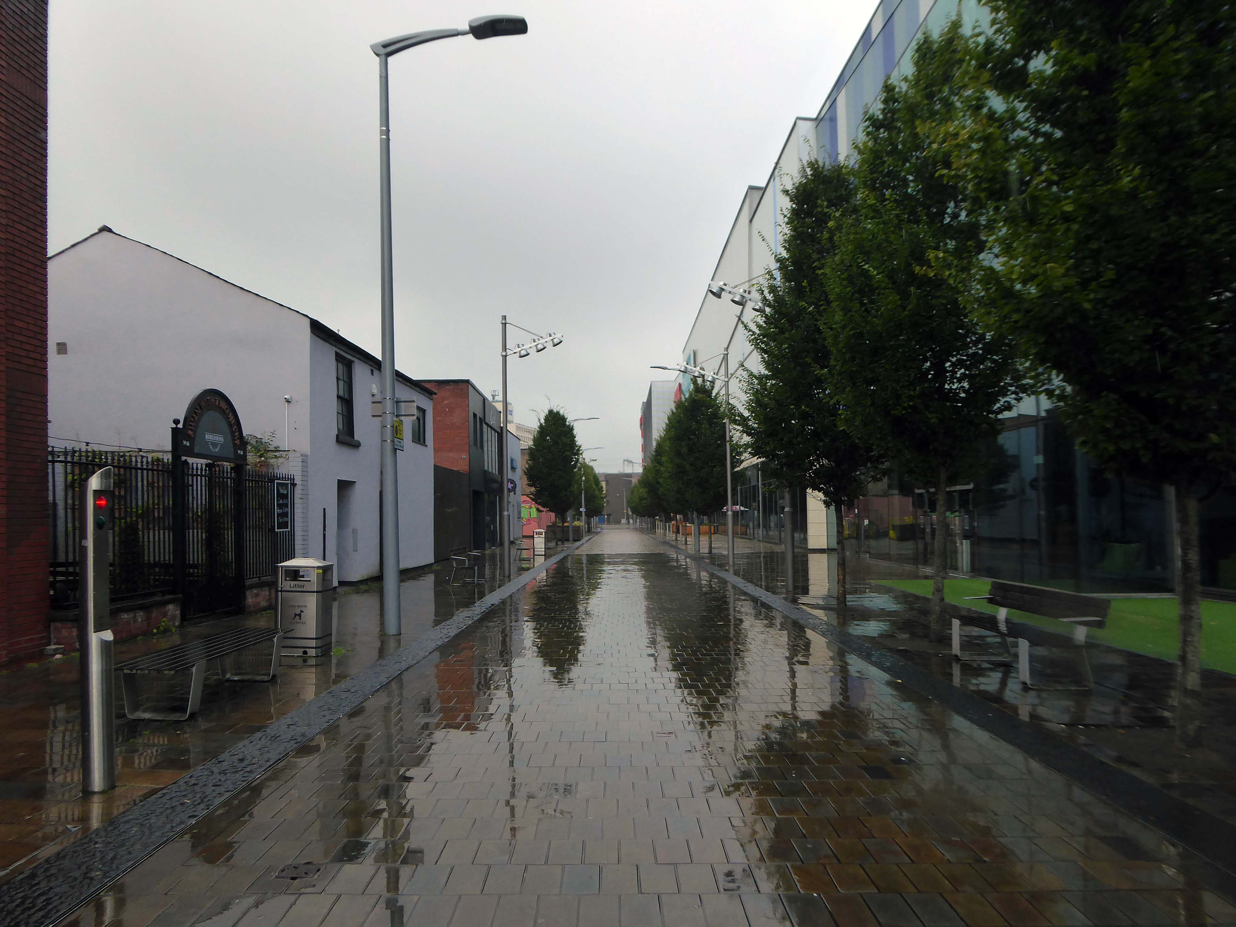
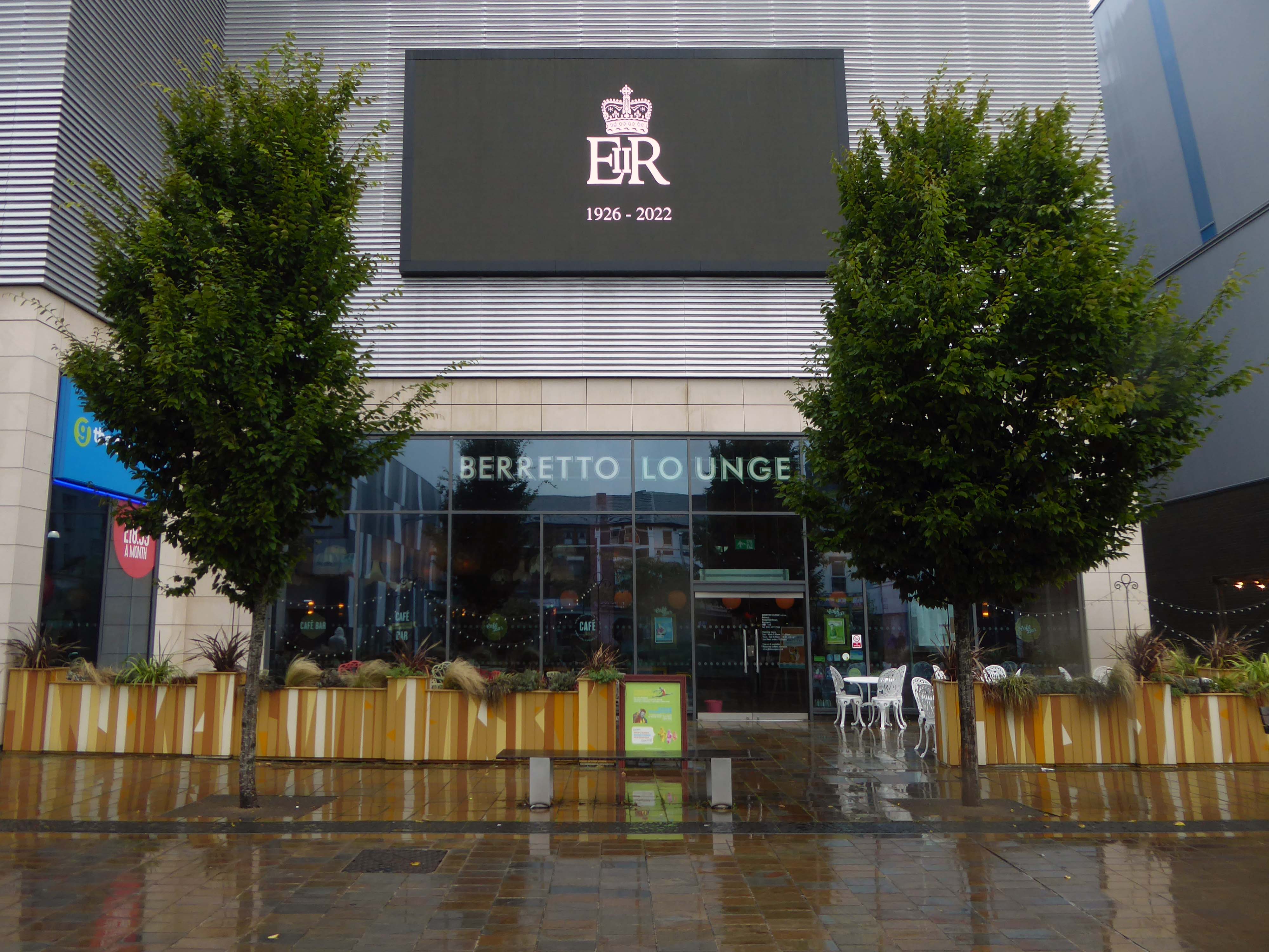
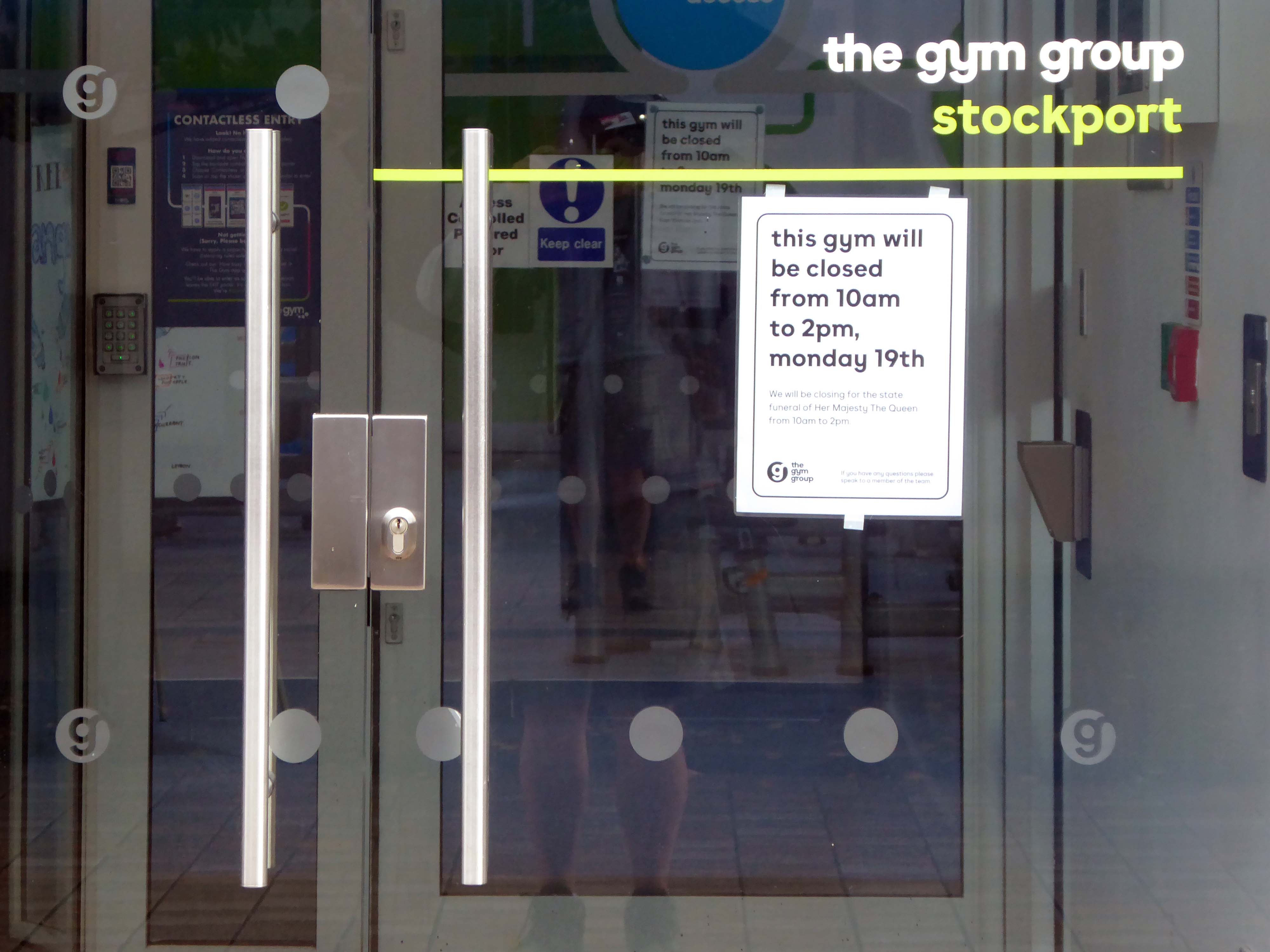
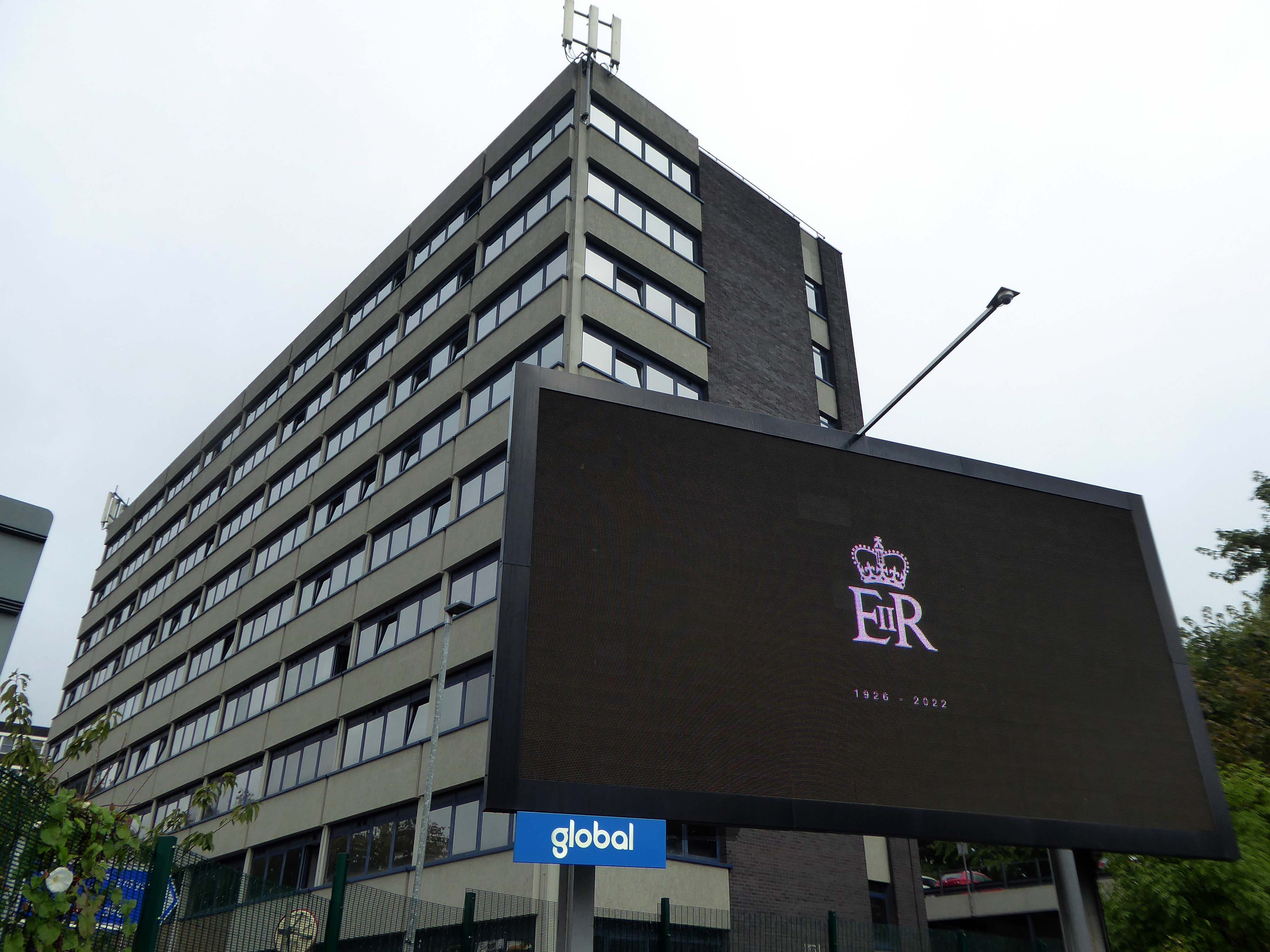
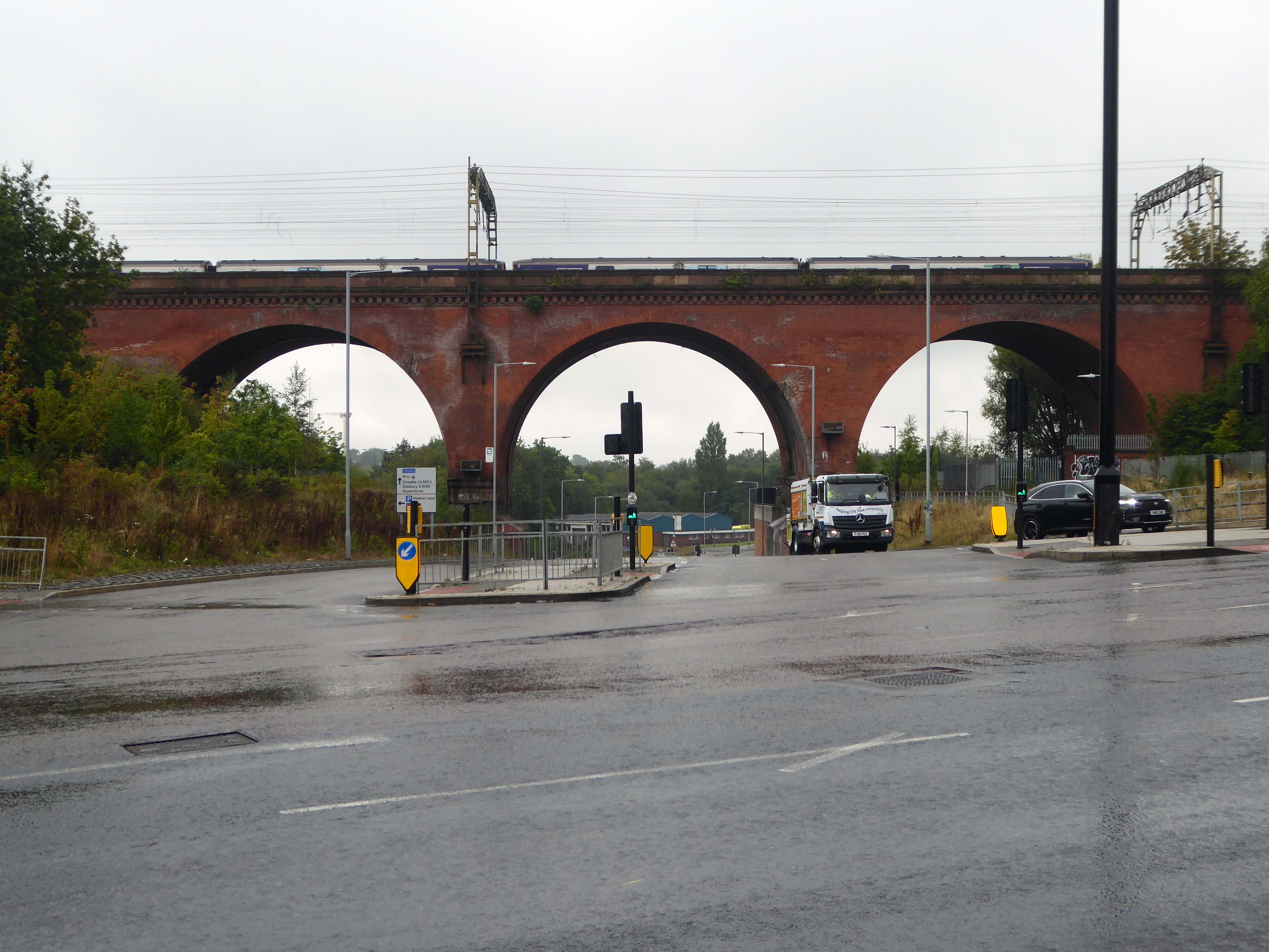
Today, on the day of her funeral, I set out for a walk around Stockport, to record a town largely closed for business. Overcast but far from downcast, I defied the almost persistent fine rain and these are the pictures that I took.

Many of the subjects are products of her time on the throne.

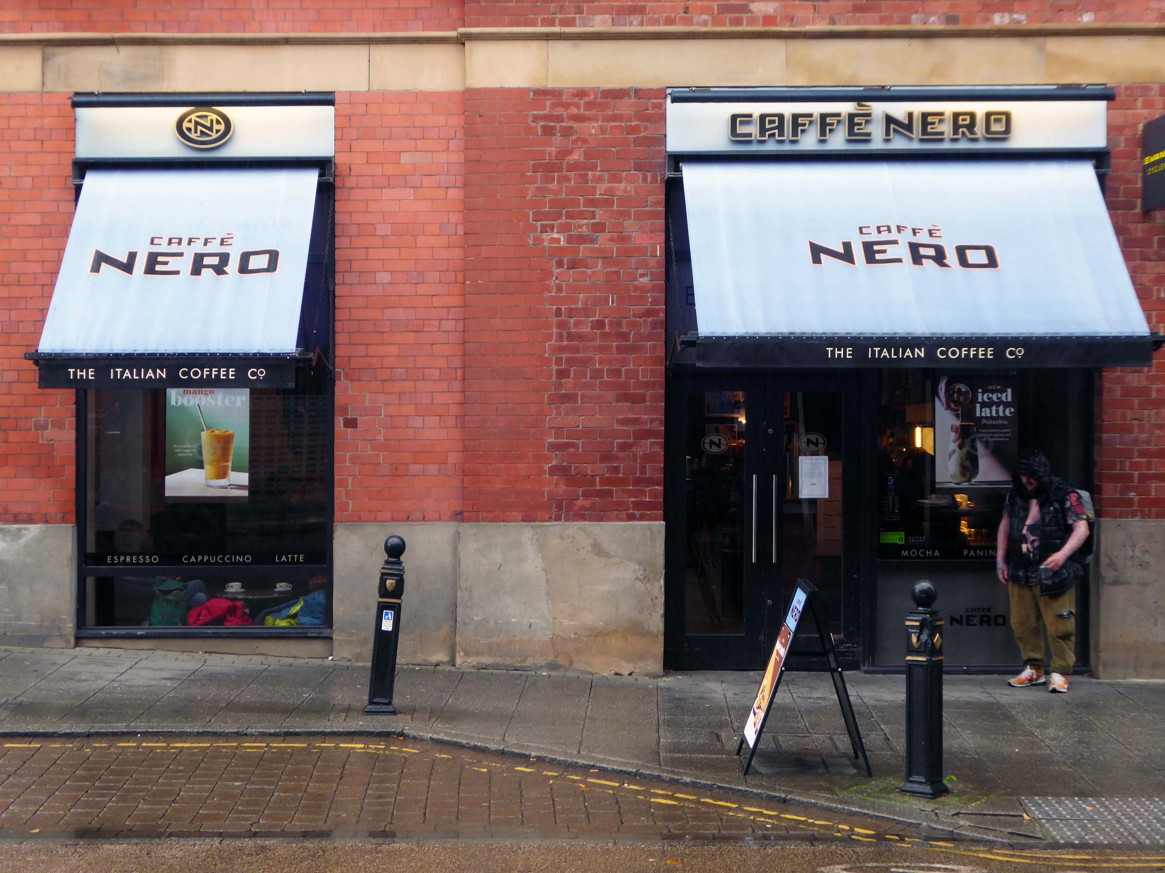
The traffic was much lighter, there were few pedestrians, a couple of cafés were open and two men watched the funeral service on the Sky TV stand in the precinct.

Manors Car Park – Newcastle upon Tyne

Brims and Co. Limited

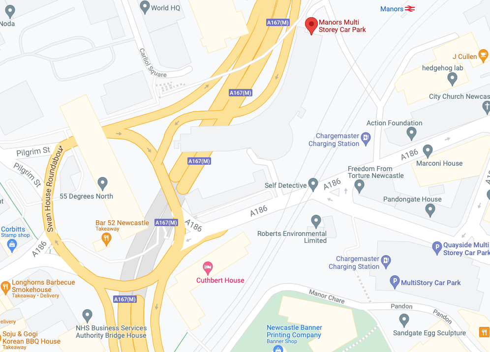
Manors Car Park’s distinctive form derives from the constraints of the train line to east which collided with the new Central East Motorway A167 M which dips beneath, shaping the car park between these constraints. The curvature of the concrete decks sweeps uniformally across the site, interrupted only by the circulation ramp. The car park was the first multi-story car park in Newcastle and marked the beginnings of Wilfred Burns car-centric plans for the modernisation of the city through the Central East Motorway Plan – 1963.

Burns plan aimed to increase the economic growth of the city through greater convenience for an emerging car owning populace and even went as far as to incentivised cars travel by offering limited free parking in the city centre.

Manors car park connected and accompanied by an equally dramatic and elongated pedestrian footbridge from Manors Train Station – today Manors Metro, touching the car park for access before swooping under Swan House on Pilgrim Street Roundabout. The bridge takes what feels like the longest imaginable route over the motorway, allowing pedestrians to bypass Northumberland high street and take in the theatrics of the swooping concrete forms and motorway traffic.

Something Concrete +Modern

Newcastle Libraries

In the early 1960s, under the leadership of T Dan Smith and his chief planning officer Wilf Burns, Newcastle city council undertook a comprehensive re-planning of the city centre that, had it been carried out to its full extent, would have led to the construction of underground motorways and a series of raised pedestrian decks running along Northumberland Street in the main shopping zone. The plan was that the new city would encircle the historical core, which would be preserved; meanwhile vast swathes of Georgian housing to the east would be razed. There were also plans for high-rise towers in the centre, only one of which was built.

The Guardian

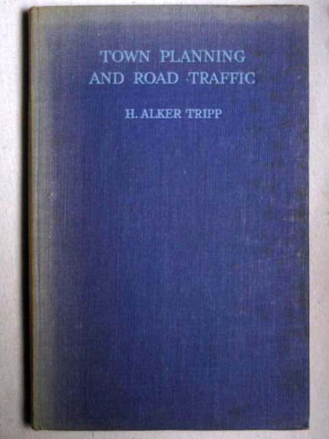
This tendency in town planning was due in part to the publication of H. Alker Tripp’s book of 1942.

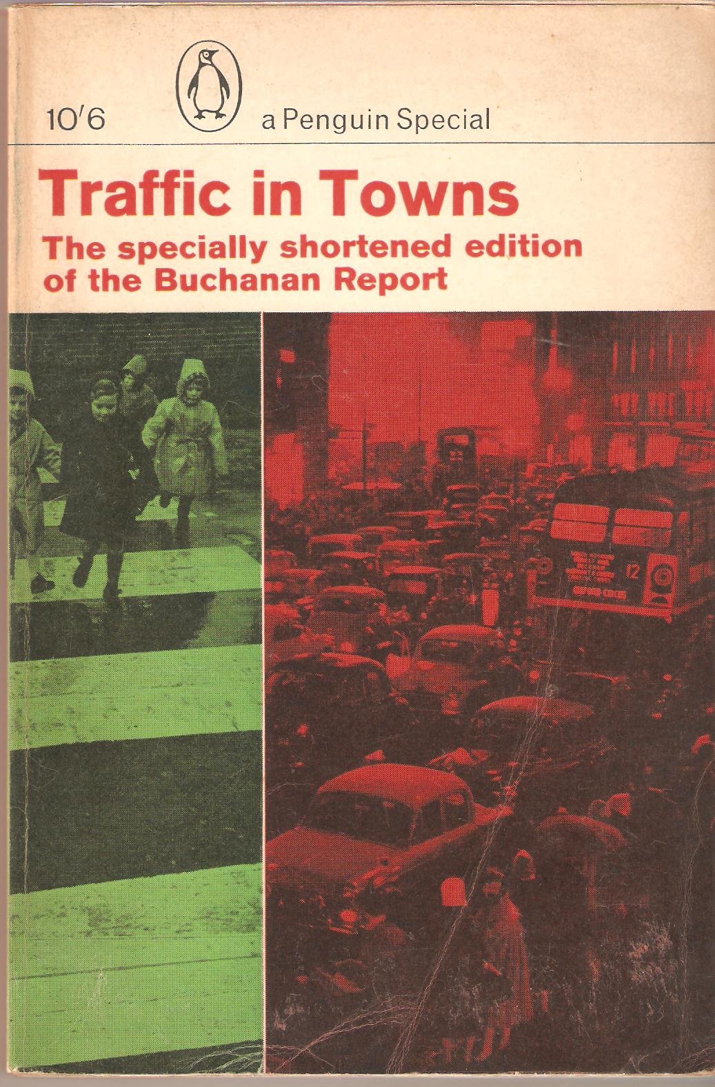
Along with Traffic in Towns an influential report and popular book on urban and transport planning policy published 25 November 1963 for the UK Ministry of Transport by a team headed by the architect, civil engineer and planner Colin Buchanan. The report warned of the potential damage caused by the motor car, while offering ways to mitigate it. It gave planners a set of policy blueprints to deal with its effects on the urban environment, including traffic containment and segregation, which could be balanced against urban redevelopment, new corridor and distribution roads and precincts.

These policies shaped the development of the urban landscape in the UK and some other countries for two or three decades. Unusually for a technical policy report, it was so much in demand that Penguin abridged it and republished it as a book in 1964.

Wikipedia

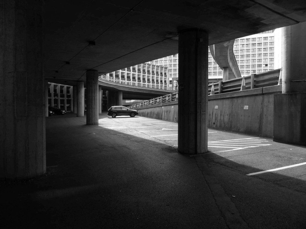
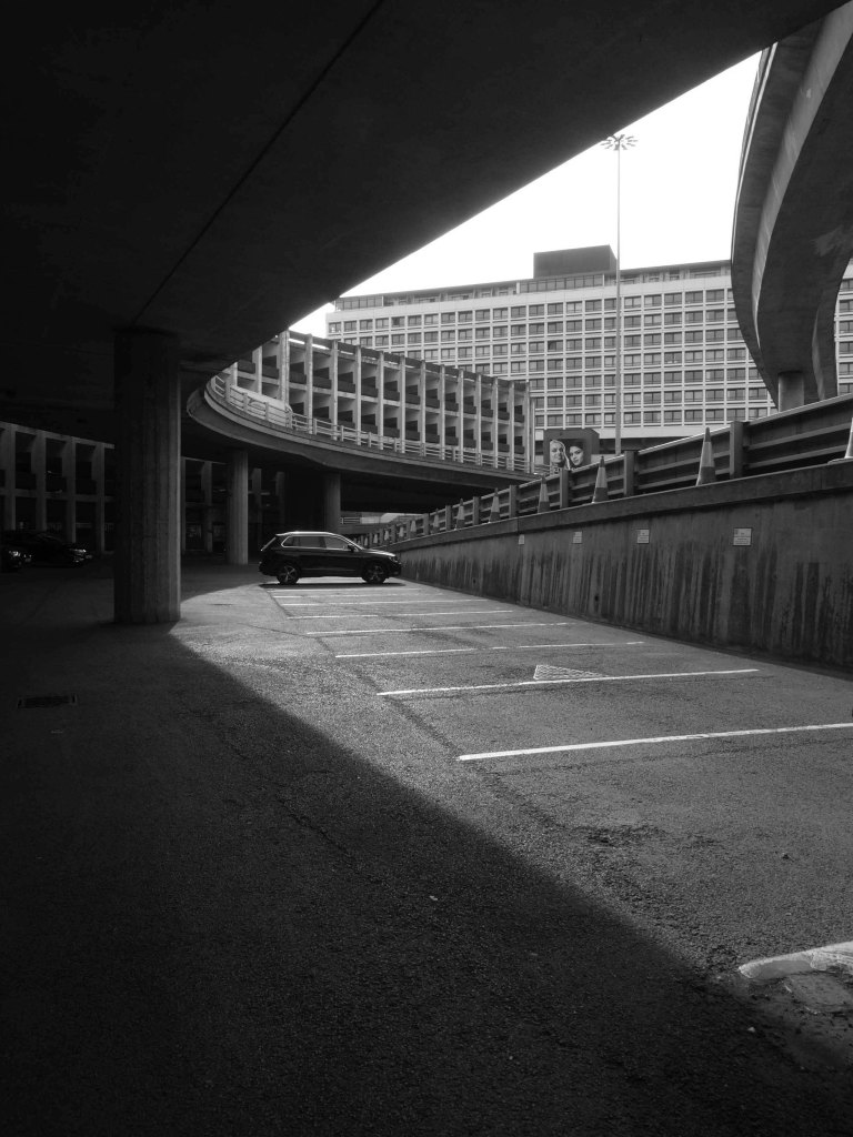
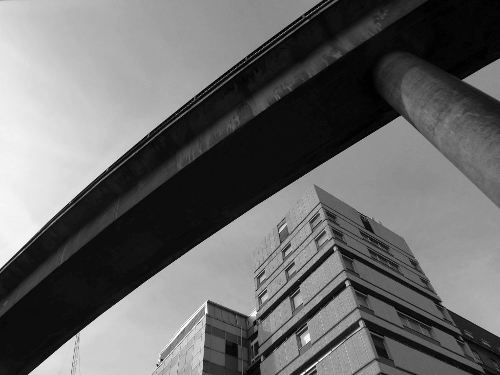
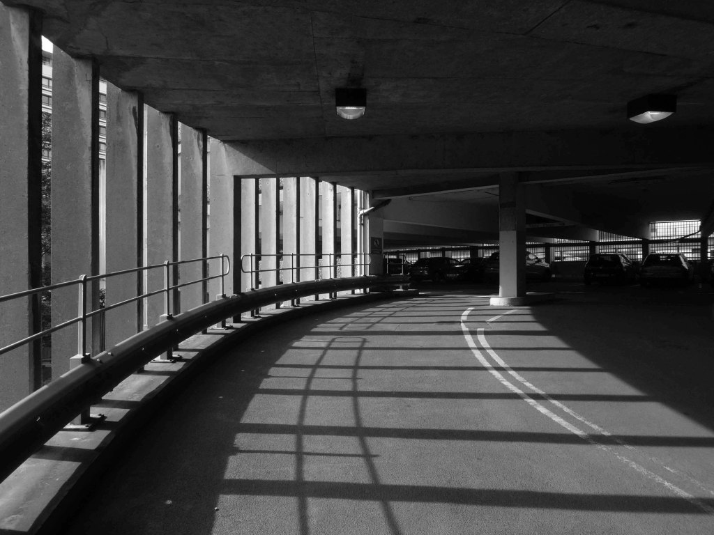
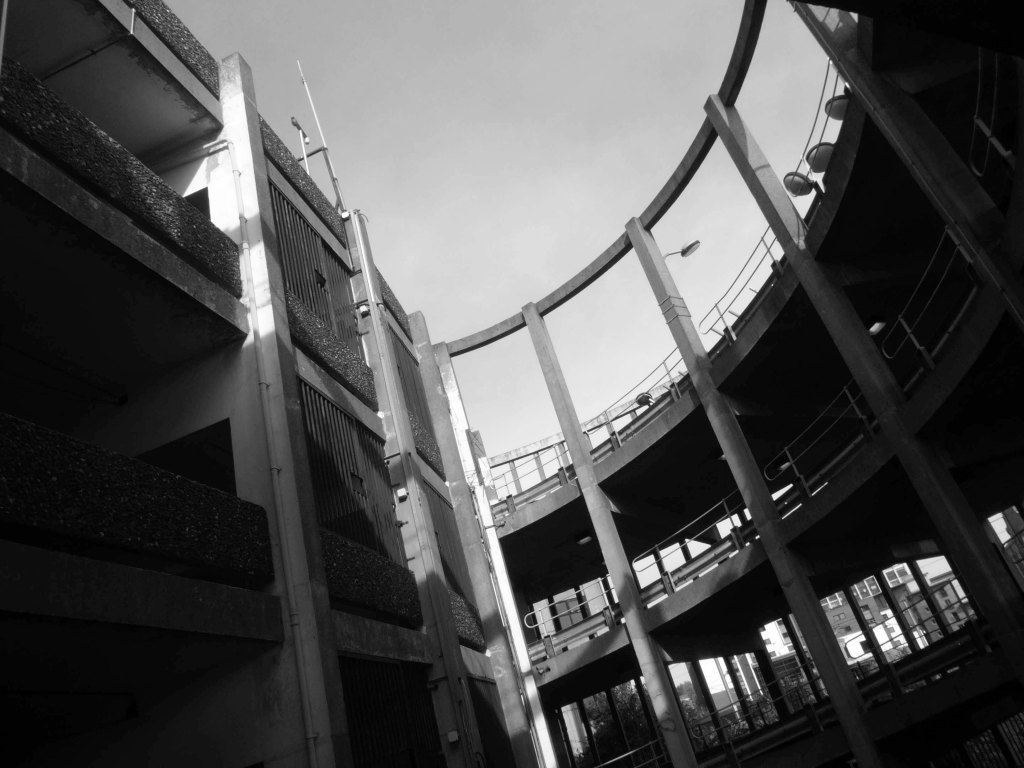
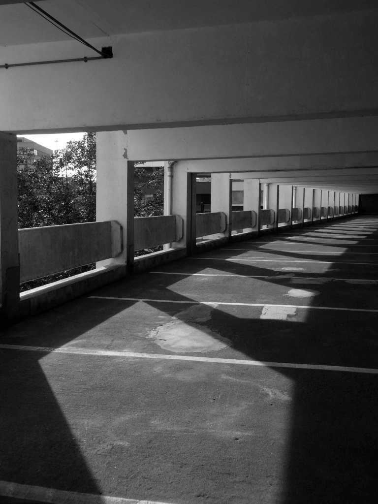
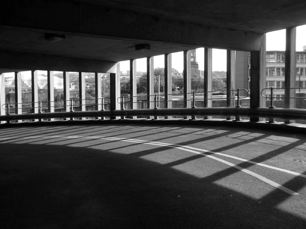
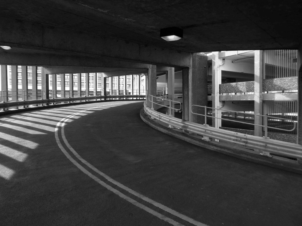
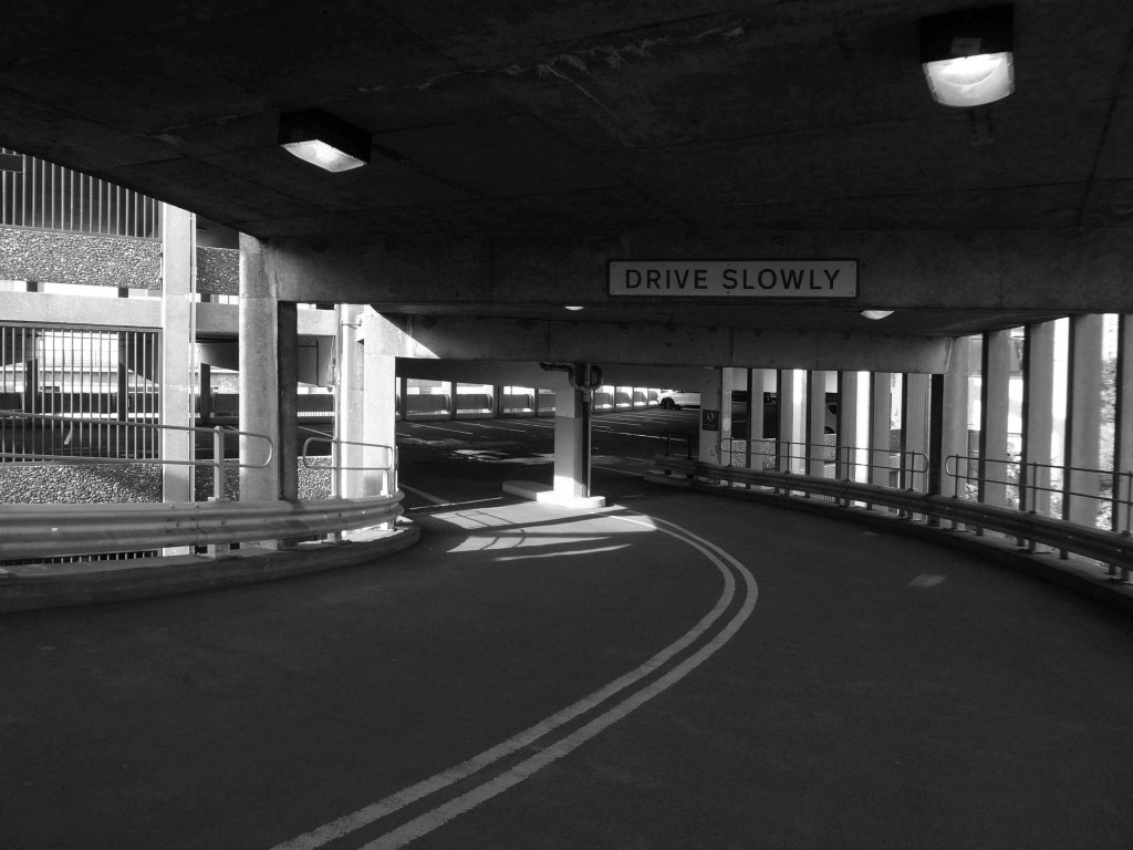
In a one man war against the segregation of traffic and pedestrian I often walk car parks, ramps and all.

Stockport Asda, Piccadilly Manchester, Merseyway, Heaton Lane, Hull, Red Rock, Grimsby, and Margate.

As a non-driving militant pedestrian I assert my right to go wherever I wish to – within reason.

Okay let’s go.

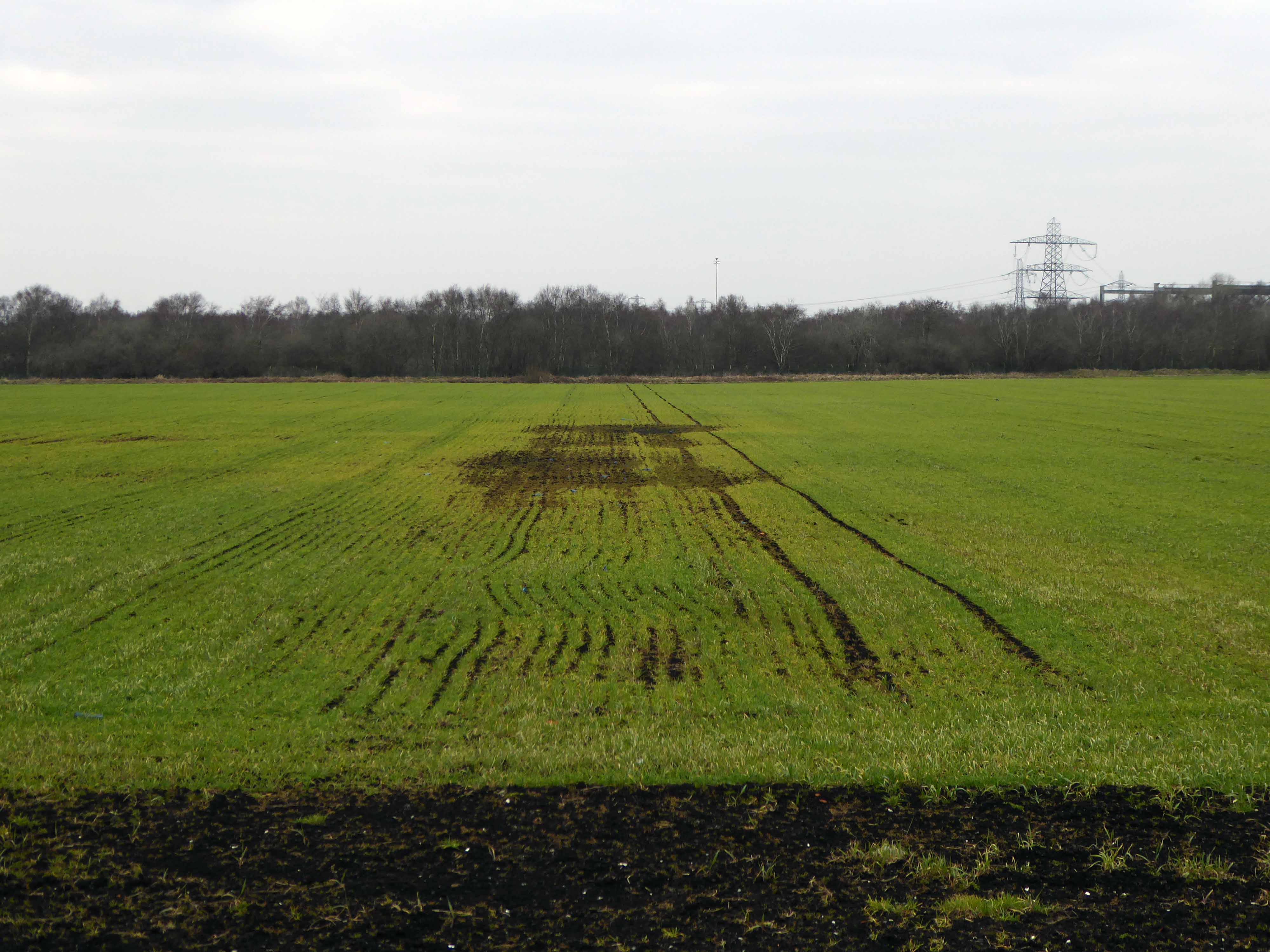
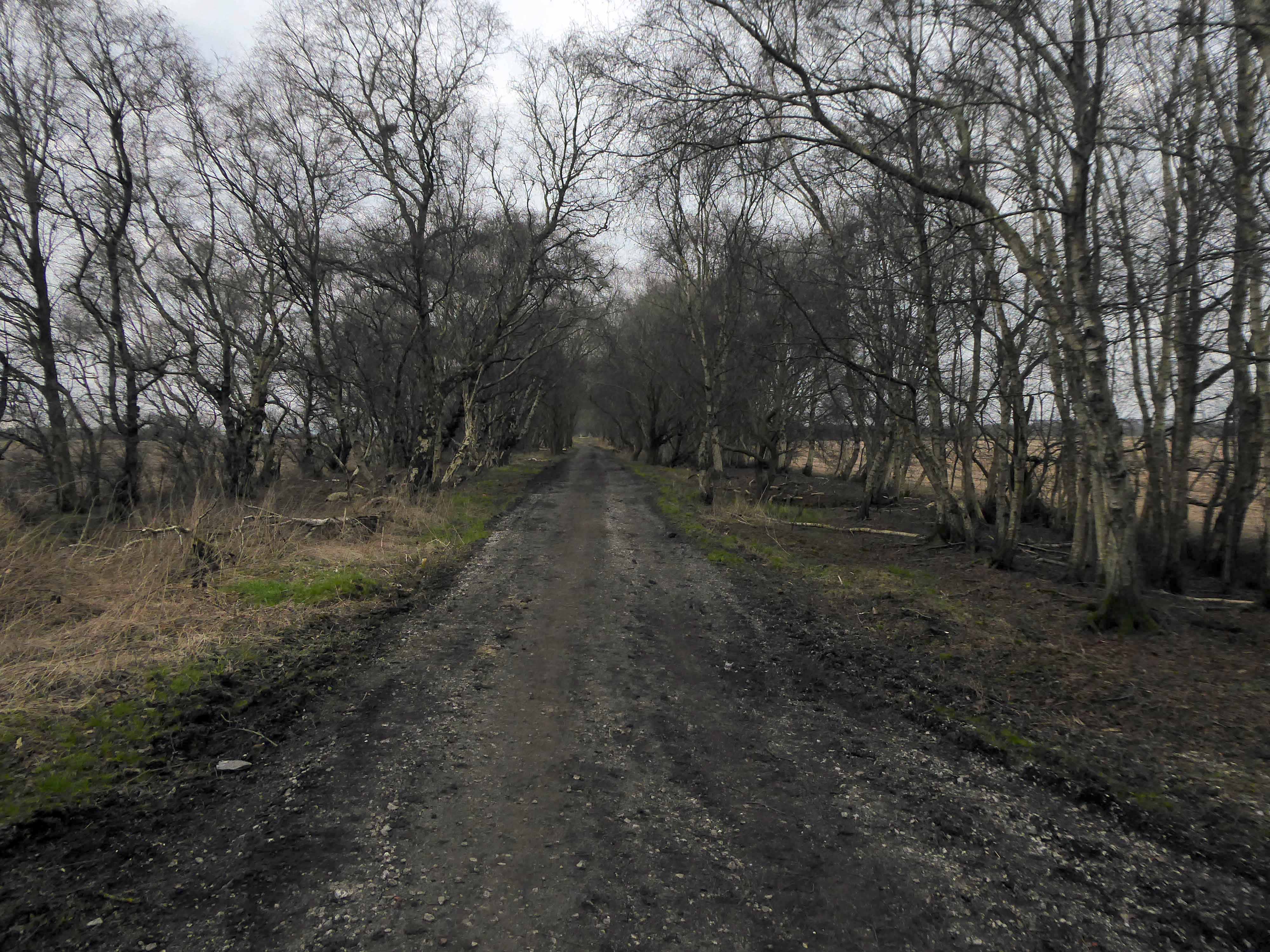
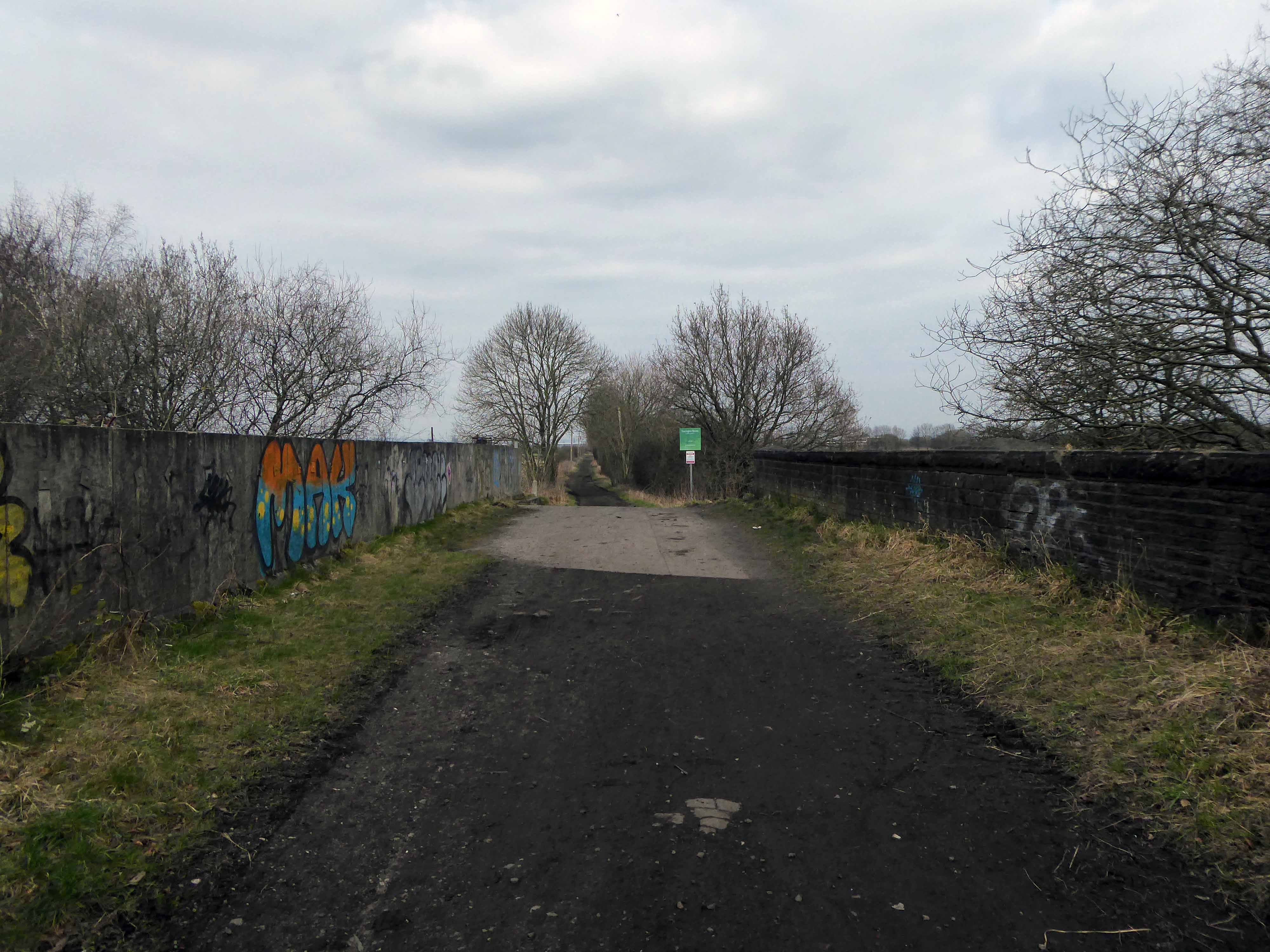
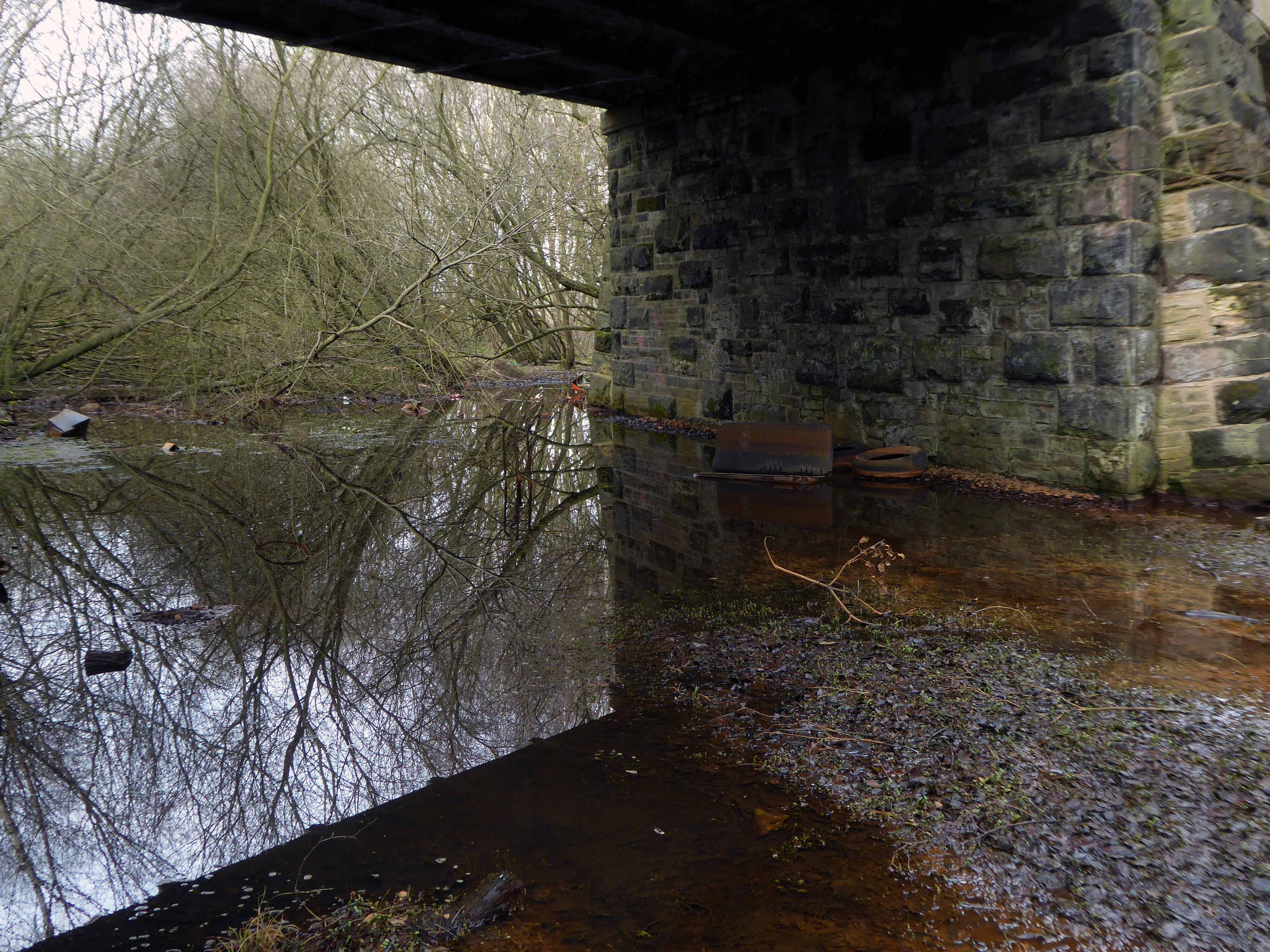
Carrington Moss

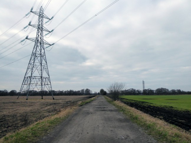
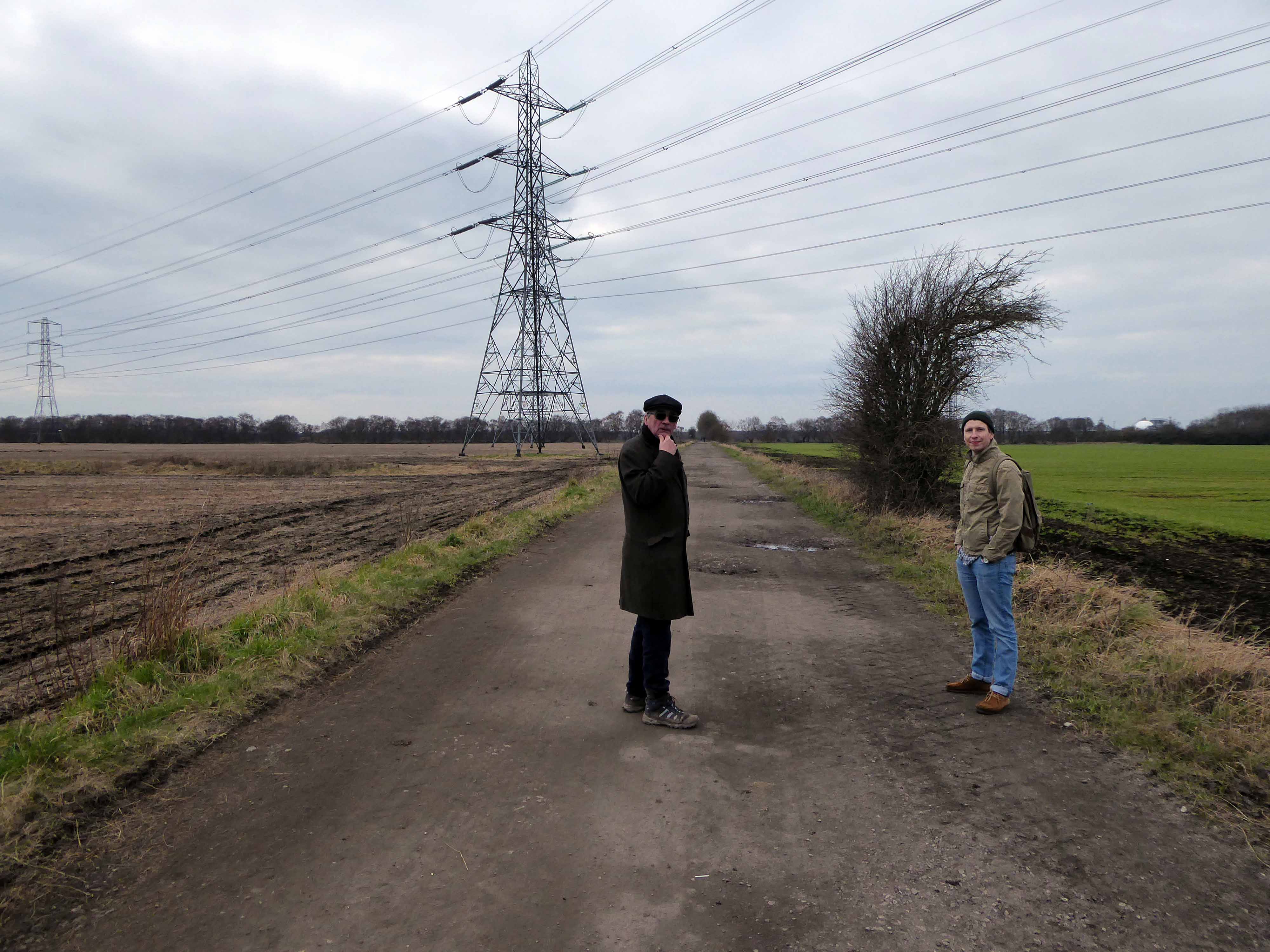
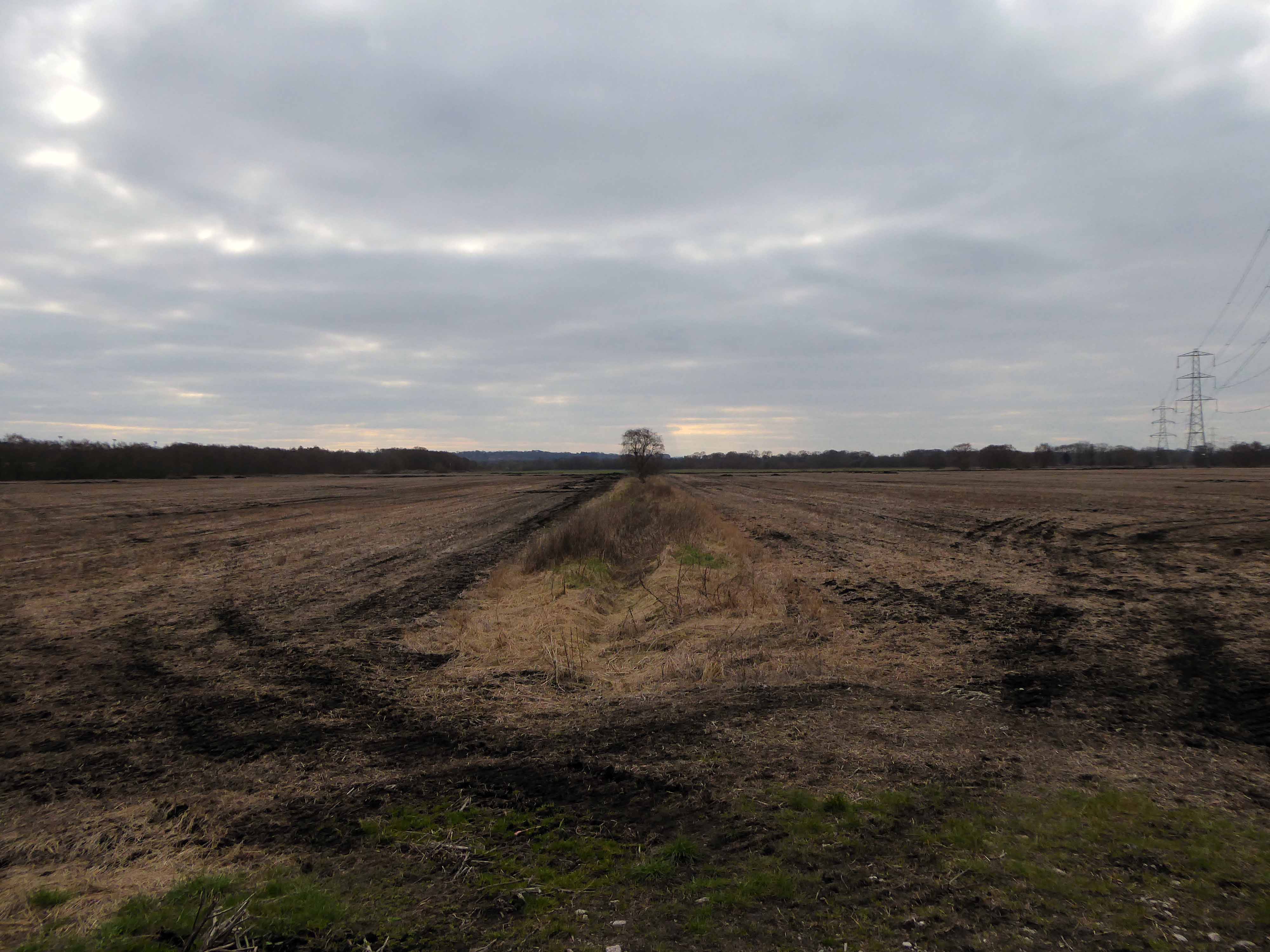
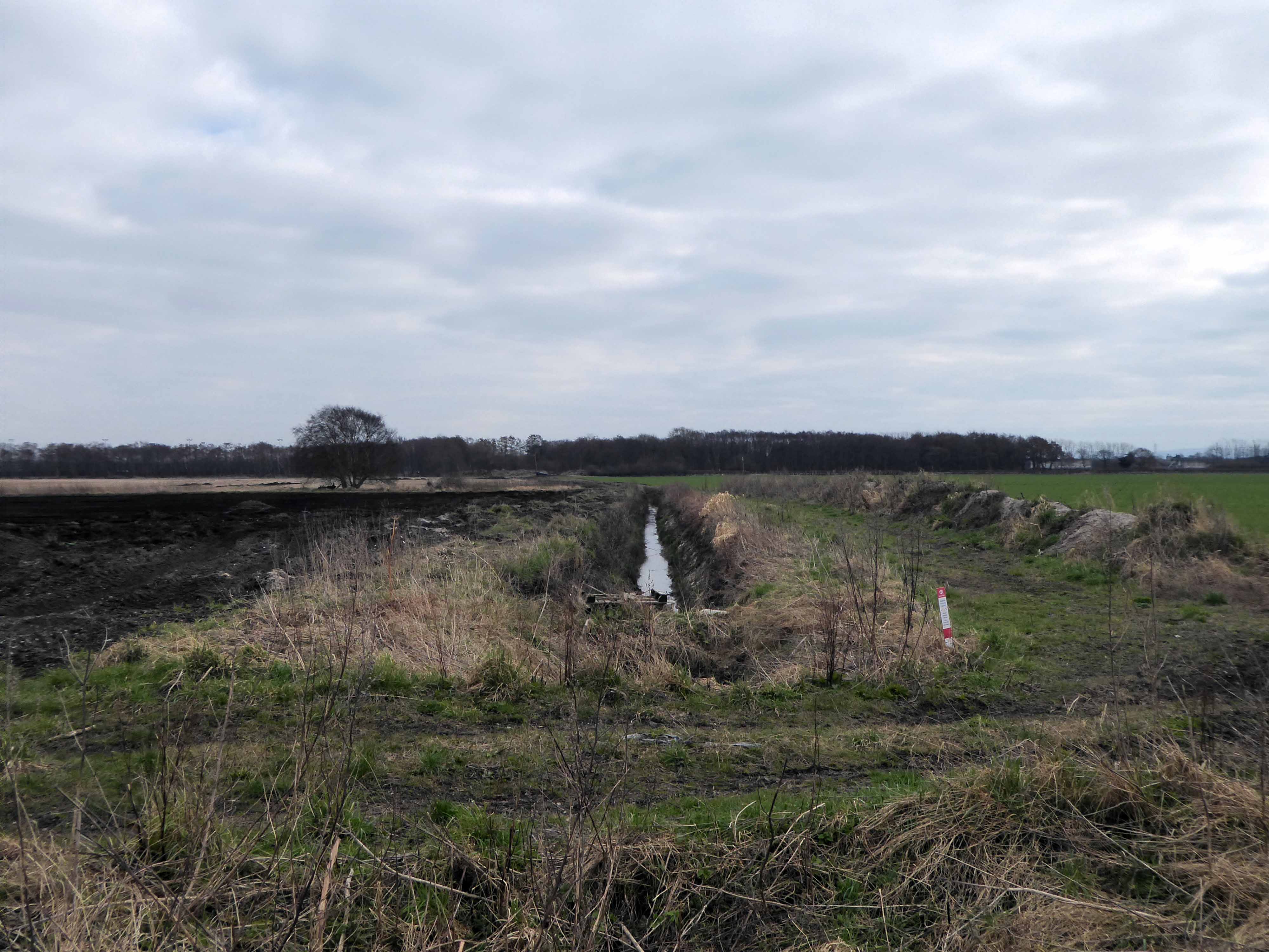
Flat as can be, between rail and river, flat.

Crisscrossed by tramways and drainage ditches.

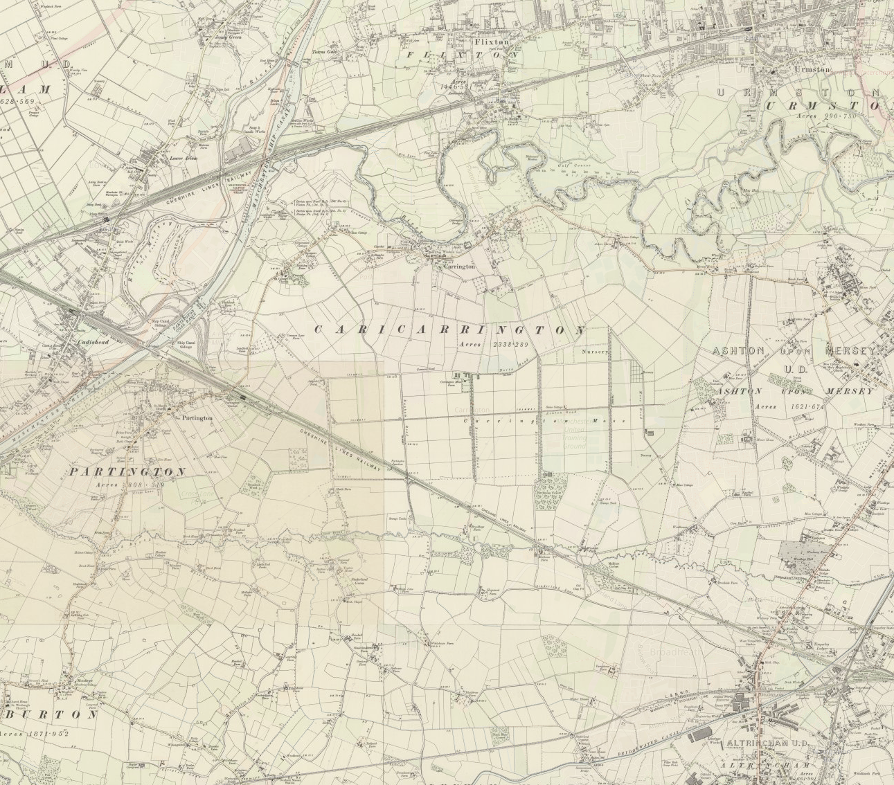
Carrington Moss is a large area of peat bog near Carrington in Greater Manchester, England. It lies south of the River Mersey, approximately ten miles south-west of Manchester, and occupies an area of about 1,100 acres..Originally an unused area of grouse moorland, the moss was reclaimed in the latter half of the 19th century for farming and the disposal of Manchester’s waste. A system of tramways was built to connect it with the Manchester Ship Canal and a nearby railway line. During the Second World War the land was used as a Starfish site and in the latter half of the 20th century, a large industrial complex was built along its northern edge. More recently, several sporting facilities have been built on Carrington Moss. Today, the land is still used for farming and several nature reserves have been established within its bounds.

Parts of Carrington Moss are accessible to the public over several rights of way.

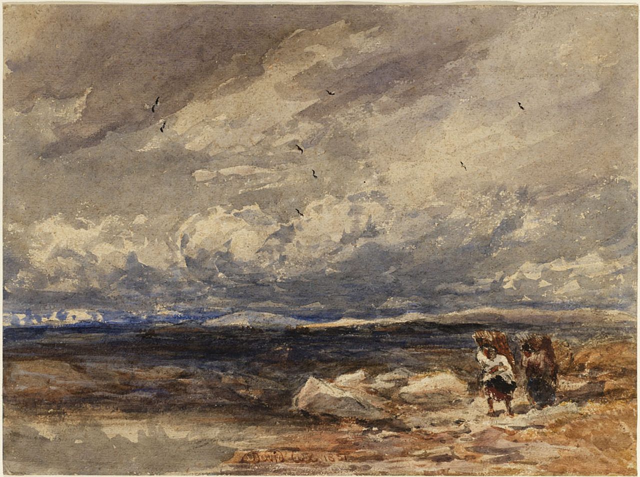
On Carrington Moss 1851 David Cox

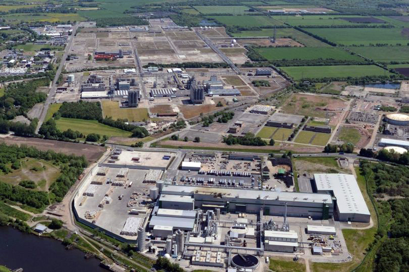
Industrialisation of the moss took place from 1947–1952 when Petro-Carbon ltd began to build what would later become known as the Shell Site. The estate was leased on 1 October 1968 to Shell Chemicals, who in 1957 had purchased a propylene oxide plant along the moss’s northern edge. Shell had built an ethylene oxide plant in 1958 and began to produce polyether polyols the following year. Council housing was built nearby, at Carrington and Partington, for workers and their families. By 1985 the Shell plant had a turnover of about £200M and employed 1,150 people, but a major restructuring of the business reduced the workforce to less than 500 by 1986. By 1994, four distinct plants operated on the 3,500-acre (14 km2) site, producing a range of chemicals, and materials including polystyrene, polyethylene and polypropylene. In 2005 it was reported that Shell would close their polyols and ethoxylates units, a decision which came into effect in 2007. The estate is currently managed by chartered surveyors Bell Ingram. Lyondell Basell operate the last remaining chemical plant on site.

Wikipedia

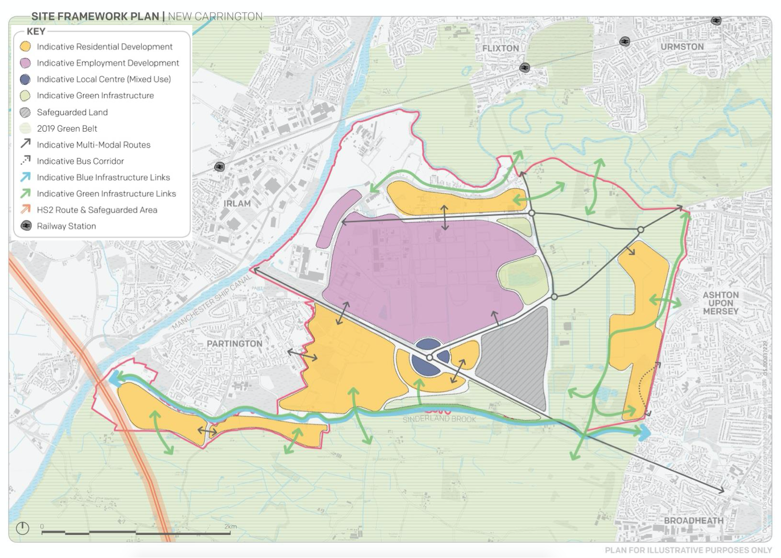
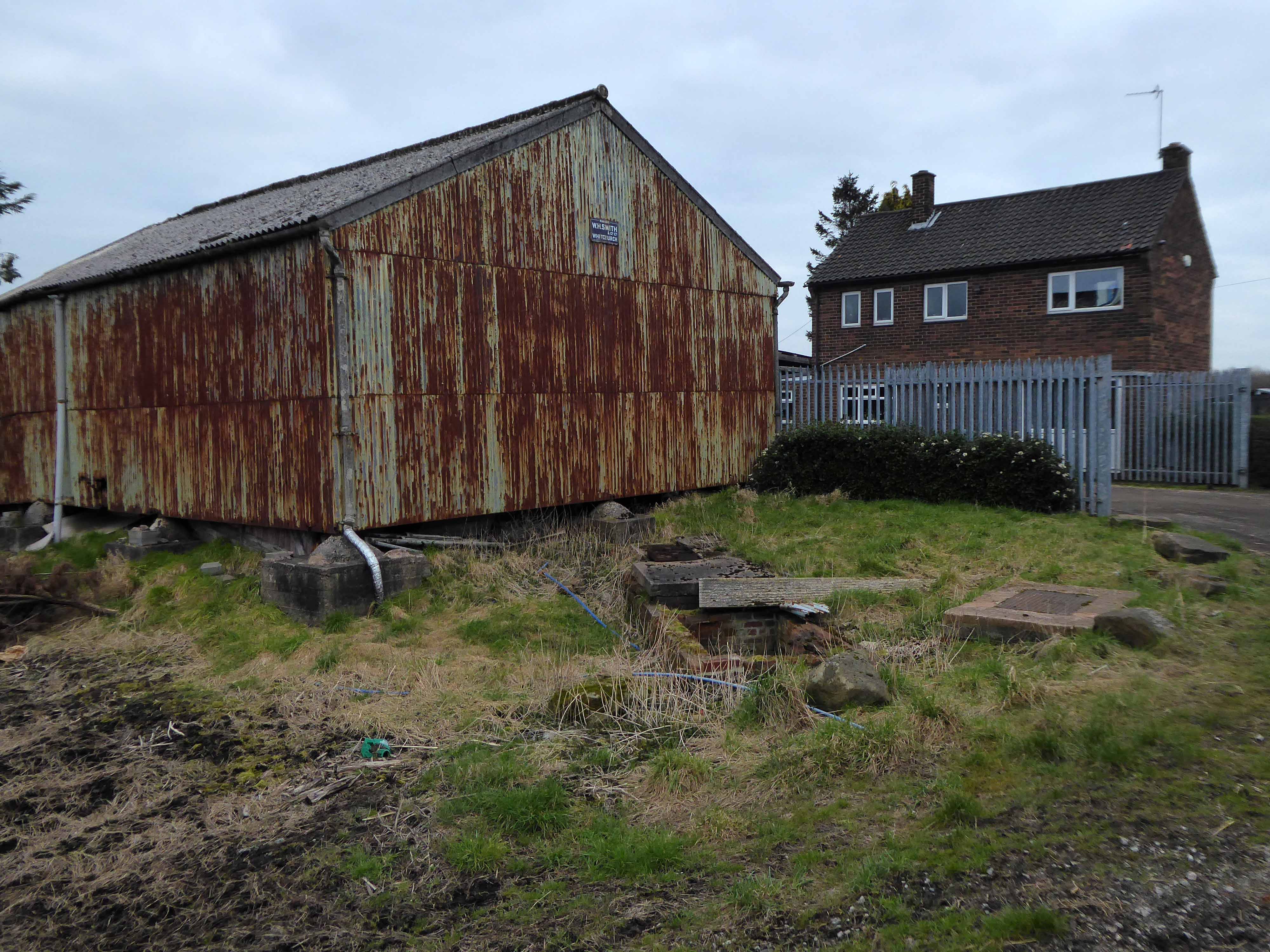
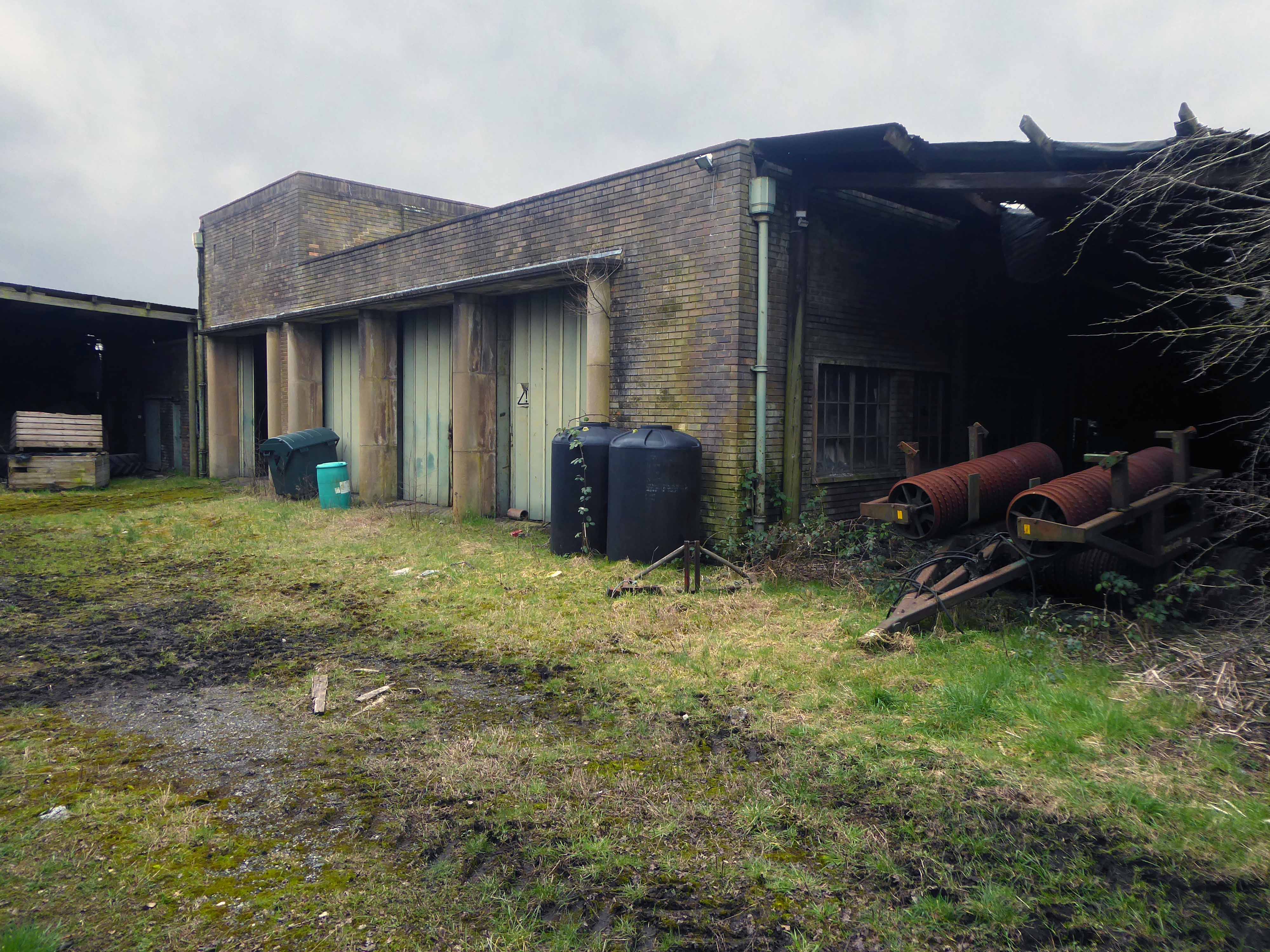
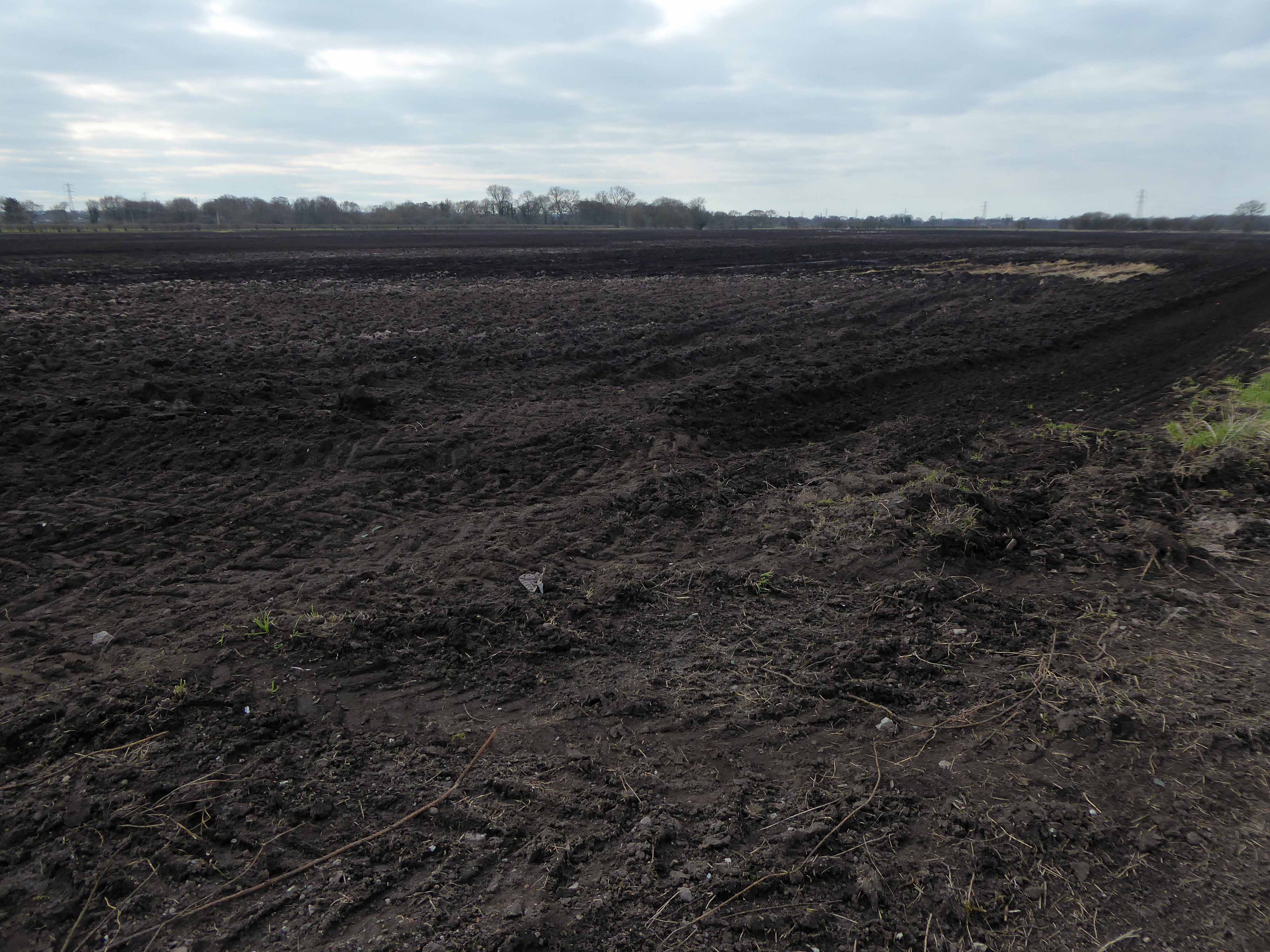
This is the beleaguered site, still farming, remnants of rail, traces of tipping and vestiges of industry.

Plans are afoot – including of course indicative multi-modal routes.
Trafford Gov UK

Hundreds of campaigners fear endangered wildlife at Carrington Moss will be ‘decimated’ if plans to build a new town on green belt land go ahead.

They also argue the development would be ‘catastrophic’ in terms of how it would impact the environment.

Manchester Evening News

Storm Christoph showed that Manchester is susceptible to the adverse effects of extreme weather events, which are forecast to become more regular occurrences.
Greater Manchester Labour for a Green New Deal argue that we must abandon the idea of developing on greenbelt, and instead embrace bold alternatives which reflects the urgency of the climate crisis﹣starting with sites like Carrington Moss.
The Meteor

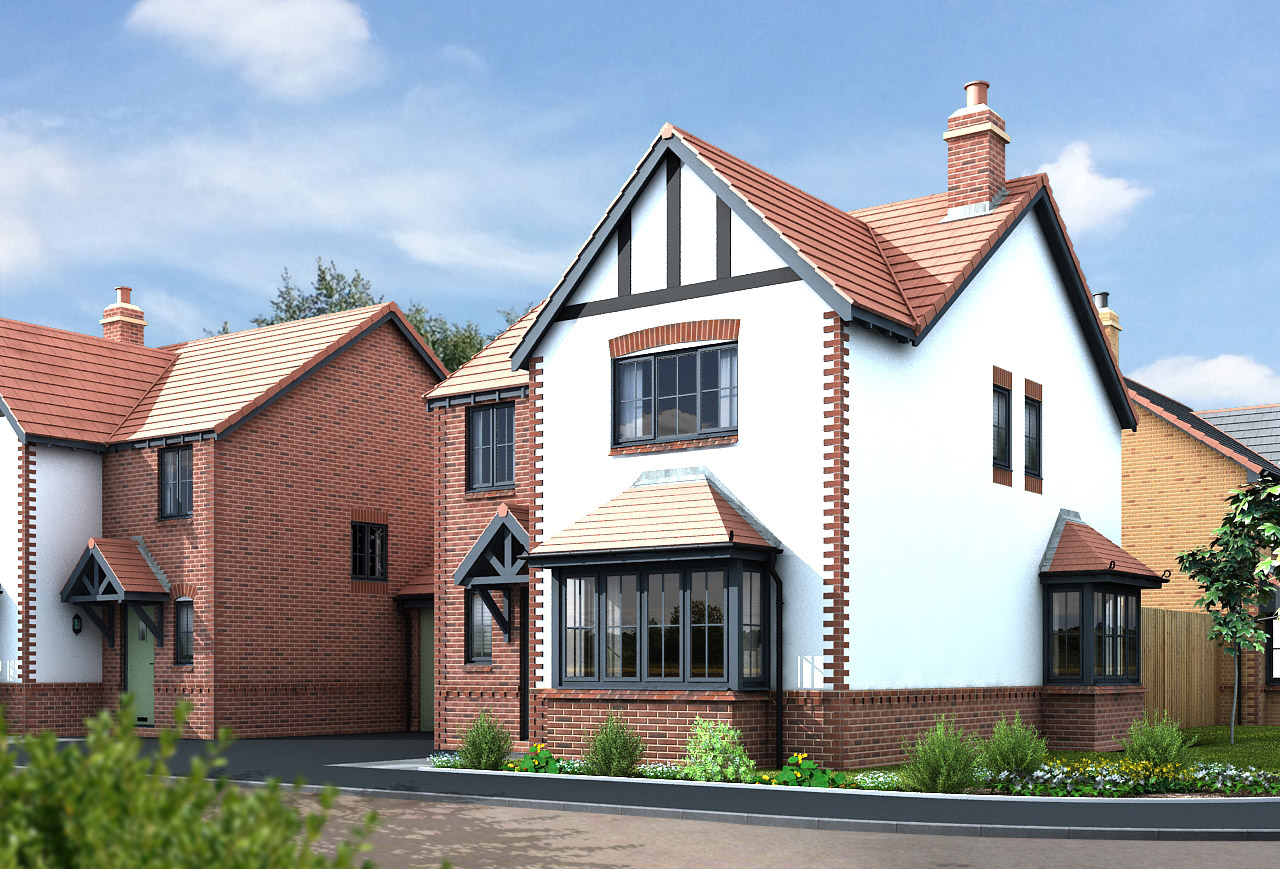
This is an area in liminal limbo, the pressures of the modern world leaning on its very being, as ash, alder, badger, field mouse, and kestrel give way to Wainhomes.
Where then will the wanderer wander, in search of solace?

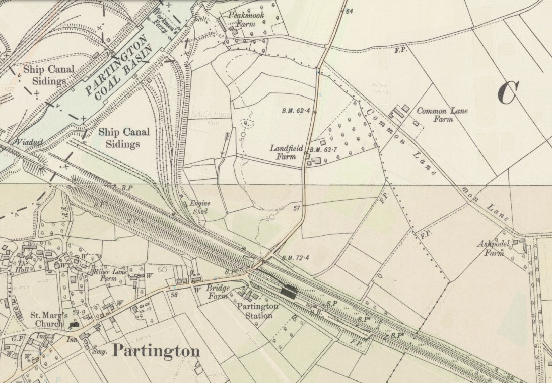
Ending our journey at the long gone Partington Station

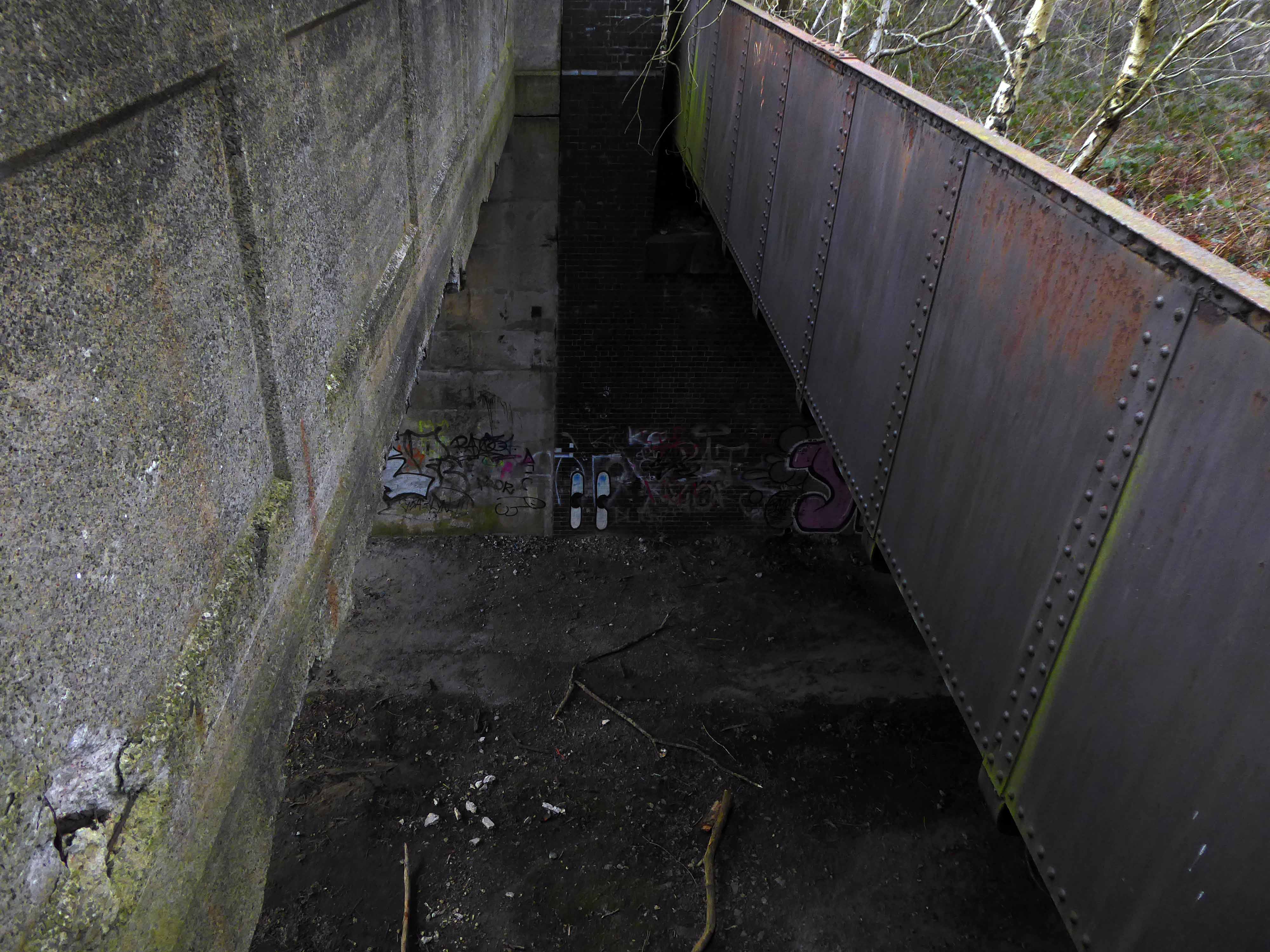
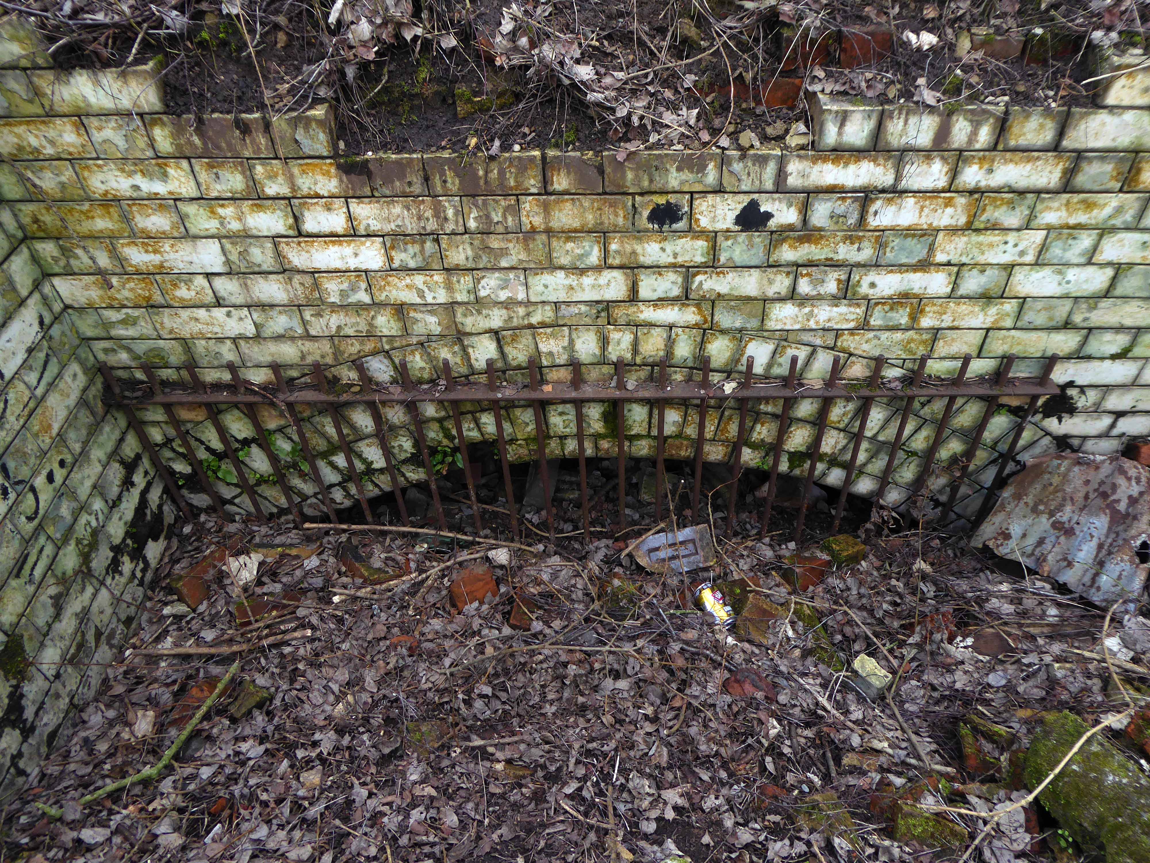
The remains of the subway.

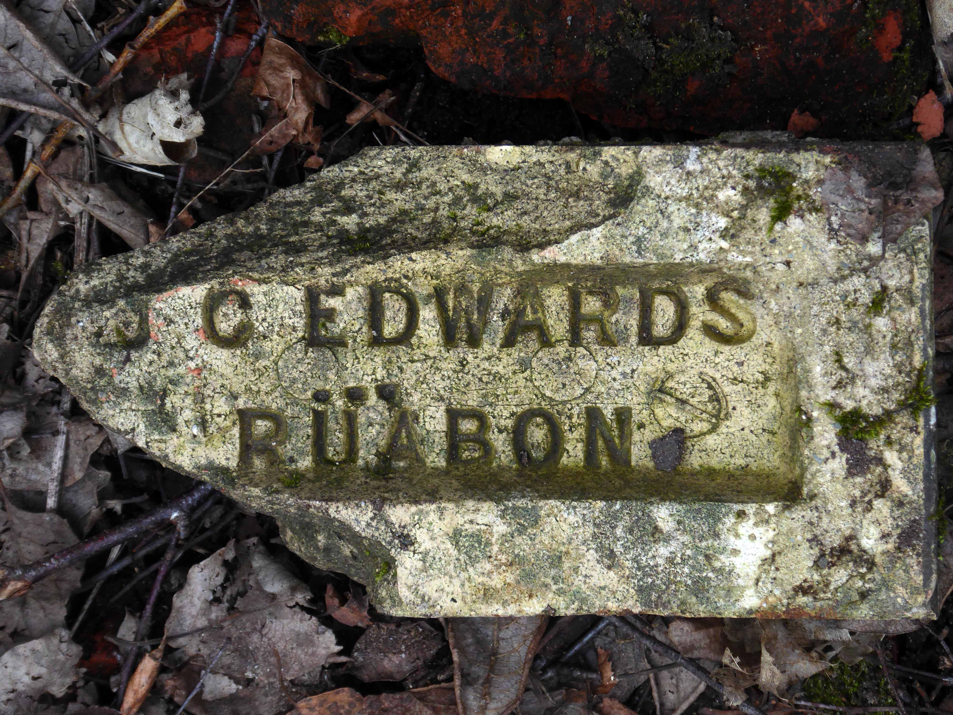
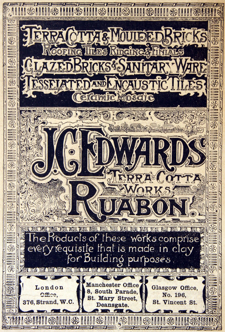
The company of J. C. Edwards Ruabon Ltd, was based in Ruabon, Denbighshire, and was active from 1903 to 1956 as a brick, tile and terracotta manufacturer from its works at Tref-y-Nant, Acrefair, Albert Works, Rhosllannerchrugog, and Pen-y-bont, Newbridge, Denbighshire.

James Coster Edwards (1828-1896) founded the company; it was sold in 1956.

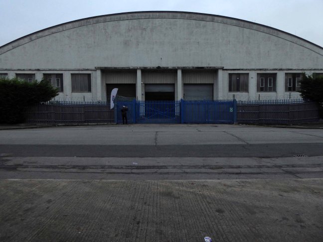
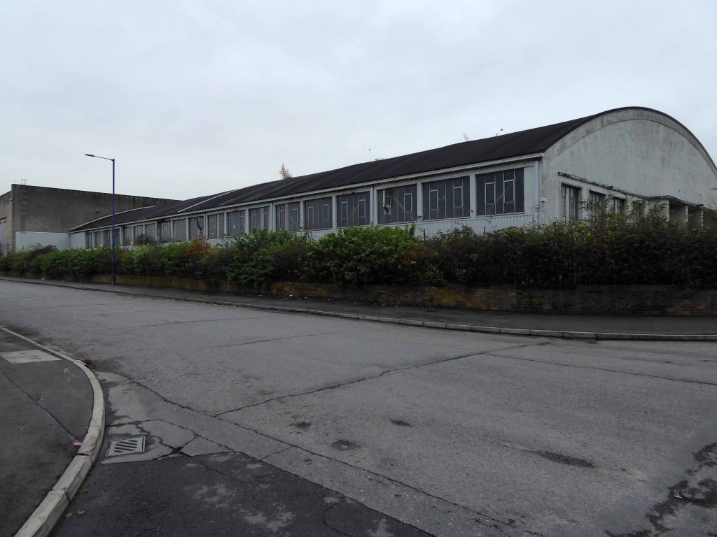
Sharston Bus Depot – Manchester

Bradnor Rd Sharston Industrial Area

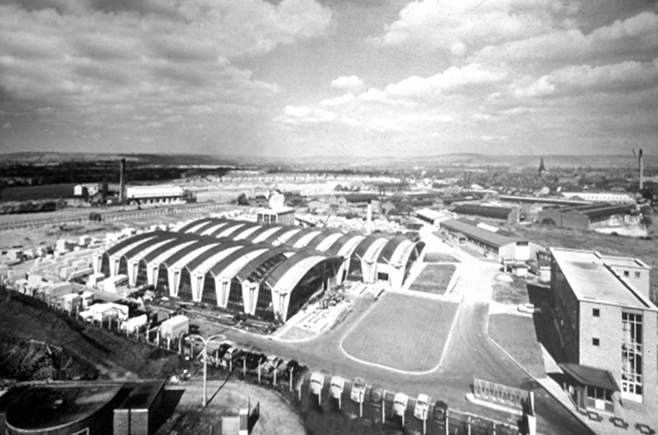
Wythenshawe Manchester M22 4TE

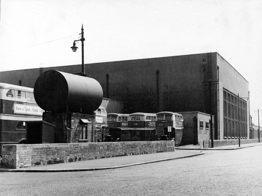
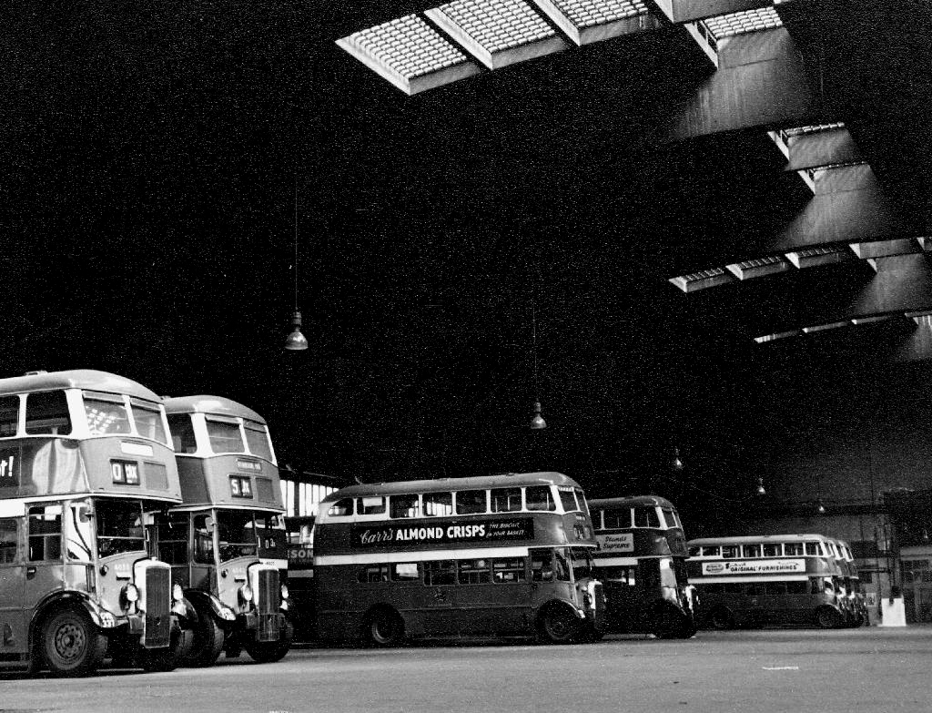
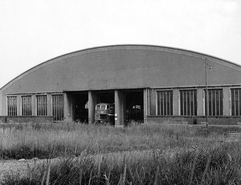
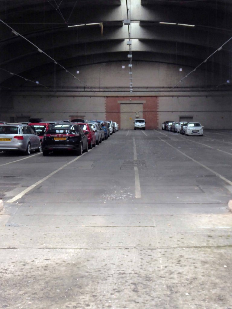
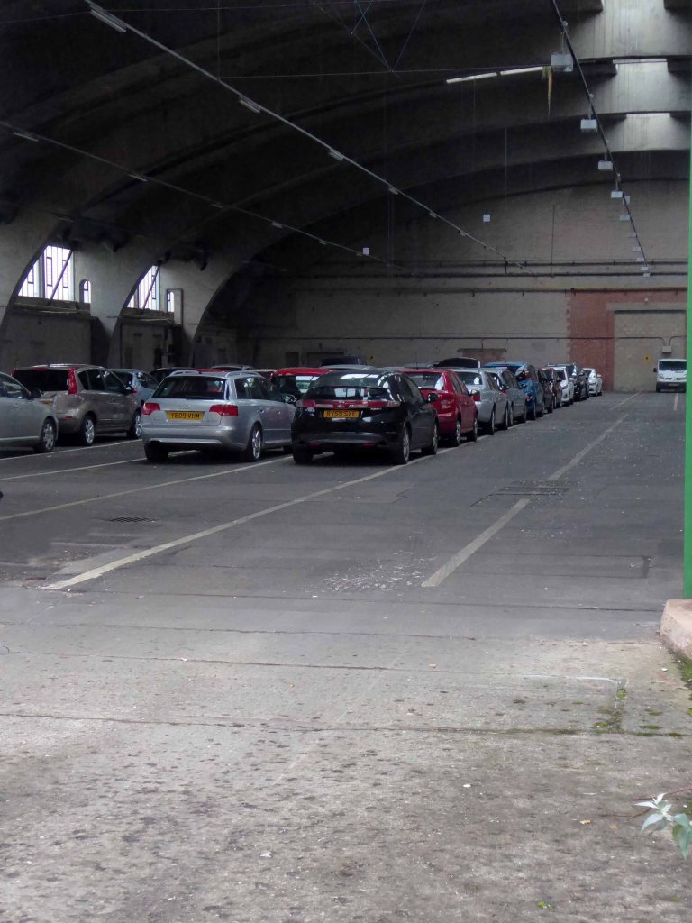
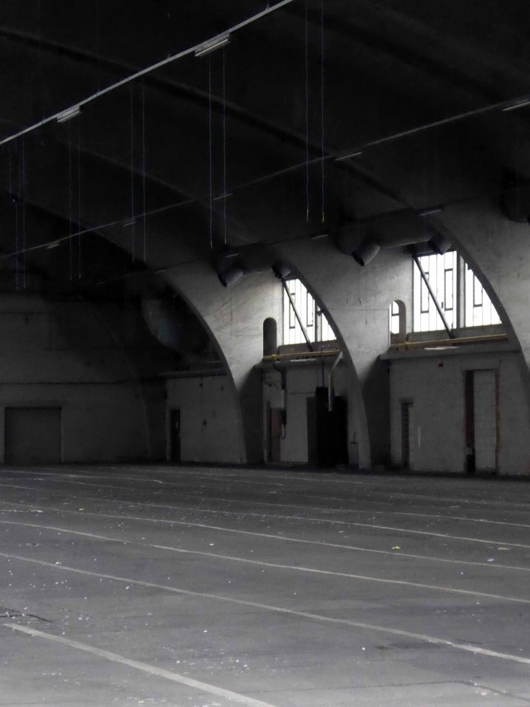
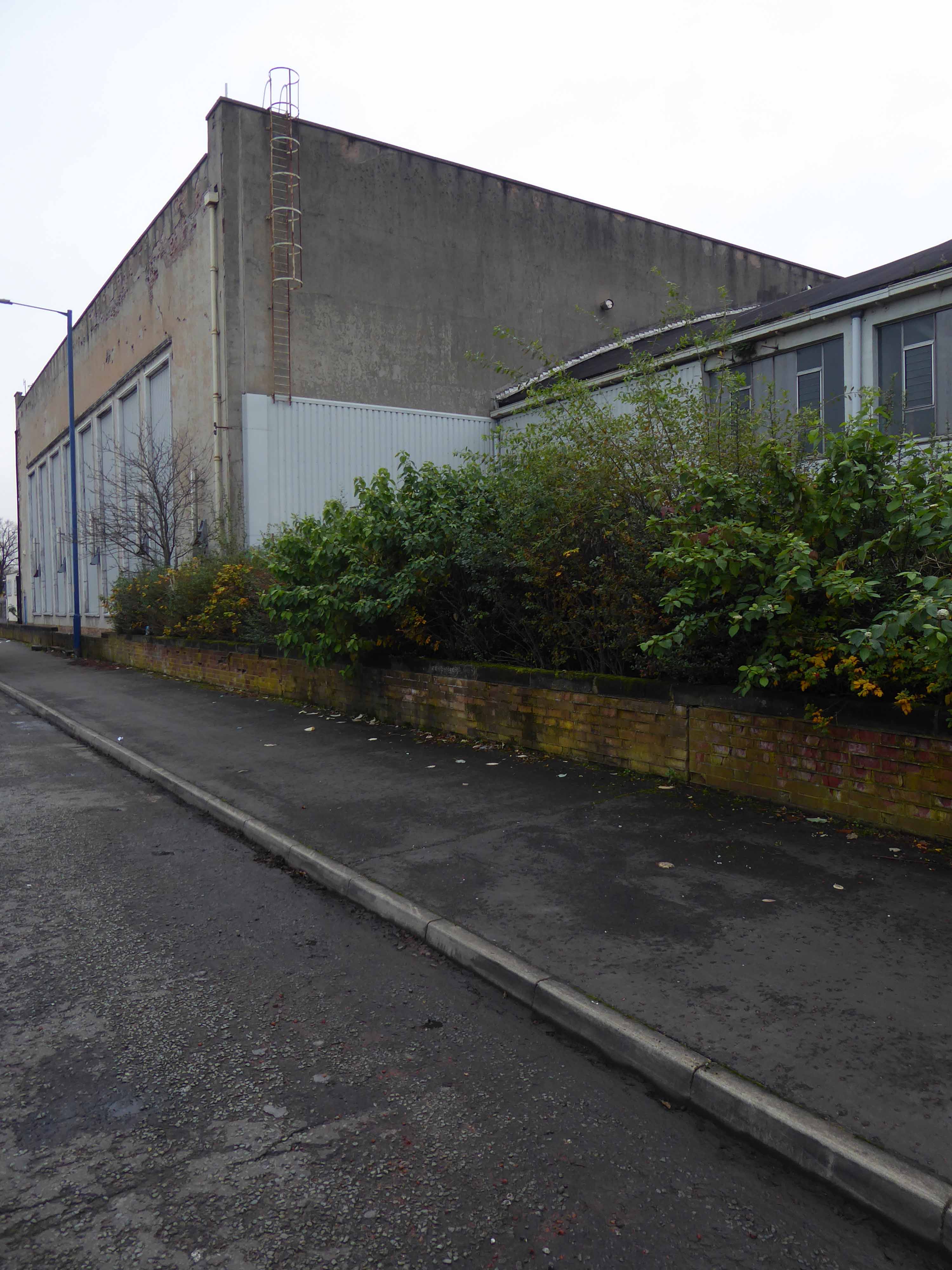
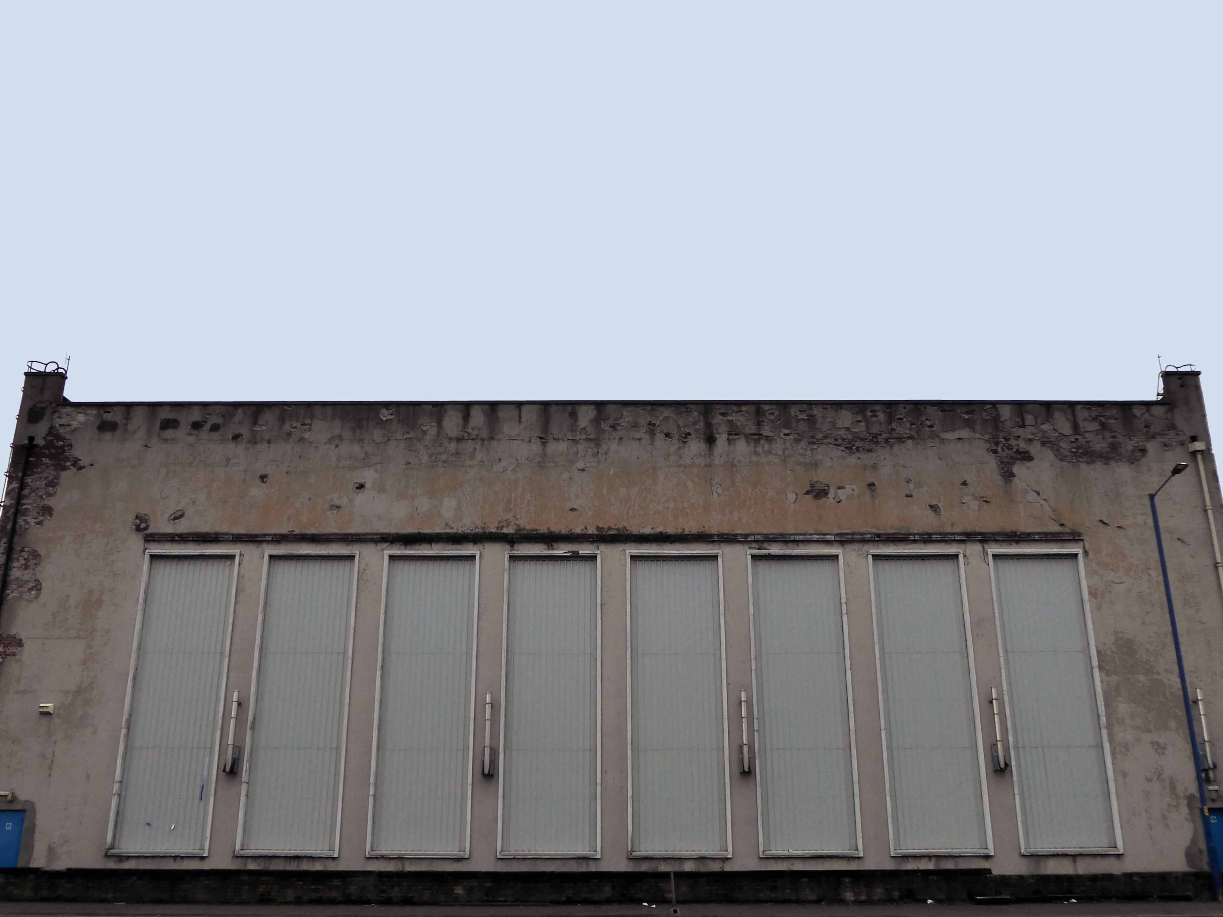
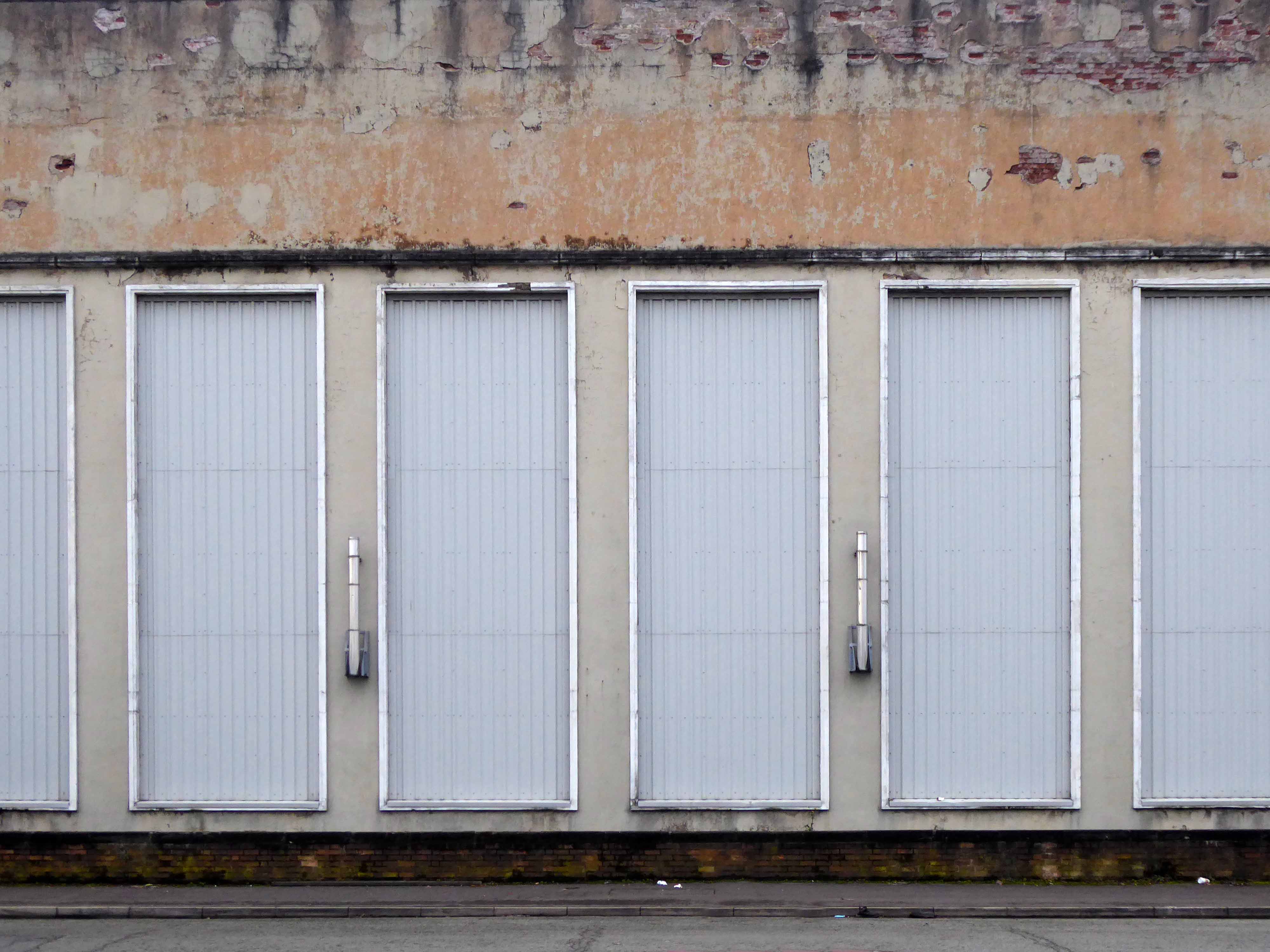
This building formed part of the later phasing of the proposed Garden Suburb of Wythenshawe. It was intended to house up to 100 double-decker buses but was put to use as a factory for components for Lancaster bombers during the war. It is included here for the functionalist qualities of the building and the acknowledgement of the daring of the City Architects Department. Academic papers, as late as 1952, cited this simple structure as exemplar of its type; Elaine Harwood notes, ‘this was the pioneering example of the means of construction, and the model for larger shells at Bournemouth and Stockwell’. The arches that support the shell have a span of over fifty metres and are spaced at twelve metre intervals. The concrete shell roof is of the short-barrel type commonly used on single span buildings such as hangars, it is uniformly around seventy millimetres thick. The only single span structure larger than this was indeed an aircraft hangar, at Doncaster Airport, demolished around 1990. This building is now in the ownership of an airport parking company that utilise it as vehicle storage; close to its original function.

Mainstream Modern

The building is Grade II* listed

Historic England

Manchester Local Image Collection – 1954

Walking from our house to Sharston, this was the furthest point west – I kept on walking towards the security gates, they opened – I snapped, they closed.

This is now the home of Manchester Airport Parking – no place for a pedestrian, I walked away, slowly circumnavigating this uplifting, uplifted behemoth.

I walked home.

I once was glazed but now I’m clad – how sad!

Elaine Harwood

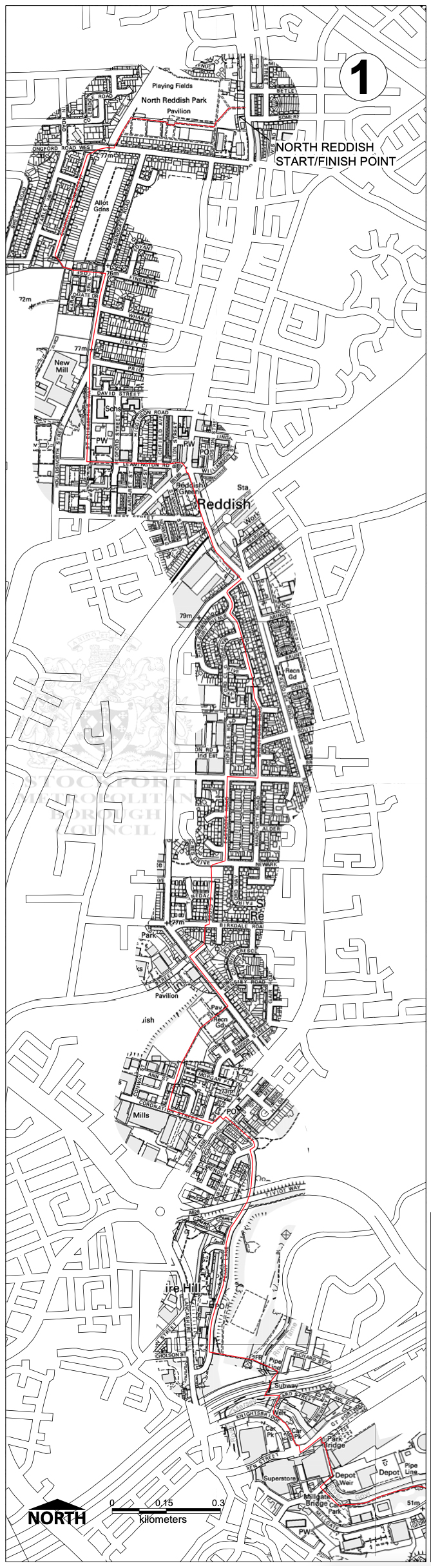
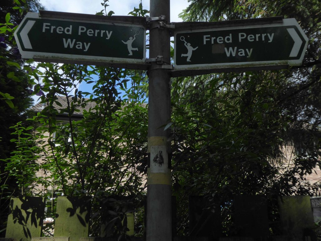
Fred Perry Way – Stockport to Reddish

The third and last leg, starting from the confluence of the Tame and Etherow where the Mersey begins.

Passing the remains of the railway bridge carrying the Cheshire Lines through to Tiviot Dale Station.

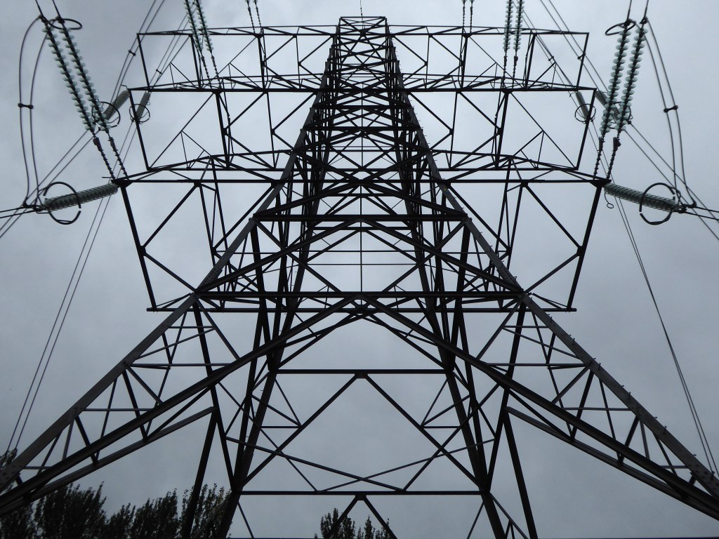
Over the river and beneath the terminal pylon.

Along Penny Lane beside Lancashire Hill flats.

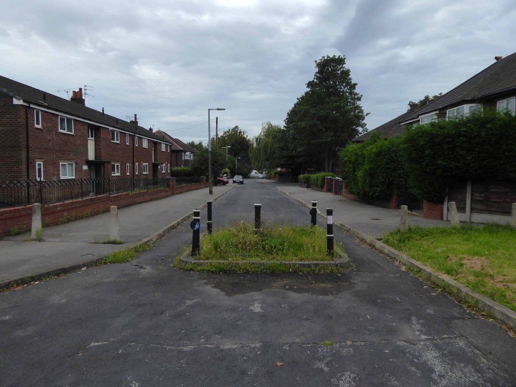
Across Sandy Lane into Coronation Street.

Once a rare sight on our roads the ubiquitous SUV reigns supreme on our suburban streets – the level of UK car debt currently stands at £73 Billion.

We weaved in and out of the highways and byways of South Reddish.

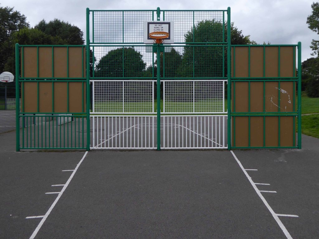
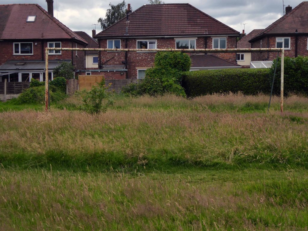
Through Unity Park where the goals are lower than low.

The hoops are higher.

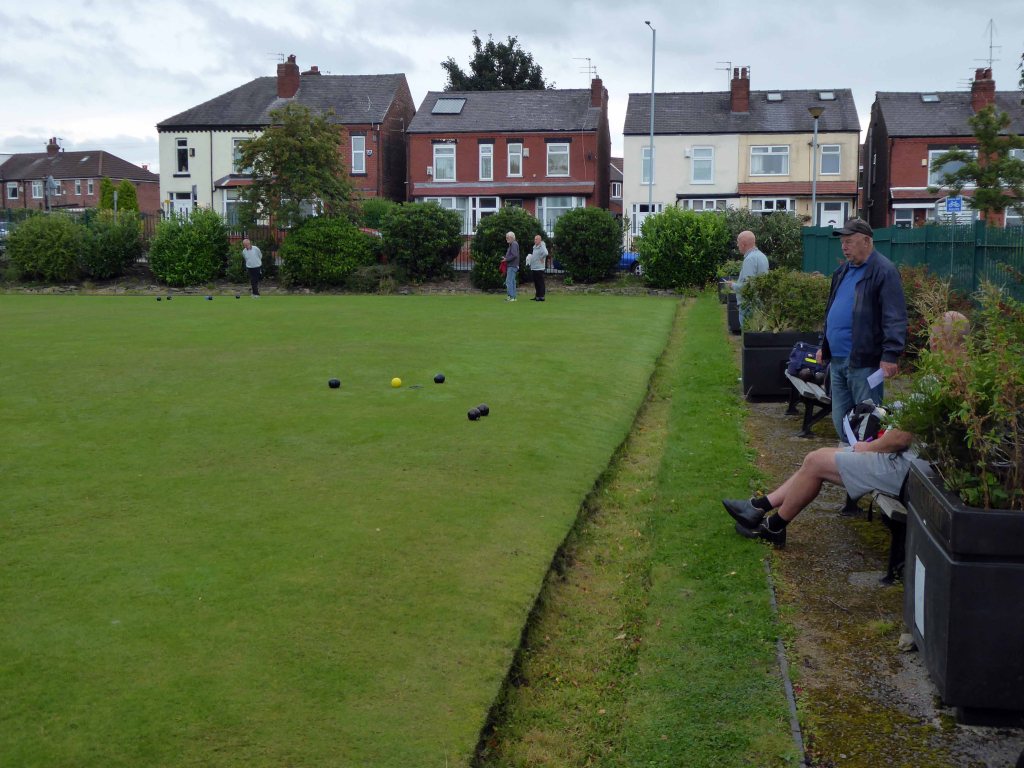
And the bowls are rolling.

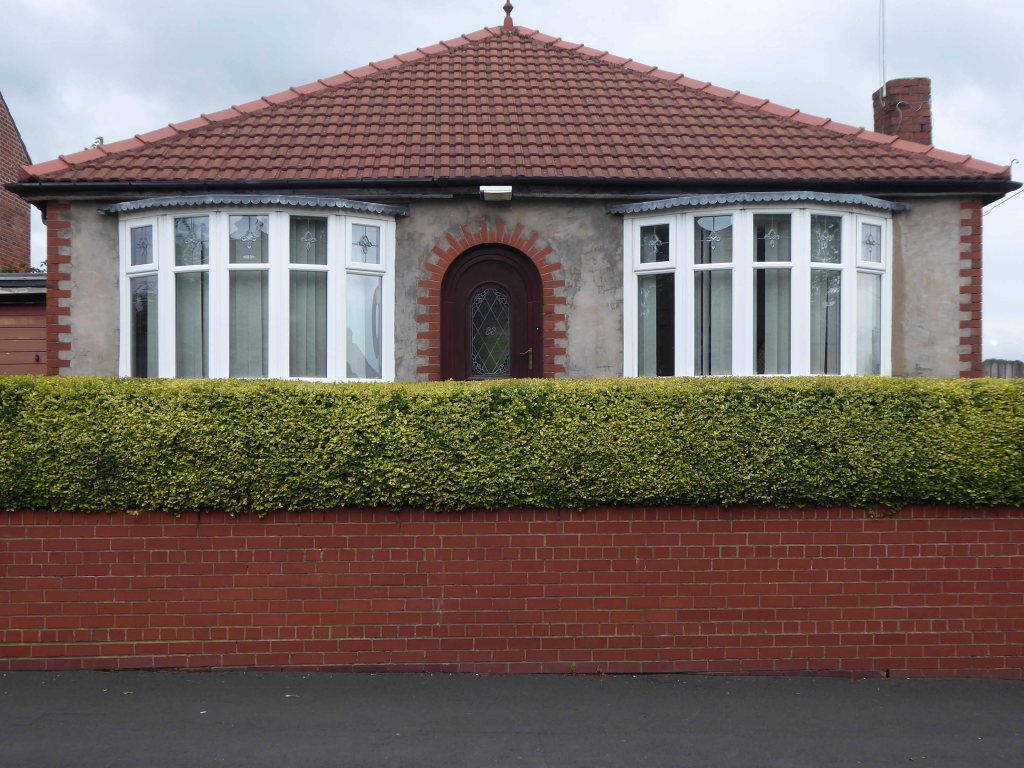
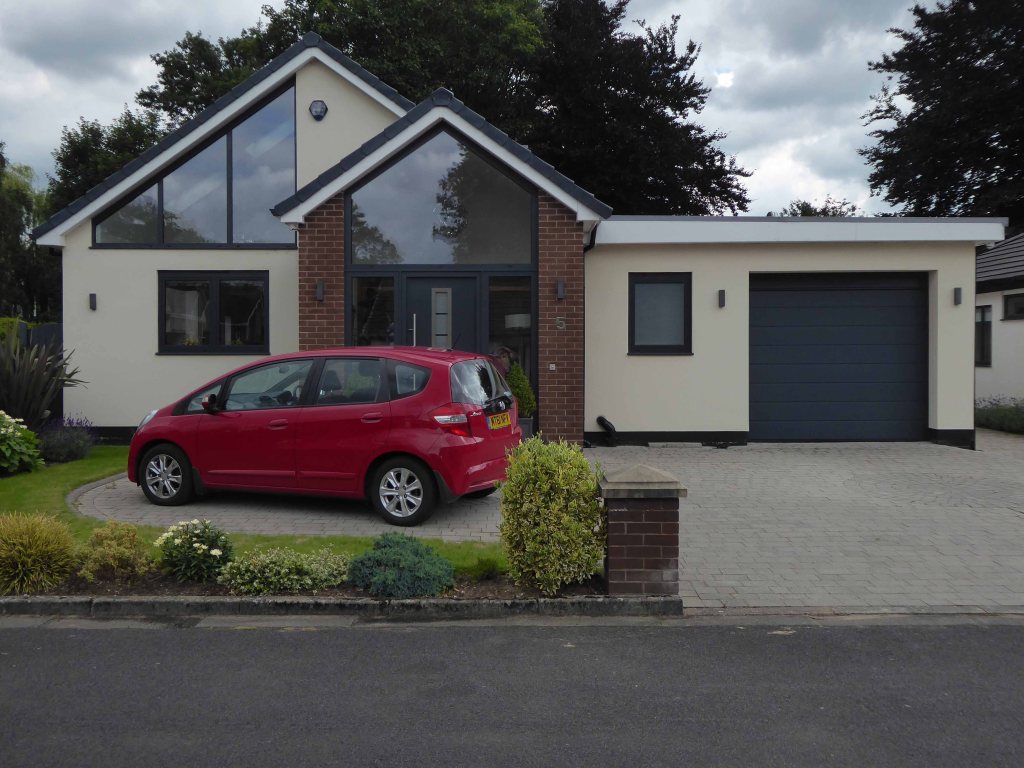
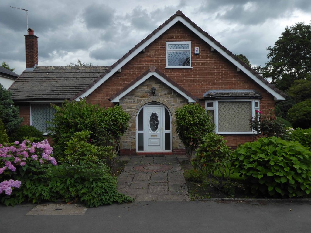
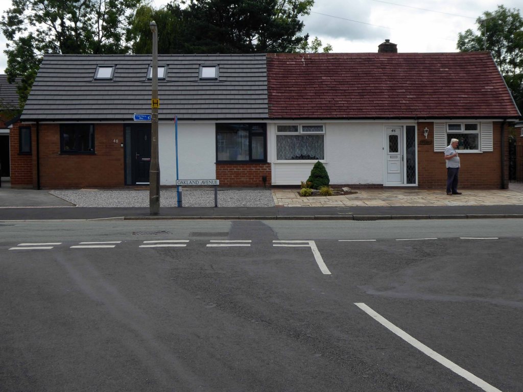
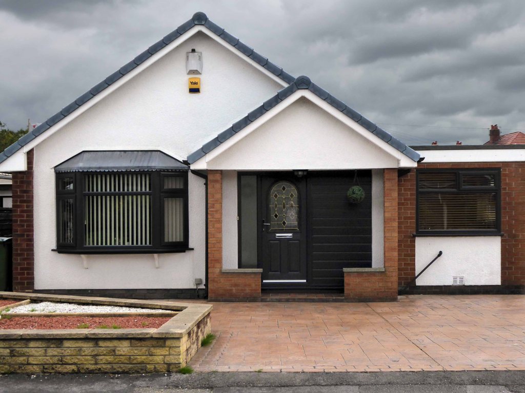
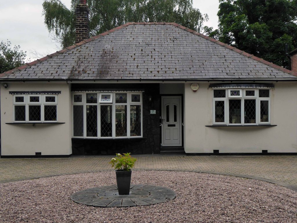
Past the perfect Platonic bungalow.

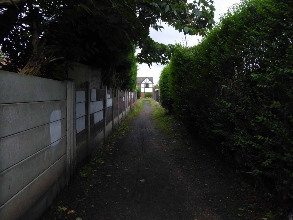
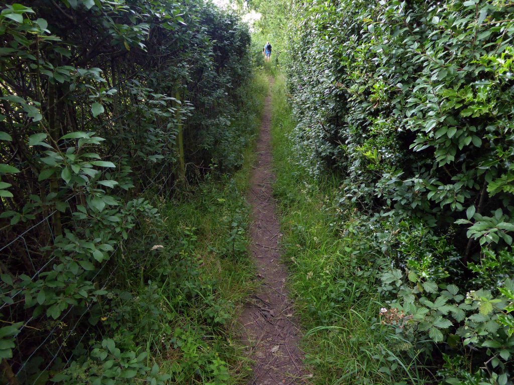
Taking the well worn path betwixt and between the houses.
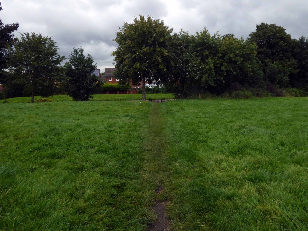
Crossing open country.

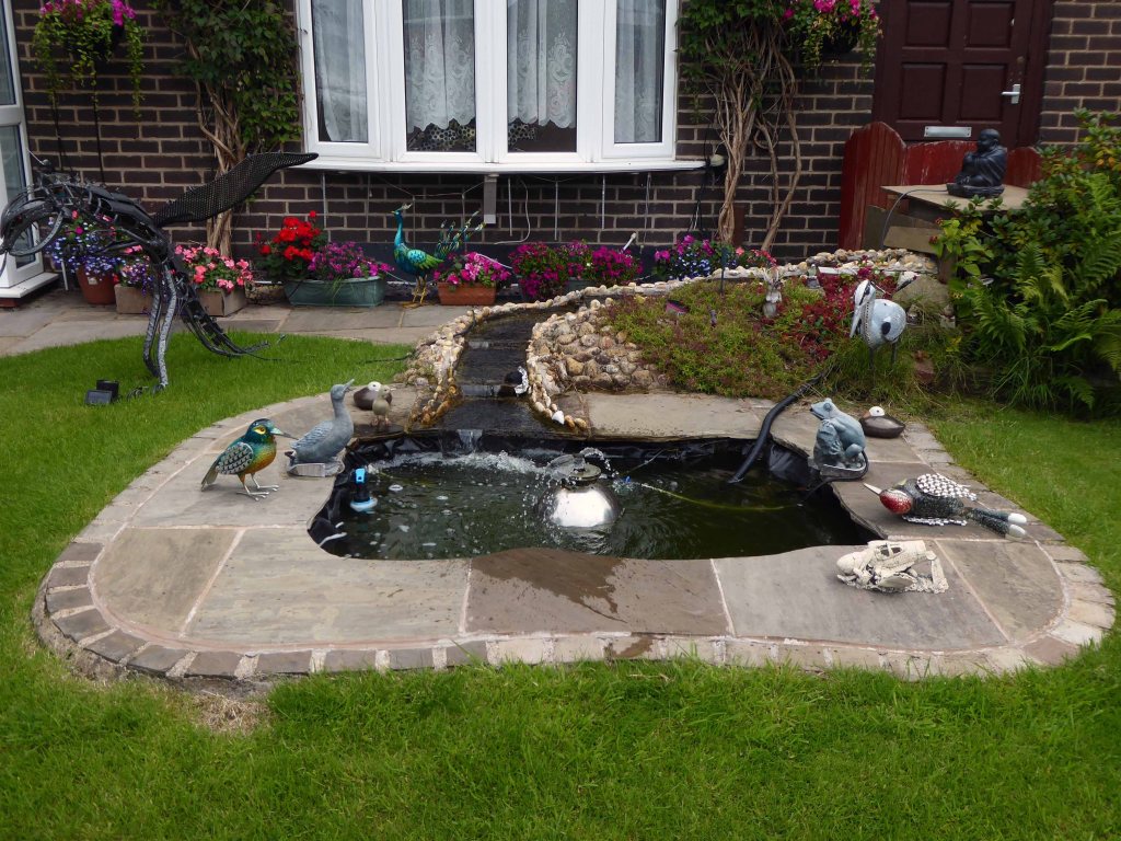
Encountering exotic planting worthy of the French Riviera.

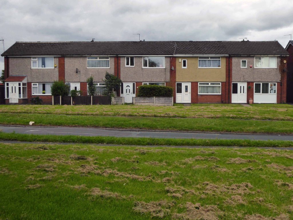
Noting the voguish transition of the local semi-detached housing from white to grey and the now familiar sight of the Range Rover in the former front garden.

The reverse of a roadside sign can often be far more interesting and attractive than the obverse face.

Reddish South Station sustained by the once a week parliamentary train, on the Stockport to Stalybridge Line, coincidentally the only time, as a goods guard, I ever worked a passenger train, was along here, one Christmas long ago.

We stopped at Denton, a request stop, the seasonally boozy passenger gave me a fifty pence tip.

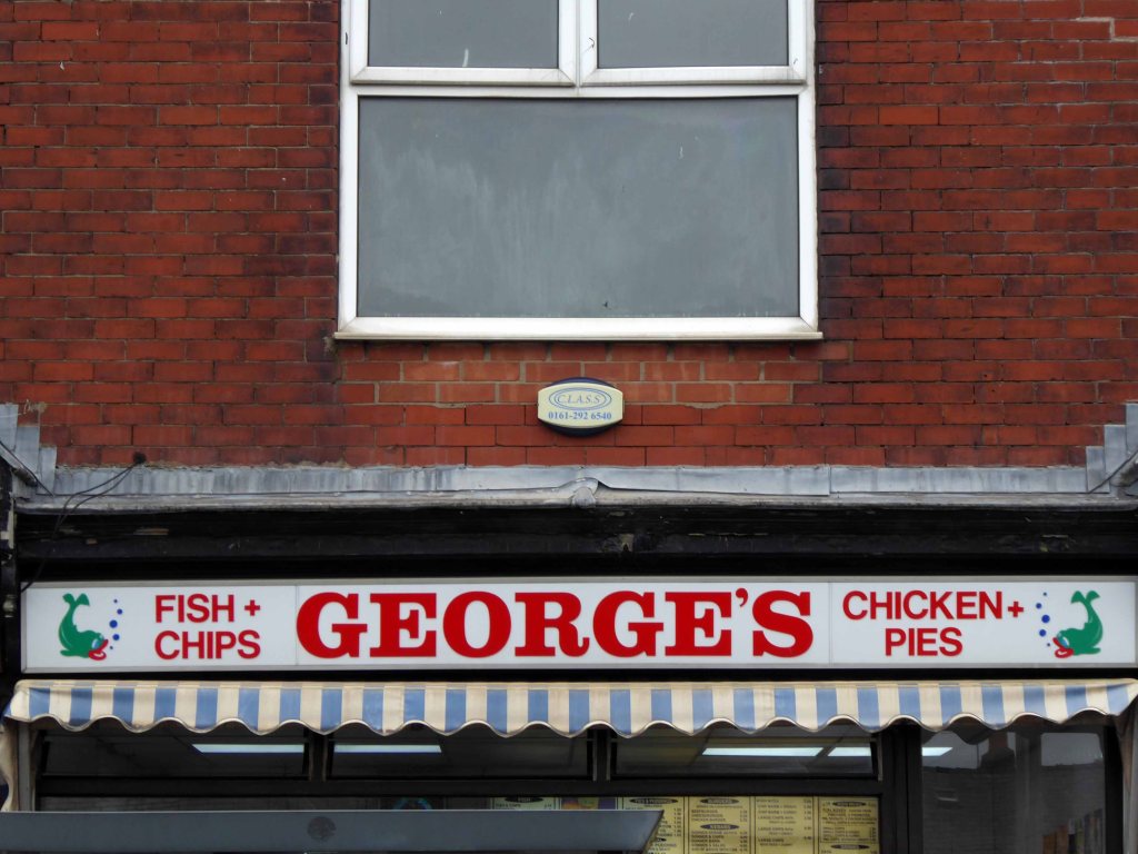
George’s – where I bought a bag of chips on the way back, great chips, friendly and safe service with a smile.

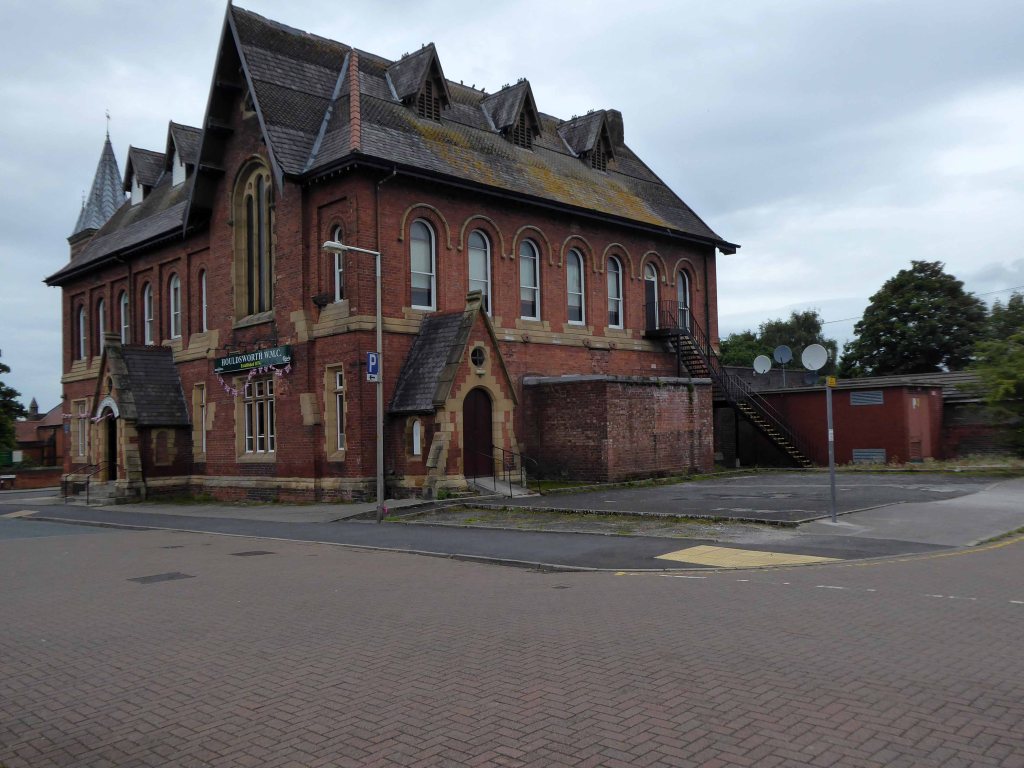
Houldsworth Working Mens Club designed by Abraham Henthorn Stott forming part of the model community developed by the late-C19 industrialist Sir William Houldsworth, which included cotton mills, workers’ housing, school, church and a park.

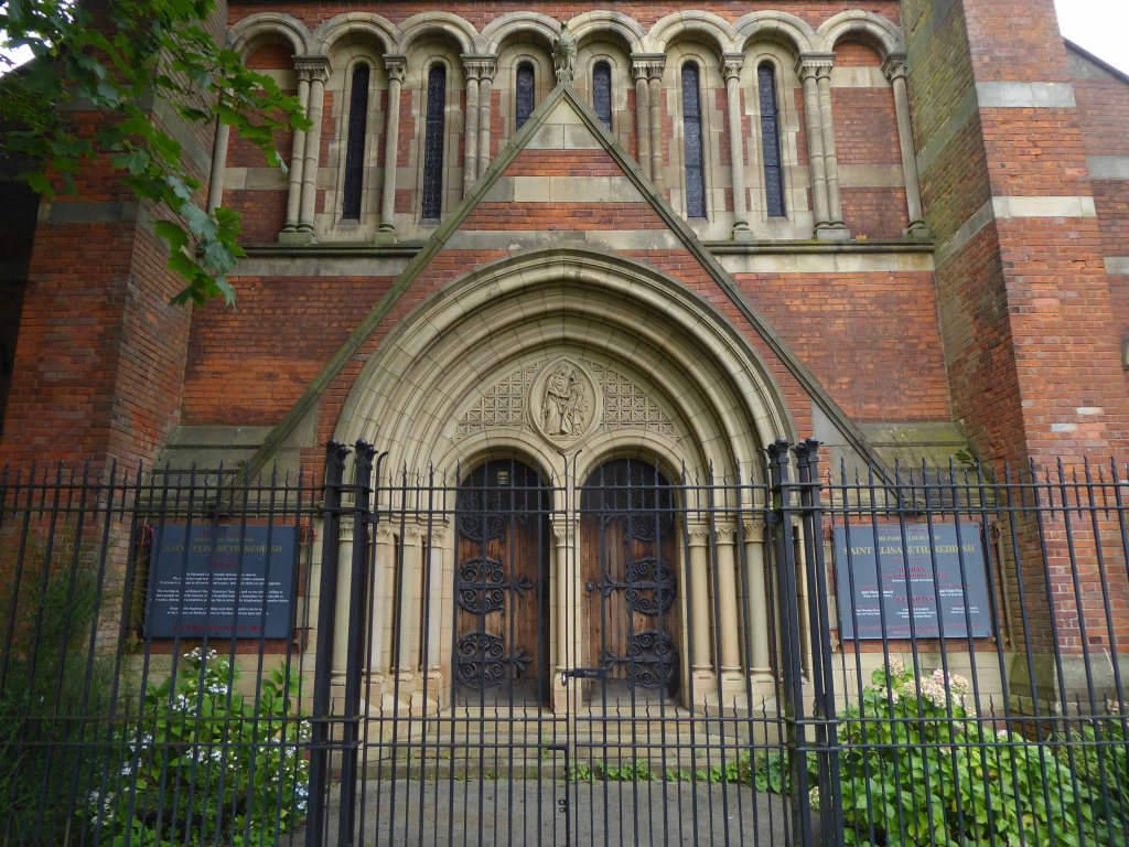
Church of St Elisabeth 1882-3, by Alfred Waterhouse one of the finest Victorian churches in the country – both of the buildings are Grade II Listed.

Over the way the former Victoria Mill, converted into apartments.
With adjoining new build.
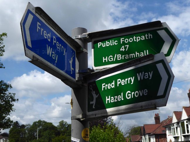
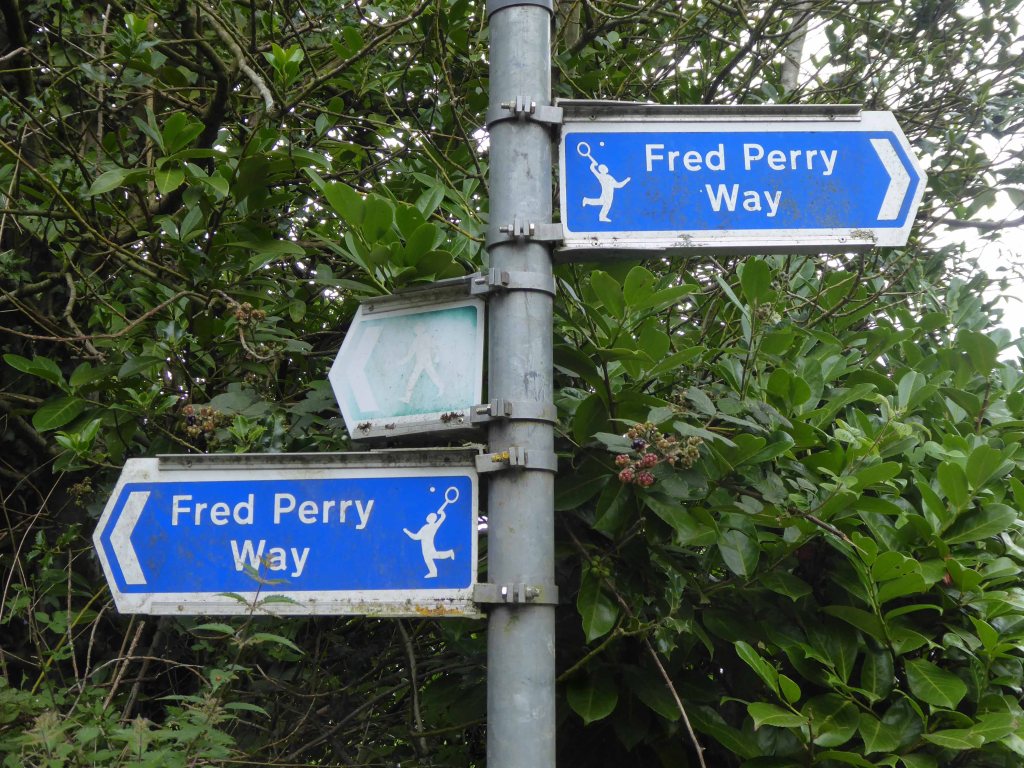
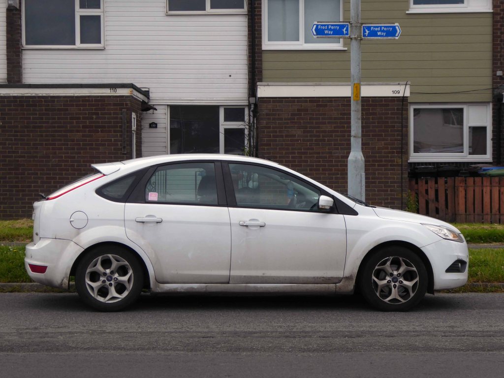
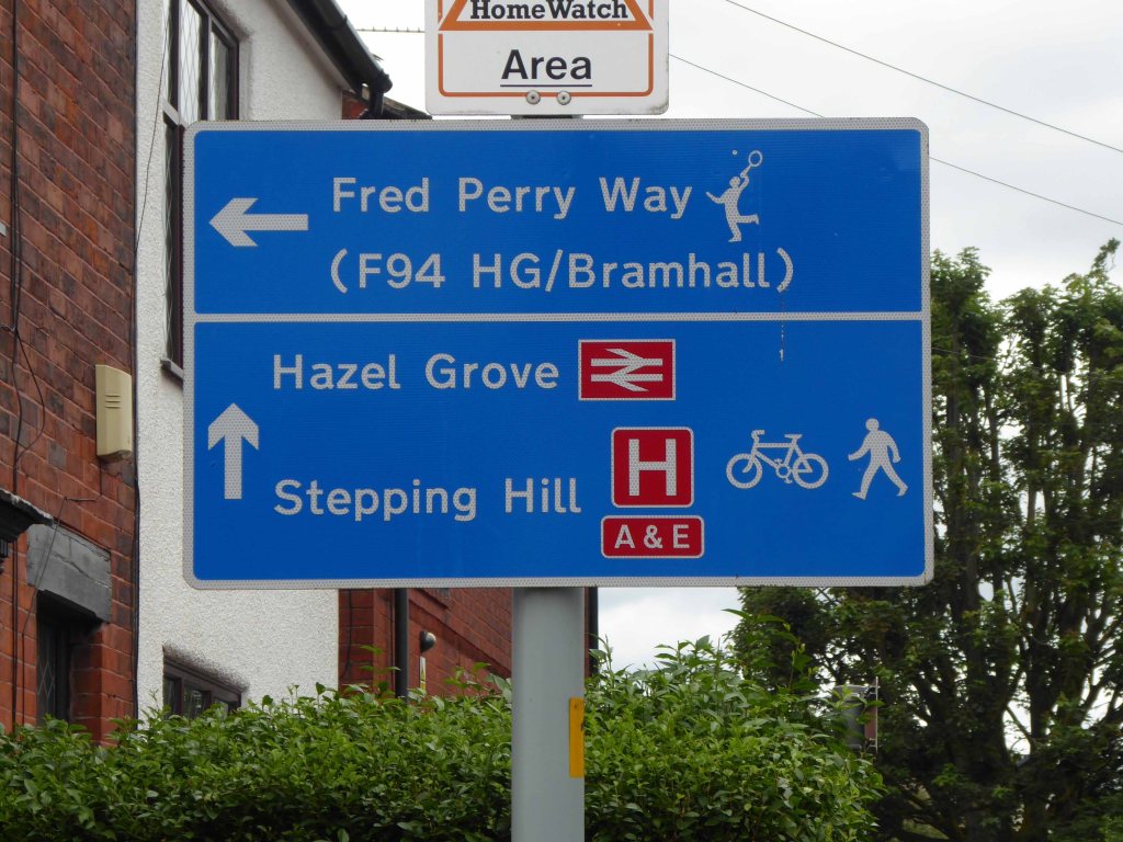
We faithfully followed the signs, noting a change from blue to green.

Somewhere or other we went wrong, our luck and the signs ran out, we instinctively headed north, ever onwards!

Traversing the Great Wall.

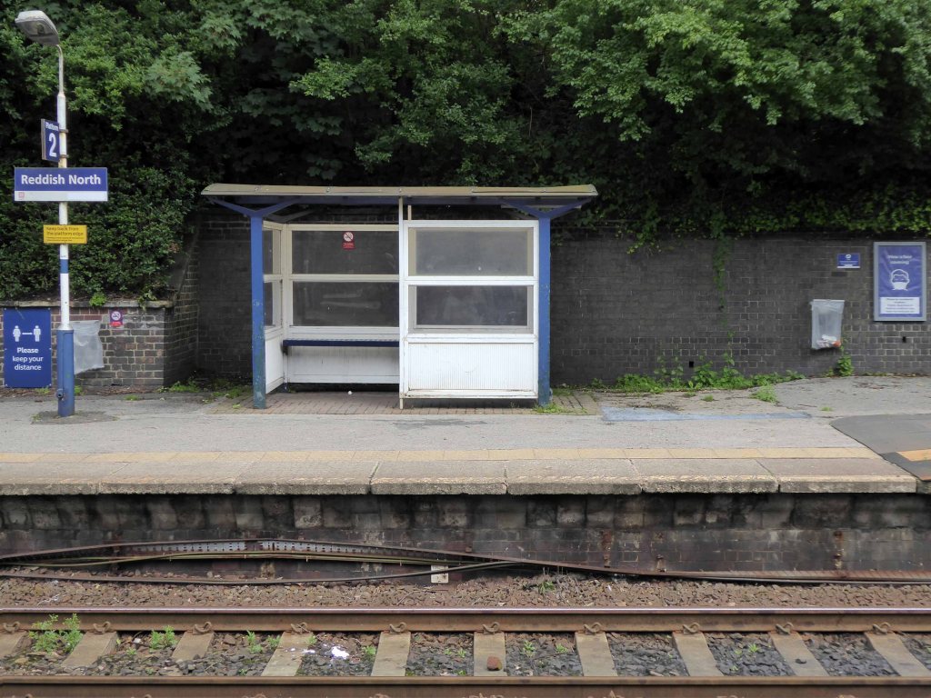
Mistakenly assuming that the route ended or began at Reddish North Station that’s where we landed.

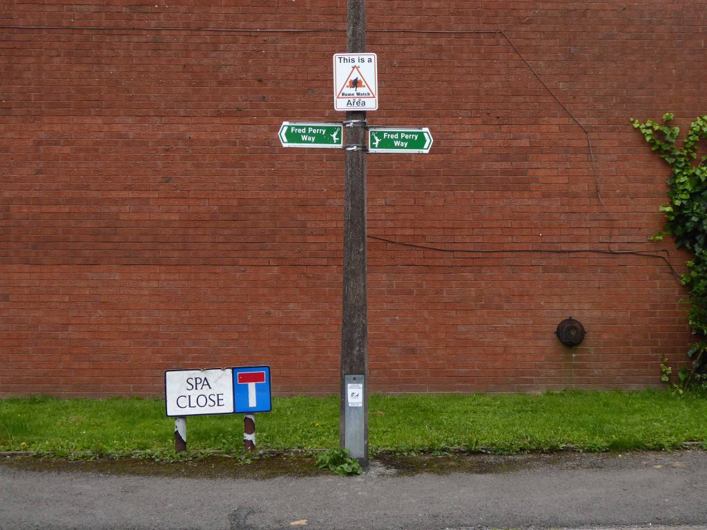
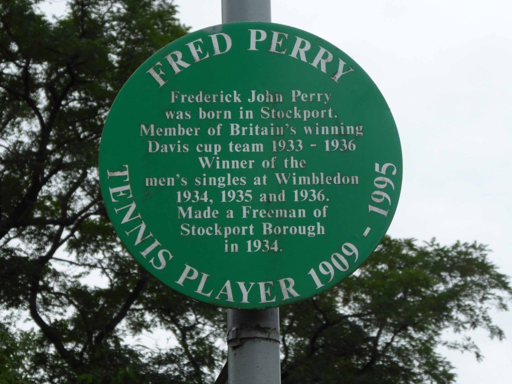
Back tracking intrepidly along the road we found the source of the Fred Perry Way.

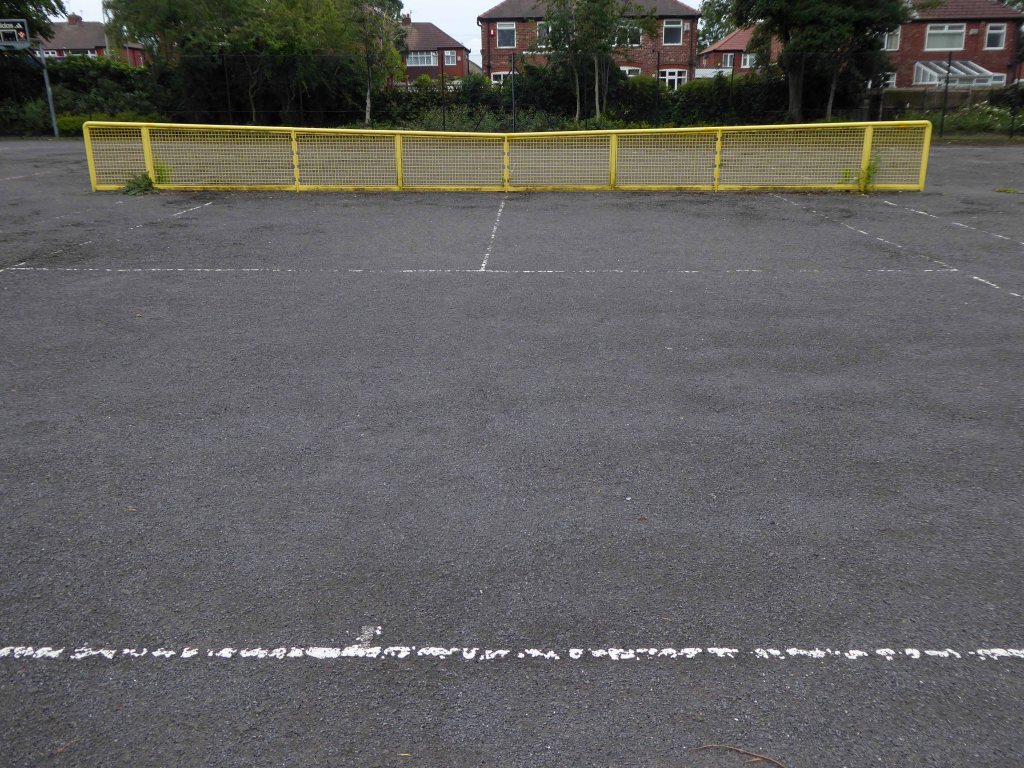
In the North Reddish Park – where tennis can still be played today albeit with a somewhat functionalist net, on an unsympathetic surface.

Journey’s end.

To forget, you little fool, to forget!

D’you understand?

To forget!

You think there’s no limit to what a man can bear?

Fred Perry Way – Hazel Grove To Woodford

Having started in the middle, let’s fast forward to the end – the beginning will have to wait.

We take up our walk along Fred’s Way once more by Mirrlees Fields.

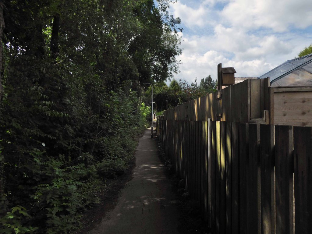
Following the brook along the narrow shallow valley, betwixt and between houses.

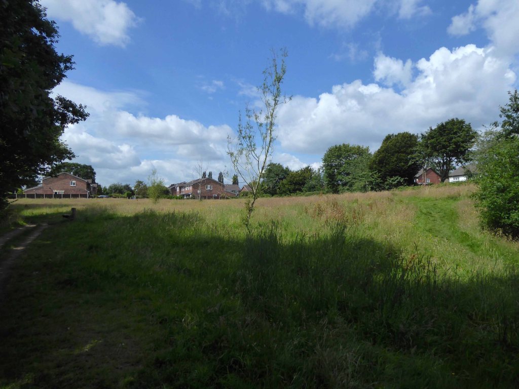
Briefly opening out into green open space.

Crossing the road and entering the detached world of the detached house.

No two the same or your money back!

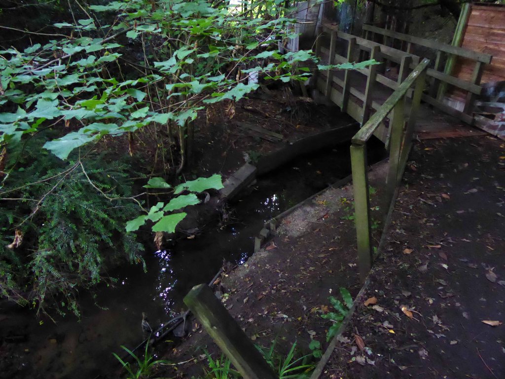
Diving feet first into Happy Valley, home to the Lady Brook stream.

And quickly out again.

Emerging once again into the space between spaces.

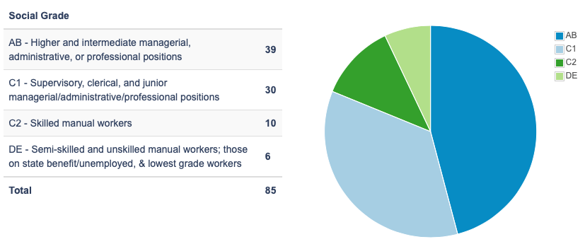
The suburban idyll of the Dairyground Estate home to very few semi-skilled and unskilled manual workers; those on state benefit/unemployed, and lowest grade workers.

But home to an interesting array of Post War housing.

Including examples of the style de jour, à la mode conversions and updates extended and rendered, black, white and grey symbols of success or extensive extended credit facilities.

Though the more traditional fairy tale variant still has a space and place, in the corner of some well behaved cul de sac.

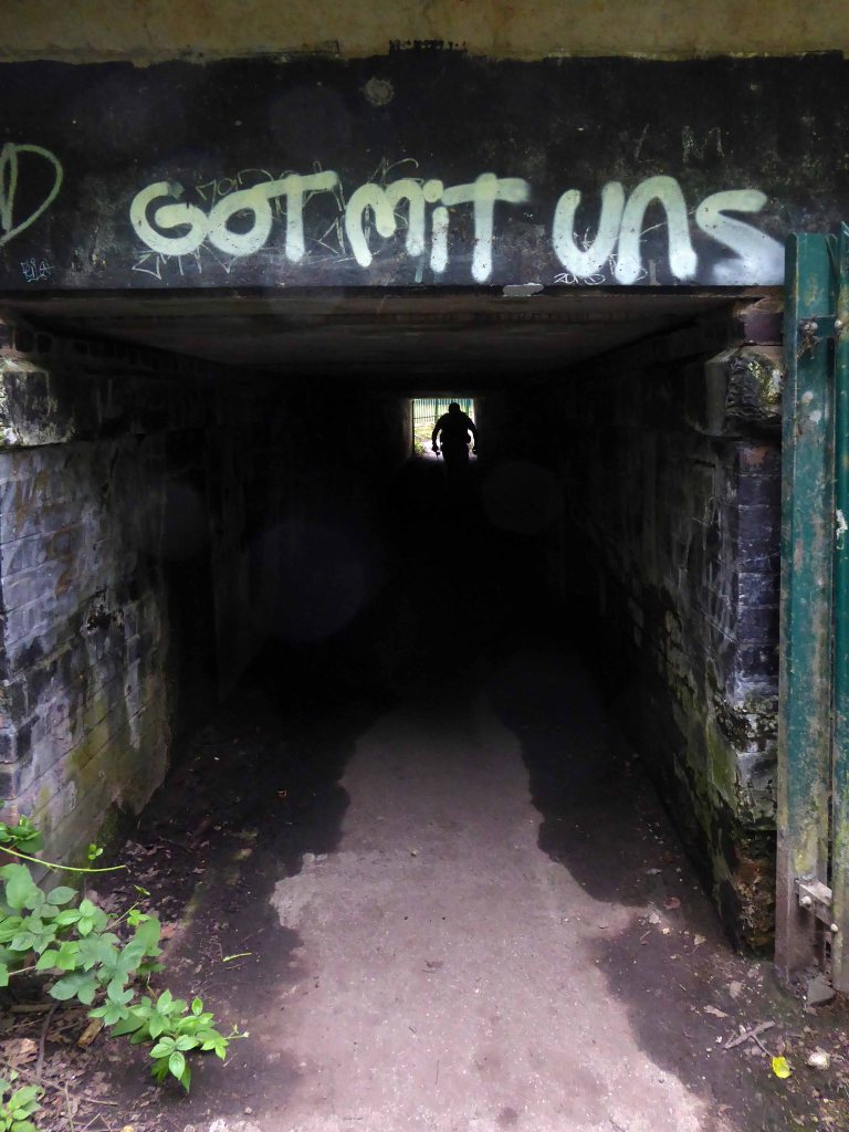
Under the railway – through a low tunnel darkly.

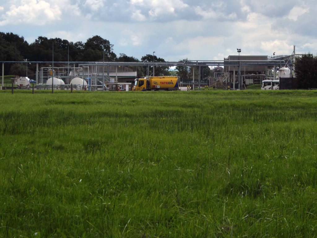
We struck oil, black gold, Texas Tea – Tate Oil.

The area of Little Australia – so called as all the roads are named after towns in Australia, is bordered by the West Coast Main Line to the north, the Bramhall oil terminal to the east, Bramhall village centre to the west and Moorend Golf Club to the south.

We emerged into a warren of obfuscation, dead ends and conflicting signs, having made enquiries of the passing populace, we realigned with the new bypass.

Passing over the conveniently placed footbridge over the bypass and beyond.

Emerging amongst faux beams and real Monkey Puzzles.

It was at this point that, unbeknownst to us, we followed a twisted sign, misdirecting us along an overgrown path – to Handforth.

We failed, in the end we failed to arrive to arrive at the end.

Heading west like headless chickens towards the Turkey Farm.

Making our way mistakenly to Handforth Dean Retail Park – rear of.

Crossing slip roads with no pedestrian access and the forbidden territory of an industrial sized gymnasium car park.

Woodford will just have to wait, another day another dolorous excursion.

We walked wearily back to Stockport.

Fred Perry Way – Stockport To Hazel Grove

Second time around – having once cycled the whole way in 2009.

I’ll do anything twice or more – so here we are again, this time on foot.

Let’s start at the very beginning, a very good place to start – in the middle, the section from the town centre to Hazel Grove.

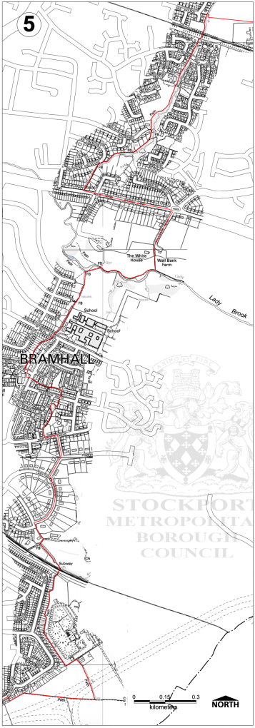
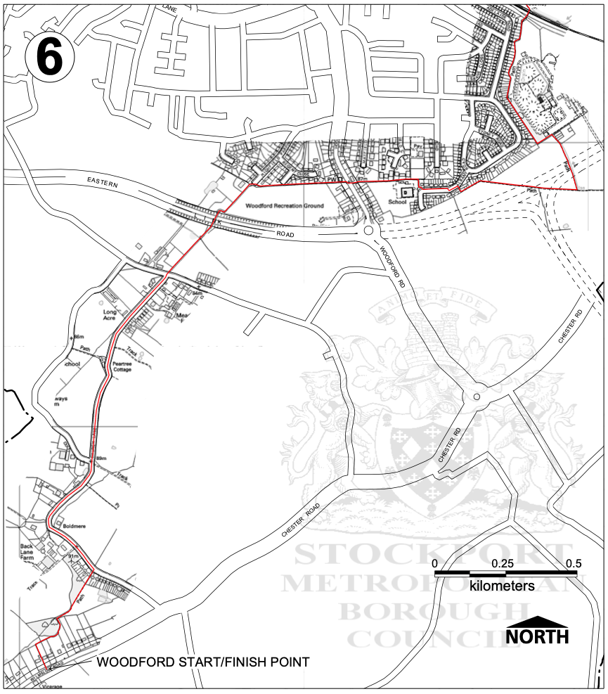
Maps are available here for free – we declined the offer, deciding to follow signs instead, many of which were missing or rotated, the better to misinform and redirect – such is life.

We are mostly lost most of the time, whether we like it or know it or not.

We begin at the confluence of the rivers Mersey and Goyt – which no longer seems to be a Way way, the signs having been removed, and proceed down Howard Street, which seems to have become a tip.

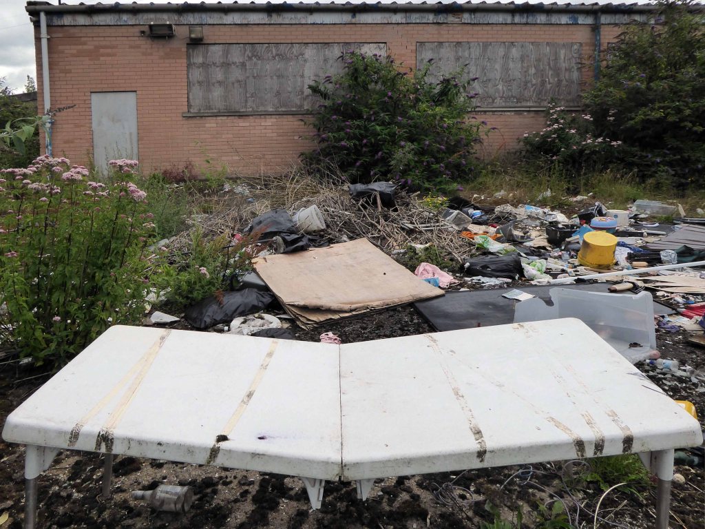
The first and last refuge for refuse.

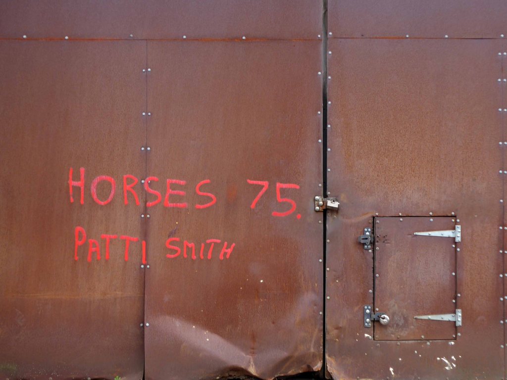
Passing by the kingdom of rust – Patti Smith style.

Passing under the town’s complex internal motorway system by underpass.

Where help is always handily at hand.

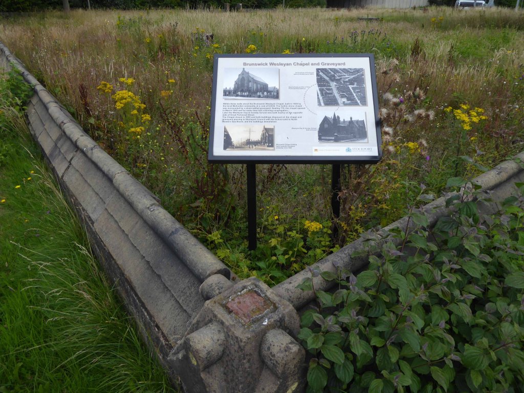
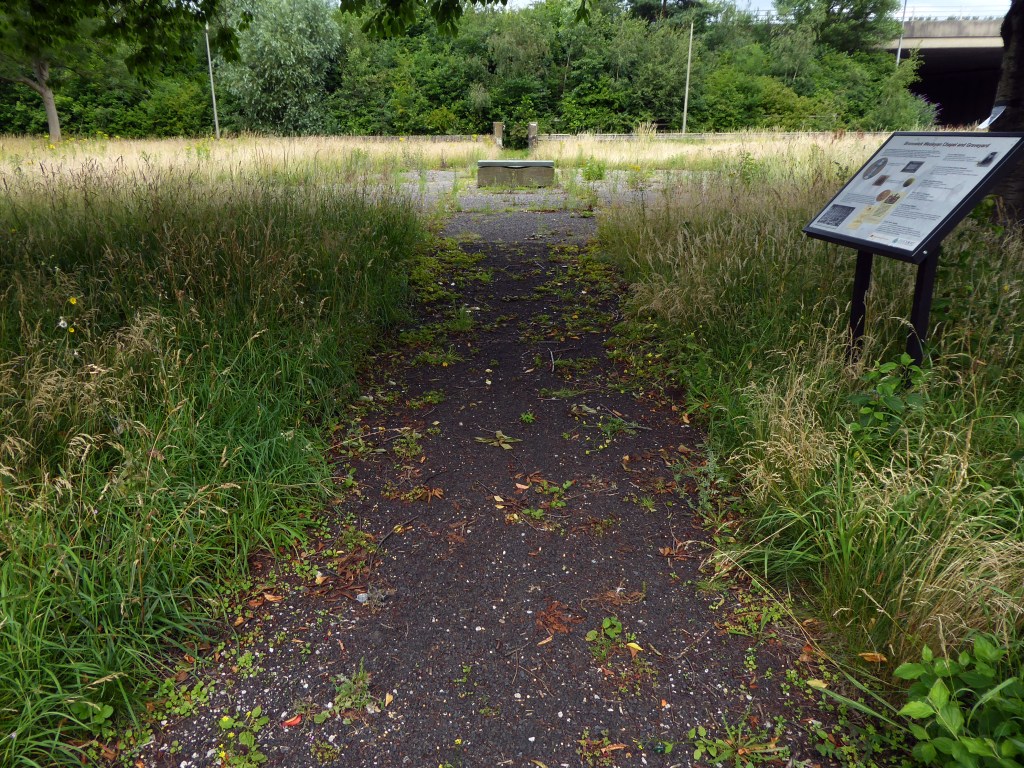
Whistling past the graveyard – the site of the former Brunswick Chapel where one and hundred and fifty souls lay lying.

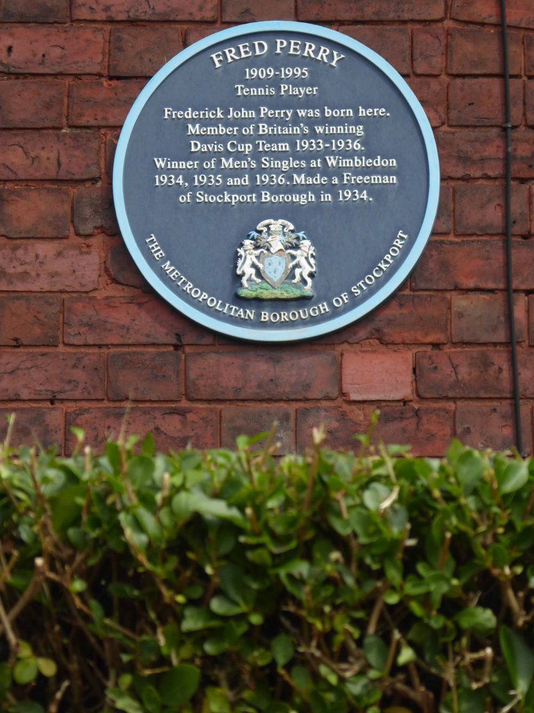
Onward down Carrington Road to Fred’s house.

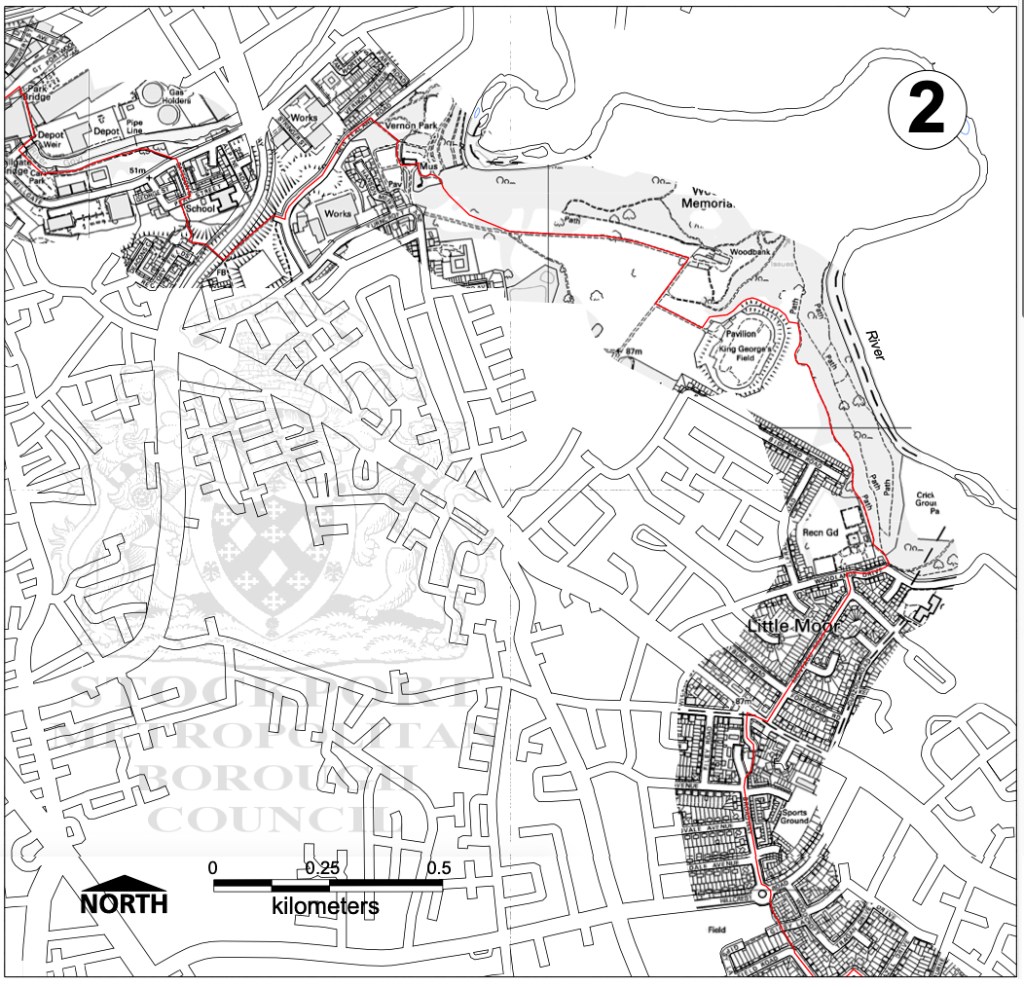
Through Vernon Park to Woodbank Park – with its heroic erratic.

Almost opposite the entrance to the museum, now set in shrubbery, are the foundations, laid in September 1860, of what was to be a forty metre high Observatory Tower. Despite a series of attempts, funds for the tower could not be raised and the ‘Amalgamated Friendly Societies of Stockport’ eventually had to abandon the idea.

Historic England

Out east and passing alongside the running track.

Lush meadows now occupy the former football field, twixt inter-war semis and the woodland beyond.

Out into the savage streets of Offerton where we find a Buick Skylark, incongruously ensconced in a front garden.

The only too human imperative to laugh in the face of naturalism.

We have crossed over Marple Road and are deep in the suburban jungle of mutually exclusive modified bungalows.

Off now into the wide open spaces of the Offerton Estate – the right to buy refuge of the socially mobile, former social housing owning public.

People living on Offerton Estate have been filmed for a programme entitled ‘Mean Streets’ which aims to highlight anti-social behaviour in local communities.

MEN 2007

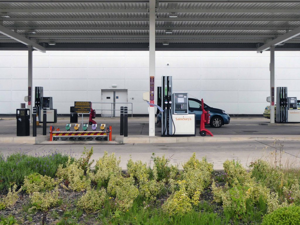
The next thing we know we’re in a field, a mixed up melange of the urban, suburban and rural, on the fringes of a Sainsbury’s supermarket filling station.

We cross the A6 in Hazel Grove and here for today our journey ends

Ignoring the sign we went in the opposite direction.

As we reach the edge of Mirrlees Fields – the site of the only Fred Perry laurel leaf logo emblazoned way marker.

The Fields are currently designated as a green space and are not available for residential development. But MAN would like to overturn this designation for over one third of the Fields.

MAN Energy Solutions UK is the original equipment manufacturer of Mirrlees Blackstone diesel engines.

Before the Blackstone MAN came in 1842 – the fields were all fields.

To be continued.