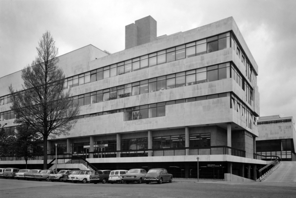
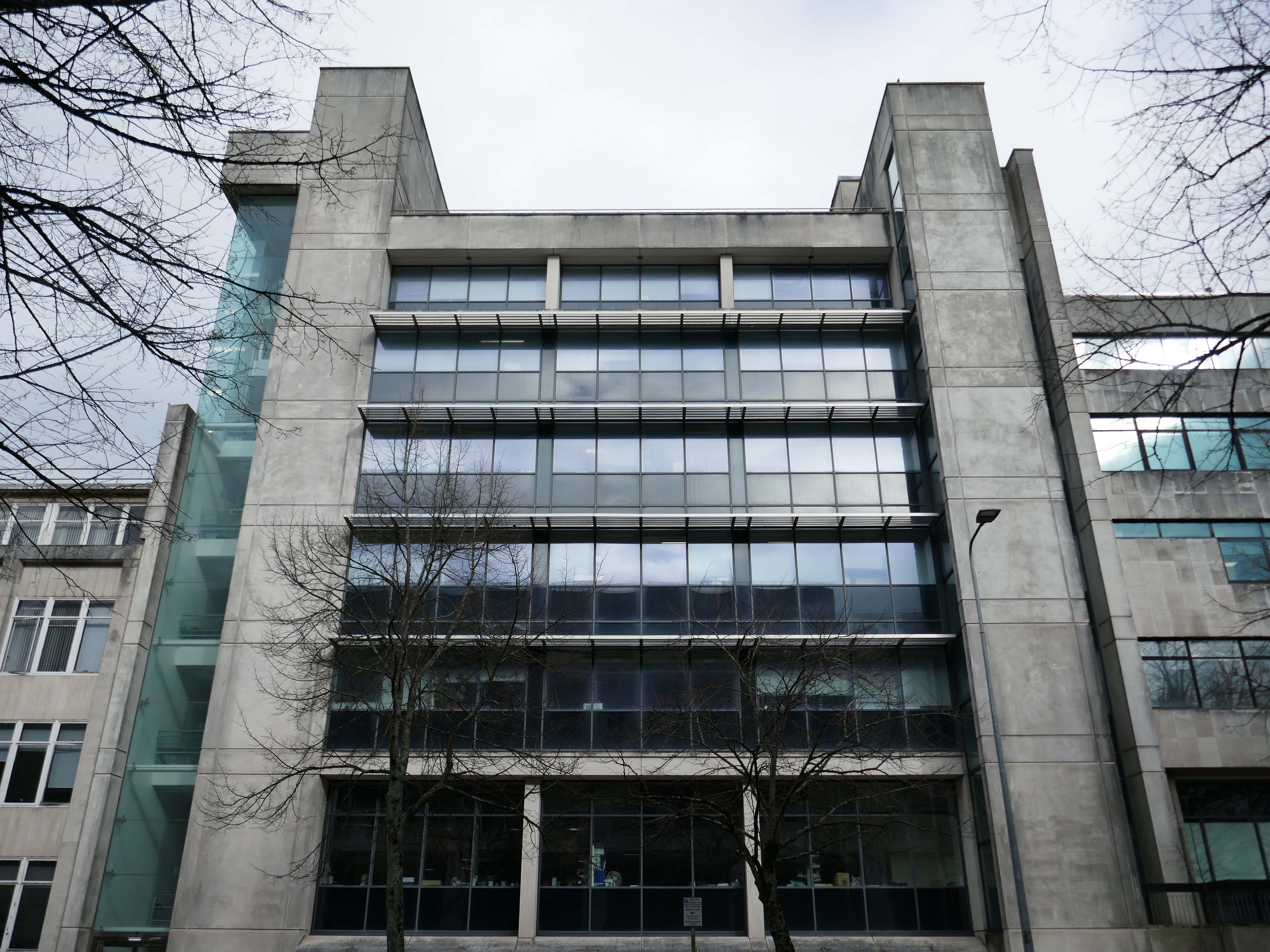
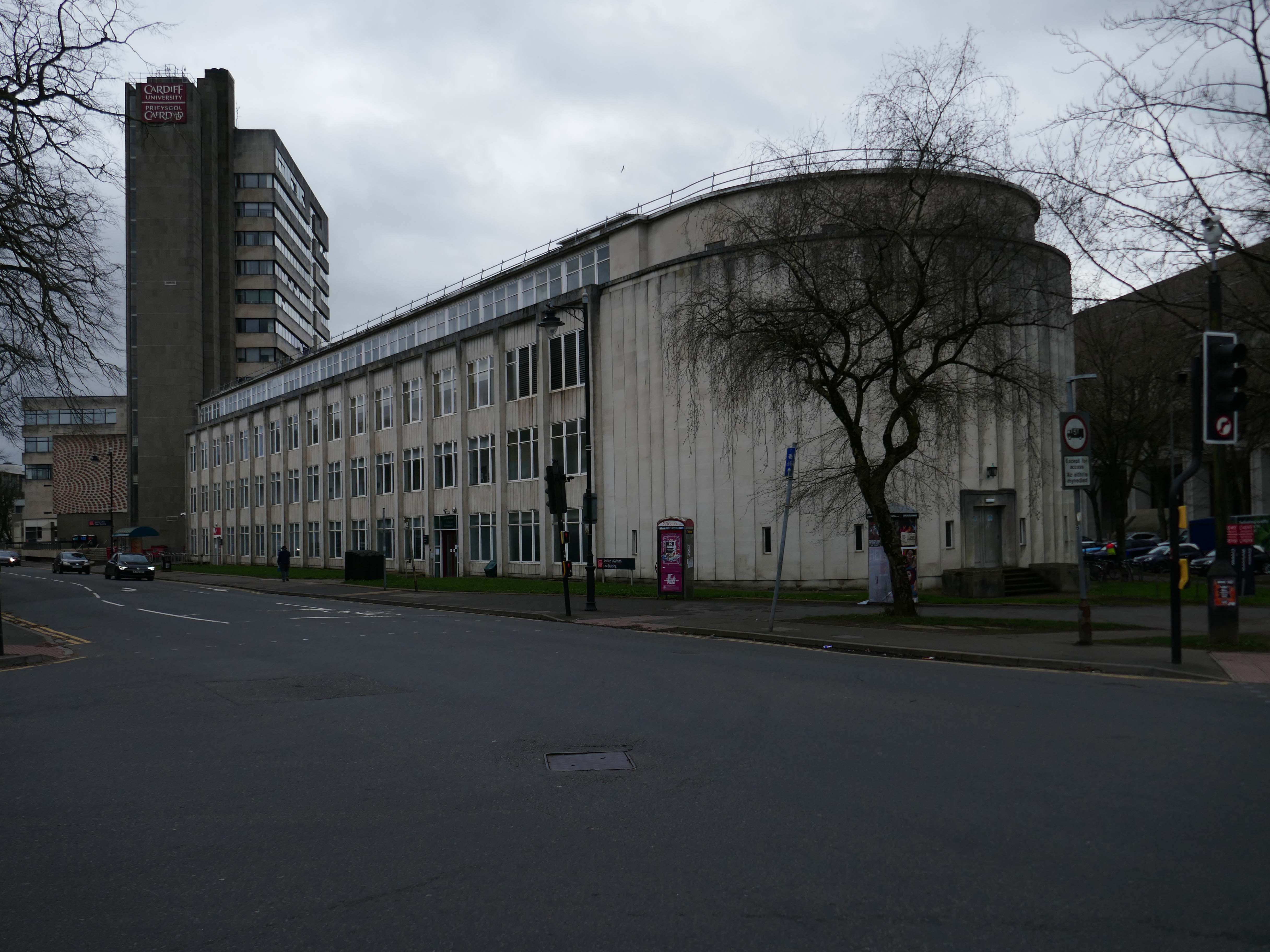
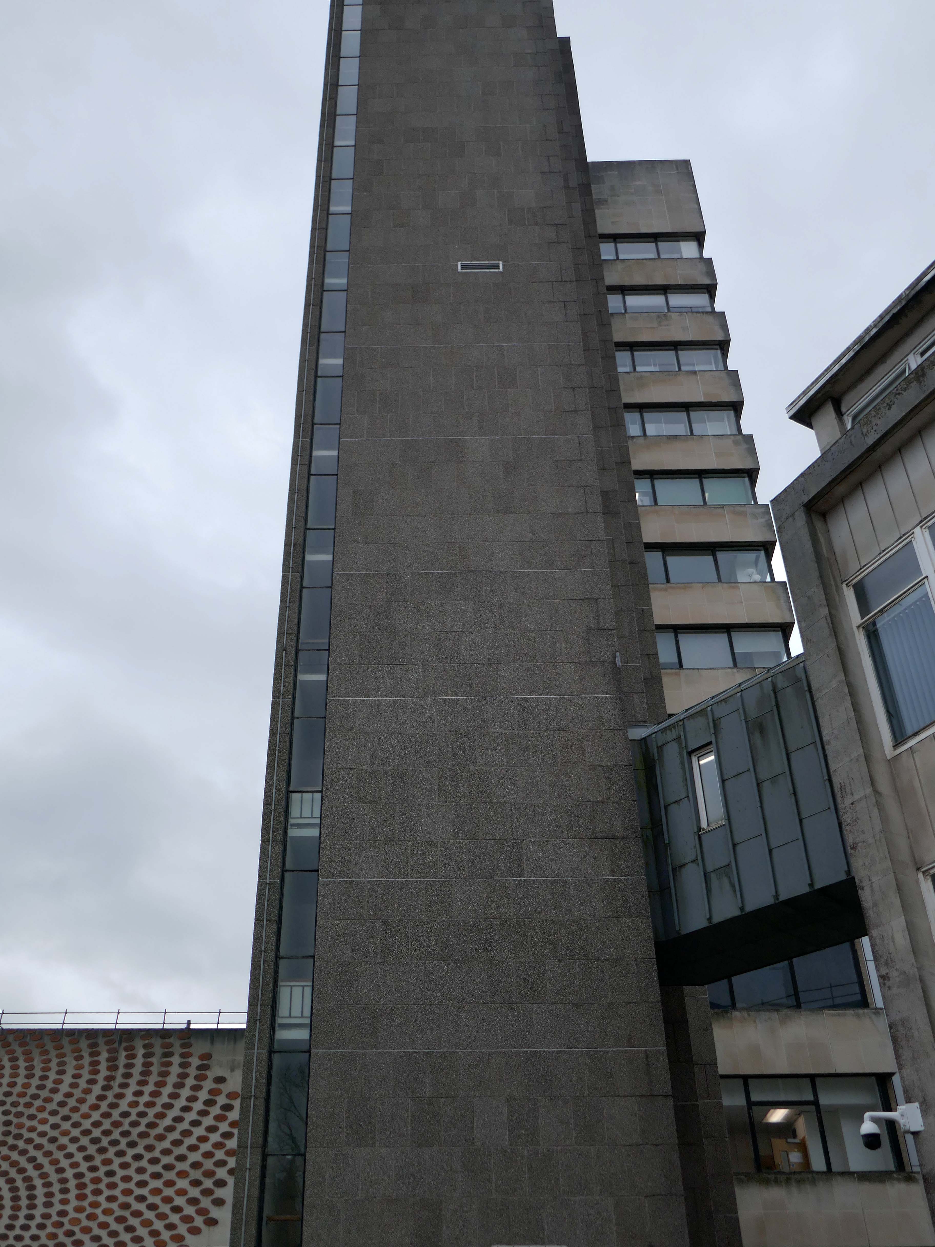
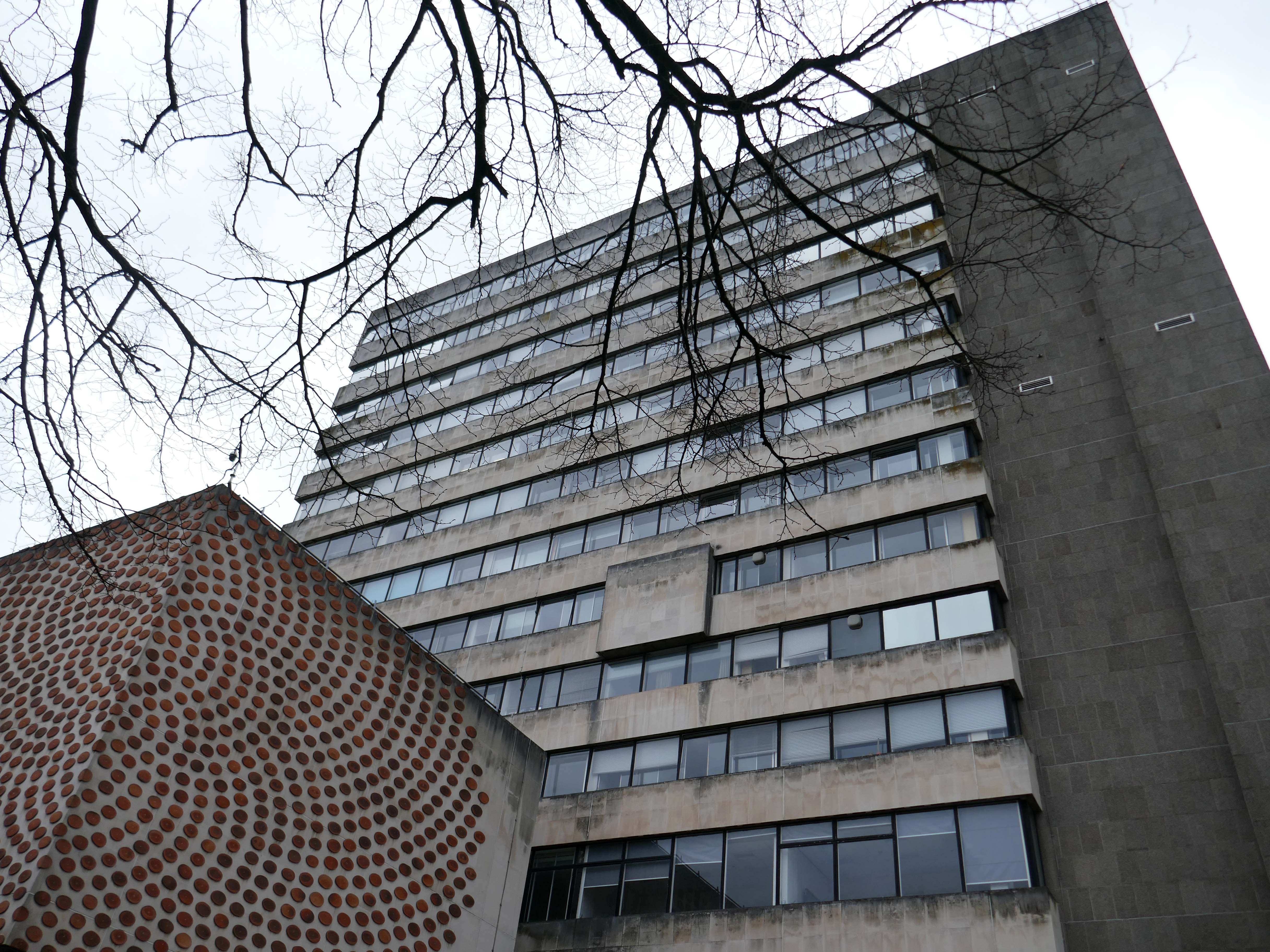
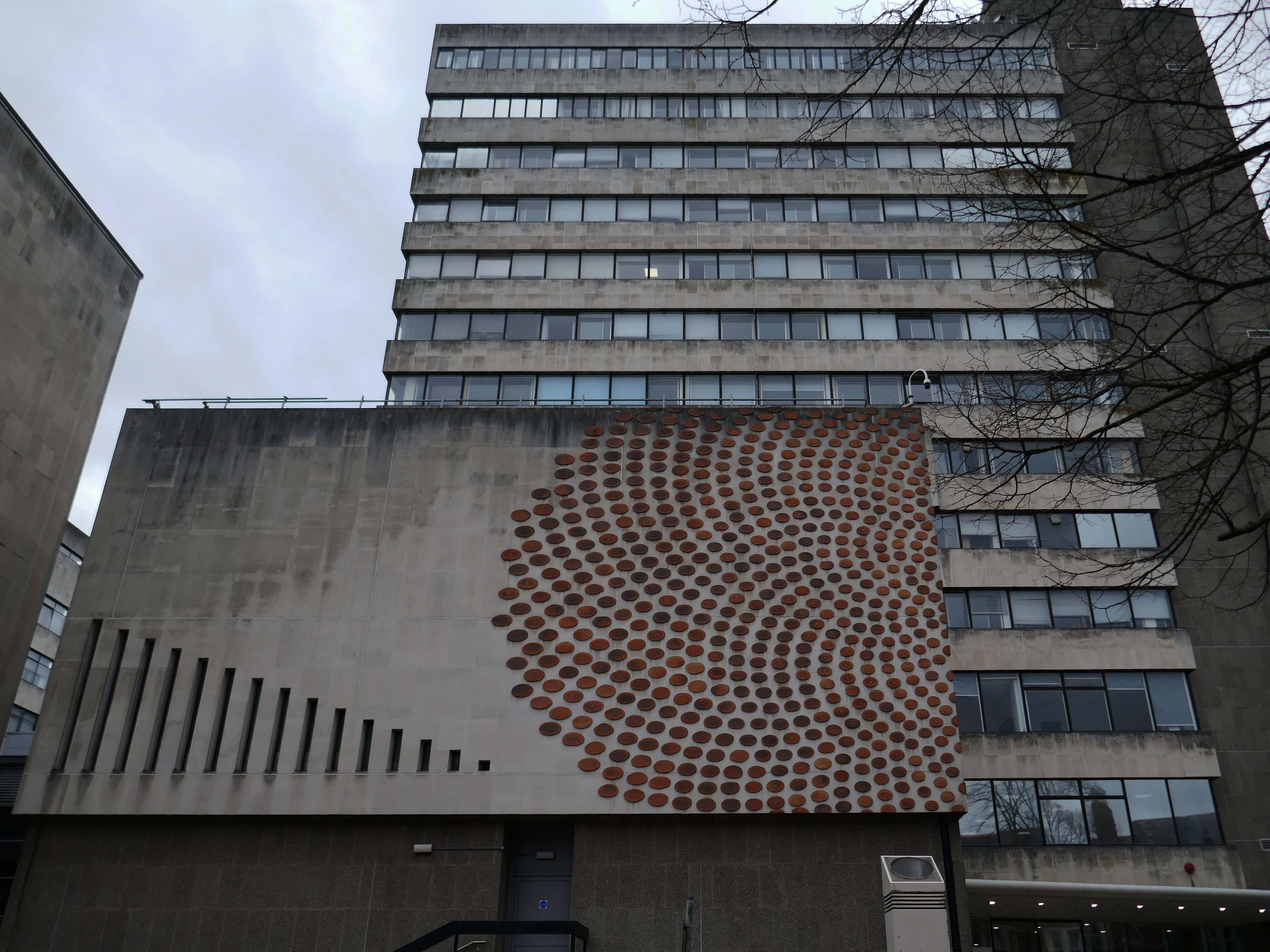
Lead architect Ivan Dale Owen of Sir Percy Thomas & Partners also responsible for the site’s 1960 masterplanning.
He then spent over a year working for Walter Gropius’s practice, The Architects Collaborative, in Cambridge, Massachusetts.He returned to Britain, where he became a senior architect/planner with William Holford & Partners in London, where he worked on plans for the reconstruction of London after the war.
He returned to Wales with health problems and in 1958 was hired by Percy Thomas & Son as an associate in their Cardiff office. By 1964, Percy Thomas & Son had become Sir Percy Thomas & Partners and Owen had become a partner. He changed the philosophy of the practice, transforming it with a contemporary modernist style.
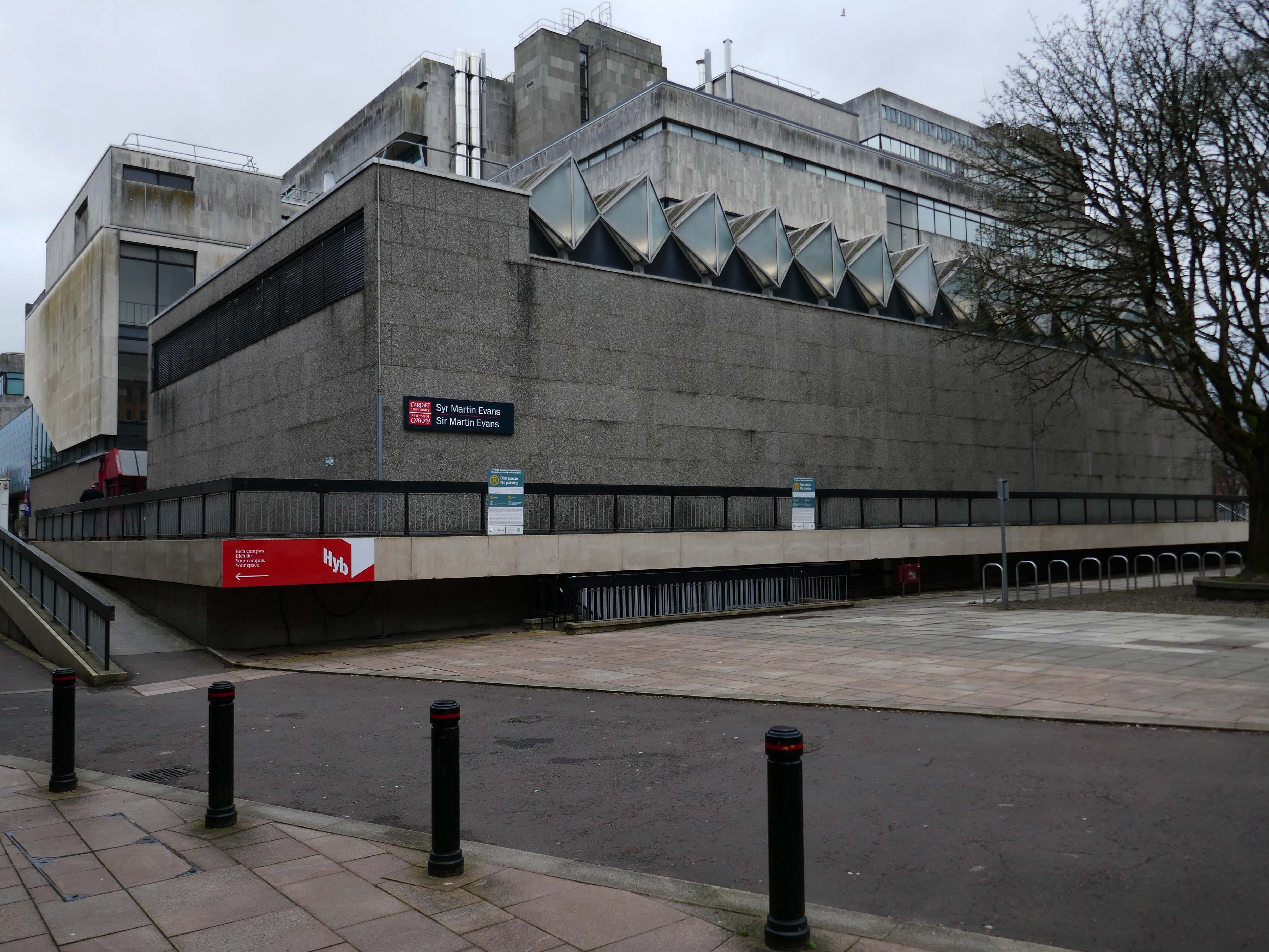
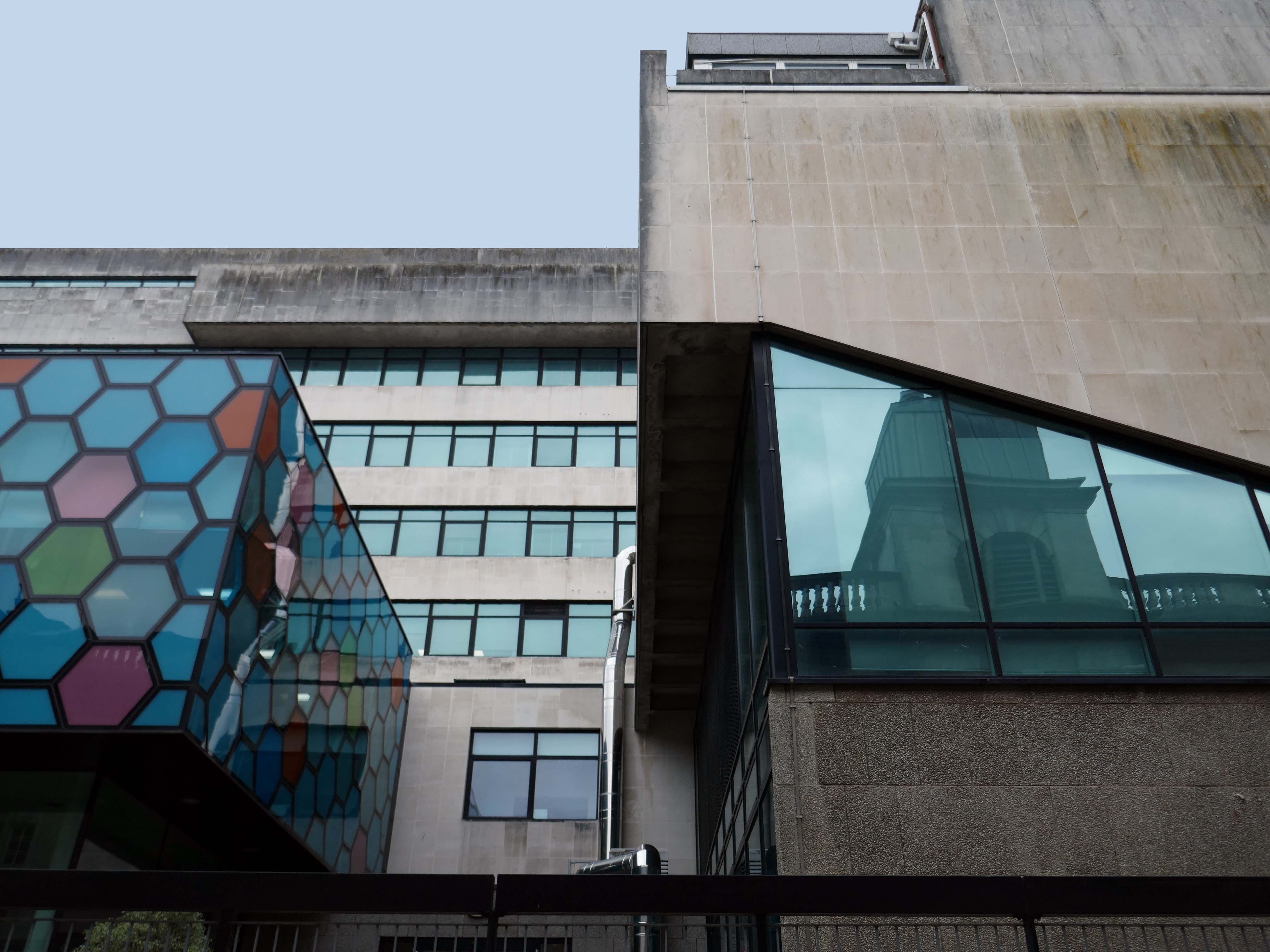
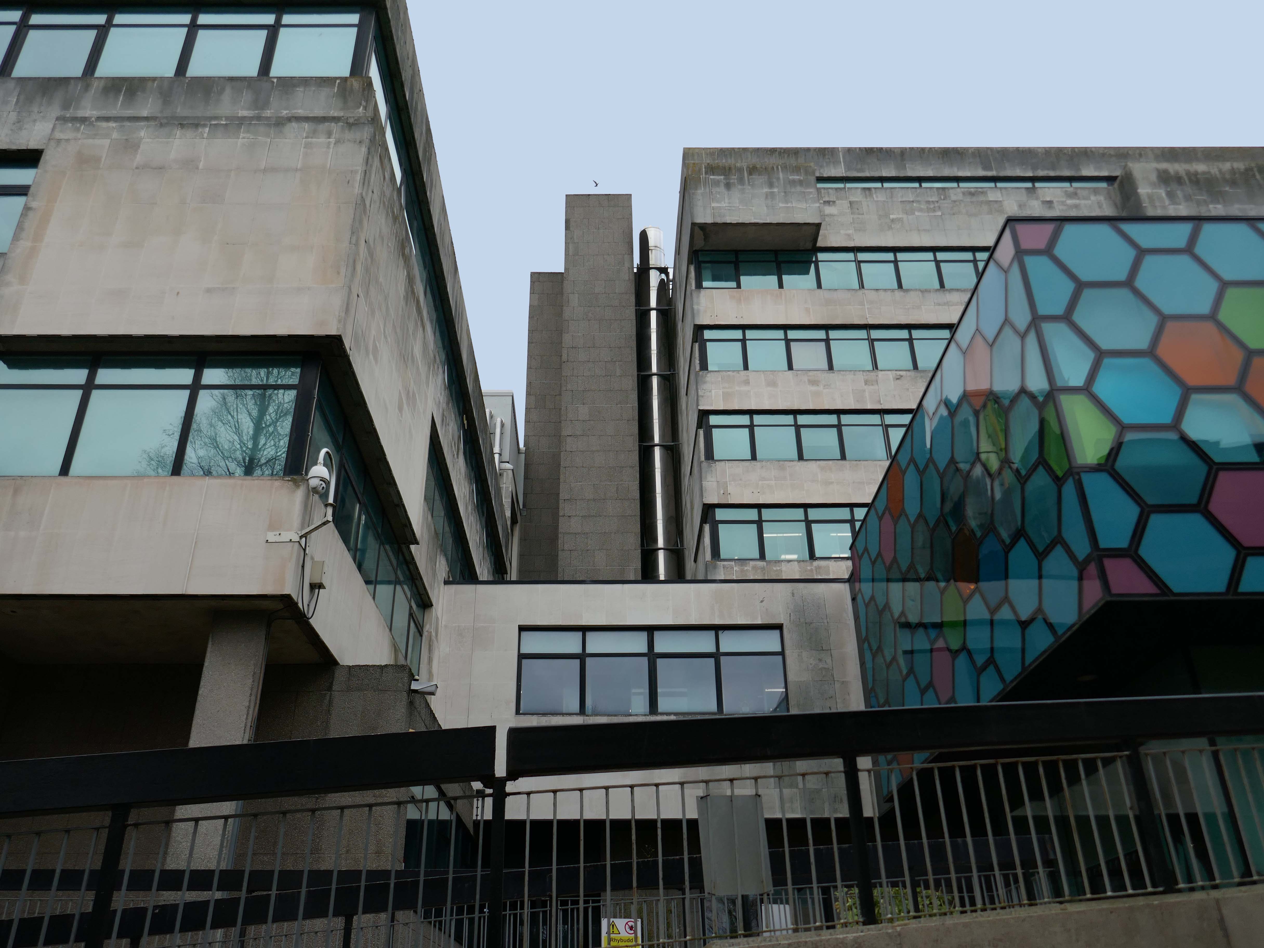
Rio Architects worked with Cardiff University designing visually attractive, innovative and cost-effective buildings. The Rio team are enthusiastic and dedicated, taking time to meet the client Departments at all stages of the project to ensure that an informed and good working relationship is developed and maintained the innovative design of the new podium development for the School of Bioscience incorporates hexagonal shaped glass panels was developed in conjunction with Solaglas.
Ian Lomer
Director of Estates Development, Cardiff University
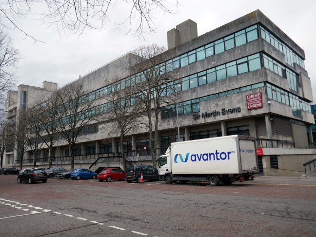
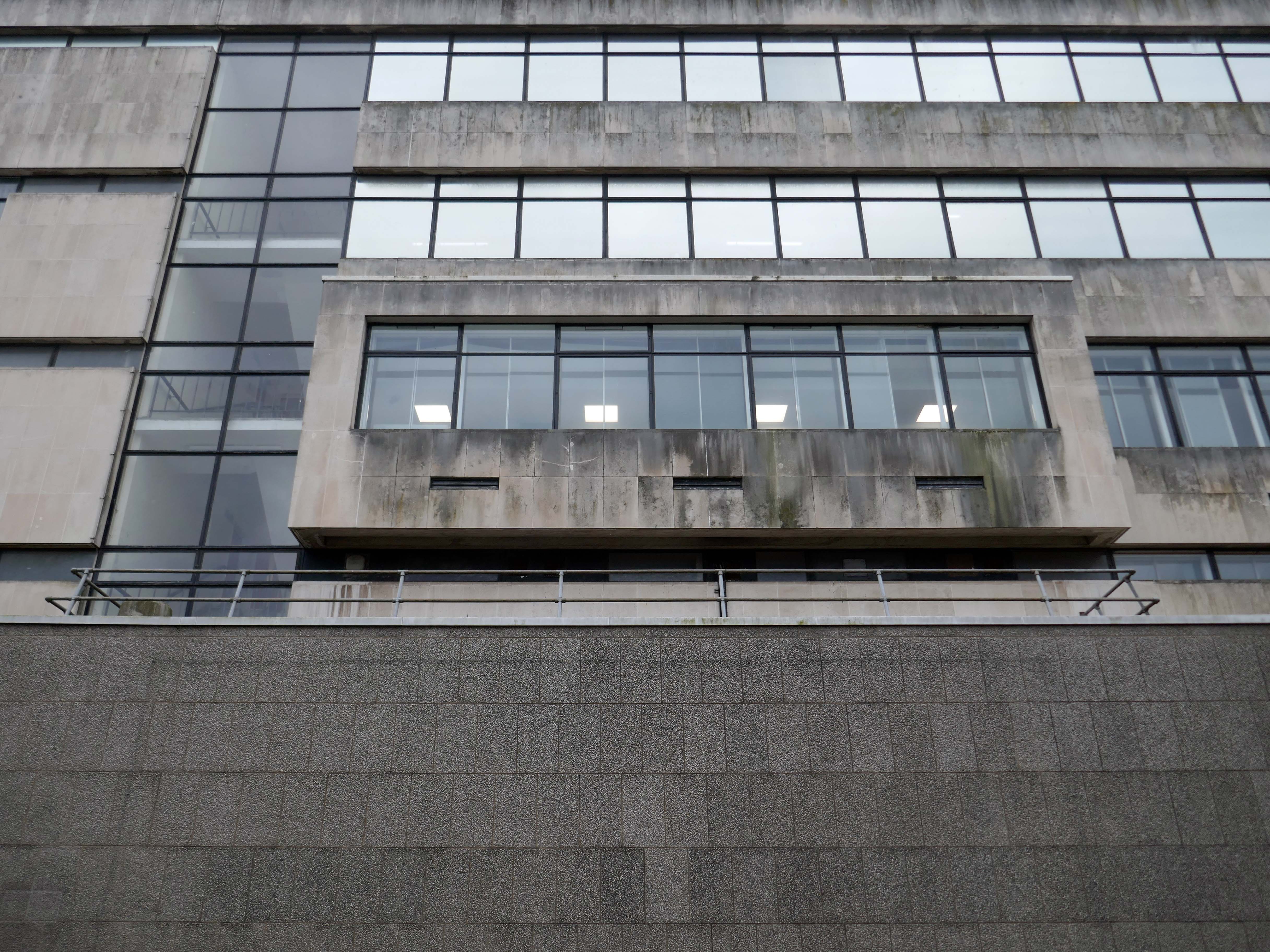
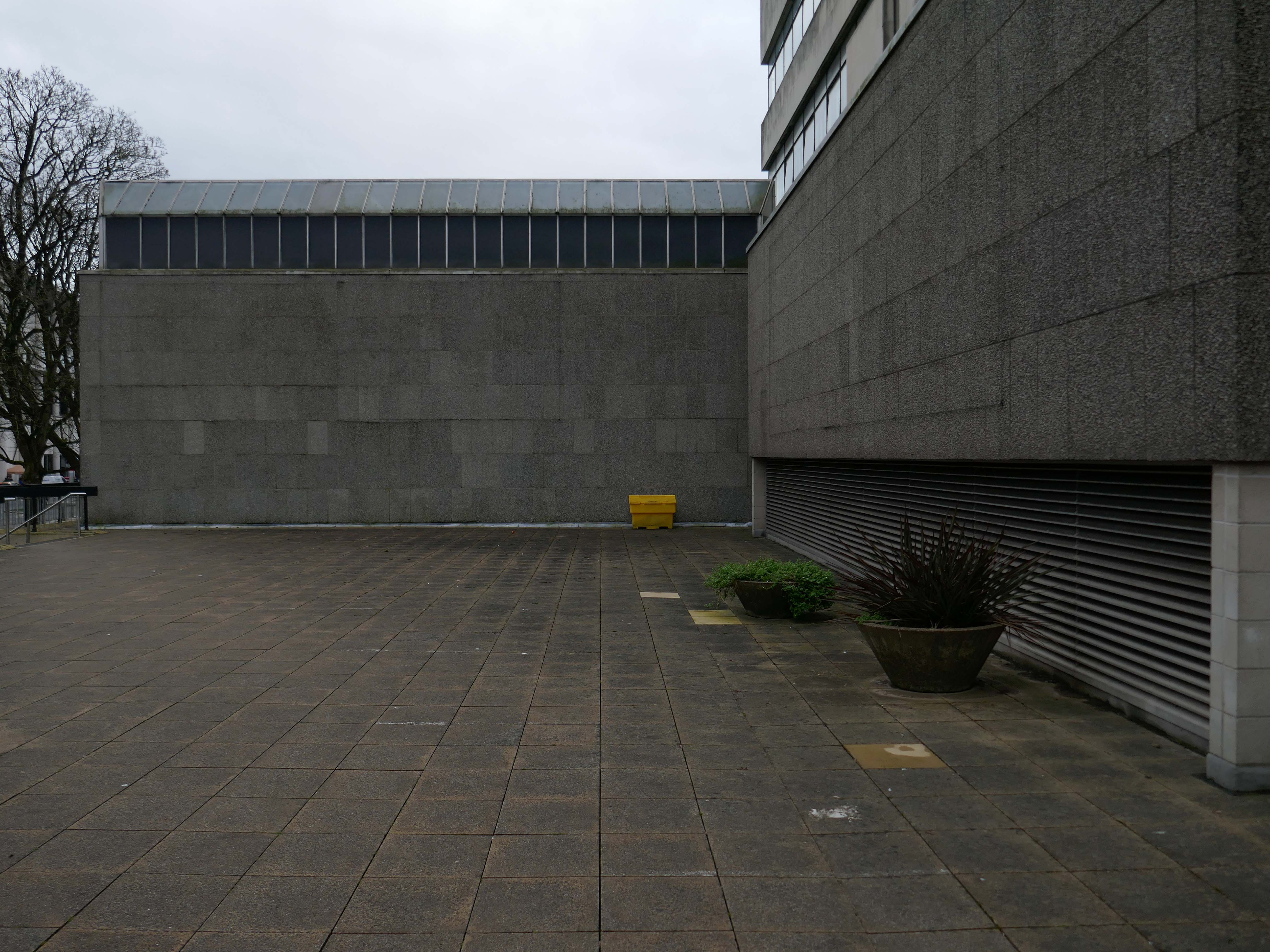
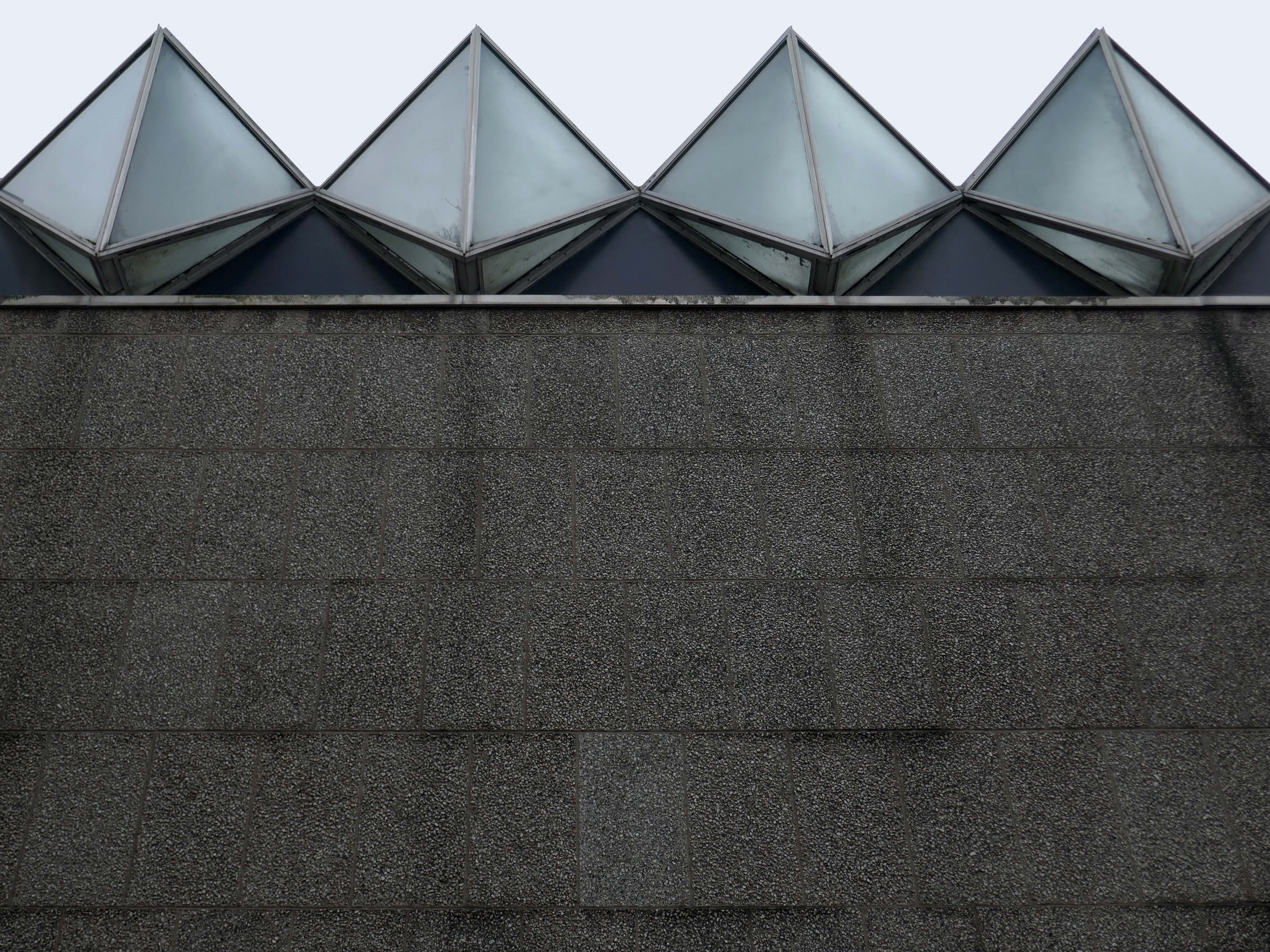
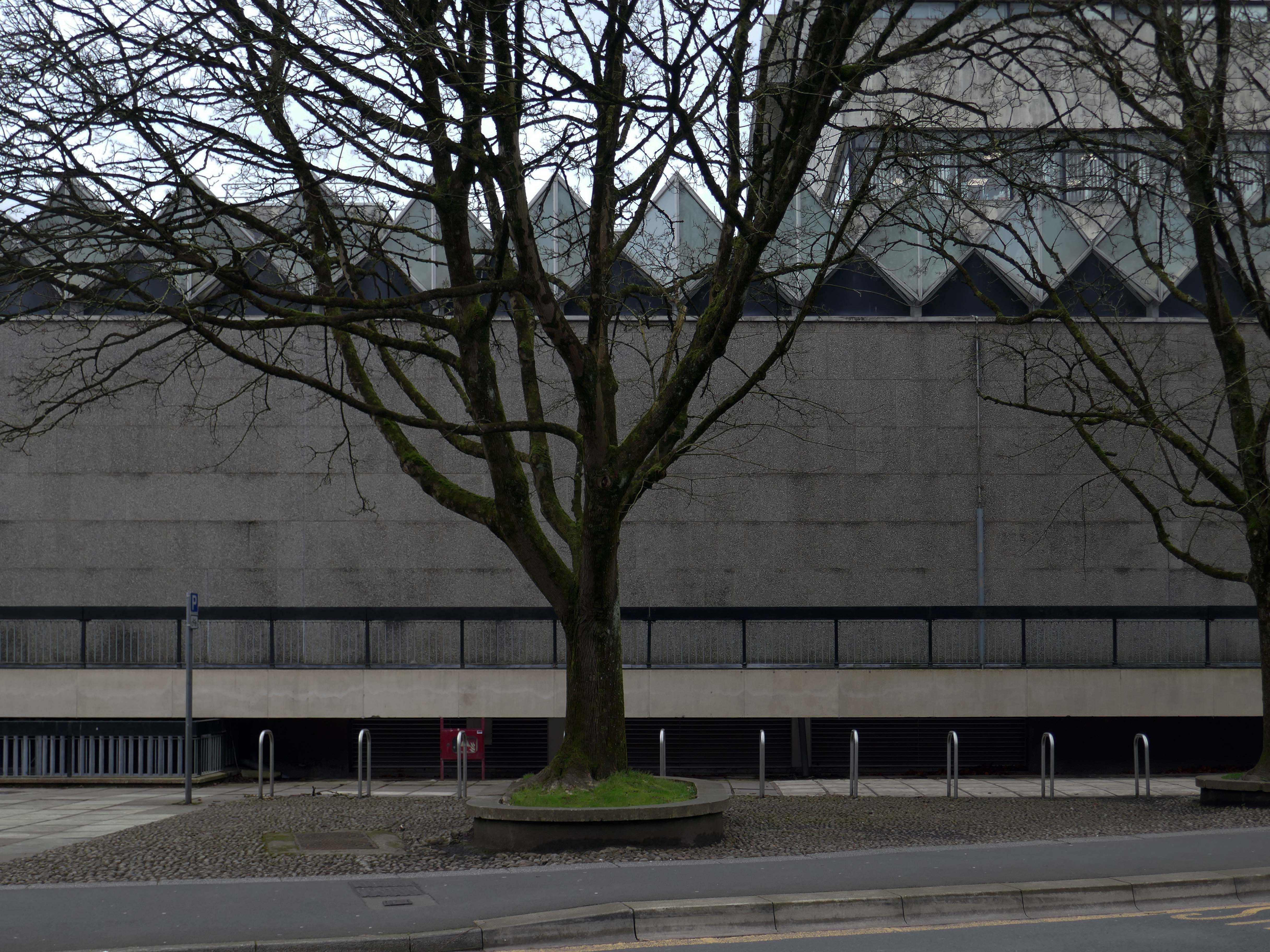
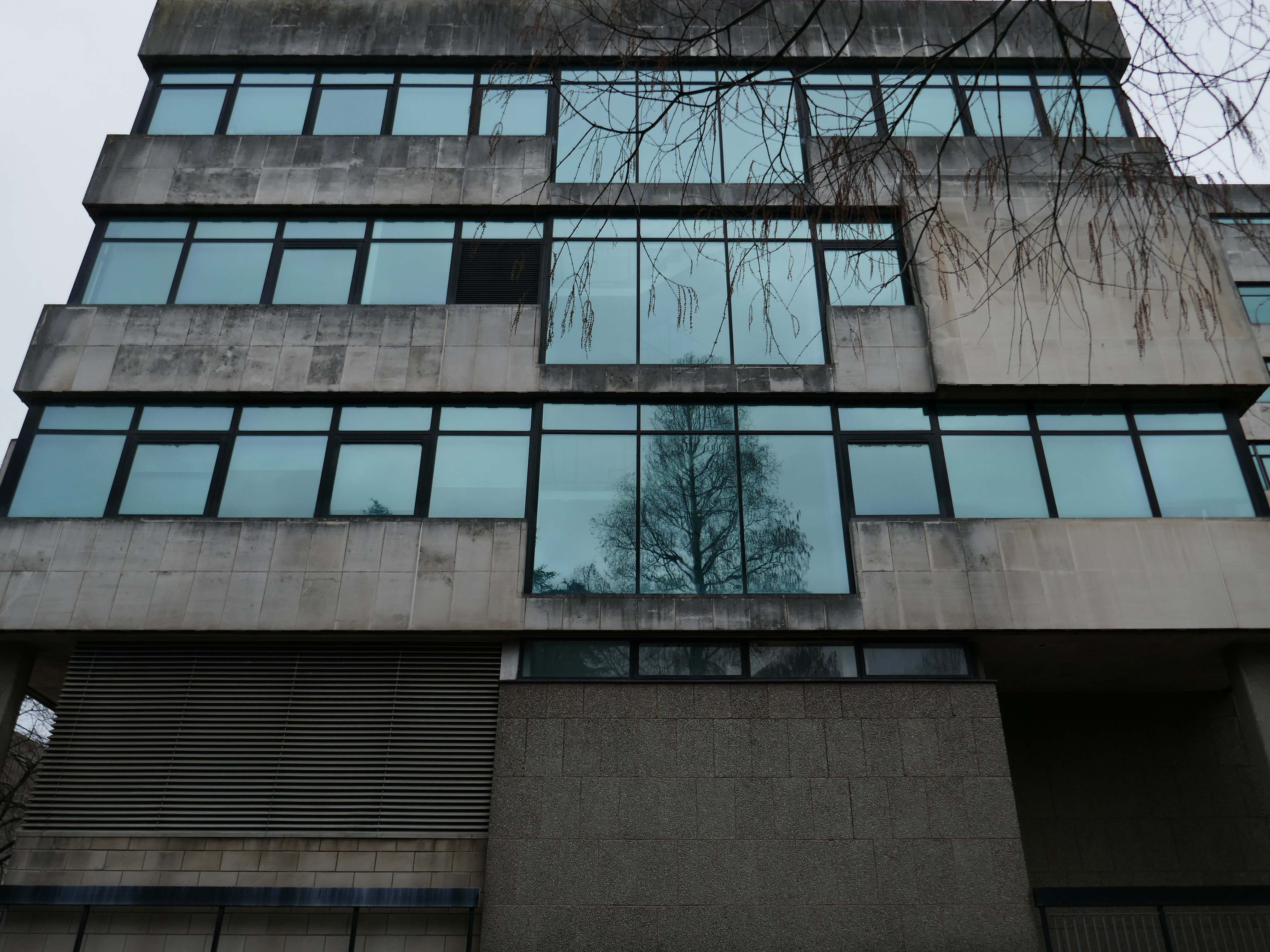
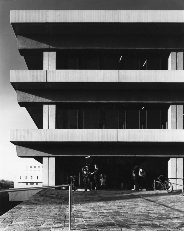
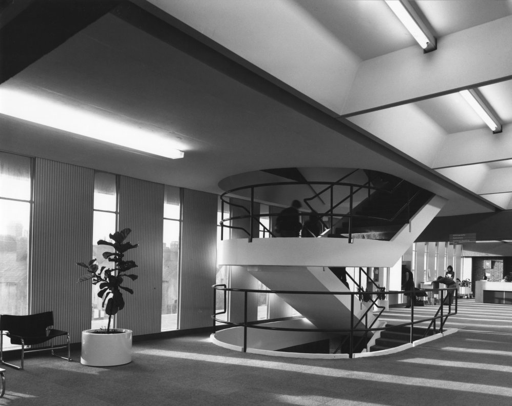
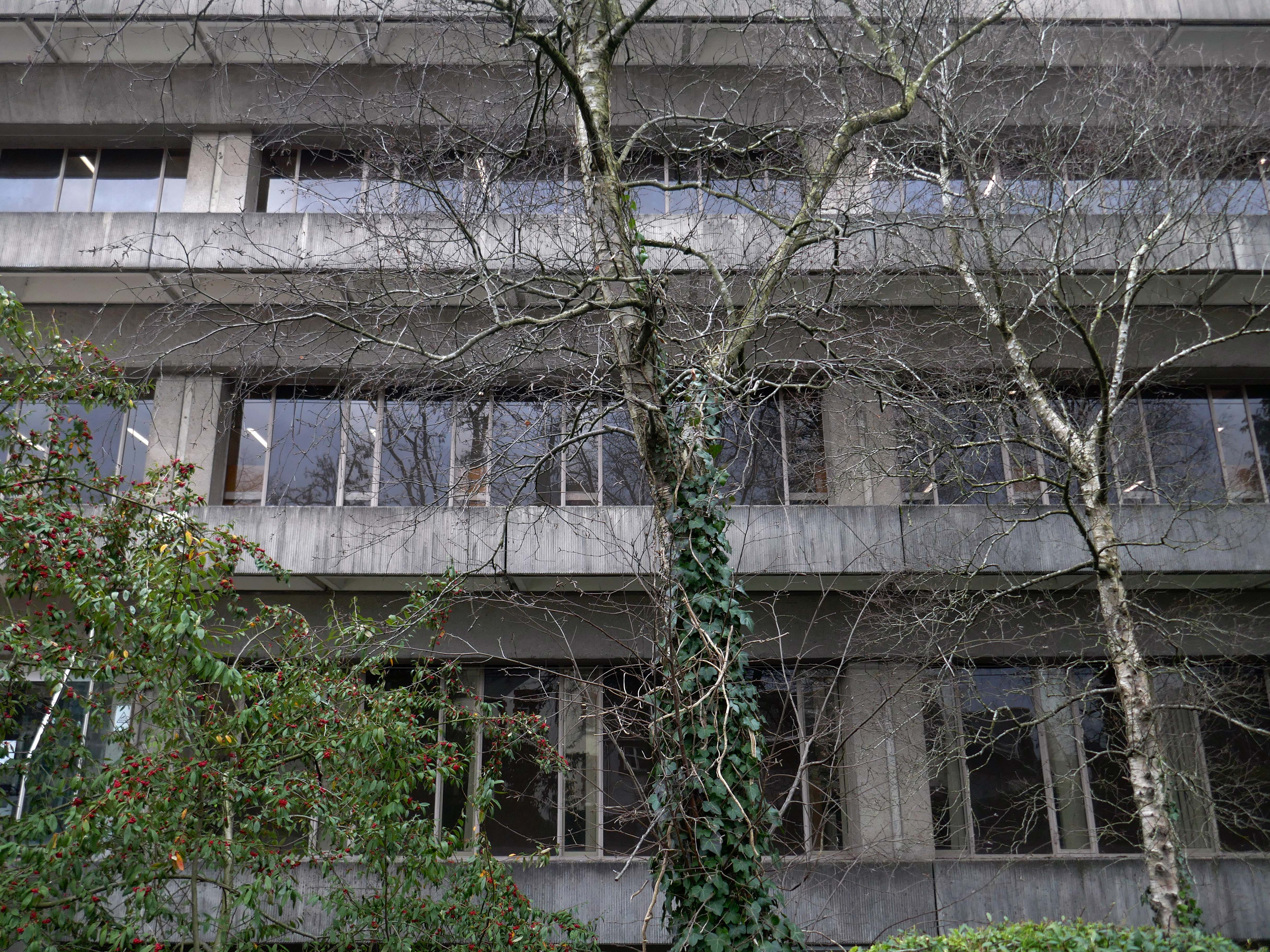
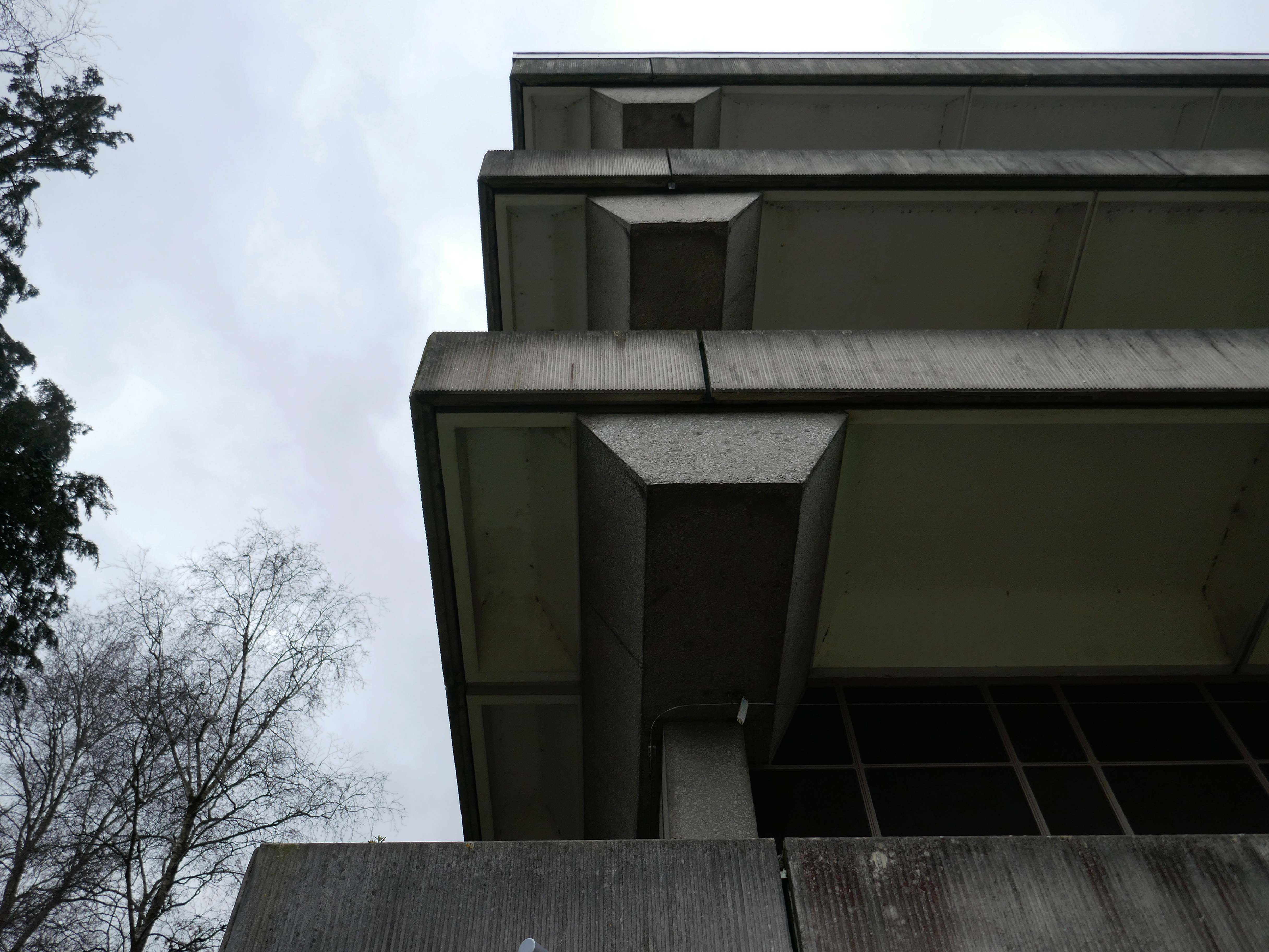
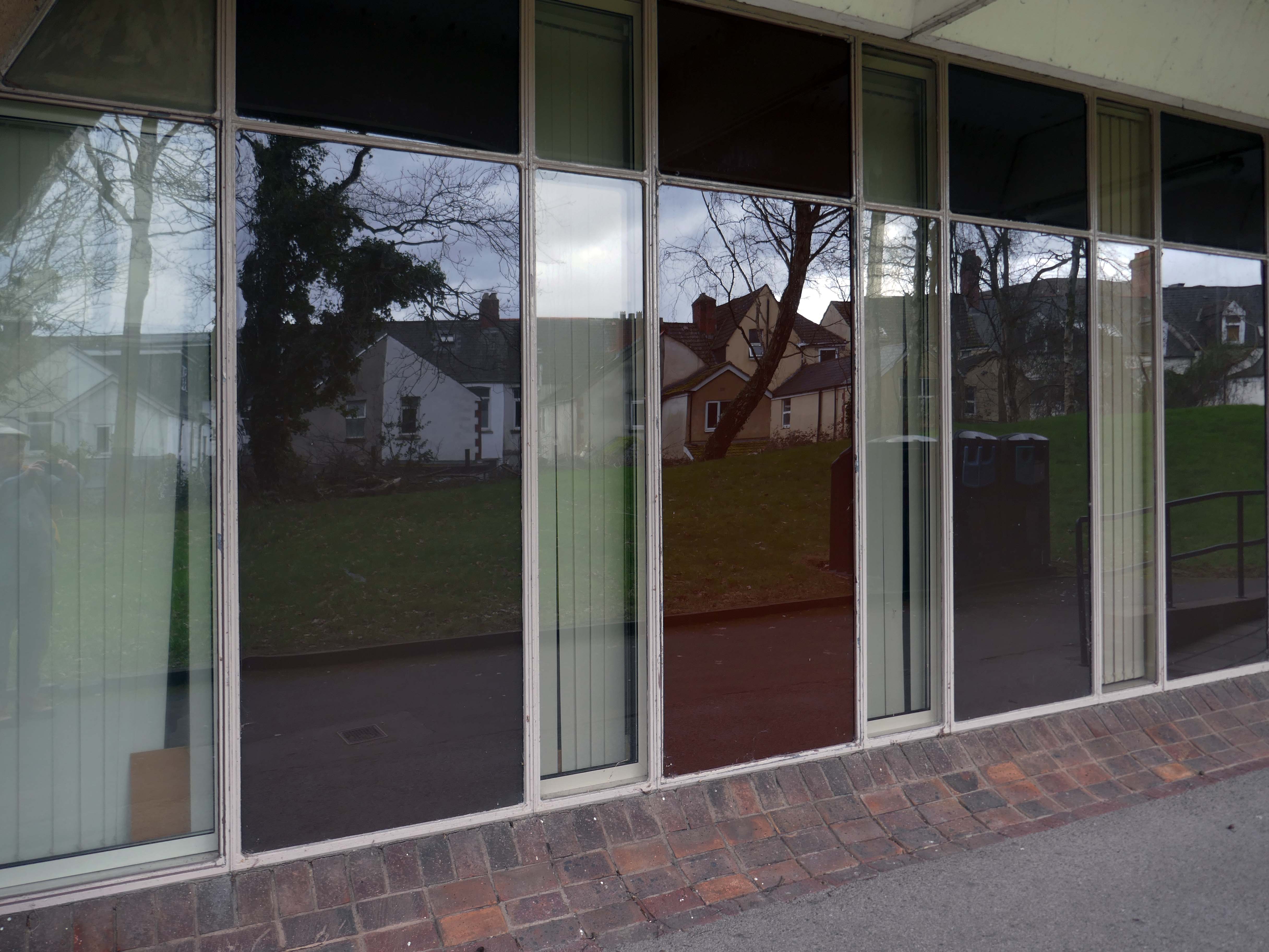
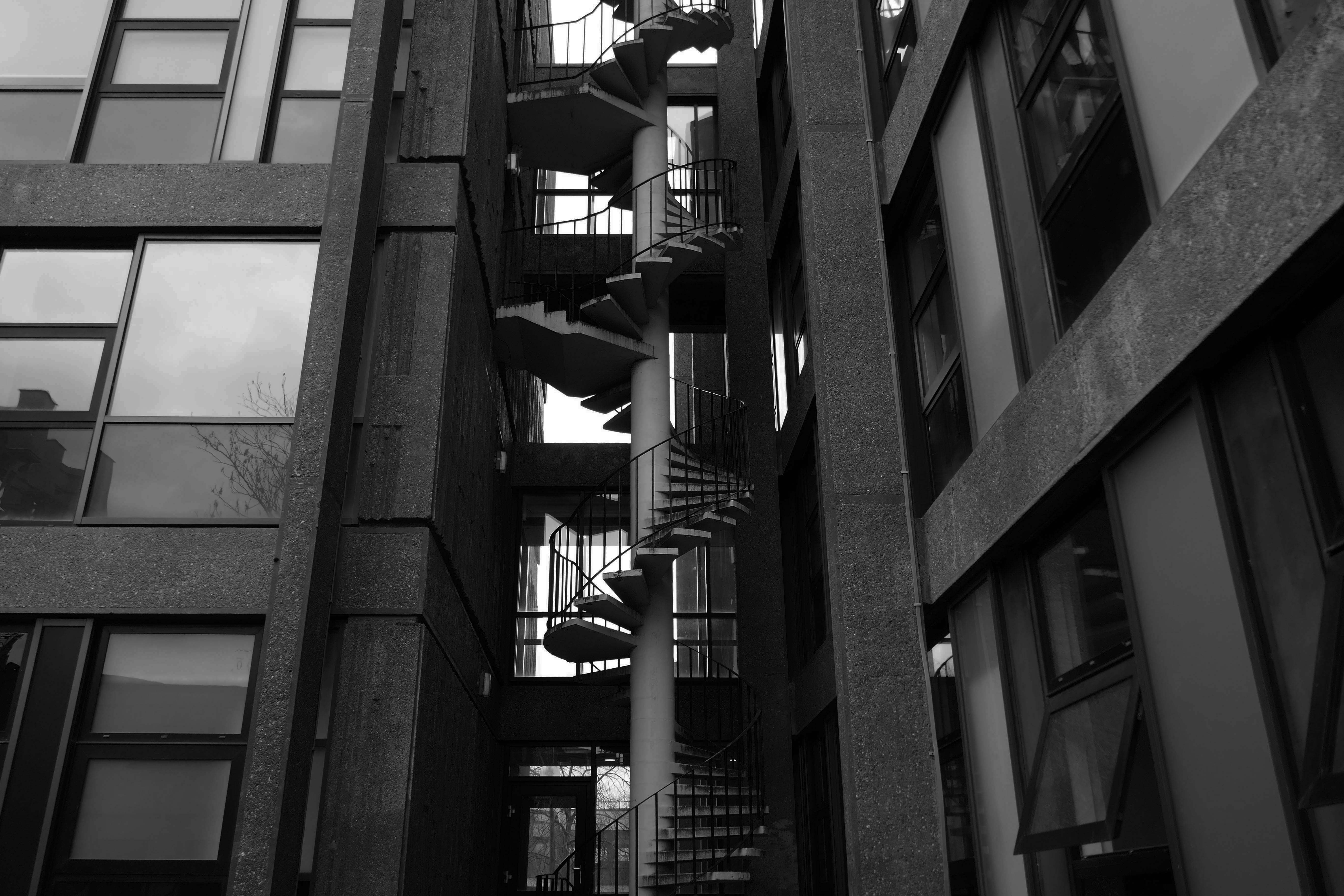
Arts and Social Studies Library designed by Faulkner-Brown Hendy Watkinson Stonor 1976
RIBA pix Josephine Reid
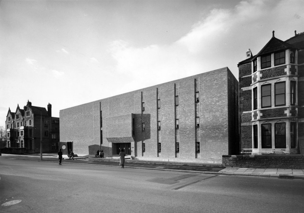
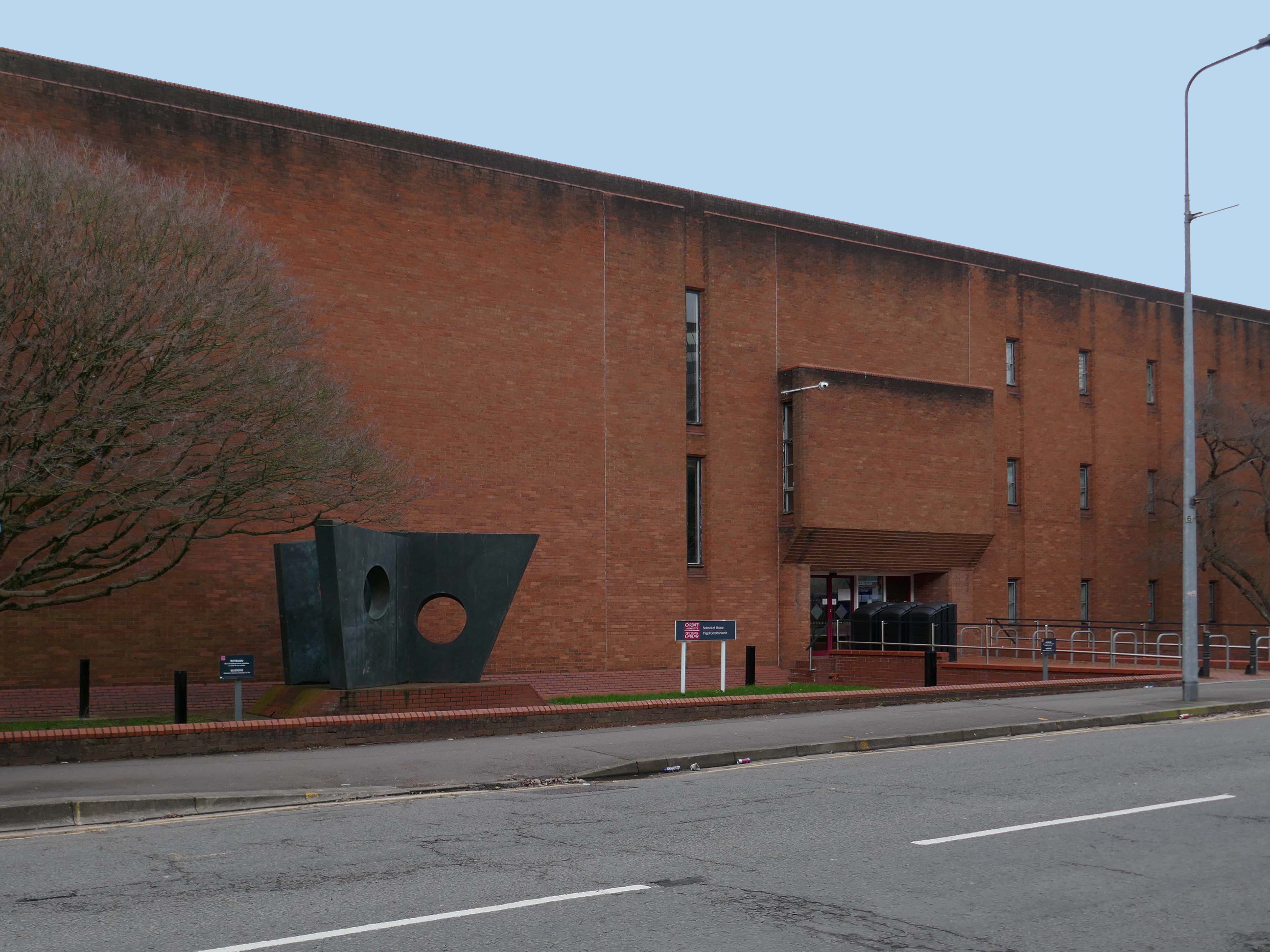
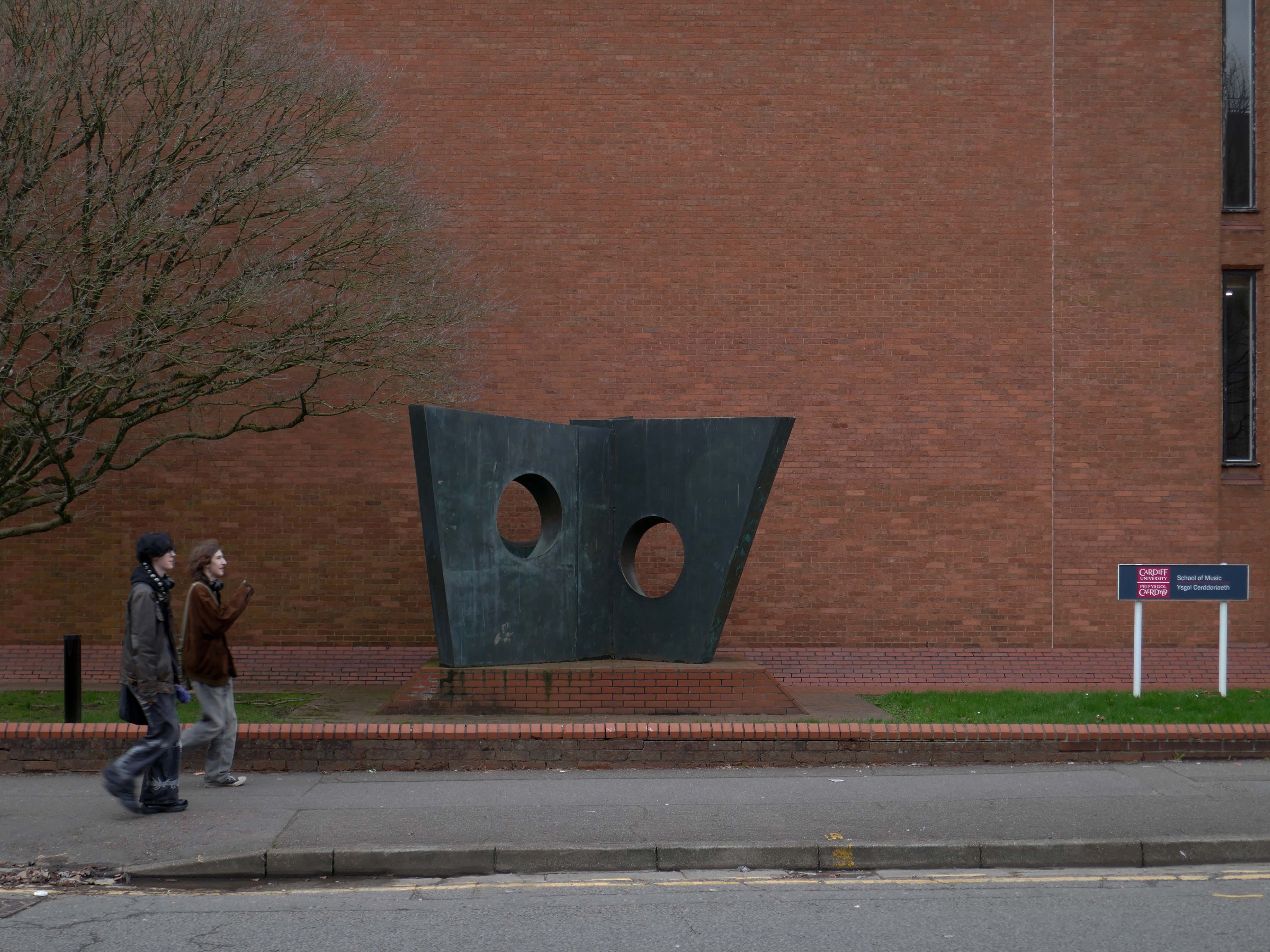
Music Department 1971 Alex Gordon Partnership.
RIBA pix Stanley Travers
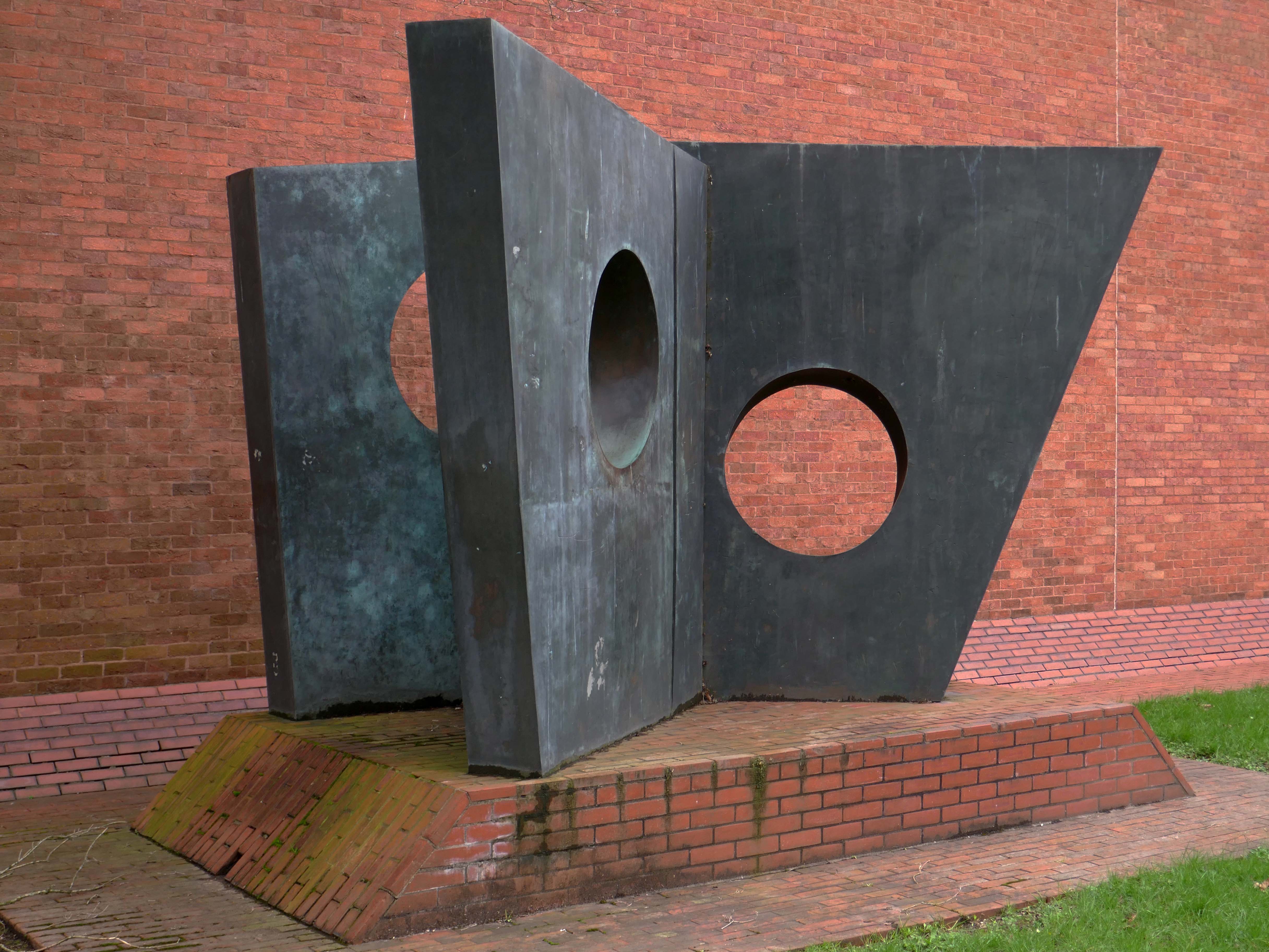
Three Obliques – Walk Inis a 1968 sculpture by Barbara Hepworth. Three casts exist; two are in private collections and a third is displayed outside the Cardiff University School of Music.
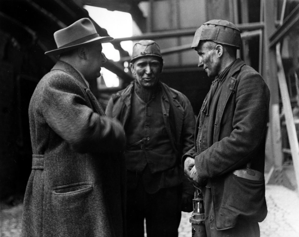
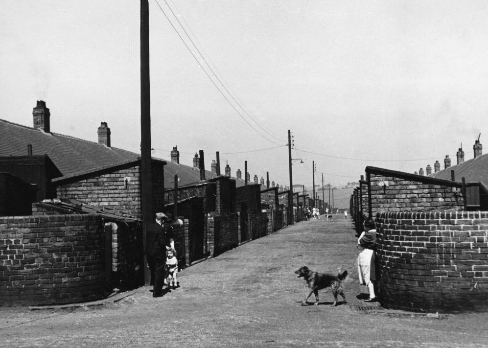
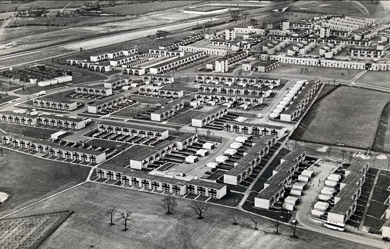
The case for founding Peterlee was put forward in Farewell Squalor by Easington Rural District Council Surveyor CW Clarke, who also proposed that the town be named after celebrated Durham miners’ leader Peter Lee. A deputation, consisting mostly of working miners, met the Minister of Town and Country Planning to put the case for a new town in the district. The minister, Lewis Silkin, responded by offering a half-size new town of 30,000 residents. The subsequent new residents came largely from surrounding villages in the District of Easington.
Peterlee Development Corporation was founded in 1948, first under Dr Monica Felton, then under AV Williams. The original master plan for tower blocks of flats by Berthold Lubetkin was rejected as unsuitable for the area’s geology, which had been weakened by mining works, and Lubetkin resigned in 1950. George Grenfell Baines’ plan was accepted, and construction quickly began, but it was of poor quality. Williams invited artist Victor Pasmore to head the landscaping design team.
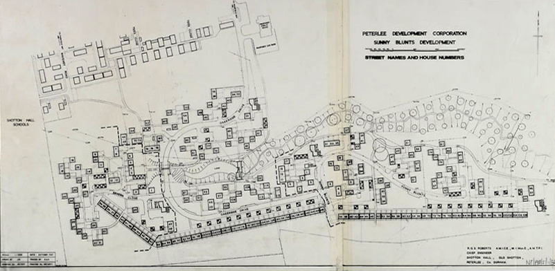
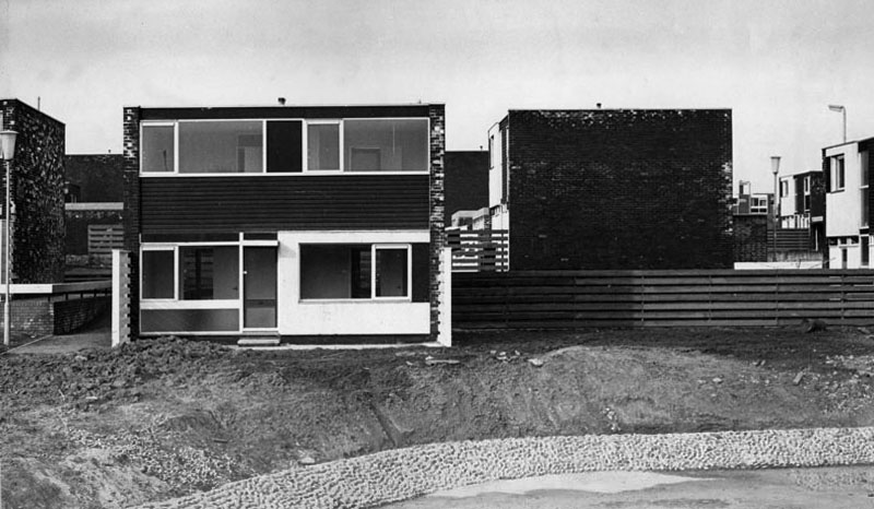
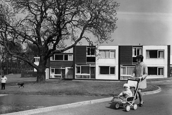
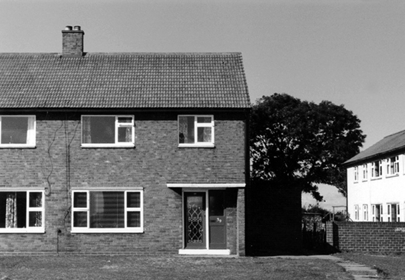
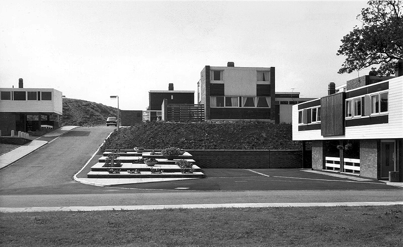
The long and narrow site intersected by a sloped ravine necessitated a new design approach for the layout of the road system and housing in Sunny Blunts. Rather than imposing a grid system as before, the roads follow the natural contours of the landscape so become curvilinear. The housing is then arranged in asymmetric patterns – a deconstructed grid system is one way of describing it.
One of the oddities of Sunny Blunts is the way the houses are rotated 180 degrees in relation to the conventional streetscape where enclosed gardens are normally at the rear of the houses. At Sunny Blunts the front door opens into the garden, while the backdoor opens out onto public realm space, often directly onto grassed areas, which because of how the houses are arranged forms small communal gardens isolated from road traffic for safe places to play. Peterlee at this time had a very high percentage of young families.
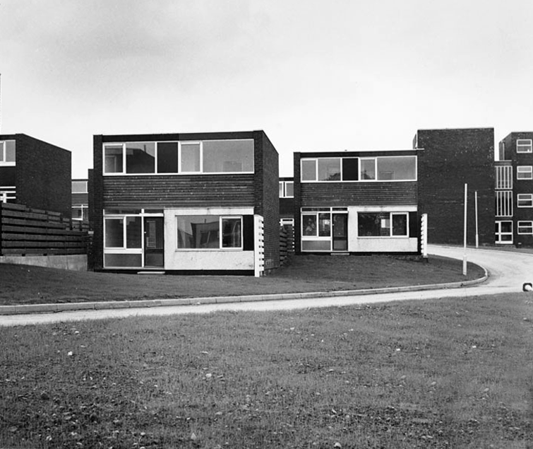
Sunny Blunts is also where the now infamous Crudens houses were introduced – along with the Howletch area. Crudens owned the British rights to the Skarne building system, where prefabricated concrete walls and floors are bolted together to form the frame of the house. The system reduced building costs by 10% per house unit, though at Sunny Blunts this saving was then absorbed by the costs of remedial work required to make many of the houses habitable for residents to move in. This still didn’t fully resolve issues with water ingress in some cases.
After the completion of Sunny and Howletch the Development Corporation reverted back to using more traditional building methods.
The Peterlee Development Corporation initially employed the Russian modernist architect Berthold Lubetkin to design the new town. Appointing a renowned Modernist architect such as Lubetkin demonstrated the importance that was placed on innovative design. Lubetkin initially planned to build a modern town of high-rise towers and walkways in the sky. However, his plan was rejected because towers of such height could not be built on land that had been mined.
After Lubetkin’s resignation in 1950 a new architect, Grenfell Baines, was employed to work on the development of Peterlee. After further dissatisfaction with the plans, Victor Pasmore was invited to collaborate on a new scheme for the south west area of the town in 1955. Pasmore’s role was to work alongside the architects to add imagination to a project that could potentially get weighed down with the restrictions of building regulations. That Pasmore – one of the most influential abstract artists in Britain at the time – was given such a vital role in the development of Peterlee demonstrates the central role art played in urban design after the war.
As well as appearing in the Chapel Hill area, this house style was also introduced in parts of Acre Rigg, along Manor Way, and in the early phases of the South West Area. These were designed and built in the early 1960’s when Roy Gazzard was Chief Architect. The three story blocks of flats with their distinctive butterfly roof design that were introduced in the same areas of the new town can also be credited to Gazzard.
Roy Gazzard left Peterlee Development Corporation in June 1962 and went on to become Chief Architect at Killingworth in North Tyneside.
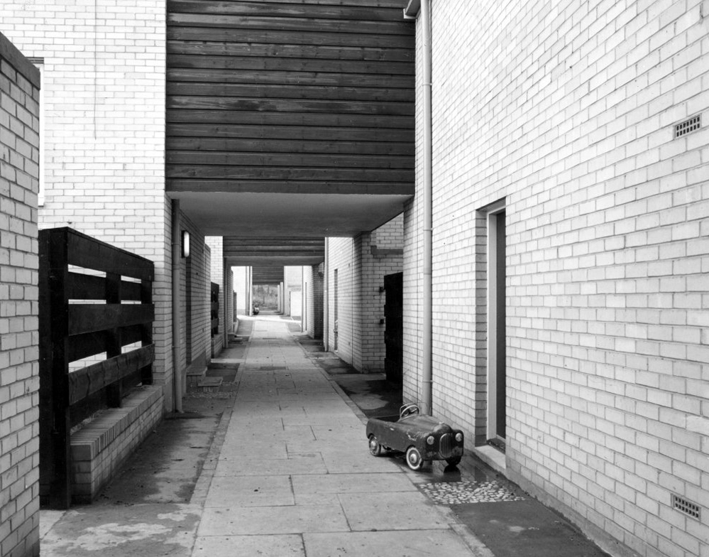
The footpath running between a group of two-bedroom houses.
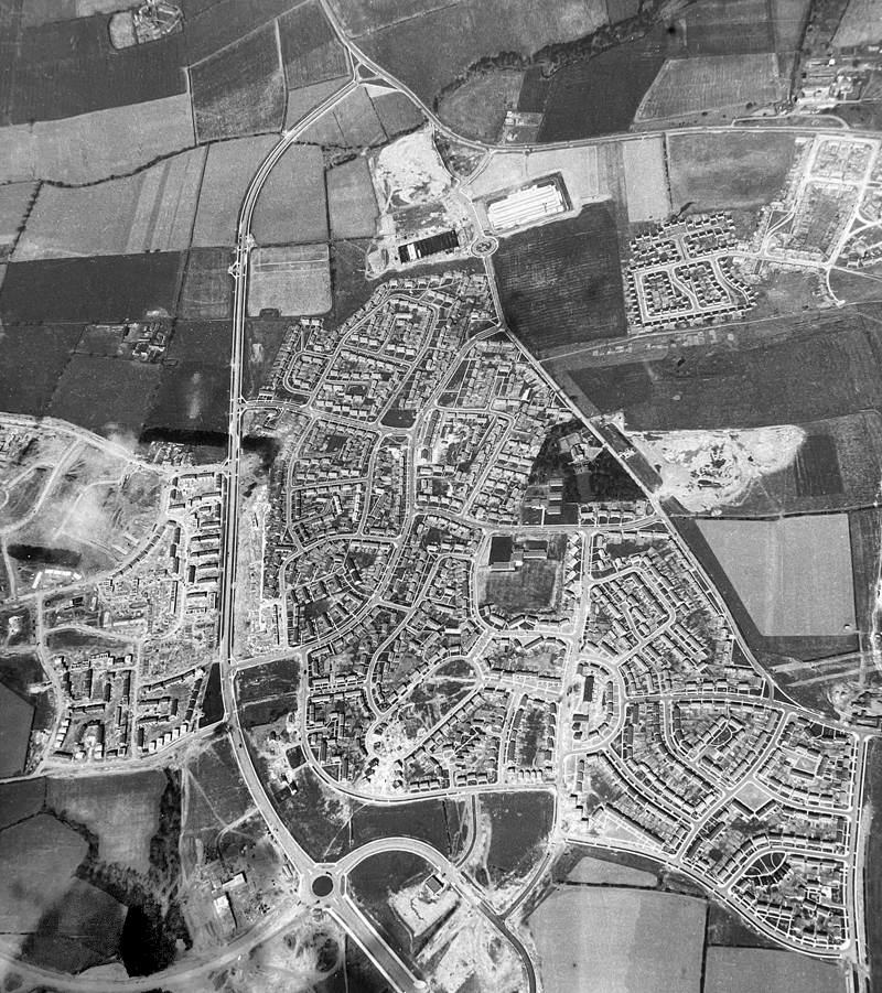
Essington Way is the main spine road running north from the town centre to Thorpe Road which connects Easington Village and Colliery, with Horden and Sunderland Road. East of Essington Way is the North East Quadrant . West is Acre Rigg which was built in five phases from 1956-1966. The early phases of Acre Rigg share a similar character to that of the earlier North East Quadrant. The later phases built in the 1960s contrast sharply, drawing on the design approached developed in the South West Area under the guidance of artist Victor Pasmore.
The contract to build the Howletch area was awarded to Crudens, who owned the British franchise for the Swedish designed Skarne building system.
The Crudens houses were constructed using prefabricated concrete sections bolted together to form the frame of the building. The gable end walls were then rendered with brick, with non-loadbearing glass, wood, and rendered panel sections forming the front and rear elevations of the houses.
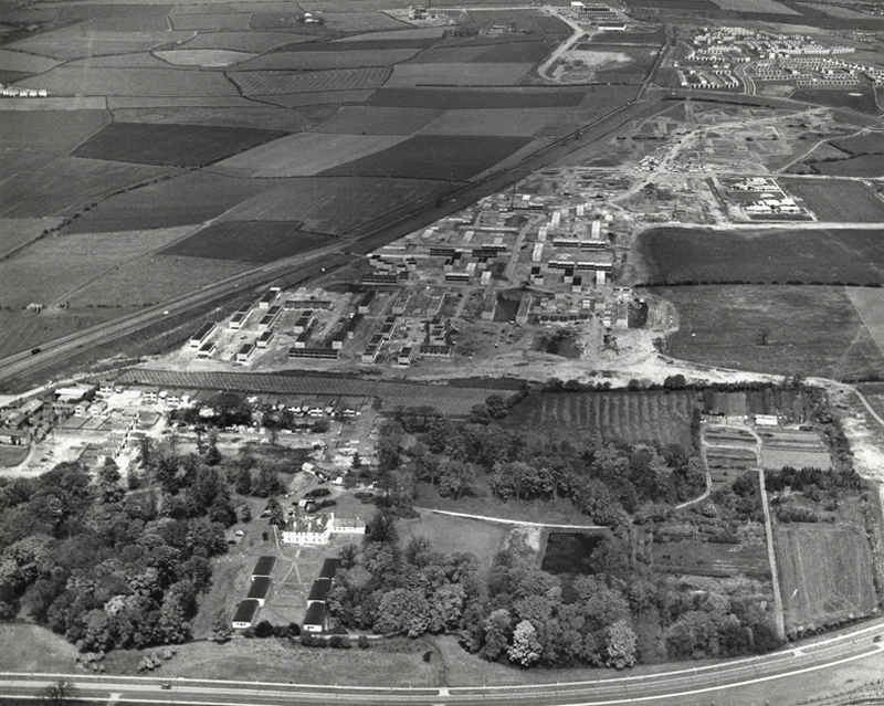
In the foreground of this aerial photo is Old Shotton Hall, which at this time was the headquarters of Peterlee Development Corporation after it was refurbished in 1948 by Architect Planner Berthold Lubetkin. In 1976 the Development Corporation moved its headquarters to Lee House in the town centre. It is now the offices of Peterlee Town Council.
After the departure of Berthold Lubetkin, Grenfell Bains was drafted in as Architect Planner to develop the new Master Plan and oversee development of the North East Quadrant. Bains at the time filled the position at Newton Aycliffe, another of the first wave new towns located 20 miles south west of Peterlee.
1956
As the dates of these aerial photographs testify, building work was already well underway in the North East Quadrant by the time the Peterlee Master Plan was published in September 1952. Indeed, as surviving residency agreements and rent books also testify, houses in this part of Peterlee were already occupied, such were the pressures on the Development Corporation to have something tangible to show for their efforts.
Thorntree Gill was the first phase of residential development completed in Peterlee. It was home to the towns first residents, who began moving in in 1951. The road layout is that designed by Architect Planner Berthold Lubetkin for his ‘Hundred Houses’ scheme , though the houses eventually built differed dramatically from what Lubetkin had envisaged.
In the first phase of the South West Area, Victor Pasmore – Consulting Director of Urban Design, Frank Dixon – Building Architect and Peter Daniels – Landscape Architect, settled upon an orthogonal layout system – roads and houses set at right angles to form a grid pattern.
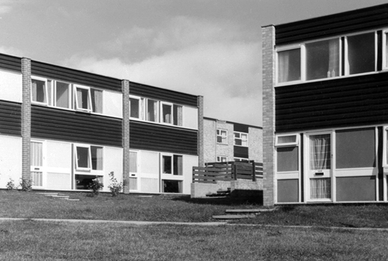
Three bedroom semi-detached cantilever house on Avon Road.
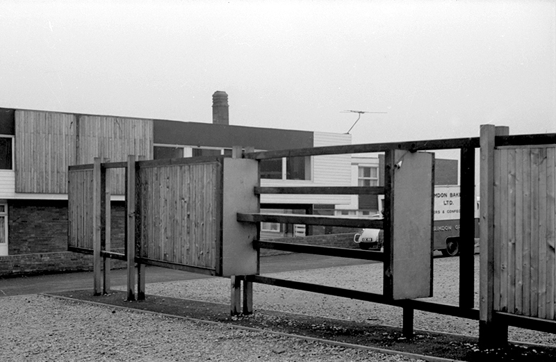
Screen partition on Thames Road.
Dart Road
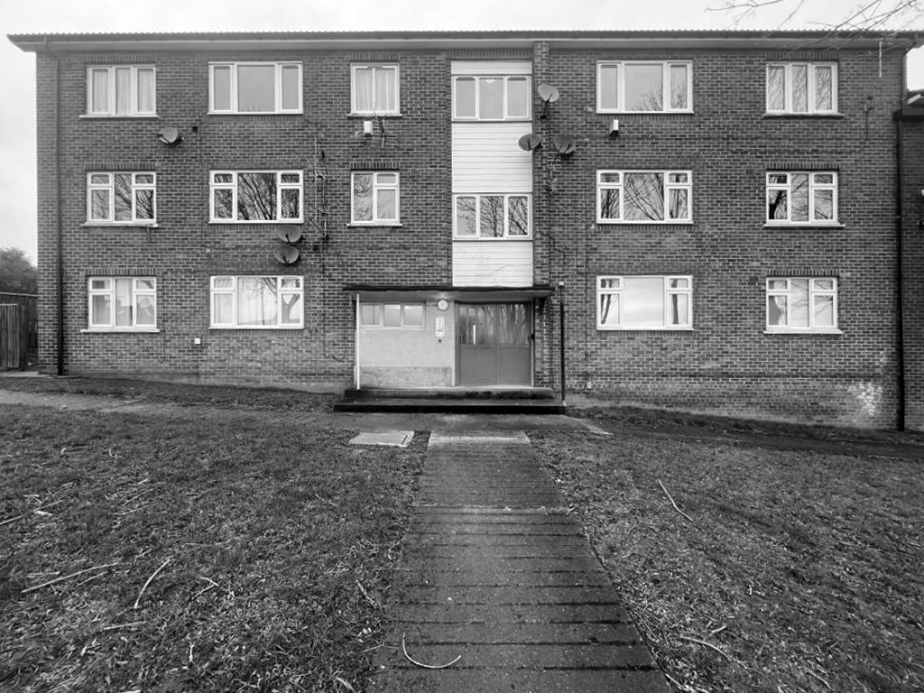
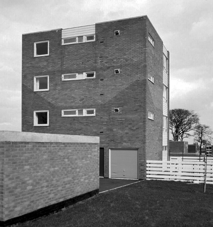
A stub block of single-bedroom flats over garages.
The road and housing layouts in the South West III and IV areas extend the orthogonal grid pattern introduced in the South West I and II areas.
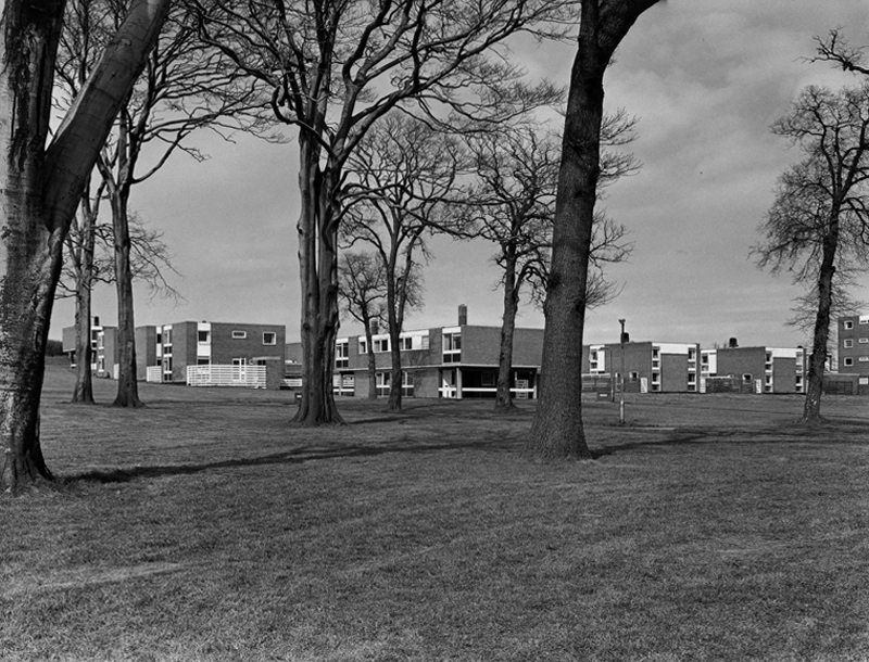
The presence of existing mature trees is a feature of South West III which helps give the area an identity that is distinctive from South West I and II. This distinctiveness is further enhanced by the choice of building material.
The South West III and IV areas were built with cured lime brick, with black dye added to a material that is naturally white, creating symbolic reference to a coal face. The visual effect was then sharpened with white panelling. When the dye added to the bricks began fading to a pale grey colour through exposure to the elements, the intended symbolism uncannily started to mirror the fate of the coal industry across the east Durham area.
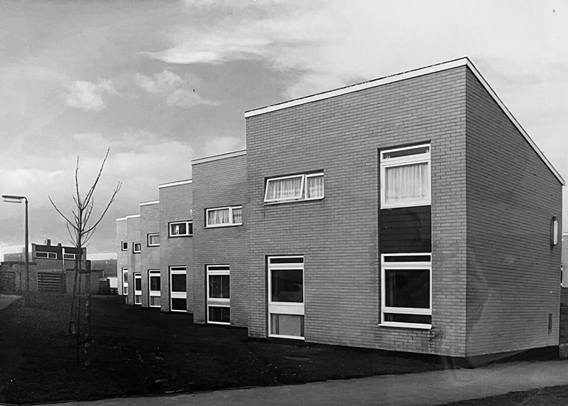
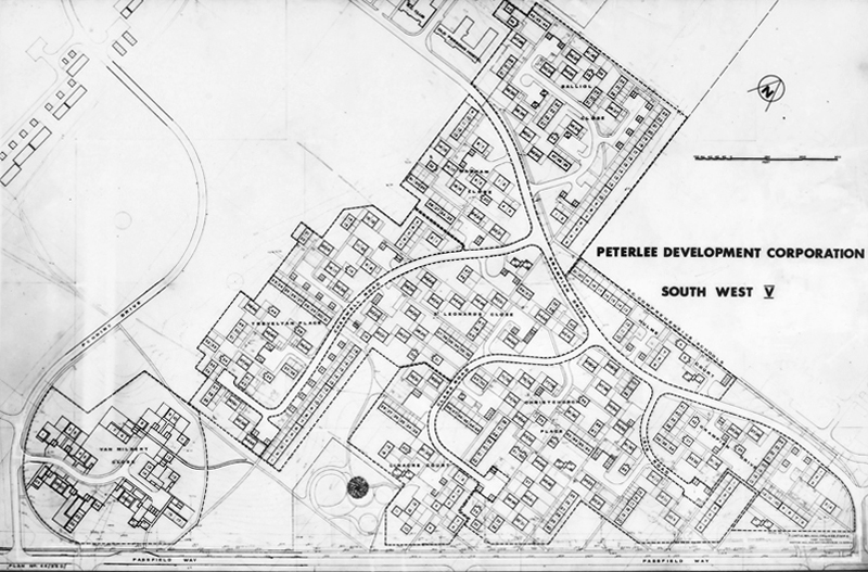
The South West V Area is approximately twice the size of Sunny Blunts. This final phase of development therefore provided Victor Pasmore with the opportunity to expand the new layout system without the constraints presented by the Sunny Blunts site.
Though the basic cubic house unit is retained in South West V, the detailing in the house elevations is much simpler and closer in feel to the South West III and IV Areas.
This is an an abridged version of the material to be found on PeterleeHistory – intended as an accessible guide to visitors wishing to explore the town.
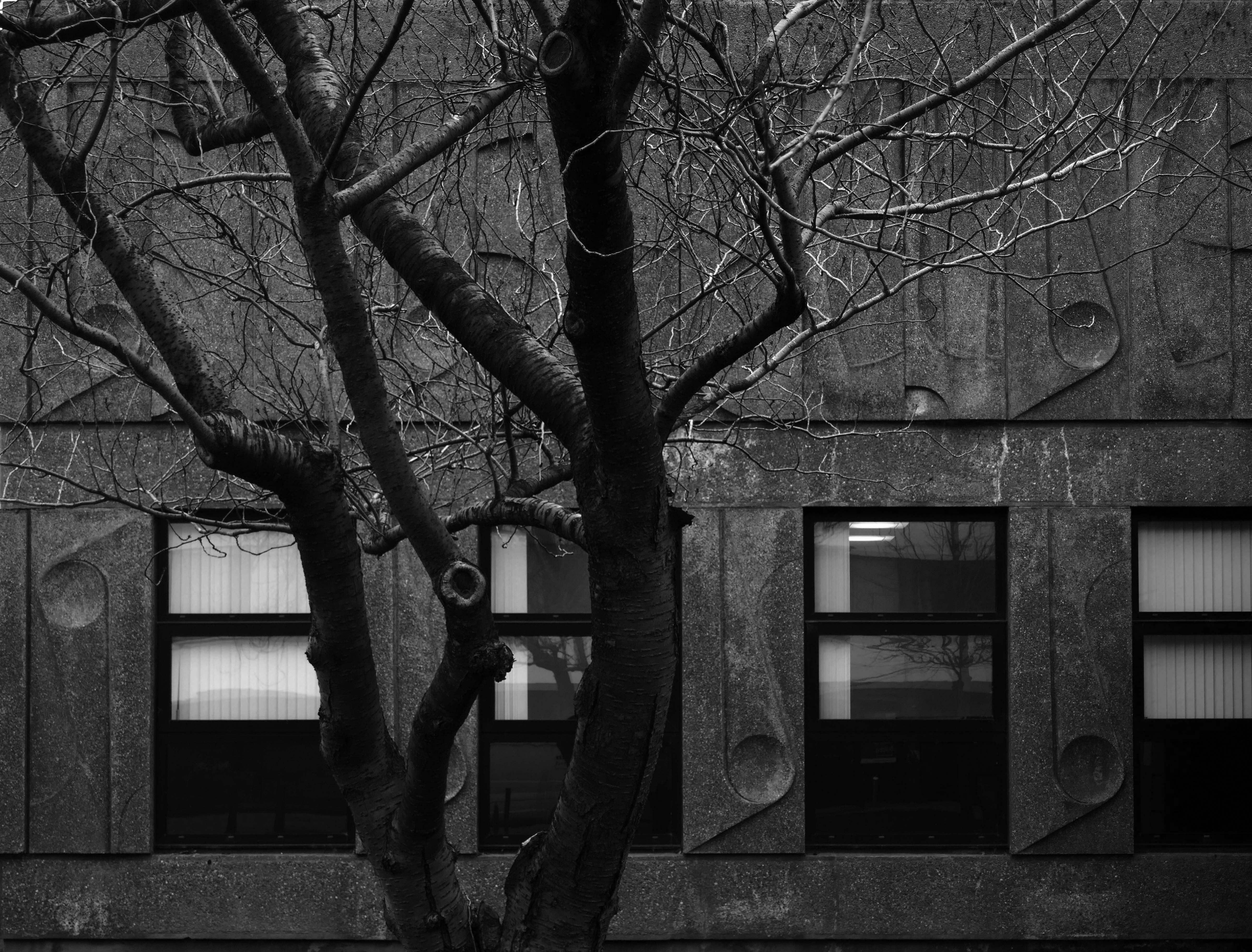
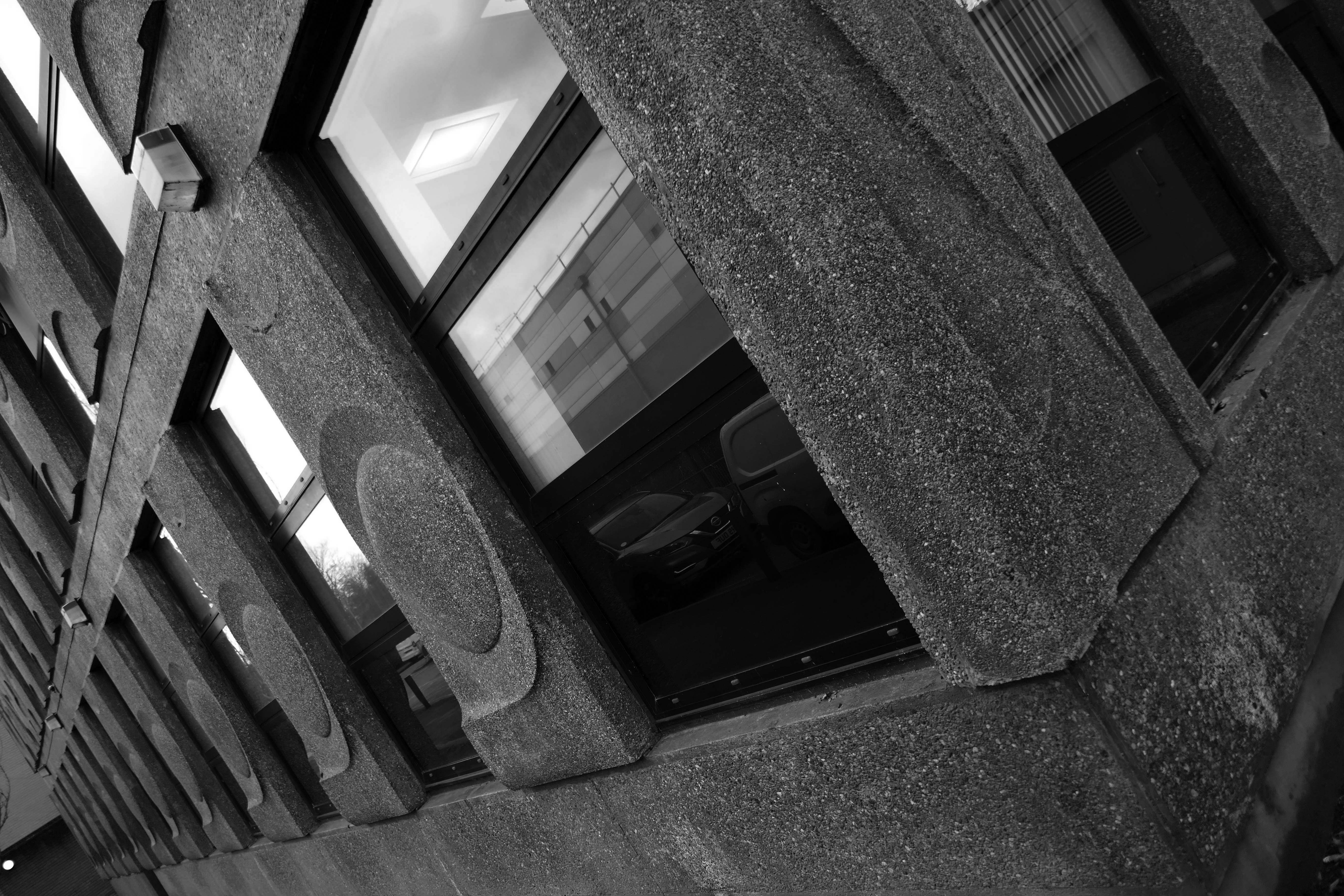
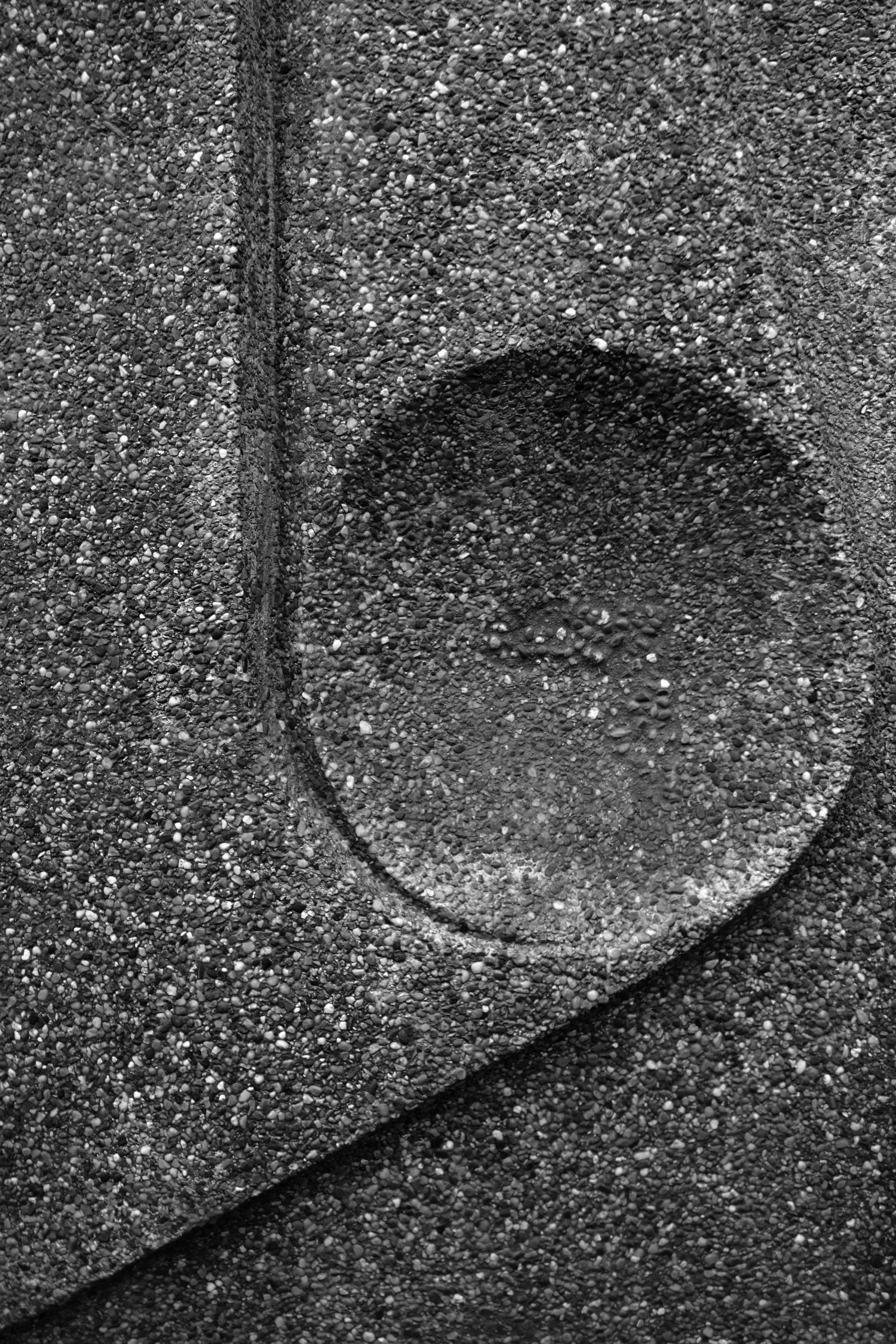
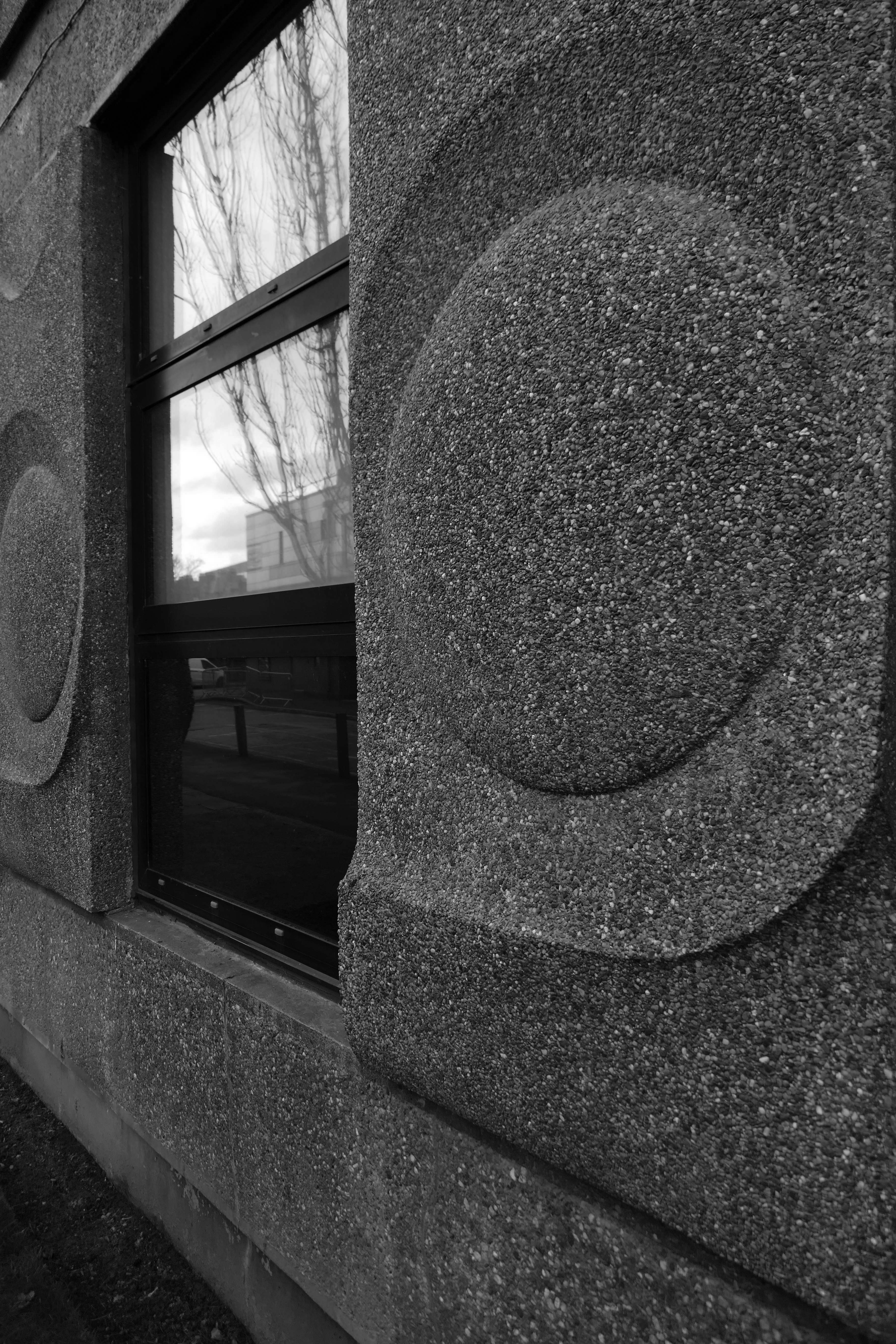
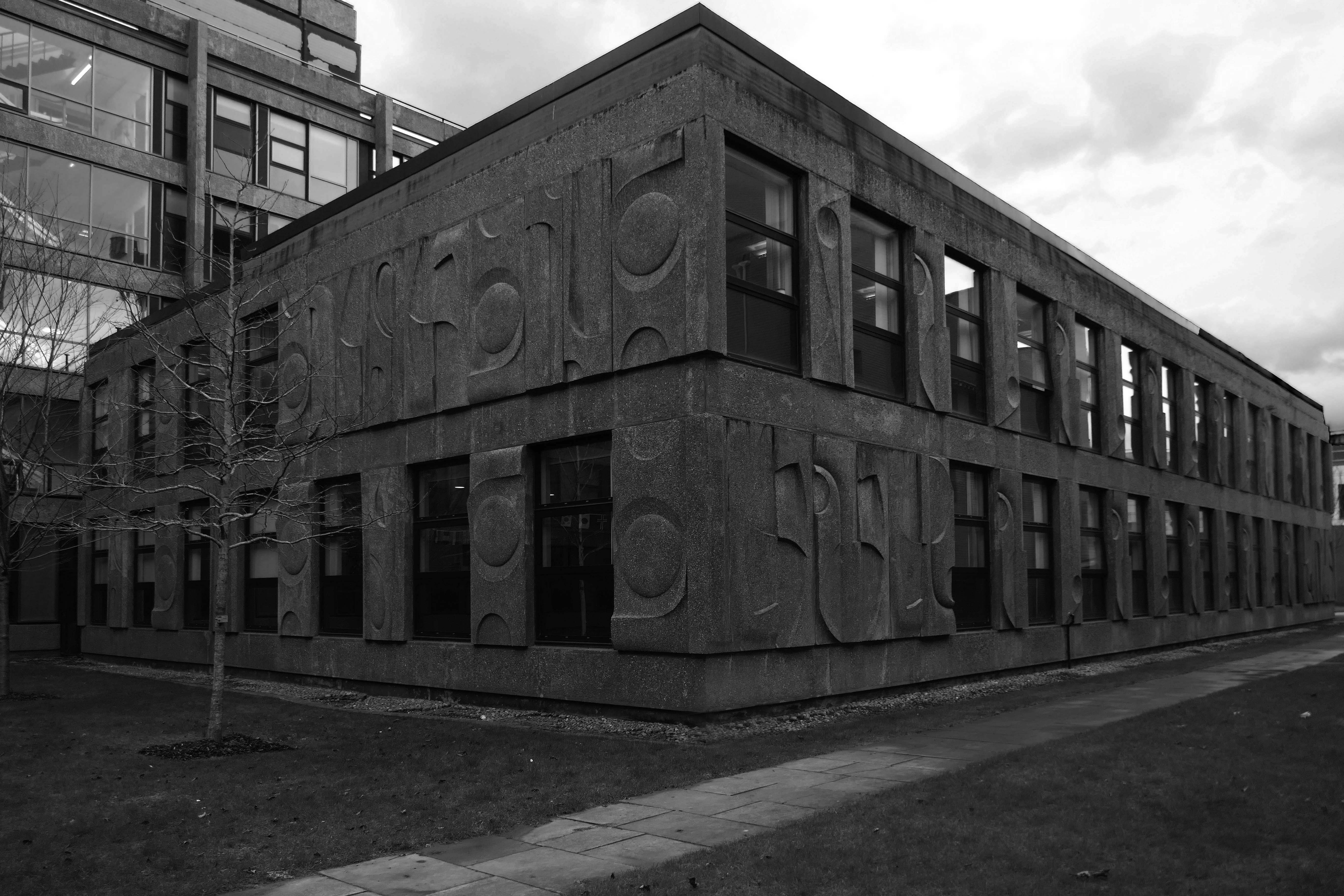
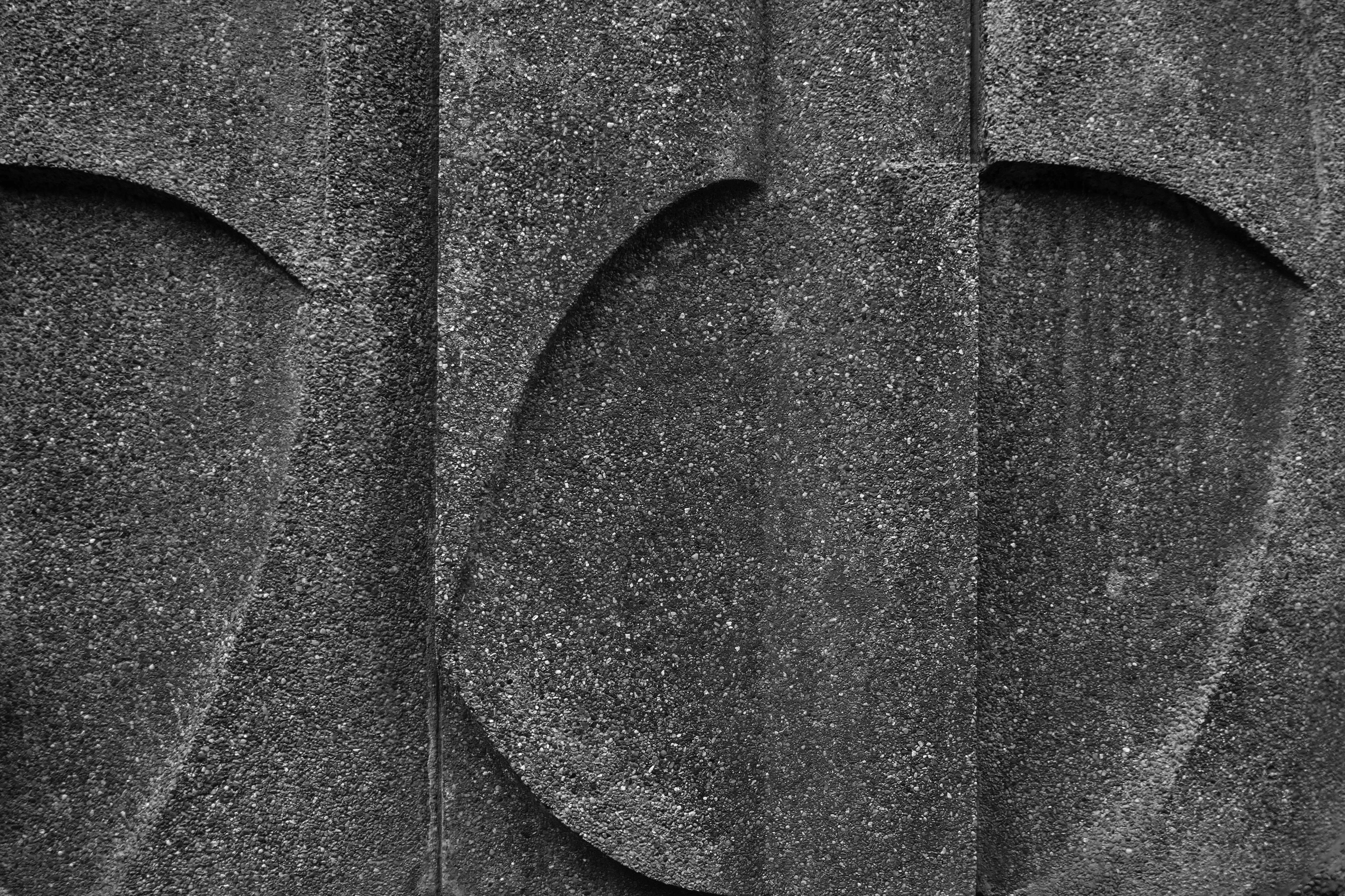
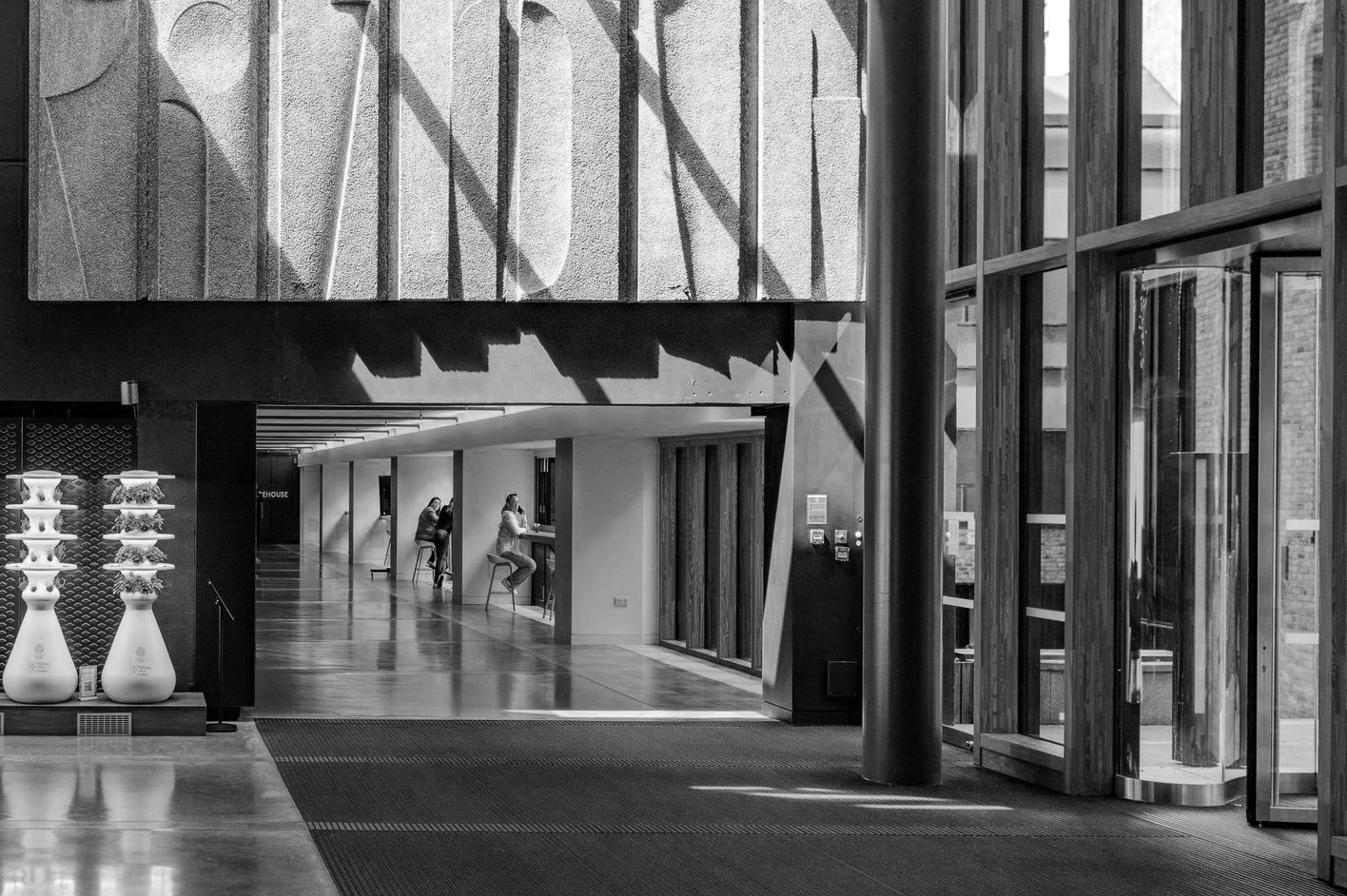
The William Mitchell concrete panels are of a modular design, rotated to form distinct groups of horizontal and vertical rhythms. A number of the buildings elevations are clad in linear, diagonal and vertical forms, though the majority are curvilinear and organic.
Local Image Collection 1972
The Ellen Wilkinson building, home to Education and Communication, is one of the few buildings on campus named after a woman. She gained the nickname of ‘Red Ellen’ in her political career, due to her socialist politics and vibrant red hair colour.
Wilkinson was a successful Labour party politician and feminist activist, and a passionate and bold personality in the Houses of Parliament. She was made Minister of Education under Clement Atlee’s government, making her the second woman to ever get a role in the British cabinet. She was brought up and educated in Manchester, making her legacy on the Manchester campus even more significant.
Ellen Wilkinson is a large sized building with three blocks. There are six floors in C Block, five floors in B Block and seven floors in A Block.
There are three lifts and six main staircases within the building.
The floors are signed as Ground, 1, 2, 3, 4, 5 and 6. This is slightly different inside the lifts where control buttons are marked as 0 instead of Ground.
There are link passages from A and B Block to C Block on levels Ground, 1 and 3.
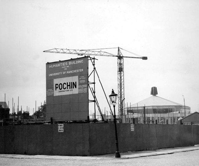
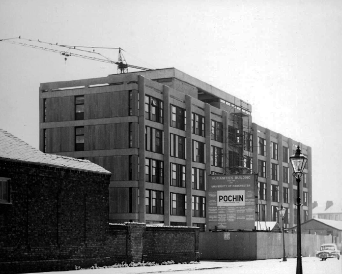
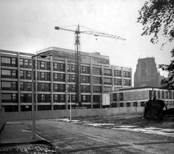
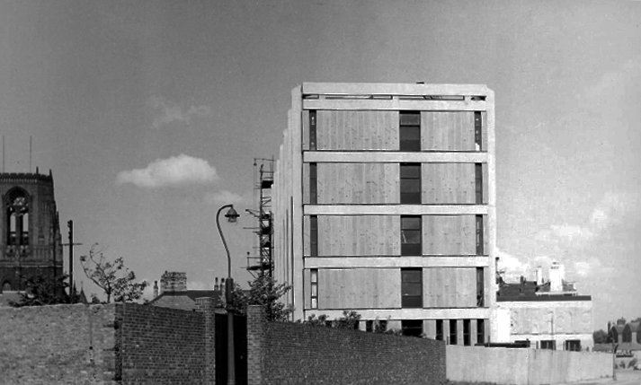
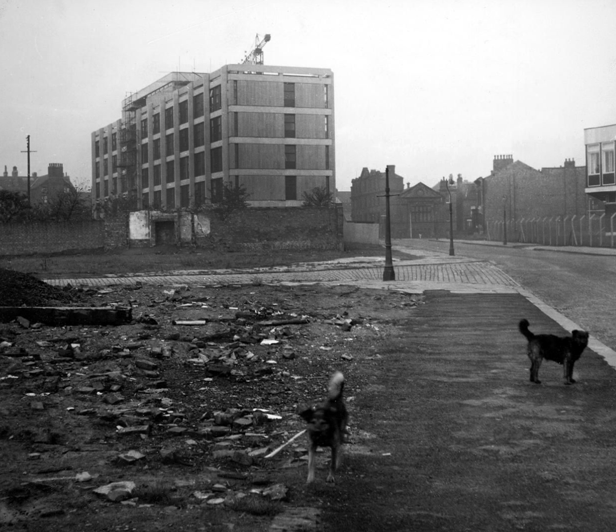
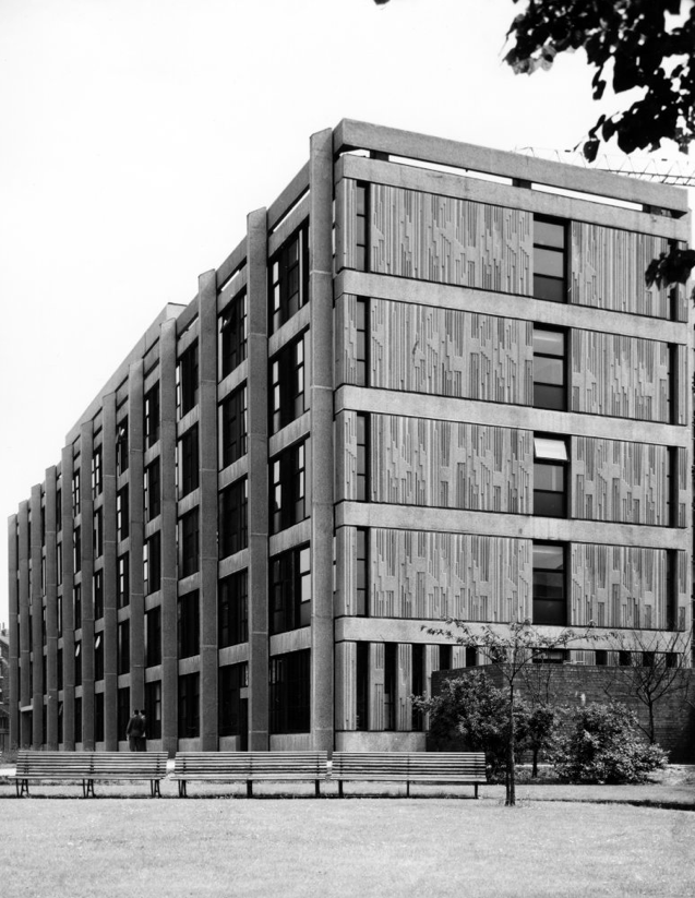
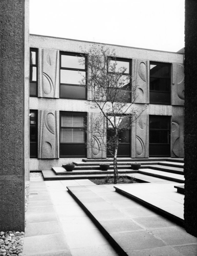
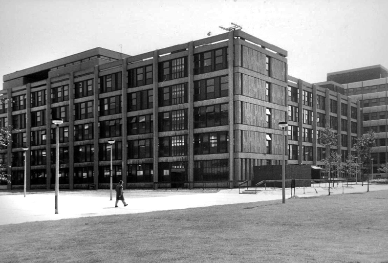
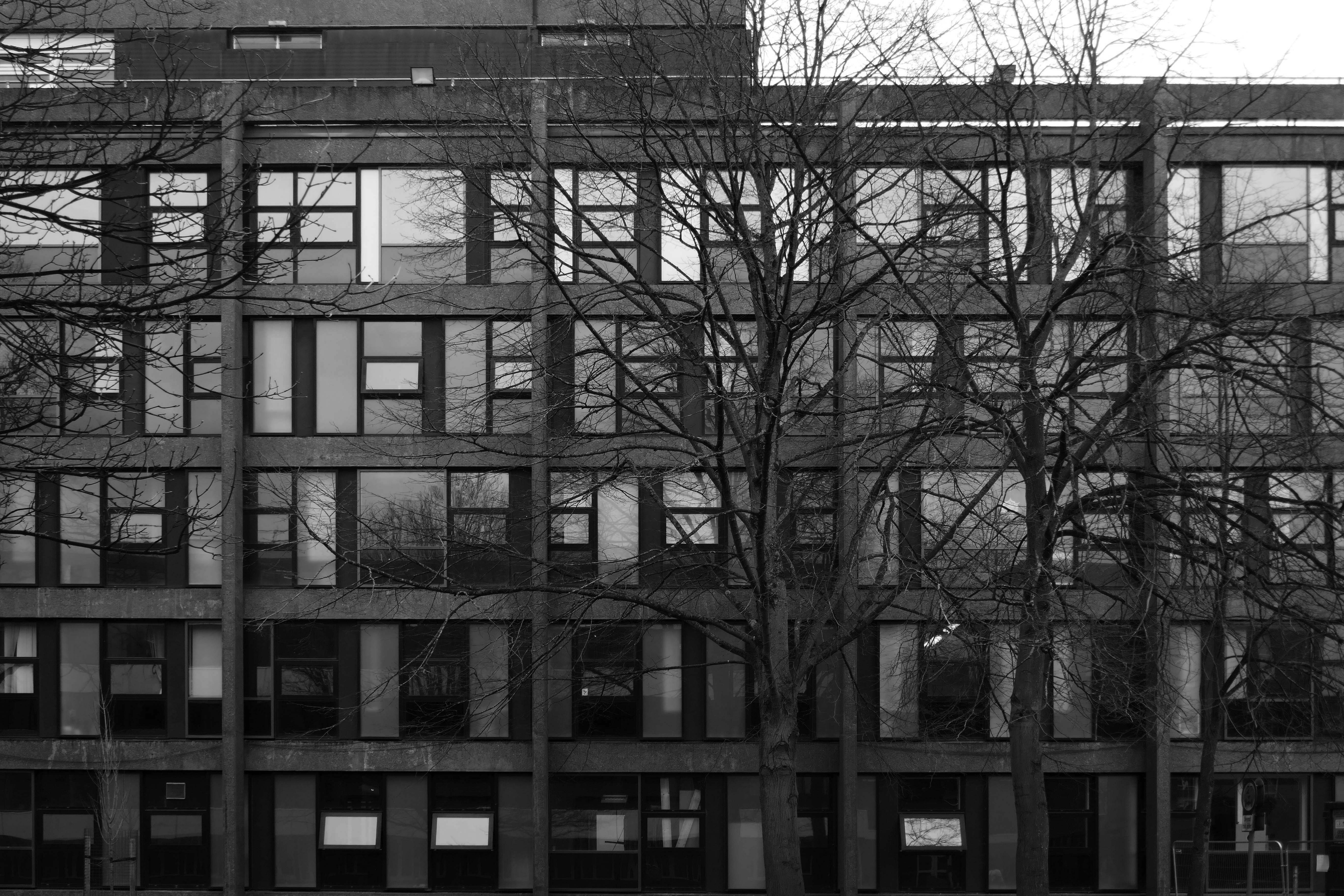
This scheme pre-dates Wilson Womersley’s appointment as masterplanners for the Education Precinct but exists harmoniously with the later series of buildings. This is most likely due to the method of development before any ‘grand concept’. The incremental expansion of the University, following WWII, was largely dictated by the progress of compulsory purchase orders; this group was no exception. At the planning stages, the lack of a masterplan led to organising the wings of the buildings in an open, orthogonal arrangement. This would allow expansion in a number of directions, according to the next available site in ‘the dynamic situation’. The result was the creation of a small courtyard flanked by two five-storey blocks and a two-storey structure. All three buildings use the same pink-grey concrete. The plastic qualities of concrete were explored in both cladding and structural panels and the textural qualities exposed in the bush hammered columns, to reveal the Derbyshire gravel aggregate. The sculpted and moulded panels on the two-storey block and on the gable ends of the larger blocks were designed in collaboration with William Mitchell. The only other materials in the external envelope were the windows of variously clear and tinted glass. The window modules were set out against a basic geometry in three standard patterns and applied across the façade. This resulted in a clever interplay of vertical and horizontal expression. Phase II, a seven-storey teaching block, was not as refined in its details.
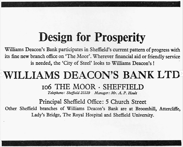
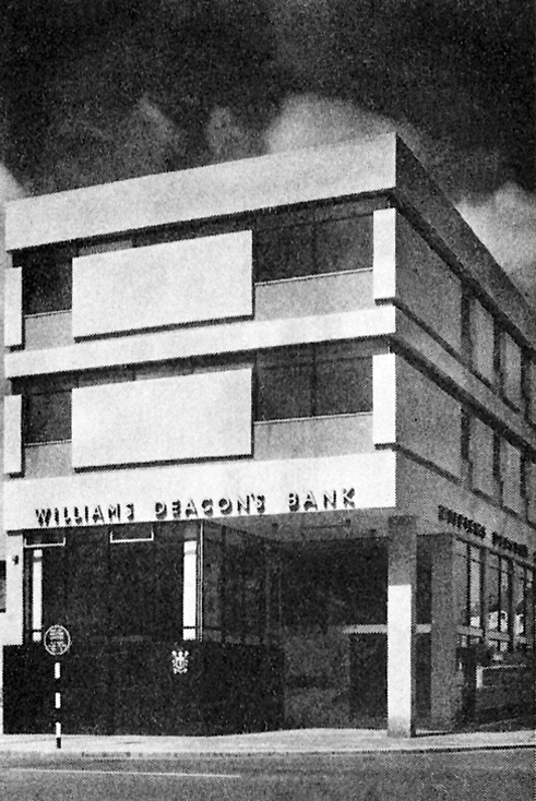
This joint-stock bank was established in Manchester in 1836 as Manchester & Salford Bank by a group of promoters keen to take advantage of recent legislation allowing the formation of joint-stock banks outside London. The bank had up to 15 directors and the issued capital was £1m, of which £252,100 was paid up by December 1836.
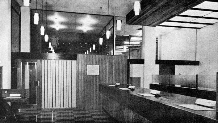
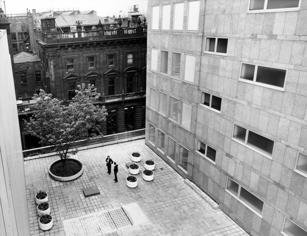
RIBA Pix: Headquarters building for William Deacon’s Bank Limited – Mosley Street Manchester: the garden at podium level.
Harry S Fairhurst & Son 1965
The first shareholders’ meeting, in May 1836, took place in temporary premises, but in August 1836 a banking house was rented in King Street. Land off Mosley Street was later acquired and a new banking house completed in 1838.
In 1969 The Royal Bank of Scotland was restructured and Williams Deacon’s became a direct subsidiary of a new holding company, National & Commercial Banking Group. The following year the holding company’s subsidiaries in England and Wales – Williams Deacon’s Bank, Glyn, Mills & Co and the English and Welsh branches of The National Bank – merged to form Williams & Glyn’s Bank.
In 1972 Williams & Glyn’s Bank joined with five other European banks to form the Inter Alpha Banks Group to exploit opportunities in the European Economic Community. In 1985 The Royal Bank of Scotland Group’s two major subsidiary holdings, Williams & Glyn’s Bank and The Royal Bank of Scotland, were fully merged as The Royal Bank of Scotland plc.
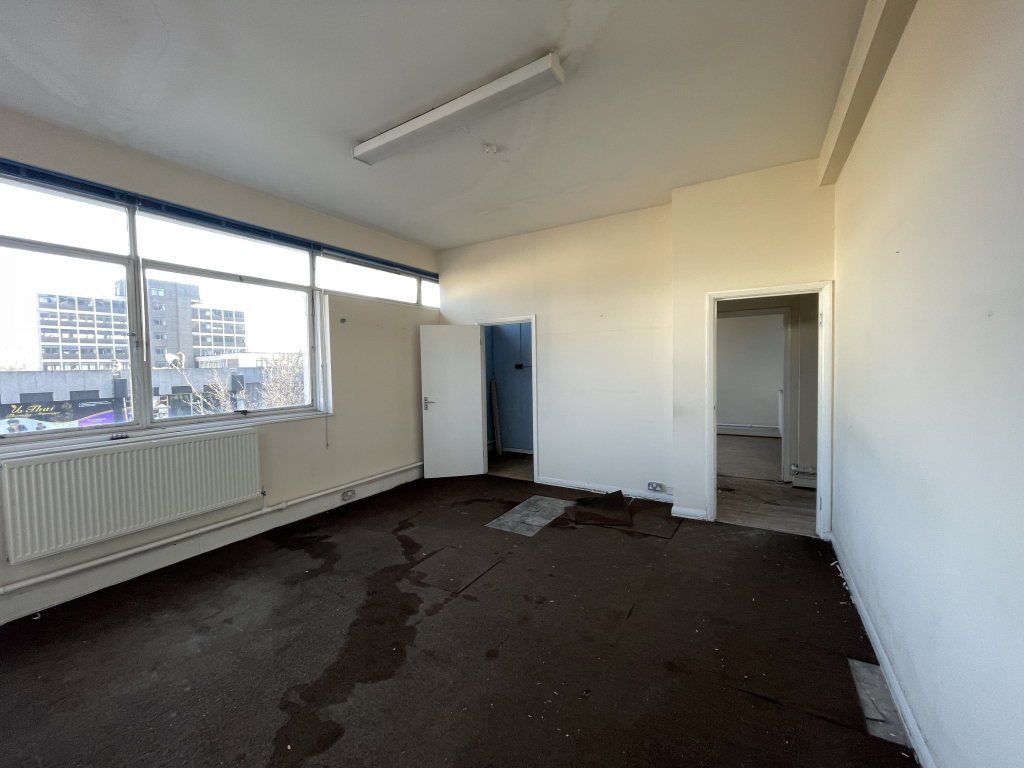
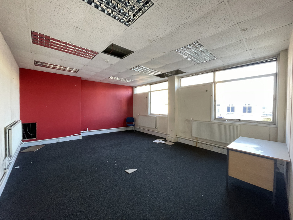
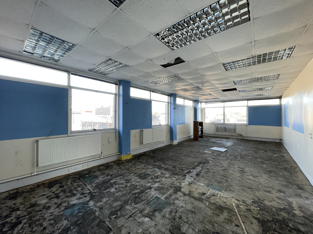
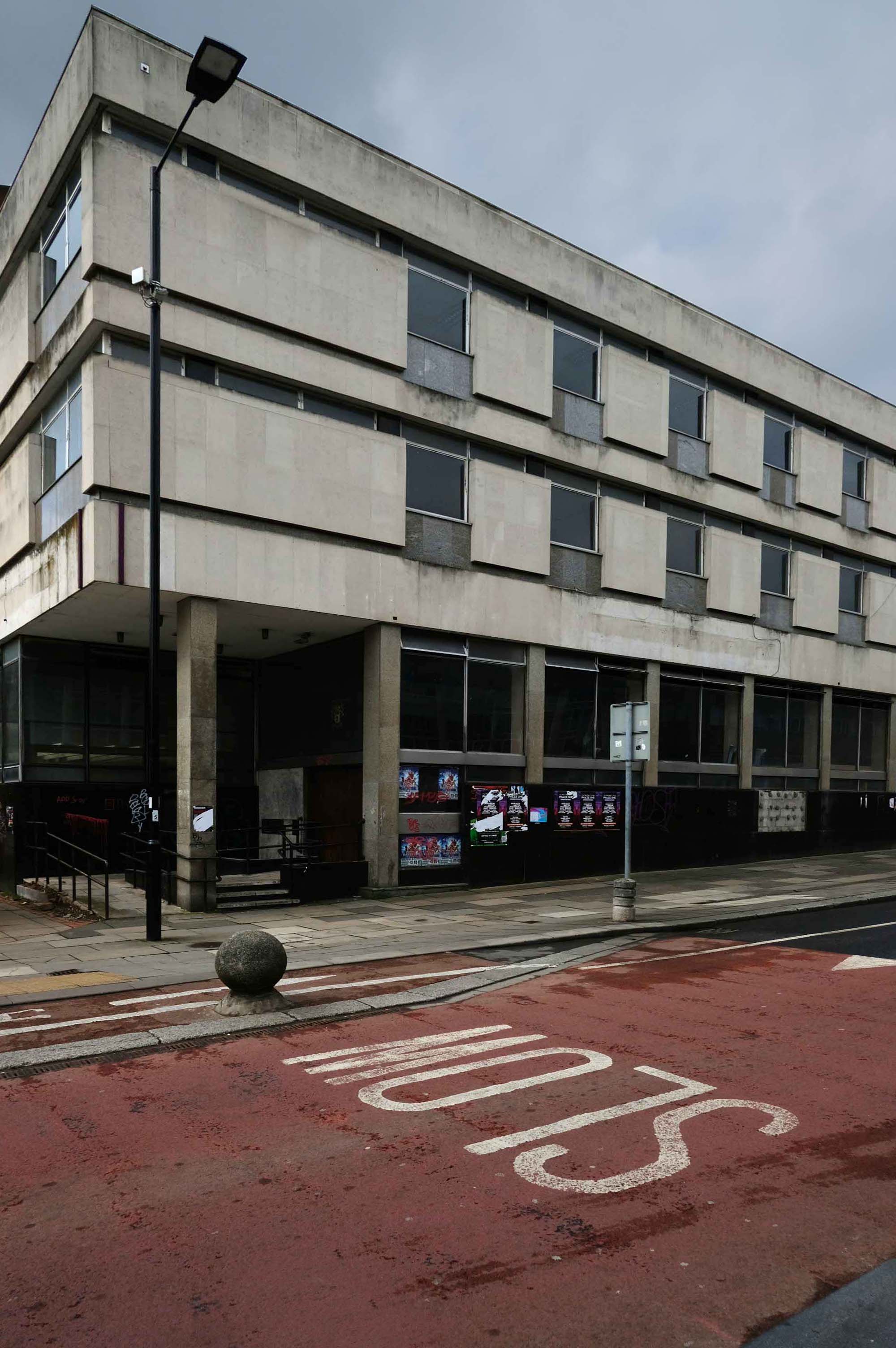
The very merry monopolies and mergers merry dance – consequently this perfectly formed Modernist bank stands alone and forlorn.