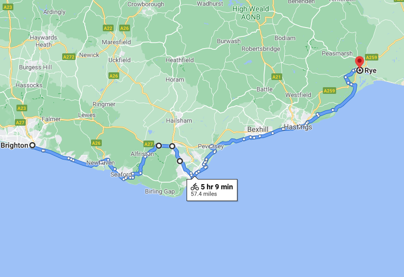
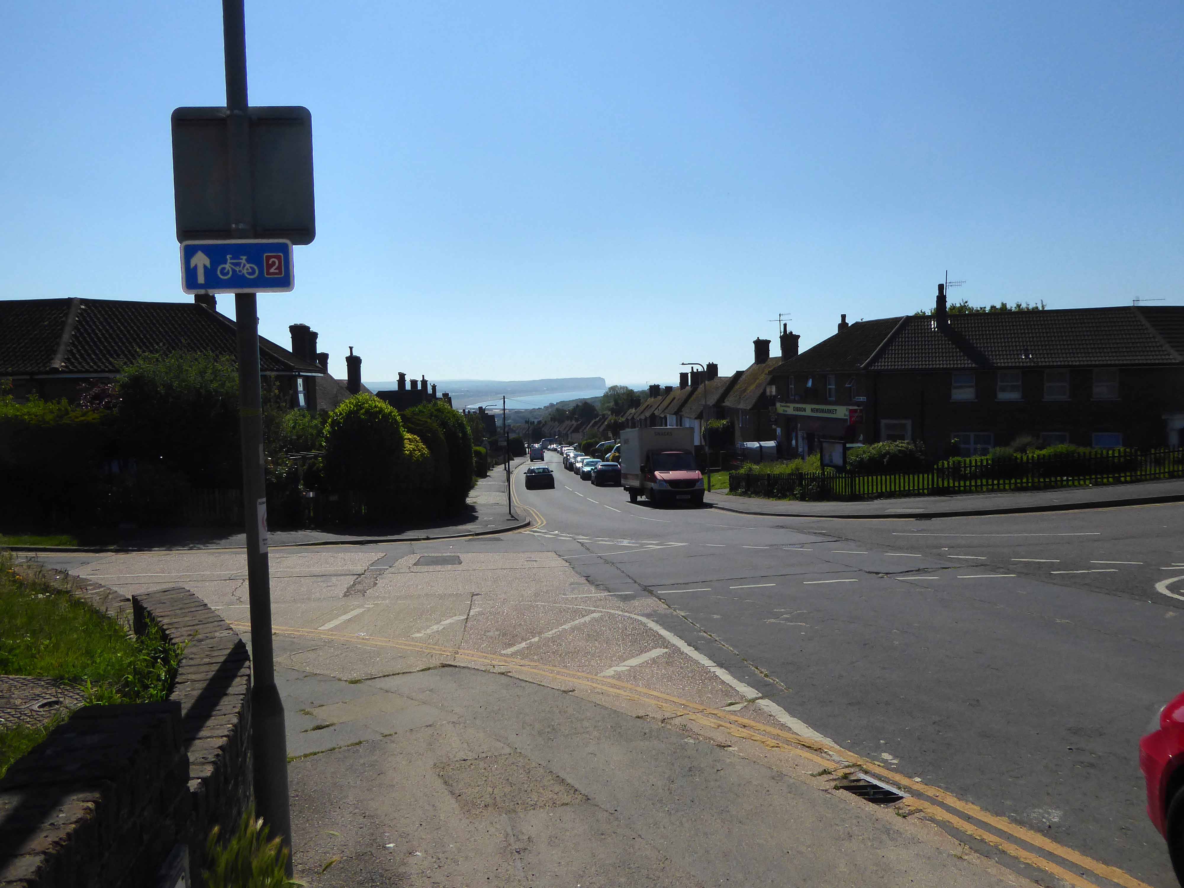
The longest day the least snaps – preoccupied with the avoidance of the main road over to Eastbourne, we took an arduous route over the South Downs Way.
Further preoccupied by and appointment with John Nash at the Towner at One PM.
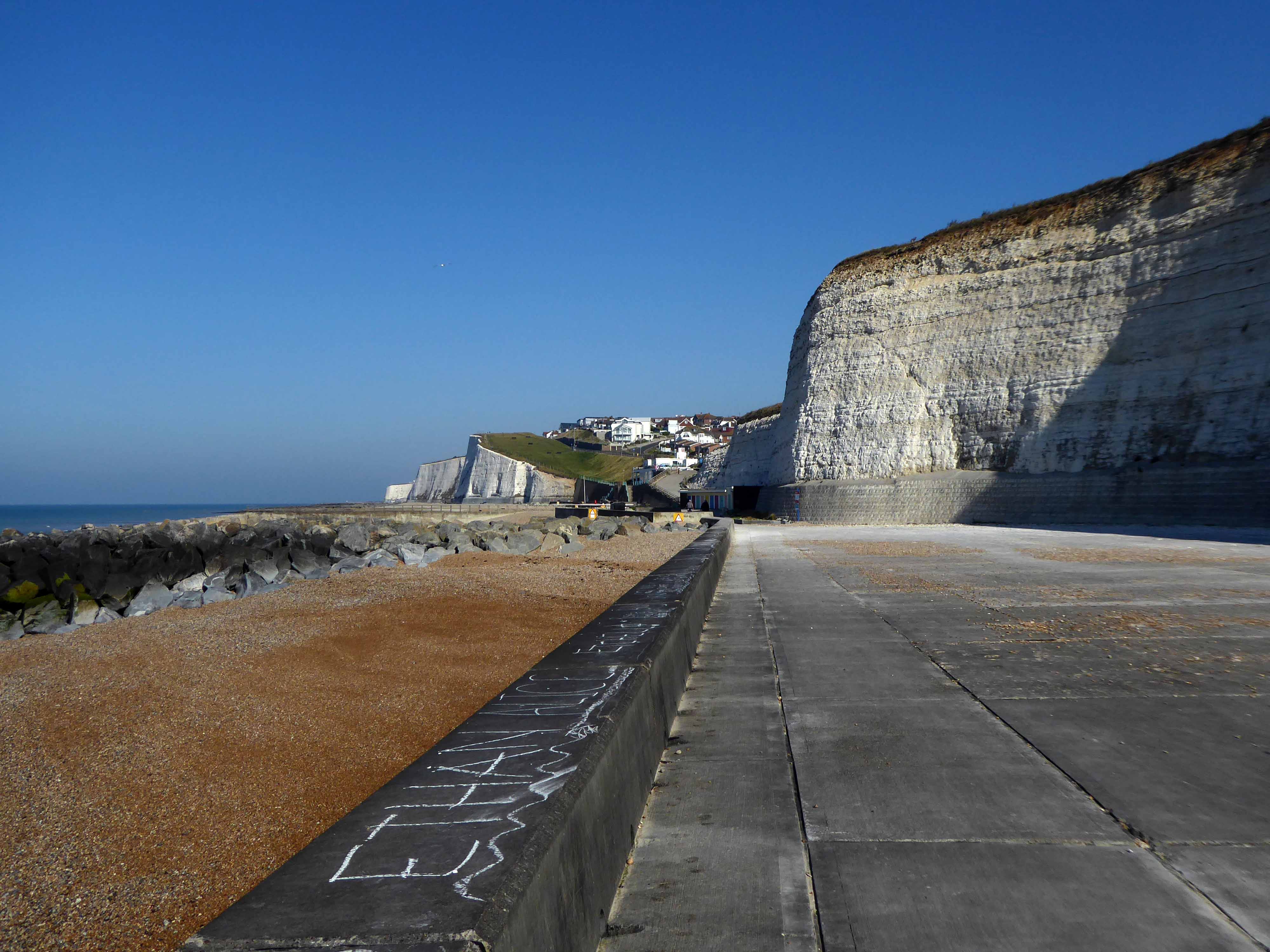
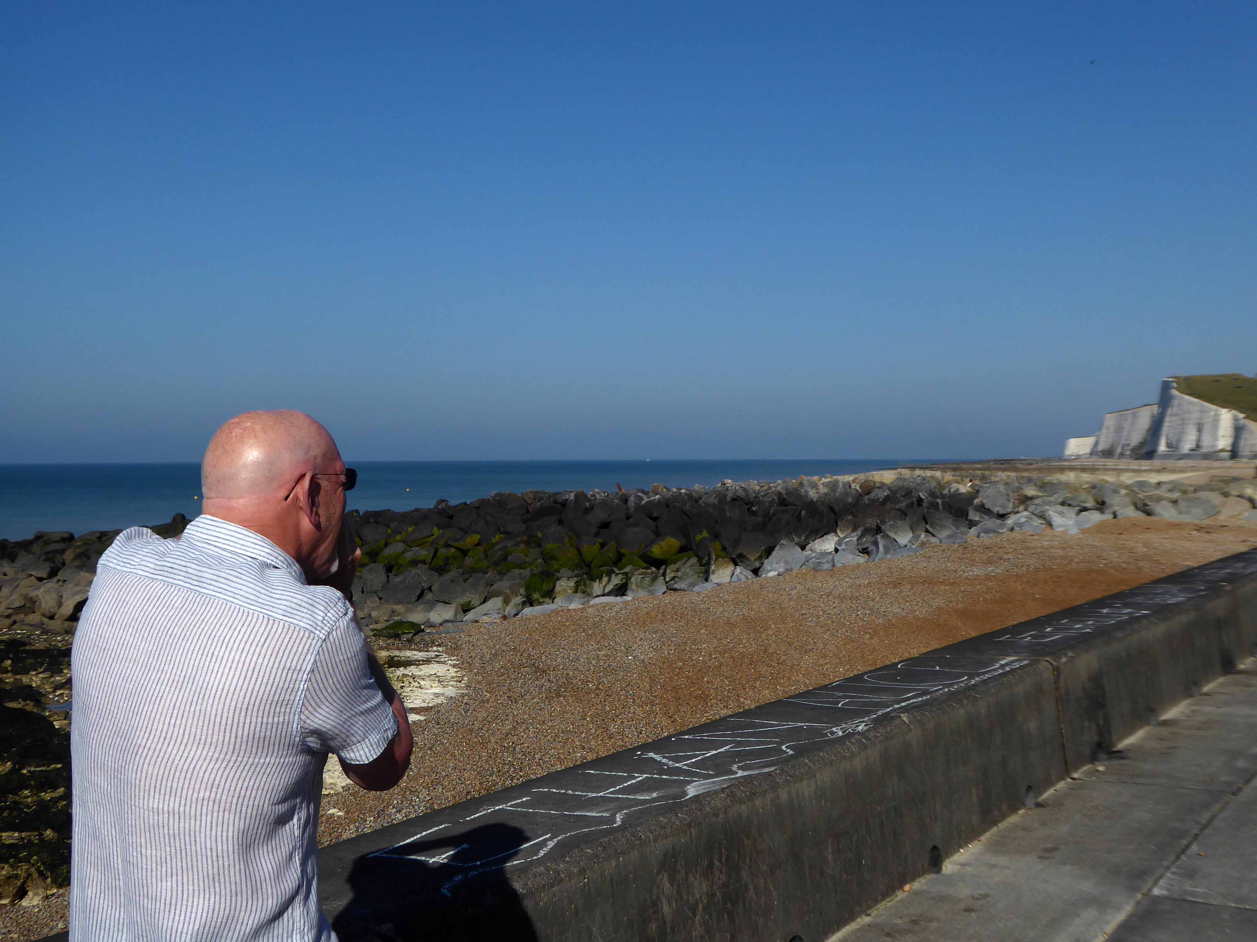
Firstly however a leisurely ride along the Undercliff – designed by Borough Engineer David Edwards as a public amenity, was begun in 1928 and opened in July 1933.
Mr Tim Rushton apprehends the view.
Sustrans have the habit of heading away from the A roads and onto the backstreets of Britain.
To fill in the gaps on our snap-less journey, here’s my previous trip.
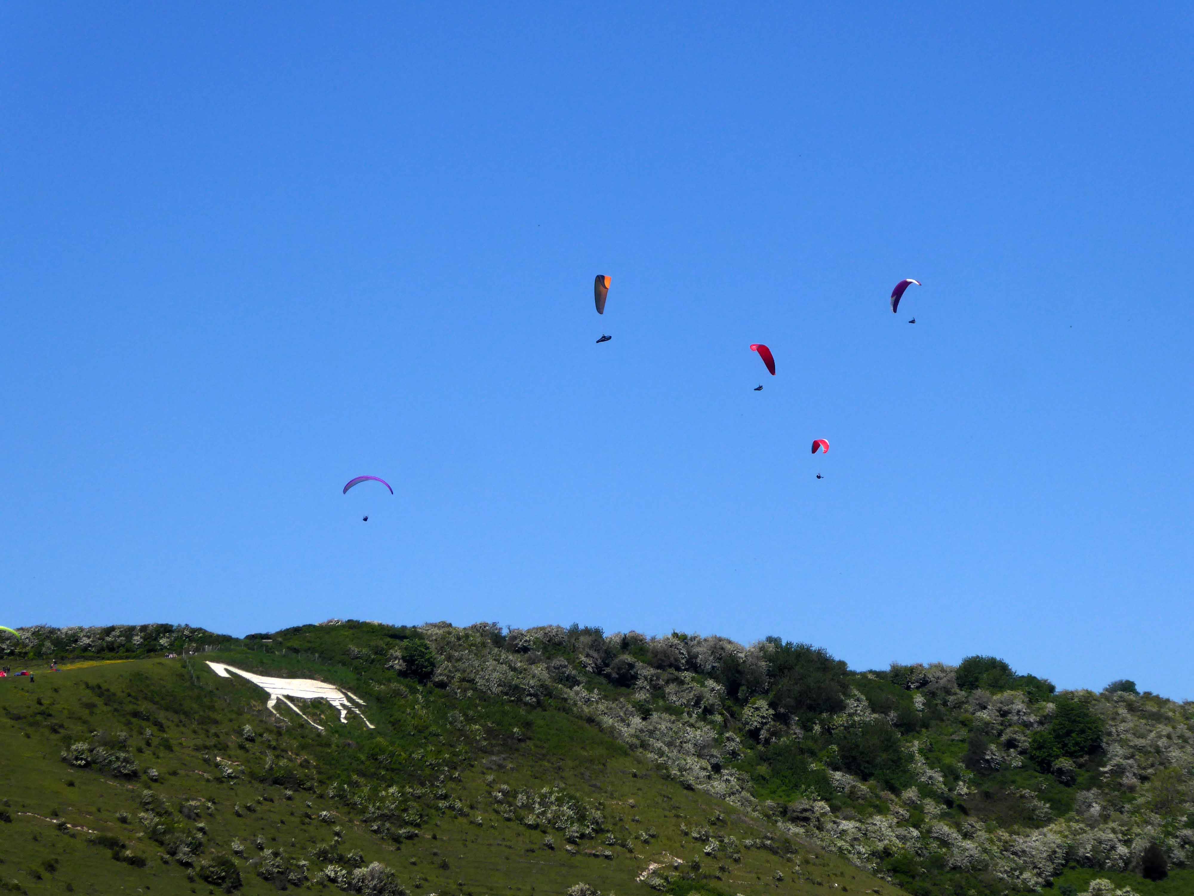
Leaving the coast for the soft rolling Sussex hills, where we encounter the Litlington White Horse.
The Litlington White Horse is a chalk hill figure depicting a horse, situated on Hindover Hill in the South Downs, looking over the River Cuckmere to the west of the village of Litlington and north of East Blatchington in East Sussex.
The current horse was cut in 1924 by John T, Ade, Mr Bovis and Eric Hobbis in a single night and stands at 93 feet long and 65 feet high. A previous horse was cut in either 1838 or 1860 on the same site. Since 1991, the horse has been owned by the National Trust, who regularly clean and maintain the horse along with local volunteers.
Local legend suggests that the horse was originally cut as a memorial to a local girl whose horse bolted when riding along the brow of Hindover Hill, throwing her down the hill which resulted in her death.
However, there is no evidence to suggest this to be true.
Viewing from the air – the lone pursuit of the paraglider.
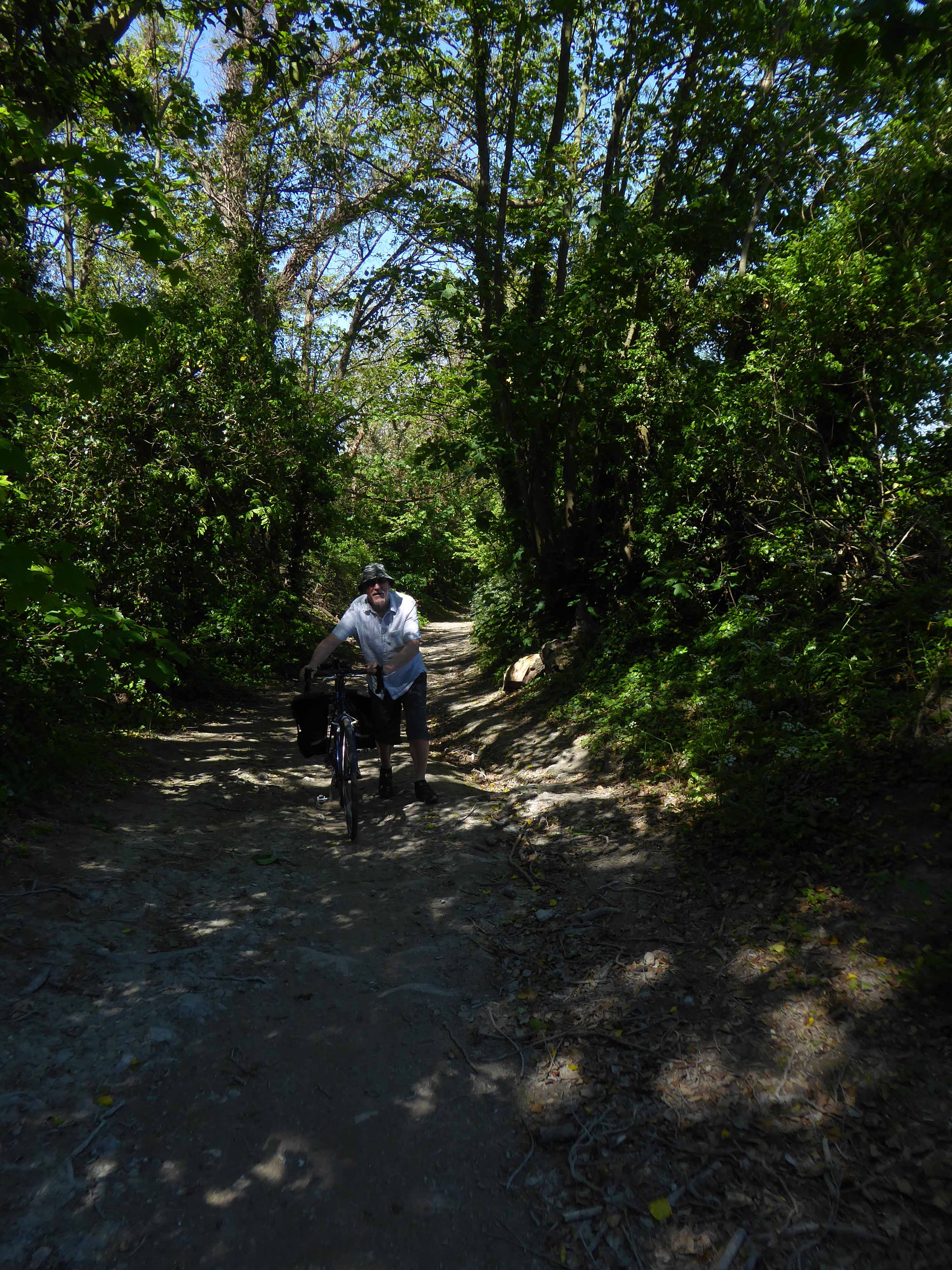
Viewing from Terra Firma the lone pursuit of the camo-bucket hatted cyclist.
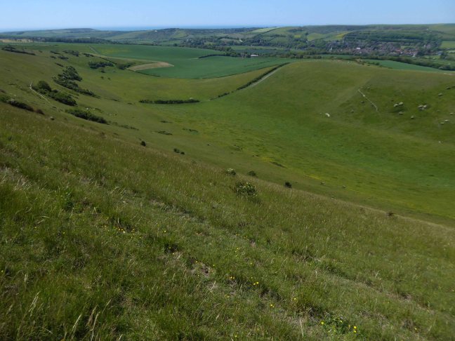
Who subsequently discovers the heady heights of the Downs.
Which seem to have more in the way of ups than downs.
Though when the gradient eases, graced with the sweetest sweeping green bowls.
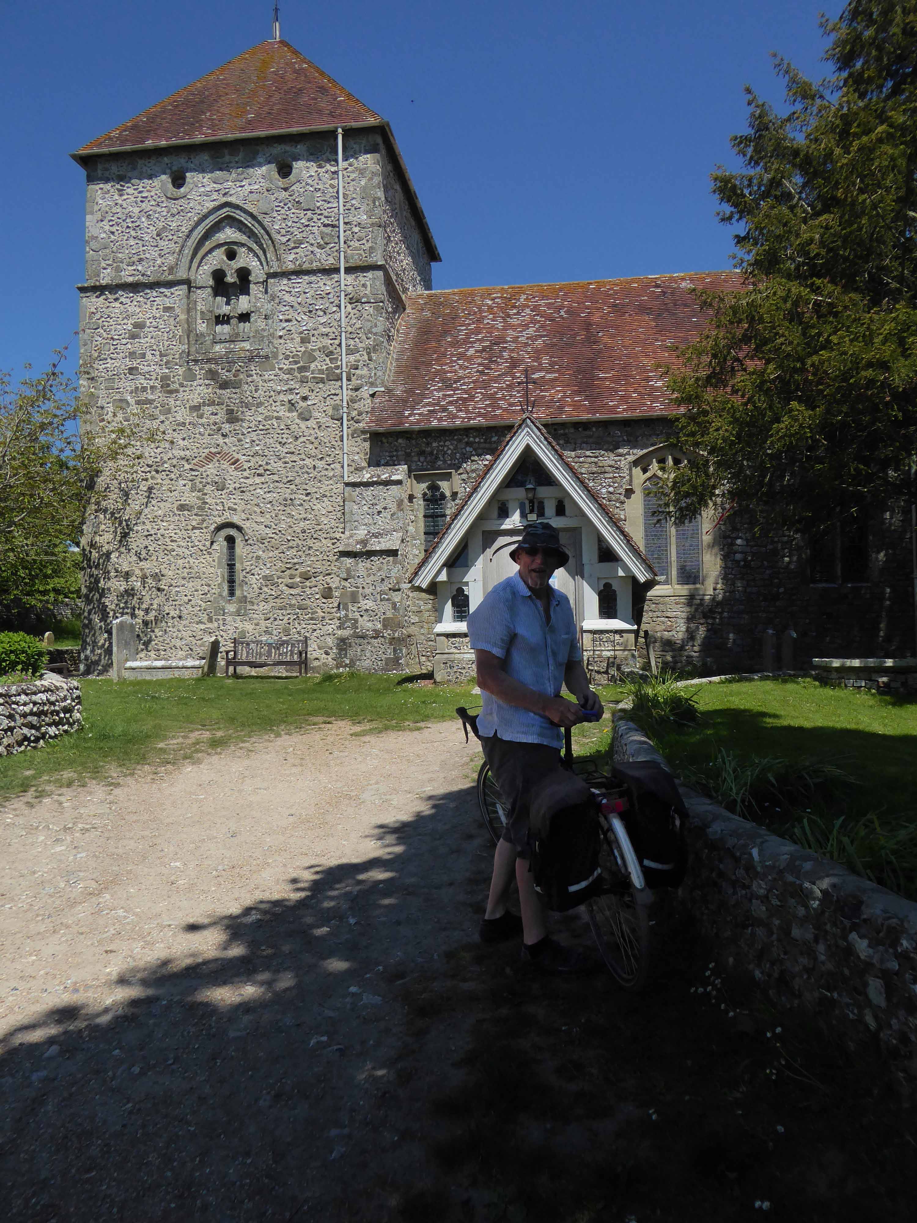
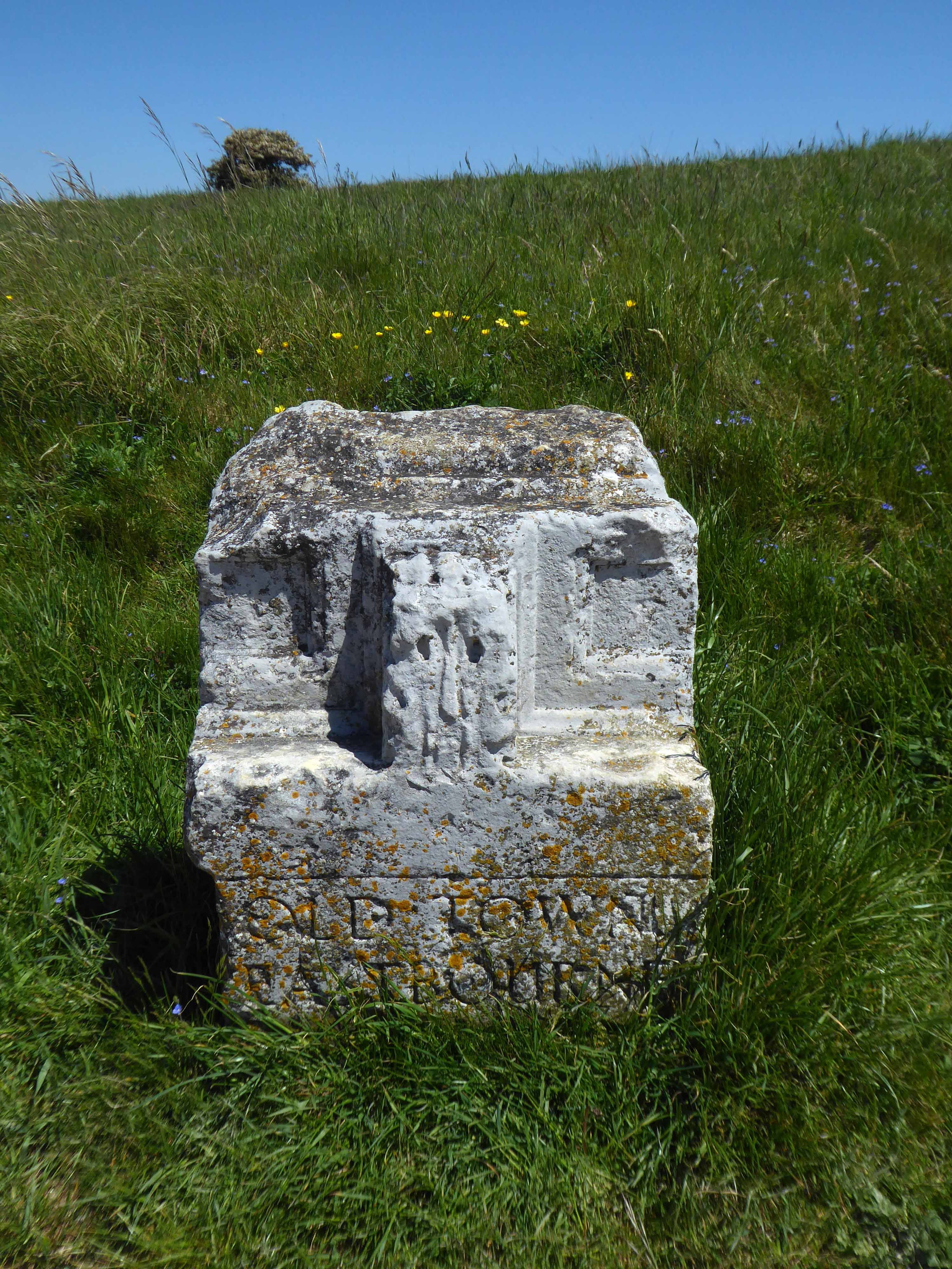
The nave is 12th Century, with a later 13th Century chancel and north aisle.
Most windows are 14th or 15th Century.
A C11 carving shows Viking influence.
Having descended, we are now faced with another lengthy ascent and the prospect of our late arrival in Eastbourne.
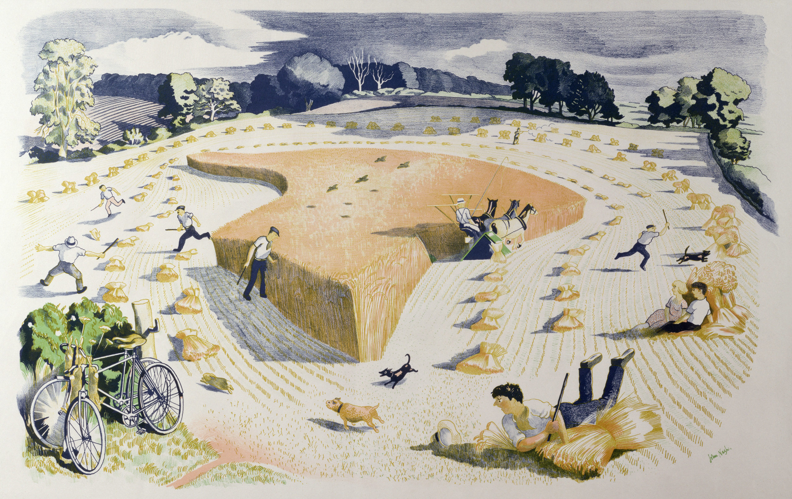
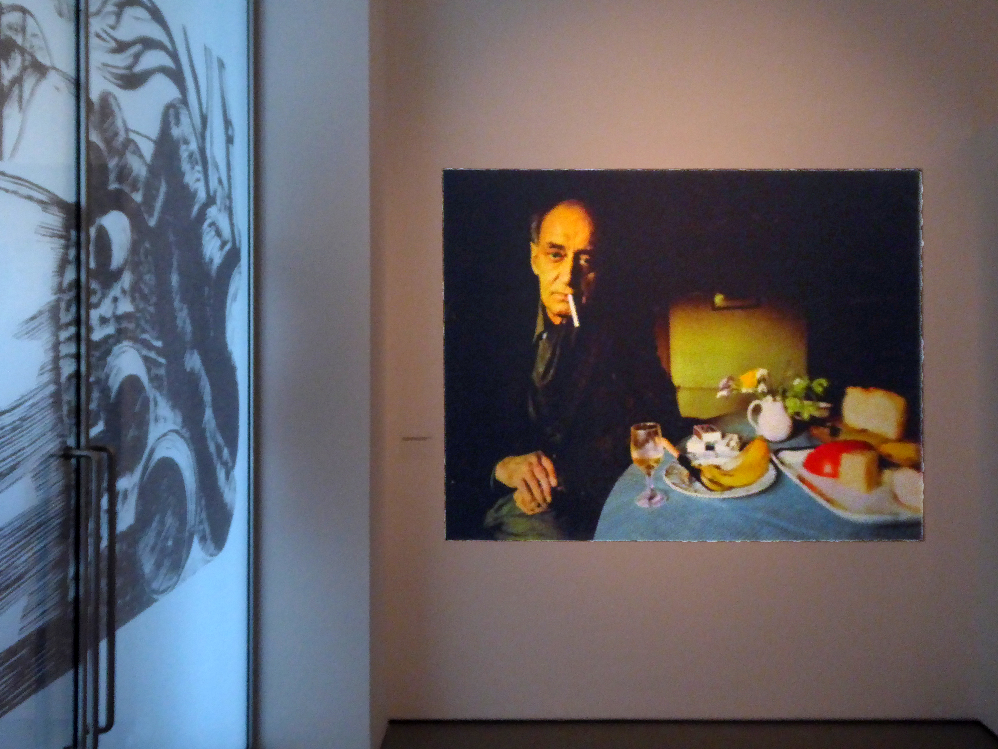
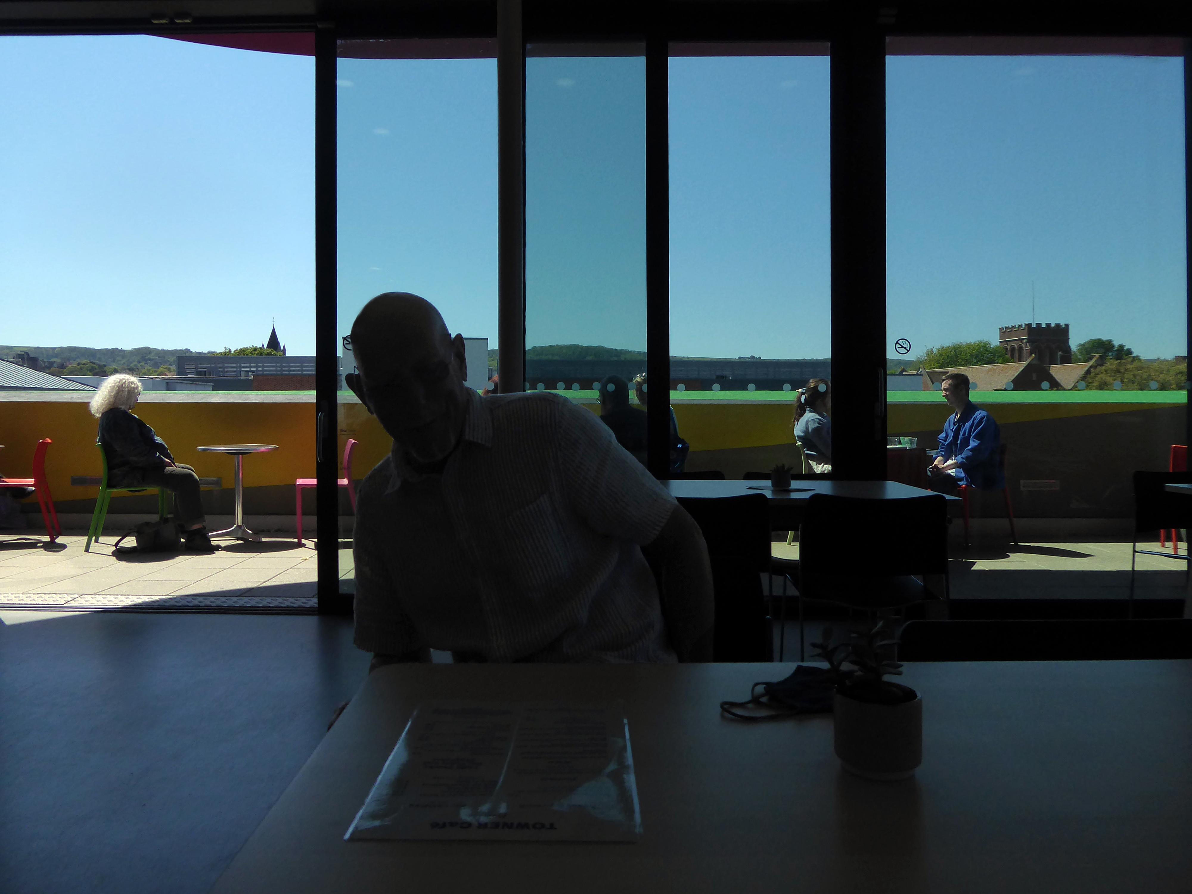
Against all odds we are almost on time and permitted entry to the John Nash Exhibition.
The Landscape of Love and Solace.
Harvesting printed at The Baynard Press for School Prints Ltd.
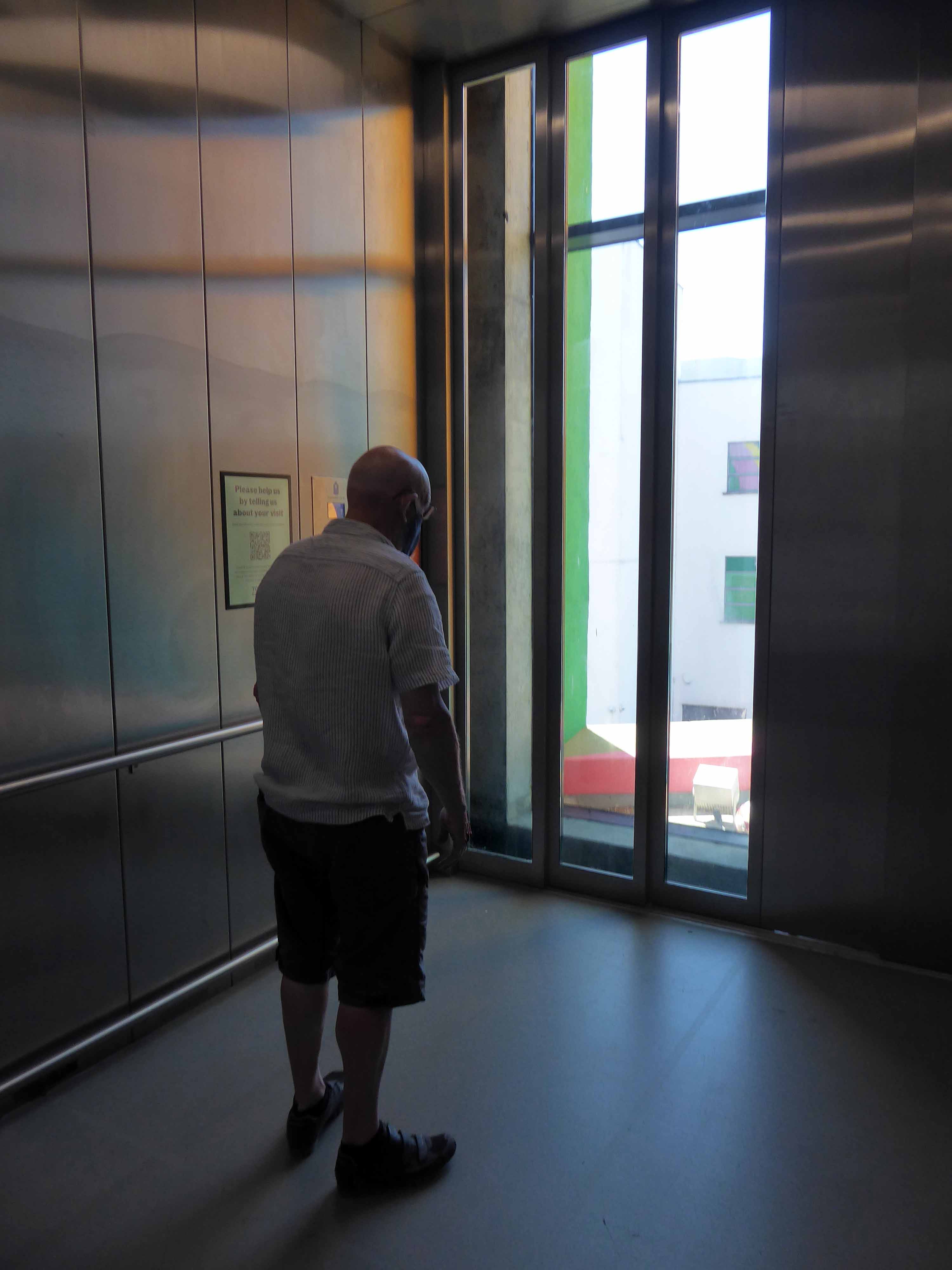
Ascending with ease in the capacious elevator.
A wonderful show – so much to see, prints and watercolours in superabundance.
Followed by tea and a bun in the smart café.
We hastened to Hastings, pausing briefly to say hello to Pauline, then onward to Rye.
Once again walking the climbs, before dropping down to Winchelsea, where we were met by a relentless easterly headwind.
Our weary legs propelling us ever so slowly through an area of marsh and shingle, softly edged by the sea.
On 15th November 1928 at 6.45am the ‘Mary Stanford’ lifeboat with her crew of 17 was launched to save a stricken vessel. A south-westerly gale with winds in excess of 80 miles per hour was raging in the English Channel. Not one of these brave Rye Harbour men ever returned.
The impact of the disaster on the Rye Harbour community was devastating and deeply affected all who lived there. The disaster was also felt worldwide, and was front page news over the days that followed. The funeral was attended by hundreds including the Latvian Minister. An annual memorial service is held at Rye Harbour church to this day.
The Lifeboat House still stands, butwas never used again.
Leaving the compact anonymity of my B&B for the open road!
Having been unable to sample the joys of the Quality Hotel.
The Quality Hotel closed in 2014 and was demolished two years later after the site was bought by the city council following vandalism and fires.
The ten-storey concrete block was built in 1970 in the 350th anniversary year of The Mayflower ship setting sail from Plymouth for North America.
Gilpin Demolition
Plymouth Hoe’s fifty million pound hotel and apartments project appears to have ground to a halt with no building work happening more than a year after developers vowed it would start in 2018.
Henley Real Estate, the firm behind the plans for an 11-story hotel and a 15-floor block of flats on the demolished former Quality Hotel site, has gone silent on plans and not responded to emails and phone calls from Plymouth Live.
When we visited the site the only sign of life was some weeds growing out of the ground.
I’ll leave them to it, I’m off in search of the South West Passage
The South West Coast Path itself is 630 miles long and is the longest established National Trail in the country. Starting at Minehead in Somerset it runs along the coastline of Exmoor, continuing along the coast of North Devon into Cornwall. It follows the entire coastline of Cornwall, goes across the mouth of the River Tamar and continues into Devon. After running along the south coast of Devon it then follows the Dorset coastline before finally ending at Poole Harbour.
However if you follow the Coastal Path you’ll miss this delightful concrete fire station training tower in Plympton.
Along with the longest corrugated iron structure in the West Country.
You’ll miss getting slightly lost and a cup of tea at the Dream Bites roadside café in Modbury.
Dream Bites café, we’re all is welcome, from cars to Biker’s to Ride outs to Puplic and to work companies even you the cyclists!
GREAT FOOD GREAT PRICE.
You’ll miss the deep hedged lanes of Devon.
Where the four x fours force you into the roadside brambles with consummate ease and regularity – even on a designated cycle route.
Respite from such trials and tribulations can be found upon siting a water tower or a deserted butchers – down at Slapton Ley.
Slapton Ley is the largest natural lake in south-west England. Although it is only separated from the sea by a narrow shingle bar, it is entirely freshwater.
Much beloved of my old pal Harry H Potts and family.
Then it’s up a hill down a hill to Dartmouth.
I made enquiries at several sea front hotels – who upon assessing my mode of dress and transport, despatched me to a back street pub B&B, suit y’self suits me, and my pocket.
The Seale Arms was just the job.
Quick change for the artist – let’s have a look around.
It’s full of historical architectural detail.
And slightly more hysterical architectural detail.
Time for a pint – chatting in the pub to yachting types, for it is here that the sense of tradition, the sea, power and wealth traditionally resides.
Following a sound night’s sleep, courtesy of the Ocean Hotel, I set out on my Ridgeback World Voyage – purchased through the Cycle to Work Scheme, I have essentially used it in order to cycle away from work.
My dream had always been to devise a way of life, where the lines between work, leisure and culture disappear, where such tiresome social constructs have finally become redundant – let’s go!
Having failed to learn from my previous jaunt, that a map is a handy aid to successful travel, I set off merrily without one – on Sunday 25th July 2015.
Following Sustrans’ signs will suffice, says I to myself.
I arrived safely in Brean, as the rain began to fall with a deeply disheartening enthusiasm.
The signage indicated a route across the beach – I quickly learnt that heavy rain and sand do not produce a sufficiently solid surface for cycling, when push comes to shove, there’s only one way forward.
Push.
There was no escape to the left, the extensive run of caravan parks and private leisure facilities having erected attractive razor wire topped barriers and locked gates – I pressed on.
With every arduous tortured sandy step, I developed an even deeper antipathy towards Pontin’s Brean Sands.
Here at Brean Sands we have been busy getting ready to welcome guests to our park. We have painted all our apartments, we have fitted over 10,000 metres skirting board throughout the apartments. All external soffits have been painted along with all the Double Decker apartments and main buildings. The QV Bar, Restaurant and also the Fun Factory have all had new flooring fitted. Our Restaurant bays are now refitted as well as improvements to our till area & reception desk.
Free at last from the sandy hell of the shore, I sought succour in this seaside café – where panoramic views of the sea come free.
Having enjoyed the multiple benefits of a breakfast not included tariff at the Ocean Hotel, I was now very, very hungry indeed – I made very, very short work of egg and beans on toast.
I briefly kept company with a Swiss couple, who were on an extensive motor car tour, I quickly became something of an apologist for the day’s foul weather.
It’s not always like this you know.
Stating the obvious, yet thinking the converse.
The panoramic view through the other window – a delightful row of rain soaked, link low rise maisonettes – nirvana!
I was arrested by this arresting wayside shelter/art gallery facility commemorating the Coronation of 1953, in the village of Chedzoy.
The village is at the western end of King’s Sedgemoor and lies on an ‘island’ of Burtle marine sands, close to King’s Sedgemoor Drain. The area was settled possibly in the Mesolithic period, and timber trackways from the third to first millennium B.C. provided routes to other settlements on the Somerset Levels. Roman artifacts have been found in the parish.
The name of the village is pronounced Chidgey or Chedzey, and derives its name from being Cedd’s Island. The zoy part of the name being derived from eg or ieg meaning island.
The shelter stands at the corner of Front and Higher Streets – it would appear that the Burghers of Chedzoy had exhausted their inexhaustible font of creative naming resources, by the time that streets had been invented – the Mesolithic fools.
The village people seem to be suffering from some collective false memory syndrome recollection of a fabulous Mer-family past.
Improving weather in the Bridgwater area, as we languish in the cool shade of the by-pass, beside the River Parrett.
The River Parrett has its source in the Thorney Mills springs in the hills around Chedington in Dorset in England and flows west through the Somerset Levels. The mouth is a Nature Reserve at Burnham on Sea where it flows into Bridgwater Bay on the Bristol Channel. The river is tidal for 18.6 miles up to Oath; and, because the fall of the river, between Langport and Bridgwater is only 1 foot per mile, it is prone to frequent flooding, in winter and high tides.
The River Parrett is 37 miles long and its main tributaries include the Rivers Tone, Isle and Yeo. The River Cary drains into the Parrett via the King’s Sedgemoor Drain. The River Parrett drains an area of over 652.5 square miles – comprising around fifty percent of the land area of Somerset.
Here we are in Williton – where the modern world is ready to sweep in unannounced as announced in the Somerset County Gazette.
Plans to build a new supermarket, retail units and health centre in Williton have been resubmitted this week. J. Gliddon and Sons Ltd. has put forward new plans for the redevelopment of land off the A39 Bank Street in Williton, behind its existing store.
The shop will be demolished to create the access road, with the company expected to occupy a new unit fronting onto Bank Street once the mini-roundabout has been built.
Well so far so good – I arrived in Minehead in one piece – bike intact.
Having only the vaguest notion of where my onward route lay – I hastened to the Tourist Information Office. Having carefully explained my malaise the helpful staff gazed at me with mild amazement, liberally mixed with slightly perplexed eye-rolling and the odd tut.
Having received quite detailed instructions, I was almost immediately lost, following a road that abruptly ceased to be a road. Reluctantly I picked up a woodland path, rutted with tree roots and certainly not a suitable cycling route.
It fell away sharply, as I careered out of control down the precipitous slope.
On reaching the end I discovered that my new rain jacket had also fallen away, along with my treasured Casio watch, which was tucked safely in the pocket.
I lightly bit my lip and reflected that climbing back up the precipitous slope, which I had only too recently incautiously careered down, was not an option – onward ever onward.
In my mind the younger me looks at the older me – having lost all faith in my ability to manage my life with even a modicum of honesty and integrity, or at best a basic grasp of reality.
A whitewashed Grade I Listed 15th-century Church, with a 14th-century tower.
Welcome to this outstanding Parish Church, which, thanks to it’s distinctive white appearance stands as a beacon on the hills of Exmoor. For centuries Selworthy Church has been a focus for residents and visitors as a place to experience the power and presence of God. We hope you find peace of God here and leave uplifted, refreshed and inspired.
Further on down the road somewhere or other I had a cup of tea and piece of cake.
Had I carried out even the most basic research, I would have known that the ups and downs of Exmoor are no easy ride, particularly in heavy rain without a rain jacket.
As the sky darkened I was heartened by the sight of the light’s of Ilfracombe, twinkling star like in the distance – following eighty six miles of toil and a measure of trouble, I finally arrived at the pre-booked digs. They had been concerned by my no-show, relieved when I finally arrived, incredulous when I told the tale of the day’s travails. The lady of the house ever so kindly washed and dried my sodden clothing.
I showered and hit the town – eschewing food in favour of a pint, chatting to a garrulous gang of solar panel cleaners from Cornwall.
Returning merrily to the B&B and the prospect of slumber.