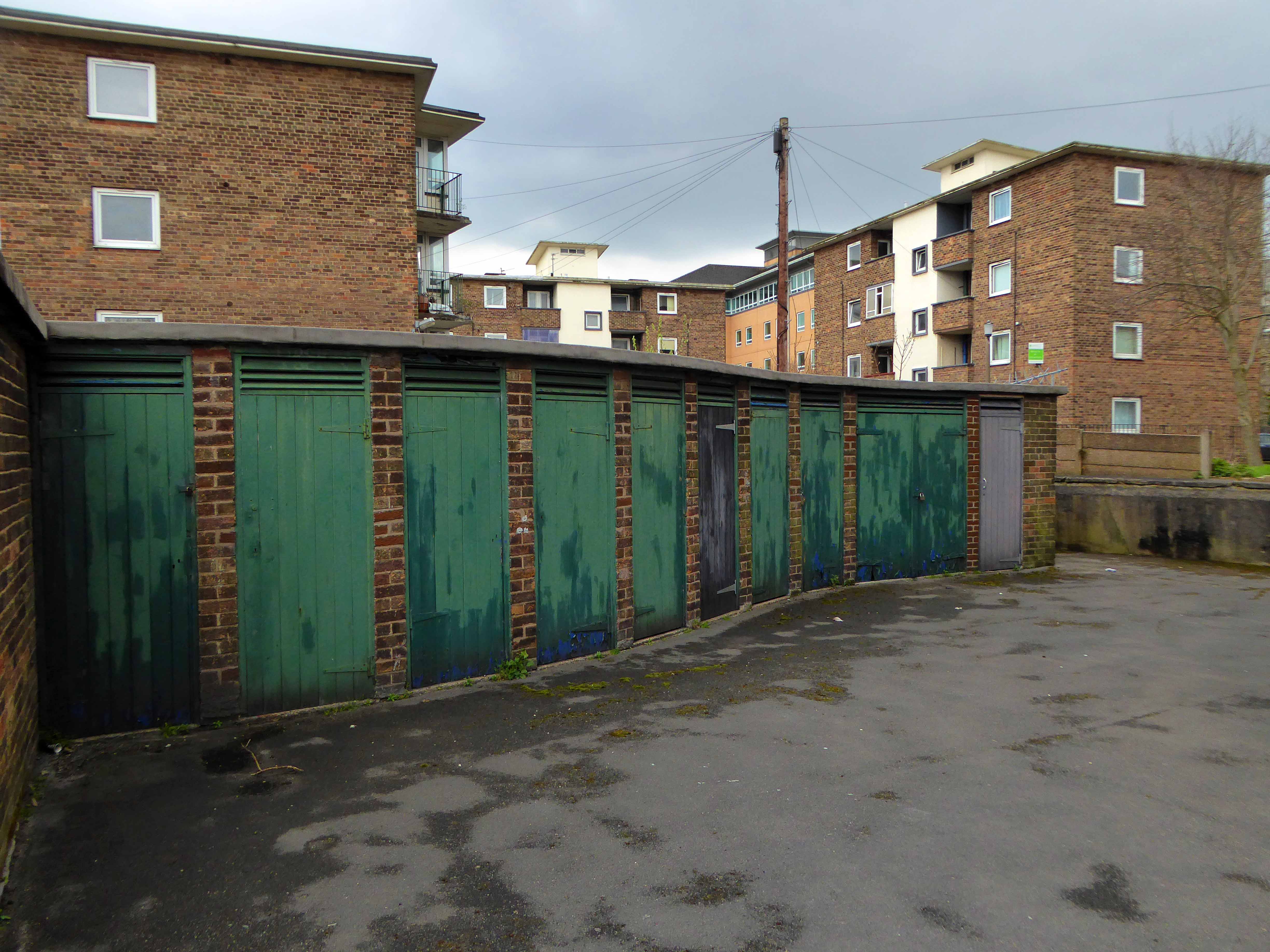
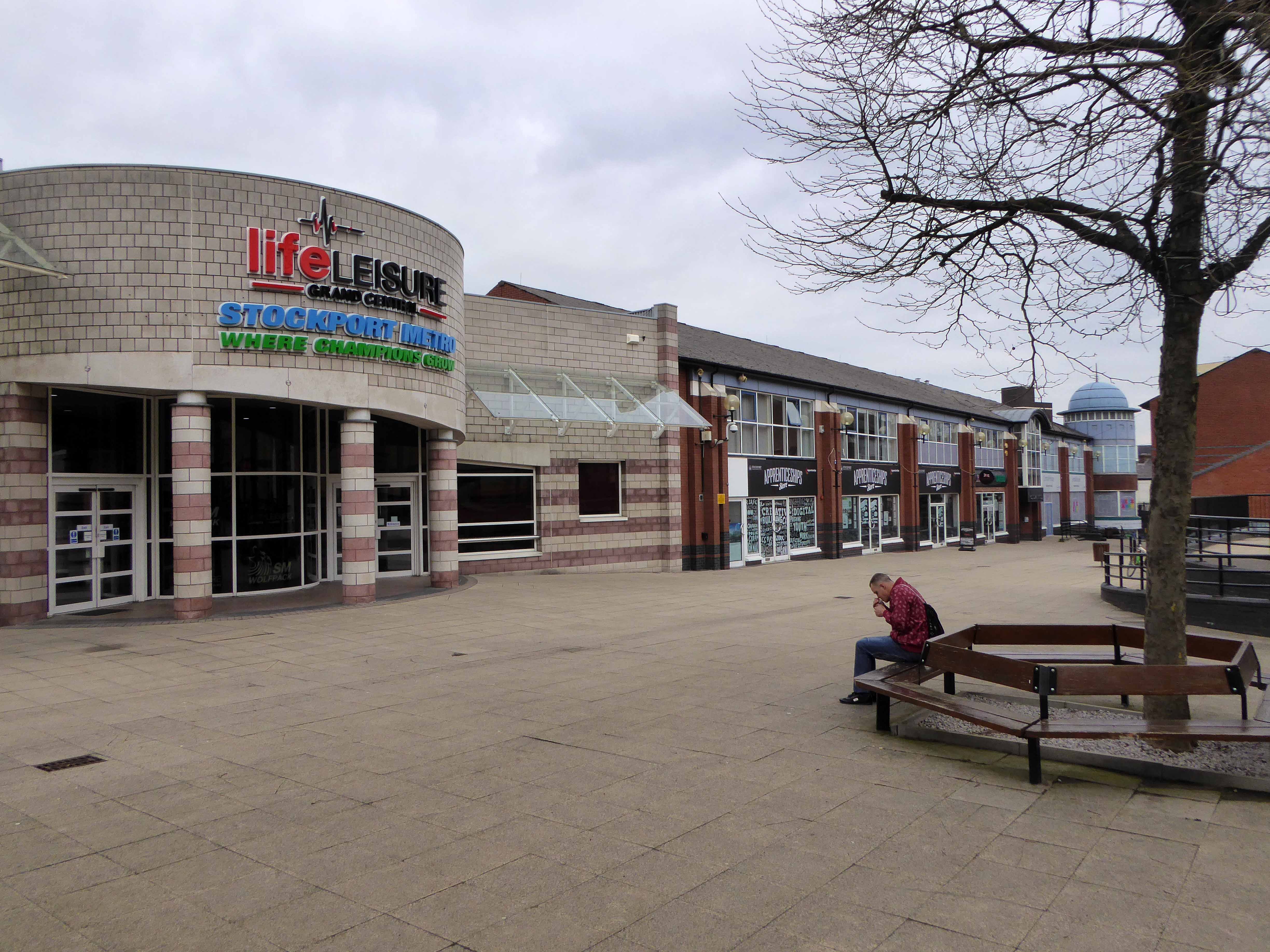
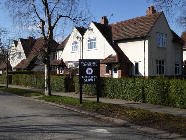
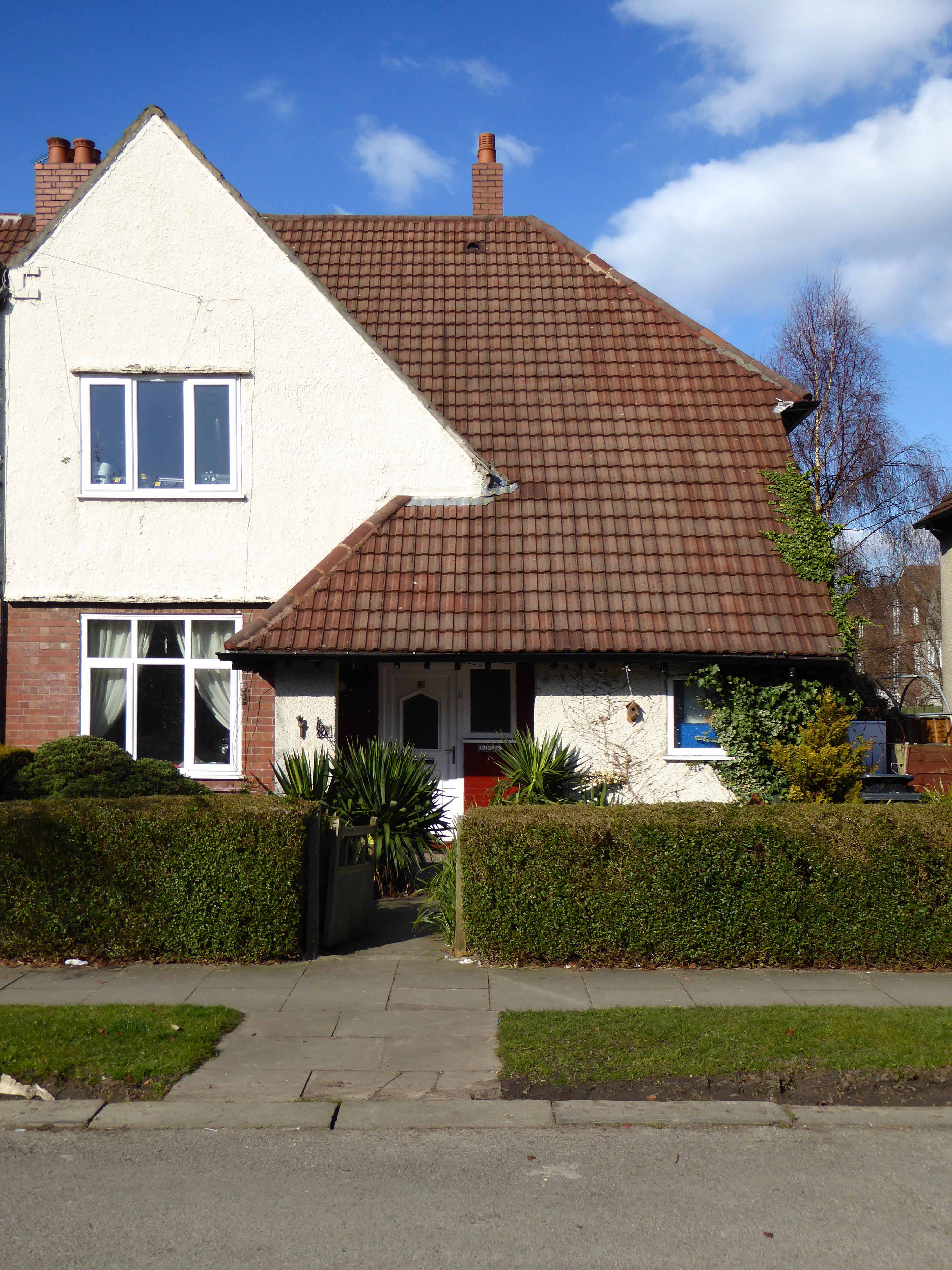
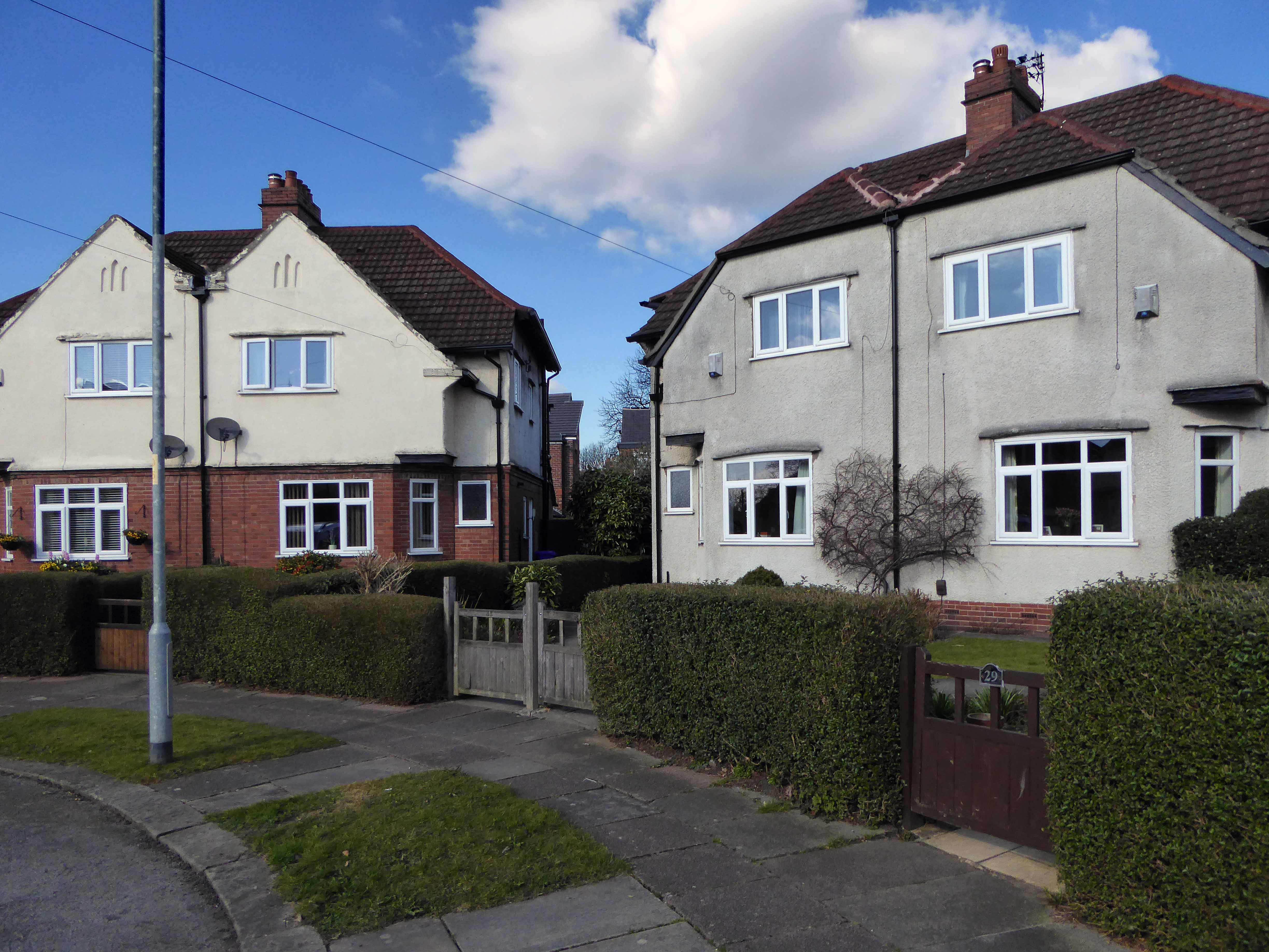
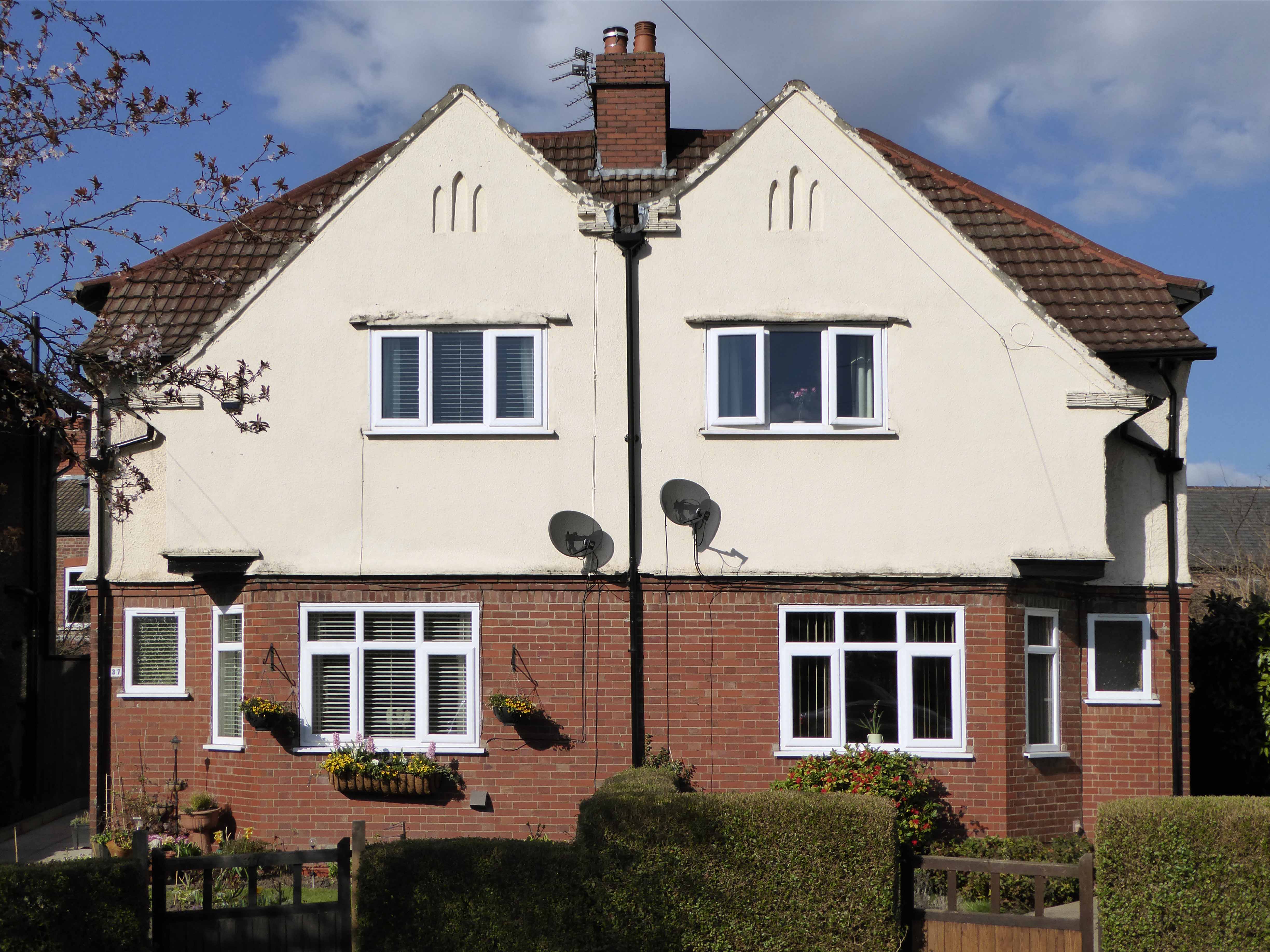
Yorkshire is a county of market towns – Bradford is no exception, a mediaeval village expanding with the growth of the wool trade and the coming of the Industrial Revolution.
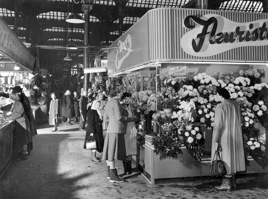
Flourishing.
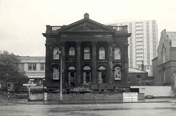
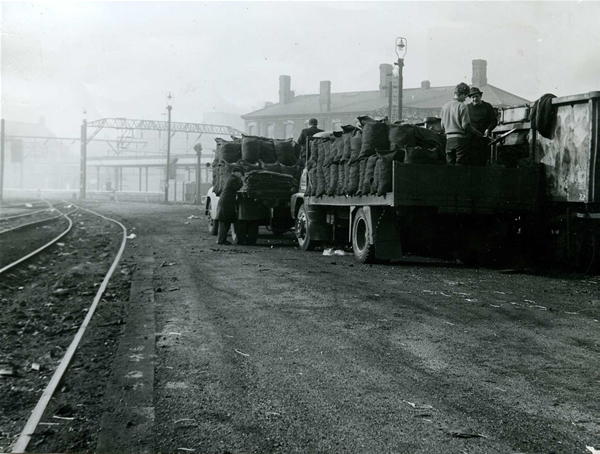
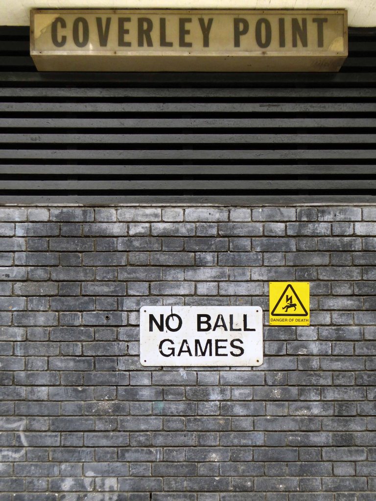
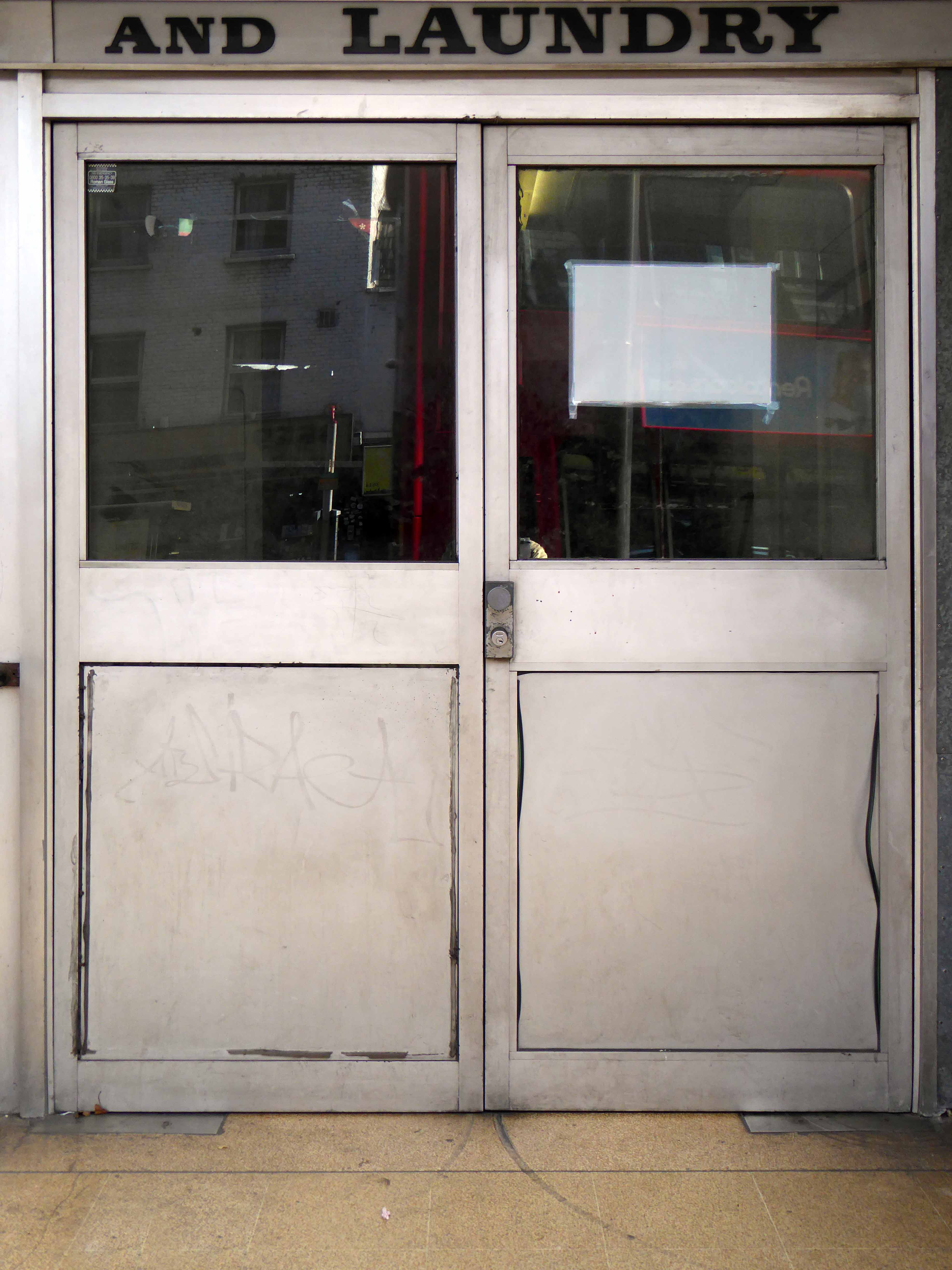
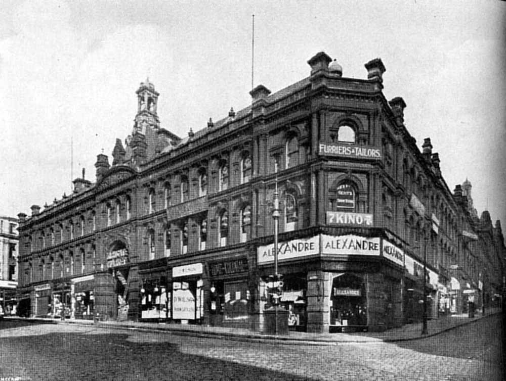
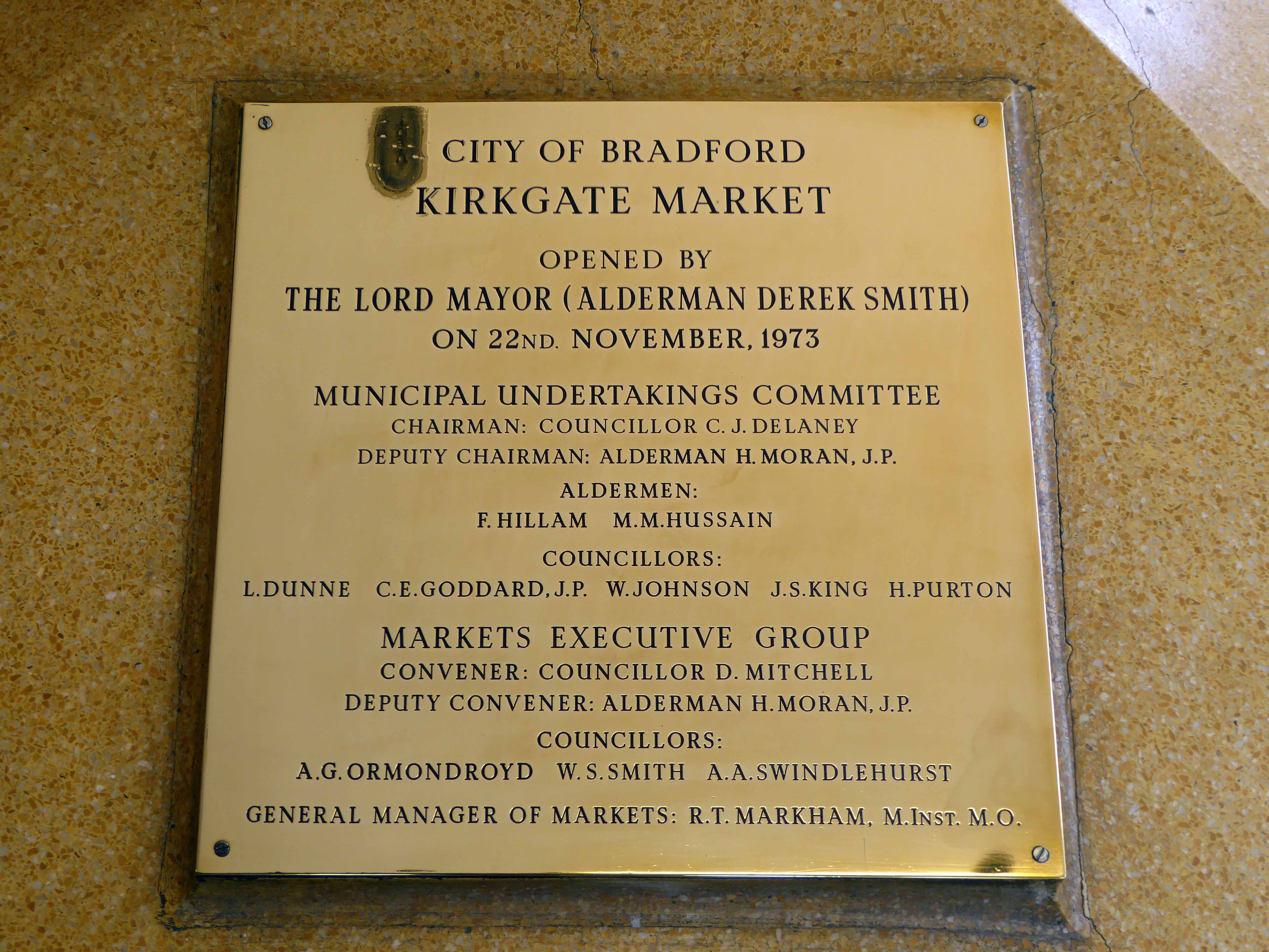
The site was originally occupied by an imposing building of 1878.
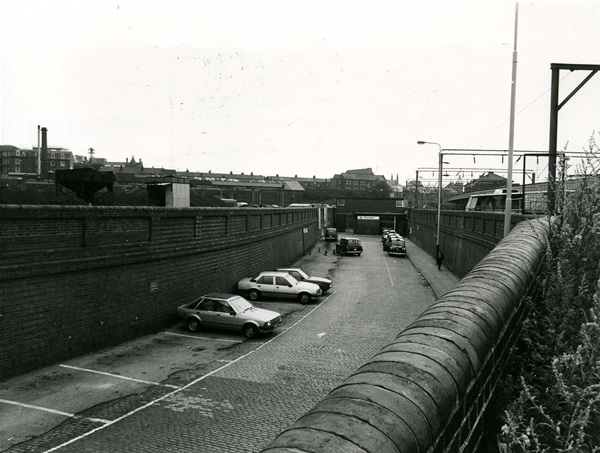
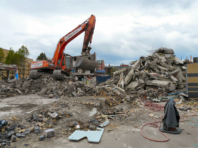
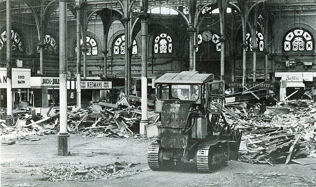
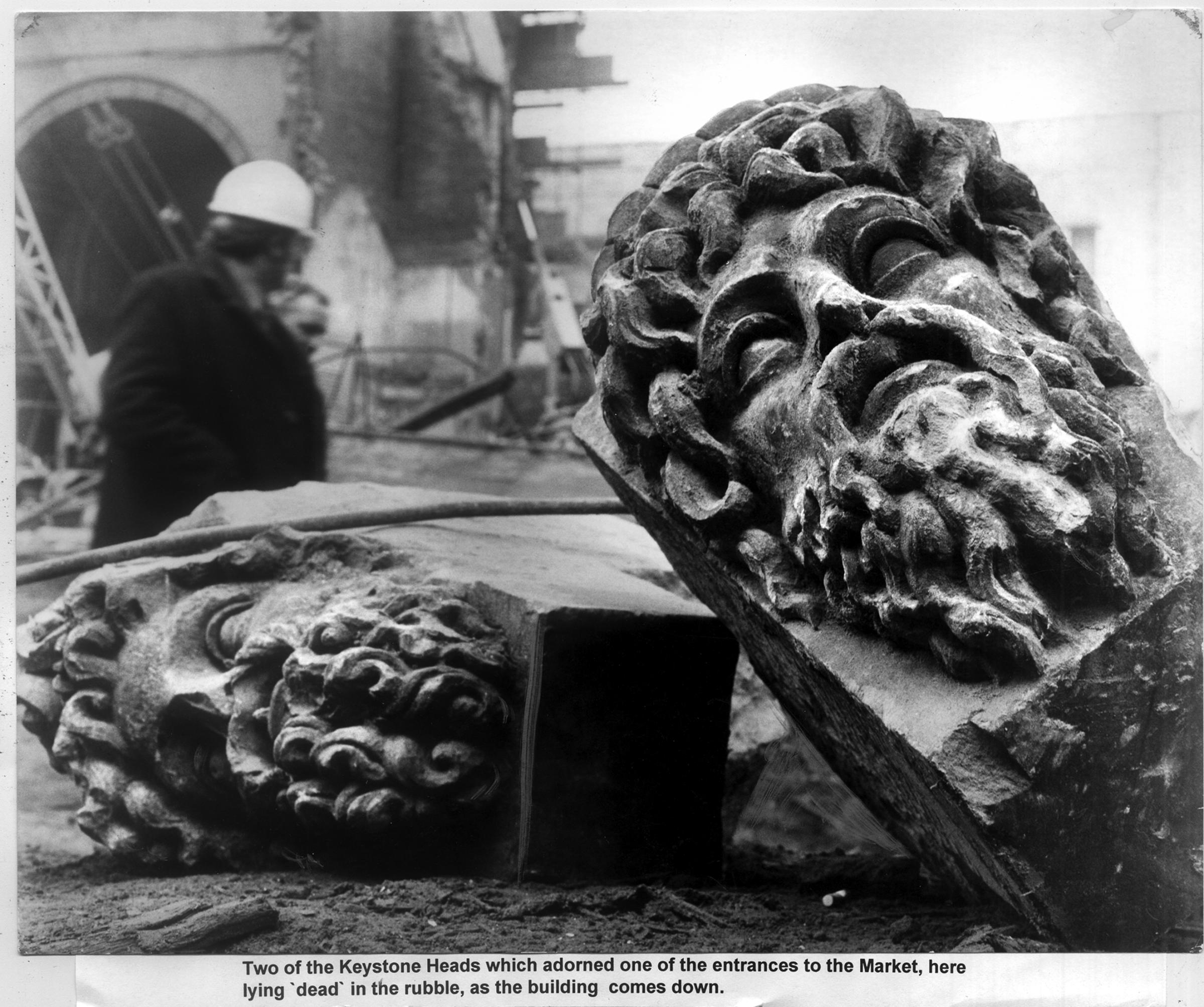
Demolished in 1973.
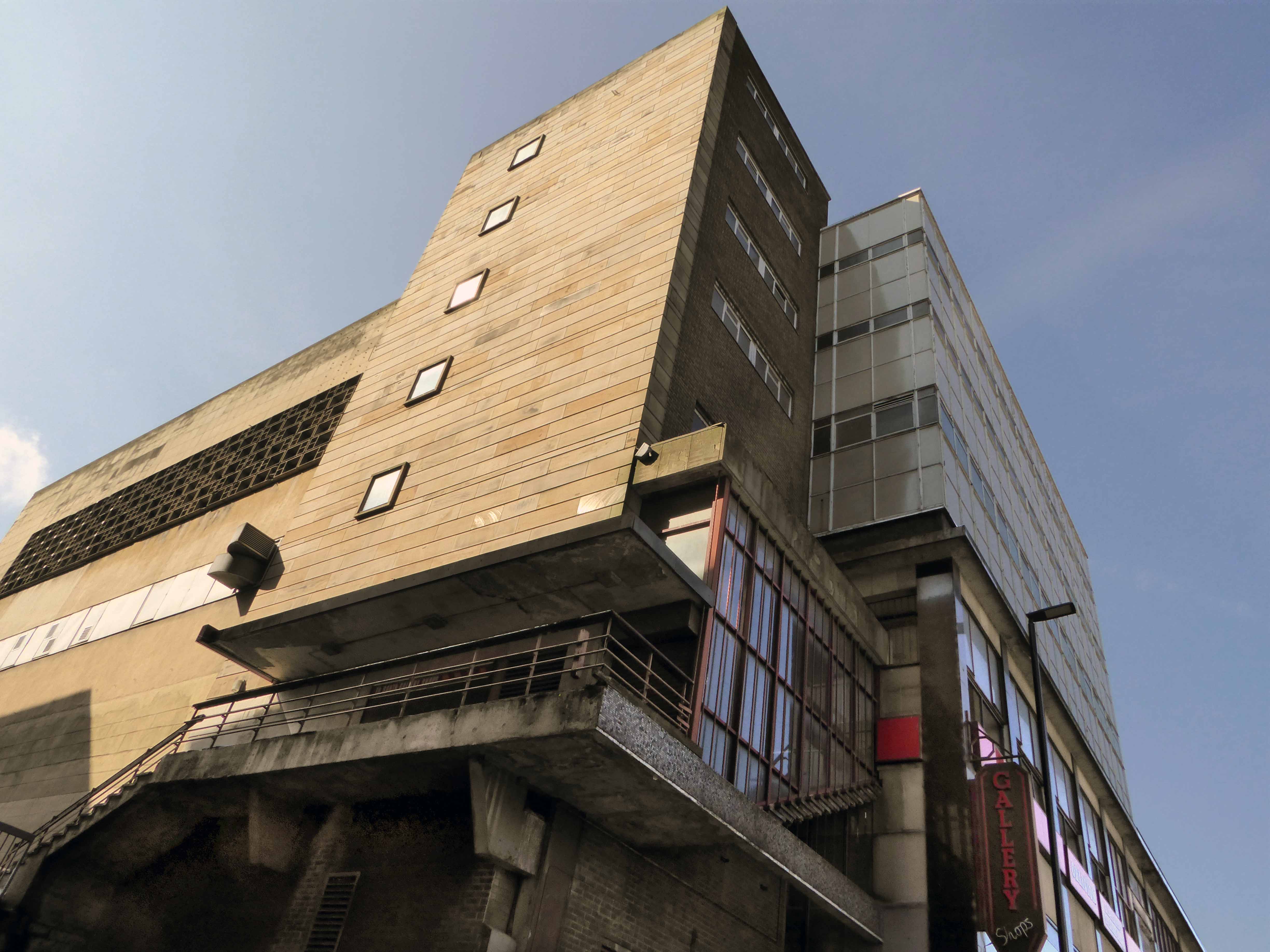
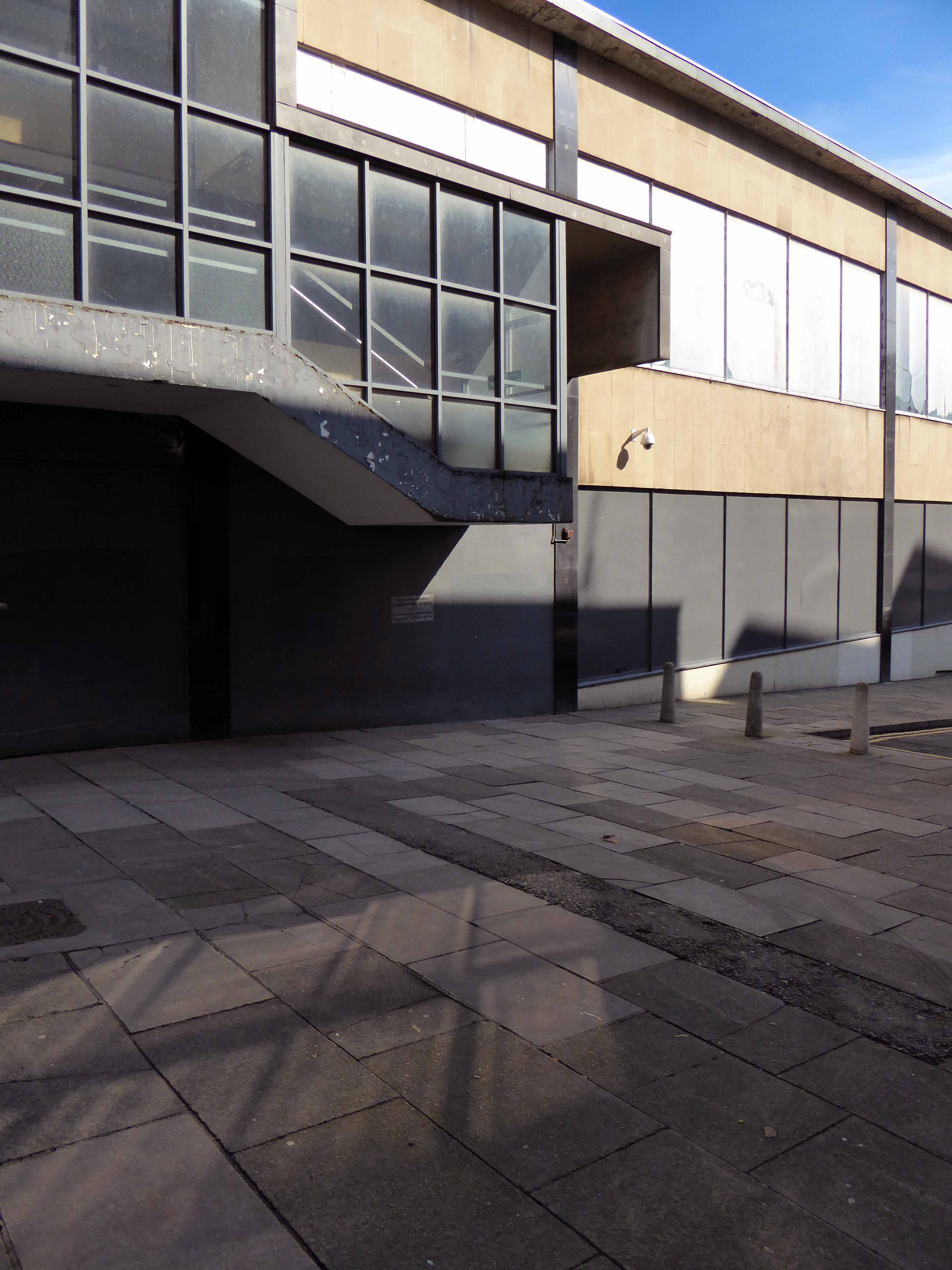
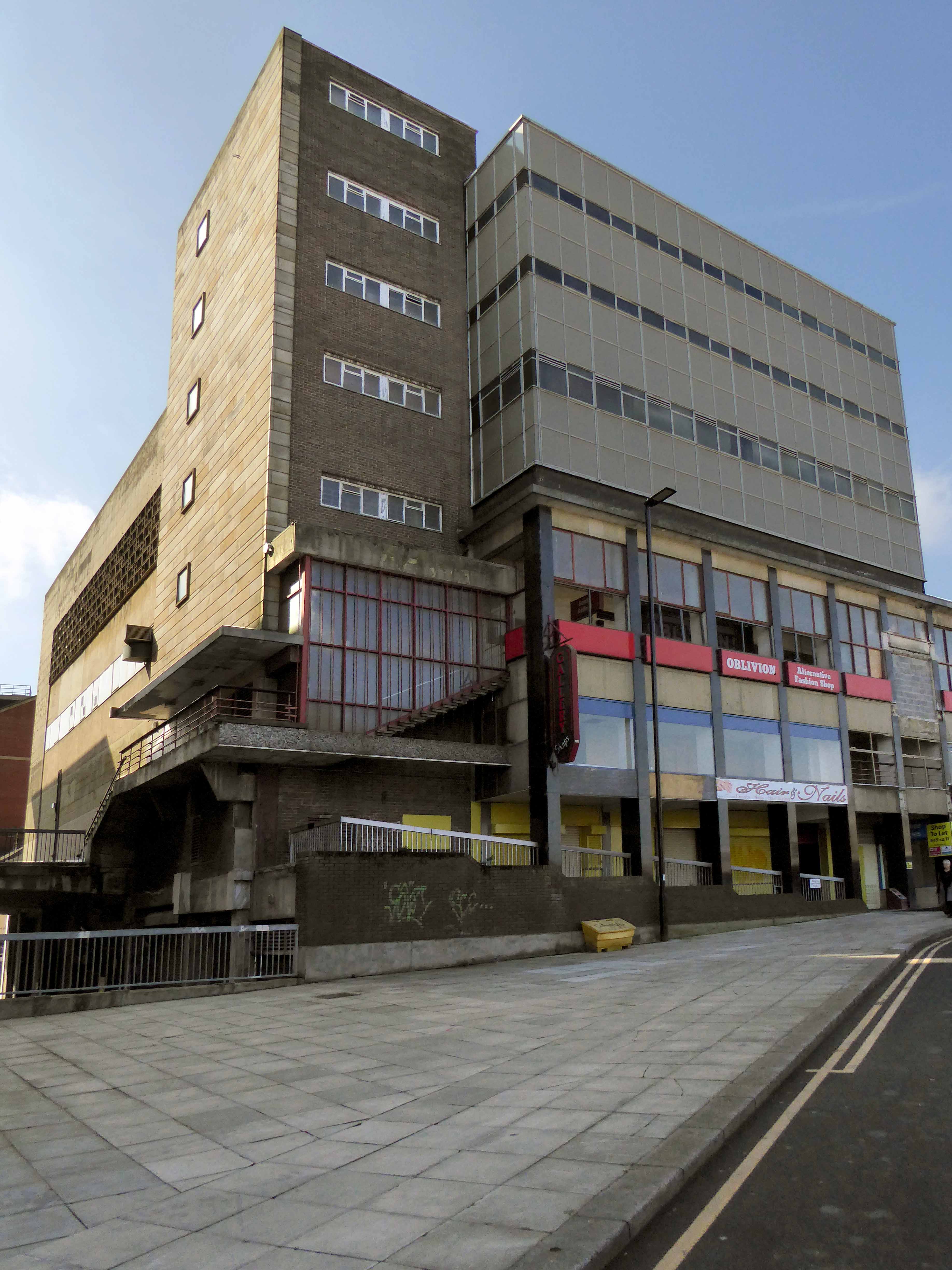
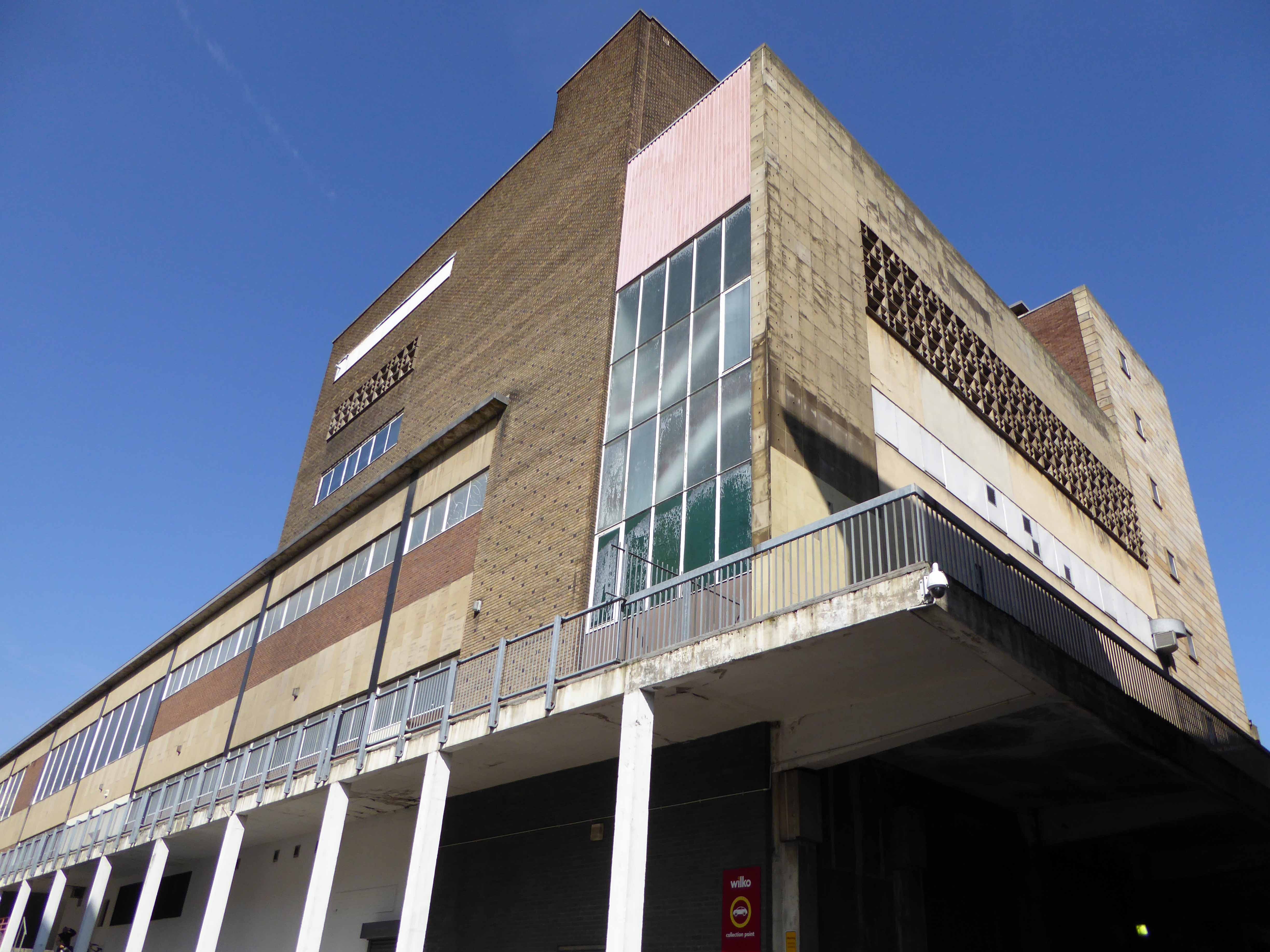
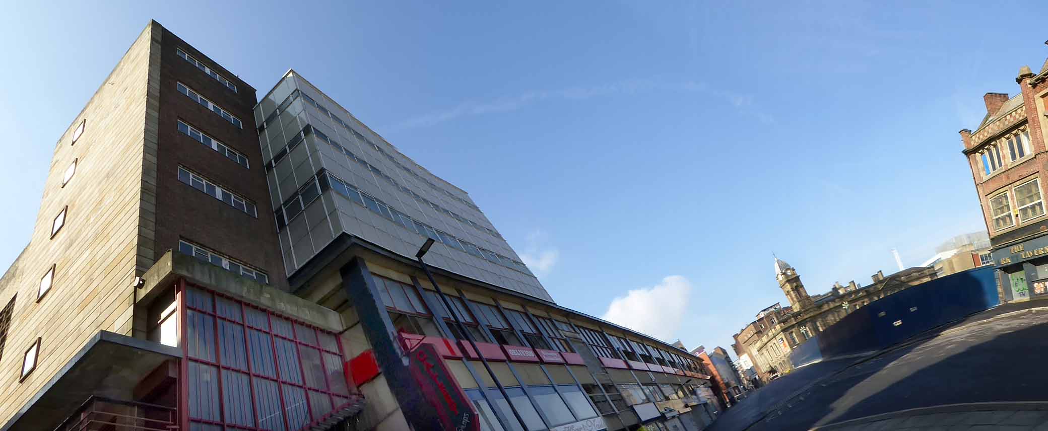
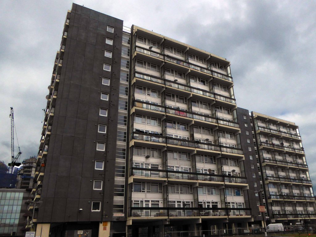
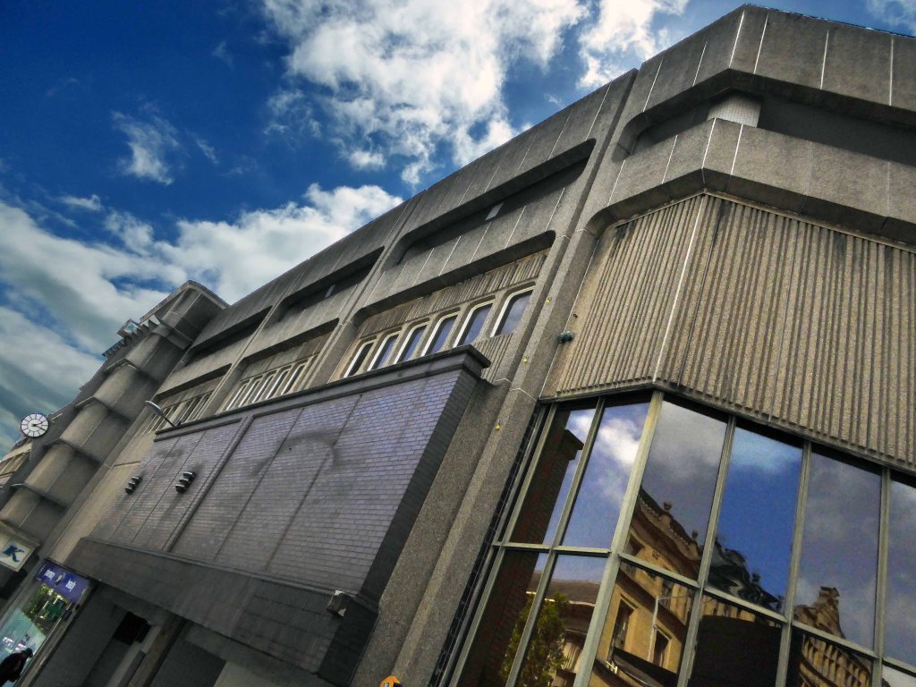
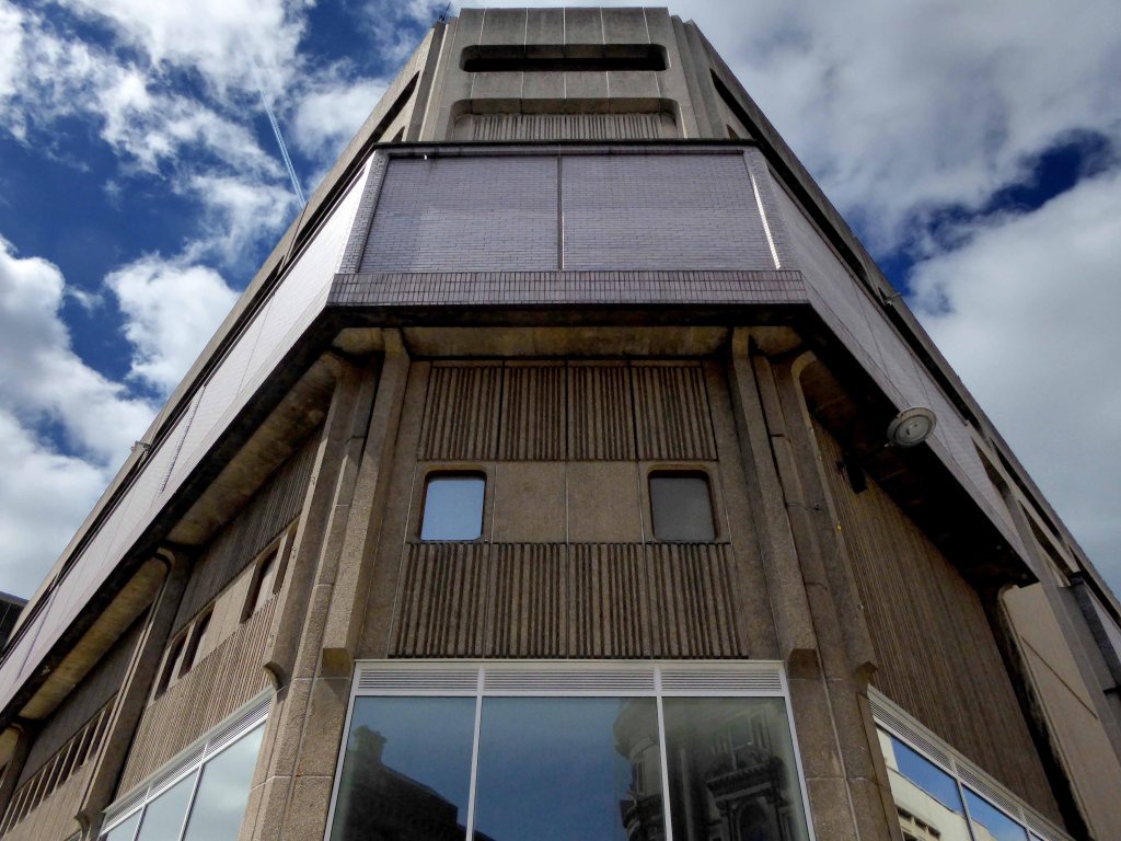
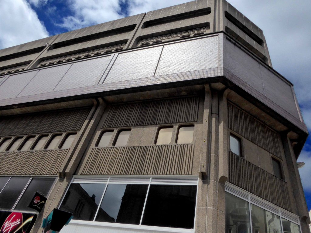
To be replaced by a Brutalist build in the same year.
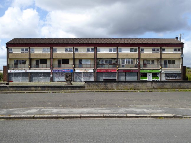
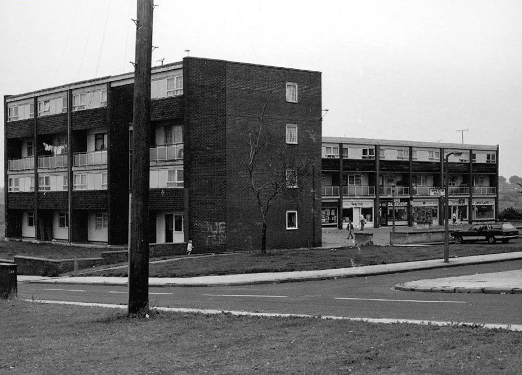
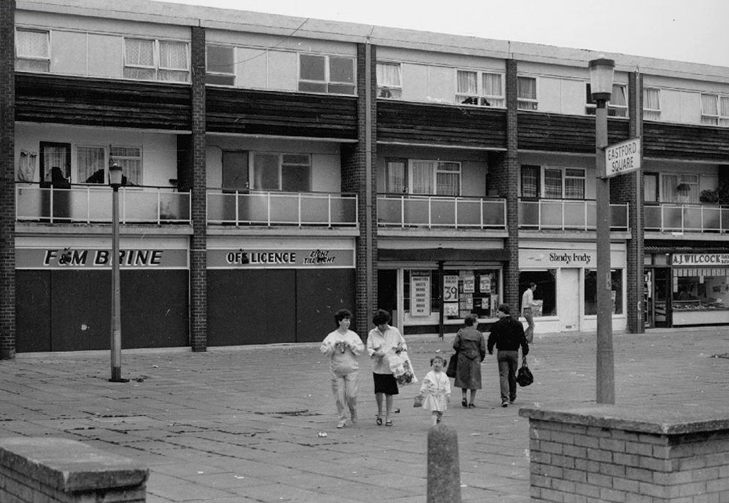
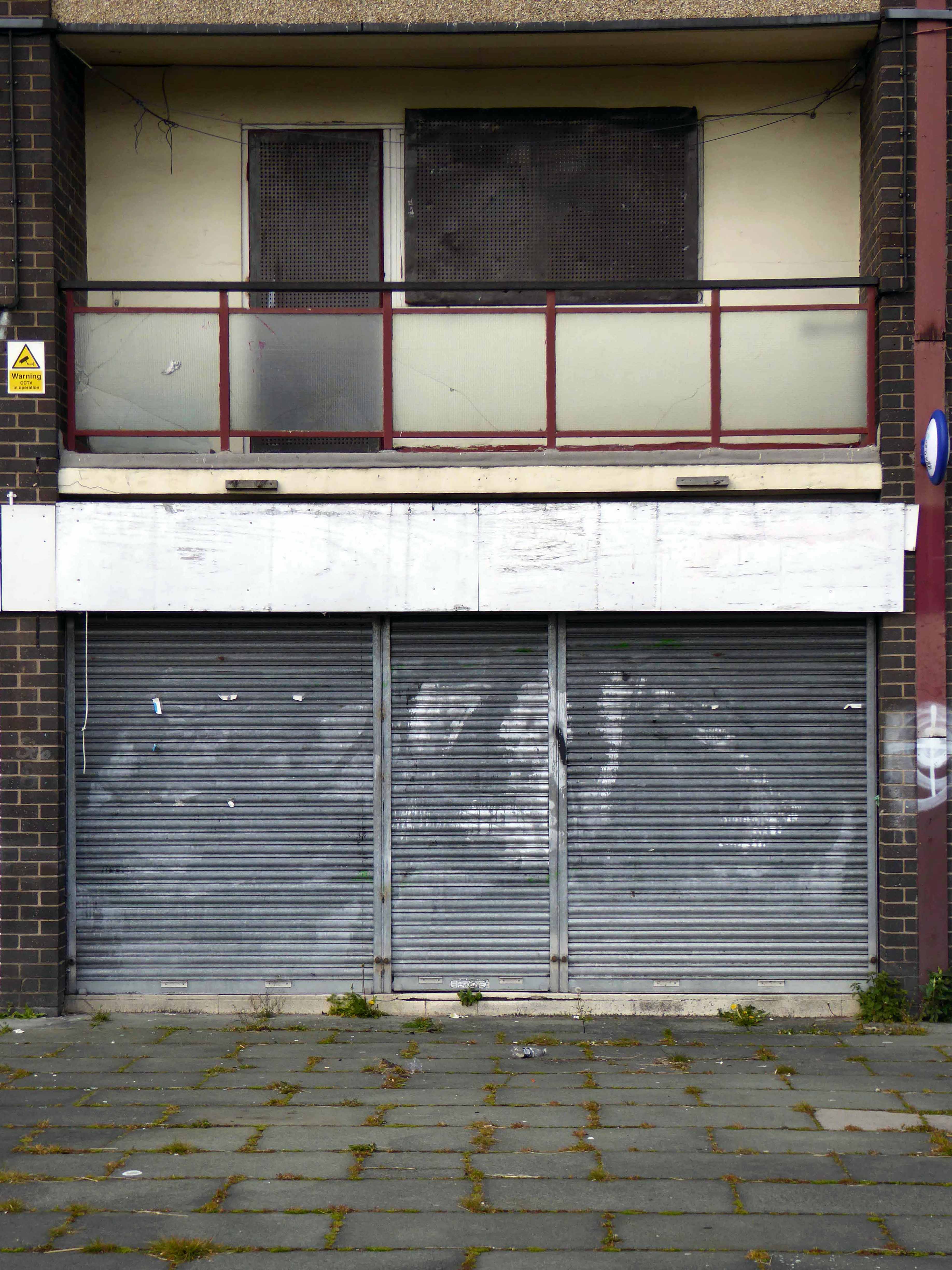
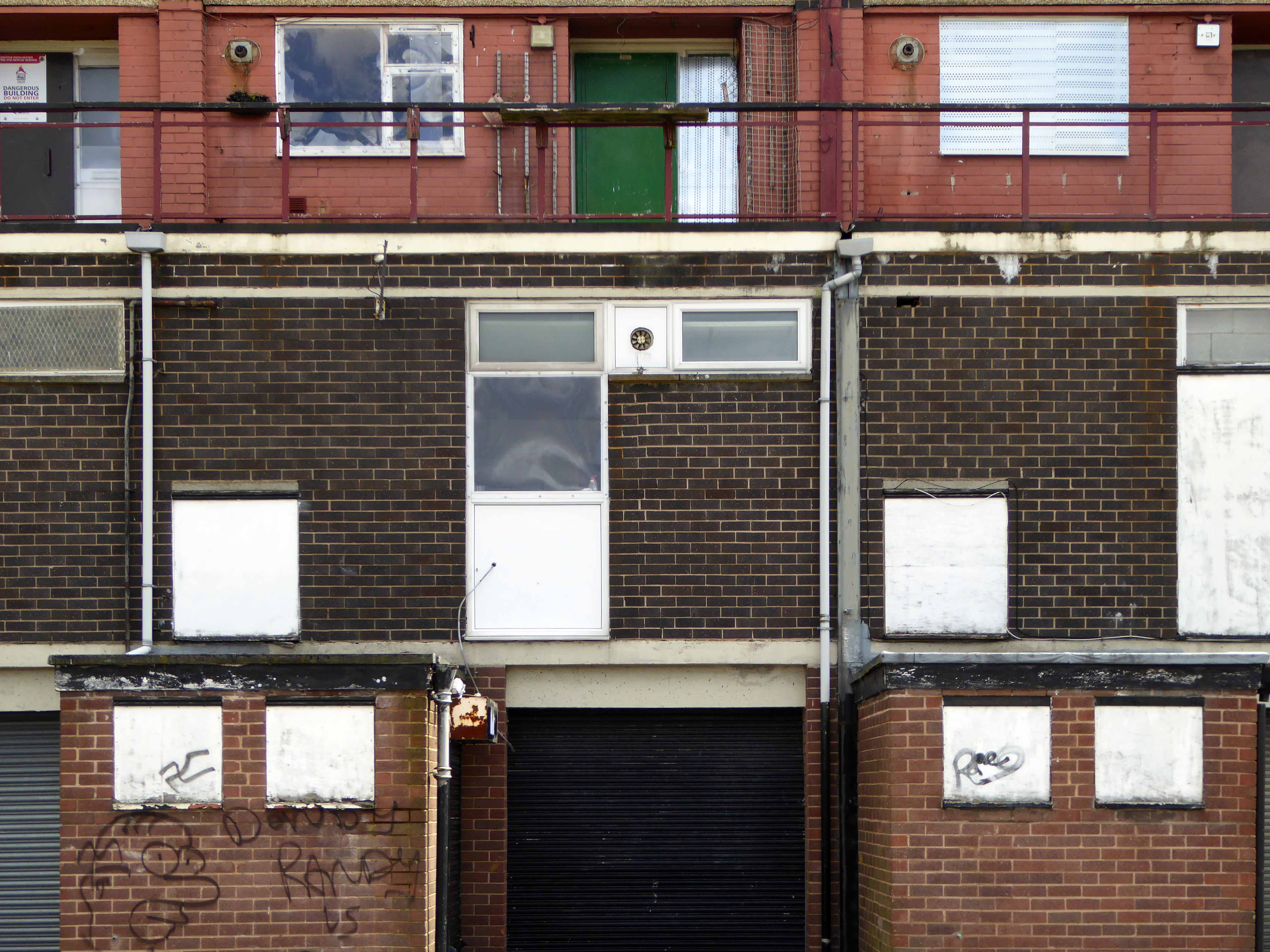
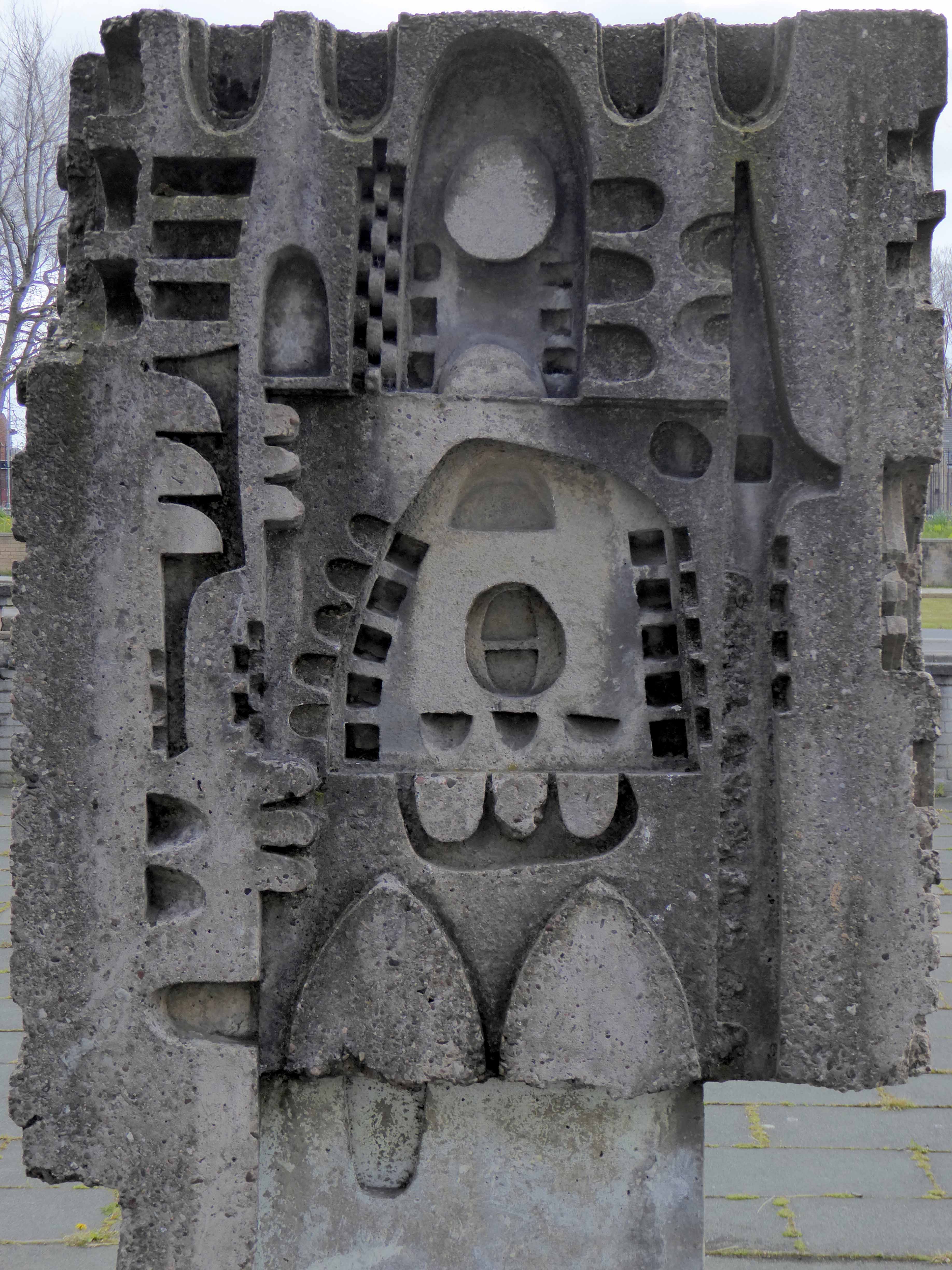
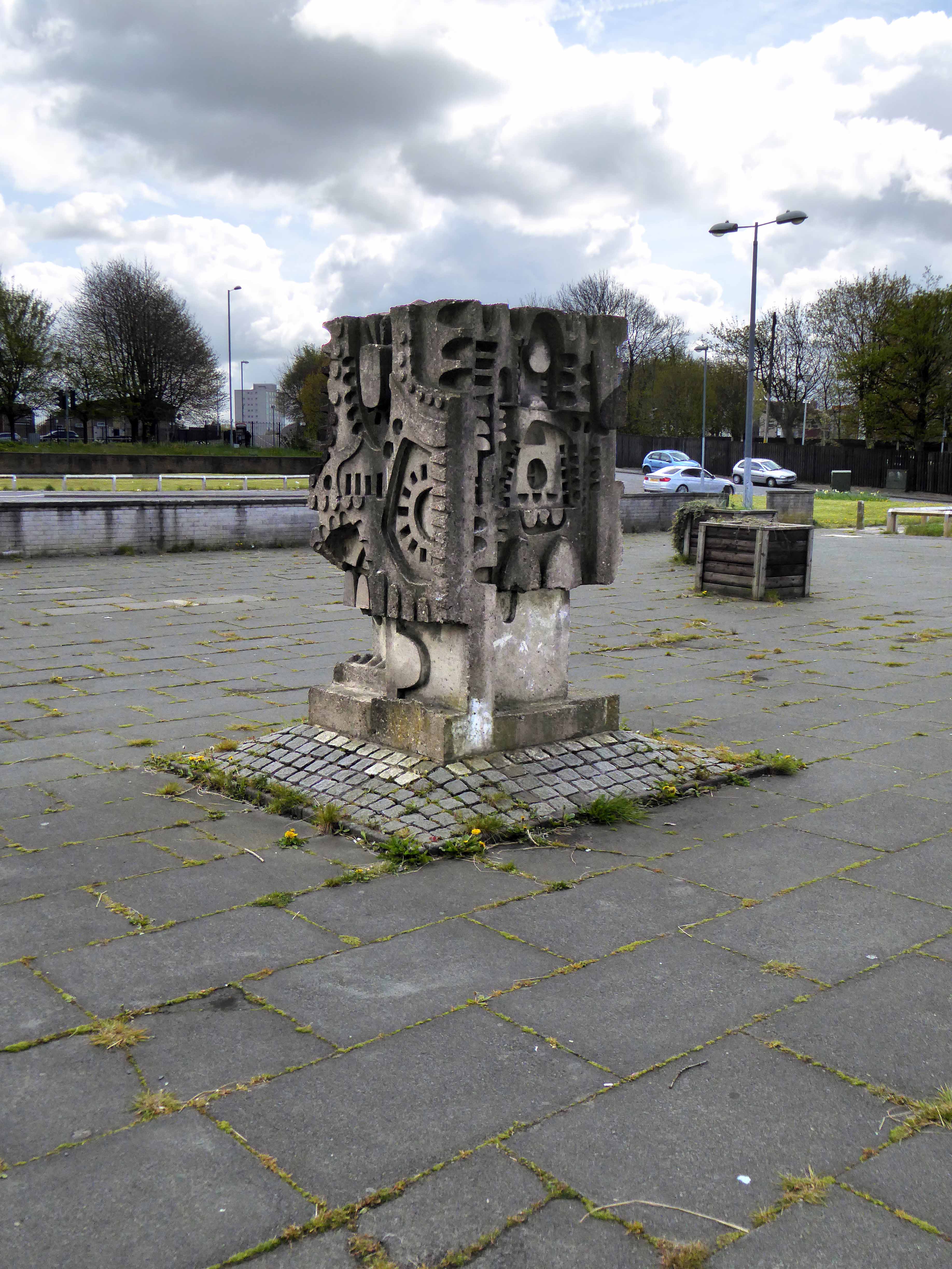
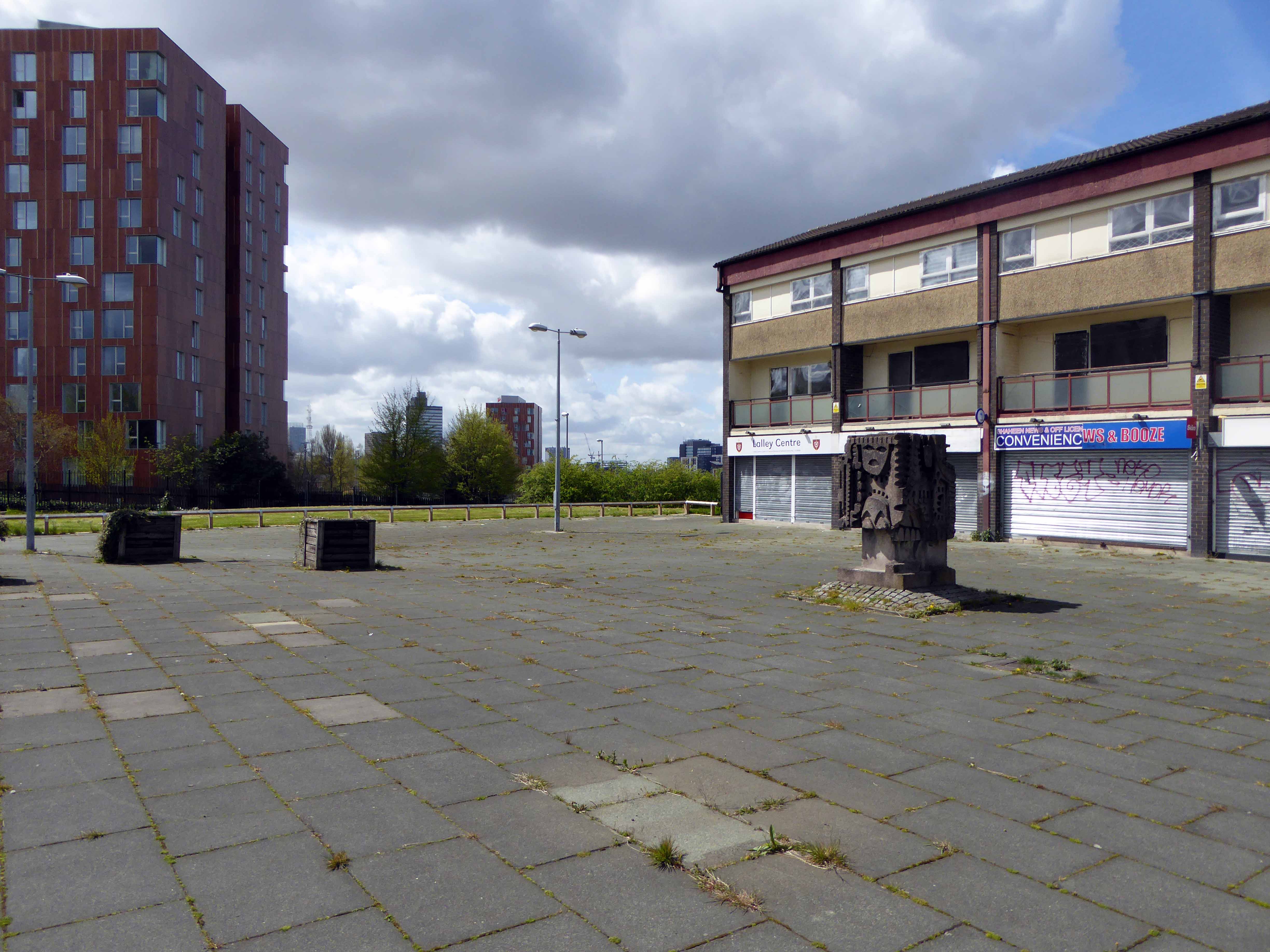
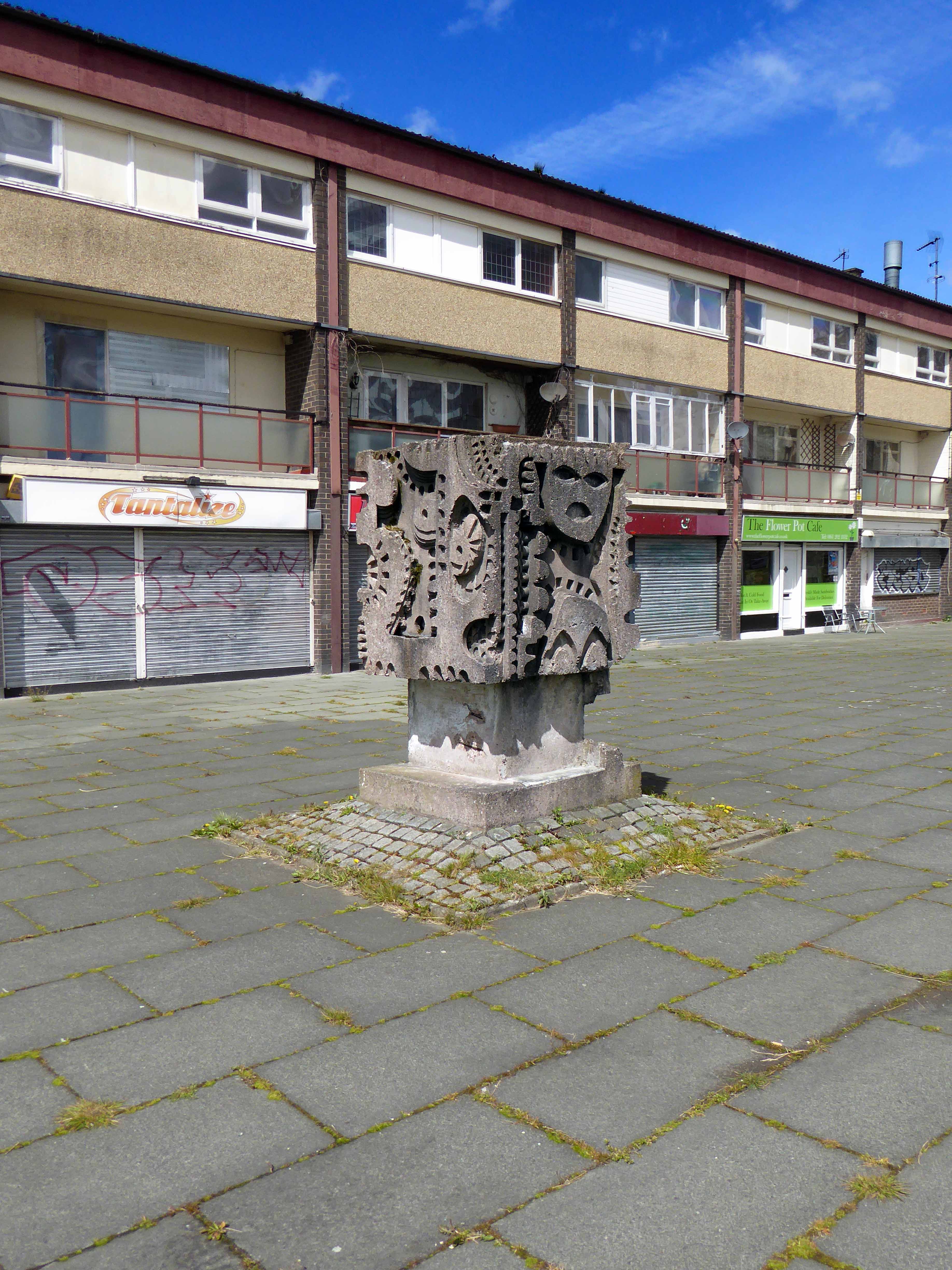
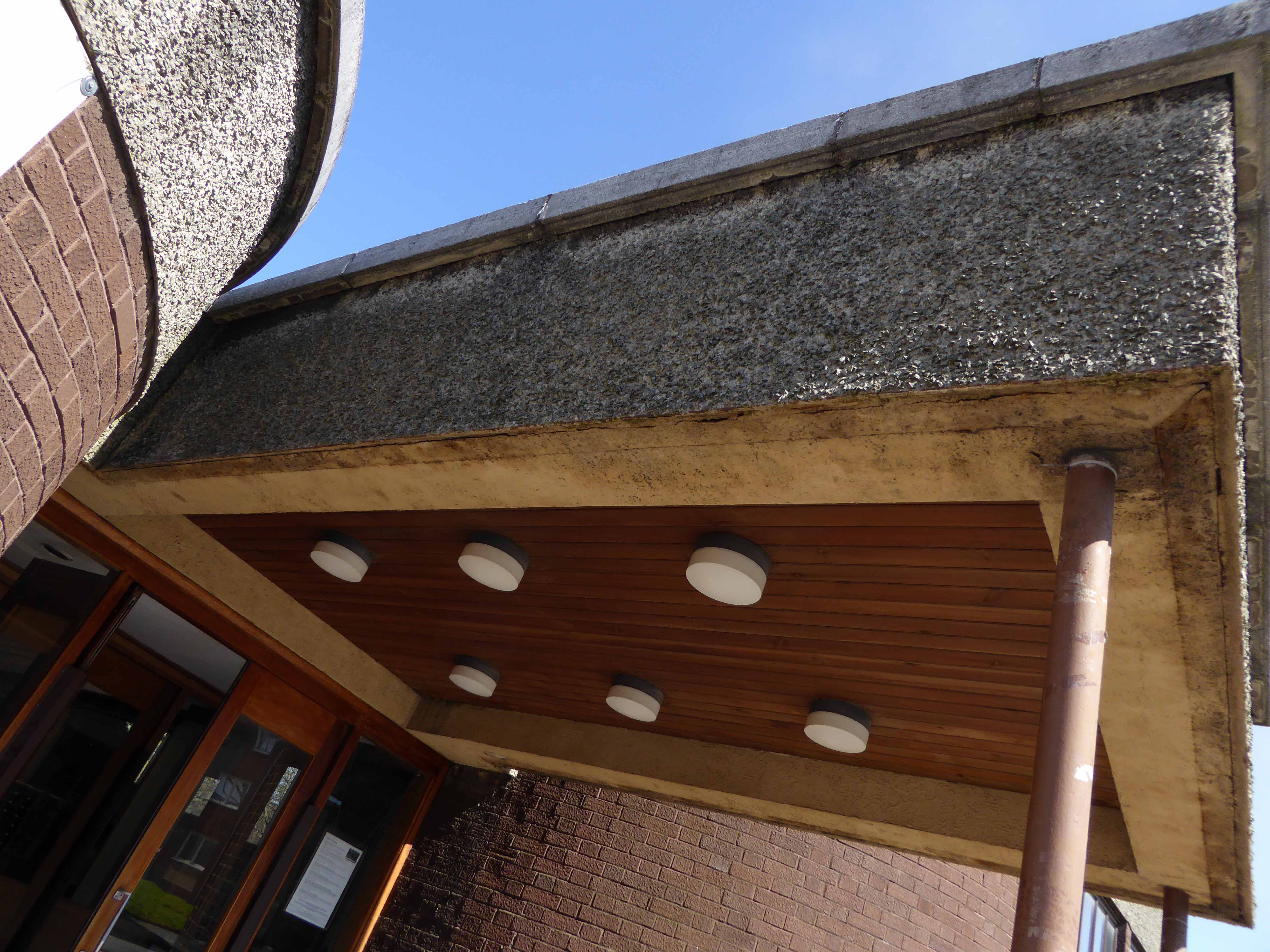
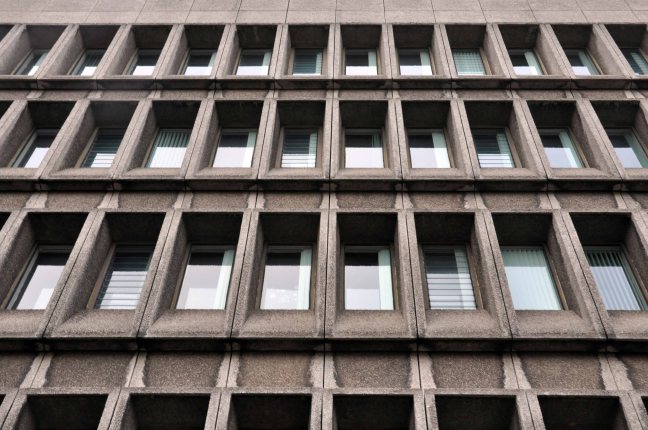
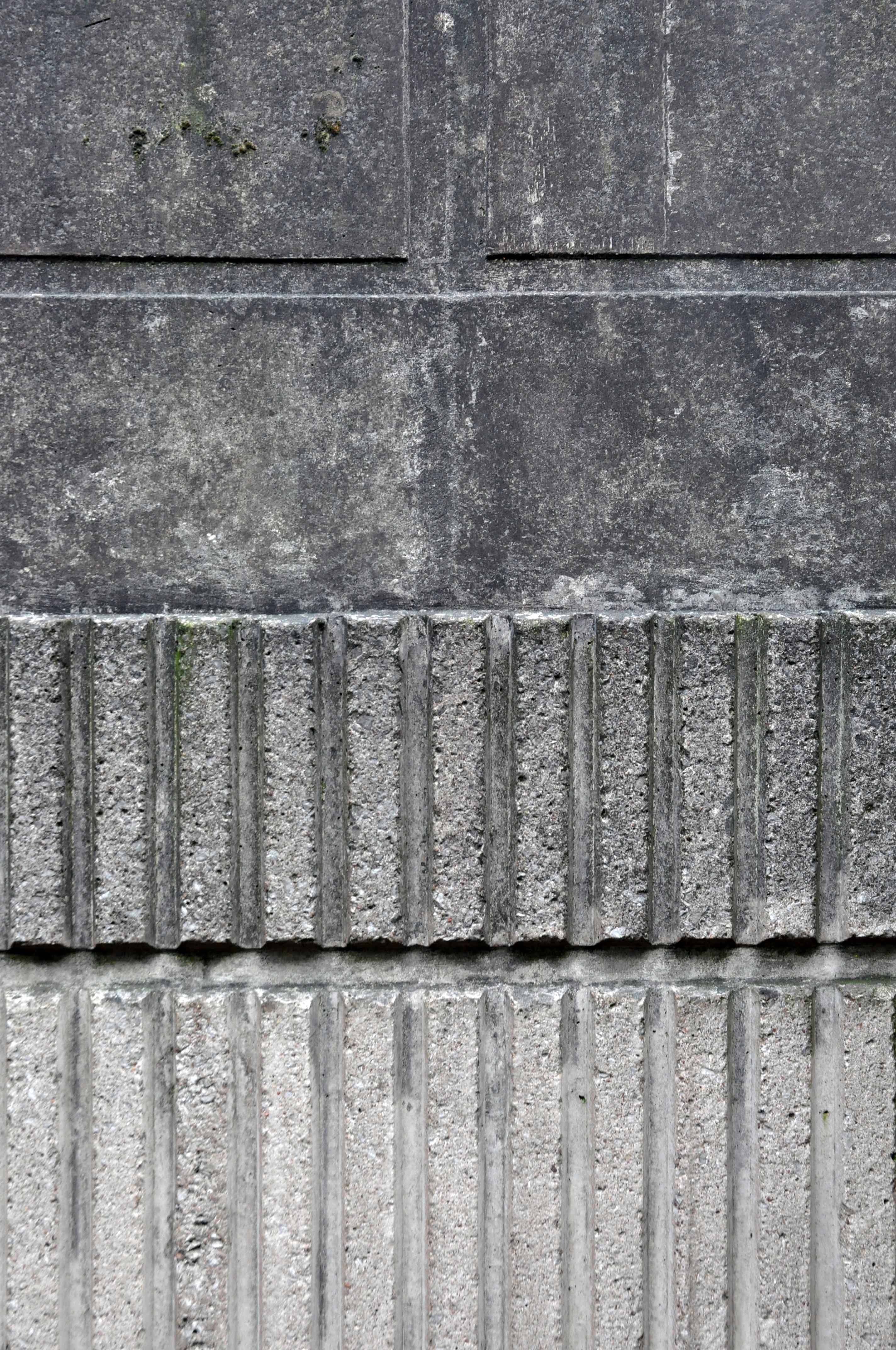
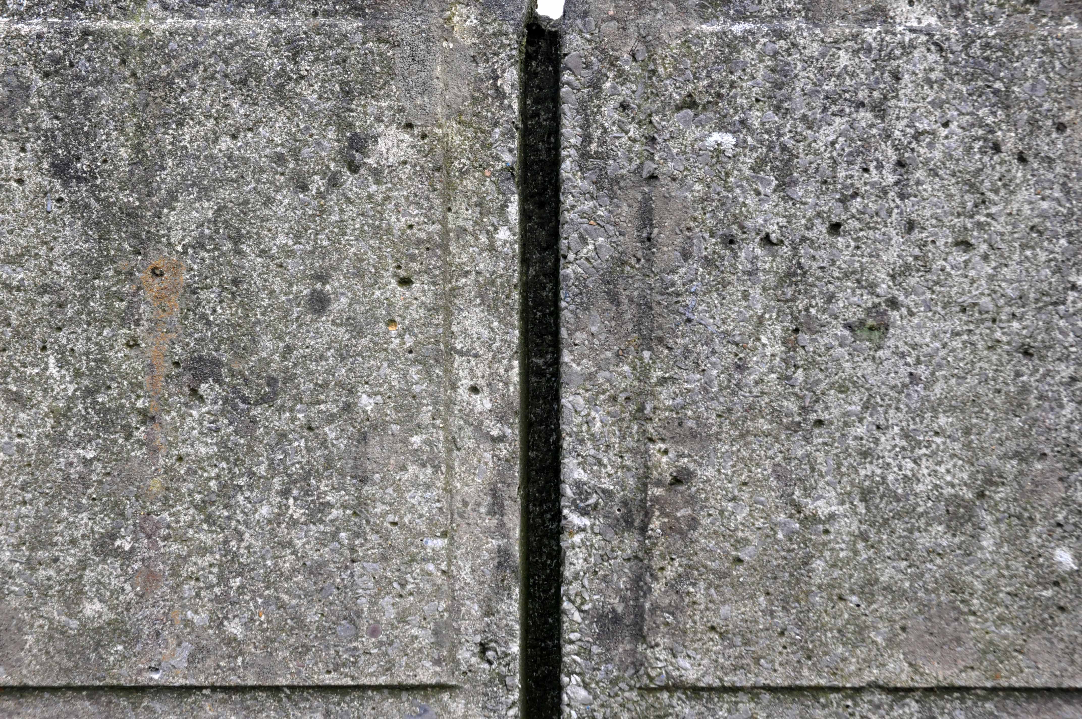
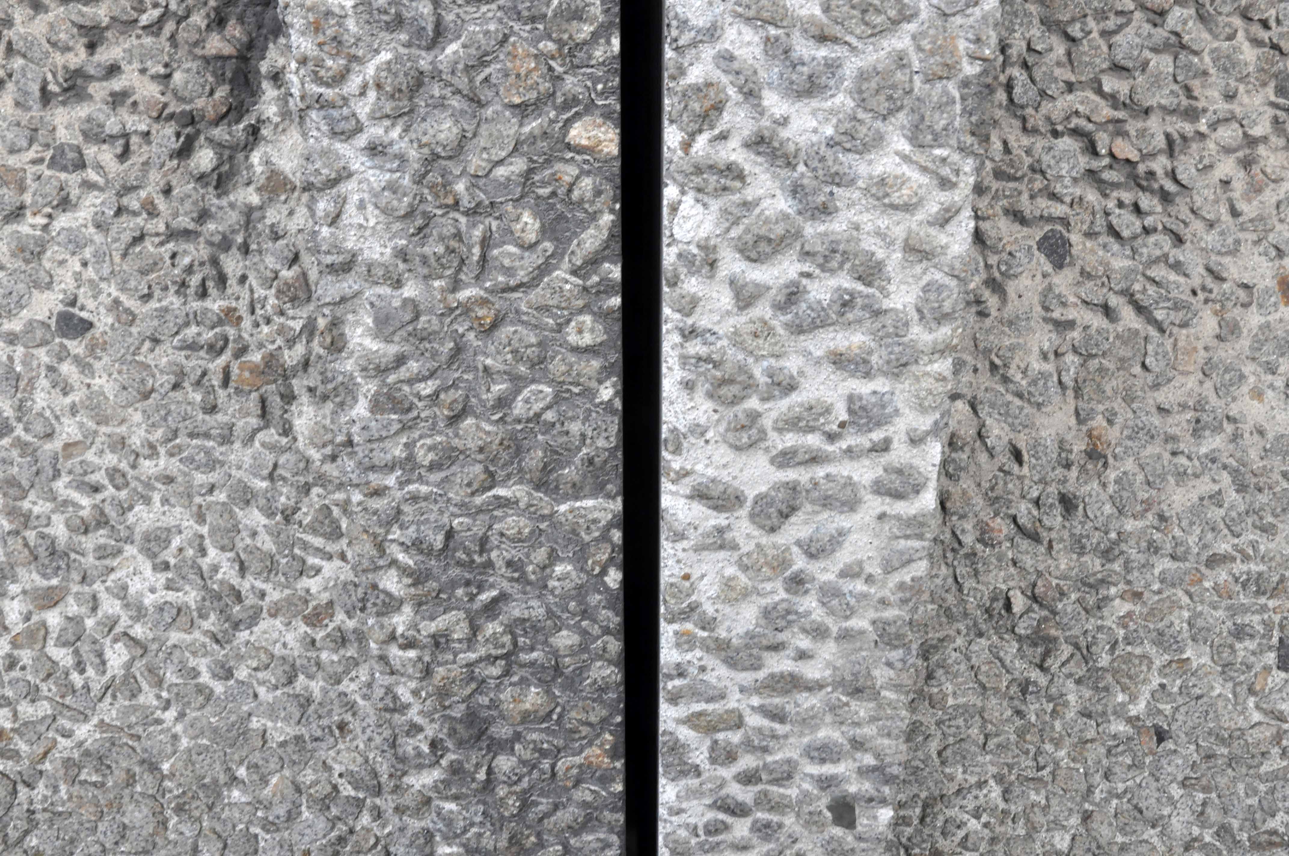
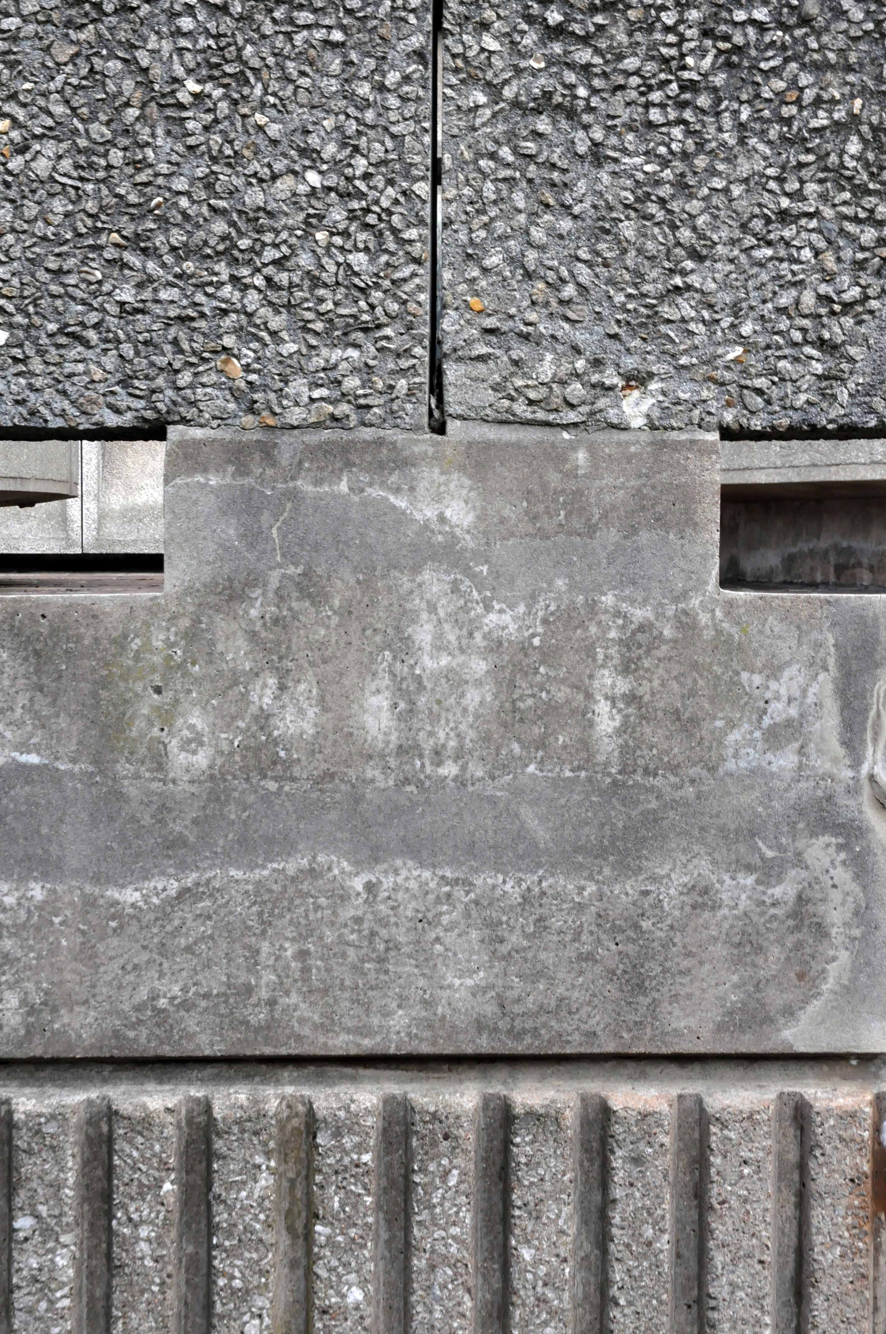
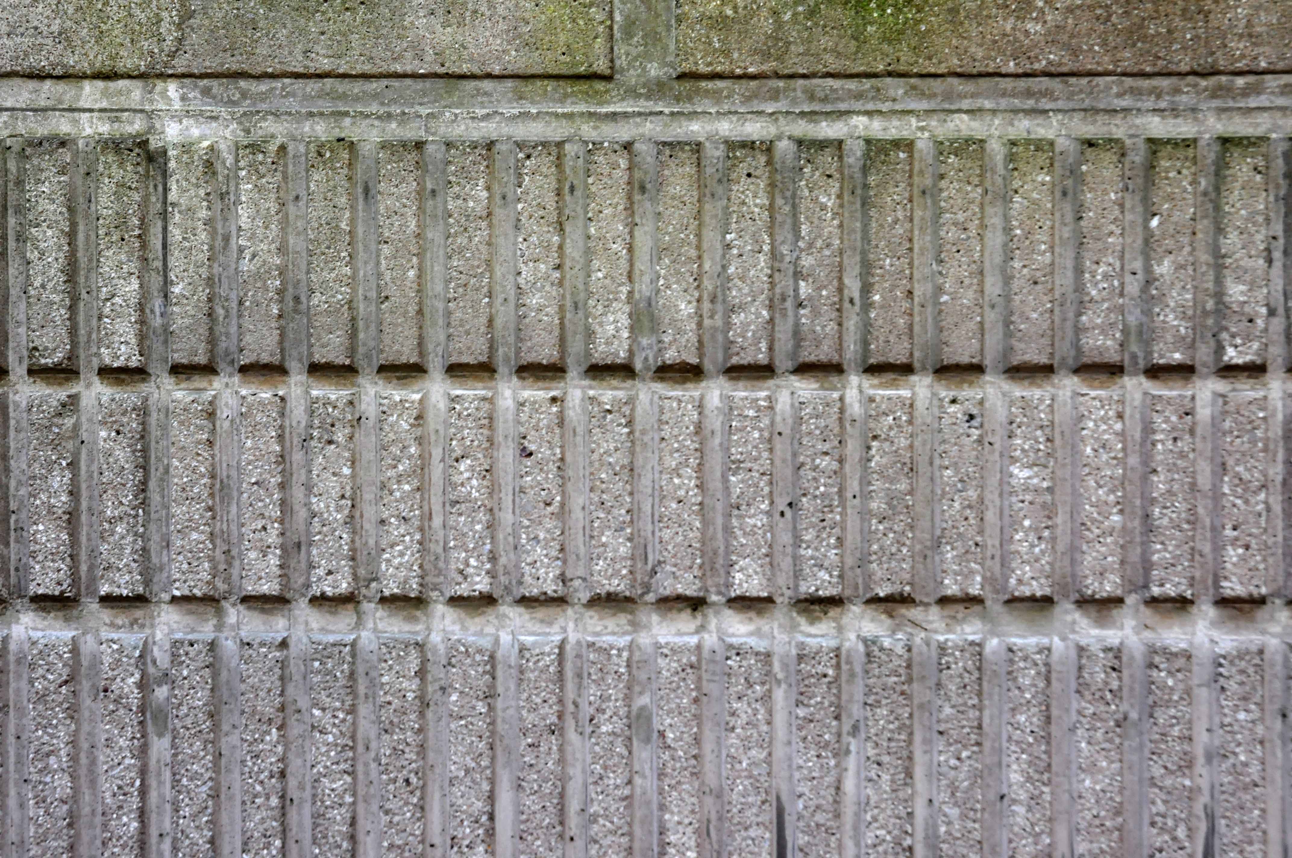
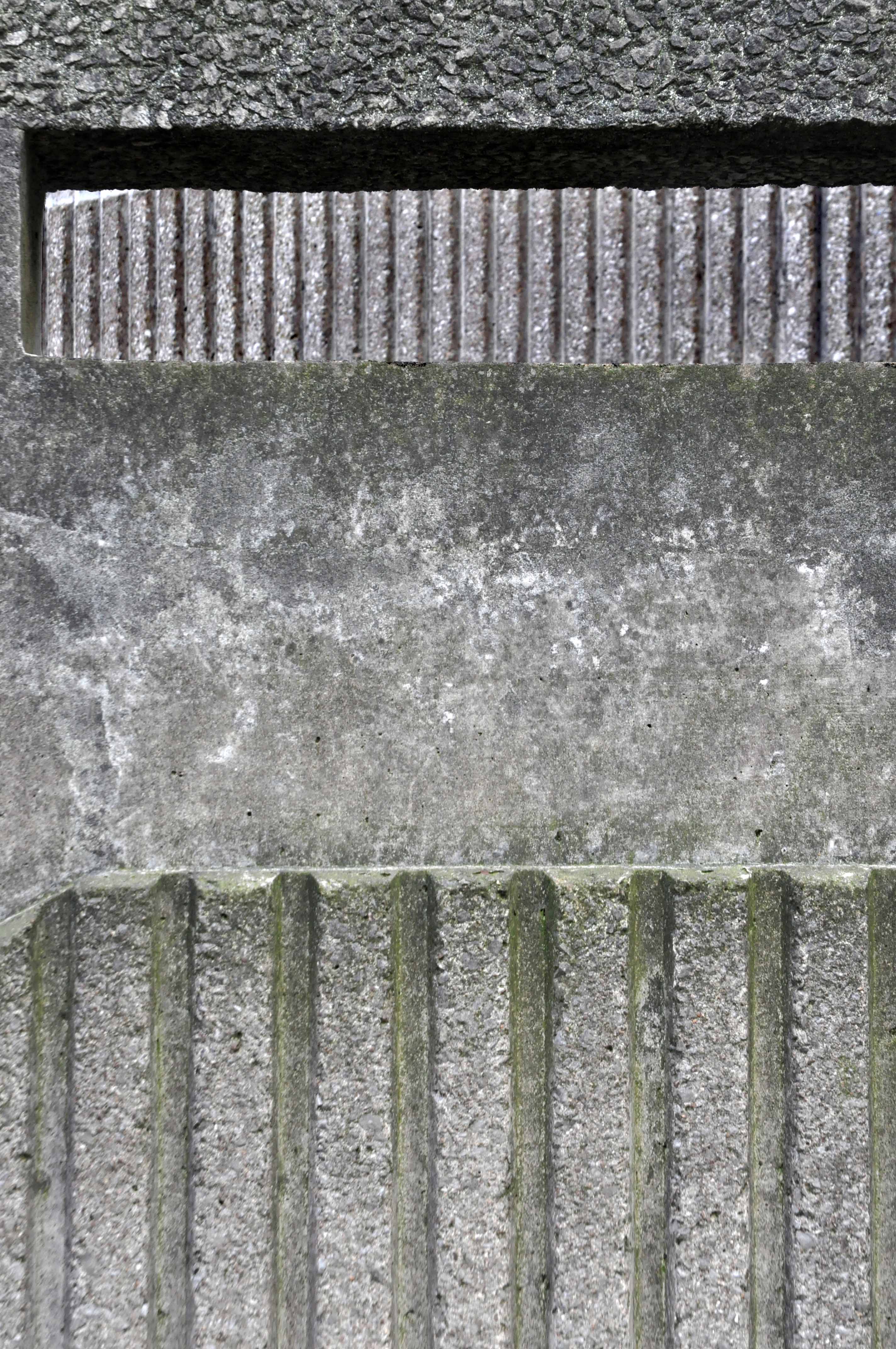
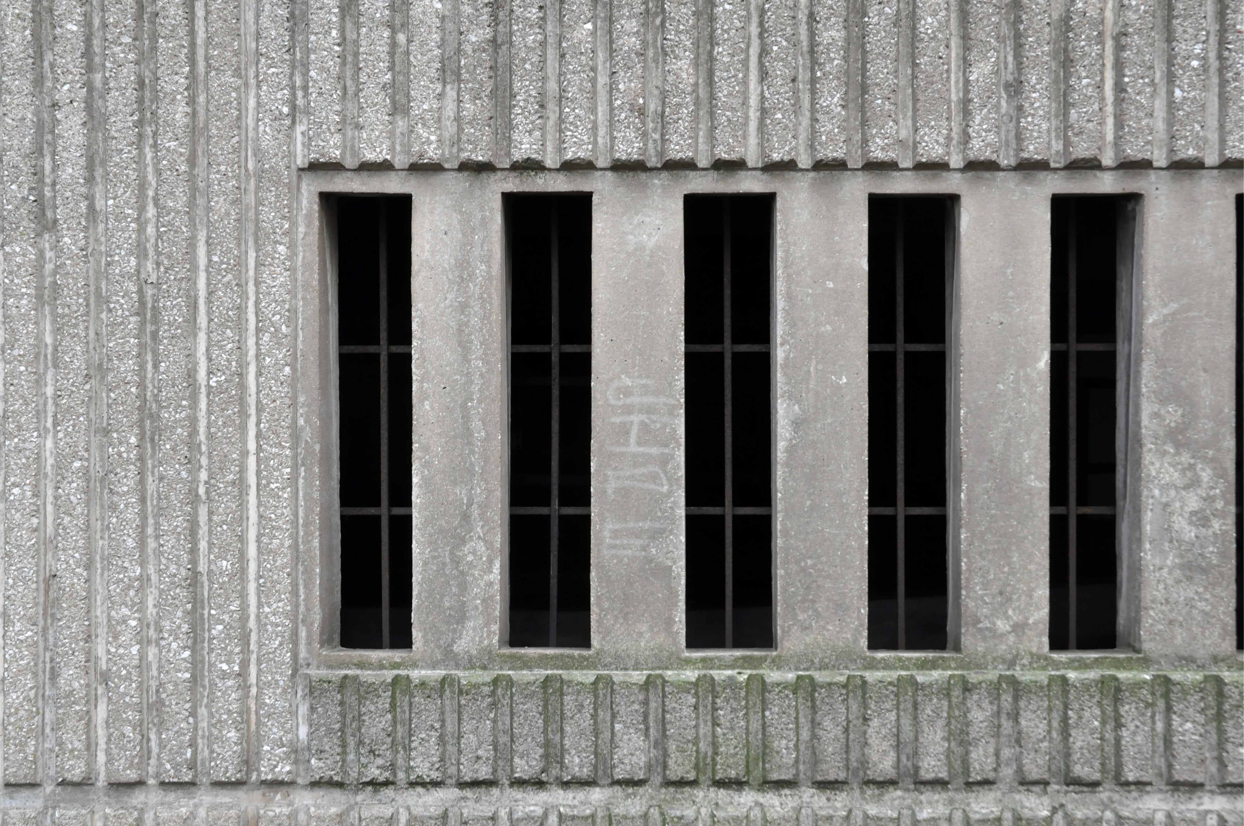
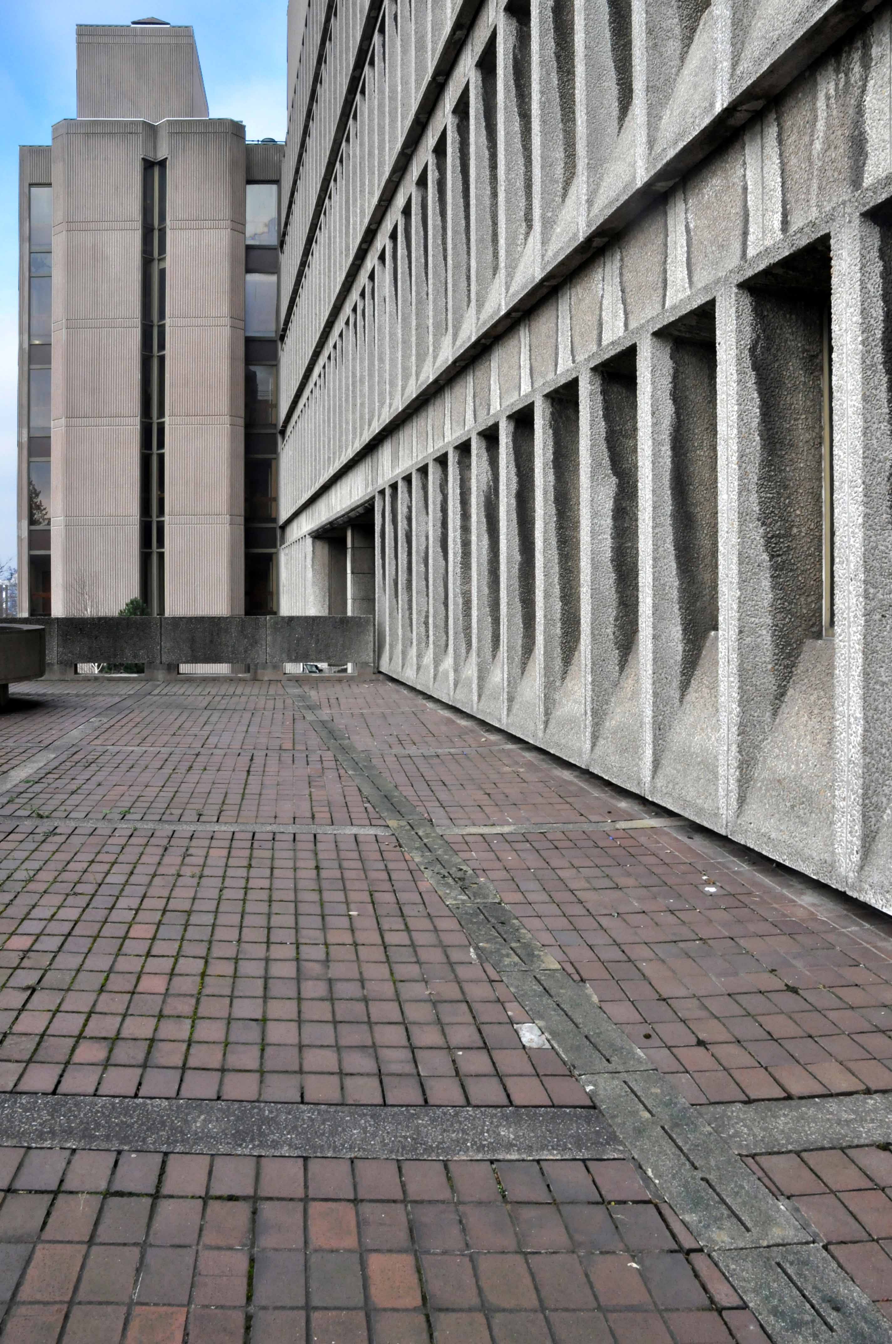
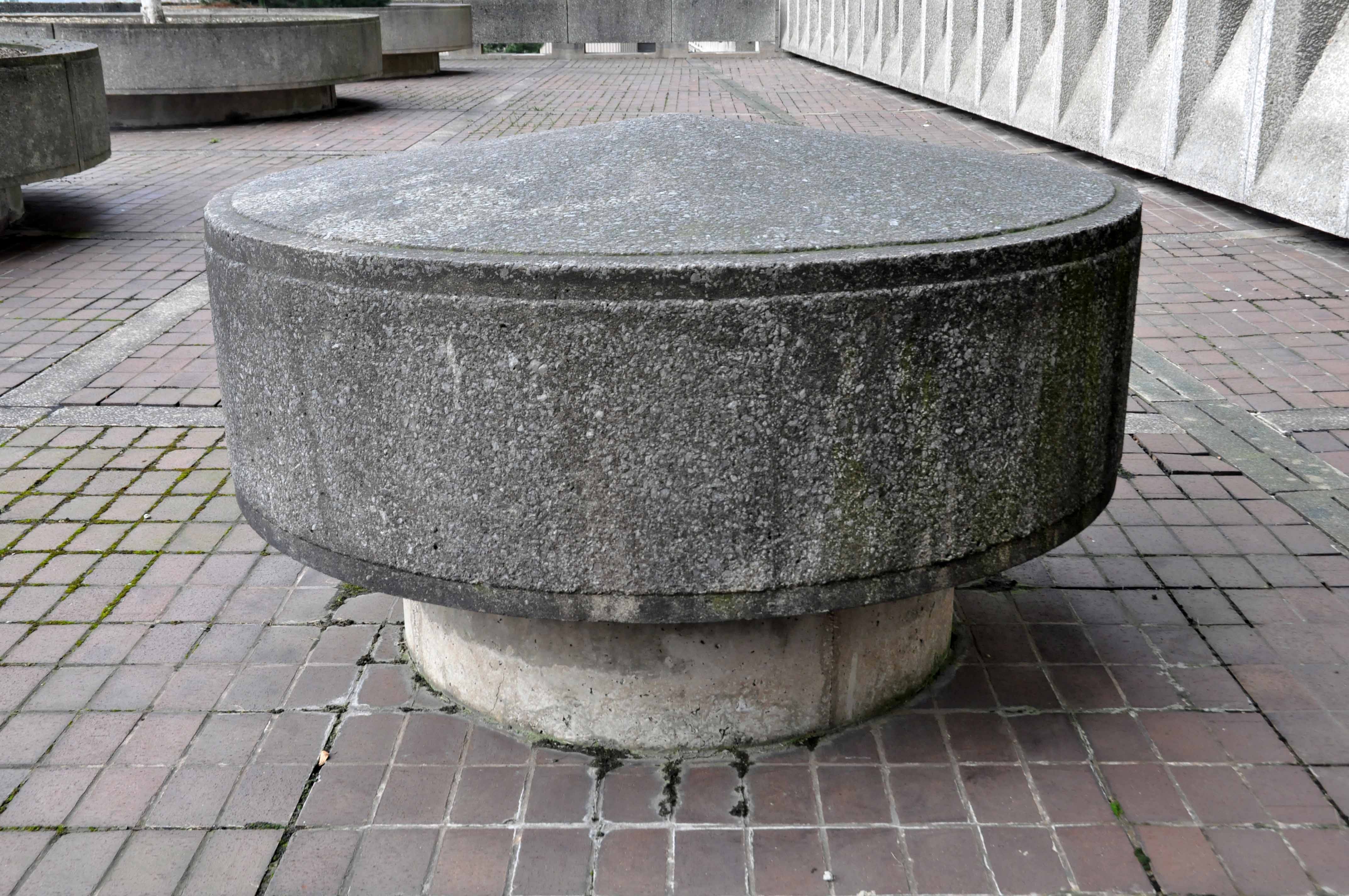
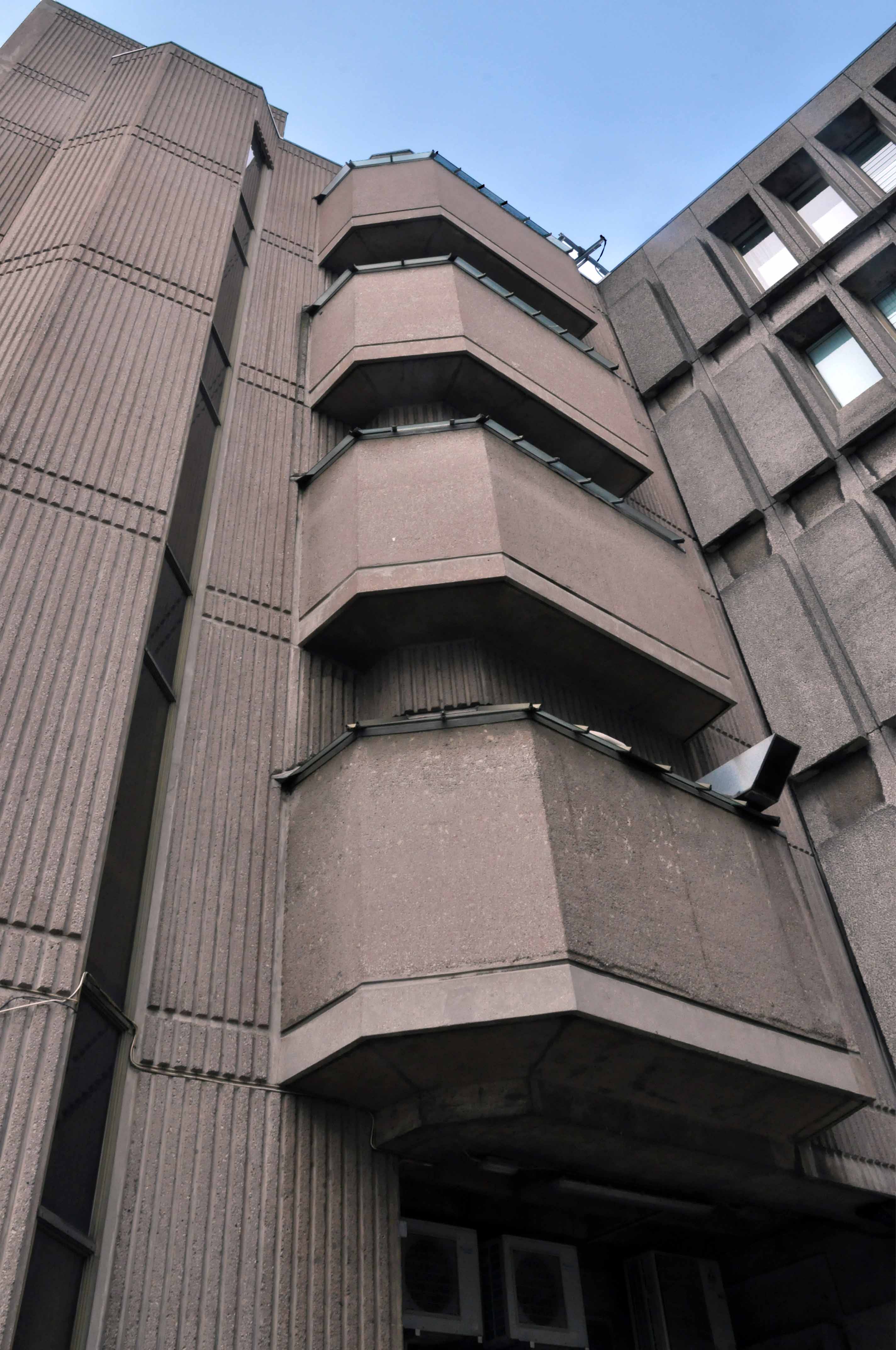
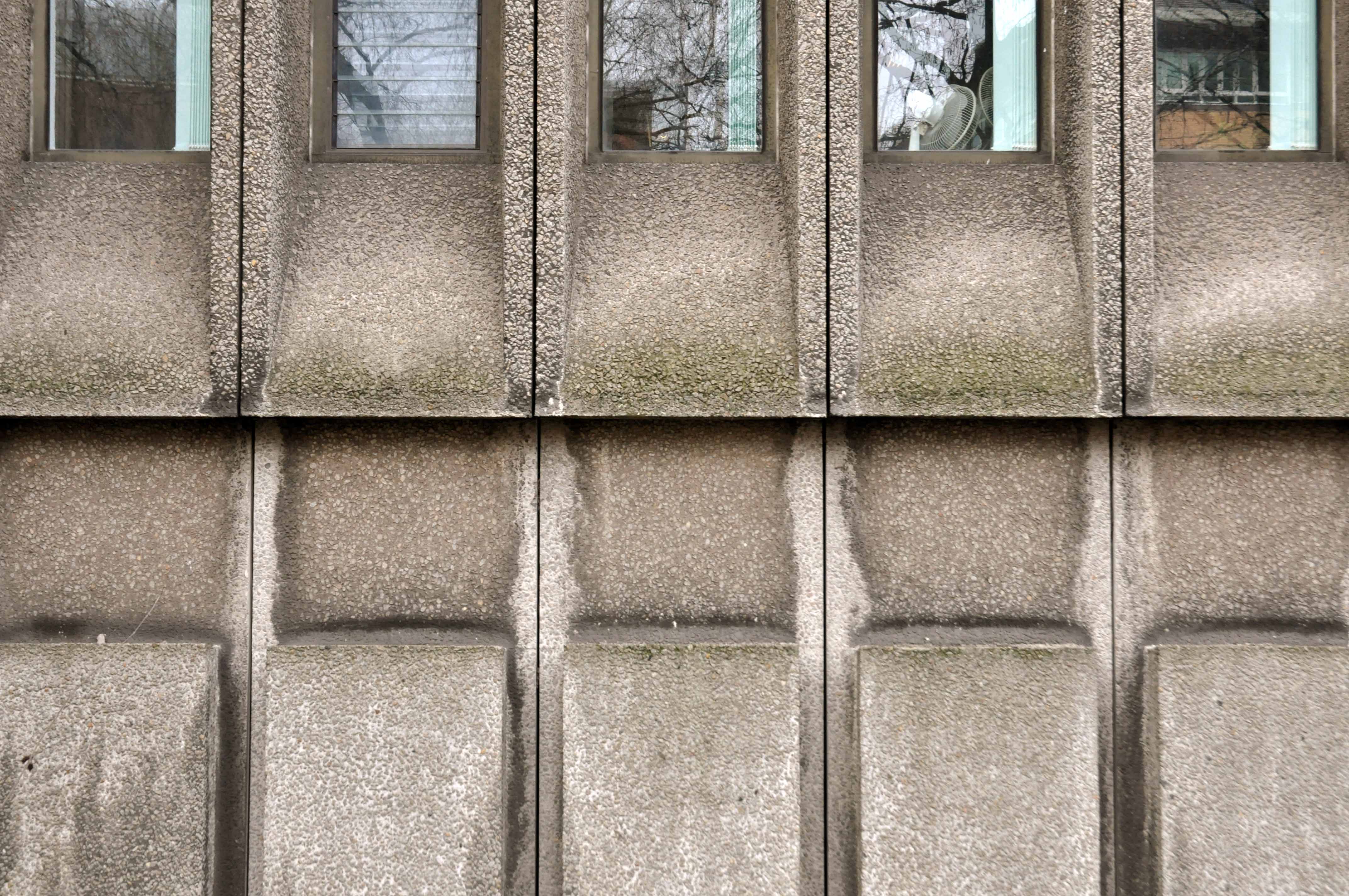
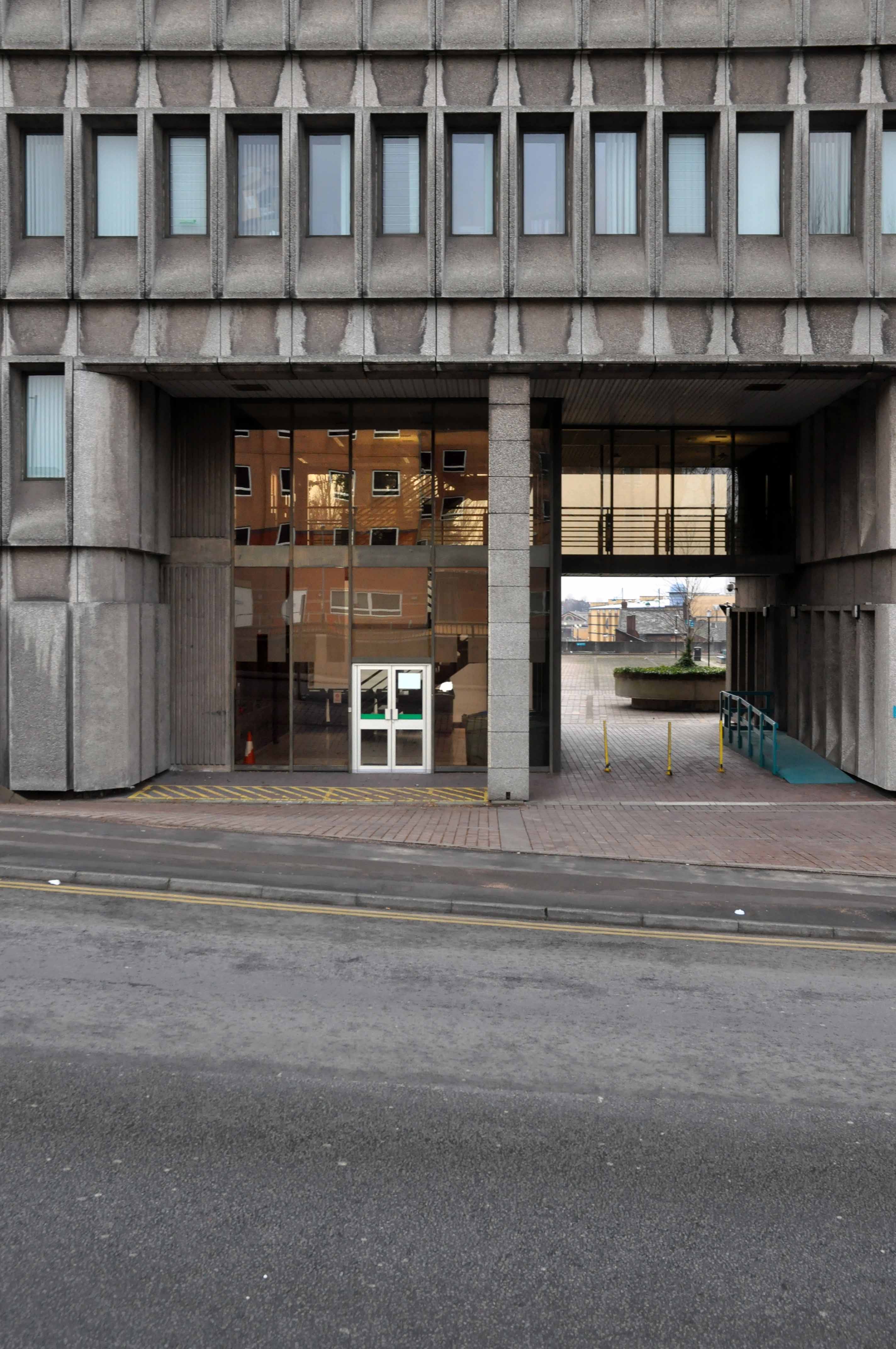
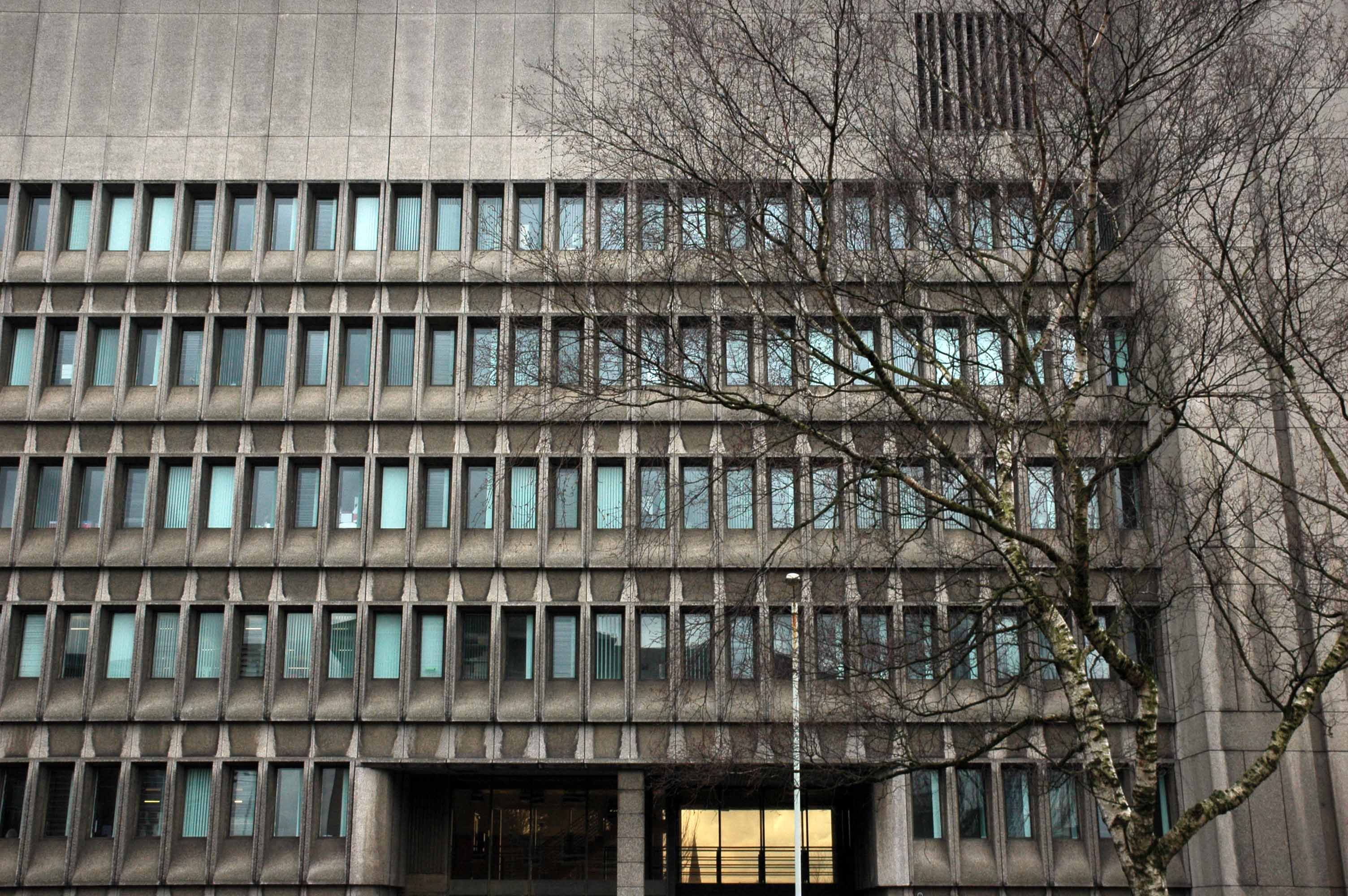
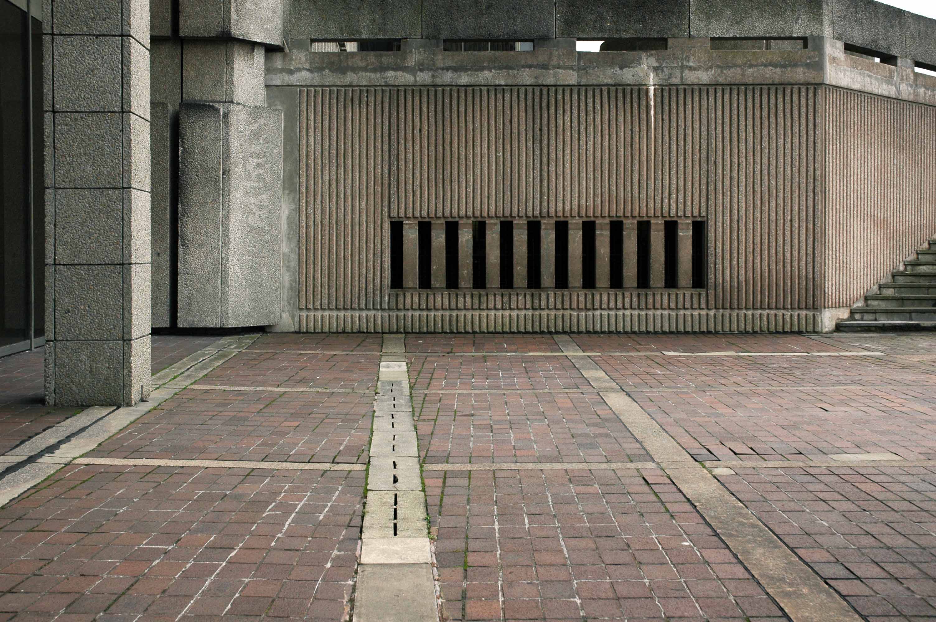
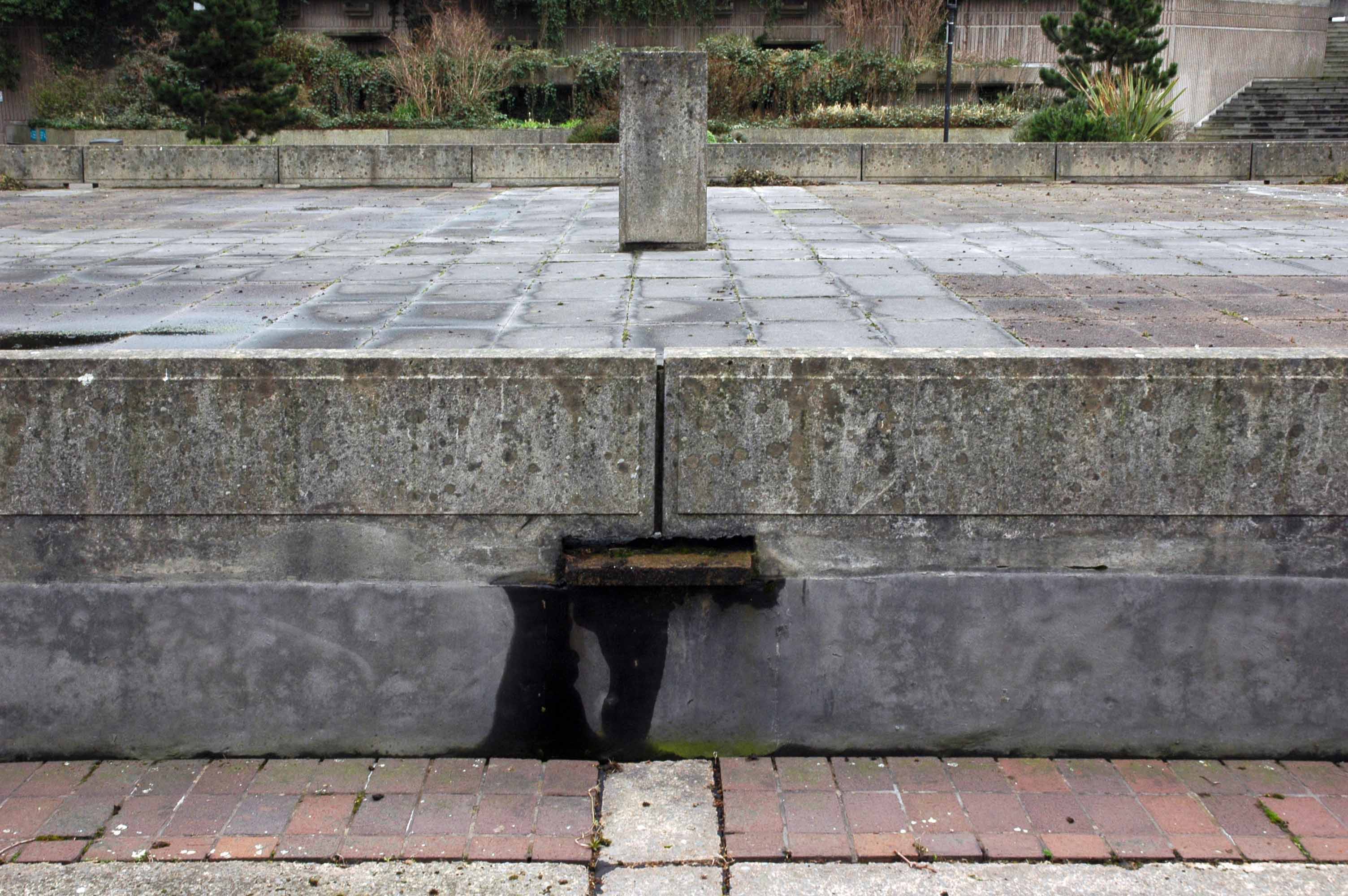
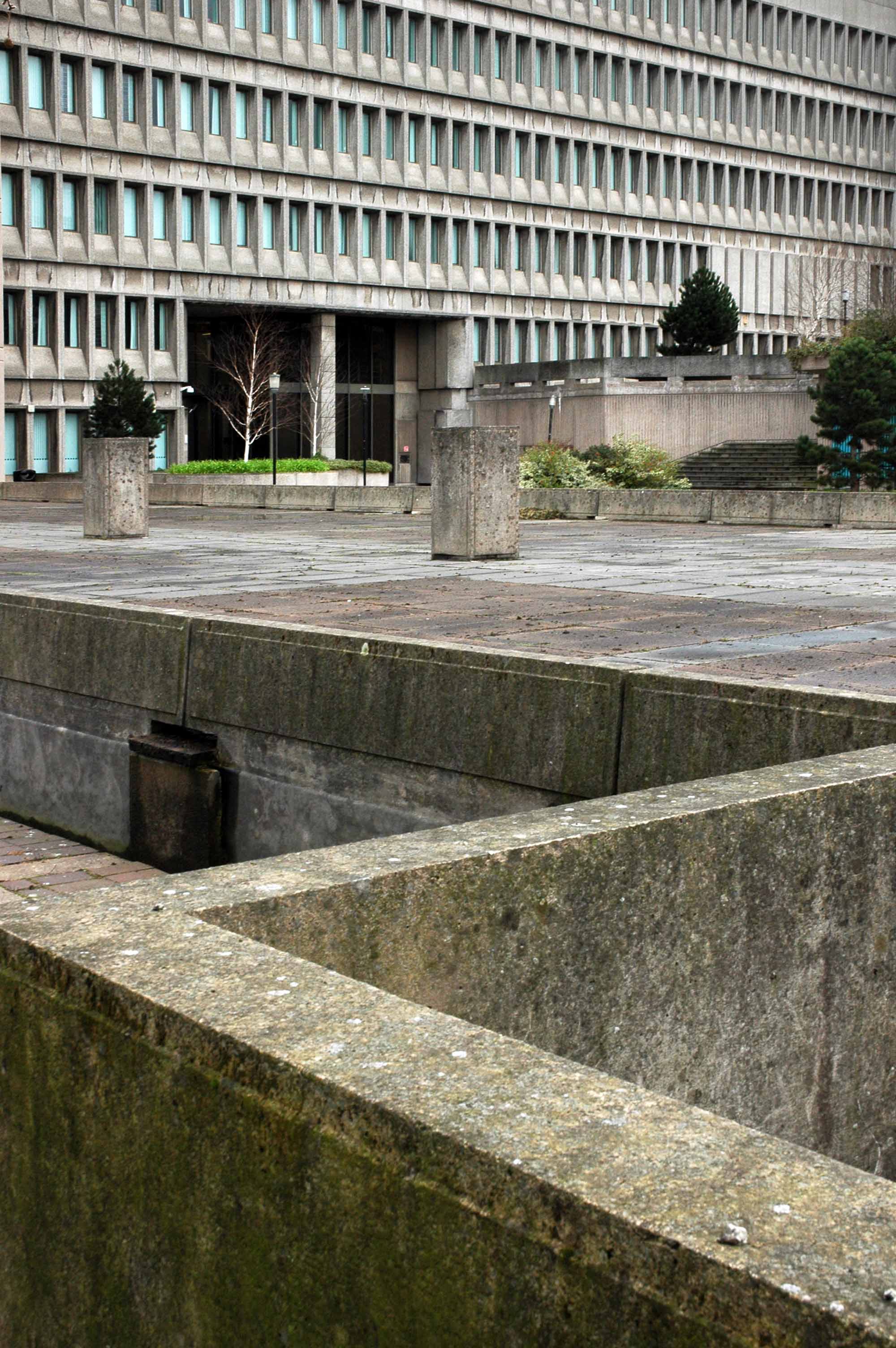
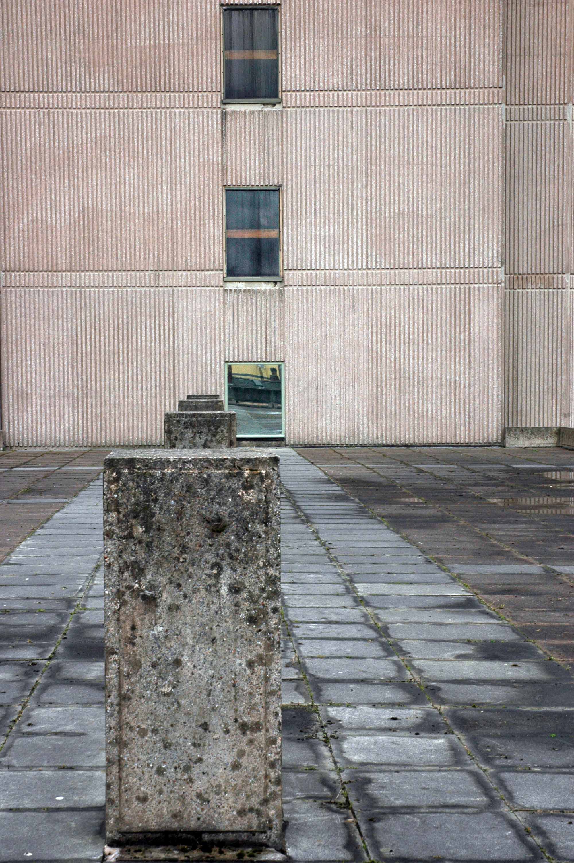
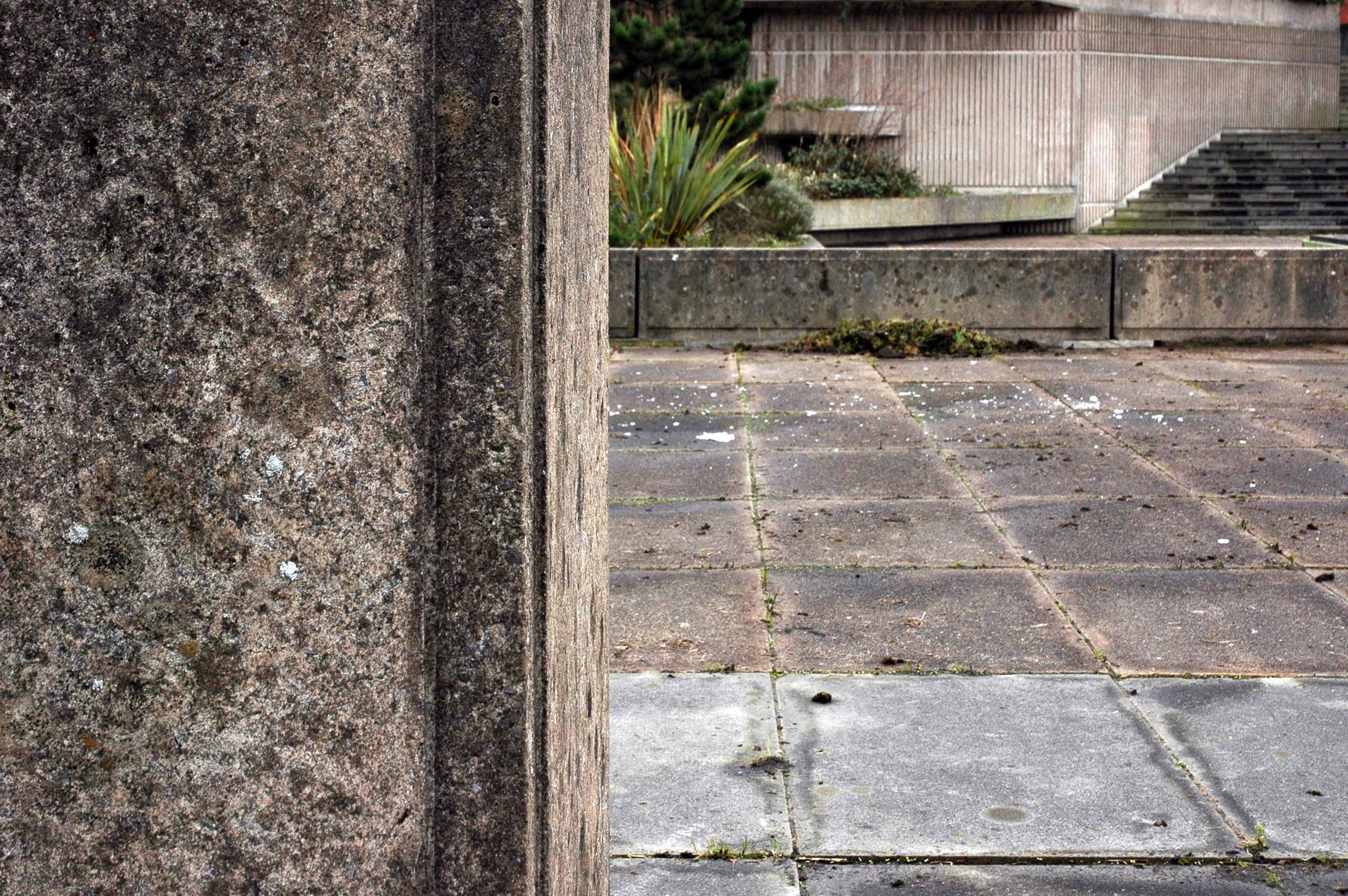
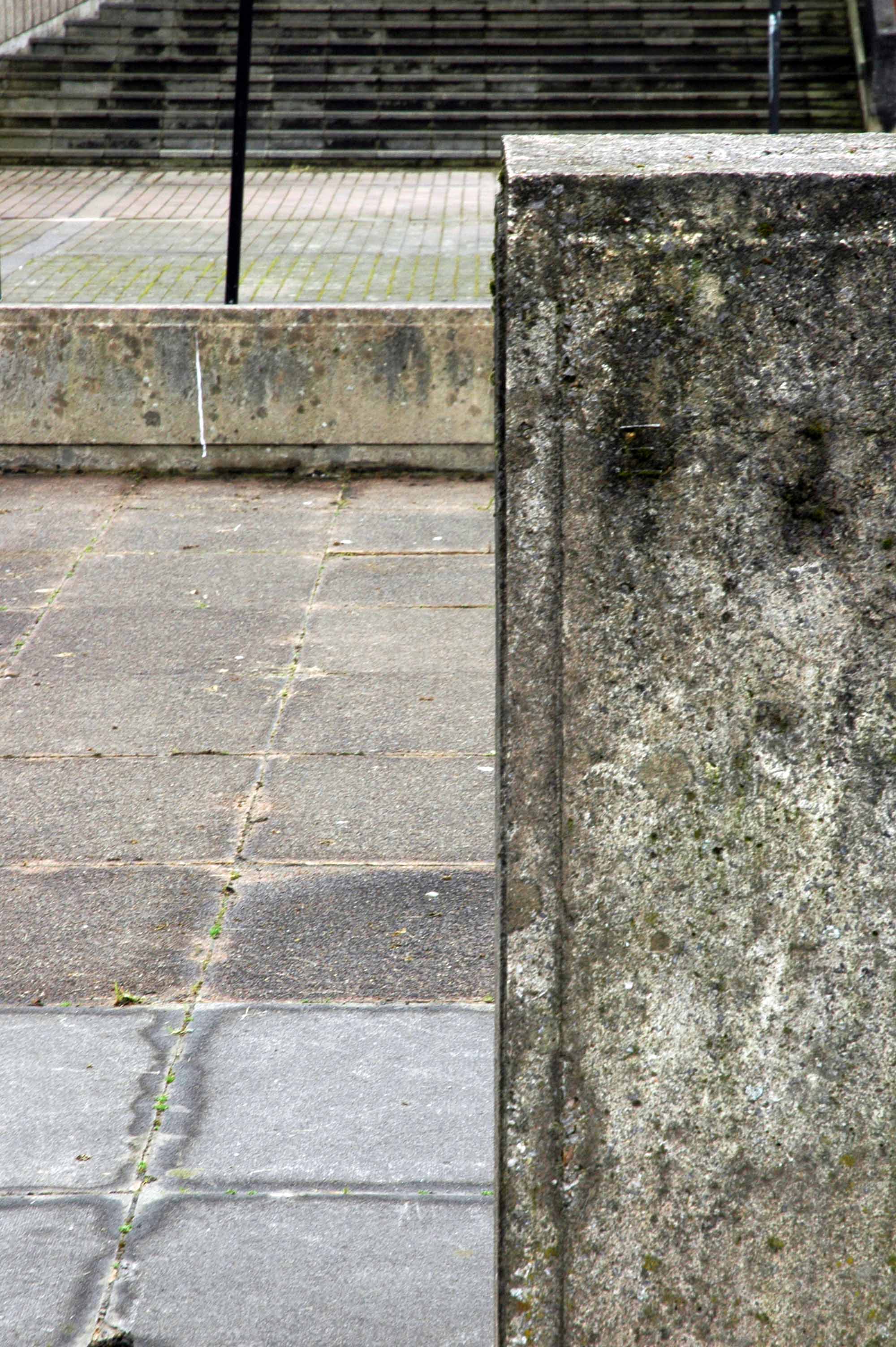
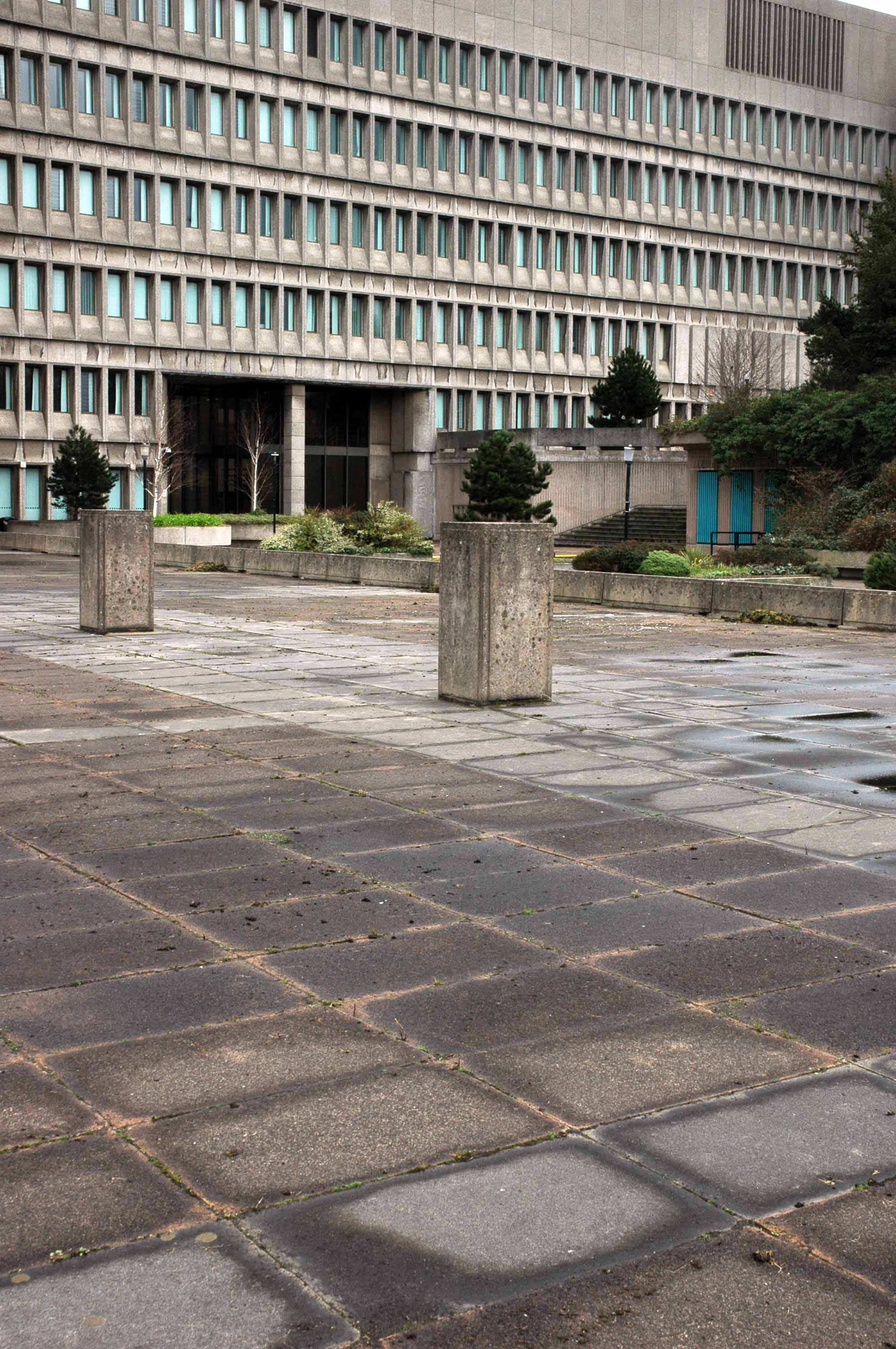
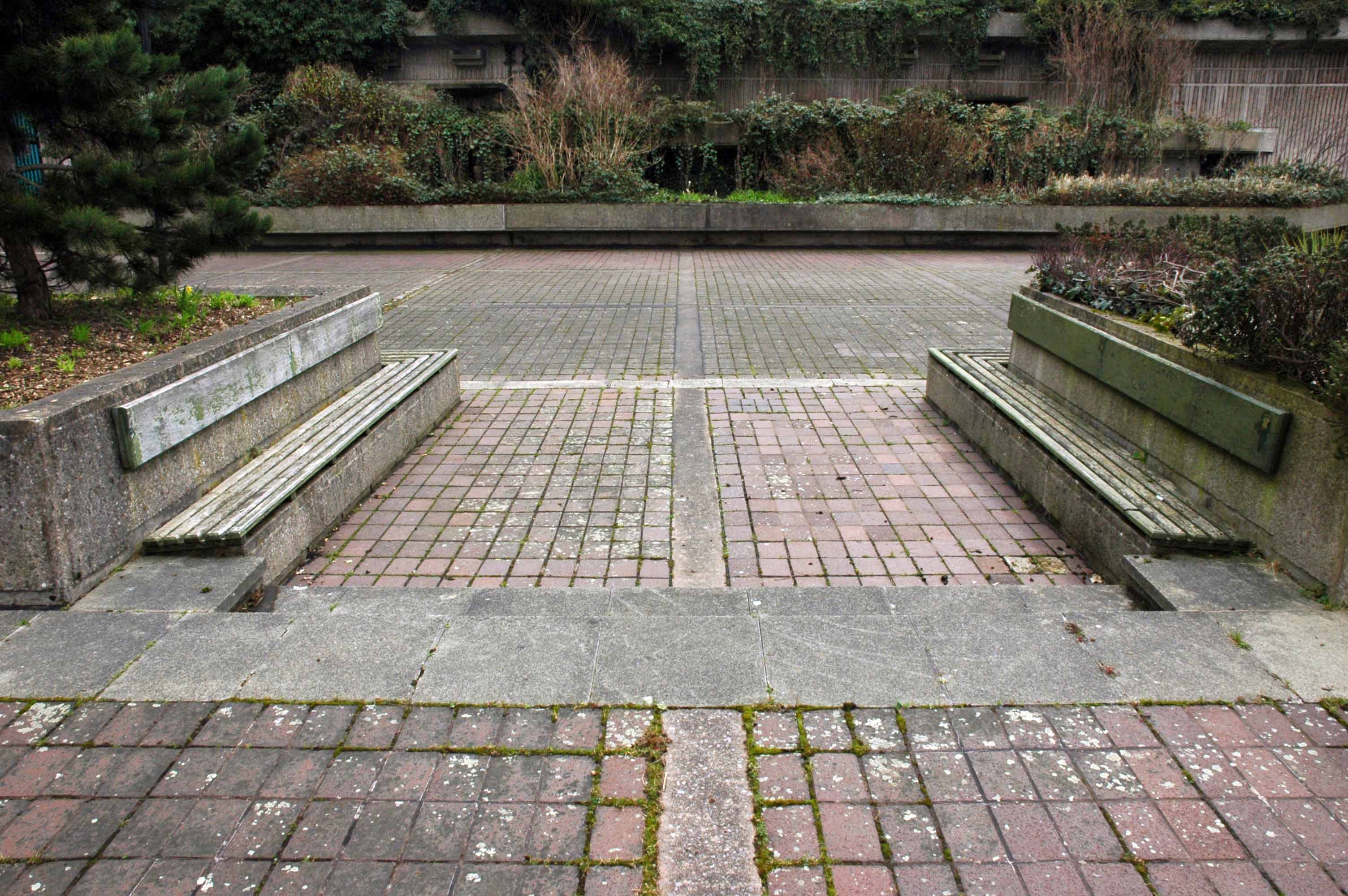
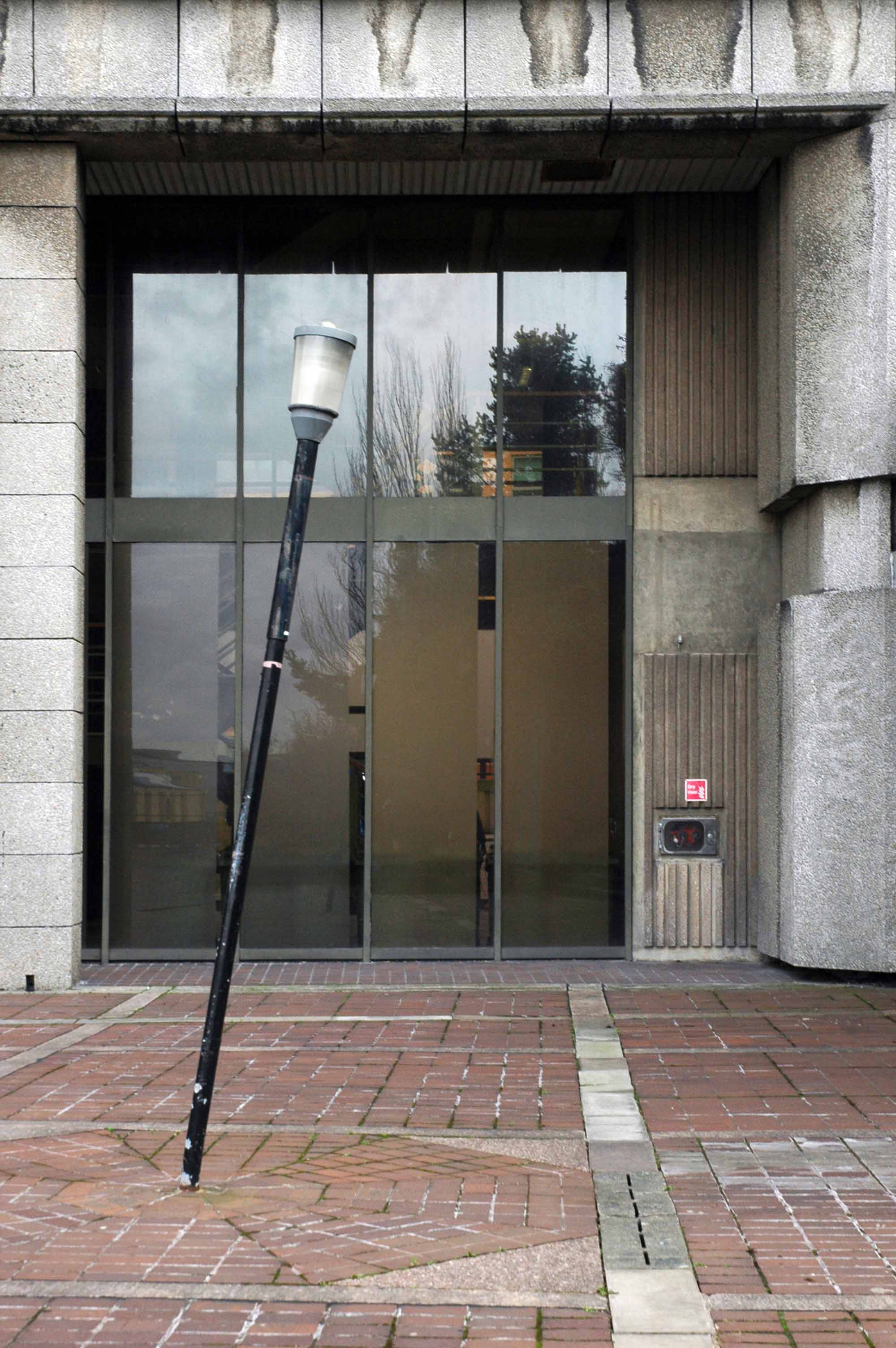
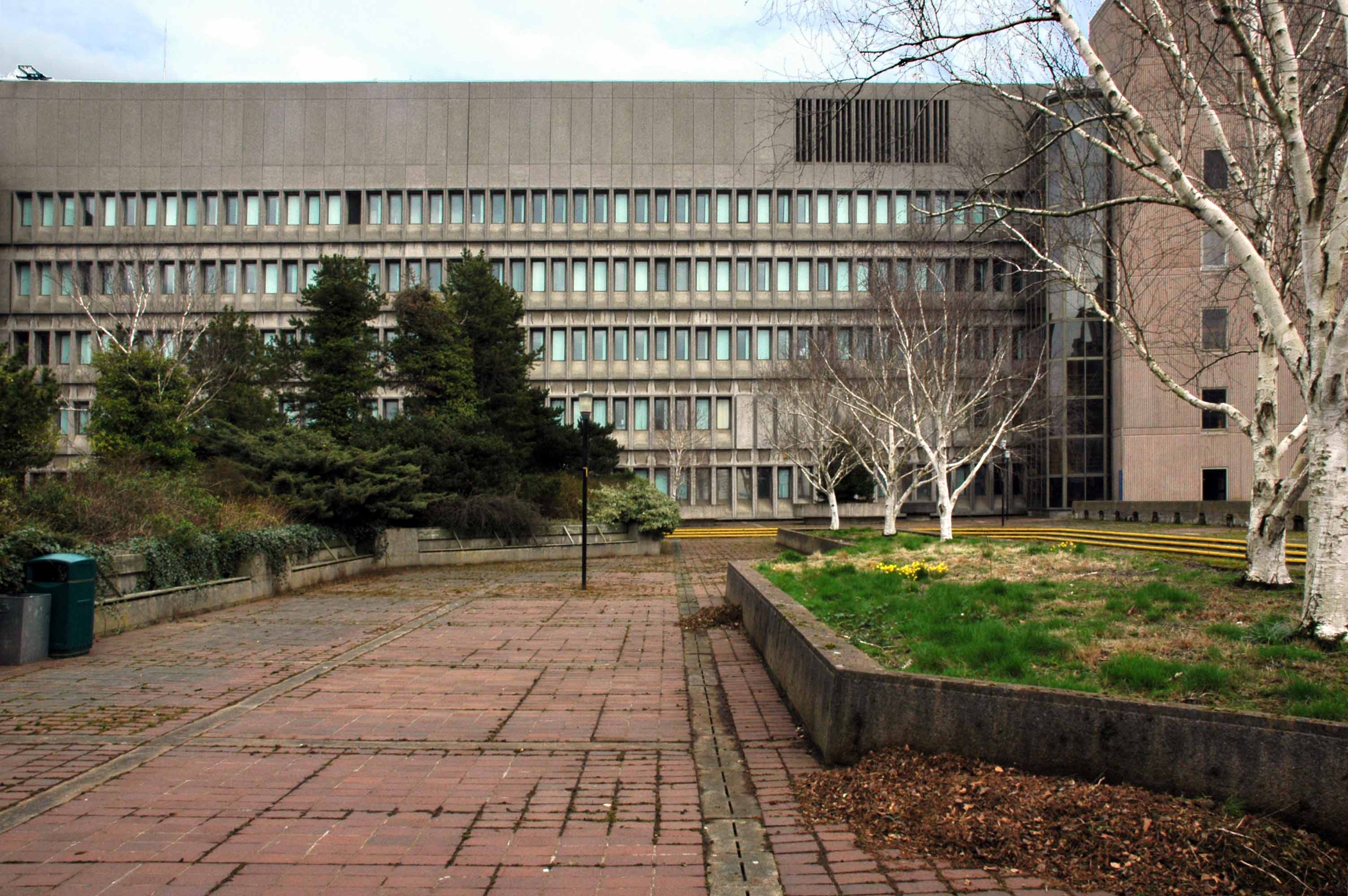
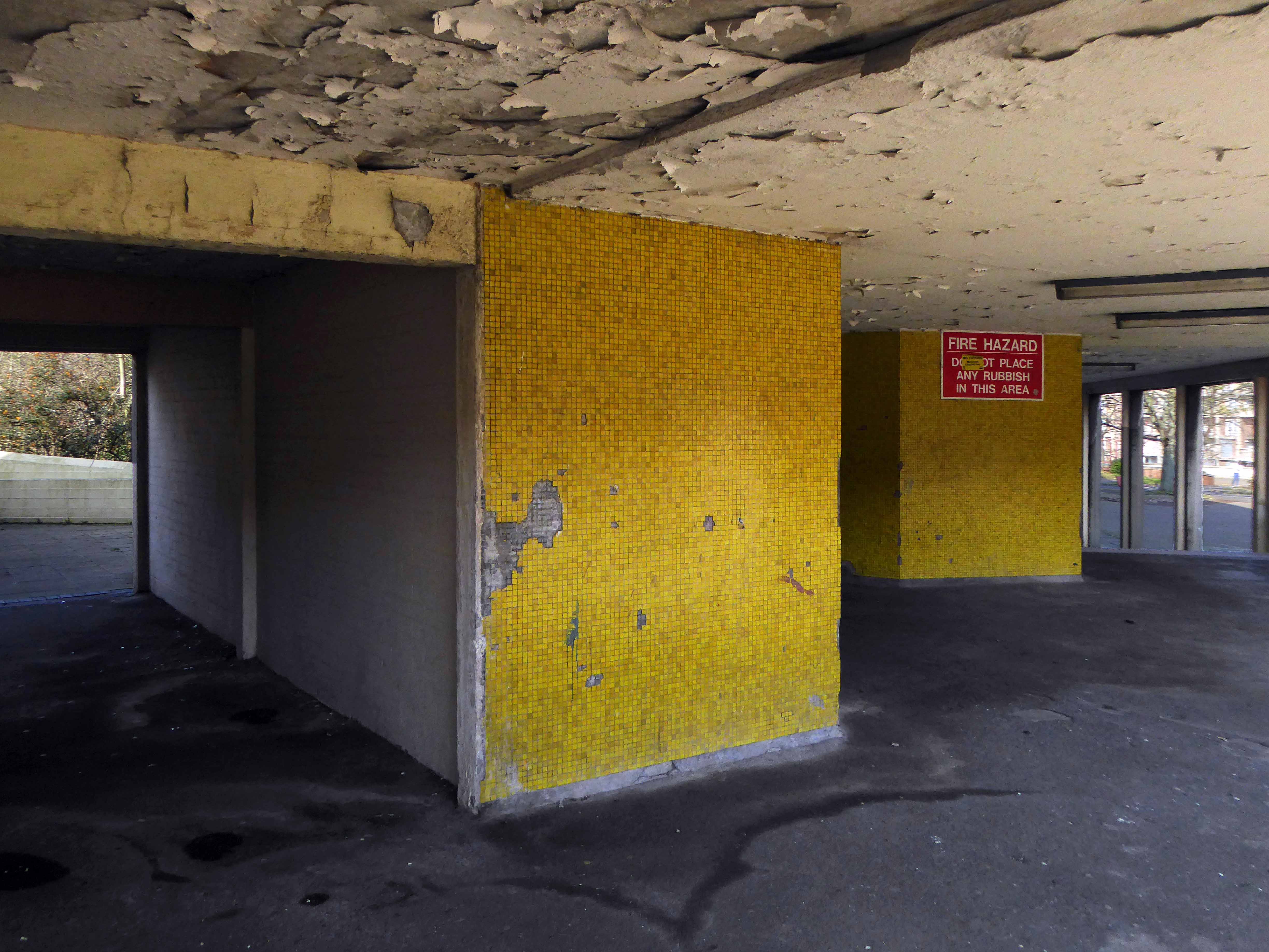
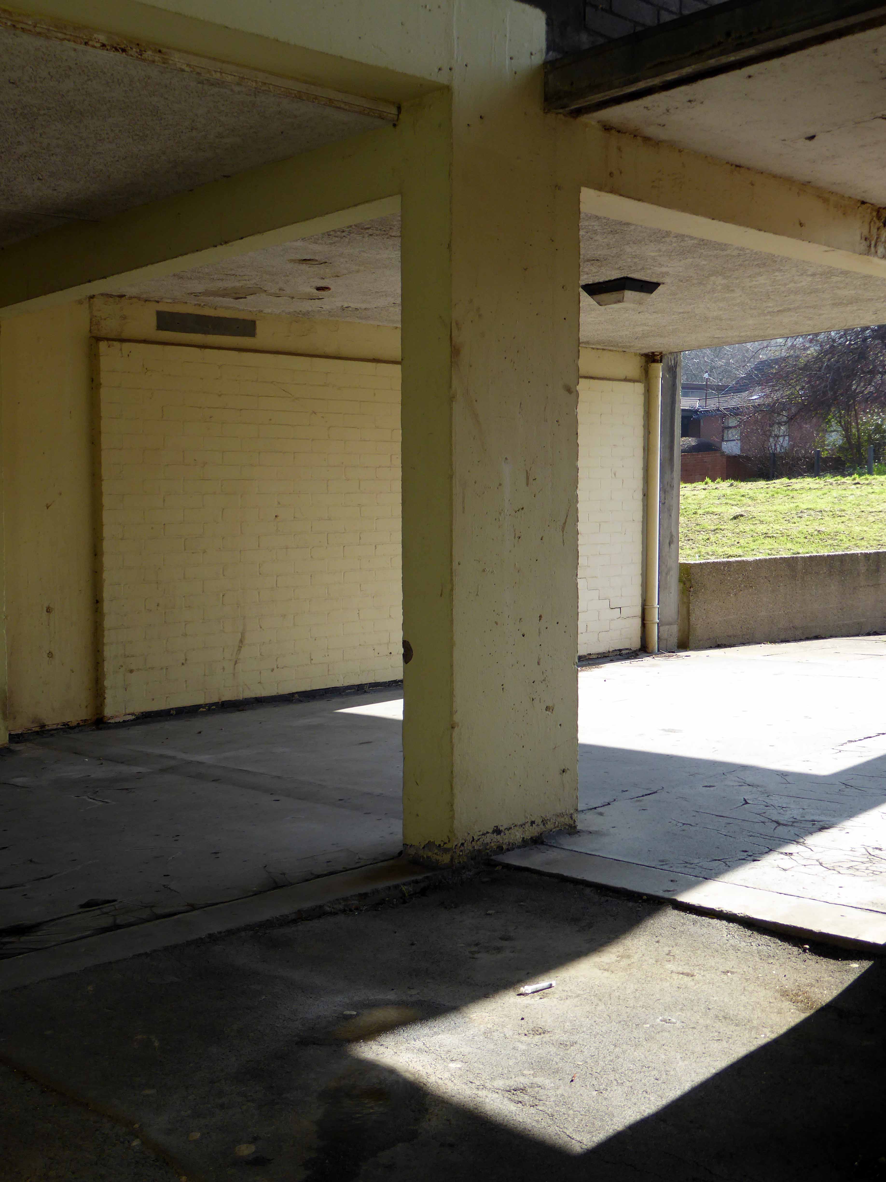
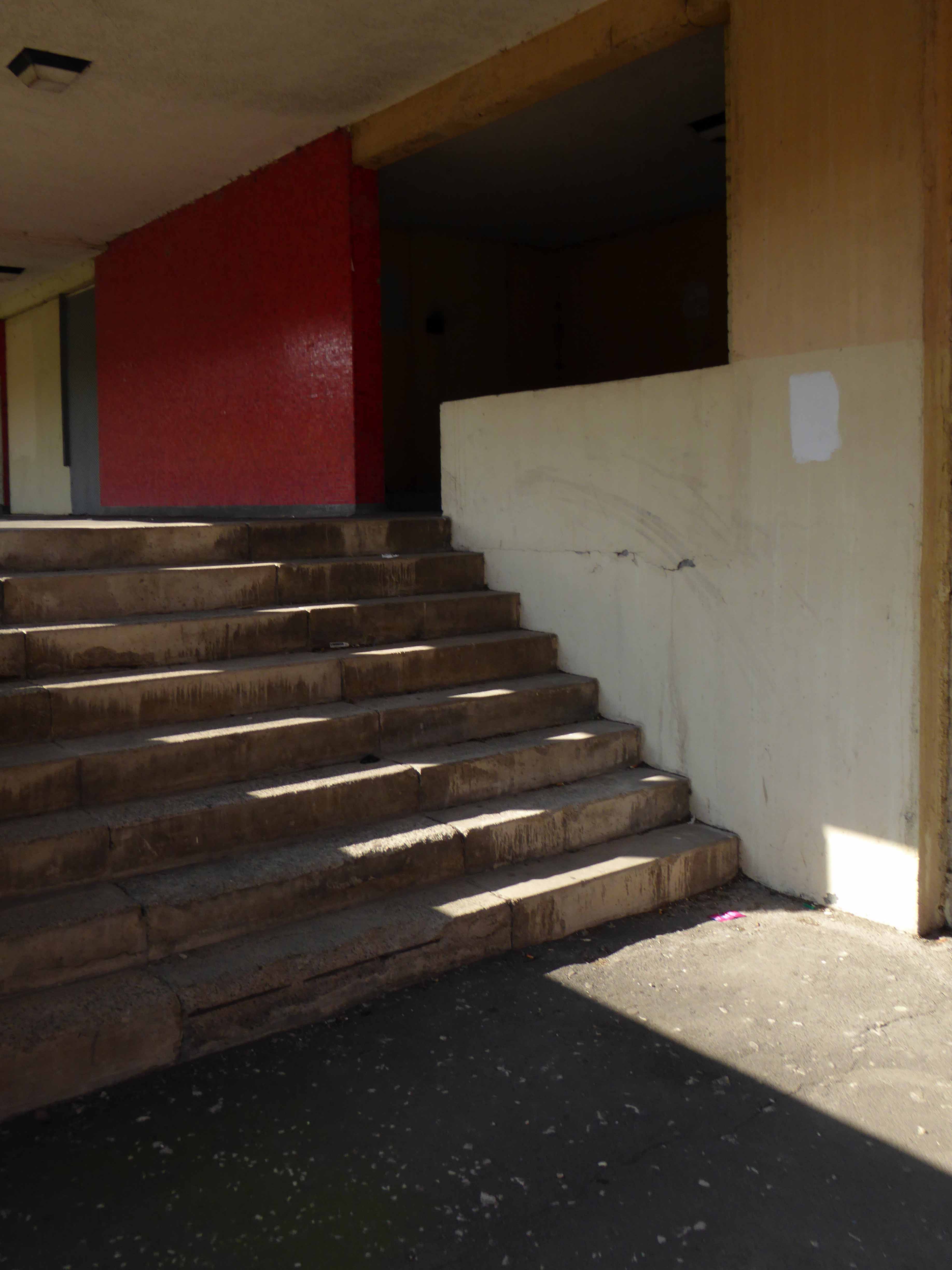
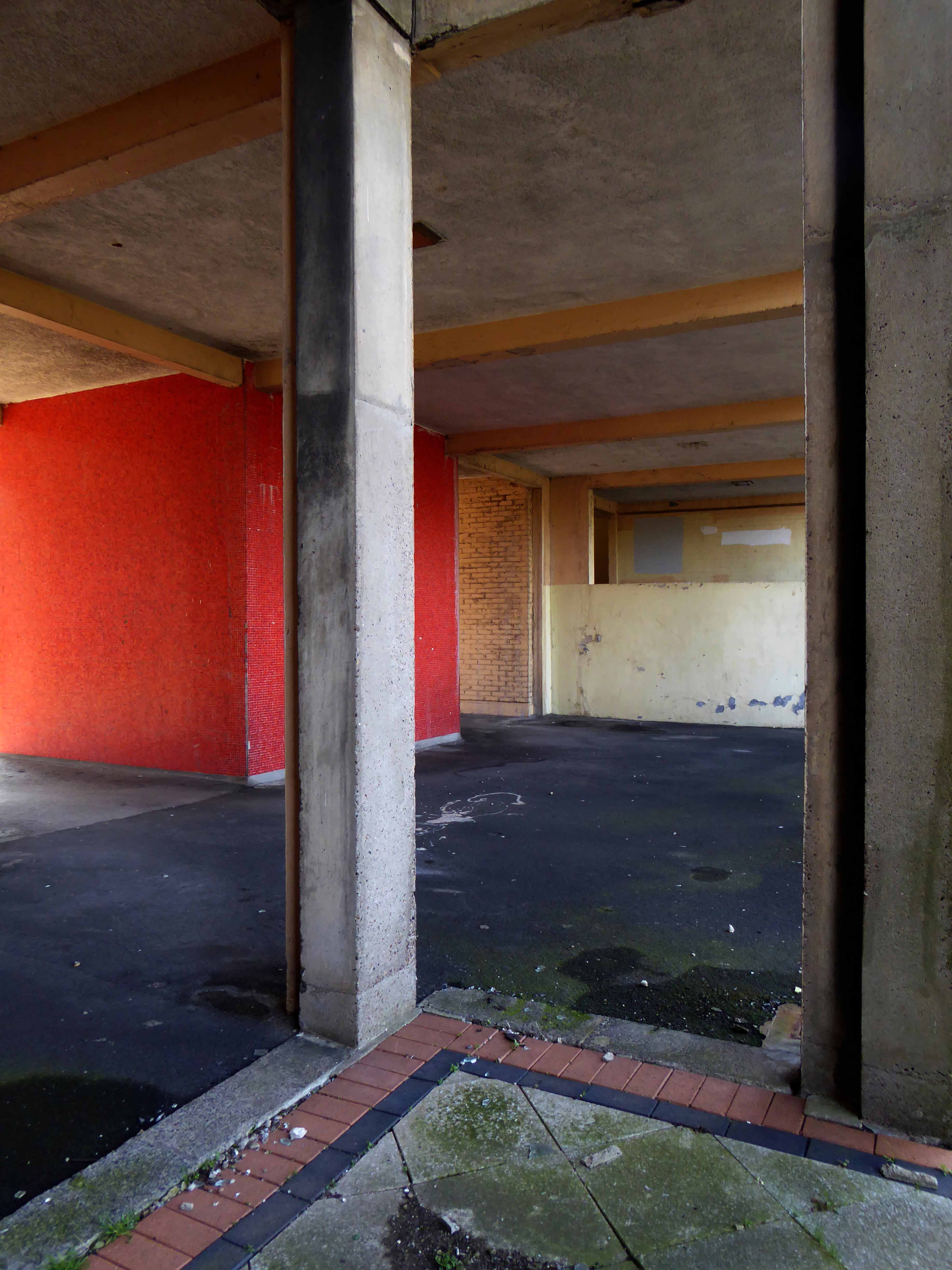
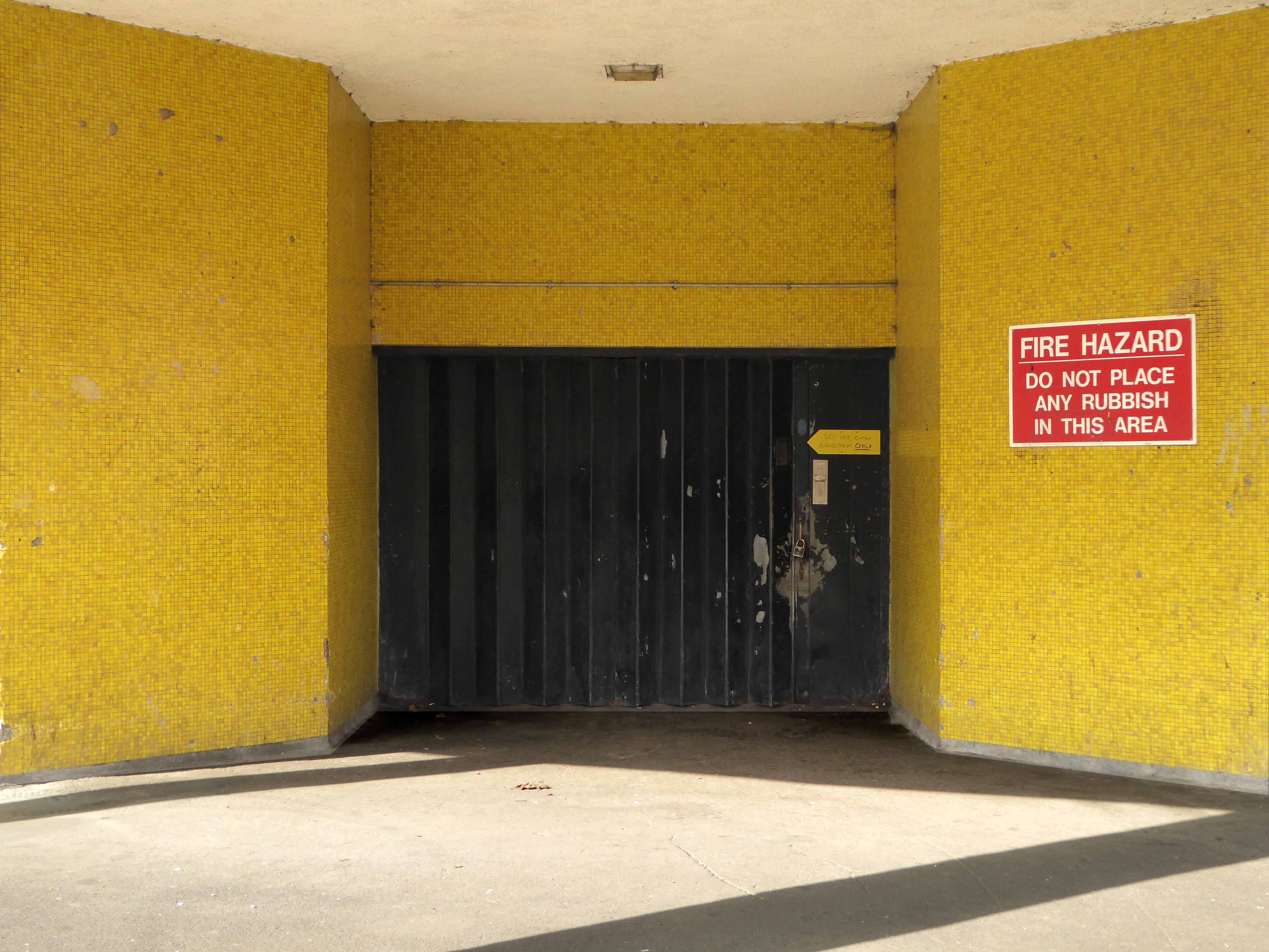
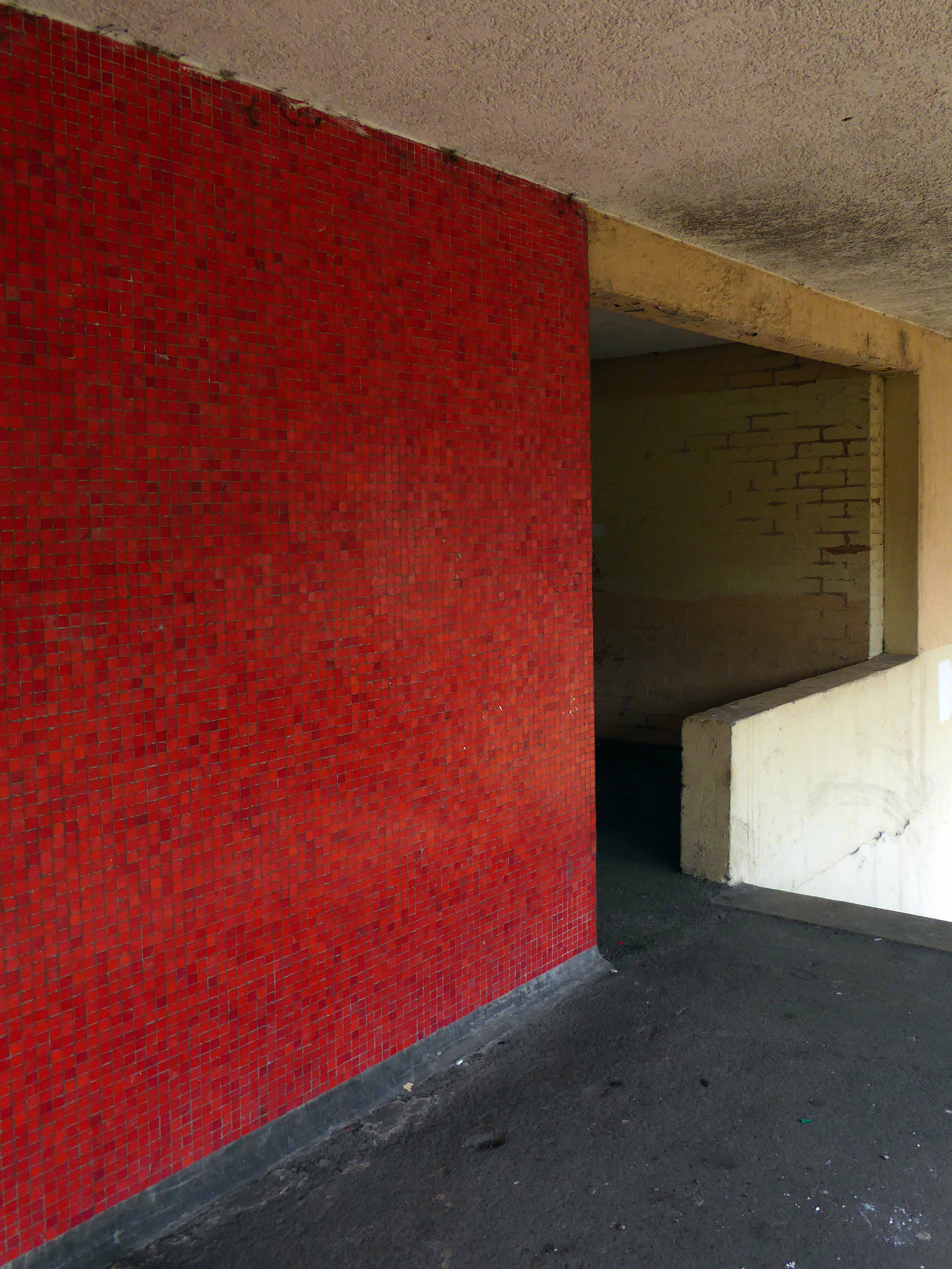
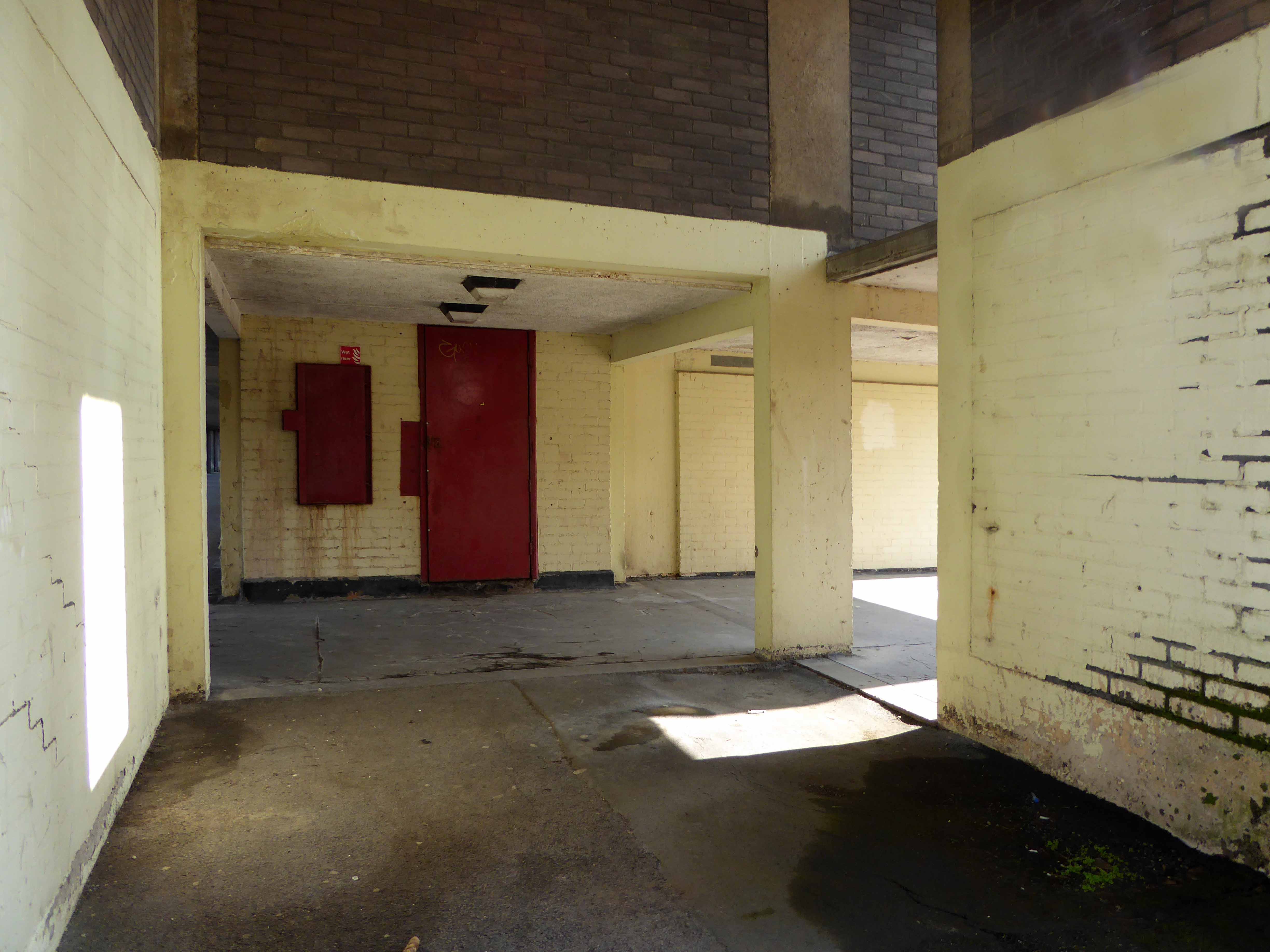
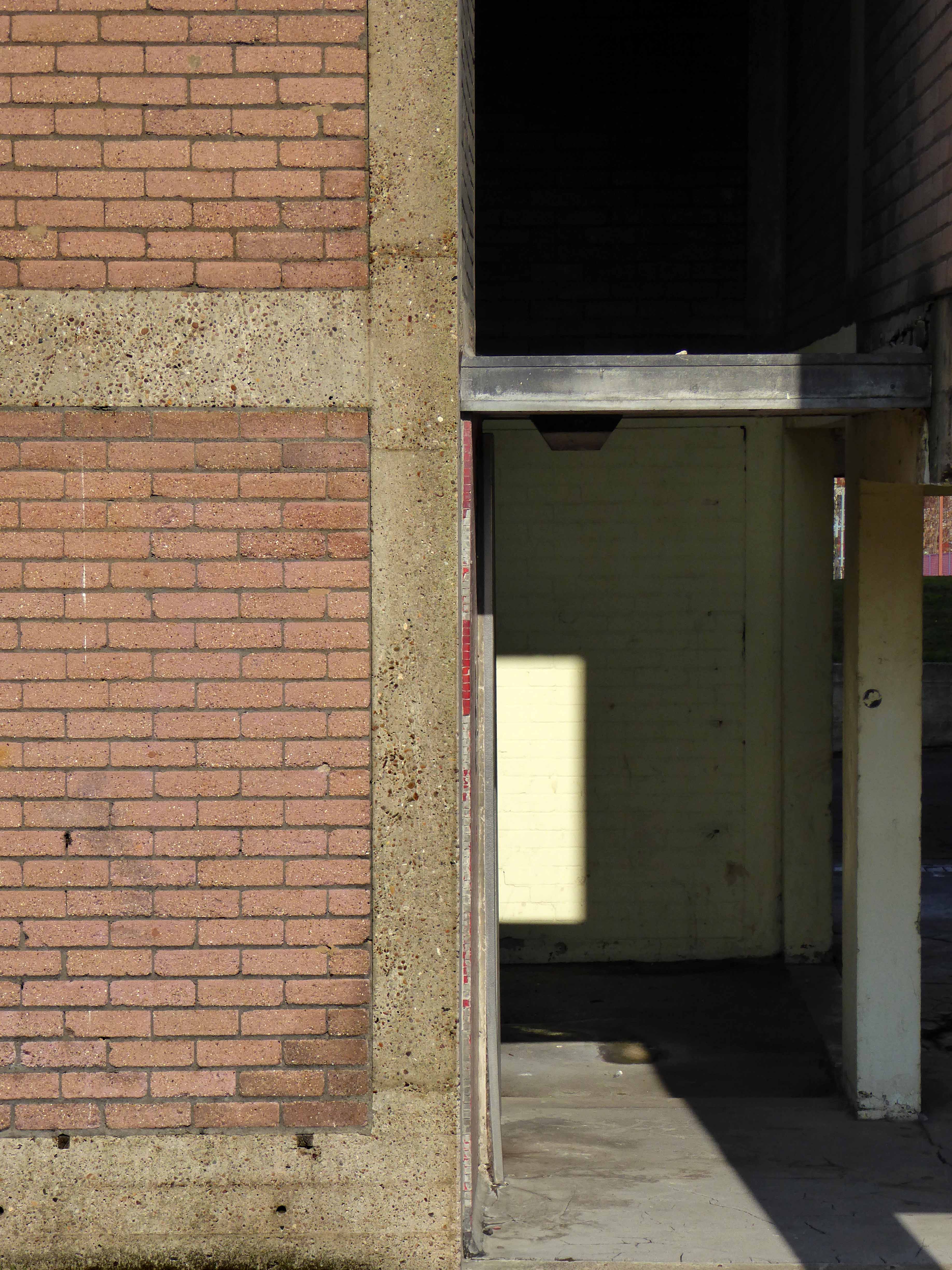
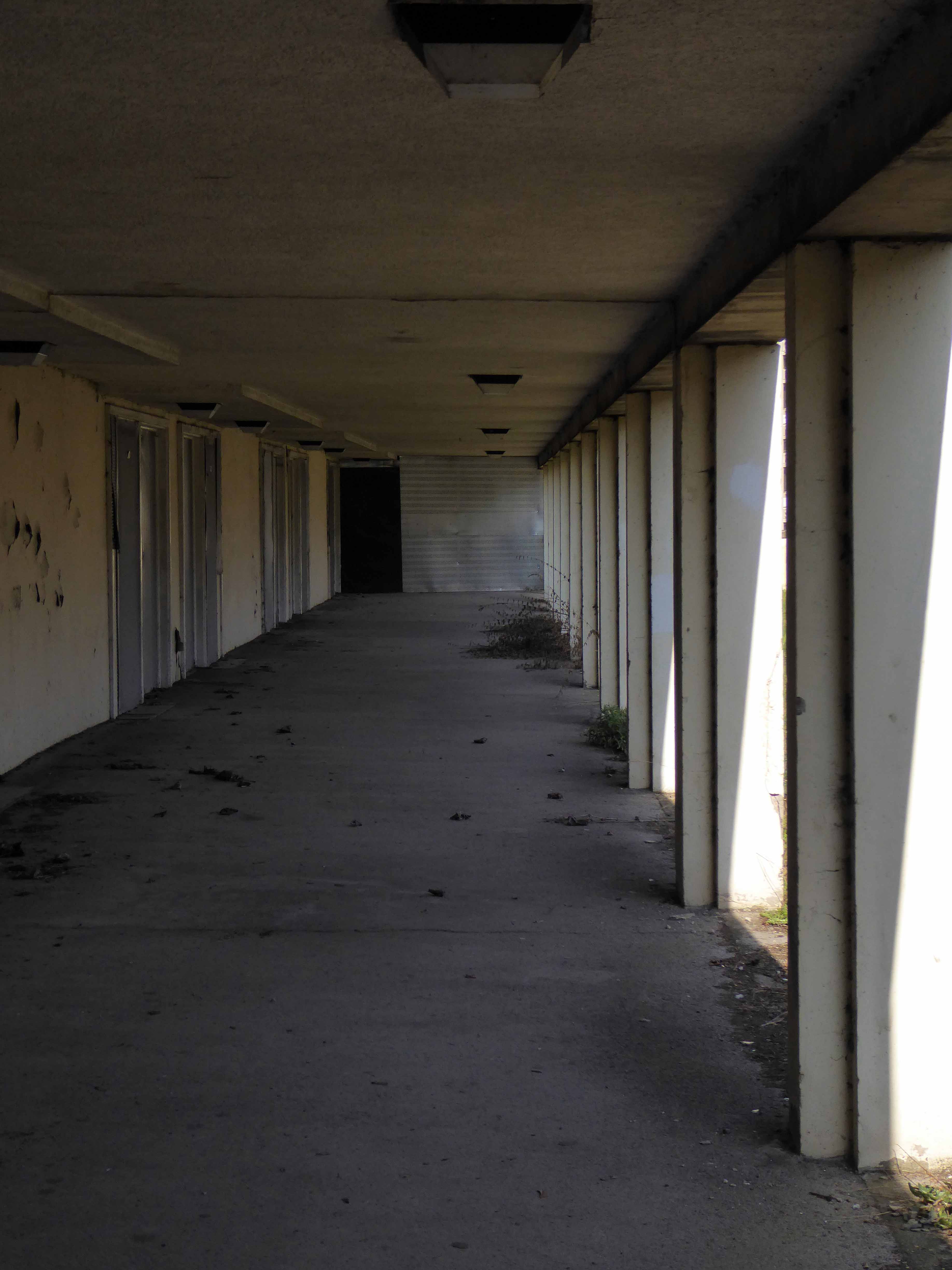
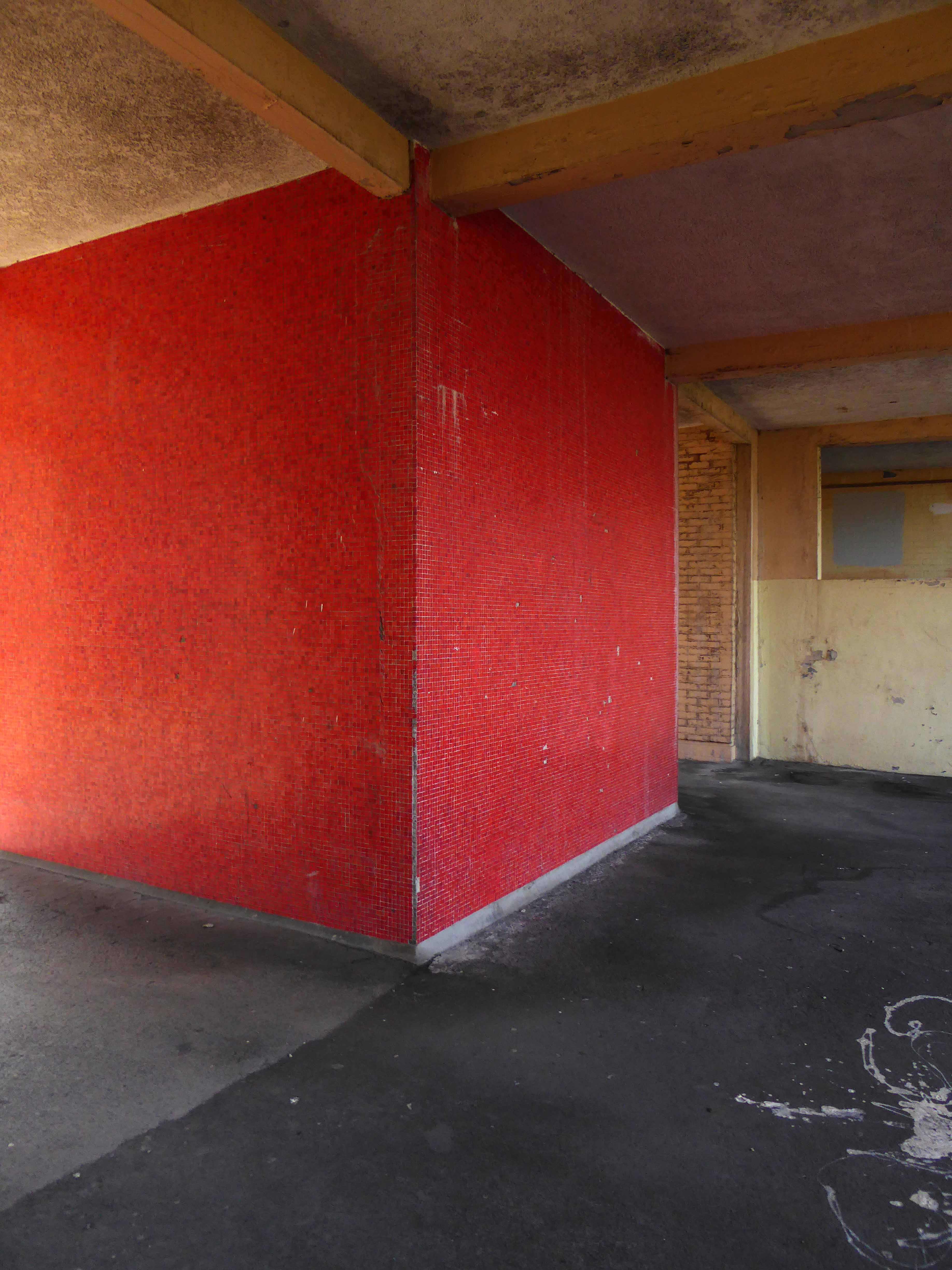
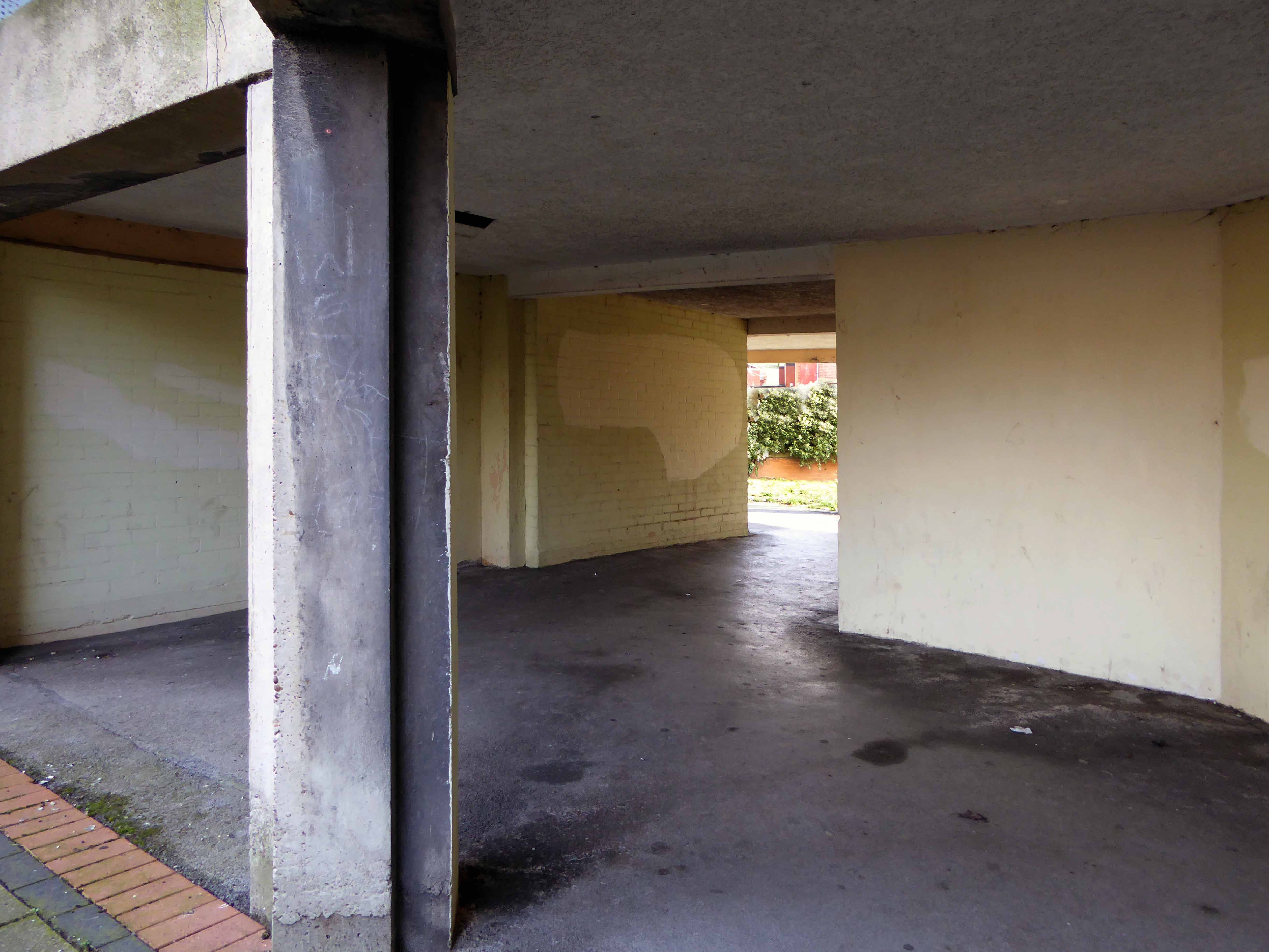
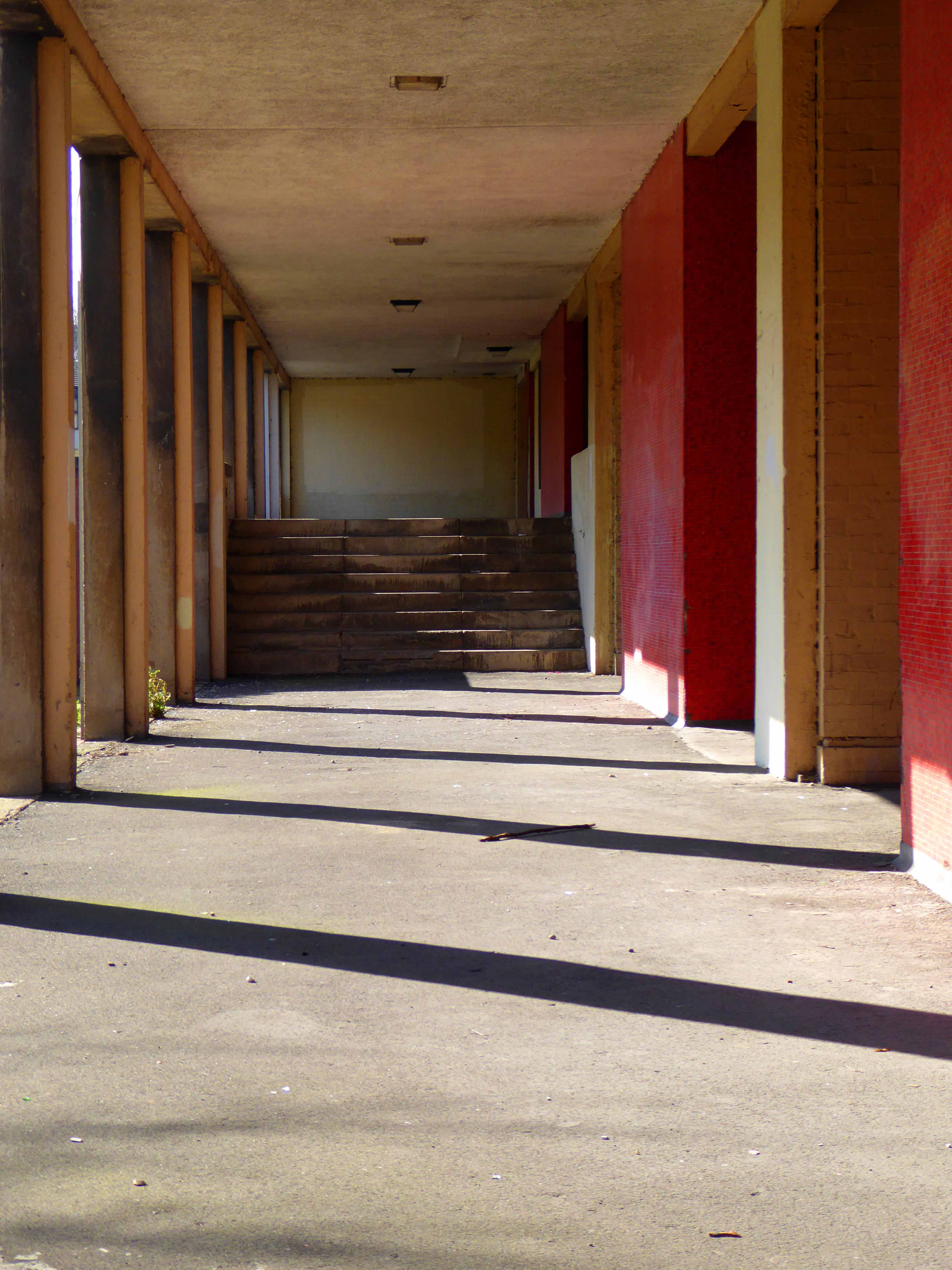
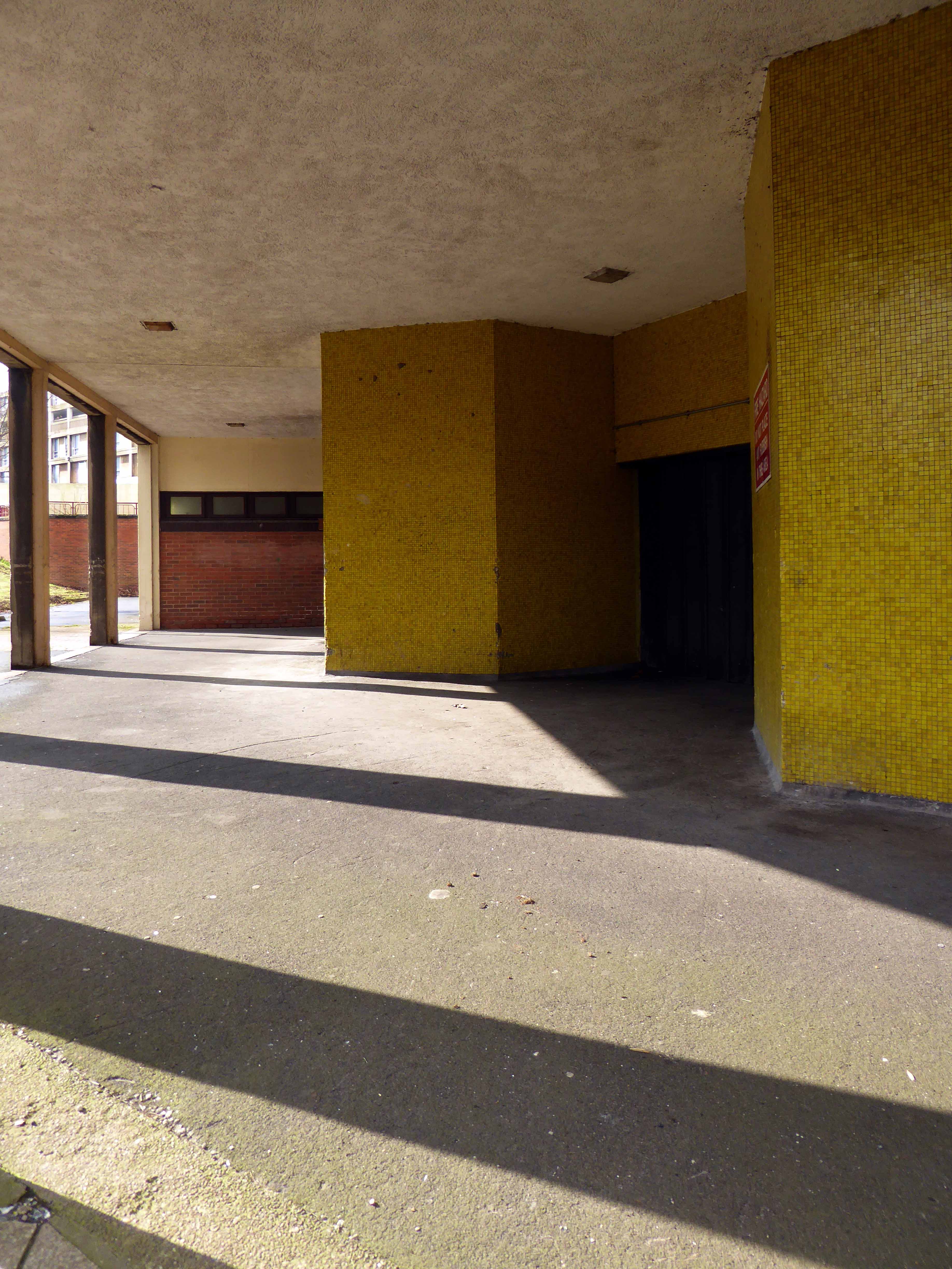
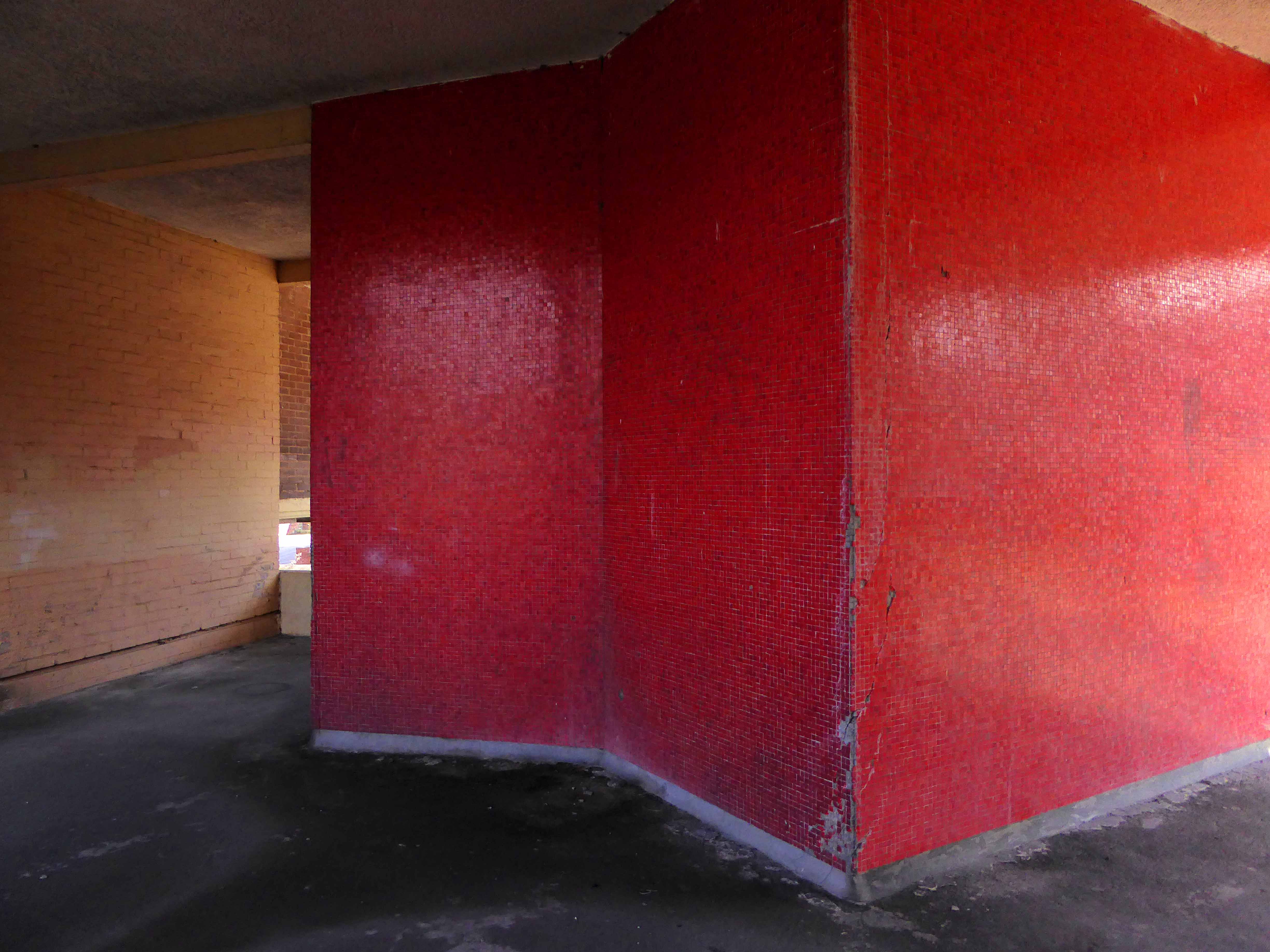
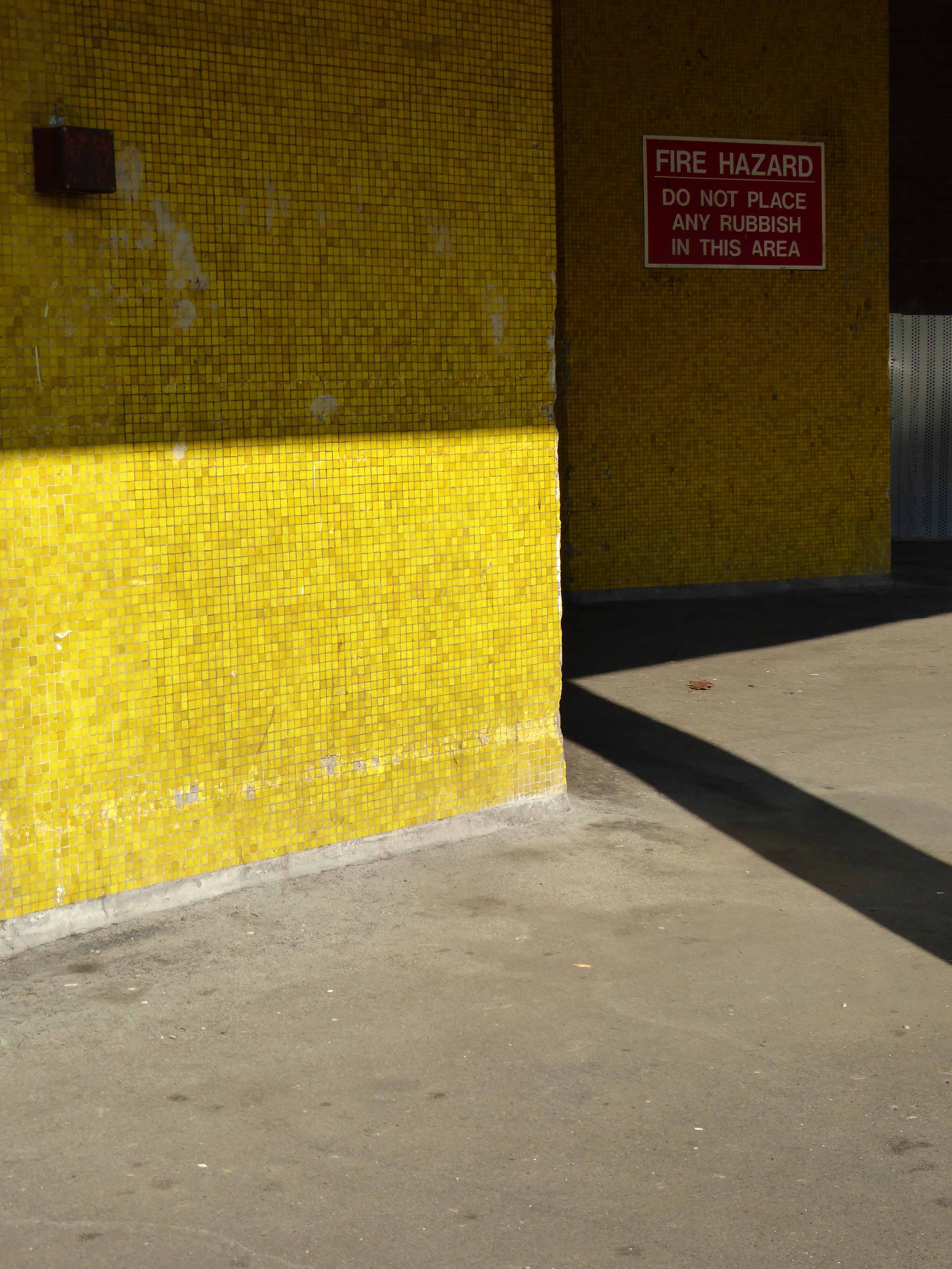
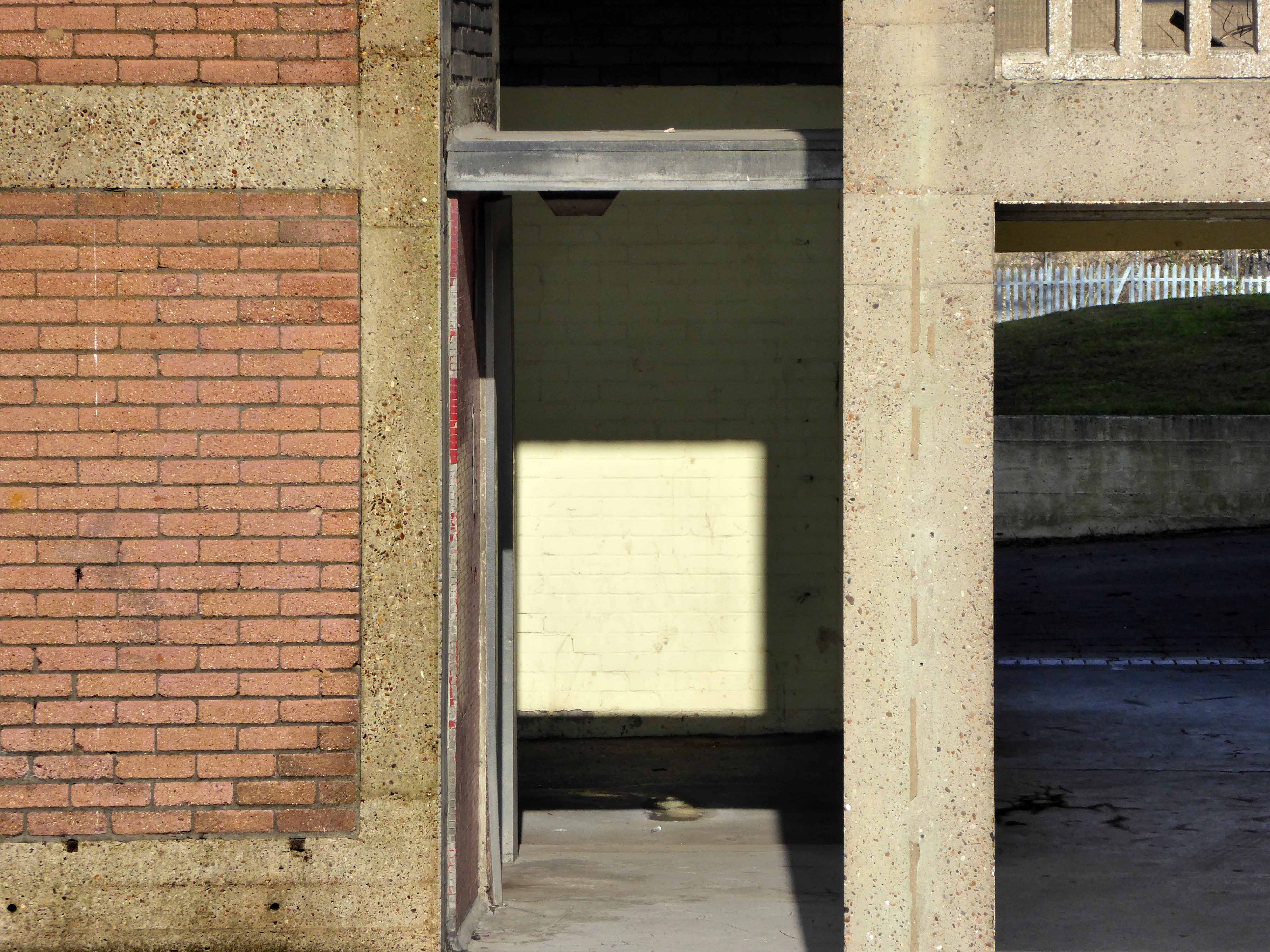
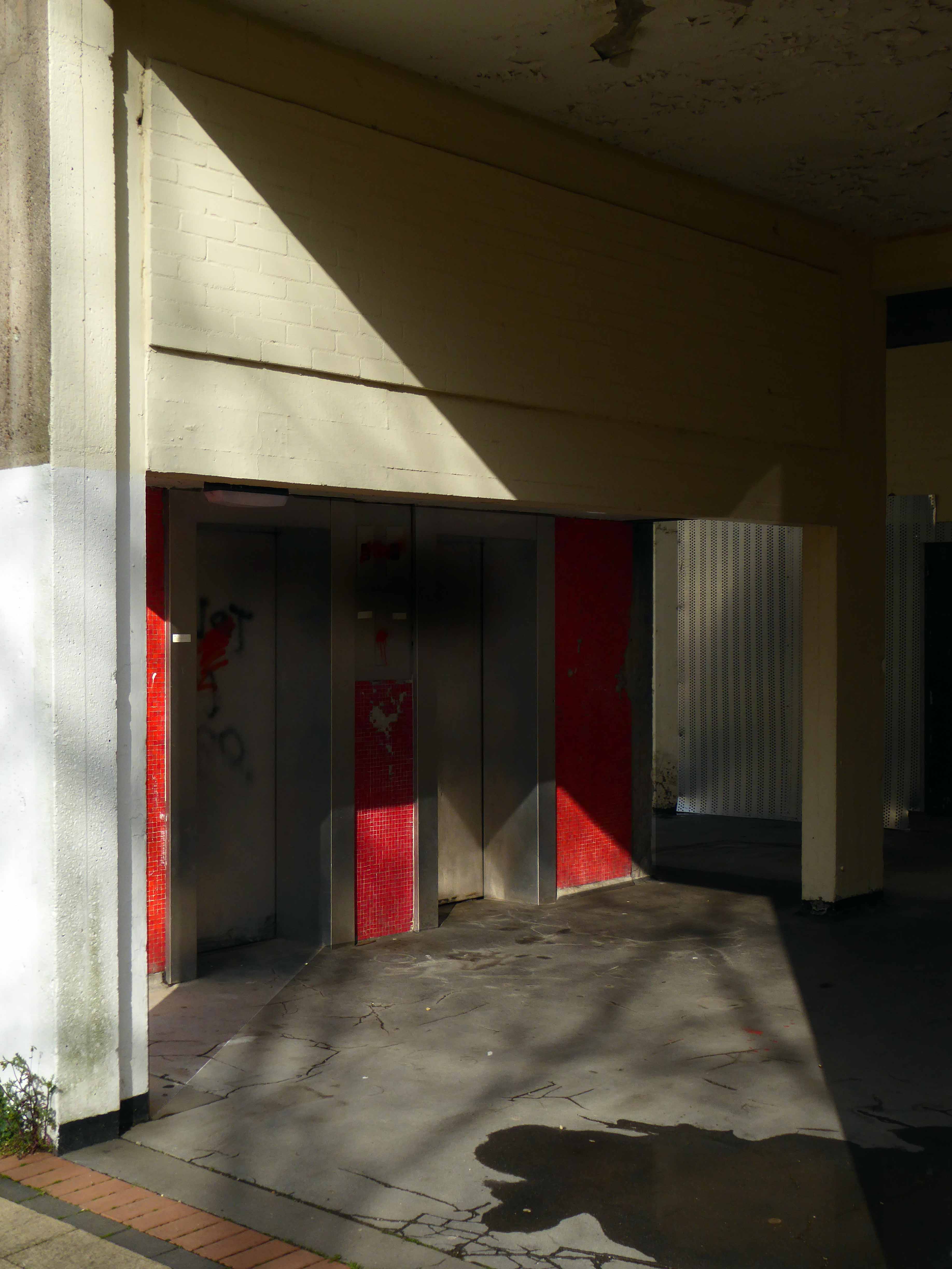
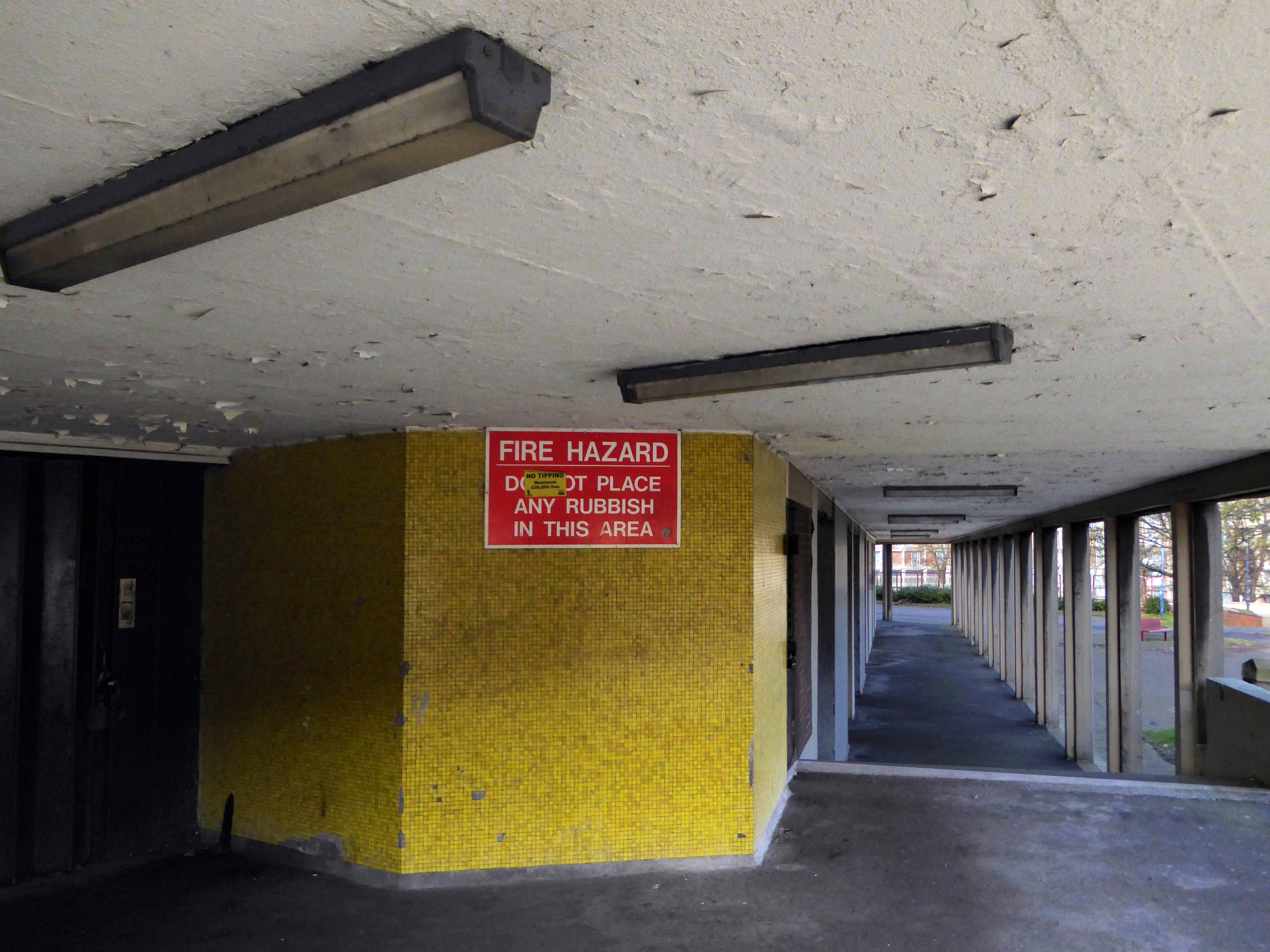
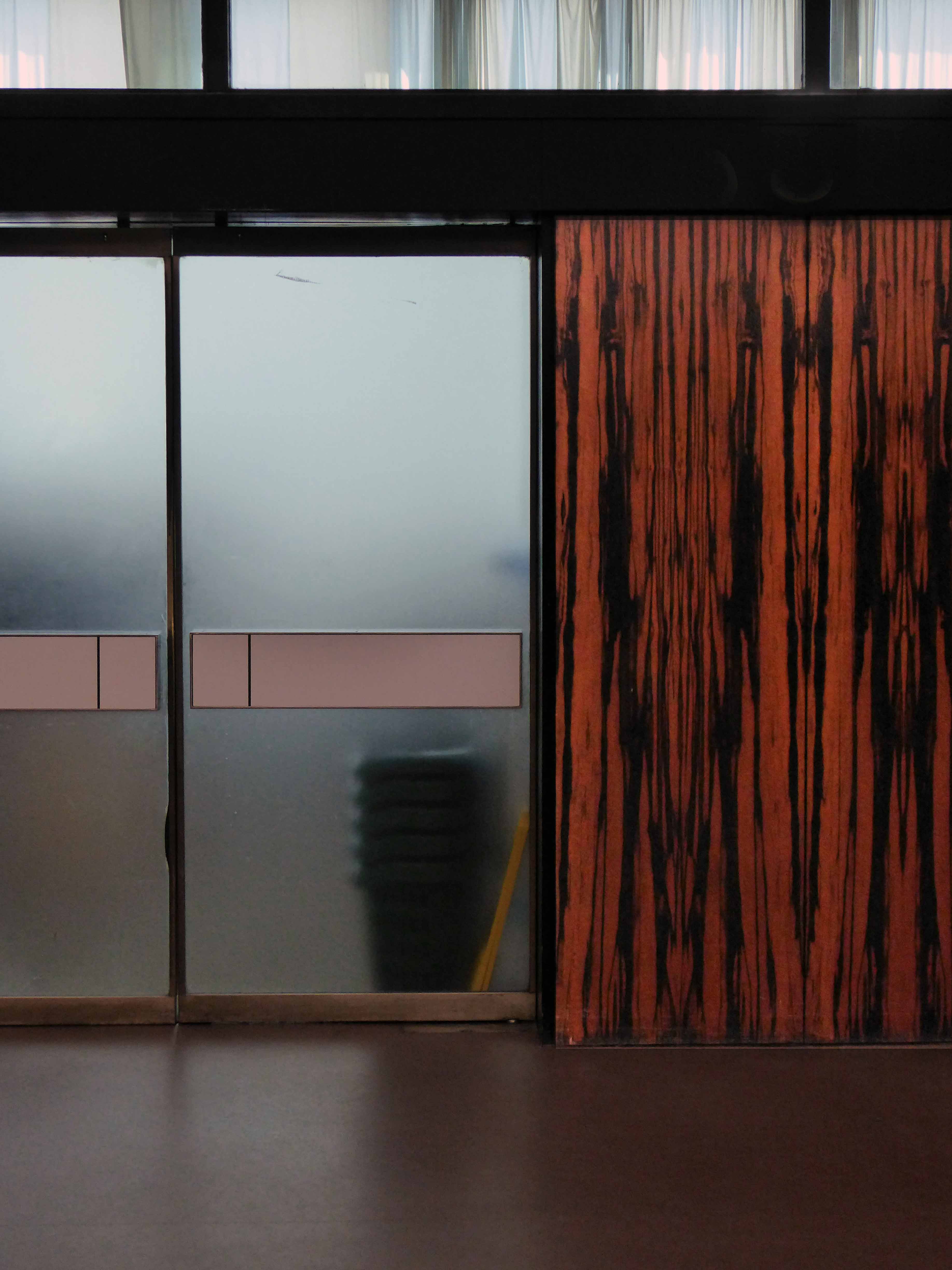
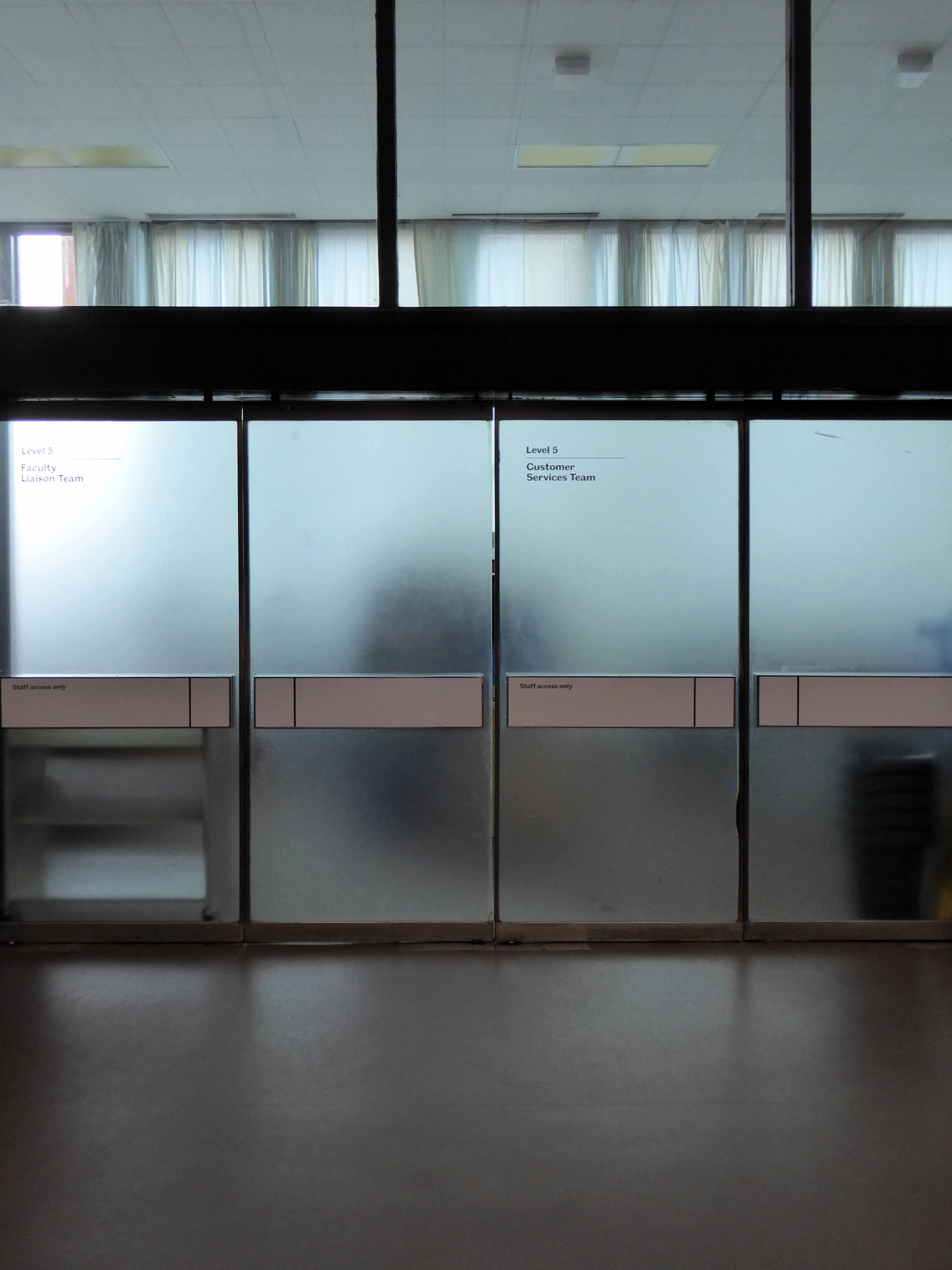
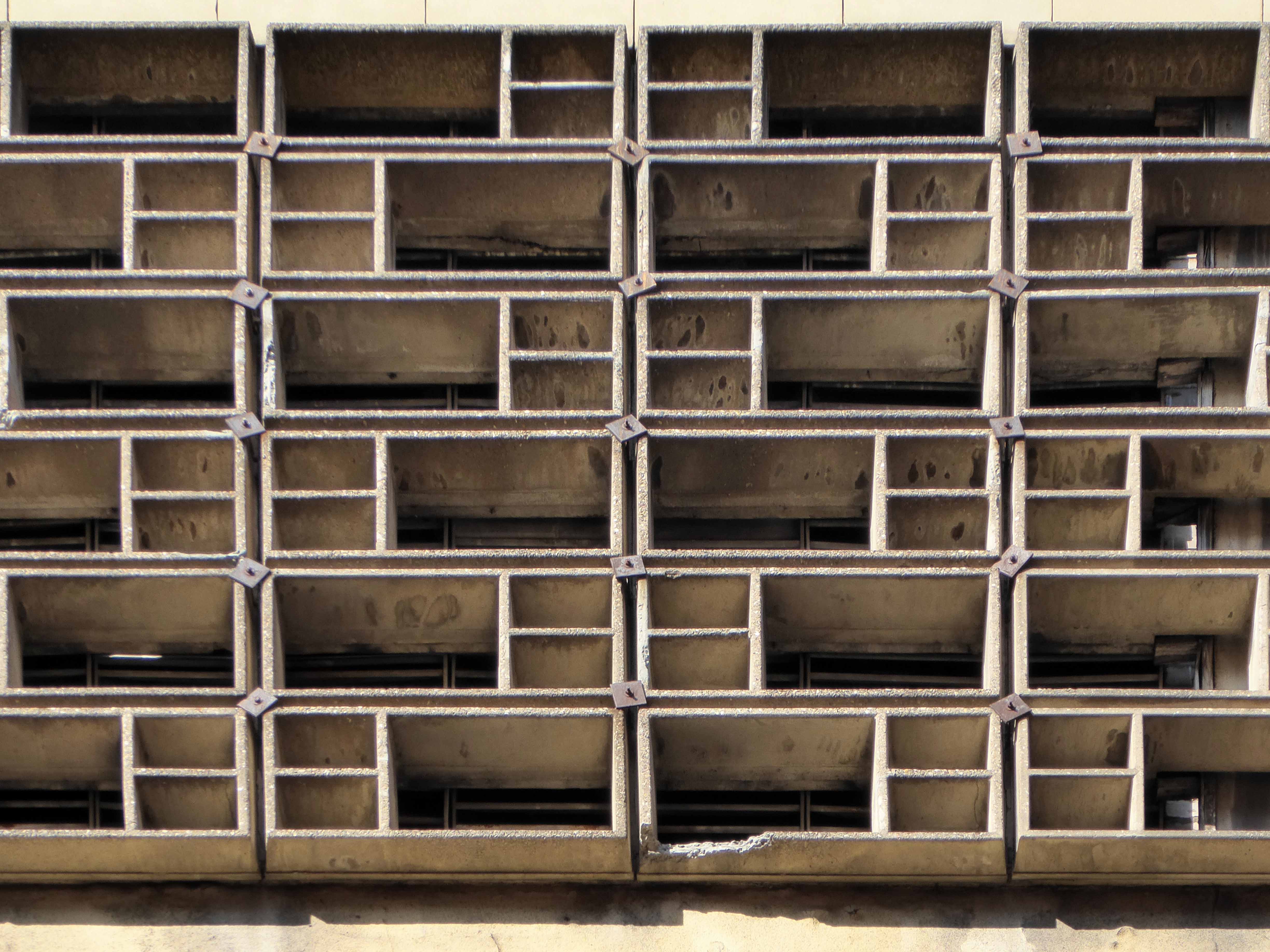
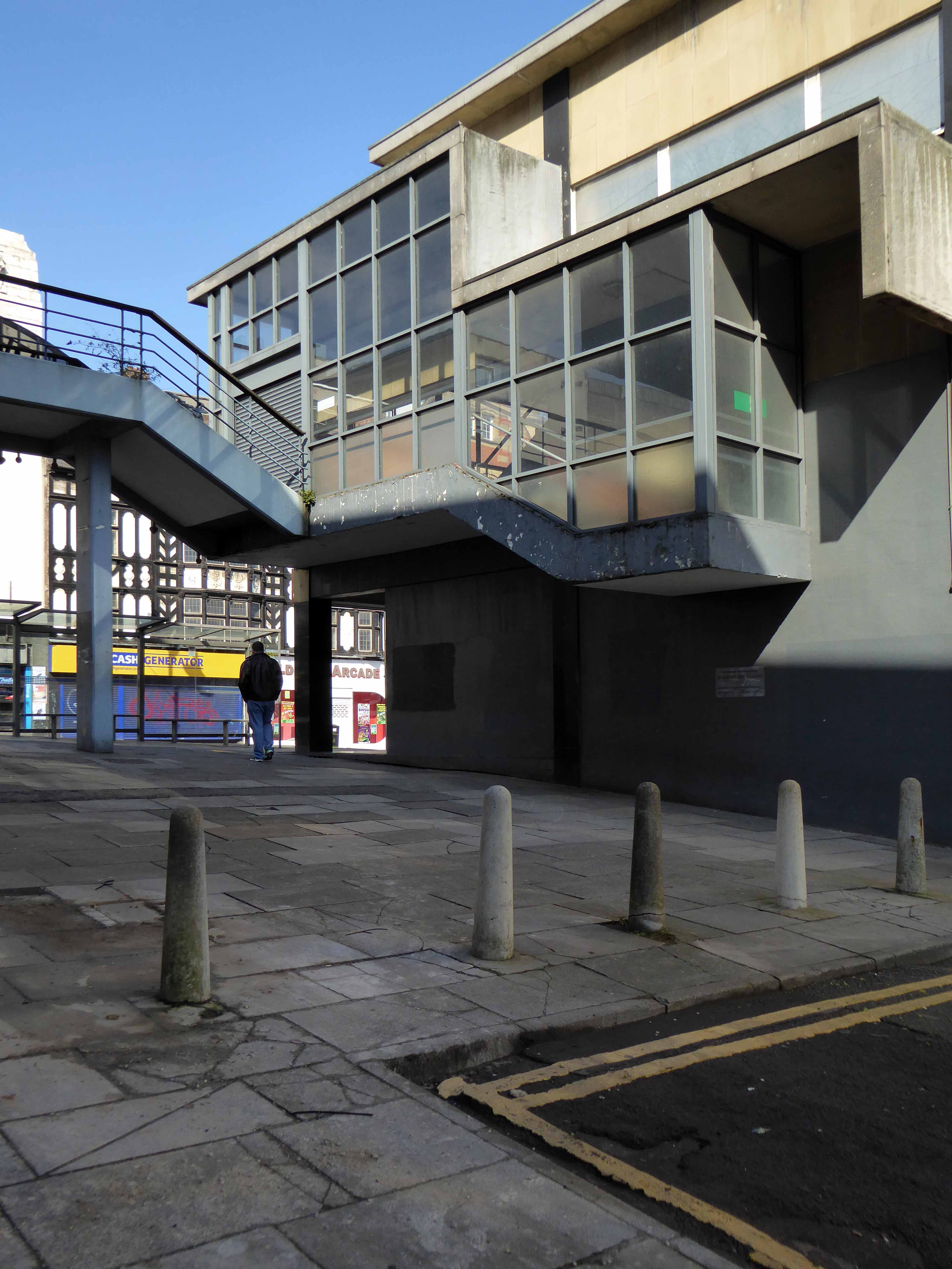
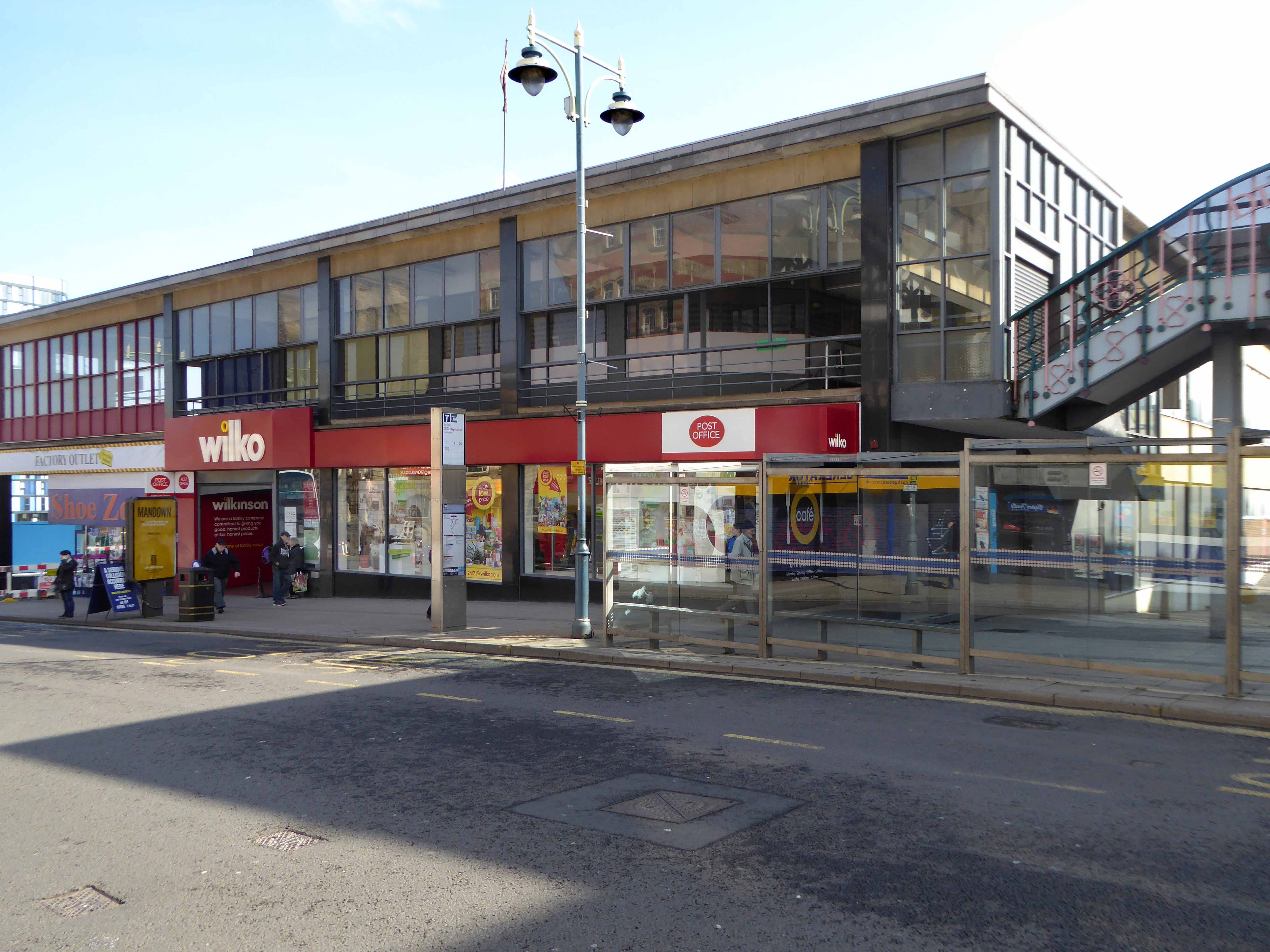
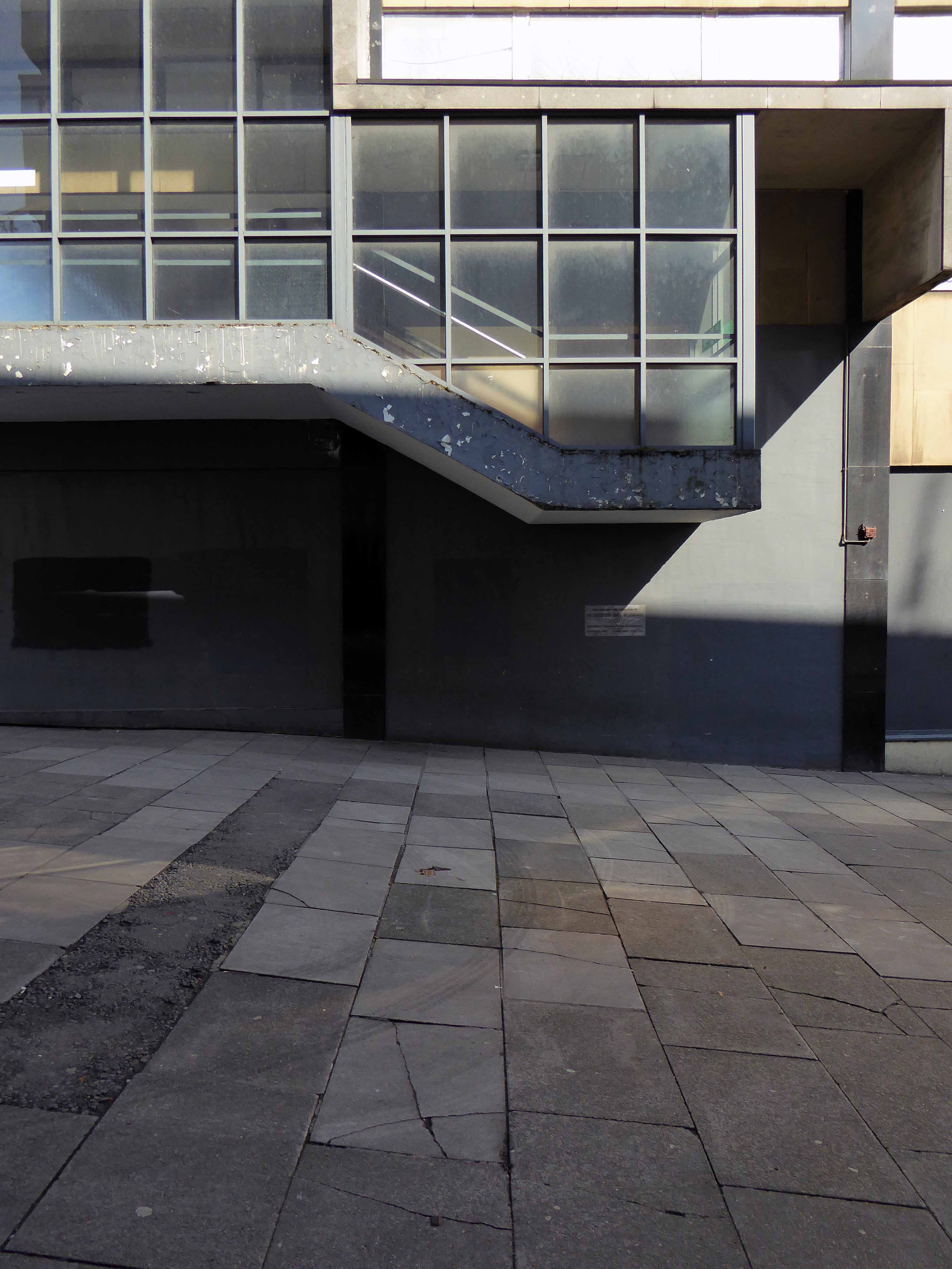
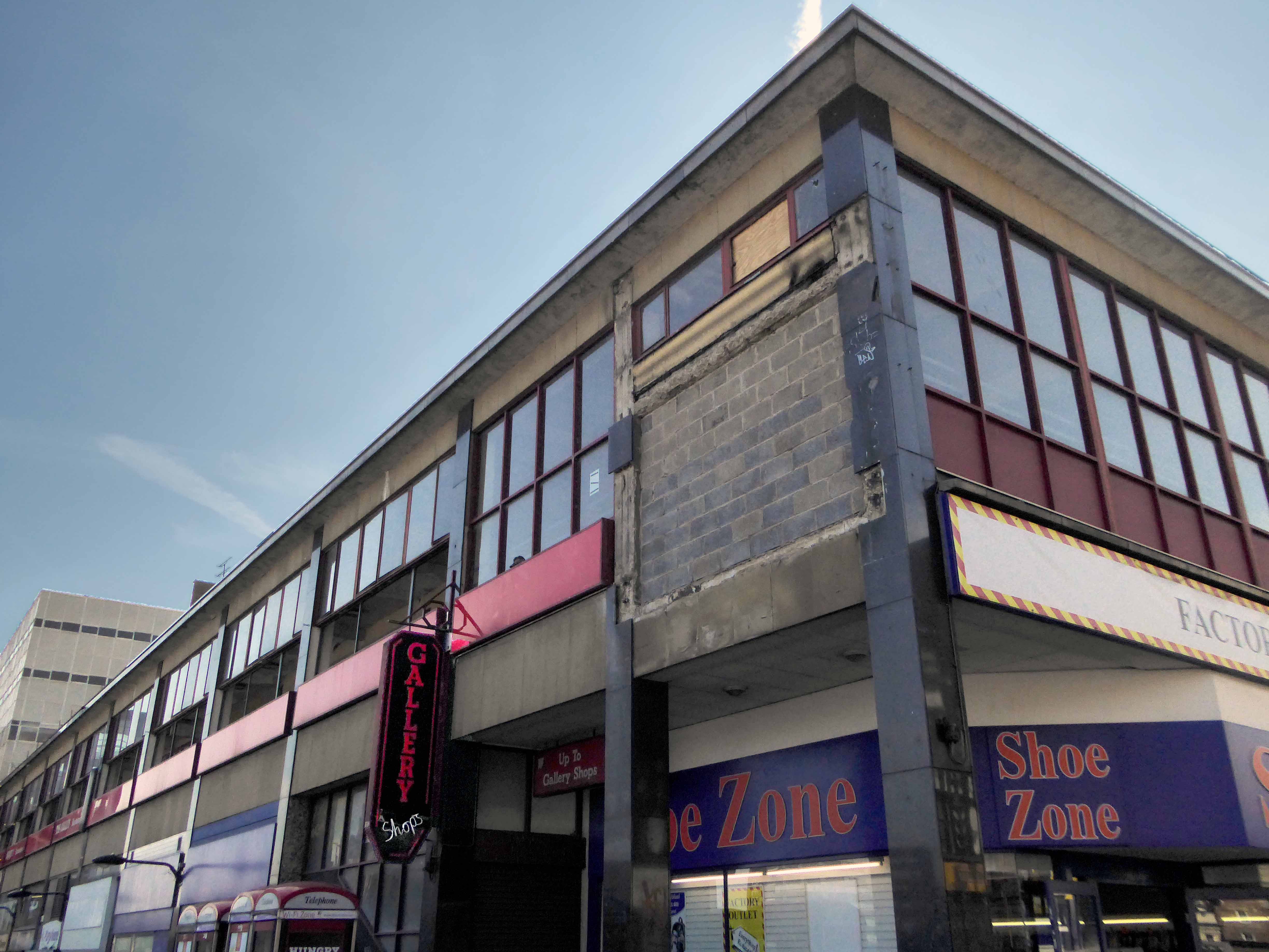
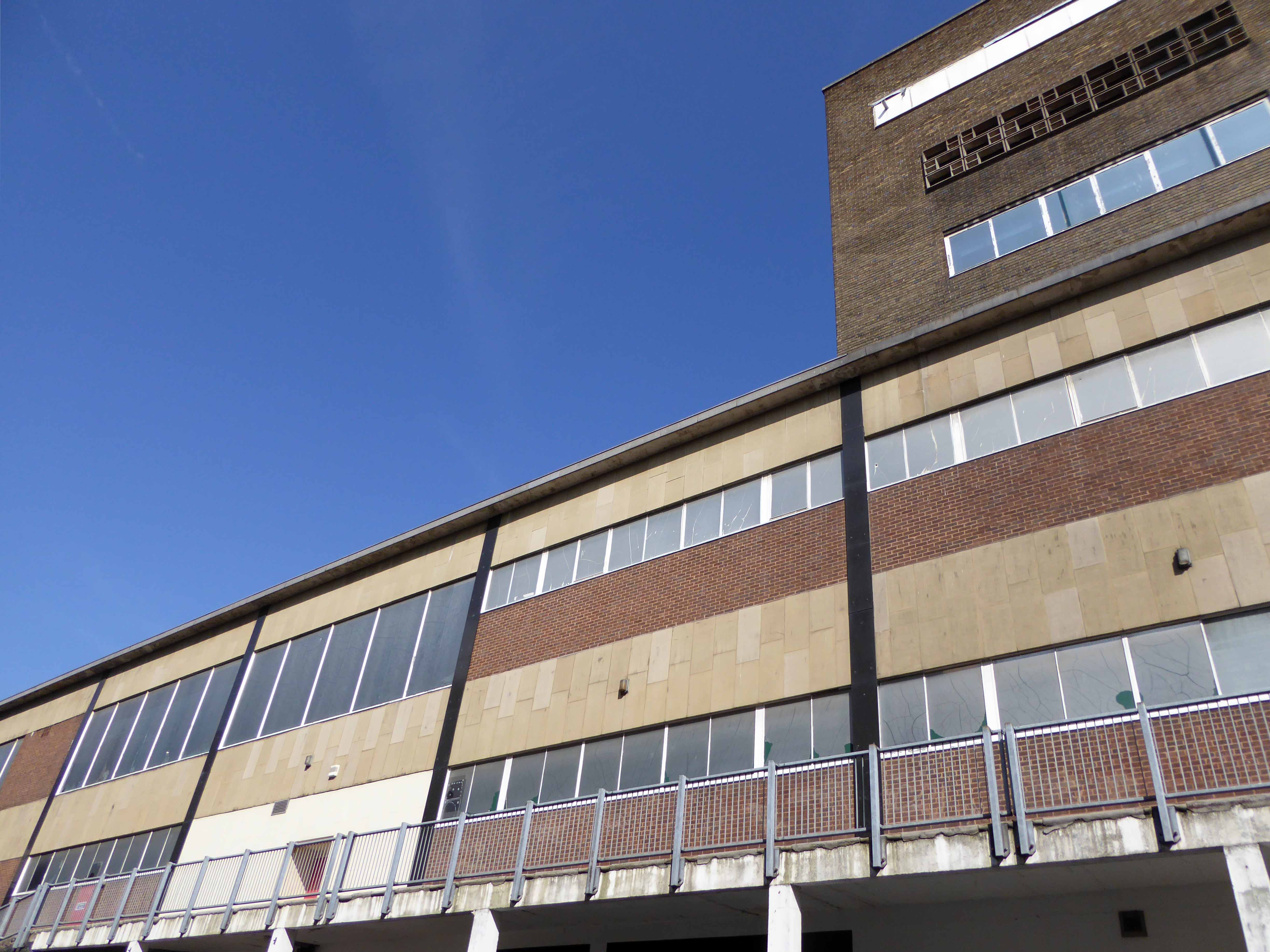
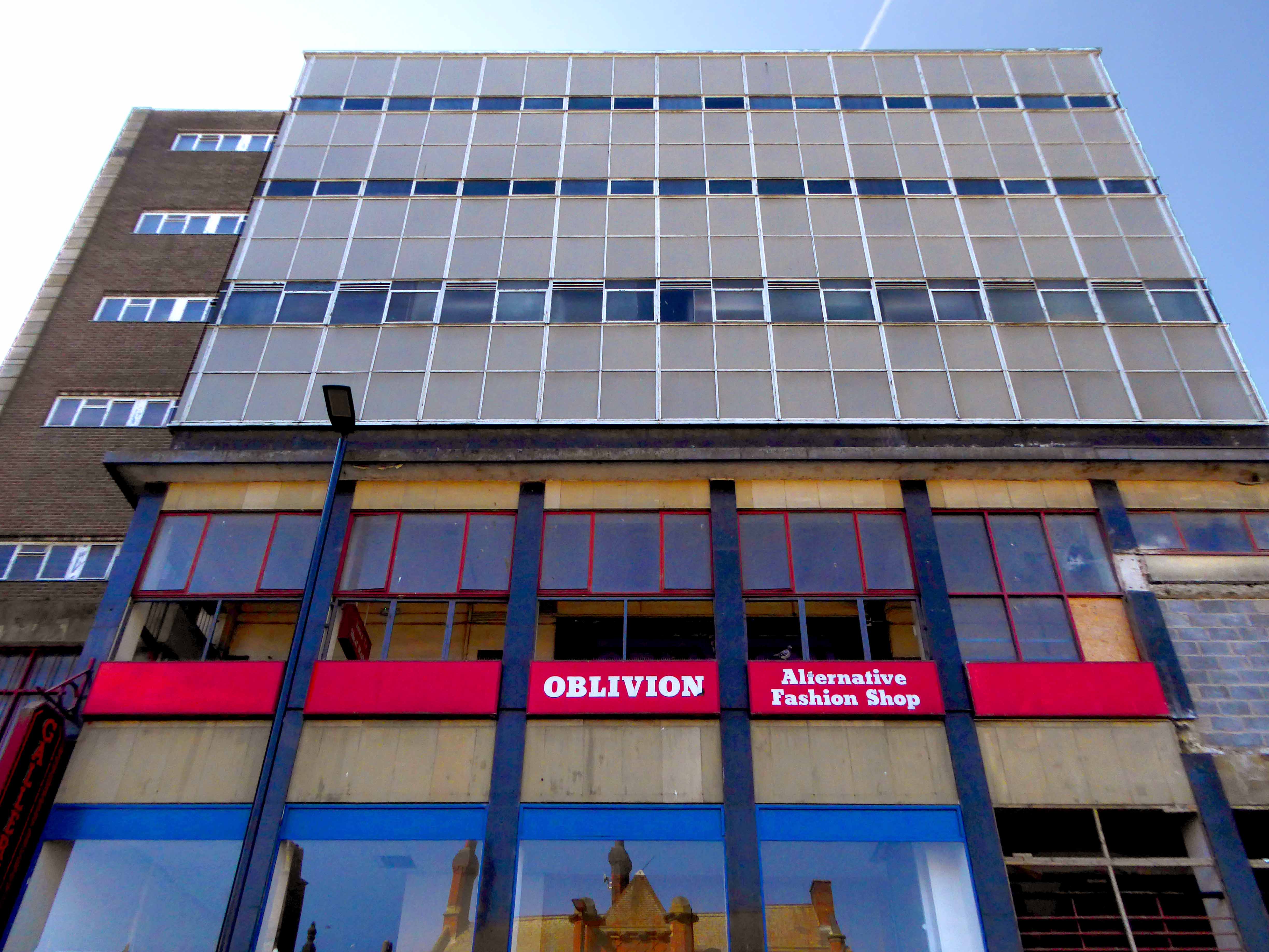
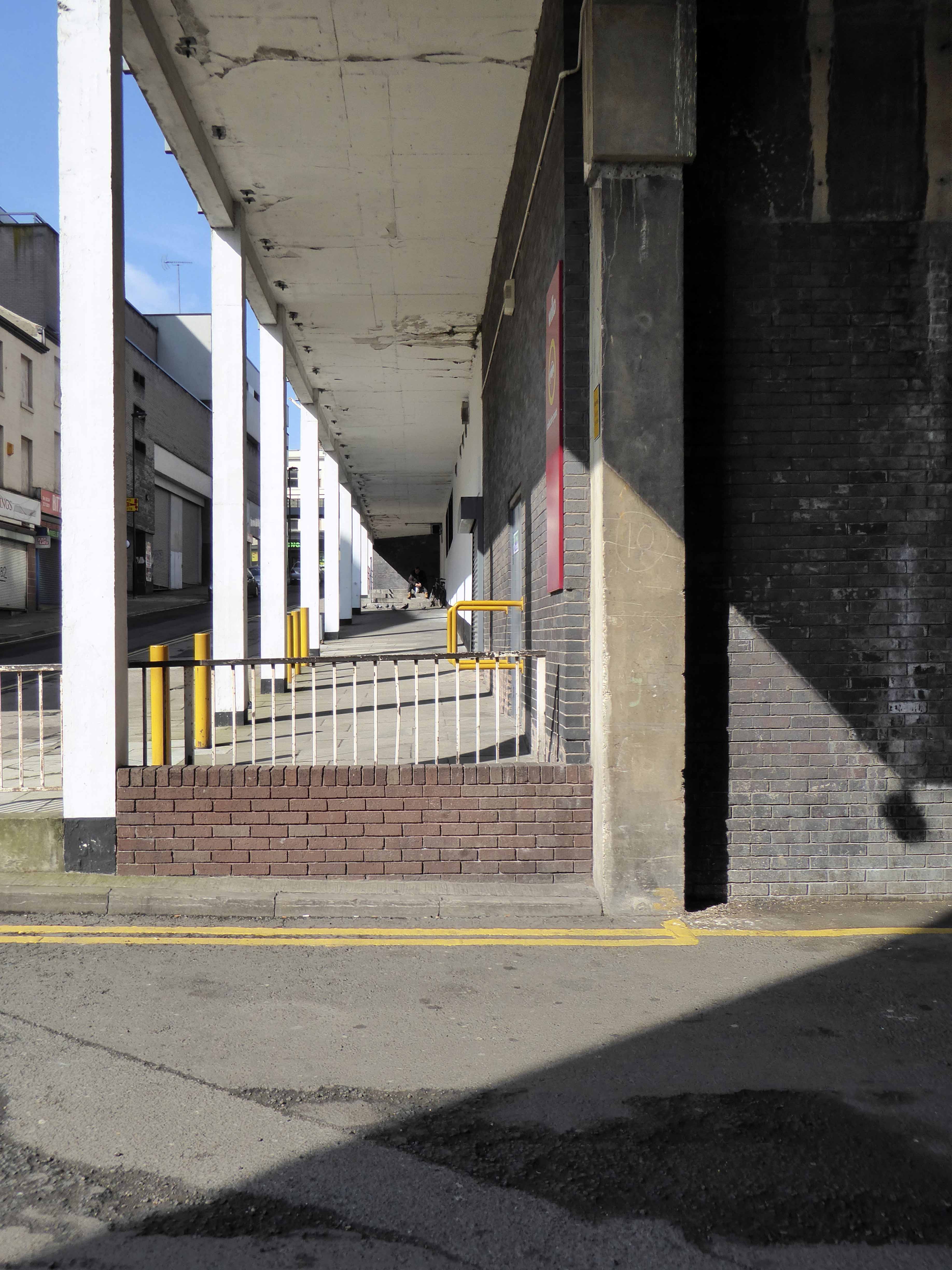
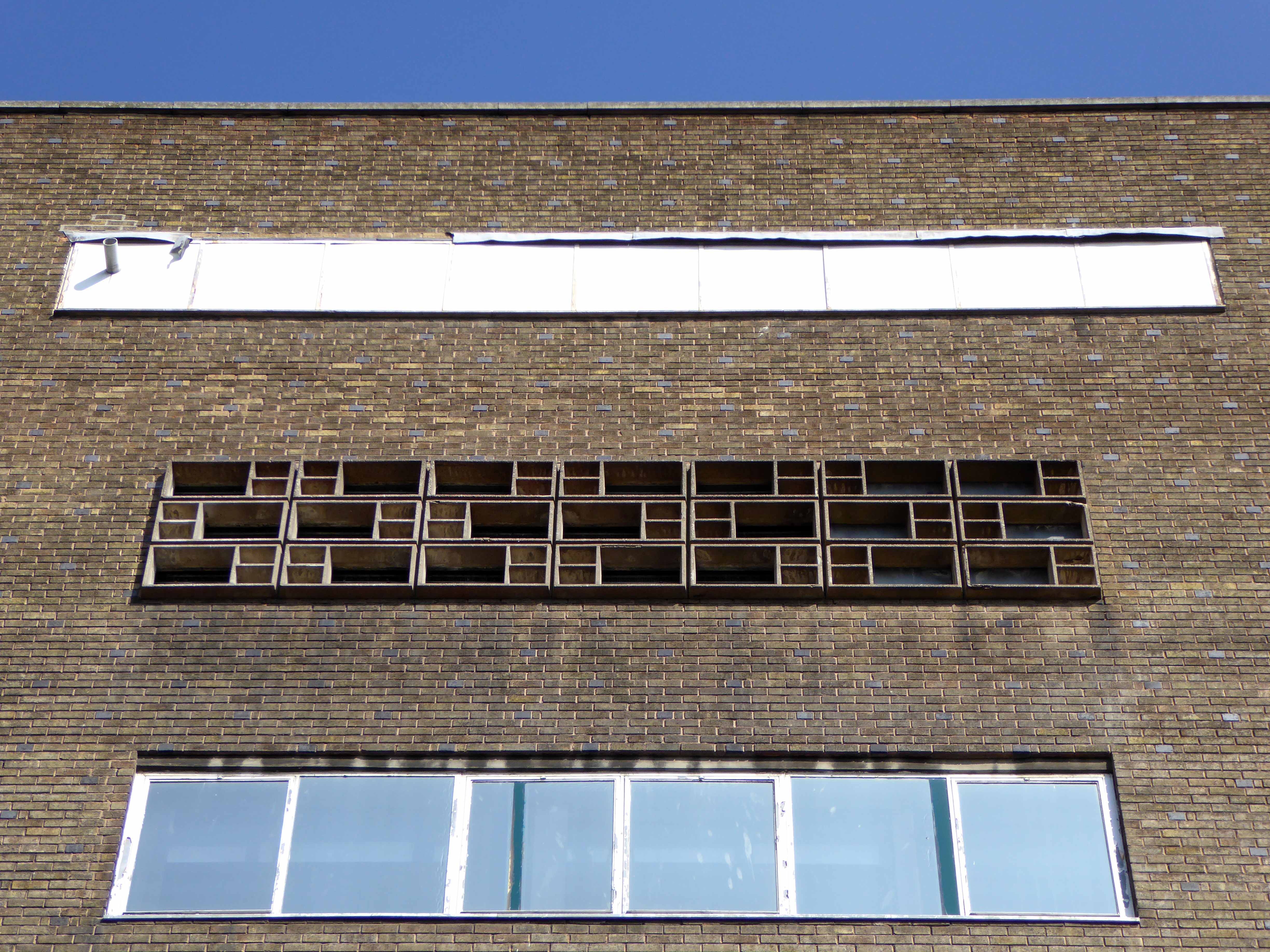
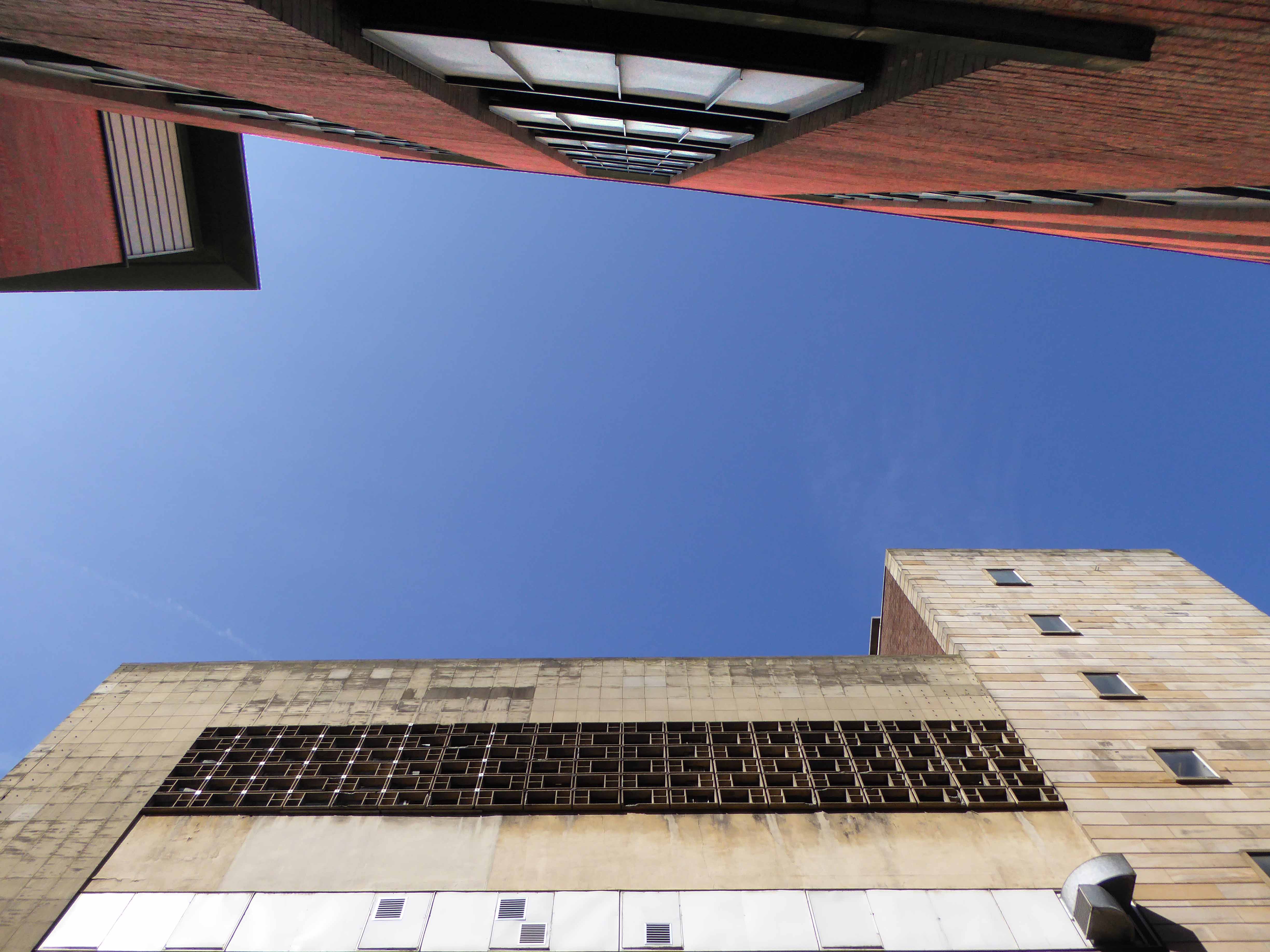
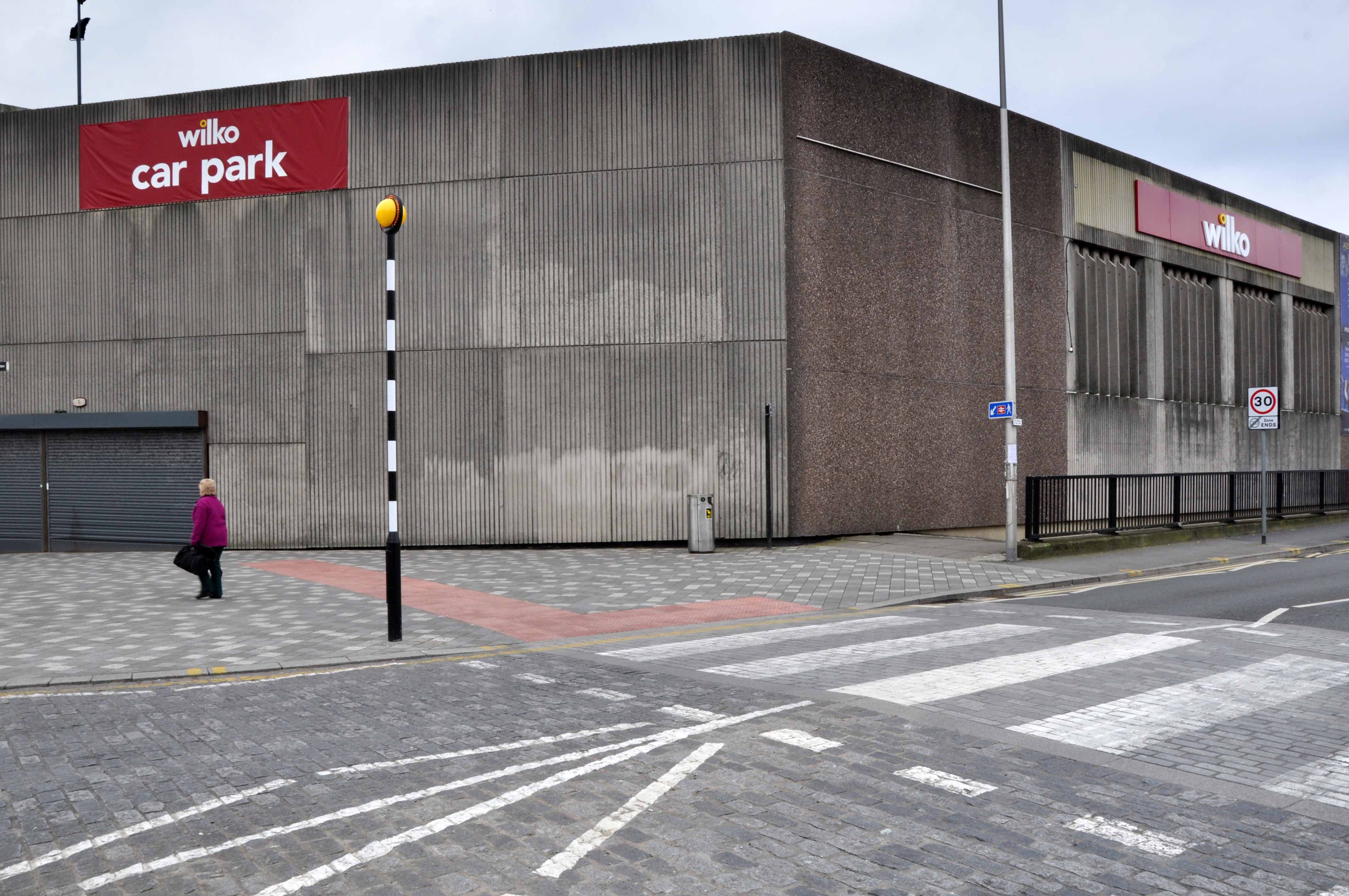
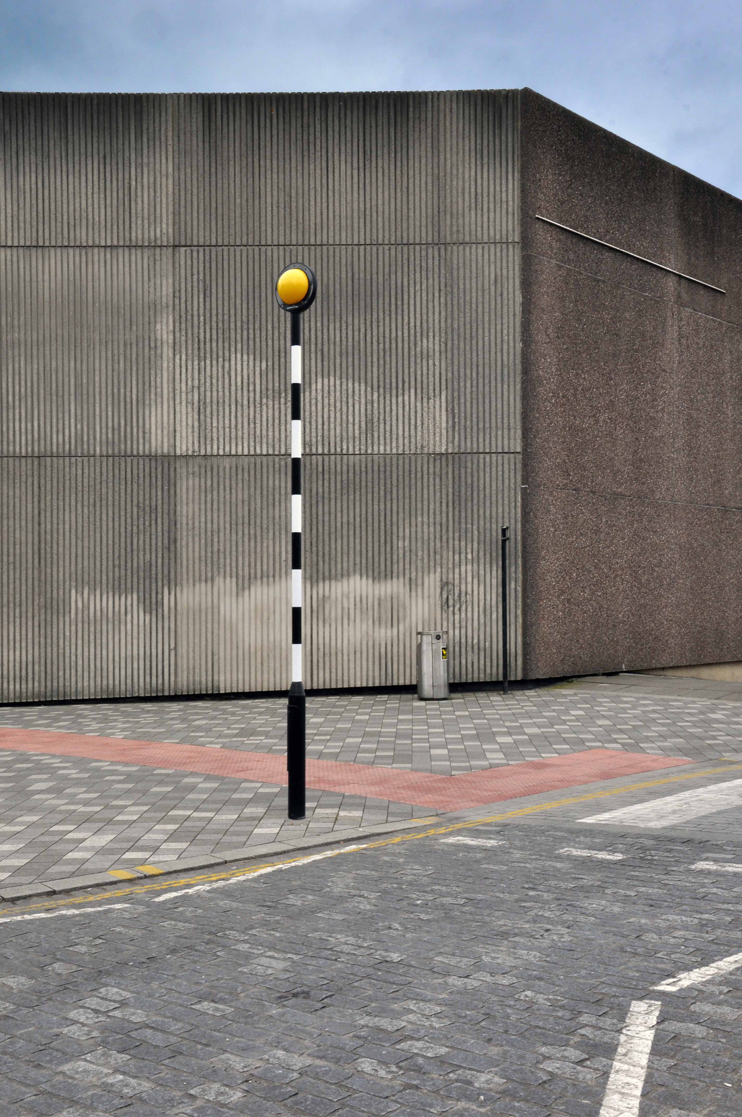
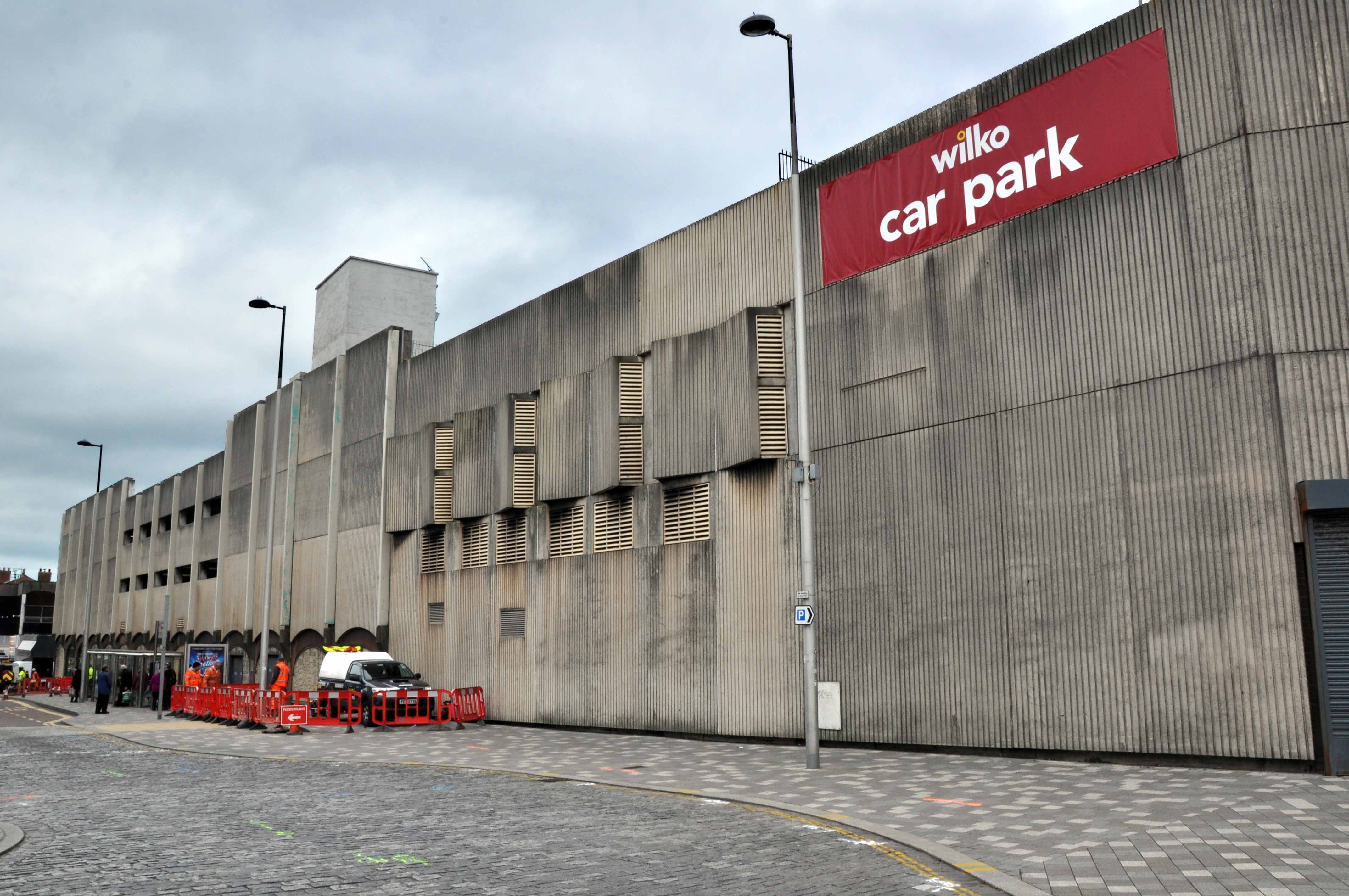
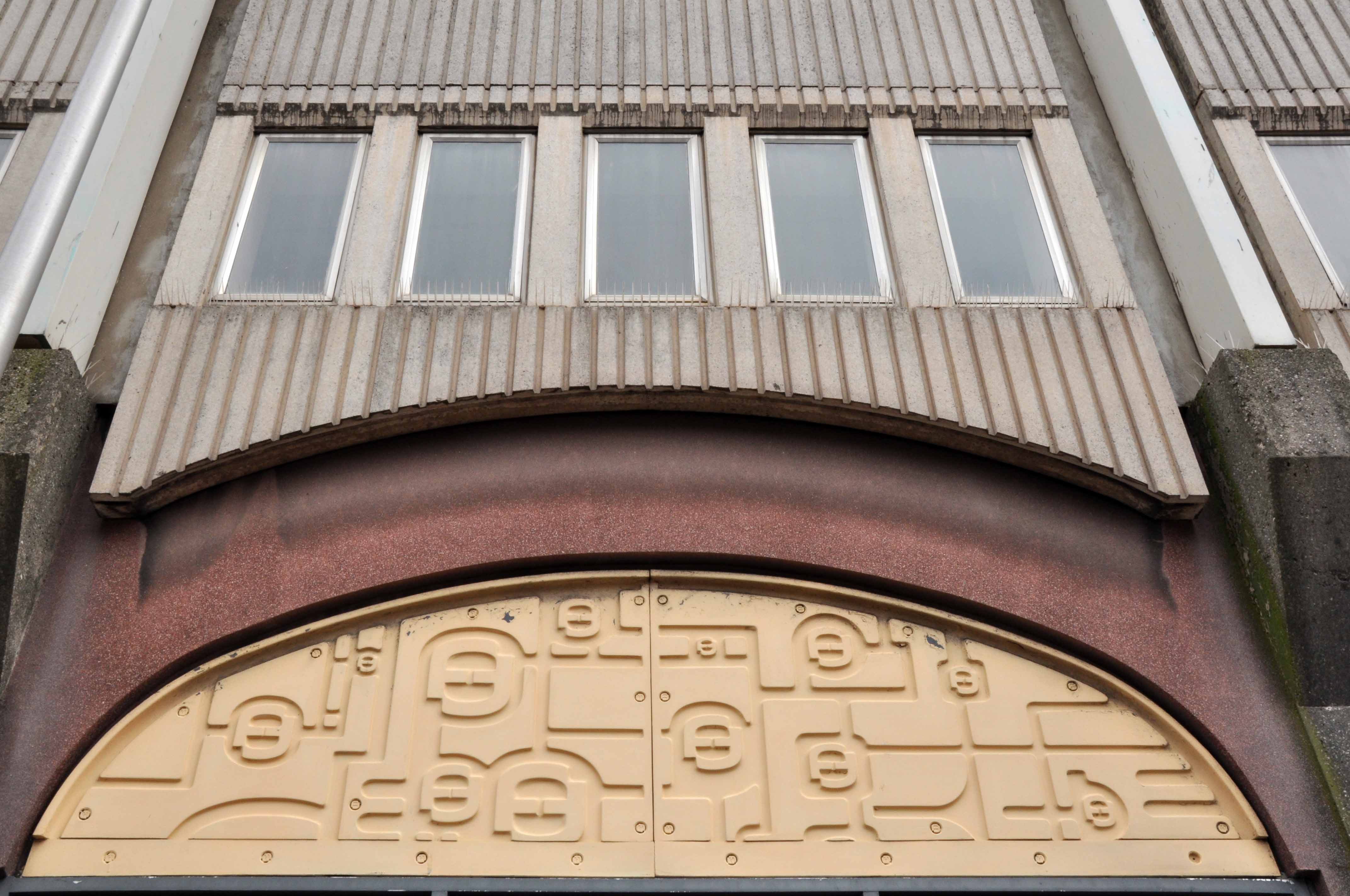
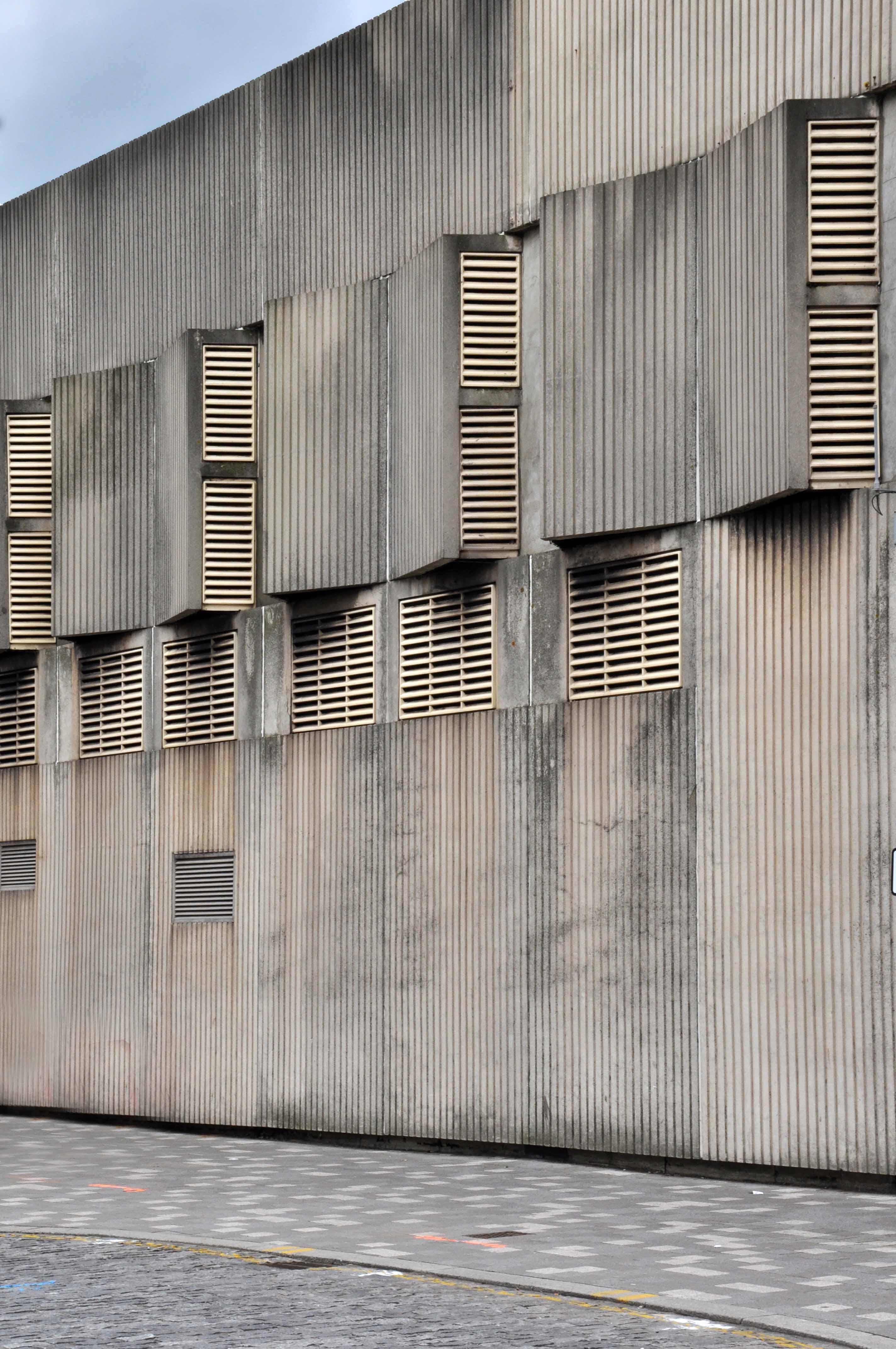
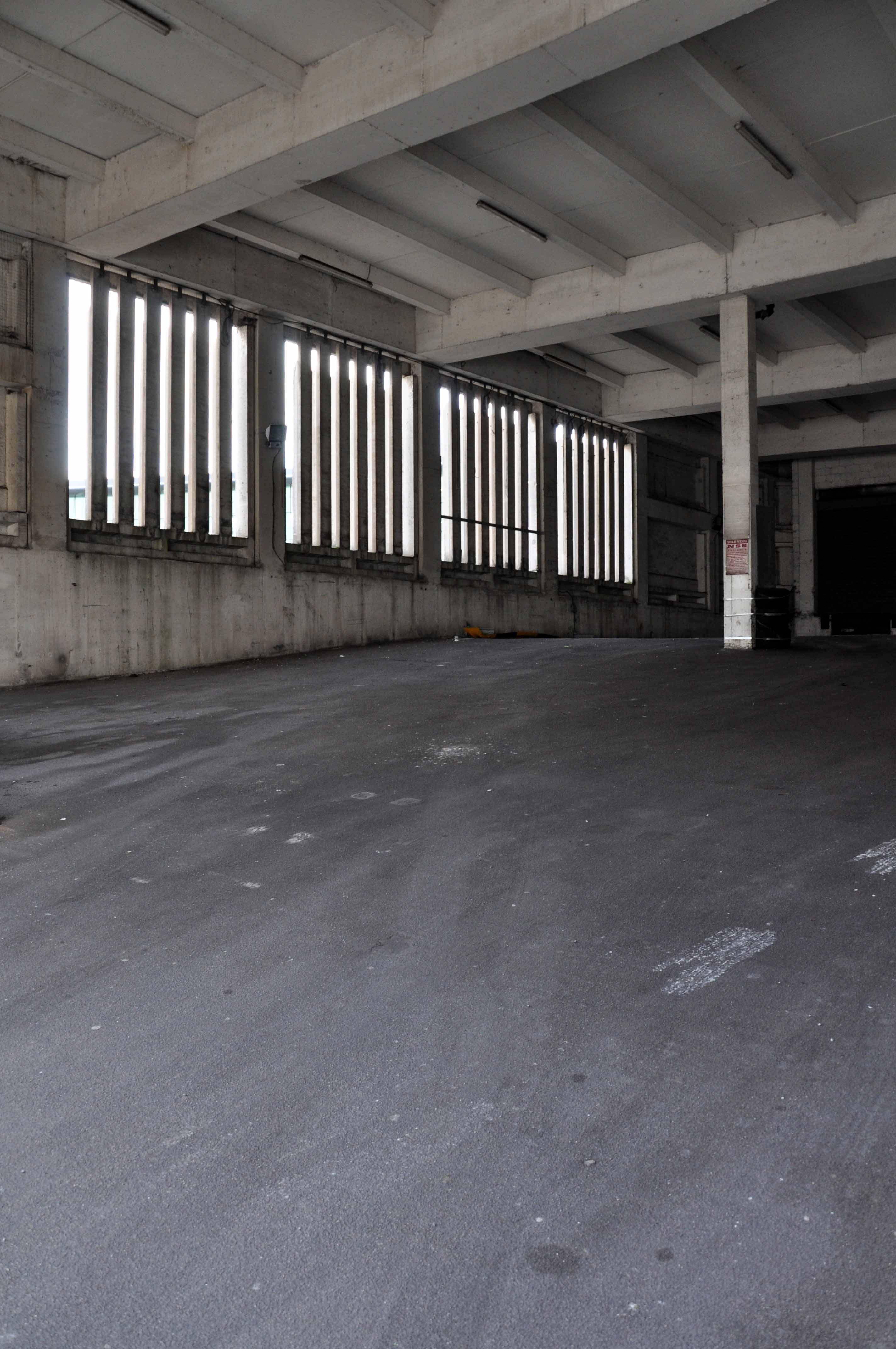
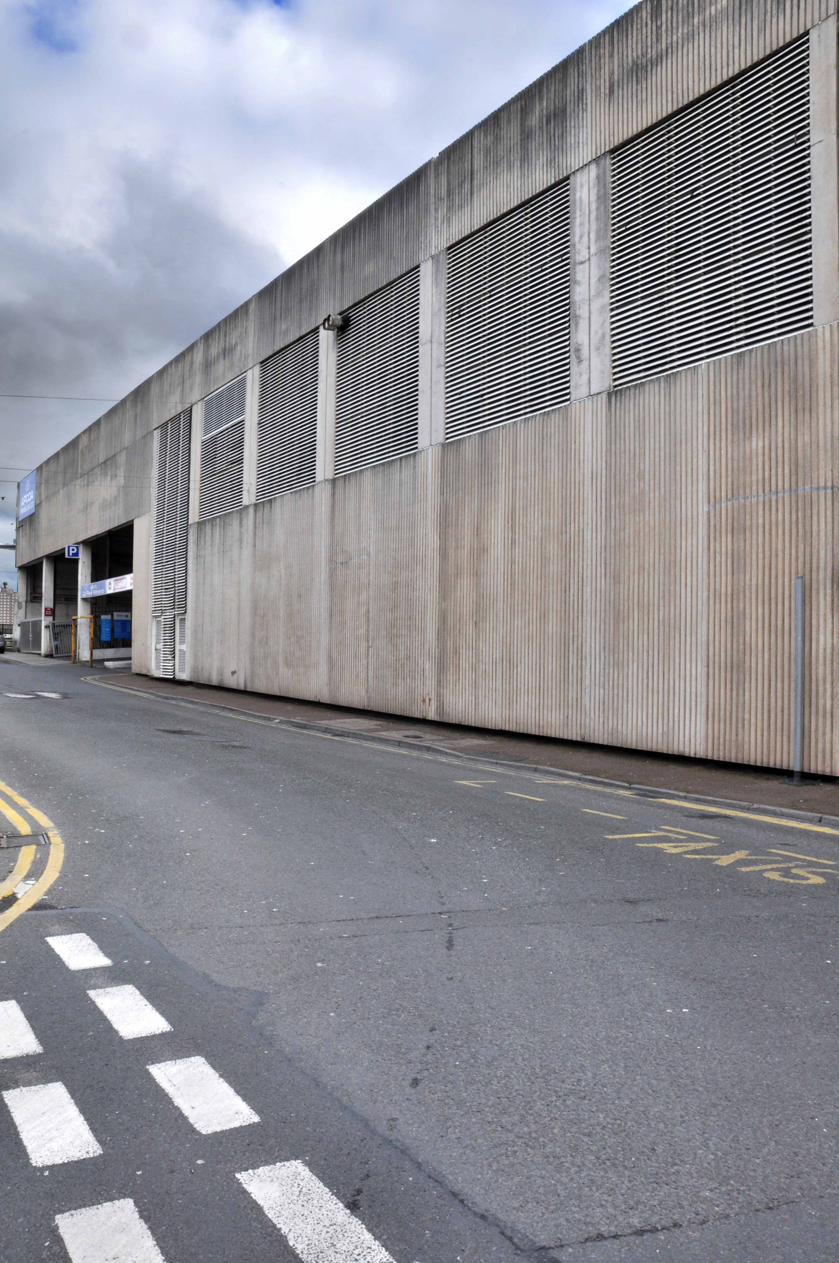
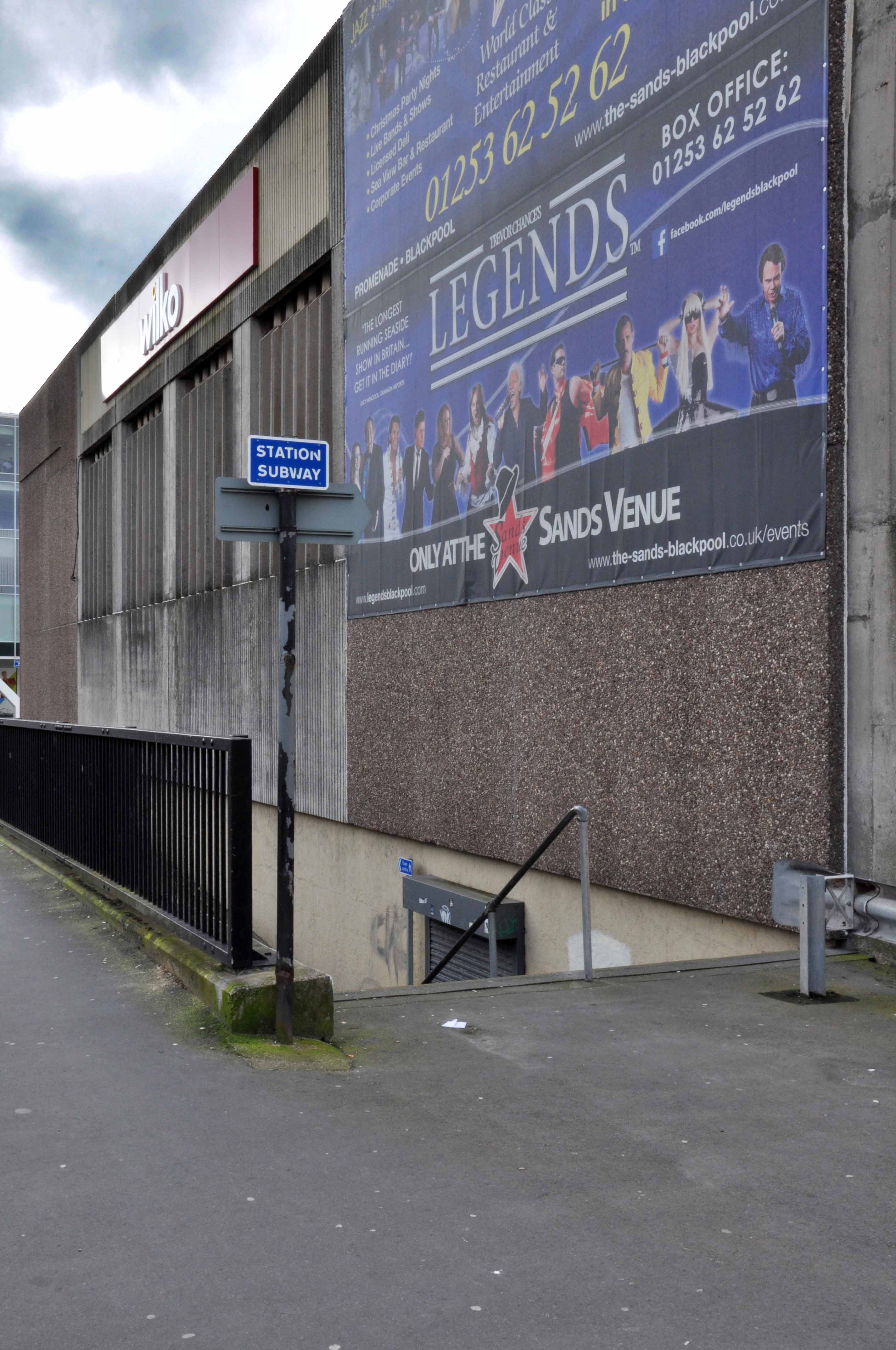
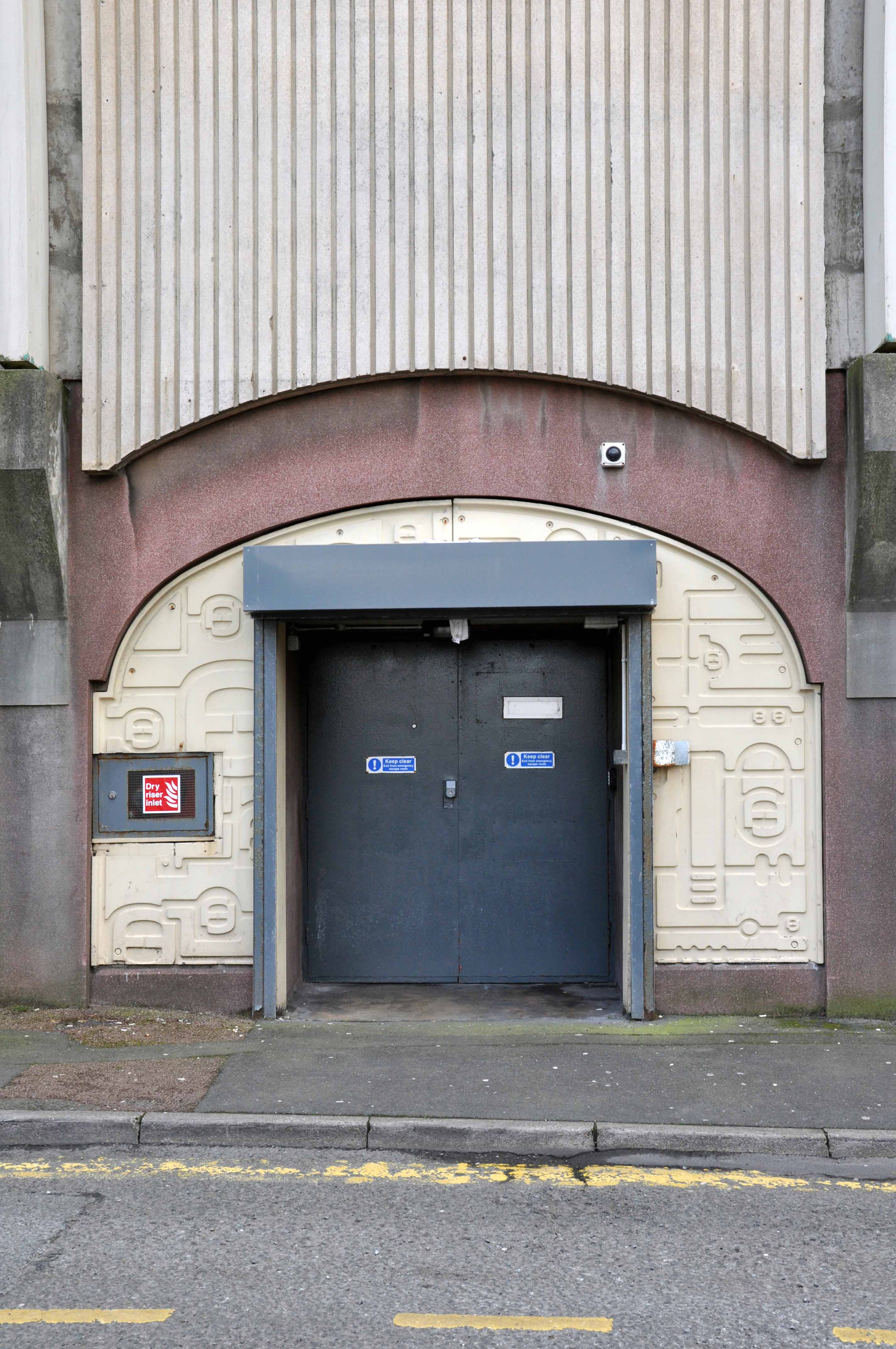
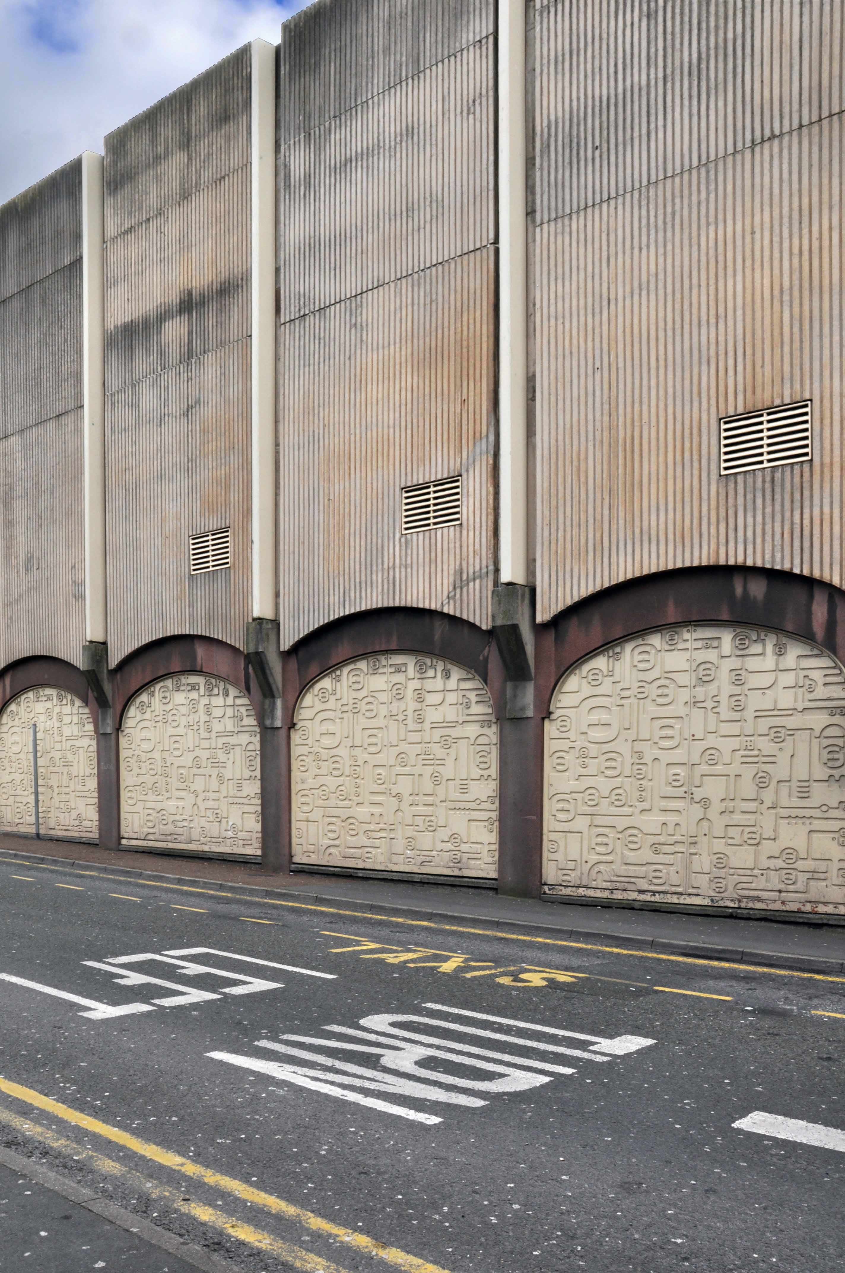
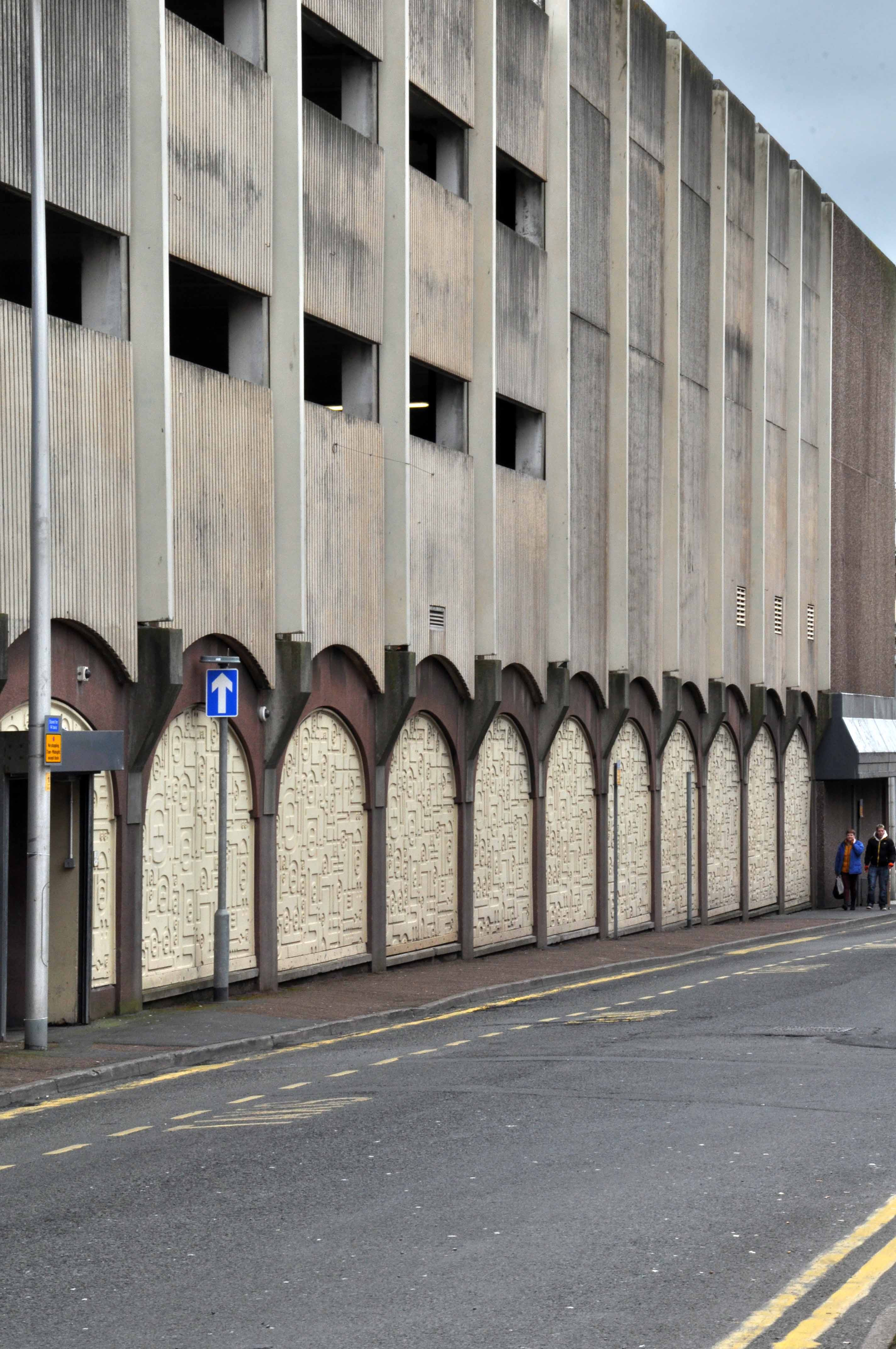
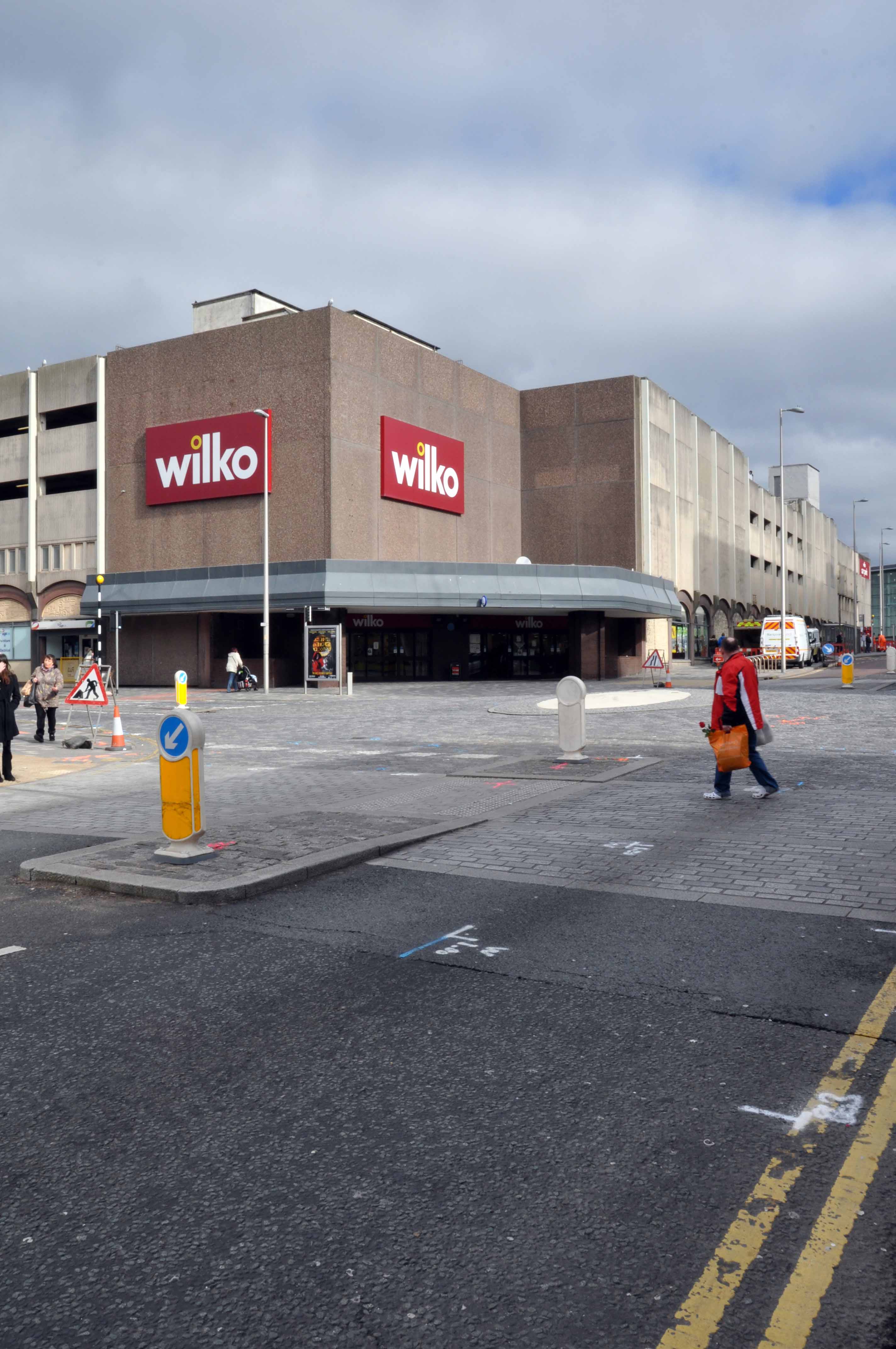
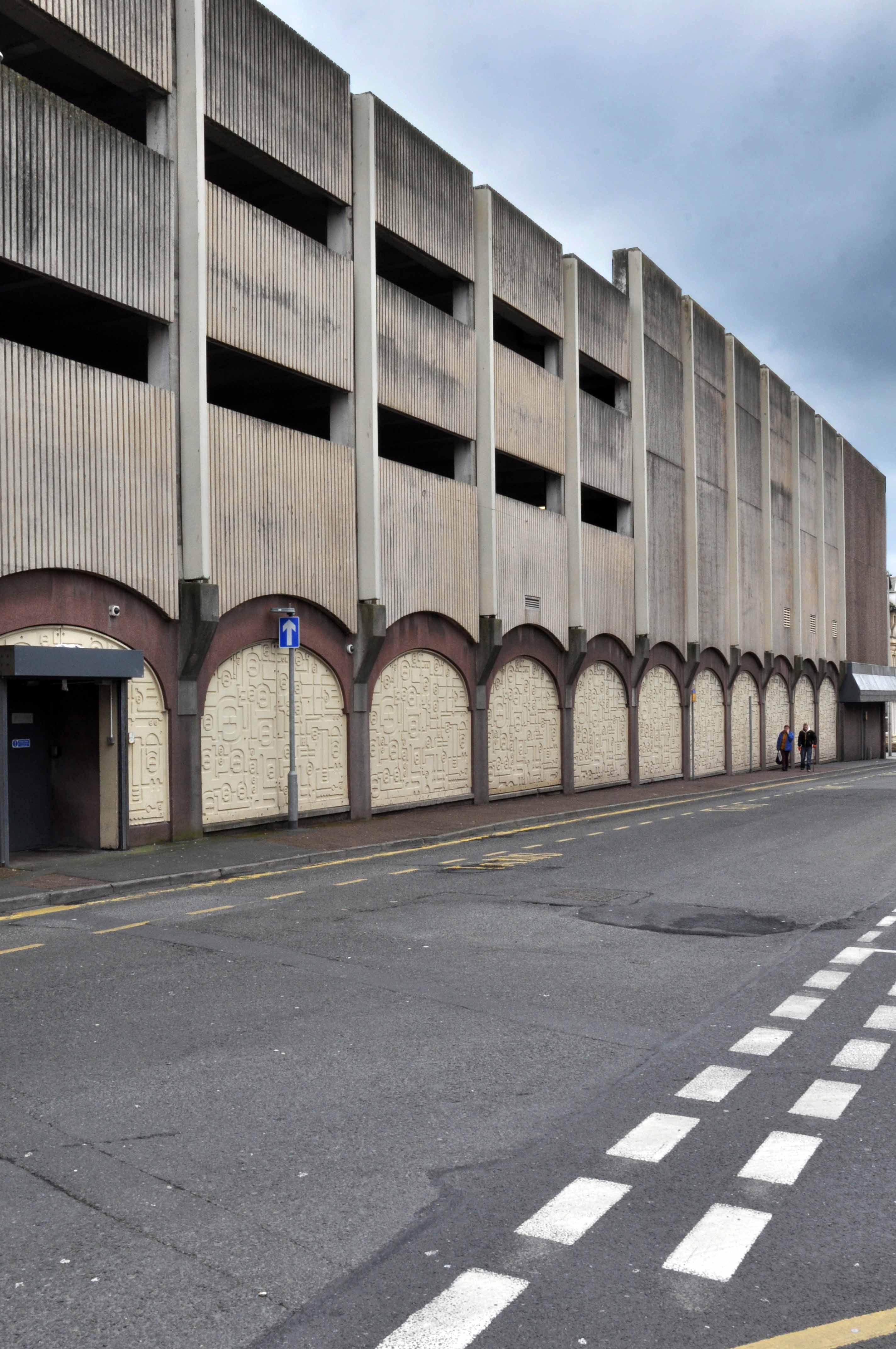
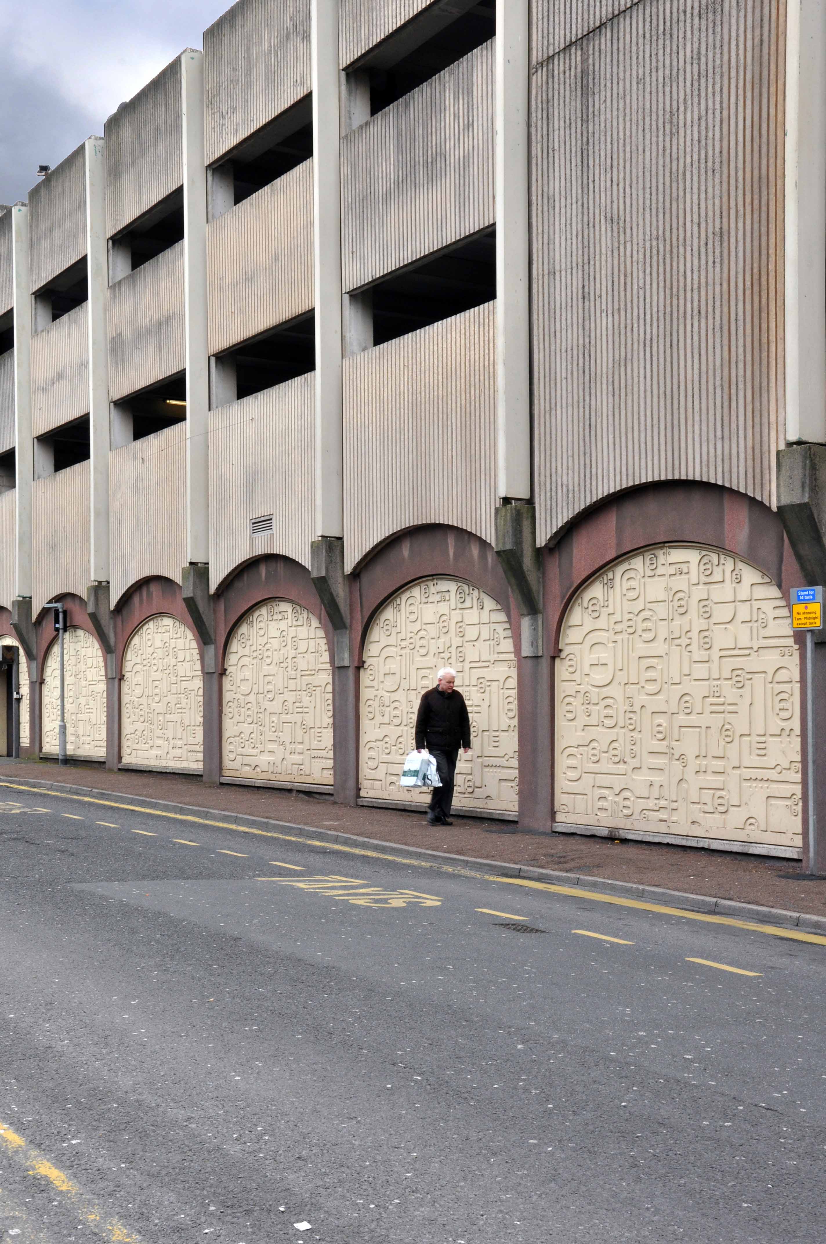
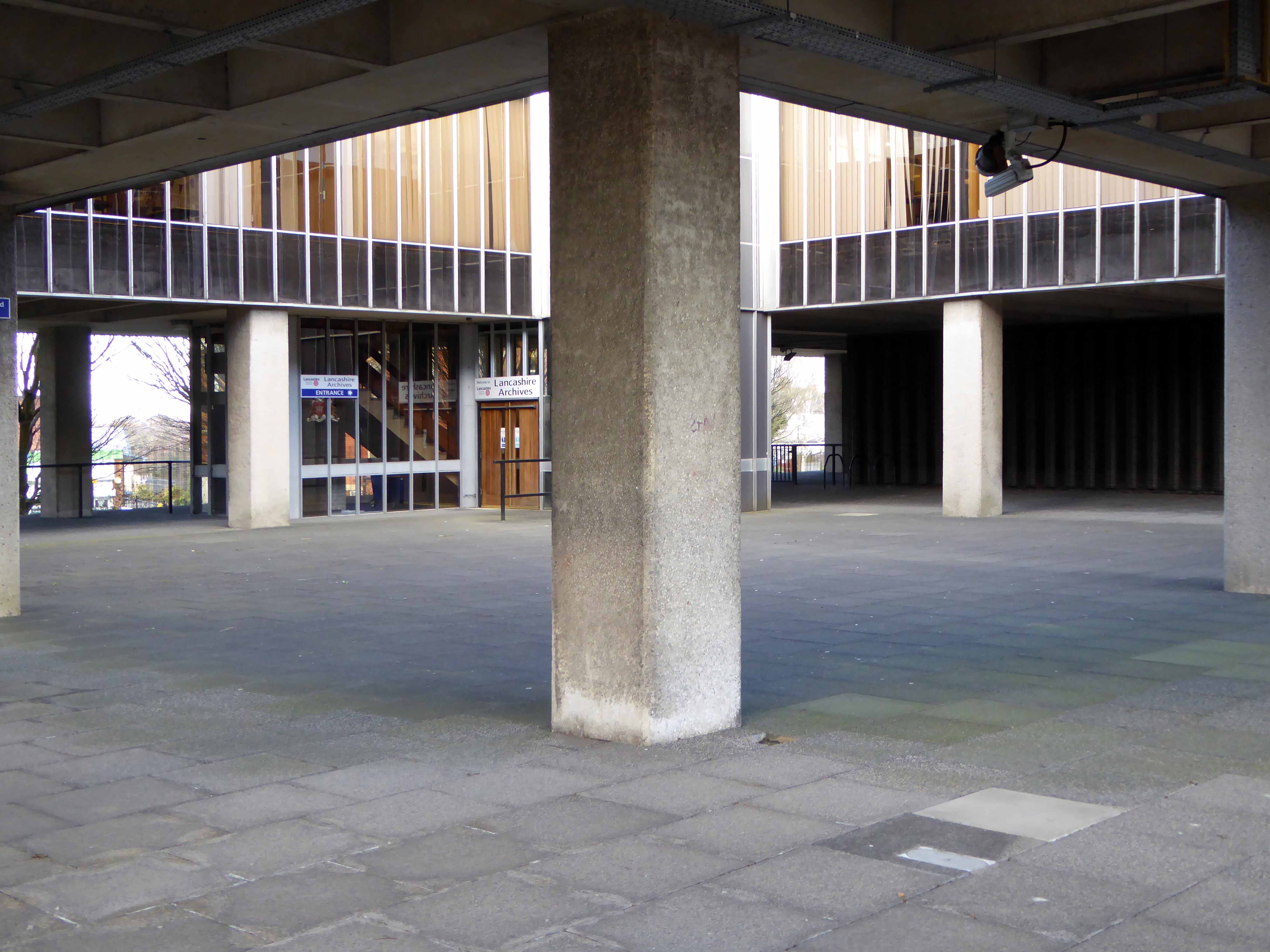
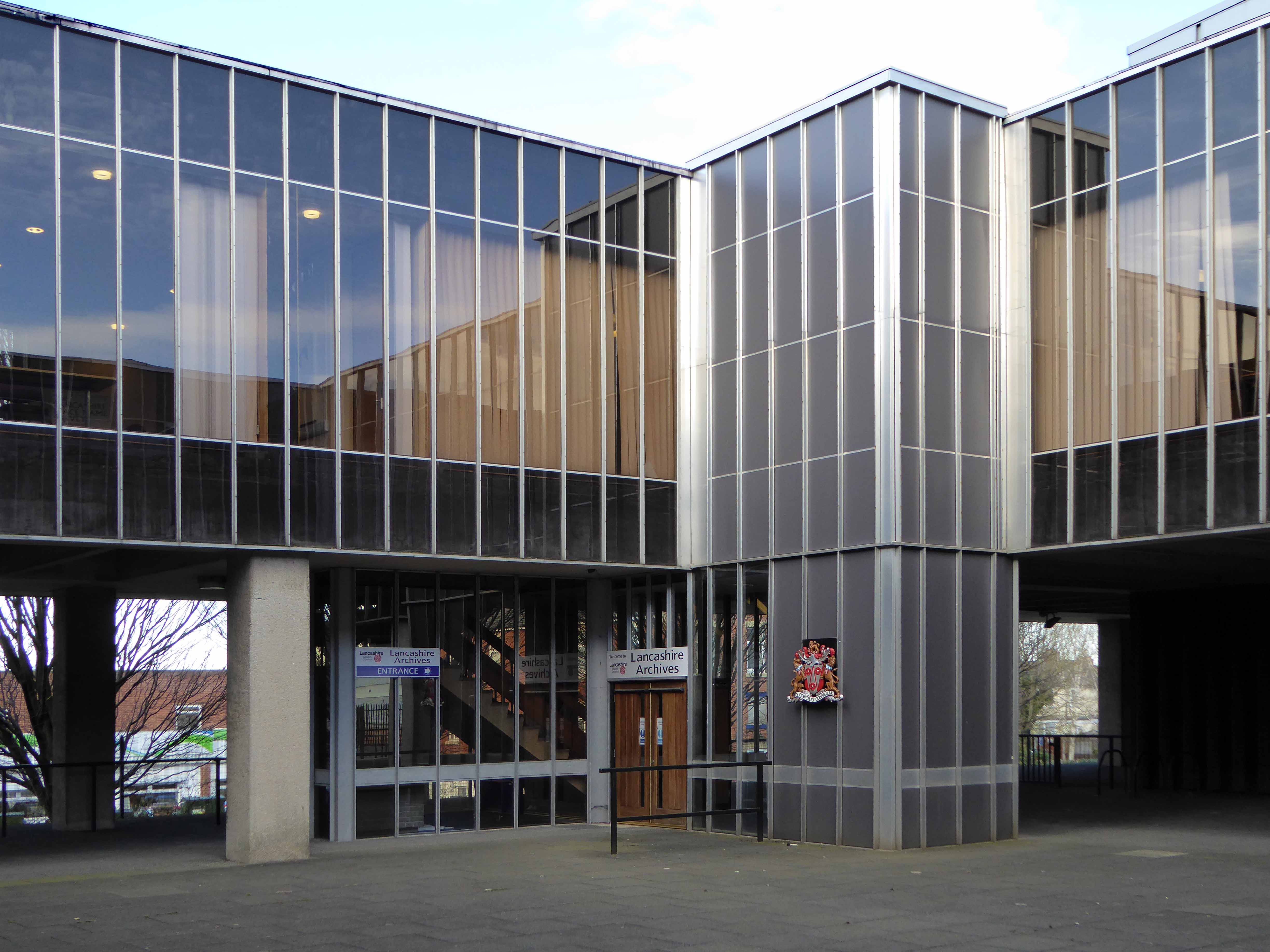
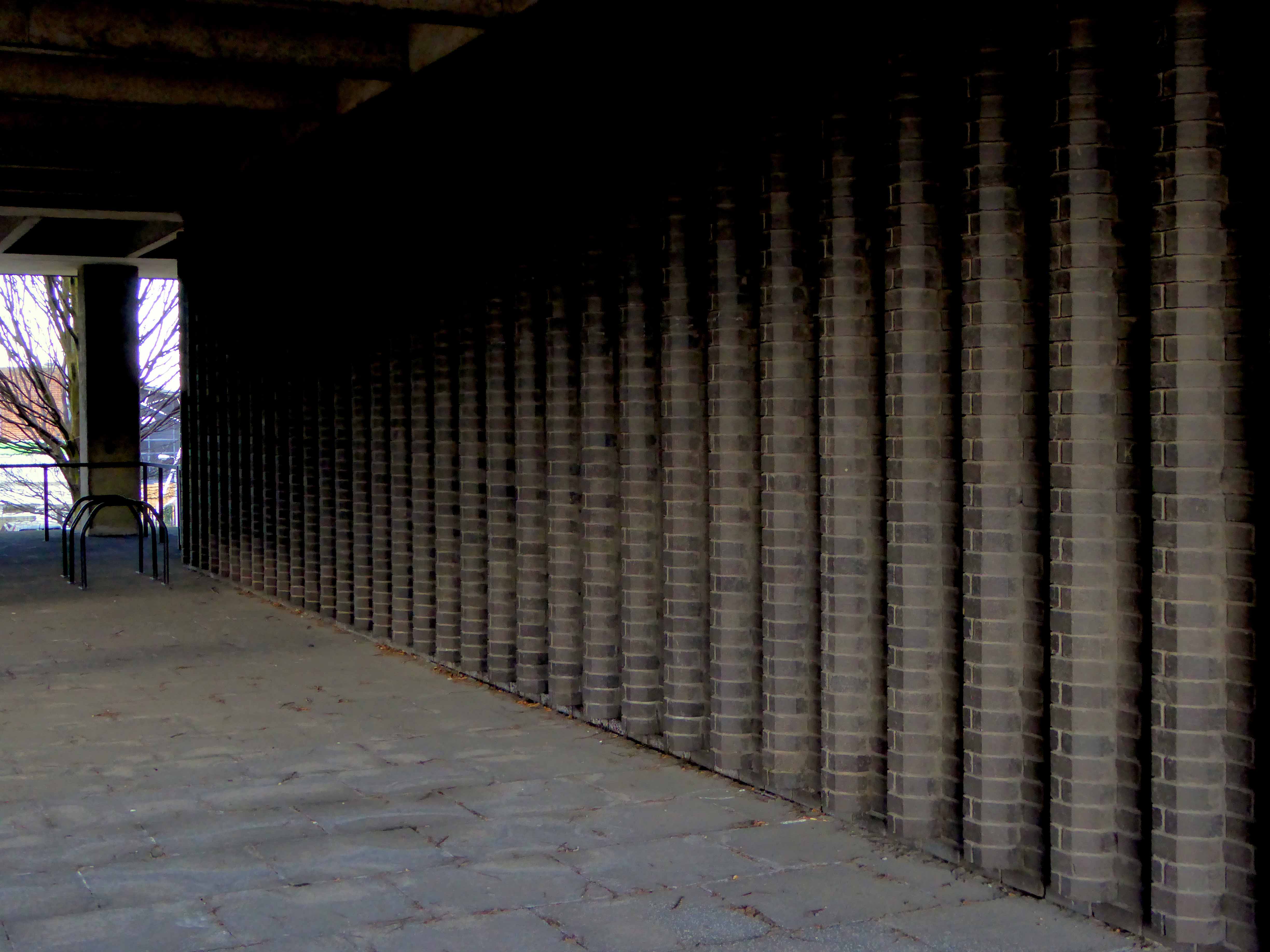
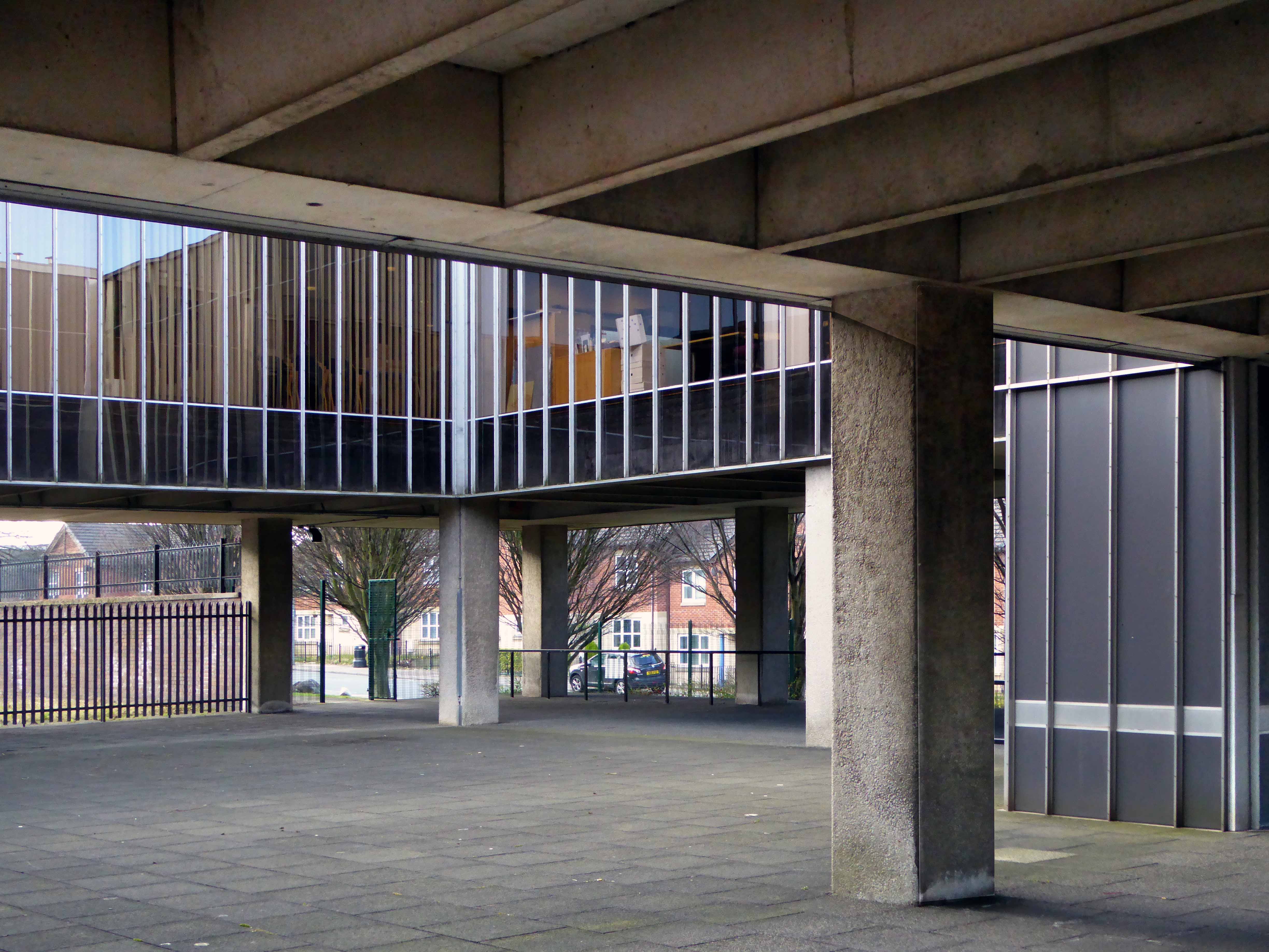
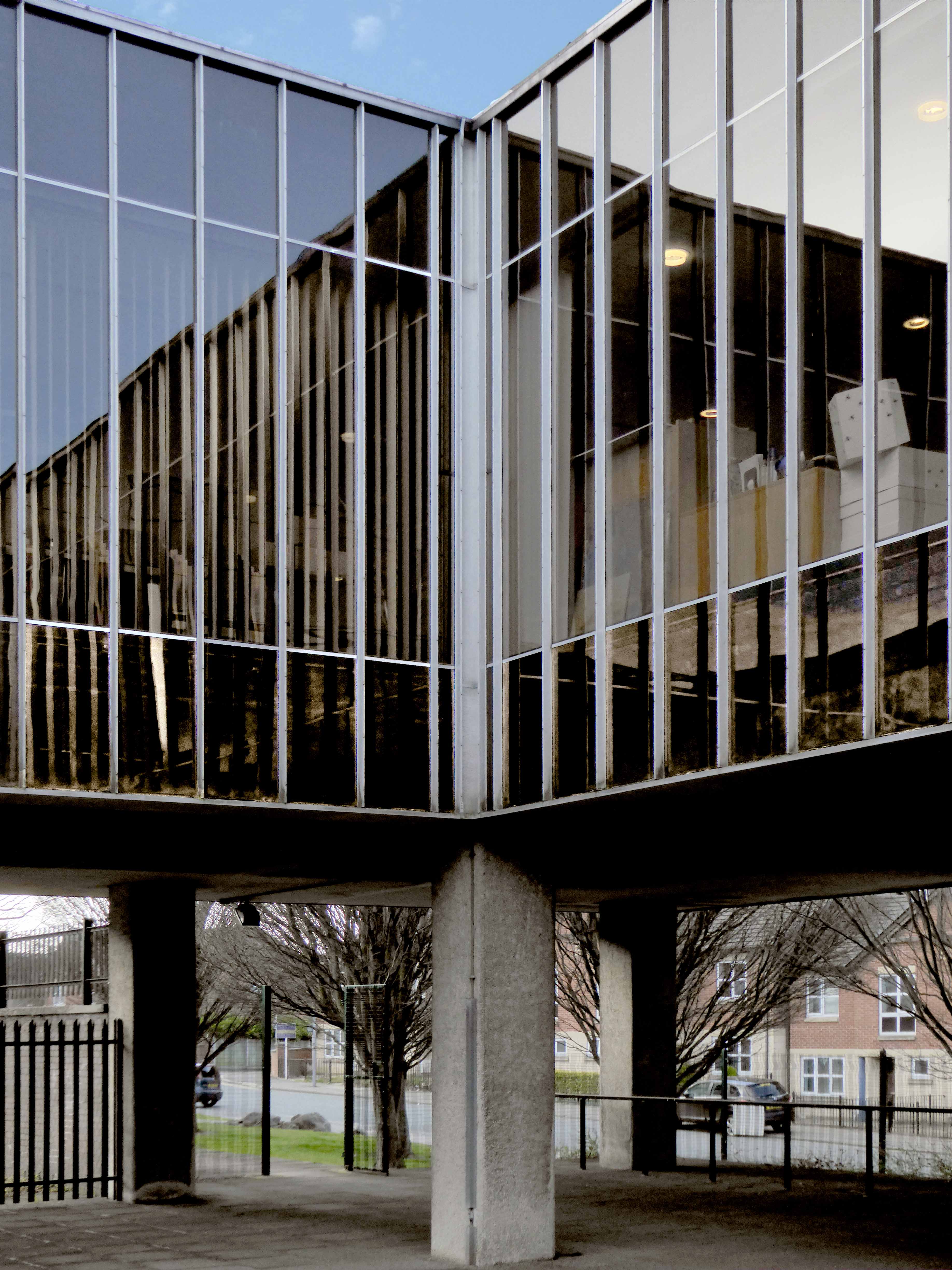
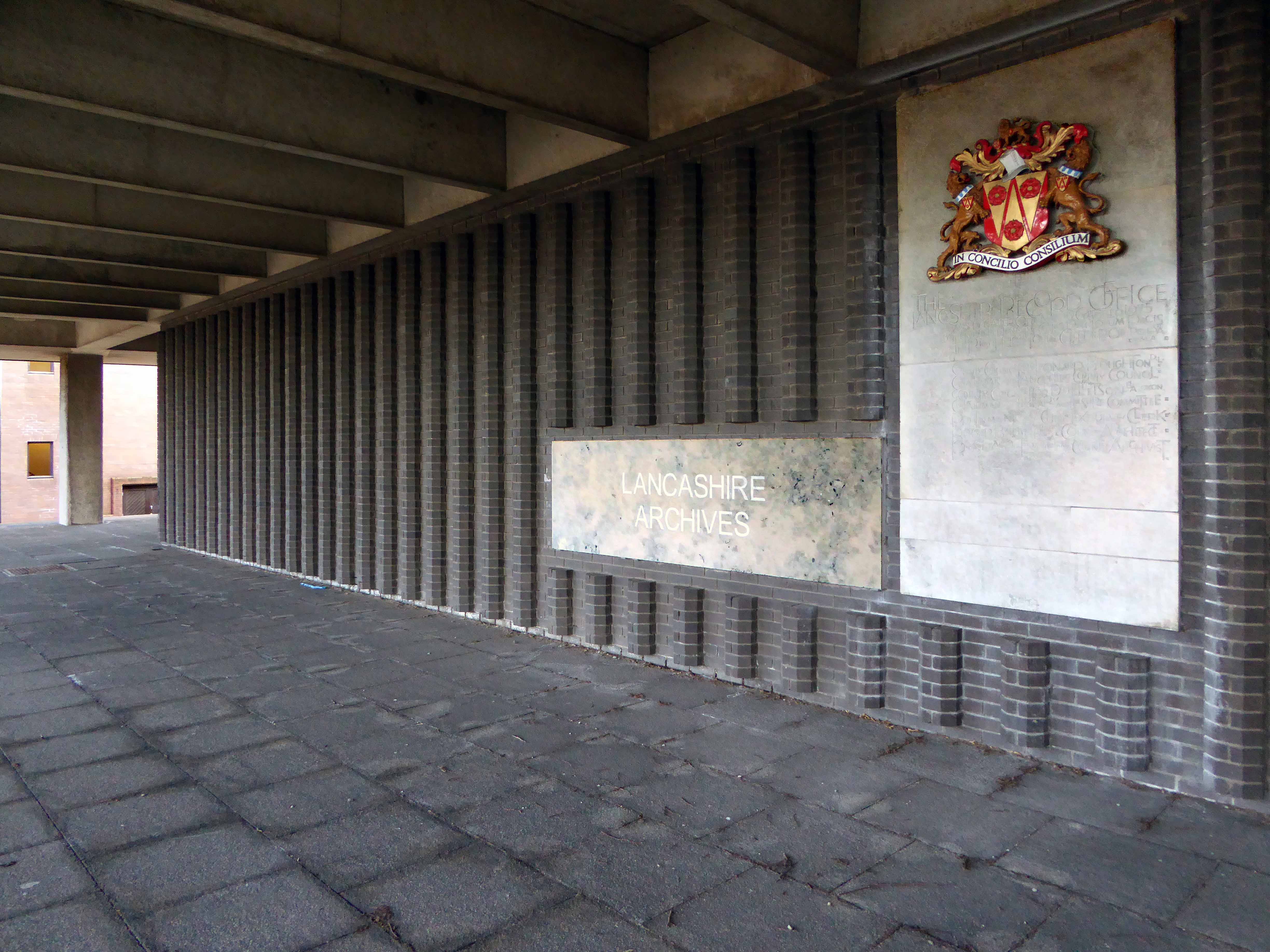
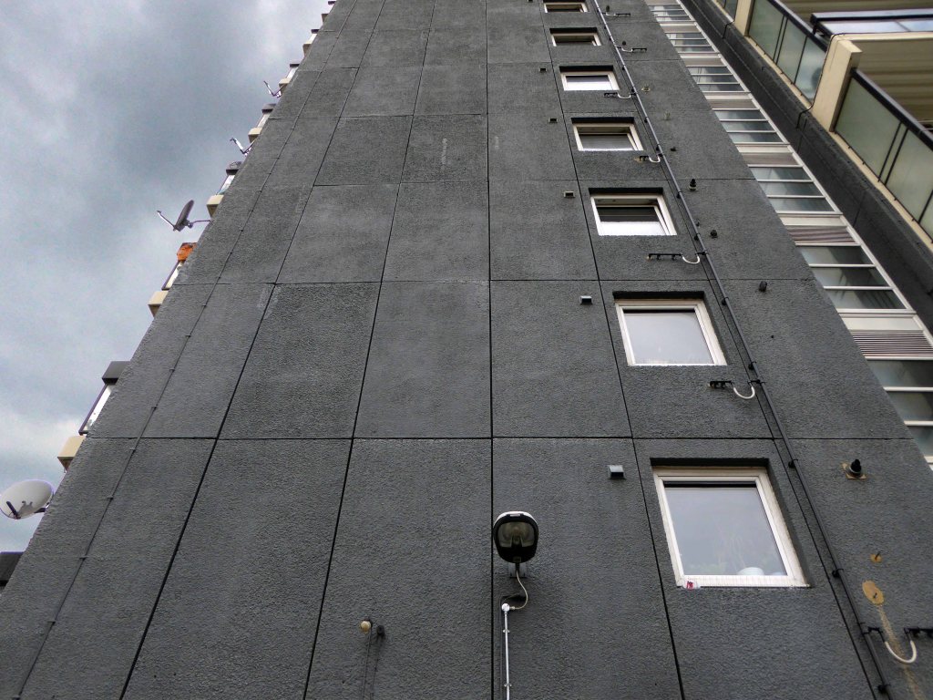
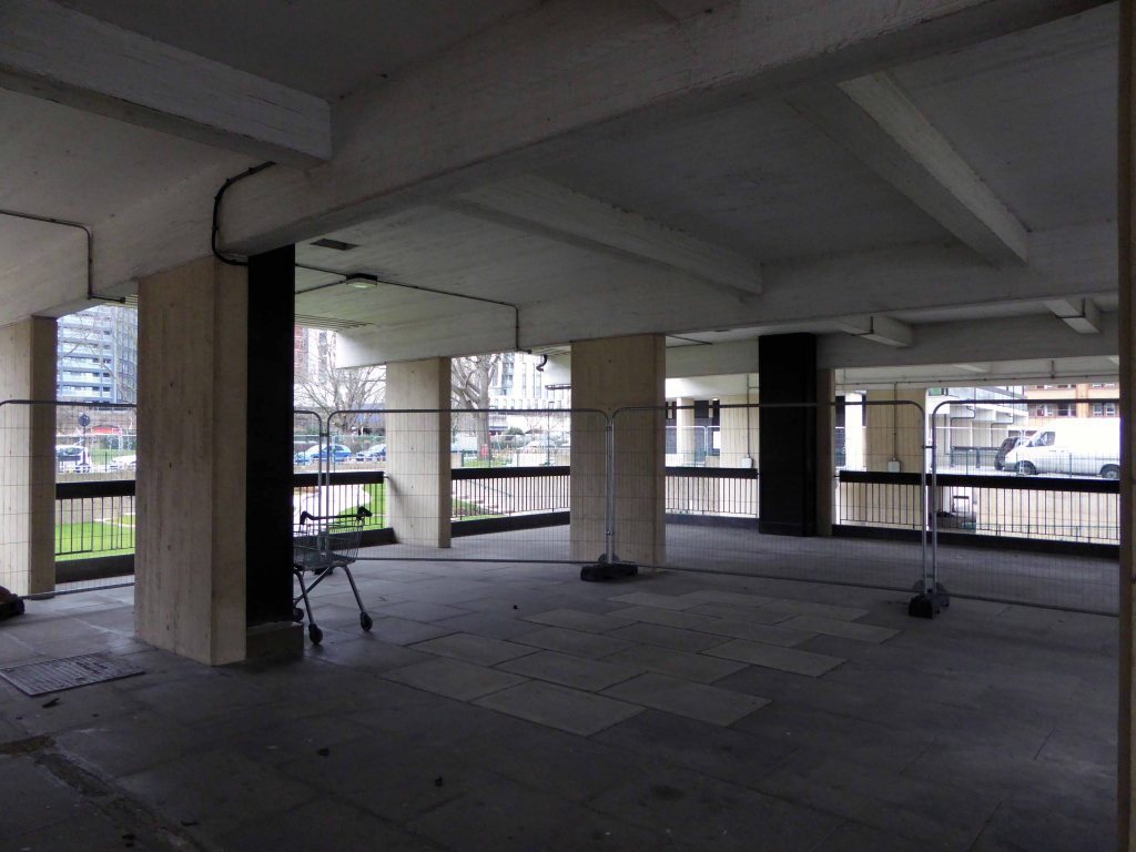
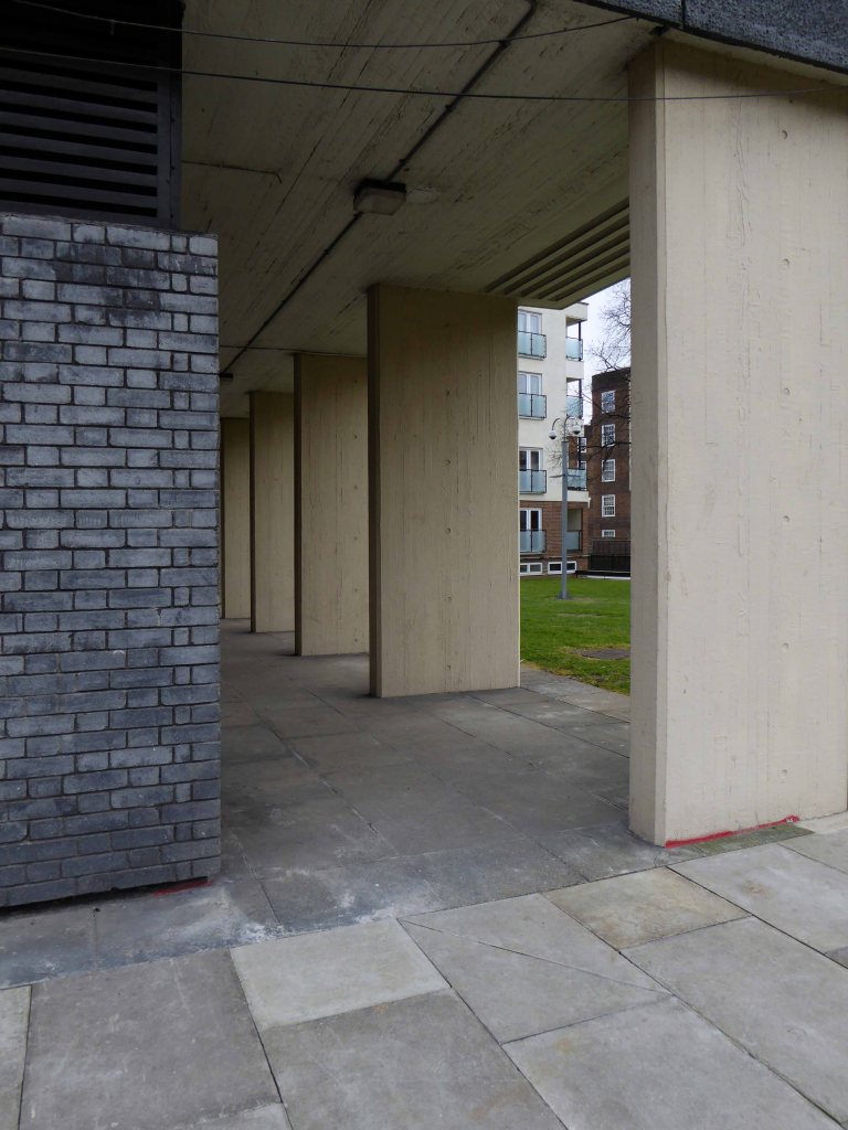
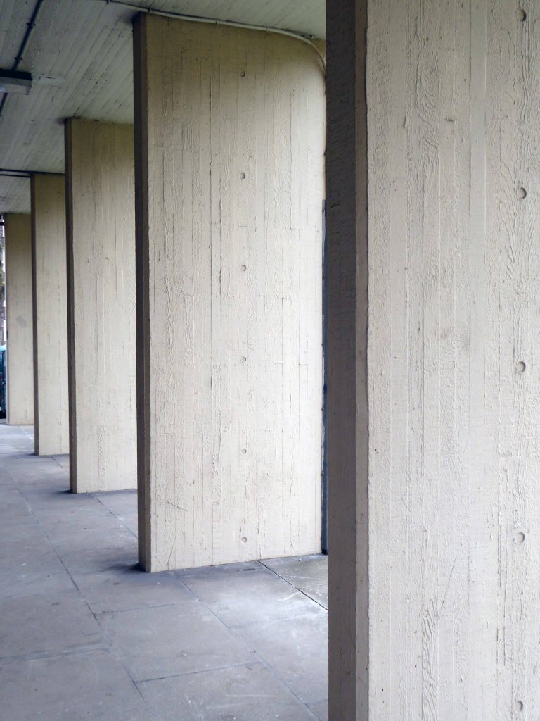
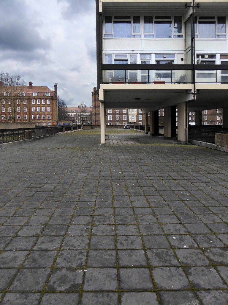
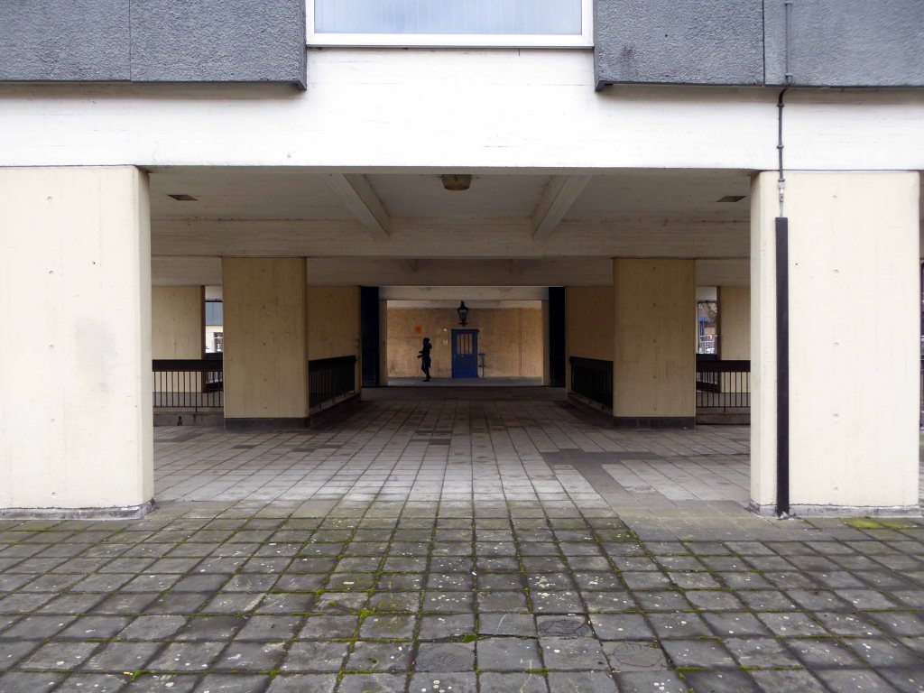
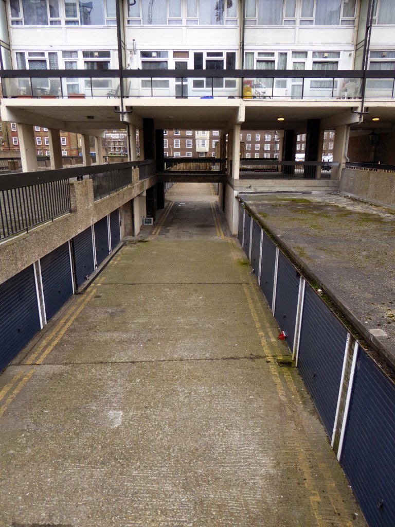
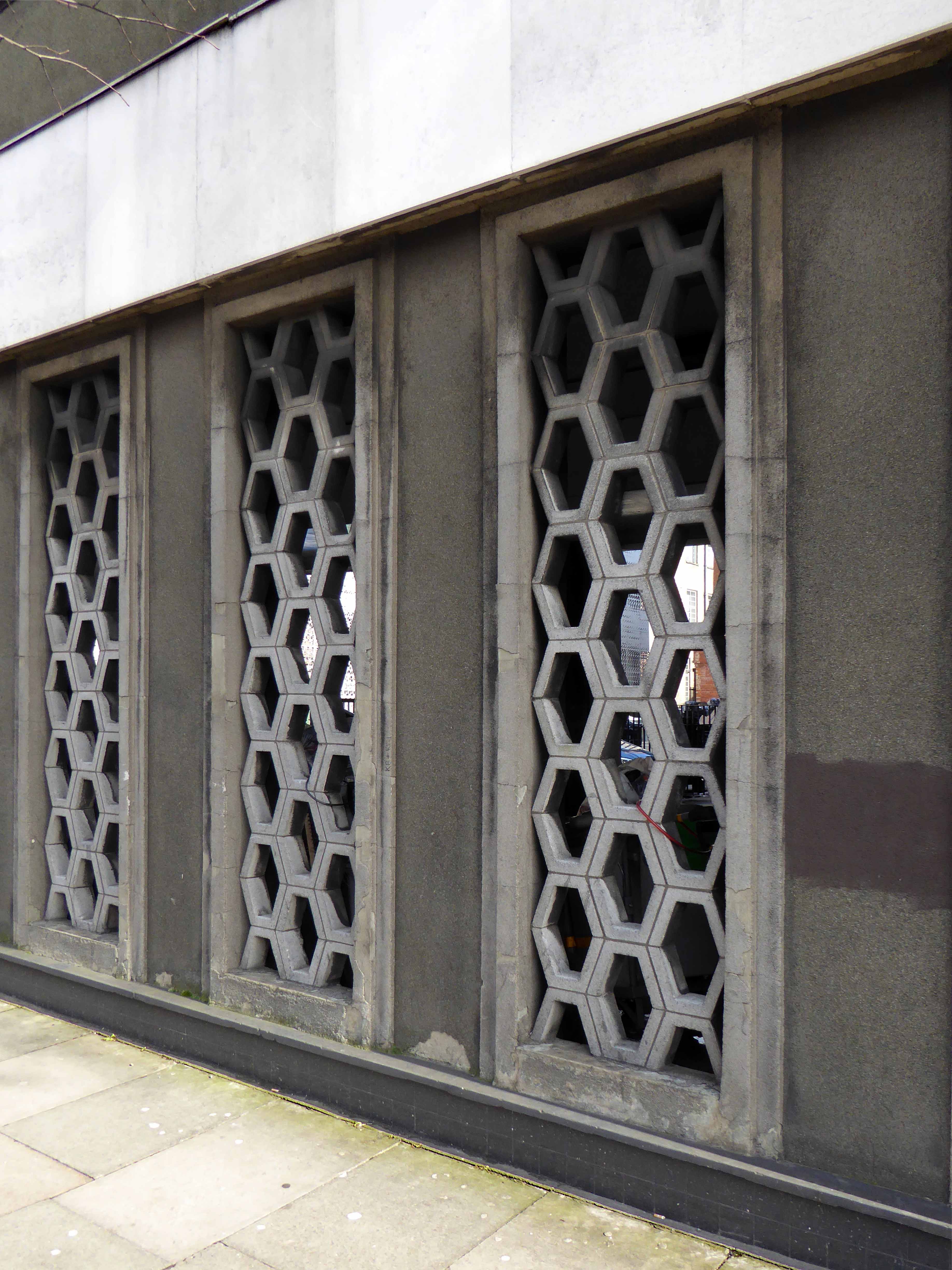
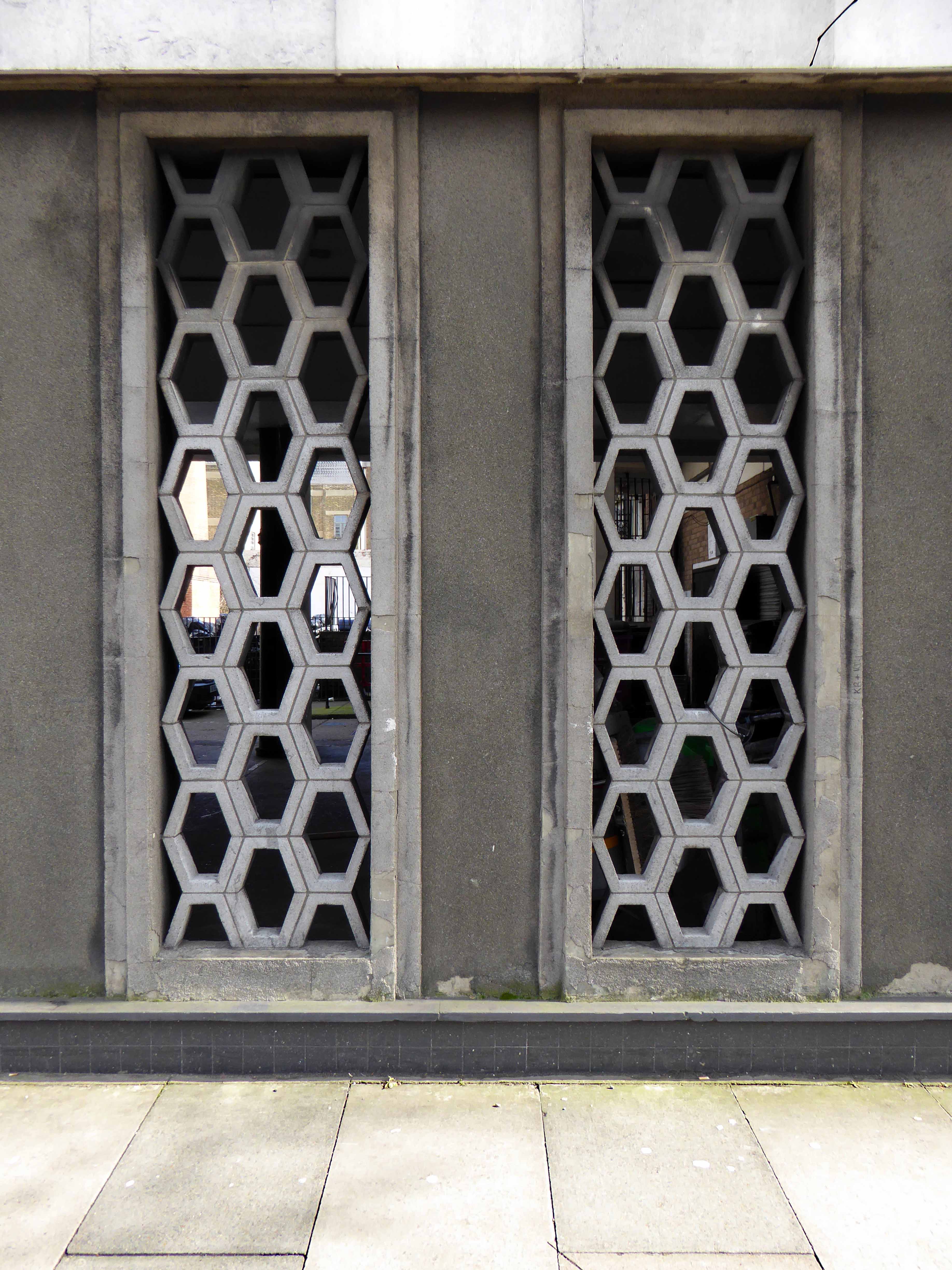
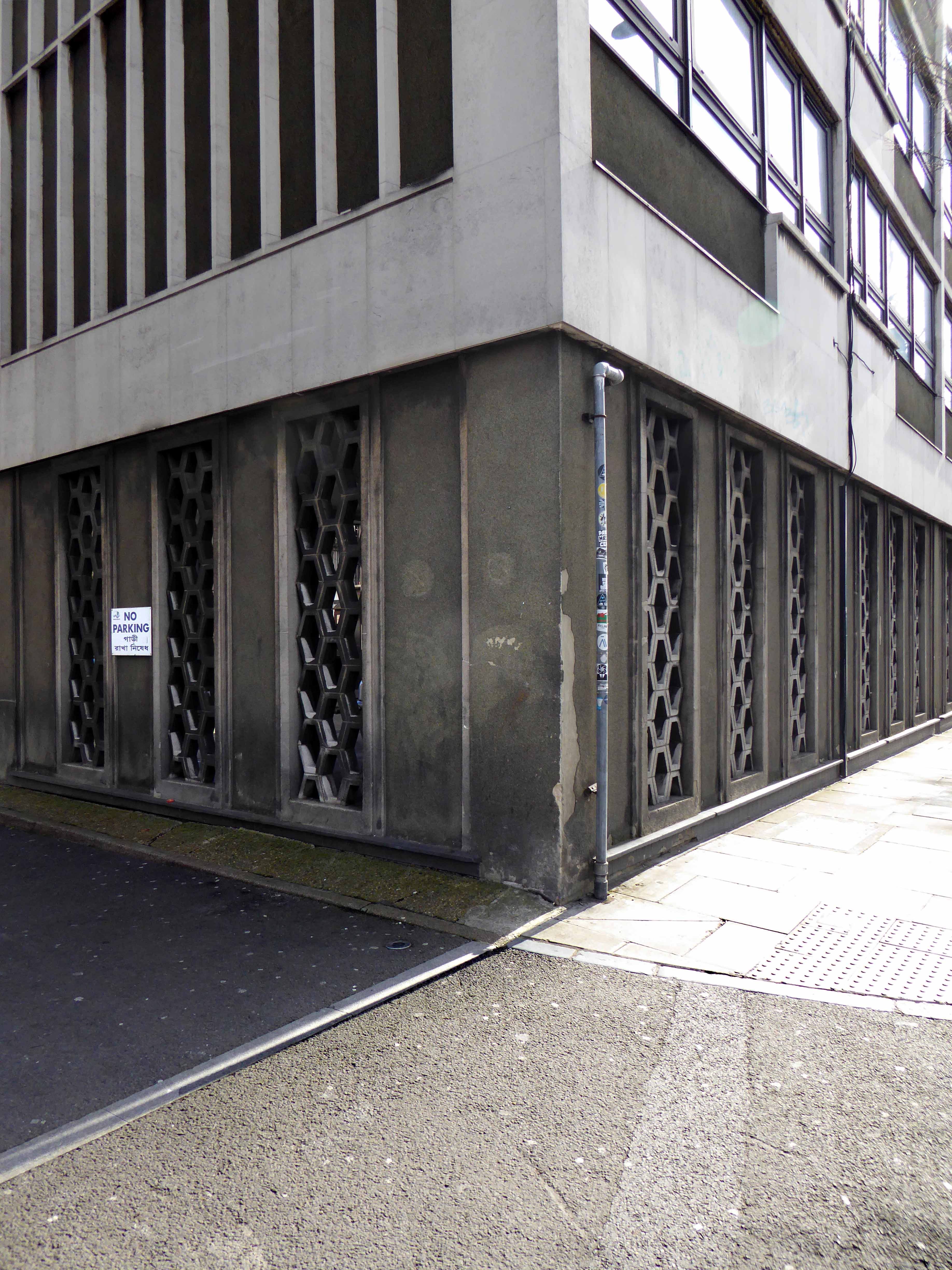
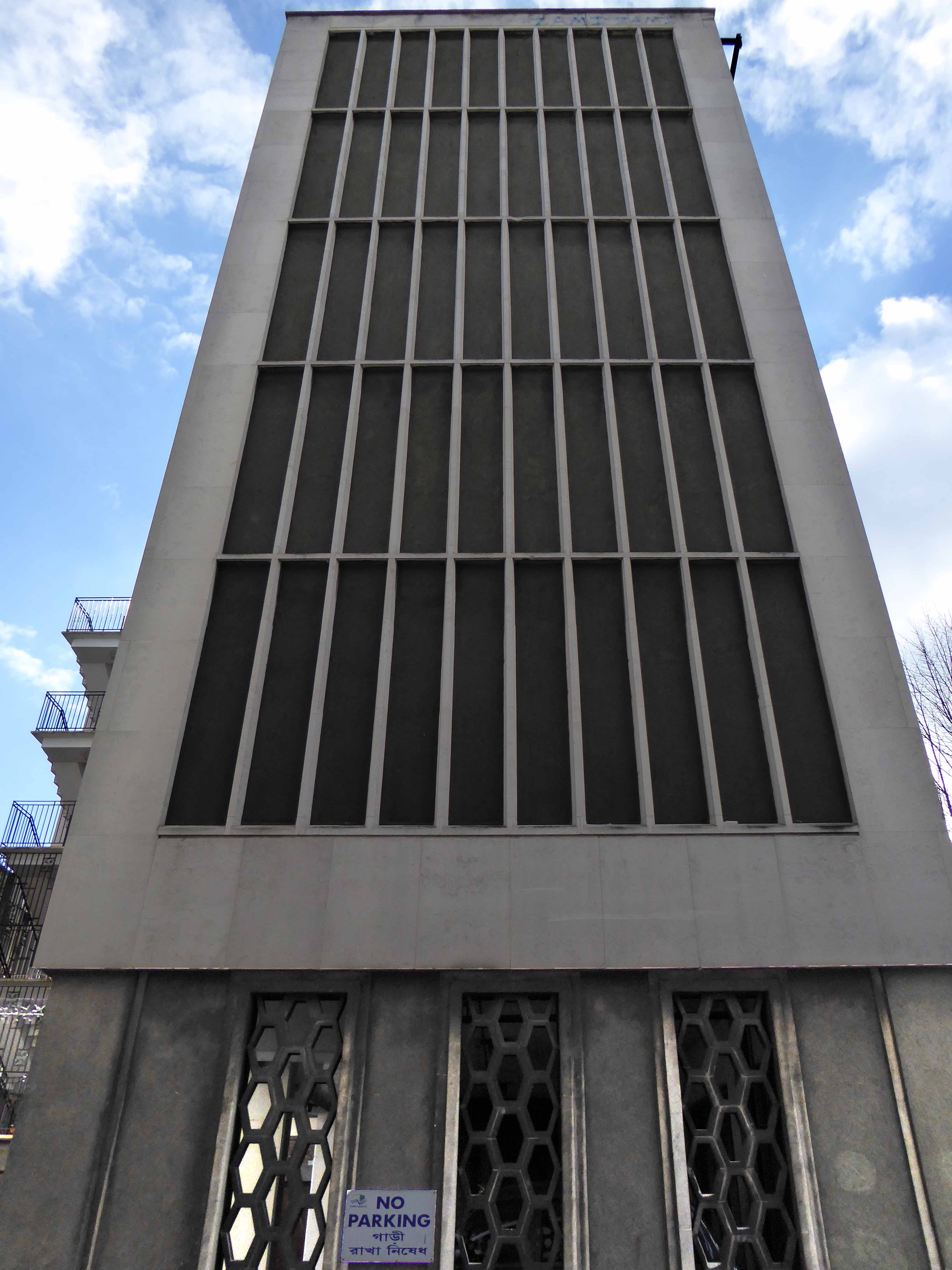
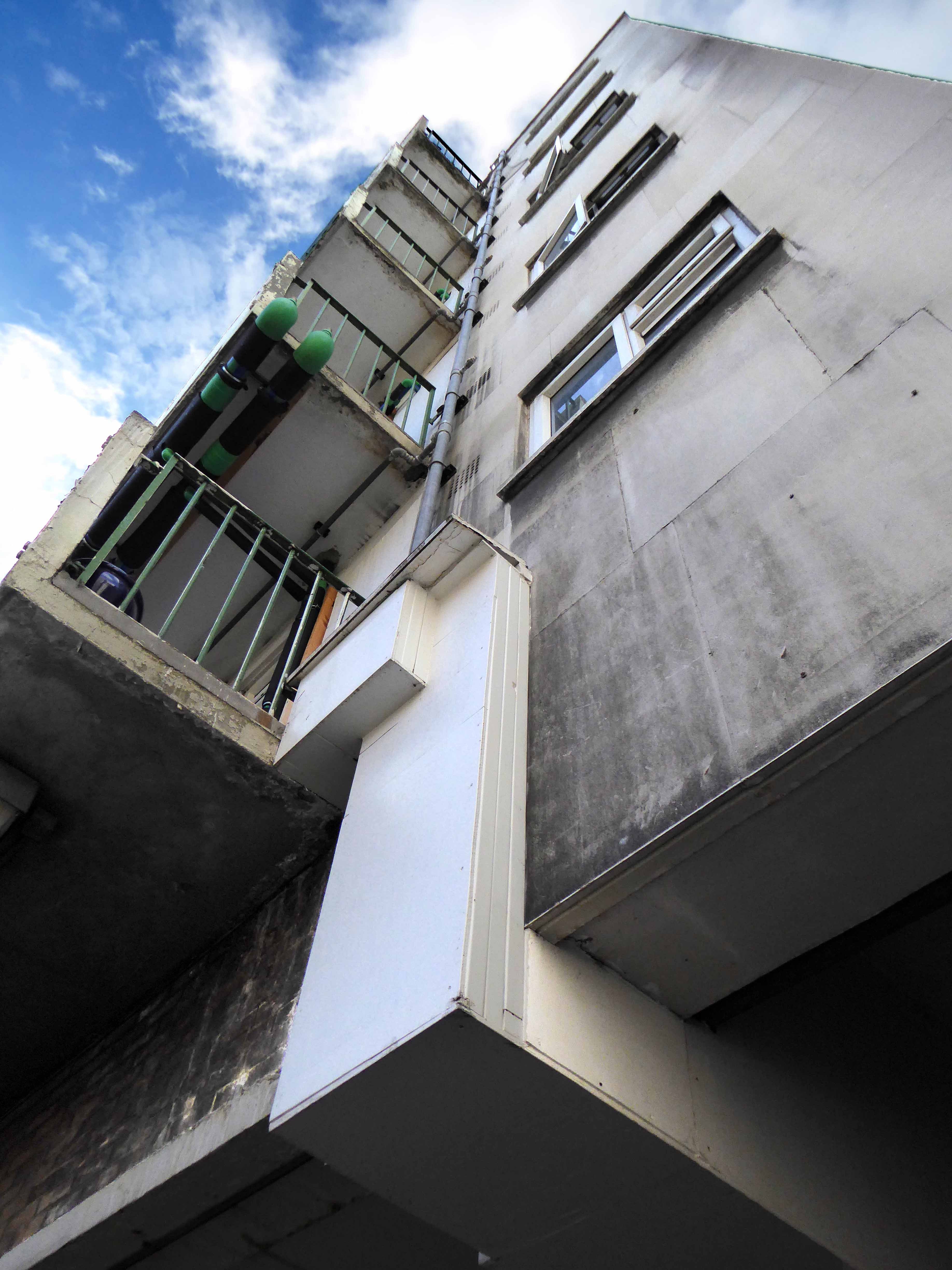
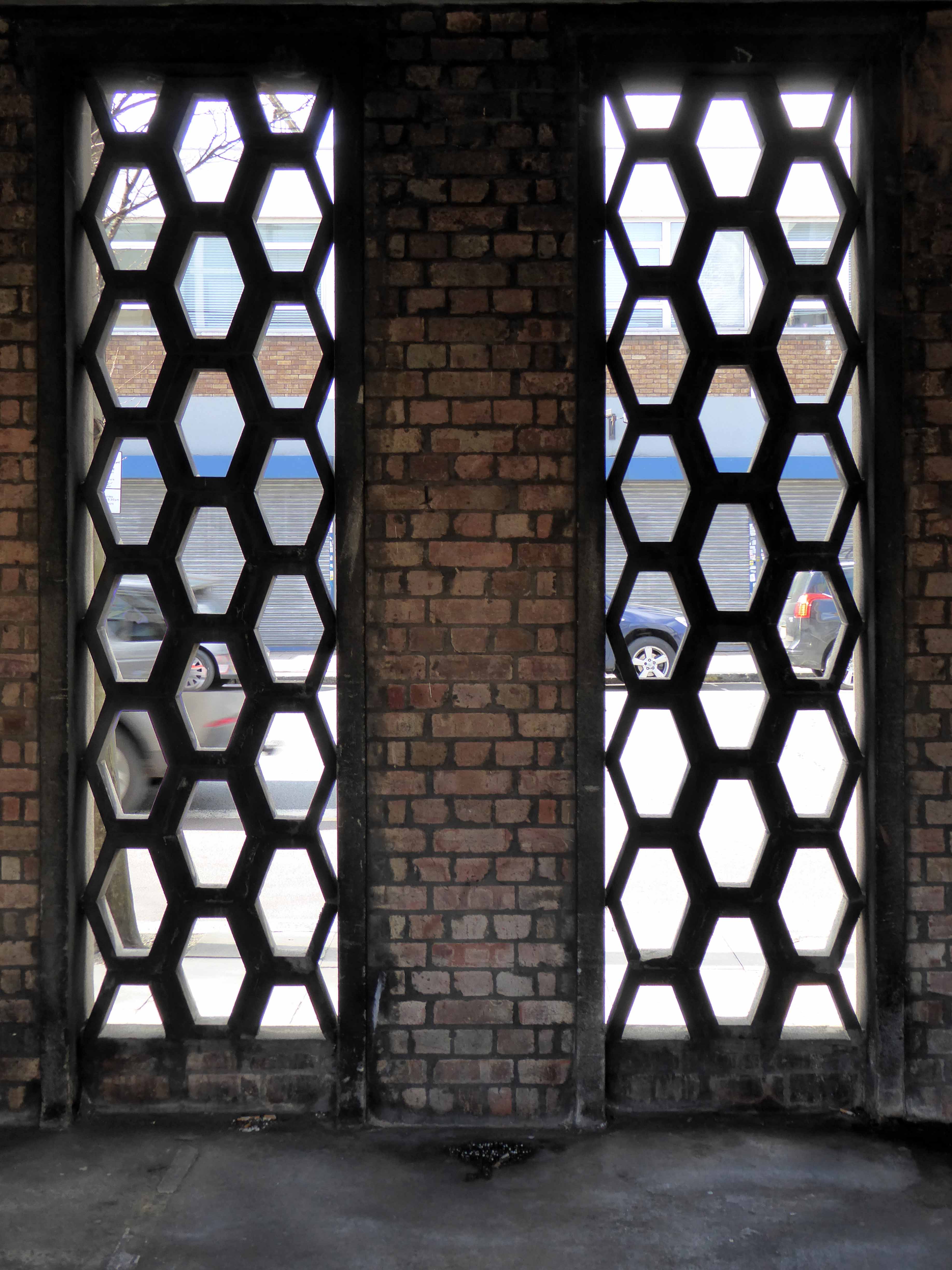
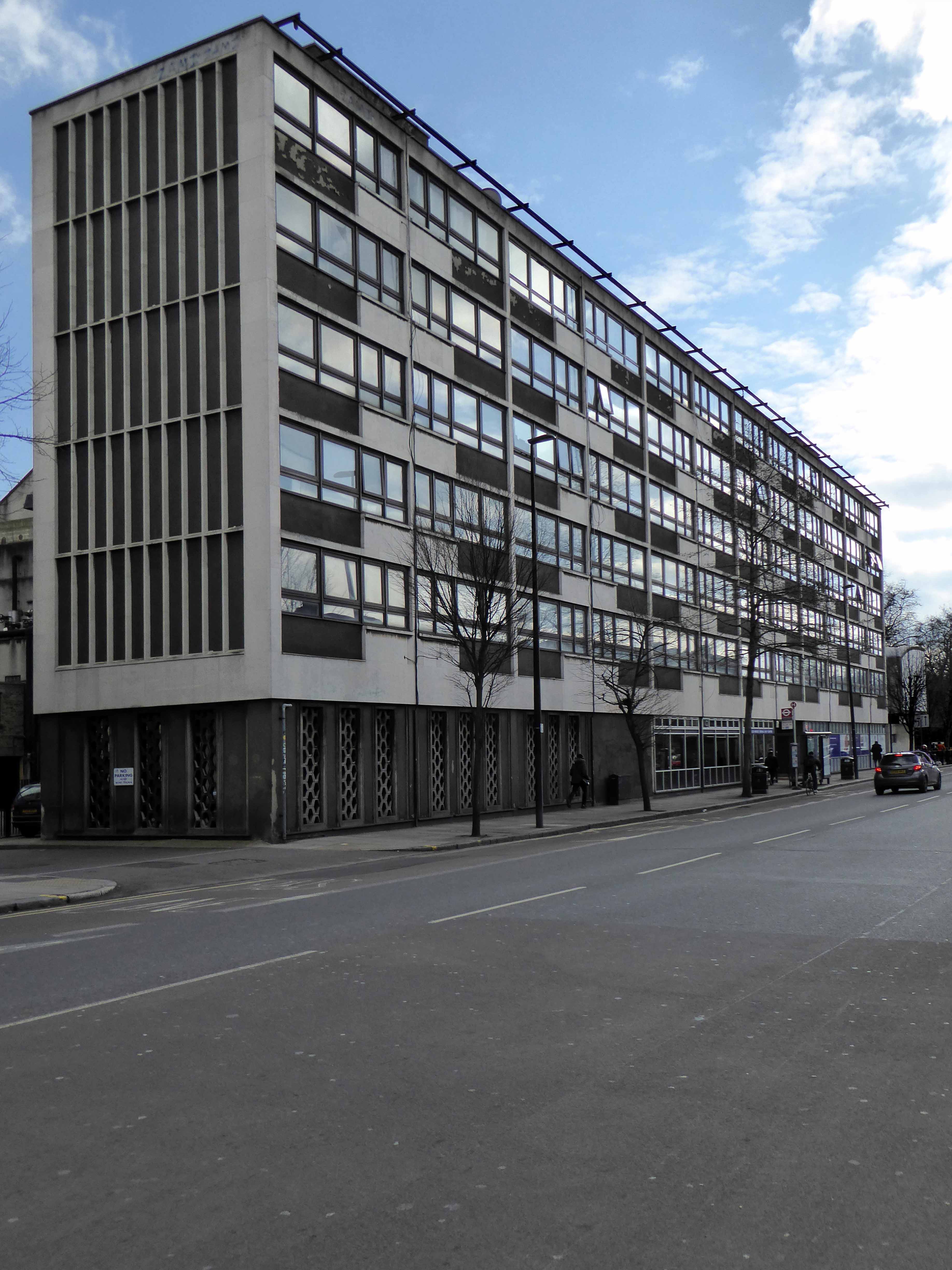
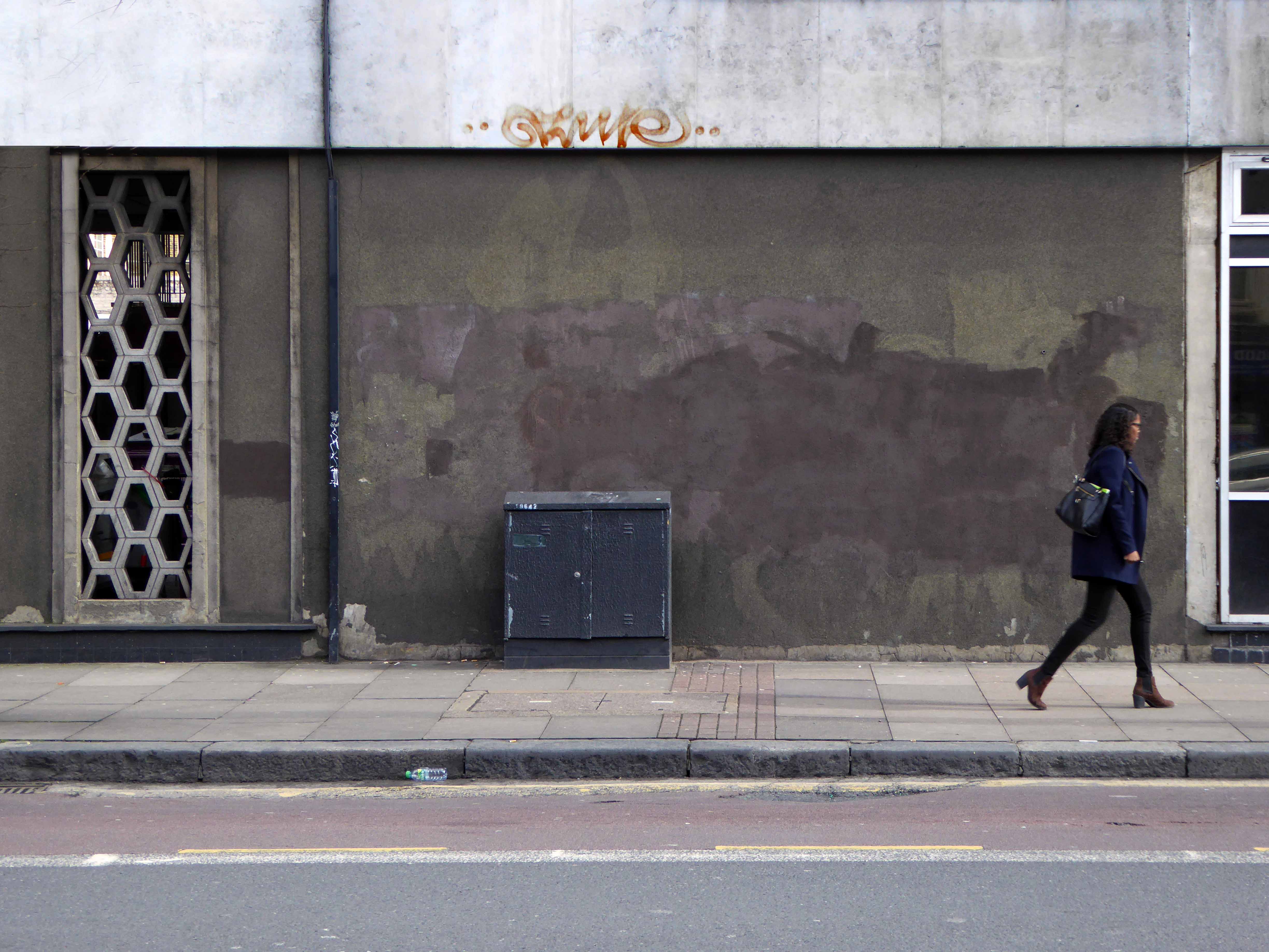
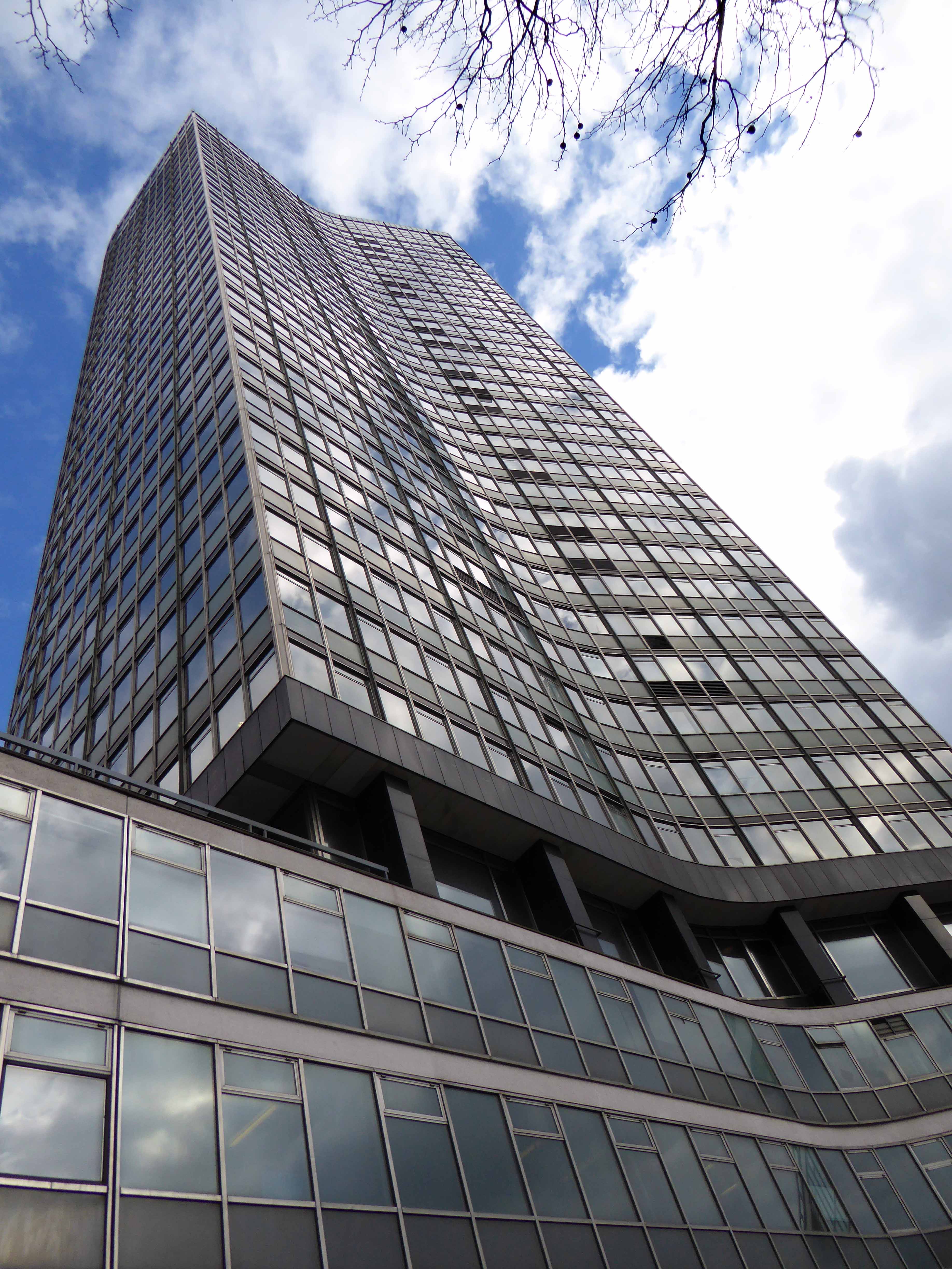
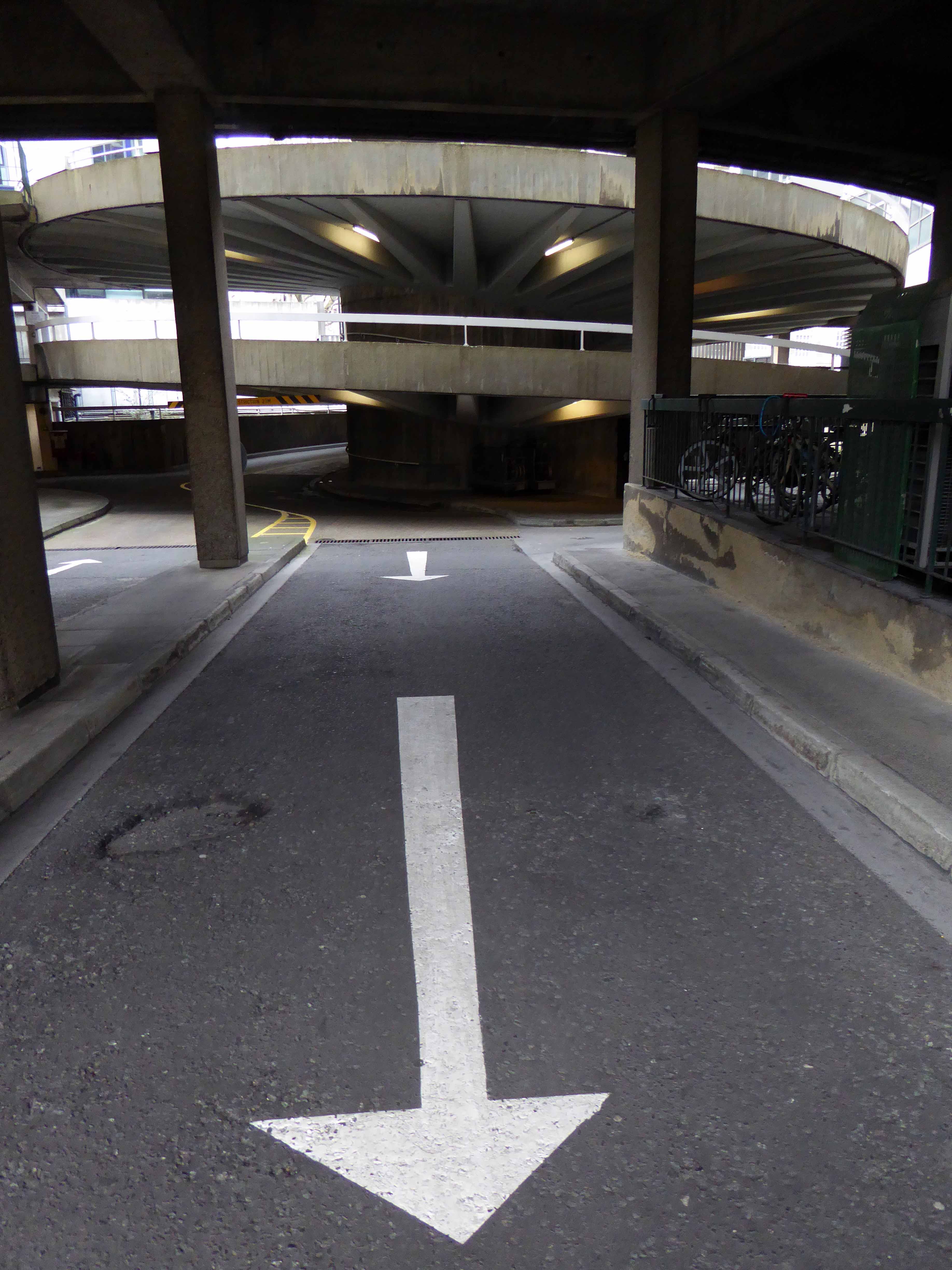
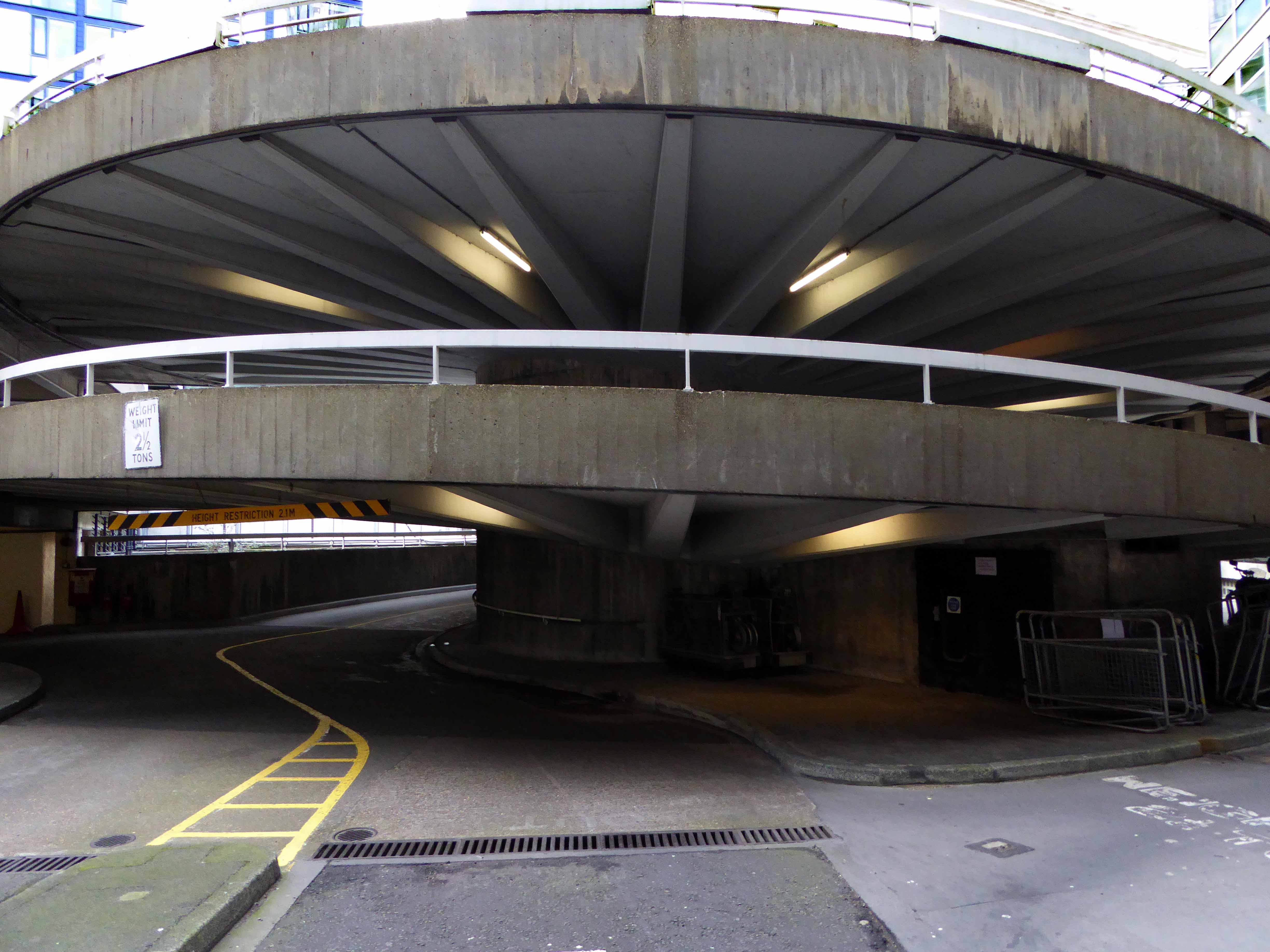
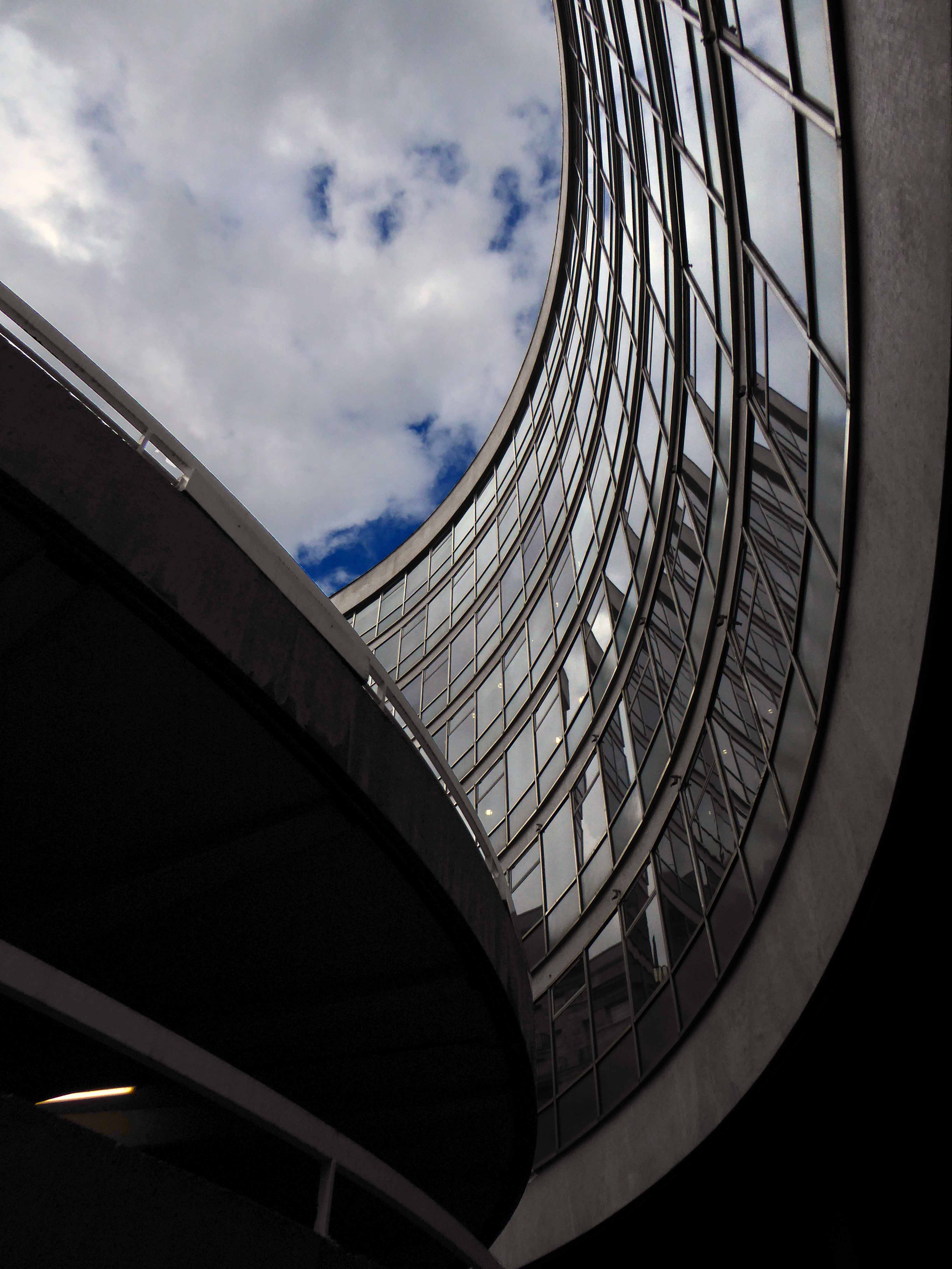
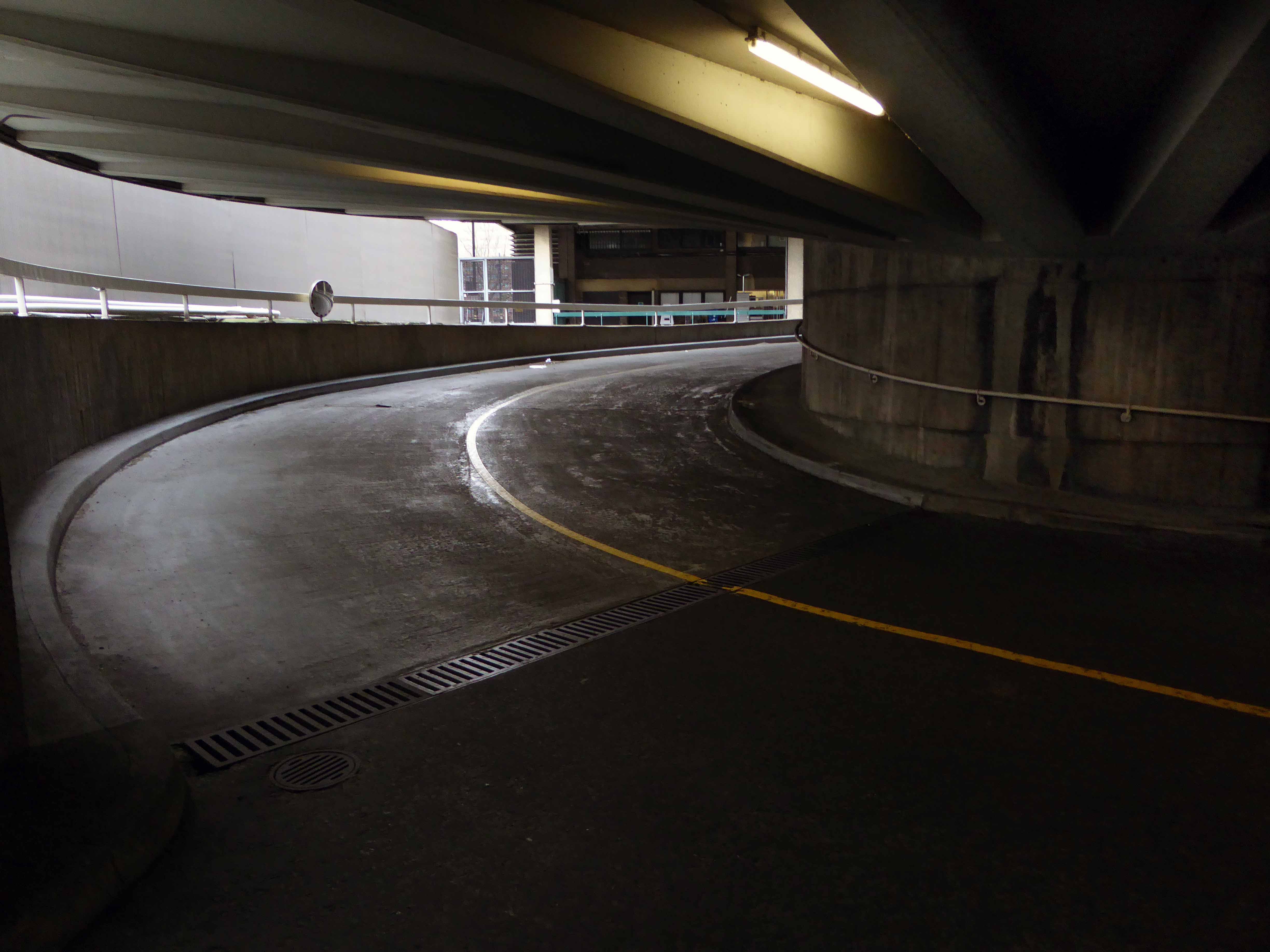
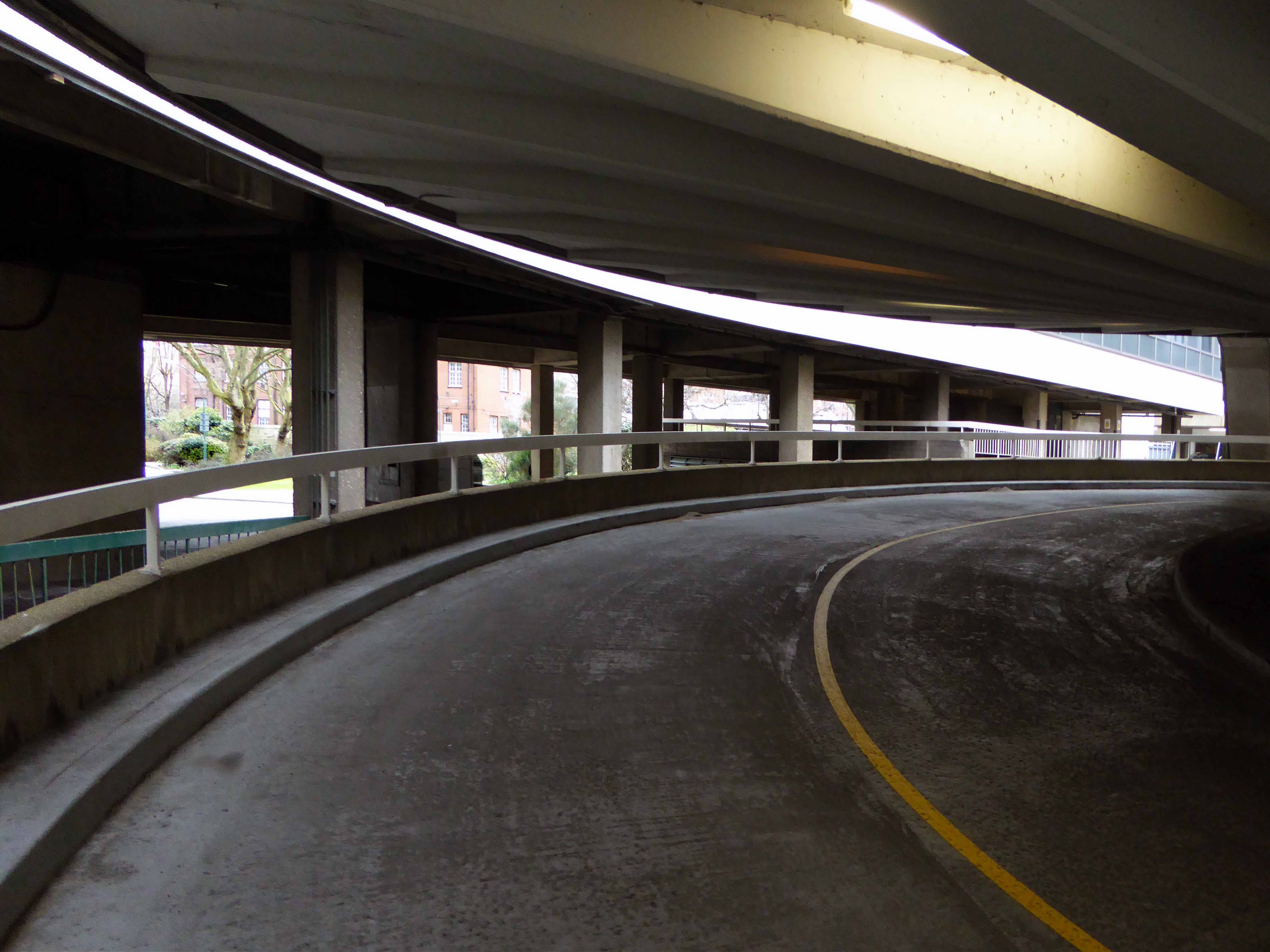
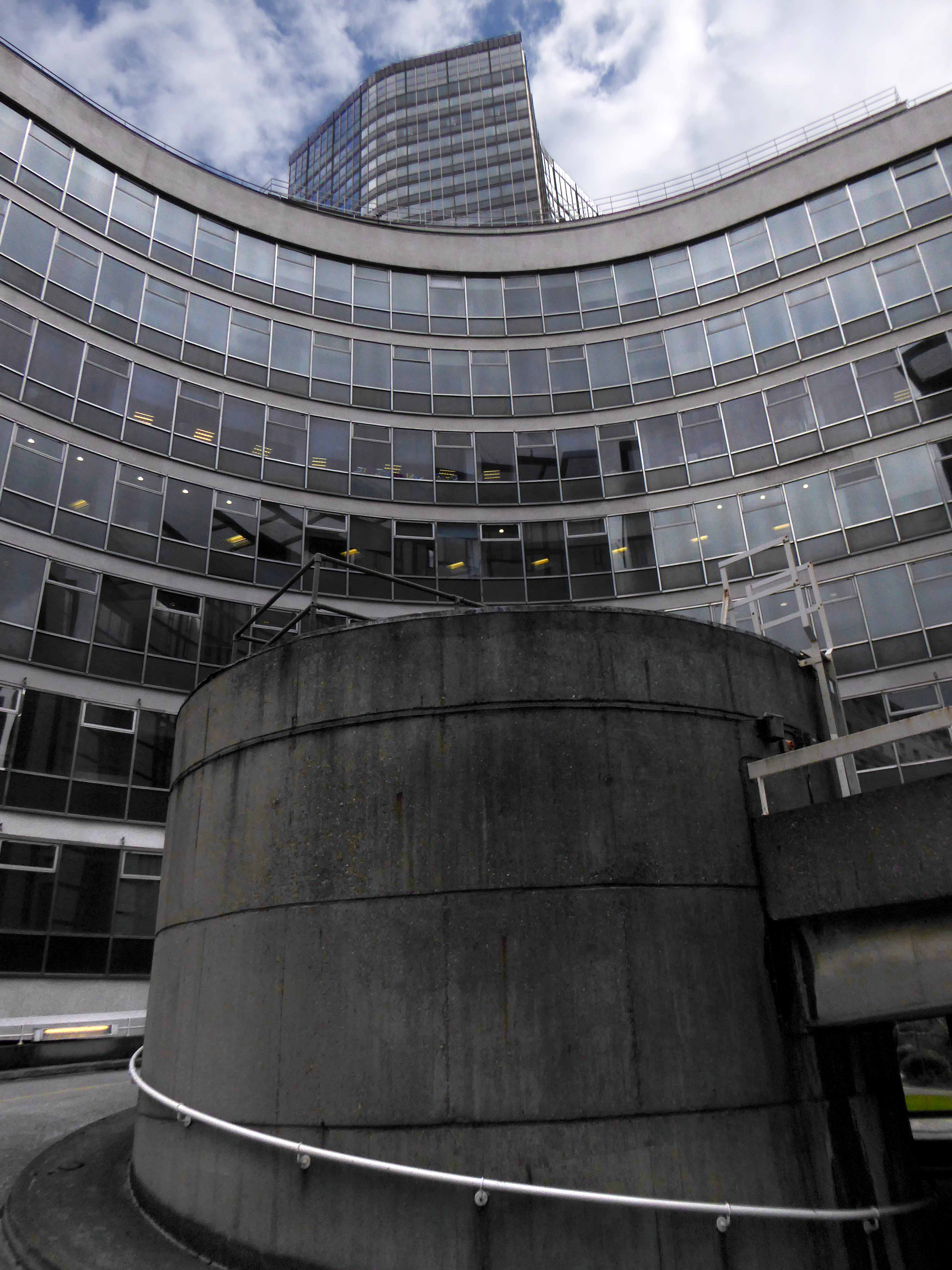
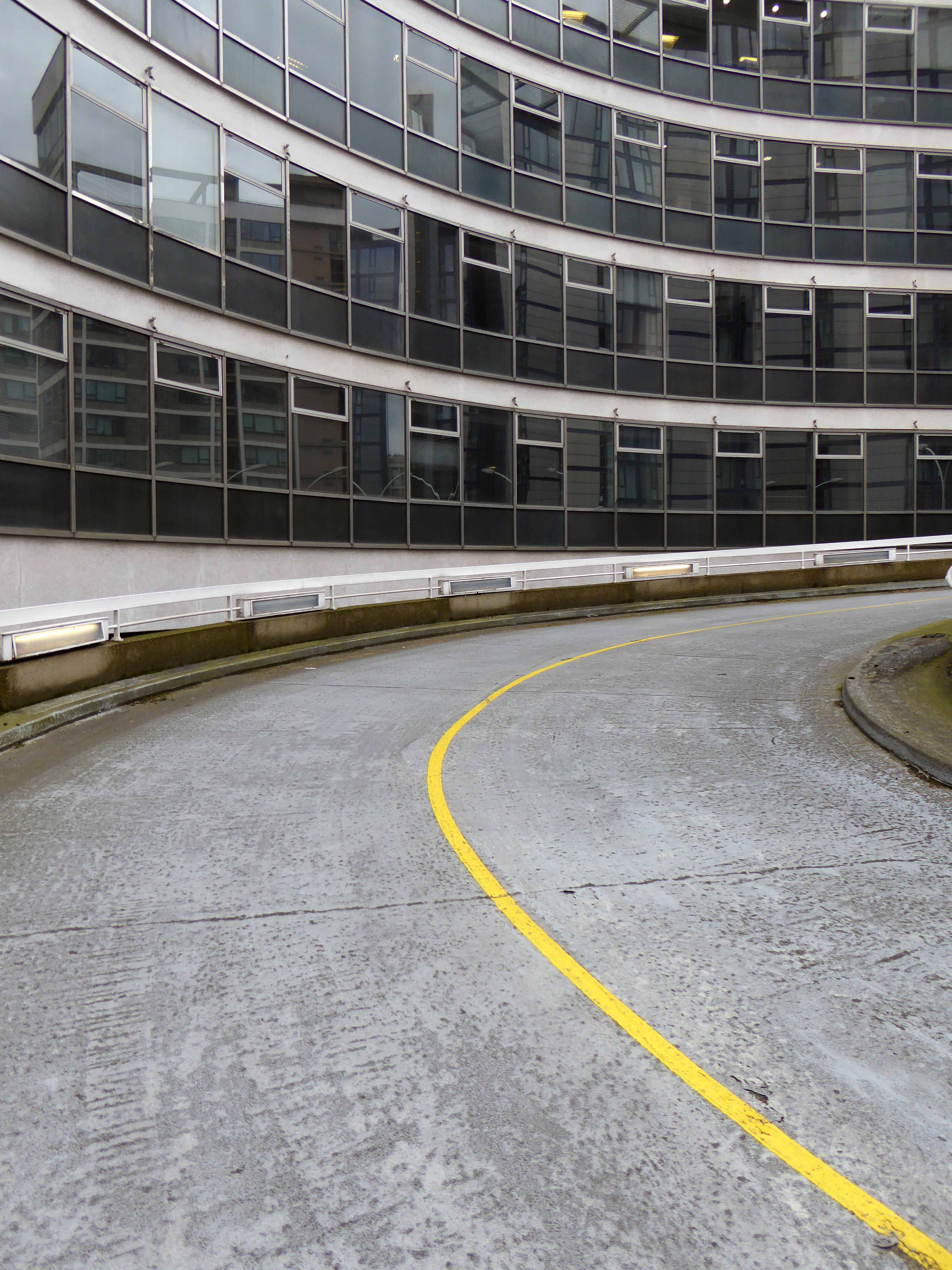
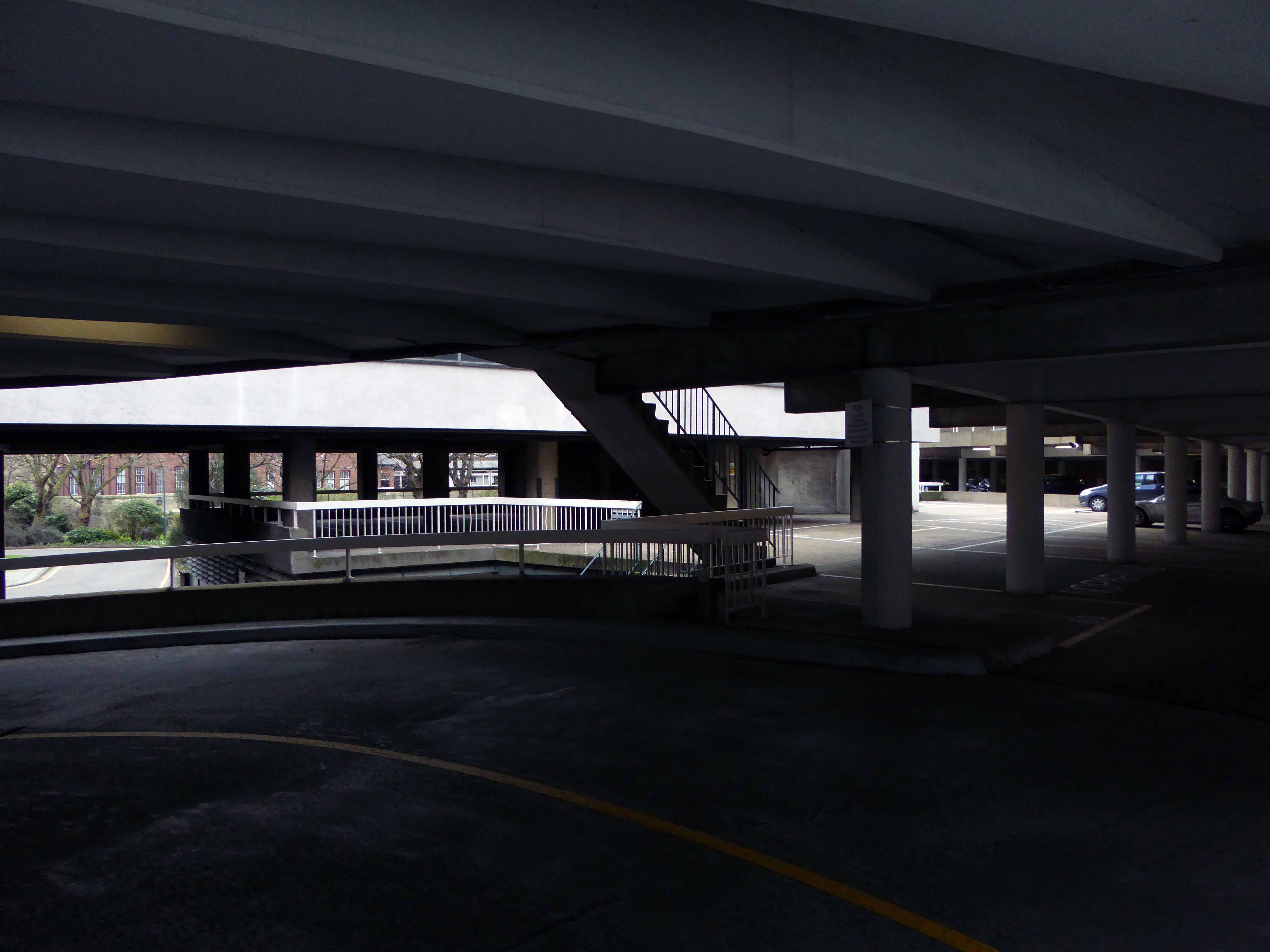
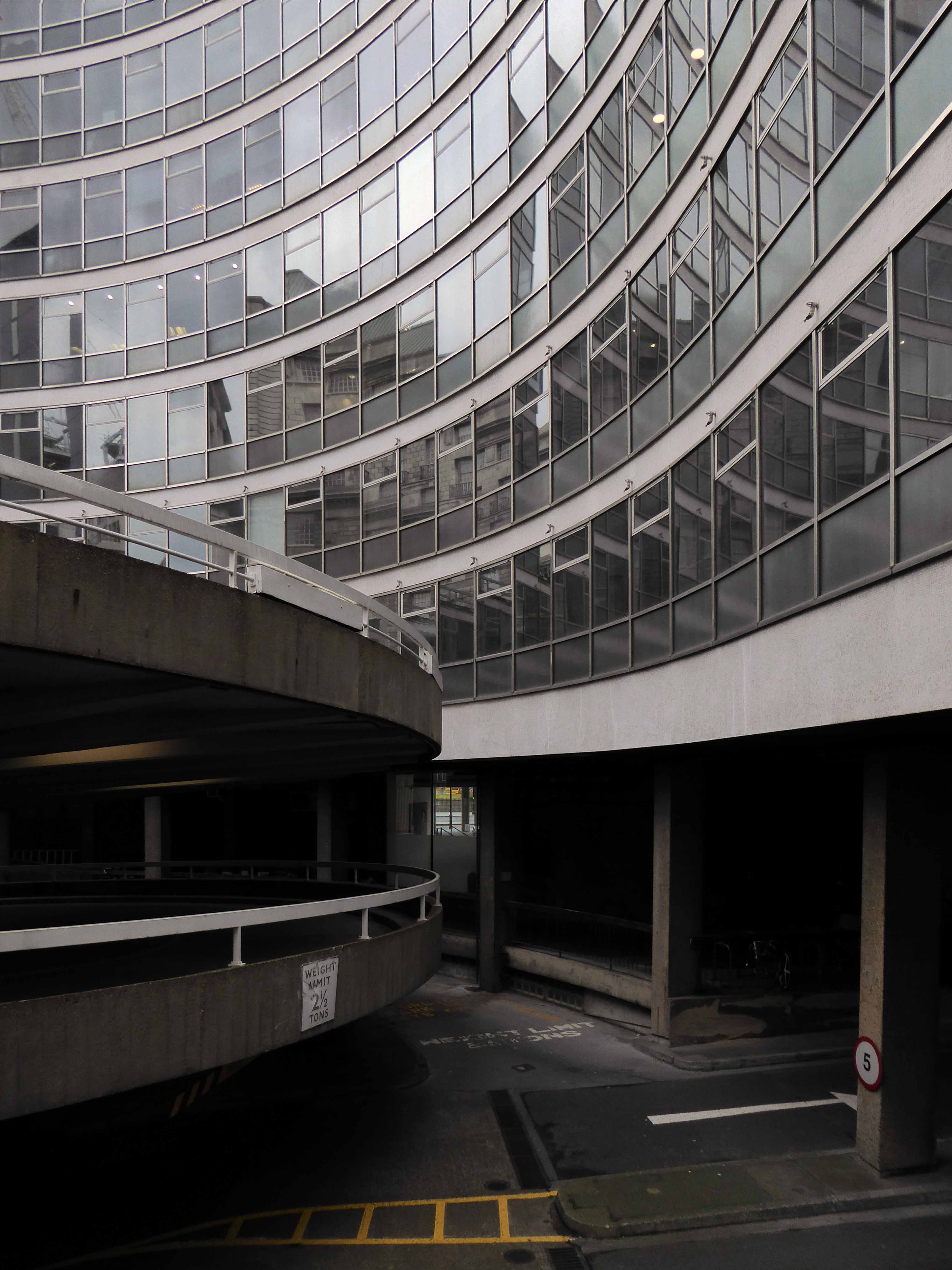
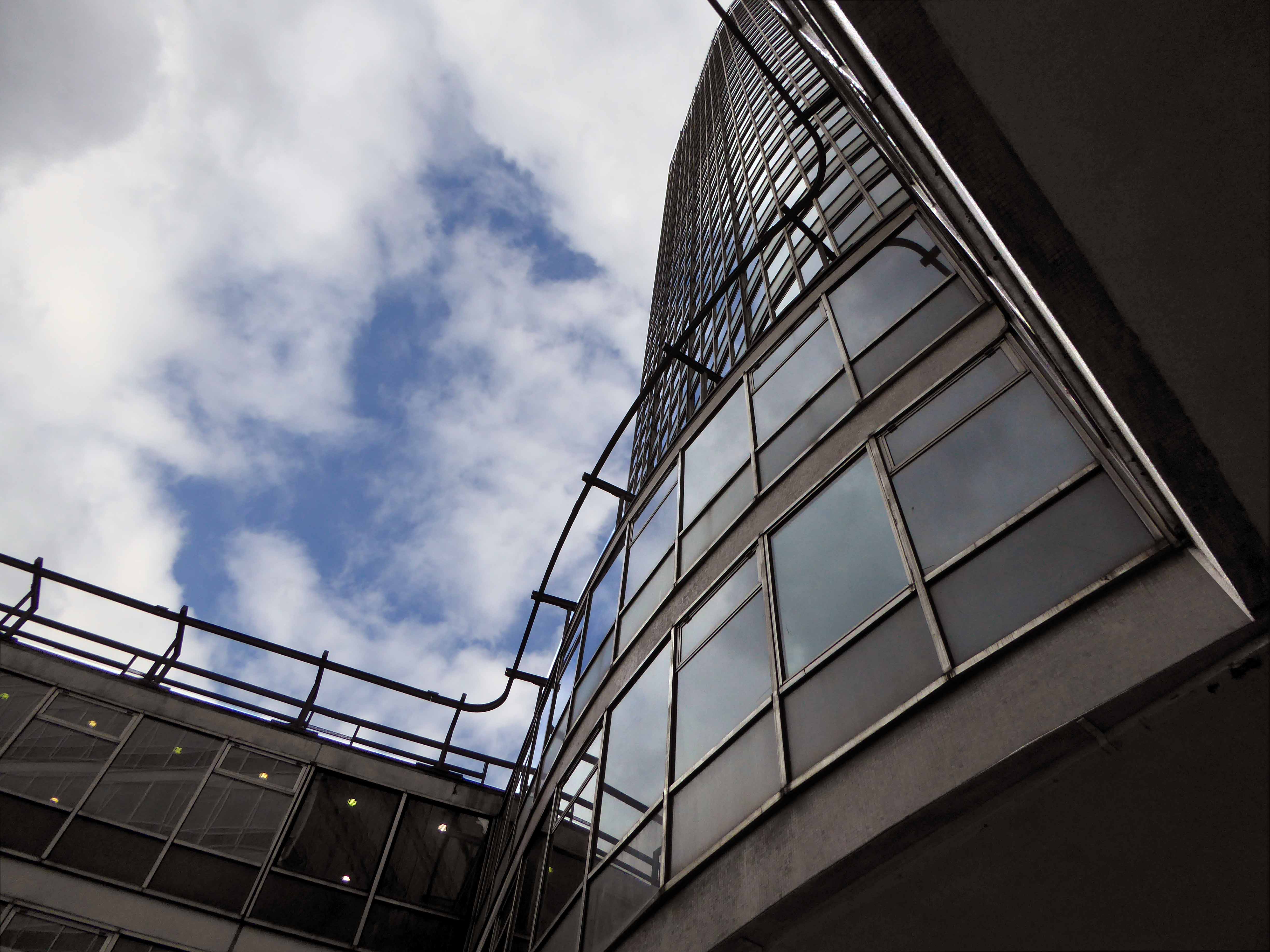
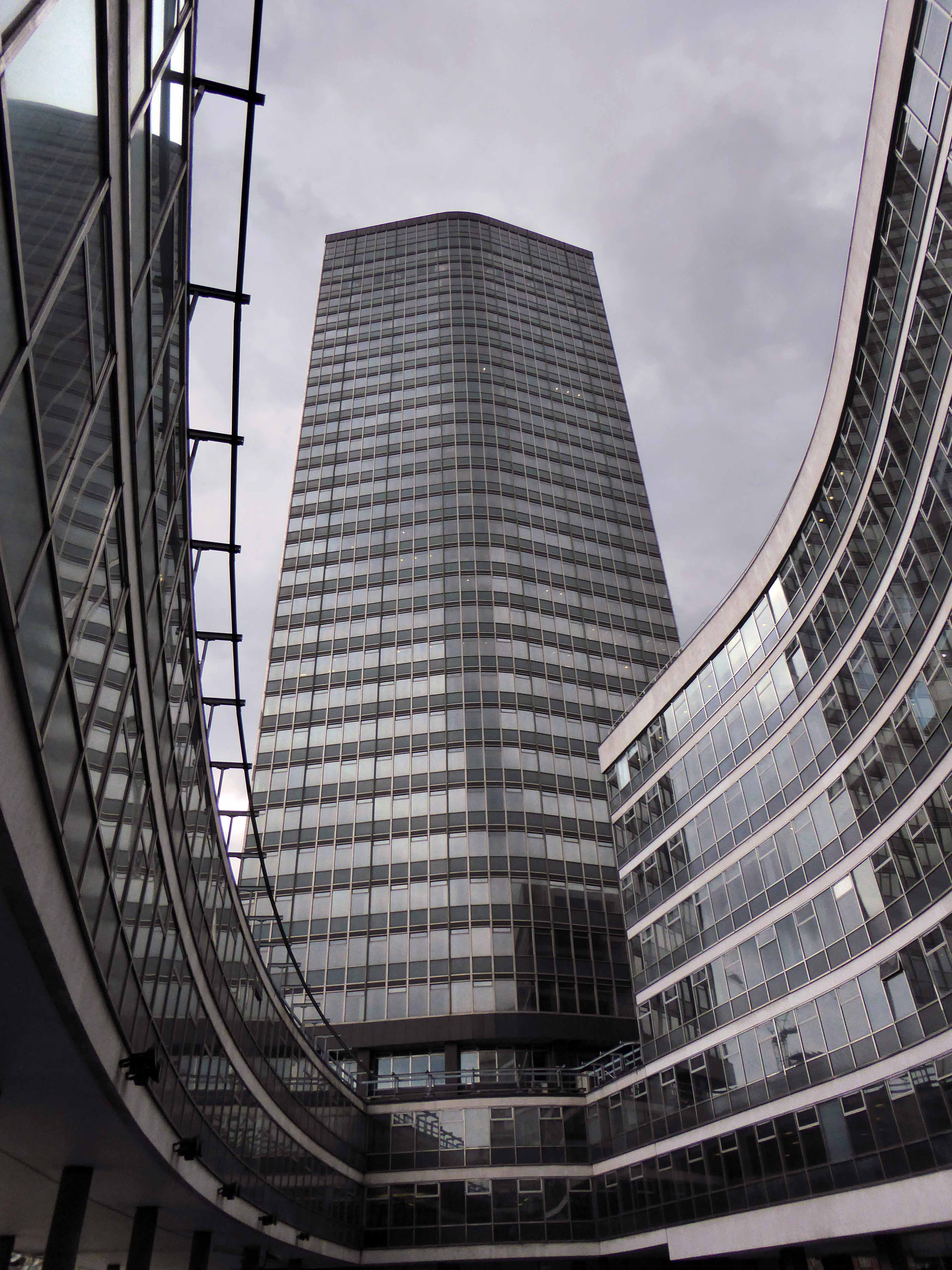
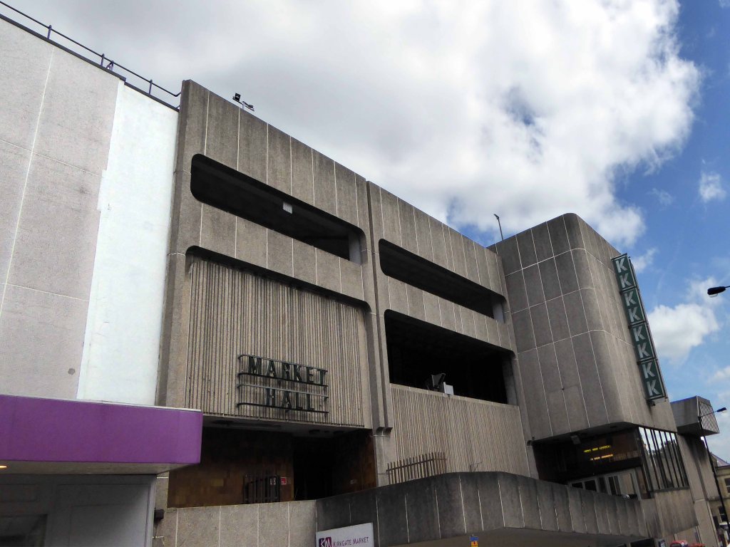
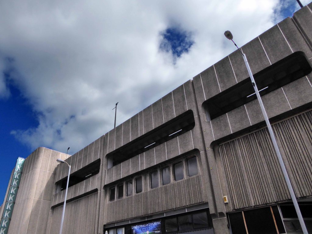
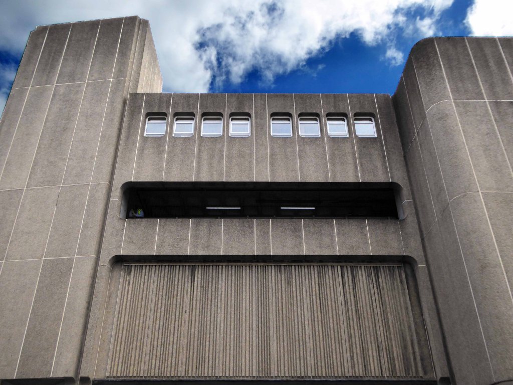
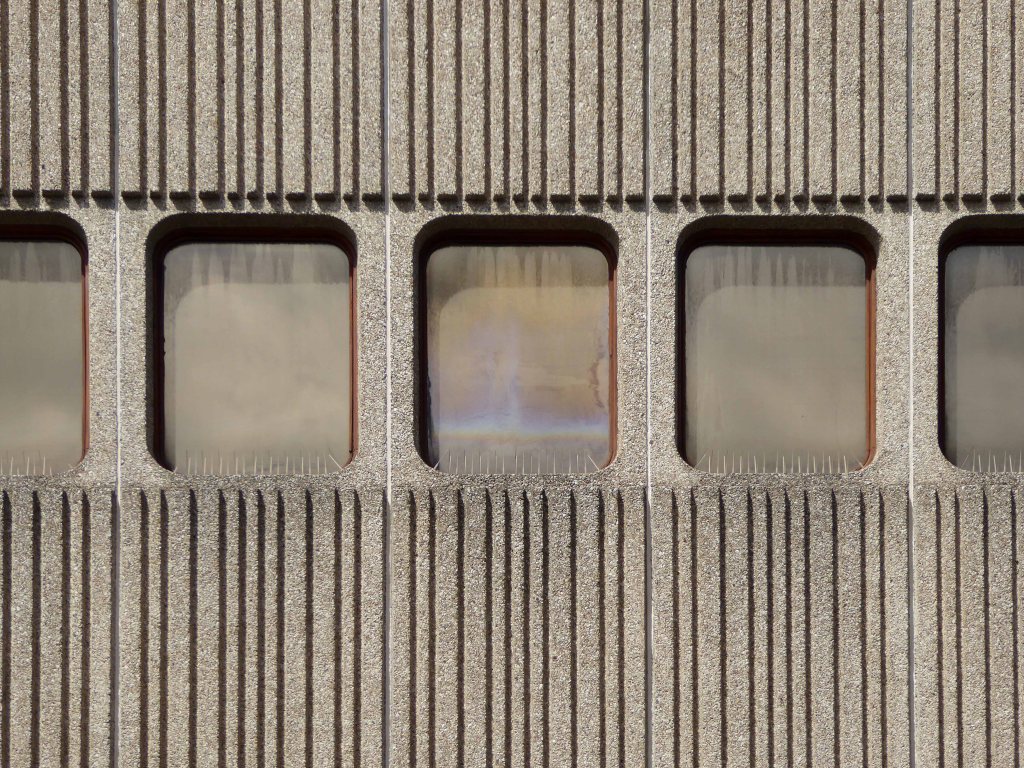
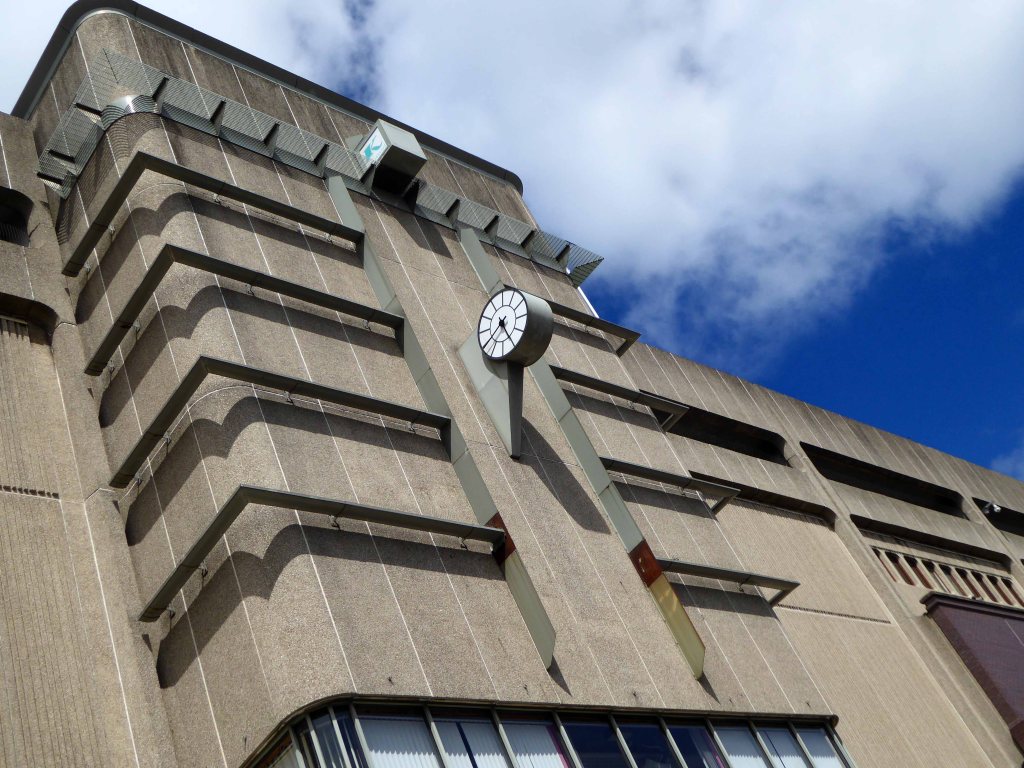
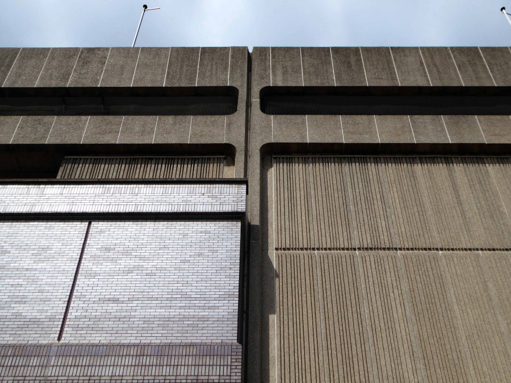
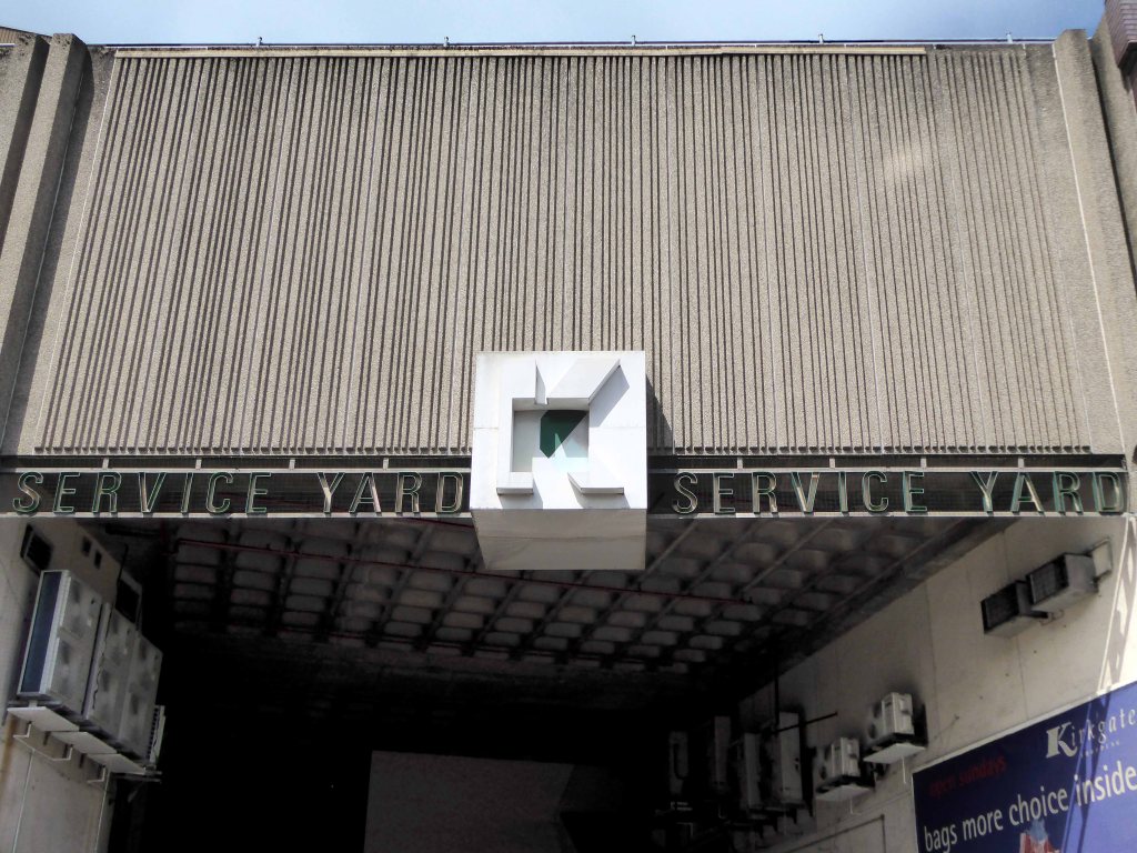
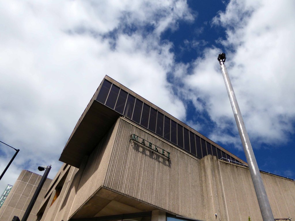
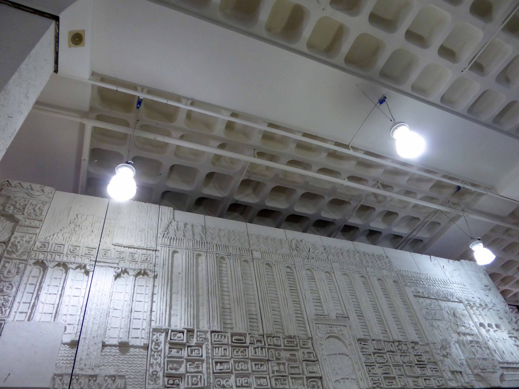
A structure of bold geometry, contrasting brick and warm, raw striated concrete.
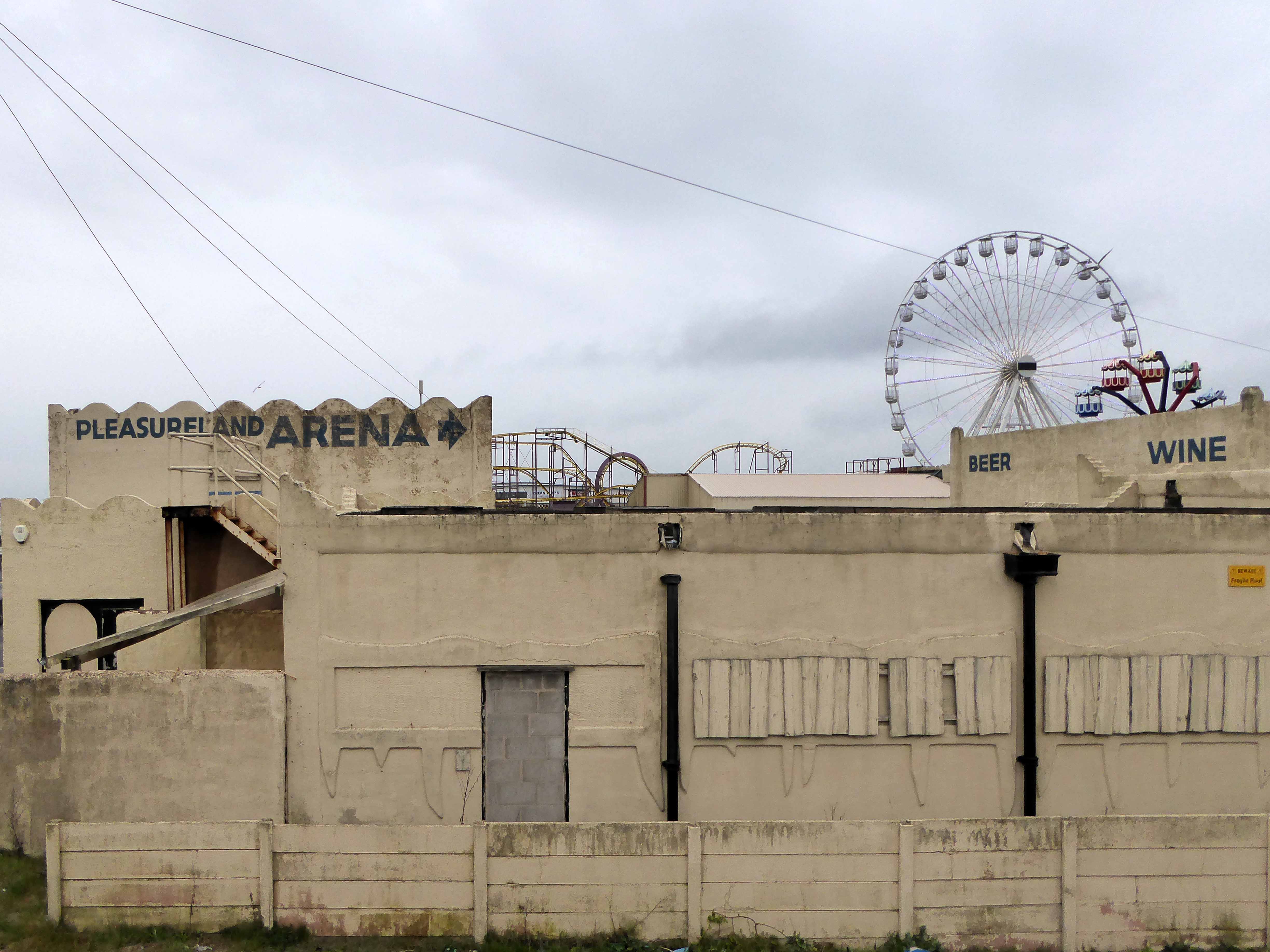
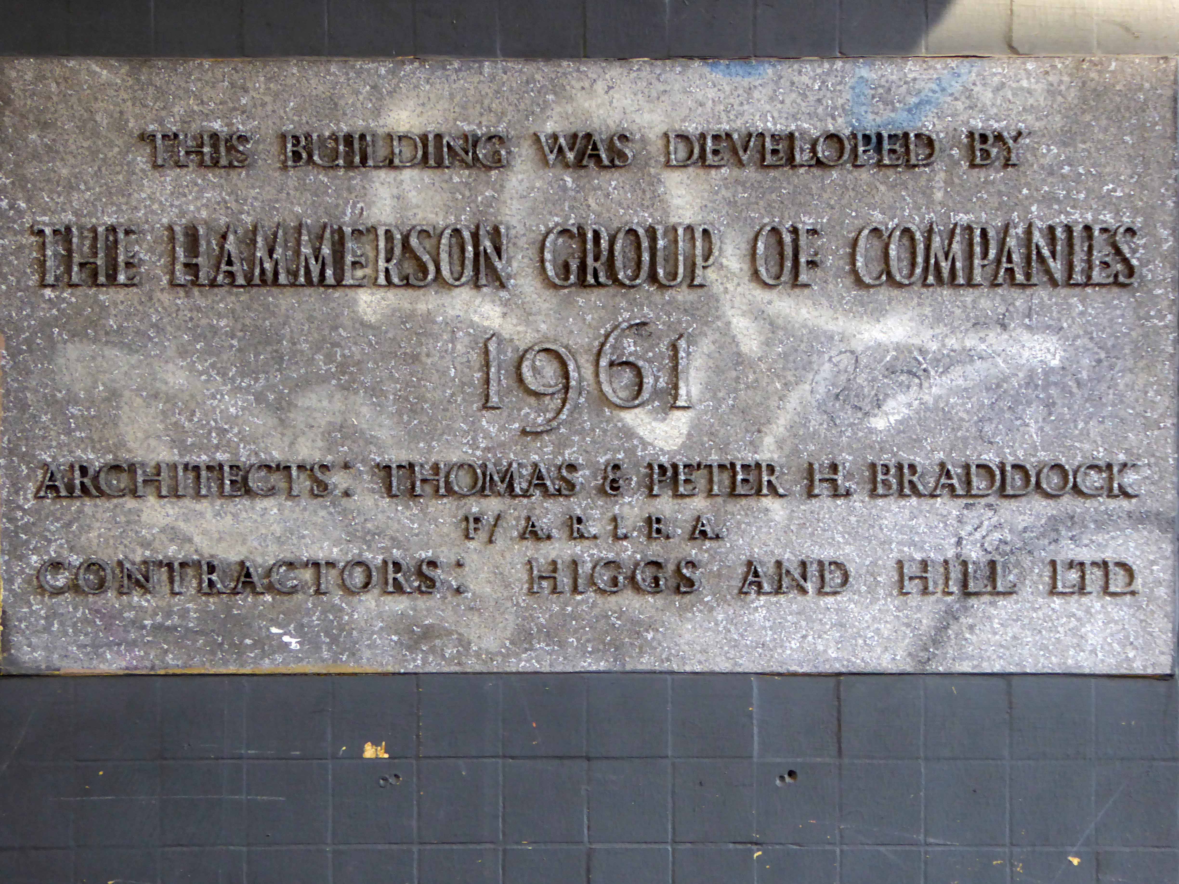
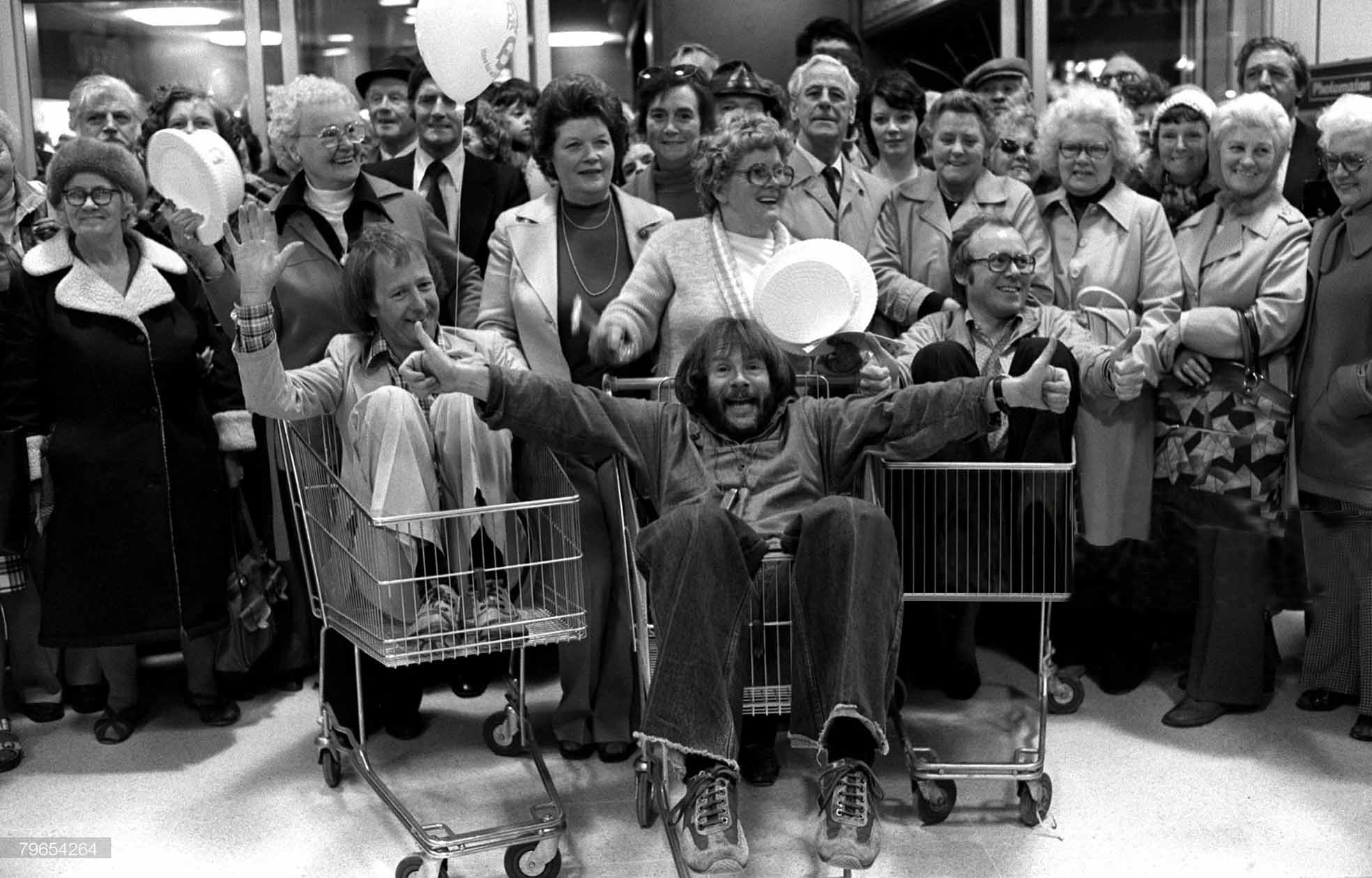
The huge building, designed by John Brunton & Partners, was dubbed Bradford’s ‘space-age shopping centre’ when it opened in 1976. One of a series of American-style Arndale malls
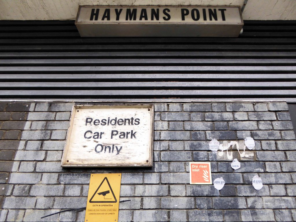
Now the city council has purchased the centre for £15.5 million and agreed a deal that will see Primark – the largest of Kirkgate’s remaining stores – move to Bradford’s Broadway mall which opened in 2015.
The initiative will allow the authority to double the size of its proposed City Village programme, which it hopes will create better public spaces and 1,000 new homes in a ‘world-class sustainable urban’ across 5 acres of city centre land.

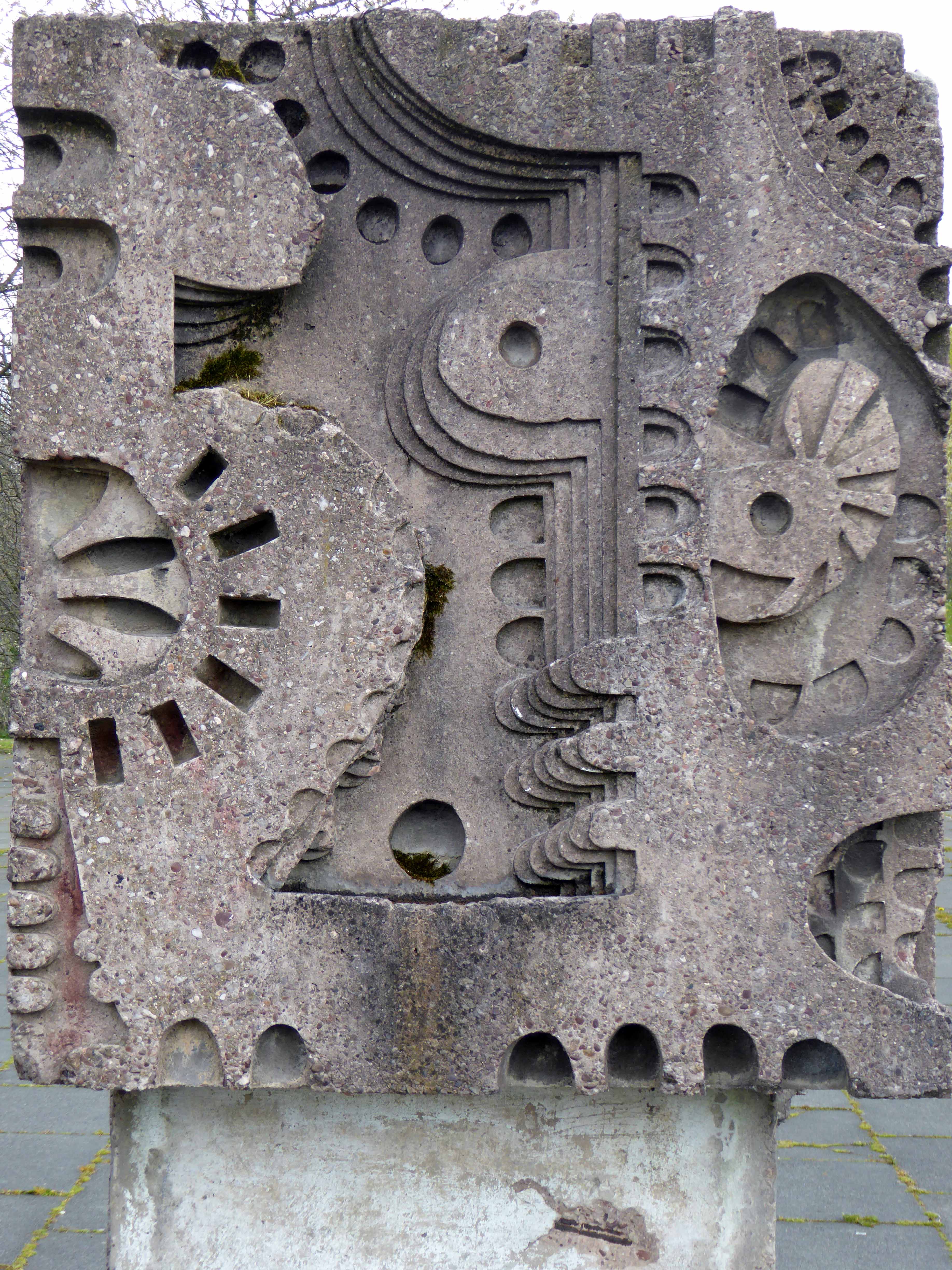
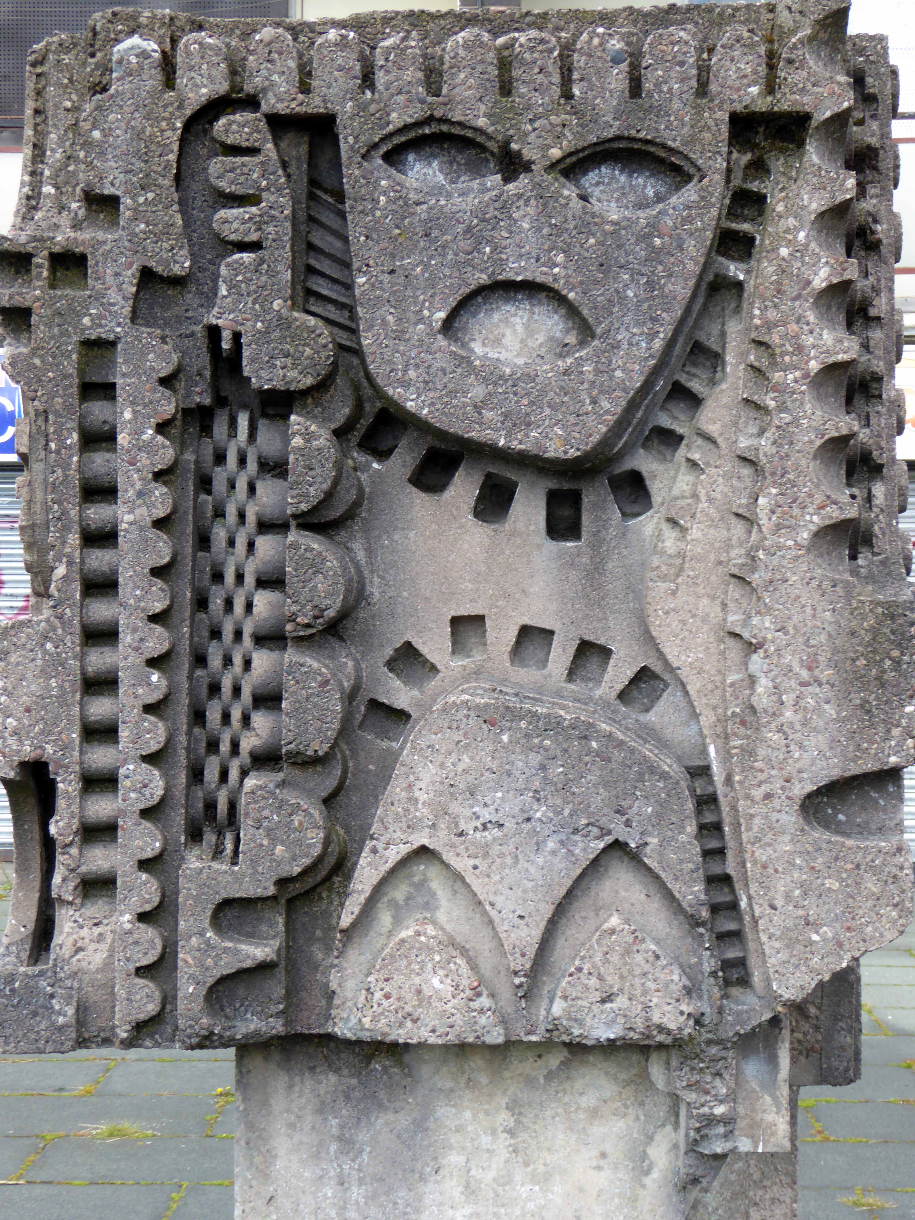
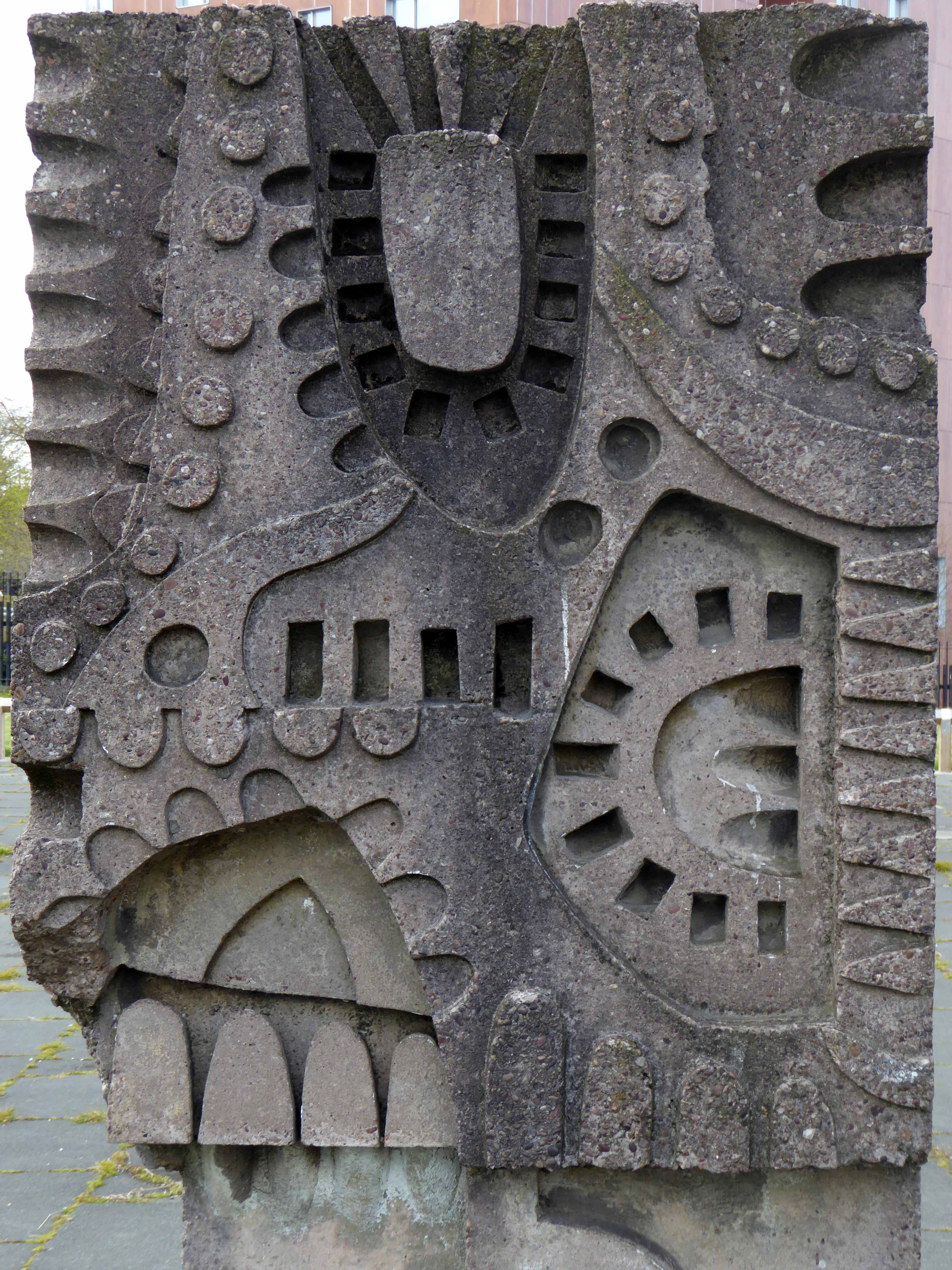
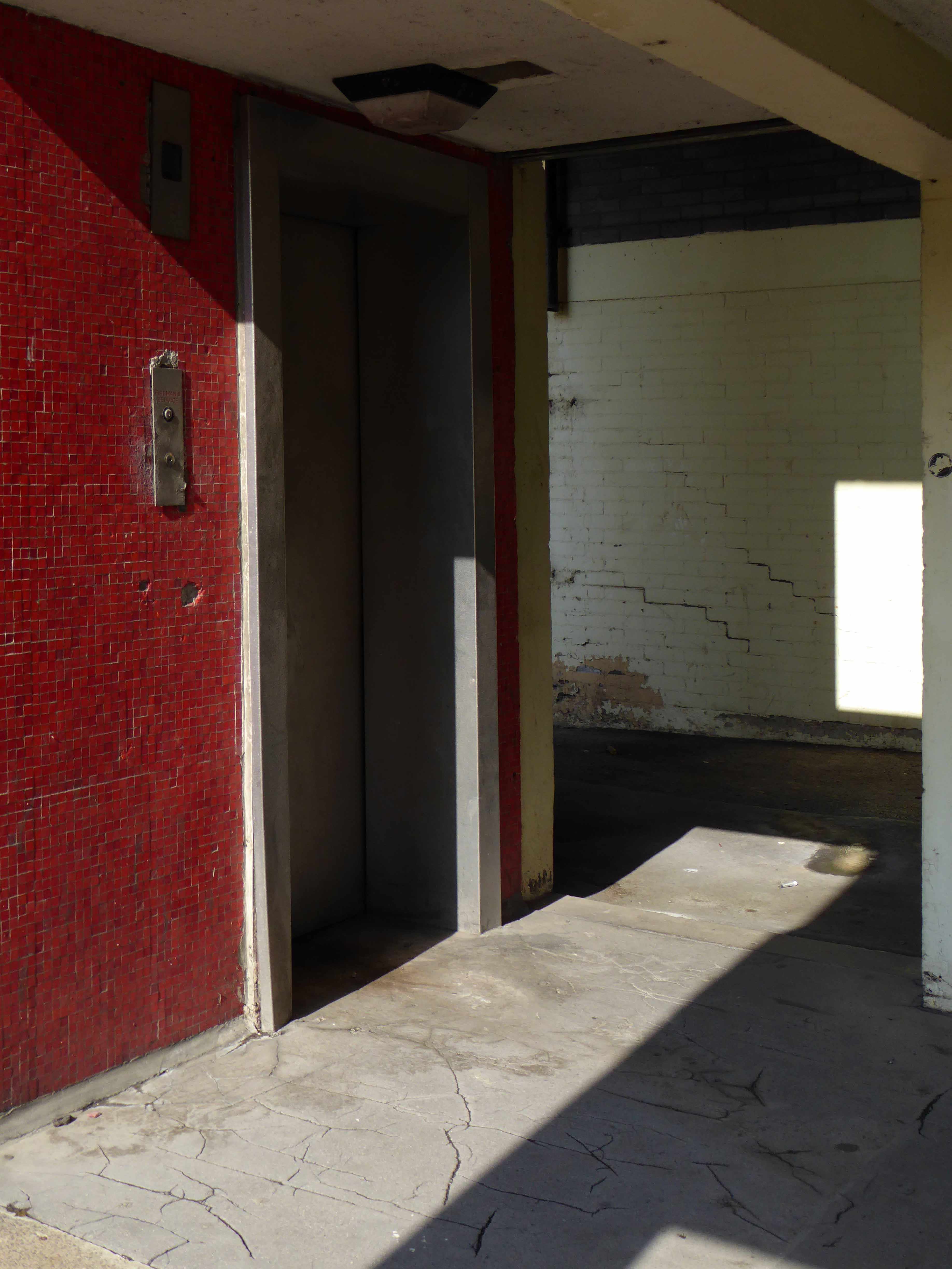
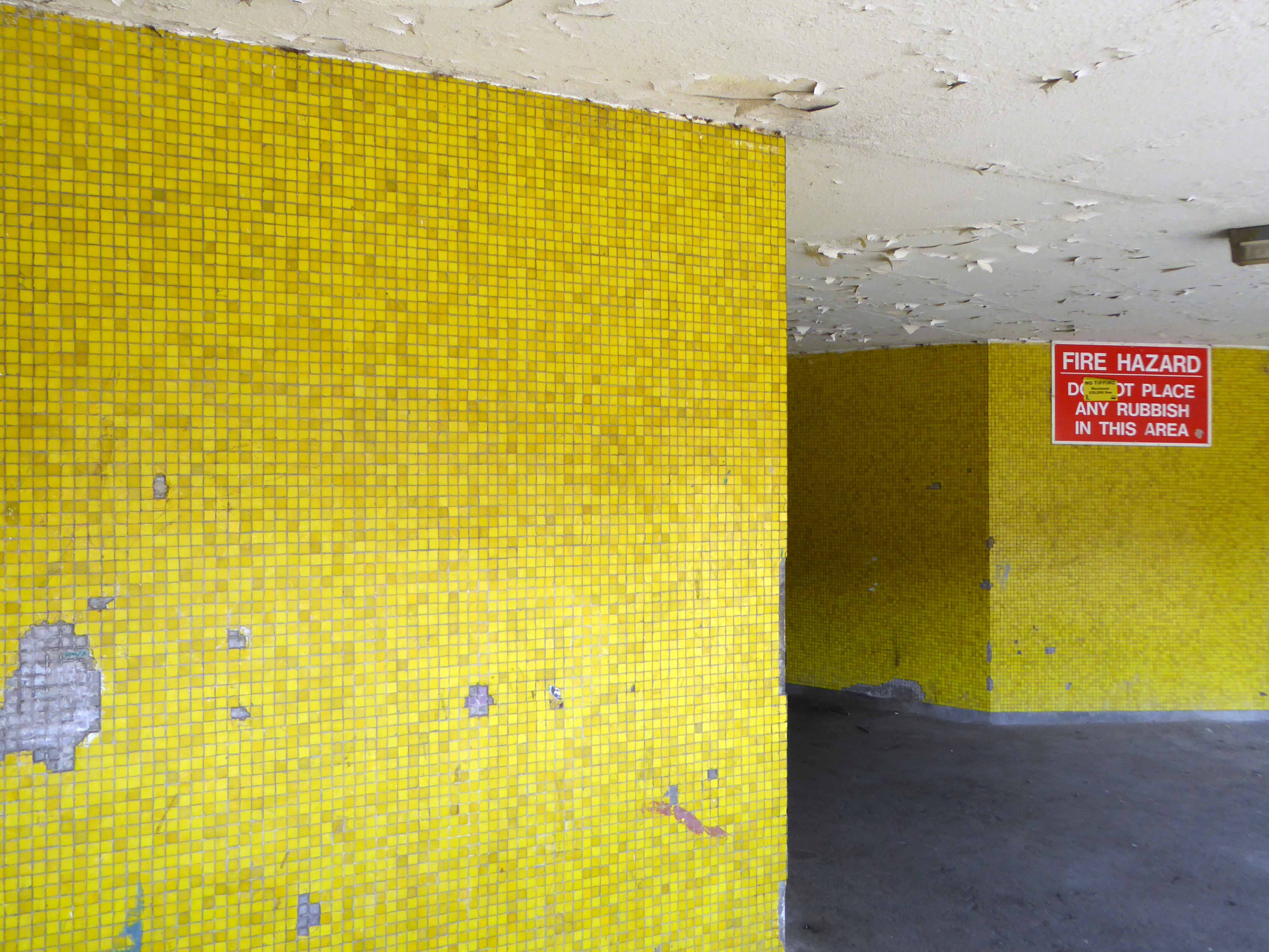
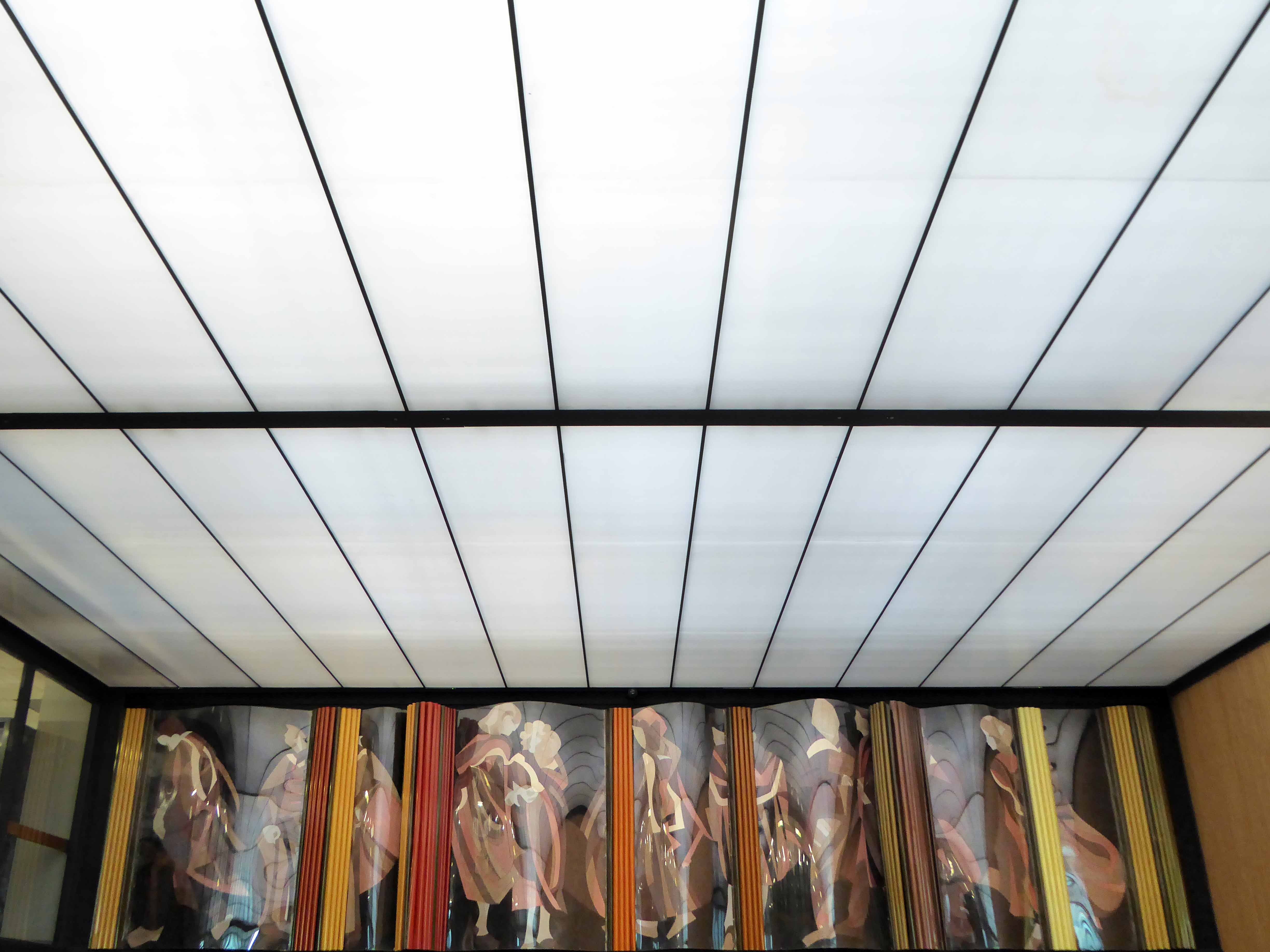
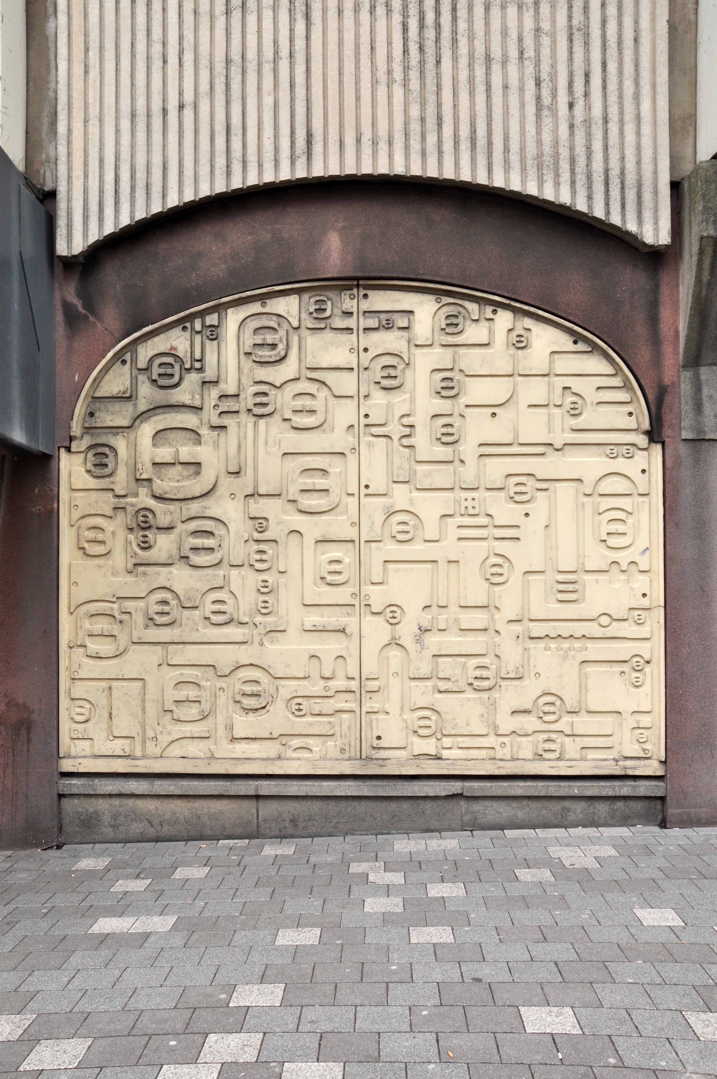
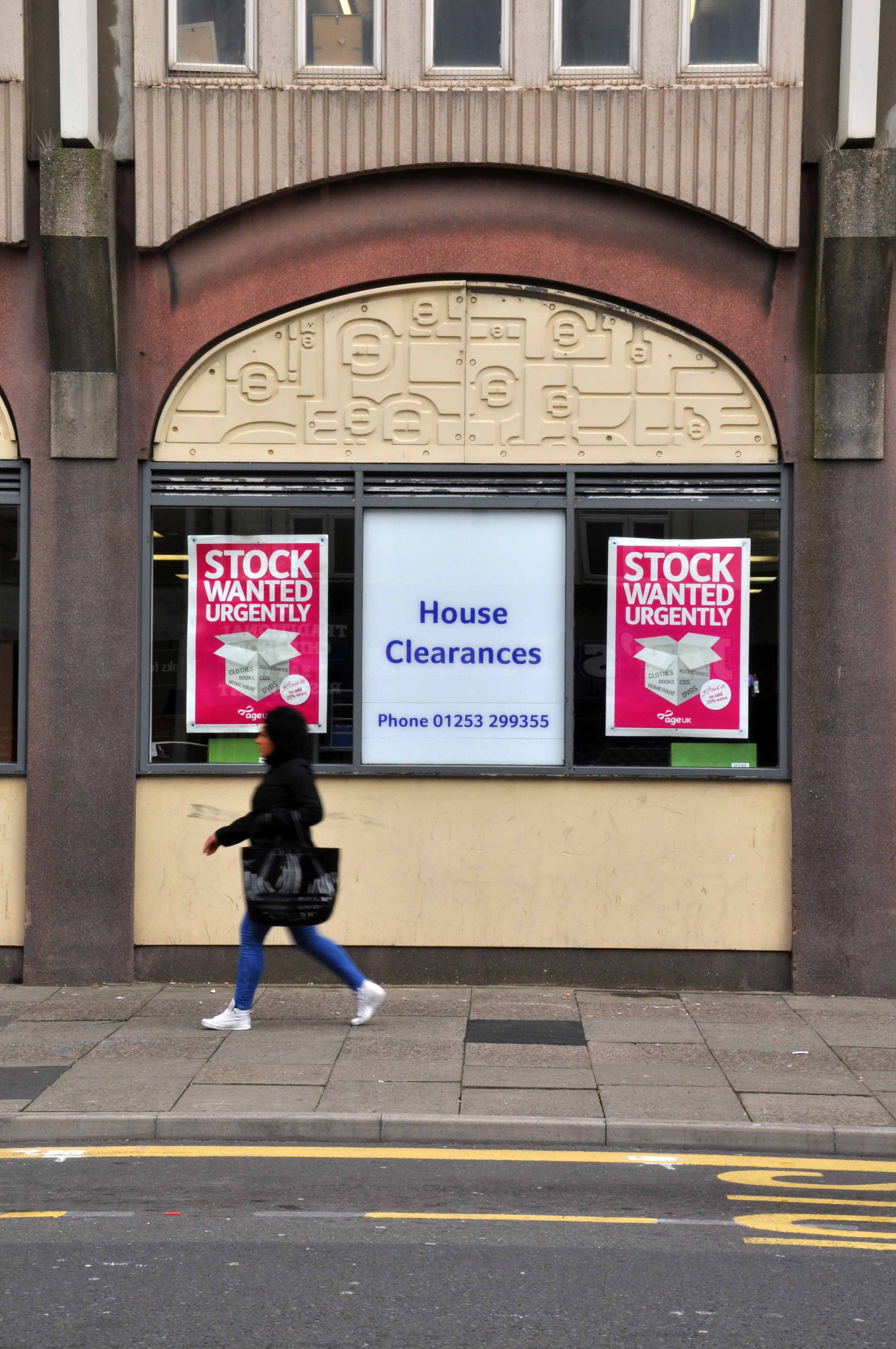
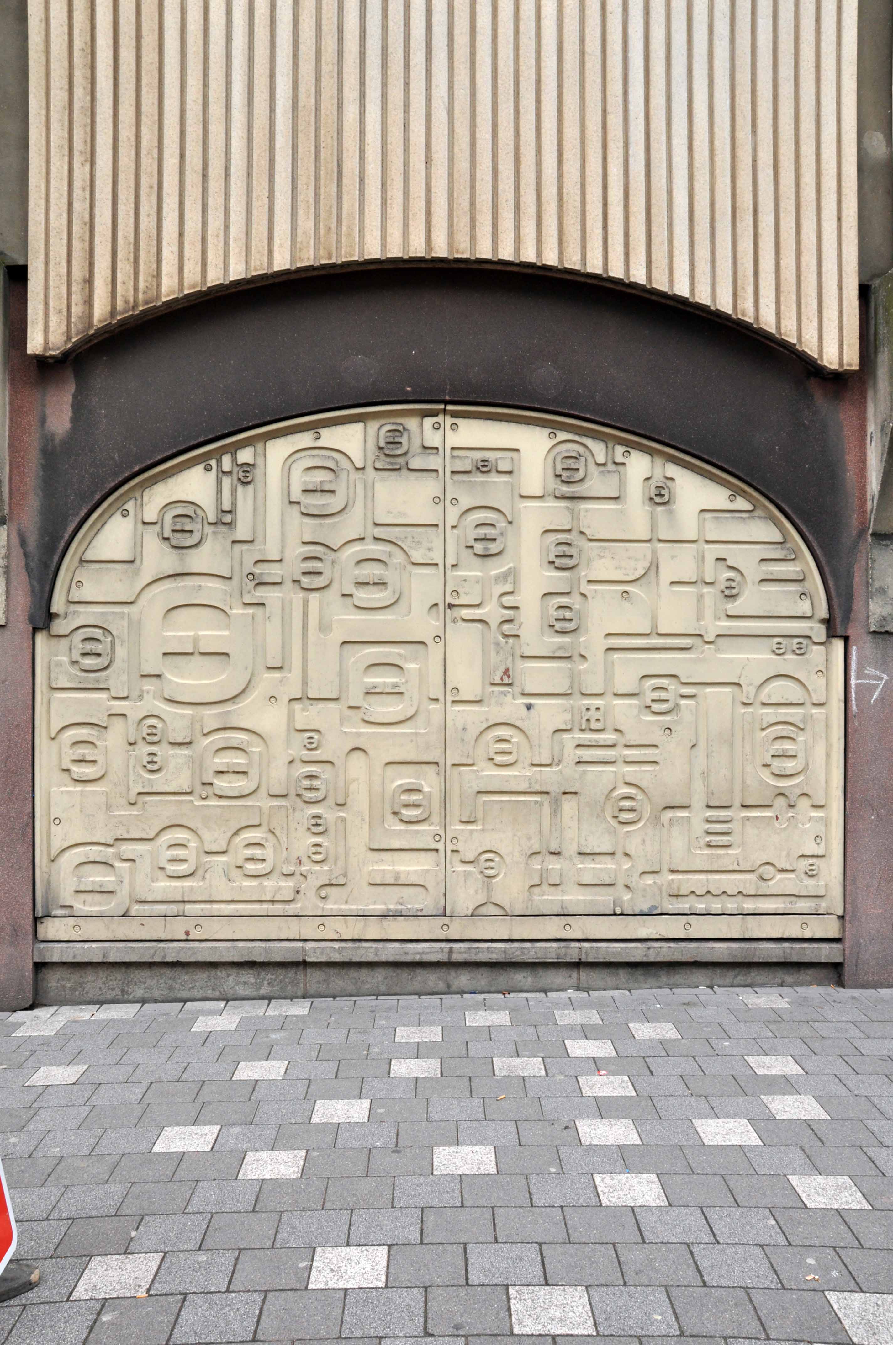
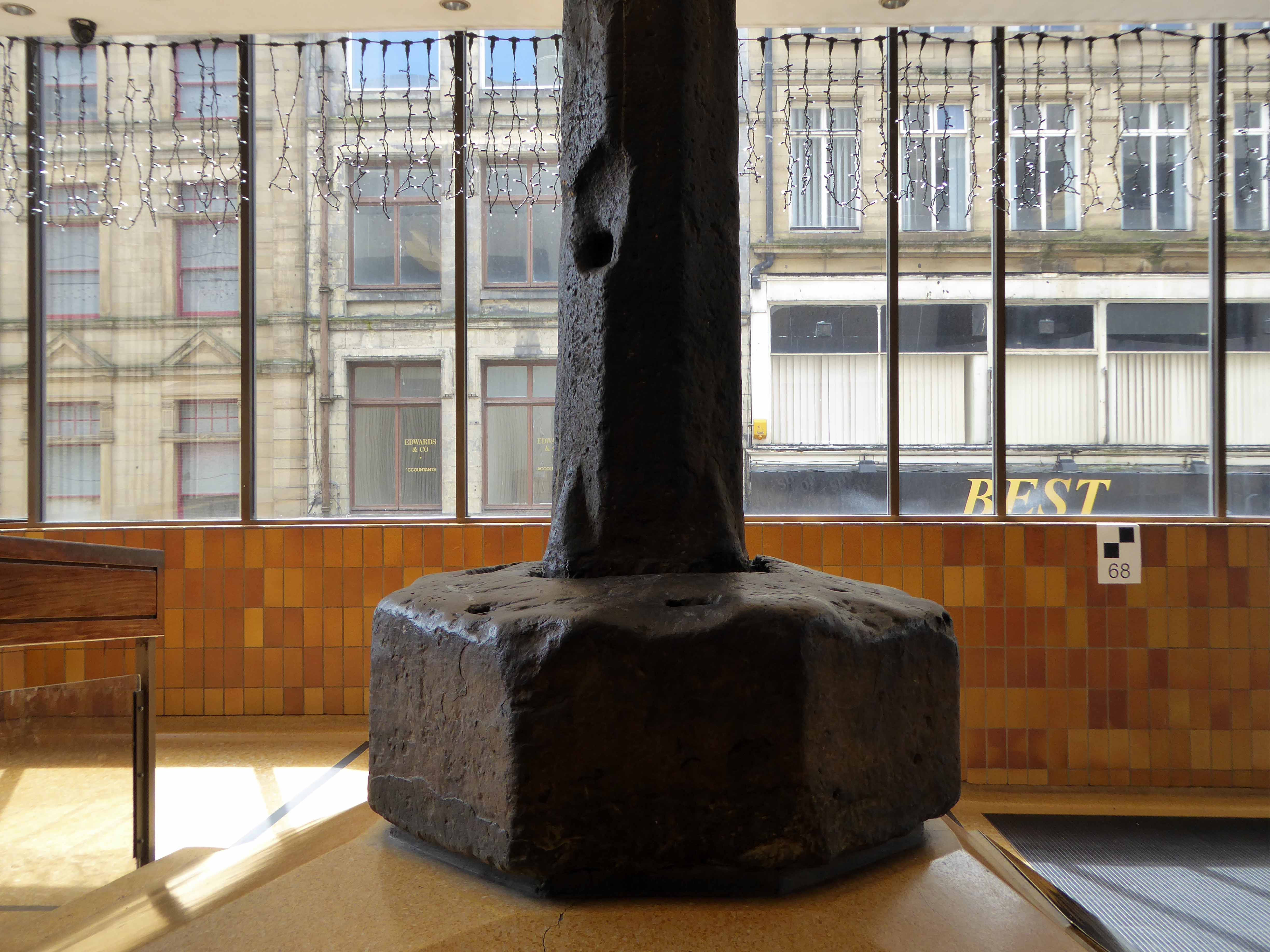
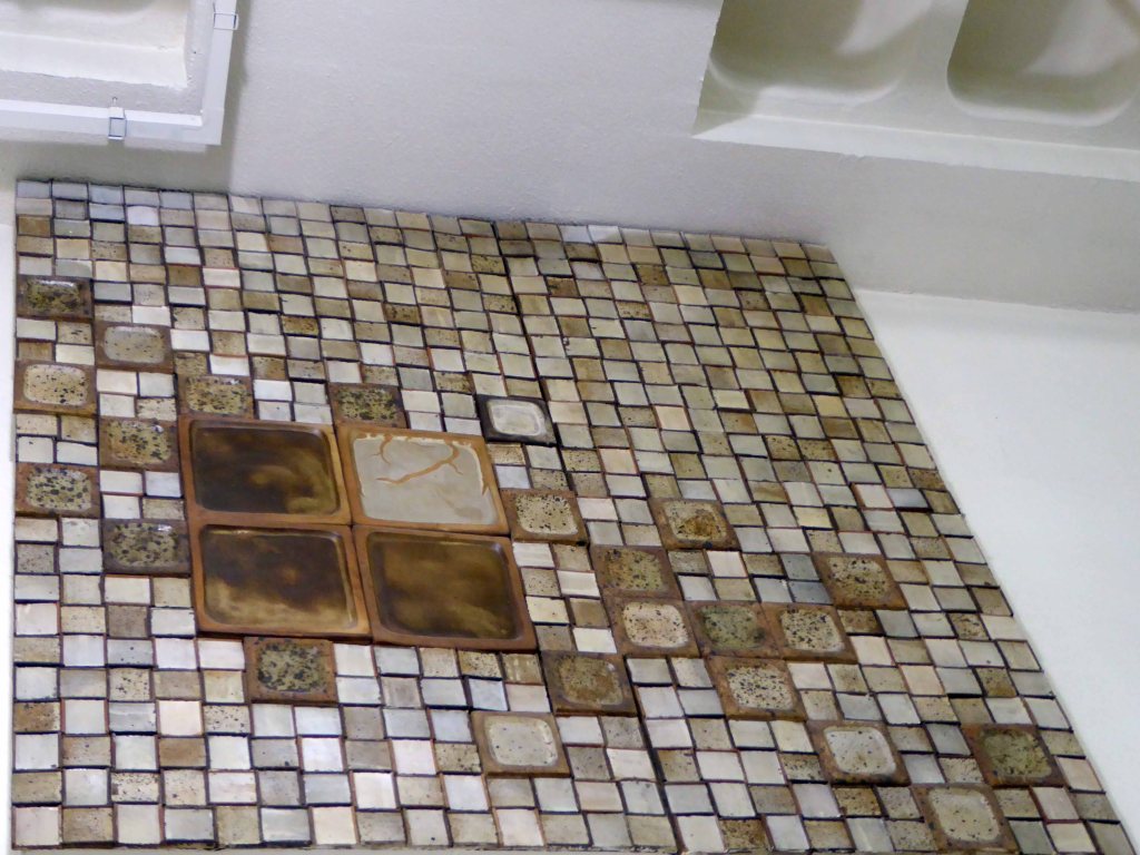
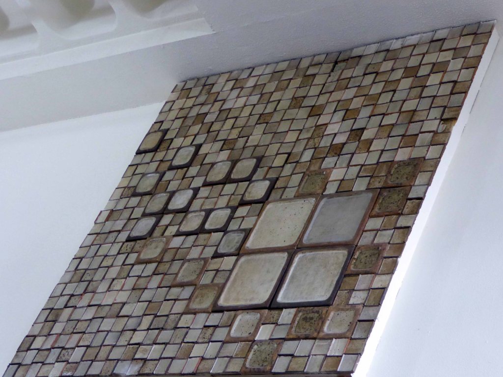
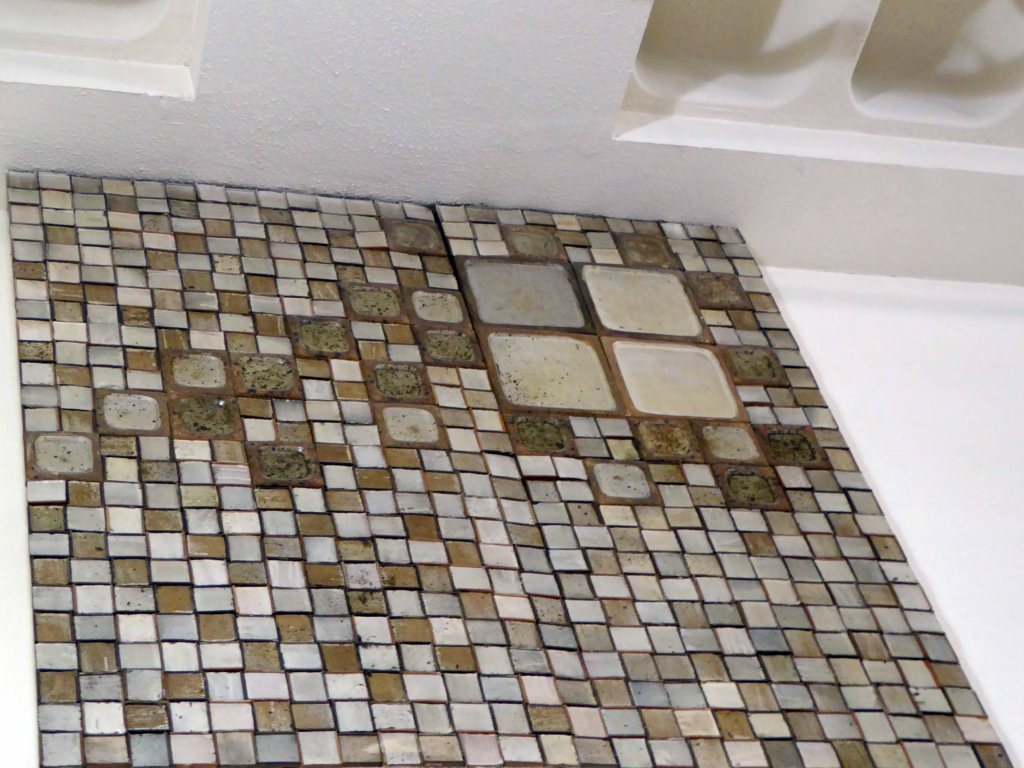
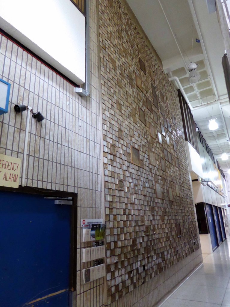
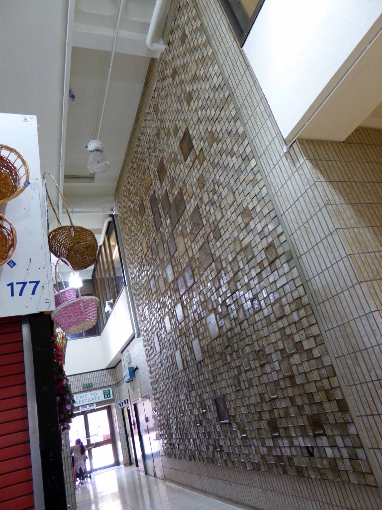
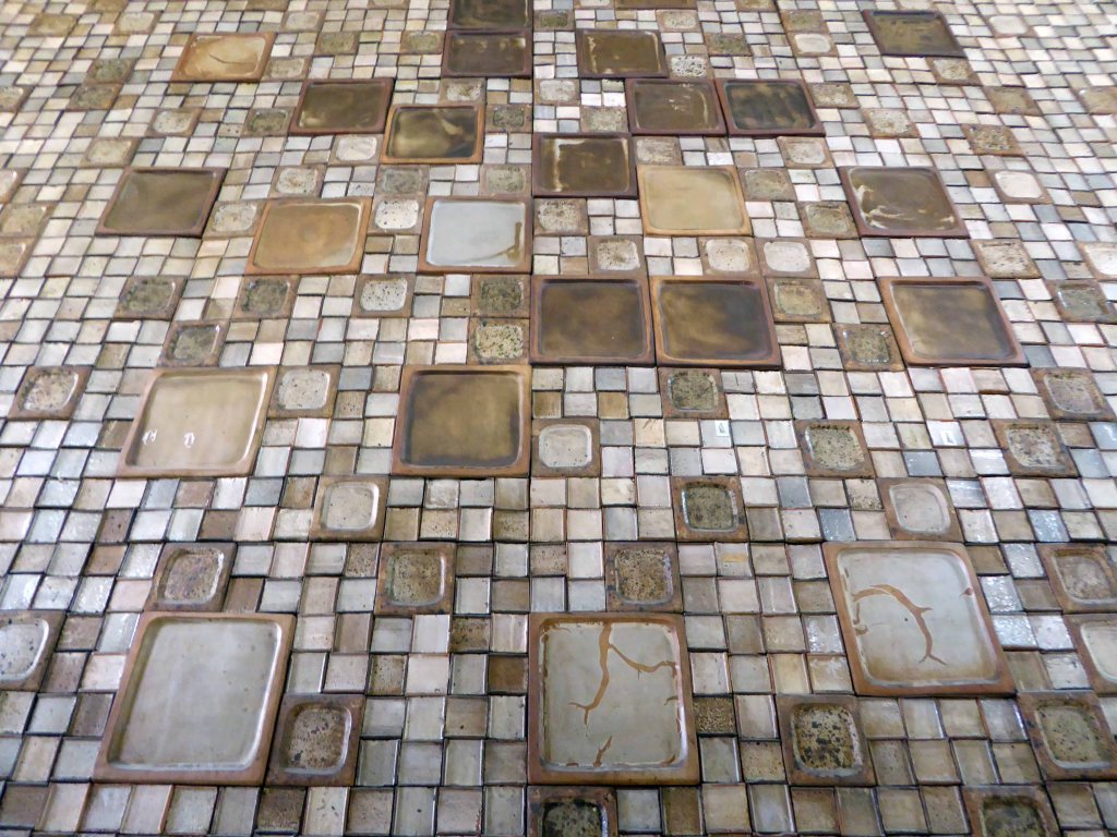
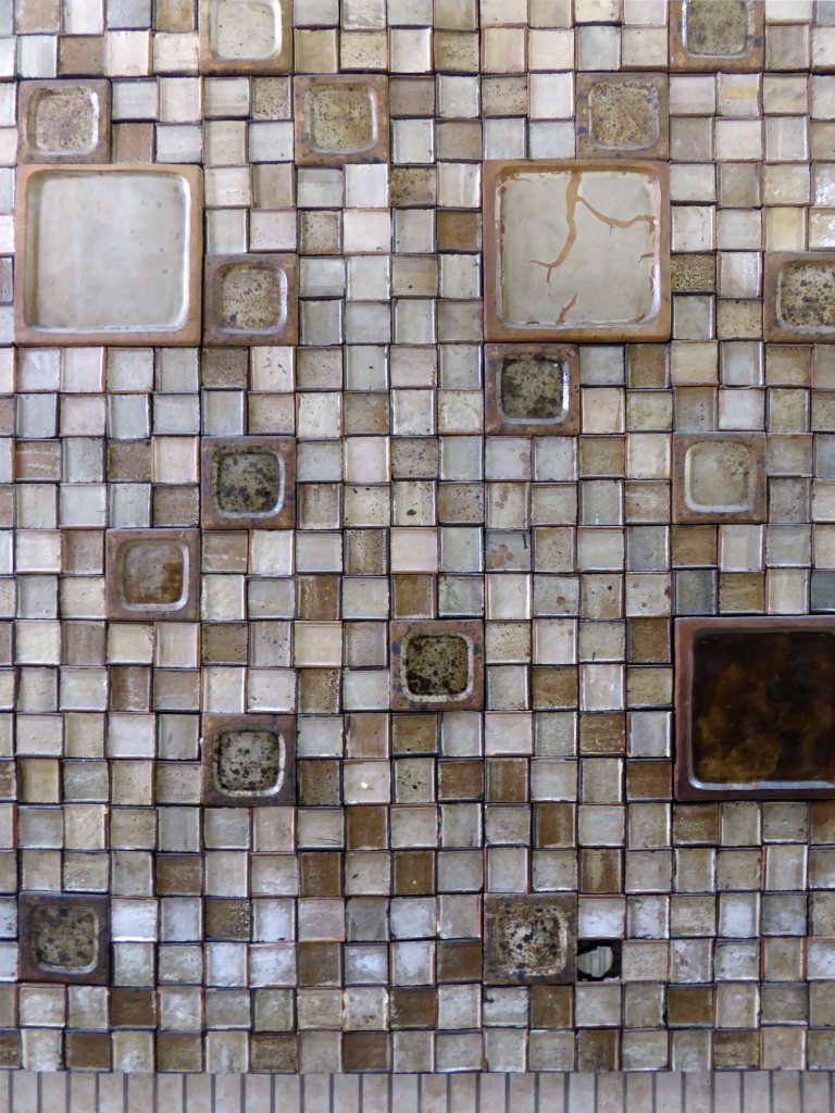
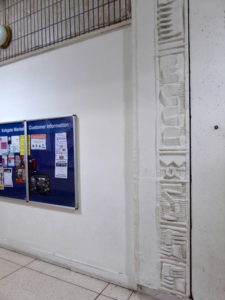
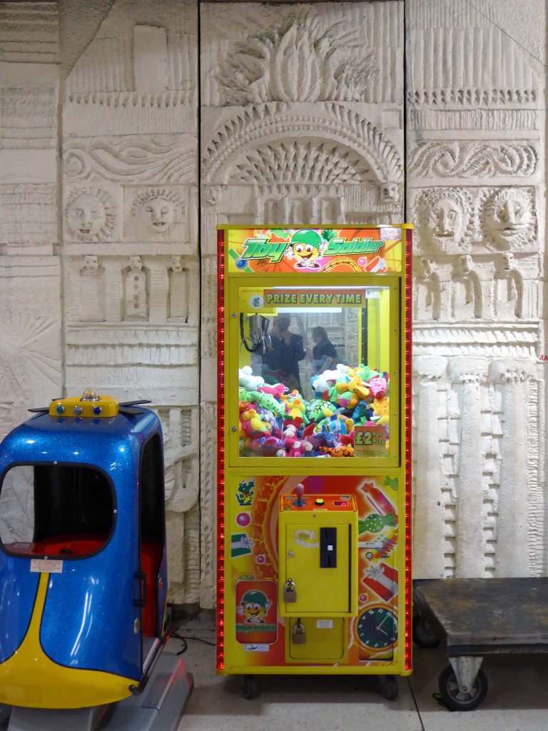
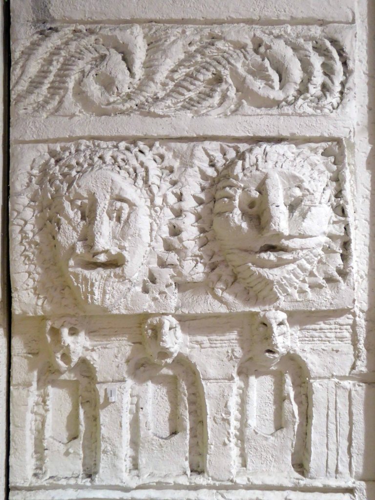
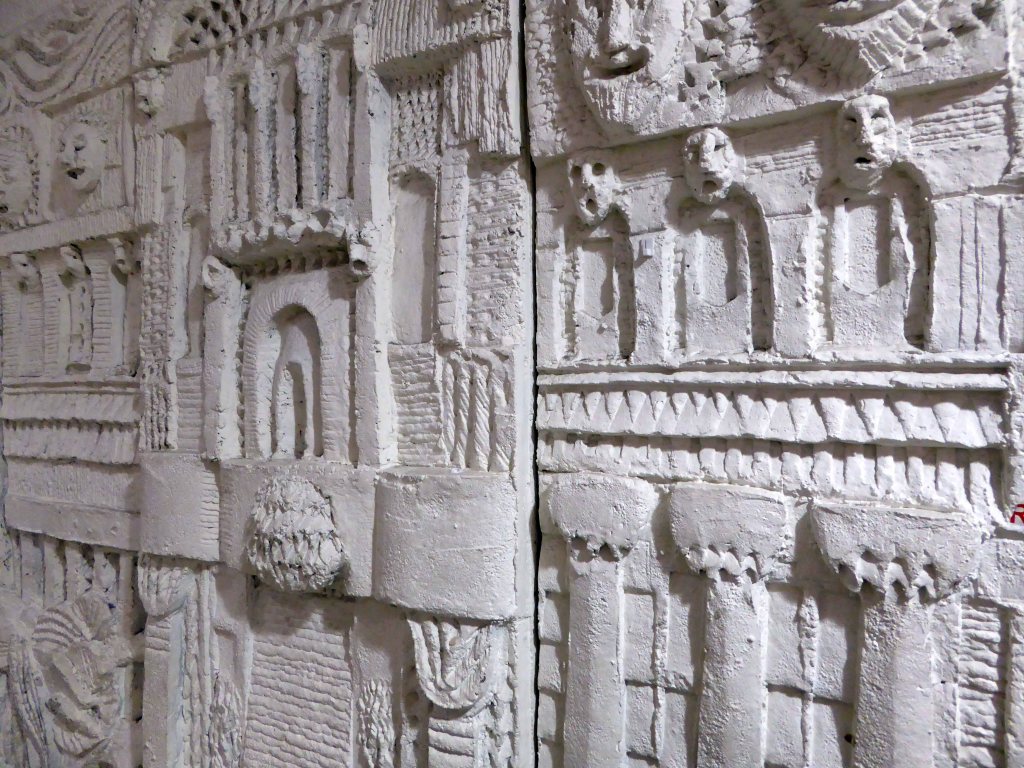
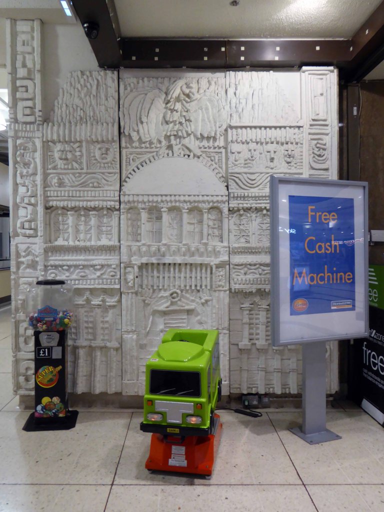
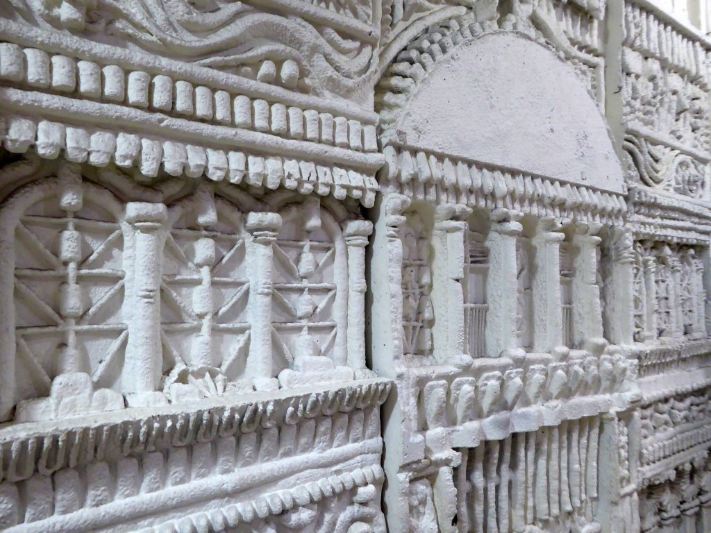
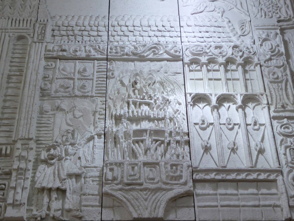
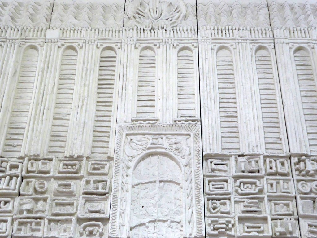
The interior has several decorative features, tiles their authorship and origins unknown, consisting of four 2.5 metre, and one 6.5 metre square ceramic panels.
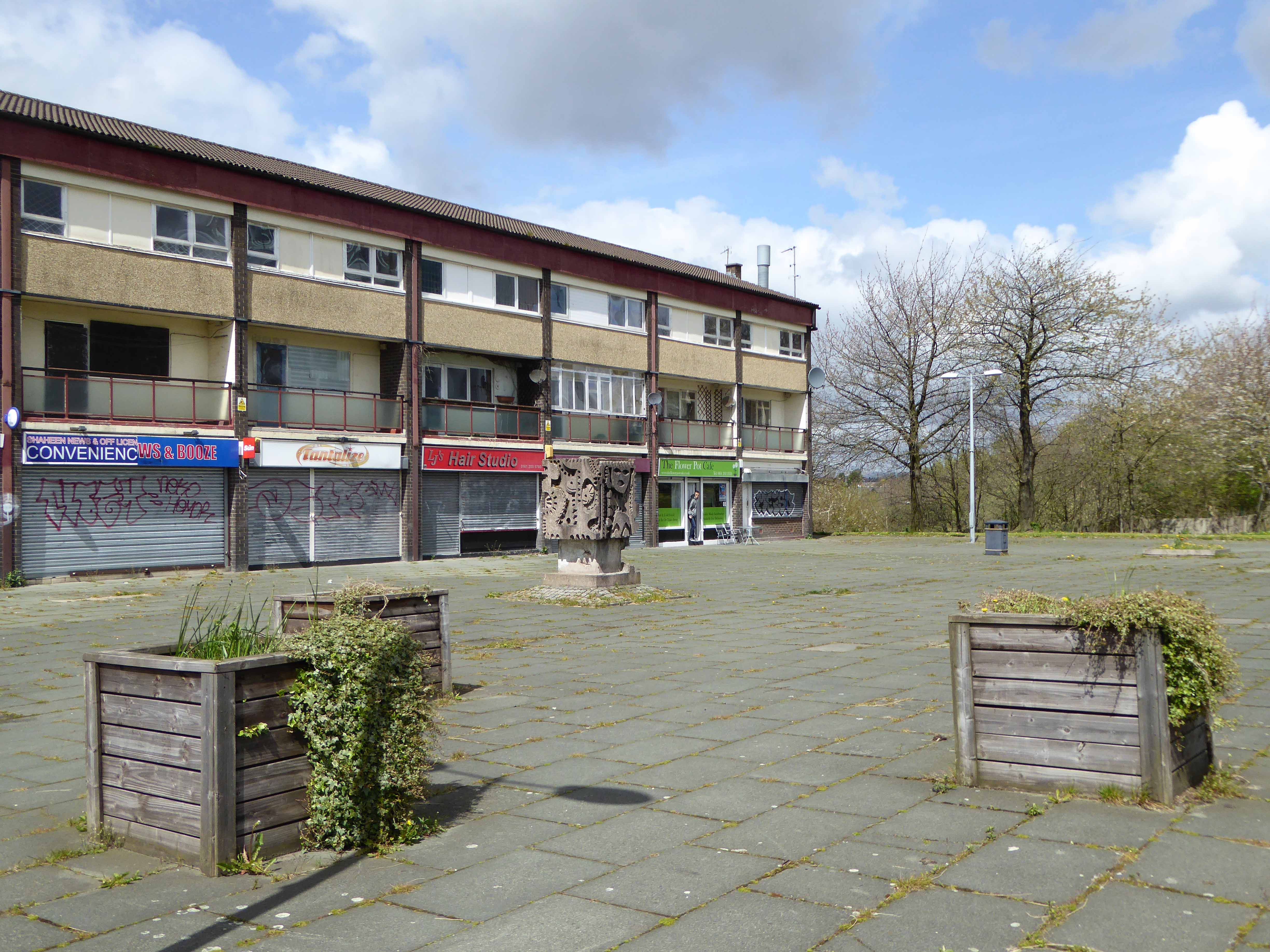
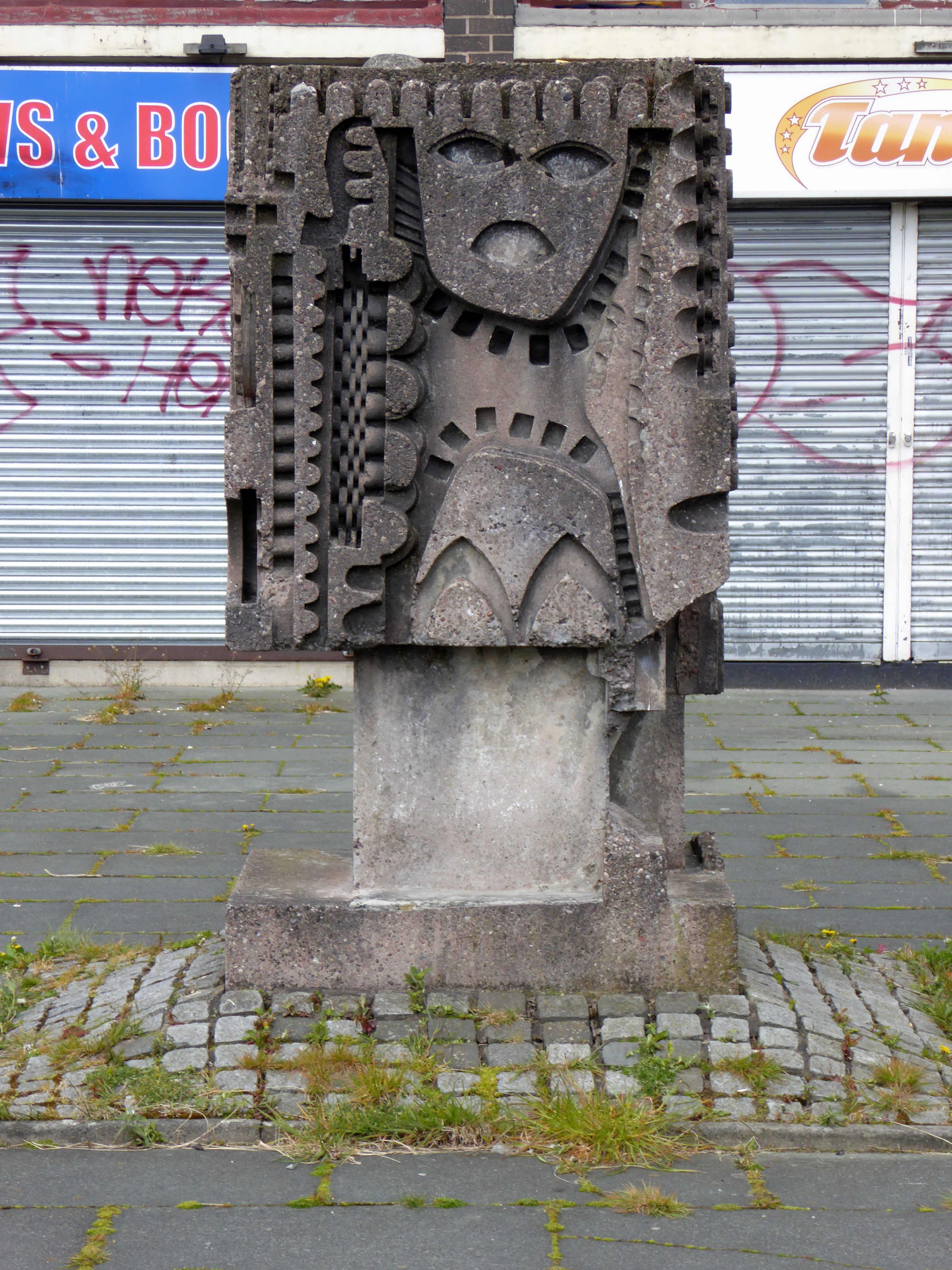
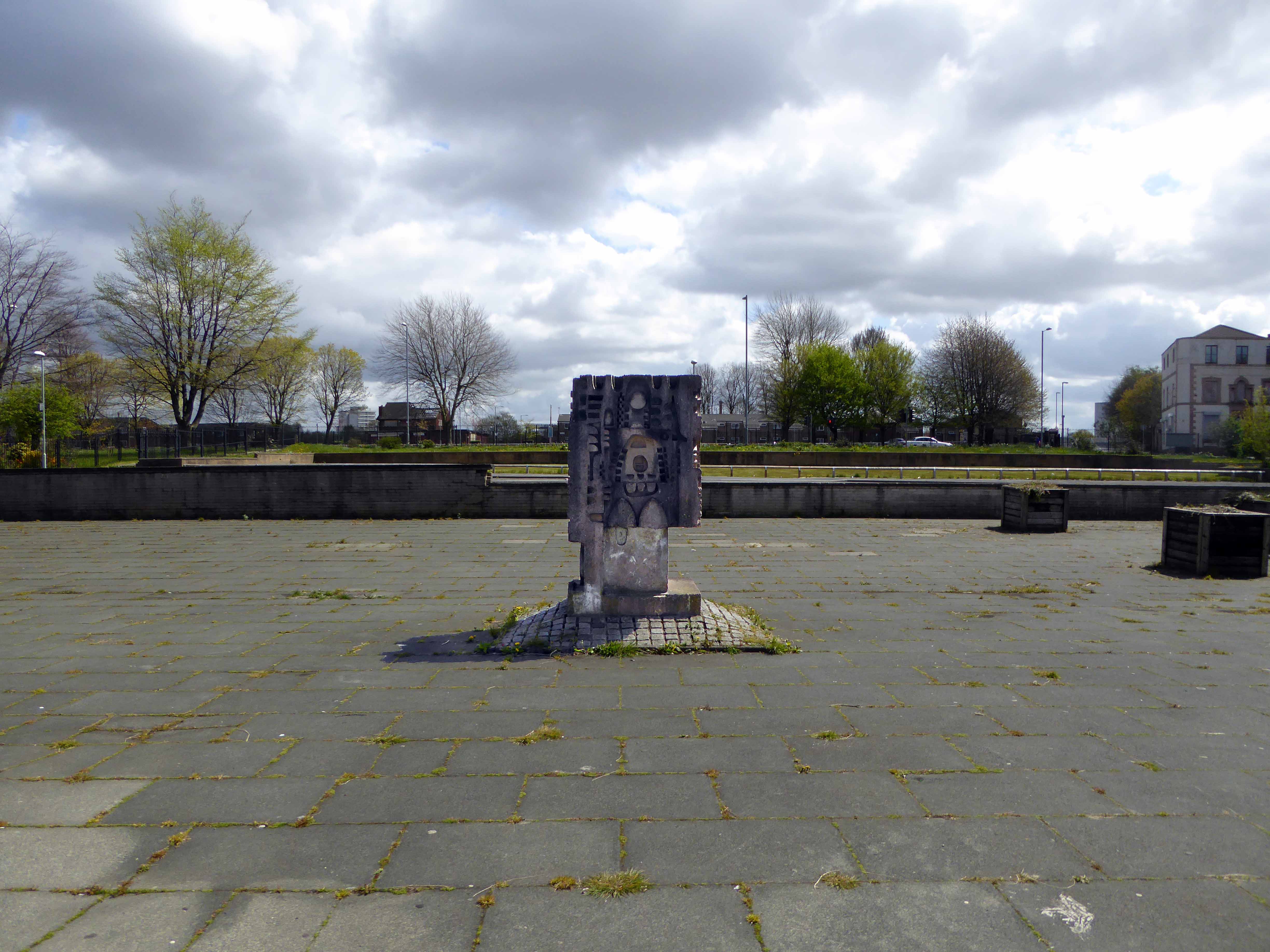
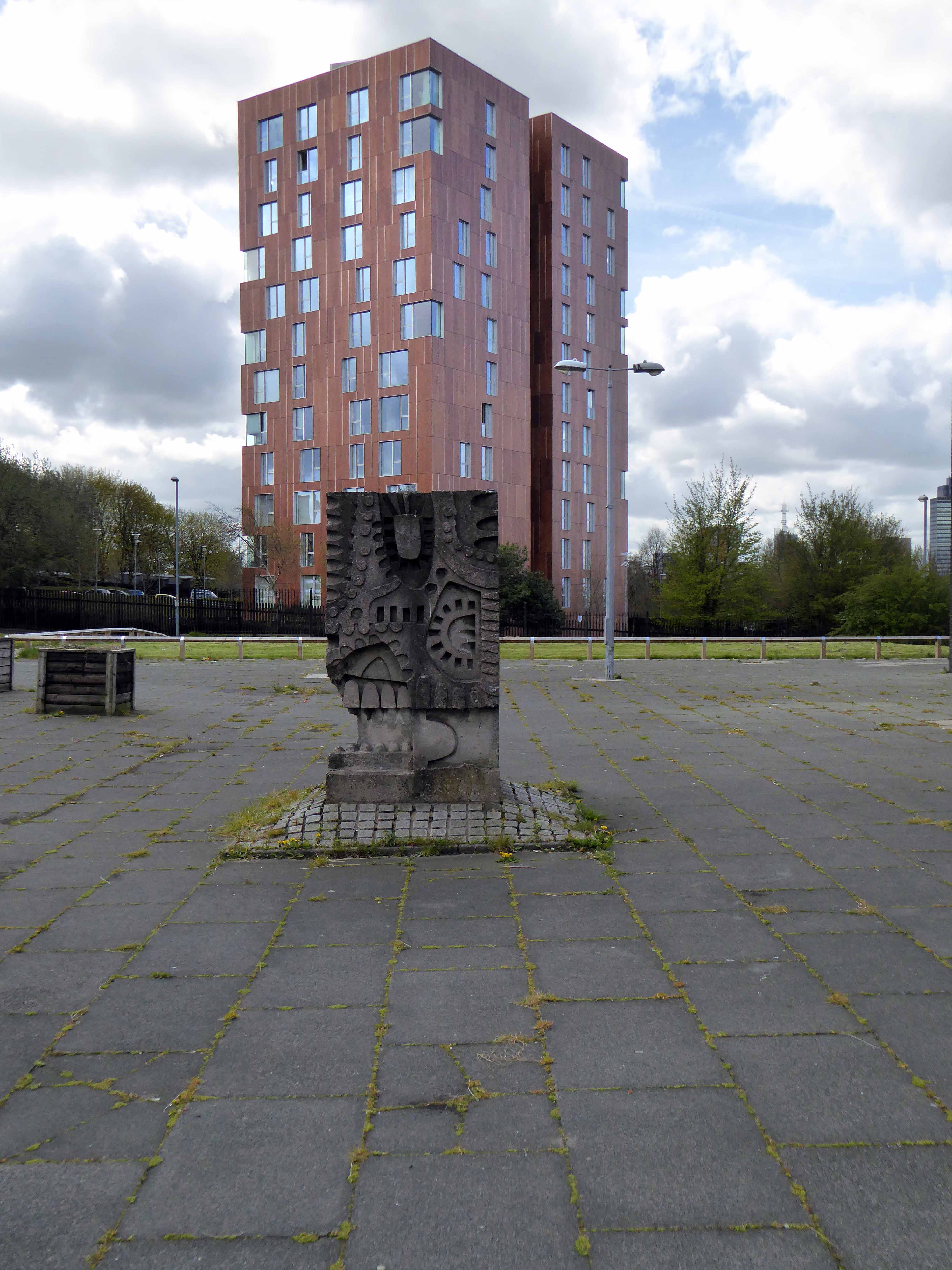
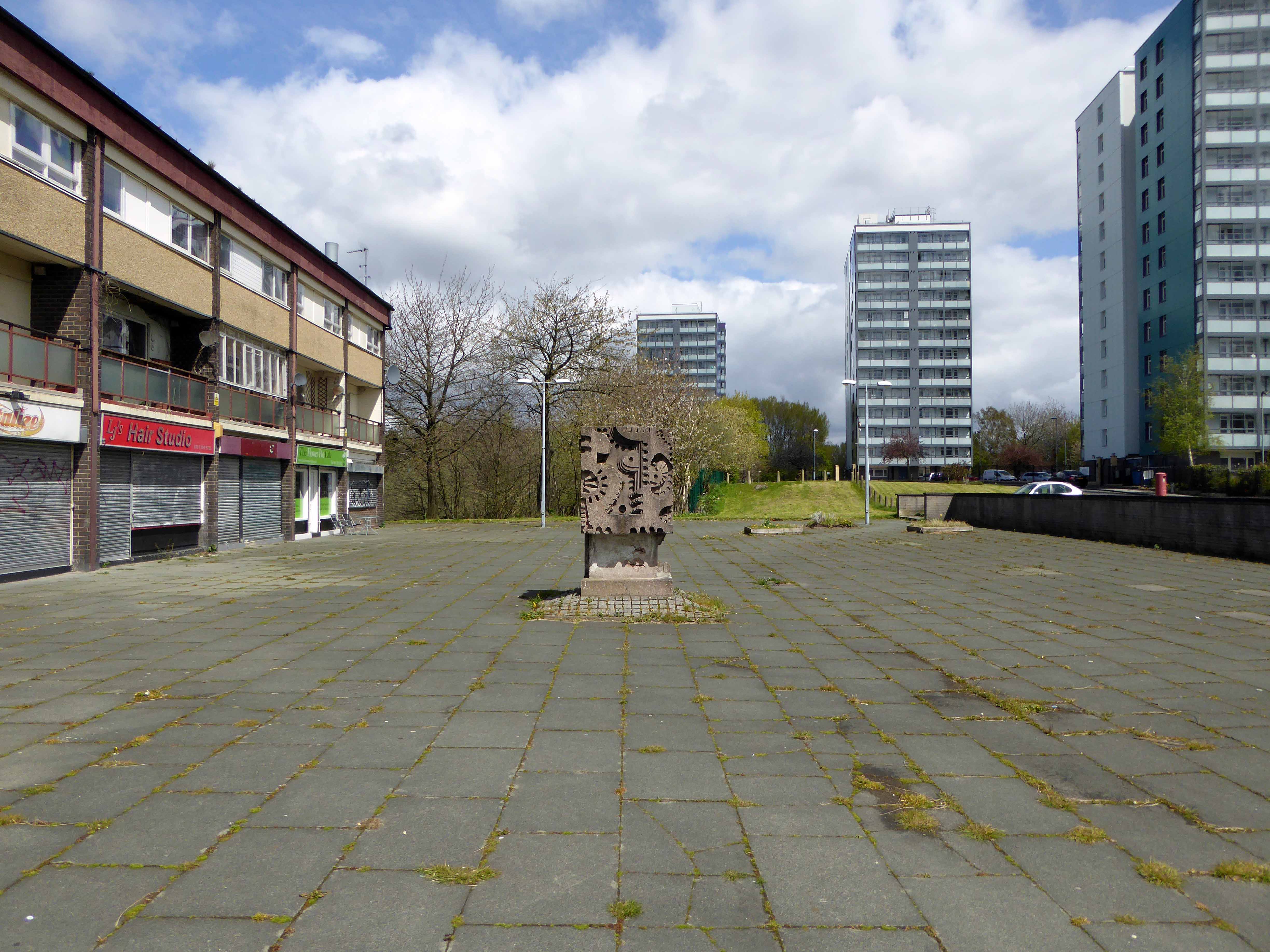
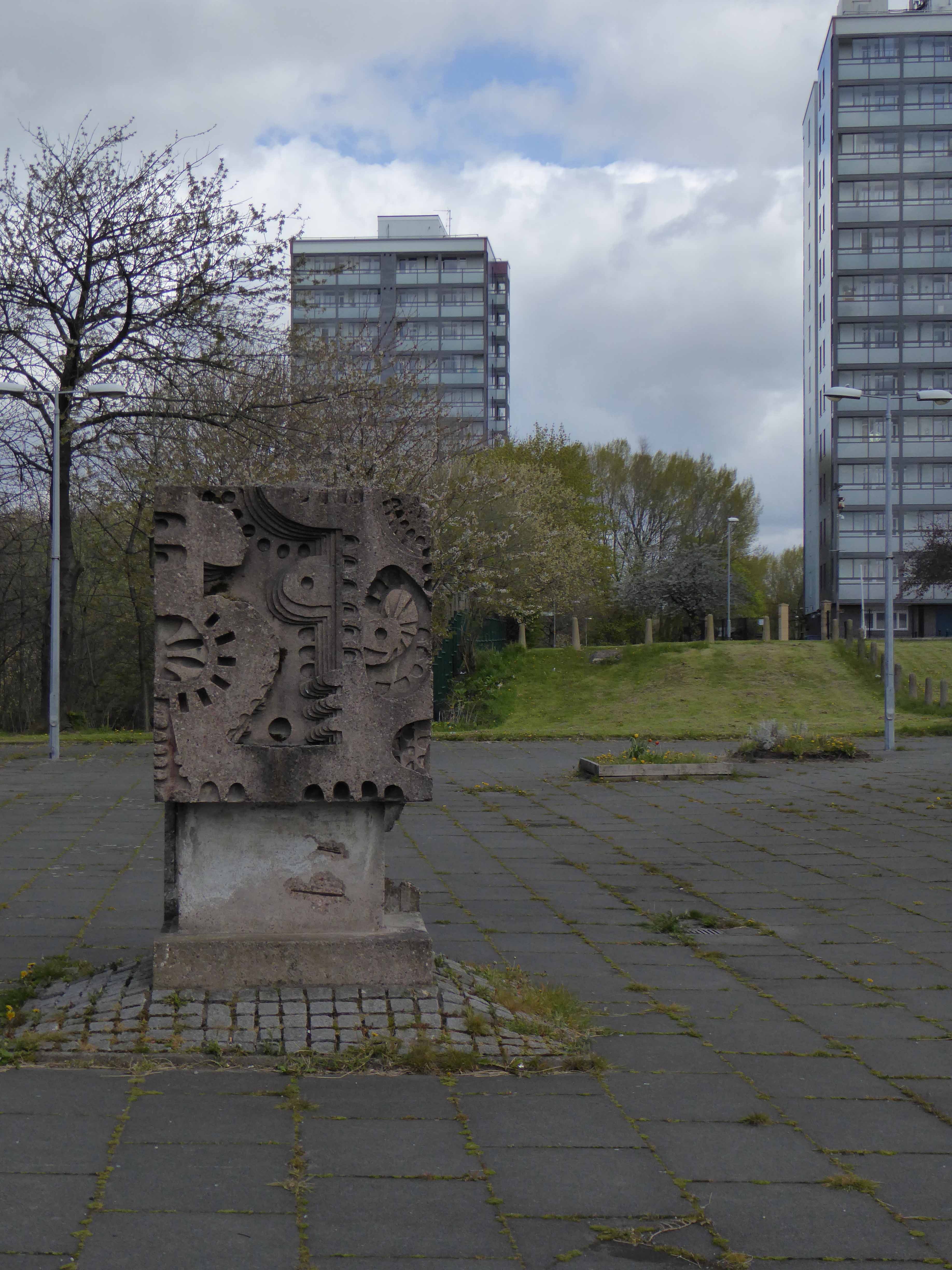
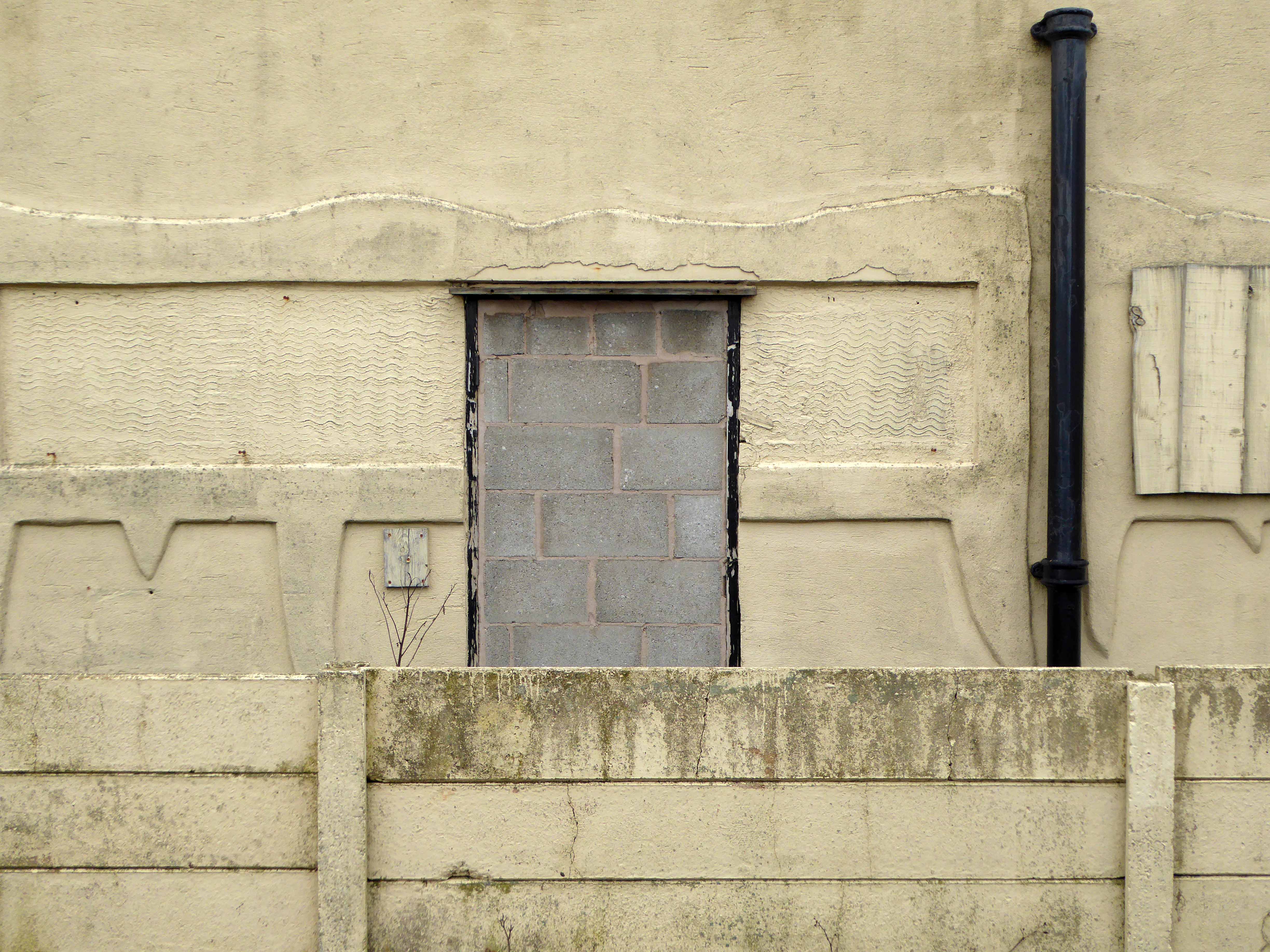
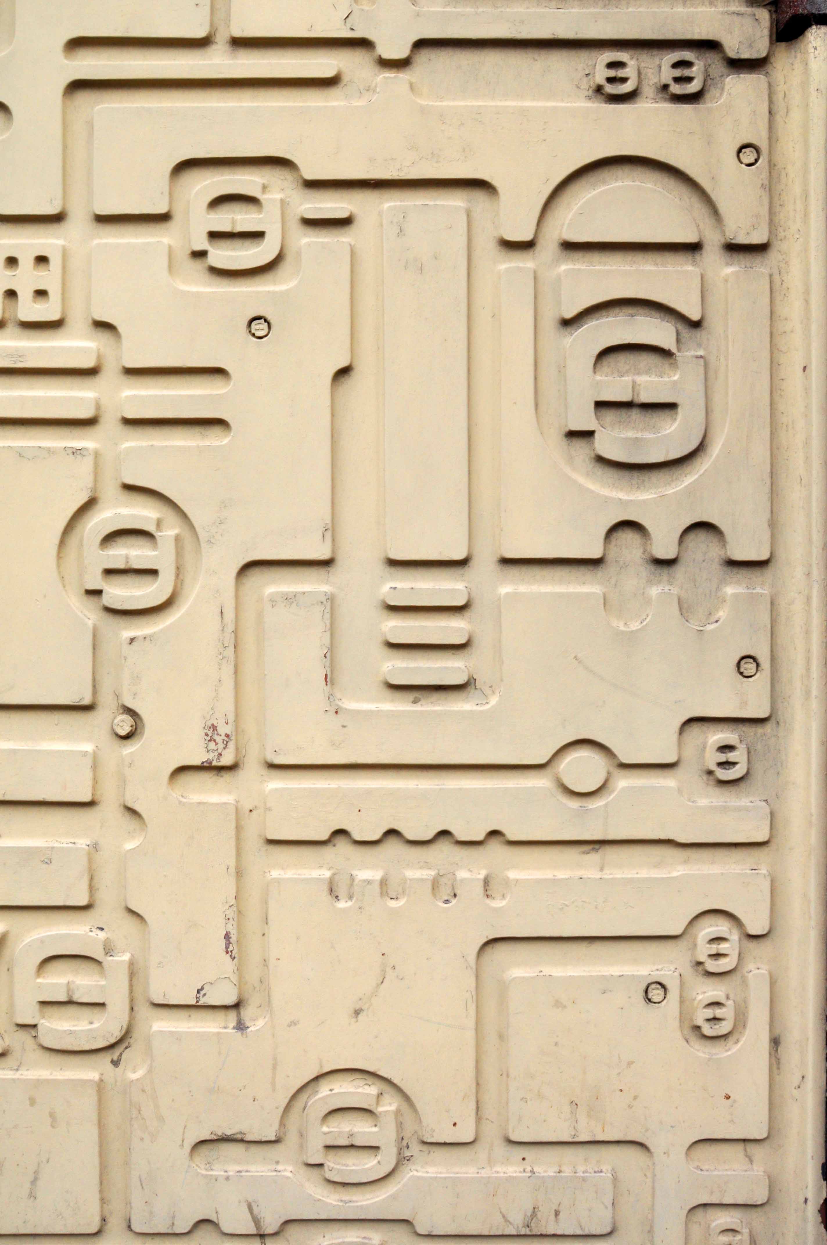
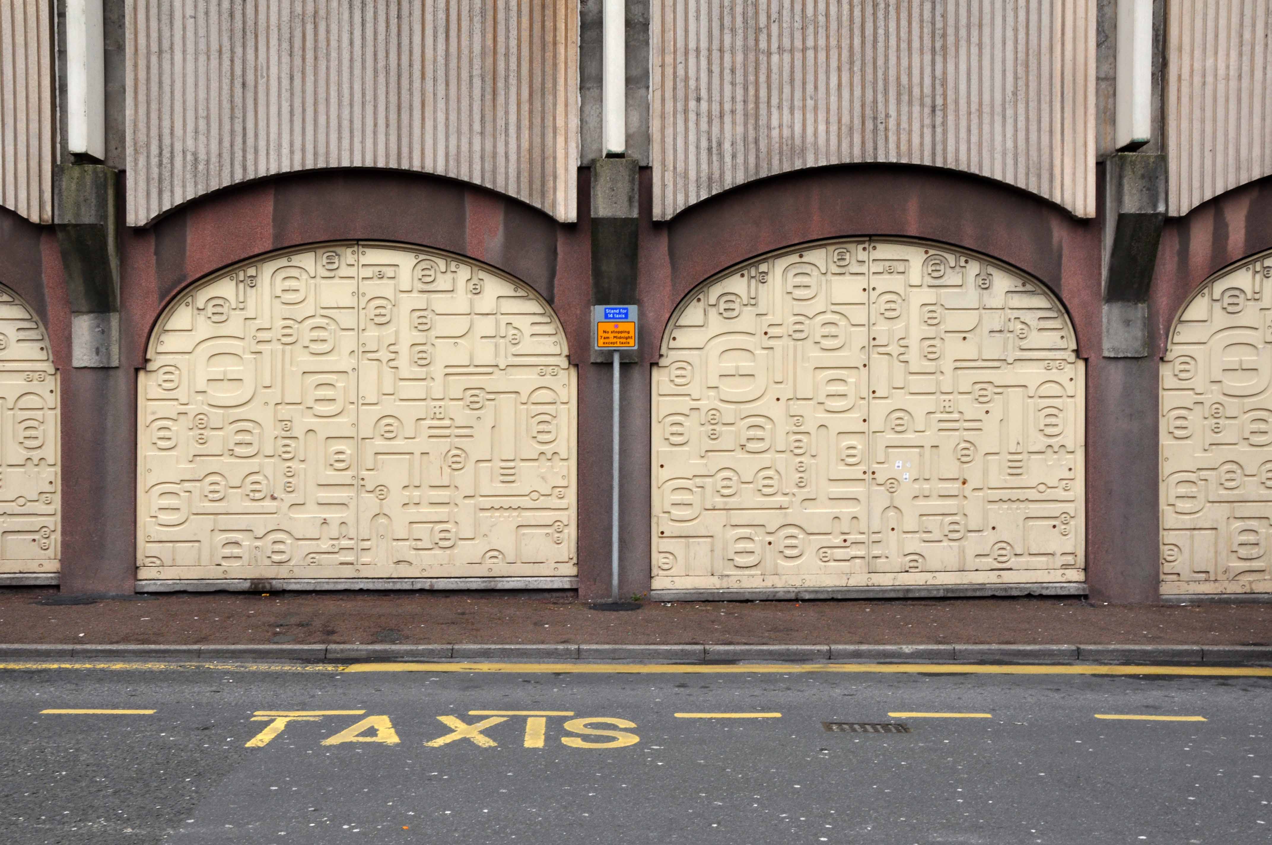
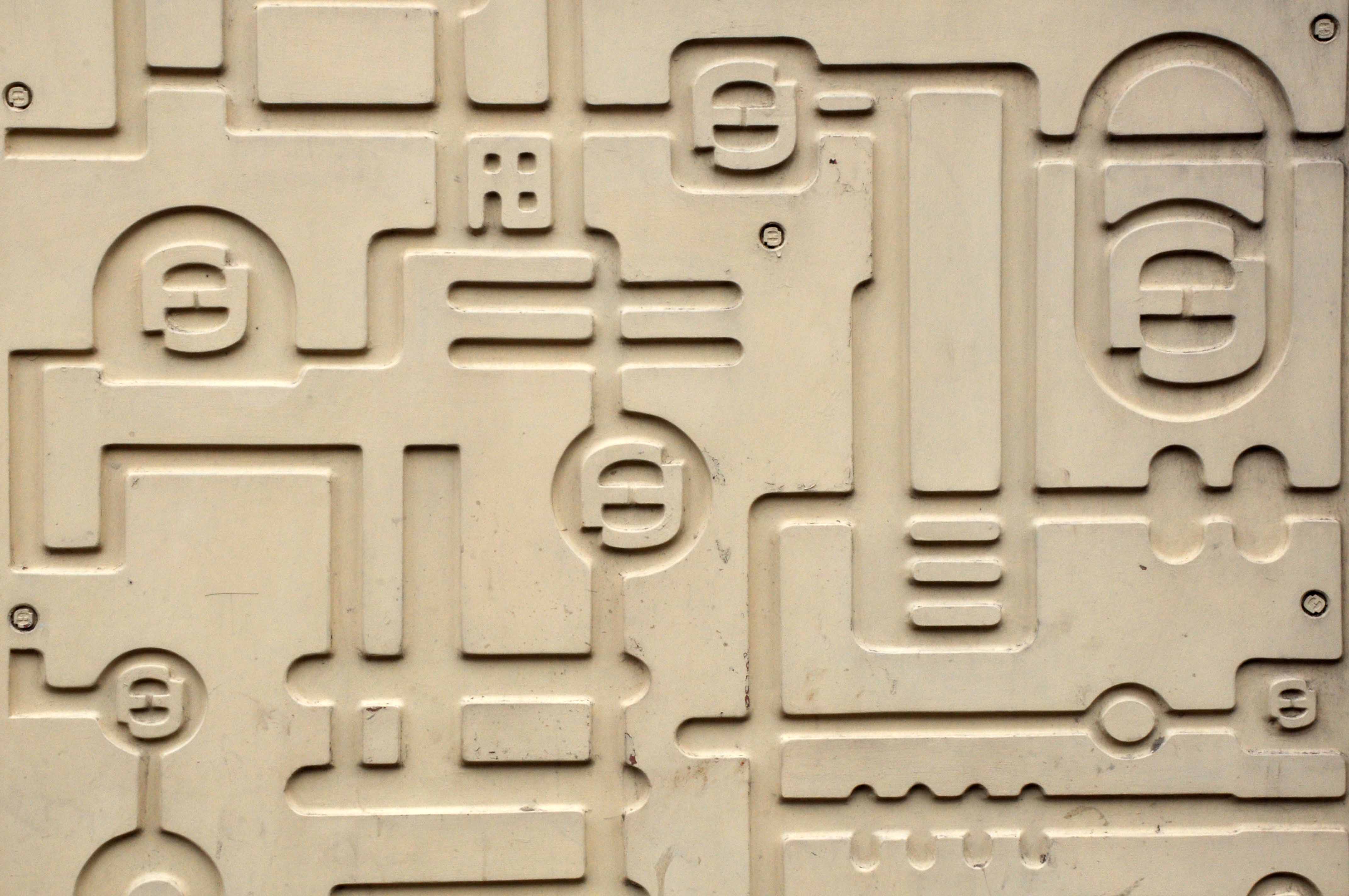
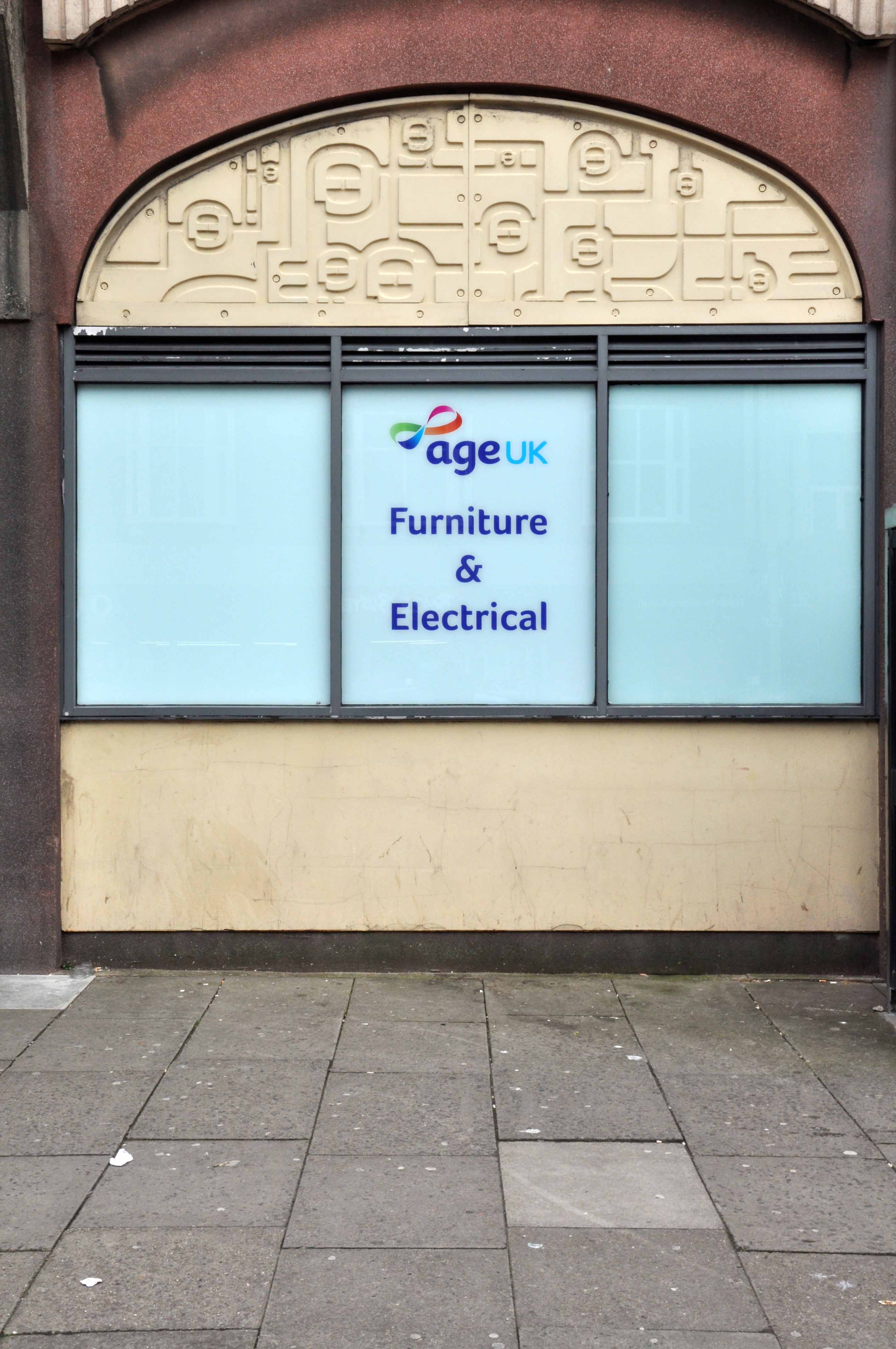
Alongside William Mitchell concrete reliefs.
We now know that they are the work of Fritz Steller – also responsible for Huddersfield’s Queensgate Market ceramics.
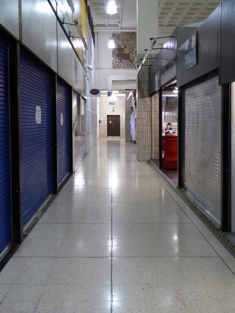
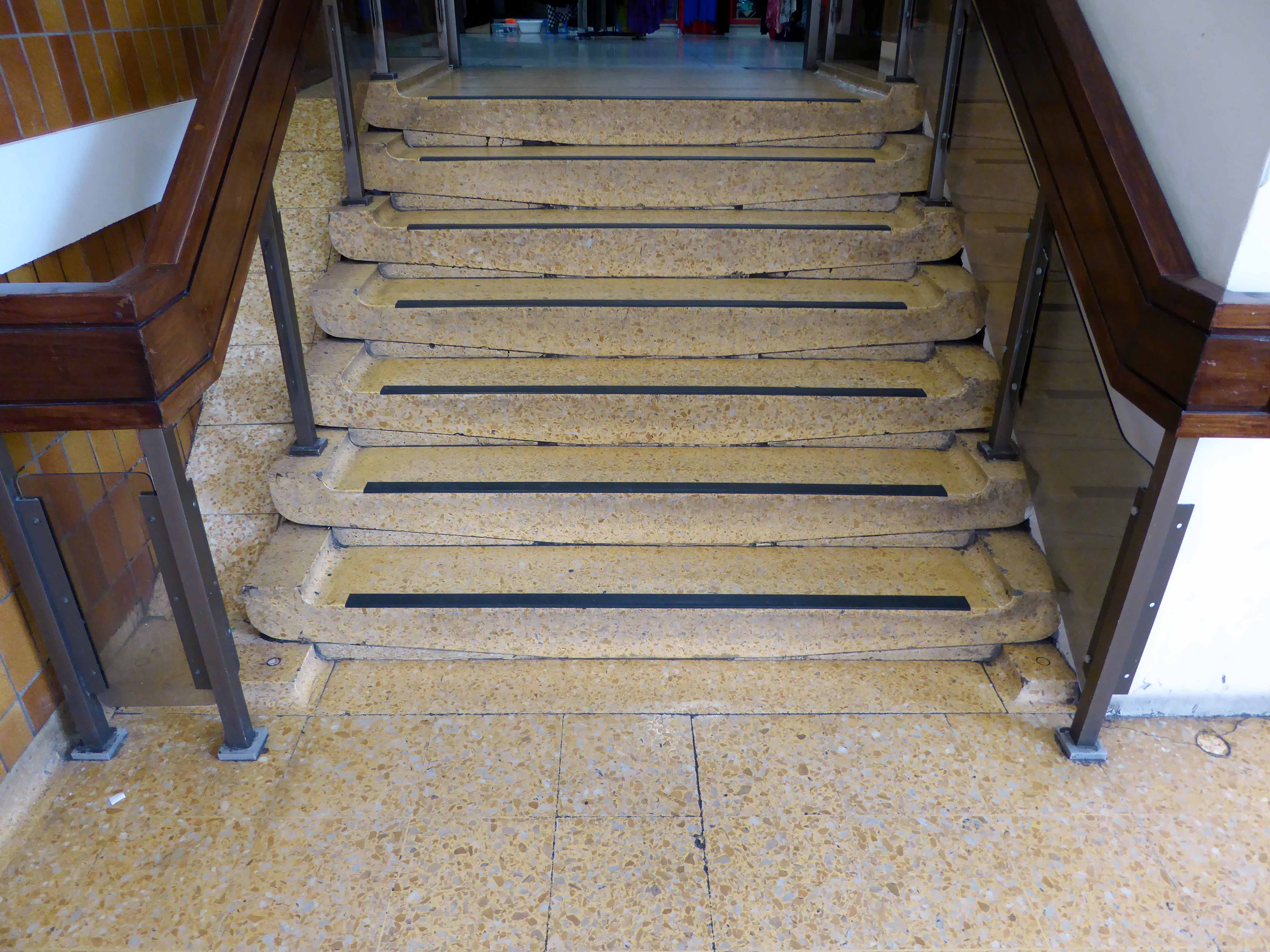
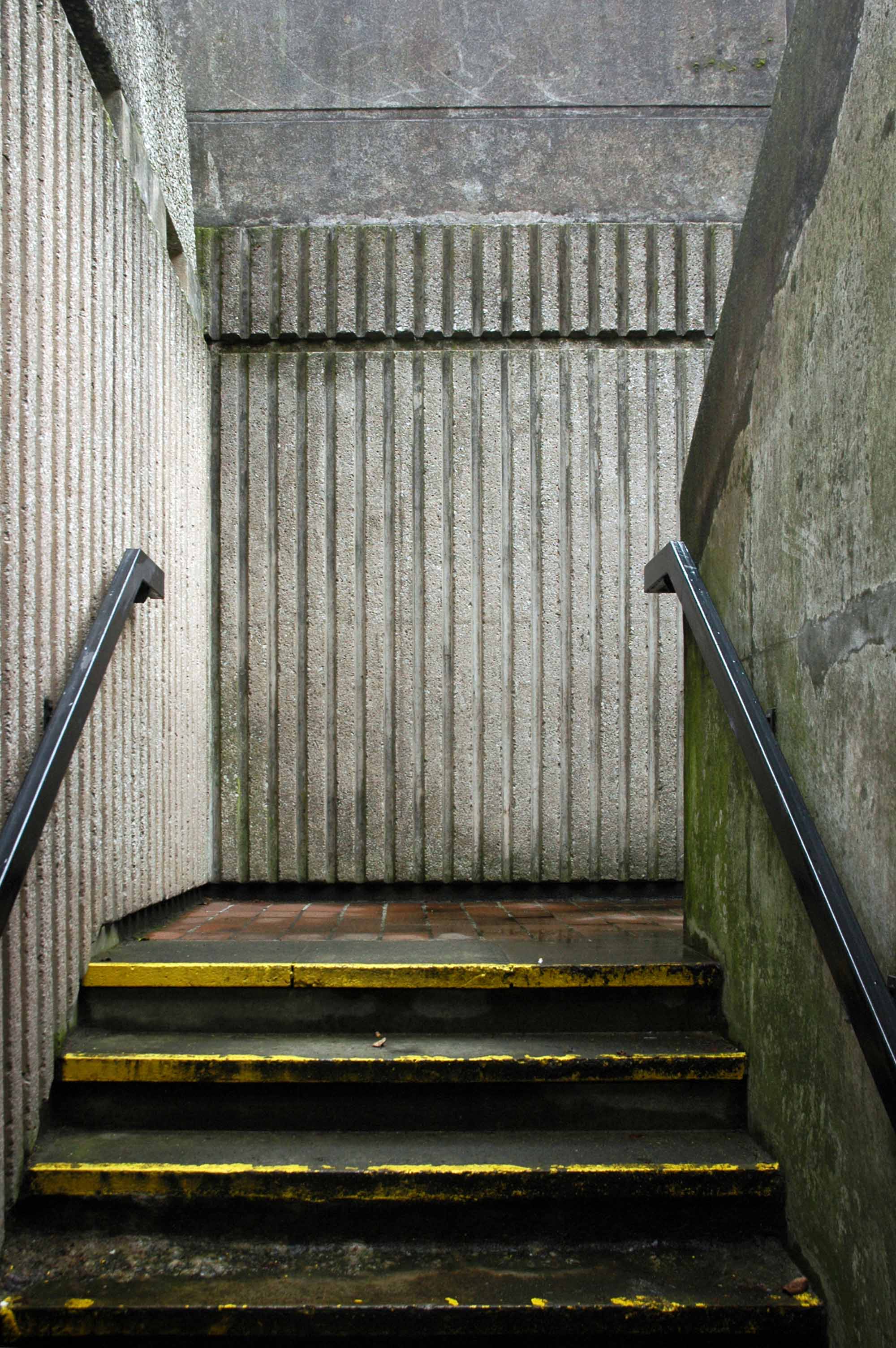
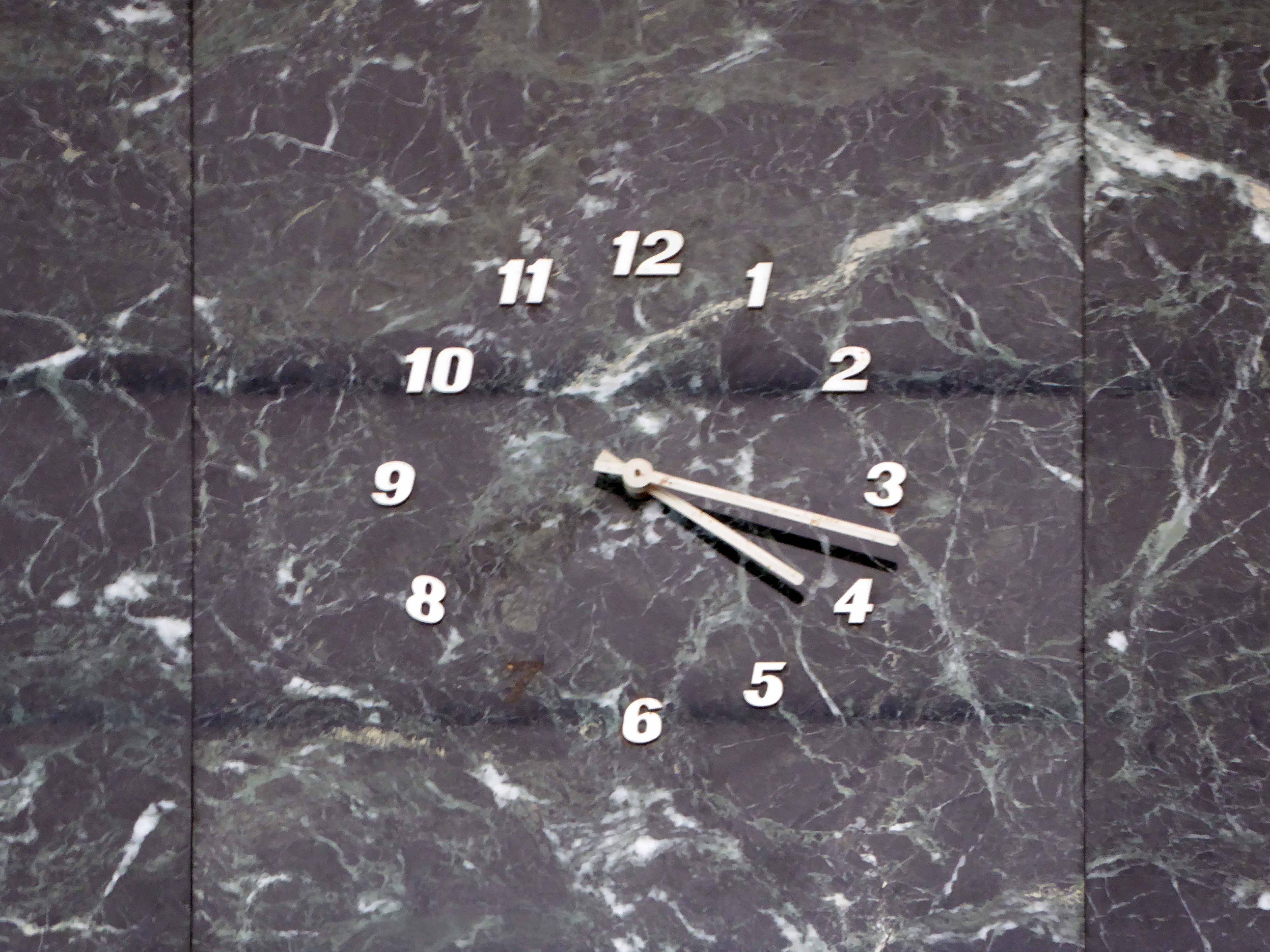
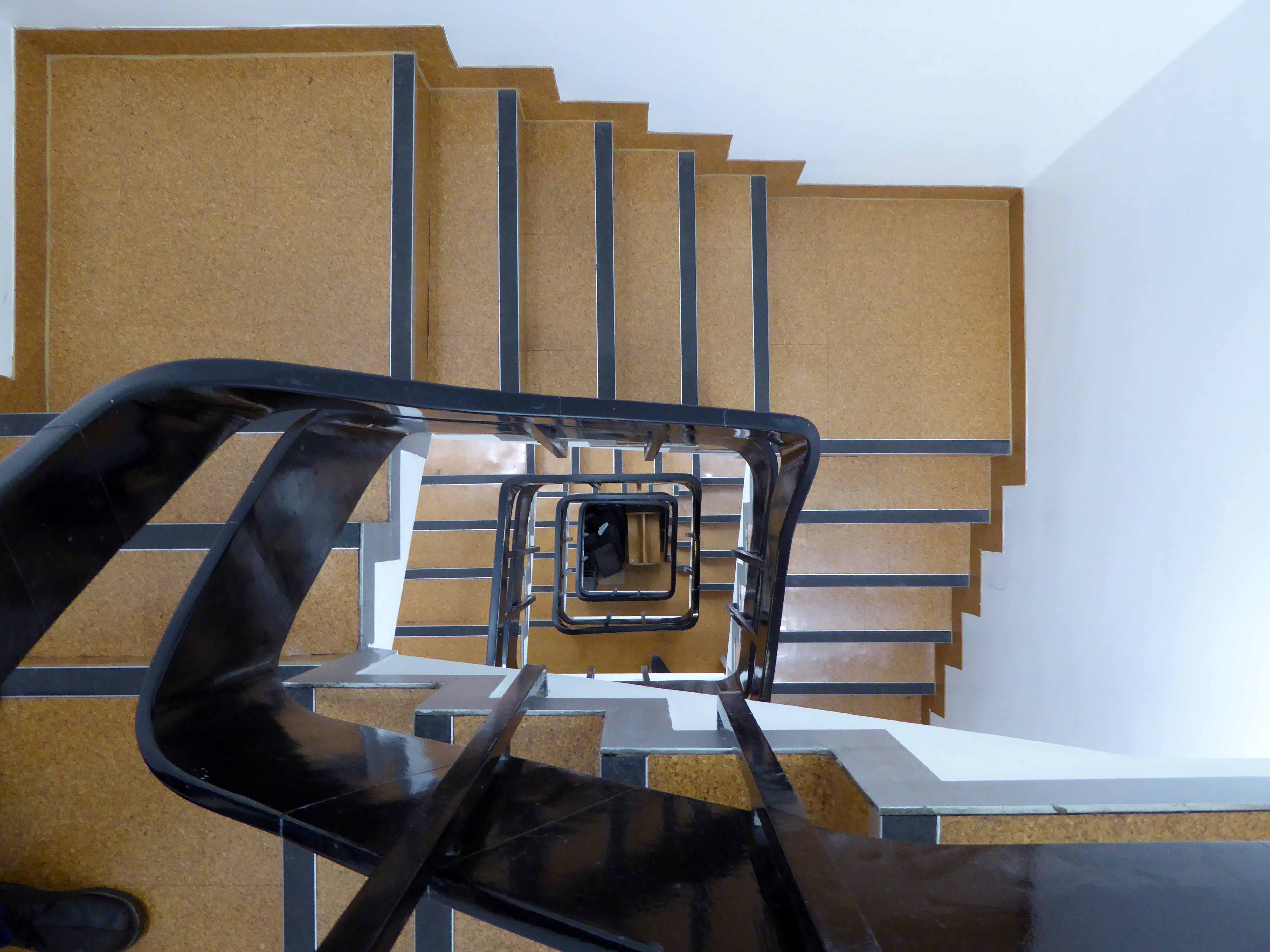
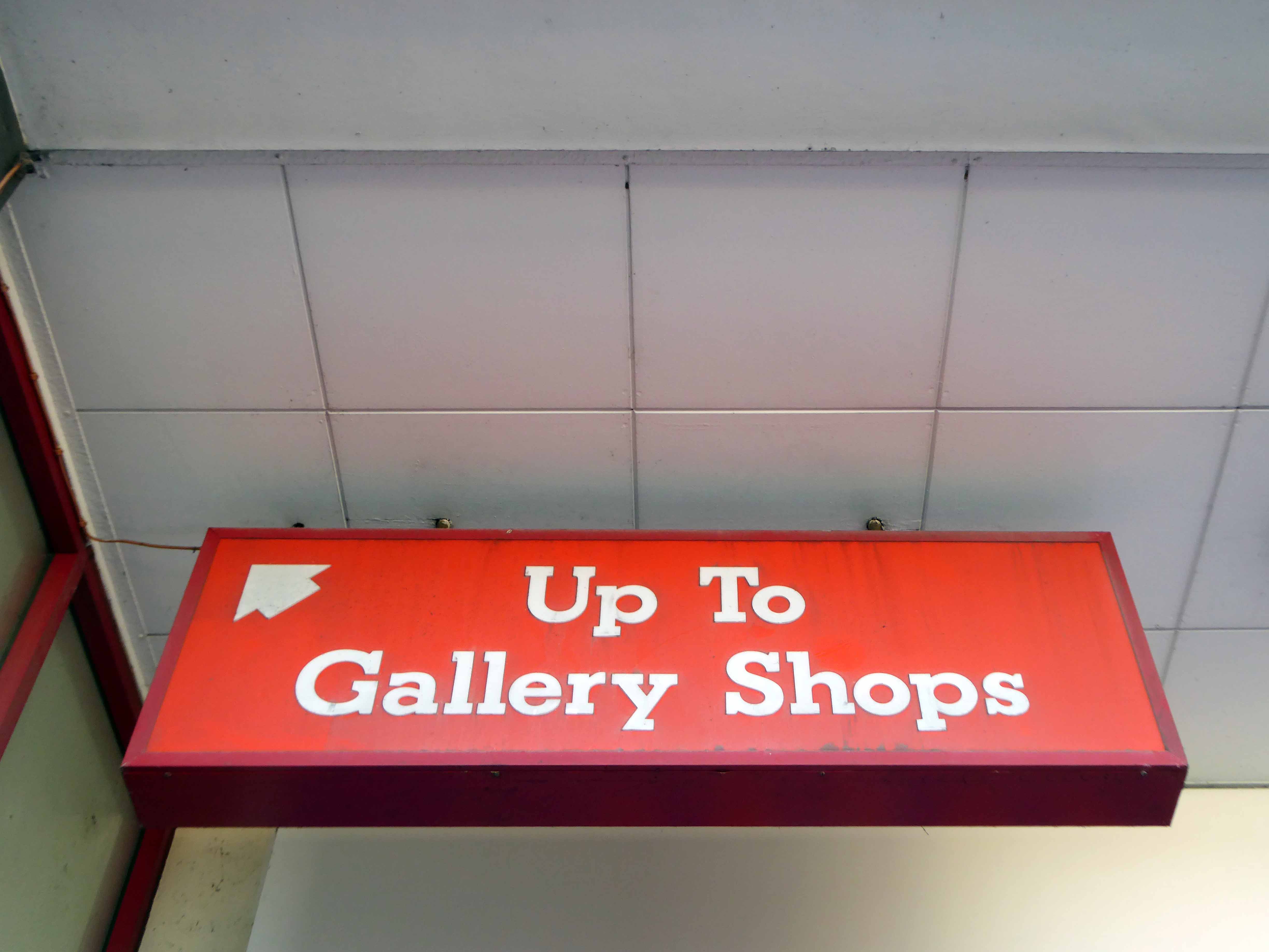
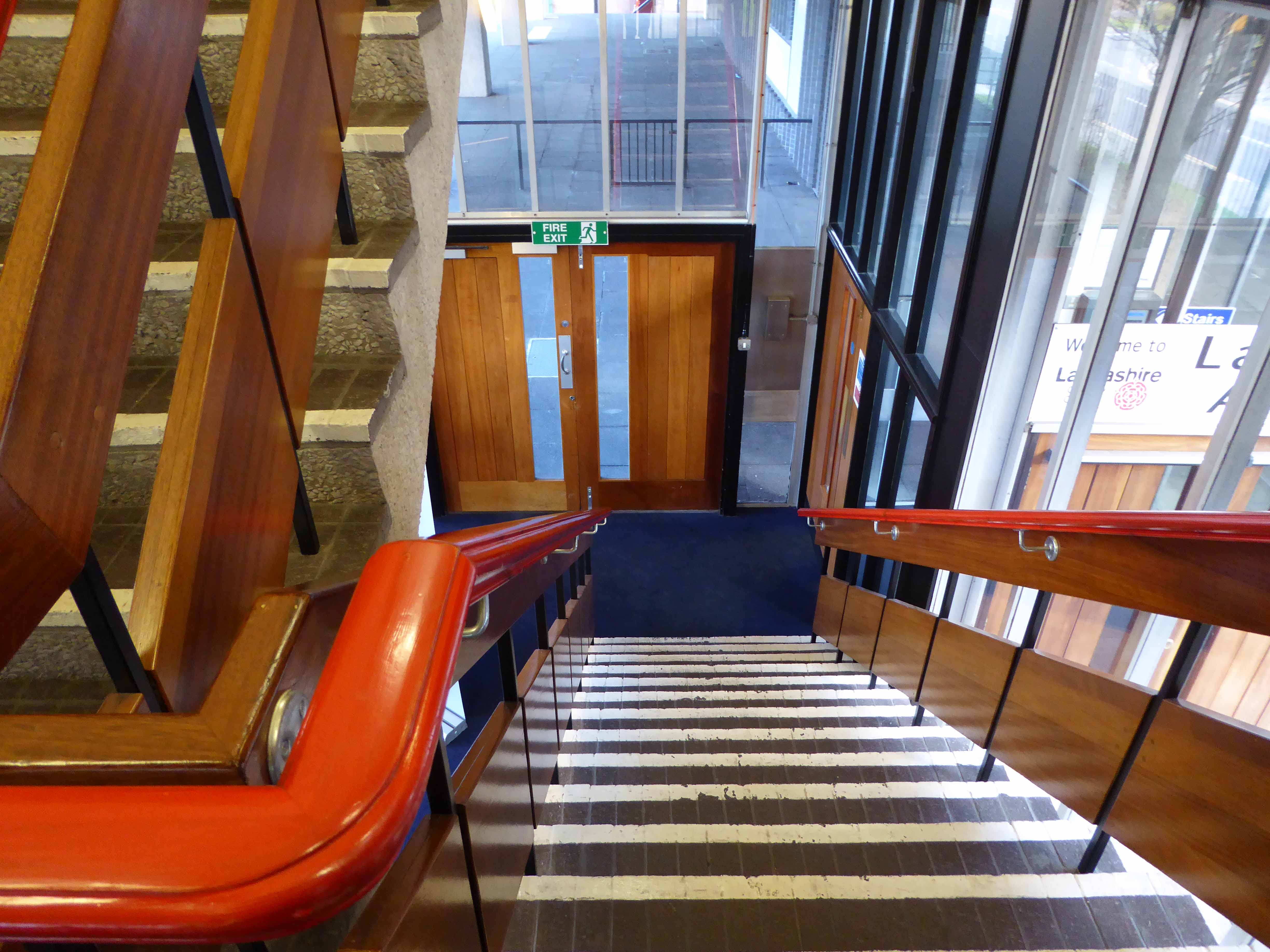
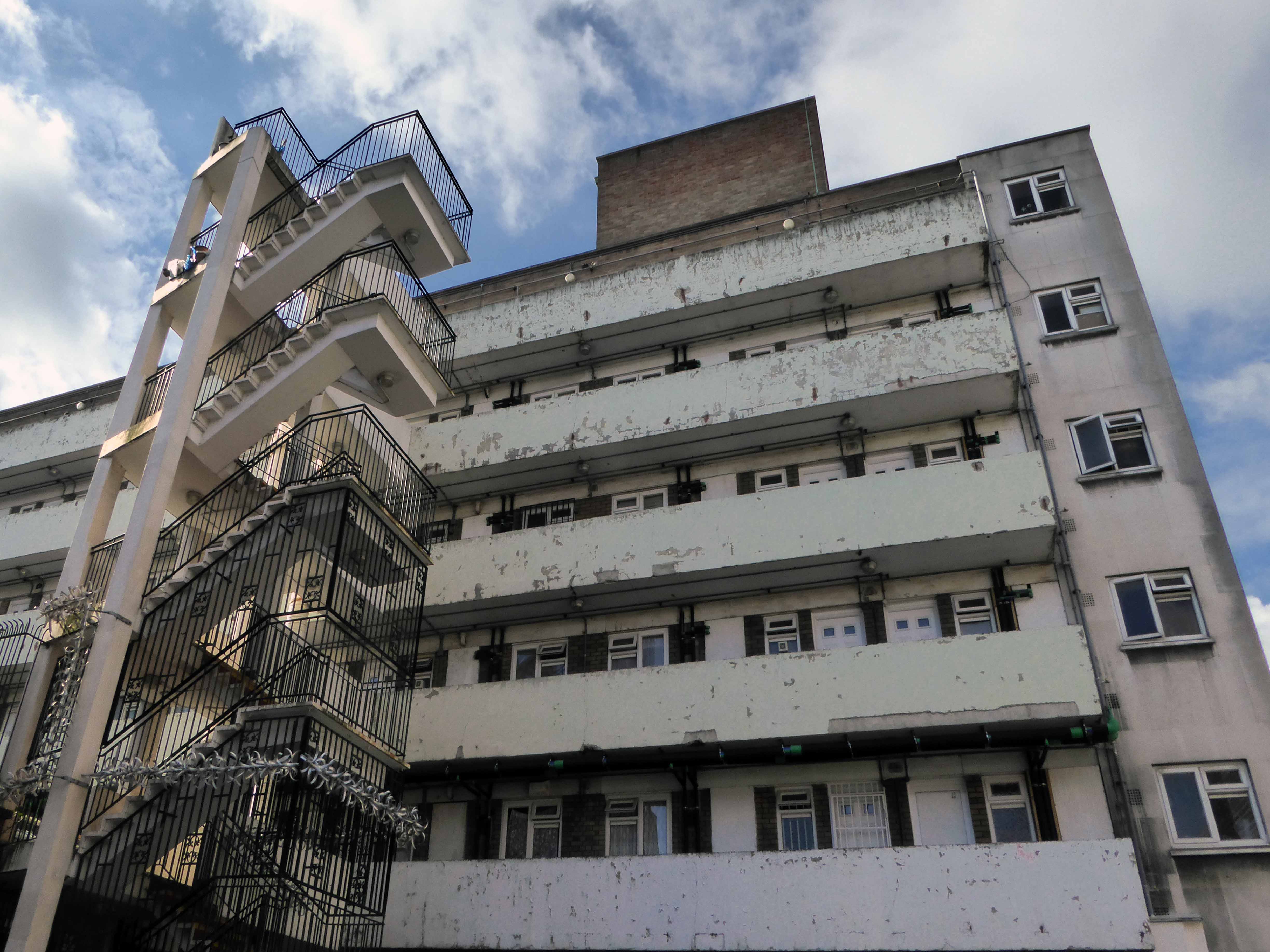
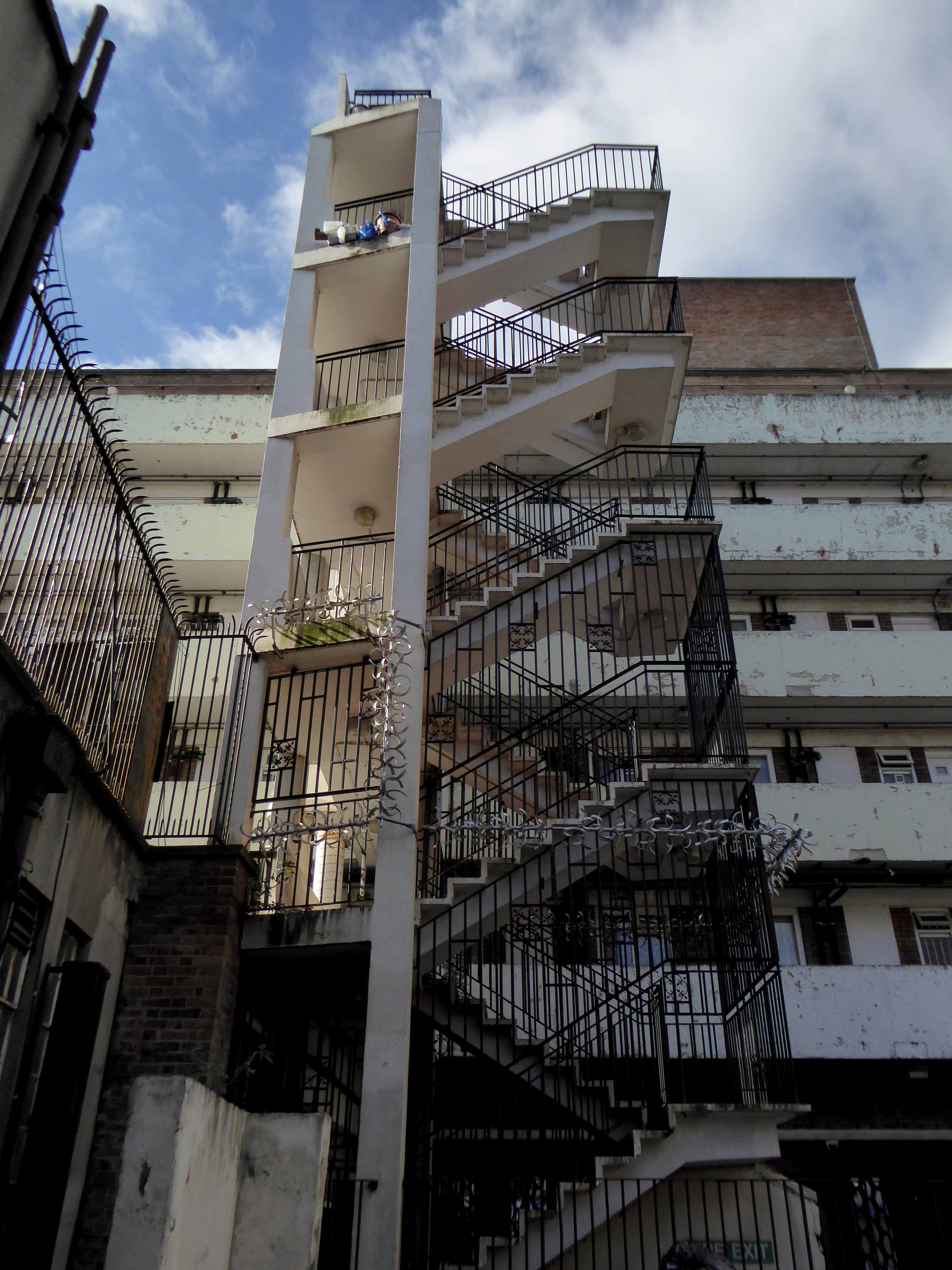
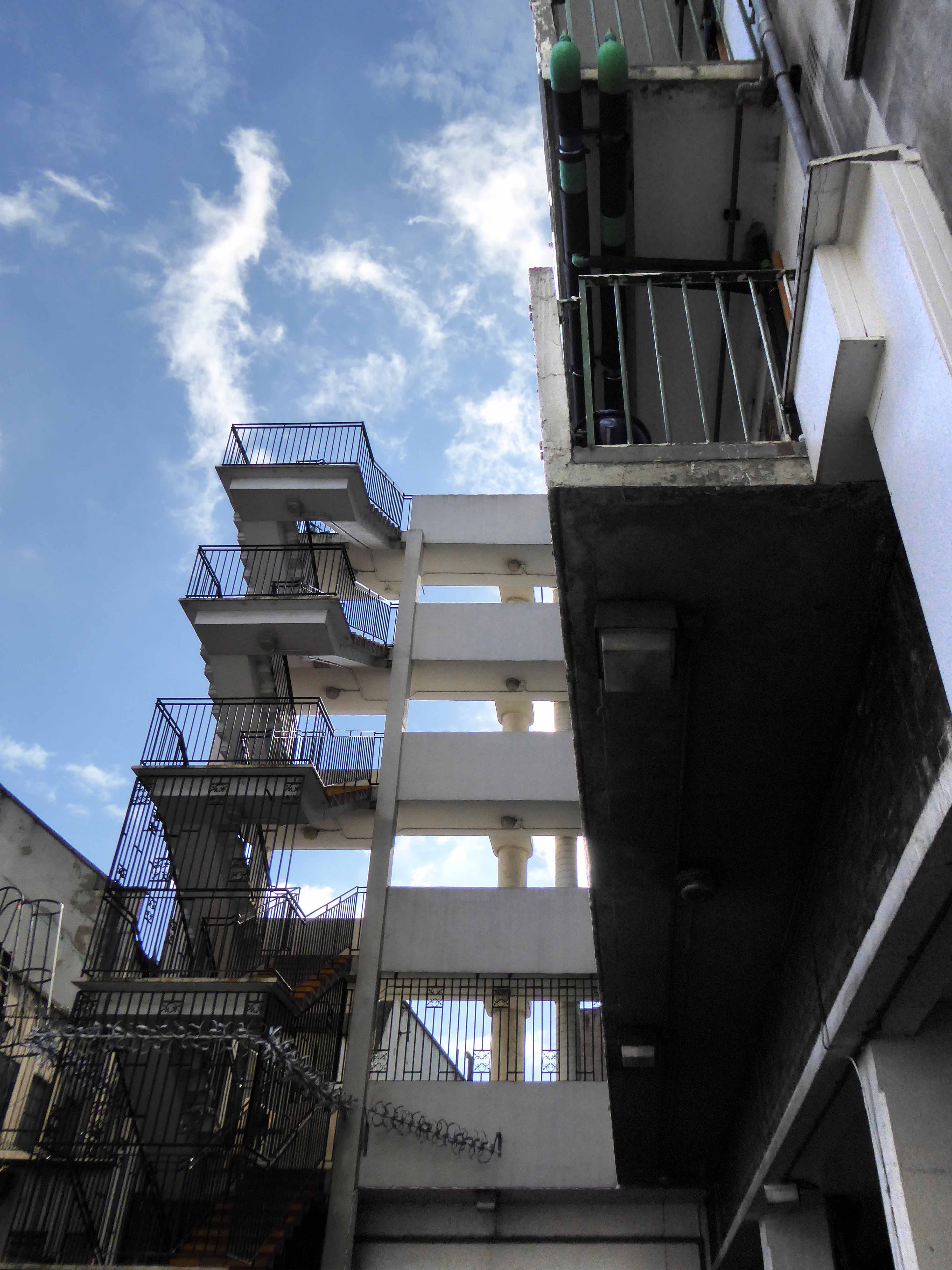
So farewell fair Kirkgate, I love your stairwell.
Well.