Haçienda Hazards

Hawker Typhoon 1945

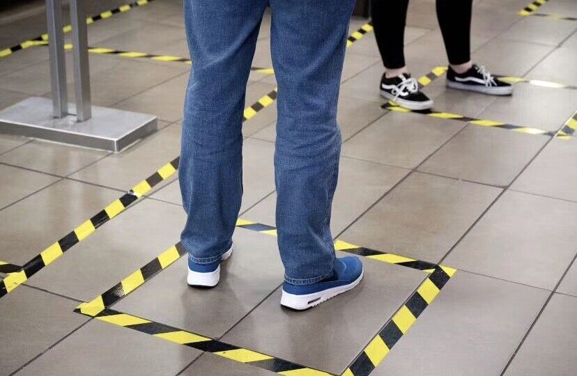
Health and safety regulations state that markings should be placed around obstacles or dangerous locations. This includes where any of the following present a risk:

  • people tripping or falling
  • objects falling
  • people or vehicles colliding with objects

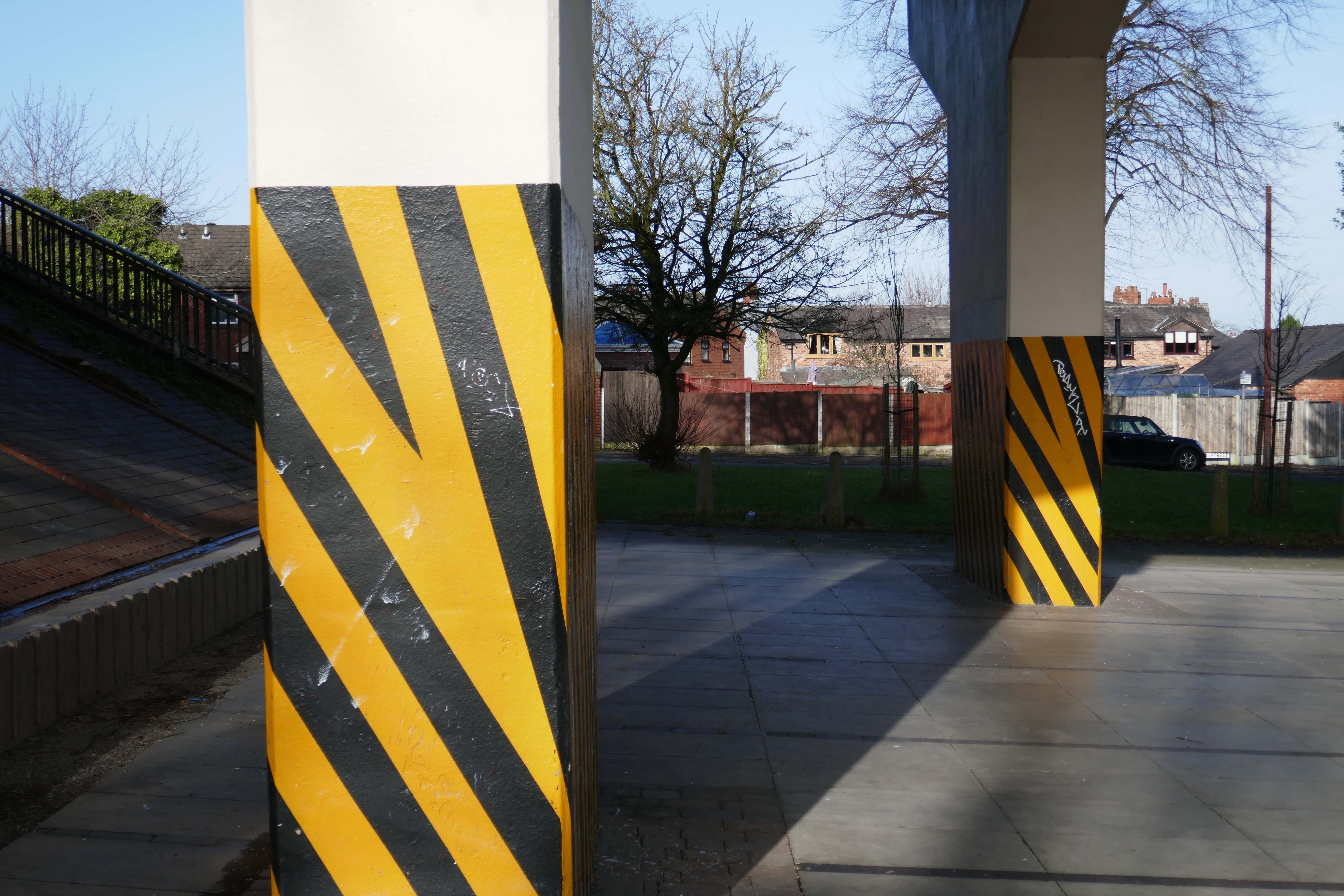
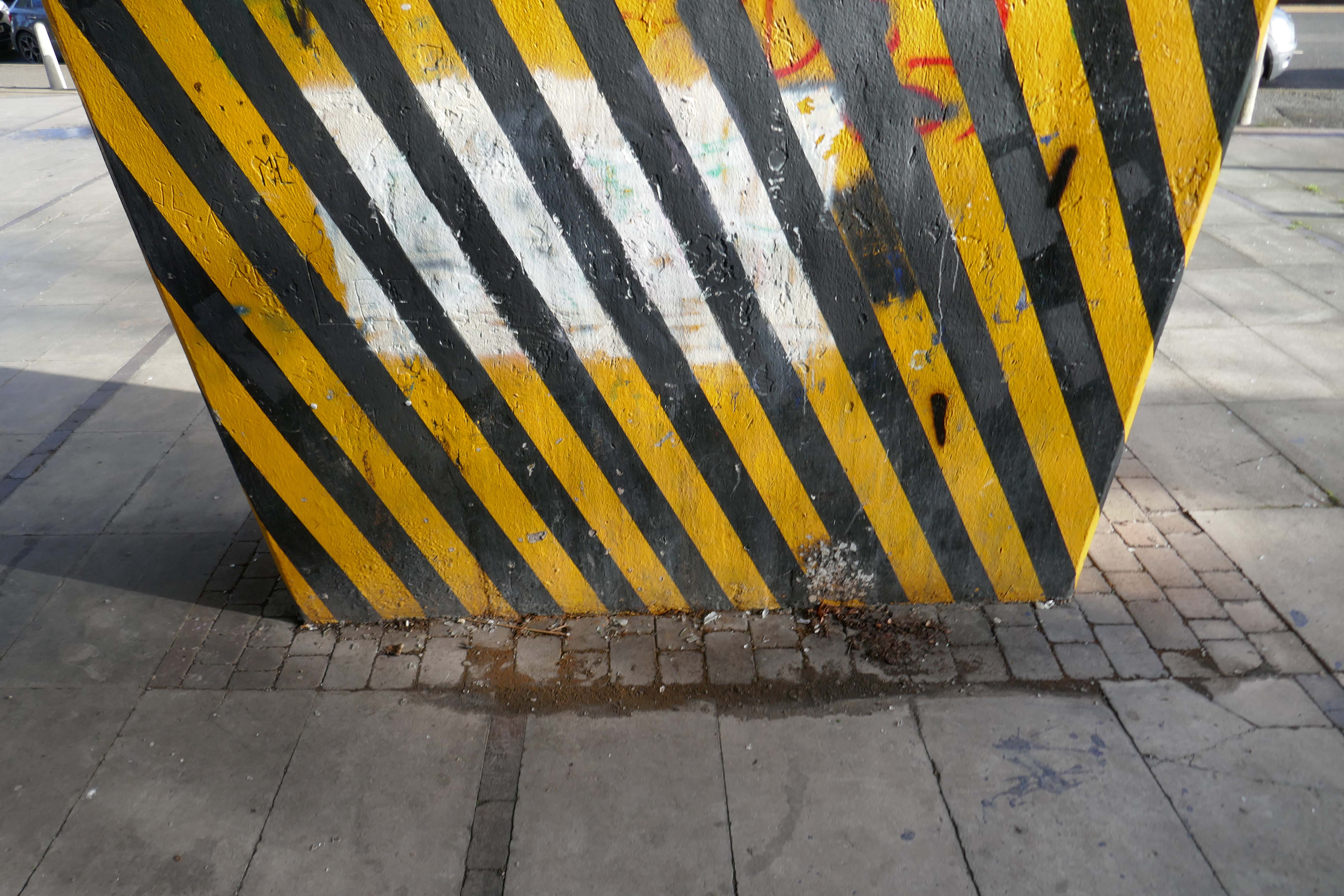
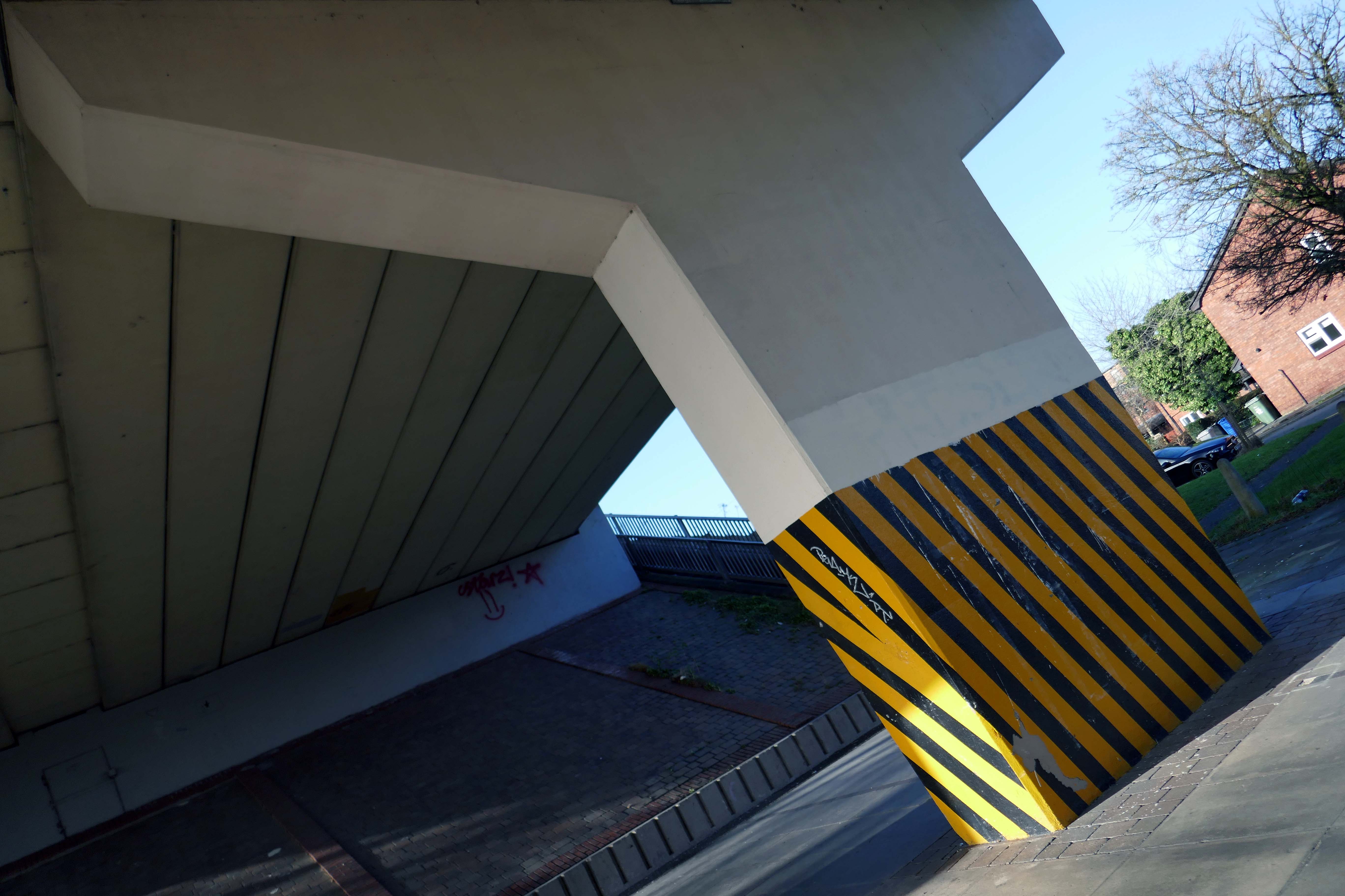
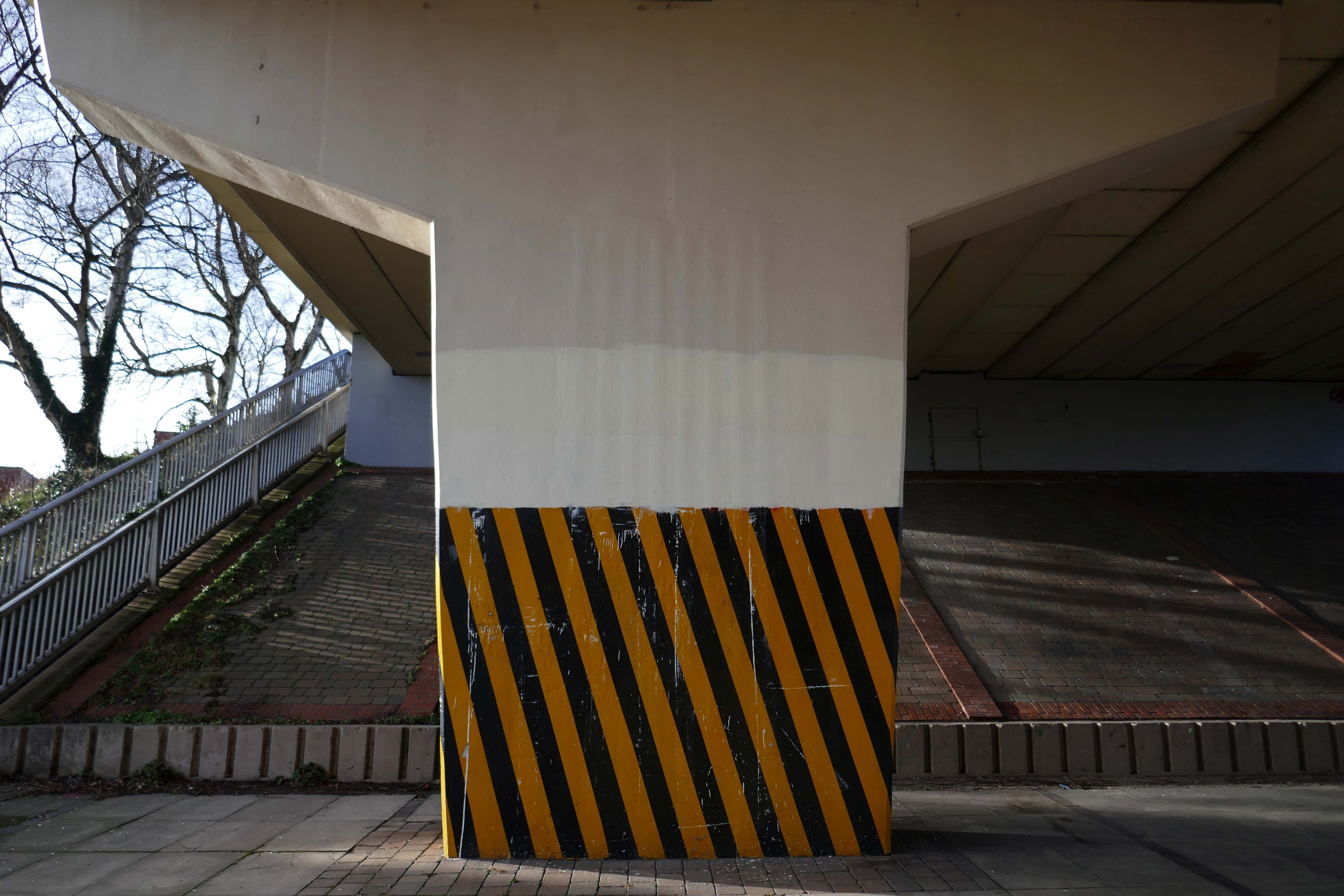
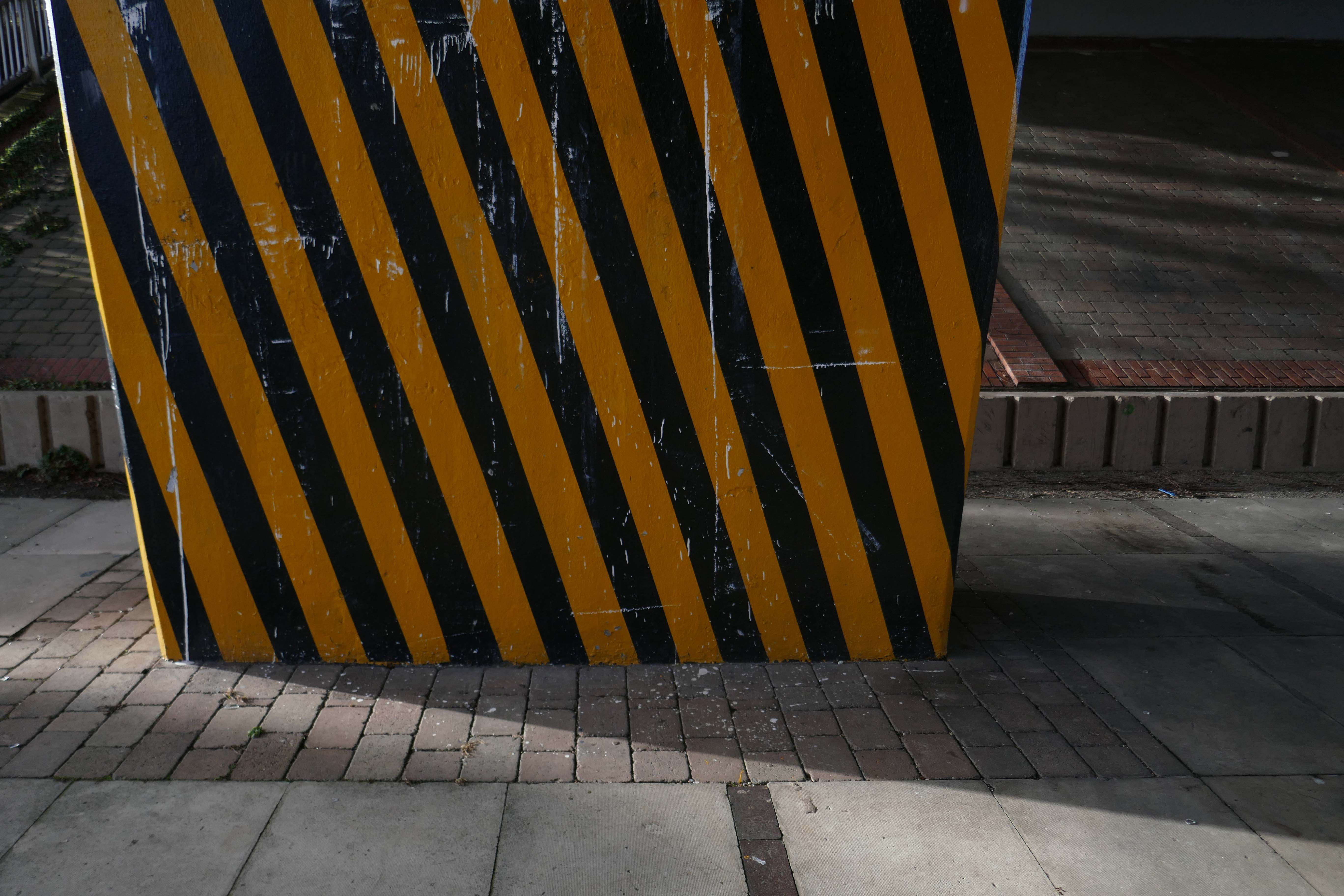
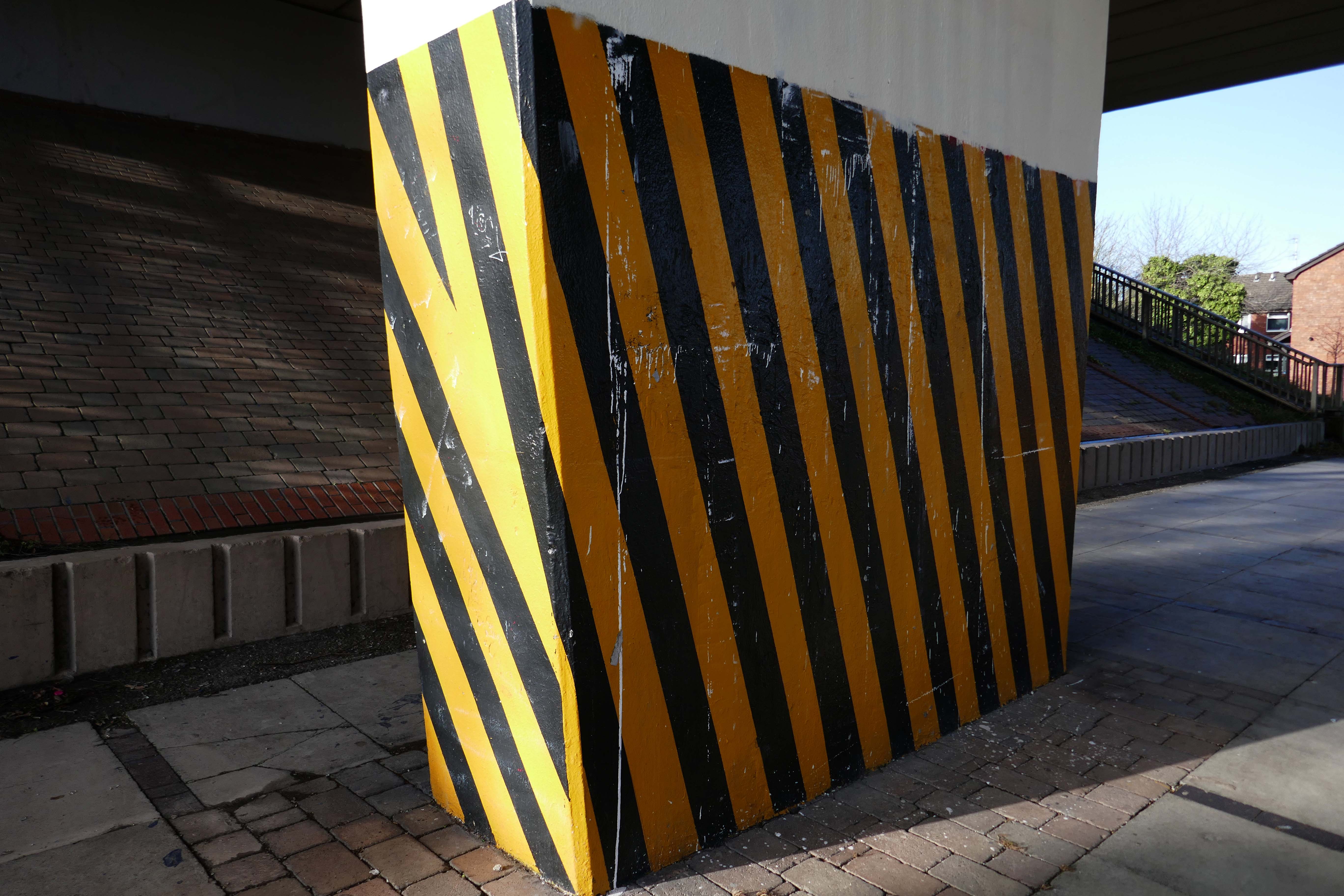
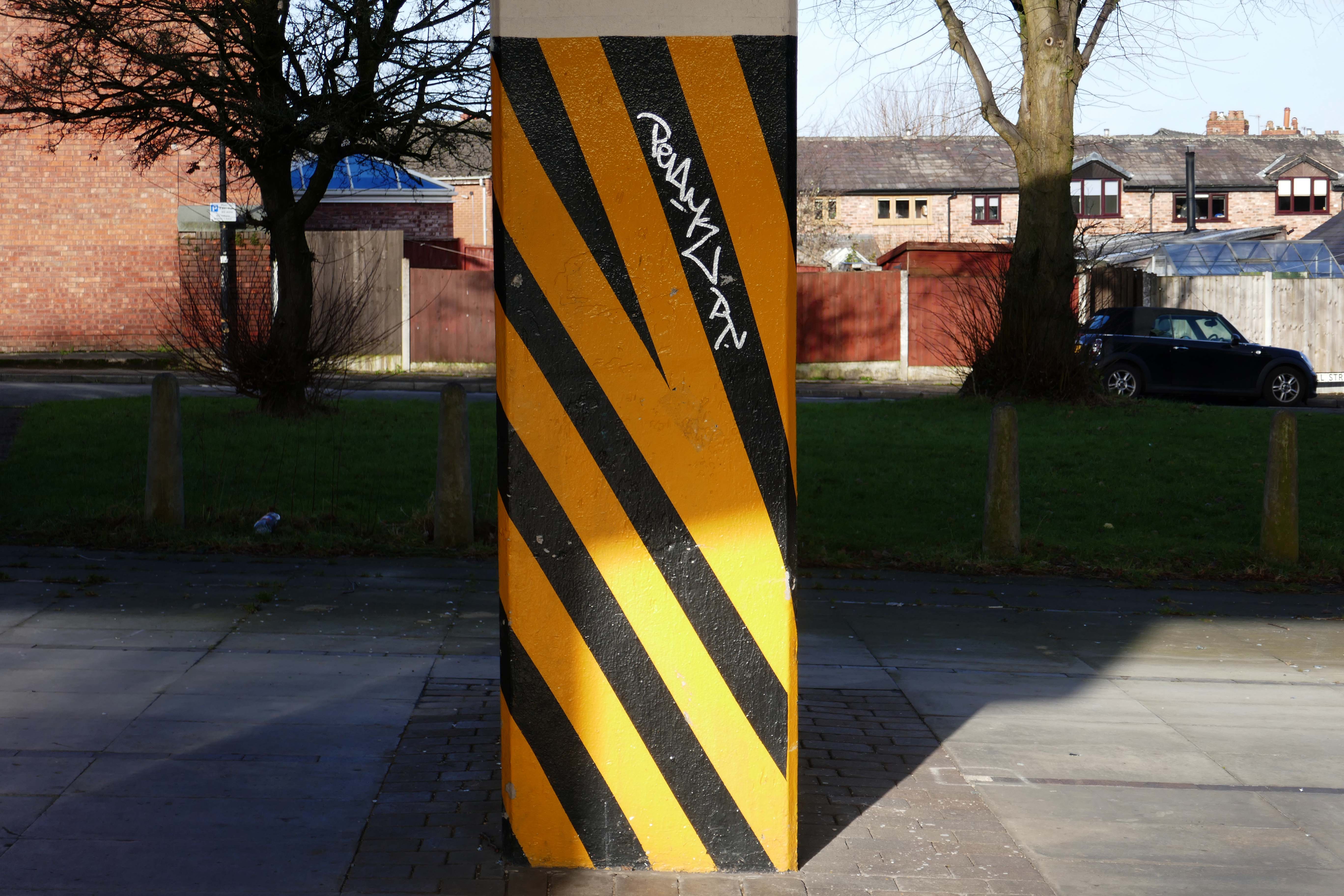
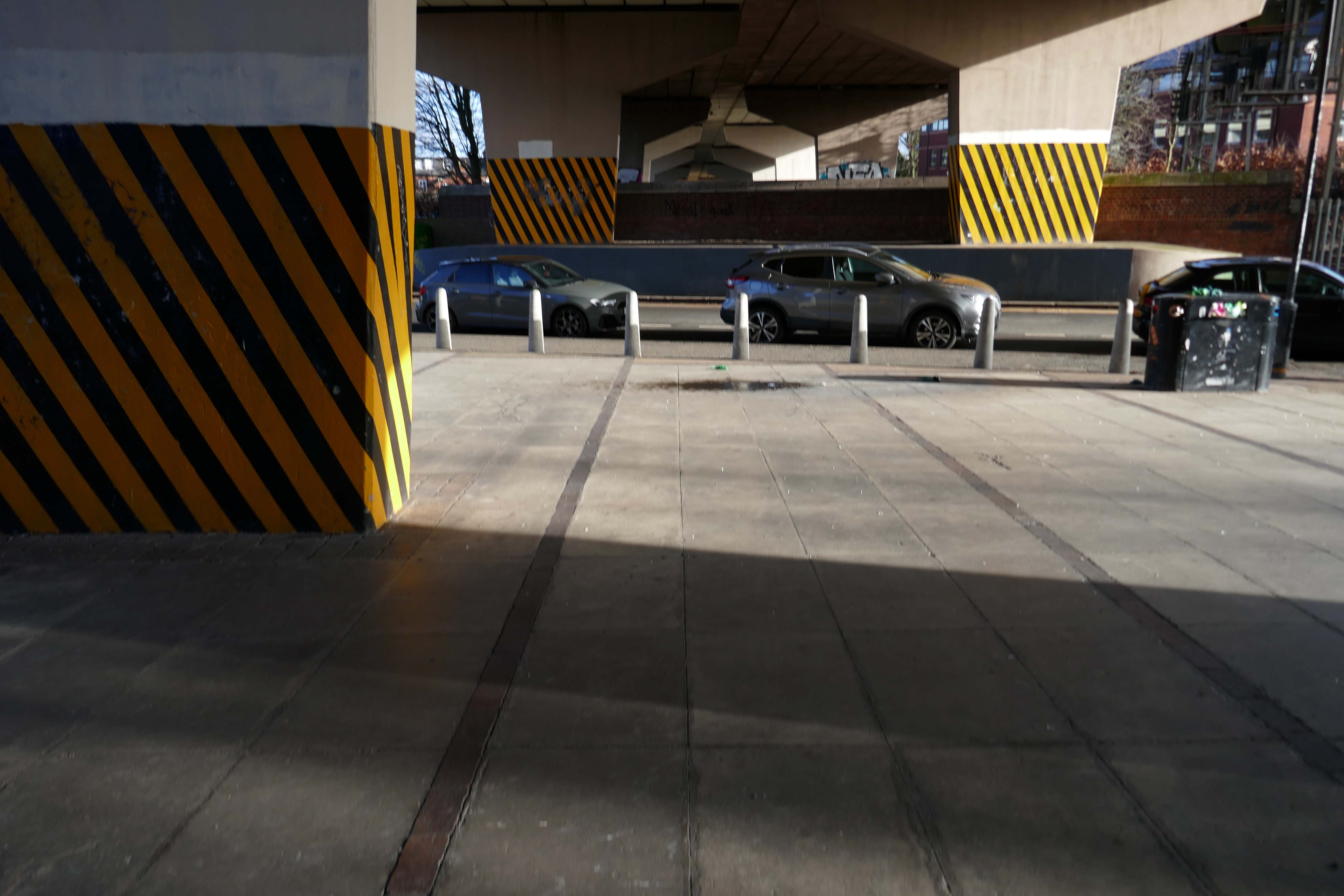
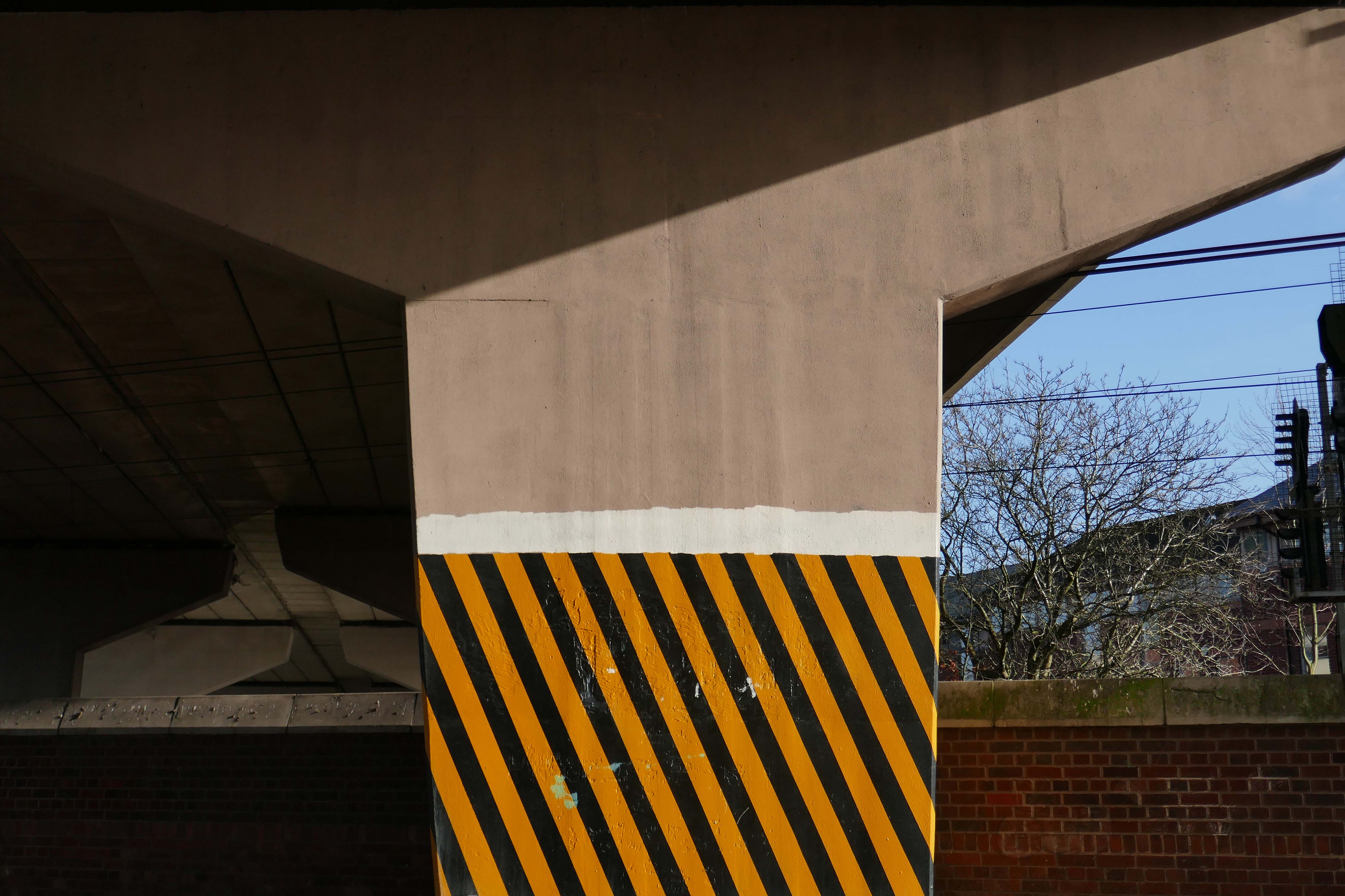
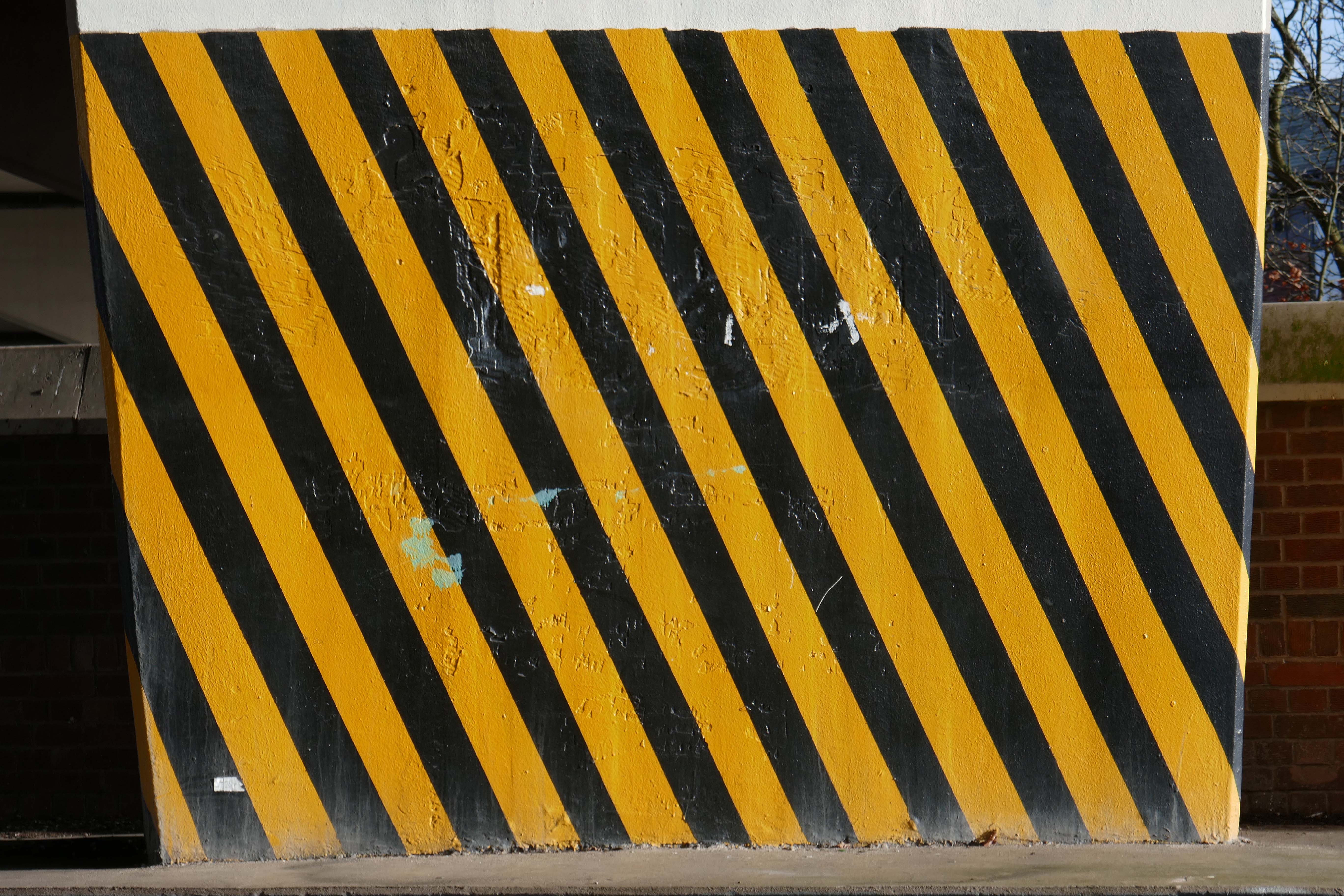
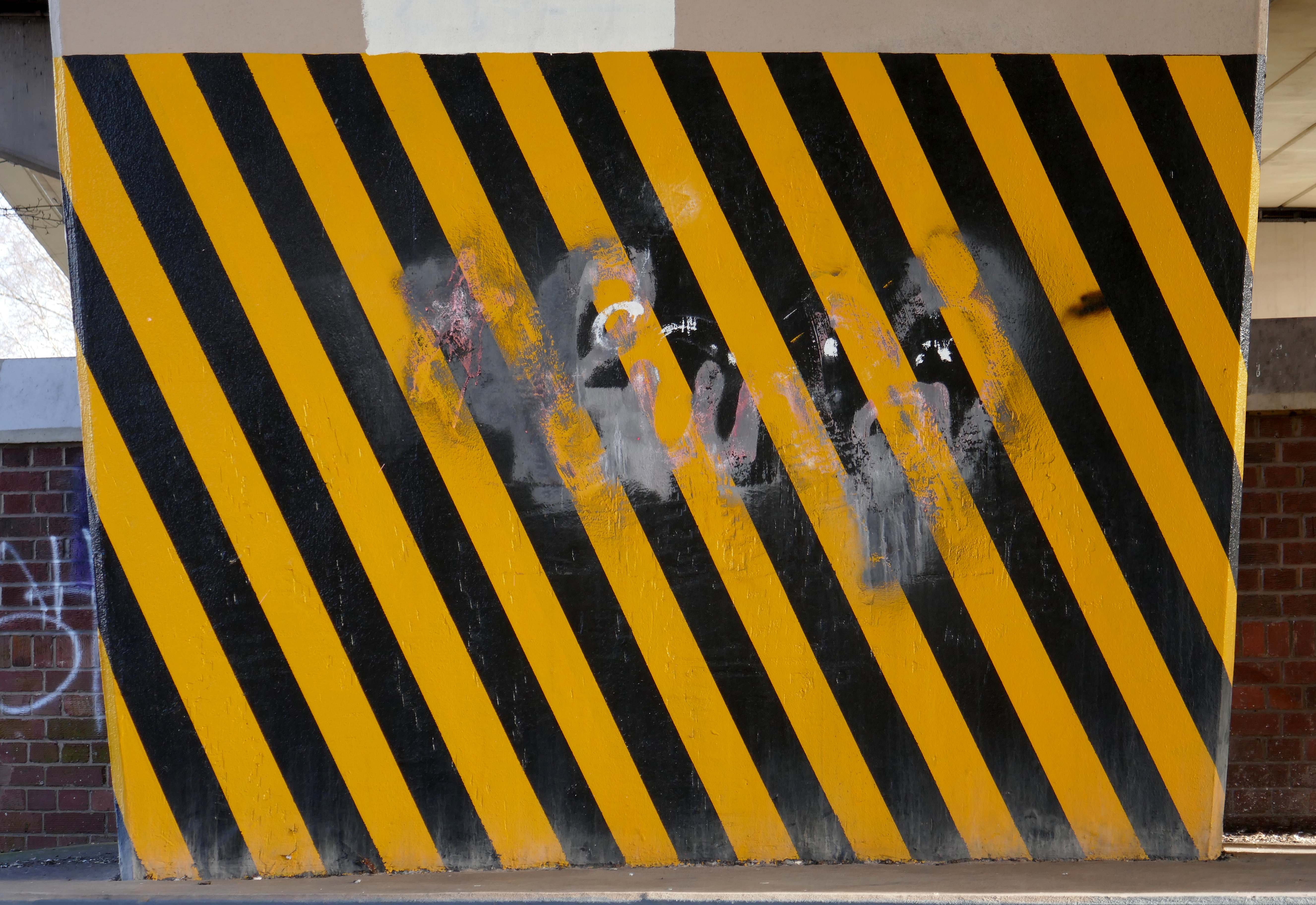
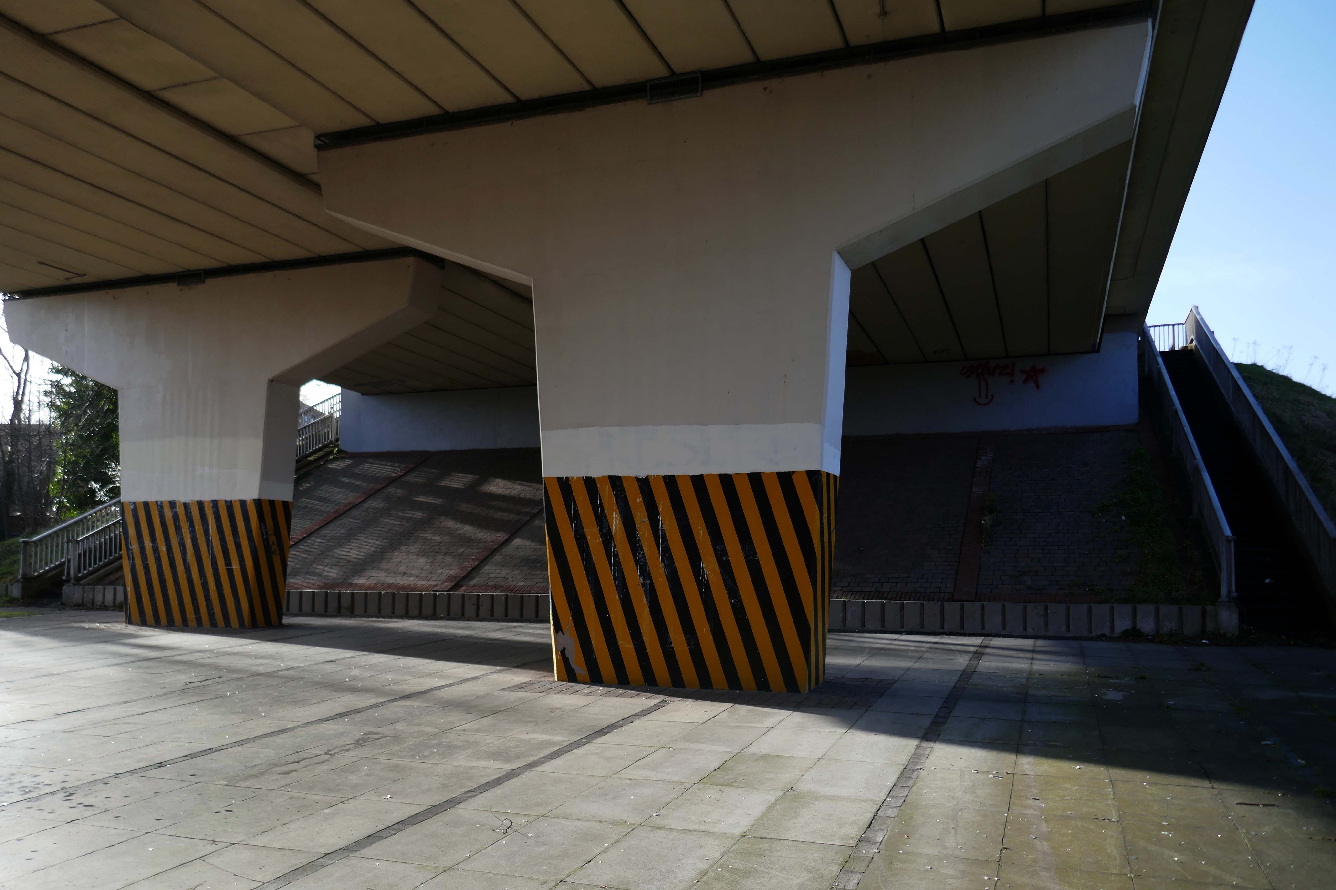
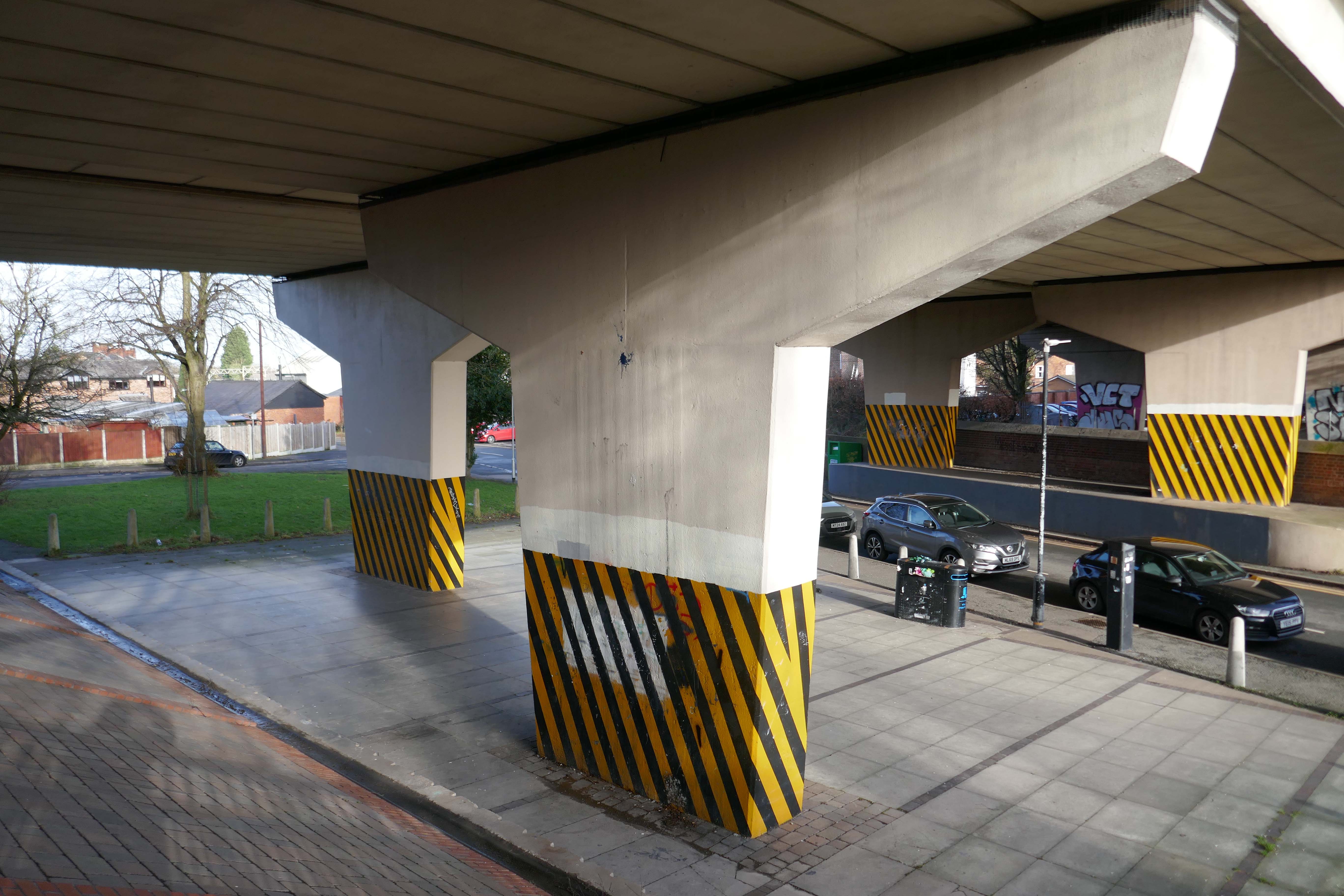
These markings should be made up of alternating red and white or yellow and black stripes of equal size at a 45 degree angle. Barricade tape can be used to satisfy this requirement as long as the tape is “commensurate with the scale of the obstacle or dangerous location in question”

Wikipedia

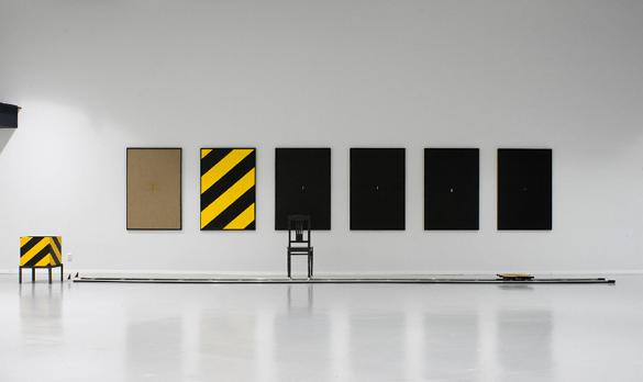
I hereby lay claim to this symbol, sign, icon, the combination of black and yellow, wherever it may appear, in this or any other world, in whatever shape, form, pattern or composition, be it civil or military. I hereby claim to be its originator and owner.

Leif Elggren 1977

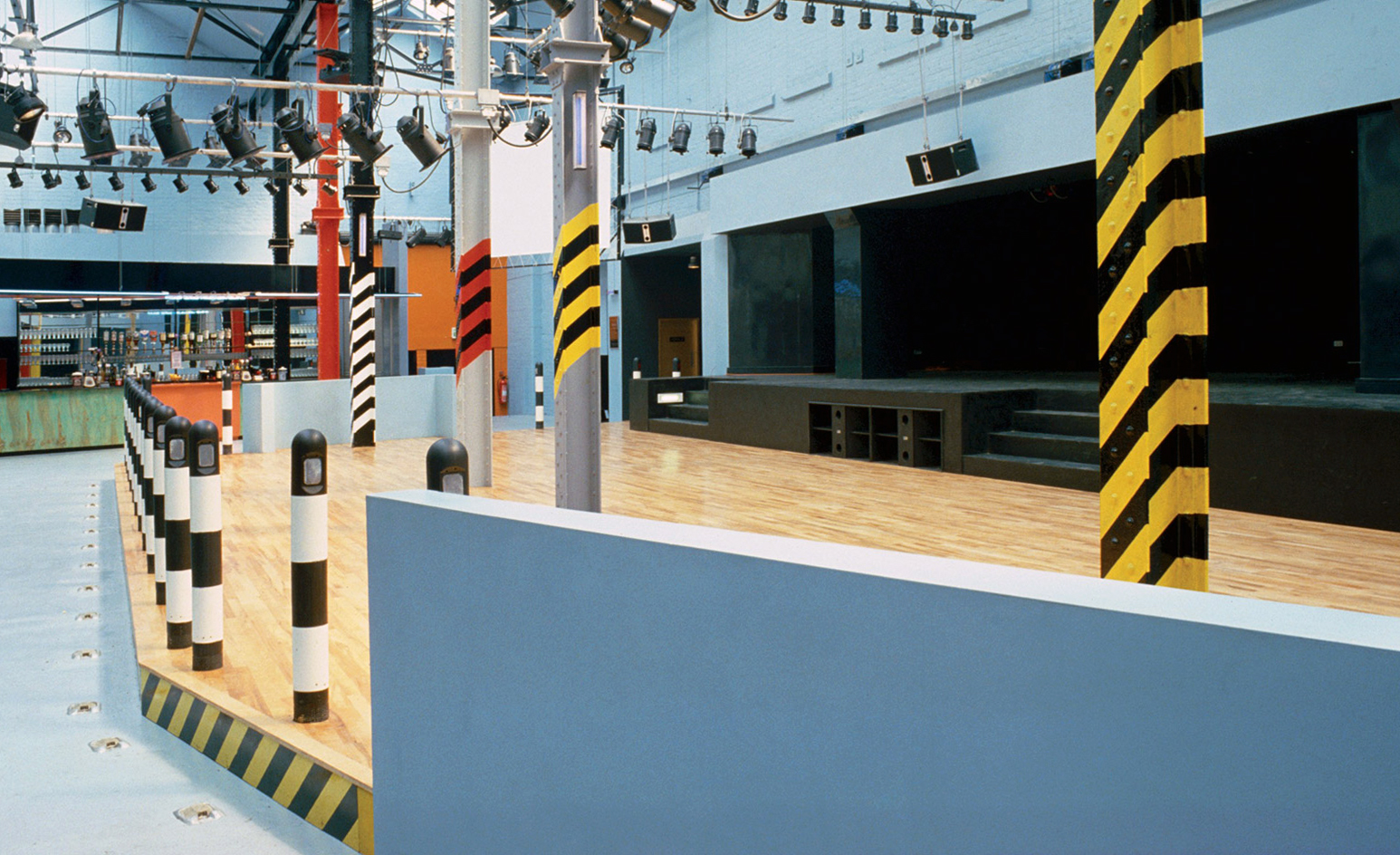
Designed by Ben Kelly, upon recommendation by Factory graphic designer Peter Saville, upstairs consisted of a stage, dance area, bar, cloakroom, cafeteria area and balcony with a DJ booth. 

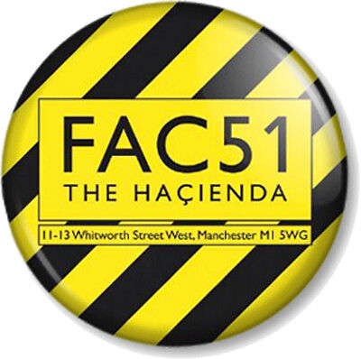
The Haçienda was opened on 21 May 1982, when the comedian Bernard Manning remarked to the audience:

I’ve played some shit-holes during my time, but this is really something.

His jokes did not go down well with the crowd and he returned his fee.

Wikipedia

Meanwhile in 2019

The black and yellow stripes on Manchester City’s away shirts were meant to be an uplifting homage to Manchester’s cultural heritage, but the choice of design now risks becoming a chip on the team’s shoulders.

The team’s jersey is embroiled in a controversy after Ben Kelly, the man who originally designed the stripes for famed Manchester nightclub the Haçienda, complained in a recent interview to Gaffer magazine that he was not credited or consulted by the creators of the football apparel.

When Manchester City and Puma launched the team’s 2019/20 kit last July, they said in a press release that the uniform paid tribute to the “Madchester” years of the late 1980s and early 1990s, when the city in north-west England became a hub of alternative music and dance culture.

Guardian

The Estate of Pieter Cornelis Mondriaan has remained silent on such matters.

What the FAC51 is wrong with folk?

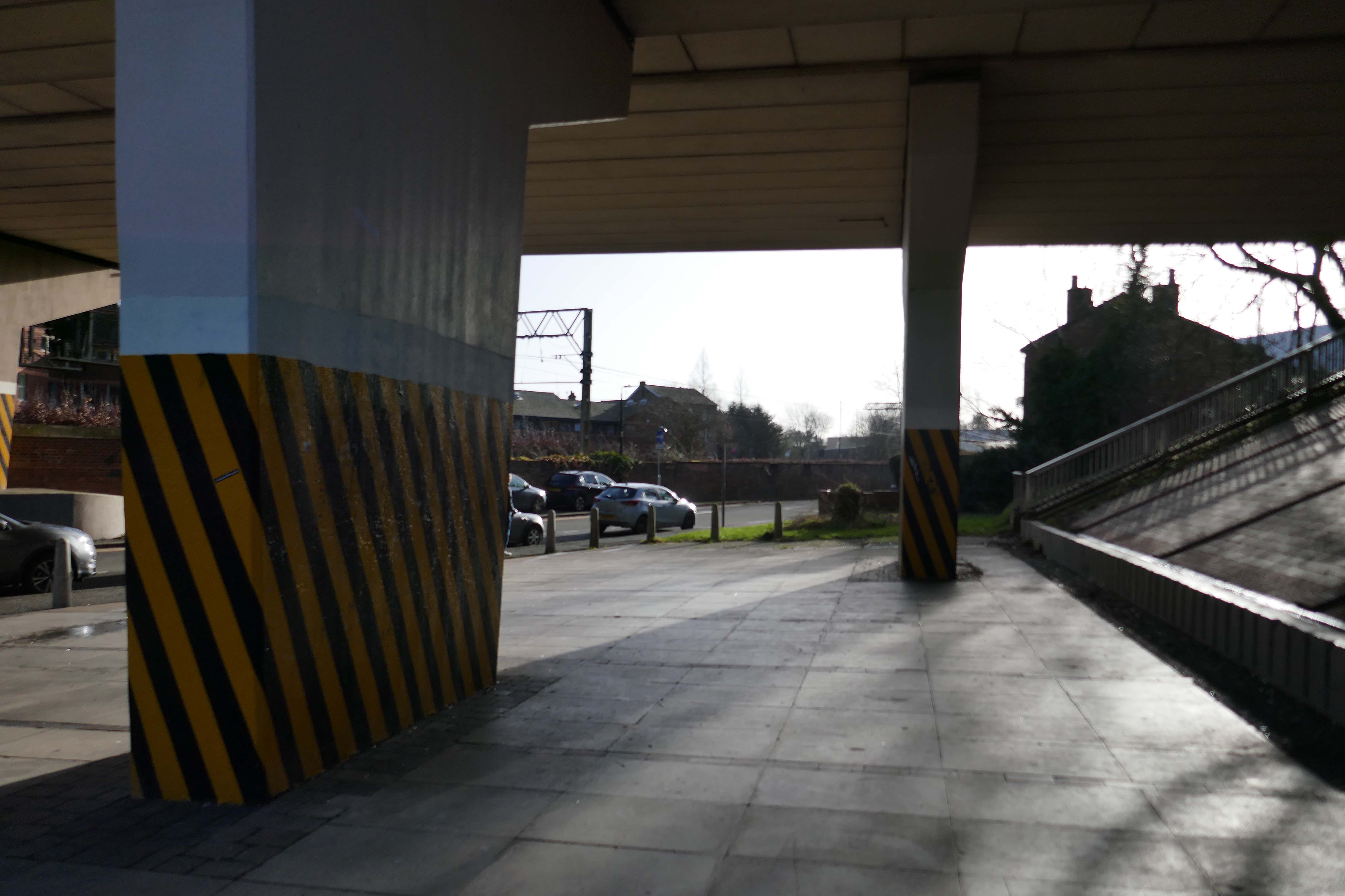
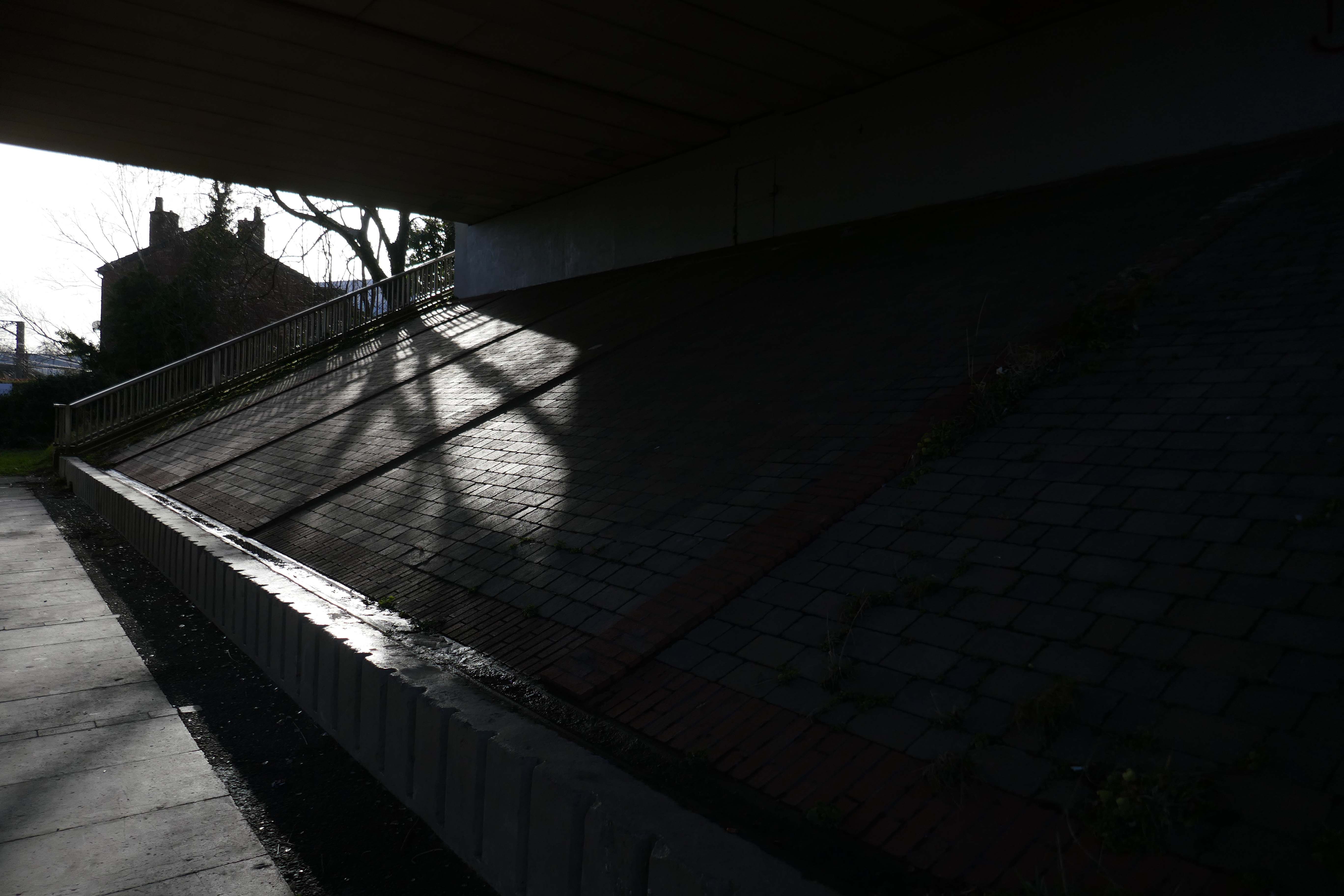
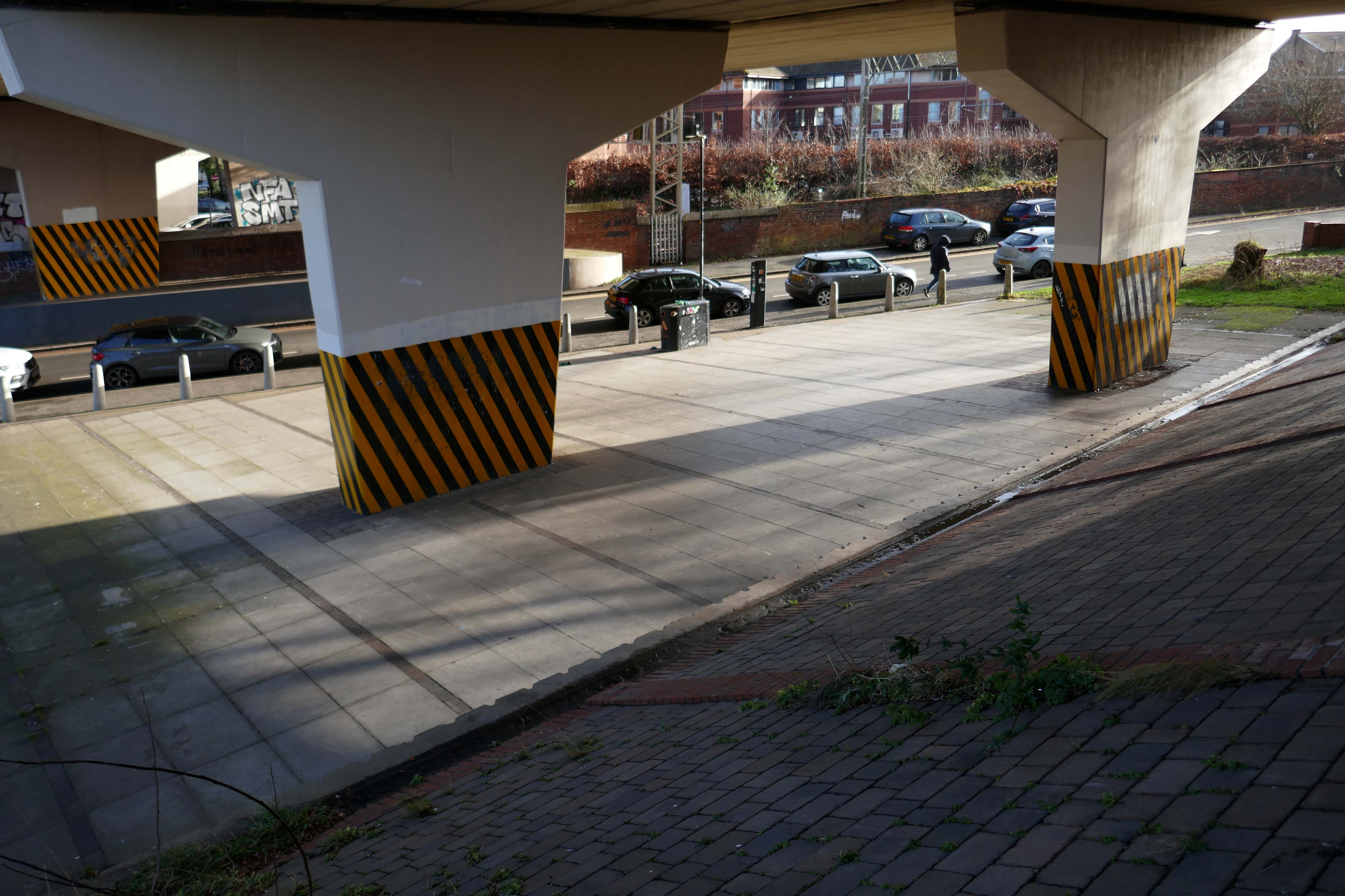
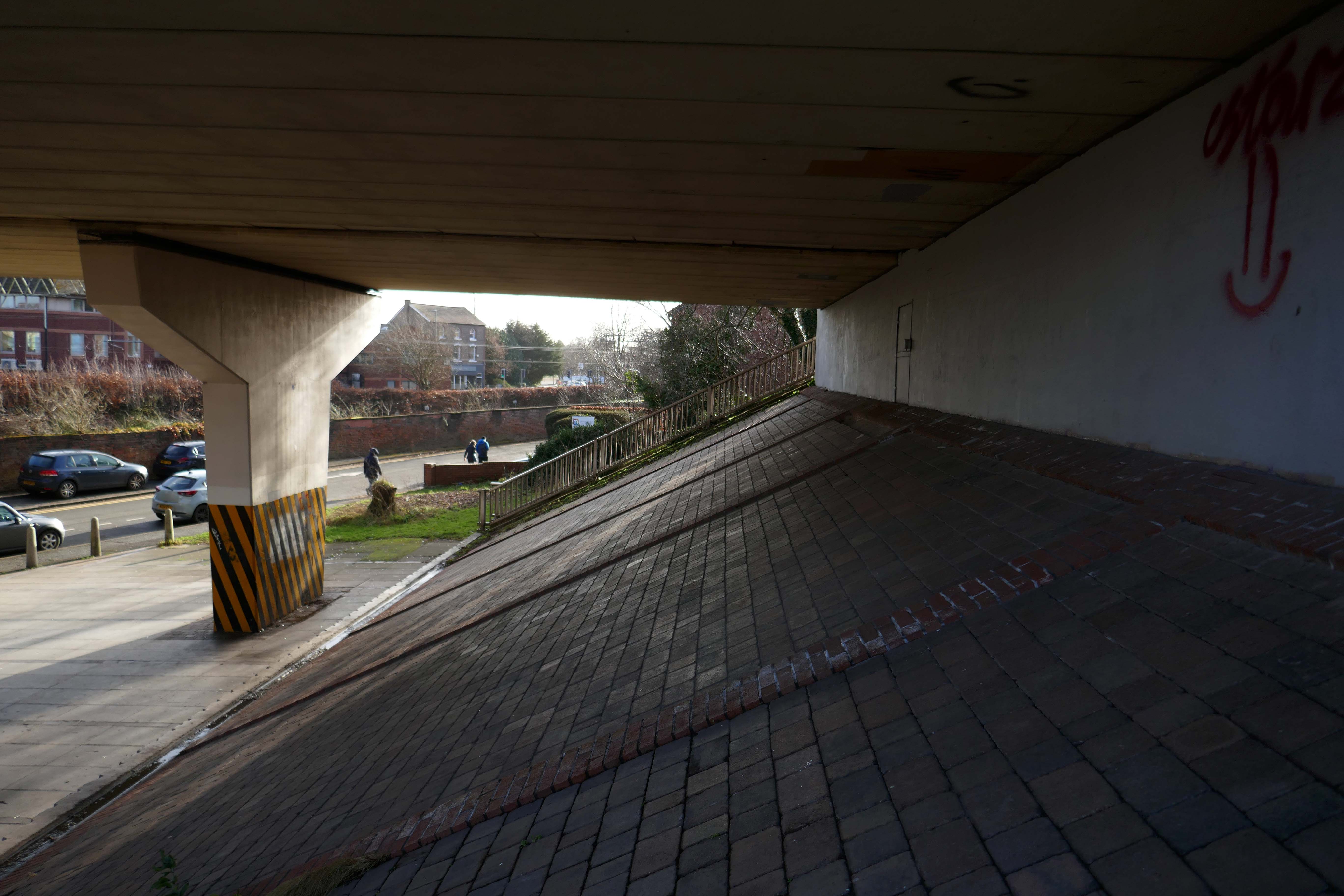
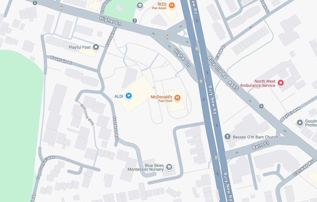
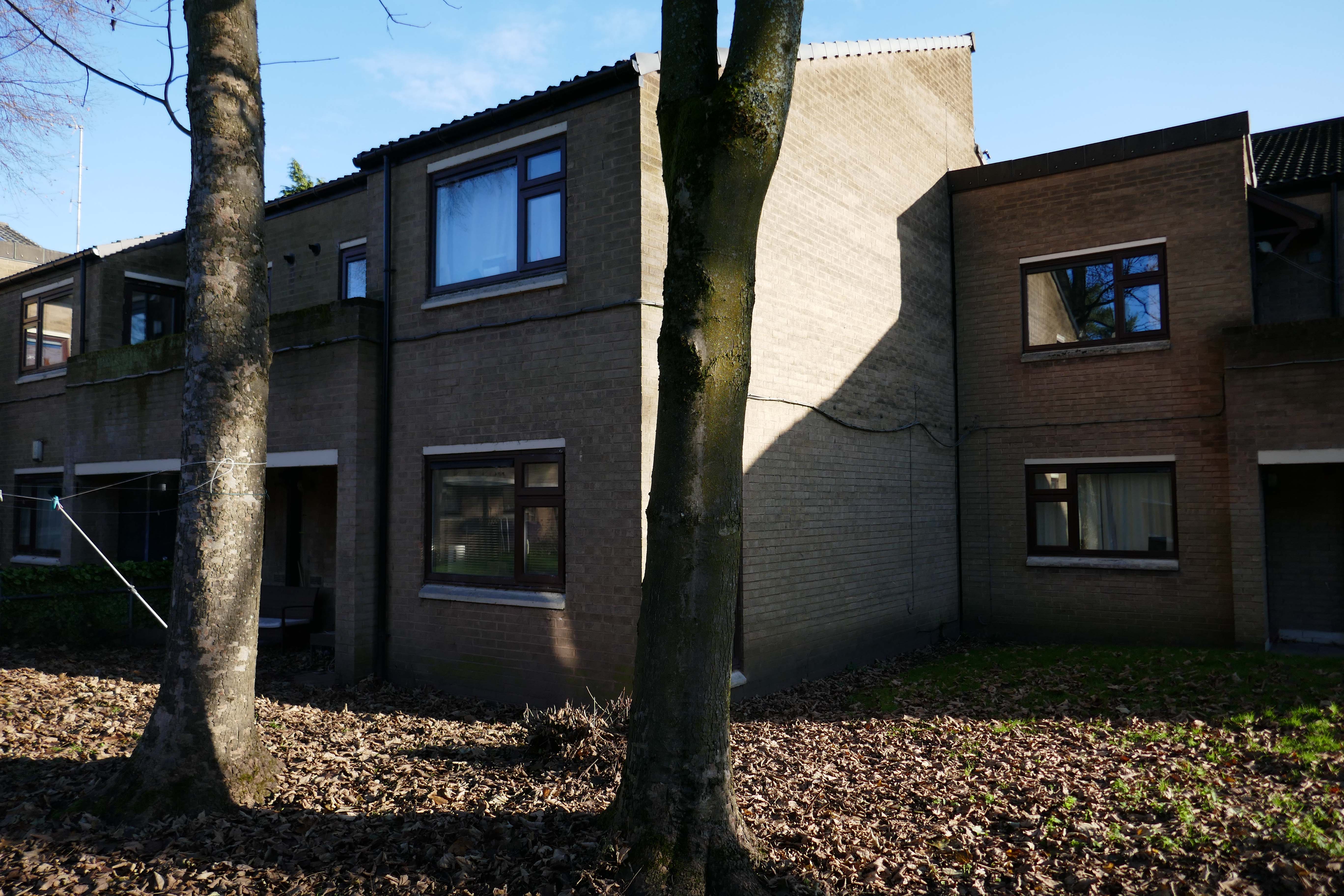
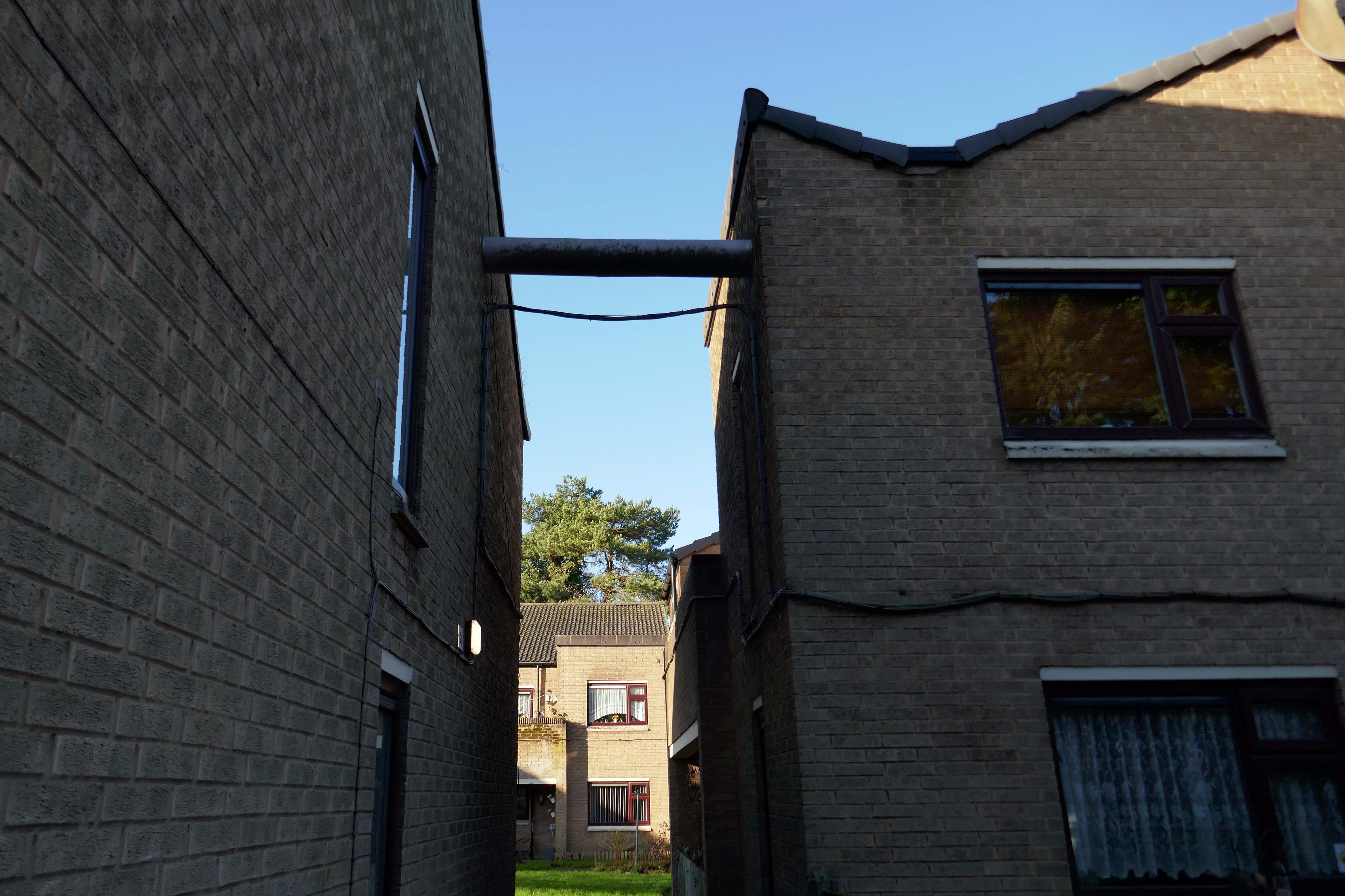
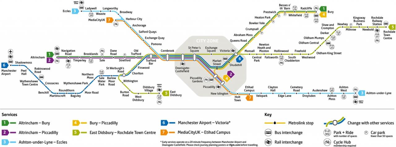
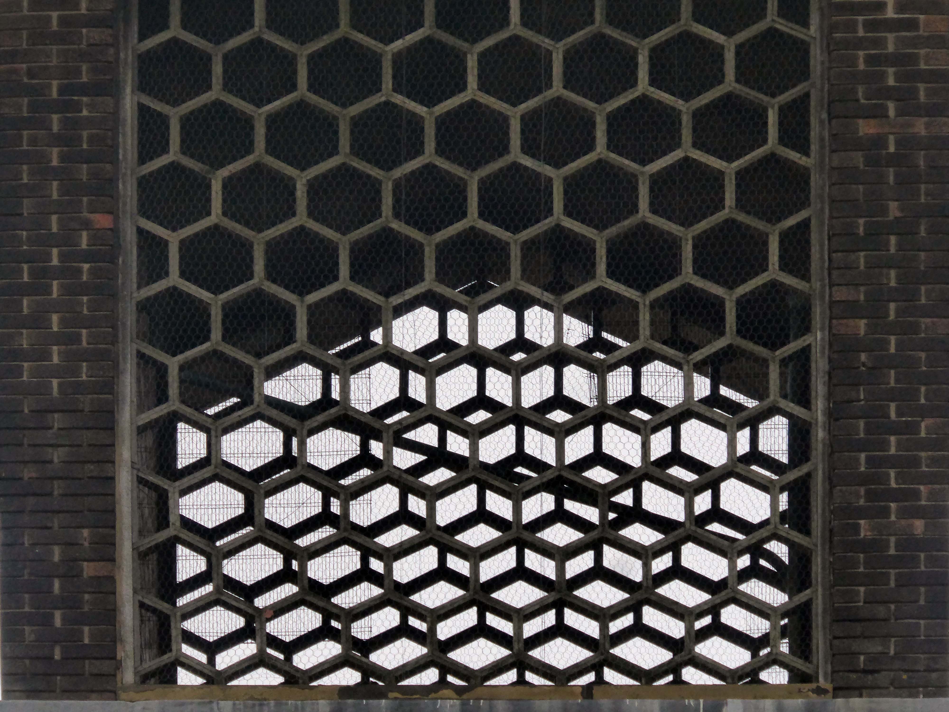
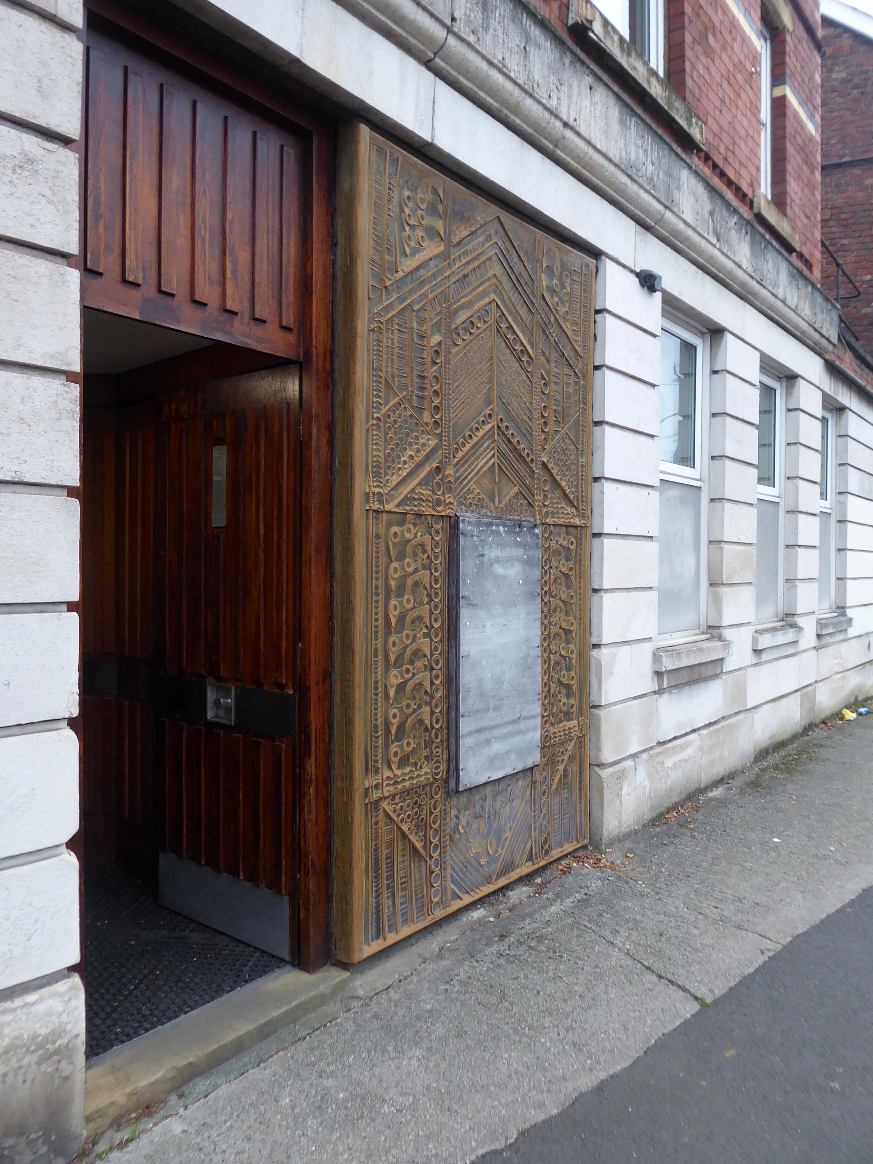
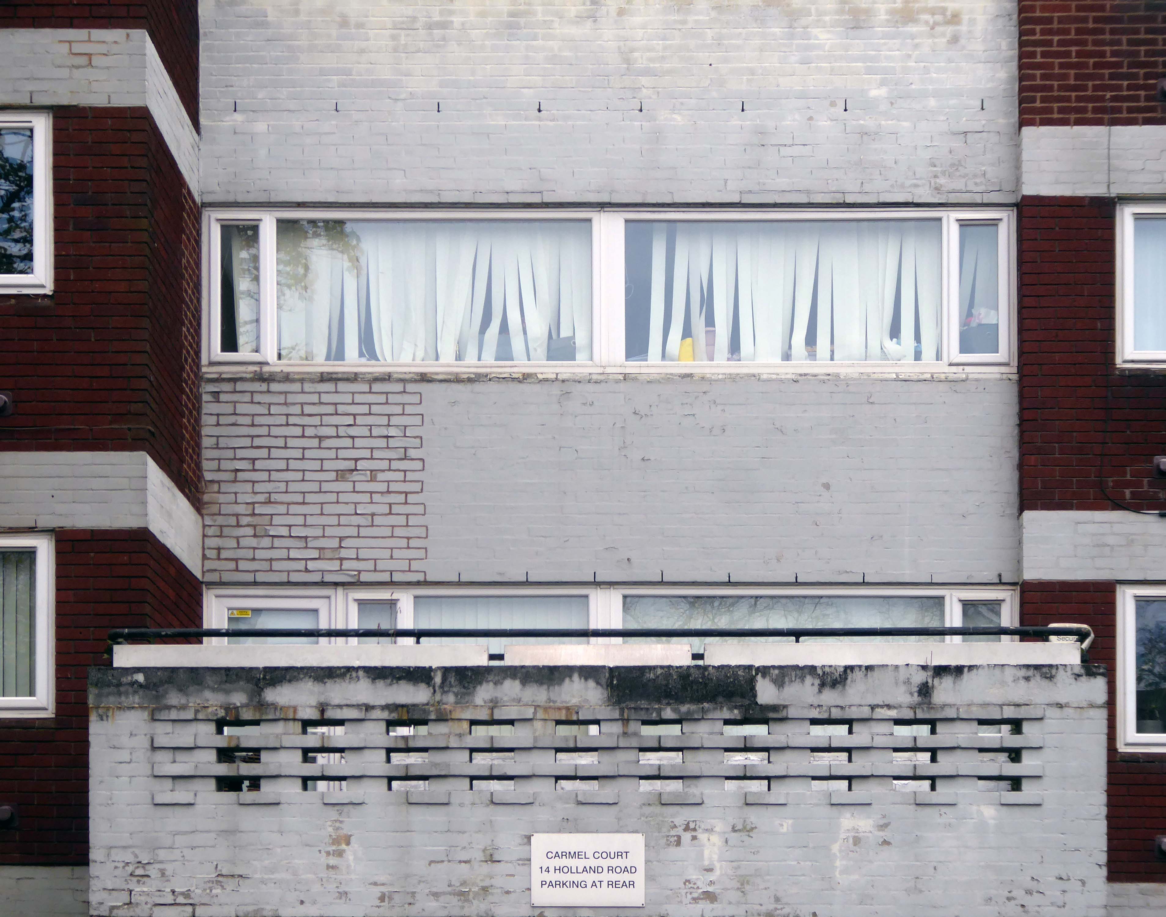
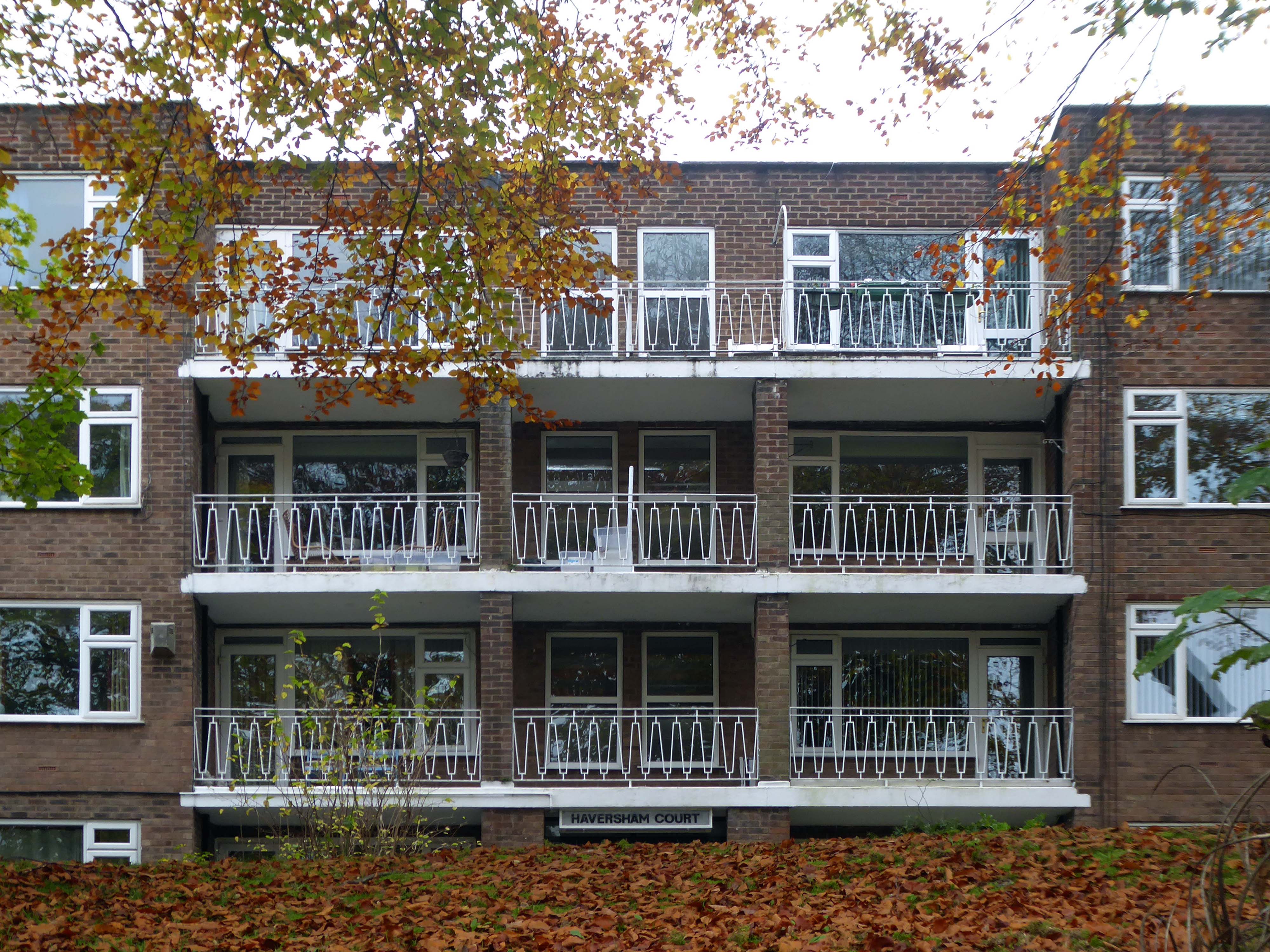
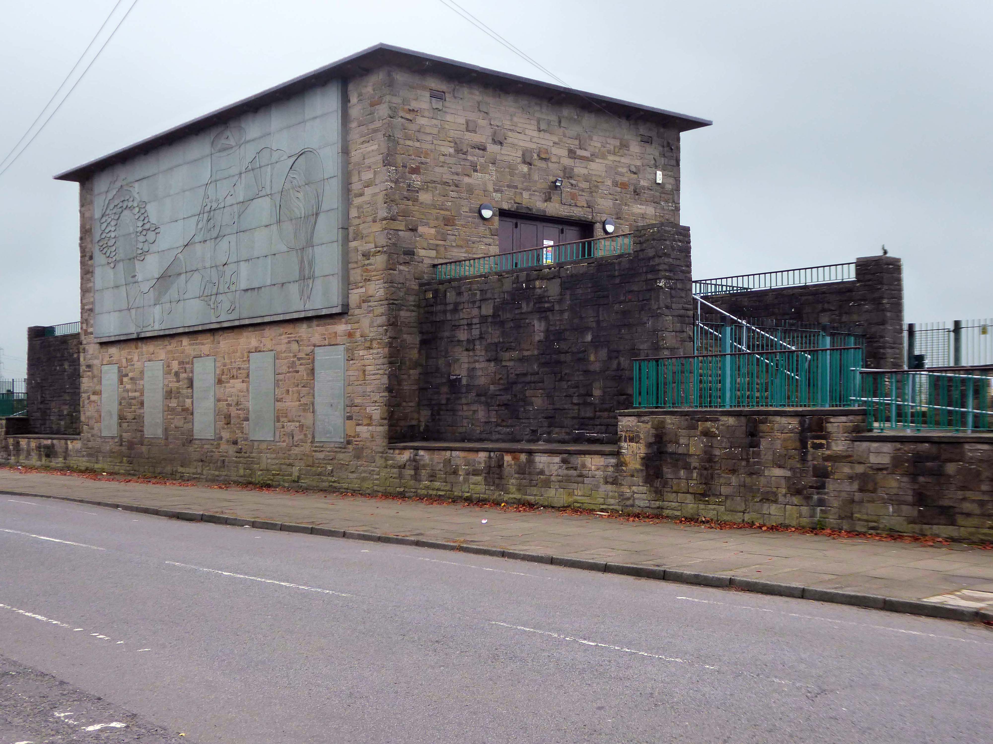
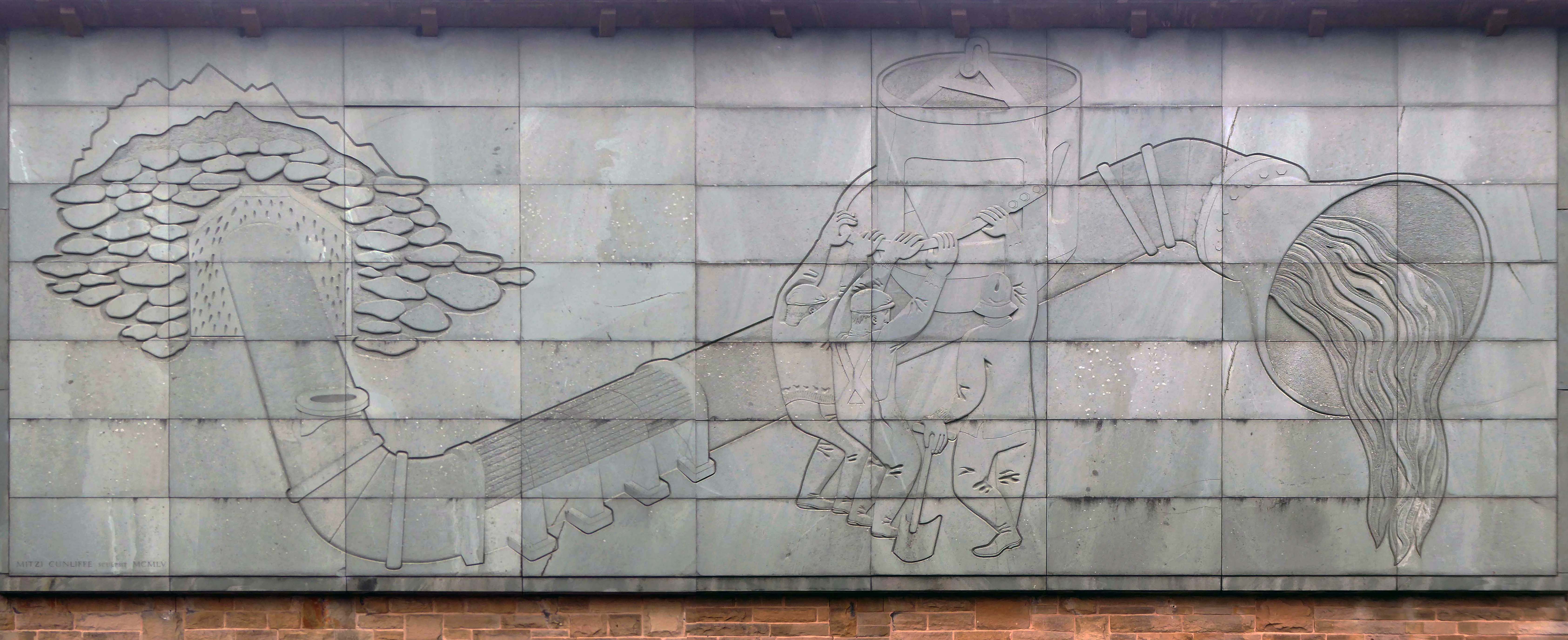
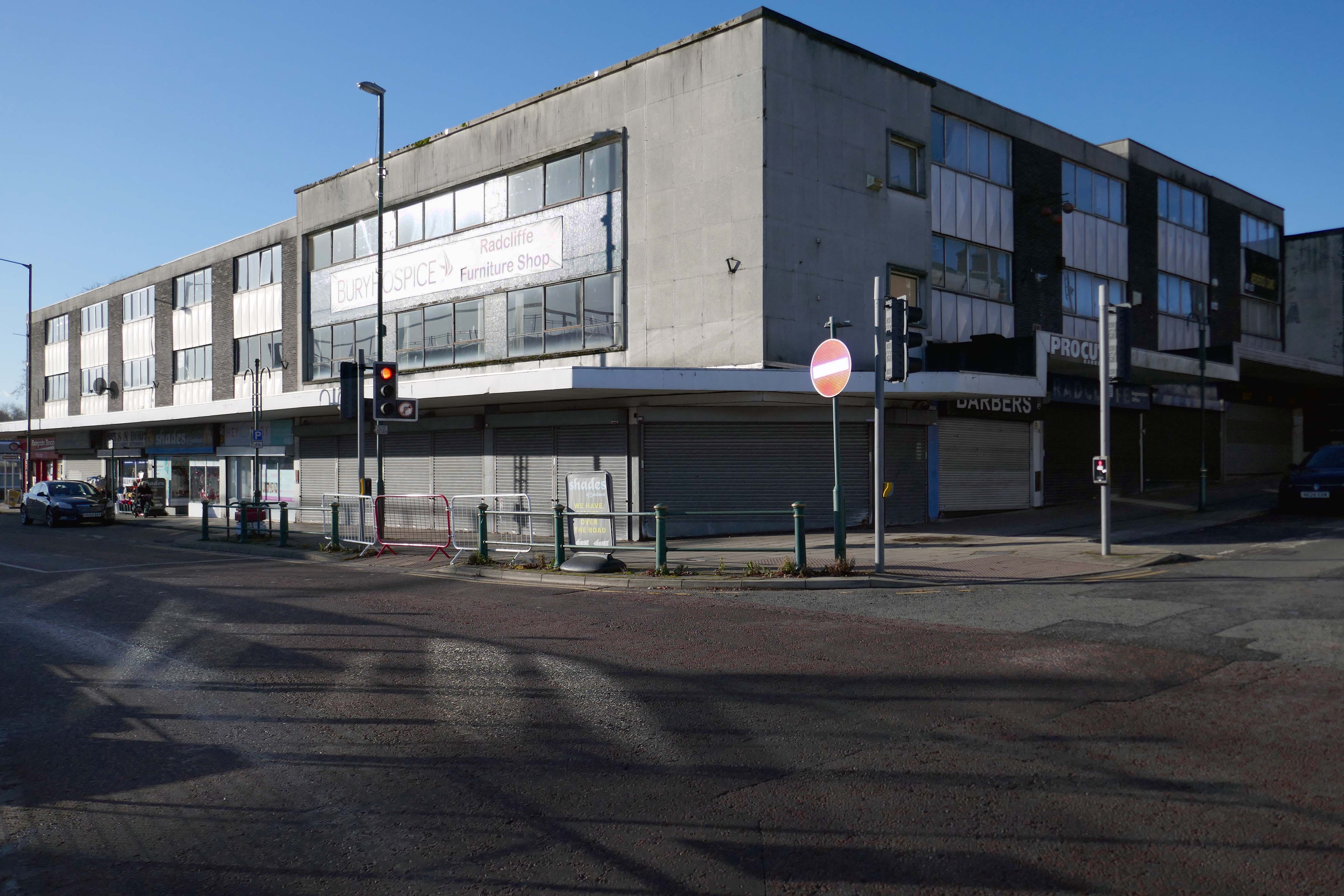
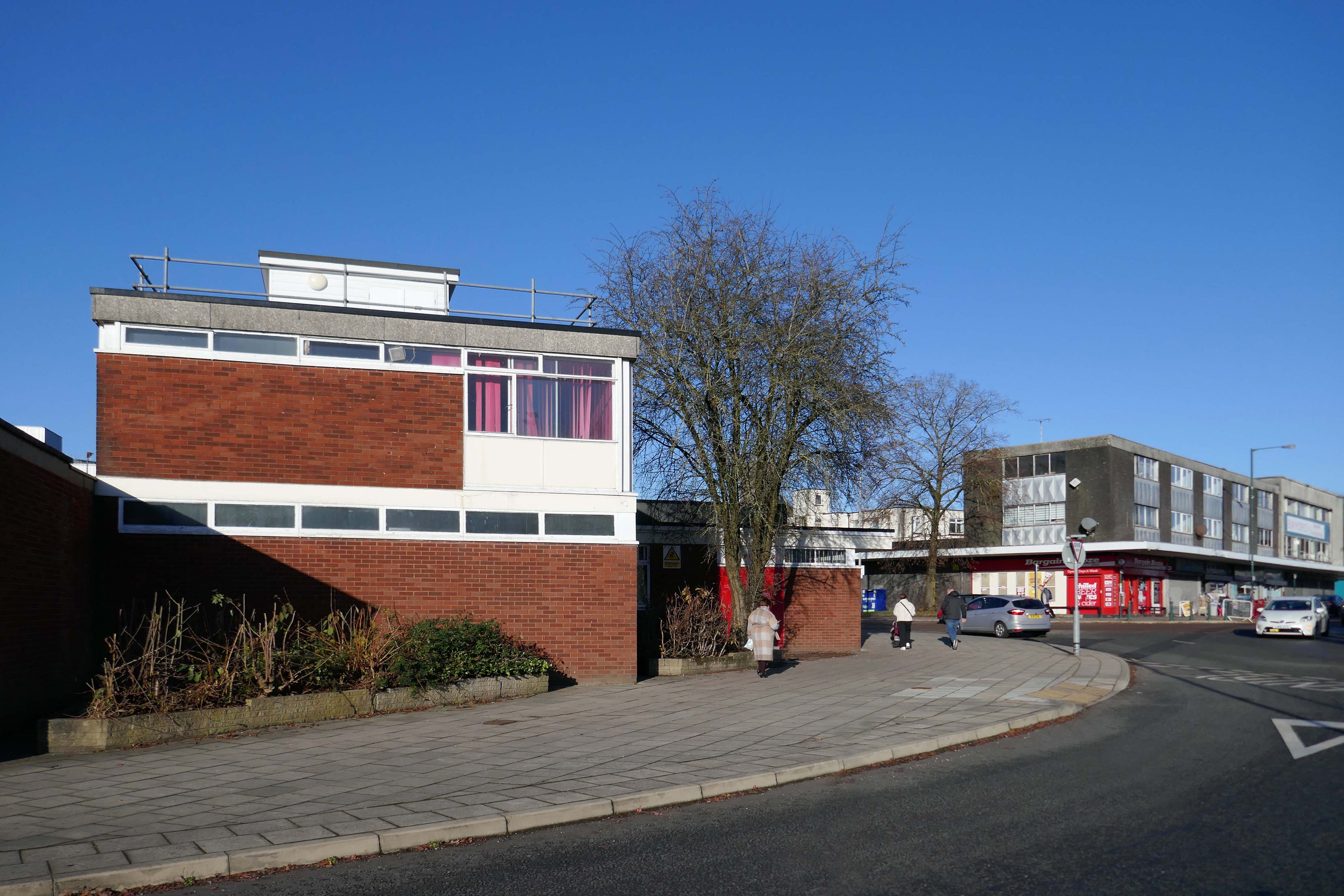
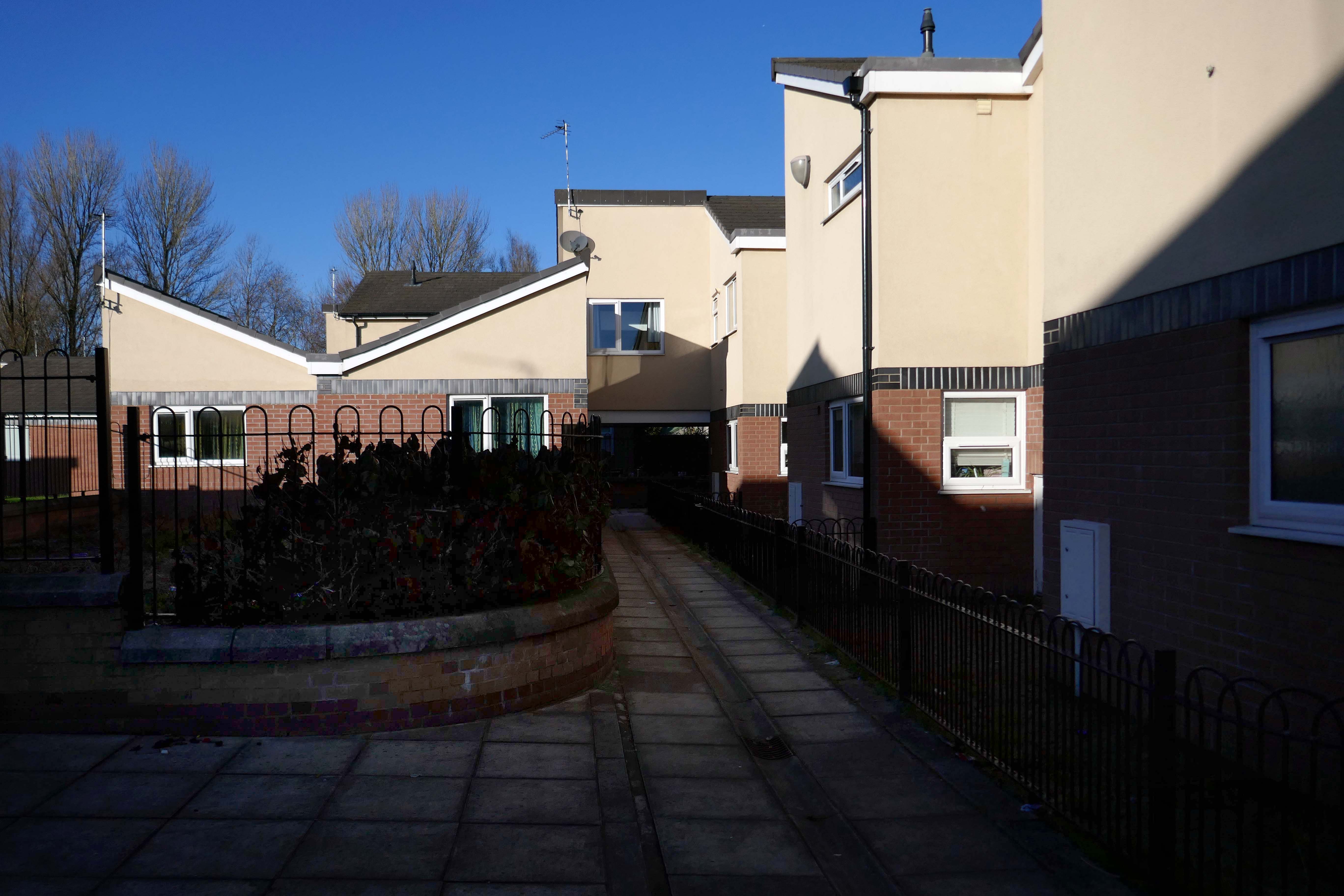
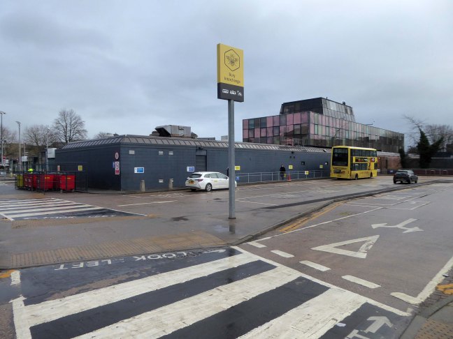
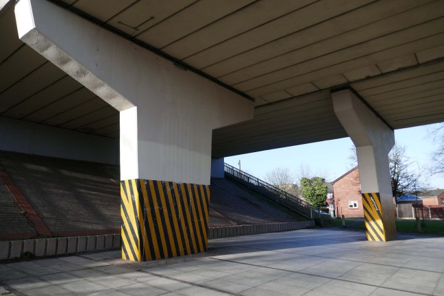
All of which leads me to Altrincham – on Grosvenor Road beneath the A56.

I negotiated the concrete pillars – not once colliding with these immense hazards.

Welcombe Walk – Whitefield

Welcombe Walk Whitefield Manchester M45 7FA

Not lost, just looking elsewhere, whilst walking between tram stops.

Charged with mapping the Modernism at each of the stops twixt Victoria and Bury.

I unavoidably took the wrong turn, it’s so easily done. Fortuitously I took a turn off Bury New Road and found myself on Welcombe Walk.

Welcombe Walk is made up of nineteen one/two-bedroom flats, built in 1978 and run by Six Town Housing.

Visit the Bury Council website for information on supported living:

https://www.bury.gov.uk/index.aspx?articleid=10717

Whilst not seeking sheltered housing for my good self, I am always intrigued by small developments of interesting social housing, grouped around pedestrian walk ways and green space.

The residents with whom I chatted seems content with their homes and the management thereof.

I bade them adieu and went about my way, taking these few snaps.


Tram Trip To Bury

I was cordially requested to produce tram based walk, by the good folk at the modernist – travelling from Victoria Station to Bury. Alighting at each stop and seeing what could be seen, by way of modern buildings along the byways.

By the way, I do have previous experience, having undertaken a similar task travelling to Ashton.

So I set off as instructed, clutching my GMPTE senior concessionary travel pass.

Queens Road

Turn right on leaving the station, right then left – you have reached The Vine.

Glendower Dr, Manchester, Greater Manchester M40 7TD.

Head for Rochdale Road and turn right back toward the city centre, you have reached Eastford Square.

Manchester M40 7QT

Formerly home to homes and shops – currently home to the William Mitchell Totem.

Abraham Moss

Head toward where you will find St Annes RC Church – Architect: Greenhalgh & Williams 1958

Crescent Rd, Crumpsall, Manchester M8 5UE

Crumpsall

Turn right out of the station onto Crumpsall Lane

Former District Bank latterly Nat West – decorative relief and door.

Currently Greater Manchester Immigration Aid Unit

1 Delaunays Rd, Crumpsall, Manchester M8 4QS

Carmel Court

Turn back along Crumpsall Lane past the station until you reach Holland Road on your right.

14 Holland Rd, Crumpsall, Manchester M8 4NP

Onto Middleton Road and turn left where you will find the Telephone Exchange.

Middleton Road, Manchester. M8 5DS

Back track along Middleton Road toward Bowker Vale station.

There are several post-war residential low rise block along the route.

Haversham Court

Middleton Rd, Crumpsall, Manchester M8 4JY

Hilltop Court – just off to the left of Middleton Road.

Brooklands Road, Crumpsall, Manchester M8 4JH

Bowker Vale

Heaton Park

A good twenty minute walk from the station to Heaton Park Pumping Station.

Turn left from the station along Bury Old Road until you reach Heywood Road on your right.

Heywood Road, Prestwich, Manchester M25 2GT

1954-5 by the Manchester City Architect’s Department, Chief Architect Leonard C Howitt, for the Manchester Corporation Waterworks. Alan Atkinson, engineer. Incorporates large relief by Mitzi Cunliffe, signed and dated 1955.

Prestwich

Development by architects Leach Rhodes Walker.

Longfield Shopping Centre

Prestwich Library

Post Office

After months of public consultation, the joint venture has firmed up its proposals for the redevelopment of the Longfield Centre and is aiming to be on site before the end of the year.

Muse and Bury Council have submitted a hybrid application to transform six acres of Prestwich town centre.

Place North West

Besses o’ th Barn

Whitefield

Almost directly facing the station along Bury New Road.

Morrison’s – a Celebration of Whitefield relief Steve des Landes 2009.

5 Stanley Road Whitefield Manchester M45 8QH

Community Fire Station

Bury New Rd, Unsworth, Manchester M45 7SY

Radcliffe

Turn left out of the station onto Church Street West turn right toward the town centre.

Shopping Block

Corner of Dale Street and Blackburn Street.

Former Post now Delivery Office

St Thomas Estate

By Wilson and Womersley 1968, the project architect was John Sheard.

New-towny, dense low-rise housing irregularly grouped around and over pedestrian access paths.

Pevsner 1996/2004

The Strategic Regeneration Framework is the guide that is shaping the direction of Radcliffe’s growth over the next 15 years with a series of realistic short, medium, and longer-term actions. It is also shaping the direction of future council investment, supporting bids for central governmental funding and providing certainty for third parties wanting to invest in town.

Work has begun on Strategic Regeneration Framework’s priority projects, these include:

  • A new civic hub in central Radcliffe, which will bring together a mix of functions at the heart of the town
  • Refurbishment of the market basement and the revamping of market chambers
  • New leisure facilities
  • A secondary school on the Coney Green site
  • A “whole town approach” to housing, bringing forward a comprehensive approach to residential development in Radcliffe
  • A transportation strategy, which will consider matters such as active travel and car parking

Bury Council

Bury

We undertook a Bury Walk for the first time in 2024

Arriving at and looking around the Interchange – 1980 architects: Essex Goodman & Suggitt

A view of the Market Hall 1971 – architects: Harry S Fairhurst.

Unitarian Church.

The new church was designed and constructed by local architects James T Ratcliffe.

That’s the end of the line.