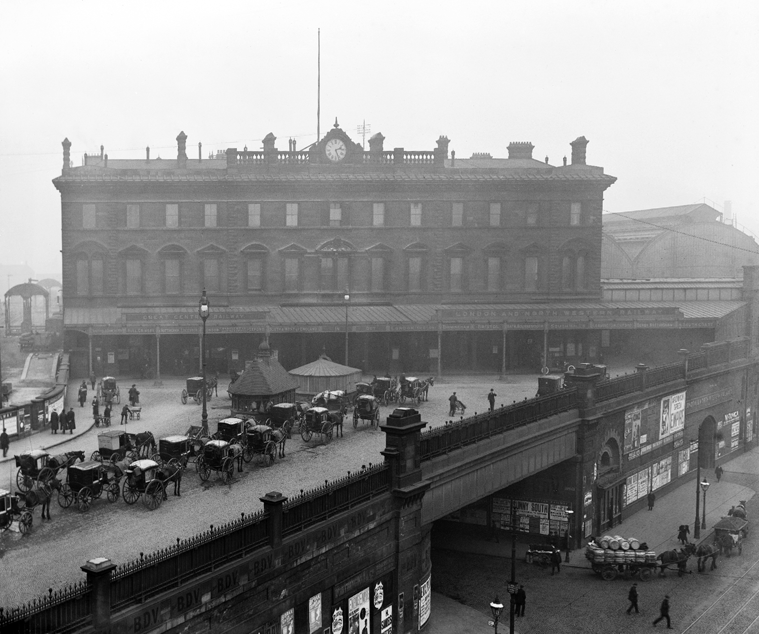
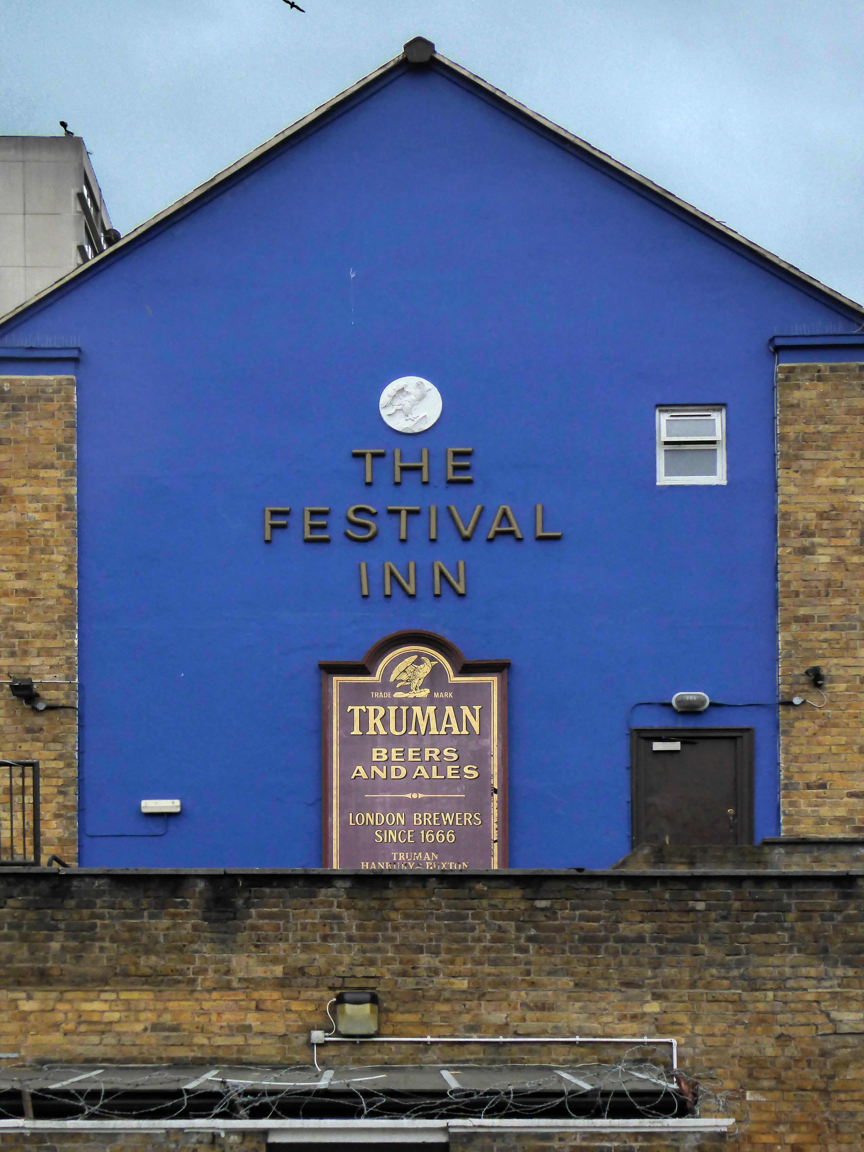
The station was originally built as Store Street Station by the Manchester and Birmingham Railway in 1842, before being renamed London Road Station in 1847. It was shared by the Sheffield, Ashton-under-Lyne & Manchester Railway and it has been rebuilt and added to a number of times, with two news spans added to the train shed roof in 1881 and island platforms added linking to Manchester Oxford Road in 1882 (replacing two old Manchester, South Junction and Altrincham Railway platforms which were built next to the station).
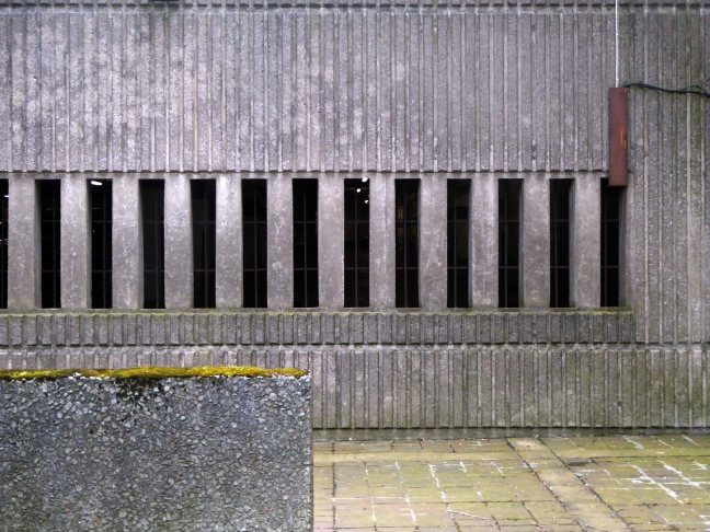
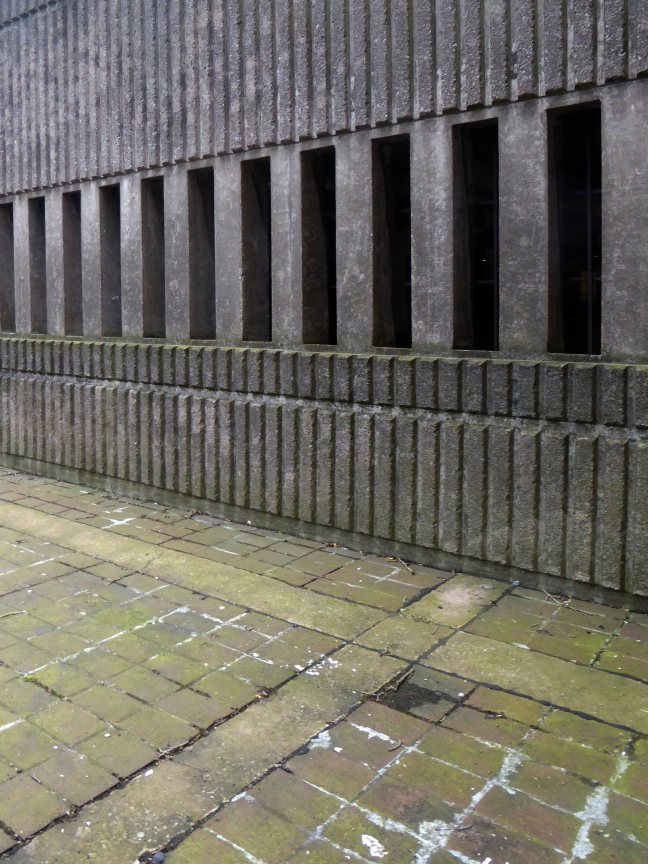
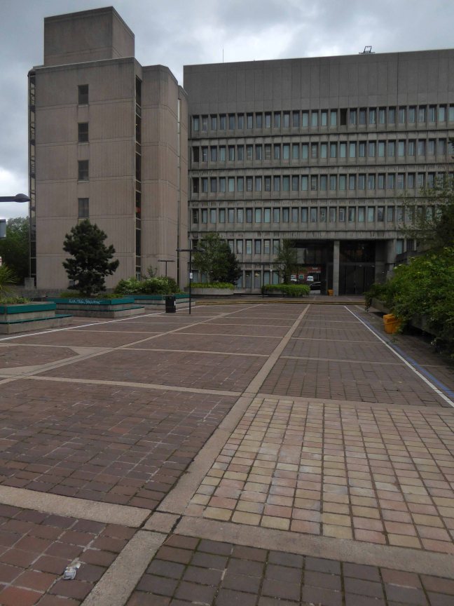
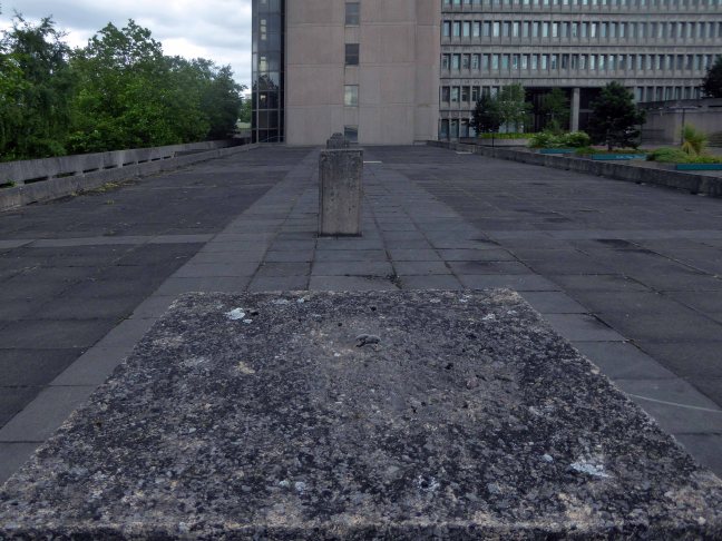
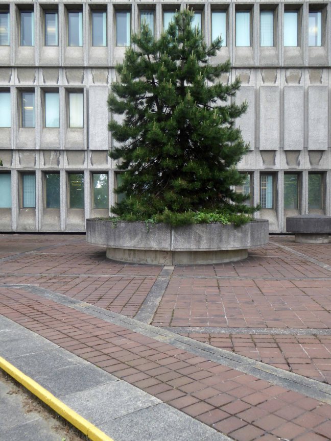
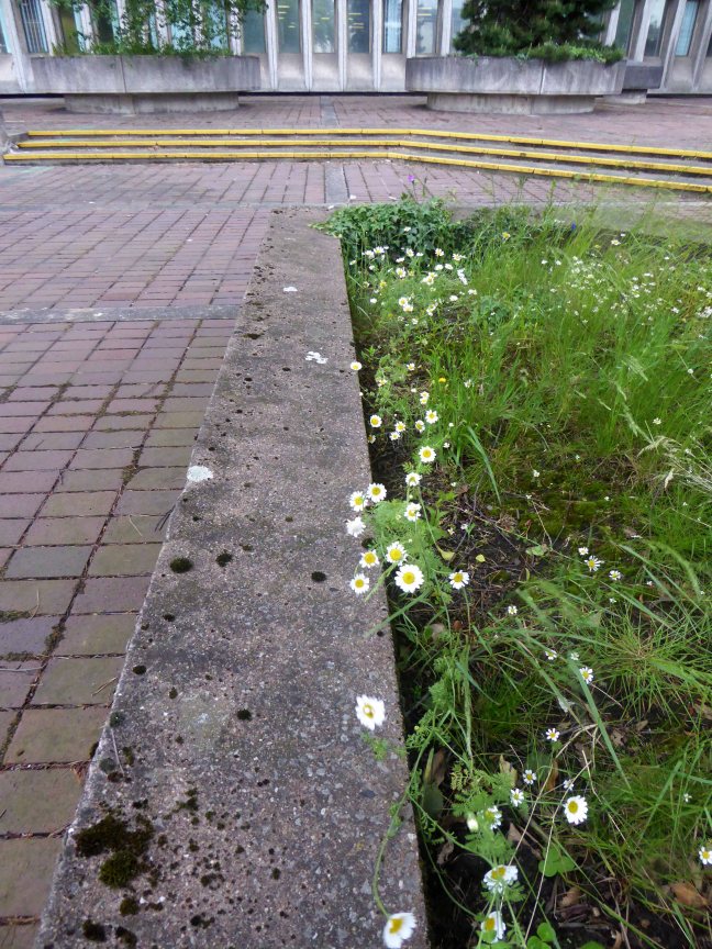
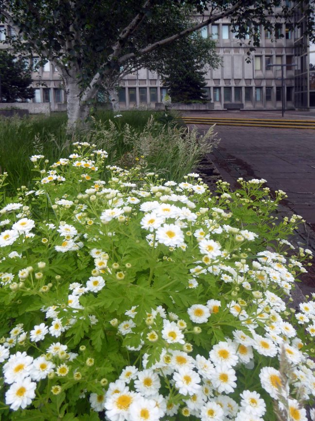
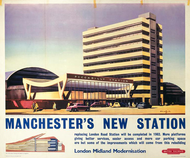
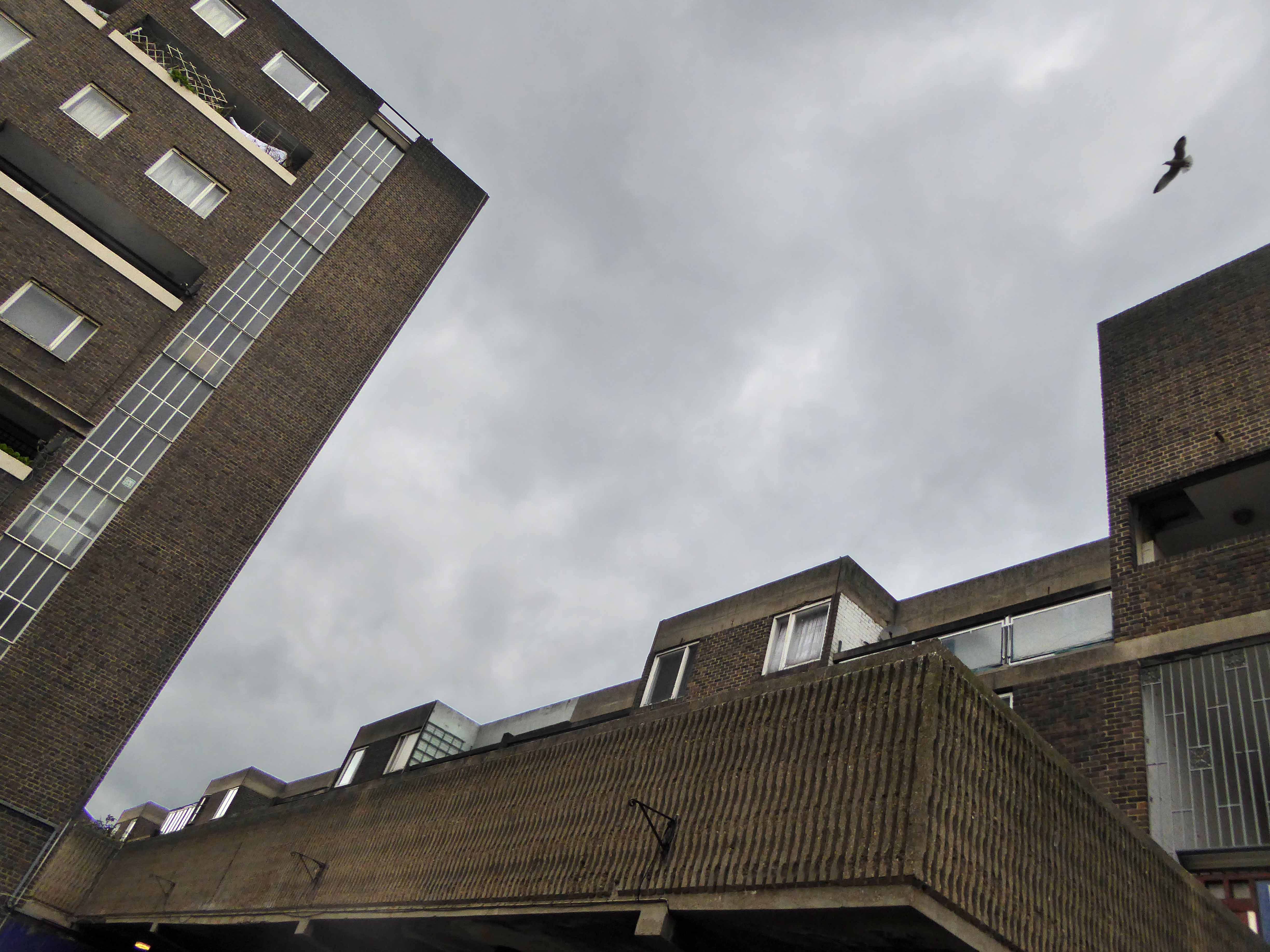
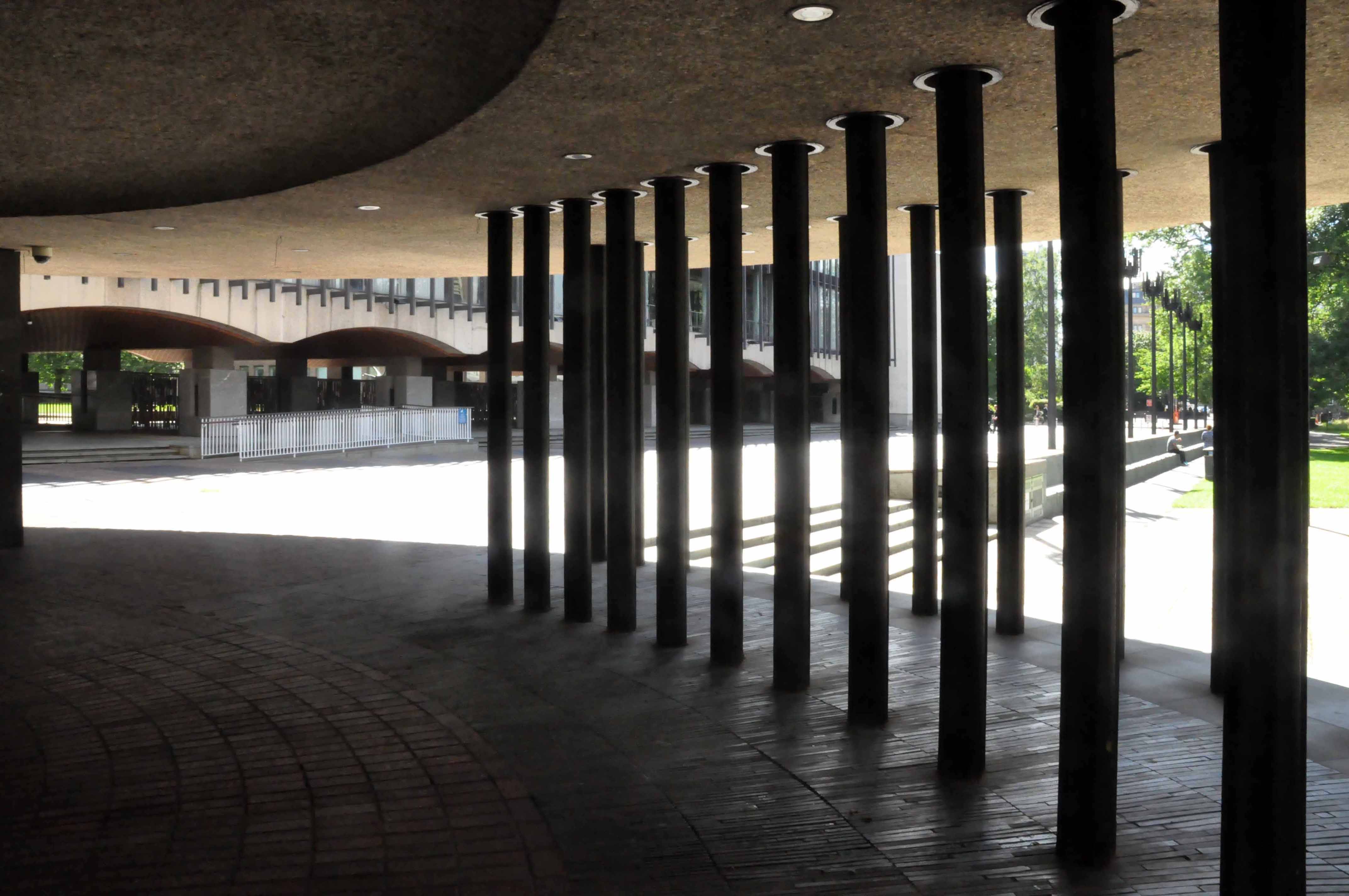
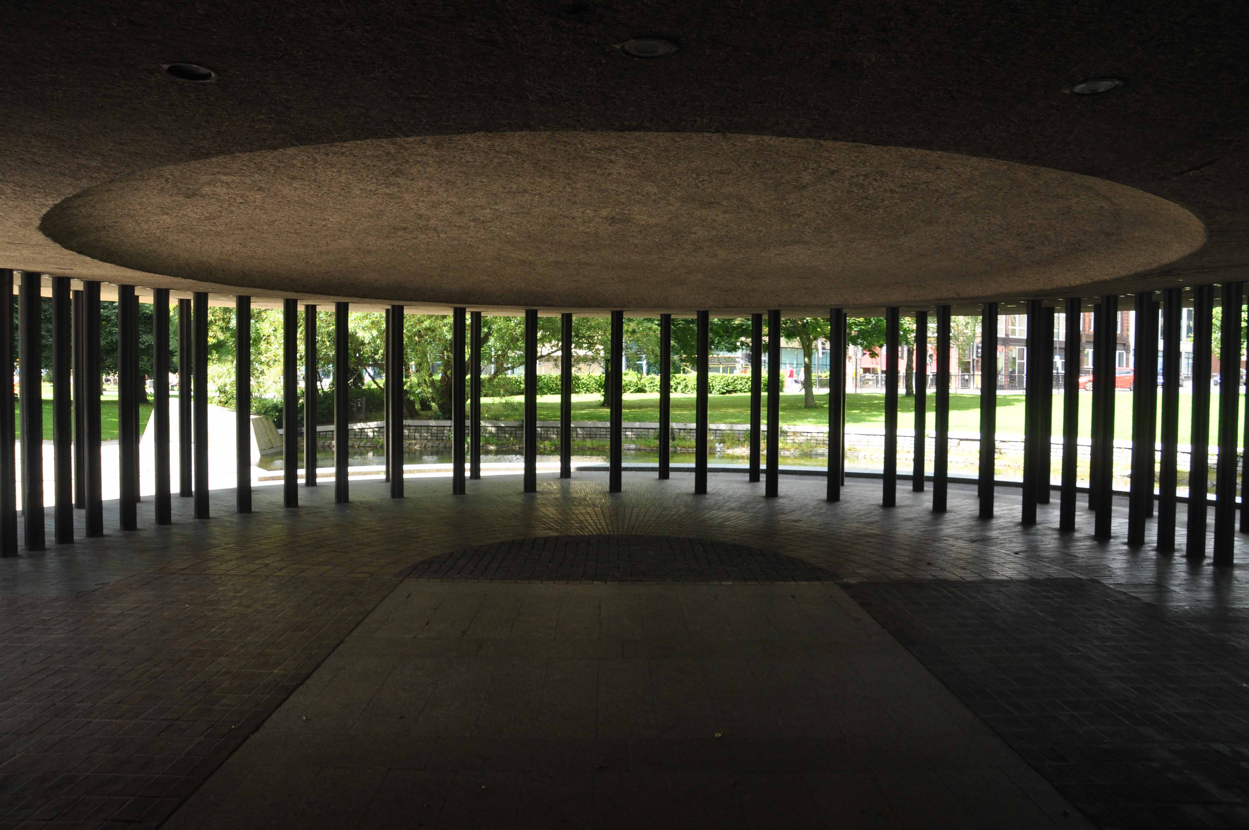
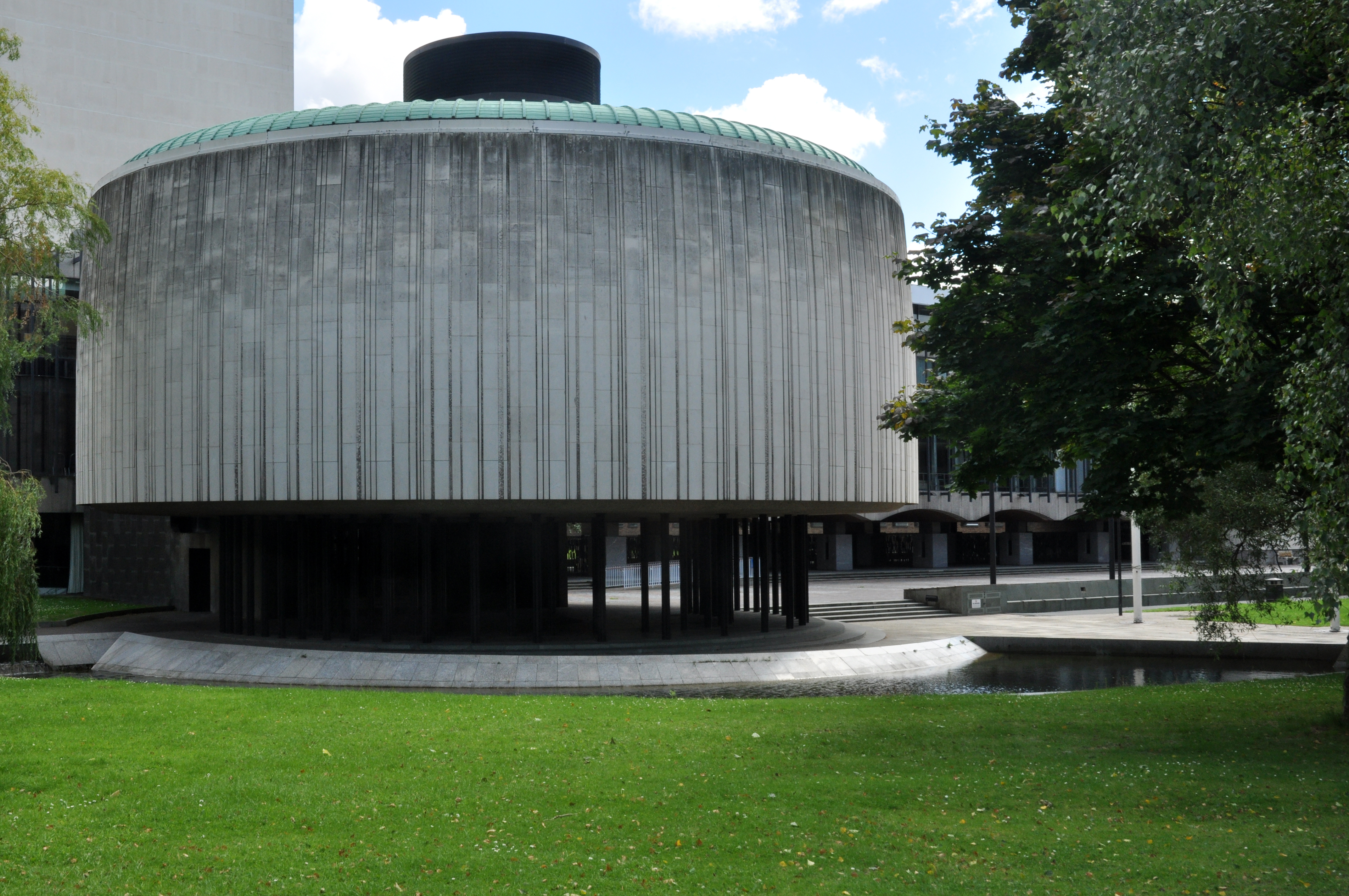
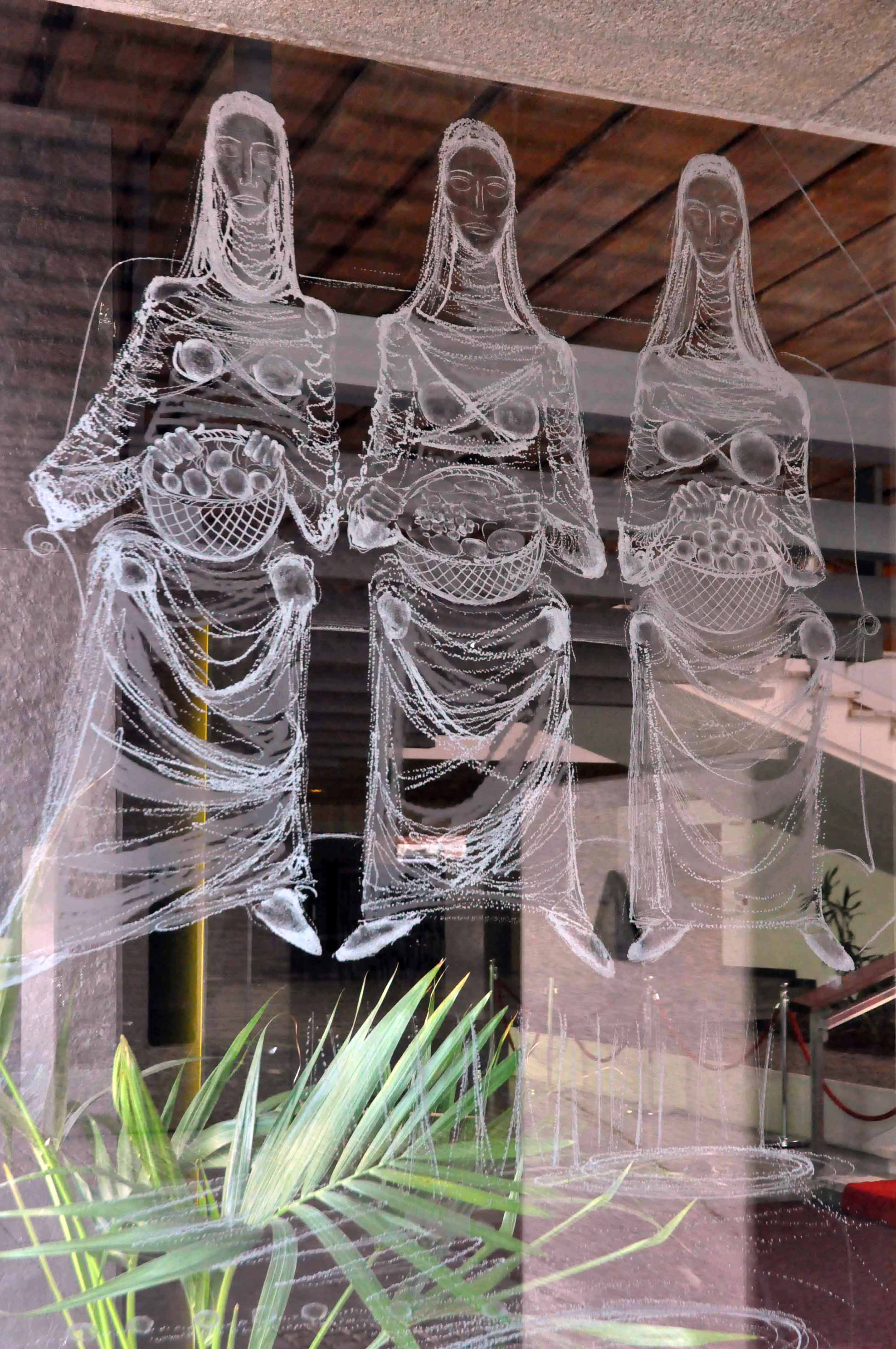
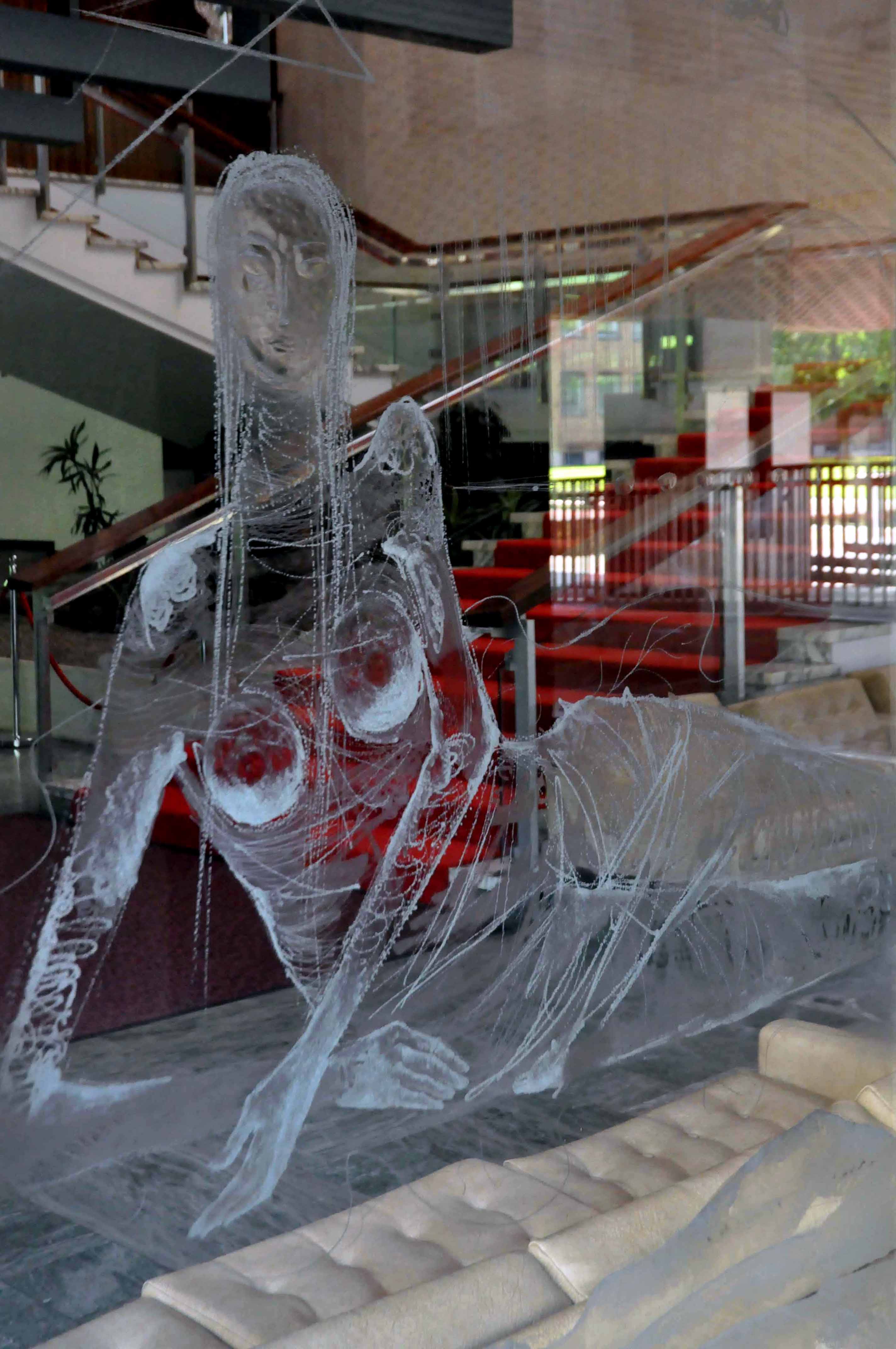
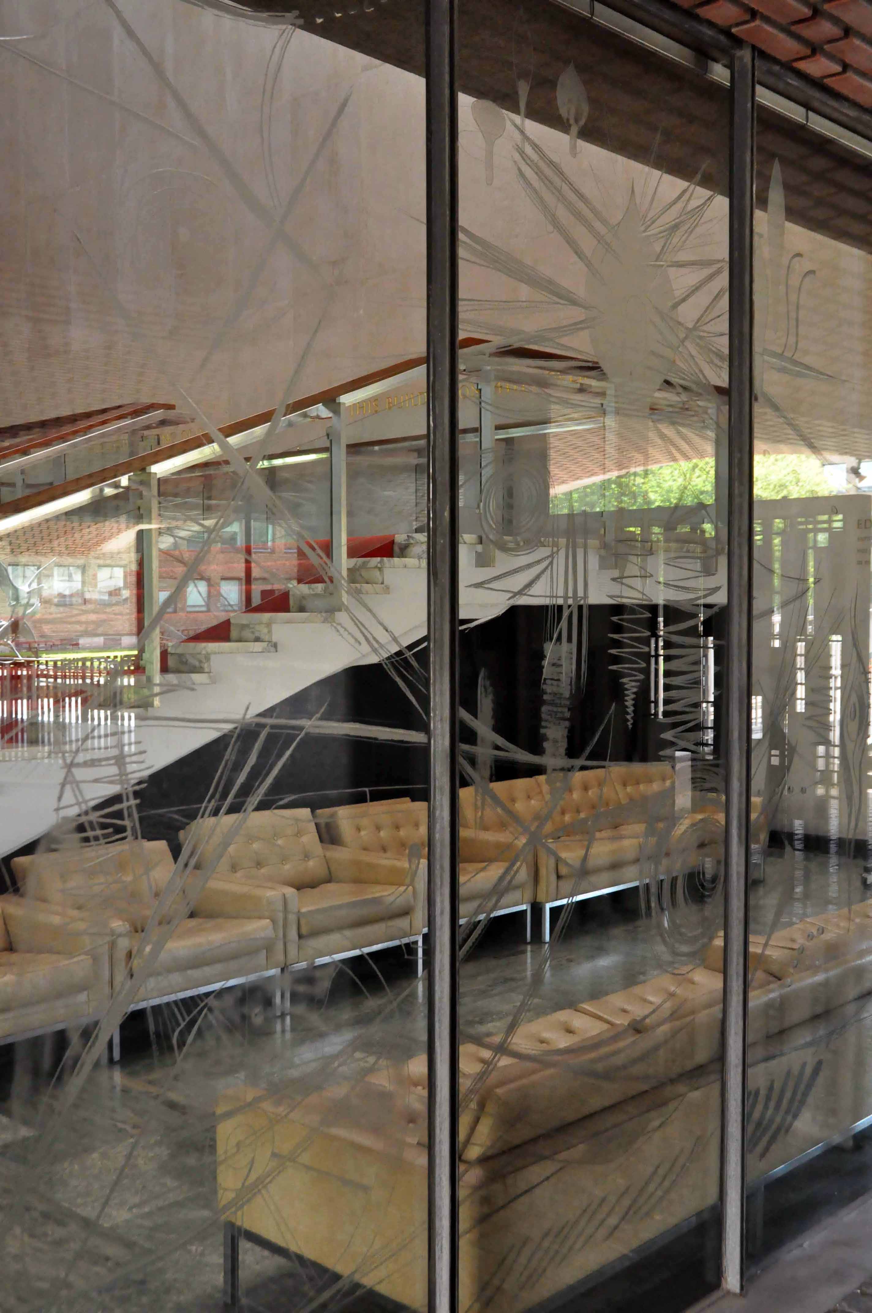
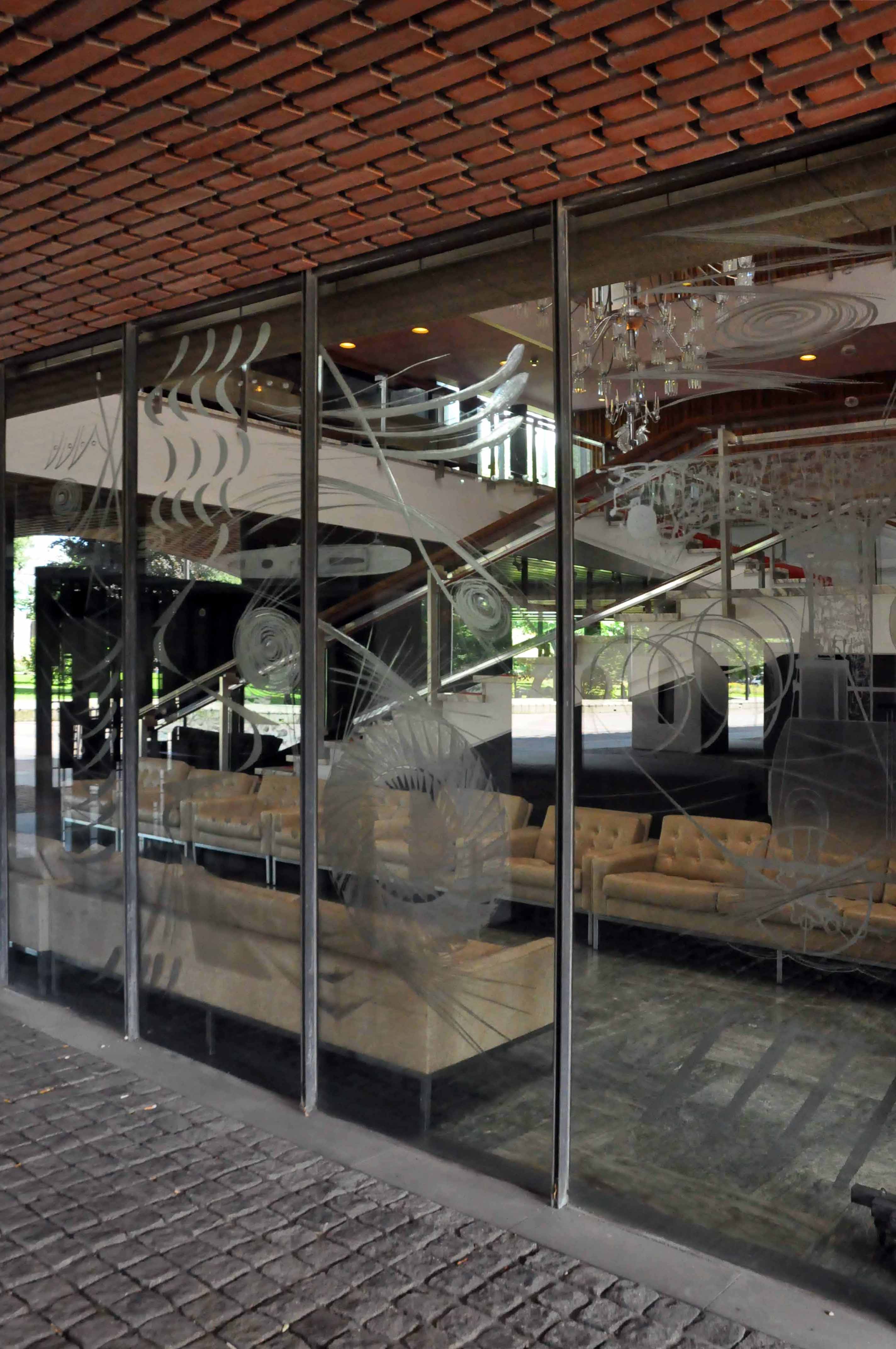
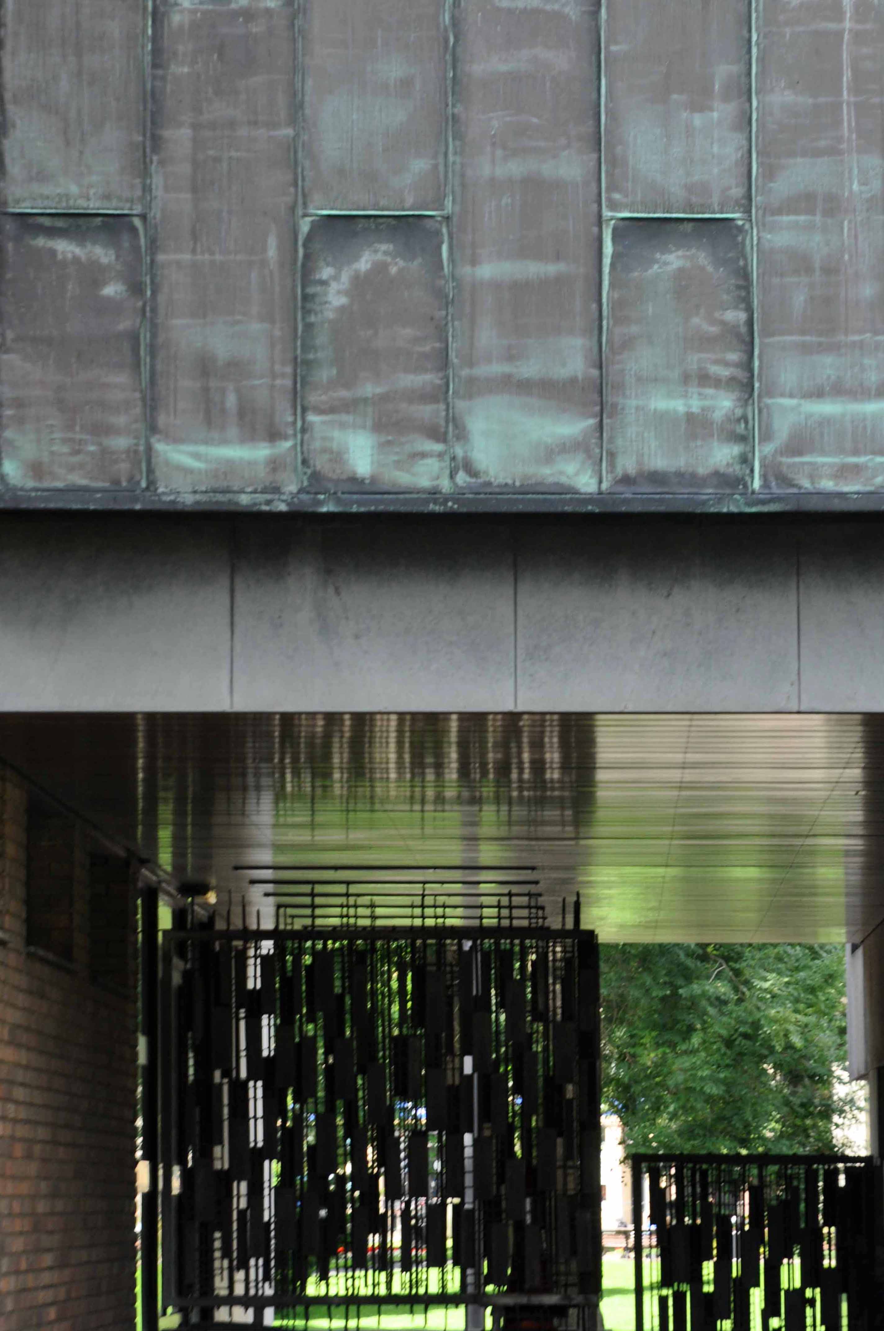
An imposing classical façade with a substantial cast iron and glass train shed, the approach sloping up to the frontage, as of necessity the line entered the city on a raised trackbed.
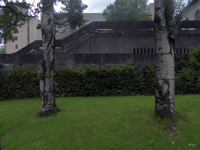
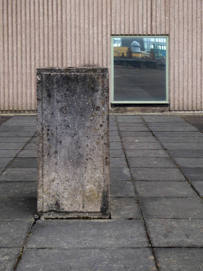
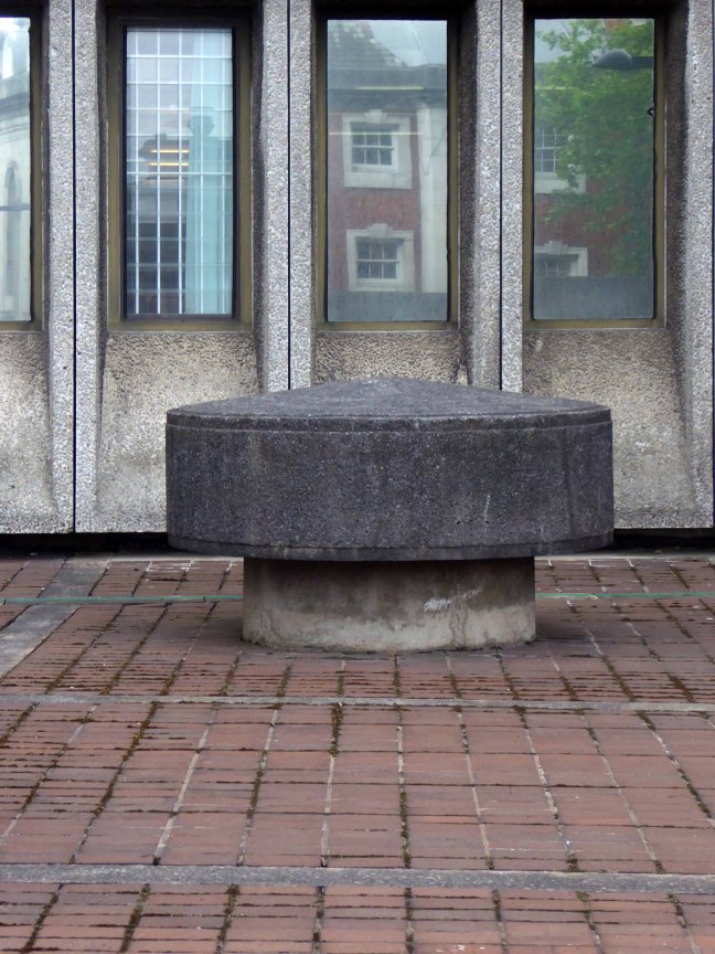
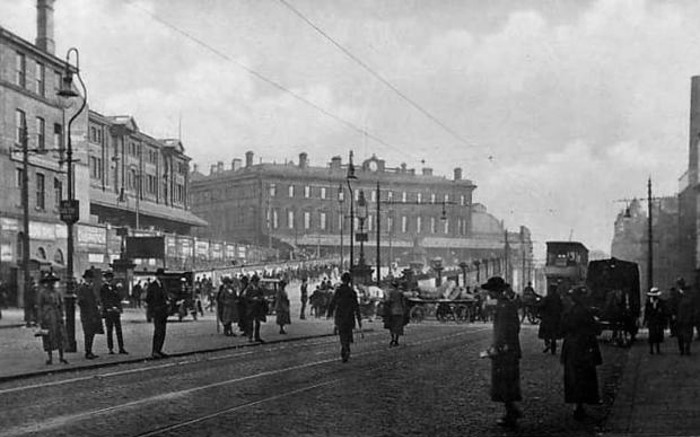
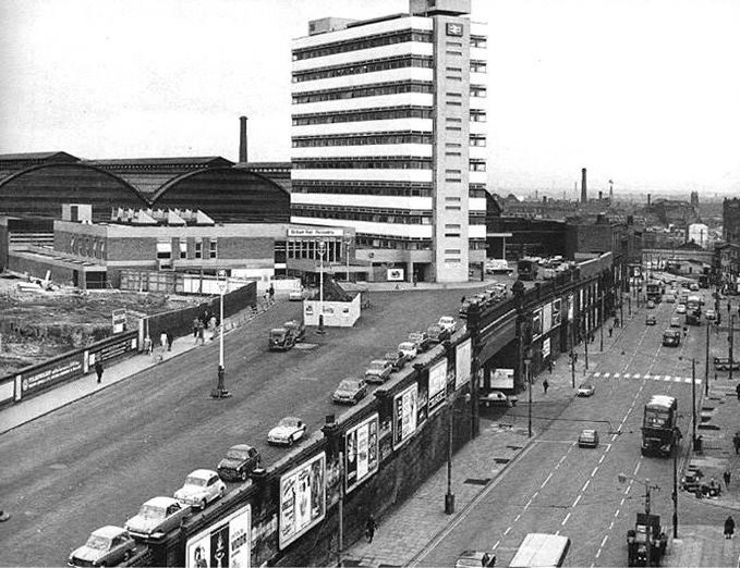
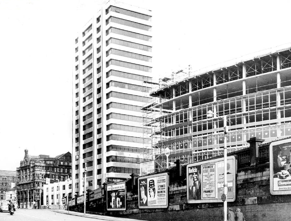
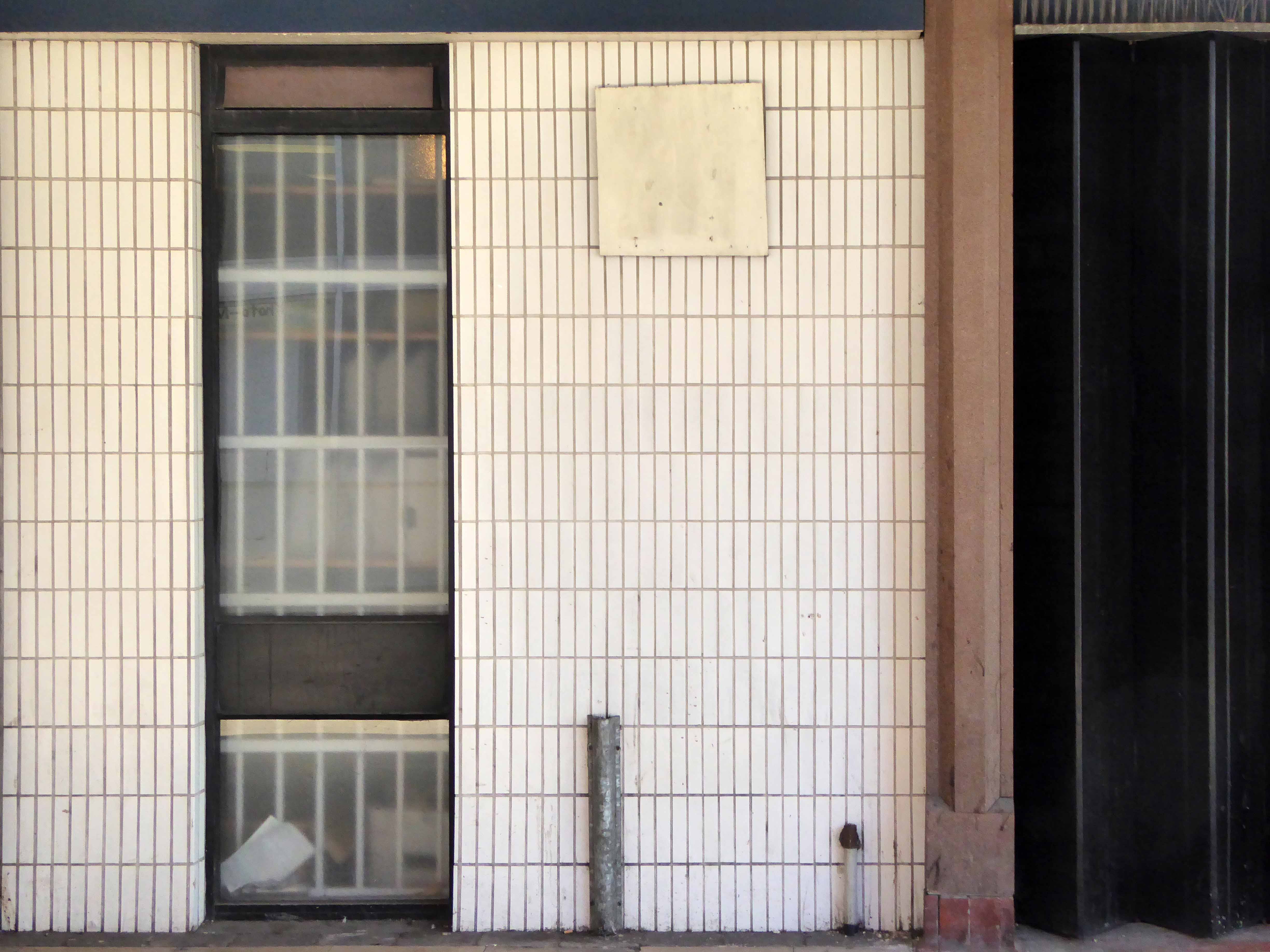
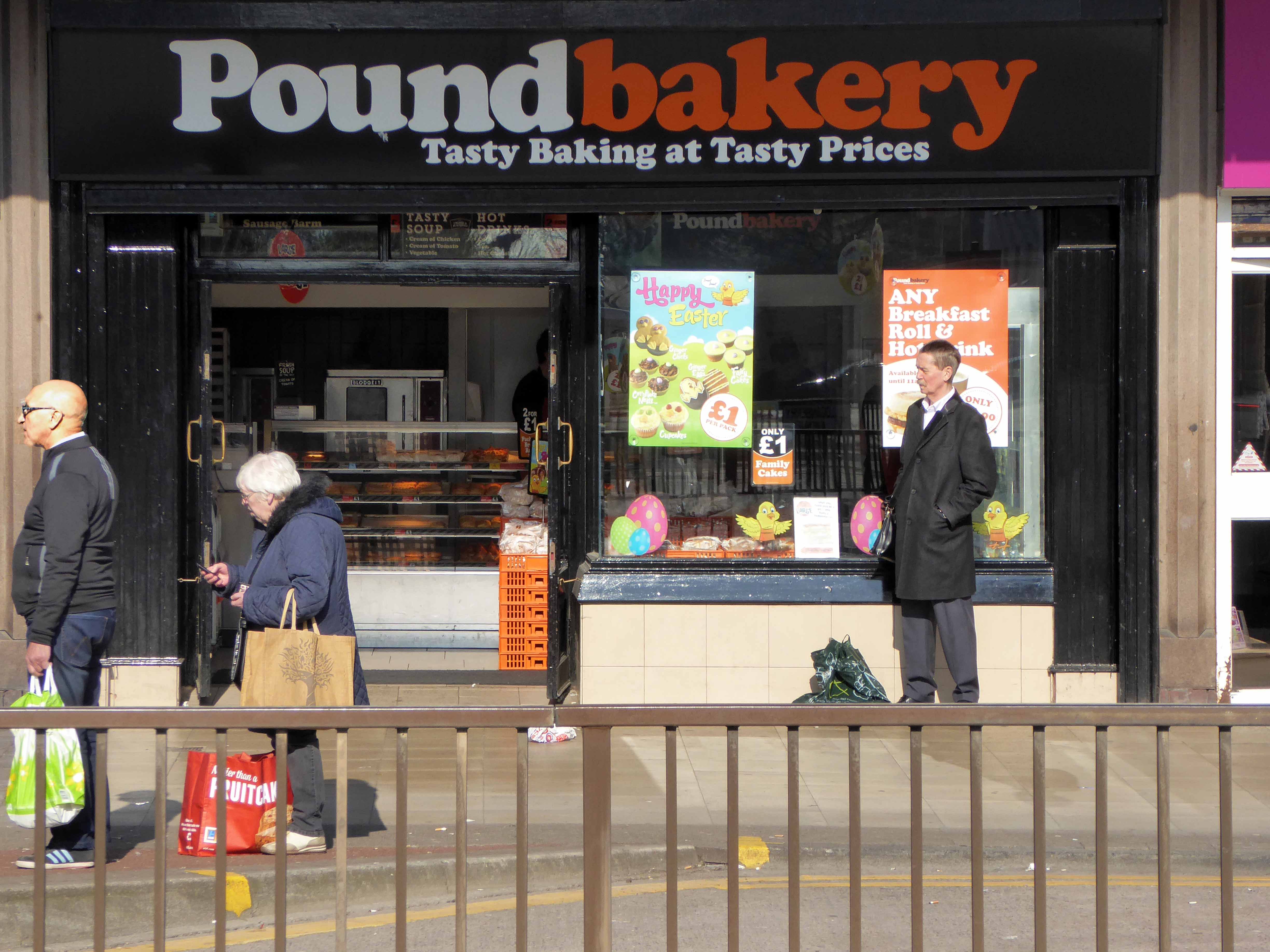
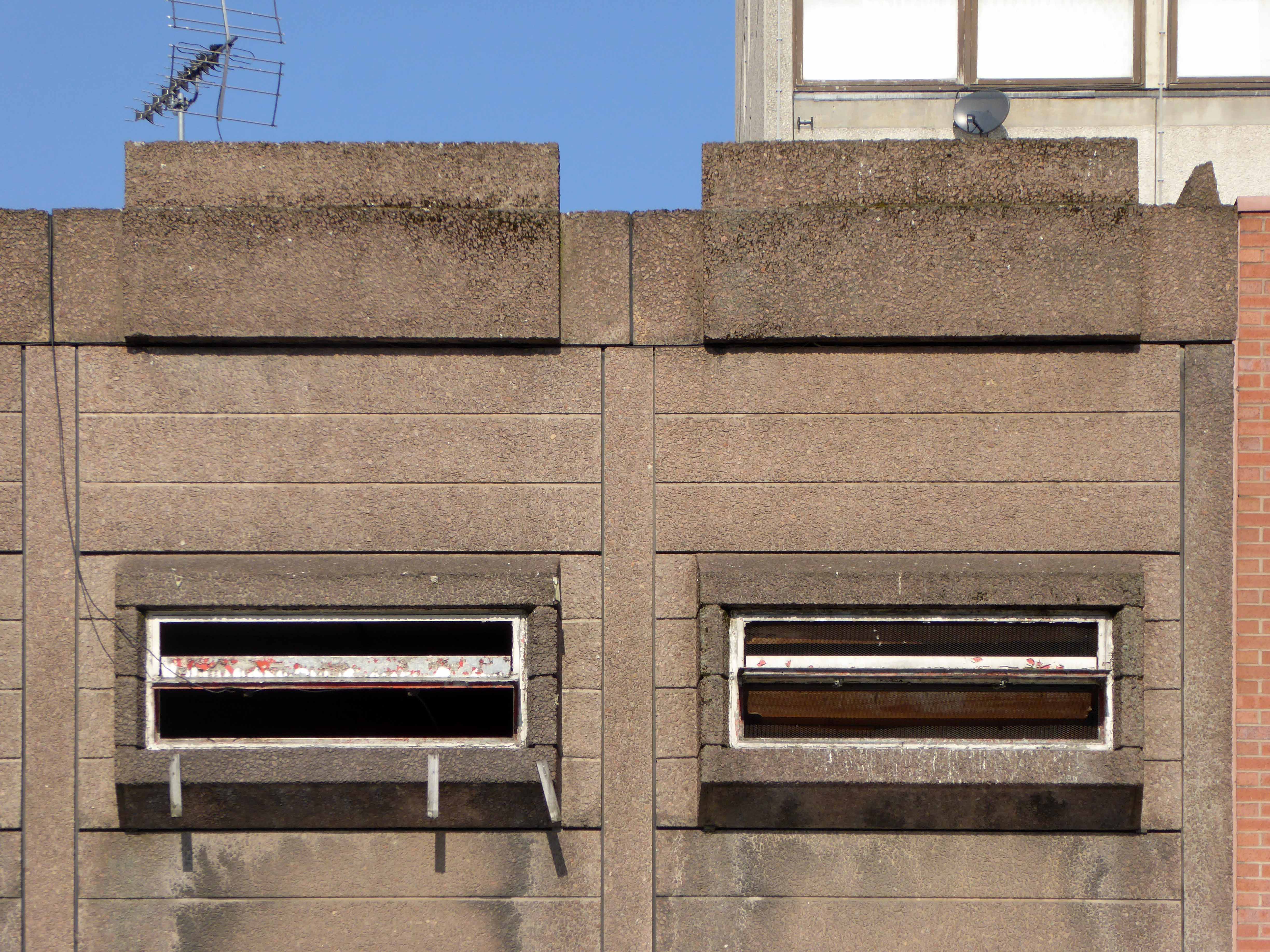
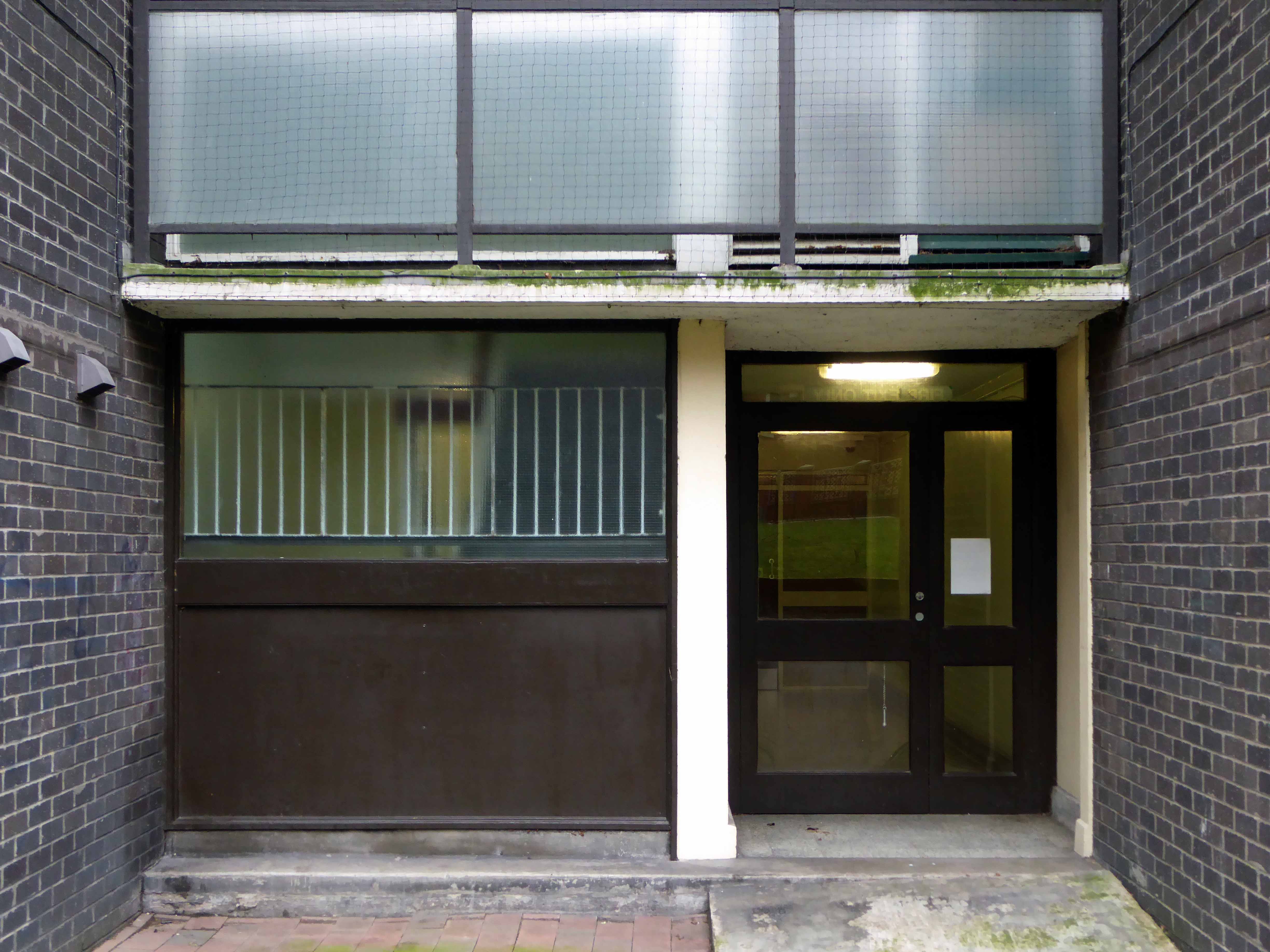
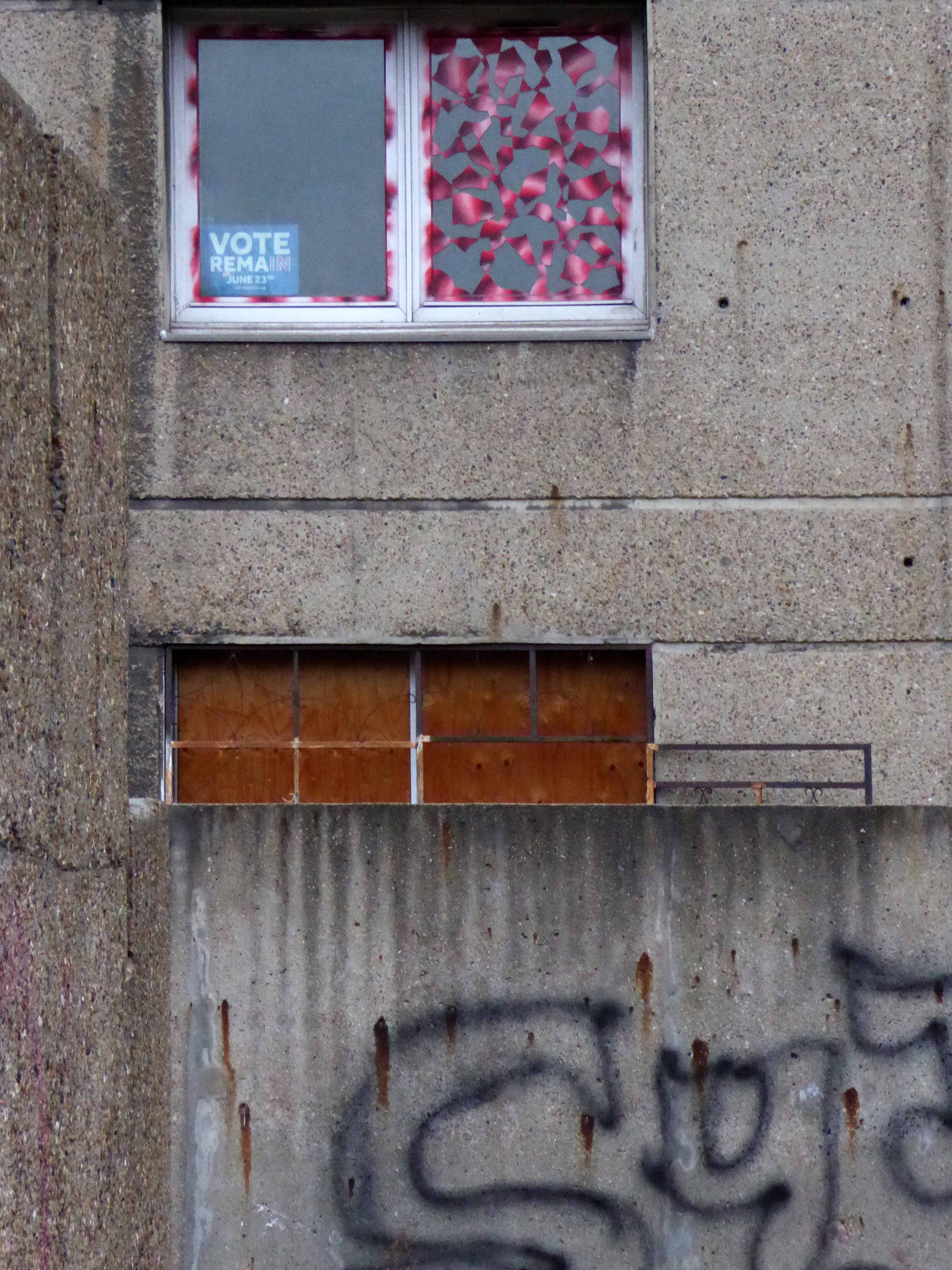
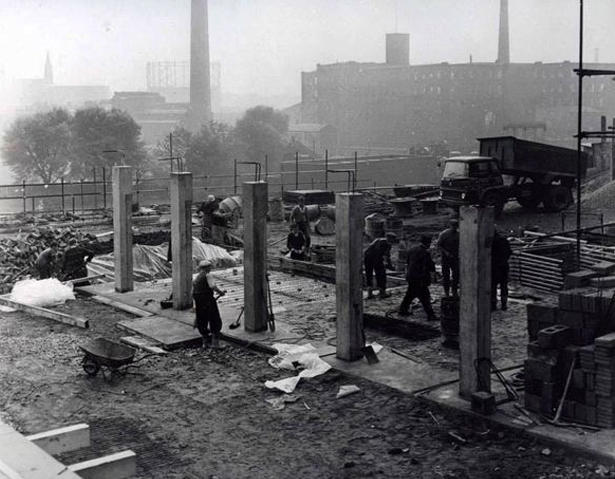
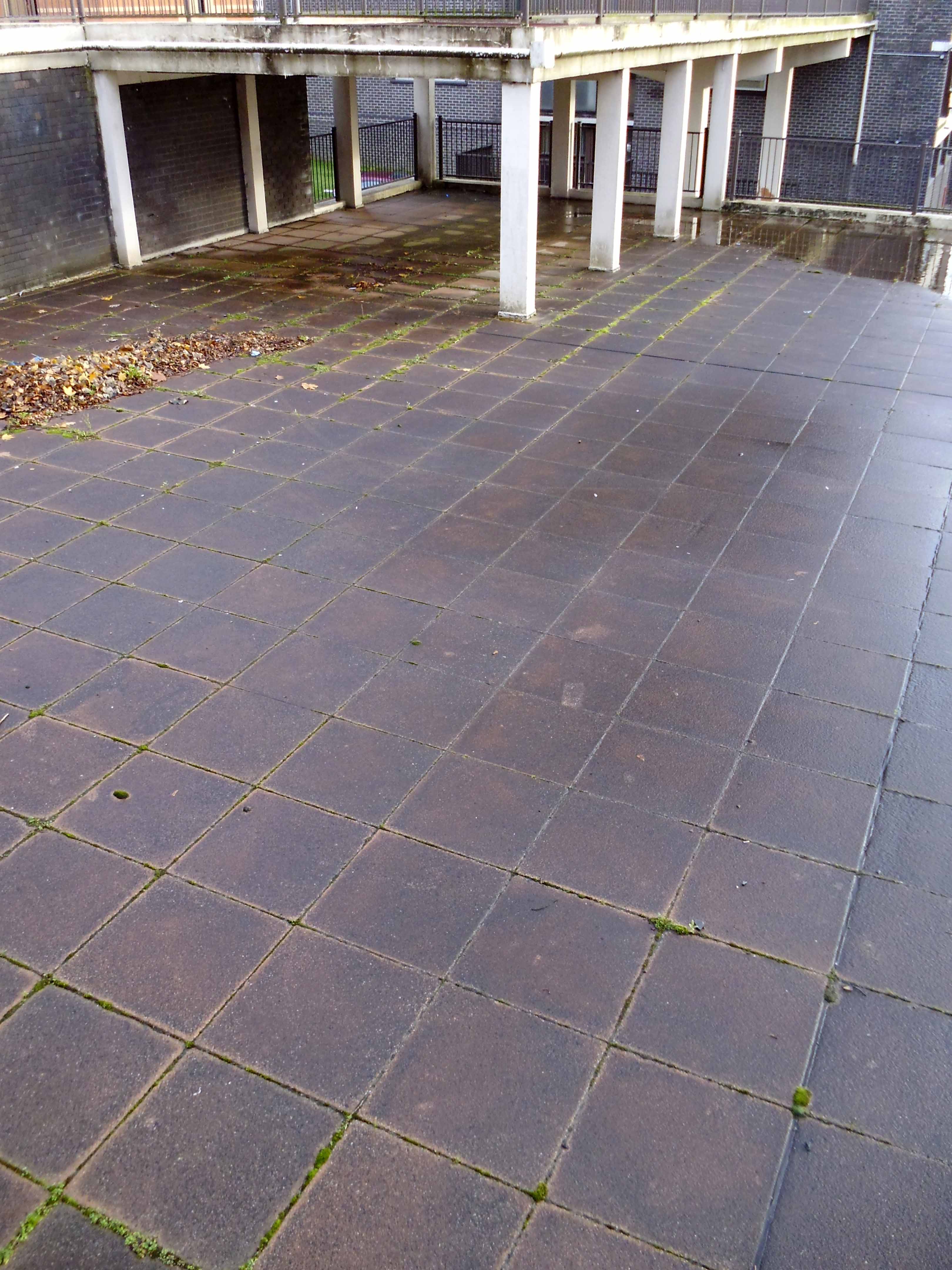
Initially the approach was lined with railway warehousing, subsequently demolished to make way for the redevelopments of the 1960s.
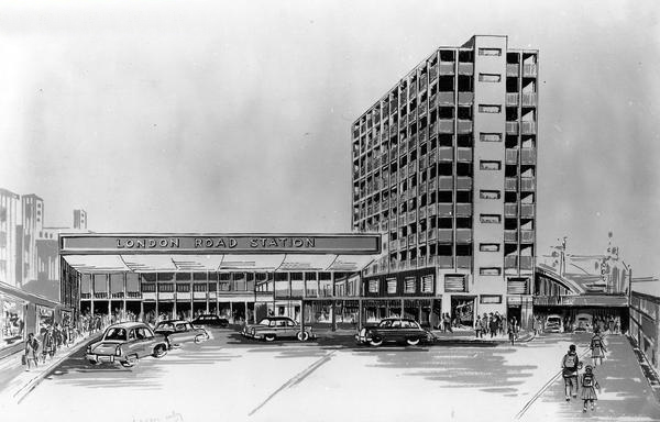
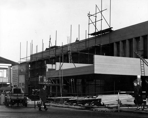
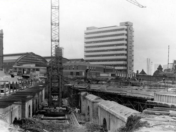
Detailed plans are made to reshape the station concourse and entrance.
Dreams are turned into reality, as near as makes no difference.
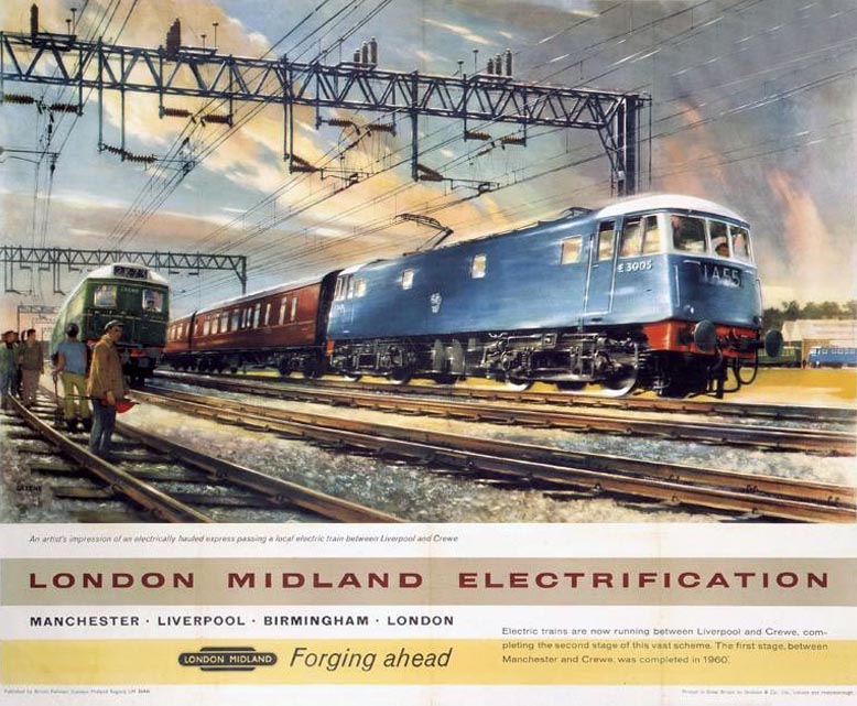
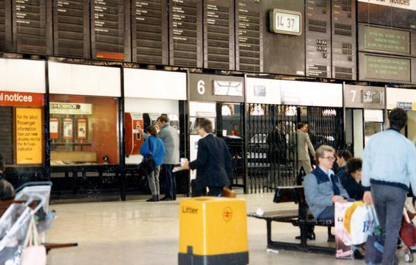
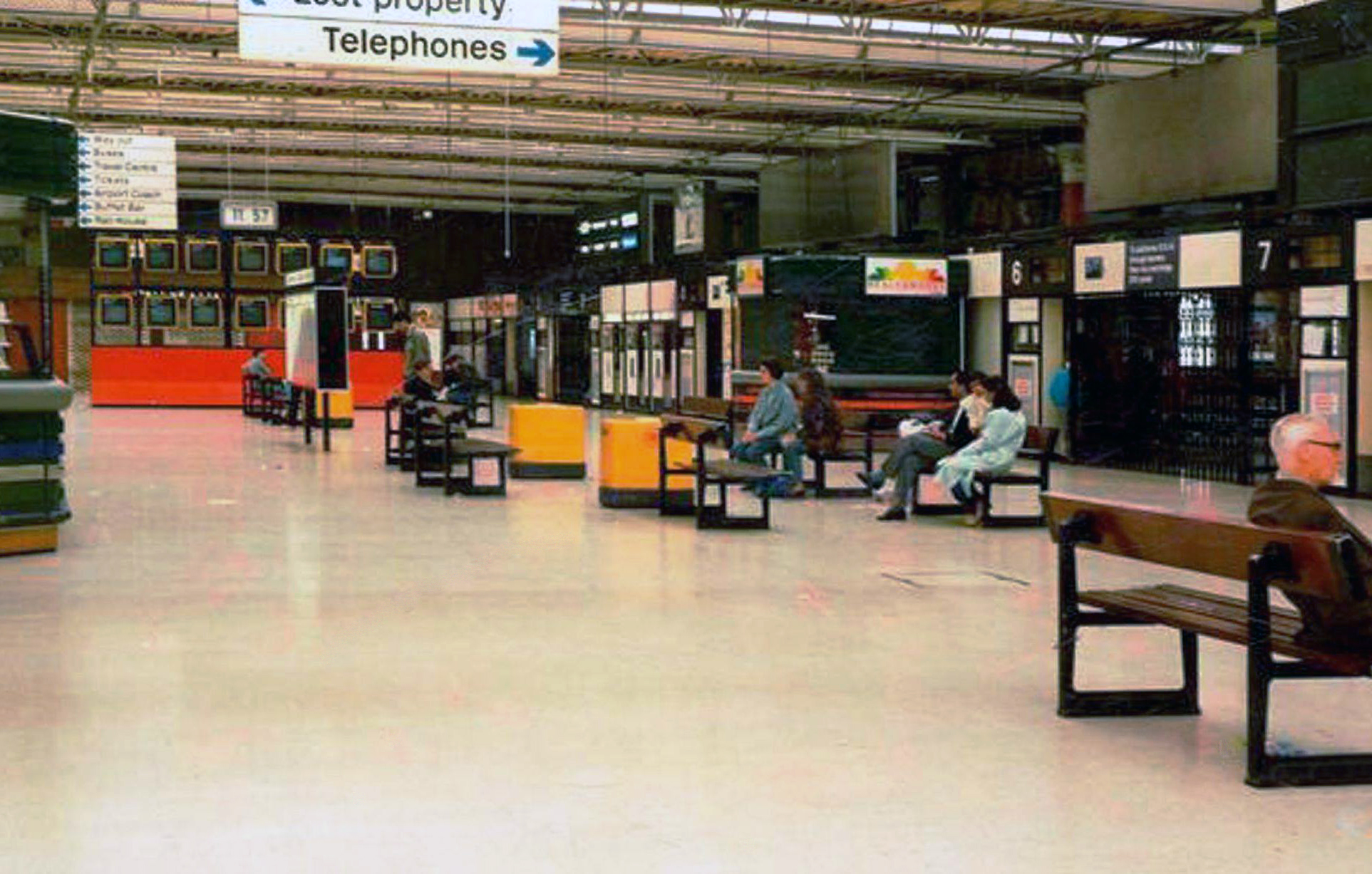
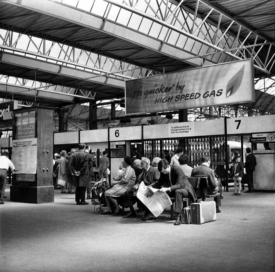
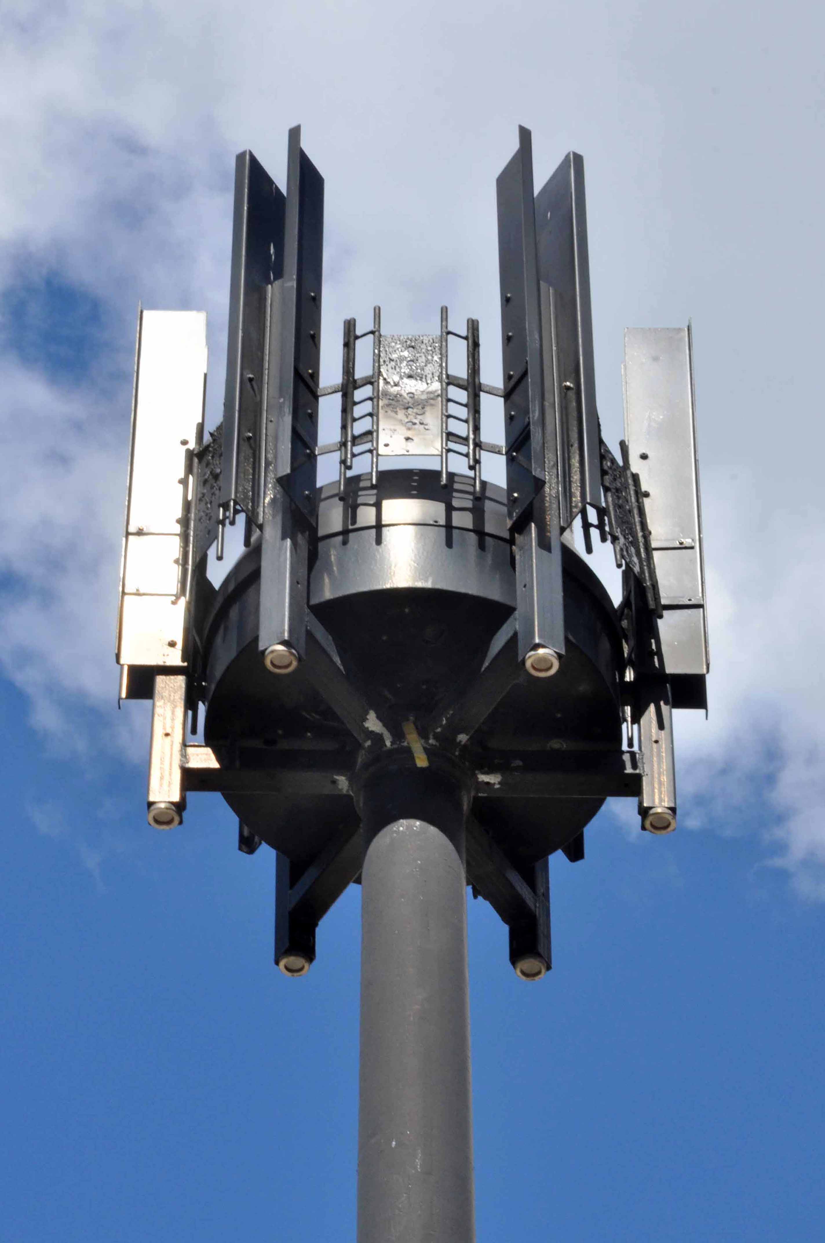
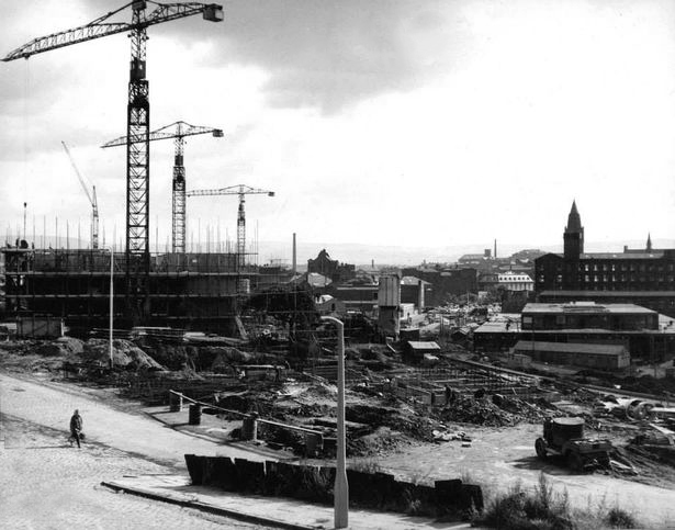
The newly electrified lines opening up the city to a world of high speed intercity travel.
The Krays it seems were deemed to be unwelcome visitors, everyone else came and went, met with equanimity and a bright new modernist vista.
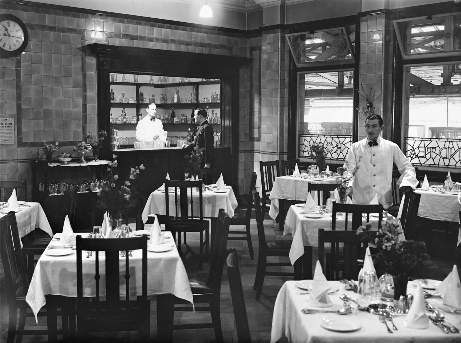
The brand new shiny buffet replaces the archaic dining rooms, as Brylcreemed, bow tied and moustachioed waiters are consigned to the scrapheap of history.
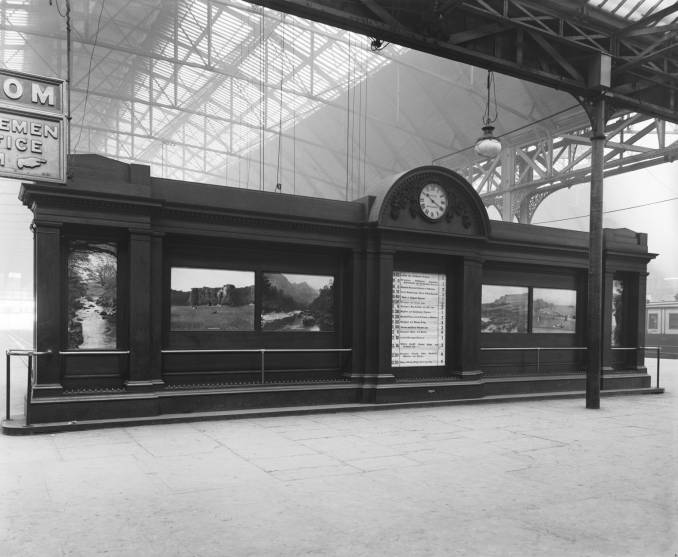
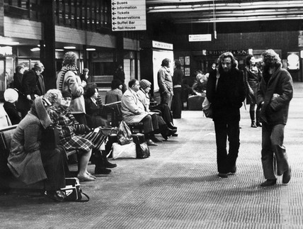
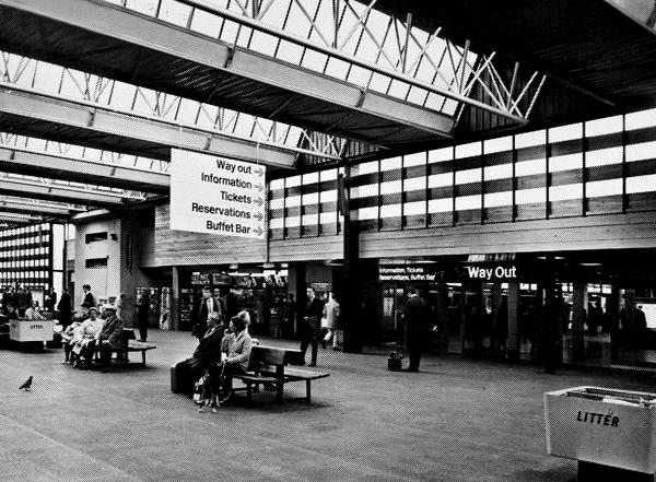
Likewise the gloomy destination boards – out with the old!
And in with the new.
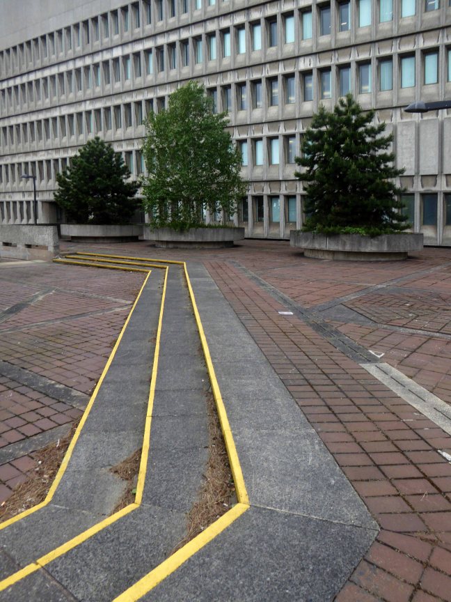
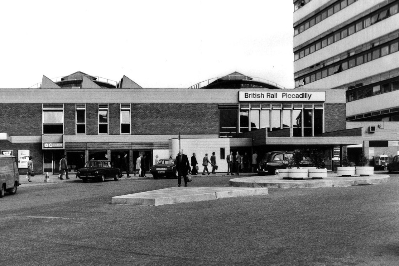
We have a fully integrated modern interior to deal with the modern passengers’ every need – including crystal clear signage, seating and bins.
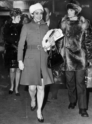
Stars of screen and stage are guided through with consummate ease, Margot Fonteyn and Rudolf Nureyev in his brand new baby seal skin coat arrive in 1968 to dance Swan Lake at the Palace.
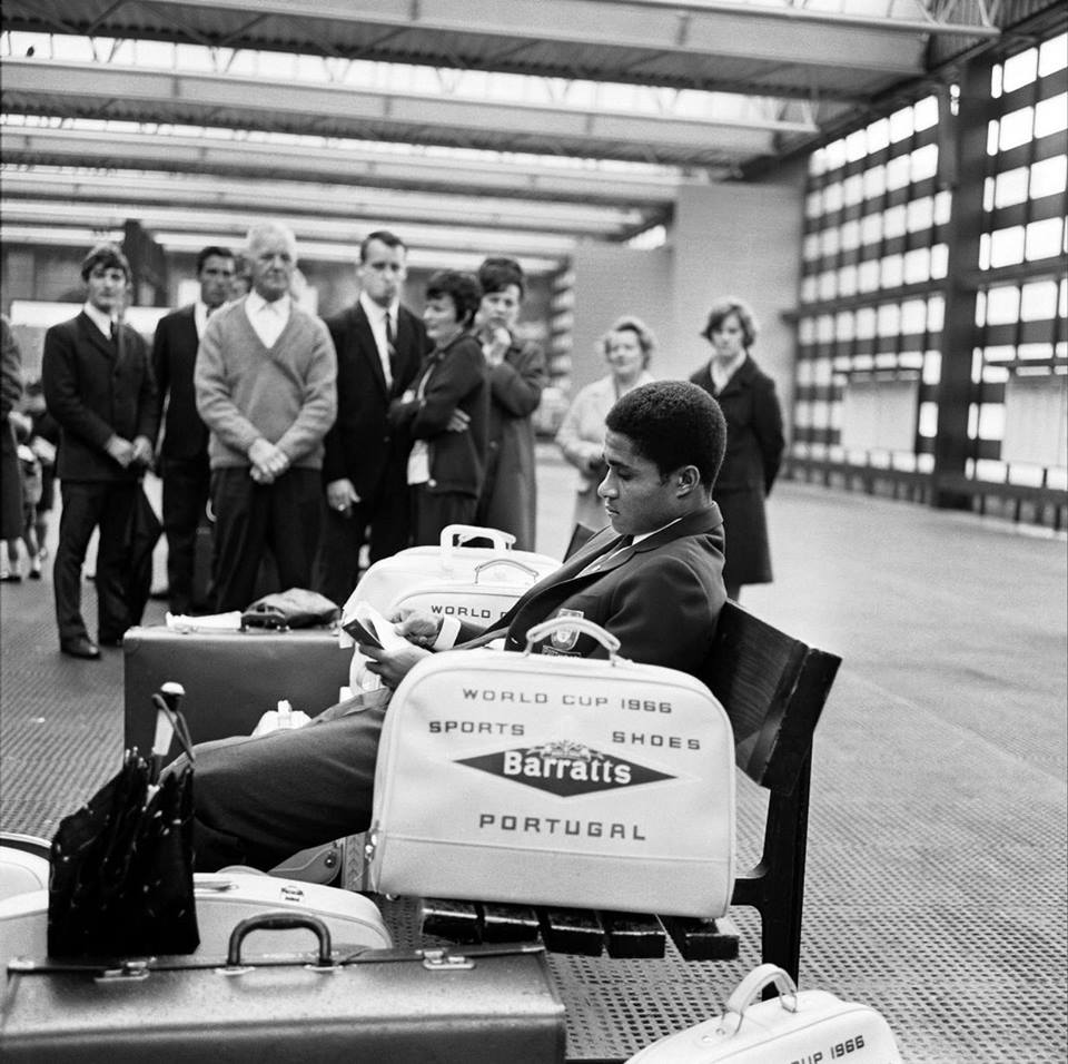
Esteemed footballer Eusebio on his travels during the 1966 World Cup.
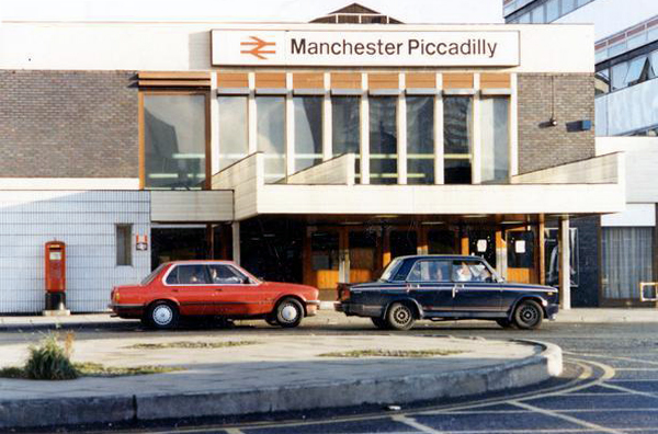
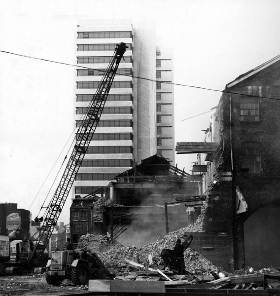
In 1969 Gateway House arrives, Richard Sieffert & Partners wavy hello and goodbye to Manchester’s premier railway station.
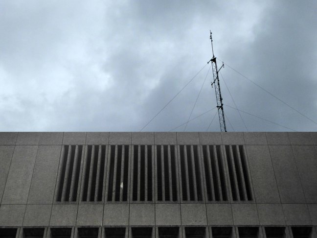
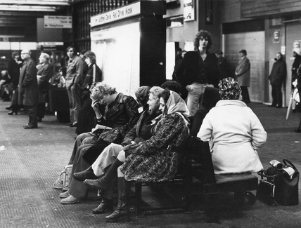
Piccadilly has now seen several revamps, the concourse an exercise in contemporary cluttered retail/airport chic, a 125mph Pendolino journey away from the carefully considered internal order of yesteryear.
Who knows what the future holds?
HS2 to name but one – sit back let the train take the strain.
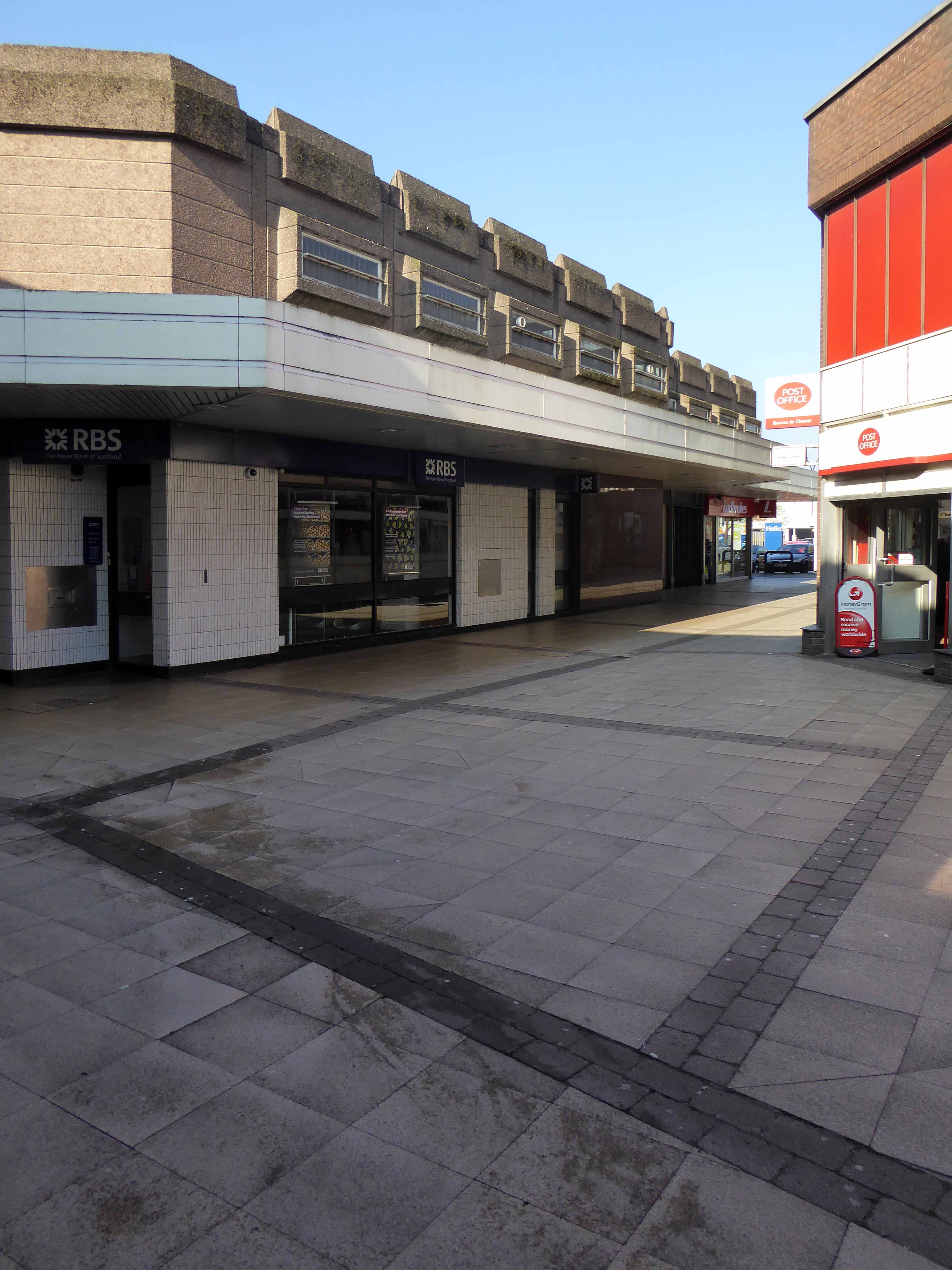
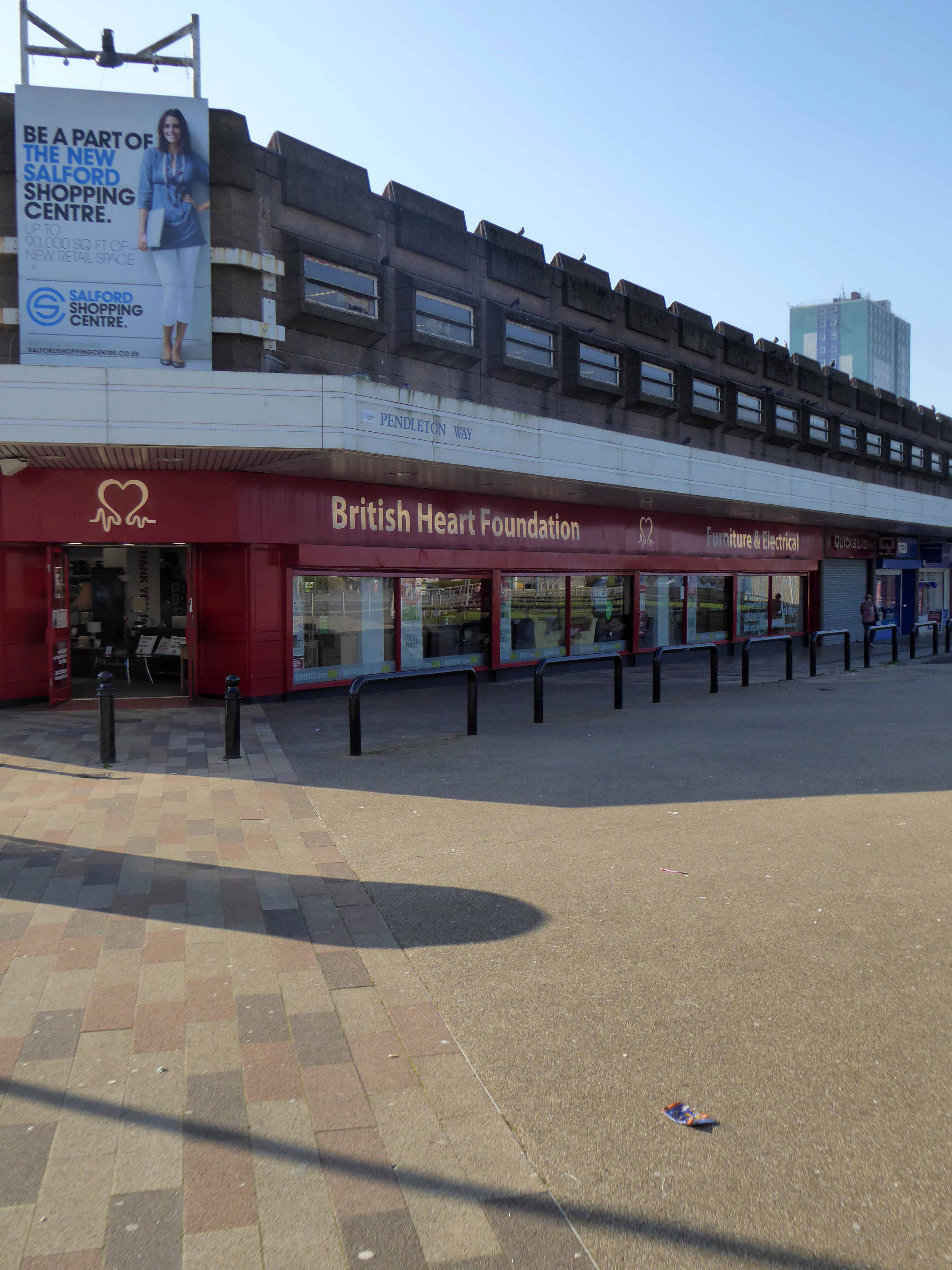
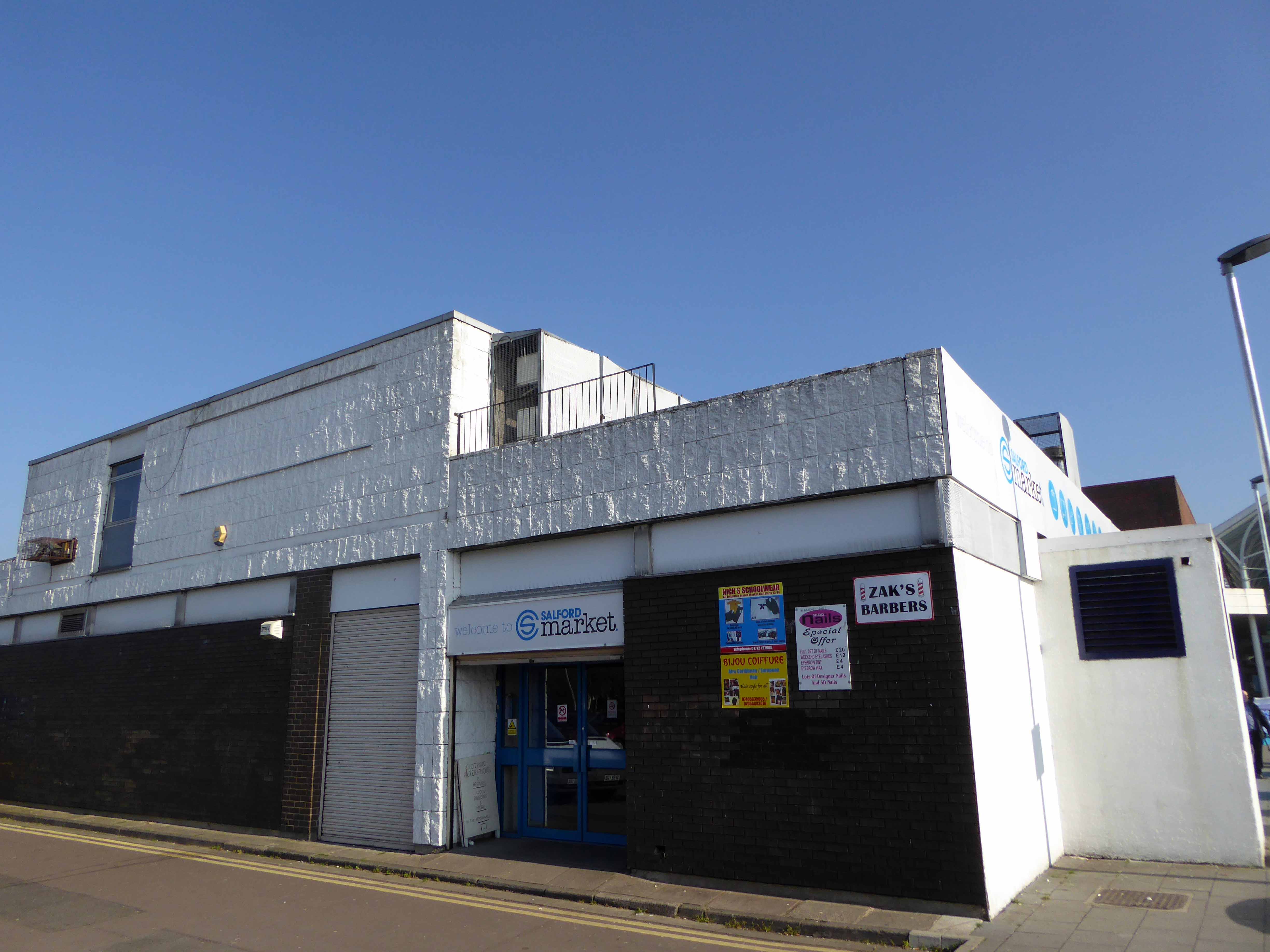
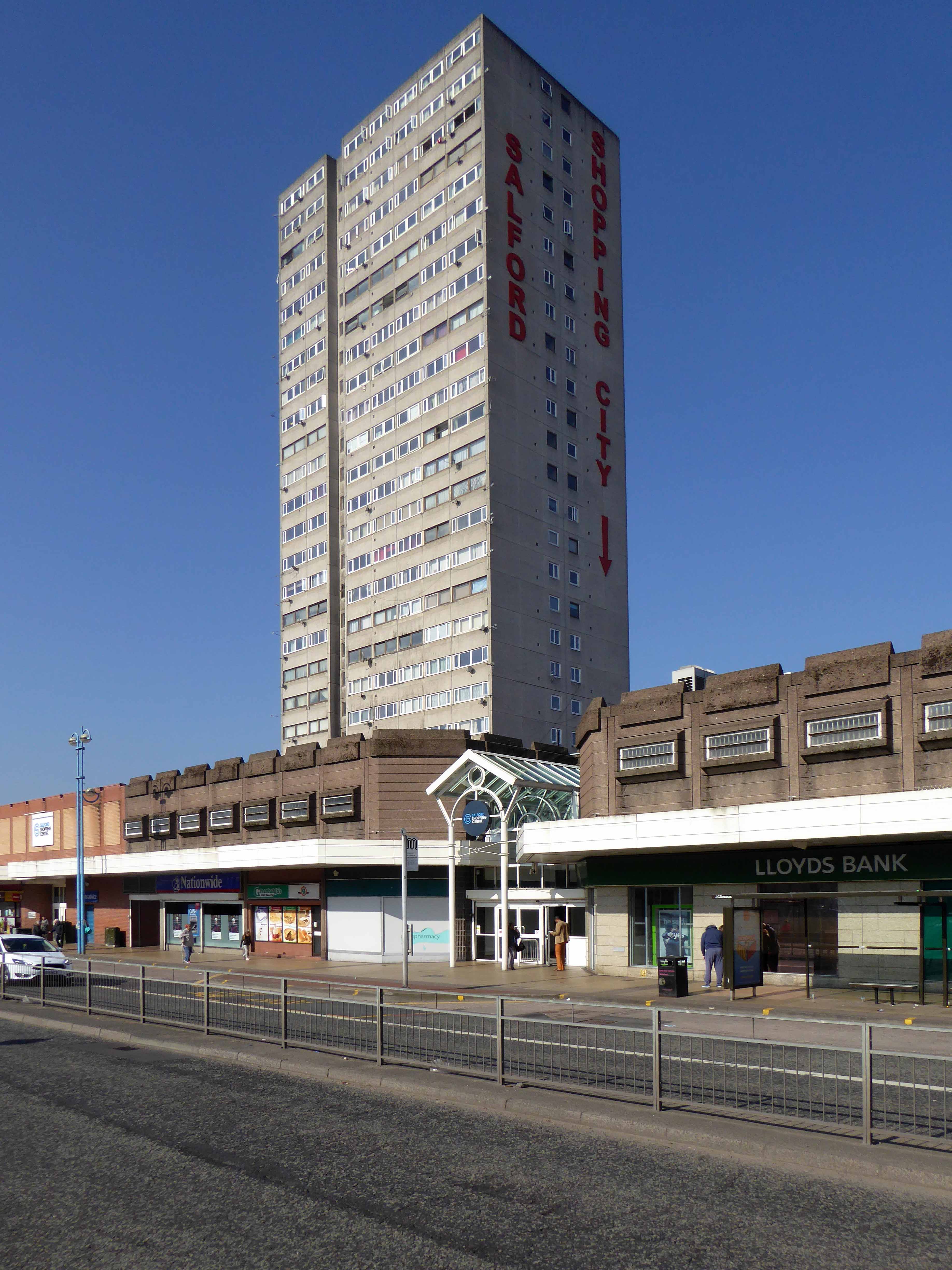
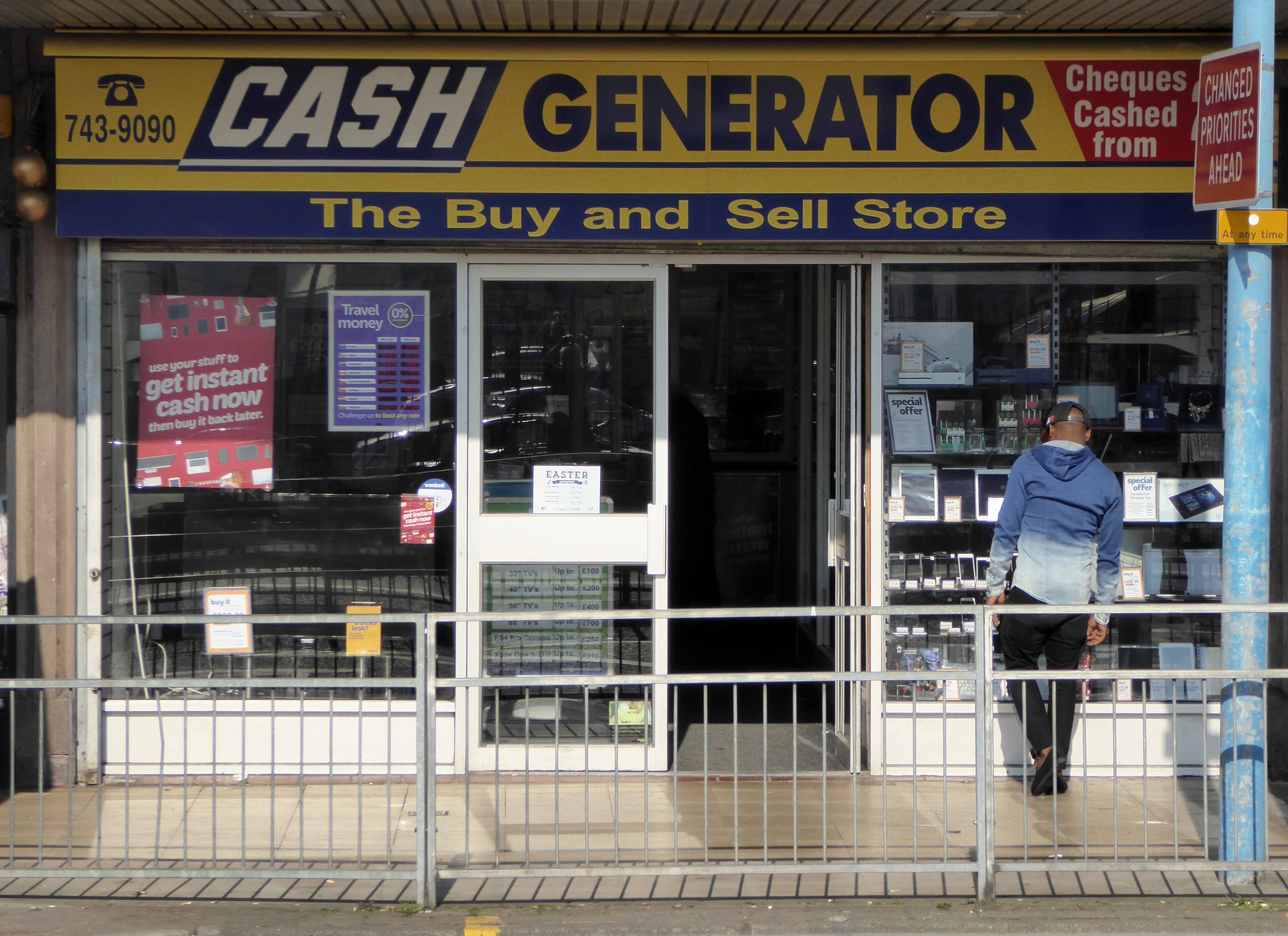
The construction of the shopping centre and surrounding areas continued and on 21 May 1970 the new Salford Market officially opened. From 1971 onwards new shops inside the precinct itself began to open.
However, due to a lack of funds and a political scandal which saw chairman Albert Jones jailed for eight months construction of Salford Precinct was halted. The site had only 95 shop units compared to the proposed 260, the hotel and two storey car park were never built.
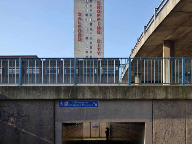
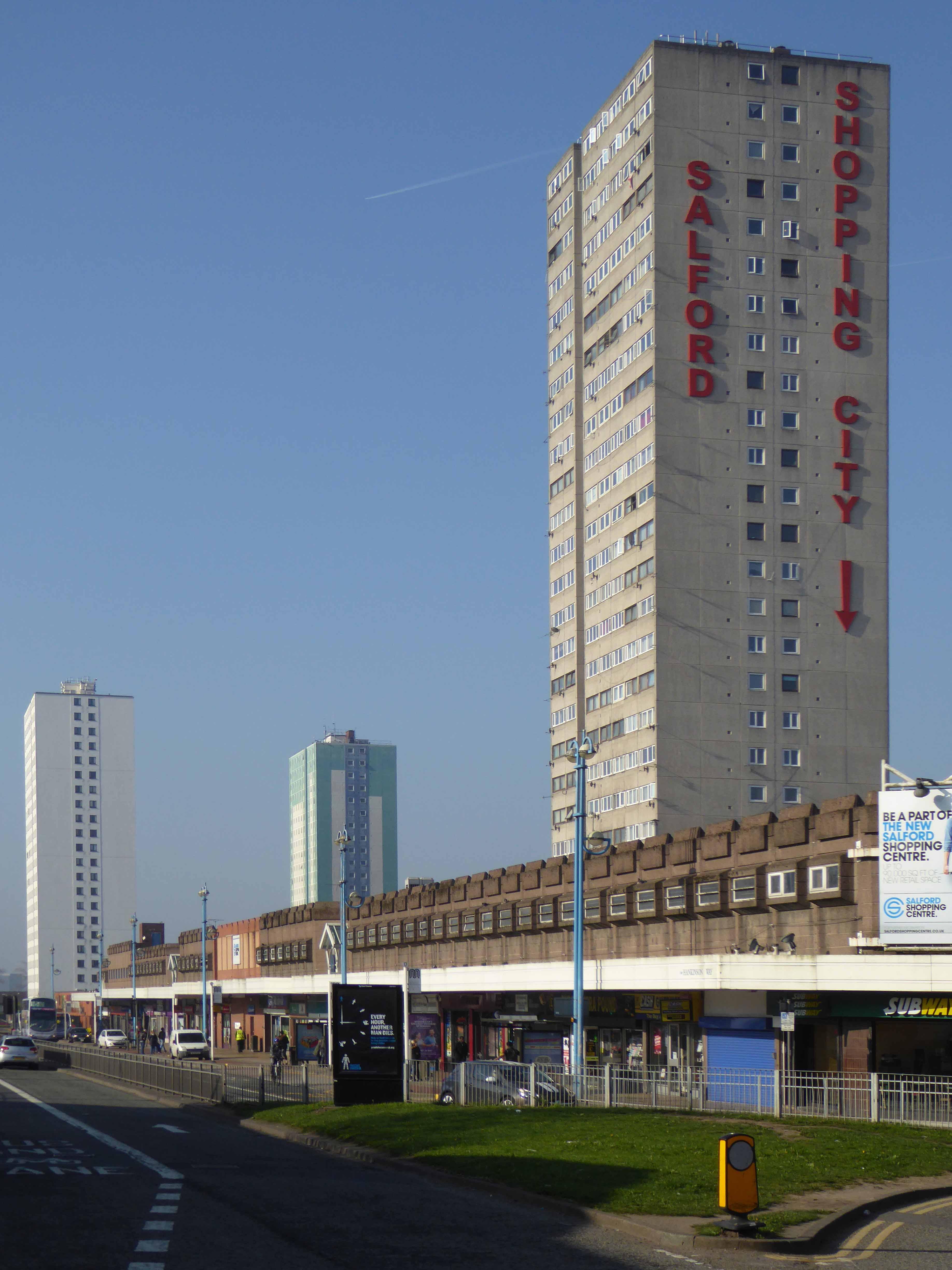
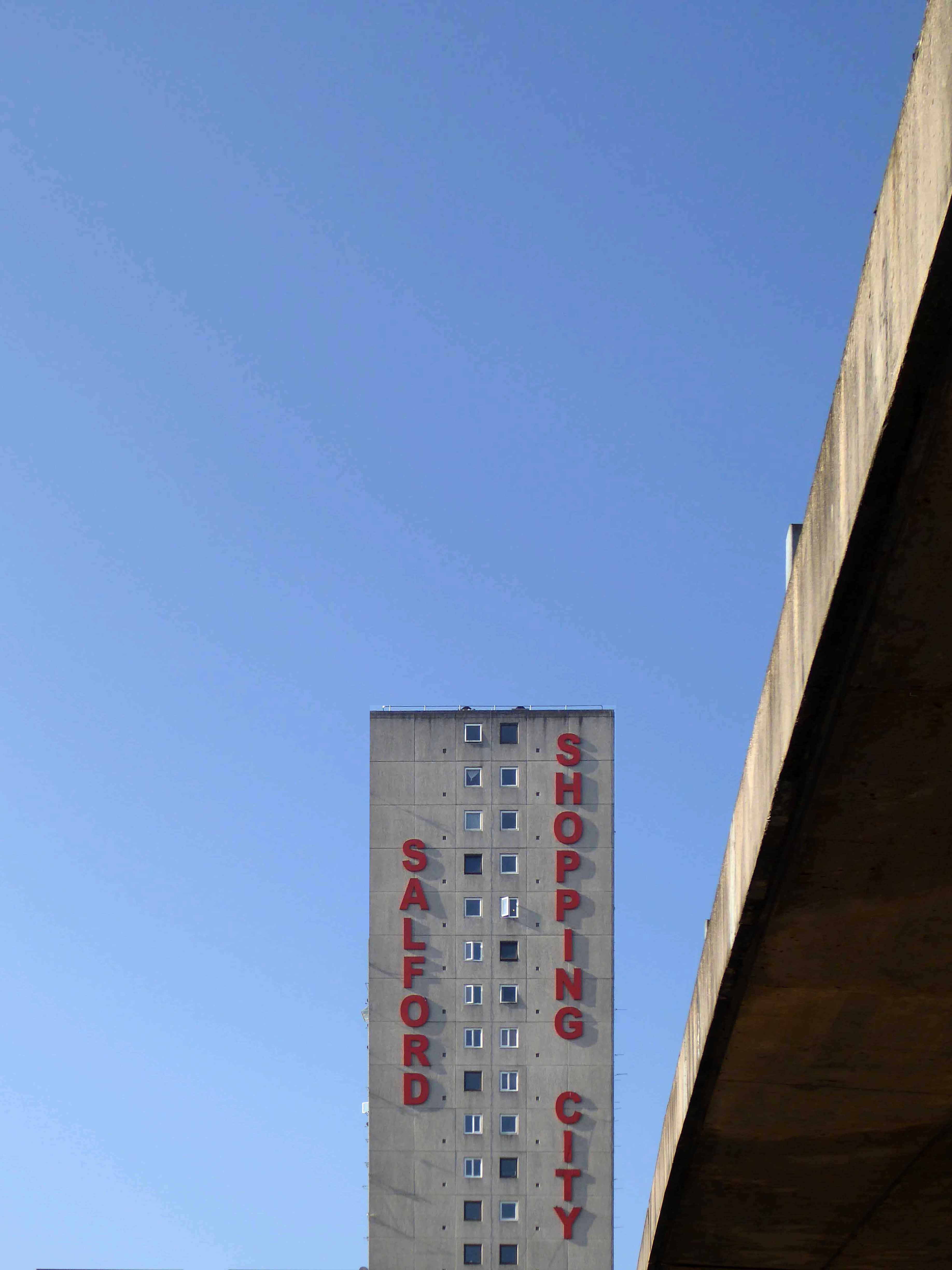
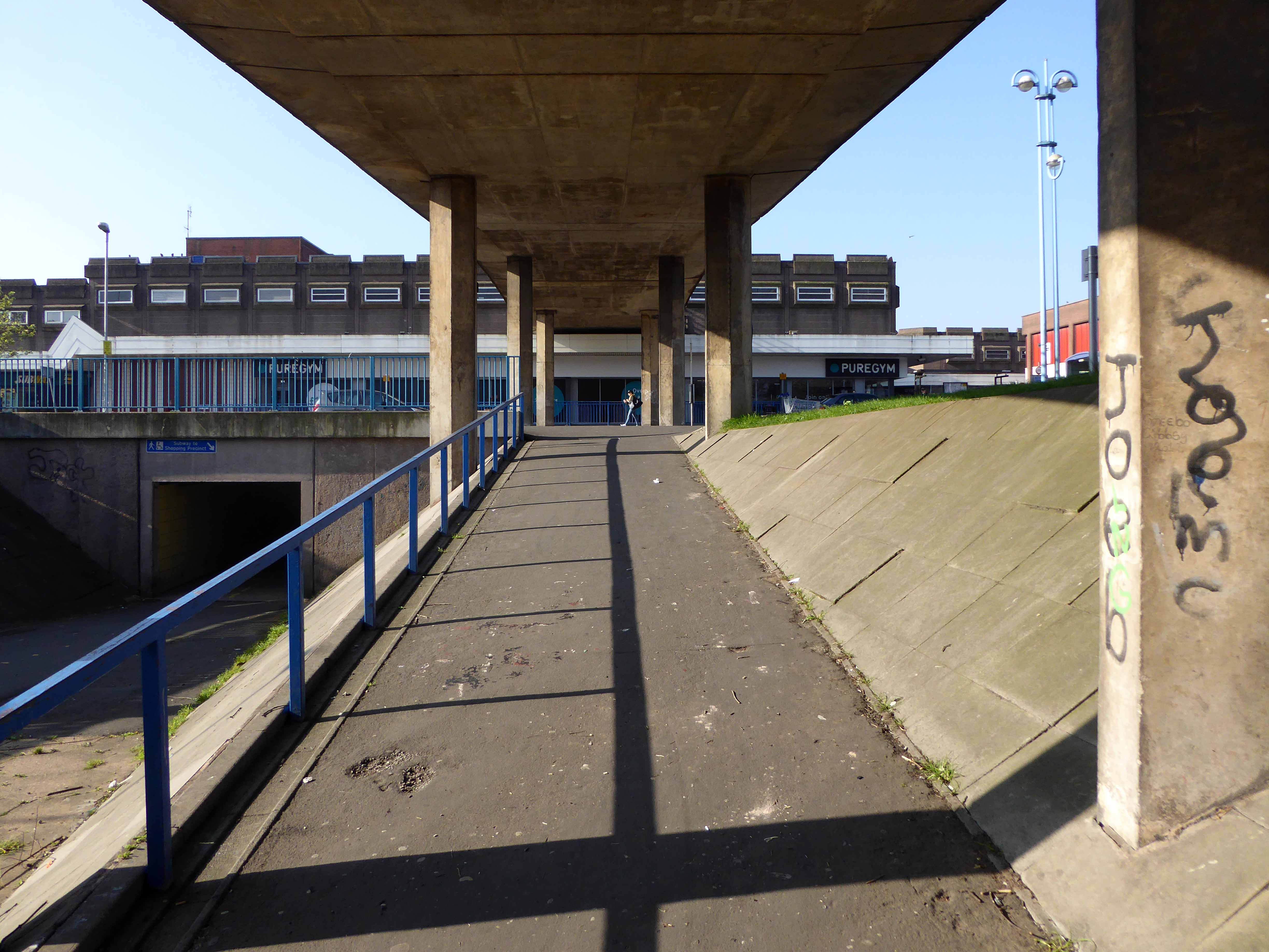
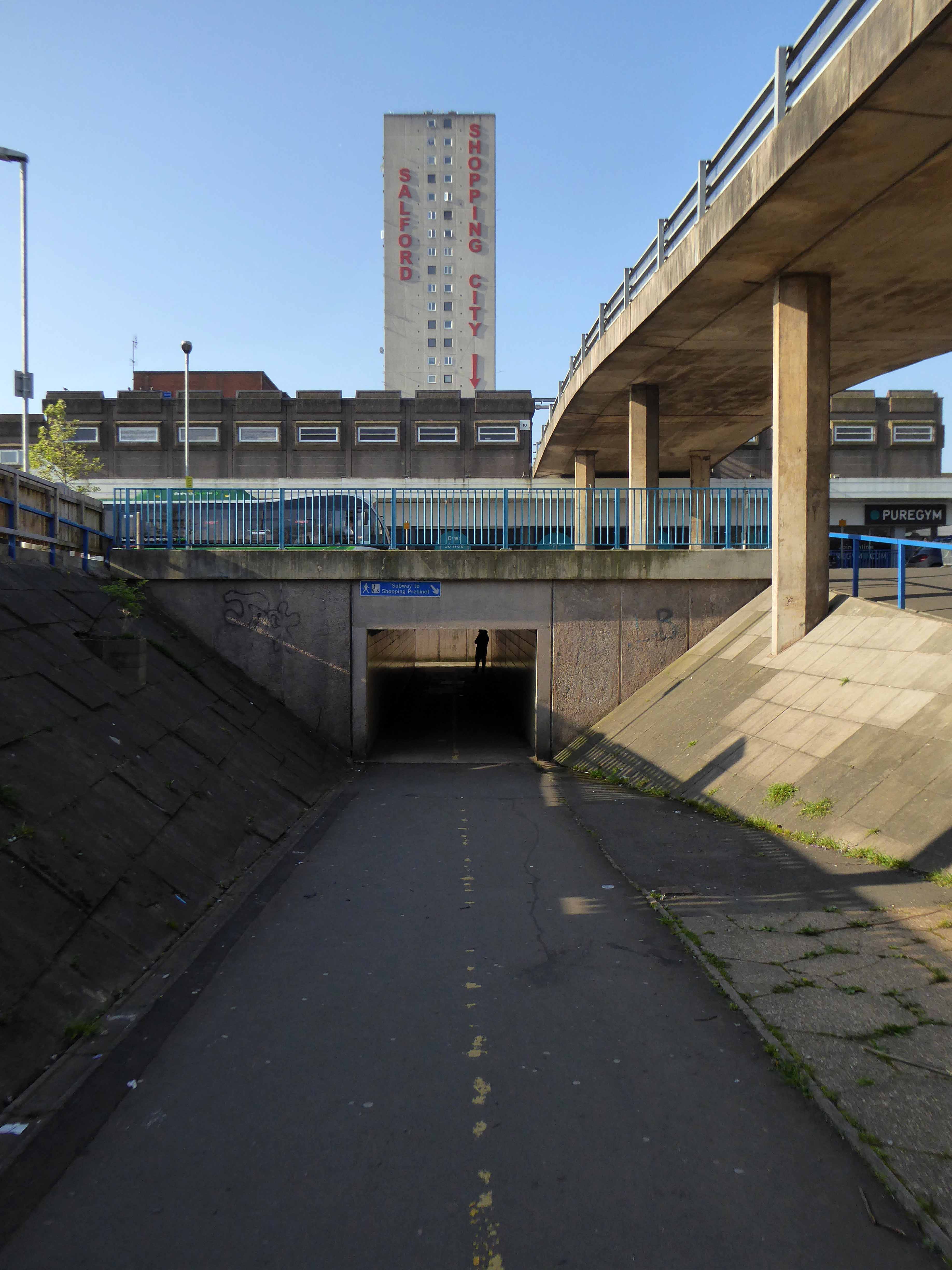
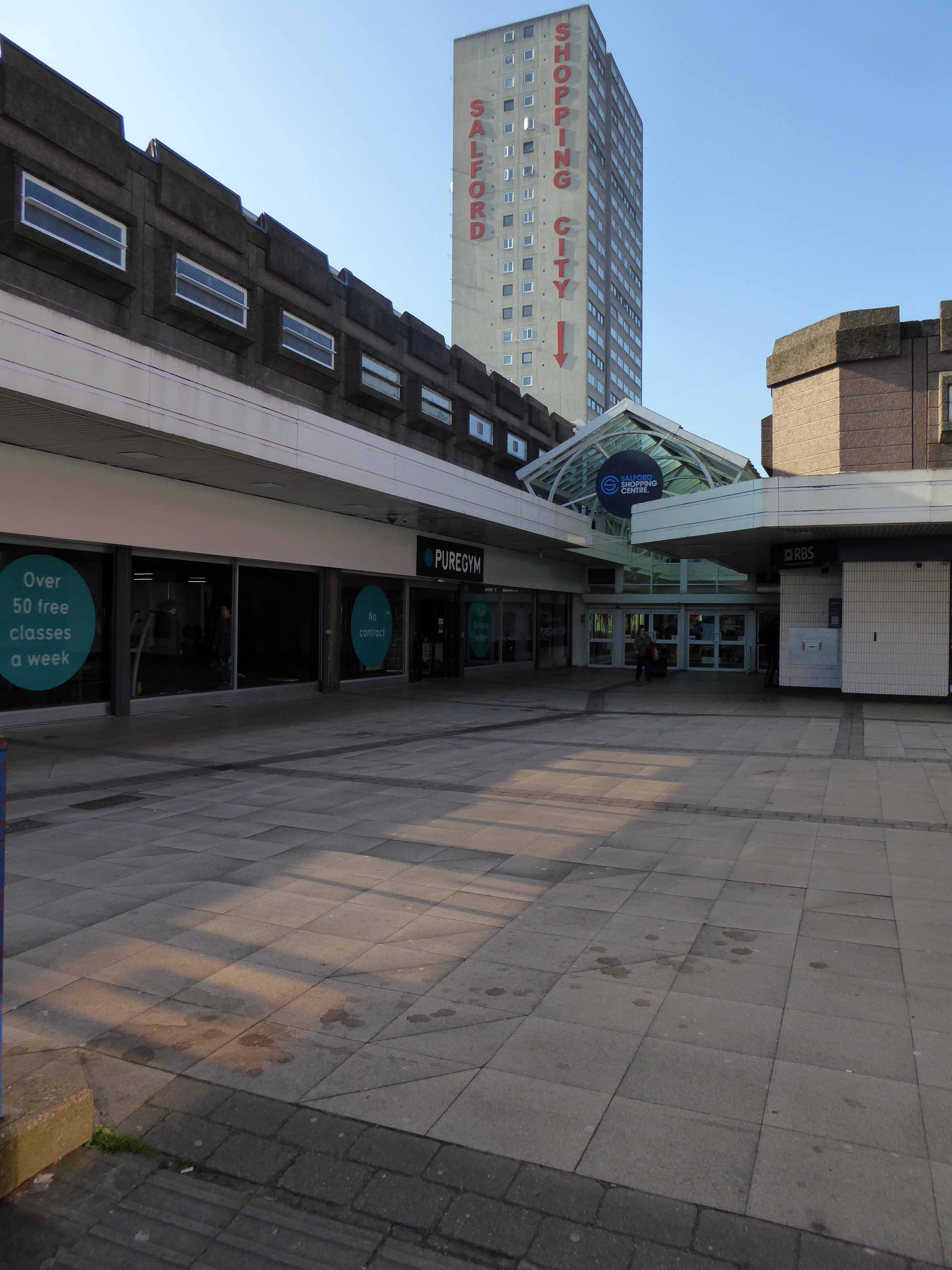
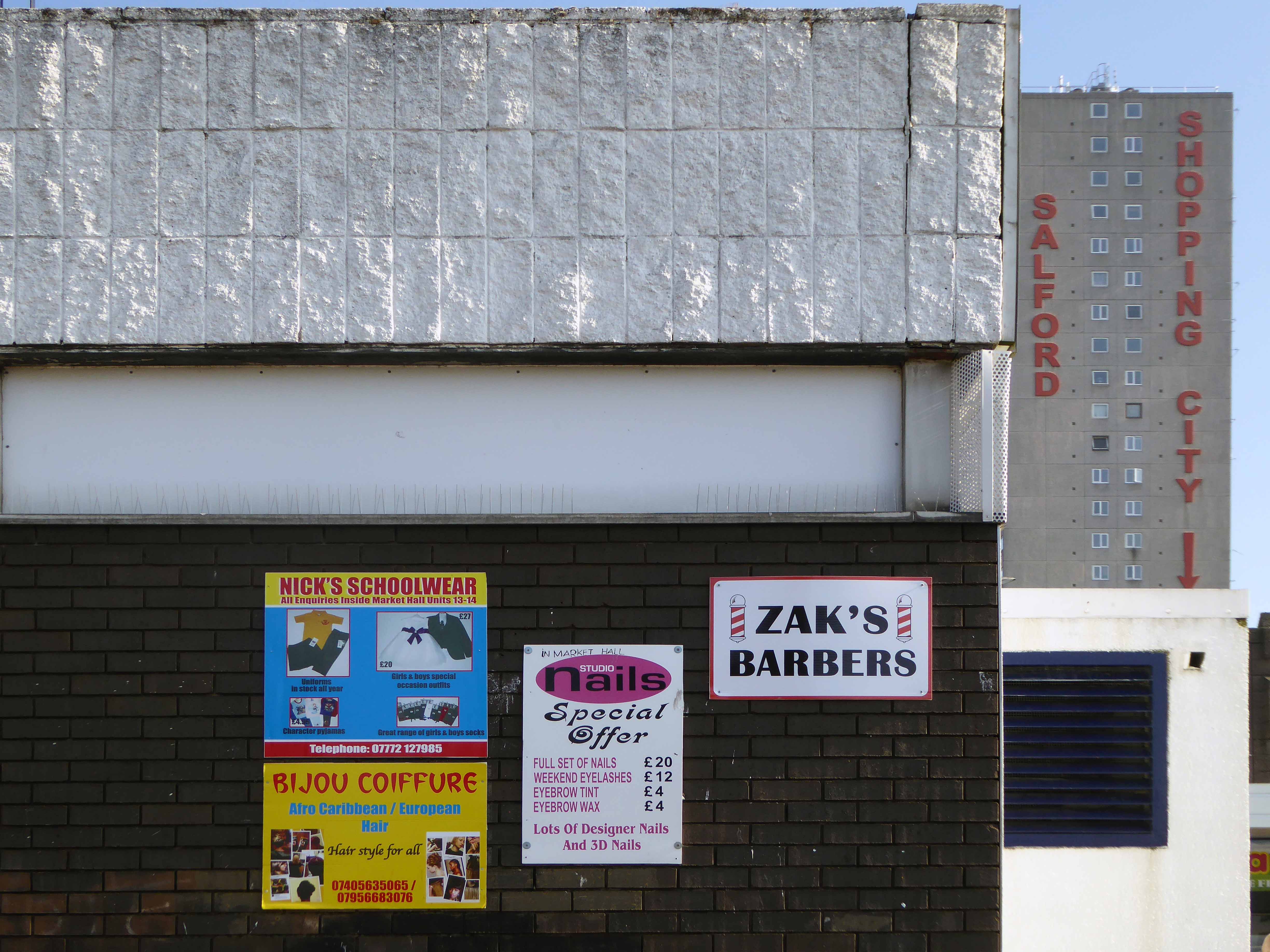
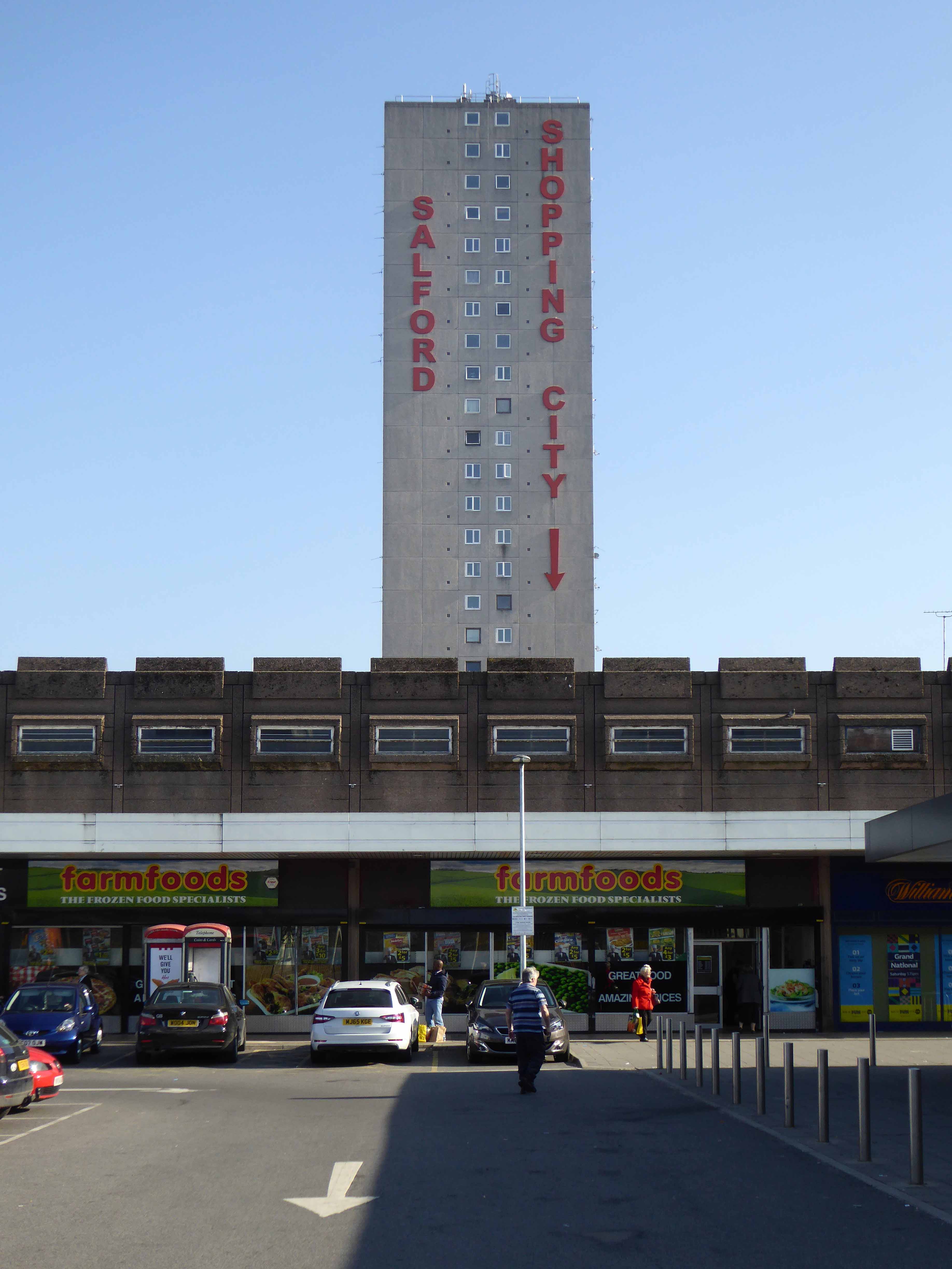
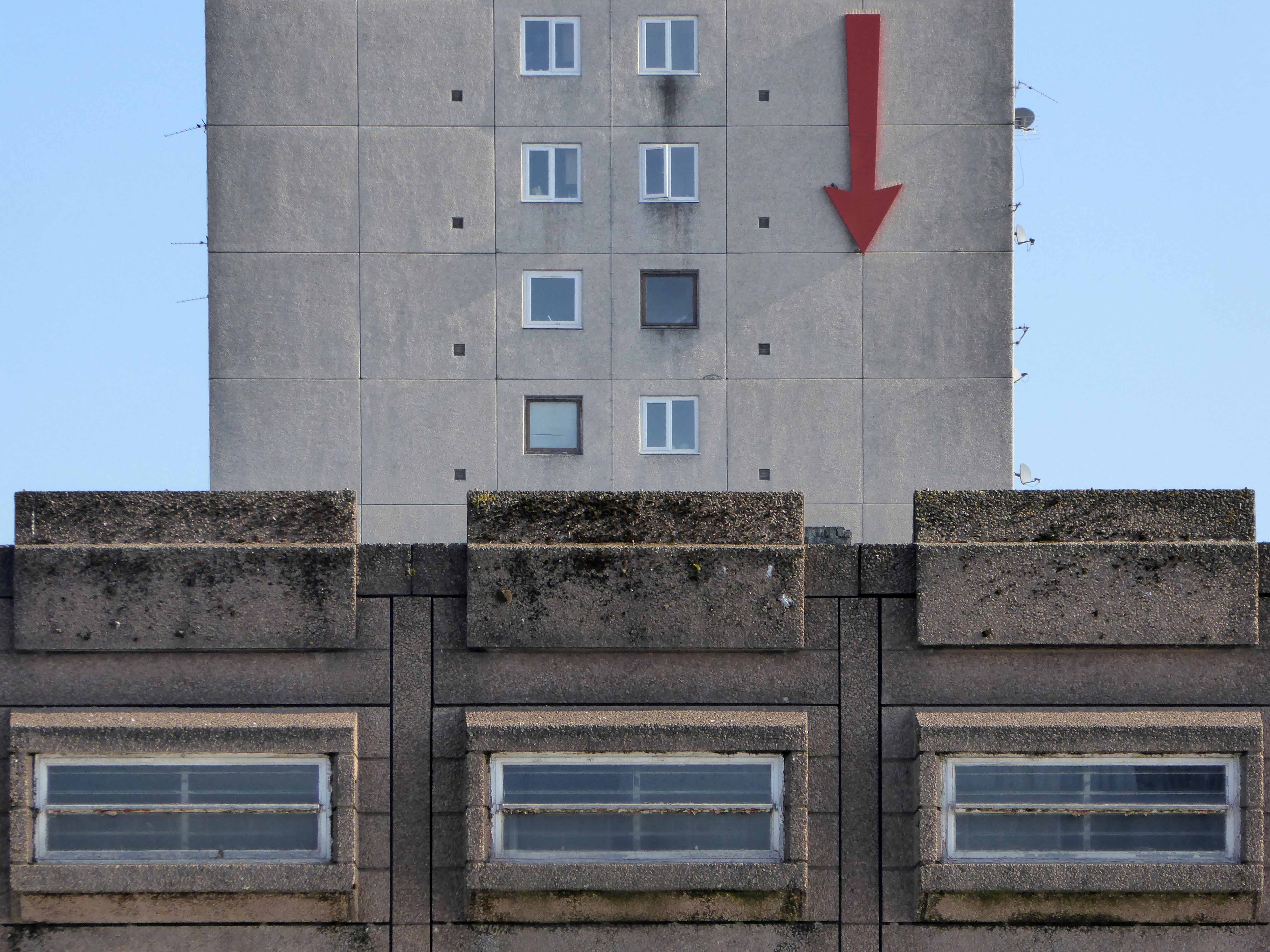
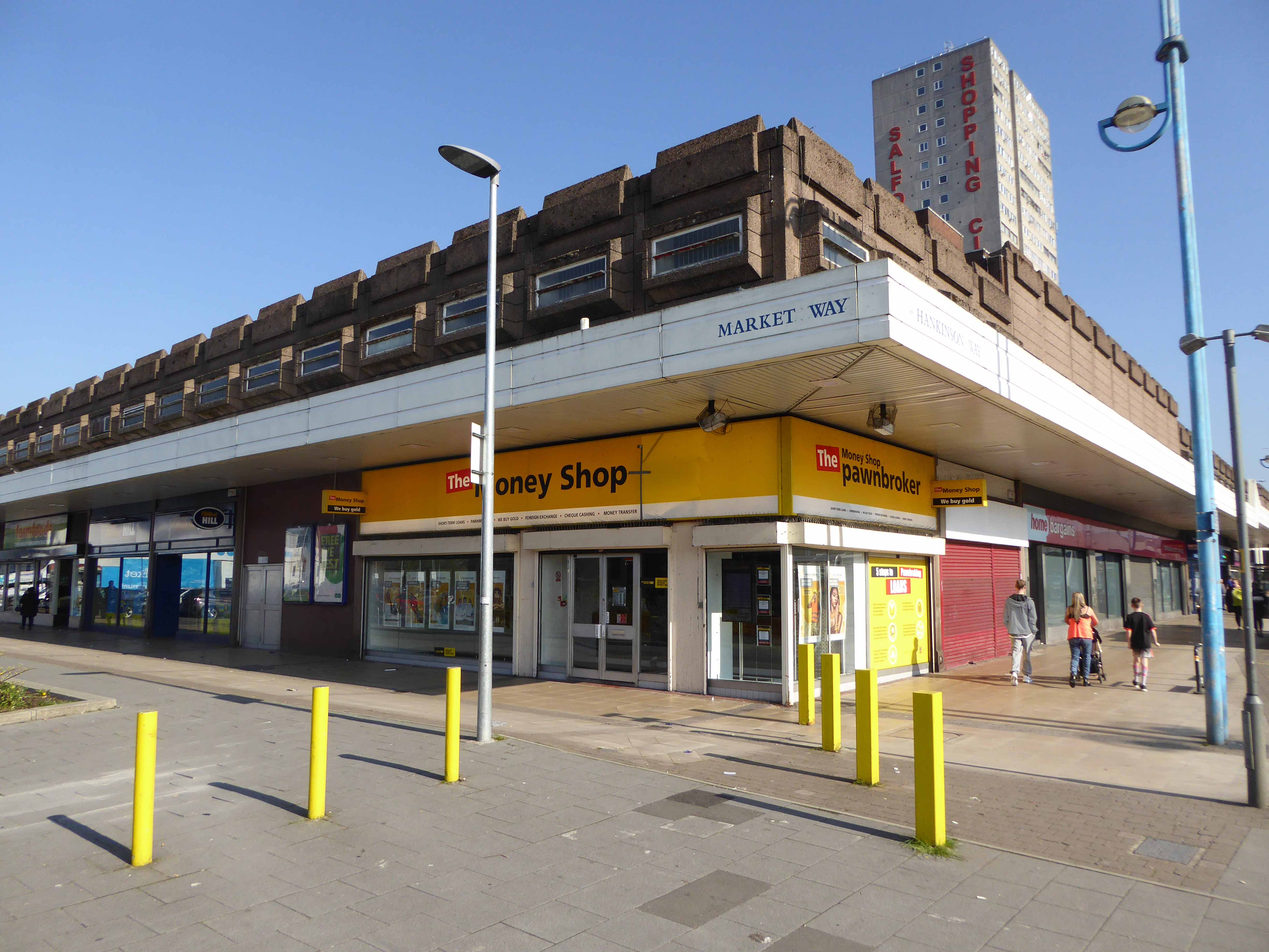
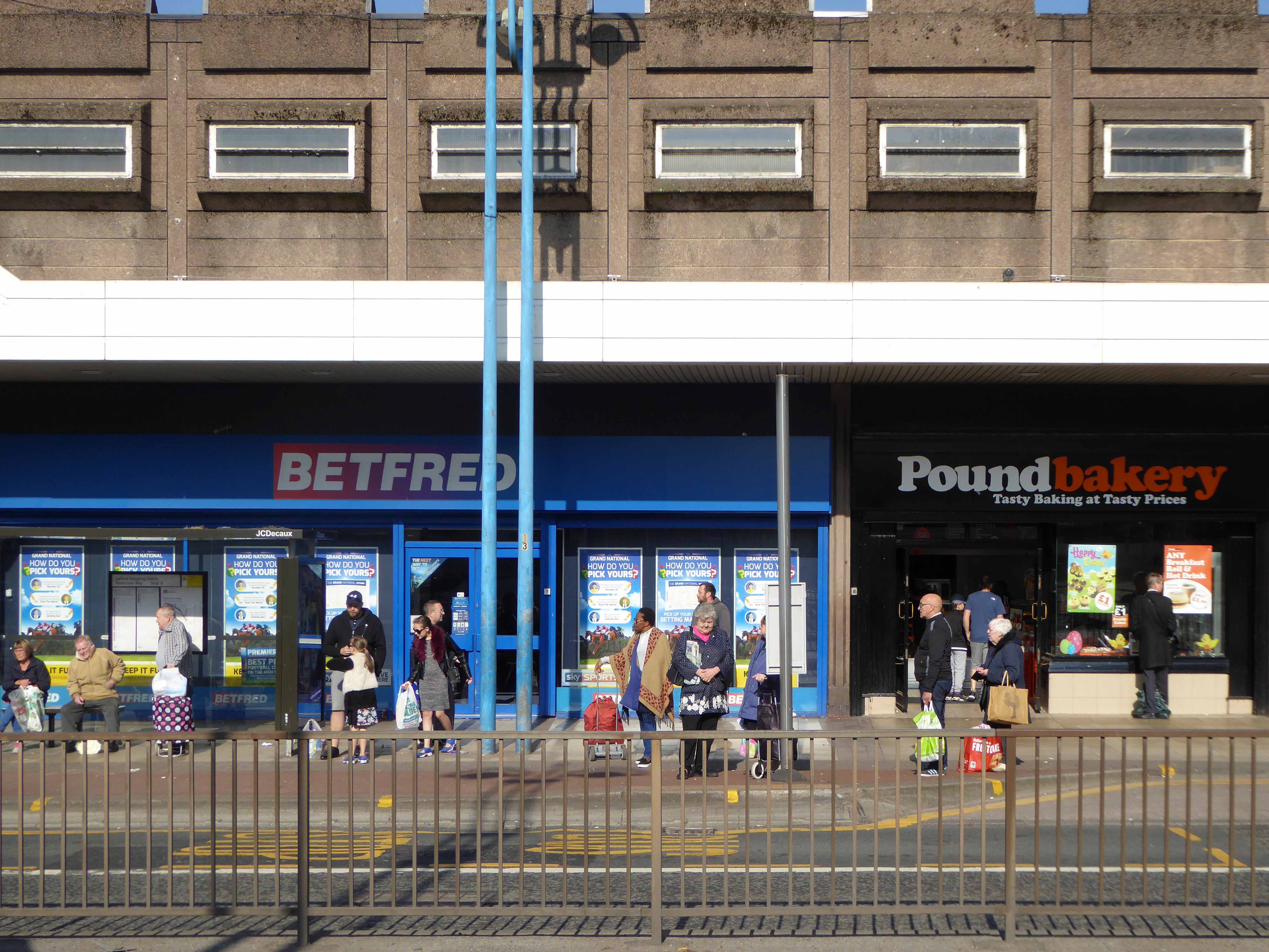
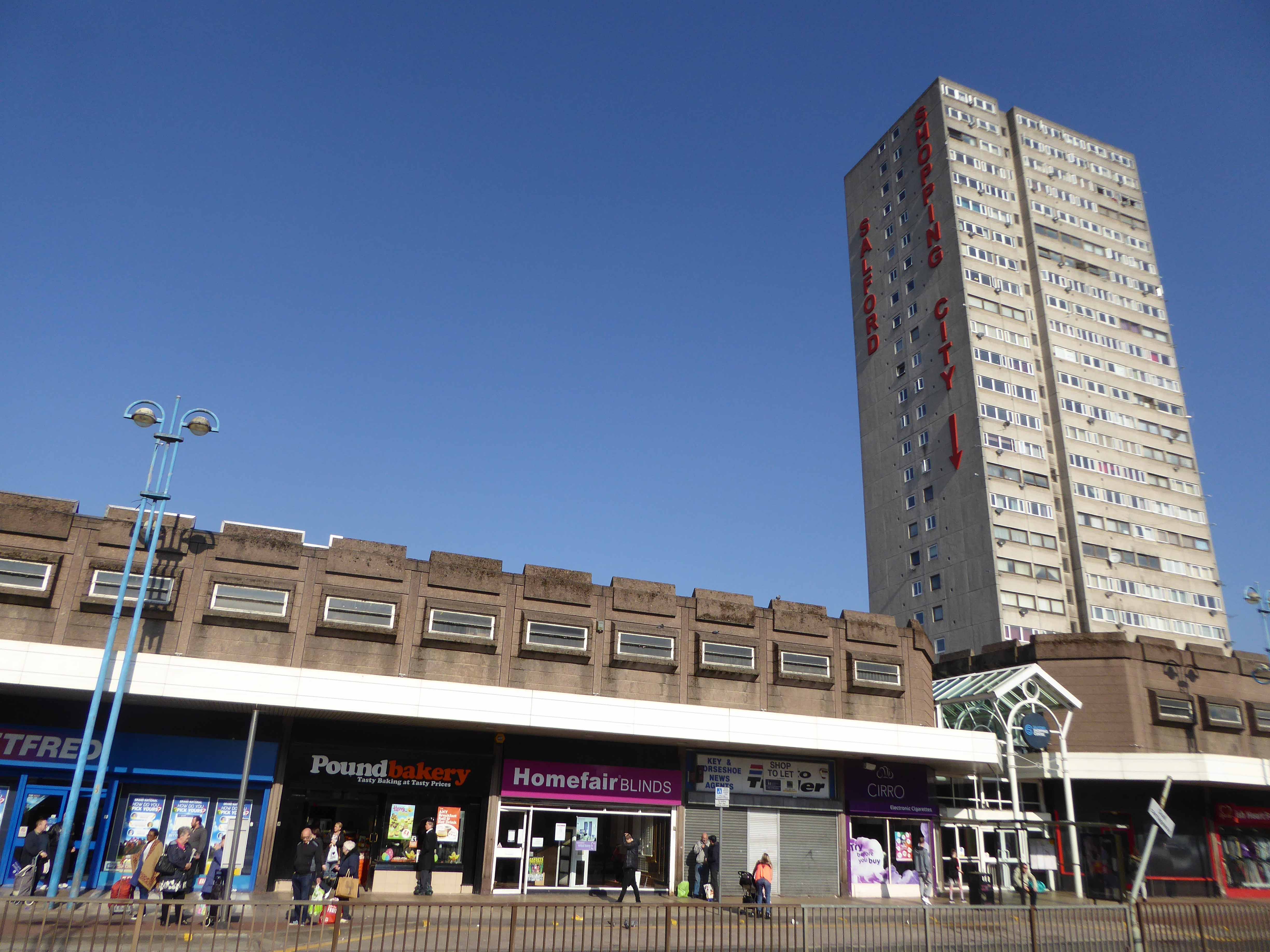
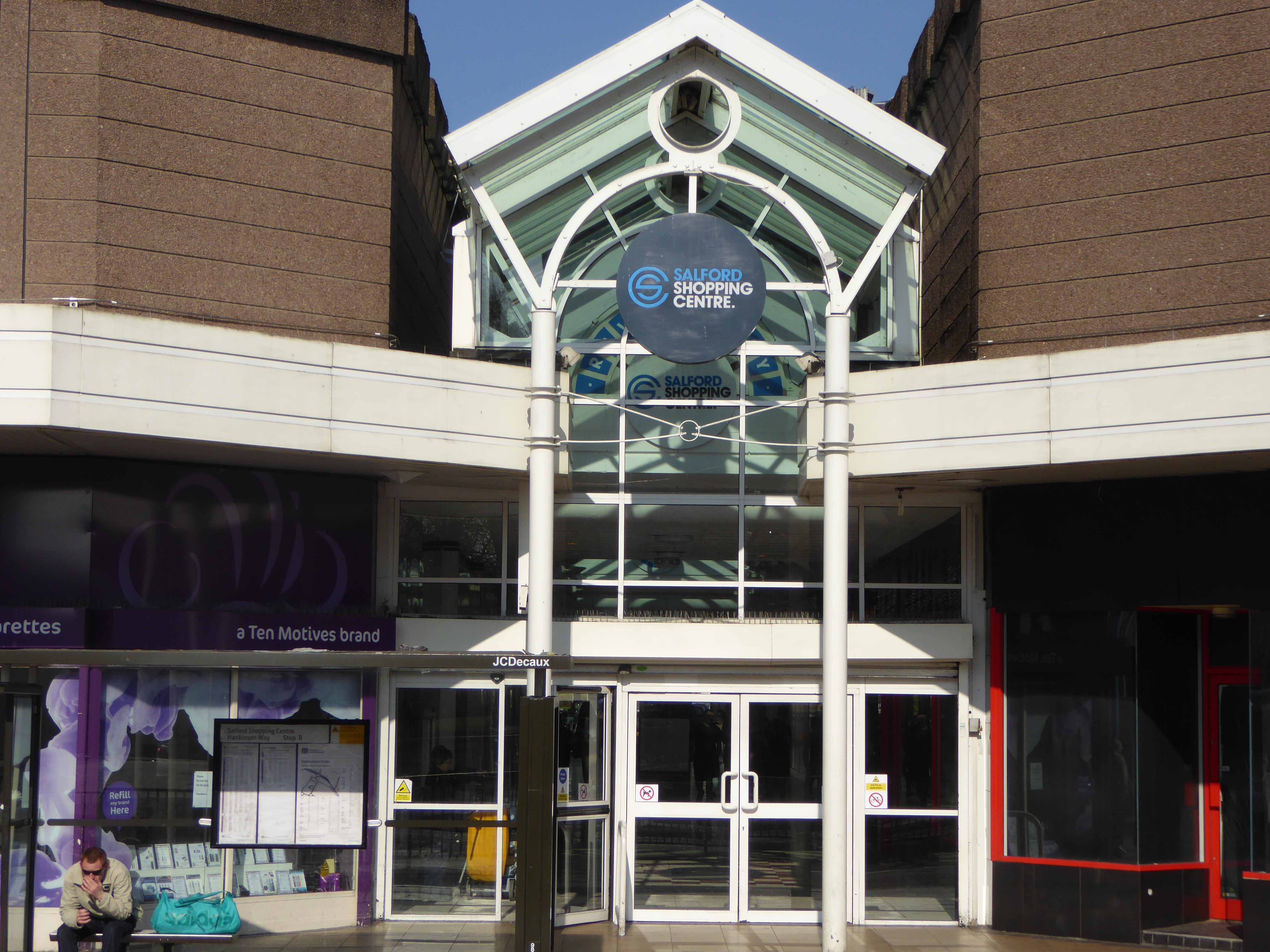
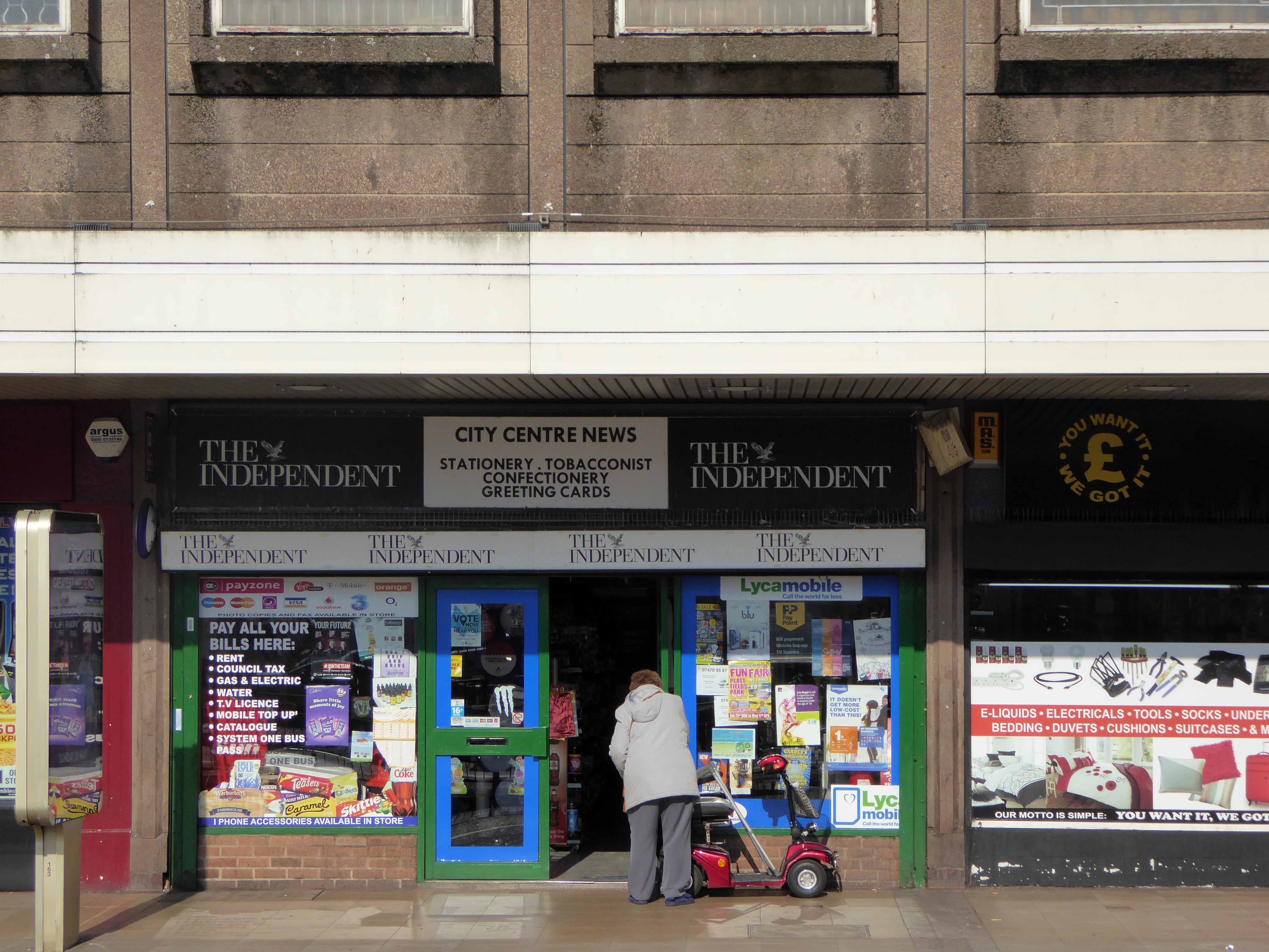
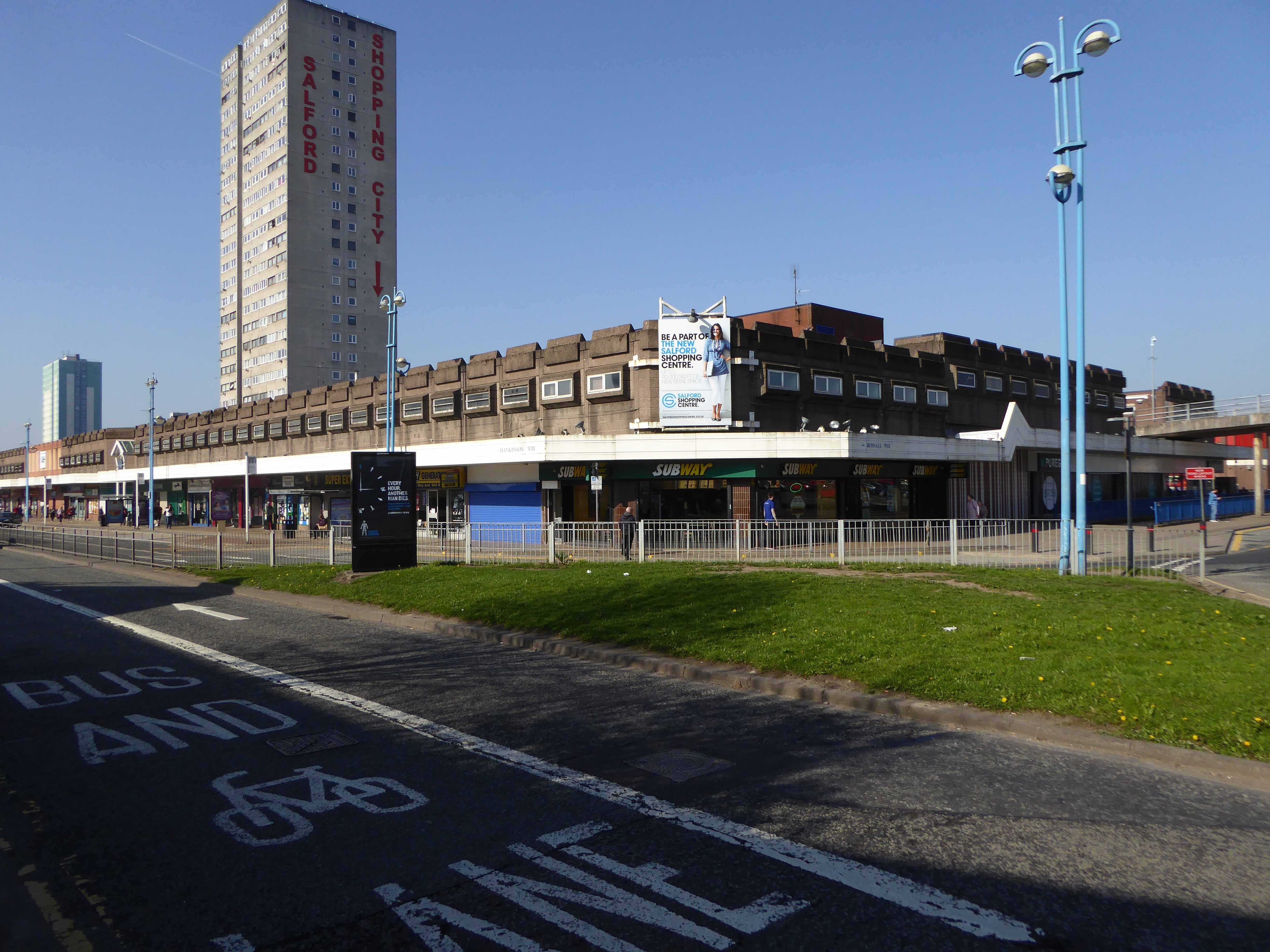
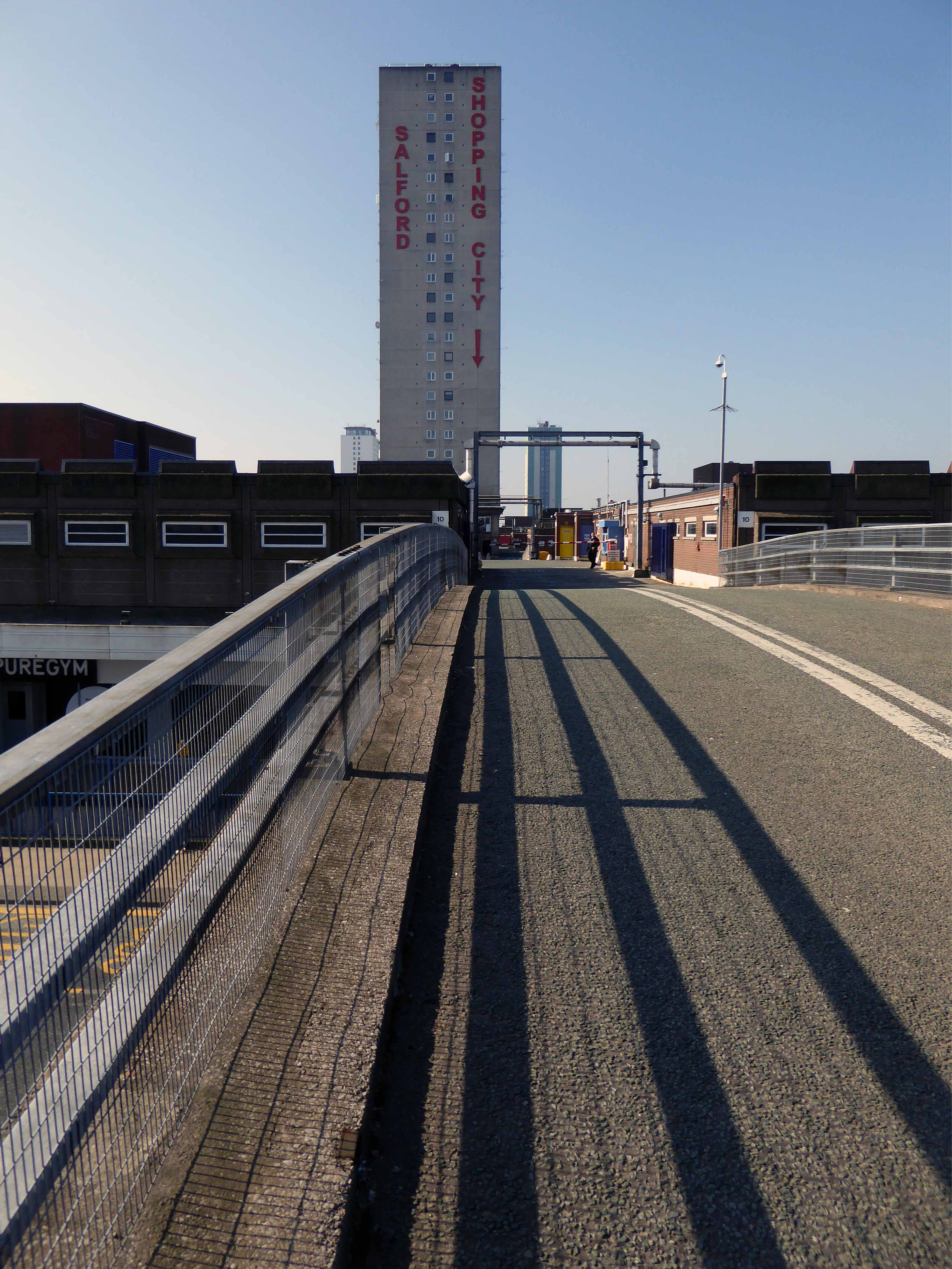
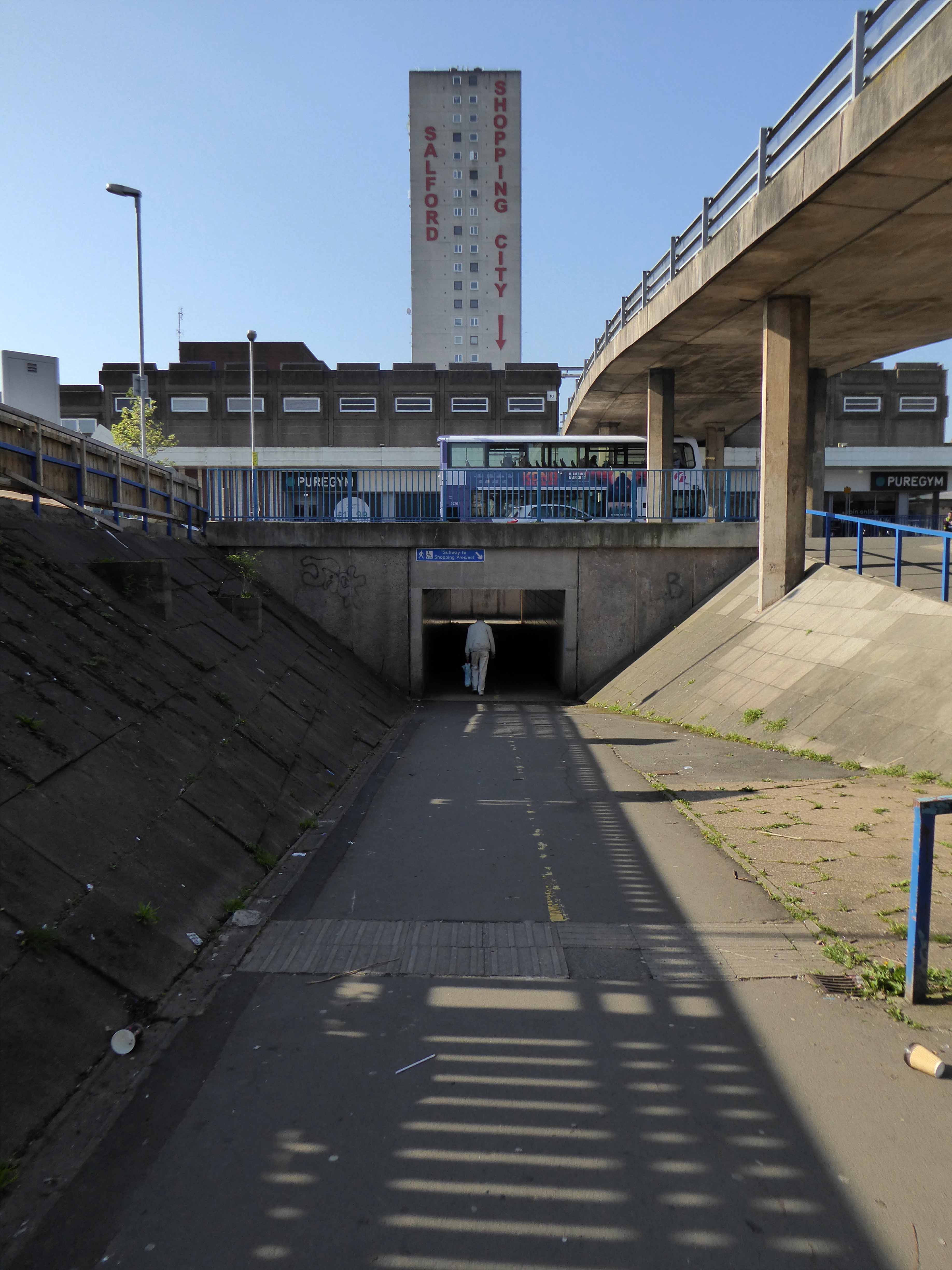
In 1991 the building was refurbished at a cost of £4 million, this included the installation of roofs across various walkways, making large swathes of the centre undercover. The shopping centre which at the time was known as Salford Precinct was renamed Salford Shopping City.
On 9 August 1994 the Manchester Evening News reported that Salford City Council was planning on selling off Salford Shopping City to raise money for local housing repairs, these plans split the ruling Labour Party council, one councillor telling the press that it would be like selling off the family silver.
In 2000 Salford Shopping City was eventually sold to a private company for £10 million in an effort to cut the council’s deficit. It was then later sold in March 2010 to Praxis Holdings for £40 million, the company stated that it wanted to invest in the precinct and link it to the new food superstore.
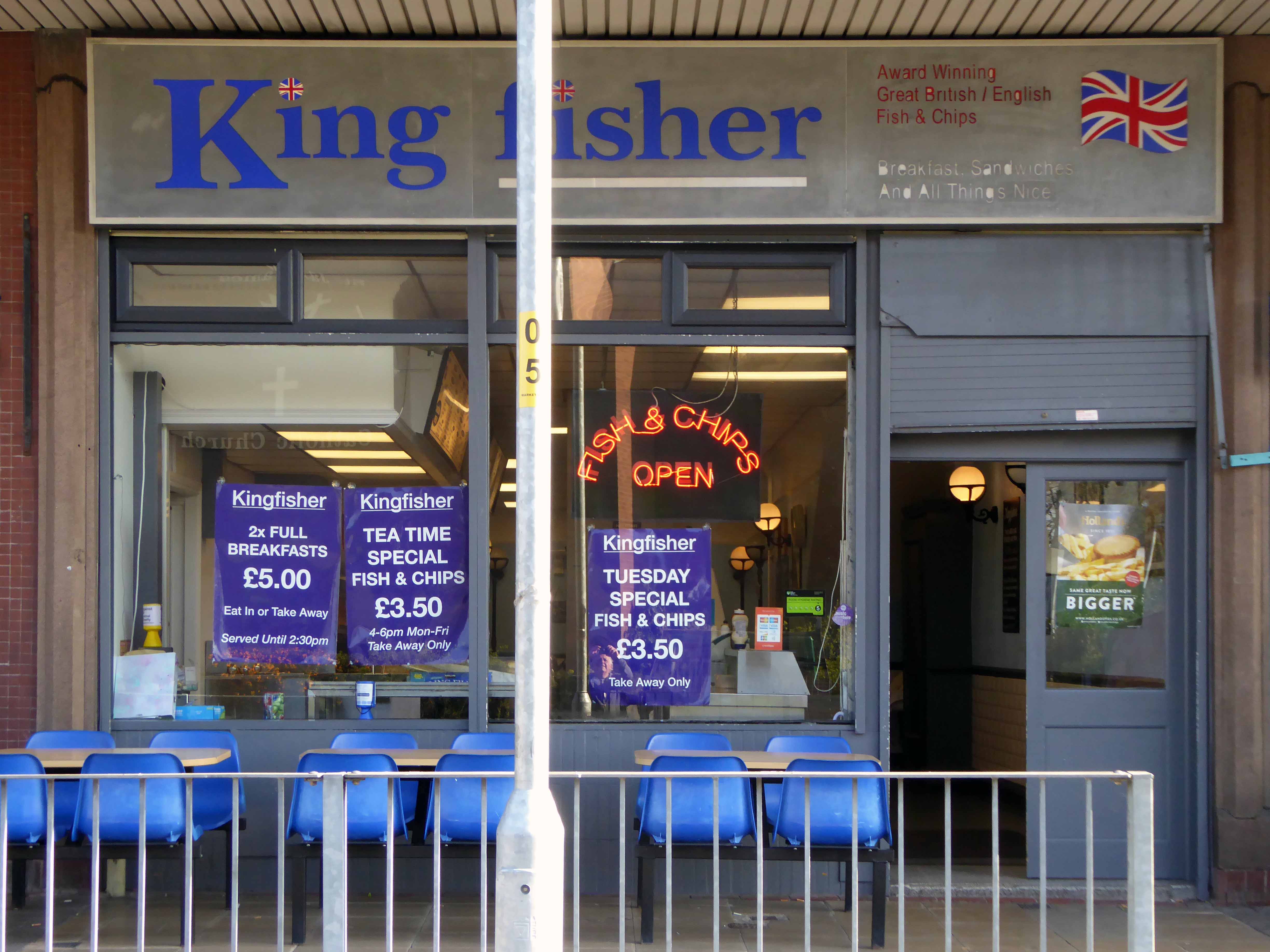
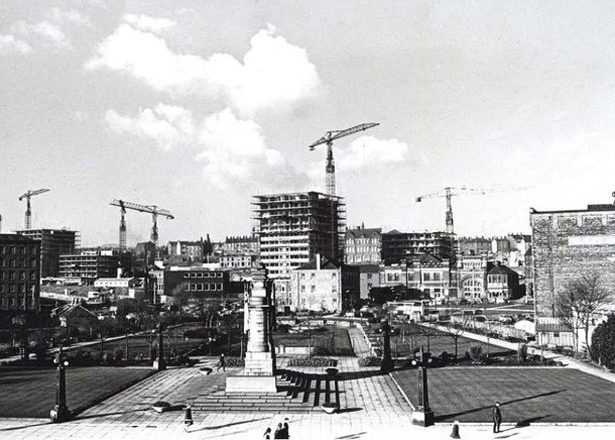
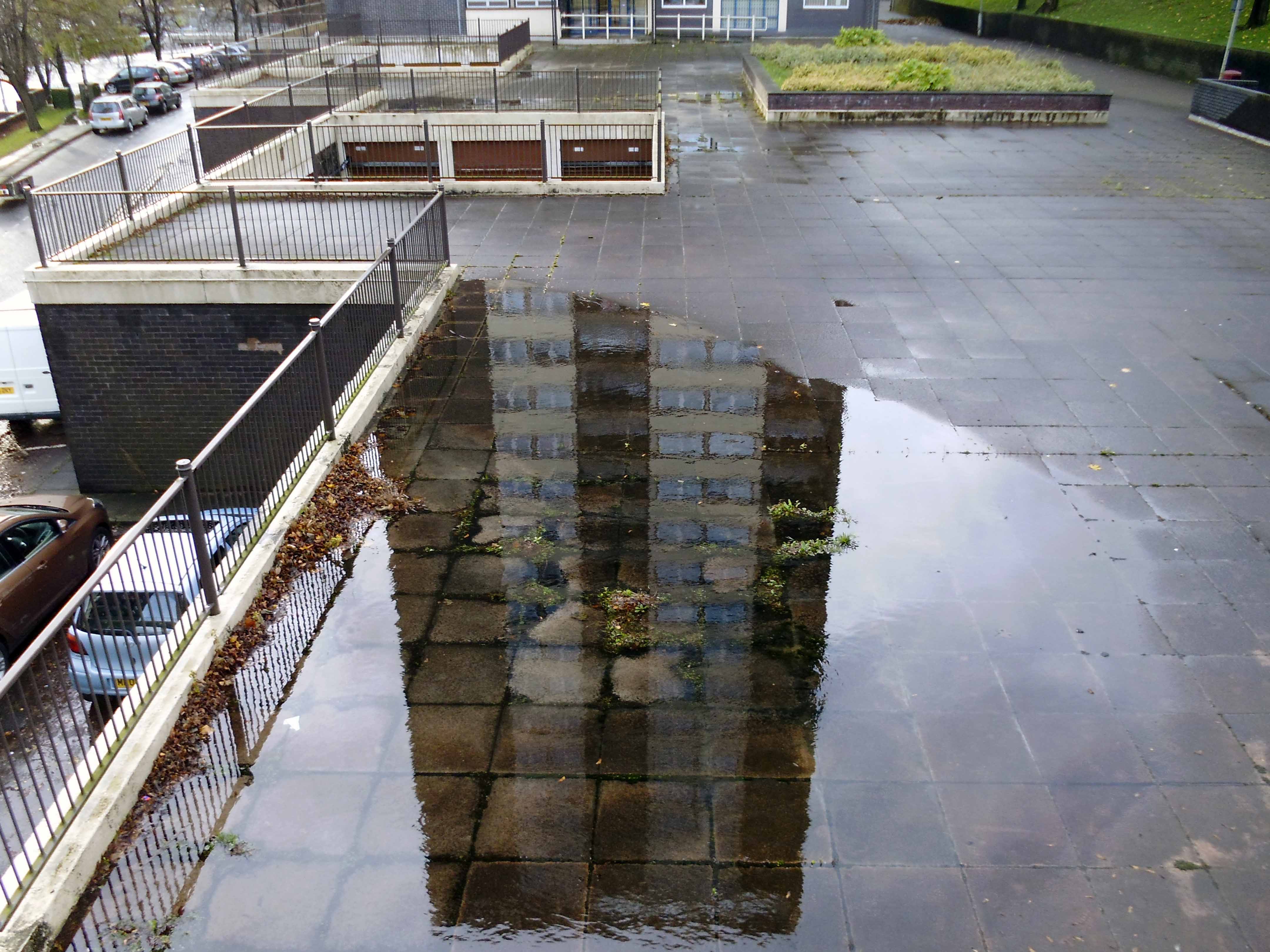
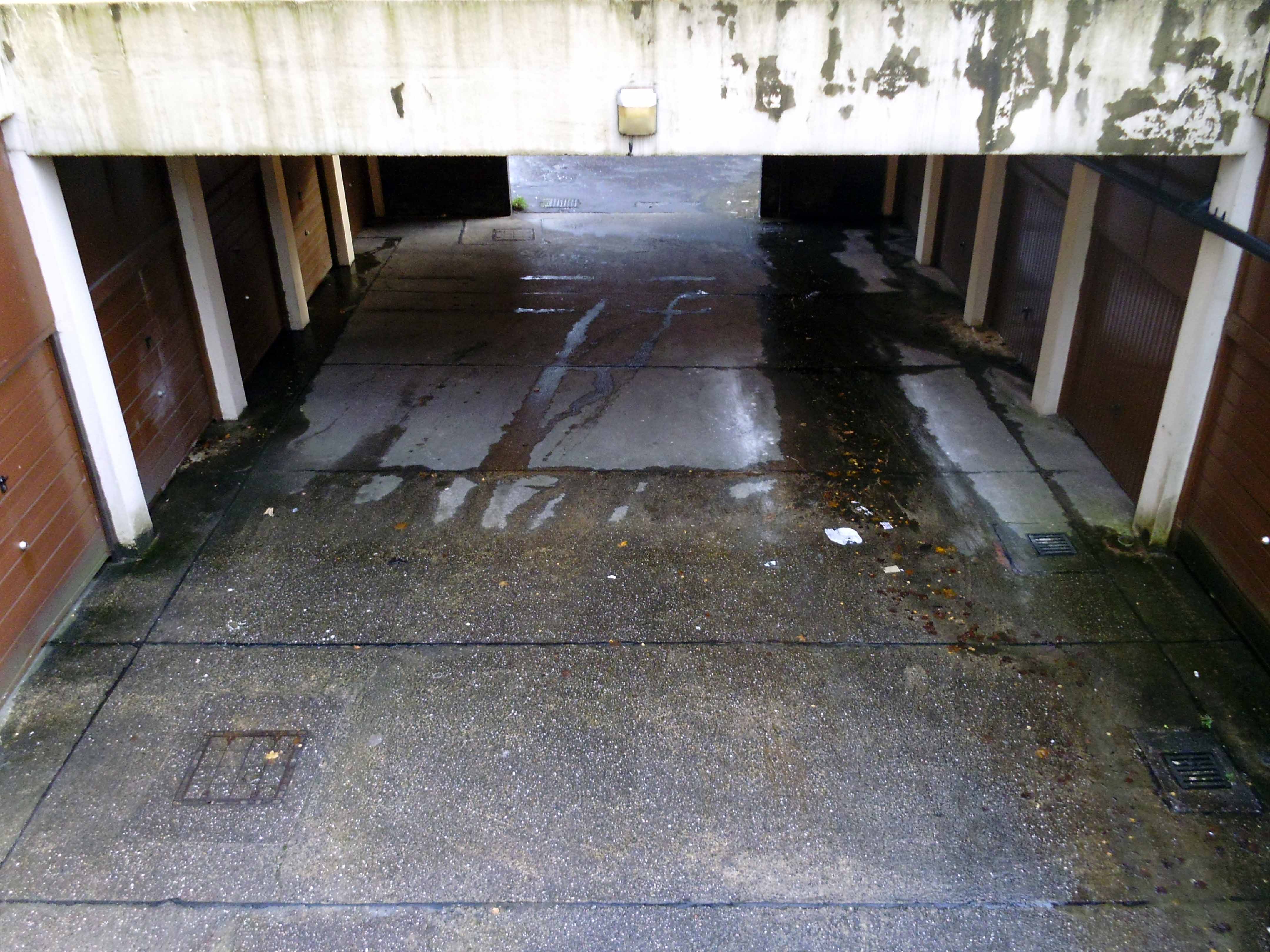
This is a tale of our times – 60s and 70s redevelopment designed and built in the rampant spirit of free enterprise and uber-buoyant consumerism, falling foul of an economic downturn, subsequent unemployment and shrinking retail spending. Property is ping-ponged between local authority and speculative developers.
Following the riots of 2011 pledges were made regarding the future of the site, plans are still afoot, as yet to be rendered corporeal. Although the area has benefitted from an influx of students and a refurbishment of housing stock, there is pressure on the prosperity of the precinct from thriving retail developments in nearby Manchester and the Trafford Centre.
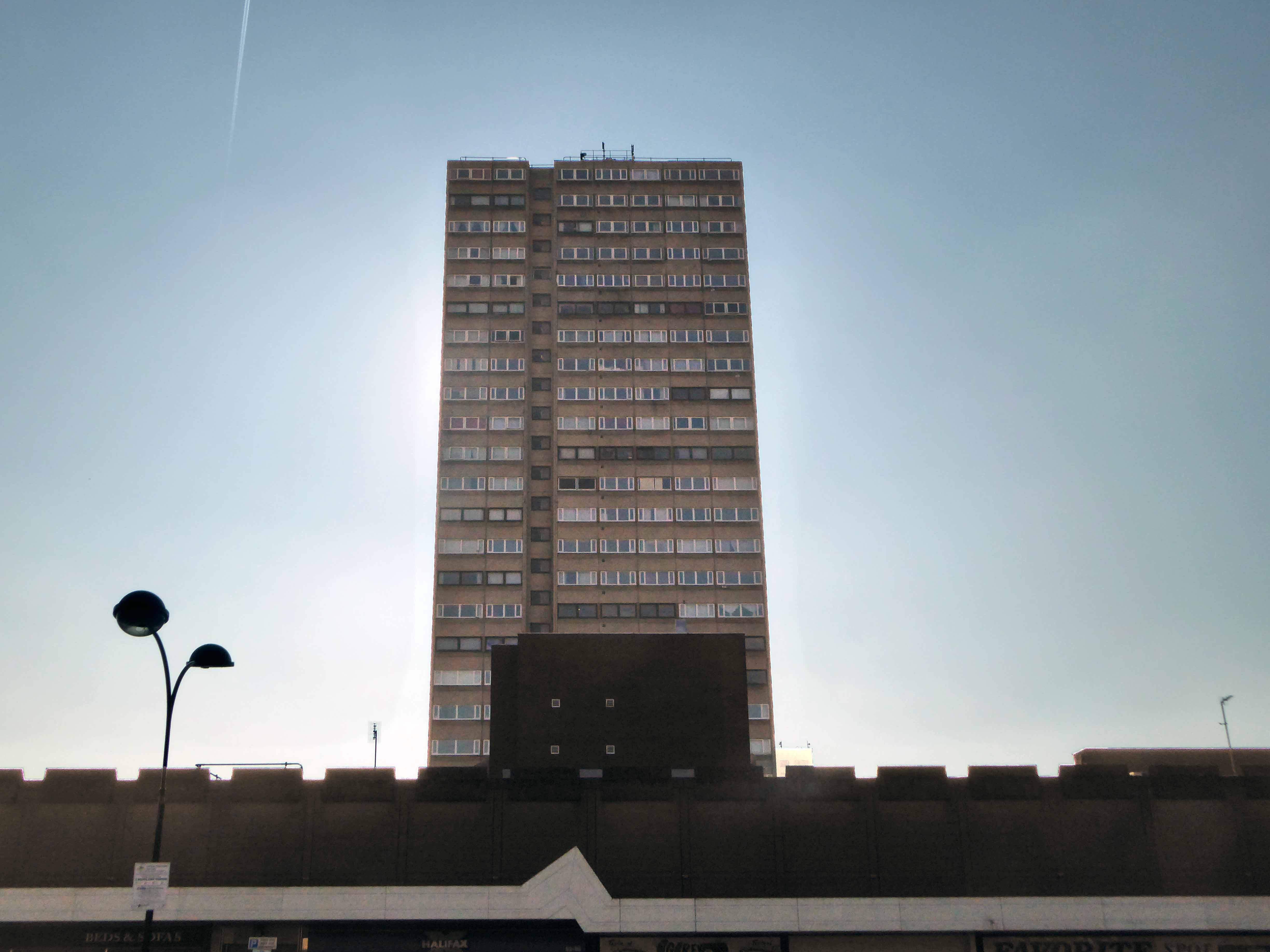
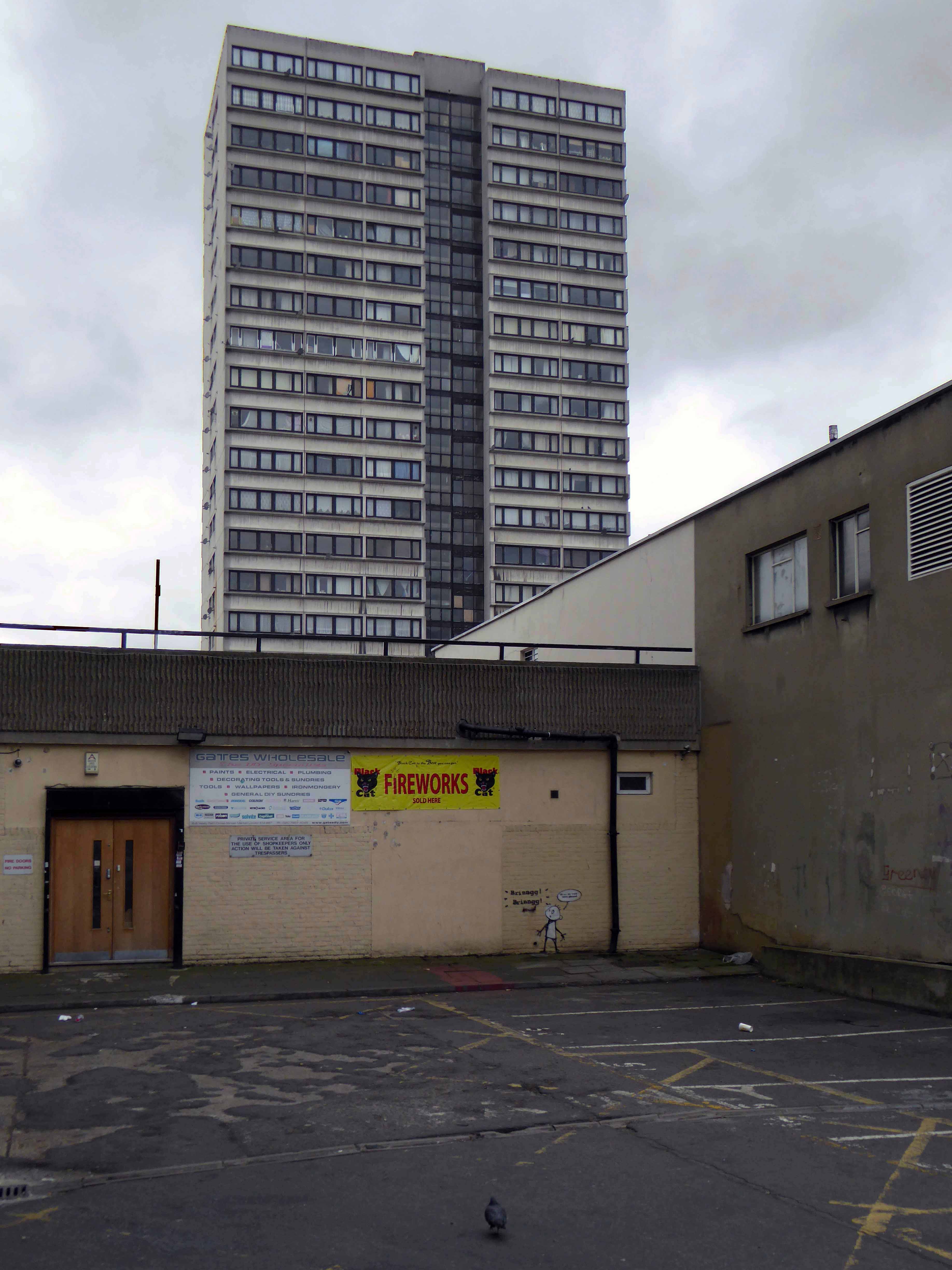
The architectural core of the site has been retained, including the 23 storey Briar Court residential tower, though diluted by more recent additions, misguided post modern detailing that threatens the integrity of full many a post war development.
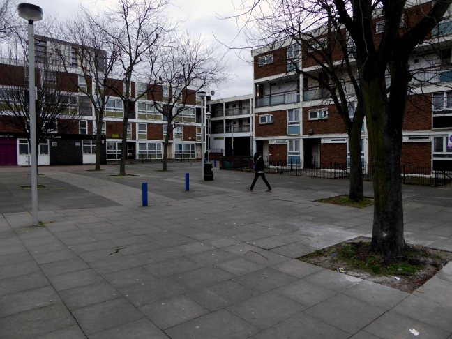
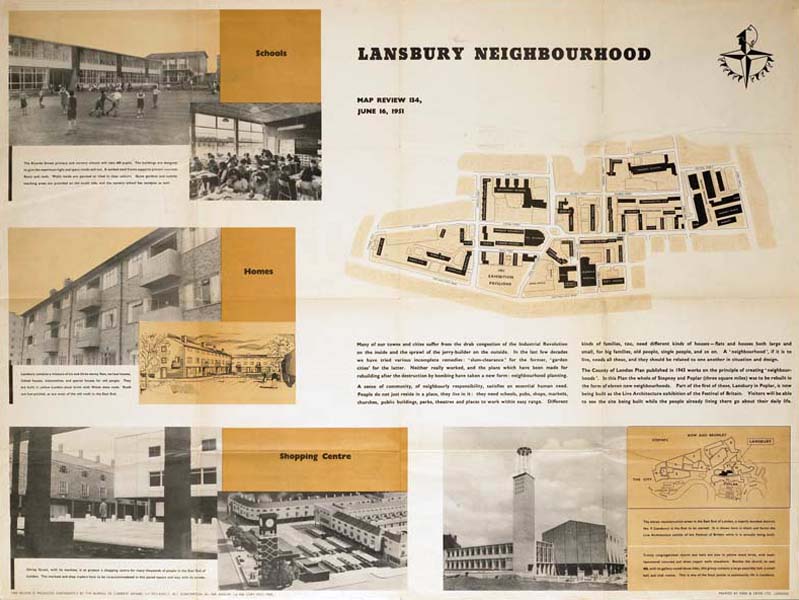
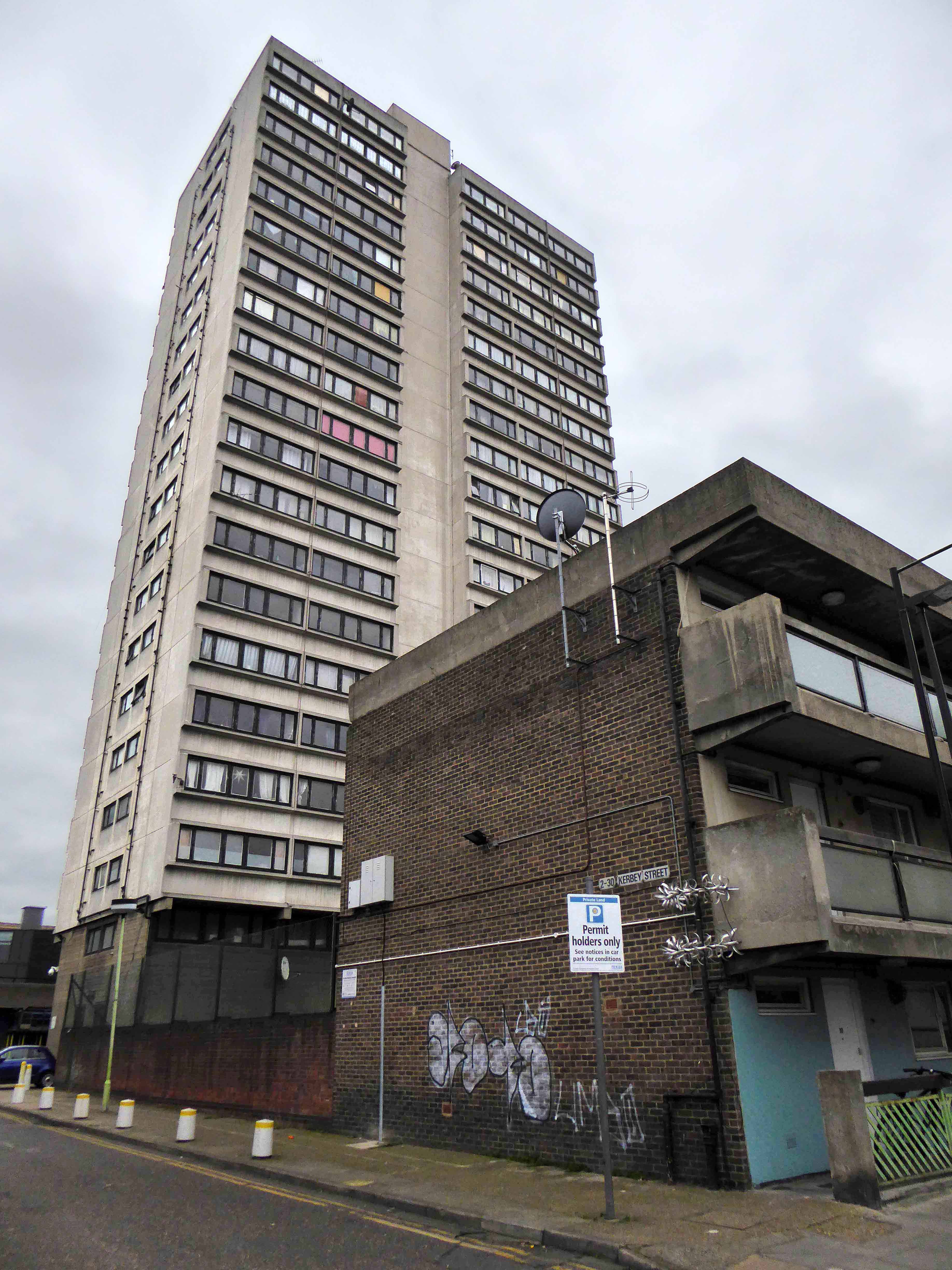
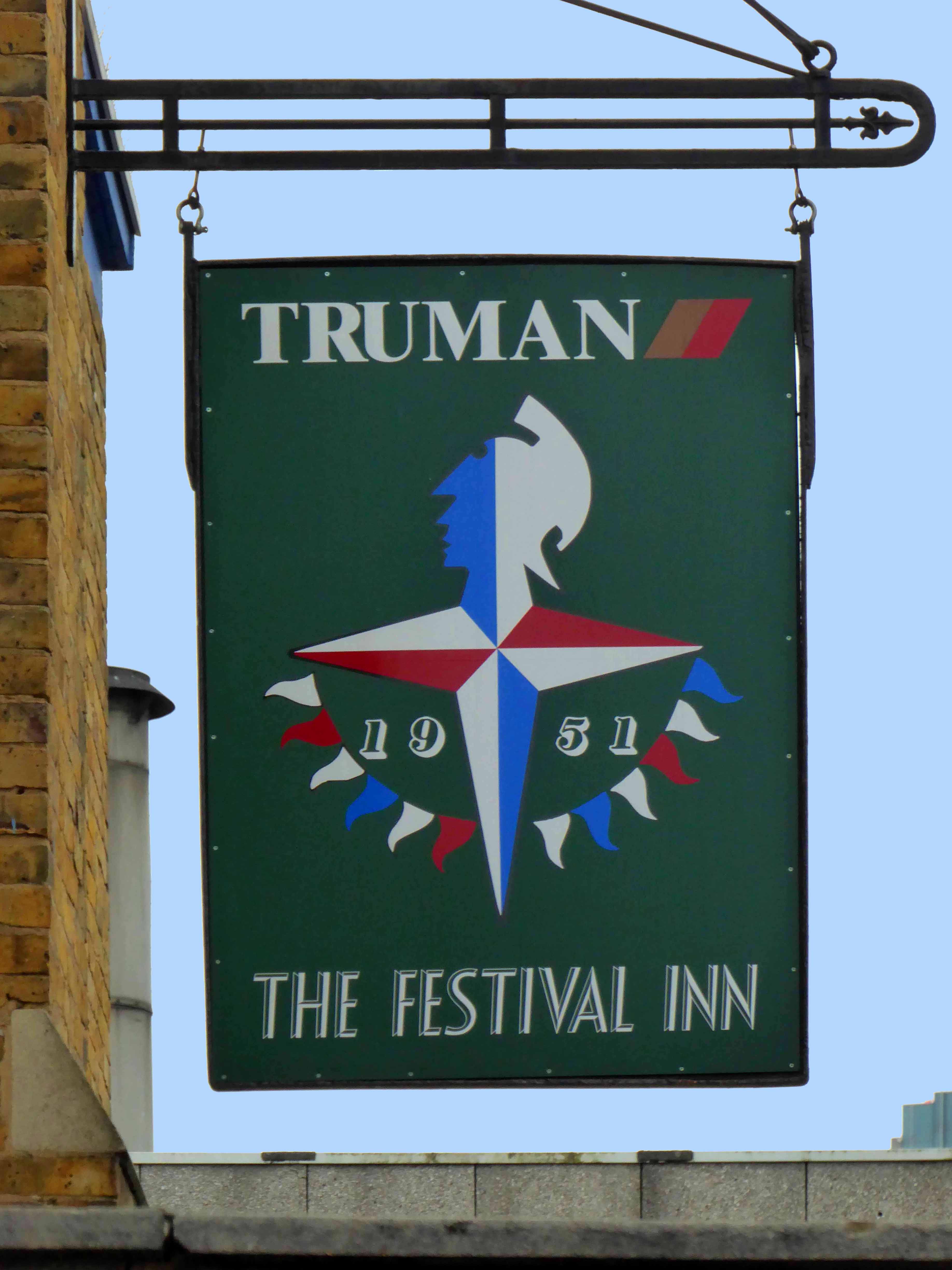
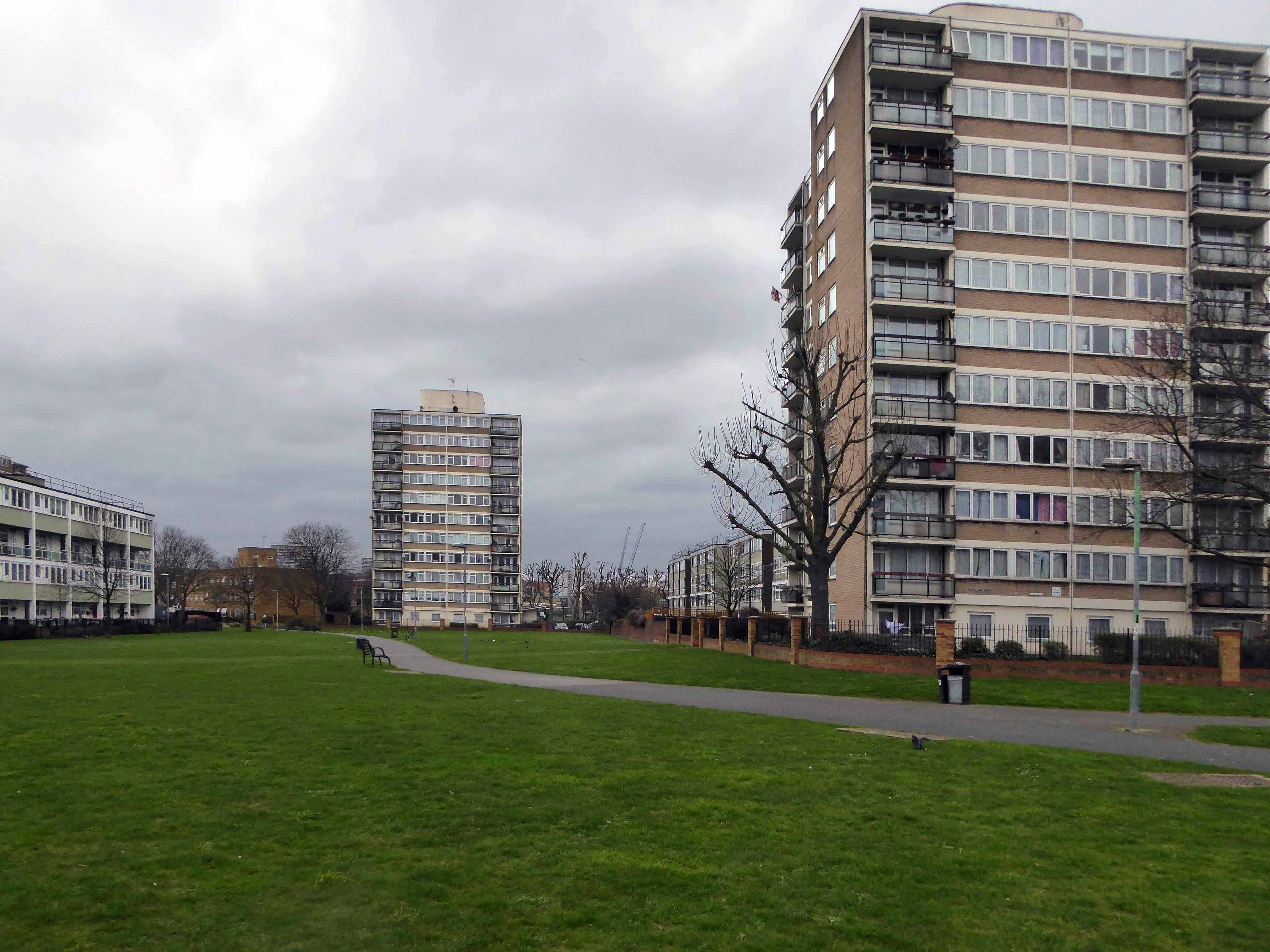
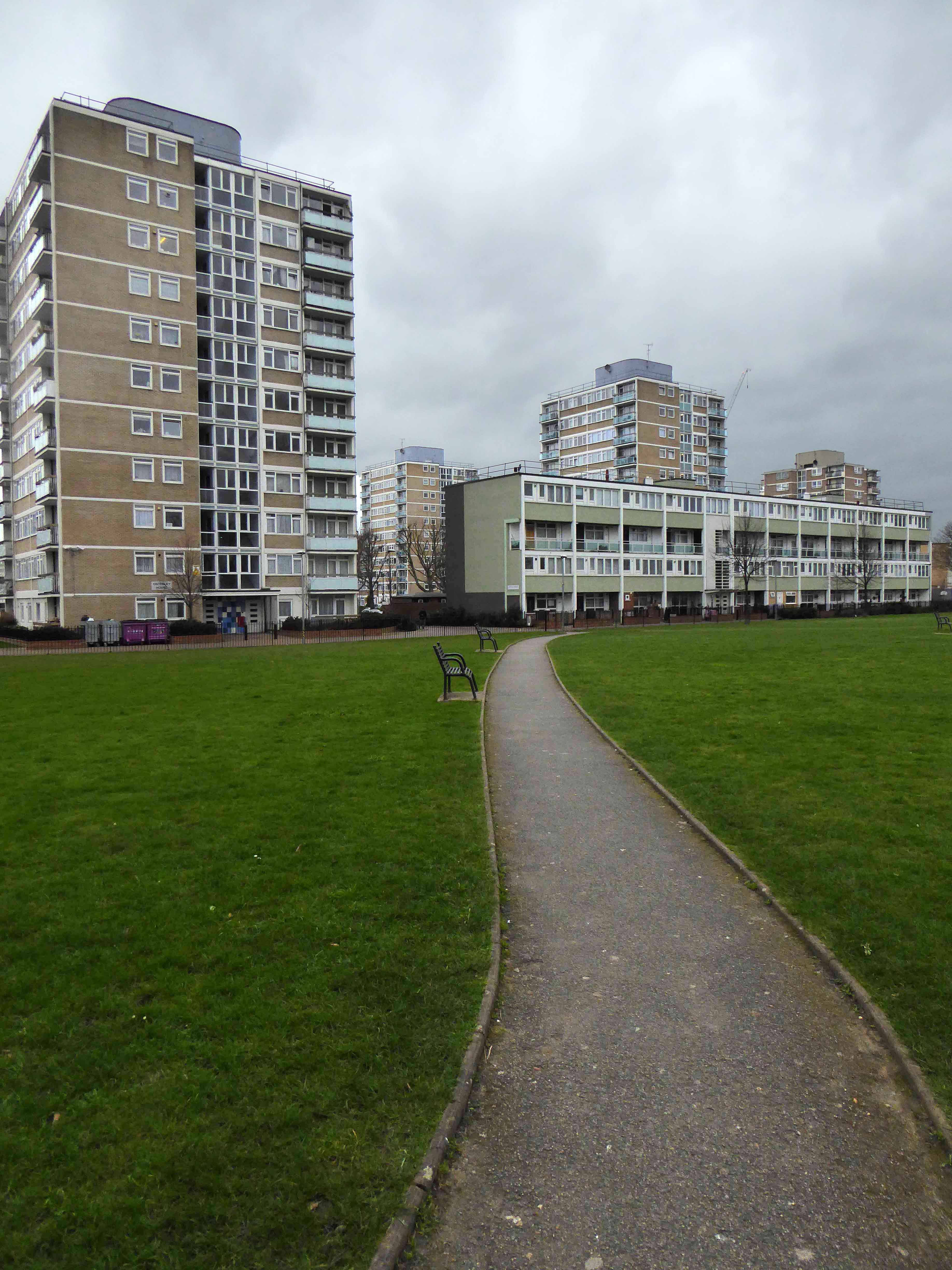
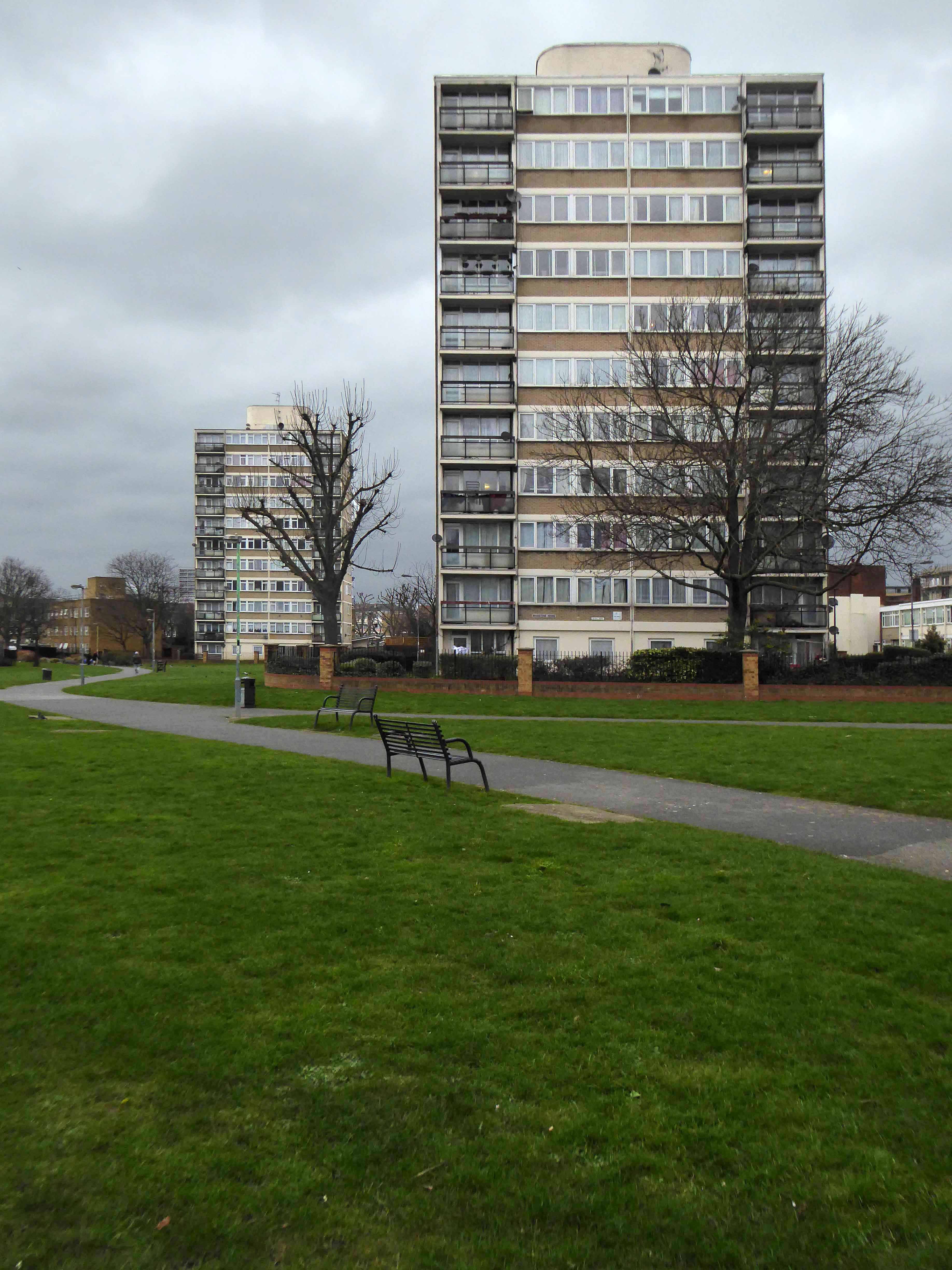
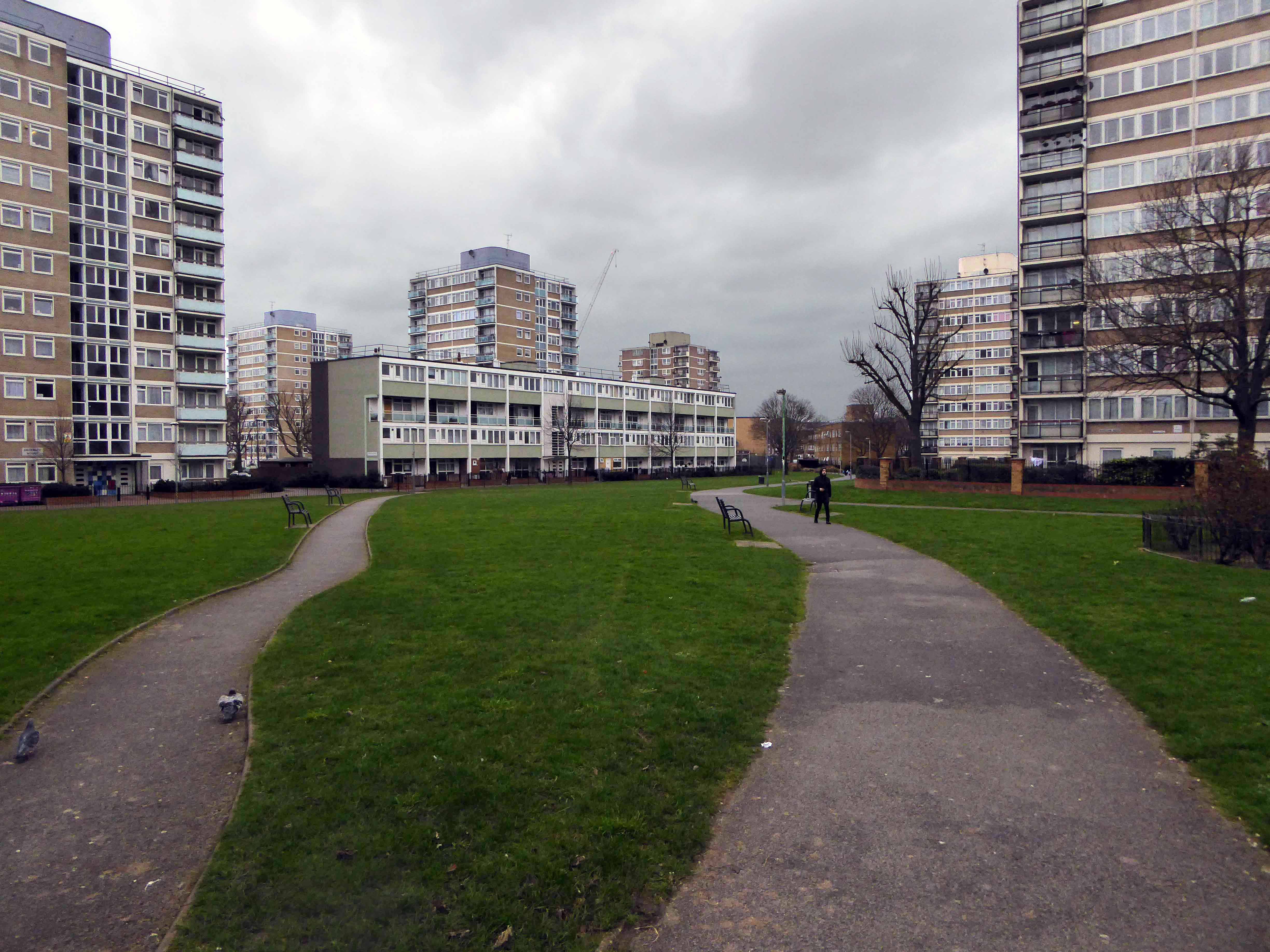
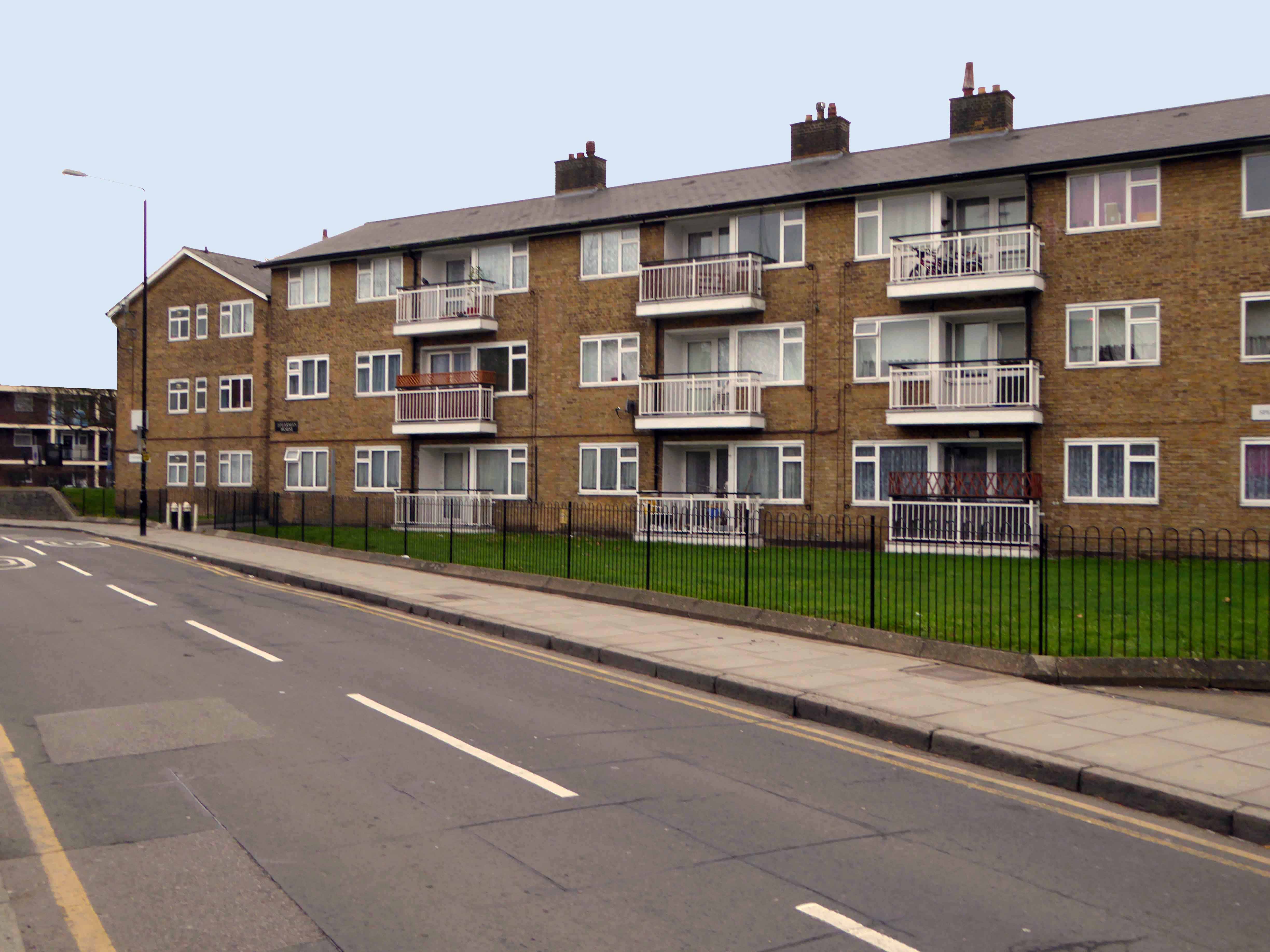
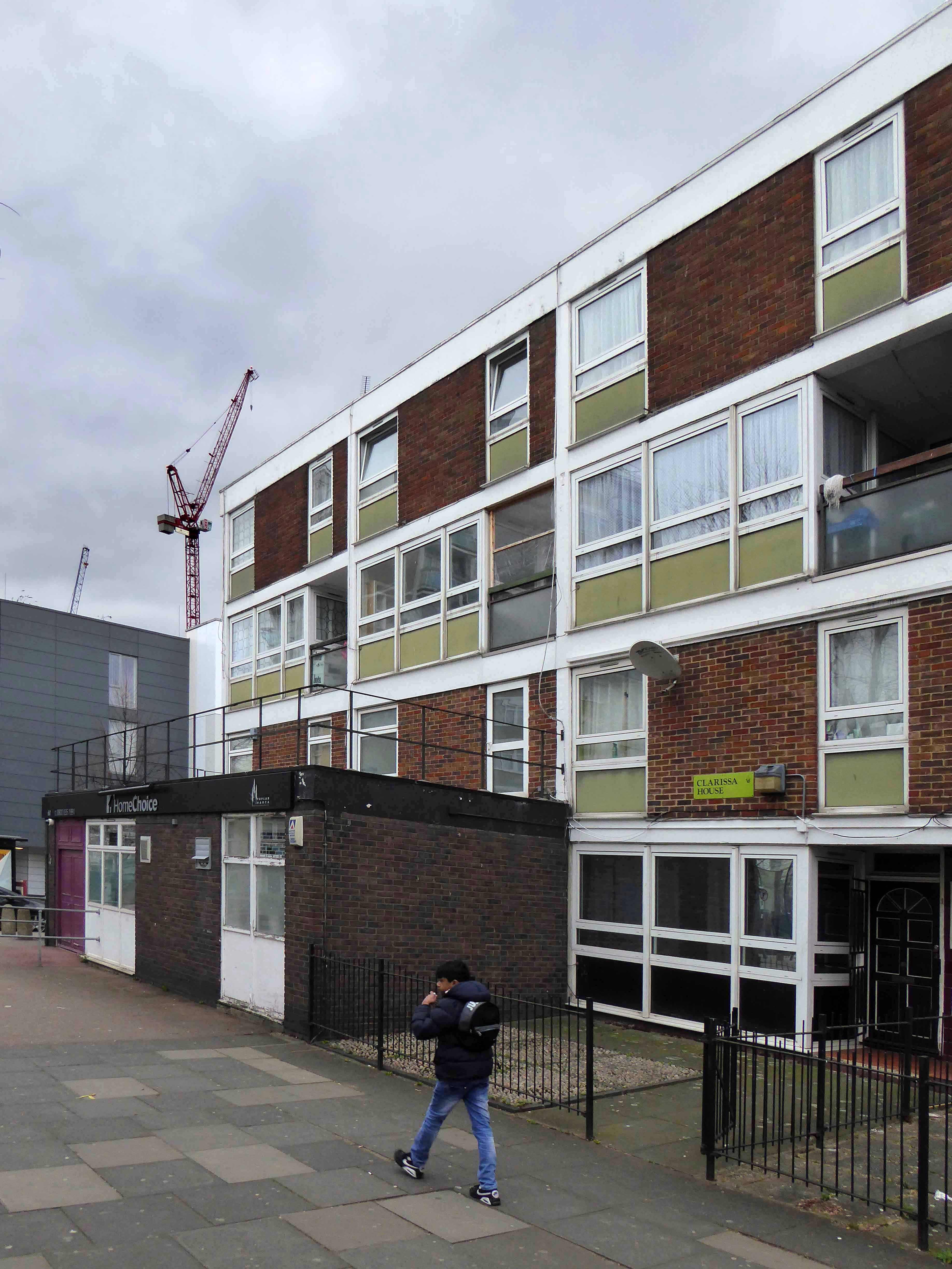
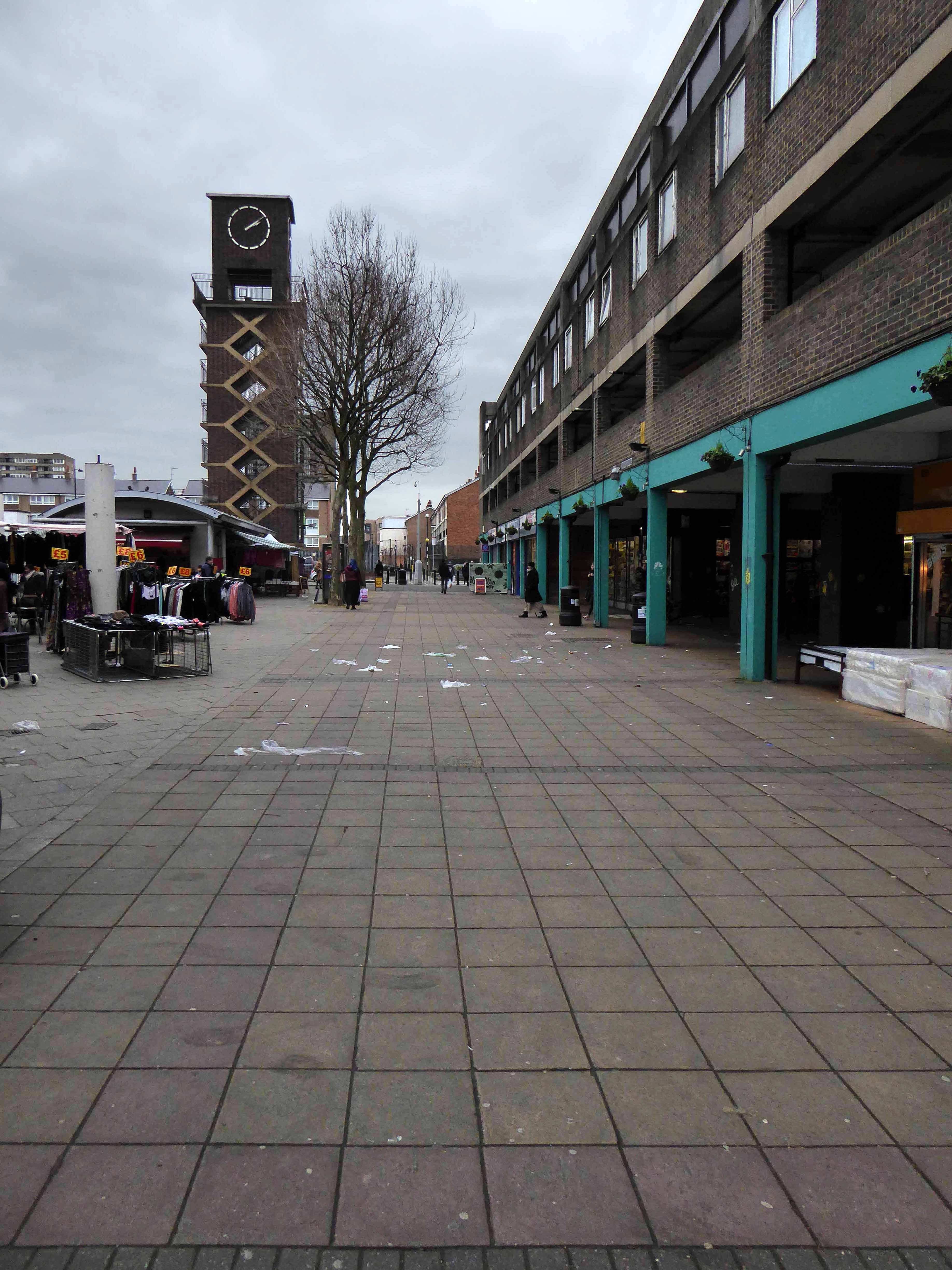
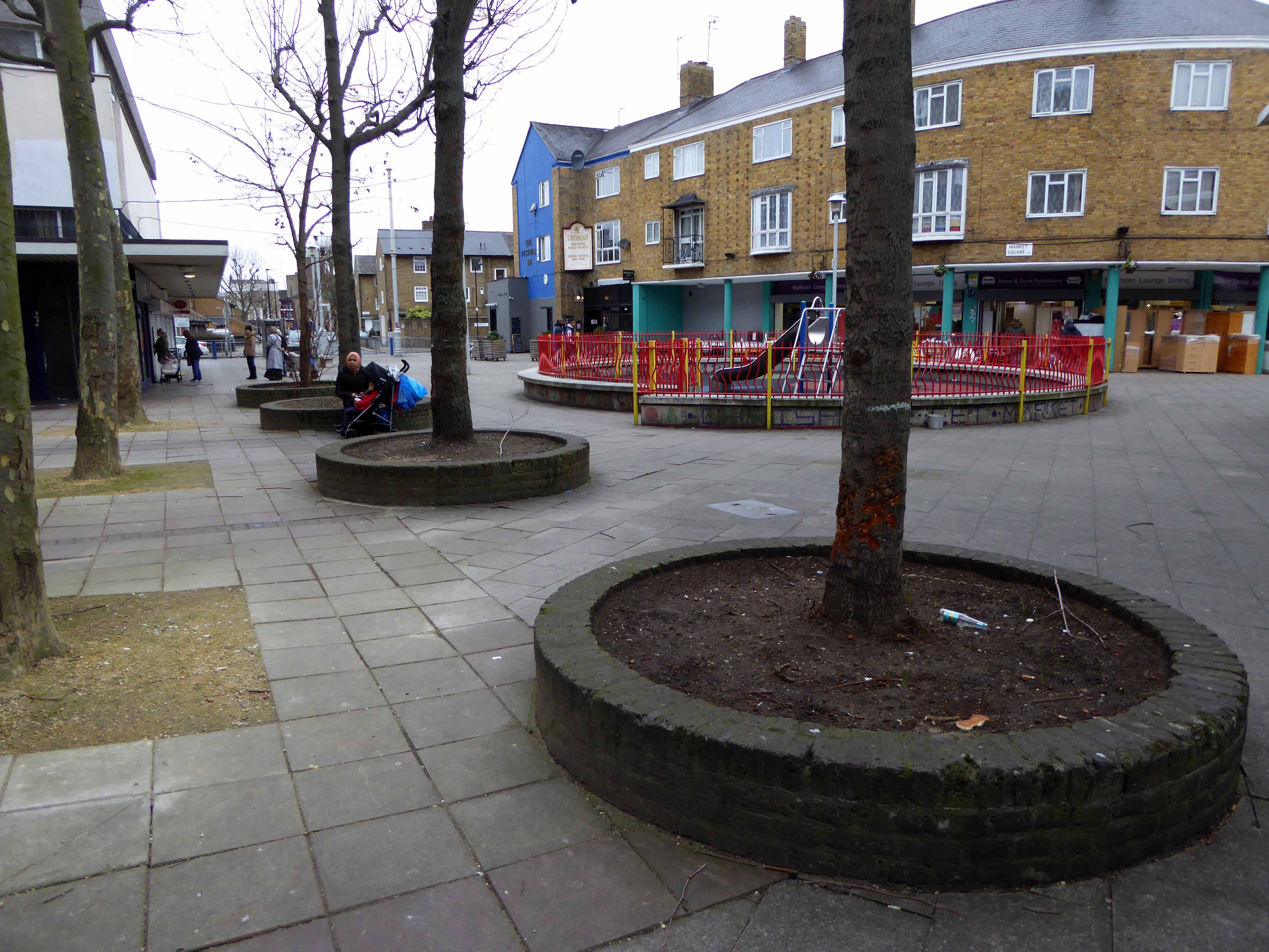
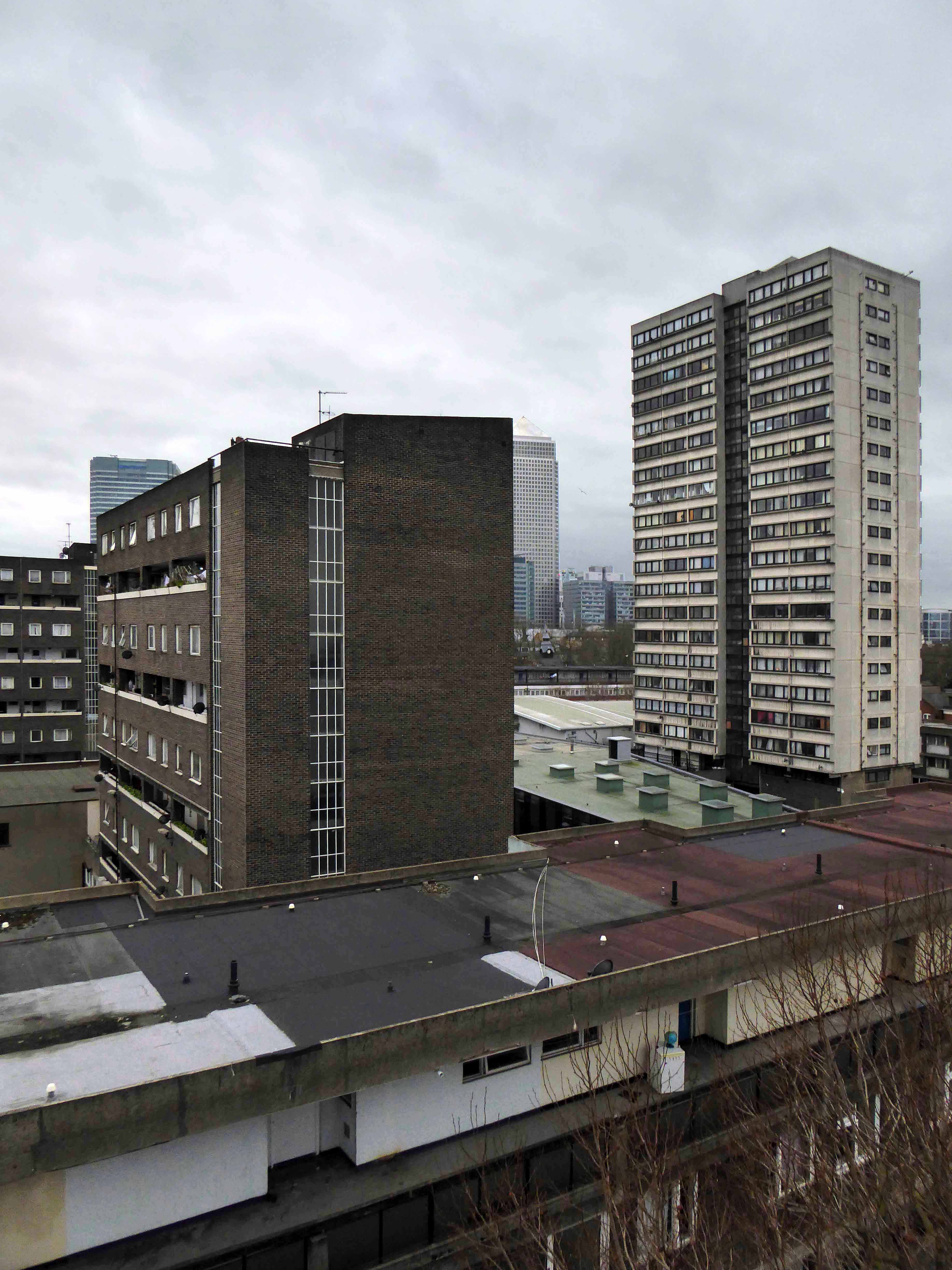
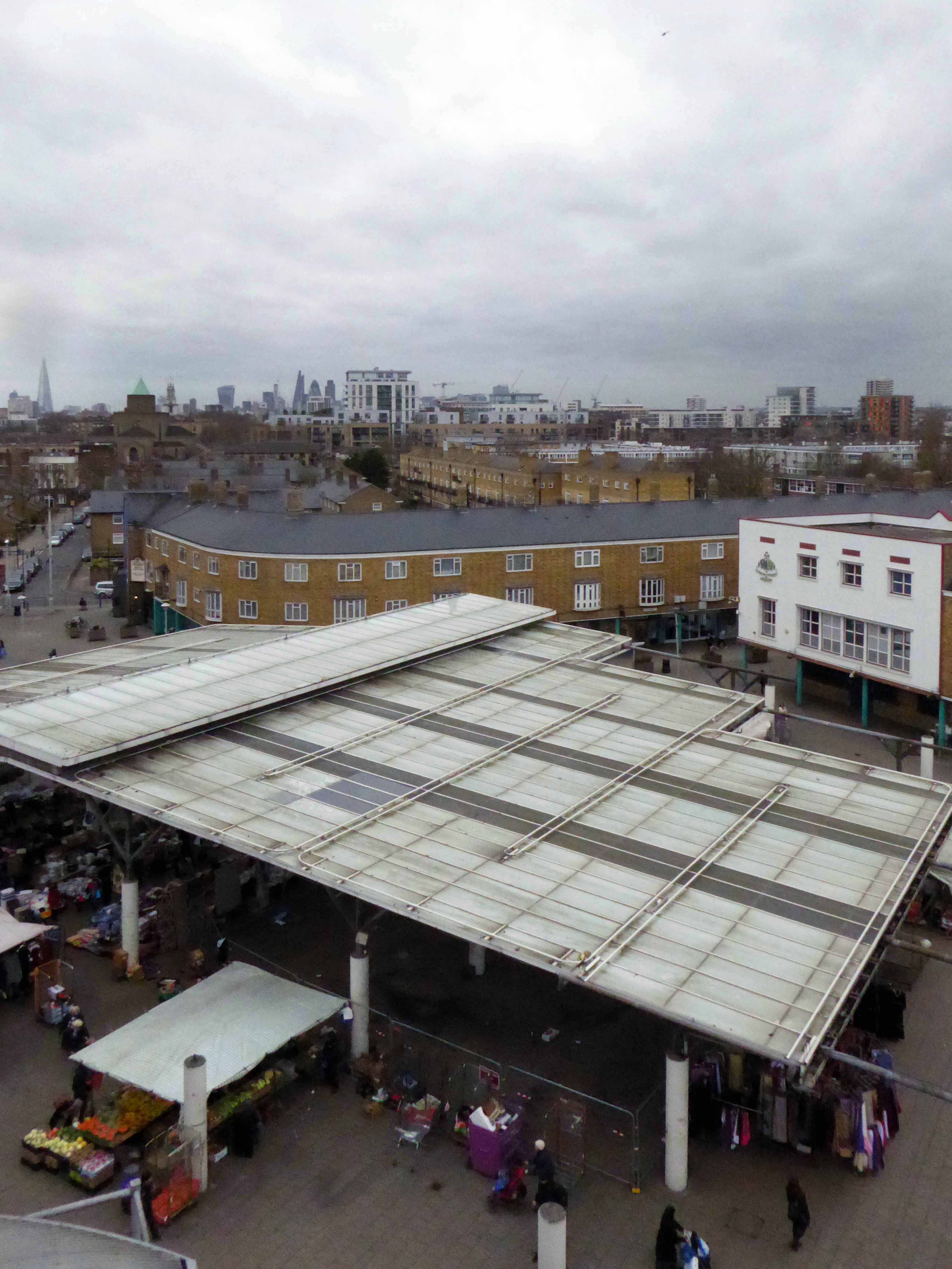
The Lansbury Estate, to the north of East India Dock Road, is the most important, largest and best-known council estate in Poplar. It demonstrates the different trends in post-war council house design and layout. The interest of the estate lies as much, if not more, in the story of its planning and construction, as in what was actually built. This is especially true of its first phase, which formed the basis of the Live Architecture Exhibition in the 1951 Festival of Britain.
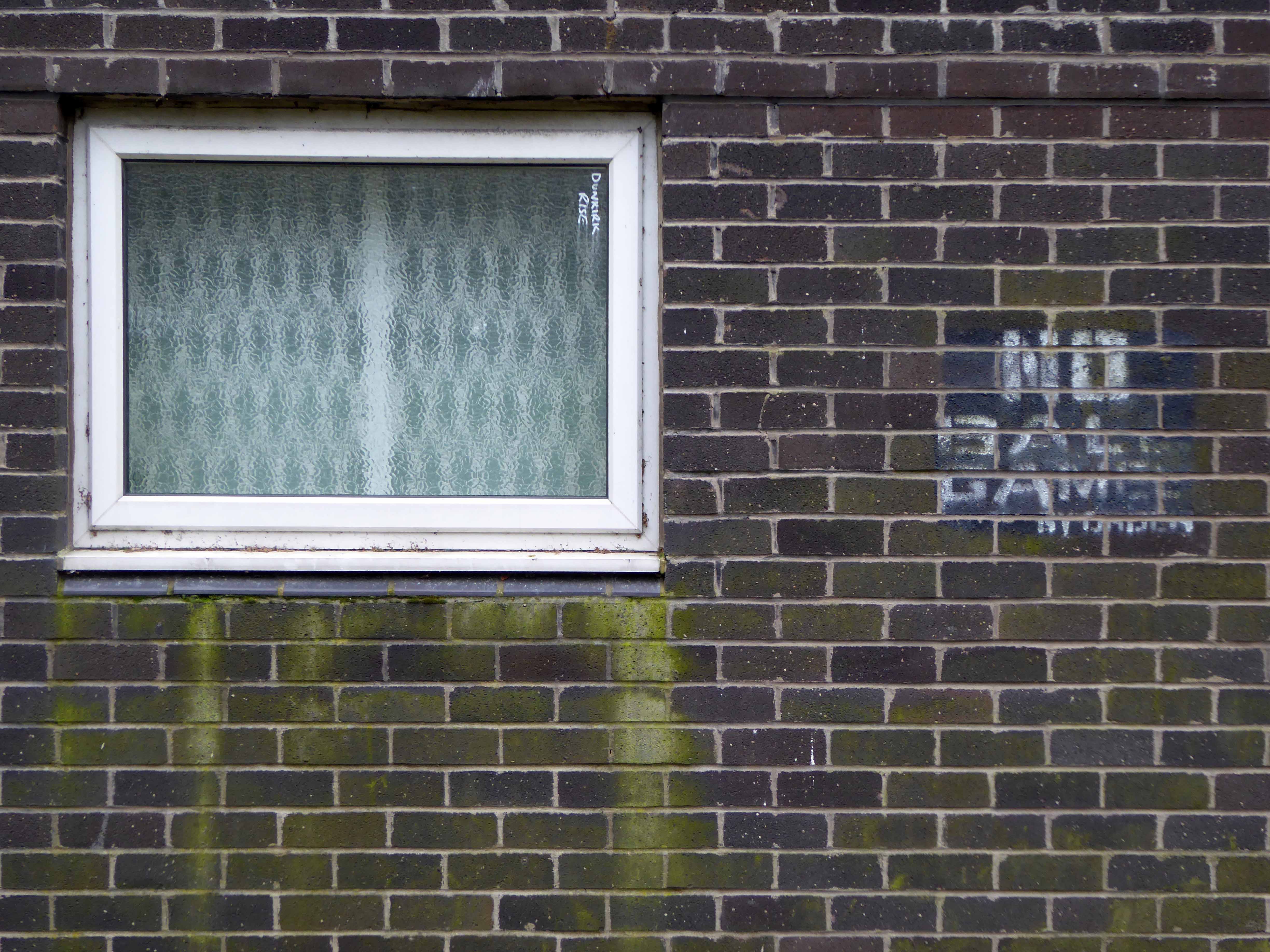
Originally outlined in the 1943 plan for London, replacing the bomb damaged homes of displaced dockers, the estate has weathered well enough, though changes in demographics, the ever greater engulfing tide of gentrification and the containerisation of all ports, brings a fresh set of challenges and changes.
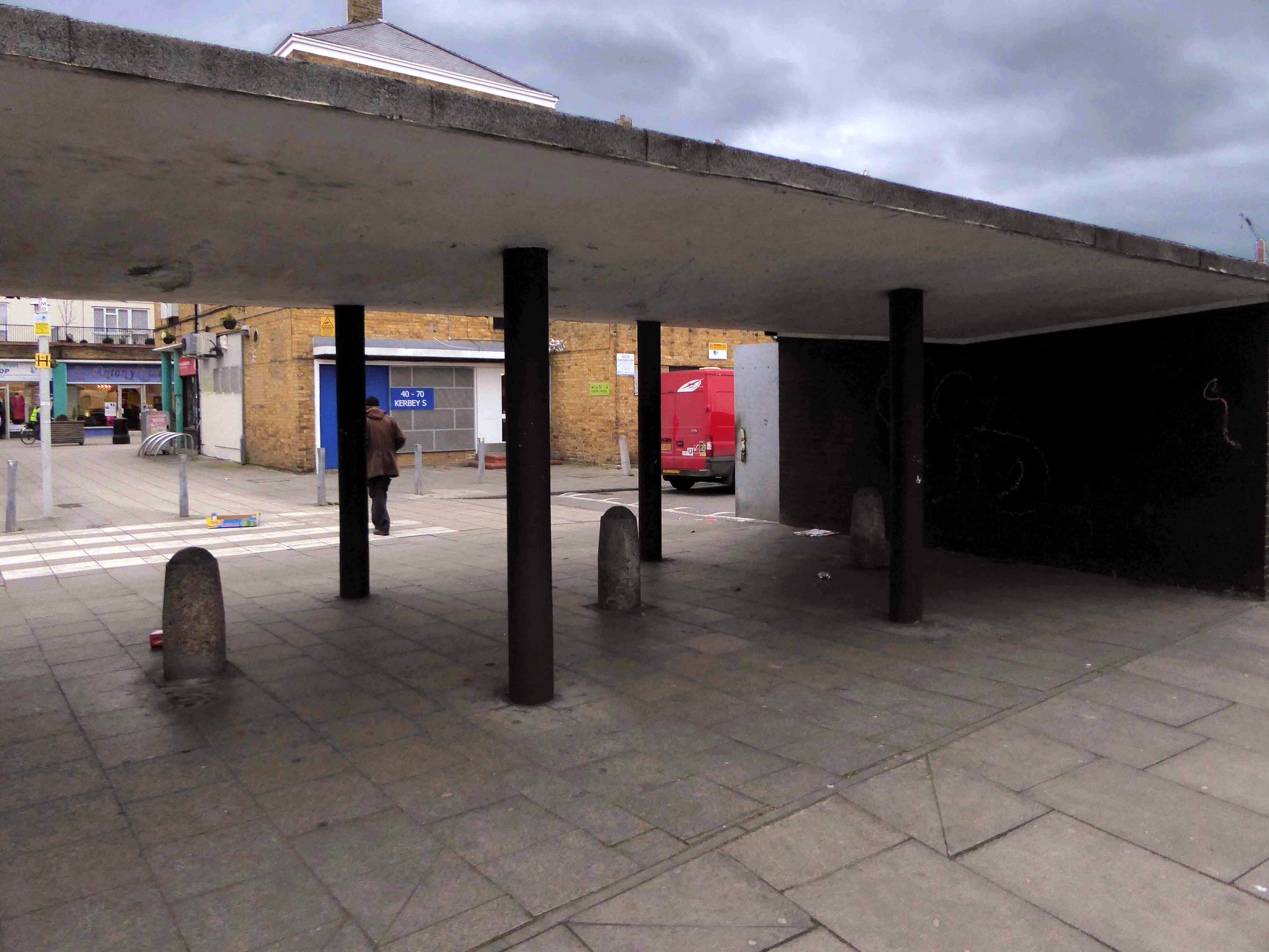
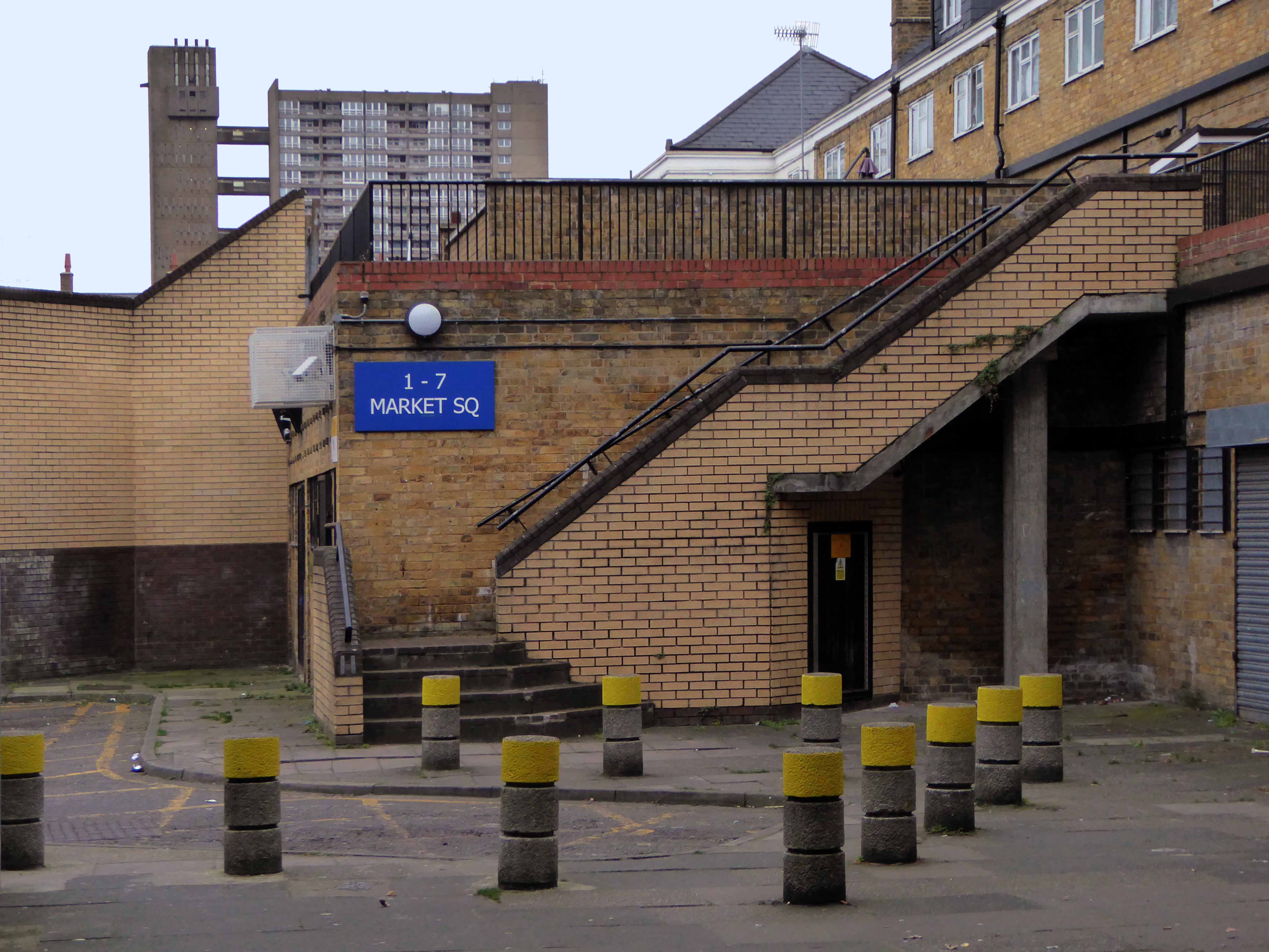
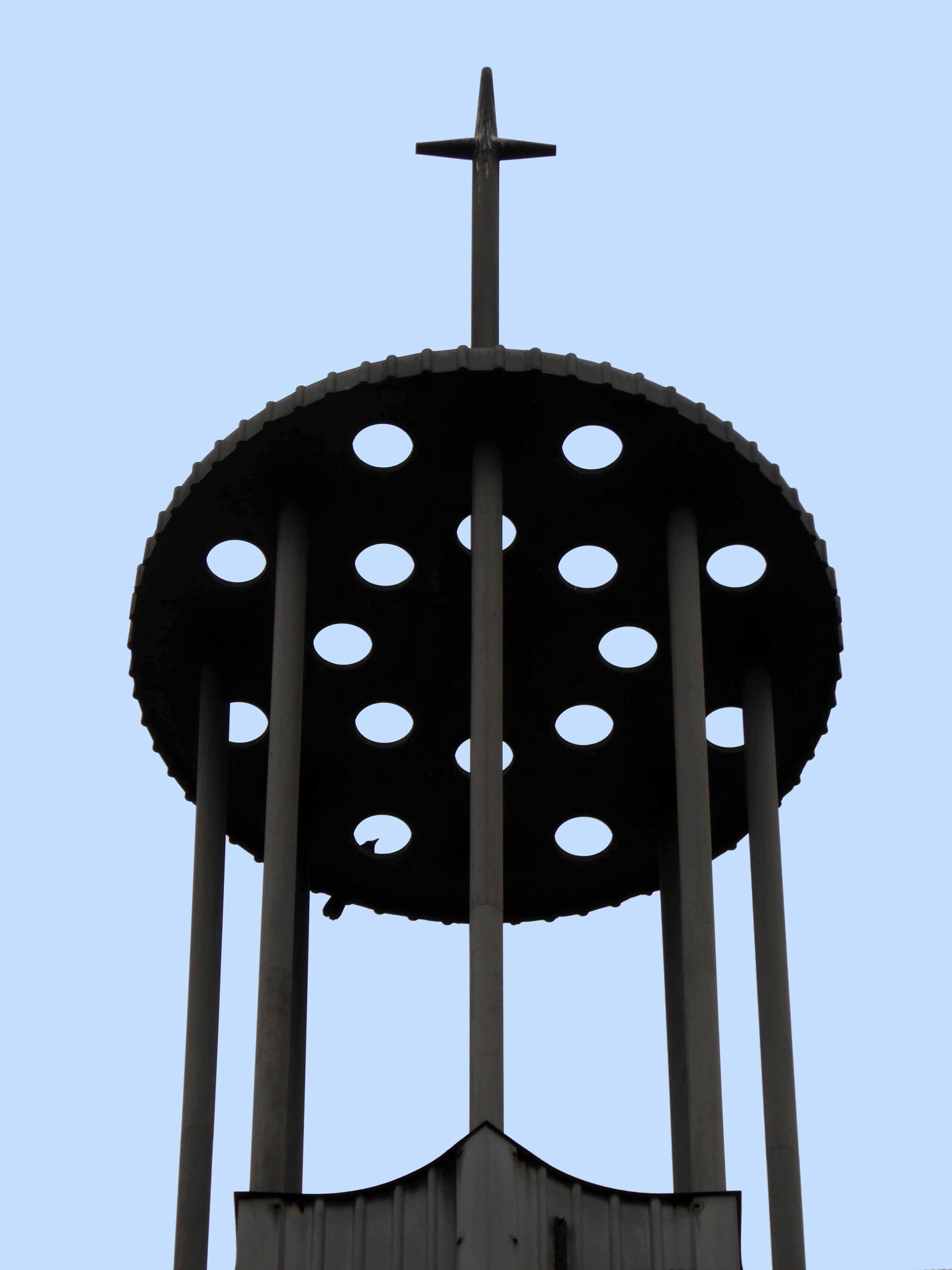
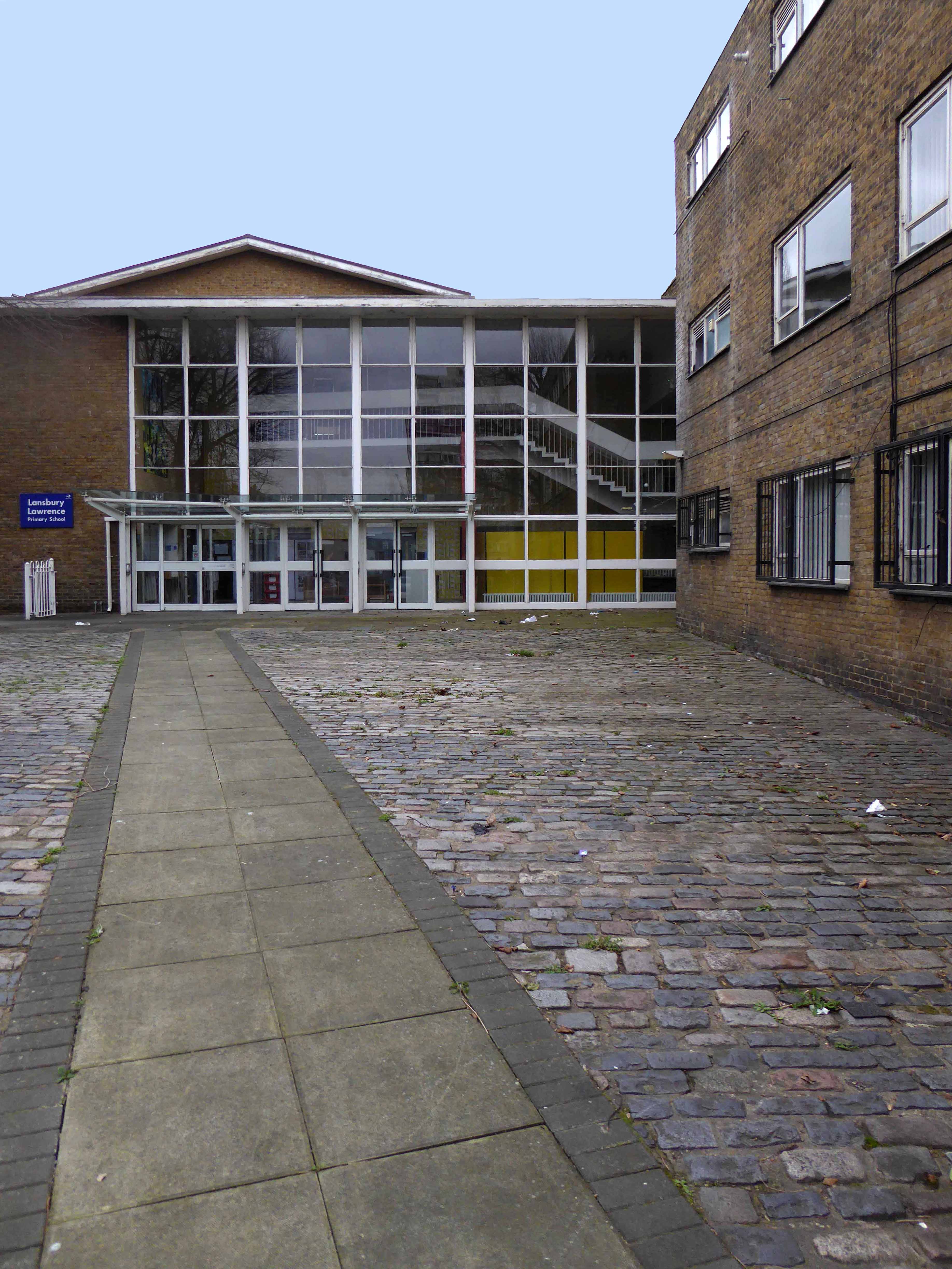
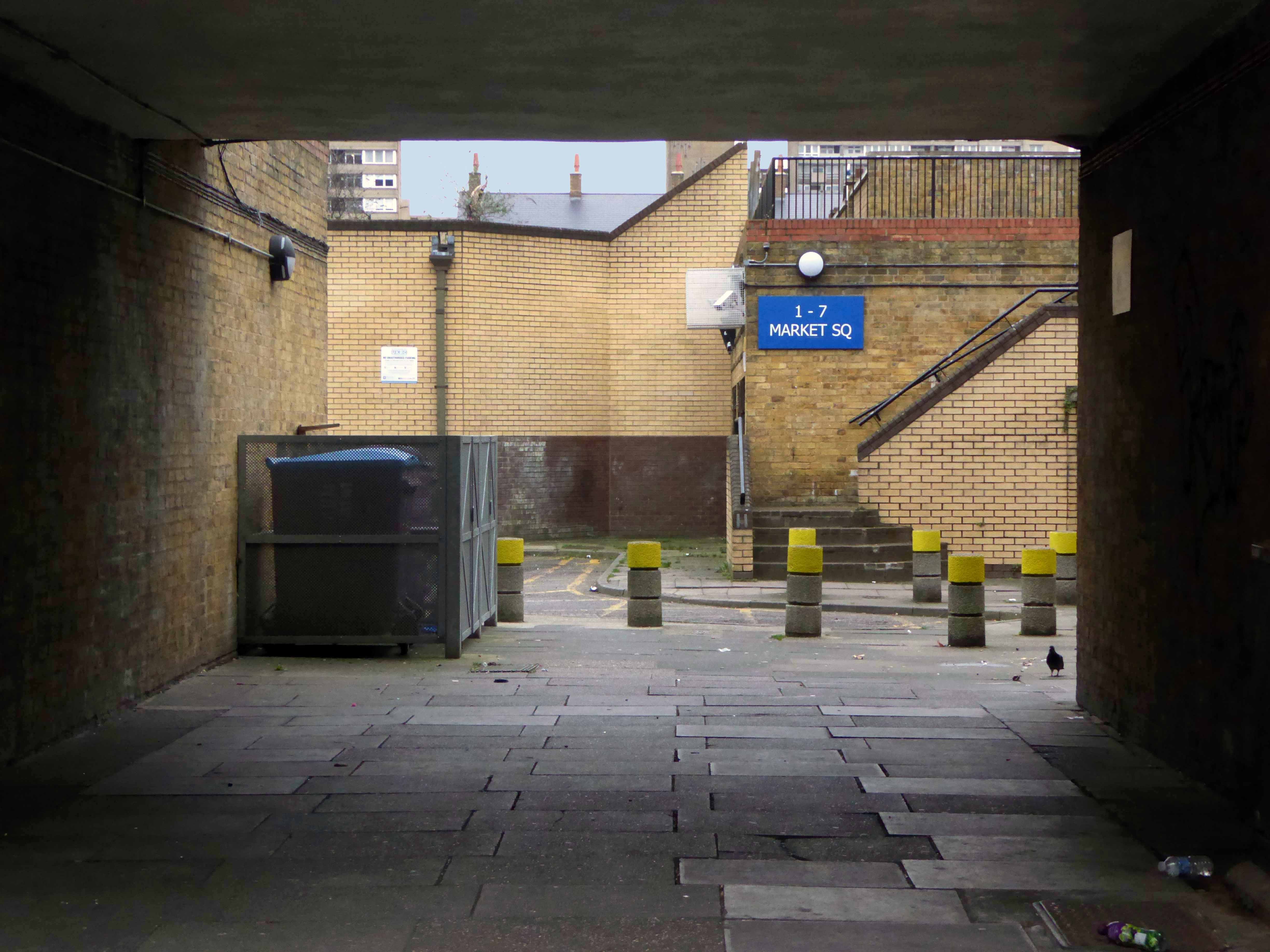
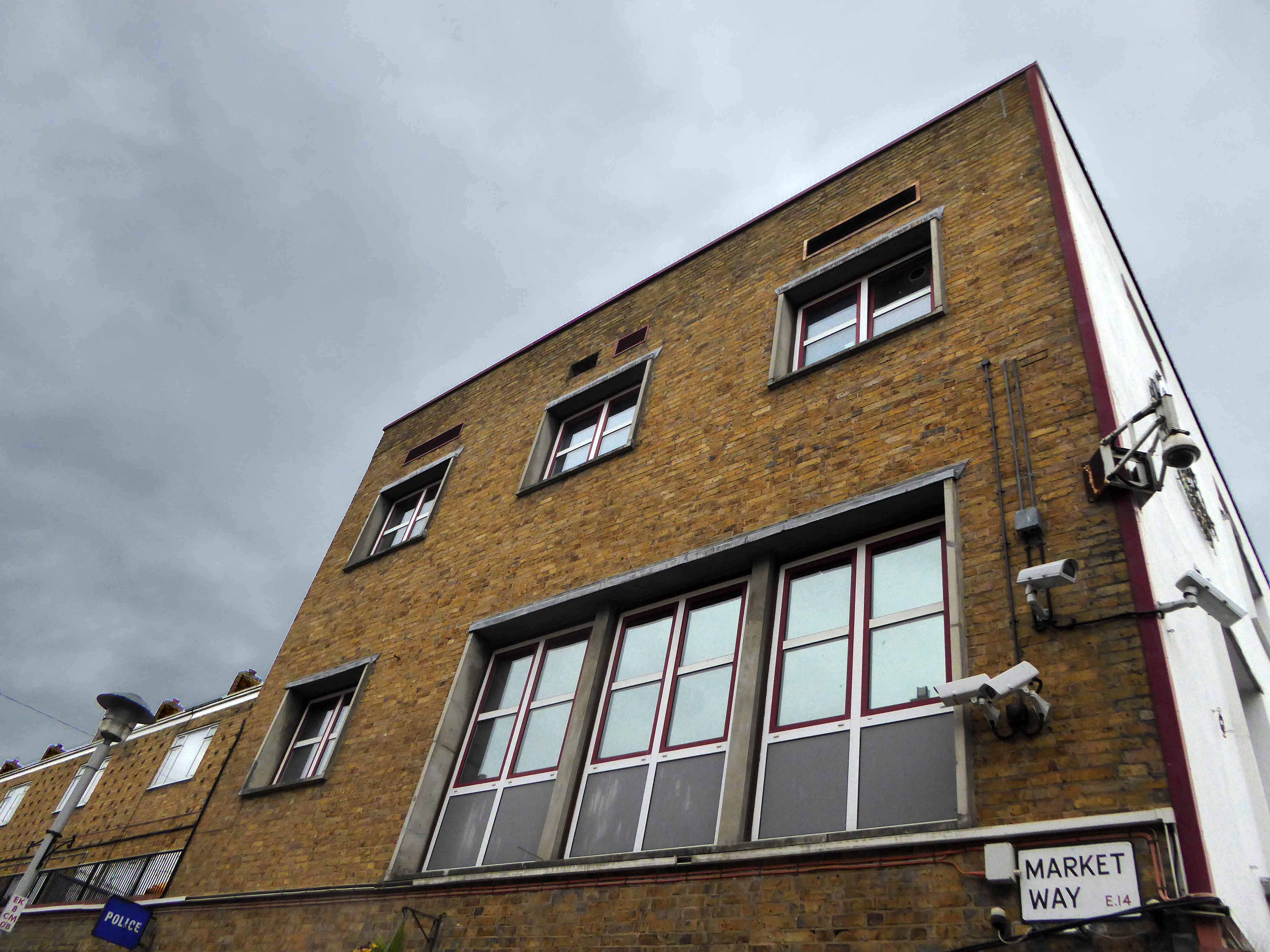
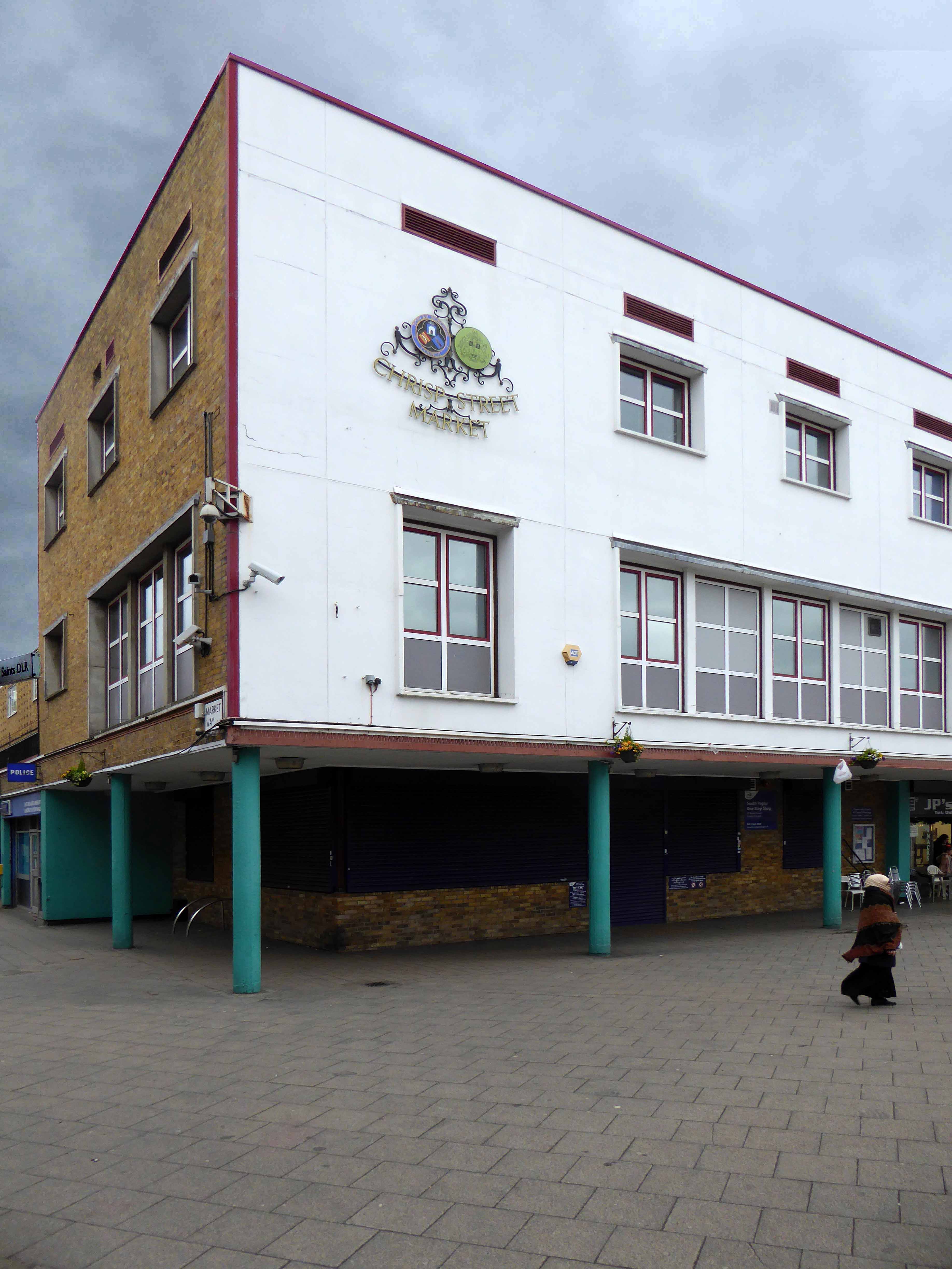
Go east – I visited the V&A Micro Museum, which has become a focus for residents’ and visitors’ memories and projections of a certain uncertain past and future. Arriving by the Docklands Light Railway, I was immediately drawn towards my destination, by the prominent Lansbury Tower, its clock patiently ticking away the time to and from 1951. Welcomed by staff and fellow travellers at the Chrisp Street Market site we began our tour at the heart of the Festival area – further details of which can be found here at Municipal Dreams.
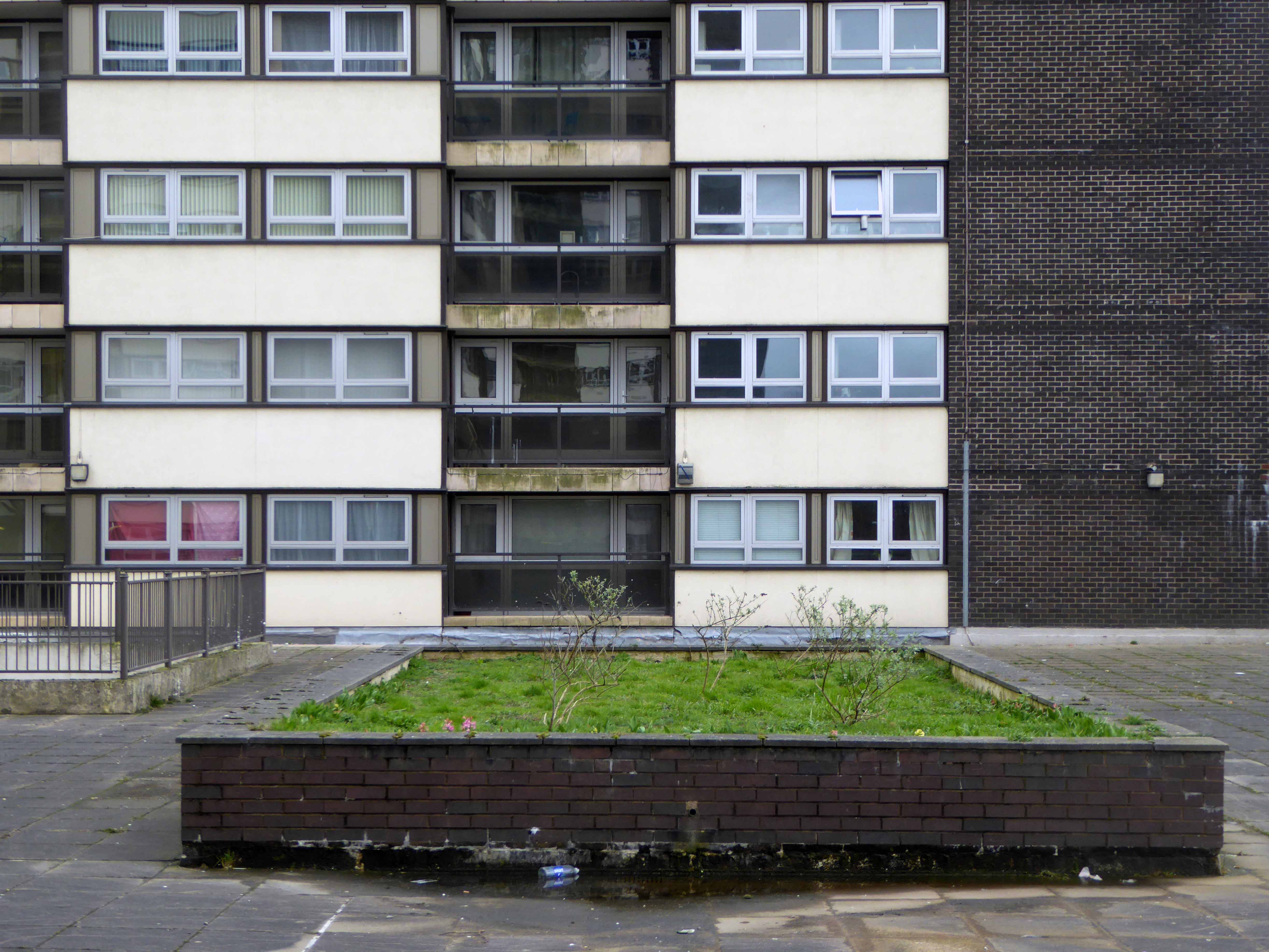
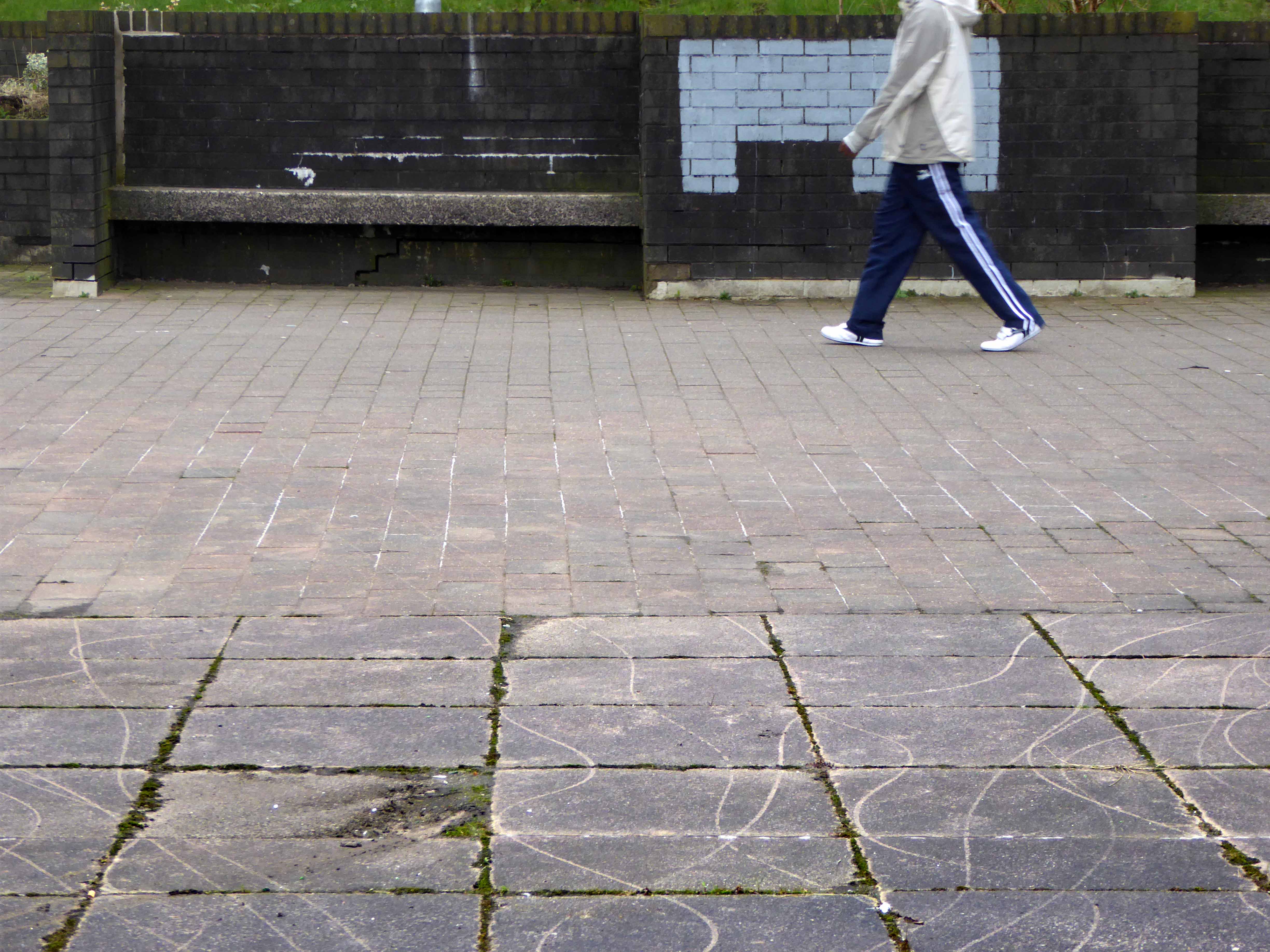
A mix of market, shops, Festival pub, warm cream London brick terraces and low rise, later tower blocks, schools, churches and open grassed communal areas. On a cold and getting colder late winter’s day, a smattering of residents went purposefully about their business.
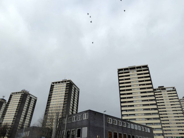
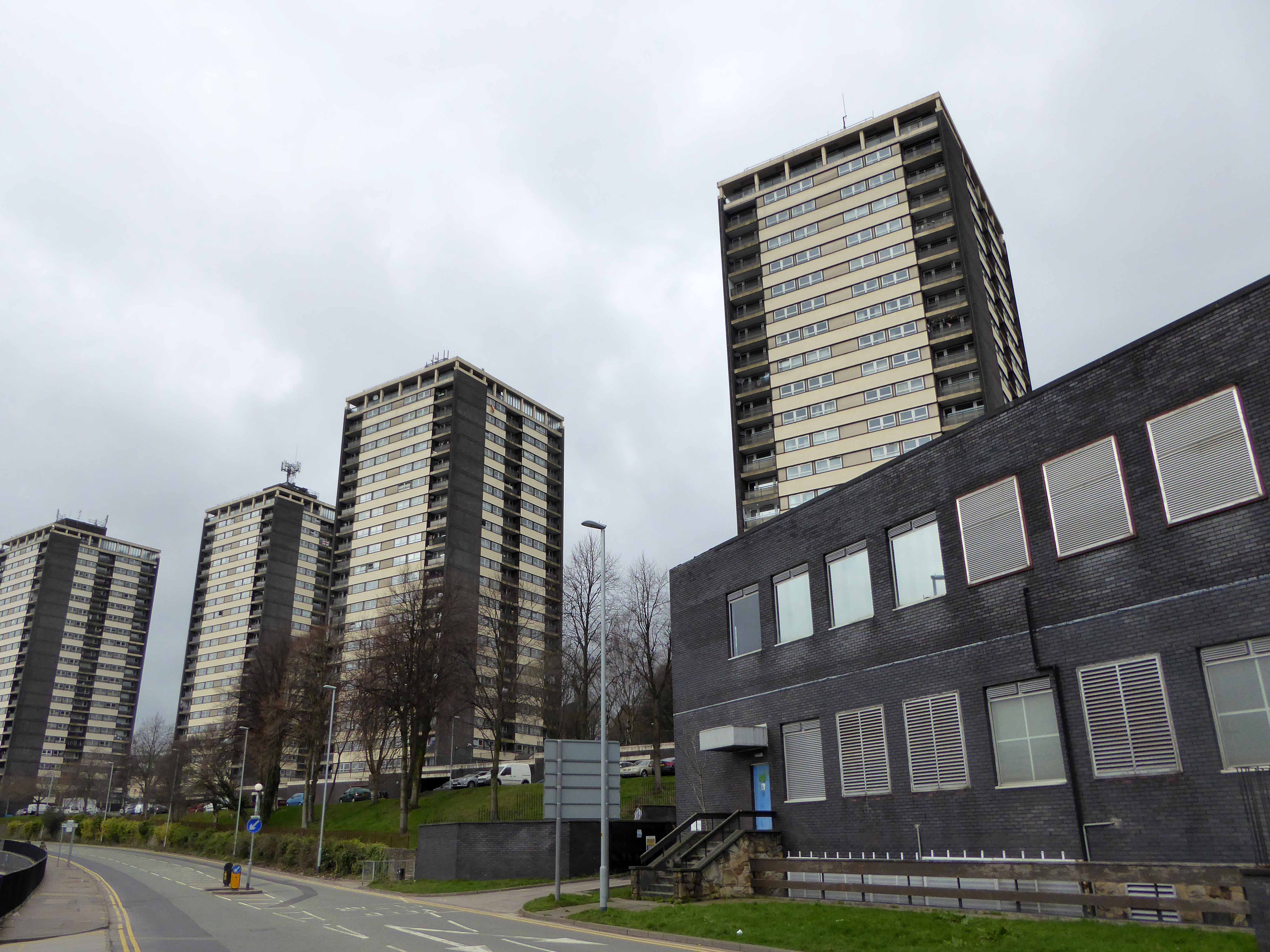
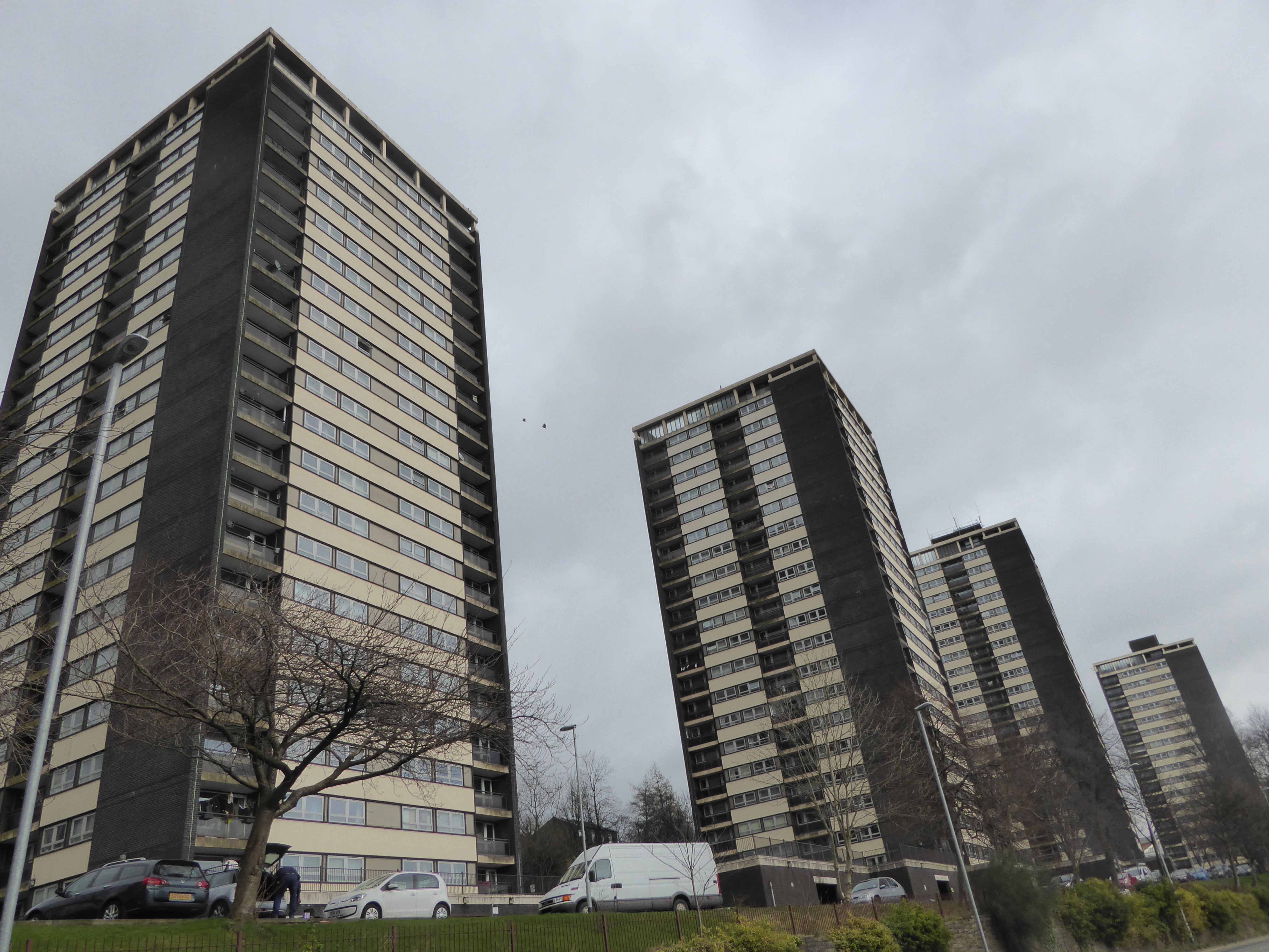
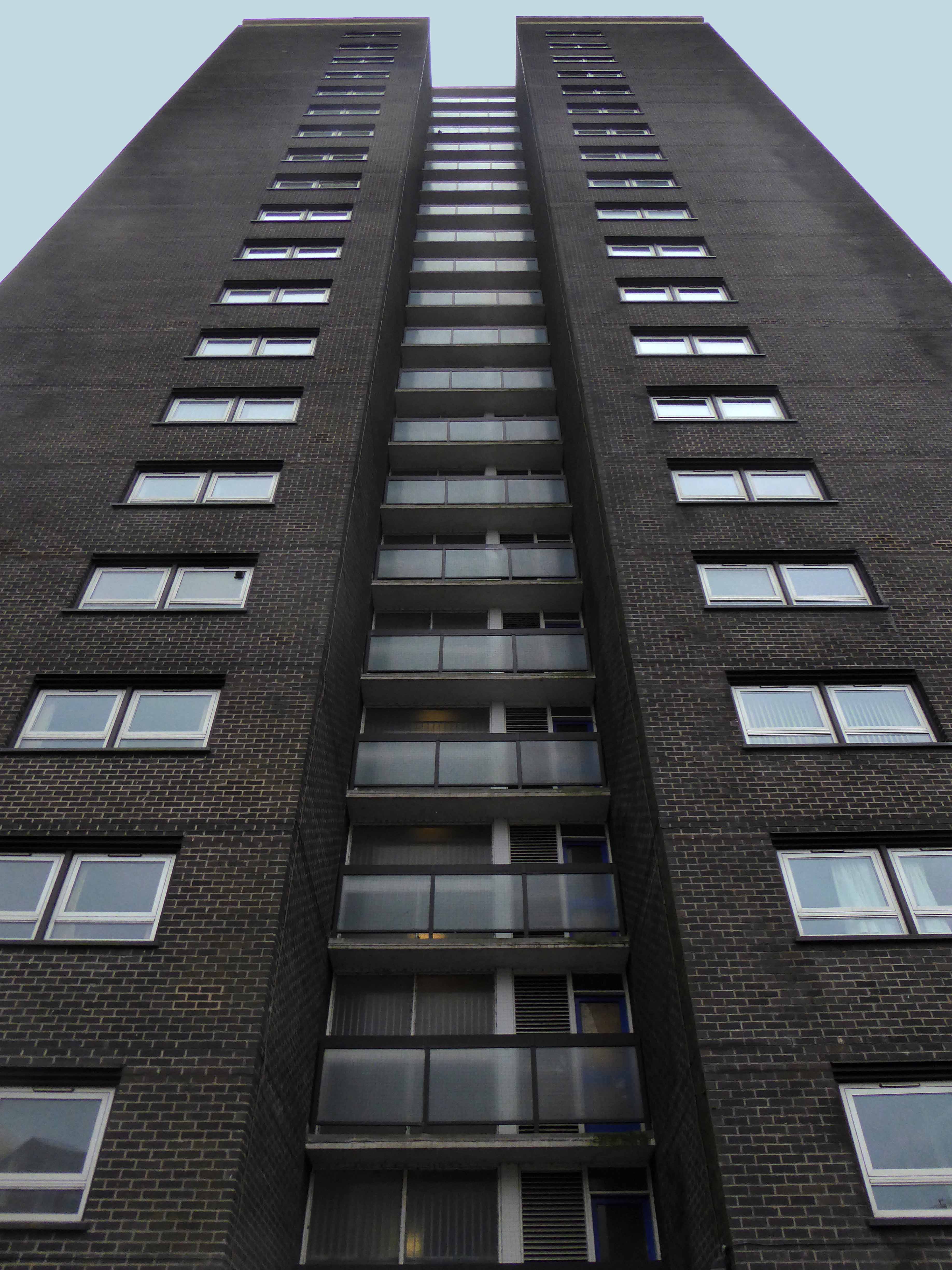
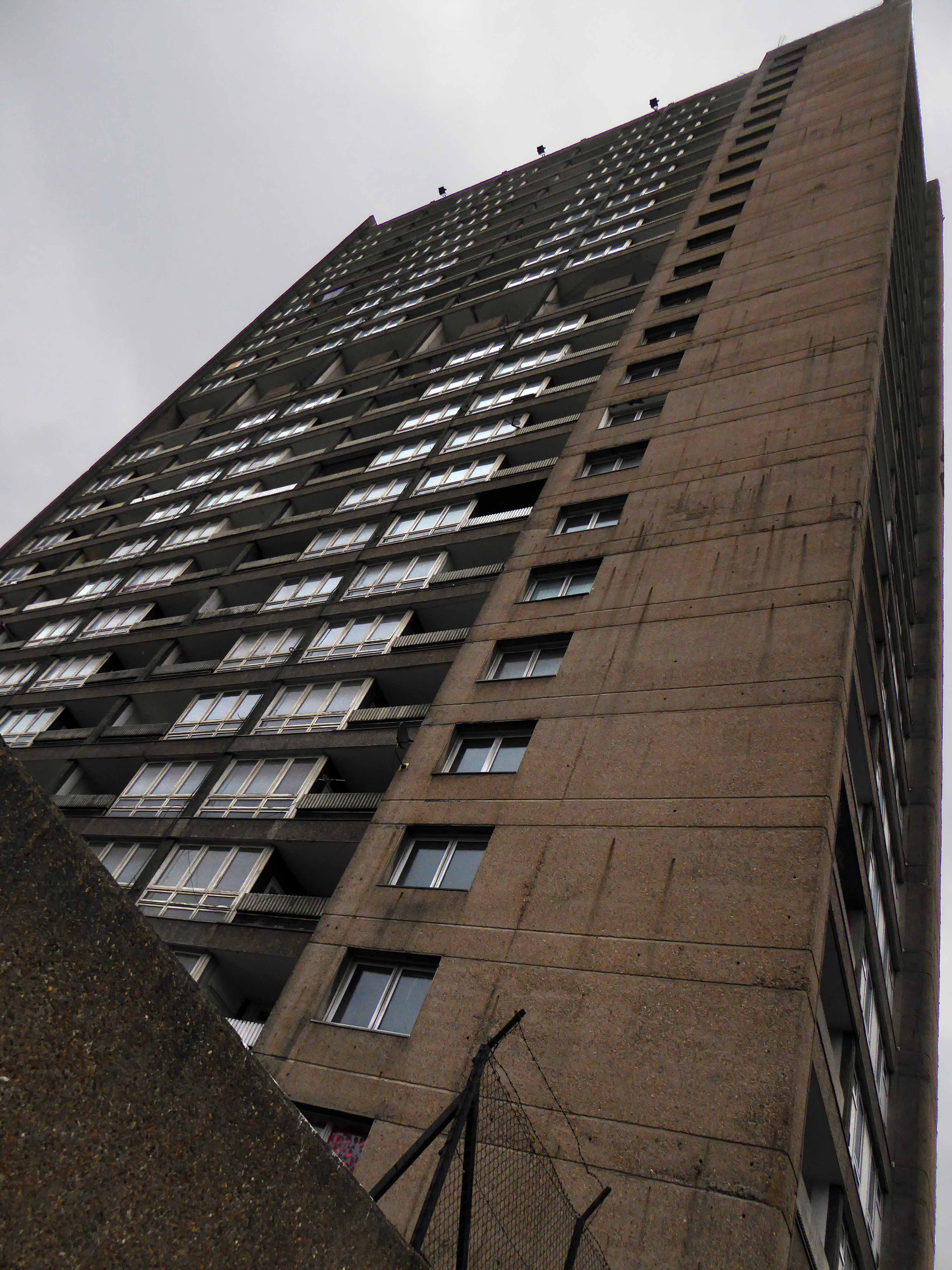
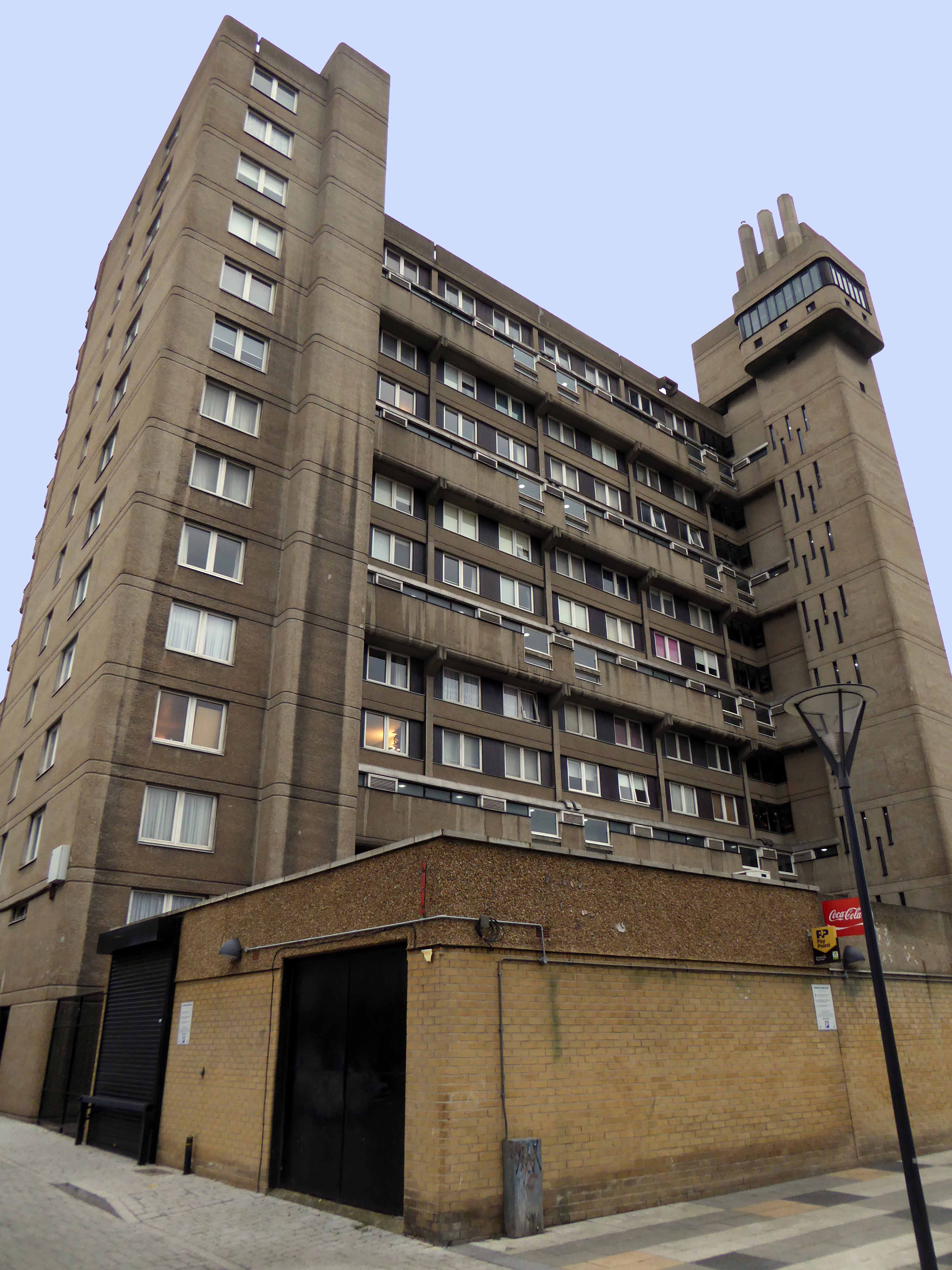
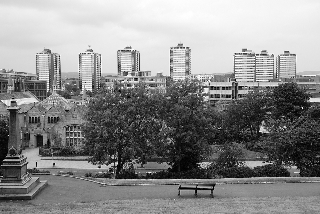
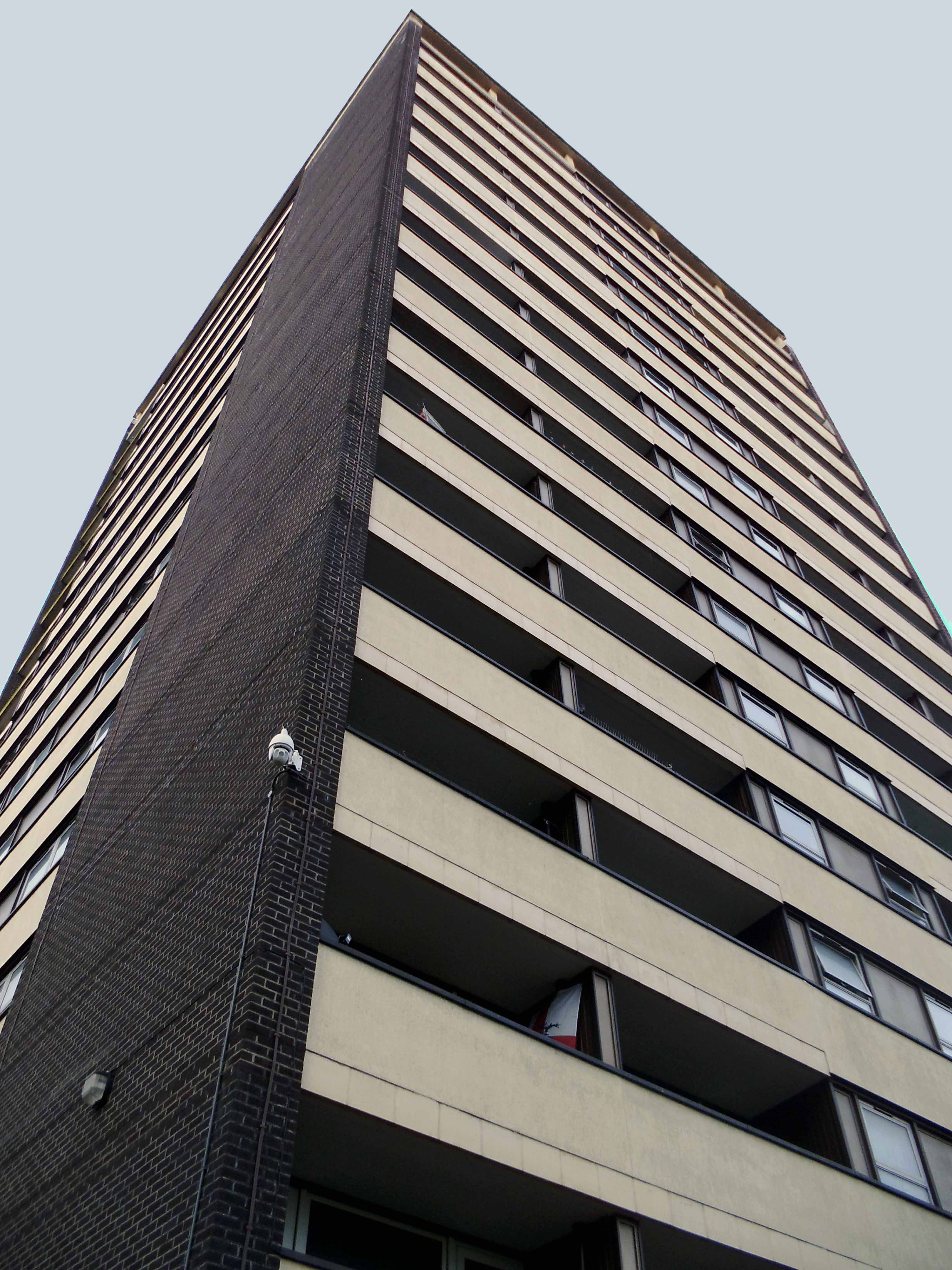
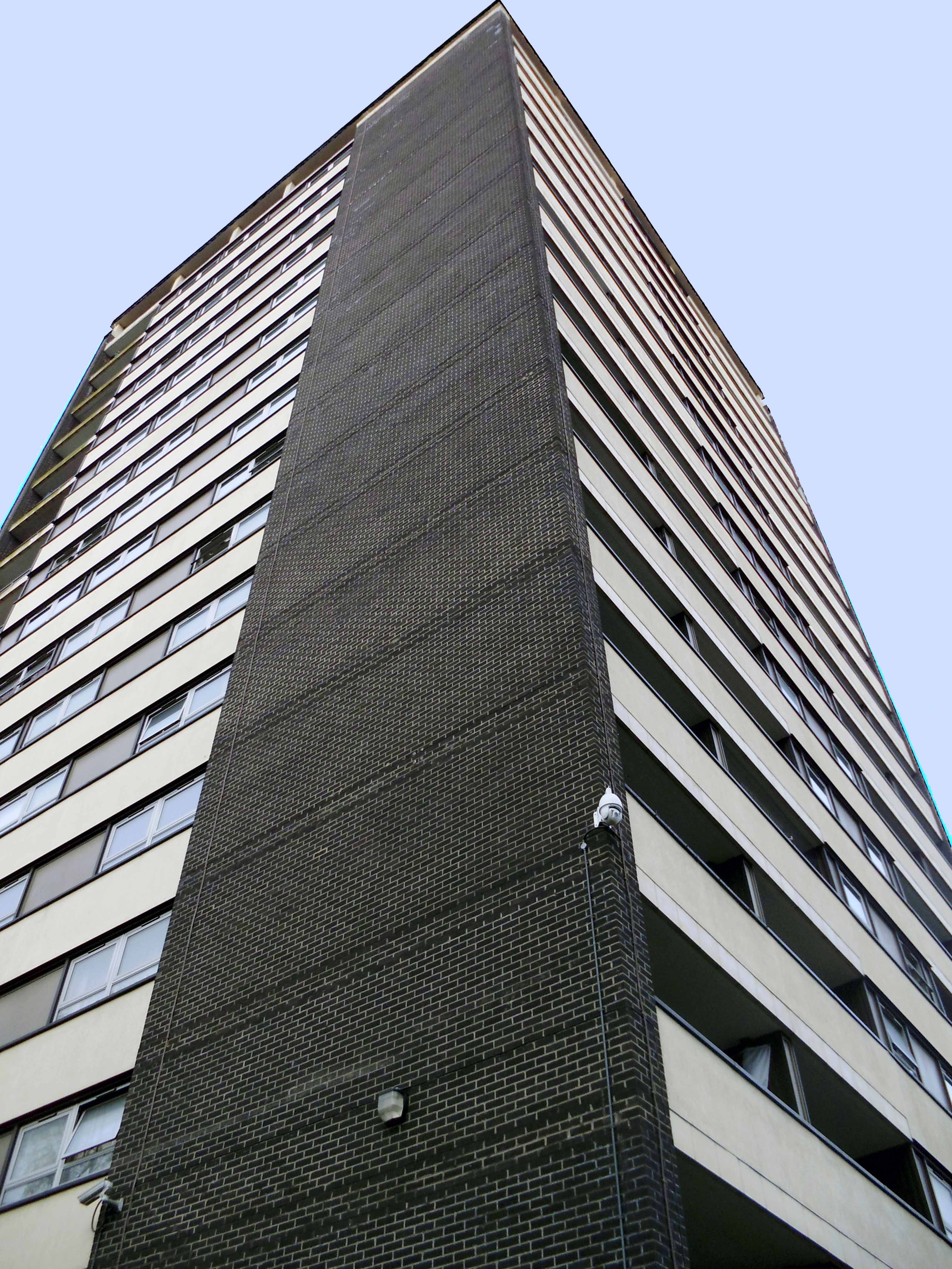
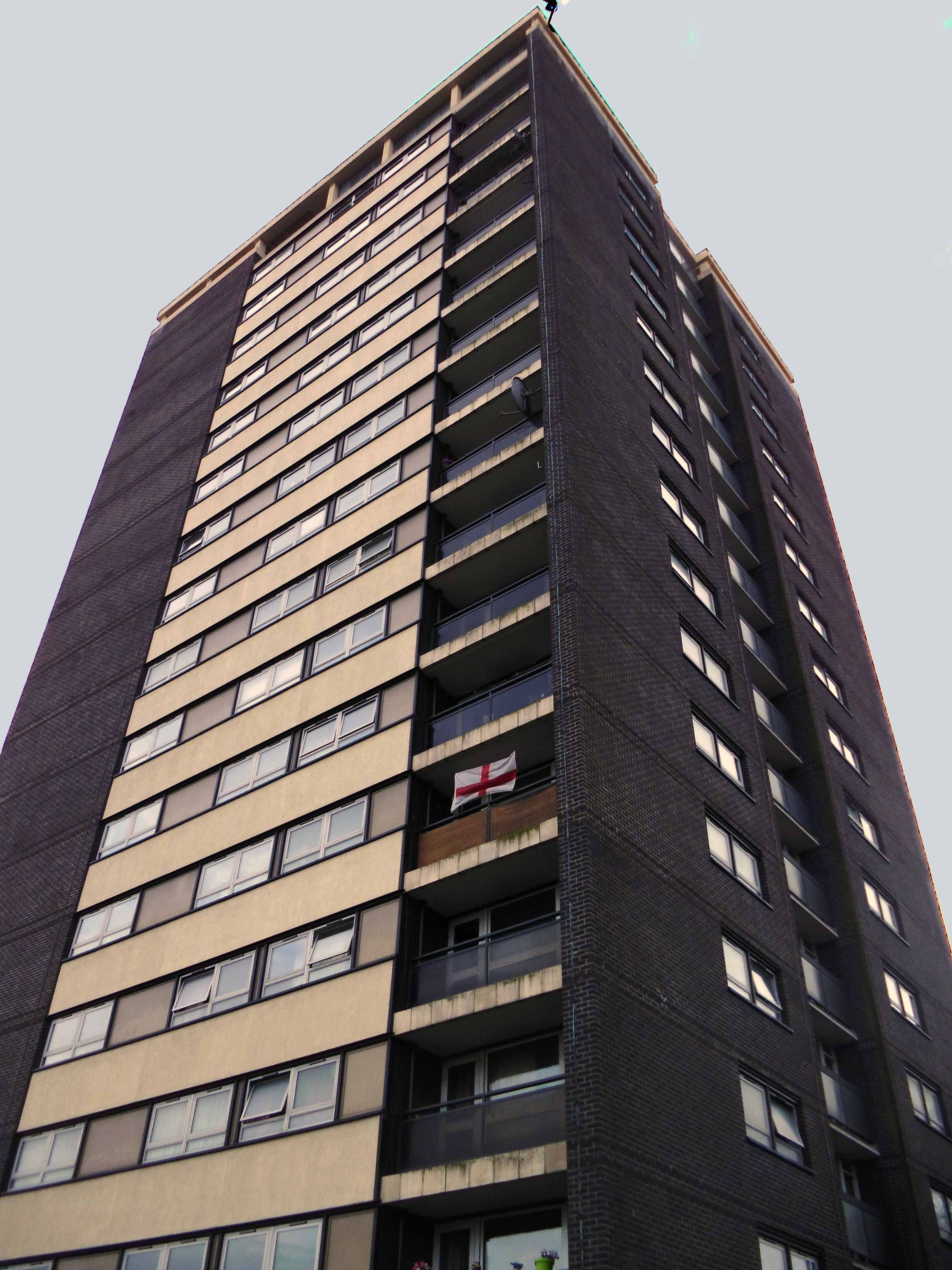
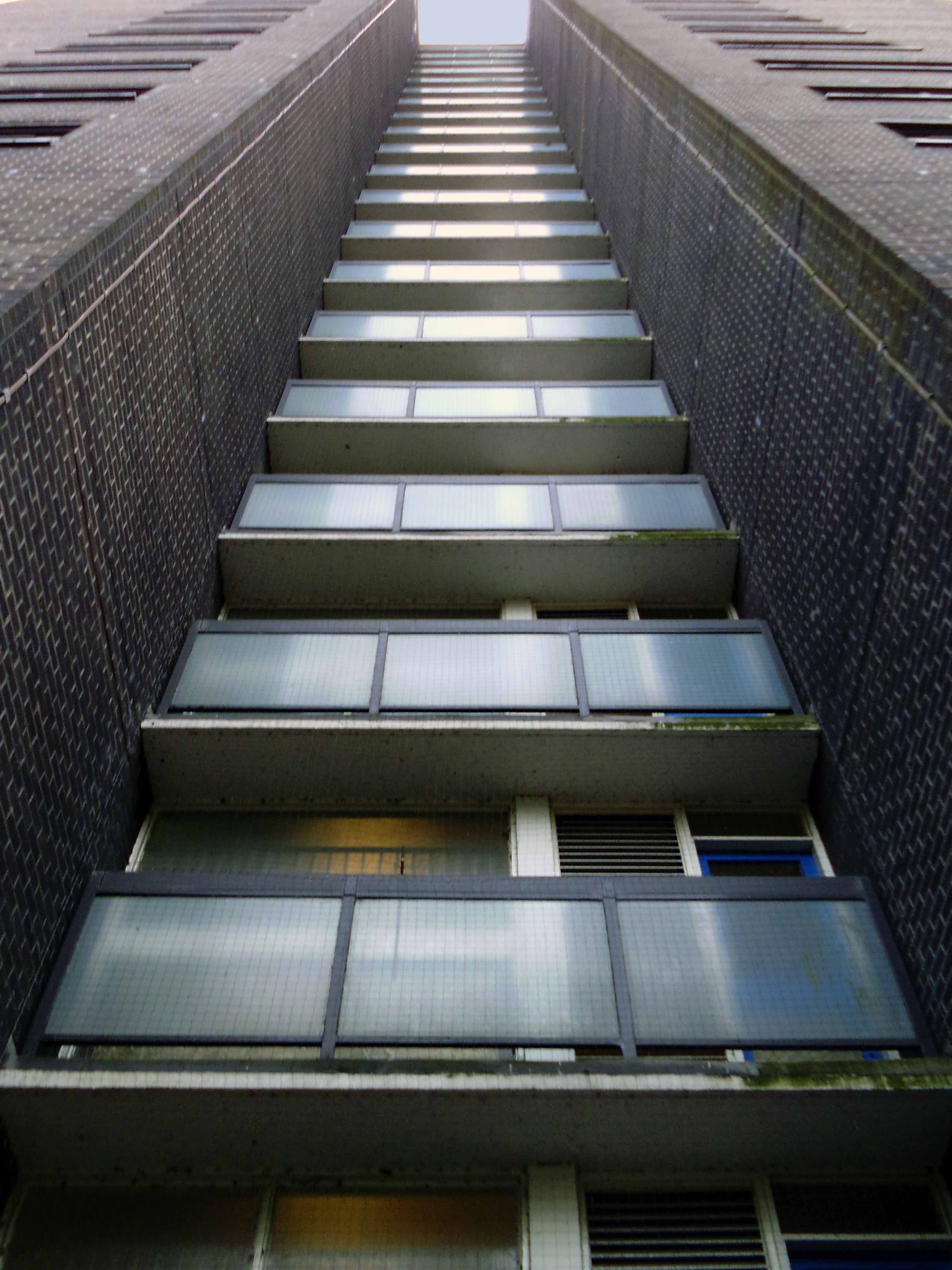
I’ve passed this way before, they’re hard to miss, seven substantial tower blocks towering over the town on College Bank.
But what goes up, may come down.
Construction in 1963
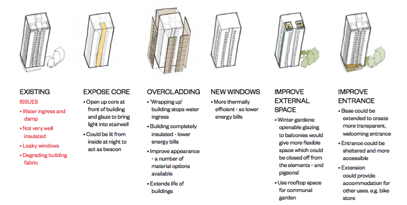
Demolition in 2017 is one suggestion – following years of poor maintenance, problems of heating and ingress, plus a whole host of other reasons outlined here.
The housing trust in consultation with residents, have produced a tentative plan.
This may or may not include the demolition of one or more blocks. On the day of my visit, the tenants I spoke with understood that the blocks faced an uncertain future, and were rightly concerned by the rumours and conjecture. The majority would prefer to stay put, having lived there for several years, raising families and building homes.
Whatever the outcome I hope that the wishes of the residents are not overwhelmed by political expedience, or the will of the developer.
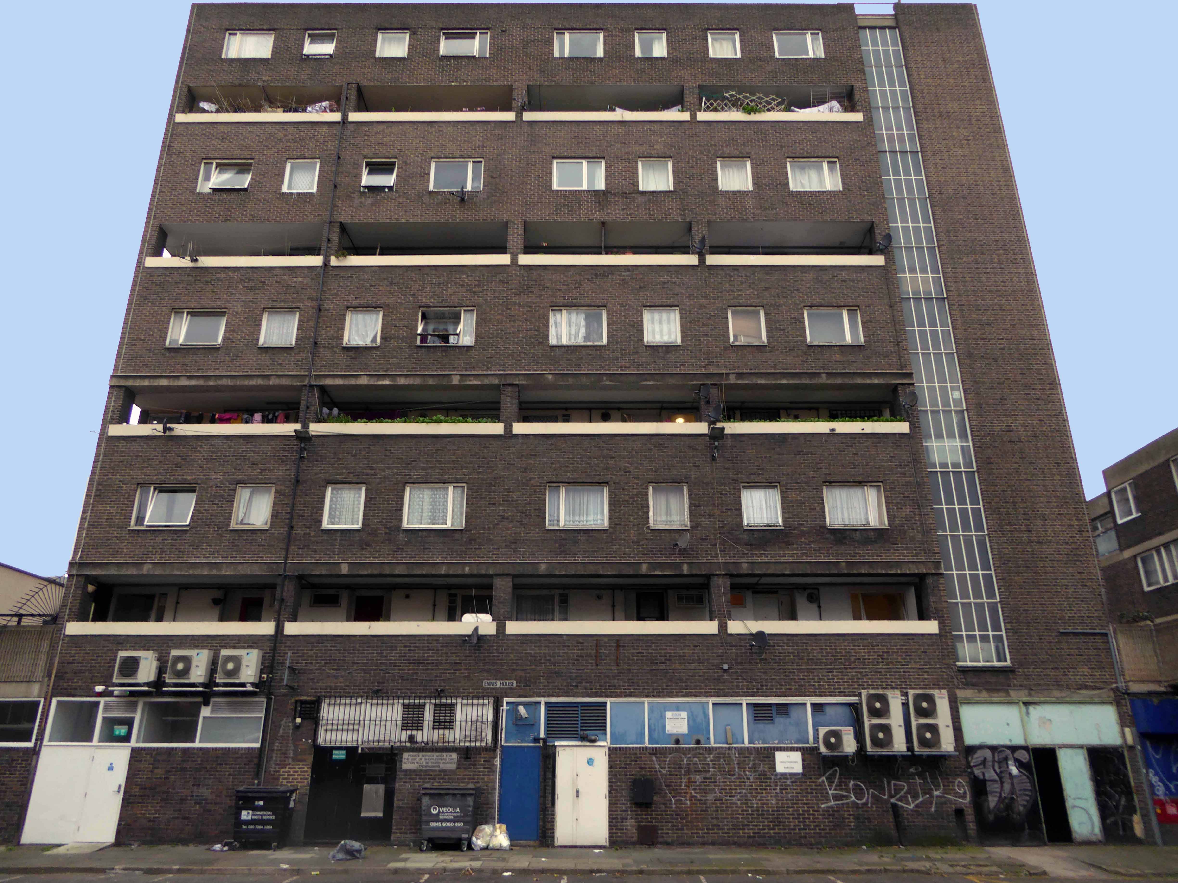
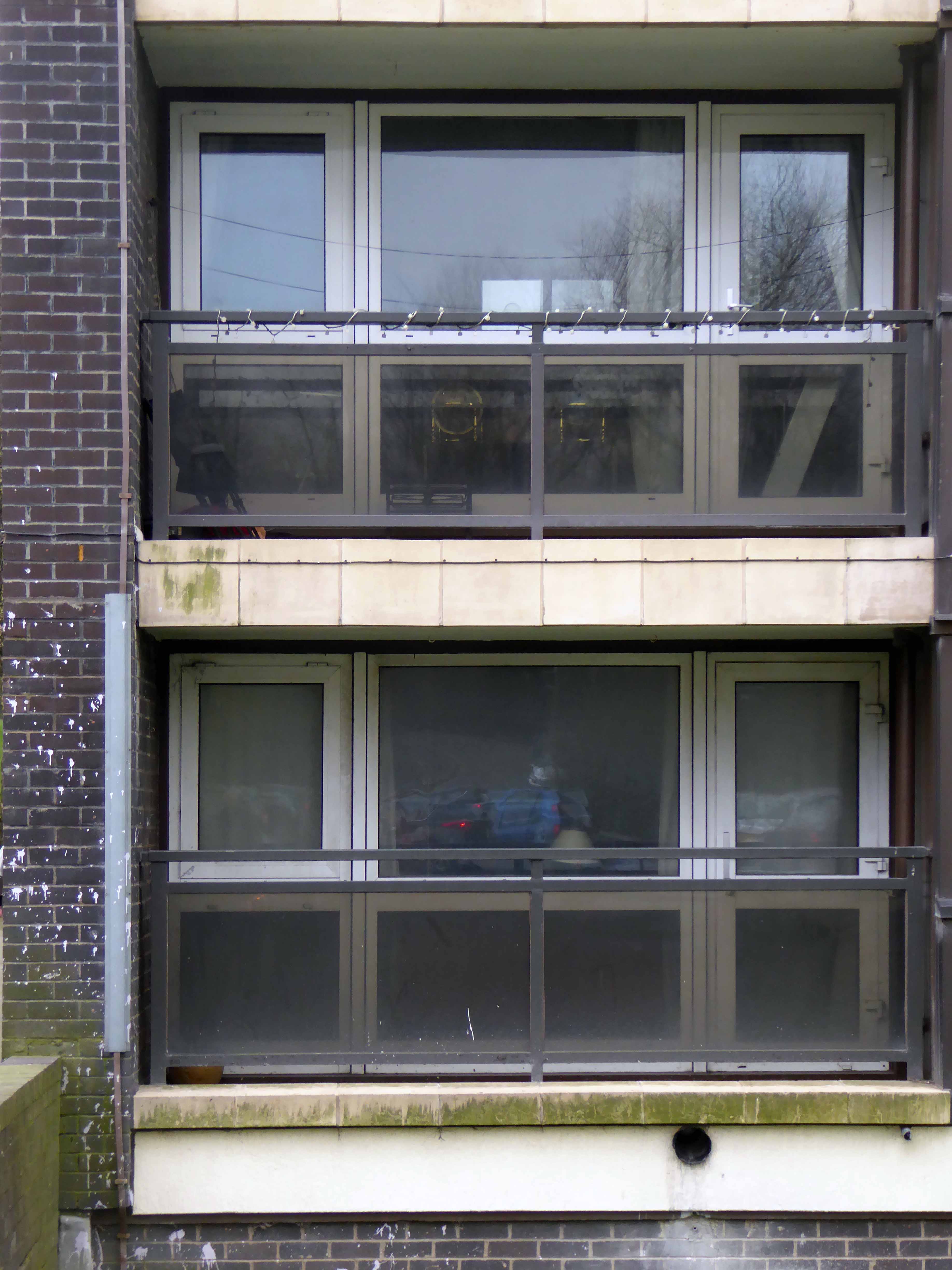
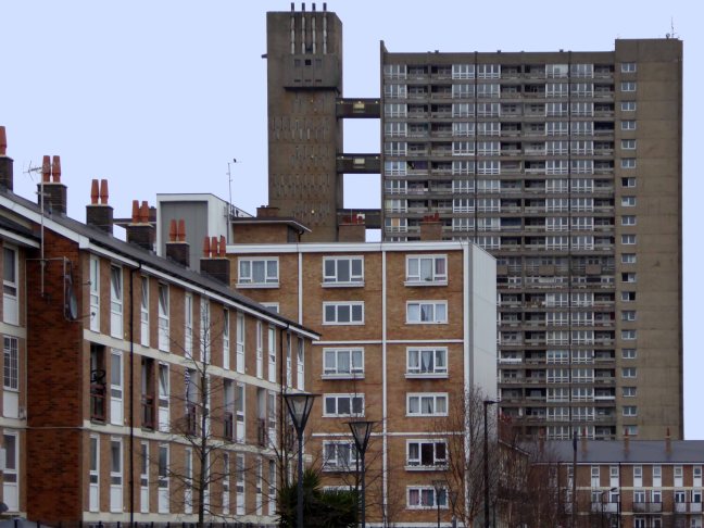
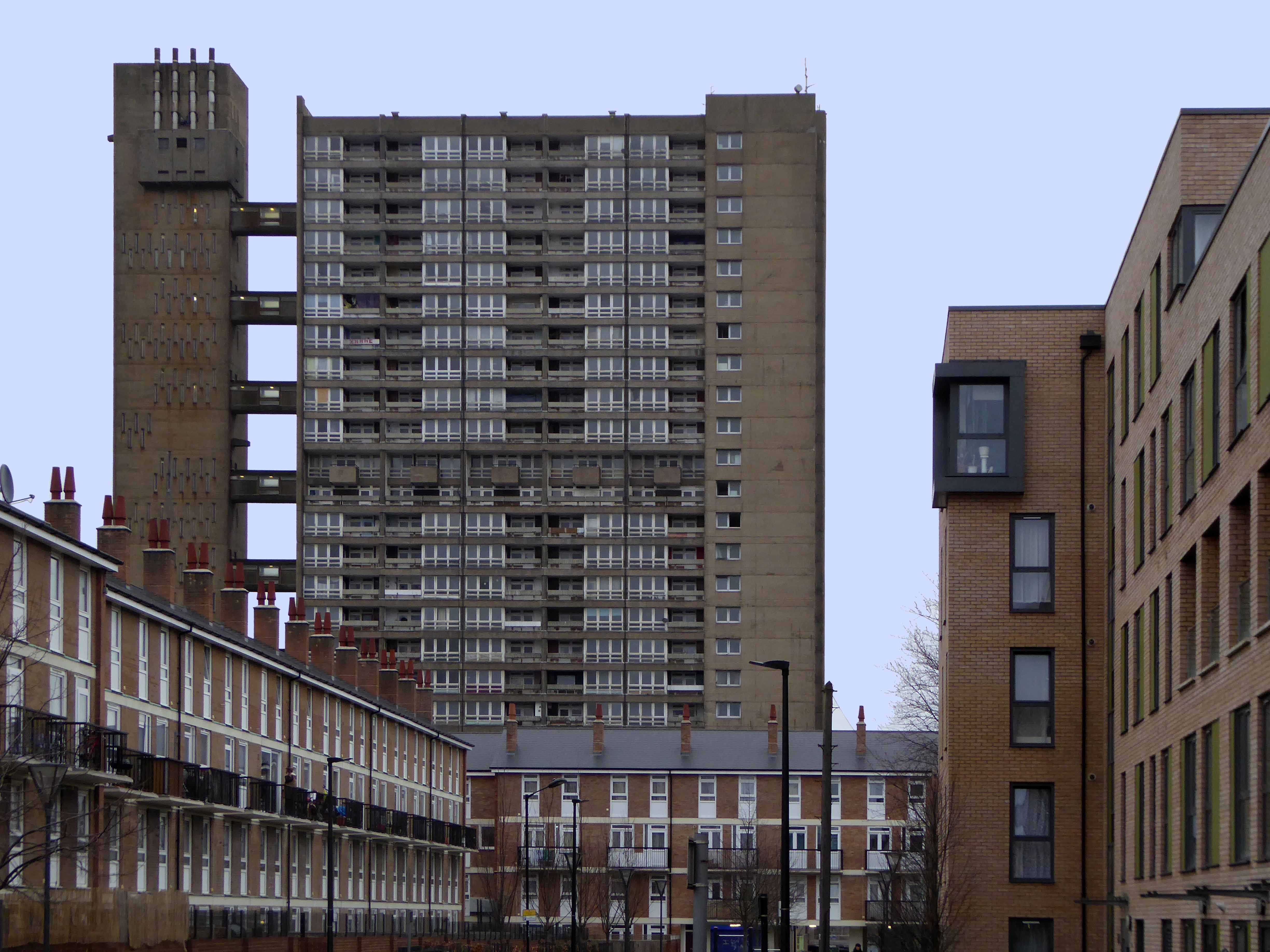
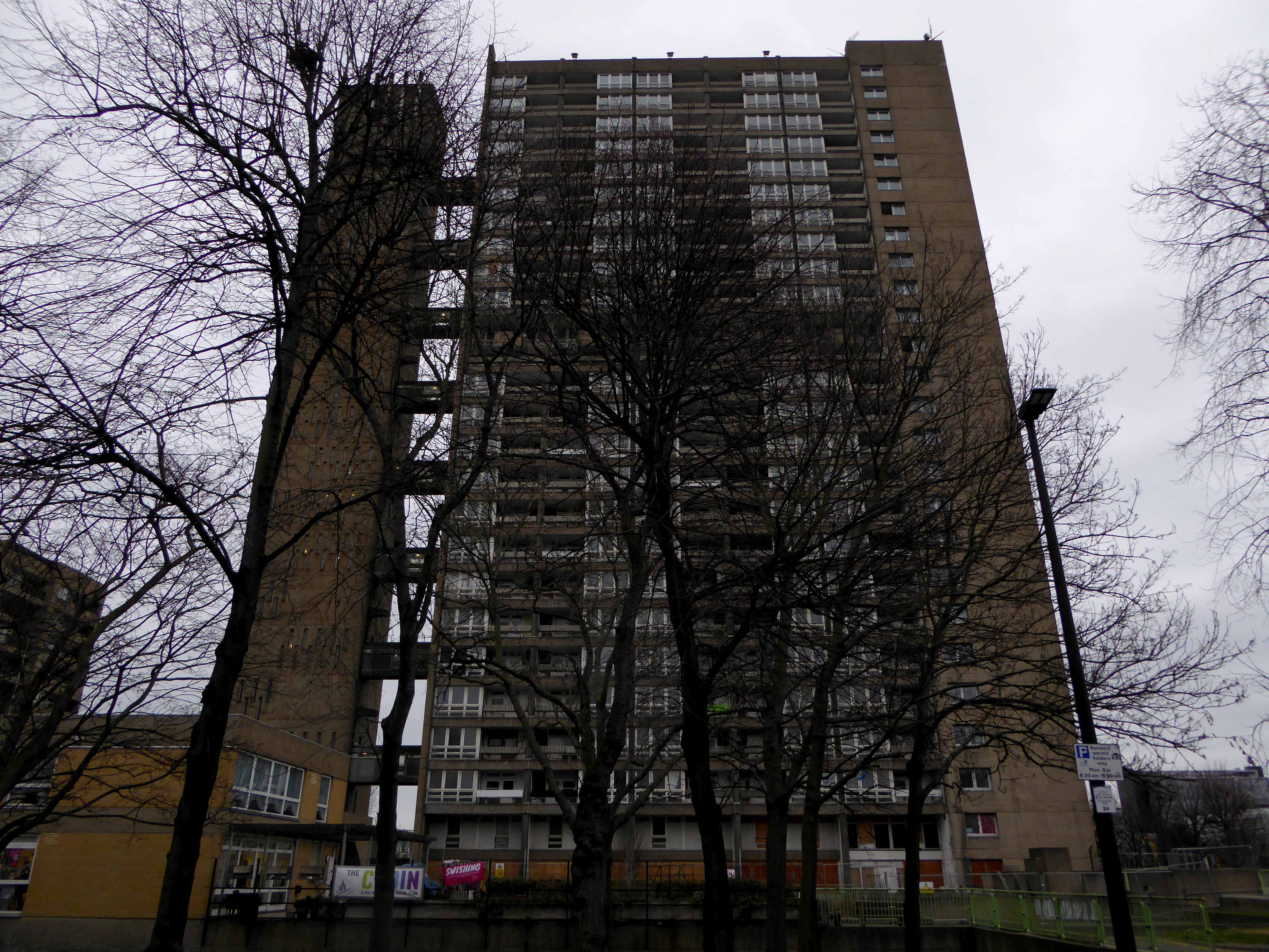
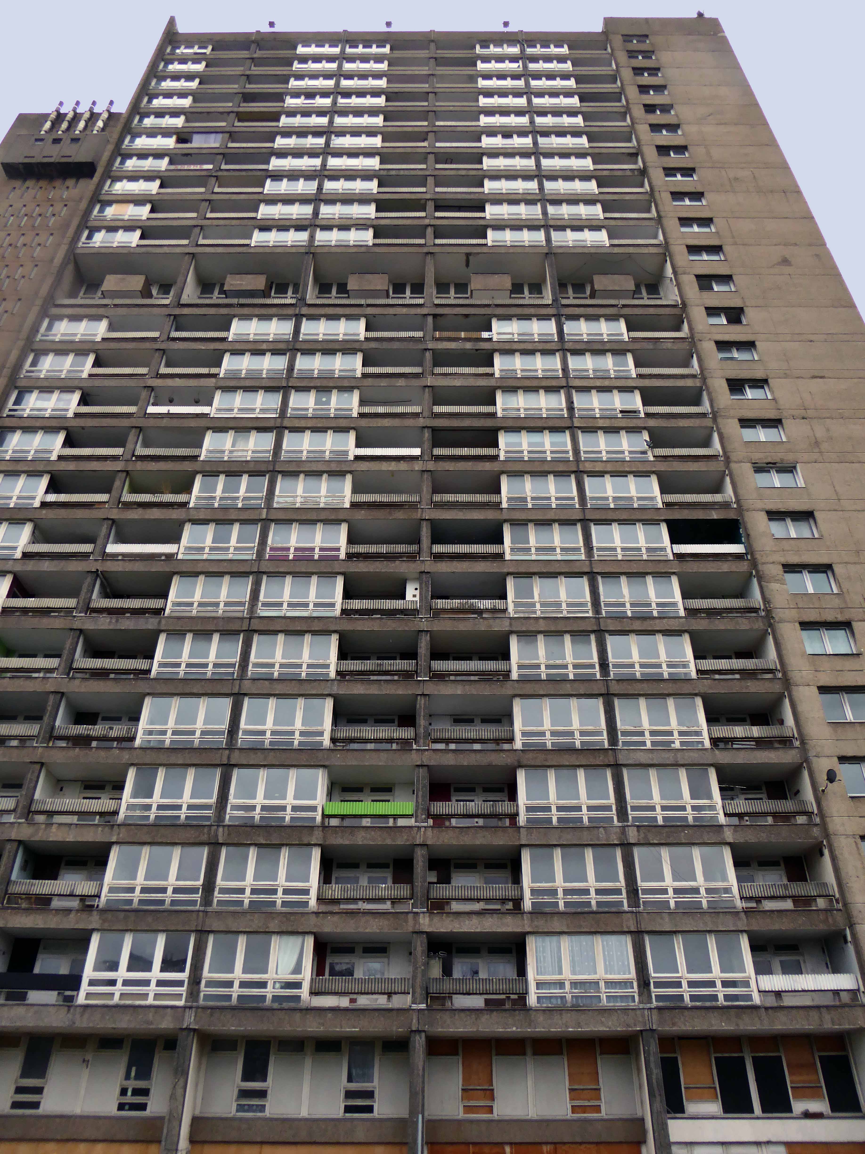
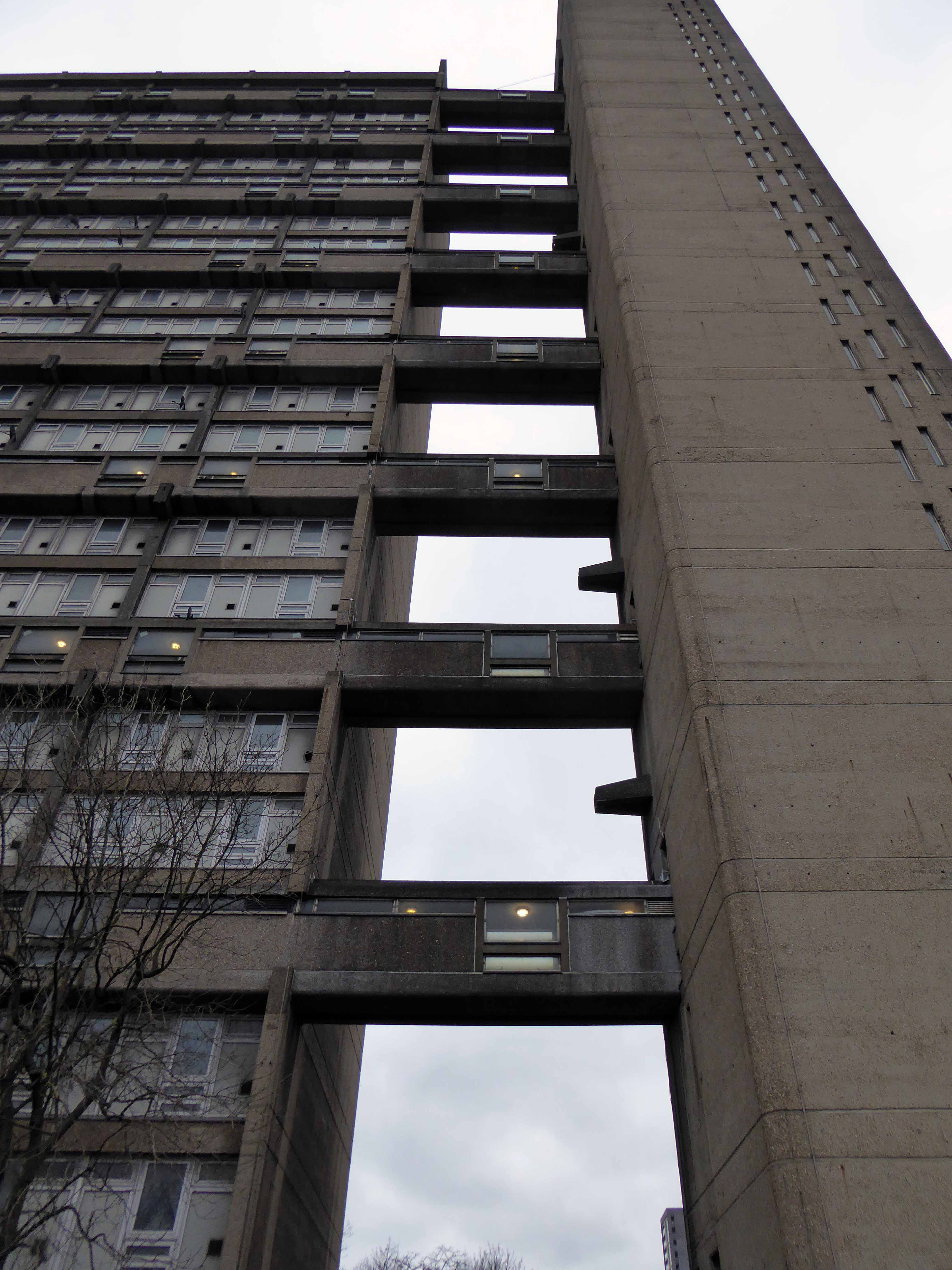
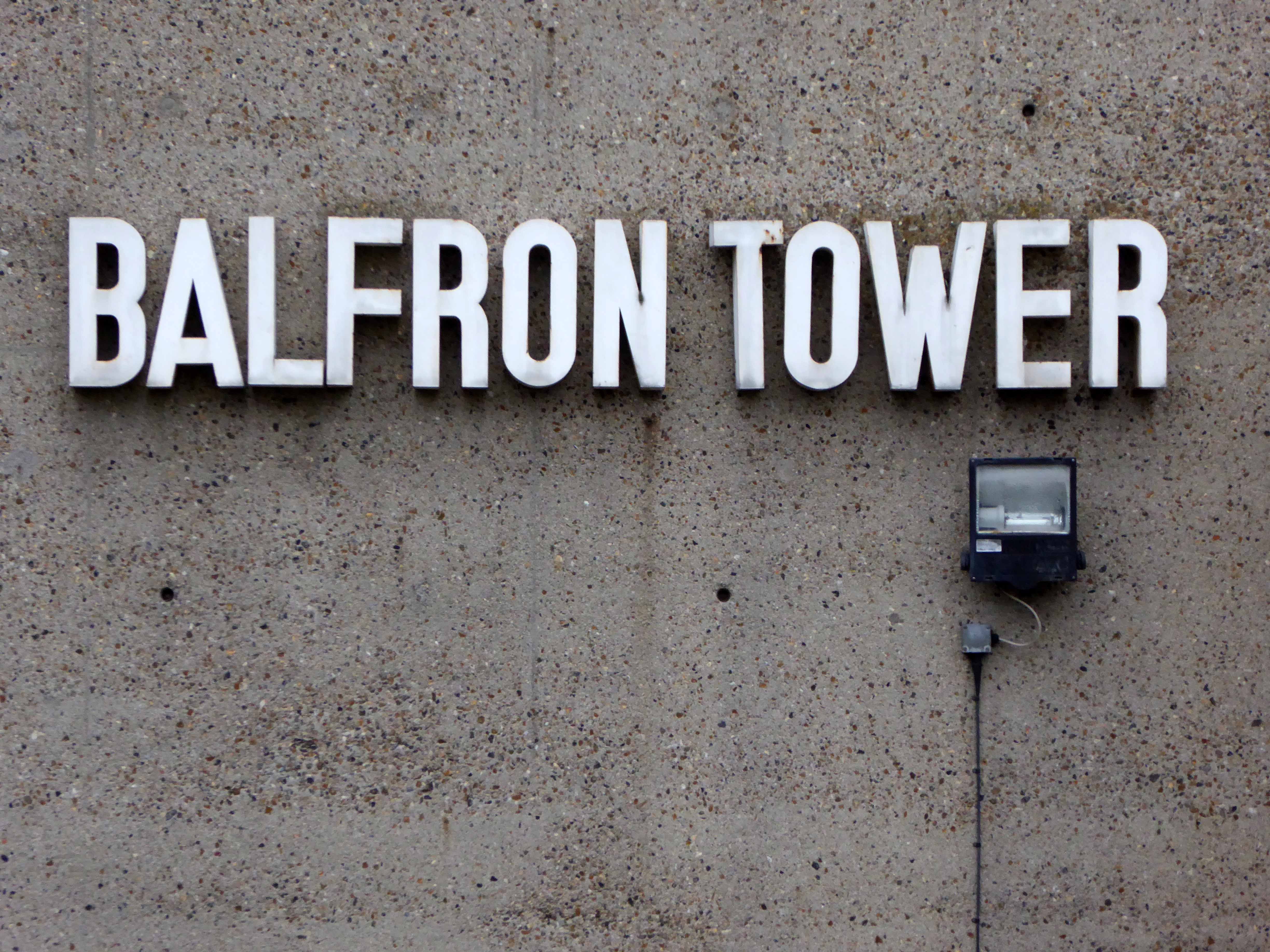
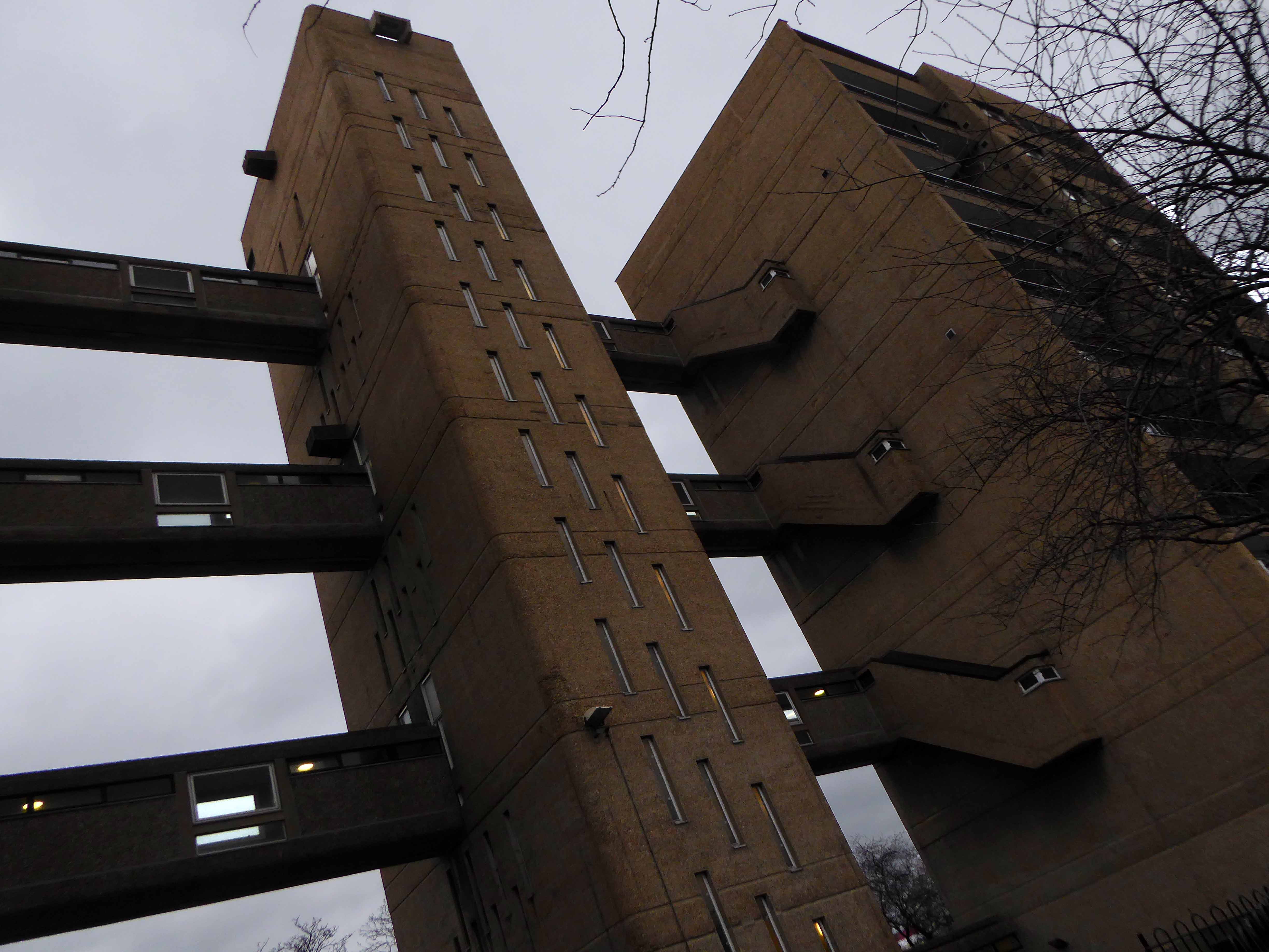
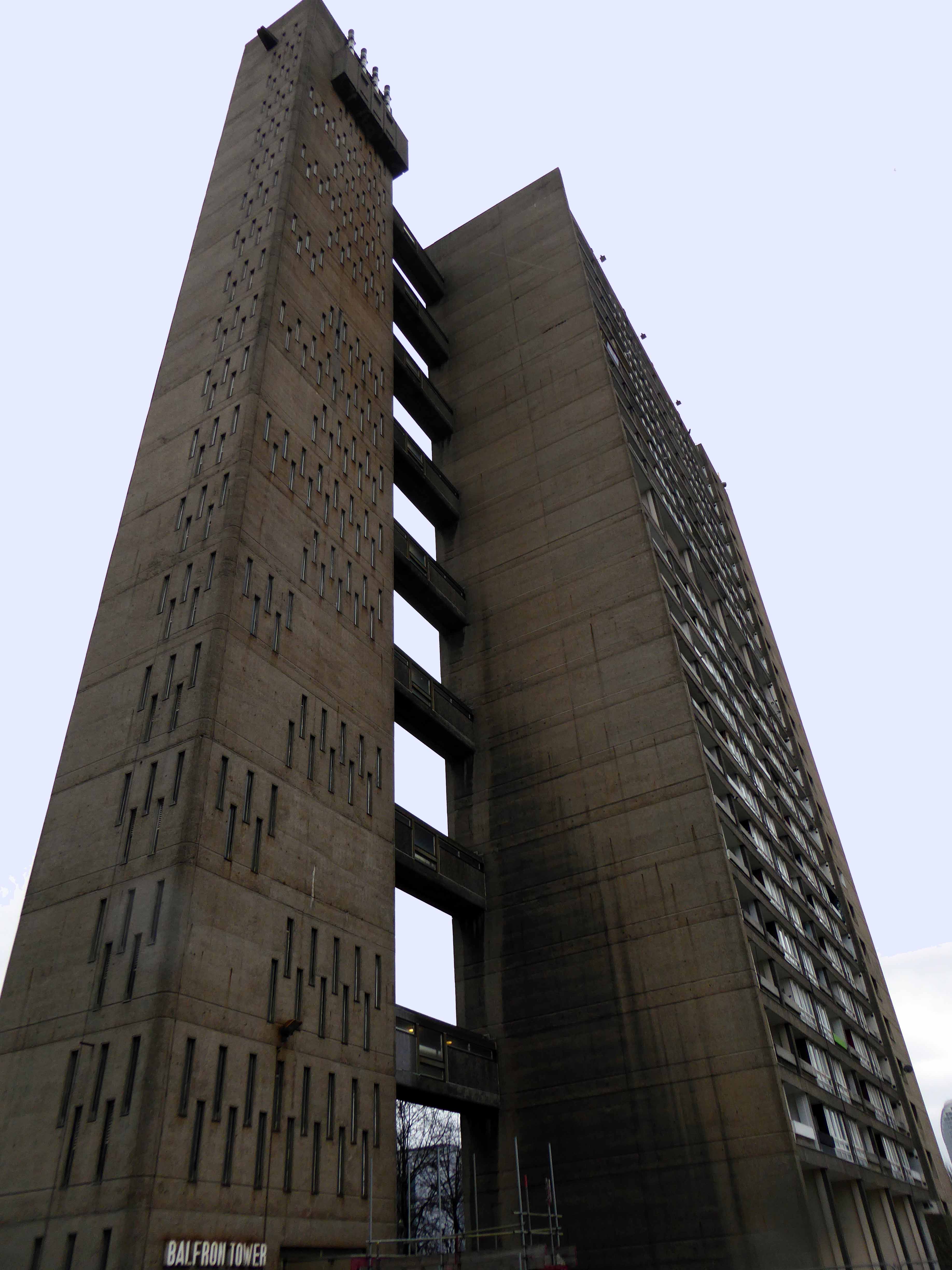
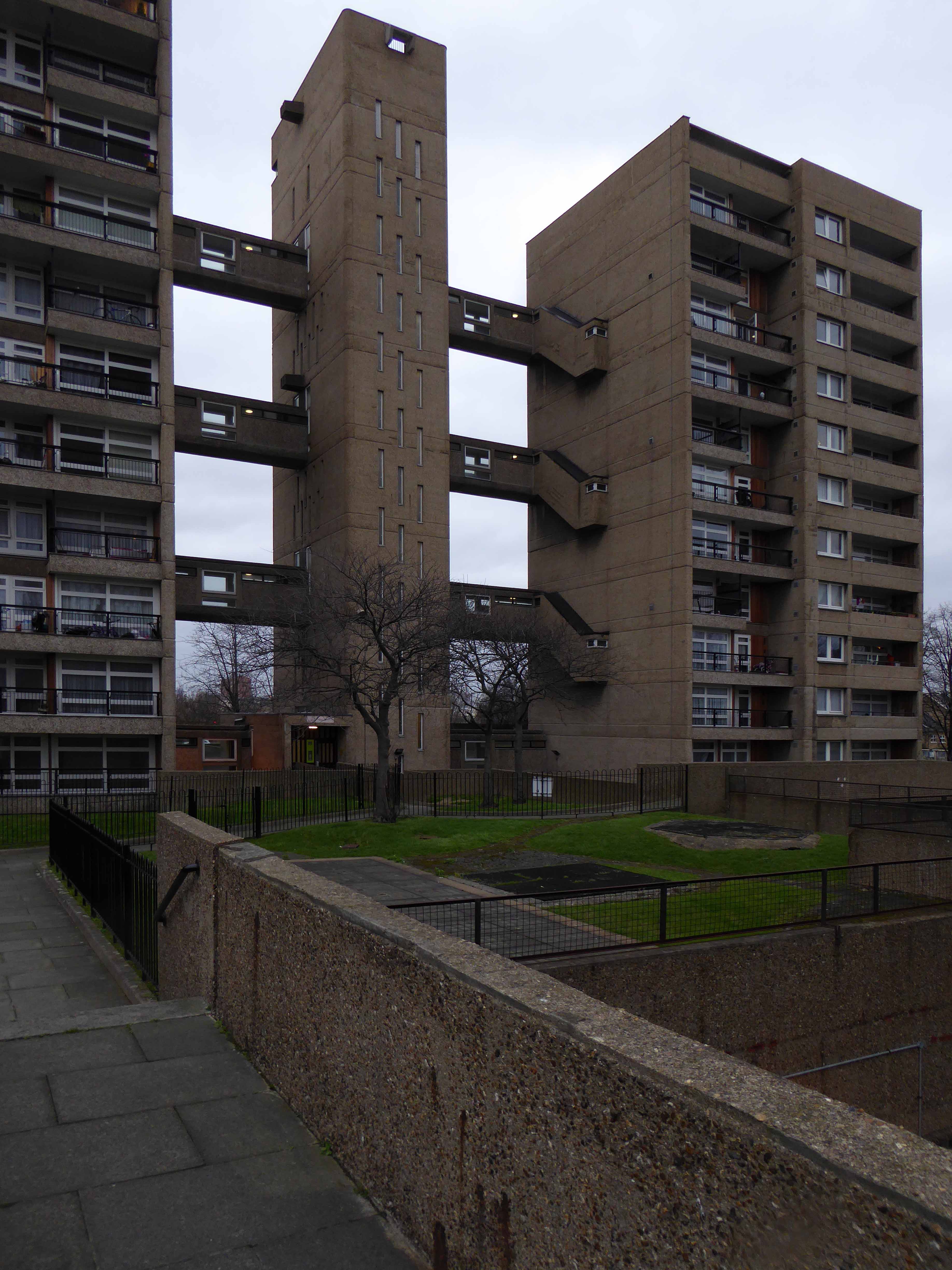
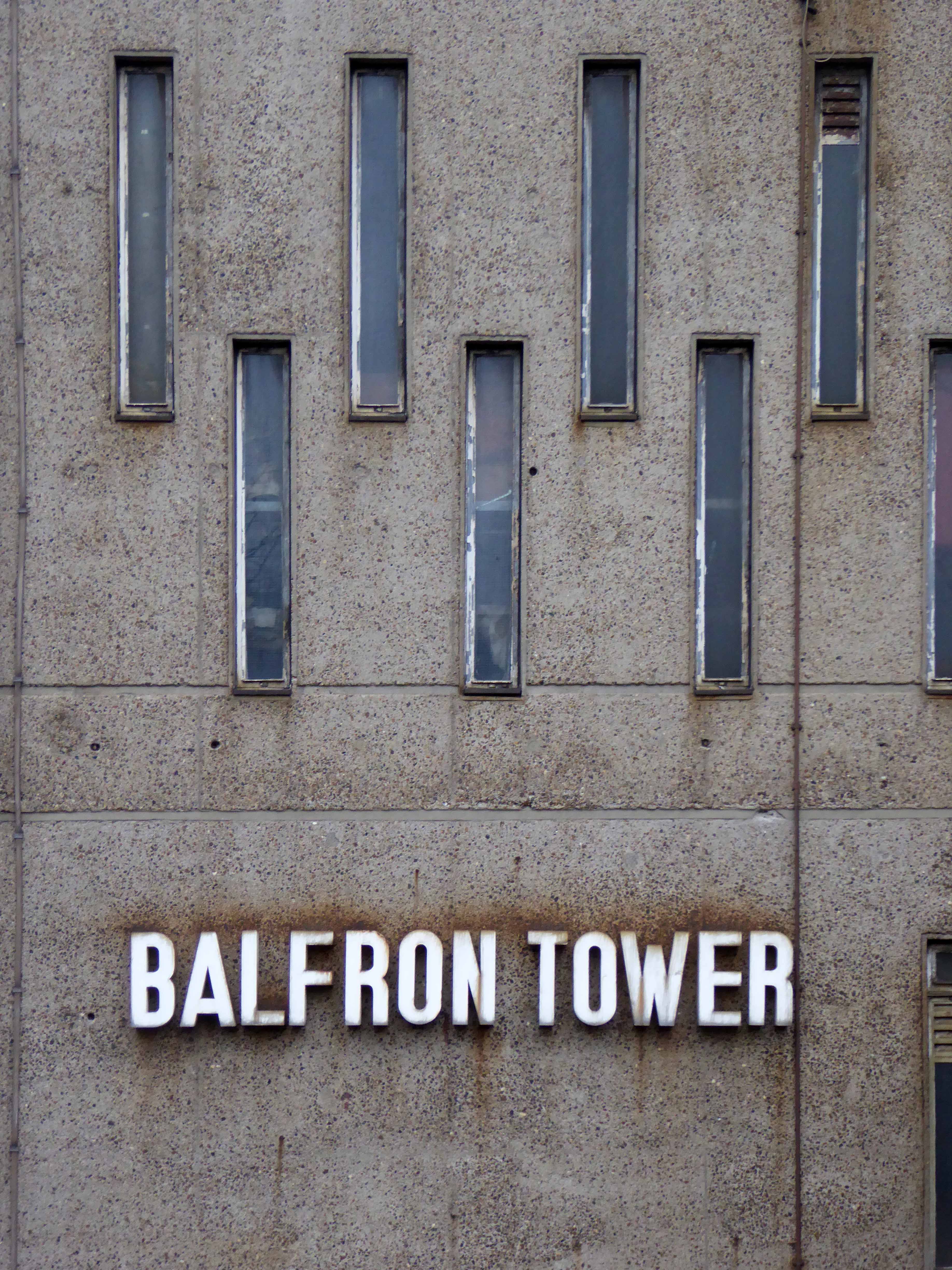
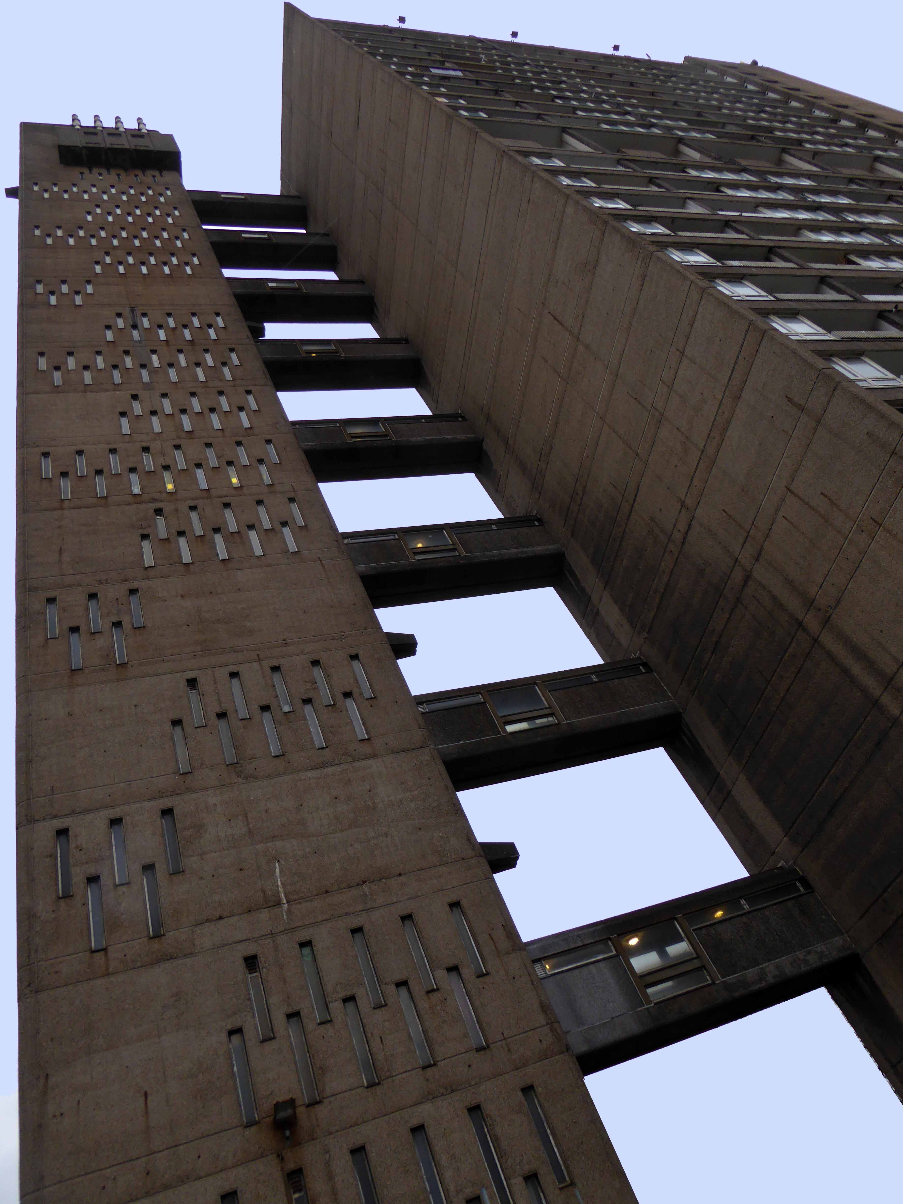
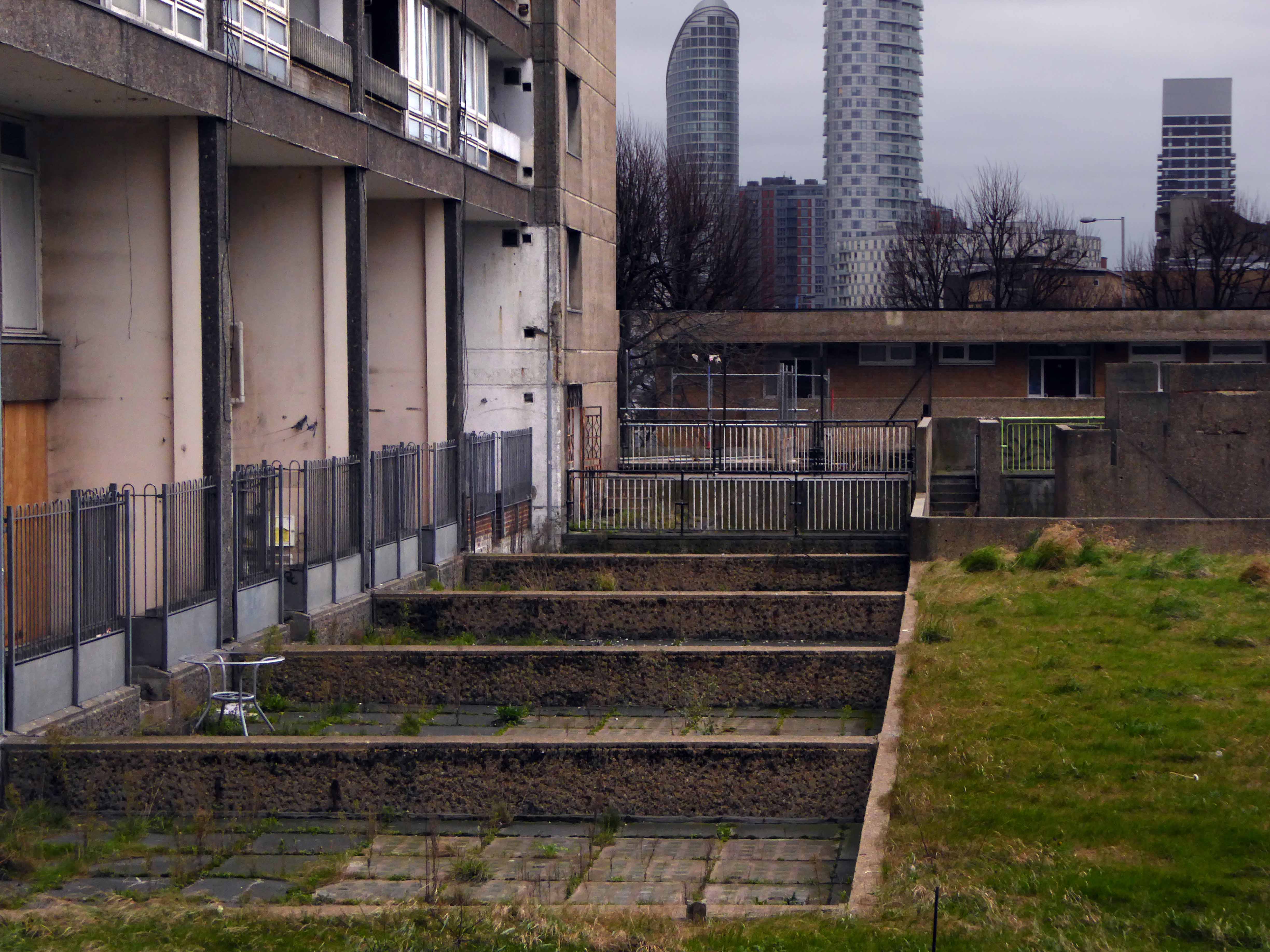
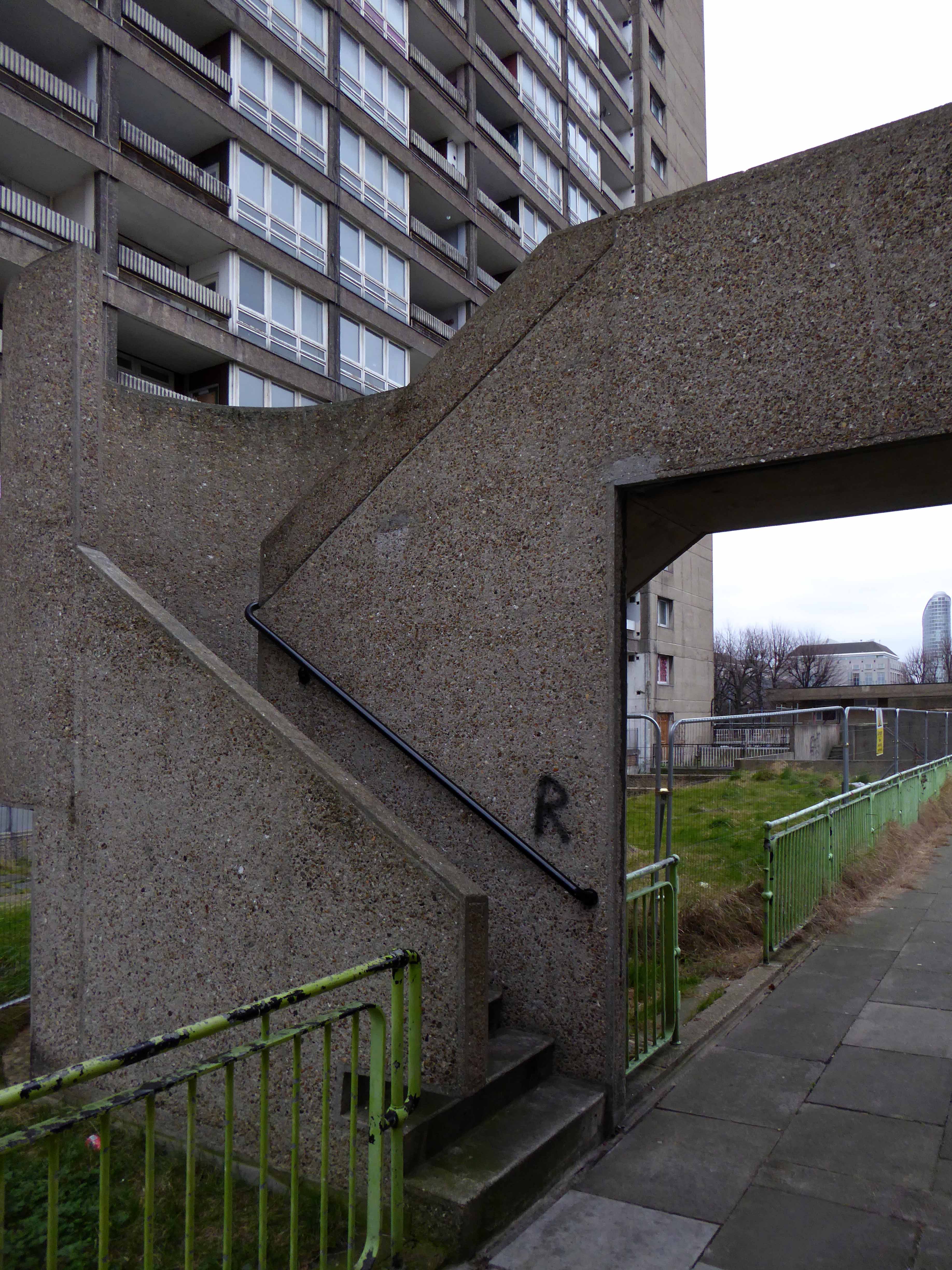
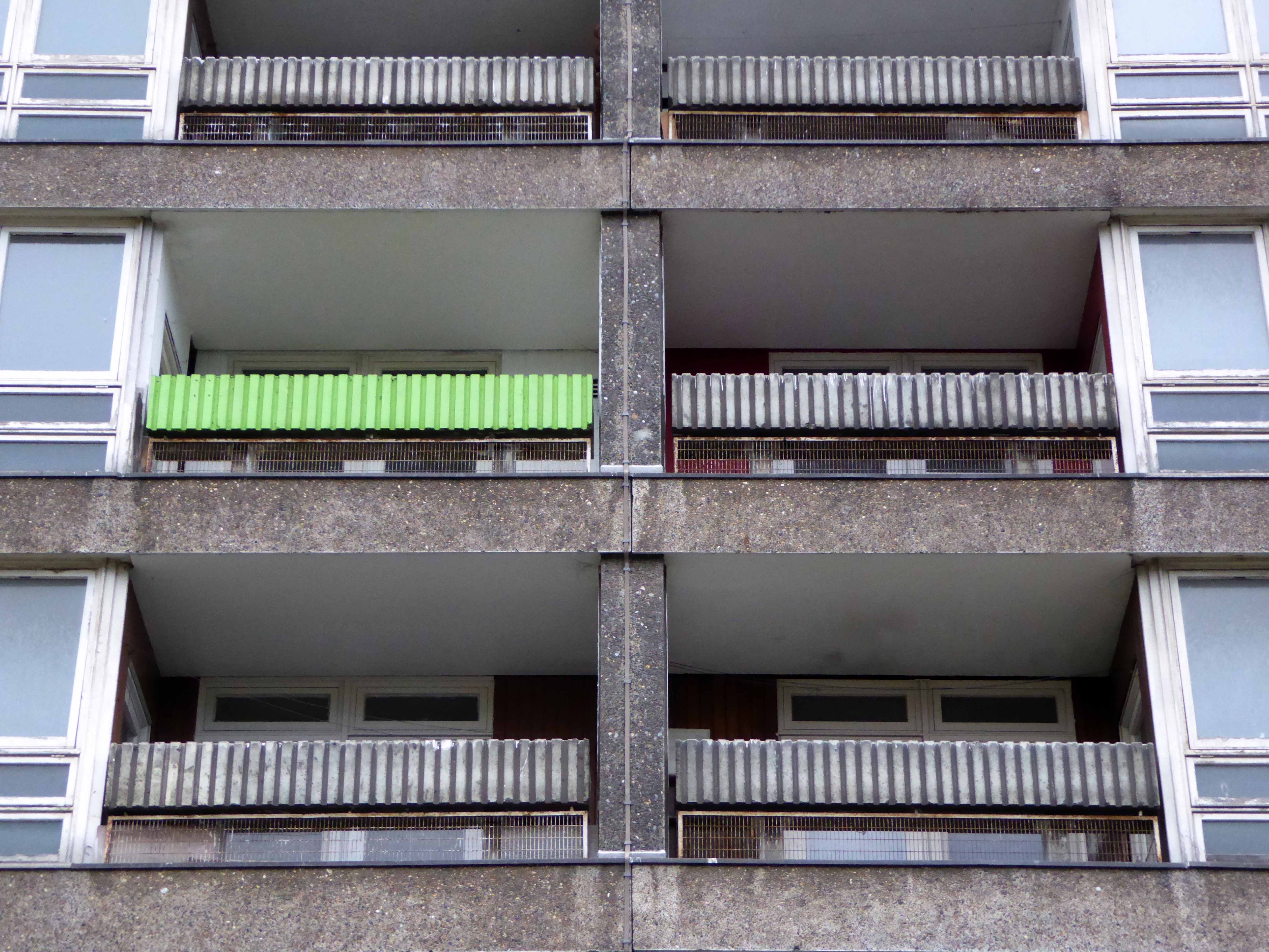
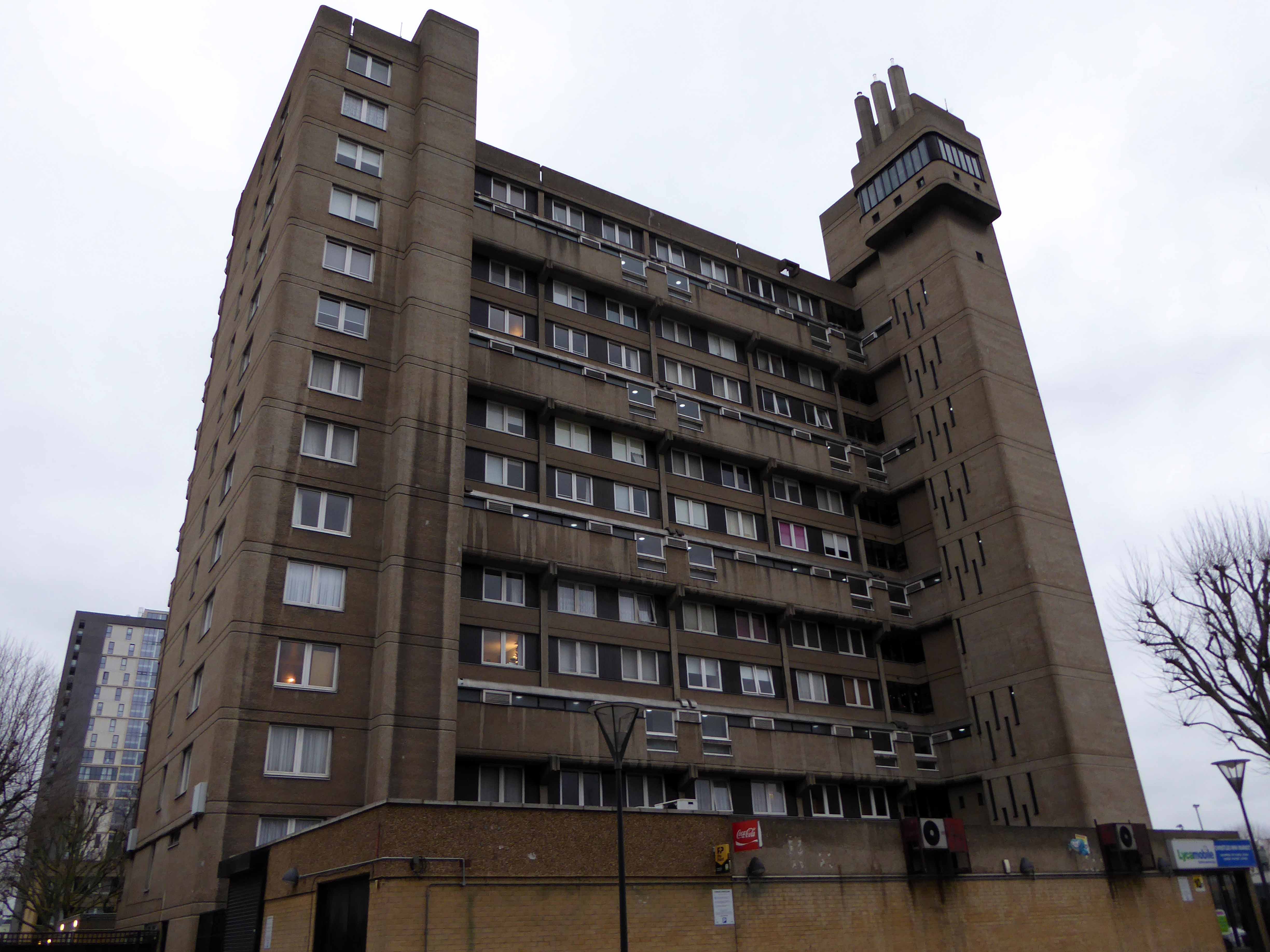
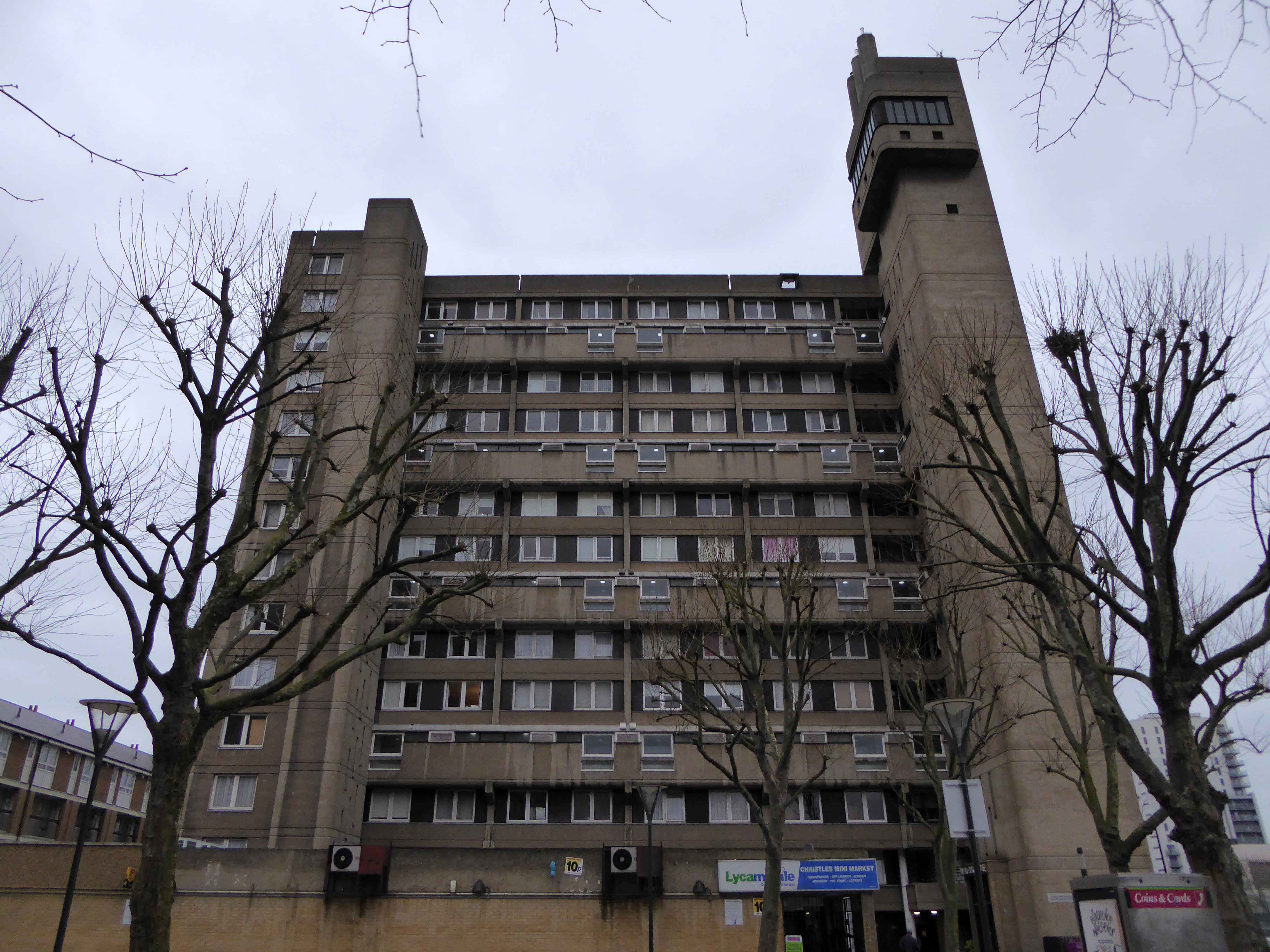
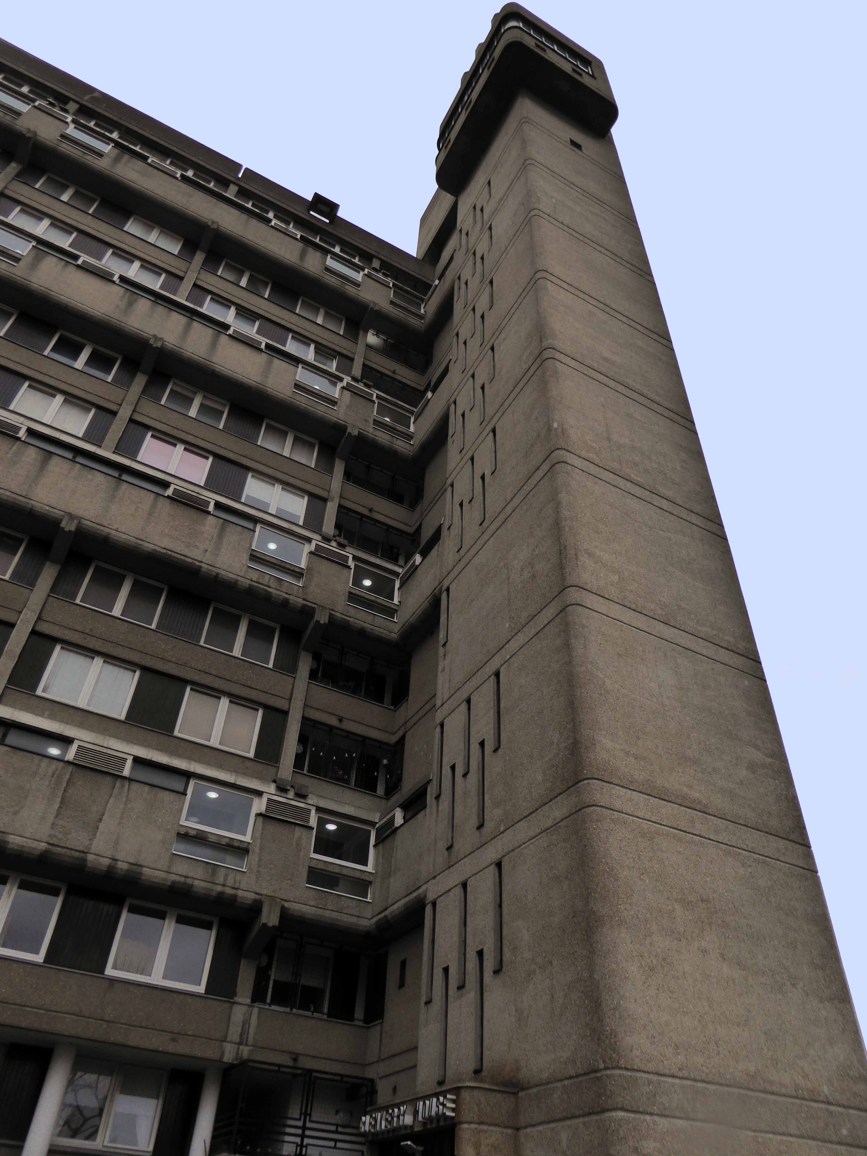
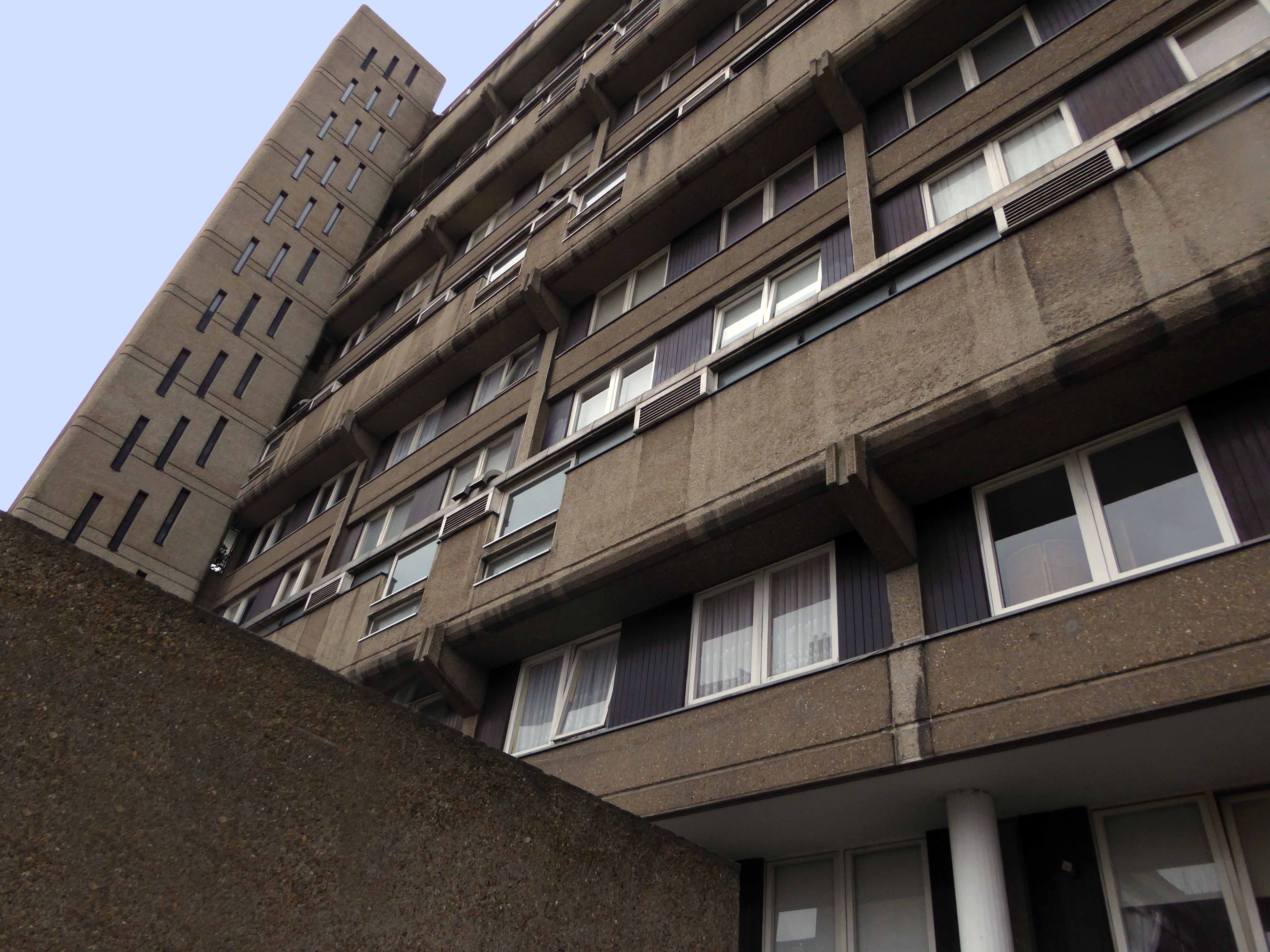
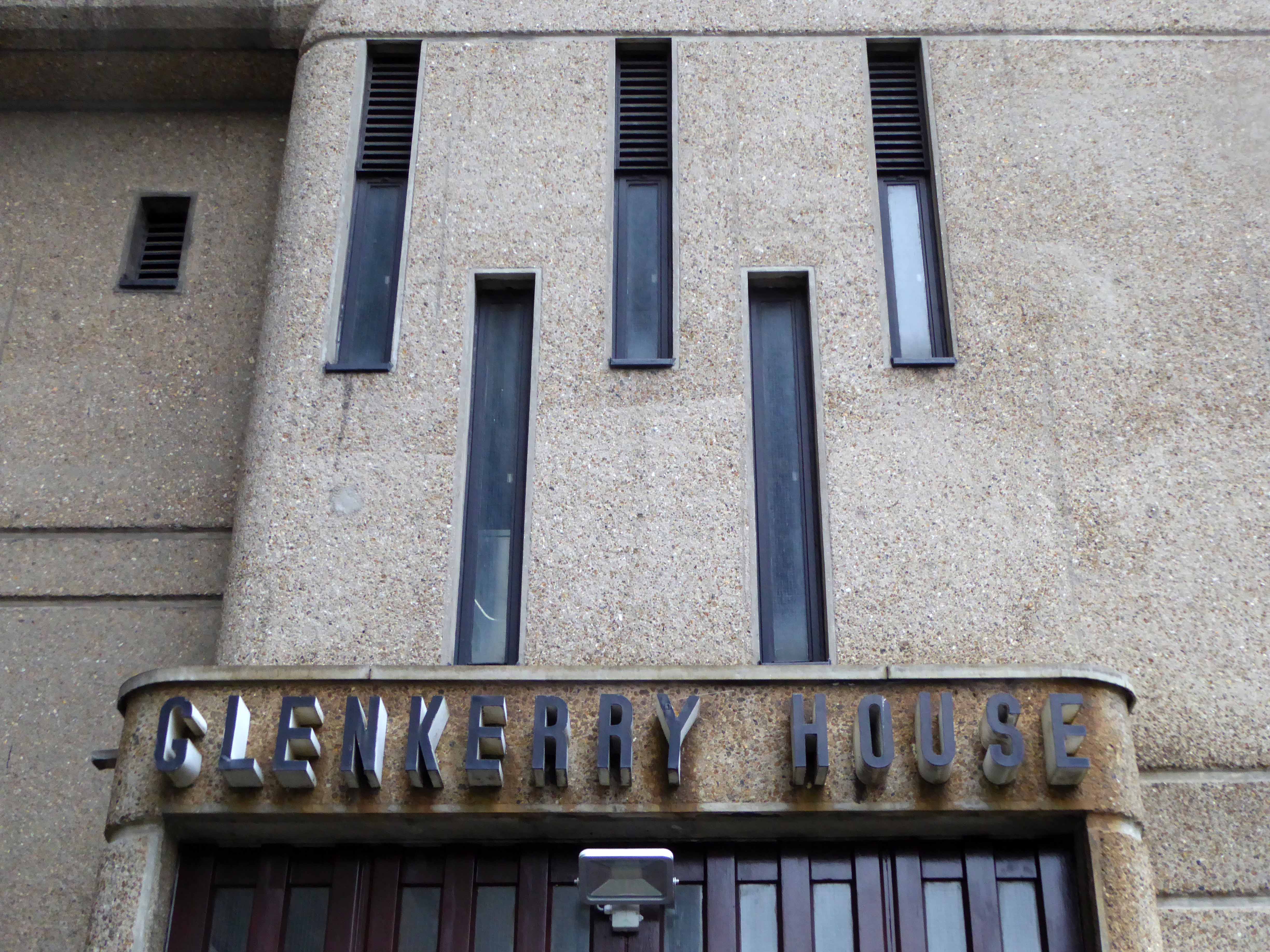
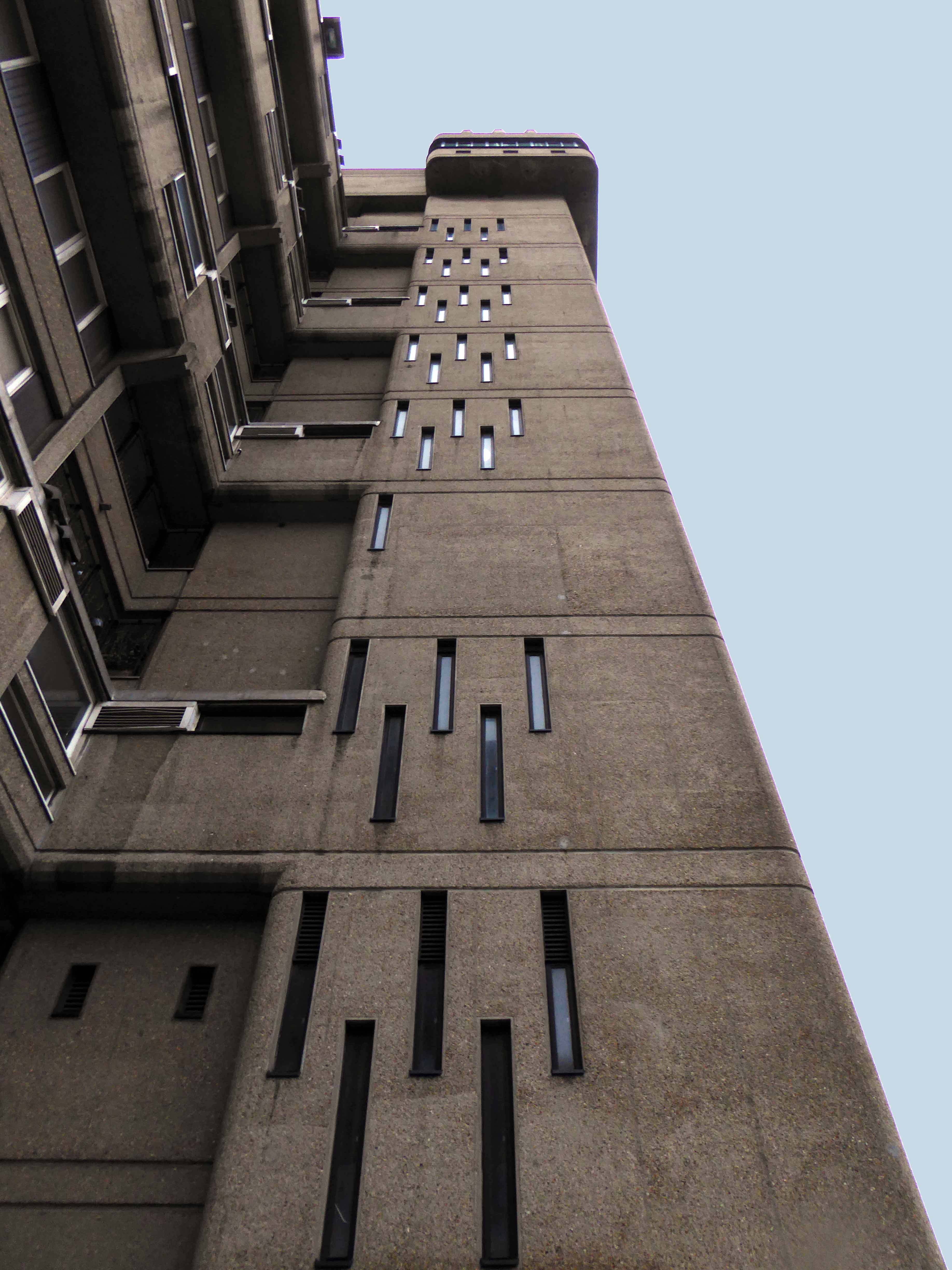
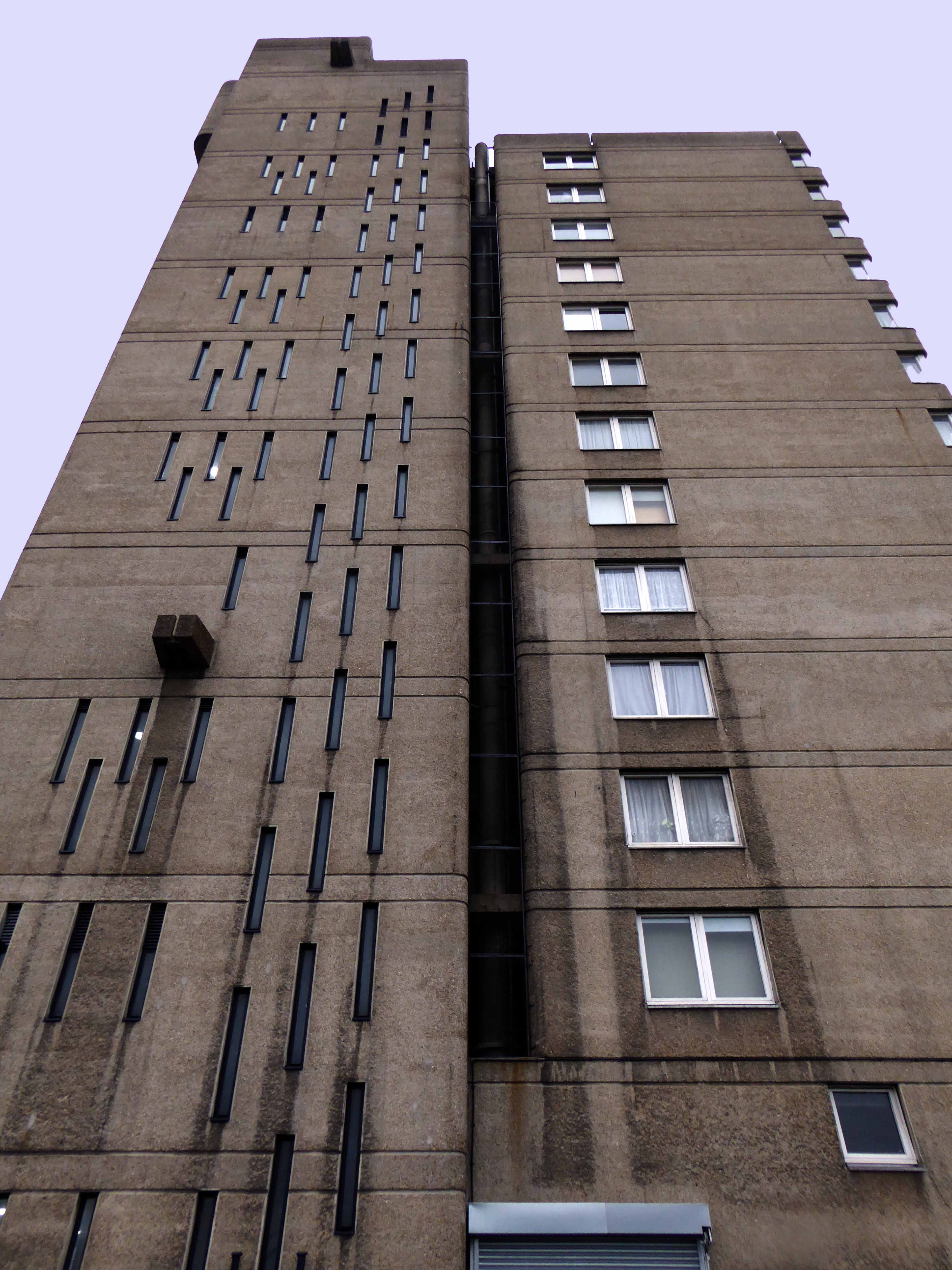
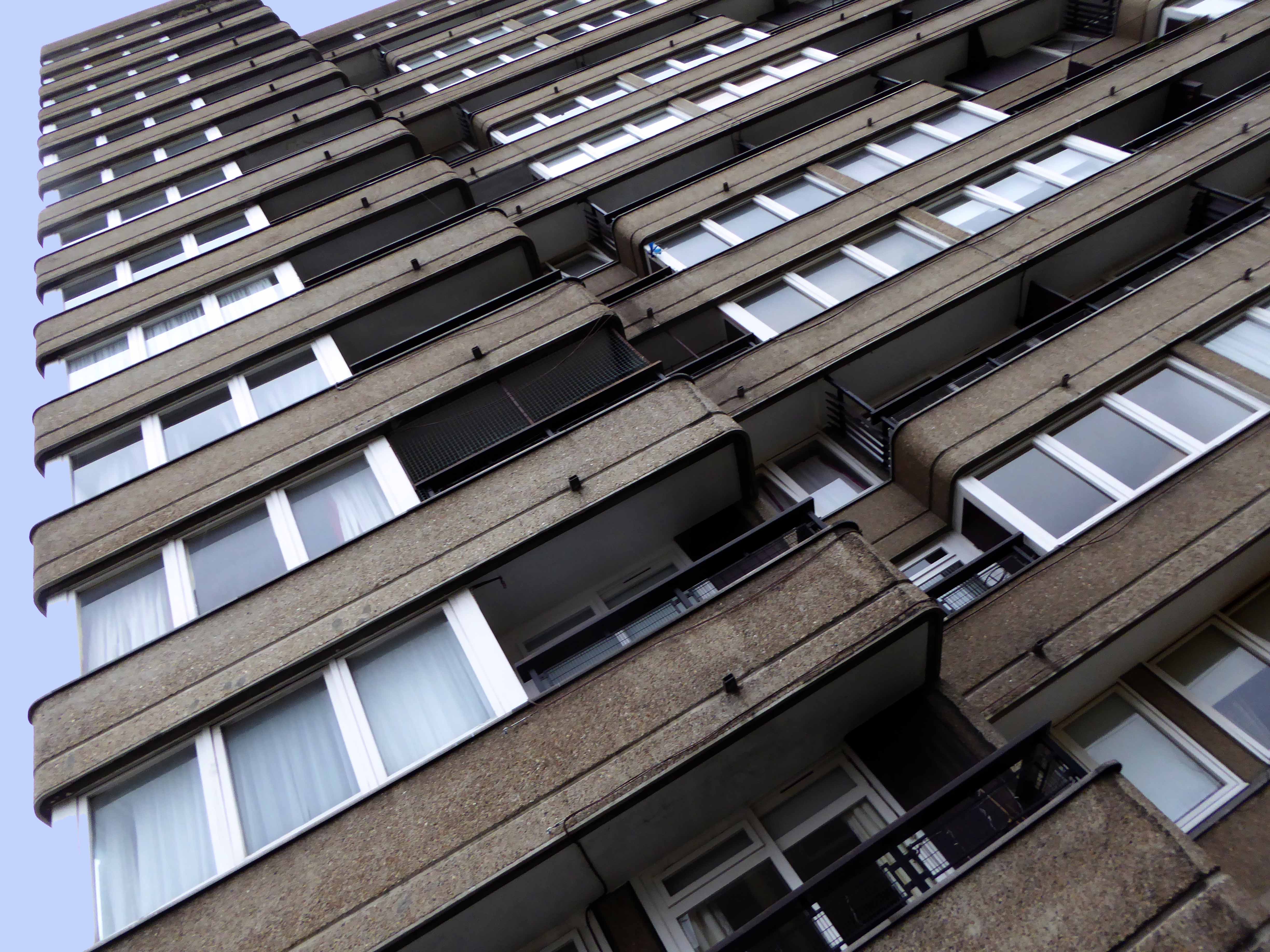
The Balfron Tower Conservation Area was designated in October 1998 around the two residential blocks designed by Ernö Goldfinger for the London County Council in the 1960s. The Conservation Area boundary protects the listed Balfron Tower and Carradale House, and other buildings in the ‘Brownfield Estate’, including Glenkerry House, a community centre, shops and associated low-rise housing development.
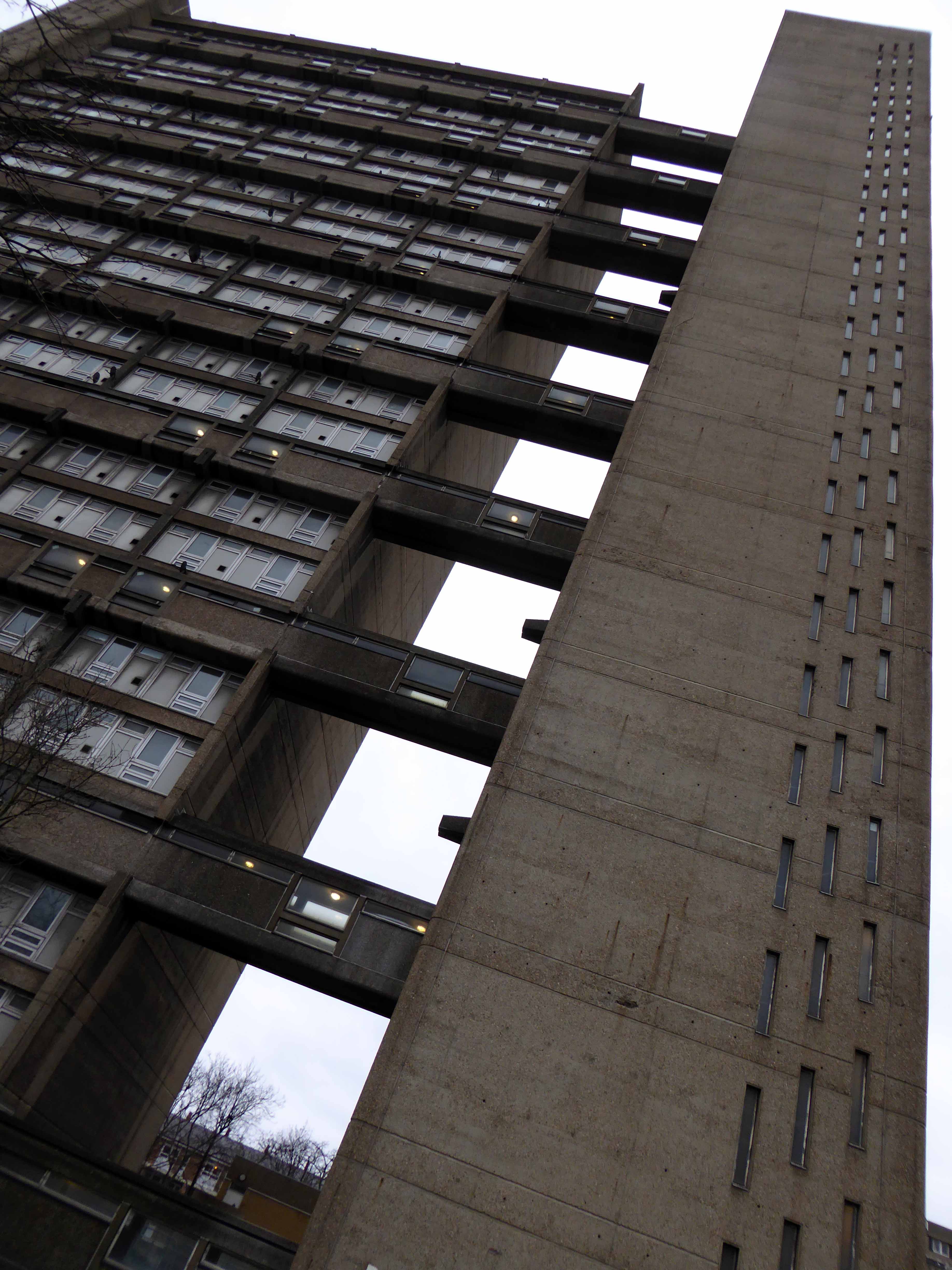
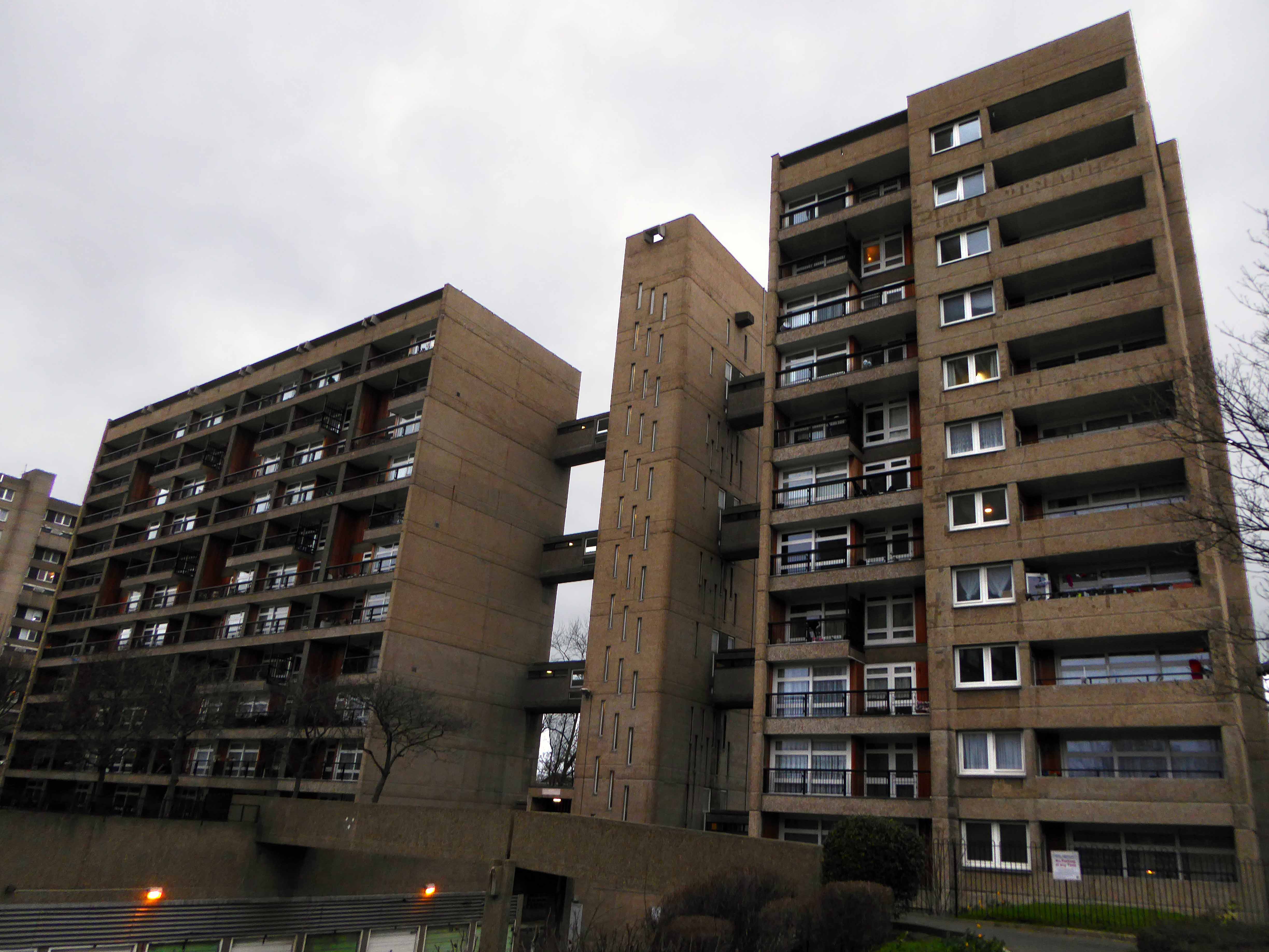
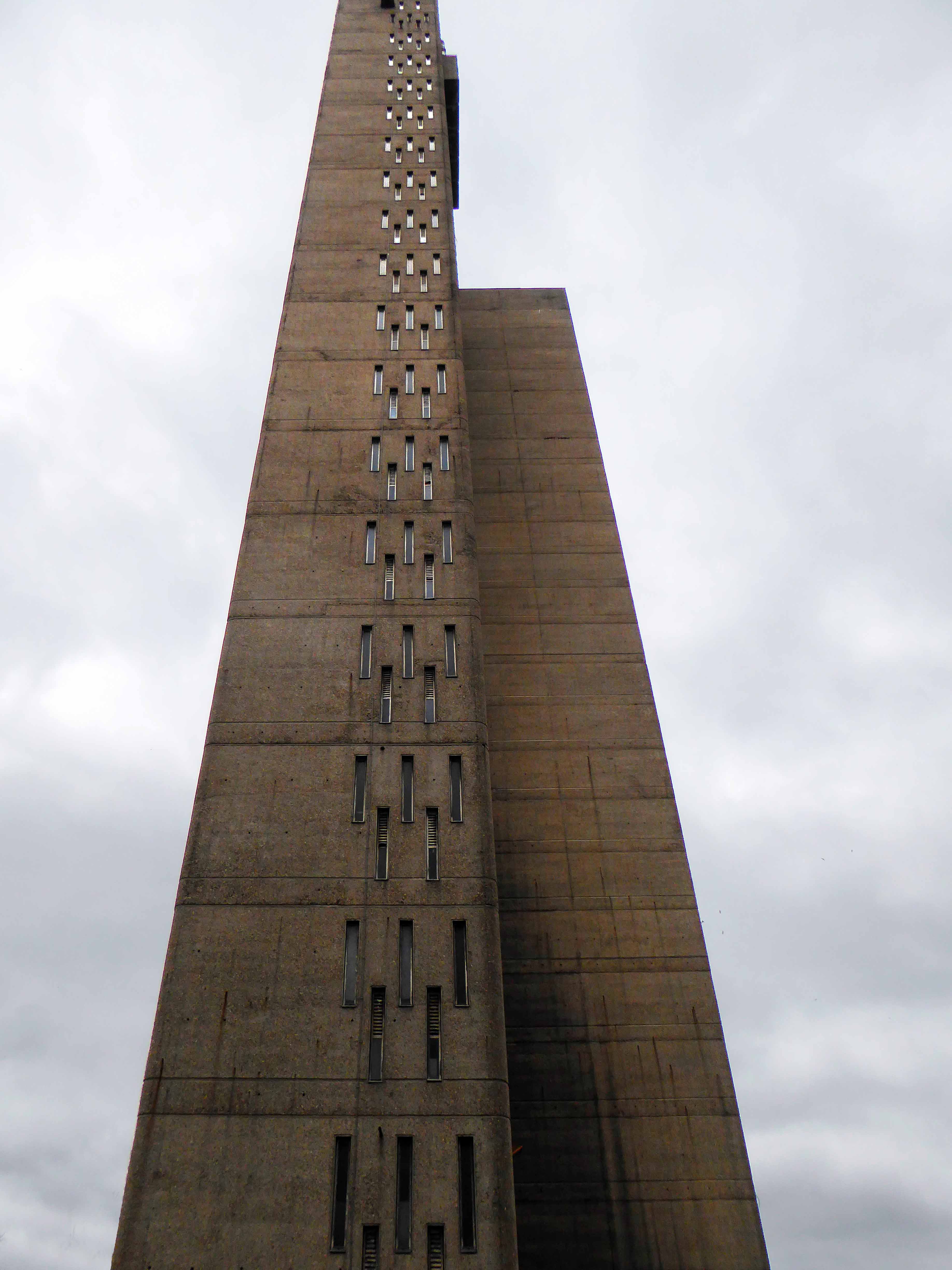
The 27-storey Balfron Tower is Goldfinger’s first public housing project, and a precursor to his better known Trellick Tower in North Kensington. The neighbouring Carradale House and Glenkerry House sit within the landscaped areas developed at the same time. The Brownfield Estate, also known as the East India Estate, is now recognised as a fine example of planned 1960s social housing. Considered to be exemplary examples of the post-war housing schemes, Balfron Tower and Carradale House were listed in 1998 for their cultural & architectural merit.
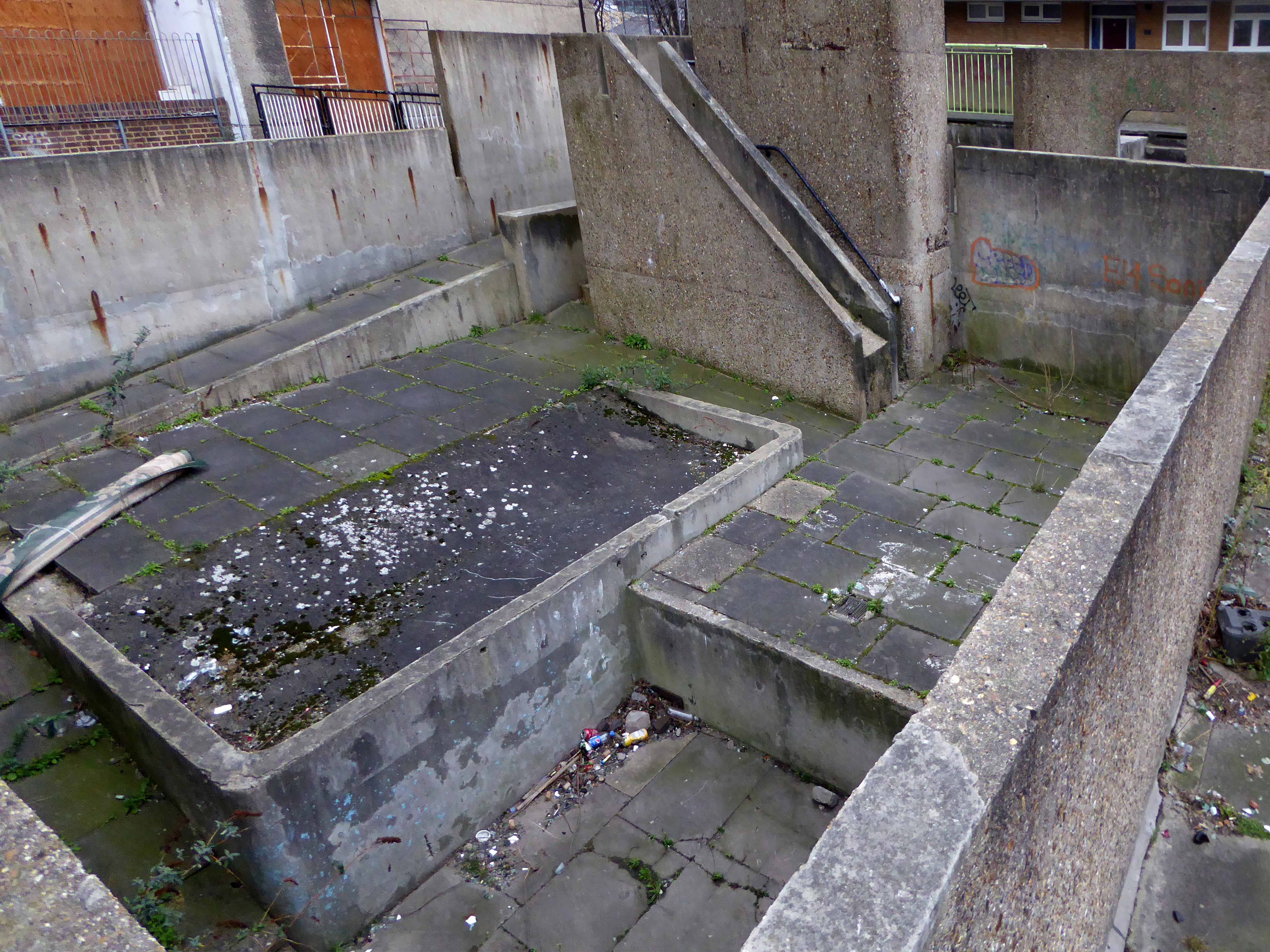
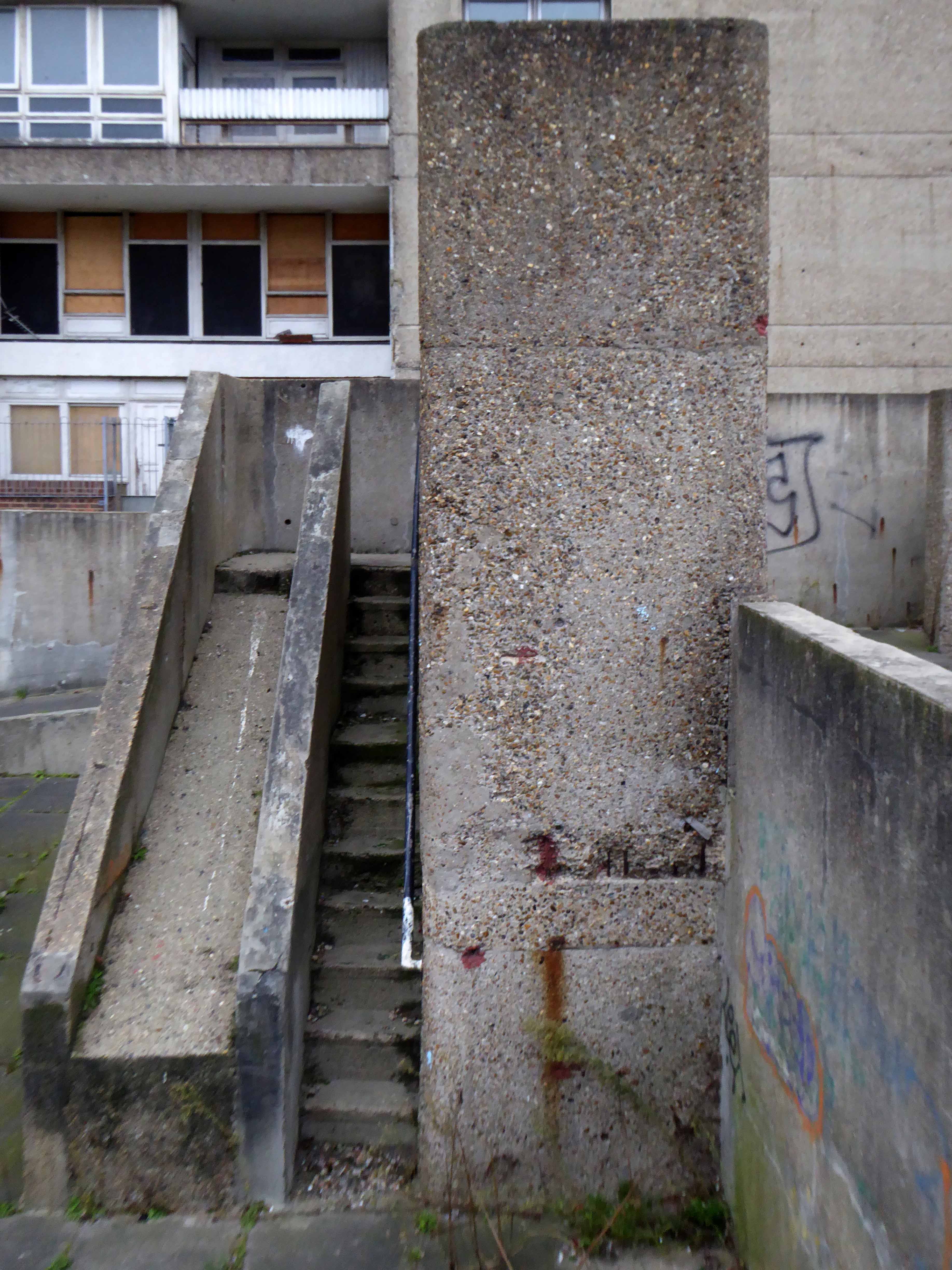
This was my first visit, to a key building in the short history of modernist post war housing, currently something of a sleeping giant, awaiting Prince Charming’s kiss.
What will it awake to?
Tower Hamlets are mid consultation, as evidenced in this here document.
On an overcast and ever darkening afternoon, the rain cutting in on a chill wind, set against a slate grey sky, its surfaces and volumes were ever so slightly forlorn.
There is much to be done by way of regeneration, with the attendant issues of heritage, funding, gentrification and inevitably who lives where and why?
Hope, we need a little hope, here embodied in a huge municipal undertaking.
Having survived the indignity of the Luftwaffe’s absence, Newcastle set about the task of knocking itself down. T Dan Smith’s Brasilia of the North had to be built, the self-styled former revolutionary communist, Sunday painter and jail bird had a vision – fuelled by that hopped up, post war optimism that had engulfed the land.
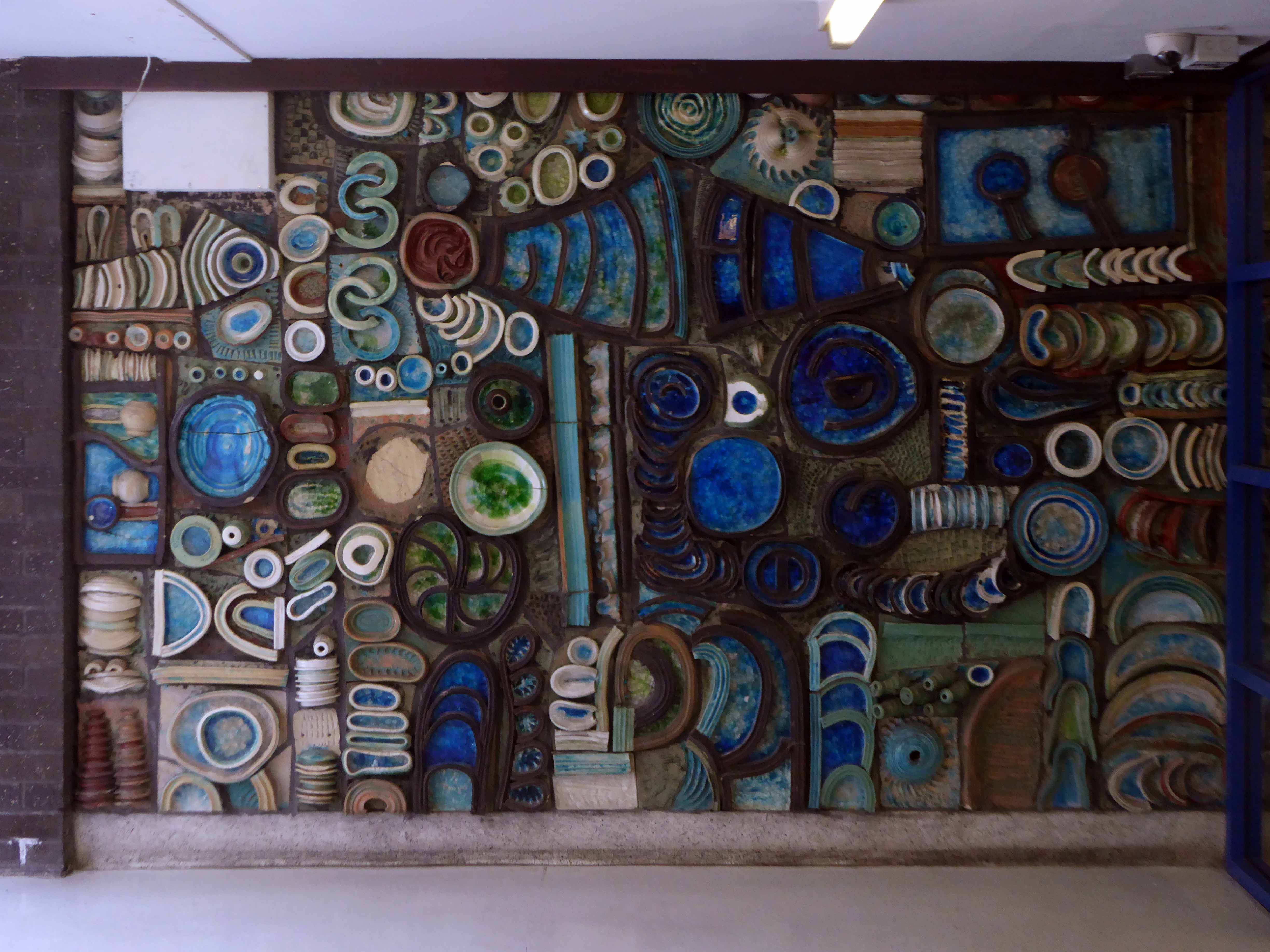
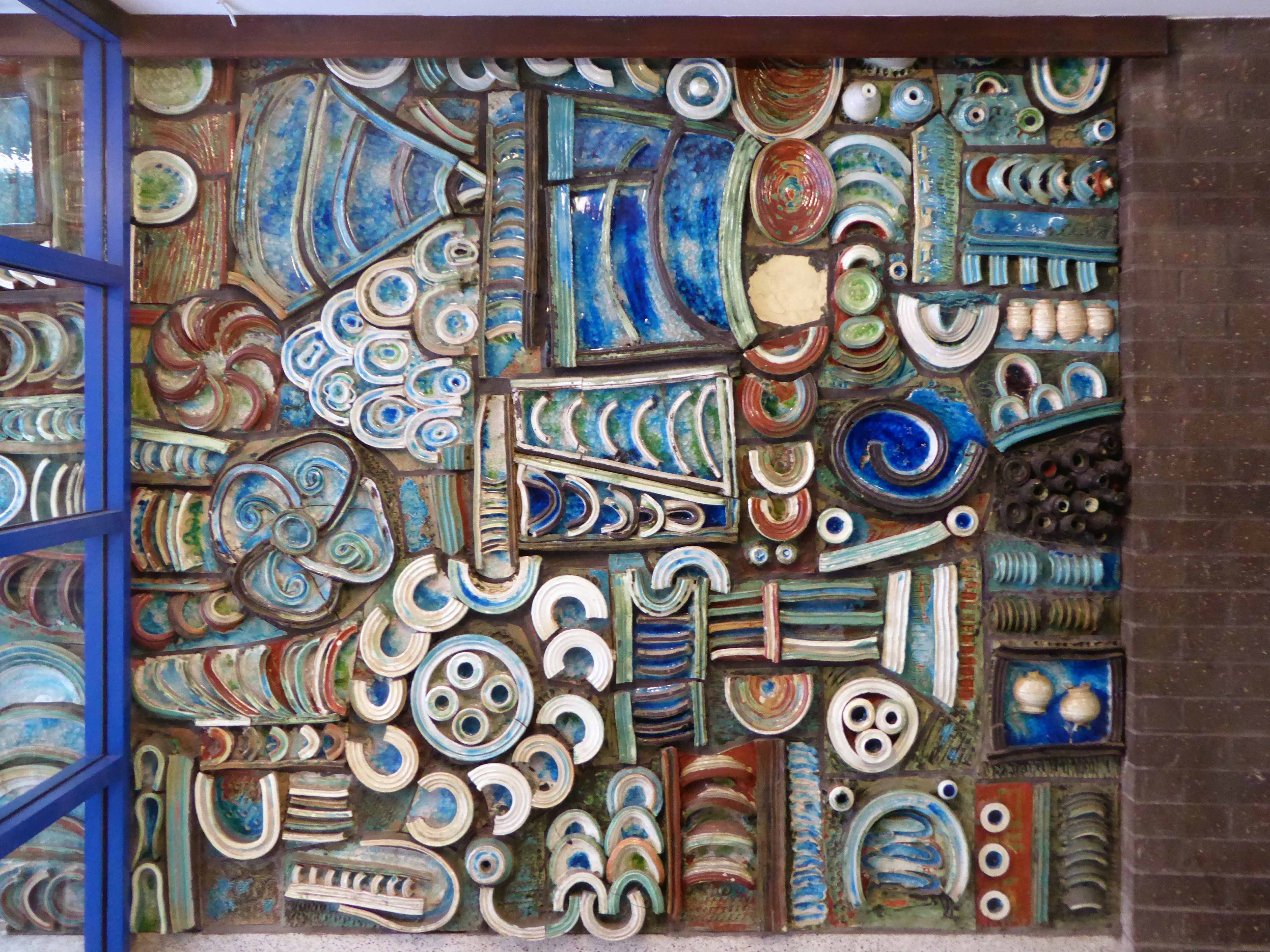
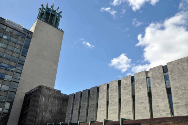
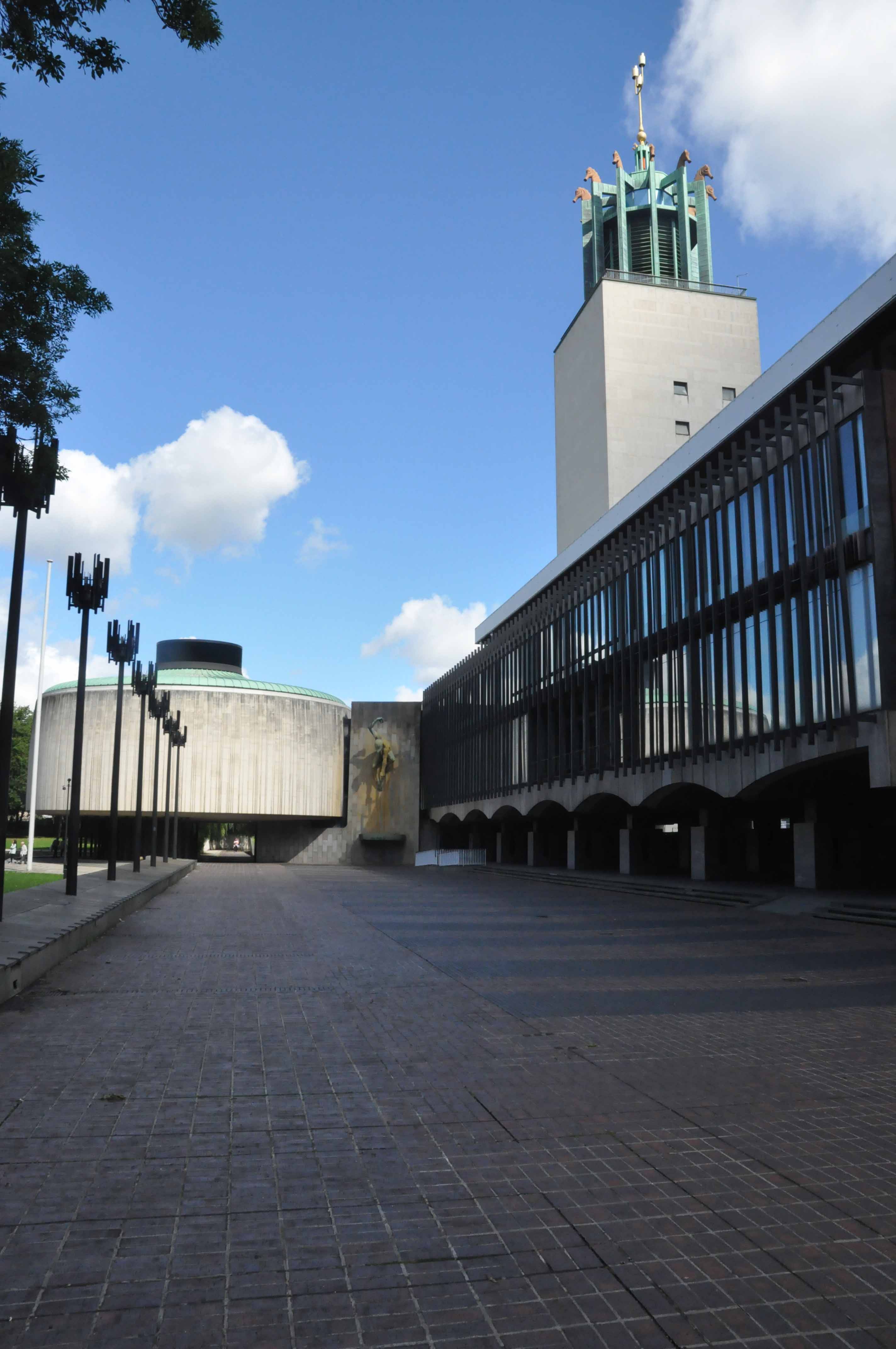
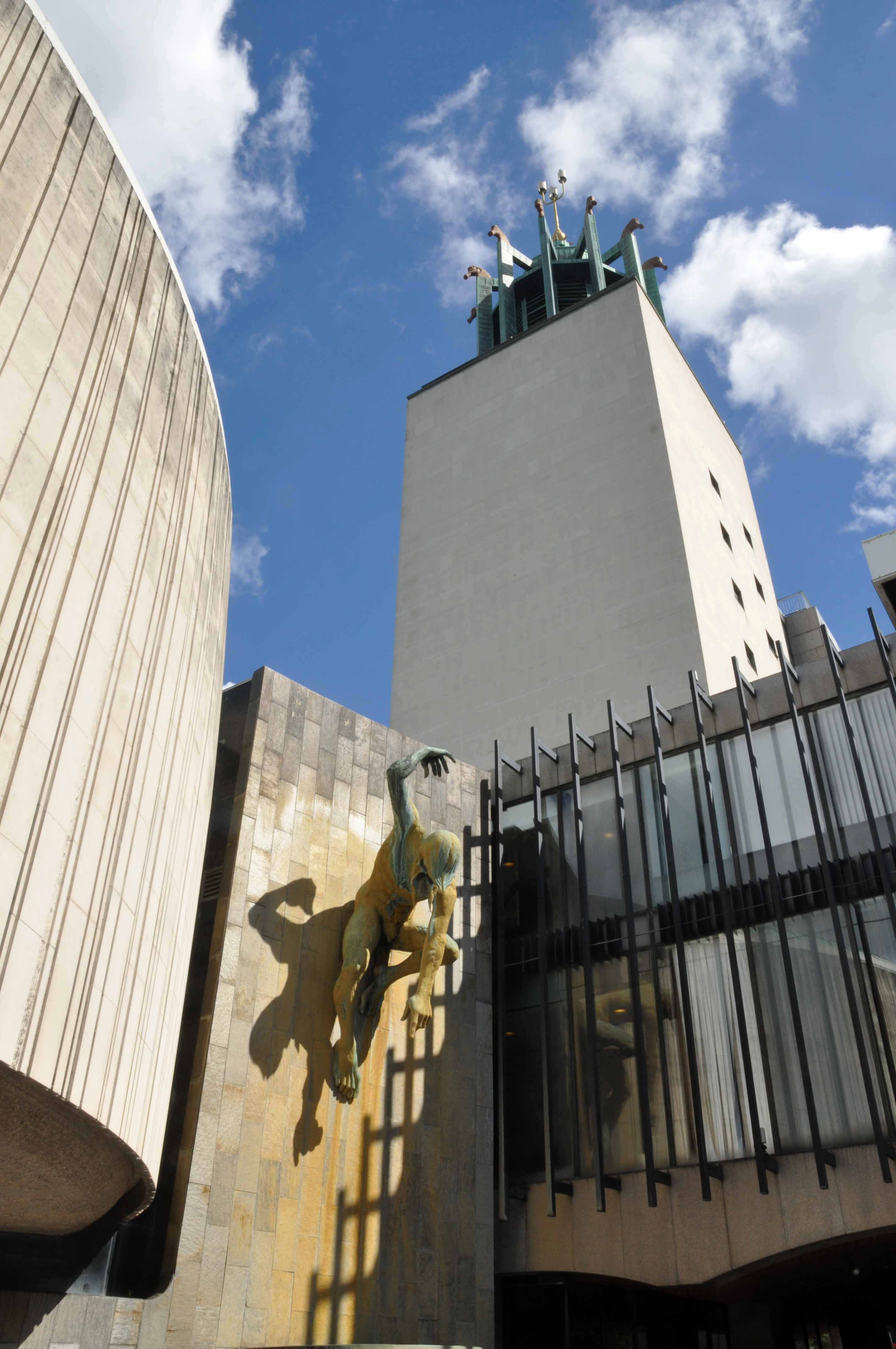
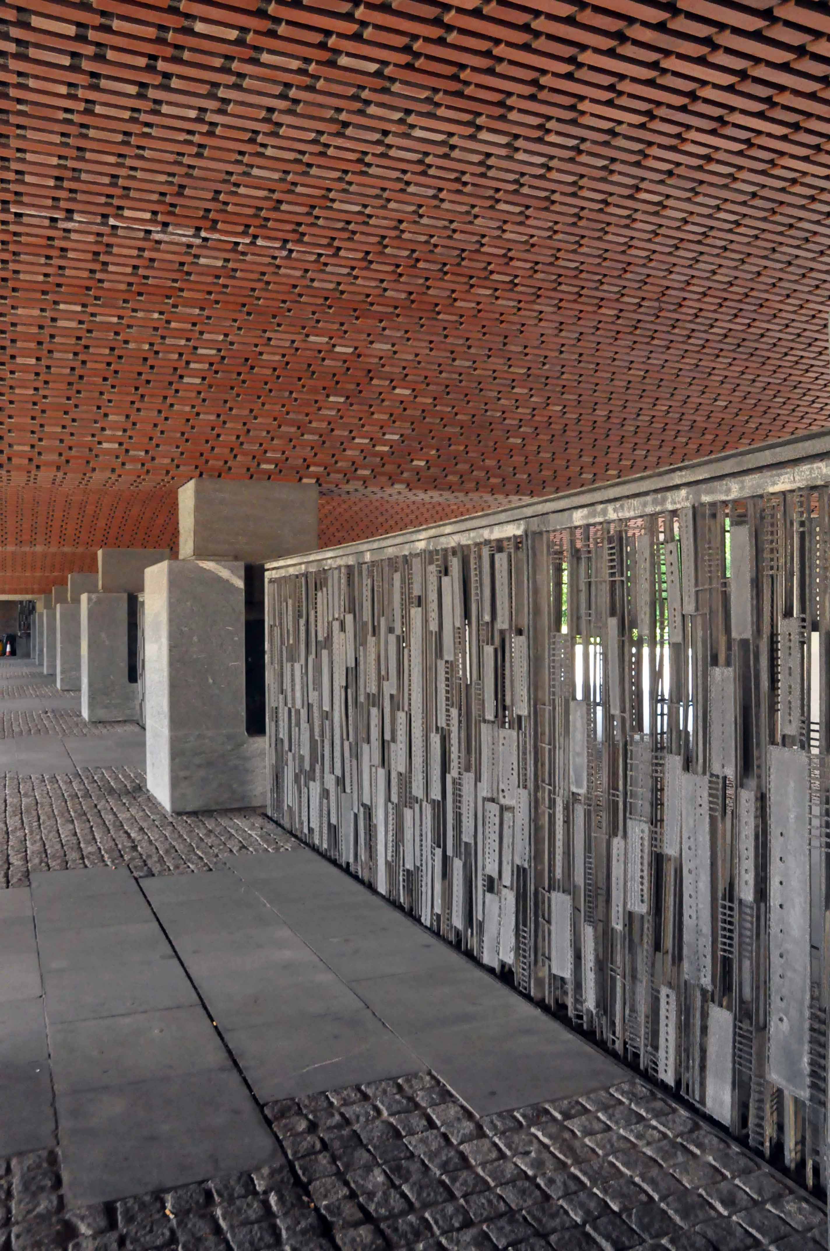
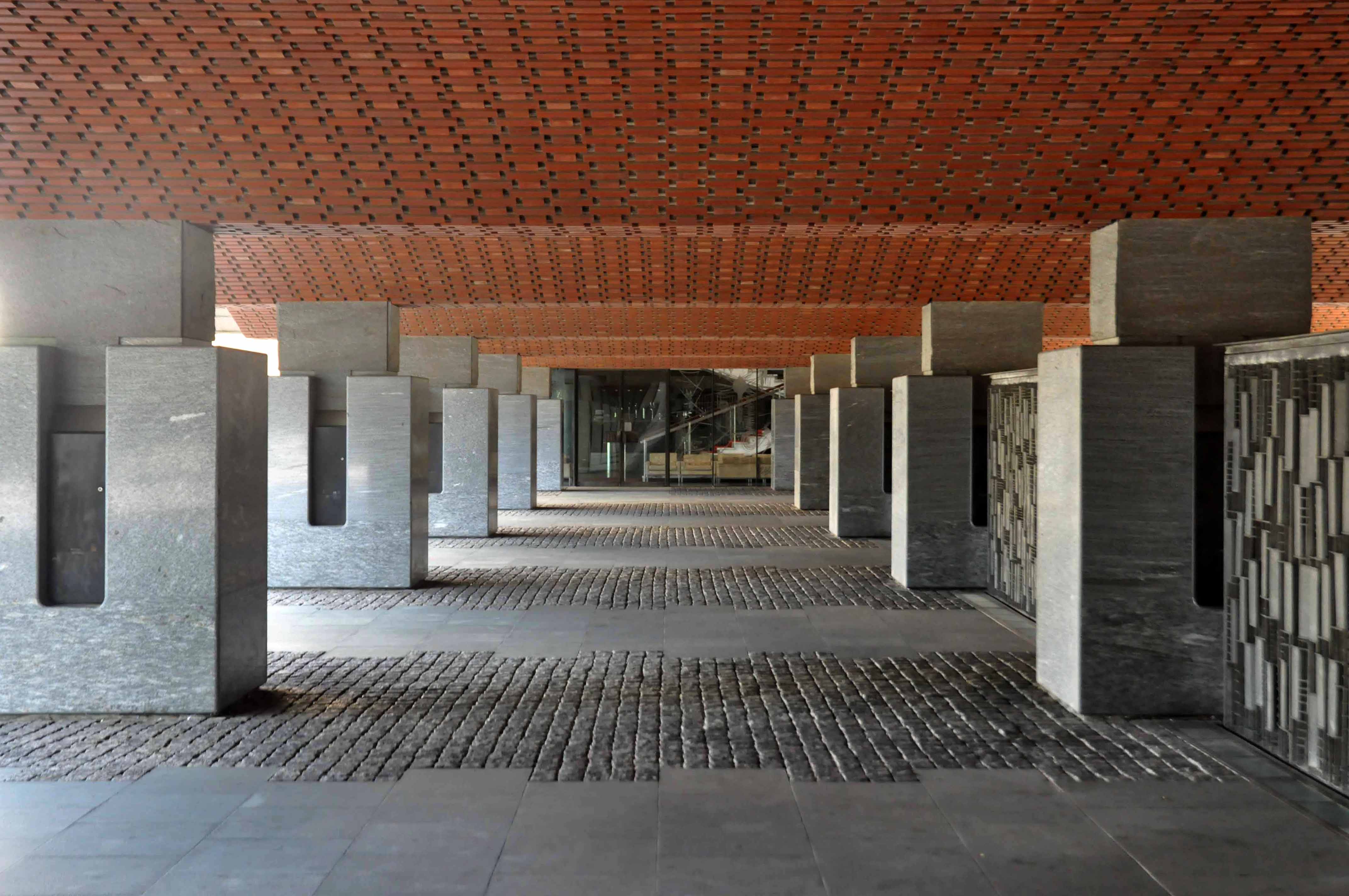
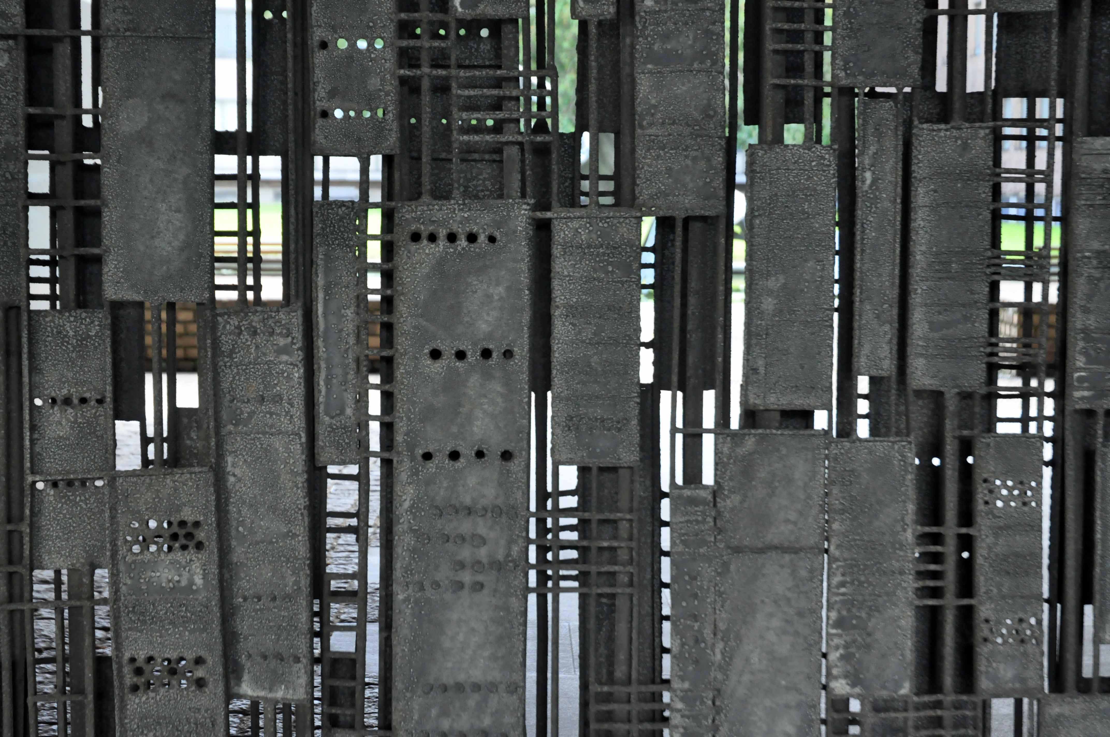
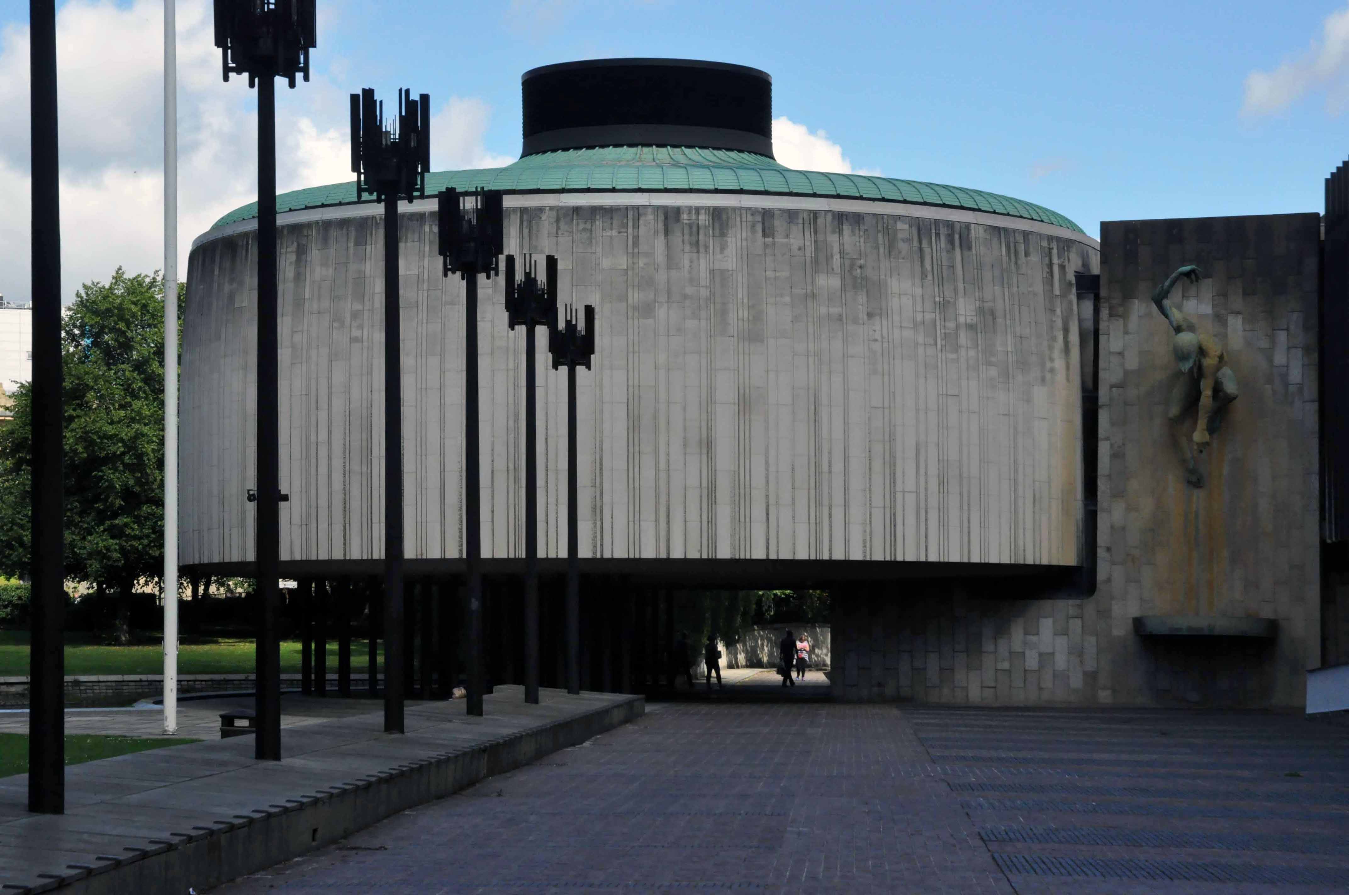
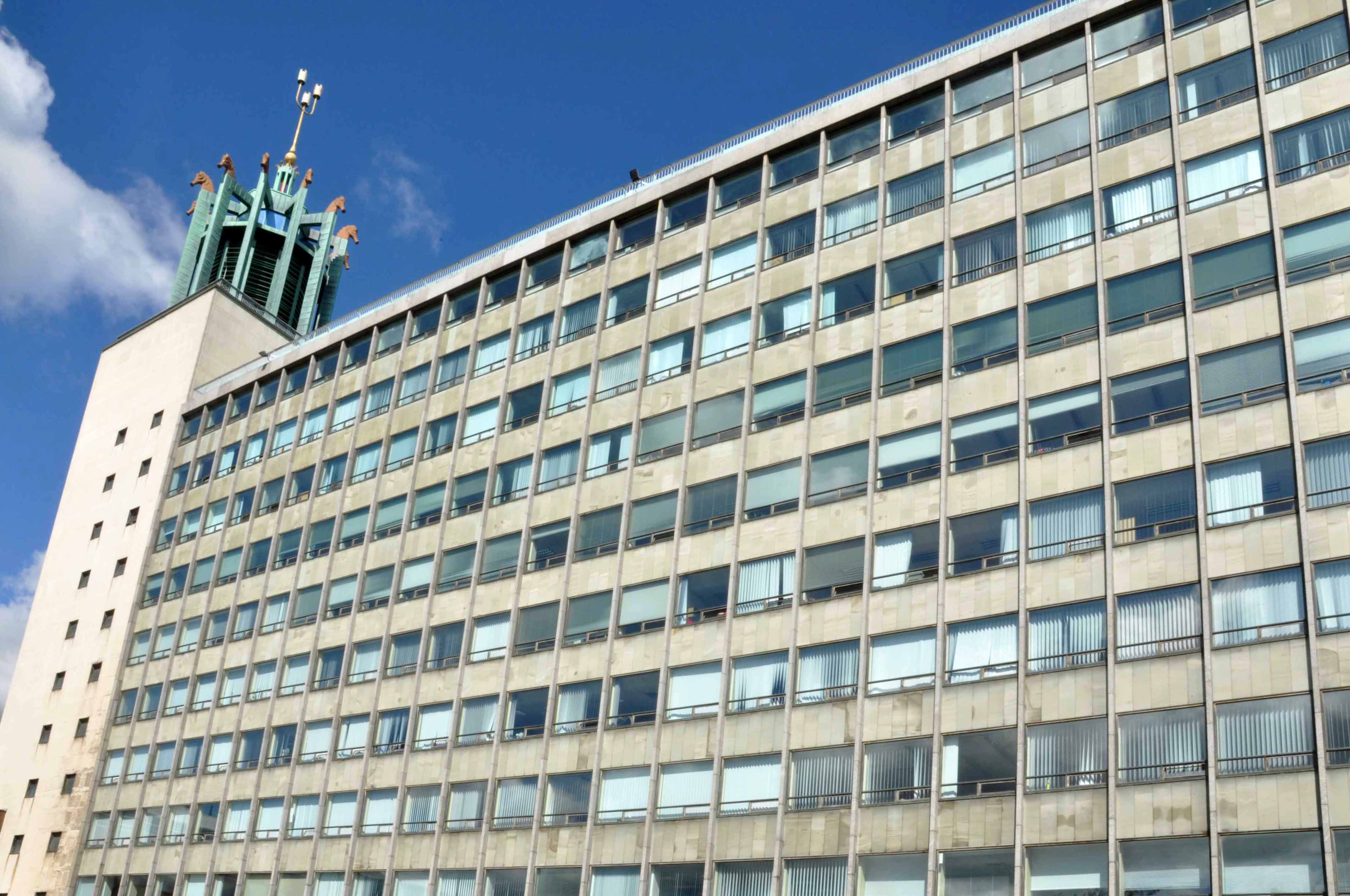
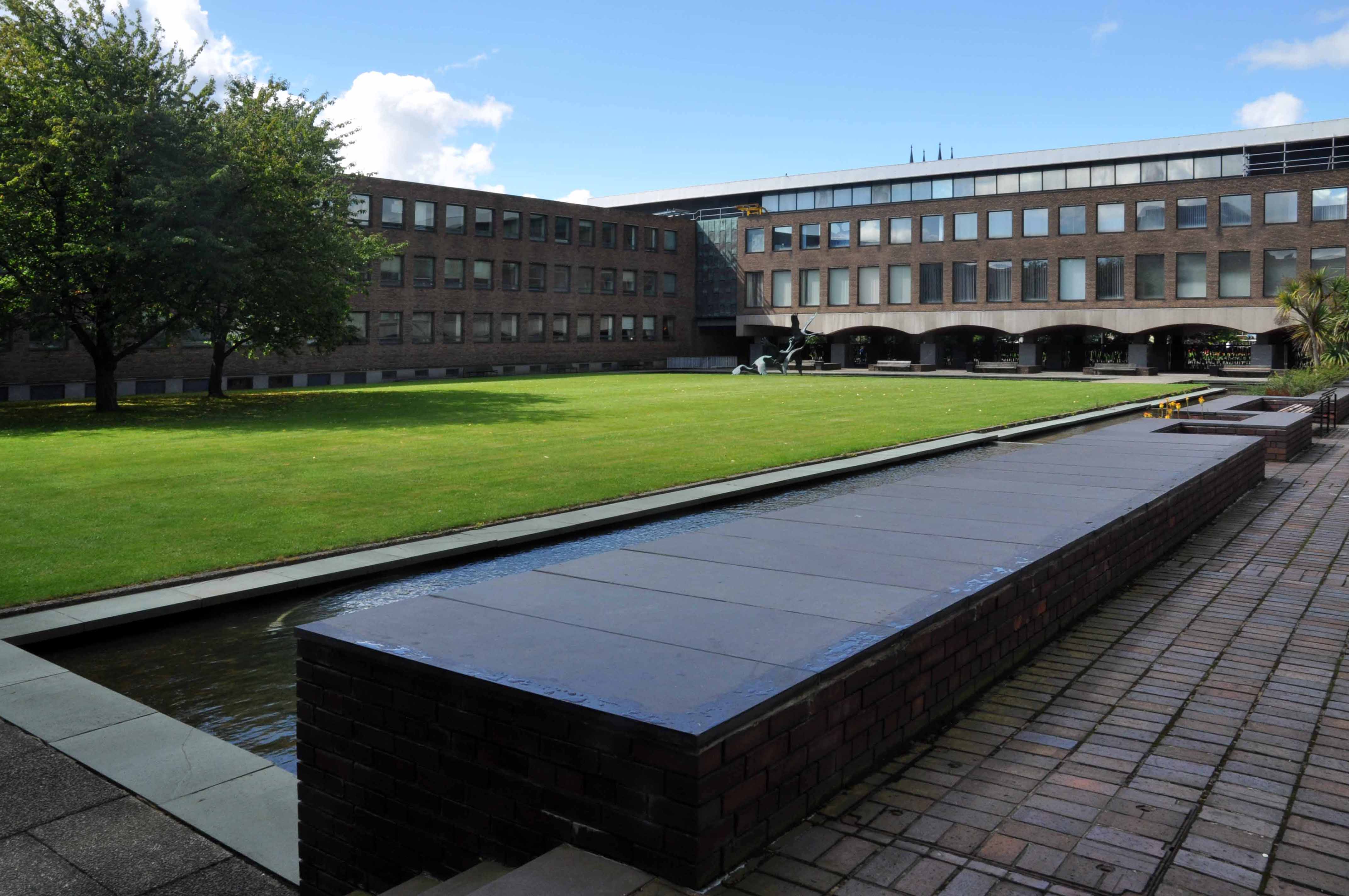
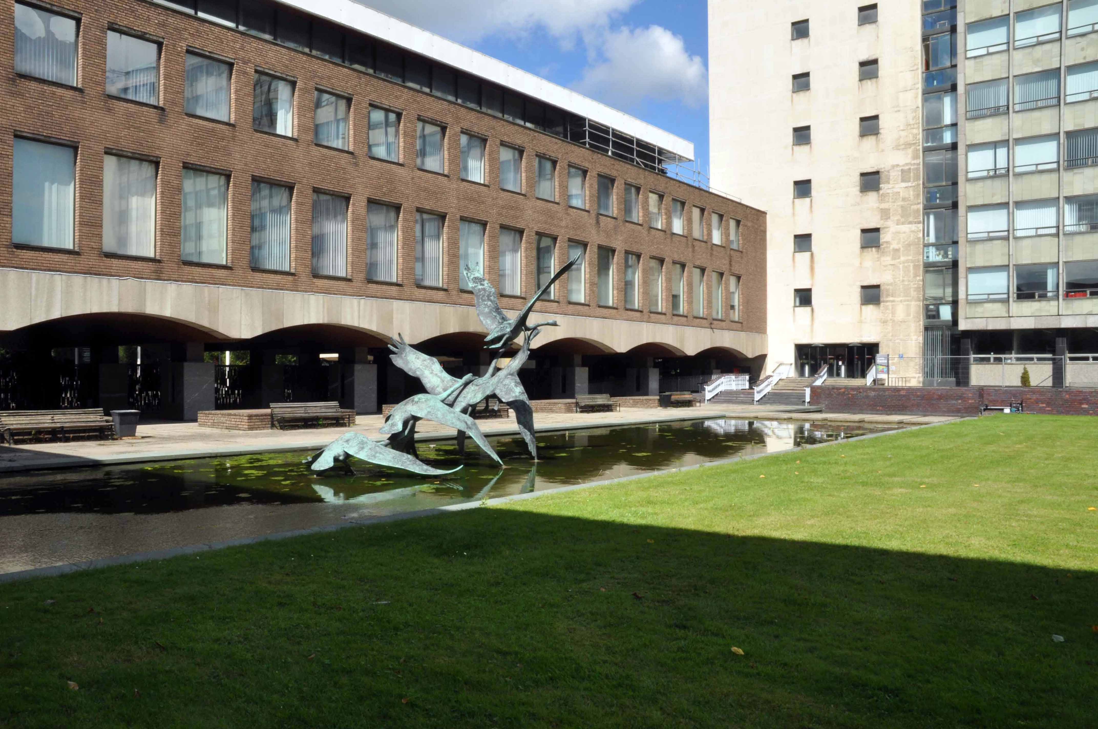
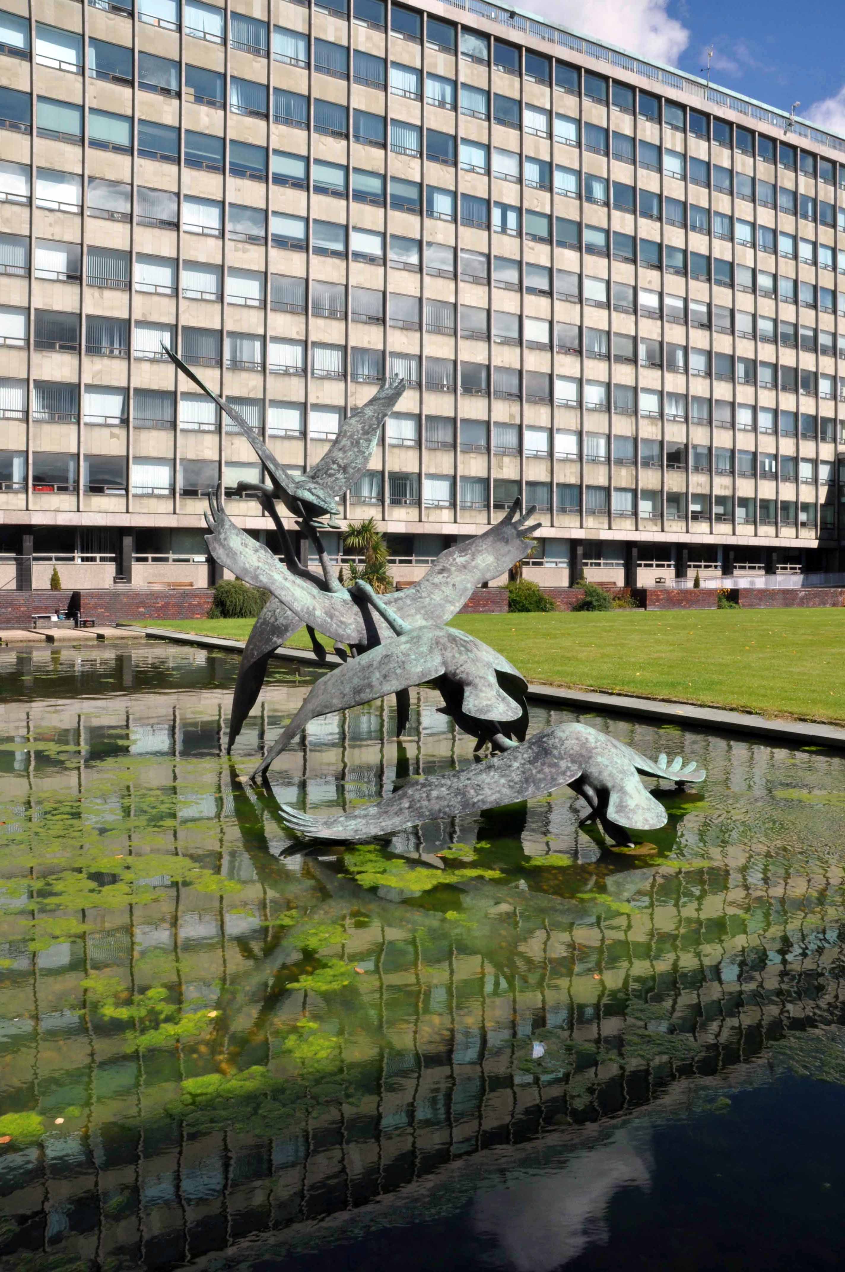
Newcastle Civic Centre is a local government building located in the Haymarket area of Newcastle upon Tyne, England. It is the main administrative and ceremonial centre for Newcastle City Council. Designed by the city architect, George Kenyon, the building was completed in 1967 and was formally opened by HM King Olav V of Norway on 14 November 1968. It is a Grade II* listed building. The Newcastle Civic Centre is the joint eighth tallest building in the city.
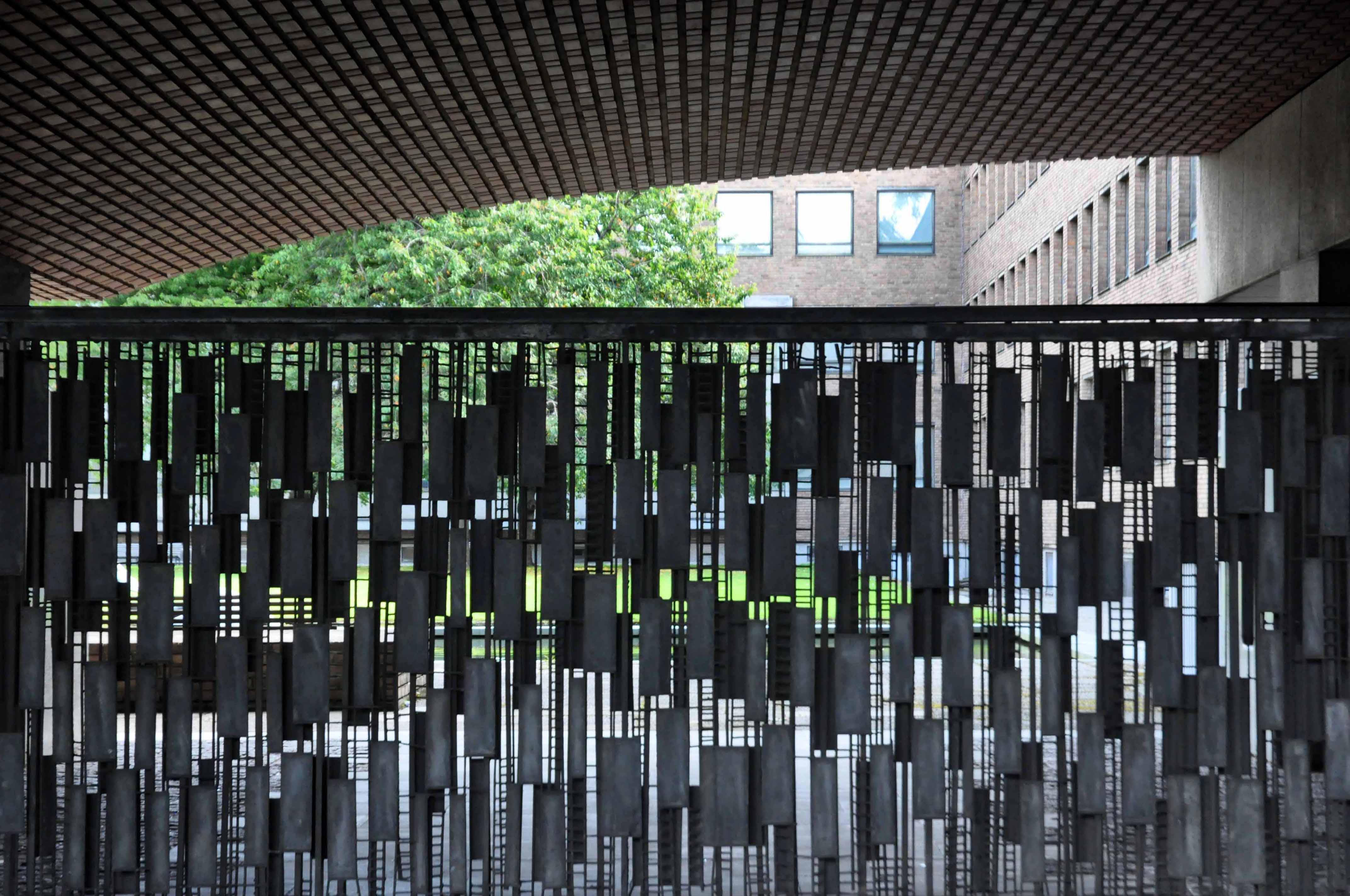
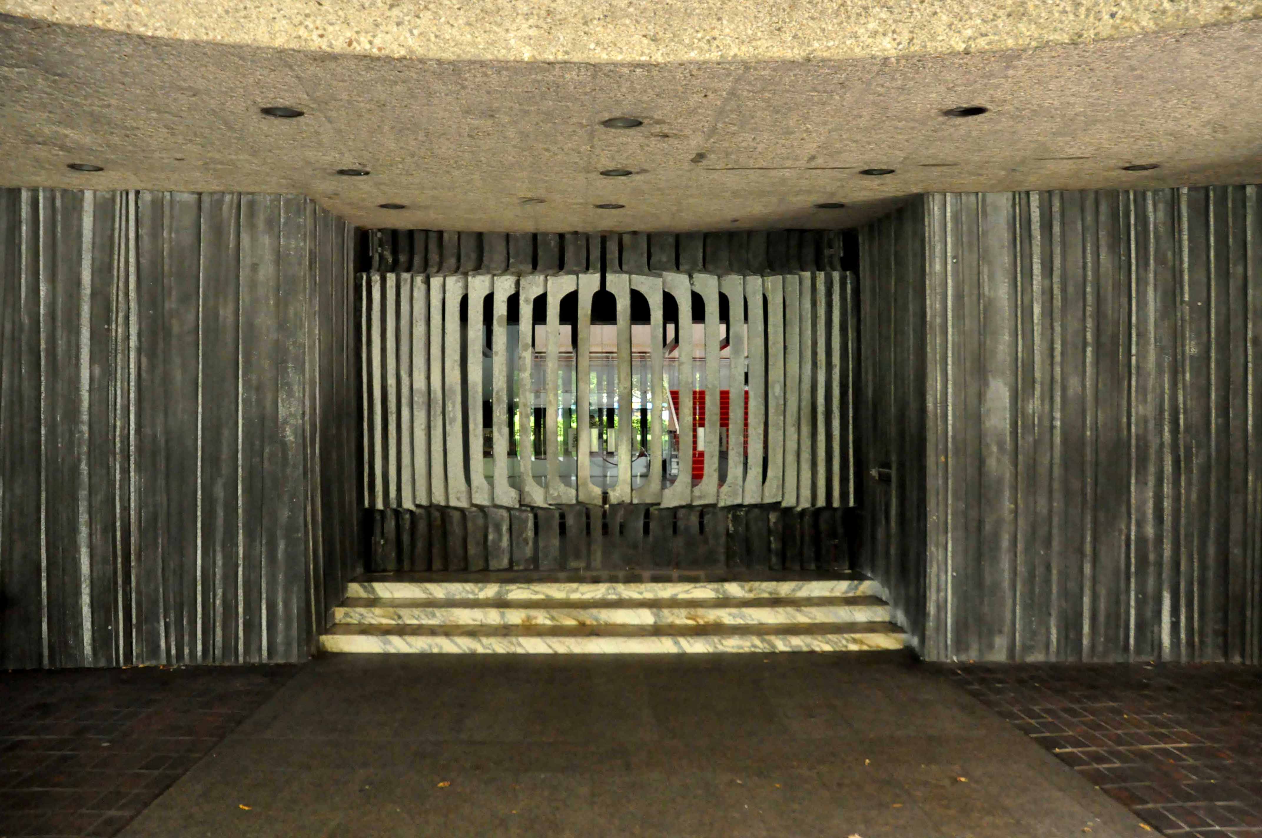
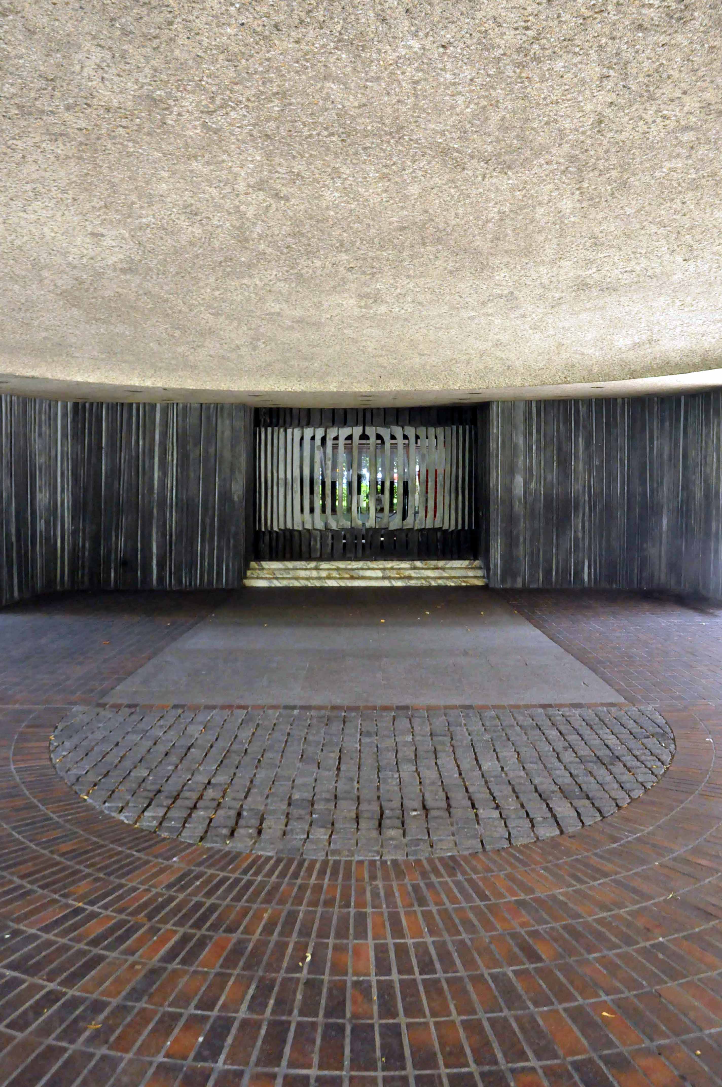
It is a concrete poem clad in Portland stone ashlar, Cornish granite, Broughton Moor stone, hand made bricks, Norwegian slate, Portuguese marble, English oak, travertine hand hewn and assembled into one of the finest buildings in the land, no expense spared. Liberally dotted with the labours of John Piper, Victor Pasmore, John Robert Murray McCheyne, Charles Sansbury Geoffrey Clarke, David Dewey, John Hutton and David Wynne.
A building full of surprises, big and small that repays exploration and further exploration, in that order. Go take a look, breathe that air, that air which whistles up the River Tyne, fresh from the Continent – and glow, all aglow with civic centre pride.
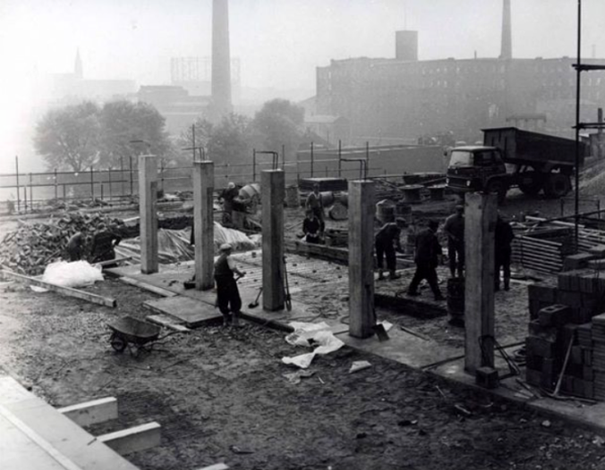
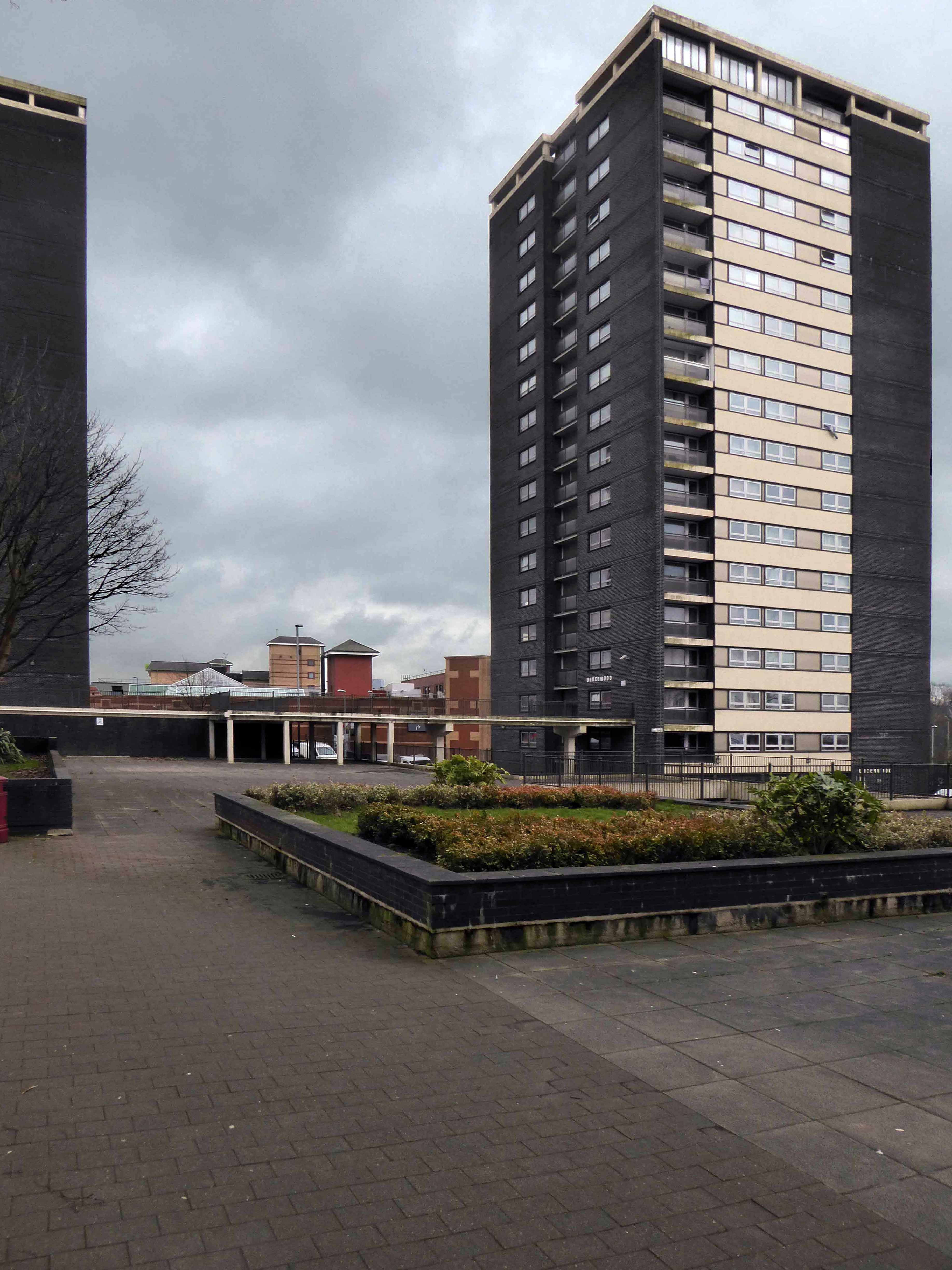
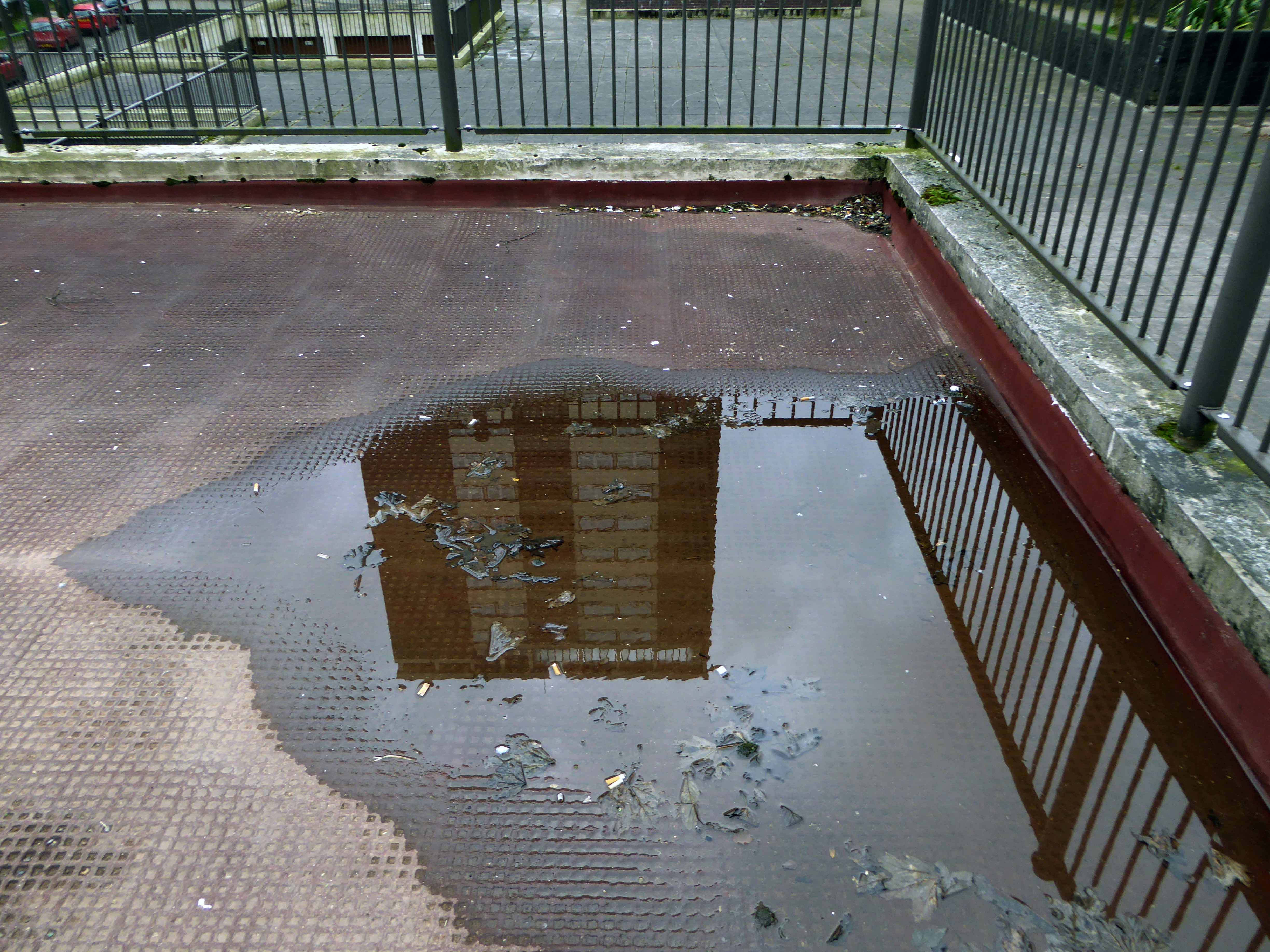
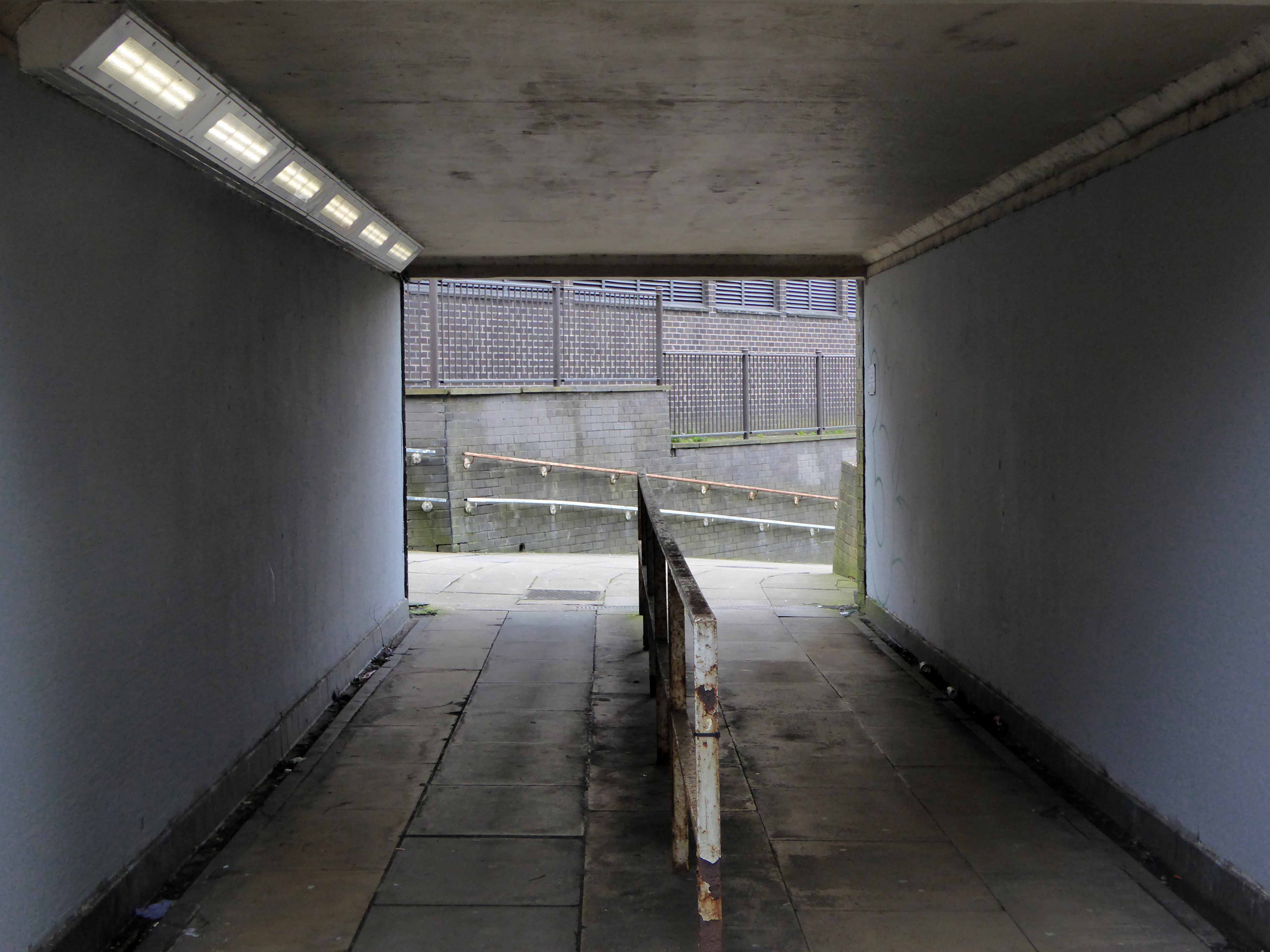
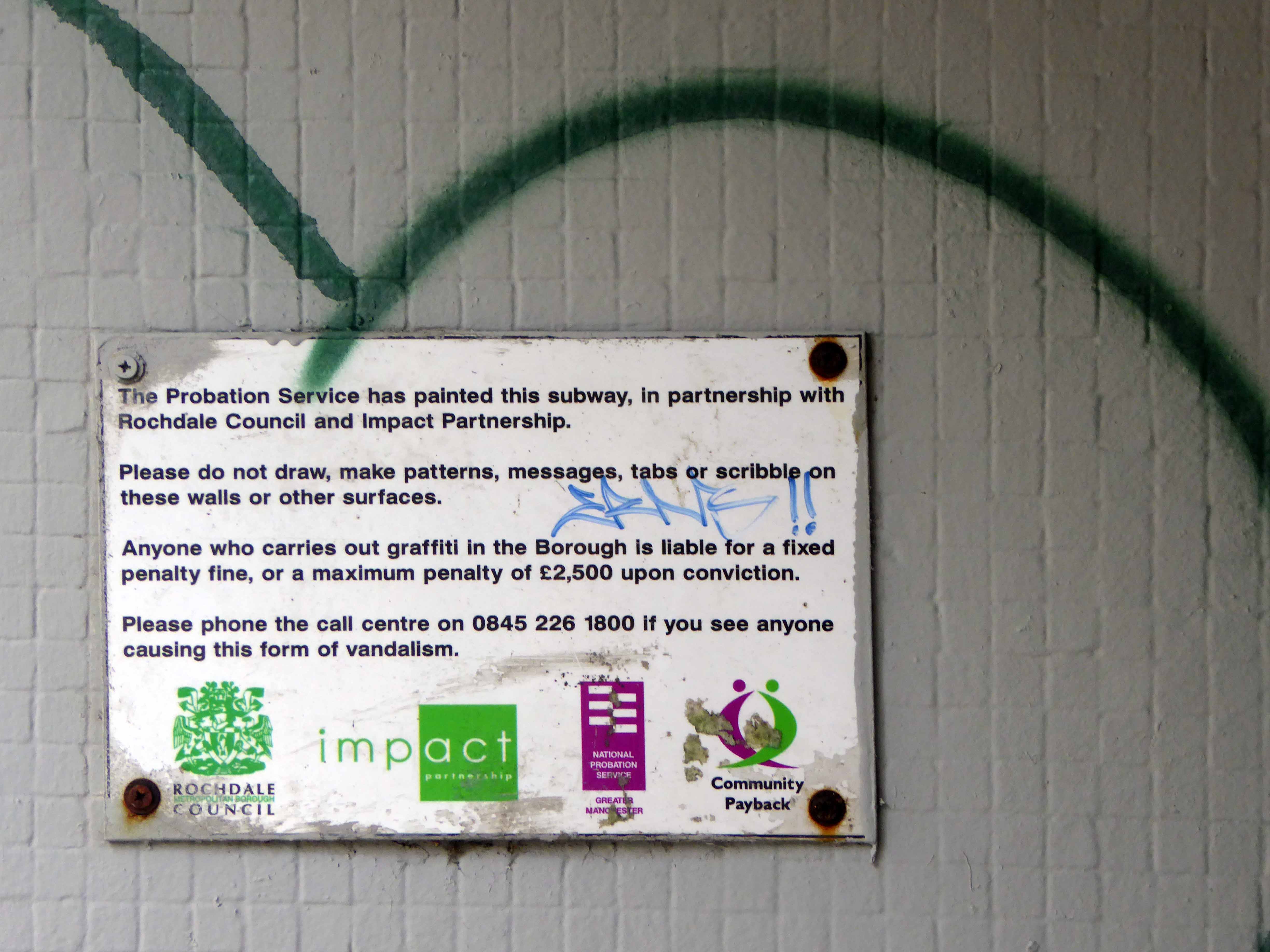
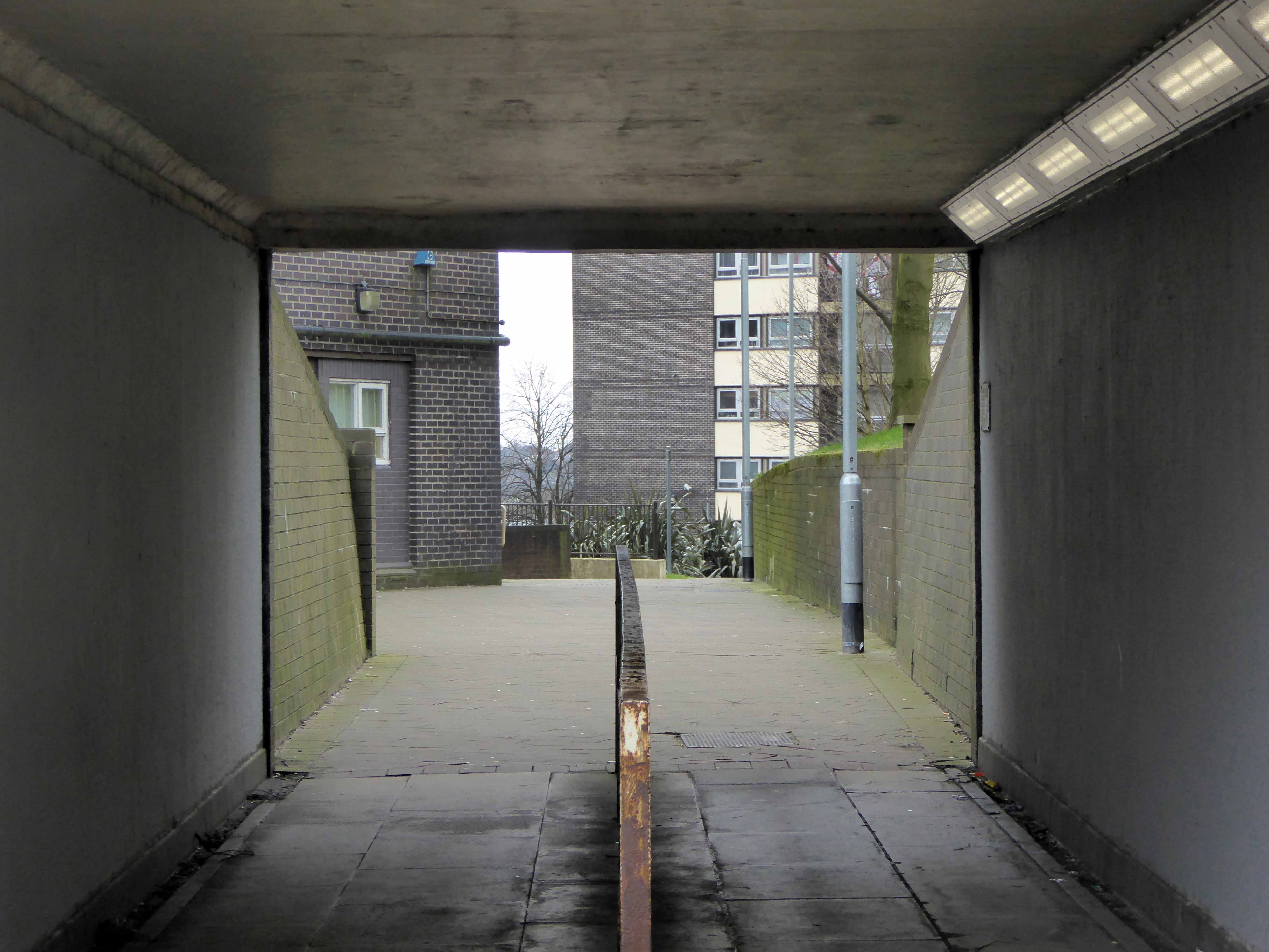
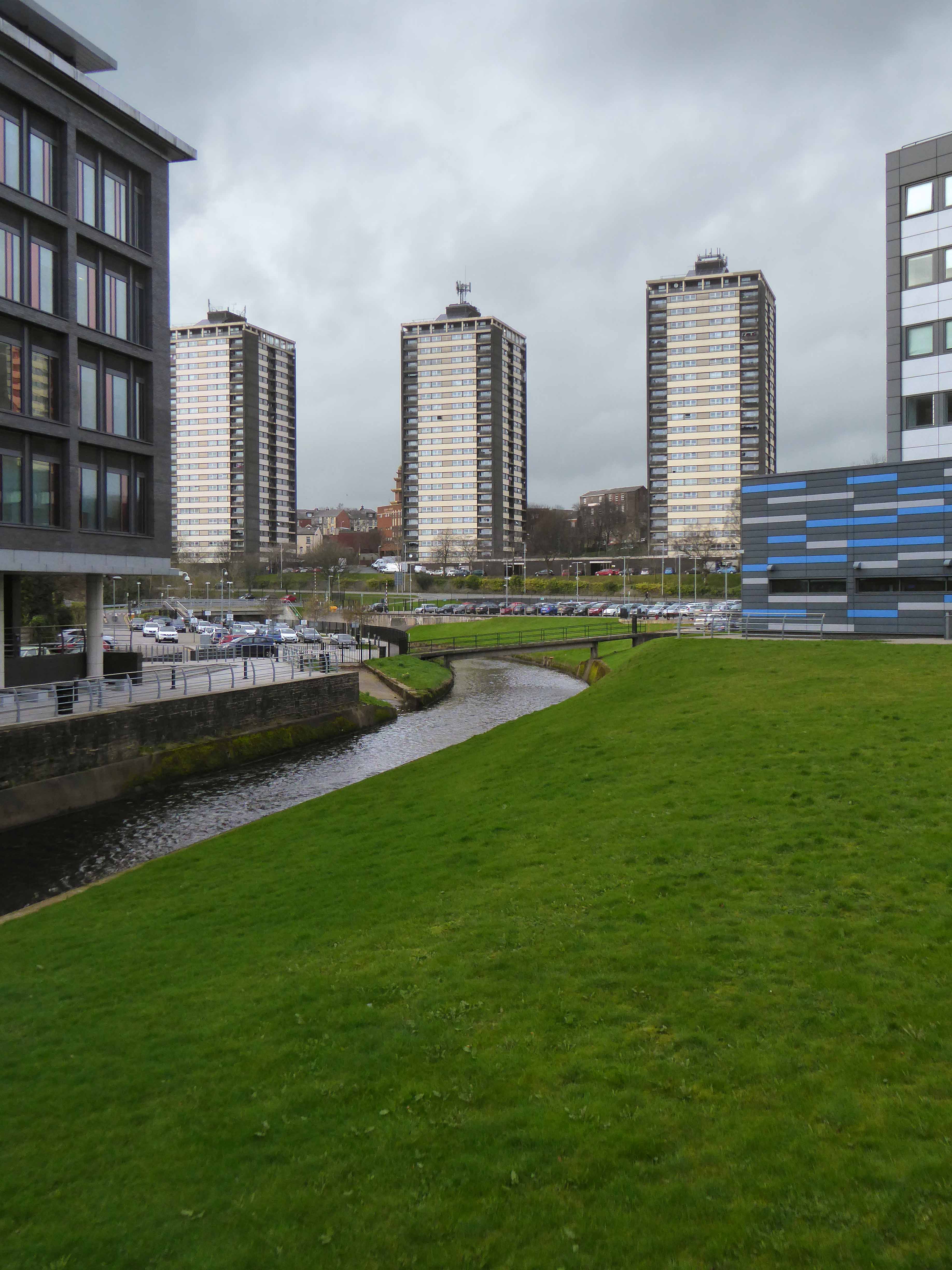
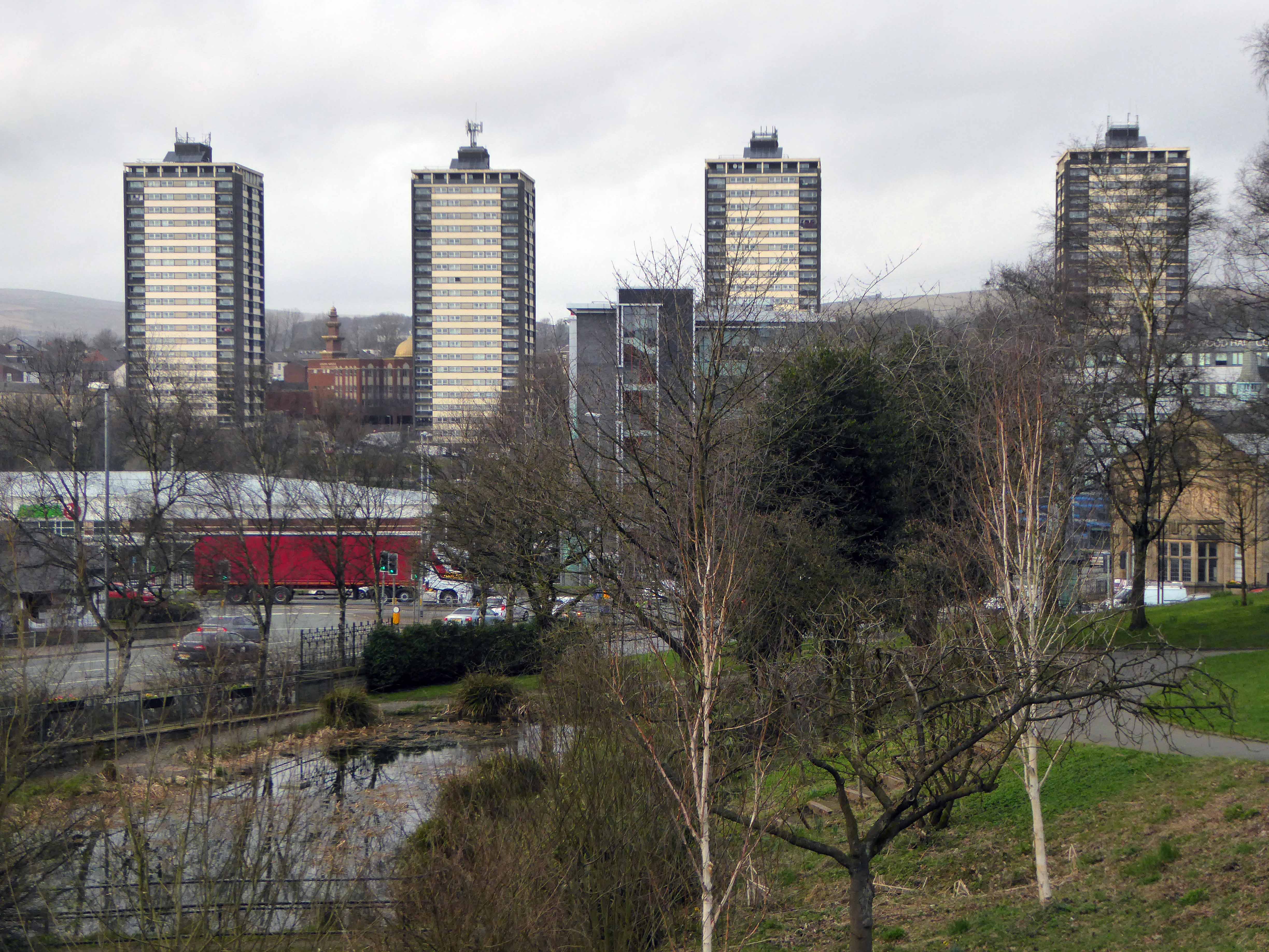
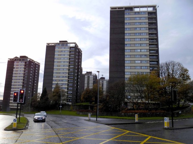
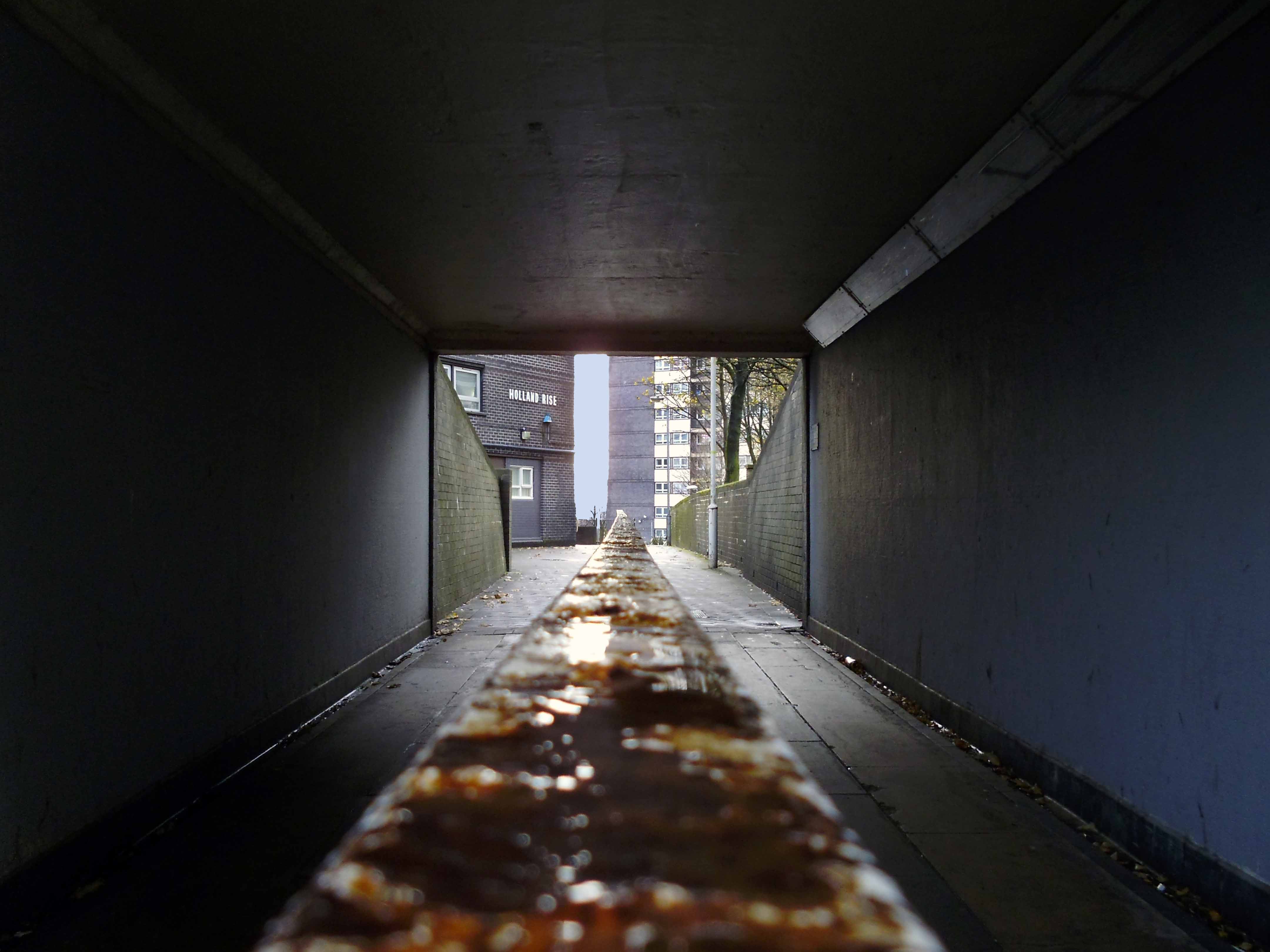
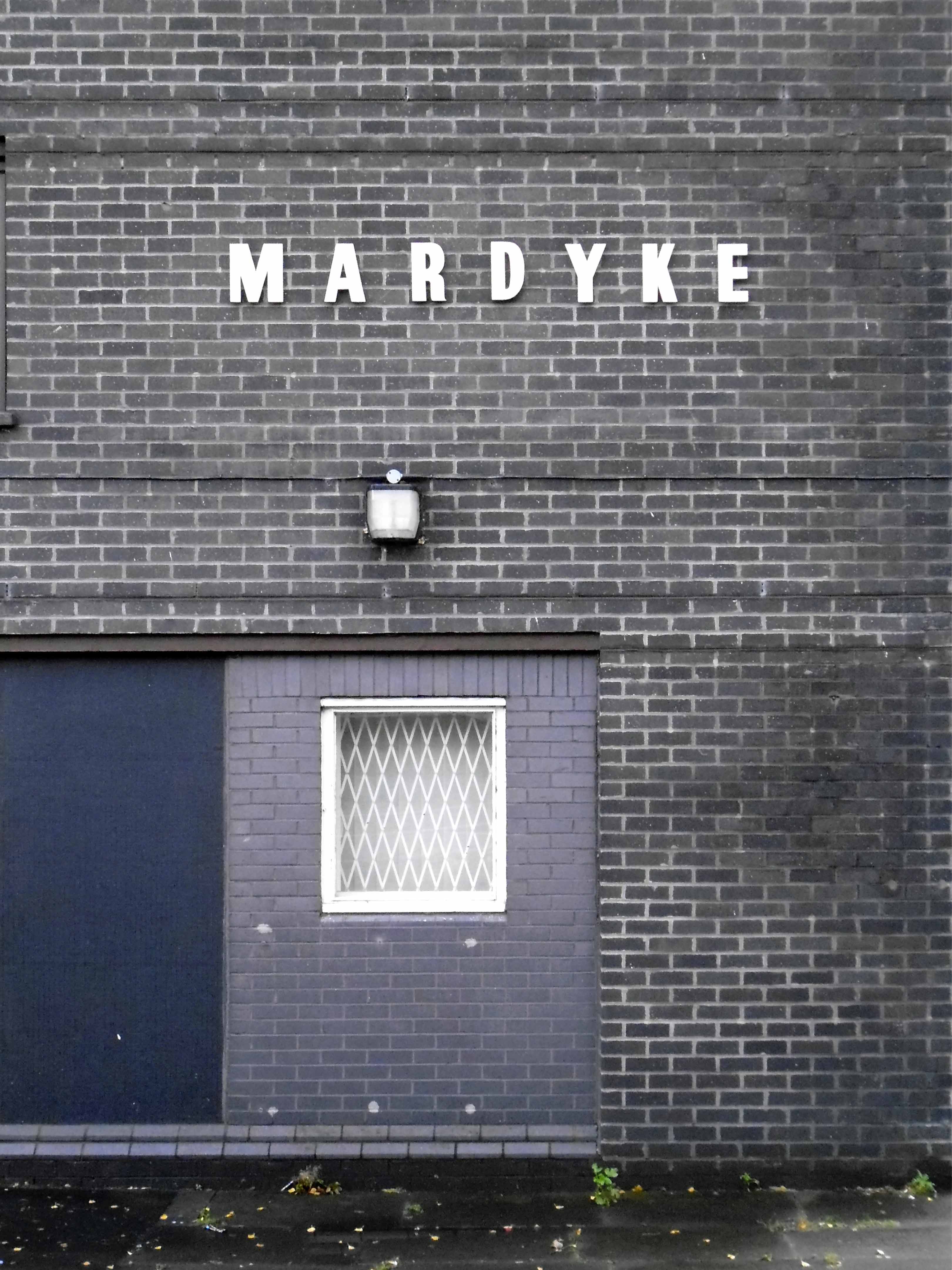
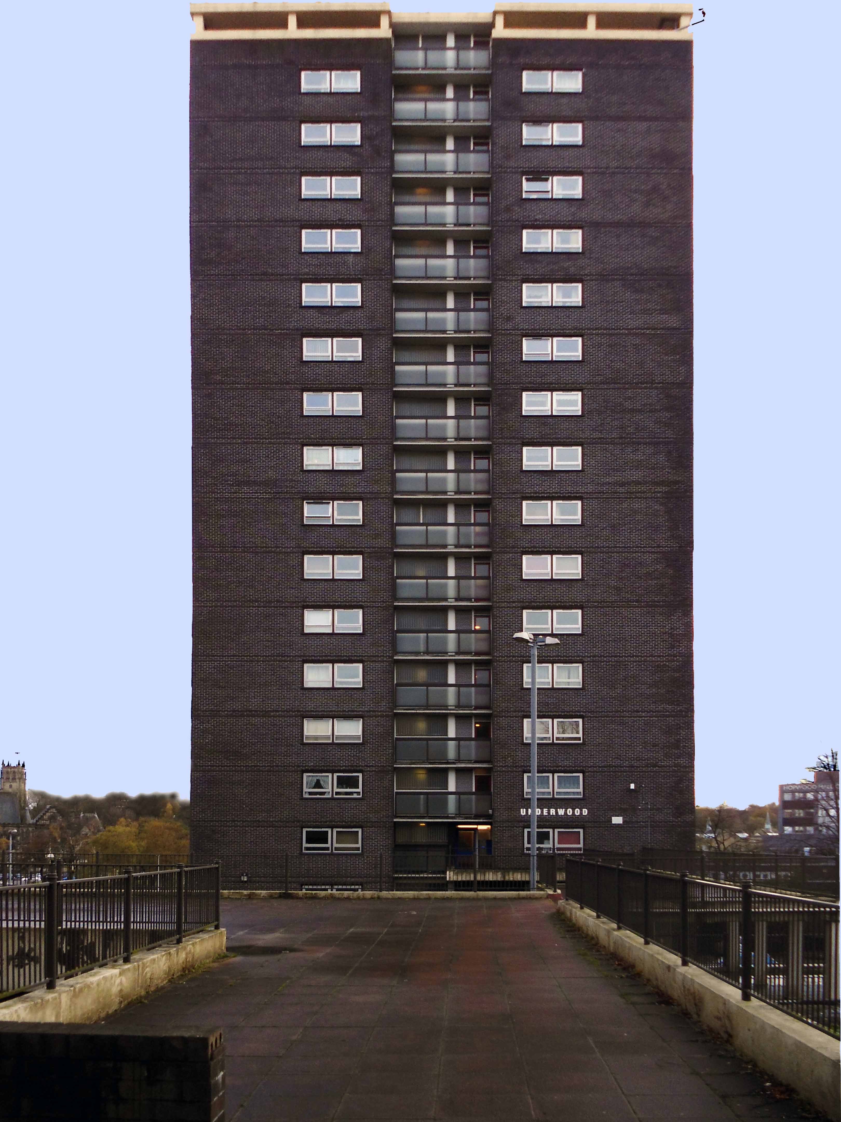
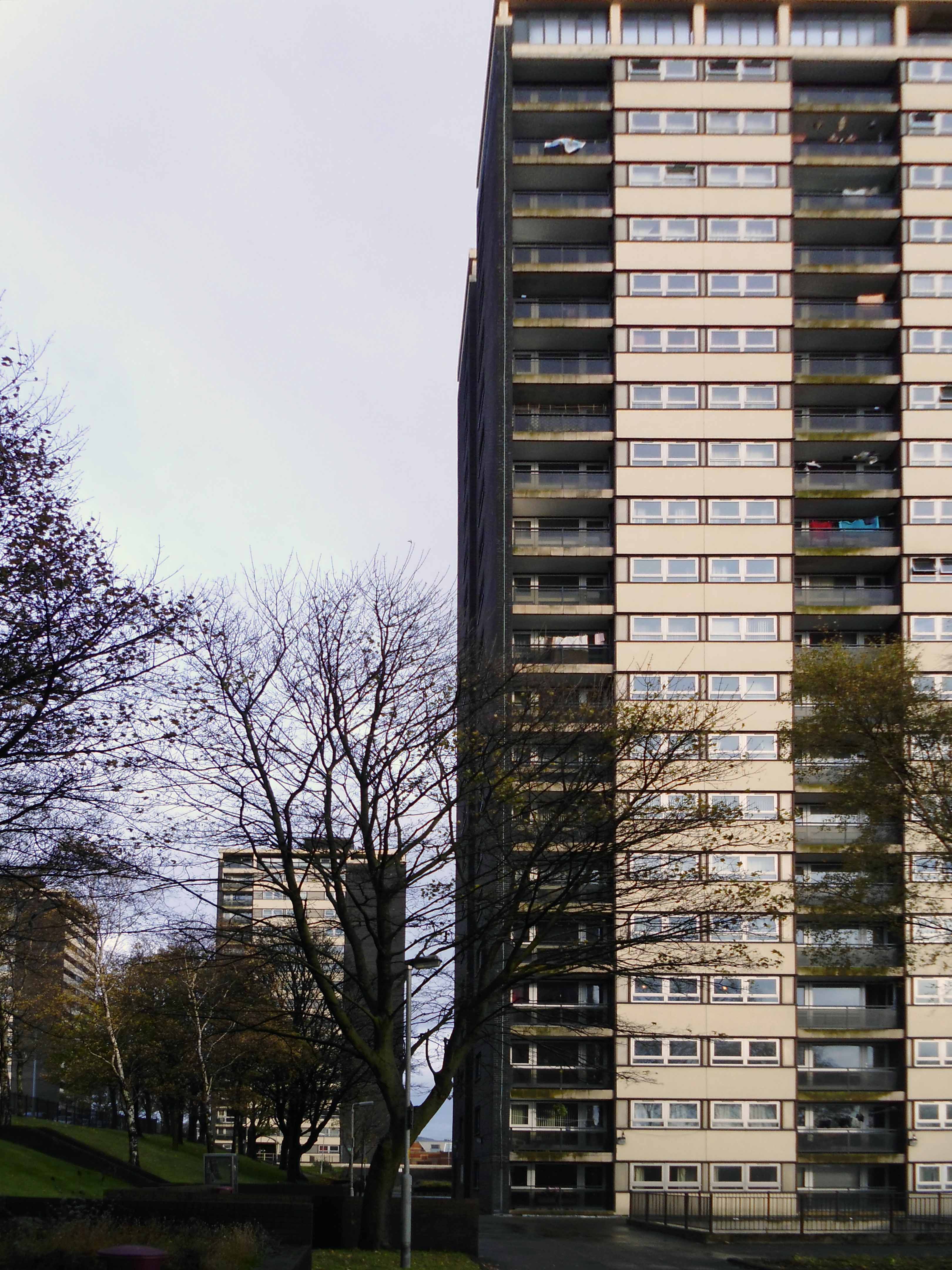
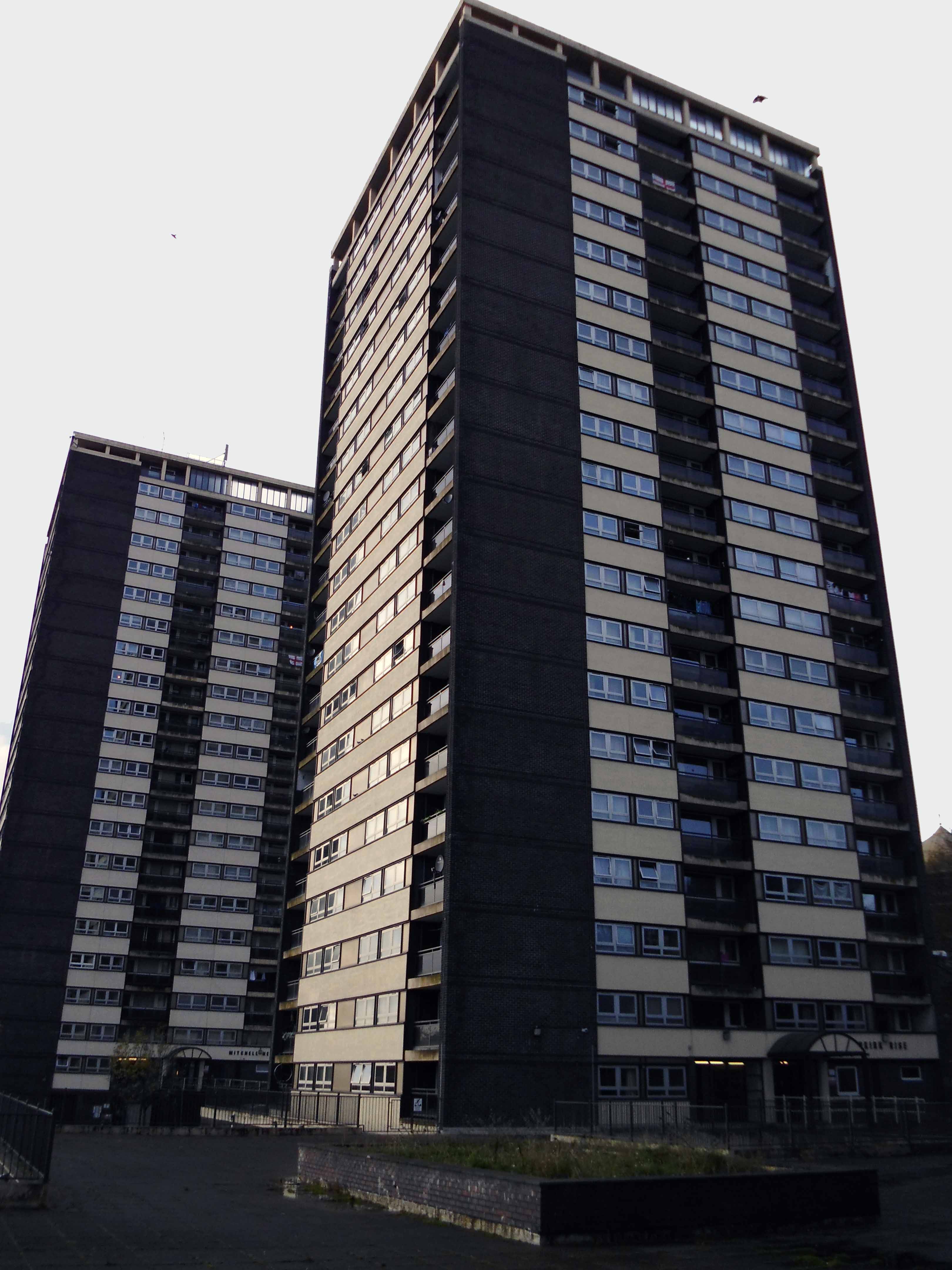
Arriving in Rochdale in search of something else entirely, it was impossible to ignore seven prominent, as yet unclad tower blocks, high upon a hill. I was informed by a local resident that they were known locally as the Seven Sisters, though variously identified as Falinge B, College Bank, and Holland Street flats.
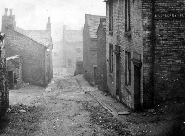
The area was formerly home to Victorian workers’ dwellings, known as The Paddock – the post-war policy of slum clearance saw them swept away, in readiness for municipal modernity.
Hey presto 1963 and there appears four 21 storey blocks containing 476 dwellings; three 17 storey blocks containing 286 dwellings.
Photograph Mancunian 101
Building contractors were Wimpey and the flats were designed by Rochdale’s Borough Surveyor, Mr W H G Mercer and Mr D. Broadbent along with Mr E V Collins, chief architect to contractors George Wimpey and Company.
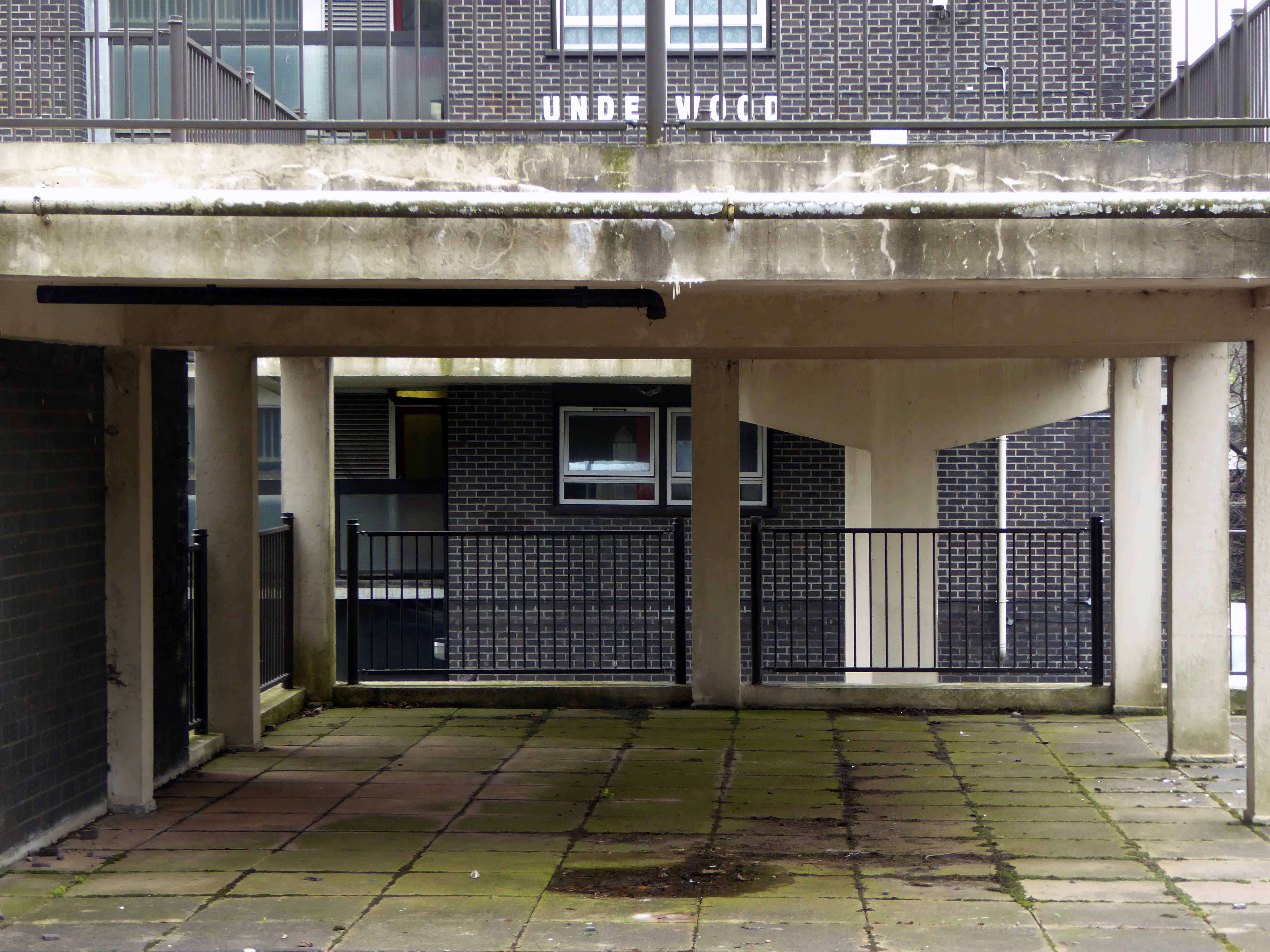
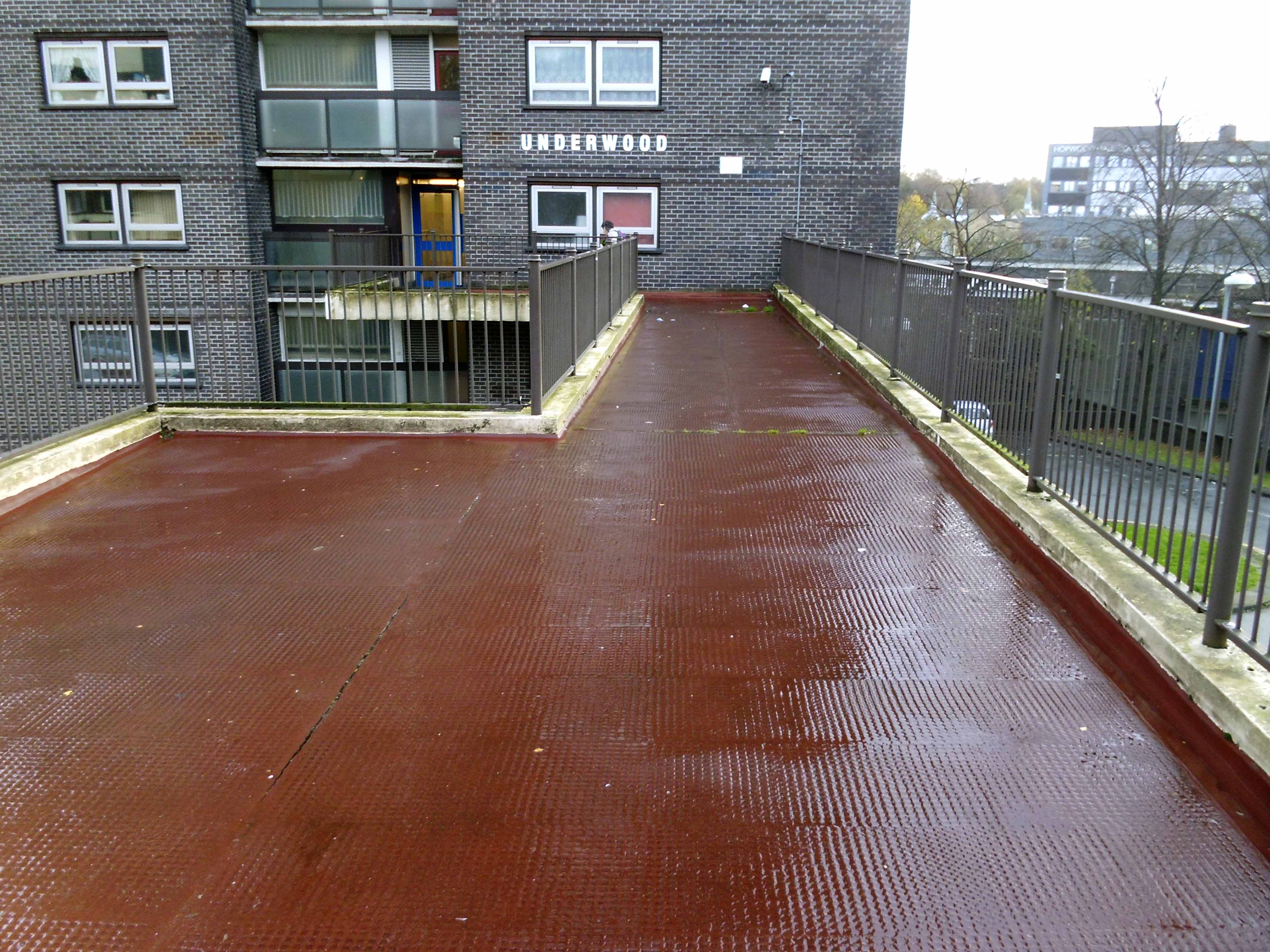
On Friday October 1 1965 the Minister of Housing and Local Government, Richard Crossman, officially opened the first of the College Bank flats – Underwood.
So go take a look ride the rail or tram, get on your bike, walk a while and abide, take a frenzied dance around with the Seven Sisters.