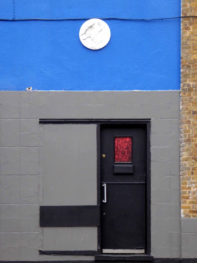
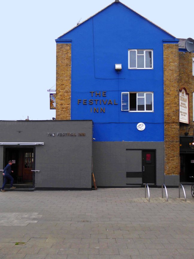
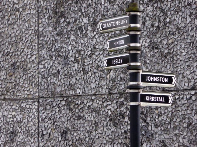
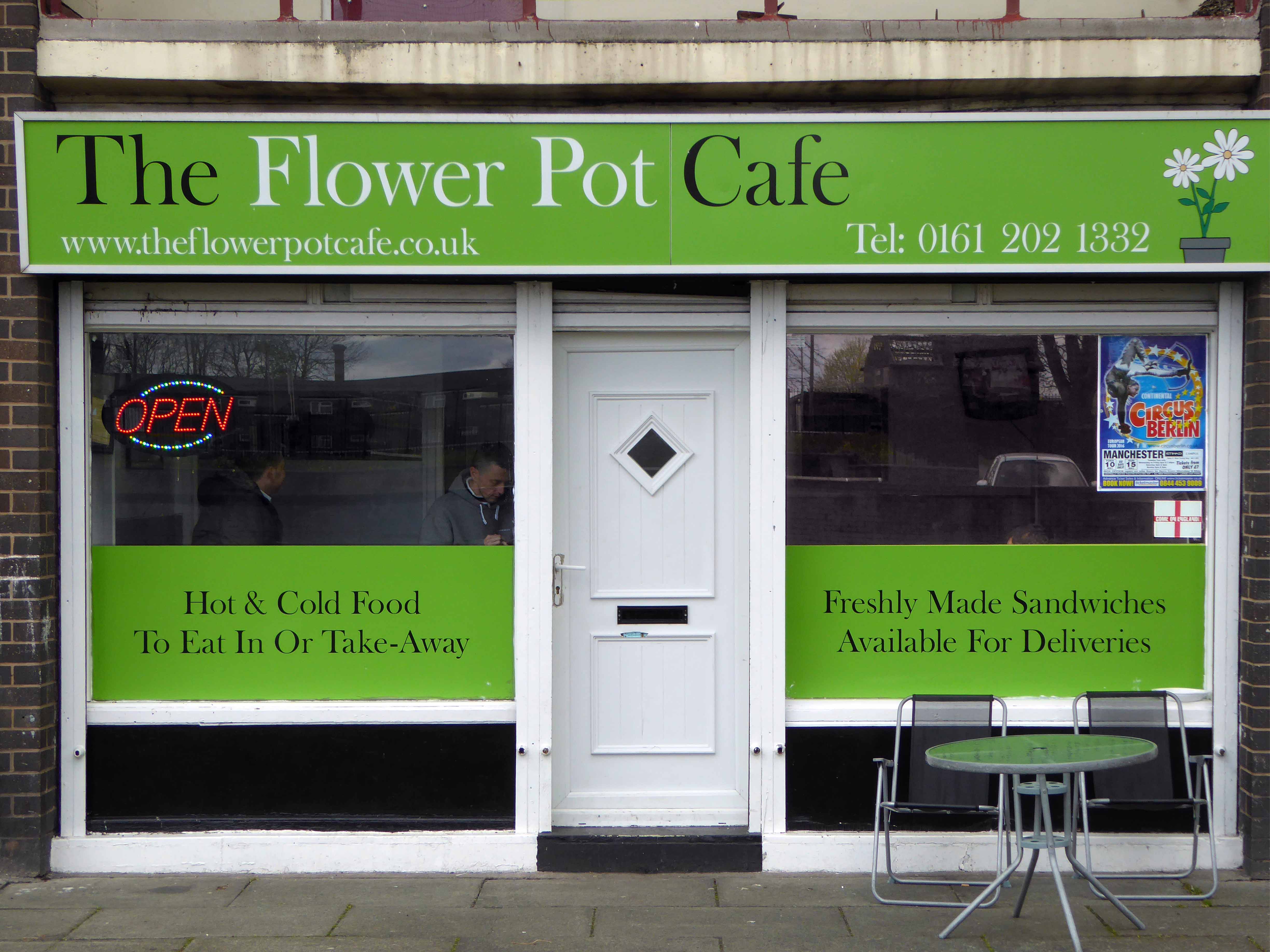
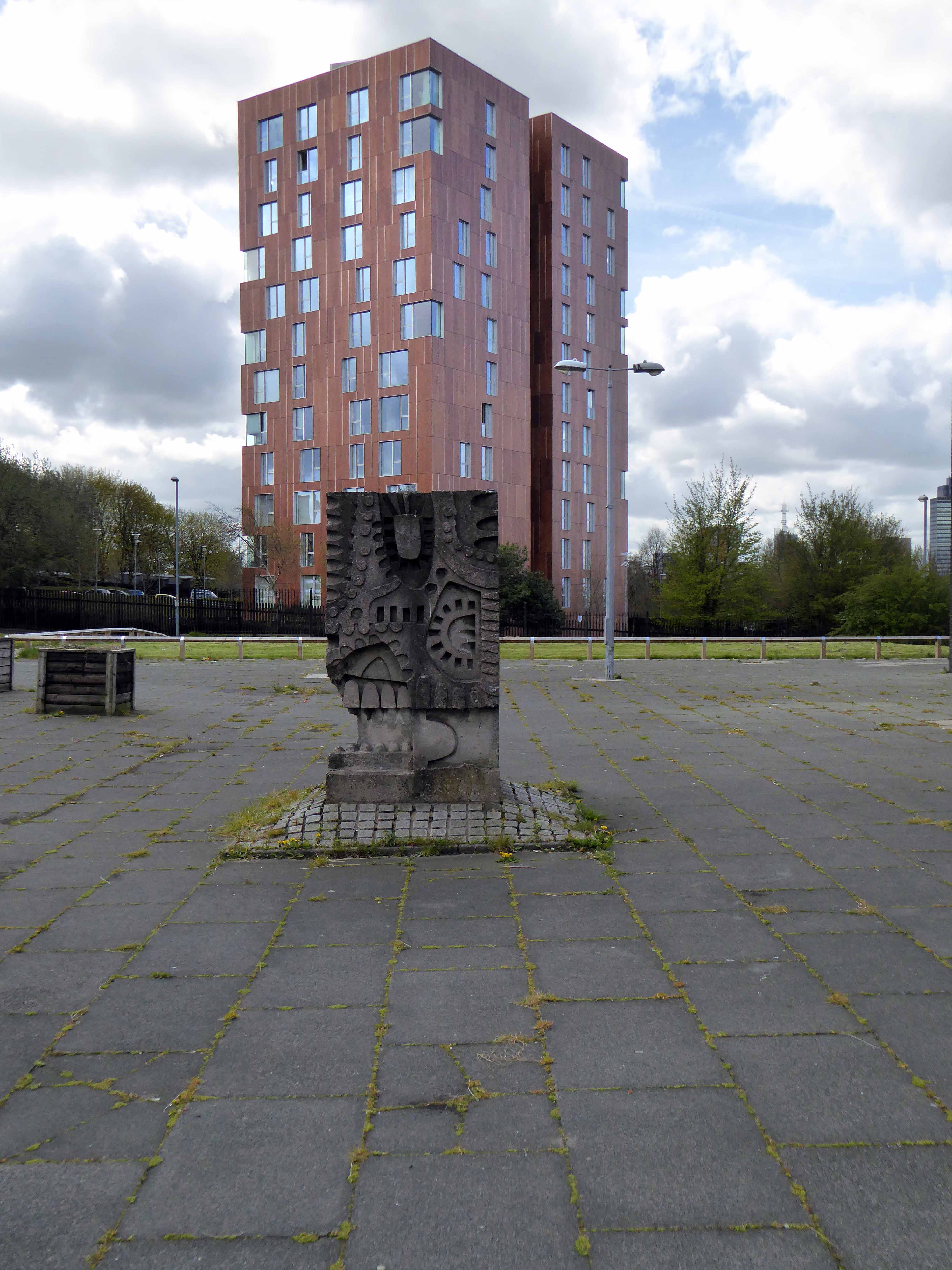
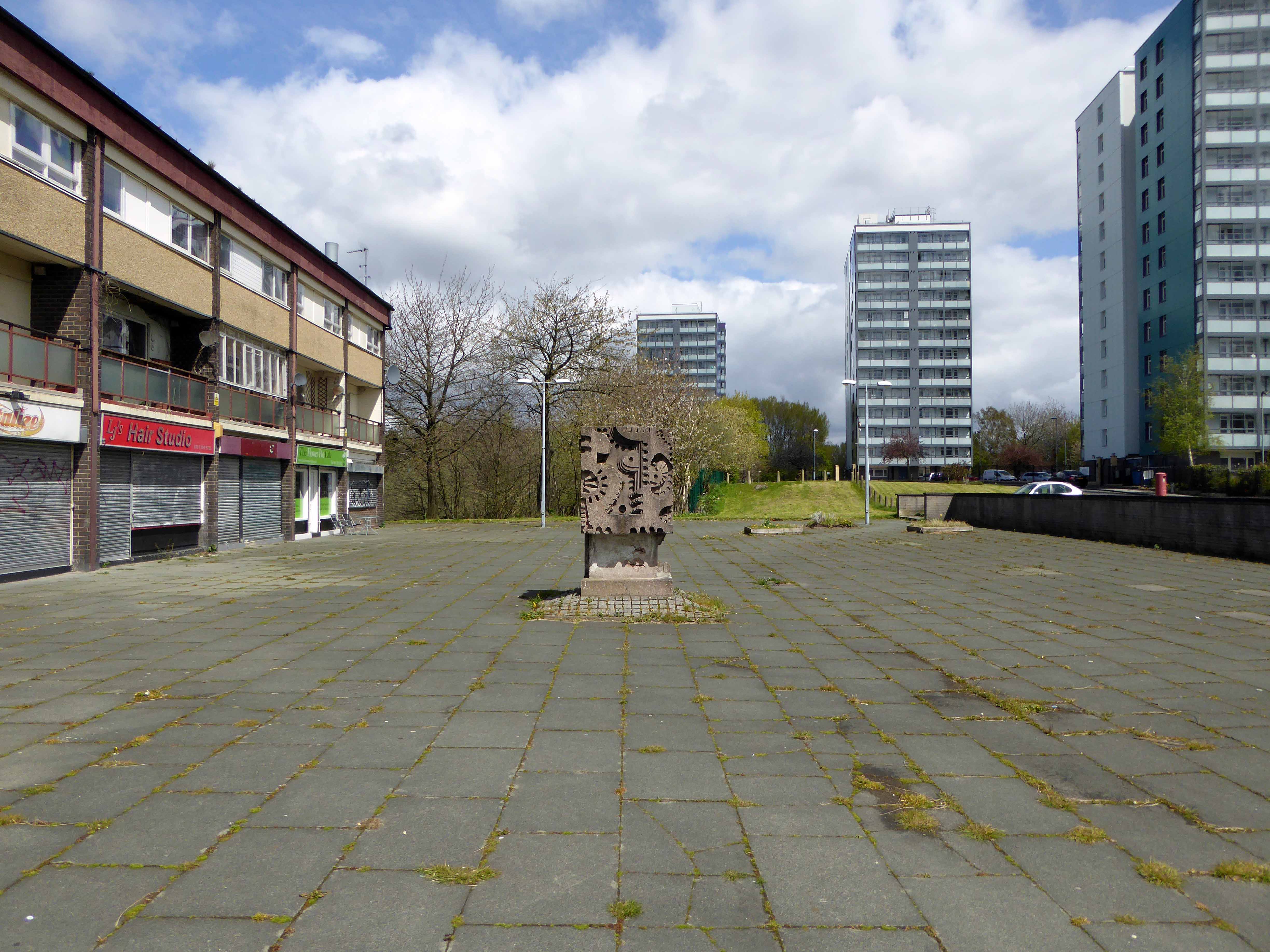
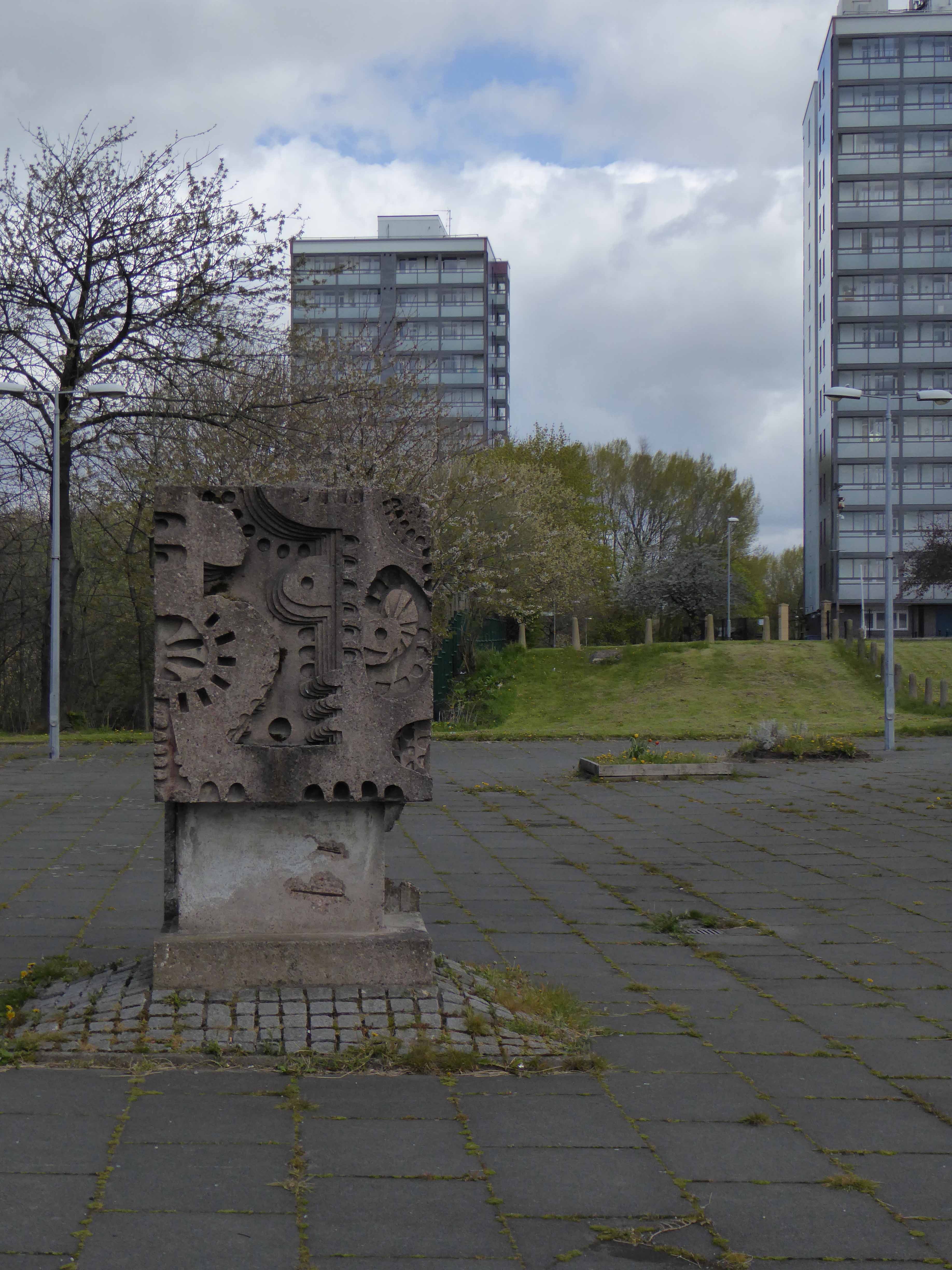
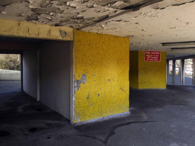
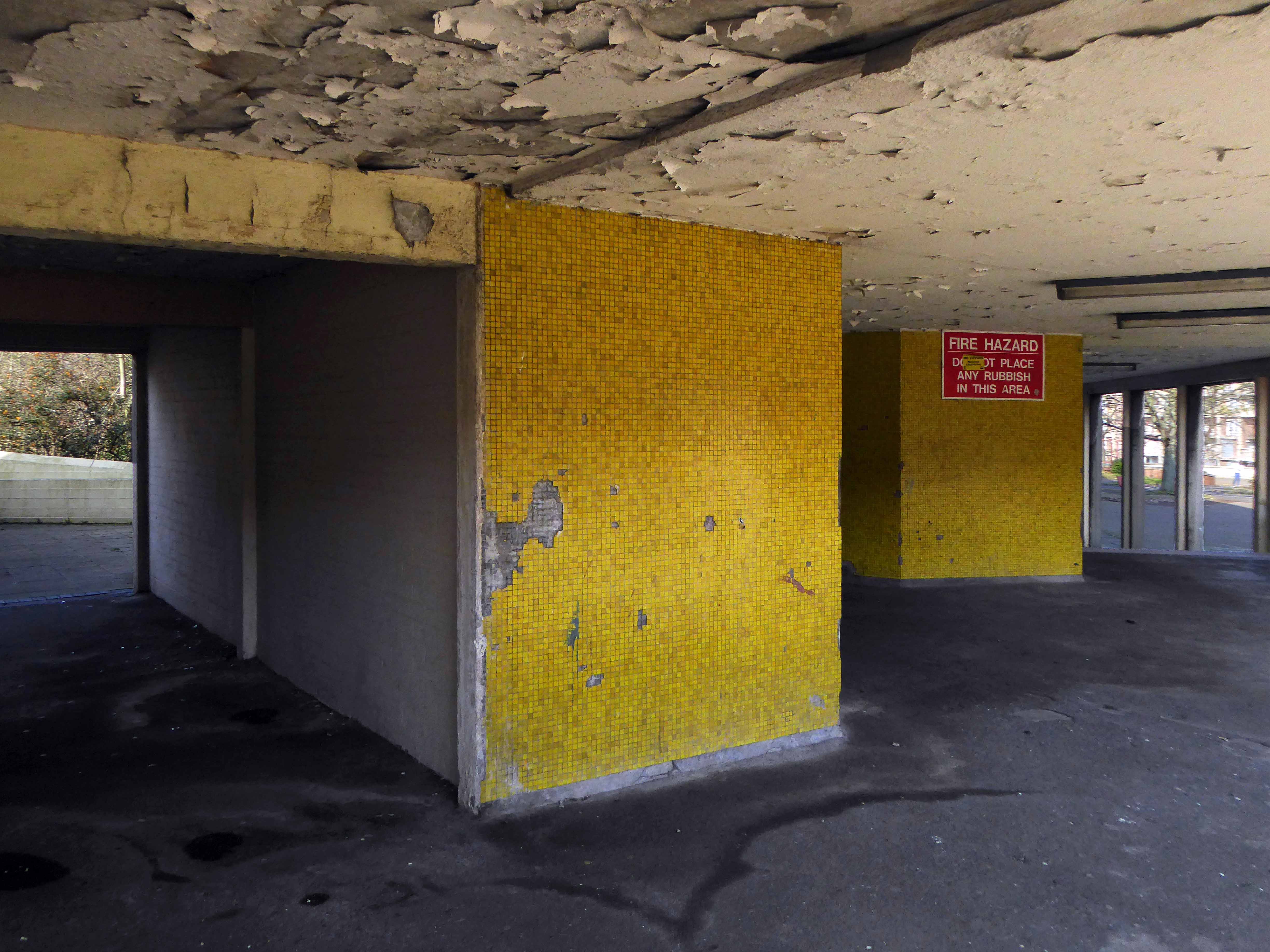
Where is the North and what does it look like?
It’s up there somewhere isn’t it, a dark elsewhere, a mythological other place.
I was curious, searching for clues.
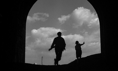
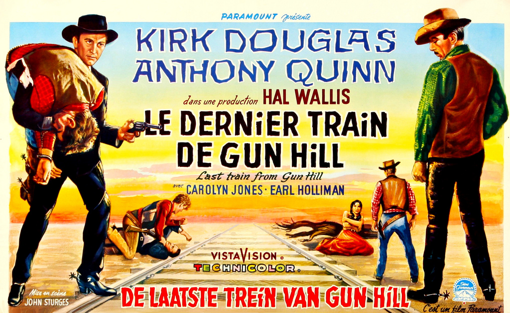
I began in a nearby place in a faraway time, my first reference point, the film adaptation of Shelagh Delaney’s play A Taste of Honey.
Set in Salford by Salford born teenager Shelagh.
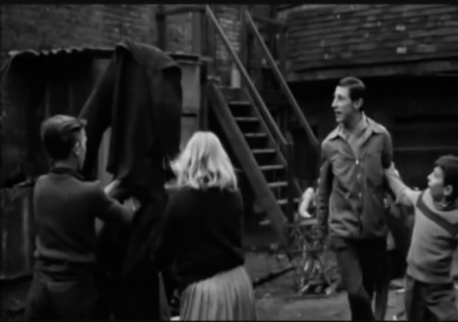
A teenager becomes pregnant by a black sailor. She leaves her feckless mother and her flashy new boyfriend to set up her own home. She moves in with a young gay man, who helps look after her as she faces an uncertain future.
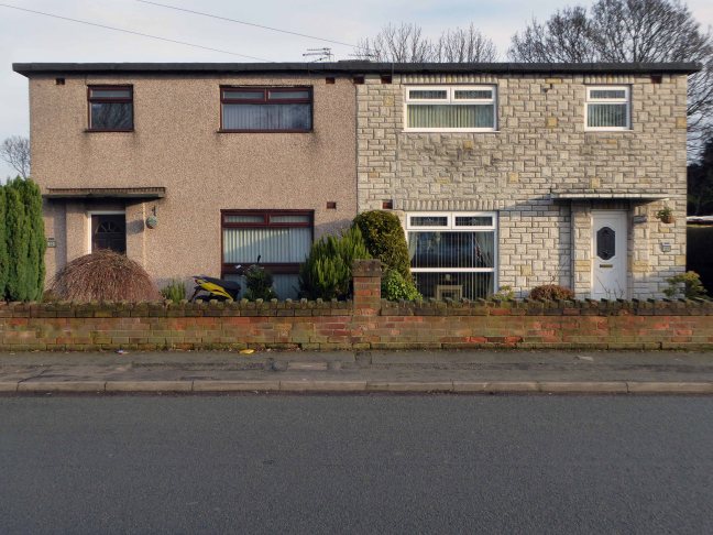
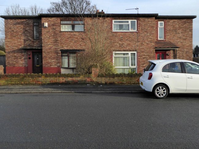
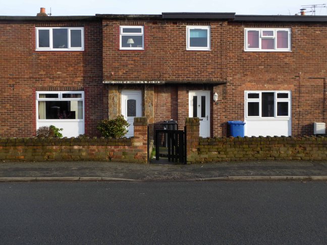
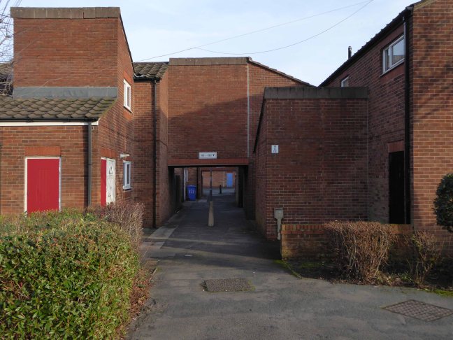
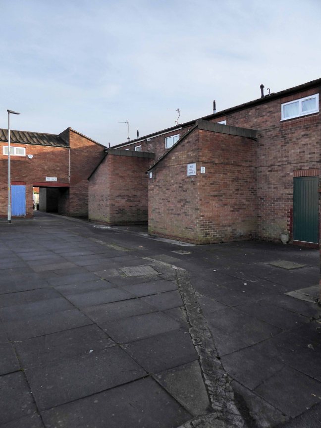
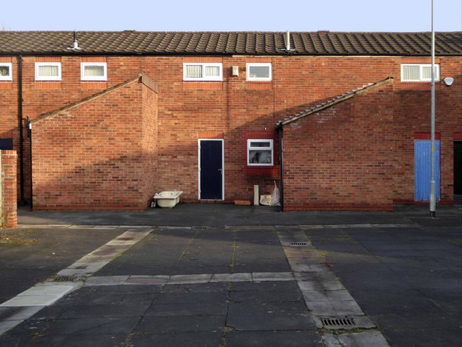
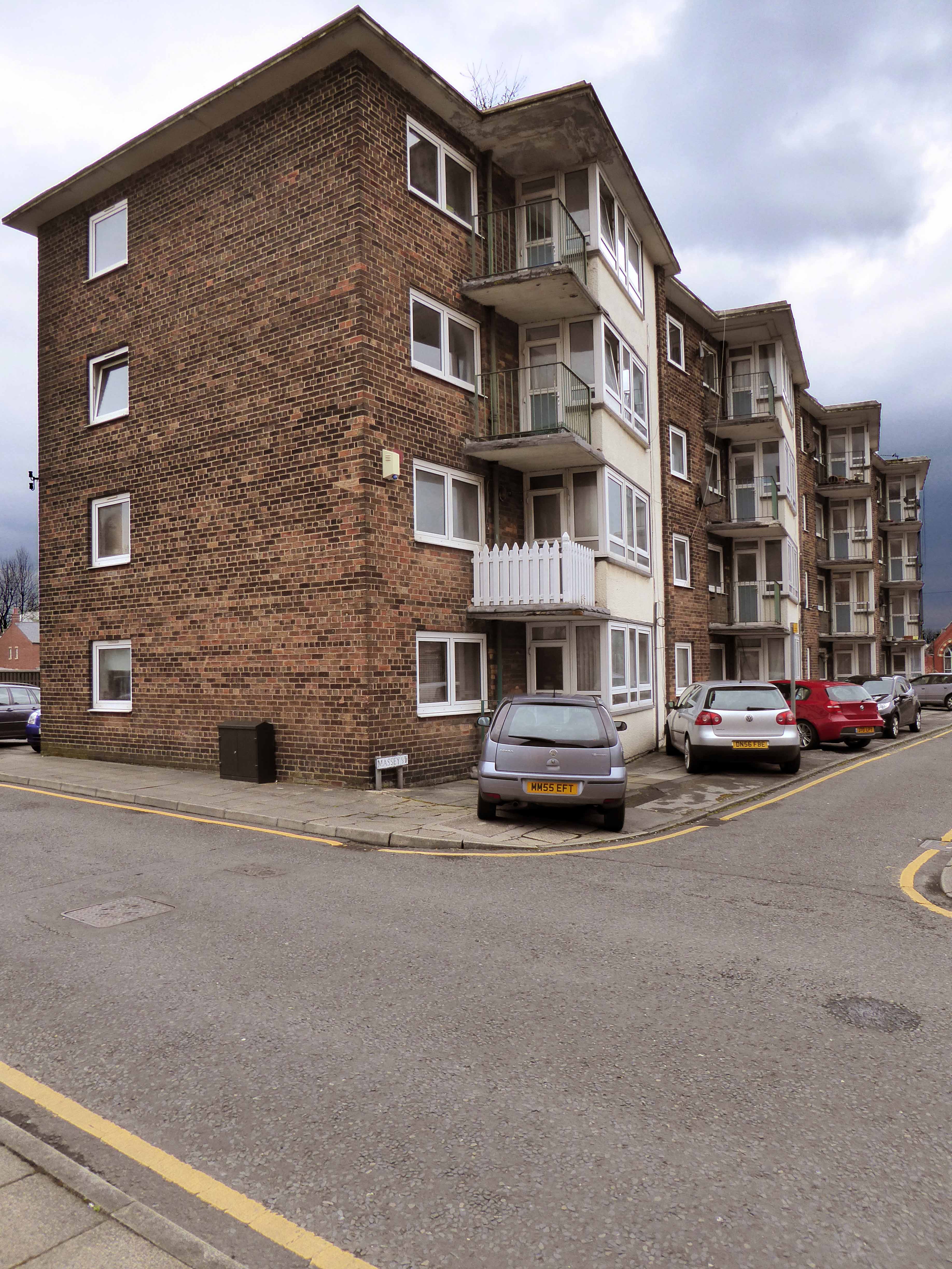
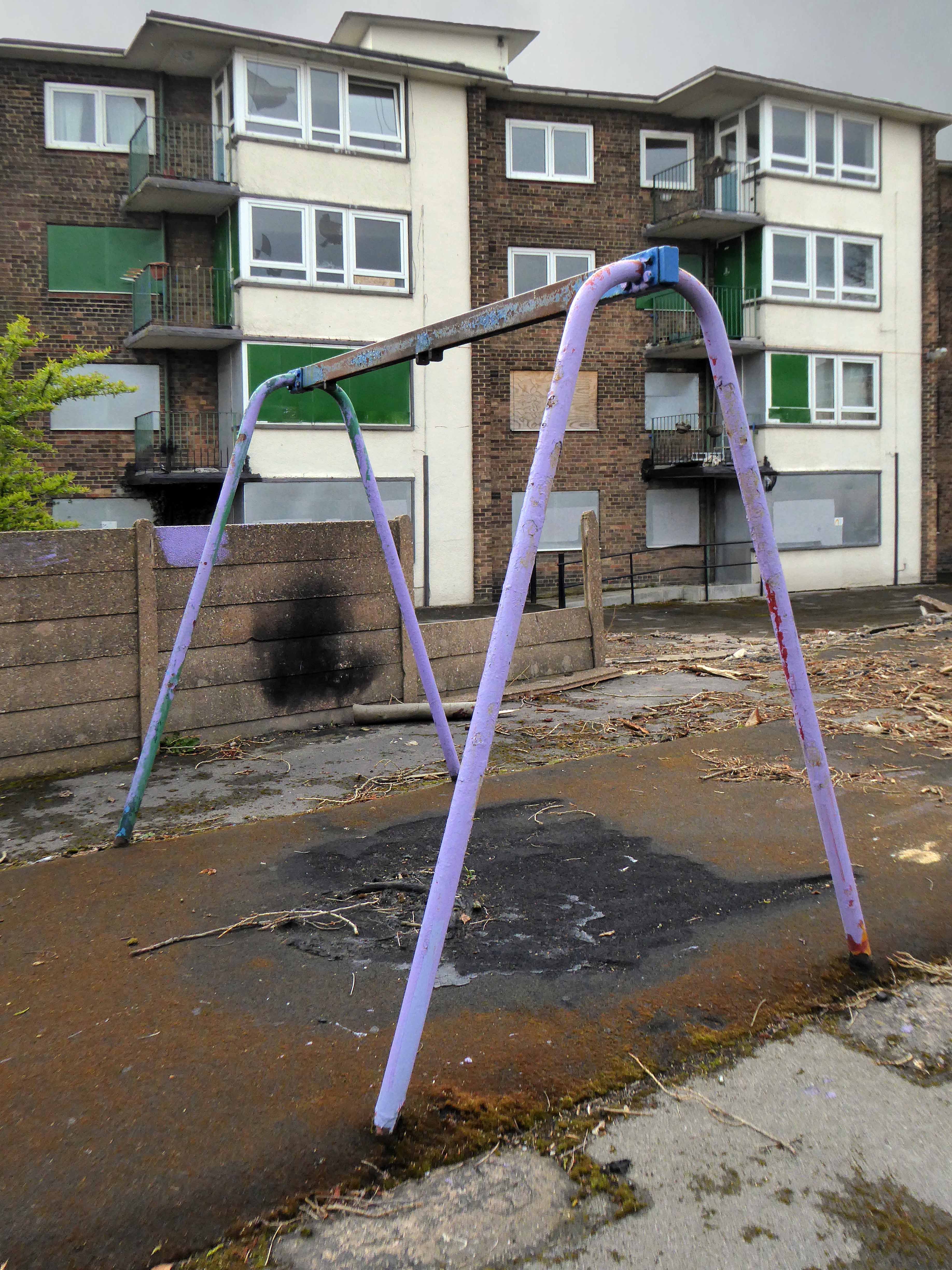
I have compiled a series of photographs of the film’s locations.

The film’s release in 1962 broke new ground in terms of its matter of fact depiction of contentious and sensational subject matter. My interest in this instance rests with the visual image of the North that it created.

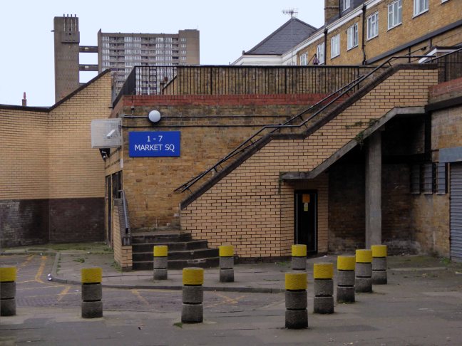
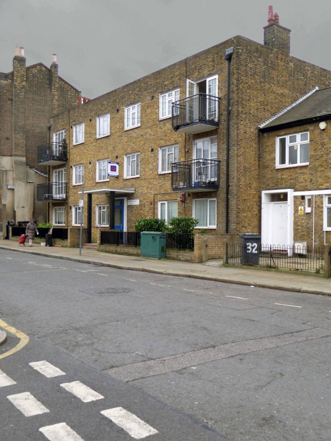
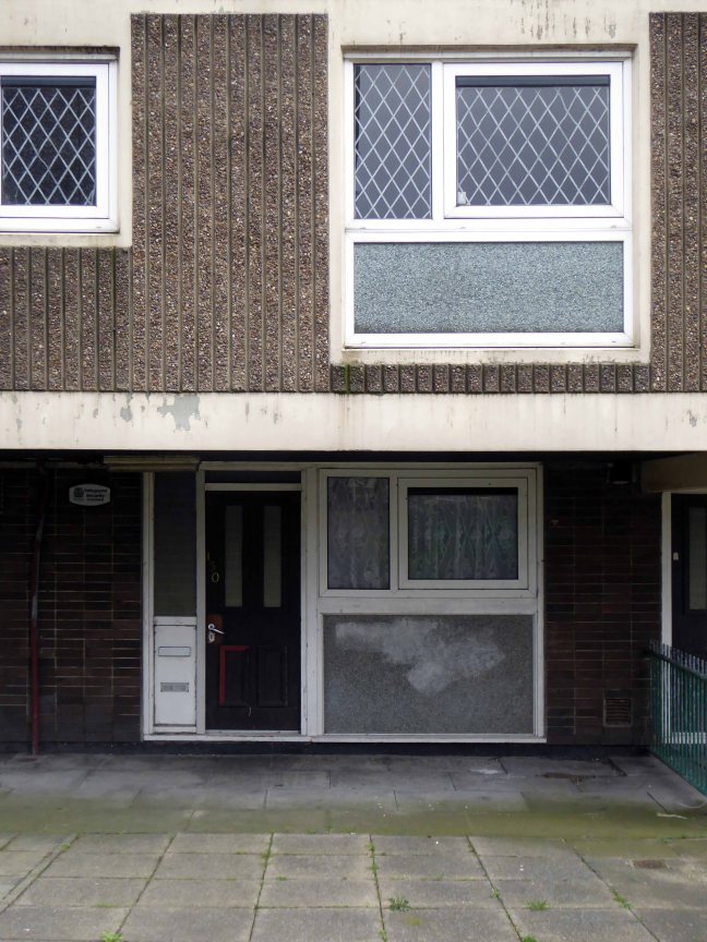
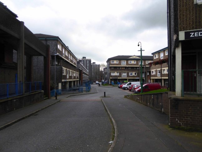
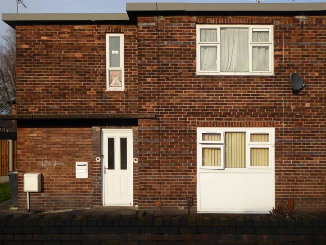
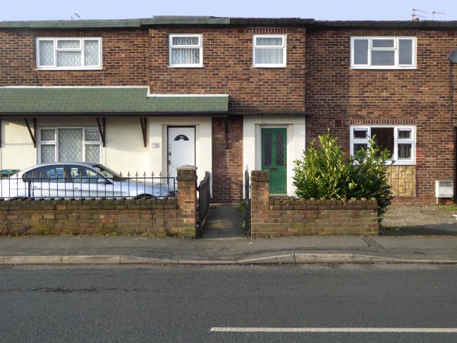
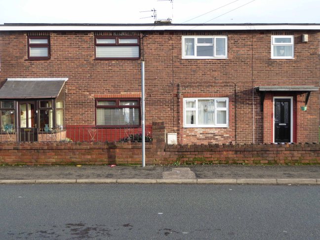
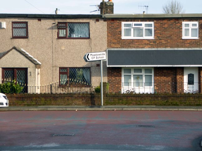
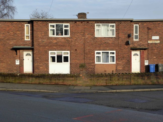
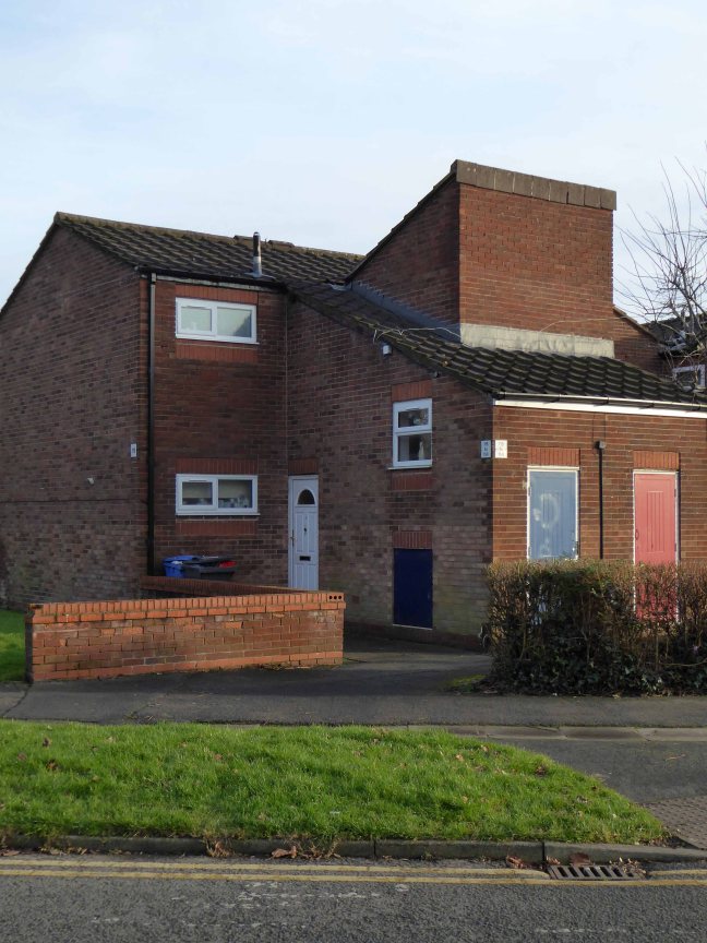
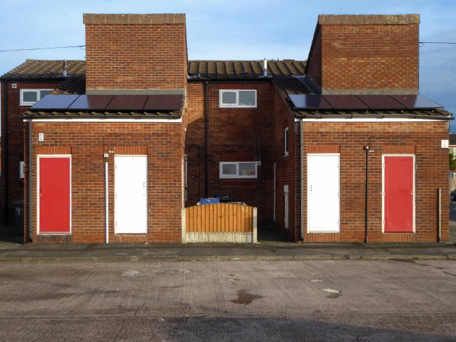
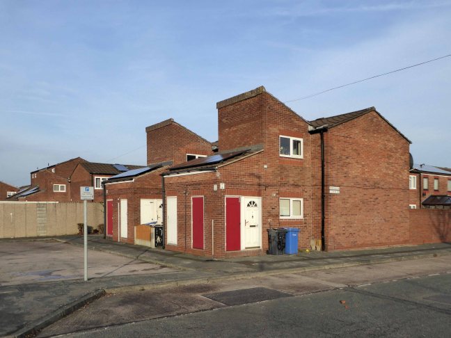
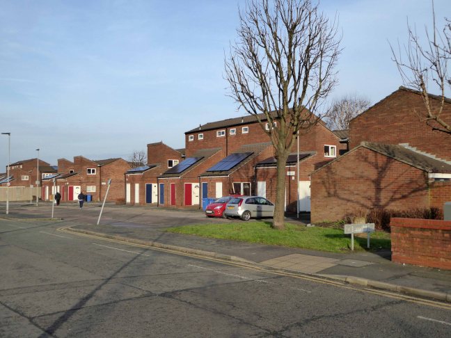
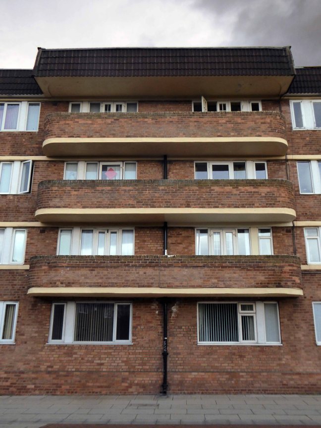
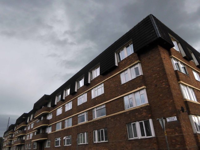
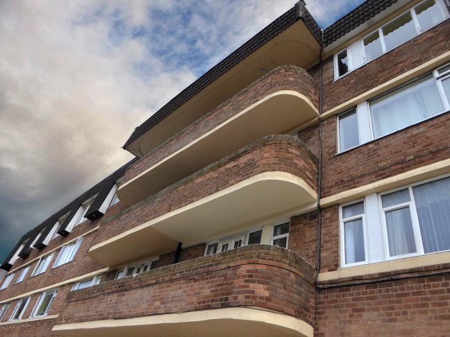
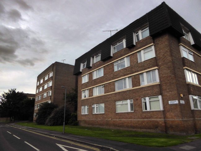
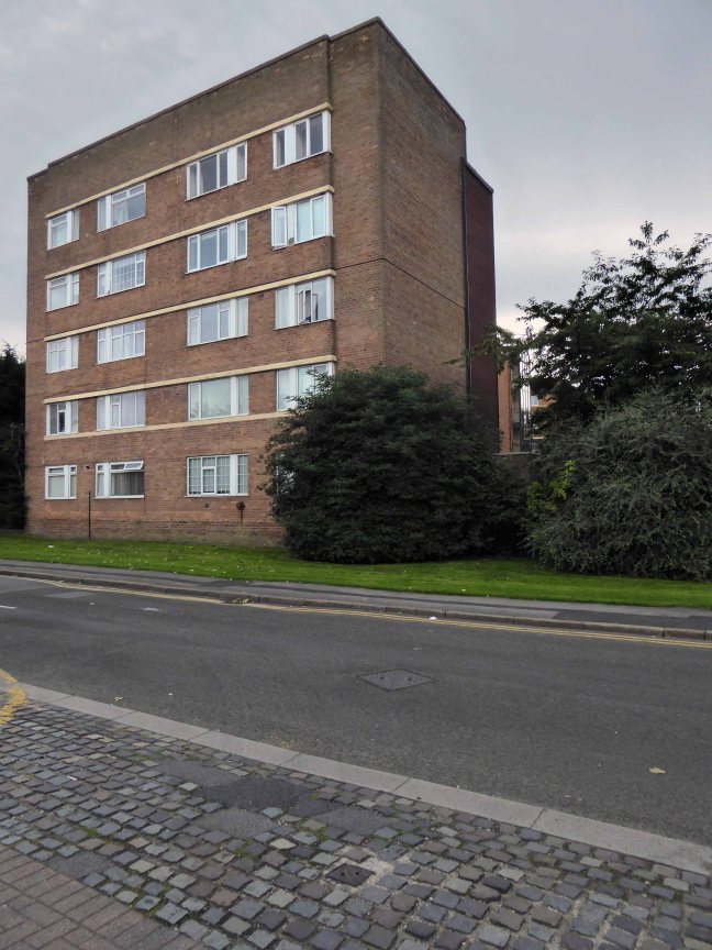
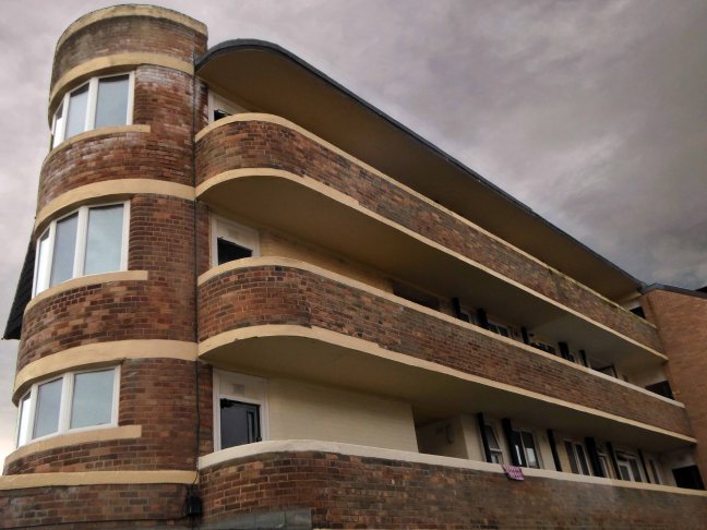
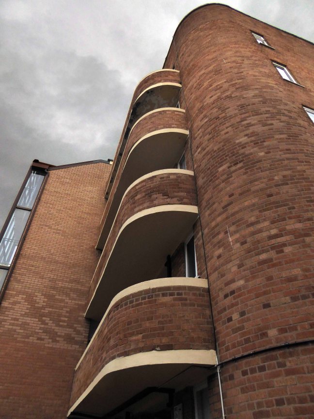
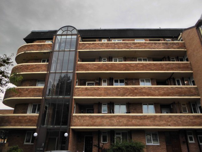
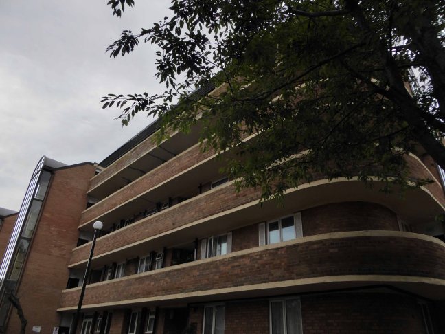
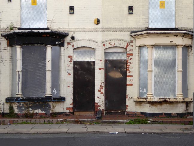
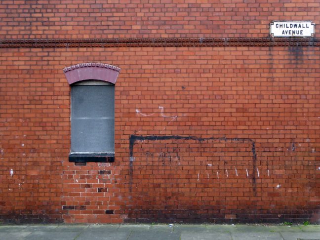
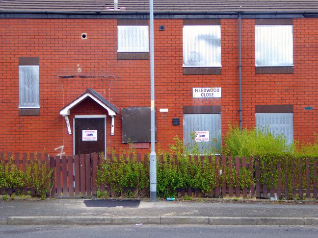
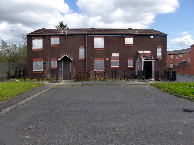
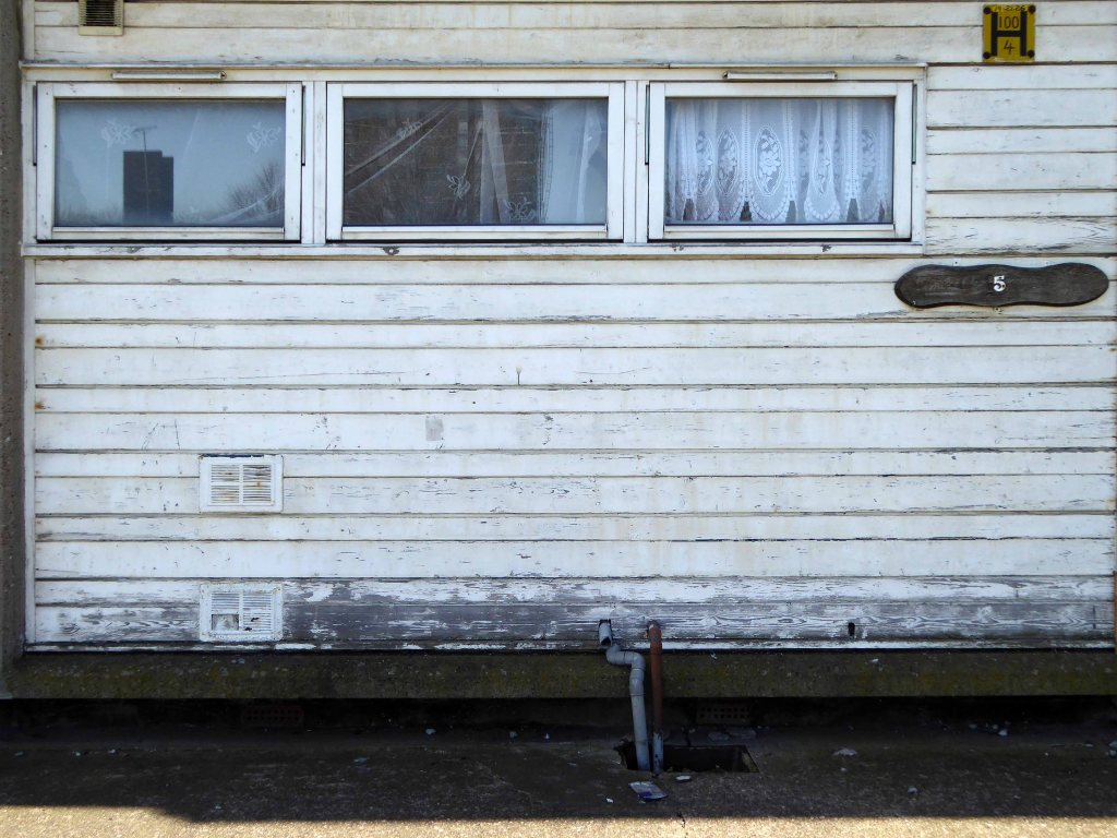
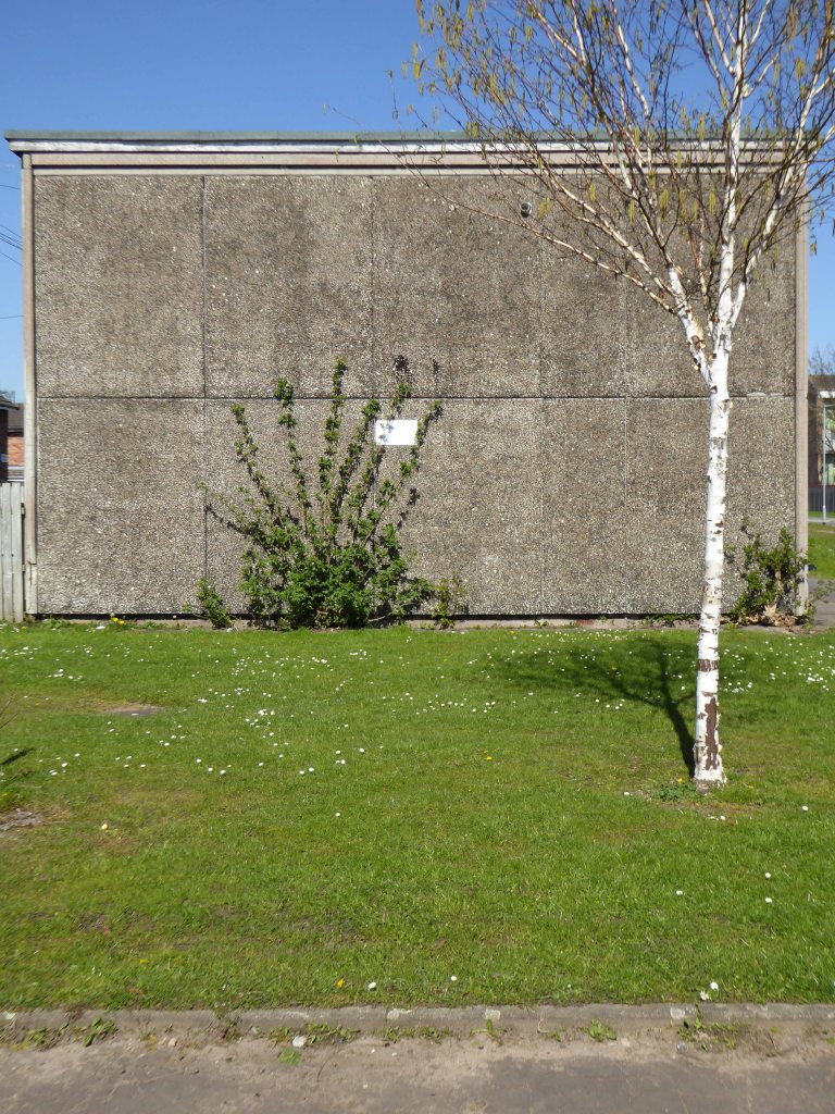
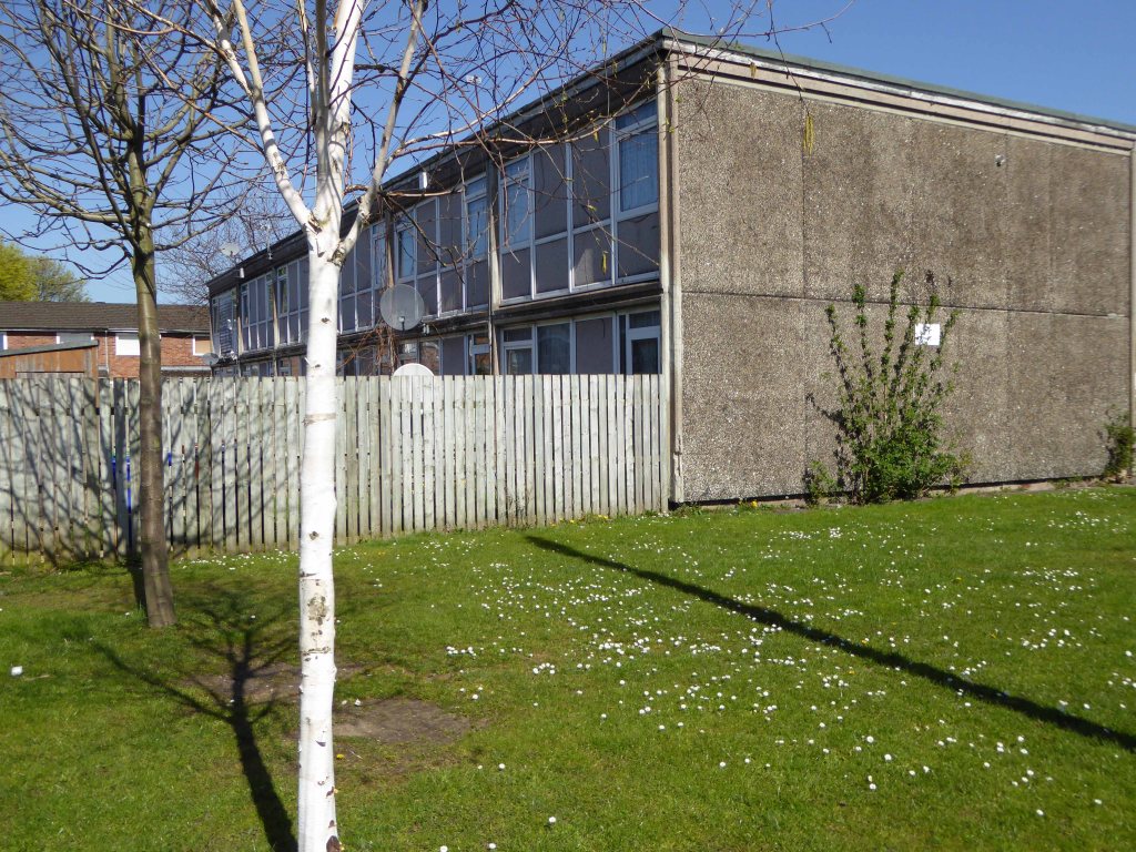
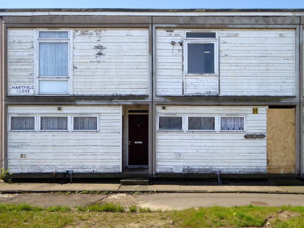
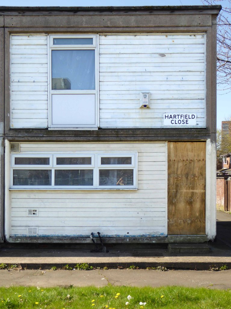
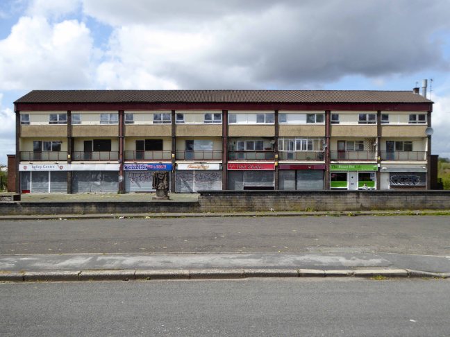
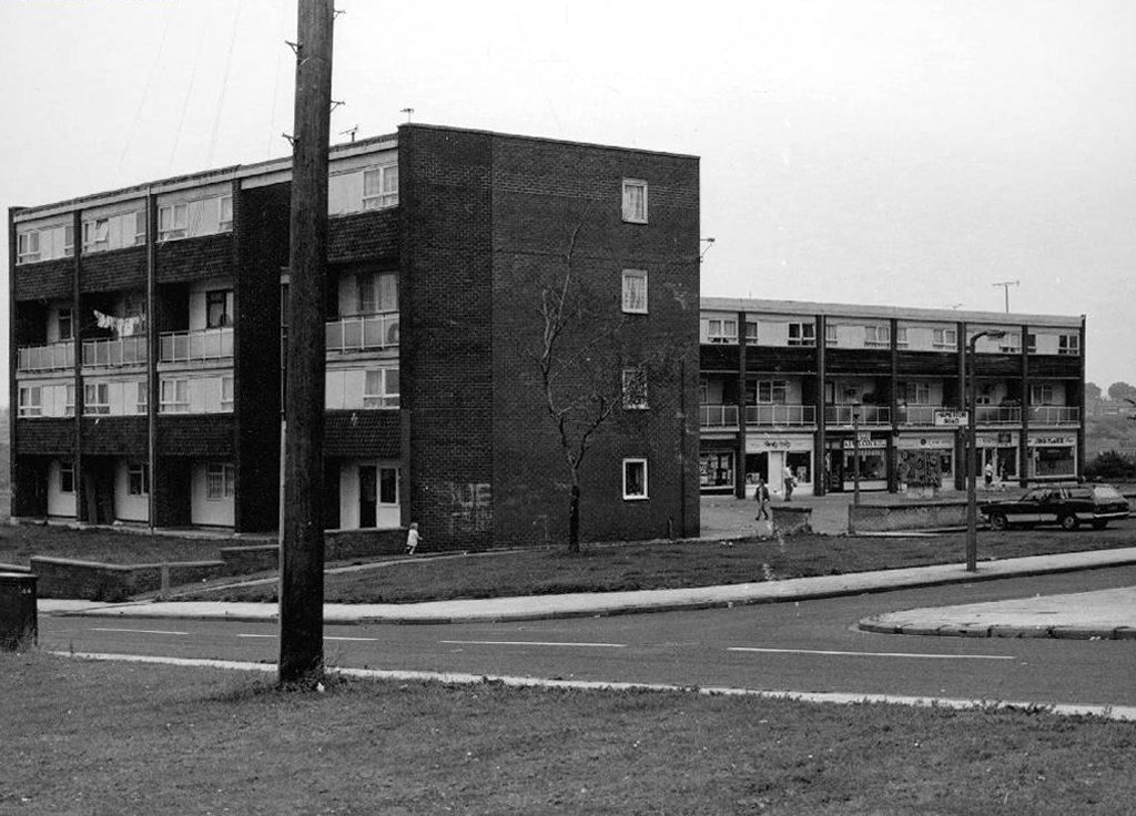
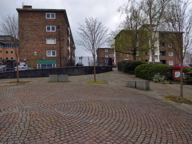
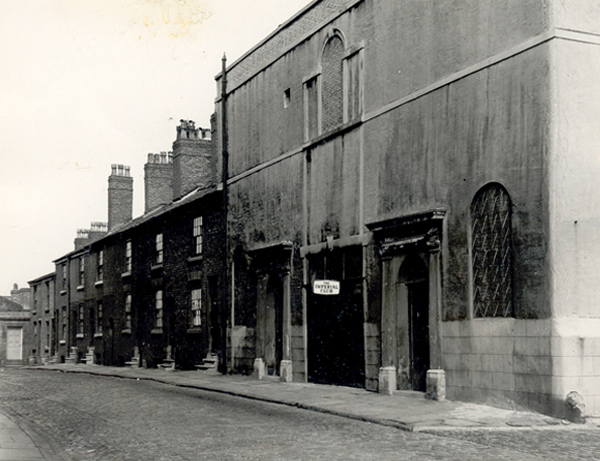
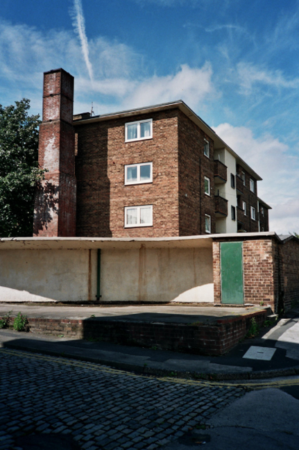
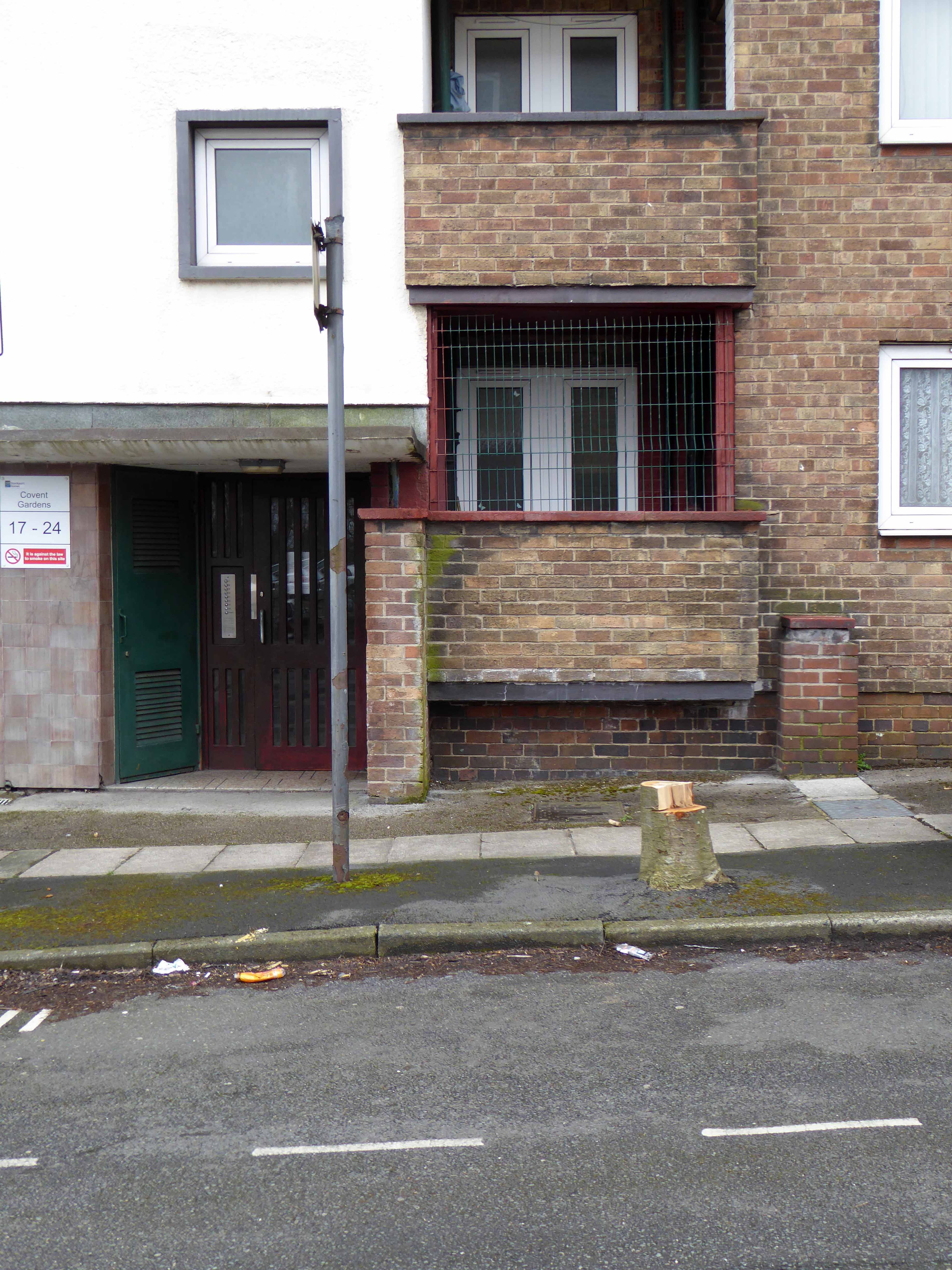
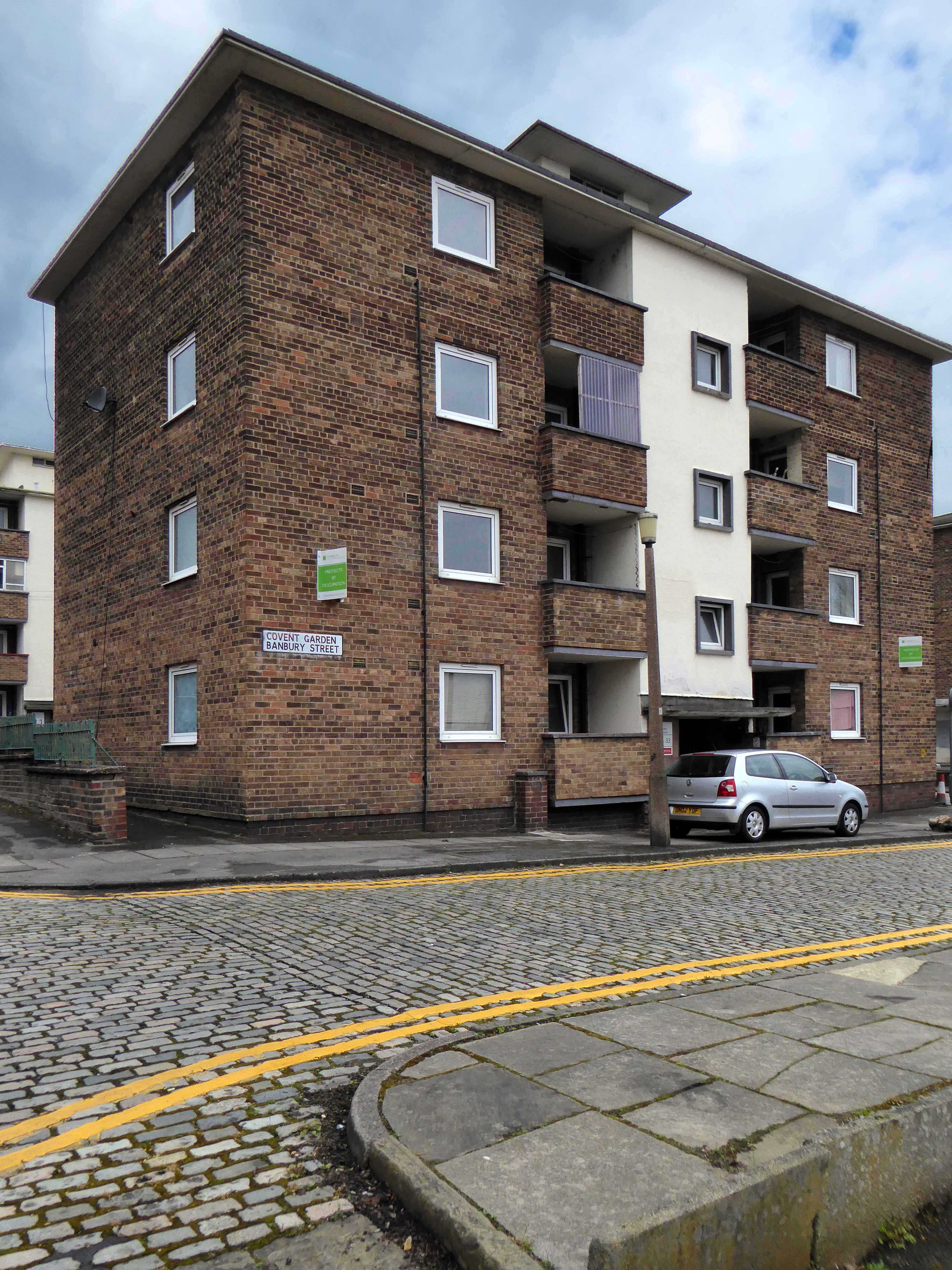
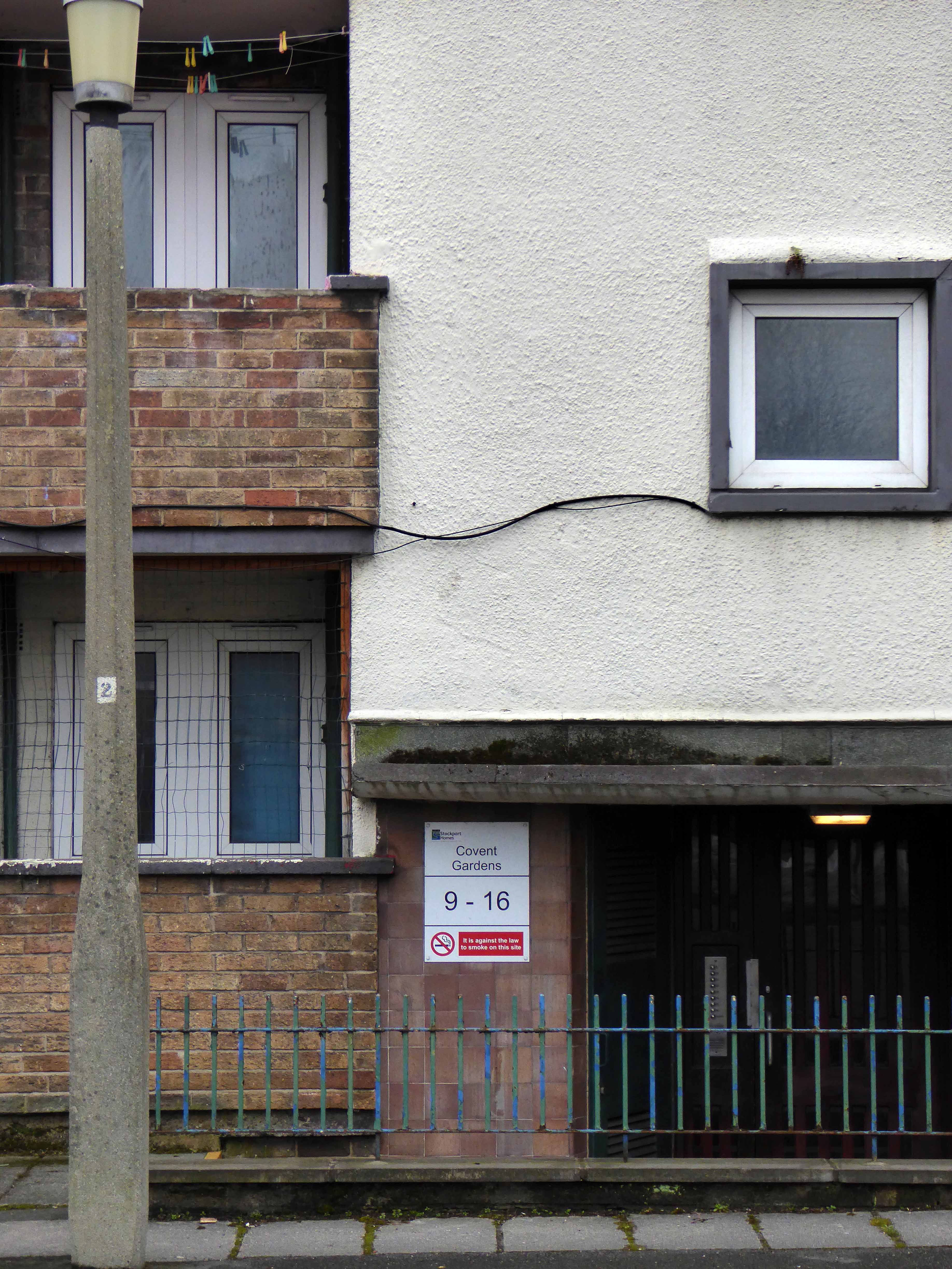
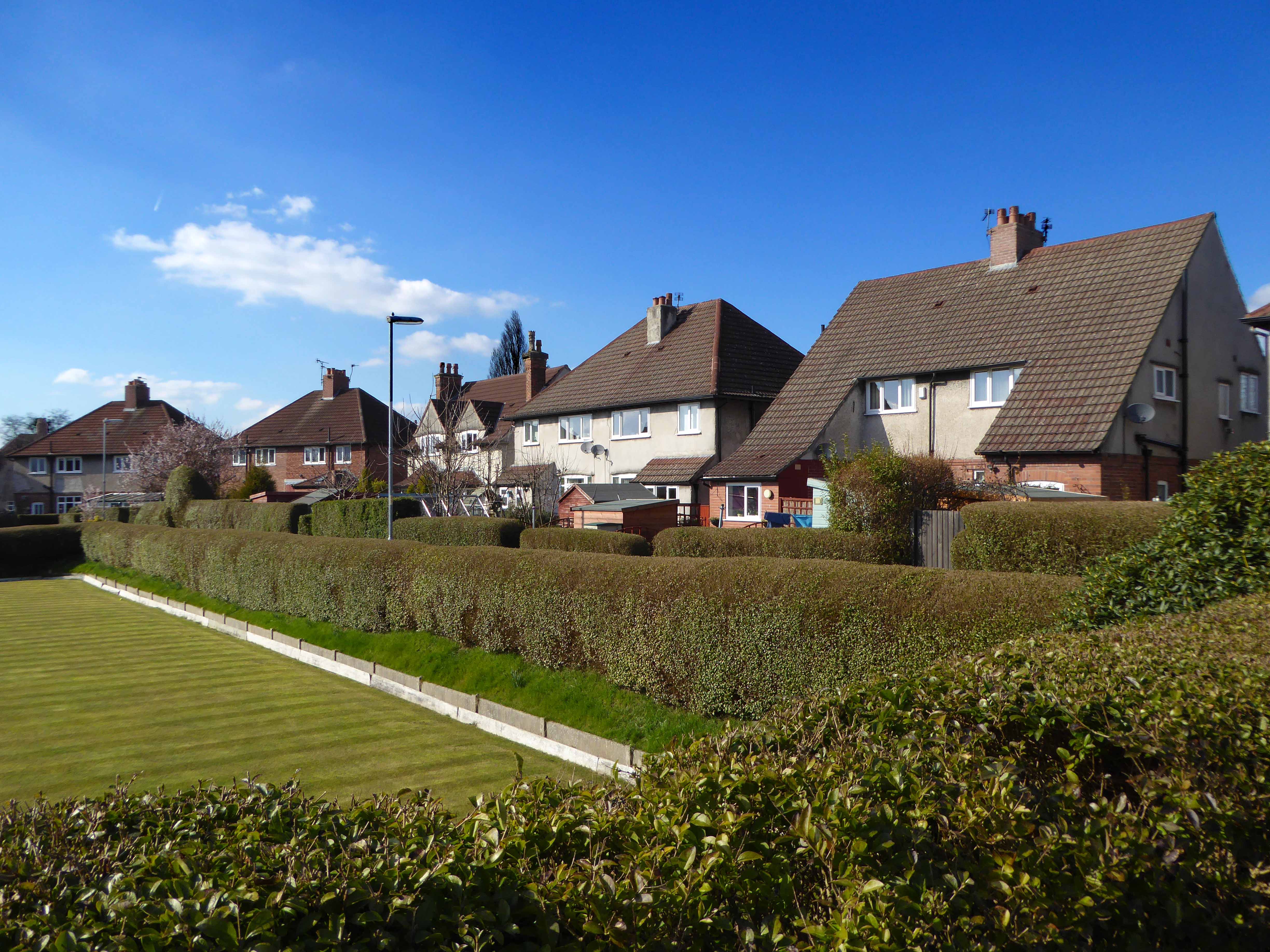
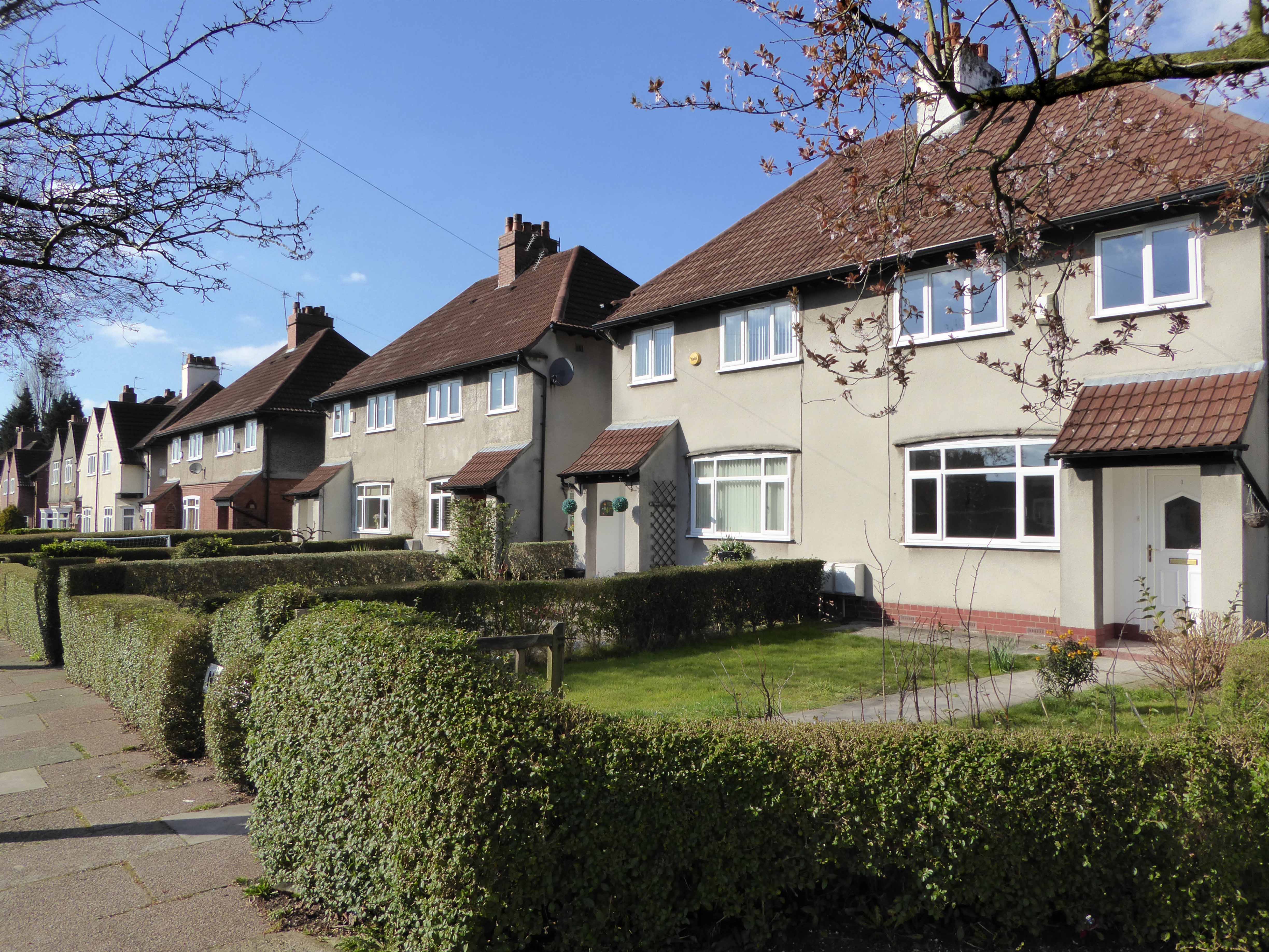
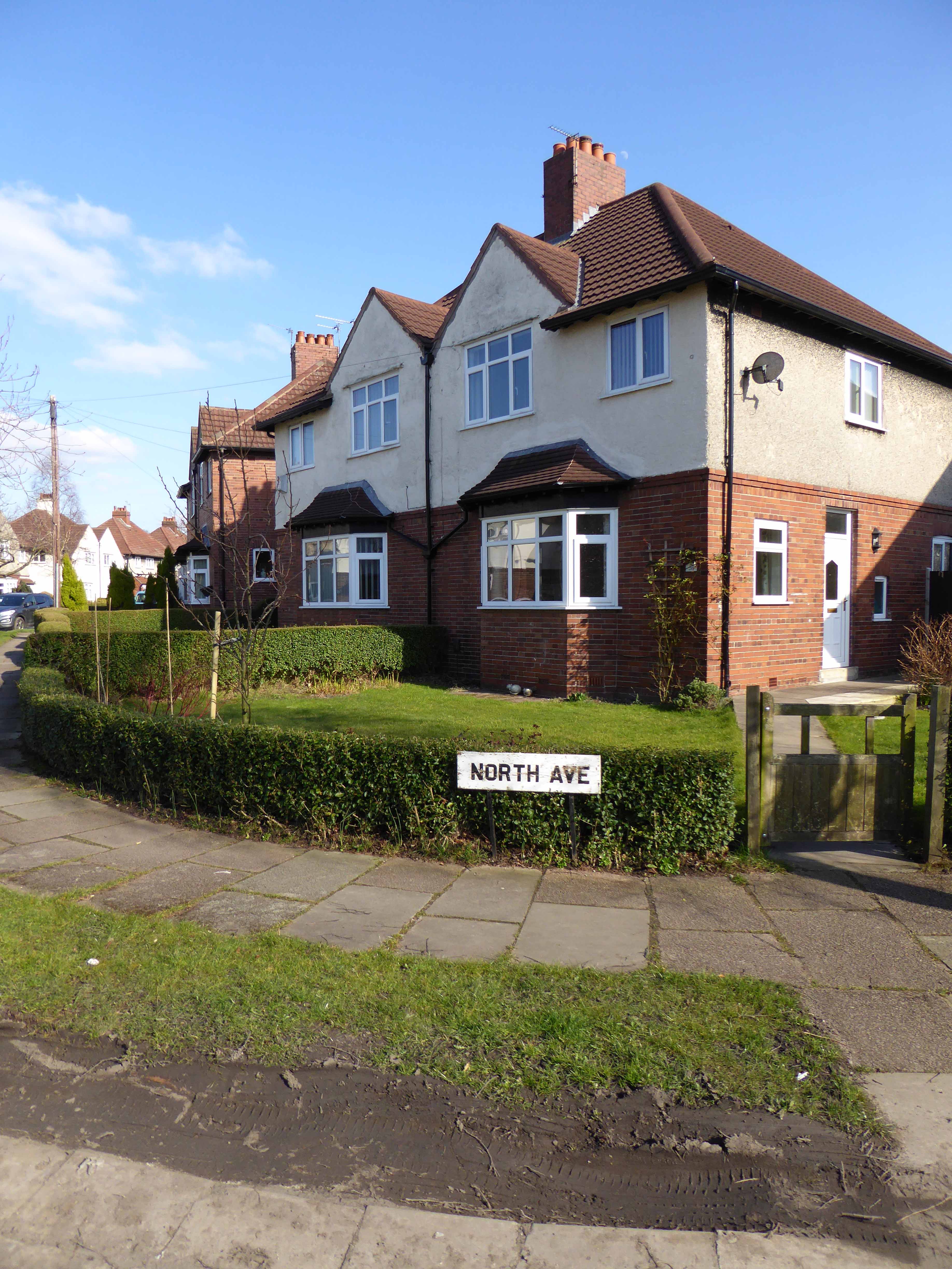
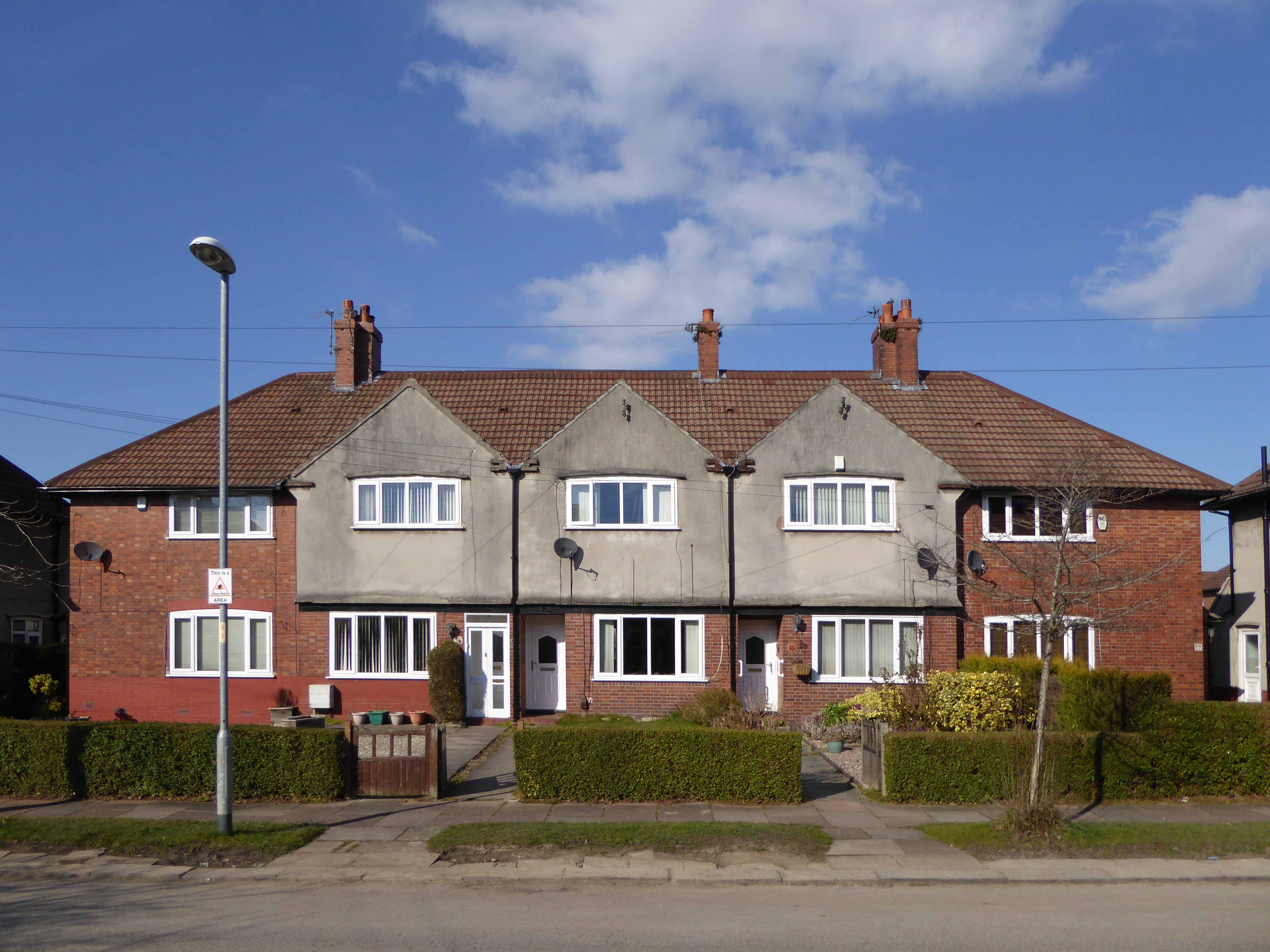
Larkhill Road Edgeley Stockport
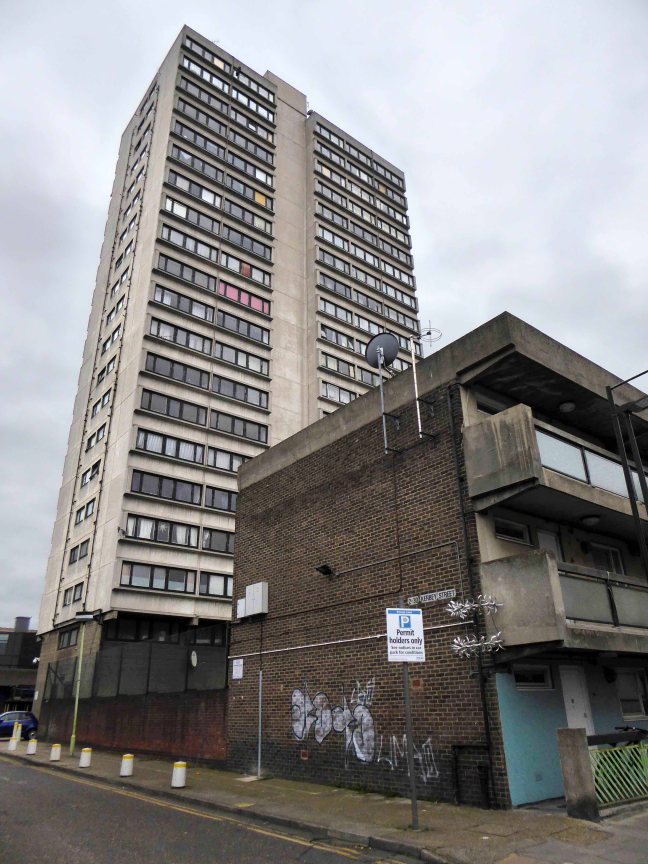
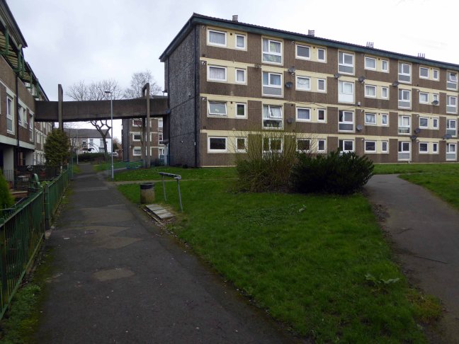
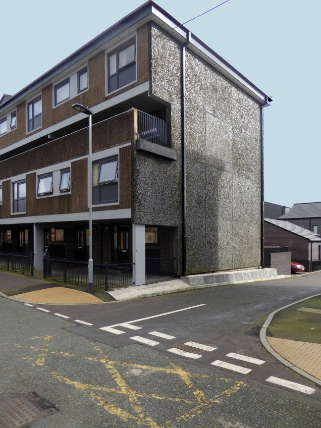
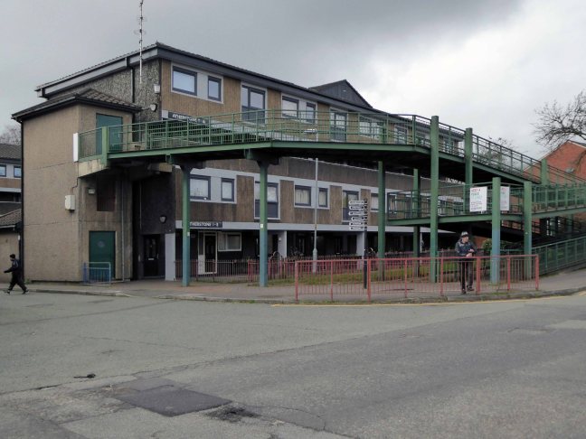
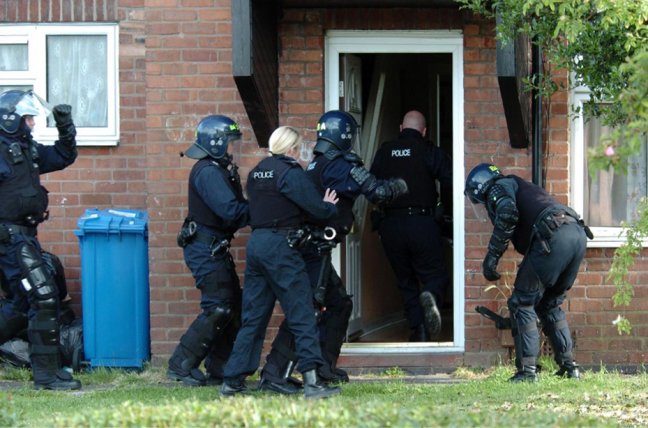
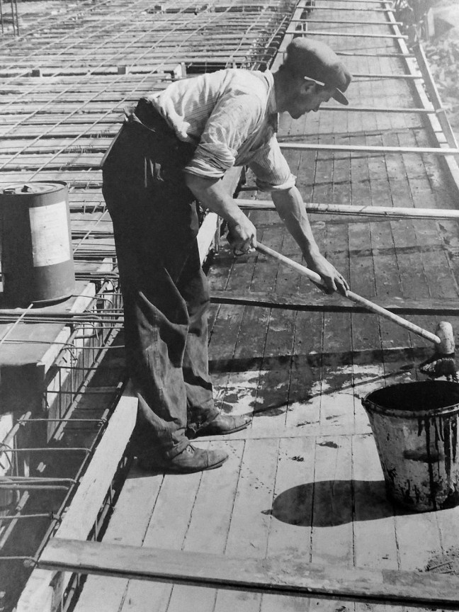
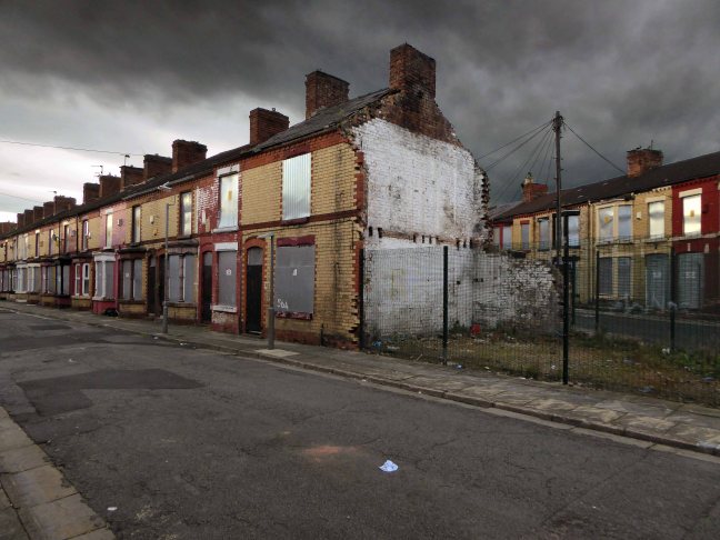
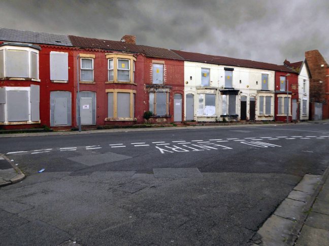
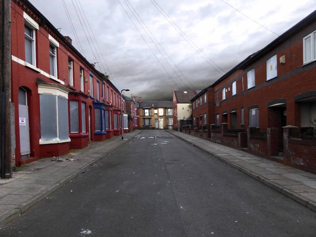
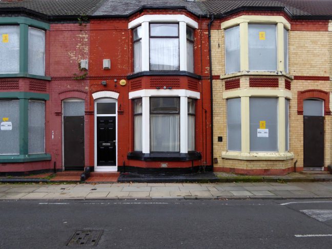
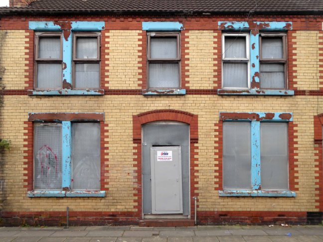
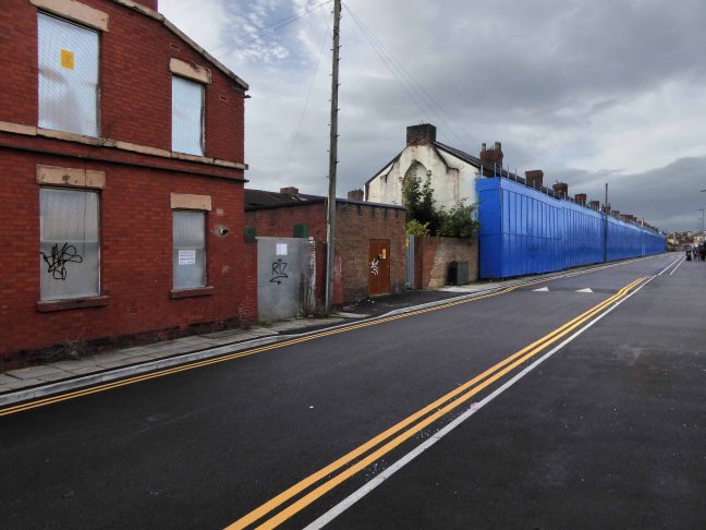
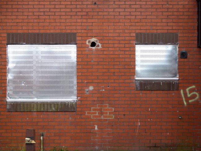
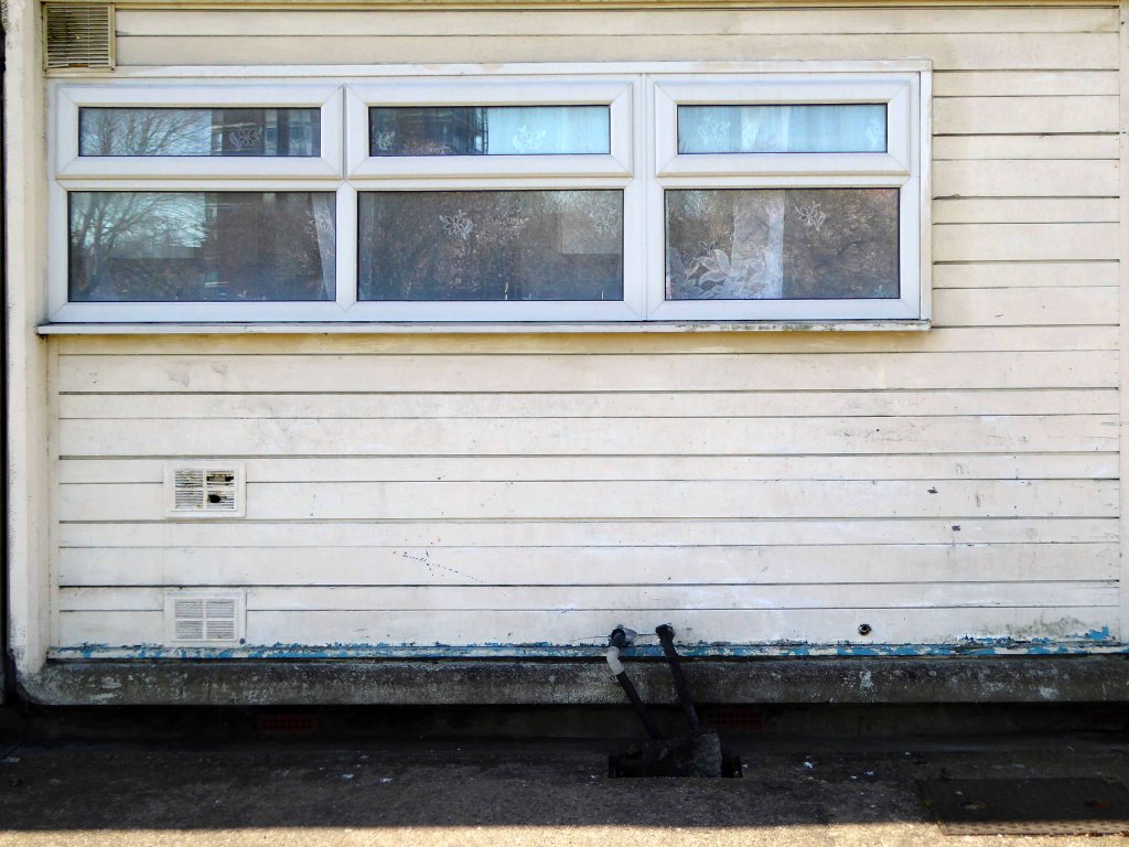
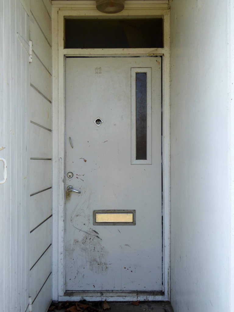
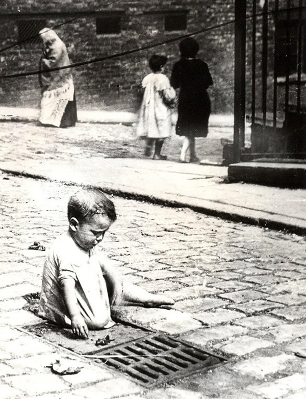
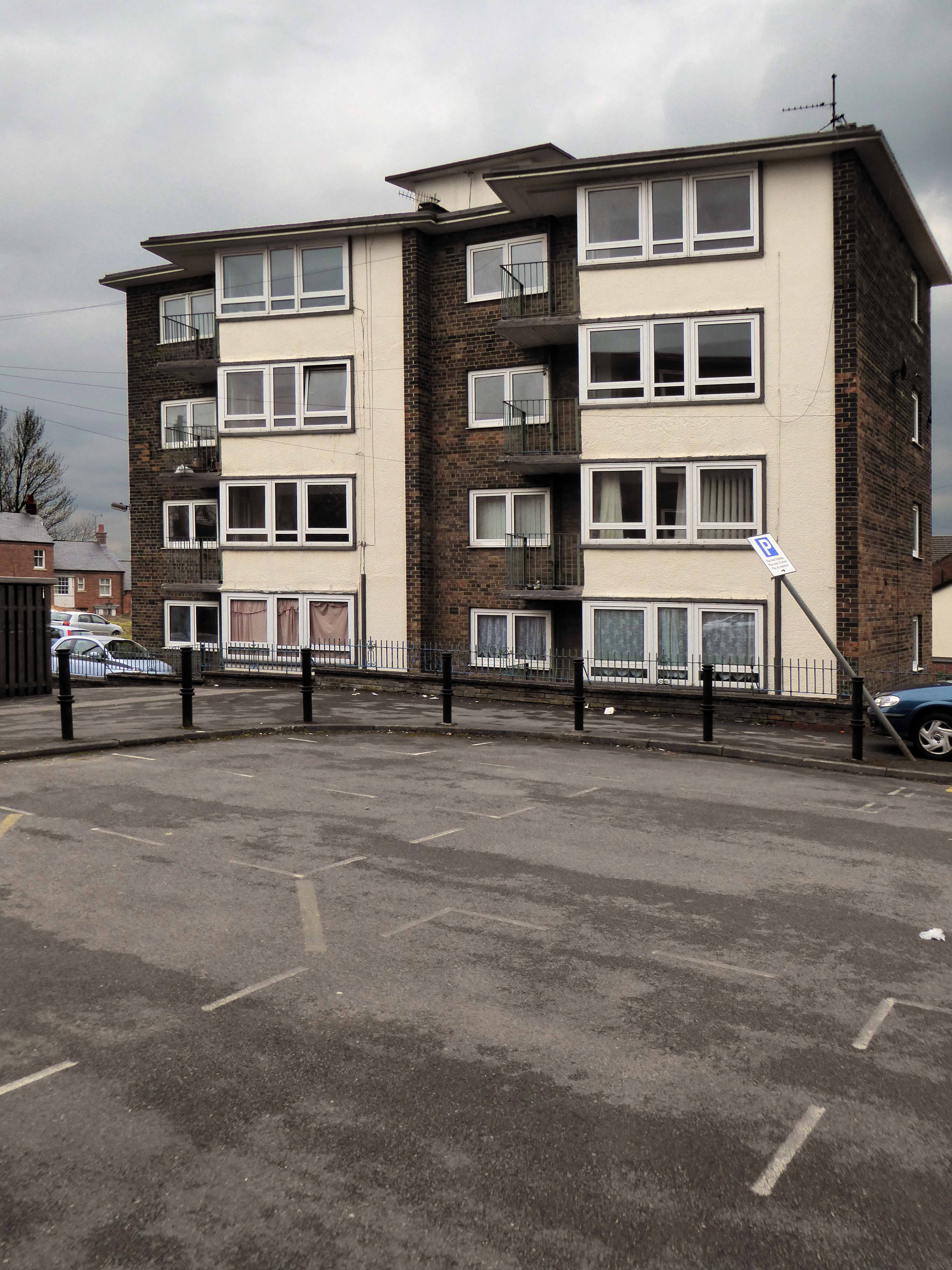
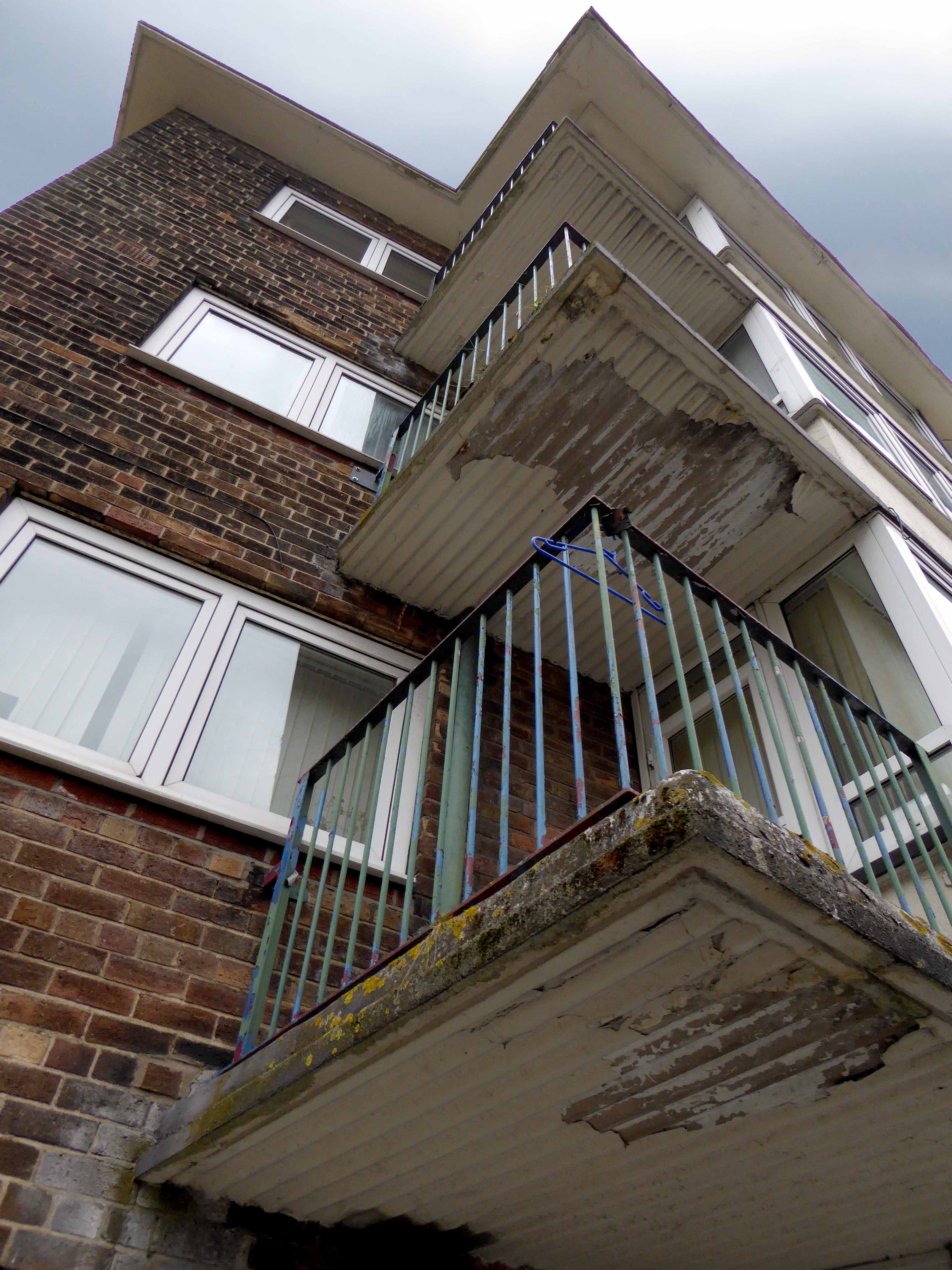
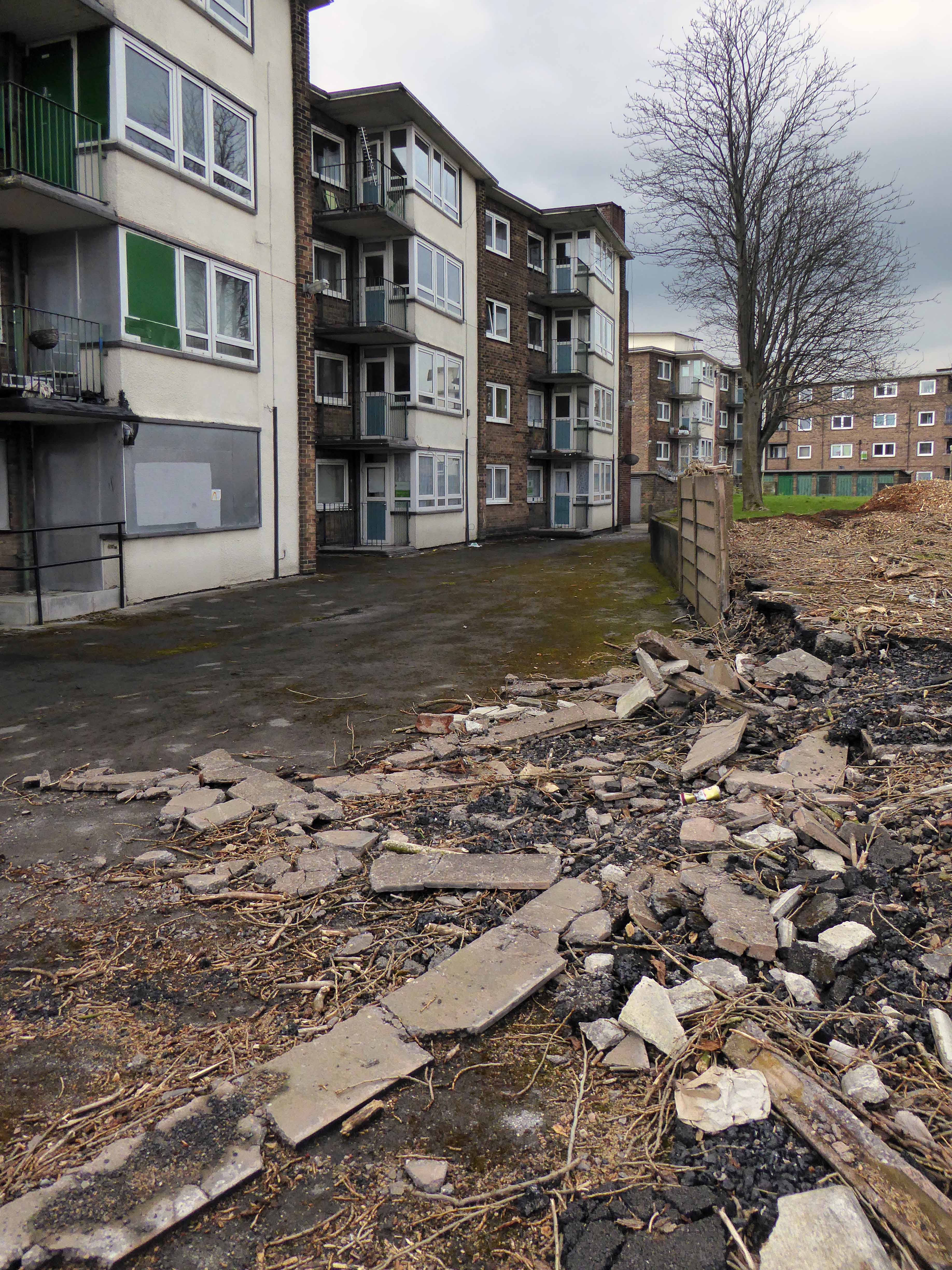
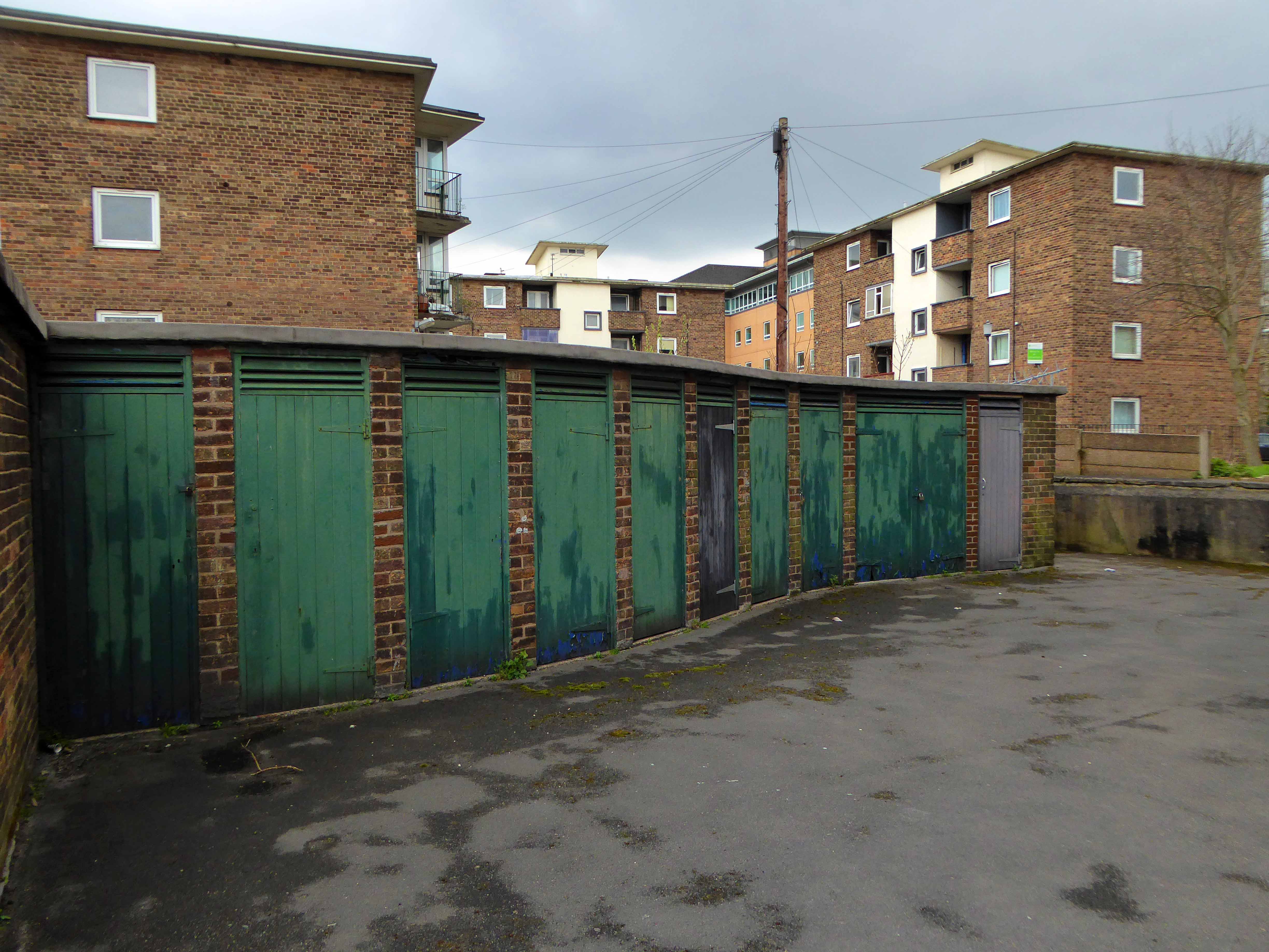
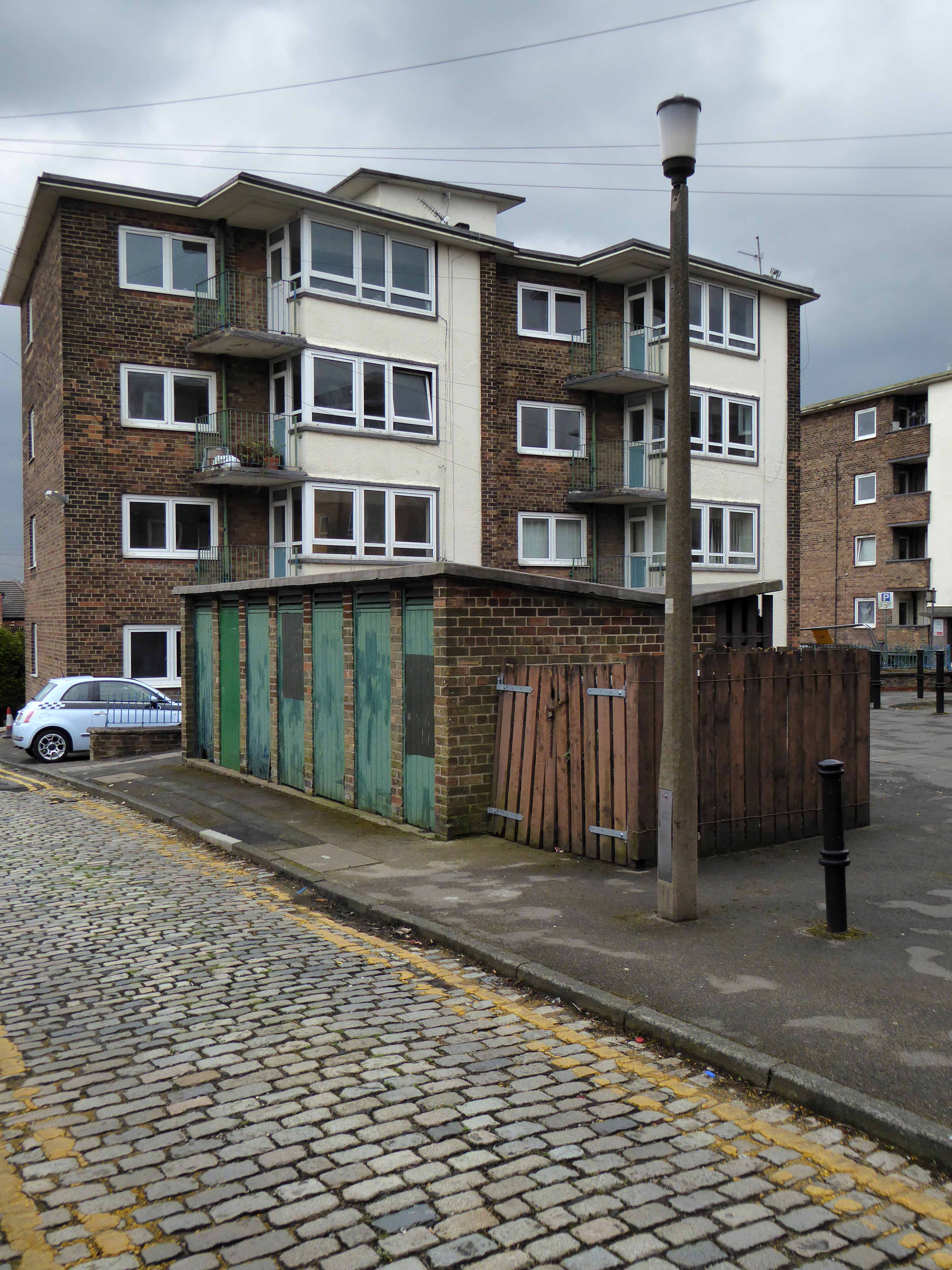
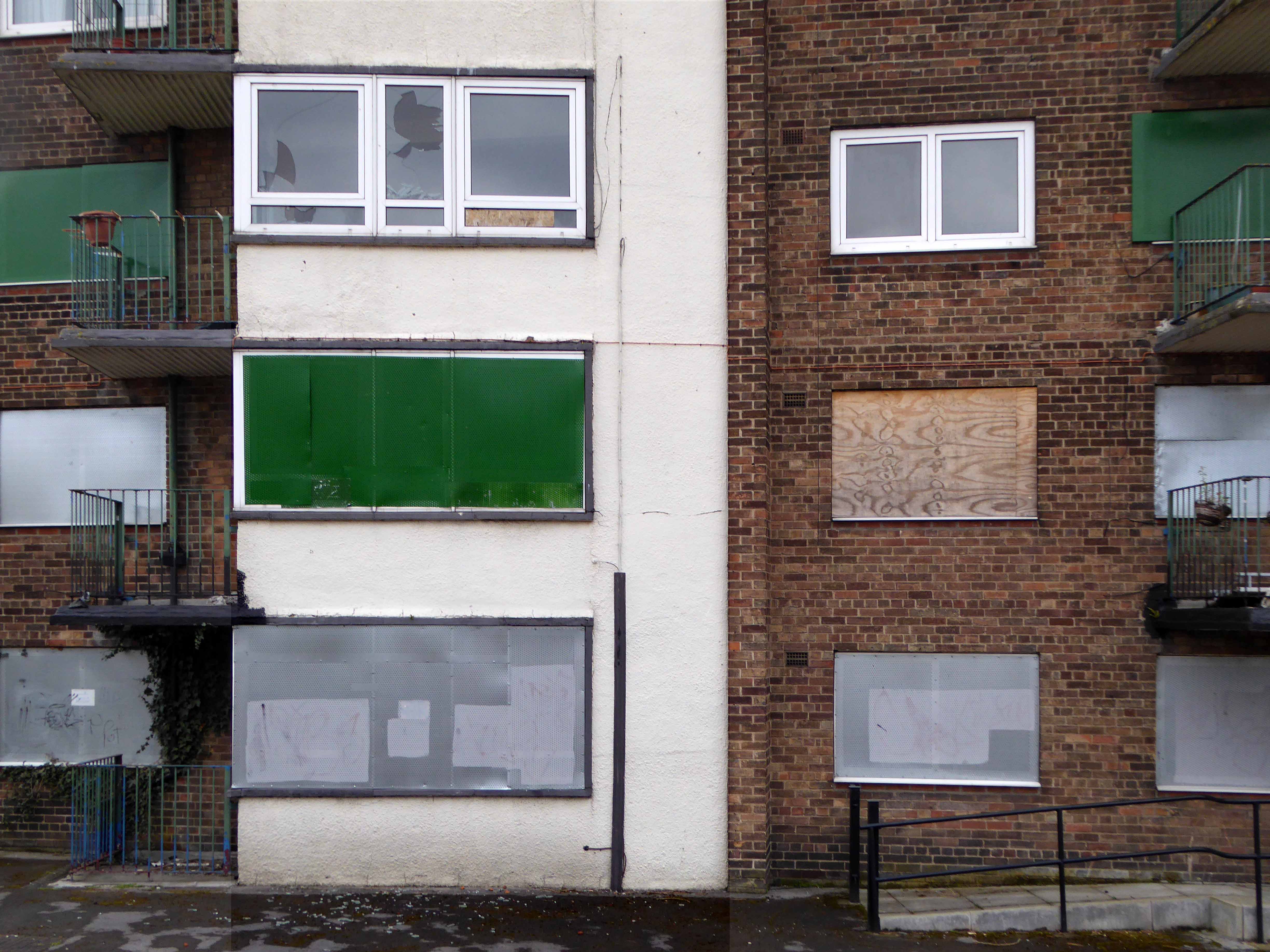
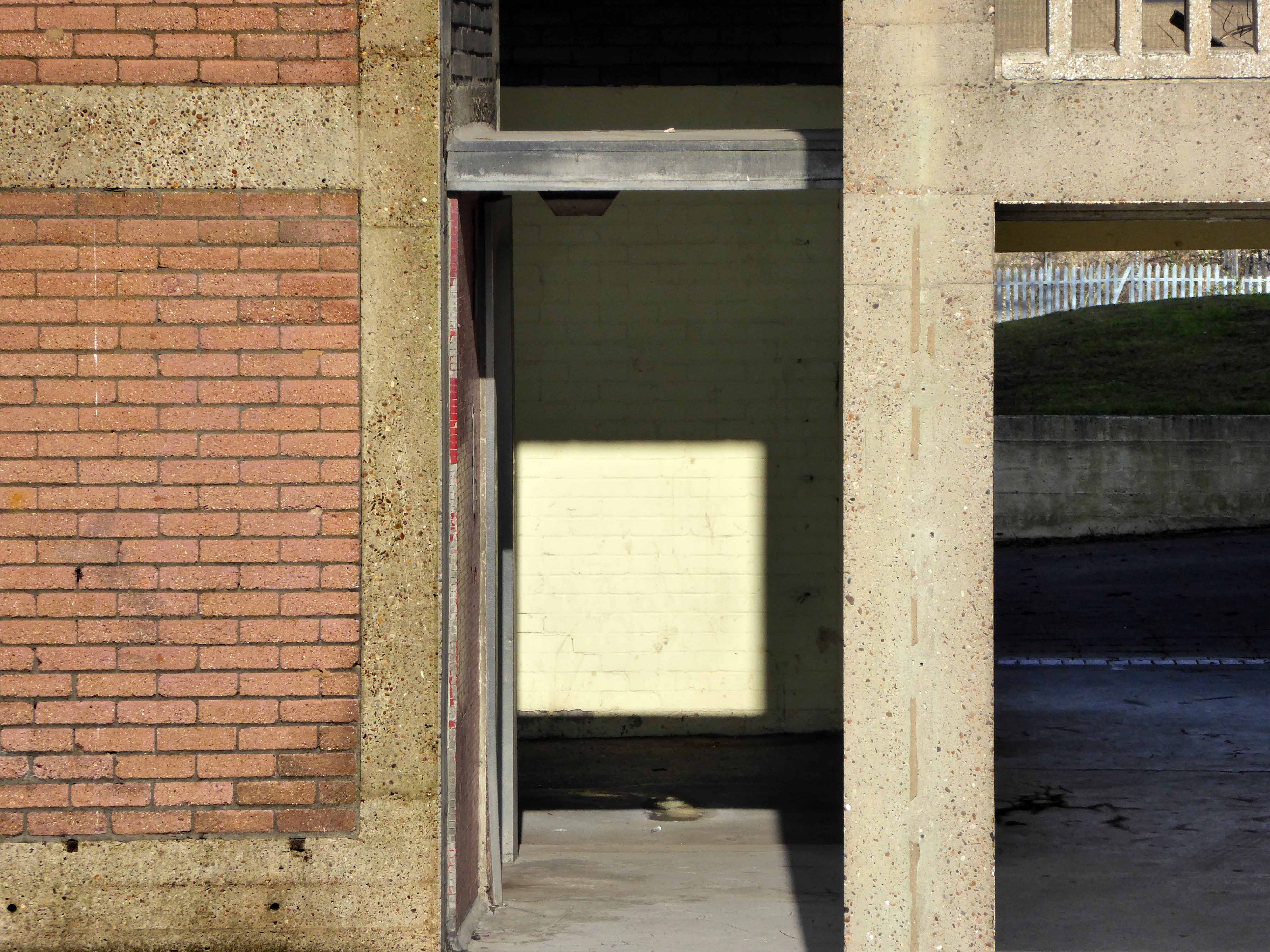
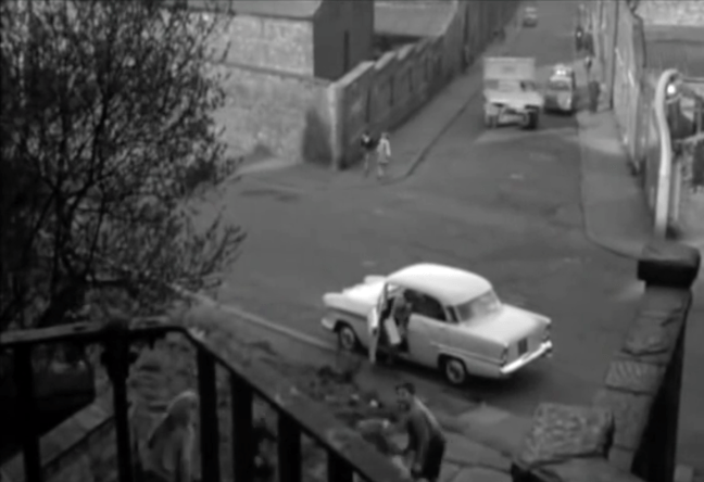
Shot almost entirely on location in black and white by cinematographer Walter Lassally, we are treated to dark treeless vistas, cobbled streets, industrial areas almost perpetually in decline, bleak canals and terraced homes.
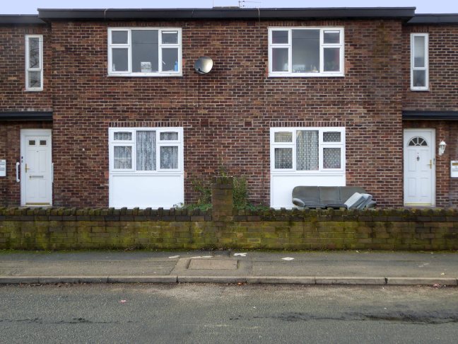
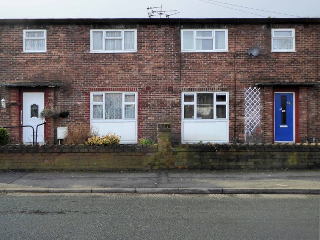
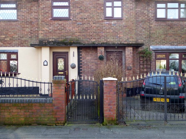
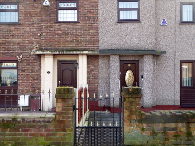
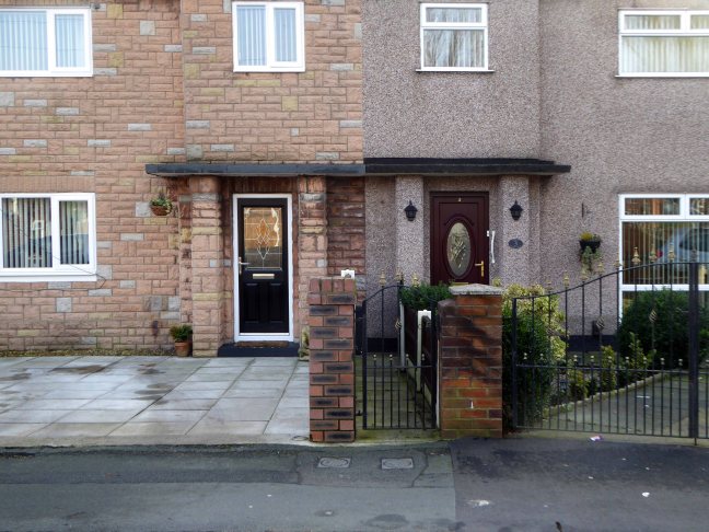
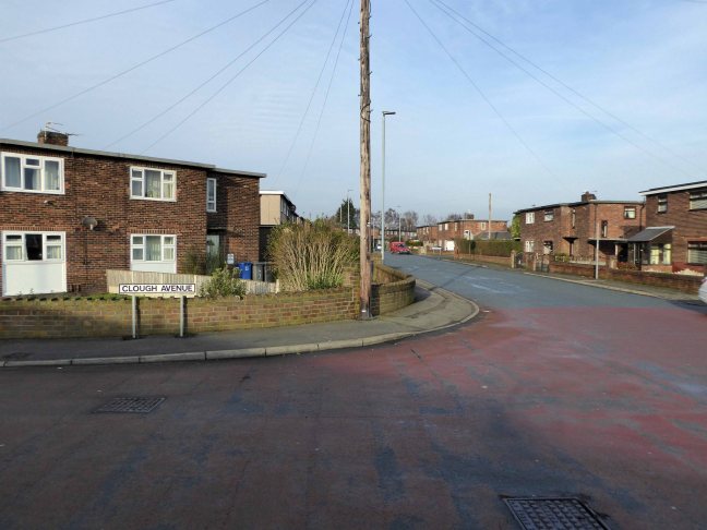
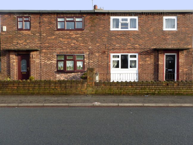
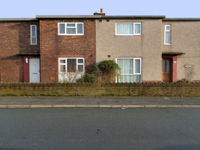
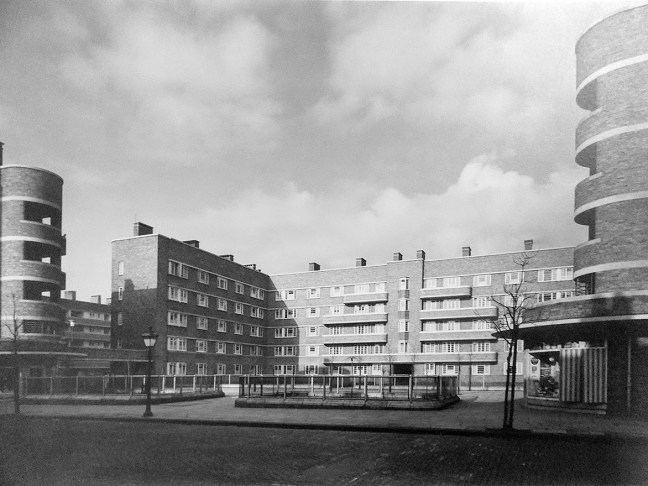
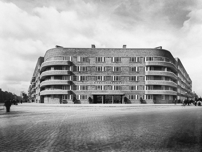
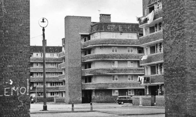
As shown in these archive images of the 1950s, illustrating locations that would subsequently be used in the film adaptation.
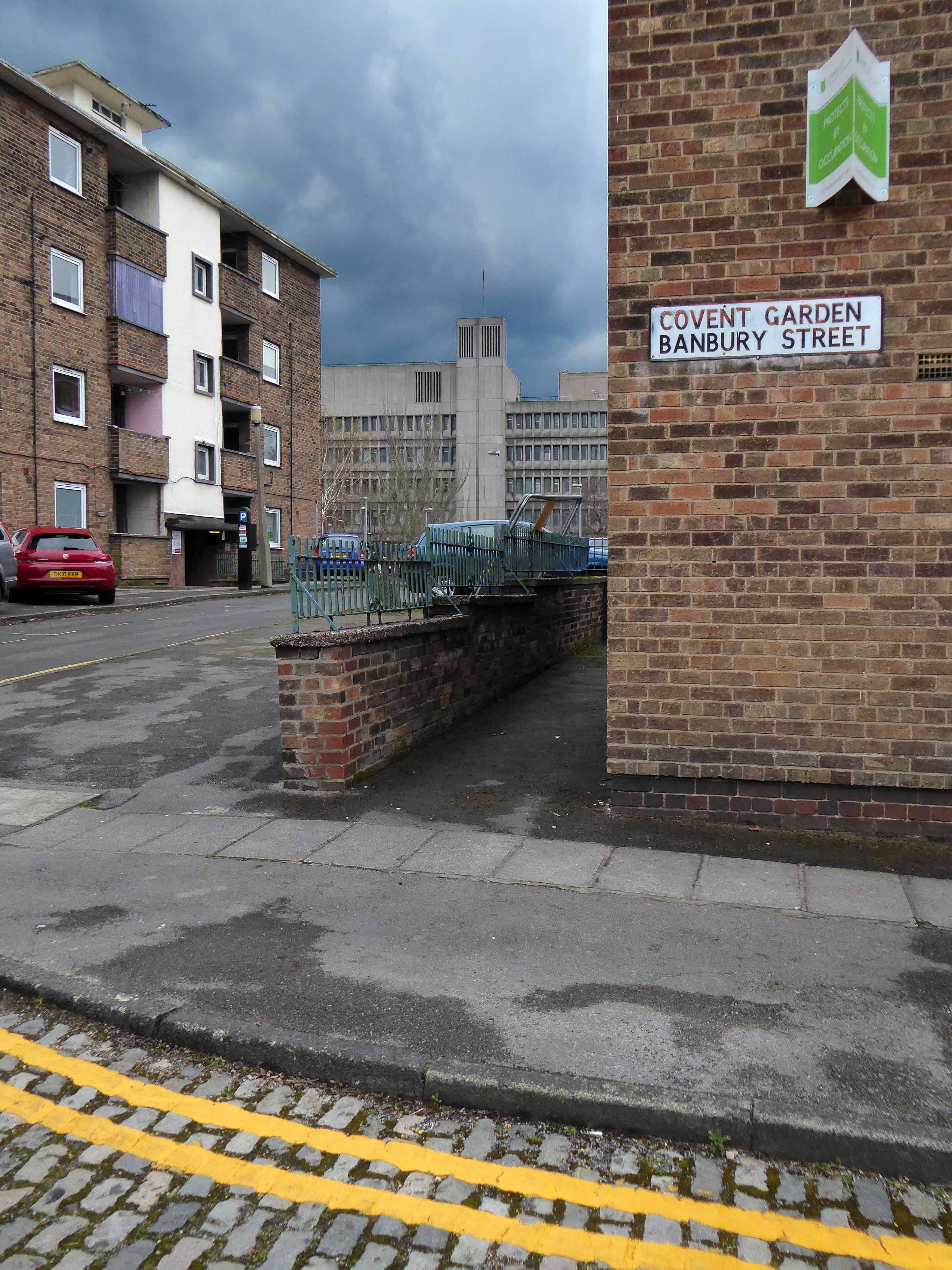
There is a comprehensive list of locations here at Reel Streets

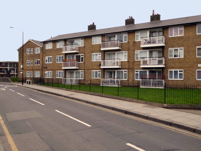
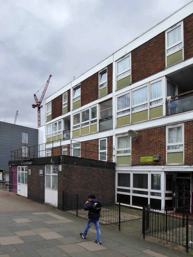
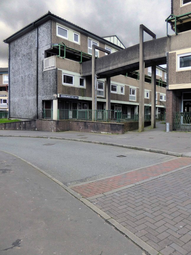
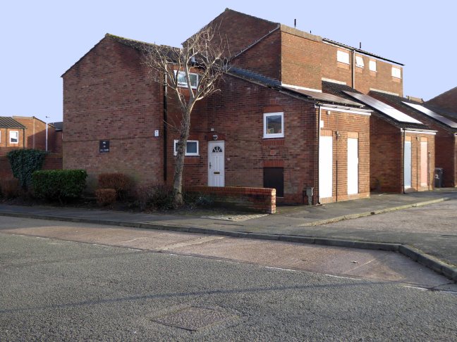
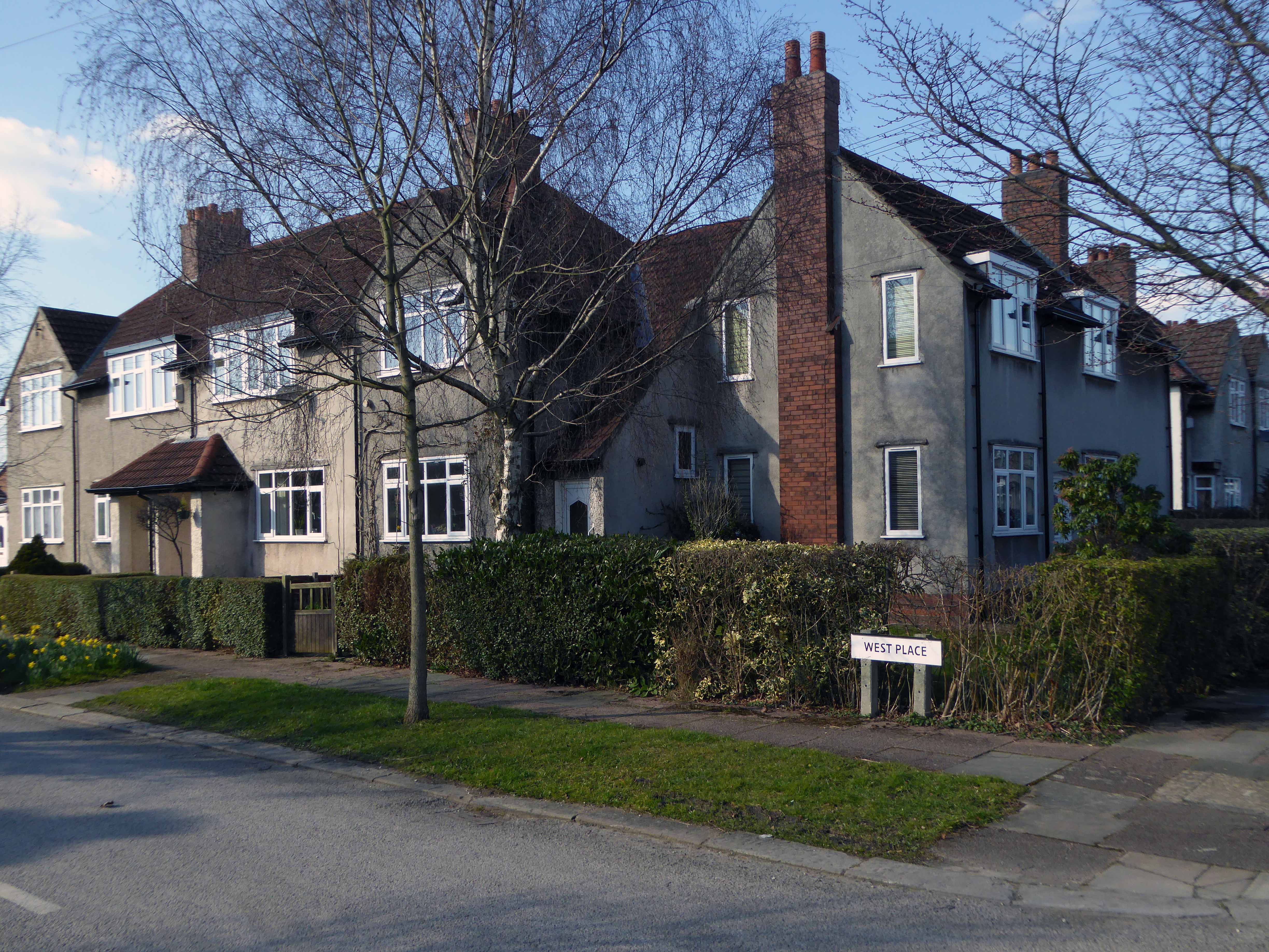
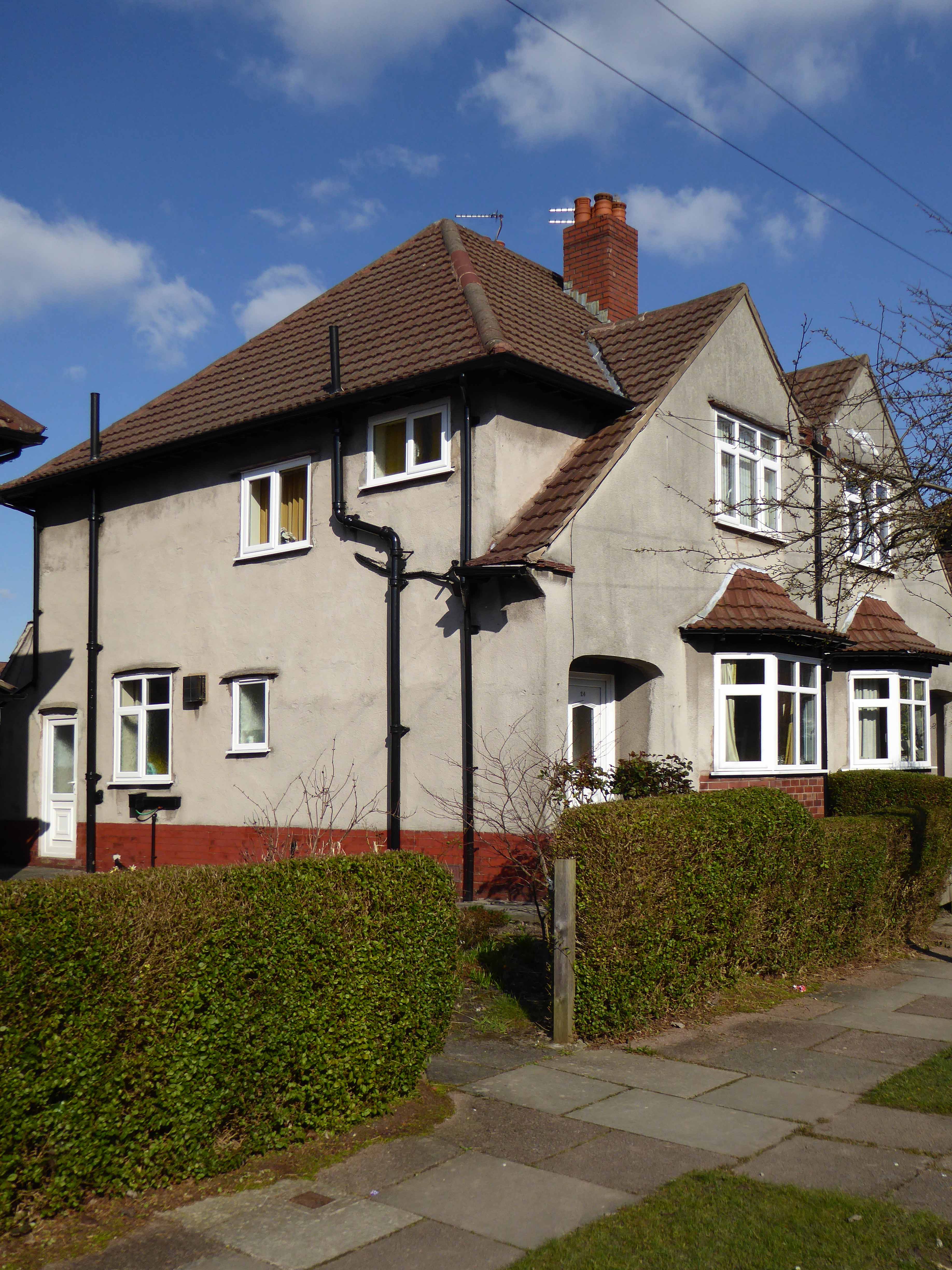
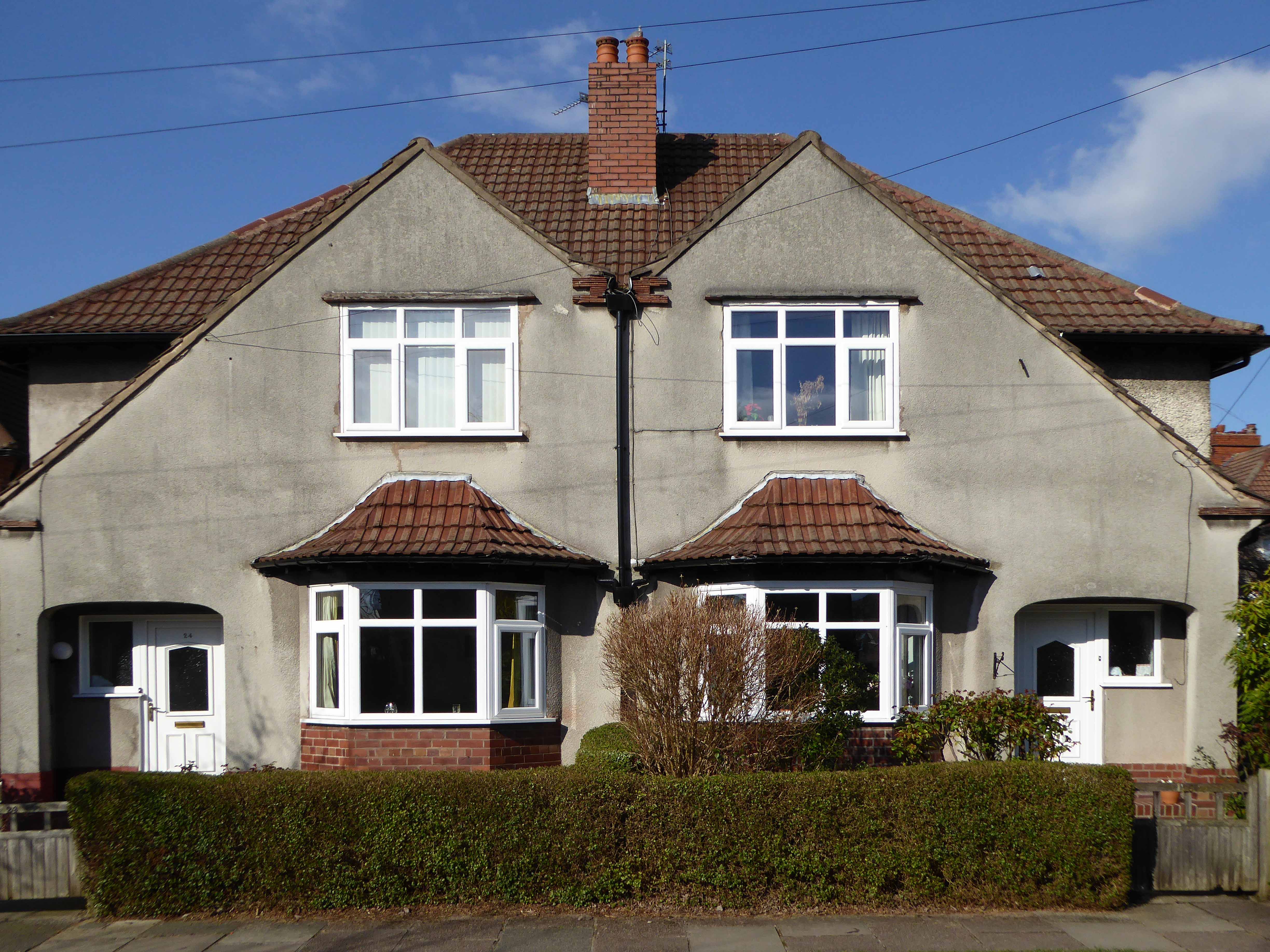
Cambrian Street Holt Town Manchester

Phillips Park Gasworks Manchester
Director Tony Richardson was a product of the British Free Cinema movement, which had previously produced short, sharp documentary and drama work, driven by a leftist outlook and using a restless, immediate approach, aided by the new lightweight cameras and faster film stocks. This is an ethos and methodology that would be carried over into the feature productions of the Woodfall Films company.

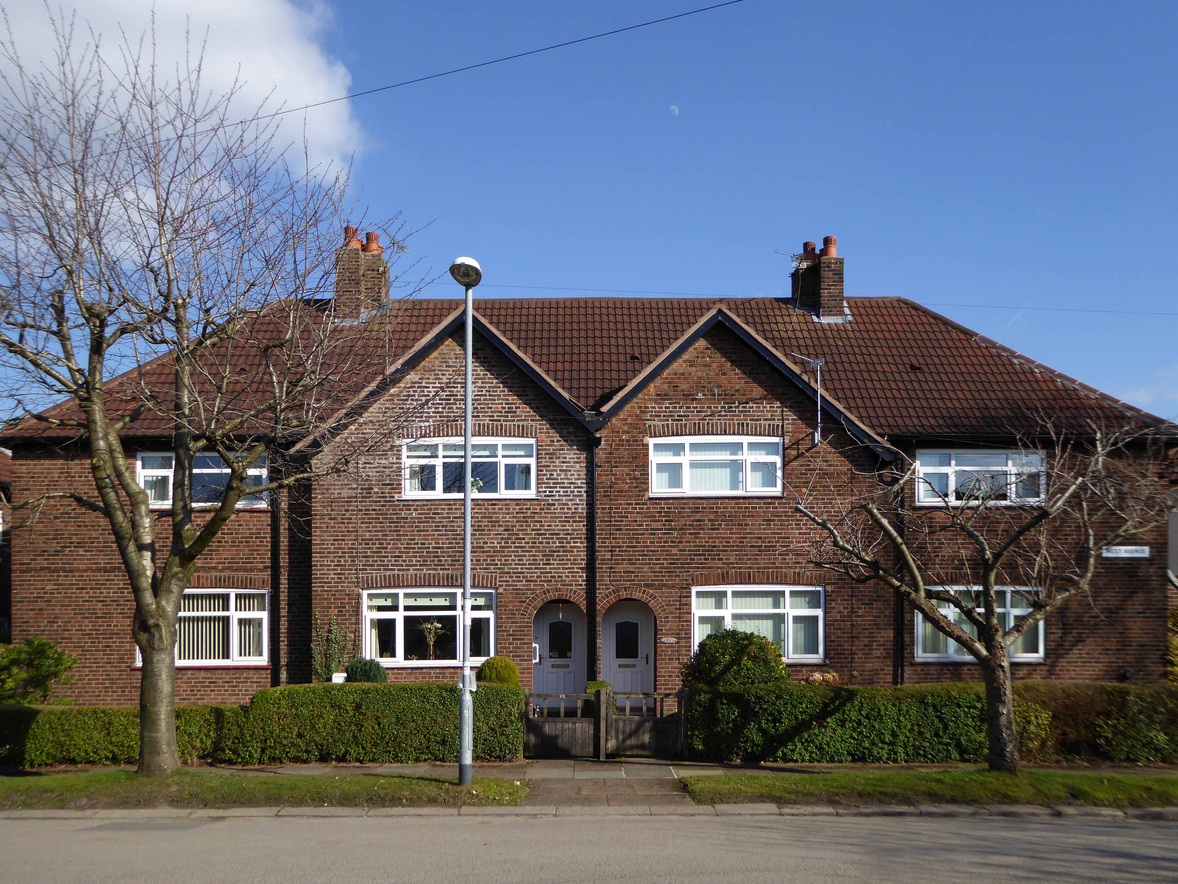
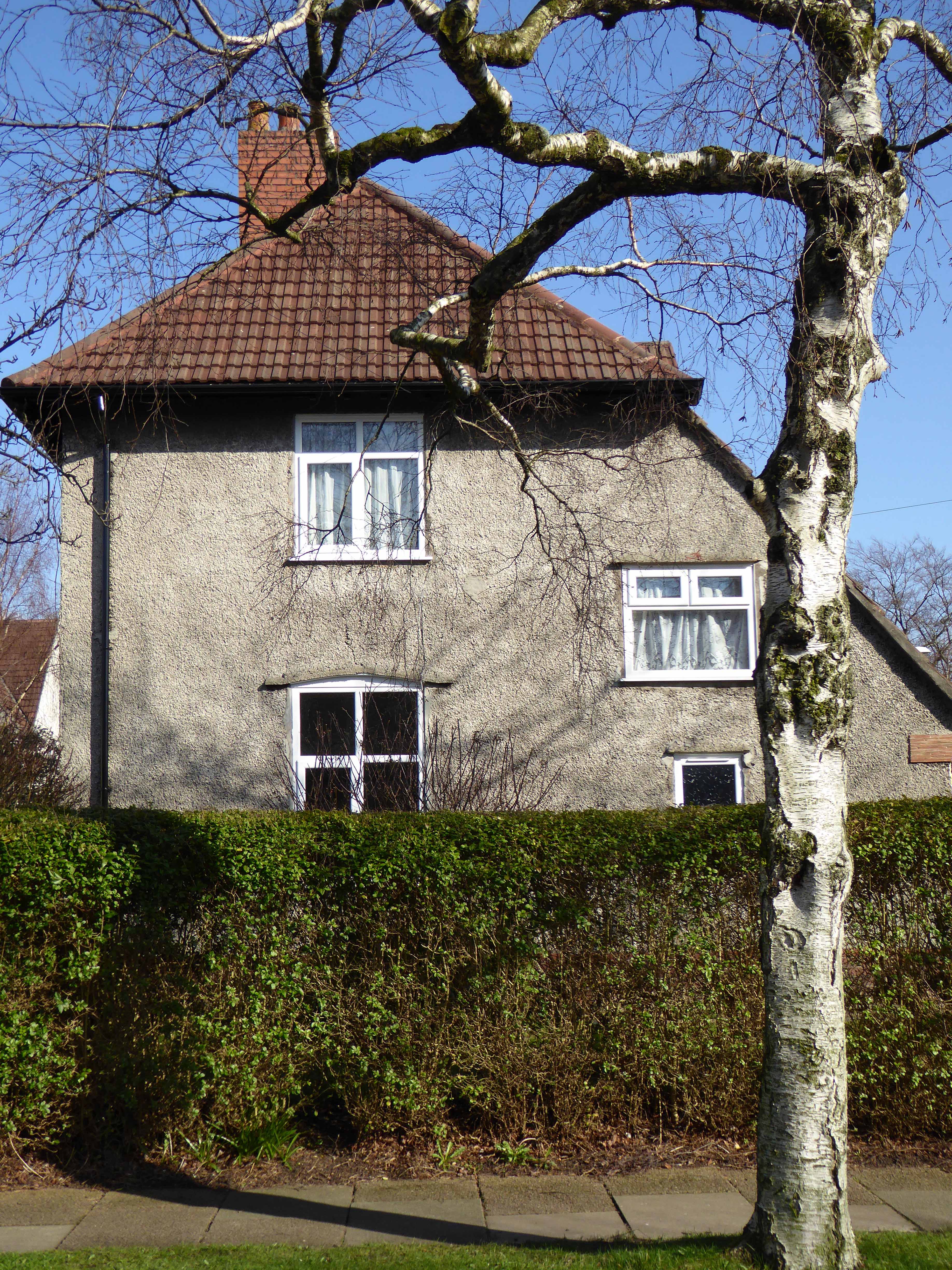
Rochdale Canal Manchester
The film was shot in the flat, low, even light of the Winter which heightened the mildly desolate character of the landscape, though ostensibly Salford set many of the locations are in nearby Manchester and Stockport. An early long and free flowing title sequence and establishing shot, is a bus tour around Central Manchester, a city centre which at the time was still graced by a thick accumulation of dark industrial emissions and miasma.

A soot blackened Queen Victoria mute and imperious in Piccadilly Gardens, the freshly blooming cranes of post-war renewal tentatively appearing in the background.
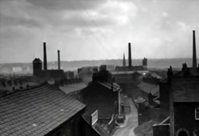
The skyline punctuated by factory chimneys, the tight huddled streets of terraced houses chuffing billowing great grey clouds of smoke – a view familiar in the work of LS Lowry.

Barton Bridge

Trafford Swing Bridge

Stockport Rail Viaduct

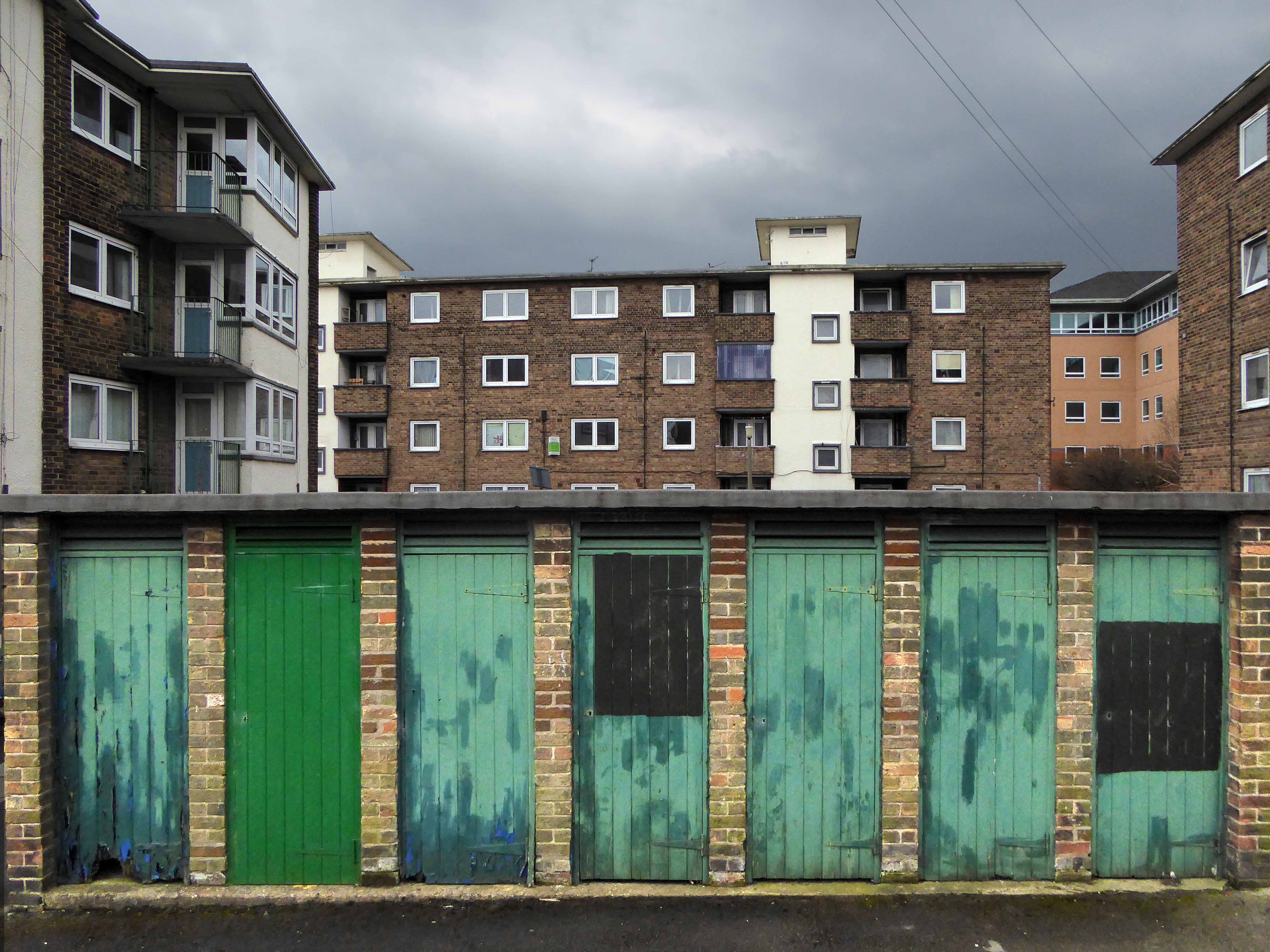
Phillips Park Gasworks
The location of the home that Jo sets up was ironically the stage set workshop of the Royal Court Theatre (the very theatre where the play was developed and produced) in London – that most northern of cities.
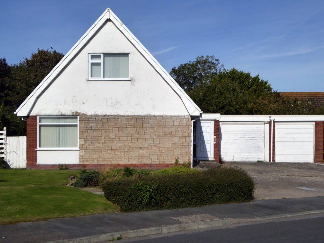
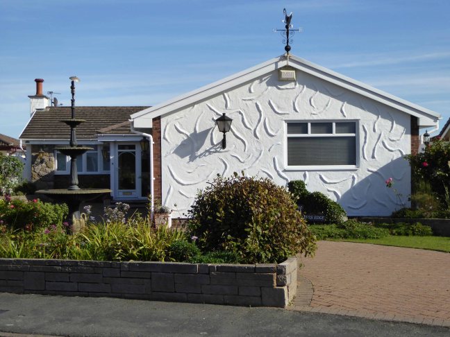
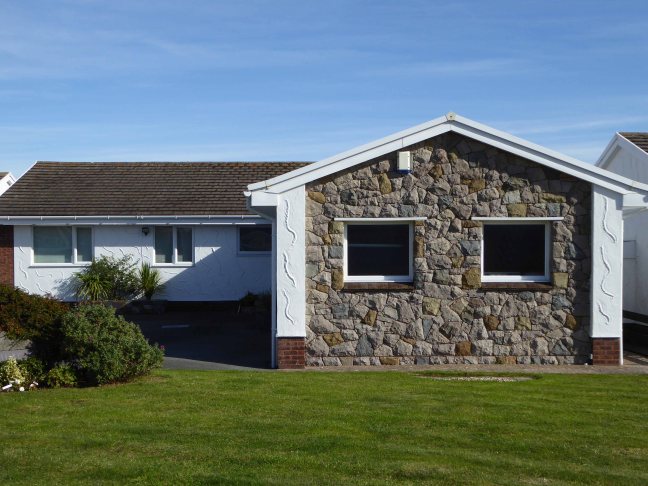
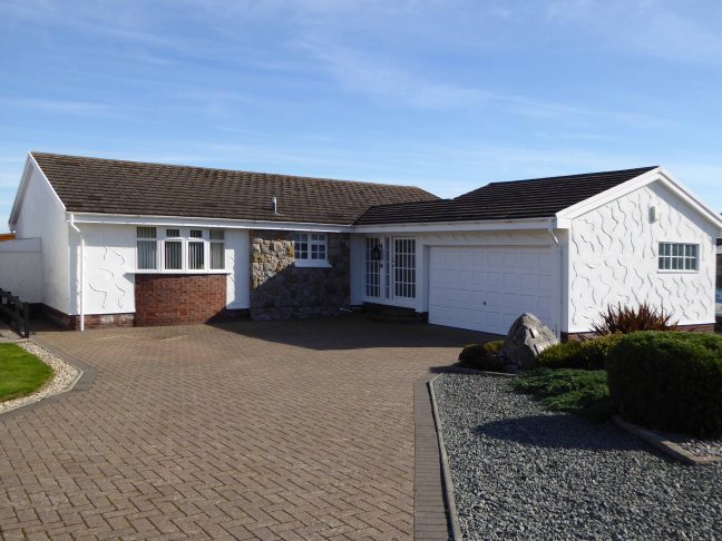
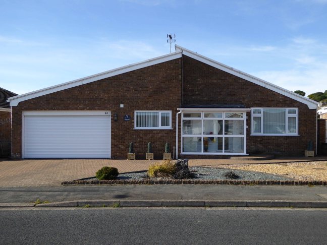
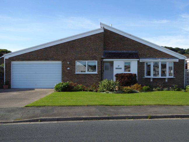
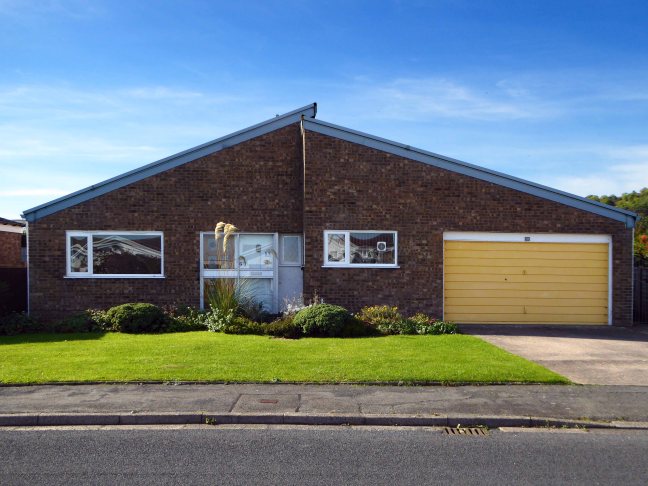
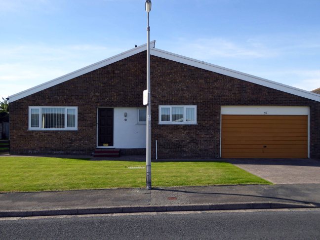
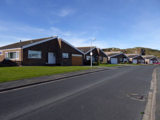
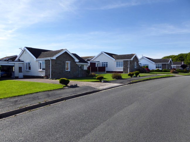
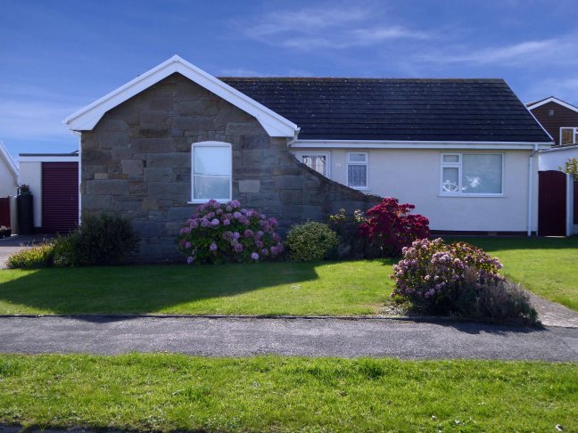
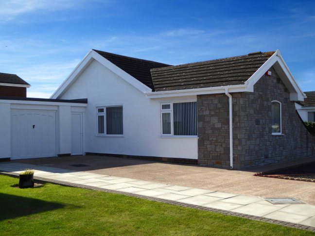
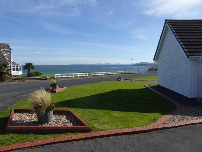
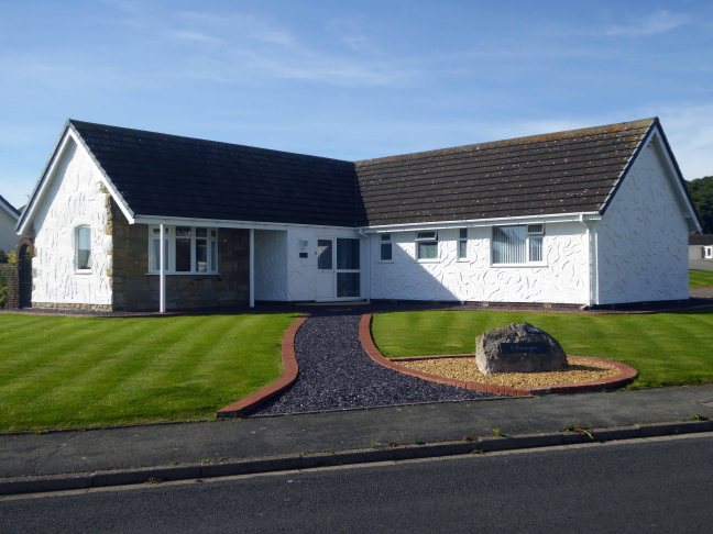
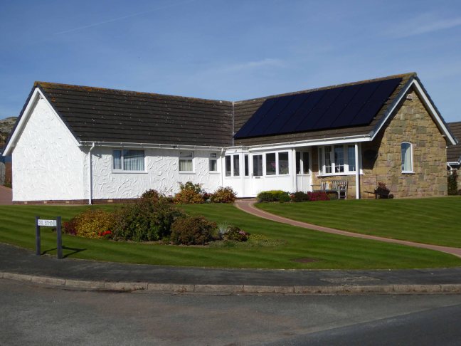
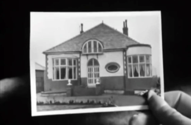
There is a brief respite from this milieu, through a picture in picture sequence based on the image of a suburban bungalow – which along with the coming age of mass motor car ownership, offers the promise of escape.
A giddy day trip to Blackpool represents the temporary release from a contrasting and constricting world, a trip which for Jo emphasises the divide between Mother and her lover.

So we the viewers are left with a cloudily clear, black and white world, a pervasive construct that the North and Manchester is eagerly beginning to casually shuffle off.
Where streets are no longer paved with Eccles Cakes and whippets are hip.
Identity through landscape and location can both define and constrain, but that landscape, its representation, and the identity that it produces are all mutually mutable.
Take some time to watch and rewatch the film, freeze frame where are we?
Who are you?