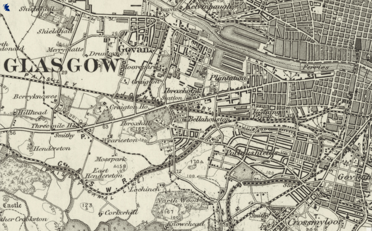
Housing – Plantation Glasgow

1885

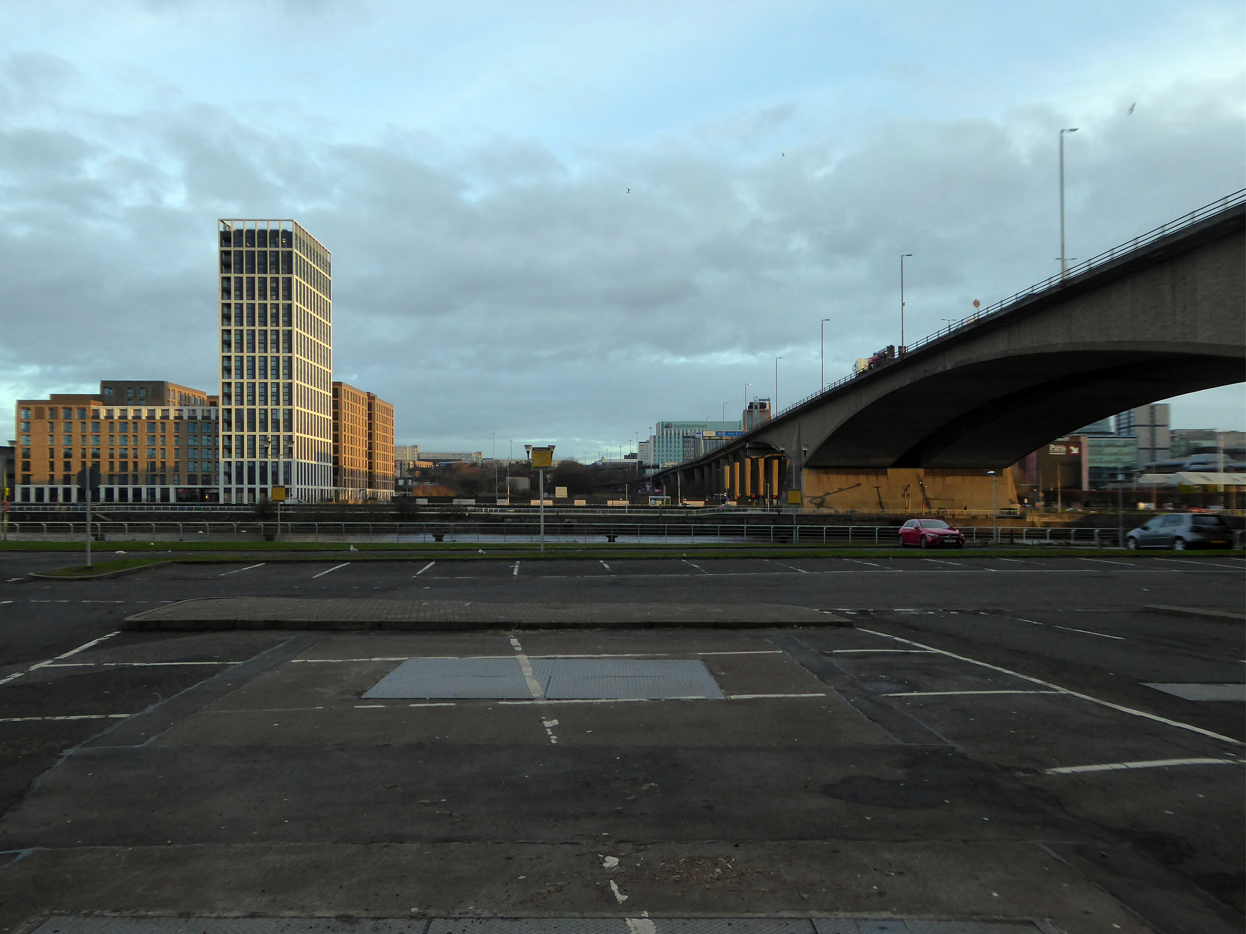
Plantation is an area in the city of Glasgow, Scotland. It is situated south of the River Clyde and is part of the former Burgh of Govan. It lies approximately between the areas of Cessnock and Ibrox to the west, Kingston to the east, and Kinning Park to the south.

The 80-acre Craigiehall estate, previously three smaller properties, was bought in 1783 by John Robertson, a cashier in the Glasgow Arms Bank, who with his brothers owned cotton and sugar plantations in the West Indies. He renamed it Plantation, possibly as a reminder of the West Indies plantations. It then, in 1793, passed to John Mair, a merchant who developed the building and gardens. Plantation passed to the Maclean family, in 1829, in the person of William Maclean, a Glasgow Baillie.

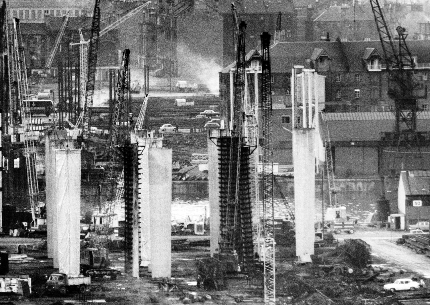
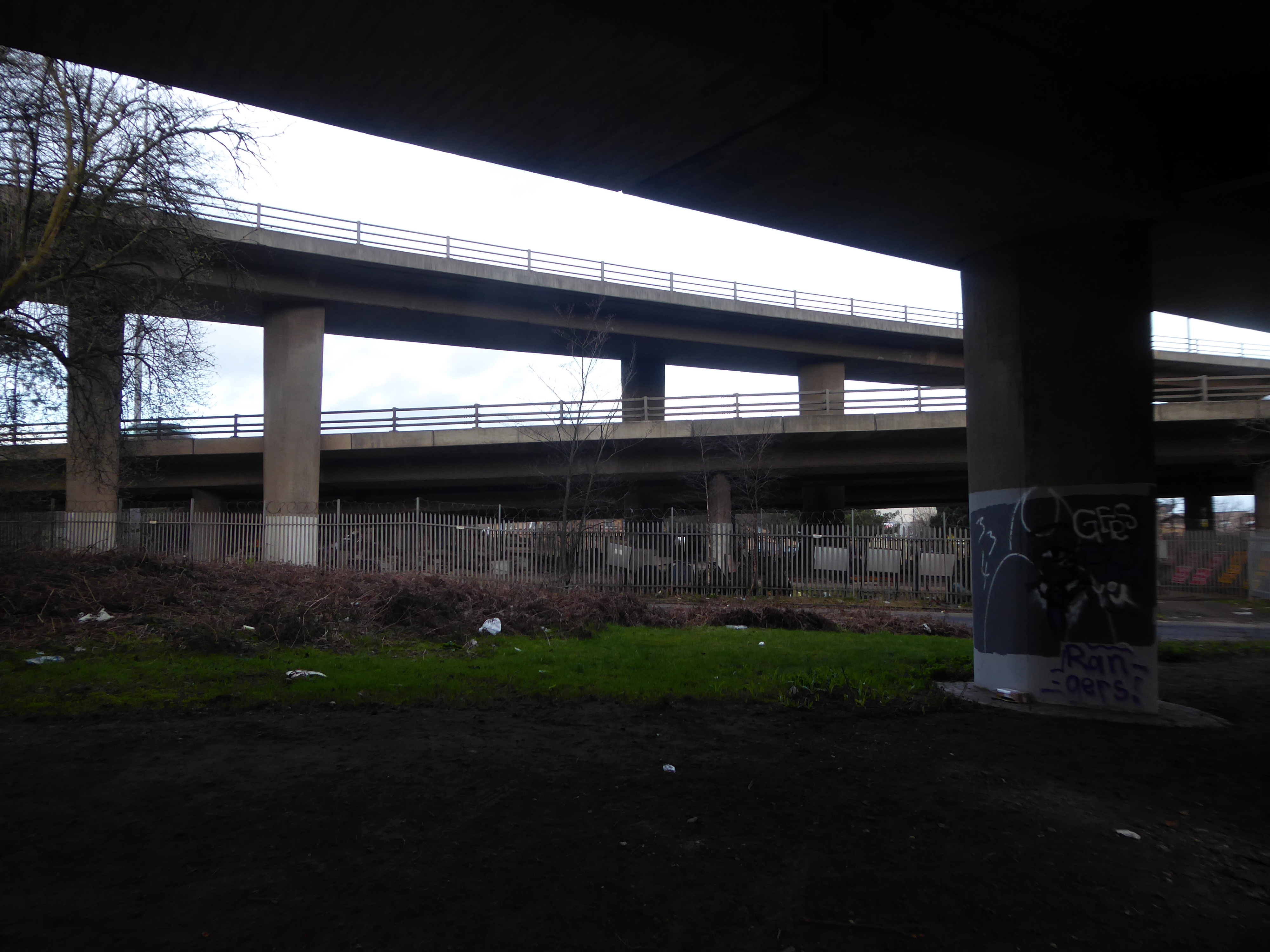
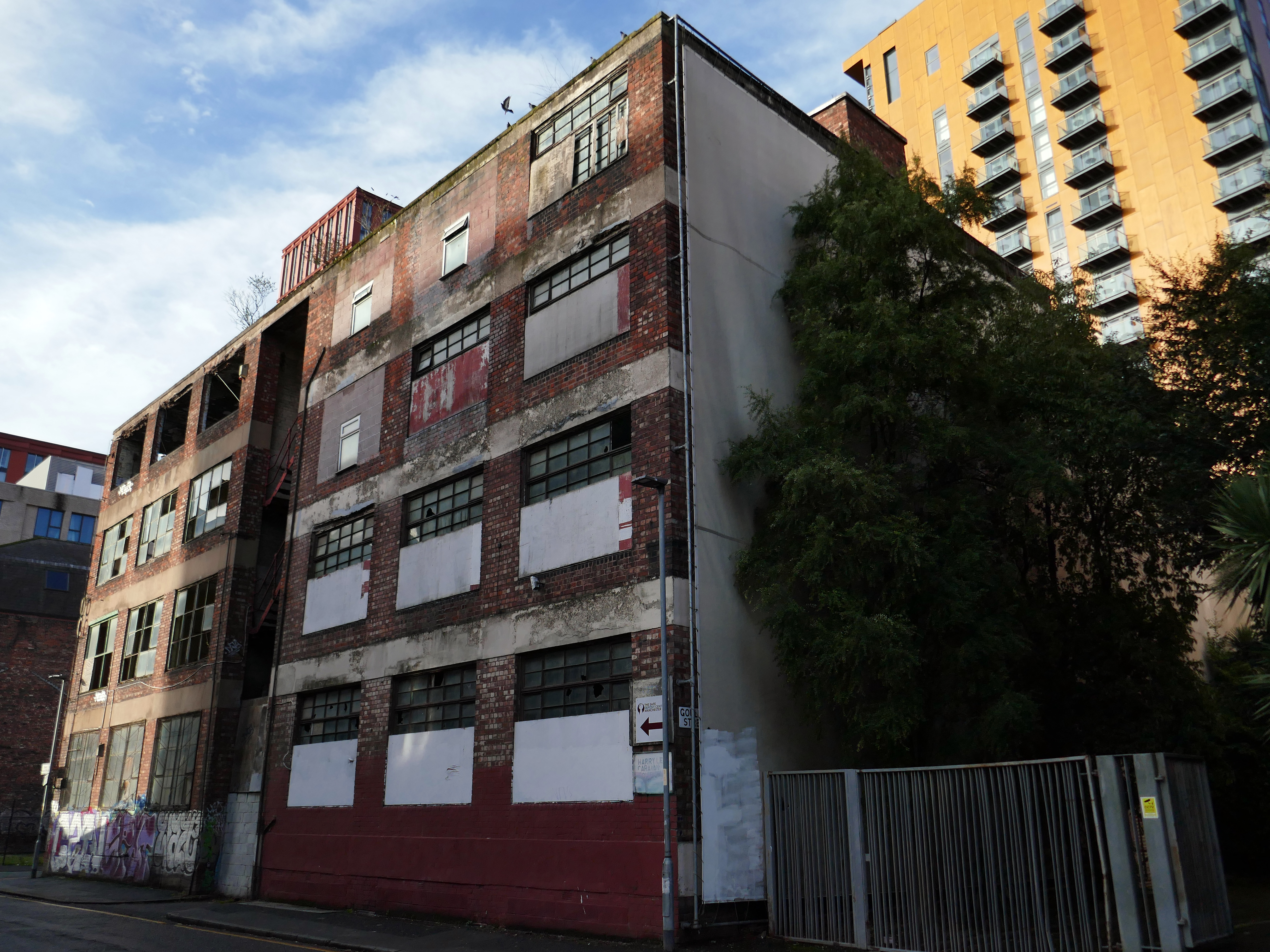
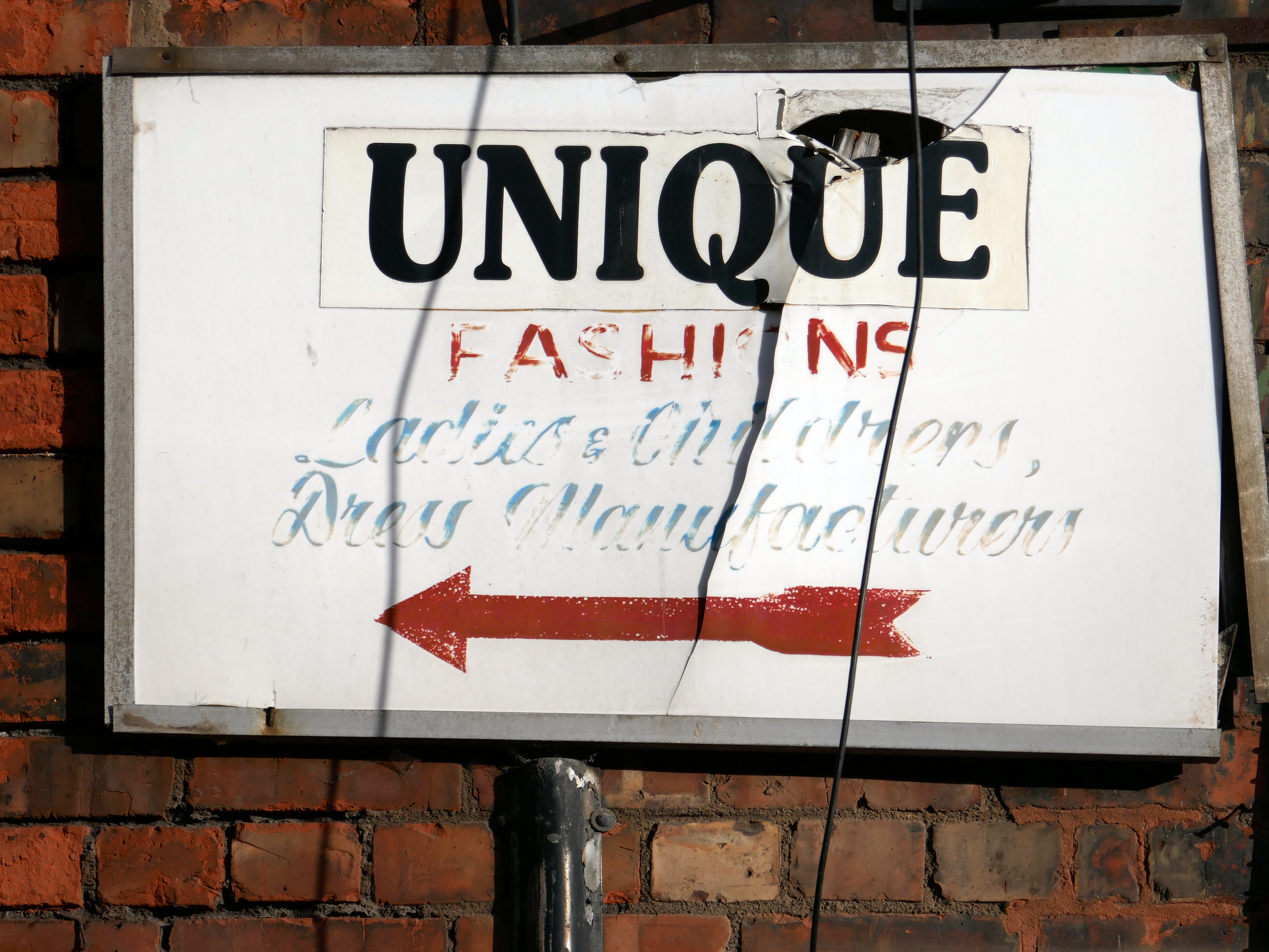
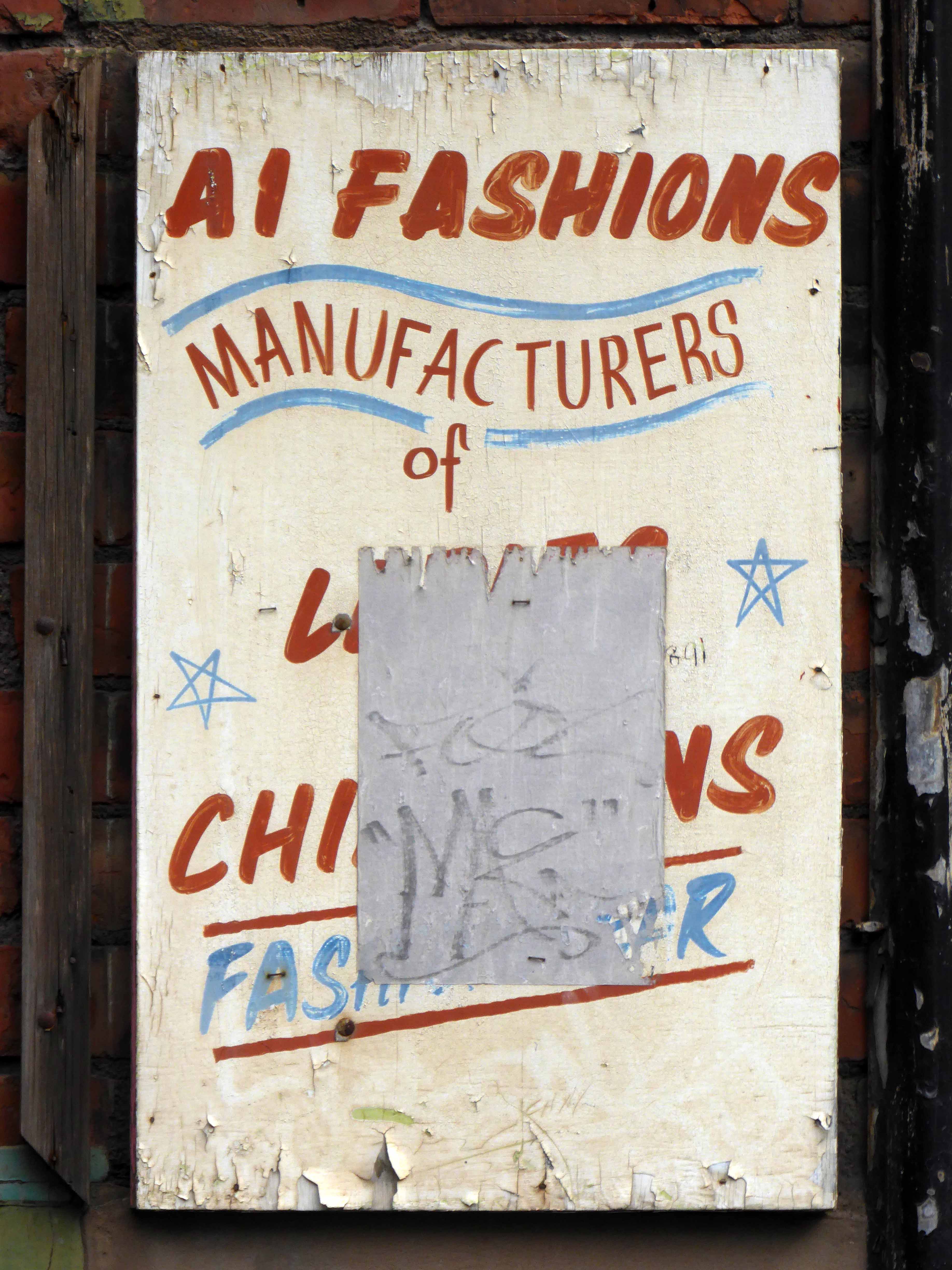
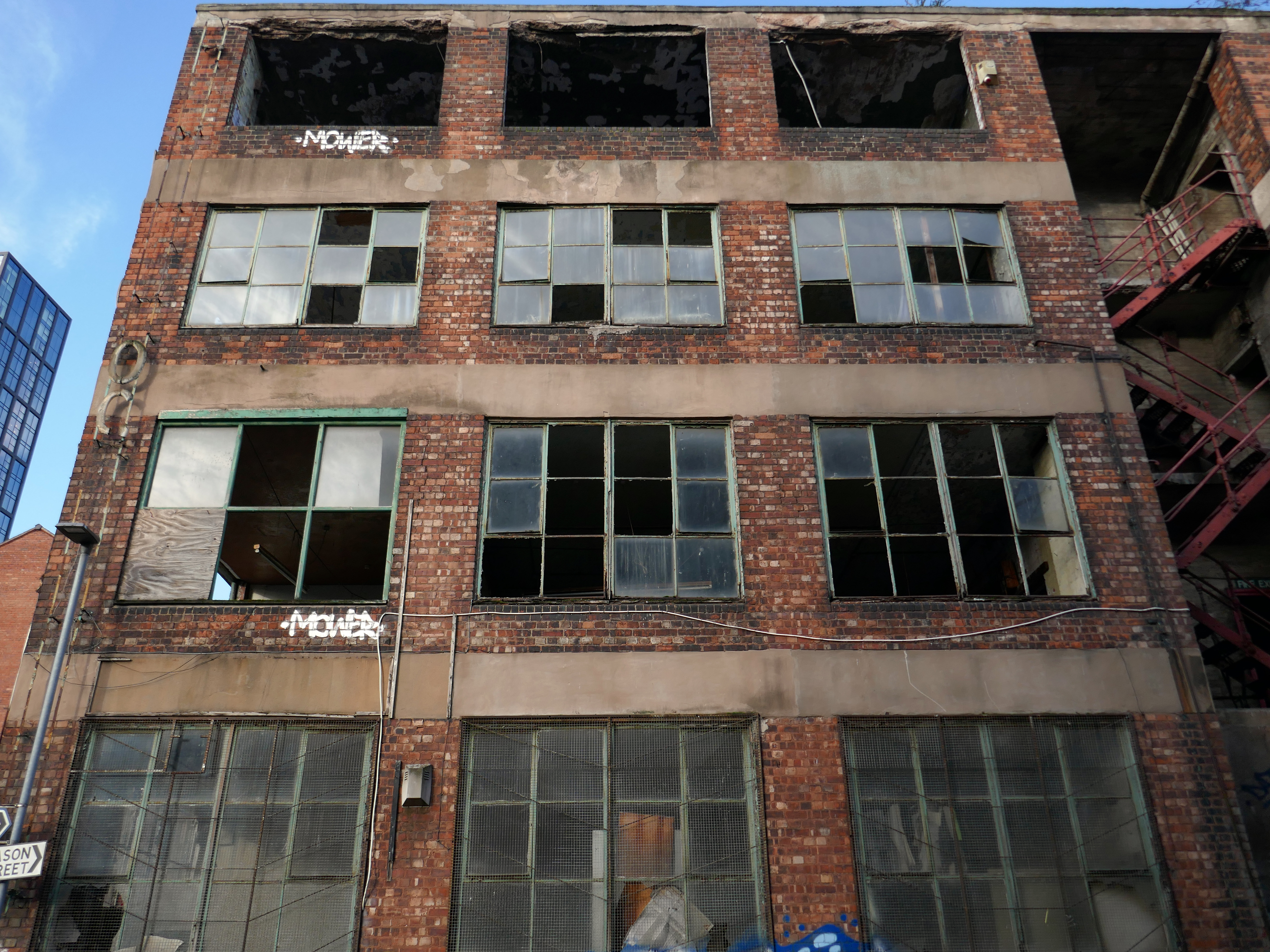
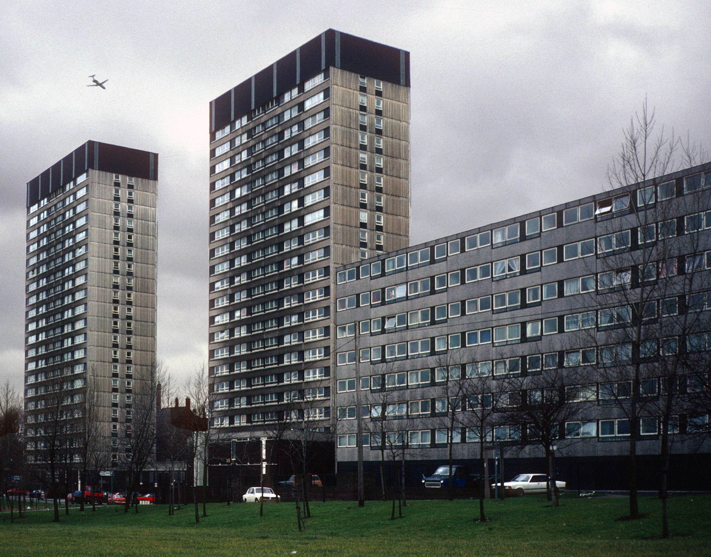
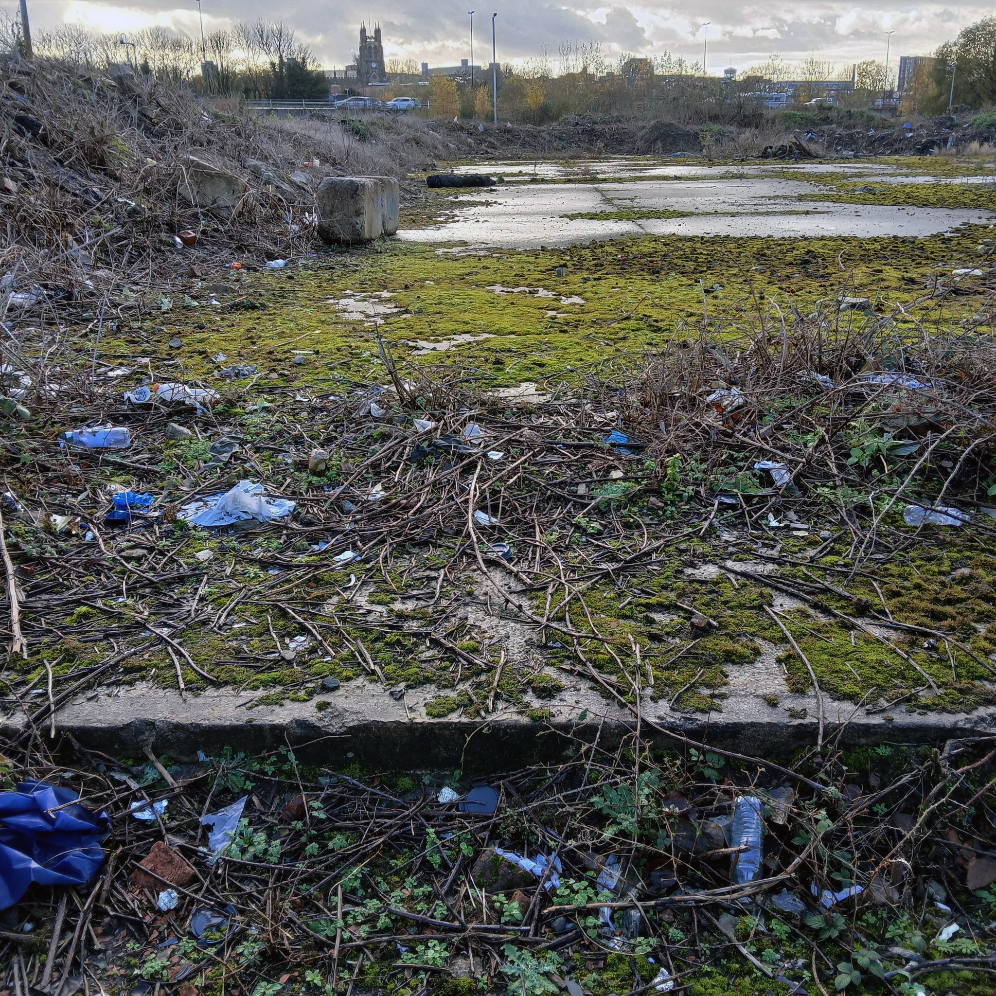
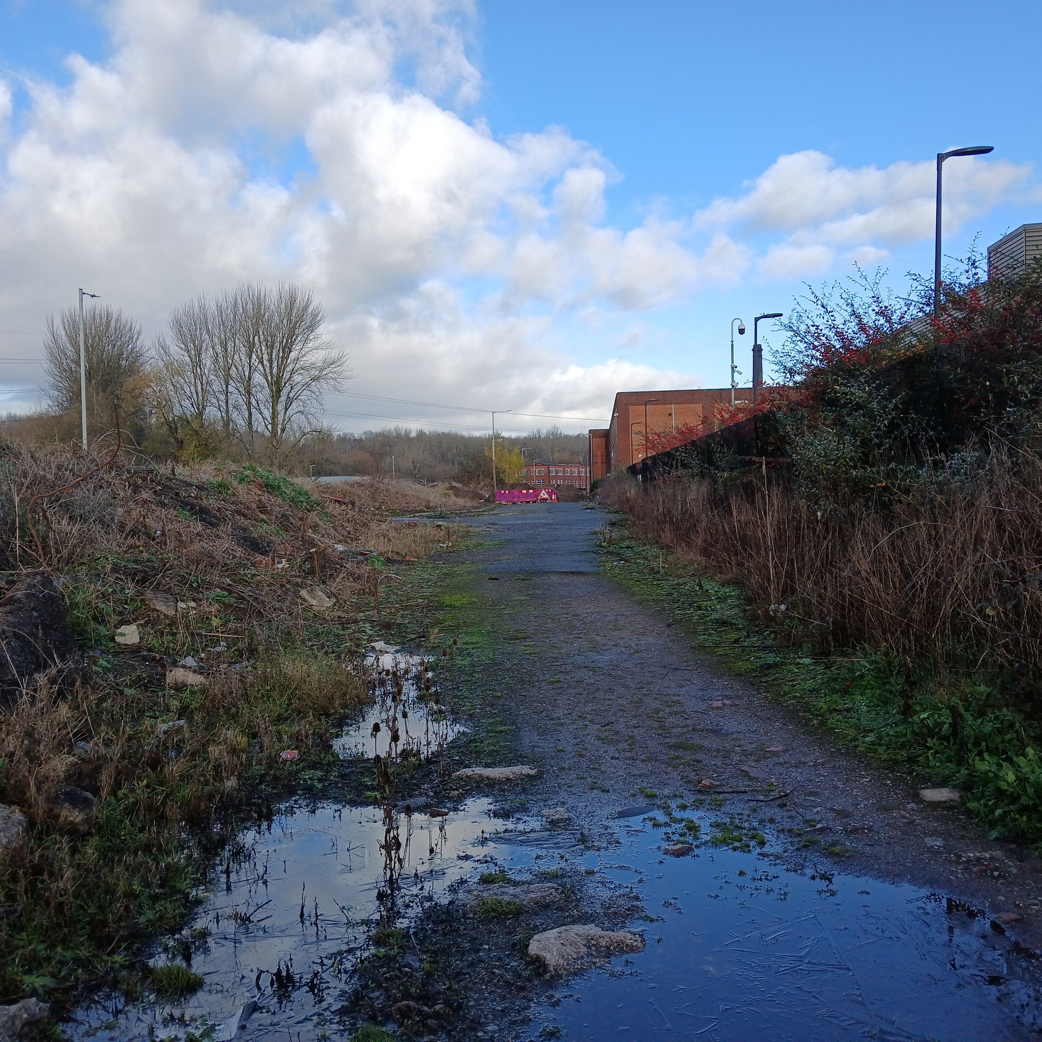
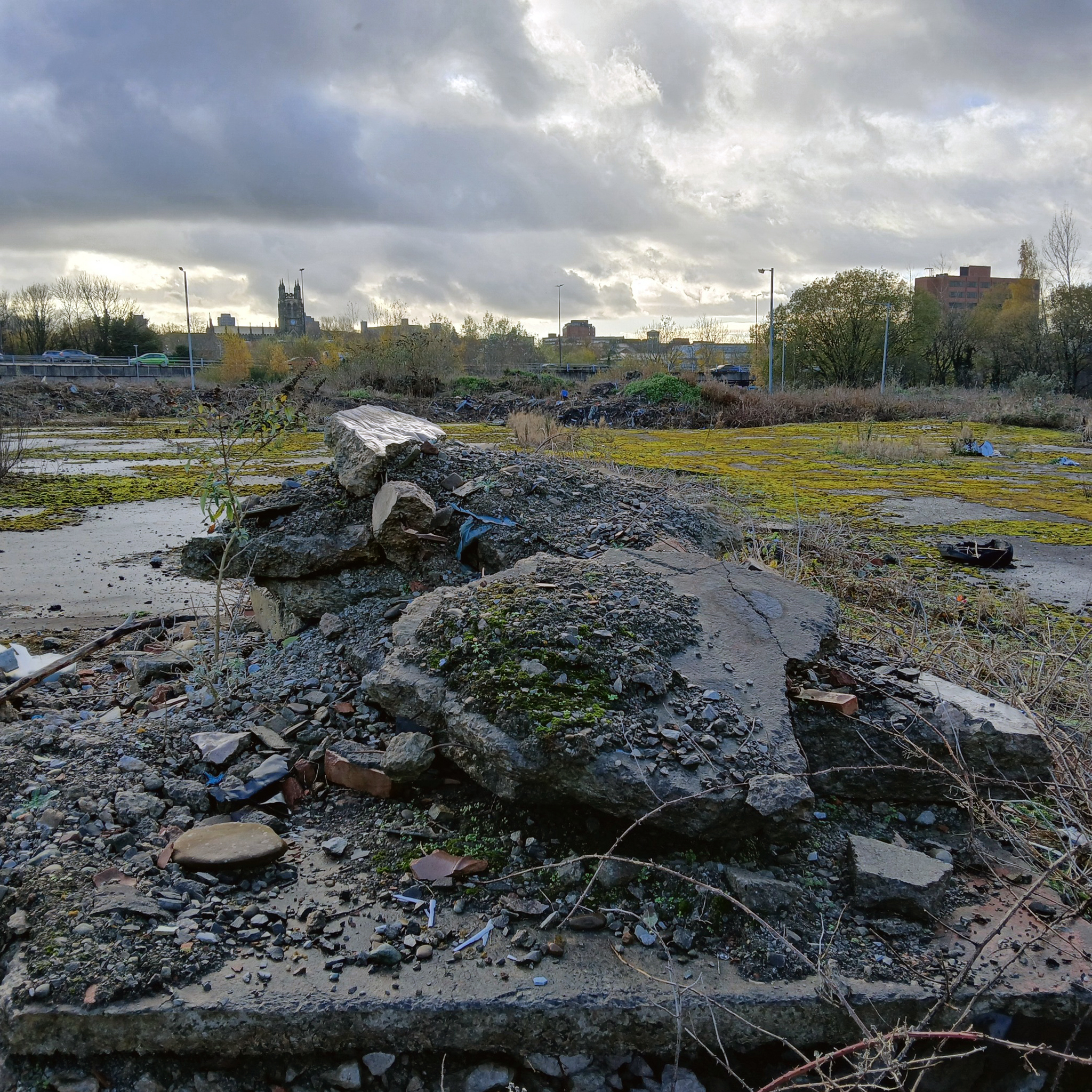
In the years that followed, the estate was bisected by the railway to the south, with the shipbuilding yards of The Clyde Trust cutting off the estate from the river. Plantation was laid out for tenement houses in the 1870s and Maclean, Plantation, Mair and Craigiehall Streets refer to the history of the old estate.

Plantation Quay formed part of the site for the Glasgow Garden Festival in 1988 and subsequent Glasgow Science Centre.
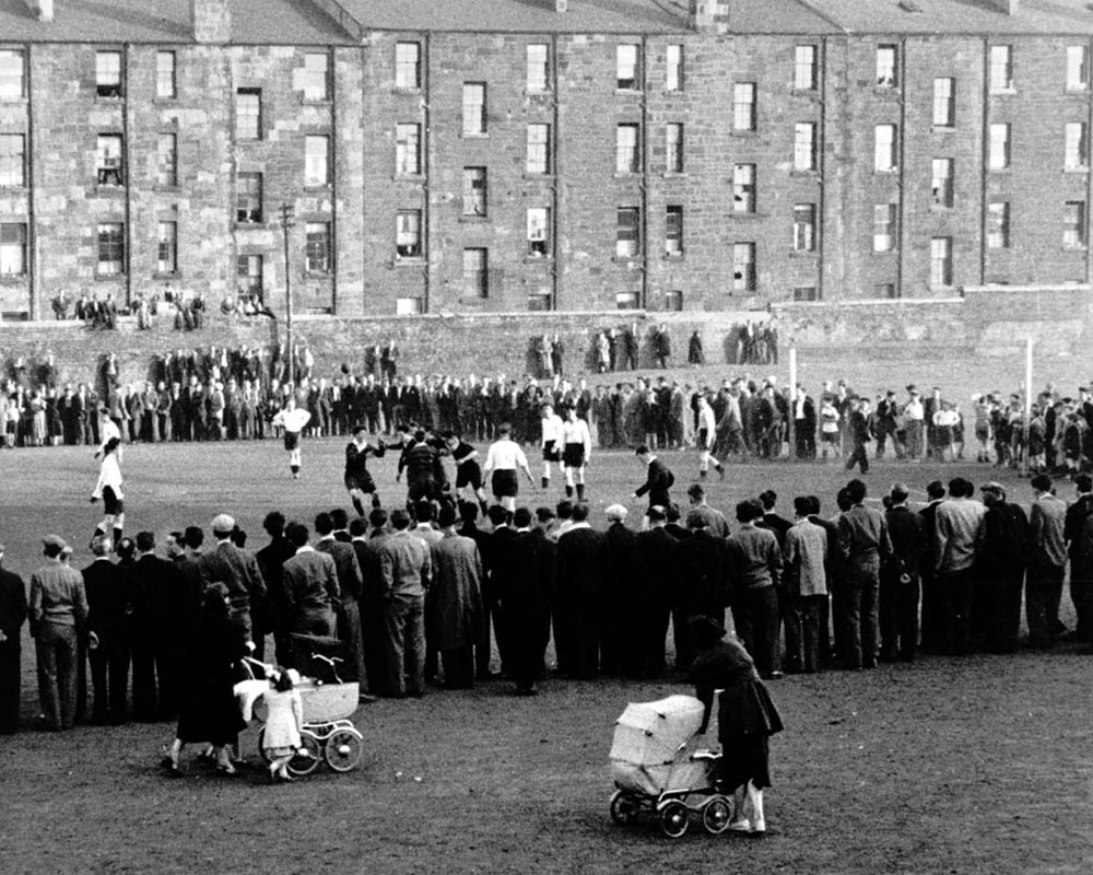
Wikipedia

1912

A crowd gathered to watch a football match at Plantation, 1955. The players in dark jerseys appear to be celebrating a goal.

The mostly male spectators are focused on the game, while in the foreground a couple of women pass by with prams. The tenements in the background provide their inhabitants with a bird’s-eye view of the match. Other spectators are perched on top of a high wall separating the tenement back courts from the football pitch.

In 1955 Partick Camera Club set out to create a photographic survey of Glasgow. As the project progressed, other camera clubs joined and each was allocated a district of the city to photograph. Glasgow Museums exhibited the photographs at Kelvingrove Art Gallery and Museum and at the People’s Place, and in 1956 the exhibition was shown at the Palace of Art in Bellahouston Park. The photographs are now part of Glasgow Museums’ collections.

The Glasgow Story

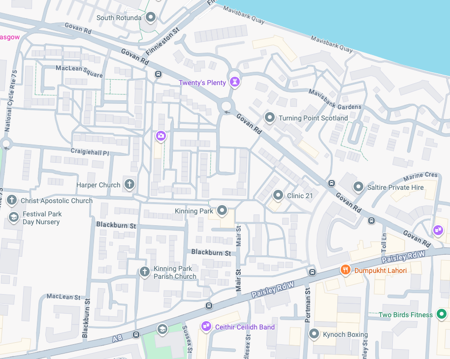
Plantation Street 1965 Photo: Eric Watt

So the folks, homes, industry and streets of the past have been and gone.

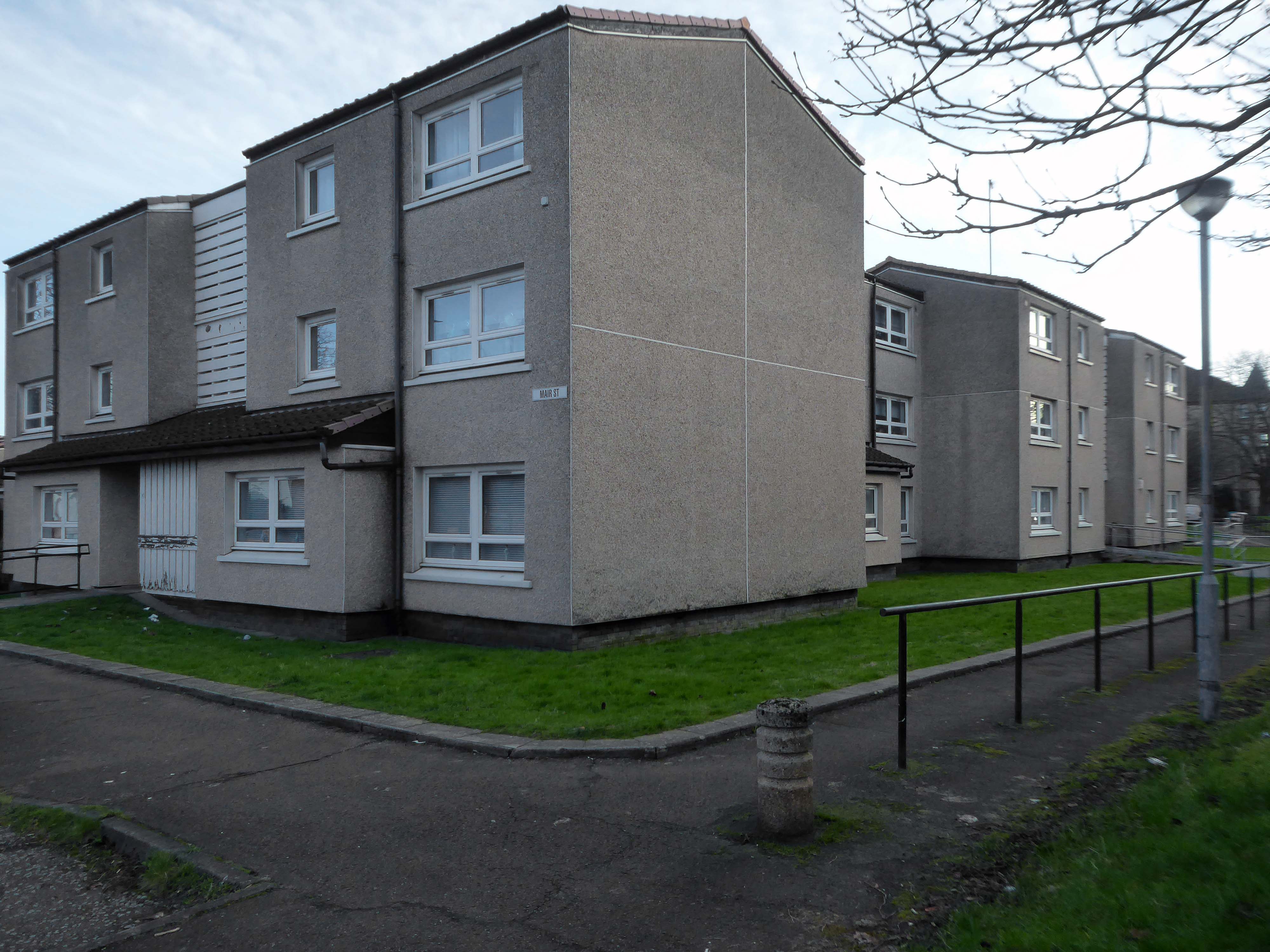
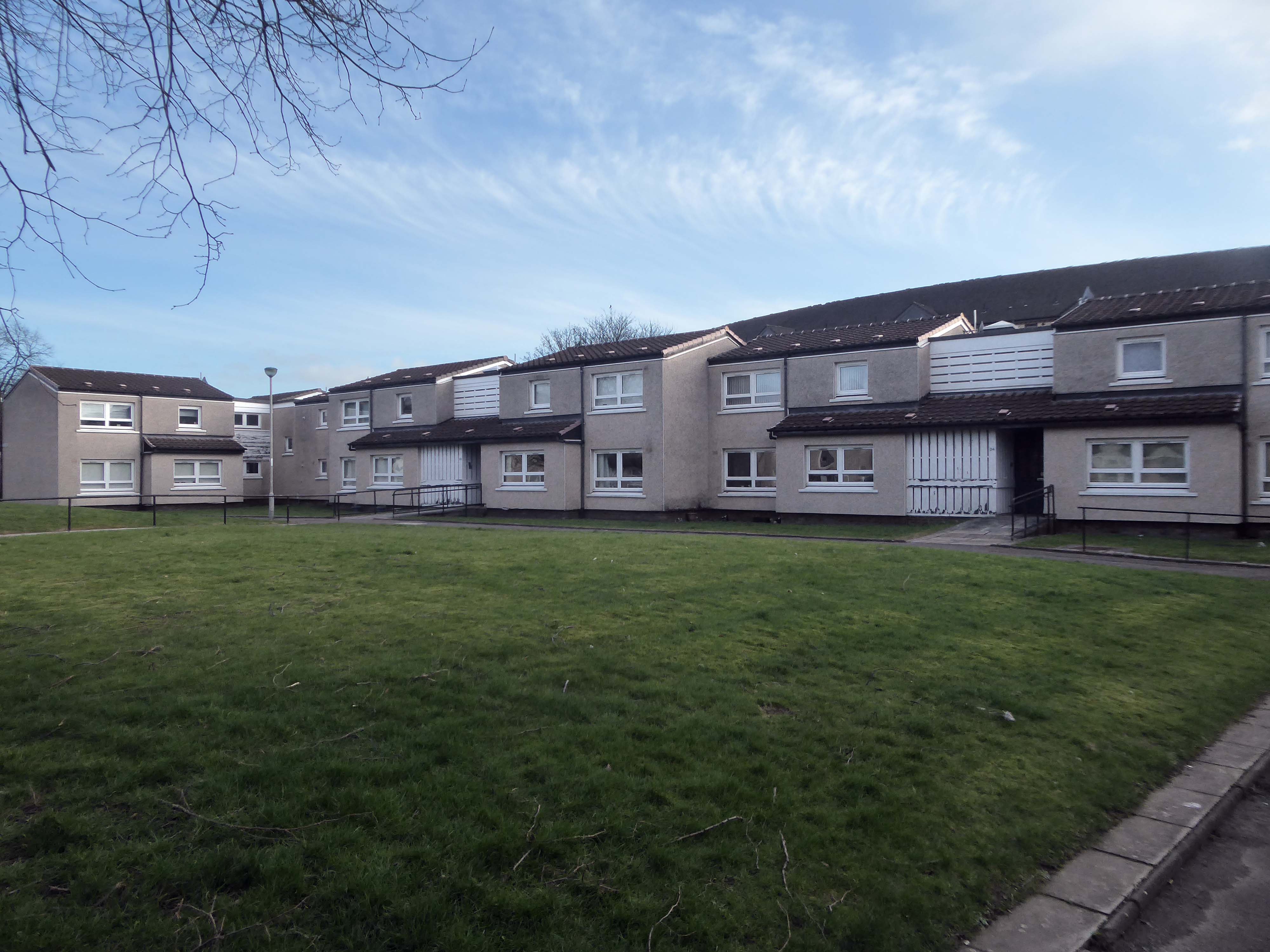
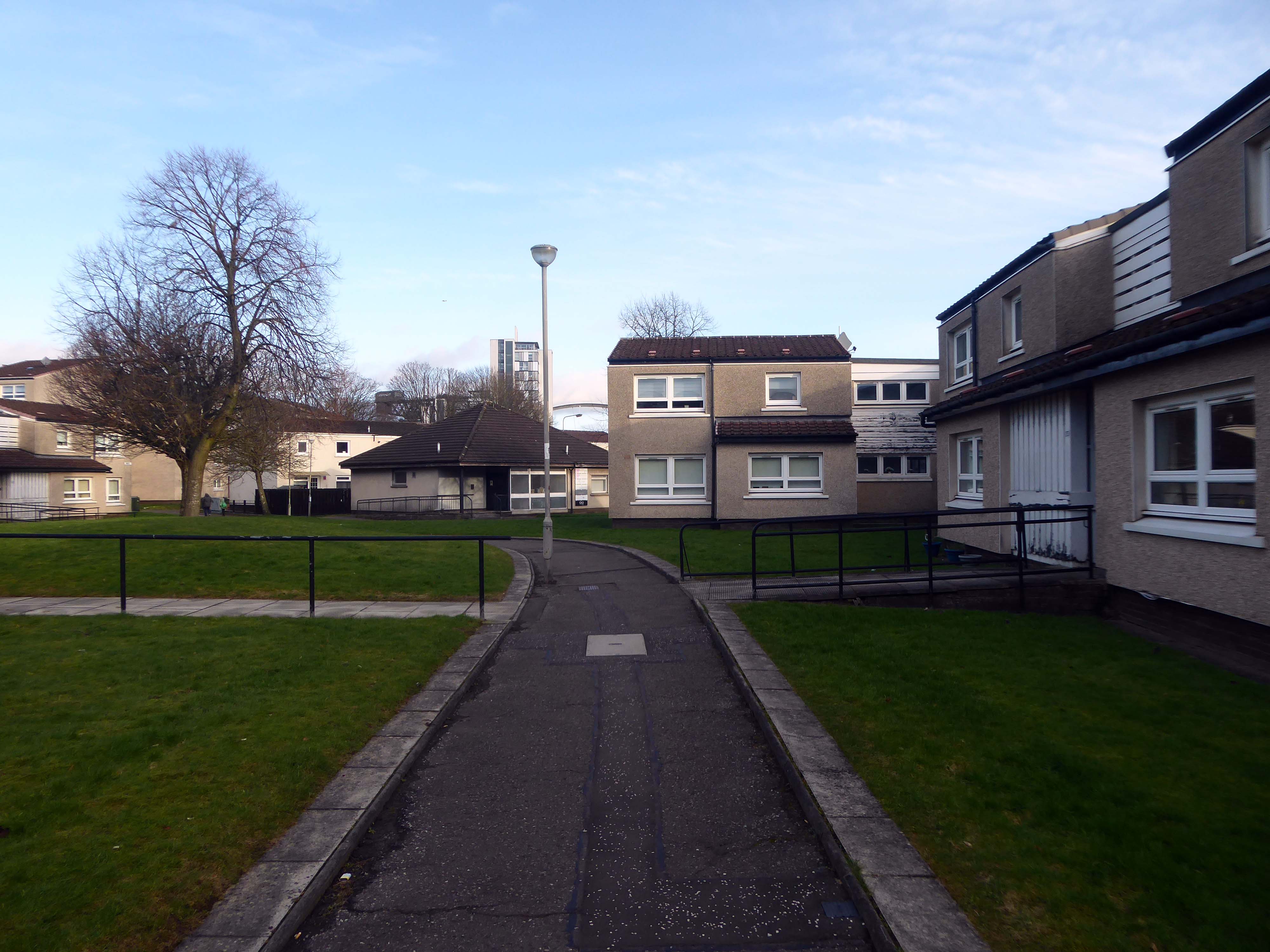
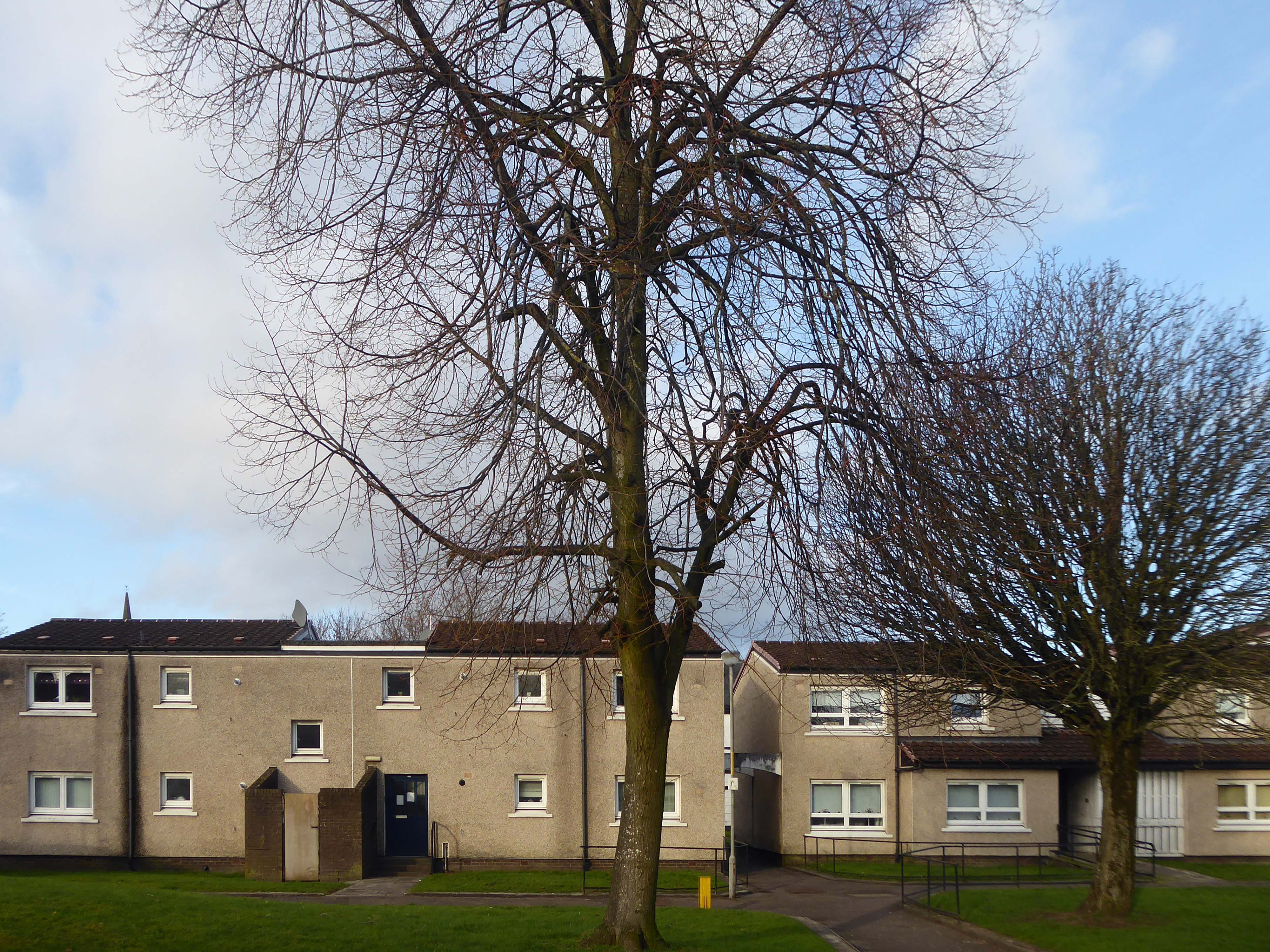
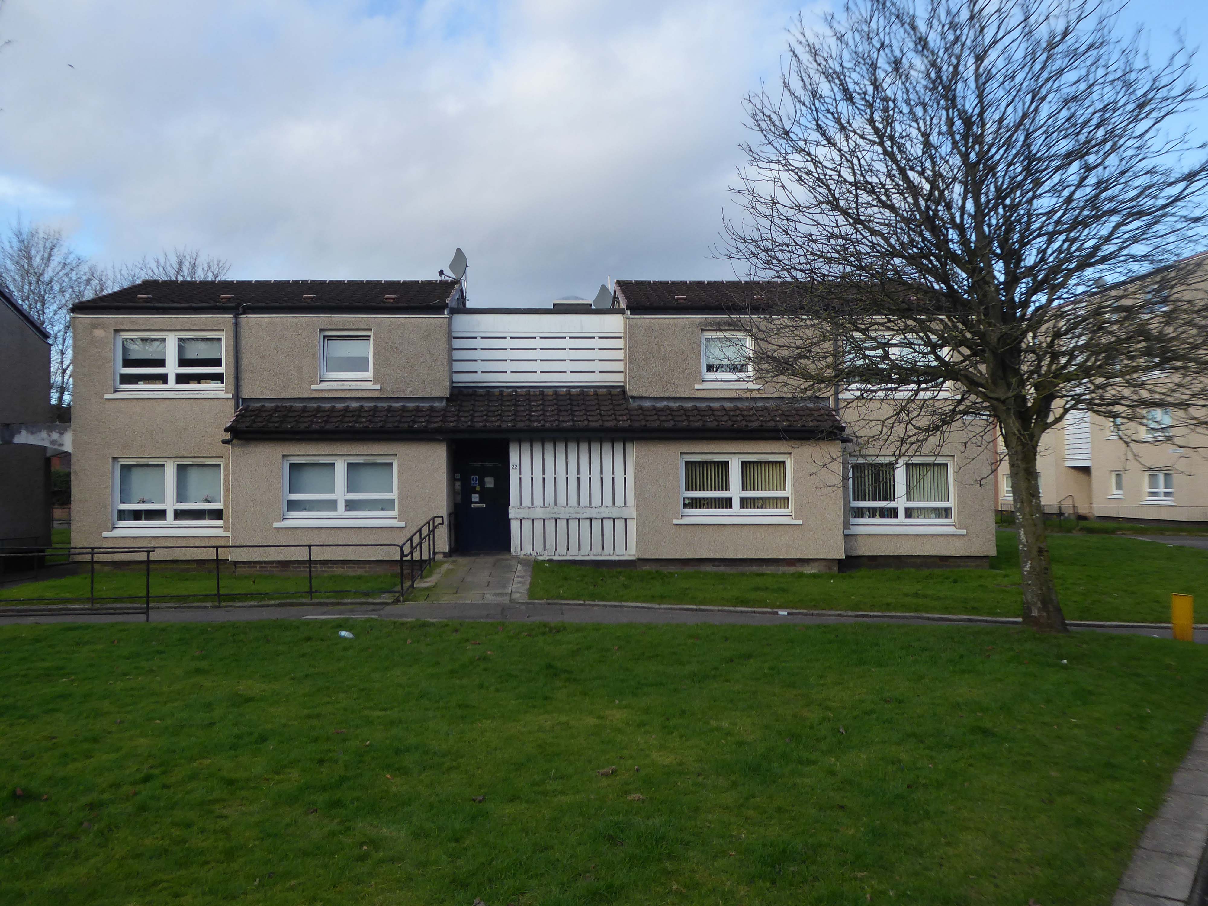
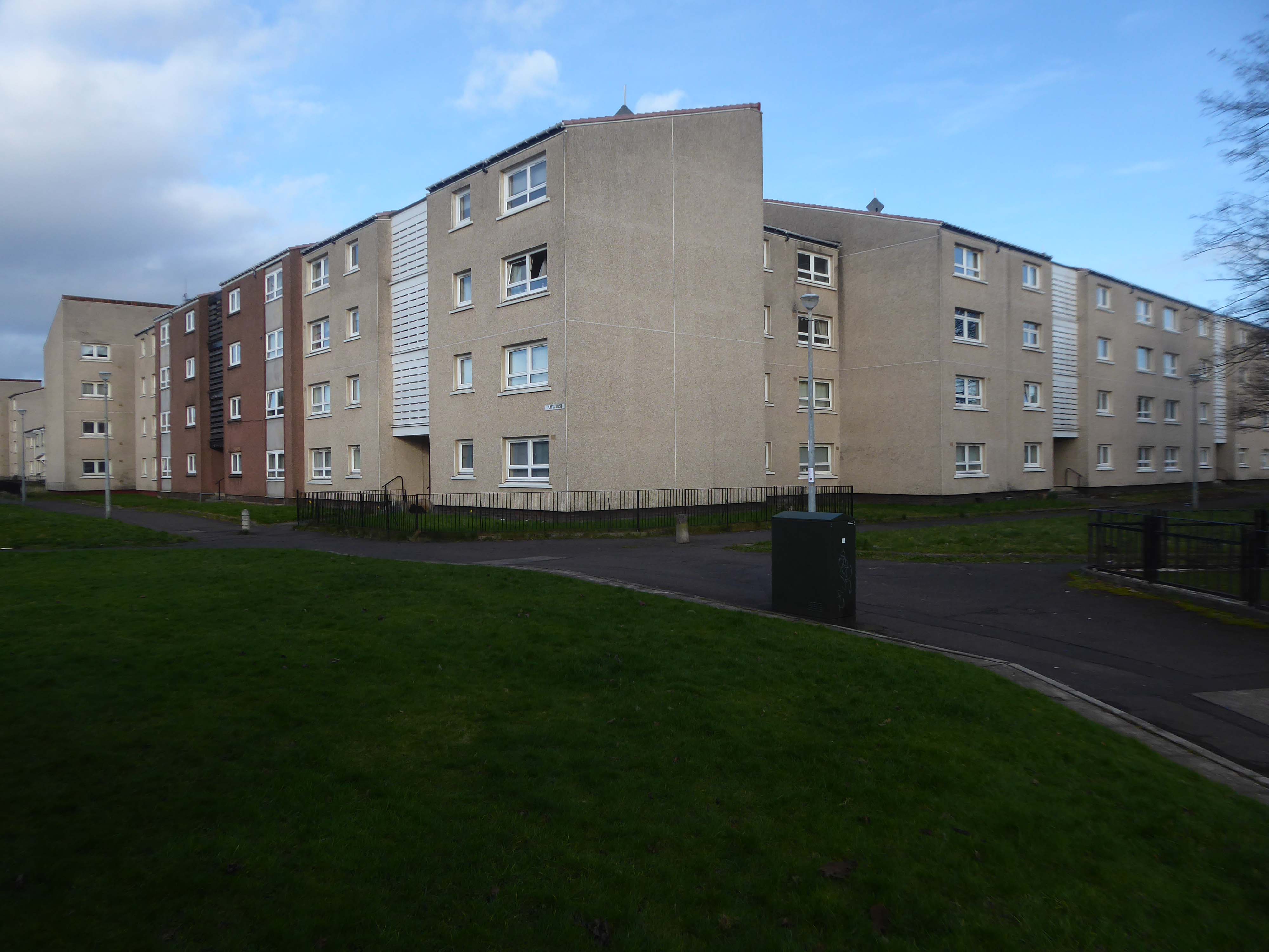
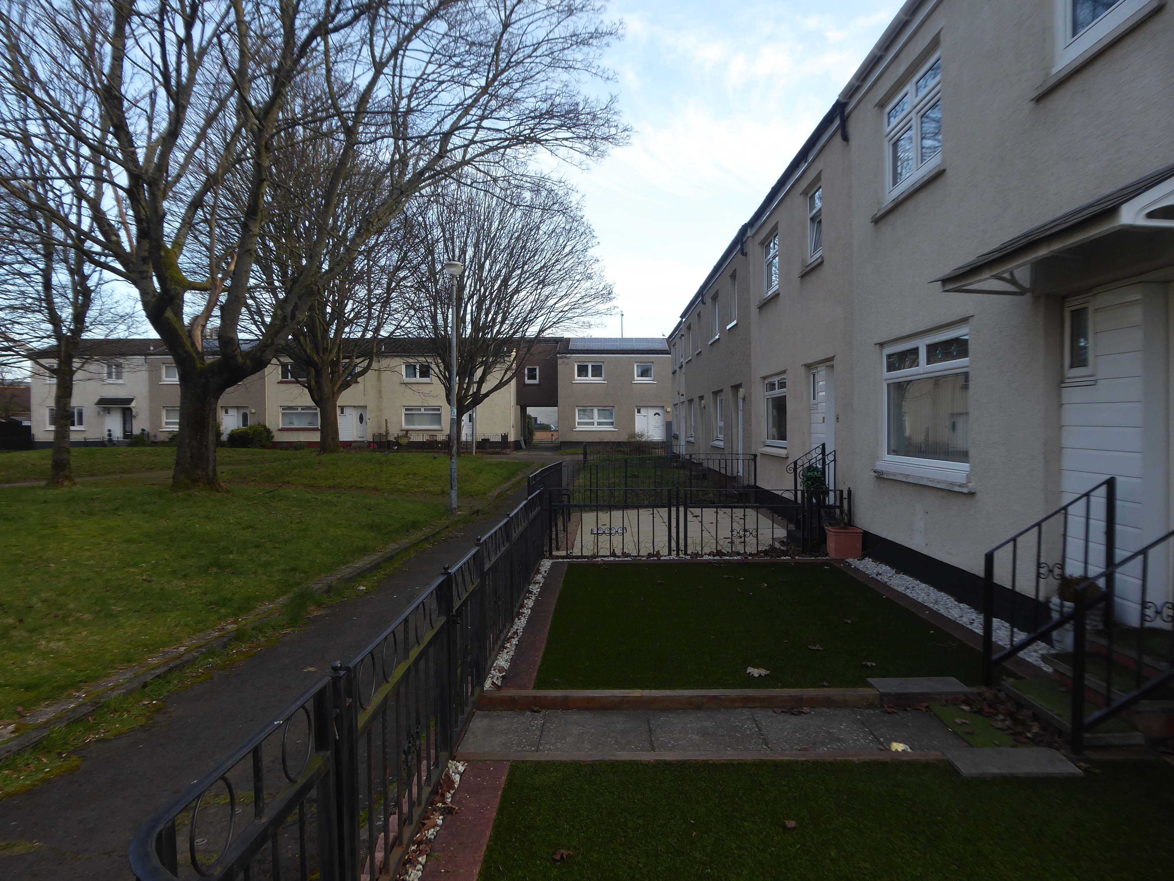
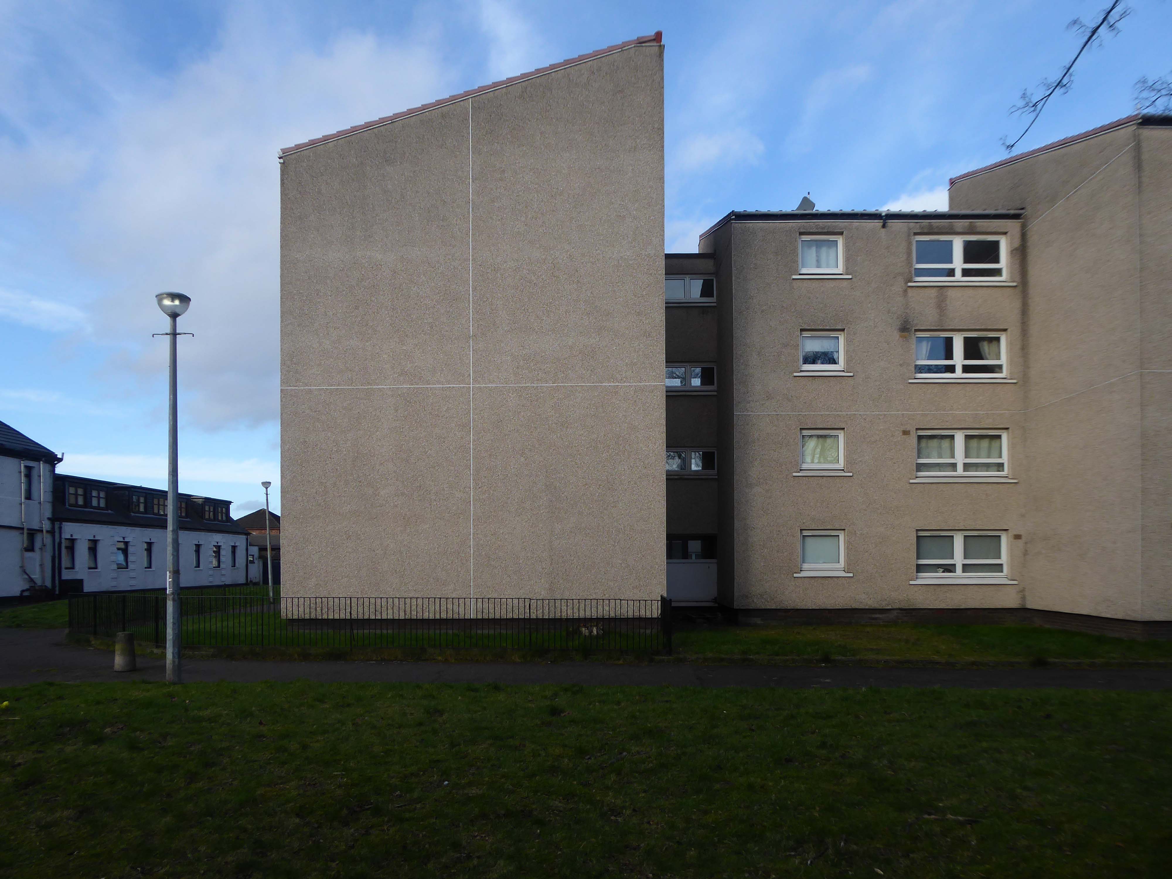
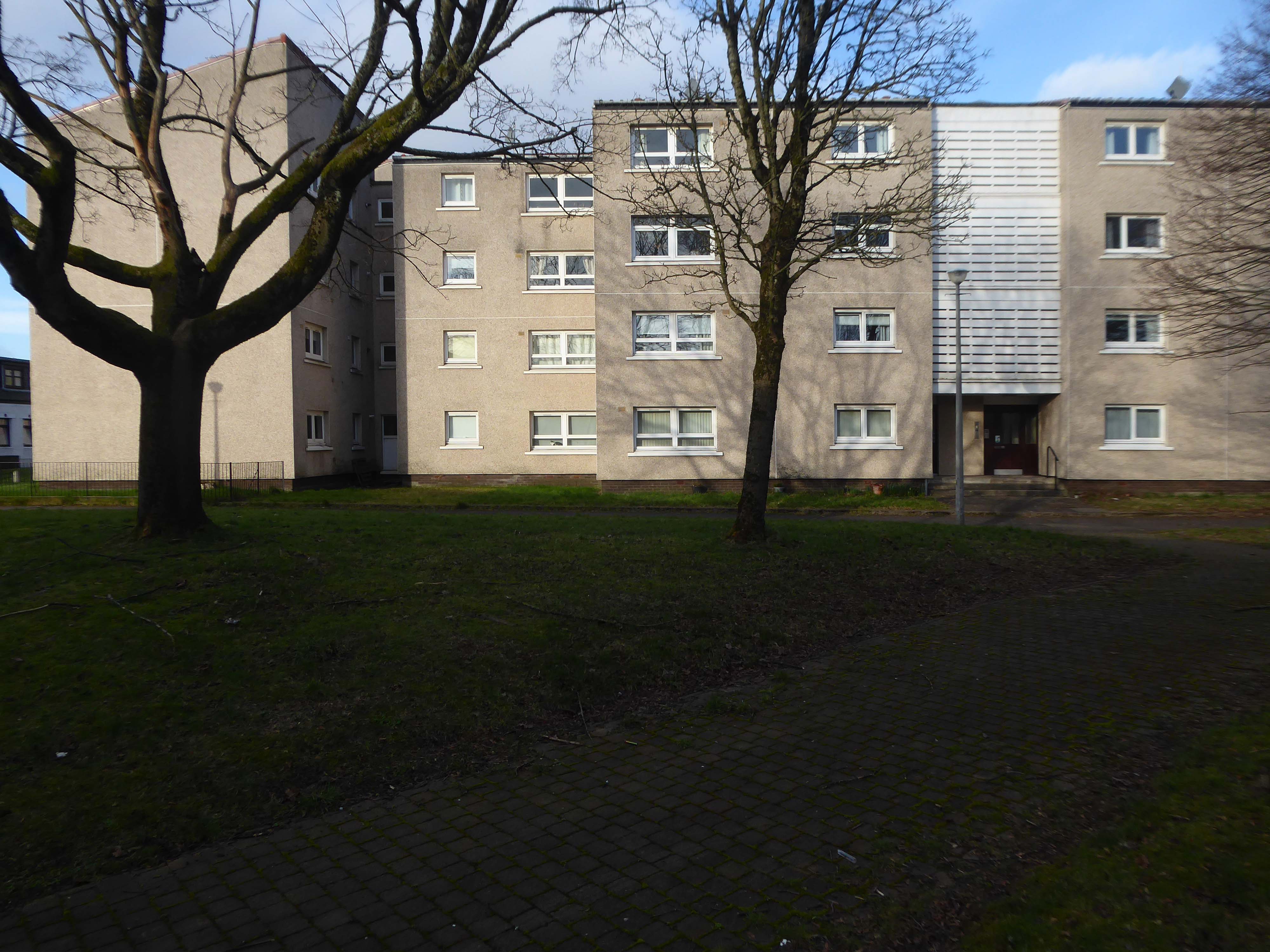
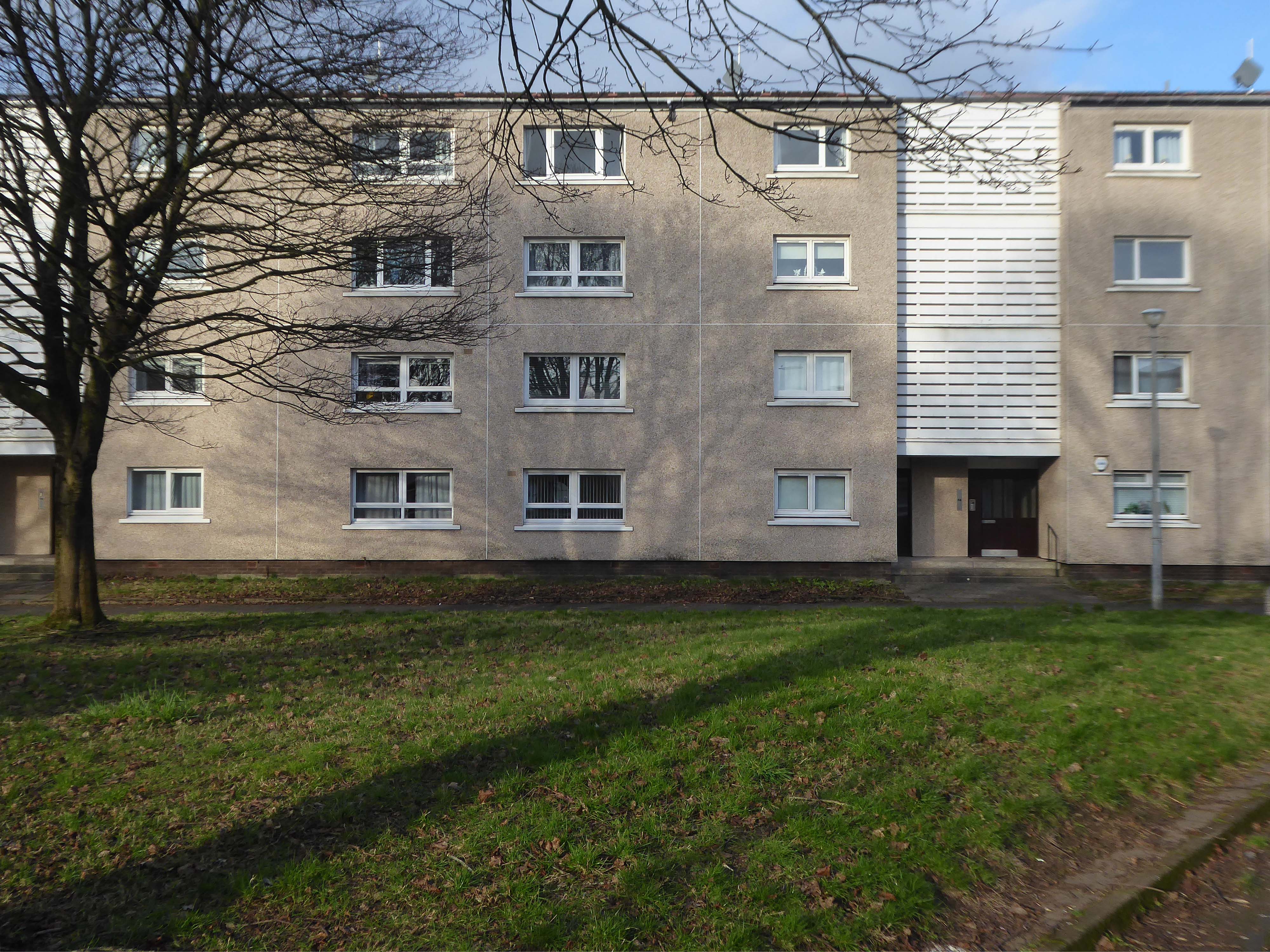
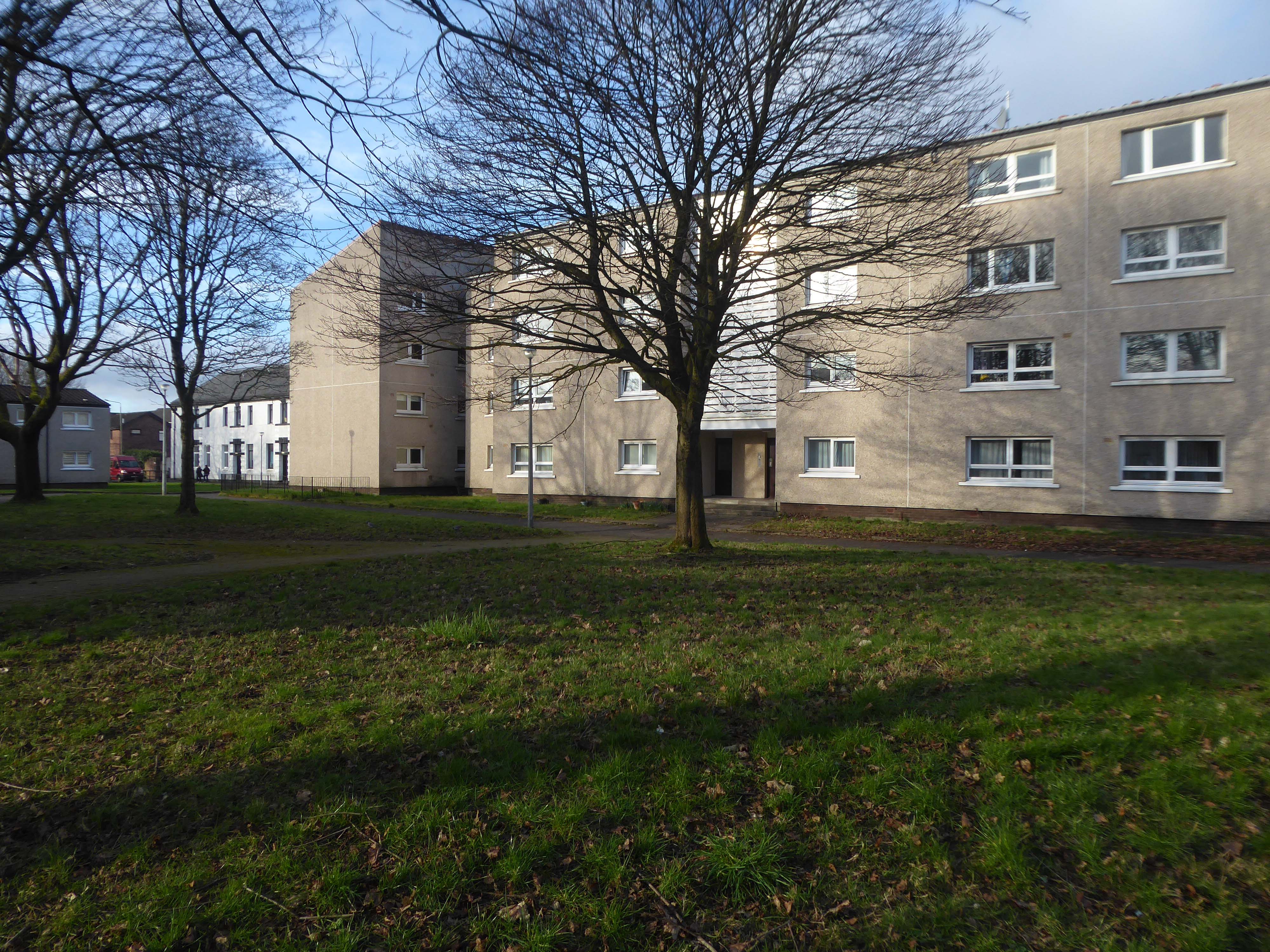
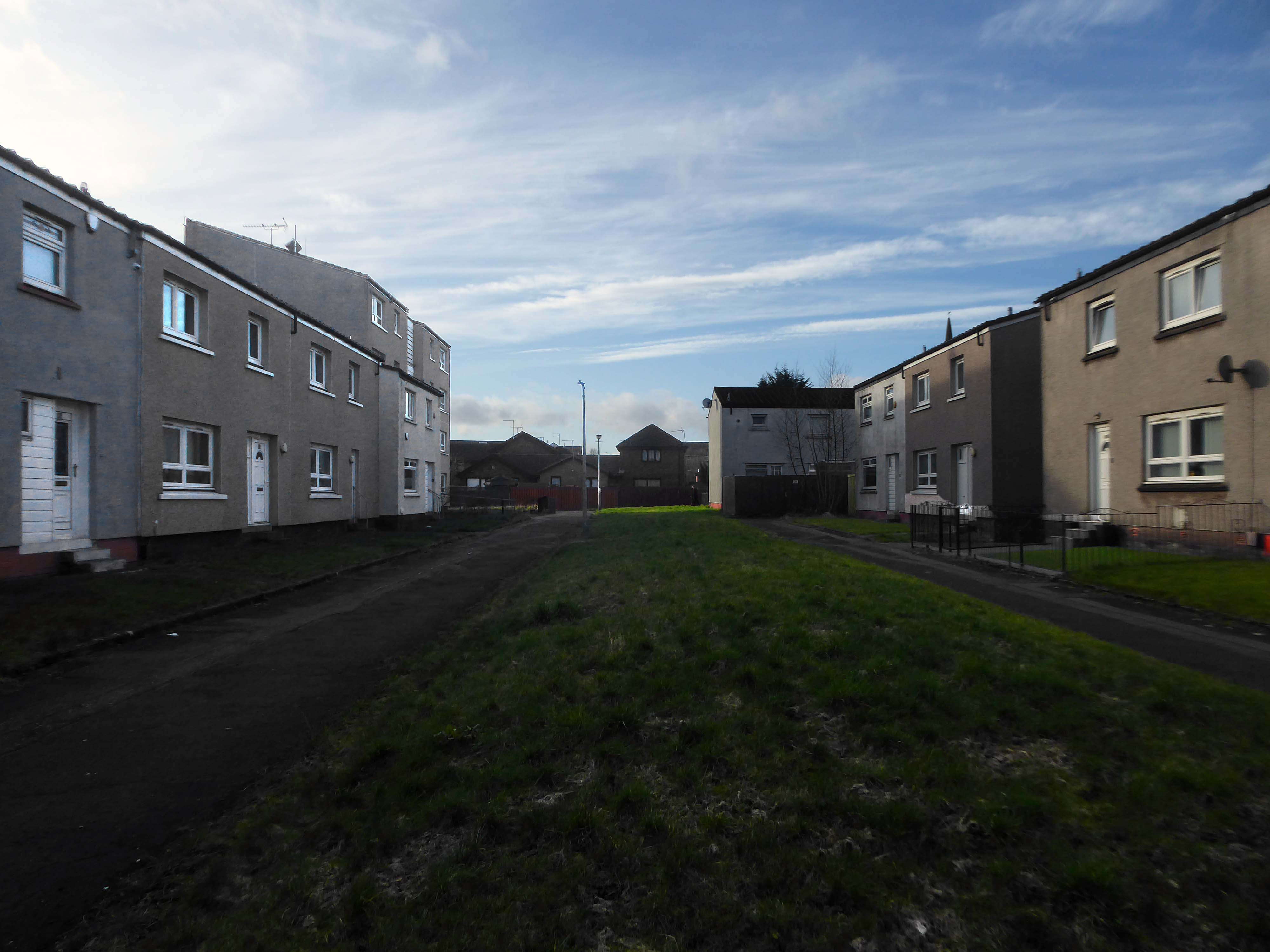
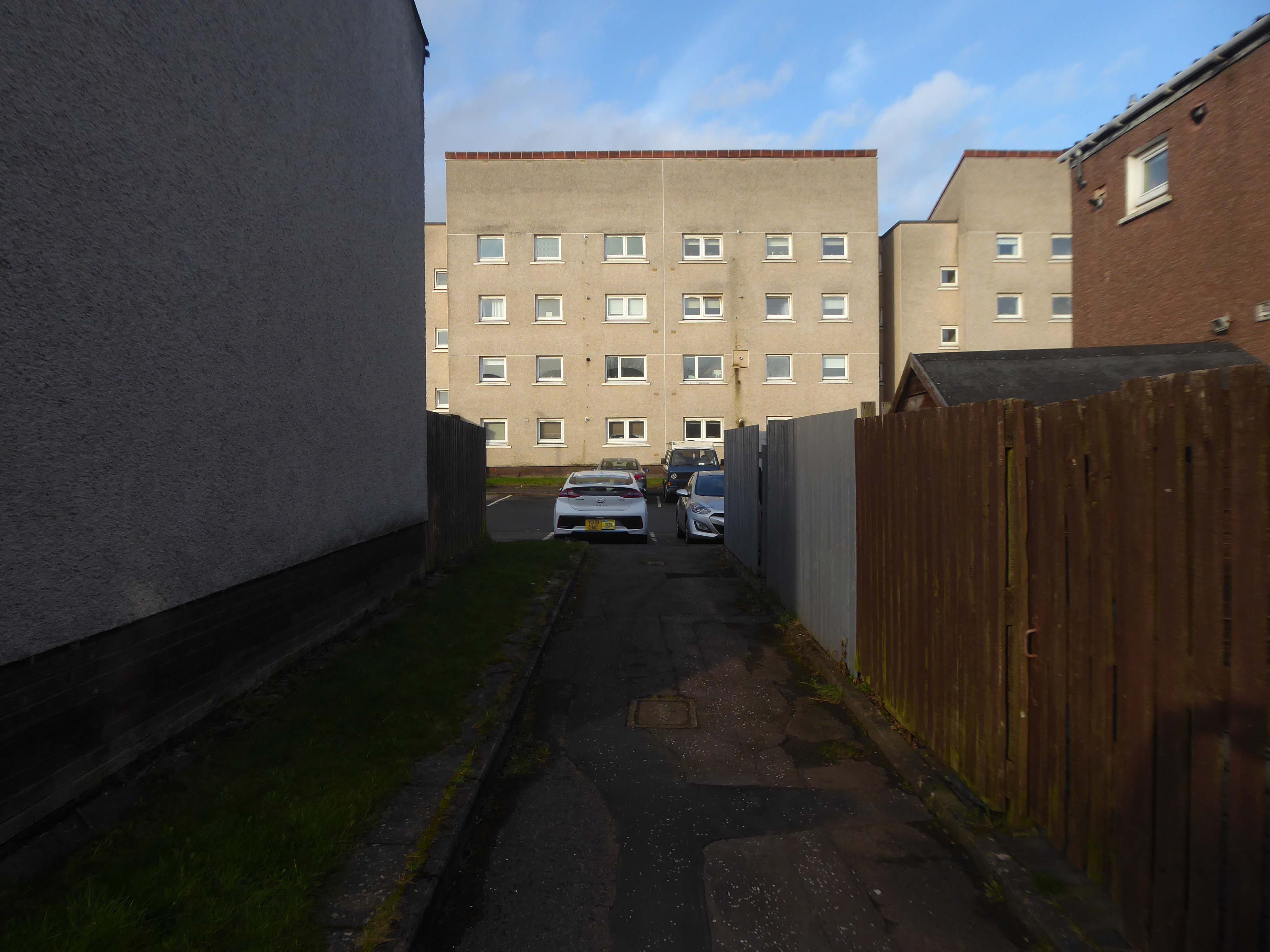
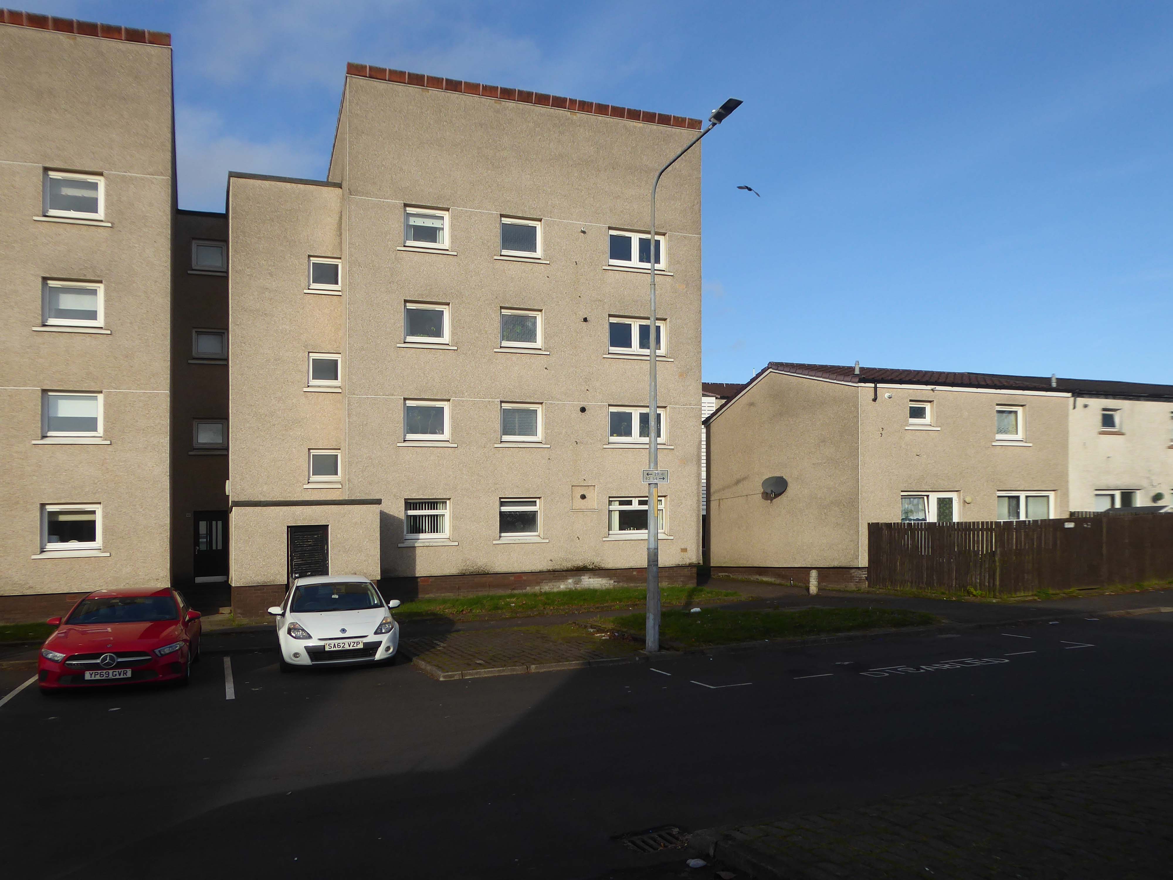
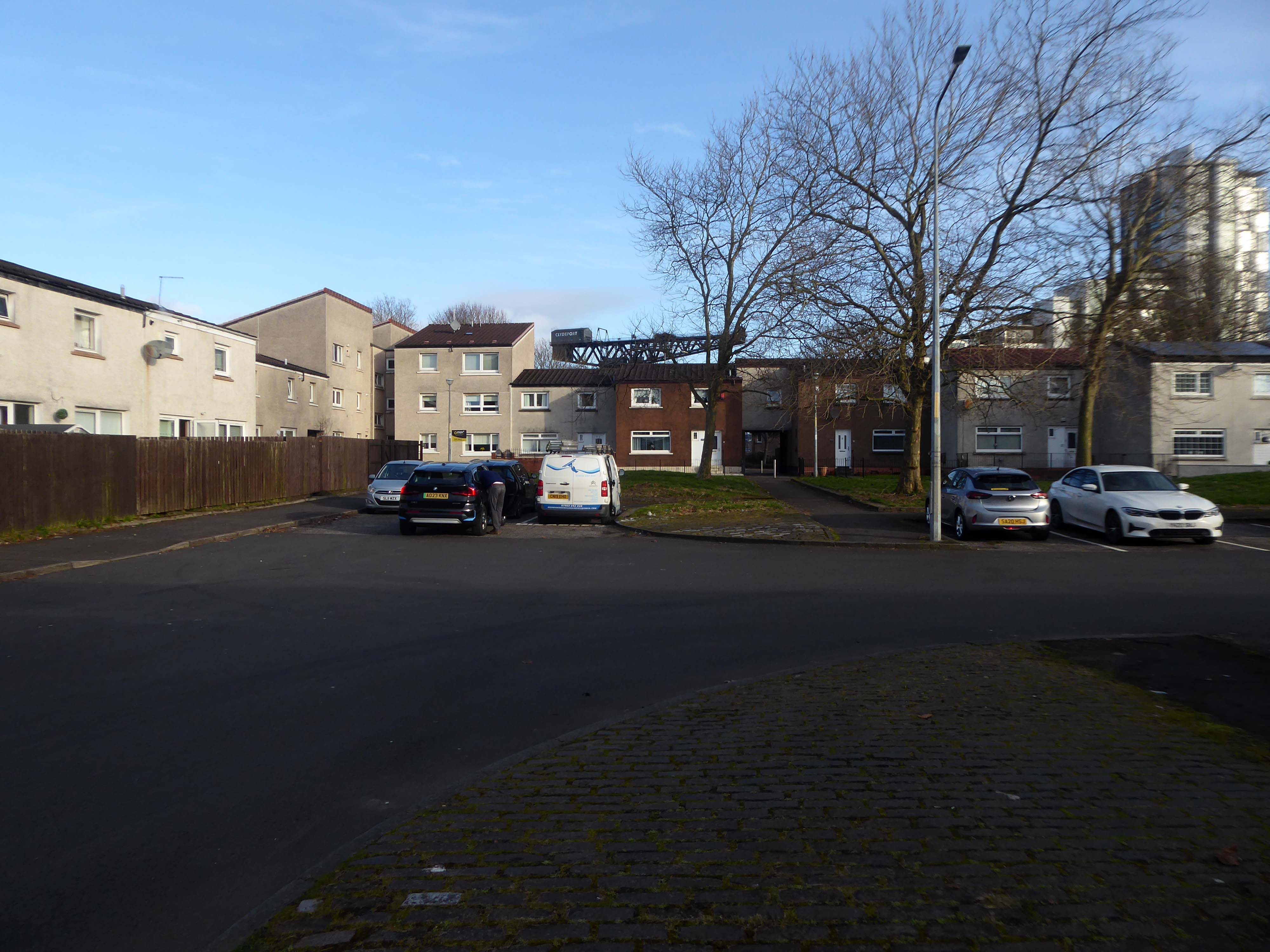
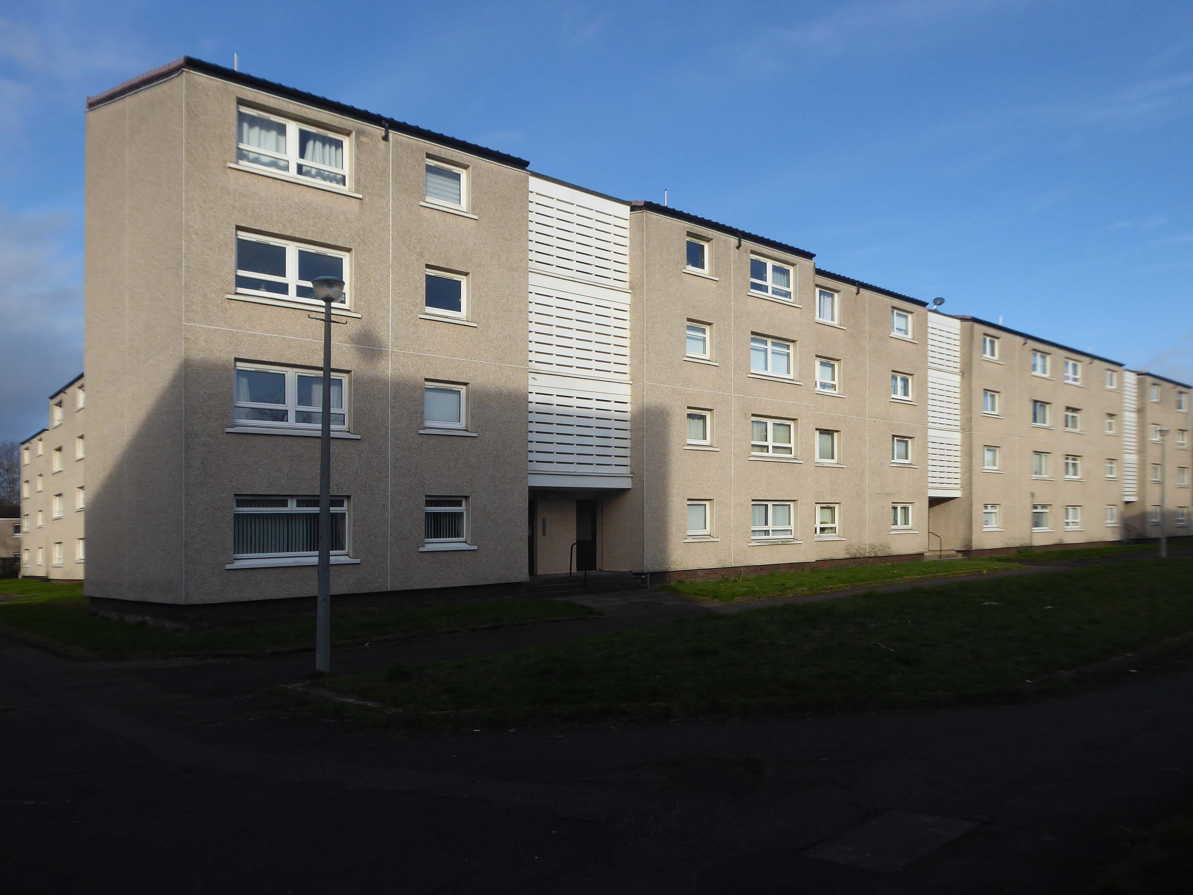
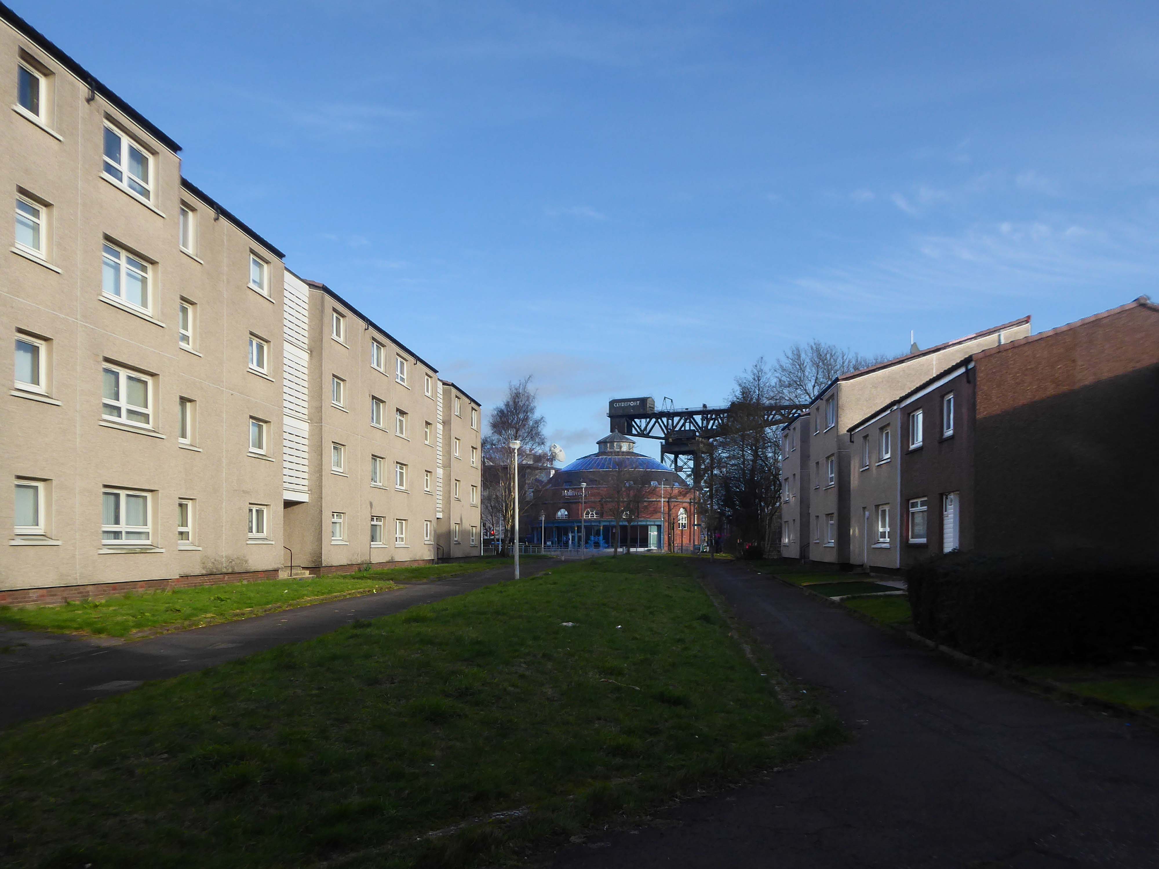
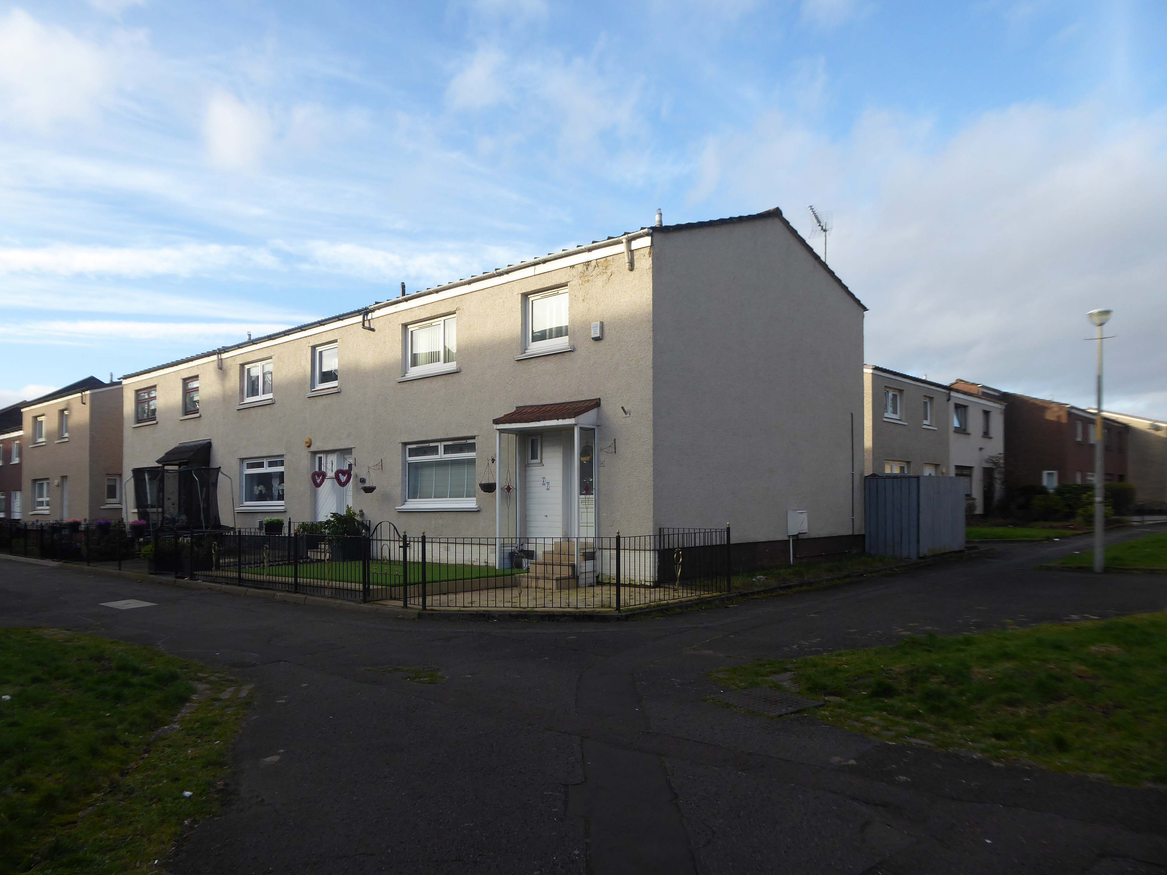
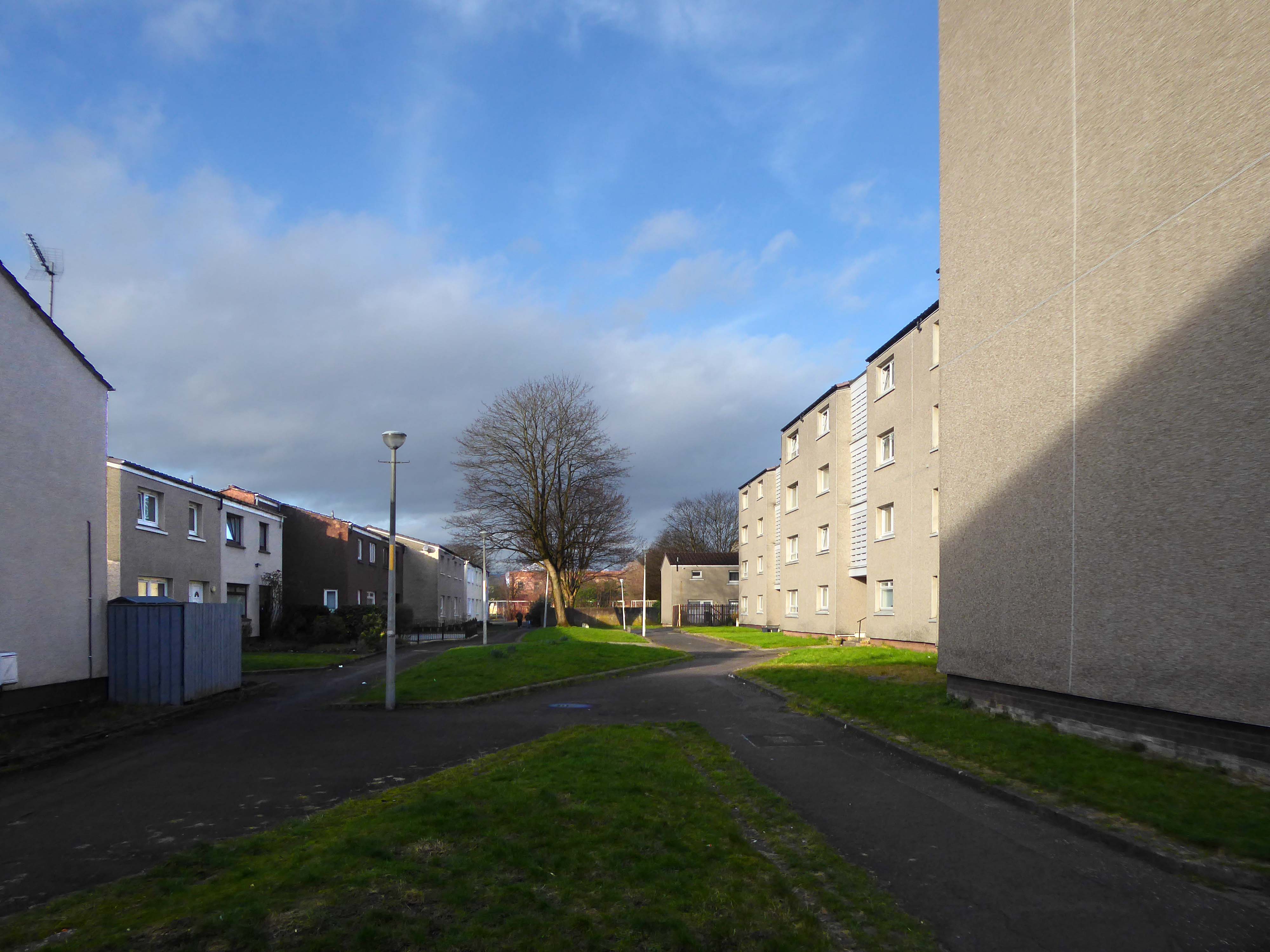
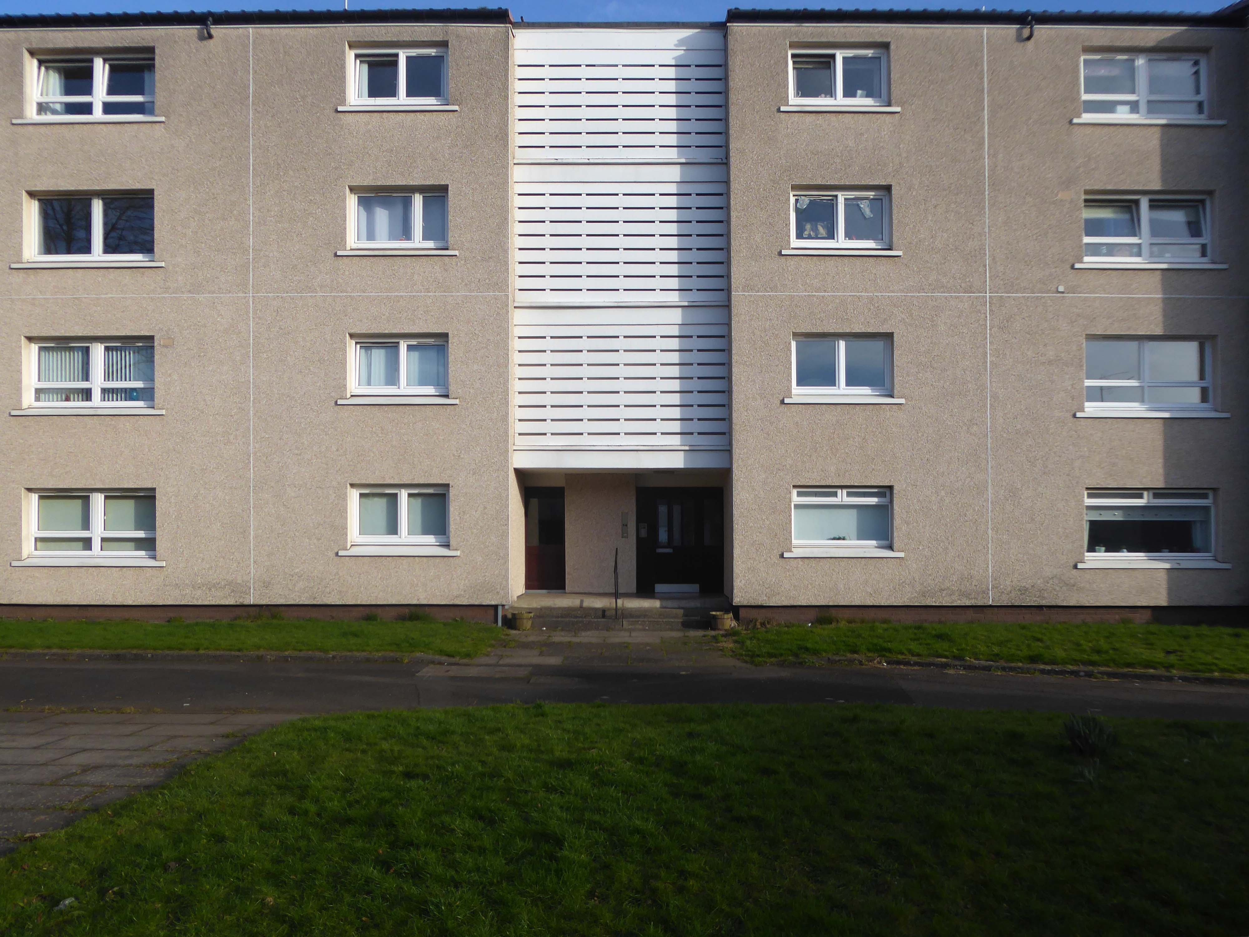
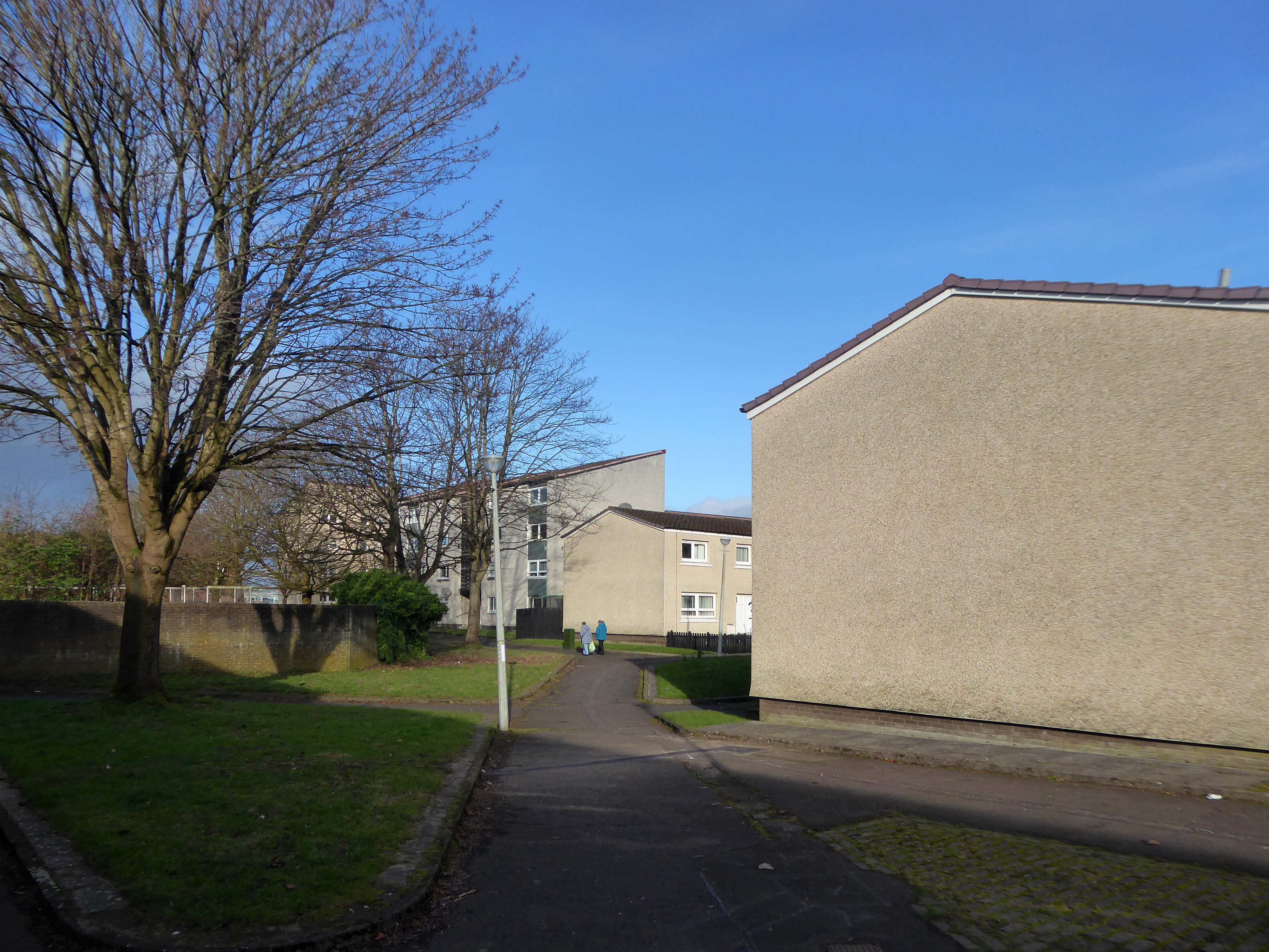
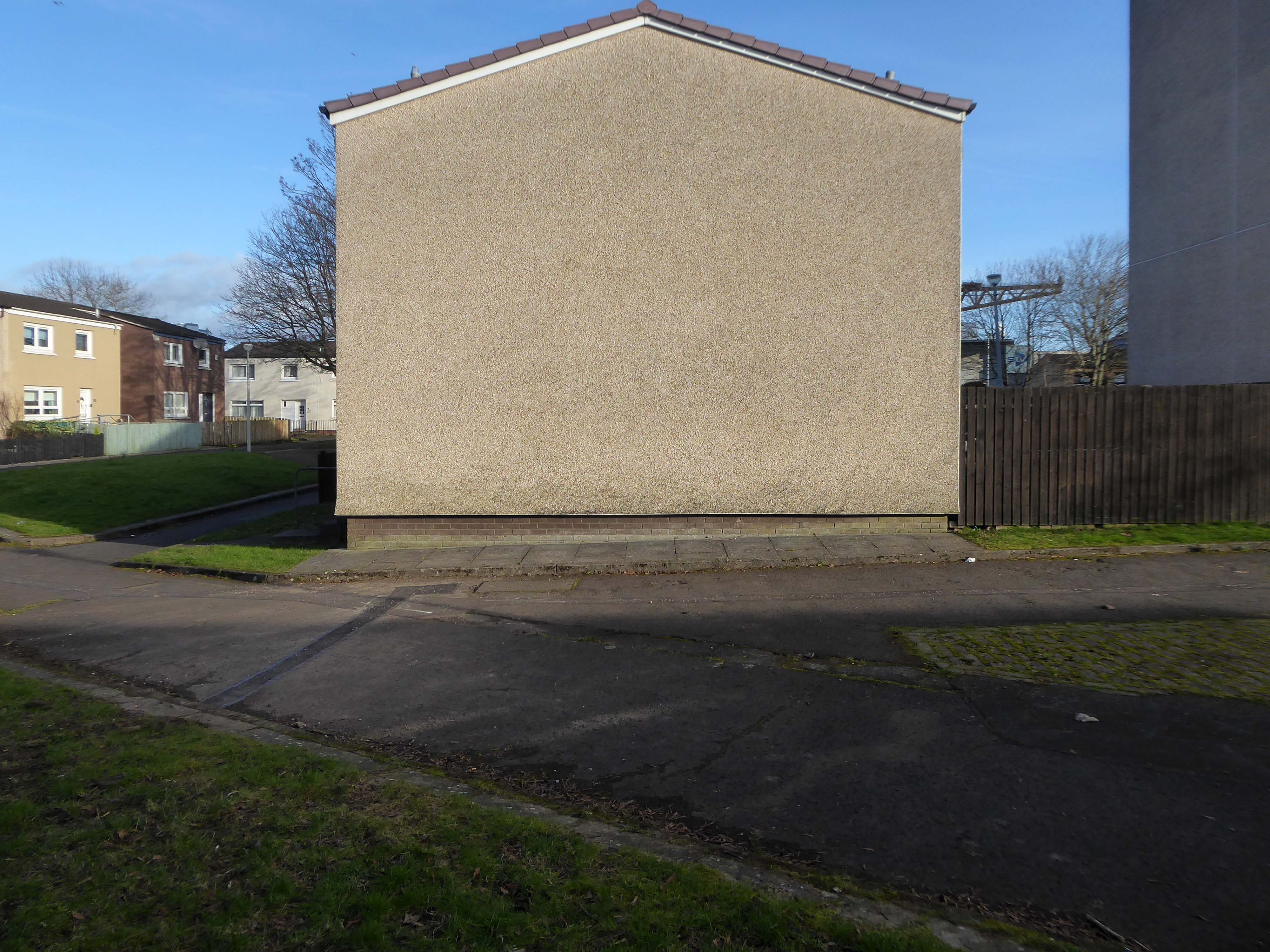
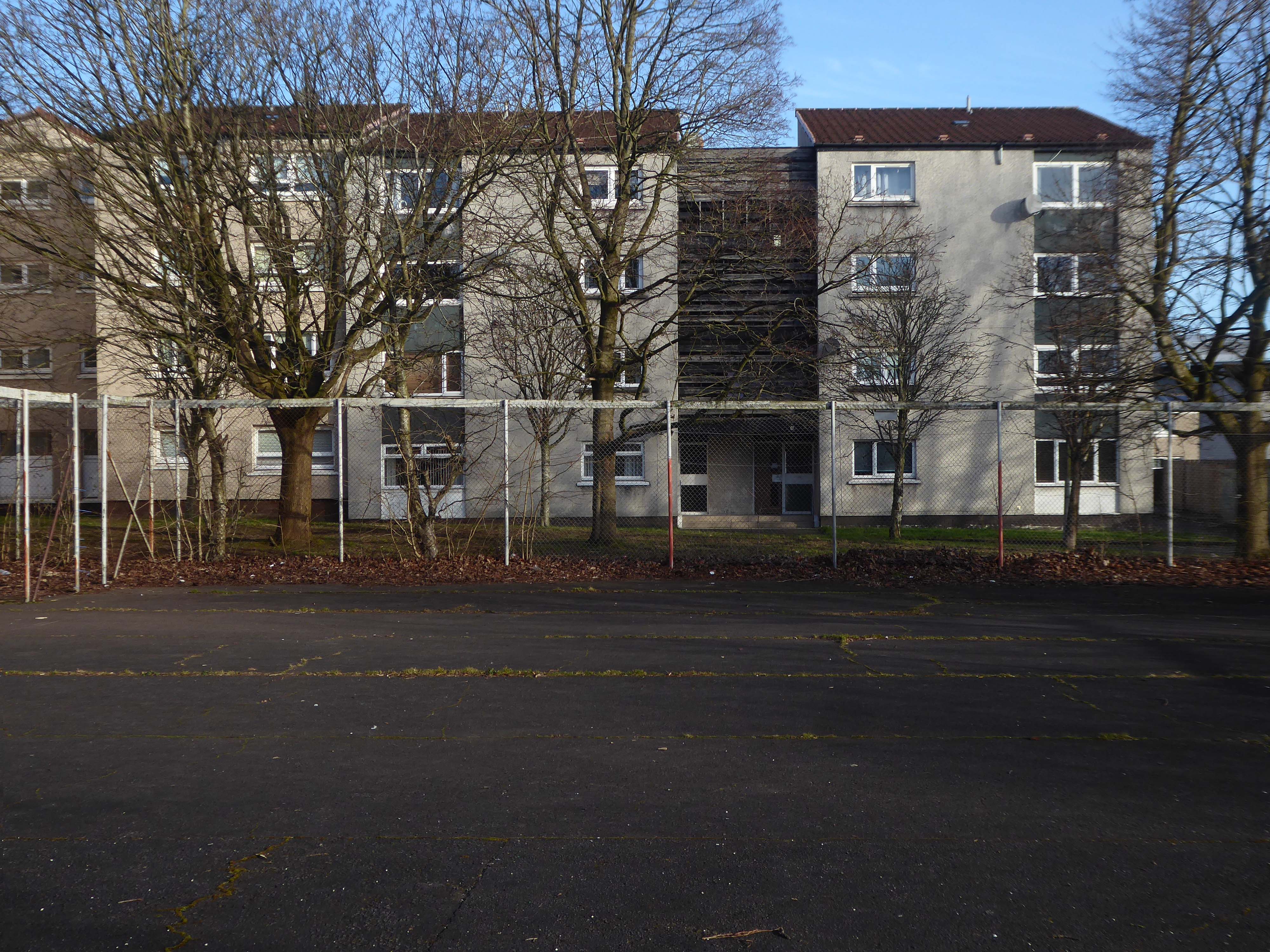
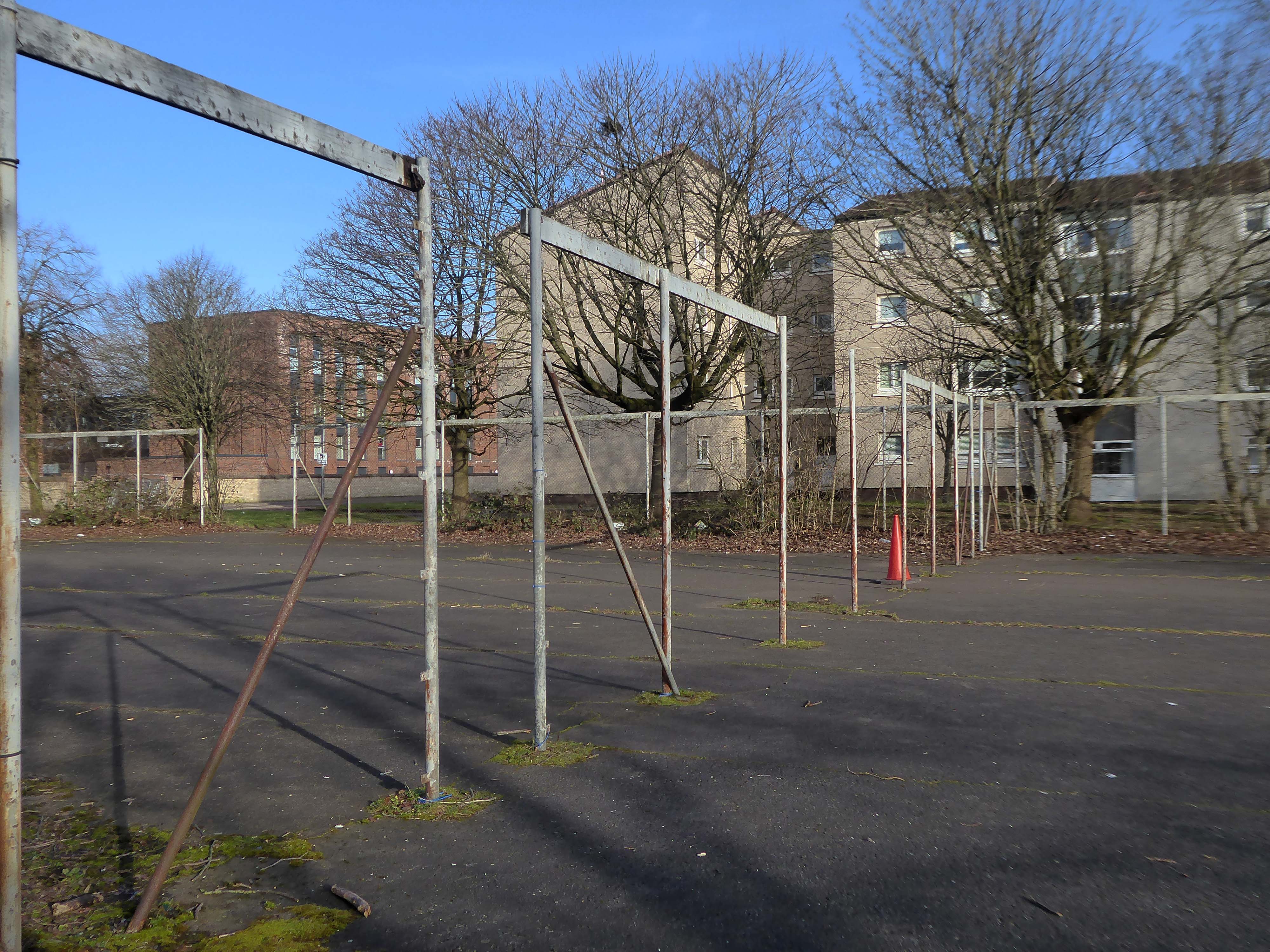
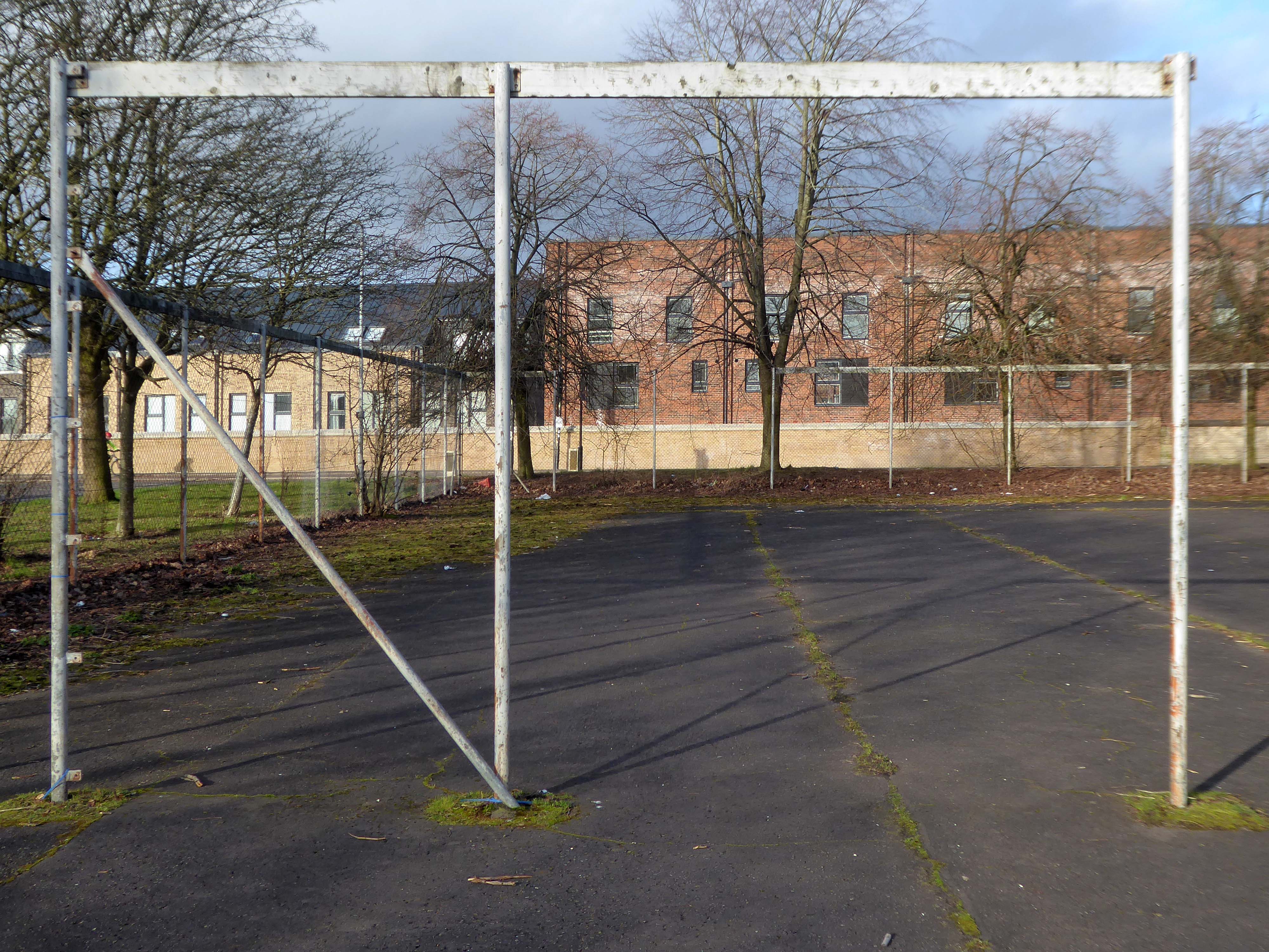
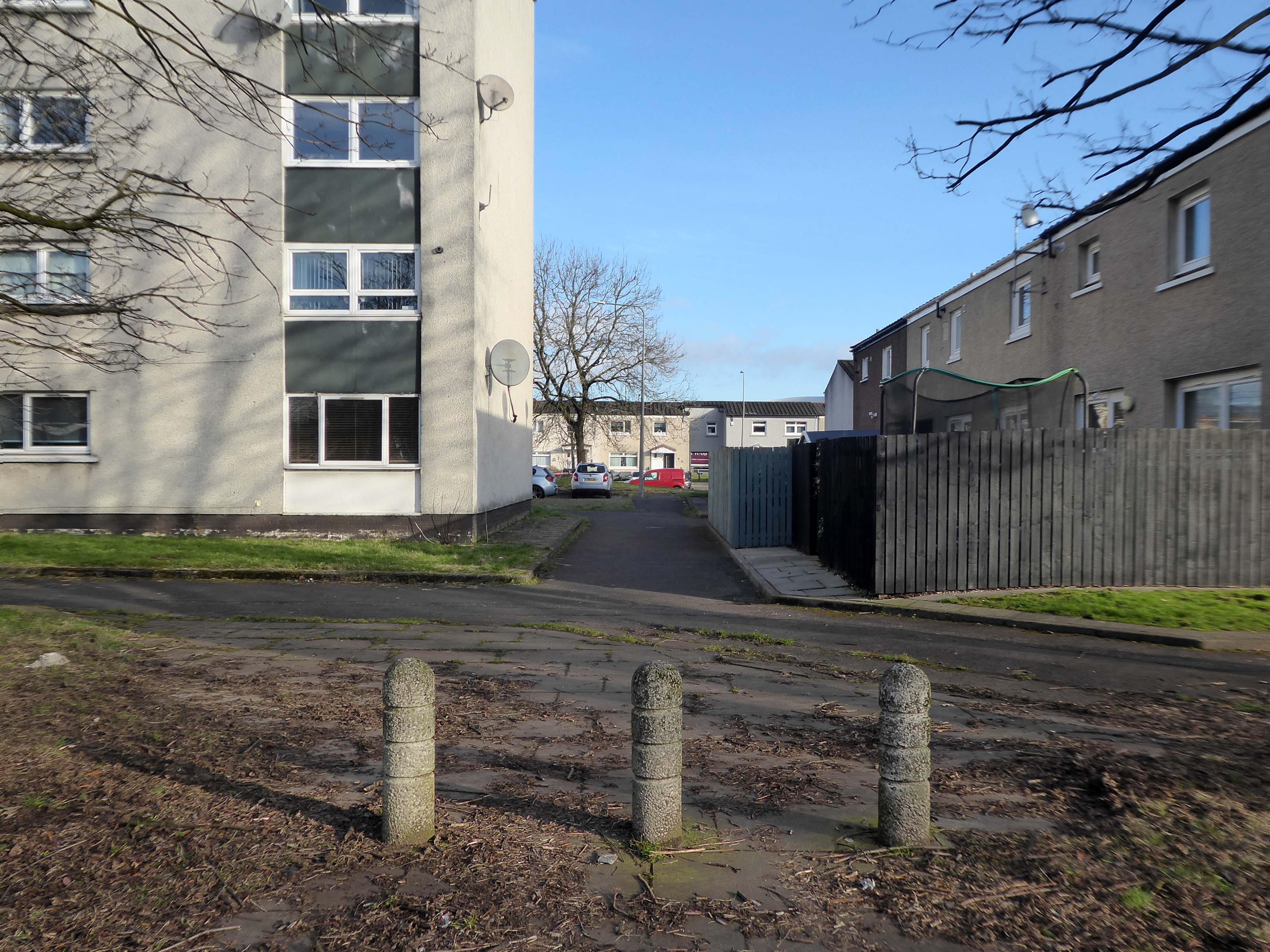
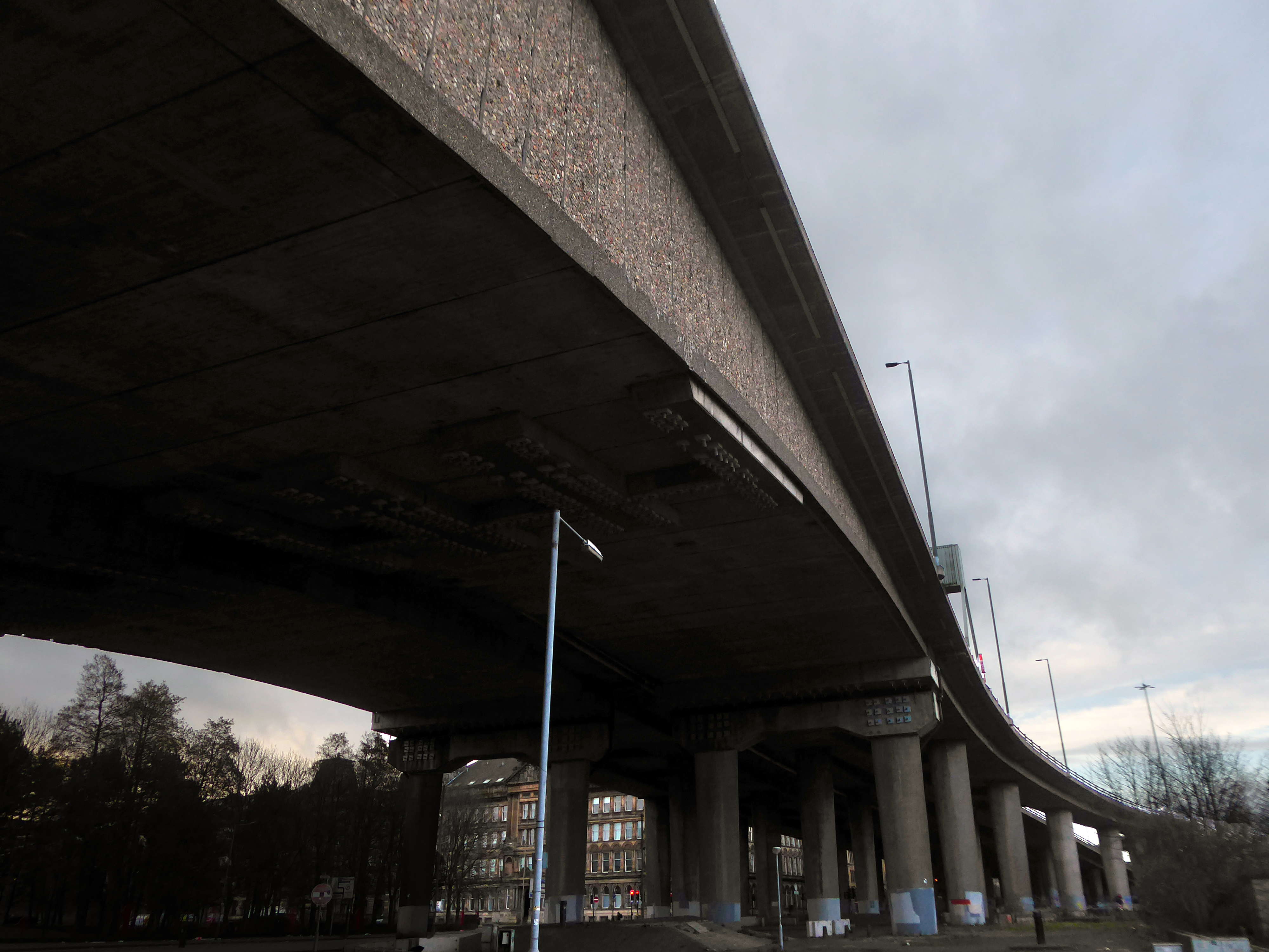
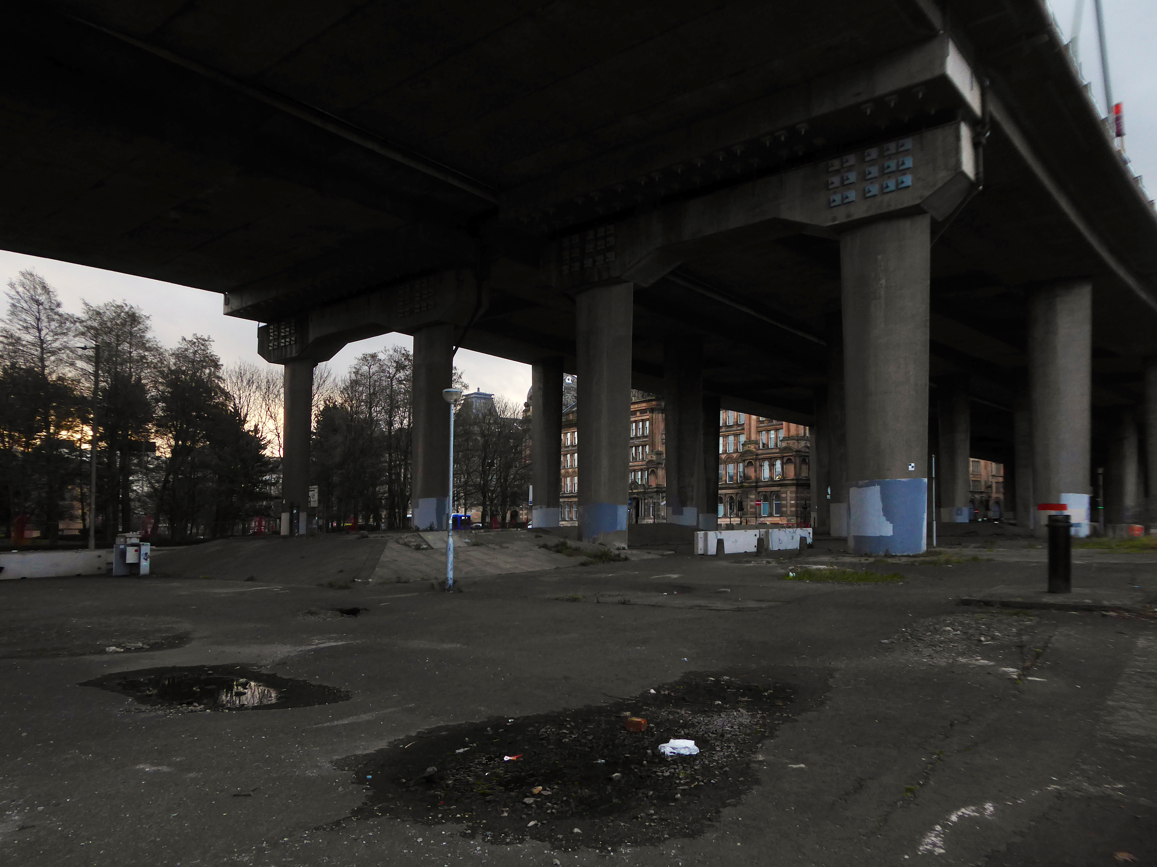
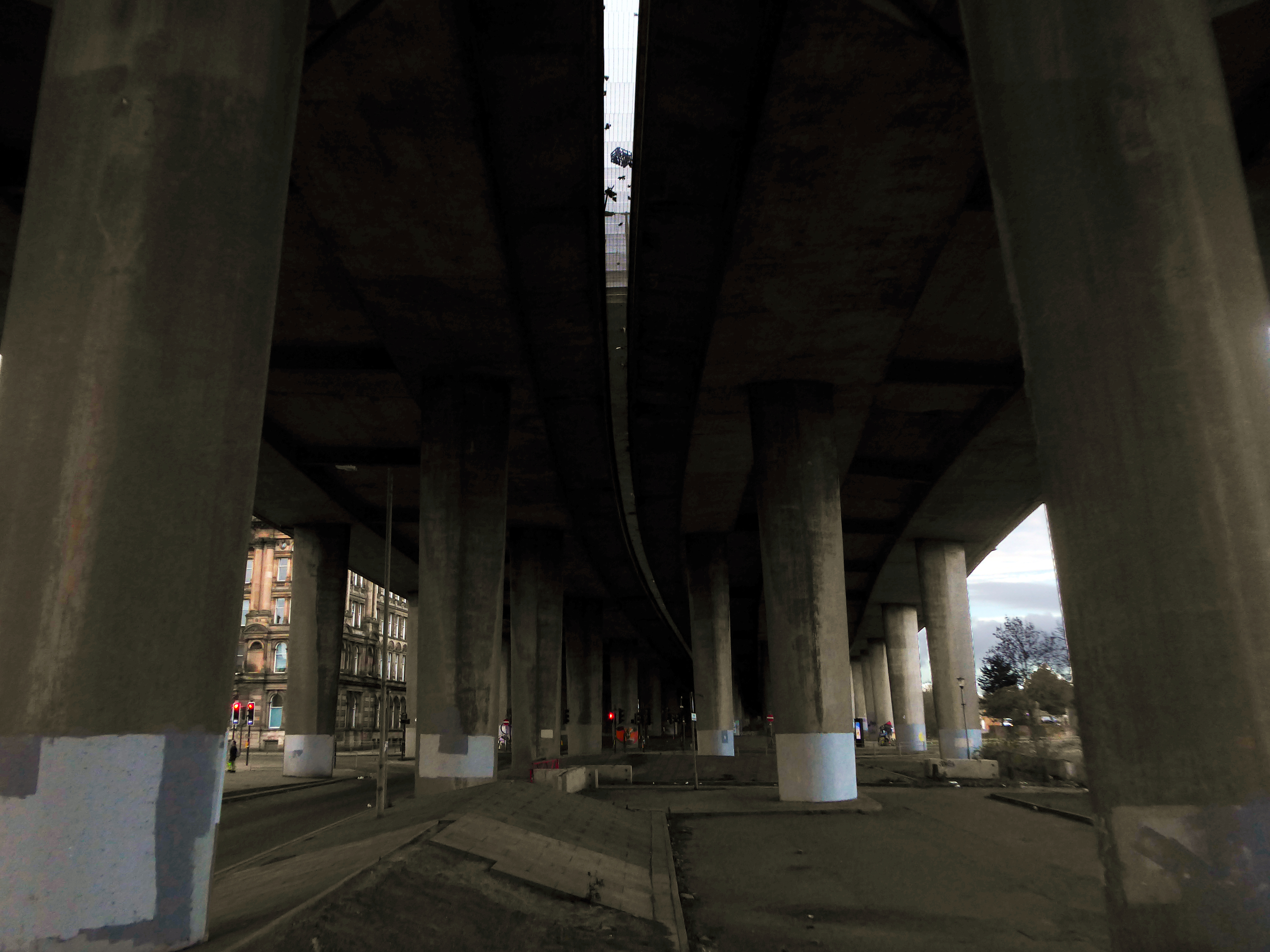
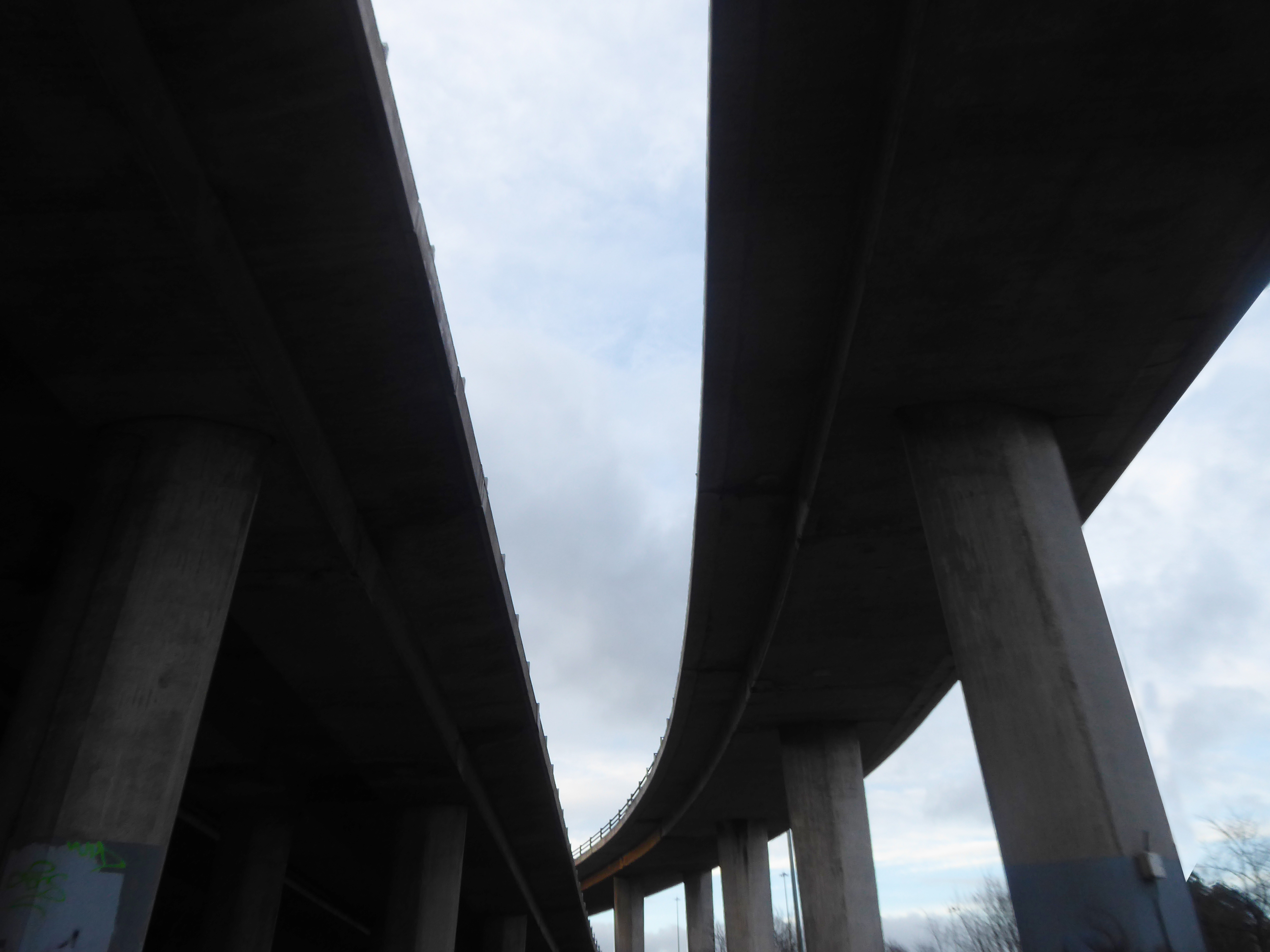
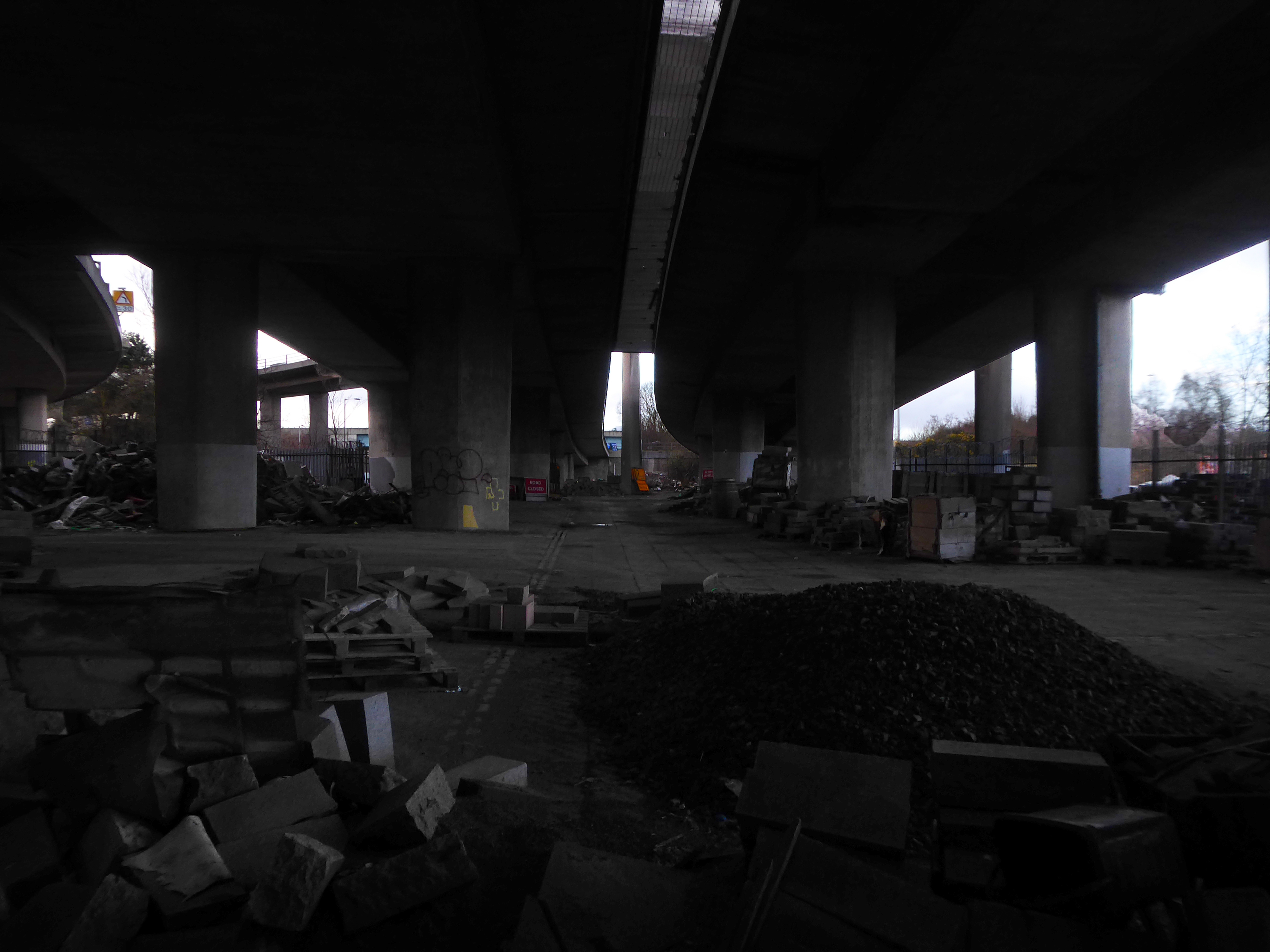
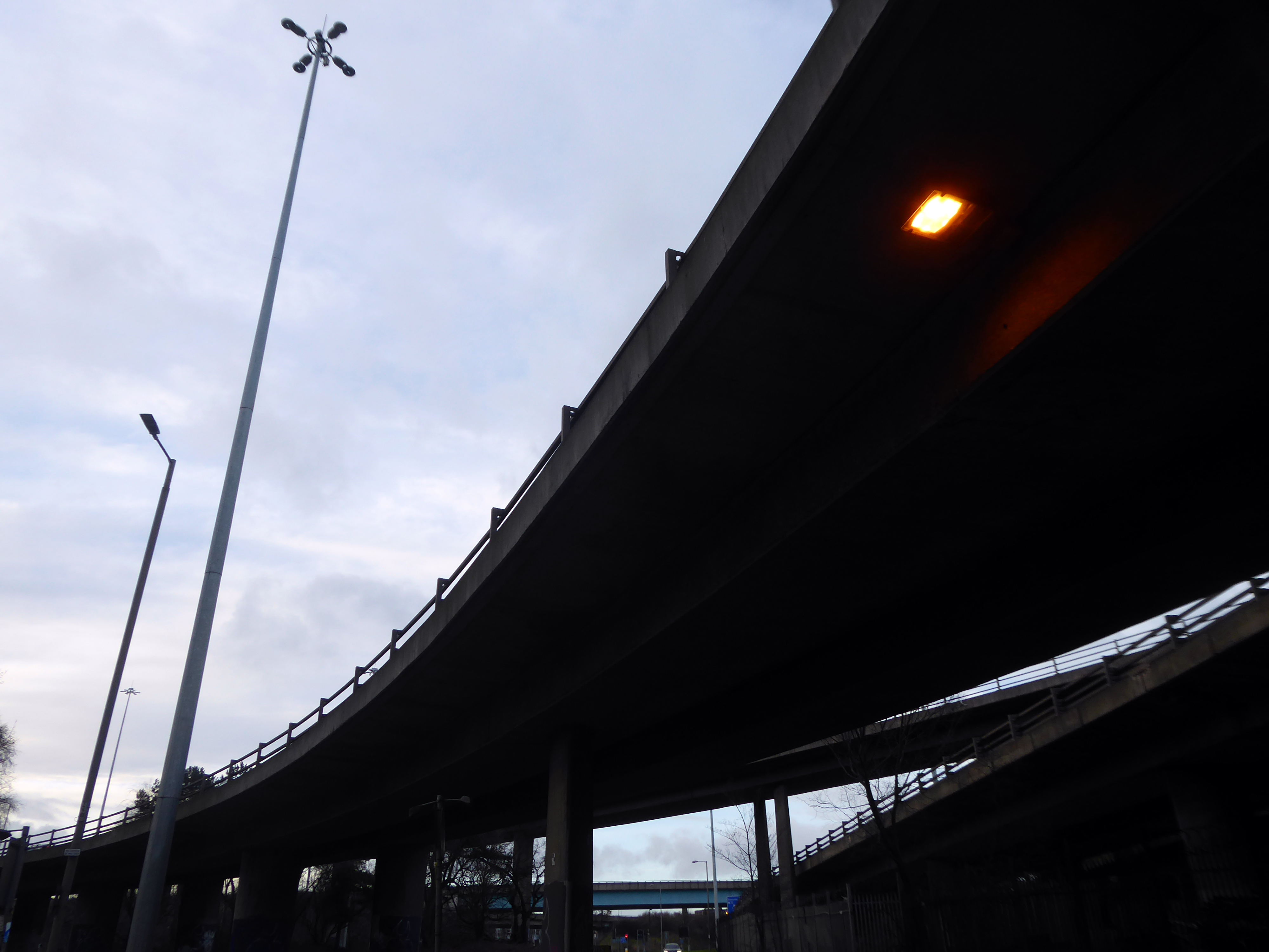
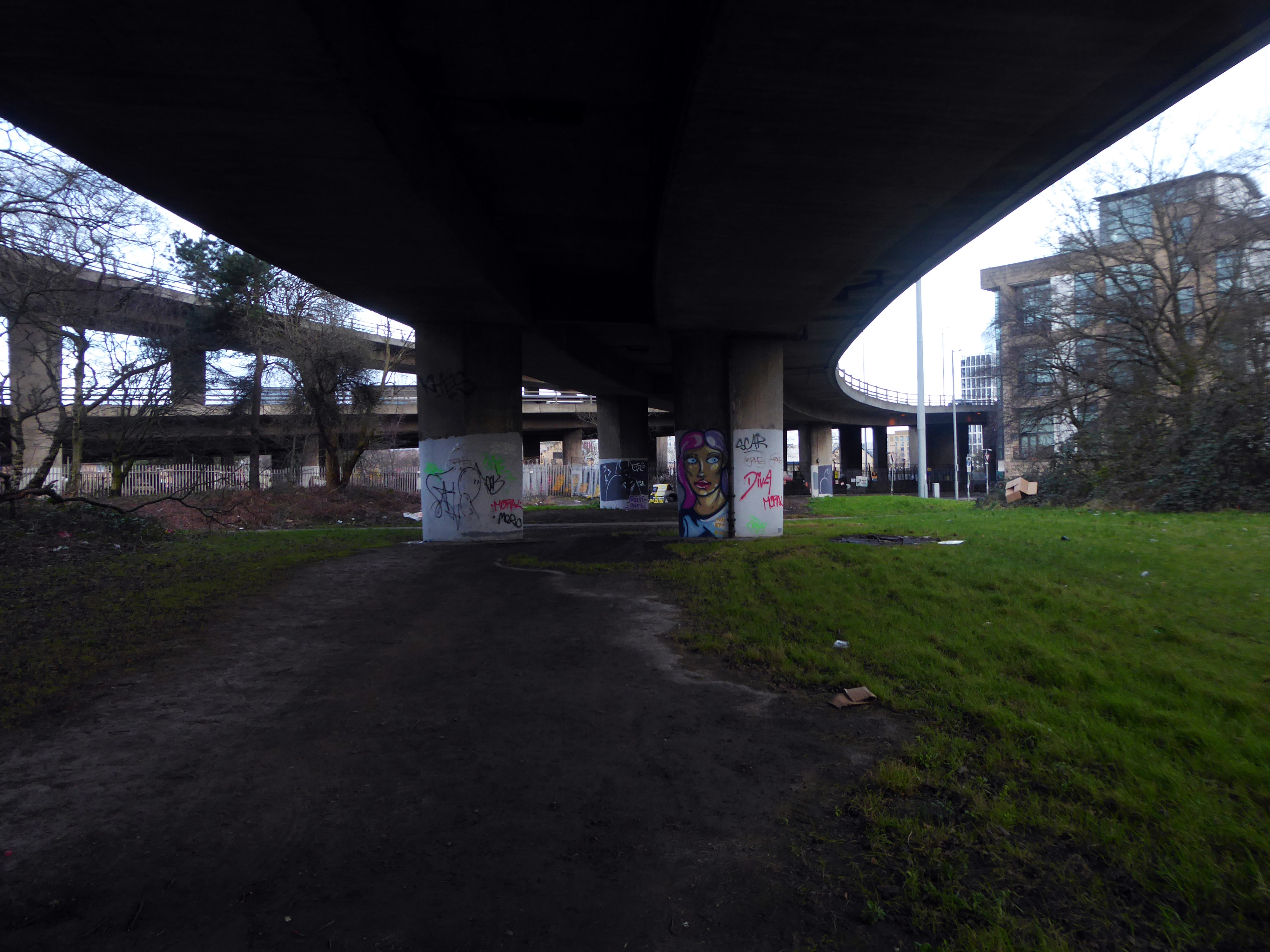
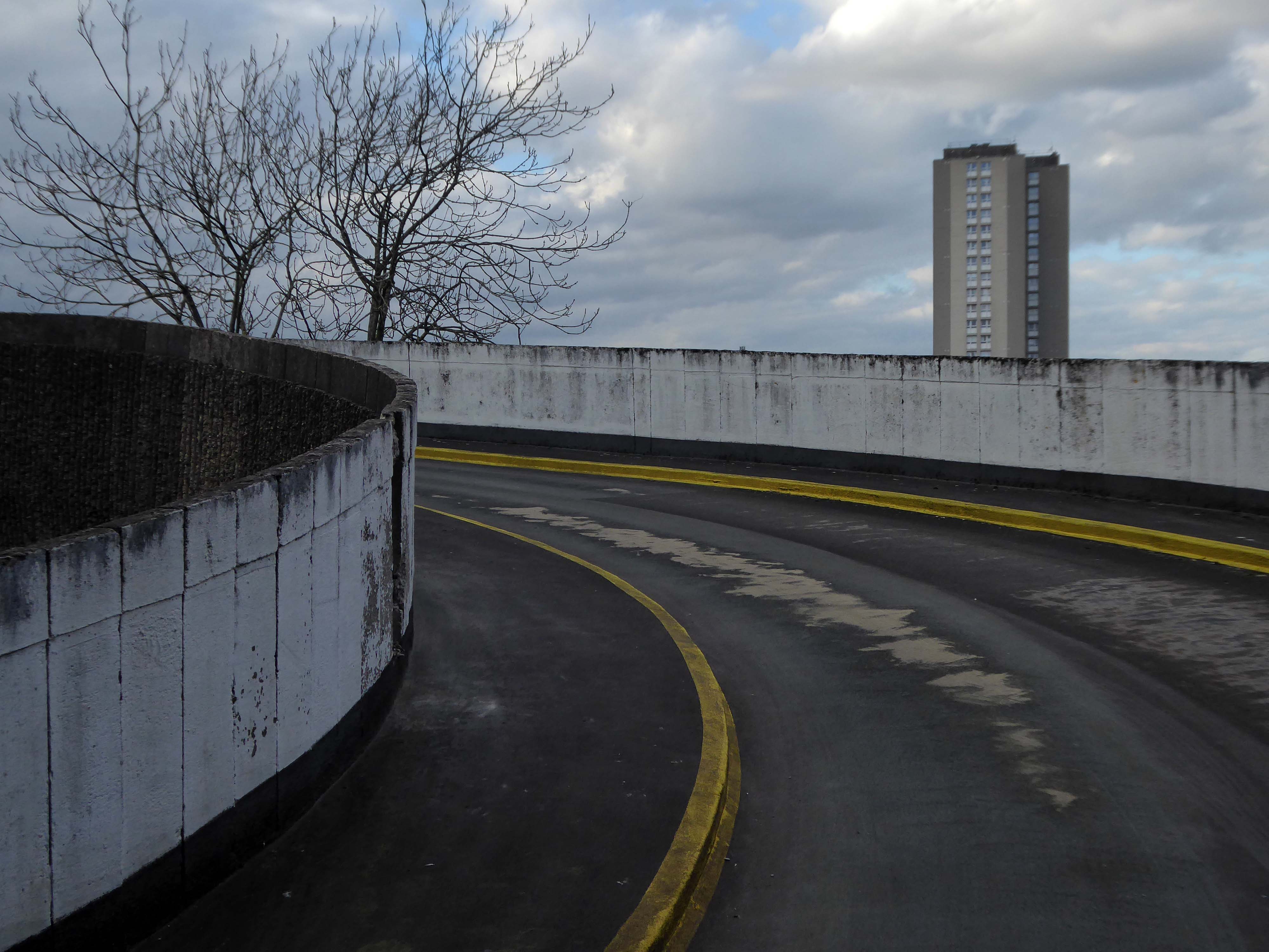
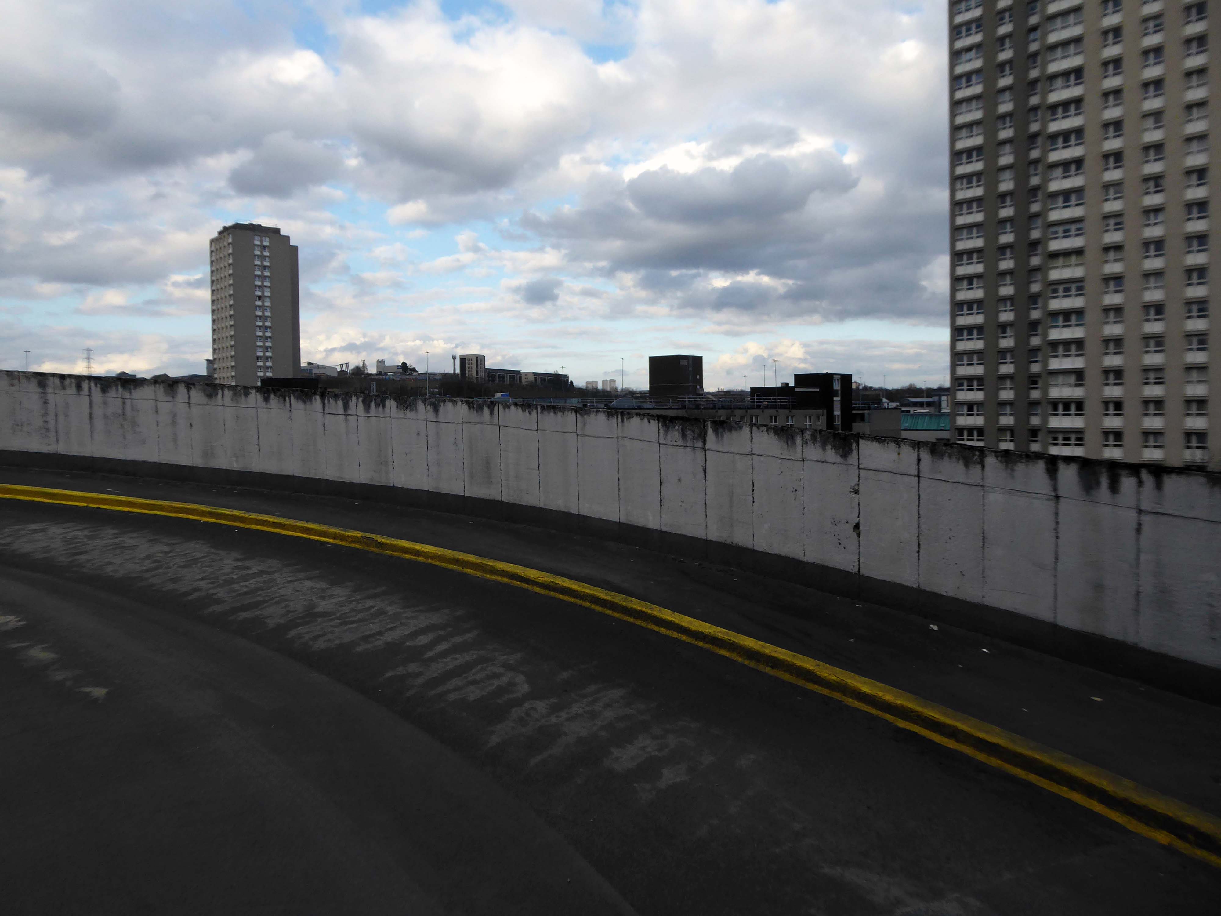
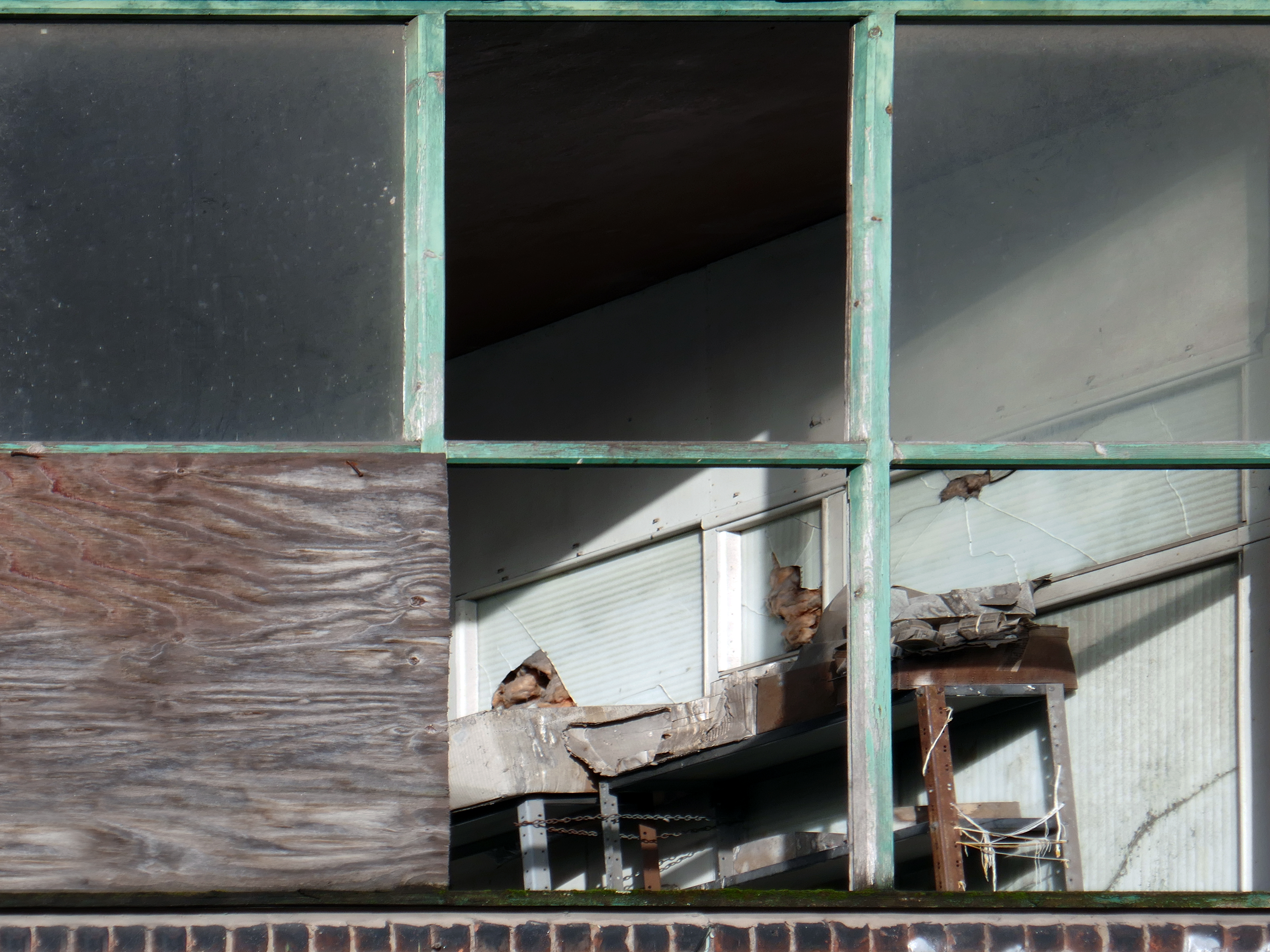
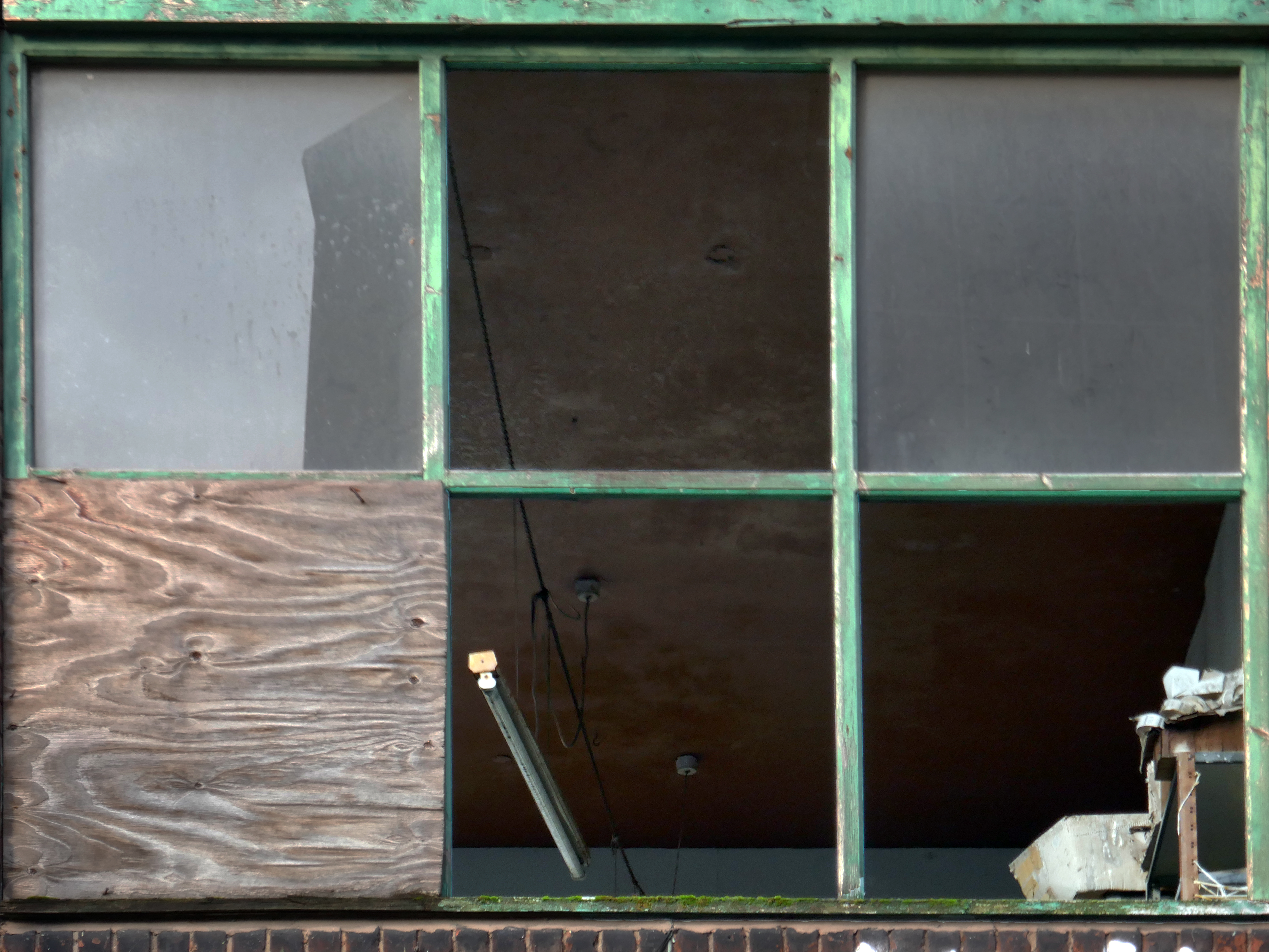
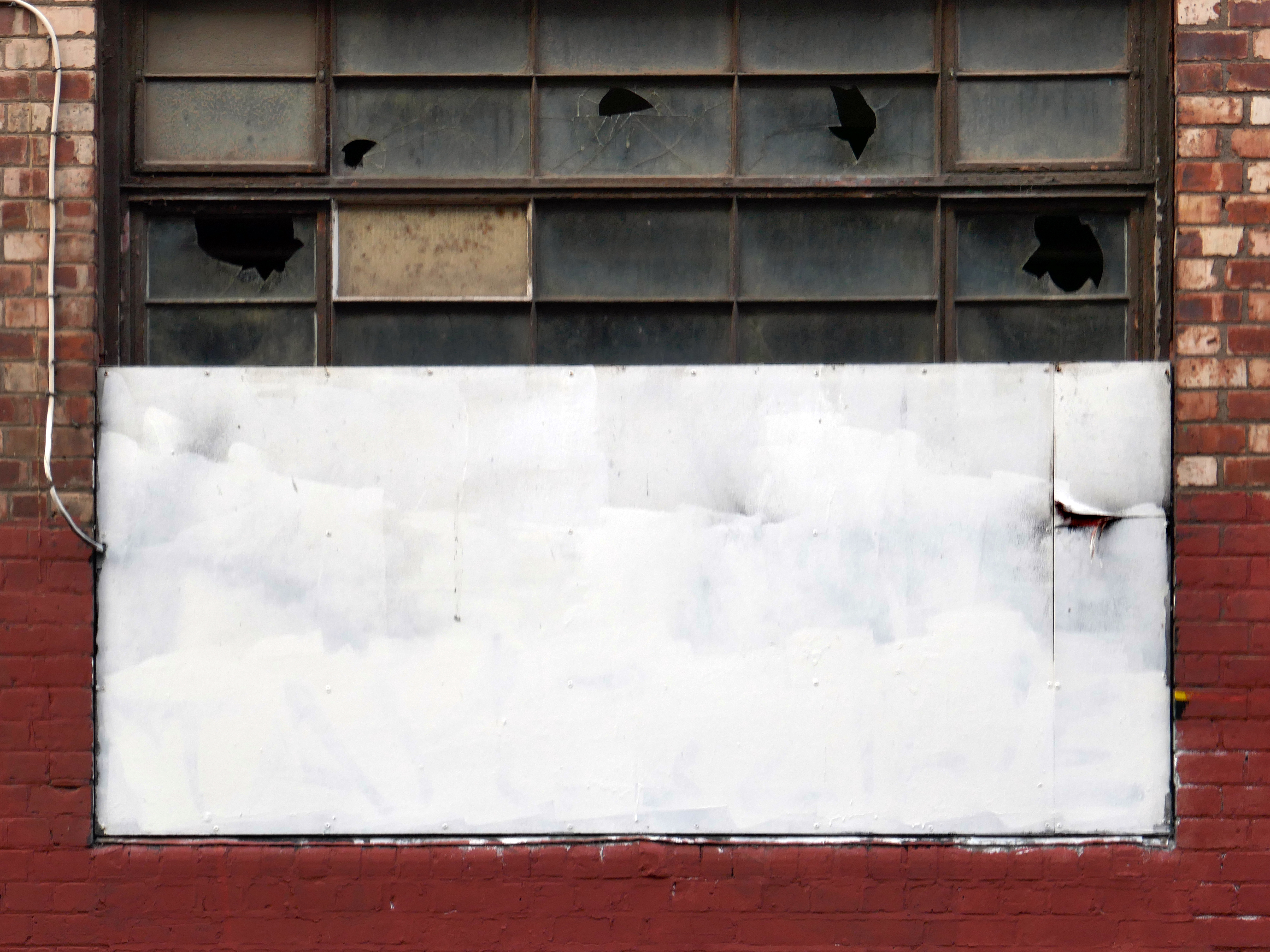
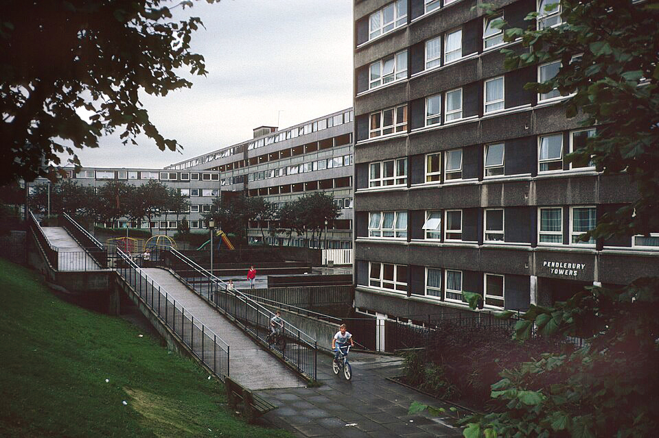
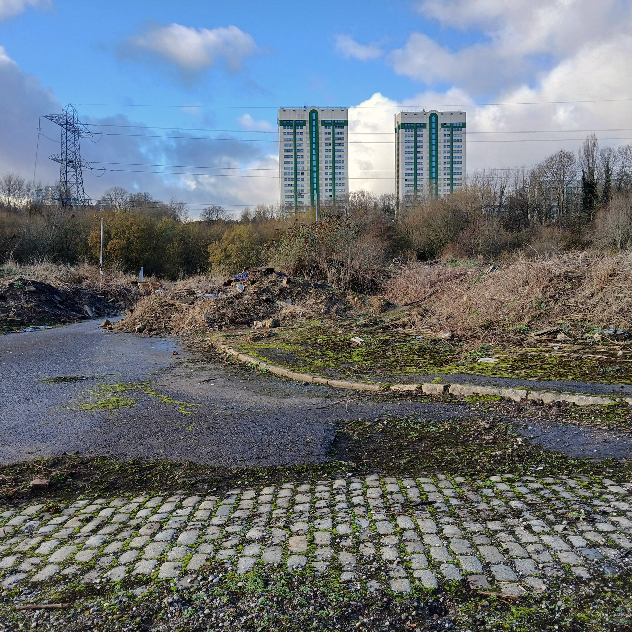
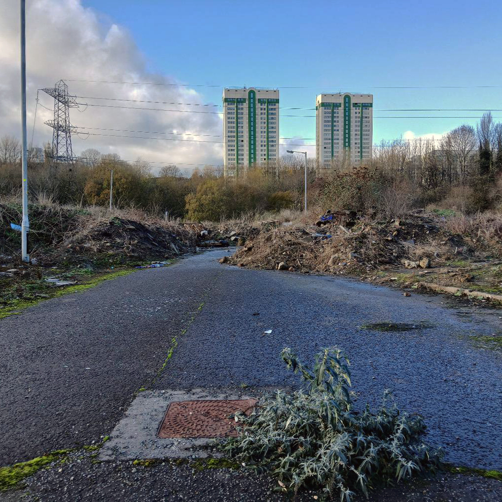
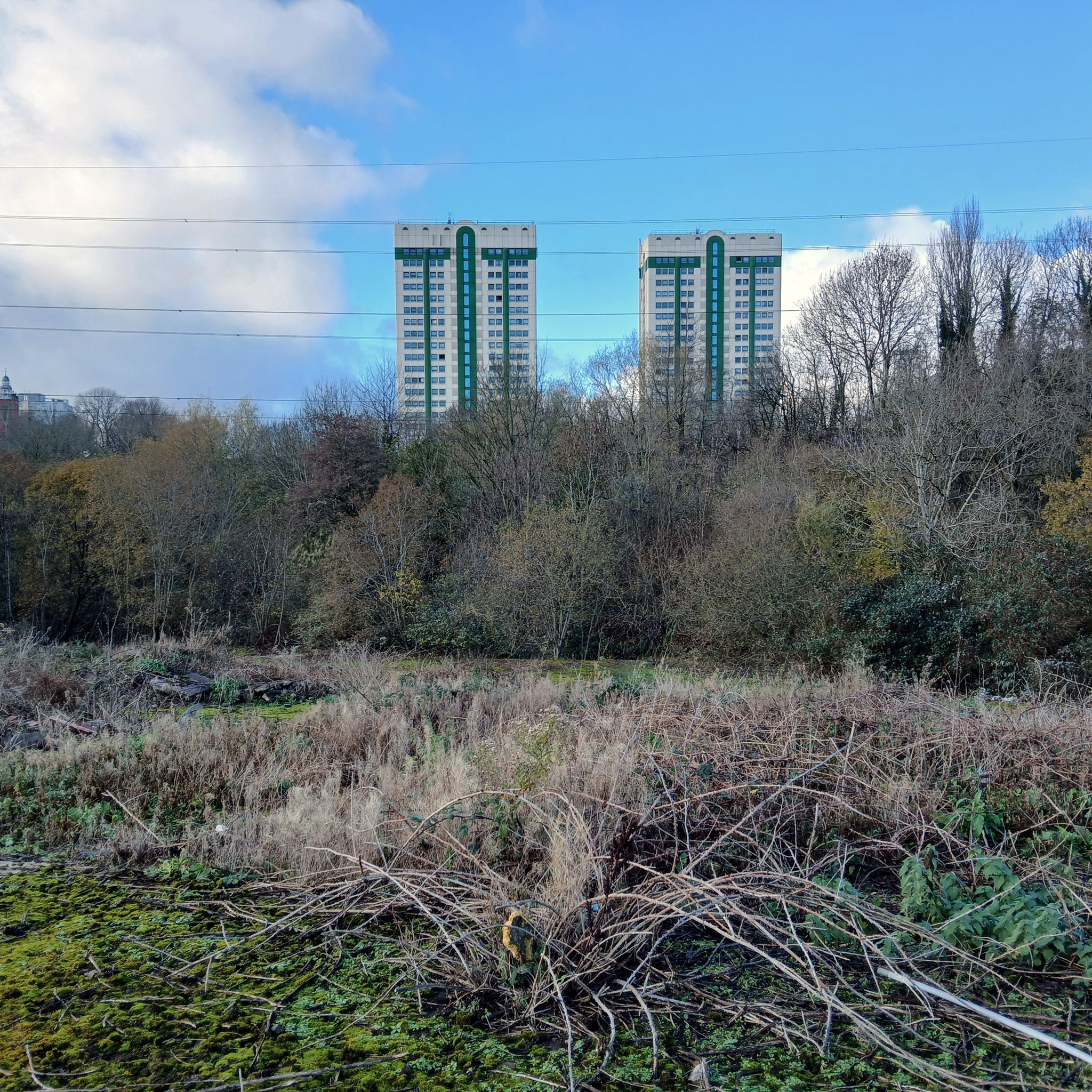
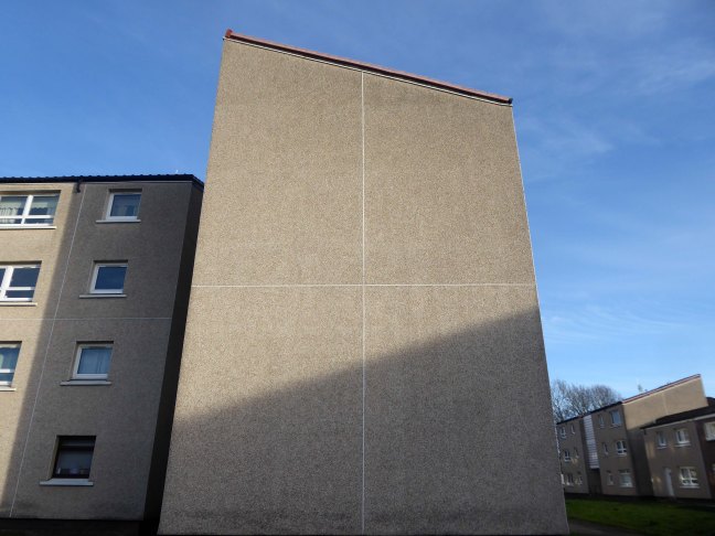
I was walking through the area in March 2023 one quite quiet morning, and attracted by the neat rows of austere grey terraces, low rise blocks and maisonettes, which have replaced the tenements.

The estate is clean and well maintained, open areas of grass criss crossed with pedestrian paths, surrounded by mature trees, motor cars have discrete parking areas.

Kingston Bridge – Glasgow

The bridge on the River Clyde – and access to the city’s motorway system.

The Kingston Bridge is a balanced cantilever dual-span ten lane road bridge made of triple-cell segmented prestressed concrete box girders crossing the River Clyde.

Carrying the M8 motorway through the city centre, the Kingston Bridge is one of the busiest bridges in Europe, carrying around 150,000 vehicles every day.

The bridge was first proposed in 1945 as part of the Glasgow Inner Ring Road scheme. After feasibility studies were carried out, William Fairhurst was appointed consulting engineer for the design of the bridge and its approaches and on 15 May 1967 construction began; this was a joint venture between Duncan Logan Construction Ltd and Marples Ridgway.

The eventual cost was £2.4m excluding the approach viaducts or around £11m in total.

On 26 June 1970 Kingston Bridge was opened by Queen Elizabeth the Queen Mother.

Wikipedia

I was lodging nearby and spent an hour one morning in March 2023 taking a look around.

The Kingston Bridge was listed in 2020 by Historic Environment Scotland.

Co-operative House was the former headquarters of the Scottish Co-operative Wholesale Society and today is a mixed residential and commercial development.

There is a dubious urban myth that the fourth man in the Williamwood bank robbery, Archie McGeachy, is buried in the pillars of the bridge.

It features in the music video for the Simple Minds single – Speed Your Love to Me.

Cambridge Street Car Park – Glasgow

On the corner off Cowcaddens Road and Cambridge Street sits Cambridge Street Car Park.

In March 2024 I was wandering around in search of nothing in particular when I found something particular, in car park form.

Parkopedia

It does have a spiral ramp access – so I took that route to the top deck.

46 Marshall Street – New Cross

In 1807 there is no Marshall Street, by 1813 there is.

Where it remains until this very day.

Manchester Historical Maps

This building has always intrigued me, its sits amongst what was formerly the heart of Manchester’s Rag Trade. It is an area of signs and lost industry, the comings and goings having been and gone.

It formed part of my Manchester Type Travel.

The surrounding buildings are gradually being refurbished or replaced, but somehow 46 Marshall Street is bucking the trend, though at some point someone somewhere will find over £750,000.

Gradually its wooden framed windows become the poked out eyes of its soul.

Light fittings hang limp and unlit, as the interior decor deteriorates.

The restless rust inhabits the lower metallic fenestration.

Block work blocks the blocked up entrances.

The ampersand can be traced back to the 1st century AD and the old Roman cursive, in which the letters E and T occasionally were written together to form a ligature.

Wikipedia

Portwood 2025

A chaotic situation is always deliberately produced. Ask yourself who or what sort of creature could benefit from such a situation. 

William S Burroughs – The Place of Dead Roads

We have been here before tracing the history of Portwood, also, once upon a time finding a lost photo album. returning in 2021 to take a look around.

To the west of the site the tower blocks of Lancashire Hill two twenty two storey blocks containing one hundred and ninety eight dwellings.

View of Pendlebury Towers and Stonemill Terrace, original Commissioning Authority: Stockport County Borough Council

1987

Tower Block UK

Below the flats of Lancashire Hill the River Tame, which meets with the River Goyt to from the River Mersey.

To the south the Manchester Outer Ring RoadM60.

The boundary completed by Tesco Extra and a Porsche Dealership.

We can see the remains of the road system of this former industrial site, now colonised by brambles and greenery, the imposition of earth mounds and fly tipping.

The slow accretion of detritus and undergrowth.