A Short Walk Along The Weaver

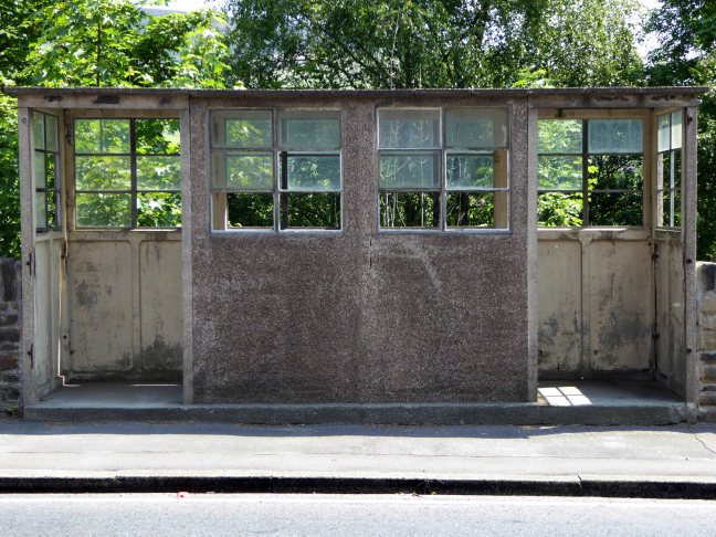
Along with my almost lifelong friend Mr Tim Rushton – I took a trip along a short stretch of the River Weaver, walking from east to west.

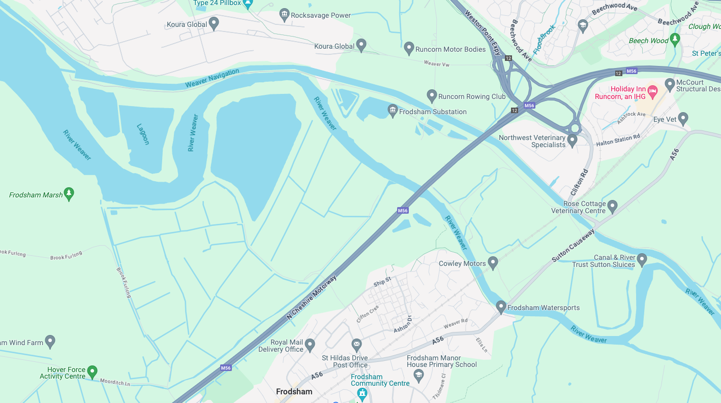
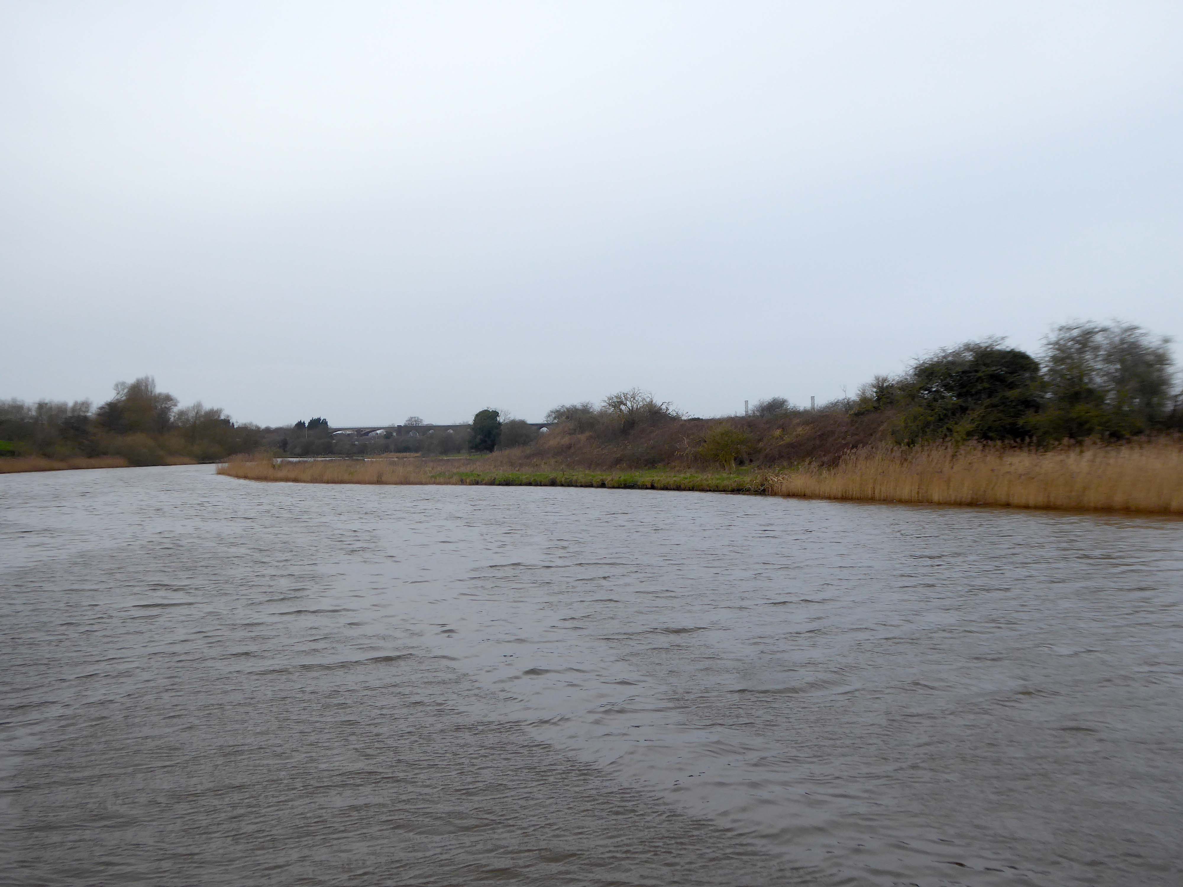
River Weaver – rising on the boundary between the counties of Shropshire and Cheshire and then flowing 45 miles north to reach the Irish Sea estuary of the River Mersey to the west of Runcorn.

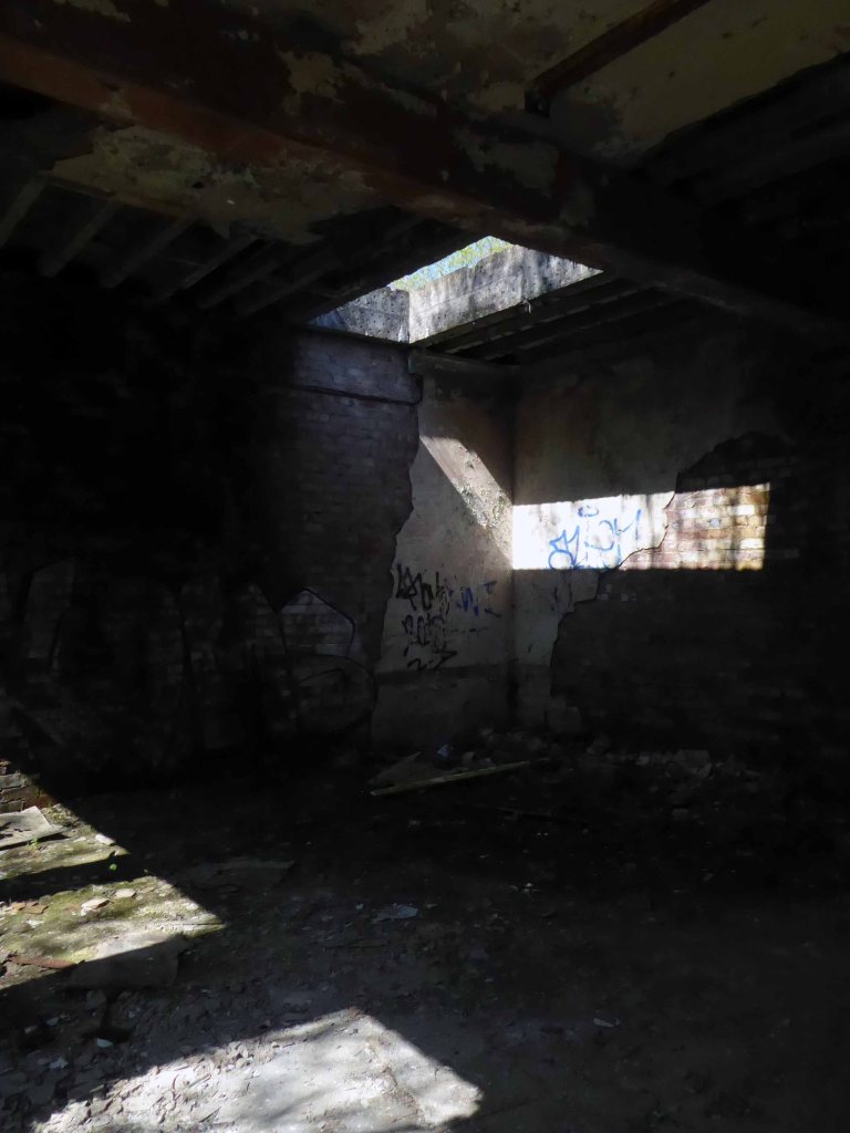
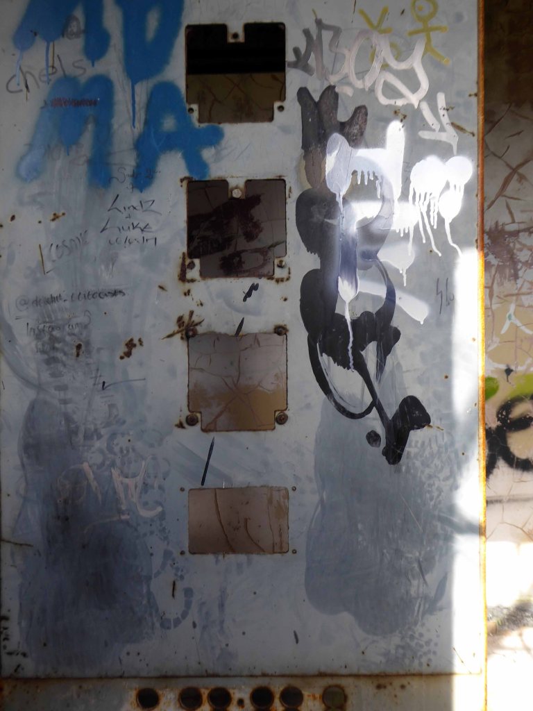
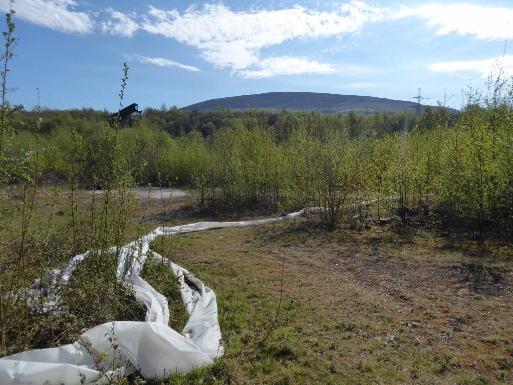
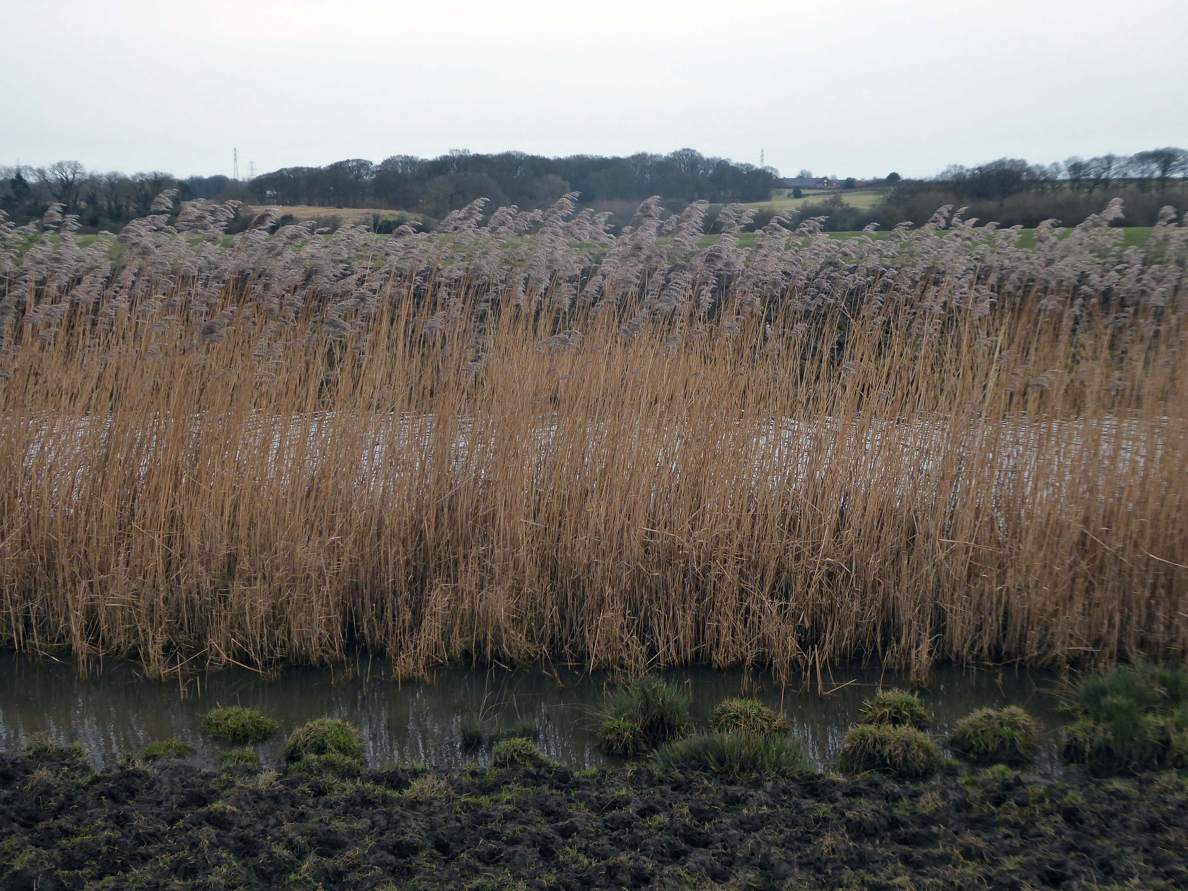
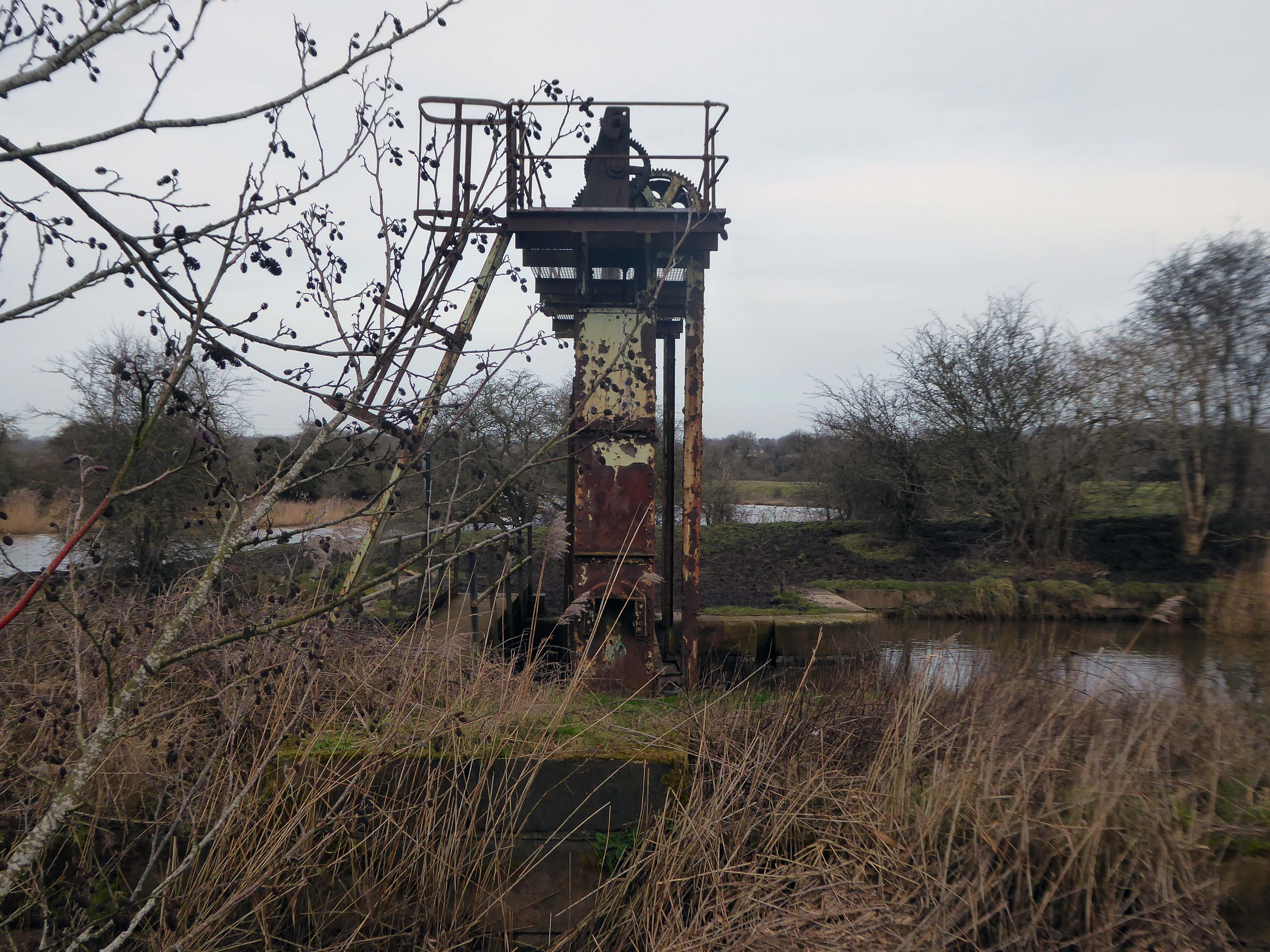
Below Winsford, the course of the river has been altered several times, by the construction of cuts and locks, to enable small ships to trade on it. The river formerly joined the River Mersey at Weston Marsh, but since the construction of the Manchester Ship Canal, begun in 1887, it has flowed into the canal, from where surplus water enters the Mersey by the Weaver sluices, just upstream of the junction. The tidal river section below Frodsham has been bypassed by the Weston Canal since 1810 and is no longer navigable, as Frodsham Lock is derelict.

Wikipedia

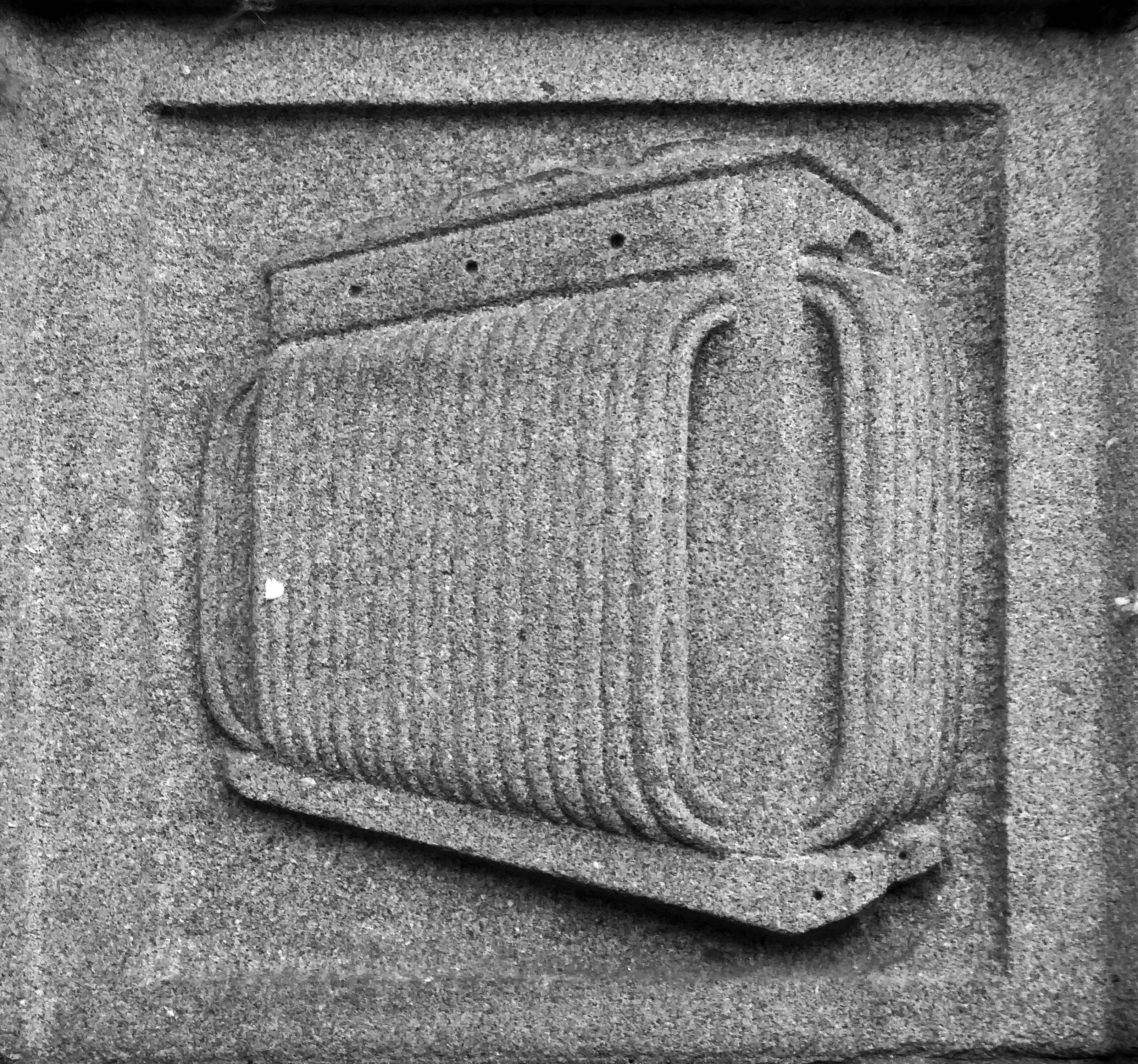
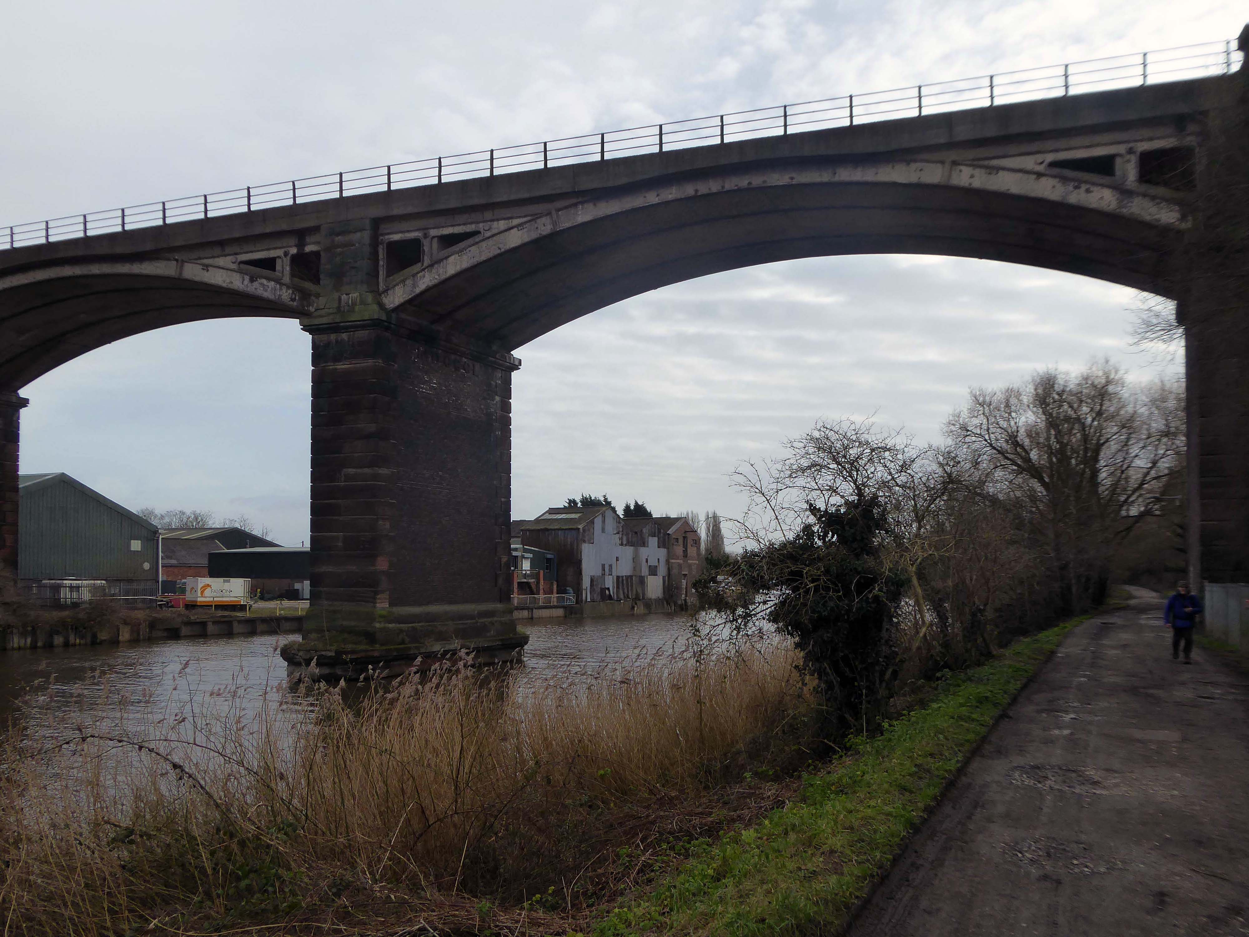
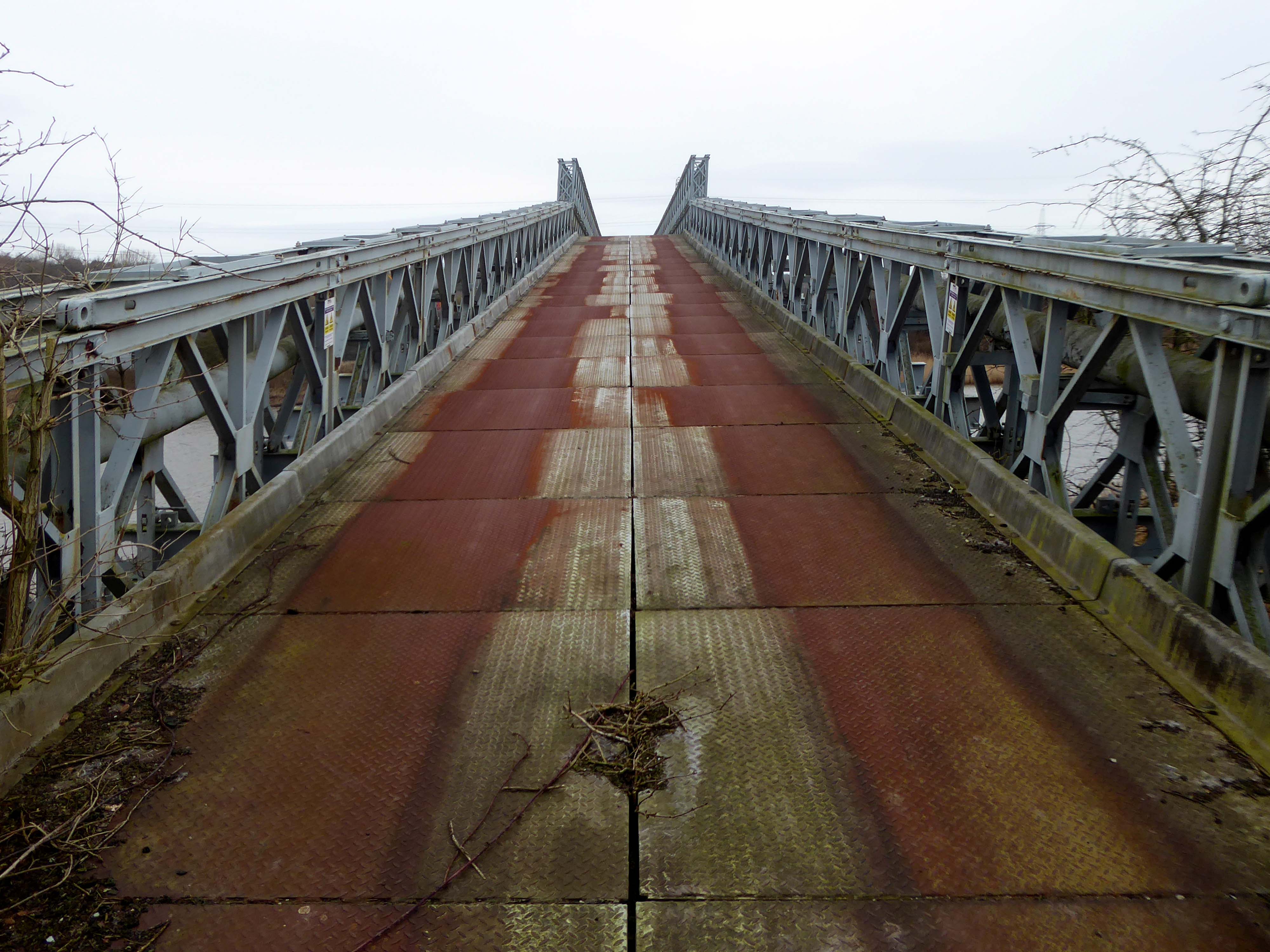
Railway viaduct over River Weaver and adjoining land by A Rendel Engineer and Thomas Brassey, contractor 1848-1850 – for Birkenhead Lancs & Cheshire Junction Railway Co.

Red sandstone, brown brick and cast iron, two segmental-arched iron spans of circa thirty metres over river; two round arches on west bank and twenty one on east bank. Piers to iron spans are rusticated tooled ashlar; the other spans have rusticated voussoirs, pier faces and quoins and rock-faced spandrels with brick reveals, cornice to iron-span piers, plainer imposts to others.

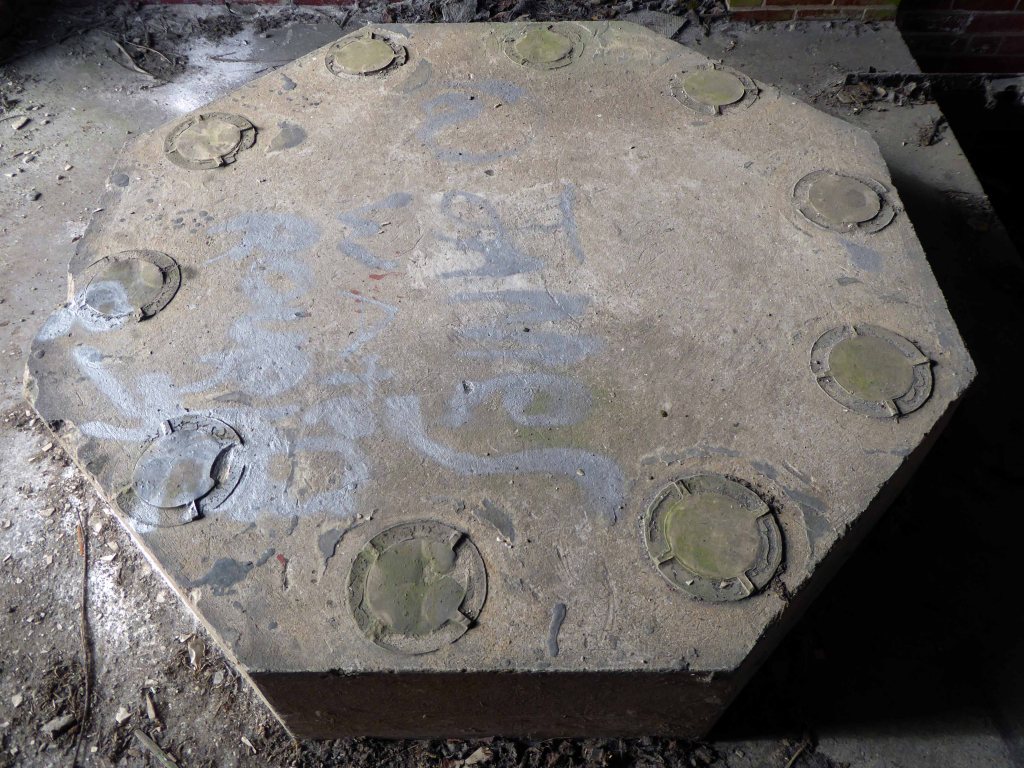
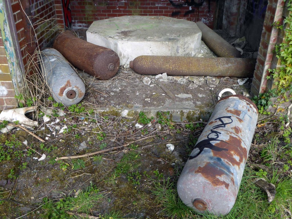
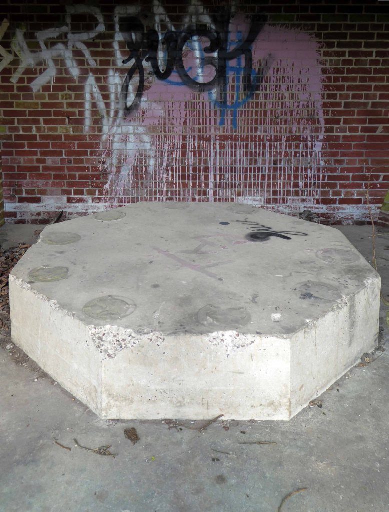
Top of central pier to river modified to take mid C20 concrete track bed.

Grade II Listed

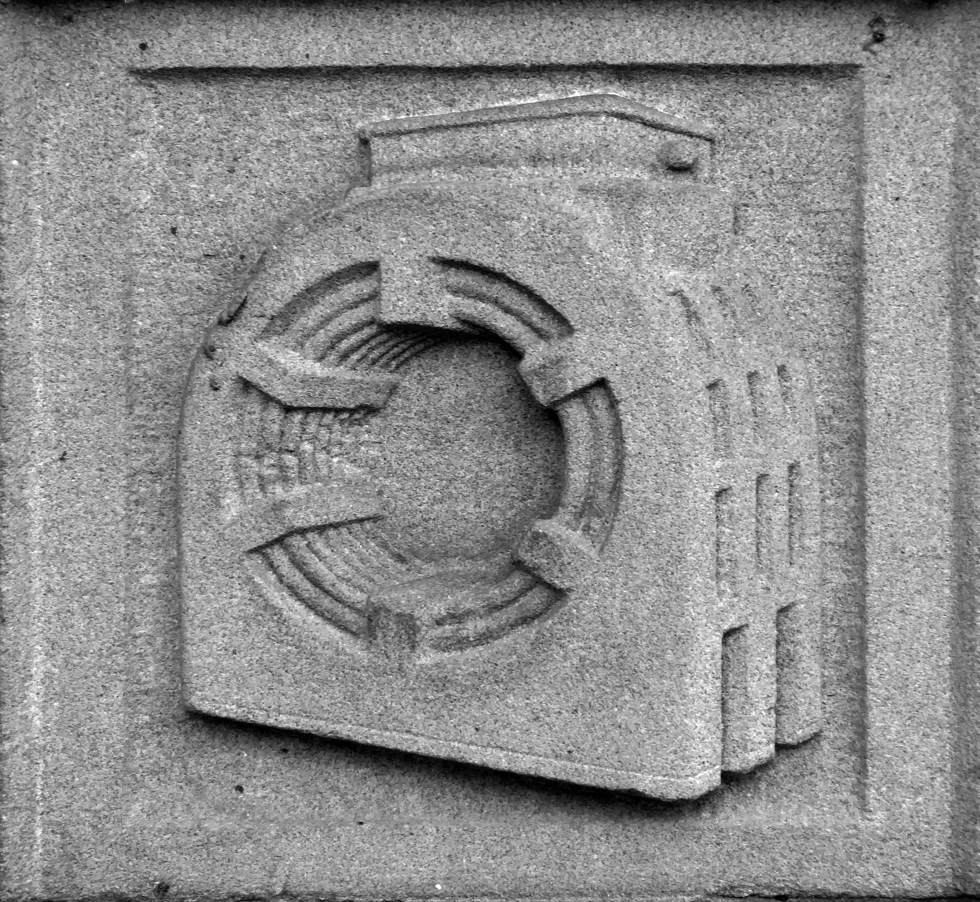
Weaver Viaduct is one of the outstanding features of M56 and its design was approved by the Royal Fine Arts Commission. The three-quarter mile of elevated motorway and approach embankments over the River Weaver and Weaver Navigation Canal opened on 21 February 1971.

Design was by Husband and Co of Sheffield – acting for Department of Environment, who also supervised the project. The contractor was Christiani Shand with a tender price of £3,146,387 in March 1968.

Work began in April 1968 – the eventual cost was put at £3.5 million.

Sabre Roads

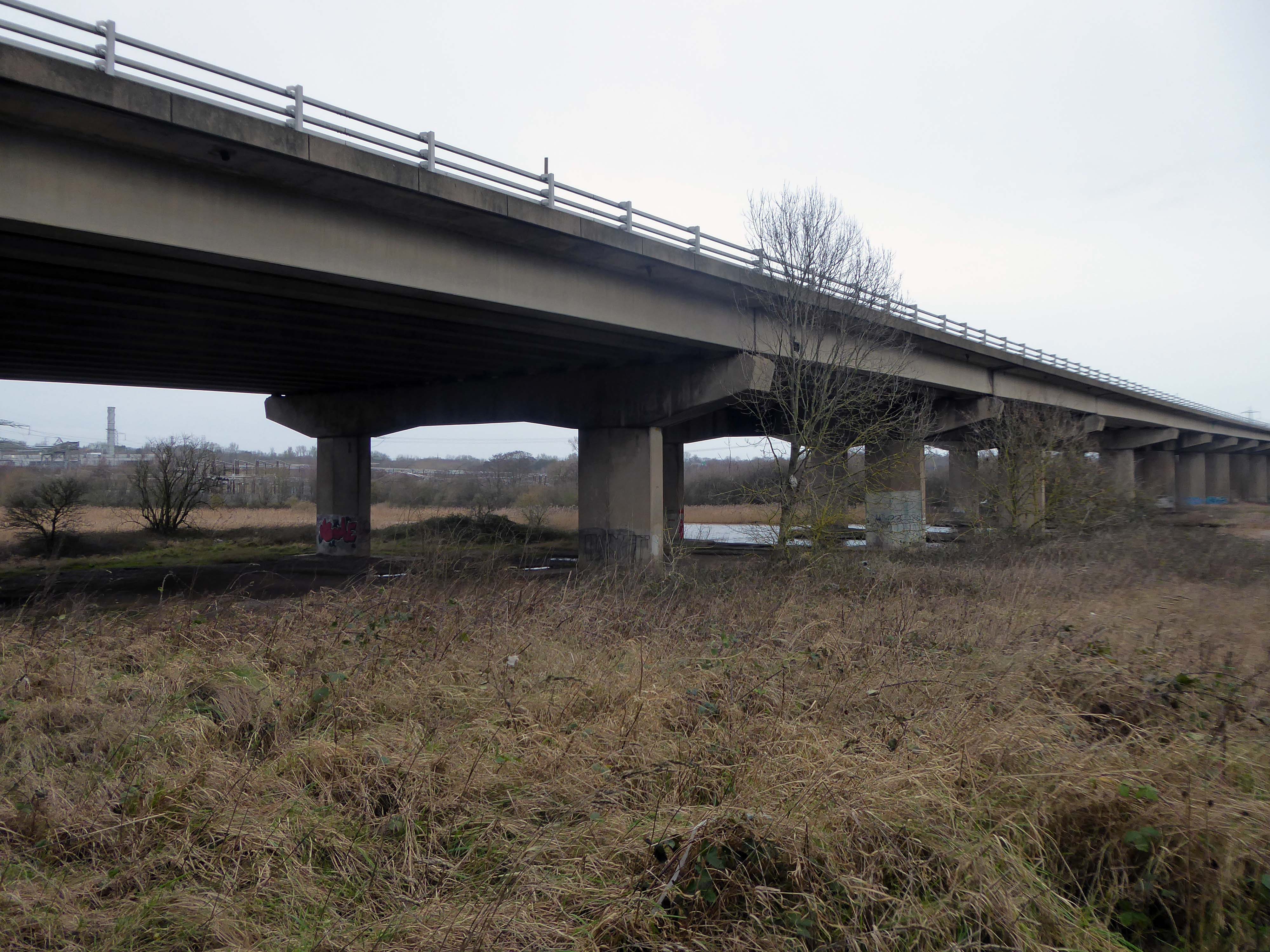
Thirty two 125-foot concrete 100-tonne beams were put into place in July 1970; the concrete beams were made by Matthews & Mumby of Windmill Lane Denton. 
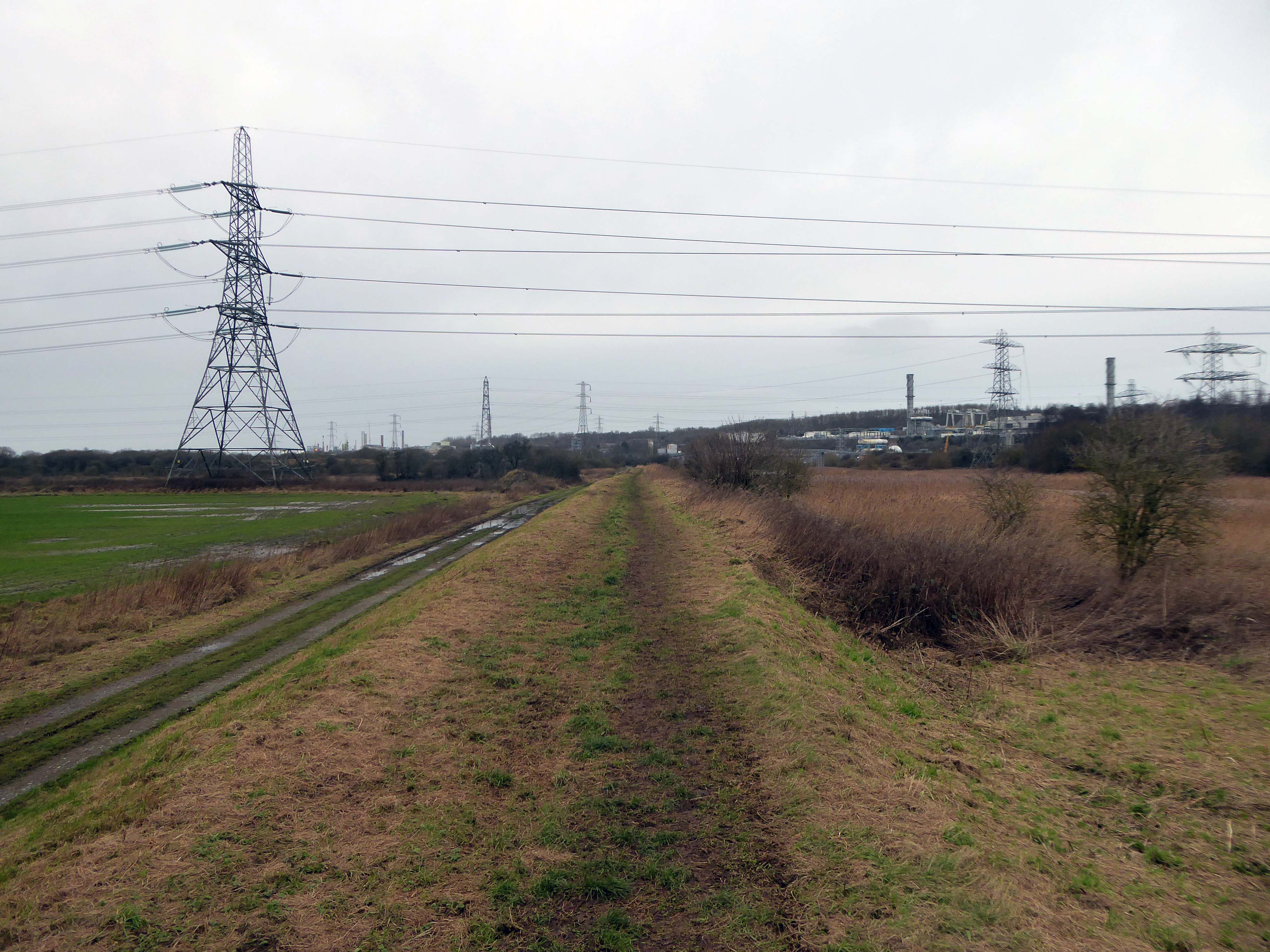
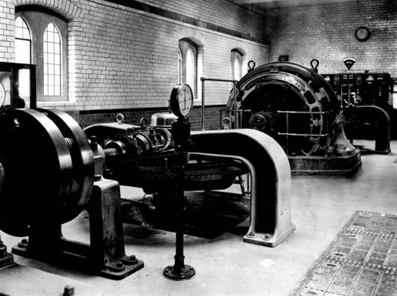
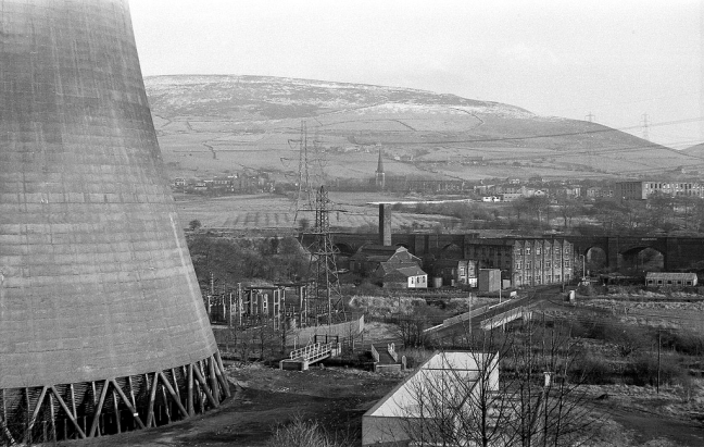
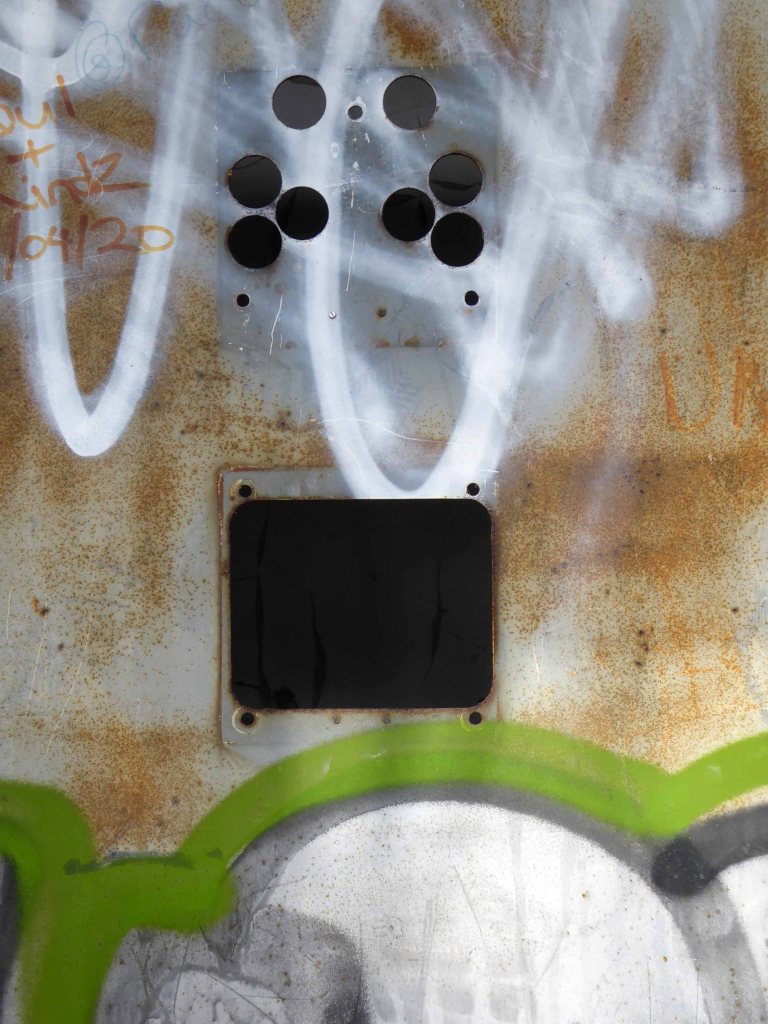
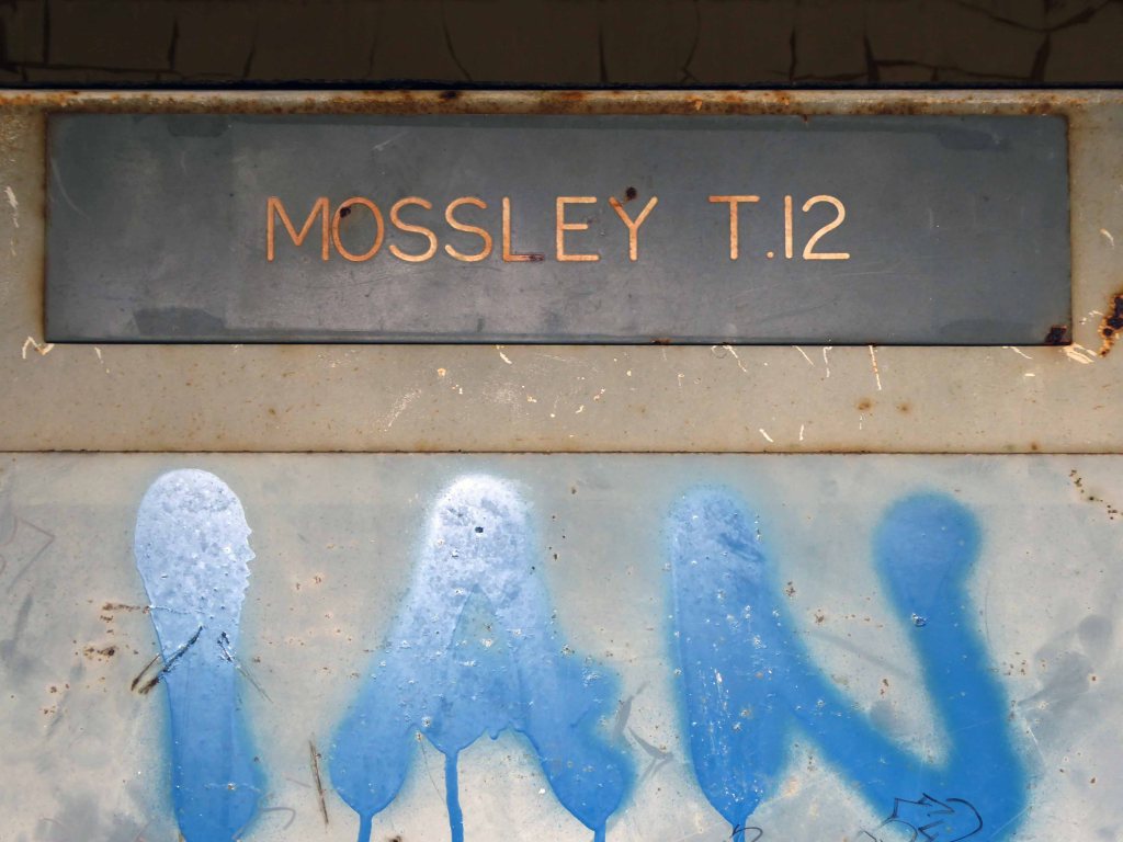
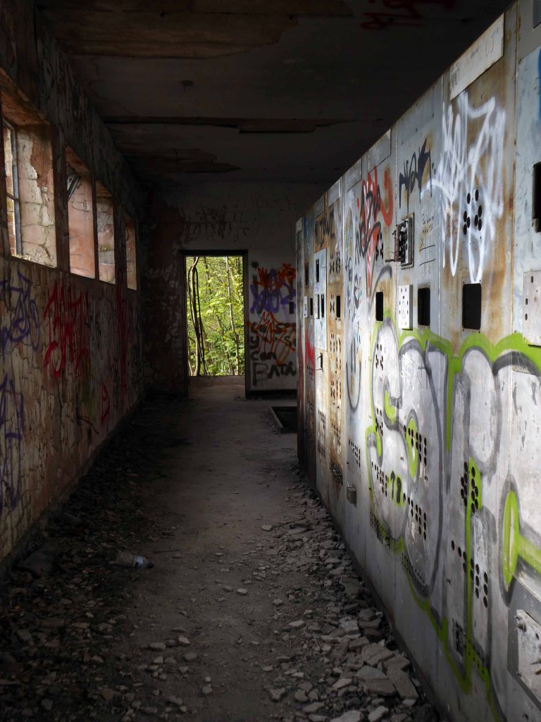
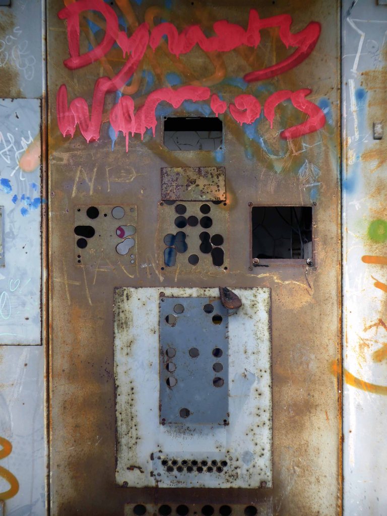
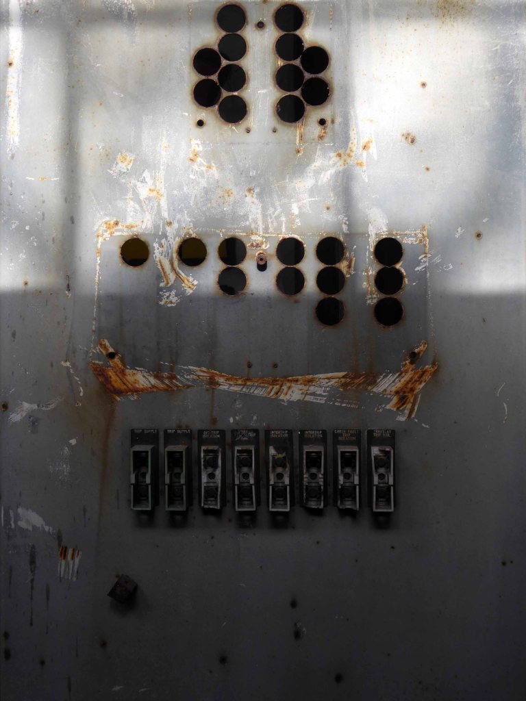
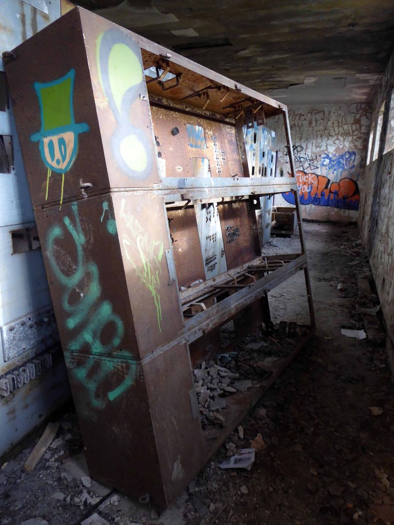
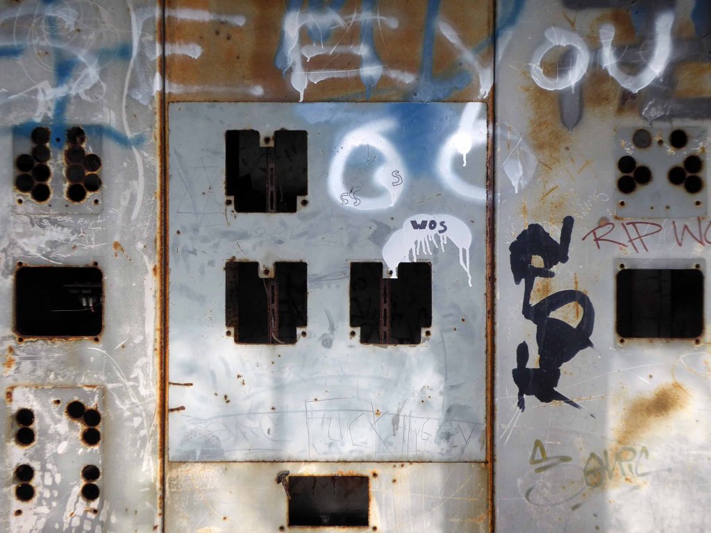
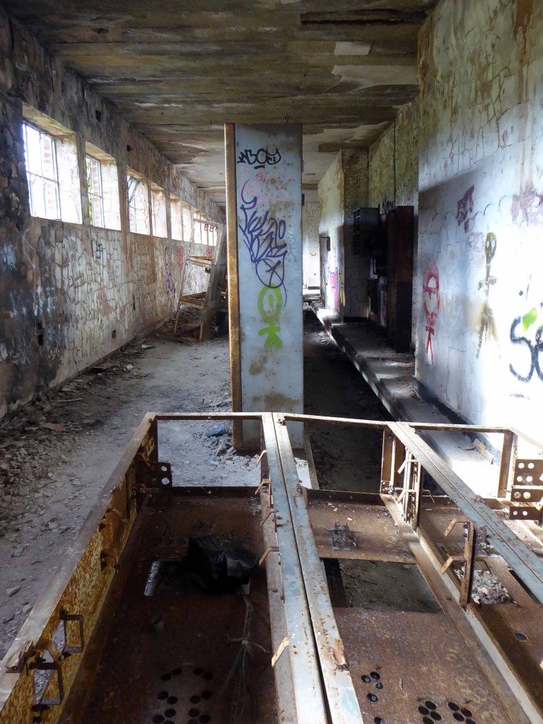
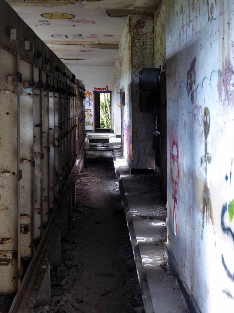
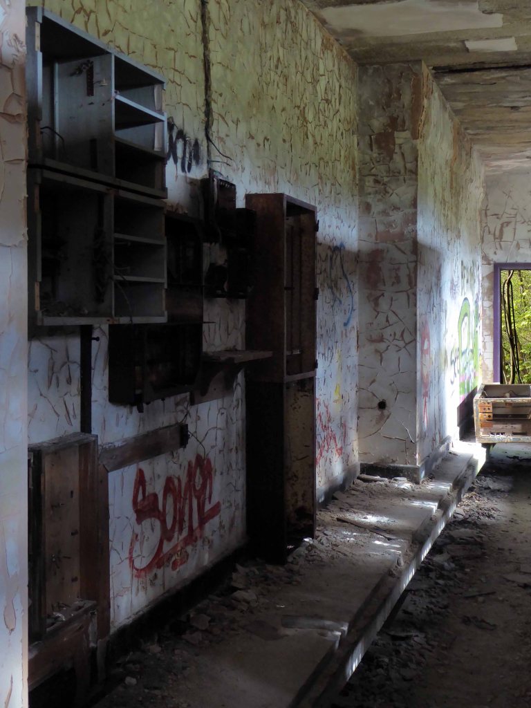
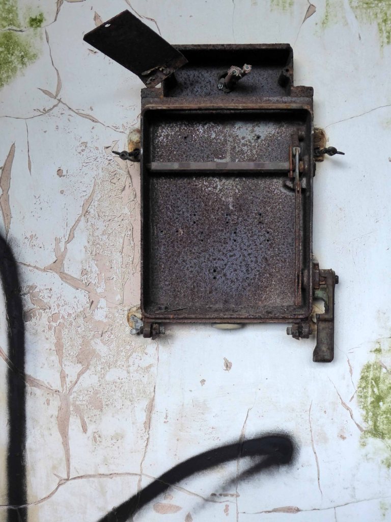
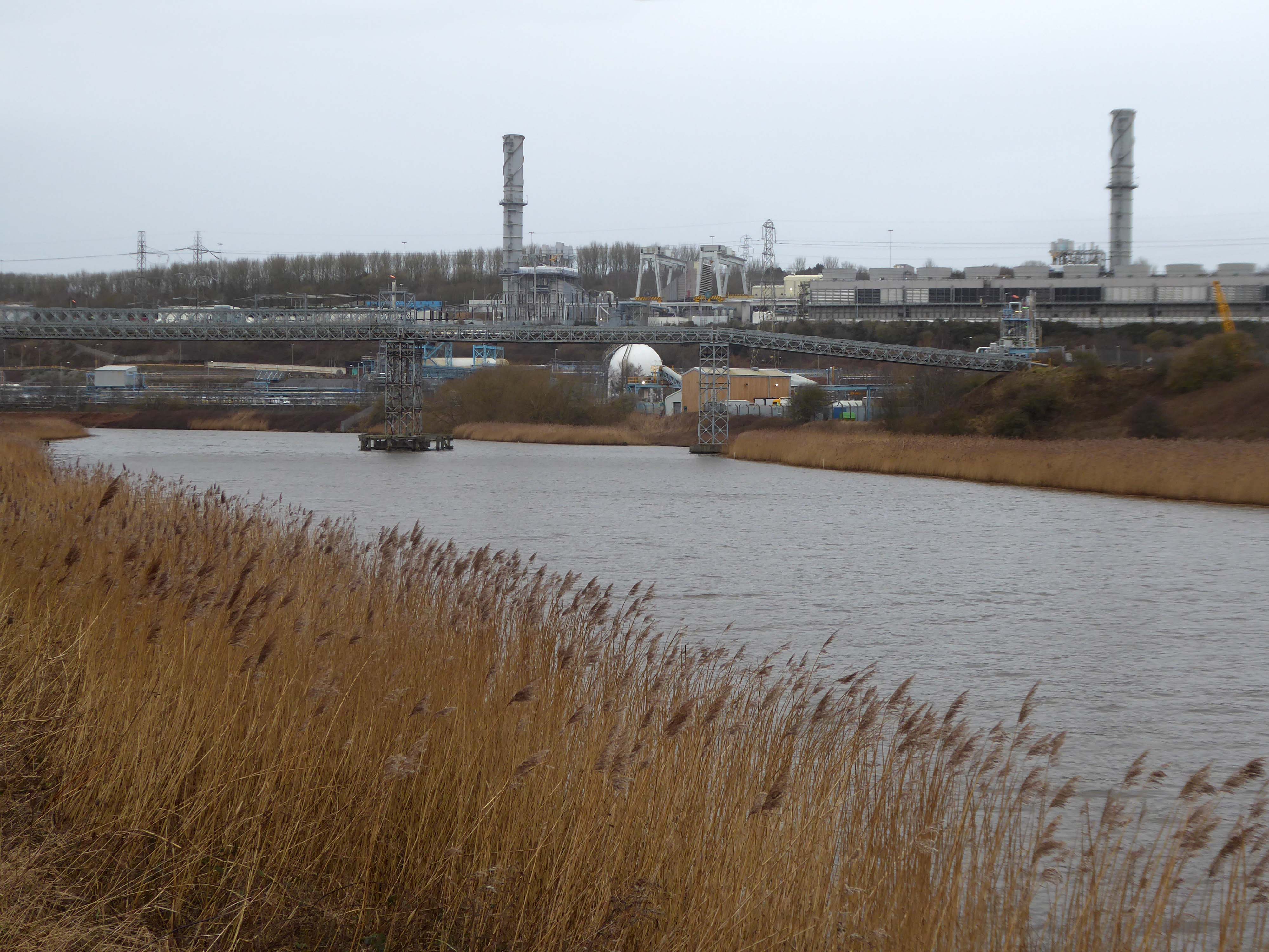
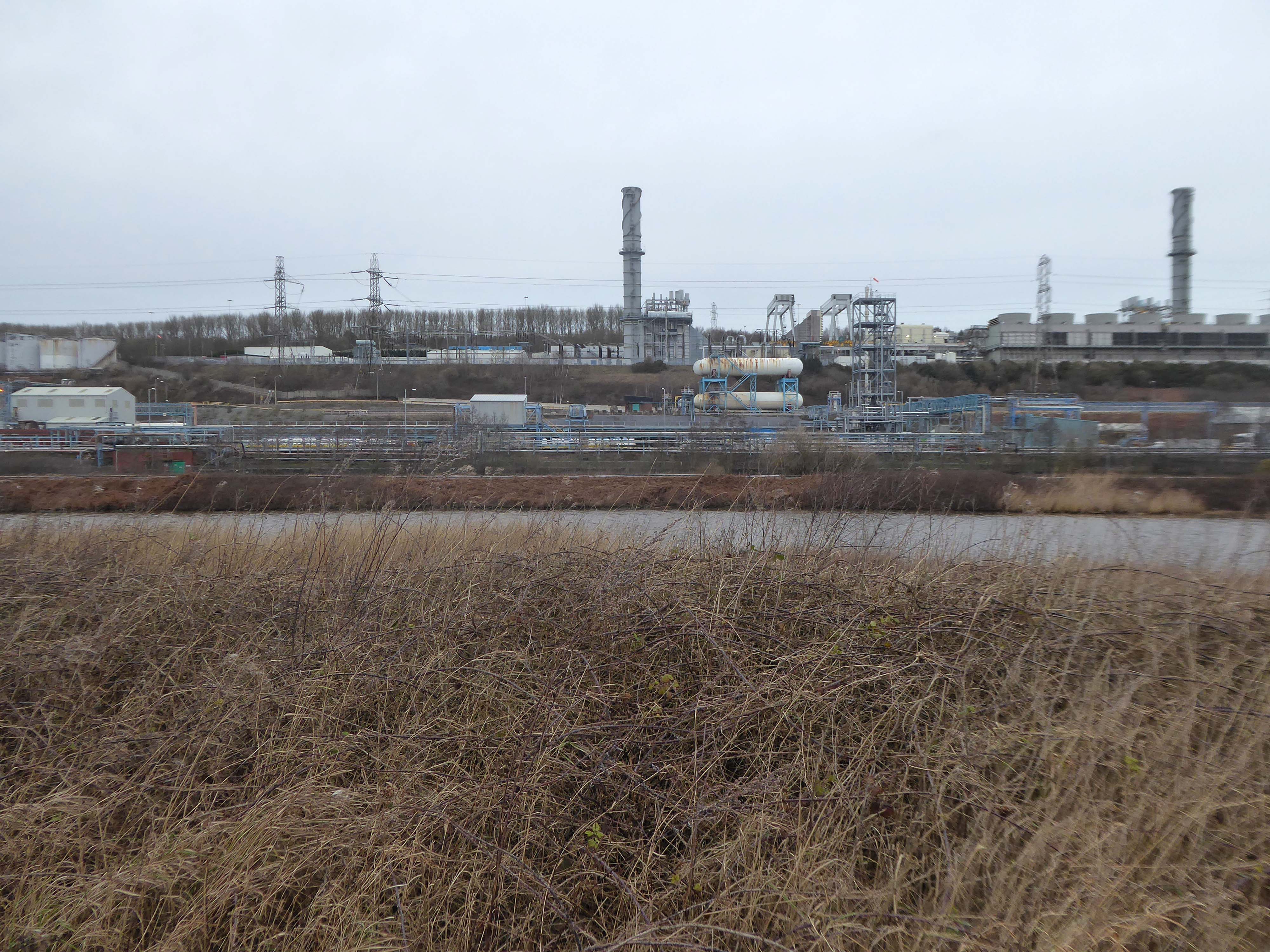
High-Voltage Frodsham SubstationRock Savage power station

Rock Savage Power Station is an 800 MWe gas-fired power station.

It was opened by Queen Elizabeth II on 31 July 1998, and owned by InterGen, a company that is now jointly owned by Ontario Teachers’ Pension Plan and China Huaneng Group, it cost £375m.

It sponsors the Runcorn Jets baseball club, the Highfield Male Voice Choir and the Weston Angling Club.

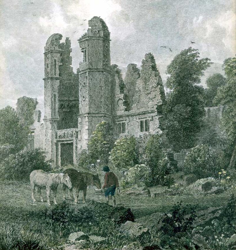
The name comes from the nearby ruined Elizabethan mansion – Rocksavage.

Wikipedia

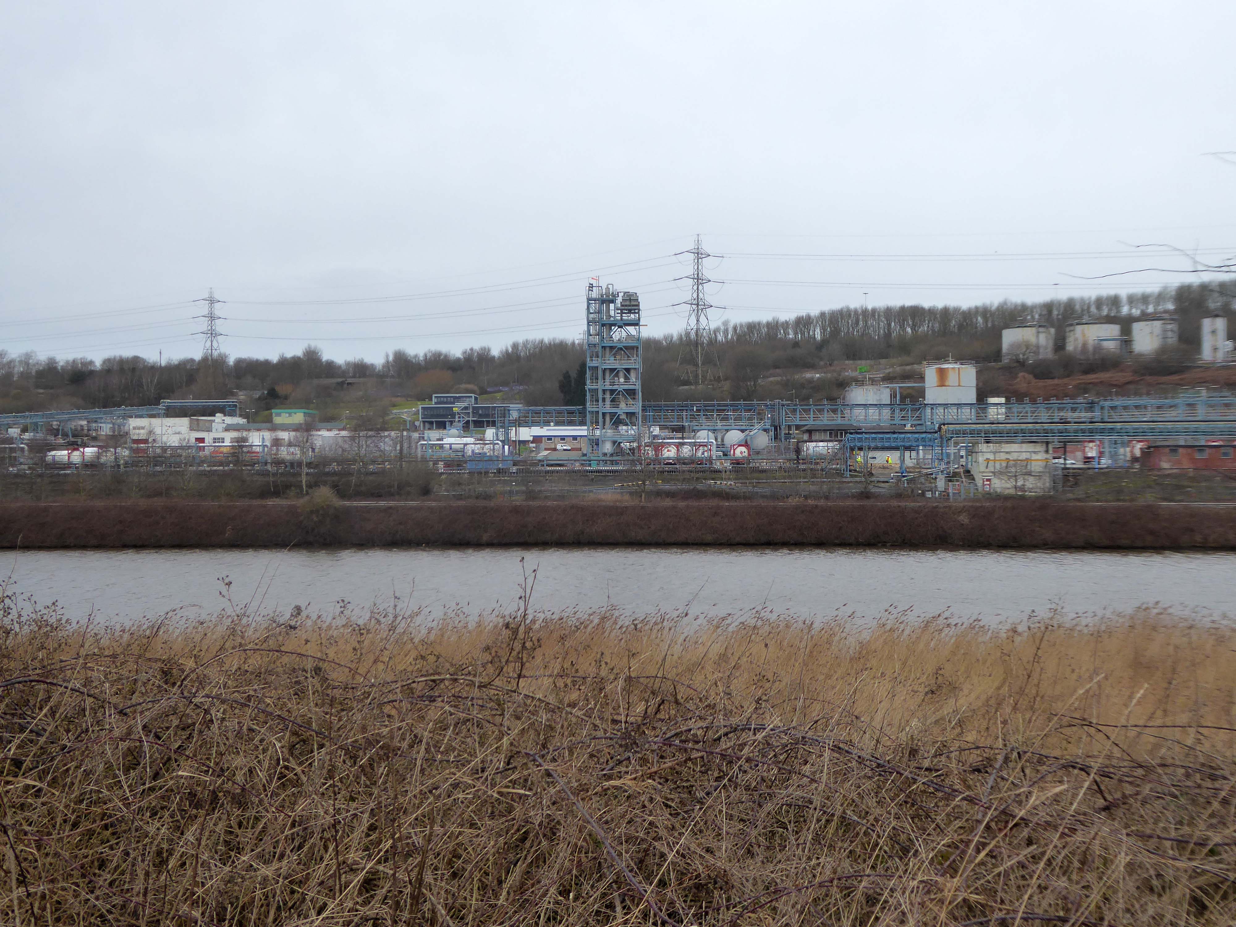
Koura Global – leader in the development, manufacture, and supply of fluoro products and technologies, opened a new HFA 152a production facility at their Runcorn site in the UK.

Chiesi, the international research-focused pharmaceuticals and healthcare group, signed a commercial agreement to use the new low carbon footprint medical propellant for inhalation product development and clinical trials in 2019.

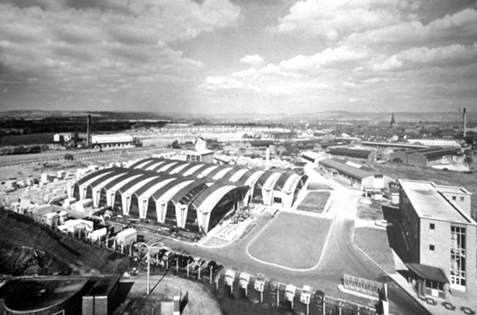
Britain from Above 1948

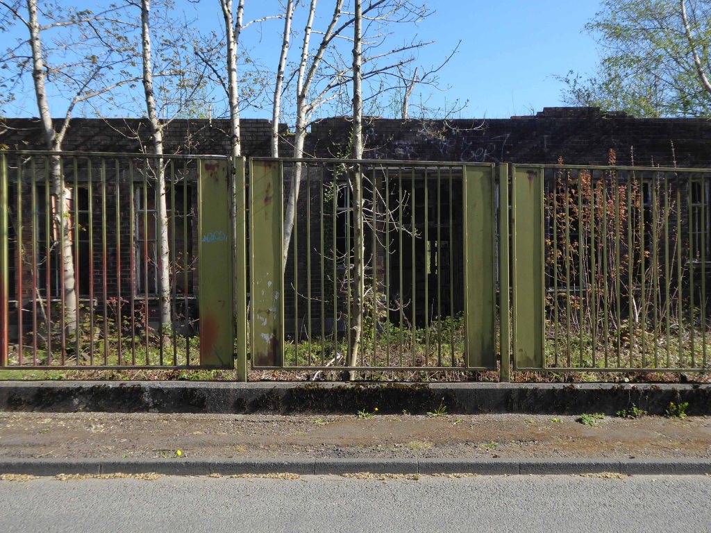
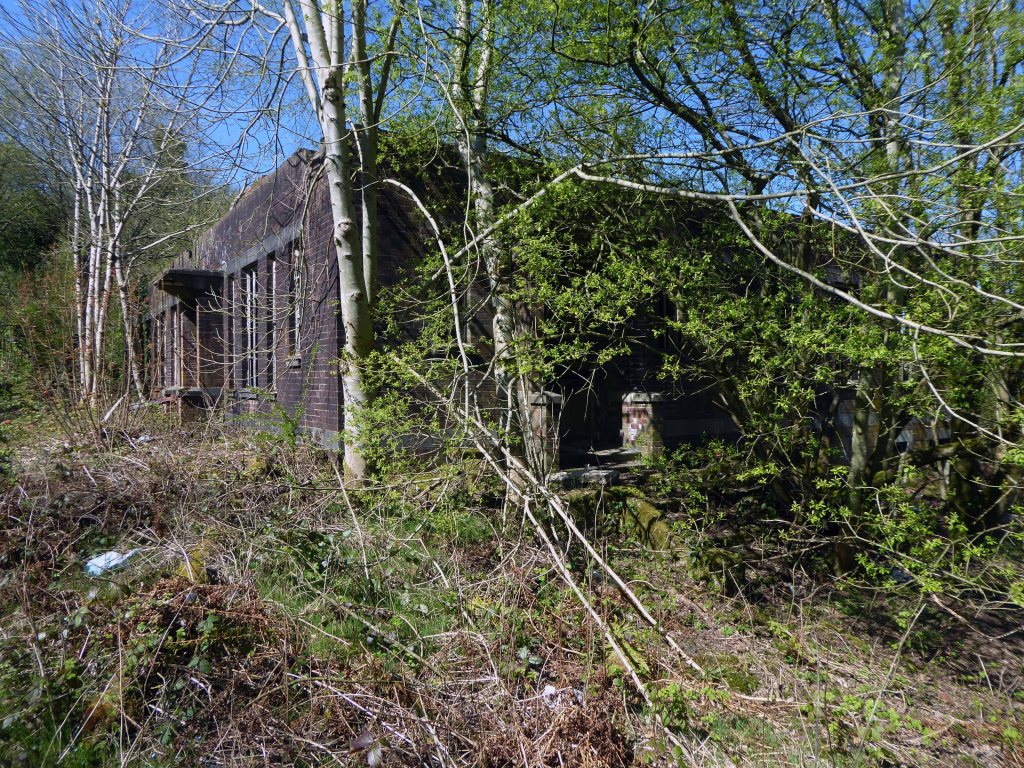
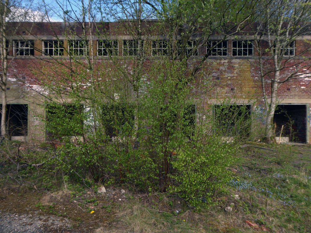
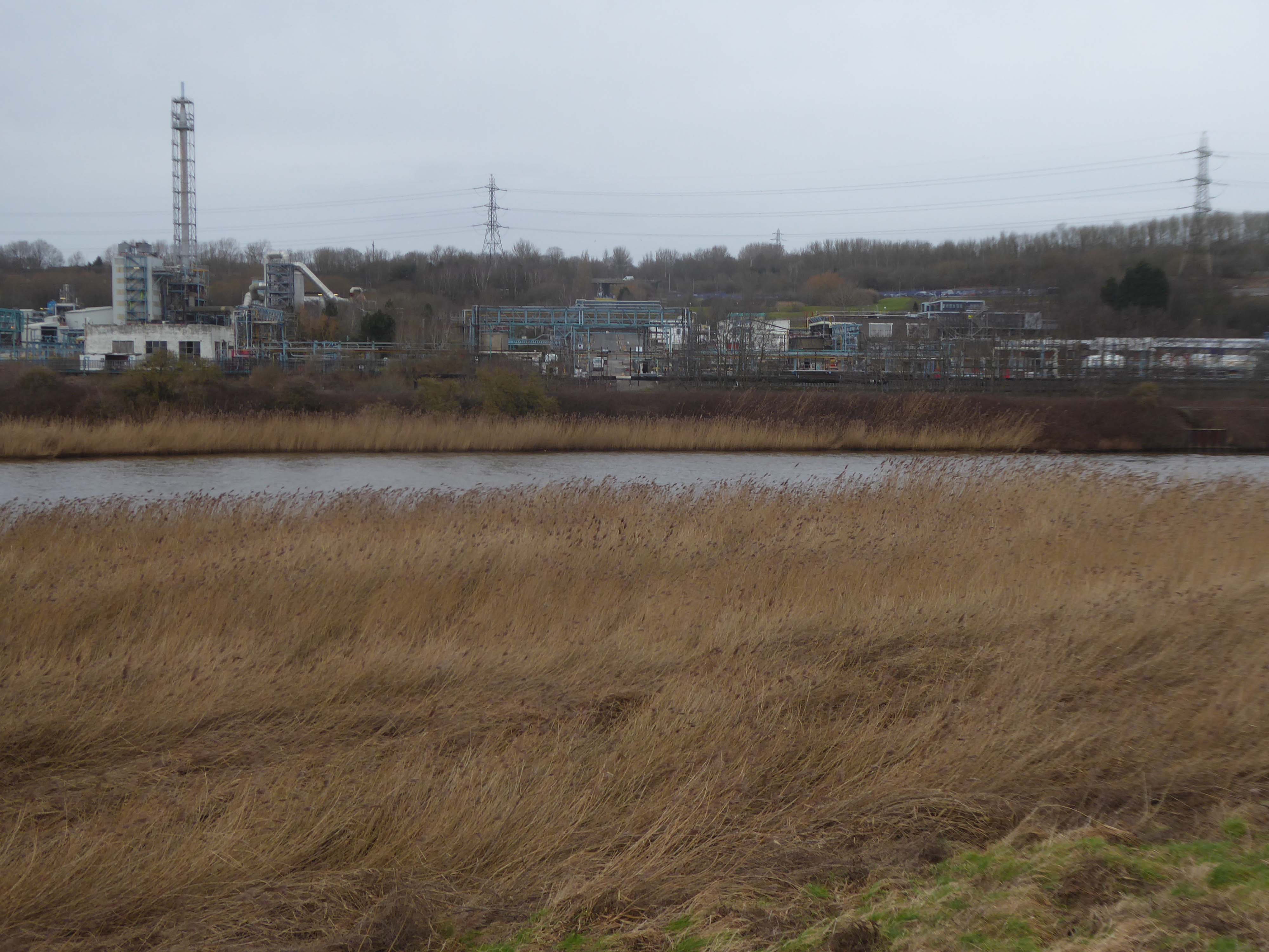
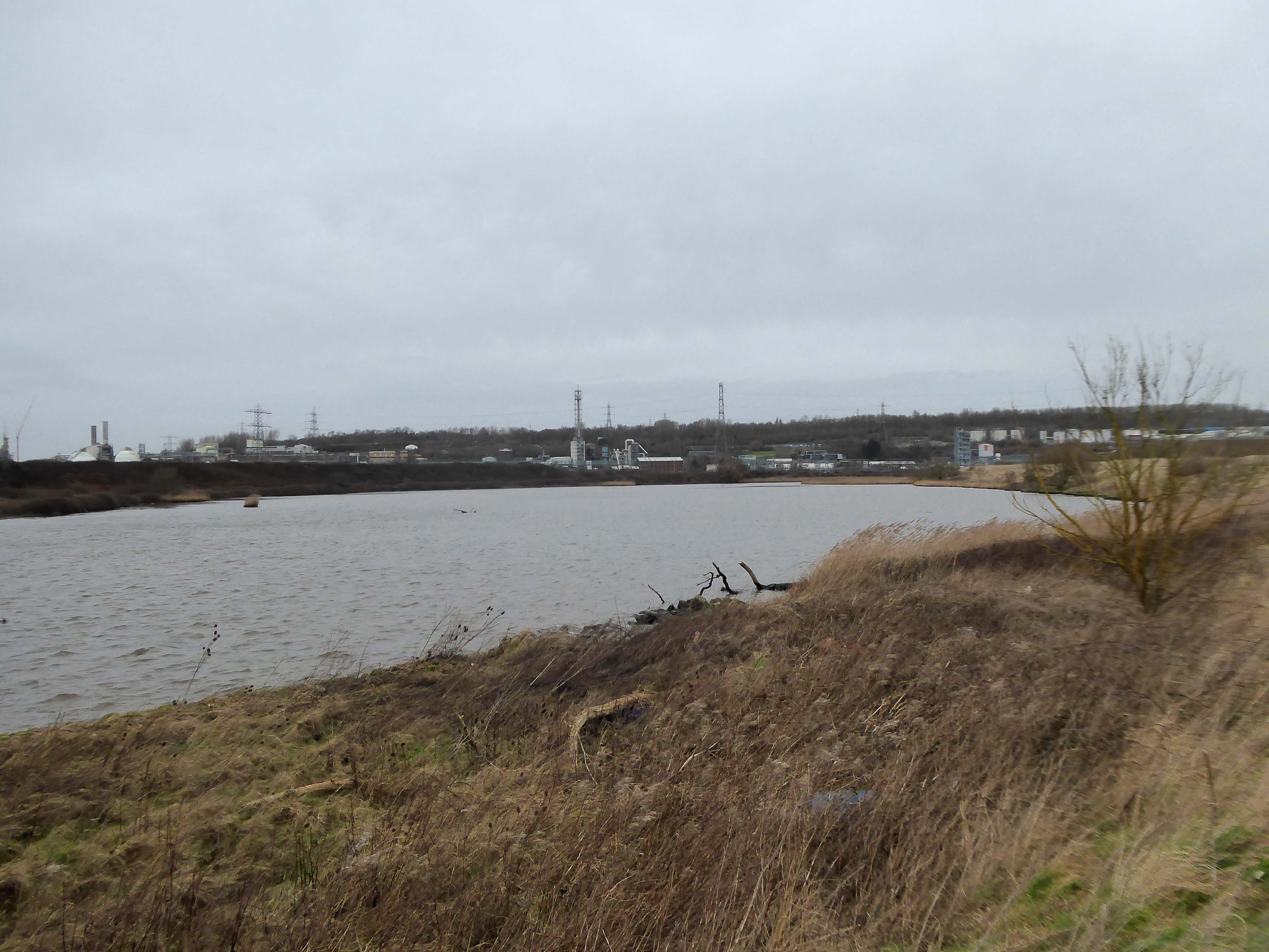
Ineos Chemical Complex formerly ICI Rocksavage Works on the banks of the River Mersey River Weaver and Manchester Ship Canal in Runcorn formerly ICI works of Rocksavage and Castner Kelner Works which produced fluorcarbons such as aerosol propellants dry cleaning solvents and chlorine UK January 2007

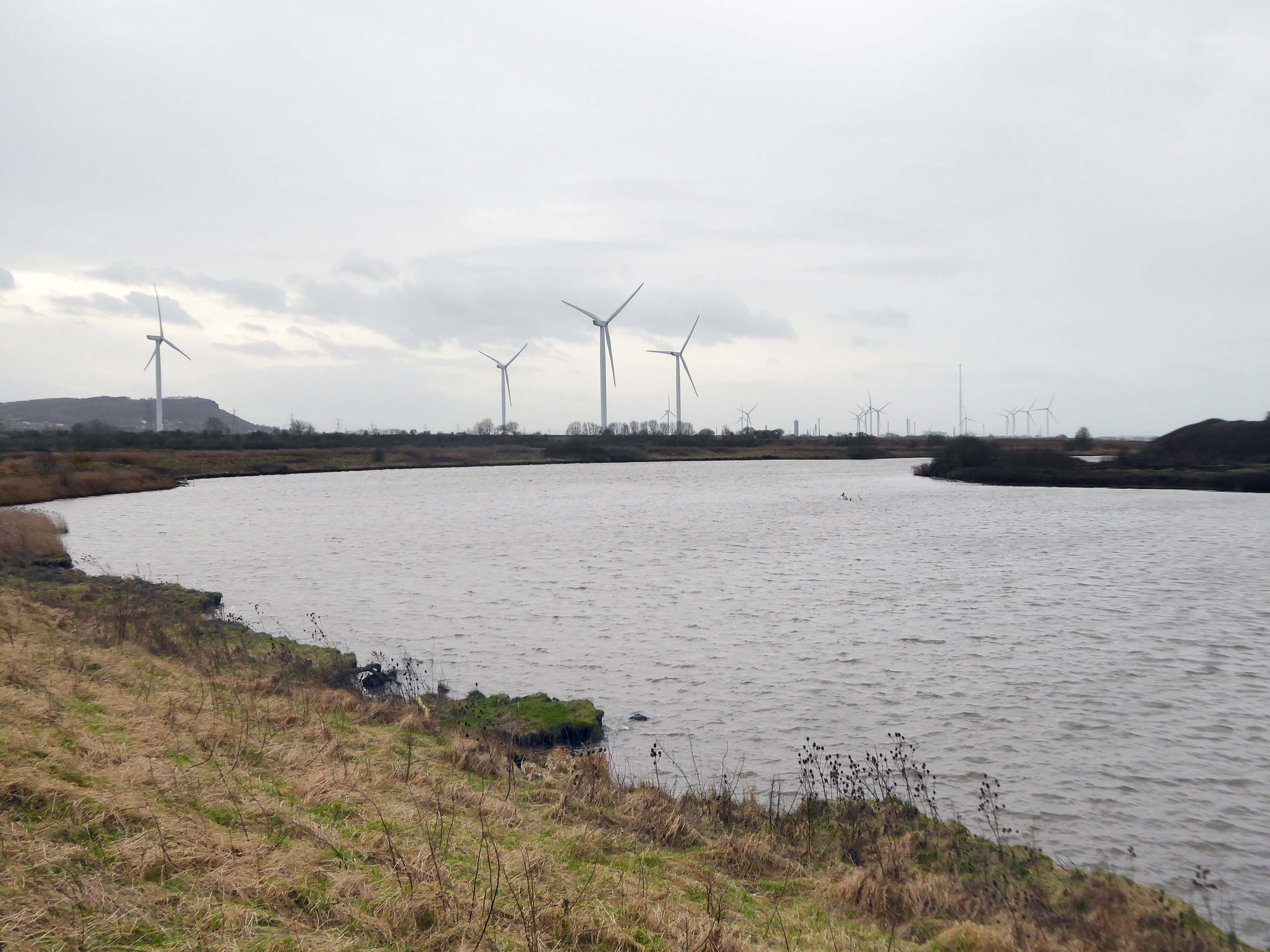
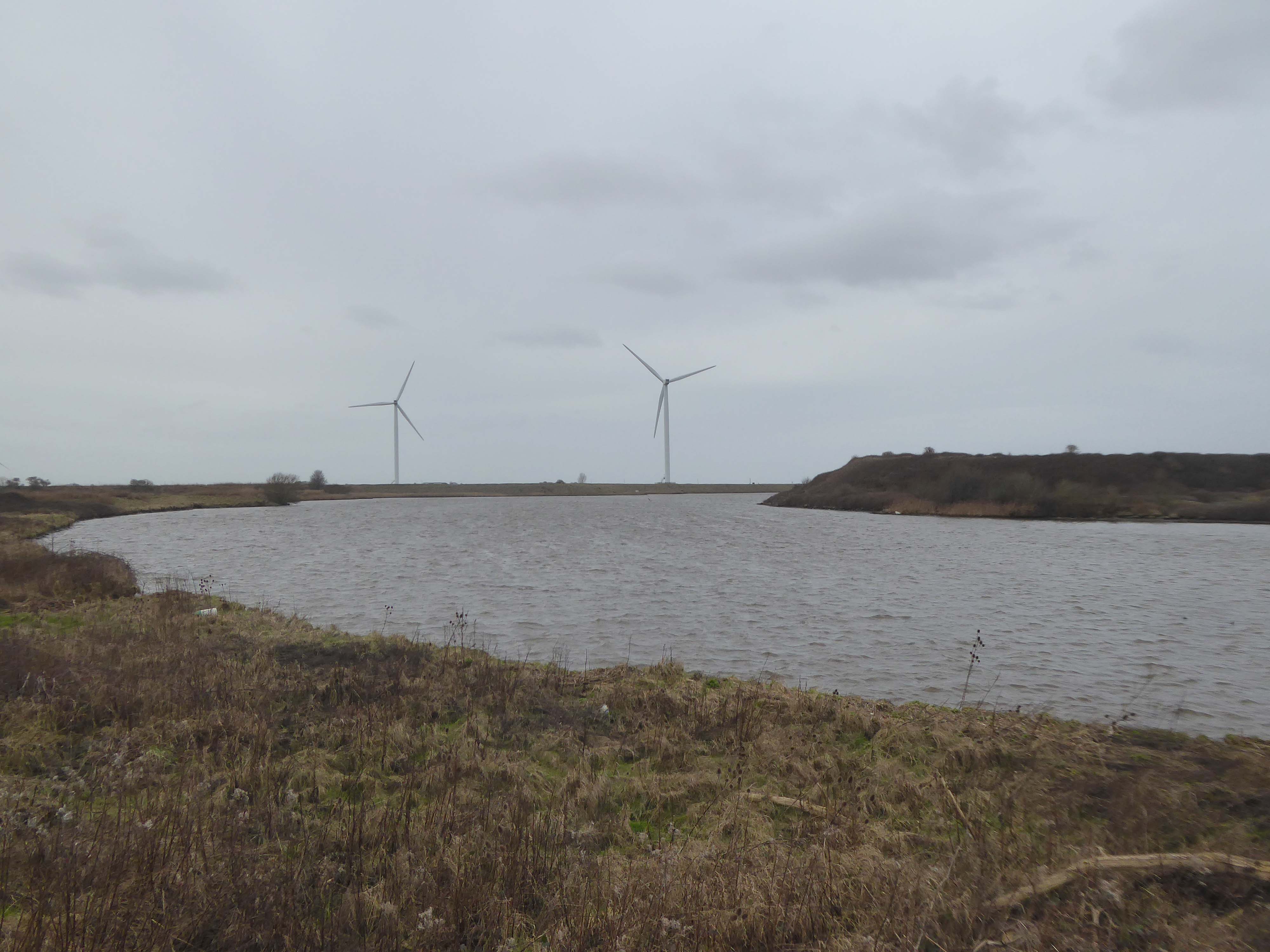
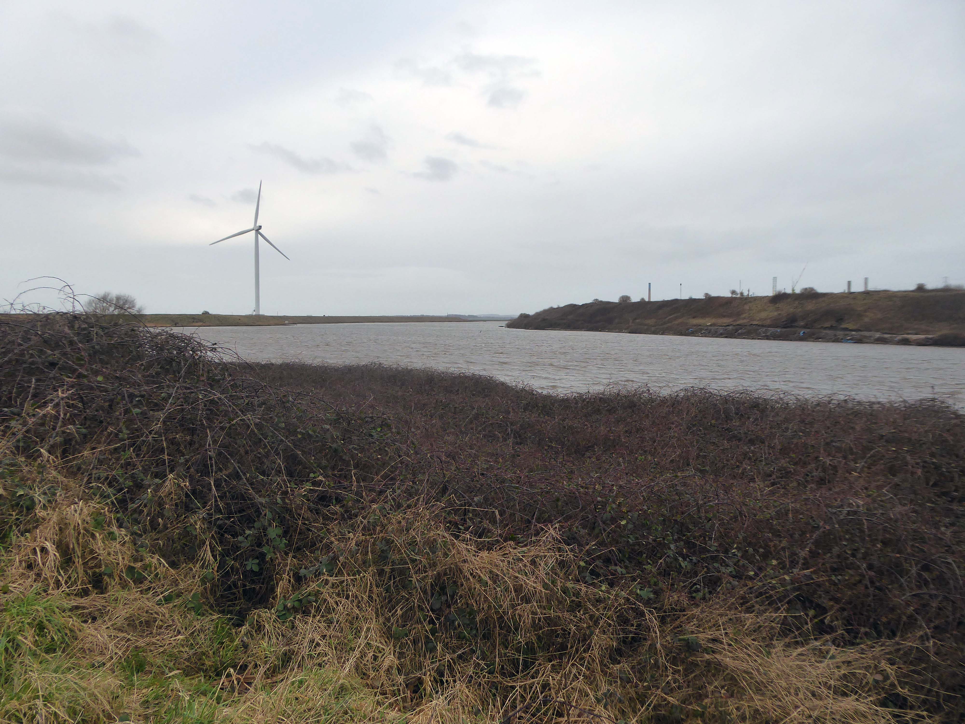
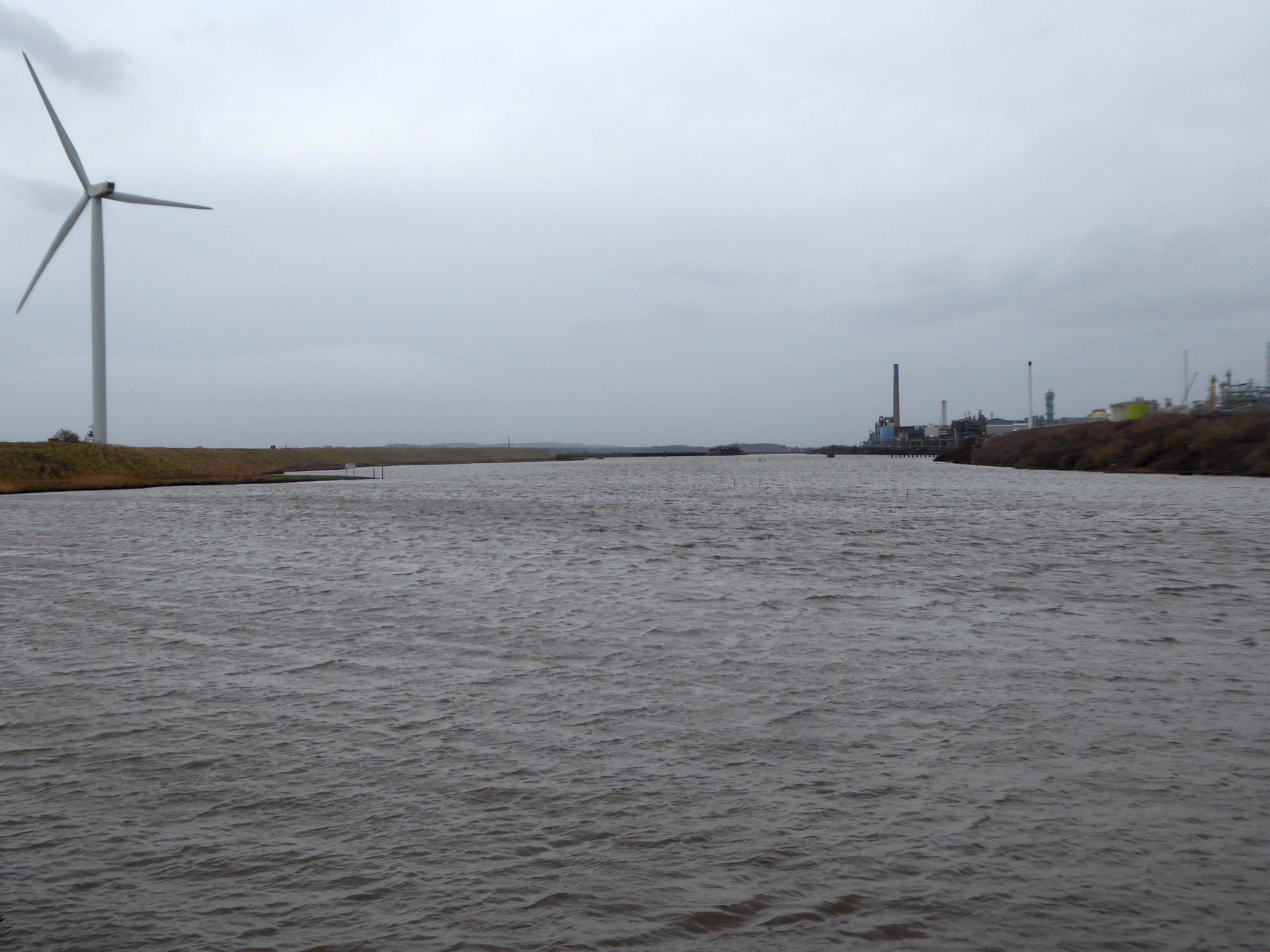
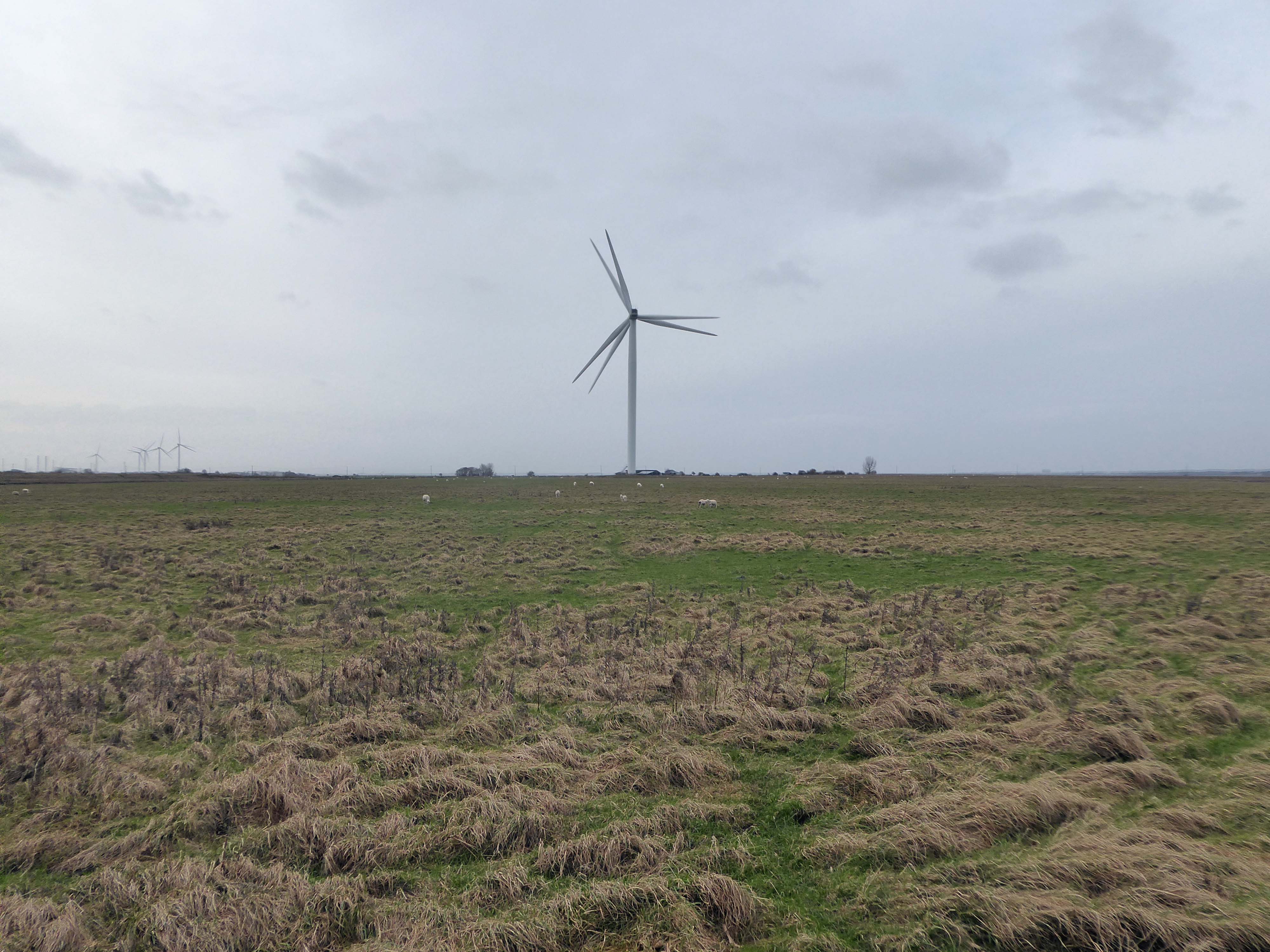
Frodsham Wind Farm is one of England’s largest onshore generating stations, and the largest in the Cheshire region, with an installed capacity of more than 50 MW. Construction of the wind farm began in March 2015 and became fully operational in February 2017.

Electricity – Chester

The weir and former causeway stands across the River Dee. It was originally built in 1093 by Hugh Lupus, first Earl of Chester. It was built for St Werburgh’s Benedictine Abbey – now Chester Cathedral. It channelled the water to allow it to power a series of mills along the Dee. These mills were amongst the largest and most valuable in England during the 13th century. They were in use until 1910.

The weir was restored in the early 20th century to serve the City Council’s hydro-electric power station

Chester generated its own clean carbon-free electricity for almost half of the city’s needs from the hydroelectric building on Castle Drive between 1914 and 1949.

From 1932 the city was buying electricity from the Central Electricity Board’s embryonic national grid in order to cope with demand which grew to over 23,000 consumers by 1946.

The Hydro Electric Station on the River Dee is a Grade II listed building.

Photo: Len Morgan

At nationalisation in 1948 the corporation’s system came under the Merseyside and North Wales Electricity Board – Manweb, which in 1968–70 built its administrative headquarters in Sealand Road.  The buildings had as their centrepiece a seven-storey Y-plan office block, which dominated the skyline looking west from the city centre until it was demolished in the 1990s.

I was wandering the streets of Chester when I came upon this decorated doorway in Newgate Street.

In consultation with the current owners panda mami – we concurred that the building was once in service to the electrical generating industry.

Architecturally pre-National Grid, this implies that it would have been part of Chester’s independent provision.

It can be seen in the top left of this archive photograph.

Electricity House in the days of Chester Corporation Electricity Department.

Later subsumed by MANWEB.

My thanks to Richard Brook aka Mainstream Modern for his invaluable research

The building has the most shockingly assertive Futurist emblems embedded within the window grilles.

Any work of art that lacks a sense of aggression can never be a masterpiece.

Filippo Tommaso Marinetti

If she’s put together fine and she’s reading my mind
I can’t stop I can’t stop myself
Lightning is striking again
Lightning is striking again and again and again and again

Lou Christie and Twyla Herbert

The arch above the entrance is adorned with these carved stone electrical emblems – also rendered in the Futurist Moderne manner.

The pumping house is to become a visitor’s centre – named the Hydro Hub.

Singin through you to me
Thunderbolts caught easily
Shouts the truth peacefully
Electricity

Don van Vliet

Where The Gas Works Wasn’t – Stockport

1878 Gas making at Portwood commenced

1969 Old retort house demolished

1988 Gas holder number 3 dismantled

2003 Last aerial view showing the gasometers in the raised position

2019 Removal of gas holders 2 & 3

Thanks to 28 Days Later

The area was formerly a dense web of housing and industry.

With the gas works at its heart .

High speed gas once the fuel of the future is almost a thing of the past. Coal Gas produced in coke retorts long gone, North Sea Gas hissed off.

Low carbon heating will replace domestic boilers from 2025, the need for gas storage holders is minimal.

Goodnight Mr Therm.

There are currently 53 listed holders on the Historic England site.

Some have been repurposed – WilkinsonEyre has completed work on Gasholders London; a development of 145 apartments within a triplet of listed gasholder guide frames.

Little now remains of the Portwood Gas Works.

These are the rearranged remnants re-sited by Dunelm Mill – it’s curtains for our industrial heritage.

What’s left?

This is now the province of Securitas and Peel Holdings.

Your business is unique, so we don’t offer a one-size-fits-all.

Instead, we layer six Protective Services for your complete security. 

Unlock six Protective Services

One of the UK’s largest retail parks, Stockport Retail Park benefits from a strategic location on the M60 Manchester orbital motorway making it one of the city’s most accessible parks. The park forms a natural extension to the town centre, offering a wide range of uses from value convenience to fashion and home as well as a number of cafés and restaurants.

This is the post industrial landscape of consumption and its infrastructure that faces the defunct and mothballed site, whatever next?

Hartshead Power Station – Offices

We have of course been here before, to see a concrete bus shelter and a derelict control room.

All that is solid melts into air as Marx and Marshall Berman told us.

Though remnants remain – this is a short journey through a hole in fence, down into the warren of power station offices past.

They have been stripped of their former use and meaning, transformed into a transitory art performance space, paint and plaster now peeling, appealing to the passing painter, partially reclaimed by nature.

Let’s tag along:

Hartshead Power Station #1

I’ve been here before in search of a bus shelter.

I’m back here to day in search of an abandoned control centre at the long gone Hartshead Power Station.

The station was opened in 1926 by the Stalybridge, Hyde, Mossley and Dukinfield Transport and Electricity Board.

The station was closed on 29 October 1979 with a generating capacity of 64 megawatts. It was demolished during the late 1980s, although part of the site is still used as an electrical substation.

First glimpsed on an urban exploration site, I had awaited an opportunity to slip through the fence and take a look around – here’s what I found.

Most of the valuable equipment stripped out leaving and empty shell, covered in layers of the taggers’ interventions.