Heaton Mersey Vale – Stockport

A mighty river valley was formed in the second Ice Age, as the glaciers receded and rushed seaward.

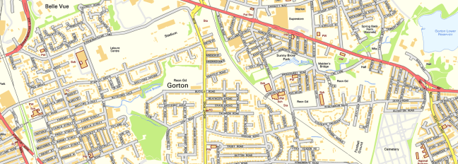
The mighty River Mersey was formed on the eastern edge of Stockport, at the confluence of the Tame and Goyt/Etherow rivers.

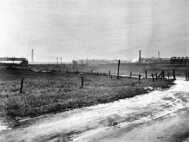
Thousands of years in the making, as the water-powered mills of the adjacent Pennine Hills migrate to the lower reaches of the towns, in search of water, workers and steam, the full force of the Industrial Revolution takes shape in the west.

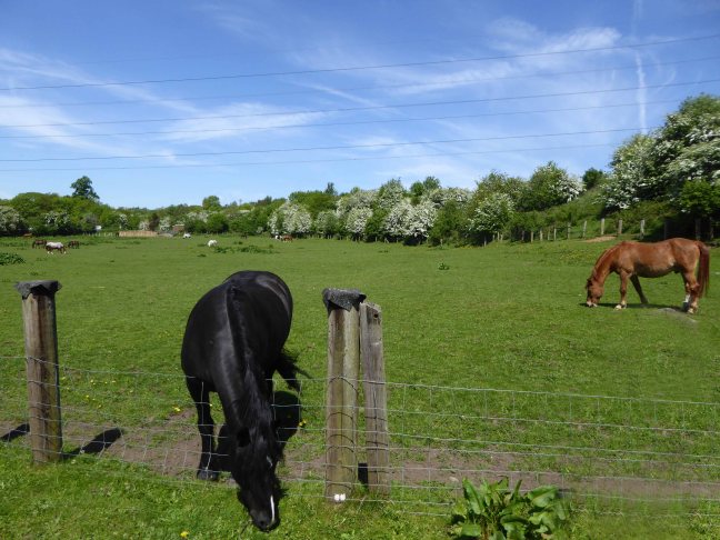
The mixed farming of the alluvial valley, which opens up onto the Lancashire and Cheshire Plains, meets and greets the incursion of dye and brick works, mills and manufacturing.

31891

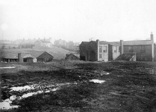
Fred Schofield’s farm 1930

1963

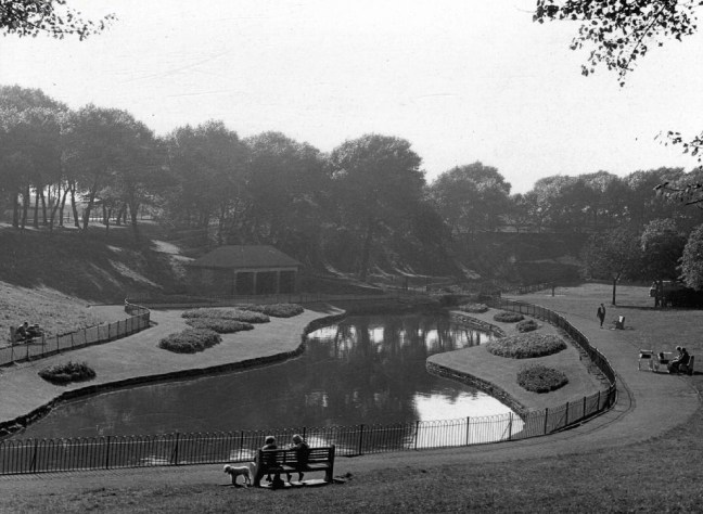
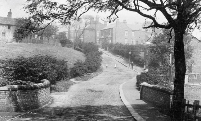
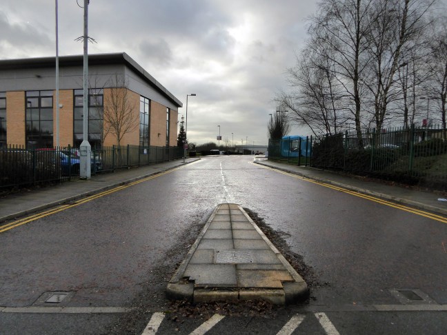
View towards Stockport from Heaton Mersey Park

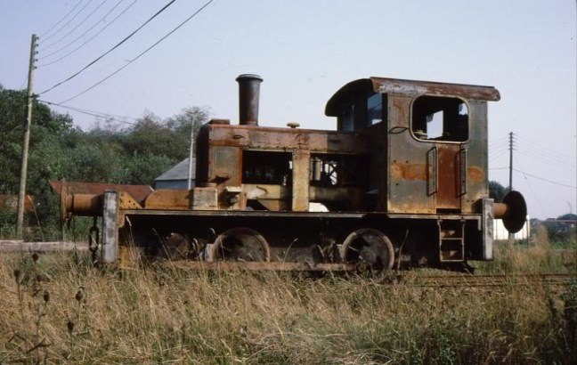
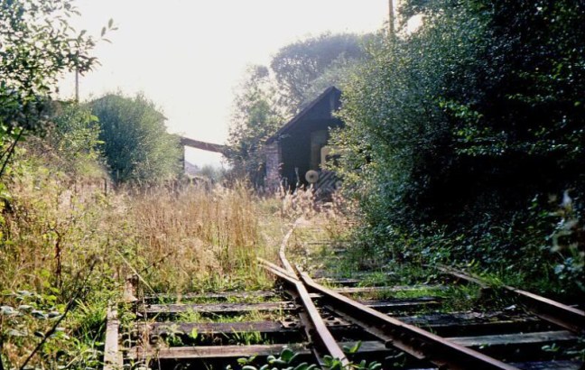
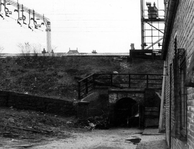
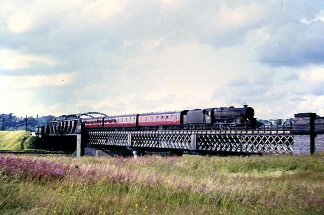
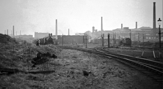
Serviced by a complex and competing rail system based around Heaton Mersey Shed.

edgeley2016-11

Opened in 1889 and served until May 1968 operating steam locomotives to the end -Coded 9F.

Heaton_Mersey rail map

Here we were at the centre of a rail hub spreading out in all directions, to and from the ports, cities and resources of the country and beyond.

Great movements of steel, cotton, coal, people and manufactured goods.

Screen Shot 2018-05-16 at 19.27.37

38106

Fireman Eddy “Ned” Kelly

heaton(nigel_bruce7.1965)mersey_old7

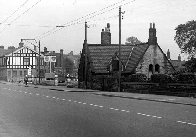
Heaton Mersey railway station was opened on 1 January 1880 by the Midland Railway and lay on the newly opened line which ran from Heaton Mersey East Junction to Chorlton Junction and on to Manchester Central station.

The station was situated at the southern end of Station Road which still exists. The station was later operated by the London Midland and Scottish Railway and was closed by the London Midland Region of British Railways on 3 July 1961.

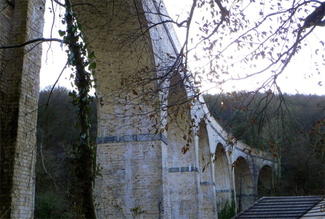
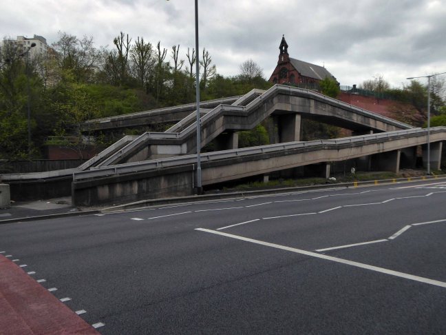
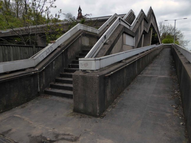
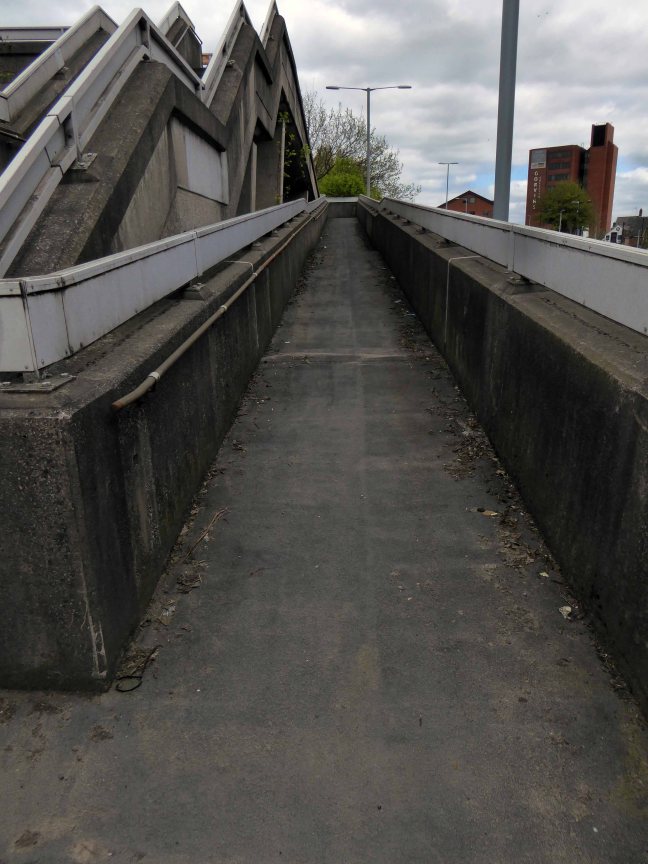
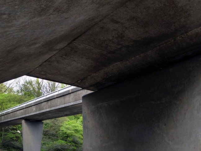
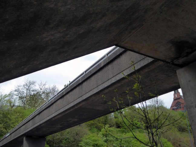
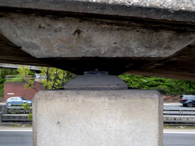
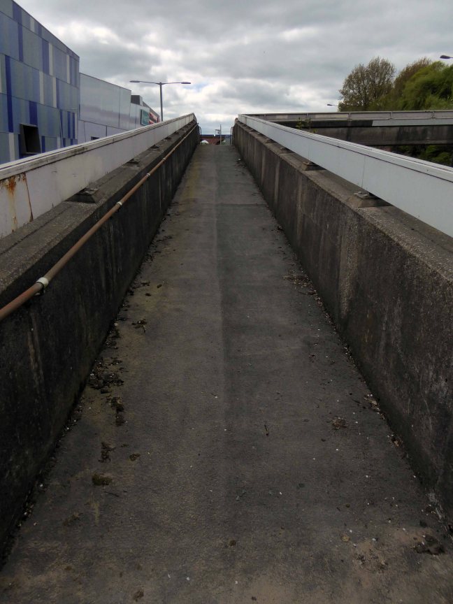
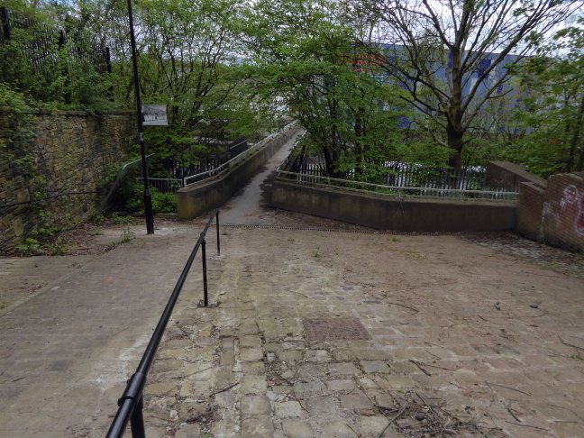
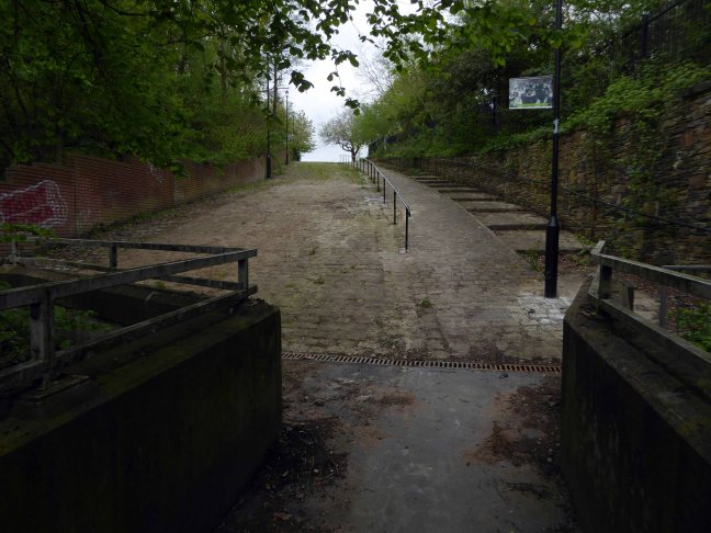
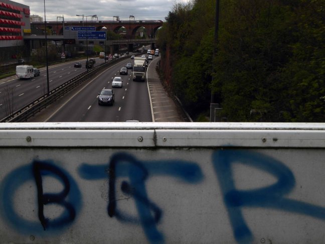
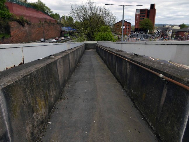
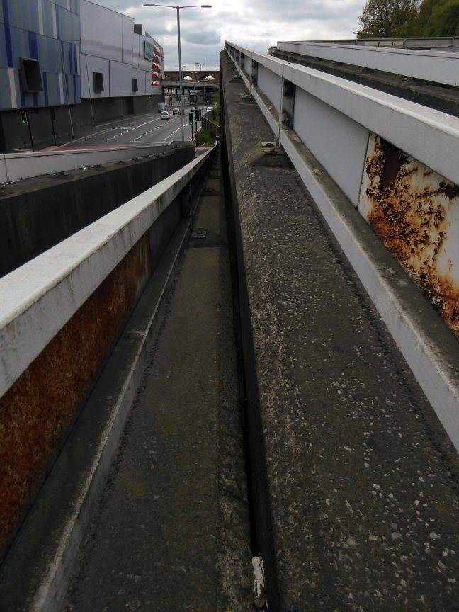
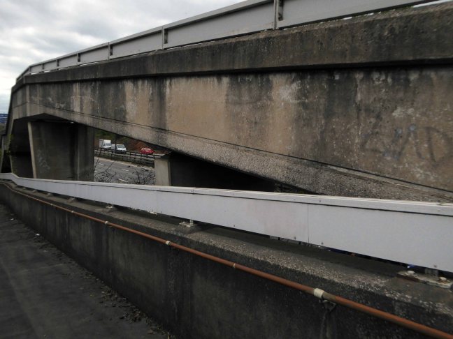
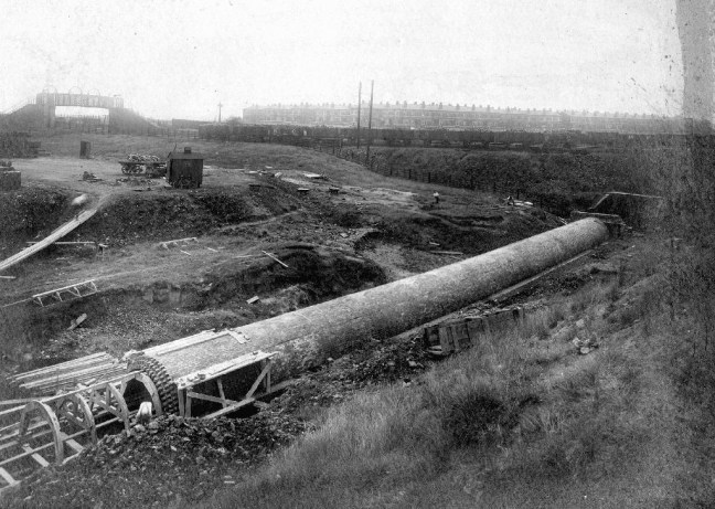
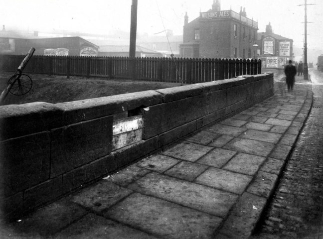
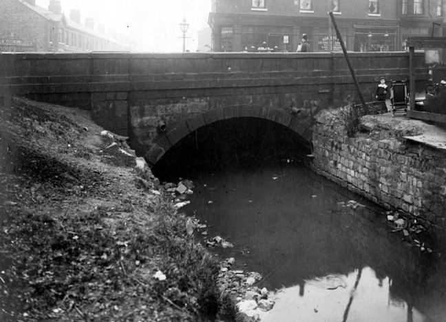
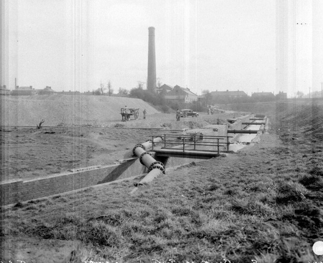
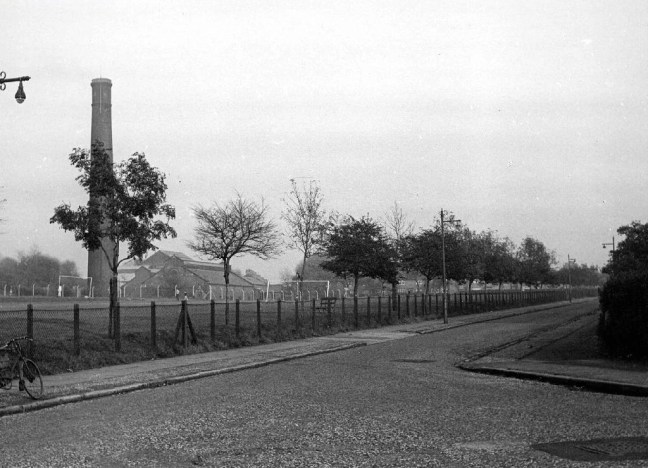
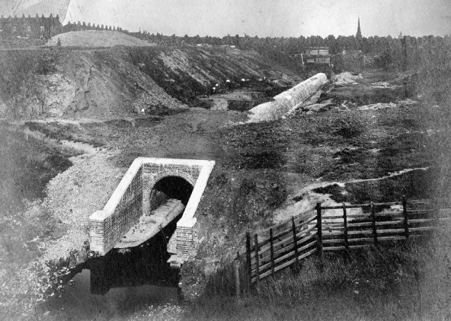
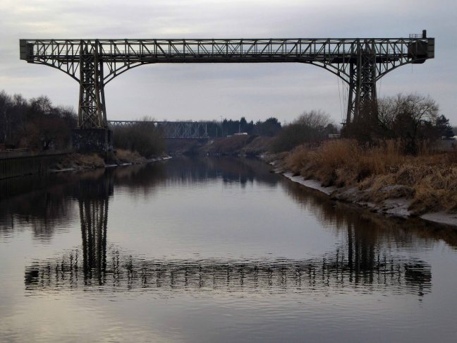
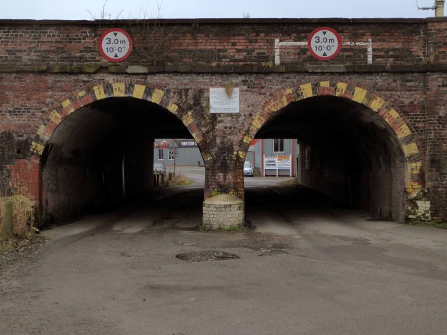
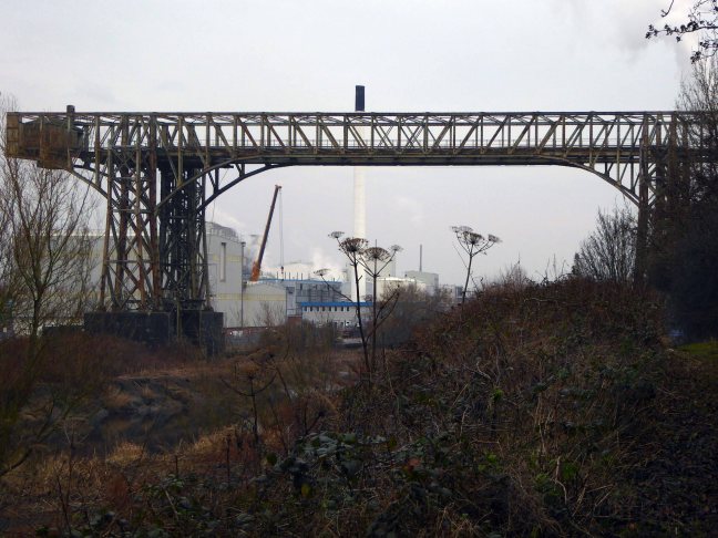
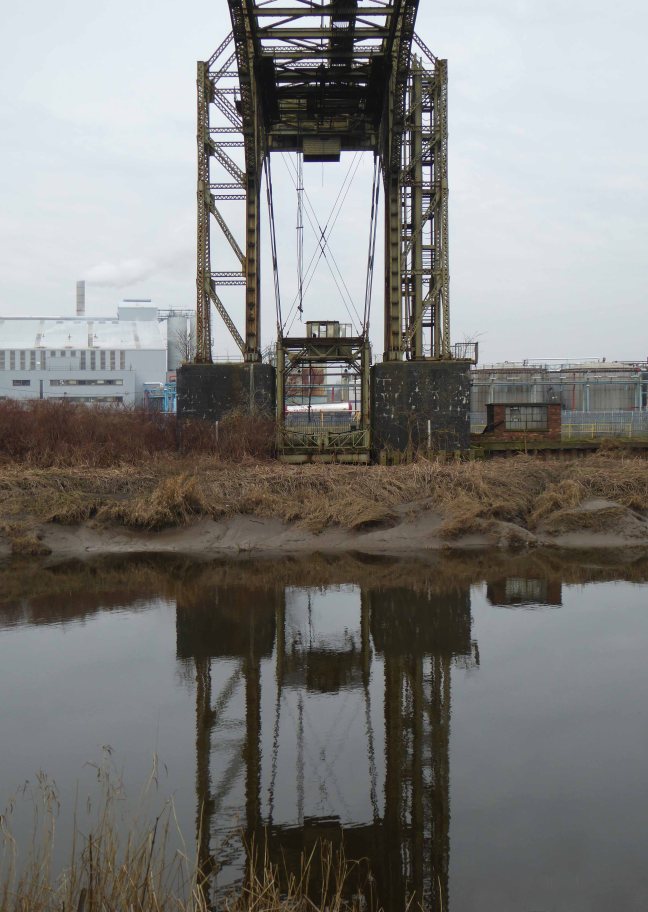
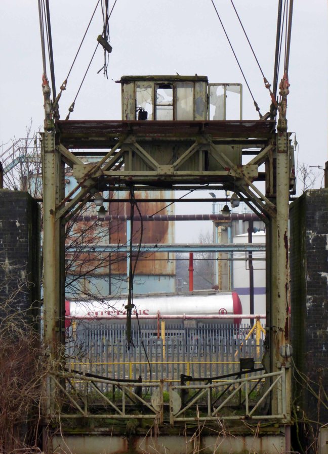
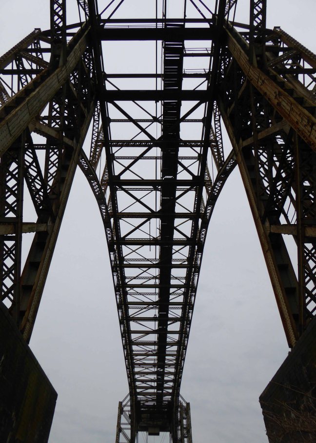
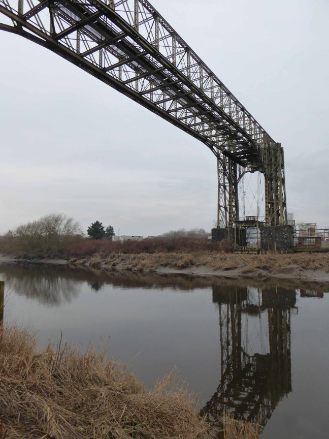
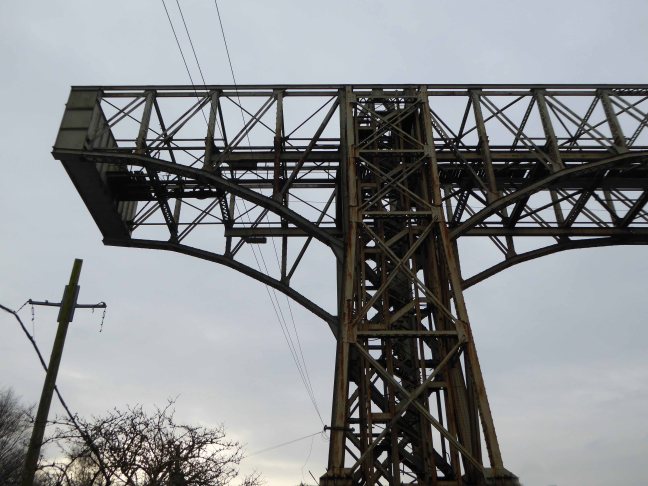
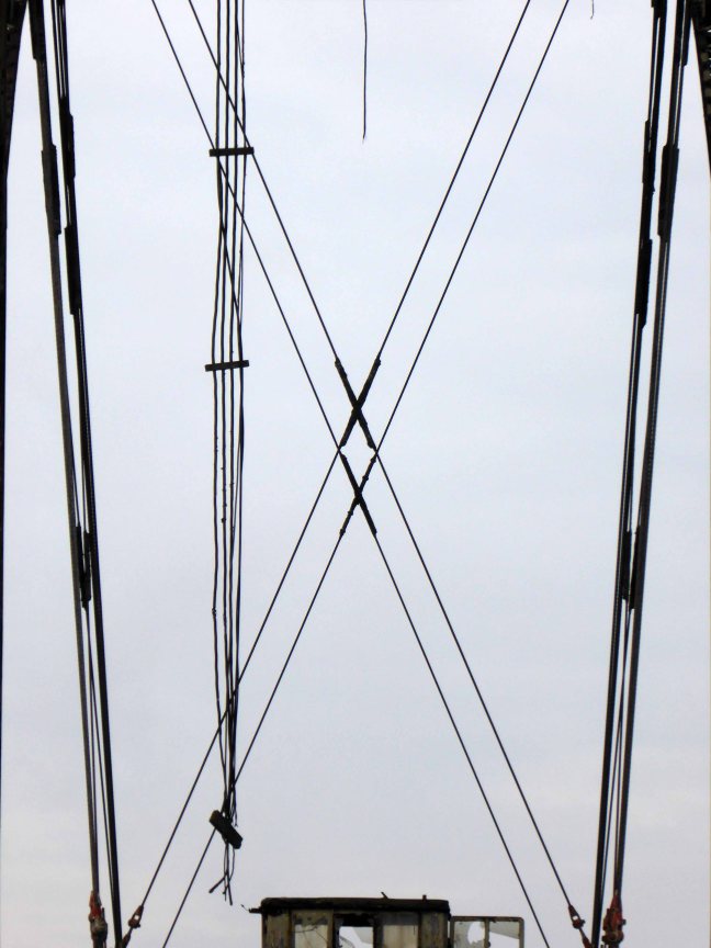
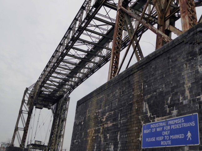
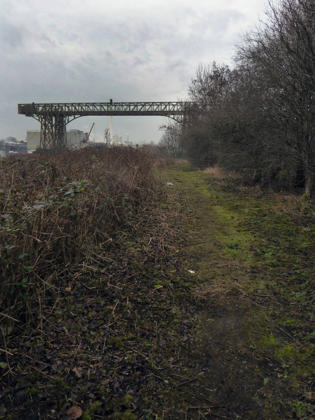
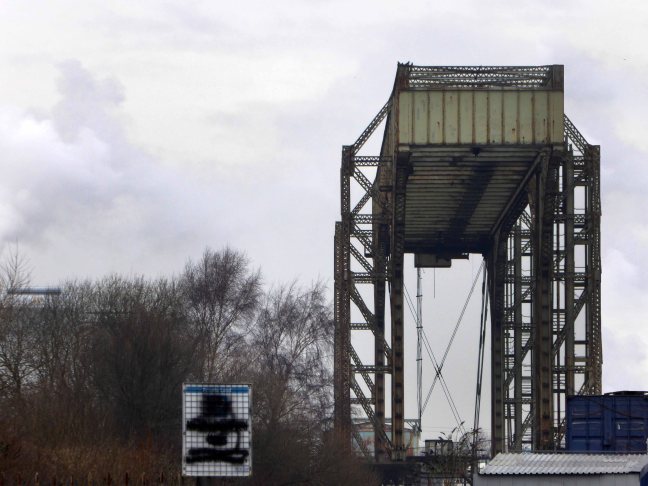
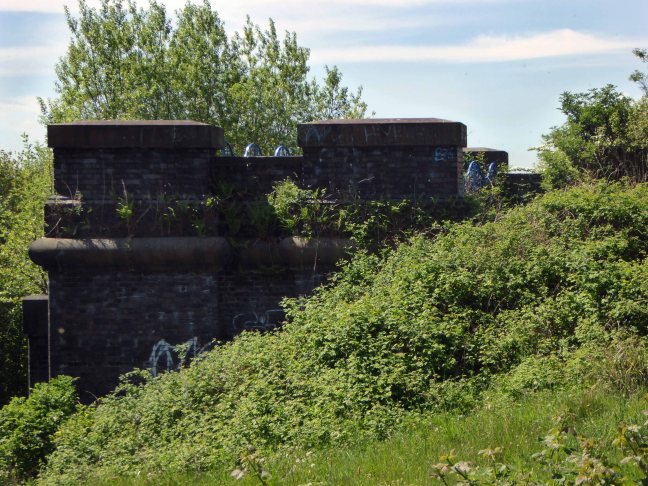
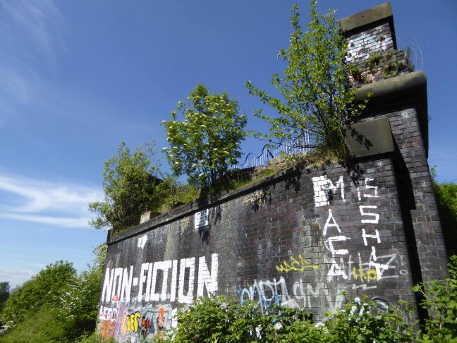
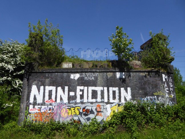
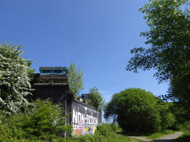
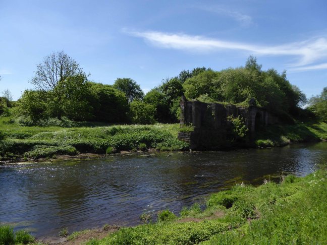
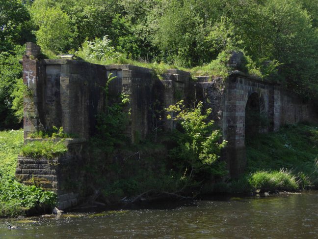
The area was criss-crossed by railways – its bridges traversing the roads, fields and river, dominating the landscape in a wild flurry of steam and smoke.

2633

32822

32625936_2079214925657568_2140863625928114176_o

HeatonMerseyHLBridge3

Screen Shot 2018-05-16 at 10.04.03

Further photographs from Grip 99

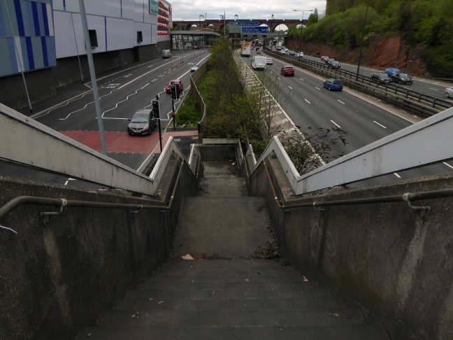
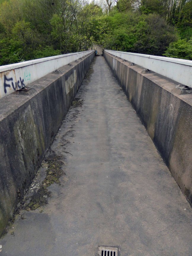
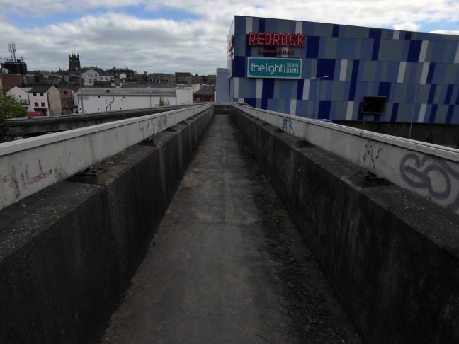
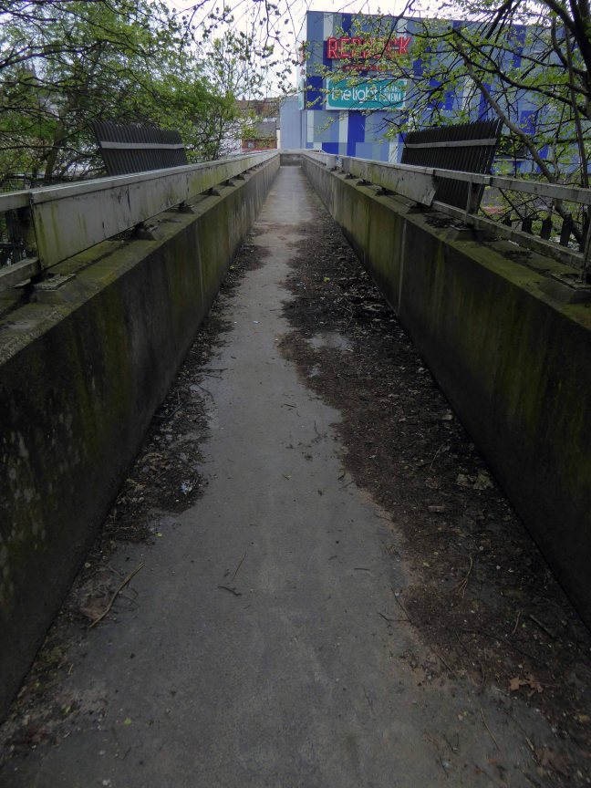
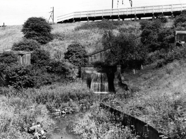
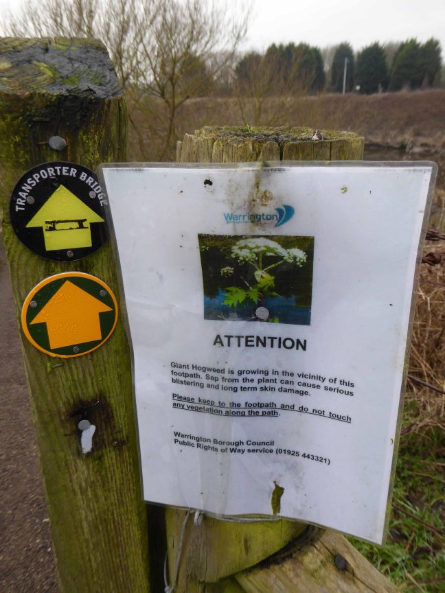
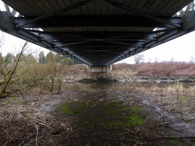
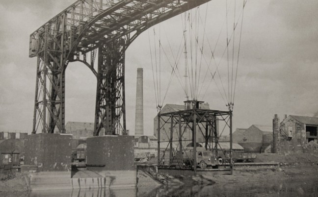
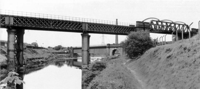
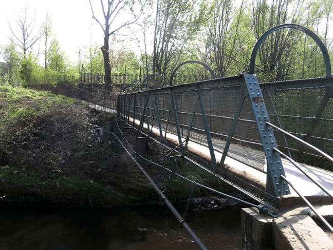
Crossing the Mersey – the link between Gorsey Bank and the Shed

10220

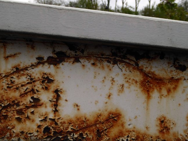
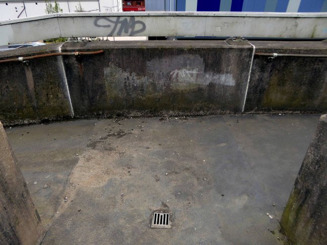
Surviving until 2007

screen-shot-2018-05-16-at-10-17-14.png

B&W photographs Stockport Image Archive

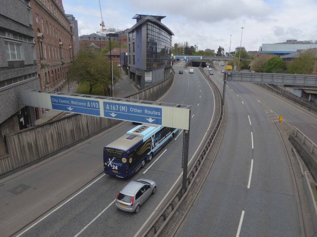
The end of steam – as drivers, fireman and staff were transferred to Newton Heath, was followed by the slow demise of the rail network, freight moved to road and passengers purchasing their first cars and a passport to illusory freedom.

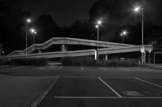
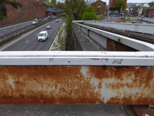
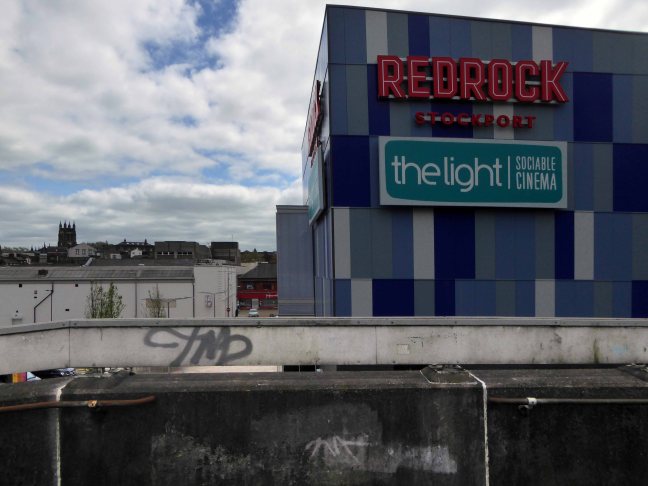
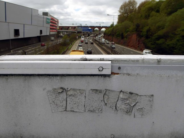
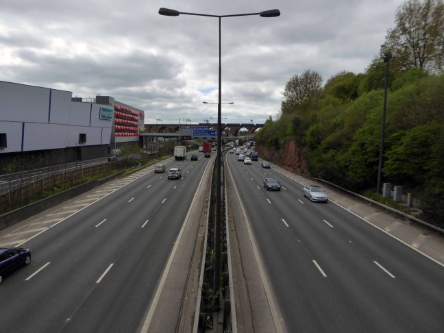
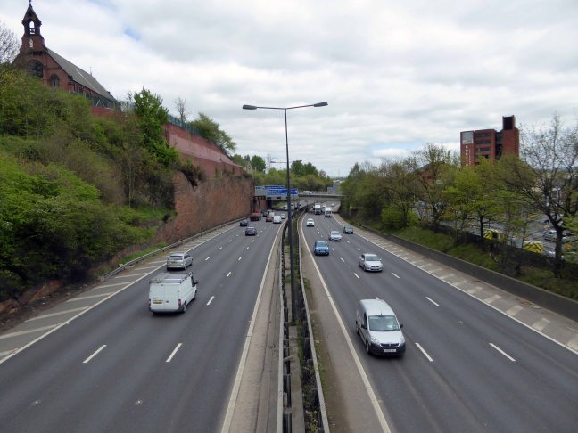
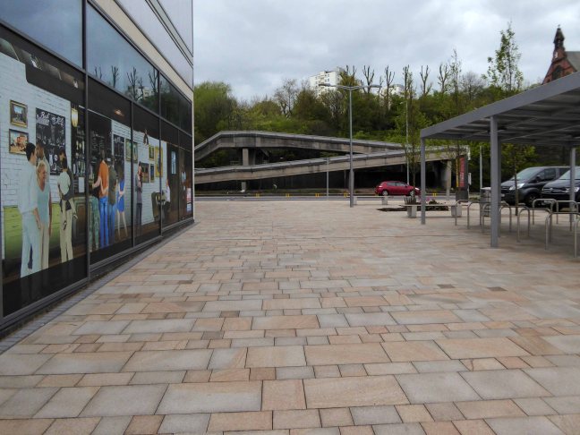
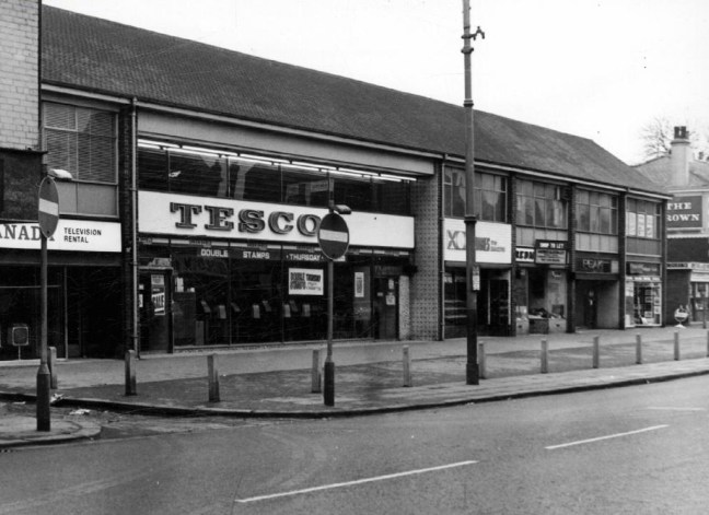
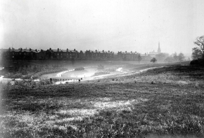
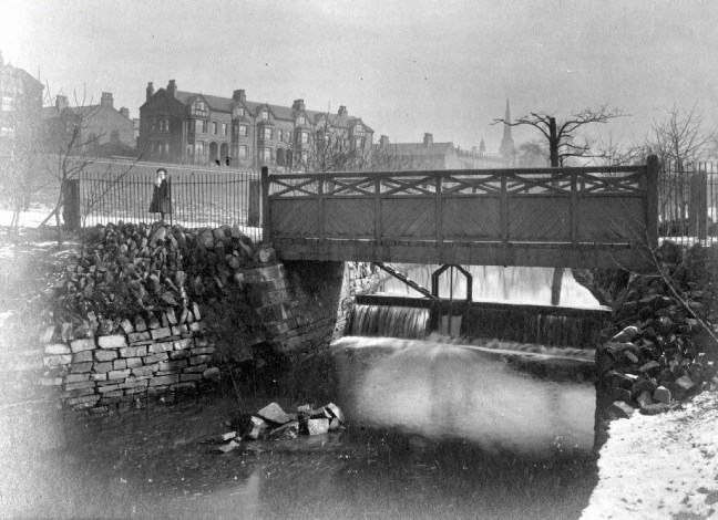
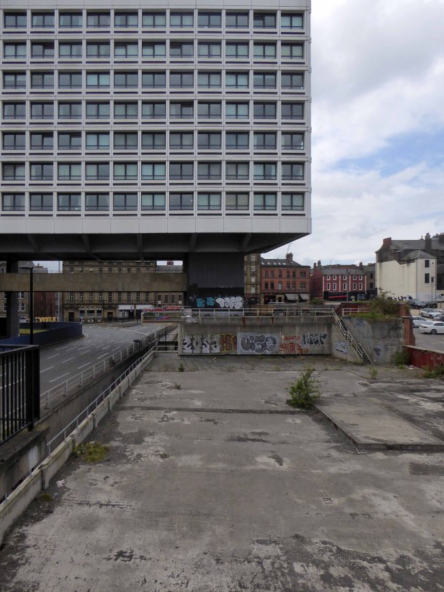
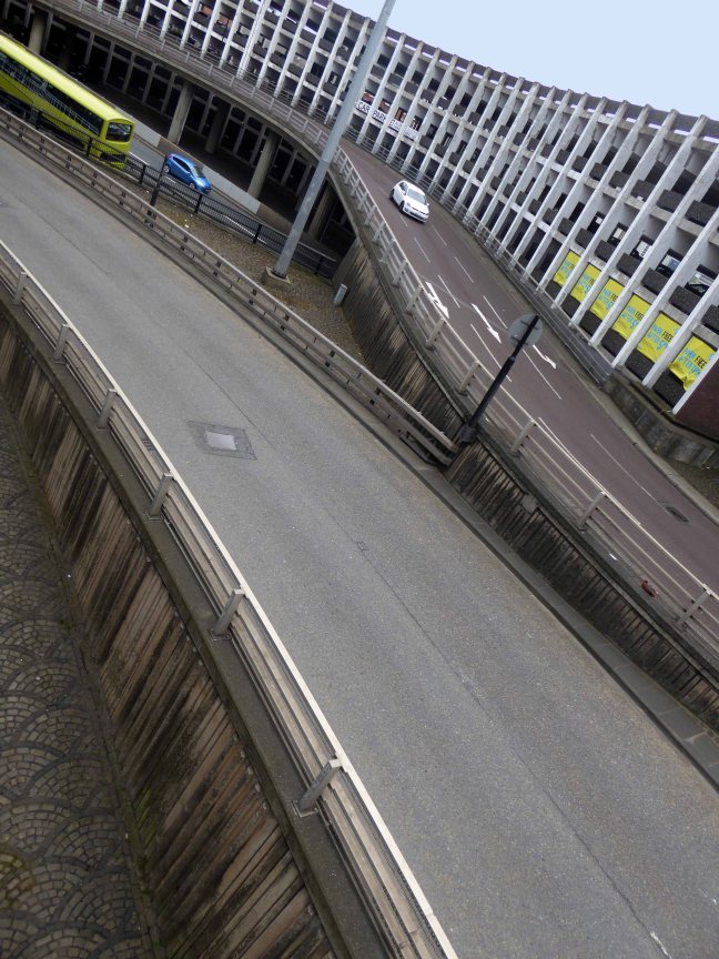
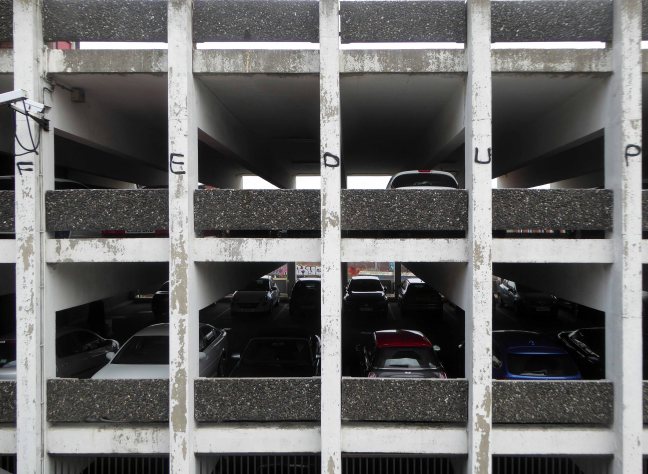
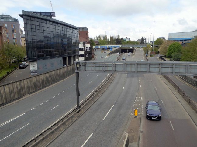
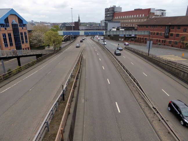
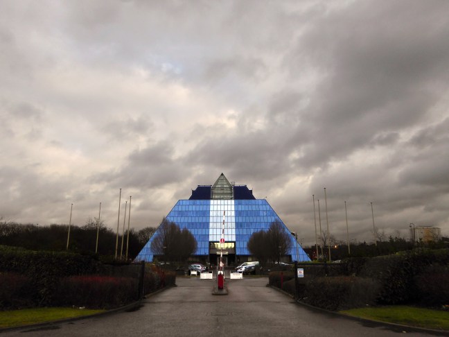
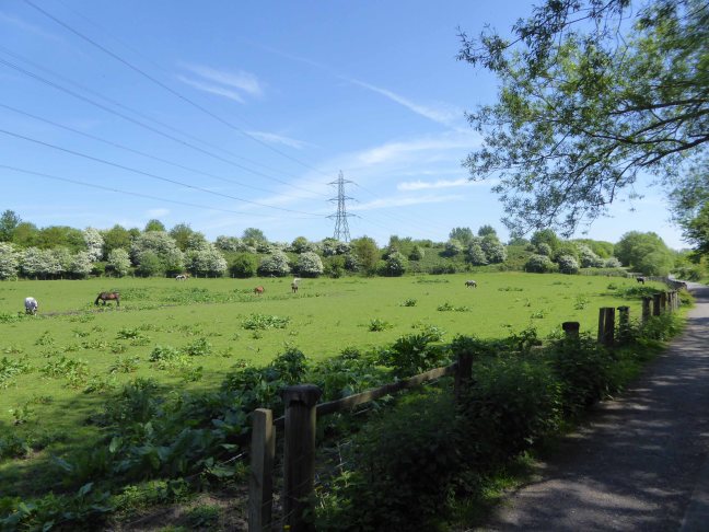
The mighty Mersey is now flanked by newer neighbours, a shiny blue administrative pyramid, business park, car showrooms and nature reserve, the only certainty is change.

Screen Shot 2018-05-16 at 10.19.19

P1220916 copy

P1220917 copy

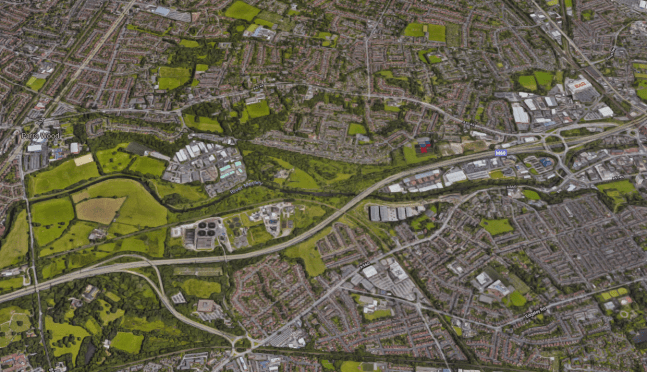
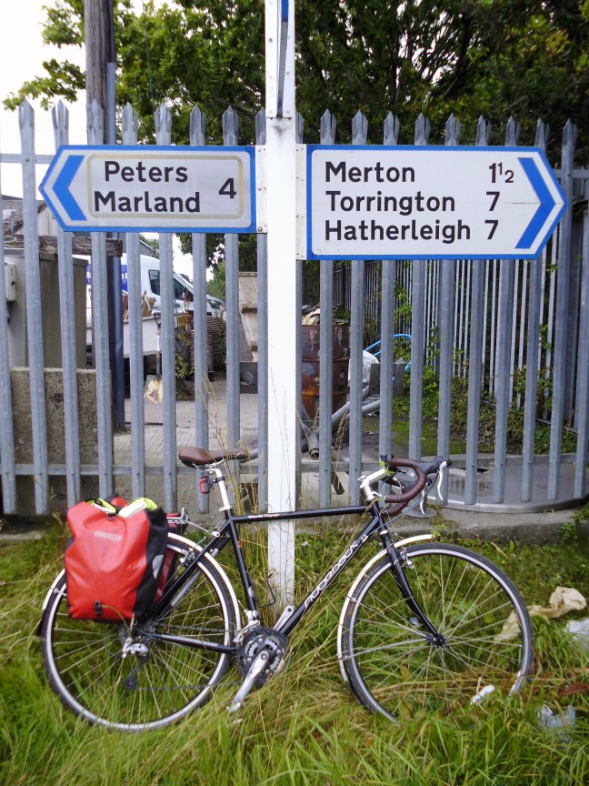
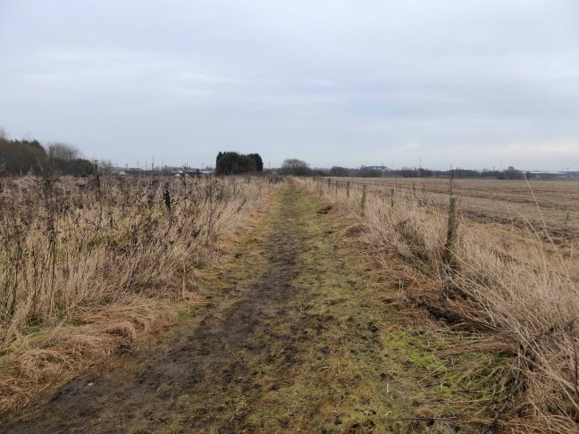
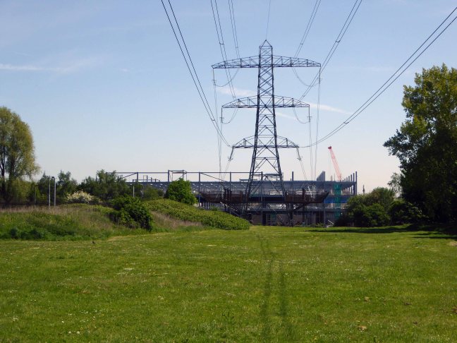
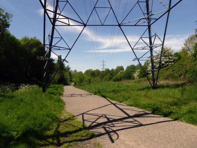
Great volumes of earth are moved to from a new topography a topography of leisure – the gentle stroll, jog and cycle replaces the clank of fire doors and shovel on coal.

NEW-GWEB

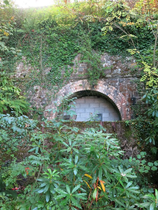
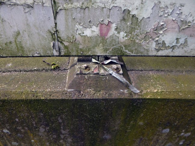
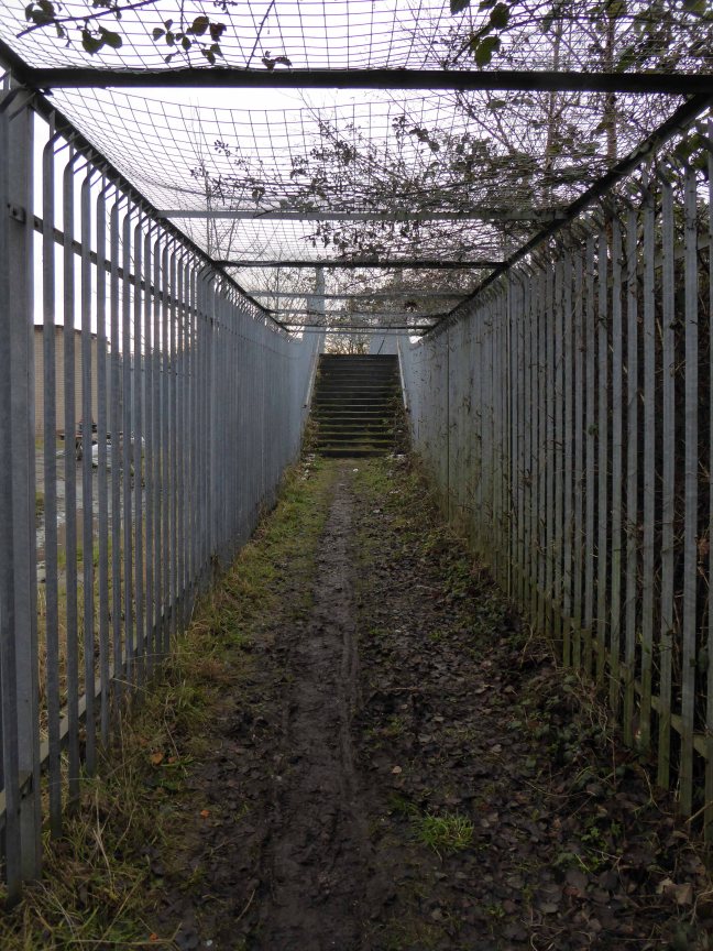
But take a look around you and you will see the remnants of the industrial age, shrouded in fresh hawthorn and enshrined in birch and beech.

P1250163

P1250164

P1250169

P1250178

P1250179

P1250180

P1250182

P1250185

P1250186

P1250187

To walk this landscape is to traverse geological, agrarian, industrial and post-industrial time – they all coexist and coalesce. Have an eye, ear and heart open to their resonance and presence, transcend time and space in the Mersey Valley today, you’re part of the leisured generation.


Marland Bricks

What’s in a name?

That which we call a brick, by any other name would smell as sweet.

Chancing across a written reference to the Marland Brick in the book The Trains Now Departed, I was slightly taken aback – from wither and whence it came and went.

I was aware of the my patronymic local connection:

This most interesting surname is of Anglo-Saxon origin, and is a locational name from Marland, a minor place in the parish of Rochdale, in Lancashire. The placename itself is composed of the Olde English elements “mere”, a lake, pool, and “land”, land.

However:

There are also places called Peters Marland in Devon, recorded as “Merland” in the Domesday Book of 1086 (the site of a church dedicated to St. Peter), and Marlands in Somerset.

So our southern cousins were clay-mongers, manufacturers of fine bricks to boot.

Marland Cream brickwork is a feature of North Devon. The hard cream bricks were made at Marland Moor by a succession of companies using stoneware ball clays dug from the Petrockstowe Basin. 

3895334_94deff16

3895347_4854f4c8

Between Great Torrington and Hatherleigh, in north Devon, lie alluvial deposits of ball clay, a particularly useful clay which first found use for pottery and clay pipes in the seventeenth century. However the remoteness of the location prevented the growth of the industry and by the nineteenth century it only met local needs for pottery and bricks.

The impetus for the industry came, perhaps, with the opening of the London & South Western Railway to Torrington in 1872 for a few years later the owner of Clay Moor, William A. B. Wren, started to exploit his land. By 1877 he had sunk several pits and erected at the Marland Brick & Clay Works kilns, cottages and stables. Clay was being taken to Torrington station behind a traction engine but over six or so miles of poor quality roads this was not very efficient.

North_Devon_and_Cornwall_Junction_Light_Railway_map

With the coming of the railway to Torrington, in 1881 a private mineral line was built to connect to the Marland area. This led to a great increase in production and was a factor in the opening in 1925 of the North Devon & Cornwall Junction Light railway, between Torrington and Halwill Junction, which superceded the mineral line. Closing to passengers in 1965, the section between Meeth and Barnstable remained open for freight, but by the 1980’s was moribund.

1bdagjs_3380_l

1ooak62_32b4_l


There are still remnants of the Marland Works Branch visible to this day.

17582047479_7ca9f17a00_b

fowler diesel

Ruston Diesel

Images from 28 days later

One of our famed family brick built achievements is the Chelfham Viaduct:

A railway viaduct built in 1896-97 to carry the Lynton and Barnstaple Railway across the Stoke Rivers valley. Designed by L&B engineer, FW Chanter, and containing over a quarter of a million Marland bricks, its eight arches – each 42 feet wide and 70 feet high – meaning that the 132-yard long viaduct is the largest narrow gauge railway structure in England.

94_image_7

image5

Im20101212-Chelfham2

The L&BR’s peak period came between 1902 and1913 when it carried almost 97,000 passengers a year. Yet the considerable endeavour invested in the railway was not enough to save it; as traffic dwindled, the line succumbed to closure by Southern Railways on 29th September 1935. Most of the trackbed and buildings were sold at auction in 1938. Although Chelfham Viaduct was retained, its parapets were taken down to about one foot above ballast level. In 1943, it featured in a film, The Flemish Farm, representing the Franco-Belgian border.

The structure was granted a Grade II listing on 25th February 1965. In 2000, in partnership with the Railway Heritage Trust and the Lynton & Barnstaple Railway Trust, British Railways Board completed a programme of remedial works.

Then later today, casting my mind back to my 2105 cycle tour from Weston Super Mare via Ilfracombe and  Plymouth and onward to Hastings, I remembered a former chance encounter.

P1010238 copy

I had been here before, blissfully unaware of the local family connections along the Tarka Trail – thick as a Devon cream-tea coloured brick.

So when I eventually return to the area to fully explore our family heritage, I shall be sure to doff my cycling cap and smile whilst passing the warm cream expanses of Marland Brick.


Motorway Footbridge – Stockport

A Moebius Band of motorway formerly known as the M63 wraps and warps itself around the city, ever so conveniently linking the traffic of Greater Manchester with itself.

2000px-UK-Motorway-M63.svg

Ever so conveniently it passes through Stockport – only moments from my home.

M63

Screen Shot 2018-05-04 at 17.03.27

Before the white man came.

11993

11996

The view from Princes Street along Hatton Street – towards Heaton Norris Rec. 

19617

1945

50450

1960

A boon to the modern day motorist, though happily the modern day pedestrian is also catered for in the form of the Hatton Street Footbridge – linking Great Egerton Street below, with Heaton Norris Recreation ground above.

t-s-parkinson-81.jpg

88

821-e1525450826497.jpg

Images TS Parkinson –  Stockport Image Archive

For the past two years the footbridge has been inconveniently closed, during the development of the Redrock Leisure Facility, built on the site of the former car park, in the foreground of the image above. Thus prohibiting the passage from the Post Modern world of the big brash entertainment box, to the leafy cobbled street beyond.

The Hatton Street footbridge has two spans of in-situ u-section deck, is at ground level on the north side, but is reached by steps or ramp from Great Egerton Street on the south.

William B Ball

I’m ever so pleased that access has been reinstated, from me it is both fully functional yet imbued with an elegant concrete sculptural grace, worthy of Niemeyer or Lasdun.

So take a walk on the slightly higher side, either way you win.

P1240904

P1240906

P1240908

P1240909

P1240910

P1240912

P1240913

P1240919

P1240920

P1240922

P1240924

P1240925

P1240926

P1240927

P1240928

P1240929

P1240930

P1240931

P1240932

P1240933

P1240934

P1240935

P1240936

P1240938

P1240939

P1240942

P1240943

P1240948

P1240952


Gore Brook – A History

To begin at the beginning, well actually to begin in the middle and walk to the current beginning. The Gore Brook flows from the Lower Gorton Reservoir and from there onwards to meet the Chorlton Brook in the west, though I should imagine that prior to the construction of the waterworks, it was fed by more distant moorland waters.

gore map

Manchester being on the eastern edge of the Lancashire Plain and the western edge of the Pennines is riddled with rivers, rivers which now wriggle in an under and overground web, across heavily developed urban areas. Following the Industrial Revolution former meadow, common and farmland was overwritten by factories, housing and roads, the rural character of the rivers and brooks soon becoming darkened and polluted by the surrounding industries.

I was lead here by my search for a lost pub The Garratt on Pink Bank Lane, then drawn in further by this site The Red Path of Longsight.

The Red Path is a pedestrian link between Pink Bank Lane and the Gorton boundary at Buckley Road. It roughly follows the course of Gore Brook. The original footpath, running from Buckley Road to the bank of the brook, was made using black cinders. It was probably made in the 1940s to provide access to the allotments located on either side. In the early 1950s , a concrete bridge was laid across Gore Brook and the footpath extended to Pink Bank Lane. This section used red bricks in it’s construction, probably supplied by Jacksons brickworks . Crushed bricks were then used as a topping to make the path smoother and fill in any cracks. The thoroughfare soon became known as the Red Path.

So wide eyed and mapless I bowled up at Brook Terrace, just off Stockport Road Longsight, in search of The Gore and its source.

stockport rd 1911

stockport road

In the early 1900’s the river was still open and bridged, here at Stockport Road, later culverted and covered – anticipating the arrival of Tesco’s and Granada TV Rentals.

beneath

From there we pass under the railway along Brook Terrace and into Parry Road.

brook

The underpass is still there and very much in use, as is Stanley Grove School – the Manchester Central Schools’ Kitchens are long gone, along with the food filled, insulated aluminium cases, that fed the hungry mouths of many, with semolina, pink custard, meat pies and lumpy mash.

parry 64

kitchens 1965

Onwards to Elgar Street and still no sign of the river, hidden beneath our feet, the corner of Northmoor Road, can be seen on the corner, no longer distributing dividends, but now providing social housing.

elgar

We arrive at Pink Bank Lane, a rich mix of terraced homes, flats and factories – and the long lost Garratt, and the long lost Gore.

garratt

pink bank 64

Though the lazy, lazy river has been confined in a brick lined wind, to meet the ever pressing needs of the Gorton Sewage Works.

sewage 1910

sewage works 38

The river then hugs the edge of Annie Lea Playing fields on Buckley Road, until it disappears again as it meets Mount Road, the playing fields are still open ground – the Manchester Cleansing Department, seen on the left – is no more.

annie lea

Here on Knutsford Road we see the construction of the tunnels and culverts, the footbridge to the left spanning the railway, is still there.

knutsfrod 1907

1907

knutt 1911

1911

knut 1914

1914

Finally we see The Gore reemerging clear, clean, wide, proud and resplendent in Sunny Brow Park, where it is still maintained as a decorative, duck-filled lake.

sunny 1907

1907

sunny1910

1910

sunny 1964

1964

Briefly underground again and into the back of Far Lane, skirting the Brookfield Church graveyard.

far 1920

1920

far 1937

1937

fa 64

1964

Then tunnelling under Hyde Road at the back of the church lodge, appearing once again alongside Tan Yard Brow.

webmedia-1.php

ty 1904

1904

tan yard 1922

1922

tan yard brow 1964

1964

The manmade waterfall continues to cascade, the Fairfield to Old Trafford railway is now the Fallowfield Loop, Manchester Cycleway, young lads no longer mess about in wellies and torn Tek Sac jeans on the bank, the Tannery no longer tans.

Then we end our journey by the broad expanse of the Lower Gorton Reservoir, implausibly dotted with jolly yachts, and home to a now absent stepped outflow stream. Look up to the east, and there you’ll see the moors, you could go further.

deb 66

deb

All archive photographs from Manchester Local Image Collection.


Concrete Toon

Everything is up in the air.

Tyneside is self evidently enamoured of elevation – they simply adore bridges, having five and another one as well.  Walking driving, running trains across the mighty Tyne Valley, why they even write songs about them.

In the Swinging Sixties T Dan Smith vowed to create a Brasilia of the North, which as good as his word he did, though sadly lacking the requisite regard for the law of the land.

What remains is a complex interwoven structure of urban motorways, walkways, multi-storey car parks and tower blocks. To explore is to enter a world of the sublime, exhilarating and still yet mildly confusing.

Can you get there from here?

P1160439

P1160440

P1160442

P1160443

P1160444

P1160445

P1160446

P1160447

P1160449

P1160450

P1160451

P1160454

P1160455

P1160456

P1160457

P1160458

P1160459

P1160438c

Transporter Bridge – Warrington

I set out one morning with a clear intent, to travel.

To travel to see the Warrington Transporter Bridge – of which I had only just become aware. Ignorance in this instance is not bliss, expectation and fulfilment is.

Guided by the detailed instructions on the Transporter Bridge Website I made my way from Bank Quay Station, mildly imperilled yet not impeded by caged walkways, tunnels, bridges, muddy paths and Giant Hogweed!

p1130109

p1130111

p1130164

p1130122

p1130127

Finally catching a glimpse of:

Warrington Transporter Bridge, also known as Bank Quay Transporter Bridge or Crosfield’s Transporter Bridge, across the River Mersey is a structural steel transporter bridge with a span of 200 feet. It is 30 feet wide, and 76 feet above high water level, with an overall length of 339 feet. It was built in 1915 and, although it has been out of use since about 1964, it is still standing. It was designed by William Henry Hunter and built by William Arrol and Co.

bridge_in_use_1951

The bridge in use 1951.

It is till standing today, and was built to despatch finished product from the cement plant that had been built on the peninsula. It was originally used to carry rail vehicles up to 18 tons in weight, and was converted for road vehicles in 1940. In 1953 it was modified to carry loads of up to 30 tons.

The bridge is designated by English Heritage as a Grade II* listed building, and because of its poor condition it is on their Heritage at Risk Register. The bridge is protected as a Scheduled Ancient Monument.

My thanks to the Friends of the Warrington Transporter Bridge for the historical information and archive image.

Here are my photographs expectations more than fully fulfilled an epic structure and a triumph of engineering, go take a look real soon.

p1130129

p1130133

p1130134

p1130135

p1130136

p1130144

p1130145

p1130148

p1130149

p1130158

p1130166