Having photographed the arterial roads of Manchester in 2014, I have resolved to return to the task in 2024.
Some things seem to have changed, some things seem to have stayed the same.


Having photographed the arterial roads of Manchester in 2014, I have resolved to return to the task in 2024.
Some things seem to have changed, some things seem to have stayed the same.
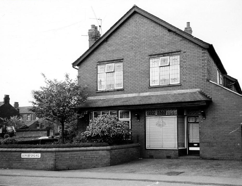
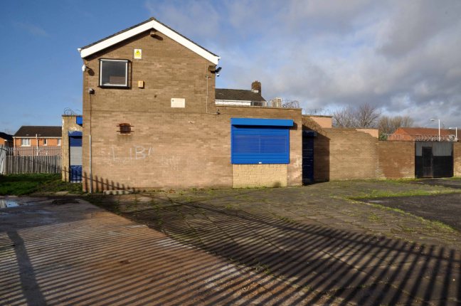
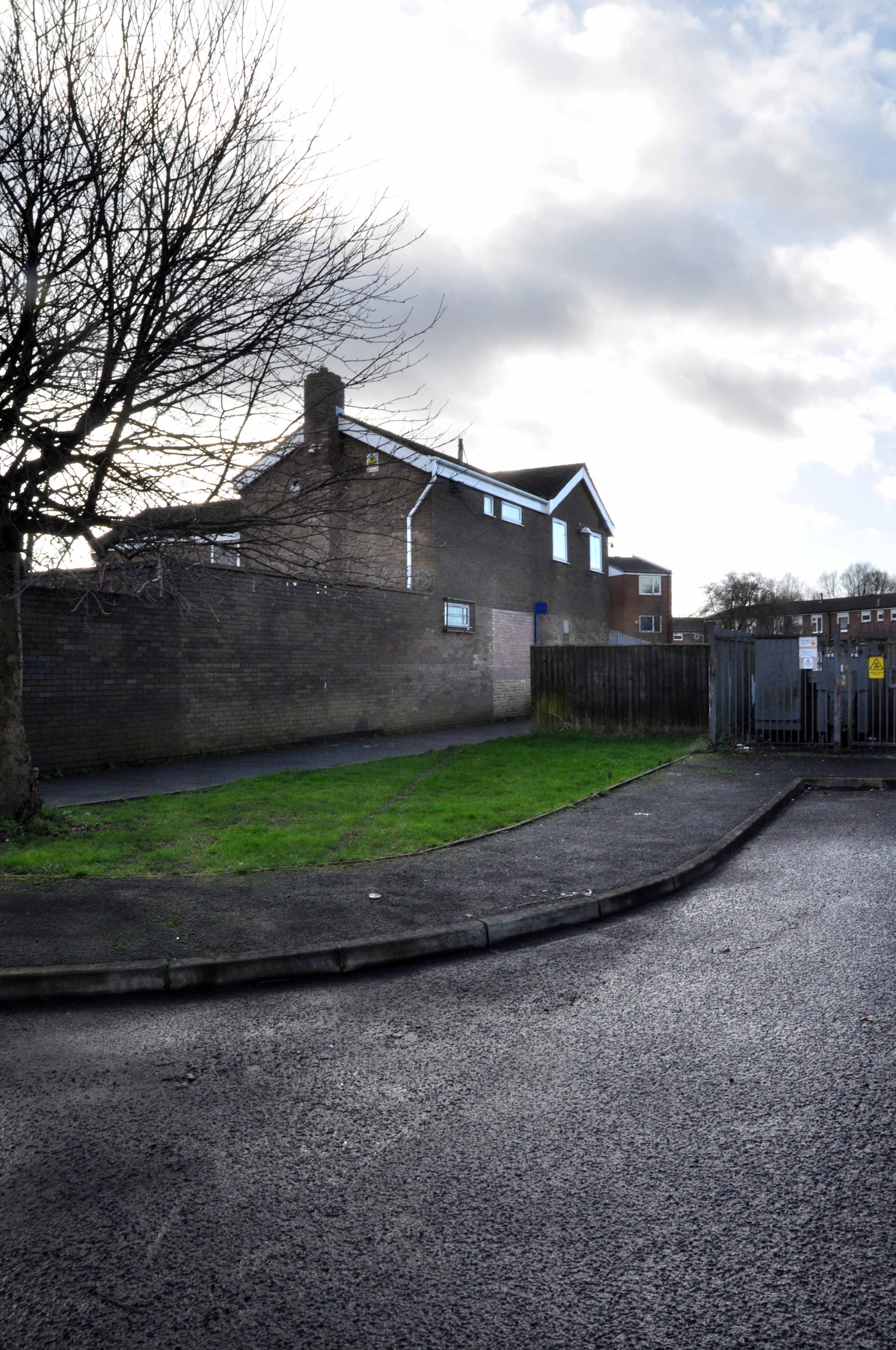
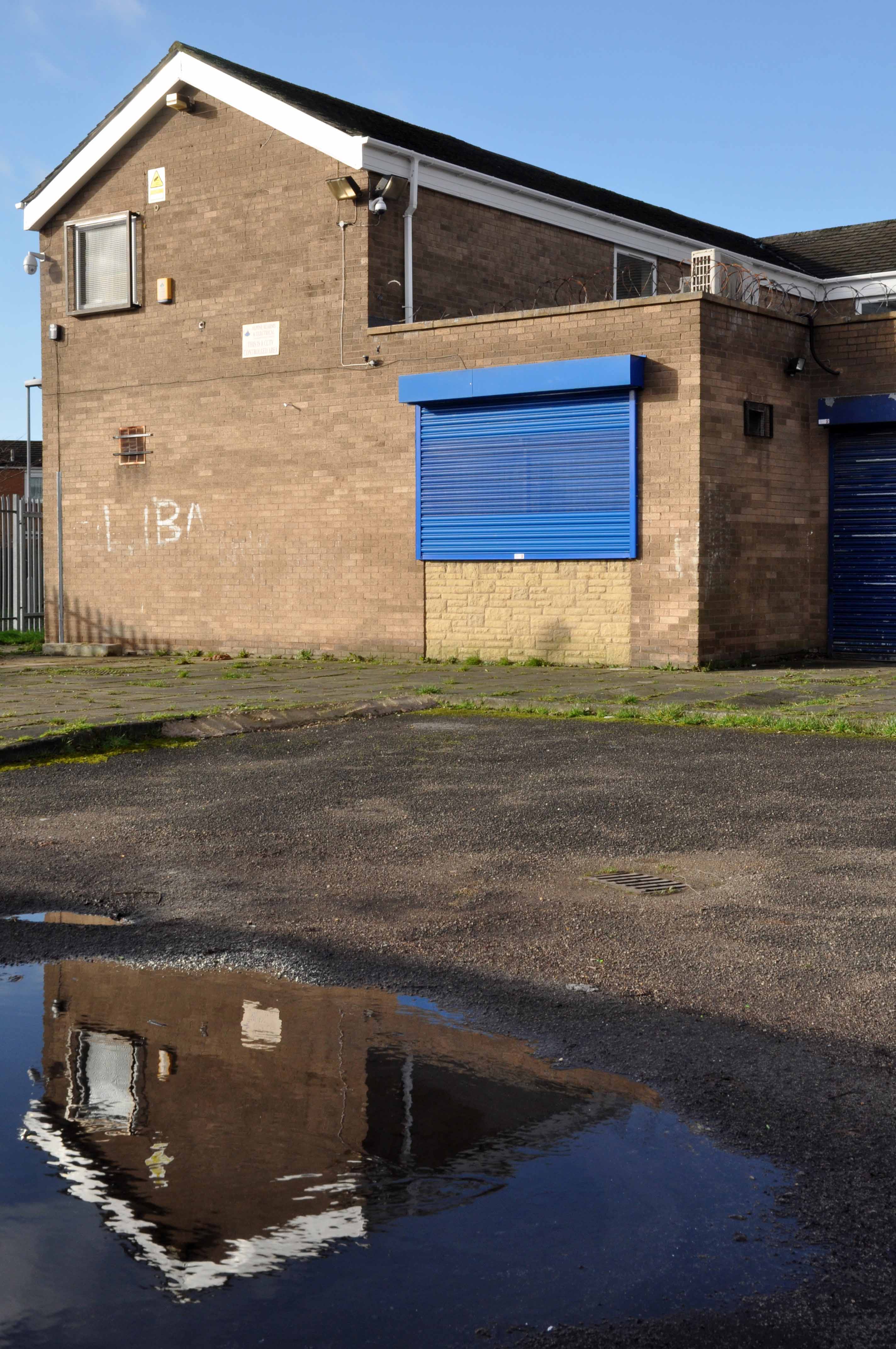
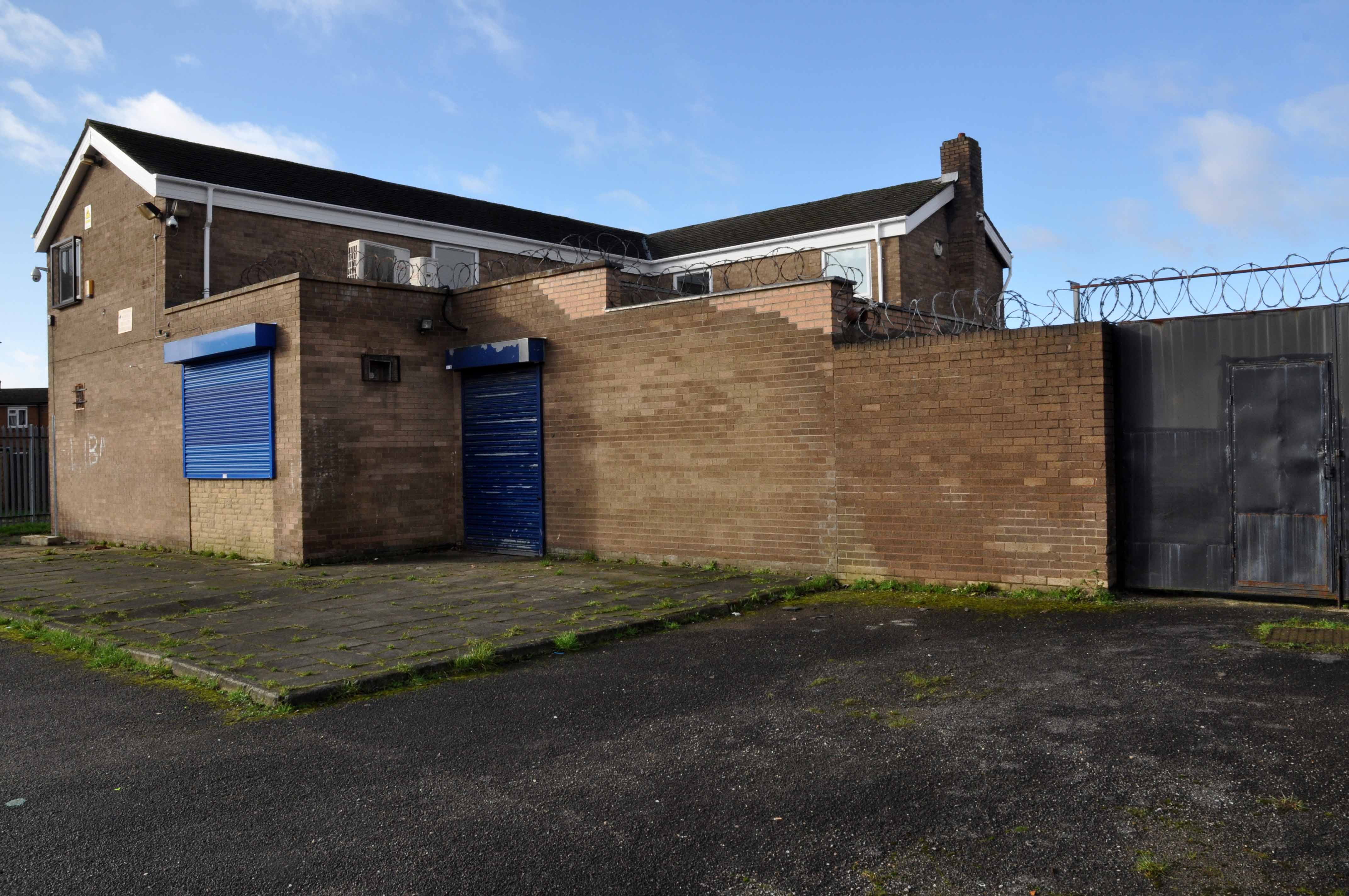
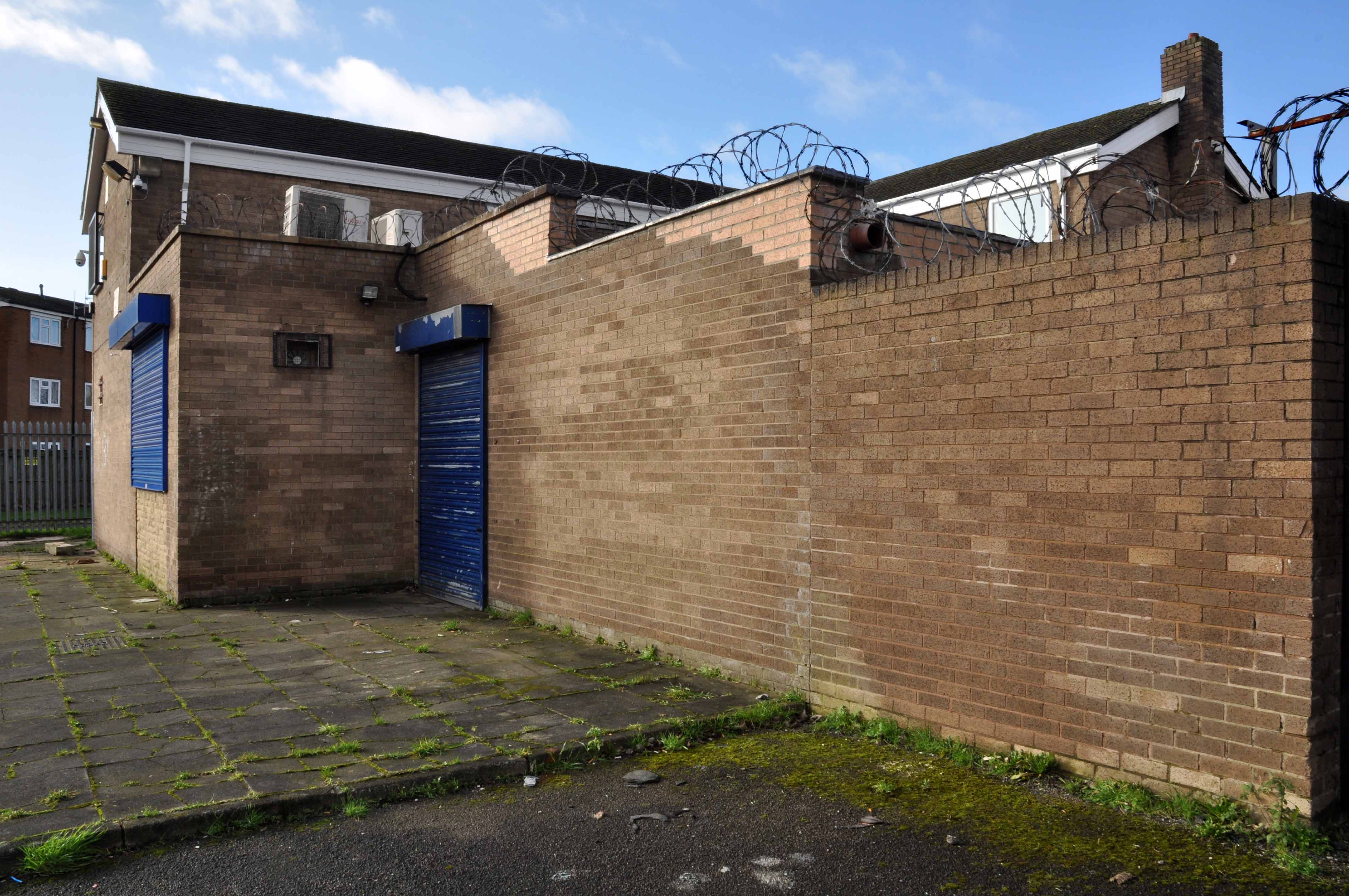
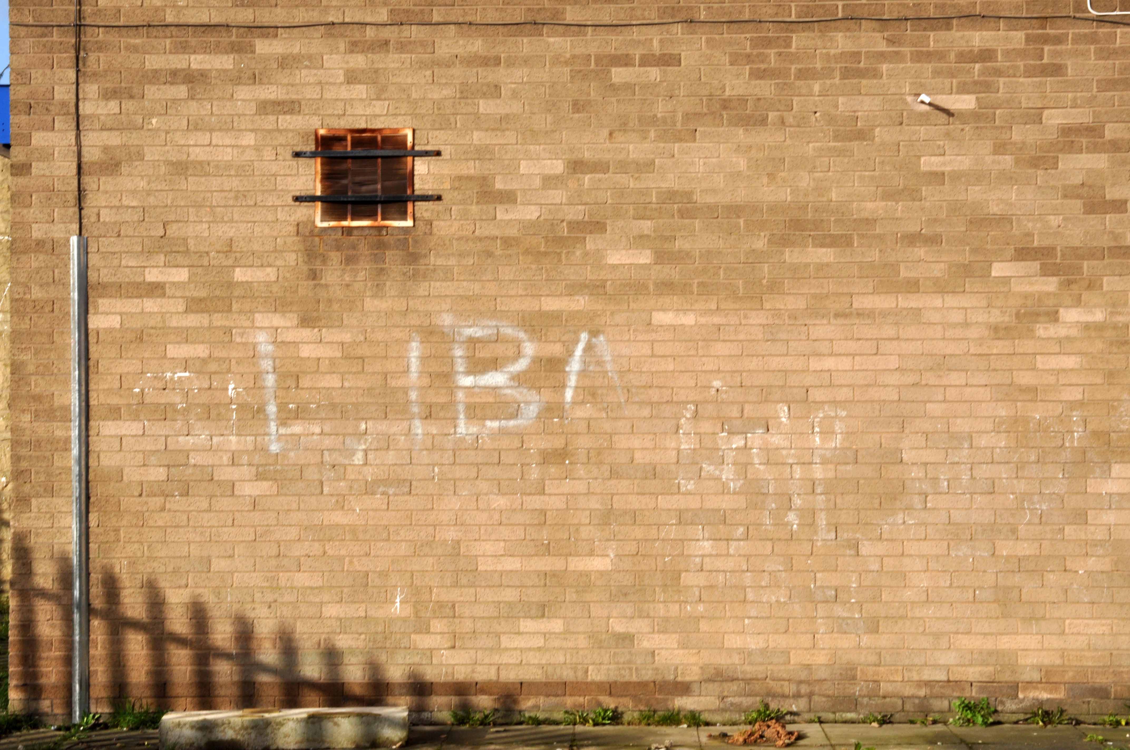
Cycling back from Town, zig zagging between the A6 and Birchfields Road, I headed down Beresford Road and bumped into a behemoth.
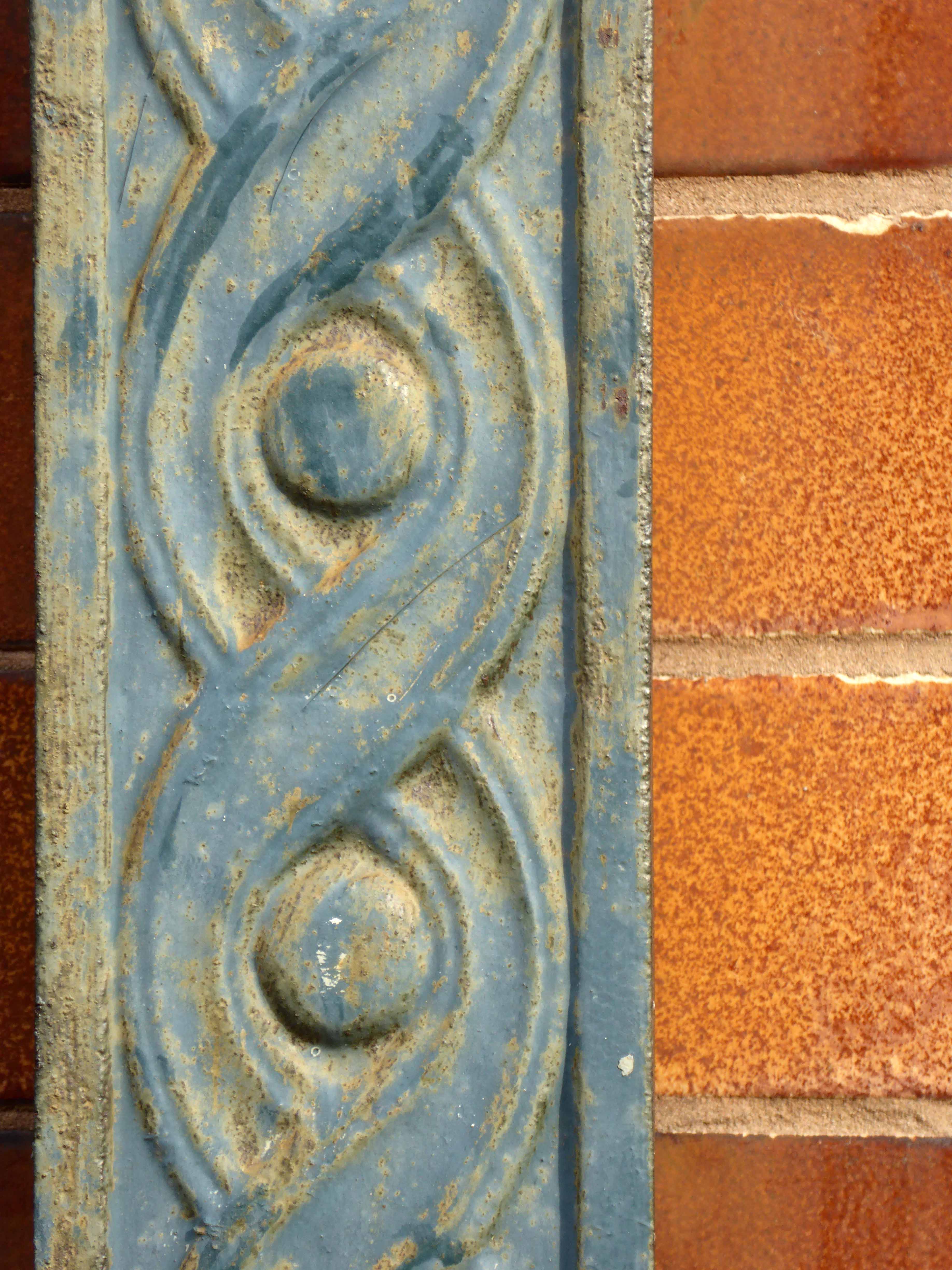
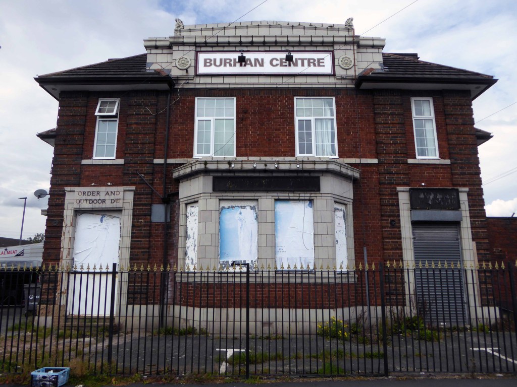
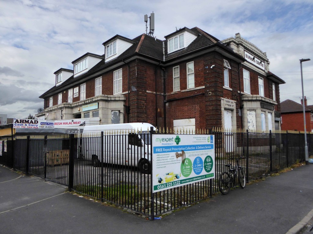
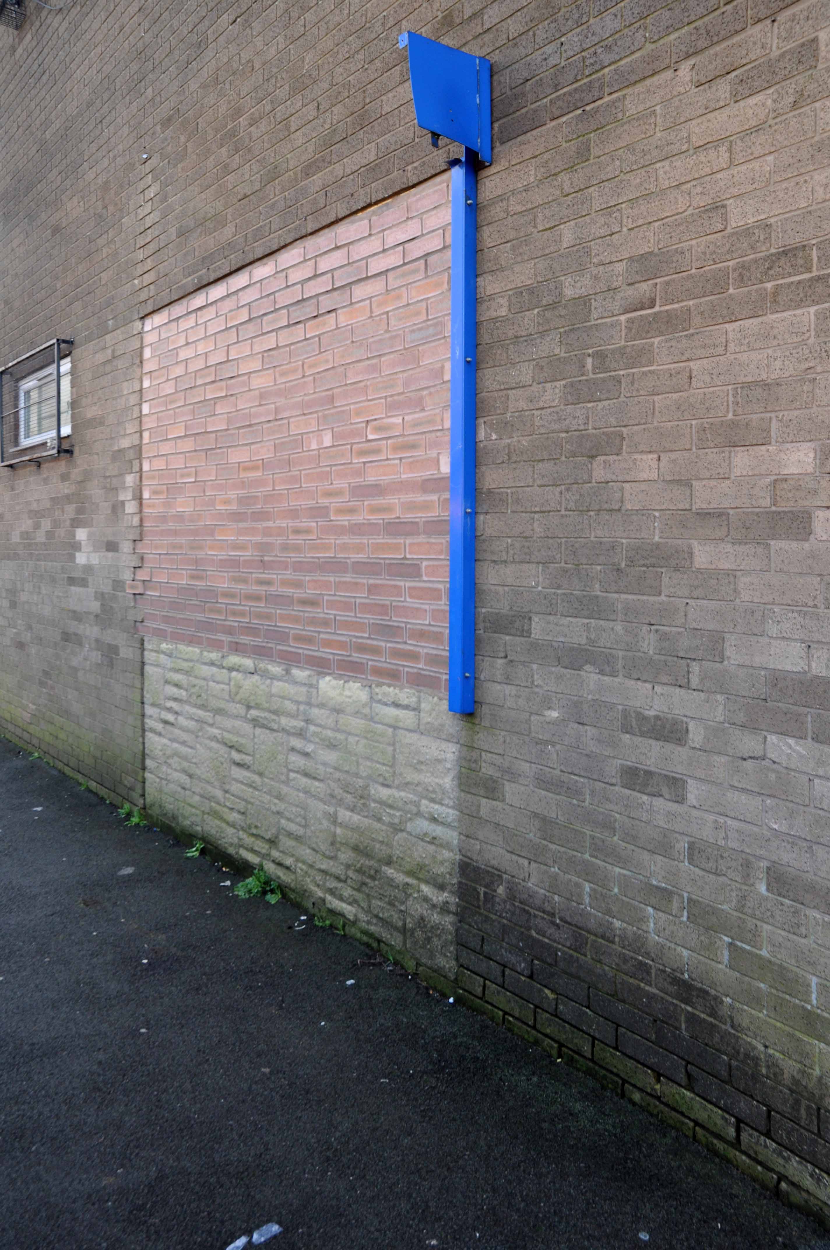
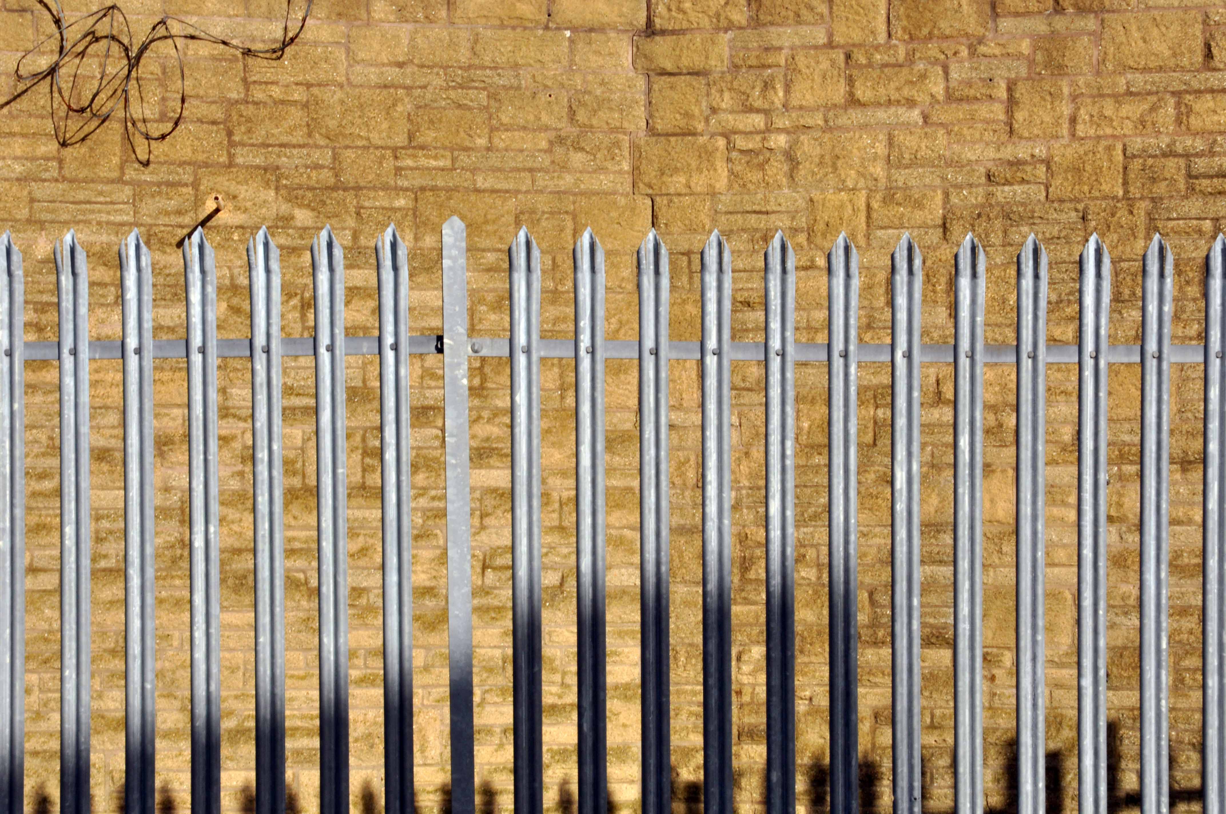
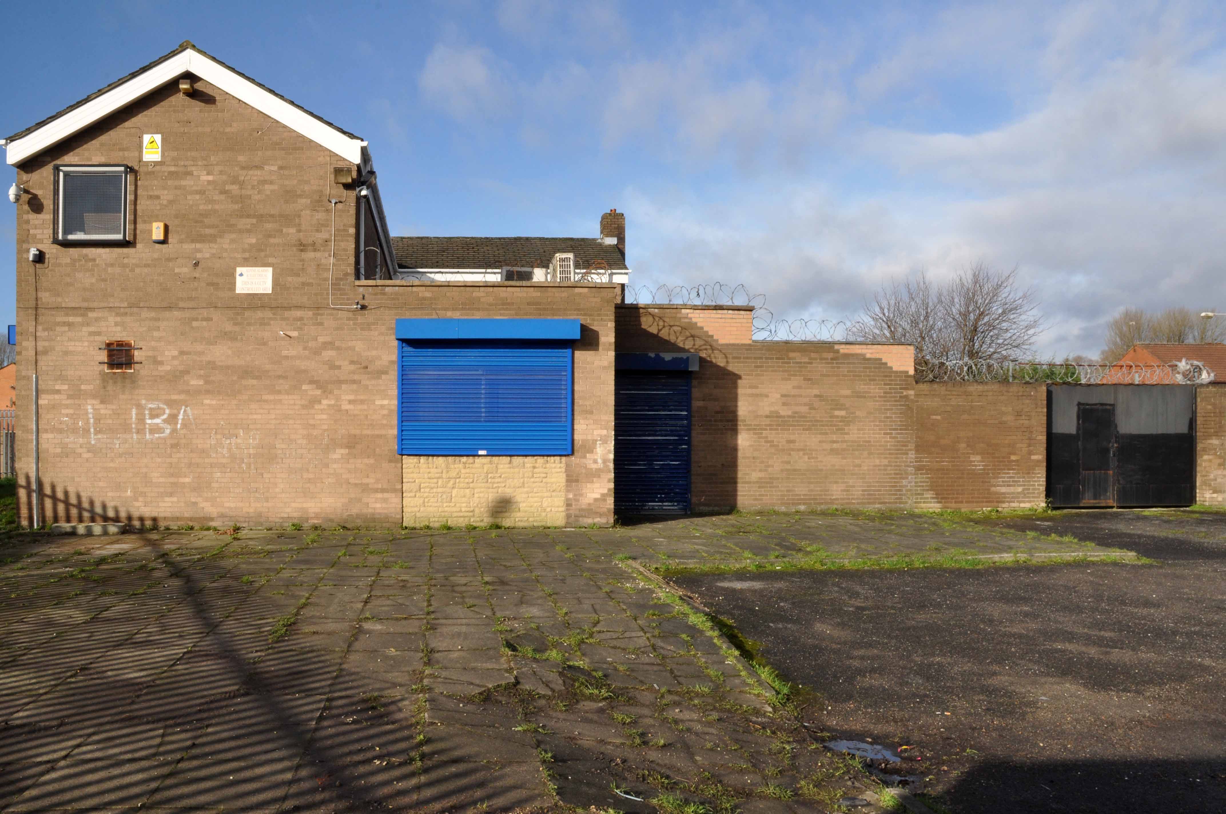
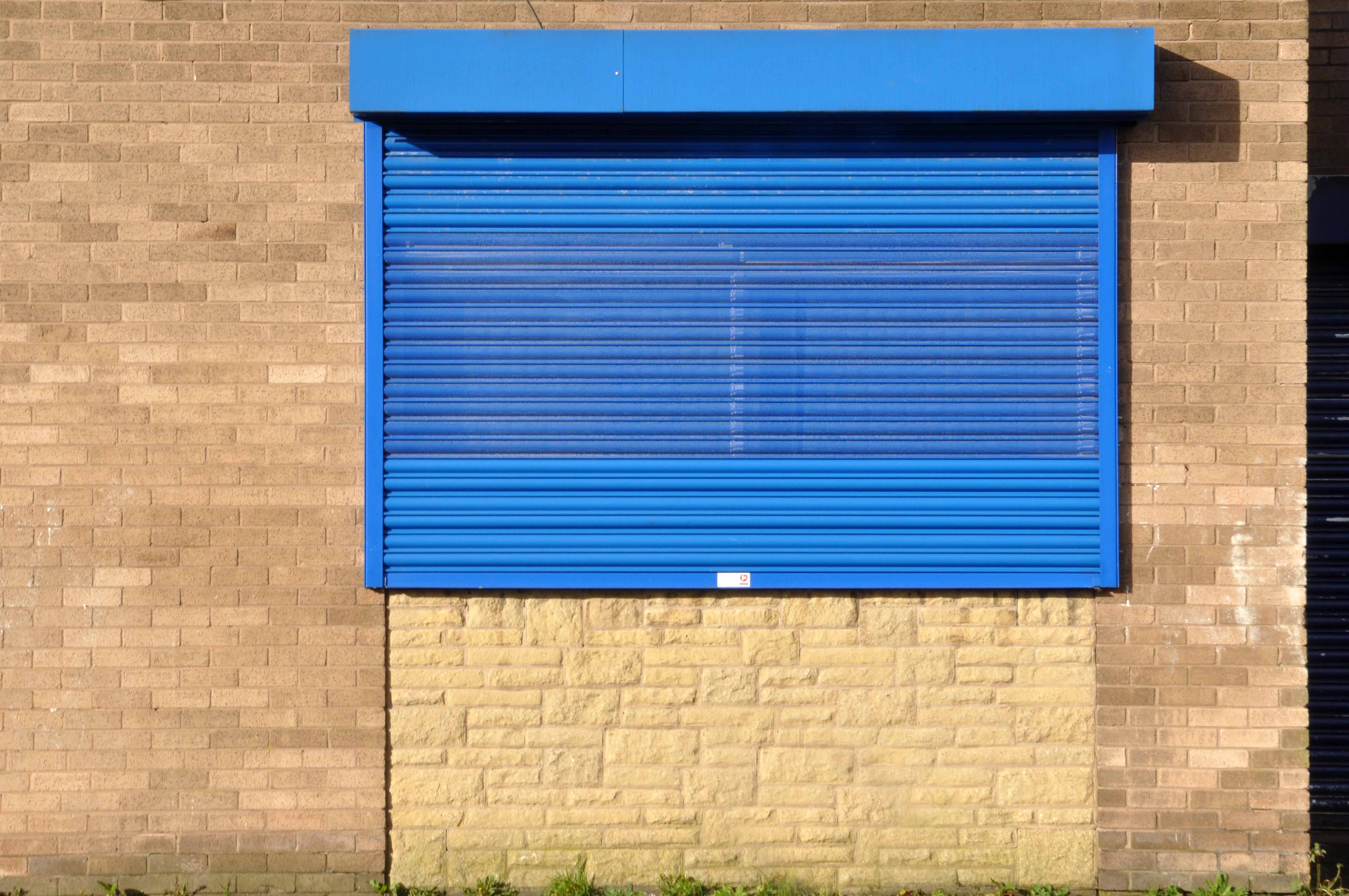
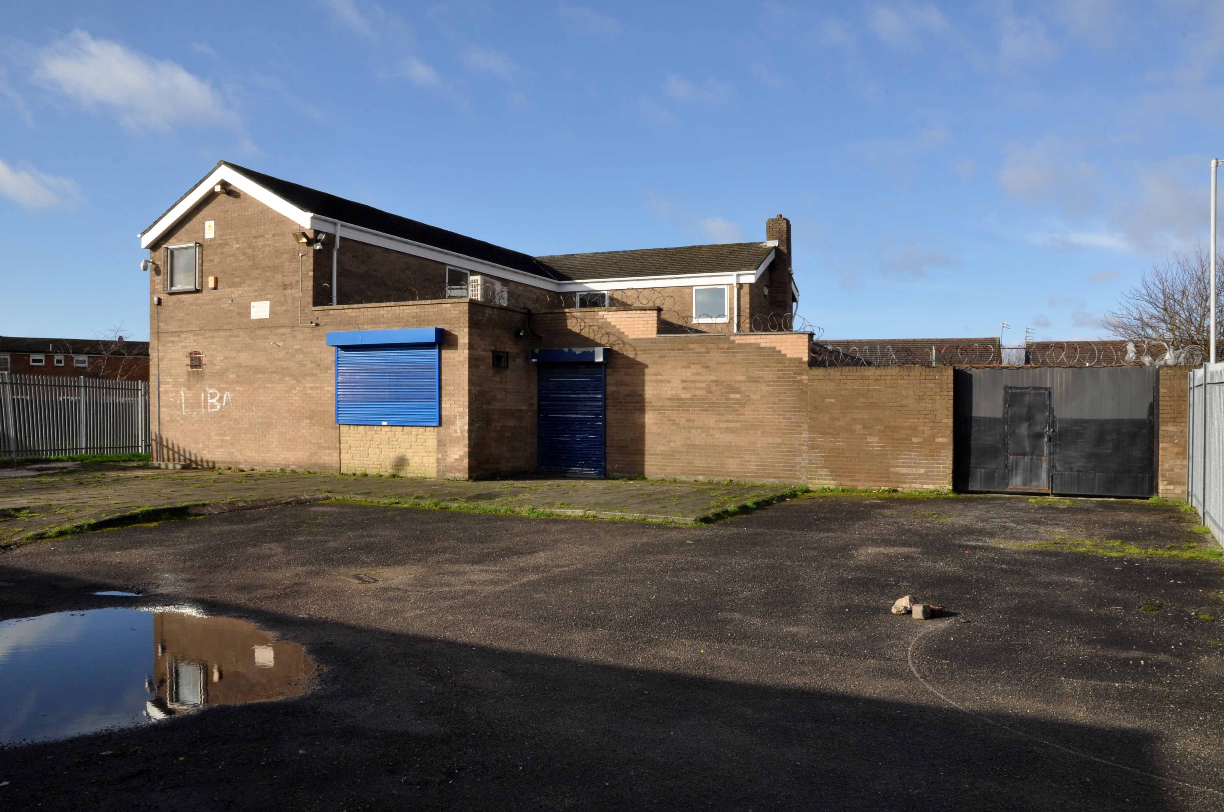
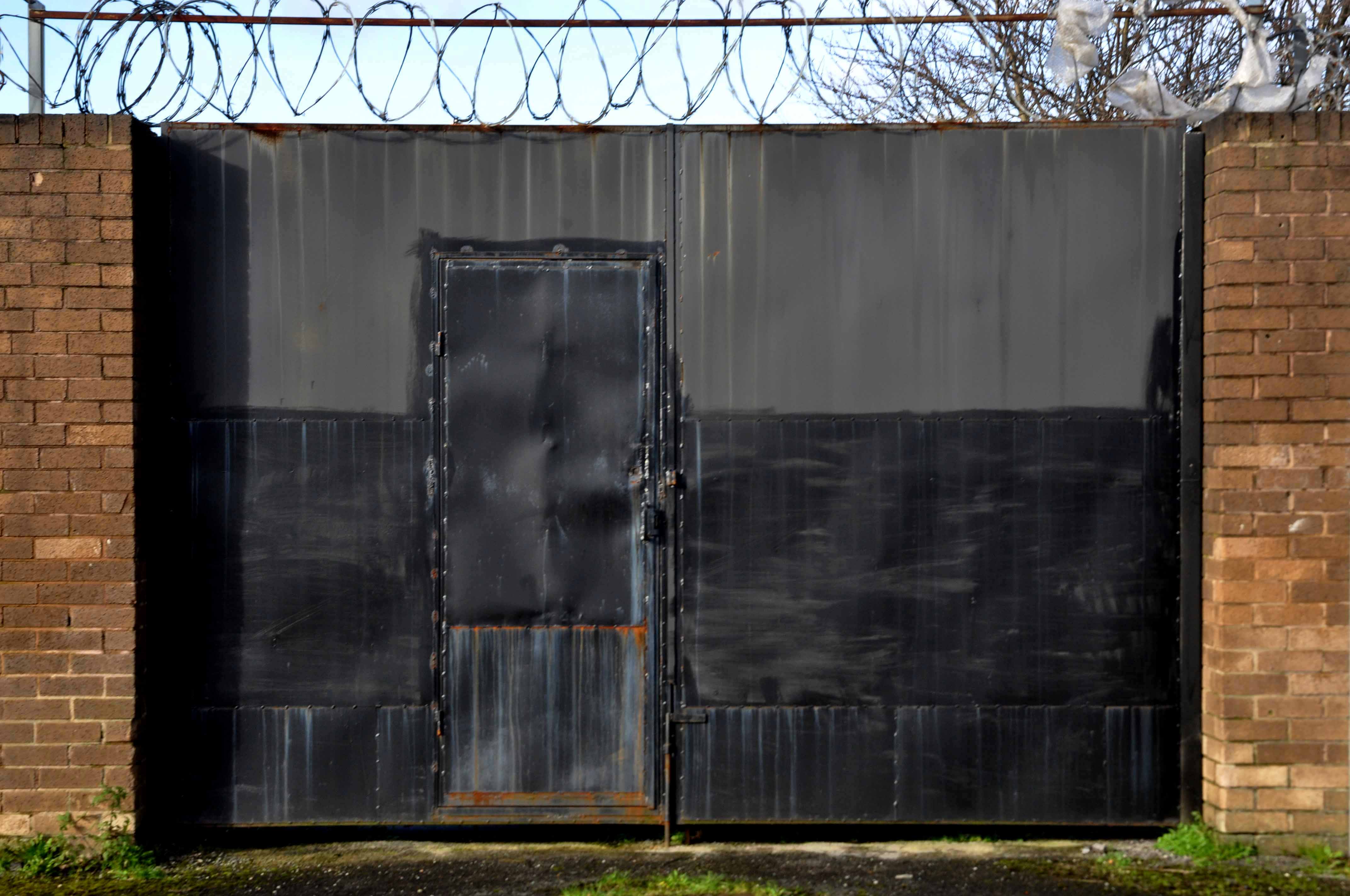
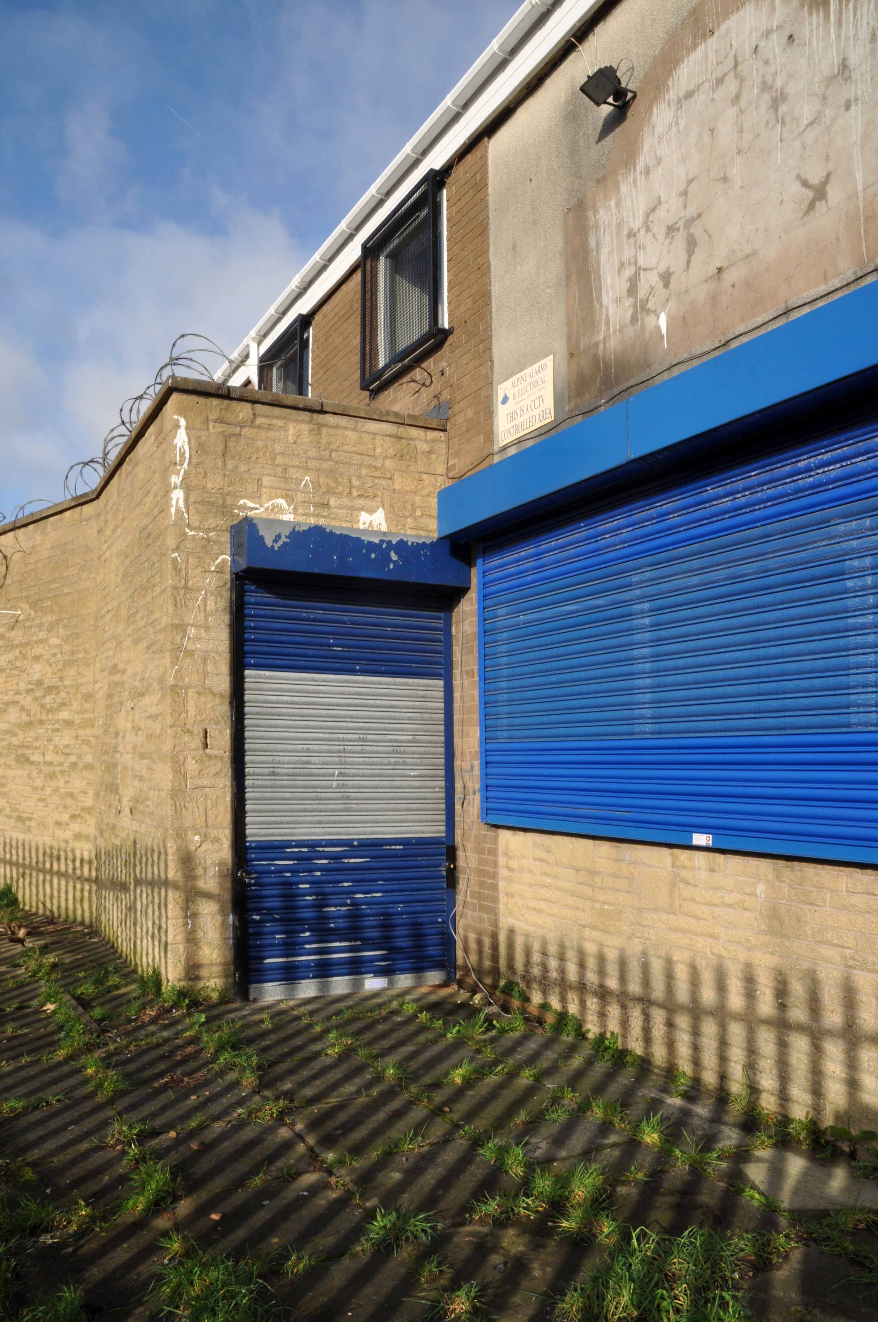
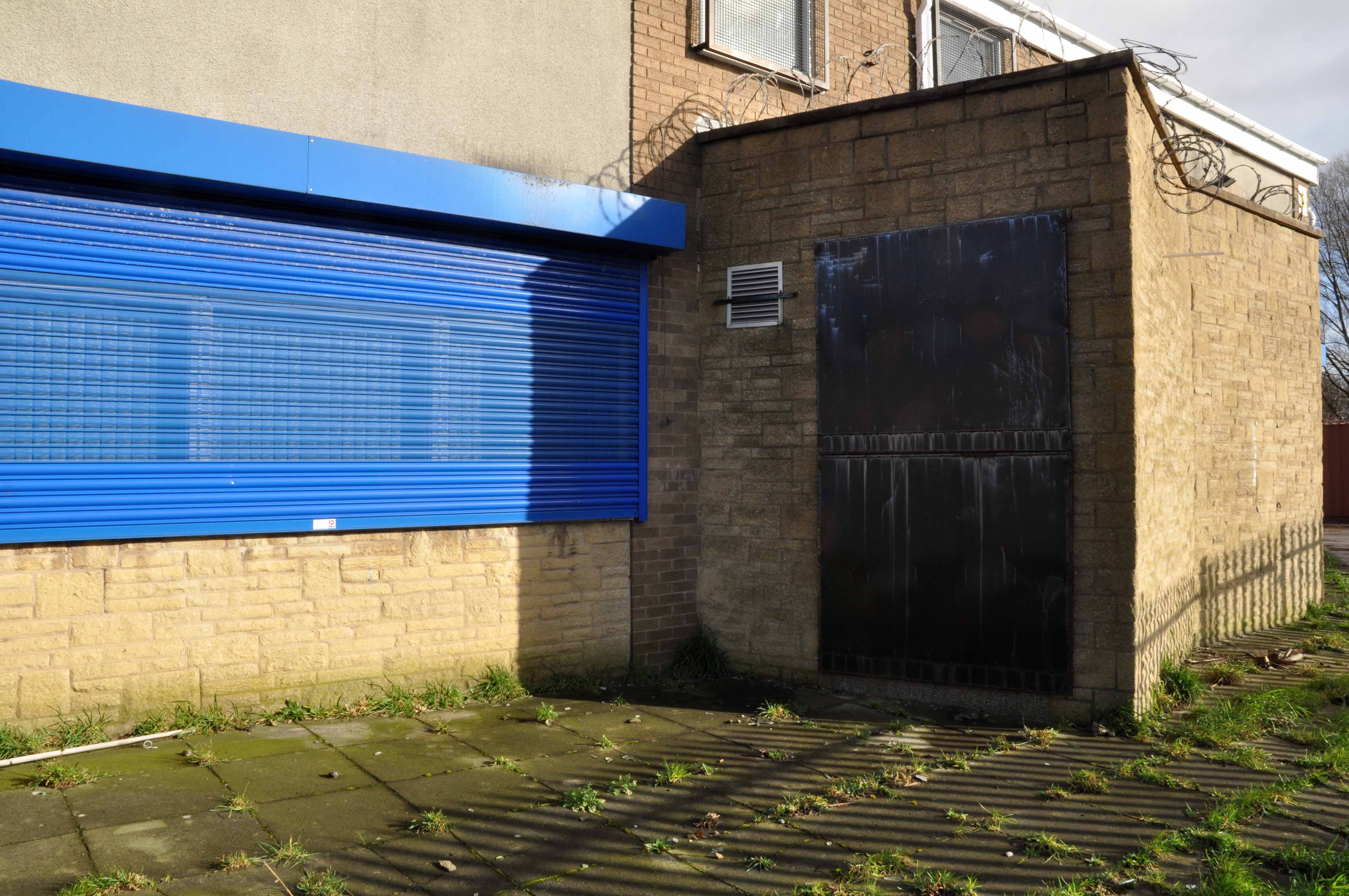
A huge inter-war Whitbread boozer long since closed, now a retail food outlet and badged as the Buhran Centre, also trading as Burooj.
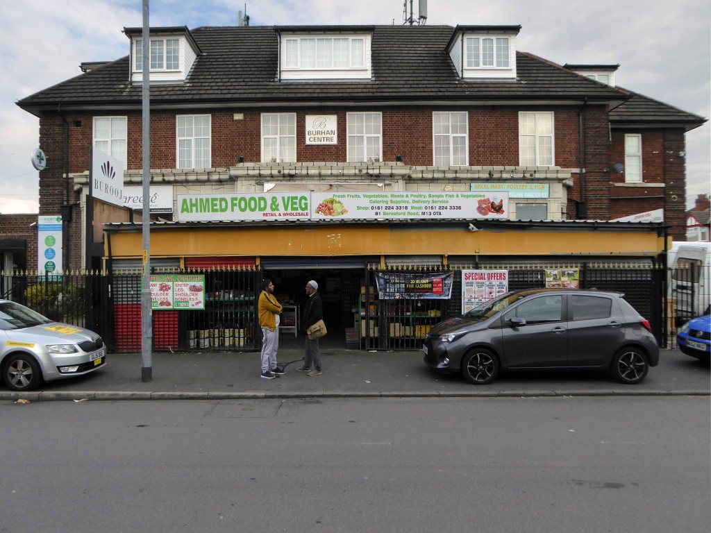
This change of use is far from uncommon, the demographics, socio-economic conditions and drinking habits which shape this and countless other pubs, have since shifted away from the lost world of this immense, roadhouse-style palace of fun.
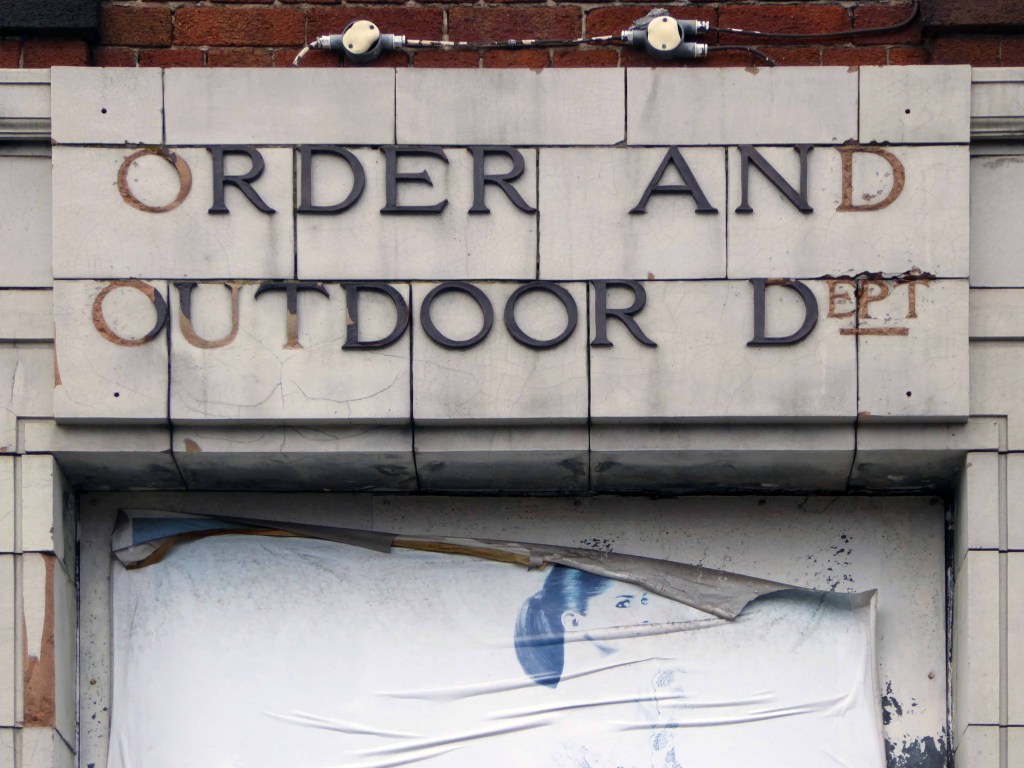
No more outdoor or orders here – the supermarket now supplies the supplies for the self satisfied home drinker.
The sheer scale of the building guaranteed its demise, a three storey house with no more stories to tell.
Searching online for some clues as to its history there is but one mention, on the Pubs of Manchester:

This is my attempt, in some small way, to redress the balance, snapping what remains of this once top pub.
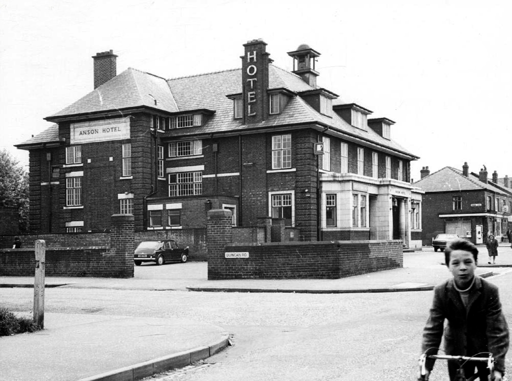
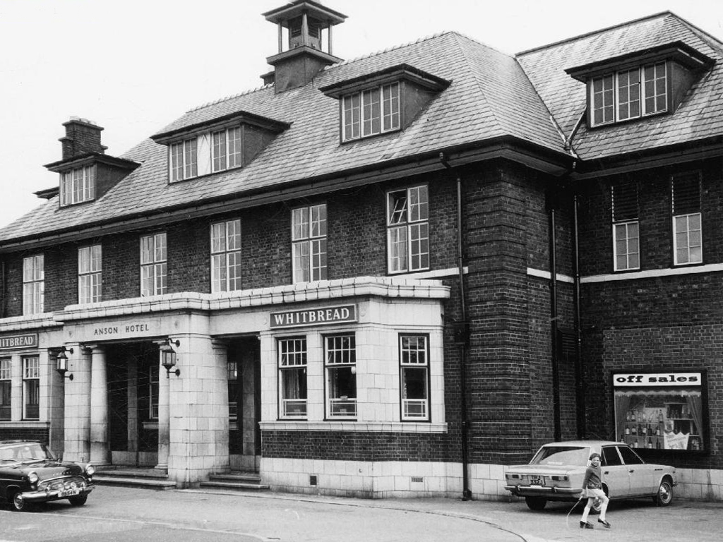
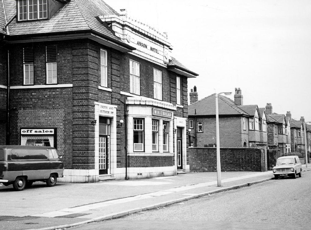
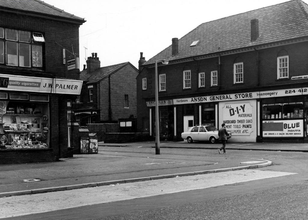
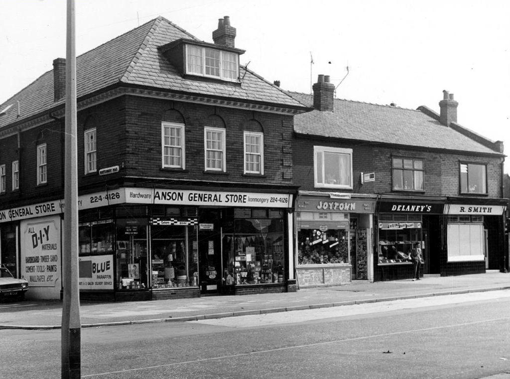
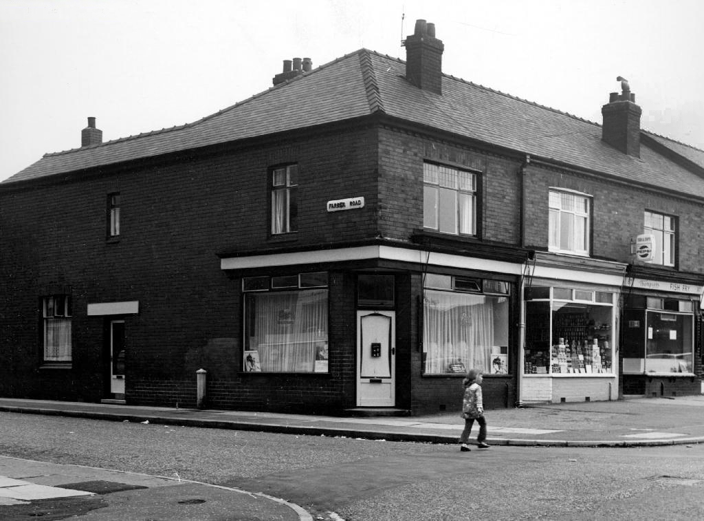
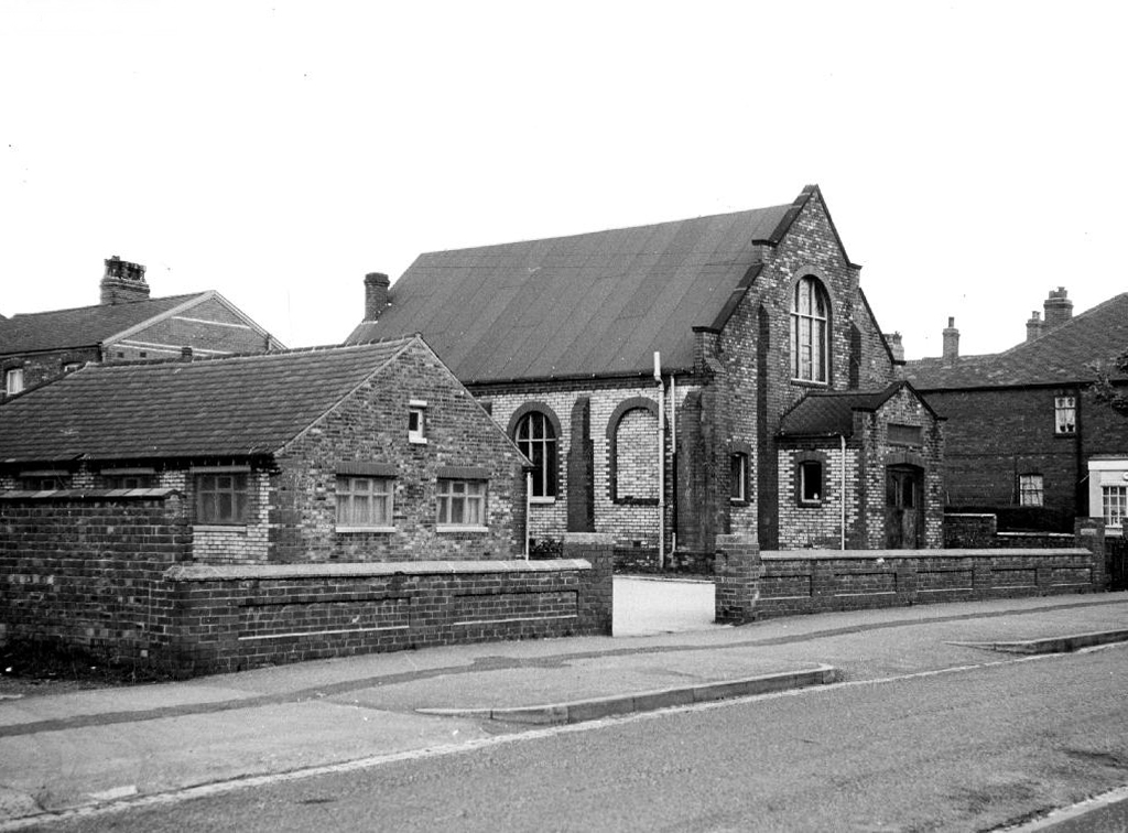
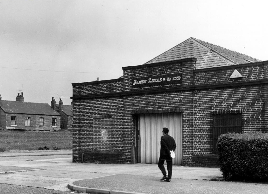
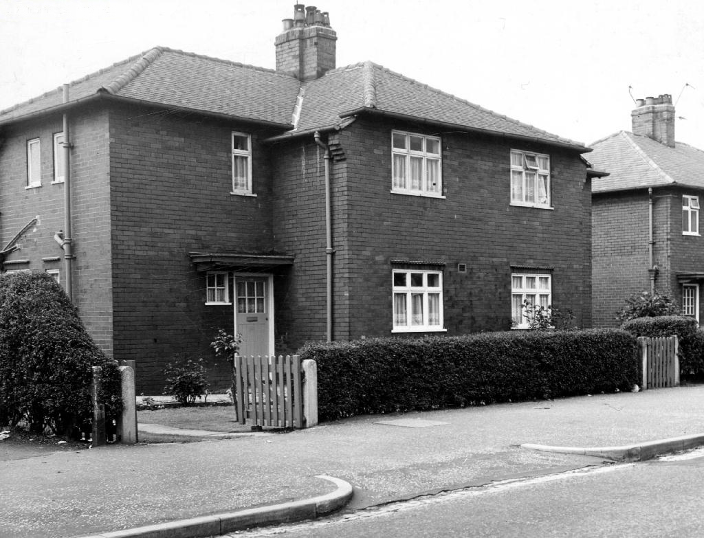
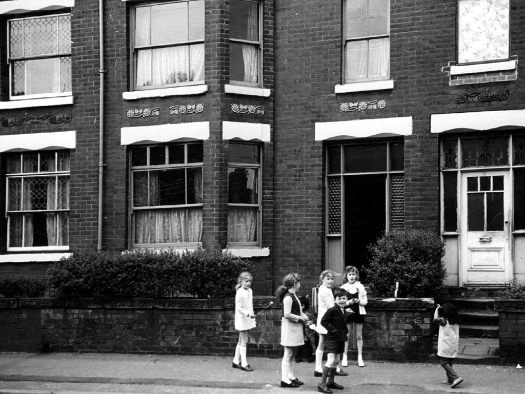
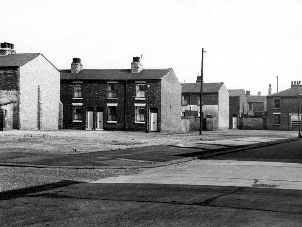
Safe home I searched the Manchester Local Image Collection, hoping to find some clues and/or images elucidating Beresford Road and the Anson in times gone by.
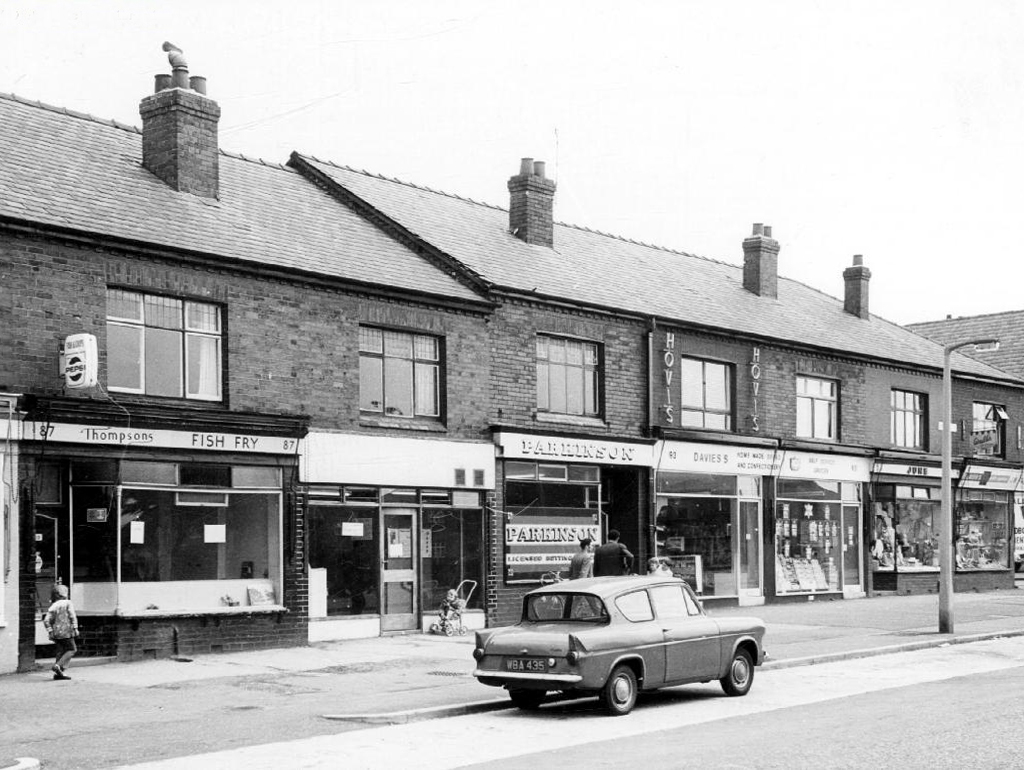
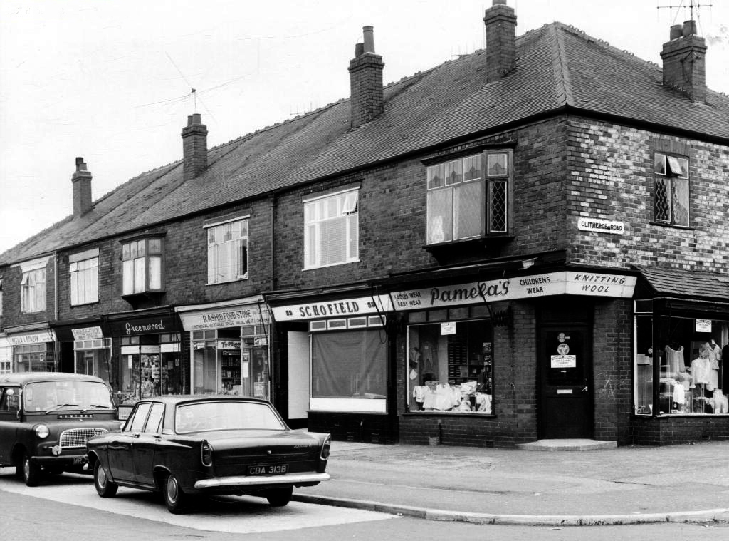
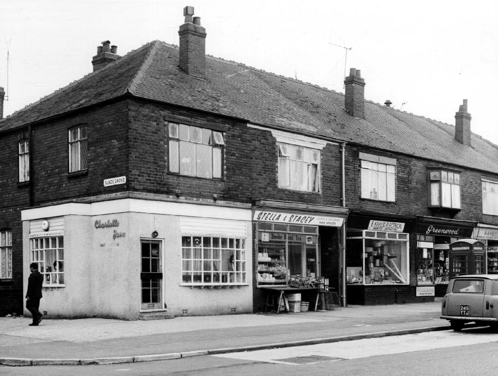
I found a typical inner Manchester suburban thoroughfare, a healthy mix of homes socially and privately owned, industry, independents shops, schools and such. Kids at play, passers-by passing by, captured in 1971 by the Council’s housing department photographers.
This was not a Golden Age – wasn’t the past much better, brighter, cheerier and cleaner reminiscence – simply a series of observations.
Things change.
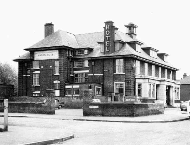
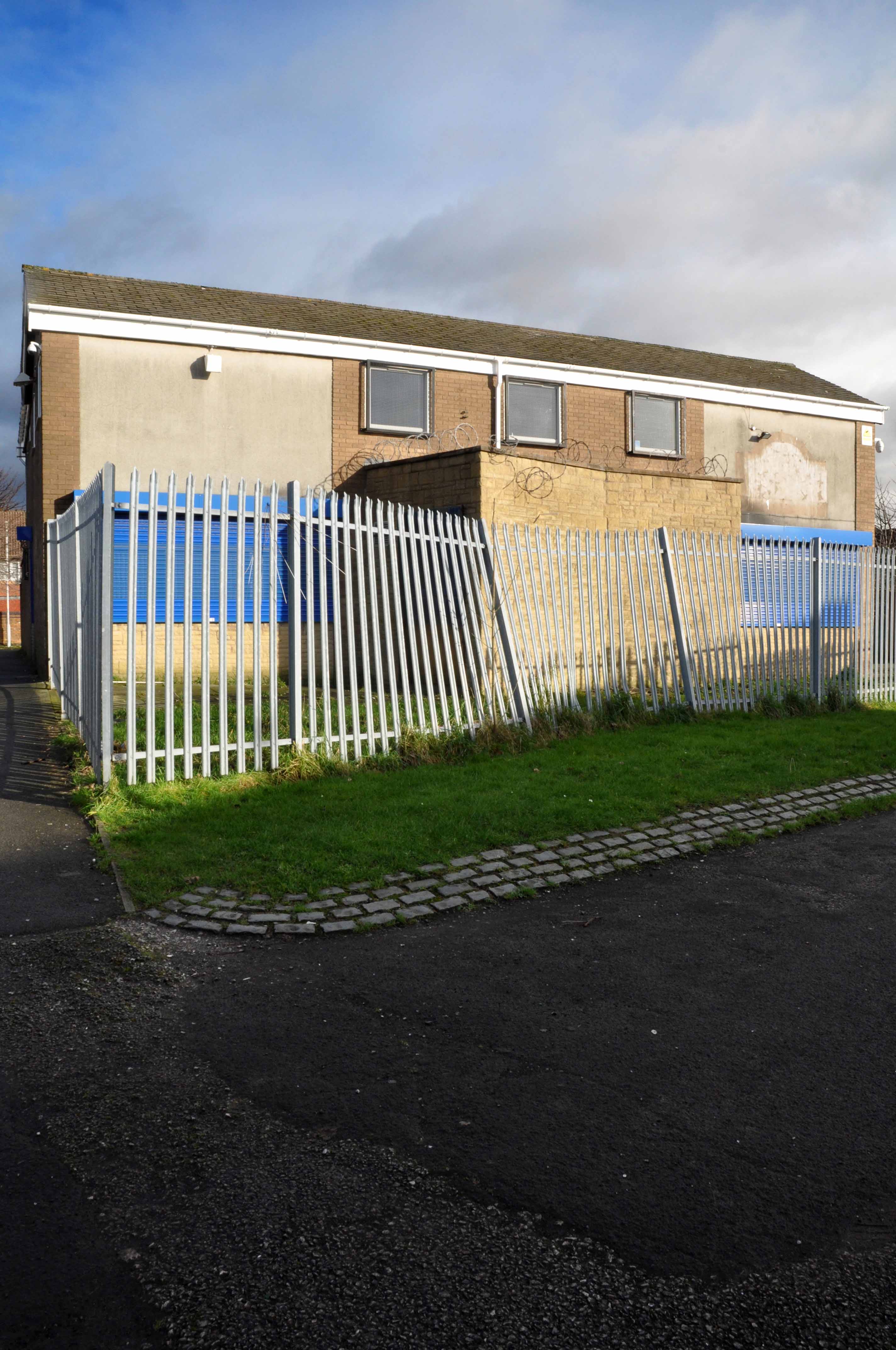
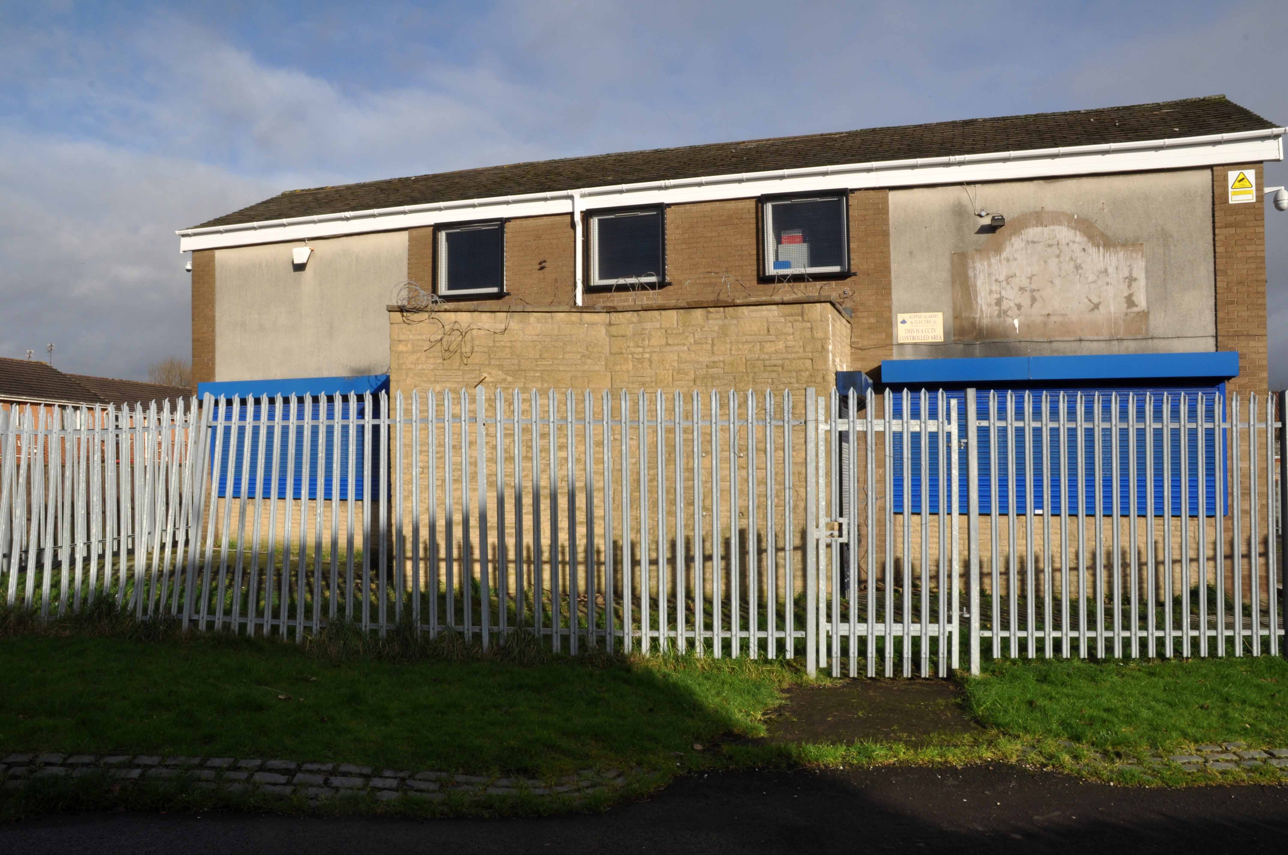
Including the Anson Hotel.

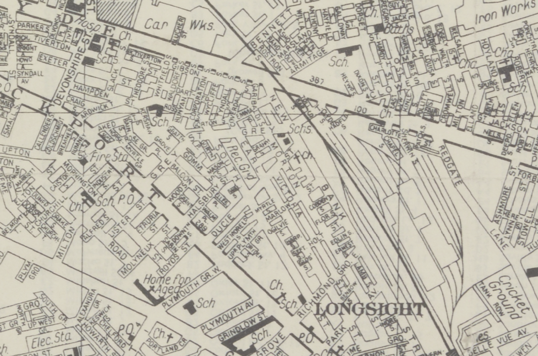
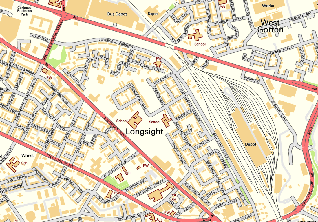
Exeter Close/Warmington Drive Manchester Longsight M12 4AT
Once there was this.
Once there was that.
Then there wasn’t.
That’s just the way of it.
A dense web of streets awash with back to backs, jobs for all – in conditions perceived to be unfit for purpose.
Of a total of 201,627 present dwellings in Manchester, some 54,700, or 27.1 per cent., are estimated to be unfit. A comparison of slum clearance action taken by six major local authorities, Manchester, Leeds, Birmingham, Liverpool, Sheffield and Bristol, shows that for the five years ending 30th June, 1965, Manchester was top of the league, both in compulsory purchase orders confirmed and the number of houses demolished or closed.
Manchester’s figures -13,151 houses demolished or closed .
Alfred Morris MP Hansard
Along came a wrecking ball and left the pub bereft
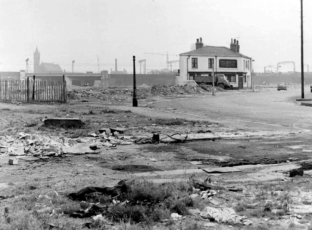
The original Grey Mare on Grey Street
Whenever mass slum clearance was carried out, the pubs tended to remain, often for just a short time because – the story goes – demolition workers refused to touch them, as they wanted somewhere to drink during and after their shift.
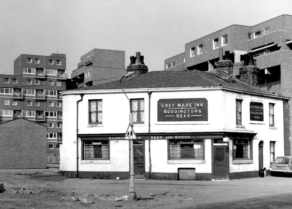
Then along came the cavalry – the bold boys from Fort Ardwick – Coverdale Crescent Estate
A new dawn – and a new pub.
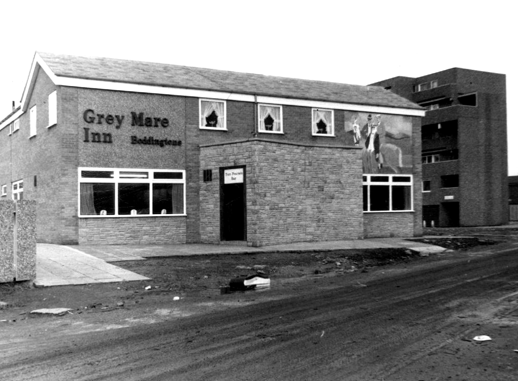
This vision of municipal modernity was short lived, the estate was demolished in the 1980s and the new Coverdale Estate was constructed on the site in 1994.
Built in 1972 the pub outlived the system built blocks that surrounded it.
Another new gold dream, another day.
Despite the high hopes embodied by the low rise rebuilding of the new estate.
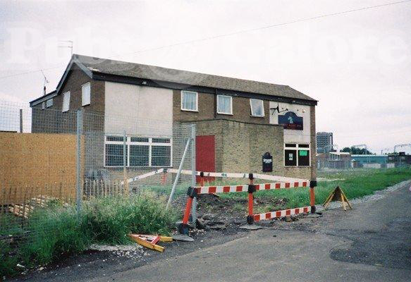
The Grey Mare shuts its doors – forever.


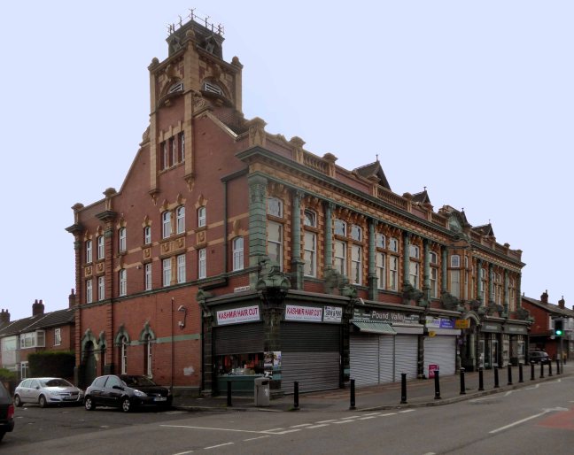
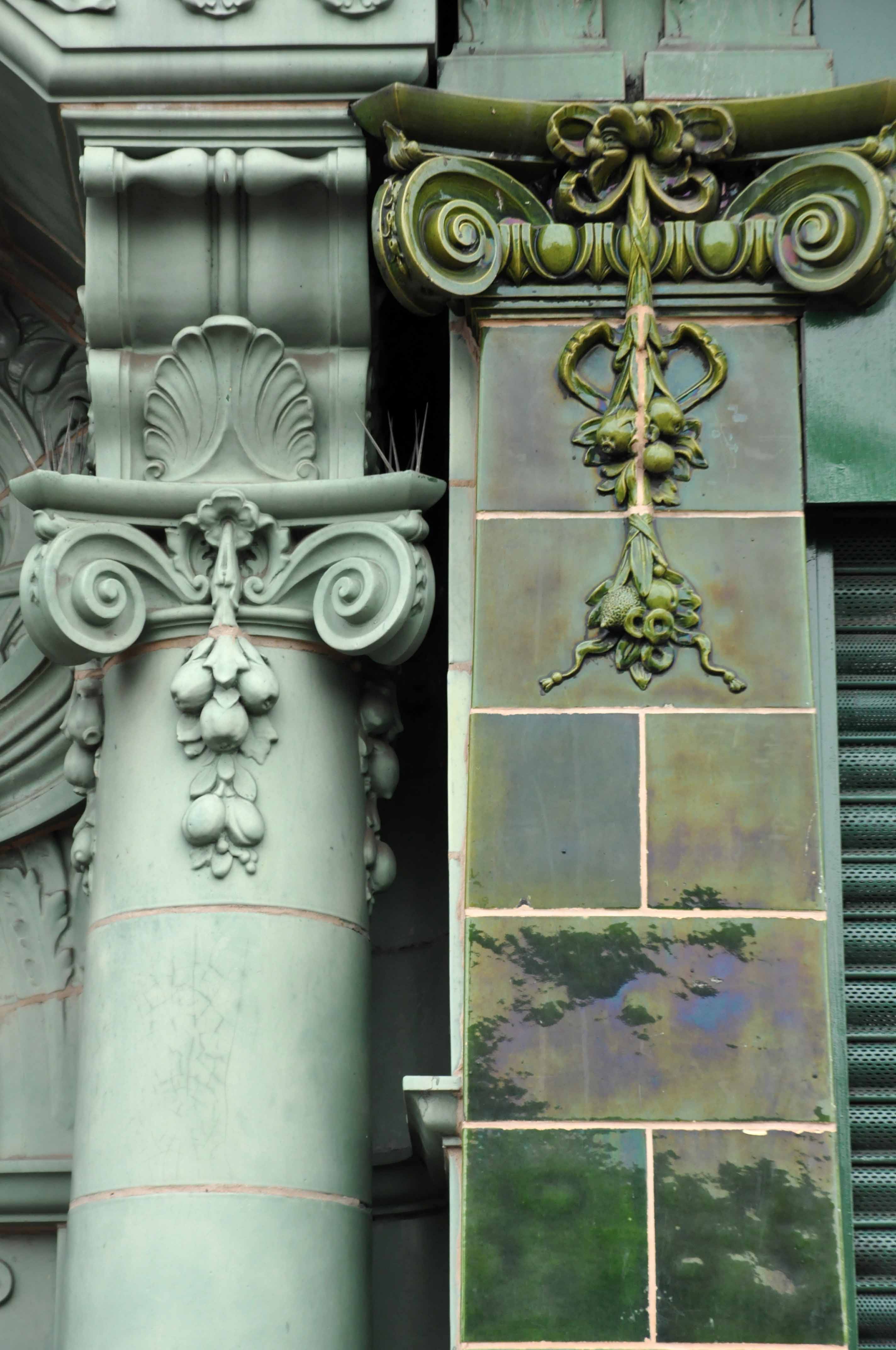
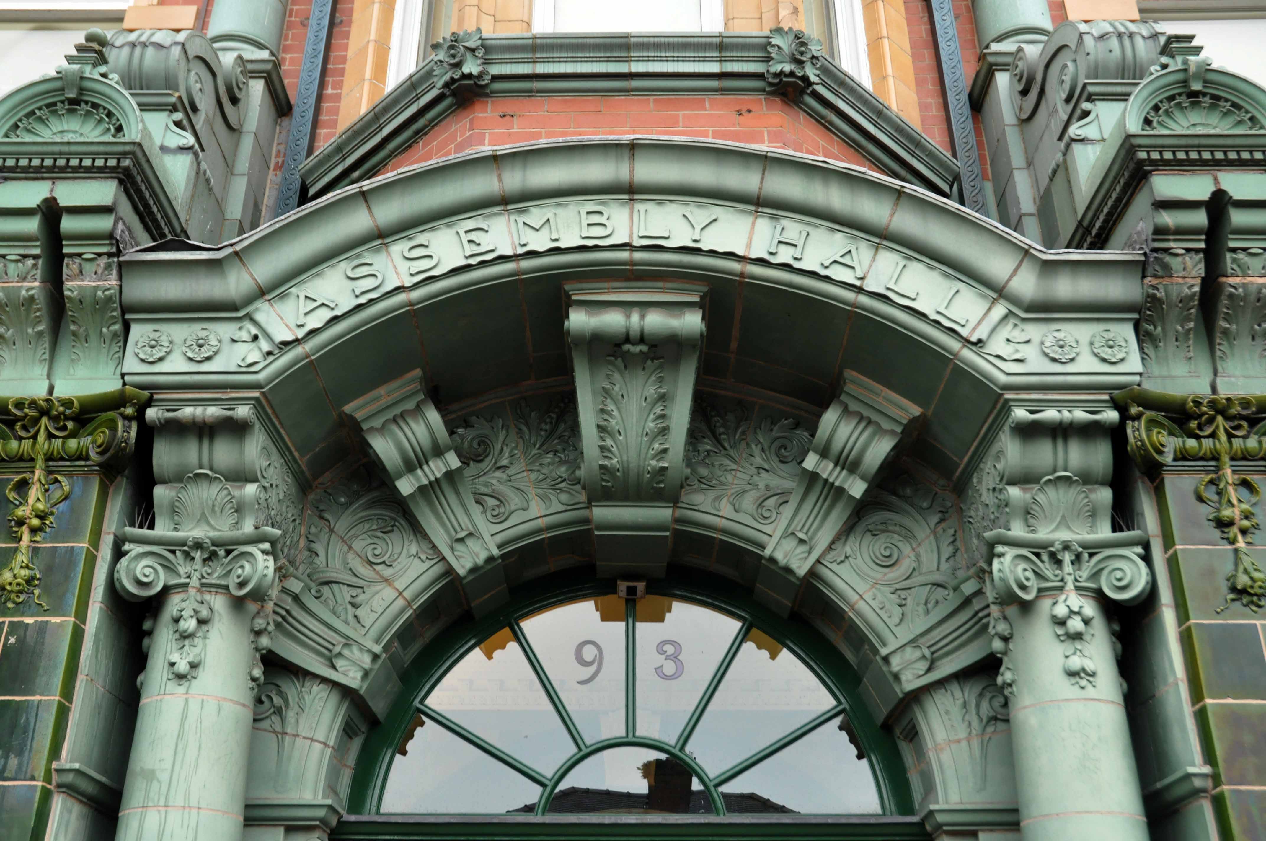
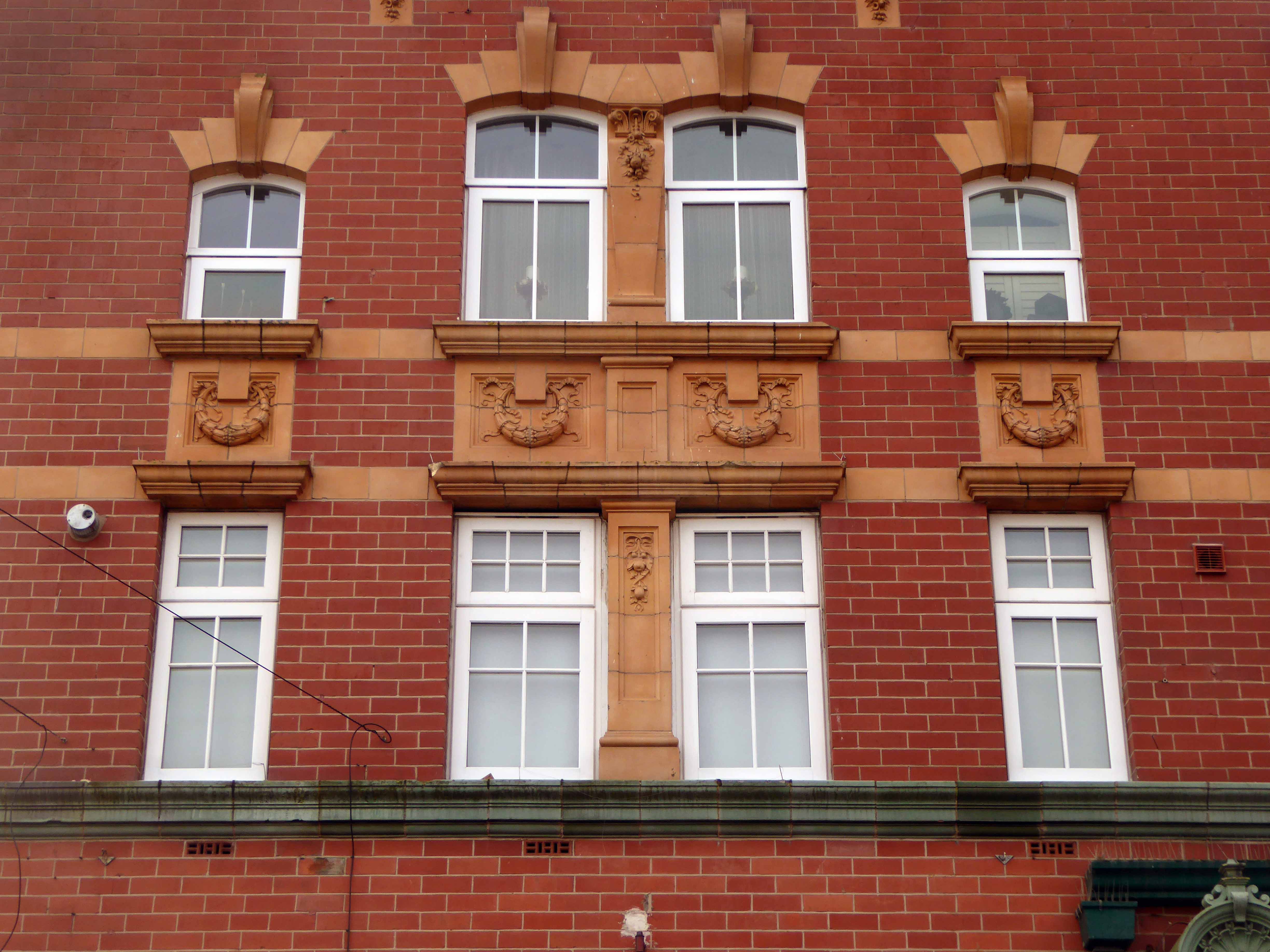
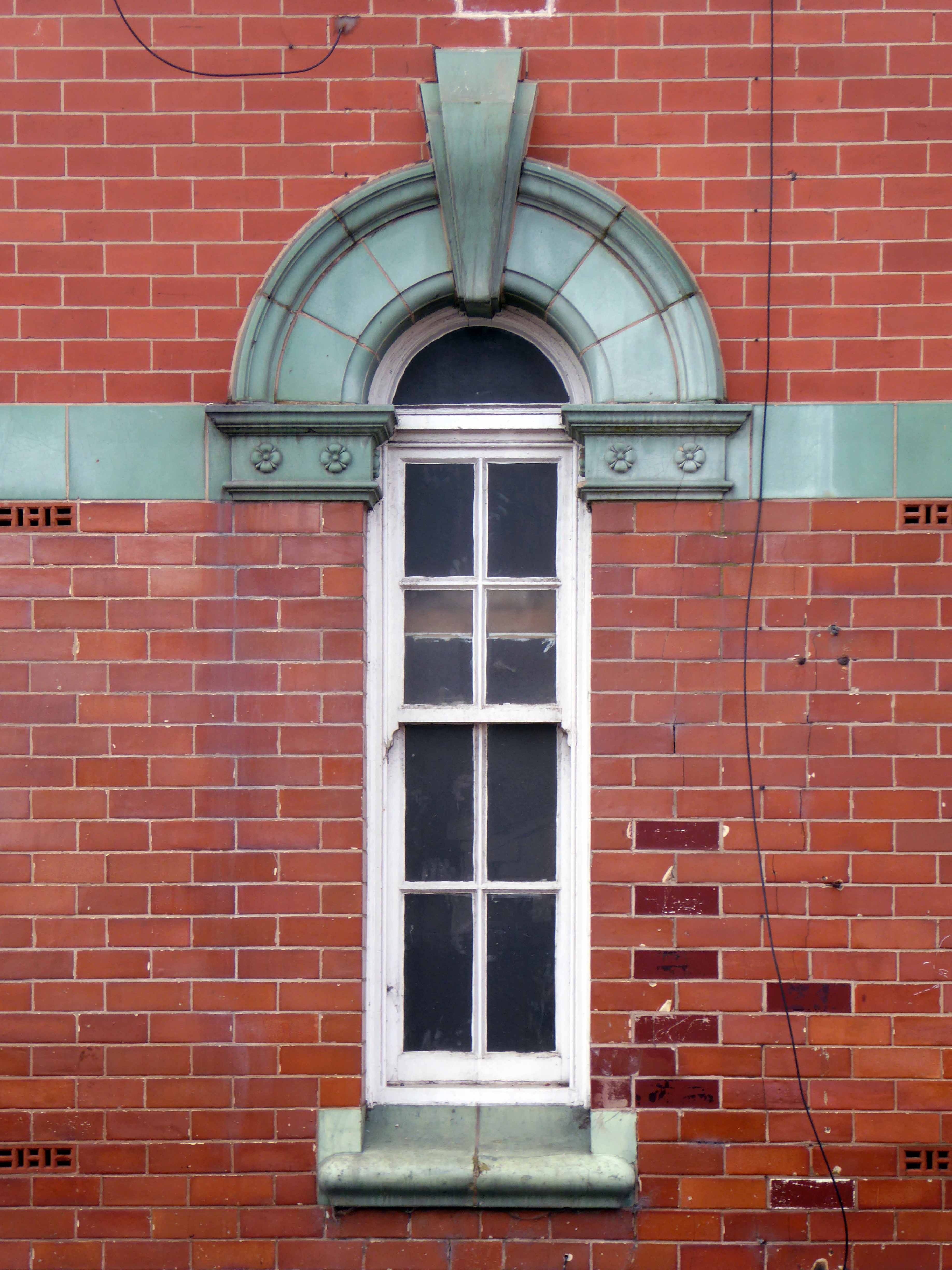
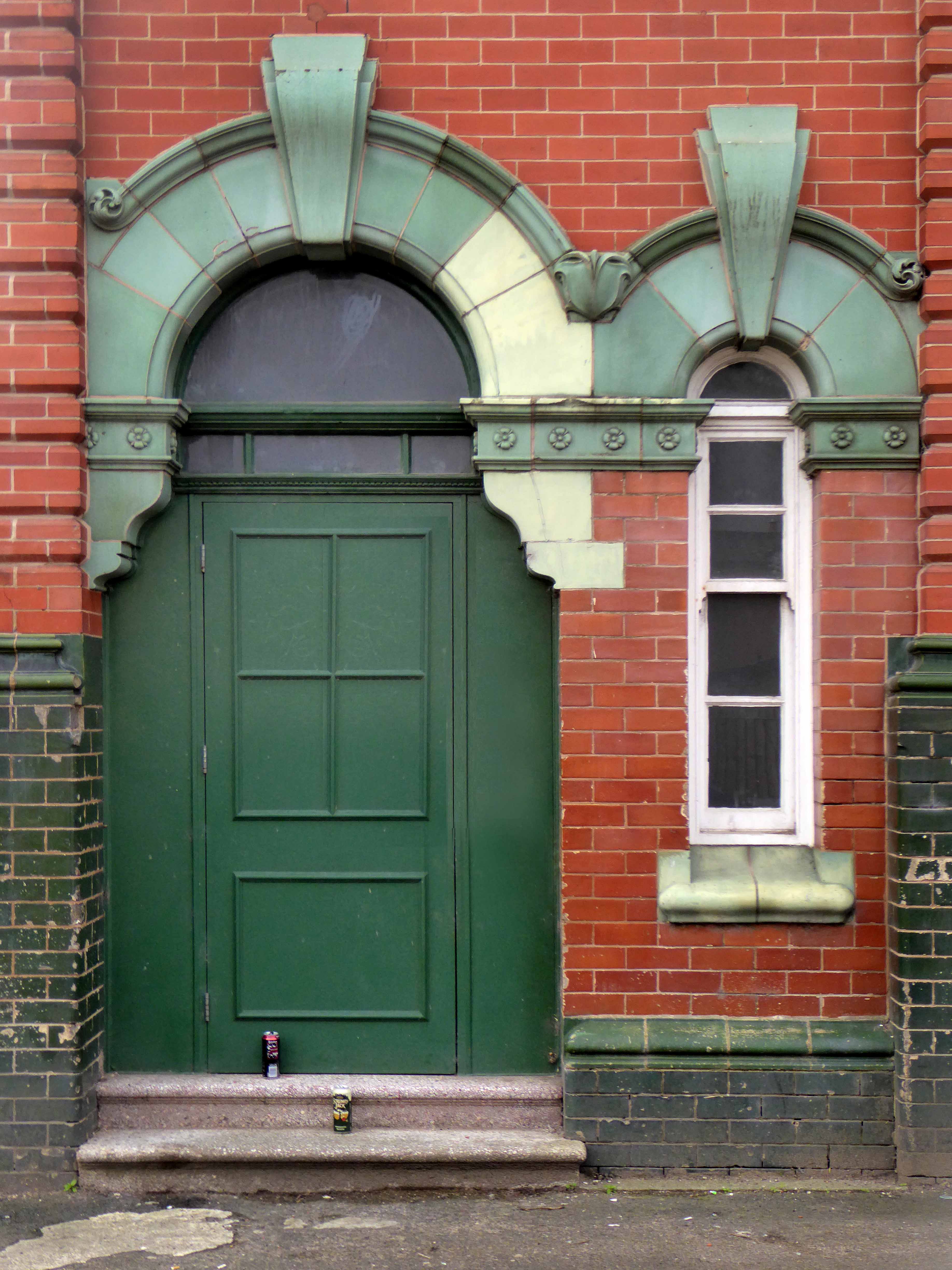
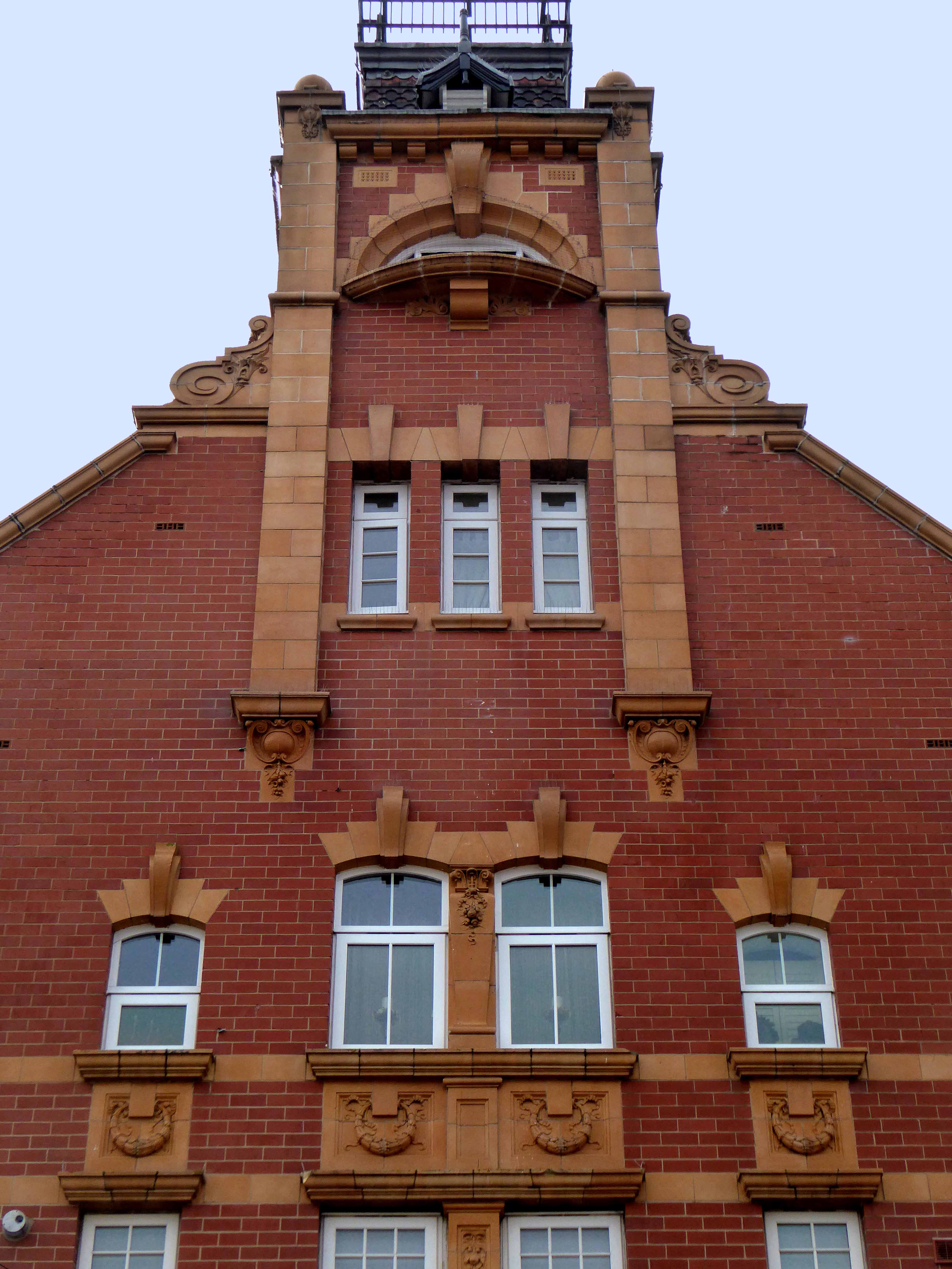
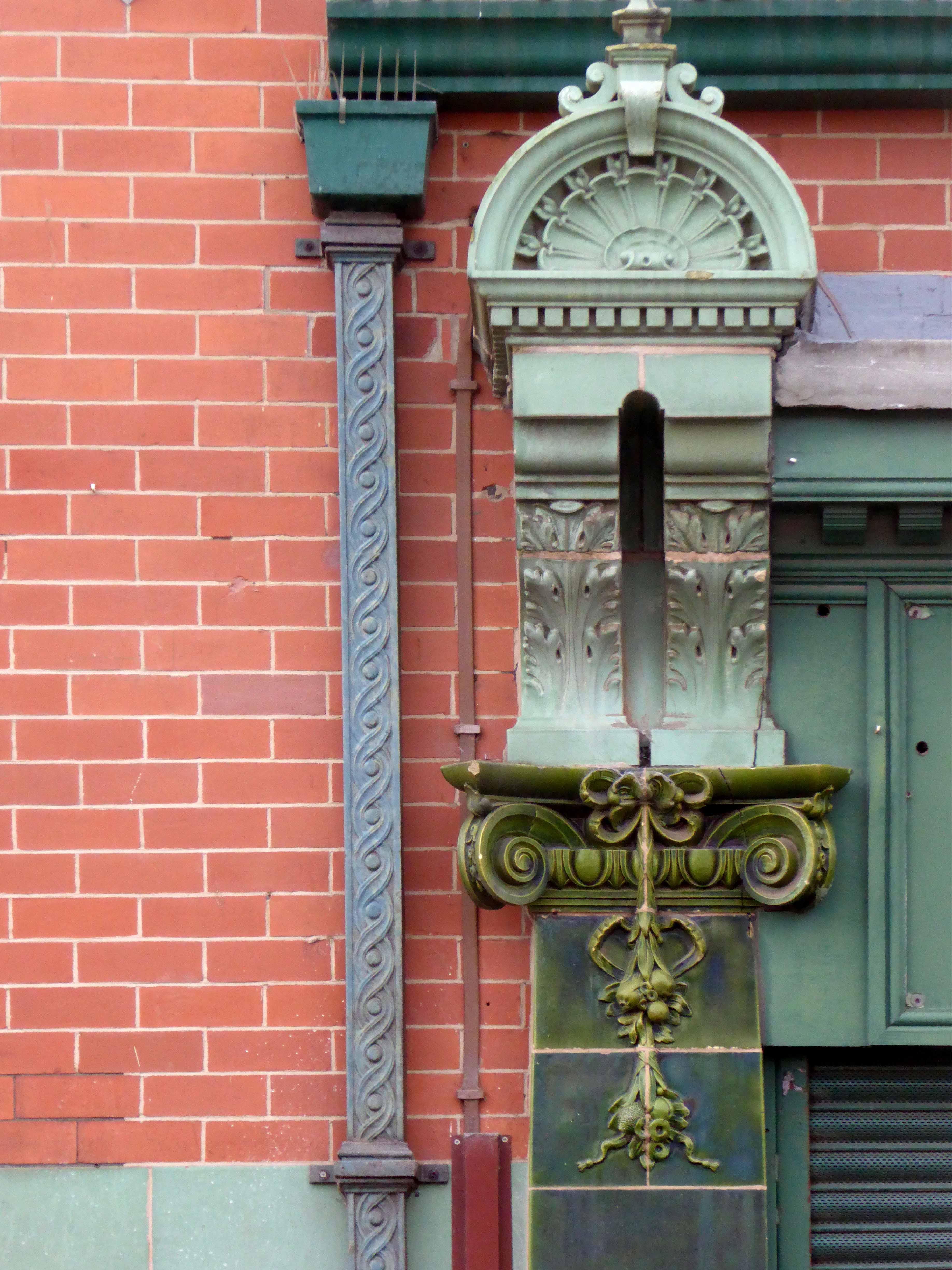
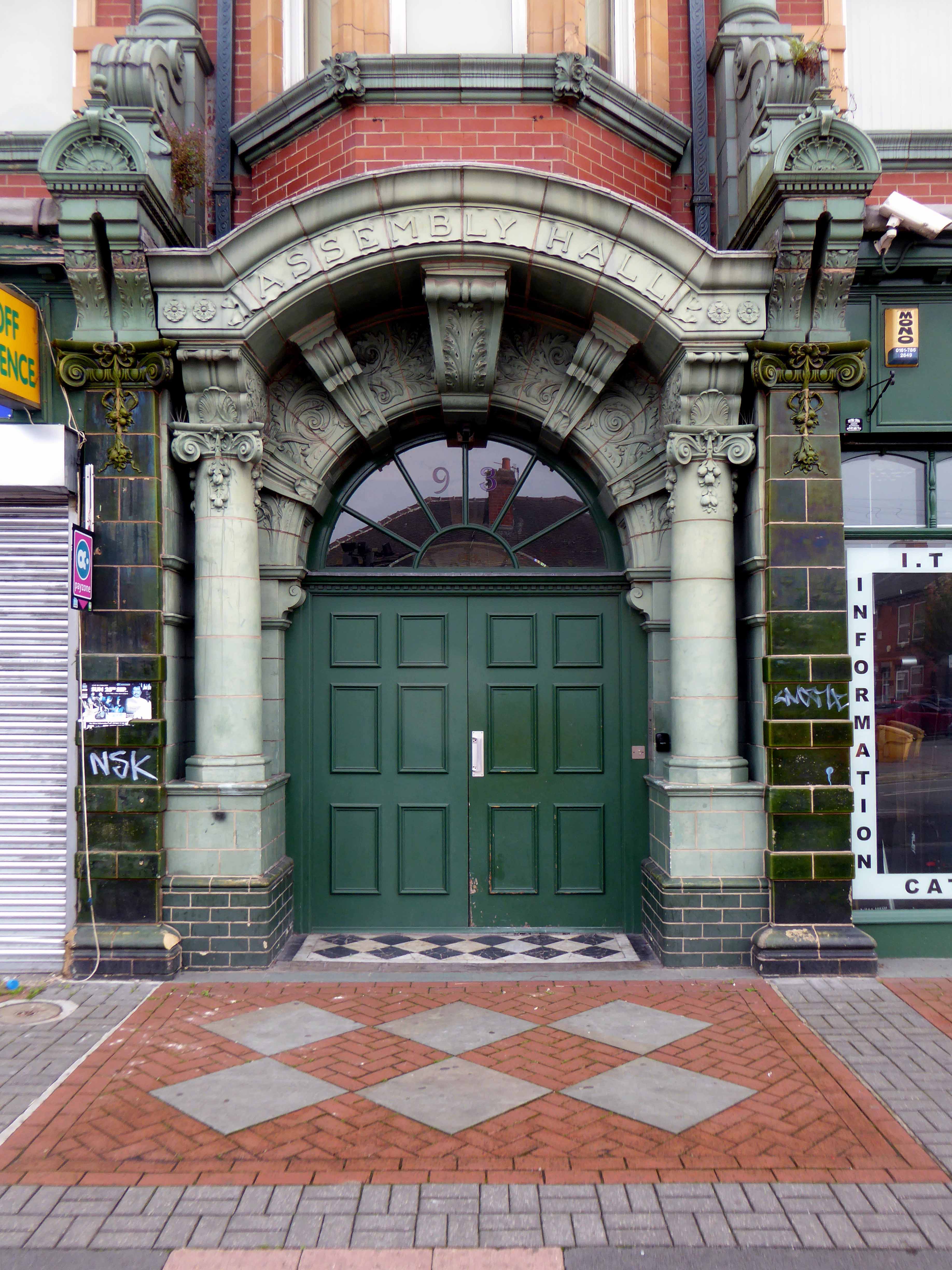
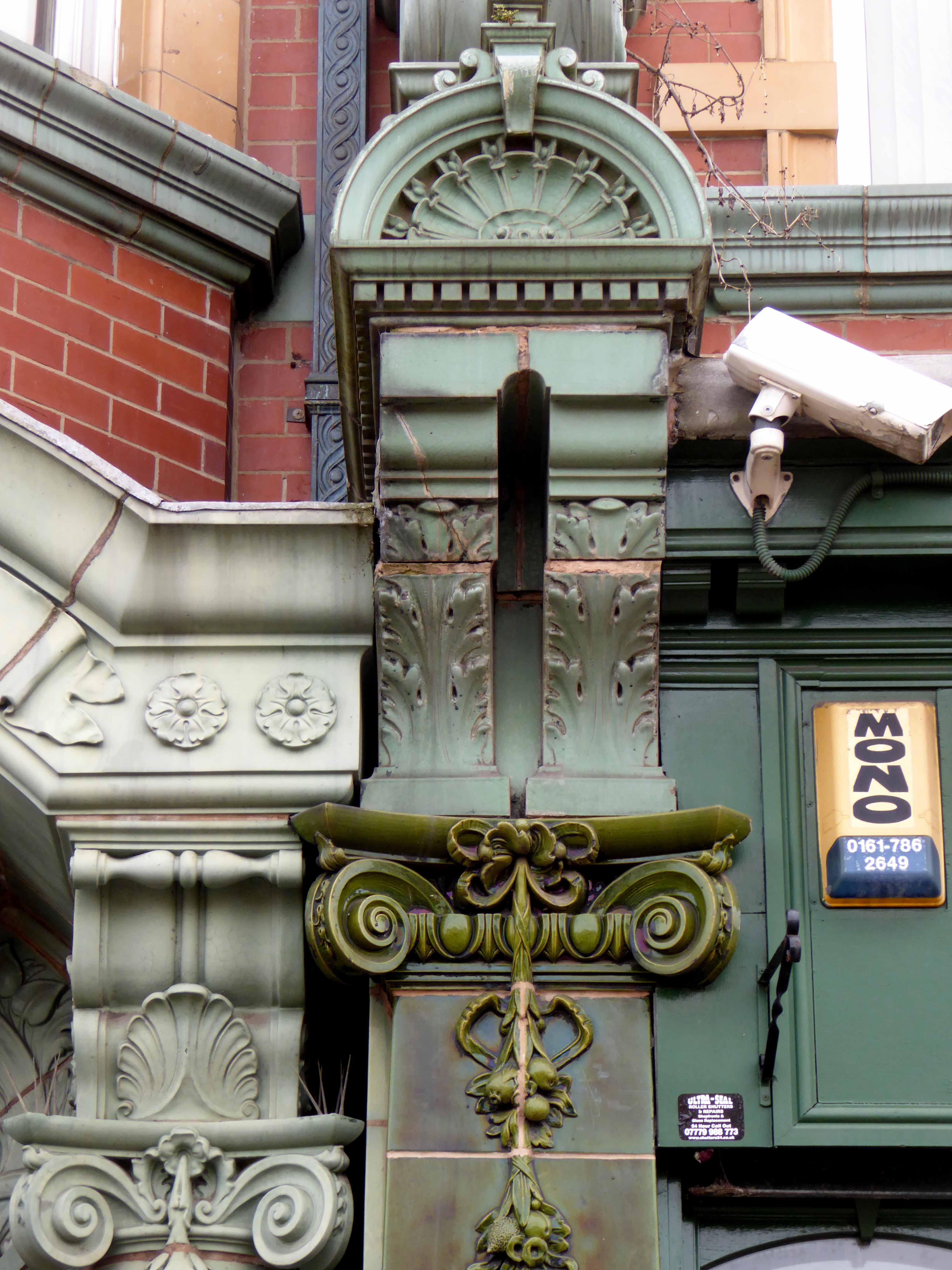
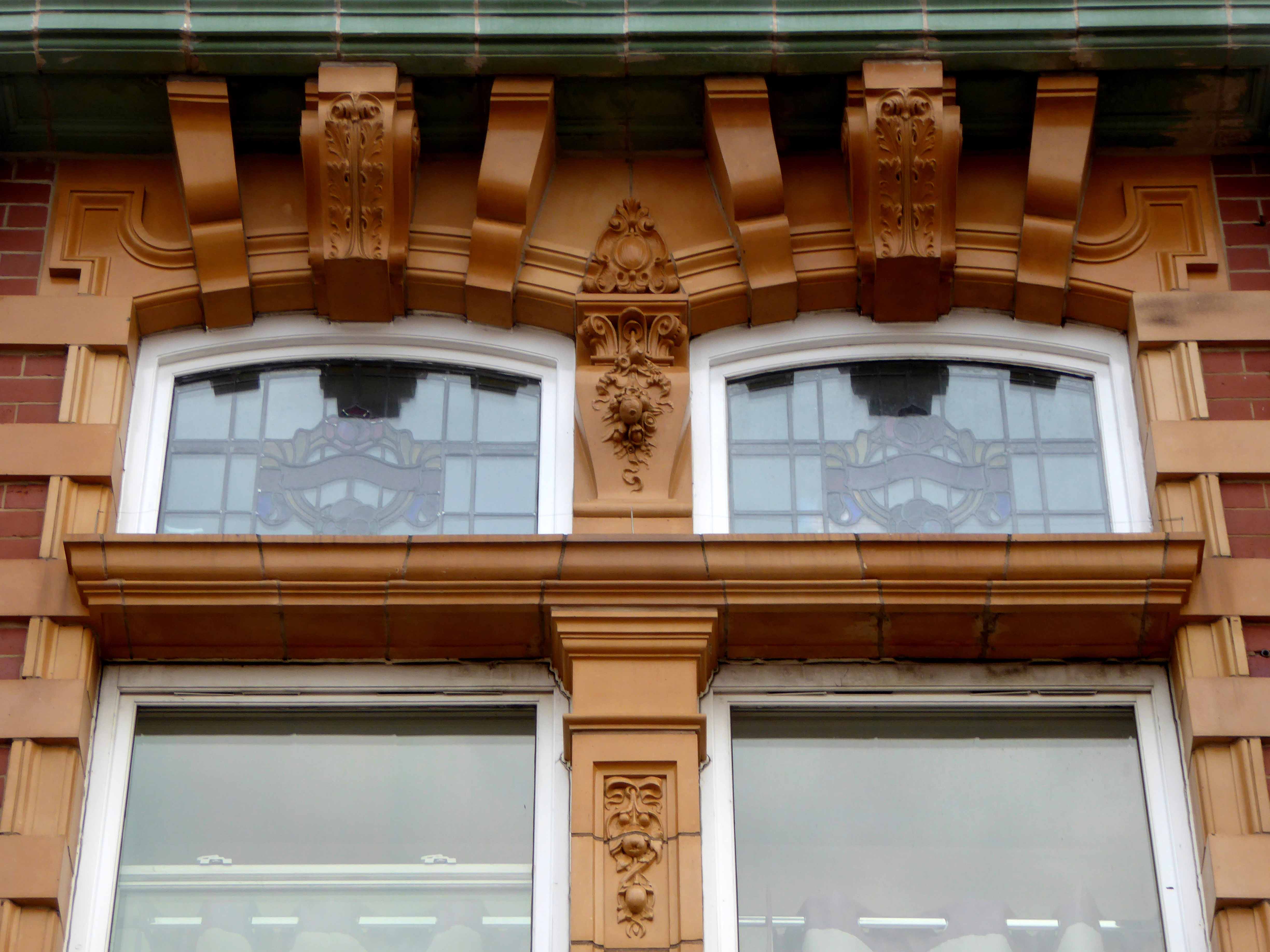
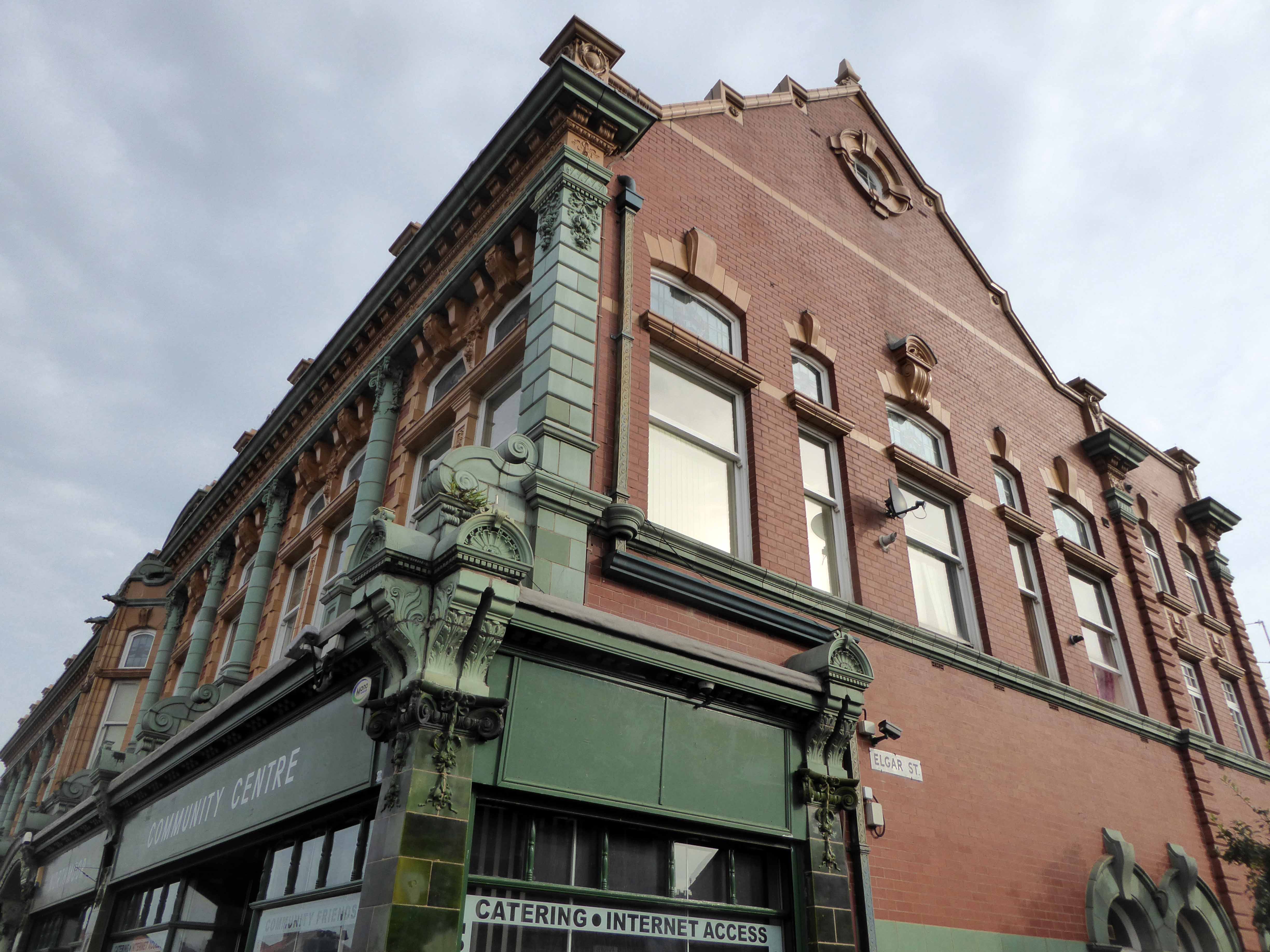
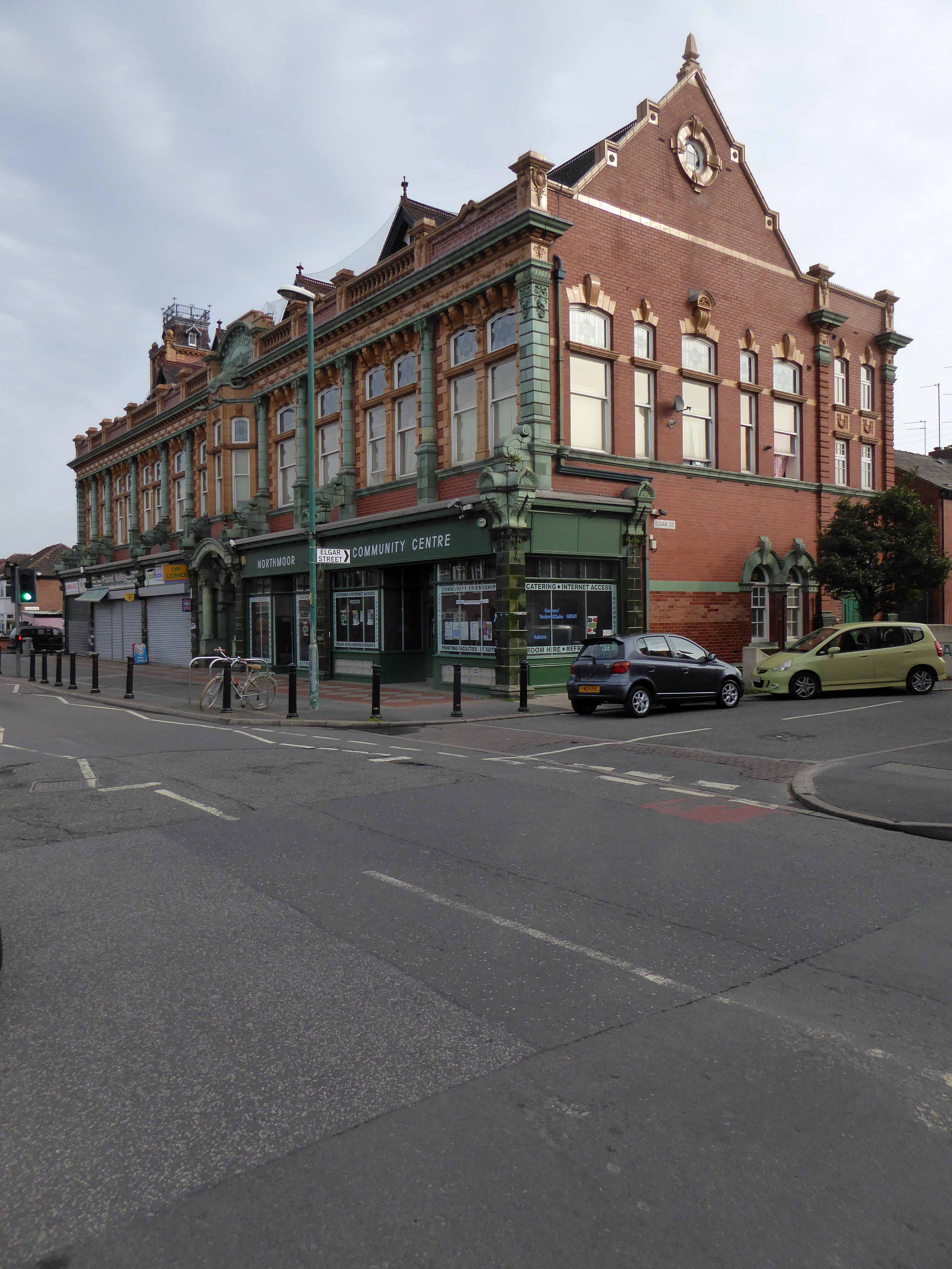
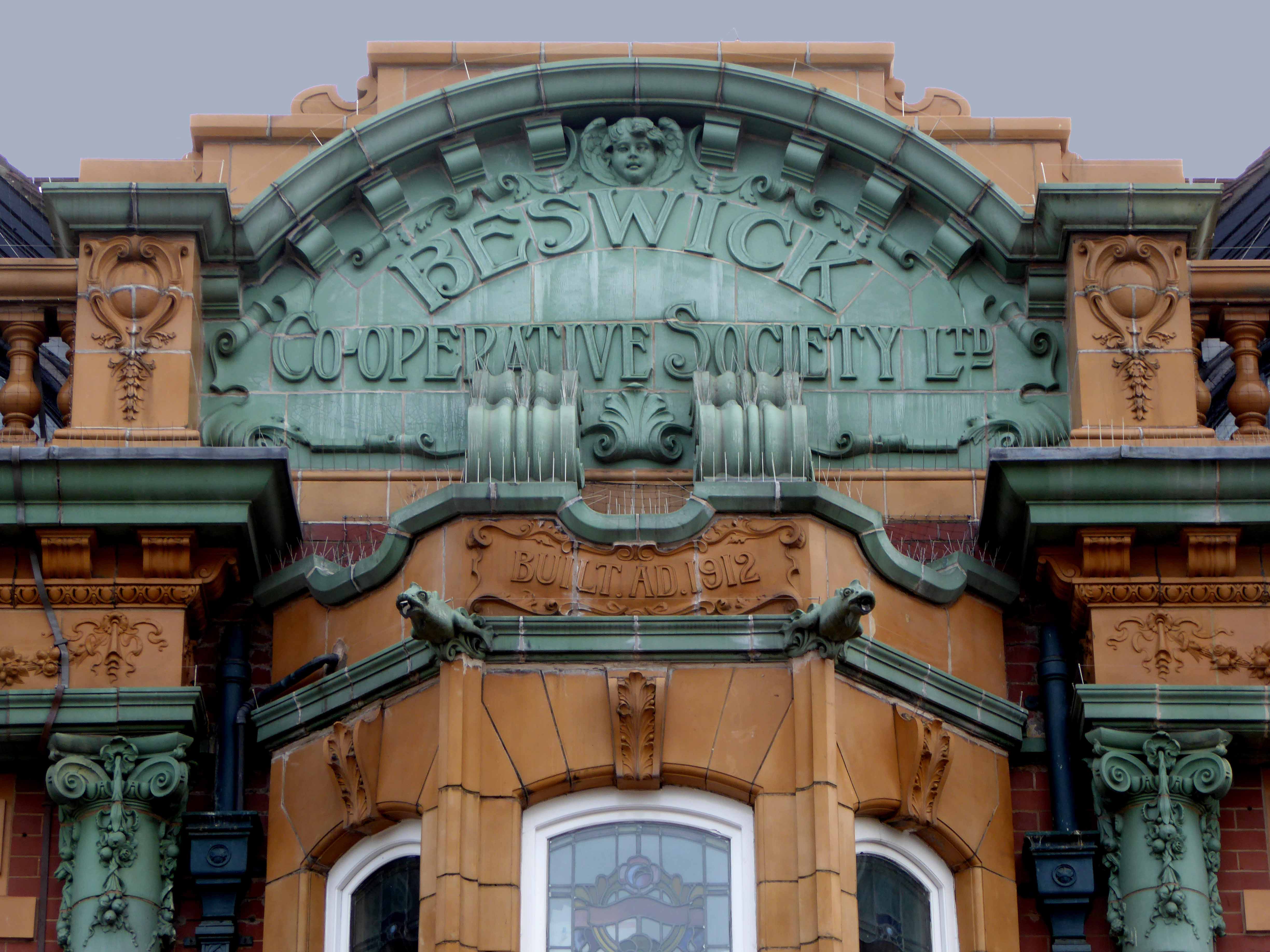
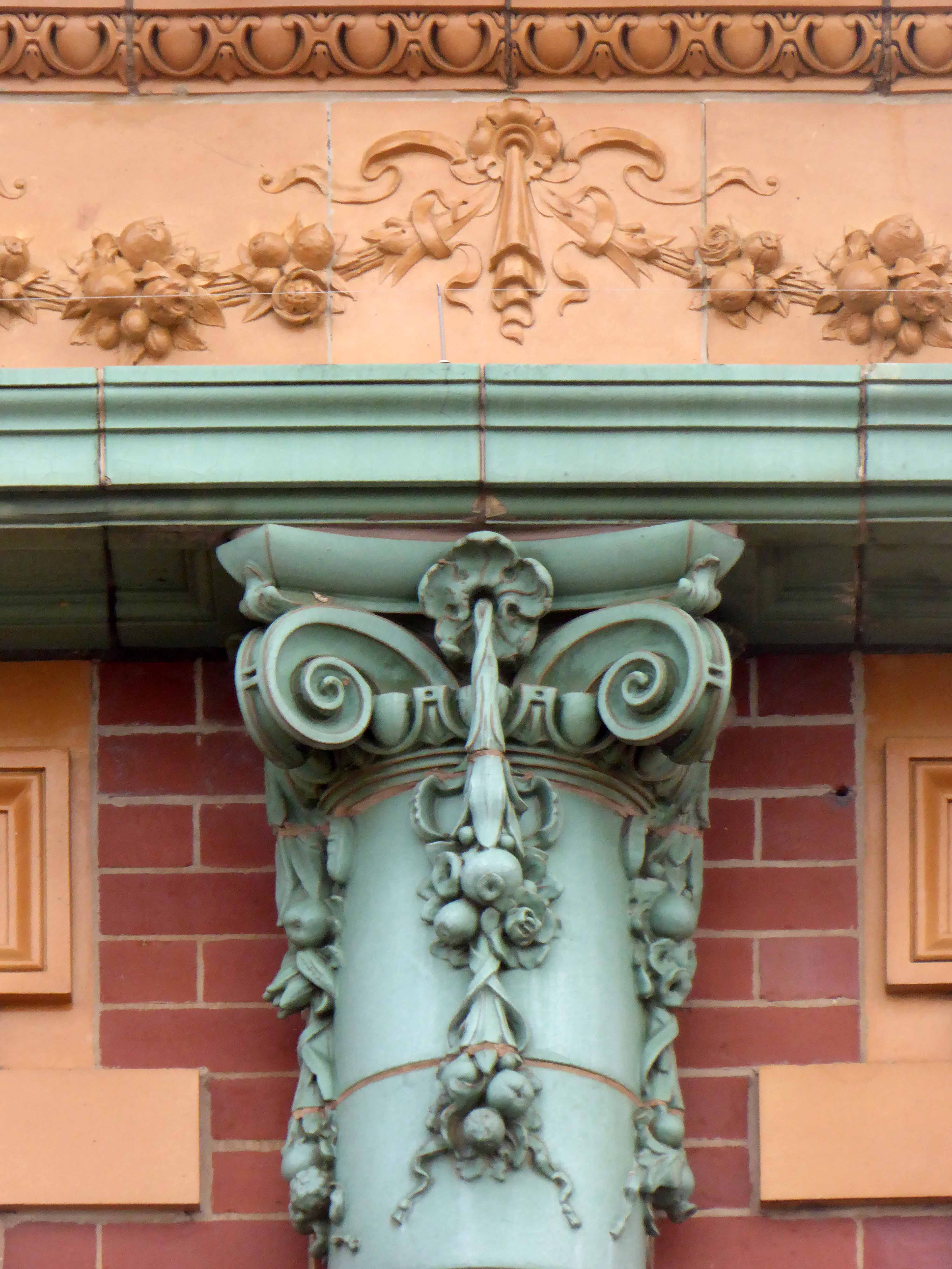
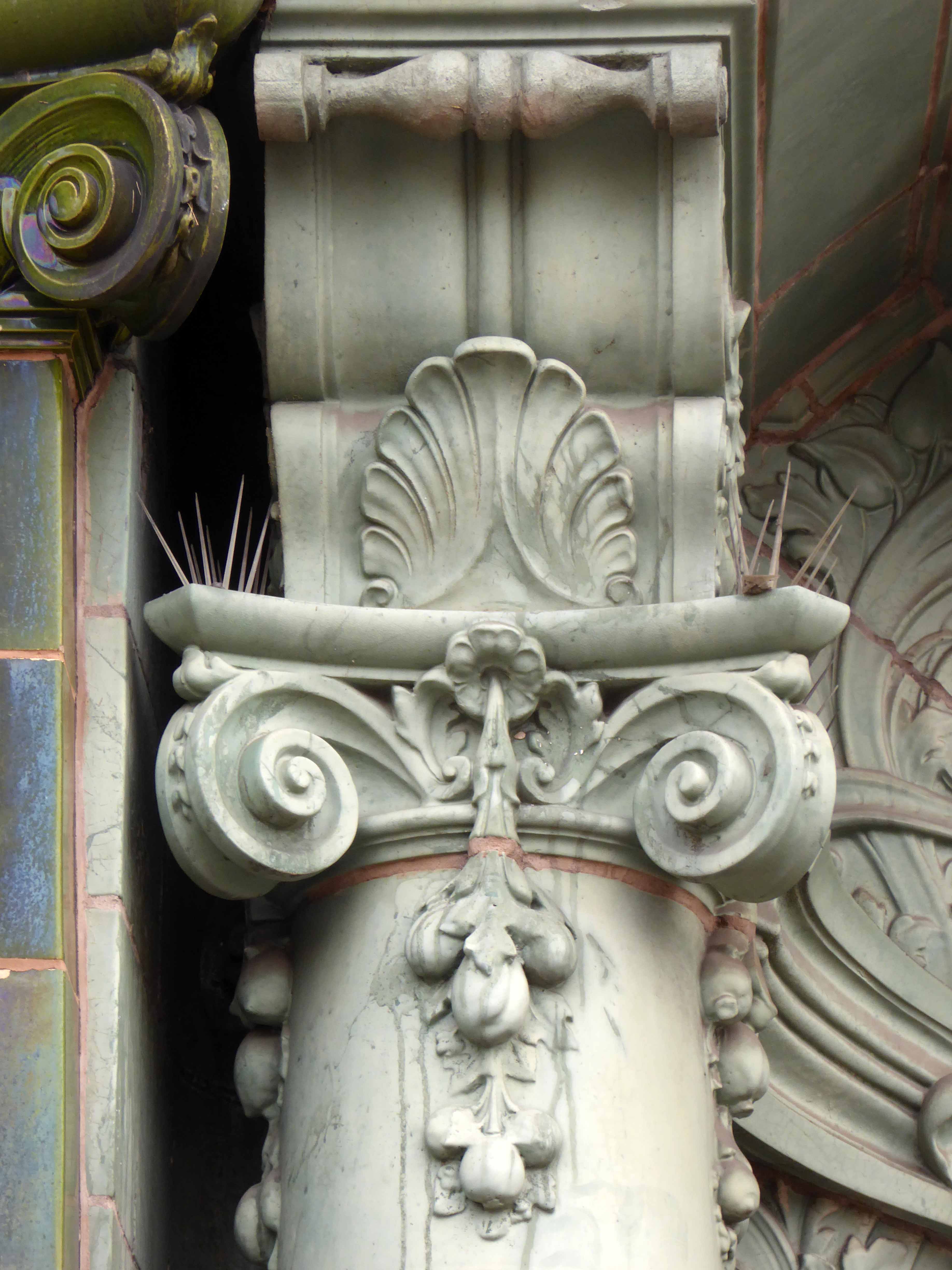
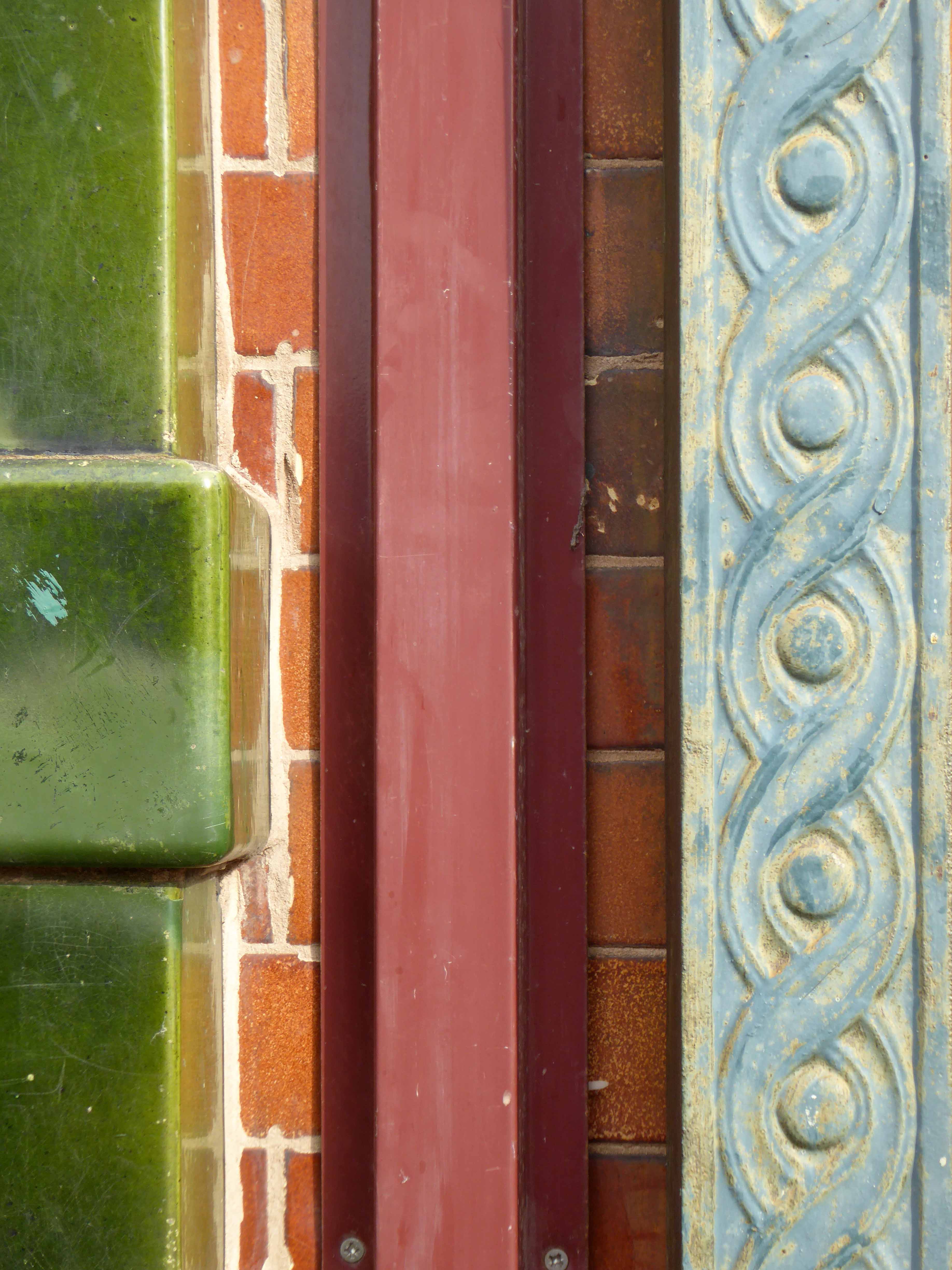
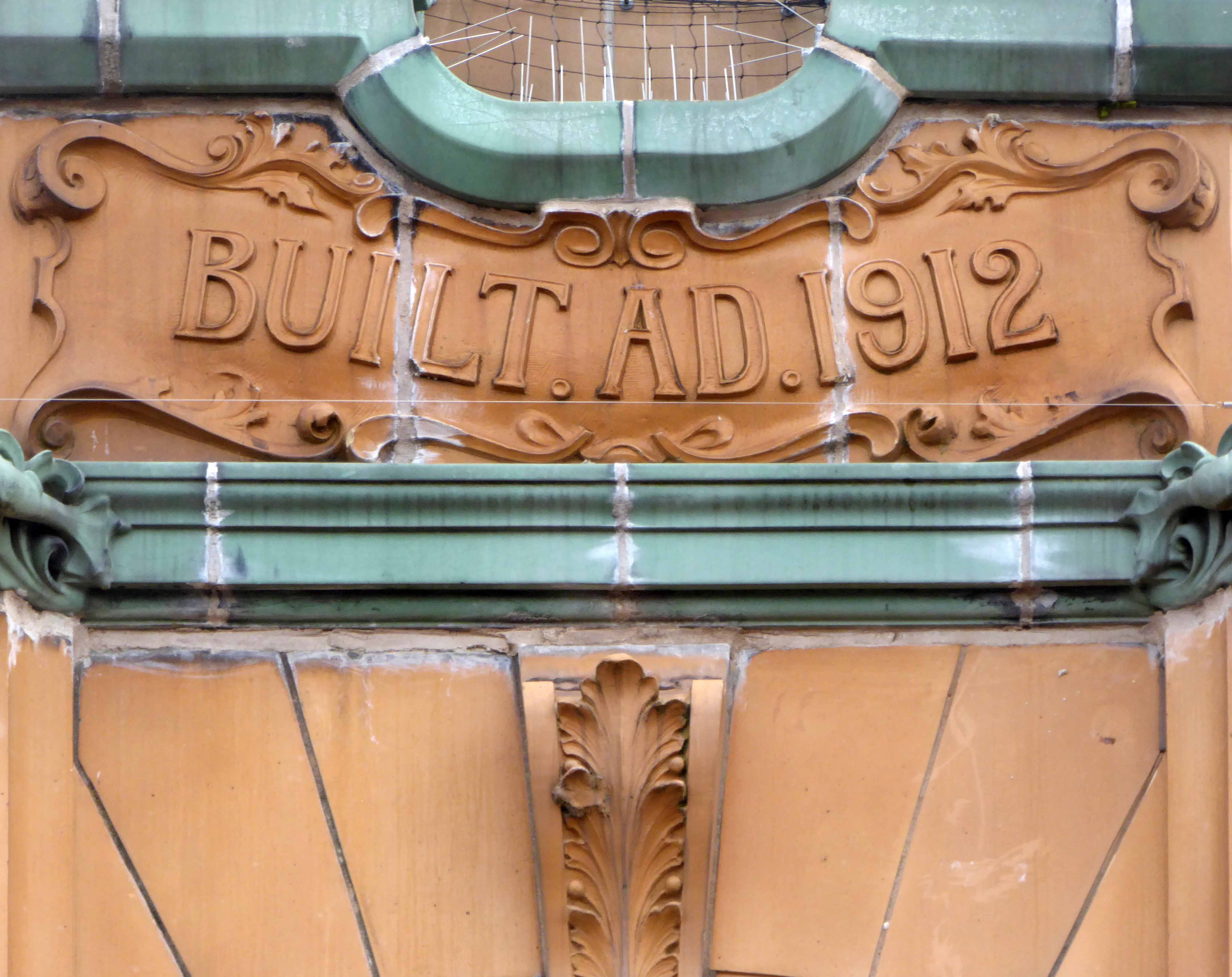
Cooperative Society shops and meeting hall. Dated 1912; altered. Red brick with liberal dressings of green and buff glazed terracotta, red tiled roof with geometrical patterned band and cockscomb ridge tiles. Rectangular plan. Edwardian Baroque style. Two storeys and attic, 11 bays; projected ground floor with dark green Ionic pilasters between the shops and a central recessed porch with dark green surround, light green Ionic columns and segmental open pediment ; inverted voluted brackets linking ground floor pilasters to alternate pedestals of 1st-floor colonnade, which has Ionic semi-columns with festoons and a thin cornice, all in matching light green terracotta; swagged frieze of buff terracotta with buff modillions to a green cornice; brick parapet with buff terracotta balustrades and triangular dormers in alternate bays, interrupted in the centre by a green segmental pediment with raised lettering “Beswick Cooperative Society LTD”. Tall segmental-headed windows at 1st floor including a canted bay in the centre with parapet lettered “Built AD 1912”, and coupled windows in the 2nd, 3rd, 10th and 11th bays, all with elaborate surrounds of buff terracotta including quoined jambs, moulded transoms and enriched keystones; and stained glass in the upper lights. Square Baroque-style turret at left gable.
The building itself was originally designed for commercial use with a department store on the ground floor boasting five departments including a butchers, shoes and boots, a drapery and a grocery. On the first floor there was a meeting room that was large enough to host dances with live music. Its inaugural event was an exhibition by the Co-operative Workers Society that also included a recital by the C.W.S. orchestra of Balloon Street; it was reported to have been a great success. It was also used for community events such as the Crowcroft Bowls Club prize-giving ceremony in 1914.
Northmoor Road was called North Road at the time the building was in use as a co-operative and was developed between 1899 and 1930’s. Its most famous resident was J.R.Tolkien who lived here between 1926 and 1947.
North moor Community Association
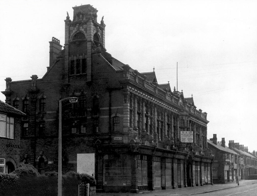
1965 Manchester Local Image Collection
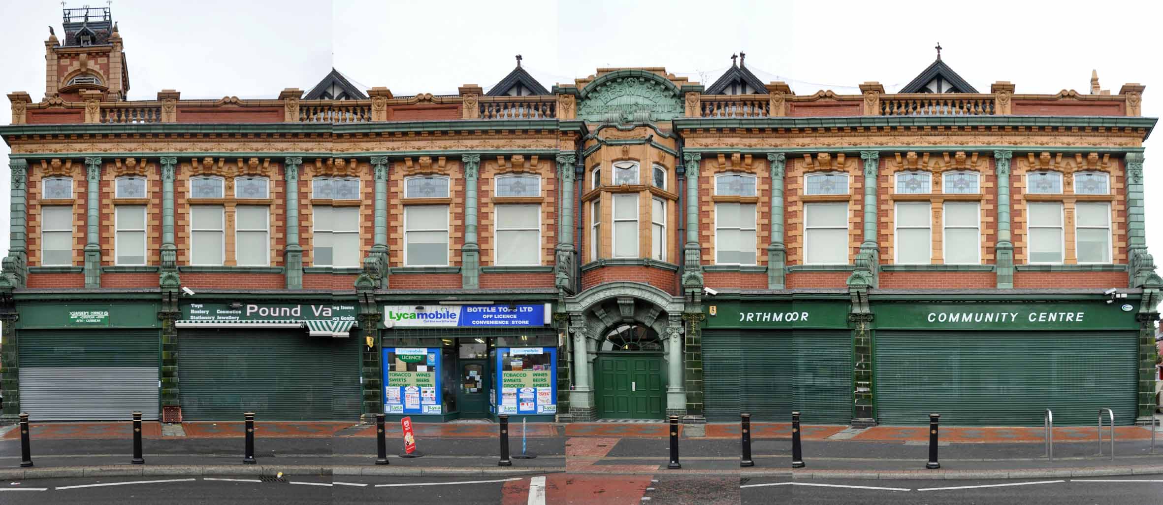
Now home to Great Places Housing
This is such a substantial building exuding an opulent retail grandeur that easily leaves your local Tesco Local in the deep dark ignominious shade. From a time when the expanding Cooperative movement provide for most of the areas material needs – though the Beswick Society was disliked for its aggressive territorial ingress, outside of any recognised geographic constriction.
Externally it is still substantially as was – clearly visible from the nearby Stockport Road and continuing to command the street with degree of grace.
Go take a walk, take a look!