The obvious place for the A664 to start is on the A665 Manchester & Salford Inner Relief Route, which at this point is actually two parallel one-way streets. However, many maps show the road continuing a short distance into the city centre to end at traffic lights by the Shudehill Interchange – this is presumably for historic reasons: the road originally continued along the High Street to its terminus on the A6 Market Street.
The road heads northeastwards through the suburbs, the street name Rochdale Road, already emphasising its destination. Initially dual, the road narrows just before crossing the bridge over the railway line east of Victoria station. It continues through Collyhurst and widens again just before crossing the A6010 Intermediate Ring Road, which here is made up of two parallel one-way streets, requiring two separate sets of traffic lights to cross.
Now non-primary – but still dual for a short distance more, the road runs in a more northerly direction through Blackley, where it becomes wooded for a short distance as it passes the Boggart Hole Clough park. Slightly further on the road has been straightened, after which it bears right to widen considerably and cross the A6104 at traffic lights just before M60 J20, which only has west-facing sliproads. The road narrows again on the far side of the motorway and leaves Manchester for Rochdale at the same point.
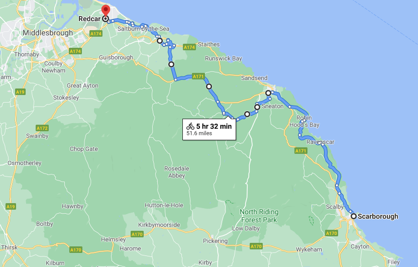
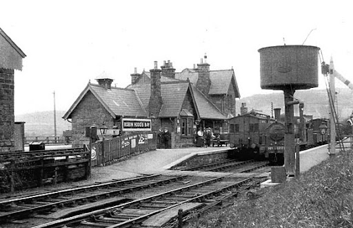
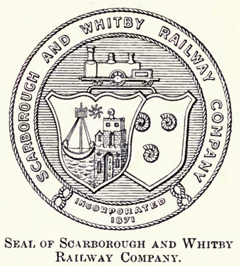
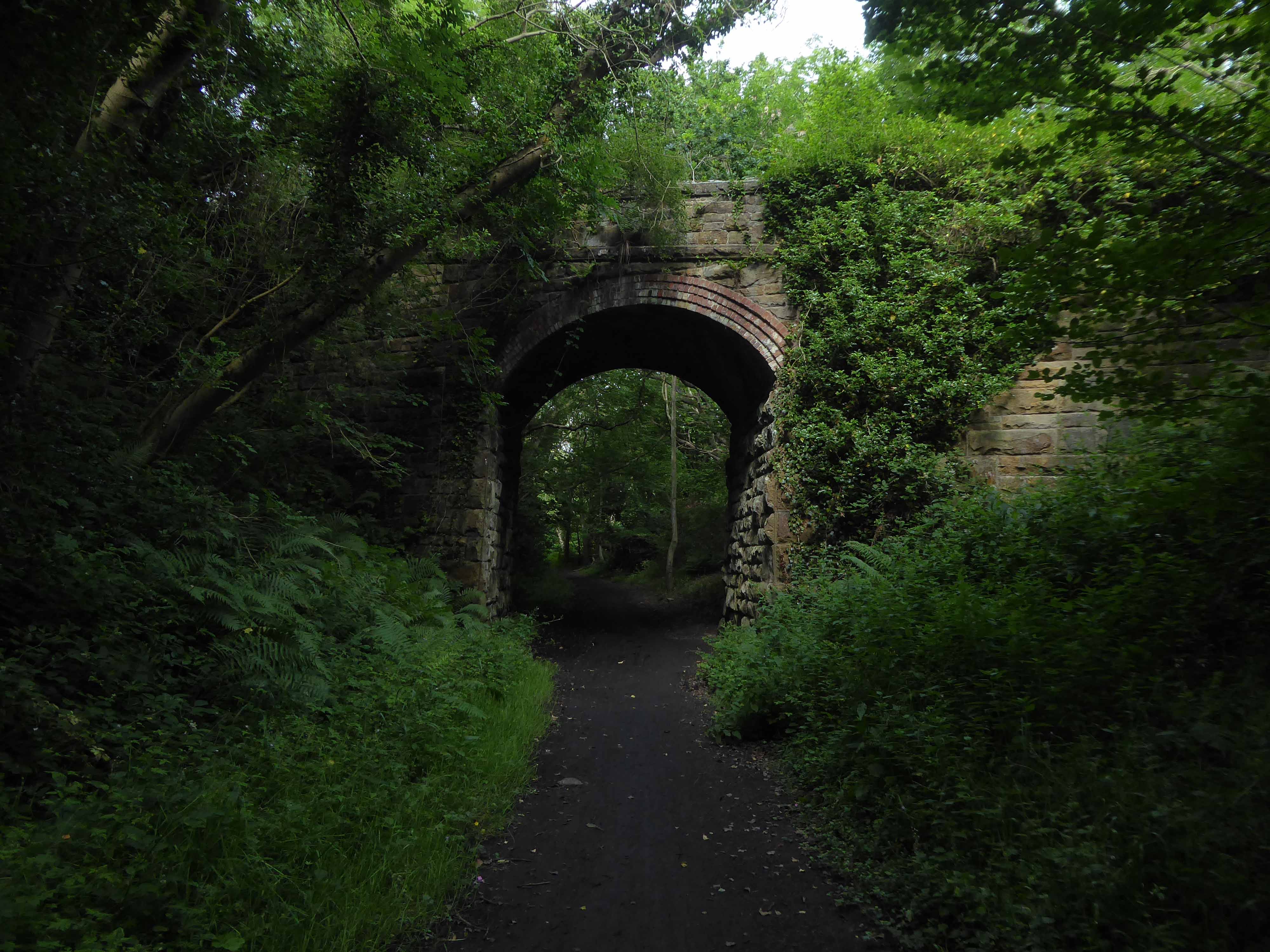
Formerly the Scarbough to Whitby Railway – the line opened in 1885 and closed in 1965 as part of the Beeching Axe.
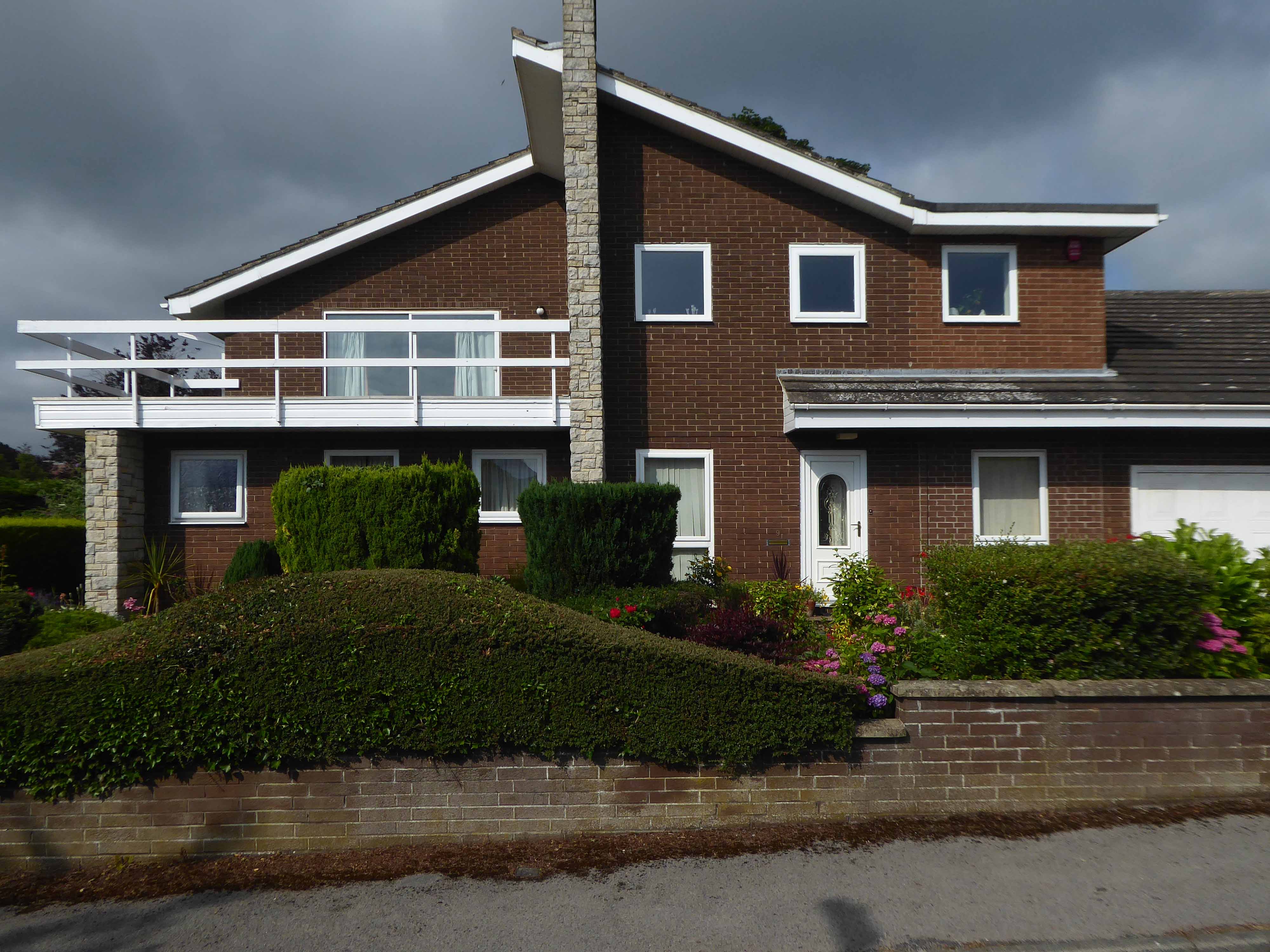
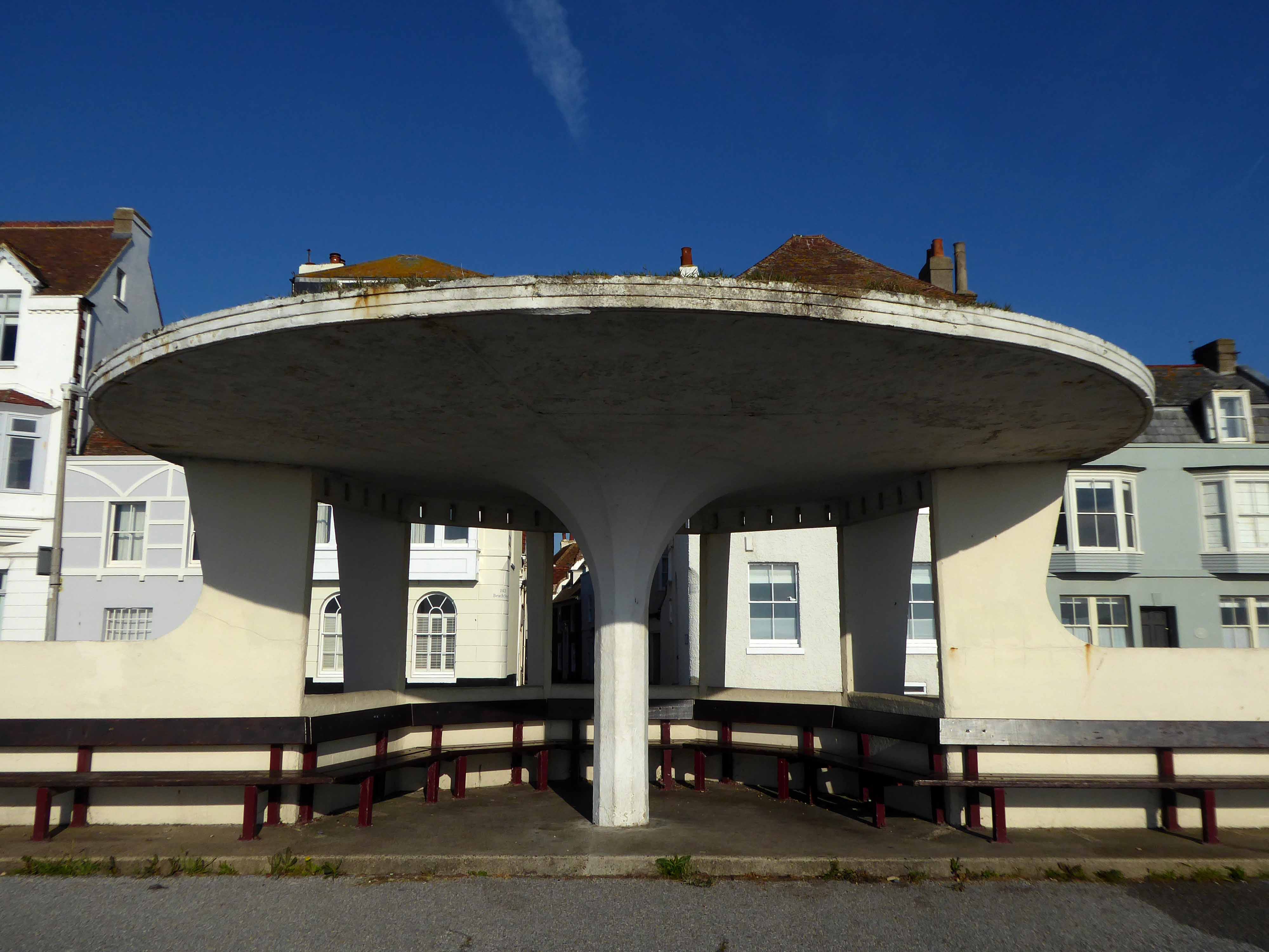
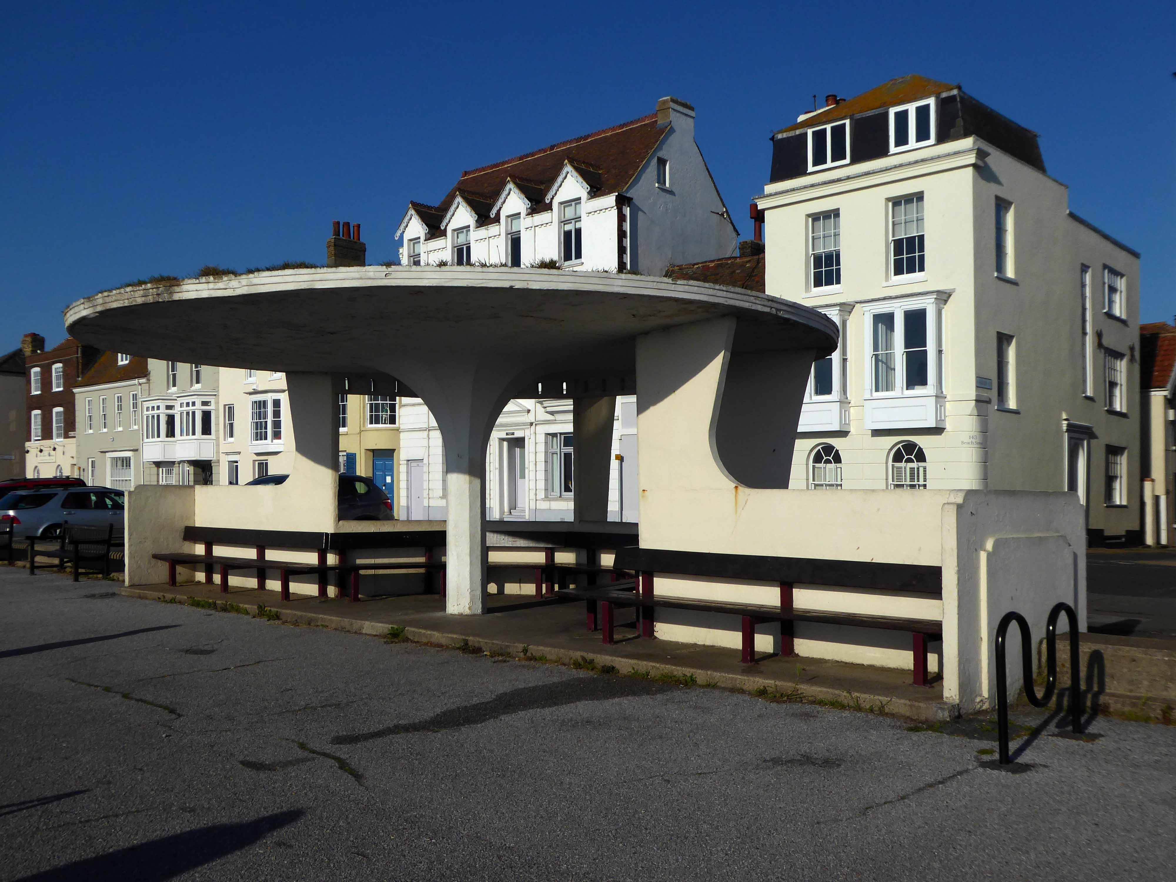
Yet again I chance upon a delightful post-war home.
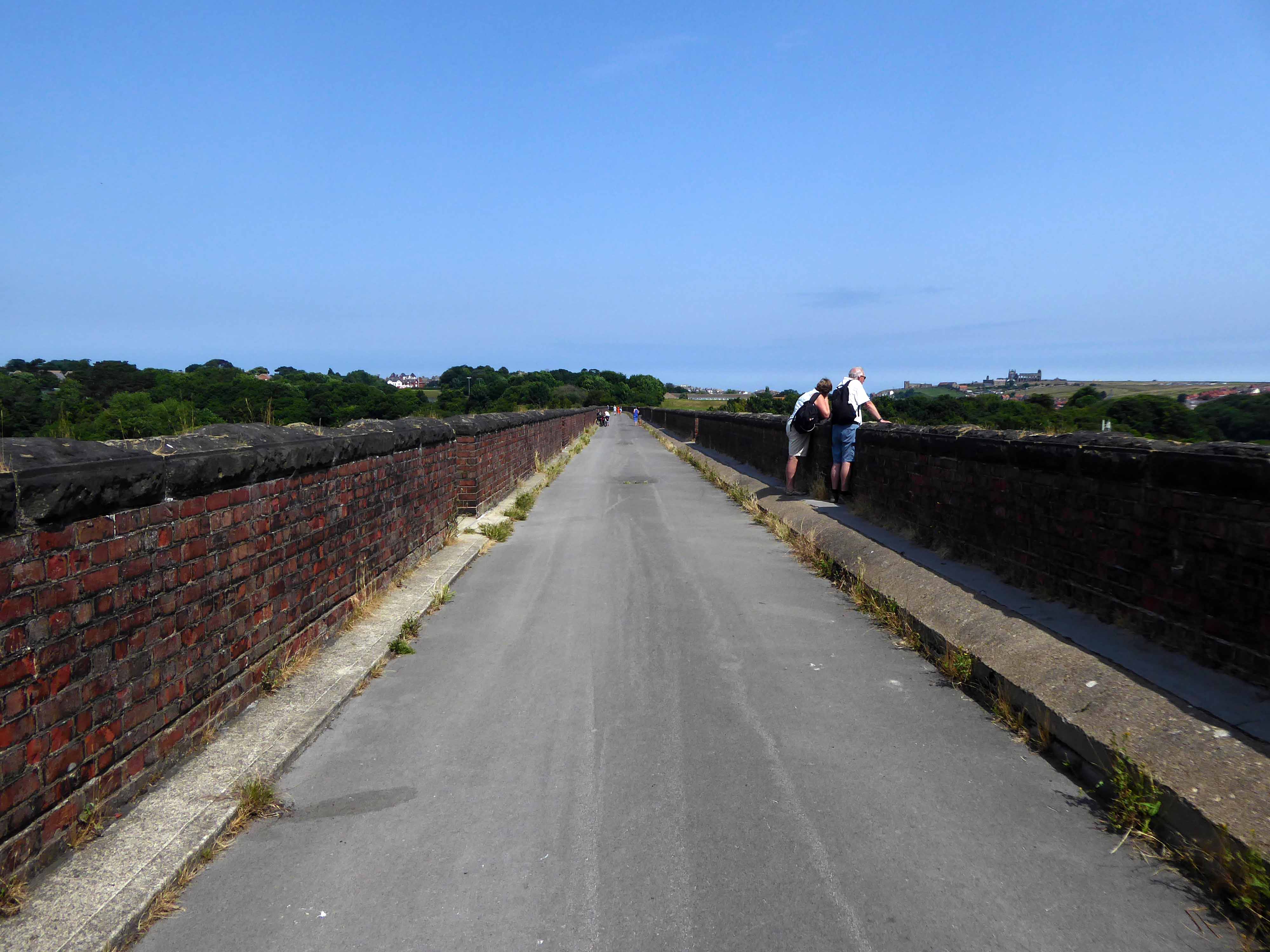
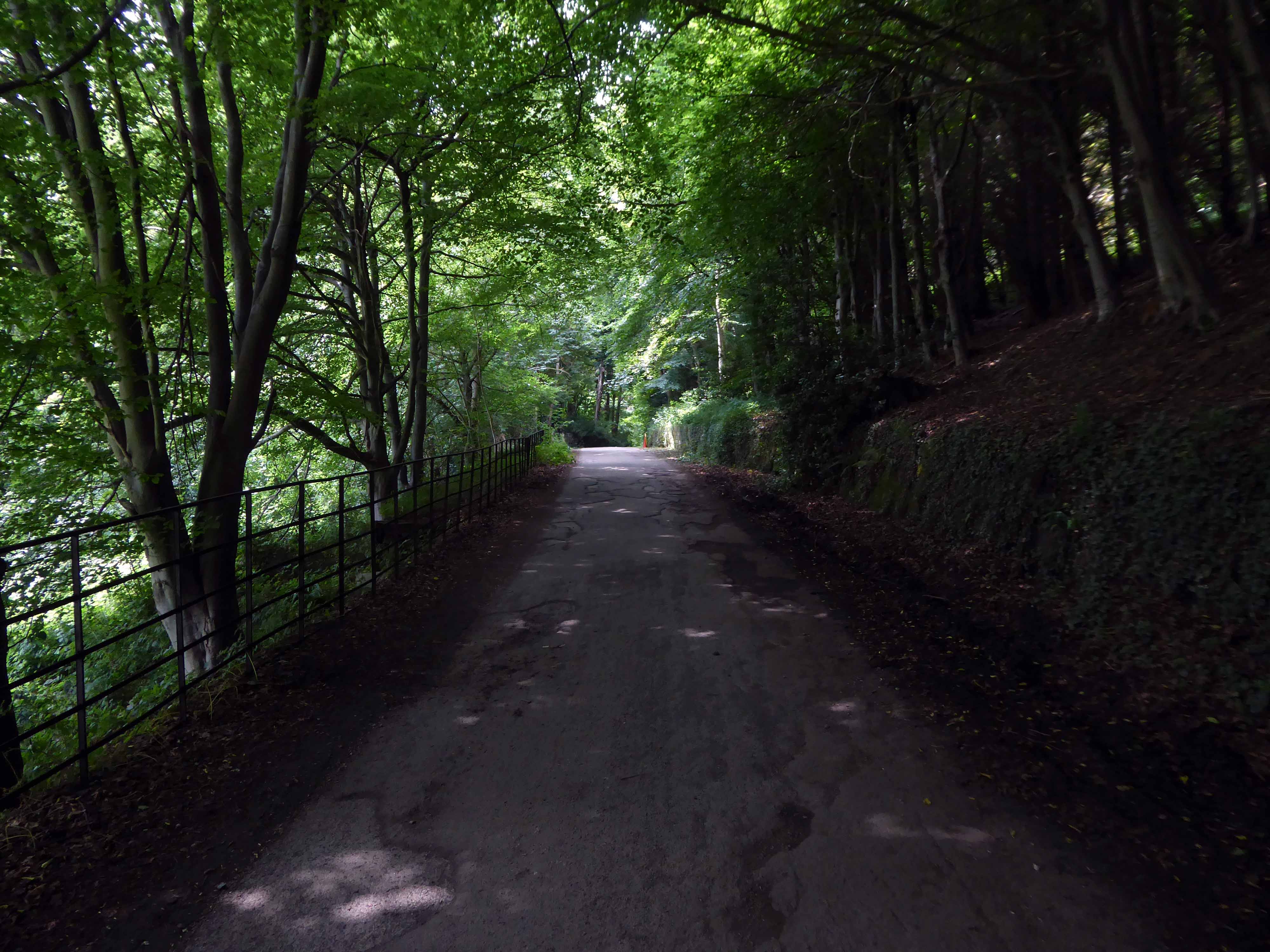
I parted company with the track dropping down to the Esk Valley from the Larpool Viaduct.
Construction began in October 1882 and was complete by October 1884.
Two men fell from the piers during construction, but recovered.
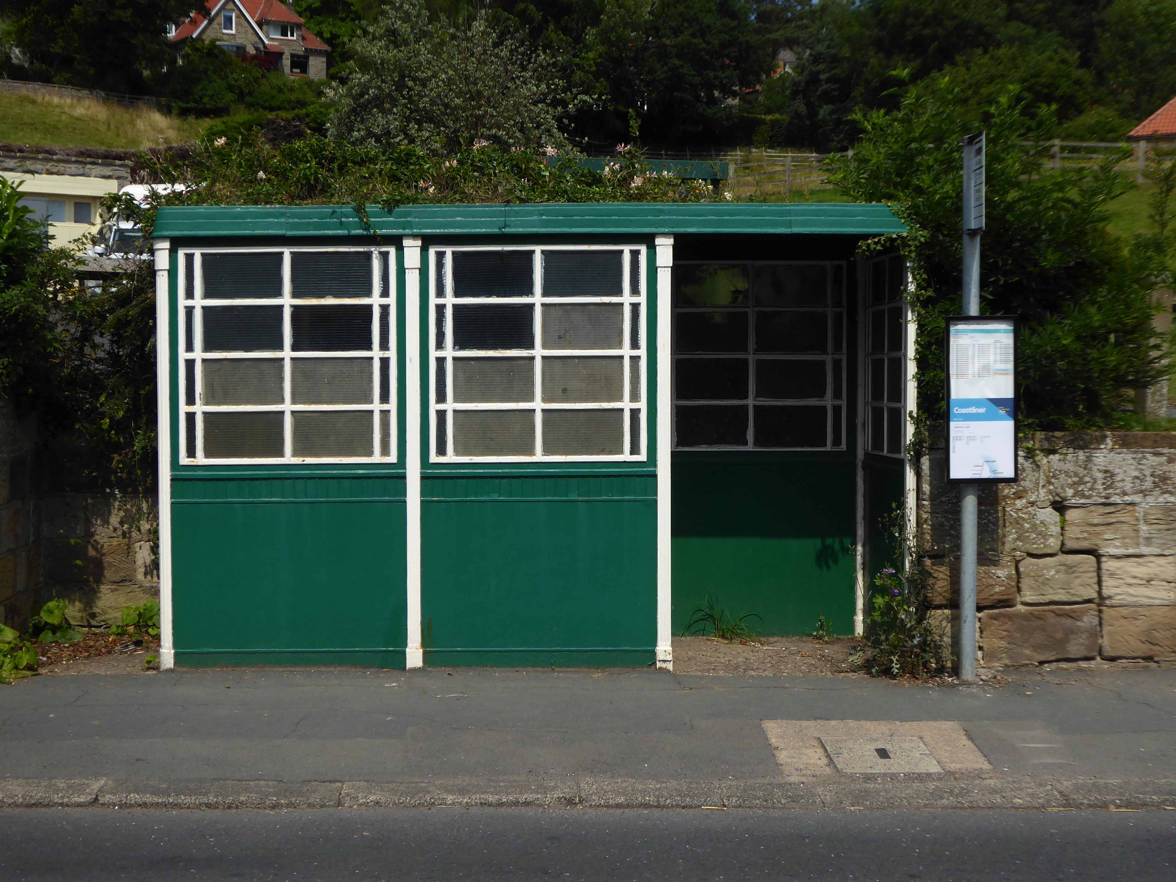
I found myself in Ruswarp, home to this enchanting bus shelter.
I bombed along the main road to Sleights.
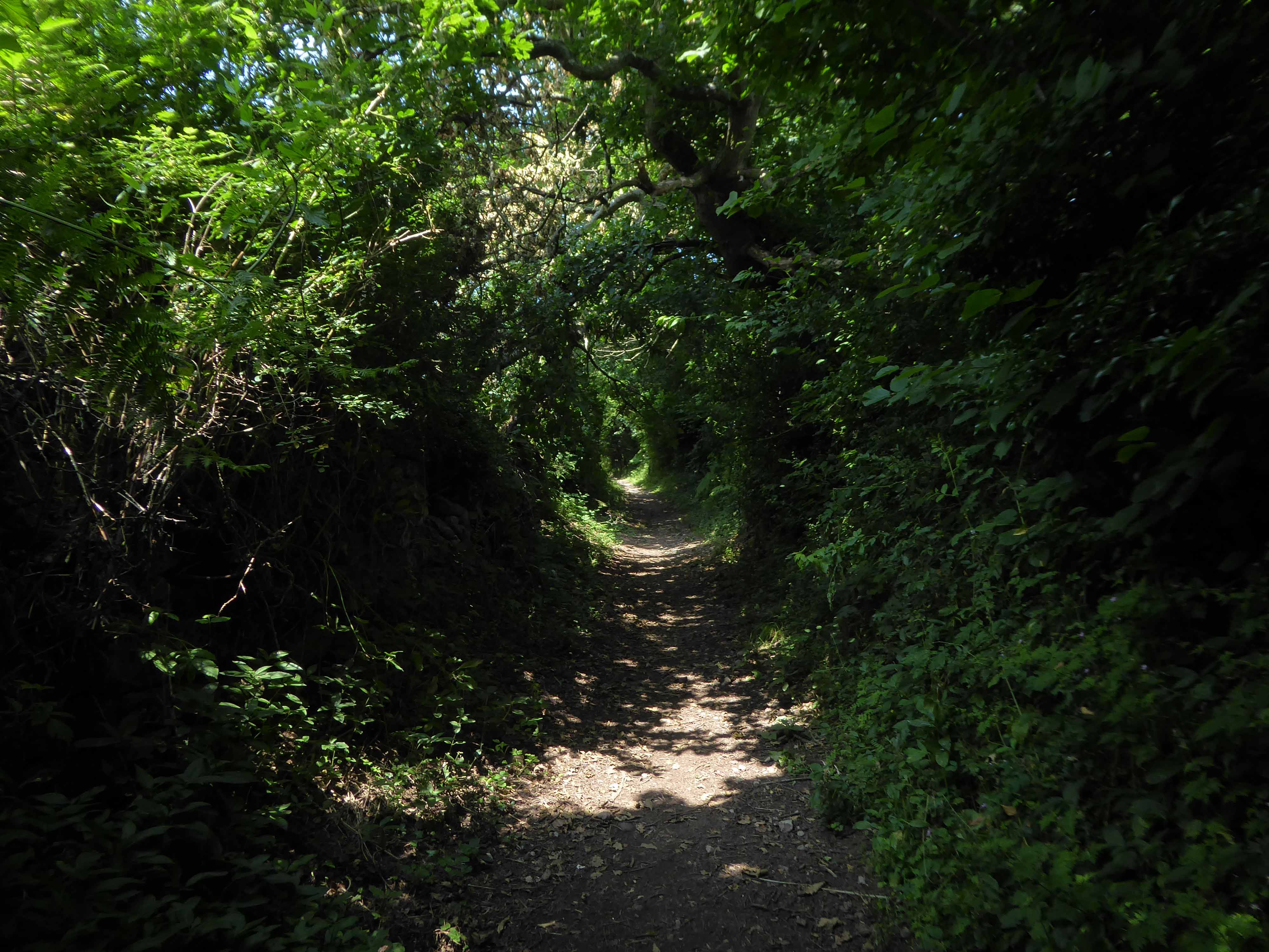
There then followed a hesitant ascent, descent, ascent along a badly signed bridleway, fearing that I had climbed the hill in error I retraced, then retraced.
A difficult push ensued, a precipitous path, rough and untended, rising ever higher and higher.
Finally arriving at Aislaby, more than somewhat exhausted – the village is mentioned in the Domesday Book as Asuluesbi.
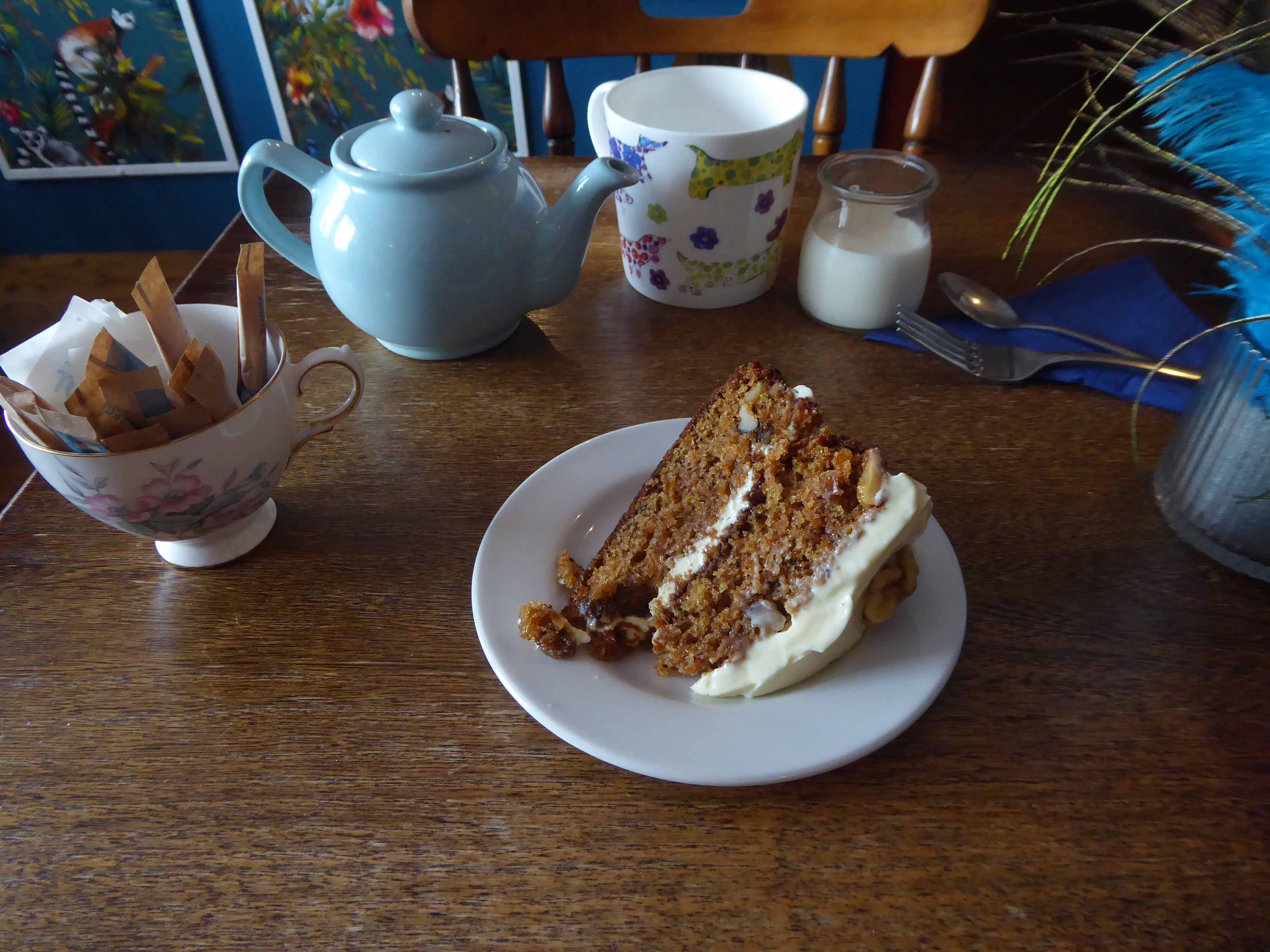
Pausing to catch my breath I took the wildly undulating road to Egton – along the way I was alerted to the presence of a tea stop by two touring cyclists from Nottingham.
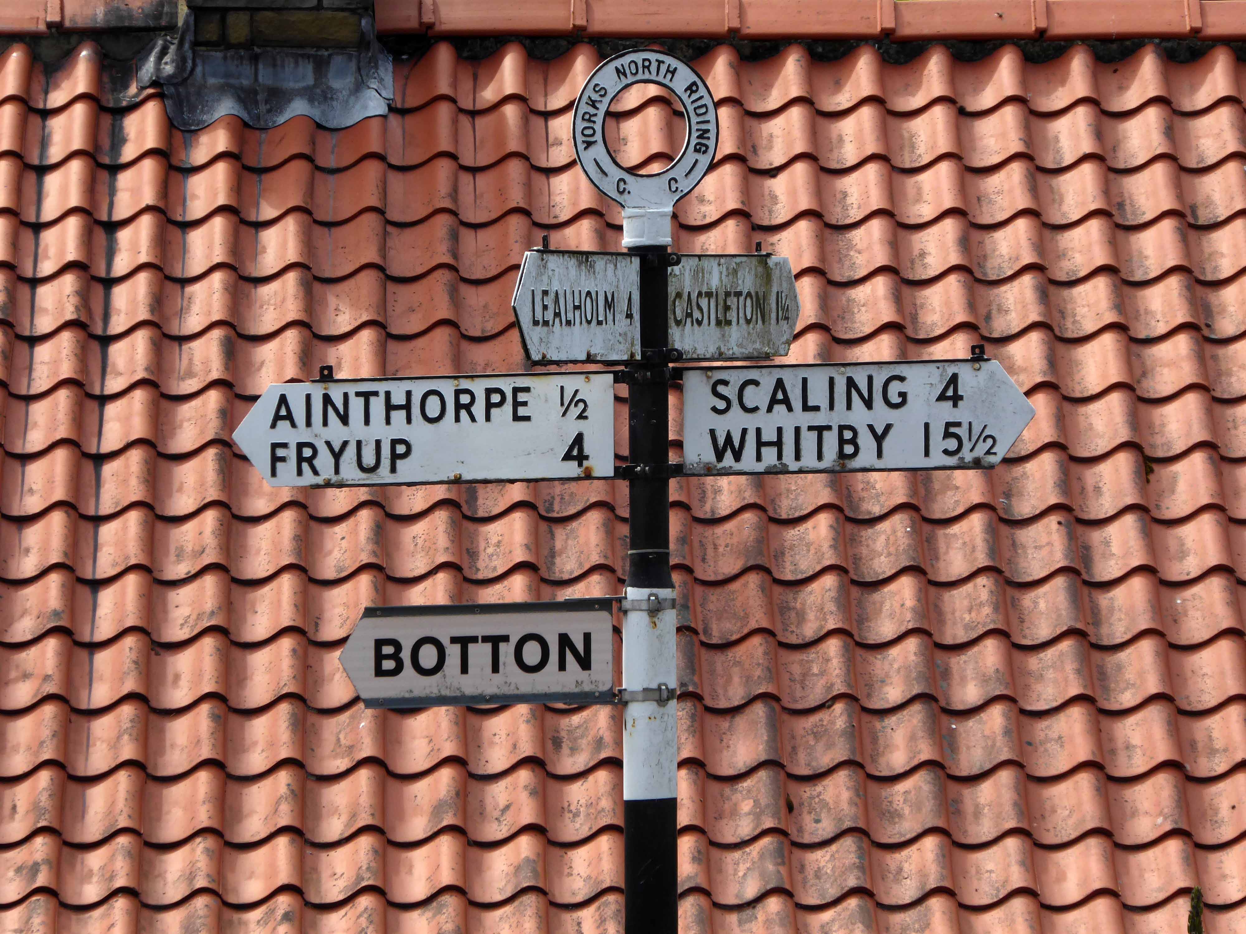
The curious name Fryup probably derives from the Old English reconstruction Frige-hop: Frige was an Anglo-Saxon goddess equated with the Old Norse Frigg; hop denoted a small valley.
An old woman at Fryup was well known locally for keeping the Mark’s e’en watch – 24 April, as she lived alongside a corpse road known as Old Hell Road.
The practice involved a village seer holding vigil between 11pm and 1am to watch for the wraiths of those who would die in the following 12 months.
Castleton Moor ghost.
In the village I was given further directions by two elderly gents, who had been engaged in a discussion concerning their long term mapping of acid rain levels in the area.
One was wearing a Marshall Jefferson t-shirt.
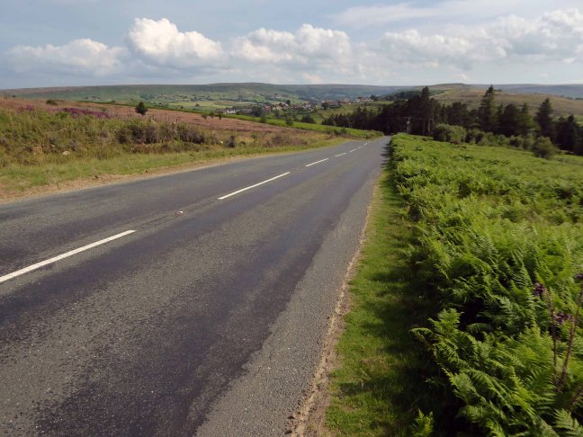
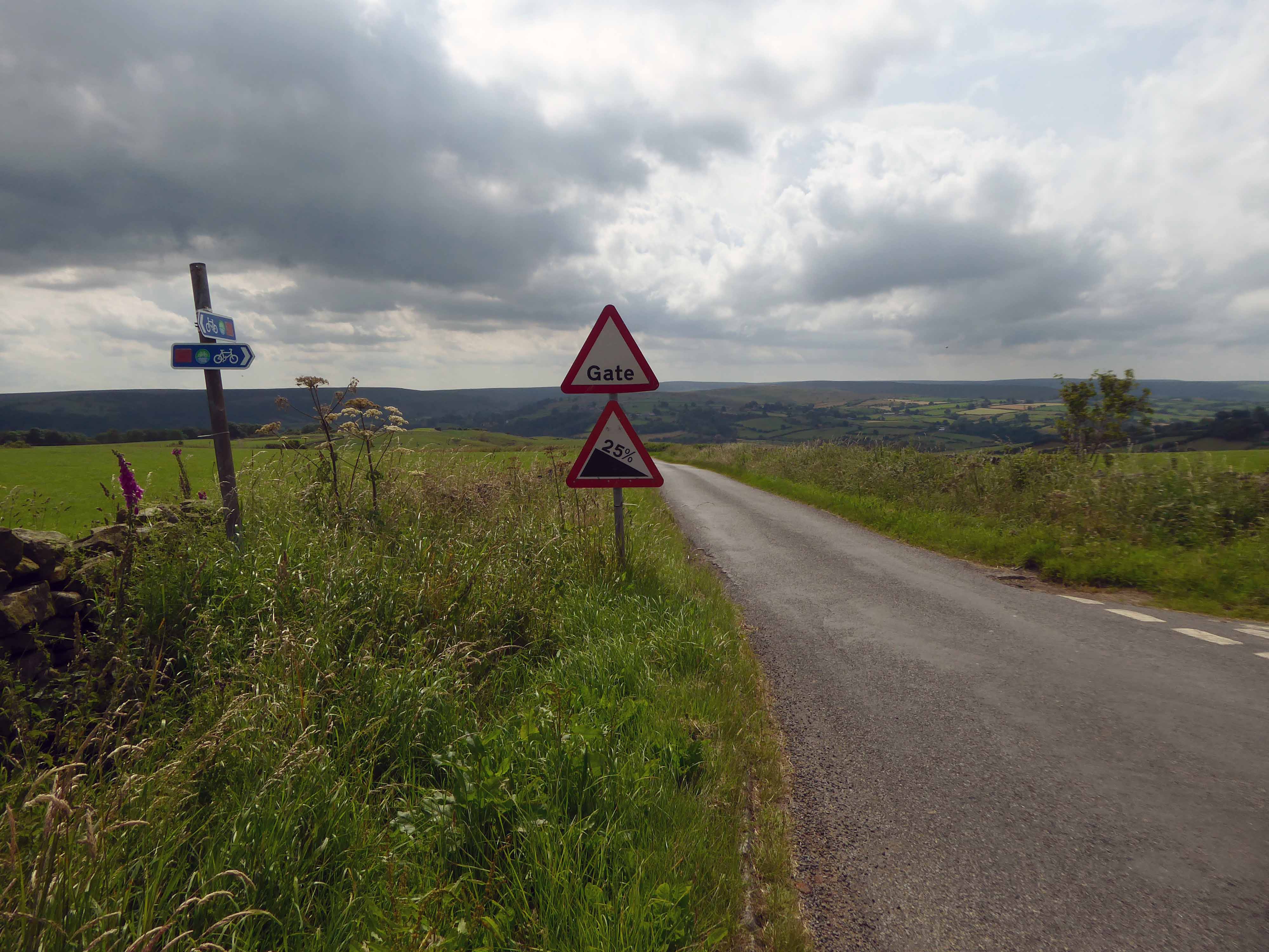
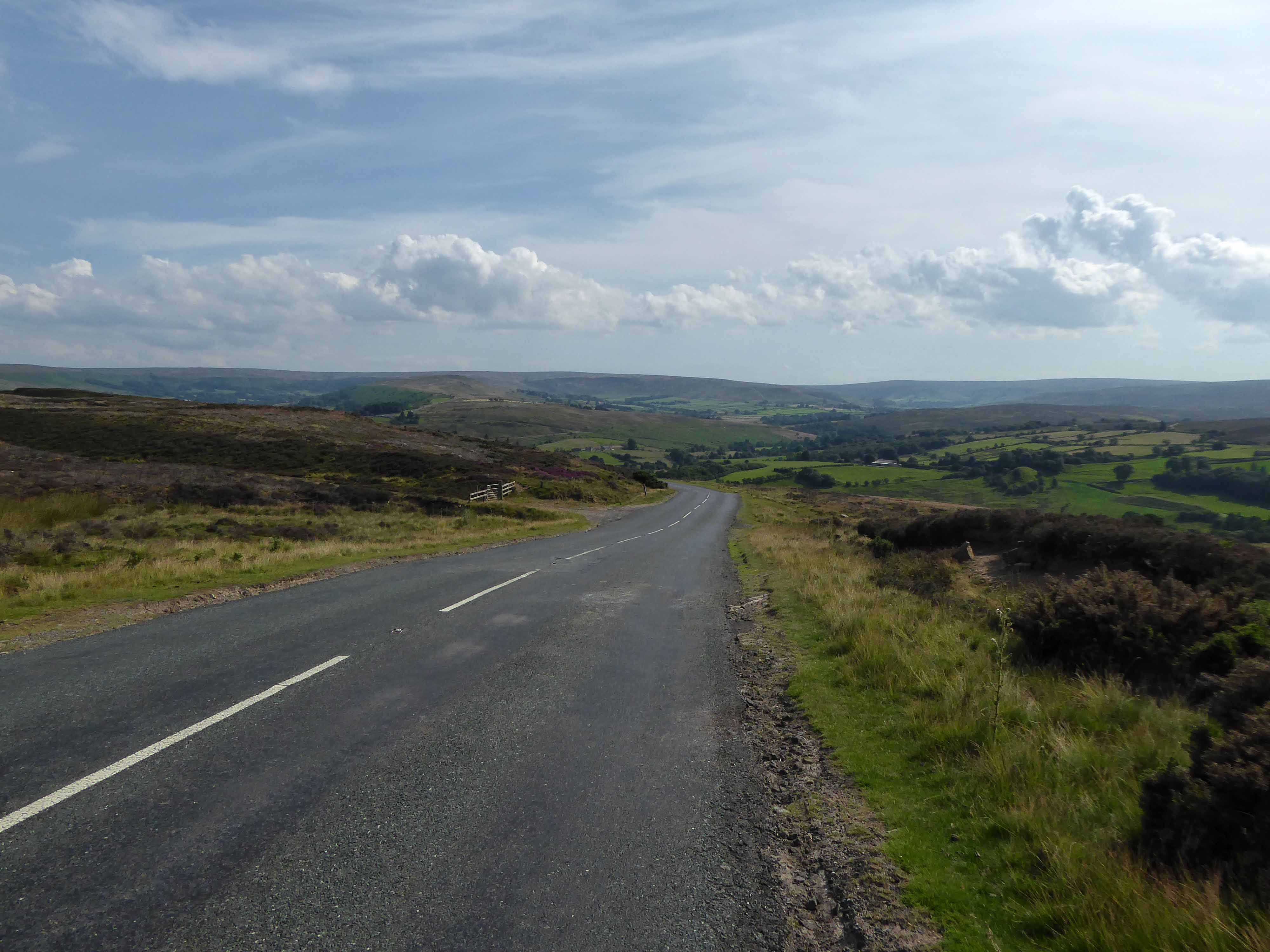
I climbed Langburn Bank onto the flatish open moorland.
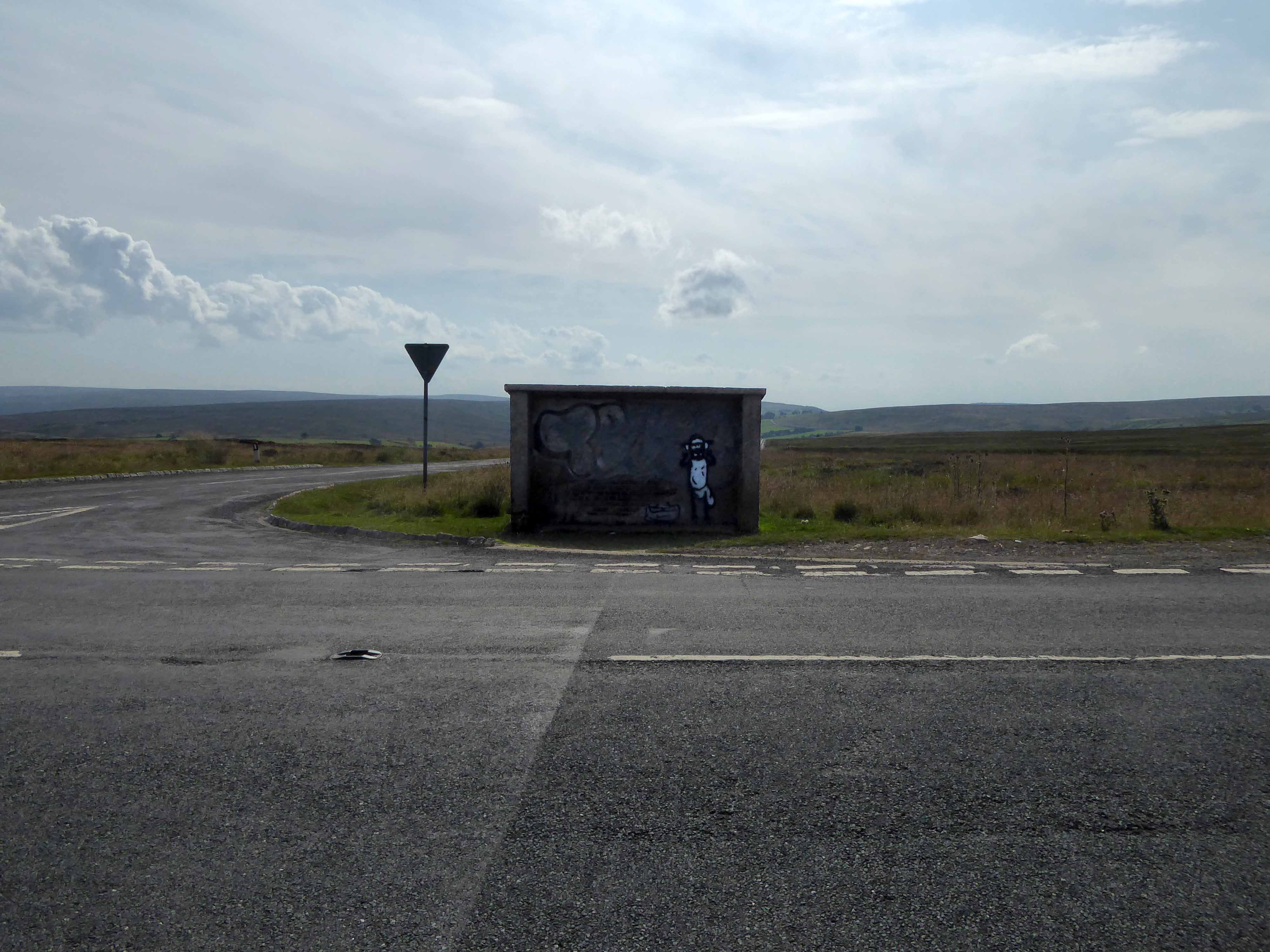
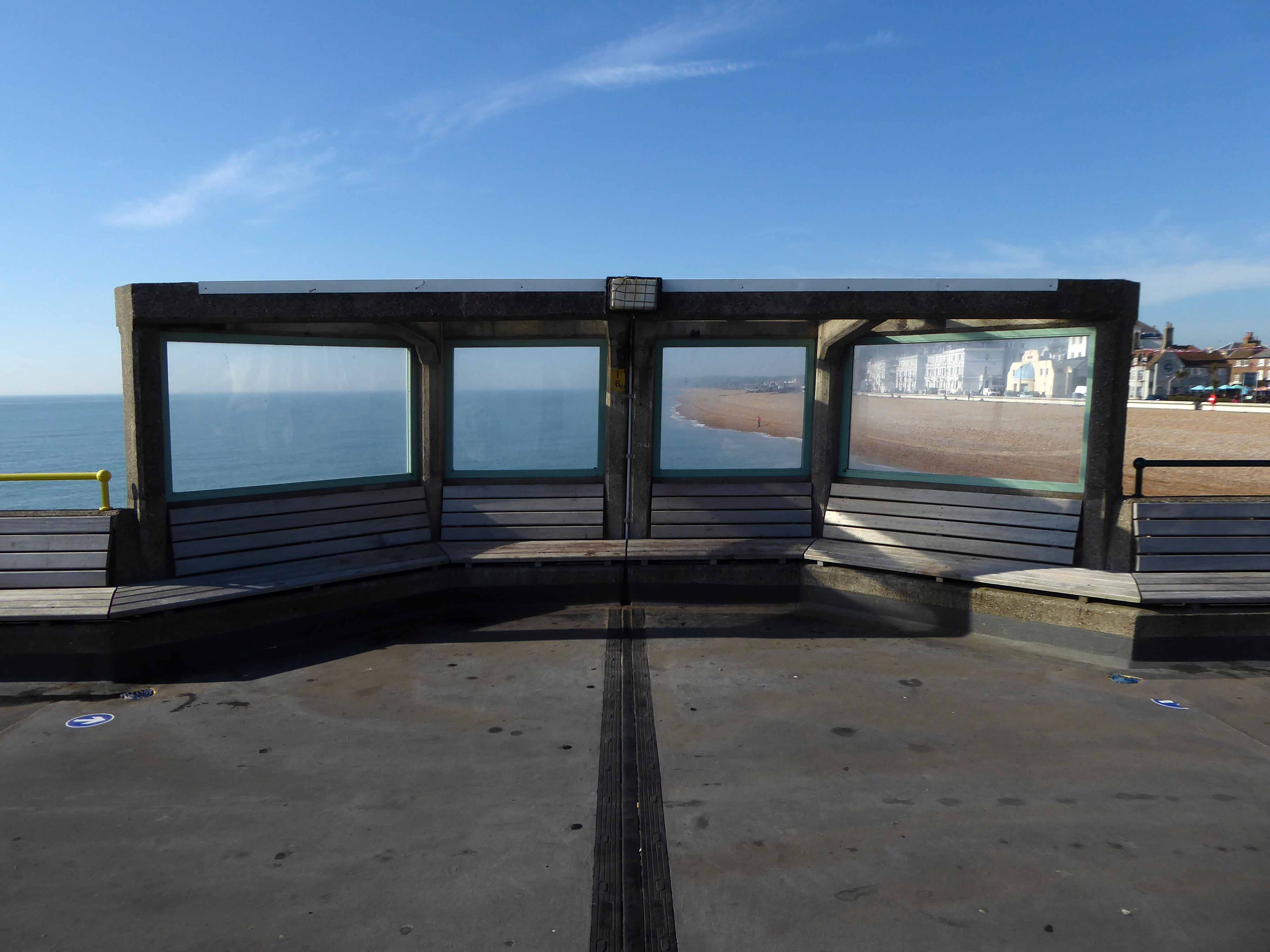
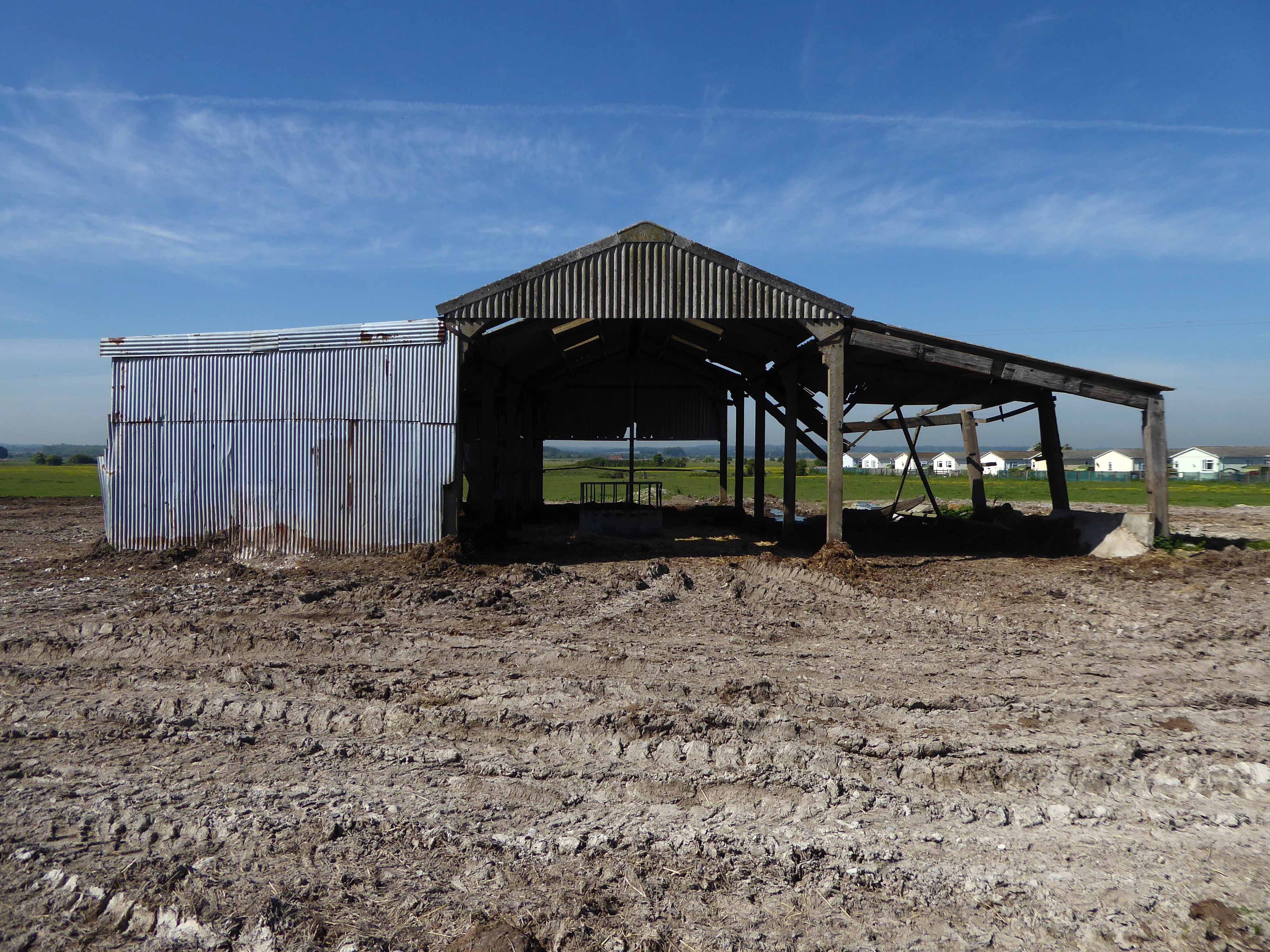
Taking a brief break to snap this concrete shelter.
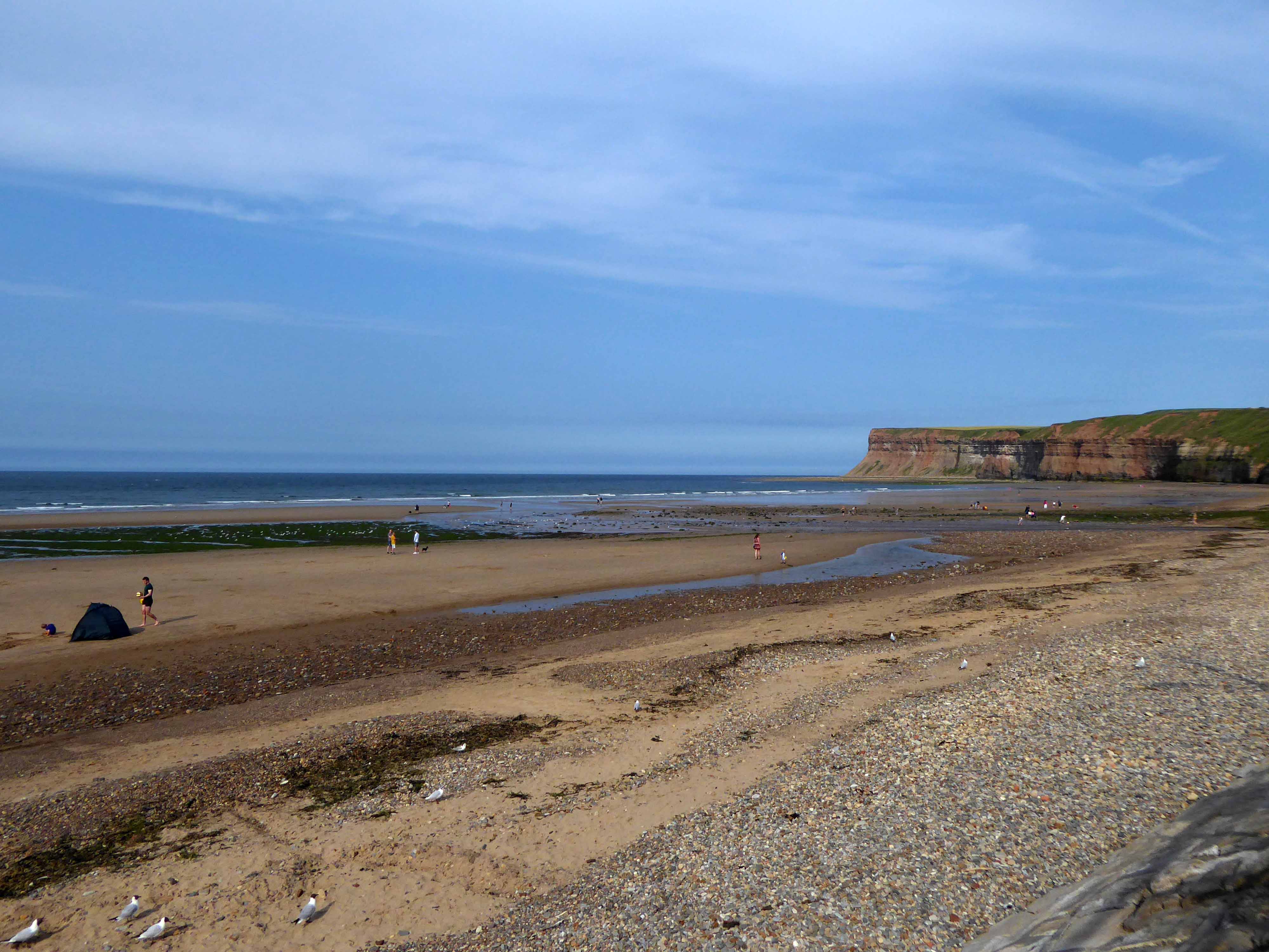
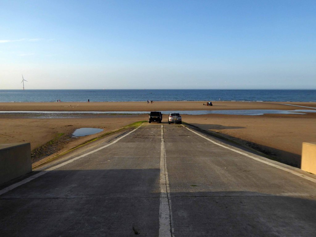
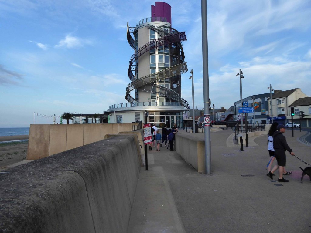
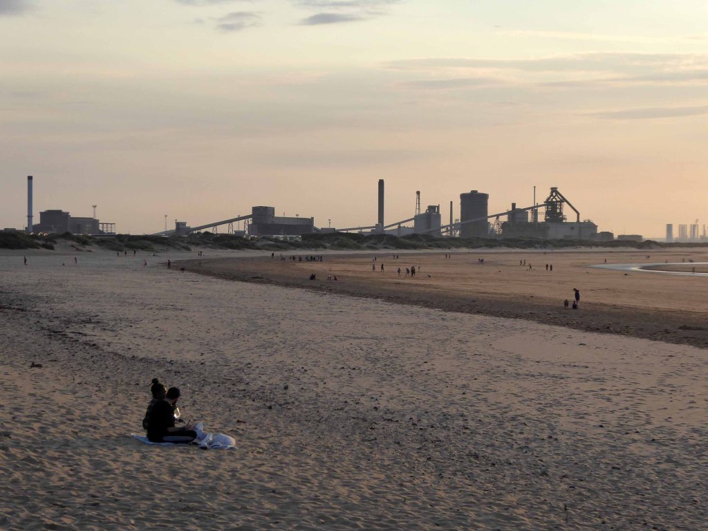
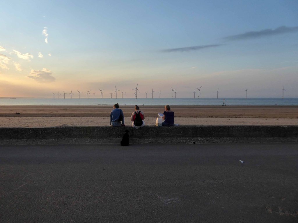
There then followed a hair stirring series of hairpin descents to the coast at Saltburn.
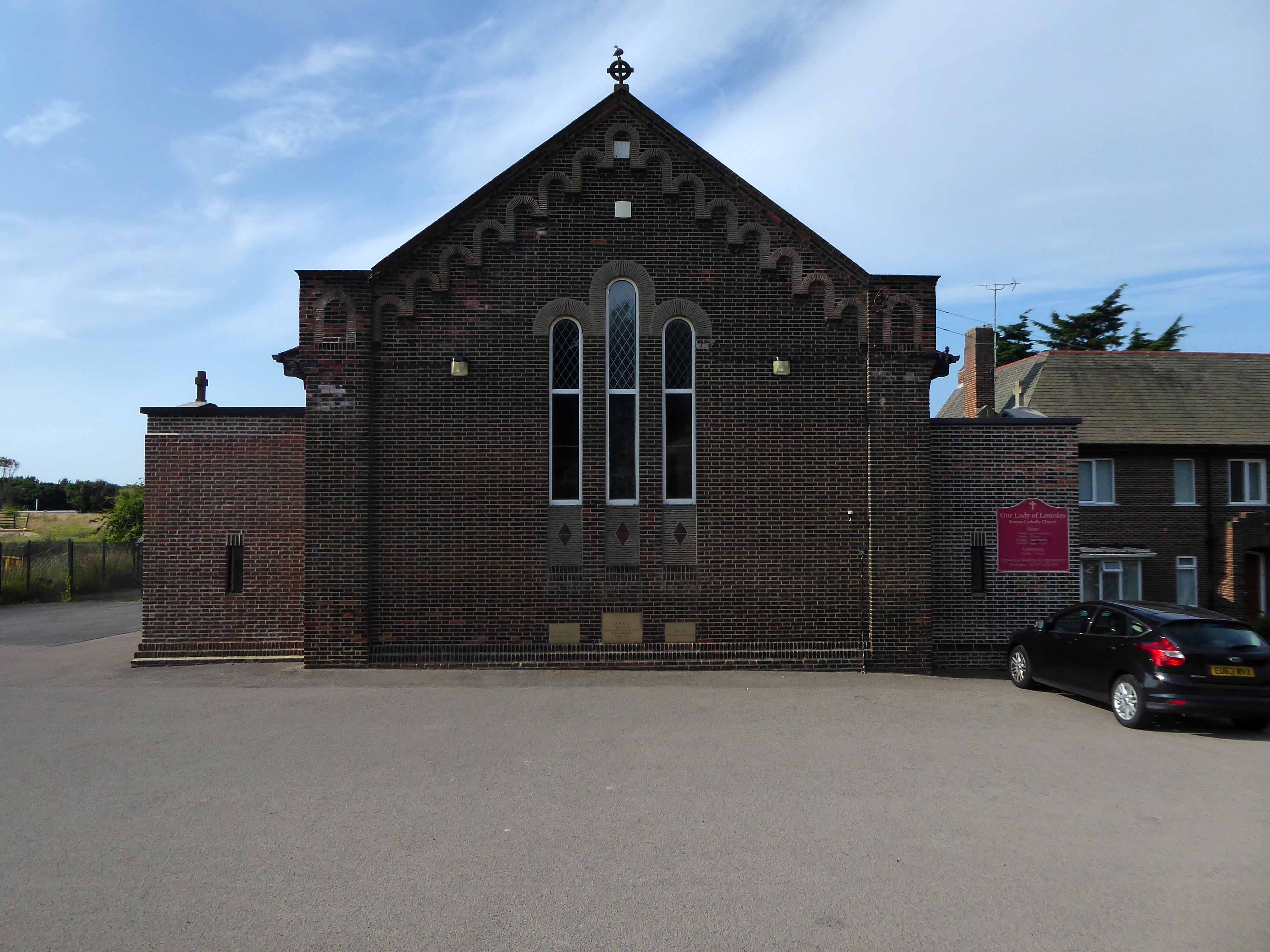
Built in 1928, this church was designed with some care and is an attractive, if fairly modest, Lombard Romanesque-style essay in brick. The use of a semi-circular apse, narrow brickwork and use of tile for decorative effect give it a pleasing appearance, typical of restrained but elegant work between the wars.
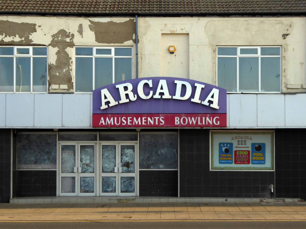
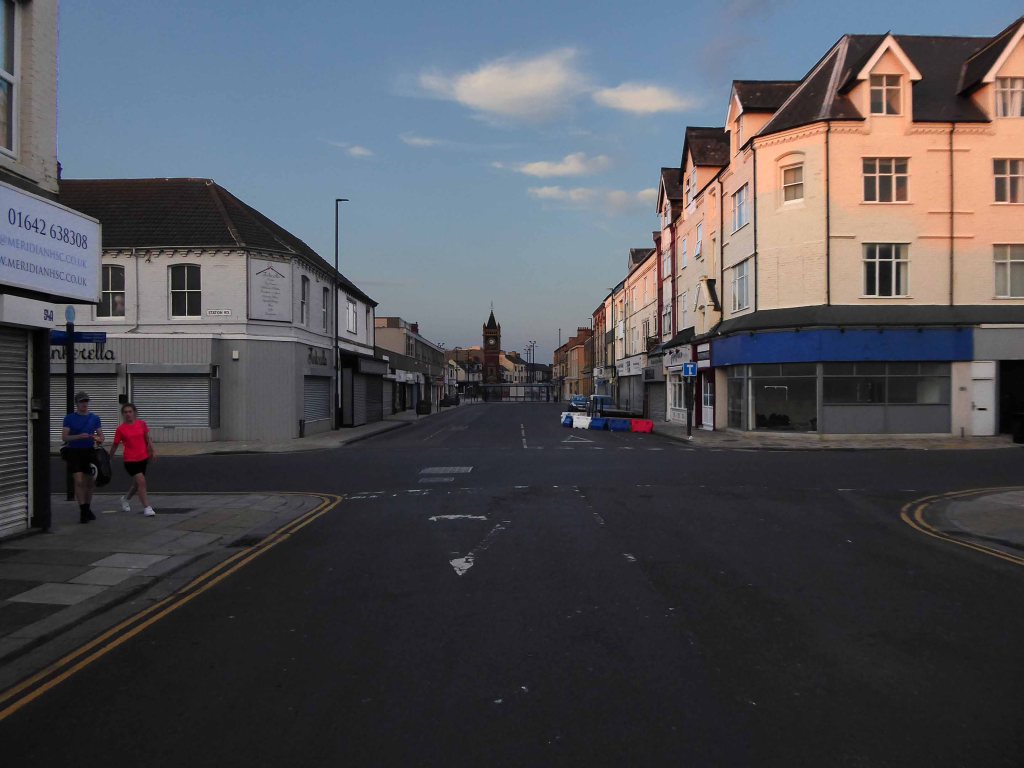
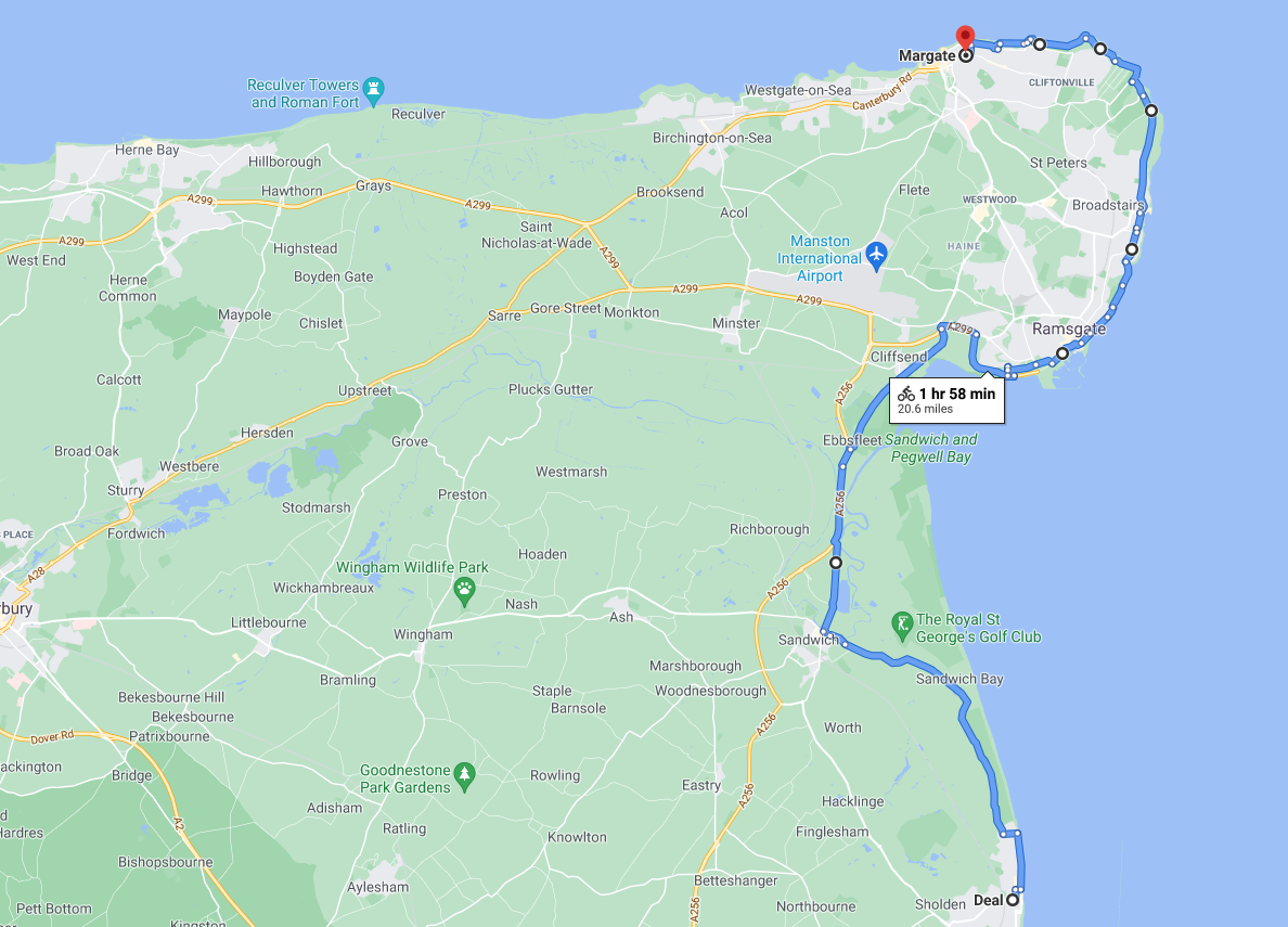
I arrived and took a look around, first time in town, here’s what I found.
We awoke, we dawdled around Deal, prior to our delightful breakfast.
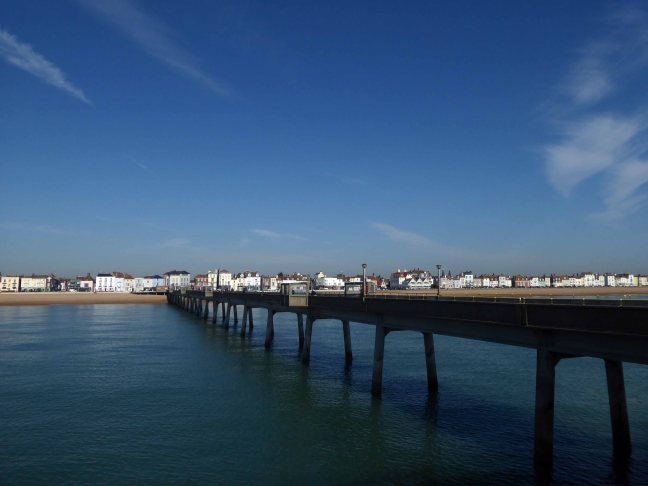
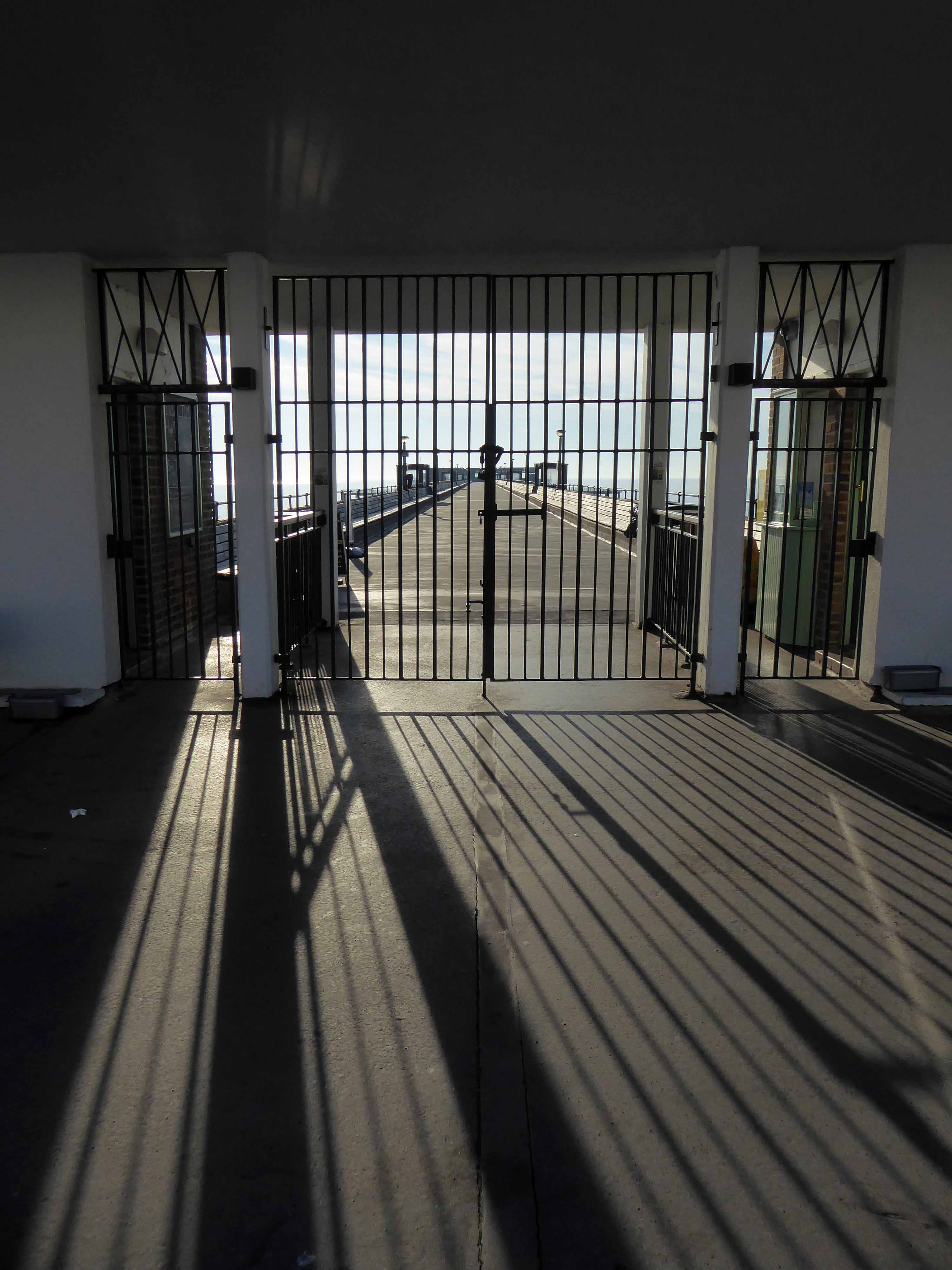
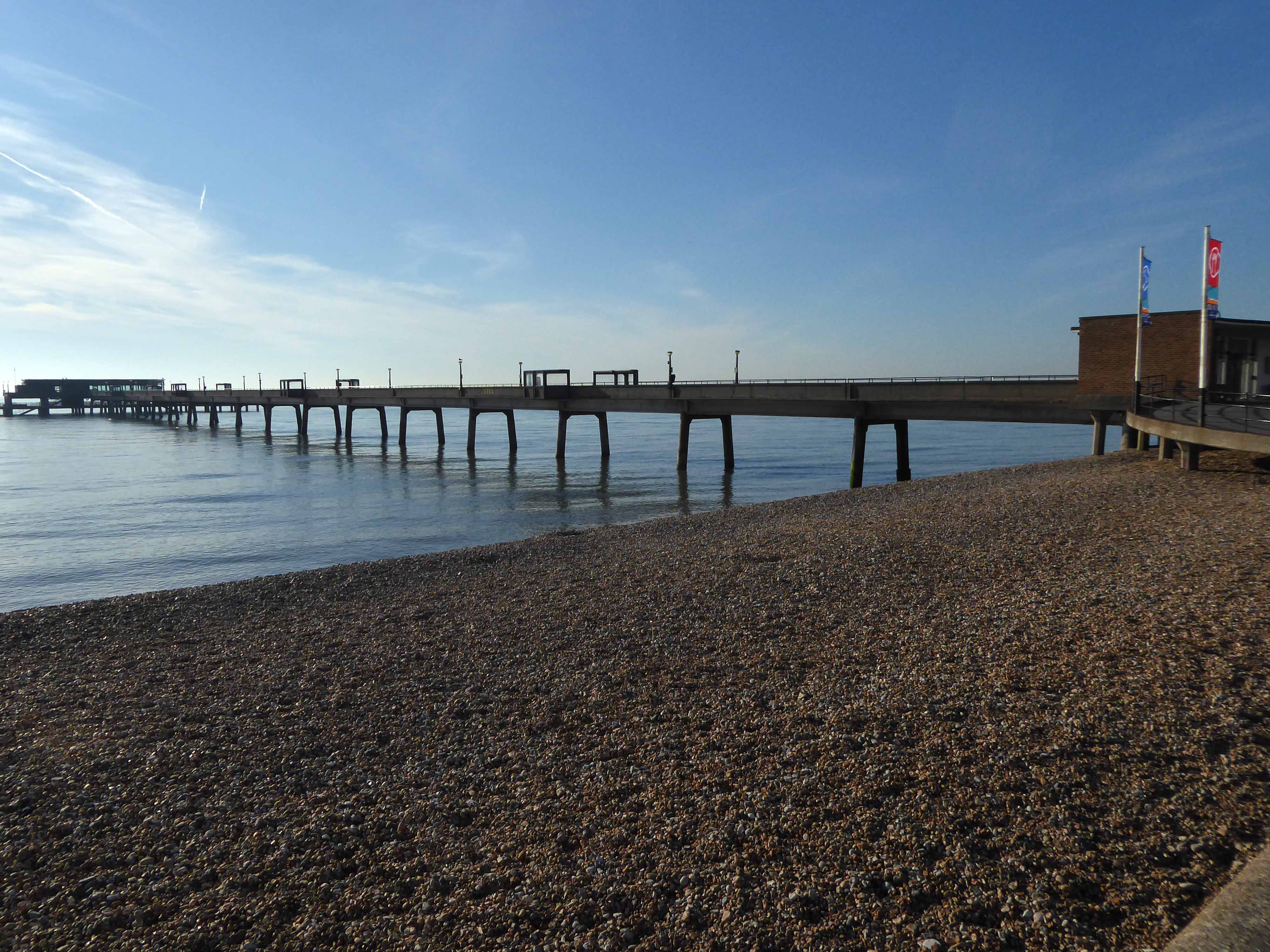
Though the pier appeared to be closed.
Extending elegantly over a still, still sea.
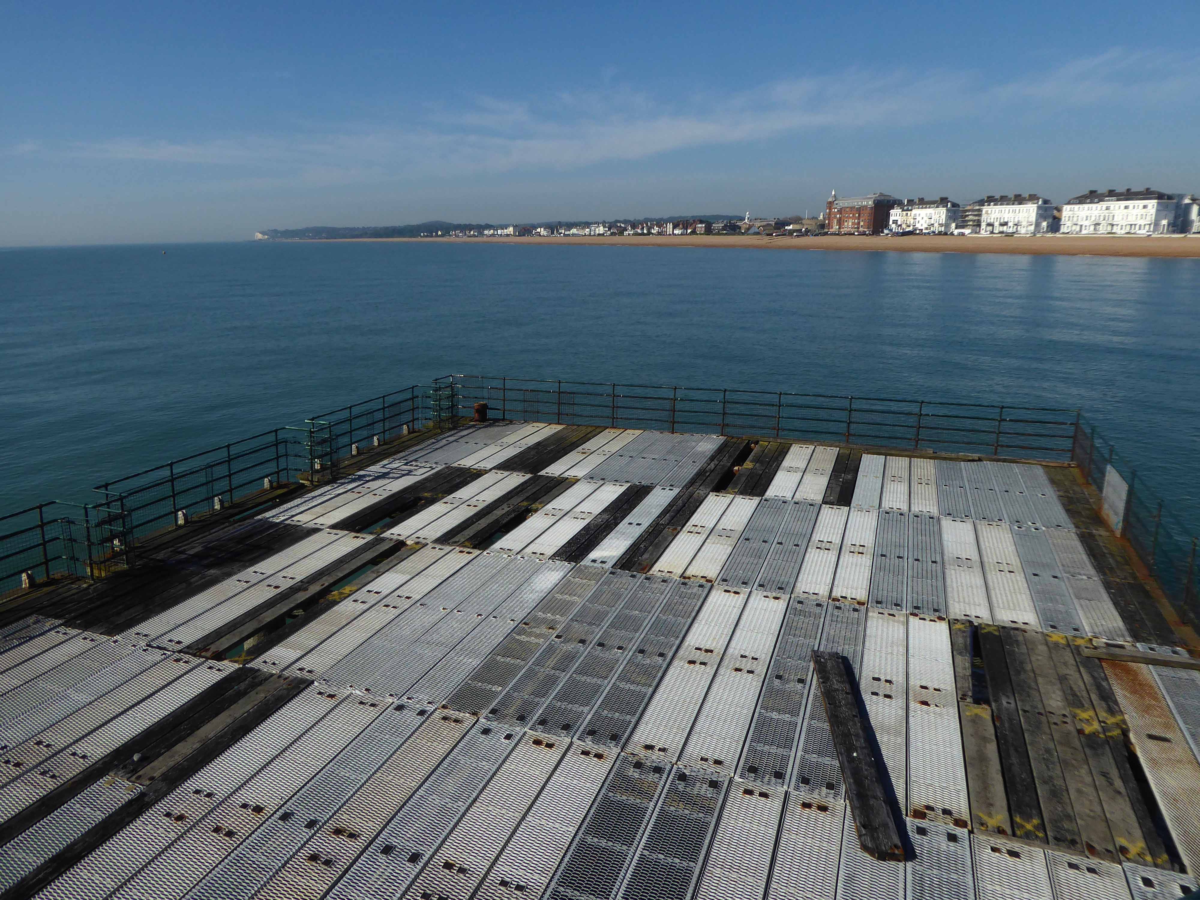
The present pier, designed by Sir W. Halcrow & Partners, was opened on 19 November 1957 by the Duke of Edinburgh. Constructed predominantly from concrete-clad steel, it is 1,026 ft in length – a notice announces that it is the same length as the RMS Titanic, but that ship was just 882 feet, and ends in a three-tiered pier-head, featuring a cafe, bar, lounge, and fishing decks.
The lowest of the three tiers is underwater at all but the lowest part of the tidal range, and has become disused.
Pausing in Ramsgate to admire Edward Welby Pugin’s Grade II Listed – Granville Hotel.
The Granville development, so named after George Leverson Gower, second Earl Granville (1815-1891), was a venture undertaken by Edward Welby Pugin, together with investors Robert Sankey, George Burgess and John Barnet Hodgson on land acquired from the Mount Albion Estate in 1867. The scheme was to be an important new building in the eastward expansion of the town and the emergence of a fashionable new suburb. At the outset, the intention was to build a relatively restrained speculative terrace of large townhouses with some additional facilities. However, as the scheme progressed and it became apparent that buyers could not be secured, revised plans for an enlarged hotel complex were adopted in 1868 and brought to completion in 1869. These plans, which added a series of grand rooms including a banqueting hall, receptions rooms and an entrance hall in addition to a tunnel to connect to the railway line on the seafront, gardens, a complex of Turkish baths and a vast landmark tower (originally 170ft high, although truncated at a relatively early date), were remarkably ambitious. Ultimately, as it would transpire, the scheme was rather too ambitious on Pugin’s part; with his increasing reliance on loans eventually culminating in bankruptcy in October 1872, an event which precipitated his demise as an architect, tragically followed by his death just three years later.
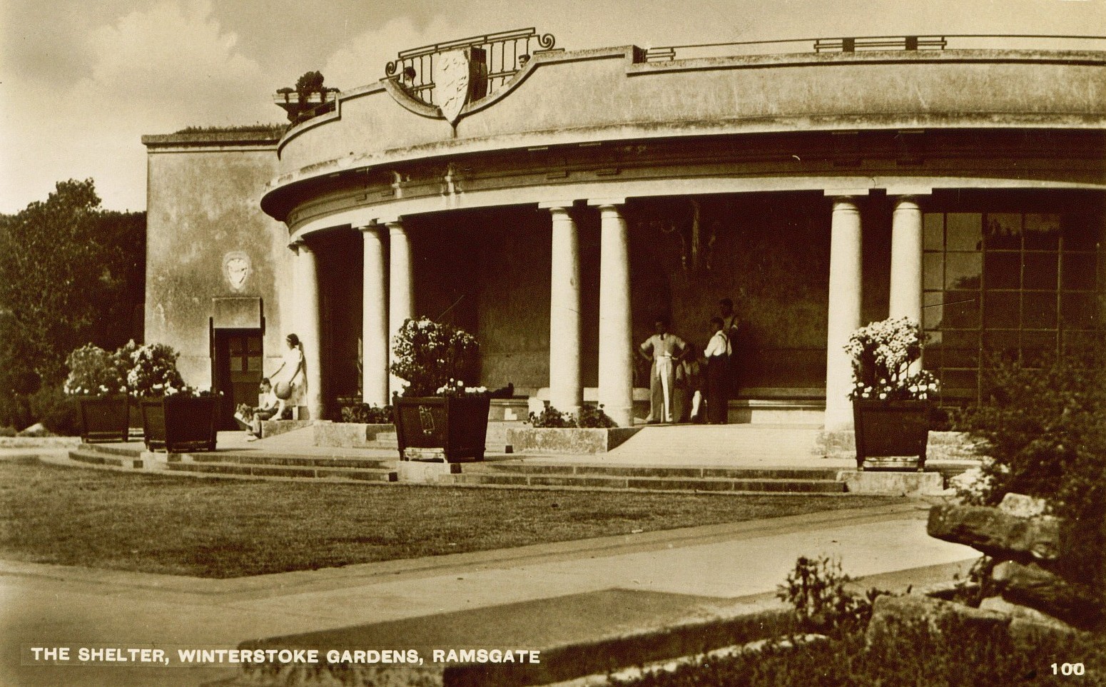
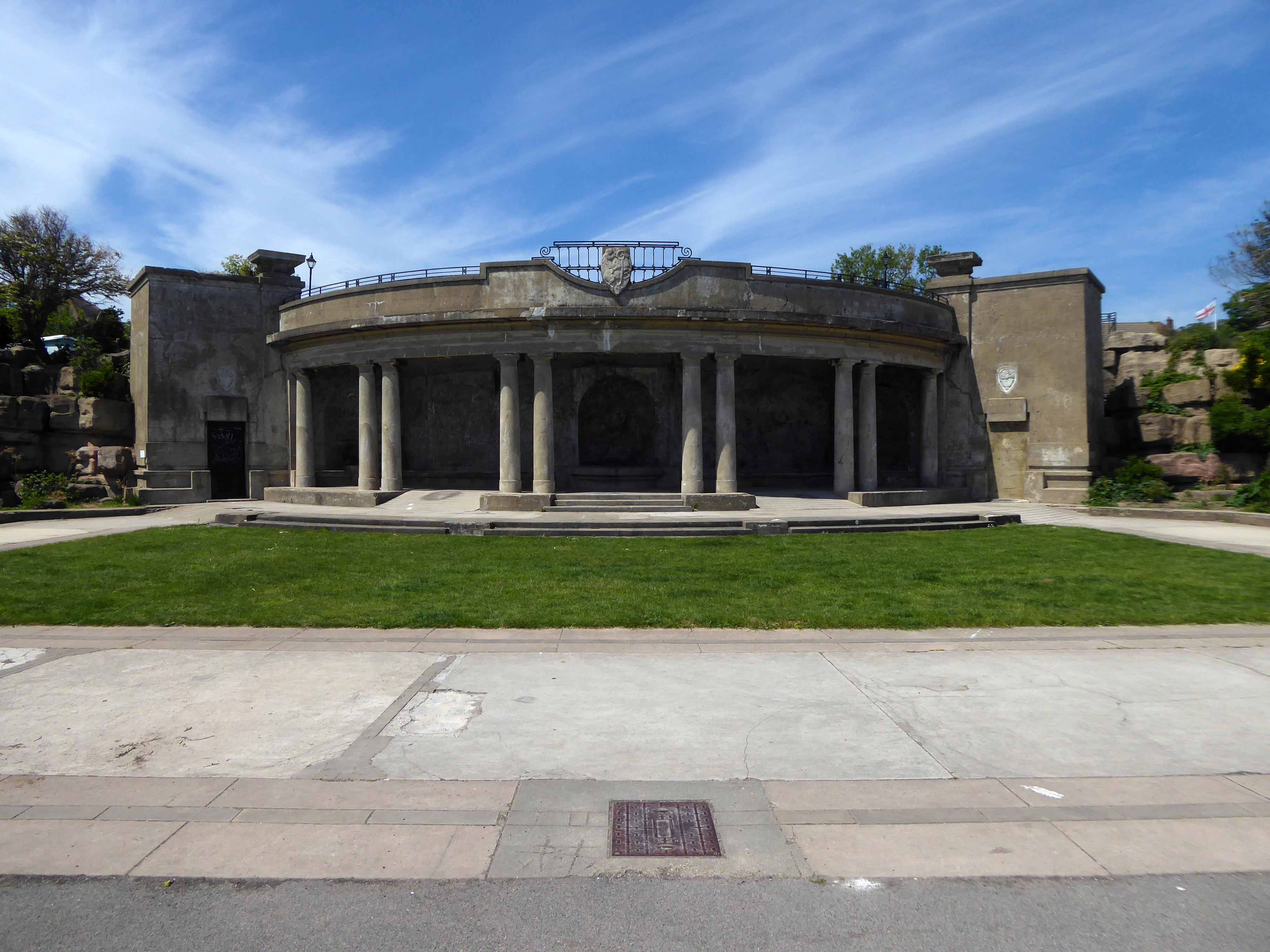
Overlooking the sea, the ornamental gardens were laid out and presented to the Borough of Ramsgate by Dame Janet Stancomb-Wills in 1920 and opened to the public in June 1923 by the Mayor of Ramsgate Alderman A. W. Larkin. They are maintained by Thanet District Council and were Grade II listed on 4 February 1988.
The gardens were designed by the architects Sir John Burnet & Partners, and constructed by Pulham and Son. The main feature of the gardens, is a semi-circular shaped colonnade carved into the pulhamite recess.
On the upper terrace, approached by broad flights of steps, the gardens proper are reached. In the centre, and immediately over the shelter, is a circular pool enclosed on the north side by a semi-circular Roman seat.
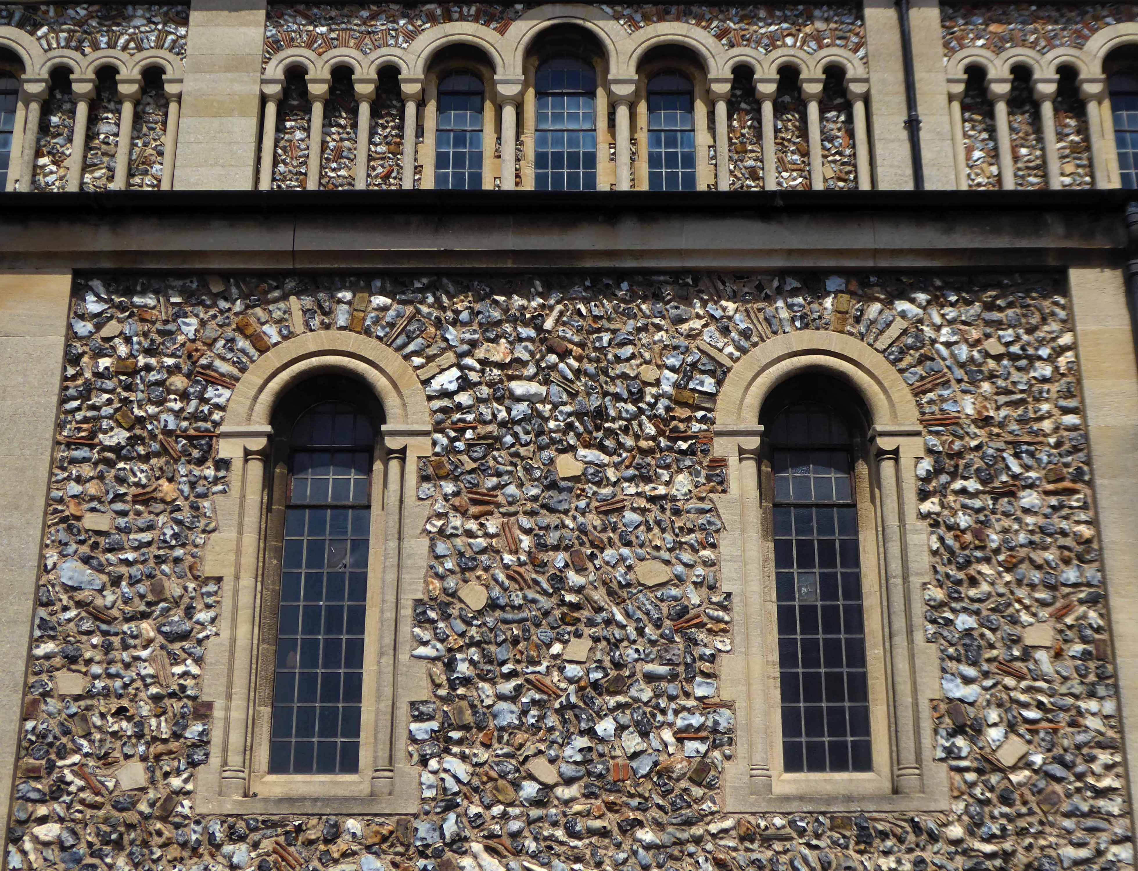
On leaving the town we encounter this engaging flint church – Holy Trinity
Erected 1829-1830. David Barnes Architect, extended 1925.
Built of flint and rubble.
One of the first visitors to this church was Charles Dickens who offered a very unflattering description in his work, Our English Watering Place:
We have a church, by the bye, of course – a hideous temple of flint, like a petrified haystack. Our chief clerical dignitary, who, to his honour, has done much for education, and has established excellent schools, is a sound, healthy gentleman, who has got into little local difficulties with the neighbouring farms, but has the pestilent trick of being right.
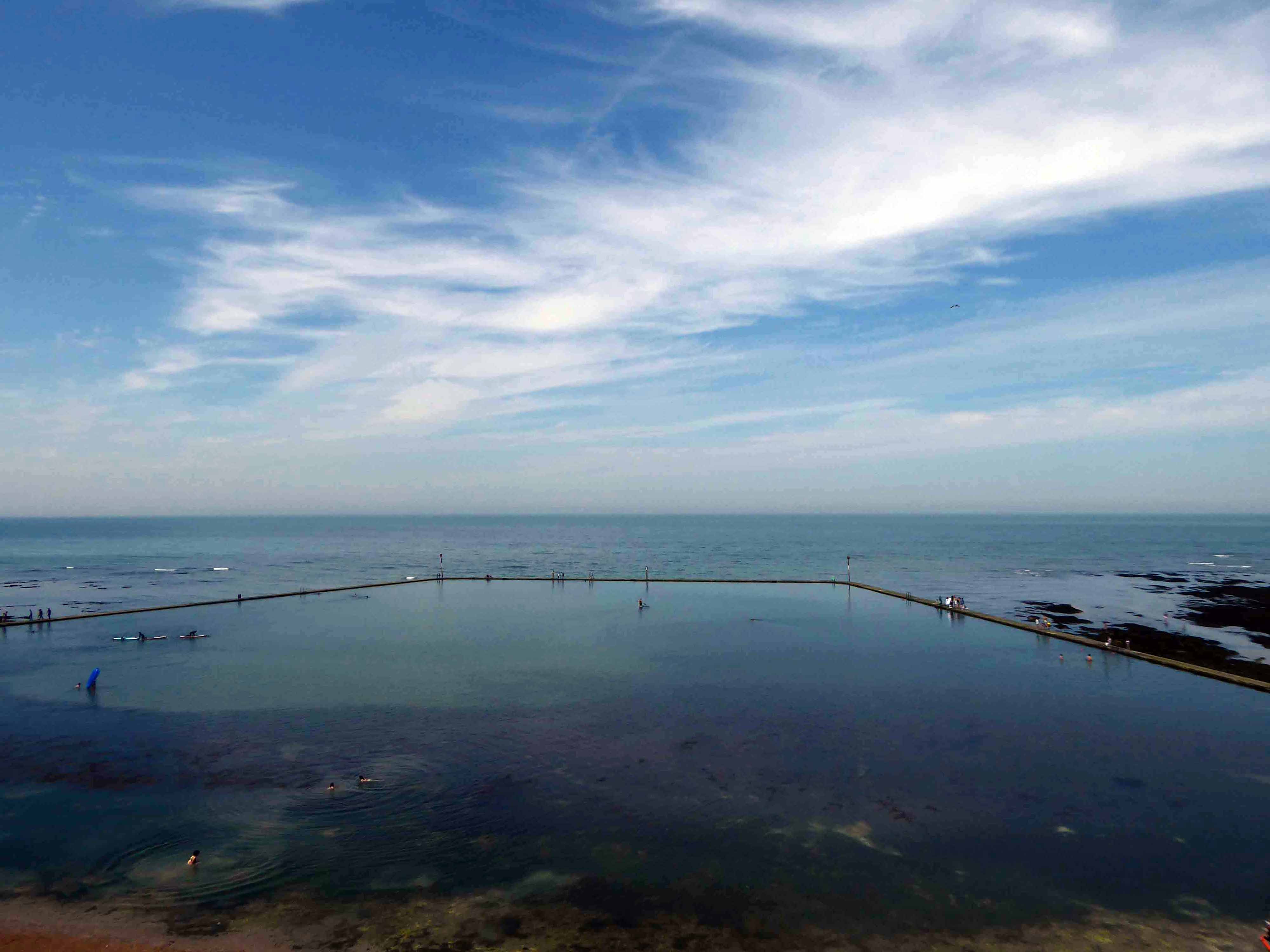
In Margate the tidal pools are full of waveless sea water and kiddy fun.
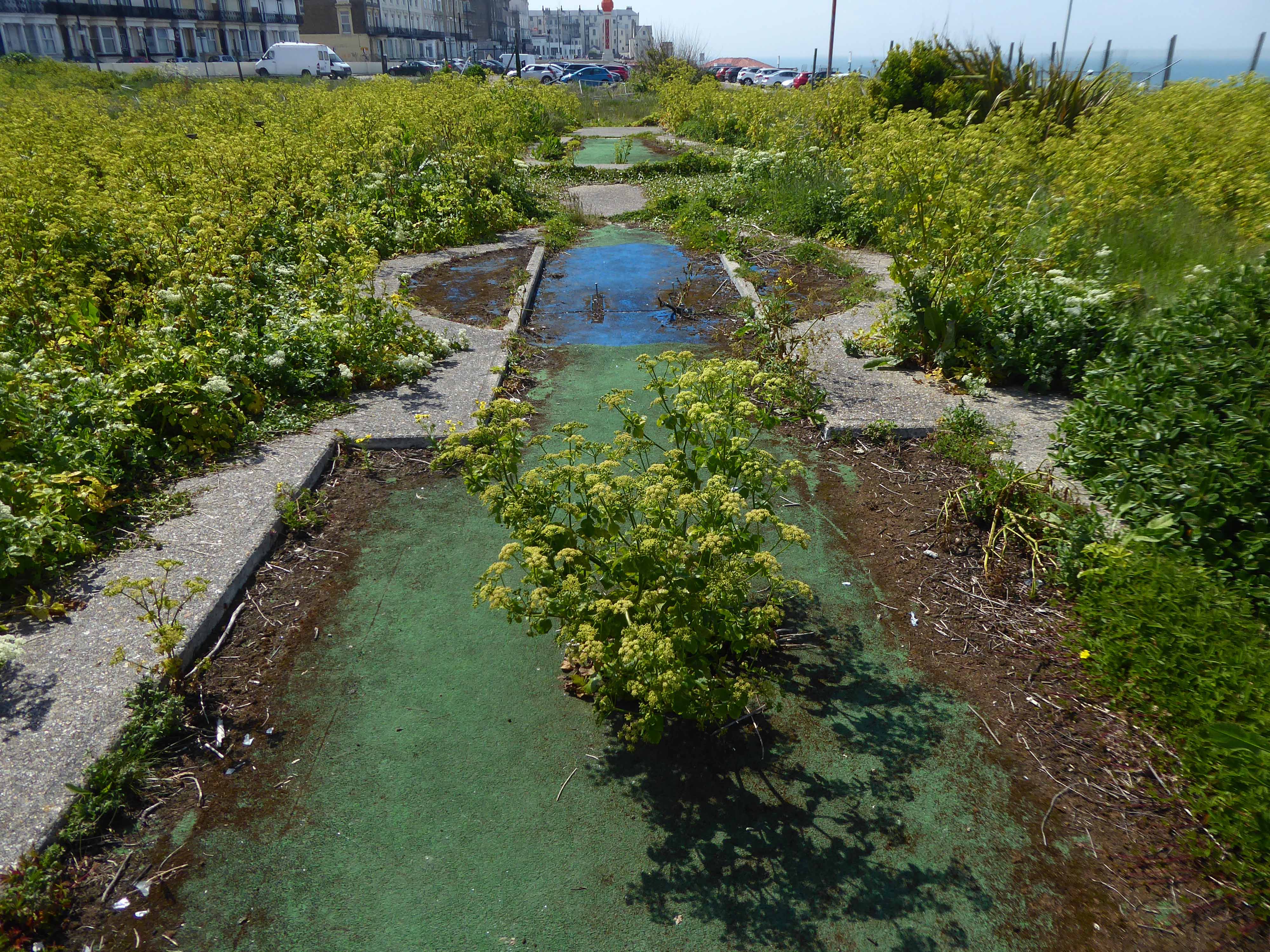
The former crazy golf course is undergoing an ongoing programme of involuntary rewilding.
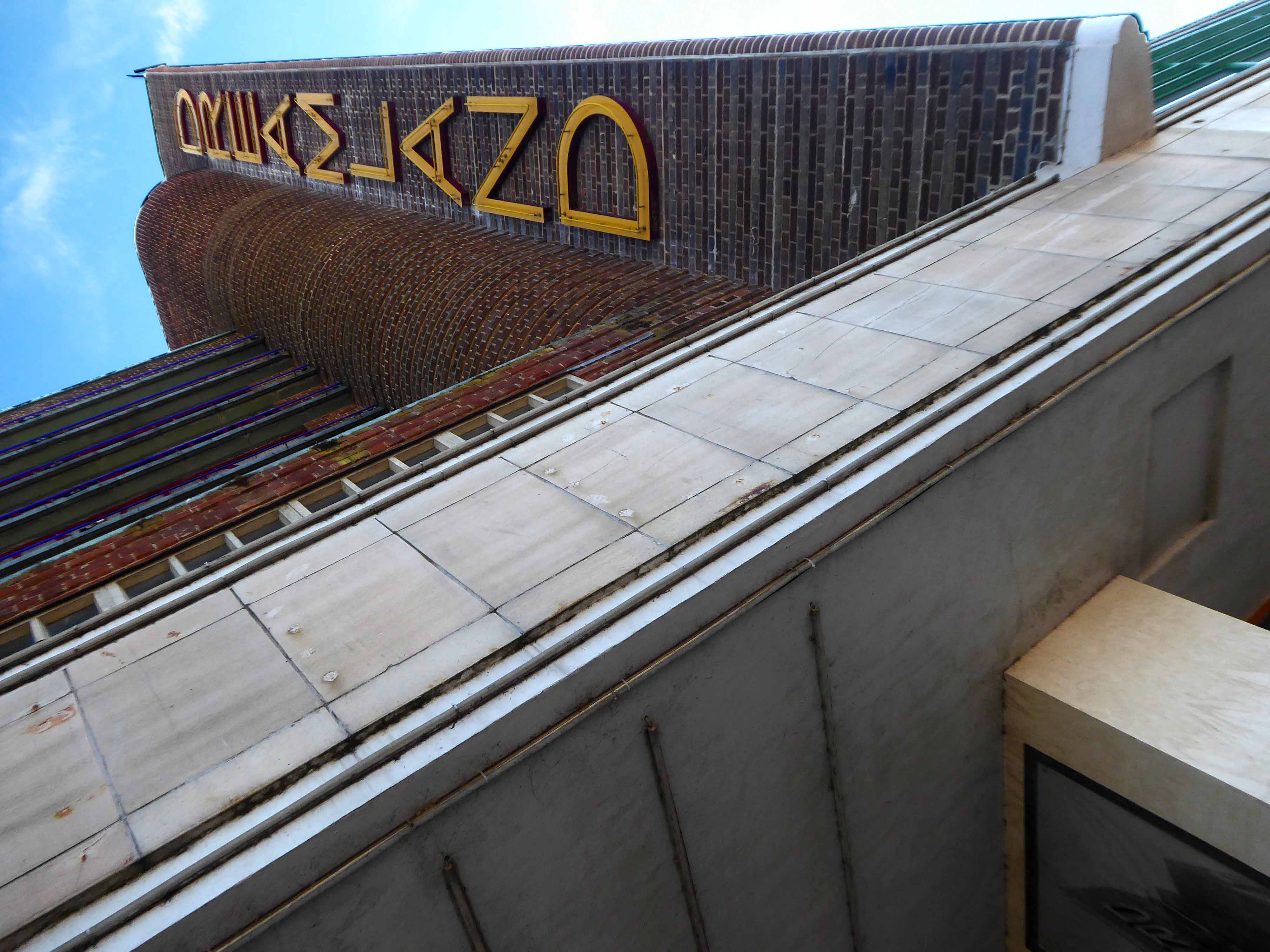
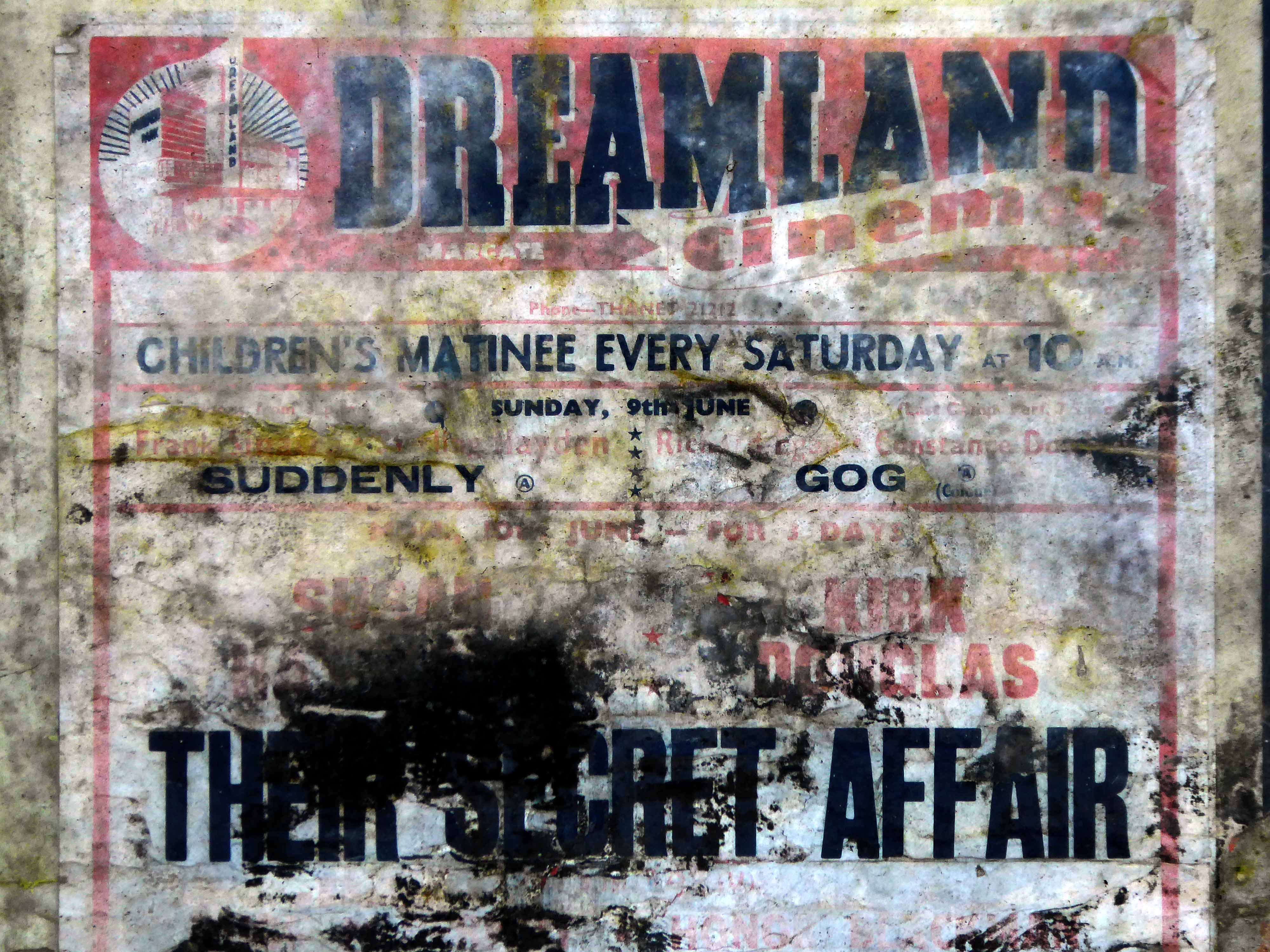
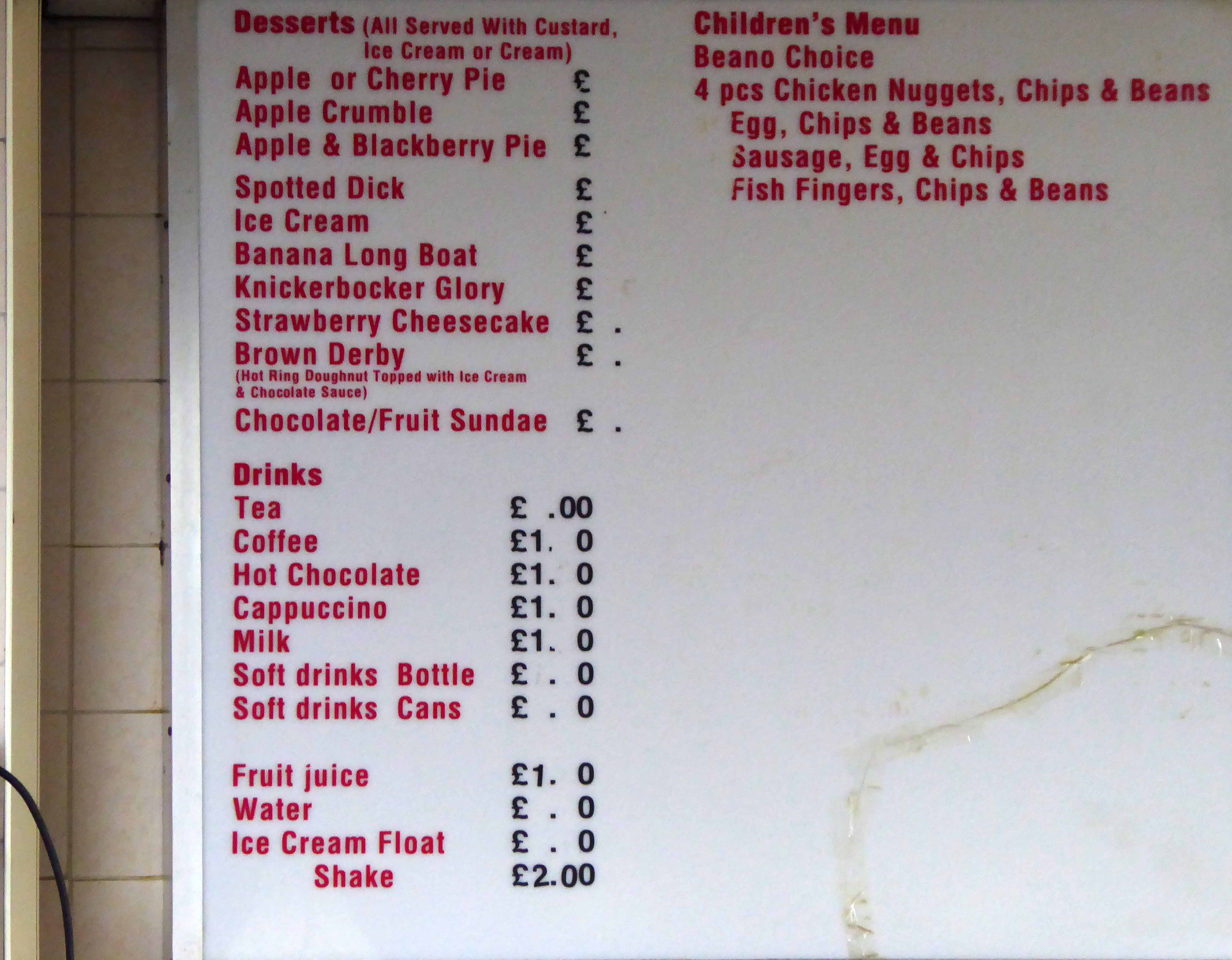
Time now for tea and a welcome plate of chish and fips at the Beano Cafe.
I miss my haddock and chips from Beano in Margate, brought to you with a smile and he remembers everyone.
Great customer service and friendly staff, see you soon.
The food is awful and the customer service is even worse: when we complained about the food the staff argued with us and wouldn’t do anything to change the food or refund, avoid at all costs!