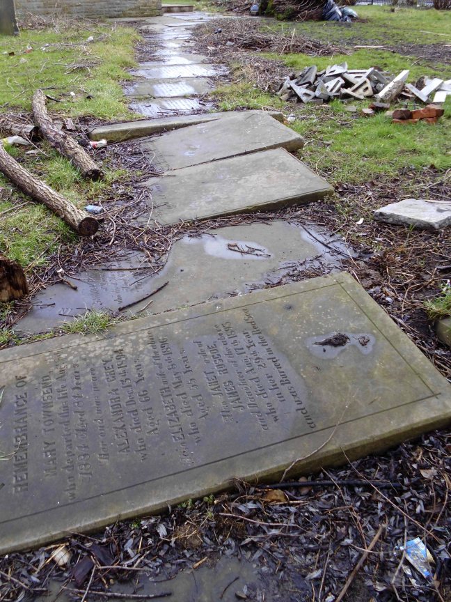
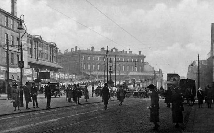
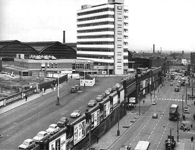
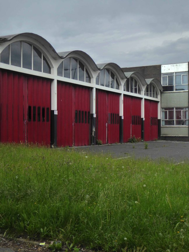
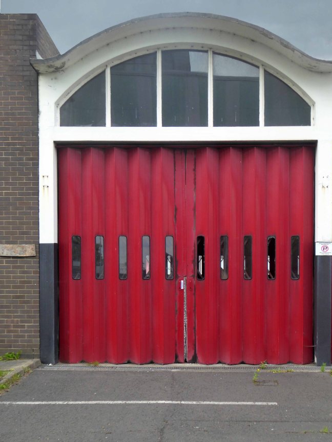
Cheadle, Stockport, Greater Manchester 1962 – and the grey post-war fug of austerity is blown away, almost forever. Though very much a local enterprise their toys, games and puzzles display a strong European influence and were distributed globally.
Educational in nature, non-gender specific, simple, bold, well constructed, collaborative not competitive – employing sound modernist principles and design, they were at that time almost unique in the UK toy industry.
James Galt & Co Ltd. were established in Manchester in 1836 as a manufacturer and publisher of educational books and toys, relocating to Cheadle in 1956.
Ken Garland had worked for the influential Abbatt Toys, formed in 1931 by Paul and Marjorie Abbatt. Paul and Marjorie had collaborated with Modernist architects Oliver Hill and Ernő Goldfinger – committed to designing and producing educational childrens’ toys influenced by the new European movements in art and design.
Paul emphasised the importance of play, described as:
‘A force which can be used for development and valuable experience, a force which, if it is not thwarted by the wrong choice of playthings, develops into the power behind the successful architect or engineer.’
In 1955 Edward Newmark, who had established the Astu Studios toy company, was taken on as a junior partner by Paul and Marjorie. He remained only five years, leaving in 1960 to go to James Galt and Co. Ltd. He was joined the designer Ken Garland, who, between 1958 and 1961 had designed the Abbatts’ catalogues and advertisements, creating their distinctive house style. His practice Ken Garland & Associates, formed in 1962, employed a small rotating group of designers over its 47-year period. Prior to forming the studio, Garland worked with editor Michael Farr at Design magazine, where he held the position of art editor from 1956 to 1962.
Ken set about smartening up the Cheadle based company, hauling it into the heart of the Modernist Sixties, the company name shortened to GALT TOYS and a sharp new Swiss style typography was adopted. Together they created flexible corporate identity, which as Ken says: they were determined not to let the Galt Toys logo become a sacred cow, not to be mucked about with.
‘It would, indeed, be mucked around with, but only by us.’
The style was maintained consistently for 20 years. The letterforms chosen for GALT TOYS were from a very recently issued typeface, Folio Medium Extended. The Folio type family was the creation of the Bauer Type Foundry, Frankfurt, then a close rival to the Helvetica and Univers type families.
The product line which encompassed a whole range of educational toys, games, school fixtures and fittings henceforth embraced a Scandinavian ethic of clean functionality and truth to materials. Though central to the reshaping of the brand, Ken is keen to emphasise that this was a collaborative process, involving several other designers within a flexible team.
The toys and games were modern in very sense, child-centred, none gender-specific, simple bright and colourful – employing simple graphic shapes, illustration and type, attractive and durable. The newly designed shop in Carnaby Street, with Verity & Beverley as architects, and a retail/factory/café in Cheadle were equally forward thinking in design and layout, purposely encouraging children to play with the stock, prior to possibly purchasing.
His ancillary work on the design of packaging, catalogues and in-store graphics was similarly ground-breaking, mixing image and text, very much in the mid European manner, pioneered by the likes of Max Bill and Richard Paul Lohse.
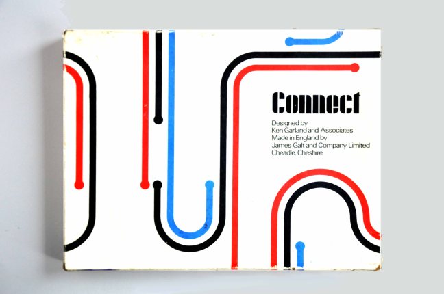
Connect exemplifies the best of Garland and Galt, twelve squares of card each with a simple linear motif, which can then be combined in a succession of seemingly infinite permutations – following a simple set of rules, the players can then produce a carpet covered in exciting abstraction. The connection to Harry Beck’s London Underground map is clear, Ken wrote and published Mr. Beck’s Underground Map in 1994, a tribute to the clarity, functionality and modernity of good design. This imaginative use of a single unit which continually unfolds from limited graphic means to limitless possibilities, was further developed in Ken’s Trap Snap and Anymals.
‘Bob Chapman and I spent a lot of time developing Connect, based very loosely on dominoes, which turned out to be a best-seller, and still is, in a modified form now produced by Ravensburger Spieleverlag of Germany. Another associate, Daria Gan, found a most satisfying outlet for her drawing skills in the card games Anymals and Upside-Down Jigsaws.’
Octons was designed by William Edward David Ryan, he was educated at Preston Grammar School and Harris Technical College/School of Art pursuing architecture. He became a member of Royal Institute of British Architects in 1965 and a partner in Derby Fazackerley Wood & Ryan Architects, Preston from 1965-1993. It is an eight sided modular construction toy manufactured in clear, coloured plastic, a slot cut into each face, permitting their interconnection in a mind boggling array of three dimensional forms. Further exemplifying the principles of simplicity and inherent stimulation of the child’s fertile imagination and explorative creativity. It is one of the few Galt games which has remained in production until the present day.
Fizzog remains a firm favourite, a fabulous name, a fabulous game of many faces. Pairing pairs of halved fizzogs, the better to produce ever more inventive and laughter inducing visages.
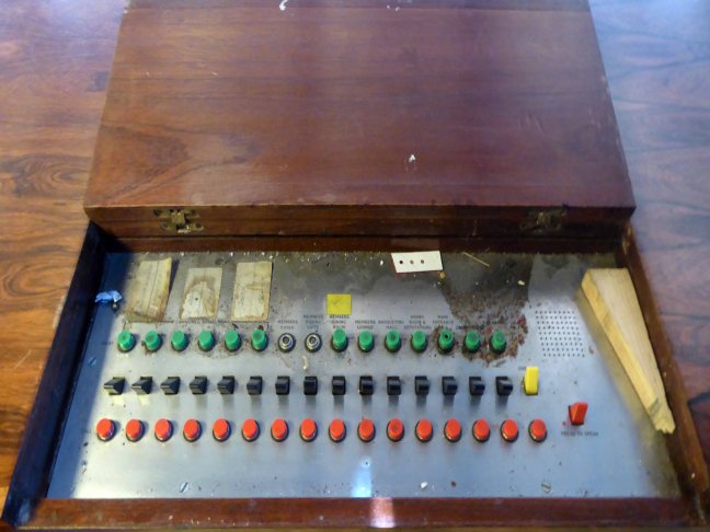
Kenneth Townsend was based in Hastings and worked as a freelance designer for Galt along with Hornsea Pottery, Chance Brothers, Cuckoo Bird Productions and Merit. His lively and stylised illustrative style enlivens both Super Snap and Remember Remember – these were produced, alongside several other matching games in the golden age of Galt. Employing yet again the use of strong graphic shapes, bold colour and a happy go lucky playfulness that were central to the company’s output. Developing shape recognition, numeracy, colour identification and a simple love of the visual world through play and fun.
So for some twenty years Galt and Garland et al injected some much needed life into an otherwise moribund world of play, their catalogues and products finding a way into the majority of Britain’s schools and homes, from Bauhaus to your house.
Many thanks for the loan and/or sourcing of exhibits to Wayne Astbury, Dawn Bunnell, Gemma Burgess, Paul Burnett, Sue Cook, Gail Eagle, Alison Heffernan, Sarah Moss and Alex Stone.
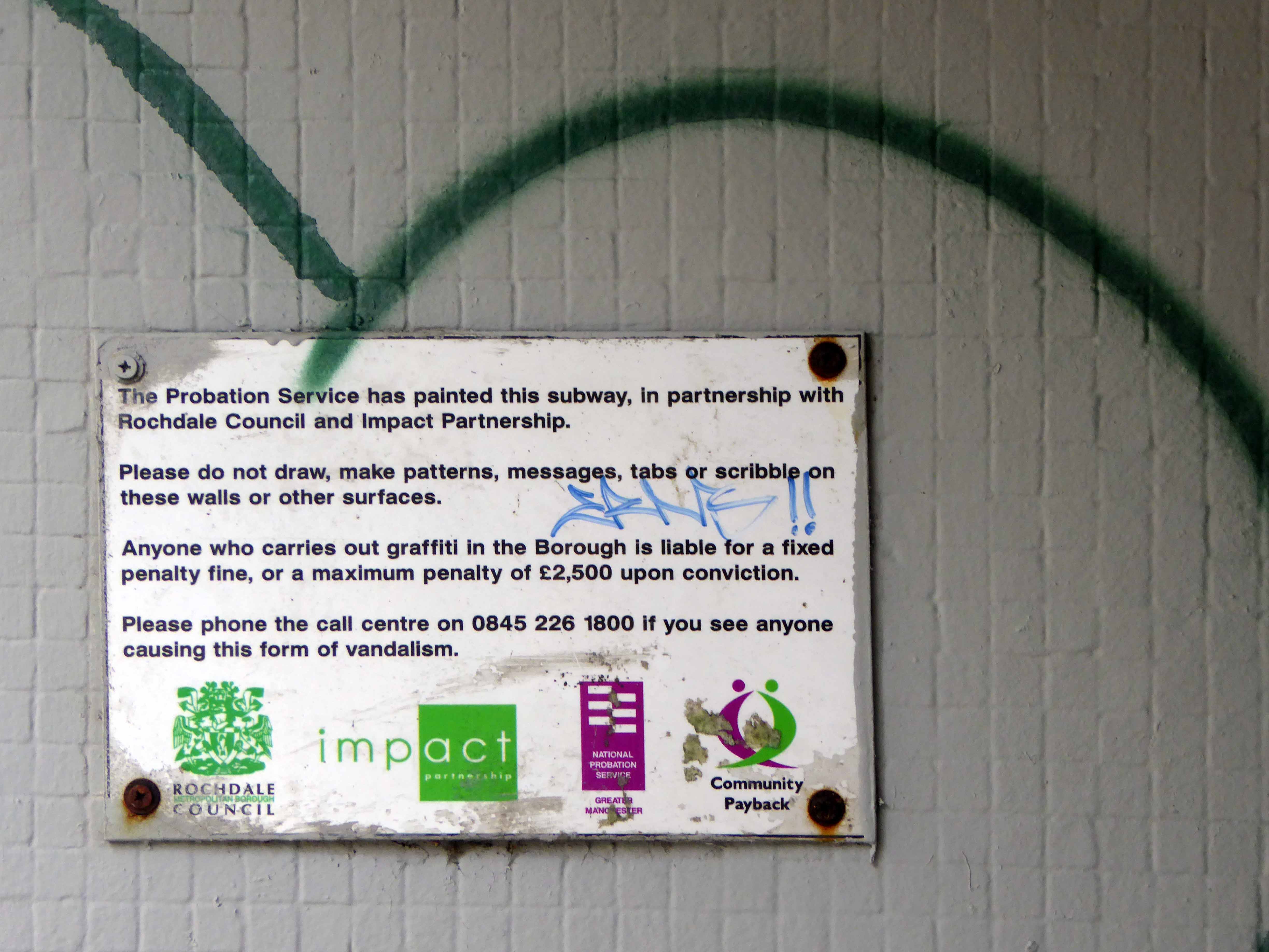
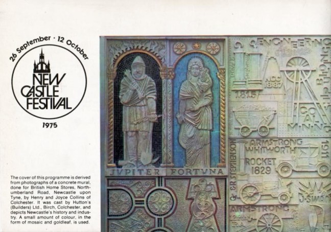
.


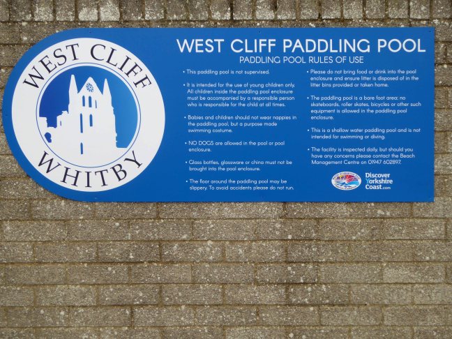
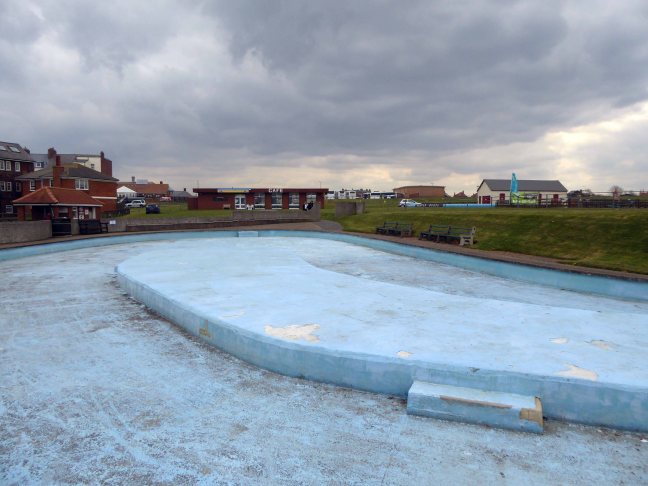
 West Cliff councillor Joe Plant added: