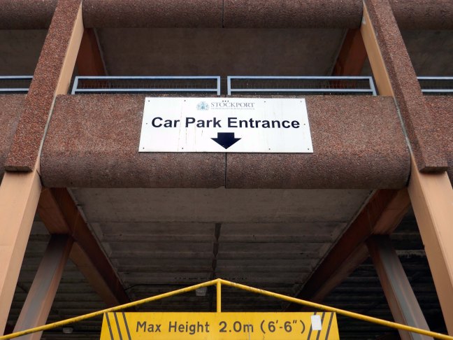
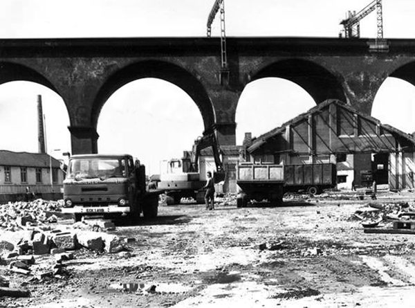
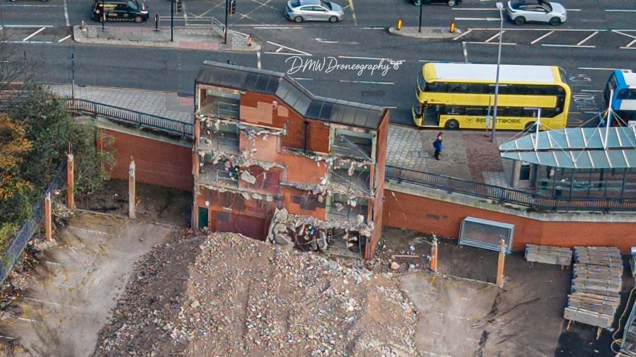
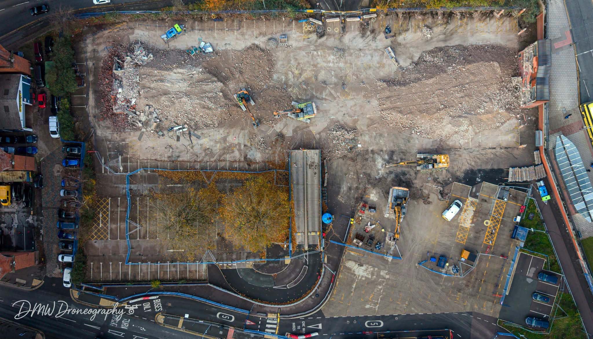
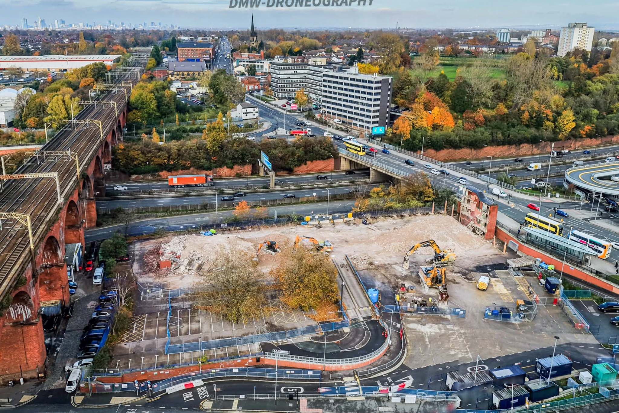
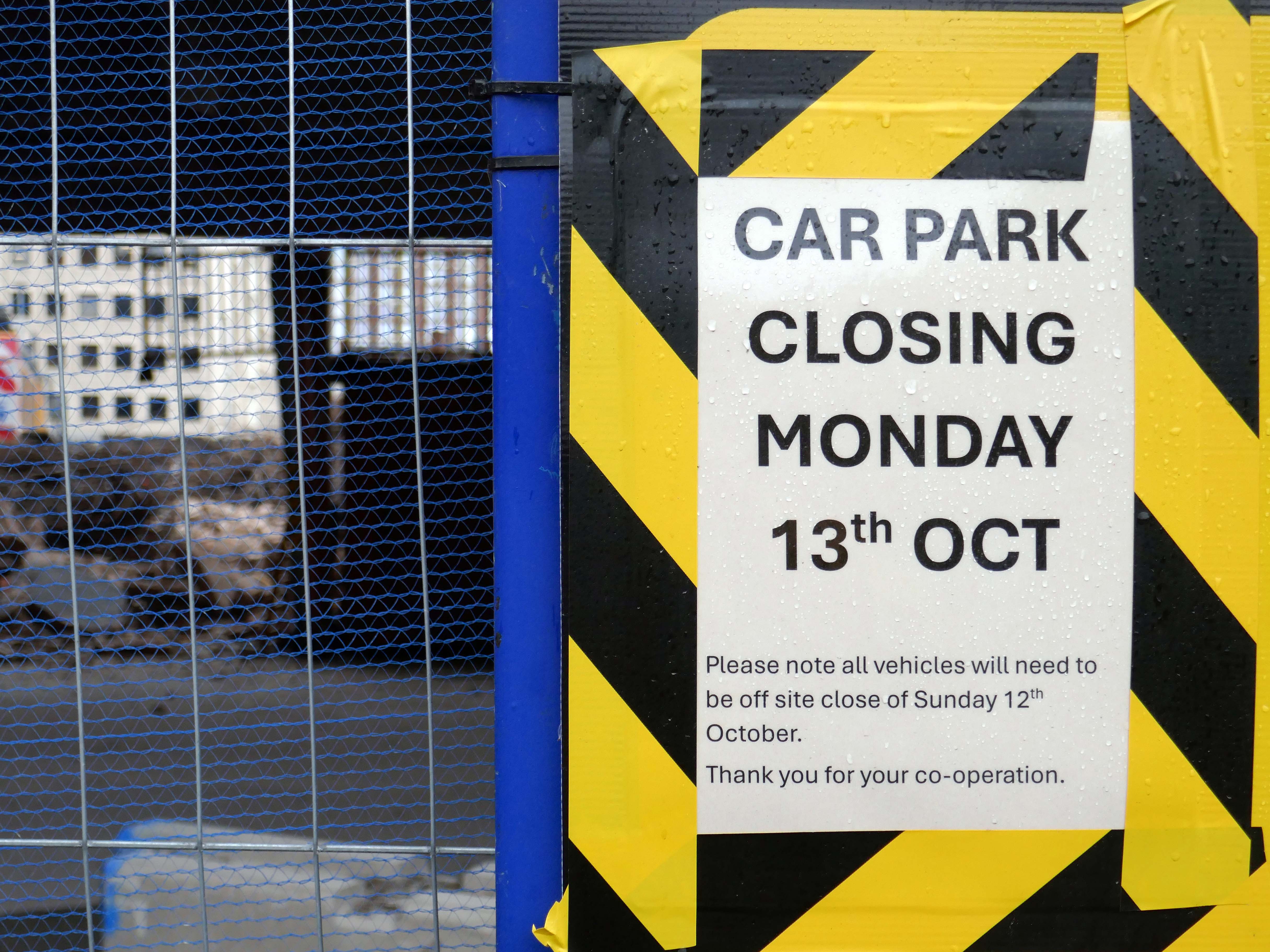
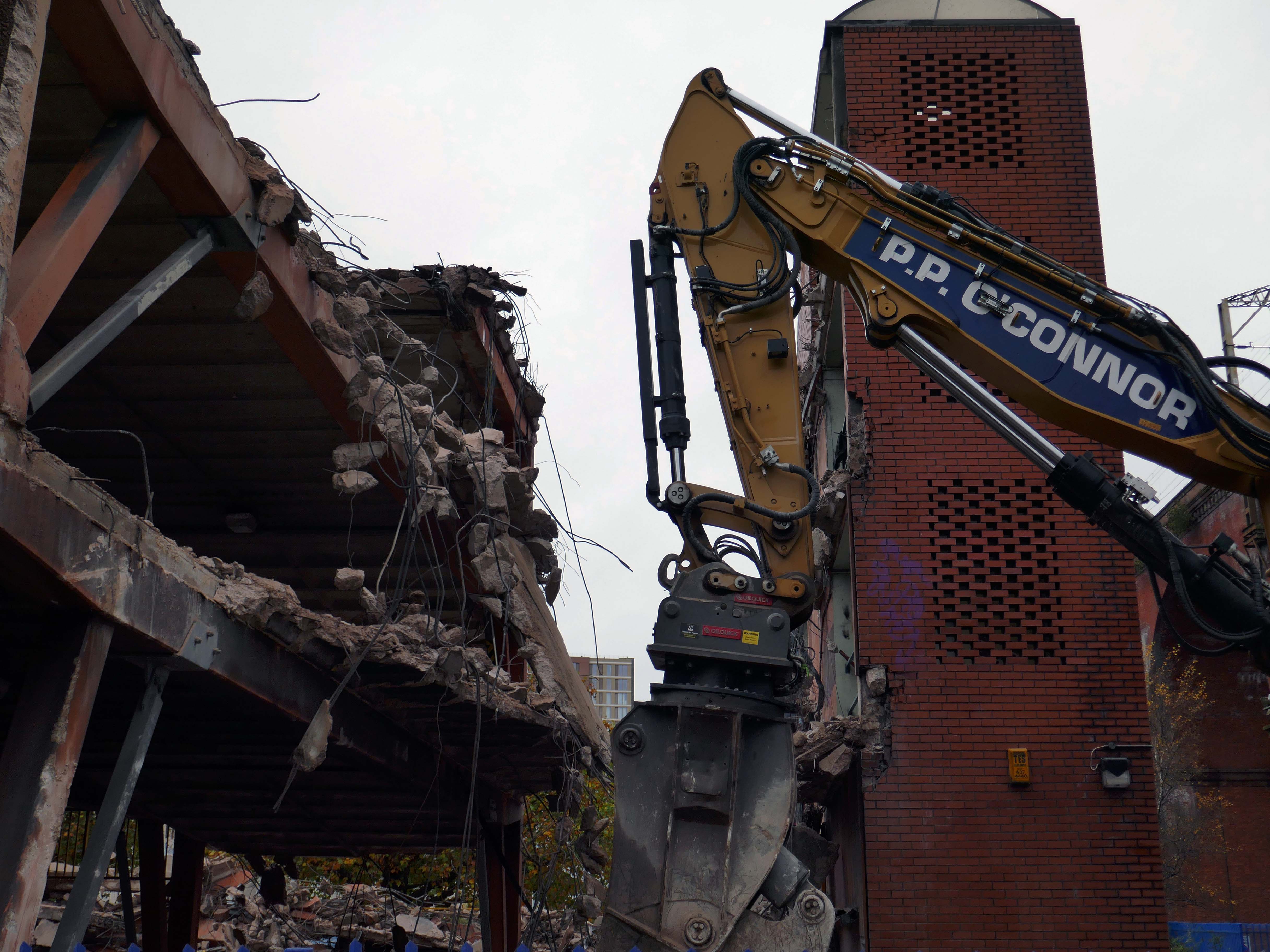
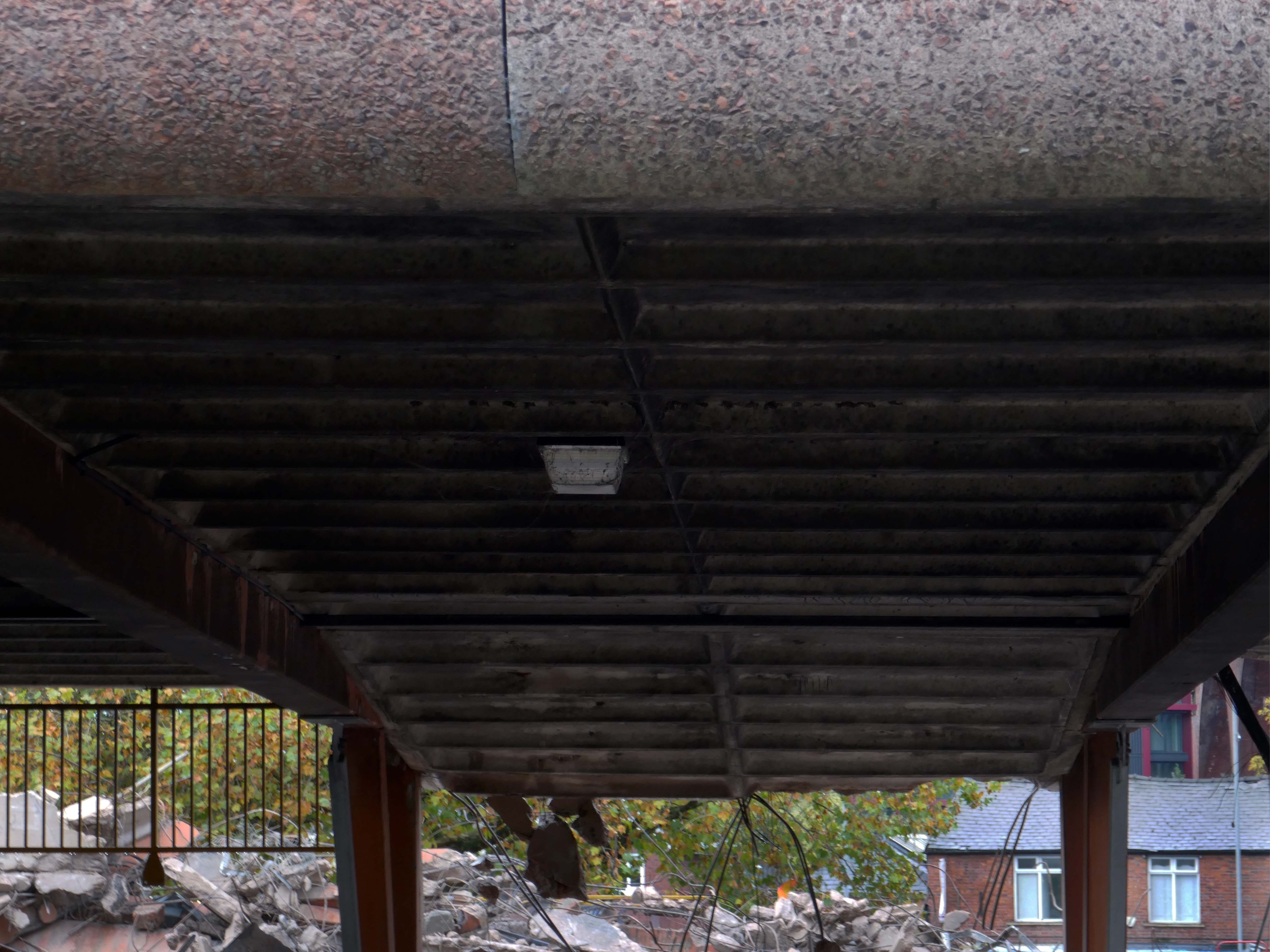
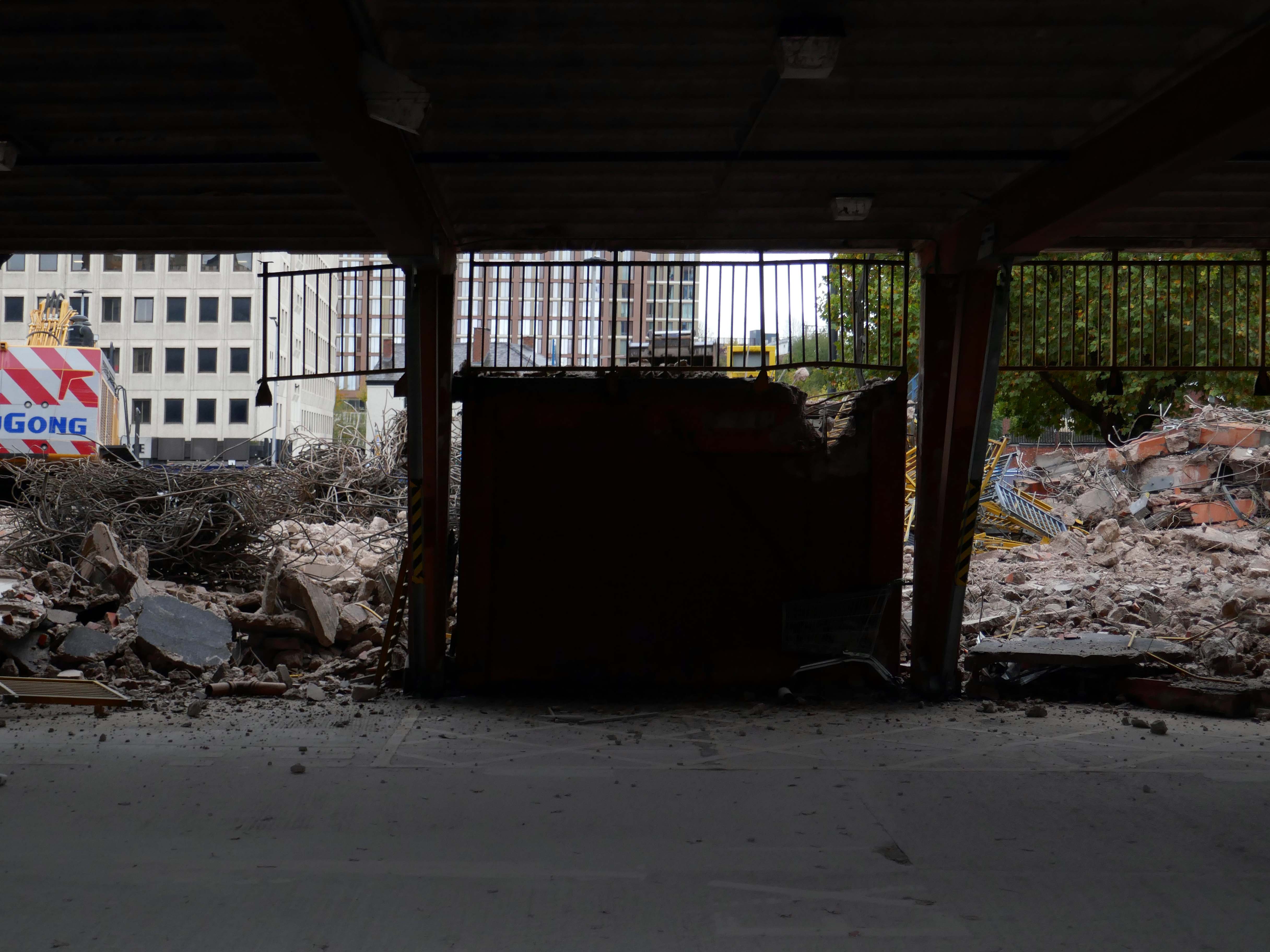
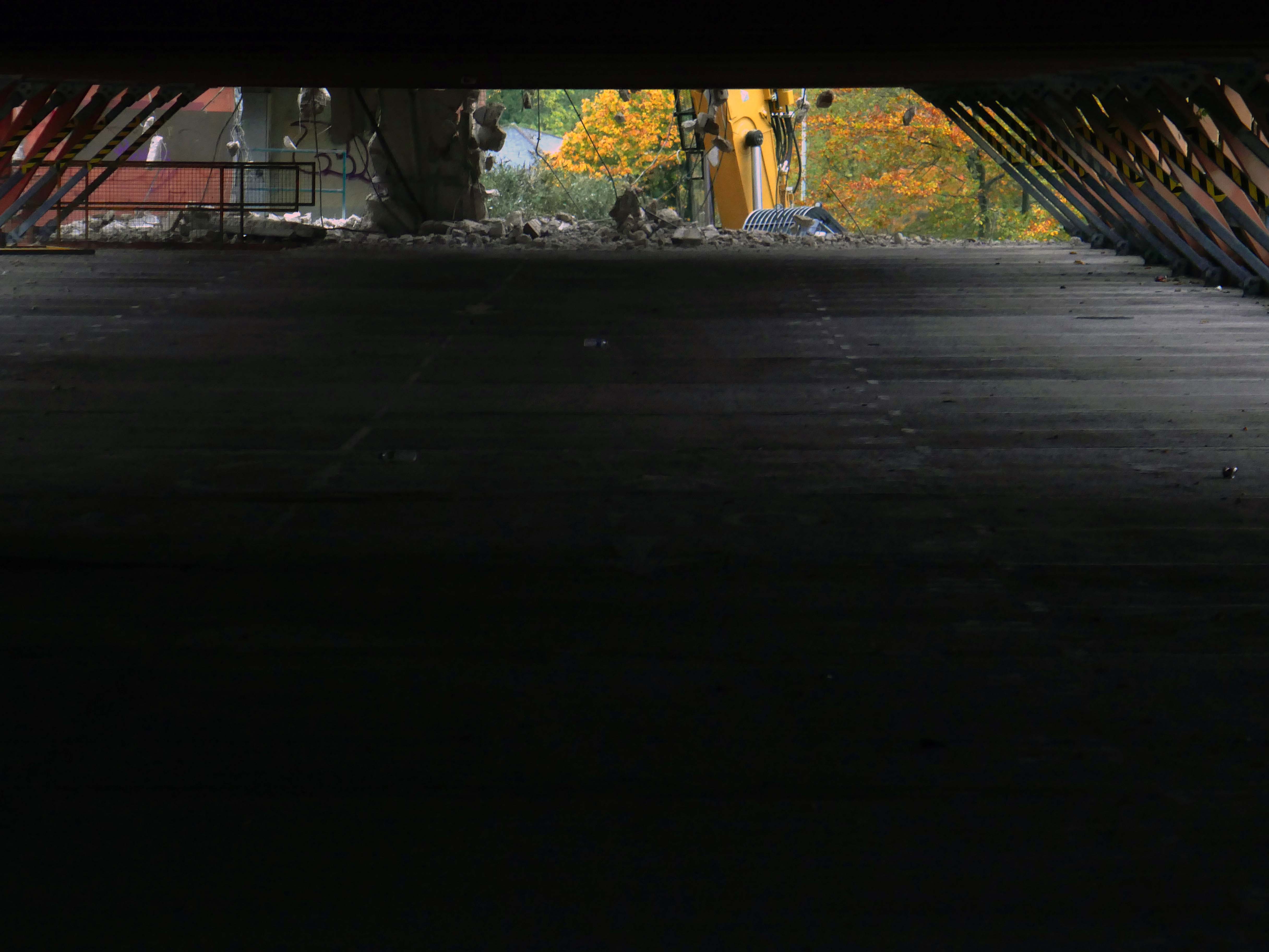
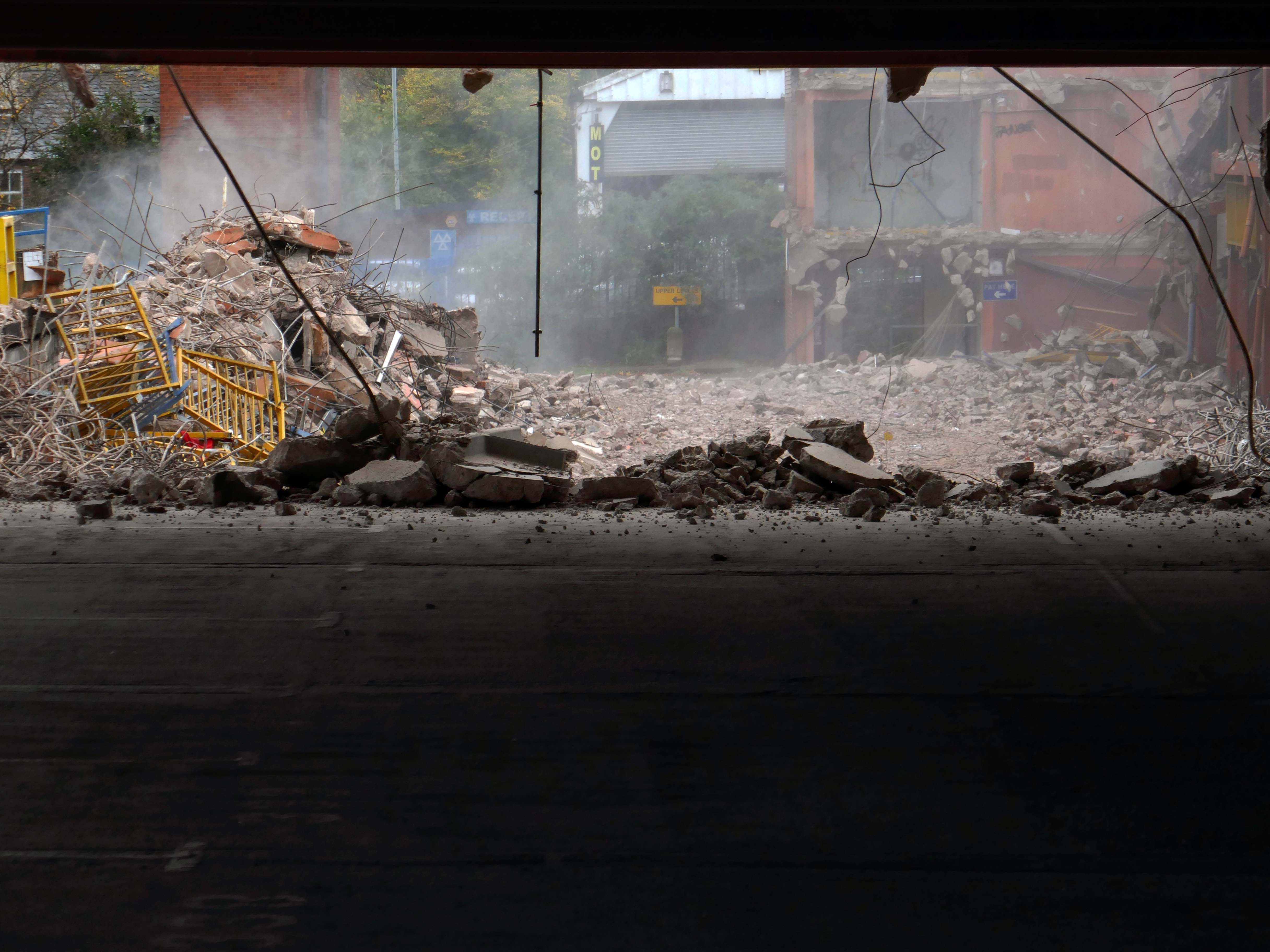
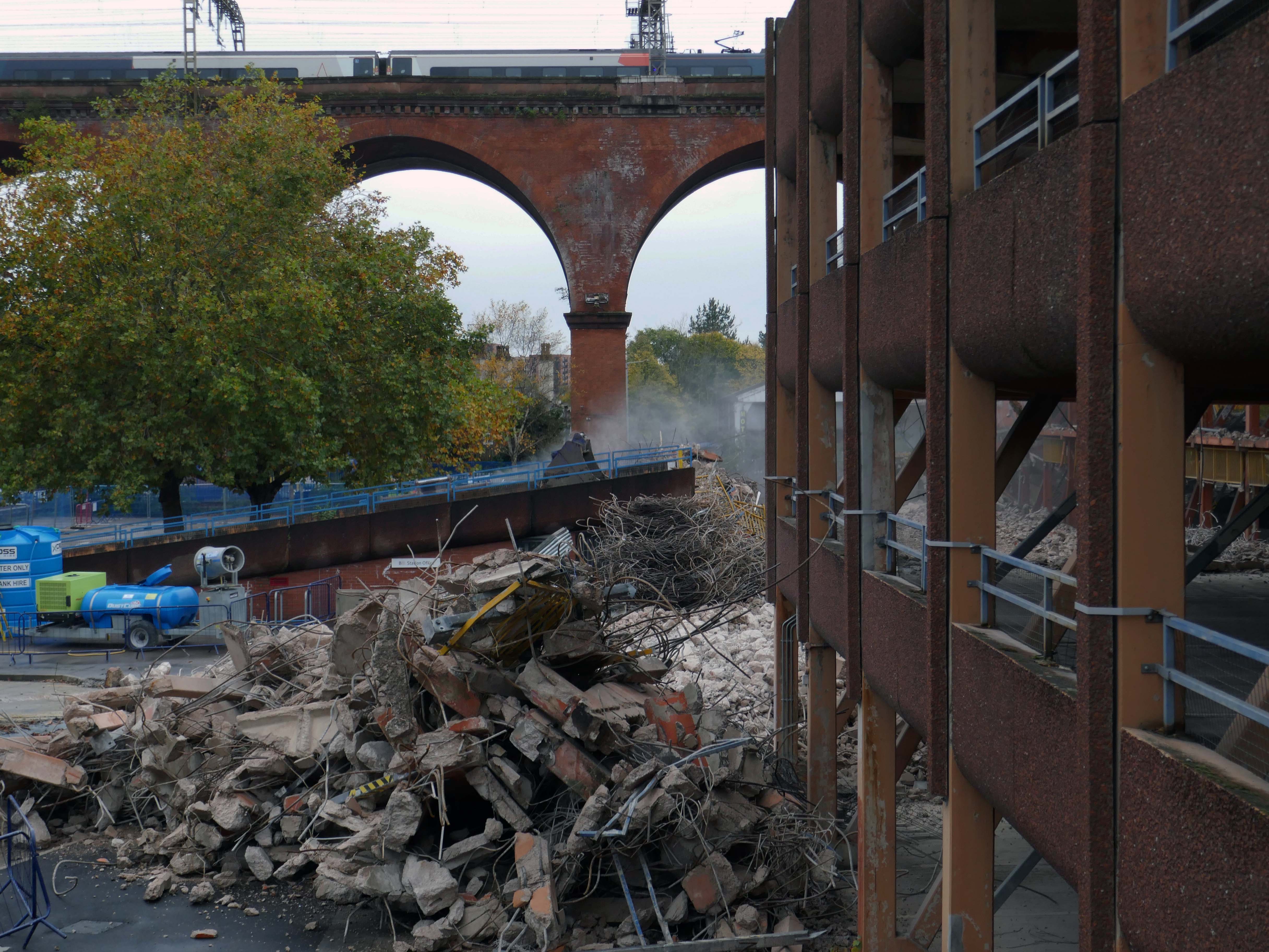
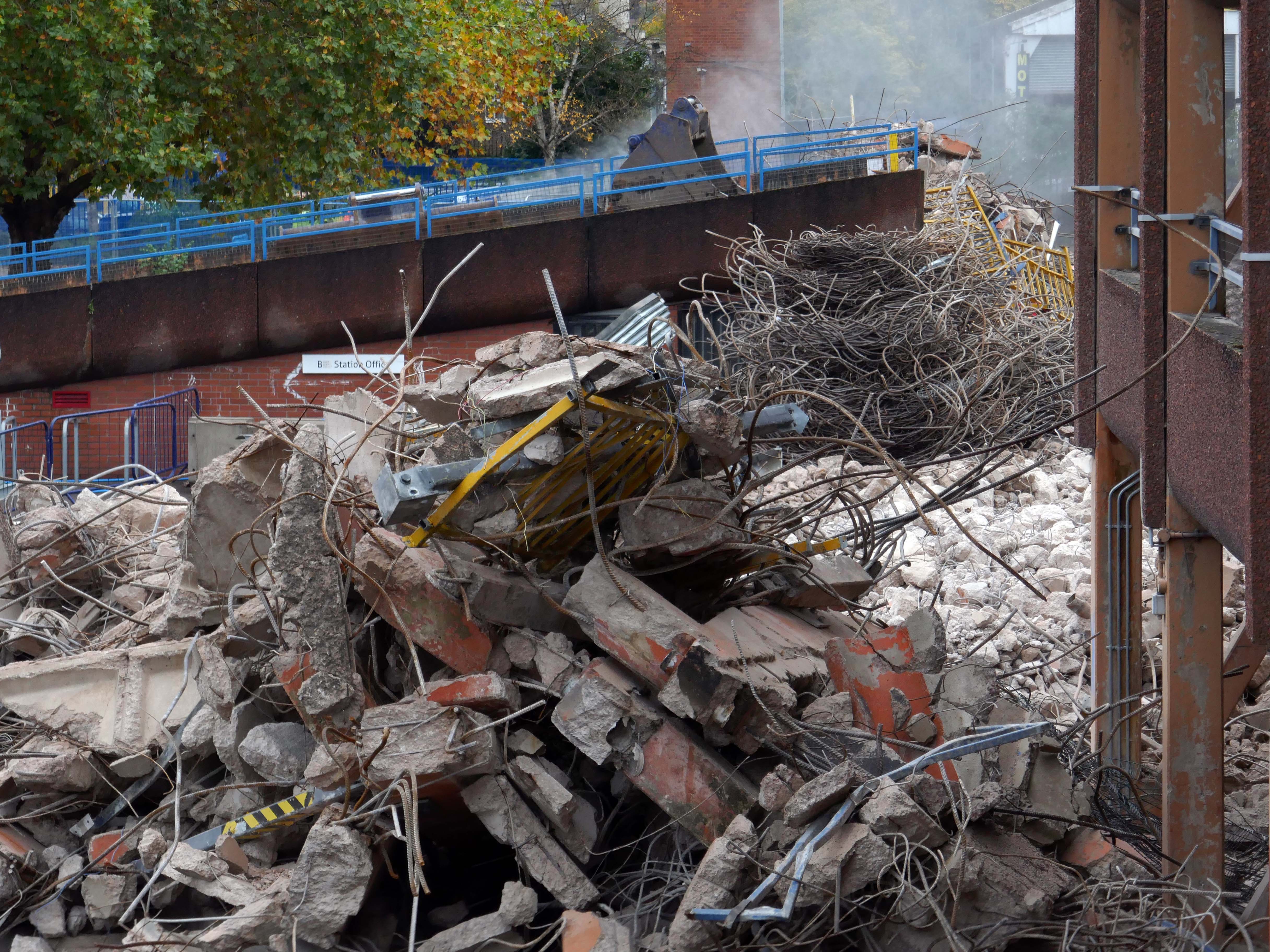
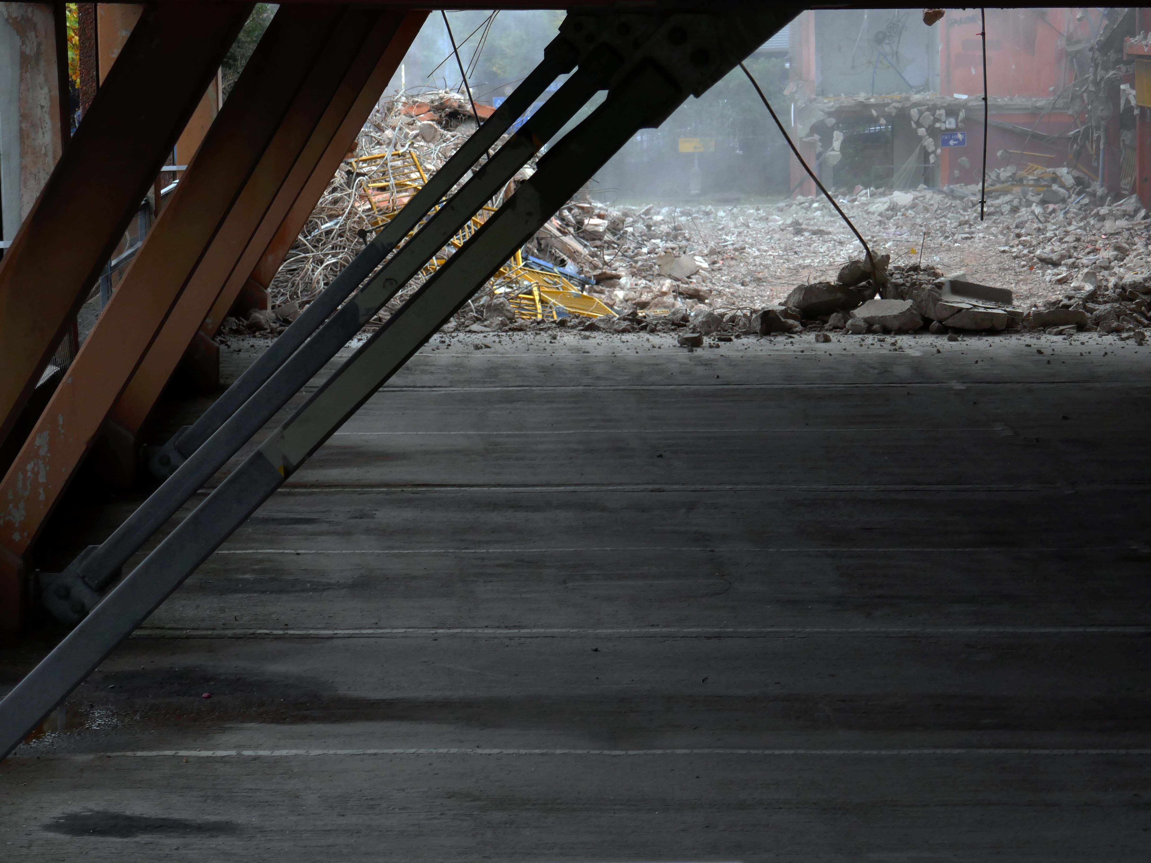
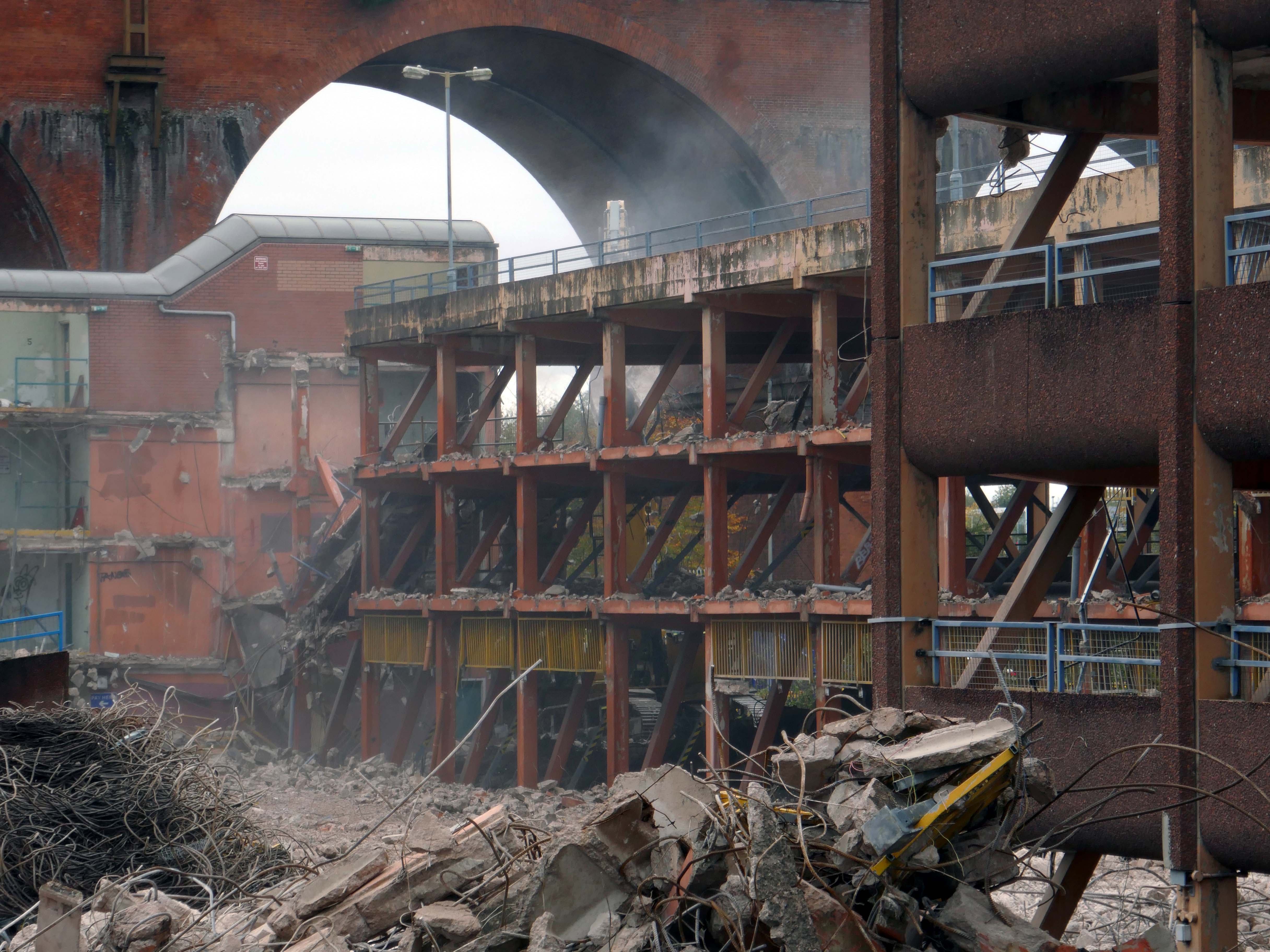
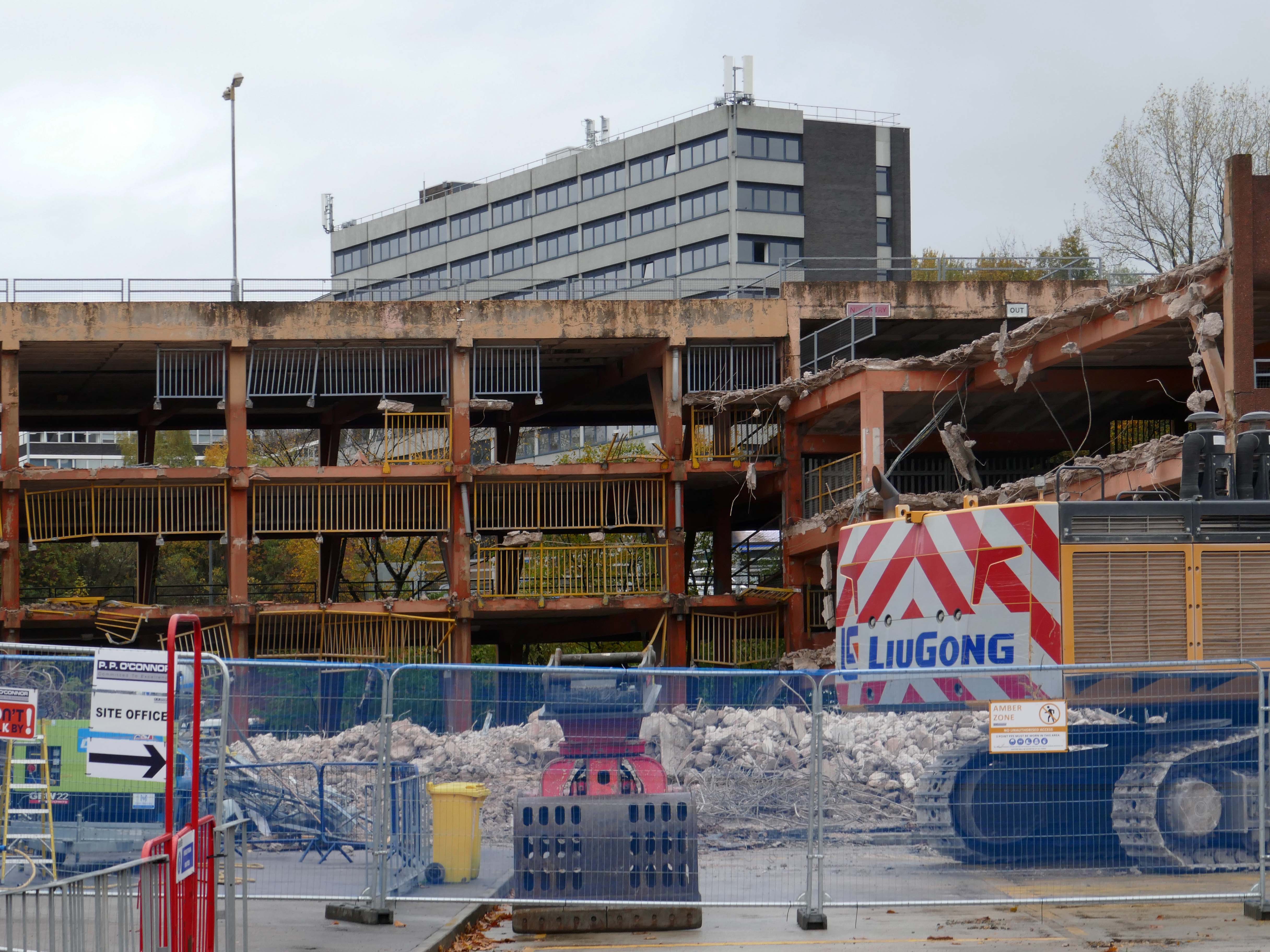
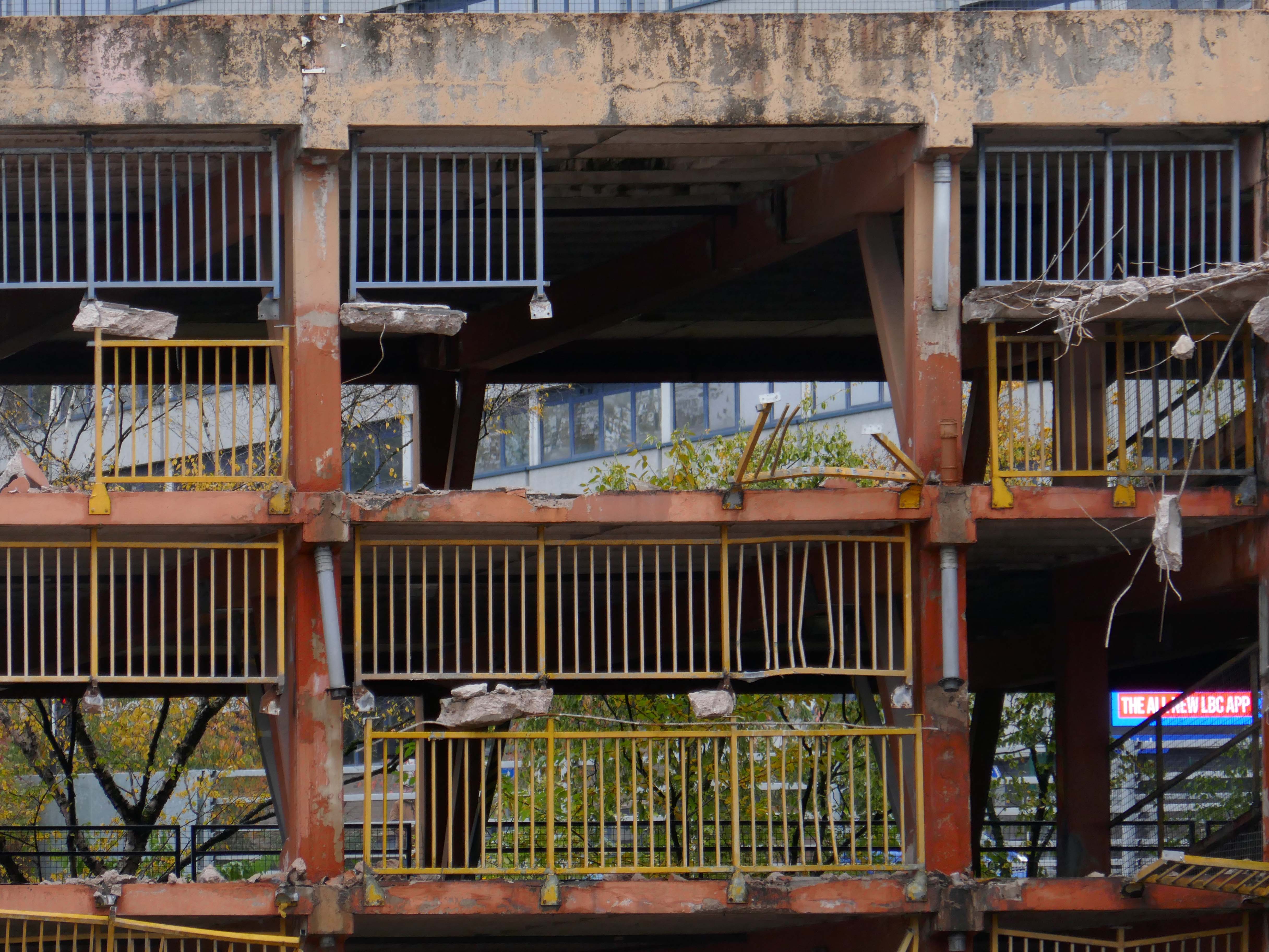
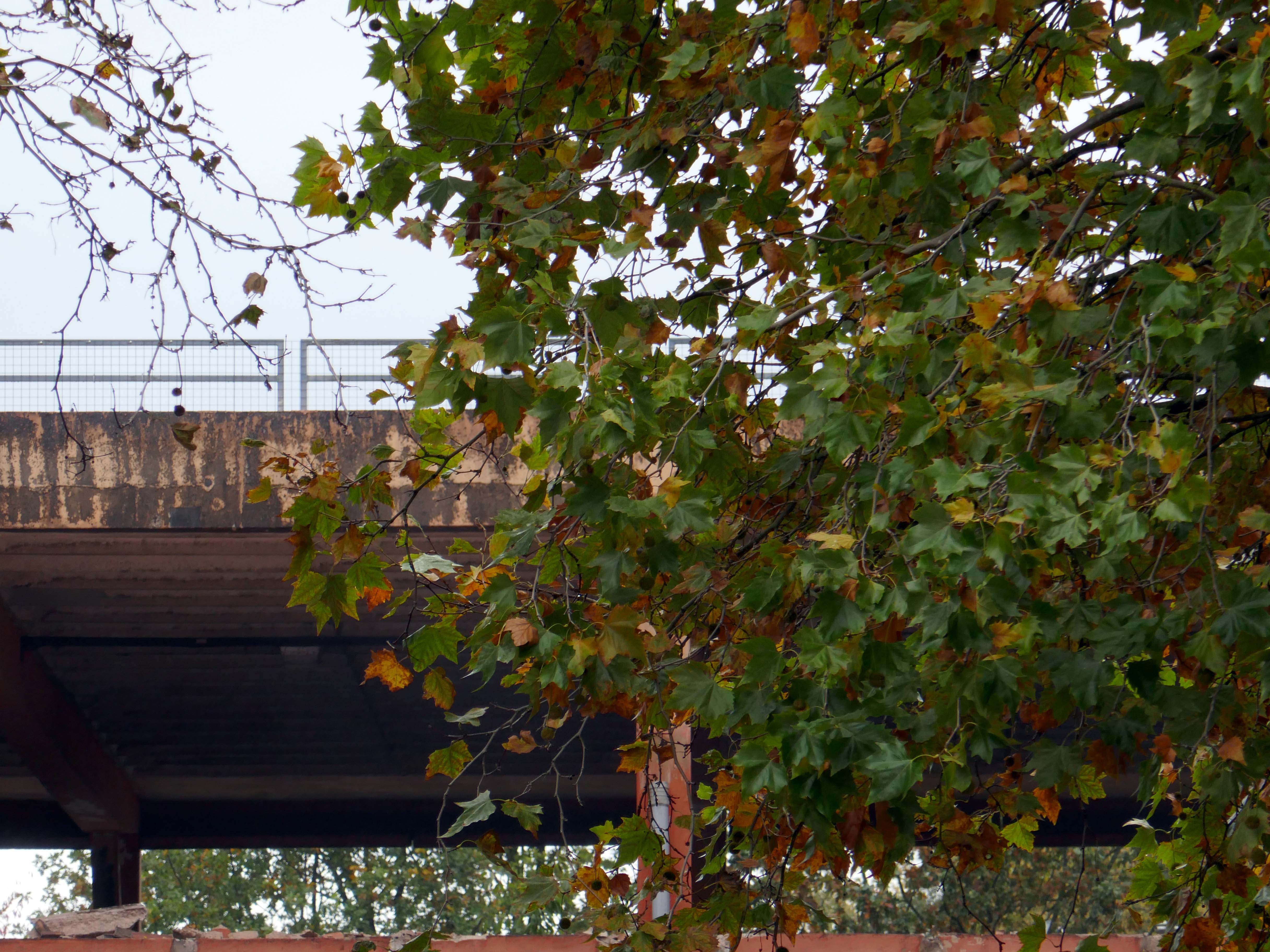
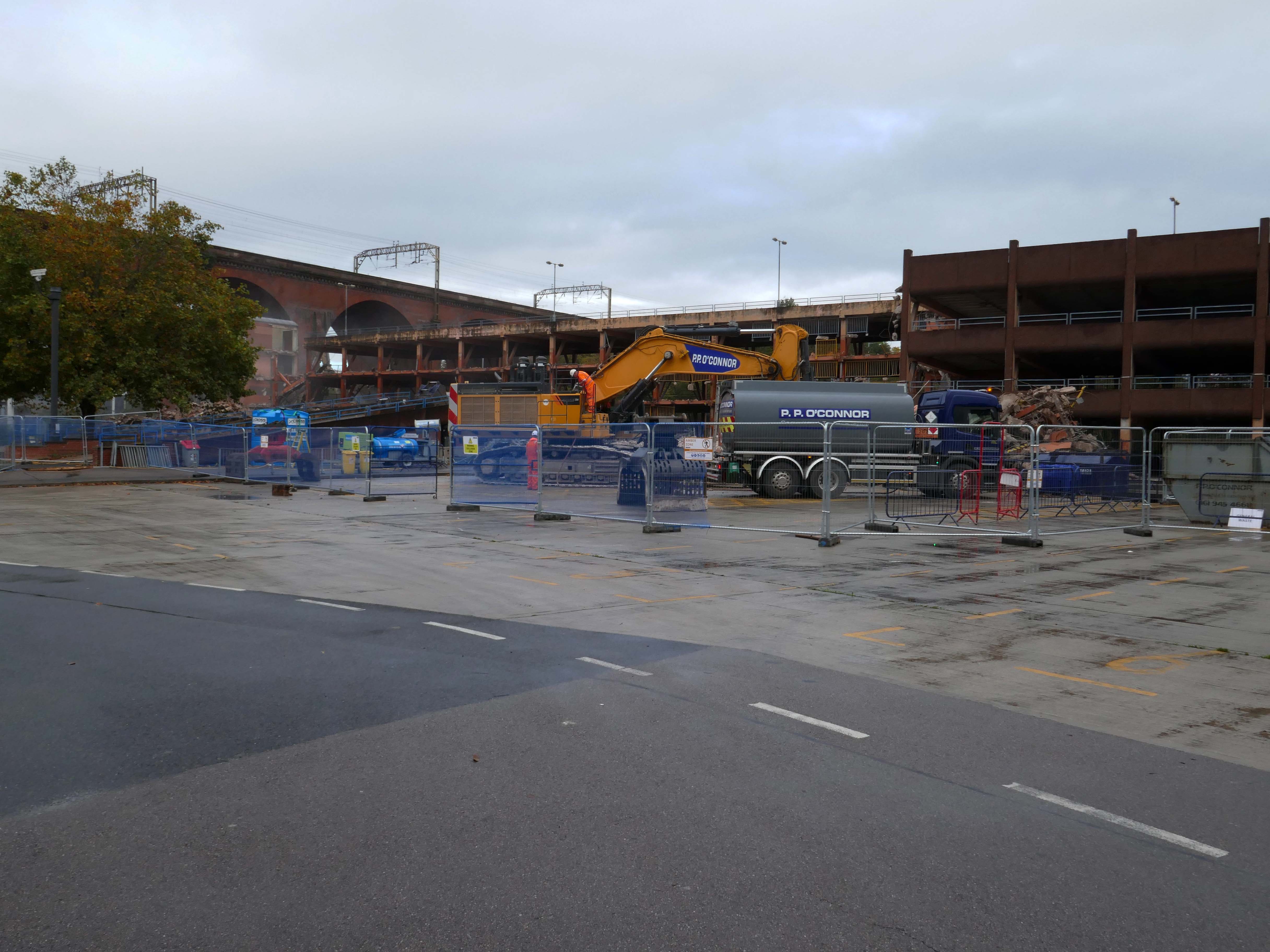
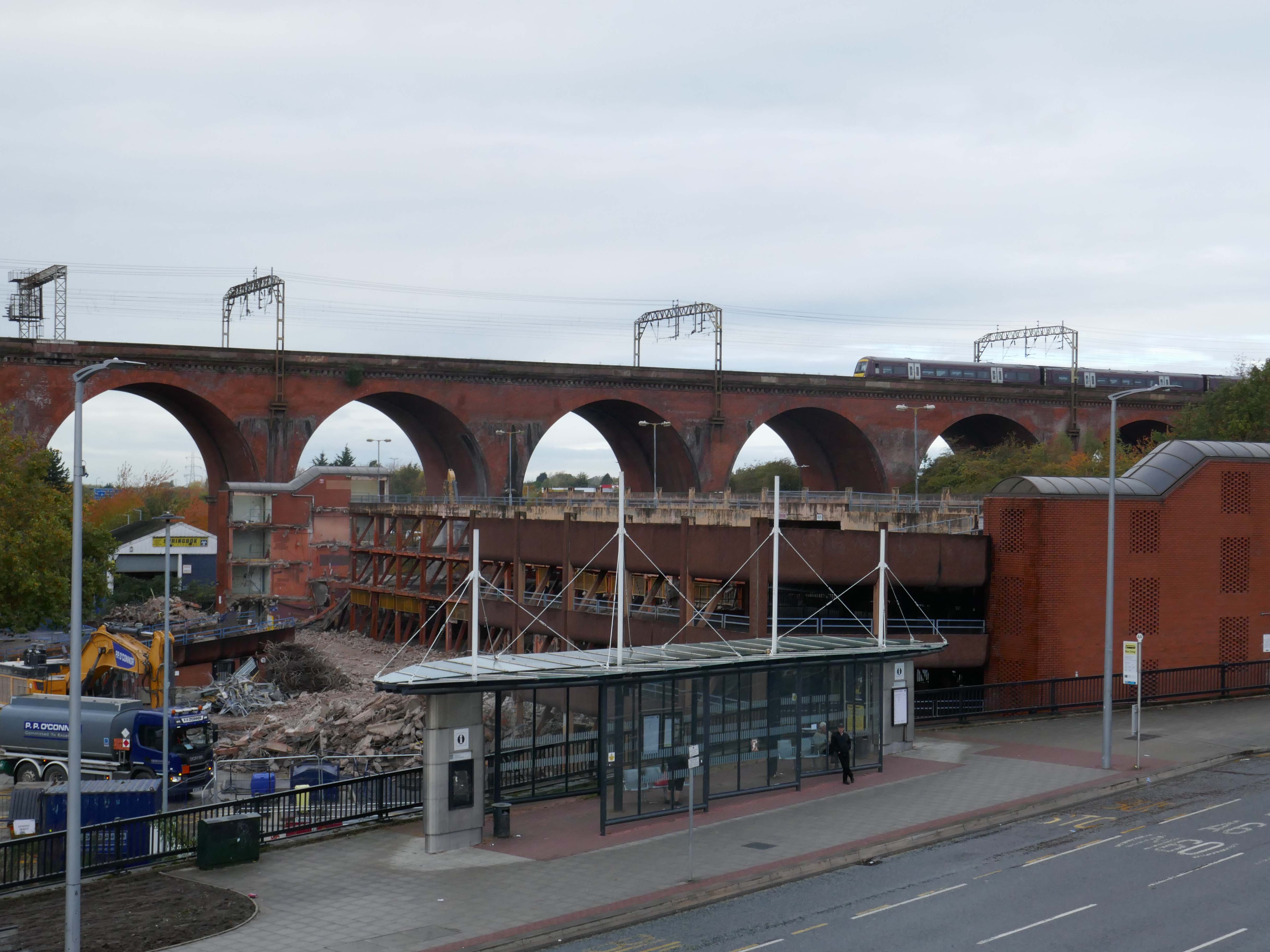
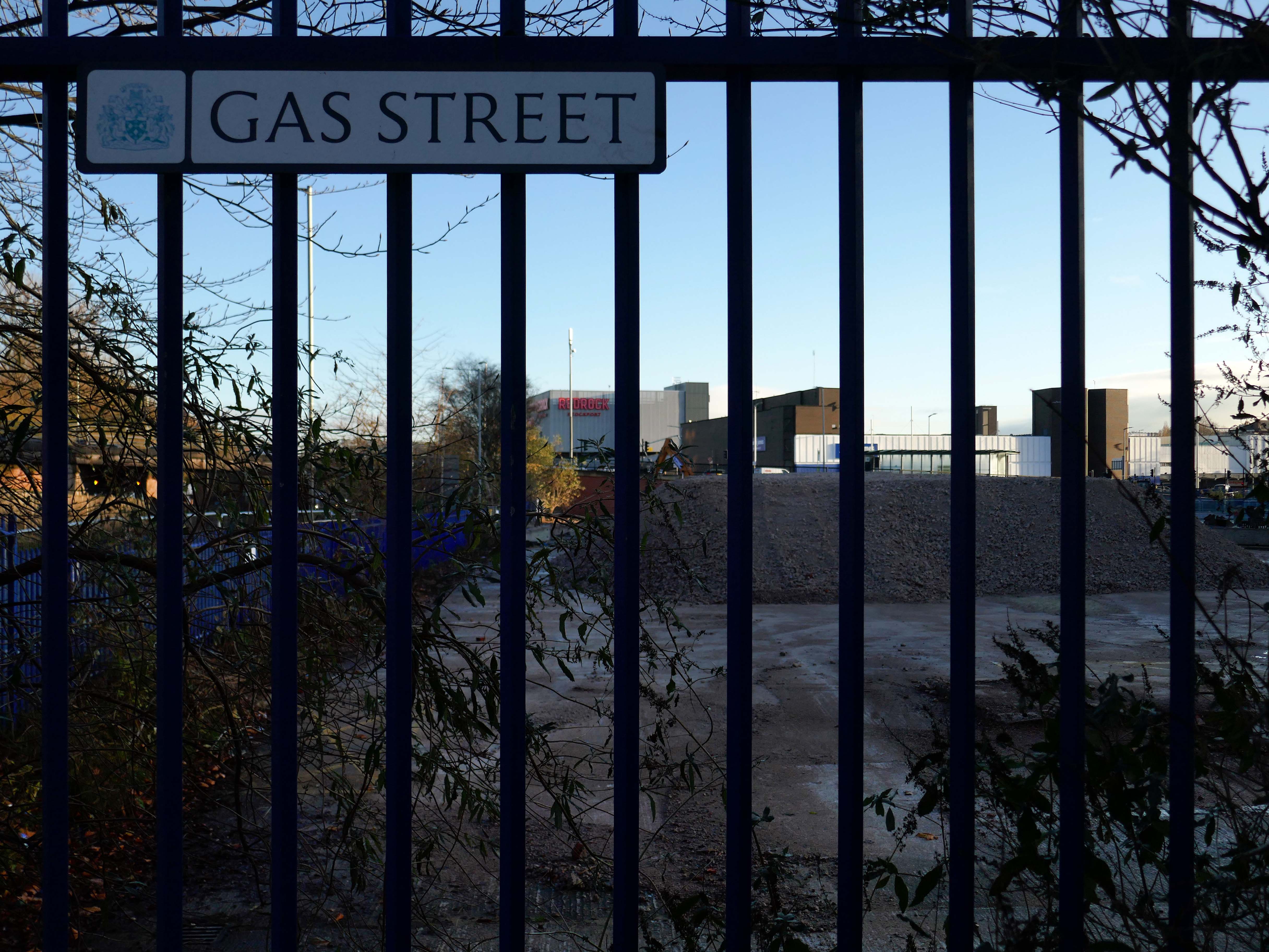
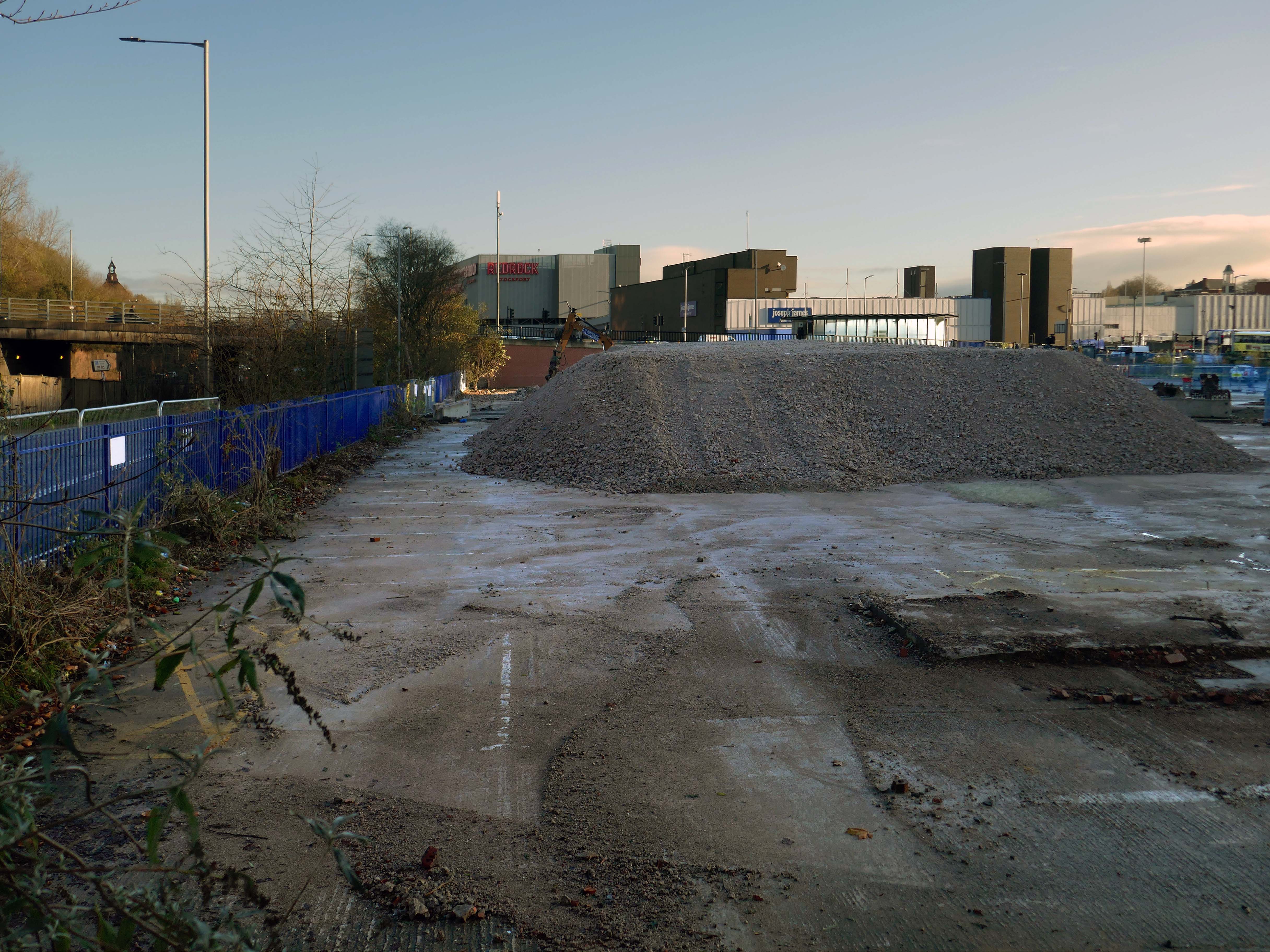
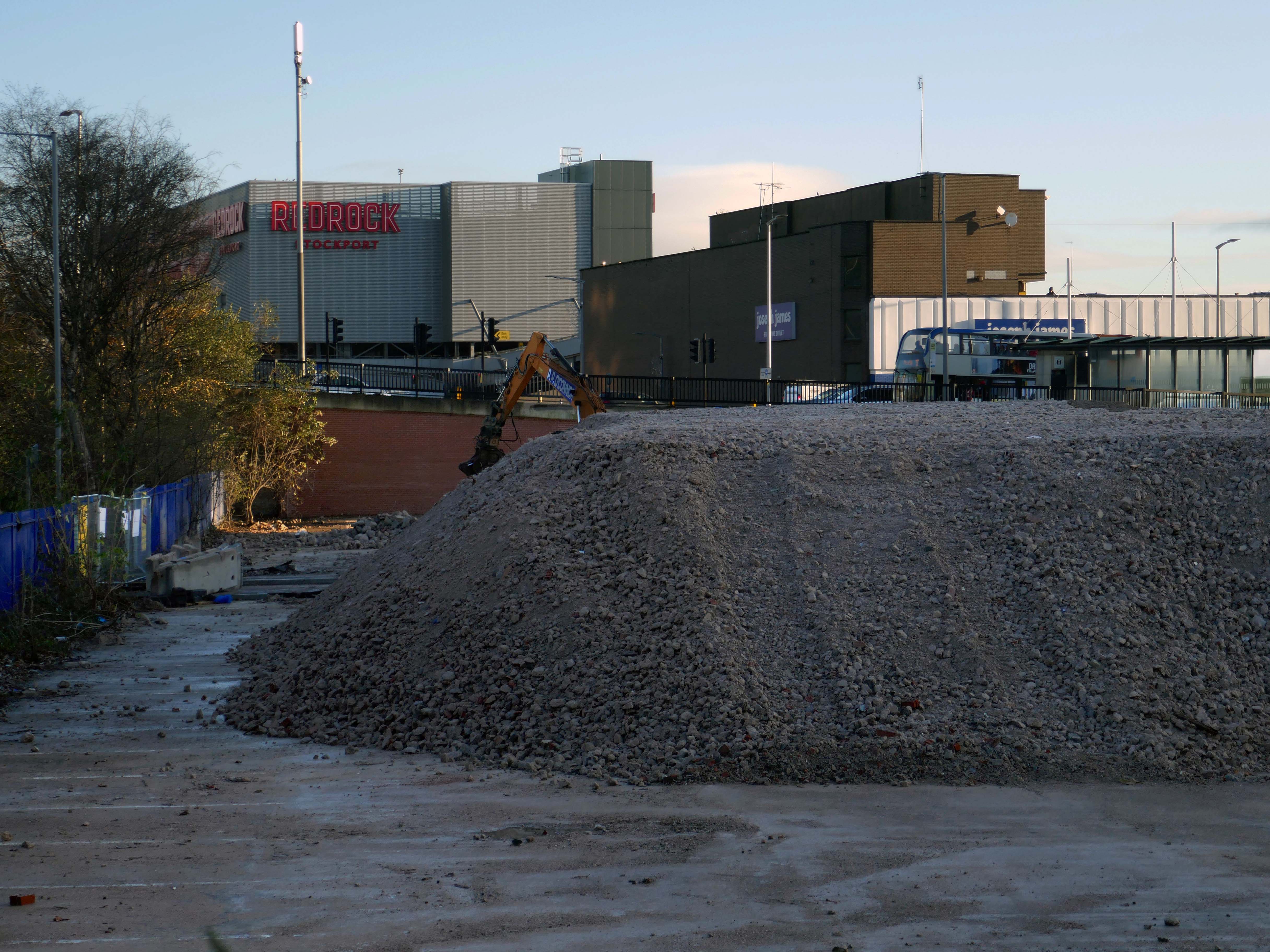
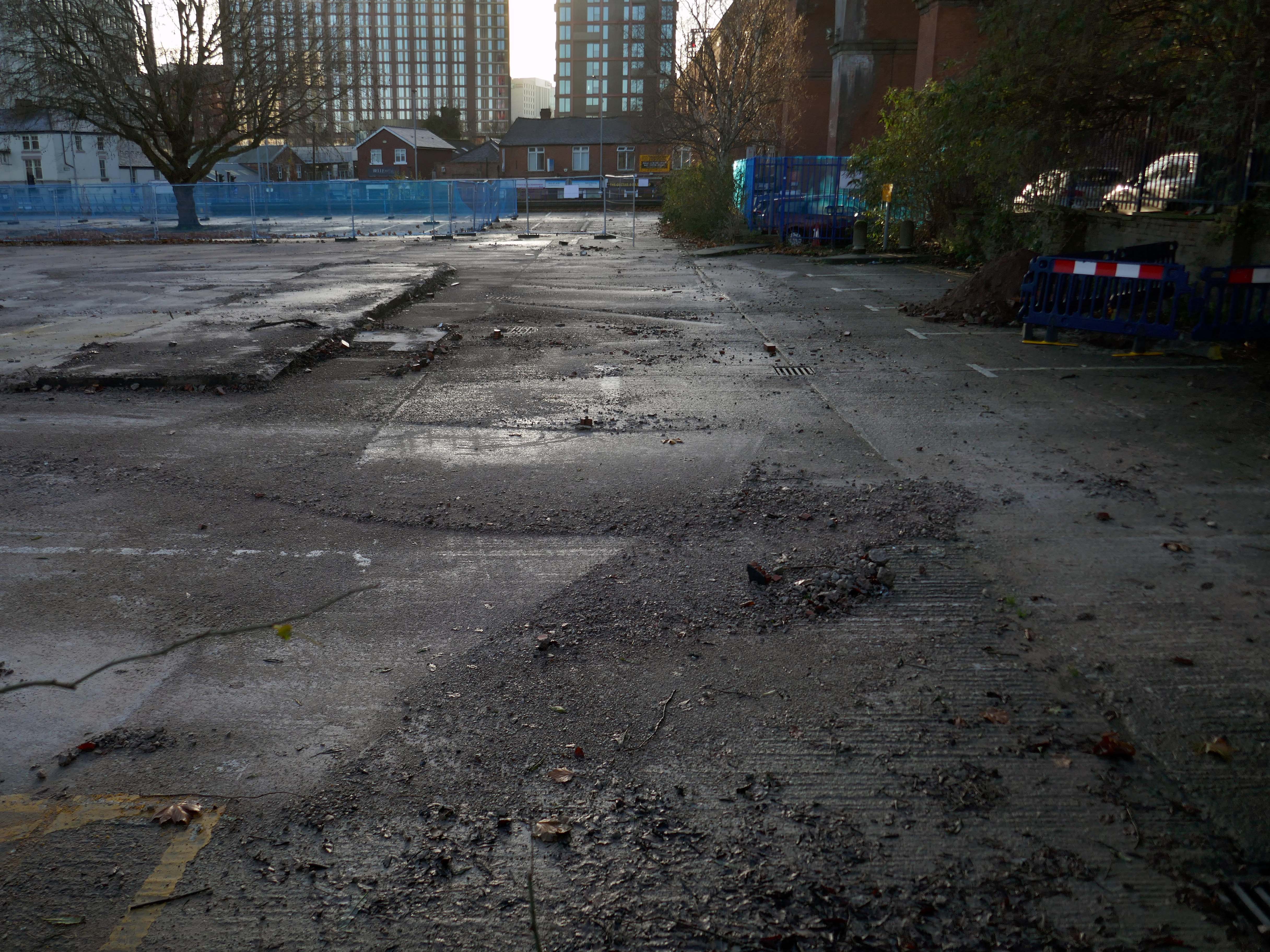
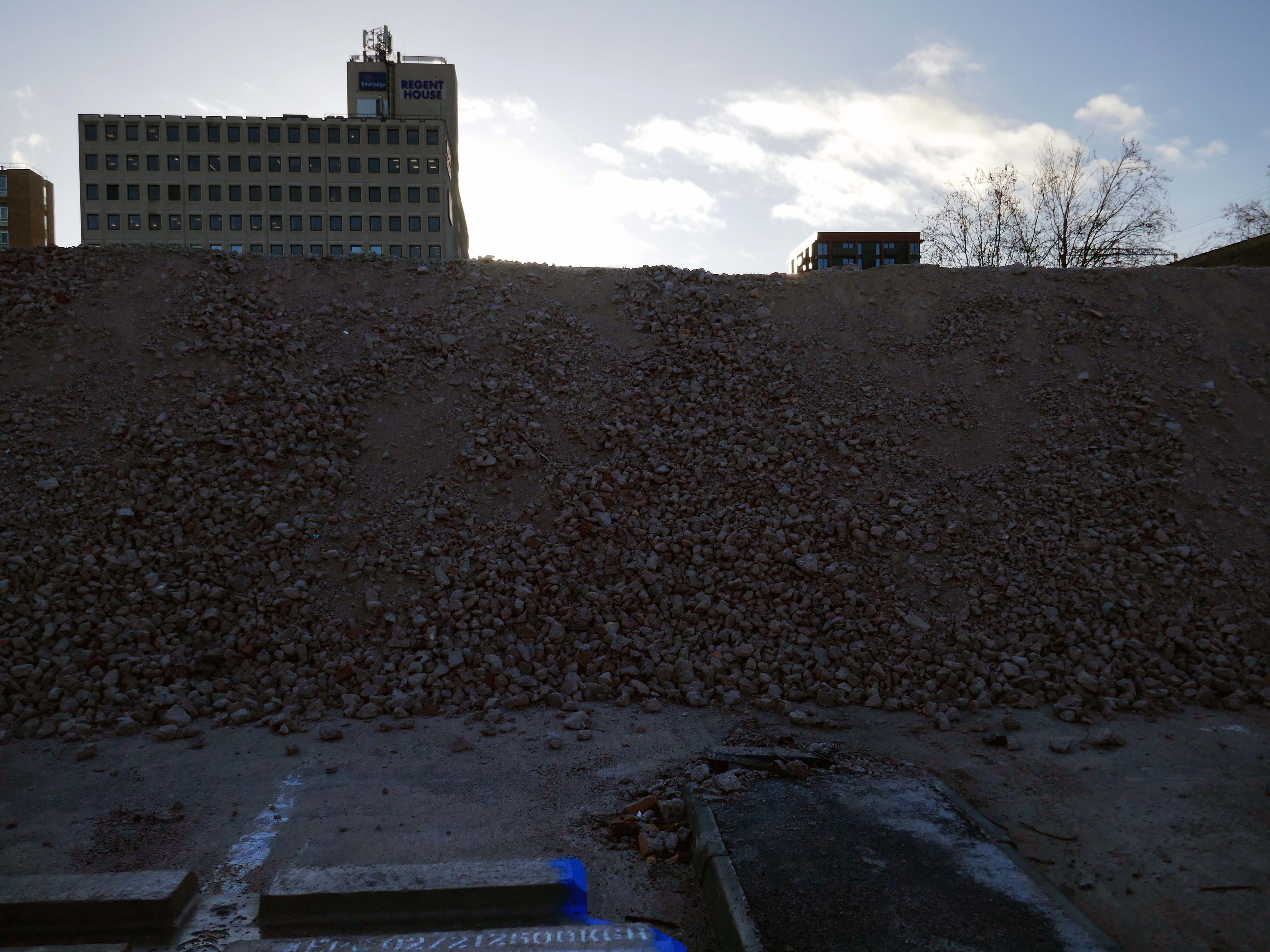
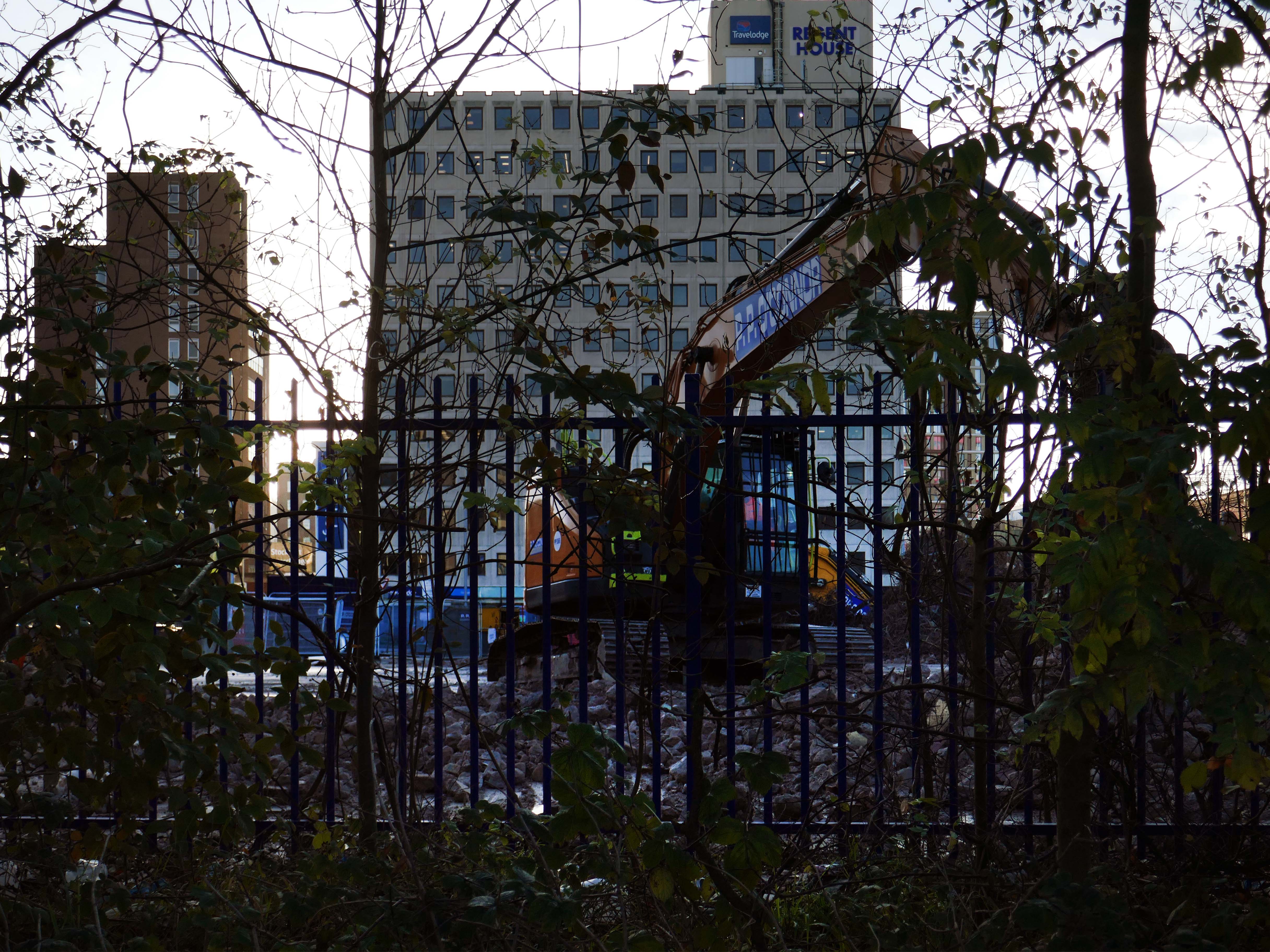
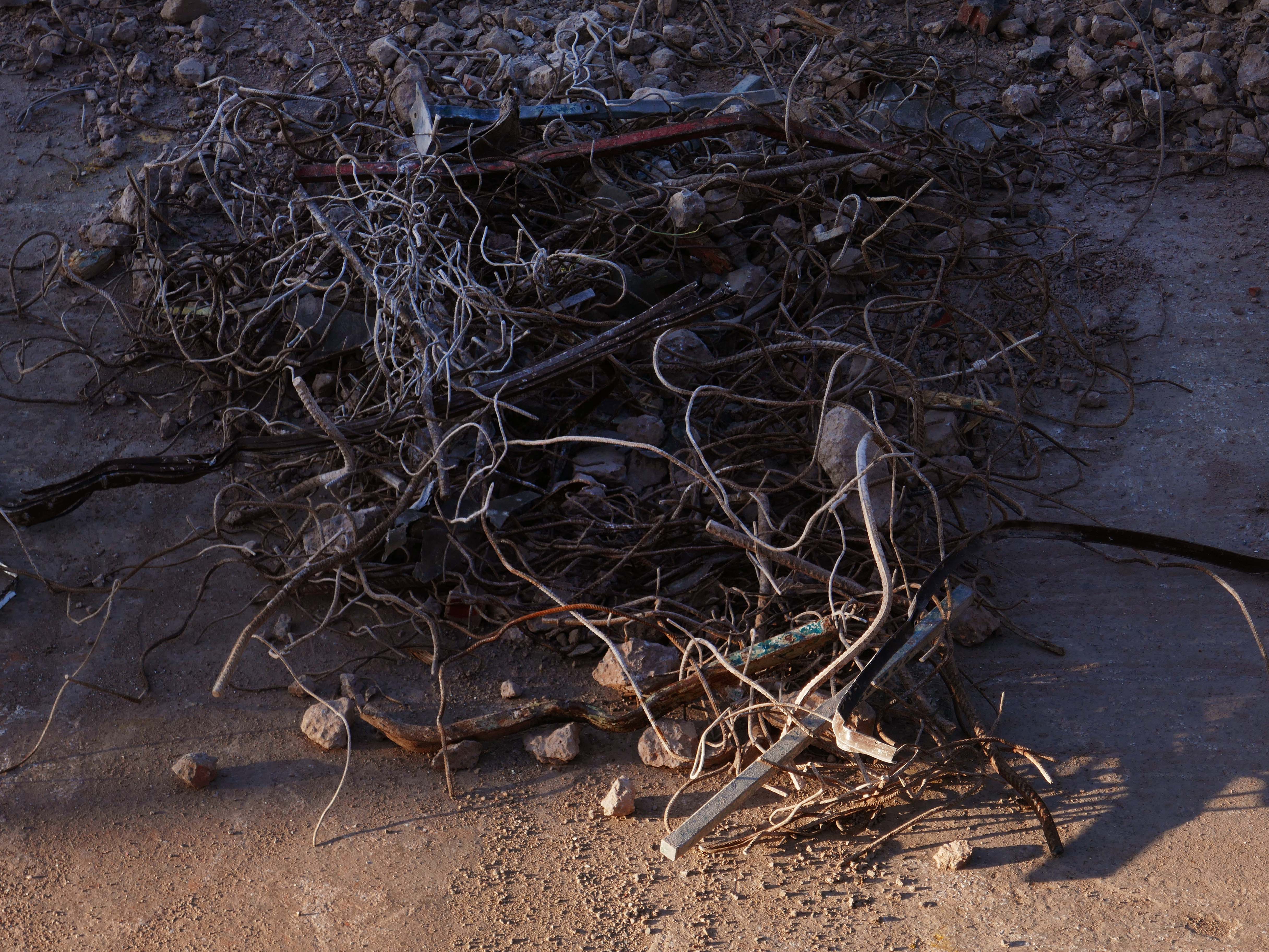
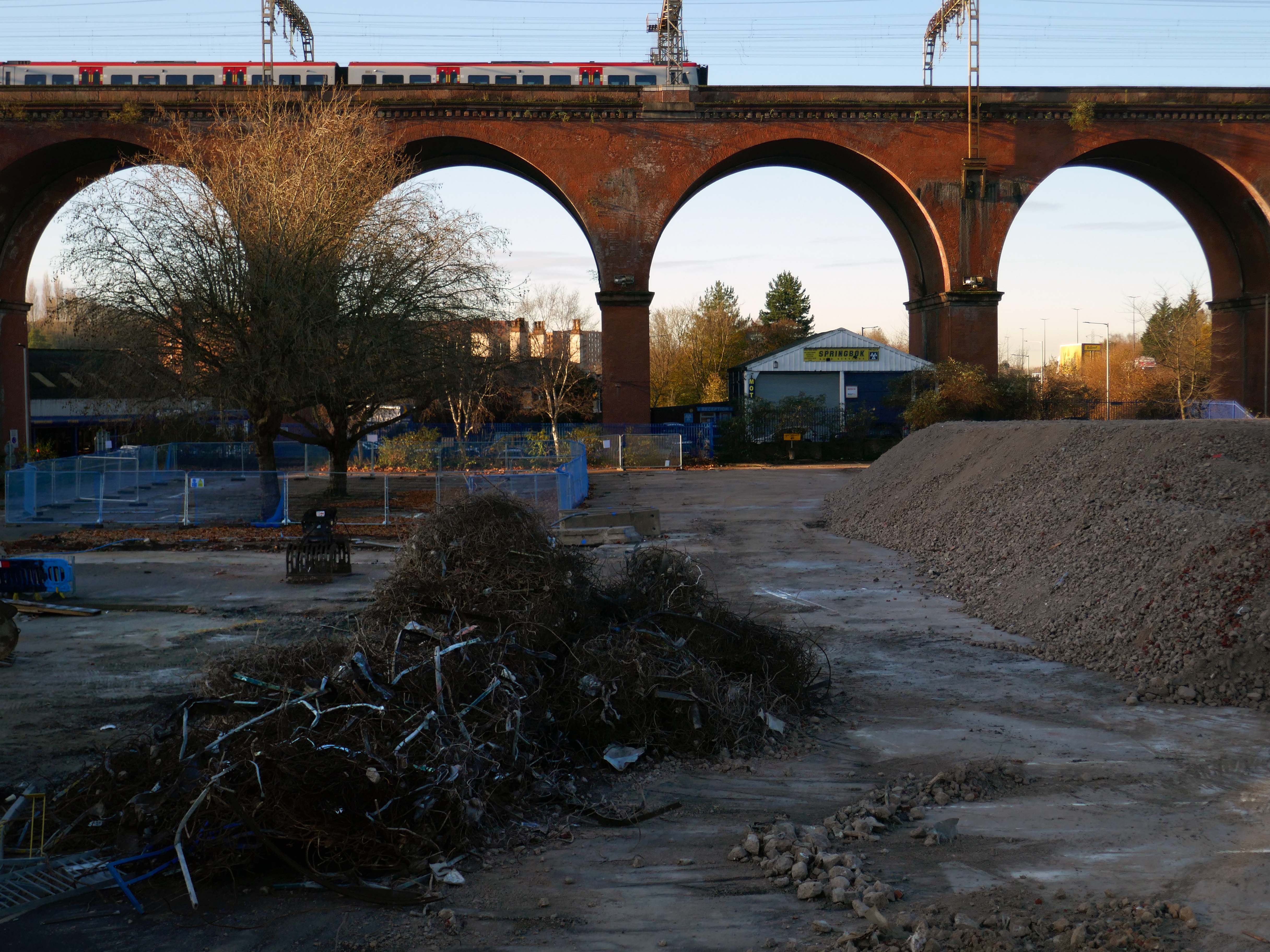
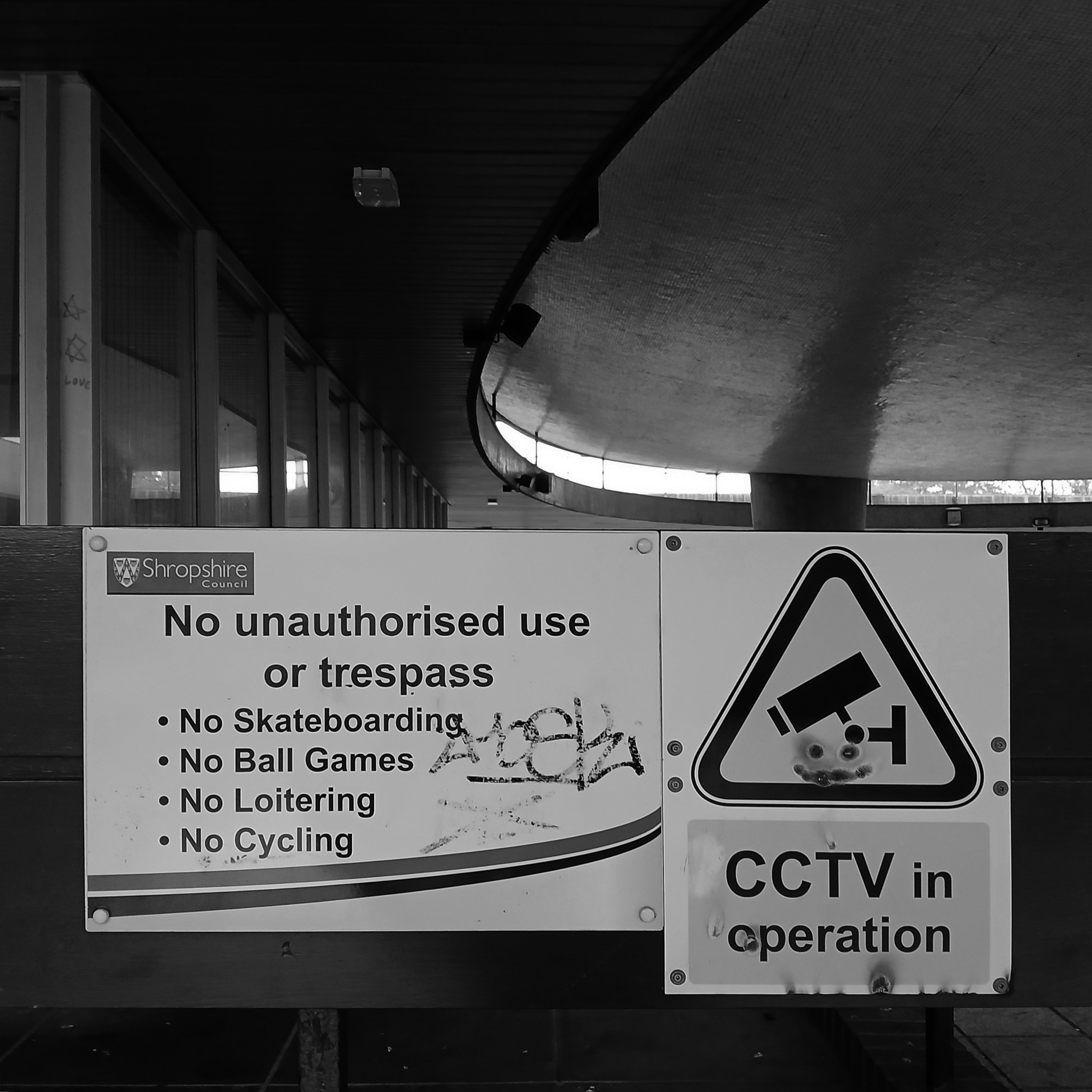
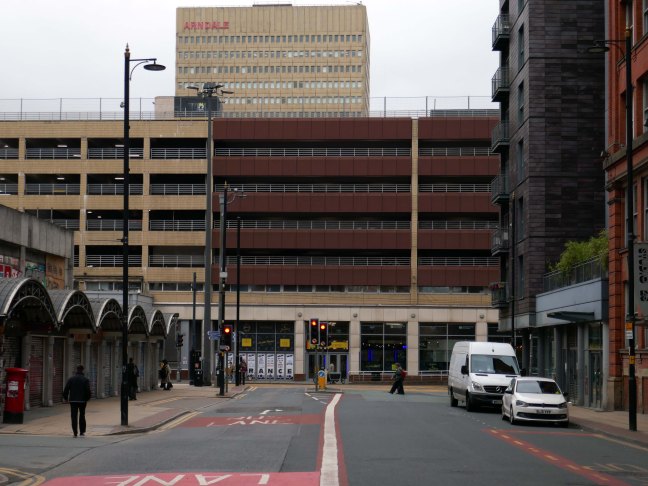
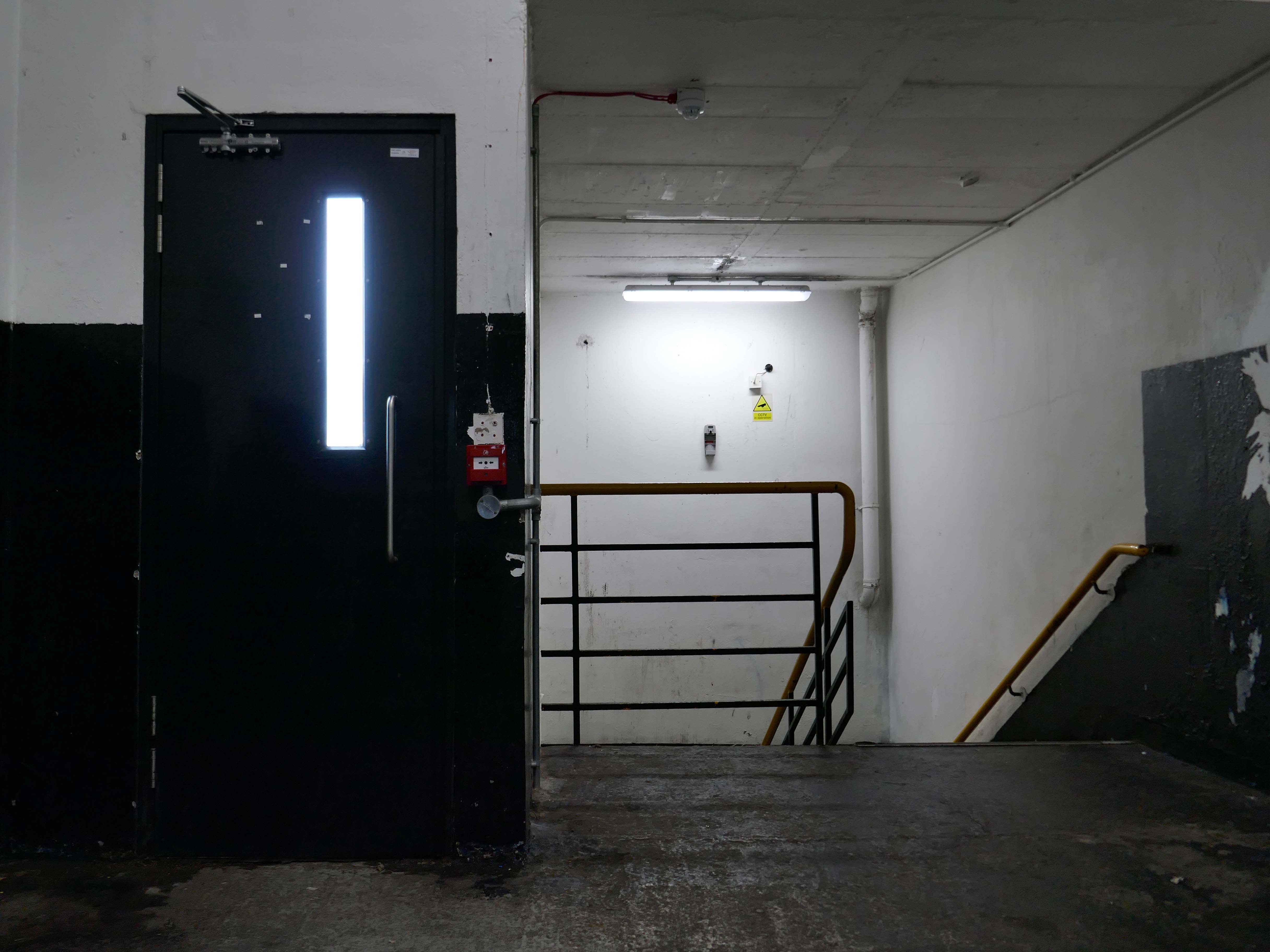
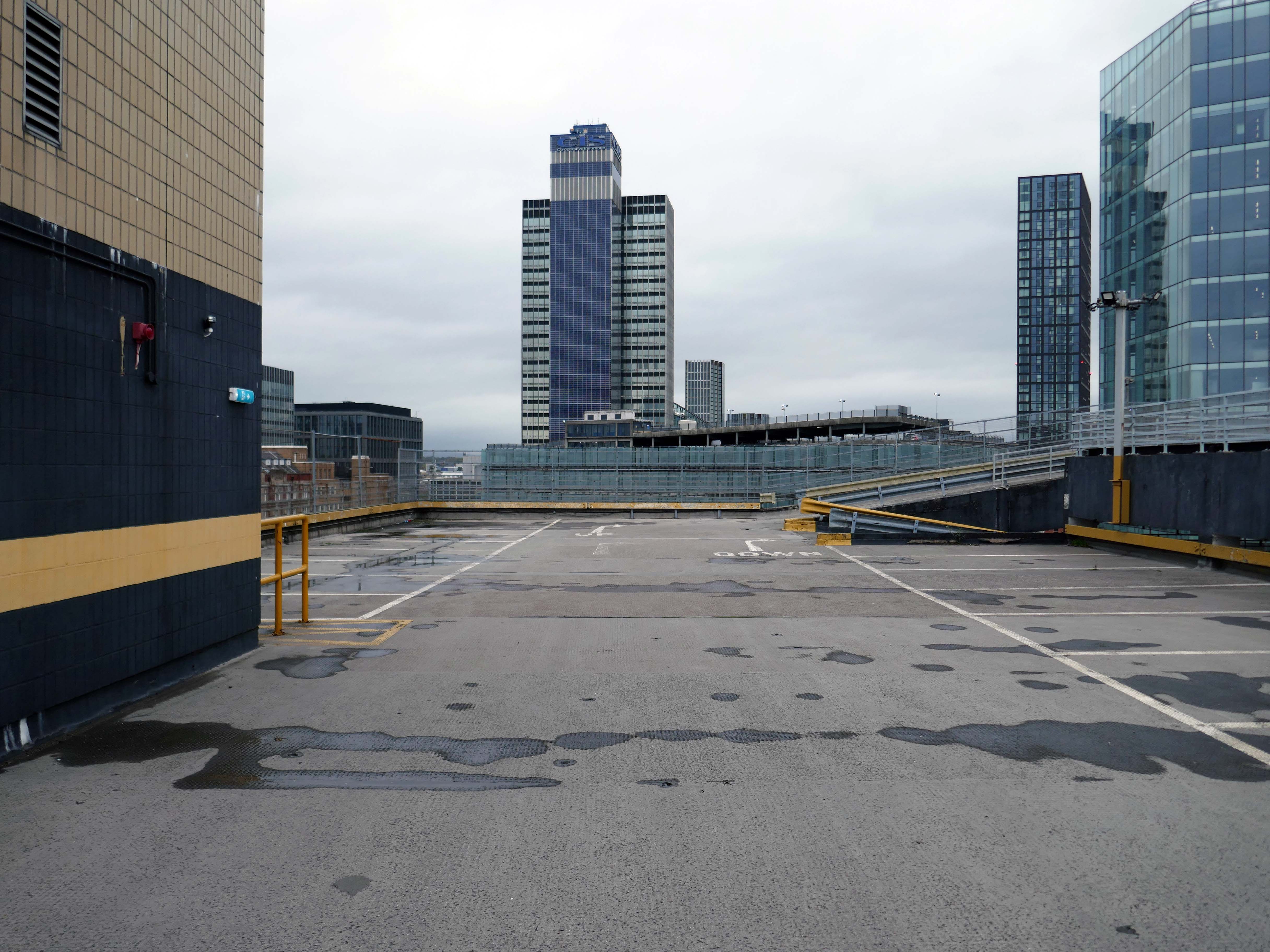
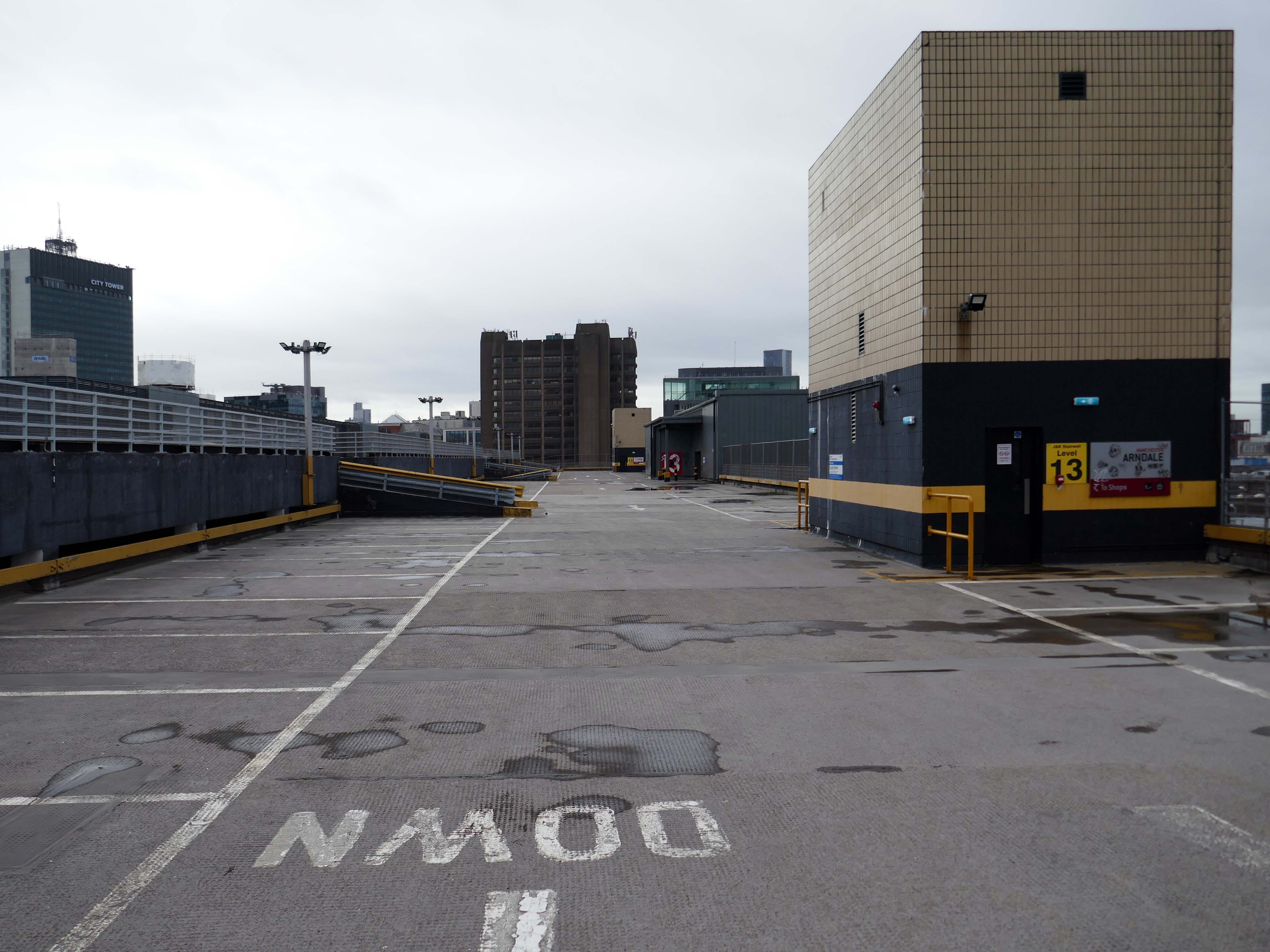
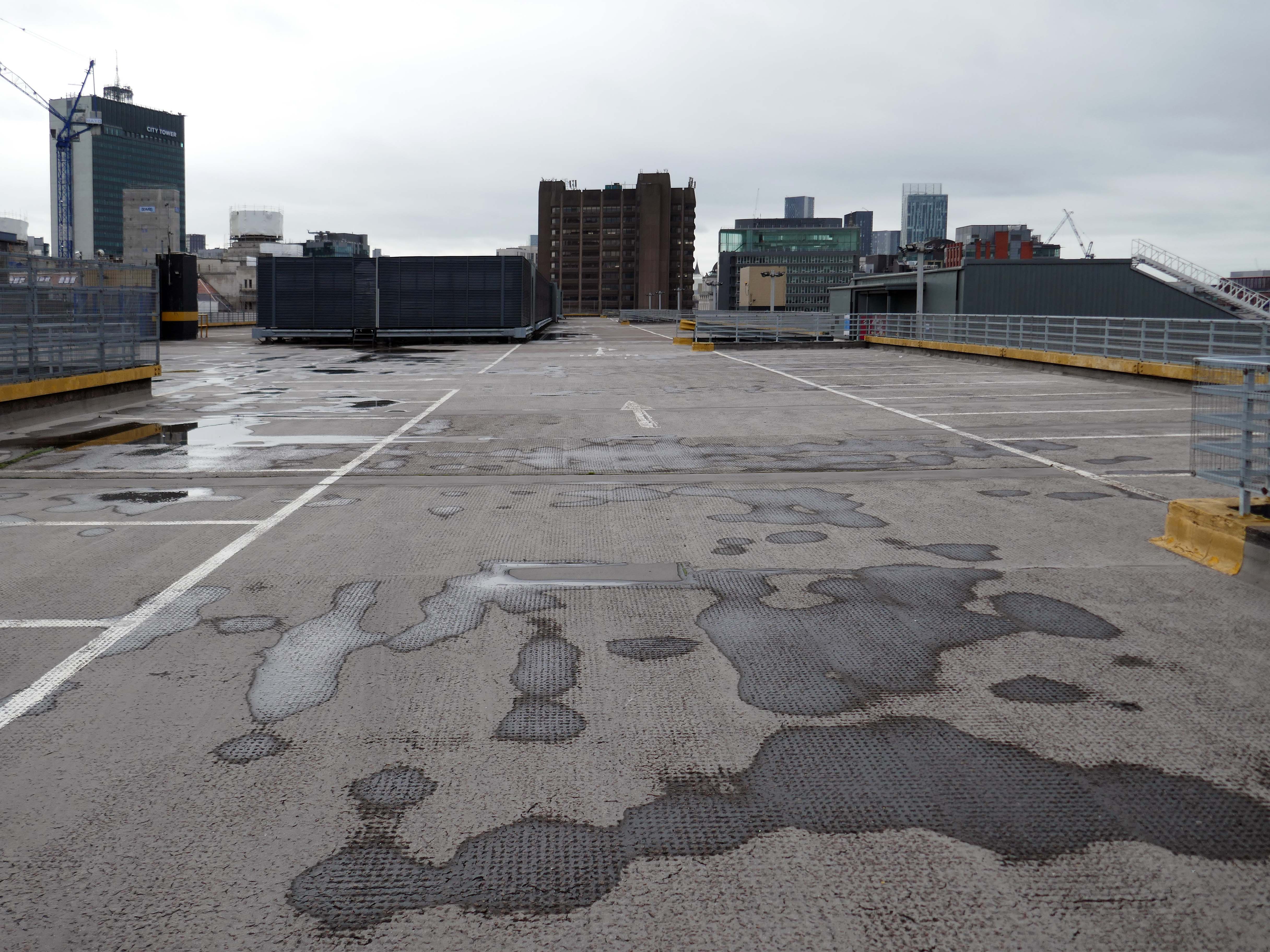
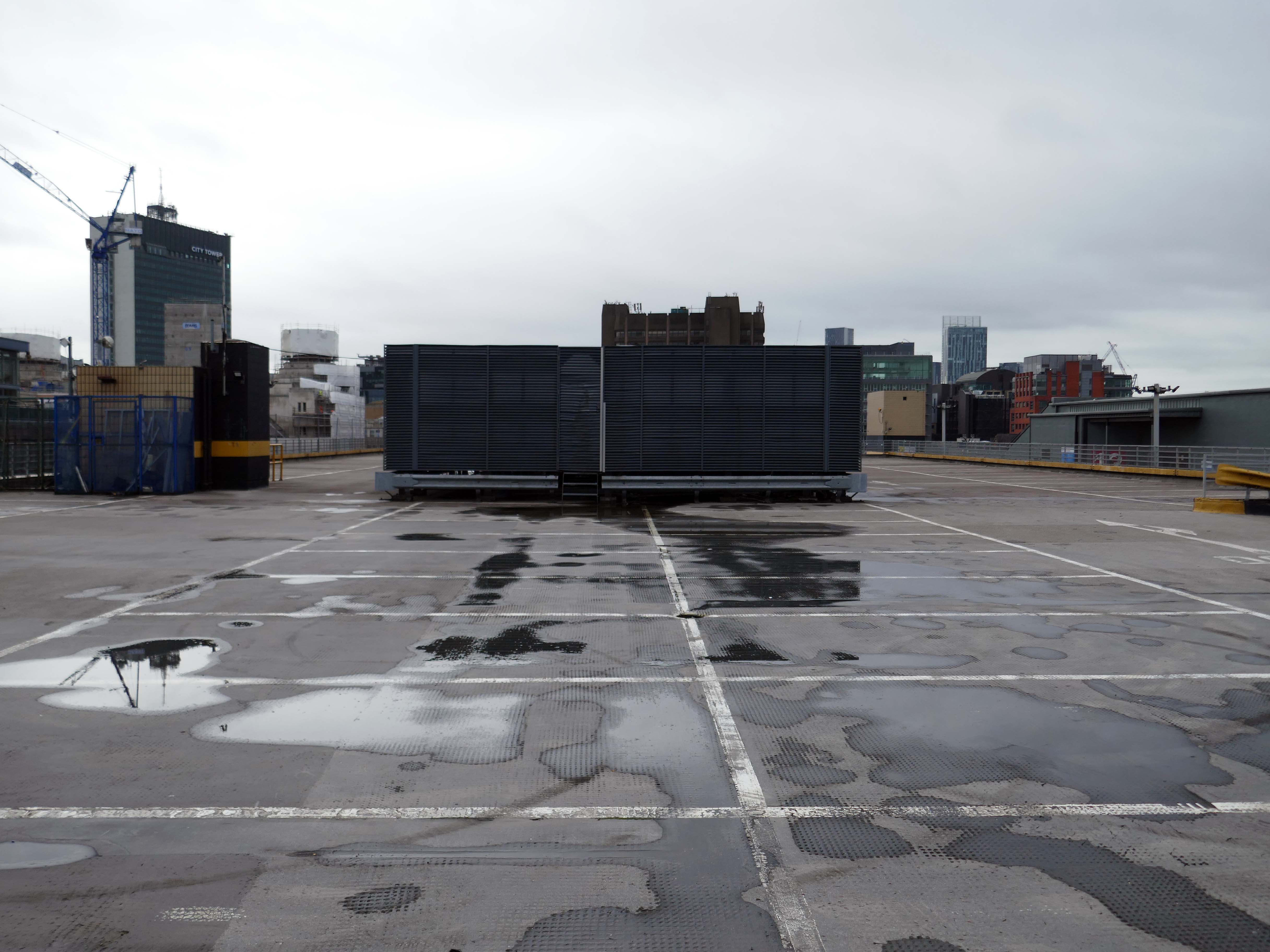
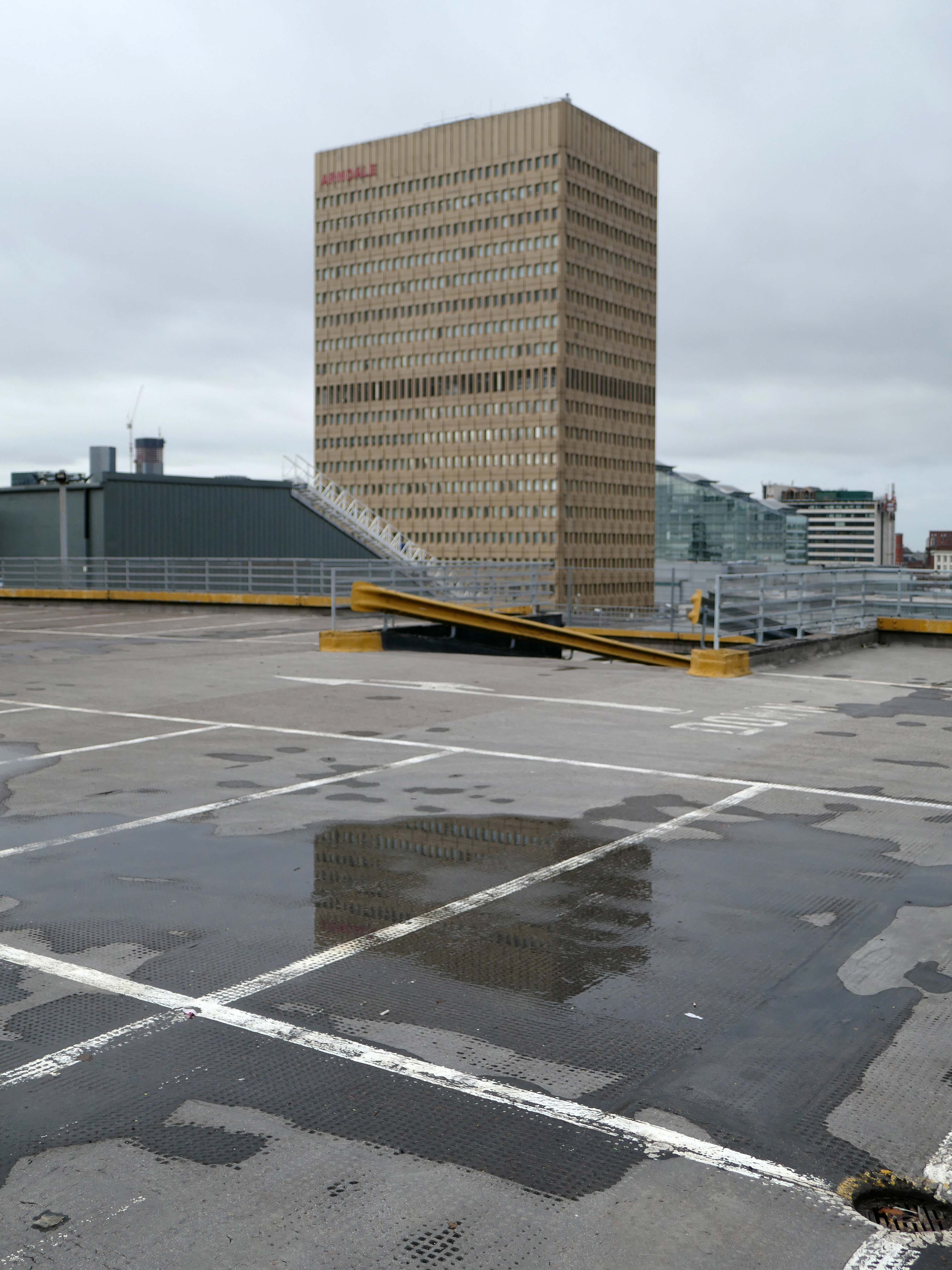
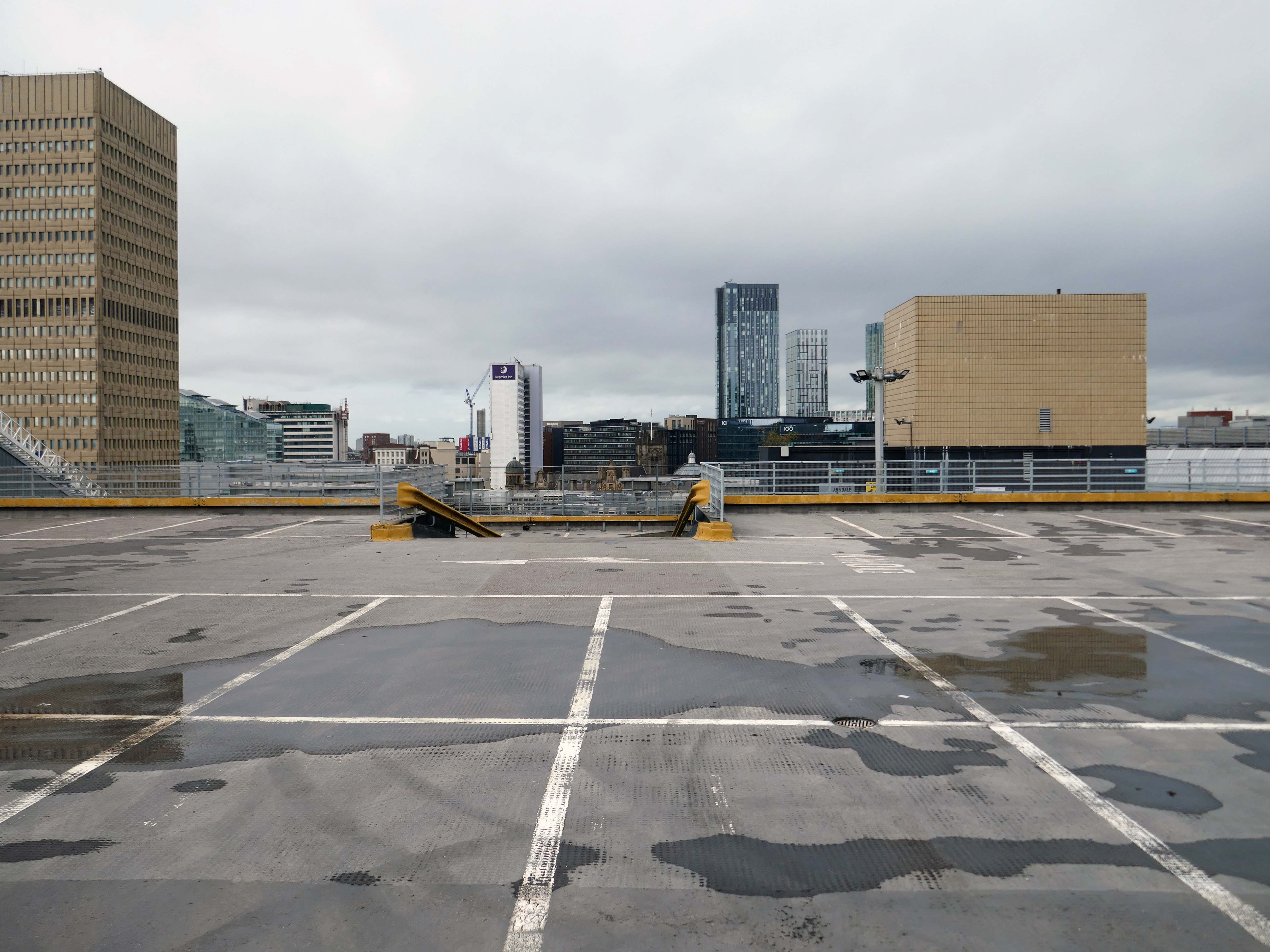
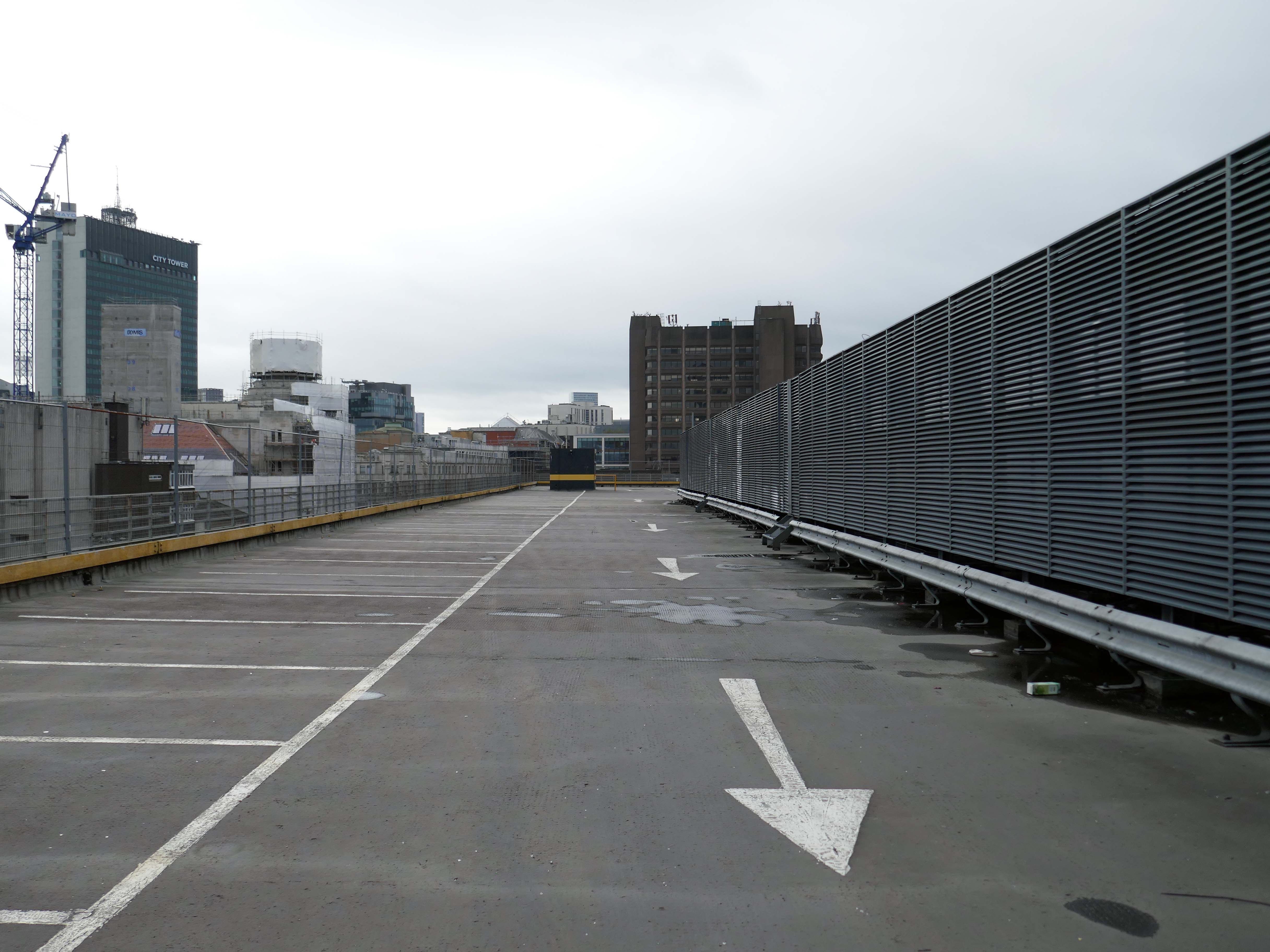
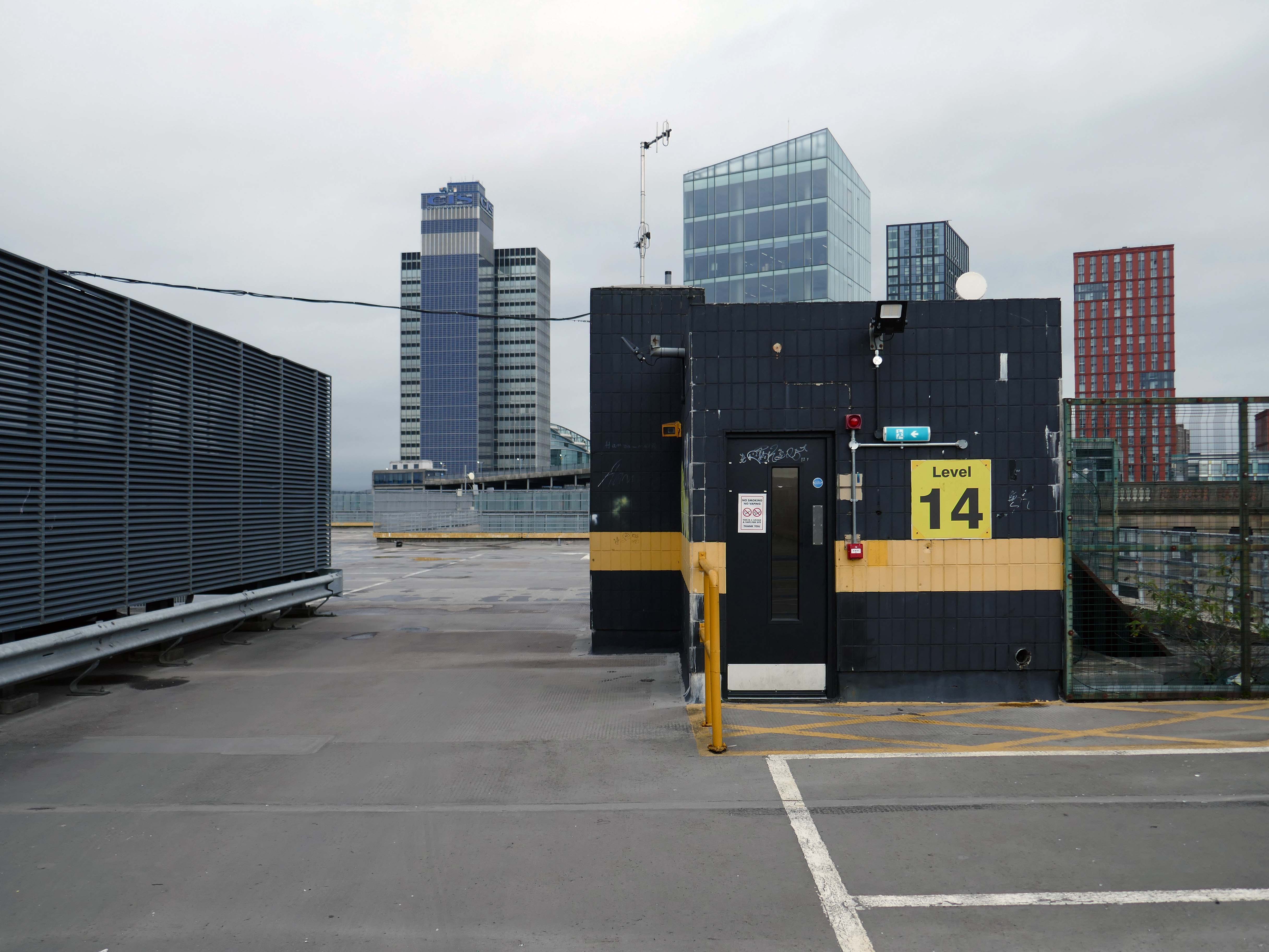
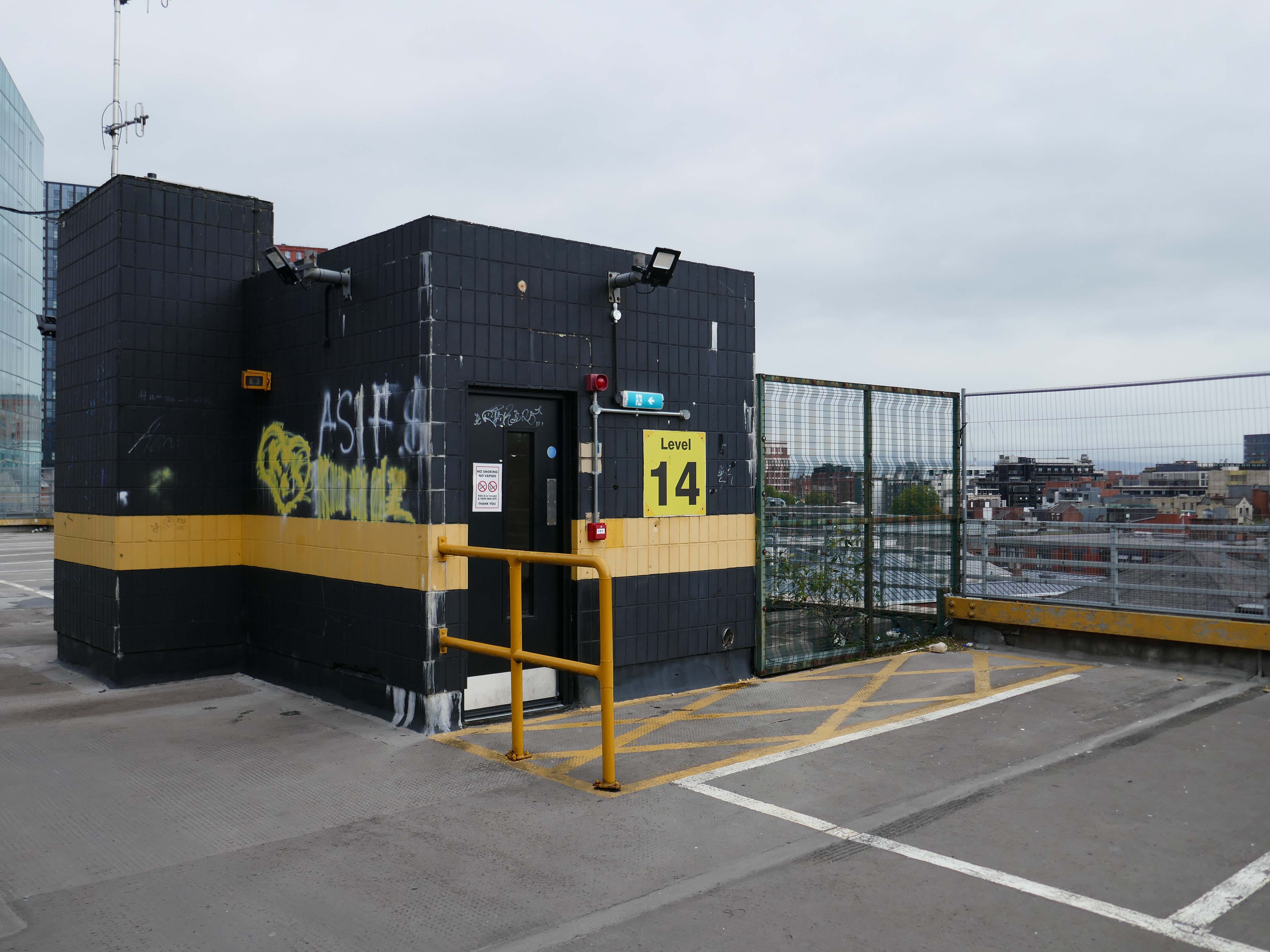
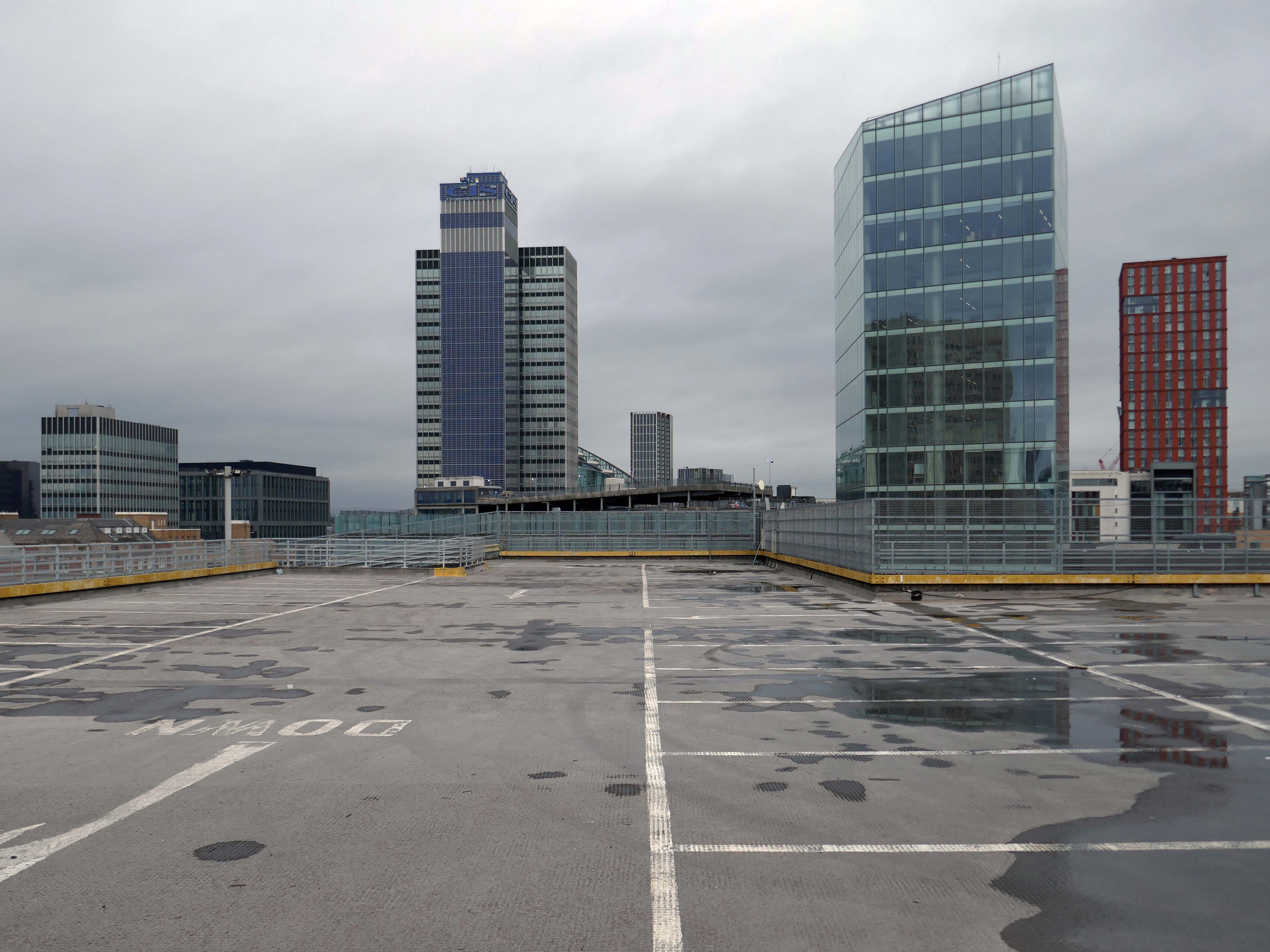
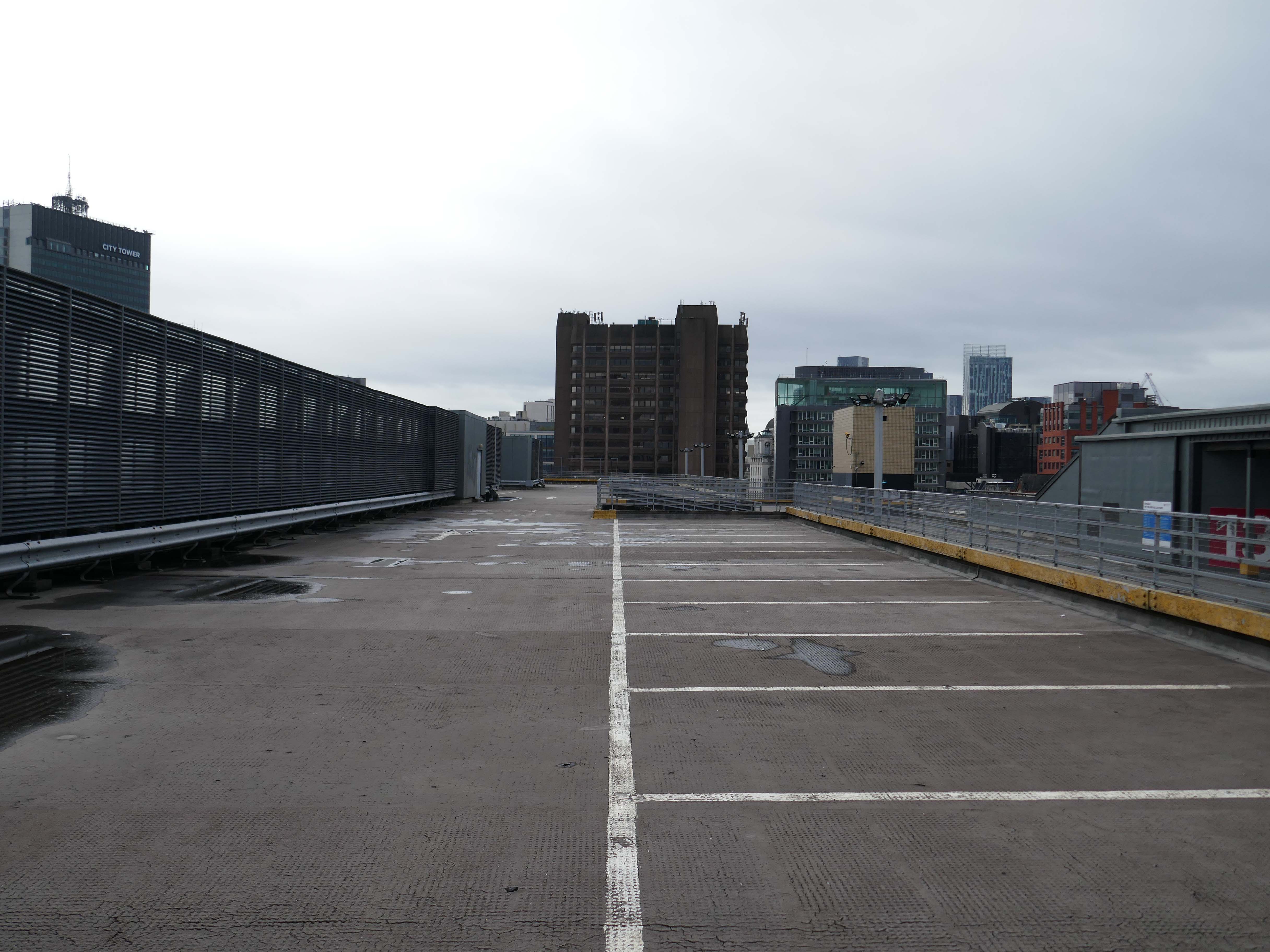
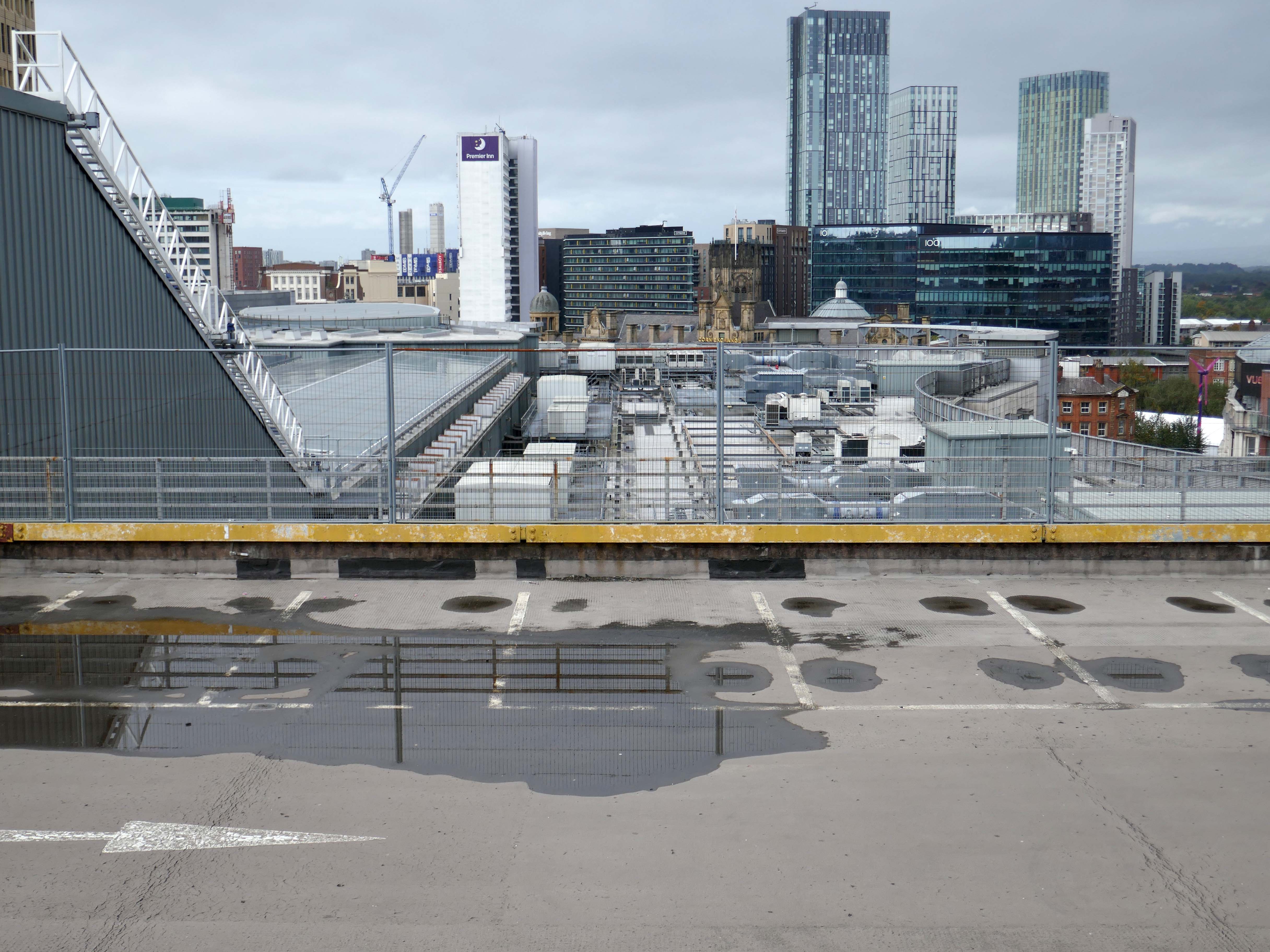
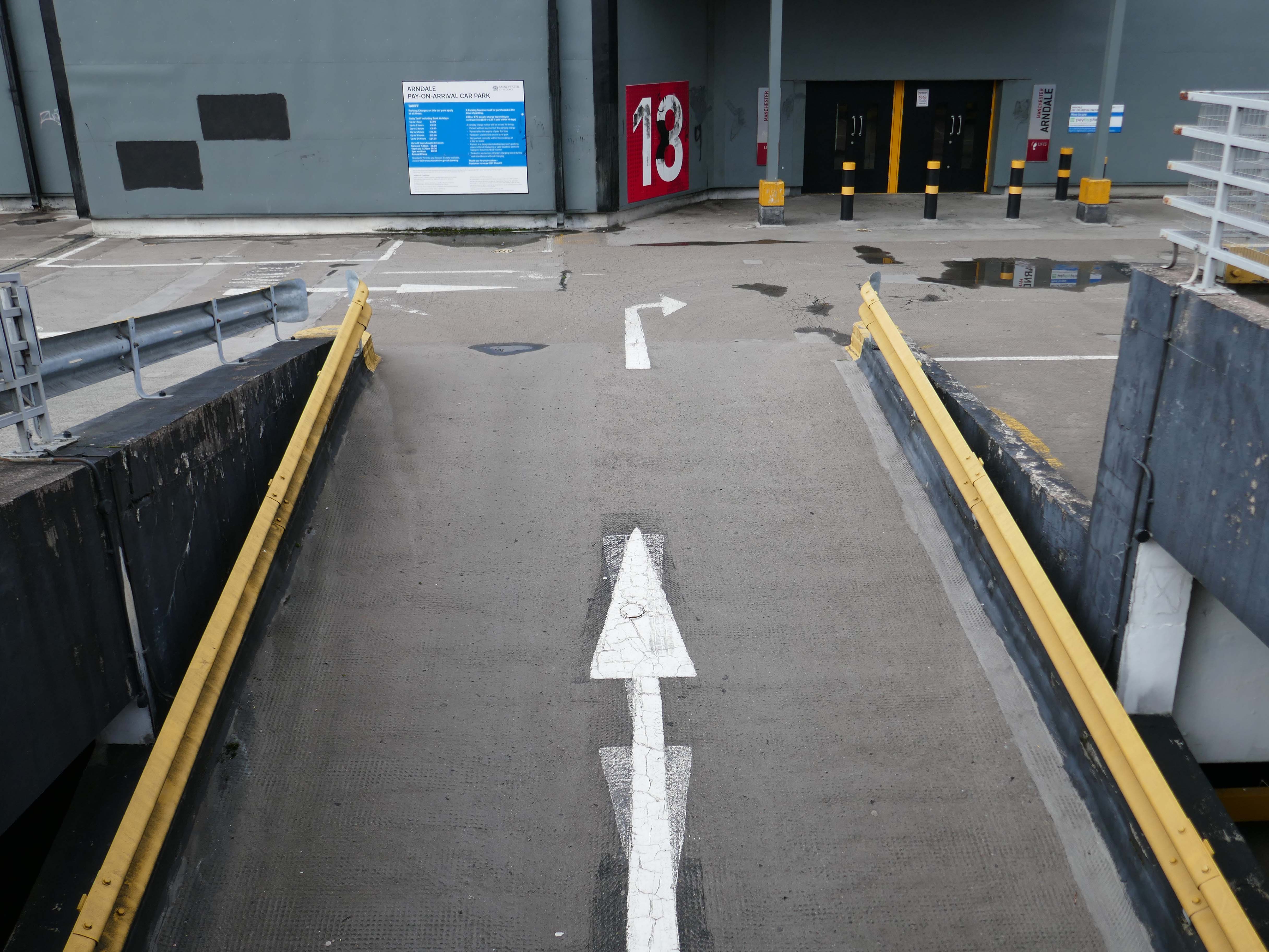
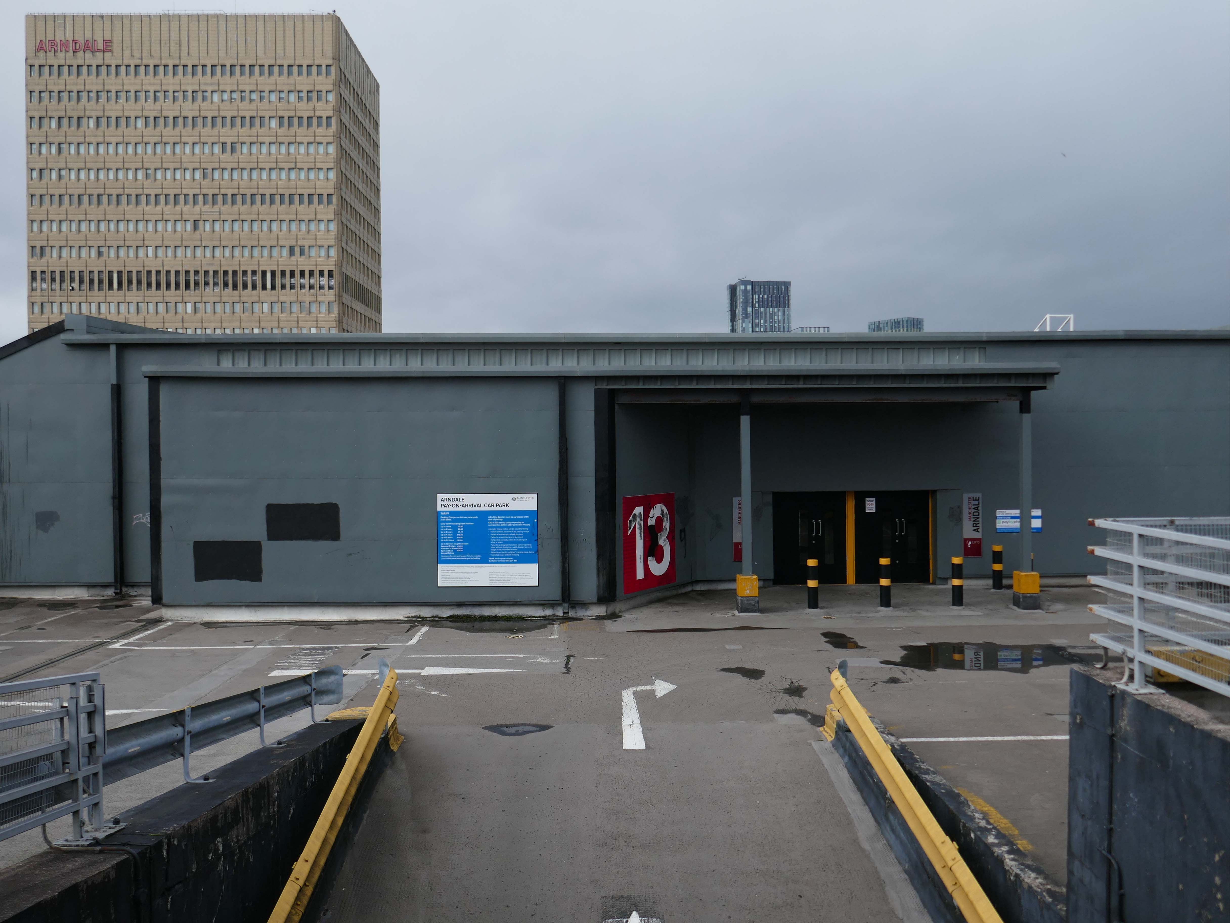
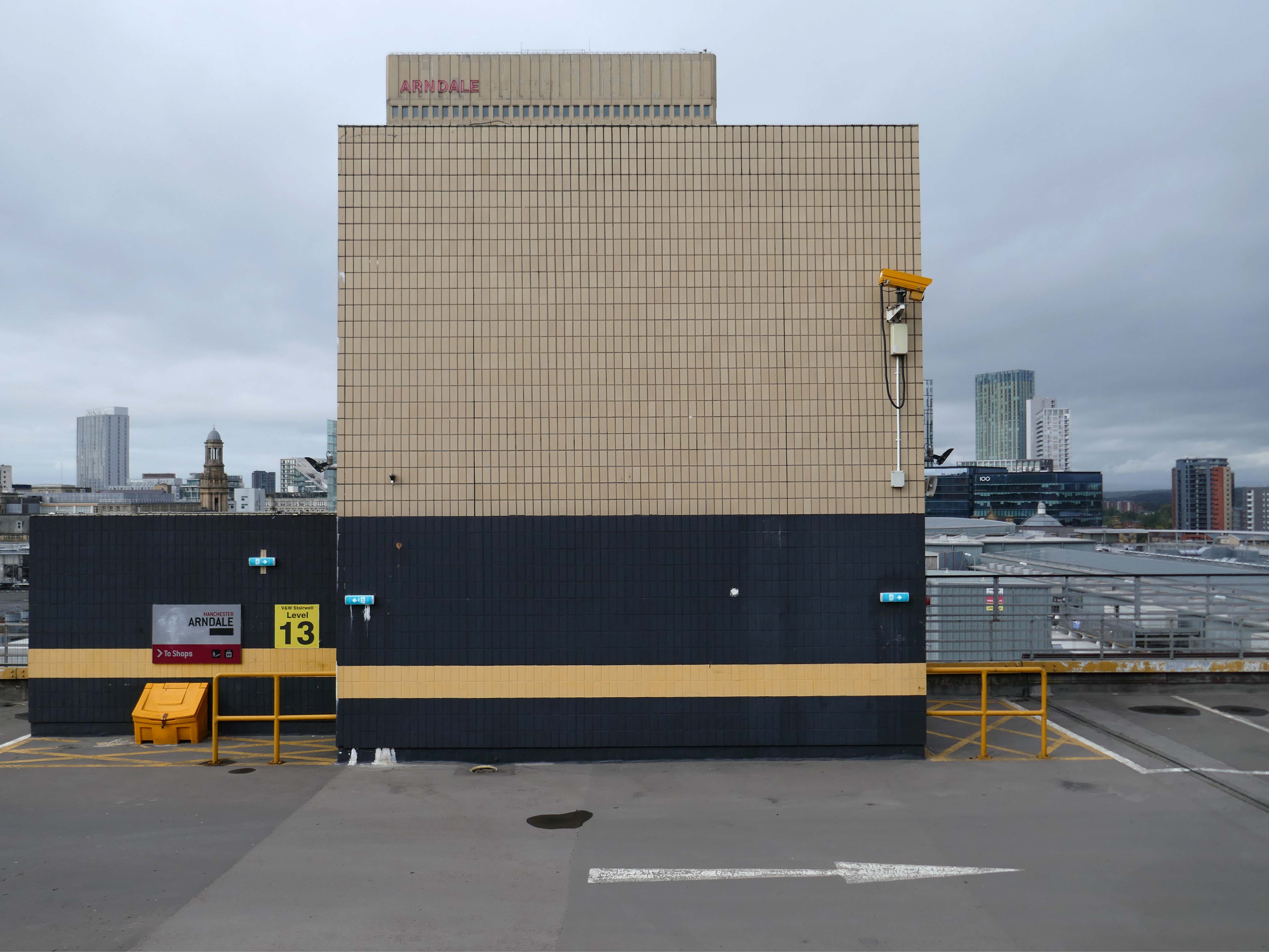
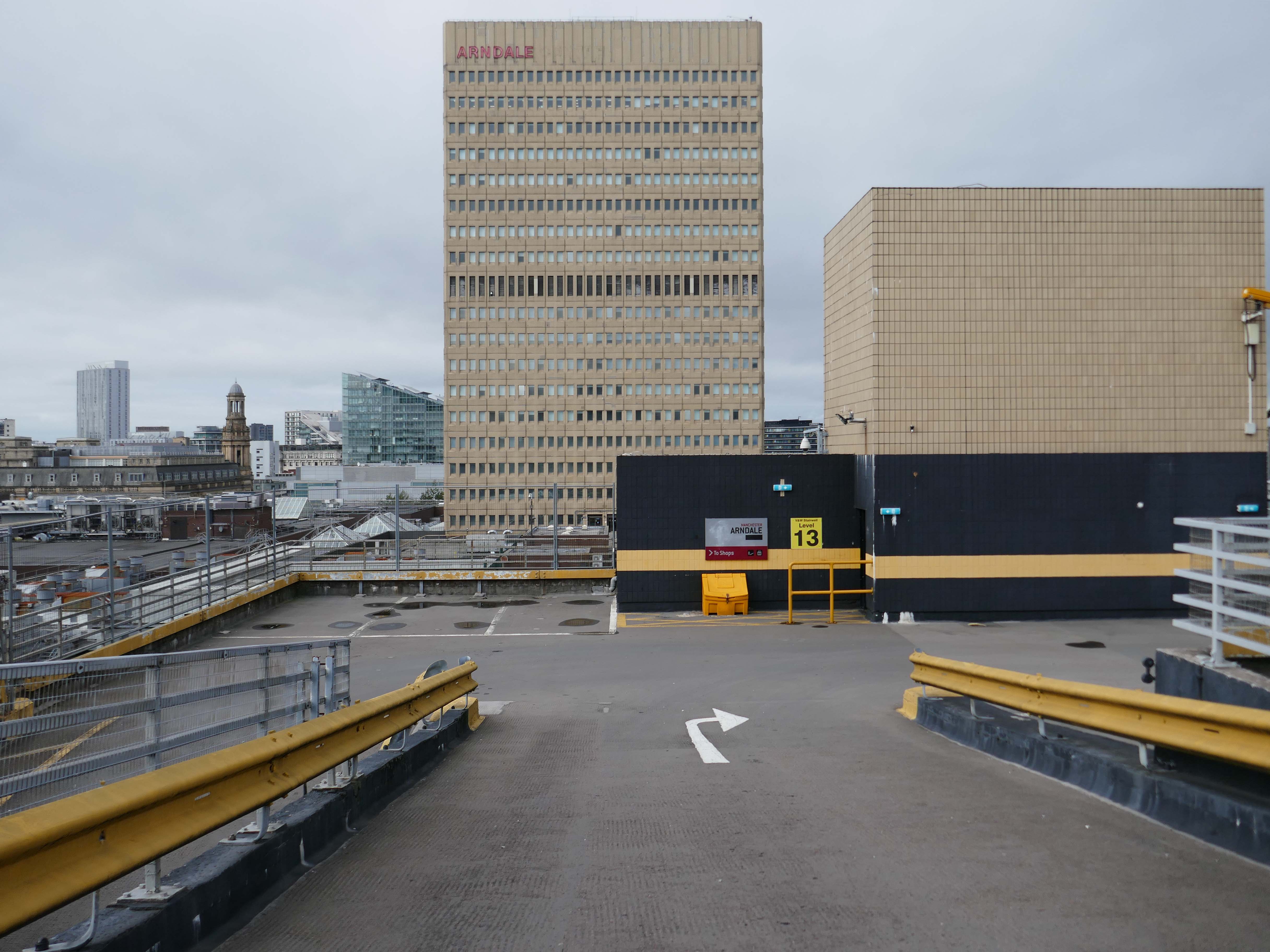
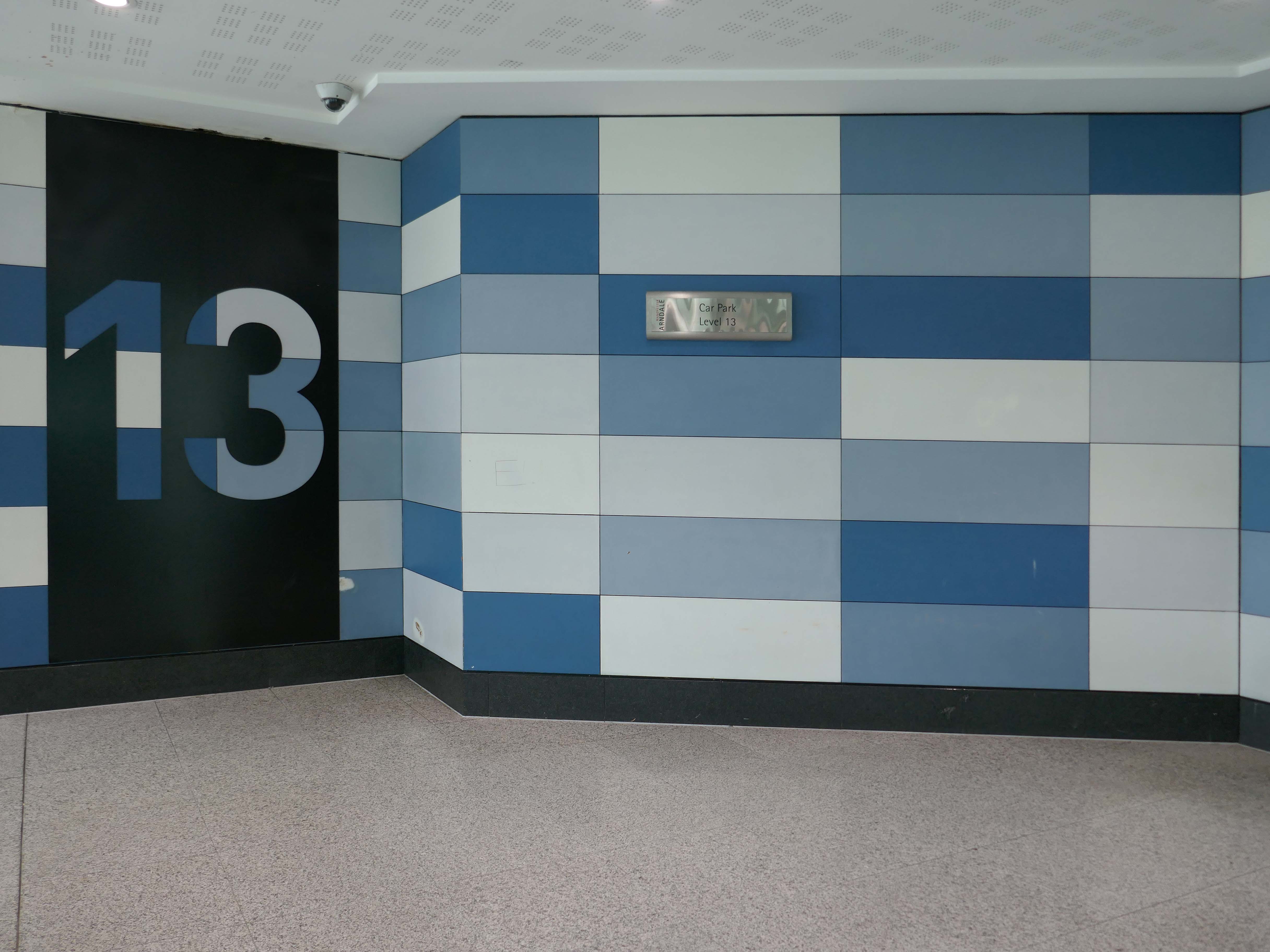
Heaton Lane car park is closed while demolition works take place.
Plans to demolish the car park were submitted by Stockport Council in September this year.
The plans propose removing the multi-storey car park down to ‘slab level’
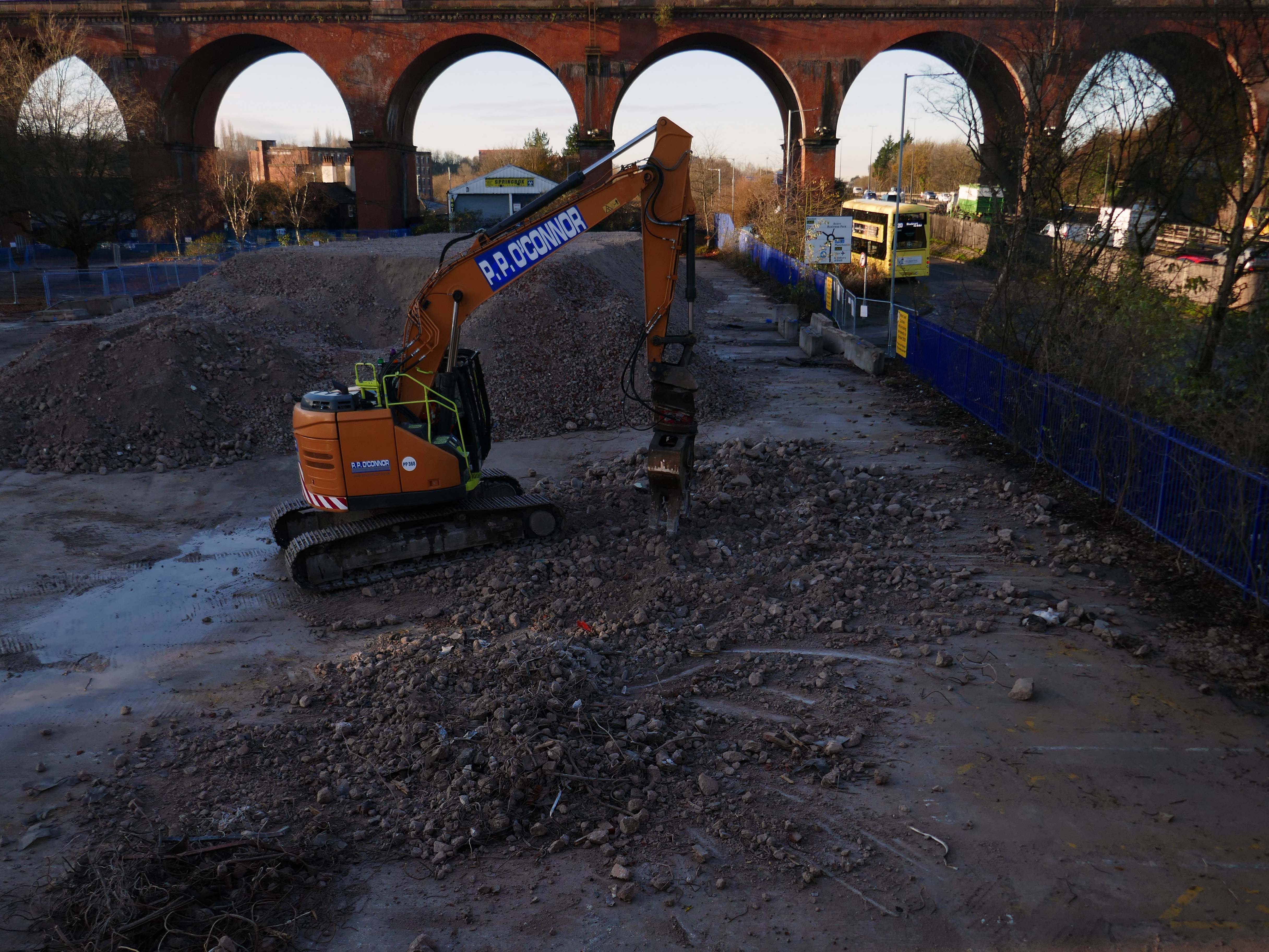
The work itself will be carried out by removing floor slabs one by one from the parking bays, from the ground upwards. Contractor PP O’Connor has said it will take noise and dust into consideration when completing the works.
Dust suppression systems will be in place to minimise pollution.
Noise levels are not considered likely to be a nuisance, however the site manager will be able to review the demolition process if it’s deemed too high.
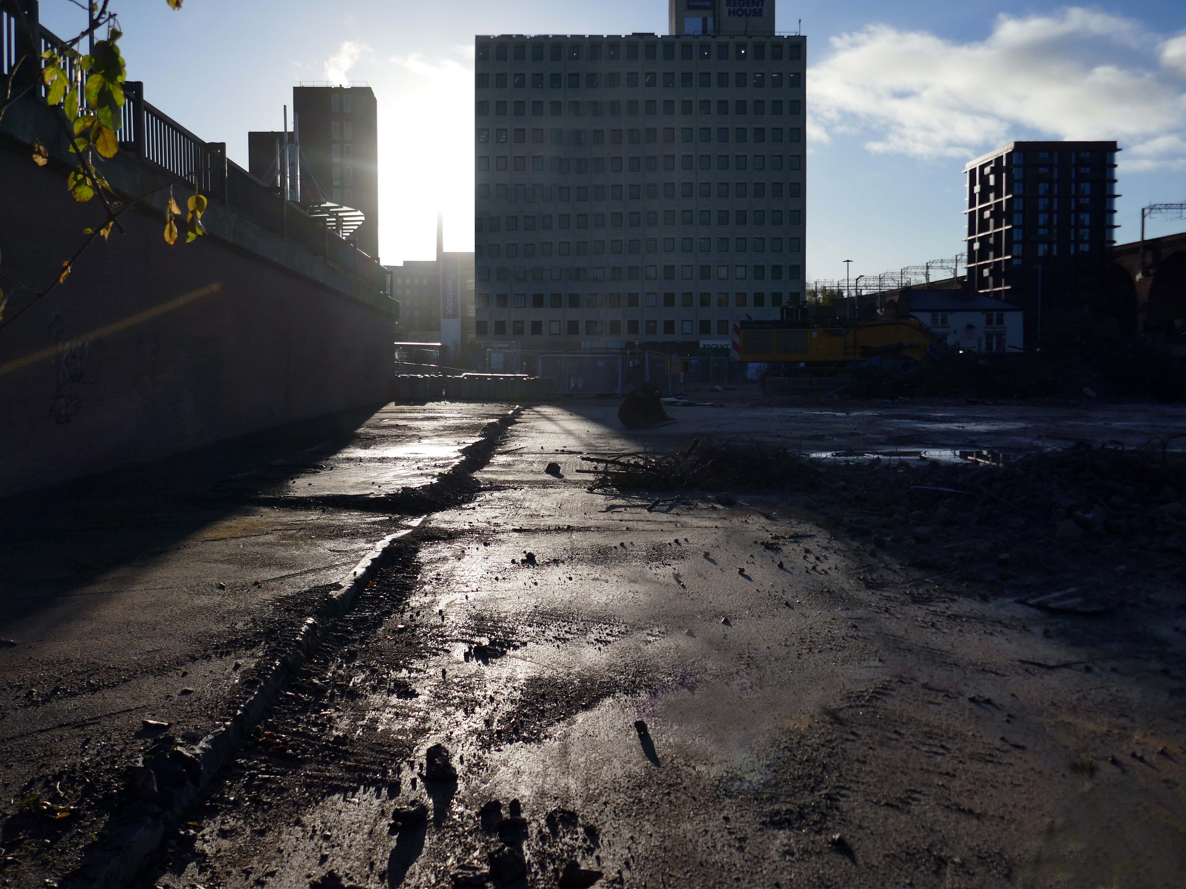
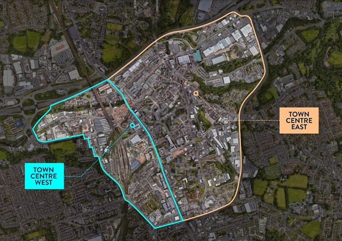
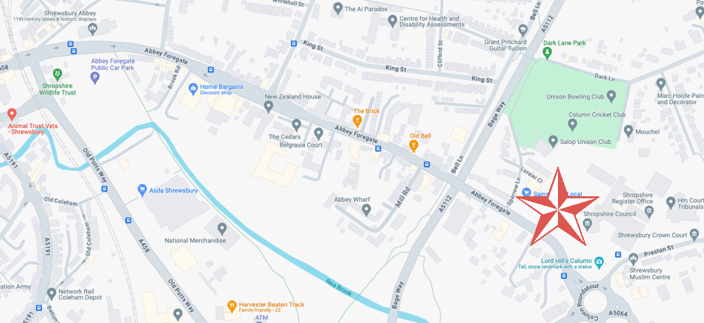
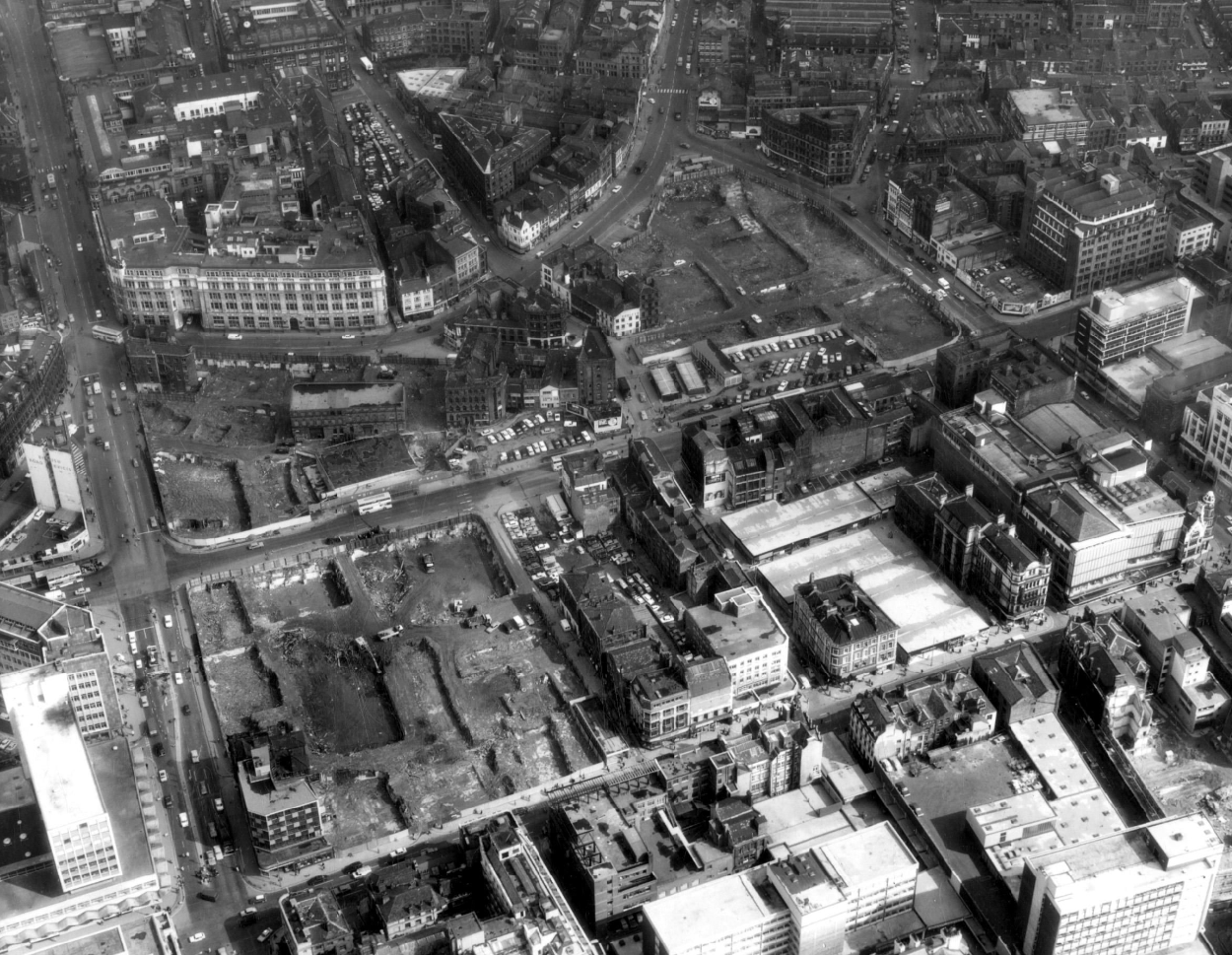
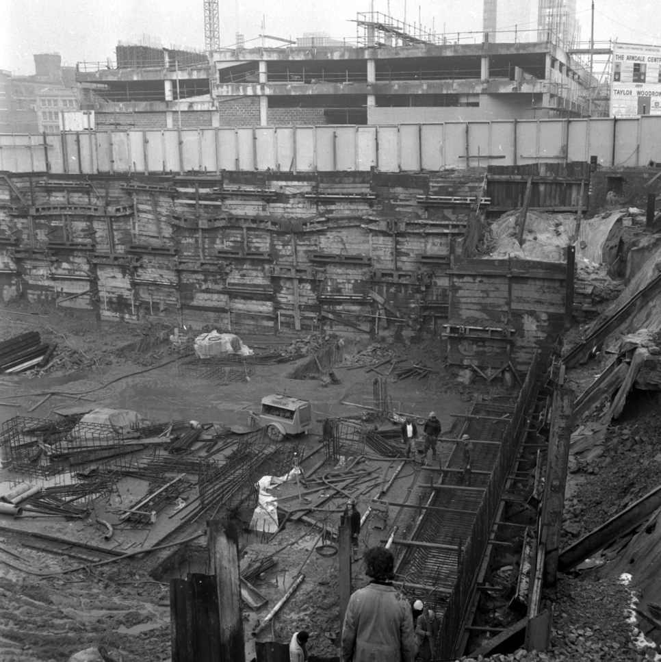
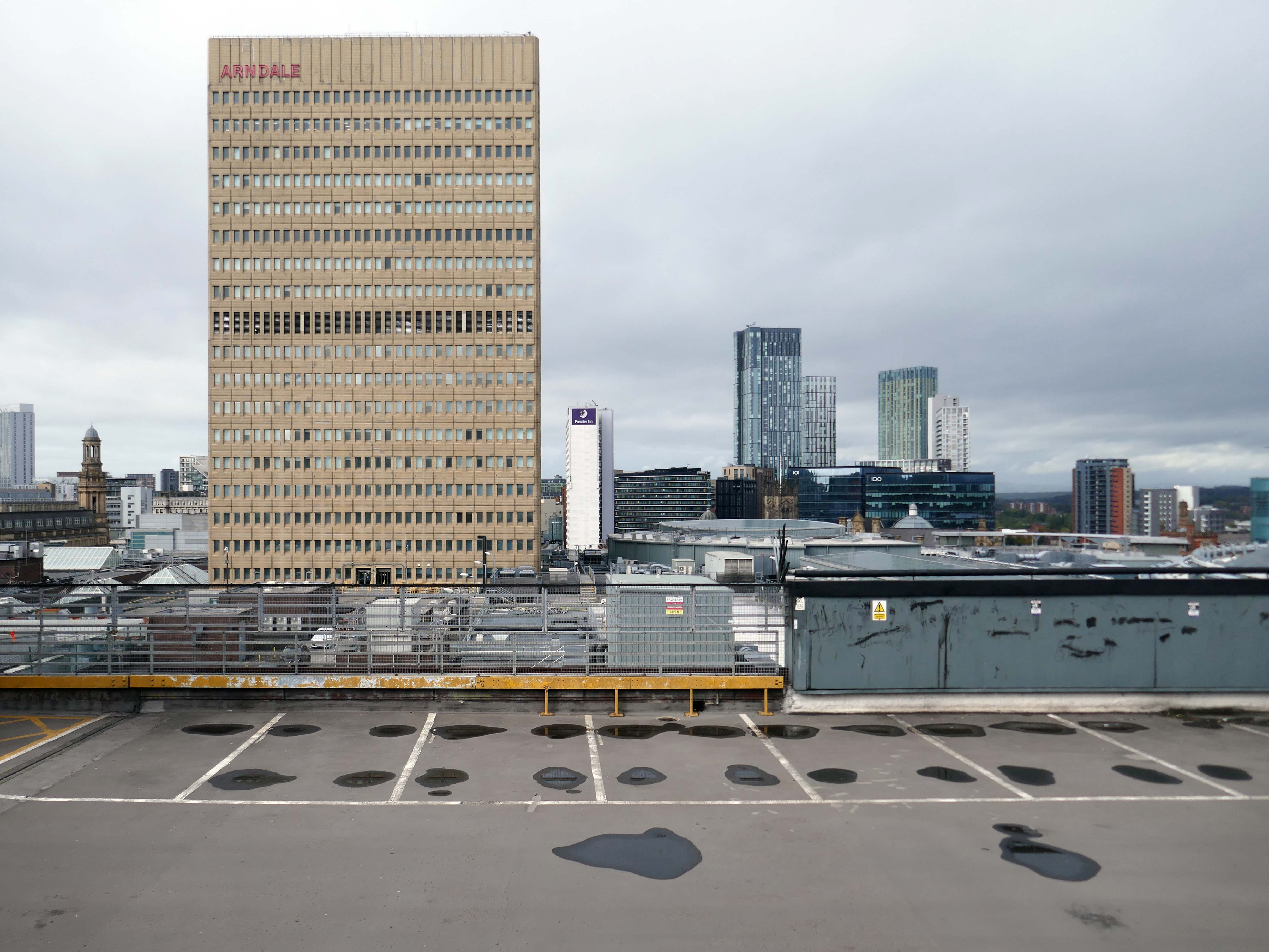
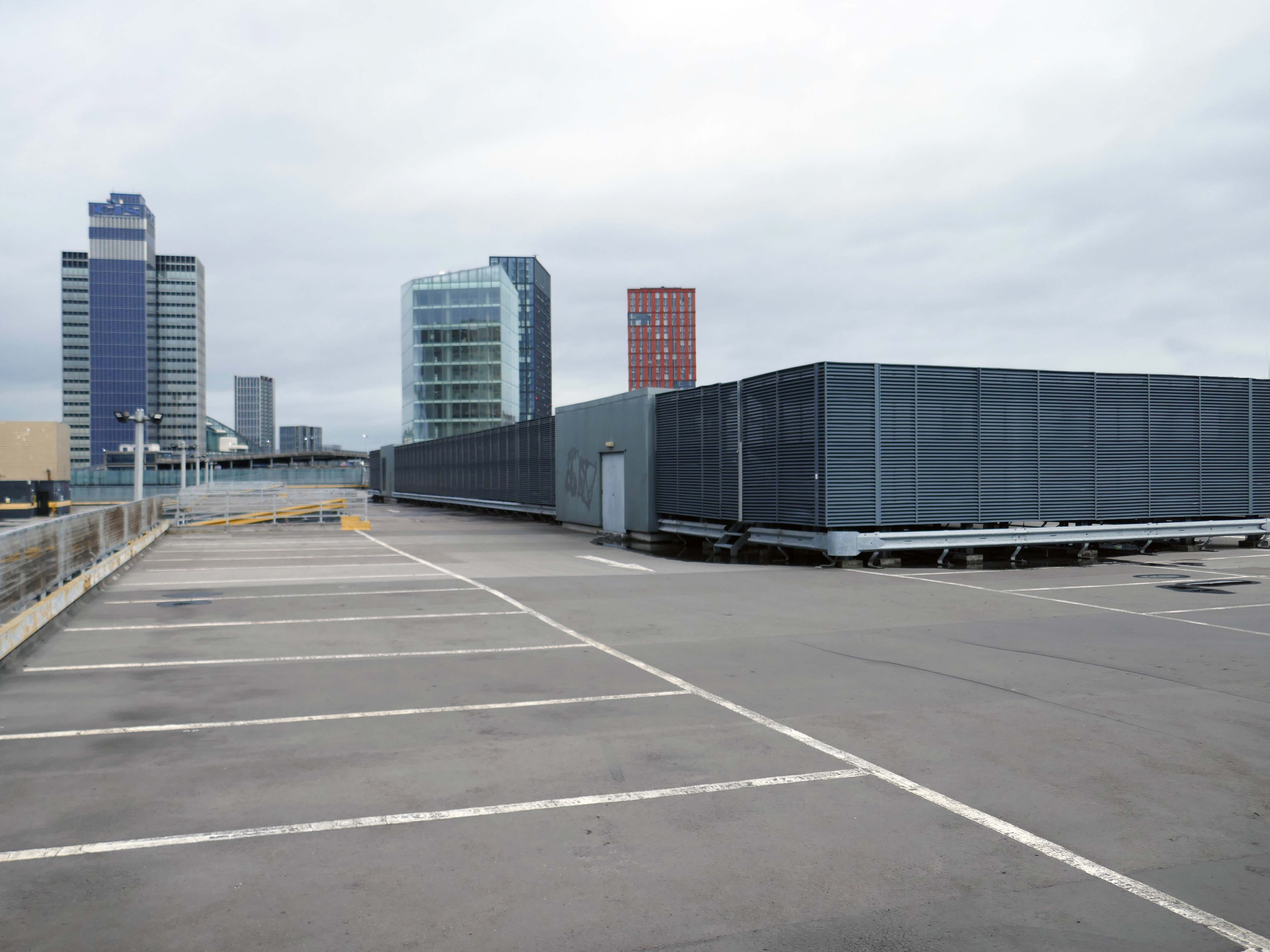
There car park is almost at the heart – on the edge of plans to regenerate the town centre.
The Strategic Regeneration Framework for Stockport Town Centre West set out how up to 4,000 new homes and 1m sq. ft of new employment floorspace and 5,300 new jobs could be delivered across Town Centre West by 2035.
In order to assess the overall economic benefit of an expanded Mayoral development area Stockport Council have developed an SRF for Stockport Town Centre East. This SRF sets out an illustrative masterplan to guide the creation of Stockport’s new neighbourhoods and achieve comprehensive urban regeneration by 2040. Together the SRFs for Town Centre West and Town Centre East will guide the development of a total of 8,000 new homes alongside services and amenities. The development set out in the SRFs will drive a transformational impact on the Stockport economy.
The Corporation is expected to be established in early 2026. It will provide a single, focused body for local decision-making; engagement with stakeholders including government departments, public agencies; private sector landowners, and developers; and to drive investment across the public and private sectors to realise the shared vision for the regeneration of the Area.
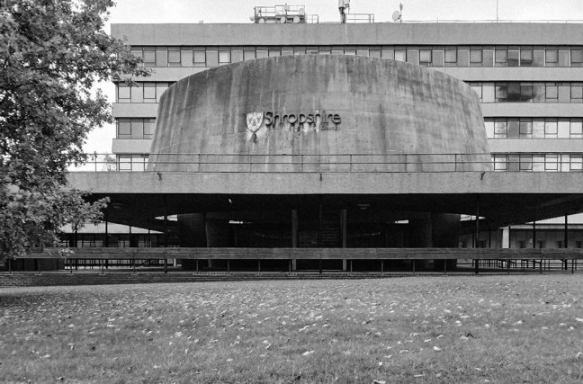
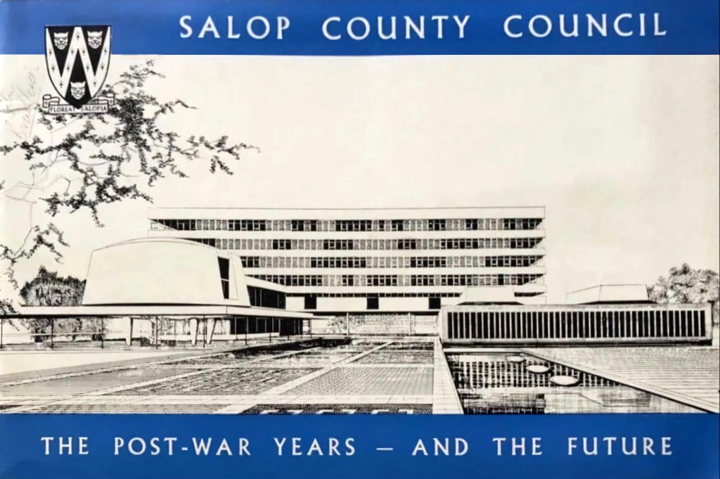
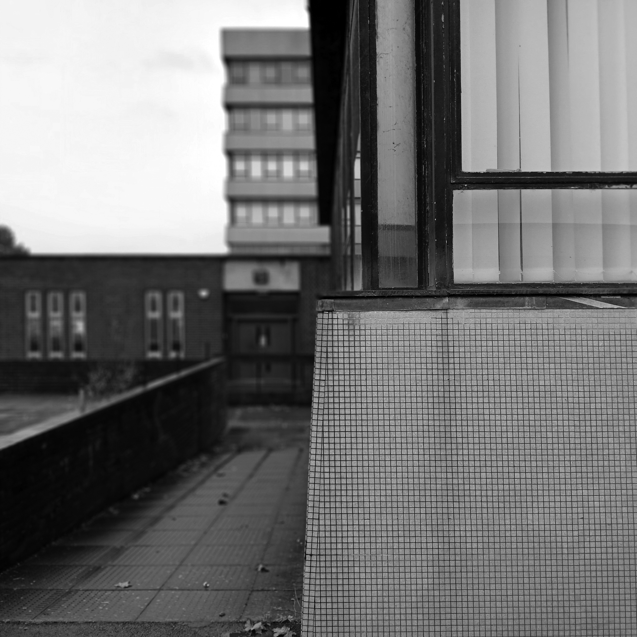
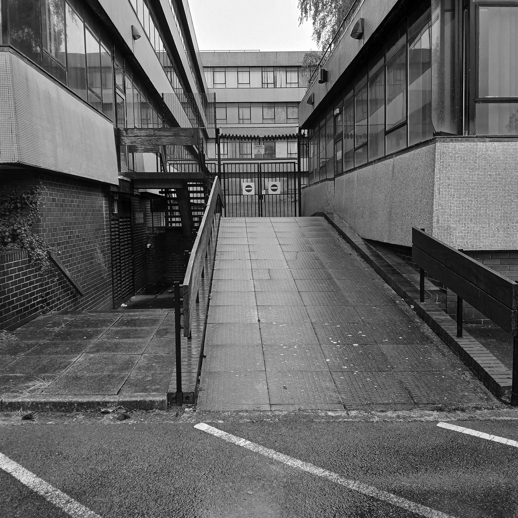
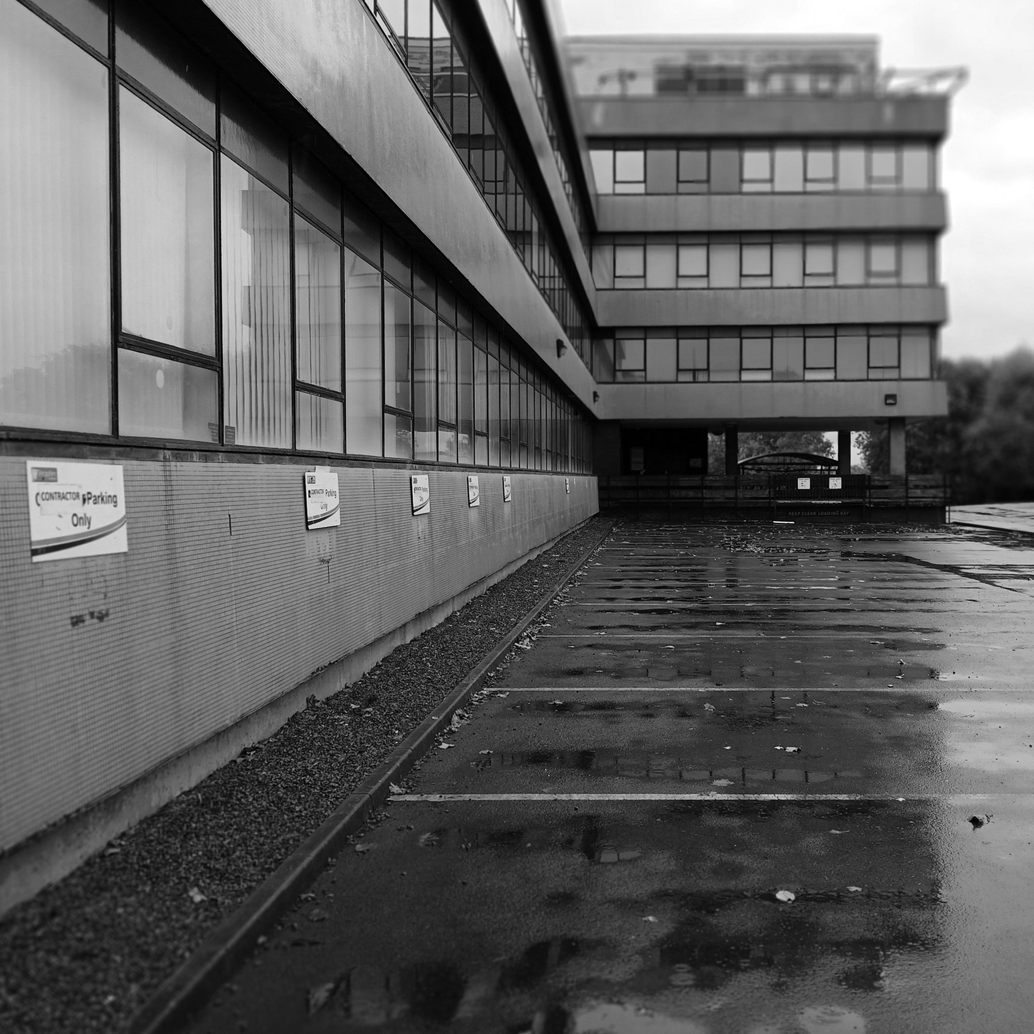
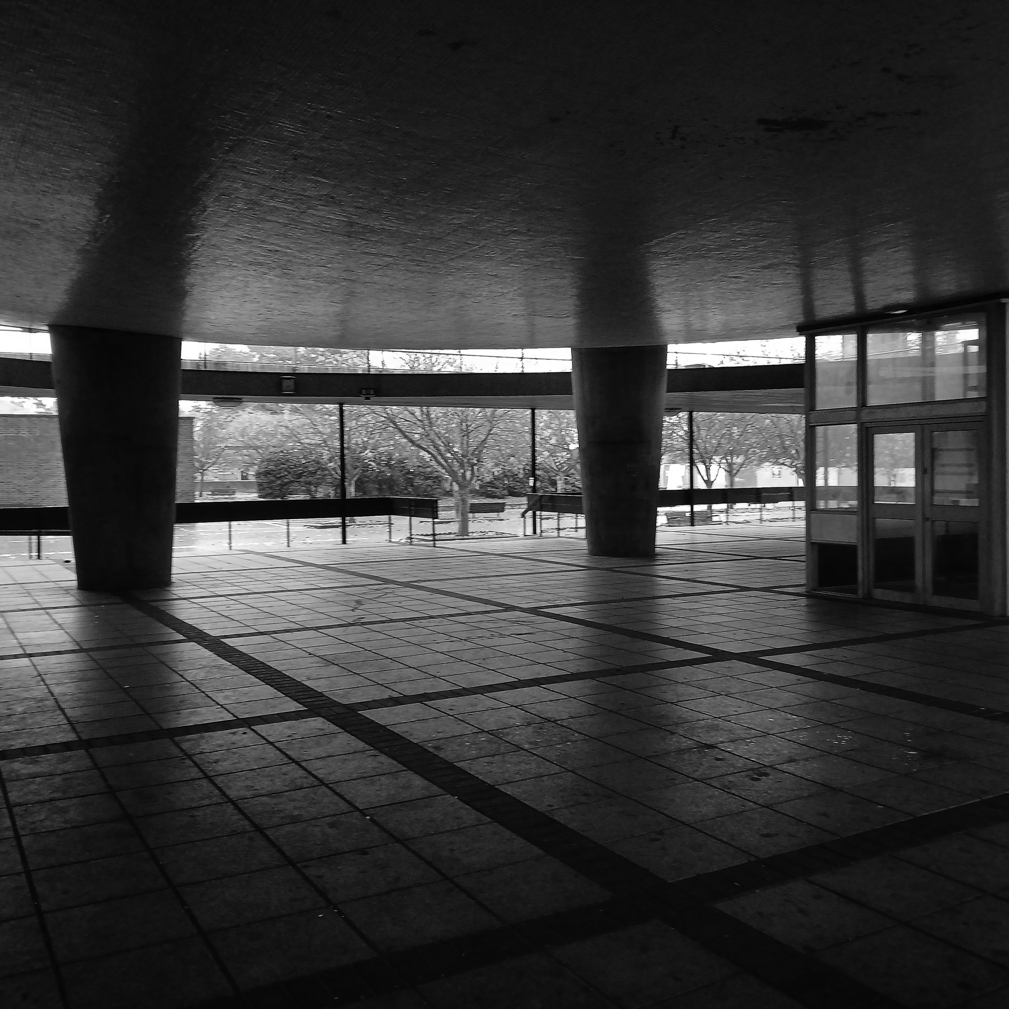
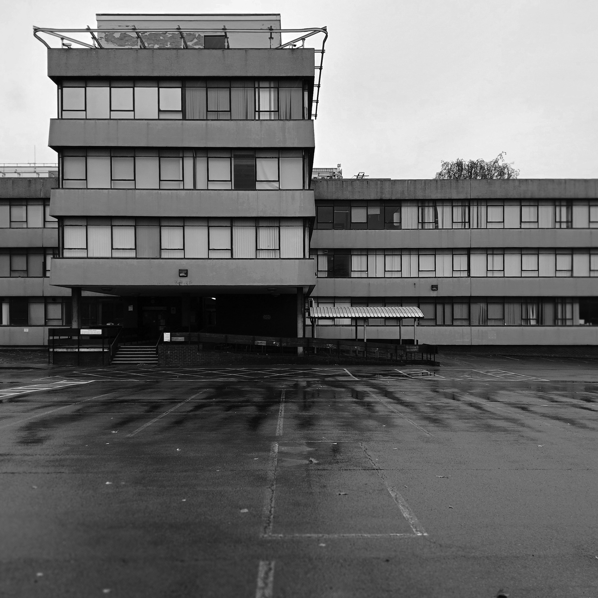
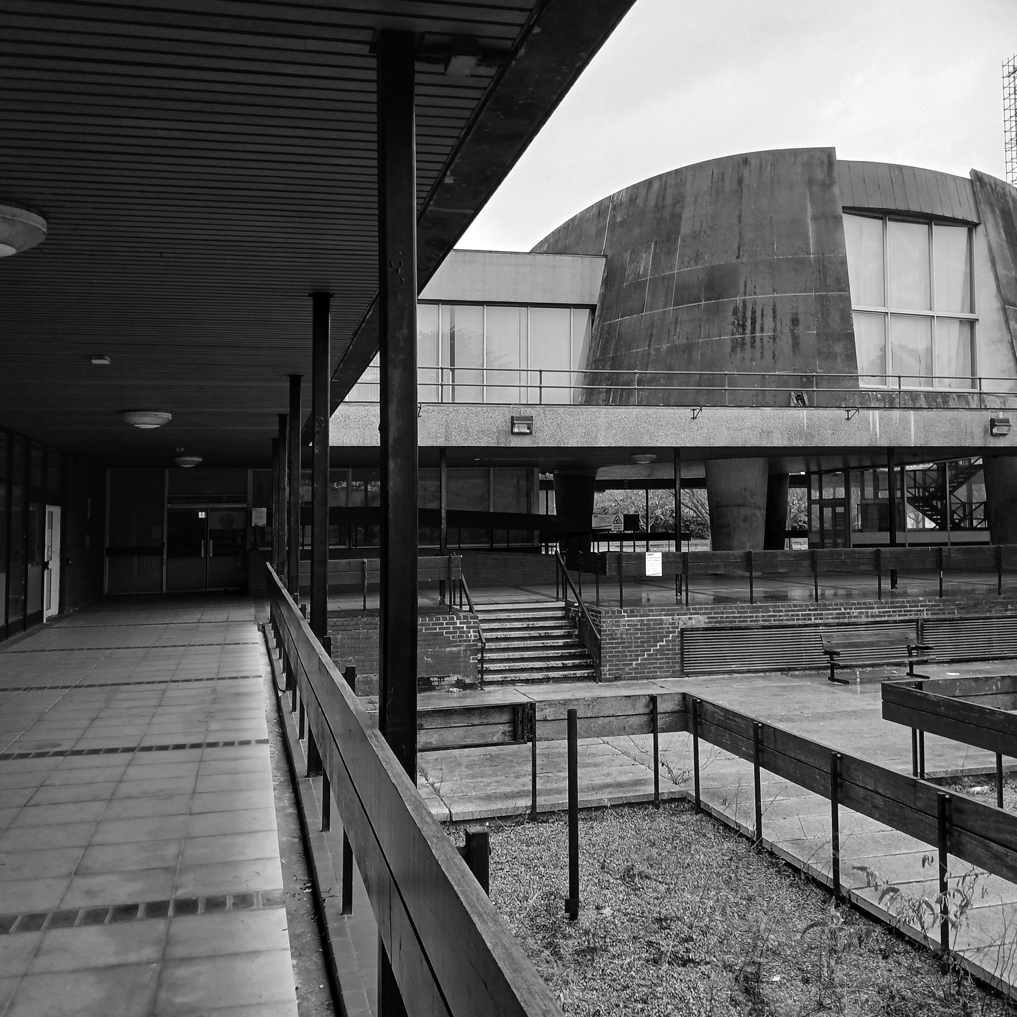
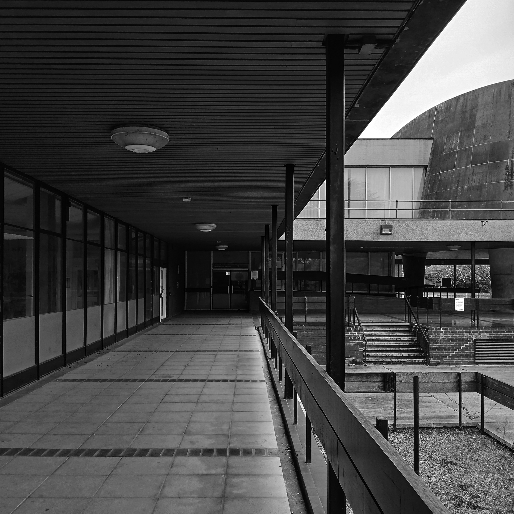
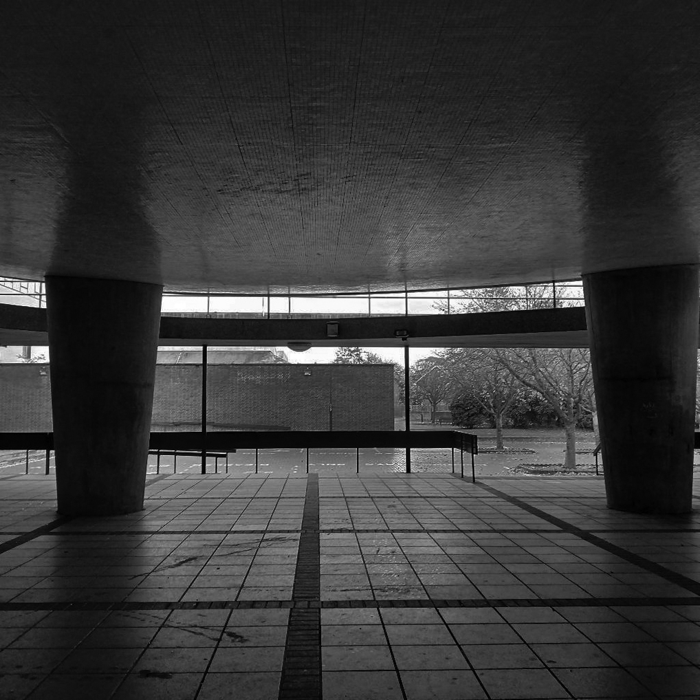
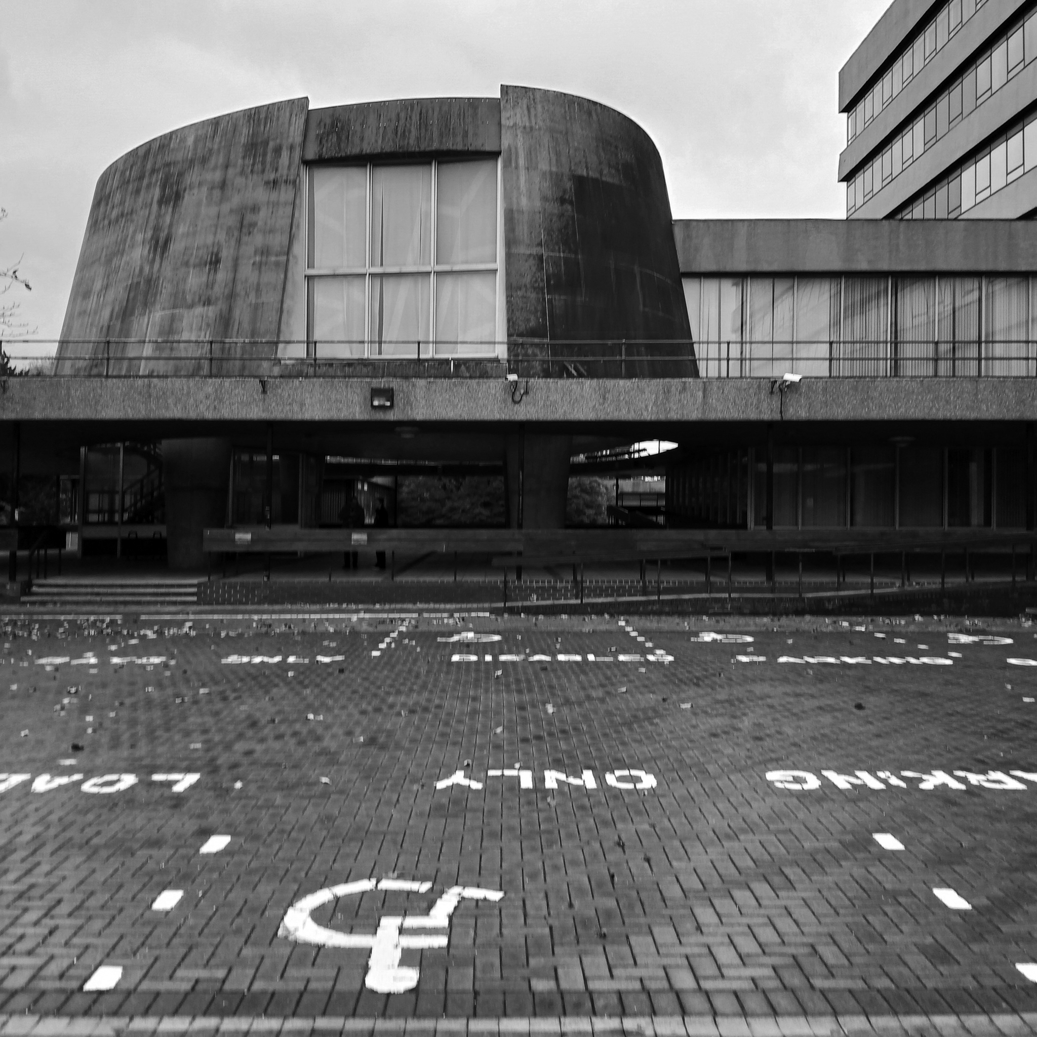
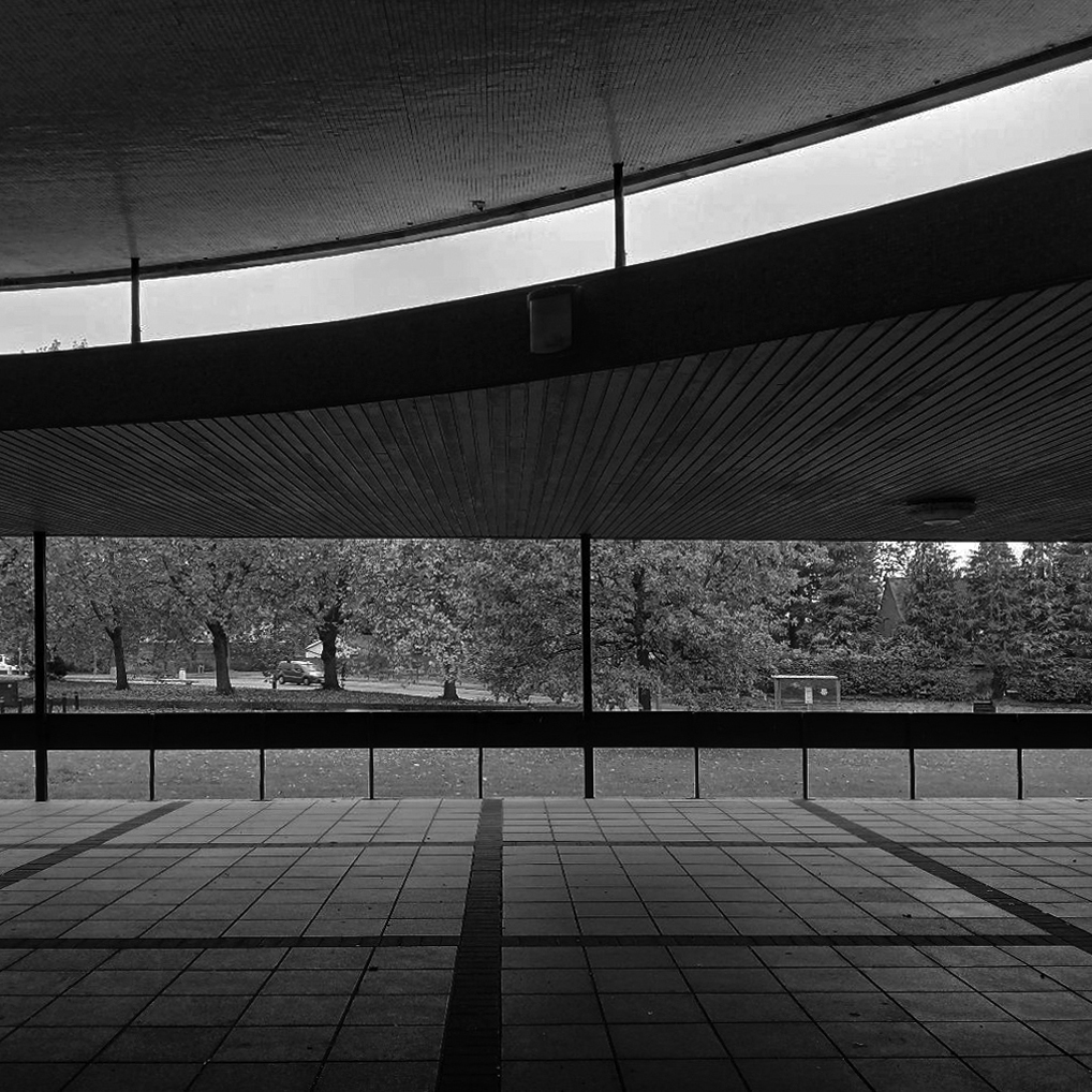
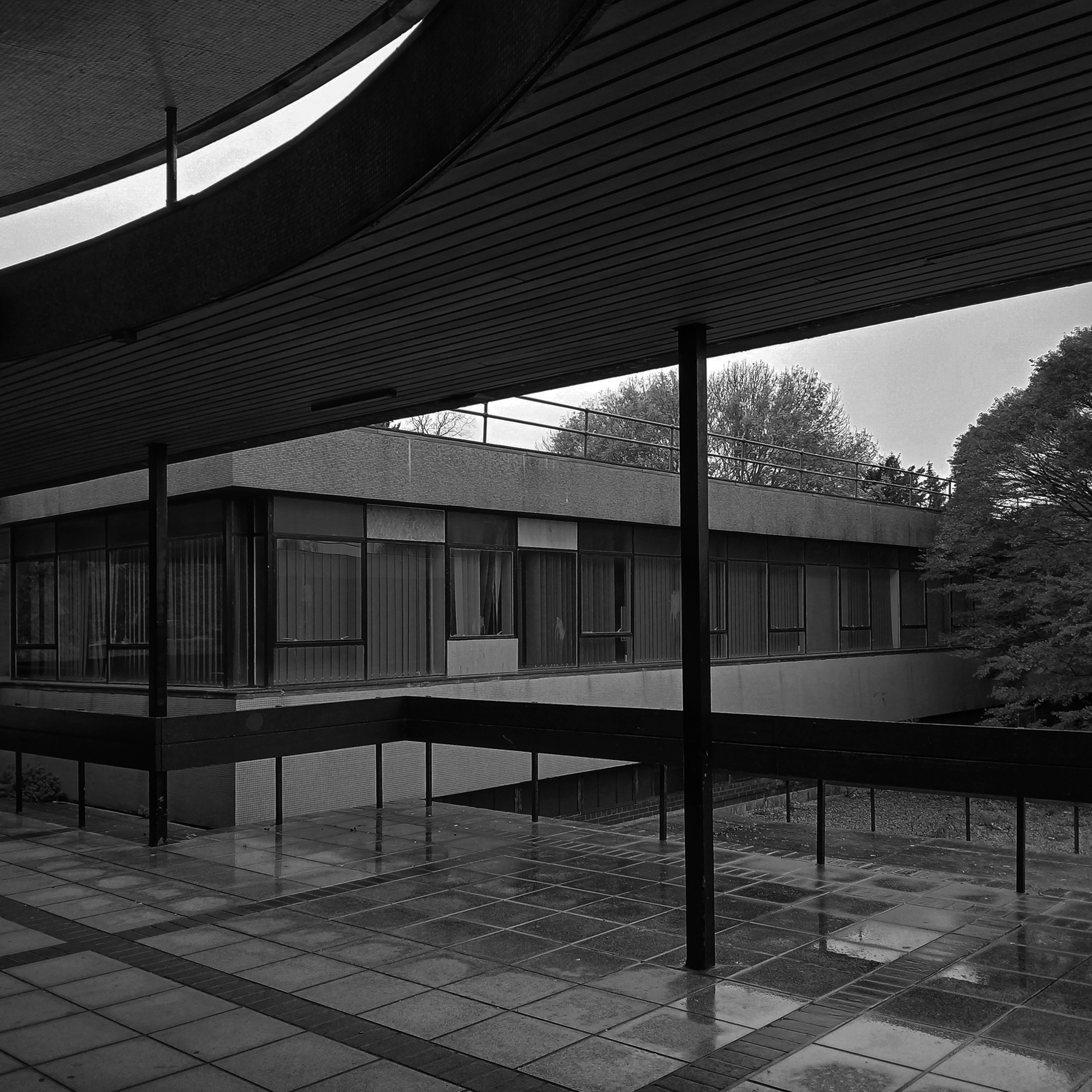
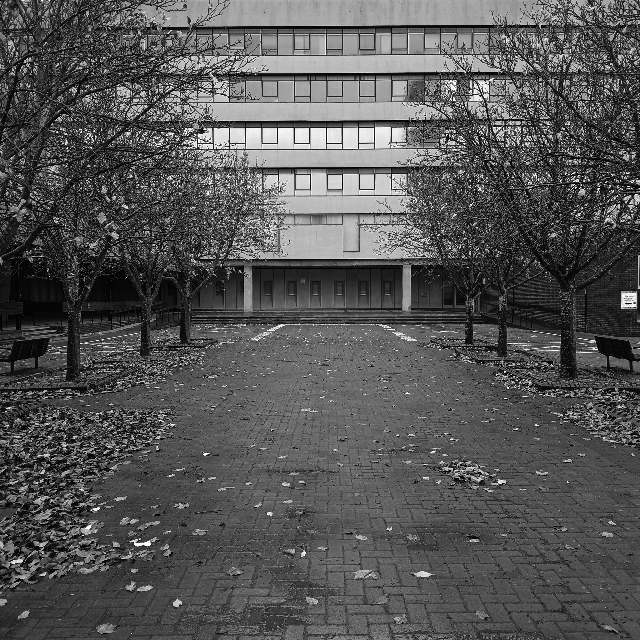
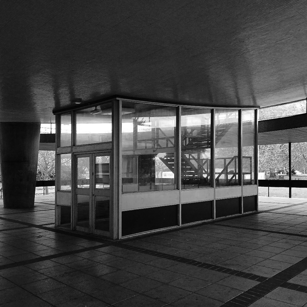
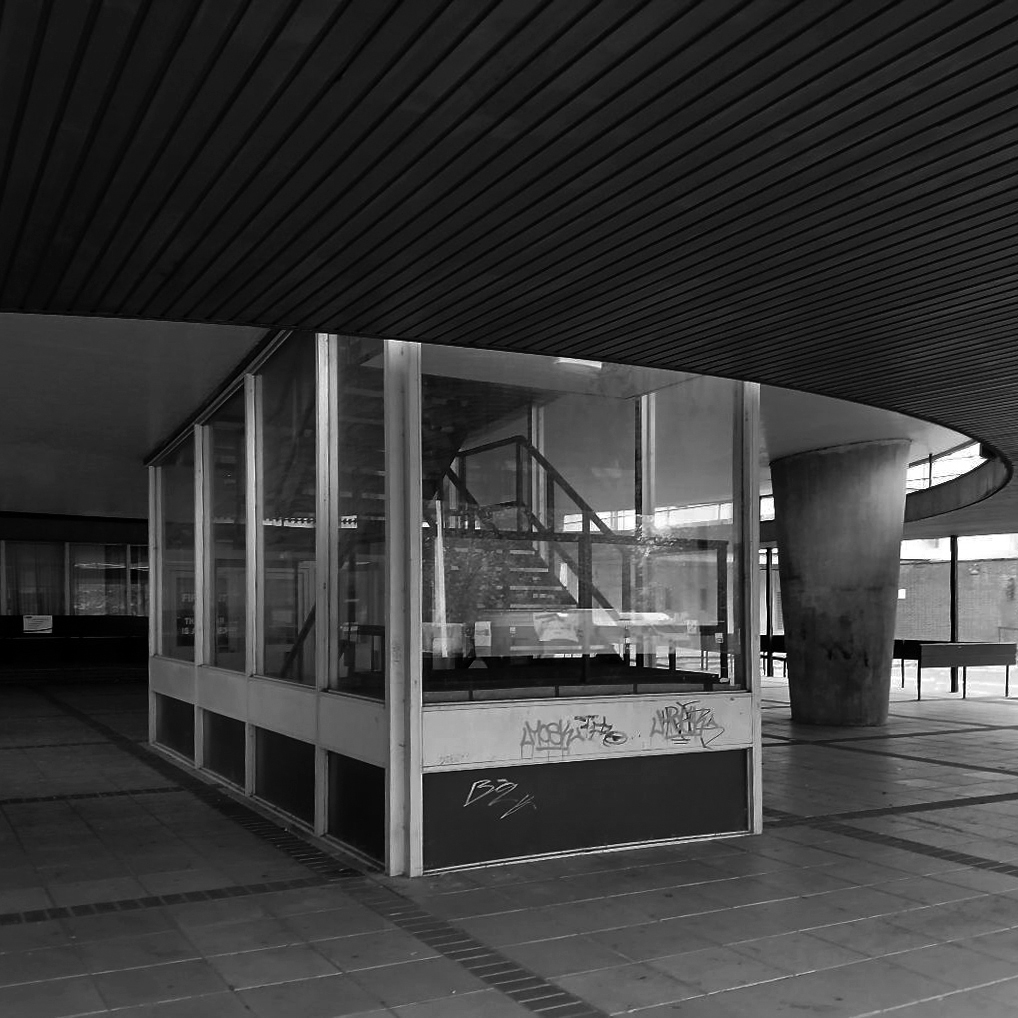
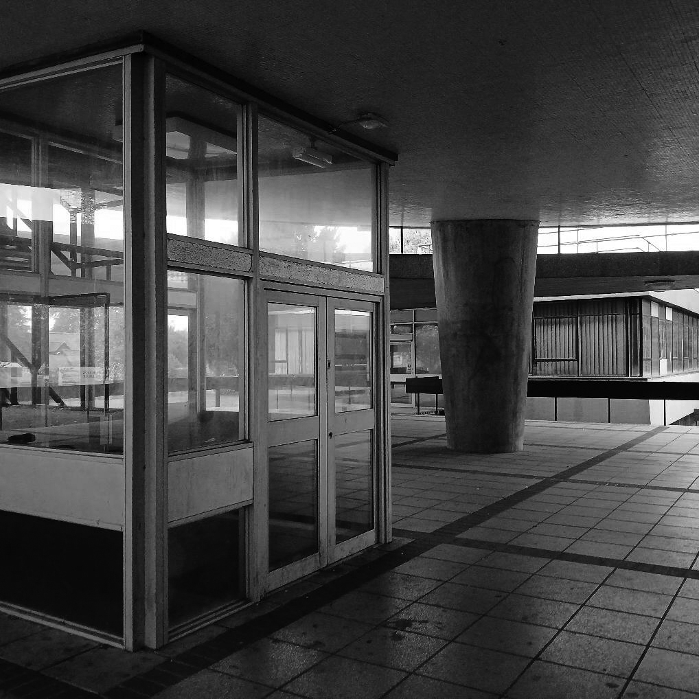
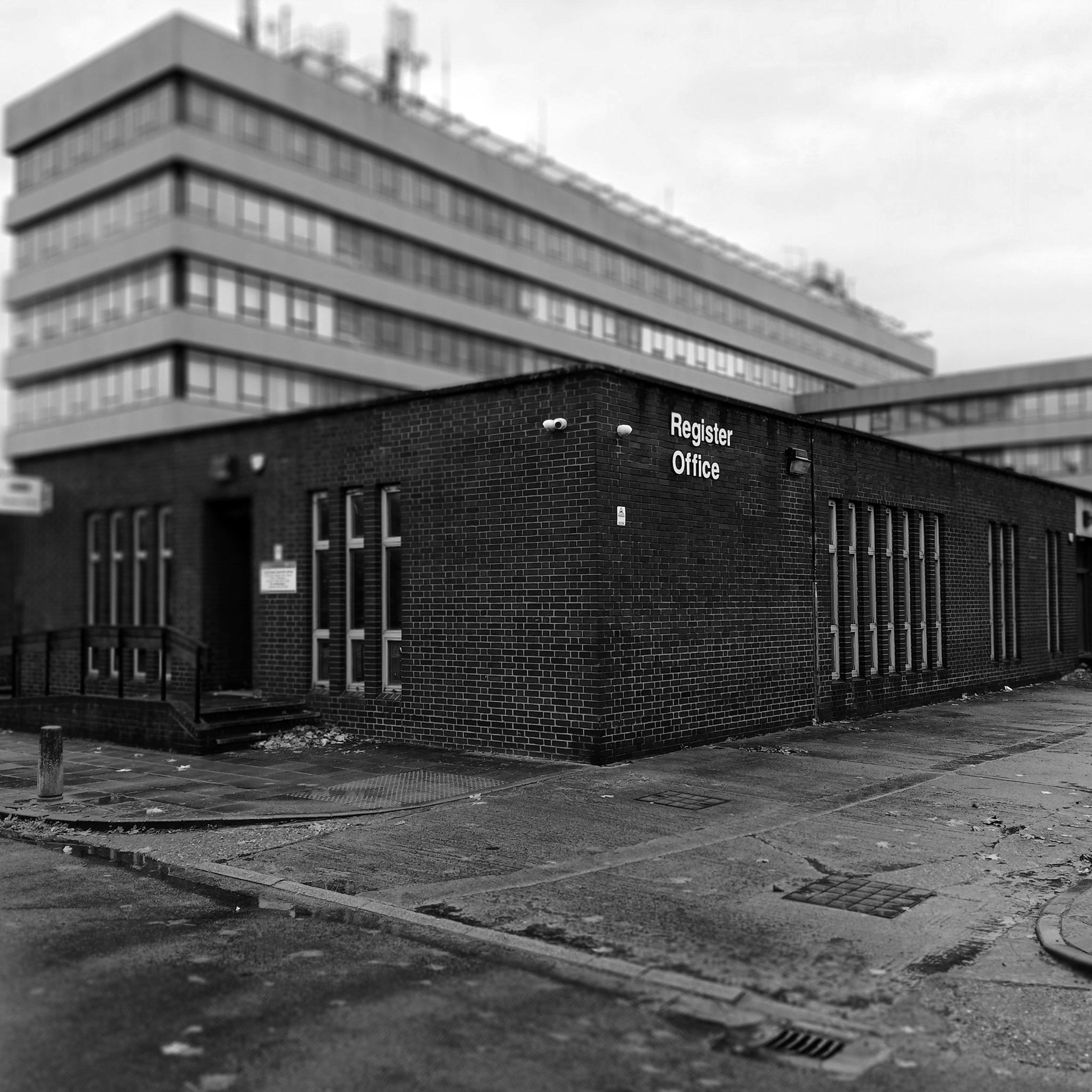
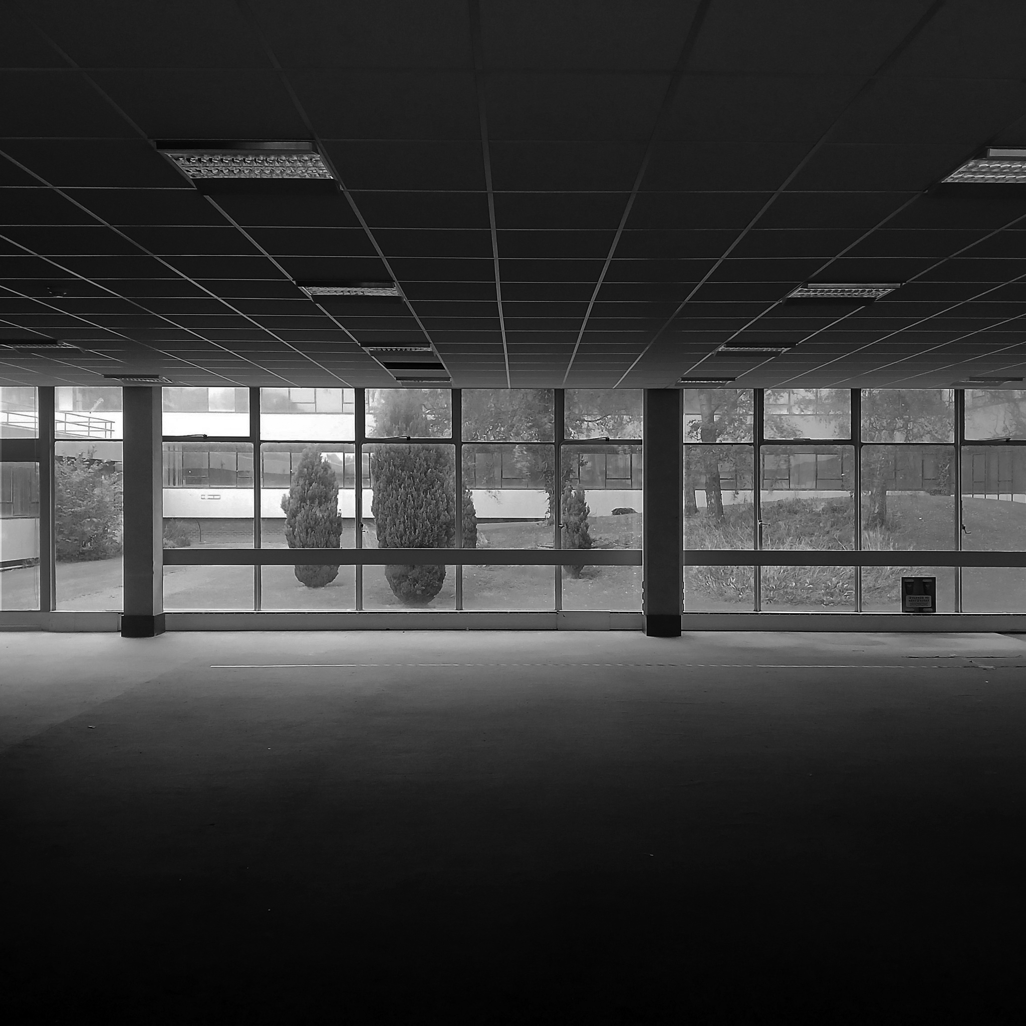
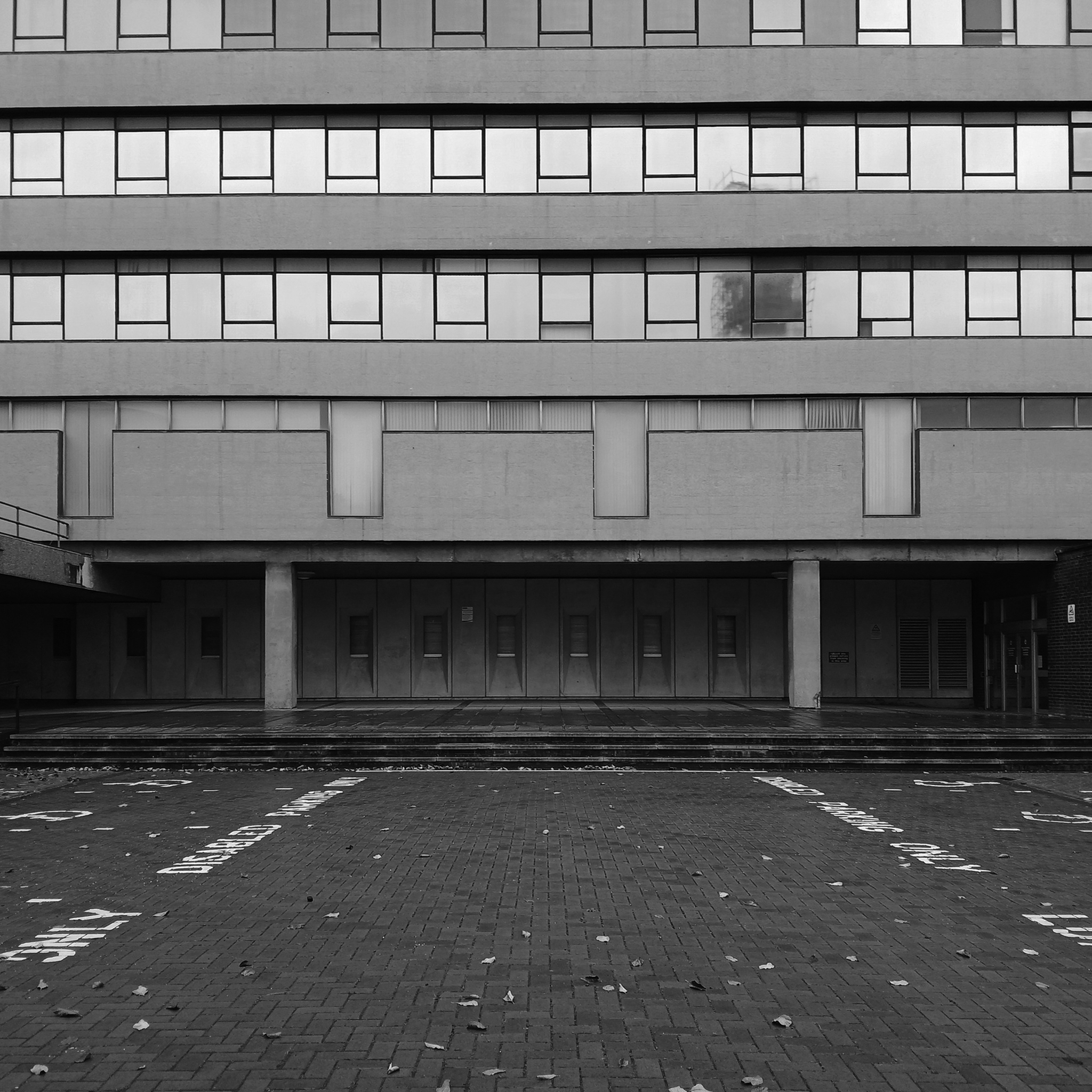
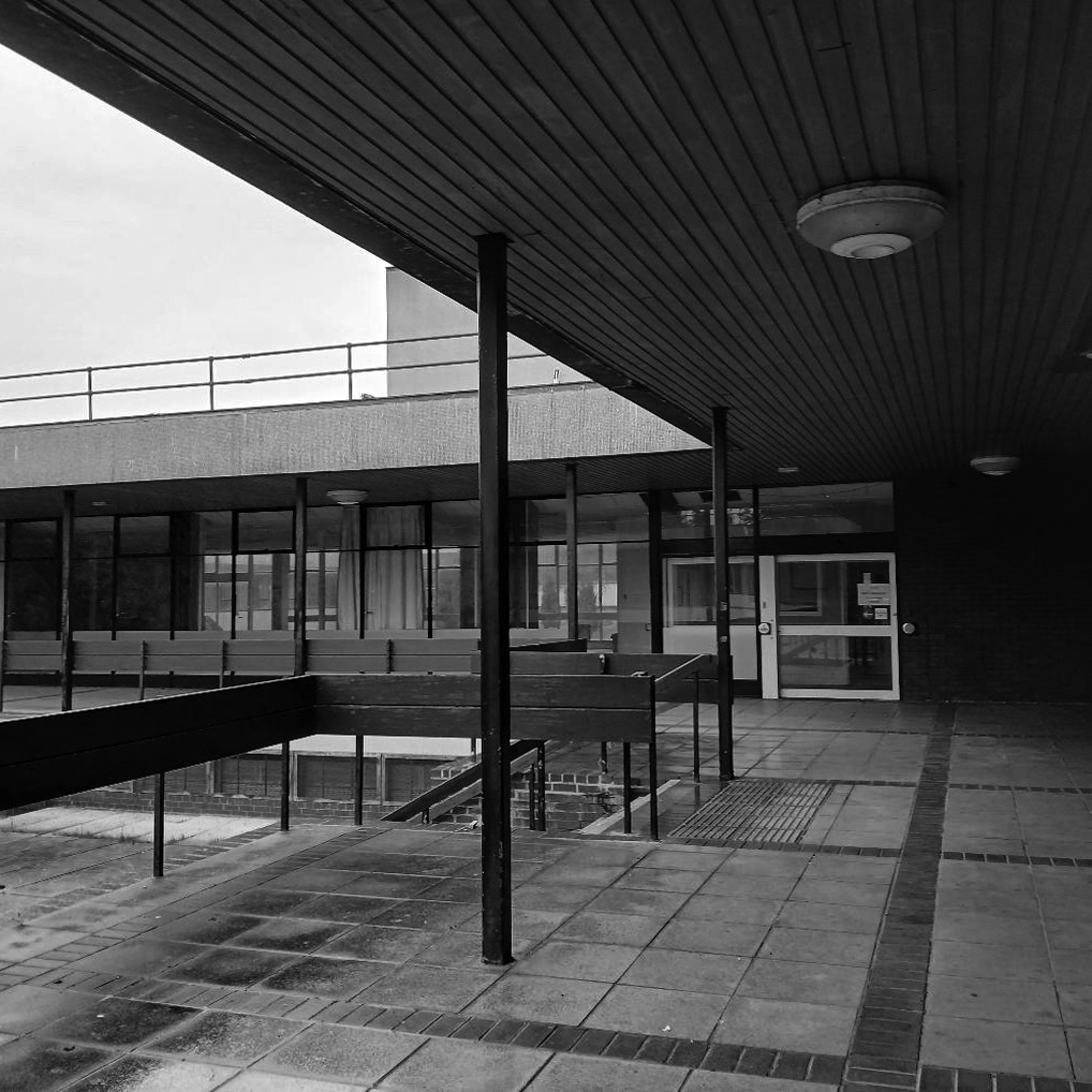
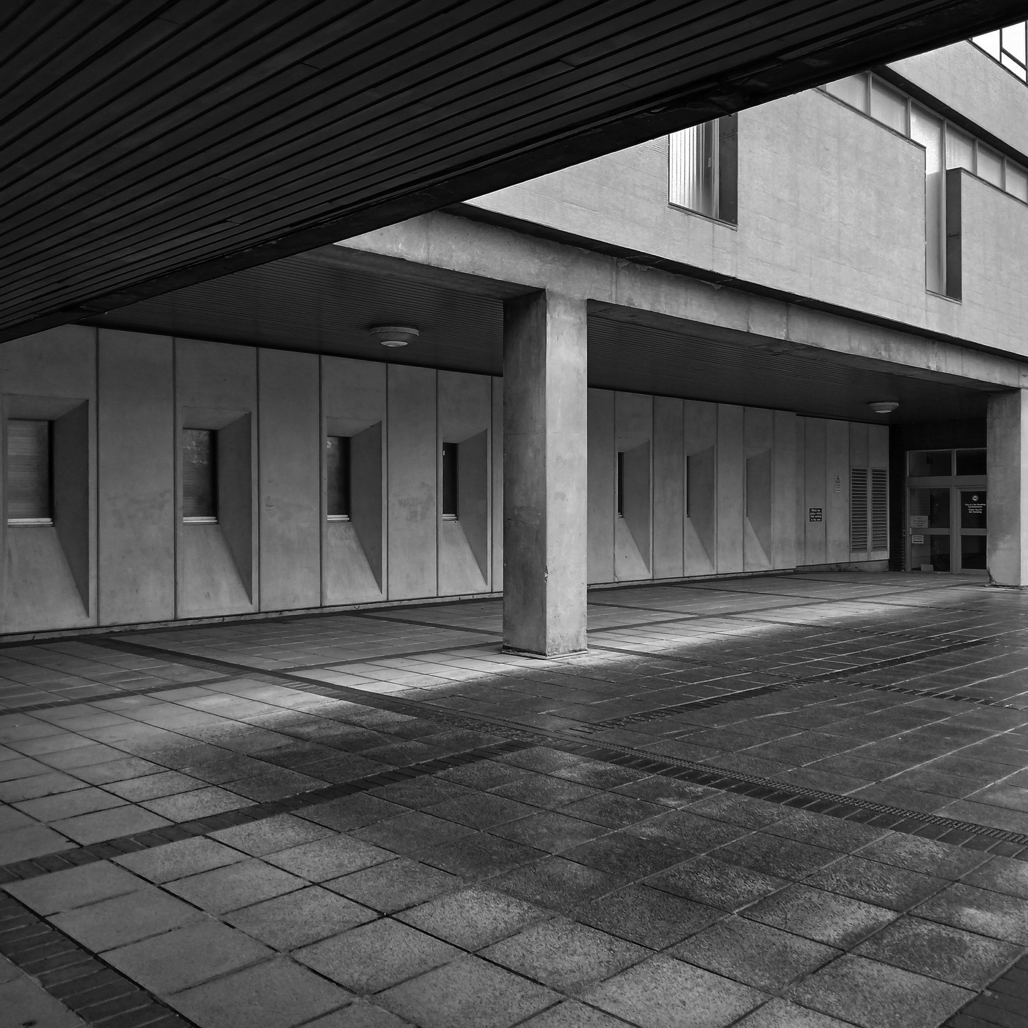
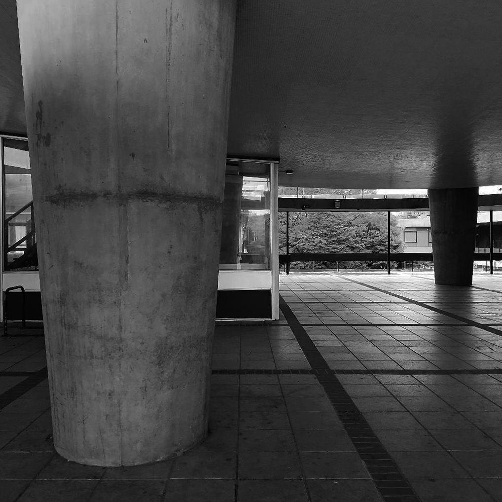
The foundation stone for the new building was laid by Sir Offley Wakeman, a former chairman of the county council, on 25 July 1964. It was designed by Ralph Crowe, the County Architect, in the Modernist style, built at a cost of £1.8 million and was completed in April 1966.
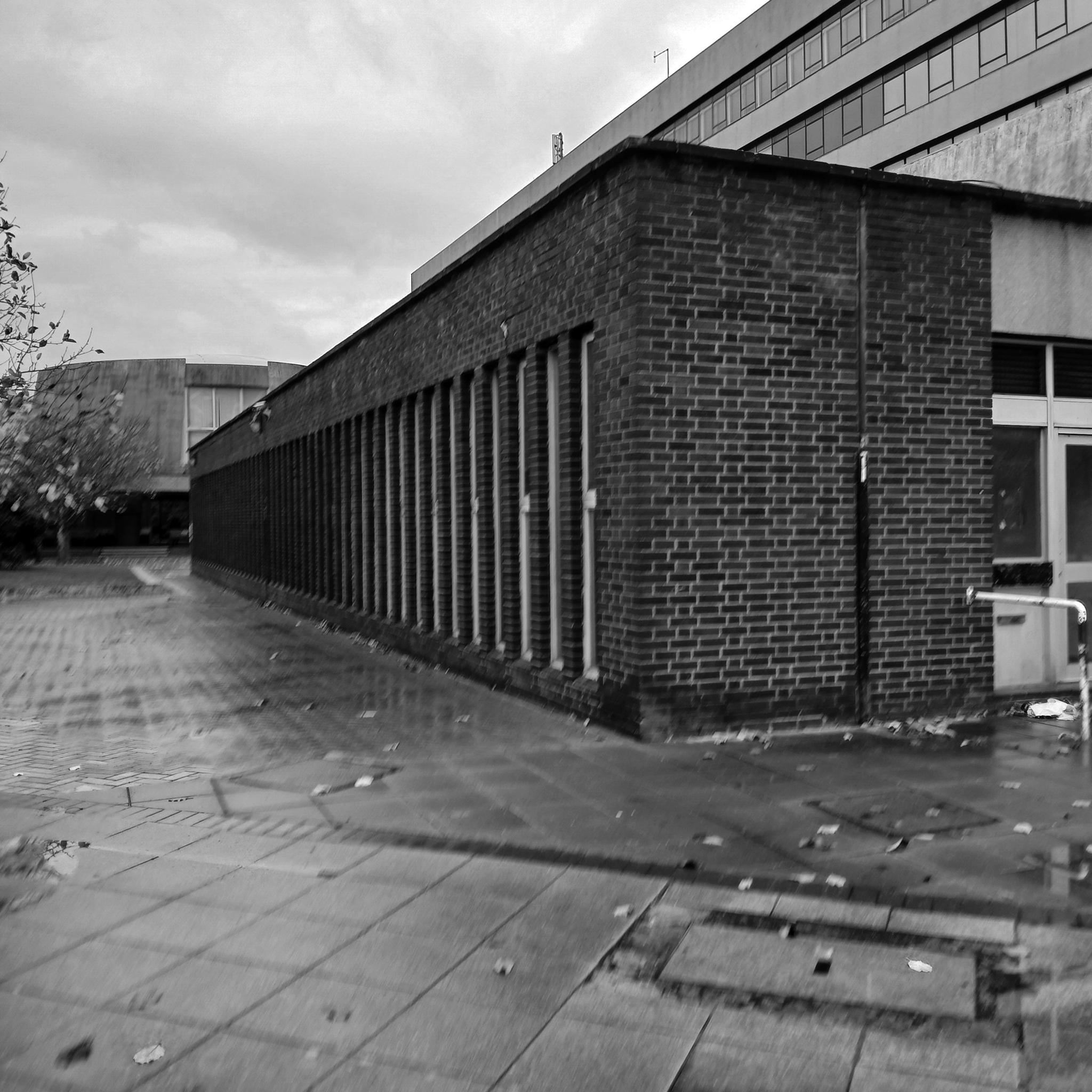
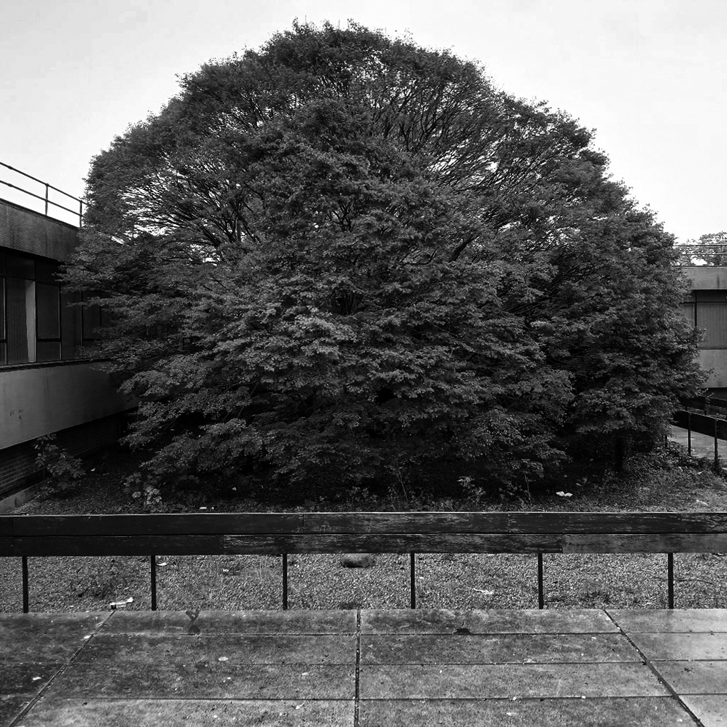
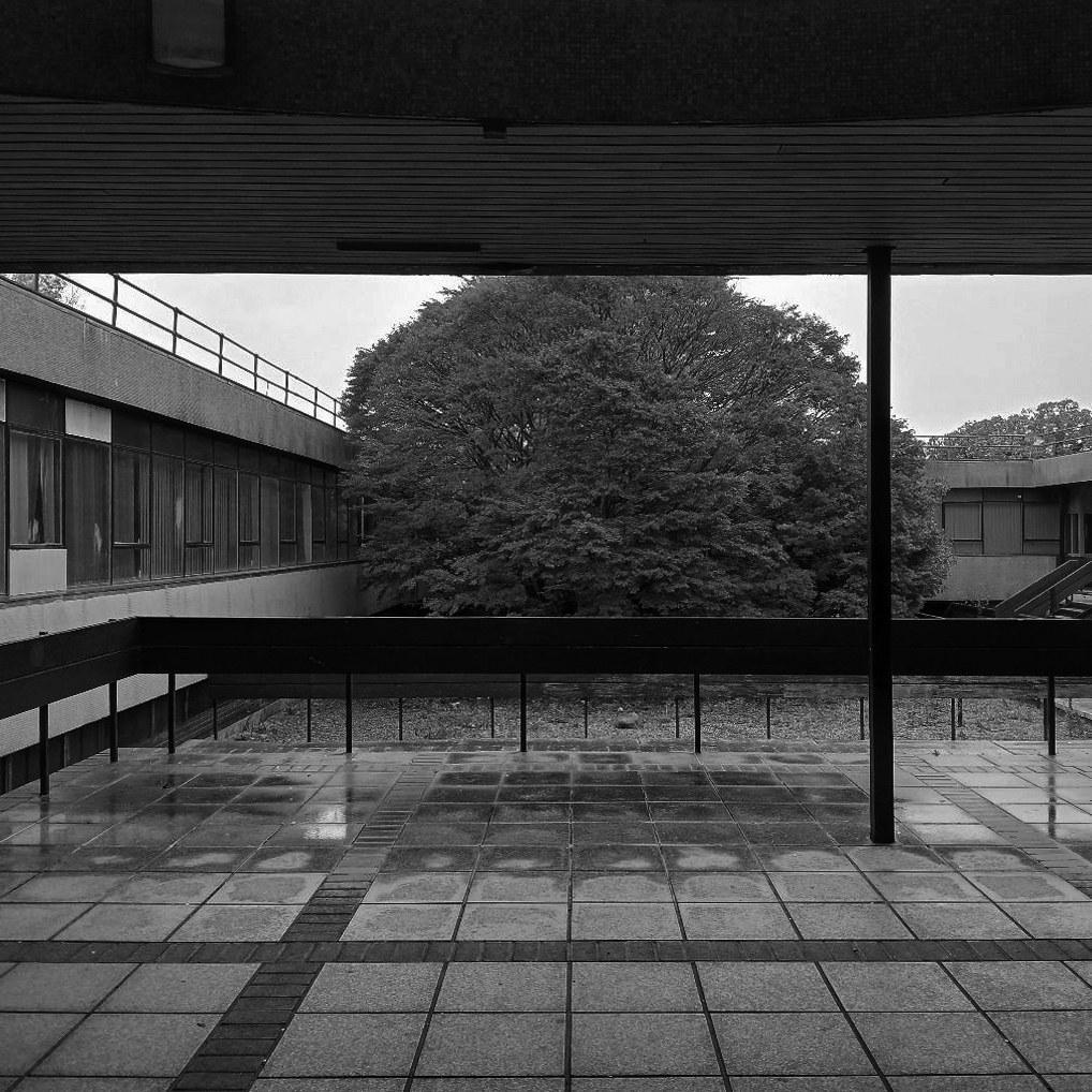
Having visited and snapped way back in June 2024, I returned in October 2025.
I had been asked to speak to the Shrewsbury Civic Society, regarding the history of Modernism in support of their campaign to save Shirehall.
The previous County Council were disposed toward demolition, the current administration are a little more circumspect.
Shropshire Council is considering a return to its former headquarters, less than a year after it moved out. The authority moved from 1960s-built Shirehall in Shrewsbury to the Guildhall in Frankwell, and said doing so would save up to £600,000 per year.
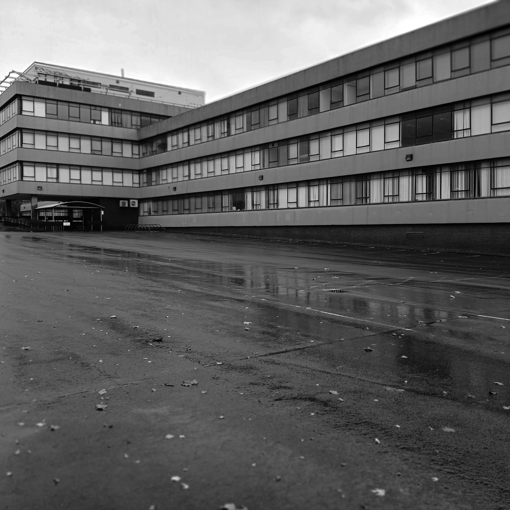
At a meeting on Wednesday, cabinet member for finance Roger Evans said the Liberal Democrats, who lead the council, had paused the demolition and sale of the land, and may retain parts of the building – but only if it could afford to do so.
“We would like to retain the council chamber and some of the associated buildings, but we do need to take account for the cost both in cash terms and in net zero terms,” he said. “What we have done is paused this decision and asked experts to look at it again, look at the whole site, do a reappraisal. The results are just now being recieved.
“I want to keep it as much as we can afford, both environmentally and cash-wise. Whether we can or not will depend, the council is strapped for cash.”
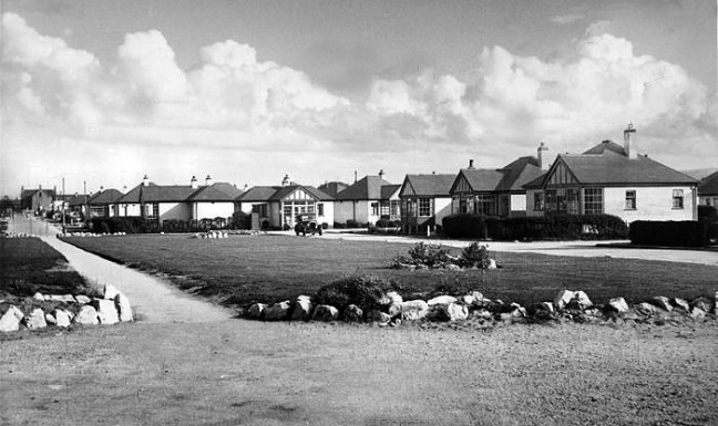
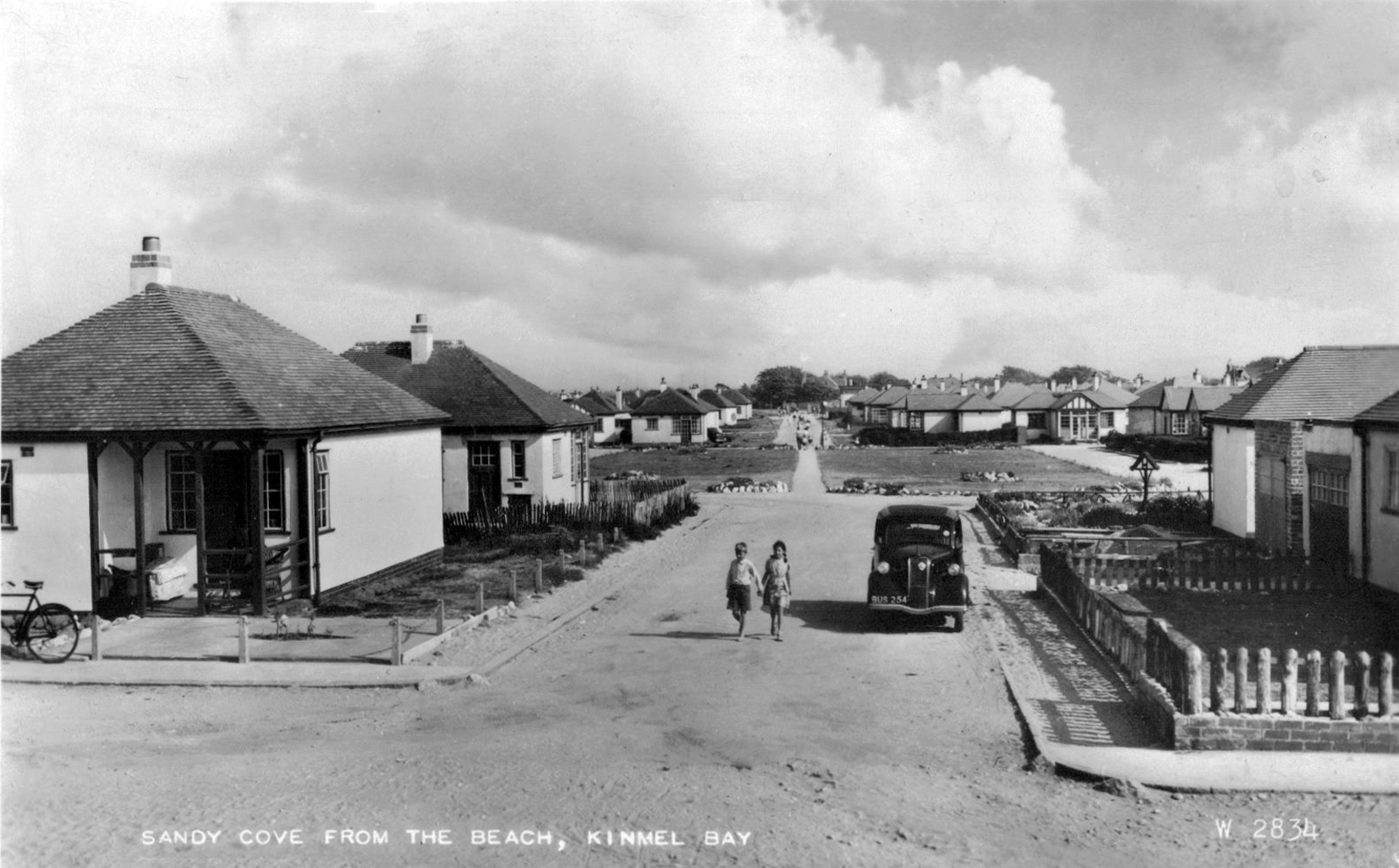
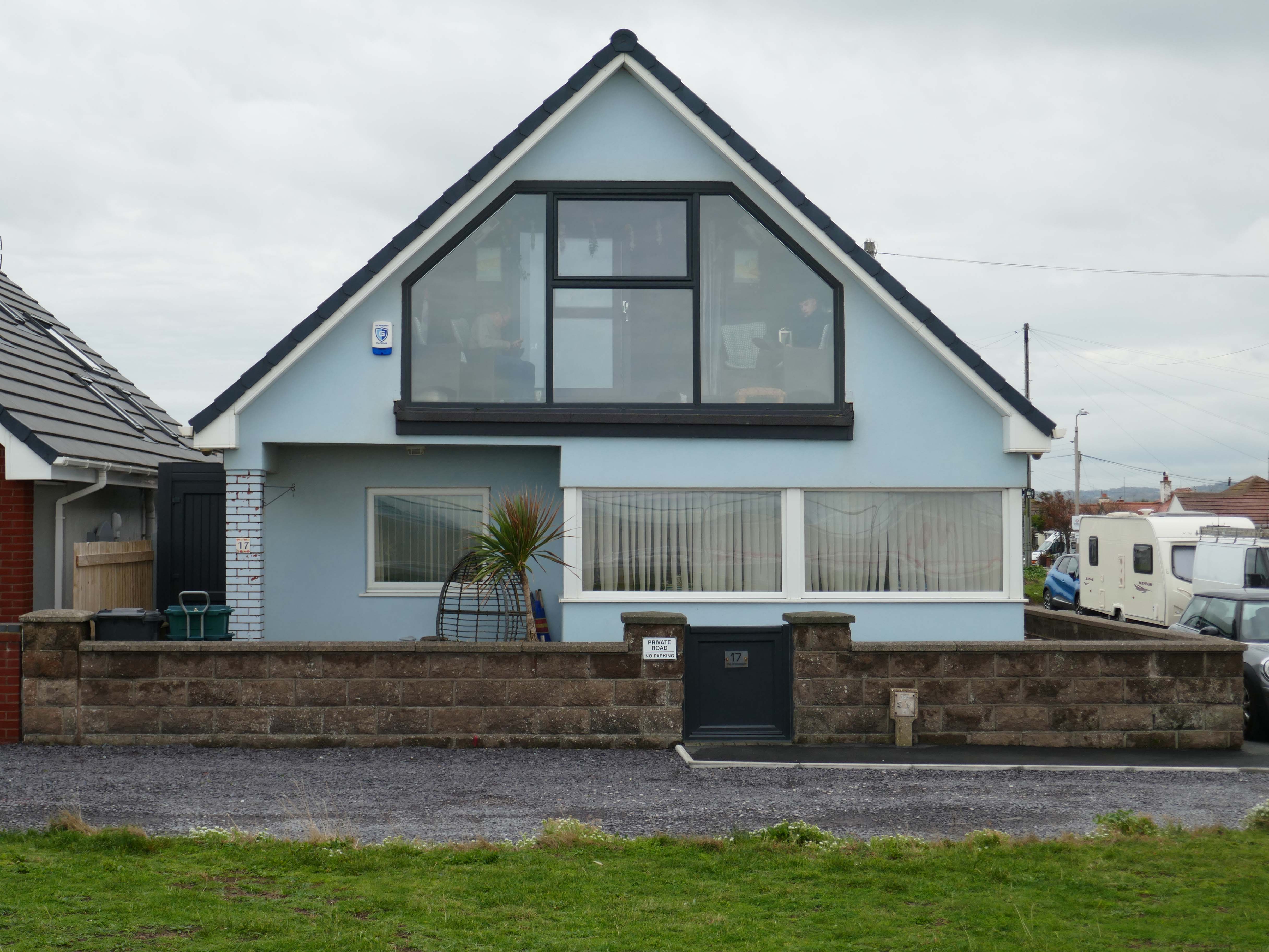
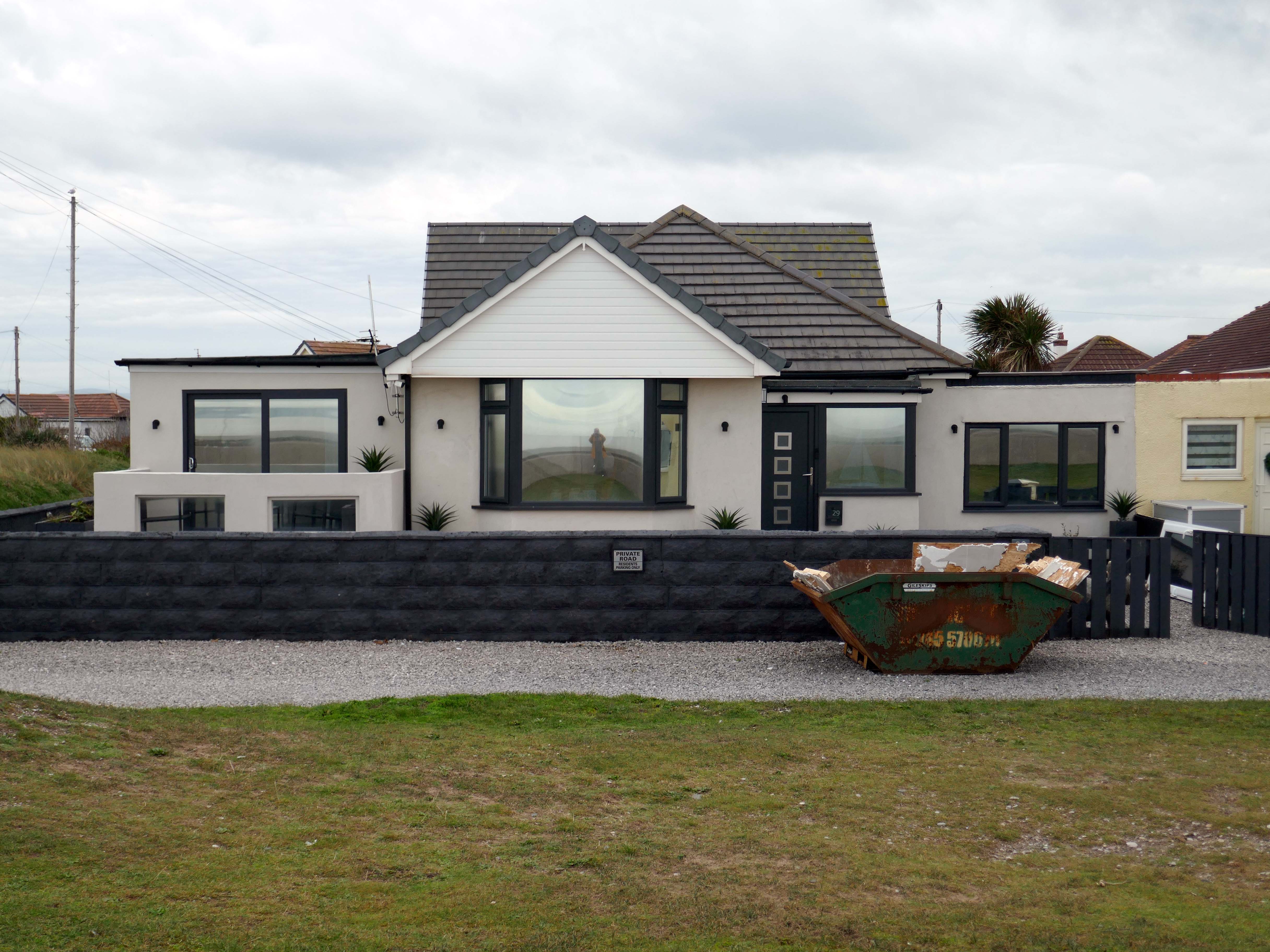
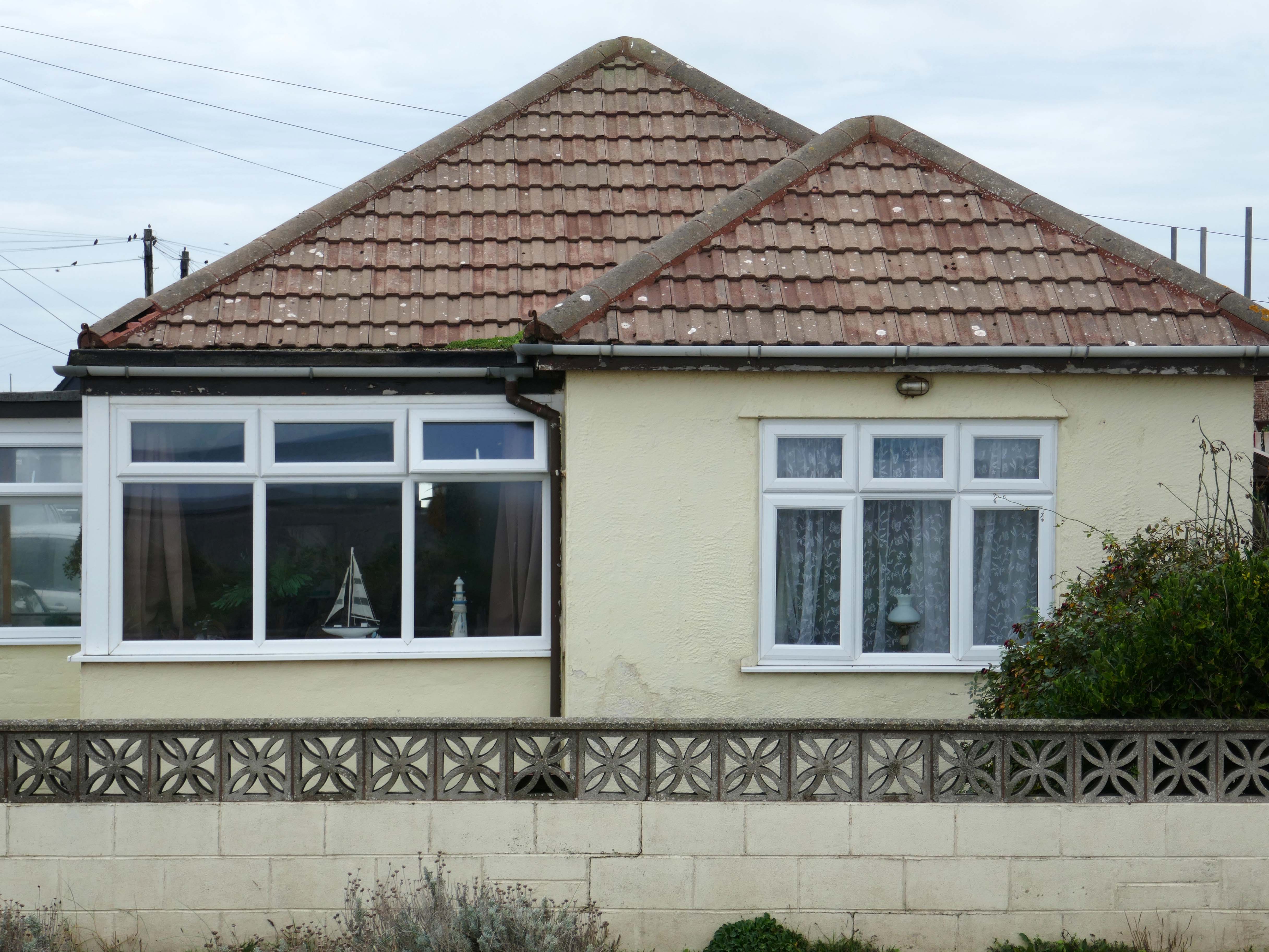
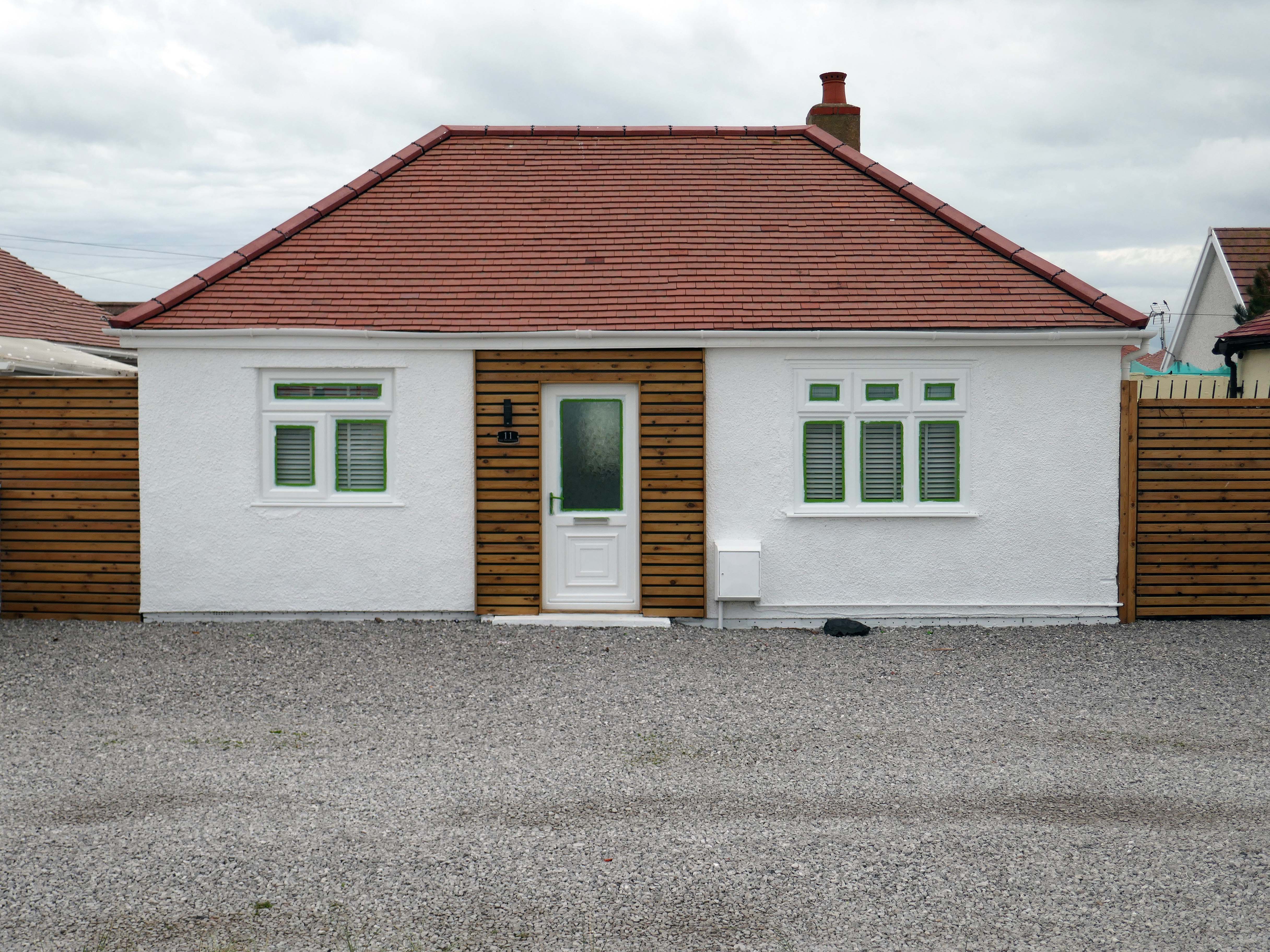
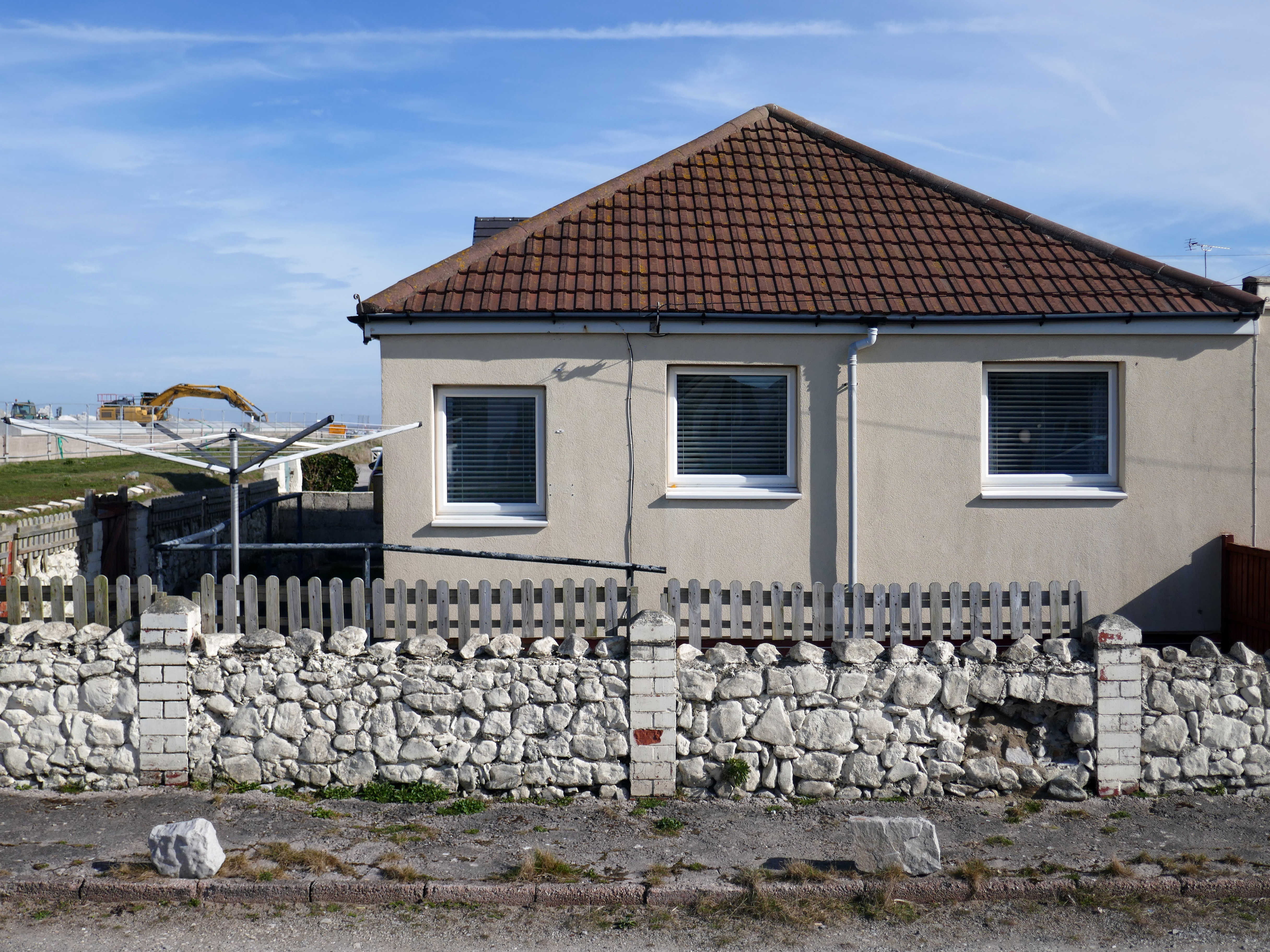
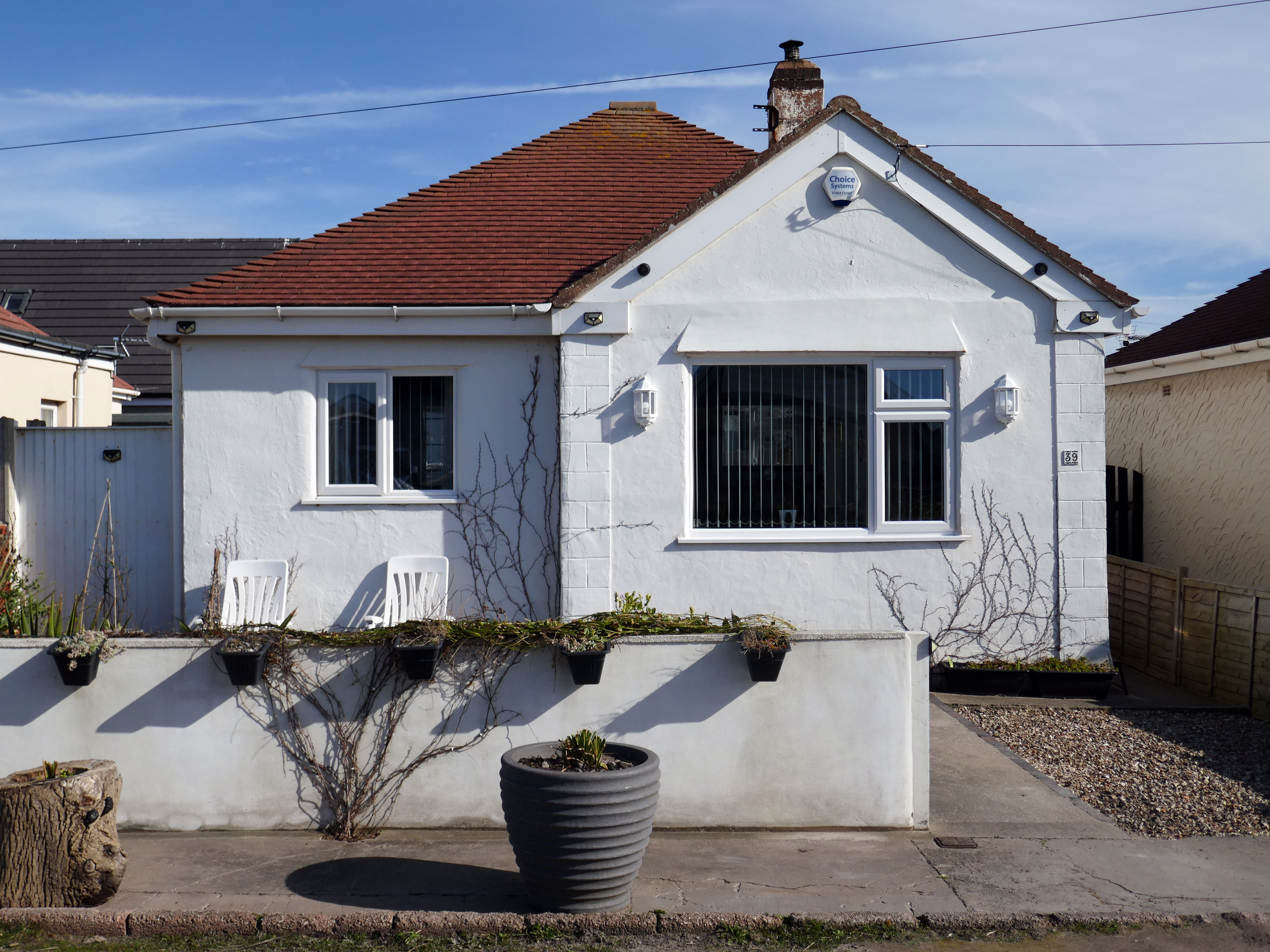
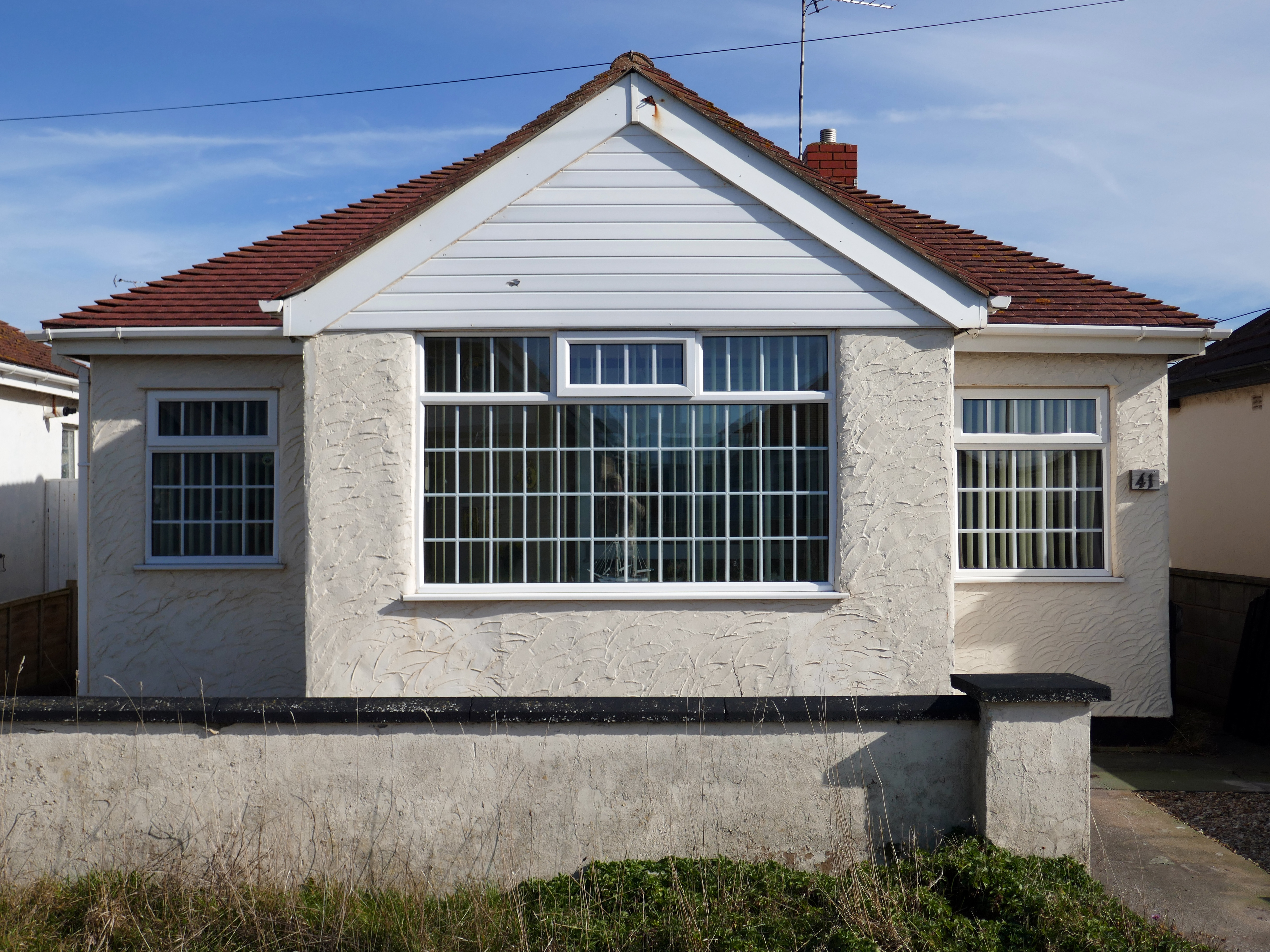
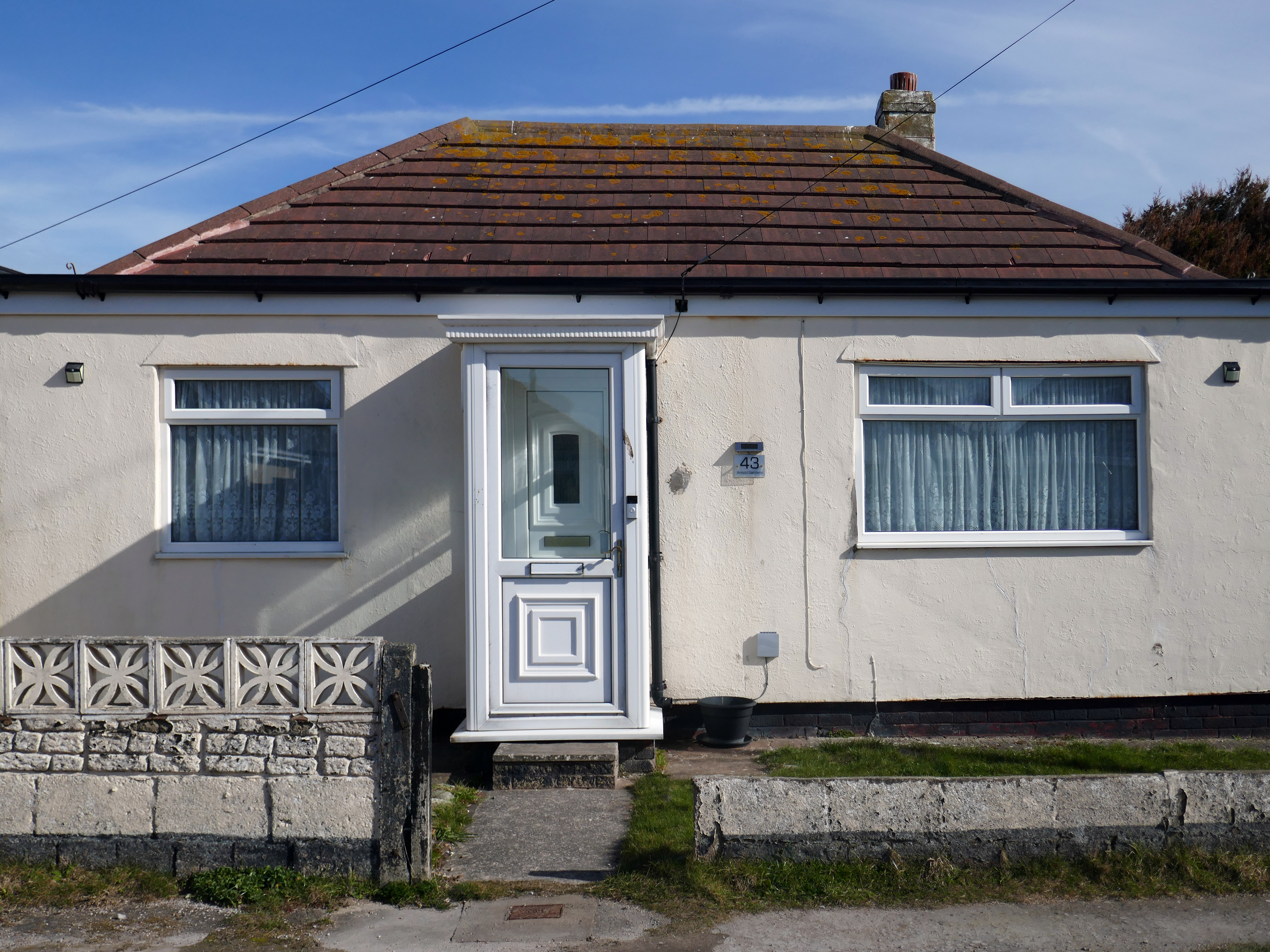
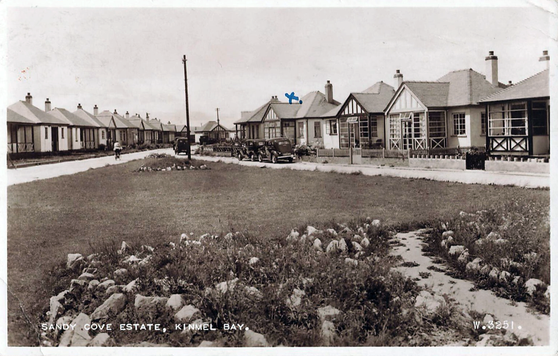
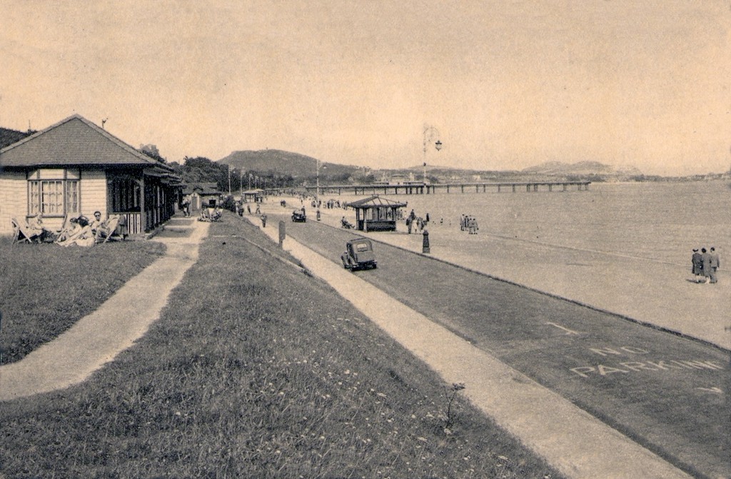
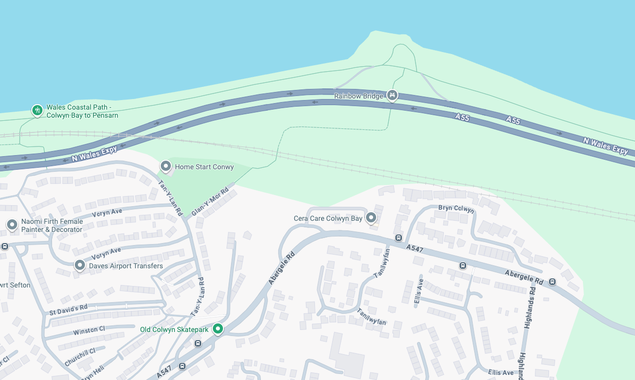
As I walked out one morning, as on other mornings I passed a group of bungalows along the North Wales Coast, as seen on many a trip twixt Rhyl and Colwyn Bay.
What is the history of this Kinmel Bay estate?
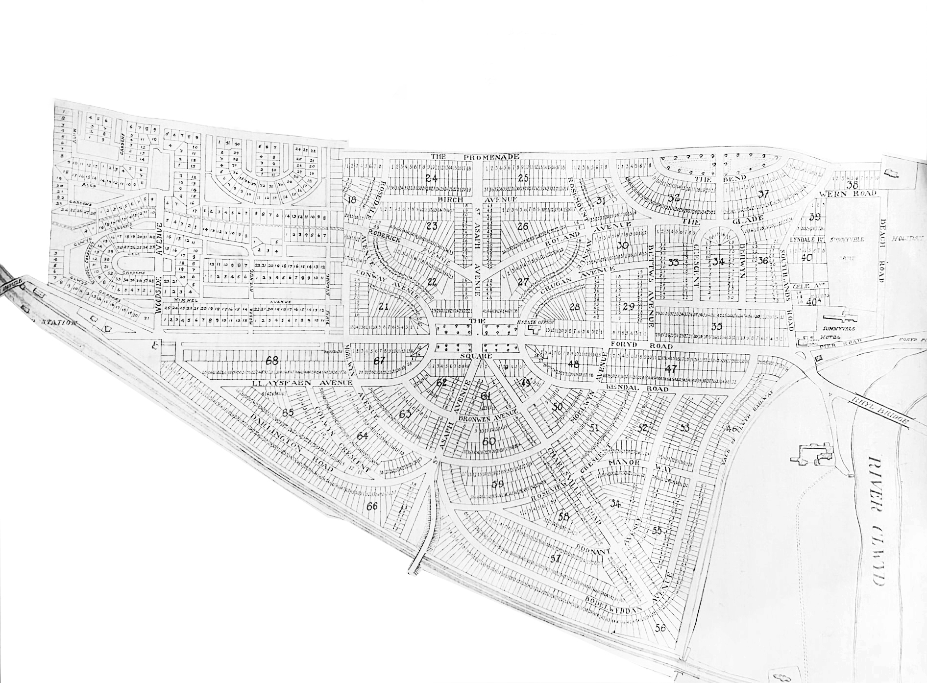
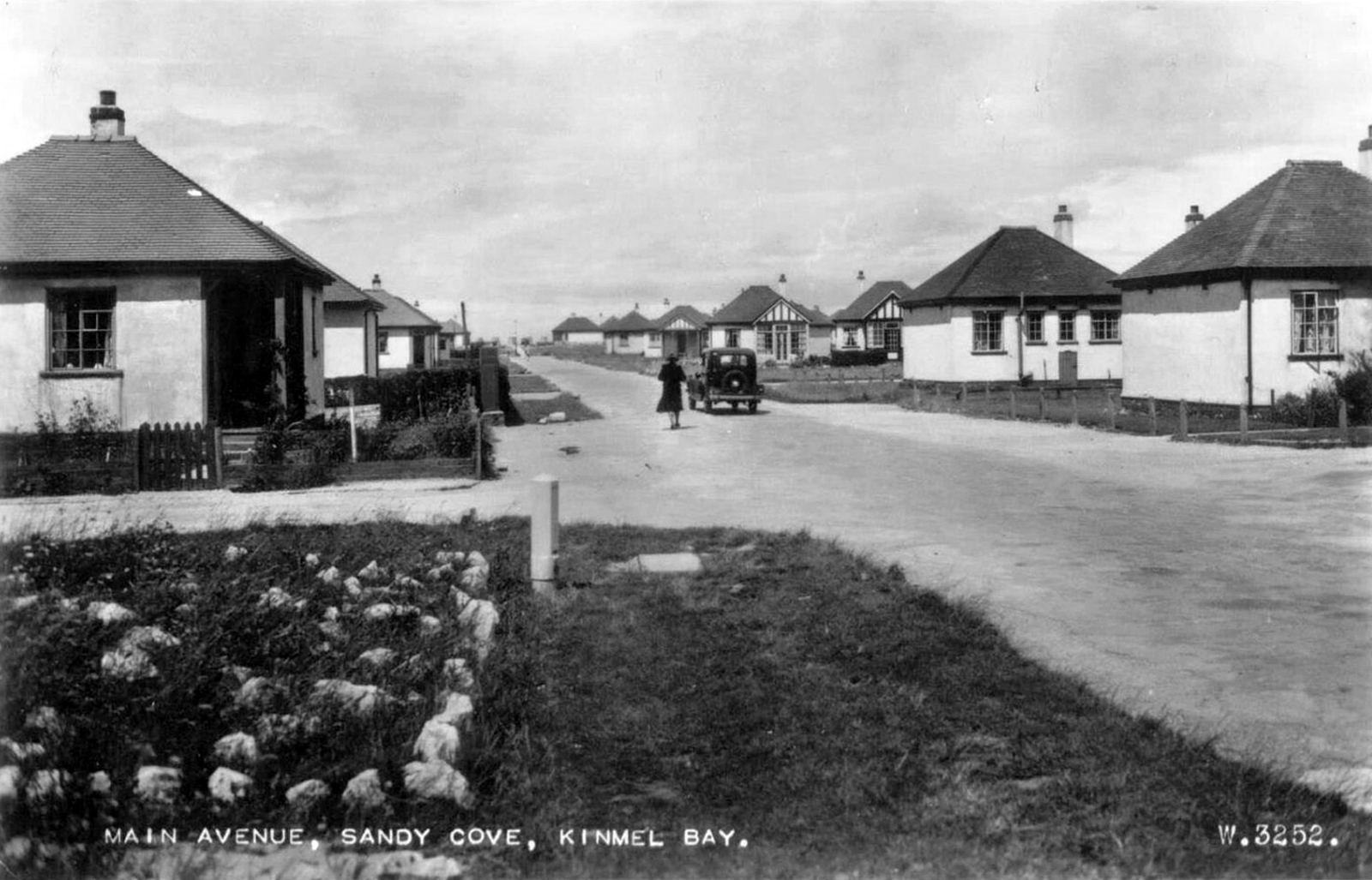
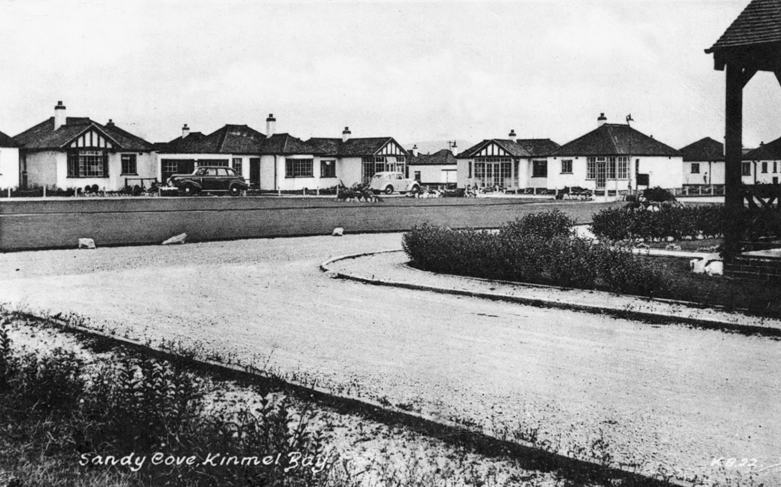
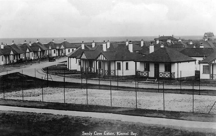
During the 1930s a company called Kinmel Estates Ltd came up with a idea of building a Holiday Village called Sandy Cove Estate. These Houses soon produced a lot of interest by many wishing to own their own holiday home and by the 1940s most were sold.
Due to unknown financial problems the Company went into liquidation in 1947 leaving further work on the infrastructure of the village undone. The Village was taken over by the Crown as the local Council showed no interest. It remained this way until 1997 when the land passed to The Kinmel Bay and Towyn Community Assocation Ltd.
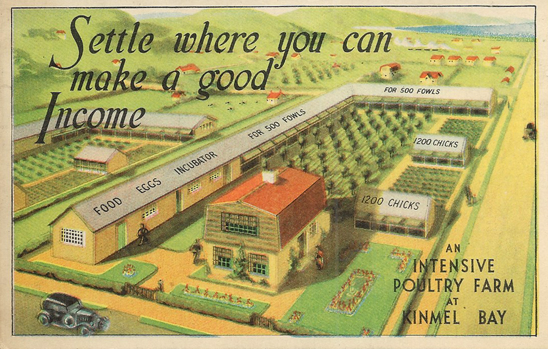
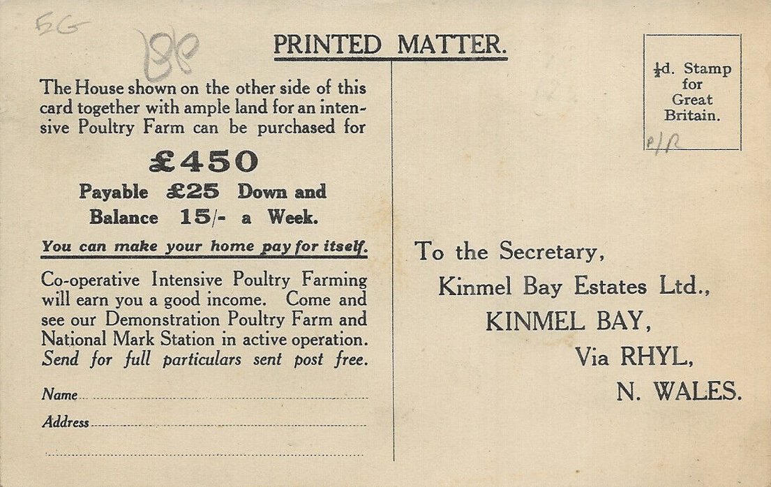
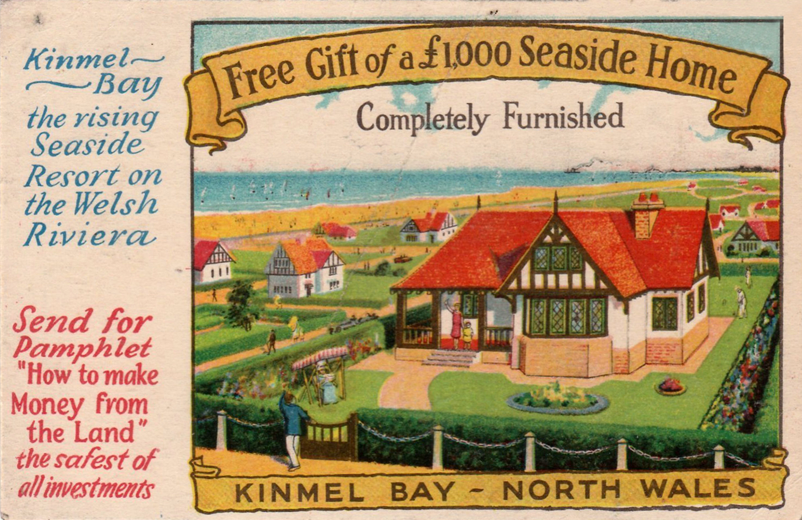
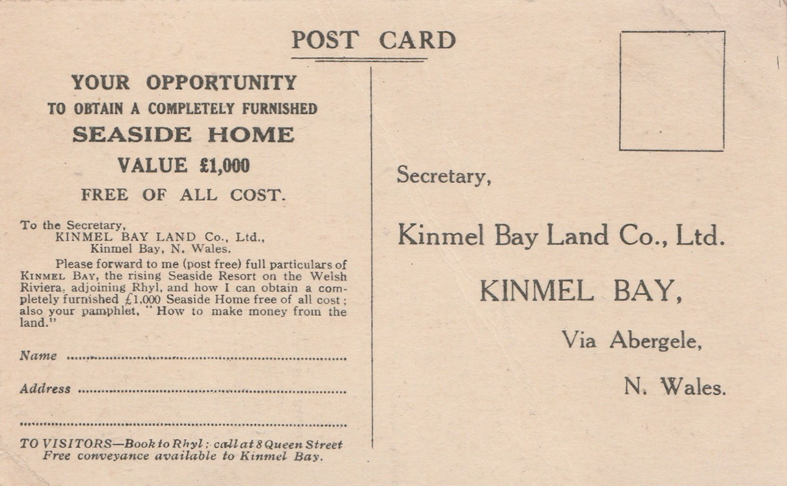
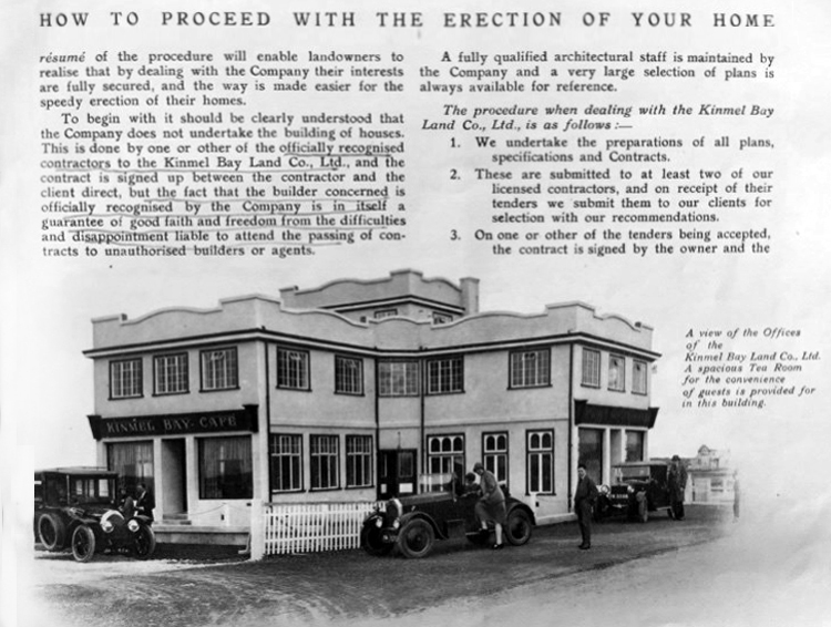
In 1925 a Mr Charles W Neville bought from 1,500 to 2,000 acres of land for the very small price of £30 an acre, and subsequently sold it at a handsome profit to himself, that is to say, to another company of which he is the moving spirit, a company known as the Kinmel Bay Land Company, of which he has been the dominating figure throughout.
By specious advertisements—which I have not now the time to show the House but they are contained in wonderful advertisements shown all over the Kingdom—and very cleverly devised contracts they have induced a large number of retired people, some with very small incomes, or small pensioners, to buy land which up to the year 1925 had cost £30 an acre at a price of from £100 a quarter of an acre up to £500 an acre with annual charges supposed to be for roadmaking, sewerage, and so on—a charge actually on the land which will last for all time, with the result that a beautiful site—a place of great possibilities to that part of the world—has been largely ruined and has brought a great deal of misery and discomfort to many people.
What is the present state of Kinmel Bay? In a few words I will give it. There is no proper system of sanitation or sewerage. Cesspools are a disgusting nuisance. In some cases they have to be emptied once a fortnight by the householder at an exorbitant cost, sometimes as much as £1 of poor people’s money. Ditches have become full. The sewerage in summer months is quite intolerable at times. Instances have been known of crude sewage floating on the surface and actually overflowing into a house in this area. There is no proper system of roads. Those that are made are mainly of twigs or branches of trees, old tin cans, and other rubbish, with a layer of stones on top. Even these roads, of course, are not maintained. Drinking water, at one time brown and muddy, has improved. A new company has been formed, a subsidiary of this very company, which is certainly selling rather purer water now, but at the exorbitant price of a minimum charge of 15s. a quarter to the householders. Of course, the hydrants are quite useless in the case of fire. Now we have here 1,380 acres built over in this scattered and haphazard manner with a population of over 2,000.
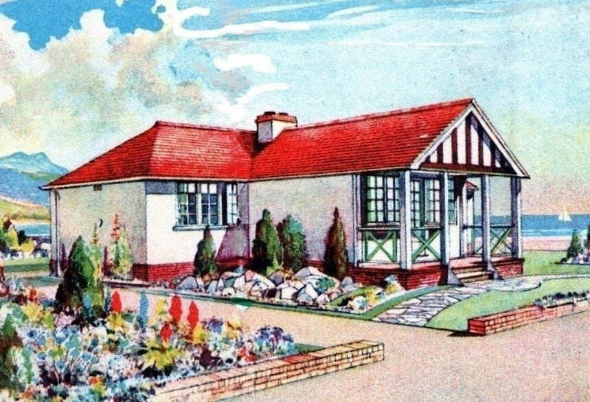
This seems to have been the oddest case of hucksterism – which also involved the sale of putative poultry farms. This image seems to be the only reference which I can find online.
Were they ever built?
Along with the aforementioned homes.
It would appear that they were perhaps self-assembly kits.
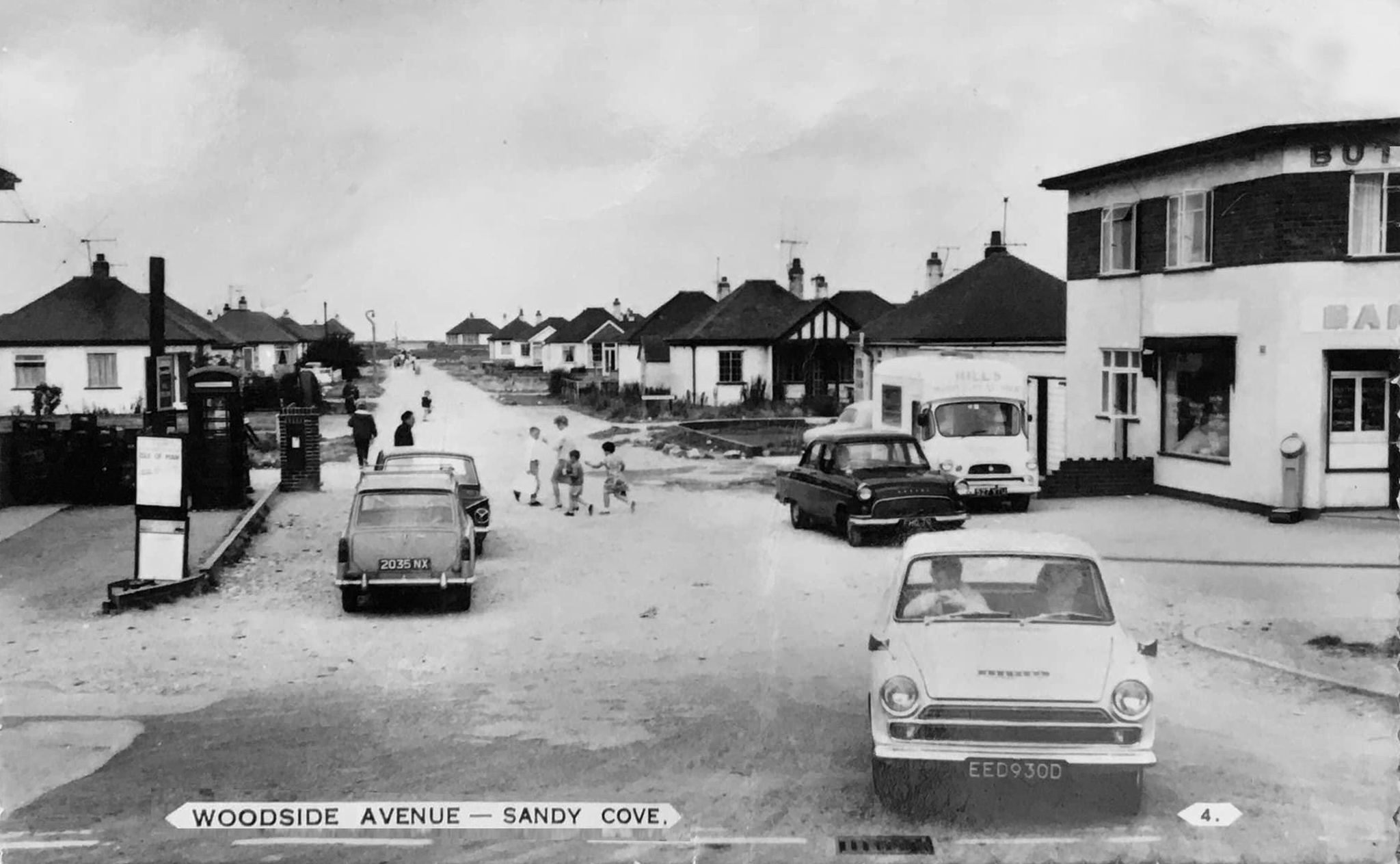
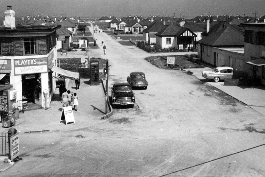
These are archival images from a variety of sources:
In the past Chester Avenue was nicknamed Dodge City thanks to its reputation for low-level crime and scruffiness.
It was like Beirut in the early days – said Mike Nolan, who has lived in the area since 1978.But now it is very pleasant, and since Cartrefi Conwy has taken over it has been even better. People want to come and live here now.
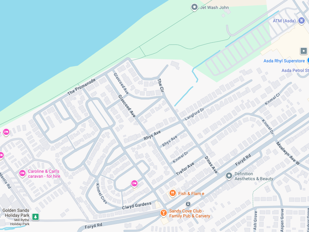
The issue of infrastructure management on the estate is still an issue it would seem:
Clwyd West MS Darren Millar yesterday raised in the Senedd the plight of residents living on Kinmel Bay’s Sandy Cove, who recently experienced flooding. Calling for a Welsh Government statement on the issue of unadopted roads during the Business Statement, Darren referred to the situation at Sandy Cove.Adverse weather on April 9th led to residents of the estate being evacuated from their homes. The estate has also been hit by flooding in the past.
Speaking in the Senedd Chamber, Darren said:
I’d like to receive an update from the Cabinet Secretary for Transport on the issue of unadopted roads. Sandy Cove in Kinmel Bay, which has around 250 properties on unadopted roads, experienced flooding during storm Pierrick just over 10 days ago.
That flooding was made worse because of the lack of drainage on that estate. It clearly needs an improvement to the drainage infrastructure. Those roads need to be up to an adoptable standard, and the poor condition of them is making life a misery for local residents.
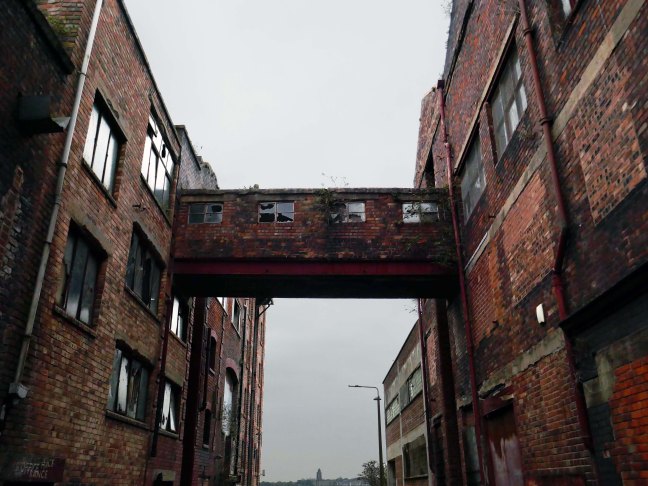
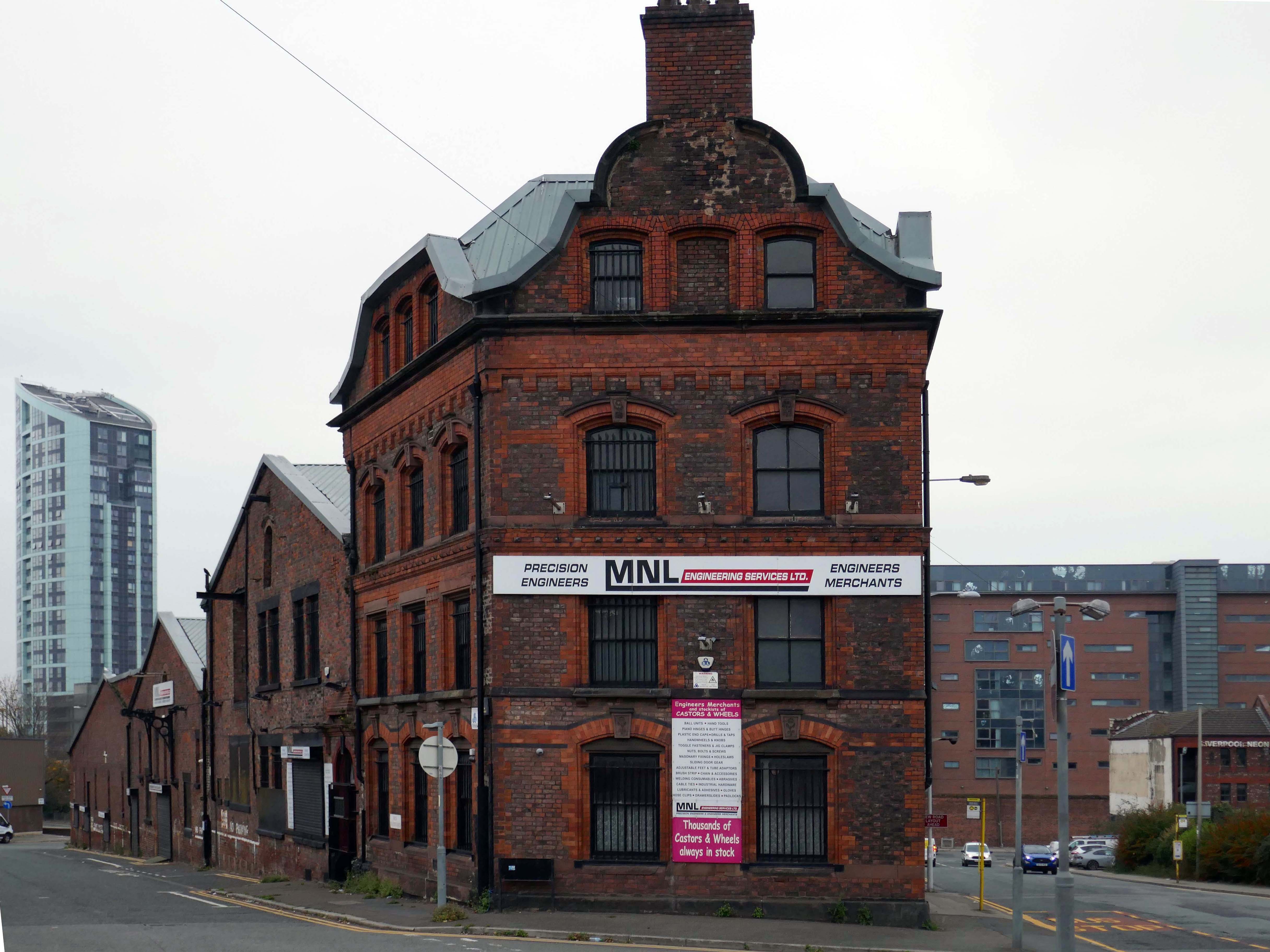
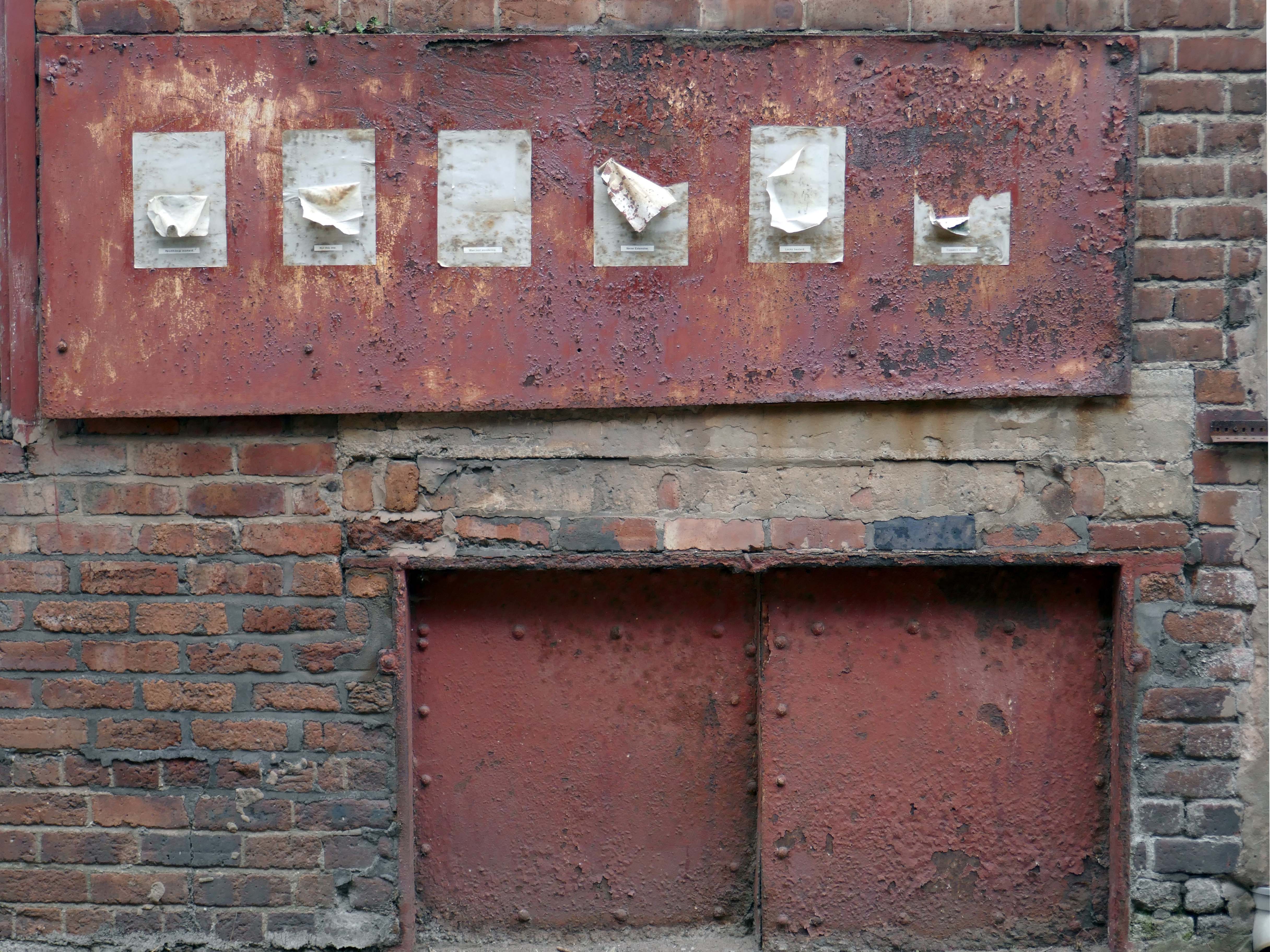
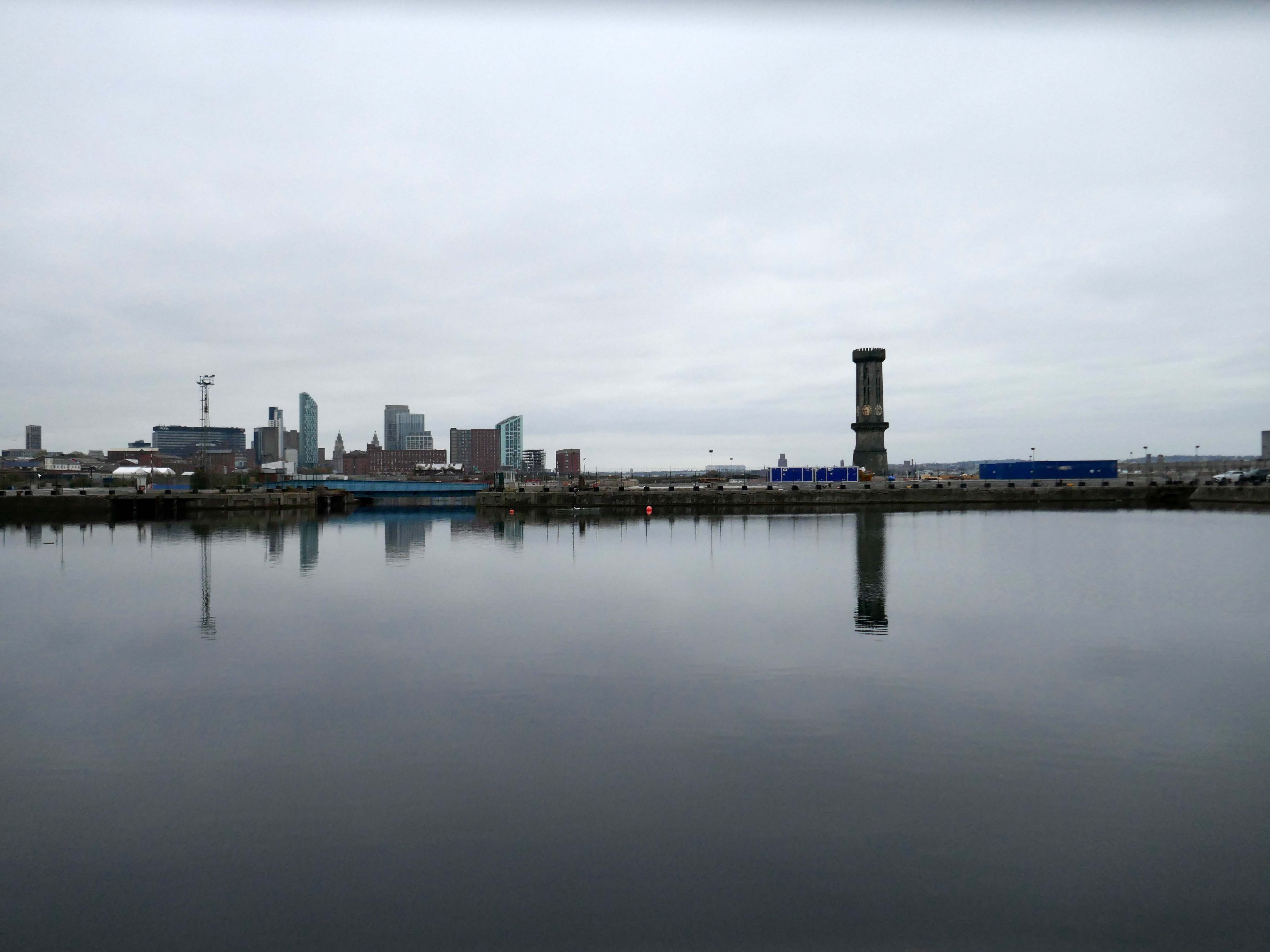
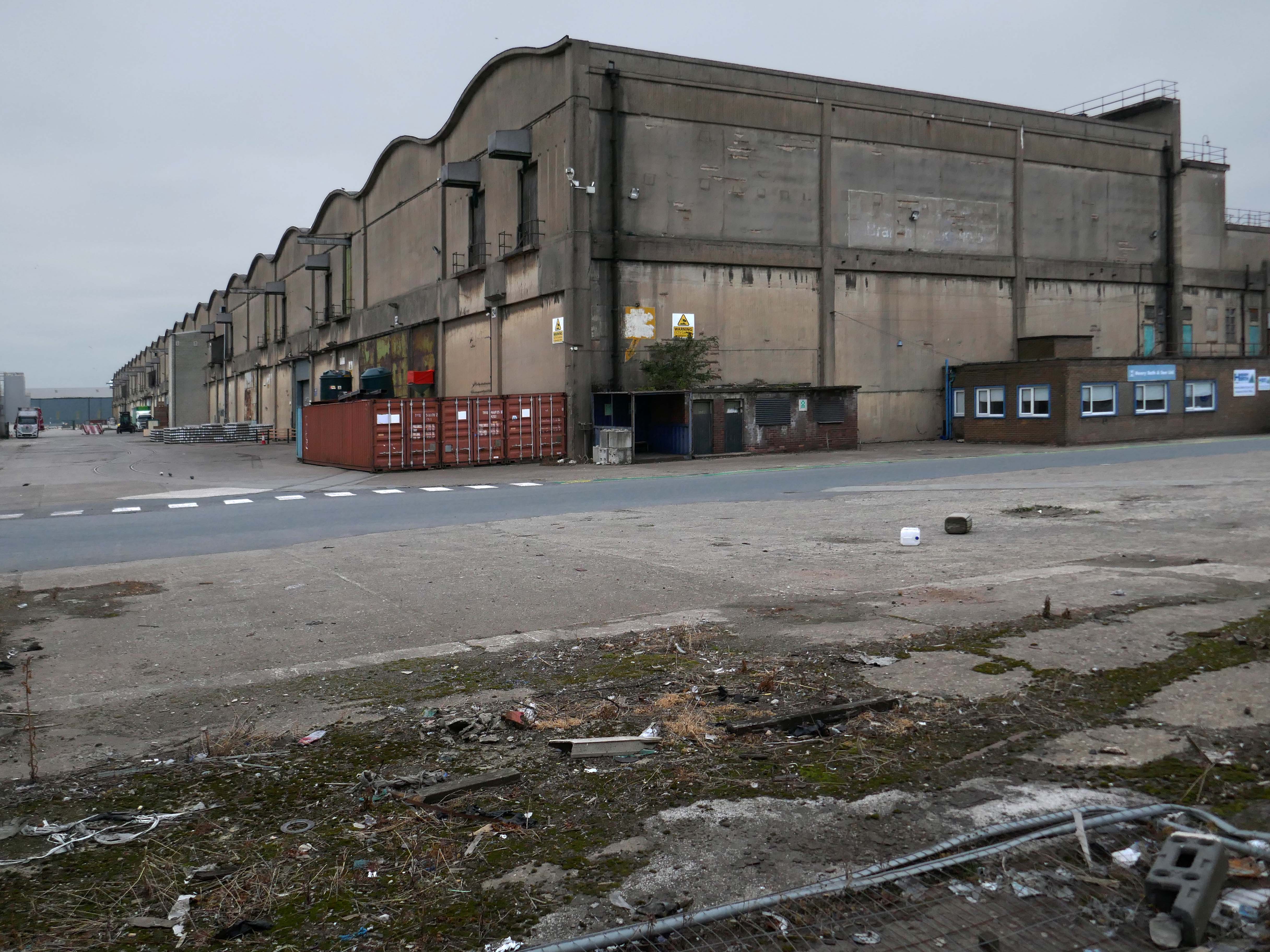
The days when a vast multitude of things came and went have been and gone.
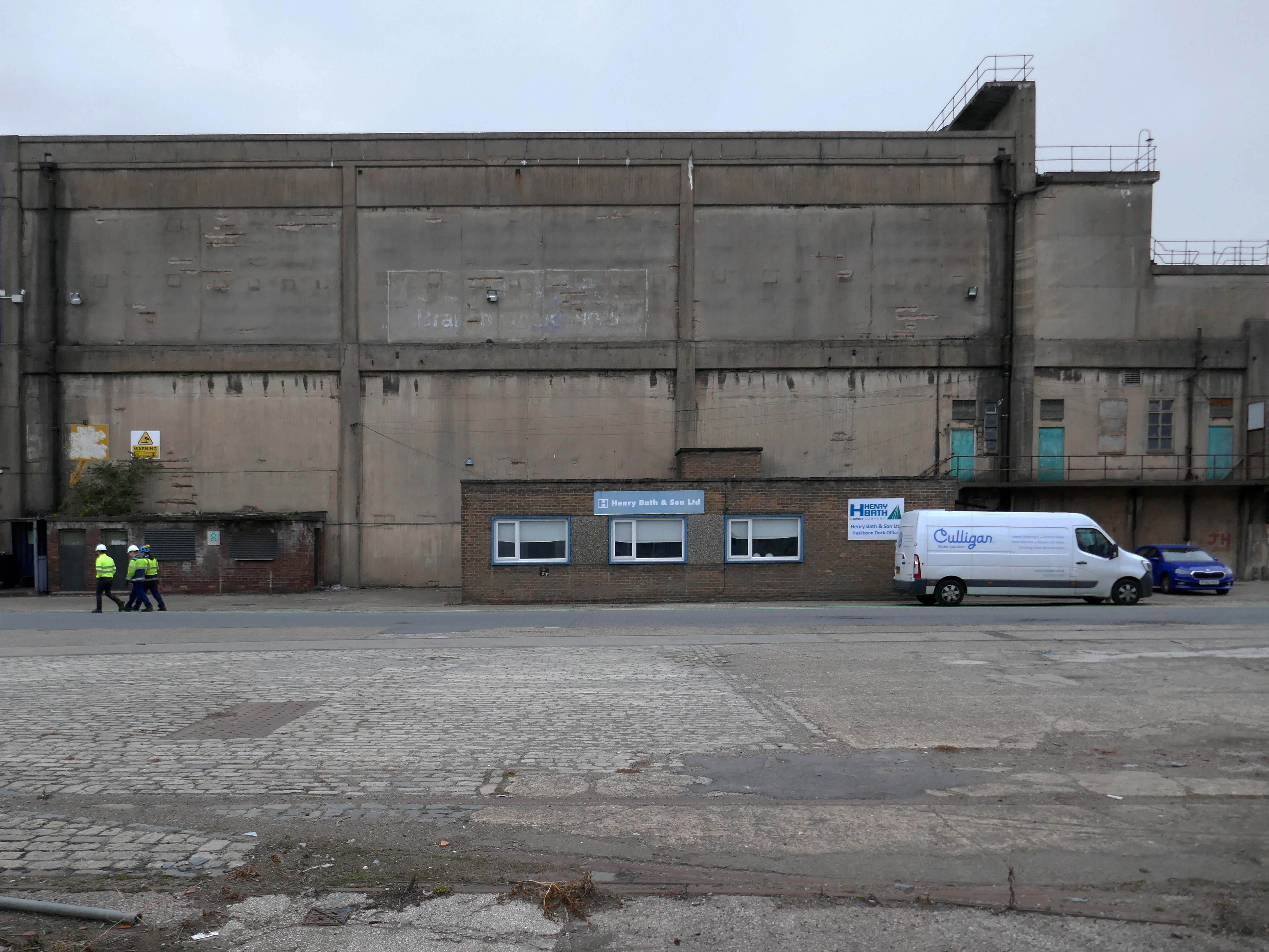
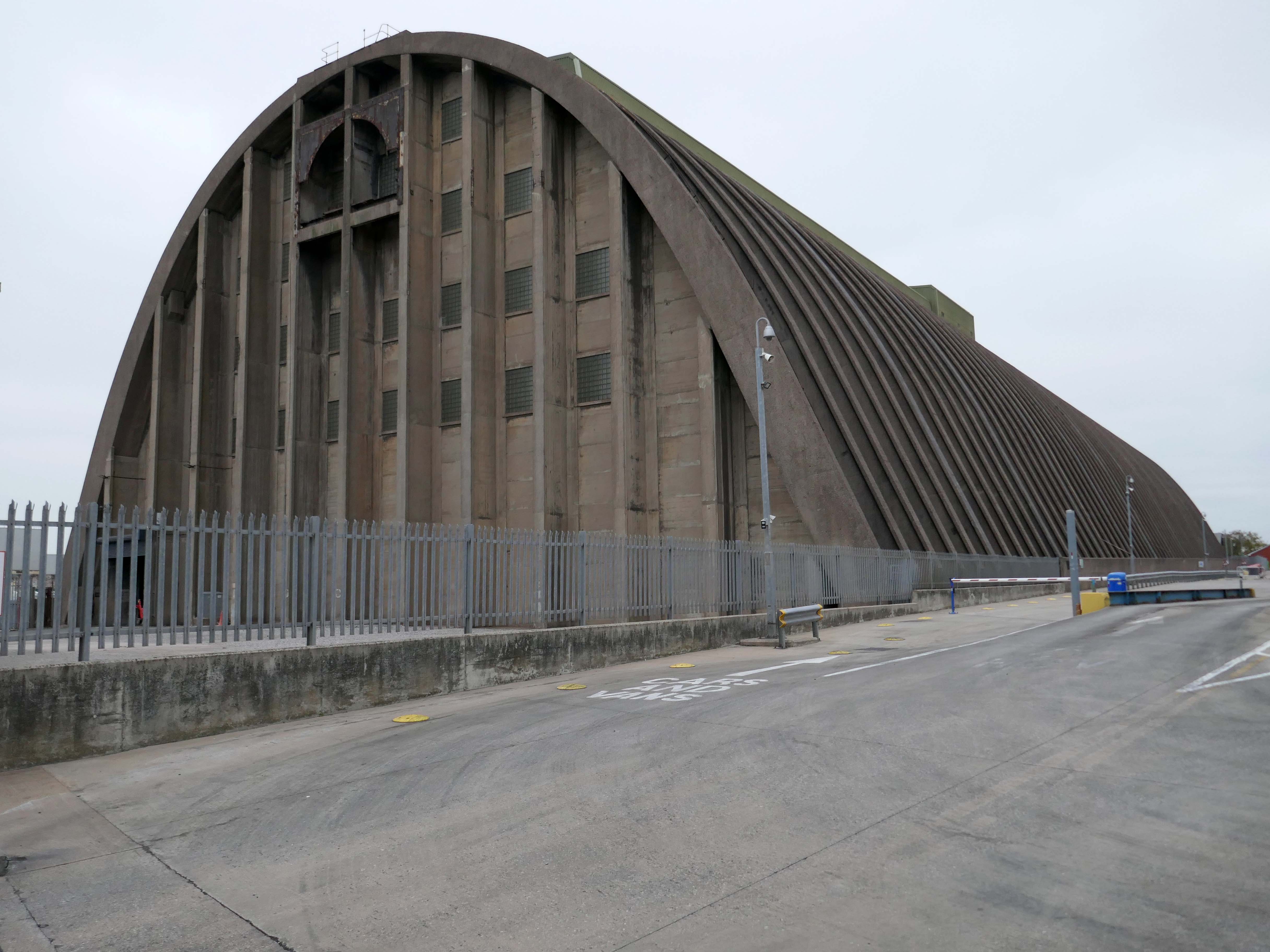
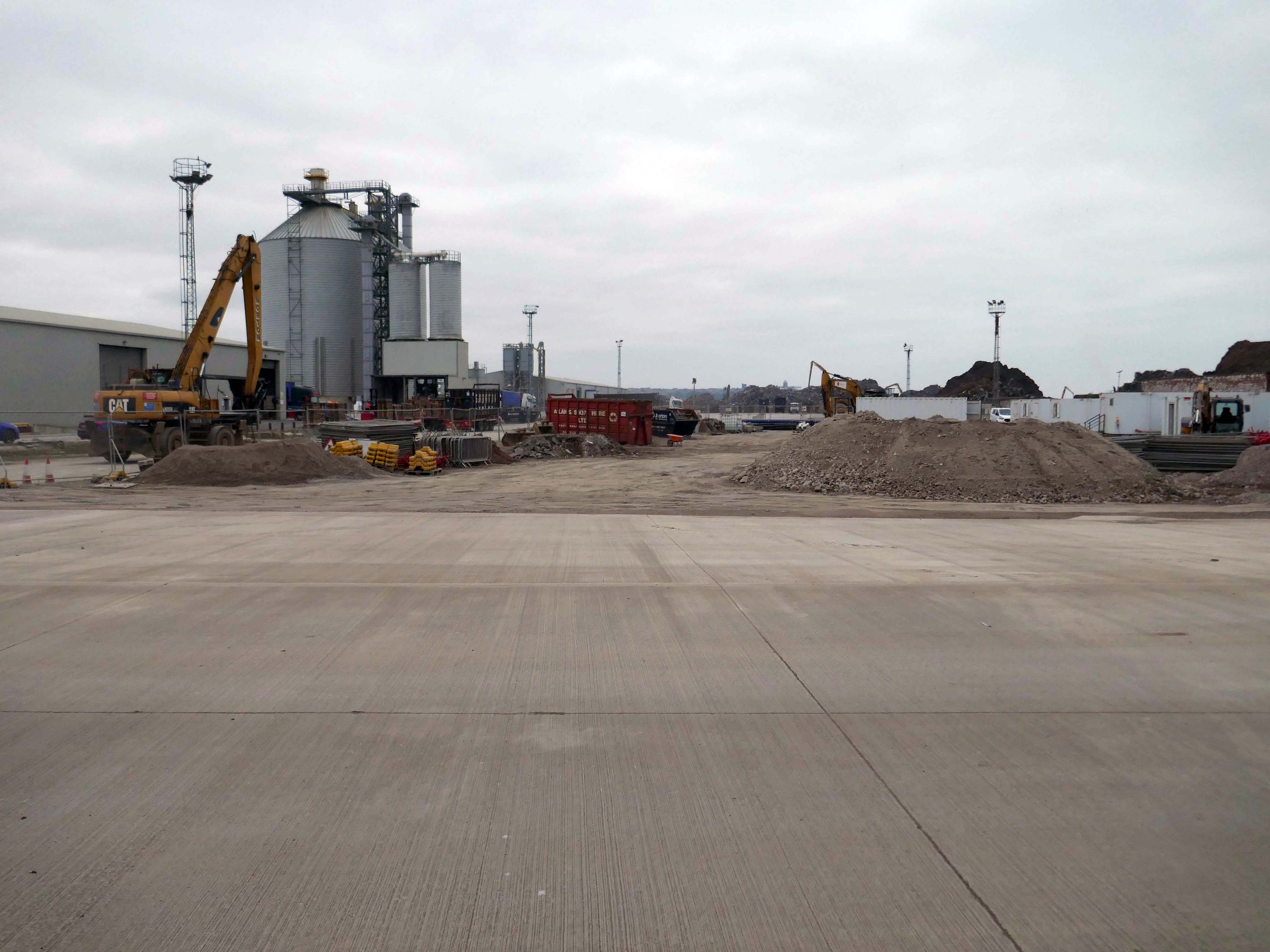
The docks as they were are no more.
Yet in 2023, the Port of Liverpool was the UK’s fourth busiest container port, handling over 30 million tonnes of freight per annum. It handles a wide variety of cargo, including containers, bulk cargoes such as coal, grain and animal feed, and roll-on/roll-off cargoes such as cars, trucks and recycled metals. The port is also home to one of the largest cruise terminals in the UK which handles approximately 200,000 passengers and over 100 cruise ships each year.
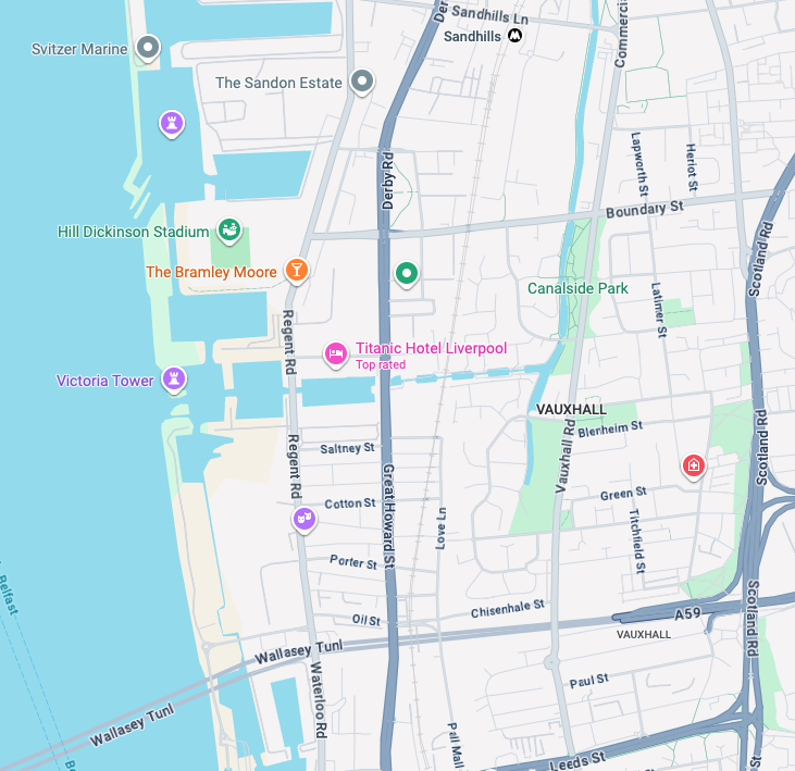
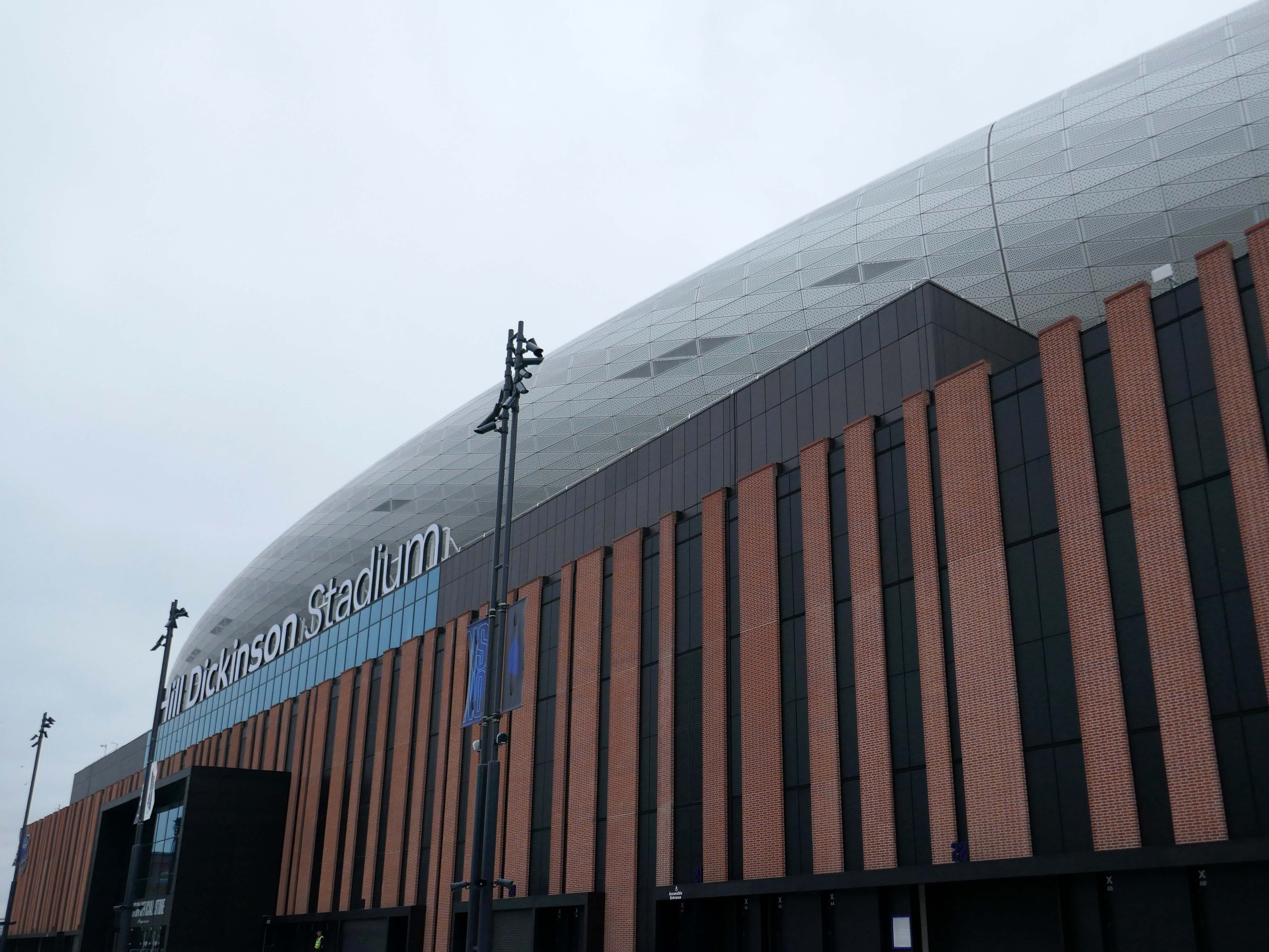
Now with the opening of the Titanic Hotel in the Stanley Dock and the arrival of the Toffees just up the road at the Hill Dickinson Stadium, the whole area is slowly being transformed into a destination, as they say in modern parlance.
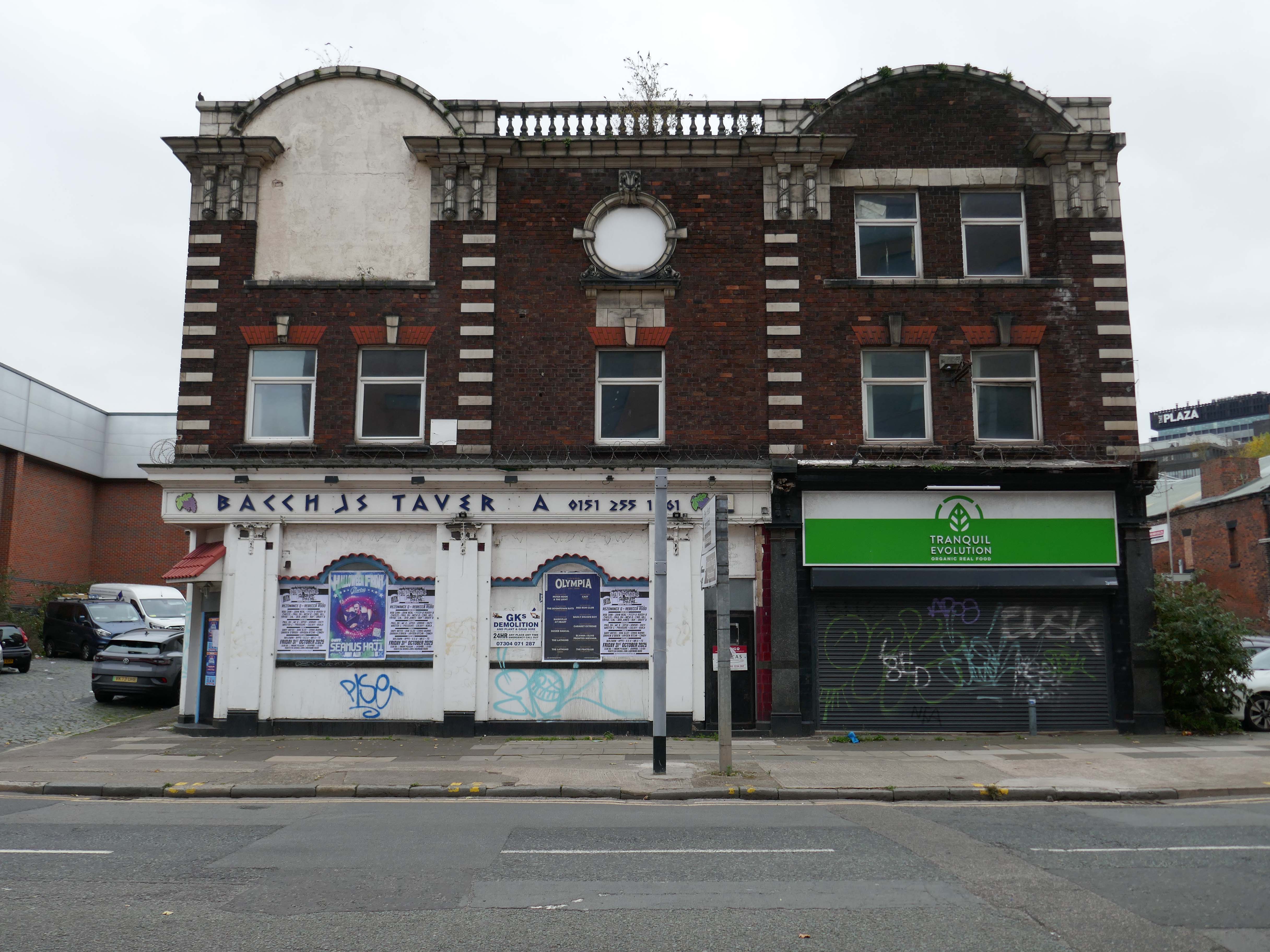
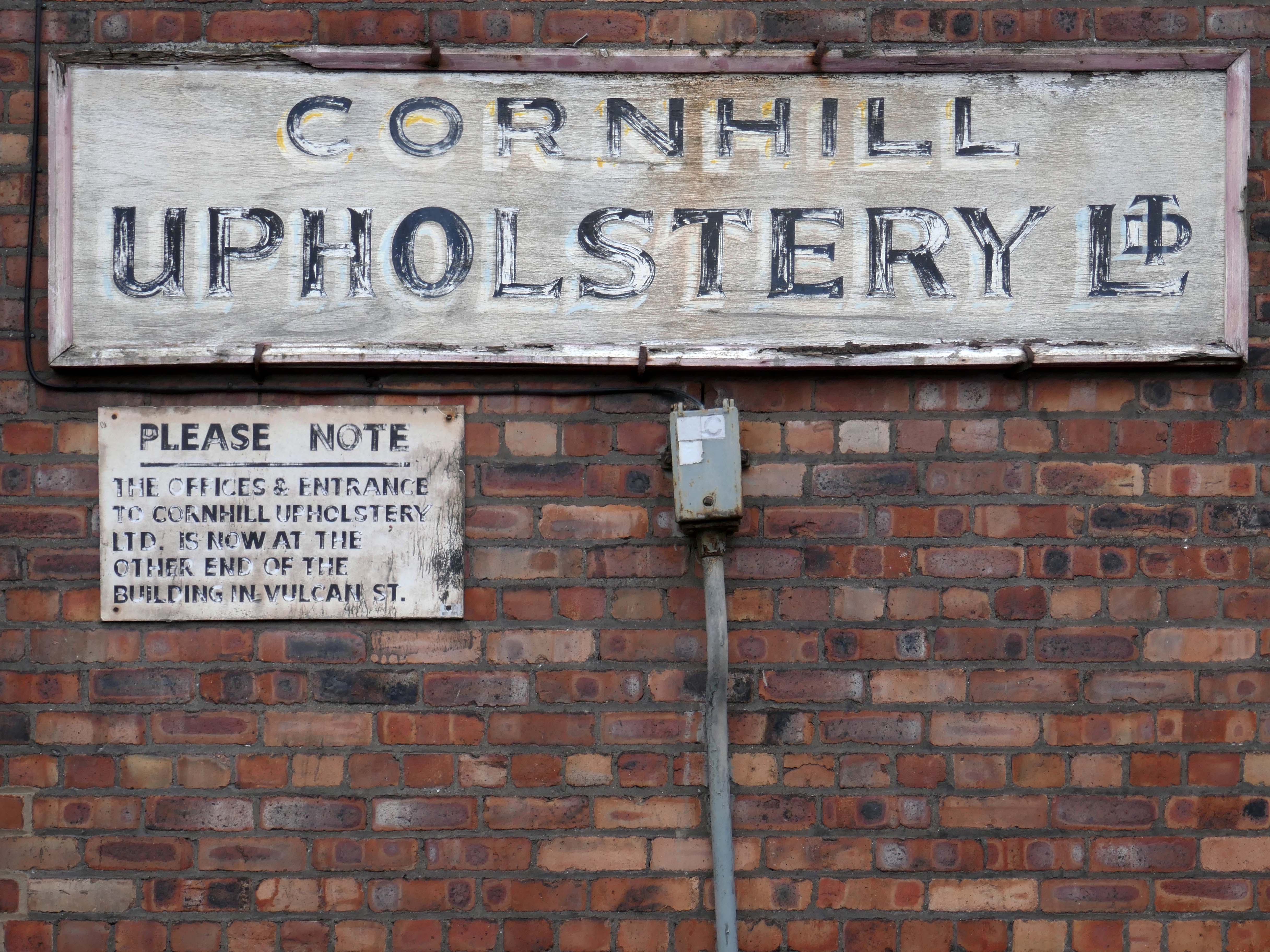
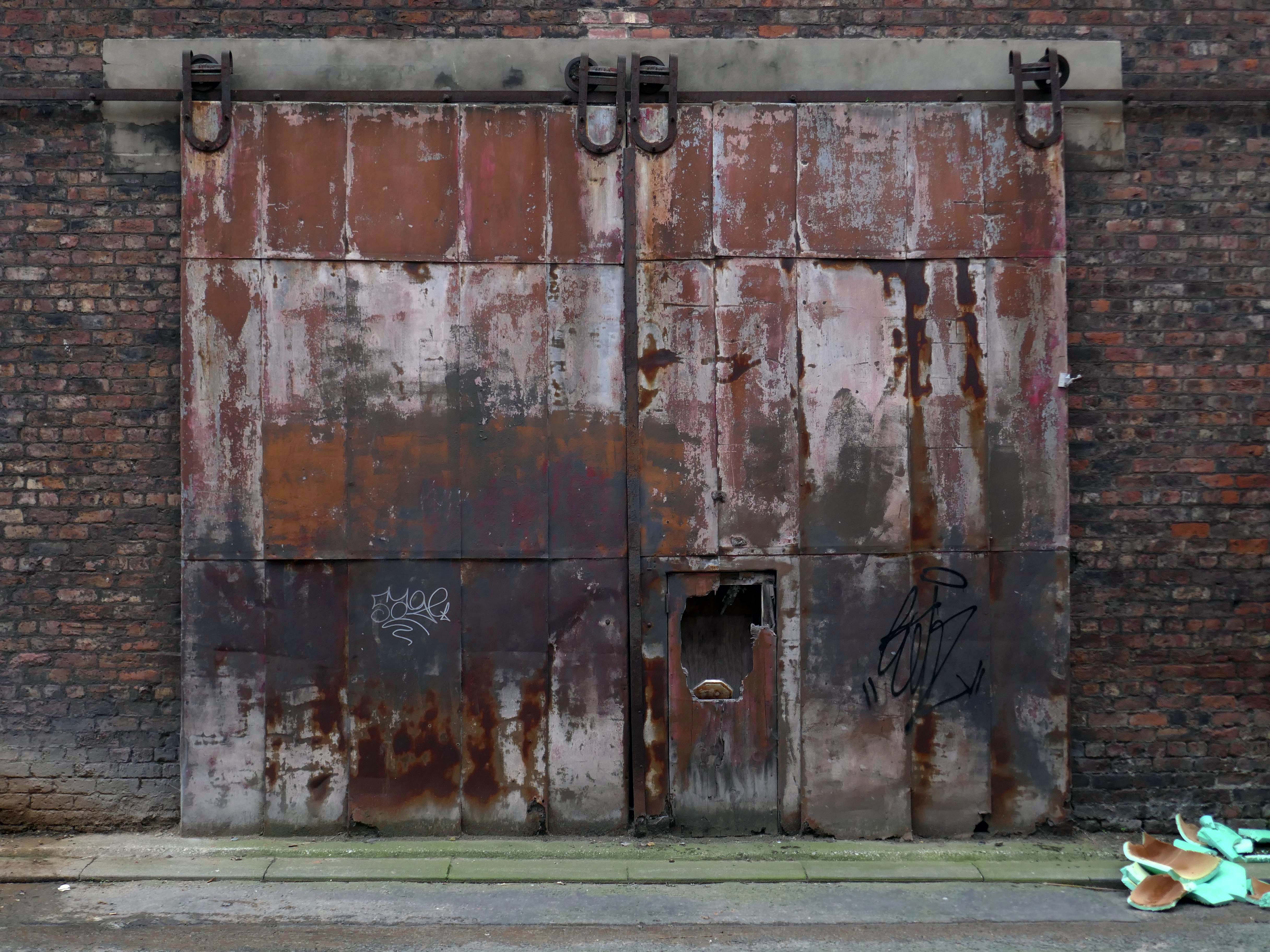
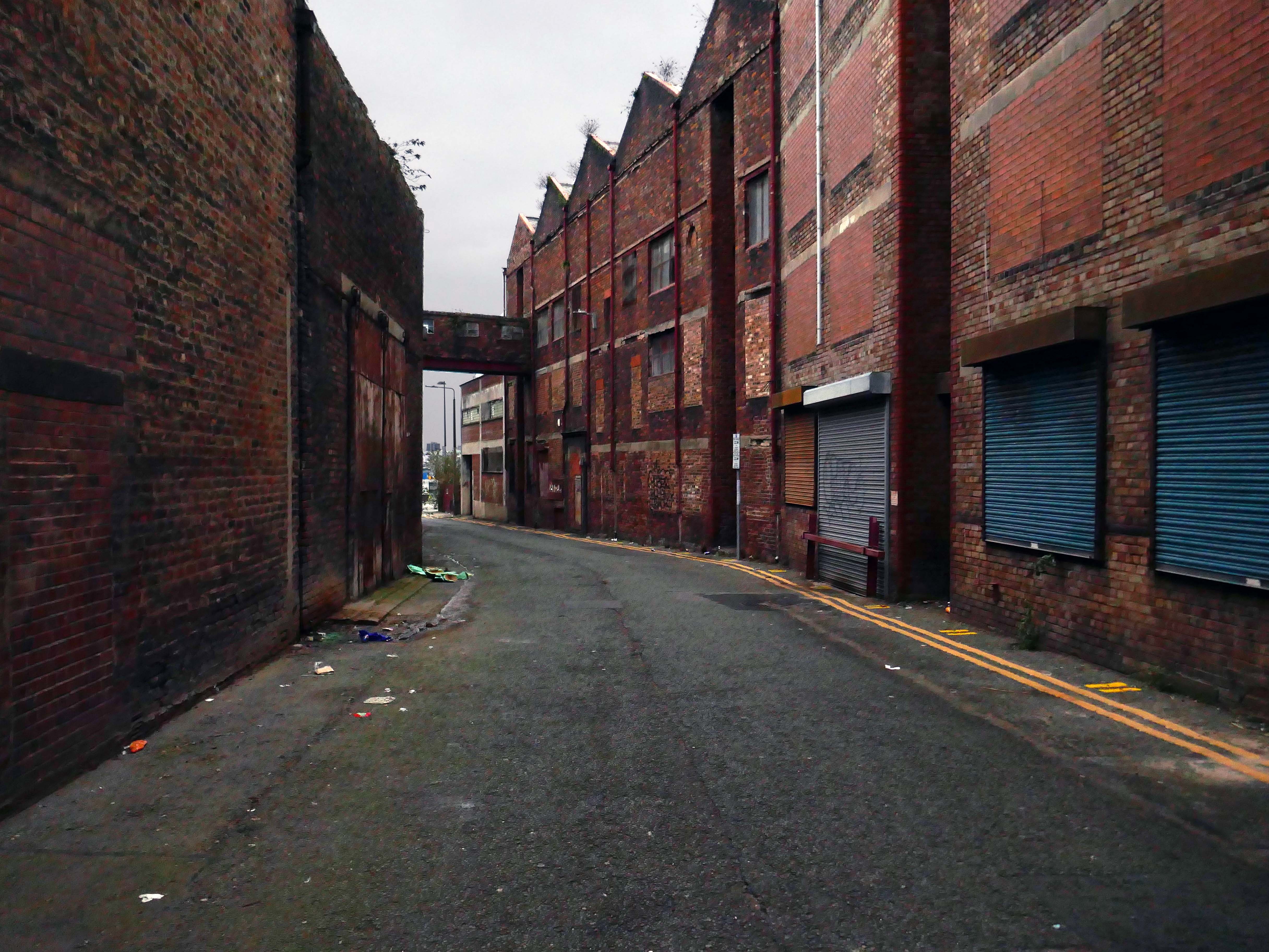
However much of the Industrial heritage remains in various states of disarray, used and possibly disabused, but hanging on in there.
Time for the train home to Stockport – but you can bet I’ll be back.
And true to my word I have been back, several times – on this occasion alone and on foot.
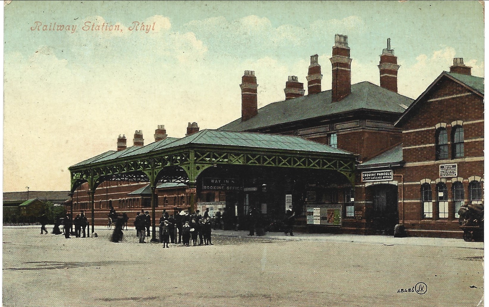
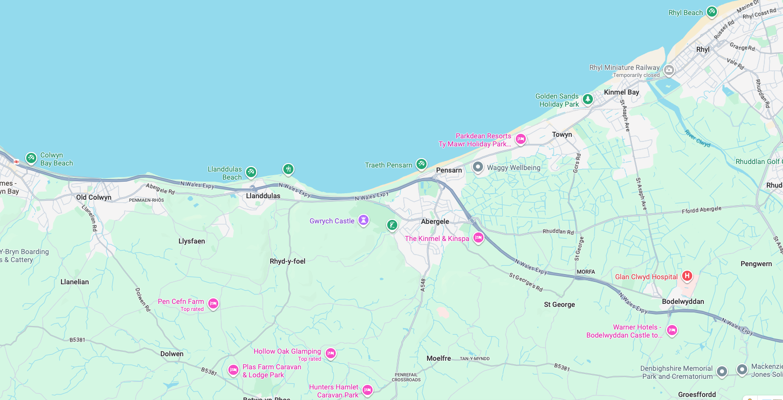
An almost overcast mid-grey day in November, alighting at Rhyl Station and loafing along to Colwyn Bay – this what I done seen.
1907
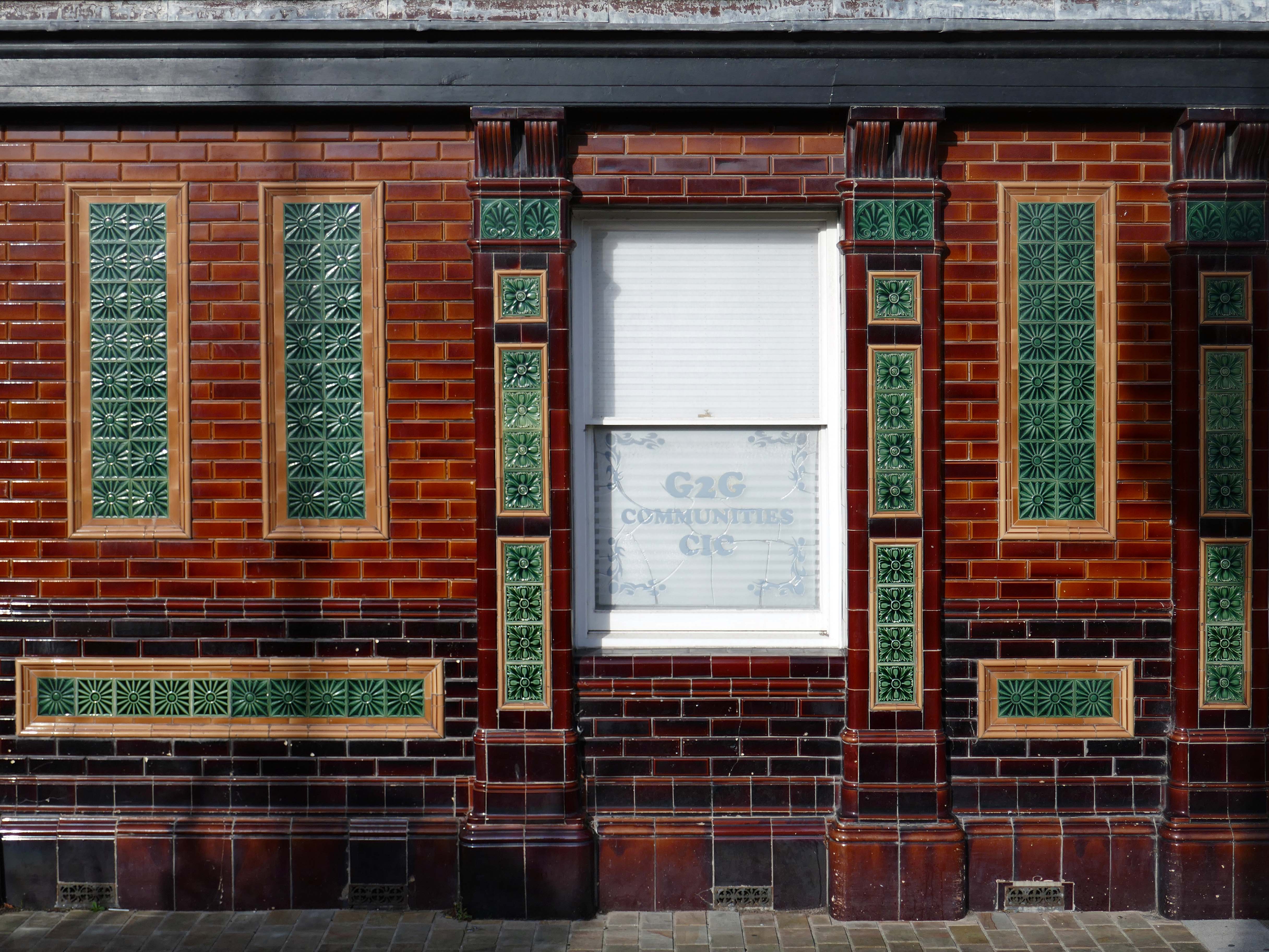
Former Bee and Station Hotel immediately opposite the Station.
The Bee and Station Hotel was built in the 1860s. The decorative tile work of the exterior was probably added during remodelling c.1890. Inside, the lobby is also richly decorated with brightly coloured tiling. The building was listed in 1991 as an excellent example of pub of the late 19th century with a complete tiled frontage and a rare surviving internal layout throughout.
The pub closed in 2005. The building reopened in 2013 after being refurbished and given a modern extension by Denbighshire County Council, under the Townscape Heritage Initiative, to provide new offices for small businesses
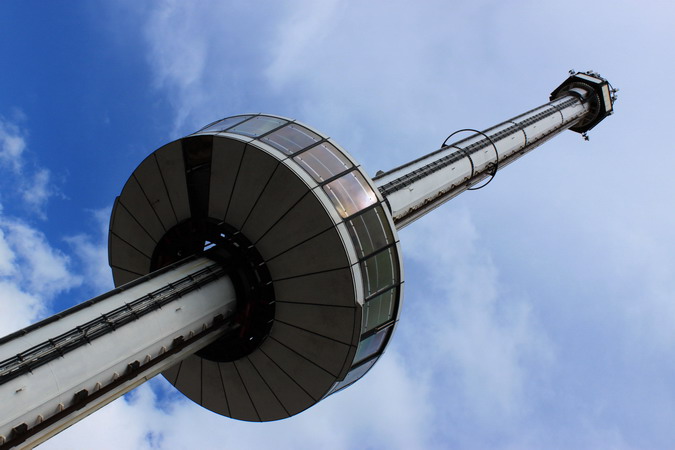
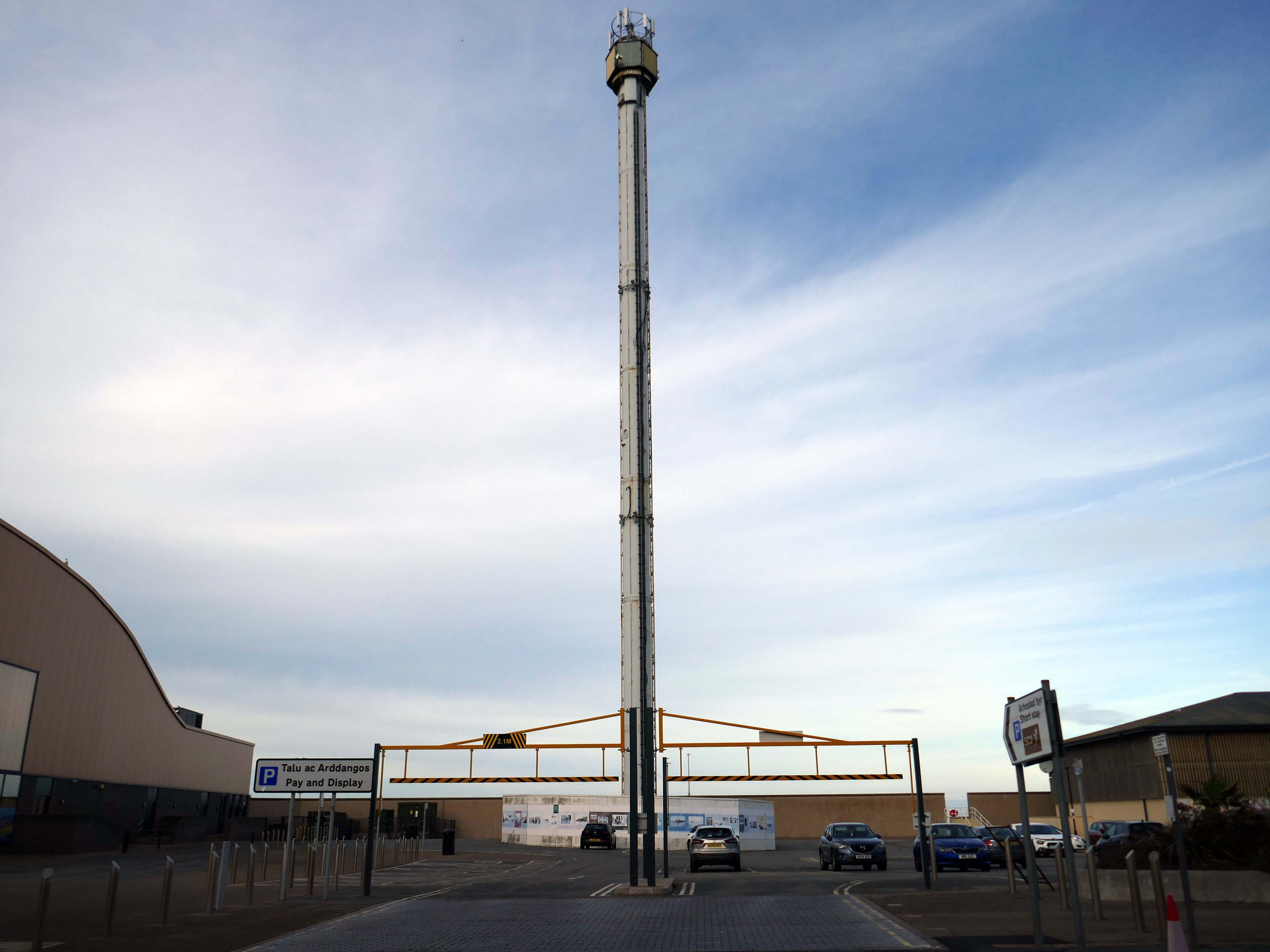
Onward to the seafront, home to the defunct Skytower.
The tower first operated at the 1988 Glasgow Garden Festival, where it was known as the Clydesdale Bank Tower and was opened by Prince Charles and Princess Diana. Following the festival, it was dismantled and reassembled on the Rhyl seafront.
The tower last operated in 2010. The following year, a safety report found that £400,000 worth of repairs were required to keep the ride operational. After standing but not operating for seven years, in 2017 work was carried out to turn the tower into a beacon.
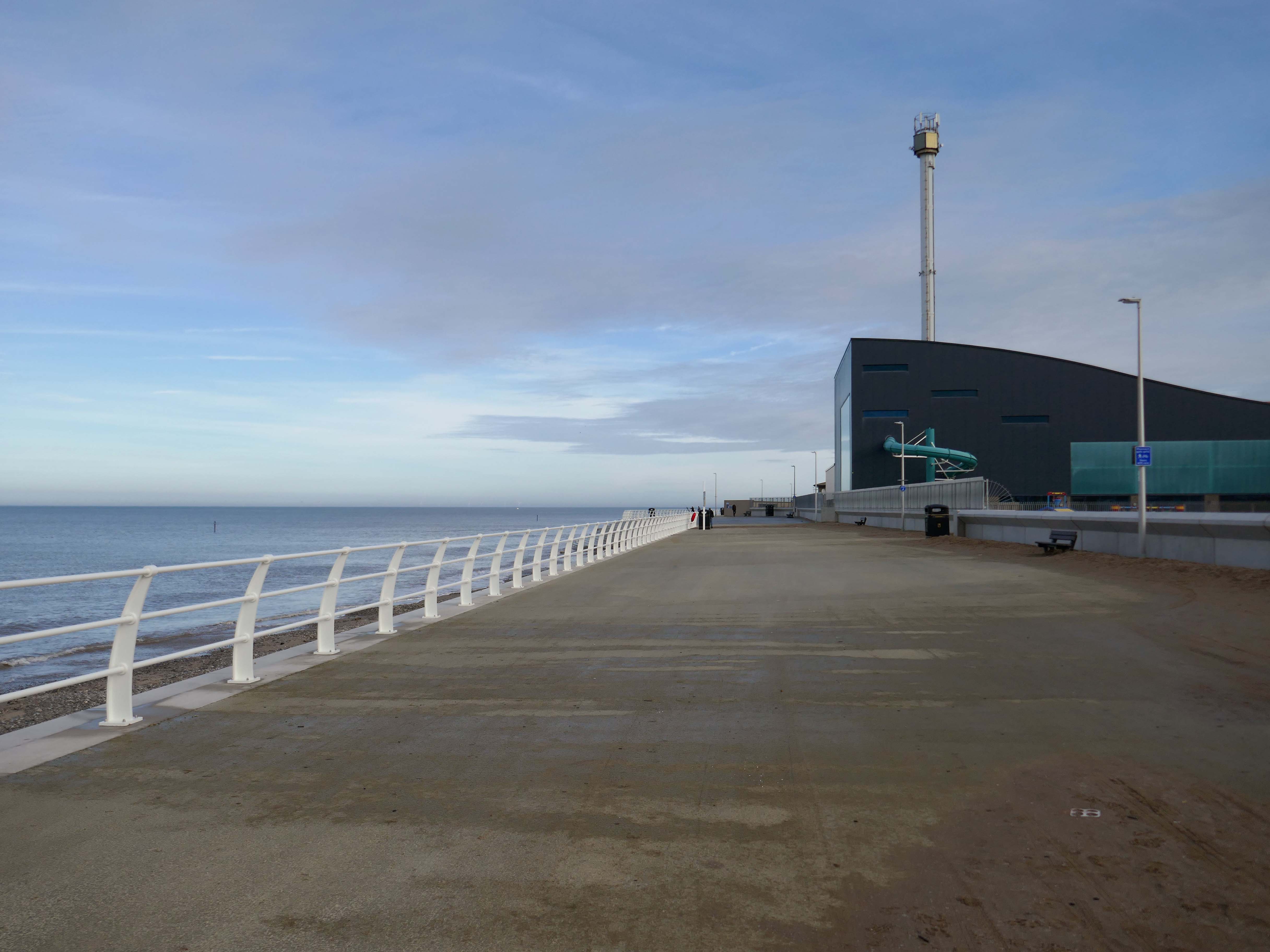
Much has been done to improve the promenade, with sumptuous hard landscaping, coastal defences and seafront shelters.
The £66m Central Rhyl Coastal Defences Scheme will protect almost 600 properties in Rhyl from flooding and coastal erosion for decades to come.
85% of the construction costs have been funded by the Welsh Government, with the Deputy First Minister labelling the project a ‘significant milestone’ in efforts to protect Welsh communities from the growing threats of climate change. Denbighshire County Council contributed the remaining 15%.
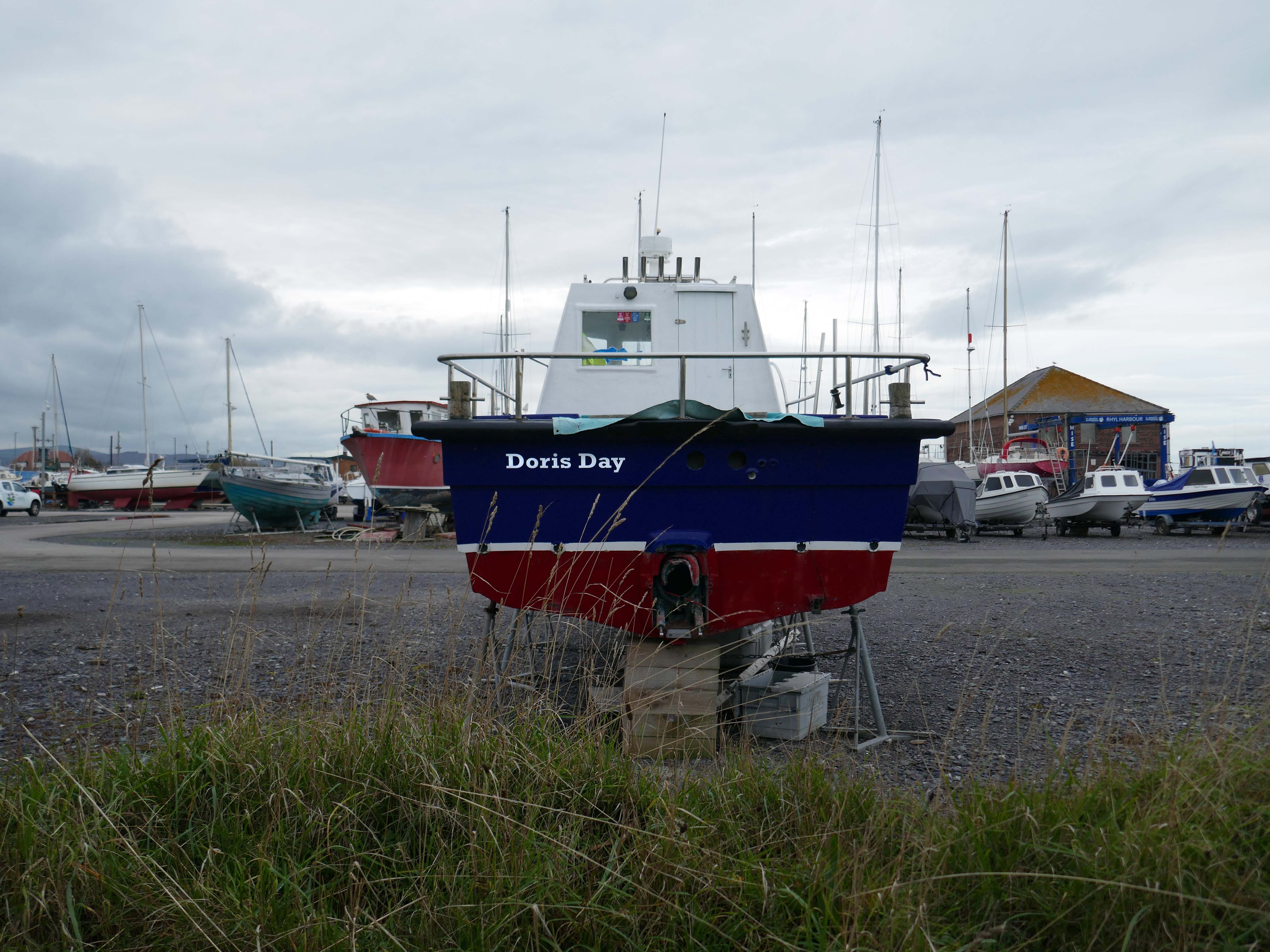
Over the estuary to Rhyl Harbour home to Doris Day.
Rhyl Harbour is located on the spectacular North Wales Coast and has undergone a dramatic refurbishment which has hugely improved the facilities on offer. The original timber yard which was used by sailing ships up until the Second World War, has been redeveloped and now offers storage for over 150 boats.
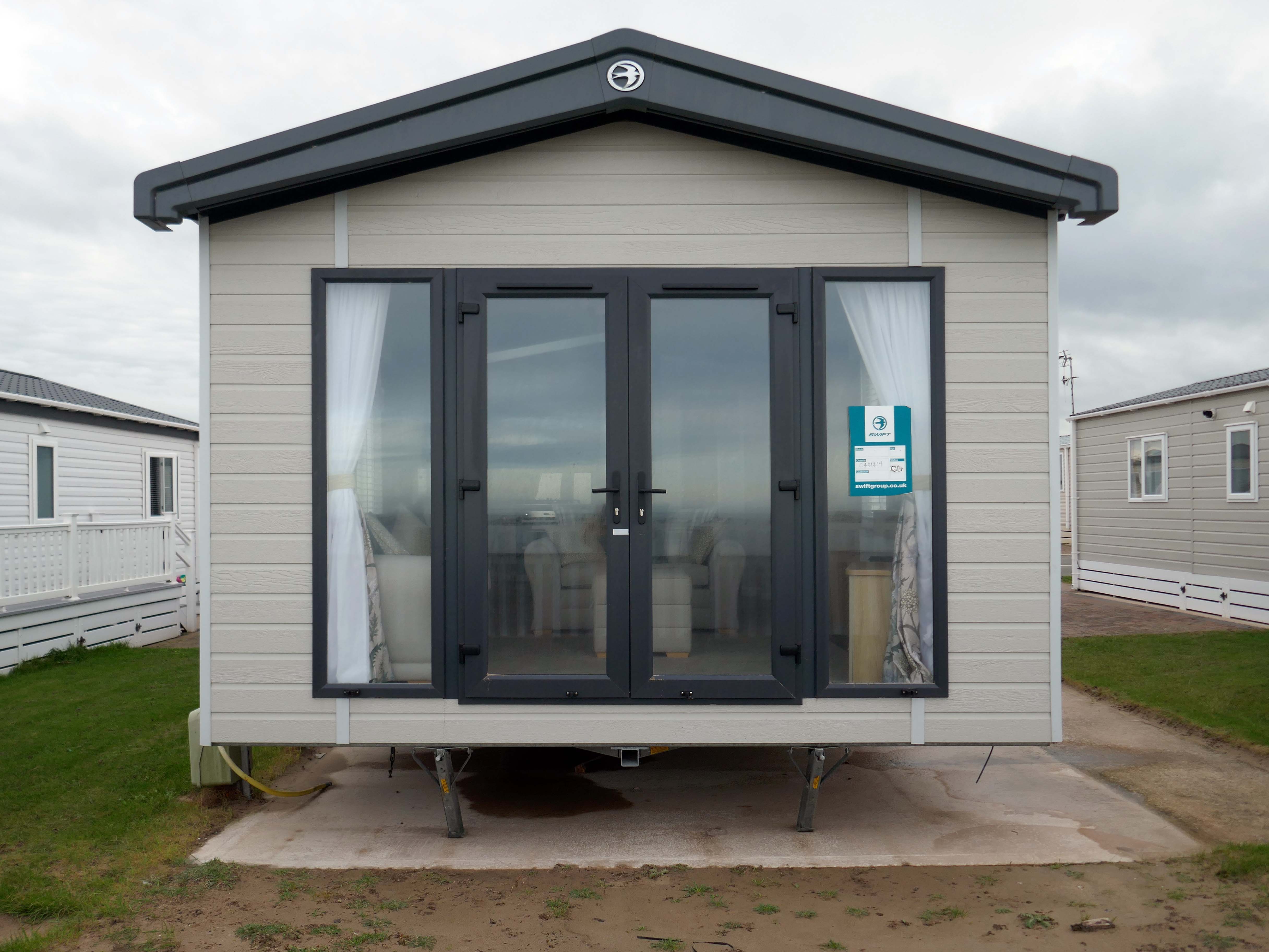
The foreshore home from home for thousands of caravan dwellers.
Golden Sands Holiday Park Rhyl has over 85 years history of fun filled holidays. Wonderfully located right next to the beach in Kinmel Bay in North Wales, it’s the perfect place for a family seaside holiday. It’s also an excellent base for exploring the beauty of North Wales. The town of Rhyl is closest, though also nearby are Prestatyn, Colwyn Bay and Llandudno – with the Great Orme. Blue Flag beaches offering wonderful seaside holiday traditions along with stunning Snowdonia National Park are within an easy drive.
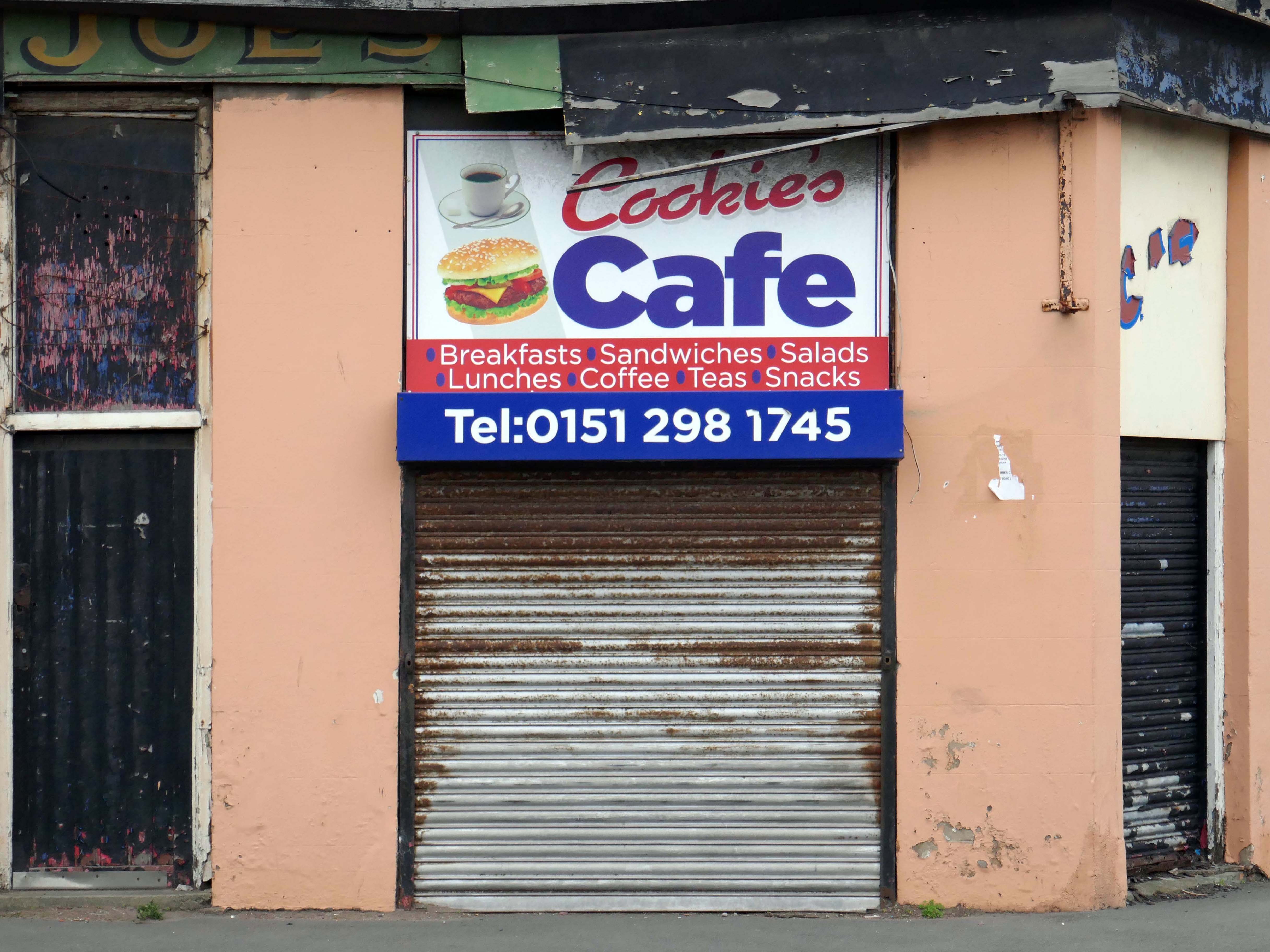
Fast food is often nutritionally poor and high in calories. Evidence demonstrates that overeating commercial fast food products can negatively impact health in both the short and long term.
However:
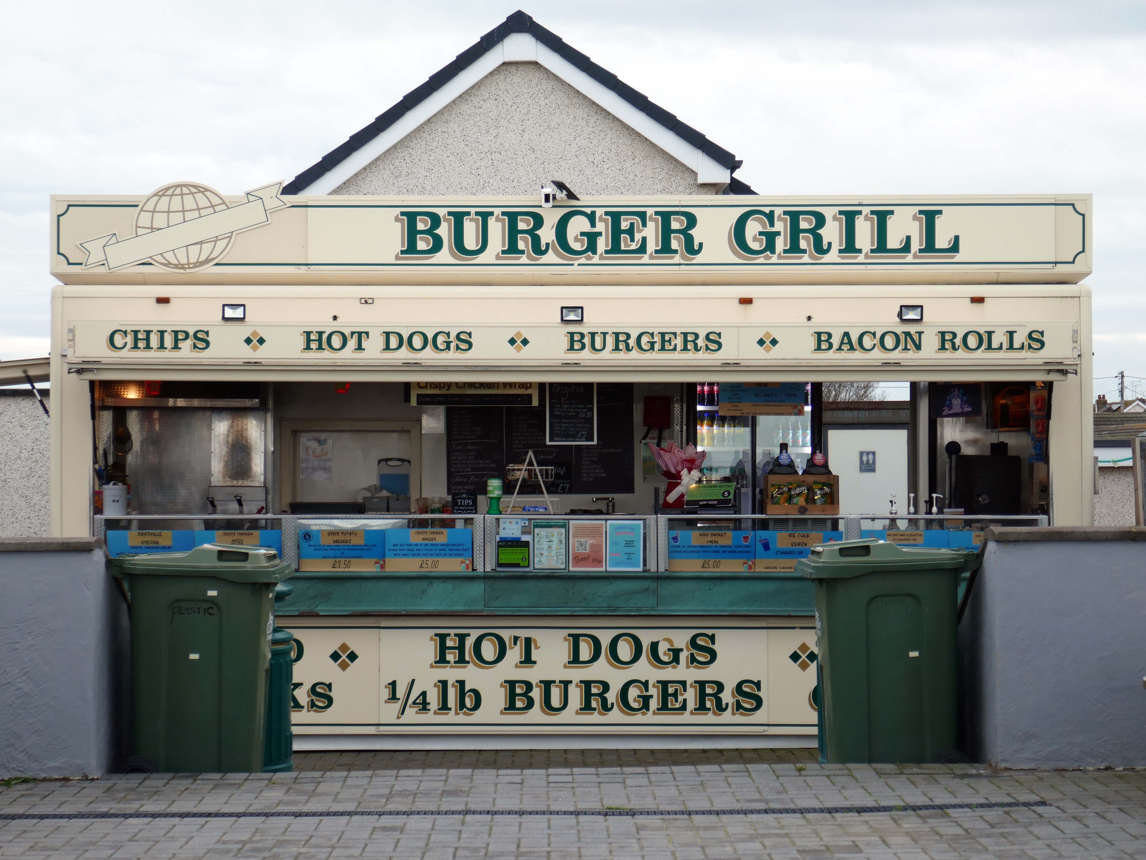
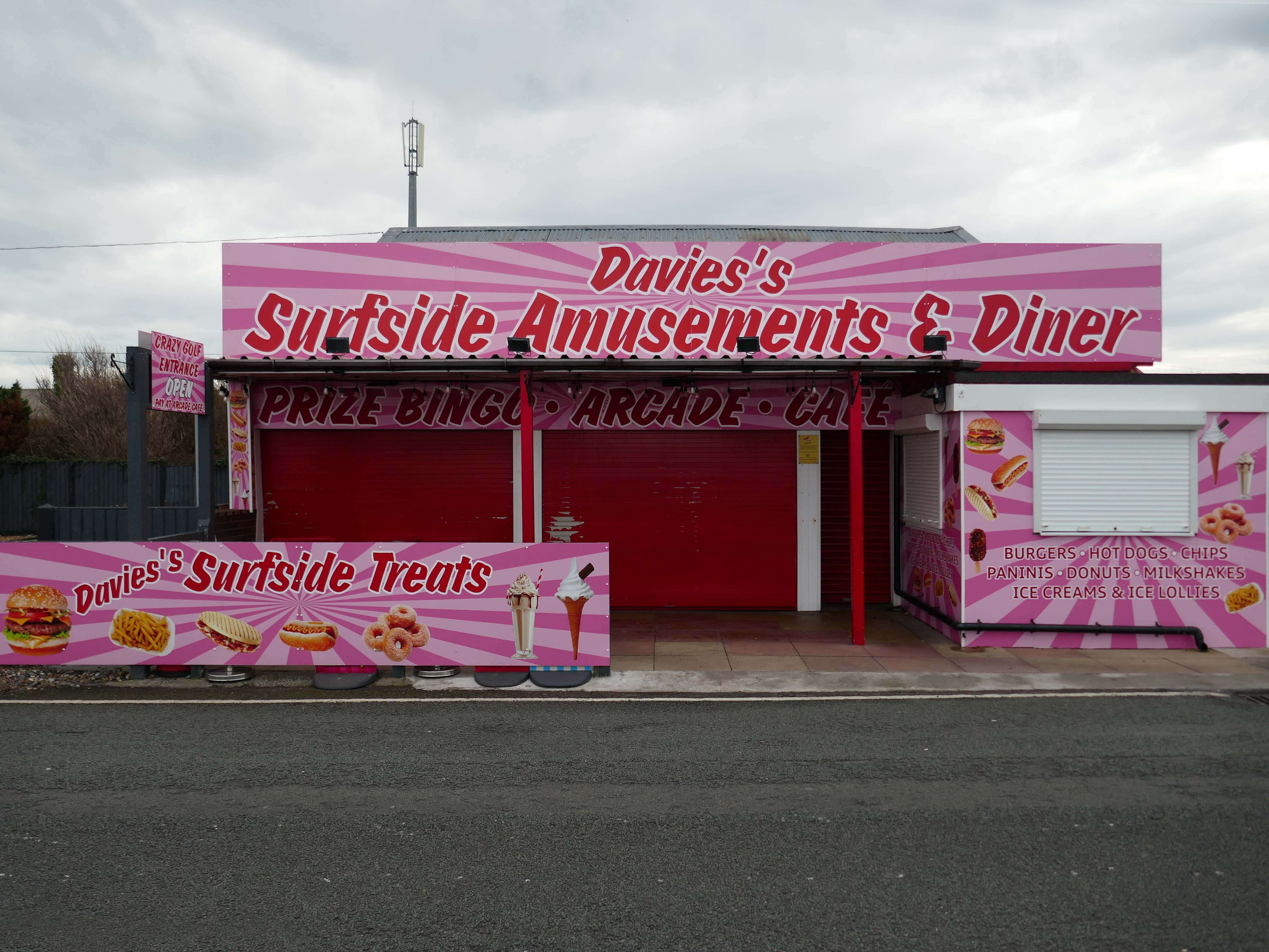
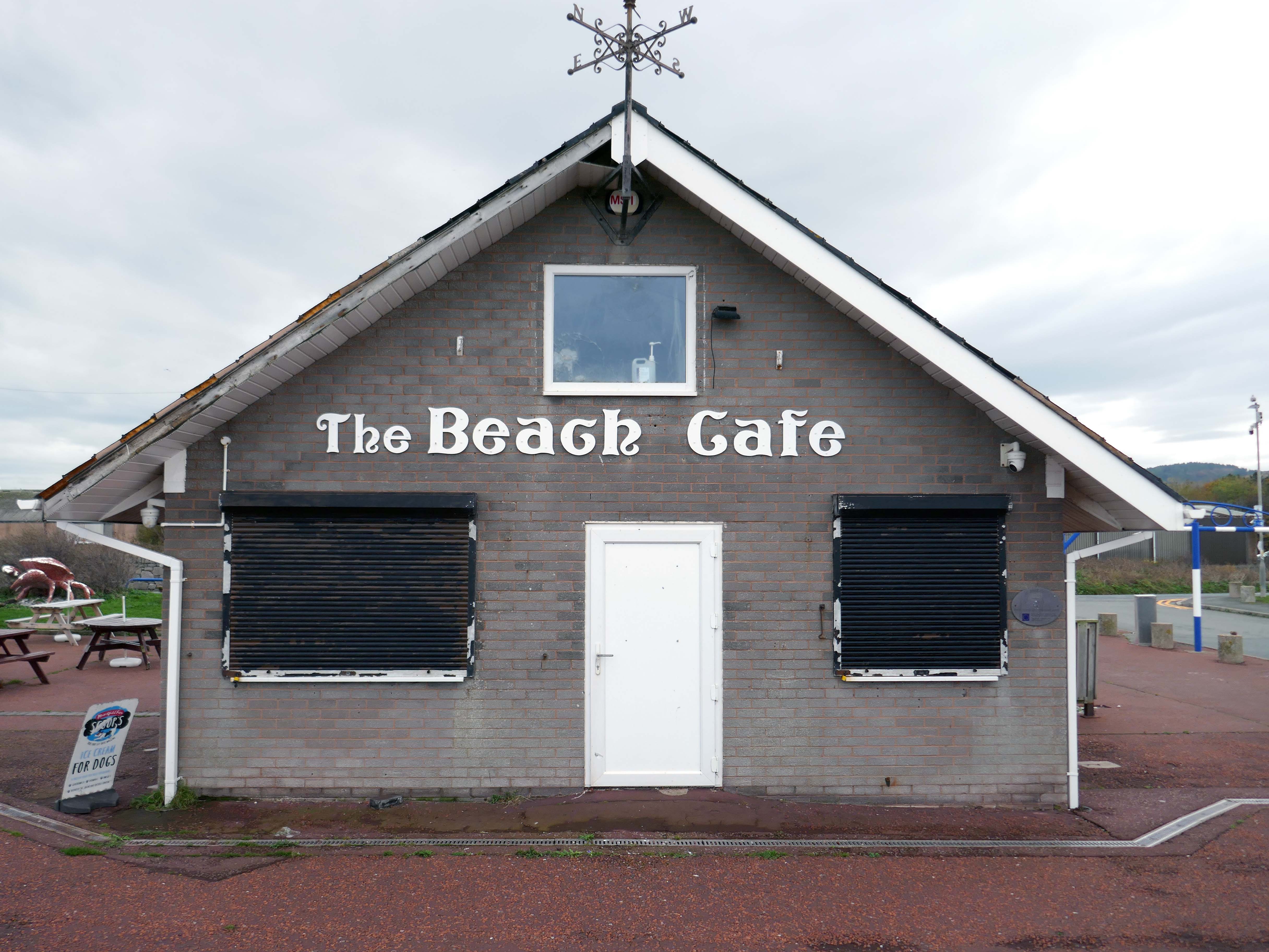
Baysville is lovely and clean, lots of tables and a good choice of foods from ice cream, donuts, burgers, hot and cold drinks and a bar. The staff are pleasant and welcoming.
Researchers have found people who drink up to three cups of coffee a day could have a healthier heart and a lower risk of dying of any cause.
But too much caffeine can produce anxiety, sleeplessness, agitation, palpitations, diarrhoea and restlessness. In individuals with a mental health condition caffeine can worsen psychosis and result in the need for higher amounts of medication.
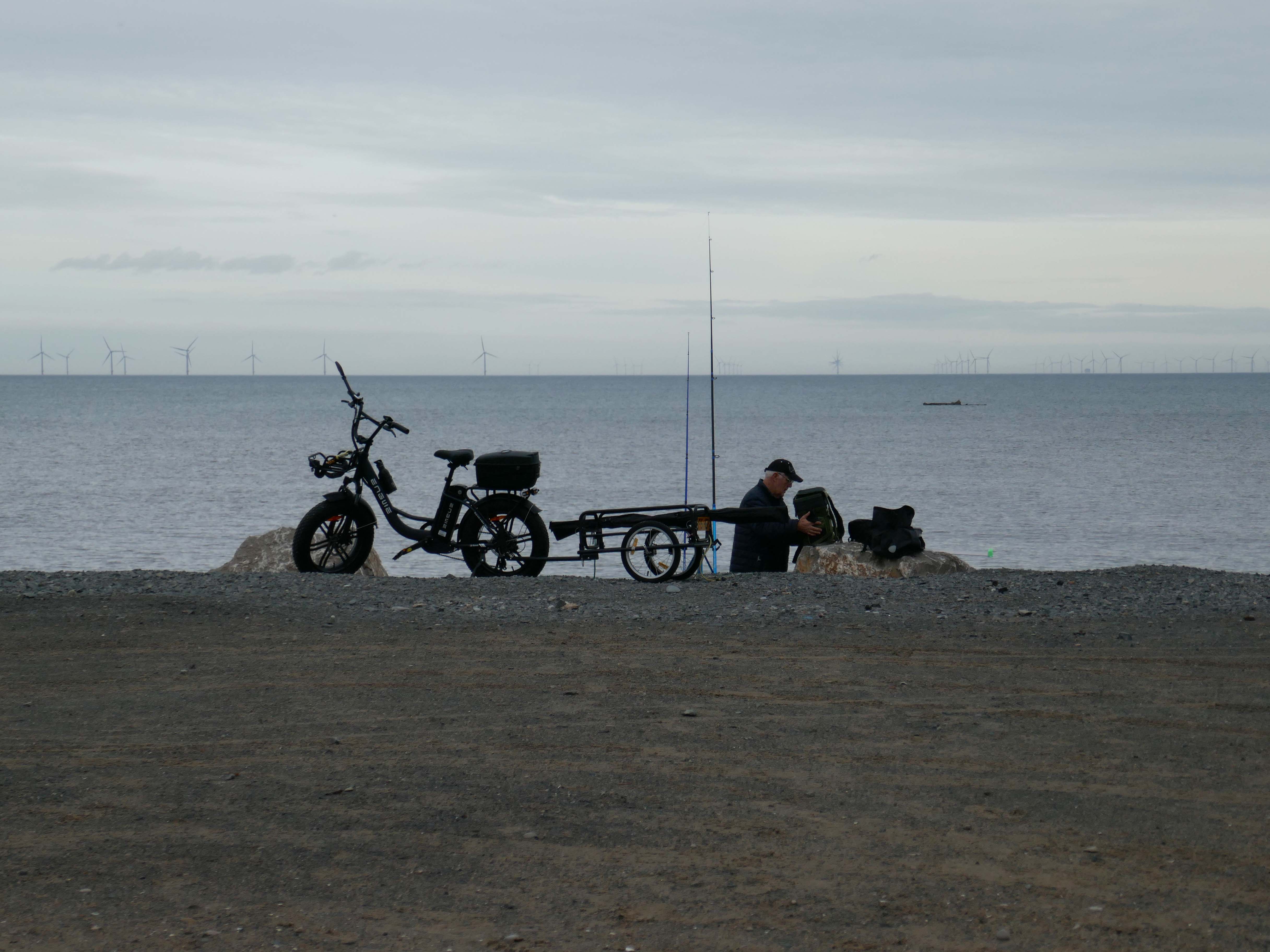
Possibly wiser to take a leisurely ride on your electric bicycle, followed by an hour or two of beach casting .
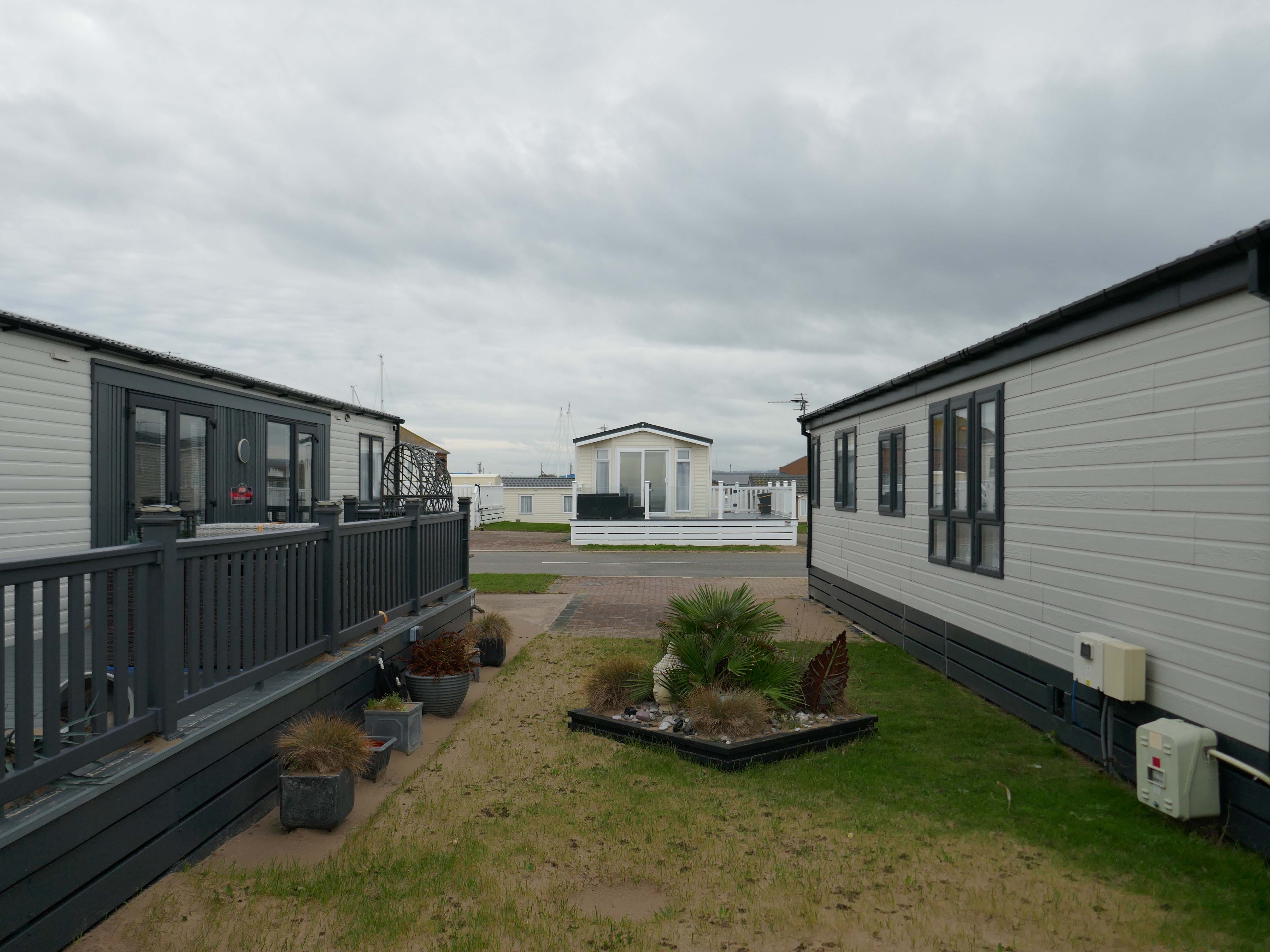
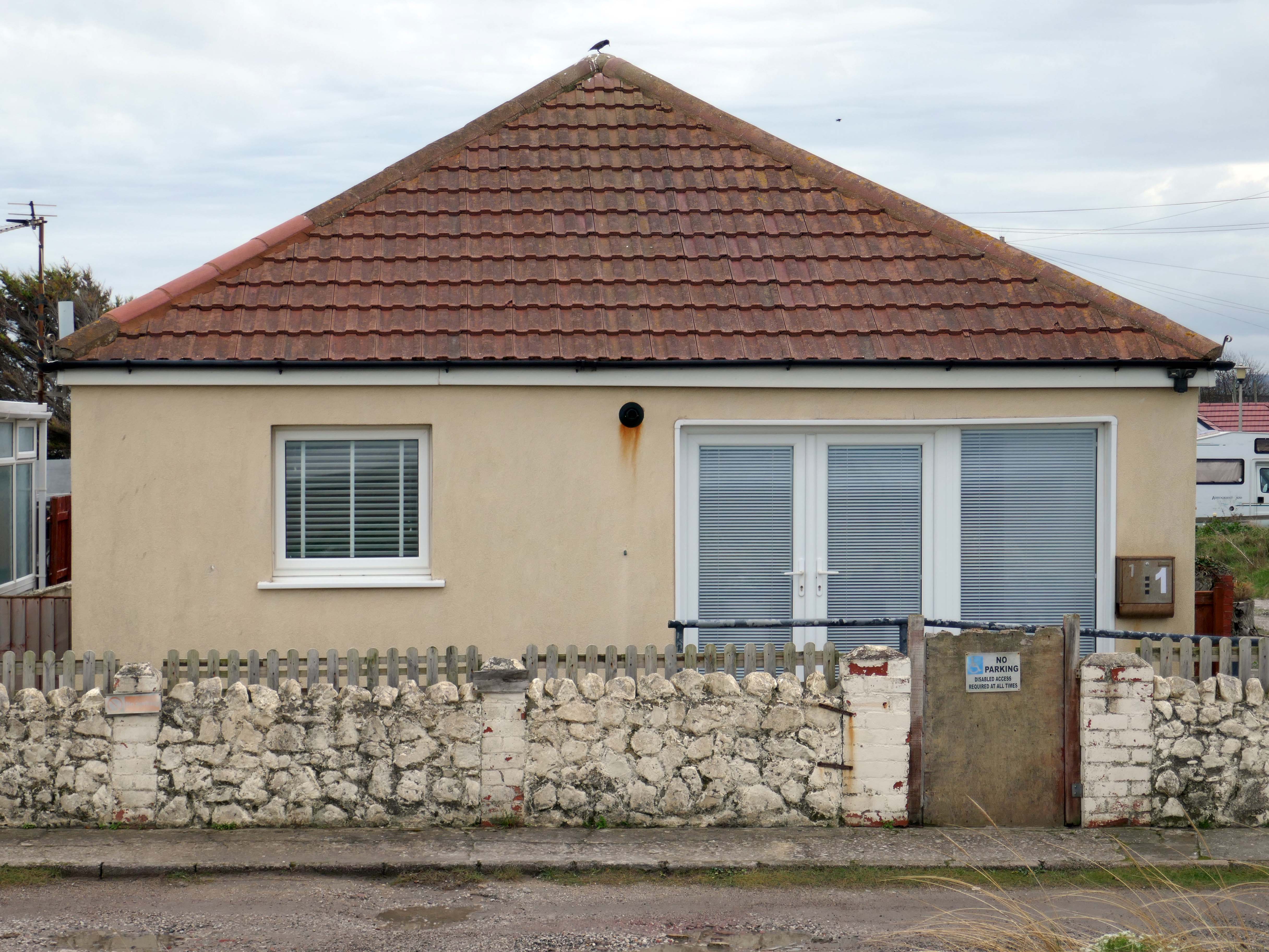
The coastal housing at Kinmel bay is undergoing a cosmetic upheaval, the determinedly down home bungalow swamped by the relentless monotone tide of home improvements.
The Sandy Cove Estate consists of 250 bungalows that were built in the 1930s by the Kinmel Estates Ltd, who sadly went into liquidation around 1947, before the estate was completed. This left the estate with only dirt tracks for roads with no sidewalks or pavements, no drainage for surface water or any adequate street lighting. After the liquidation of the company the roads and communal greens were escheated to the Crown who then offered the land free of charge to successive Councils for the to incorperate into the towns that were developing. This was refused by the Councils.
Fifty or more homes are ready for you to choose from, gardens and tennis courts have been provided for the sole use, in perpetuity of residents.
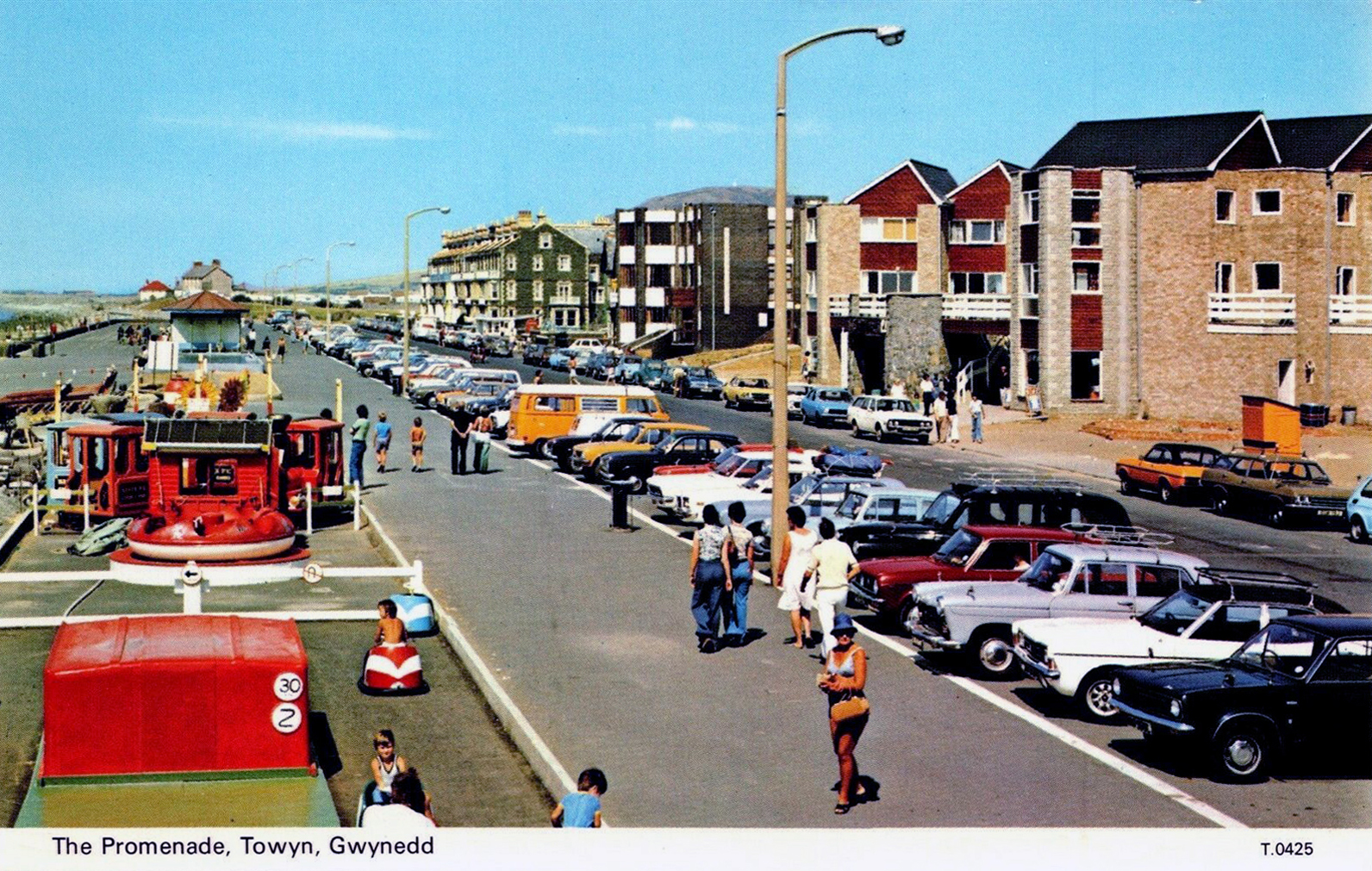
Onward now to Towyn.
The town made national headlines in 1990 when a combination of gale-force winds, a high tide and rough seas caused Towyn’s flood defences to be breached at about 11.00am on 26 February. 4 square miles of land was flooded, affecting 2,800 properties and causing areas of the resort to be evacuated. Further flooding occurred later the same week, on 1 March, shortly after the site of the disaster was visited by Prince Charles and Princess Diana.
Scientific experts also believe that the silt left behind from the flooding had left the town with a higher concentration of radioactivity, over ten times the governmental safety limits, most likely originating from the nuclear processing plant at Sellafield which had been dispersed into the Irish Sea over many years since its construction. The National Radiological Protection Board stated that there was a “small risk” to the people there, while the Welsh Office claimed there was no danger to the public. The coastal defences have since been reconstructed and significantly enhanced.
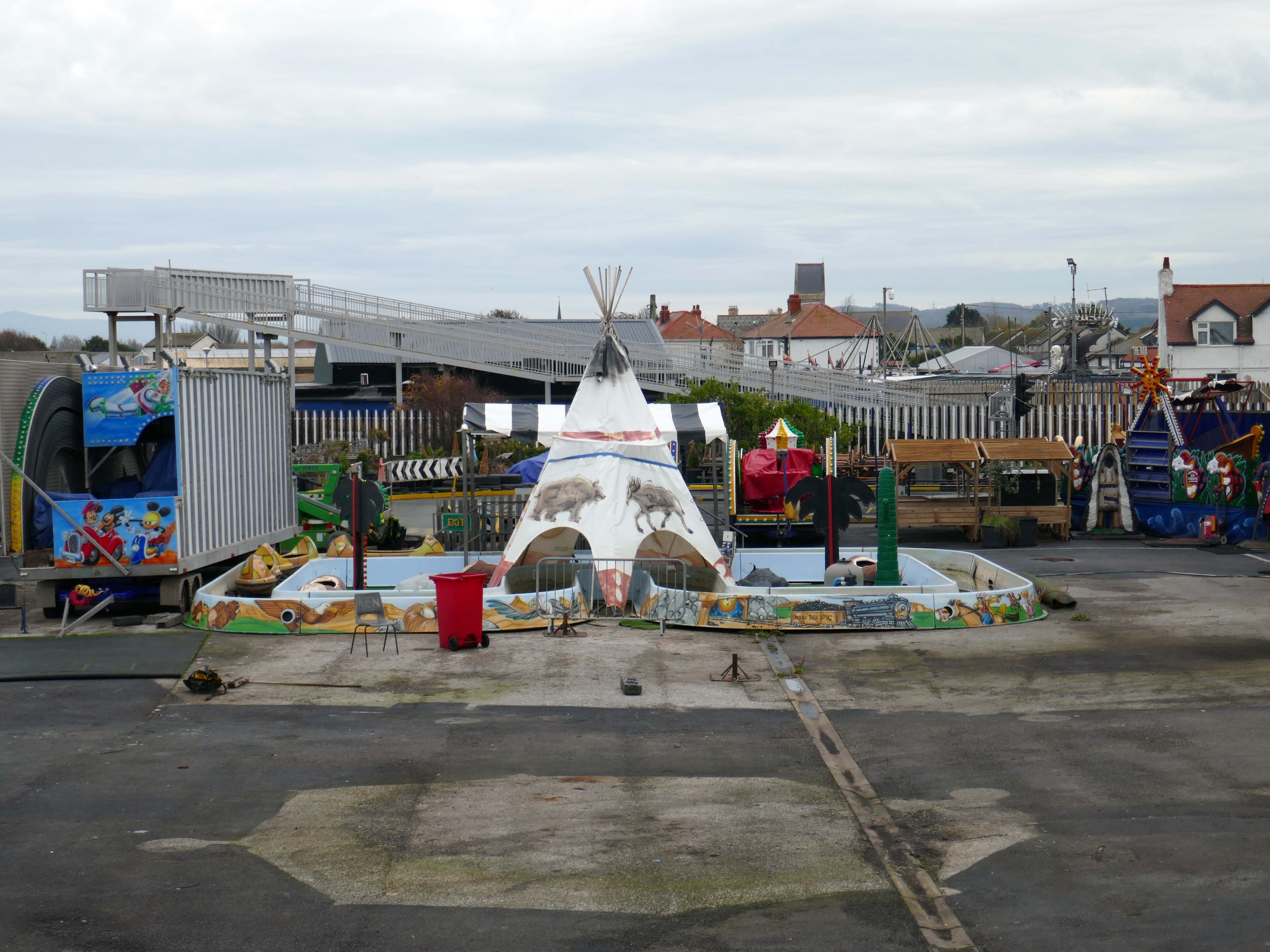
The People of the First Nation here at Knightly’s Fun Park are now safe from the threat of flood.
Knightly’s Funfair has a fantastic range of rides for the whole family! Experience high speed thrills and heart pumping excitement! We’ve got rides for the little ones too as well as games and food stalls to keep the whole family entertained all day!
We also welcome dogs, so you don’t have to leave your furry friends behind!
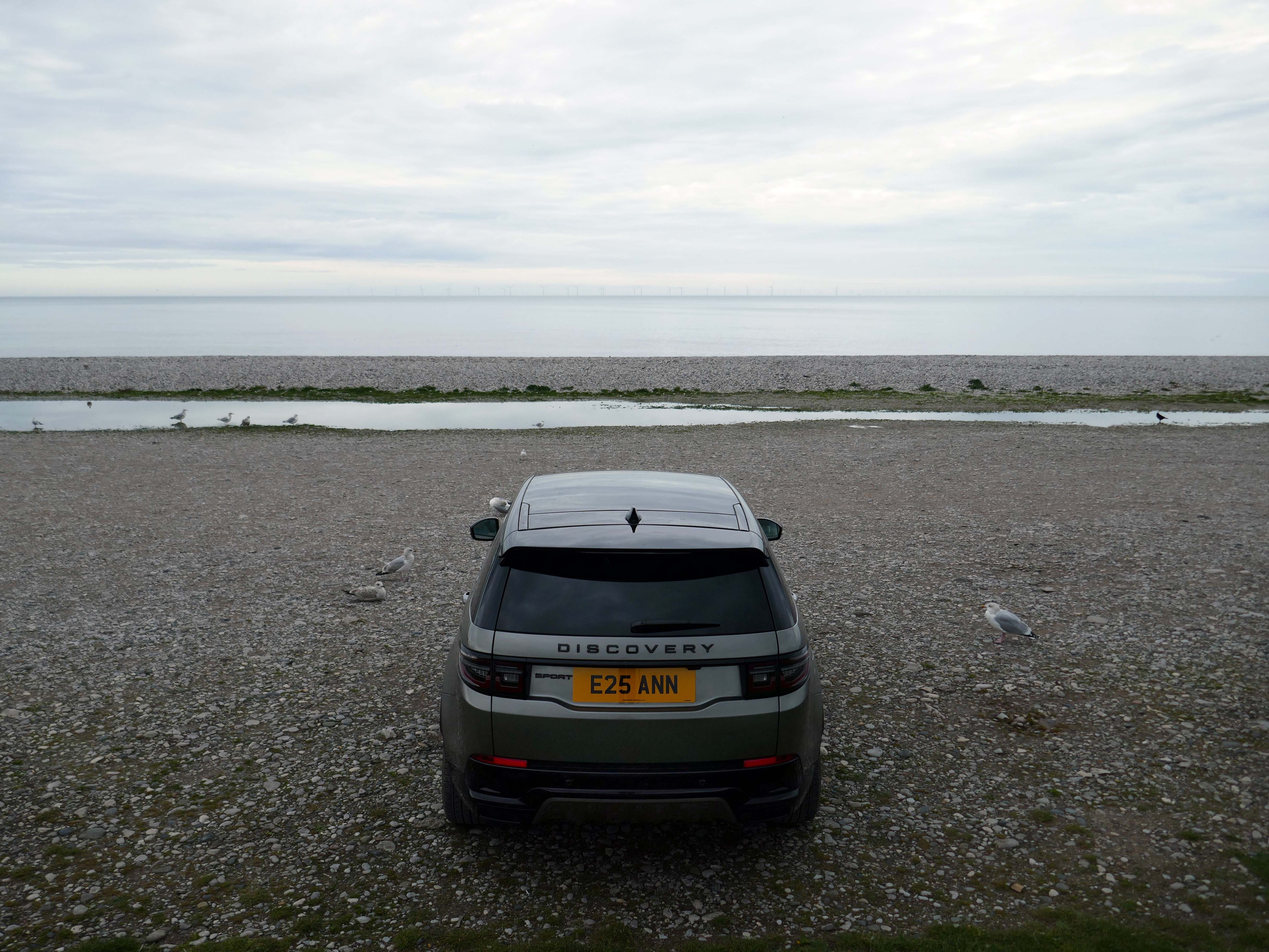
The monotone gentrified home is accompanied by the monotone SUV – the Land Rover Discovery Sport.
The joy of Discovery Sport is in finding that no adventure is out of reach. Offering the ultimate in comfort, while having the toughness to cope with family life.
According to a Europe-wide study, which included the UK, when vehicles are 300kg heavier, the risk of fatal injuries is 30% higher for vulnerable road users.
Pedestrians and cyclists are also 30% more likely to be killed if they’re hit by a car with a bonnet that’s 10cm higher than average.
E25 is Spirulina Extract Phycocyanin, when taken as directed, Spirulina generally doesn’t cause side effects. In some people, it may cause mild side effects, including headaches, diarrhoea, bloating and gas.
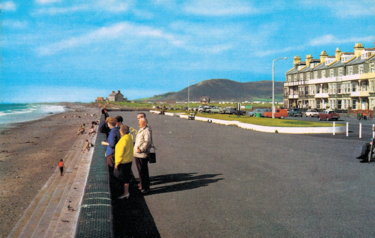
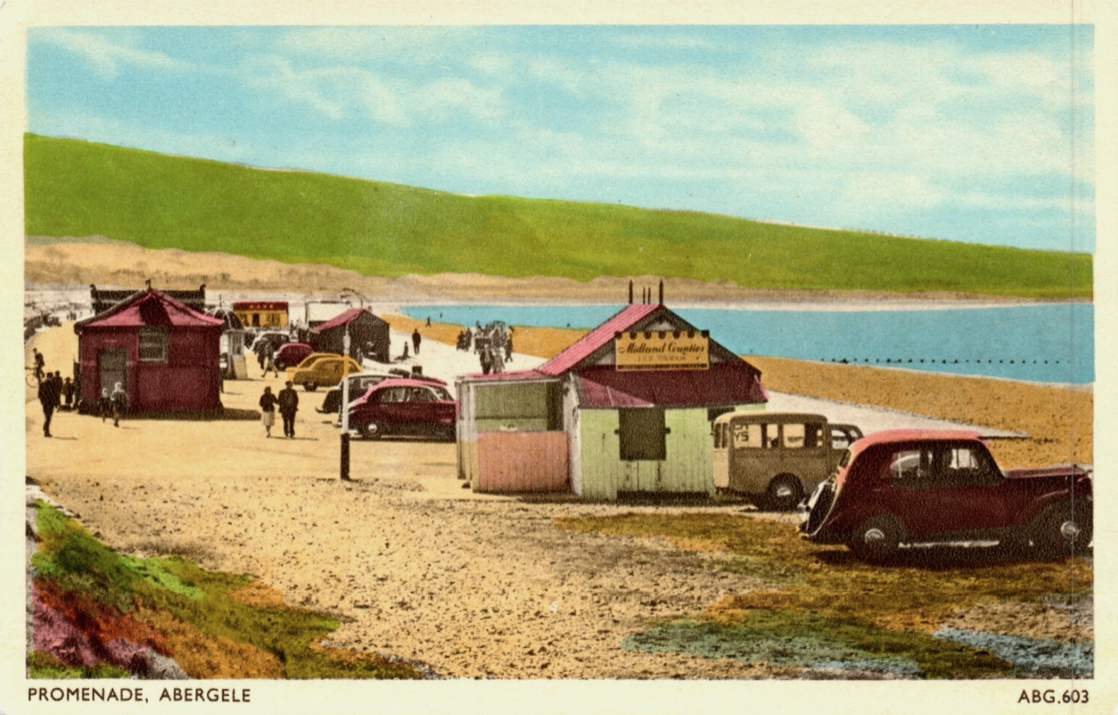
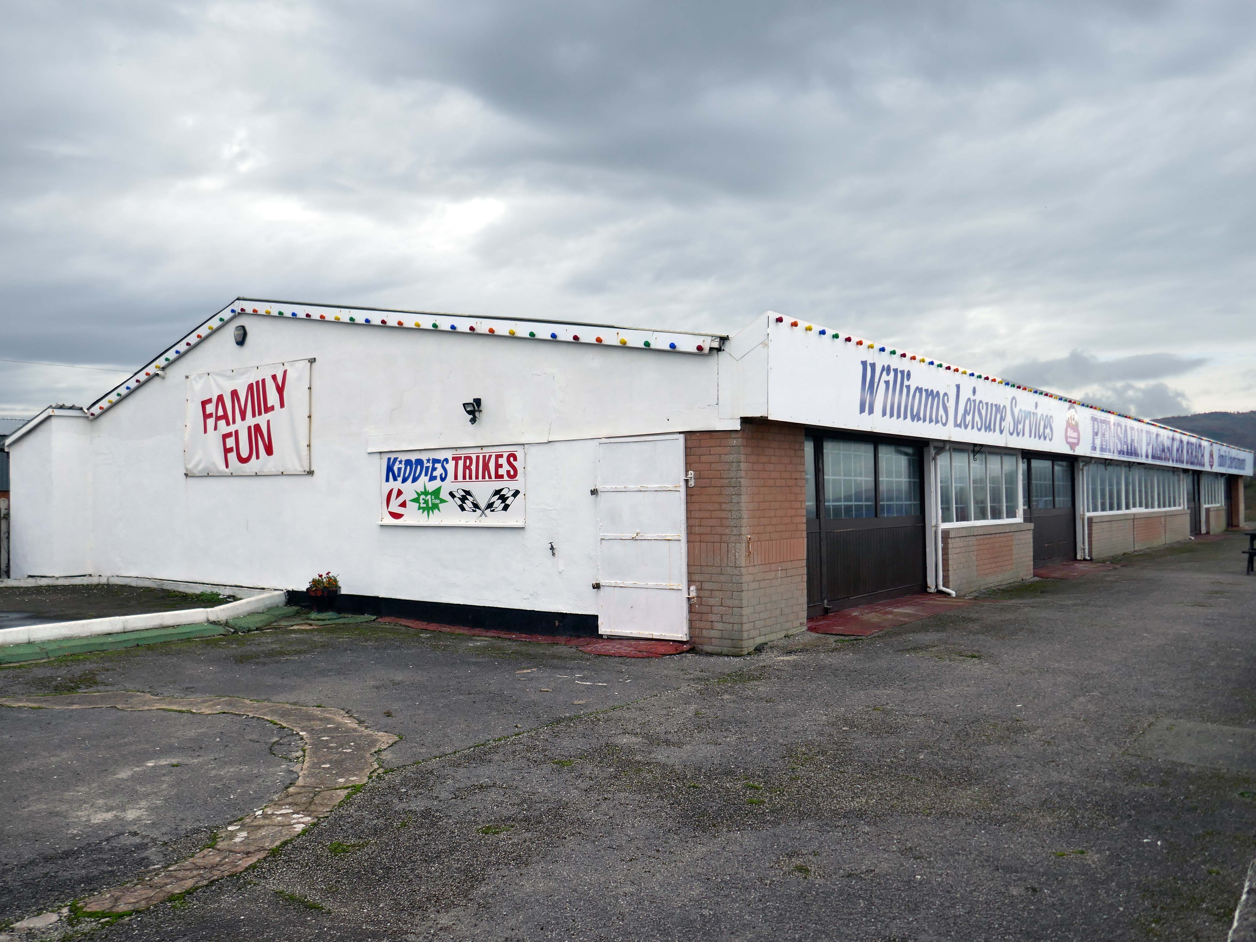
Here we are now at Abergele and Pensarn which have quiet sandy beaches close to historic sites and wooded hills. From here, you can escape the stresses of everyday life. Enjoy sea views, historic places such as Gwrych Castle – home to ITV’s I’m a Celebrity 2020 and 2021 TV series, and a range of things to do providing fun for all the family.
Pensarn Pleasure Beach Amusement Arcade, operated by Laurence Williams Amusements, offers a charming family-friendly experience. Visitors often highlight its nostalgic appeal with fun penny machines and small shops selling drinks and handmade goods.
While many appreciate the charm of the arcade, some mention that certain machines are quite dated and do not work properly, this aspect may affect overall enjoyment for some users.
The reviews indicate a good variety of activities including classic penny slots and local shops offering food and unique handmade items like dog harnesses, catering to diverse interests.
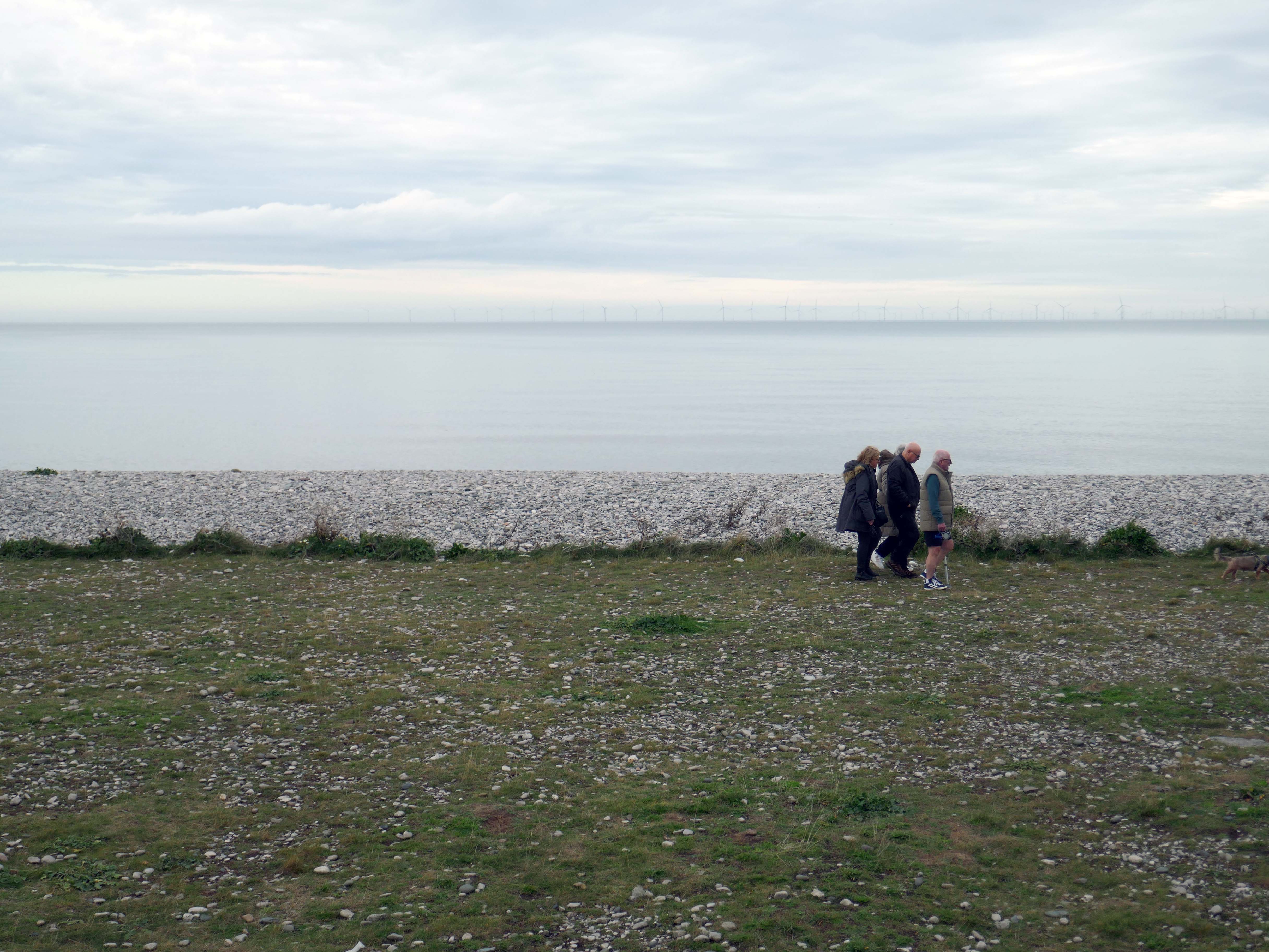
Such a pleasant stretch of coast to stretch your legs along.
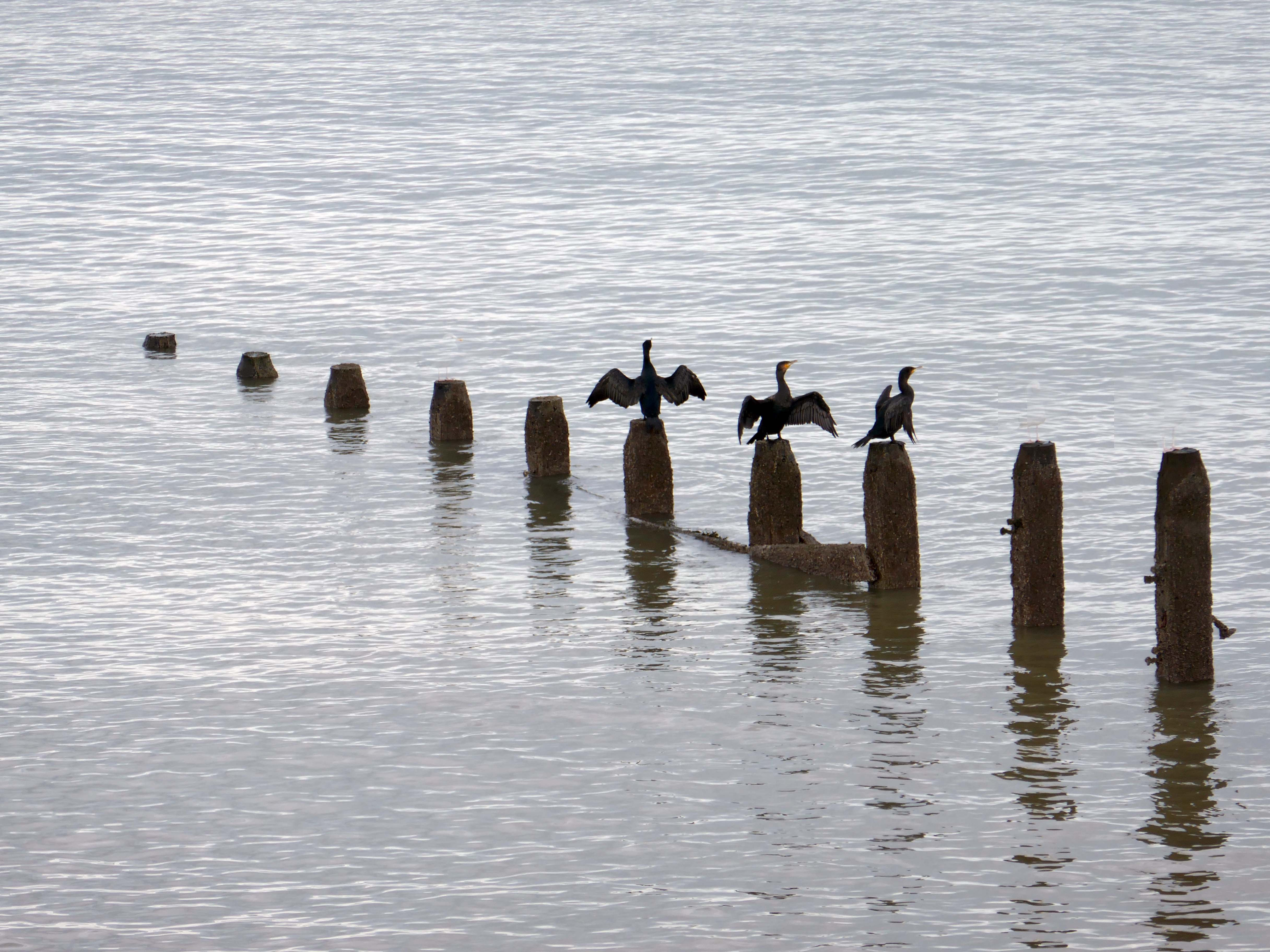
Or to stretch your wings for that matter, should you happen to be a cormorant.
Coastal defences from the giant concrete bobbers and jacks.
A tetrapod is a form of wave-dissipating concrete block used to prevent erosion caused by weather and longshore drift, primarily to enforce coastal structures such as seawalls and breakwaters. Tetrapods are made of concrete, and use a tetrahedral shape to dissipate the force of incoming waves by allowing water to flow around rather than against them, and to reduce displacement by interlocking.
Tetrapods were originally developed in 1950 by Pierre Danel and Paul Anglès d’Auriac of Laboratoire Dauphinois d’Hydraulique in Grenoble,who received a patent for the design. The French invention was named tétrapode, derived from Greek tetra ‘four’ and pode ‘foot’.
Tetrapods were first used at the thermal power station in Roches Noires in Casablanca, to protect the sea water intake.
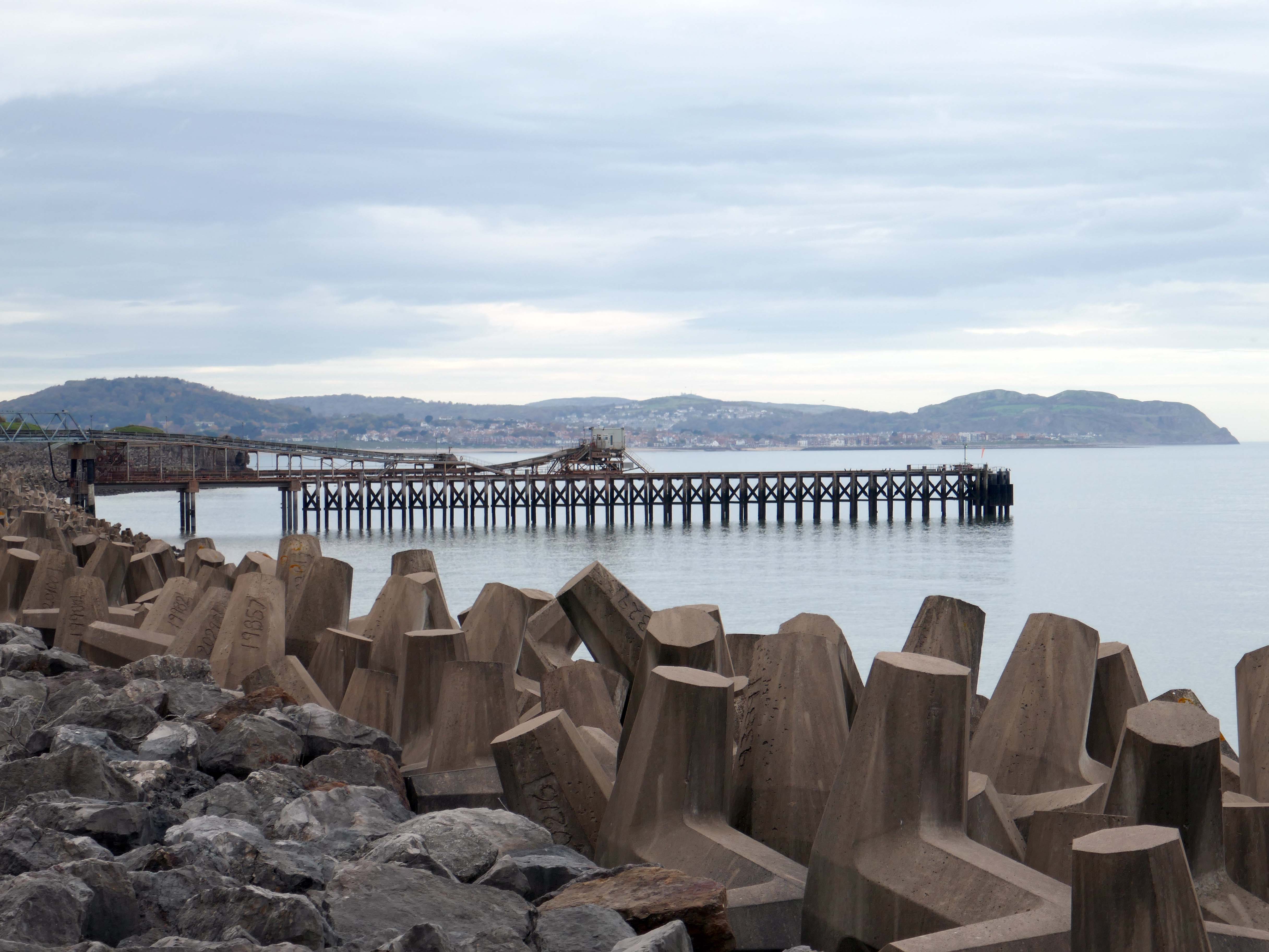
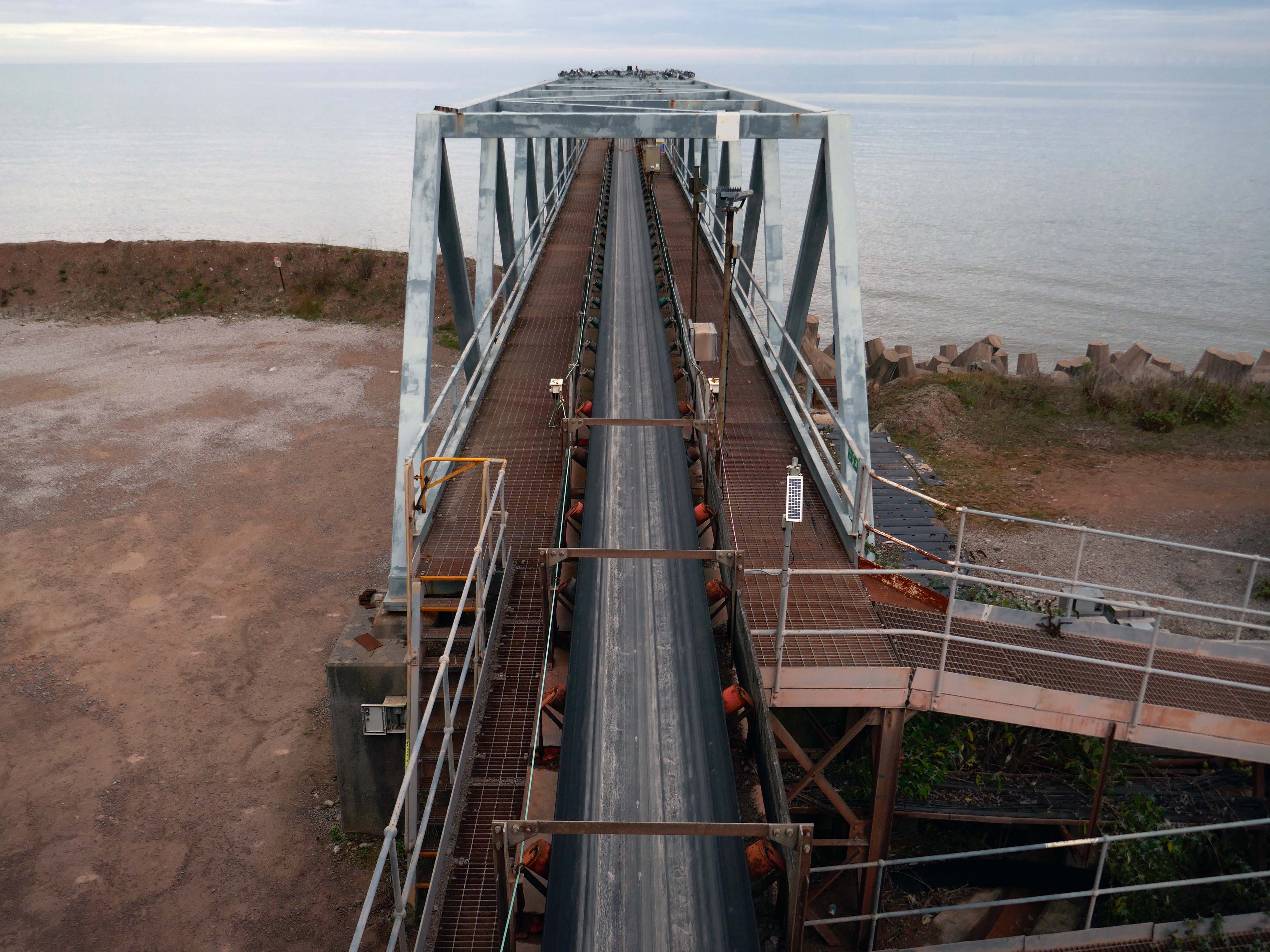
Next we pass Raynes Jetty the quarry conveyor belt – shifting and shipping limestone out to sea.
Limestone from Raynes quarry, to the south, is transported by conveyor belts to the jetty, crossing the A55 Expressway and railway. From the jetty it is loaded into coastal freighters which take it to other parts of the British Isles. Limestone from this quarry is a pure form of the rock, making it ideal for the chemical and cement industries.
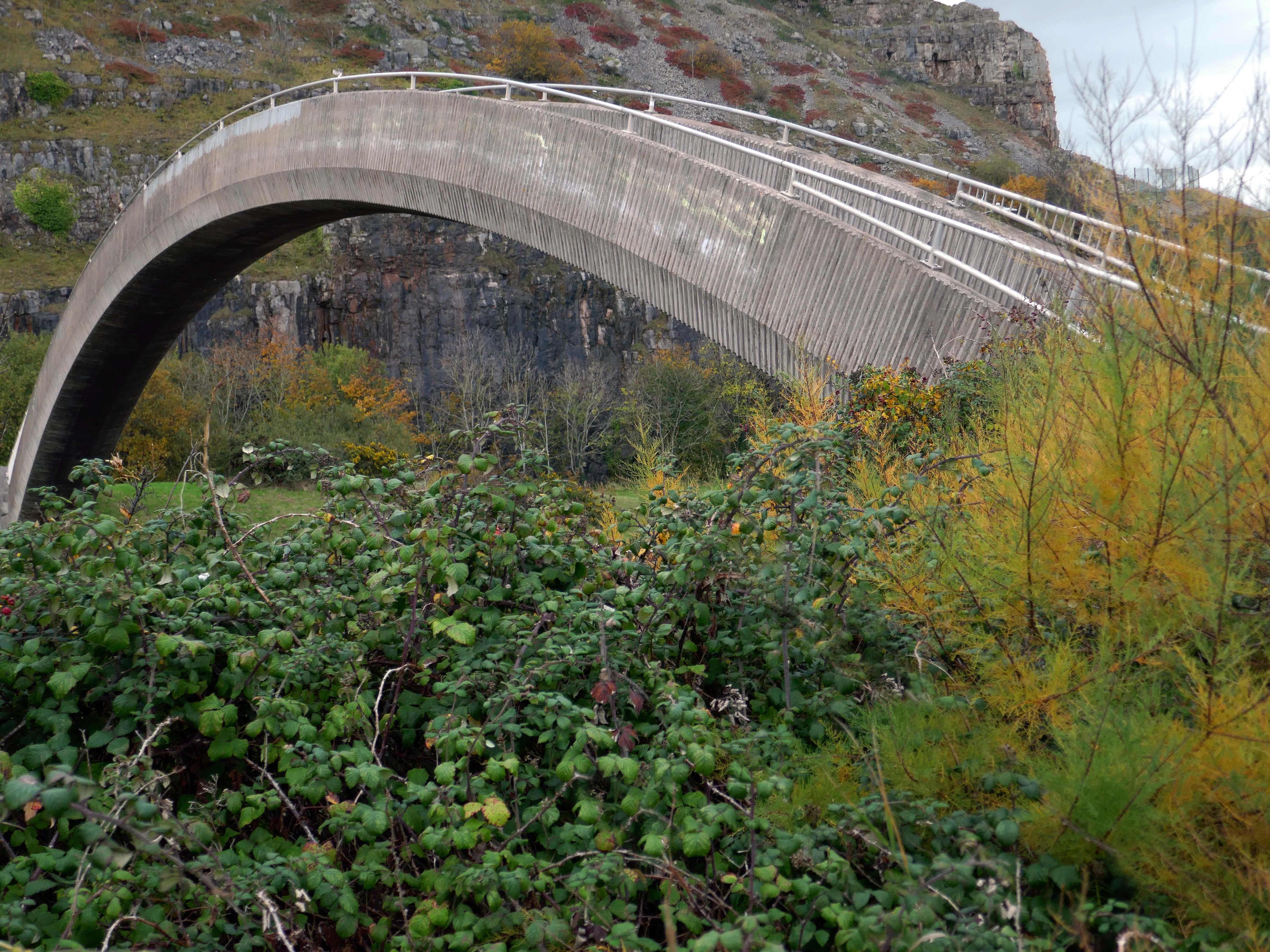
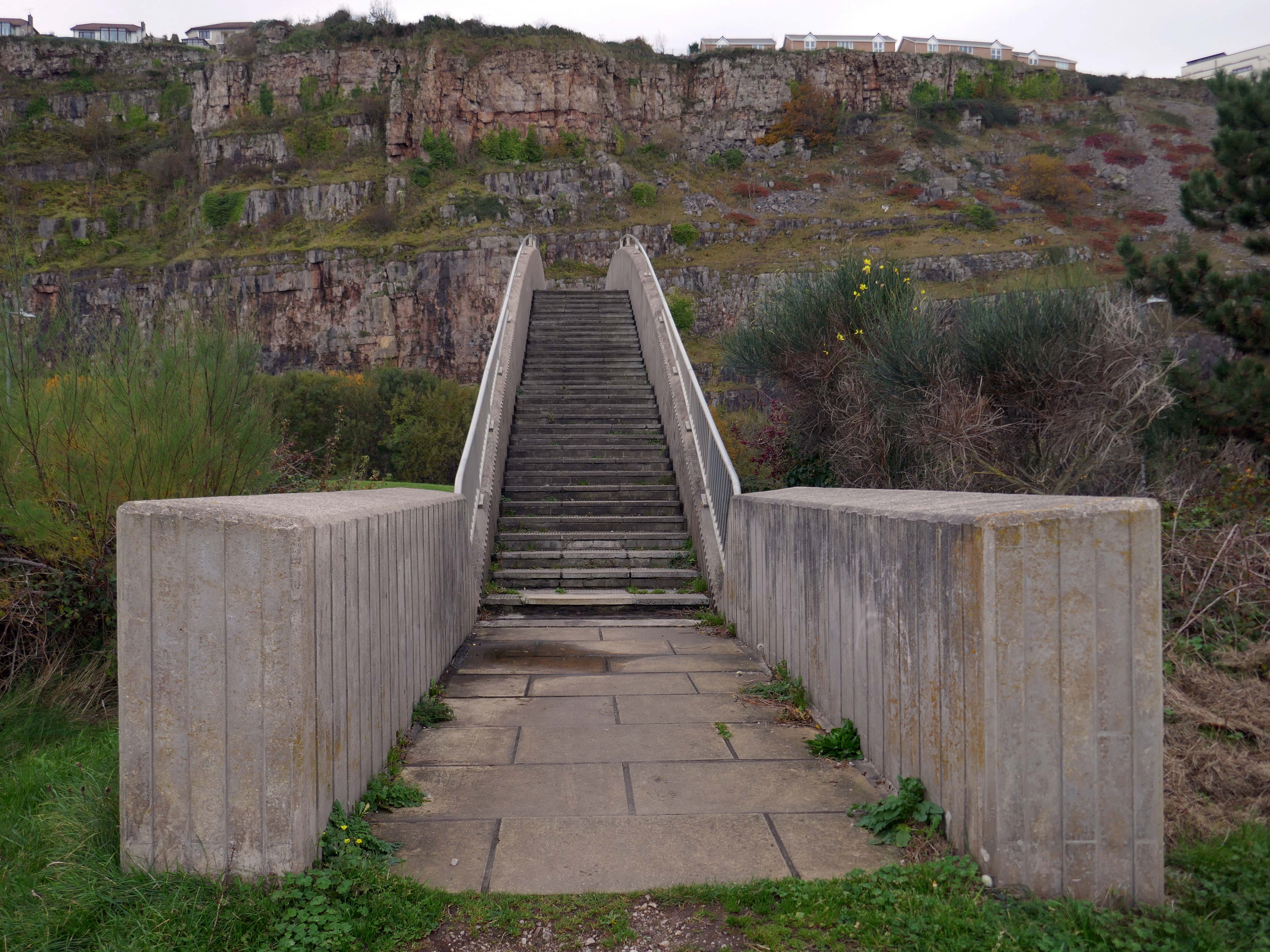
Limestone forming an important constituent part of the nearby concrete Rainbow Bridge – linking Old Colwyn’s pedestrians to the shore.
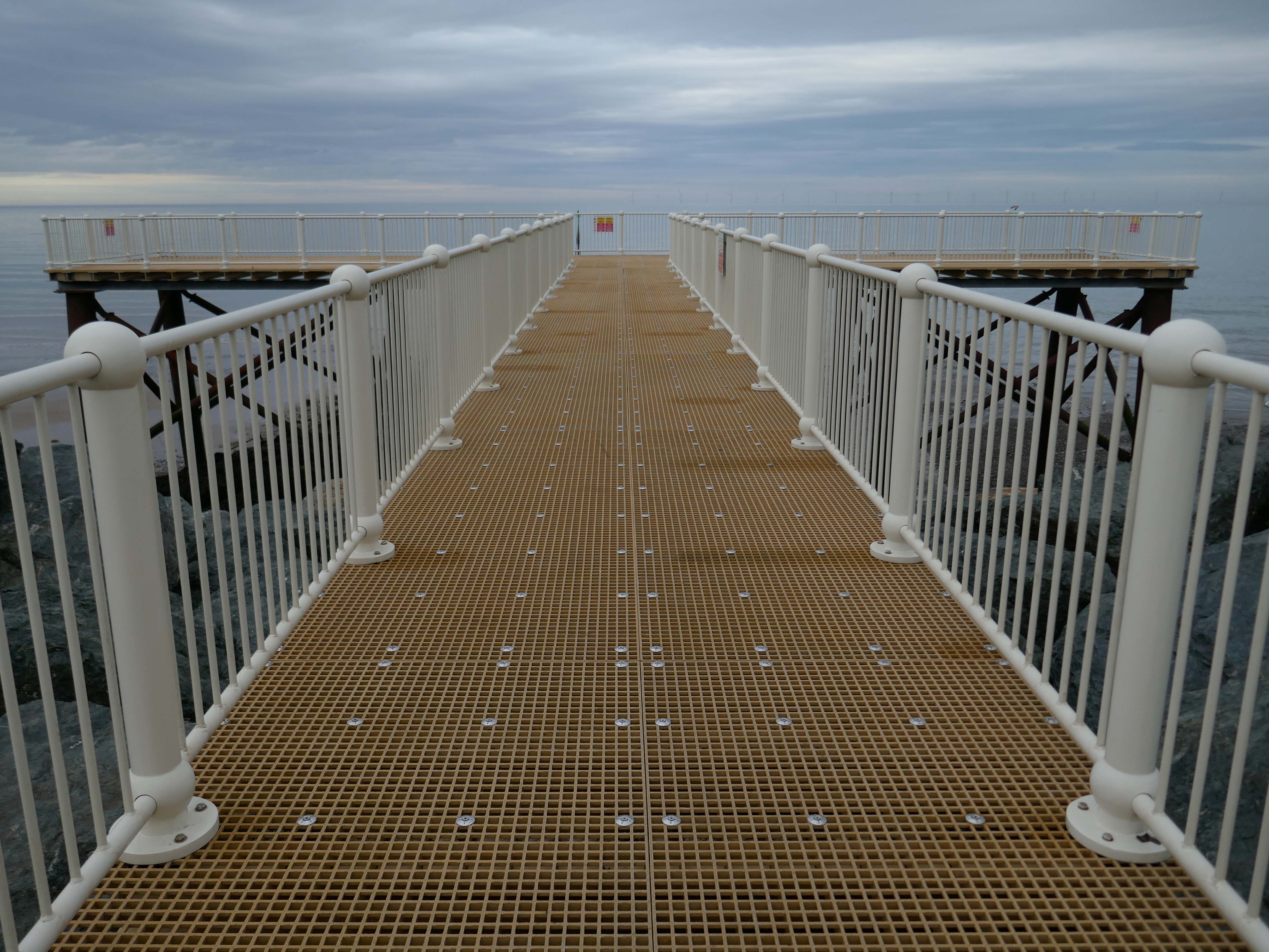
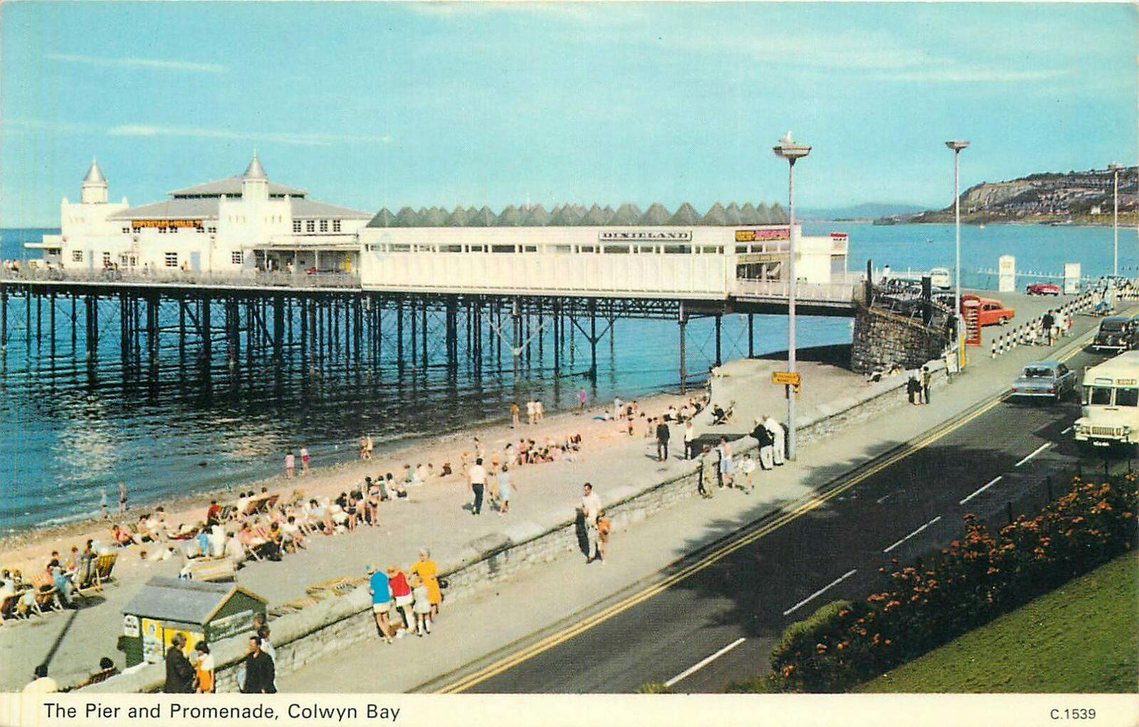
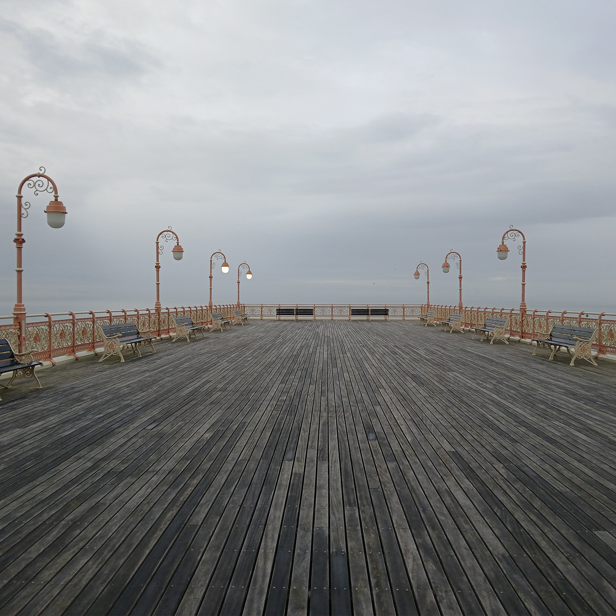
On the site of Colwyn Bay Pier is a seriously truncated pier.
It was conceived in the late 19th century, when Colwyn Bay wanted to catch up with other towns which had piers where steamers deposited and collected passengers. However, it was found that the proposed pier would have to extend almost half a mile to reach the area where the water was deep enough for ships. This was too costly, so the pier was built purely for entertainments. The councillors saved face by saying this would avoid day trippers arriving by steamer and lowering the tone of Colwyn Bay!
The pier was less than 100 metres long when it opened in 1900. The pavilion had a 2,500-seat theatre, shops and a restaurant. The opening performance featured Adelina Patti, one of the world’s most renowned operatic sopranos in her day.
The final pavilion, opened in 1934, incorporated Art Deco features and murals by Eric Ravilious and Mary Adshead.
Both walls of the last remaining Eric Ravilious mural have been successfully removed, and were placed safely in storage. But with CCBC staff set to relocate to new Colwyn Bay offices a more permanent home is needed for the murals.
Many of those features were destroyed or obscured in post-war refurbishments. Entertainers who performed at the pier in this period included comedians Ken Dodd and Morecambe and Wise, and singers Harry Secombe and Elvis Costello.
The new promenade, measuring 2.3 miles long, has been designed to protect the town and its infrastructure from the effects of the sea. The project was split into two phases; the first, to remove what was originally there and to construct the new raised promenade including a road, cycleway and car parking. The second phase was to transform the promenade with further development as well as reinforce the defence structures.
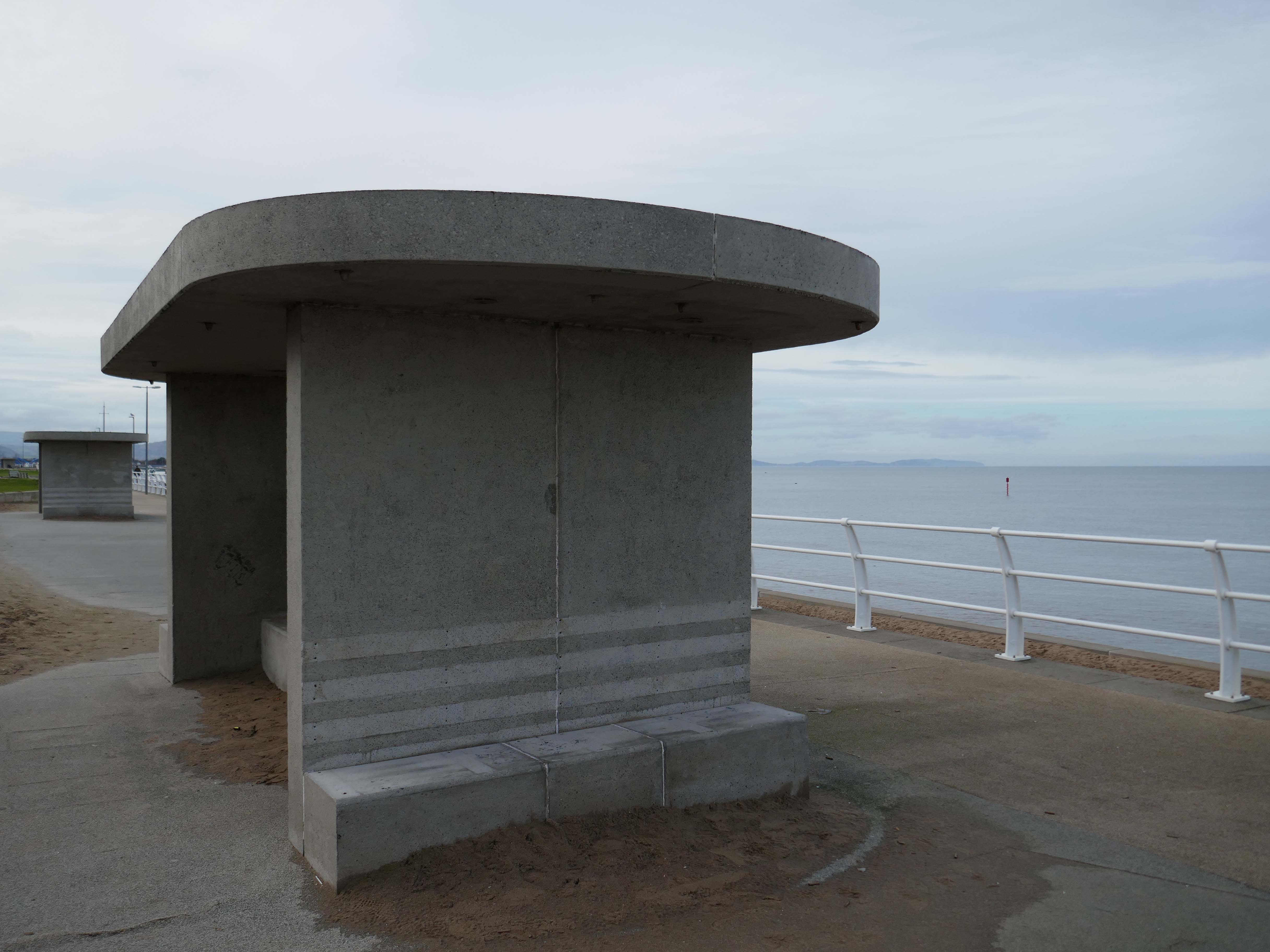
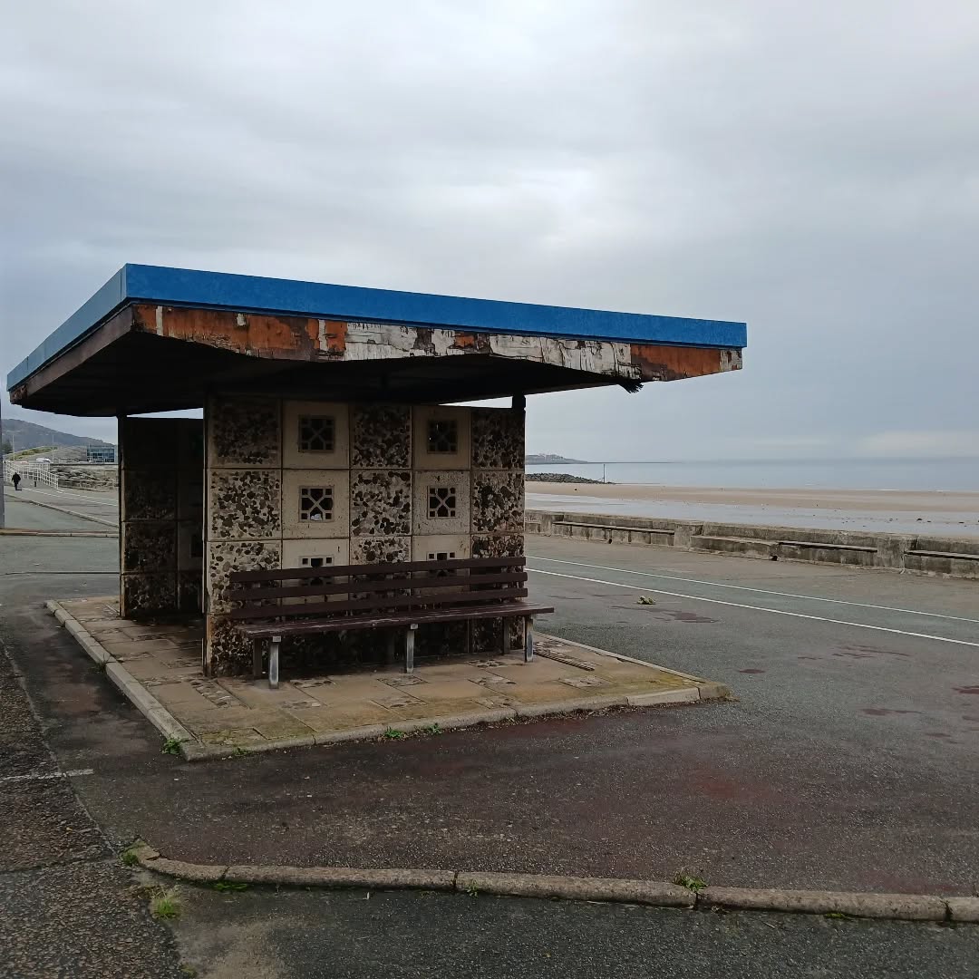
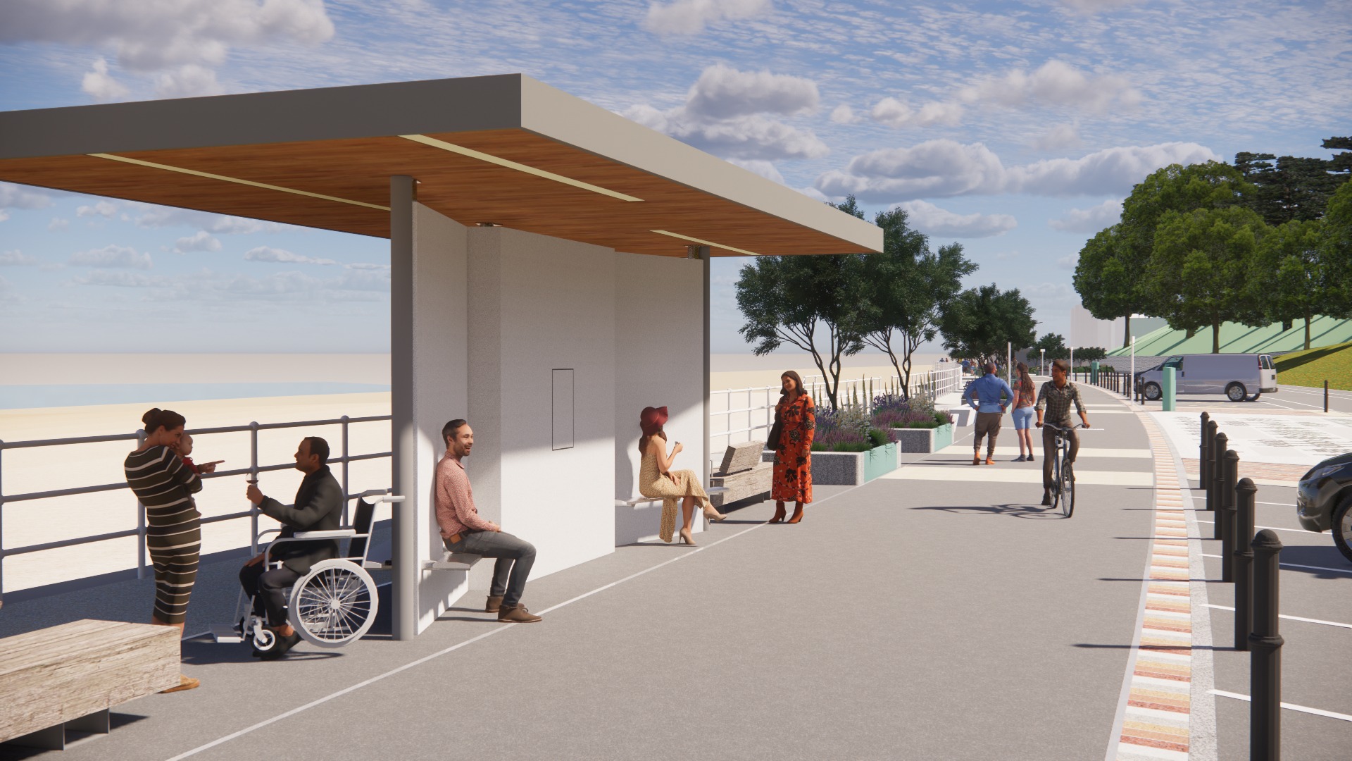
This is the last of the Sixties concrete shelters – which once stretched all the way to Rhos on Sea.
New shelters have appeared
A Conwy County Borough Council spokesperson said:
The shelters include new features such as solar power lighting and are designed to be accessible for wheelchair and mobility scooter users.
The closed design of the old shelters made anti-social behaviour easier and led to their condition deteriorating.
And a new pier has appeared.
Construction on the new Pier at Colwyn Bay commenced in July 2020. Despite being initially slated for completion in the summer, the erection of scaffolding and subsequent work on the 45-meter truncated Colwyn Bay pier were delayed. However, the project timeline was expedited, and the construction was successfully finished in July 2021.
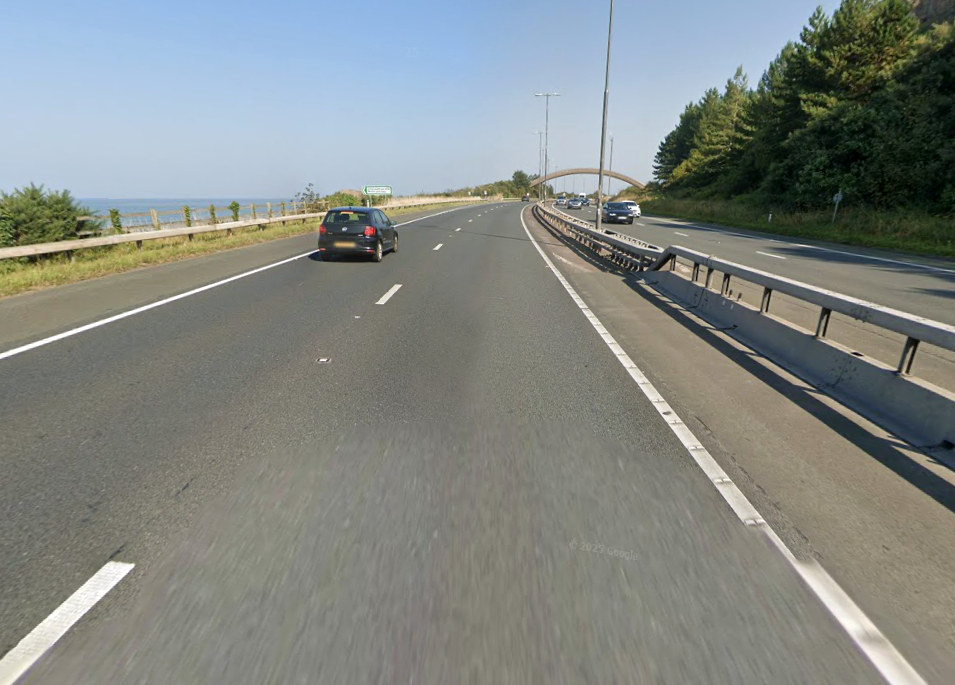
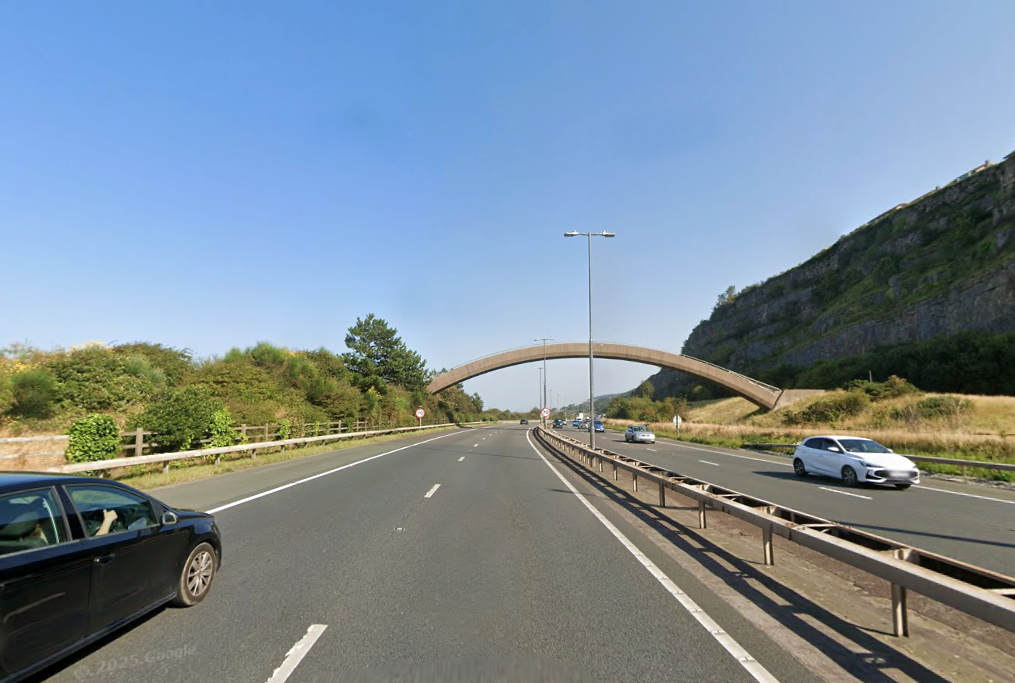
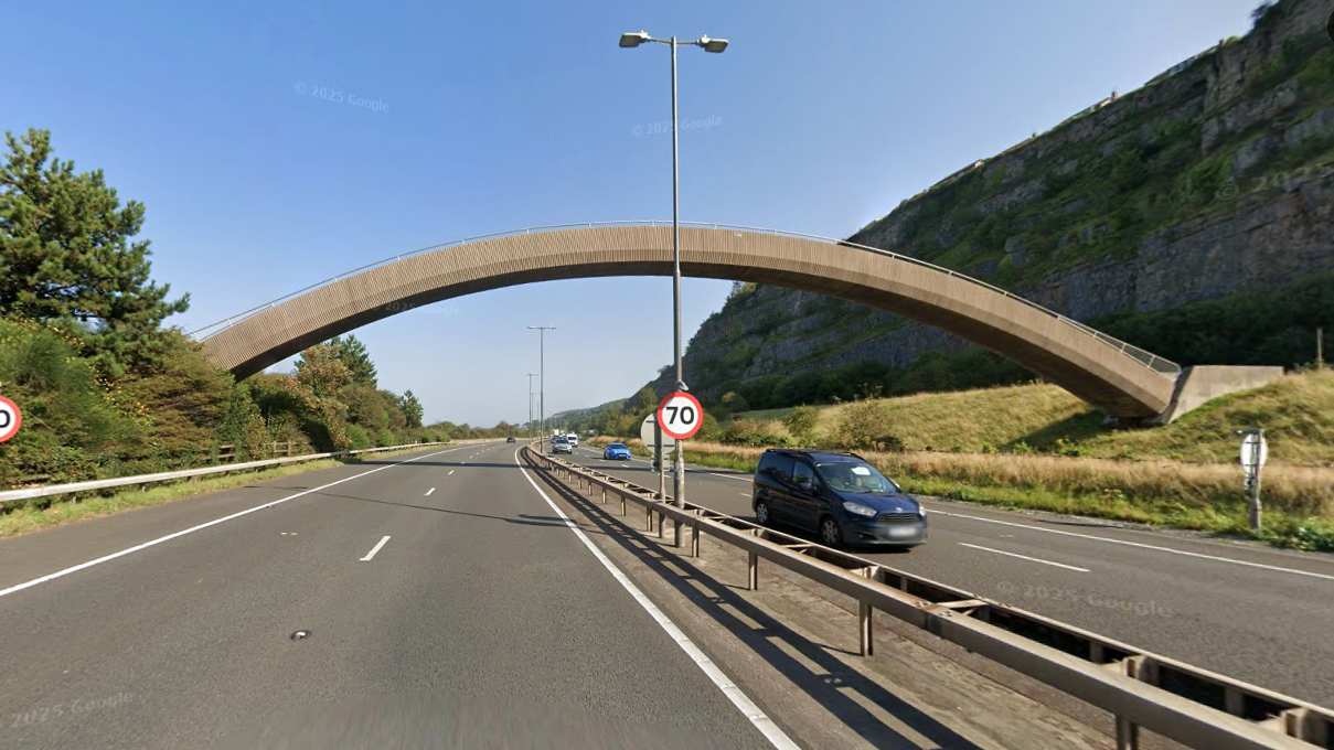
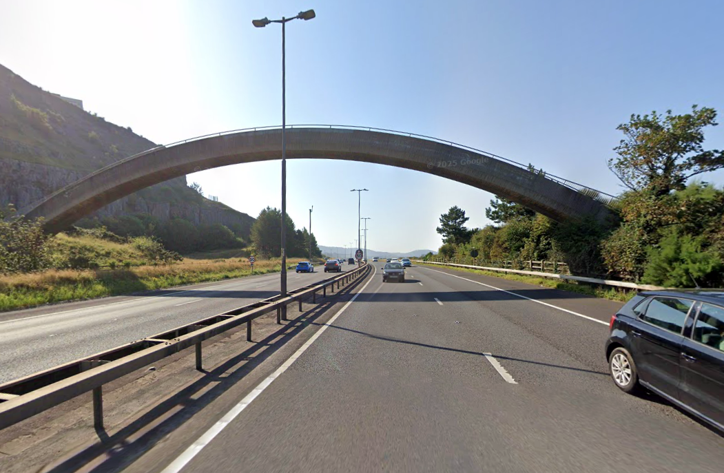
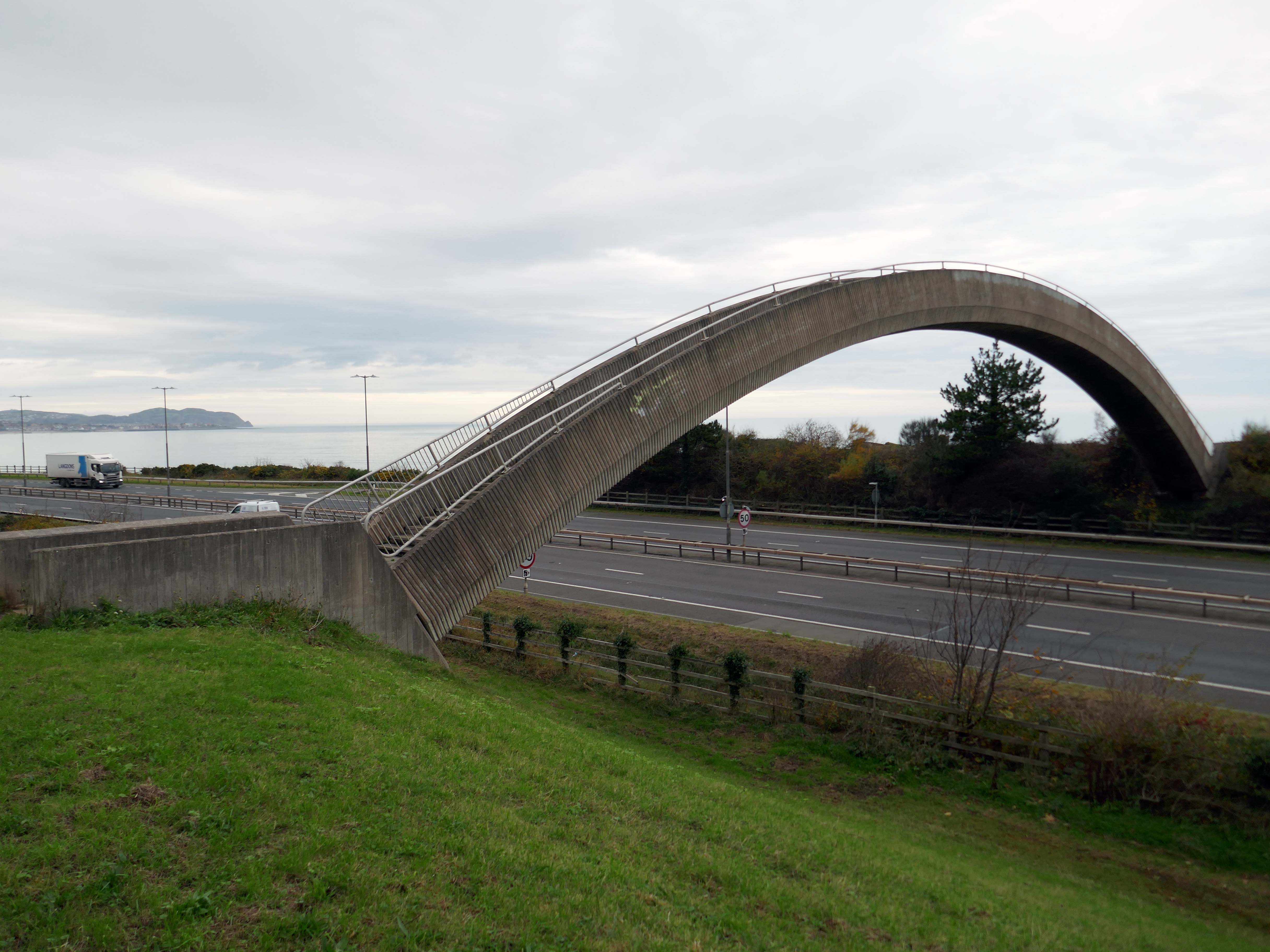
The iconic Rainbow Bridge on the A55 has been lit up to say thank you to NHS, social care staff and other key workers.
This well-known landmark lived up to its name on Tuesday night when it was bathed in rainbow colours alongside a thank you message projected onto the nearby cliffside.
This one-off tribute to staff from the health and care sectors and other key workers who are working tirelessly during the Covid-19 pandemic, was arranged by the North and Mid Wales Trunk Road Agent.
The walkway over the A55, colloquially known as Rainbow Bridge, is situated on the strategic road network which NMWTRA is responsible for maintaining and managing on behalf of the Welsh Government.
The A55 partly follows the alignment of the Roman road from Chester to Caernarfon, particularly from Junction 31 to 30 and Junction 13 to 12. Between Chester and Holywell the alignment of this road is uncertain and between St. Asaph and Abergwyngregyn, the Roman road followed an inland route, via Canovium Roman Fort at Caerhun, avoiding the difficulties of the crossing of the Conwy estuary and the cliffs at Penmaenbach and Pen-y-Clip.
On 1 April 1937, the route, as it was then, was classed to form the Chester–Bangor trunk road. By 2015, the Welsh Governmentwas also classifying part of the road as part of the London–Holyhead trunk road.
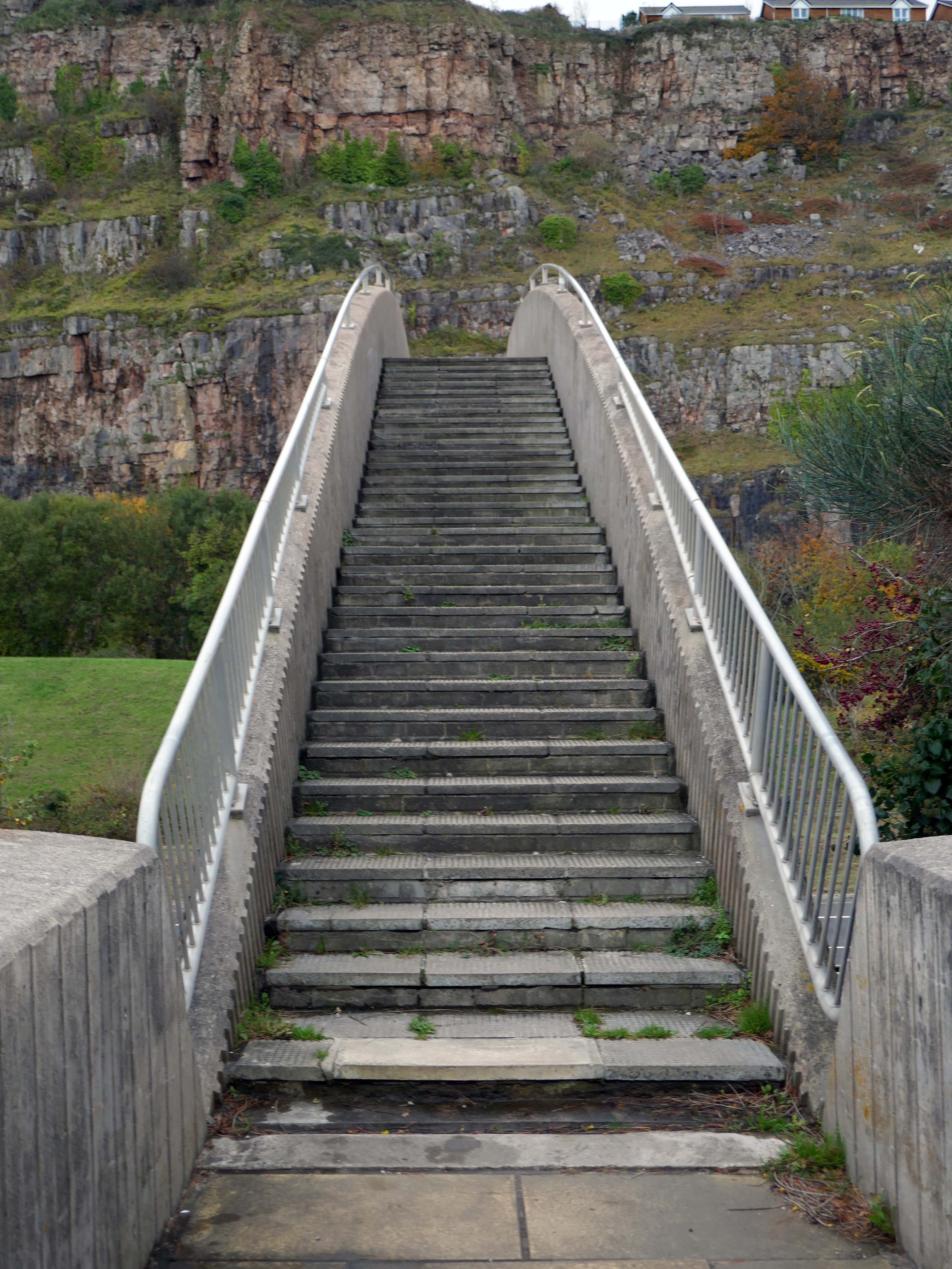
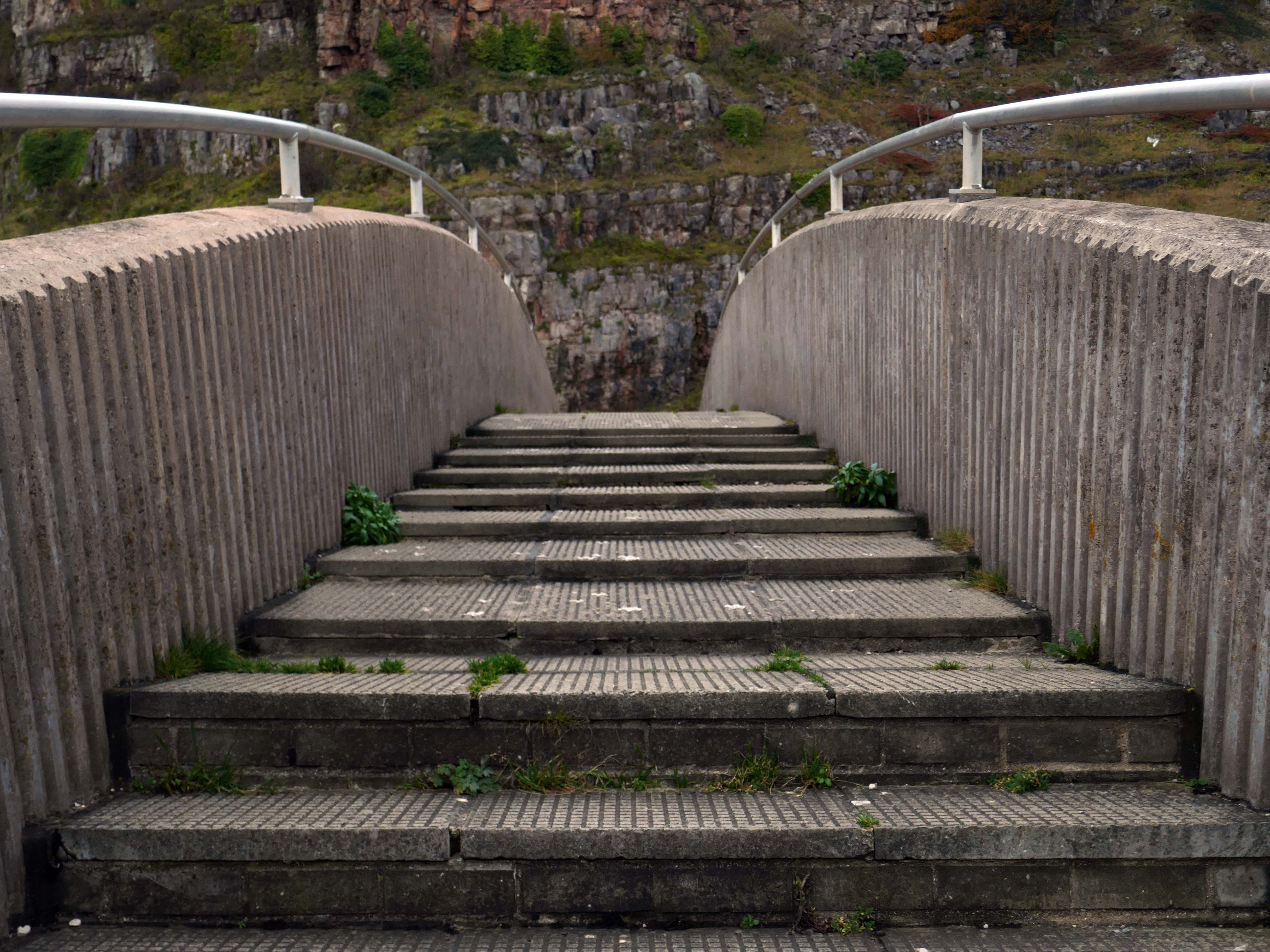
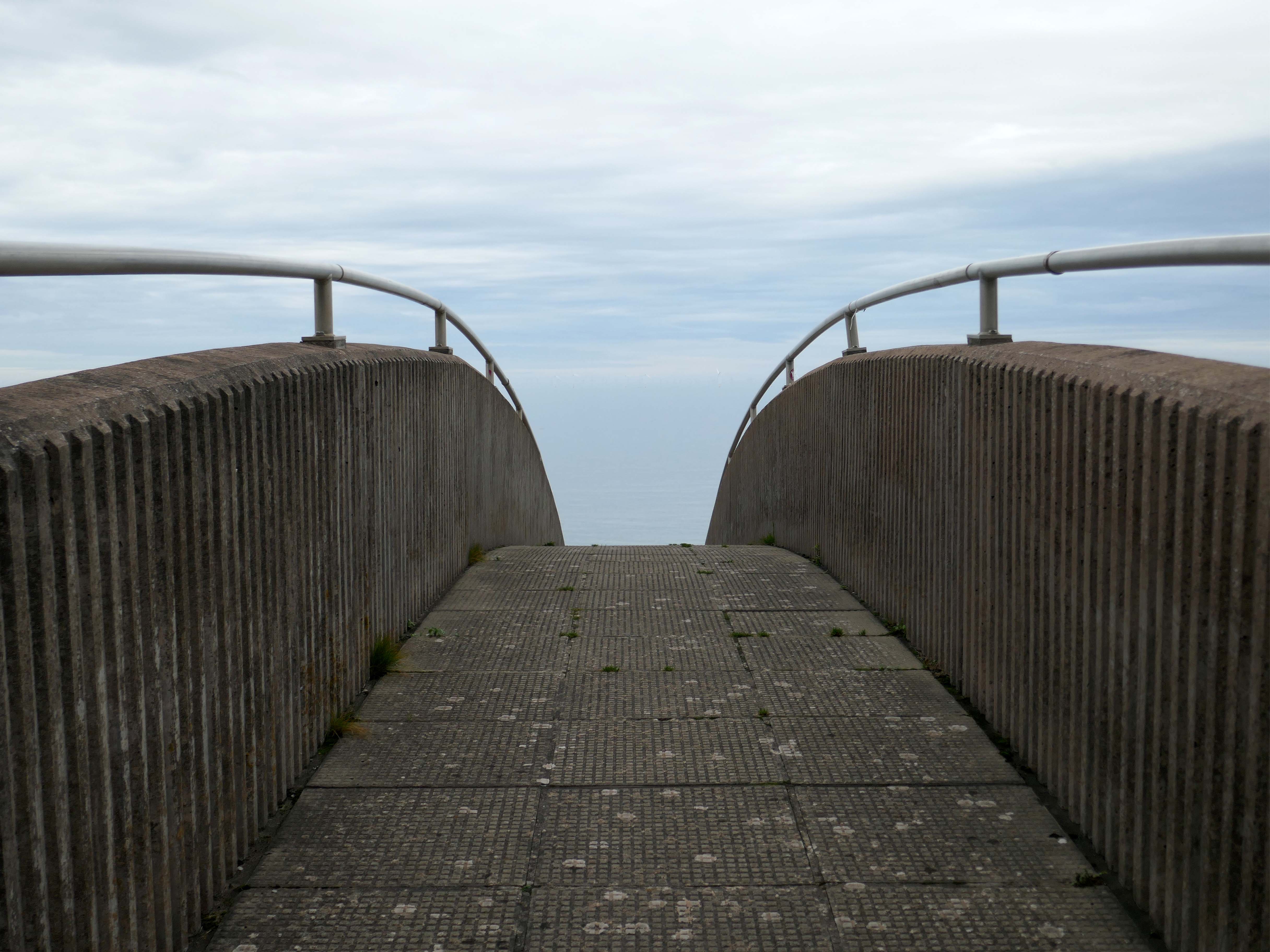
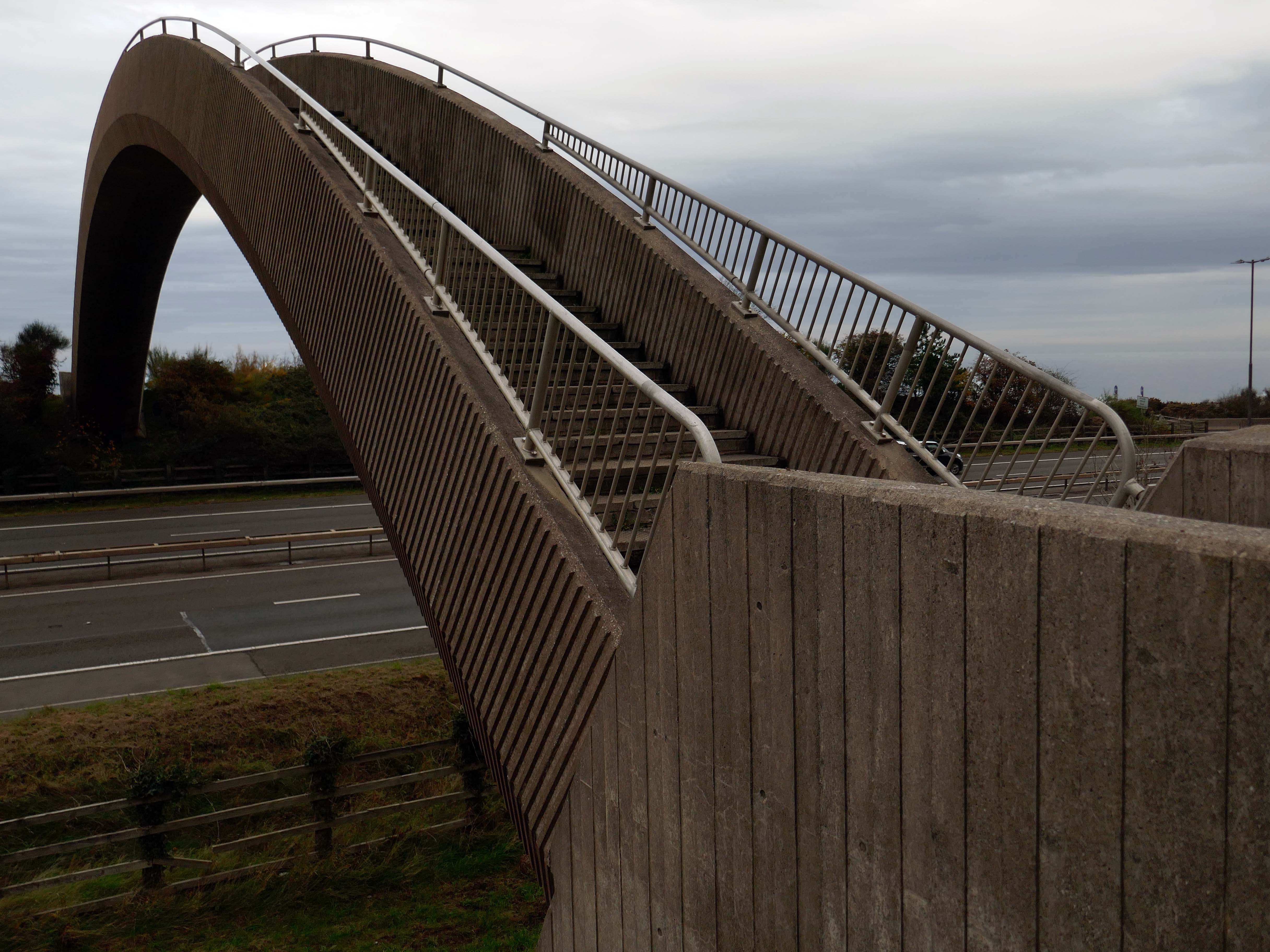
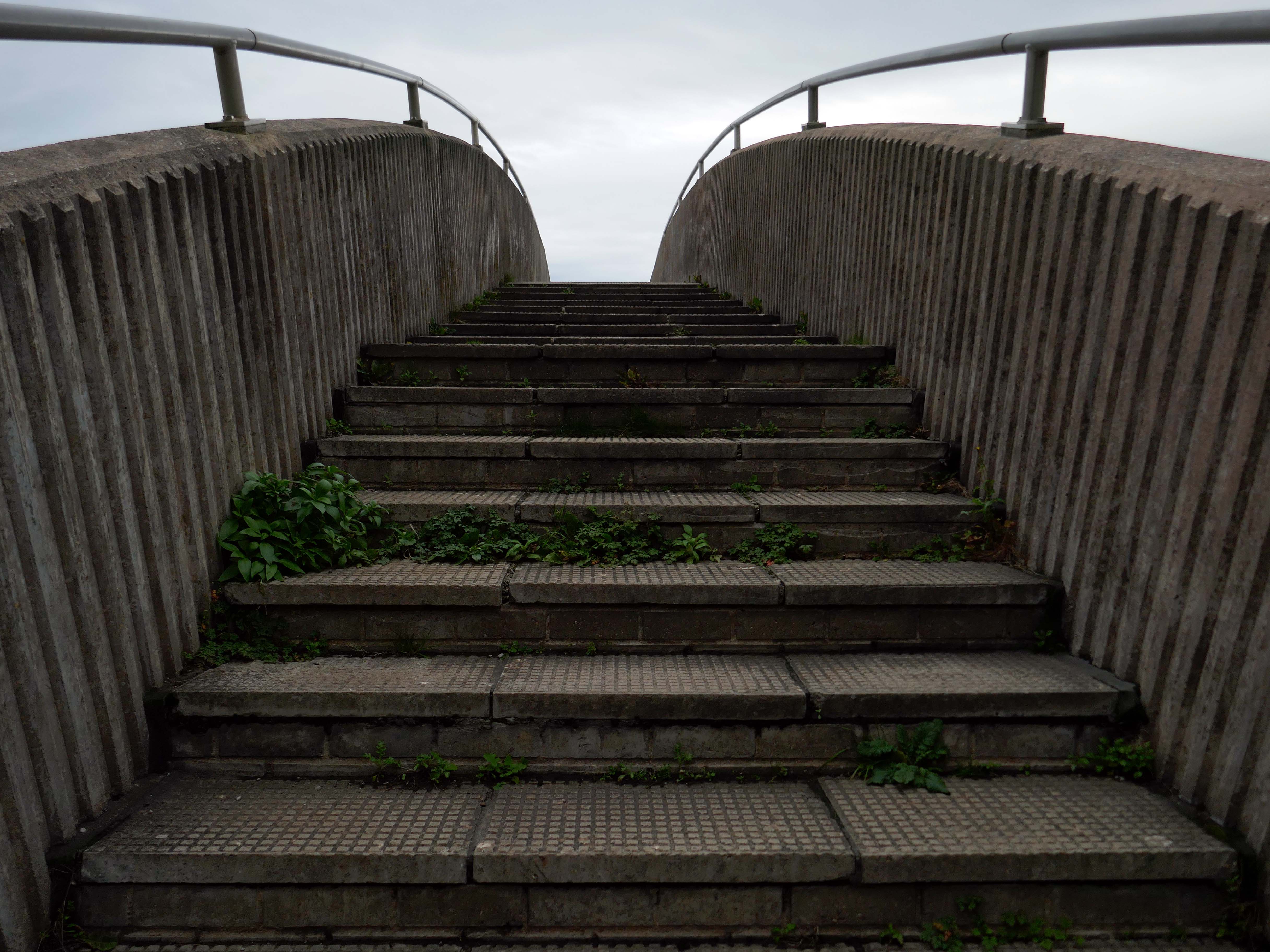
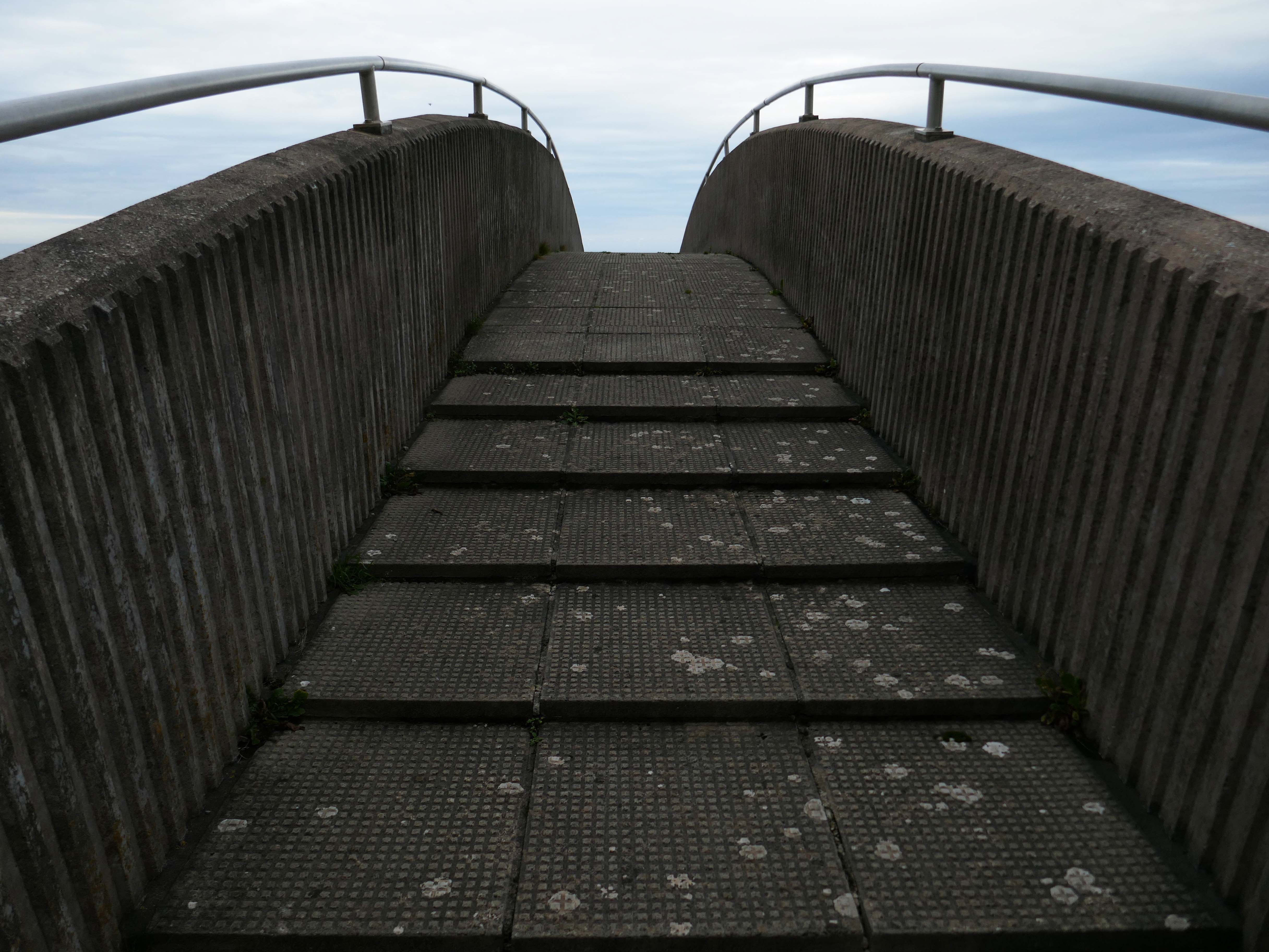
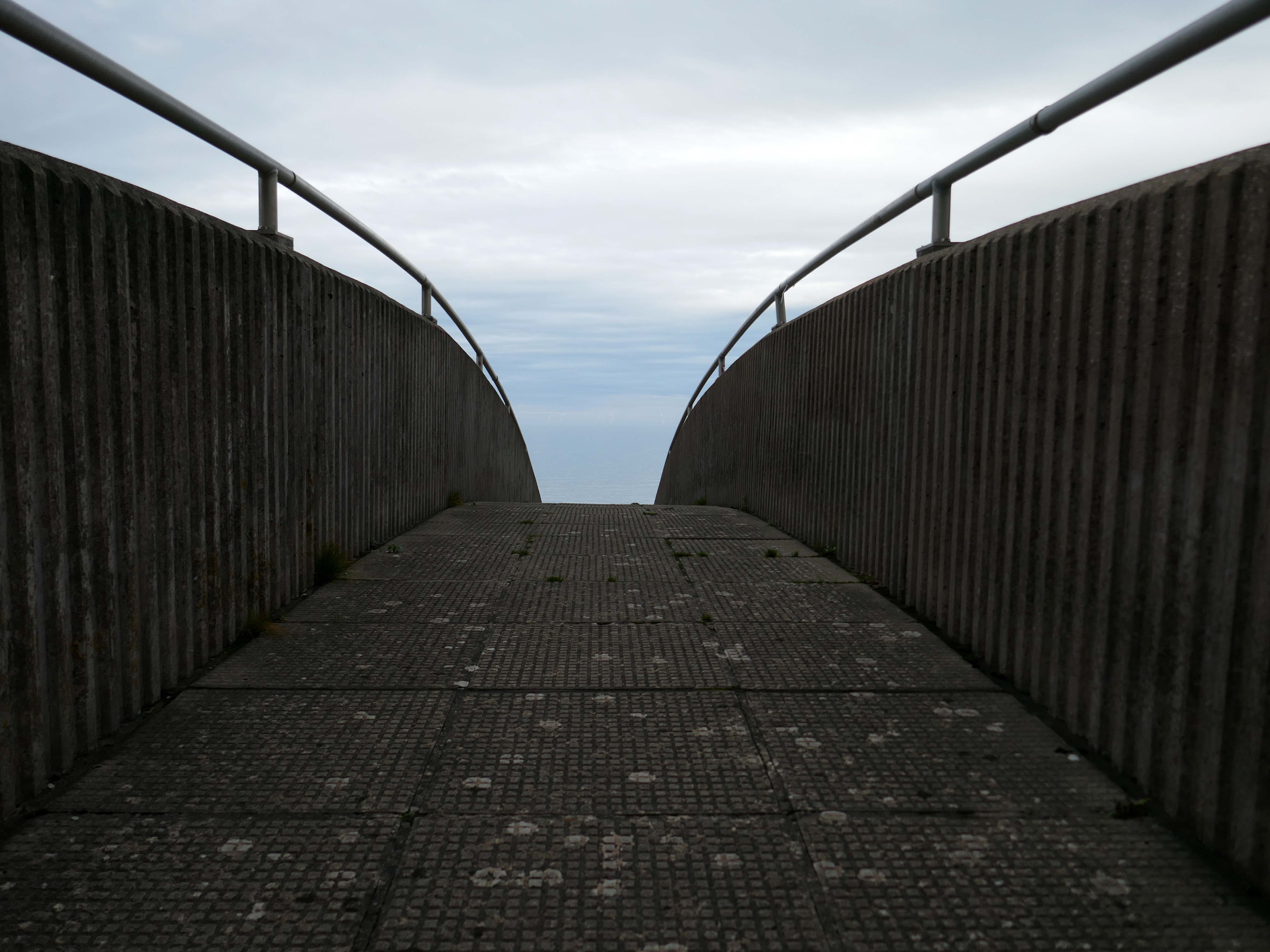
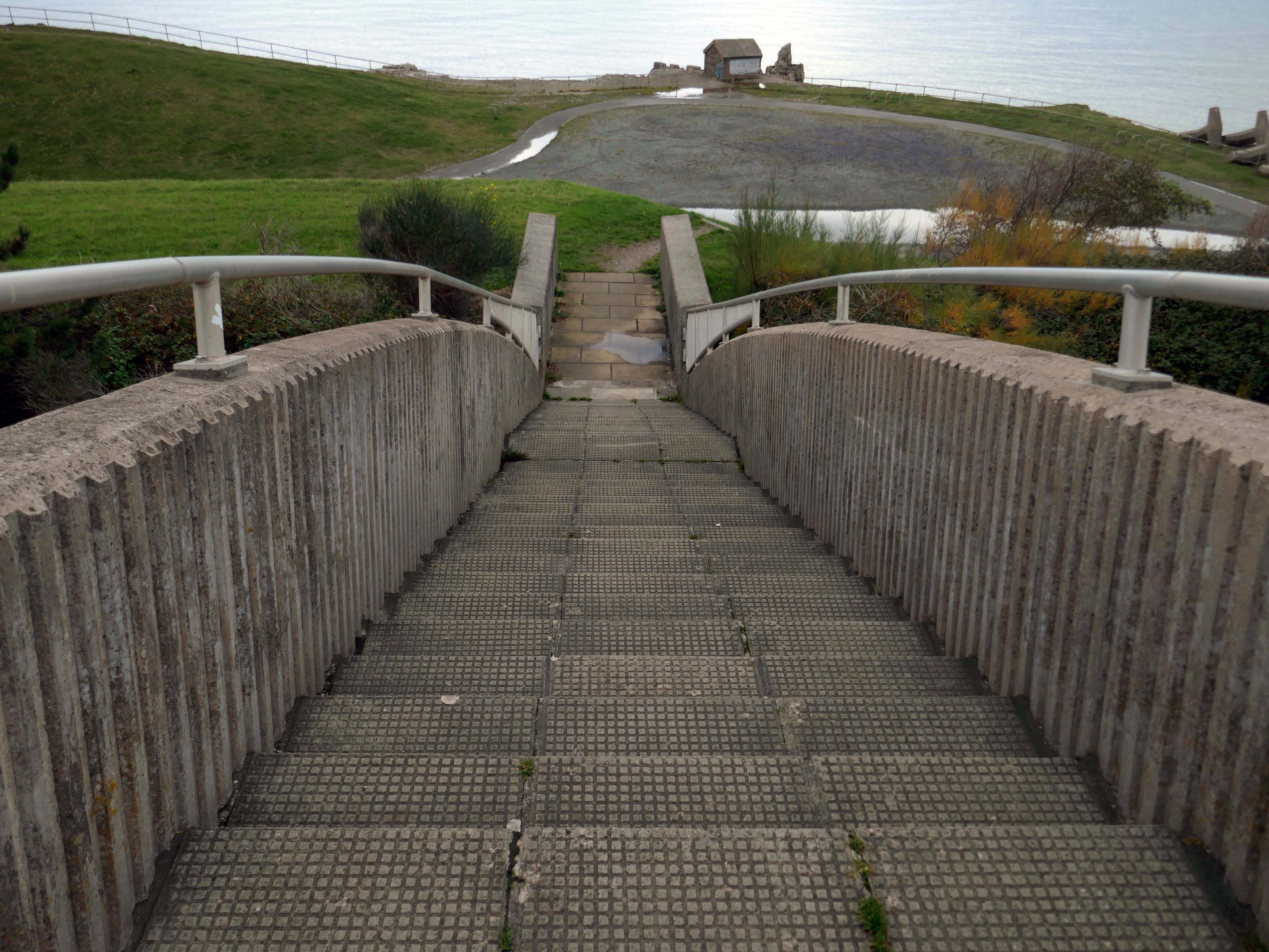
So much for modern motoring – I was walking from Rhyl to Colwyn Bay, so decided to walk back and forth across the bridge, before going along my merry way.
Steep and stepped, it certainly would not be described as accessible.
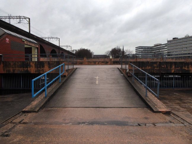
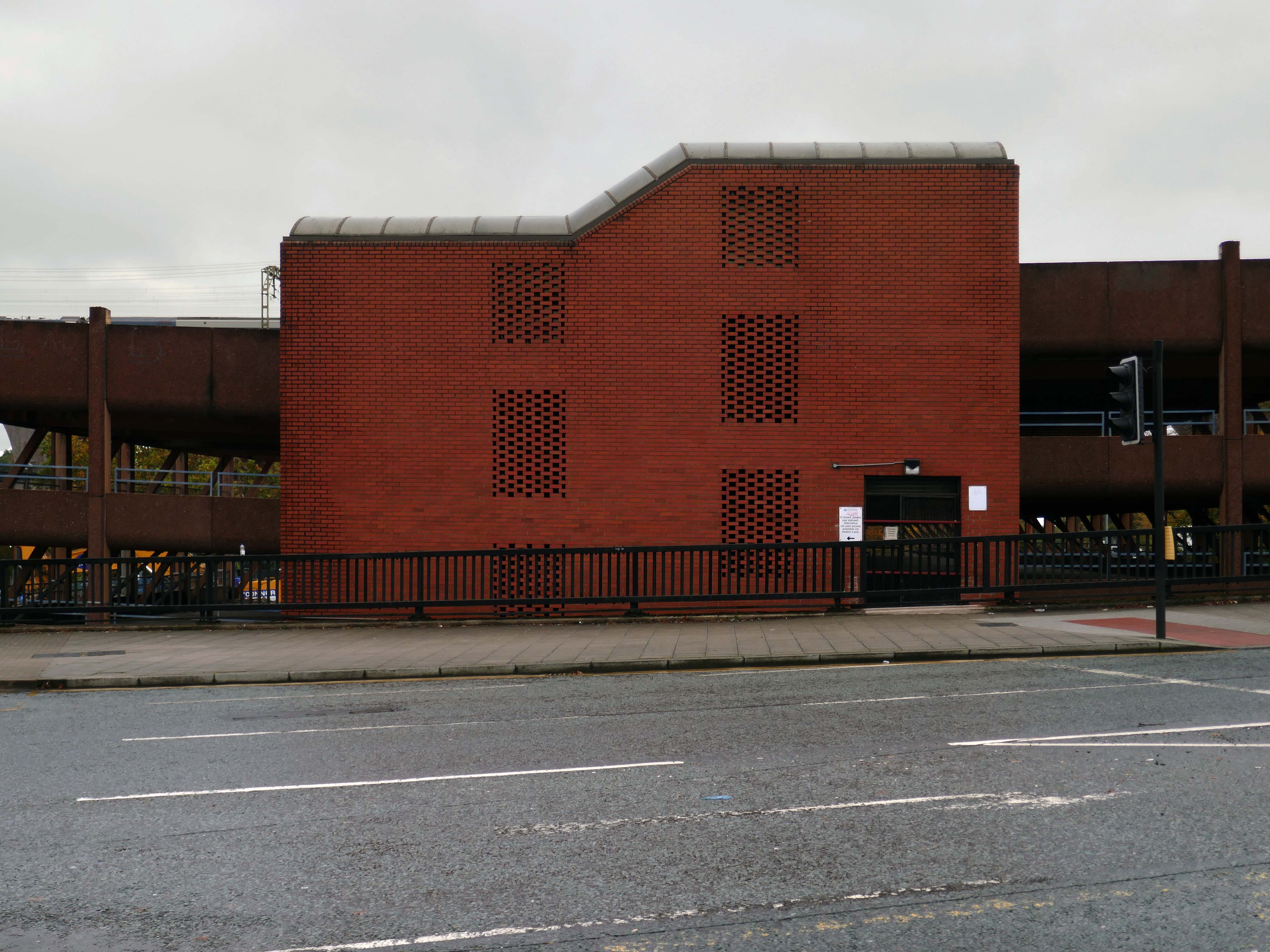
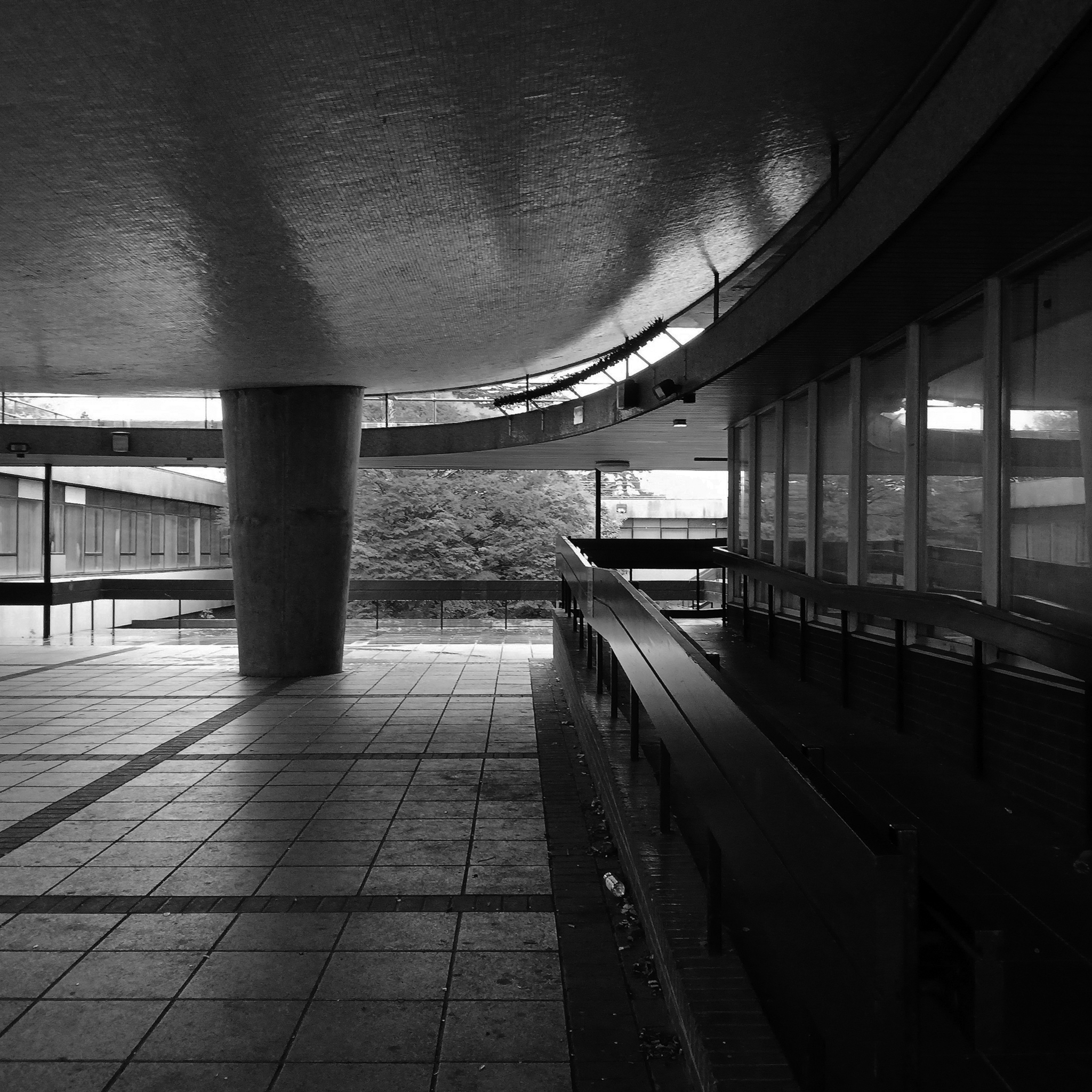
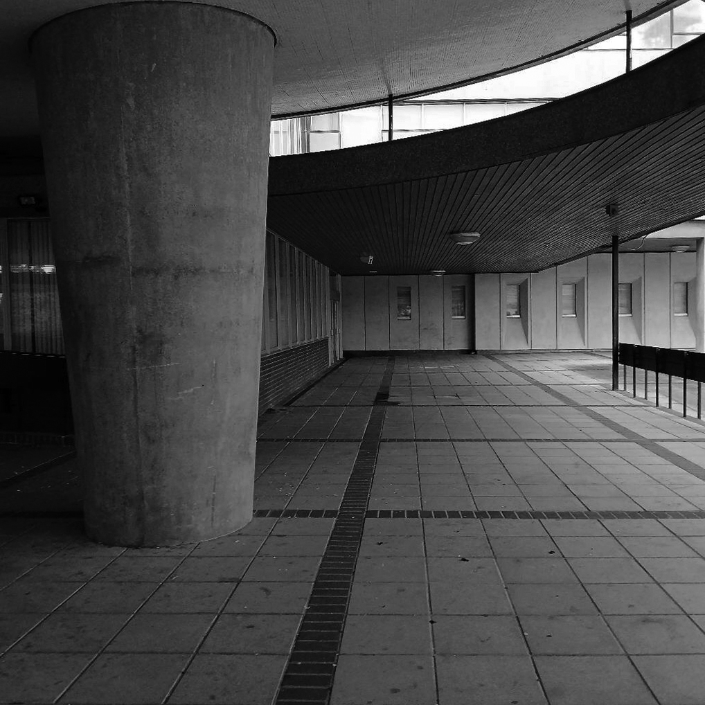
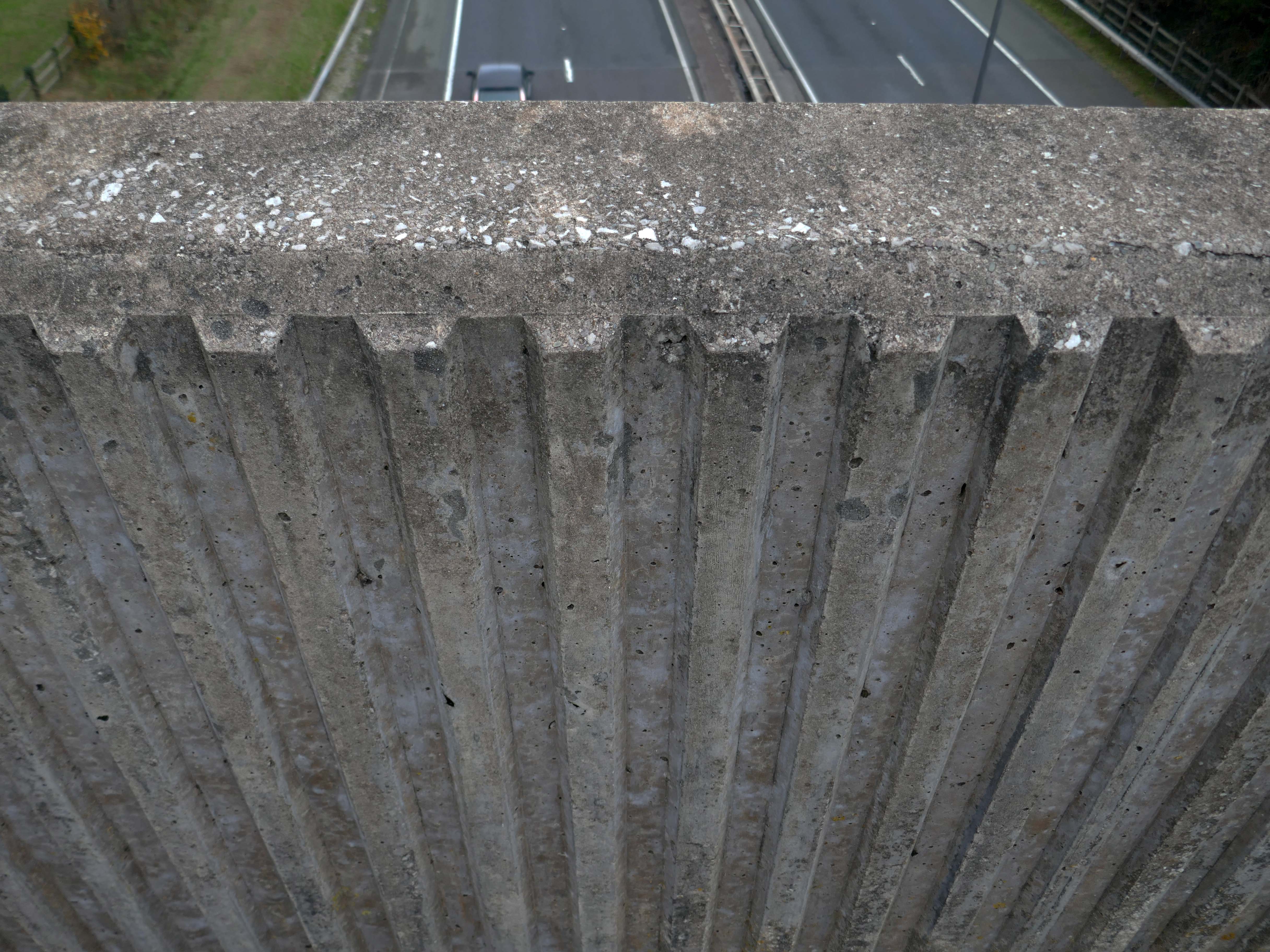
Other Concrete Footbridges are available – here in Durham and closer to home in Stockport.
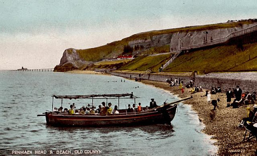
Old Colwyn just short of the original Colwyn Bay station. In 1929 a pleasure boat is about to depart. Penmaen Head is still in one piece with its quarry jetty. The path can be seen leading directly from the beach to the platform and to the underpass which is still in use today.
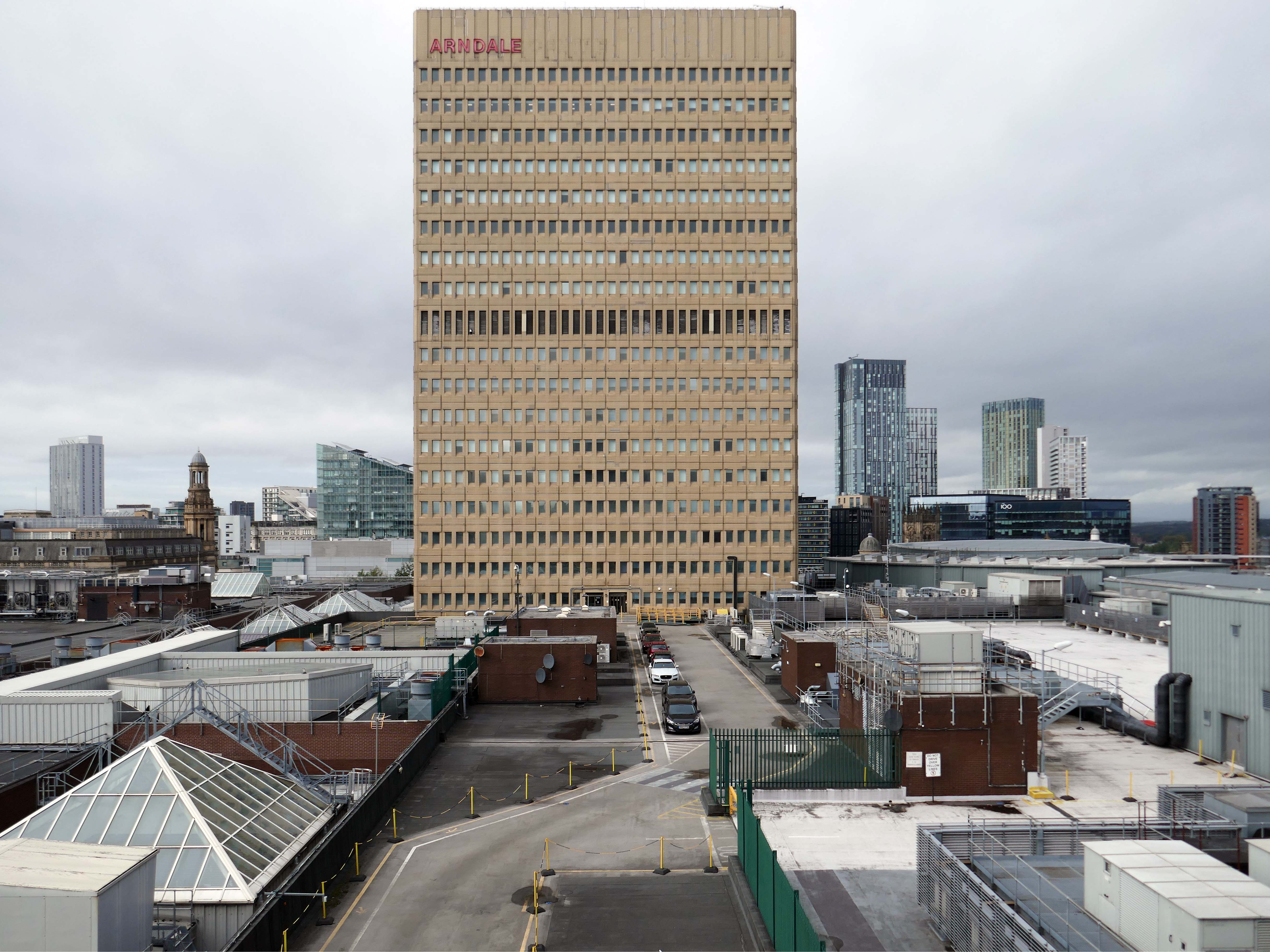
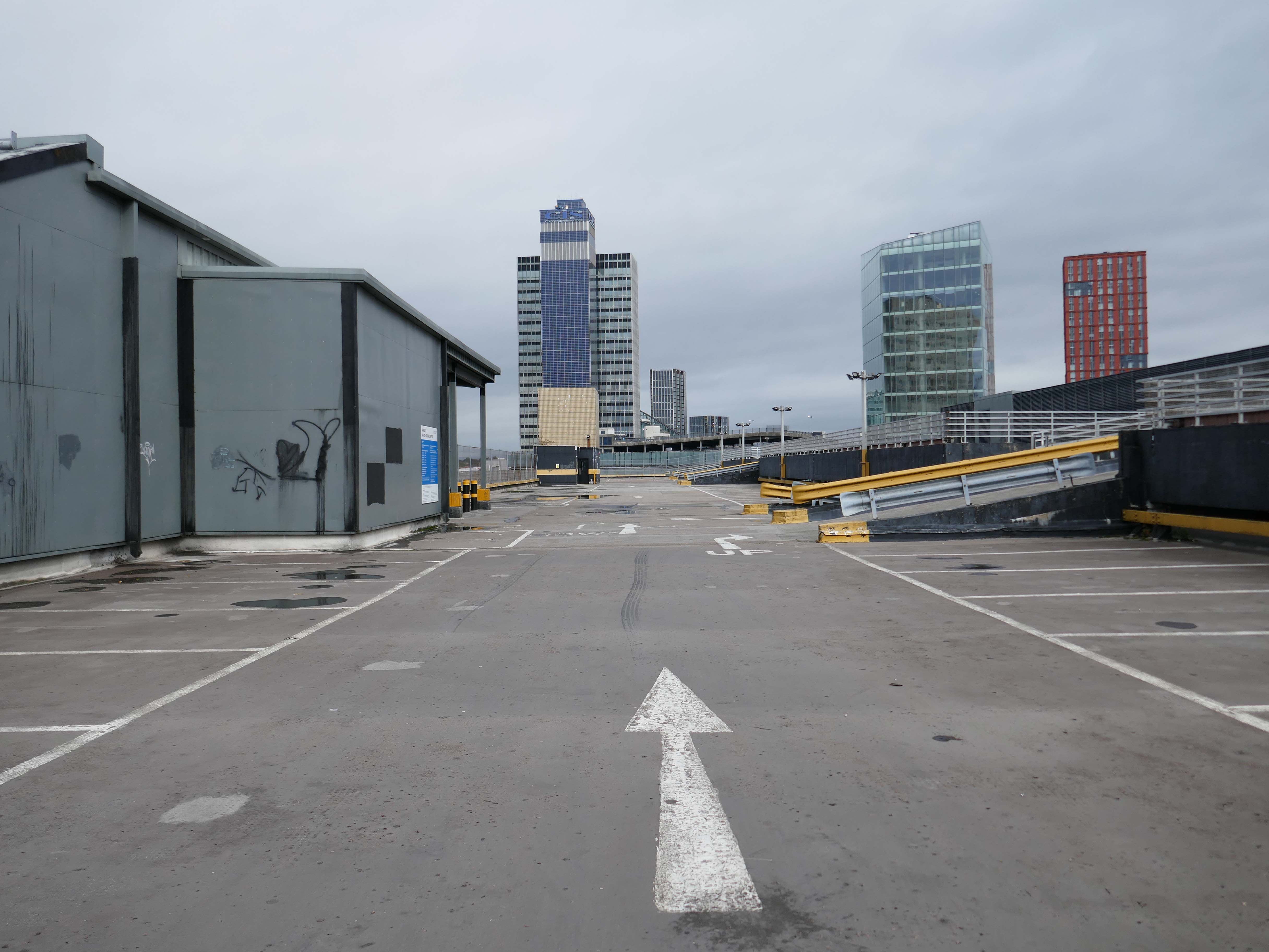
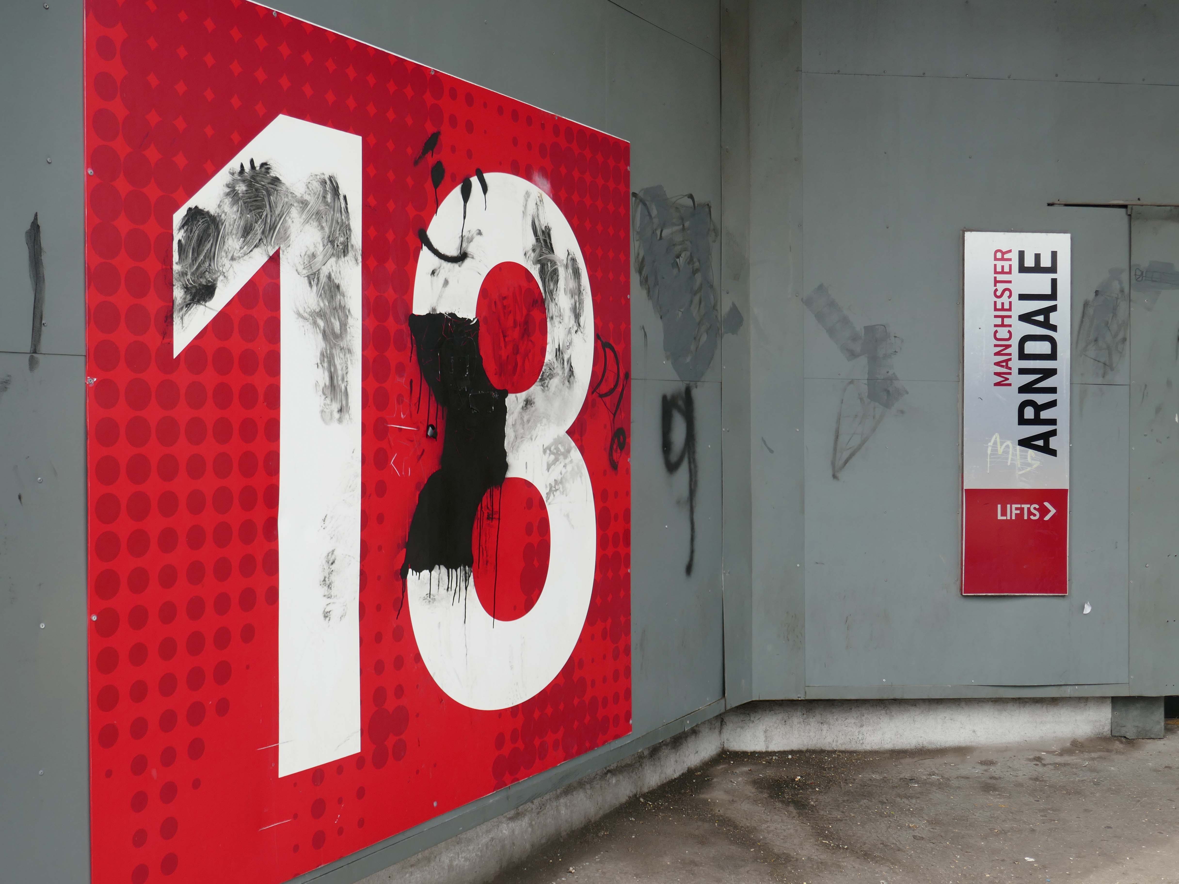
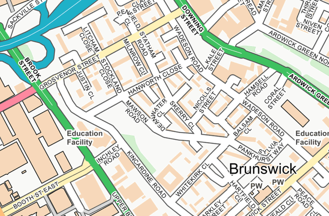
I was walking around town, with a view to updating my Ardwick Walk.
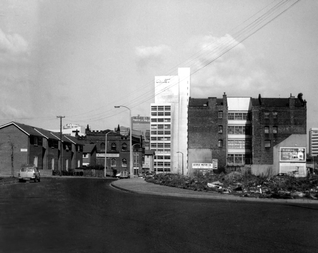
Idle curiosity took me toward the Brunswick Estate – that pocket of housing nestle twixt the Mancunian Way/River Medlock, Ardwick Green, Brunswick Street and Upper Brook Street.
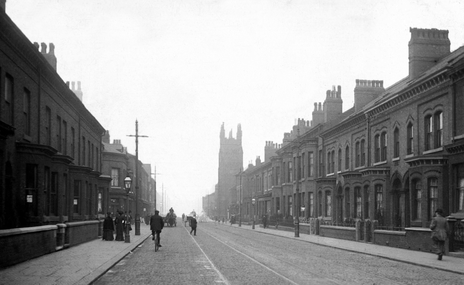
Back in 1813, a web of streets and enclosed fields, and more fields, along with small groups of higher status housing, but by the early 20th century it was very much a working class district, within which industry began to grow.
The population of Manchester expanded unstoppably throughout the nineteenth century.
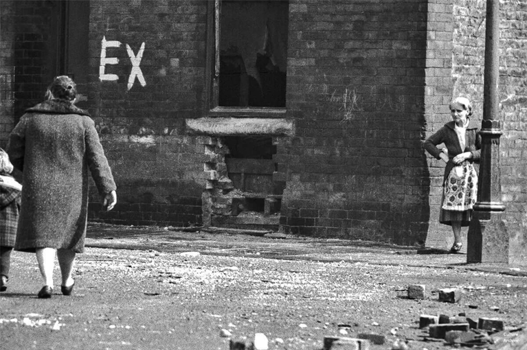
Extensive slum clearance in the nineteen sixties saw the area and its street names change, some erased forever in the new build.
In Manchester, in a vast belt immediately outside the central area of the city, there still exist all too many remnants of a planless, knotted chaos of dark, dismal and crumbling homes. Many of these crossed the verge of uninhabit-ableness long before their most elderly inhabitants were born.
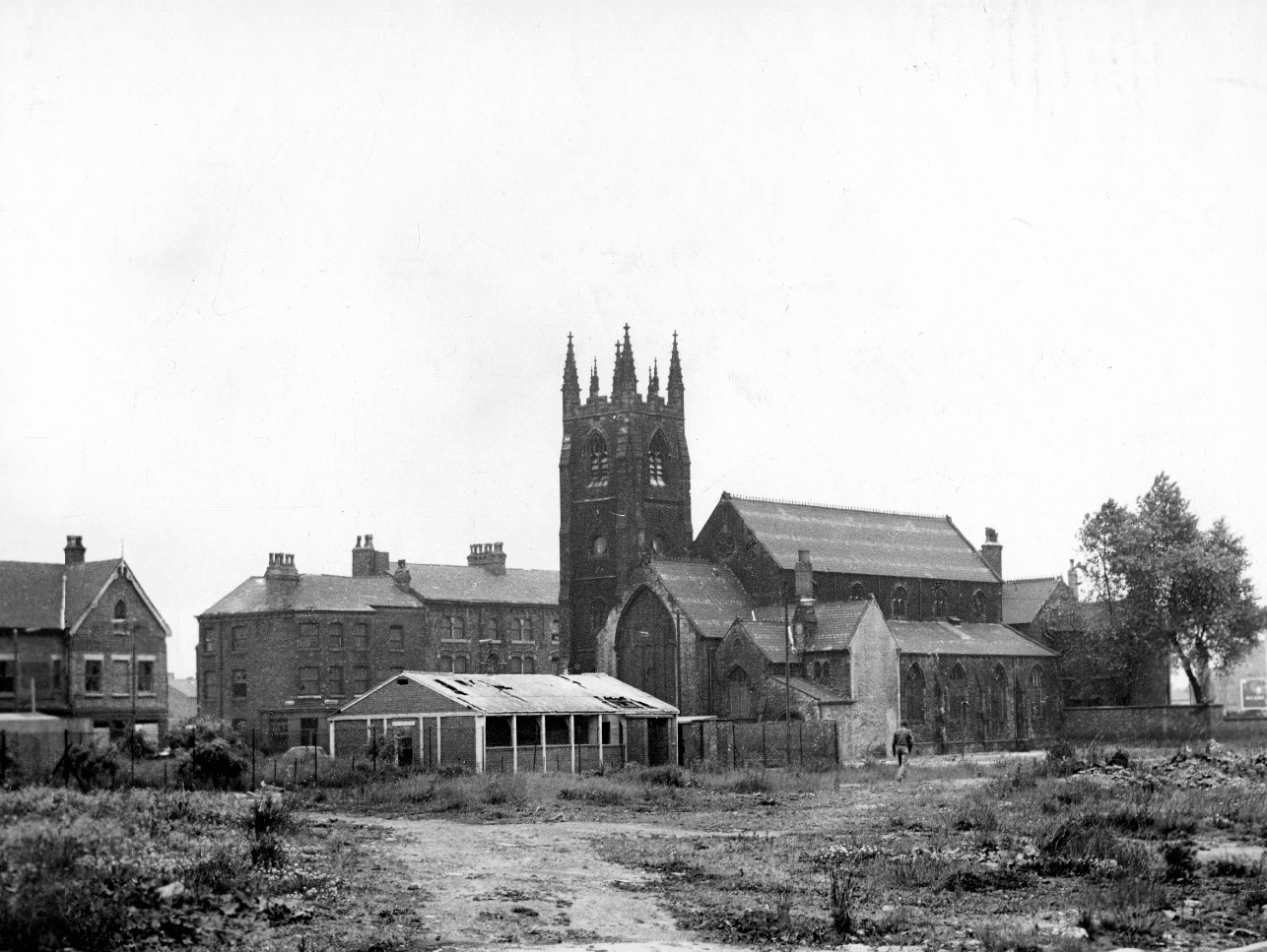
St Paul’s and St Luke’s Brunswick Street W Higham 1970
Lamport Court W Higham 1970
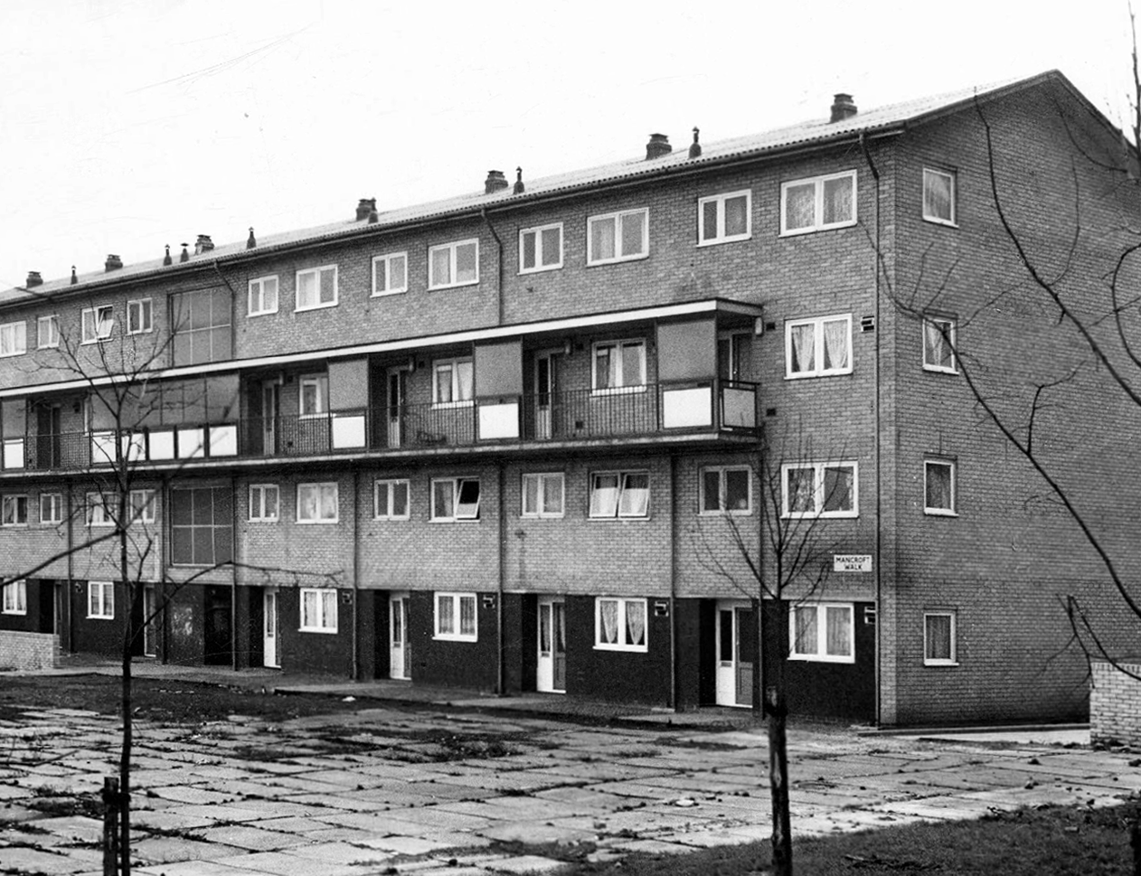
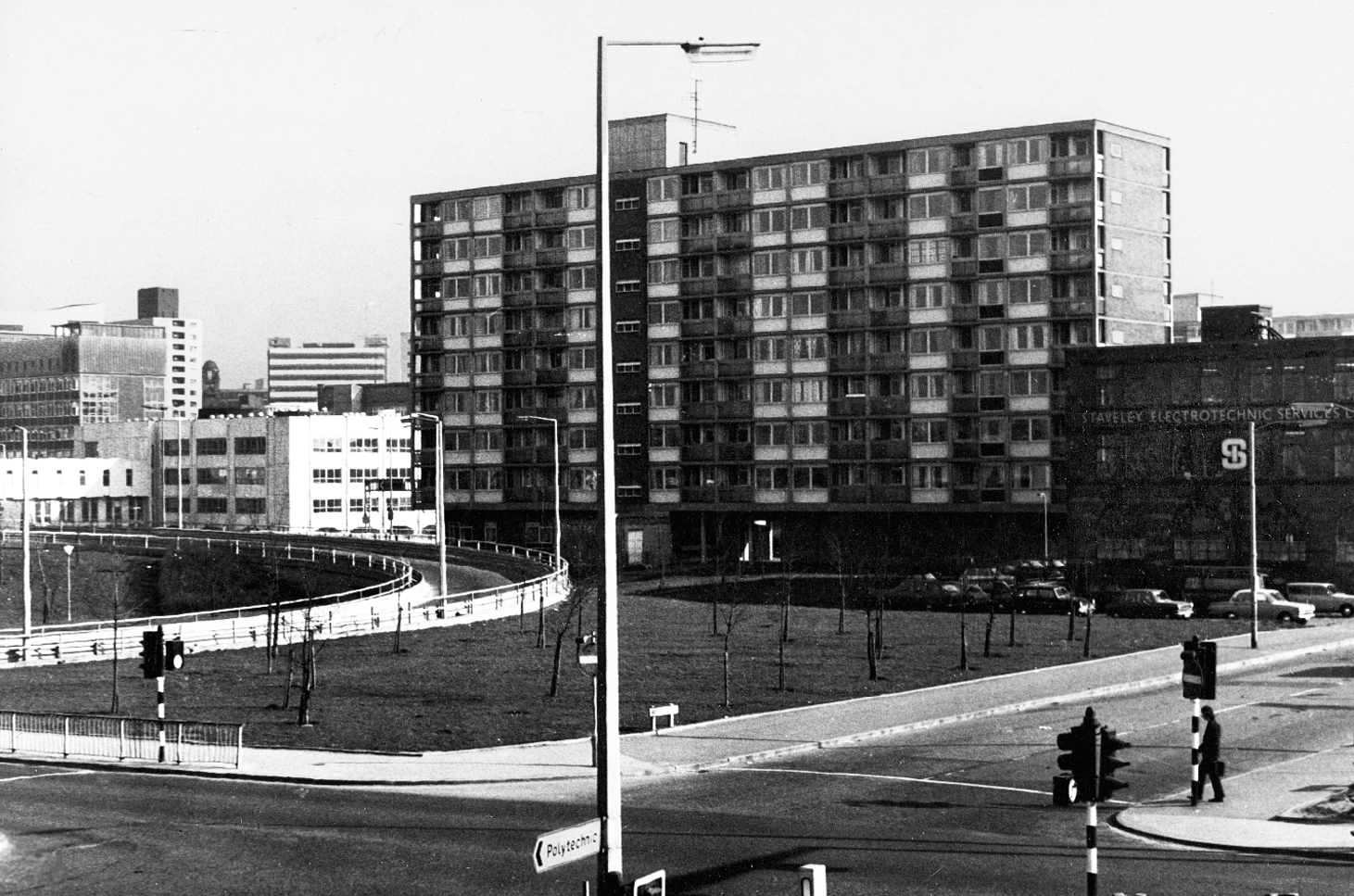
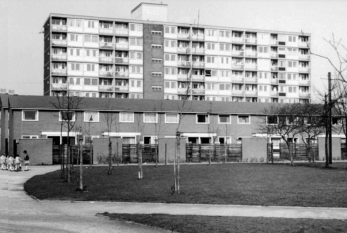
One of three nine-storey blocks, containing two hundred and nineteen dwellings; also including SilkinCourt and Lockton Court.
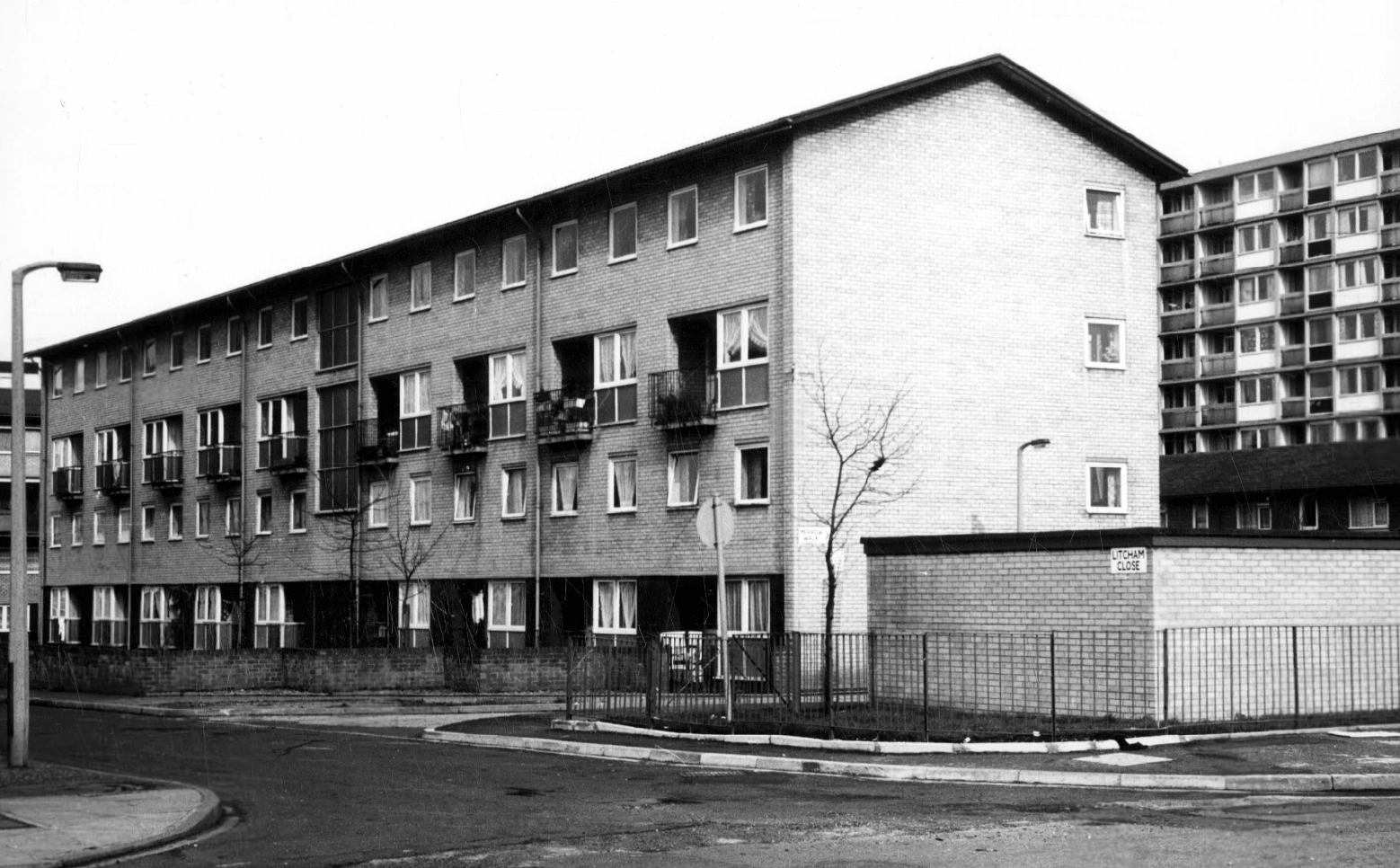
Litcham Close W Higham 1970
Harry Milligan 1903 – 1986 worked as the photographer at Manchester Central Library until his retirement in around 1968. He was instrumental in setting up the Manchester Region Industrial Archaeology Society in 1965. He volunteered at the North Western Museum of Science and Industry from 1968, assisting with reprographics requests. His knowledge of the history of photography in Manchester and the UK led to him taking on the role of Honorary Curator of Photography at the museum.
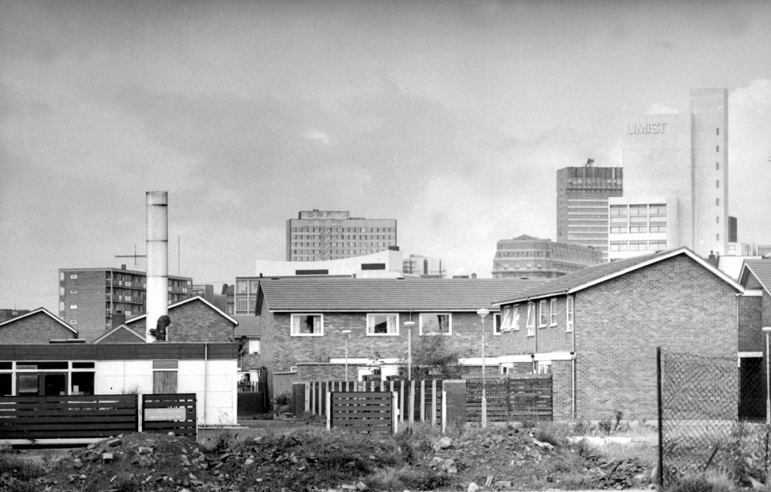
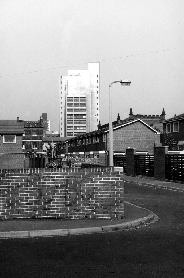
Panorama of Brunswick with UMIST in the background.
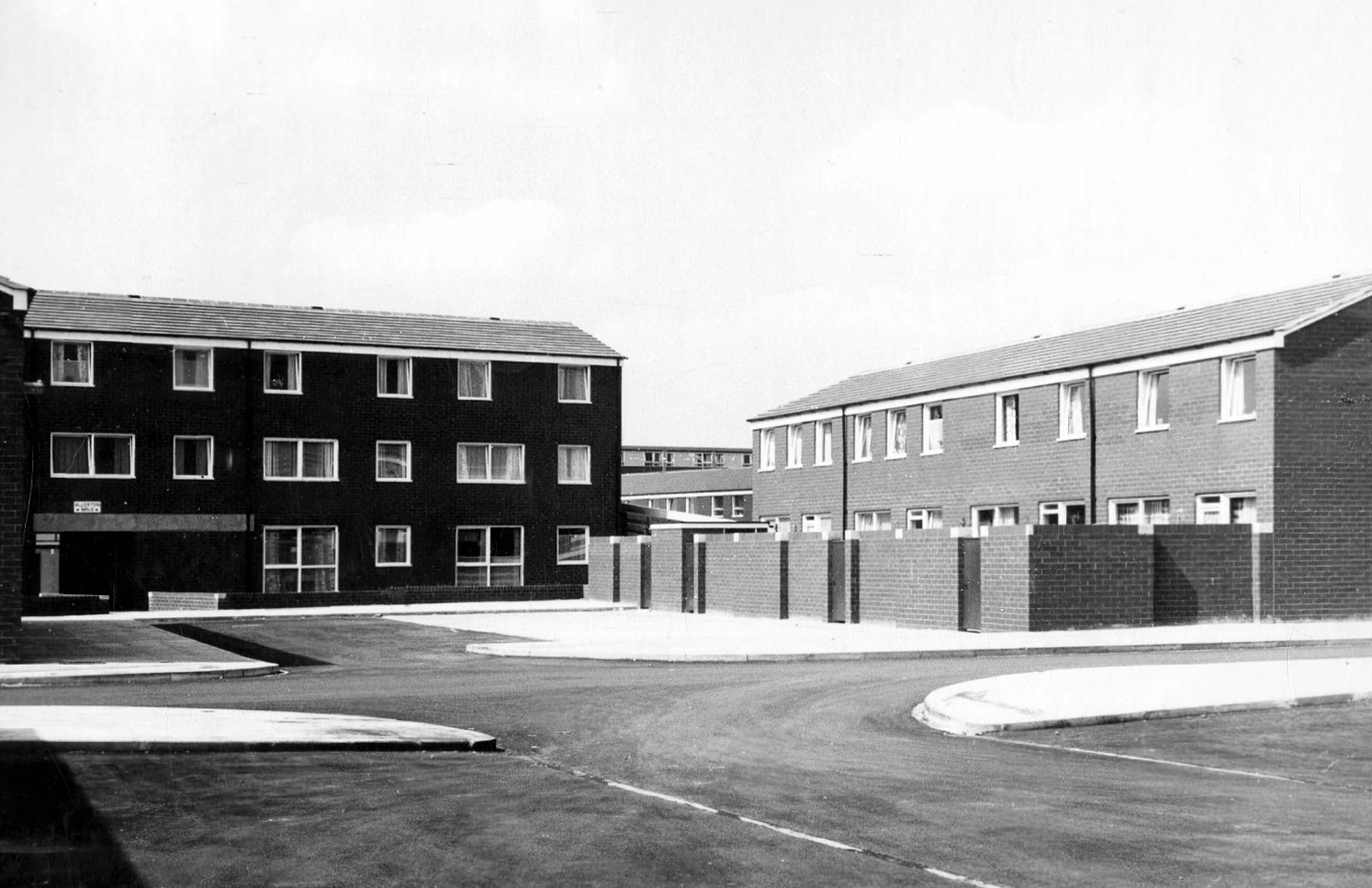
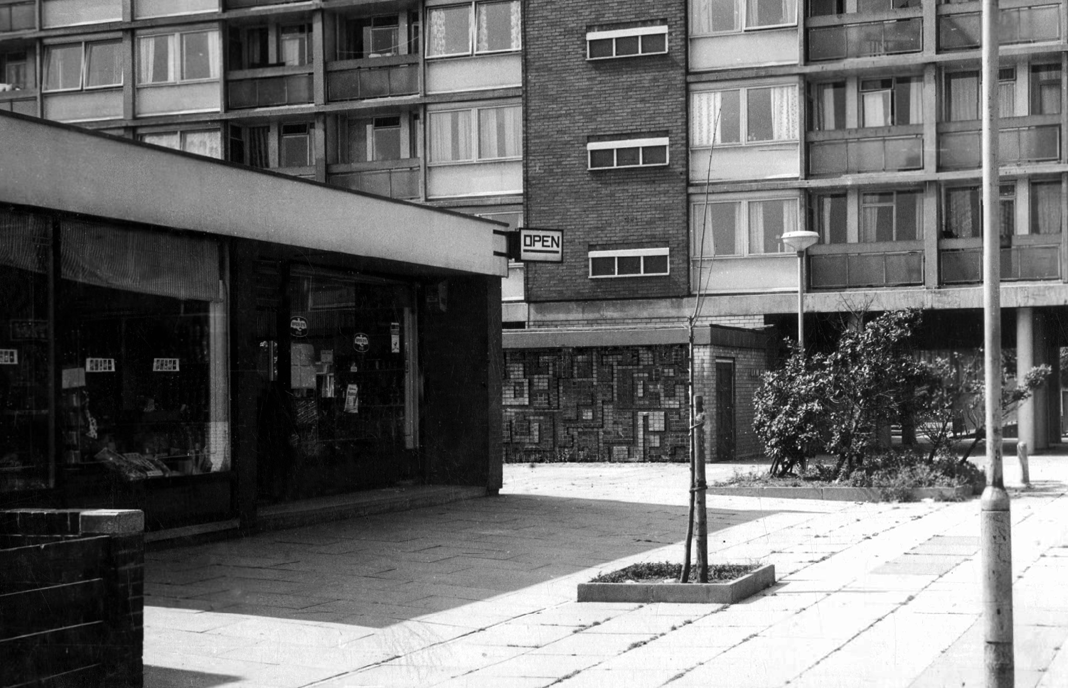
Hanworth Close area terraced housing and flats 1972.
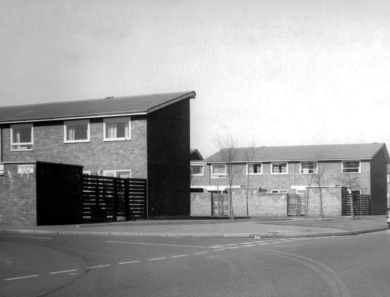
Staverton Close
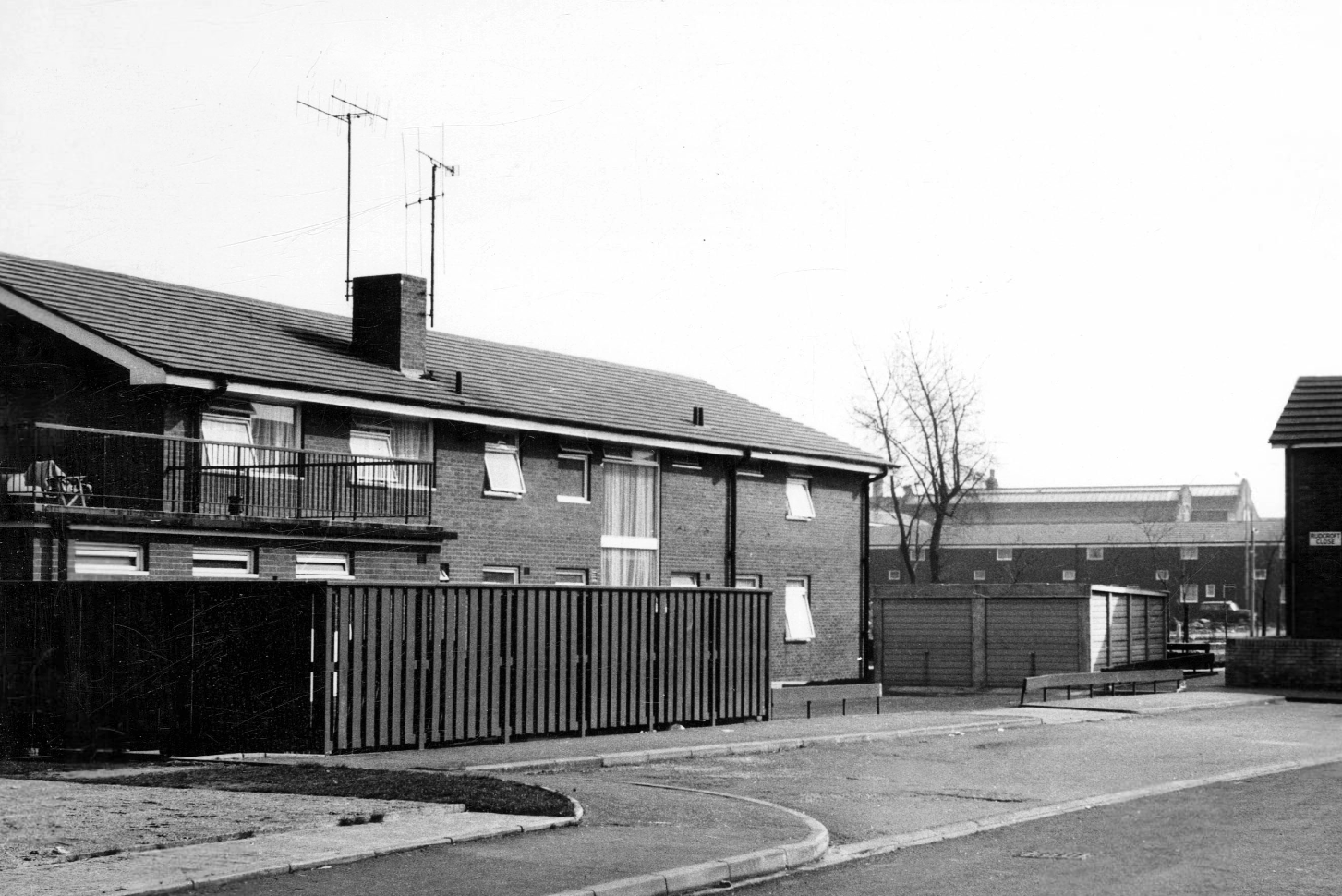
Melcroft Close
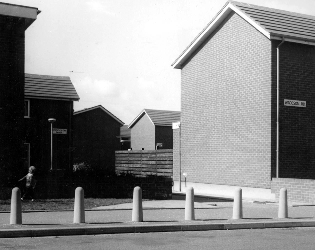
Wadeson Road
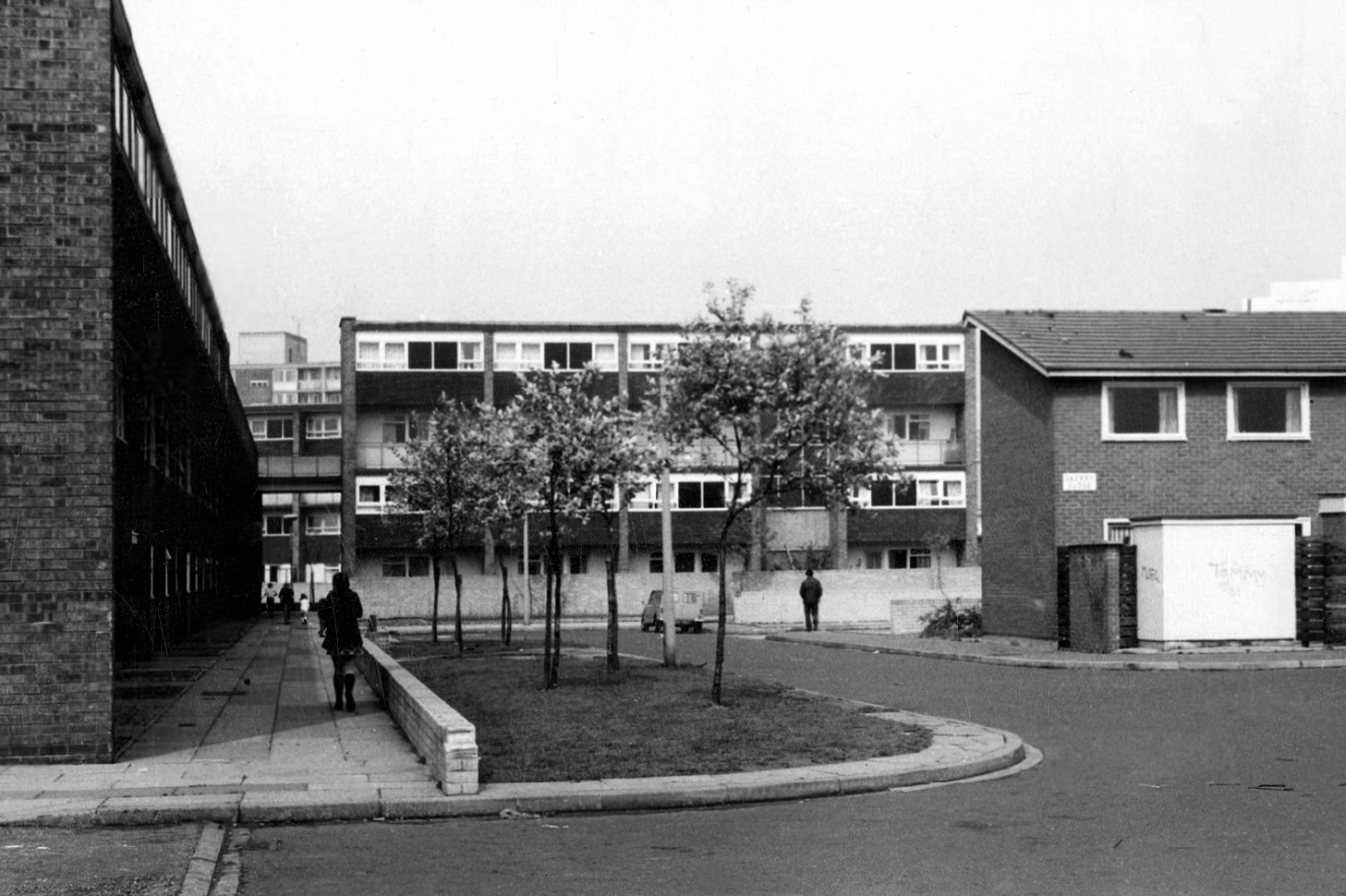
Helmshore Walk – Skerry Close
Cherryton Walk
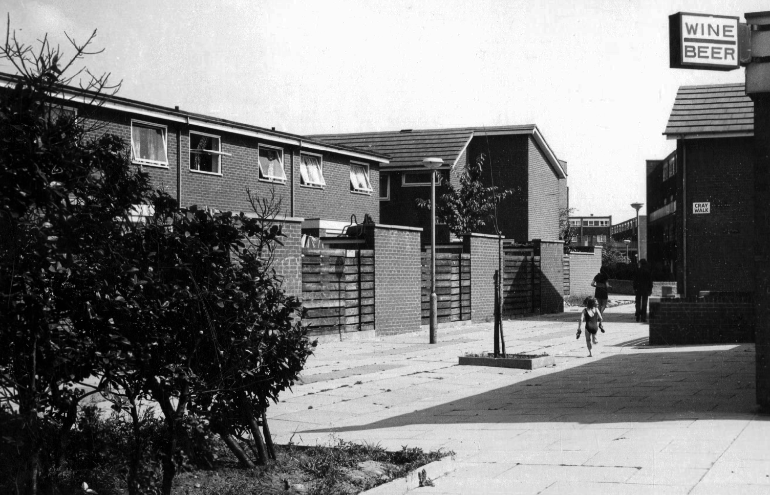
Cray Walk
Wadeson Road
Hanworth Close
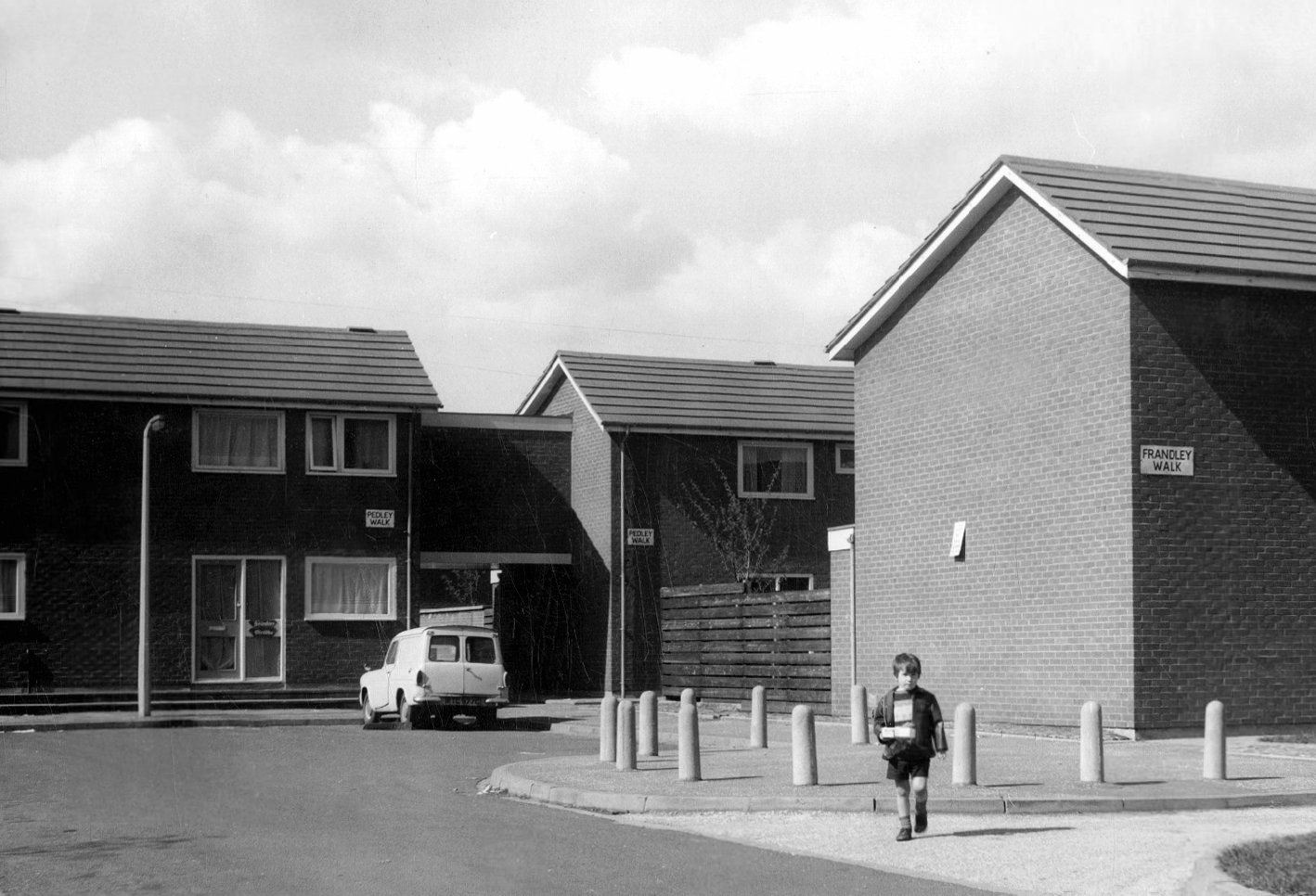
Pedley Walk
Cray Walk – note the decorative brick relief
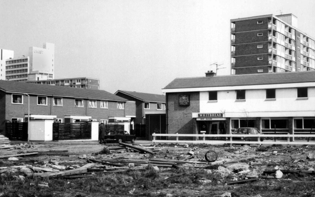
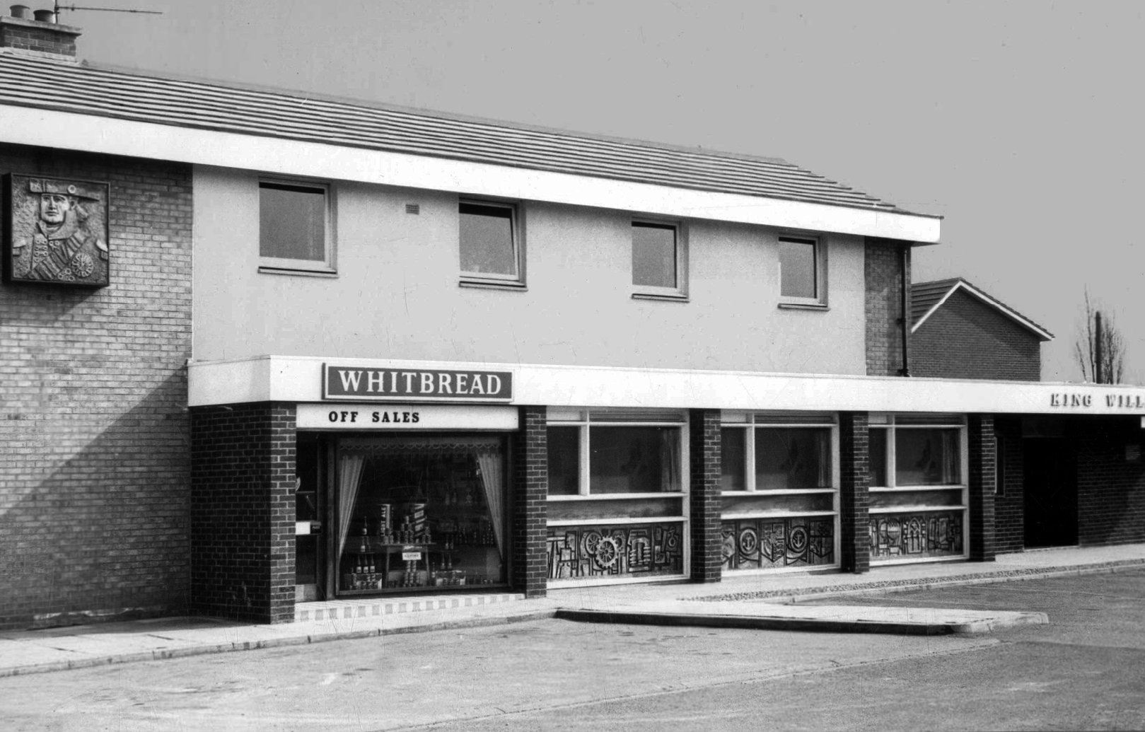
King William IV
Former Chesters then Whitbread estate pub was built in 1967. Closed in 1996 when it was converted to residential property. It had a brief spell 1991 to 1995 as brewery premises for the Dobbin’s West Coast Brewery, during this period the interior was stripped out to accommodate the brewery paraphernalia.