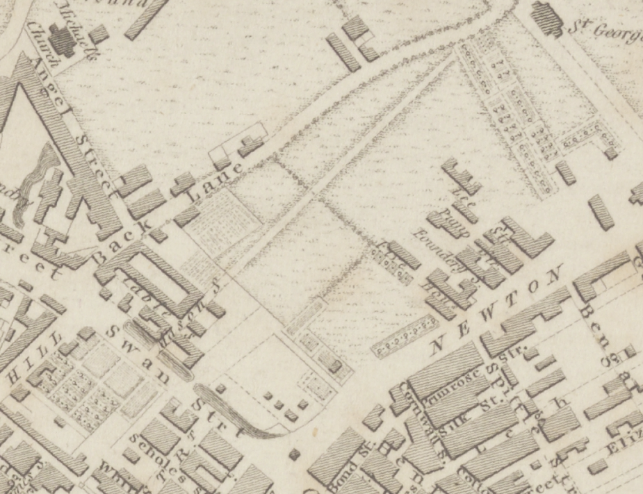
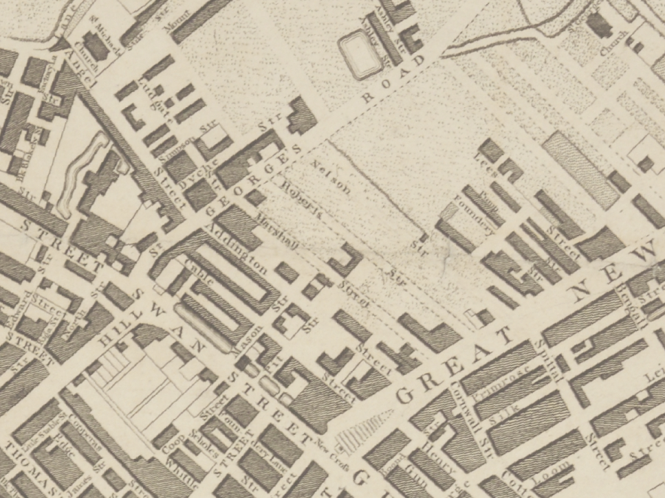
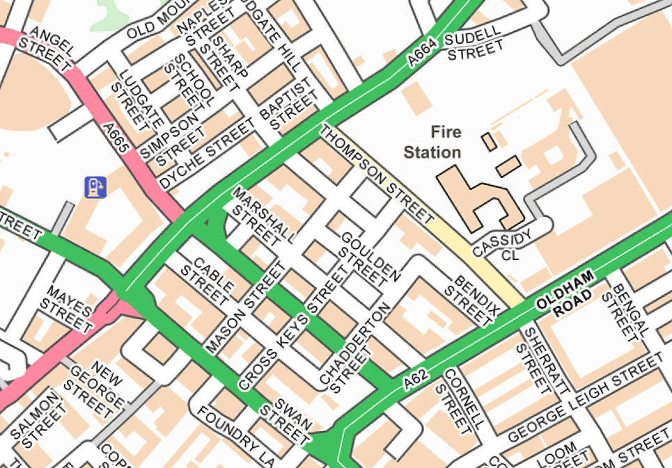
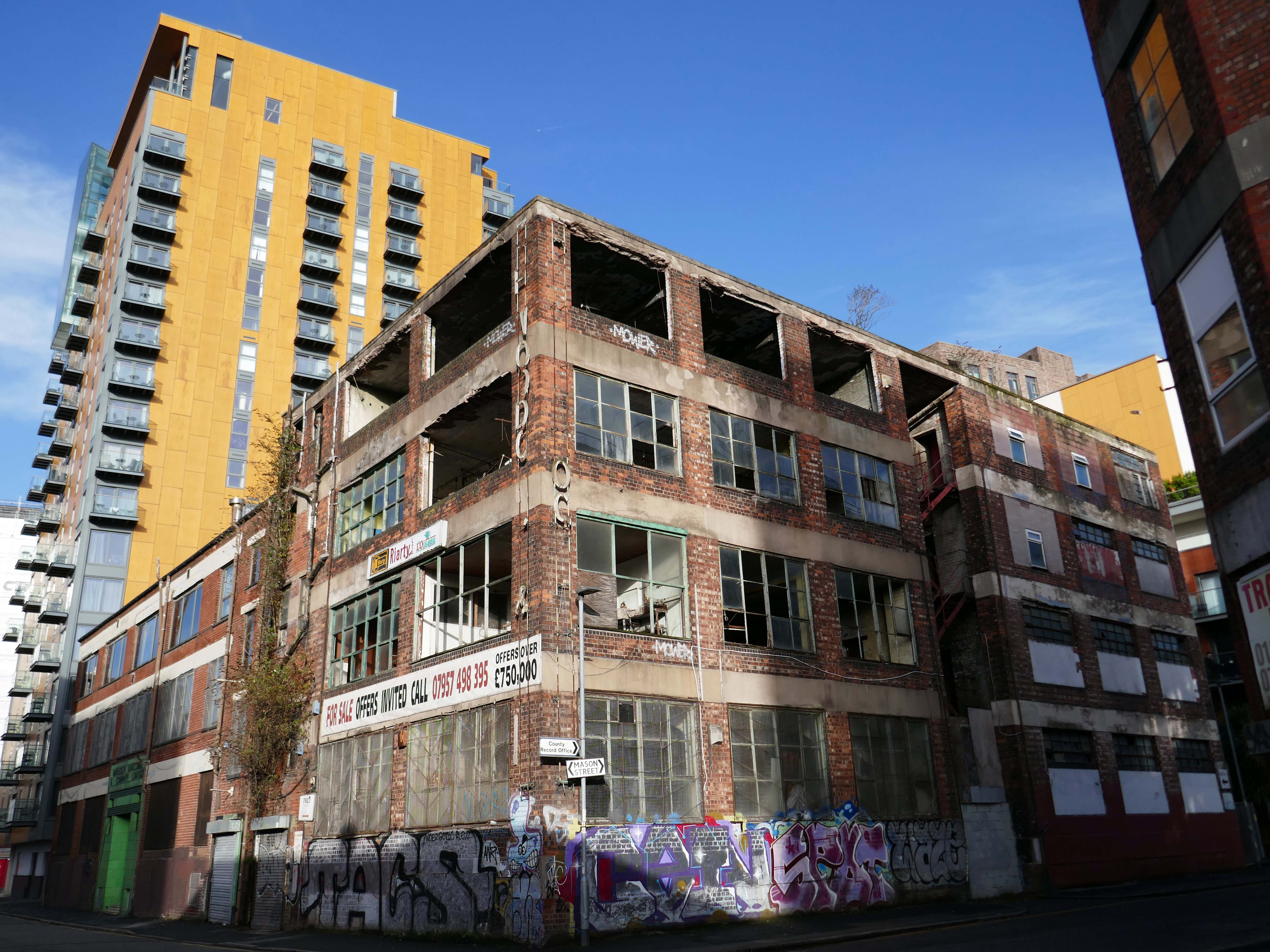
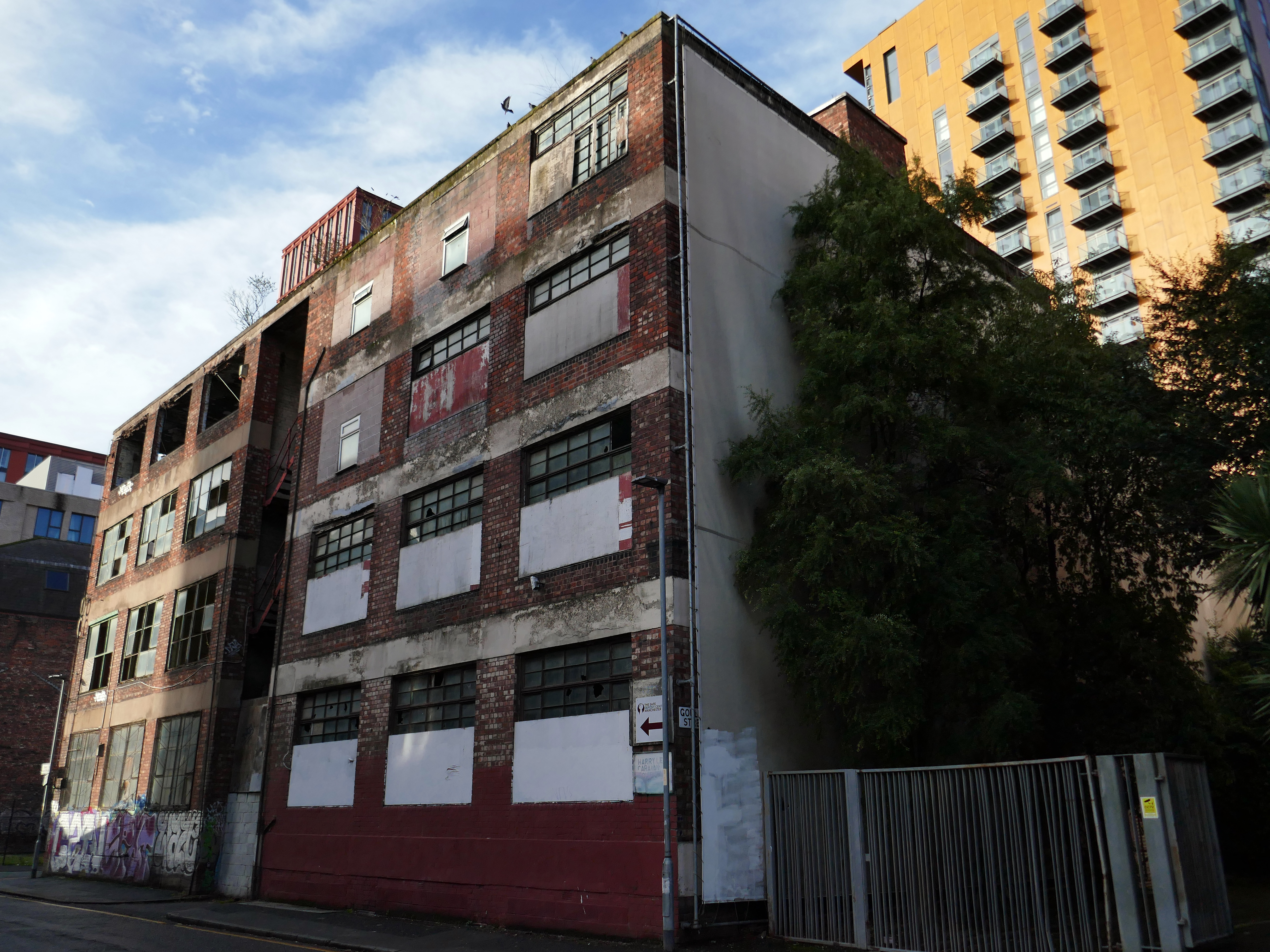
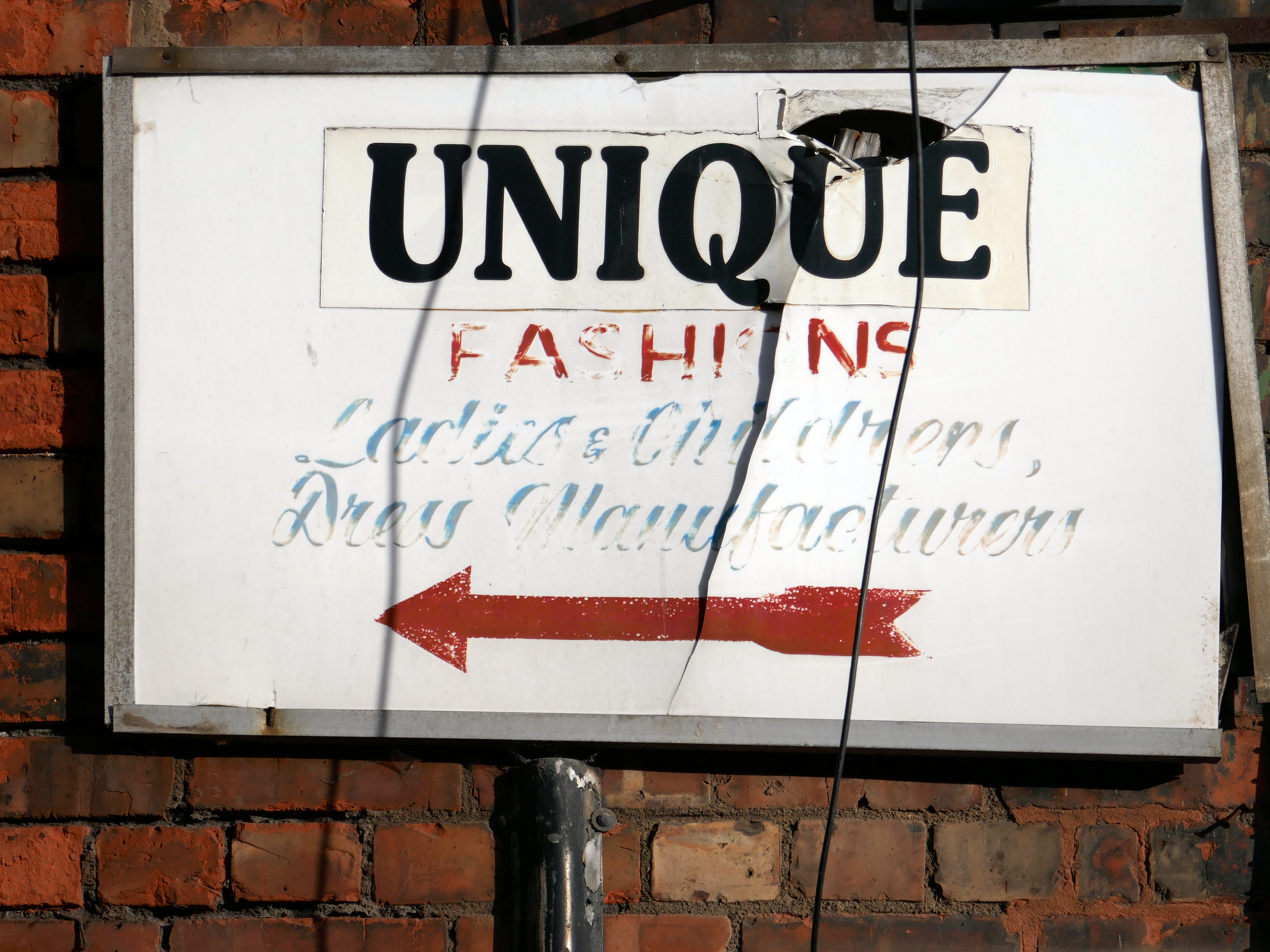
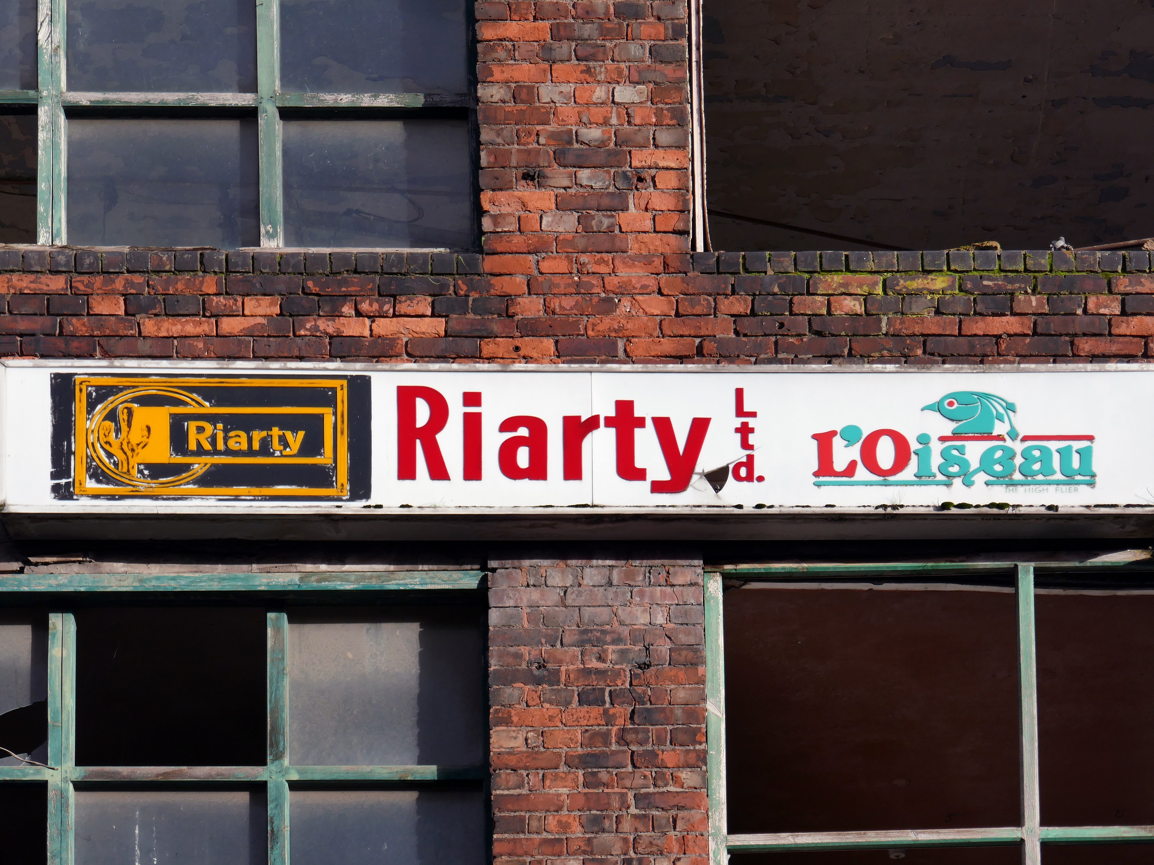
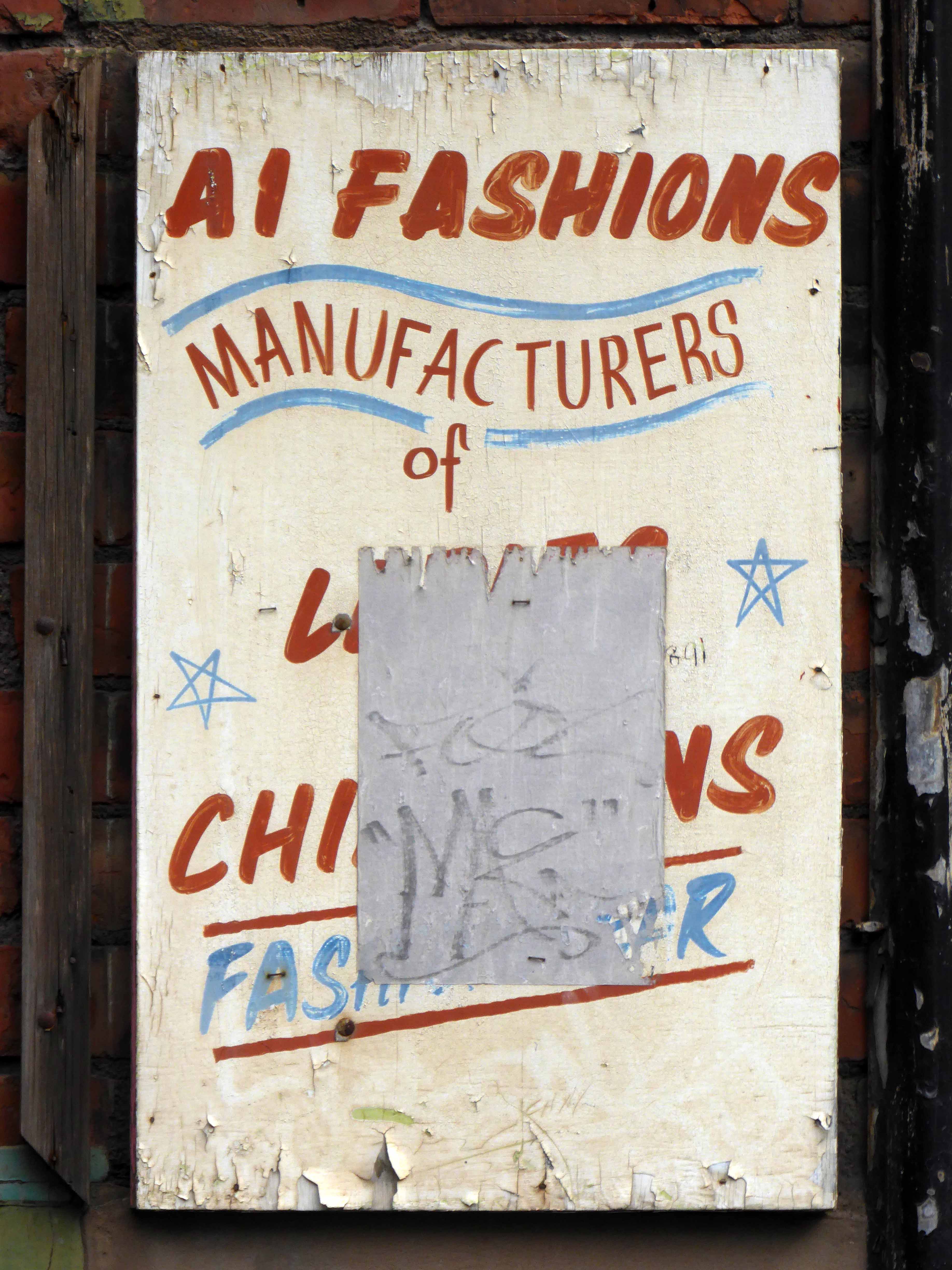
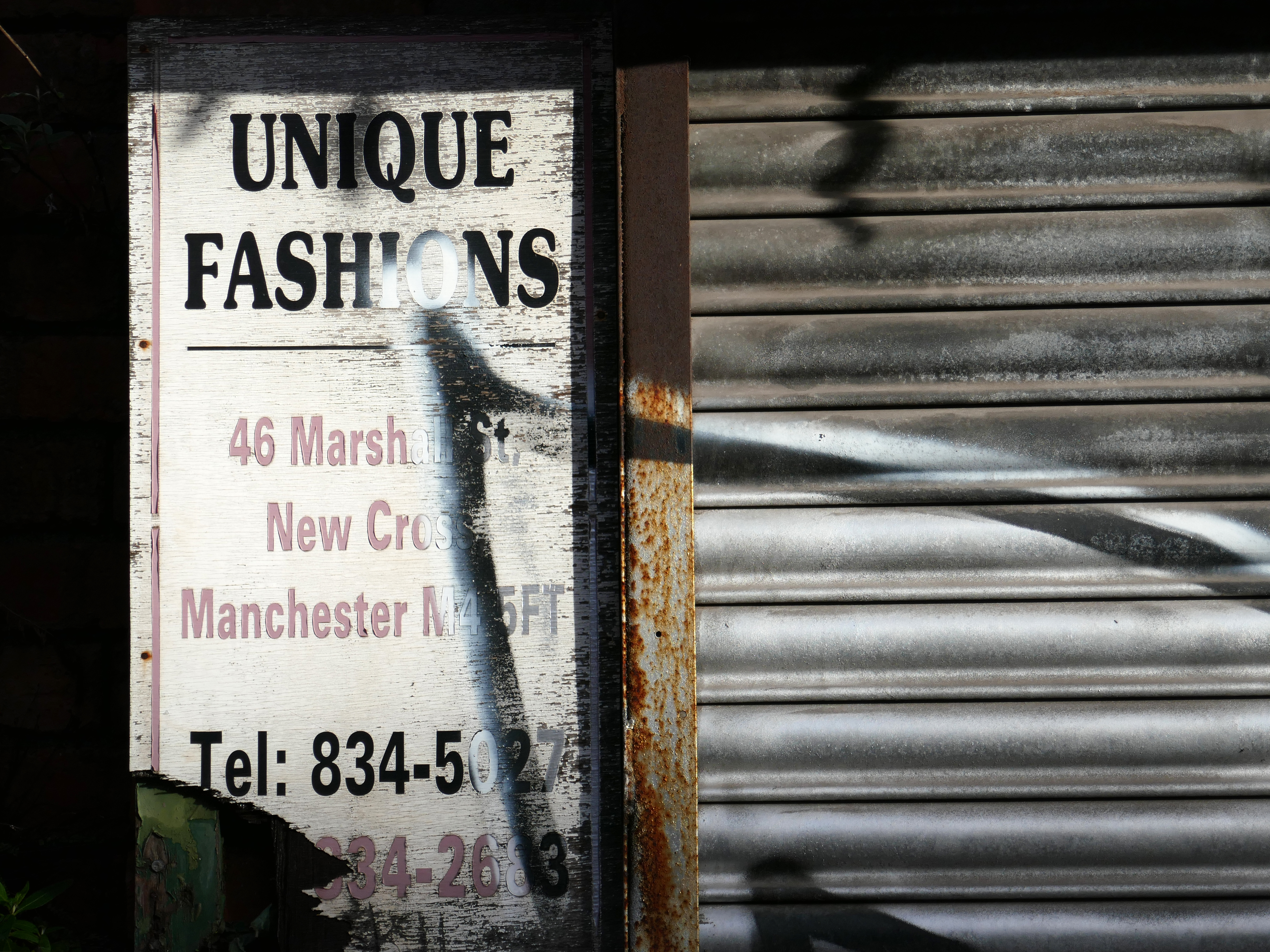
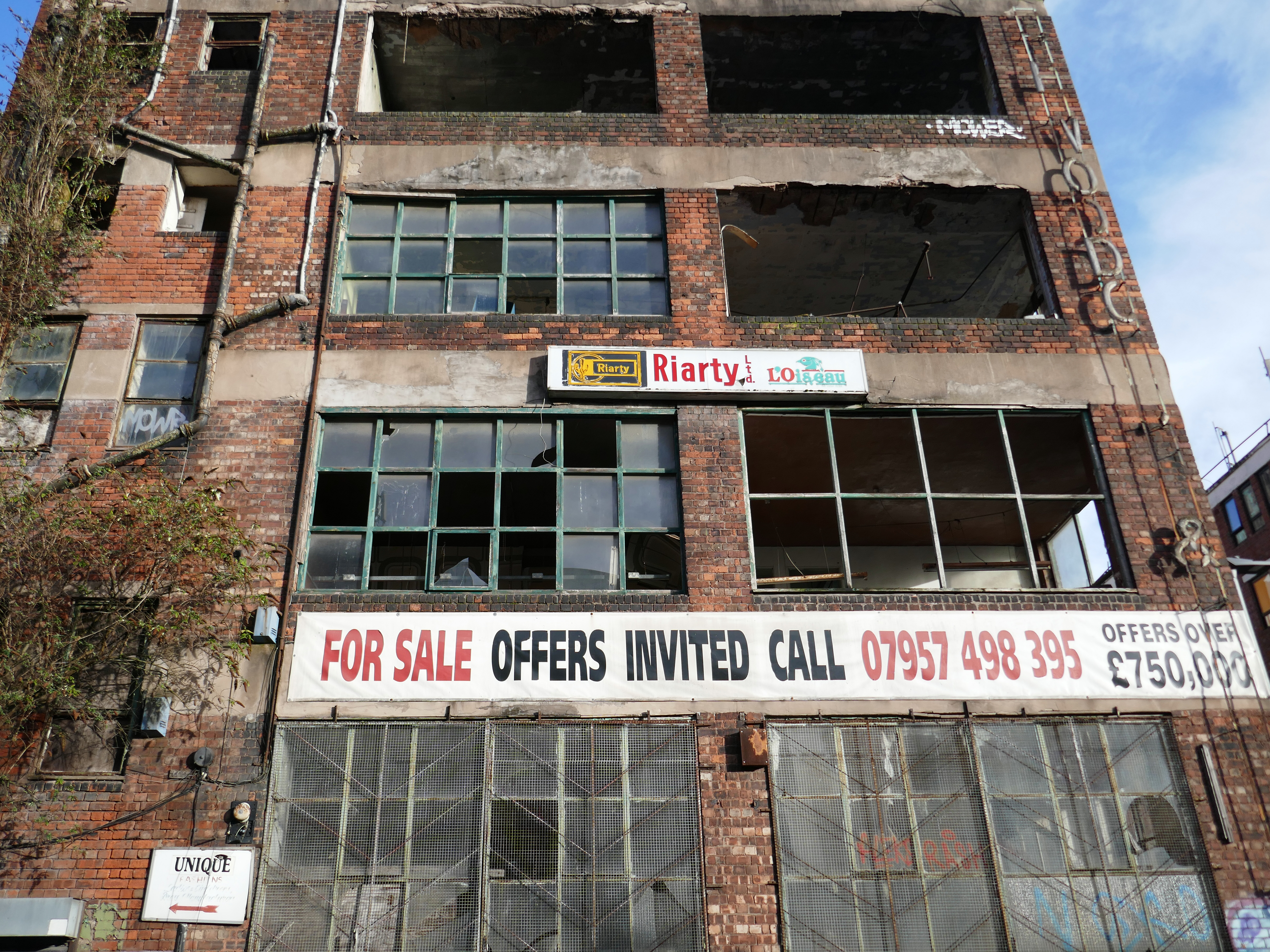
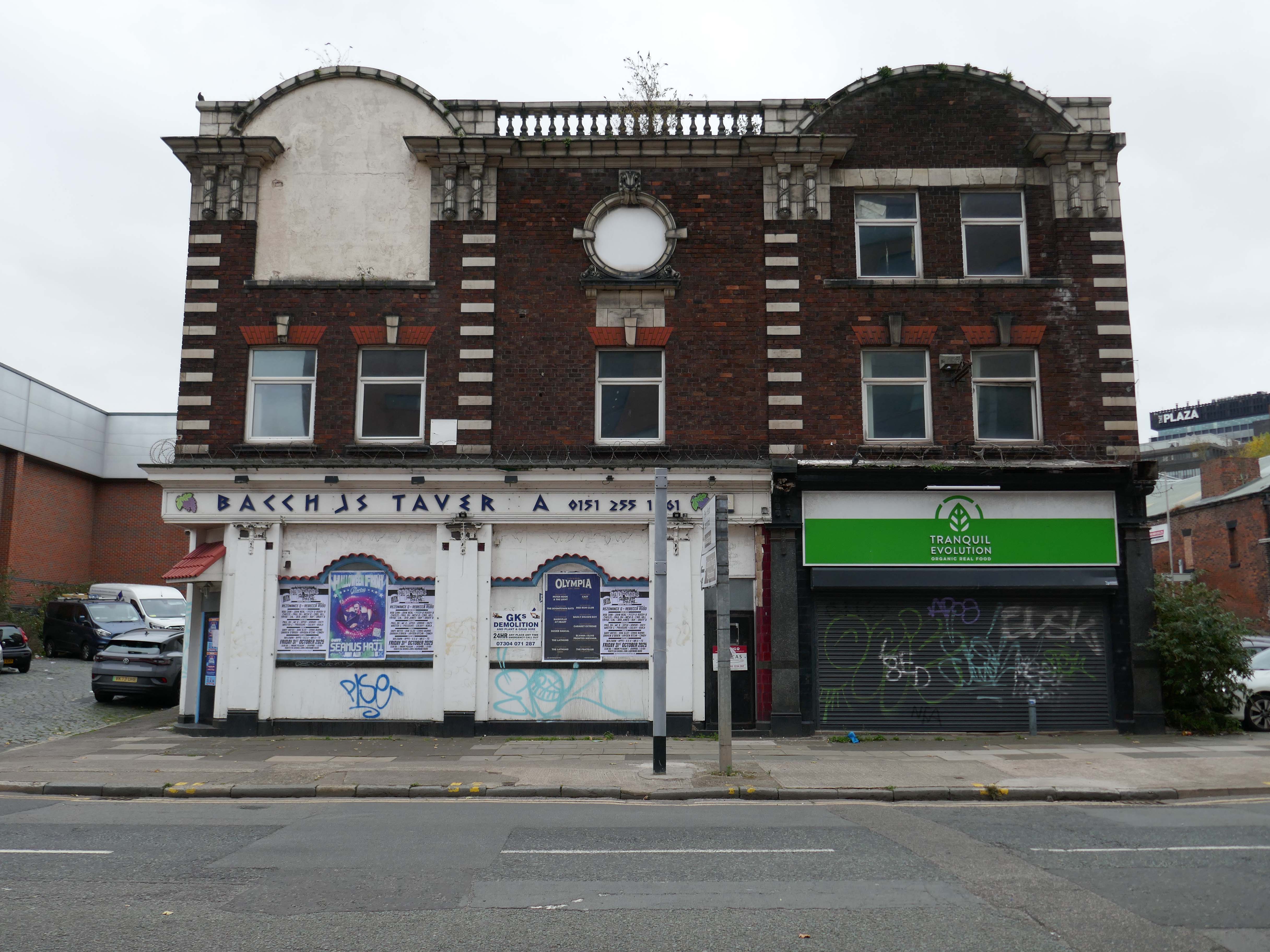
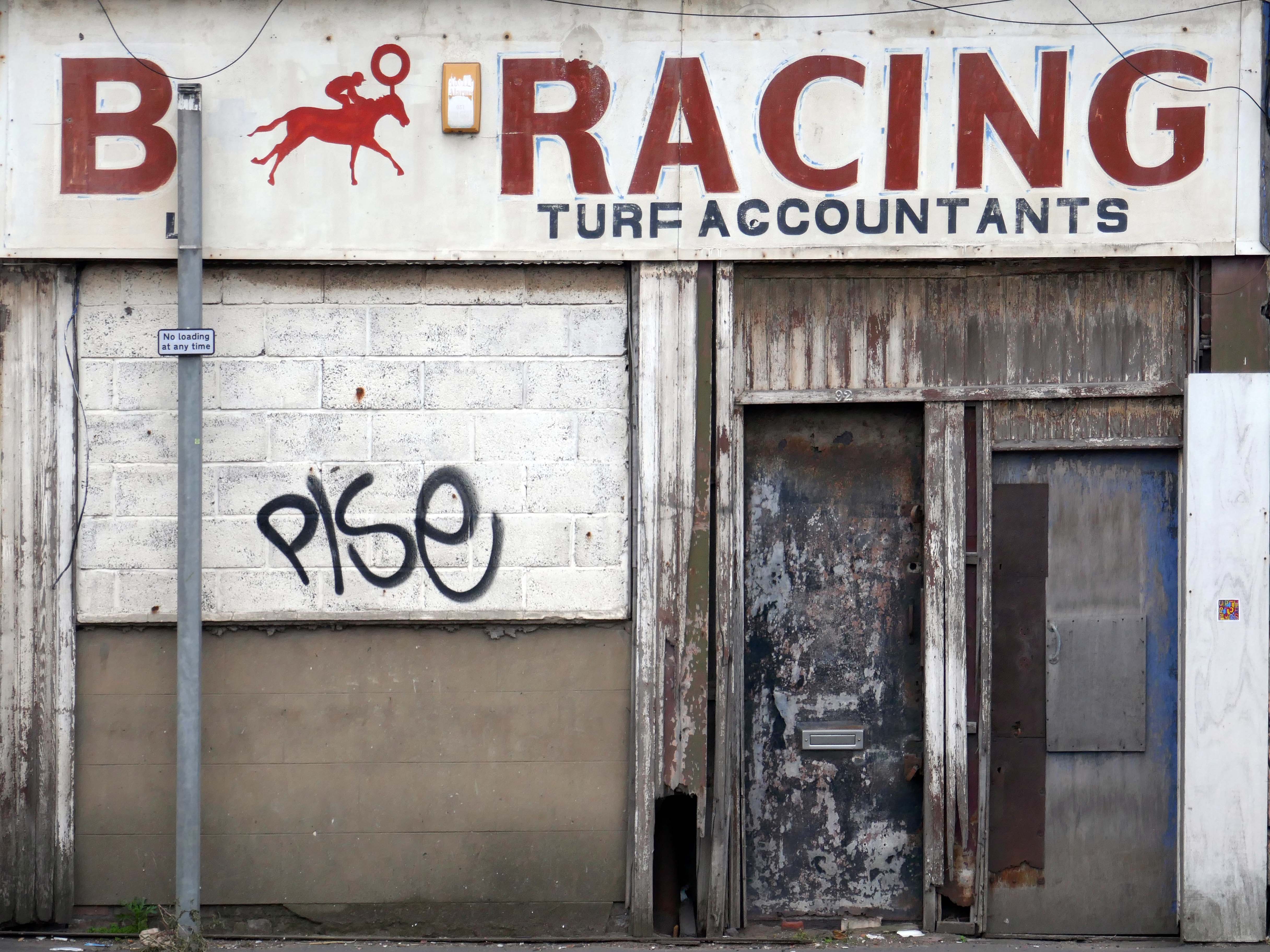
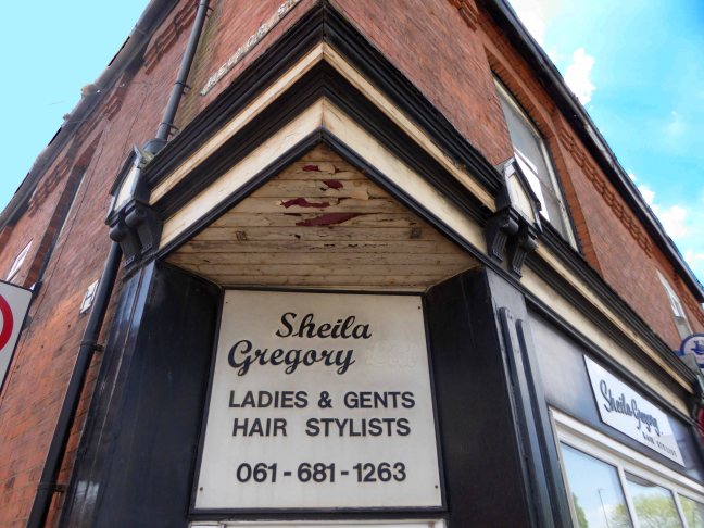
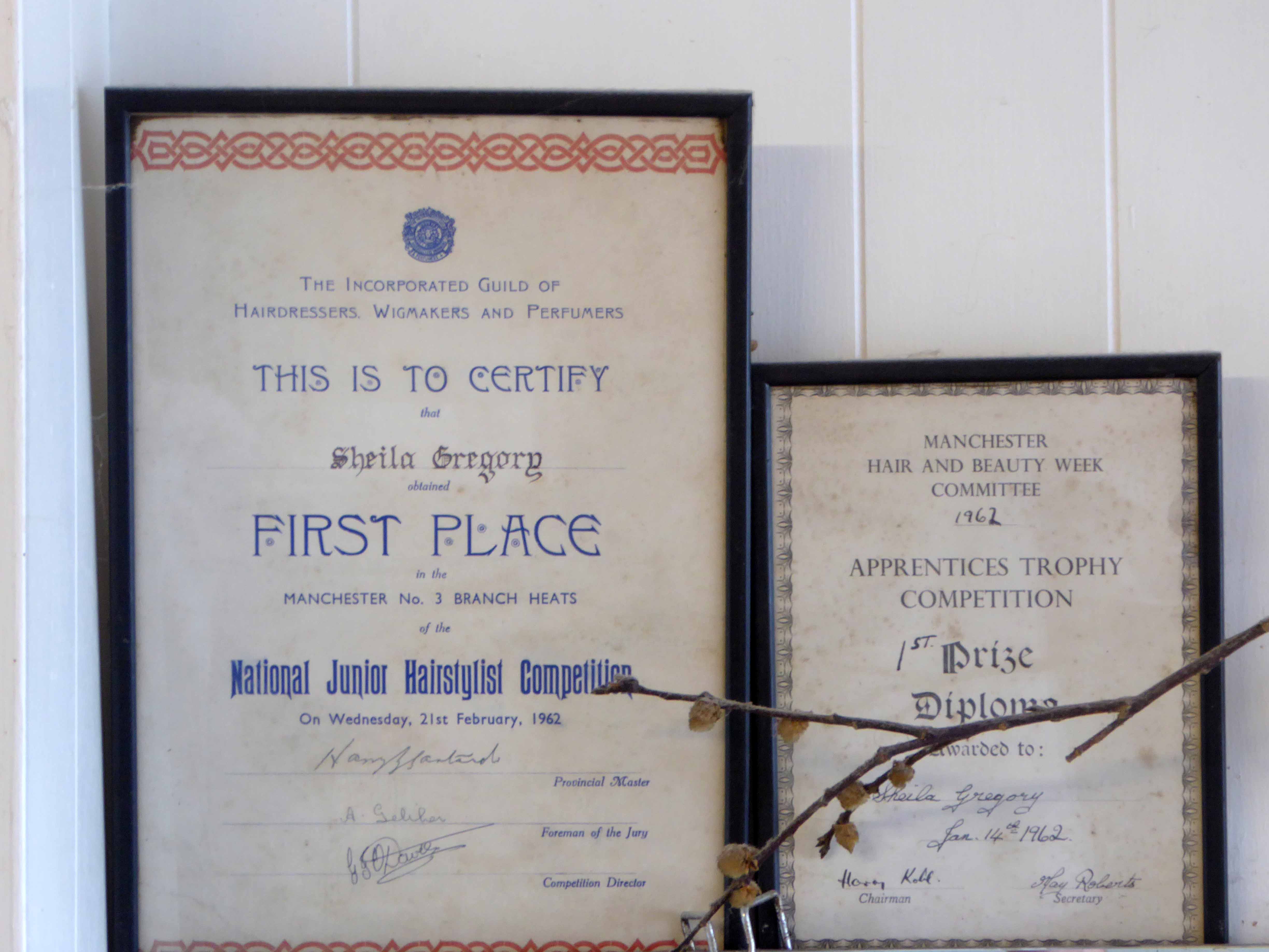
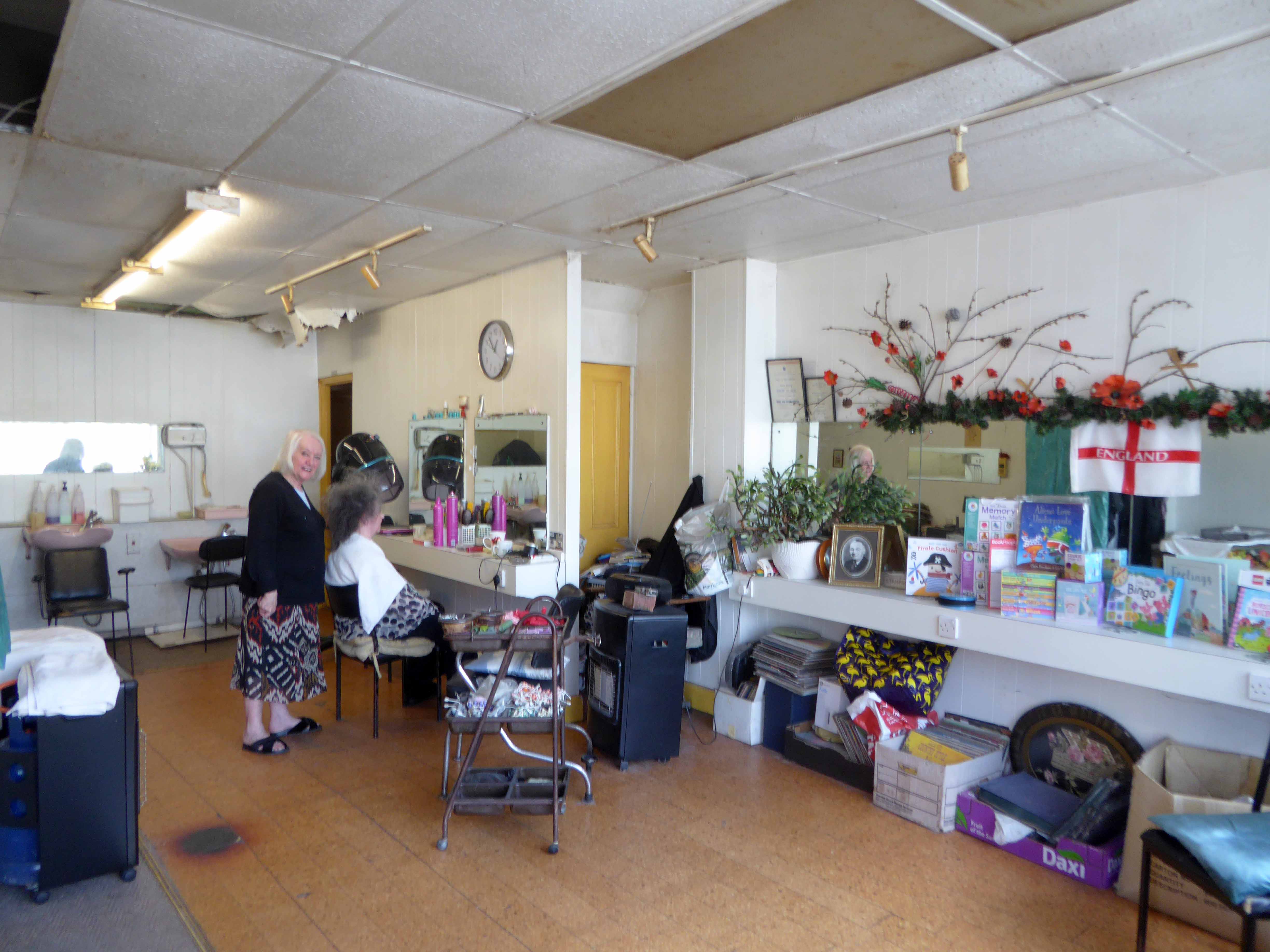
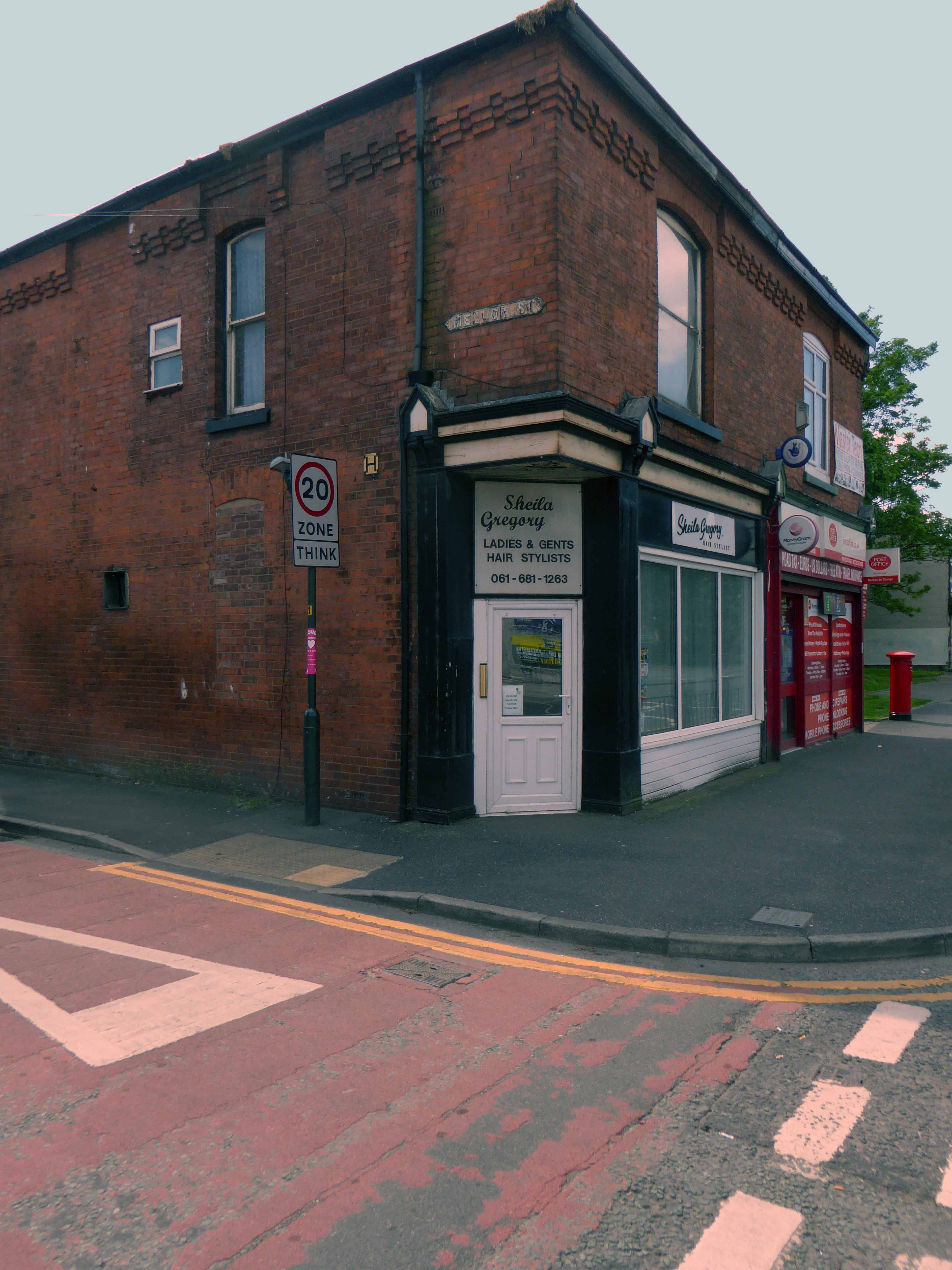
This building has always intrigued me, its sits amongst what was formerly the heart of Manchester’s Rag Trade. It is an area of signs and lost industry, the comings and goings having been and gone.
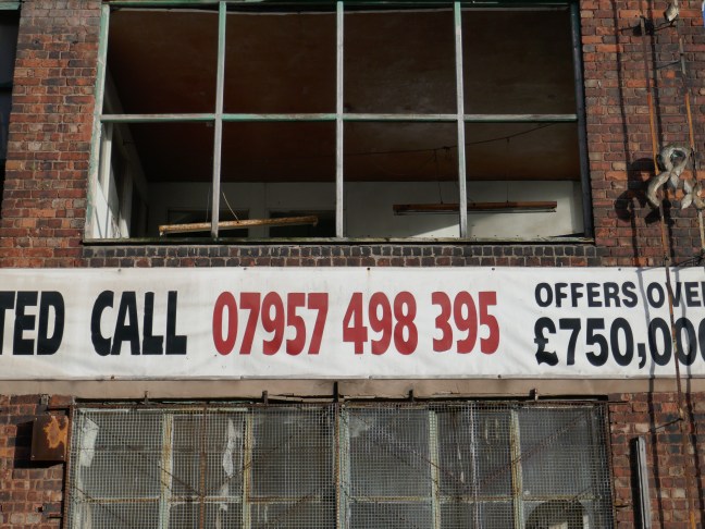
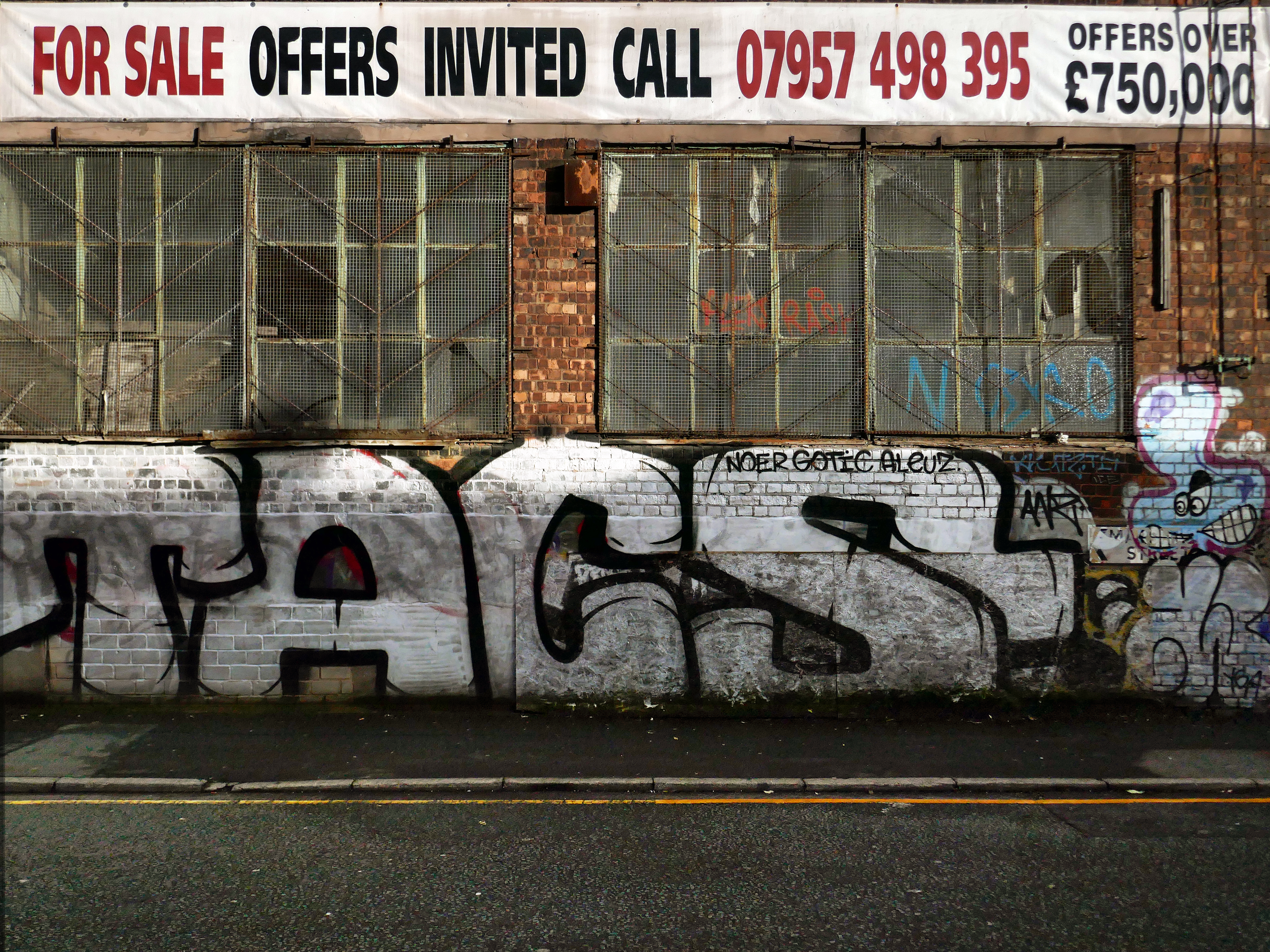
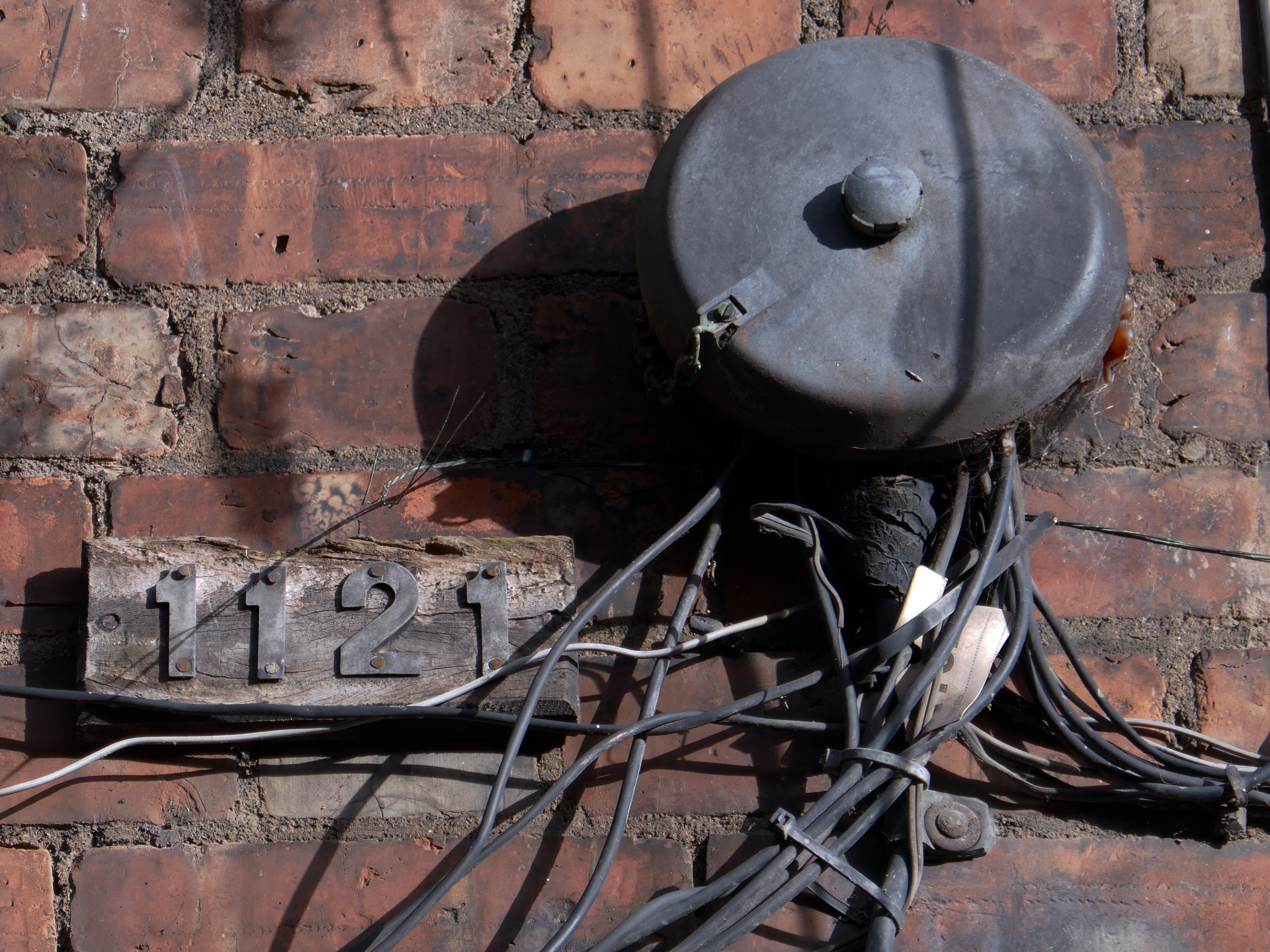
The surrounding buildings are gradually being refurbished or replaced, but somehow 46 Marshall Street is bucking the trend, though at some point someone somewhere will find over £750,000.
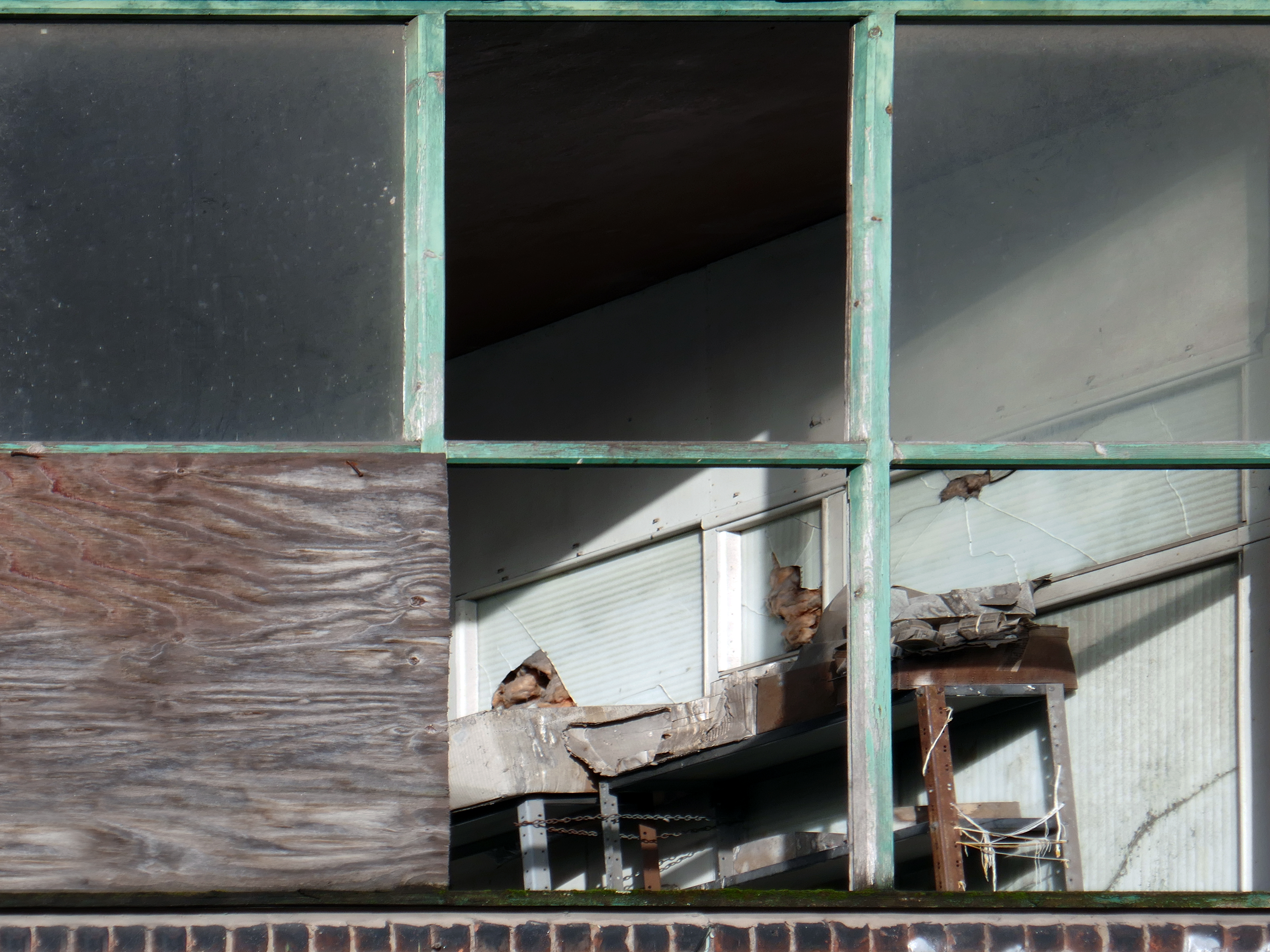
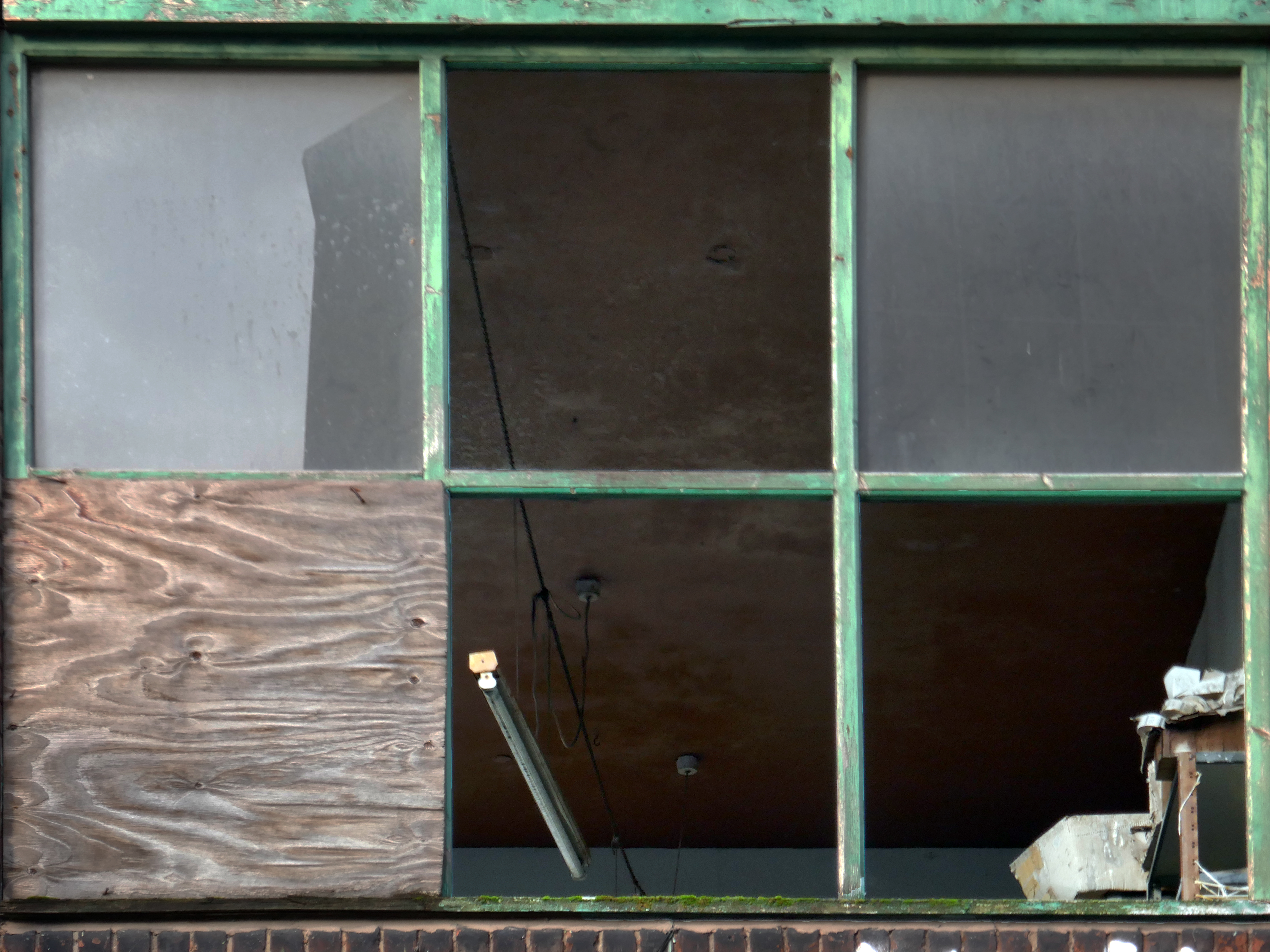
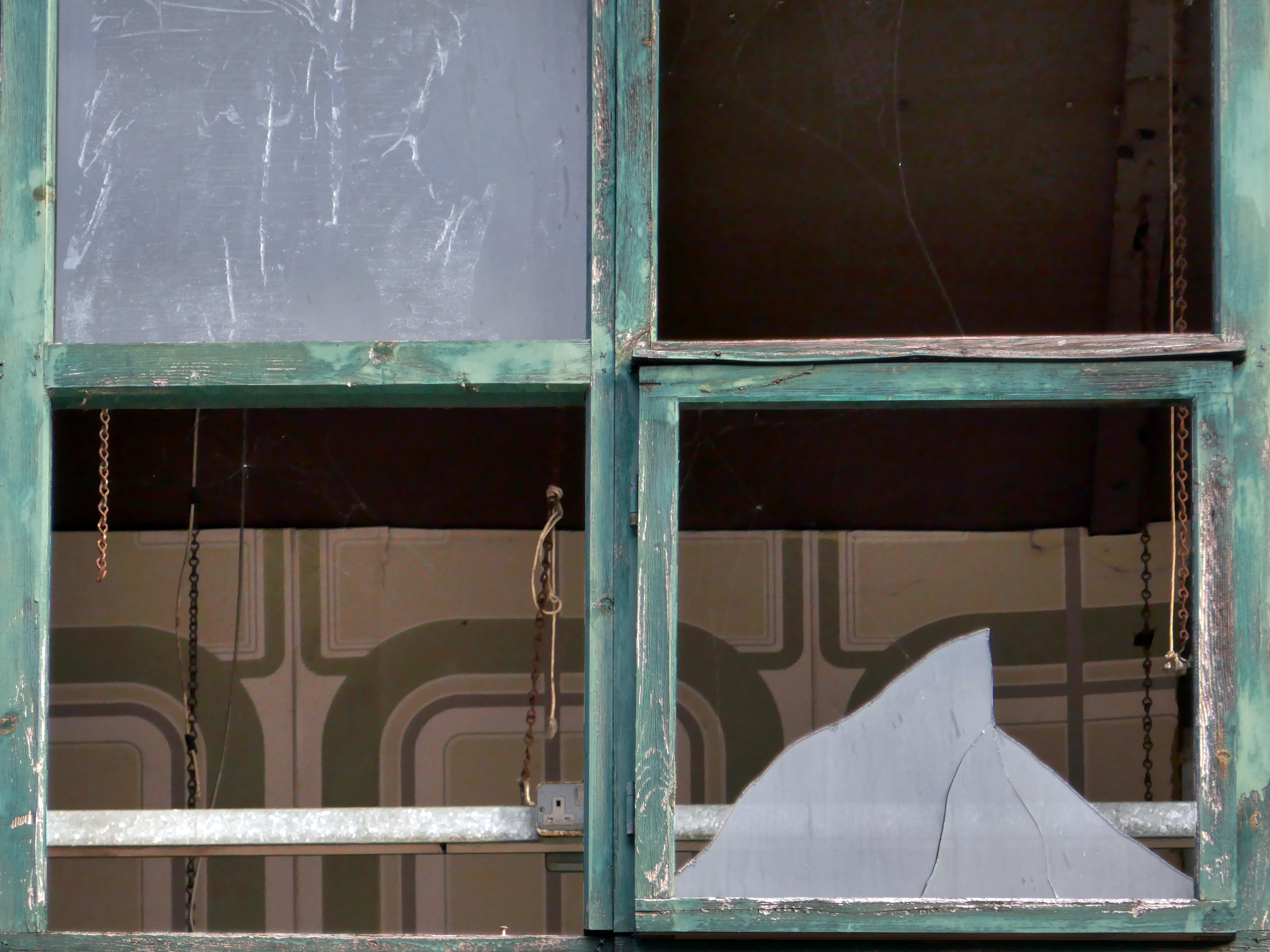
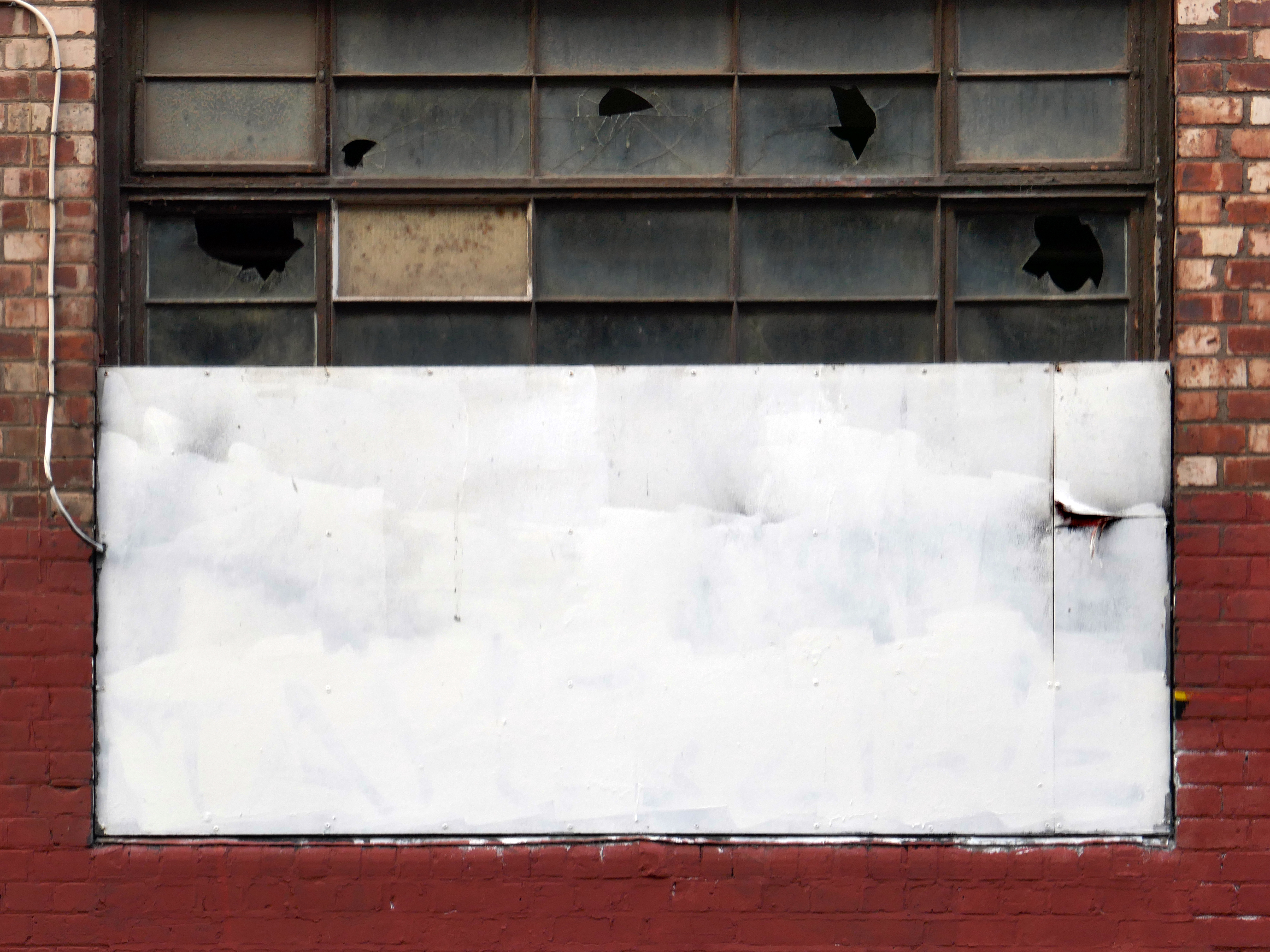
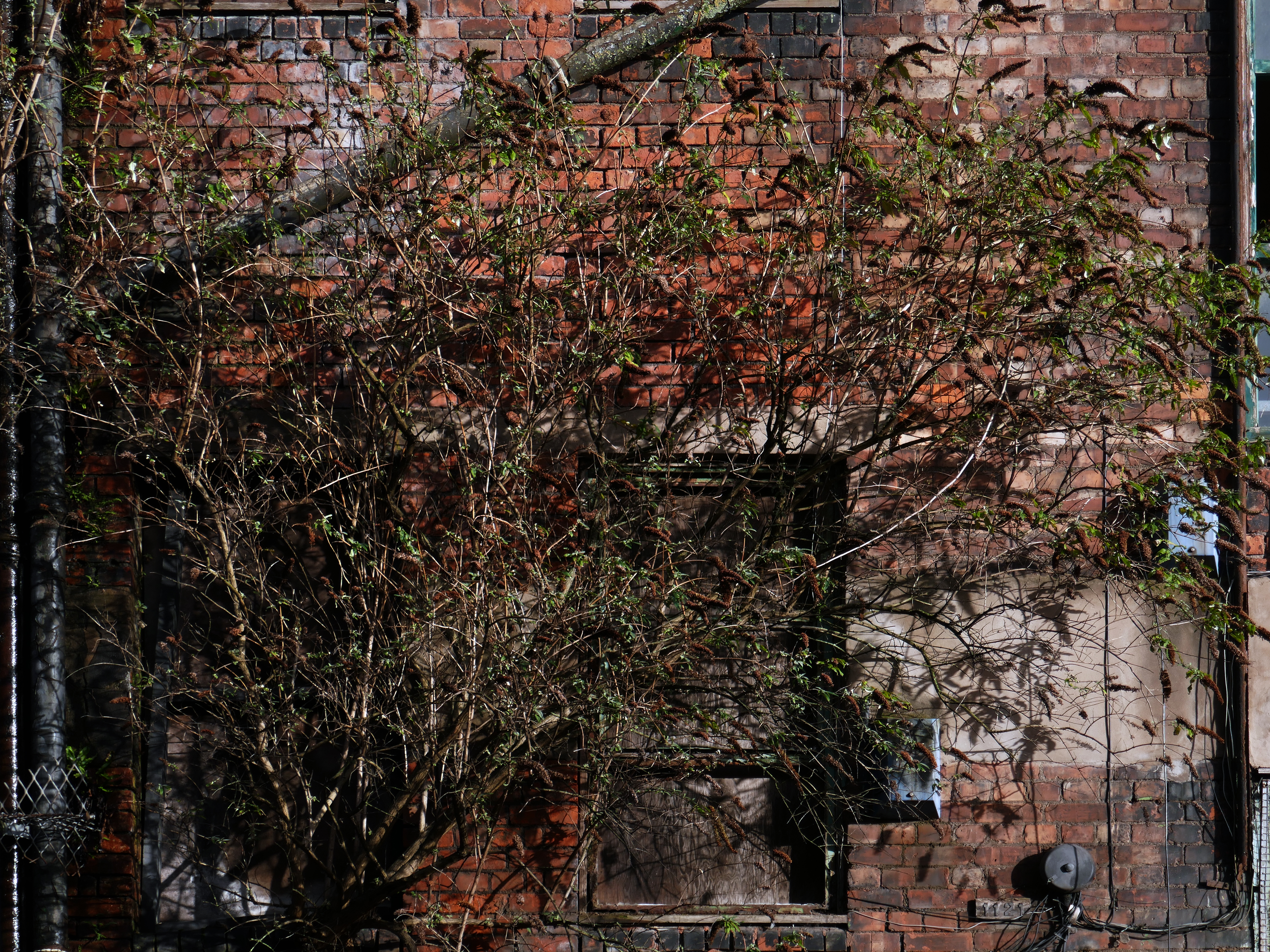
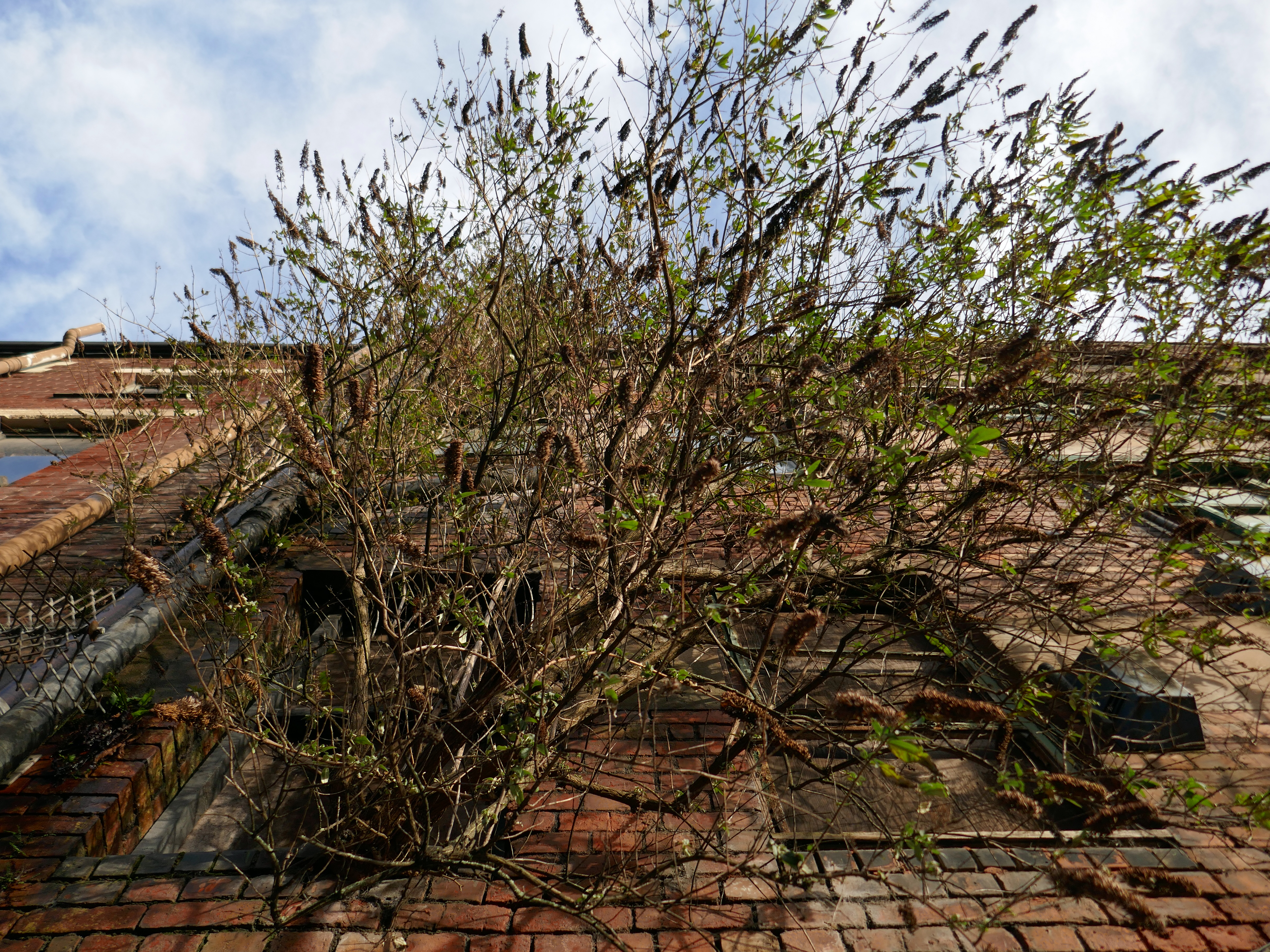
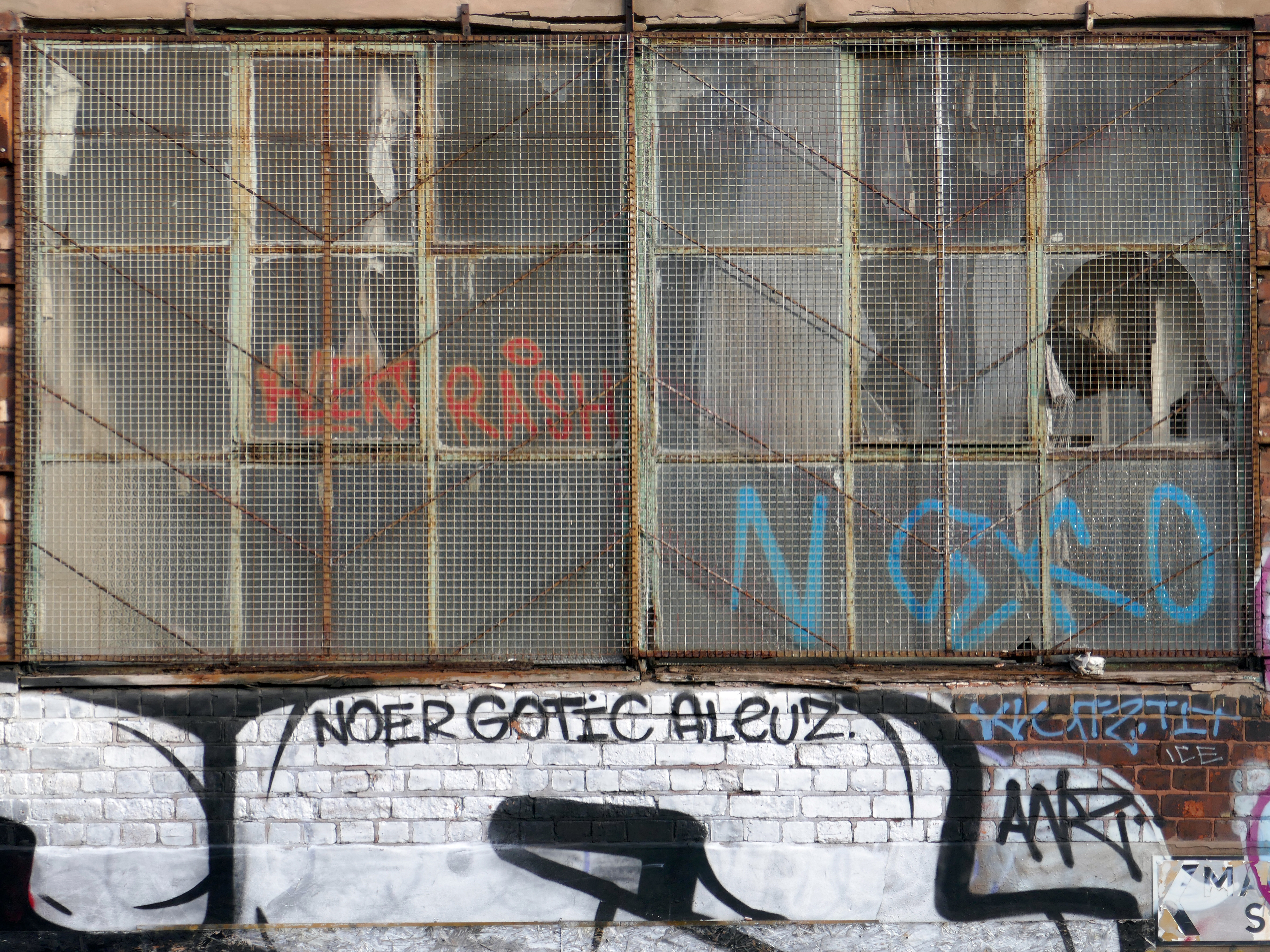
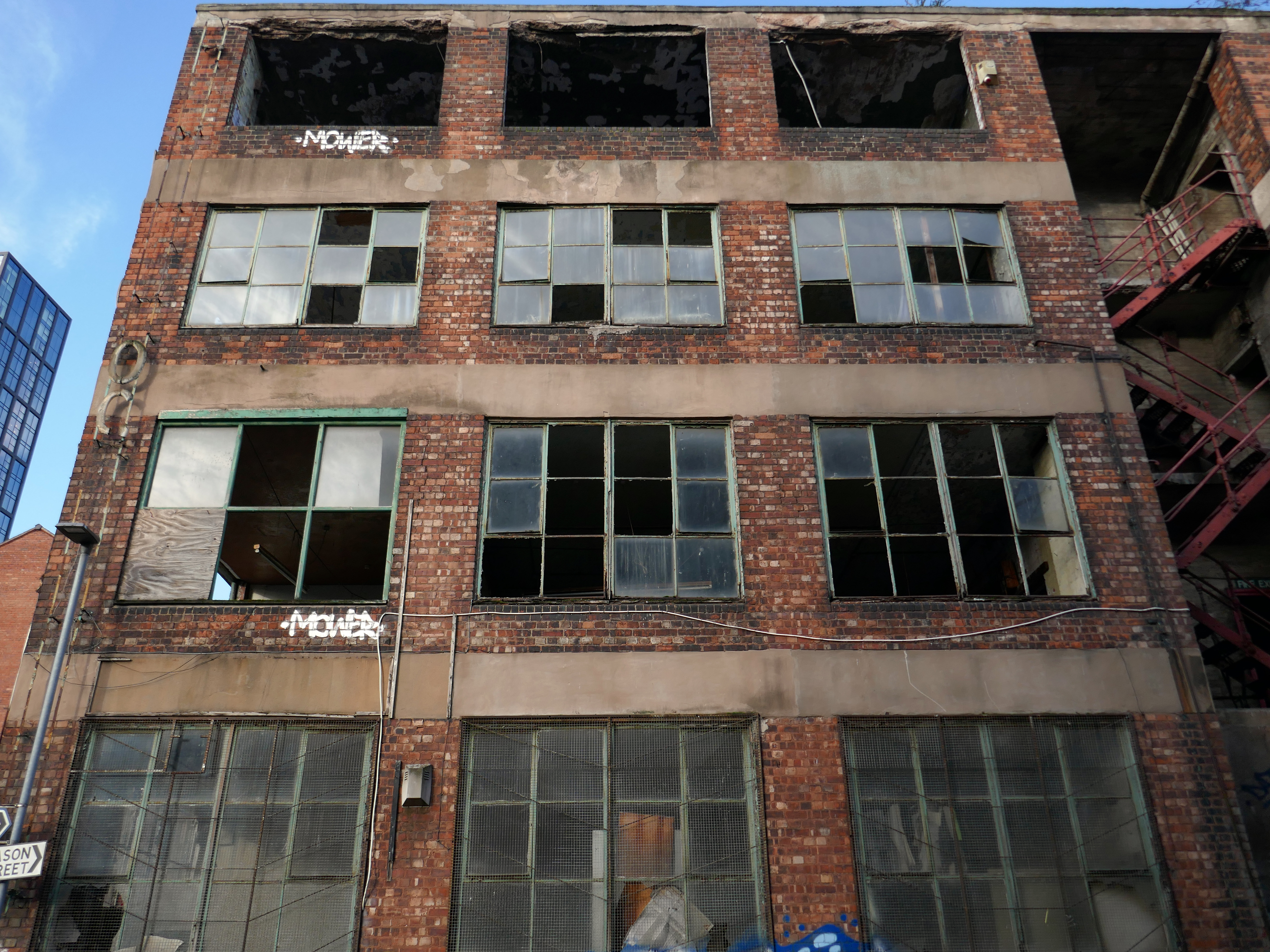
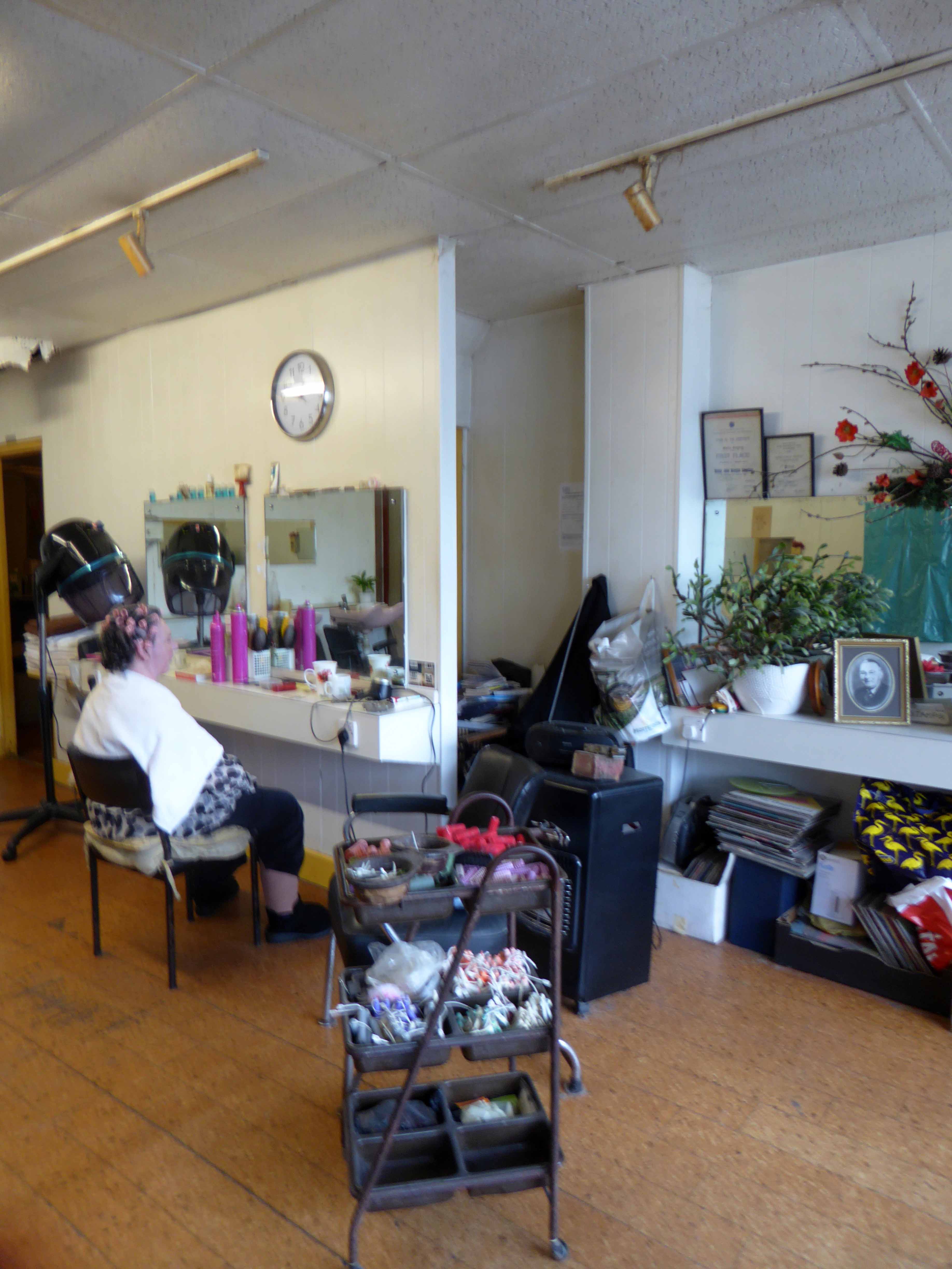
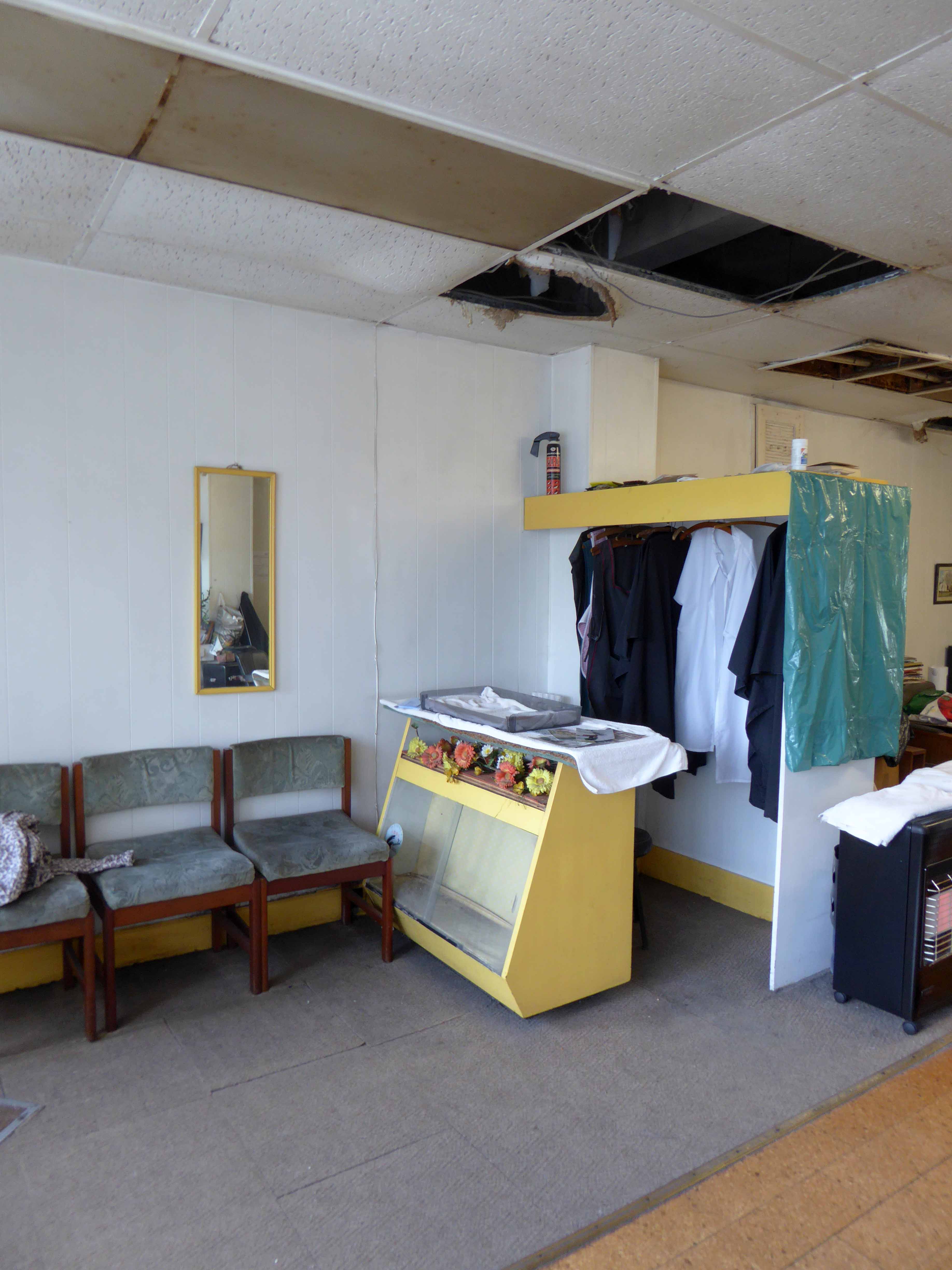
Gradually its wooden framed windows become the poked out eyes of its soul.
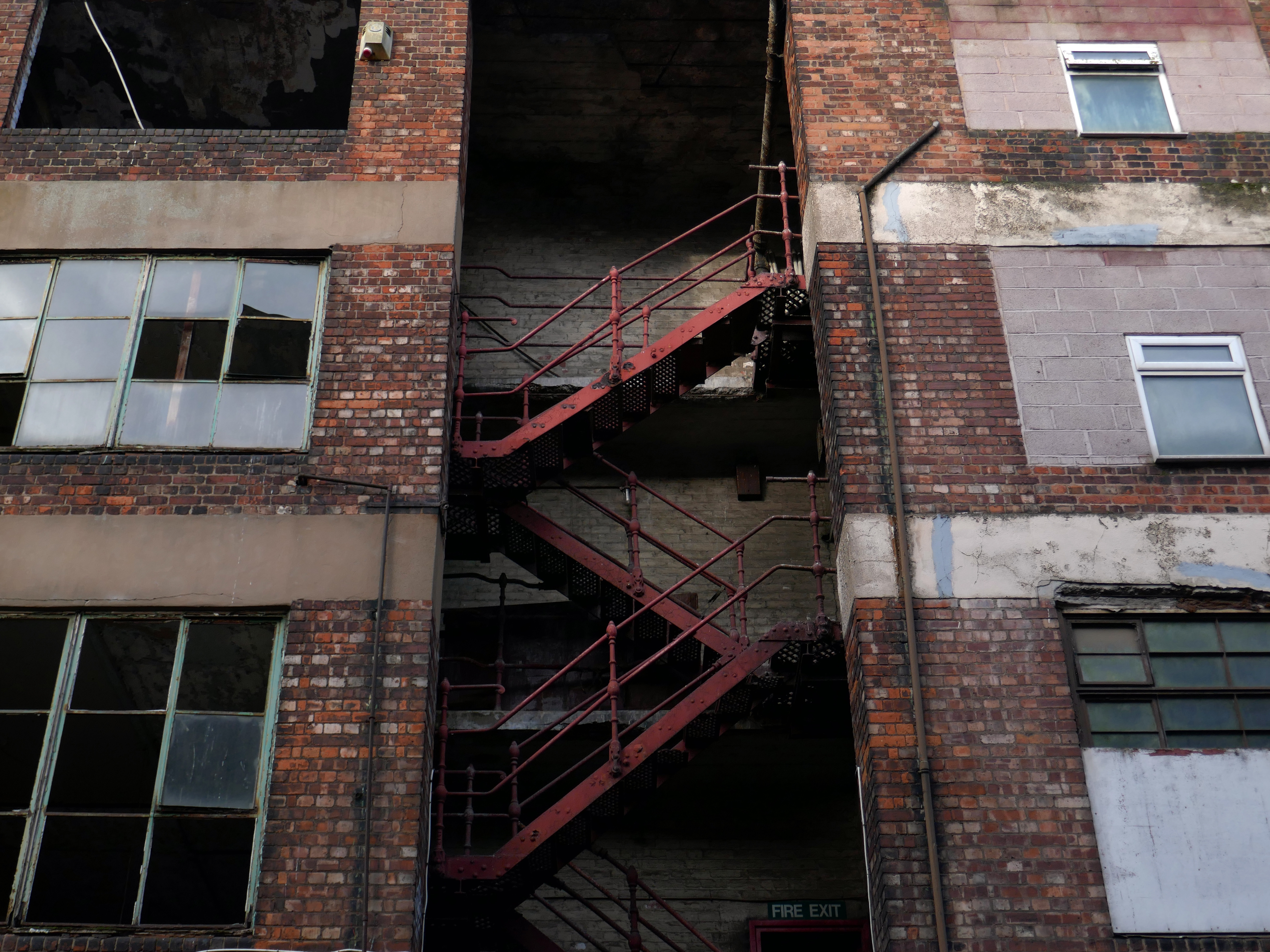
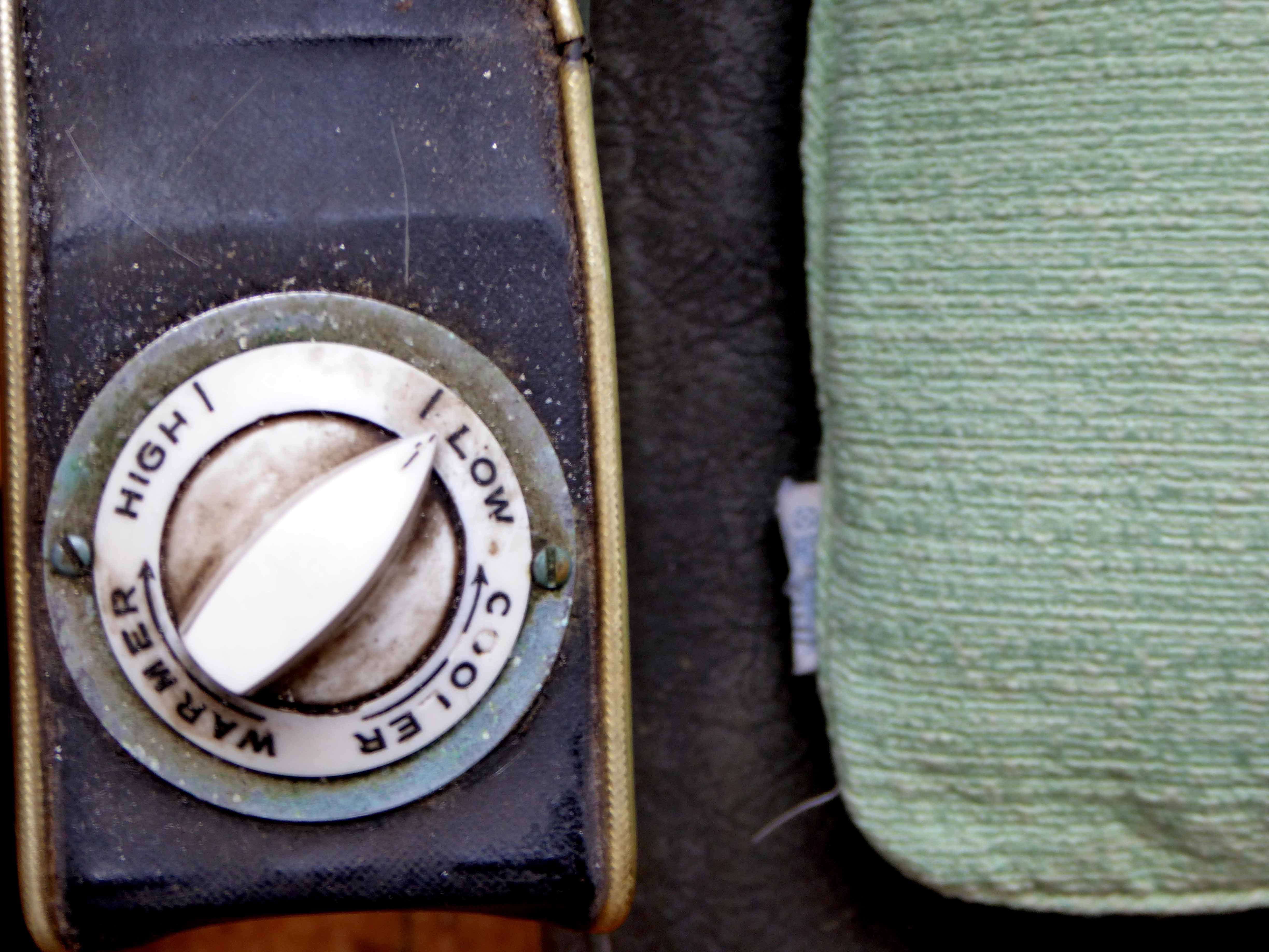
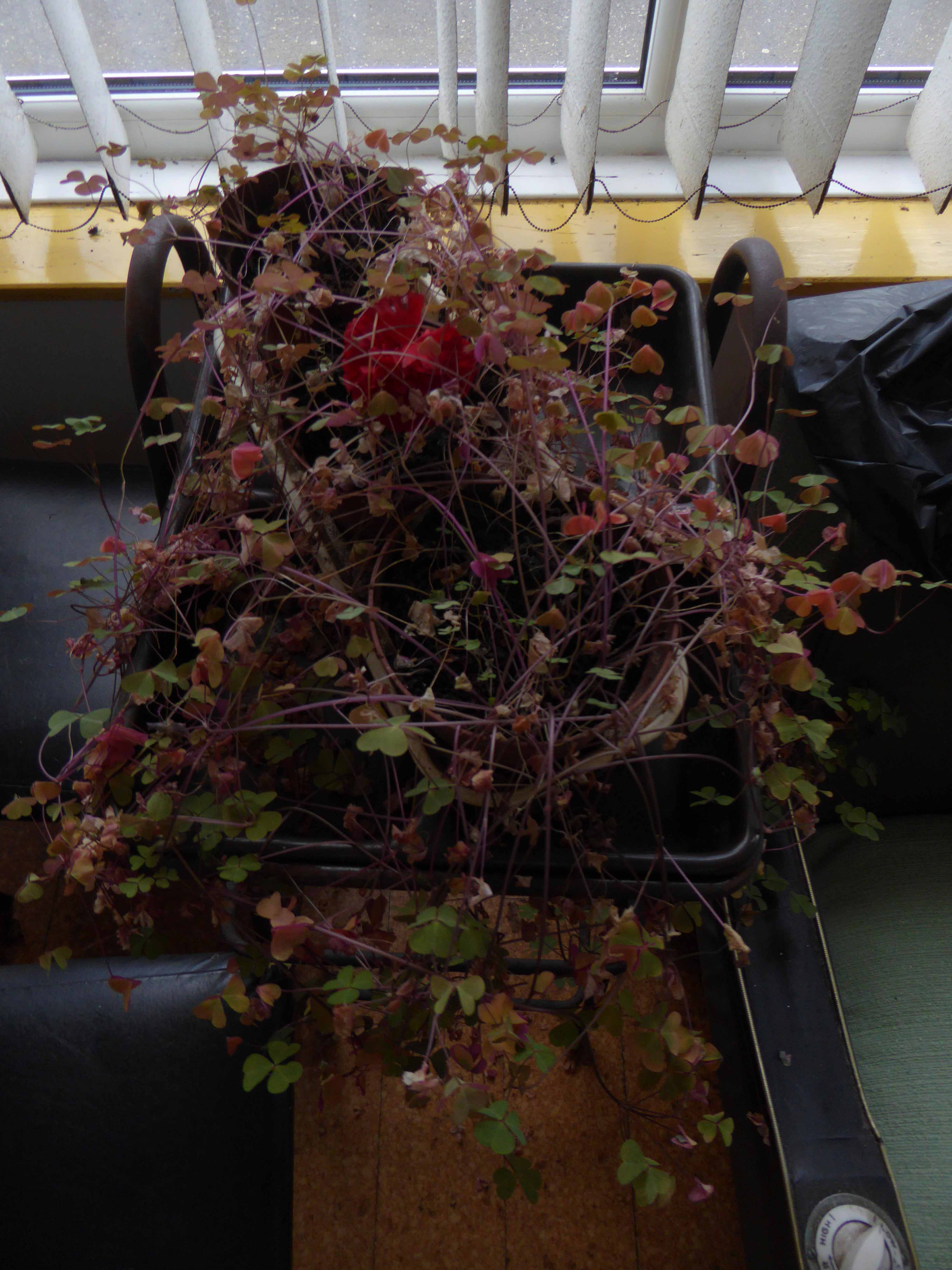
Light fittings hang limp and unlit, as the interior decor deteriorates.
The restless rust inhabits the lower metallic fenestration.
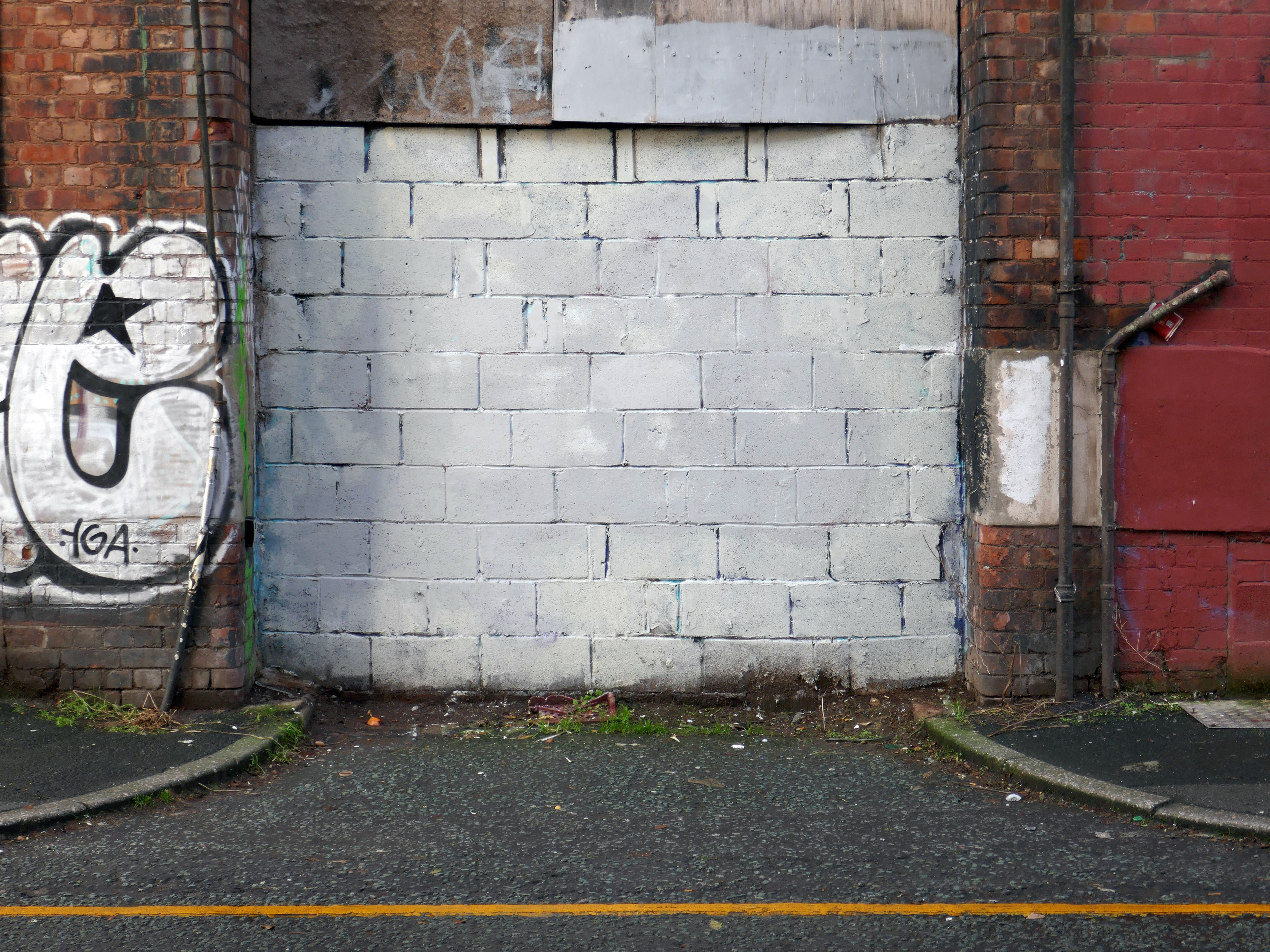
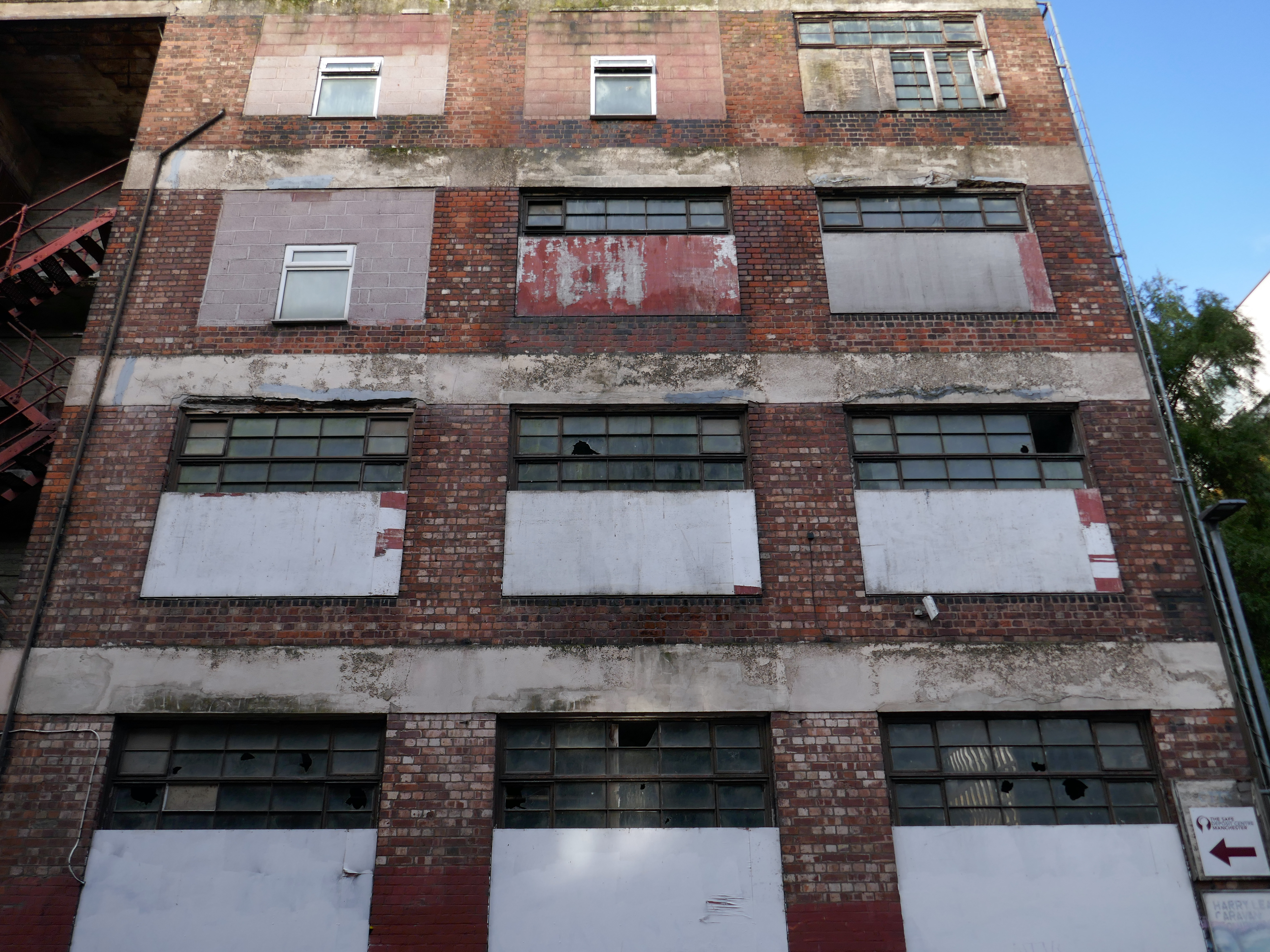
Block work blocks the blocked up entrances.
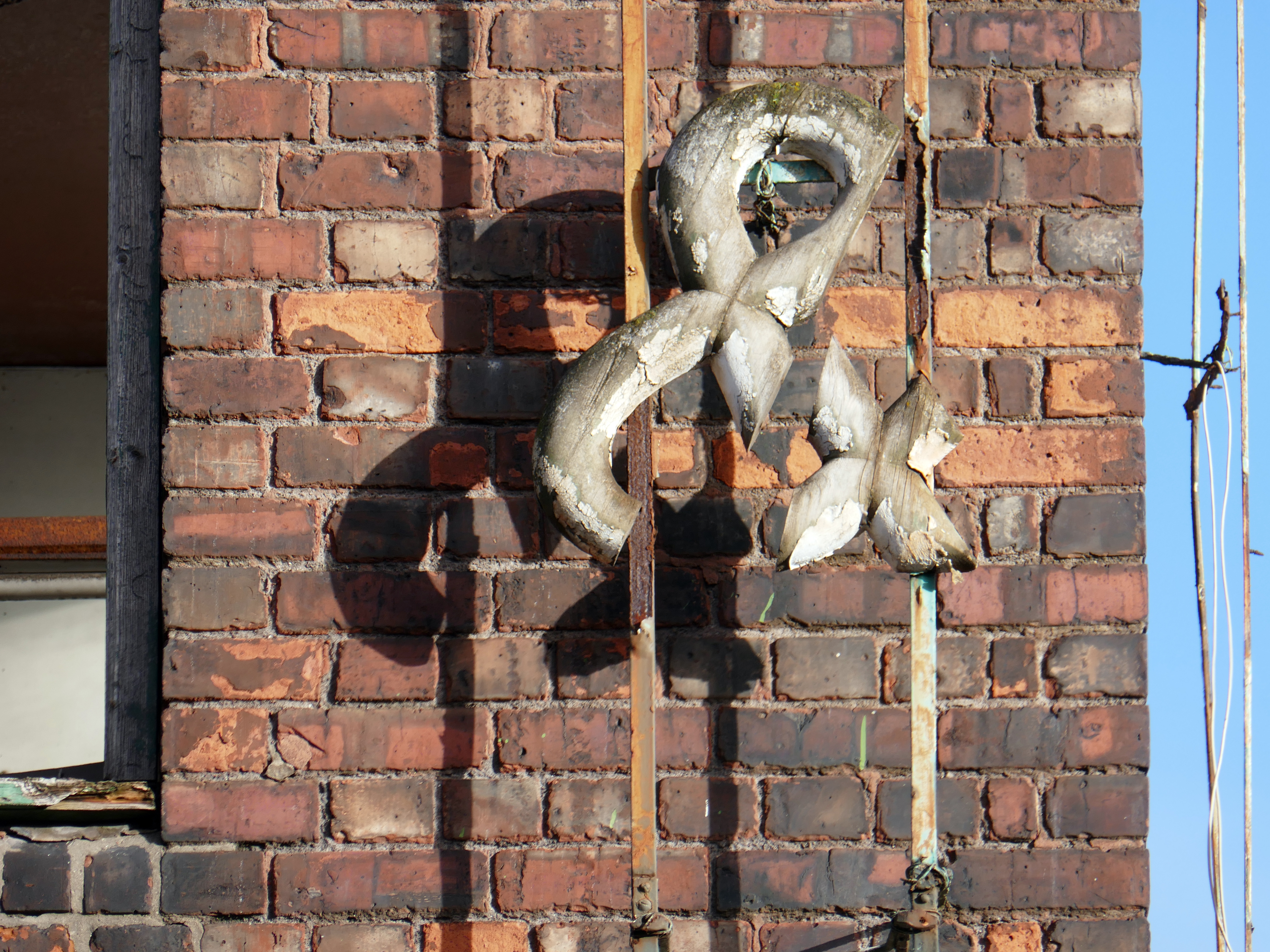
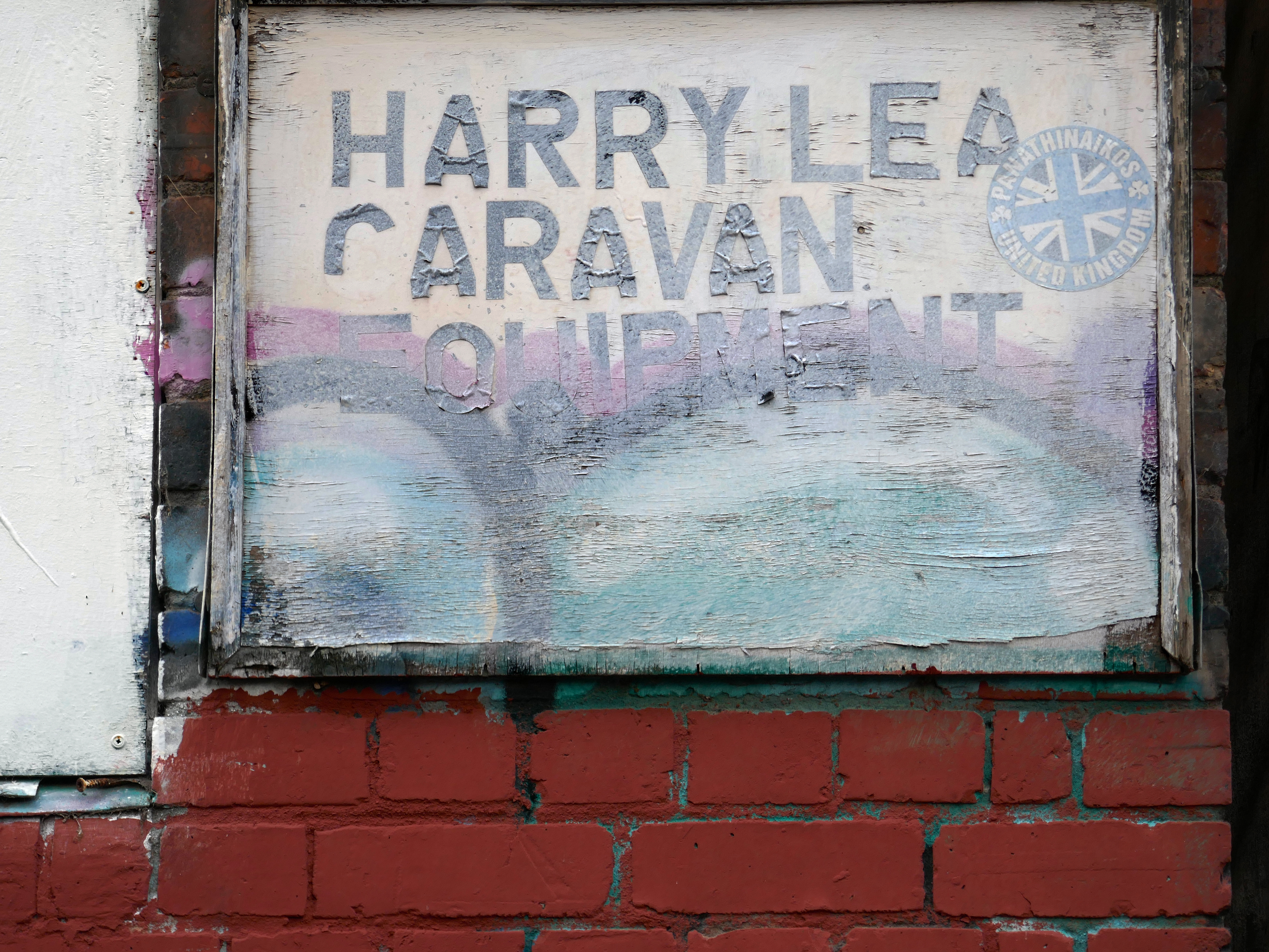
The ampersand can be traced back to the 1st century AD and the old Roman cursive, in which the letters E and T occasionally were written together to form a ligature.
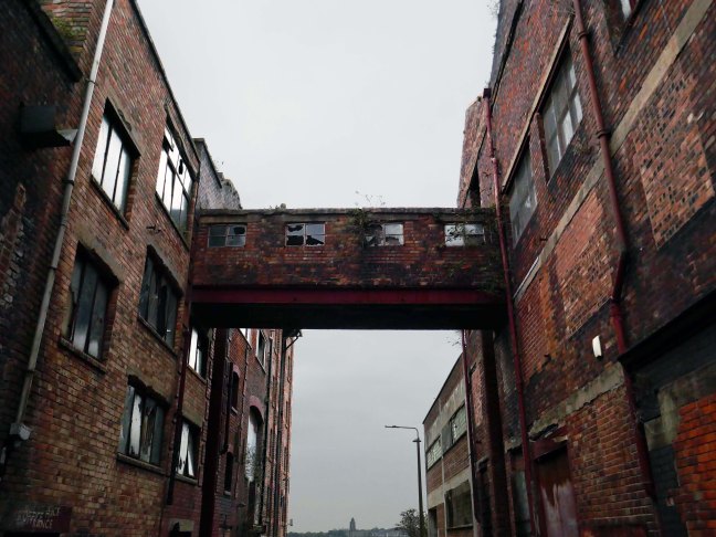
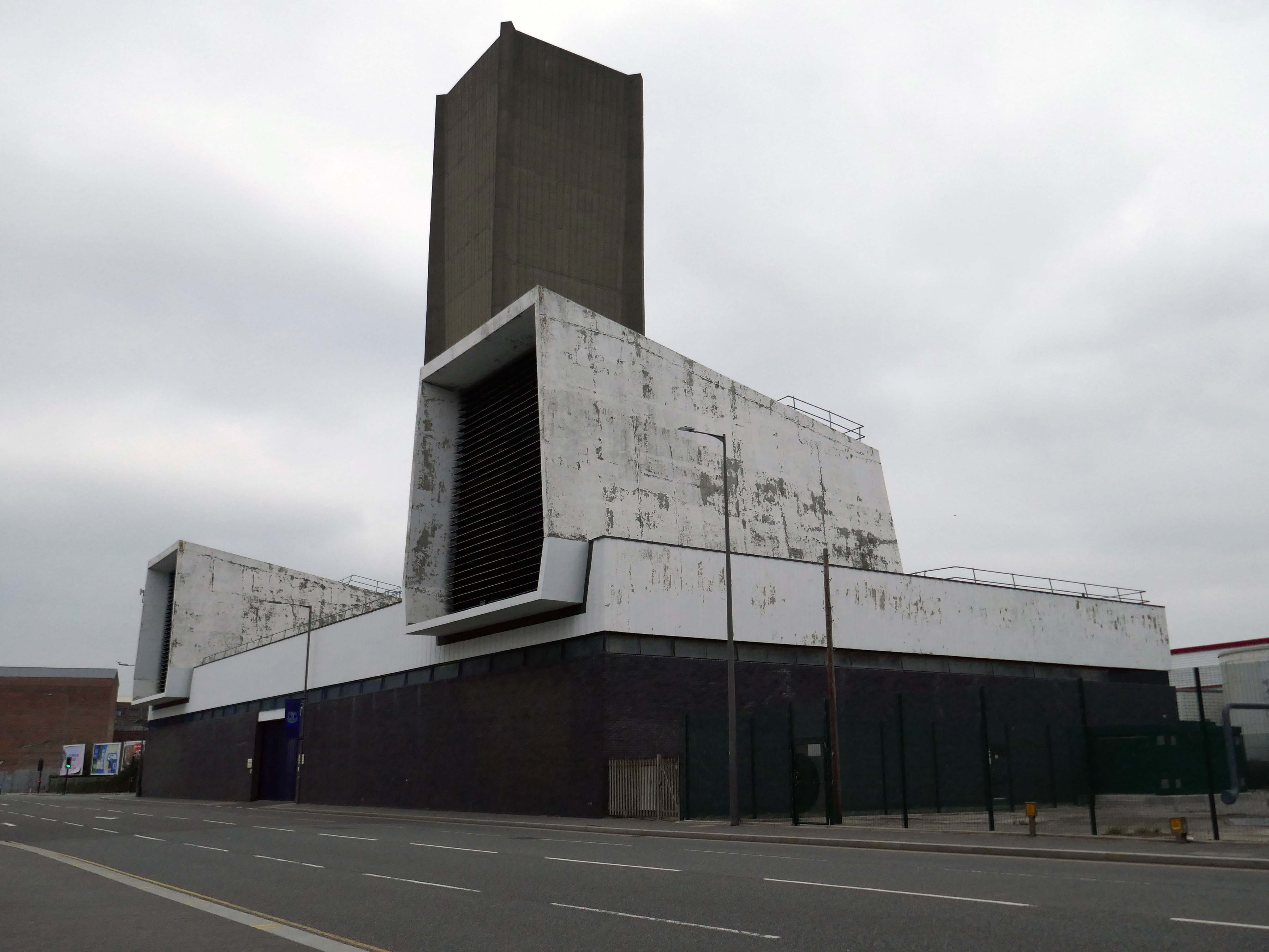
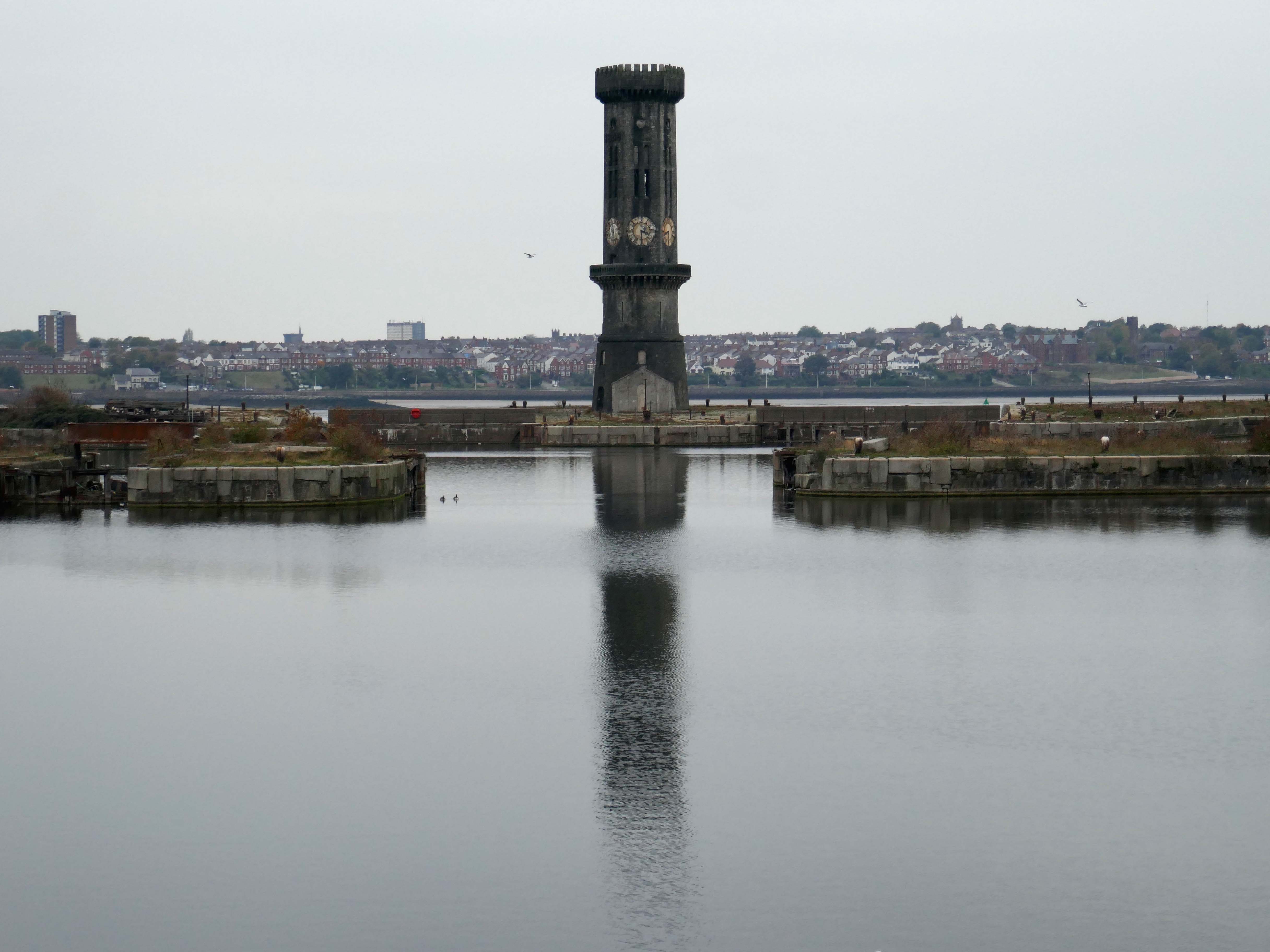
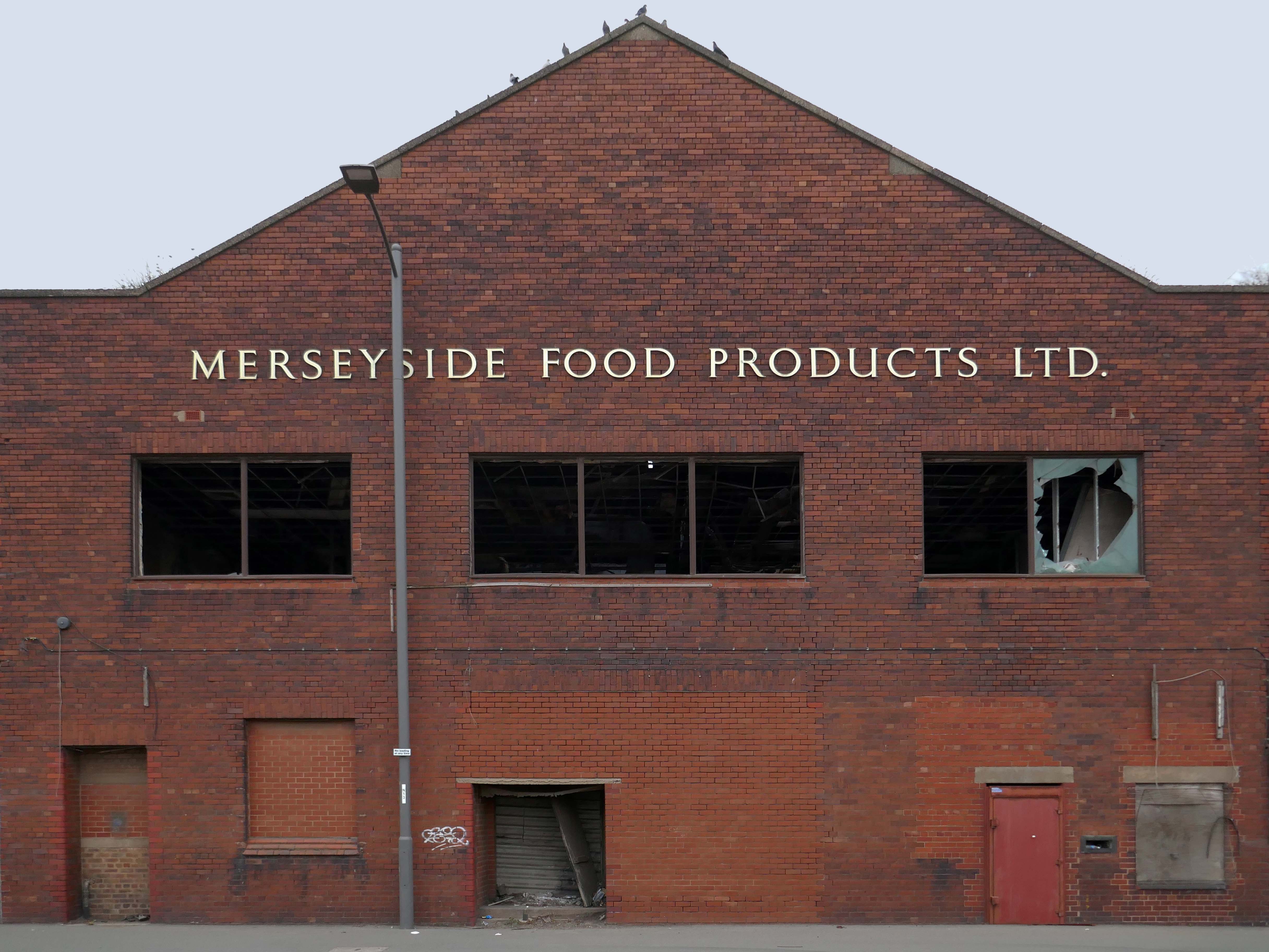
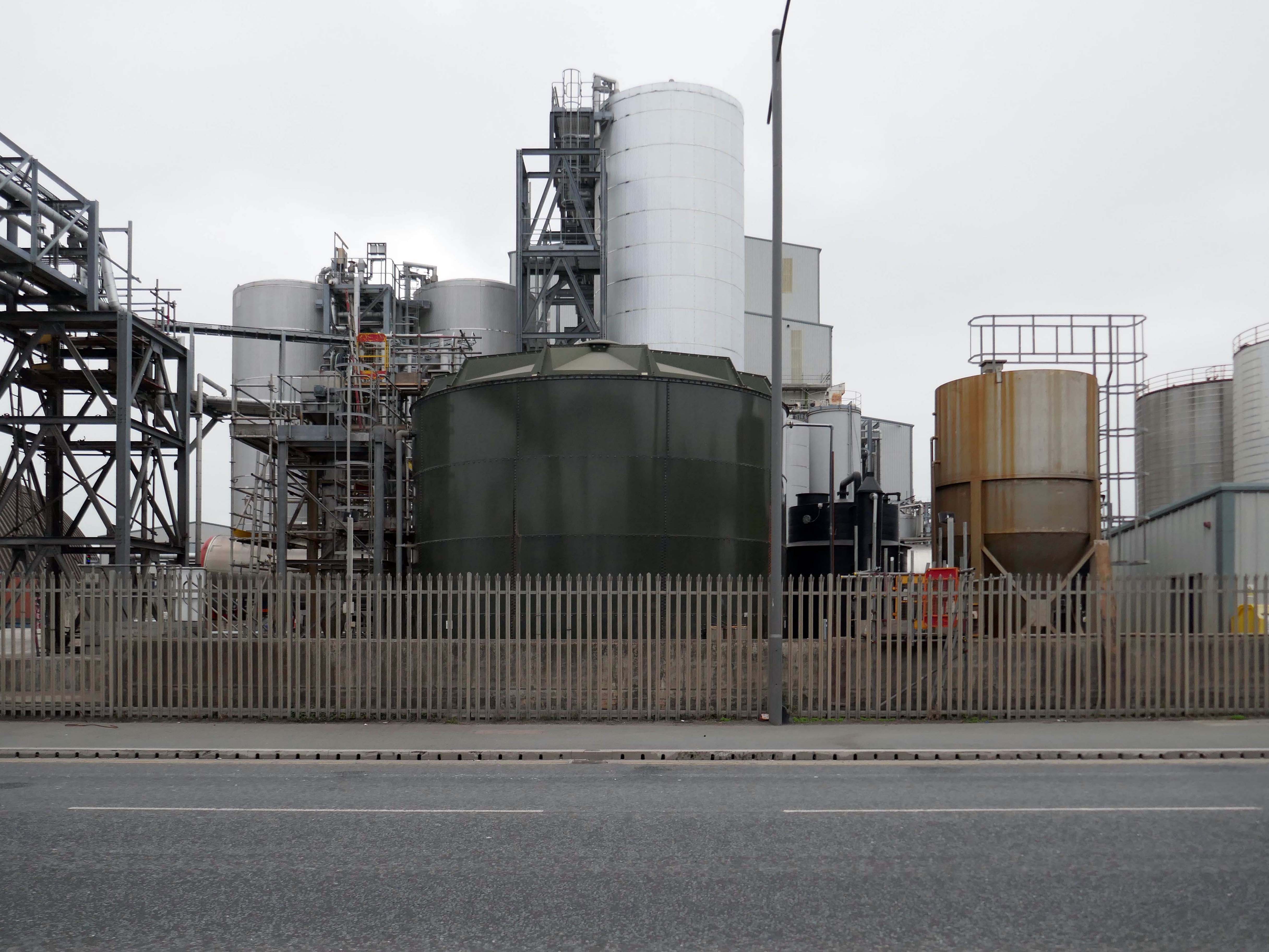
The days when a vast multitude of things came and went have been and gone.
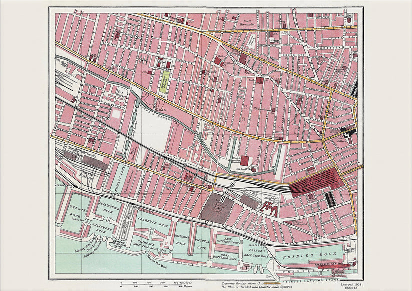
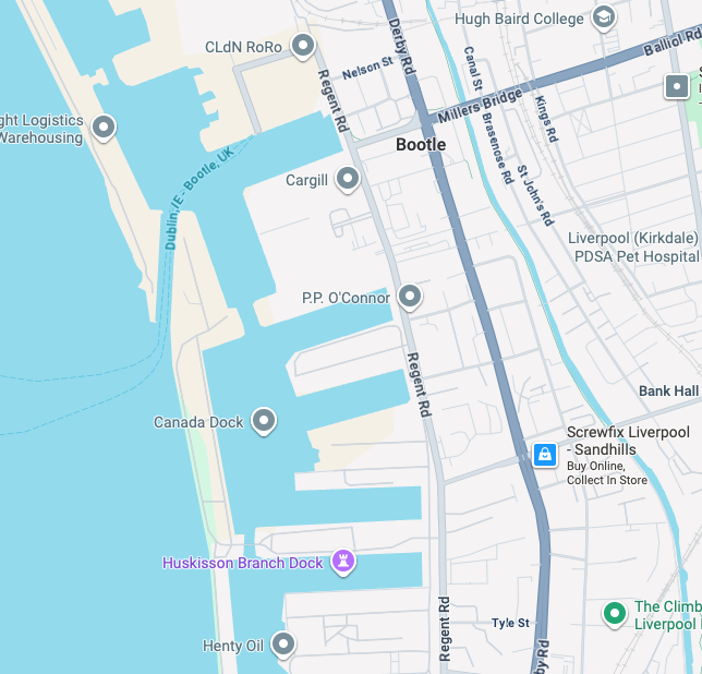
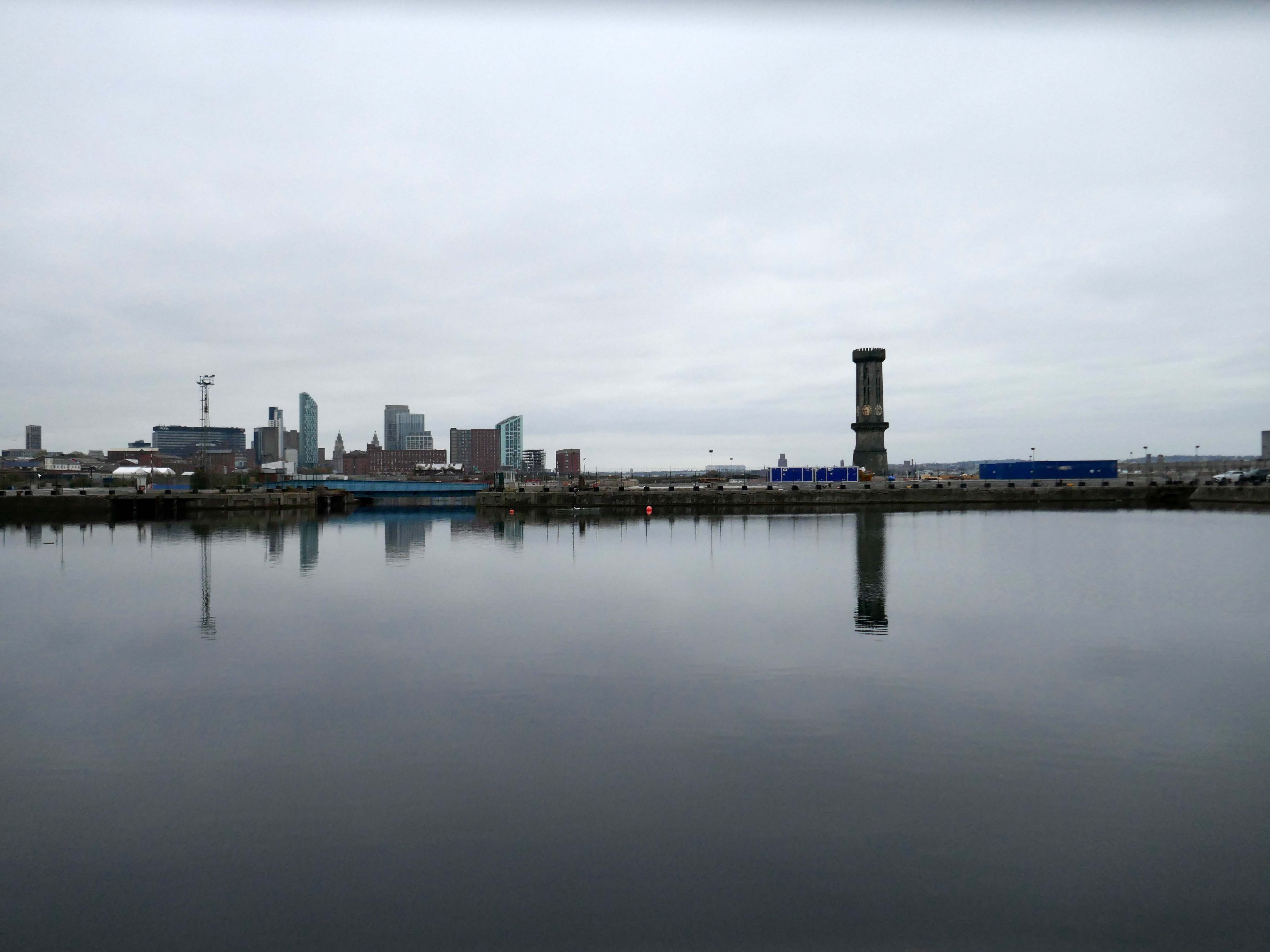
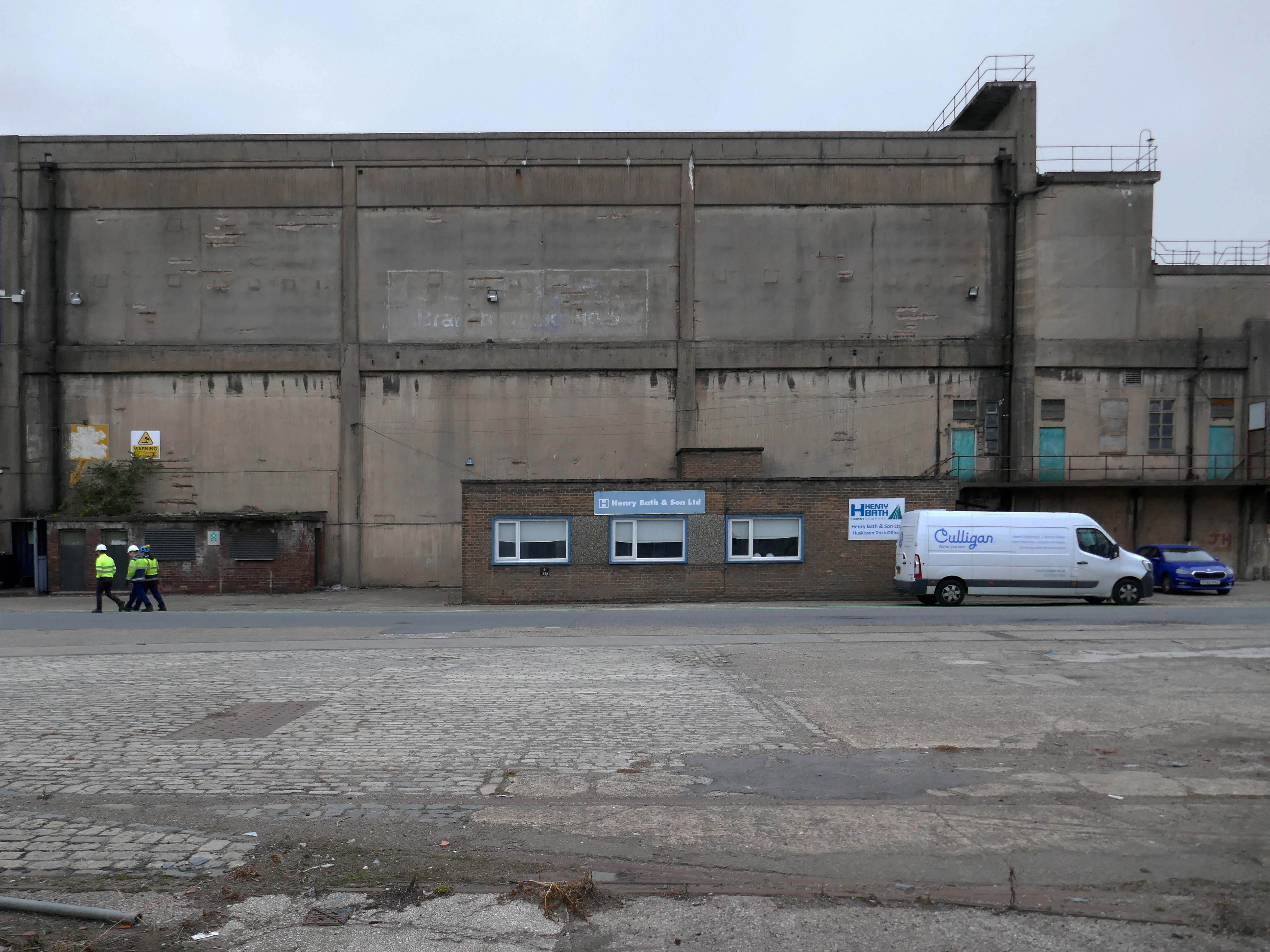
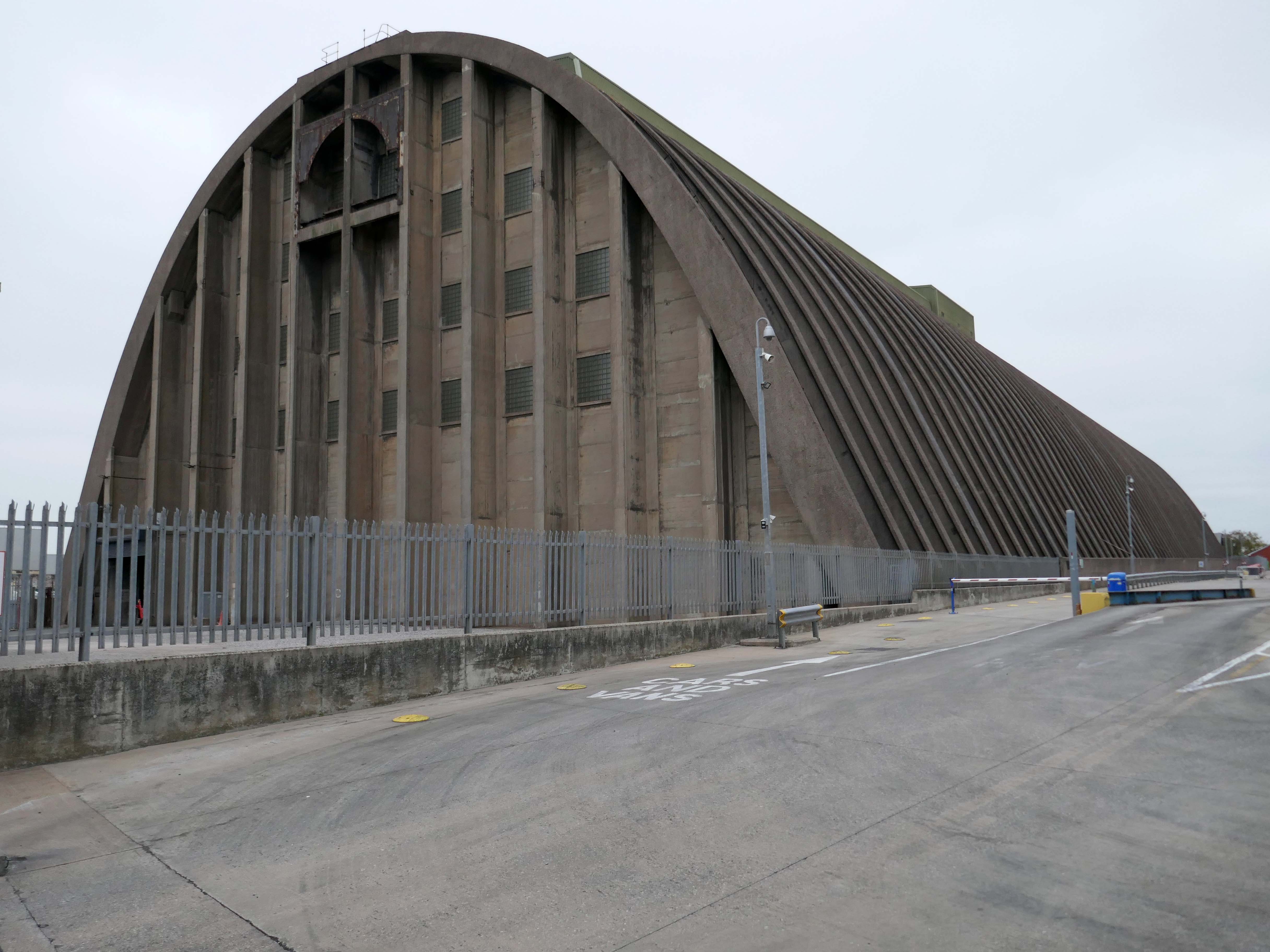
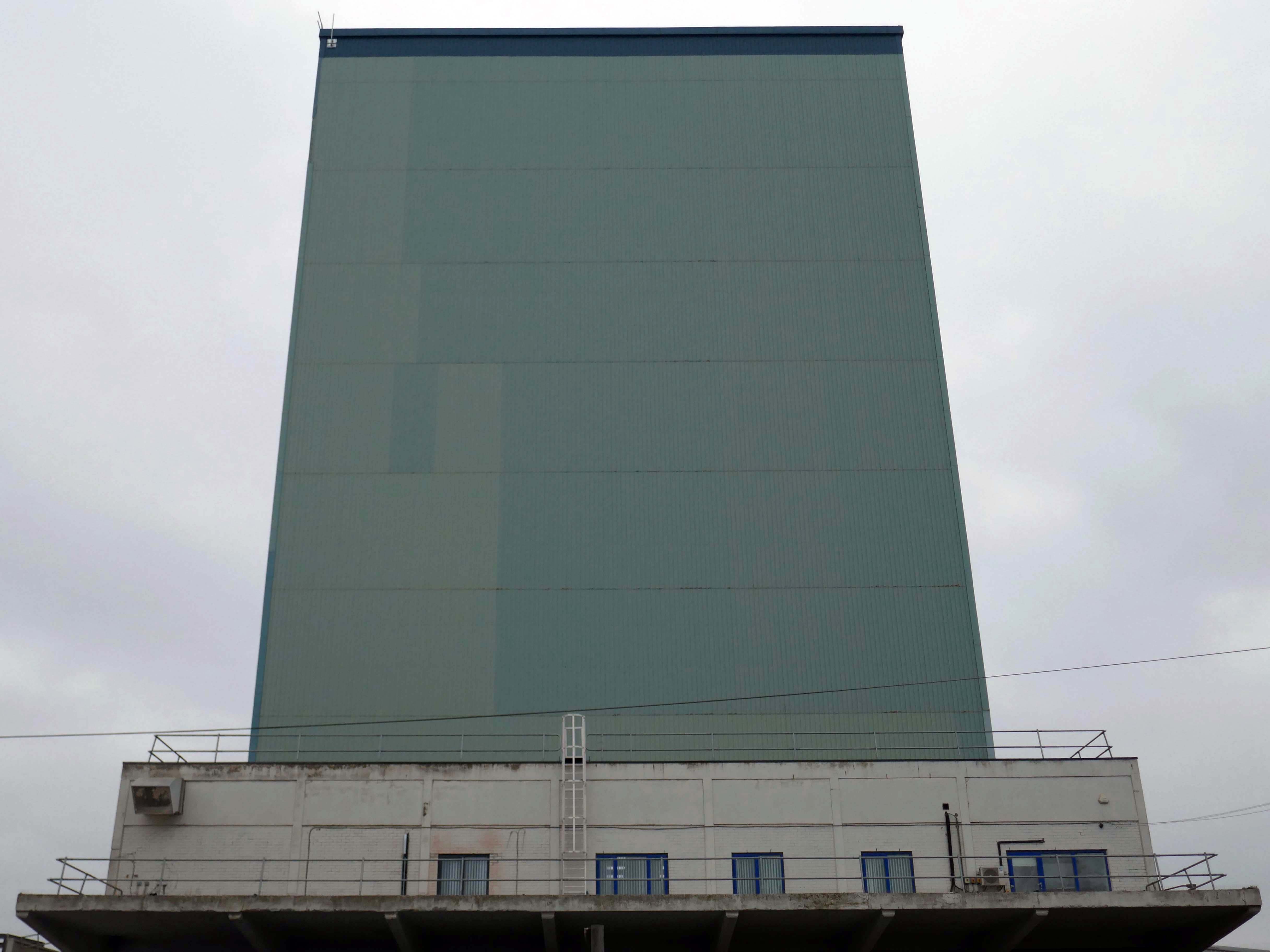
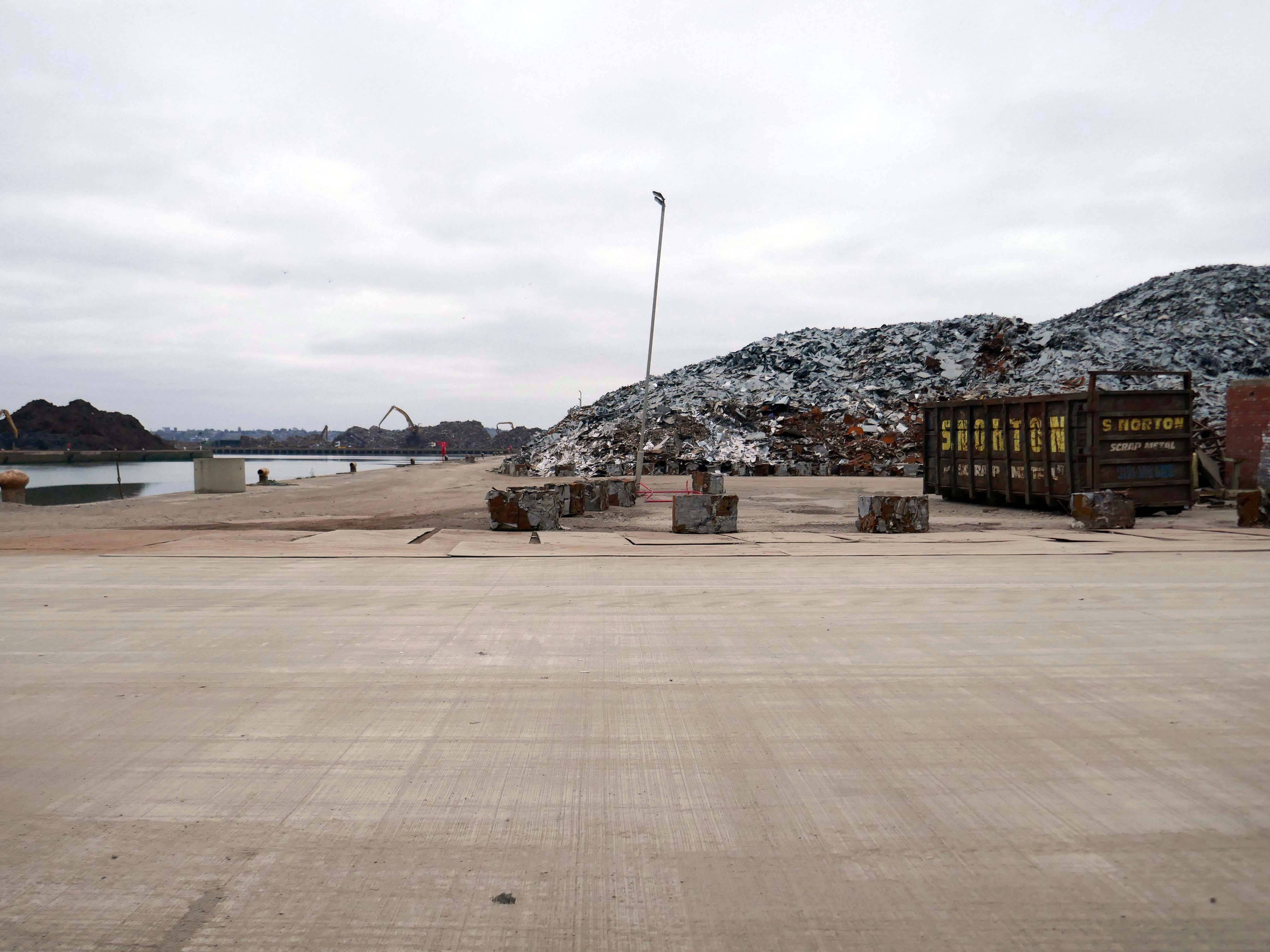
The docks as they were are no more.
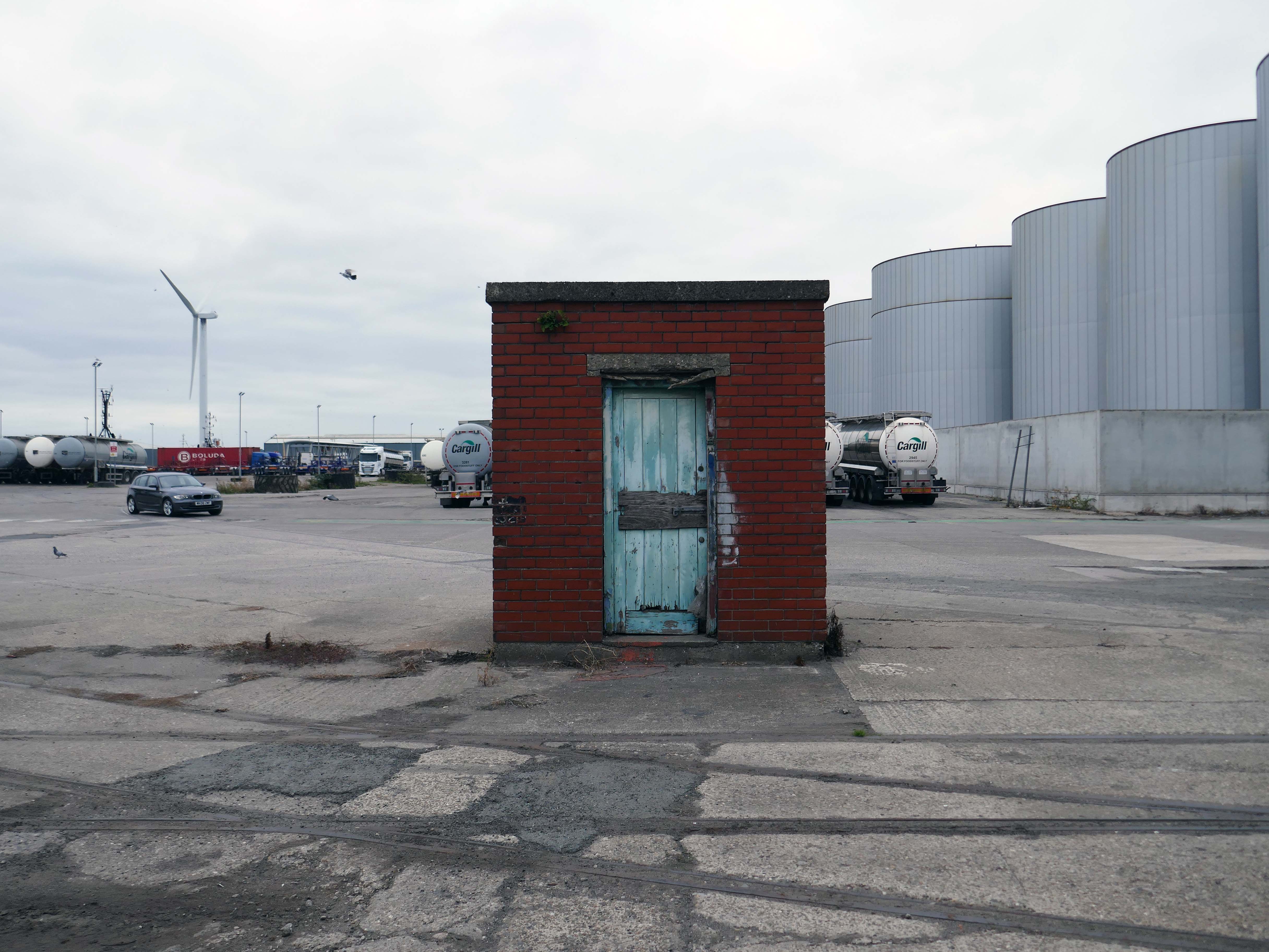
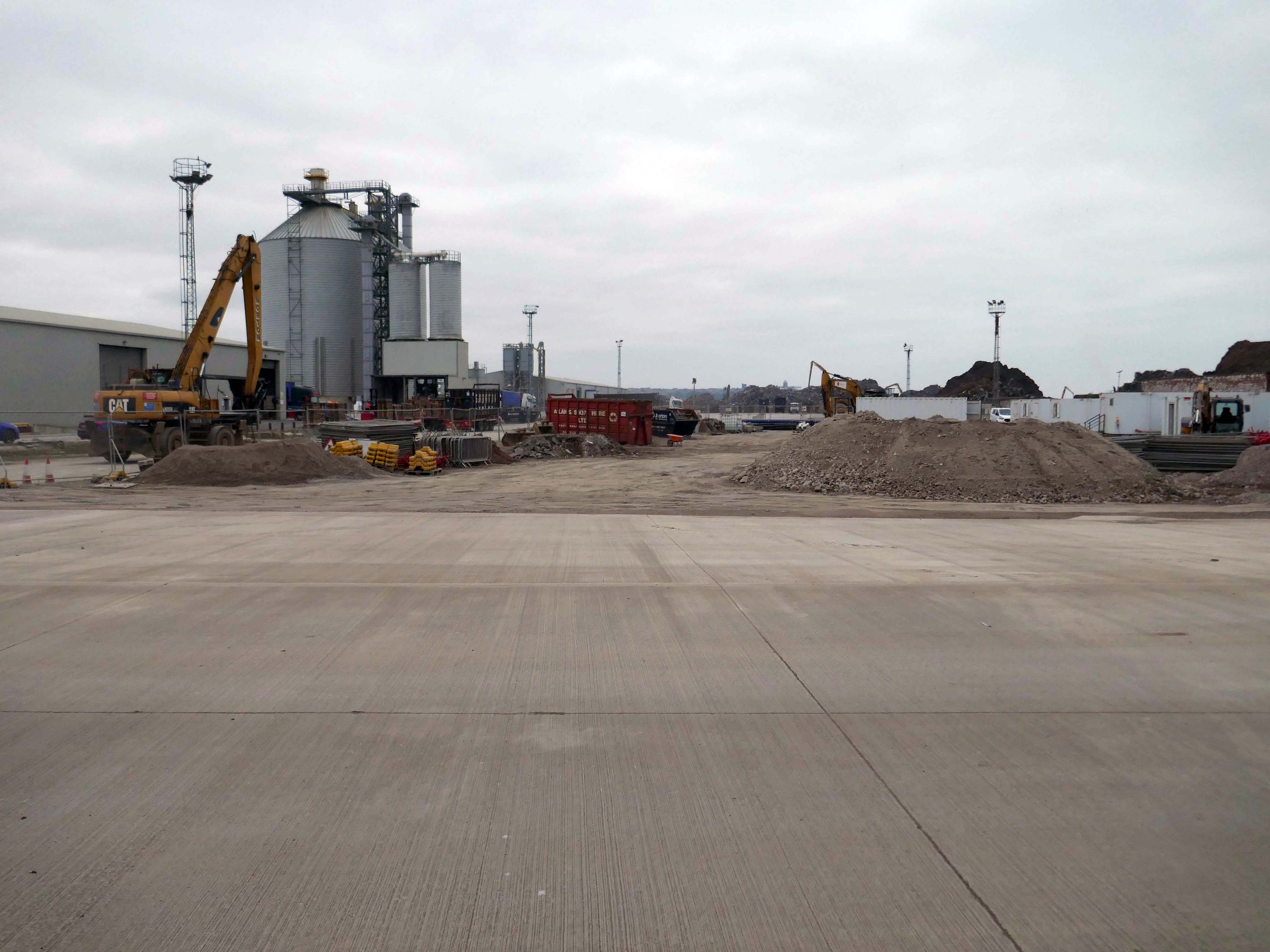
Yet in 2023, the Port of Liverpool was the UK’s fourth busiest container port, handling over 30 million tonnes of freight per annum. It handles a wide variety of cargo, including containers, bulk cargoes such as coal, grain and animal feed, and roll-on/roll-off cargoes such as cars, trucks and recycled metals. The port is also home to one of the largest cruise terminals in the UK which handles approximately 200,000 passengers and over 100 cruise ships each year.
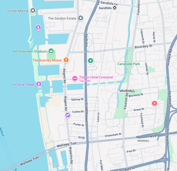
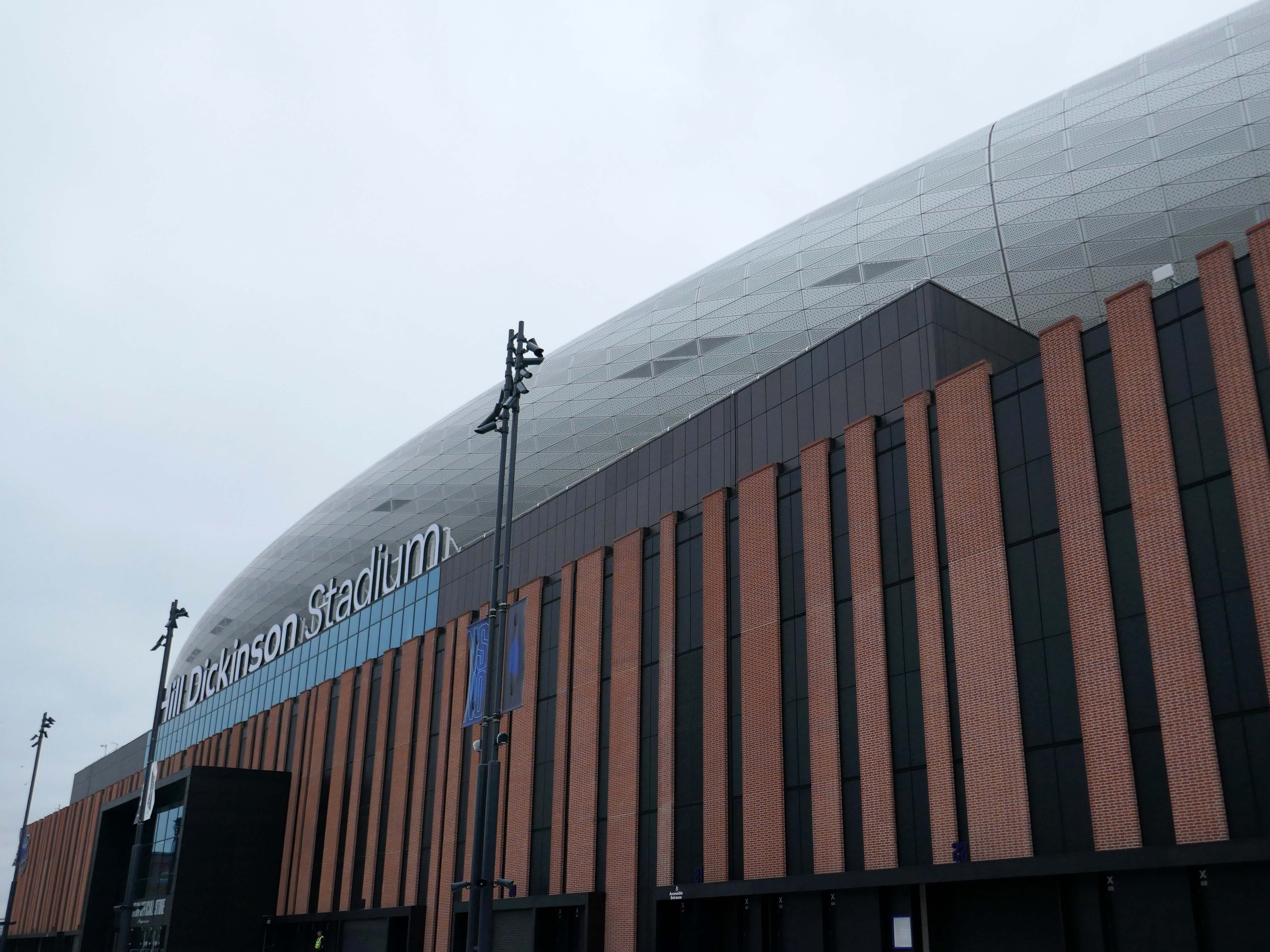
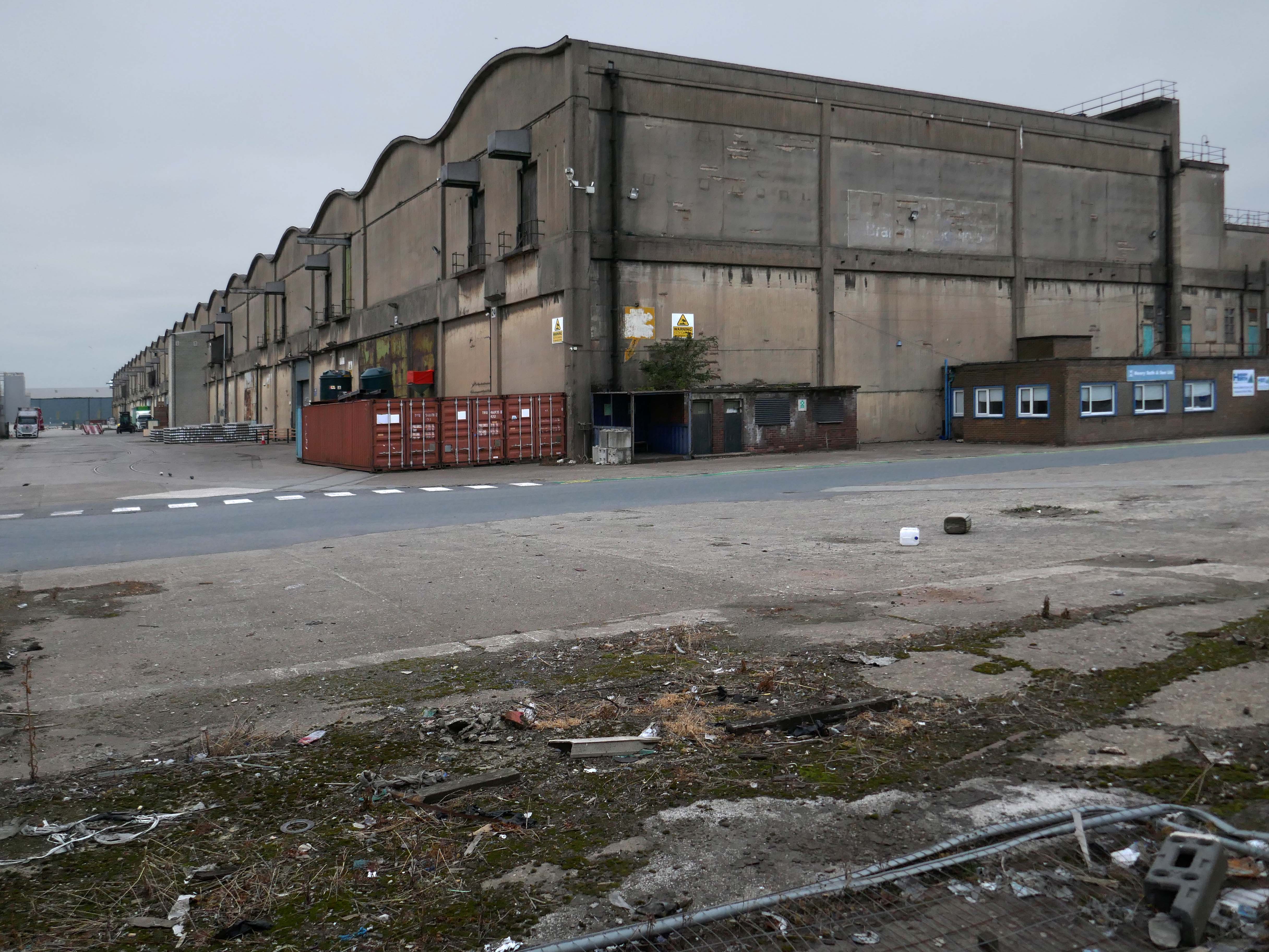
Now with the opening of the Titanic Hotel in the Stanley Dock and the arrival of the Toffees just up the road at the Hill Dickinson Stadium, the whole area is slowly being transformed into a destination, as they say in modern parlance.
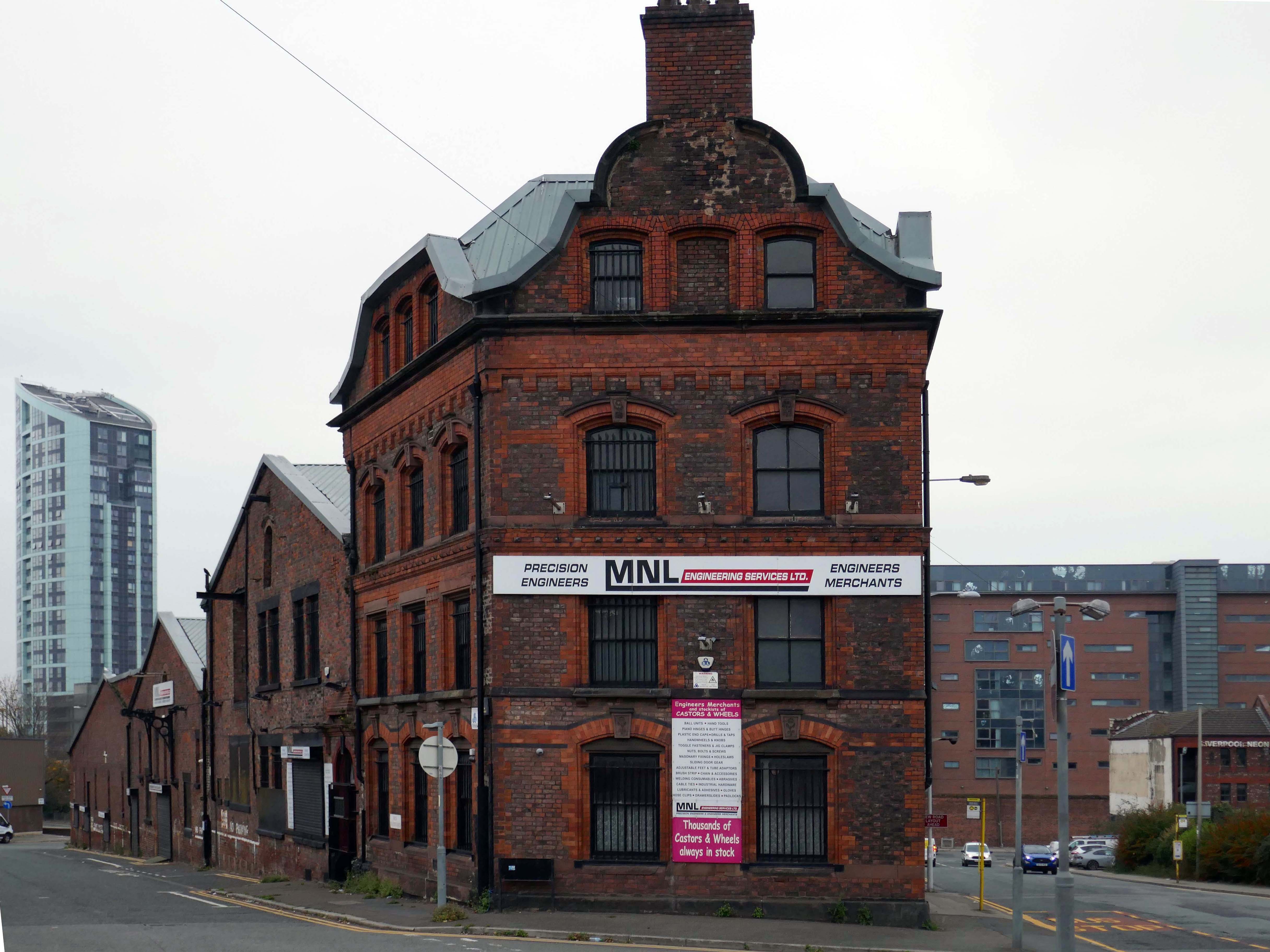
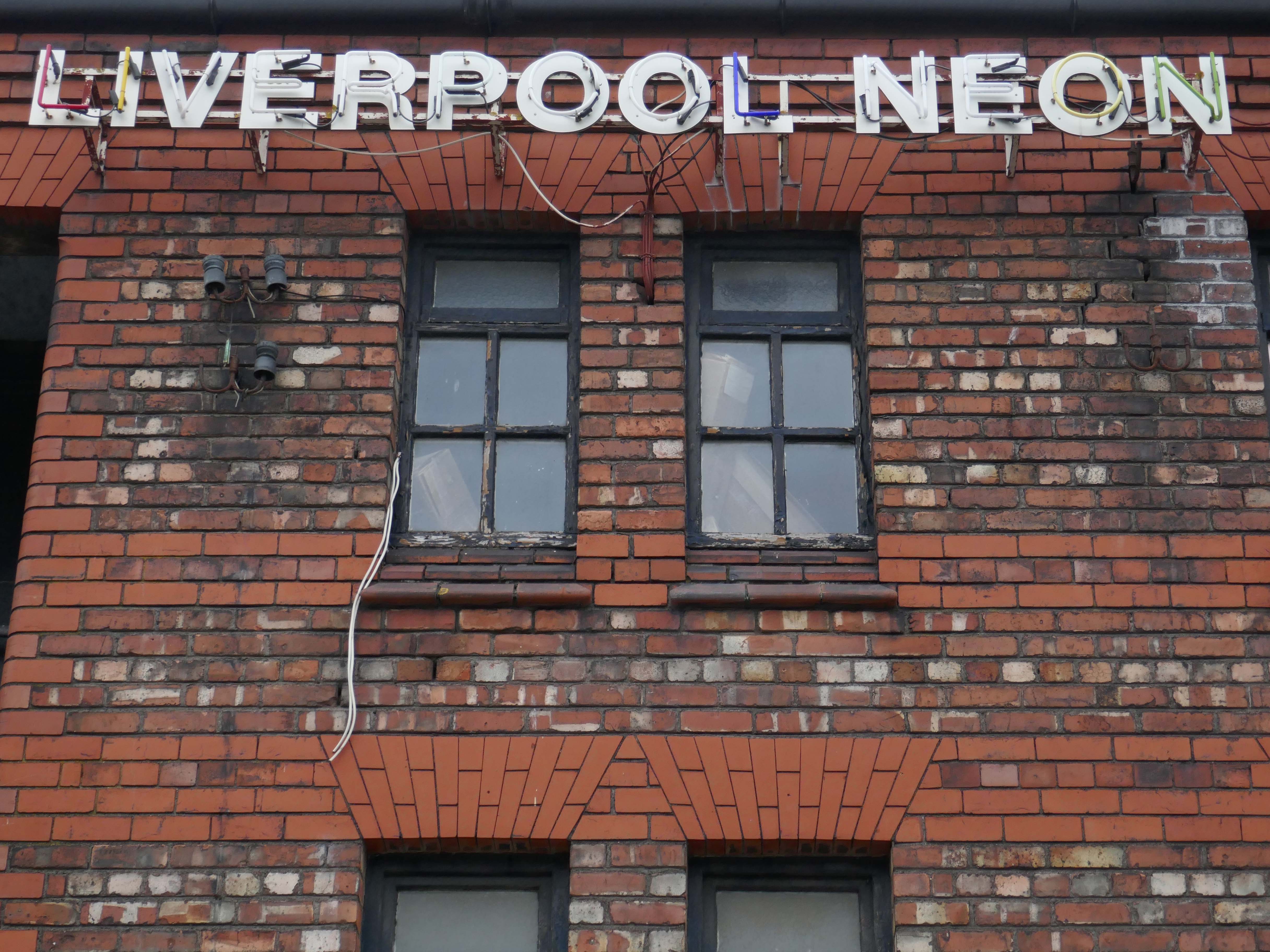
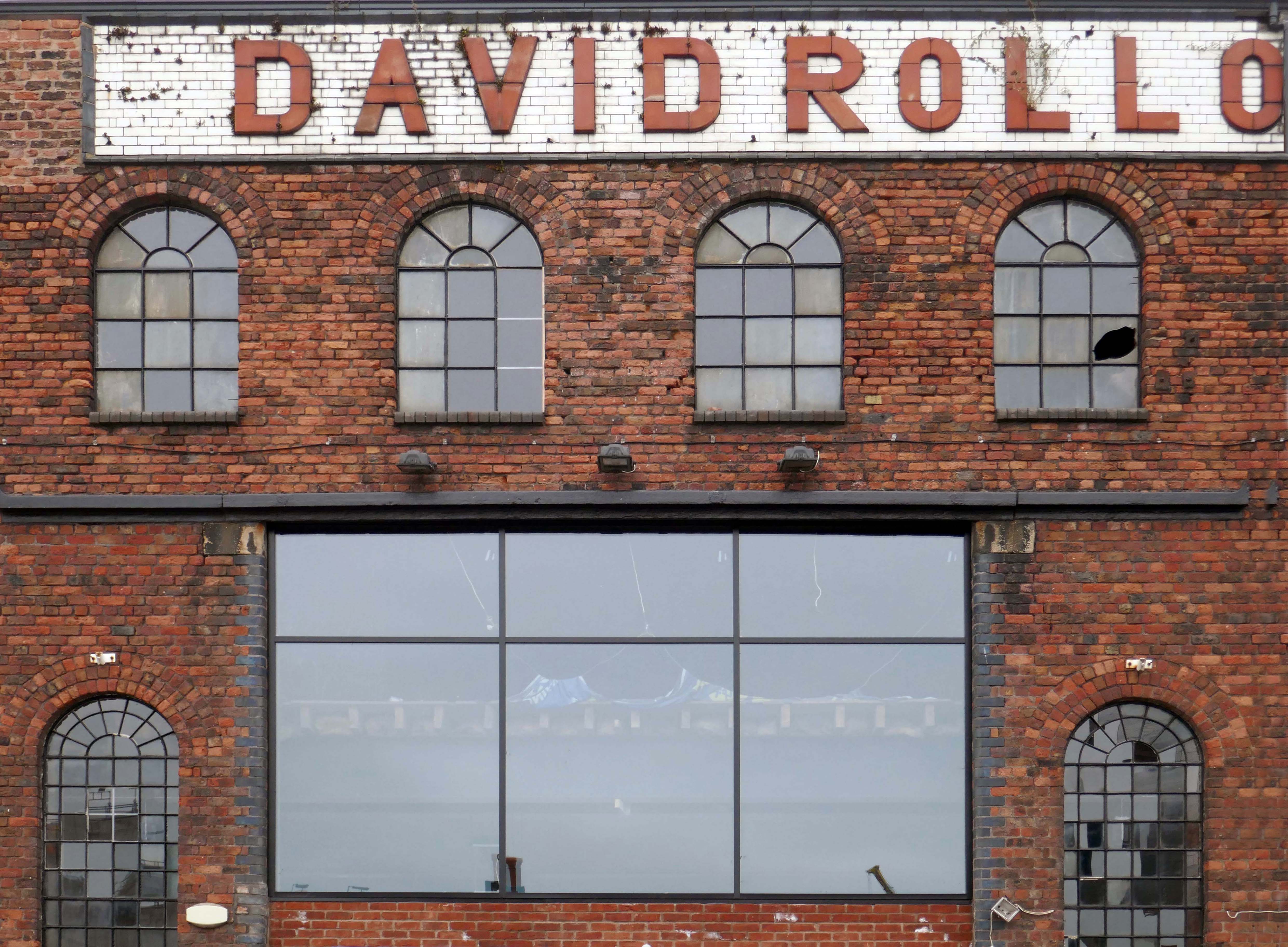
However much of the Industrial heritage remains in various states of disarray, used and possibly disabused, but hanging on in there.
The A5103 is a major thoroughfare running south from Piccadilly Gardens in Manchester city centre to the M56 in Northenden. The road is two-lane dual carriageway with a few grade-separated junctions. It is used by many as a link to the airport and to the motorway network south.
The road starts at Piccadilly Gardens where it meets the A6. It heads along Portland Street – at one time it ran along the parallel Mosley Street, past fast-food outlets and off-licences and then meets the A34 Oxford Street. It multiplexes with that road north for 200 yards into St Peter’s Square and then turns left into Lower Mosley Street, initially alongside the tramlines and then past the former Manchester Central station, now a conference centre with the same name. The road becomes Albion Street and goes over the Bridgewater Canal and under the railway line east of Deansgate station. The road then meets the A57(M) Mancunian Way at a roundabout interchange. This is where most of the traffic joins and leaves.
The road is now 2×2 dual carriageway with the name Princess Road. It passes under the Hulme Arch, a grade-separated junction with the A5067, with an unusually large central reservation. This is presumably because of the proposed plans from the 1960s of a motorway. However, after passing under the junction, there are innumerate sets of traffic lights, with the B5219, the A6010 and the A5145, as well as many other unsigned roads. There are also many speed cameras set at 30 mph.
The road picks up pace as we exit the sprawl of South Manchester and the road becomes Princess Parkway, with a 50 mph speed limit. We cross the River Mersey and almost immediately hit the M60 at J5.
Except for the Manchester City Centre section – which was numbered A5068, this road did not exist on classification in 1922. Princess Road was built in 1932 to serve the new southwestern suburbs; initially it ran between the B5219 and A560 and was numbered B5290, with the road later extended north into the A5068 on the southern edge of the city centre and renumbered A5103.
The northern extension through Hulme initially followed previously existing roads, so followed a zigzag route. As part of the road’s upgrade and the reconstruction of Hulme in the 1970s the road was straightened and the original route can no longer be seen. The A5068 was severed around this time with the construction of the A57(M) and the A5103 took on its city-centre section, taking it to the A6.