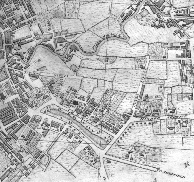
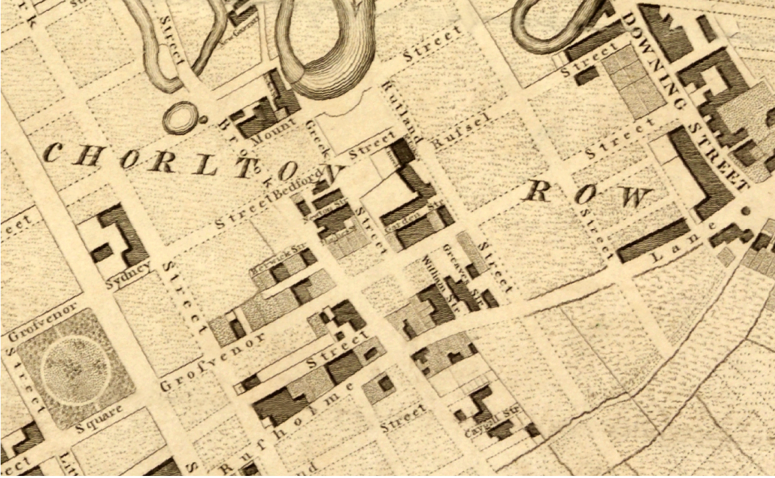
1813
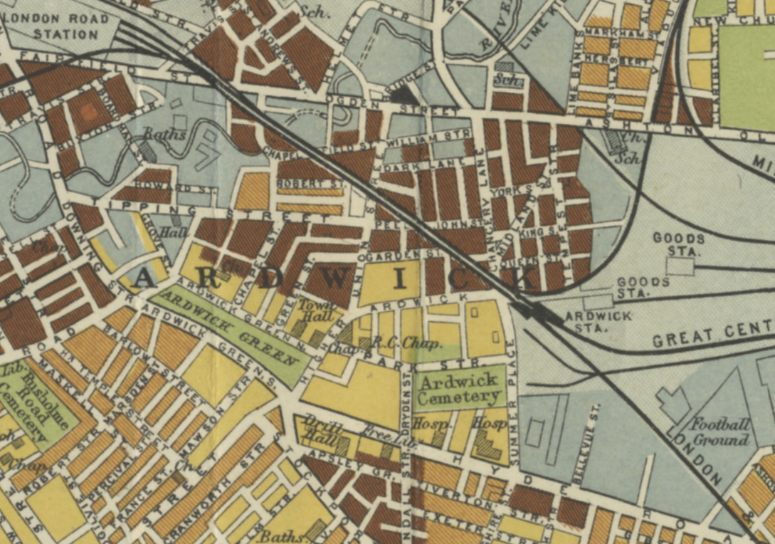
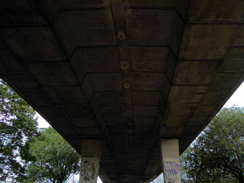
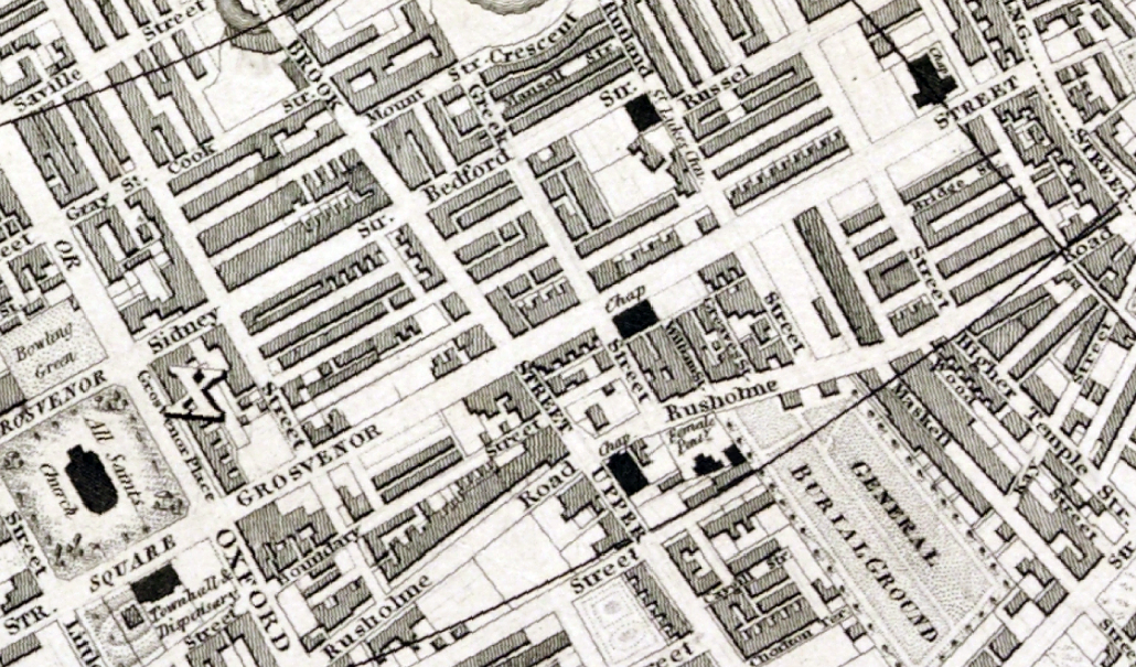
1836
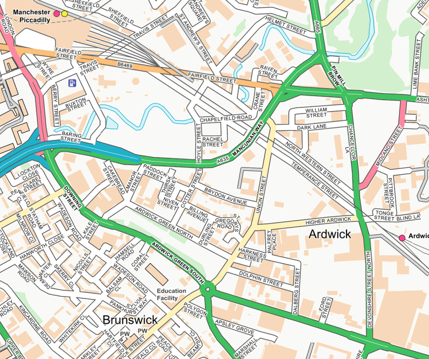
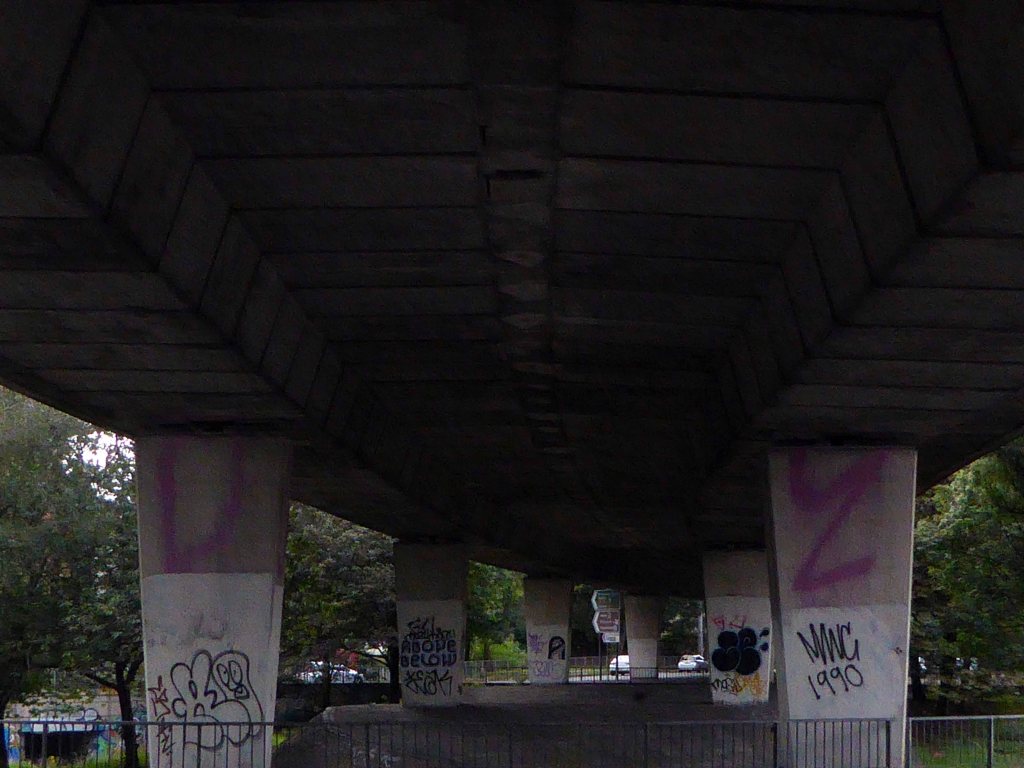
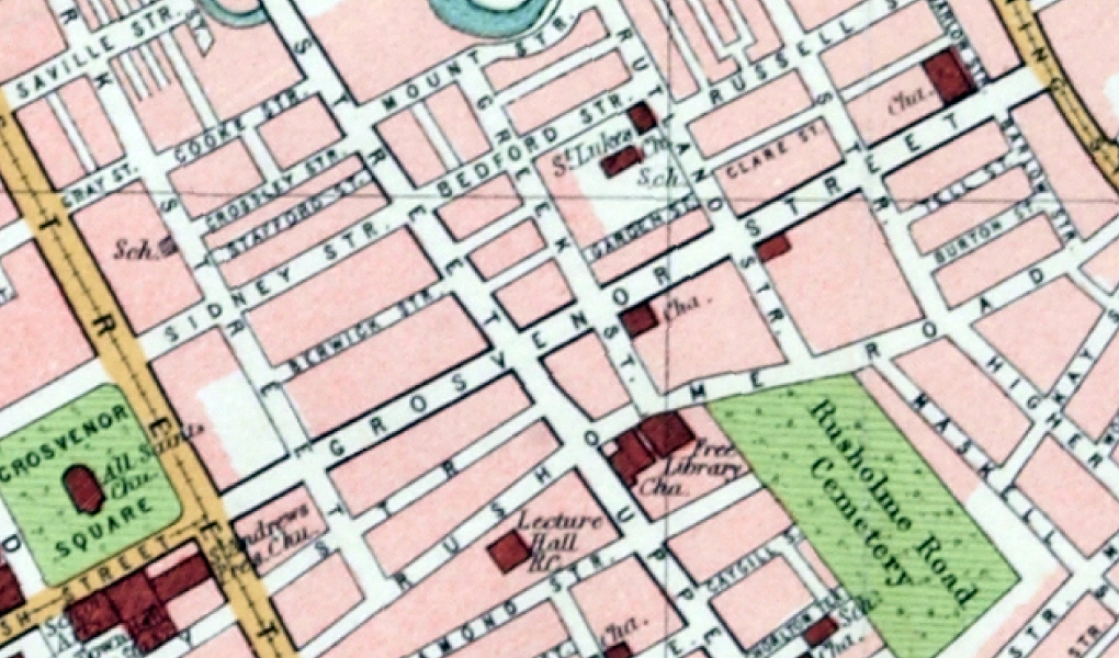
1900
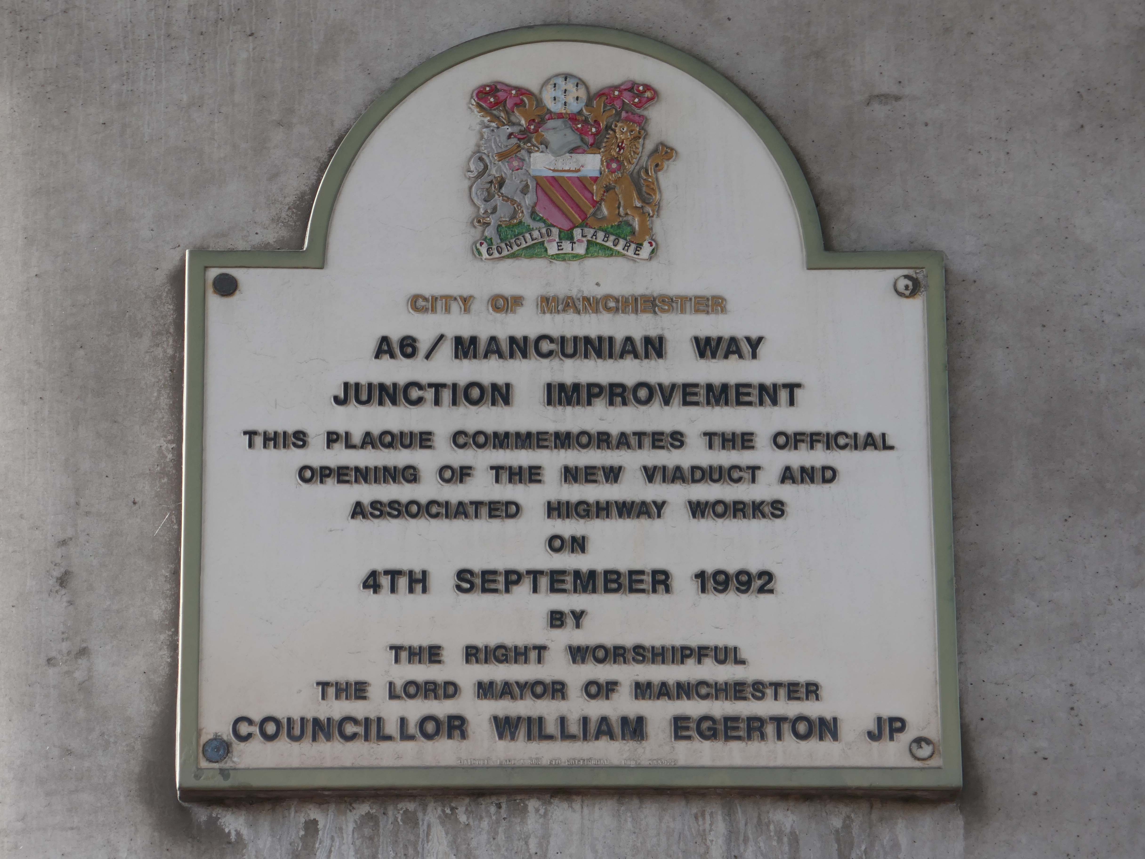
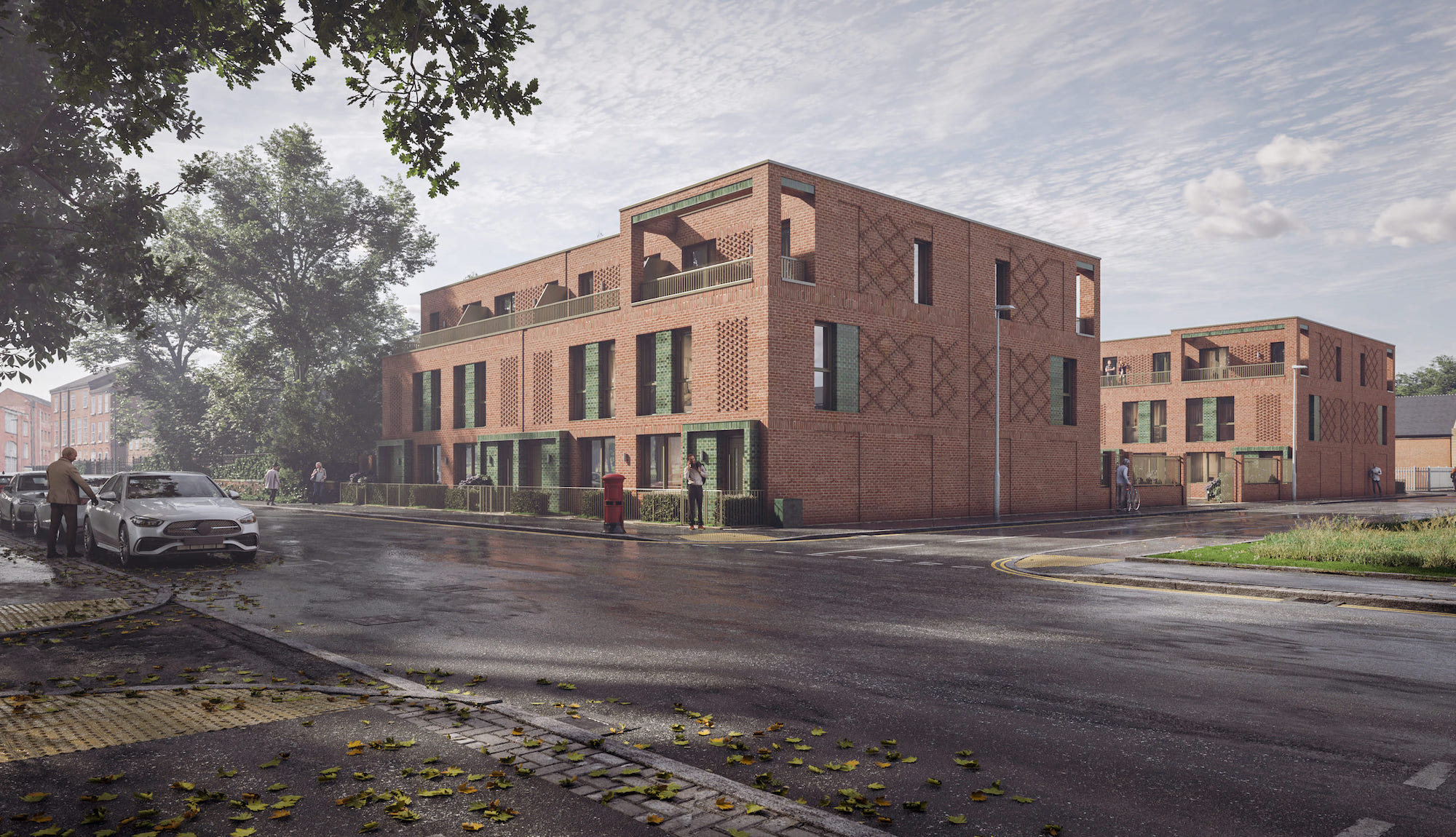
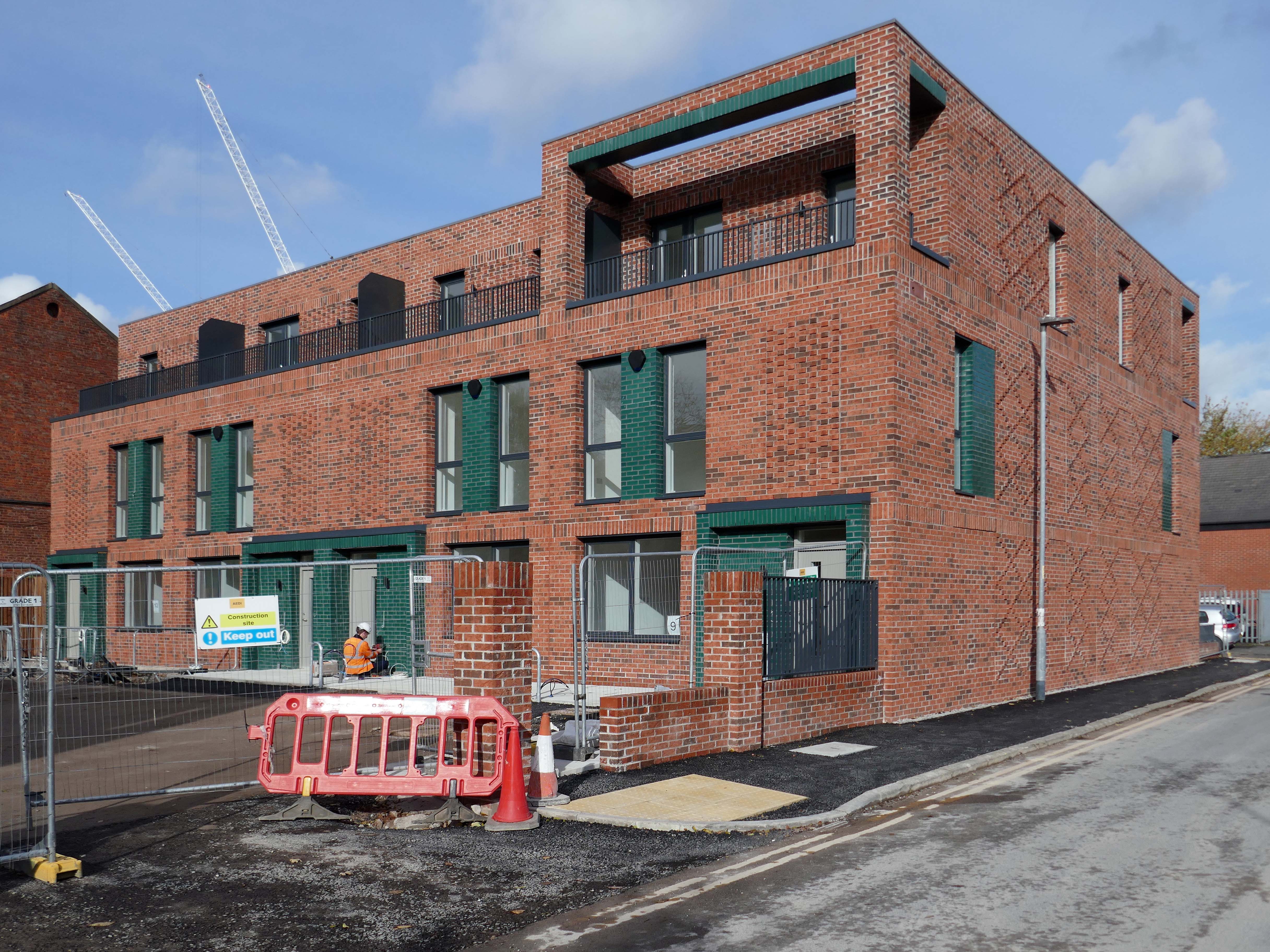
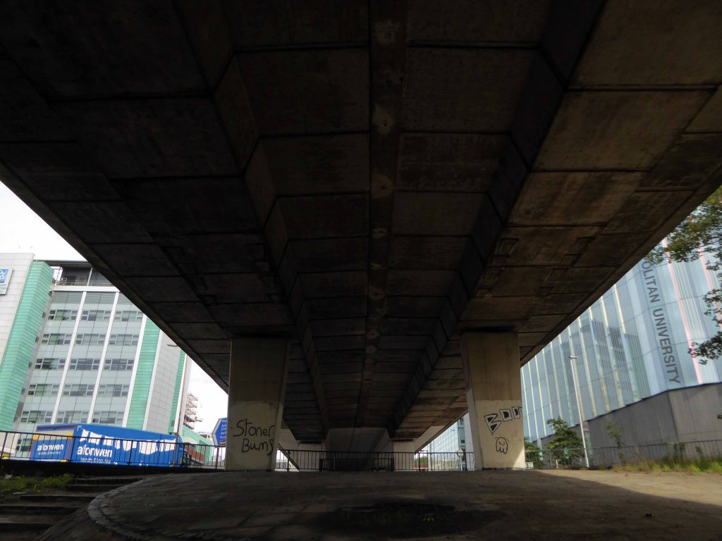
2025
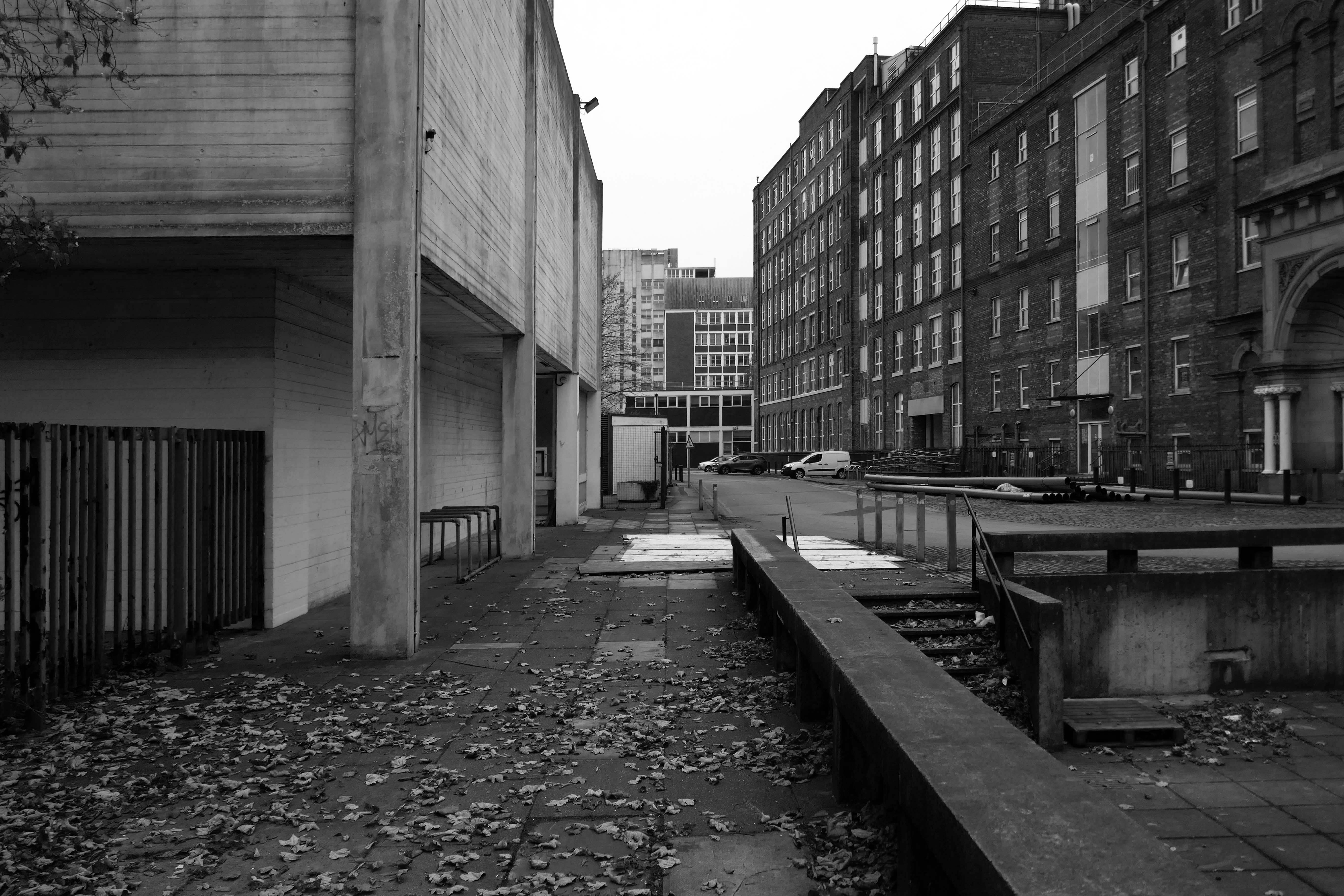
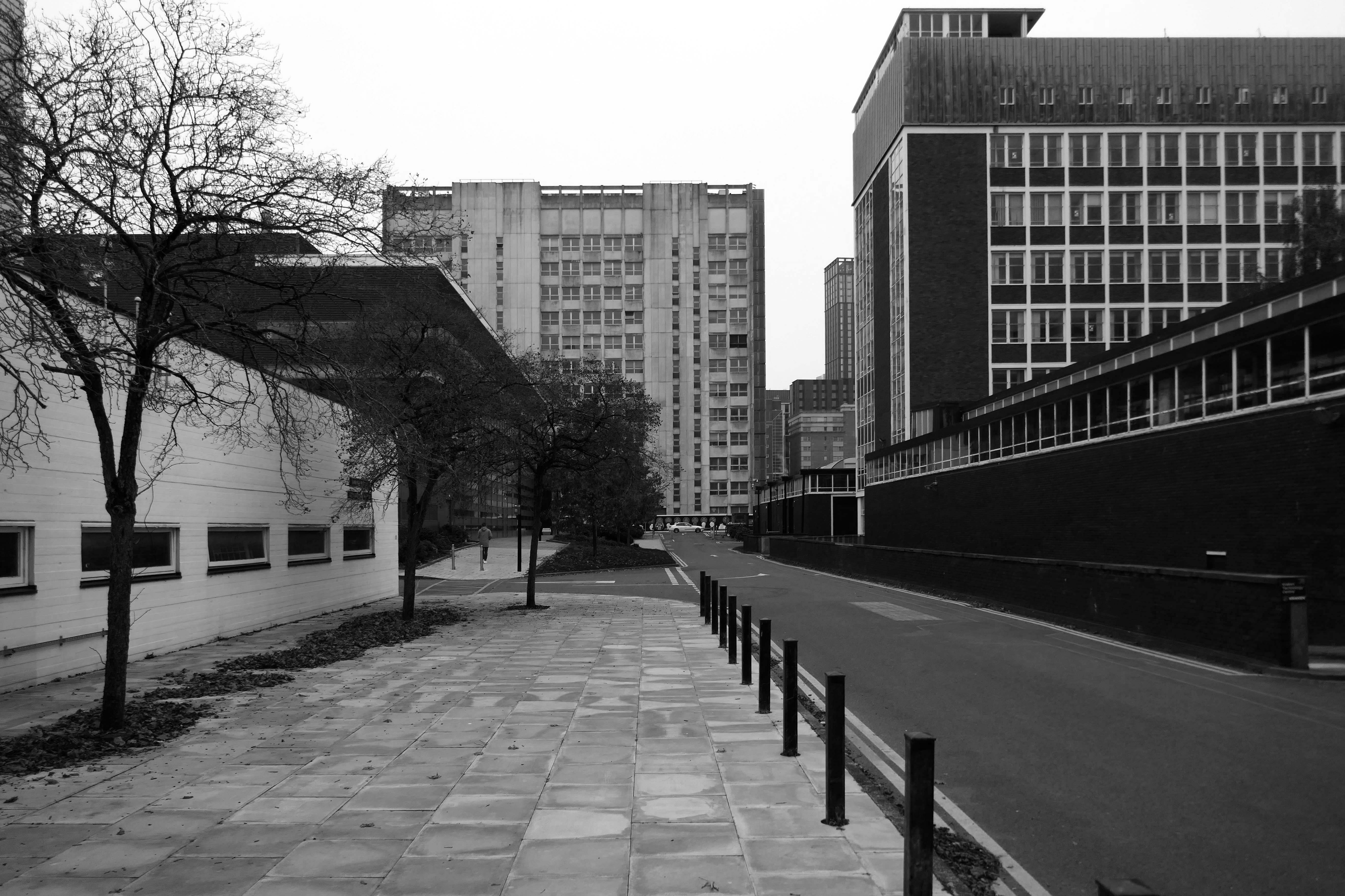
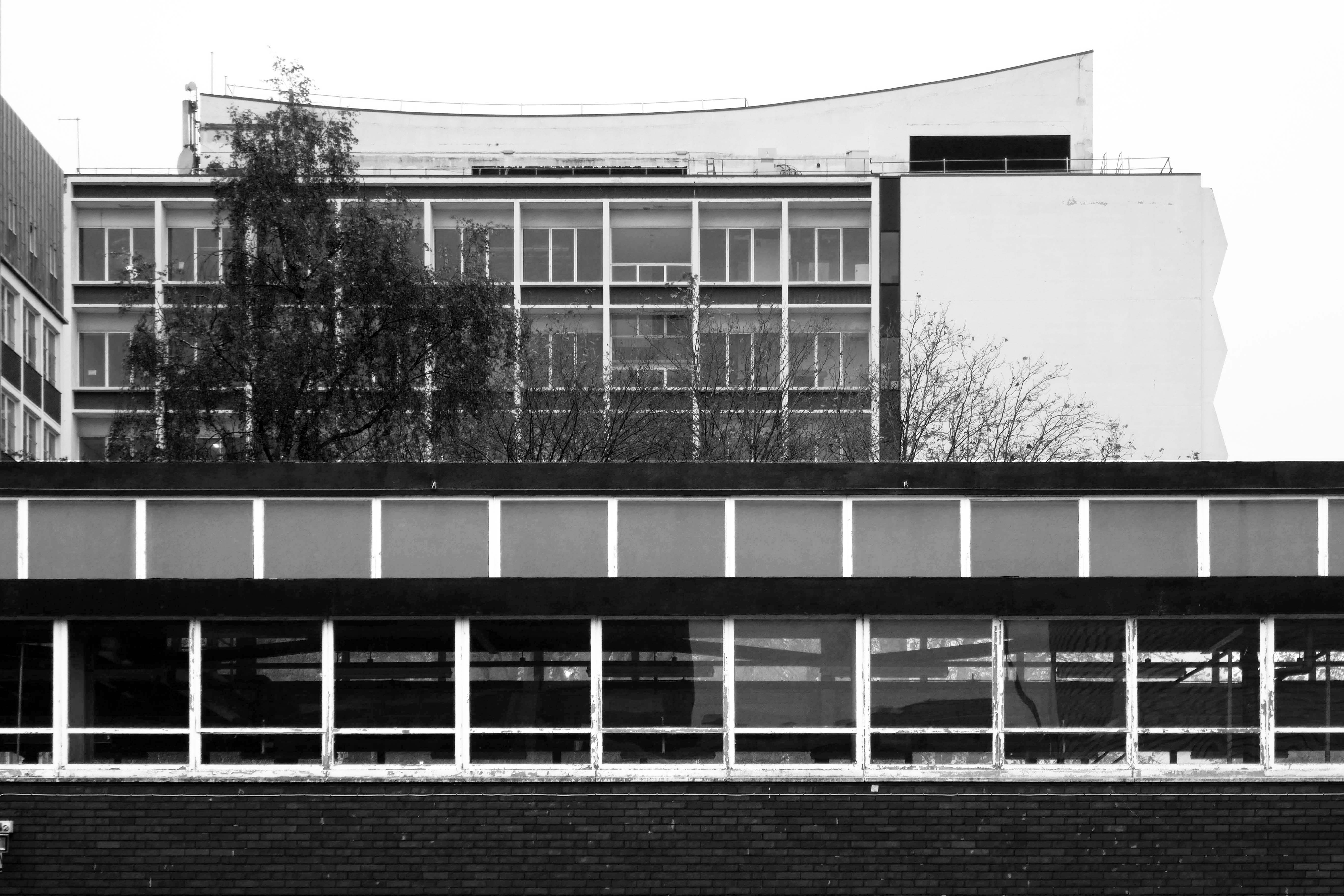
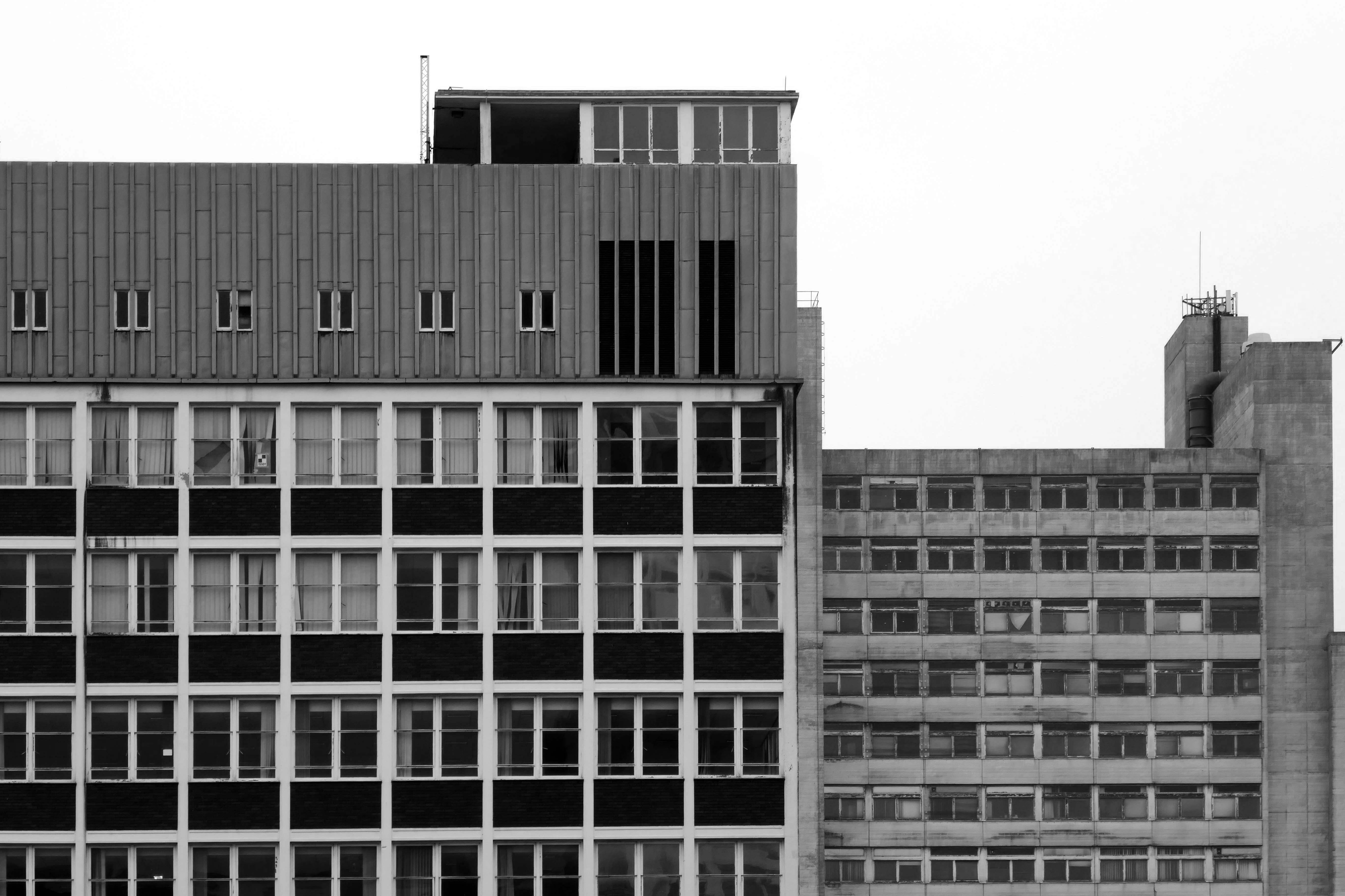
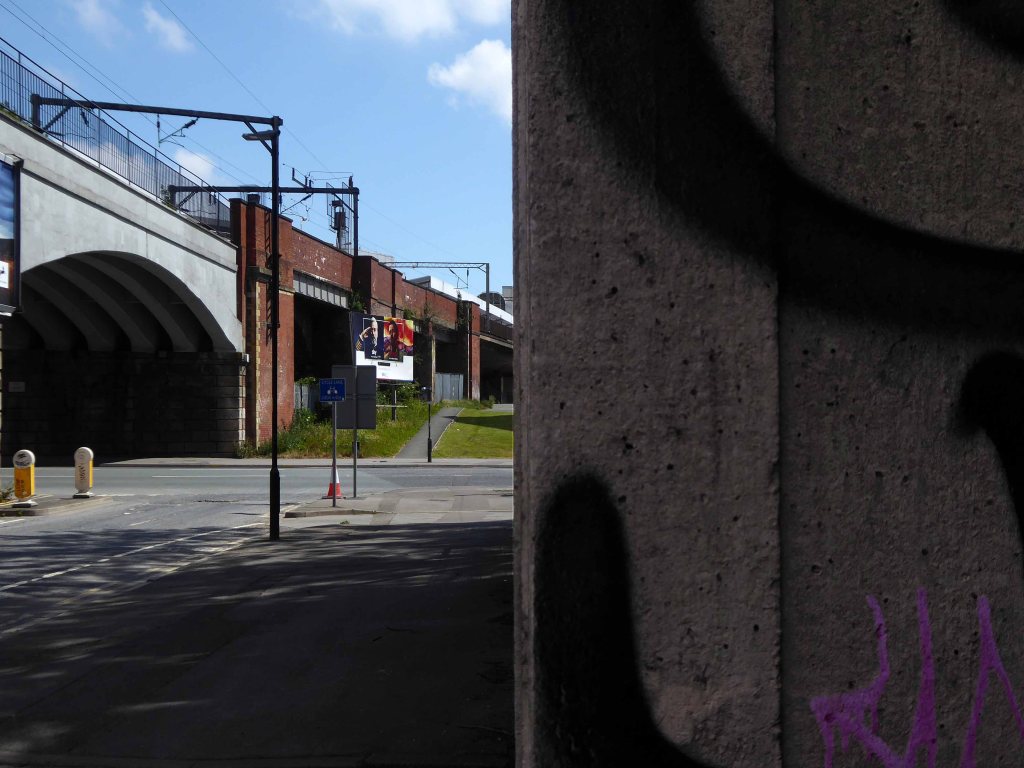
I was walking around town, with a view to updating my Ardwick Walk.
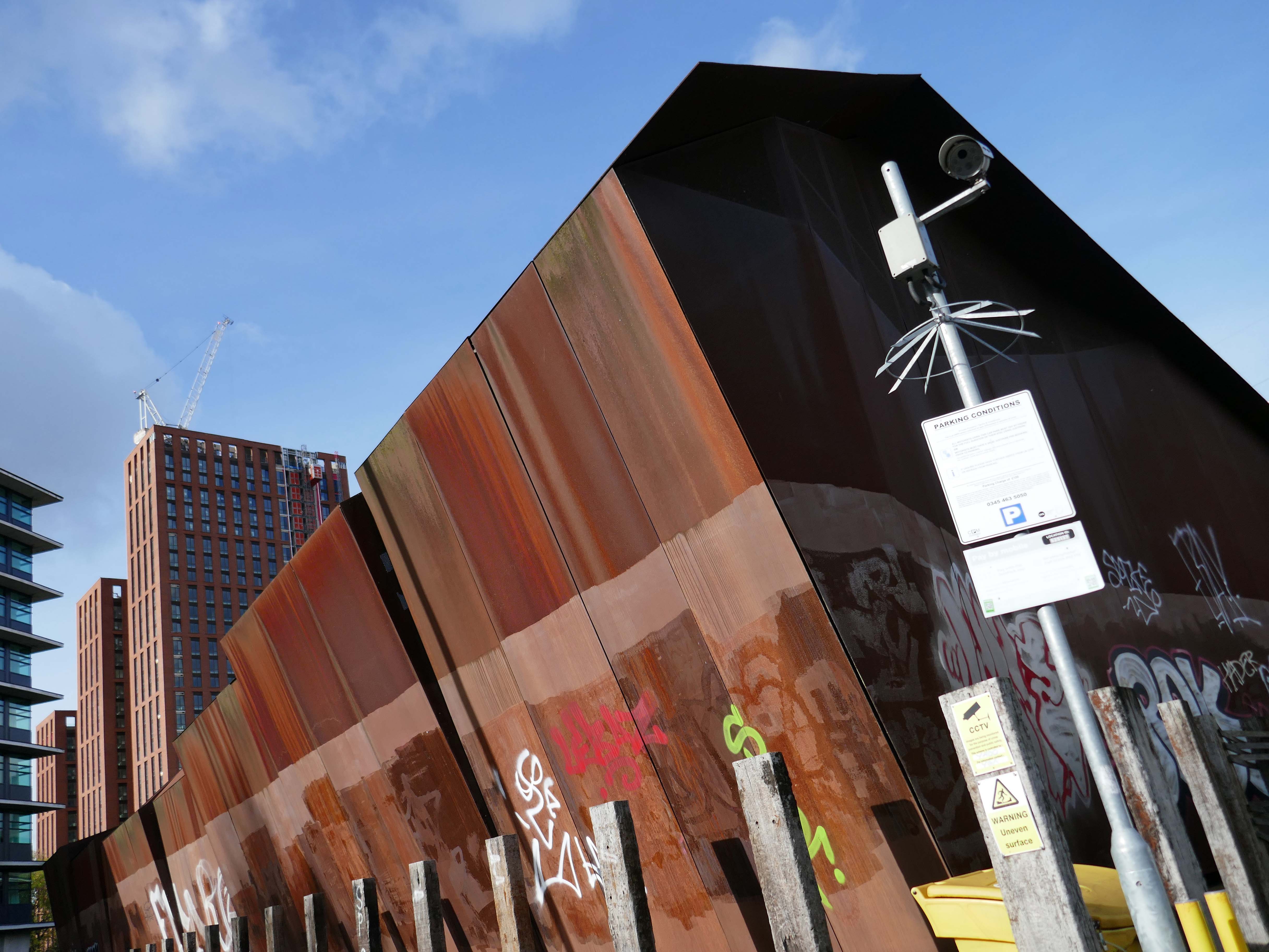
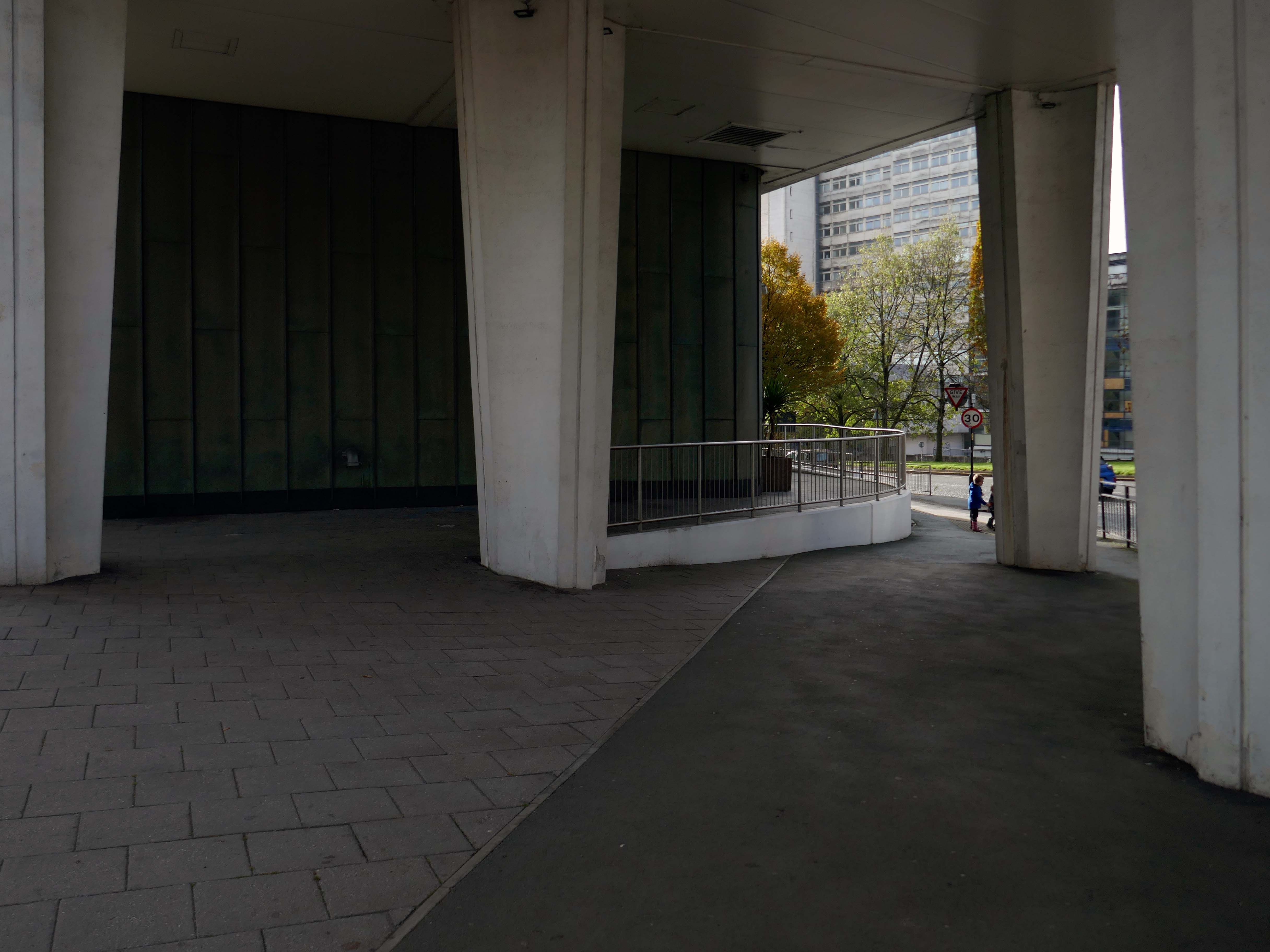
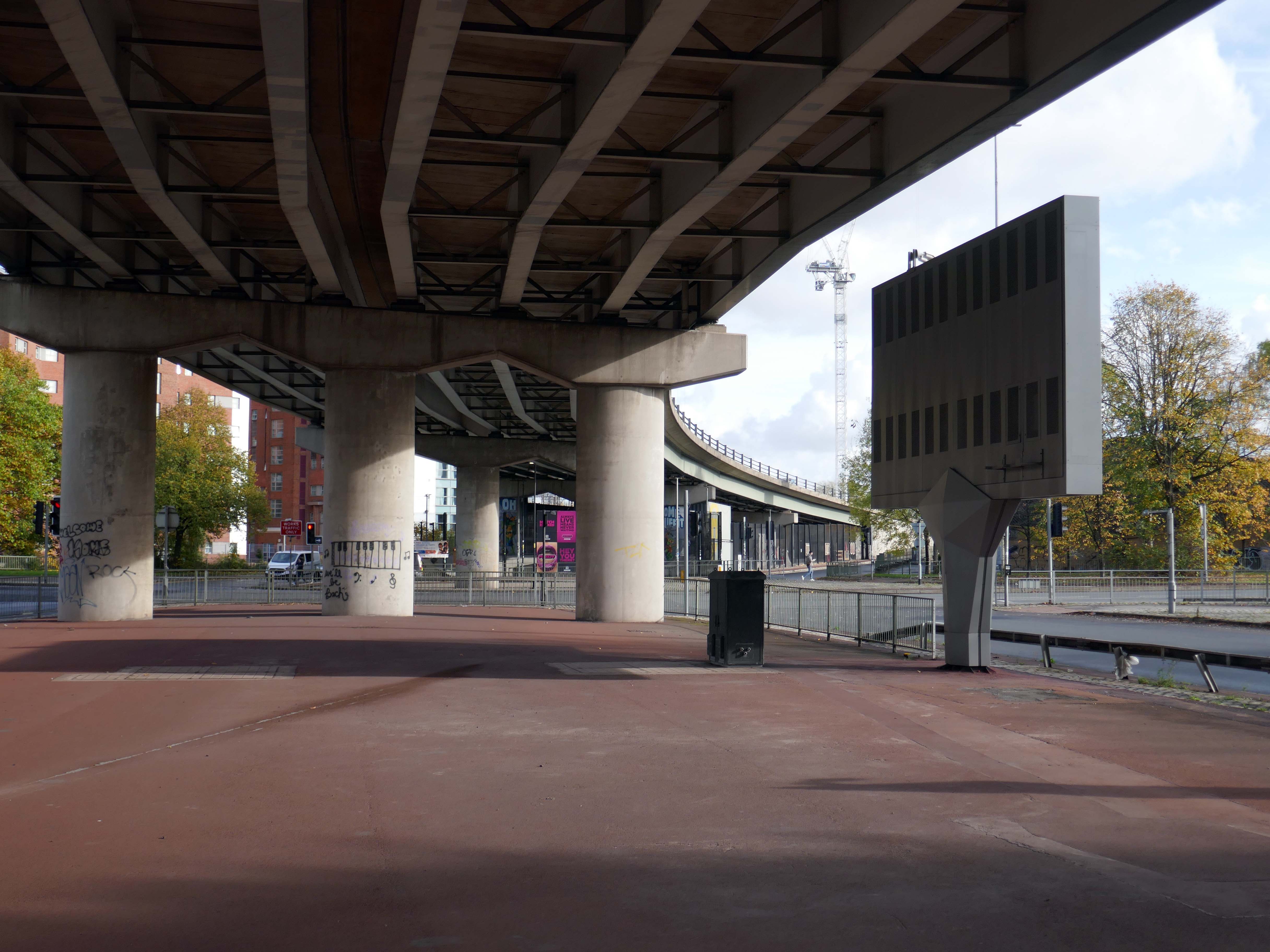
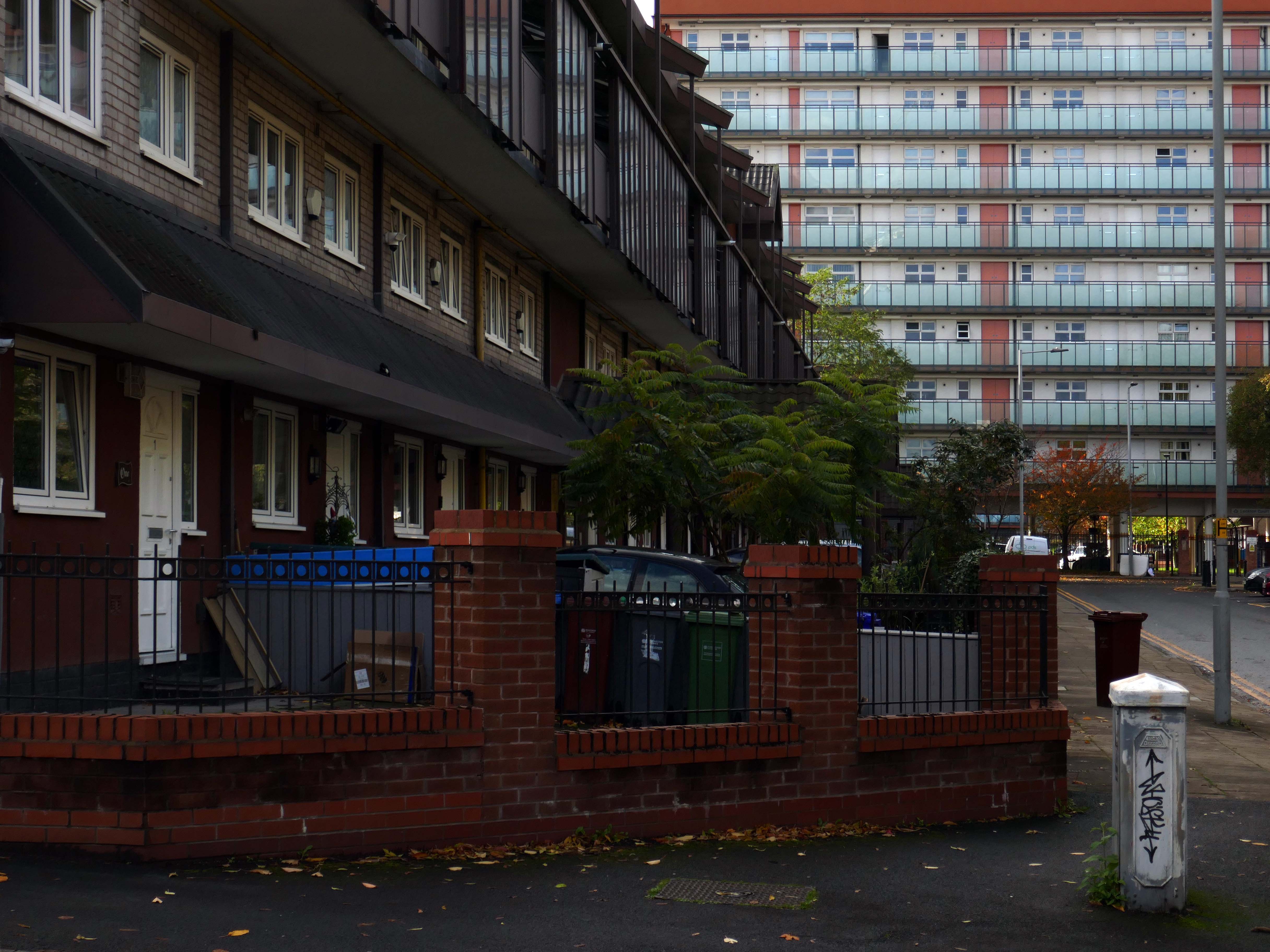
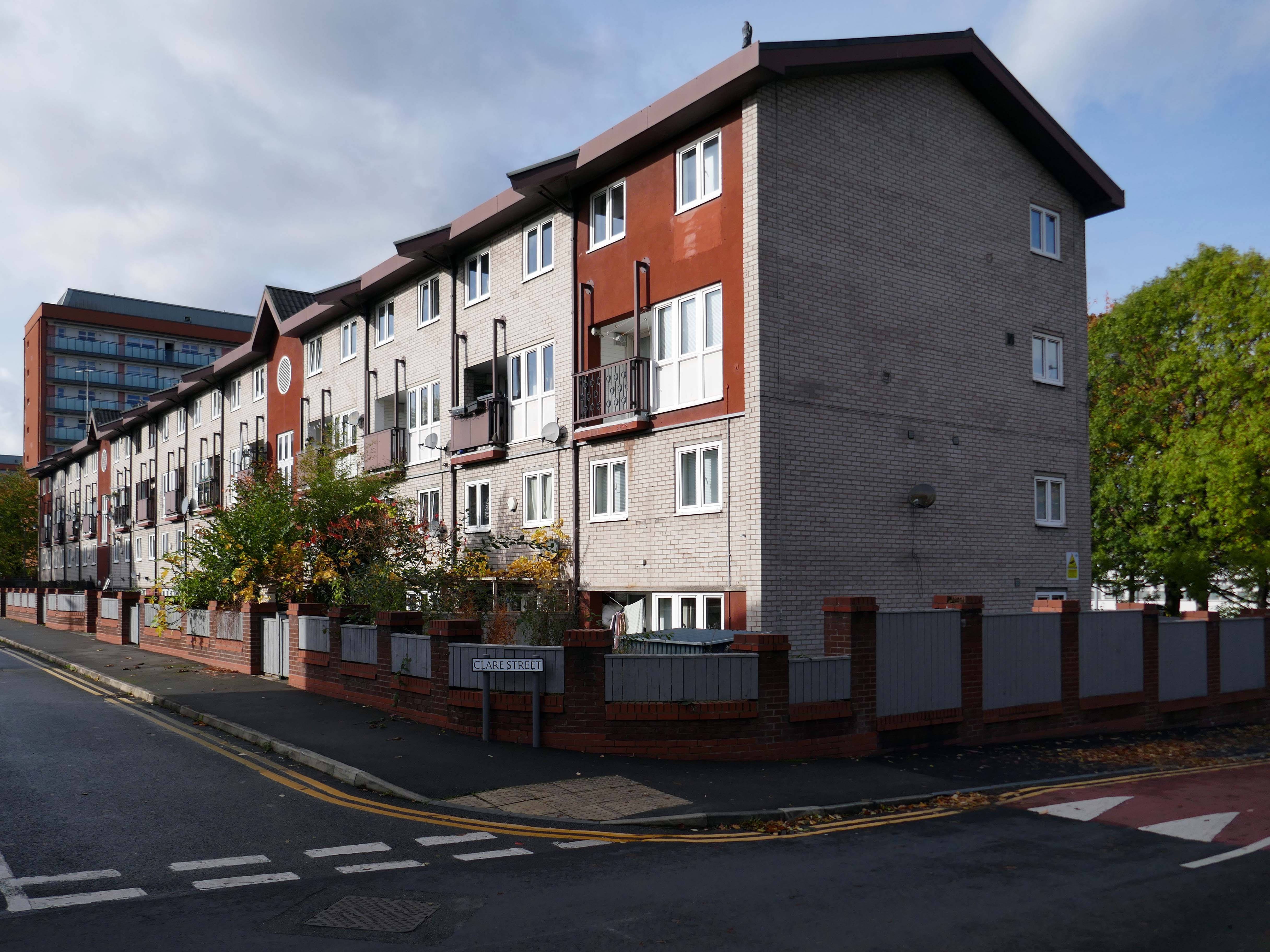
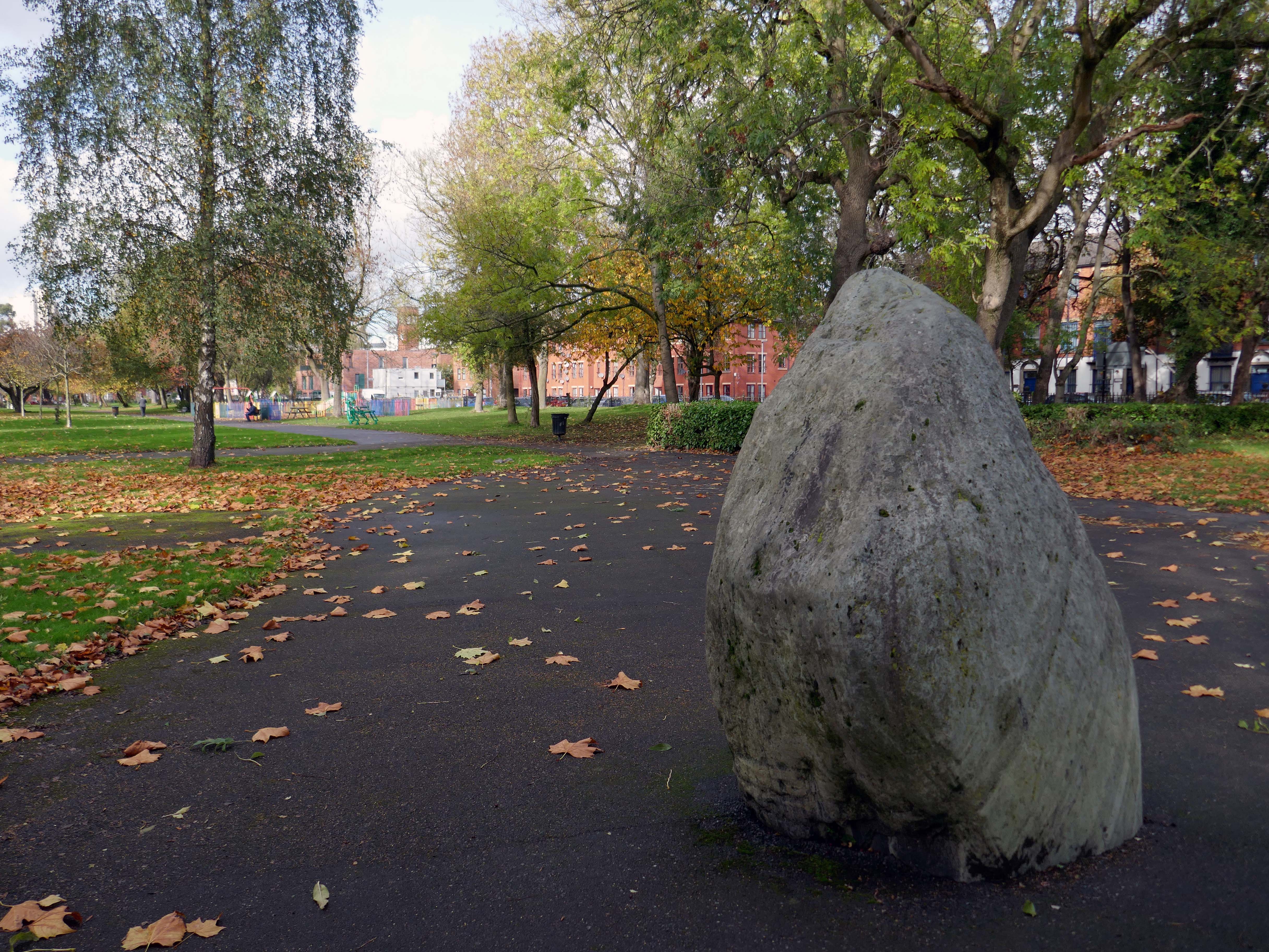
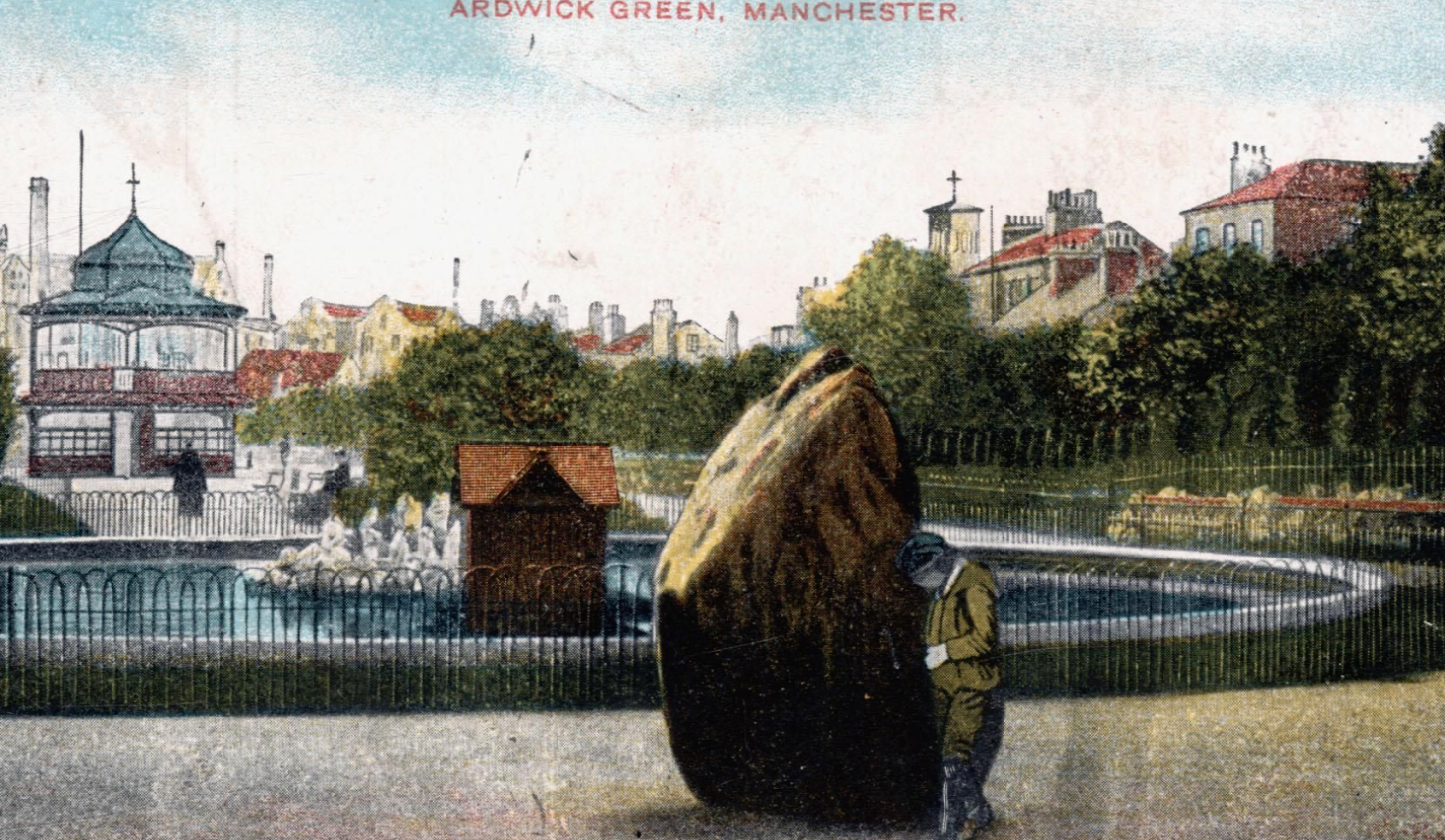
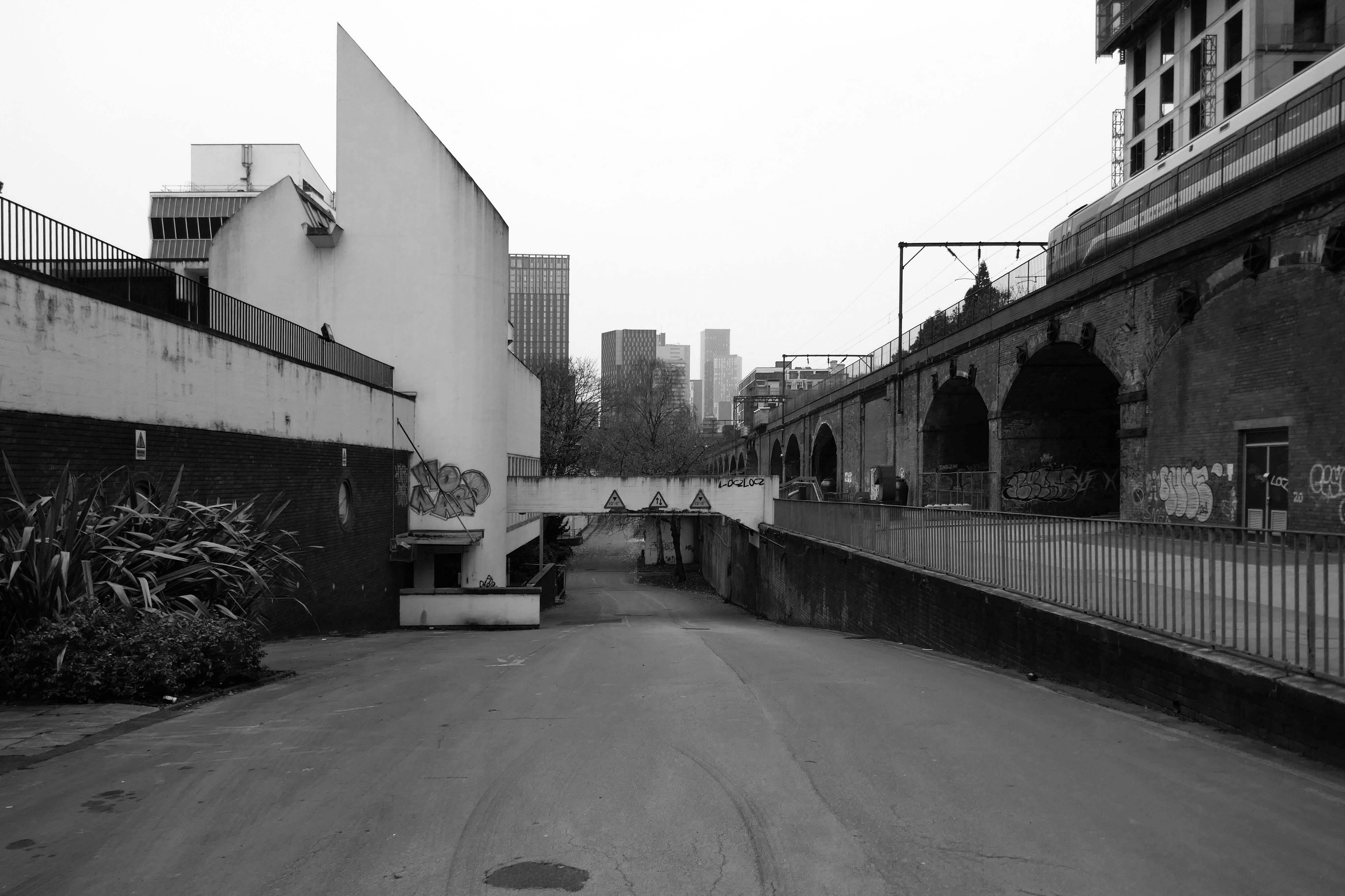
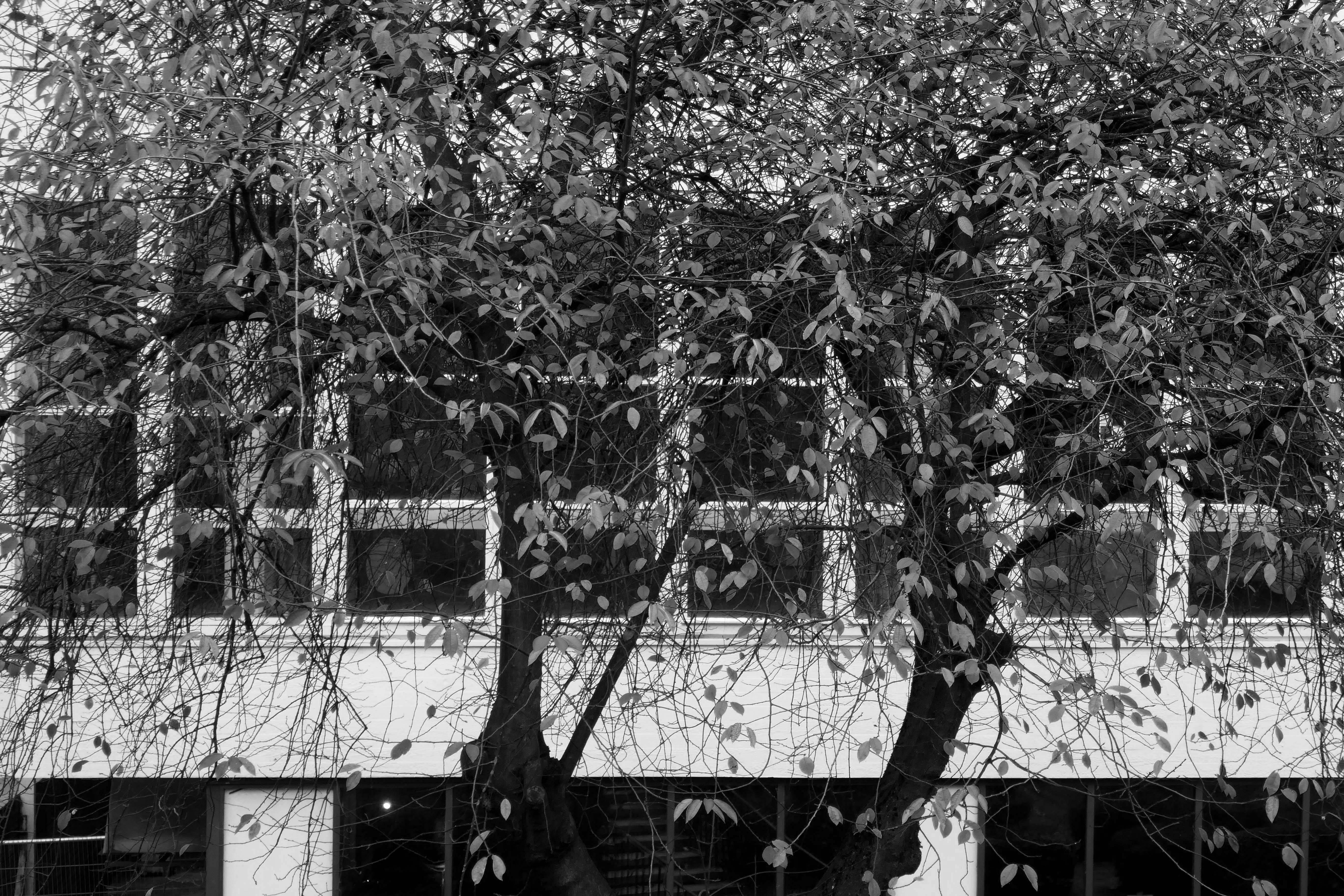
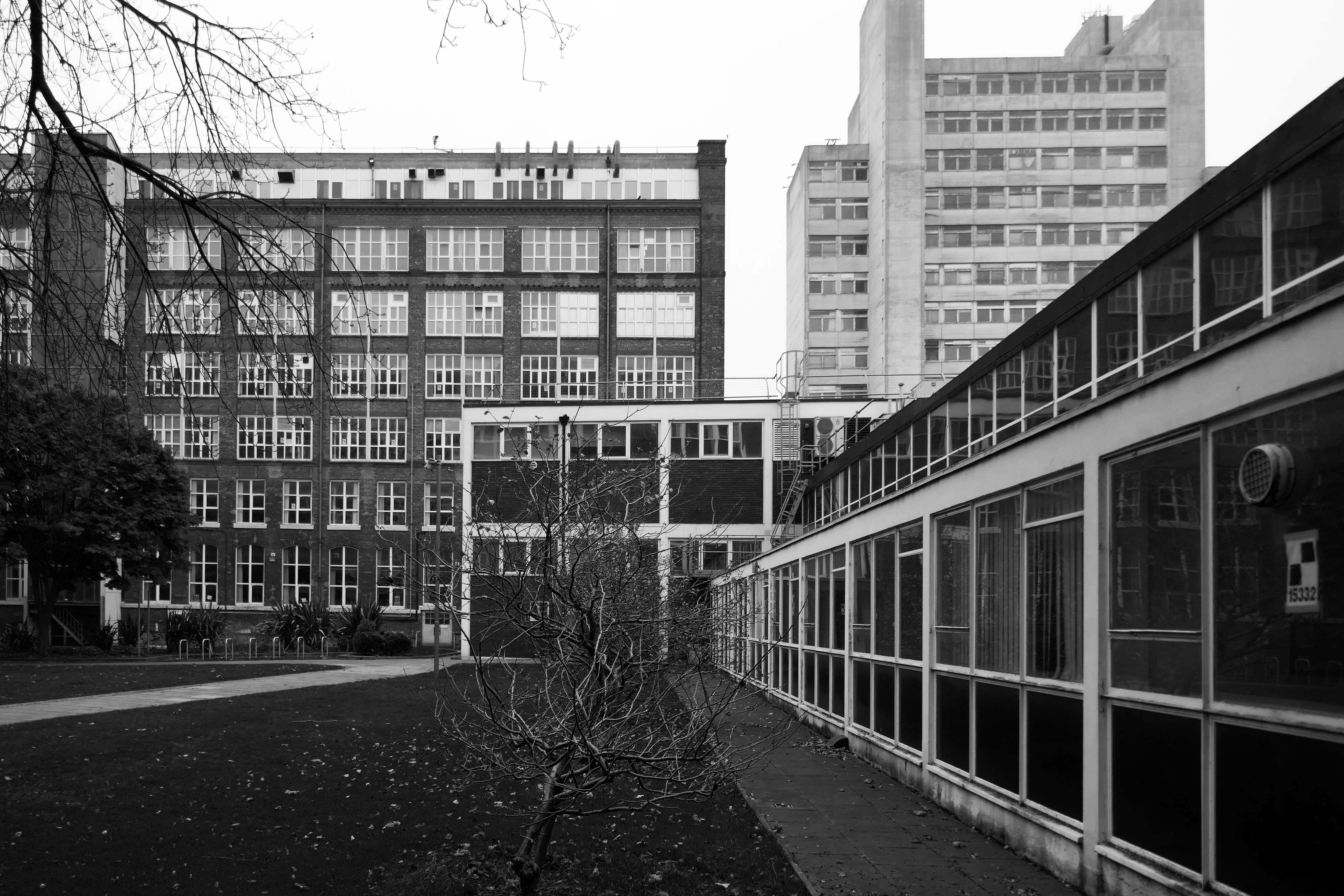
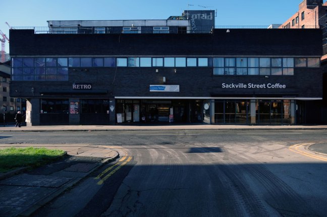
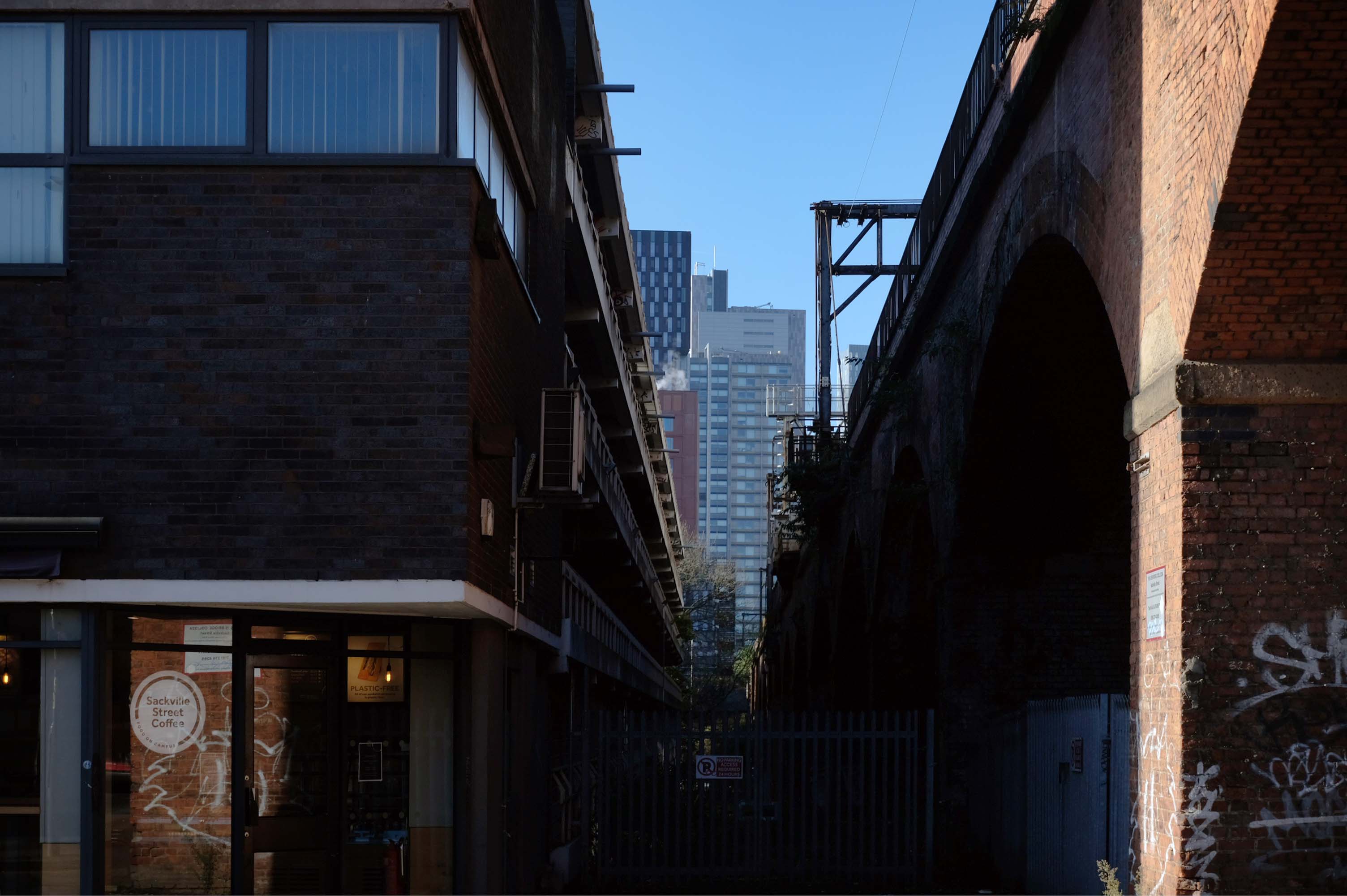
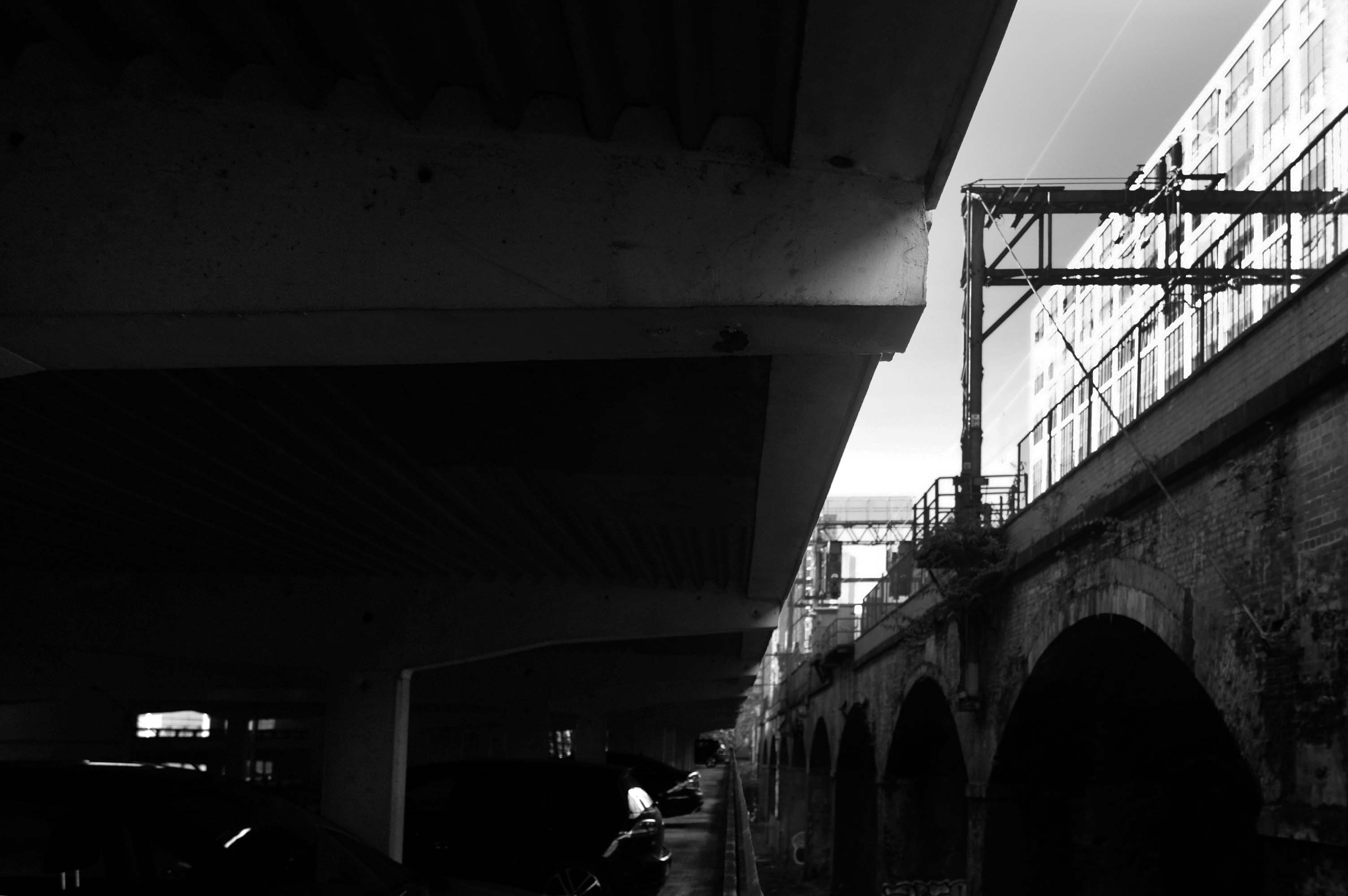
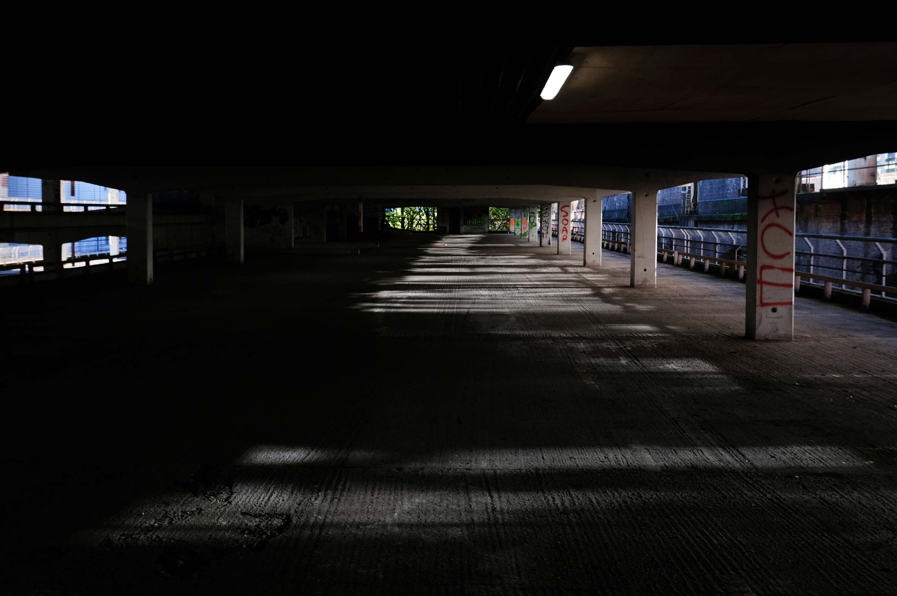
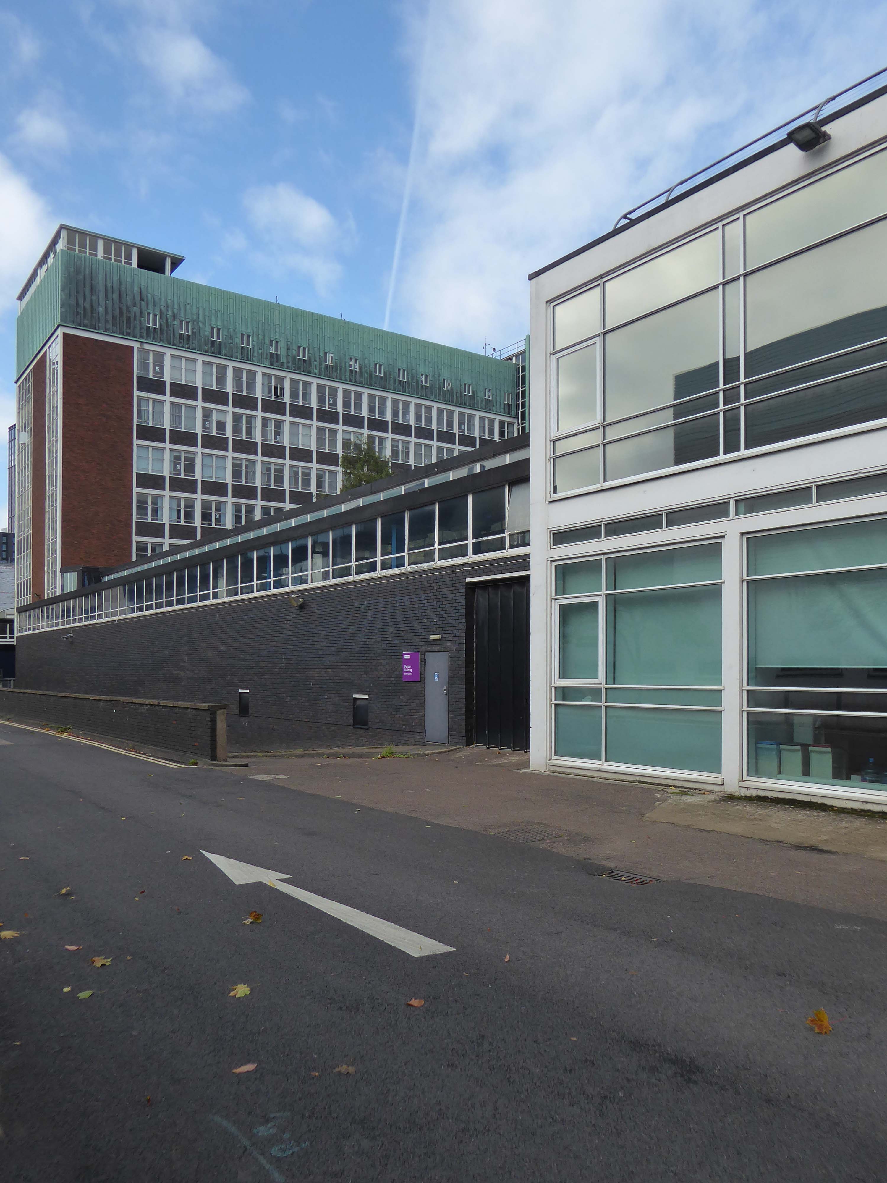
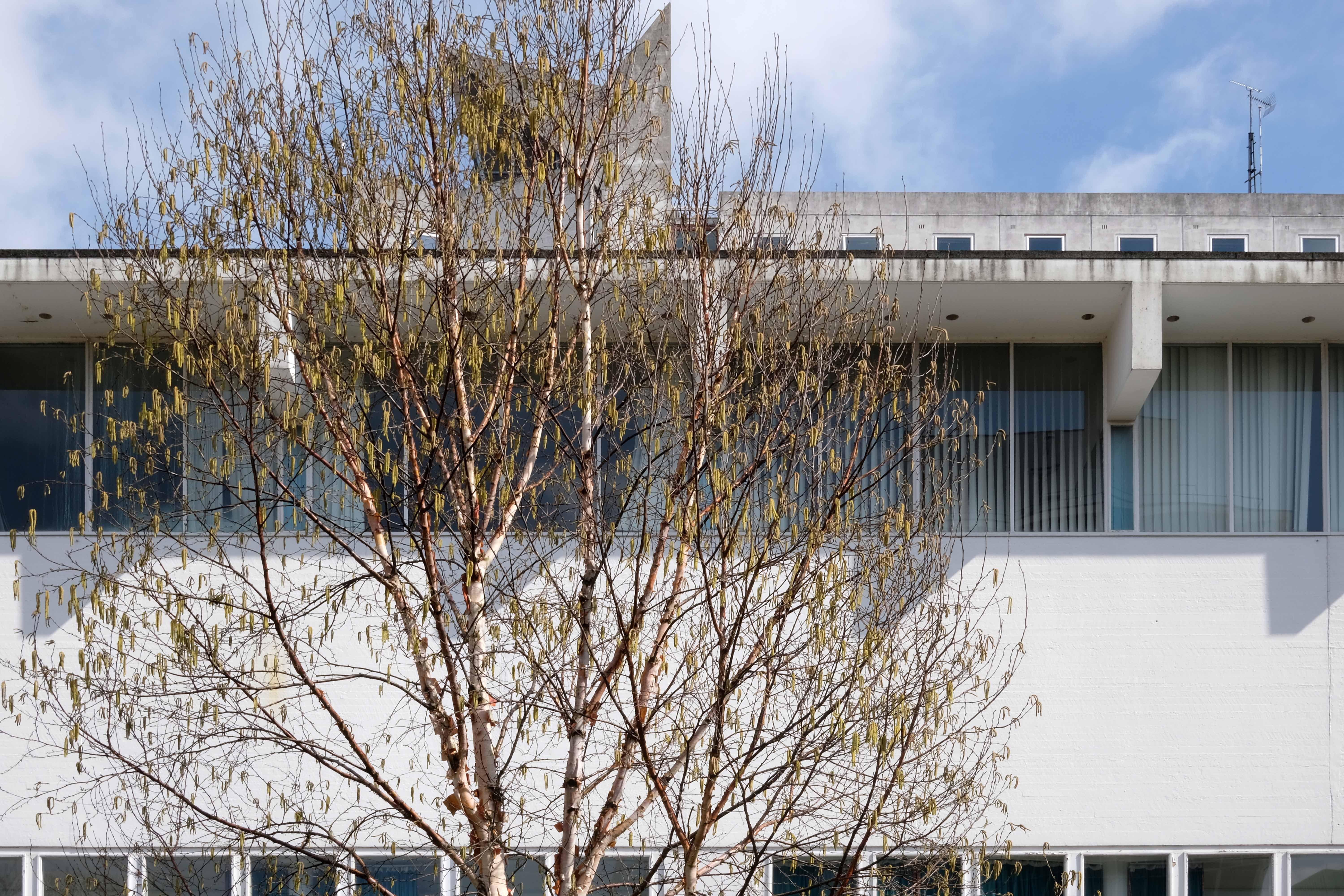
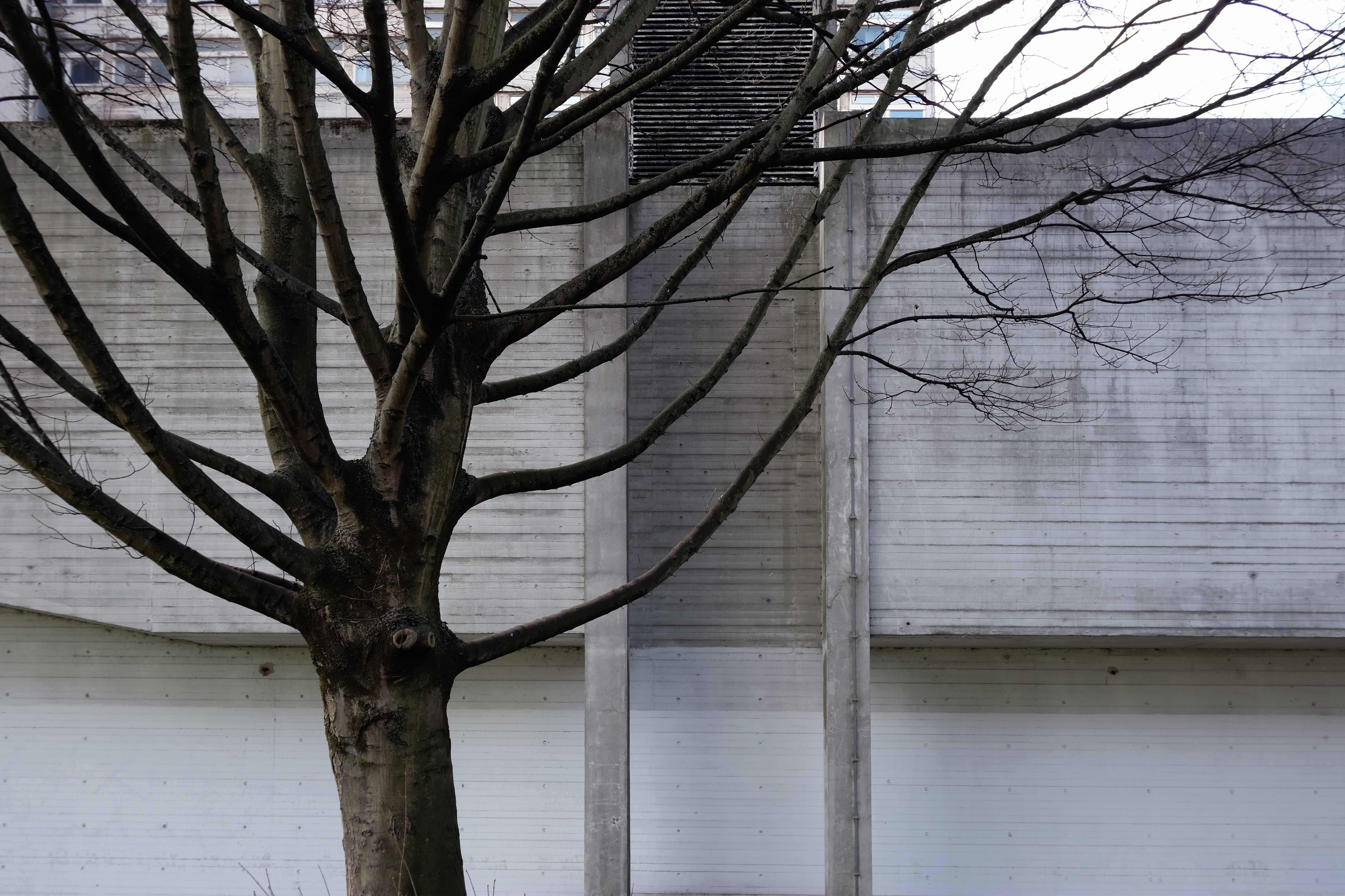
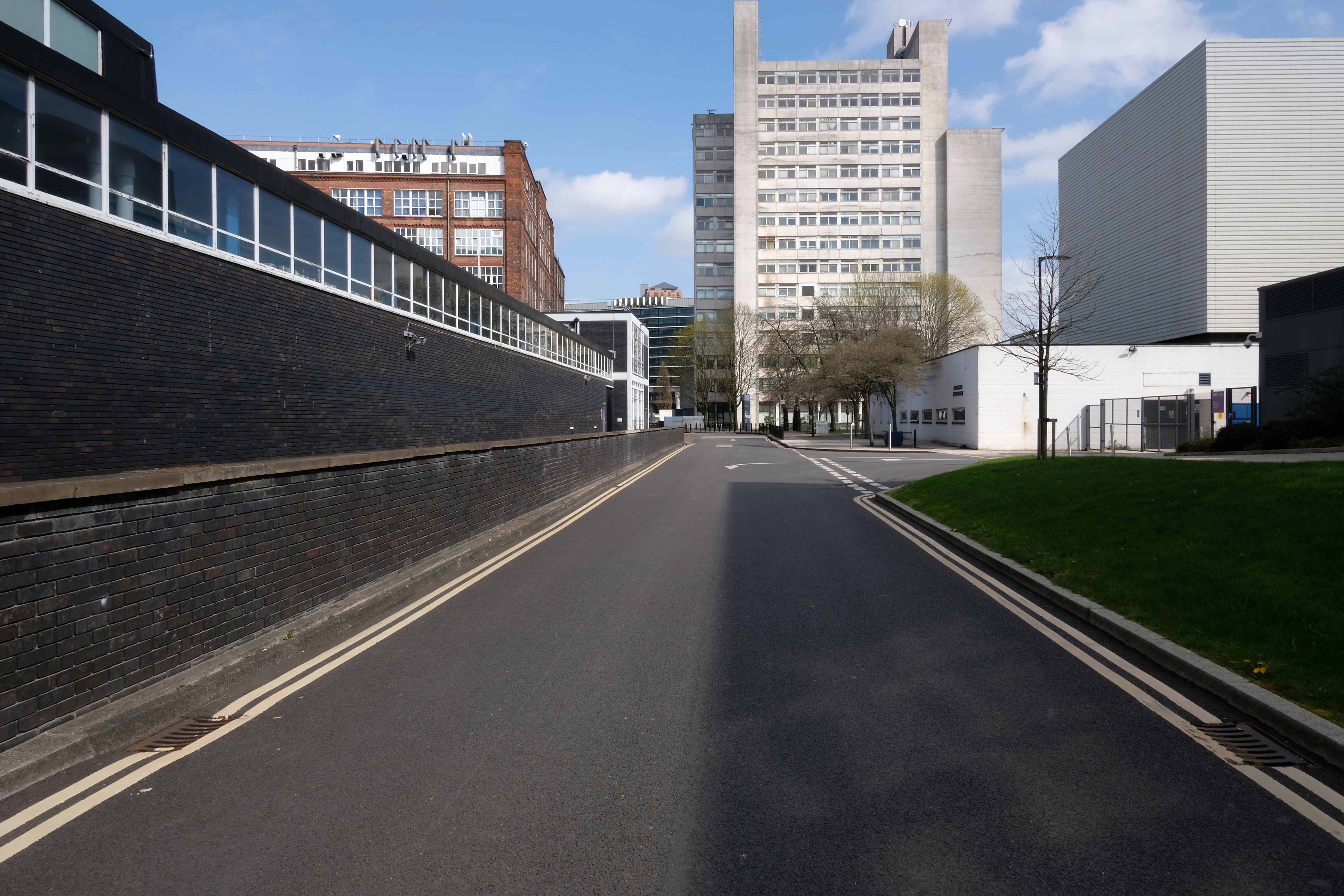
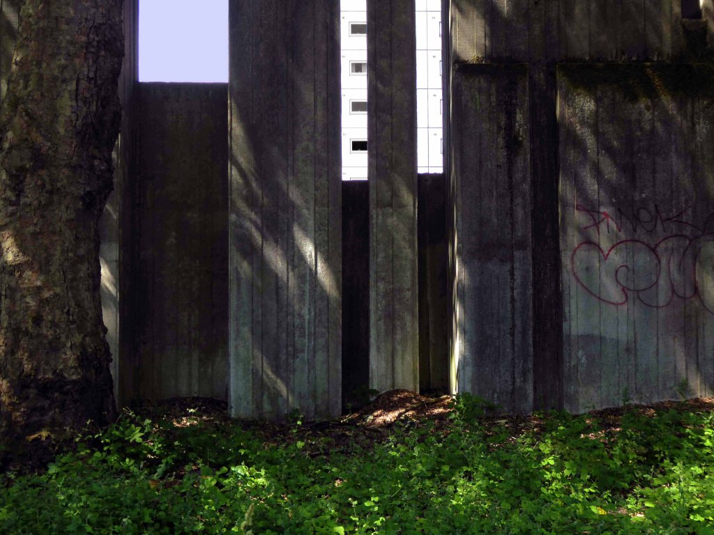
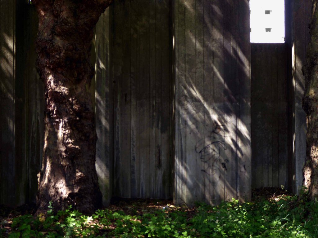
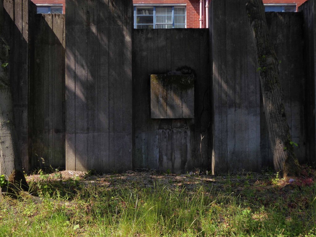
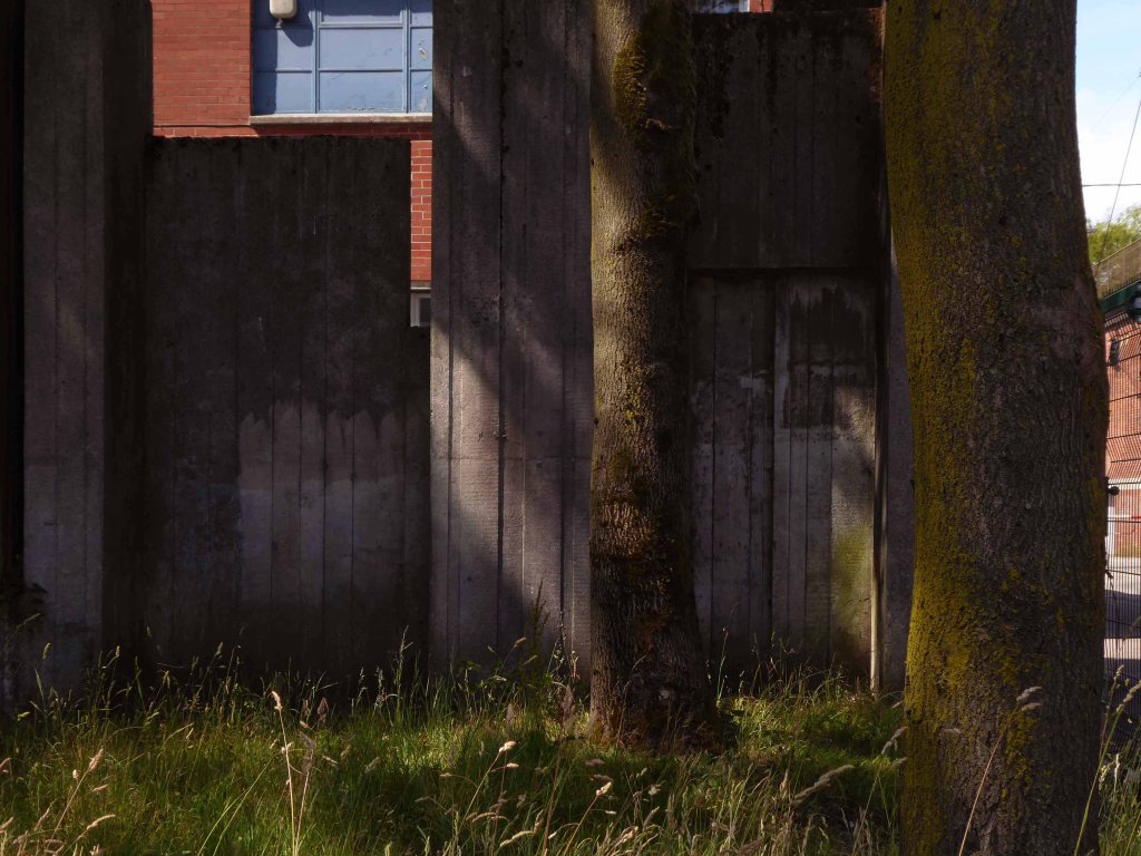
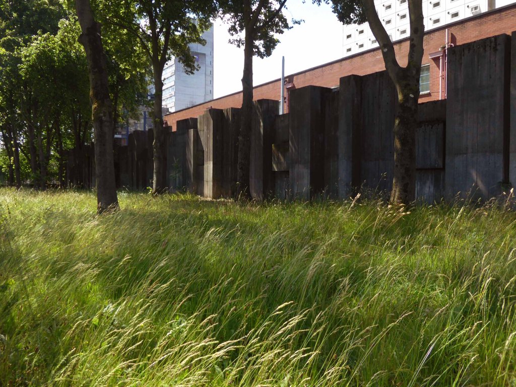
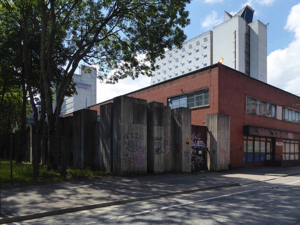
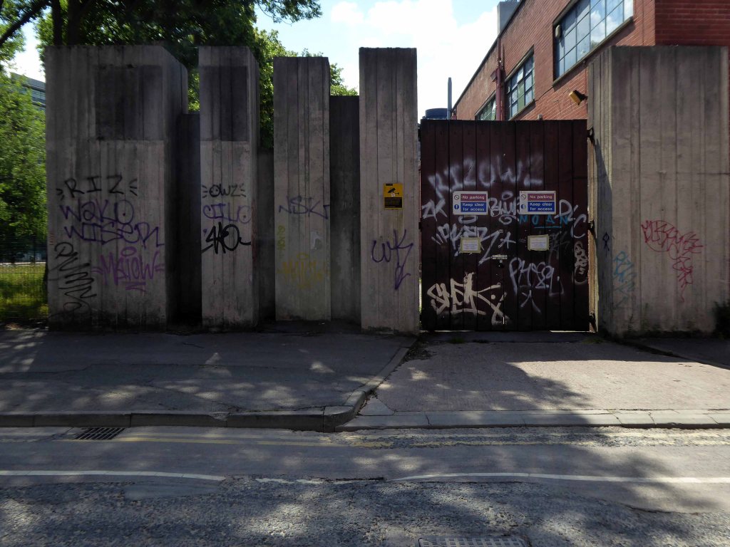
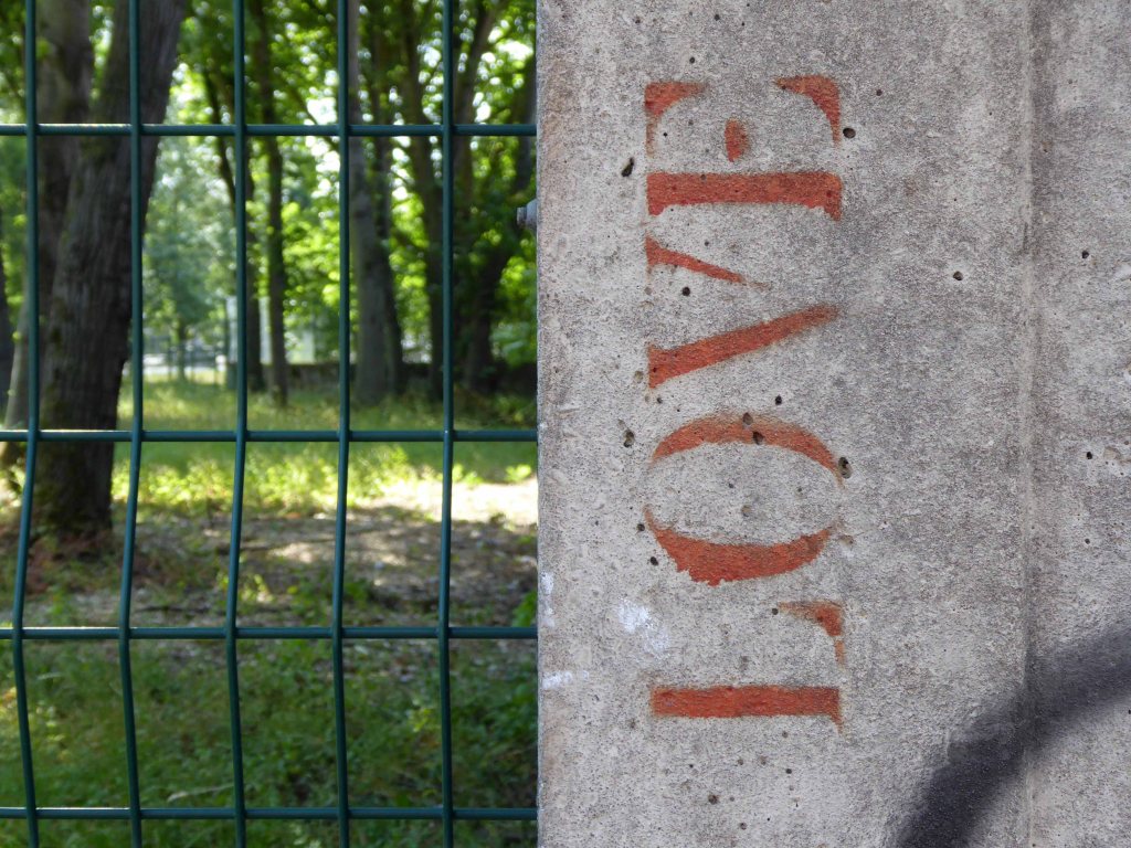
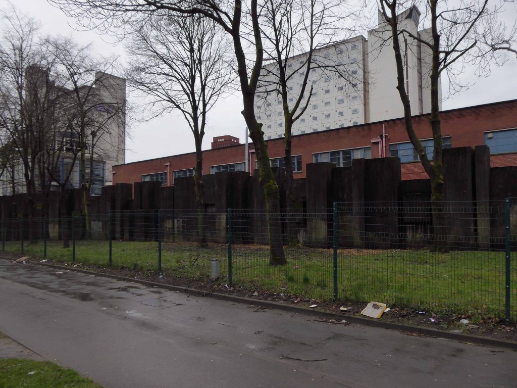
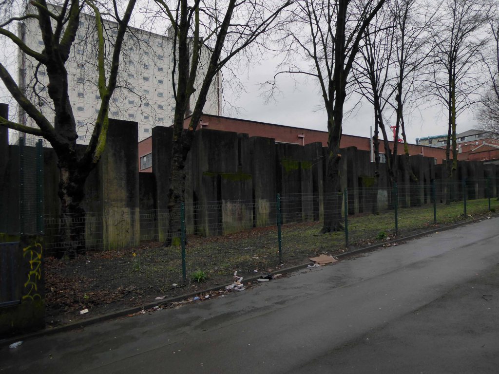
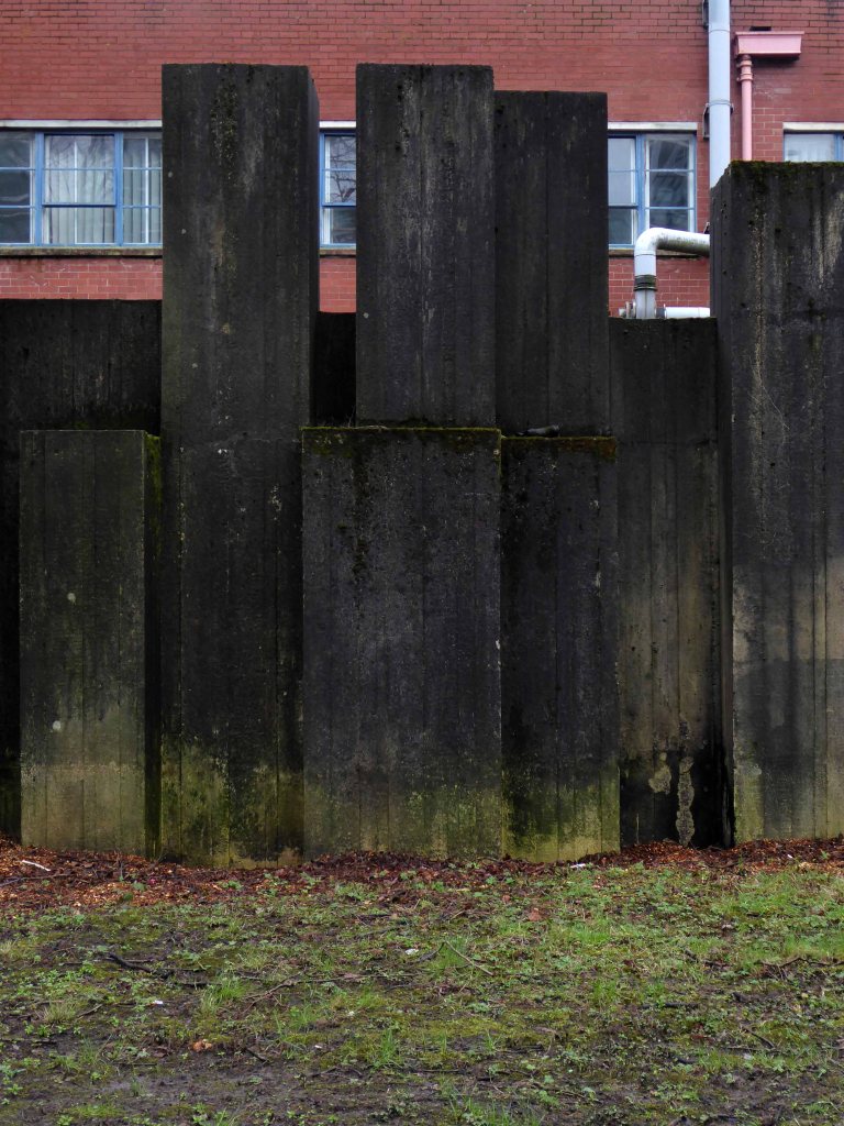
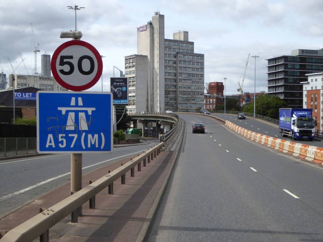
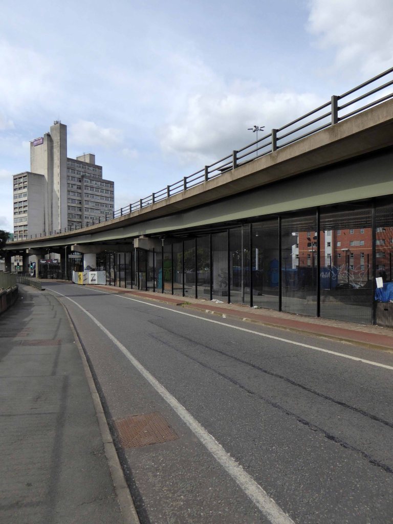
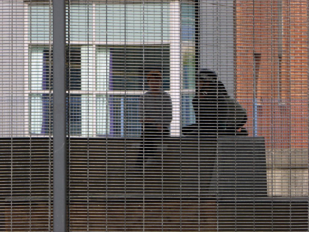
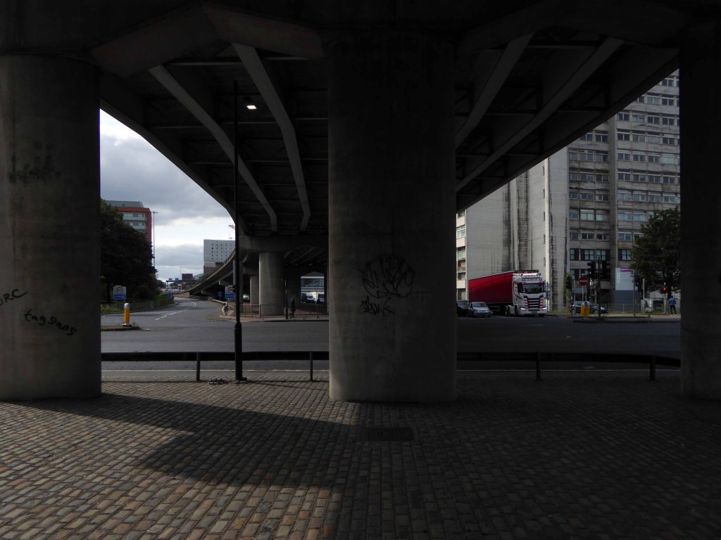
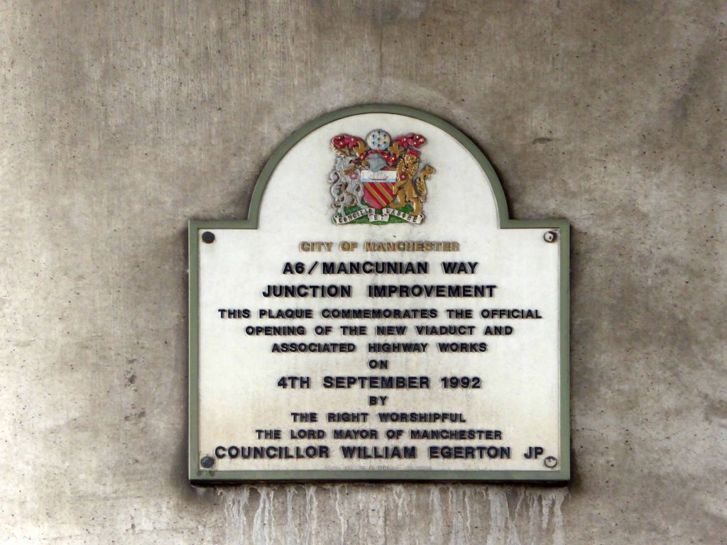
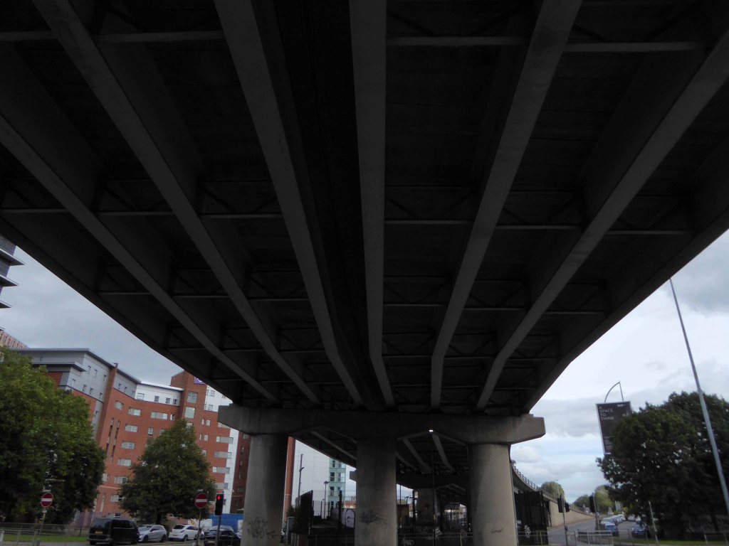
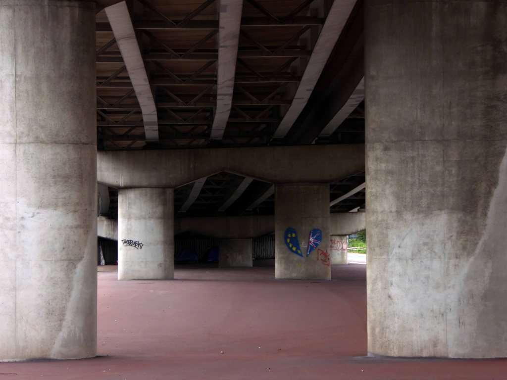
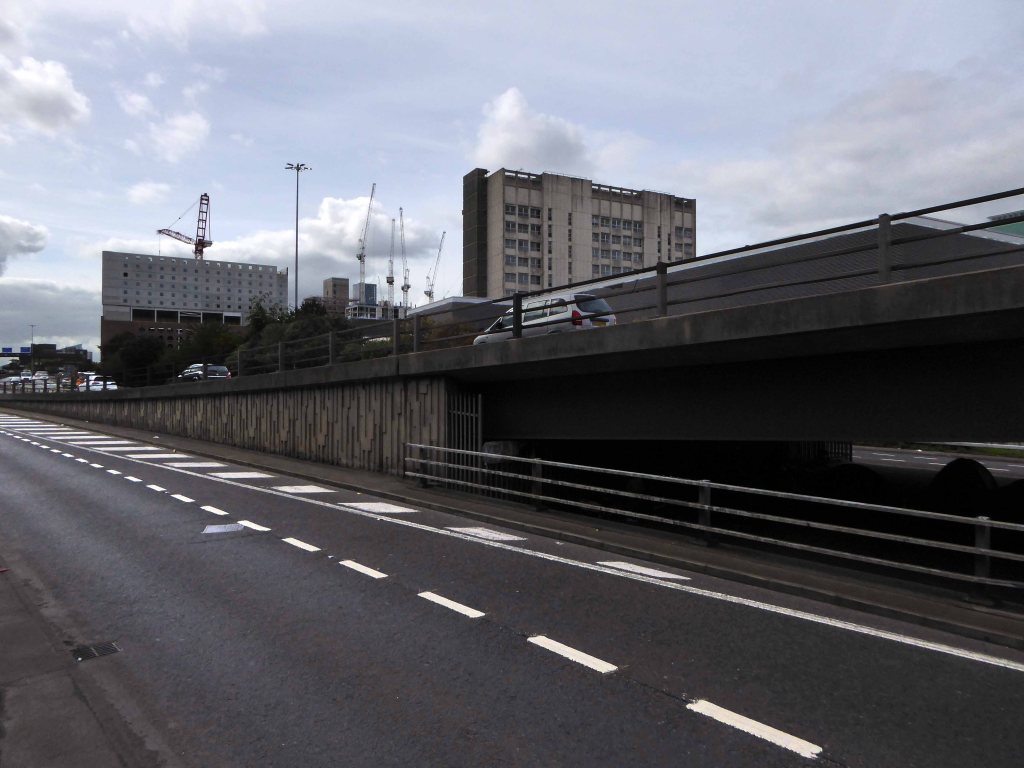
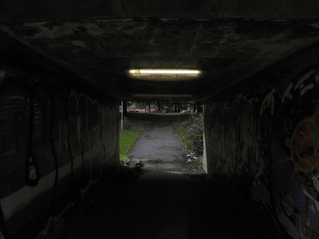
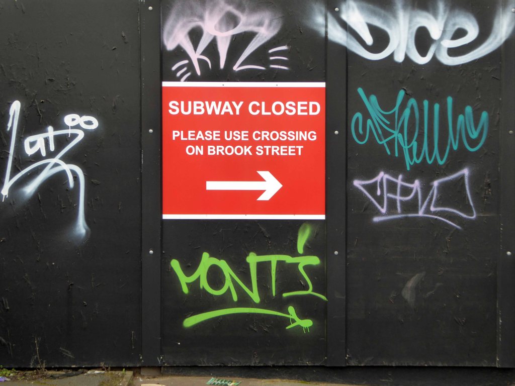
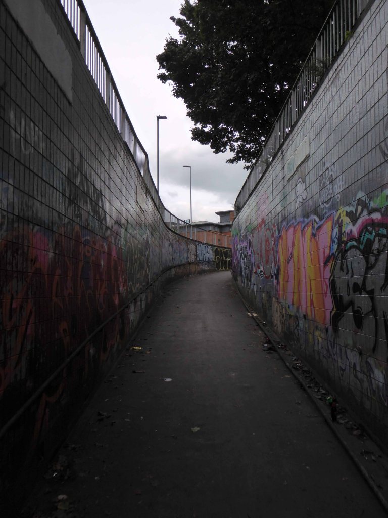
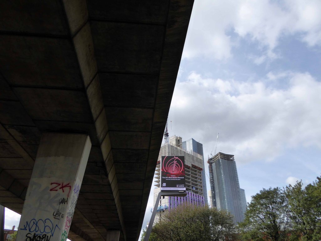
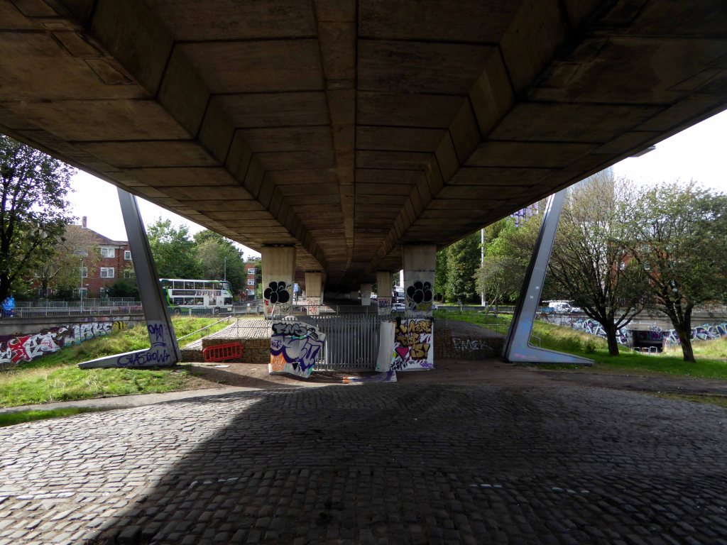
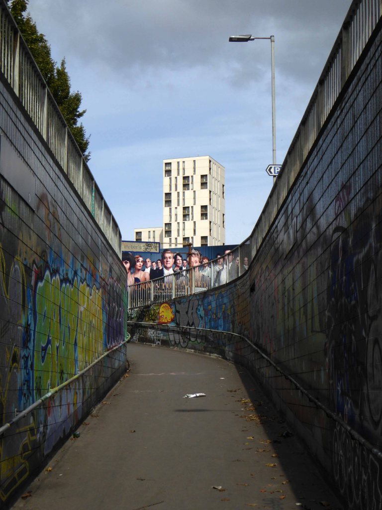
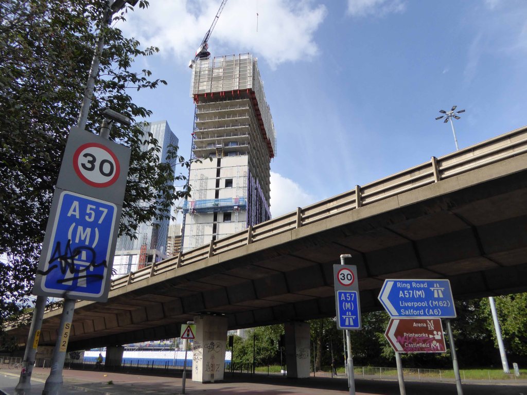
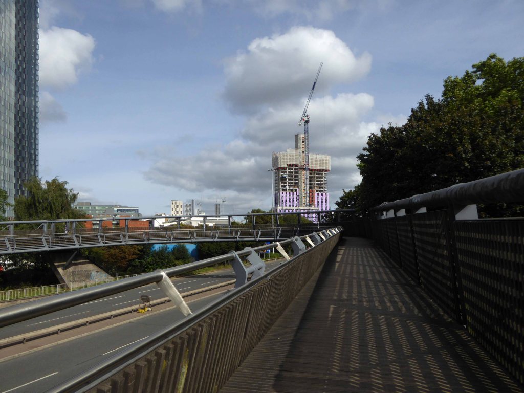
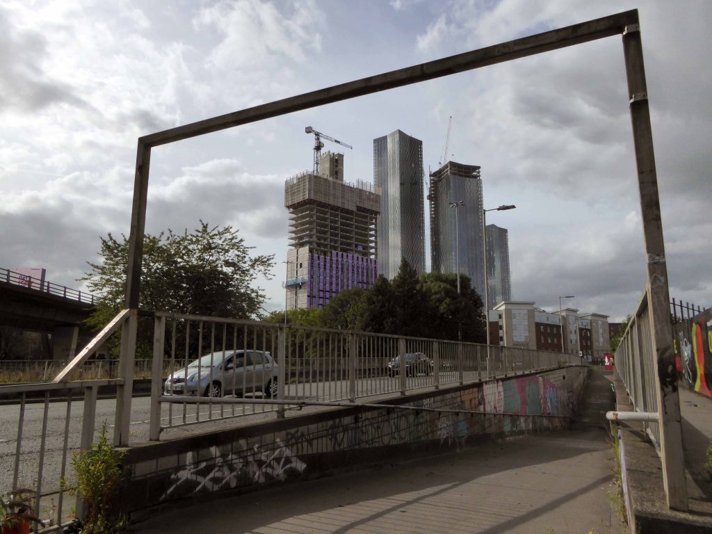
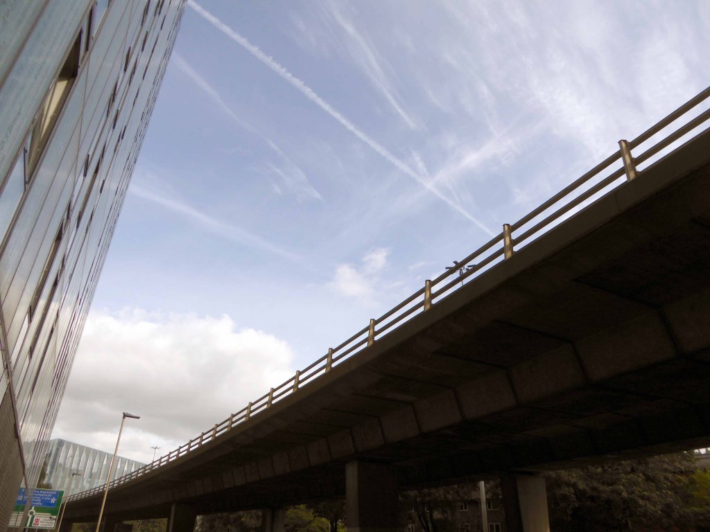
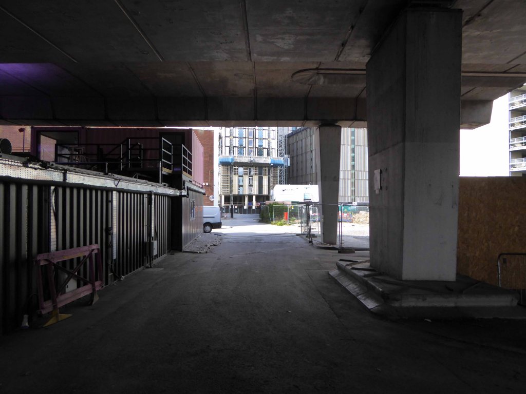
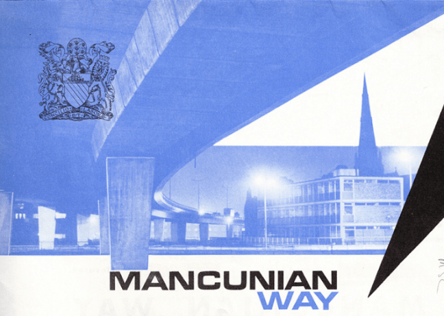
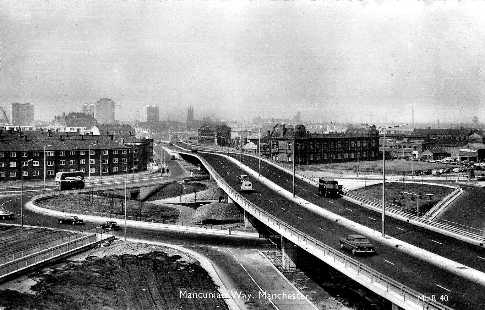
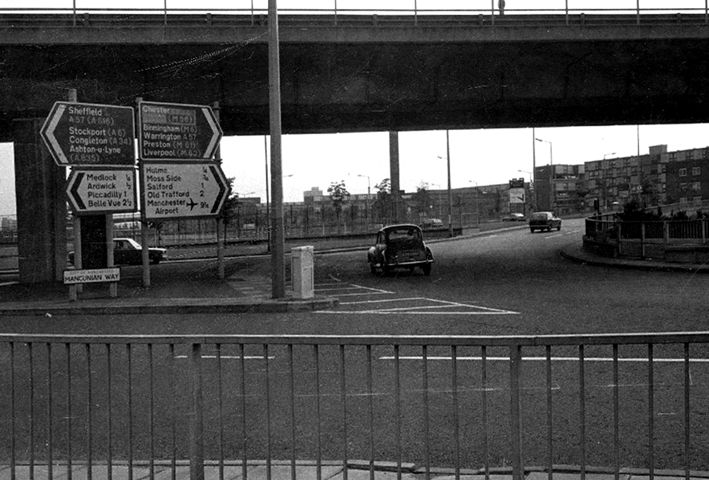
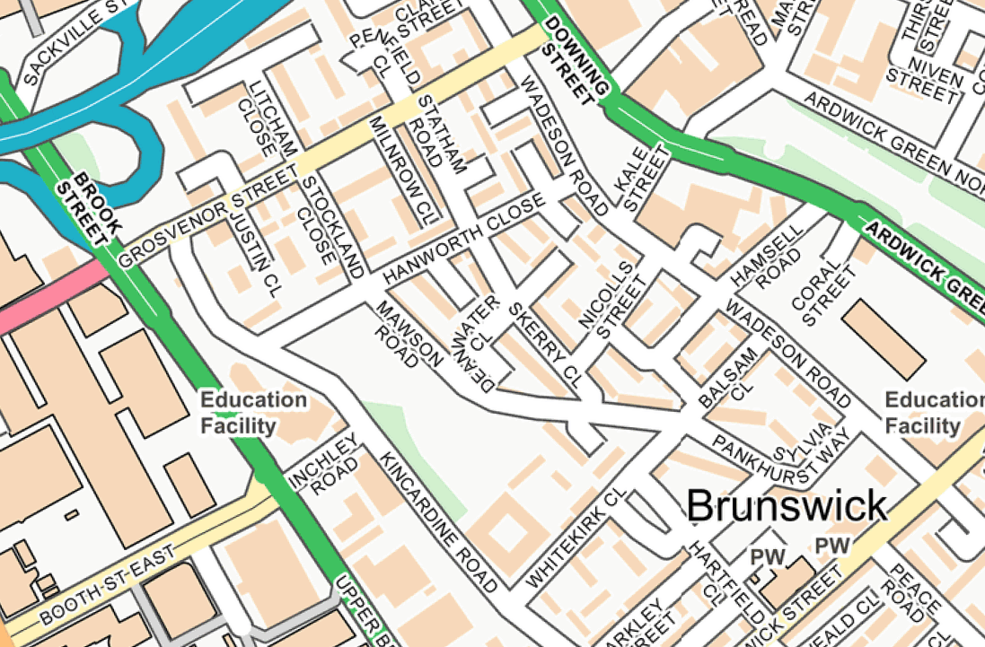
Idle curiosity took me toward the Brunswick Estate – that pocket of housing nestle twixt the Mancunian Way/River Medlock, Ardwick Green, Brunswick Street and Upper Brook Street.
A subset of the greater set of Chorlton on Medlock.
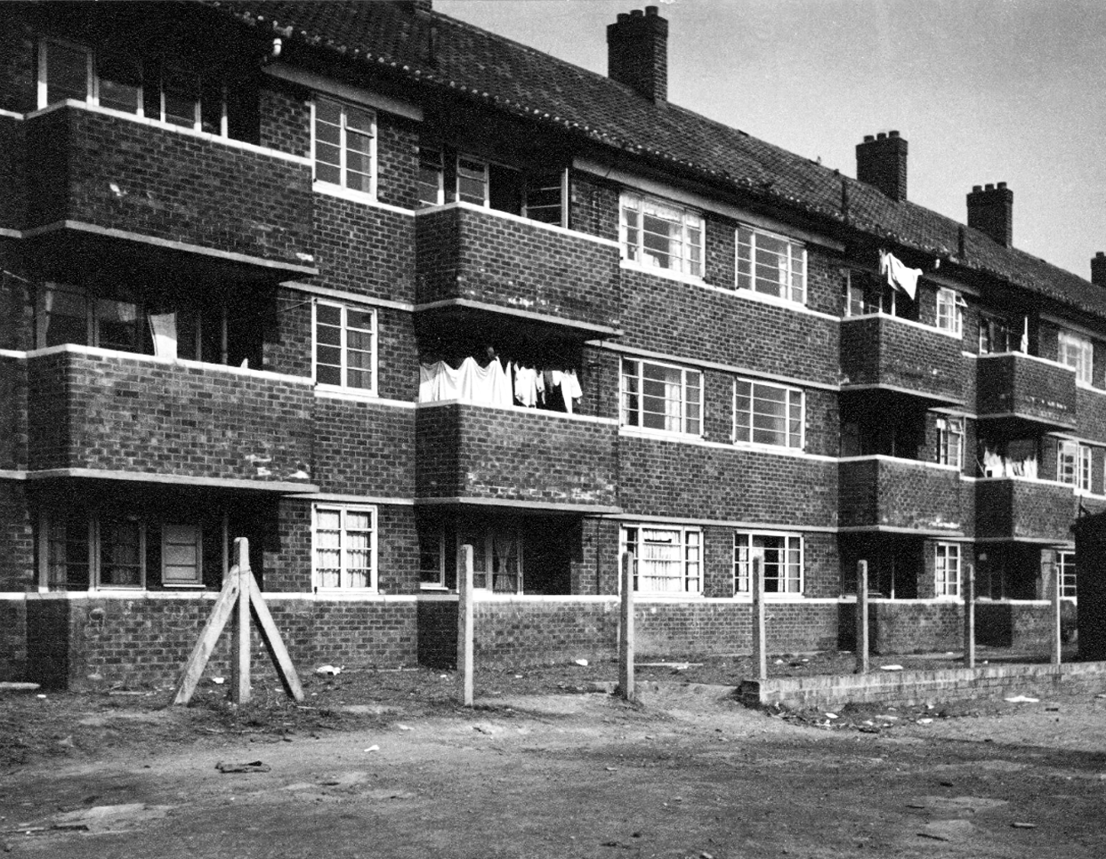
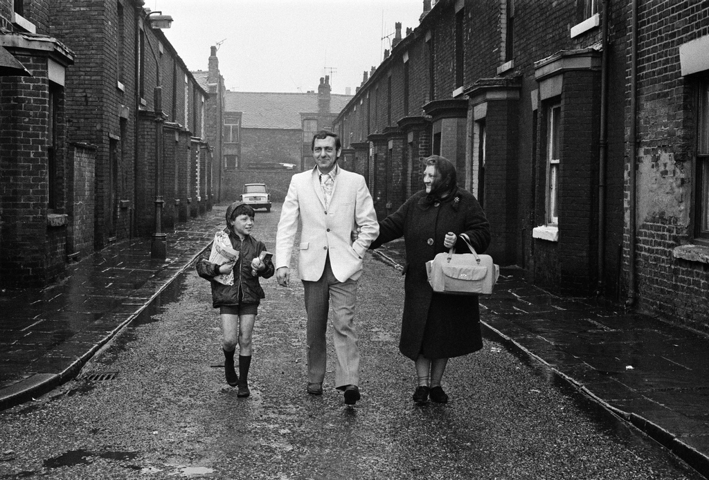
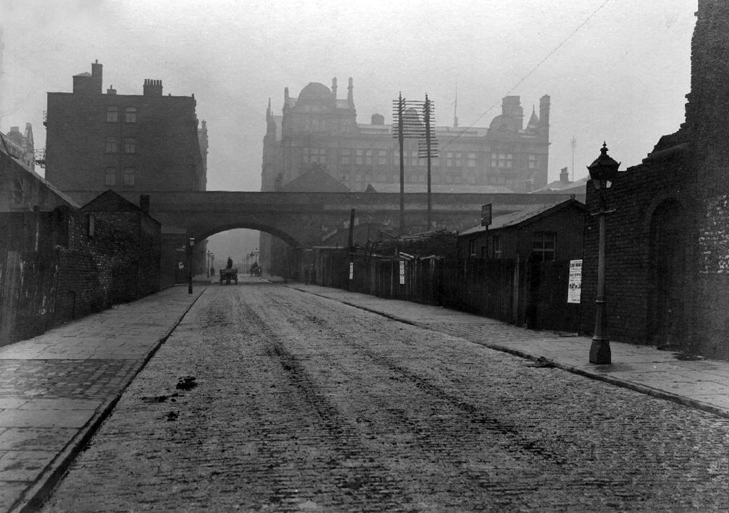
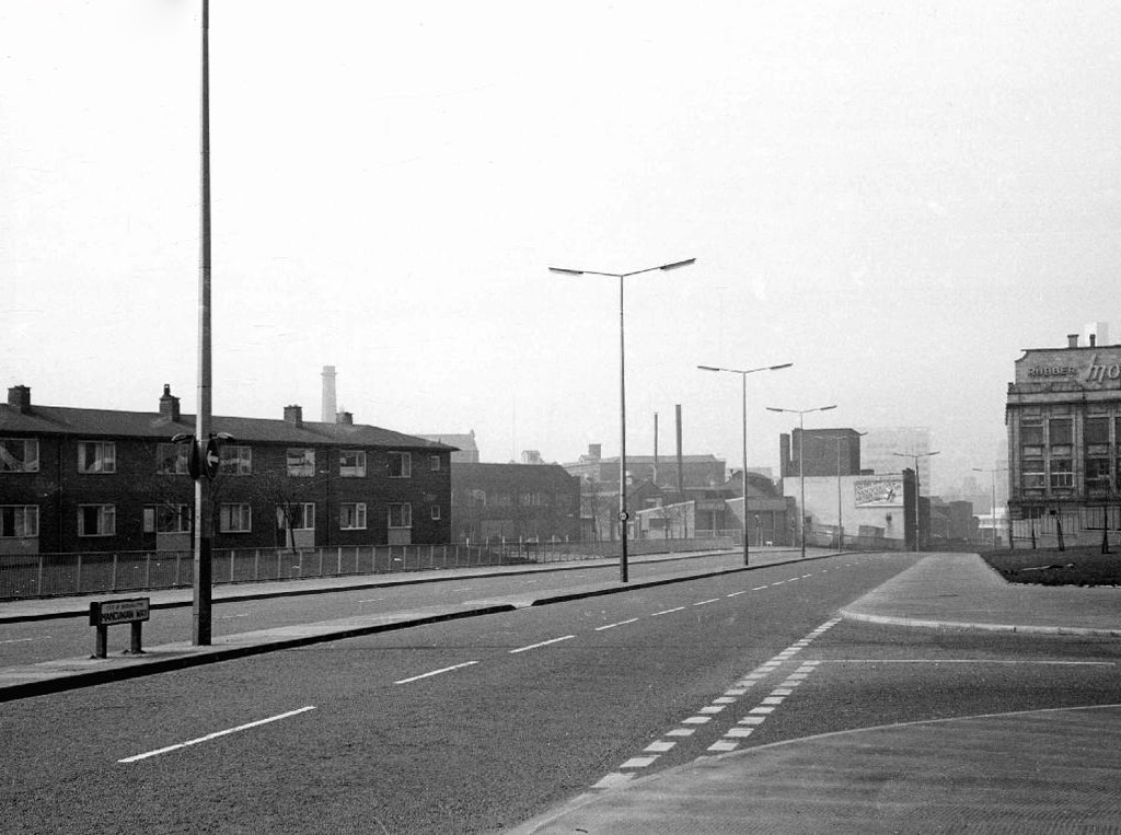
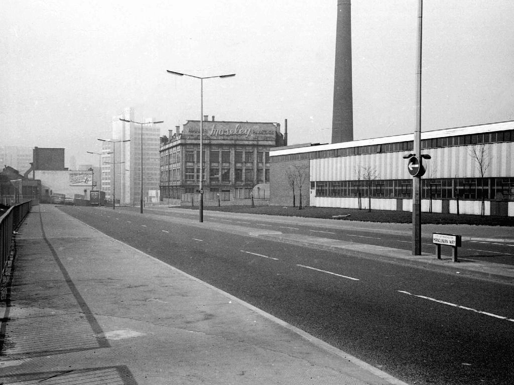
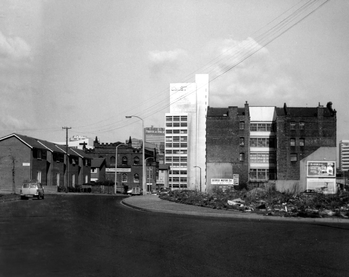
Back in 1813, a web of streets and enclosed fields, and more fields, along with small groups of higher status housing, but by the early 20th century it was very much a working class district, within which industry began to grow.
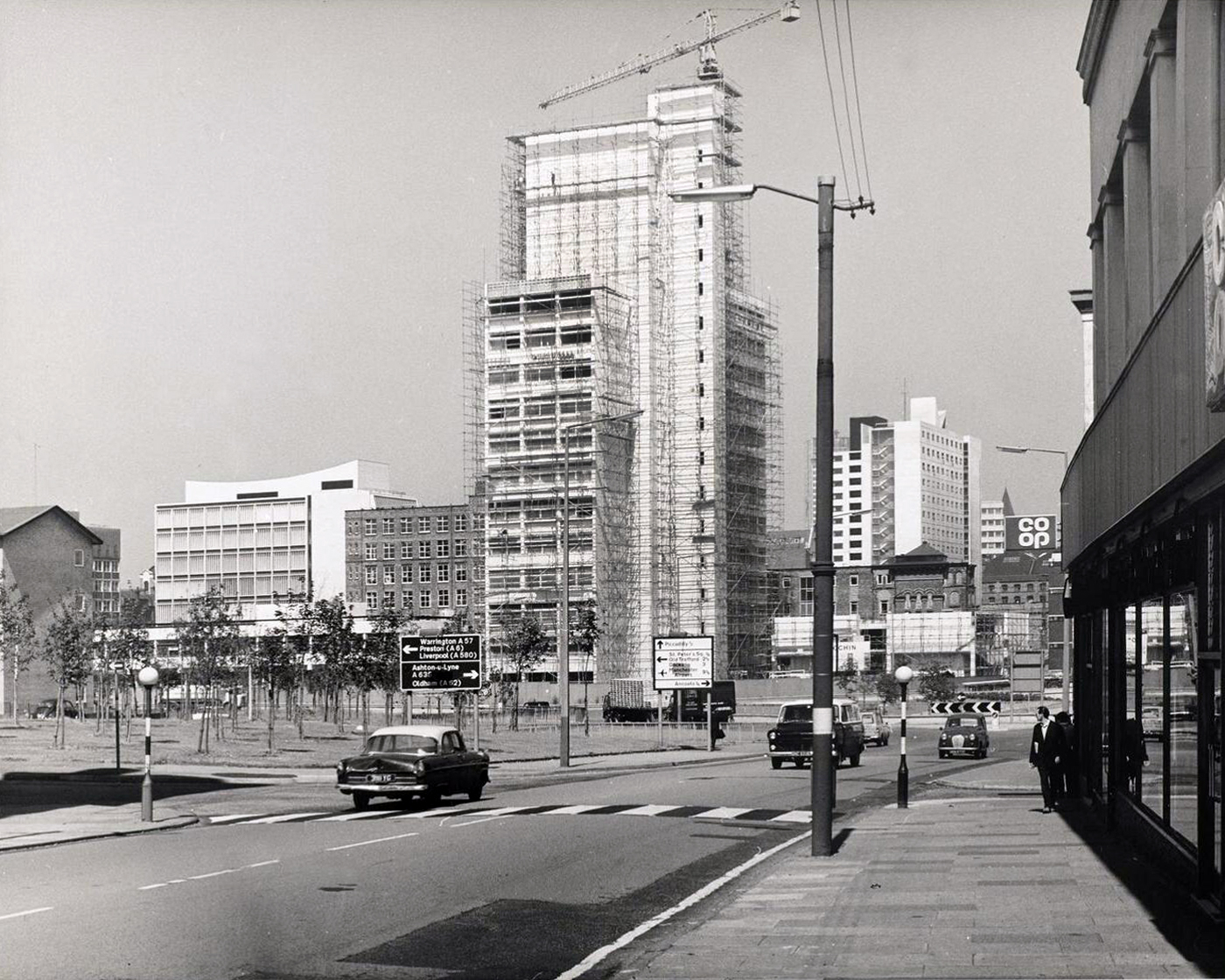
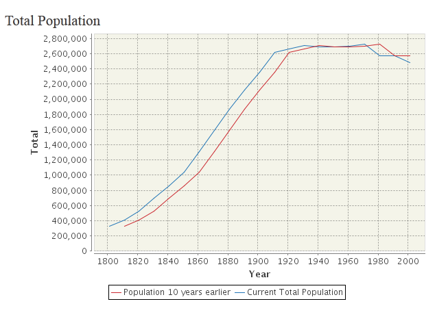
The population of Manchester expanded unstoppably throughout the nineteenth century.
Here’s a personal and insightful family history of the area, along with a broader history from the Evening News.
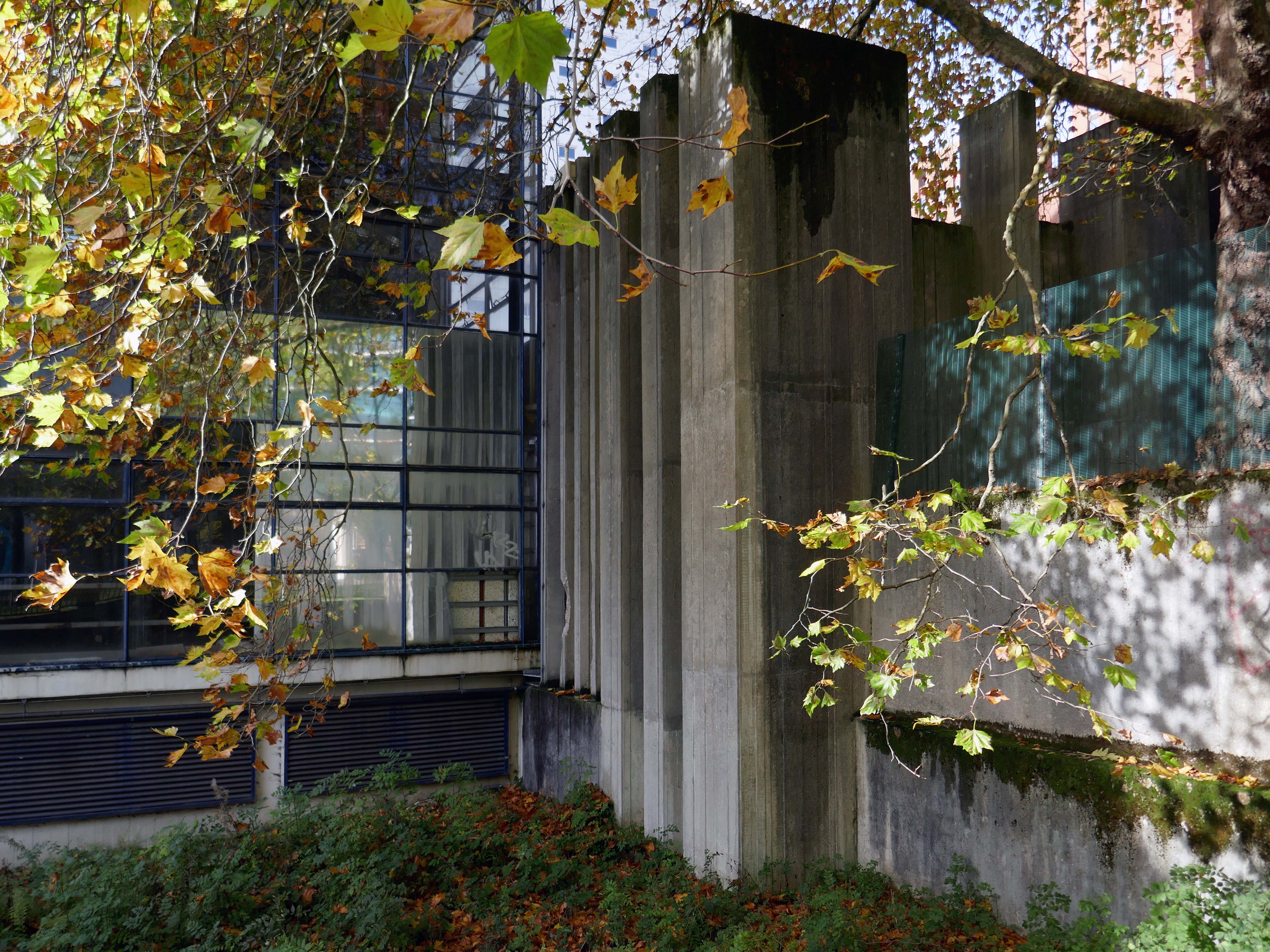
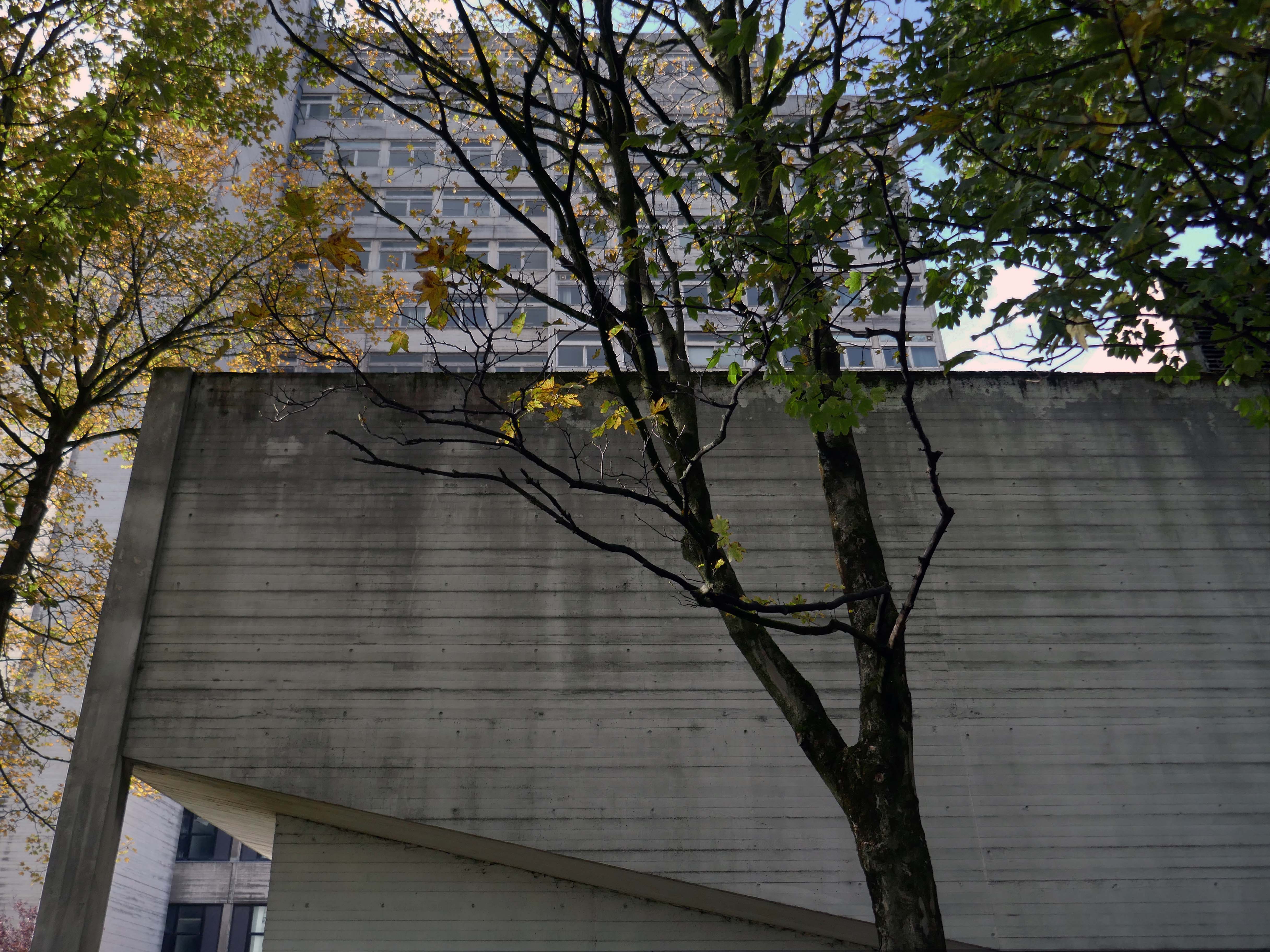
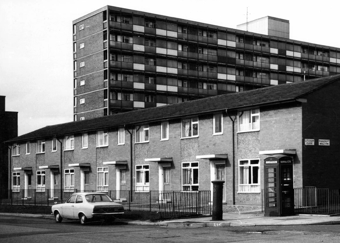
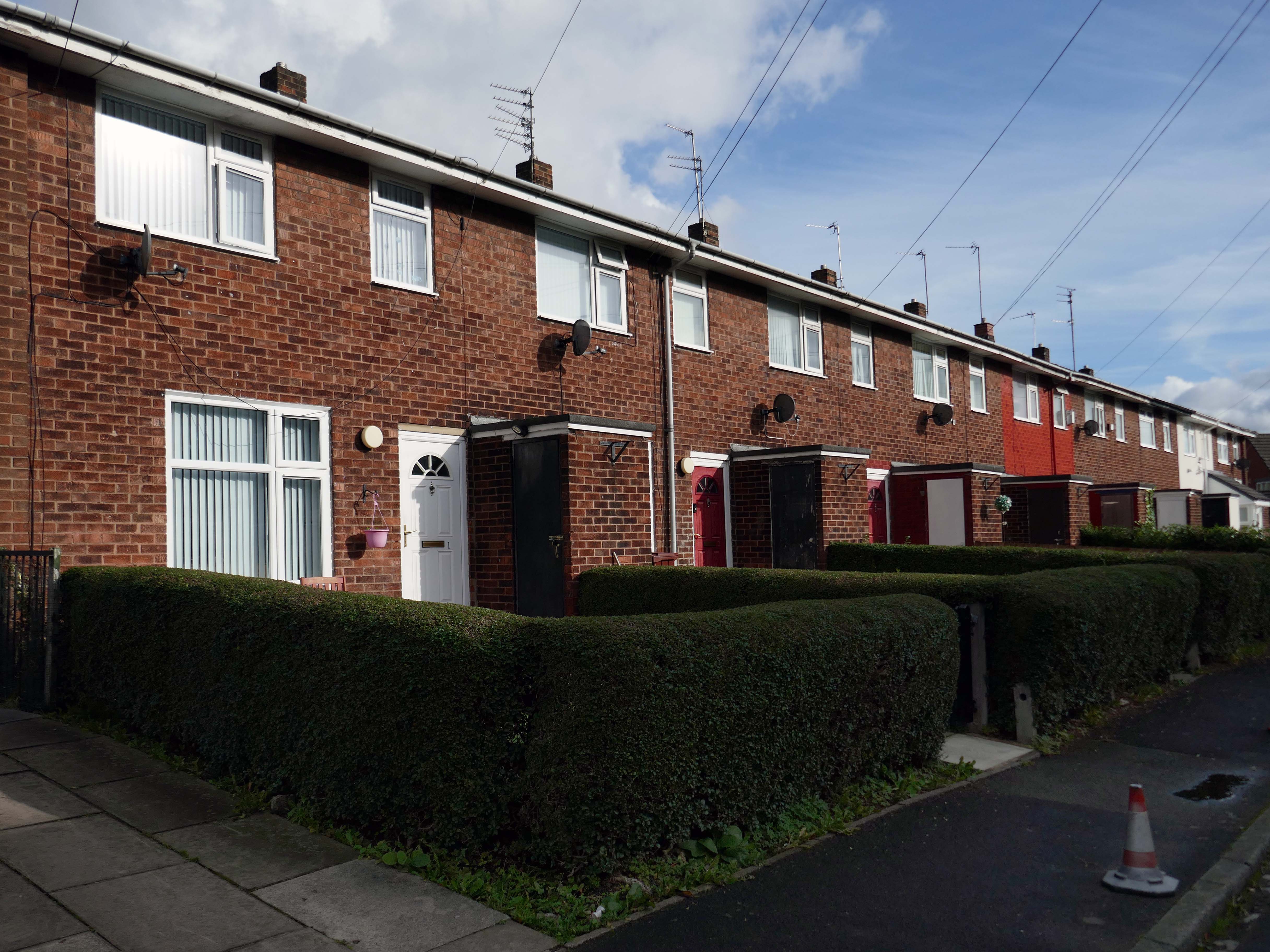
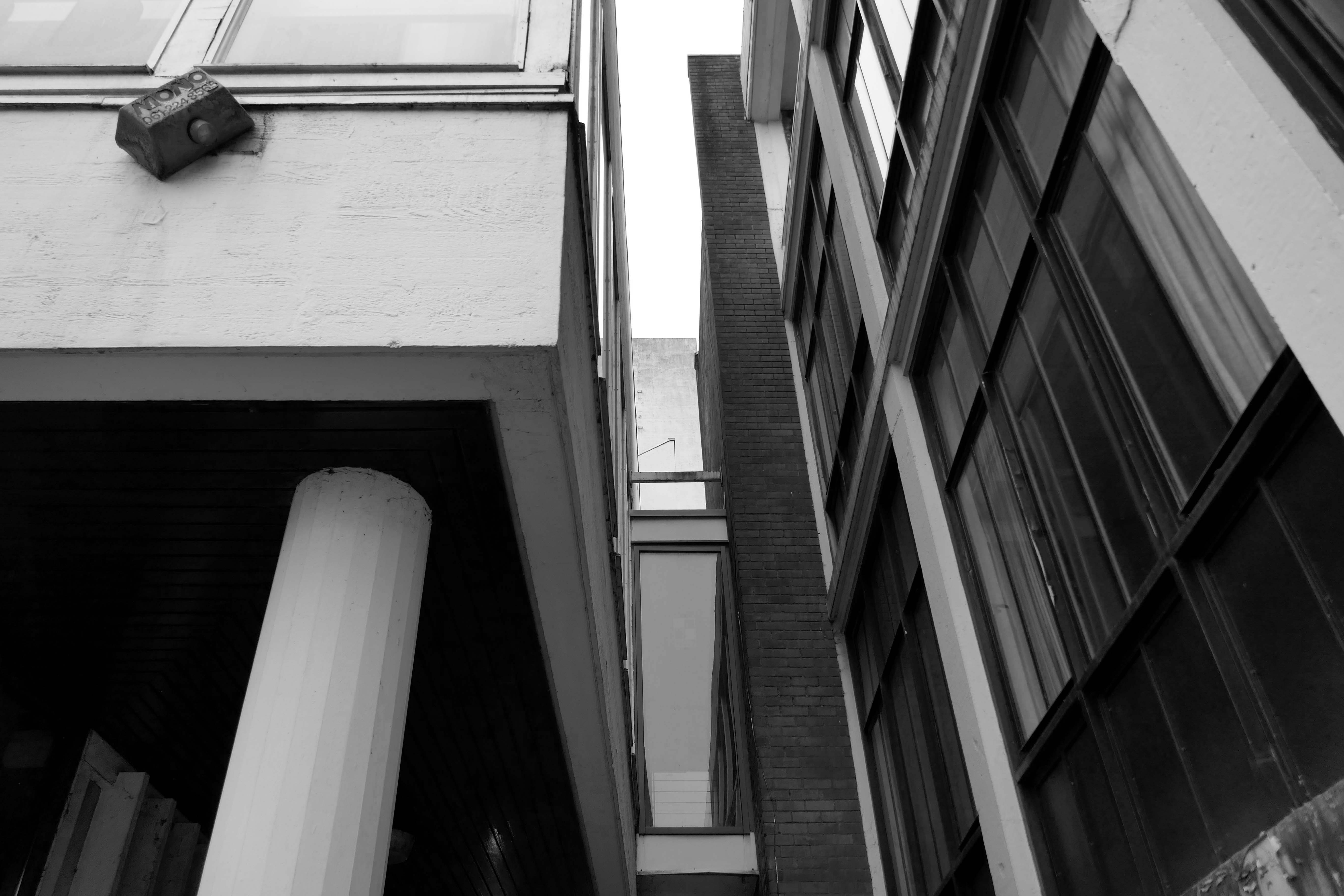
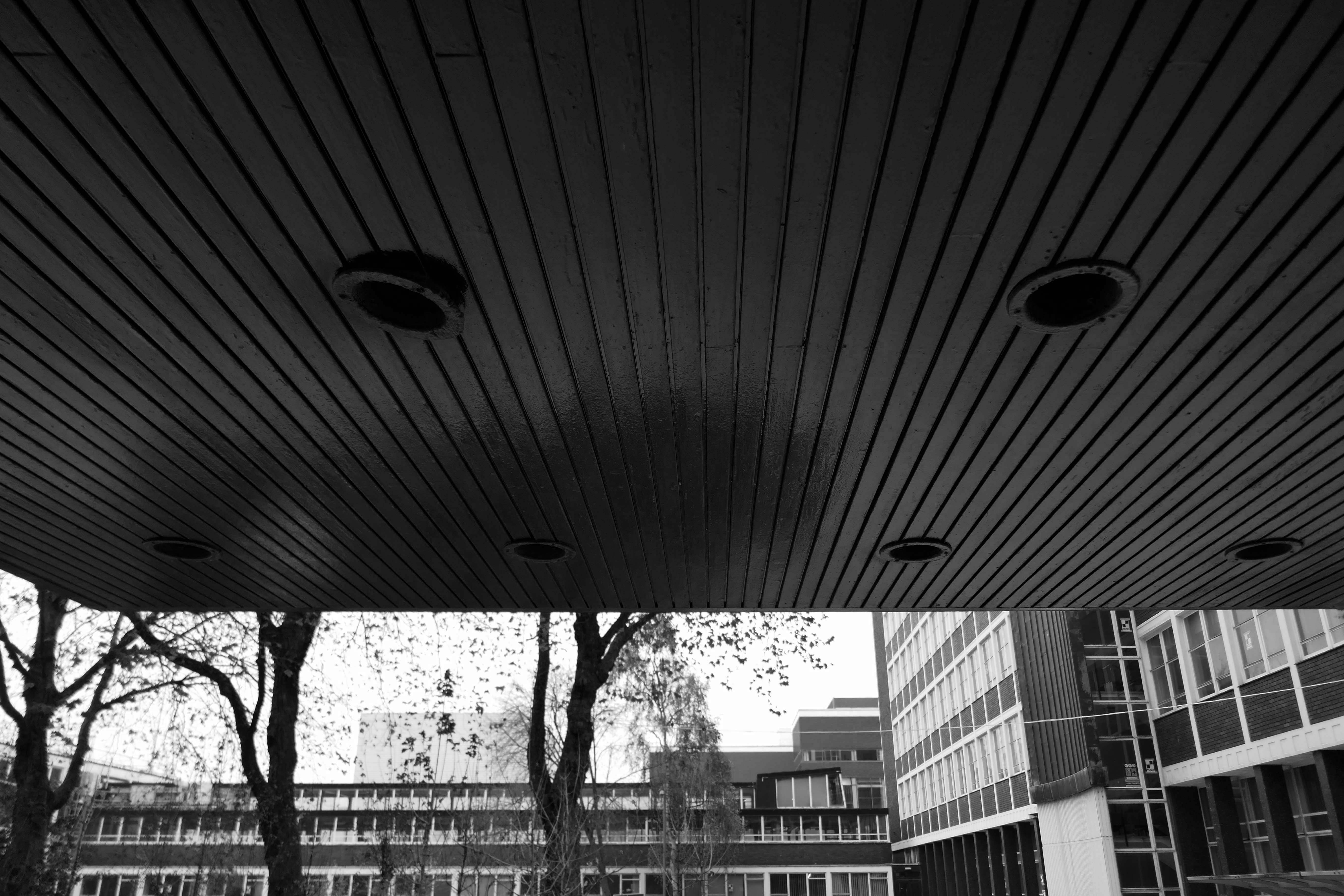
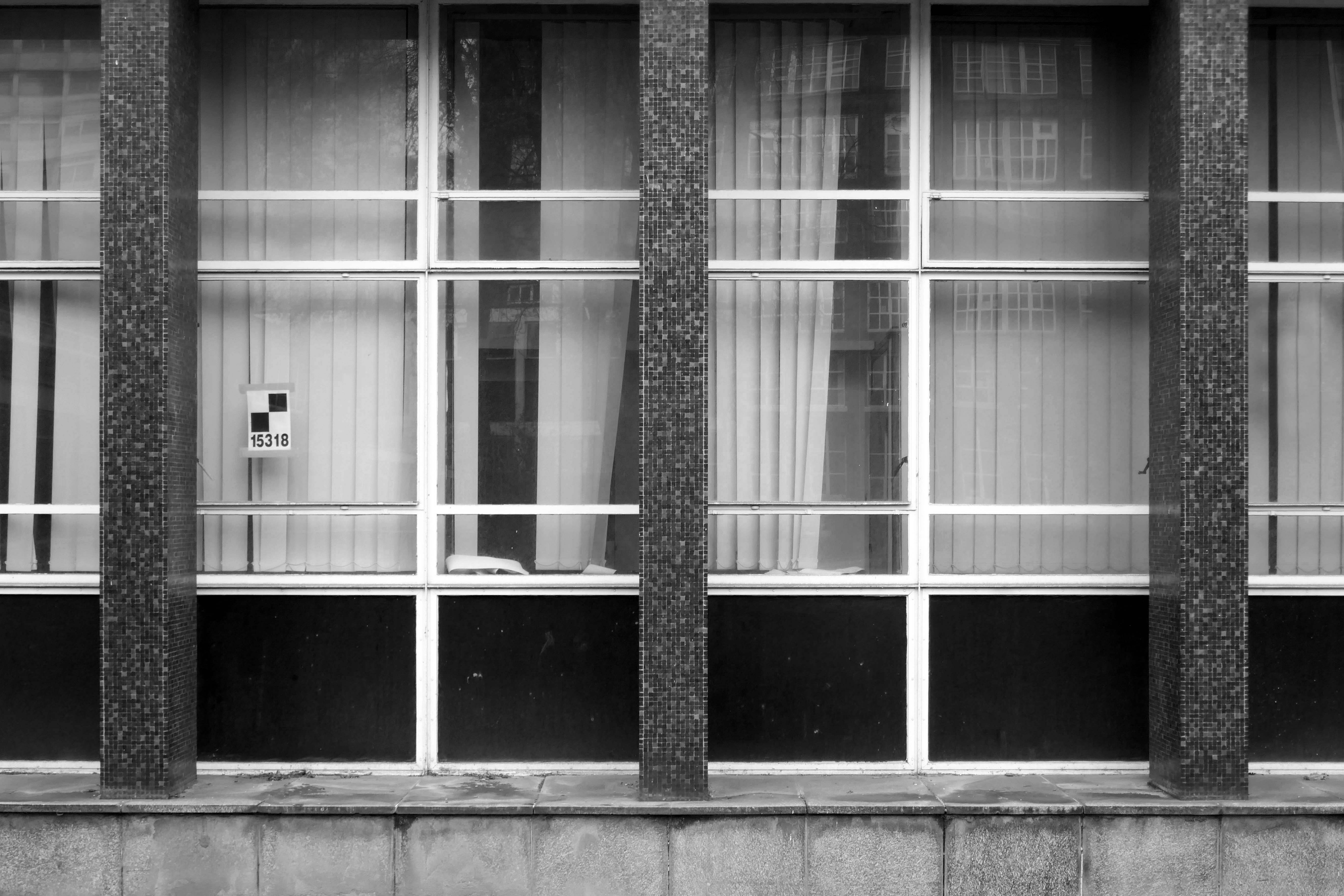
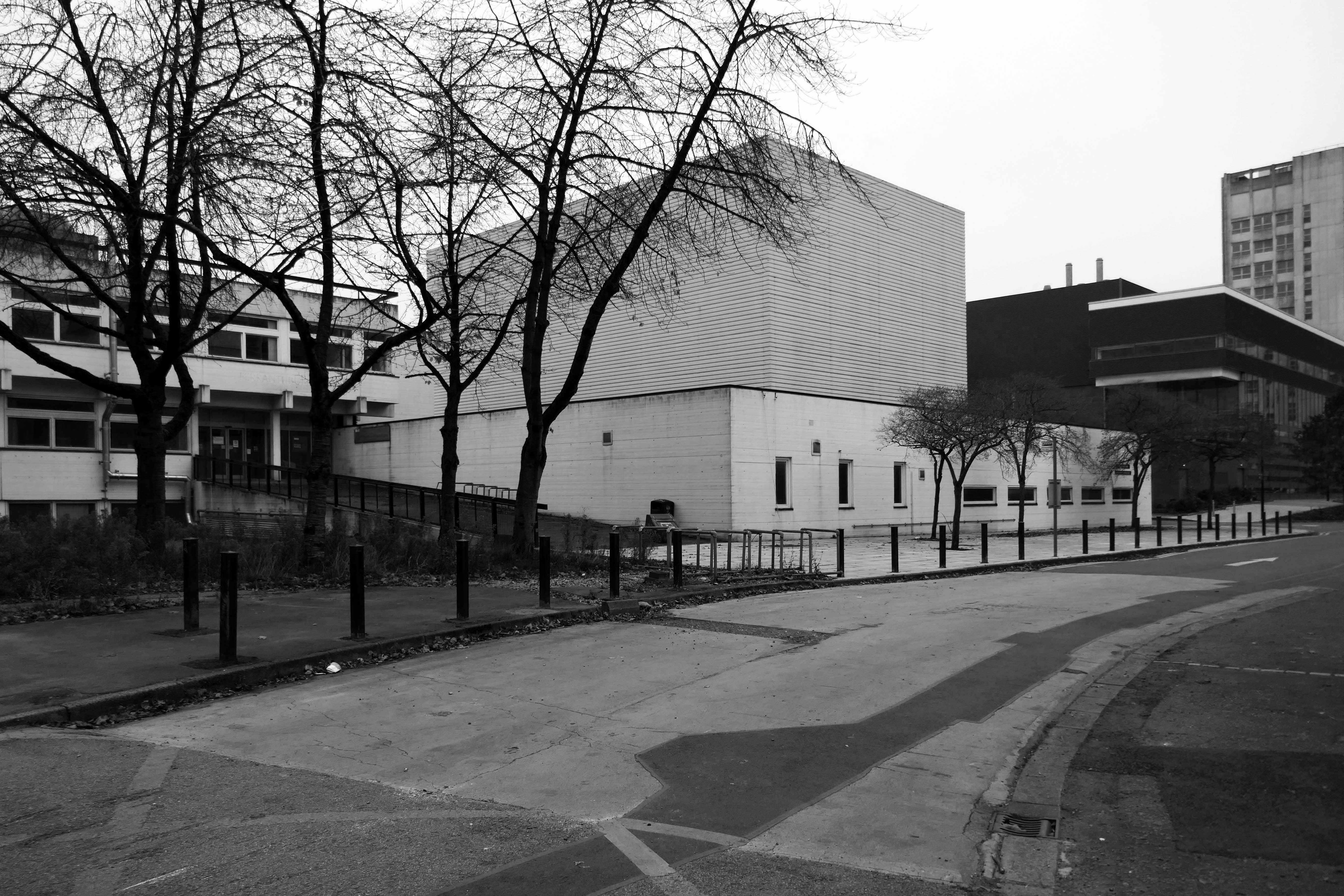
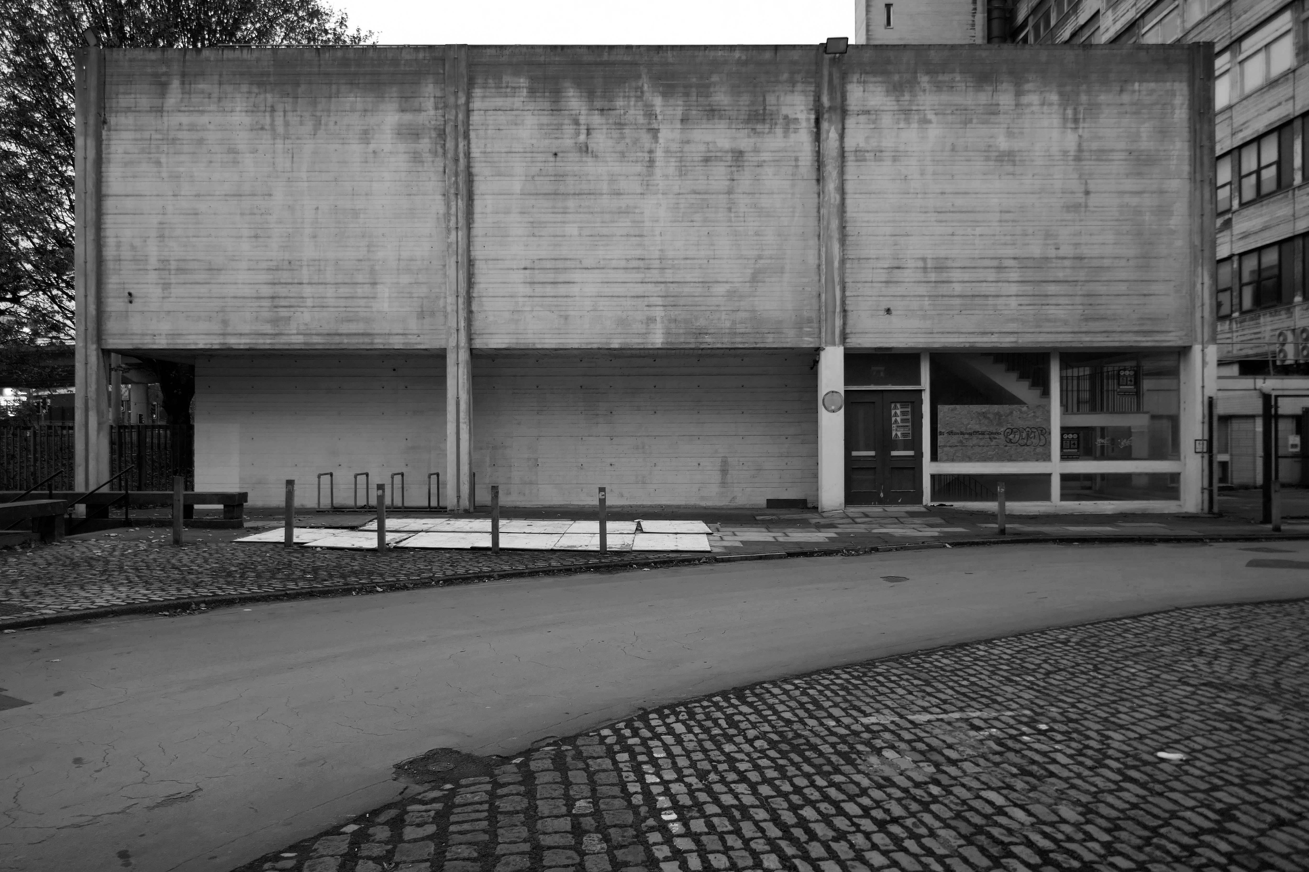
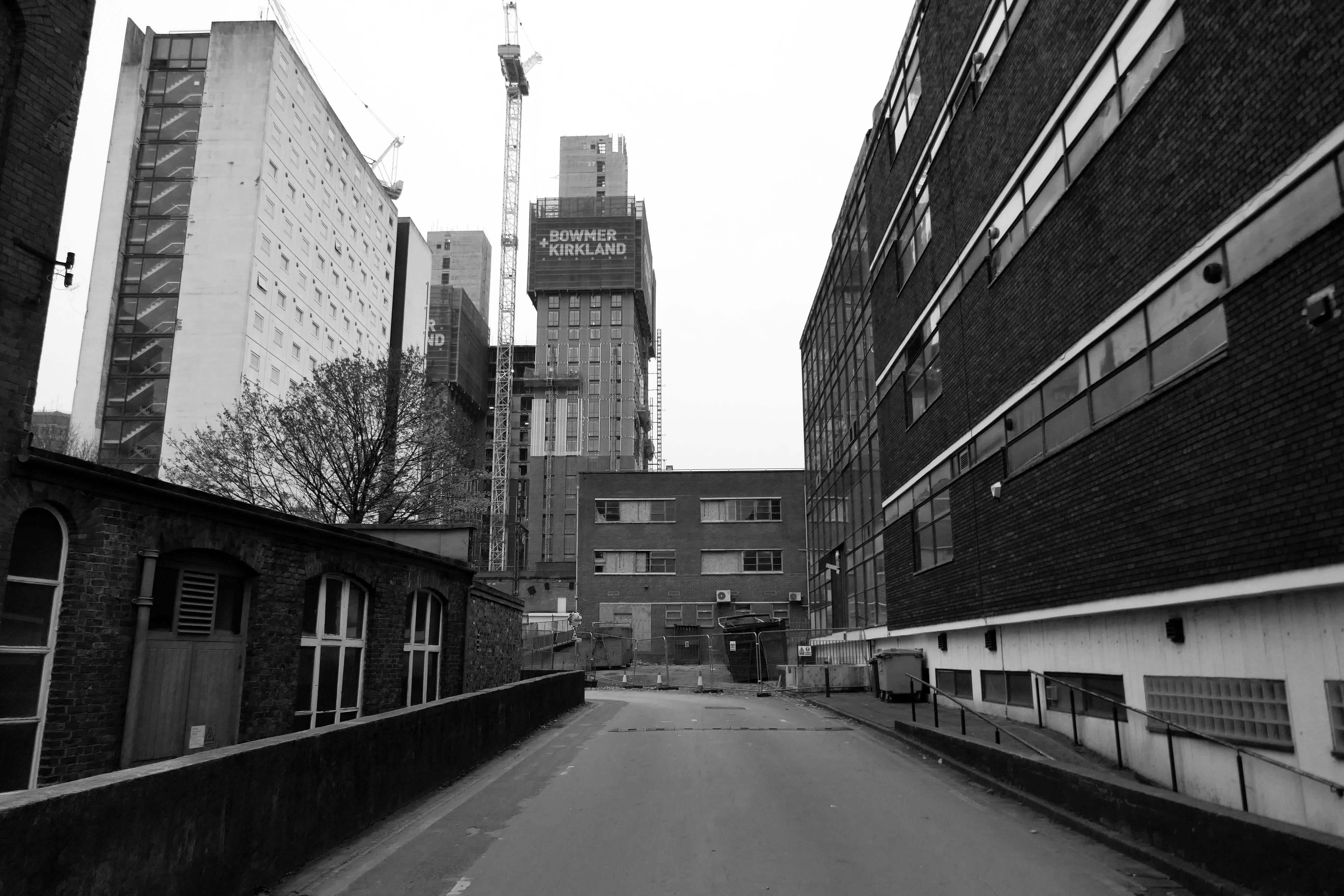
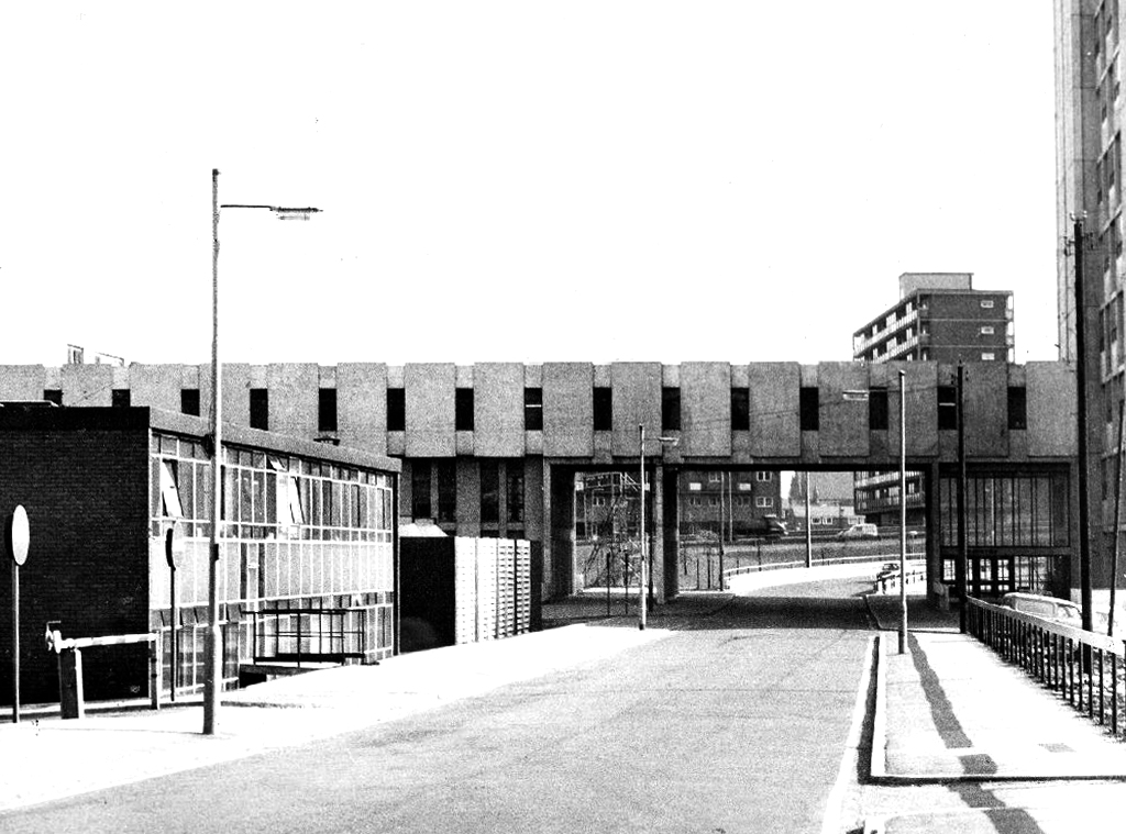
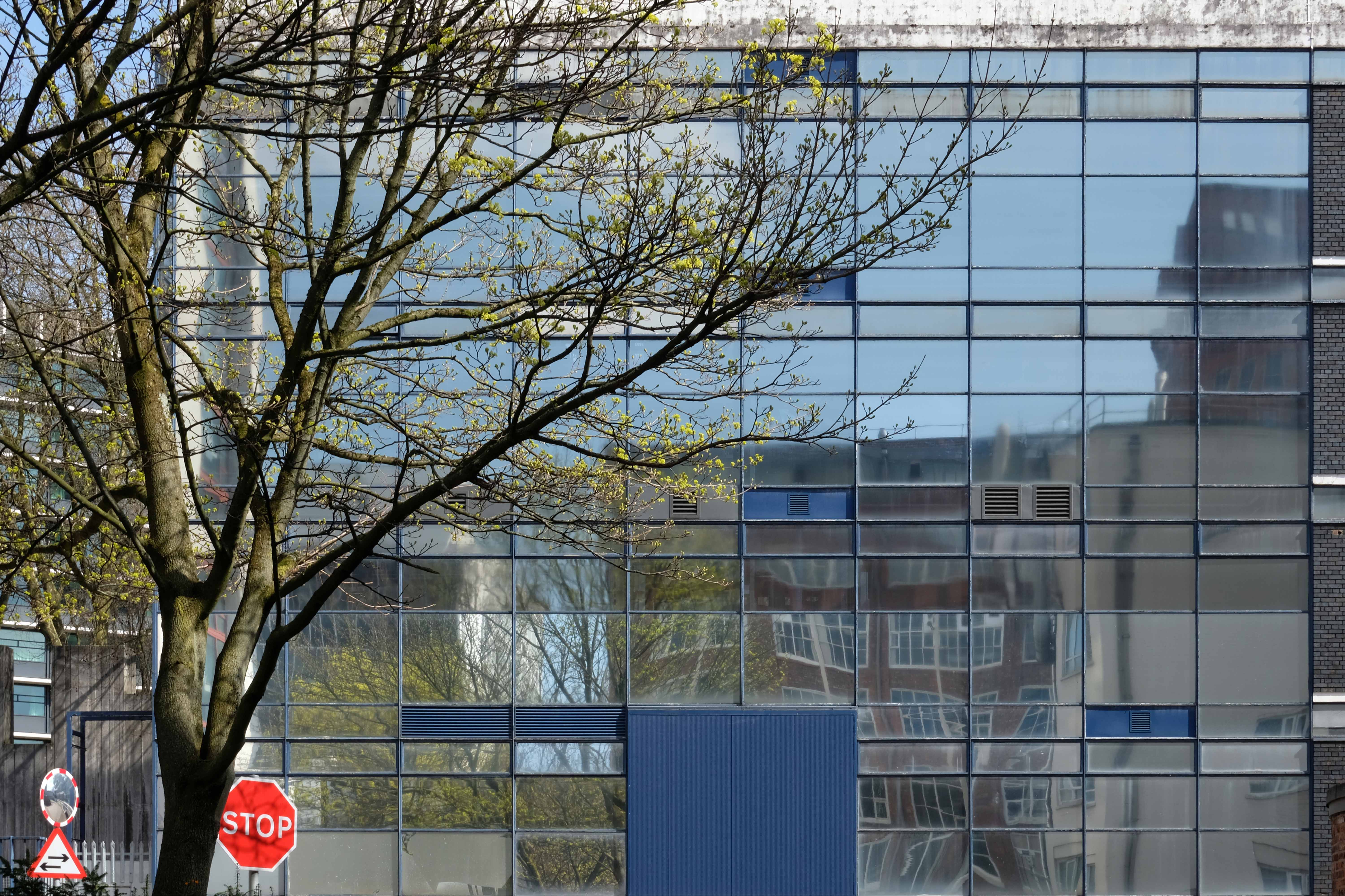
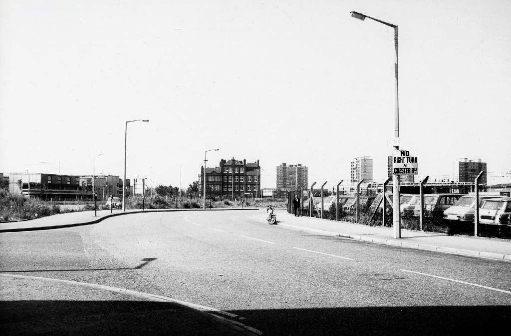
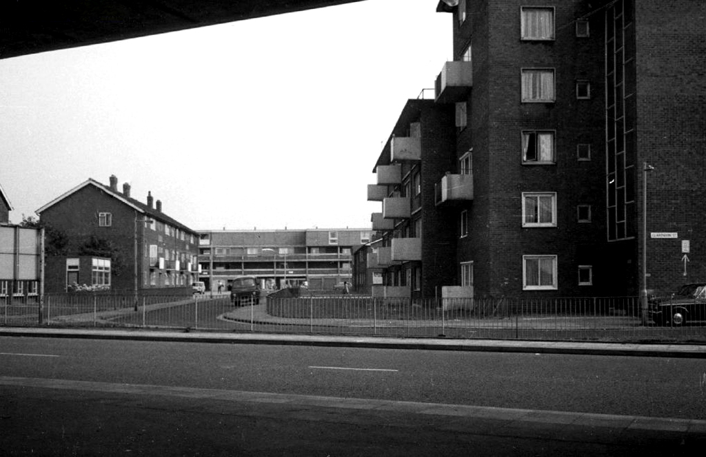
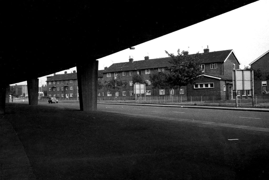
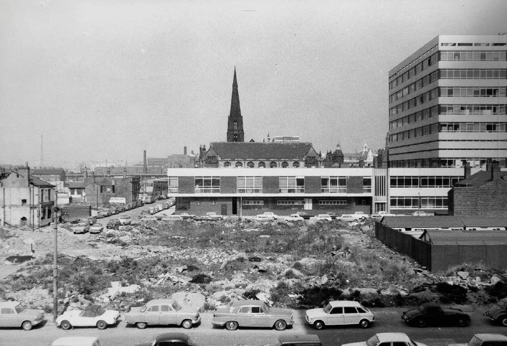
Extensive slum clearance in the nineteen sixties saw the area and its street names change, some erased forever in the new build.
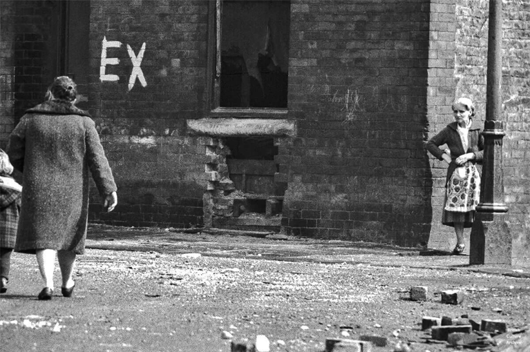
In Manchester, in a vast belt immediately outside the central area of the city, there still exist all too many remnants of a planless, knotted chaos of dark, dismal and crumbling homes. Many of these crossed the verge of uninhabit-ableness long before their most elderly inhabitants were born.
As recorded by photographer Roger Shelley.
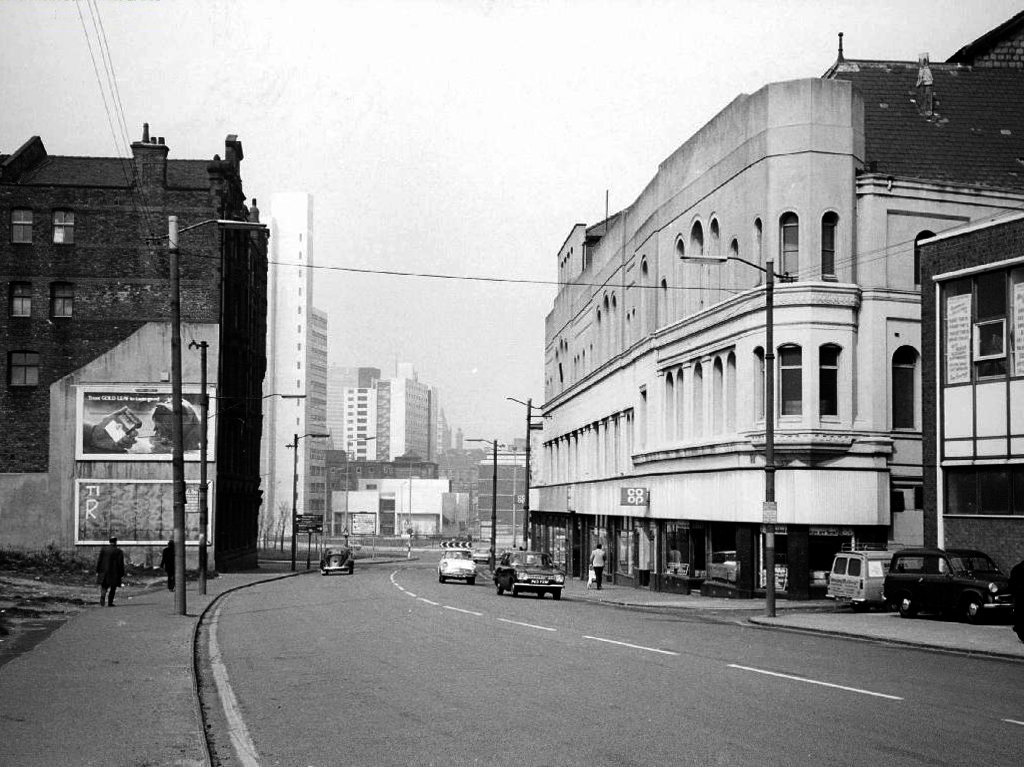
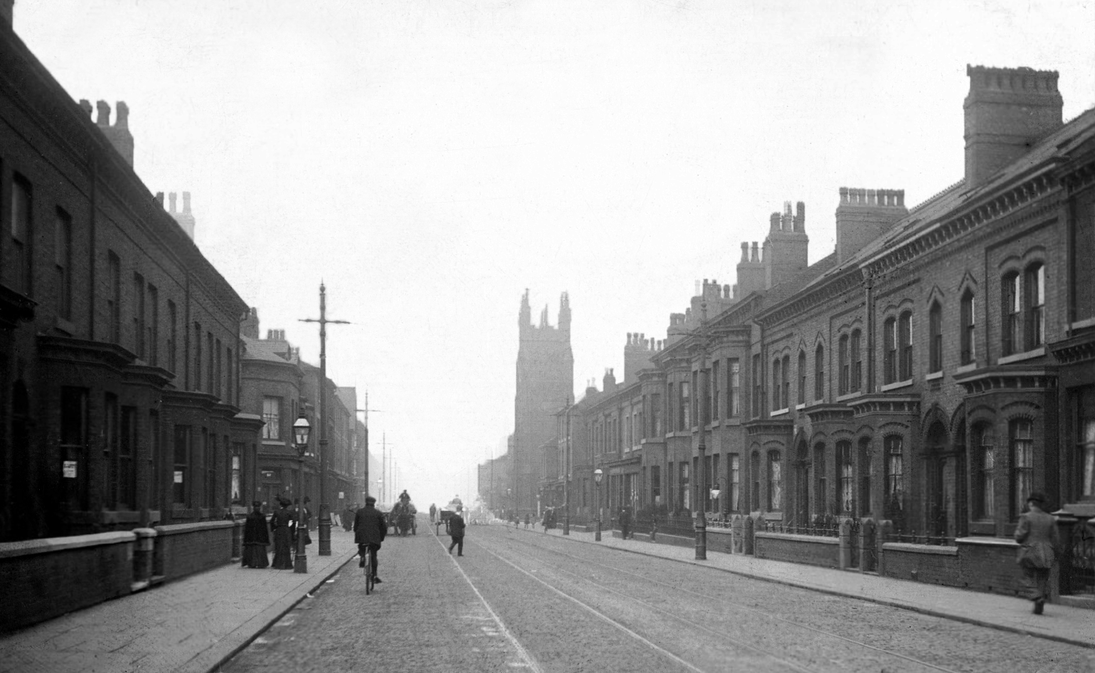
Brunswick Street 1904.
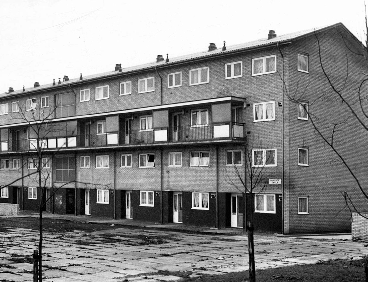
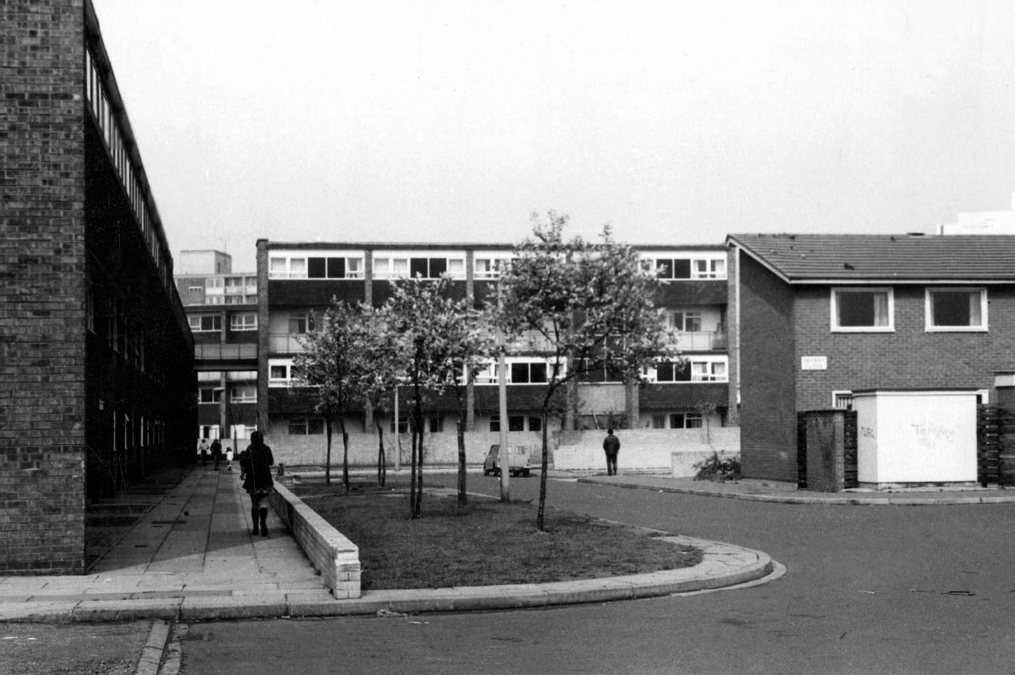
Mancroft Walk W Higham 1969
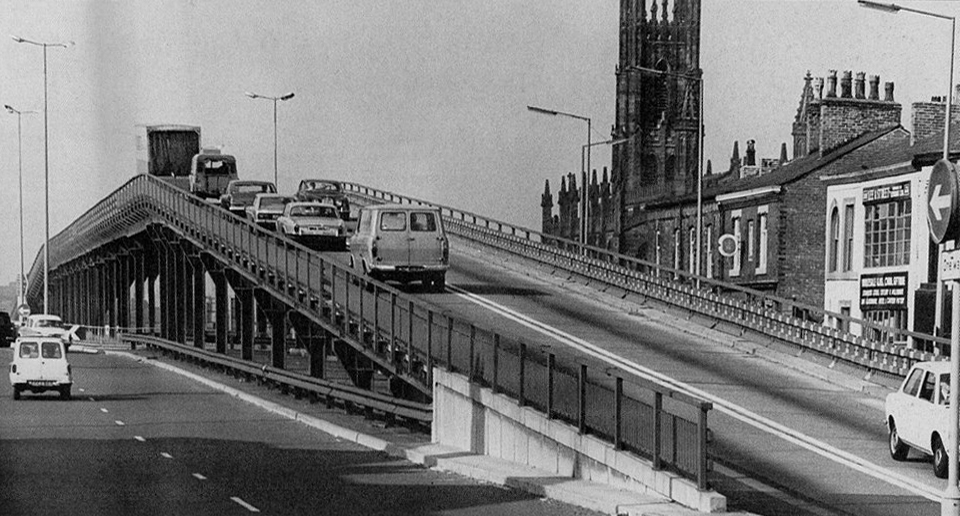
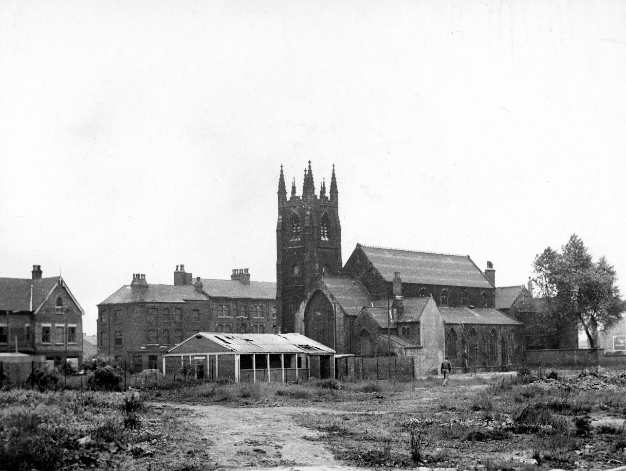
St Paul’s and St Luke’s Brunswick Street W Higham 1970
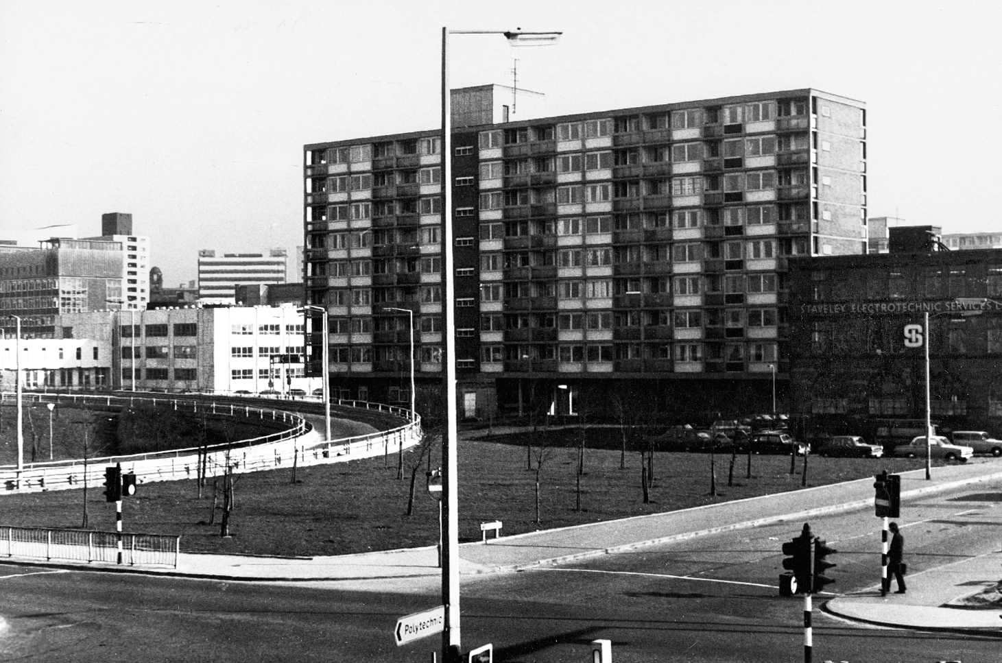
Lamport Court W Higham 1970
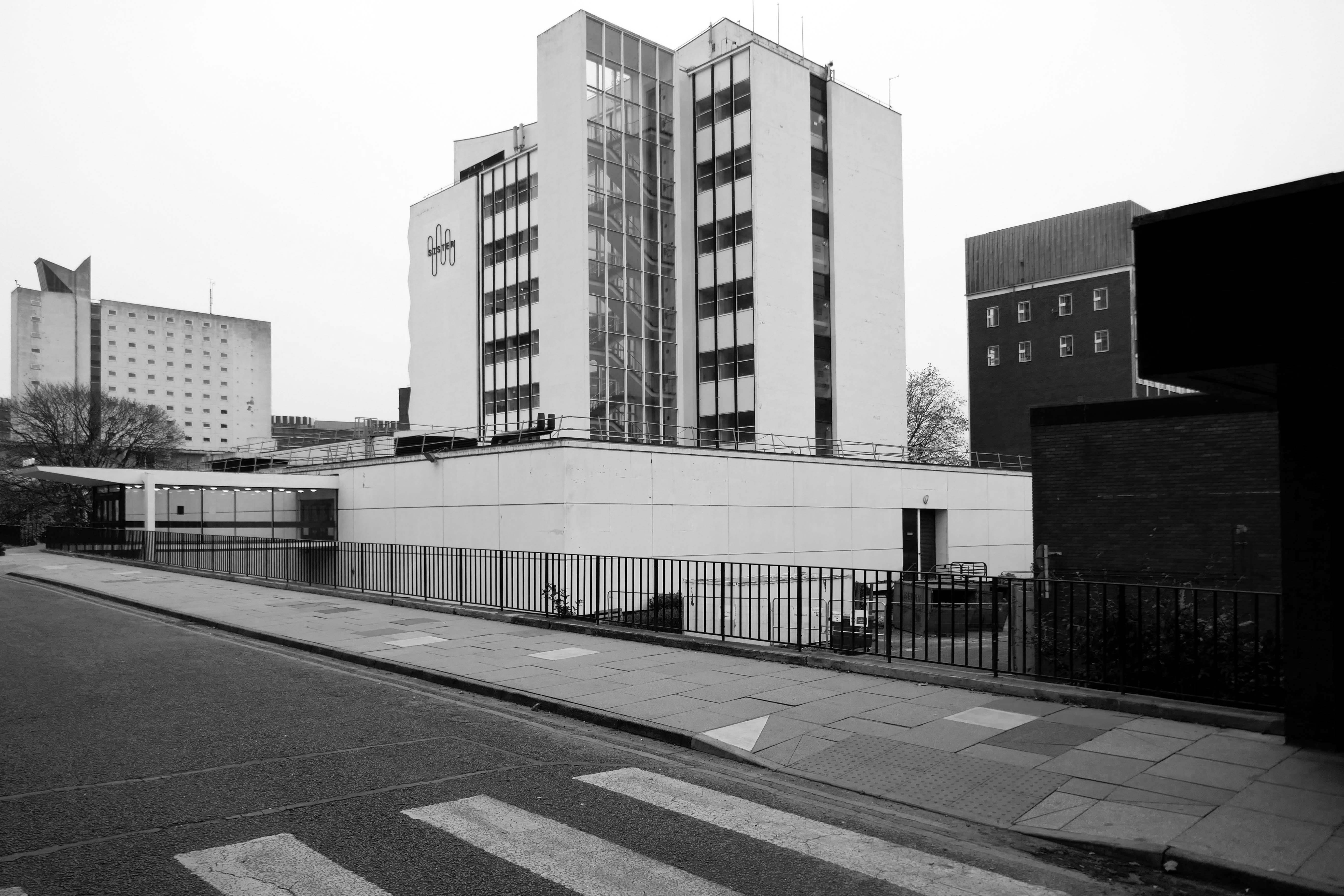
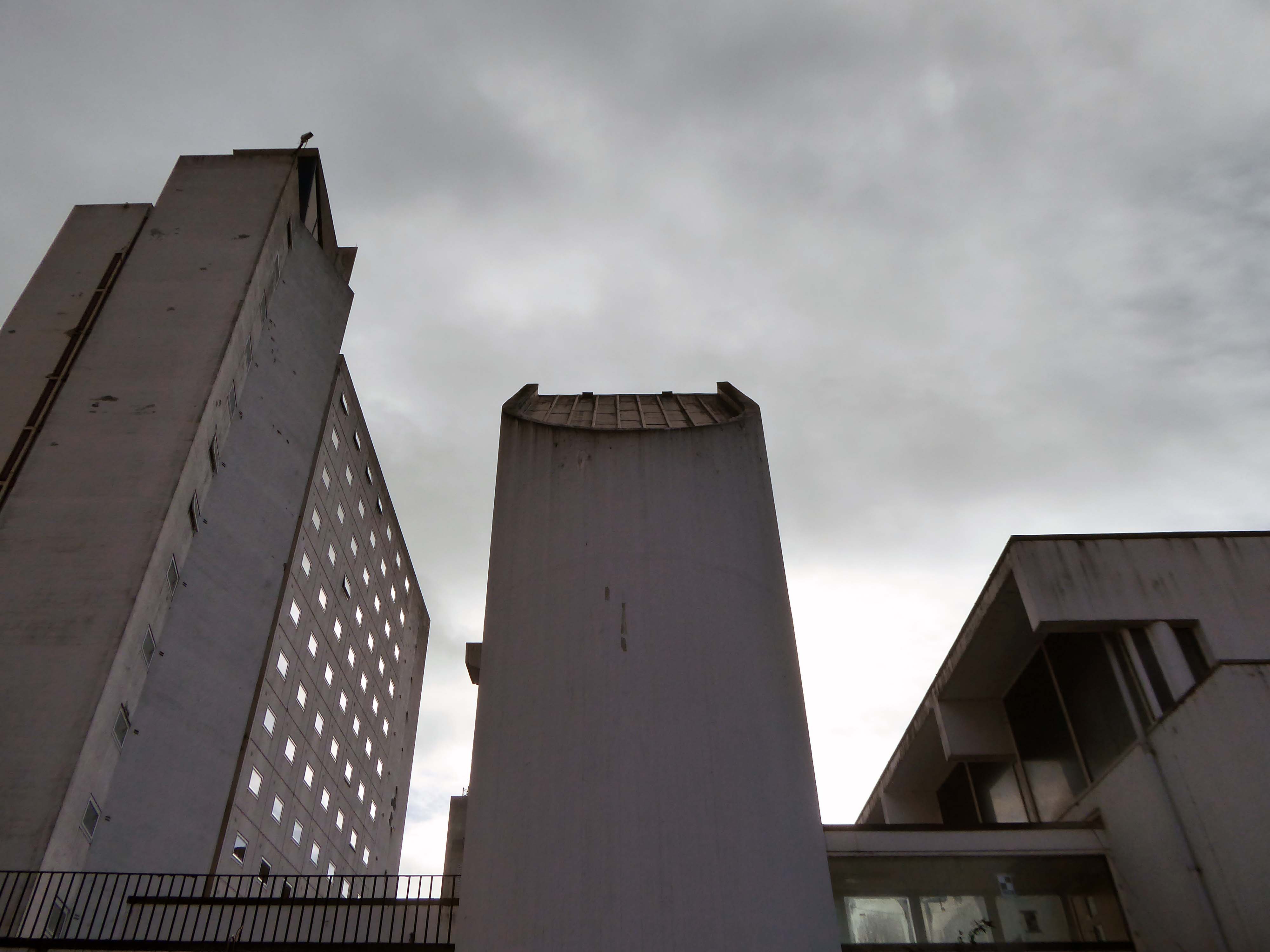
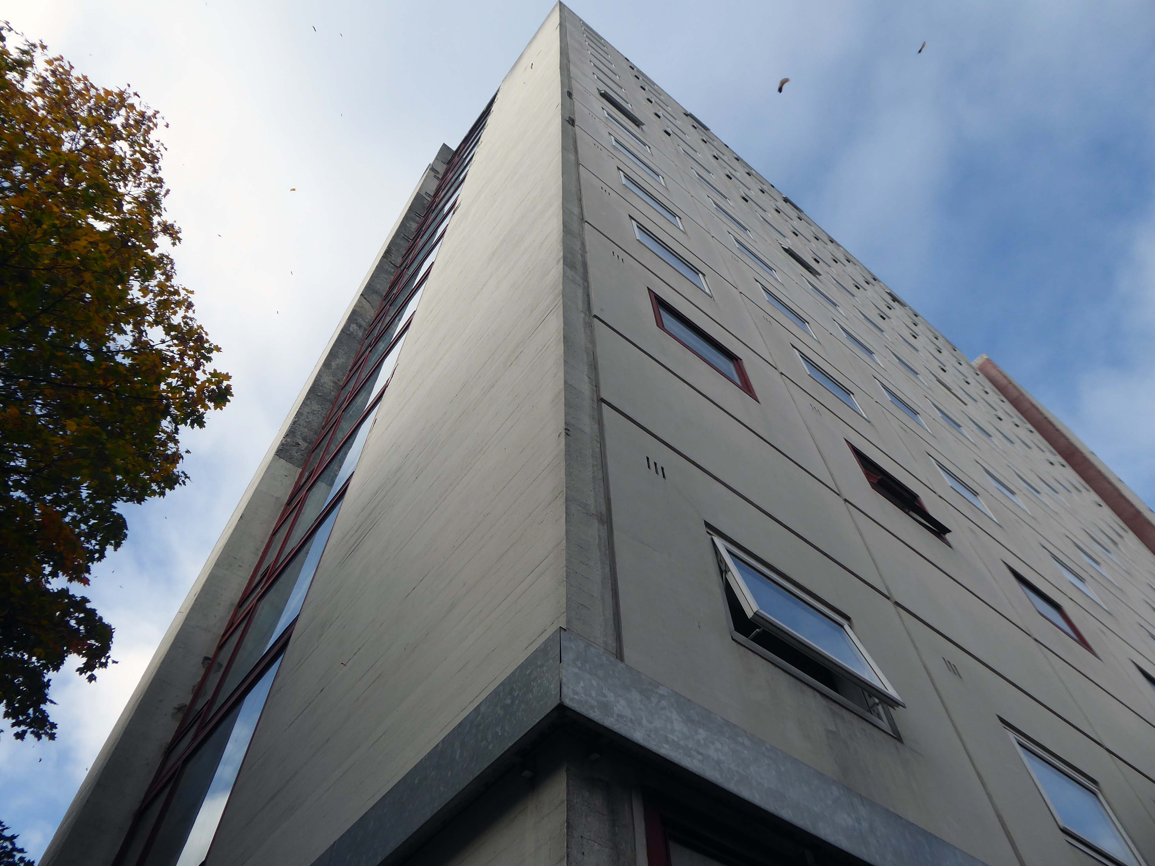
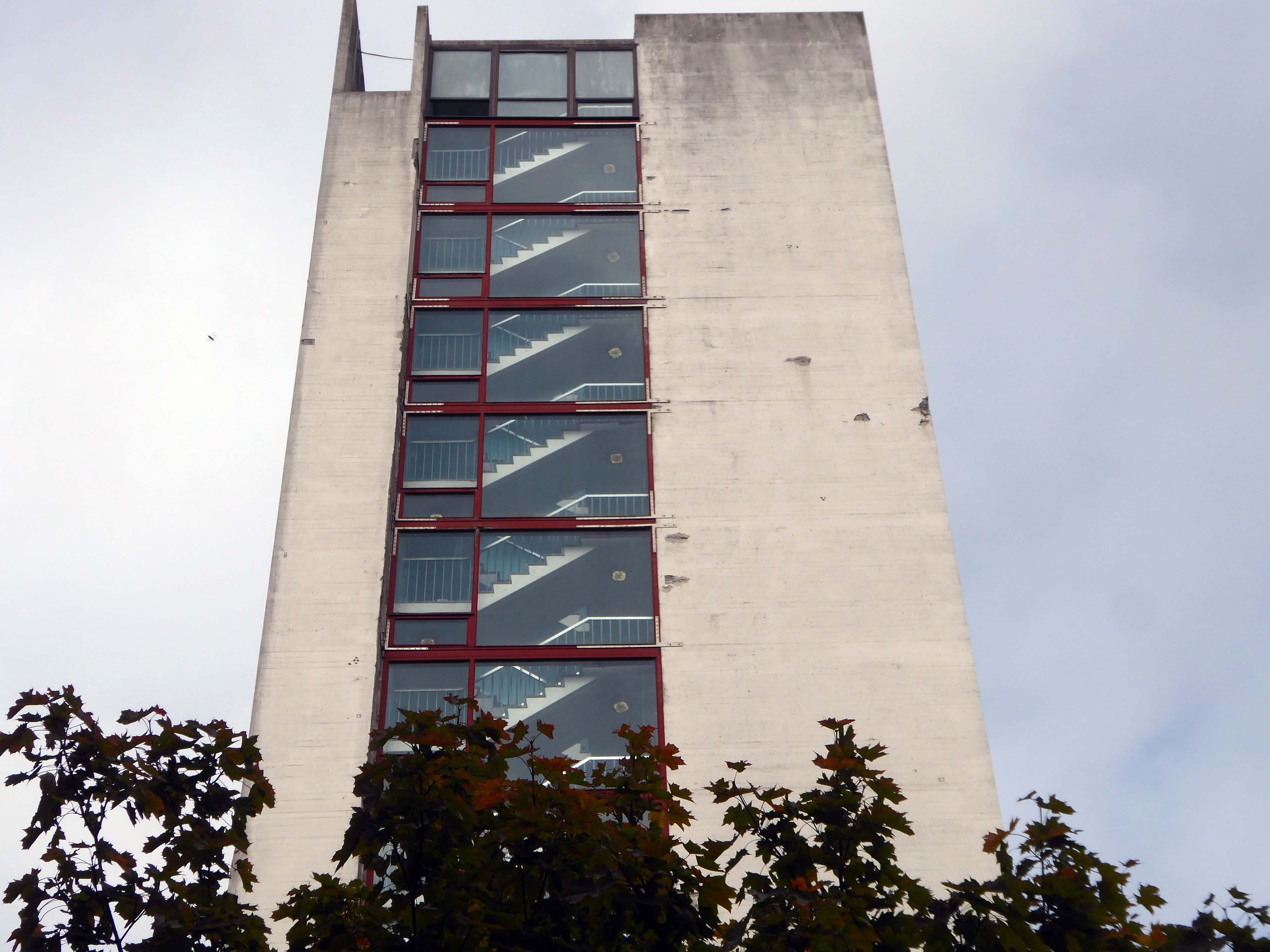
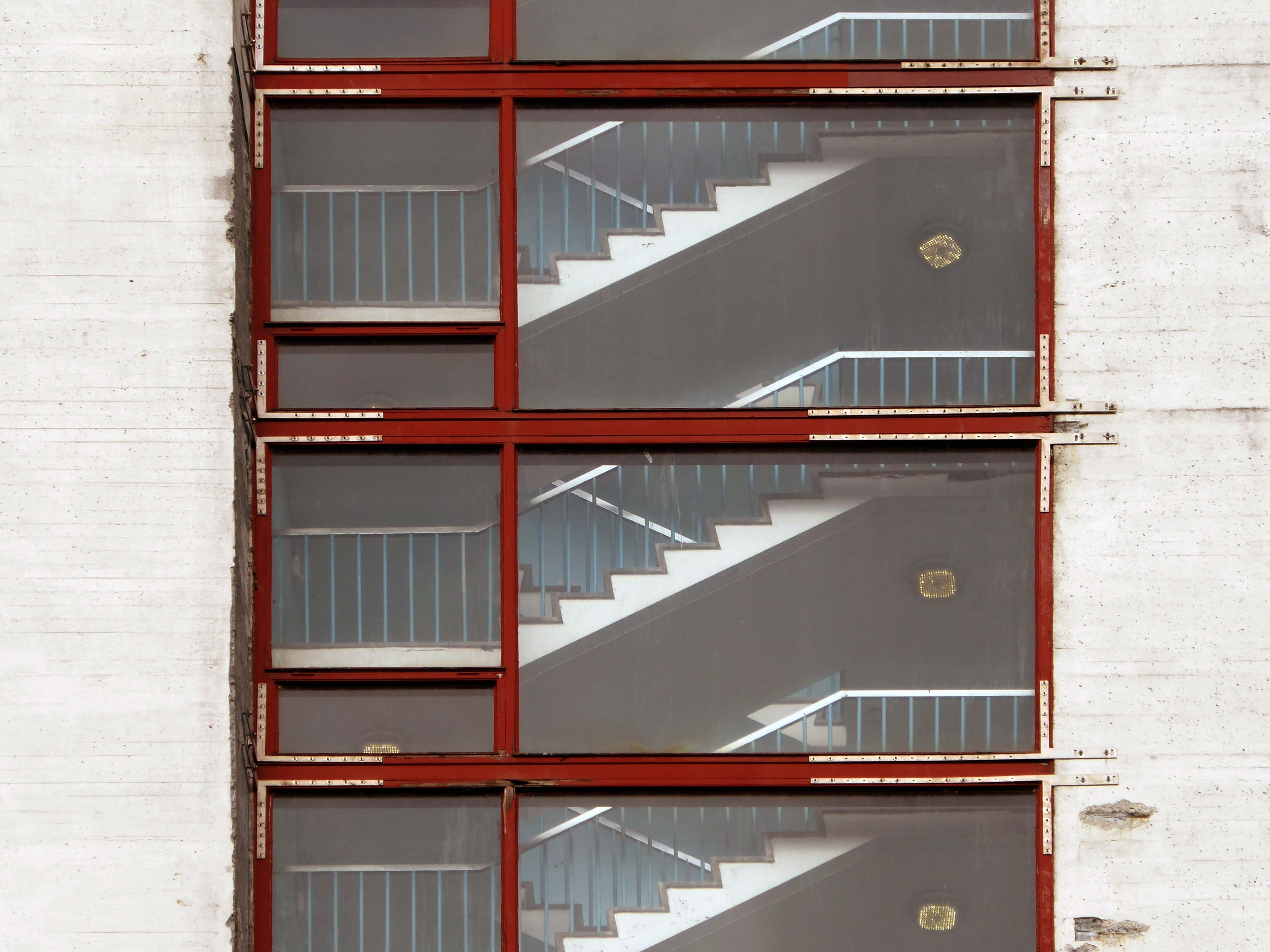
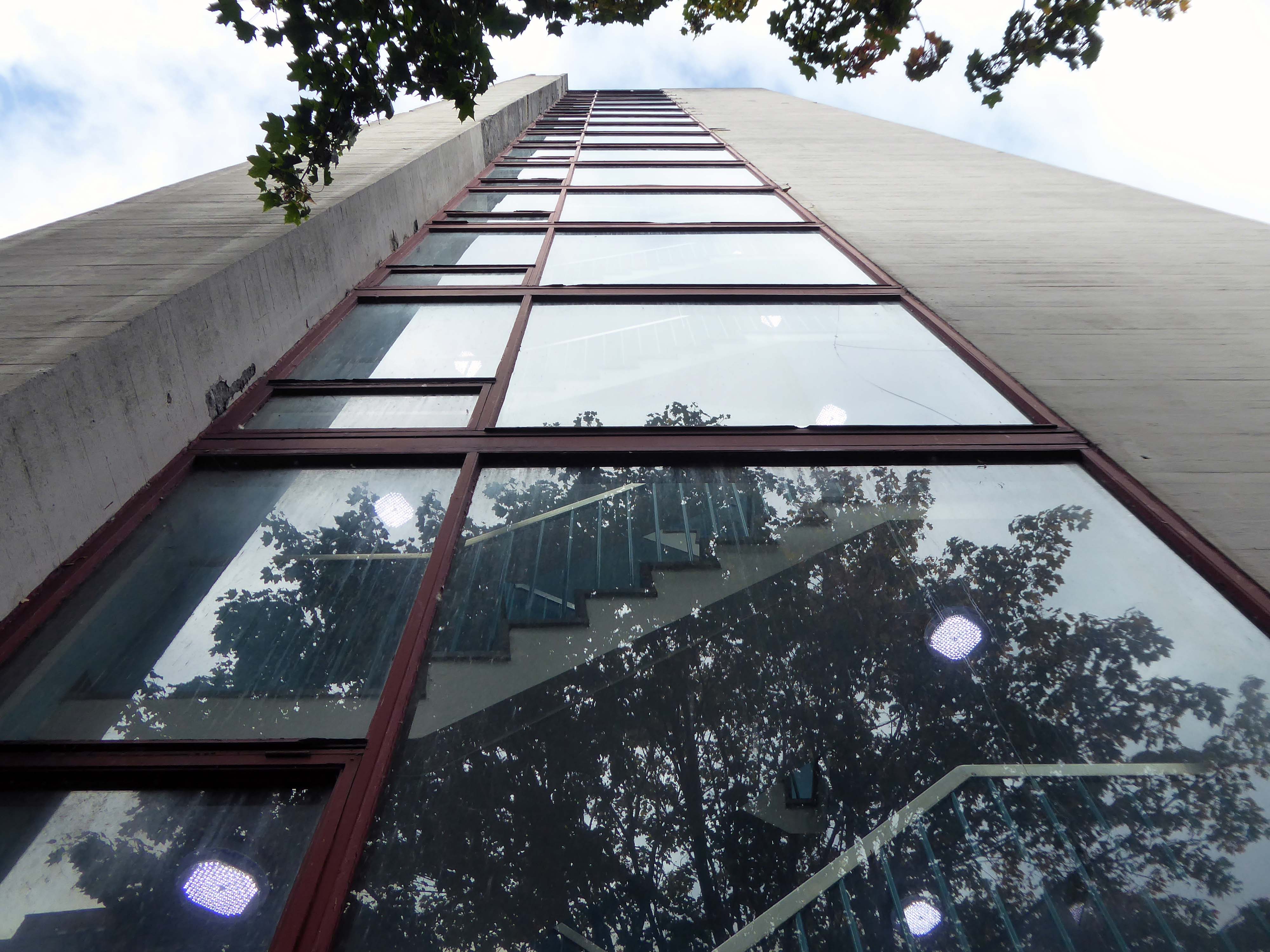
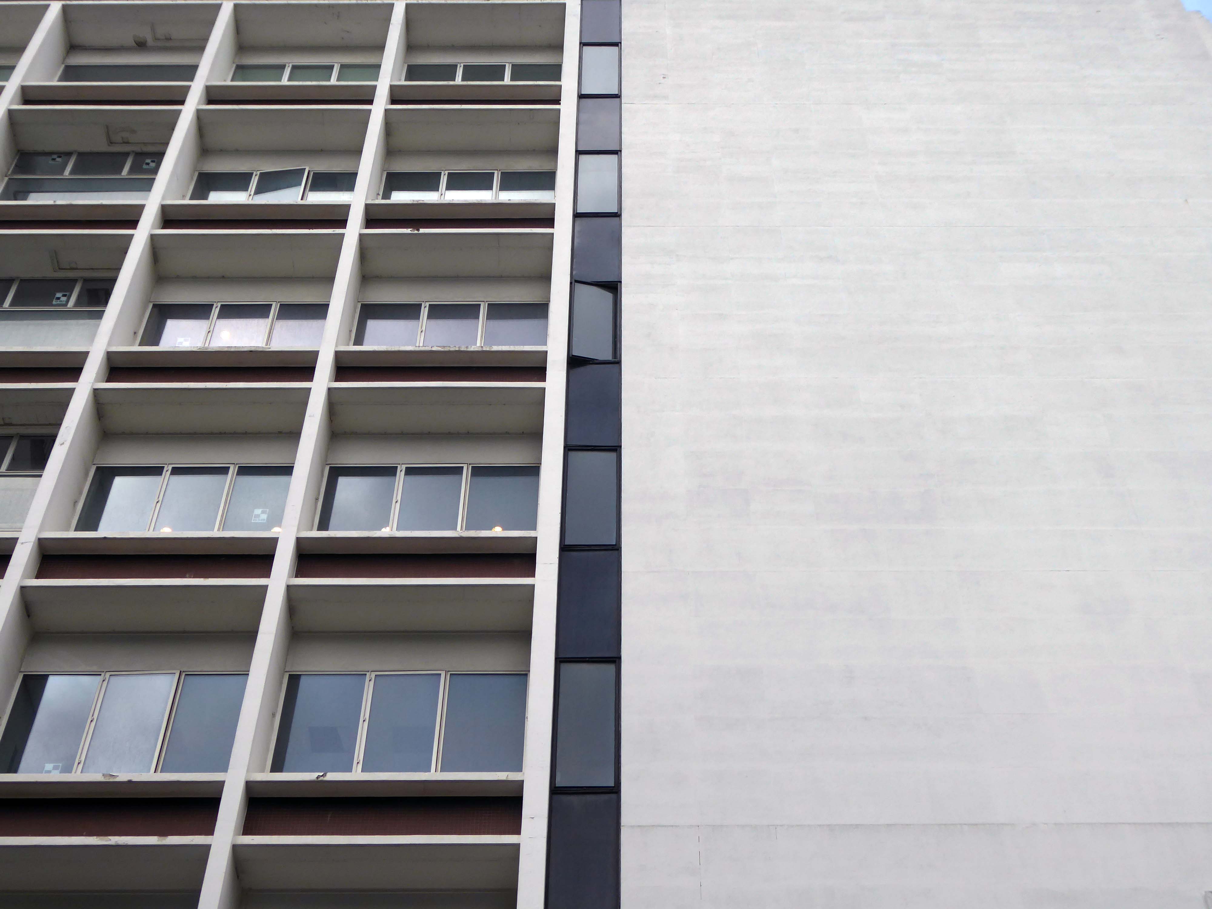
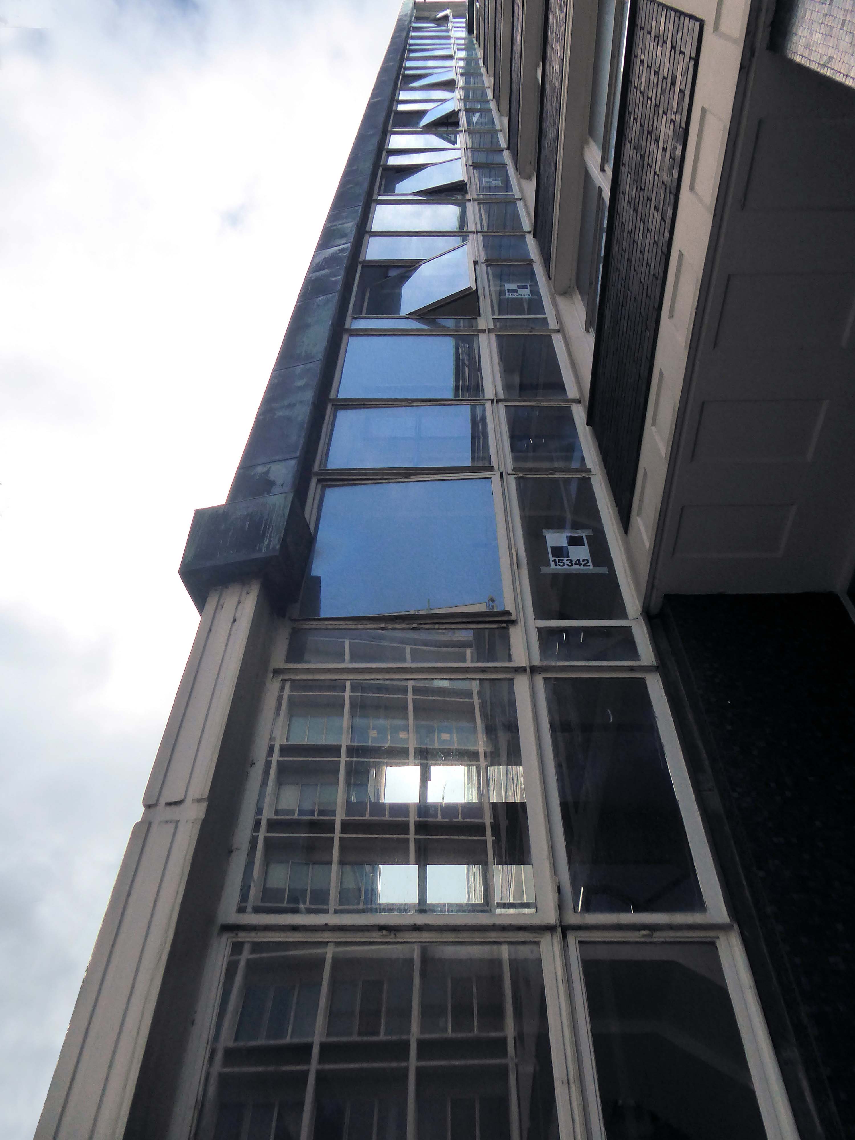
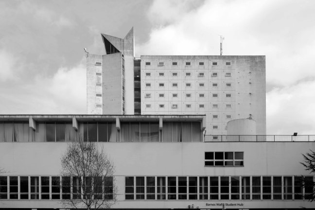
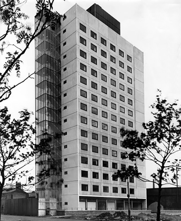
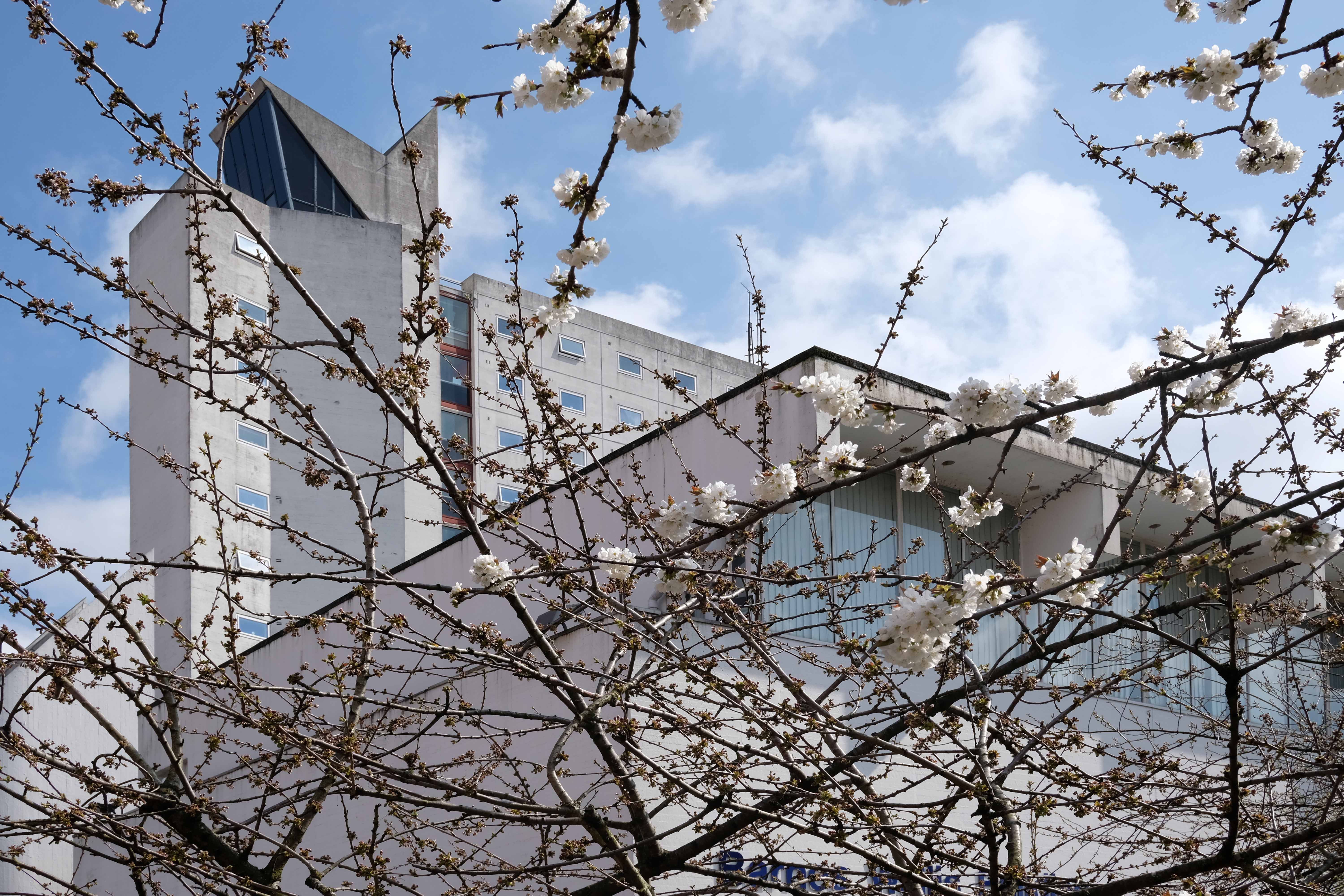
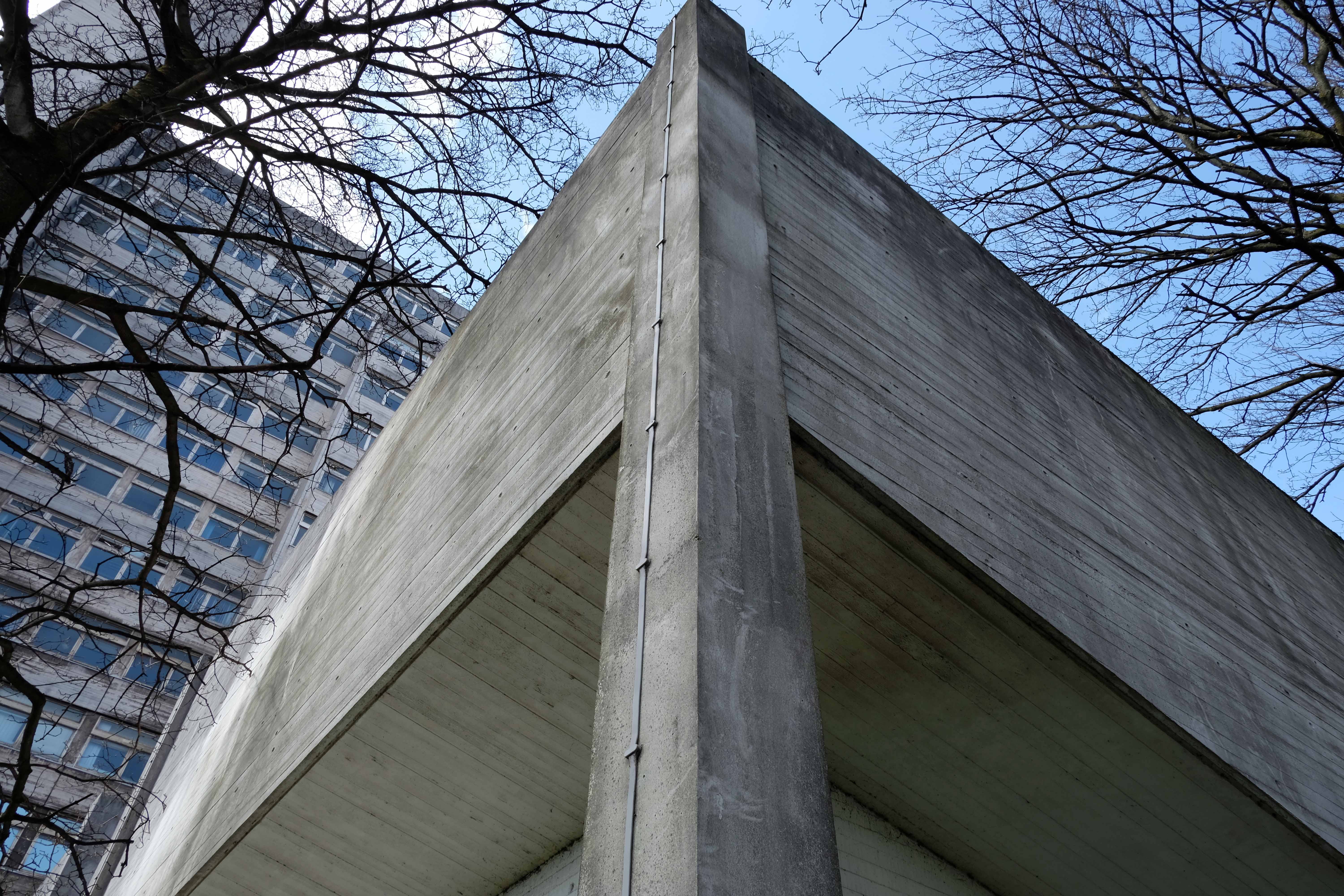
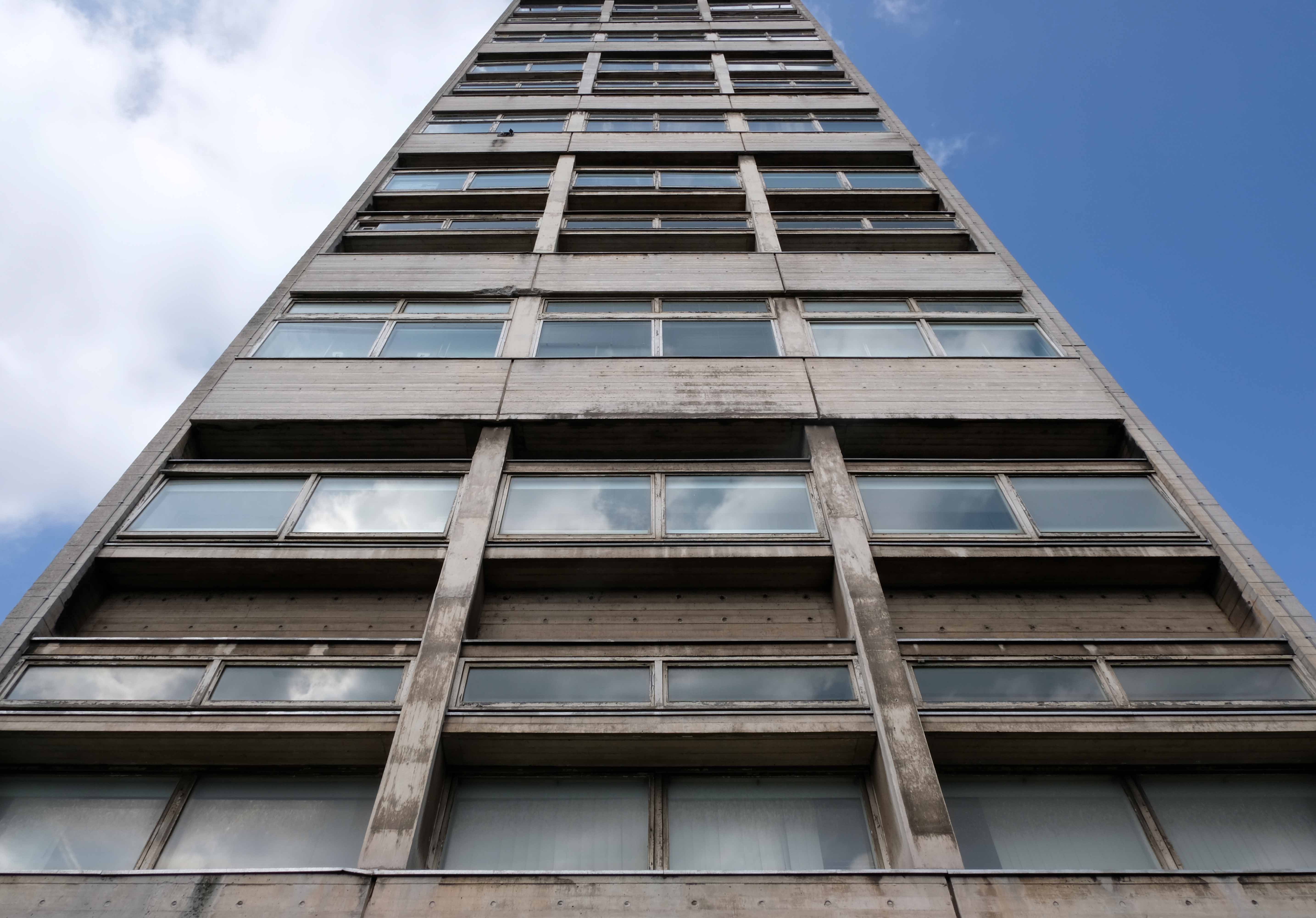
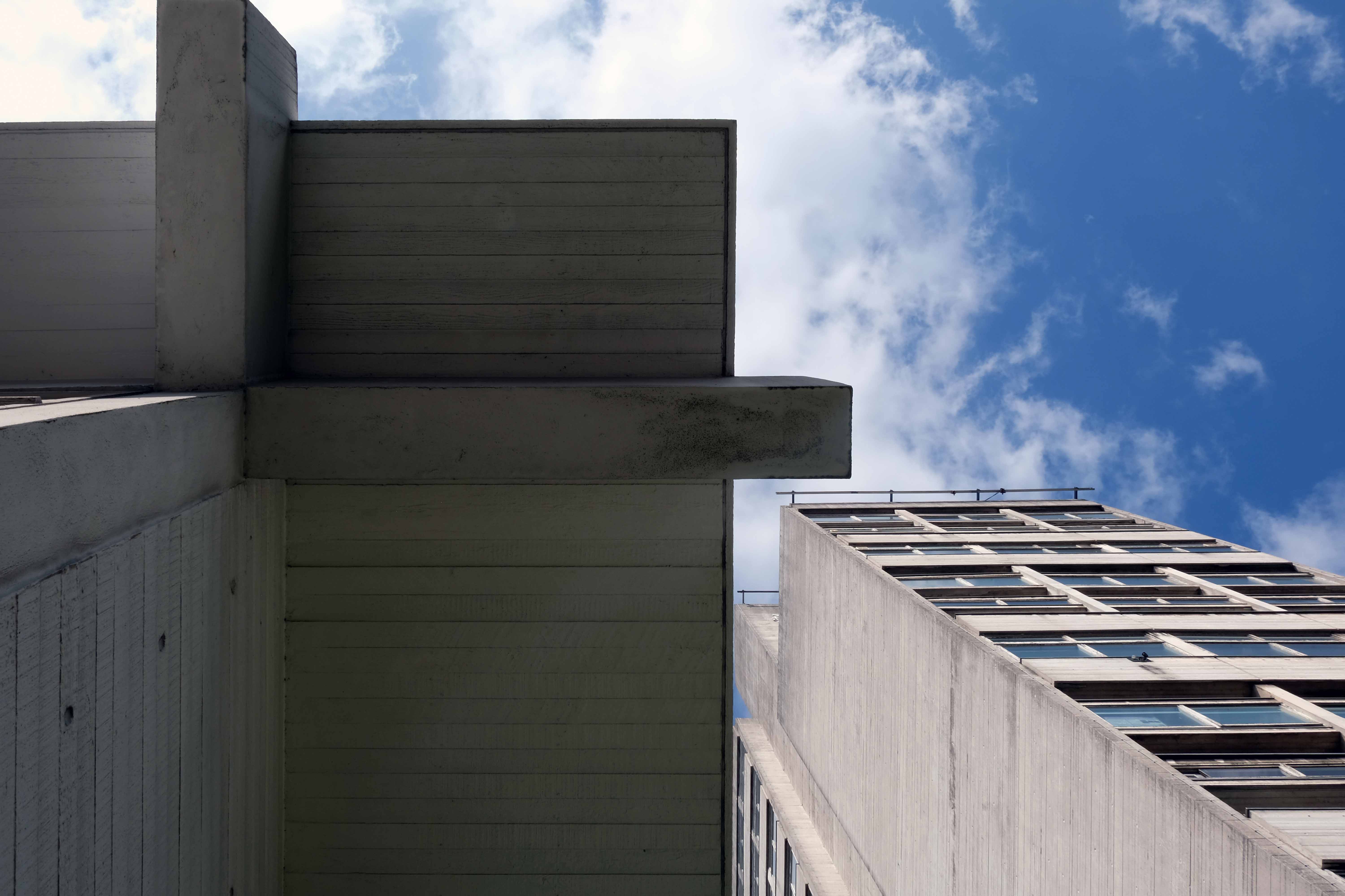
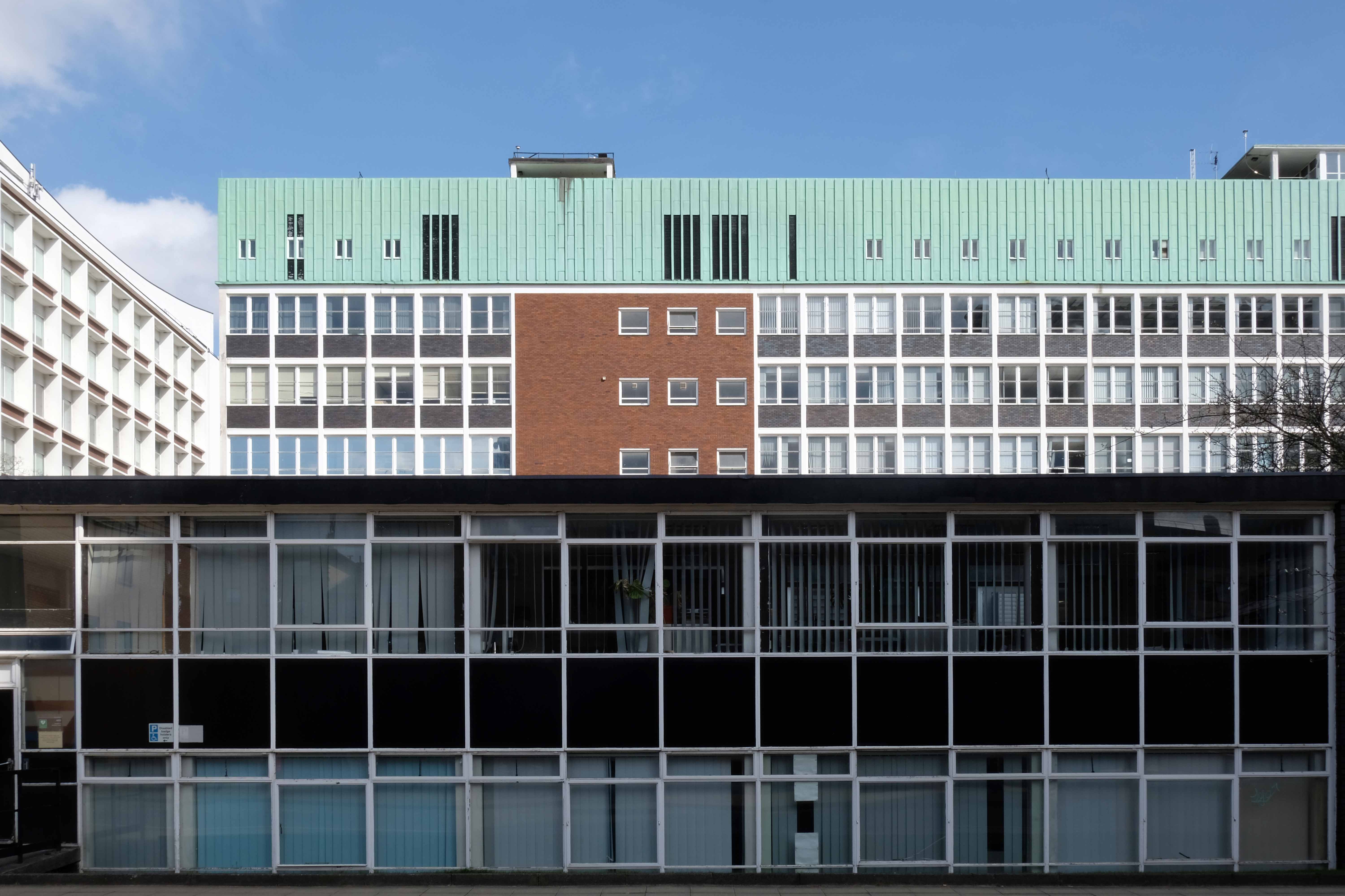
One of three nine-storey blocks, containing two hundred and nineteen dwellings; also including Silkin Court and Lockton Court.
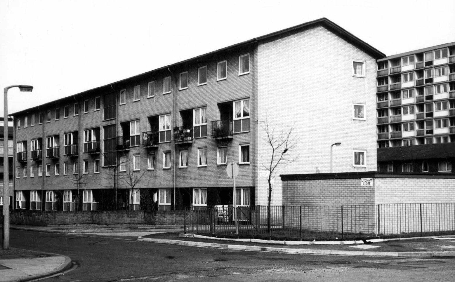
Litcham Close W Higham 1970
Harry Milligan 1903 – 1986 worked as the photographer at Manchester Central Library until his retirement in around 1968. He was instrumental in setting up the Manchester Region Industrial Archaeology Society in 1965. He volunteered at the North Western Museum of Science and Industry from 1968, assisting with reprographics requests. His knowledge of the history of photography in Manchester and the UK led to him taking on the role of Honorary Curator of Photography at the museum.
These are his photographs taken from the Manchester Local Image Collection.
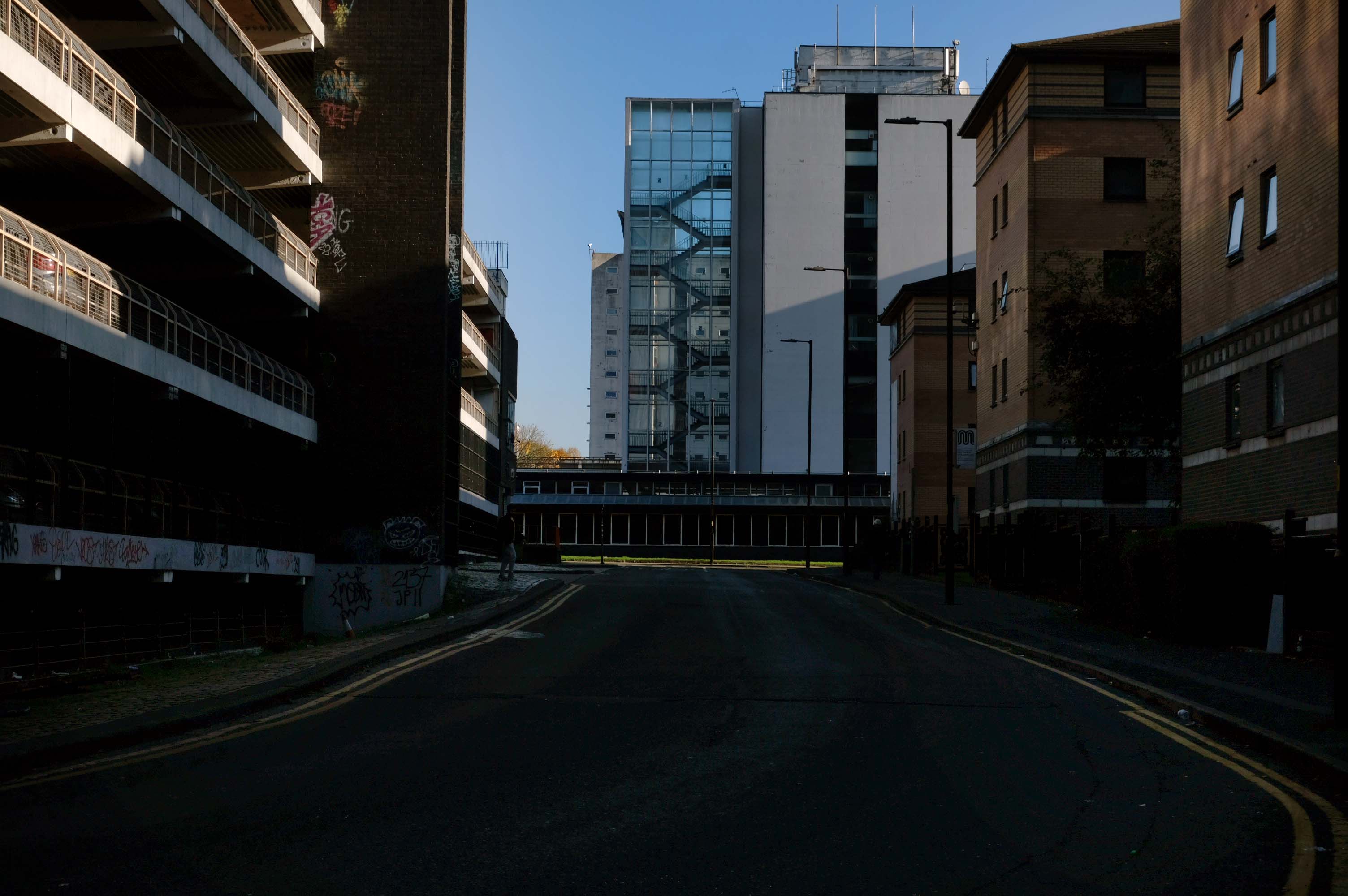
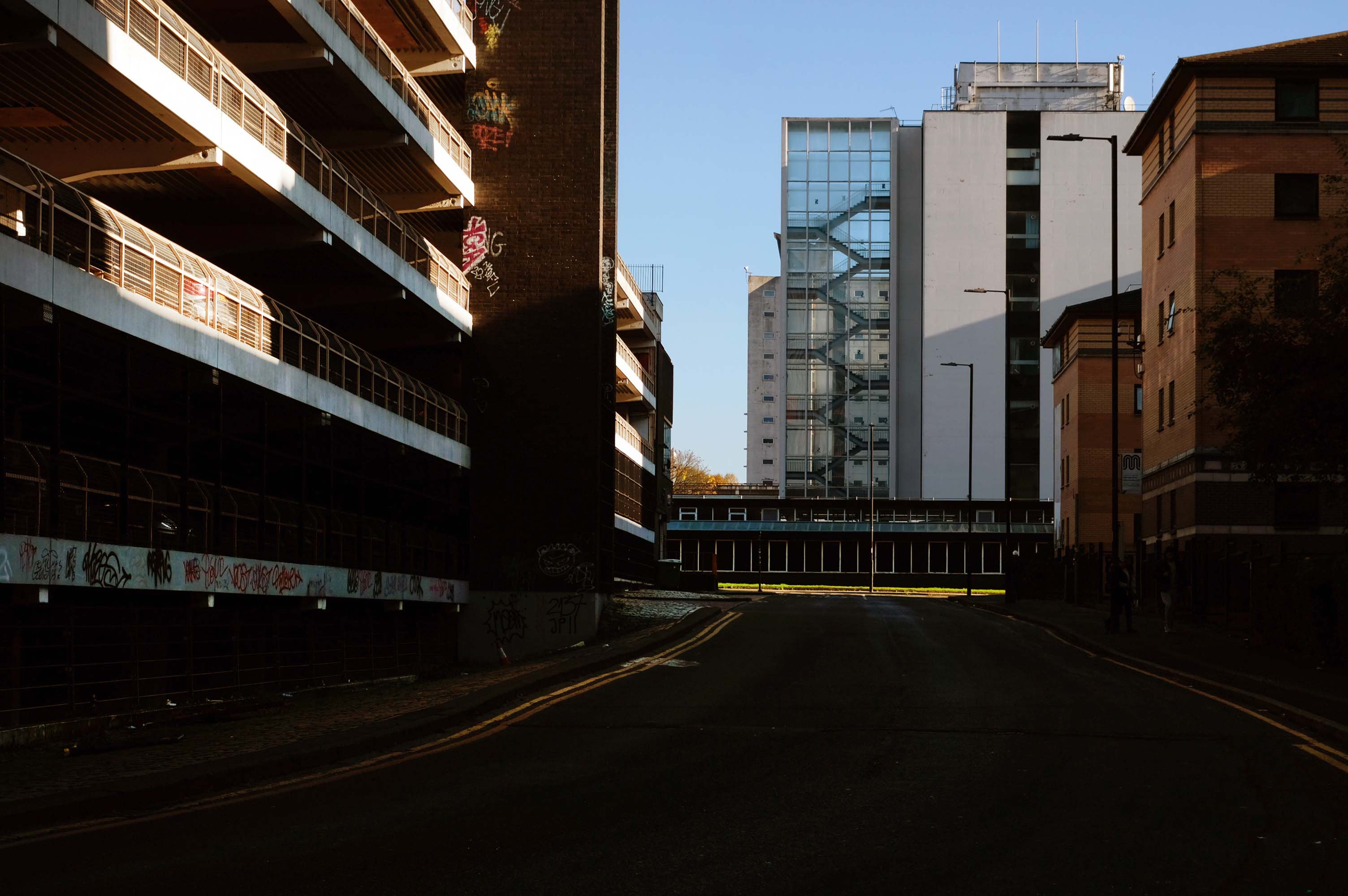
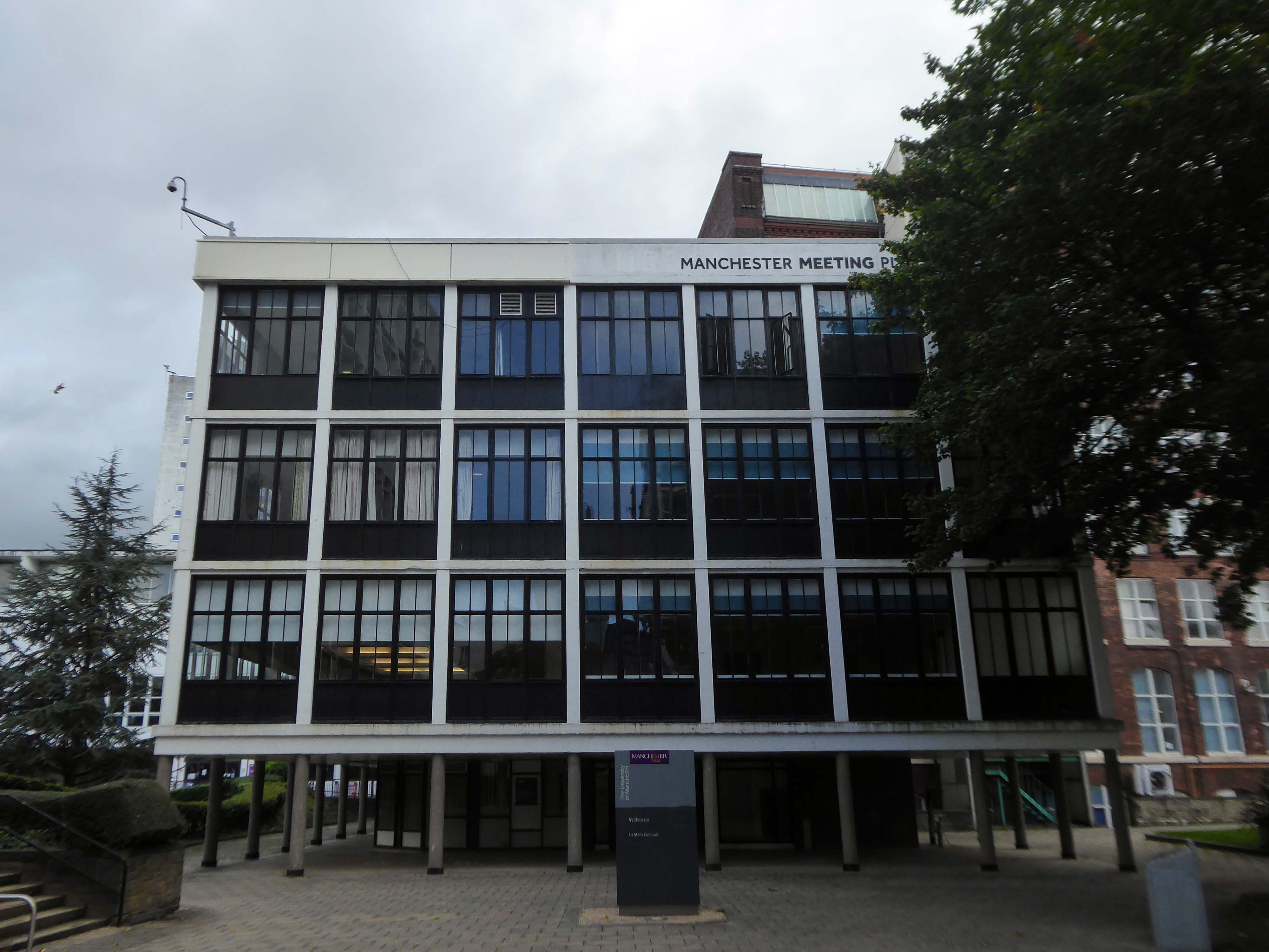
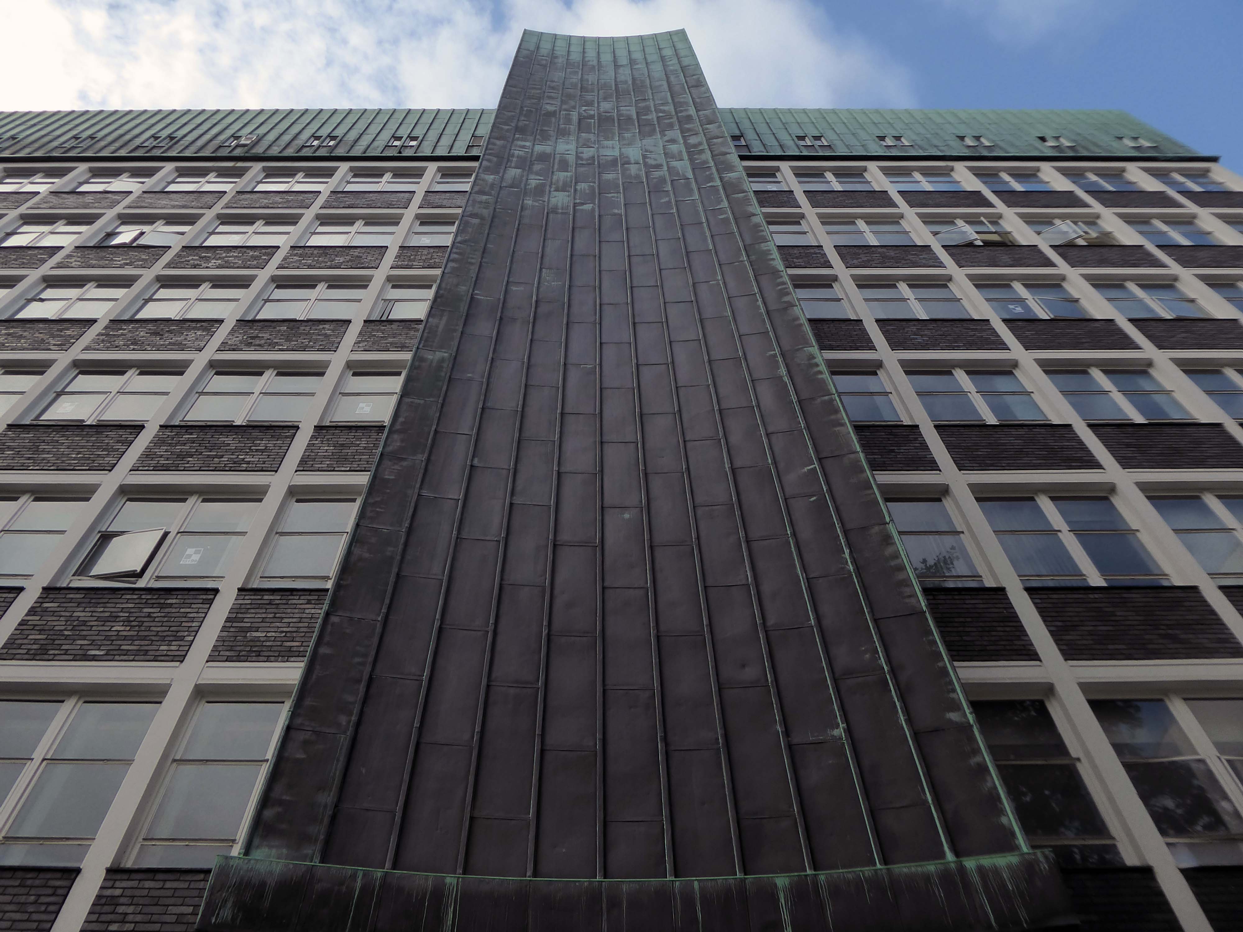
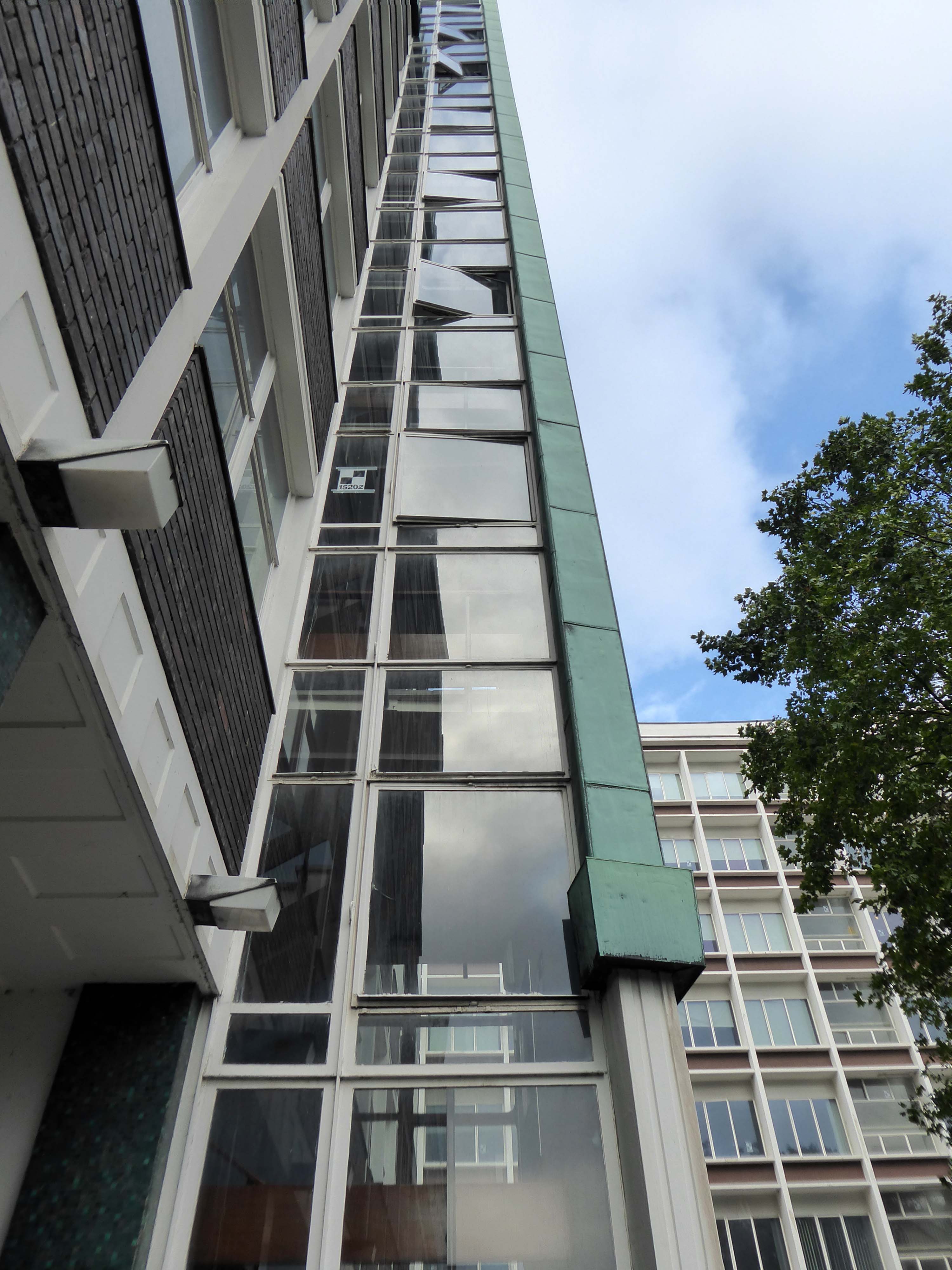
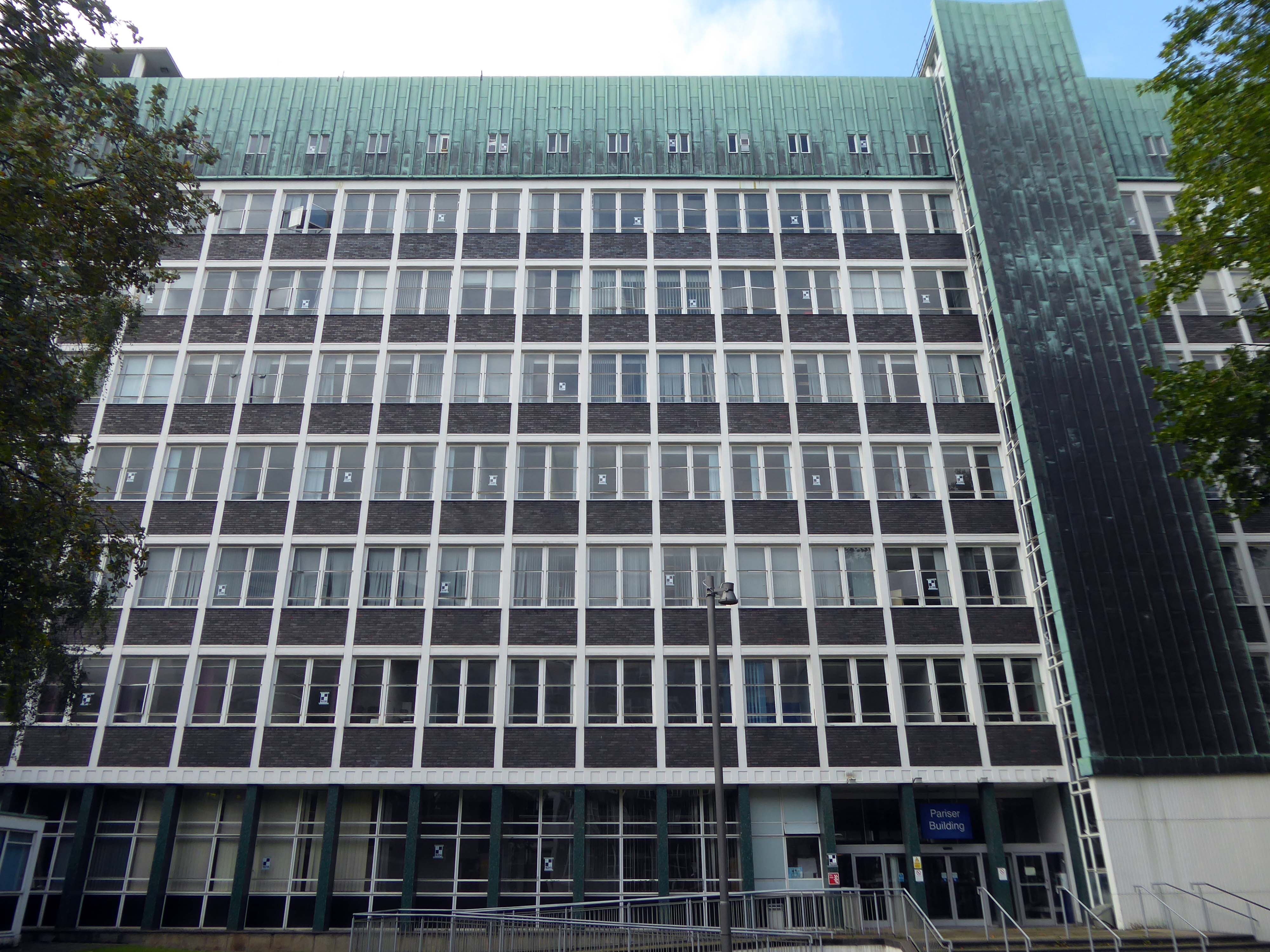
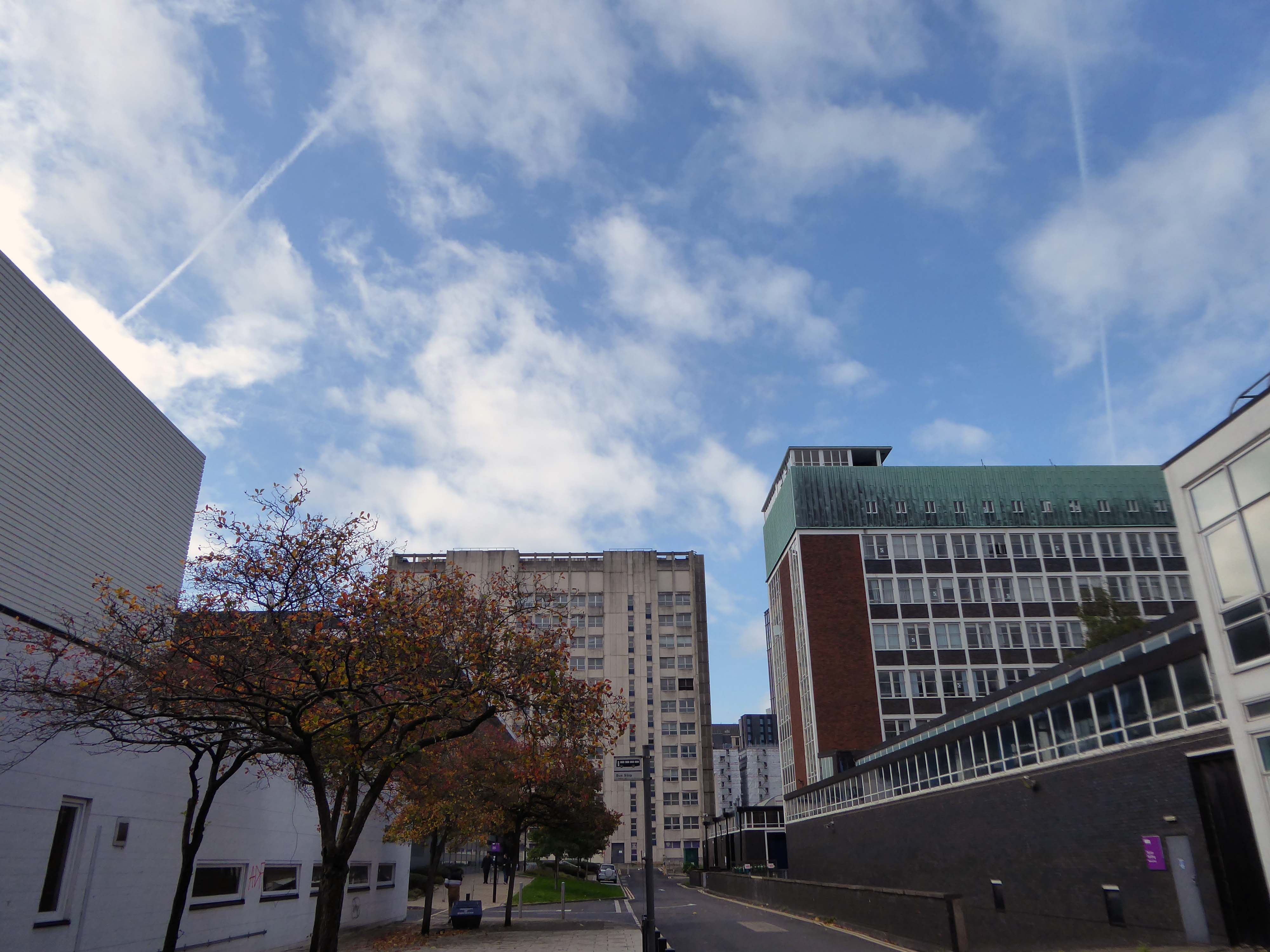
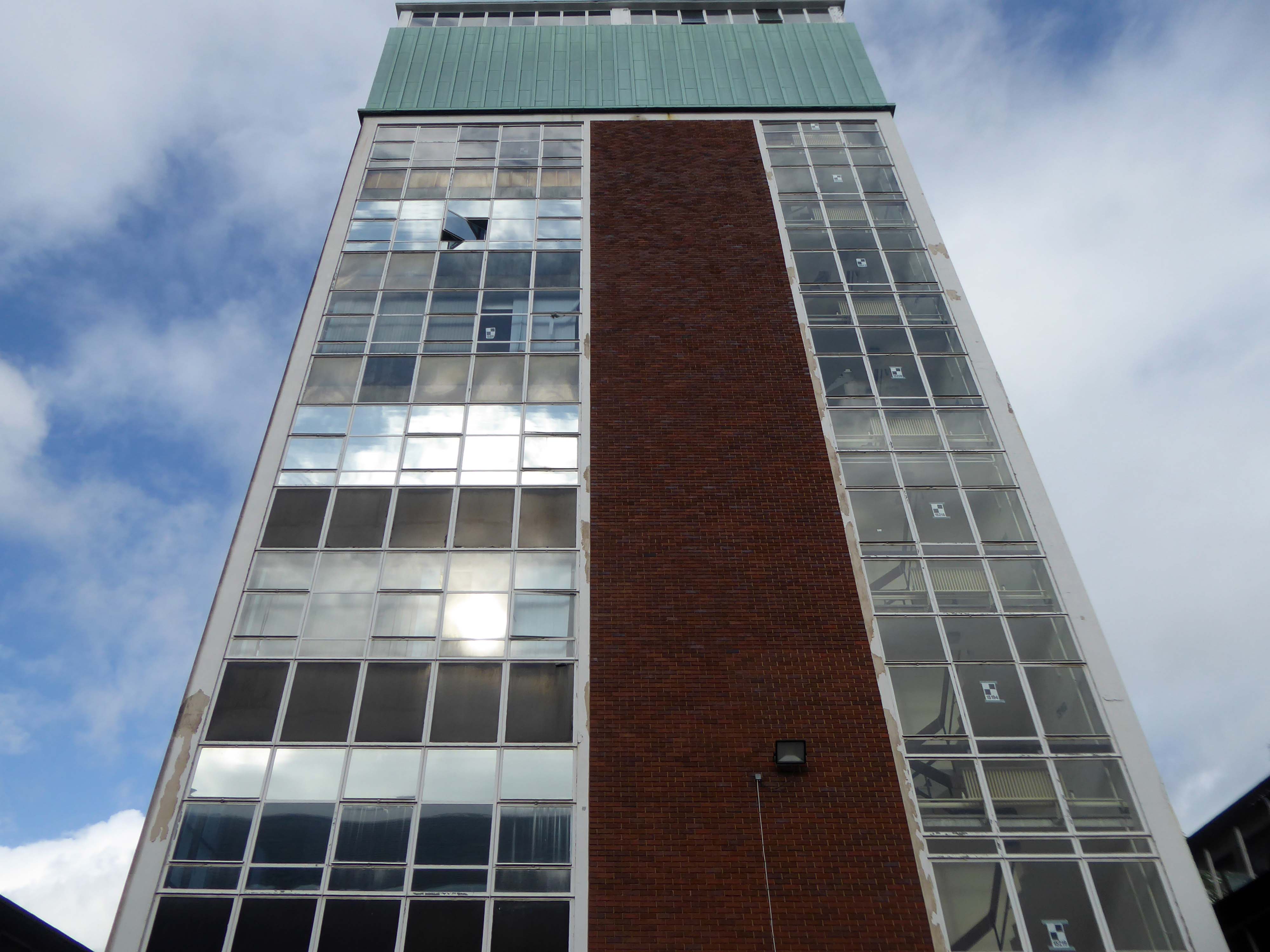
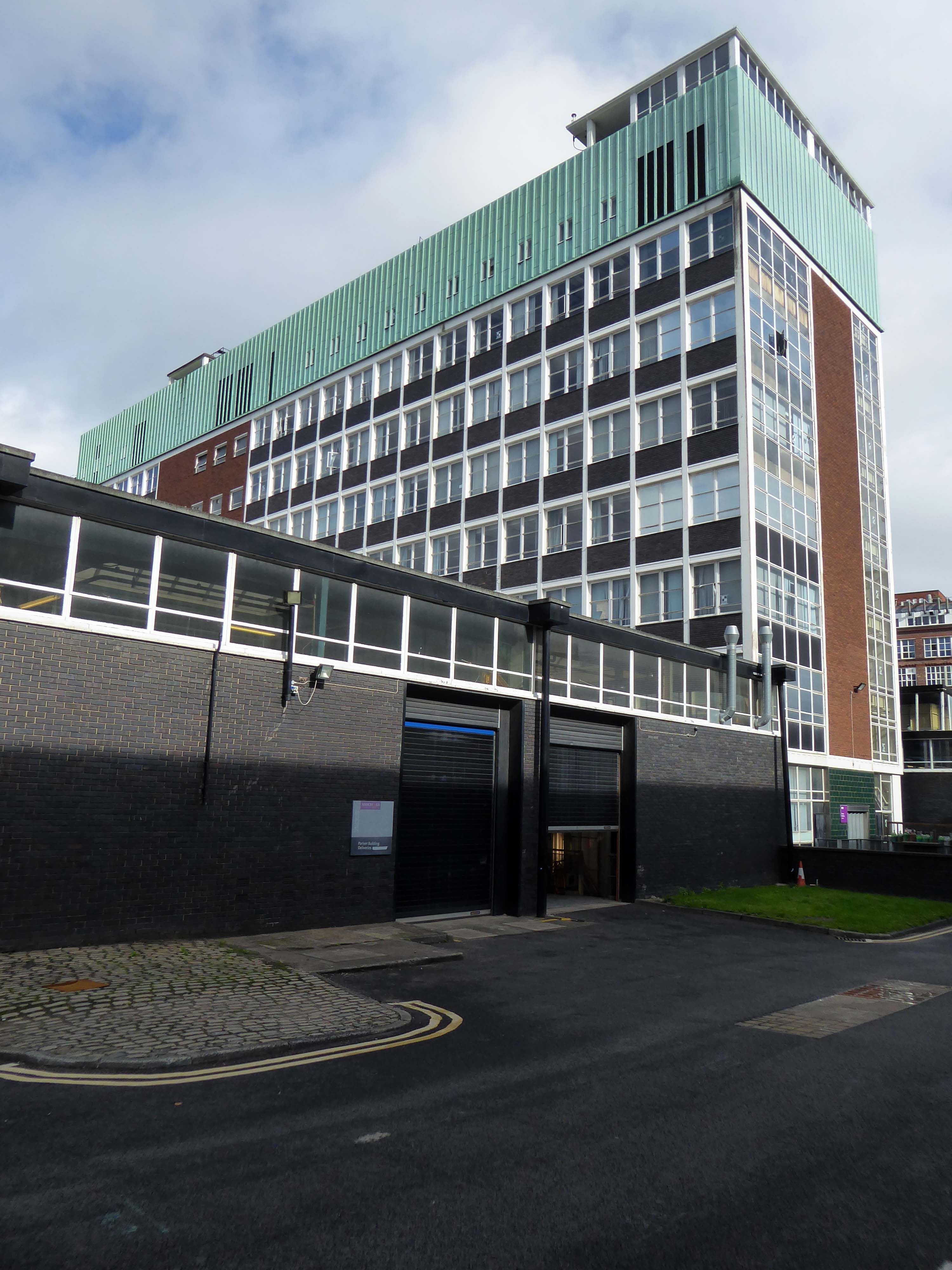
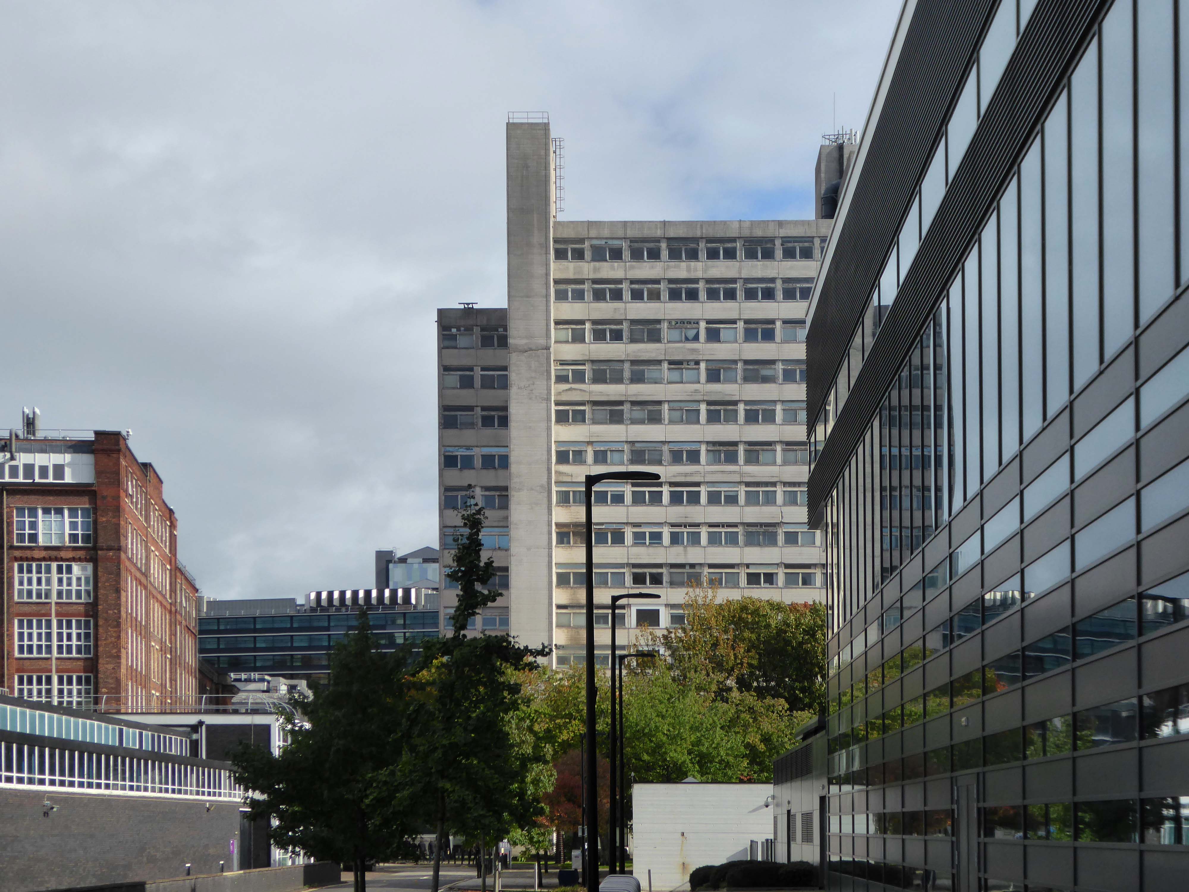
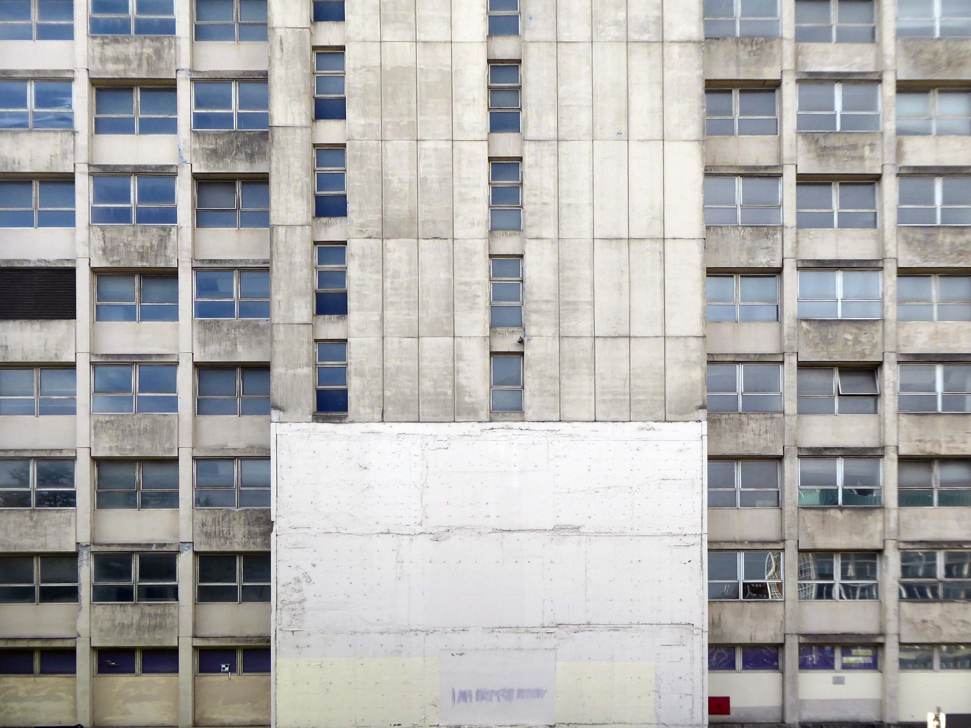
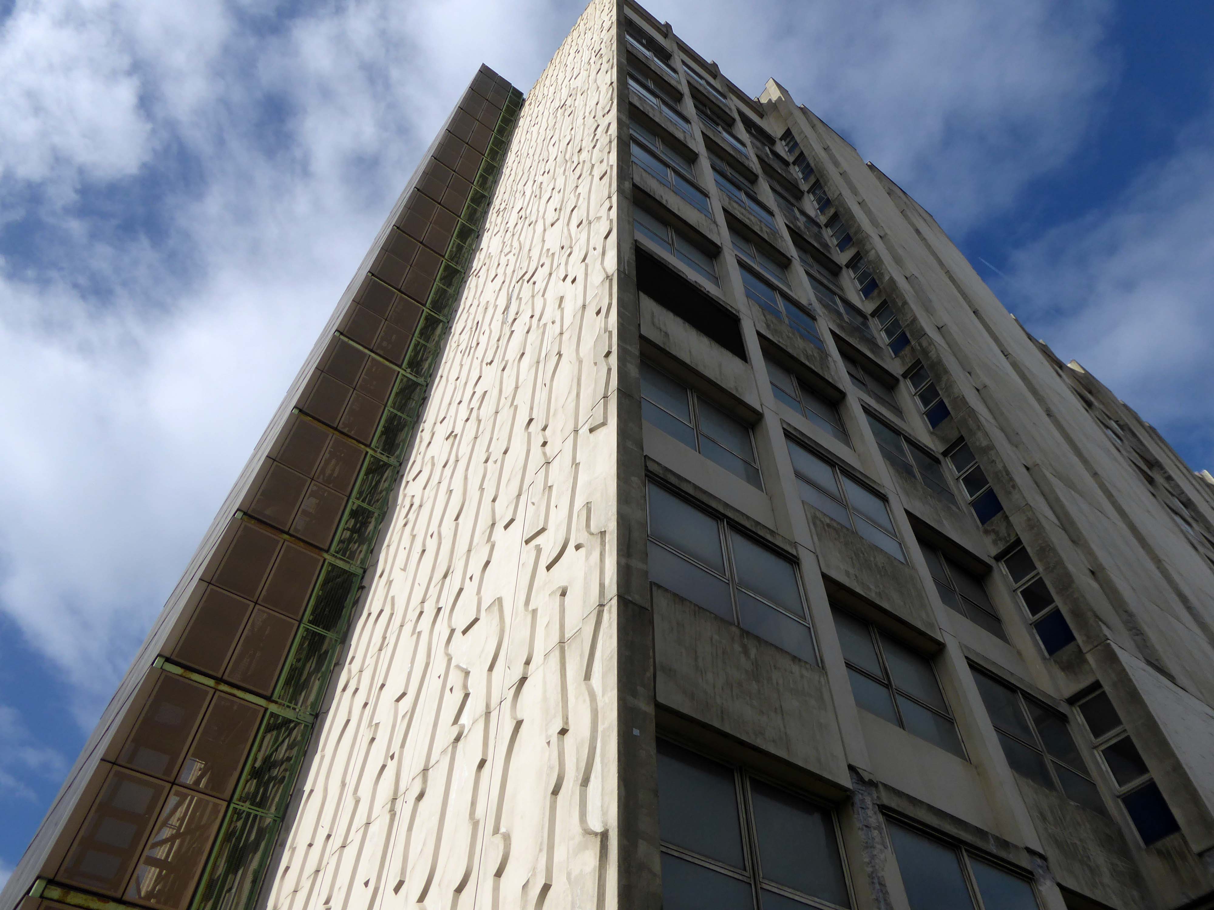
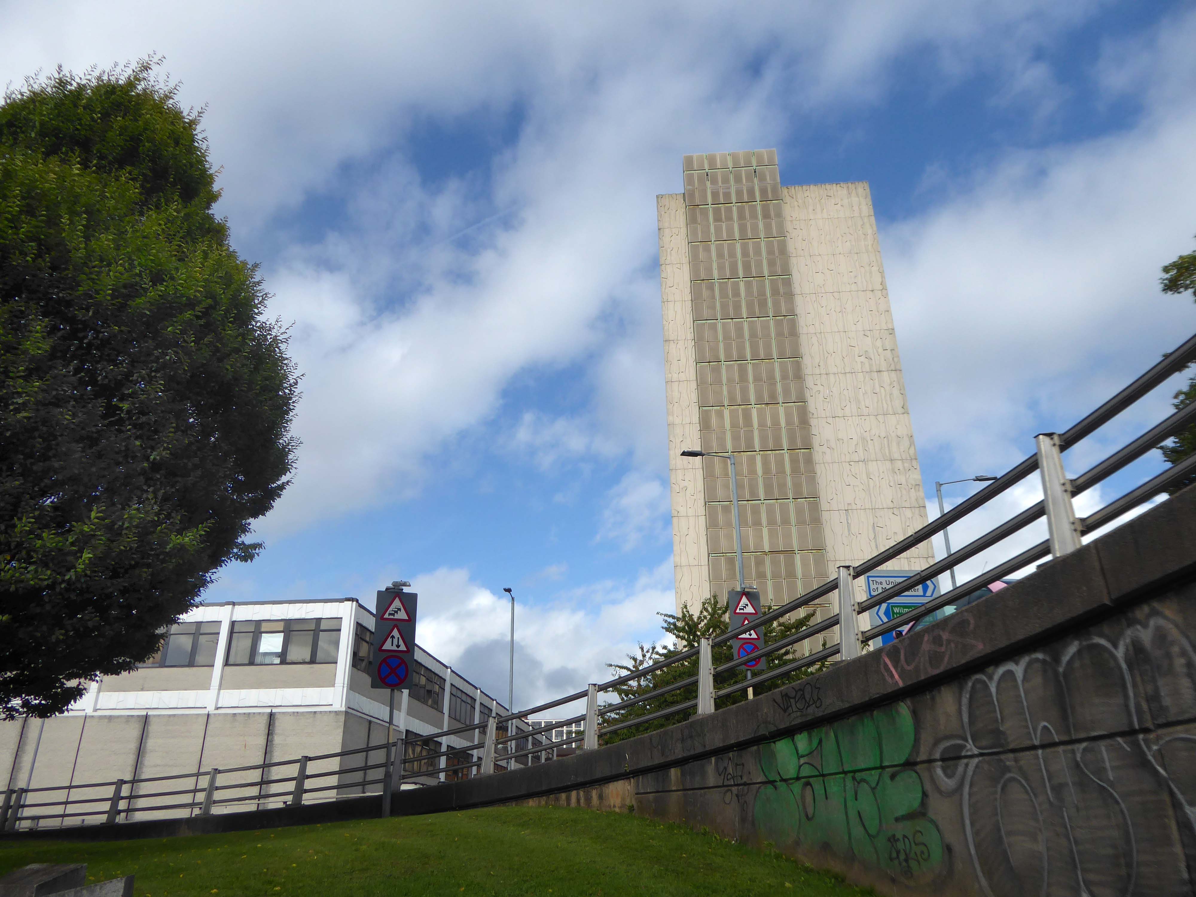
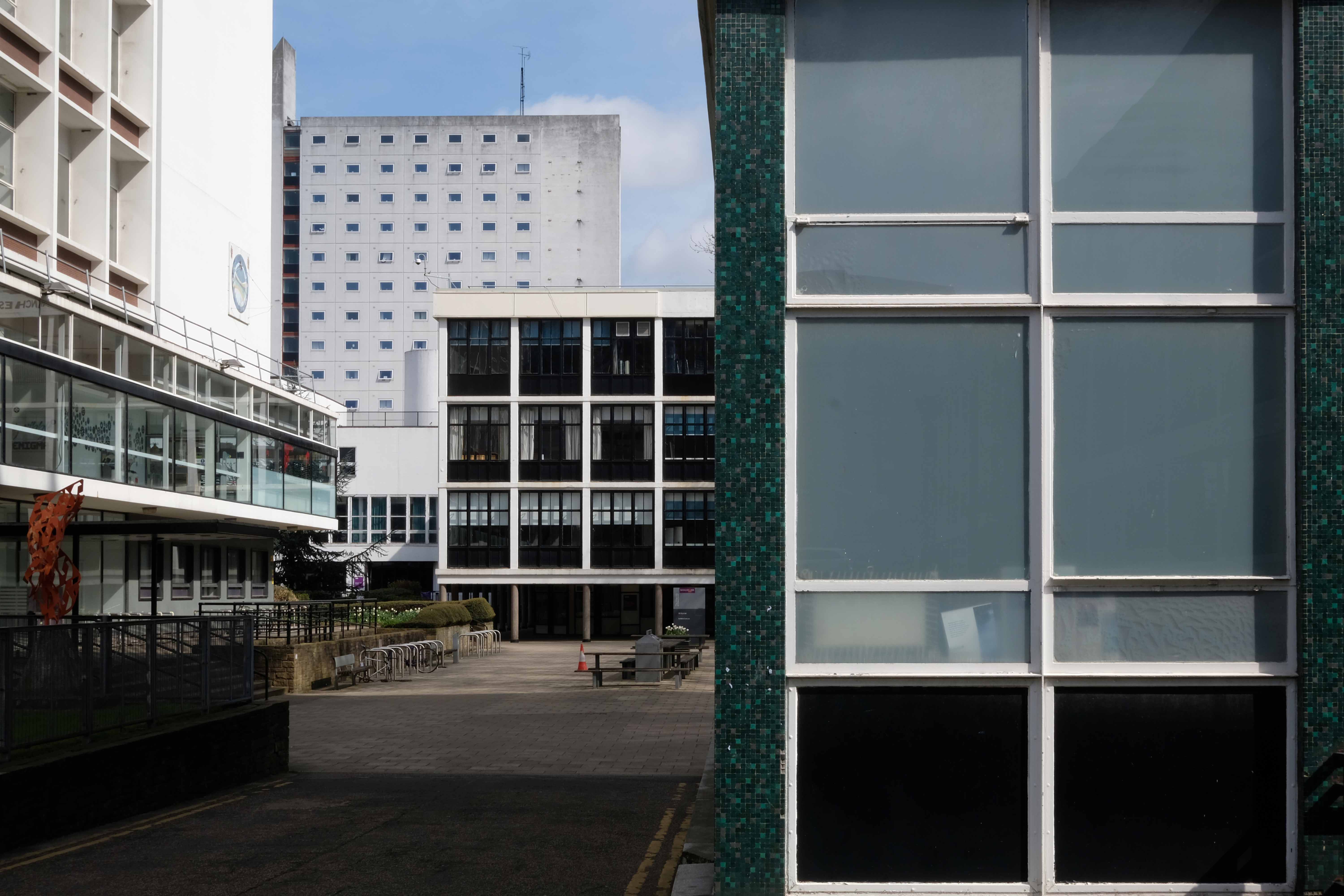
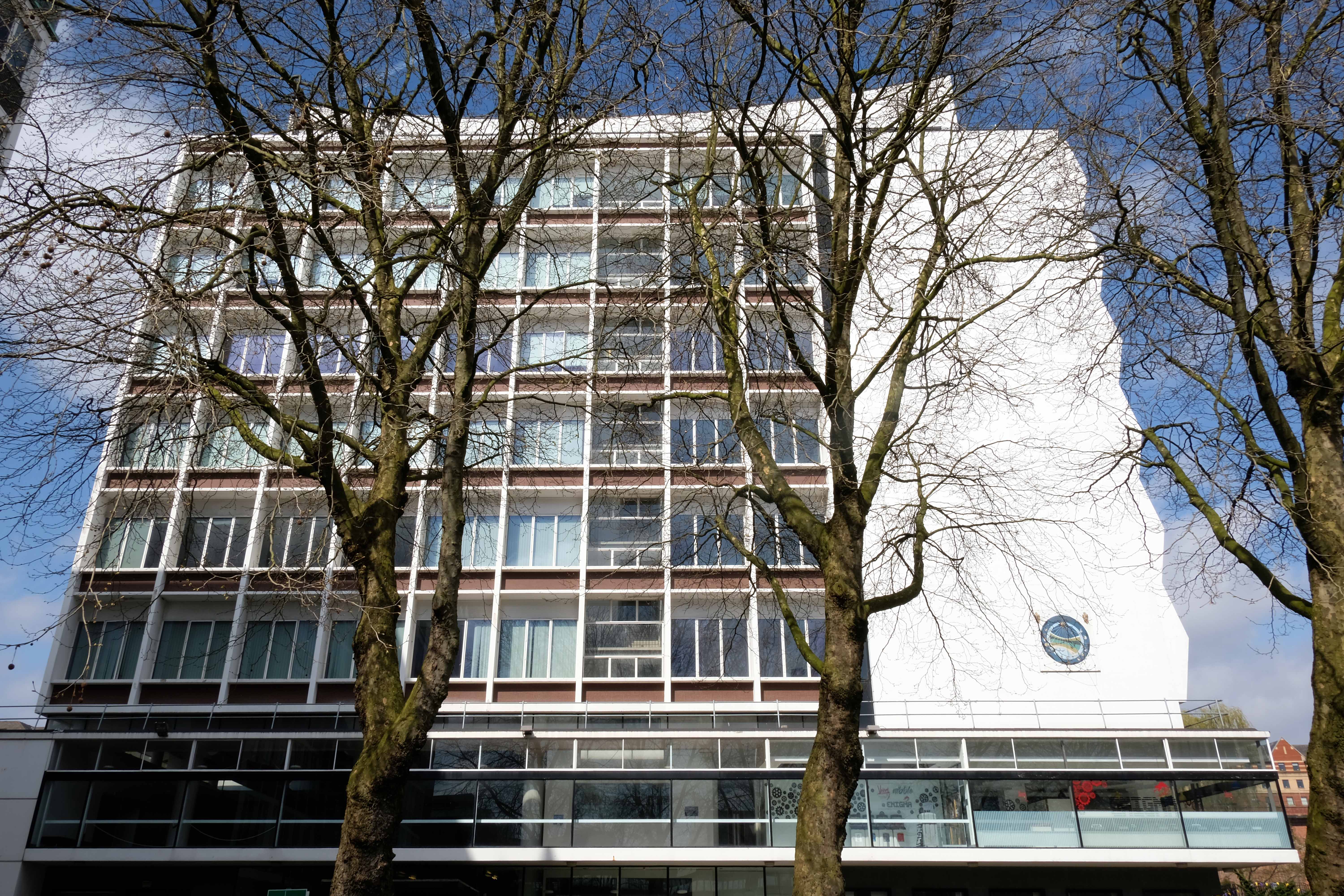
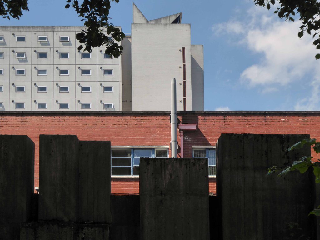
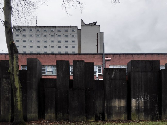
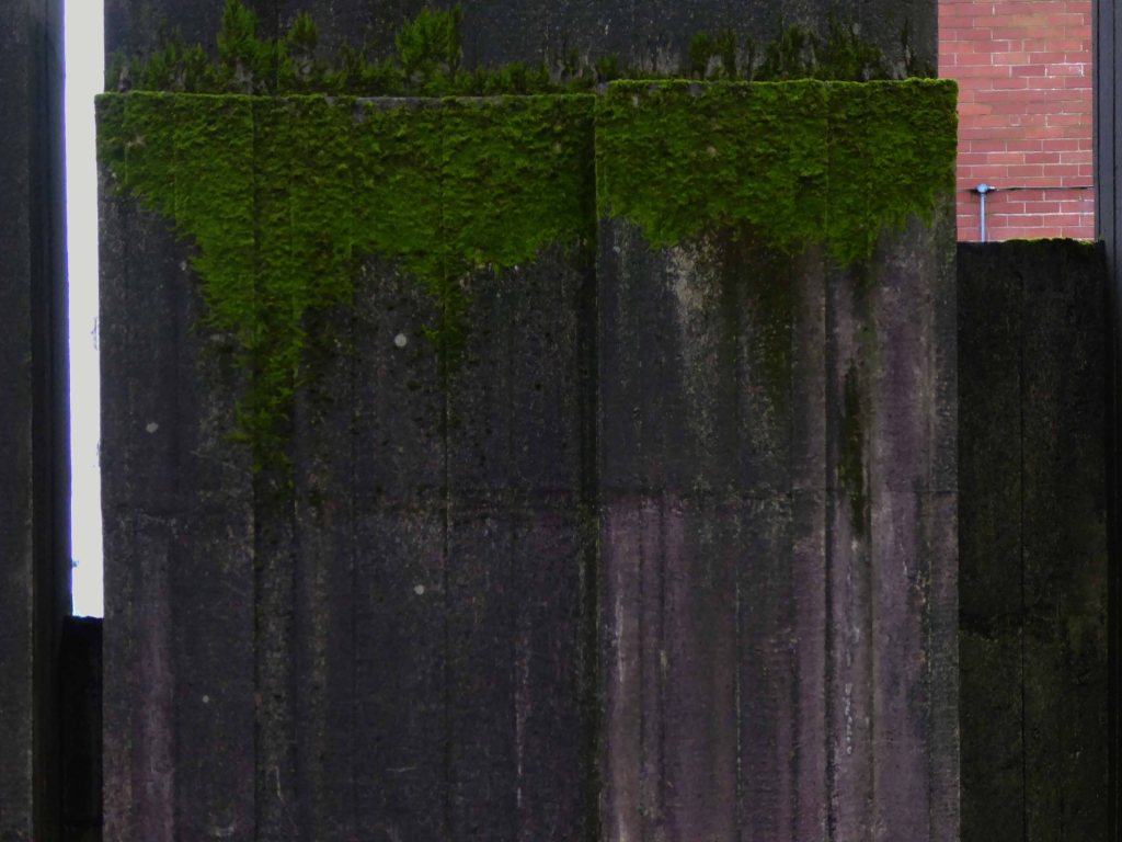
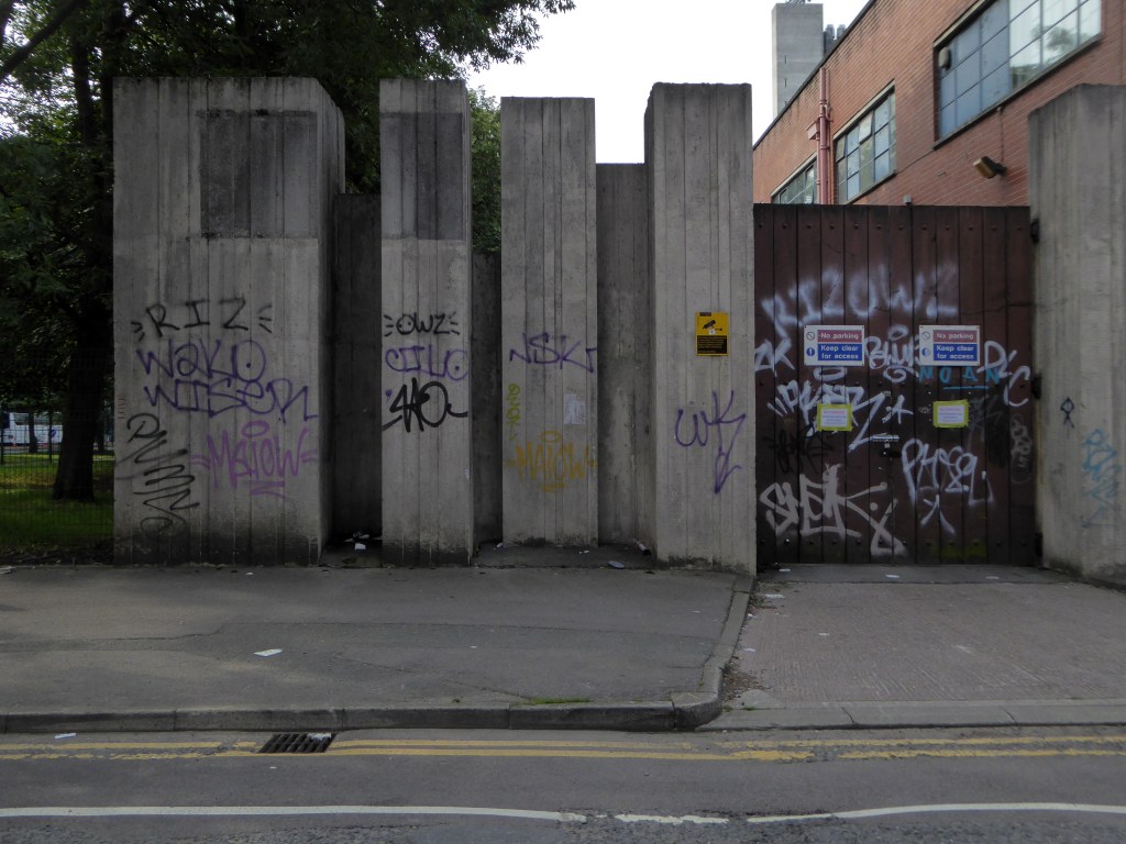
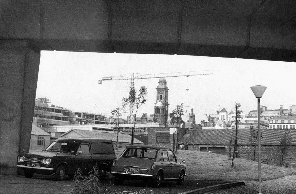
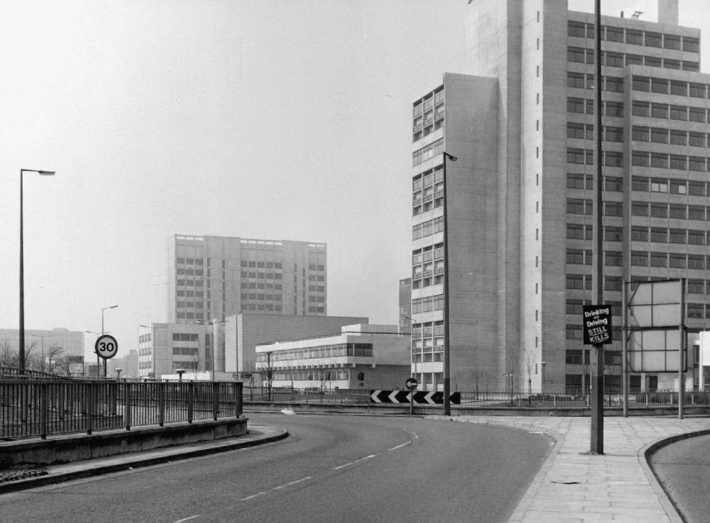
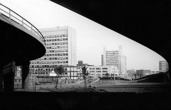
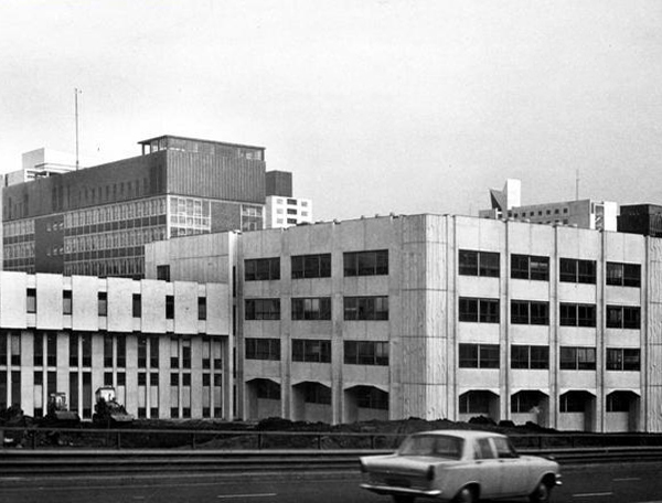
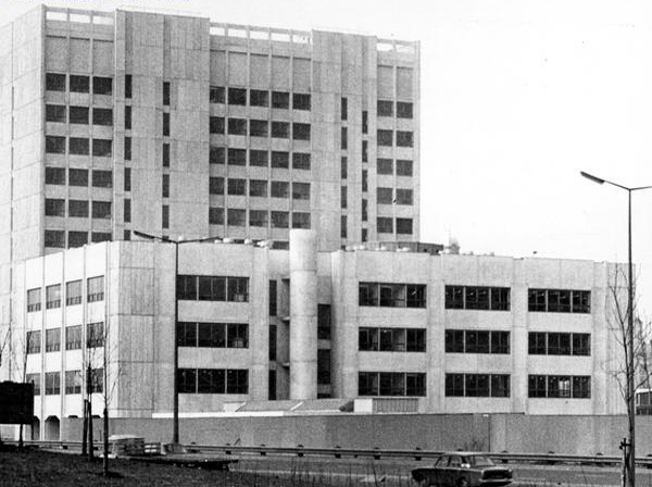
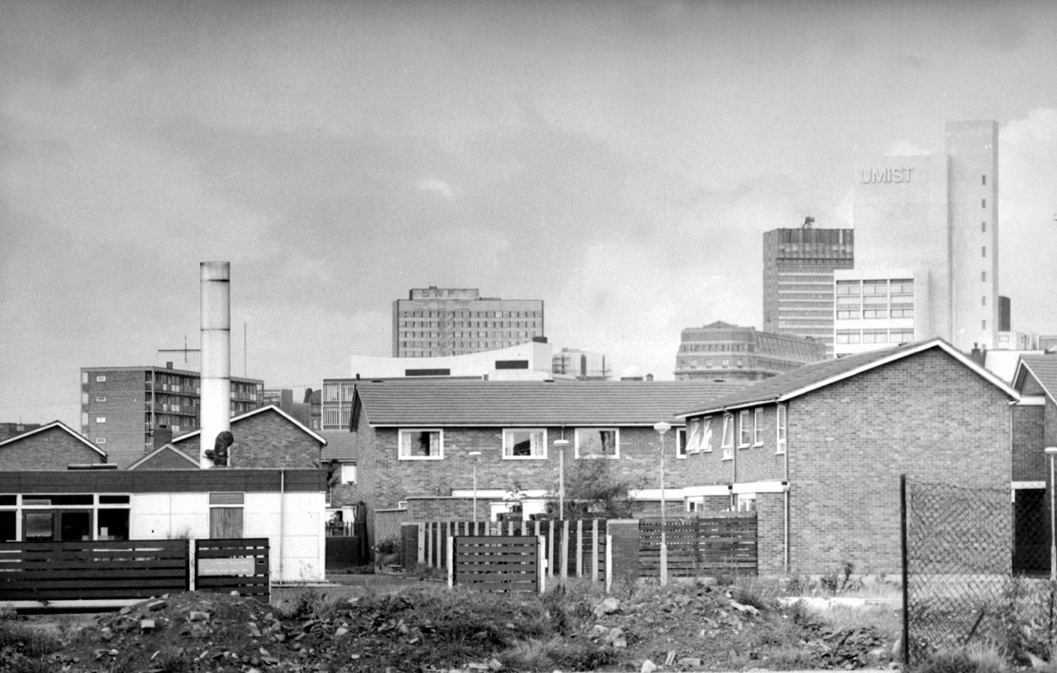
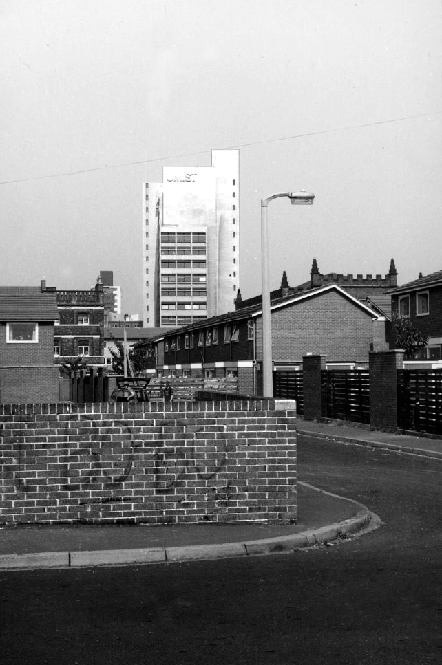
Panorama of Brunswick with UMIST in the background.
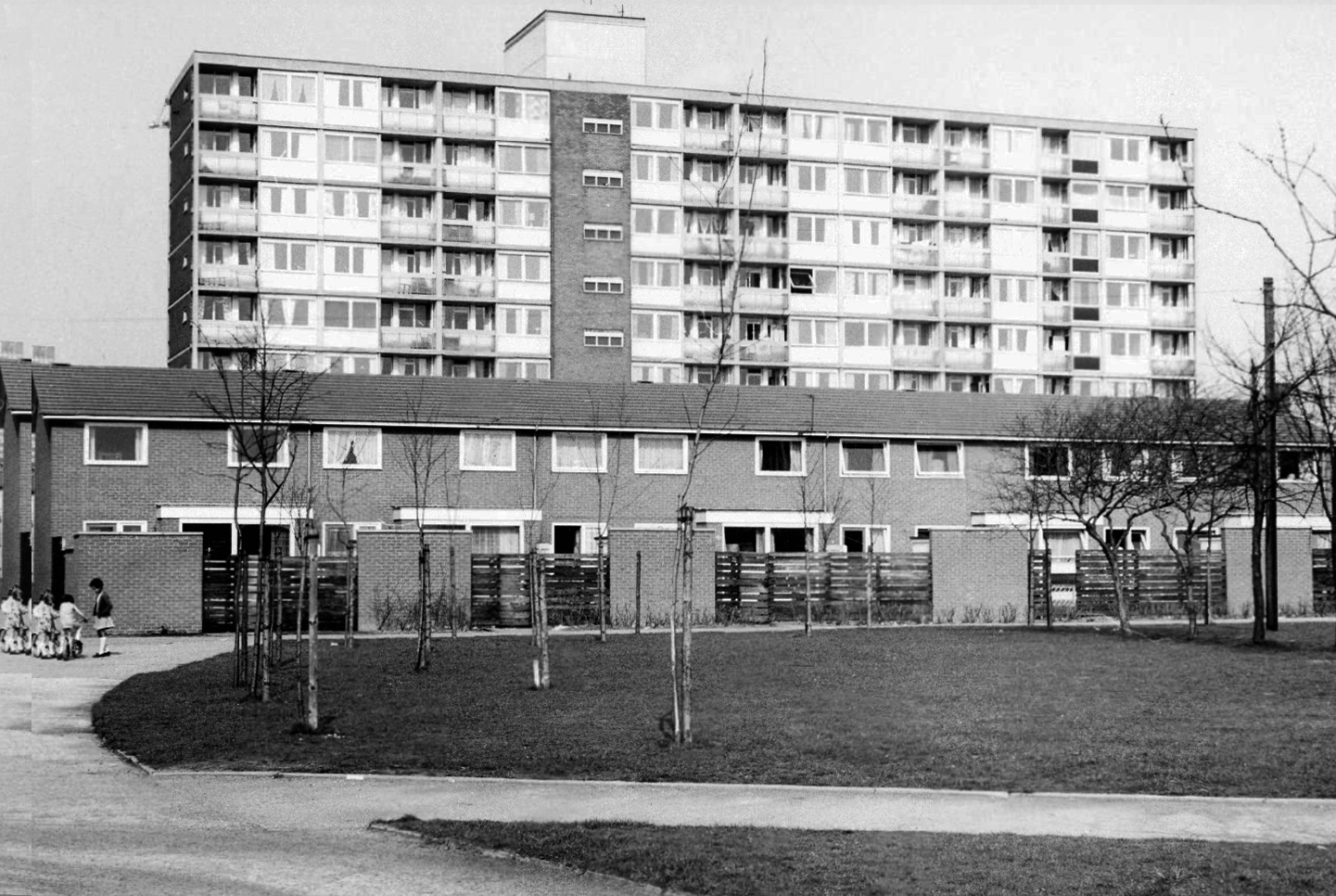
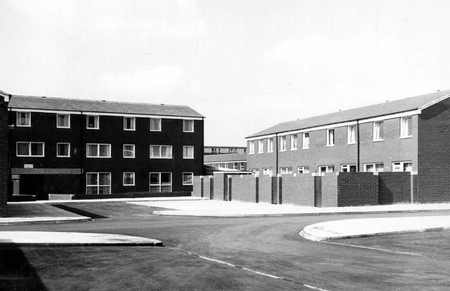
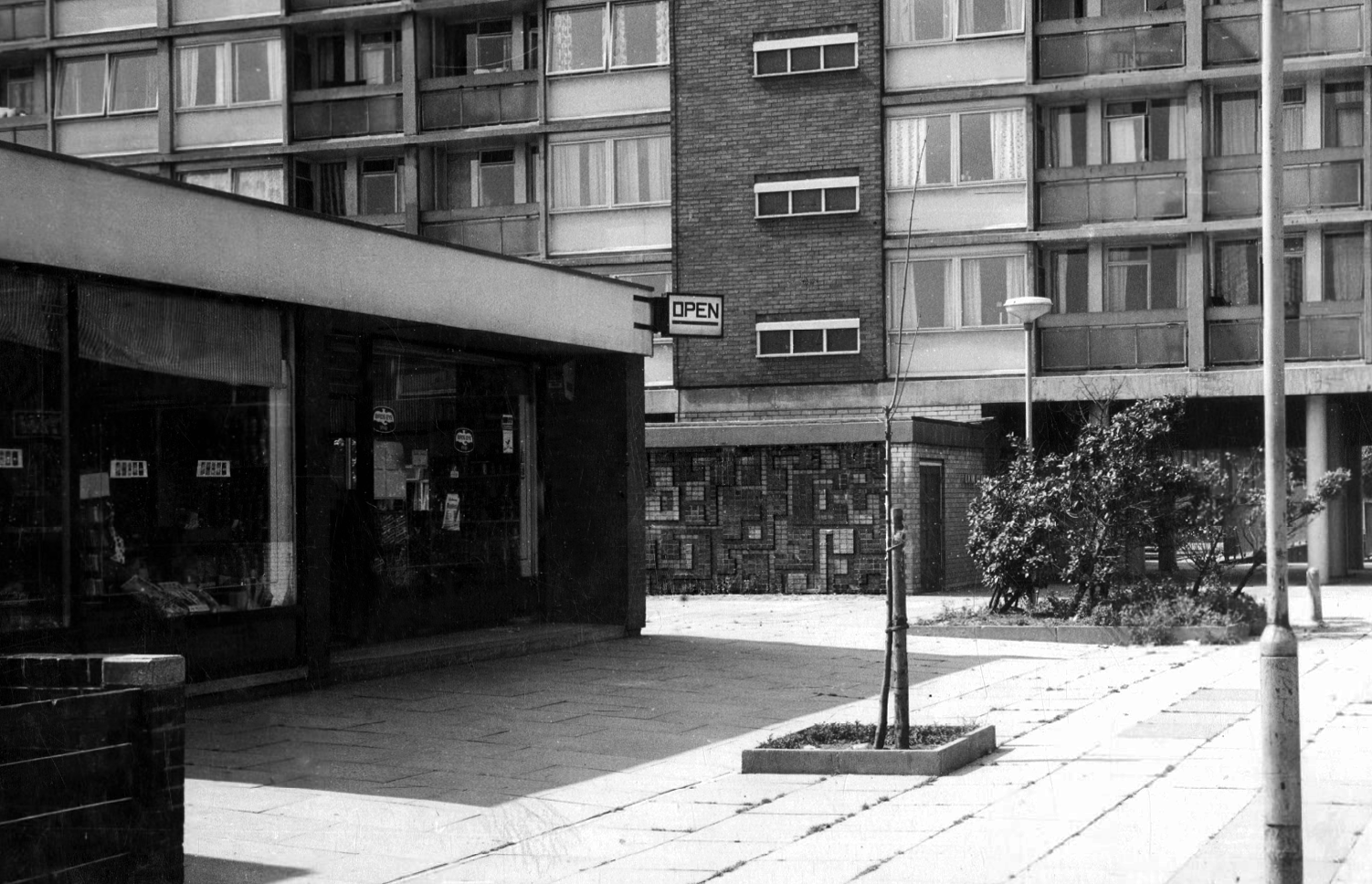
Hanworth Close area terraced housing and flats 1972.
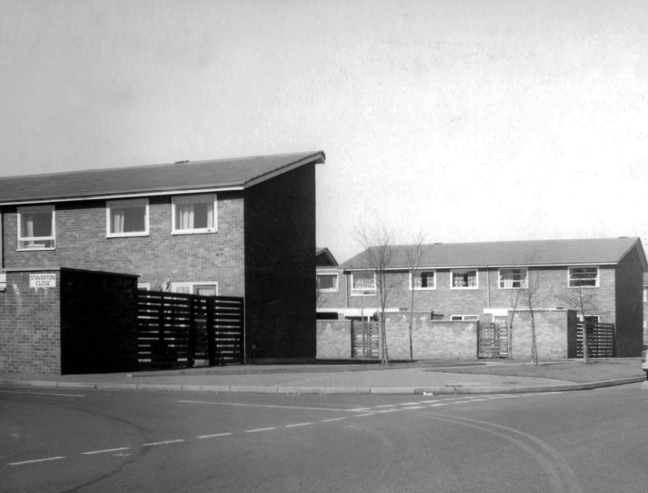
Staverton Close
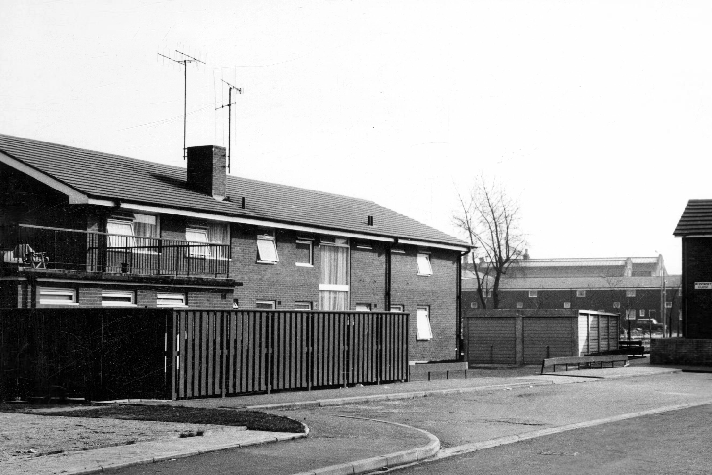
Melcroft Close
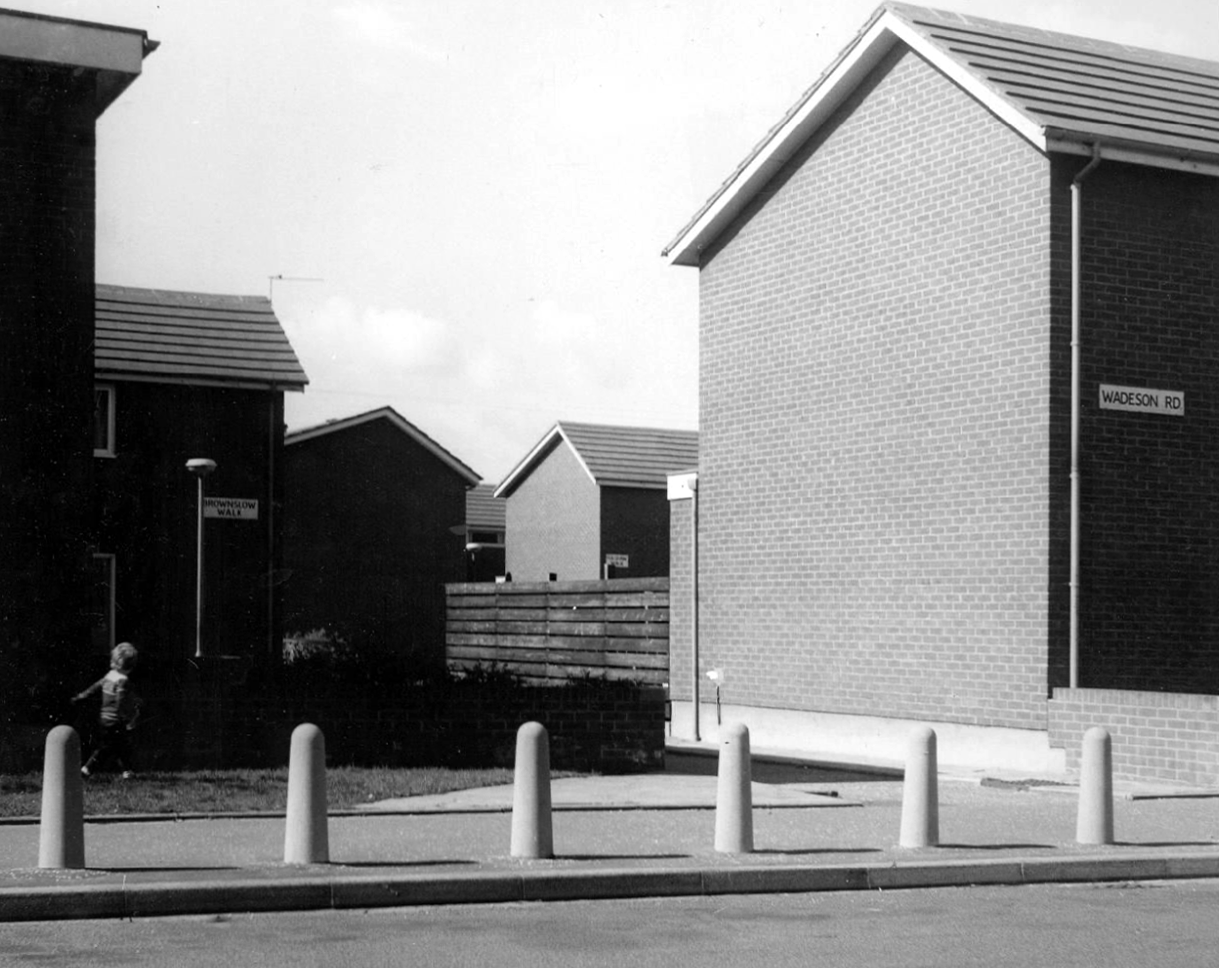
Wadeson Road
Helmshore Walk – Skerry Close
Cherryton Walk
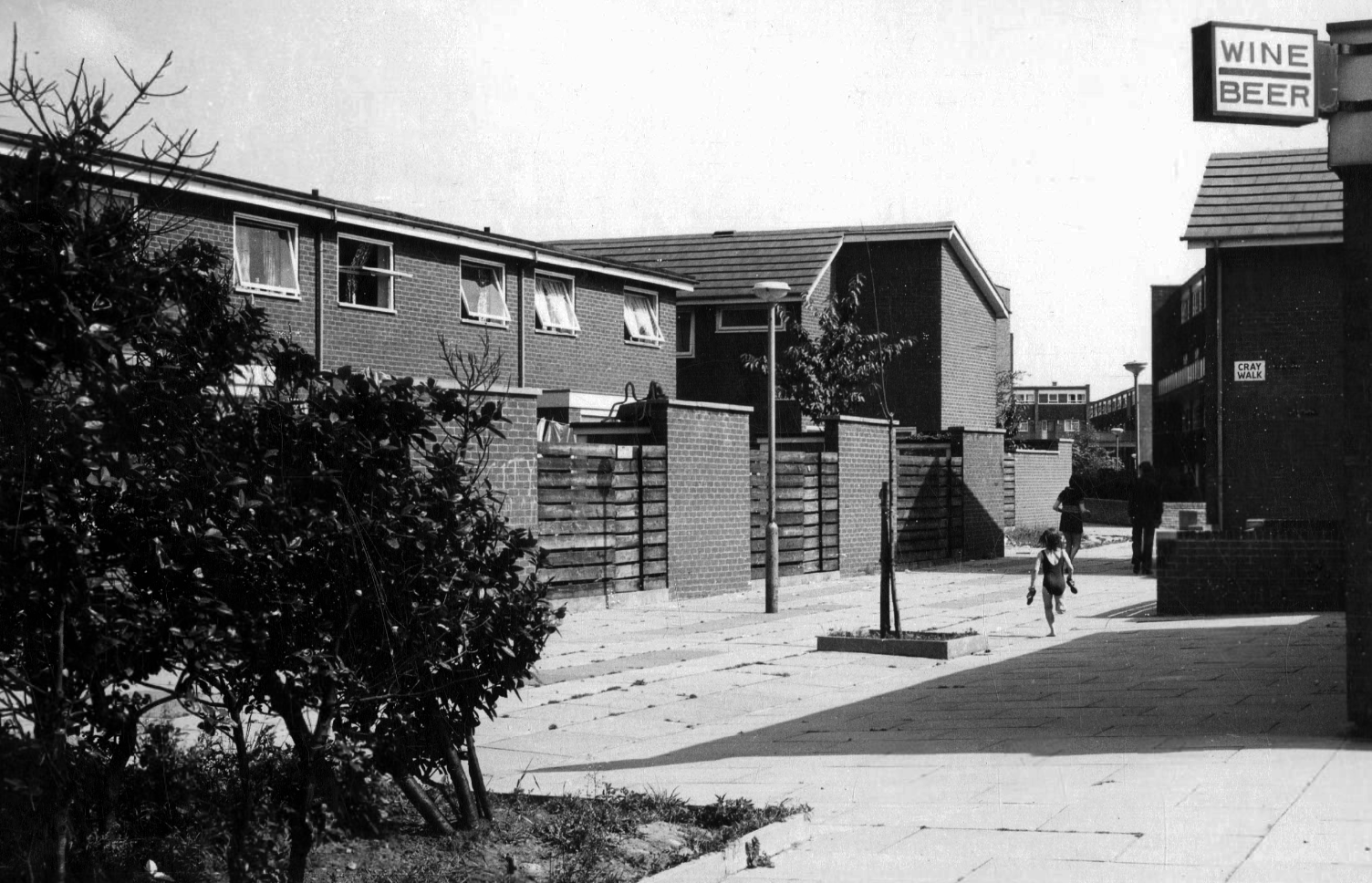
Cray Walk
Wadeson Road
Hanworth Close
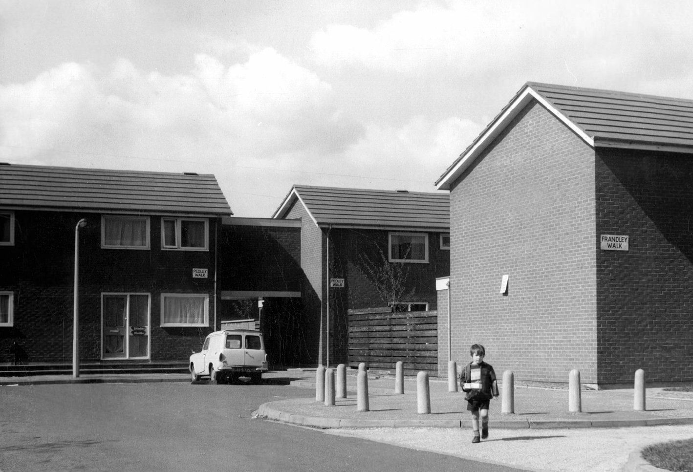
Pedley Walk
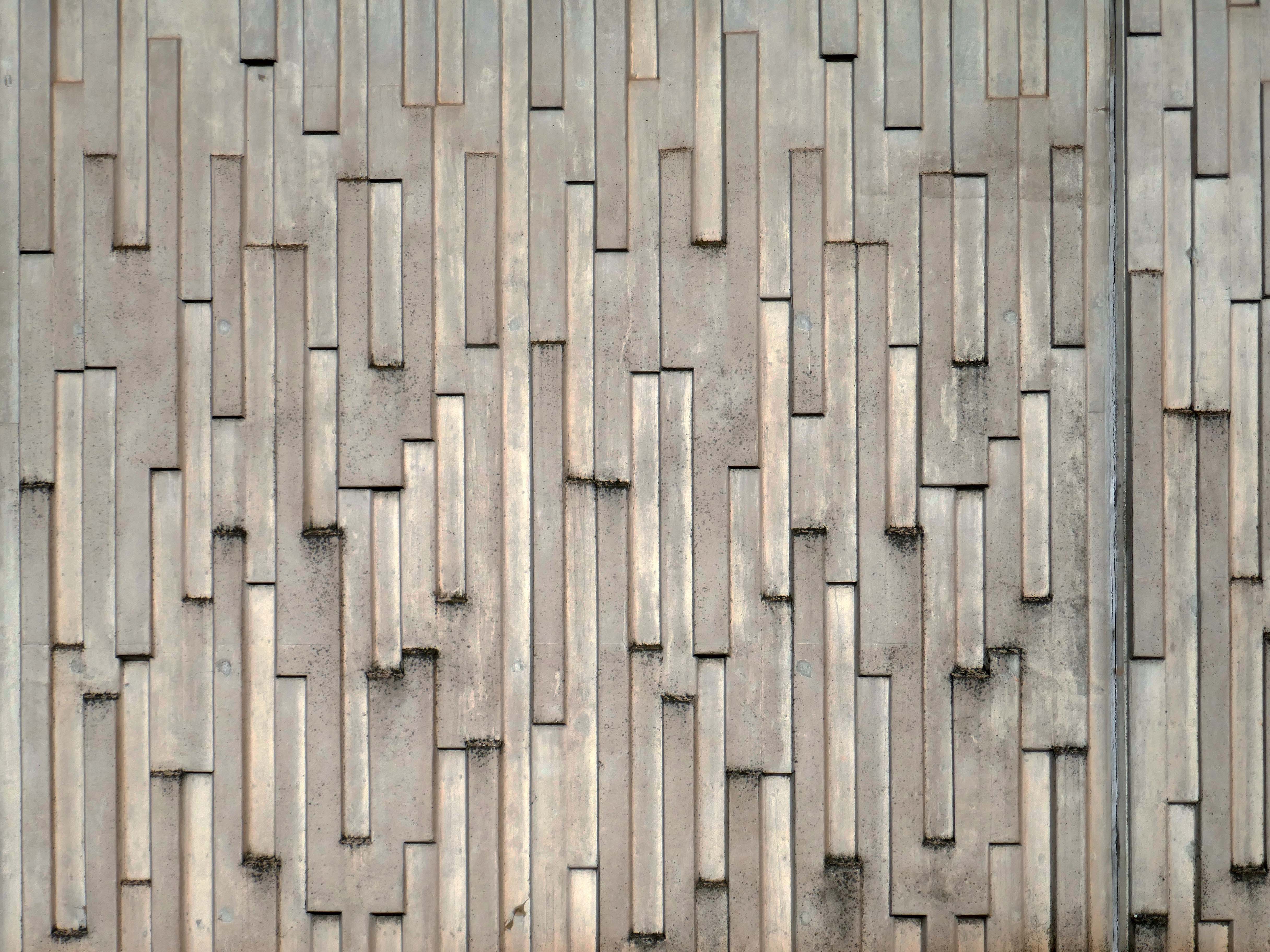
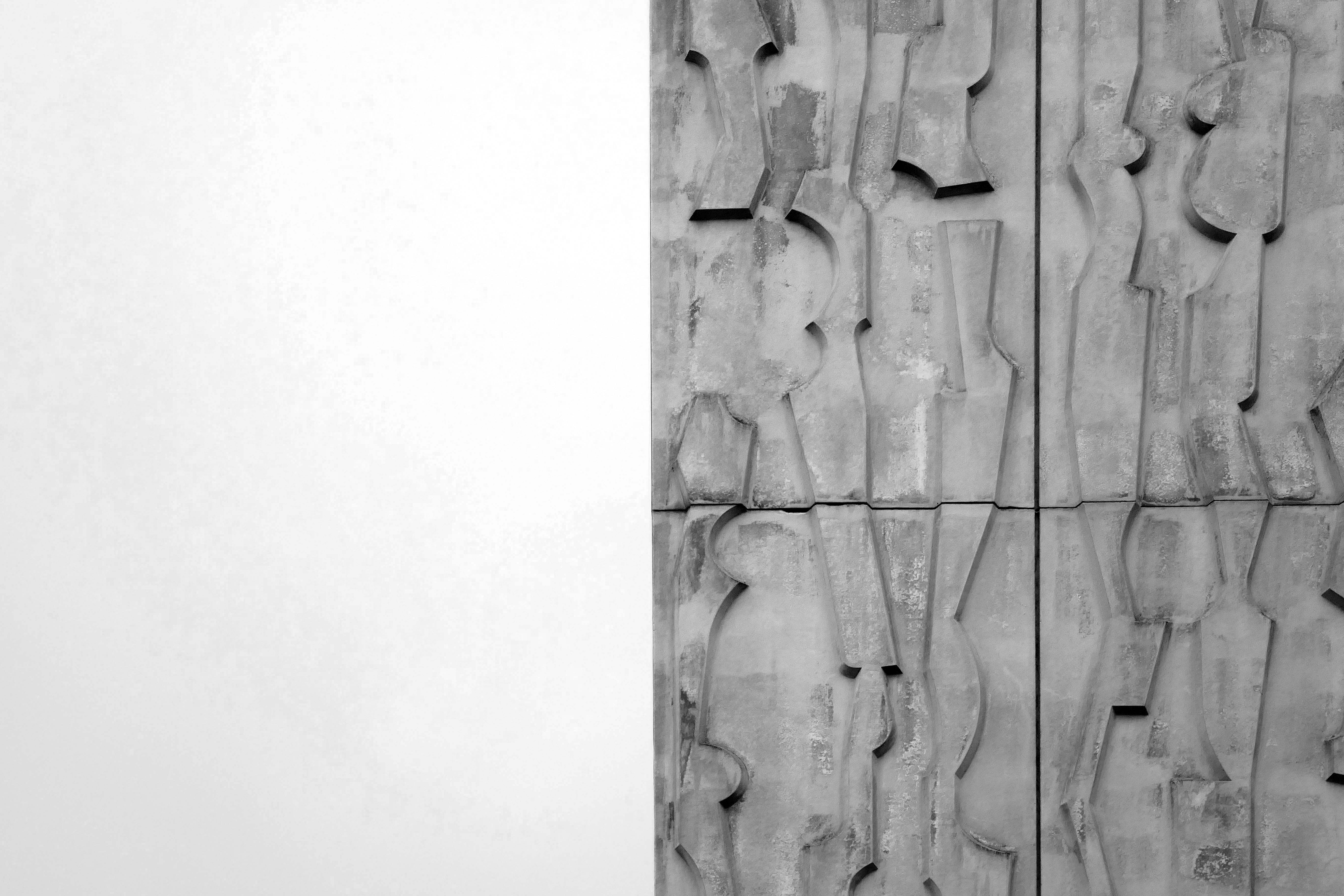
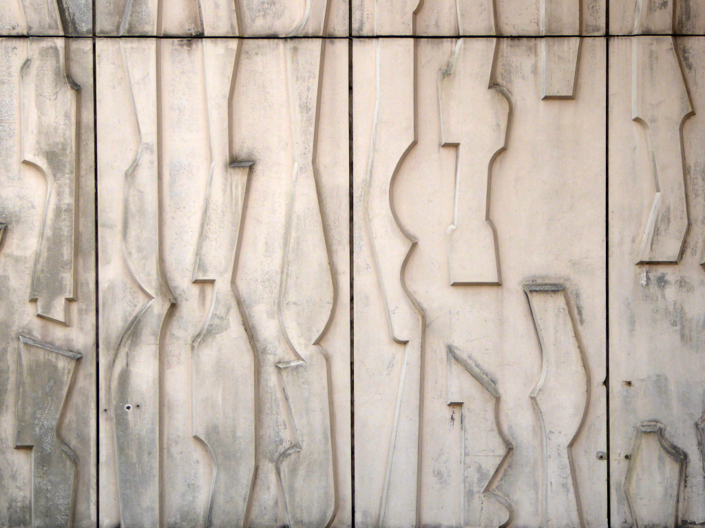
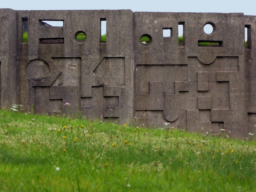
Cray Walk – note the decorative brick relief
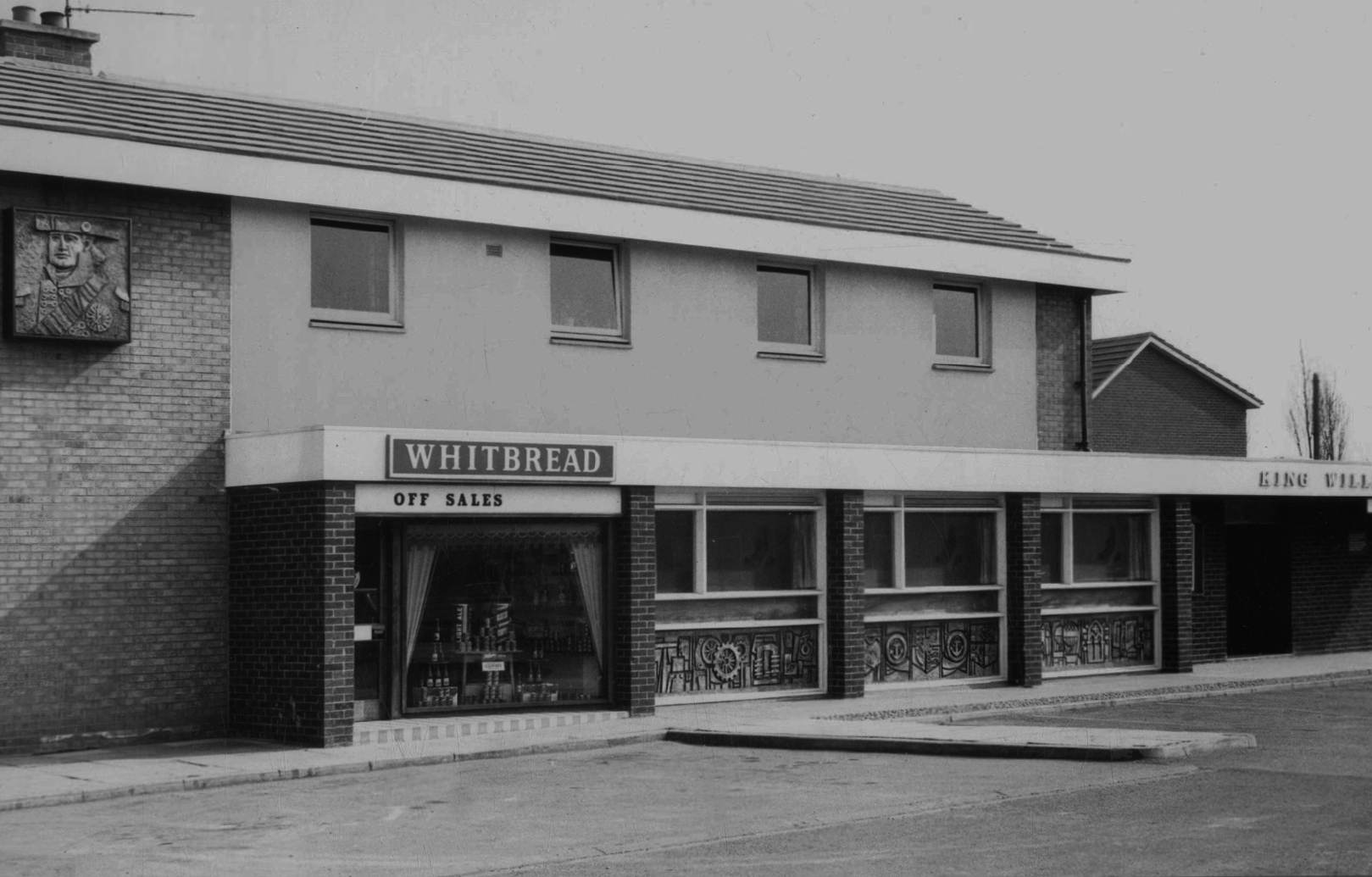
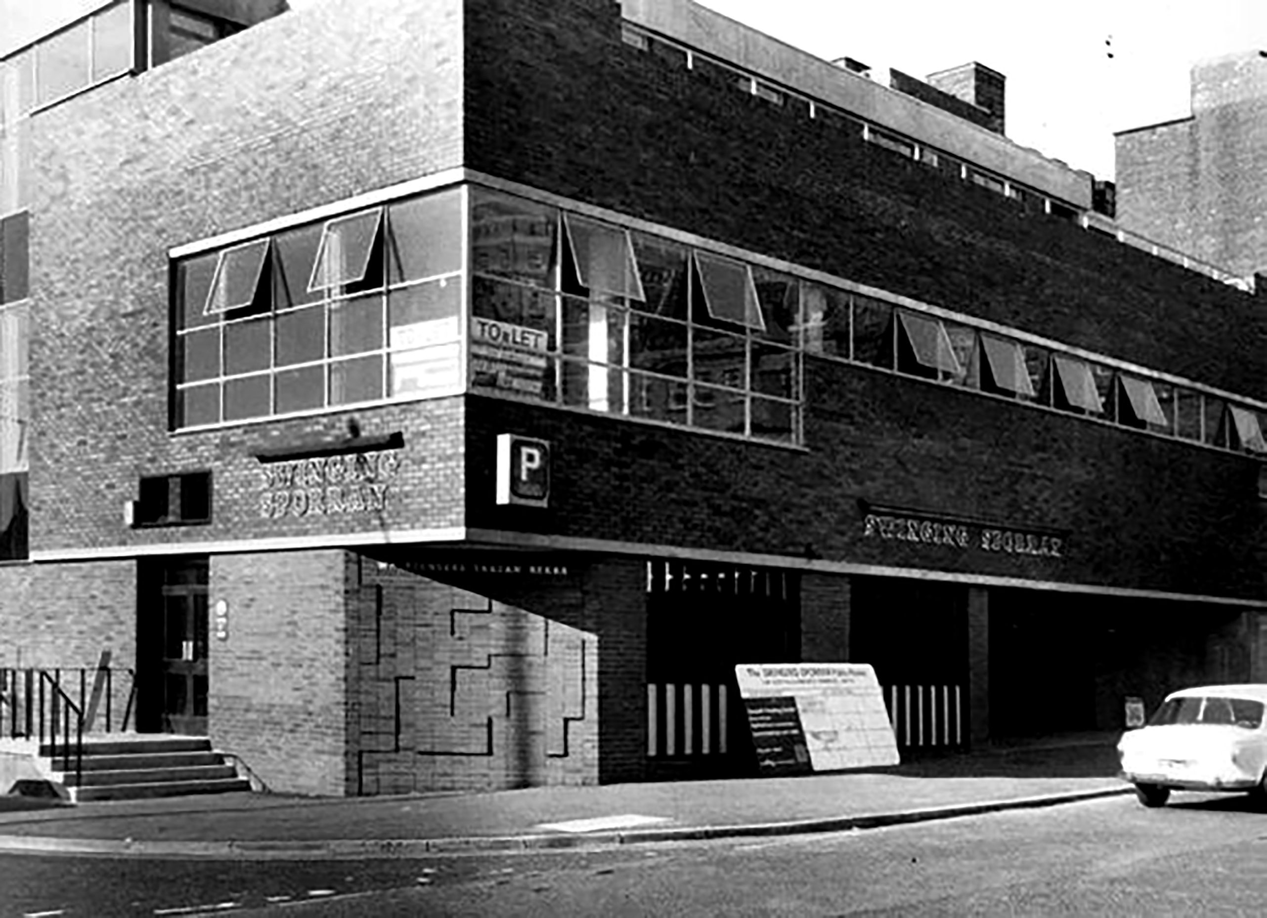
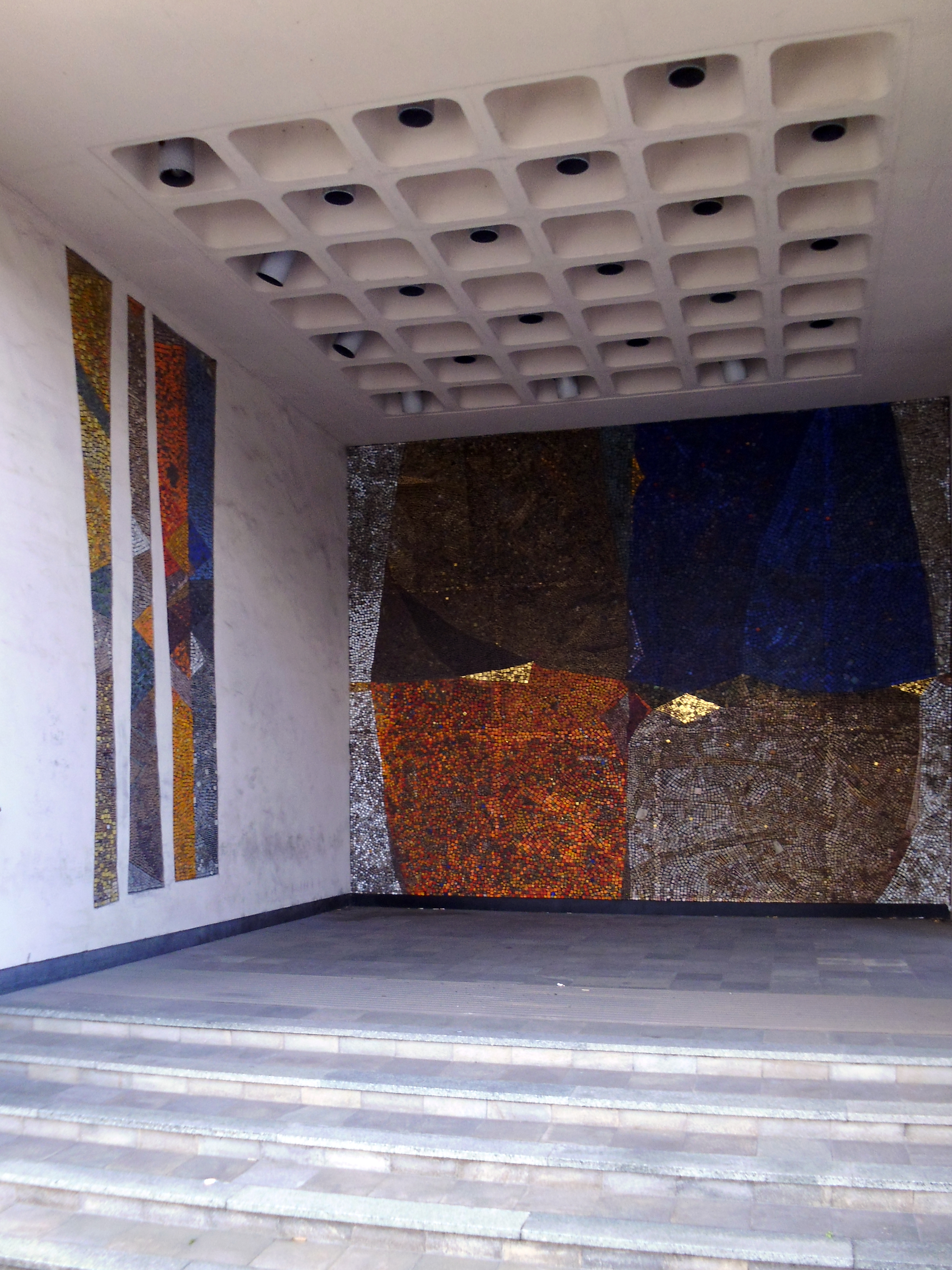
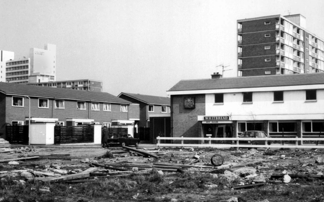
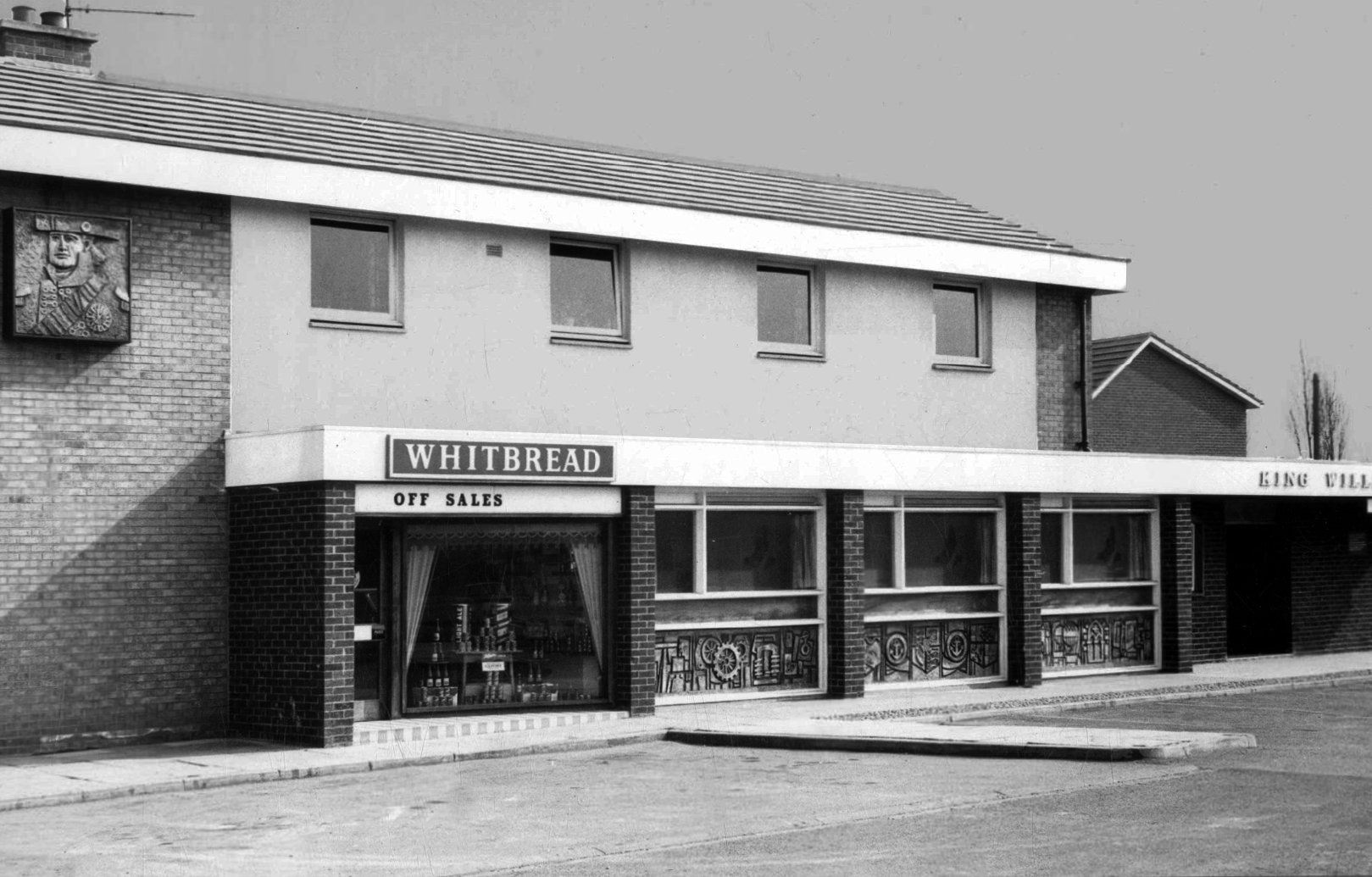
King William IV
Former Chesters then Whitbread estate pub was built in 1967. Closed in 1996 when it was converted to residential property. It had a brief spell 1991 to 1995 as brewery premises for the Dobbin’s West Coast Brewery, during this period the interior was stripped out to accommodate the brewery paraphernalia.
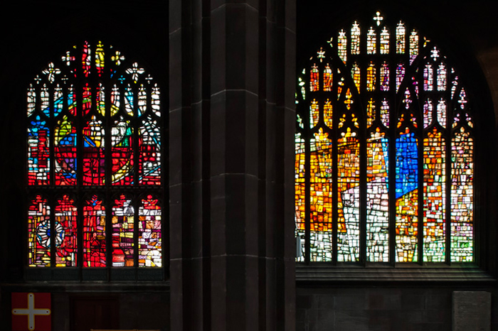
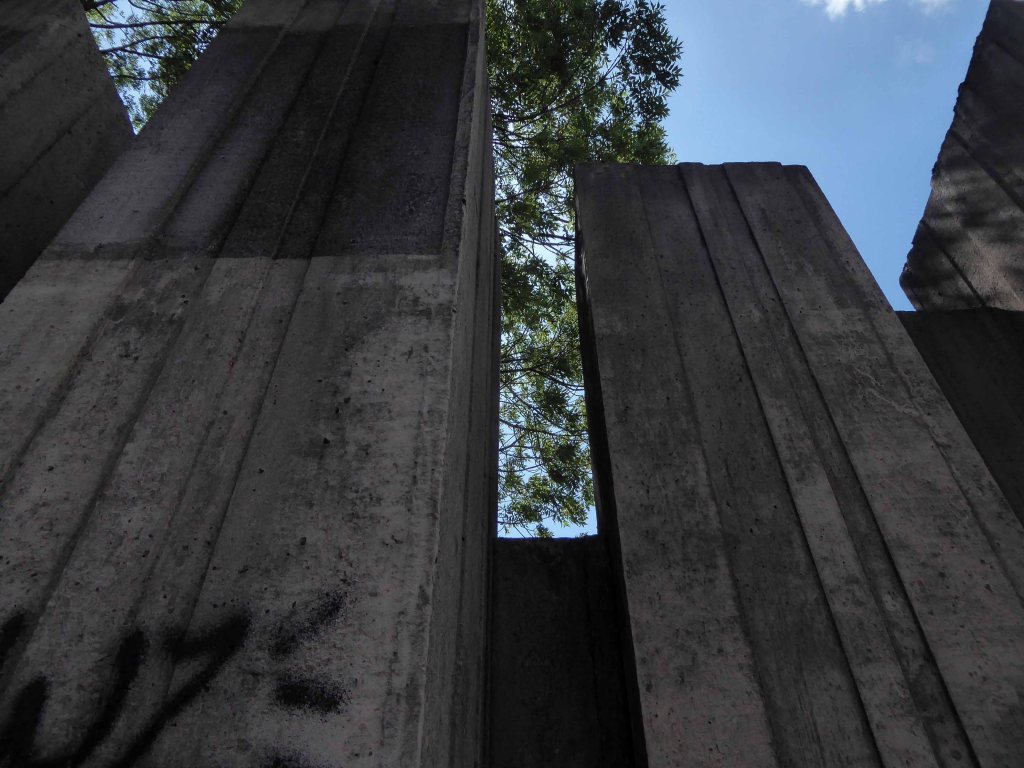
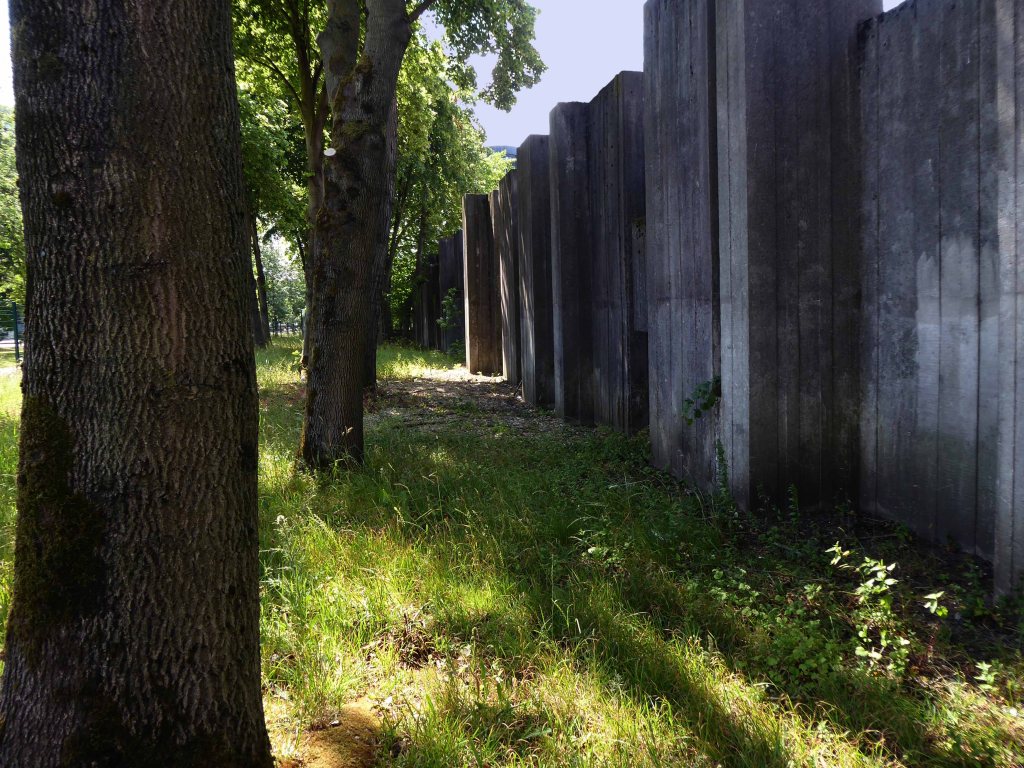
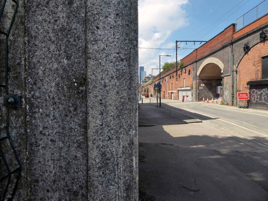
As a companion to the radical reshaping of Manchester see also All Saints, plus look around Brunswick Parish Church, close by the lost terrace of Hartfield Close.
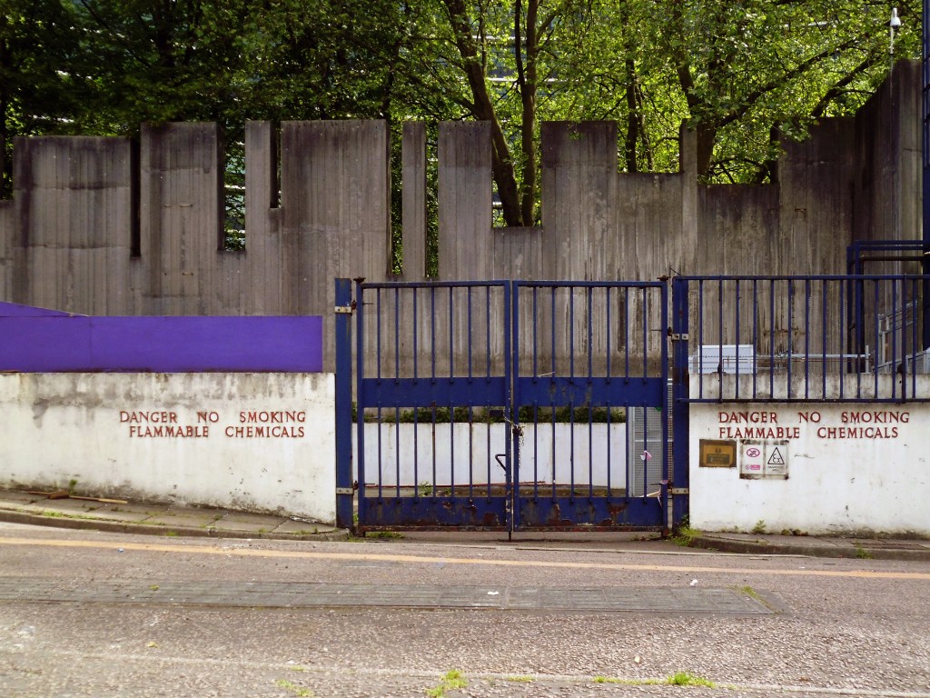
In addition the Brunswick Street Launderette.