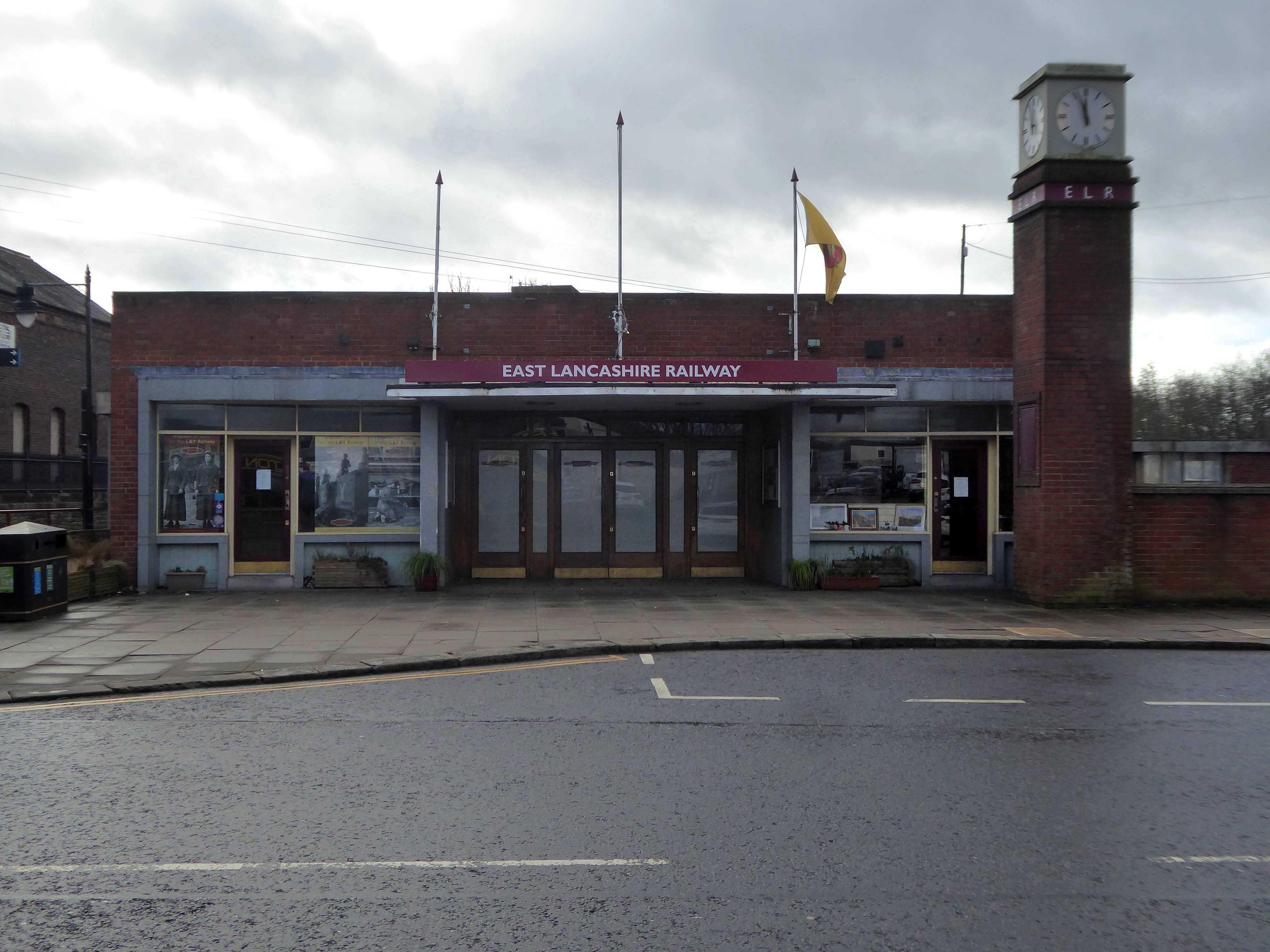
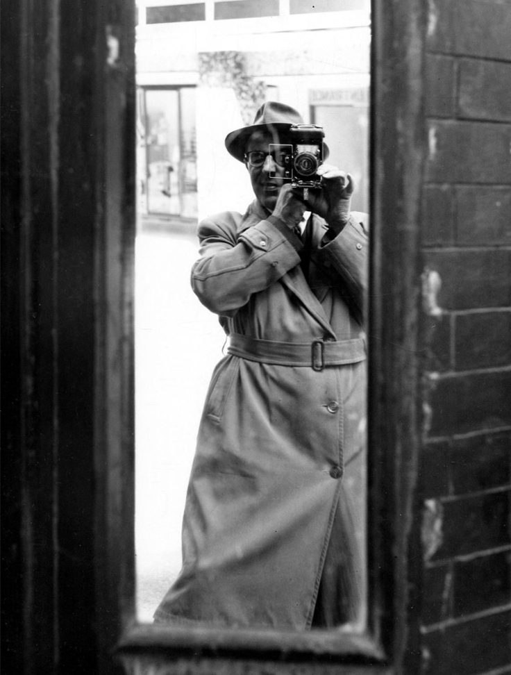
Thanks to L Kaye and the Manchester Local Image Collection there is a photographic record of Tib Street through the years.
Shot on 35mm black and white film, cautiously clad in gaberdine and trilby. The legwork aside the processing and printing of a whole heap of exposures was a gargantuan task.
Chapeau!
Mr L Kaye member of the Manchester Amateur Photographic Society.
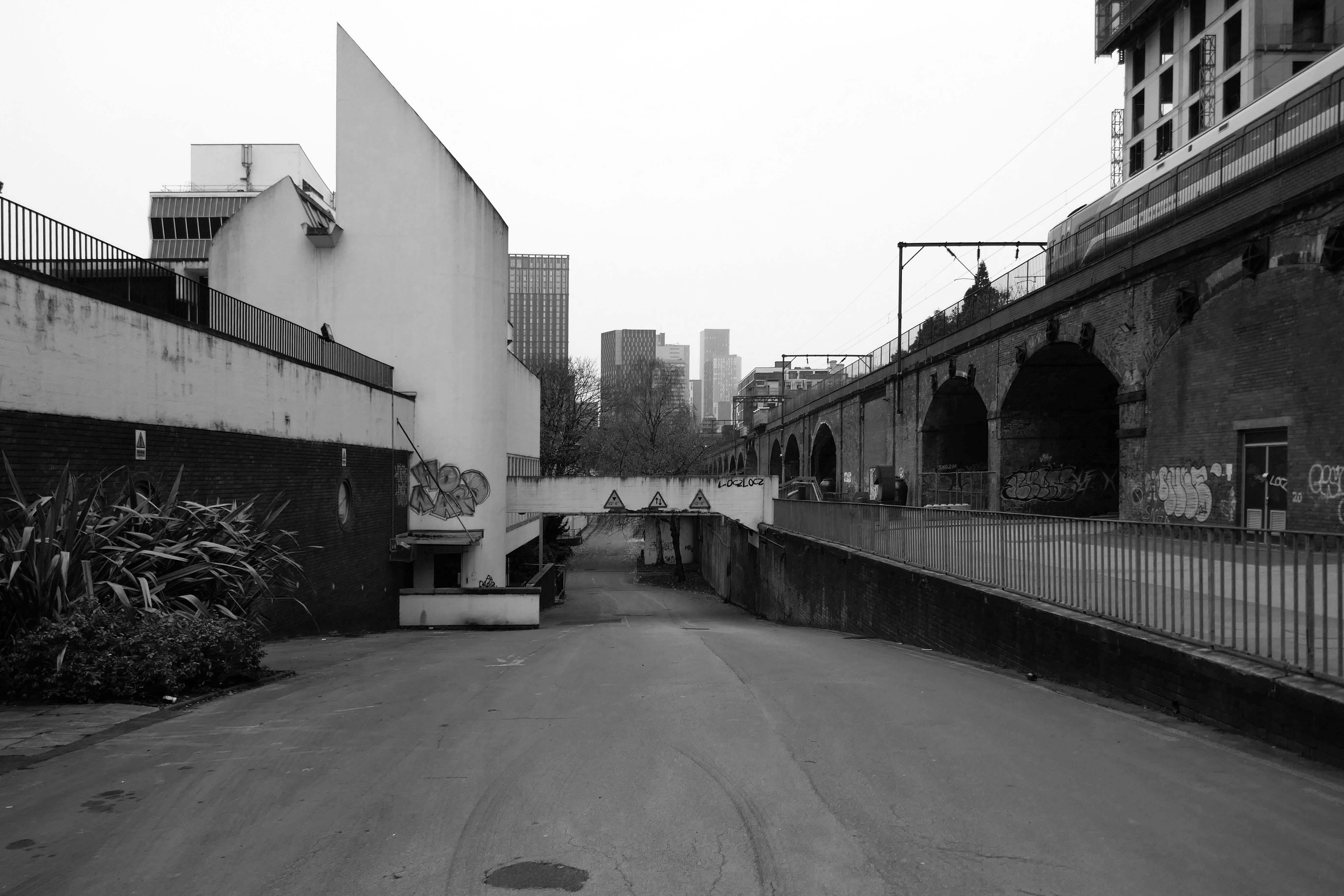
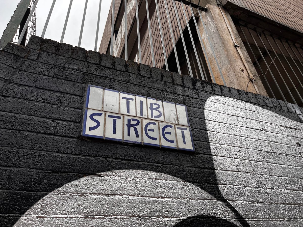
The street is named for the culverted River Tib.
The river’s source is a spring in Miles Platting , from where it flows underneath Oldham Road and the eponymous Tib Street to reach the city centre. After flowing underneath West Mosley Street, the Tib crosses Princess Street to flow underneath the Manchester Town Hall Extension, the Central Library and the Midland Hotel’s dining room, before joining the Medlock at Gaythorn (now First Street, close to Deansgate railway station.
The distinctive street signs the work of my old pal Tim Rushton.
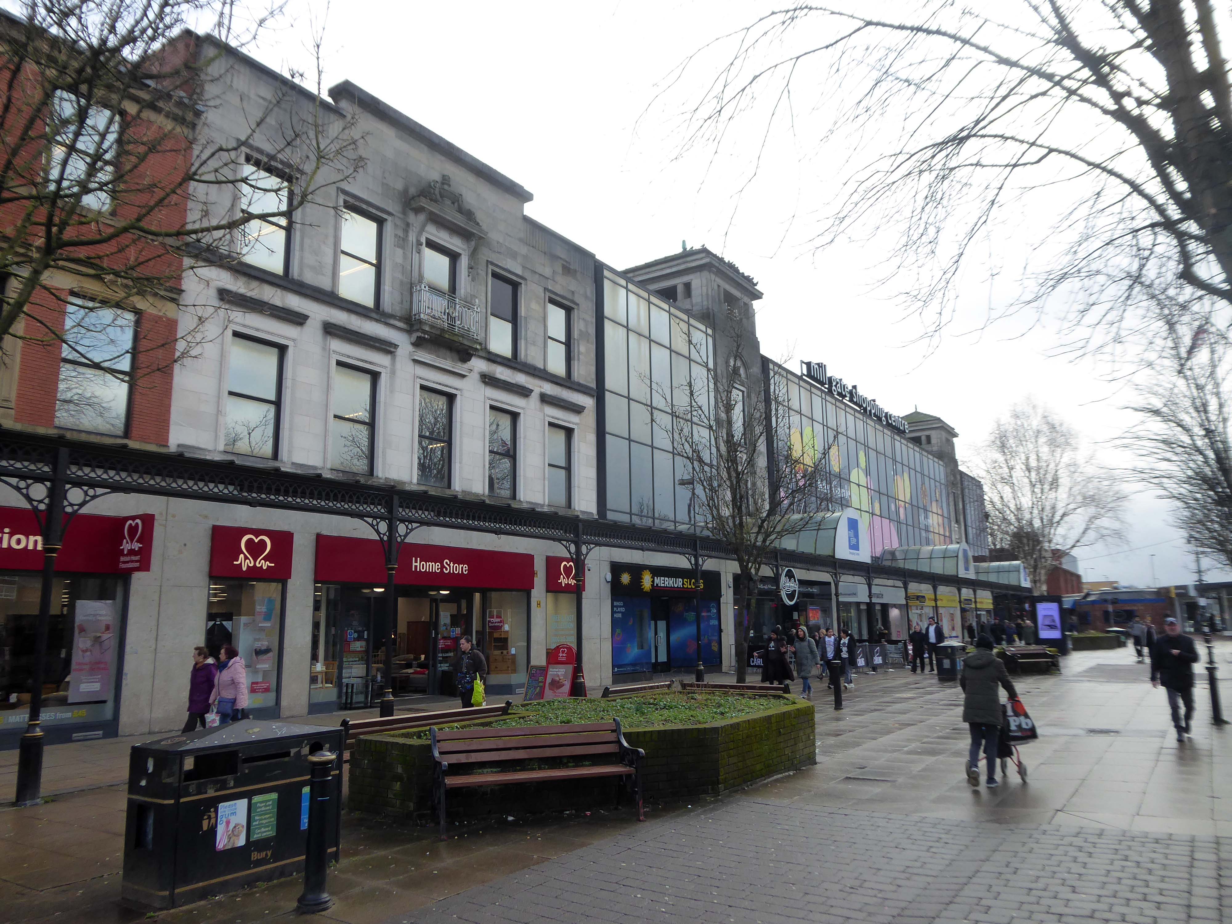
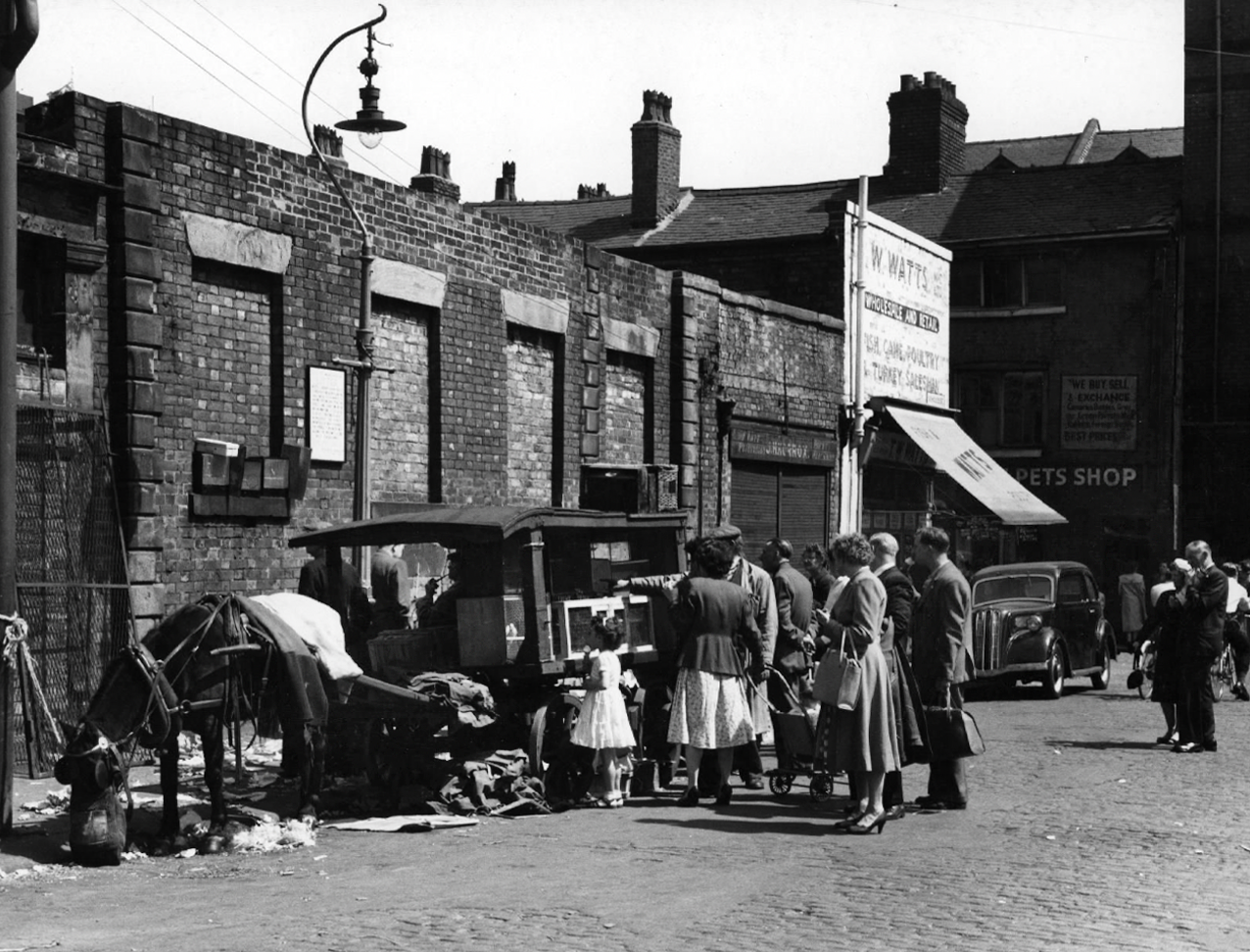
There are those who will remember Tib Street, as a street of pet shops.
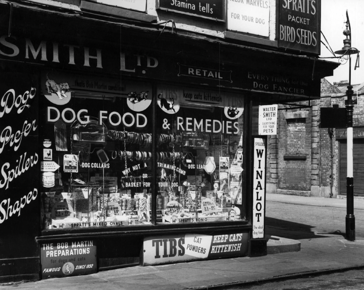
Whilst on Sundays the area was transformed into an al fresco menagerie – a land of caged birds and cuddly coneys.
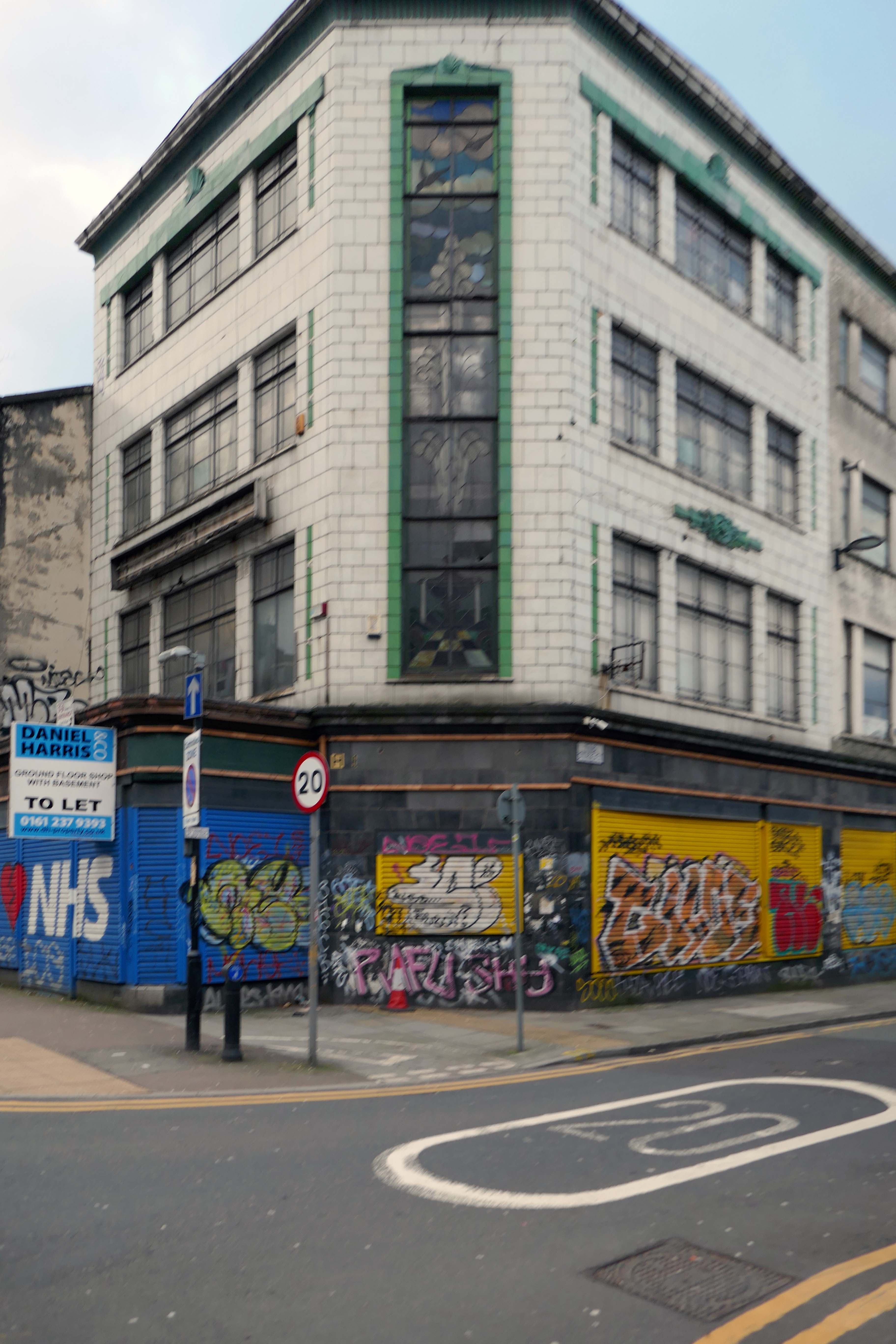
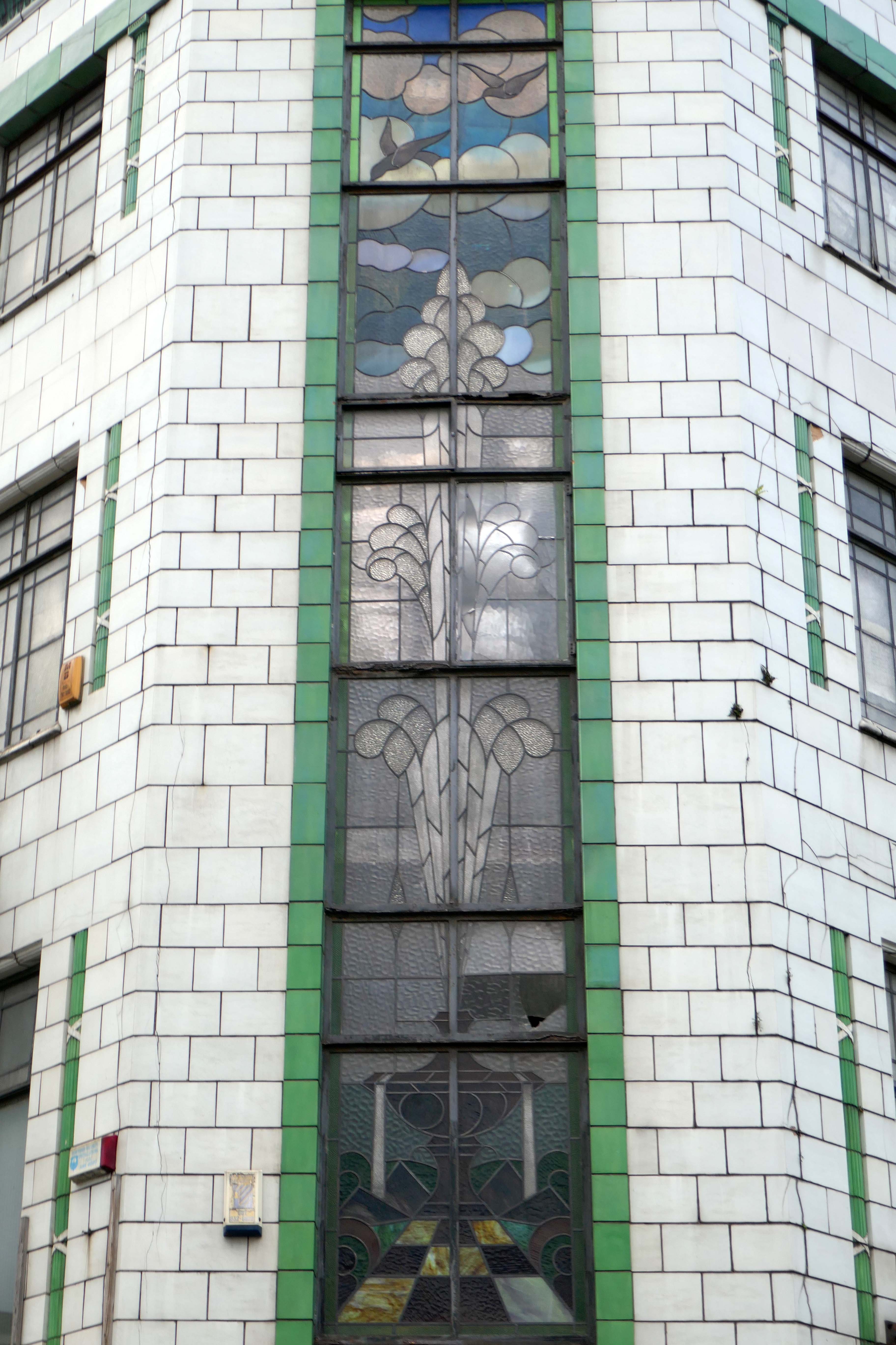
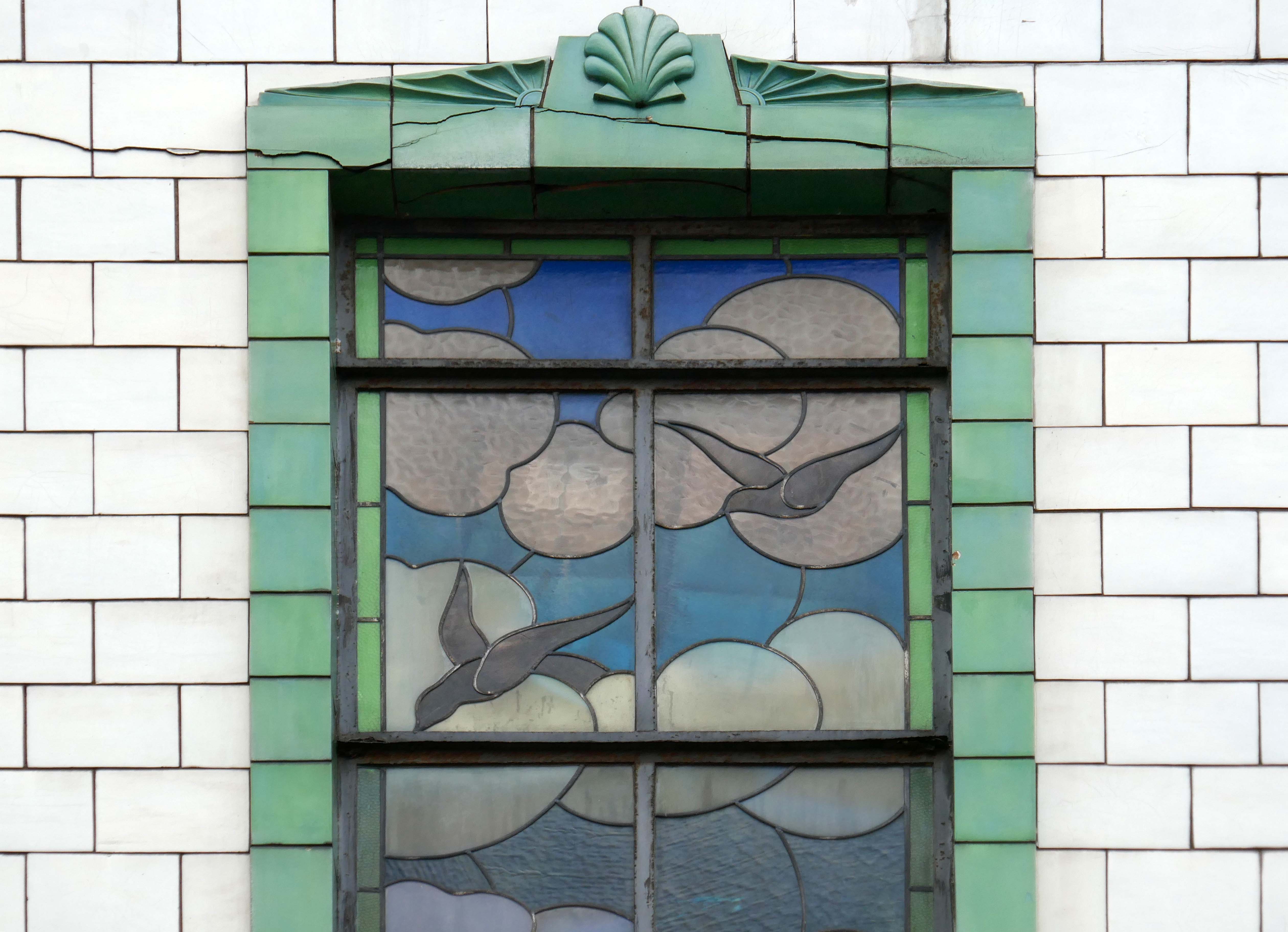
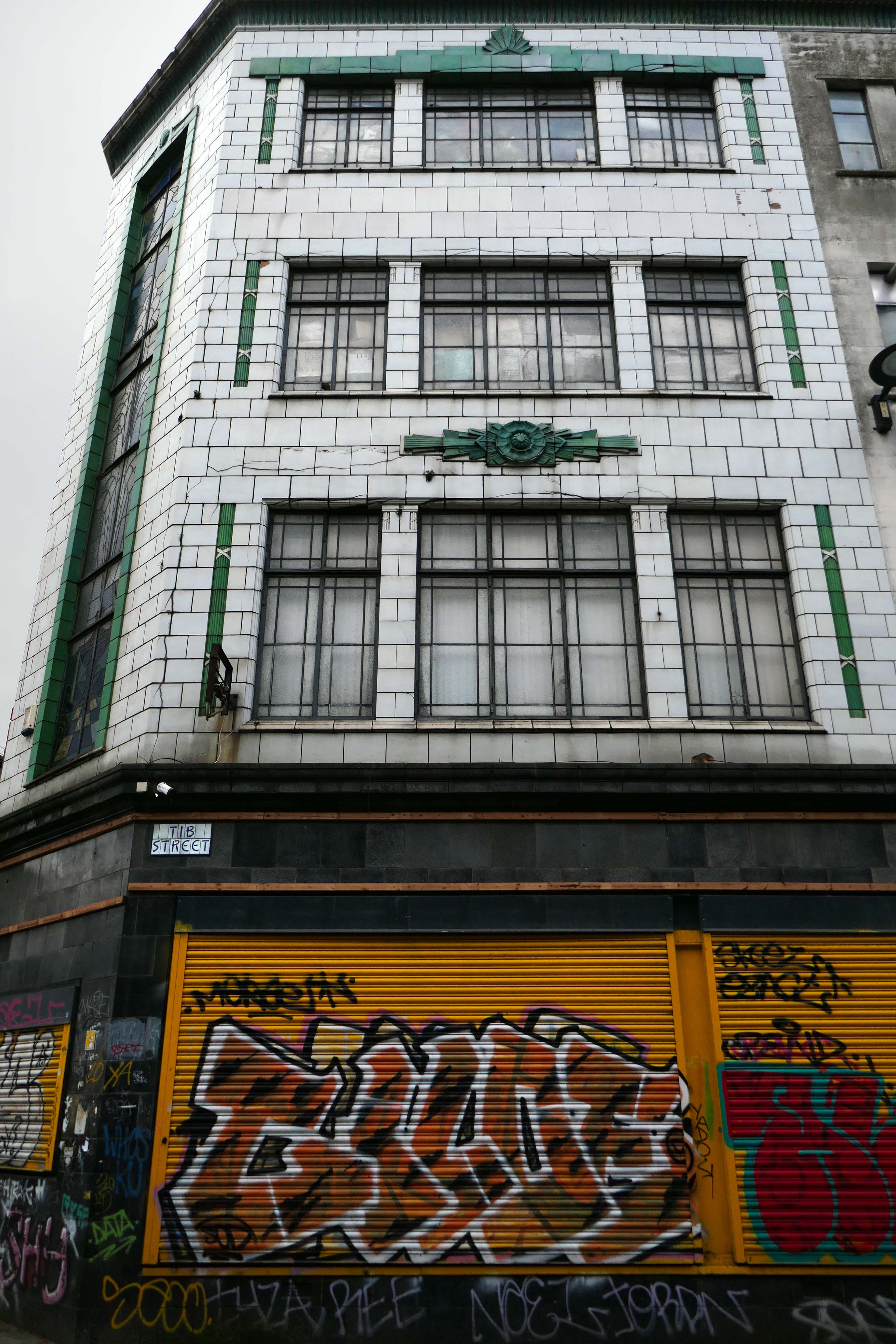
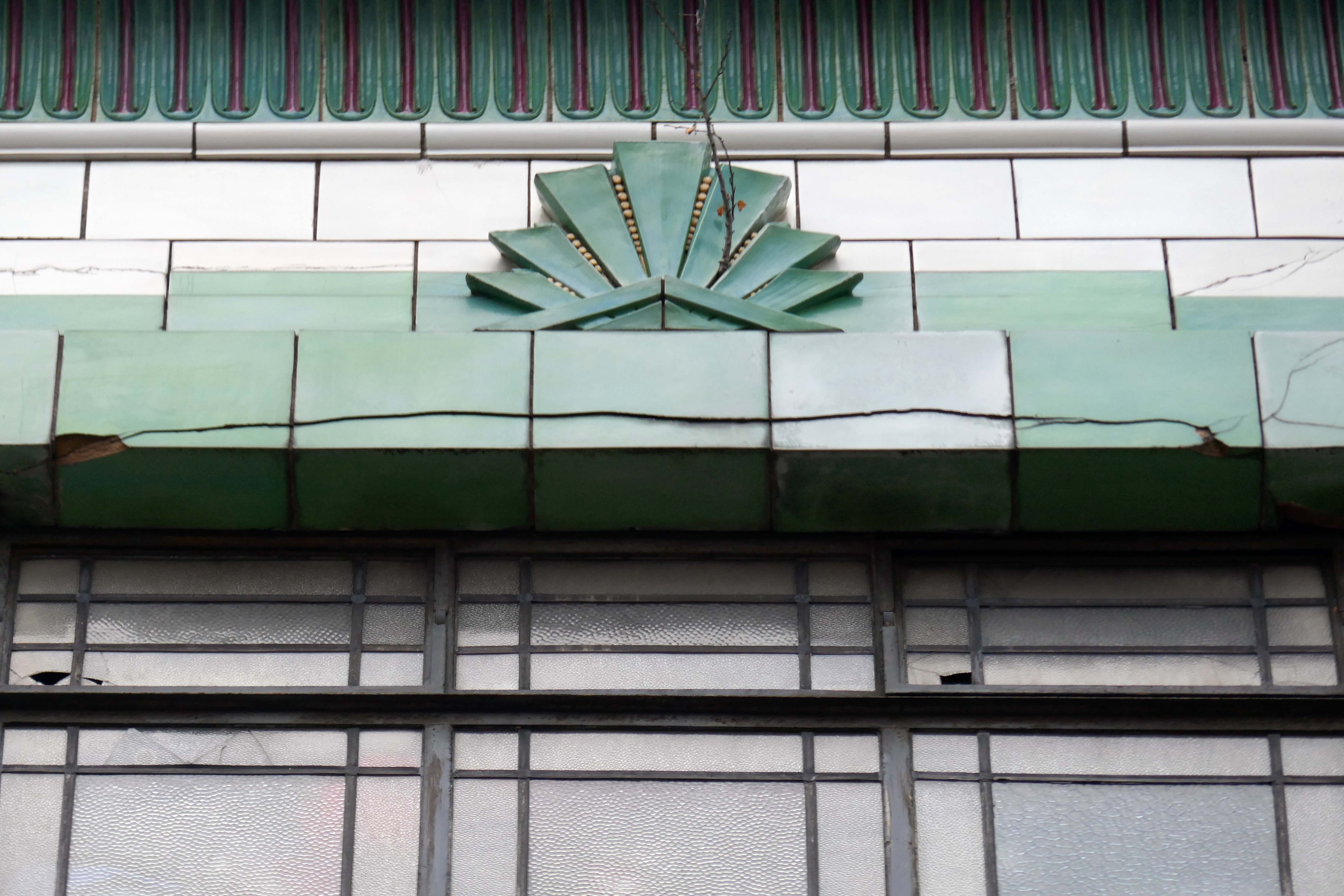
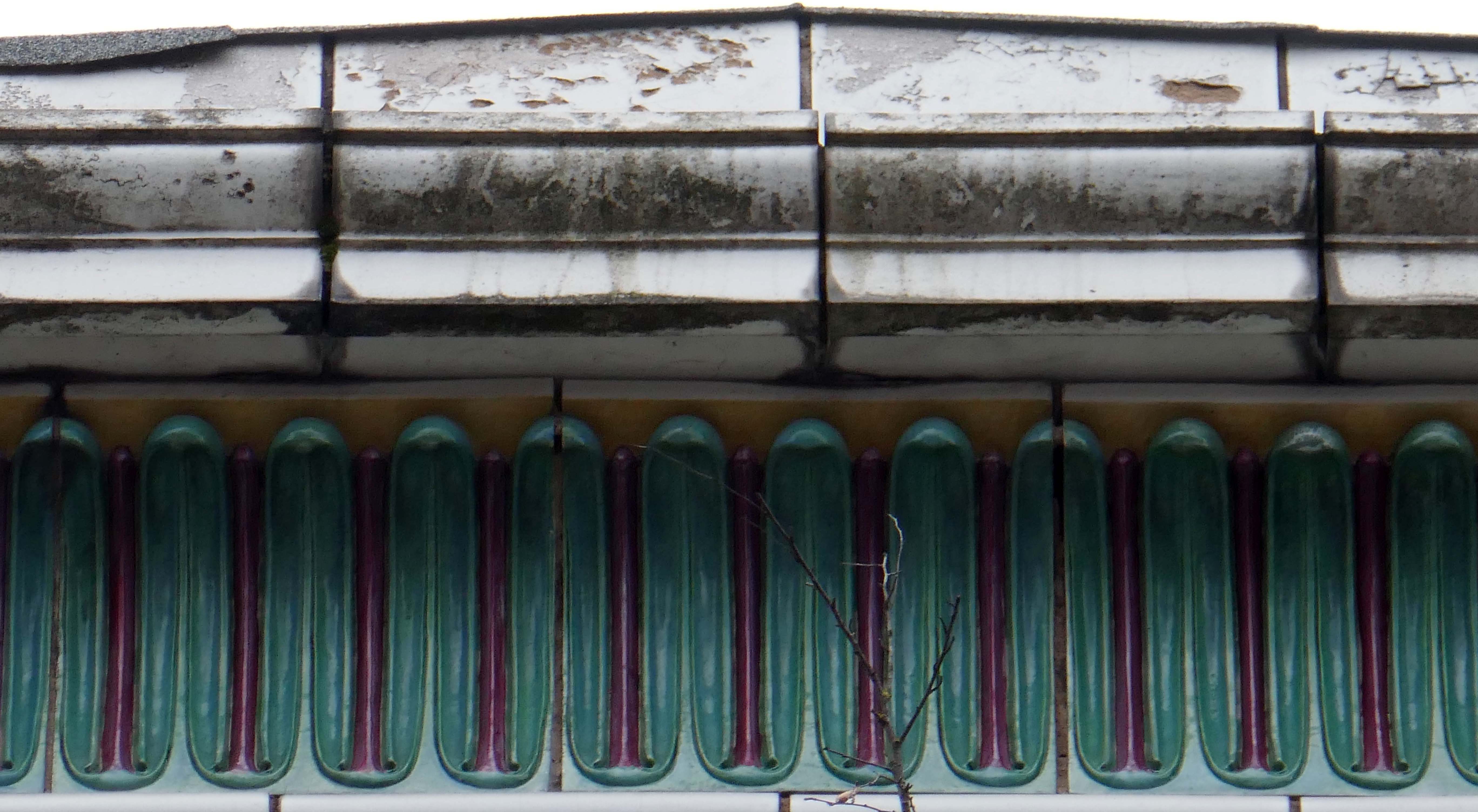
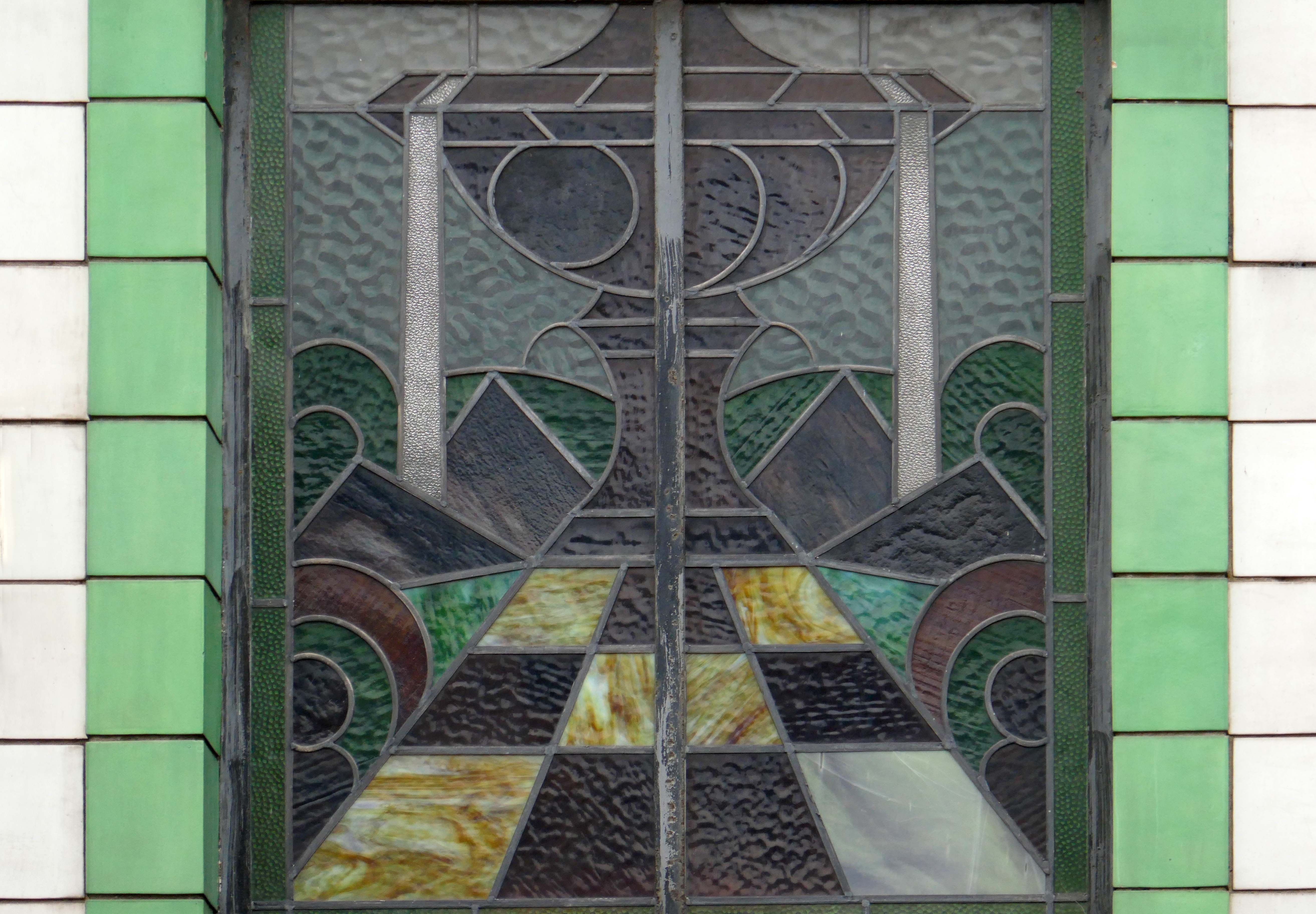
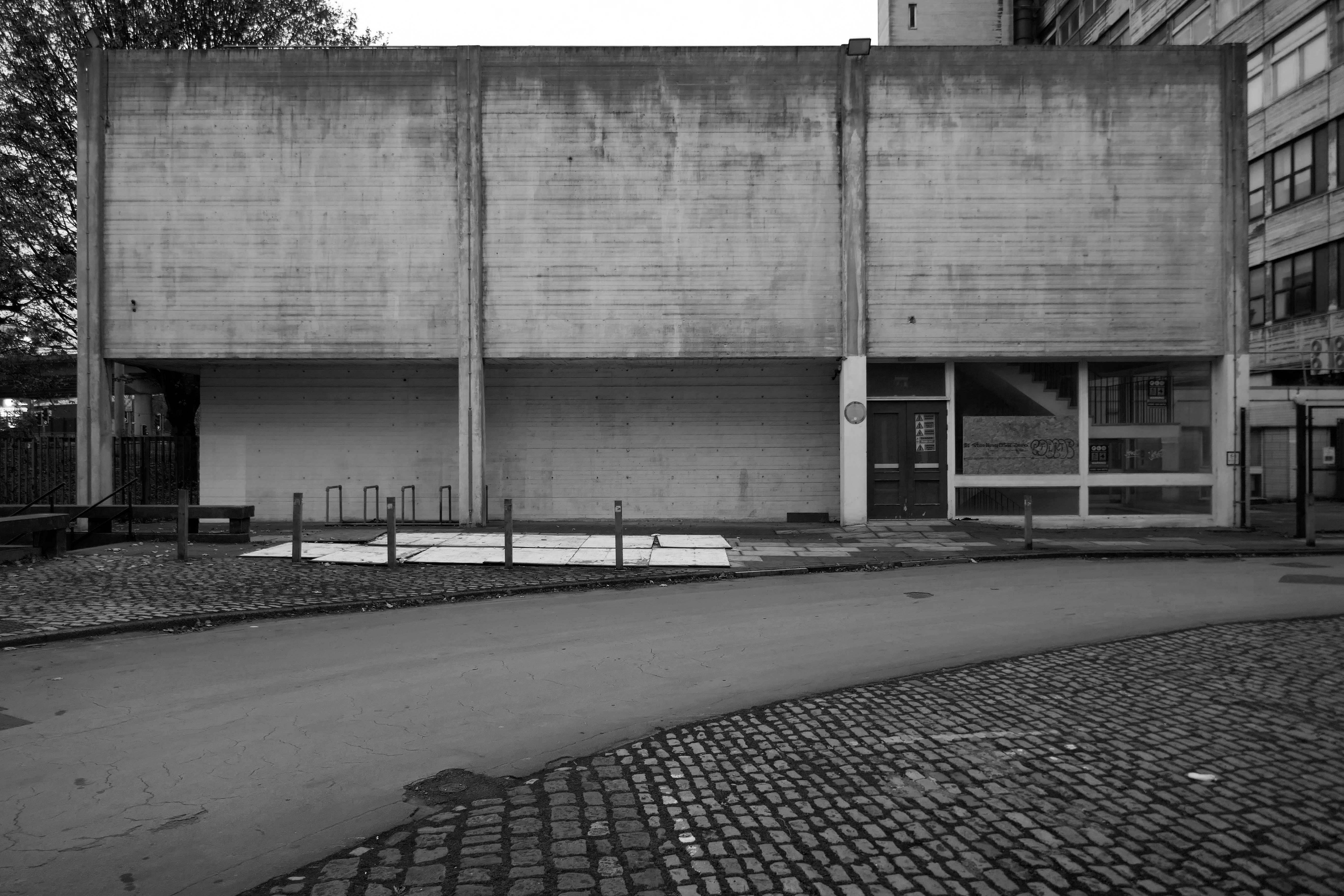
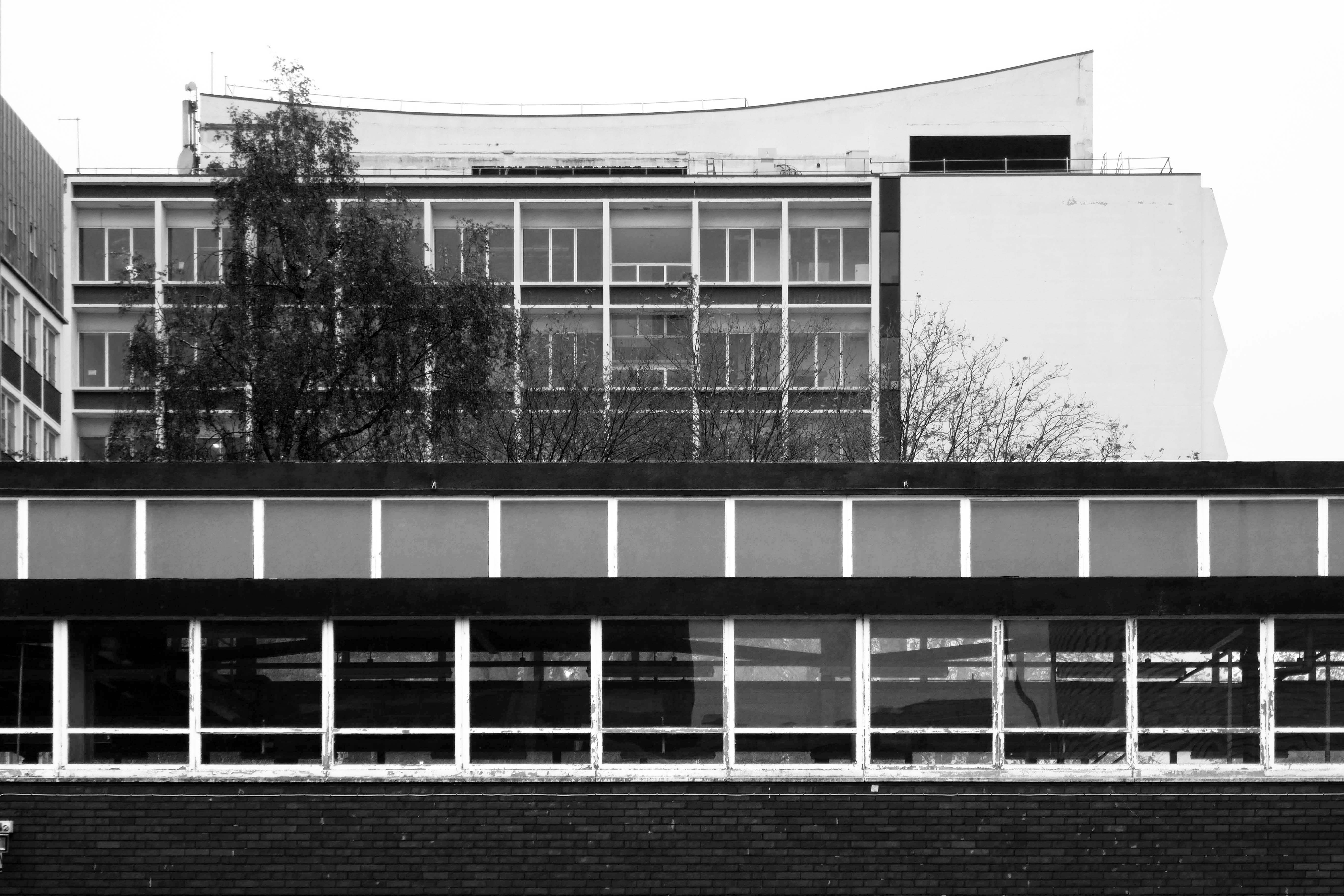
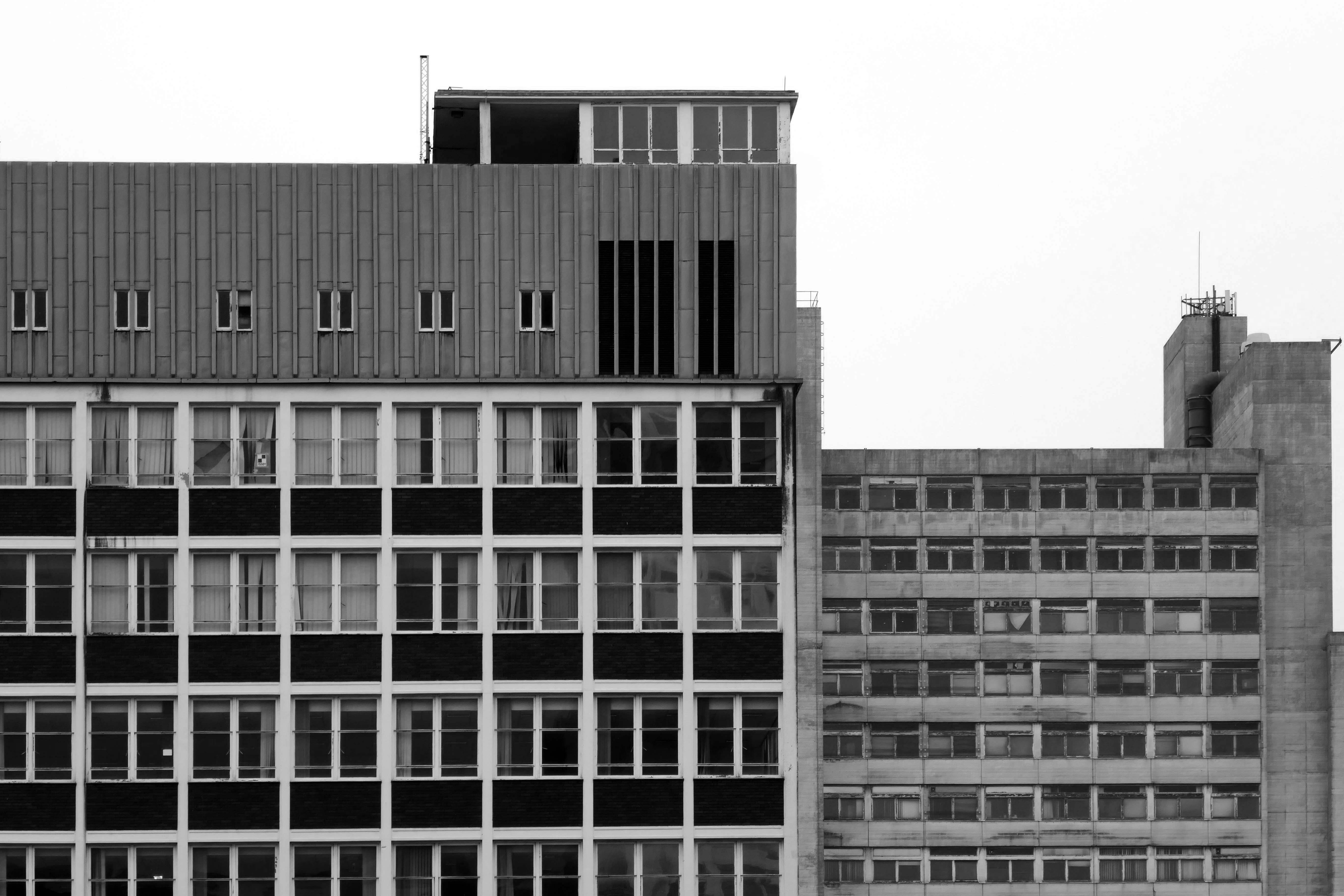
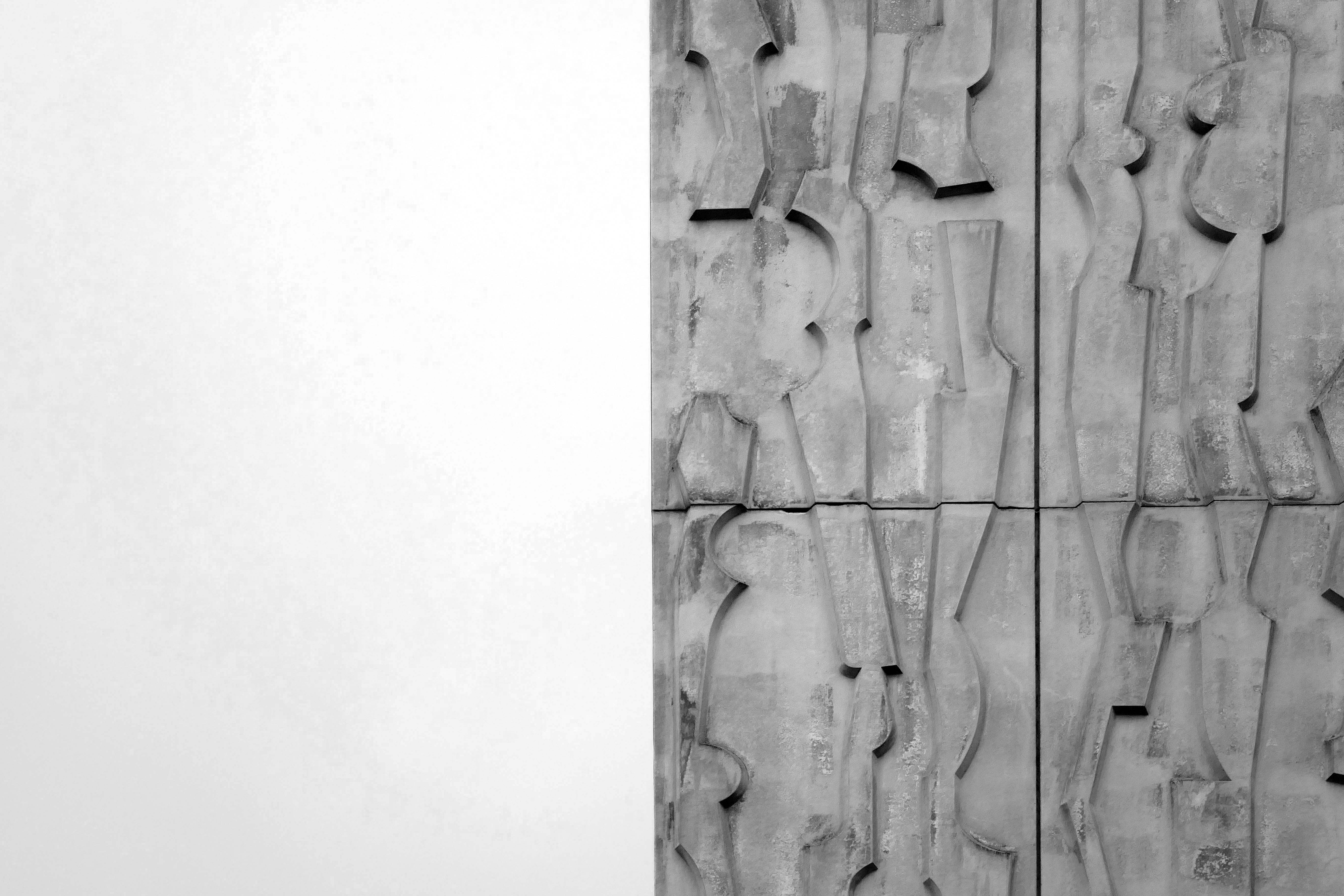
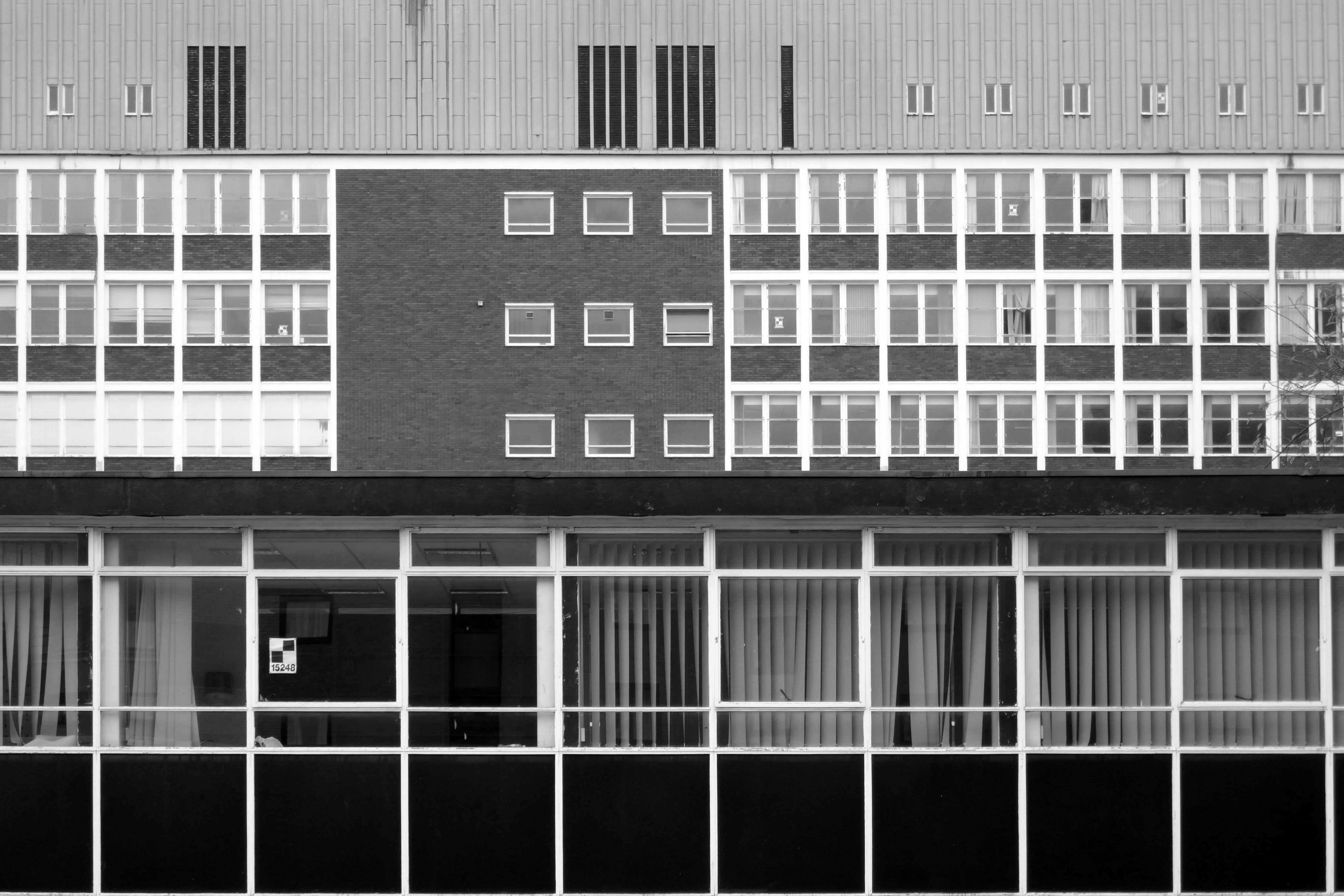
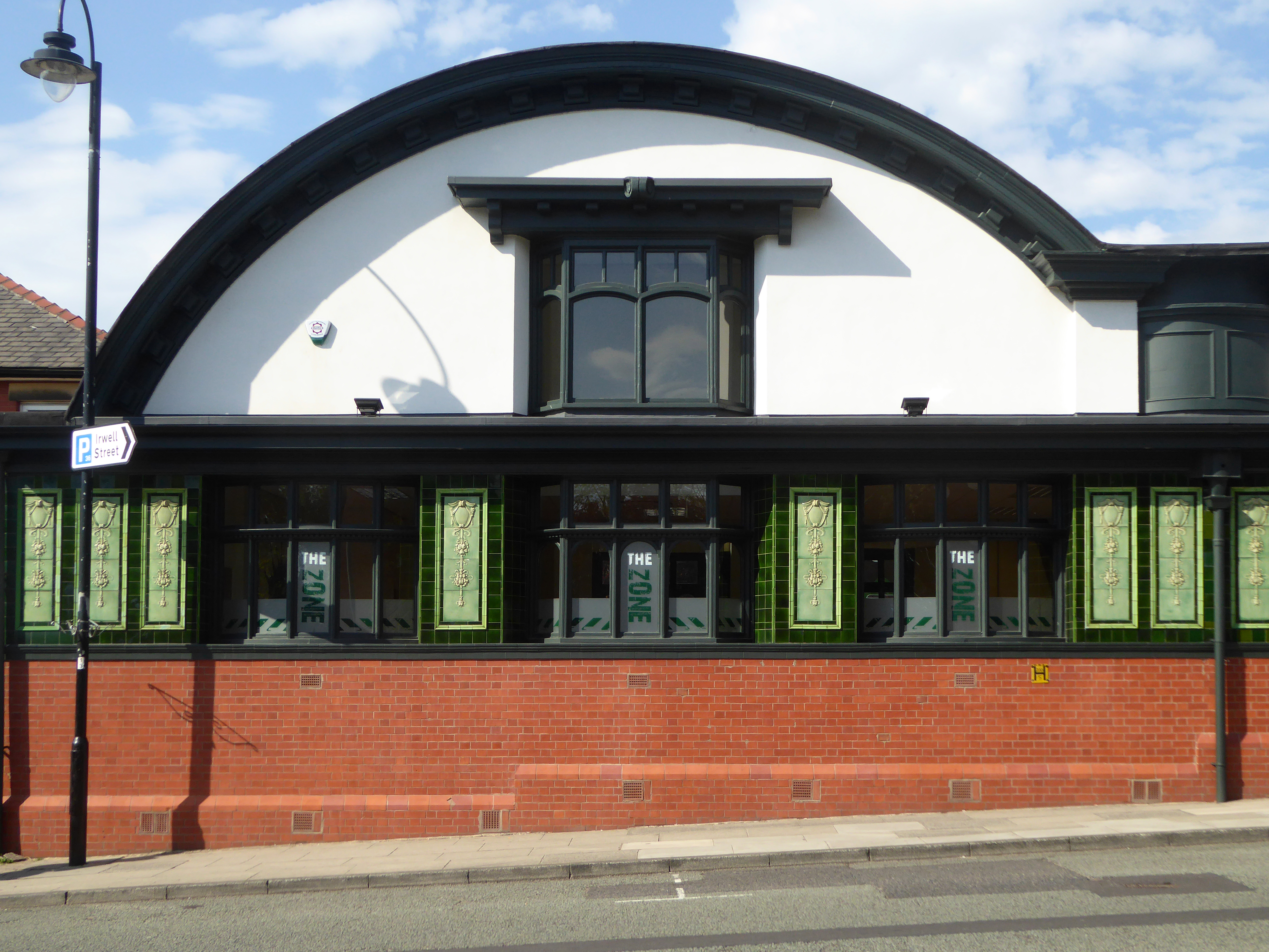
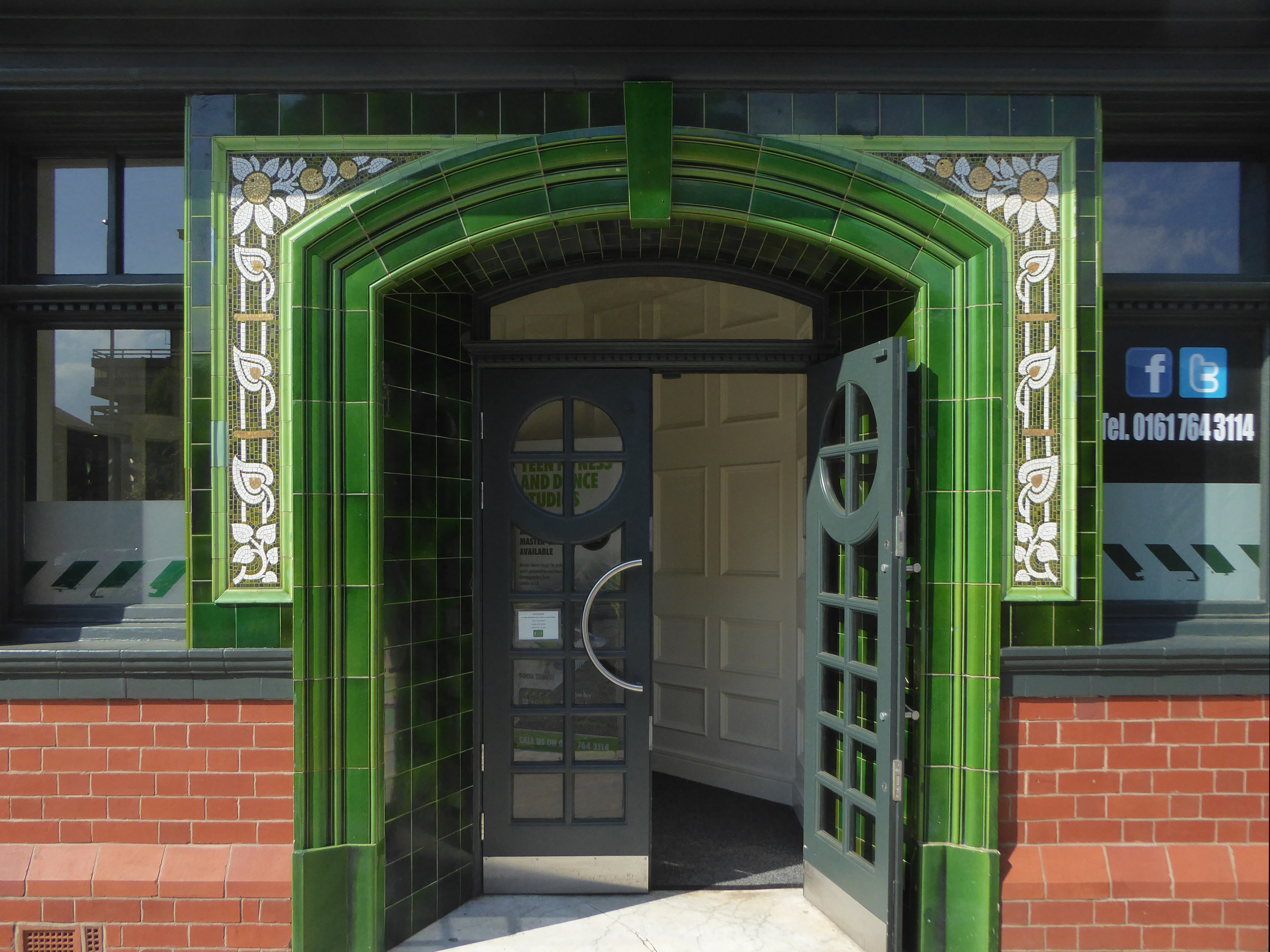
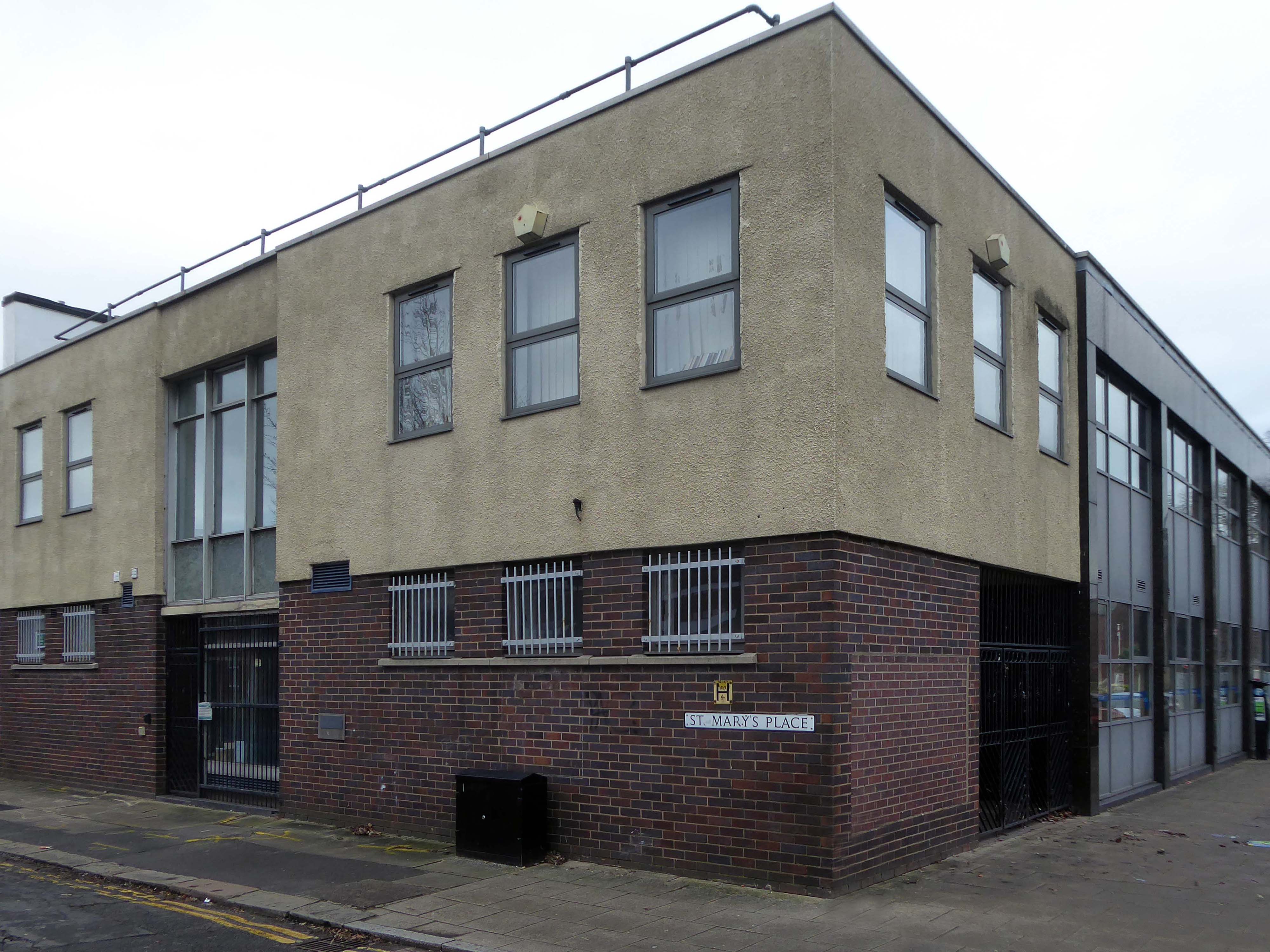
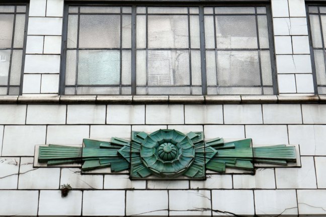
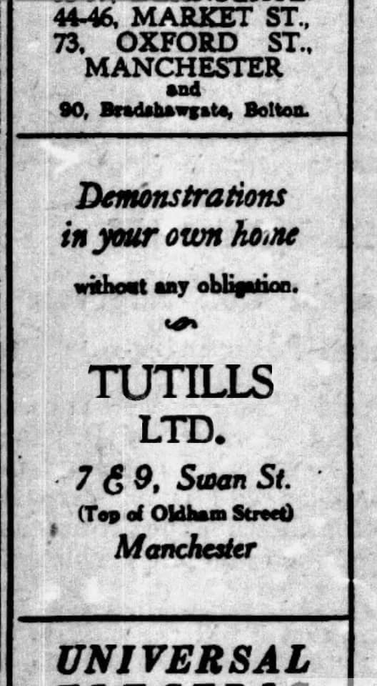
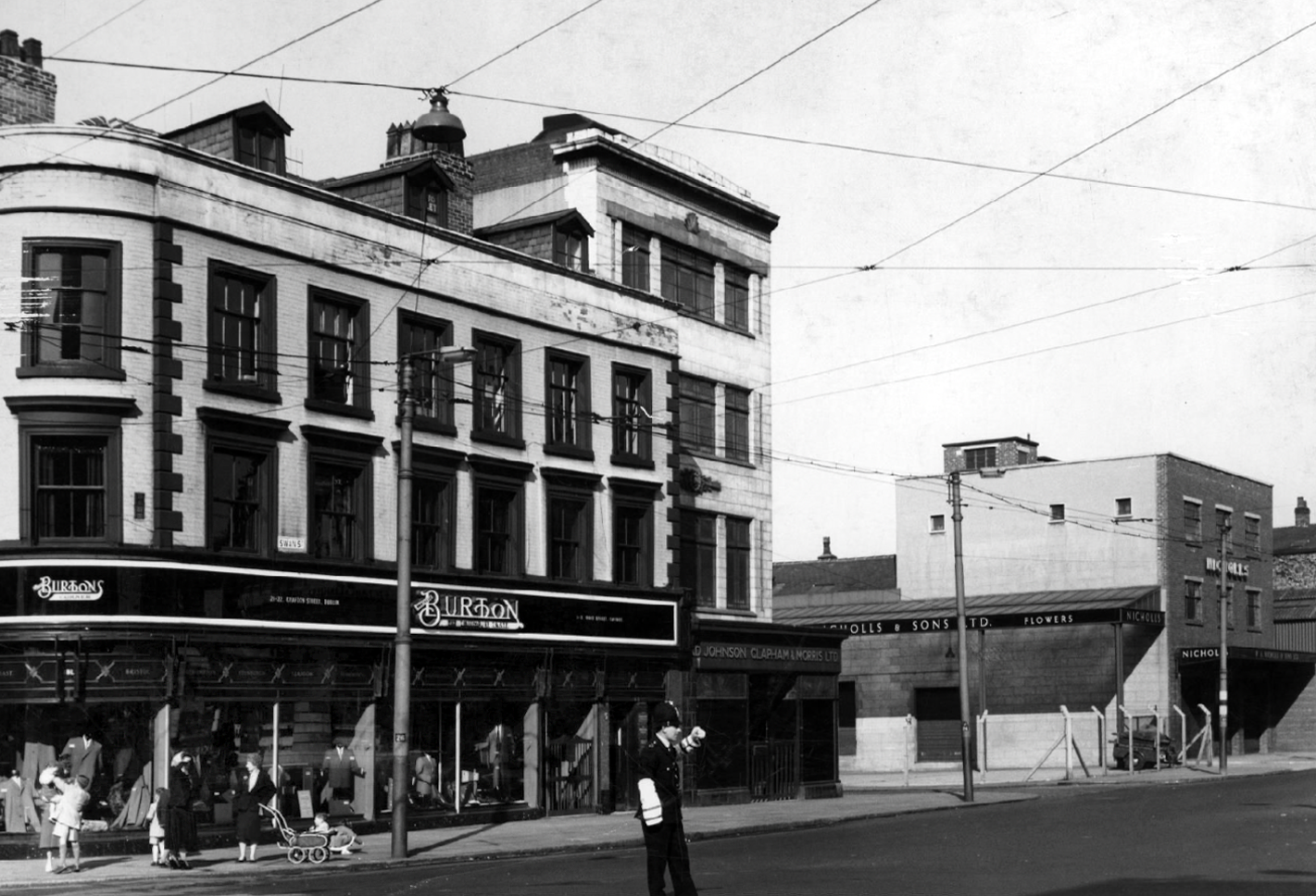
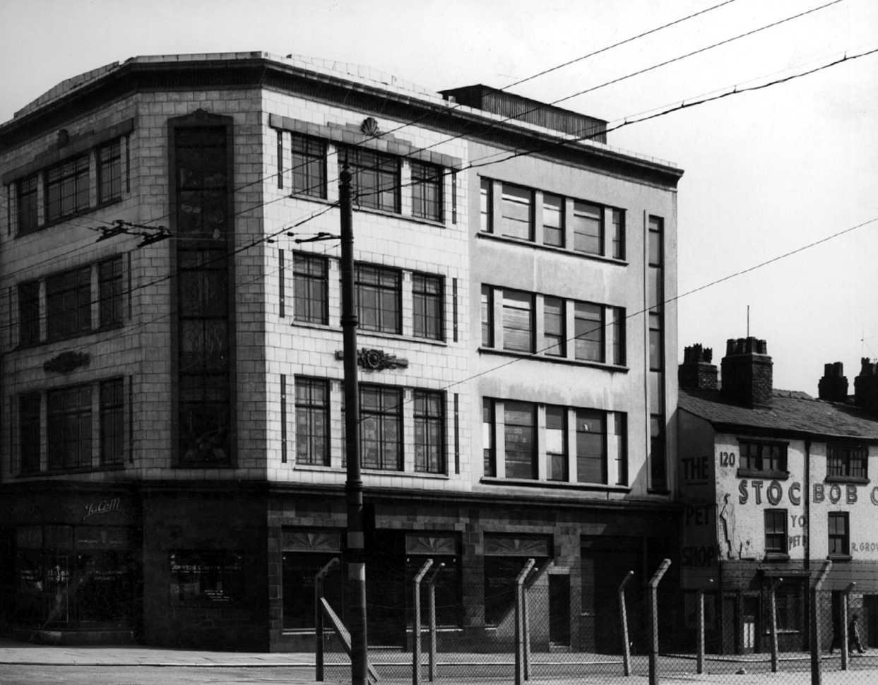
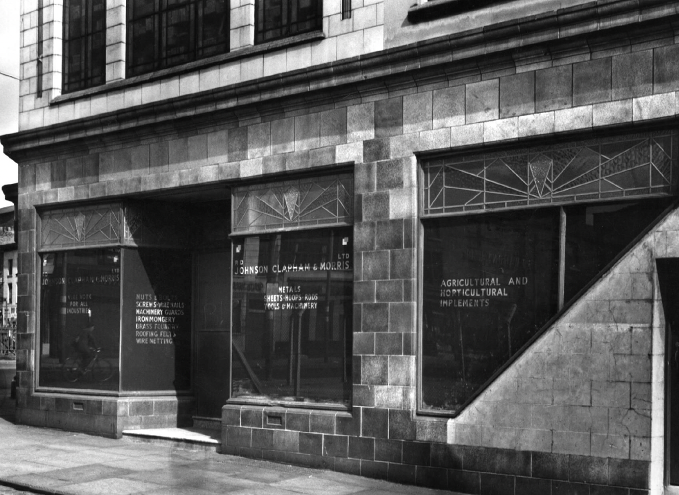
I have long been curious about the faience fronted shop on the corner of Tib and Swan Streets, it featured on my modernist mooch around the north of the city centre.
I have been informed by Lee Hutchings that it had originally been home to Tuttils Ltd.
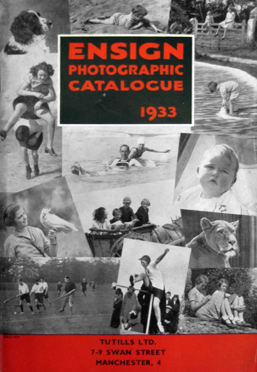
Ensign Cameras existed until 1961.
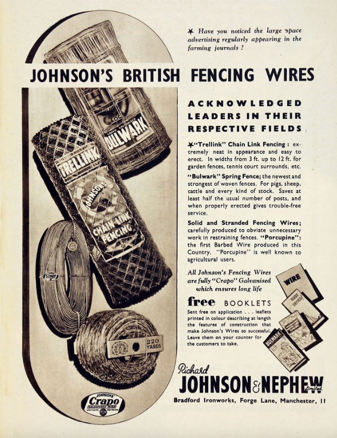
It was also, formerly the showrooms for local manufacturers Johnson & Nephew.
Here it is in 1959 – with a Burton’s for a neighbour.
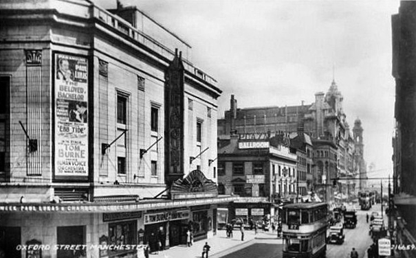
Pragmatic Manchester is far from awash with Art Deco – the lost Paramount/Odeon of Oxford Street comes to mind, demolished in 2017.
The Paramount Theatre was built in 1930 to the designs of architects Frank T. Verity & Samuel Beverley for the U.K. arm of the American Paramount Theatres Ltd. chain. The Manchester Paramount Theatre was a sumptuous American import.
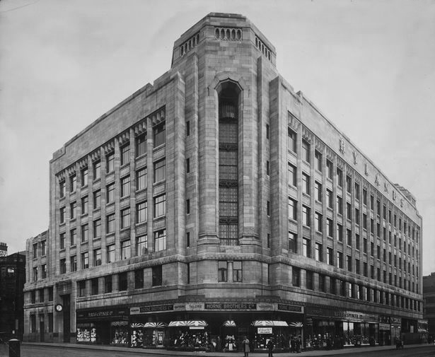
Along with the Rylands Building on High Street – currently receiving a facelift following the demise of Debenhams.
The building was originally built as a warehouse by J. Gerrard & Sons of Swinton for the Rylands textile company, which was founded by the entrepreneur John Rylands. That firm had occupied warehouses in High Street ever since 1822; its west-facing side is on High Street. The building was designed by the eminent Manchester architects, Fairhursts – Harry S. & P. G. Fairhurst, in an Art Deco style. It is clad in Portland stone and features a decorative corner tower and eclectic ‘zig zag’ window lintels. The work was completed in 1932.
Rylands will be sensitively restored to its elegant past. The building will comprise workspace, retail and leisure, creating an exciting new destination in Central Manchester.
Also of note are the works of Joe Sunlight the Express Building and Kendals.
The Tib/Swan Street site has now ceased trading as the last of the area’s pet shops.
Time alone will tell what fate awaits it.