Bury Walk

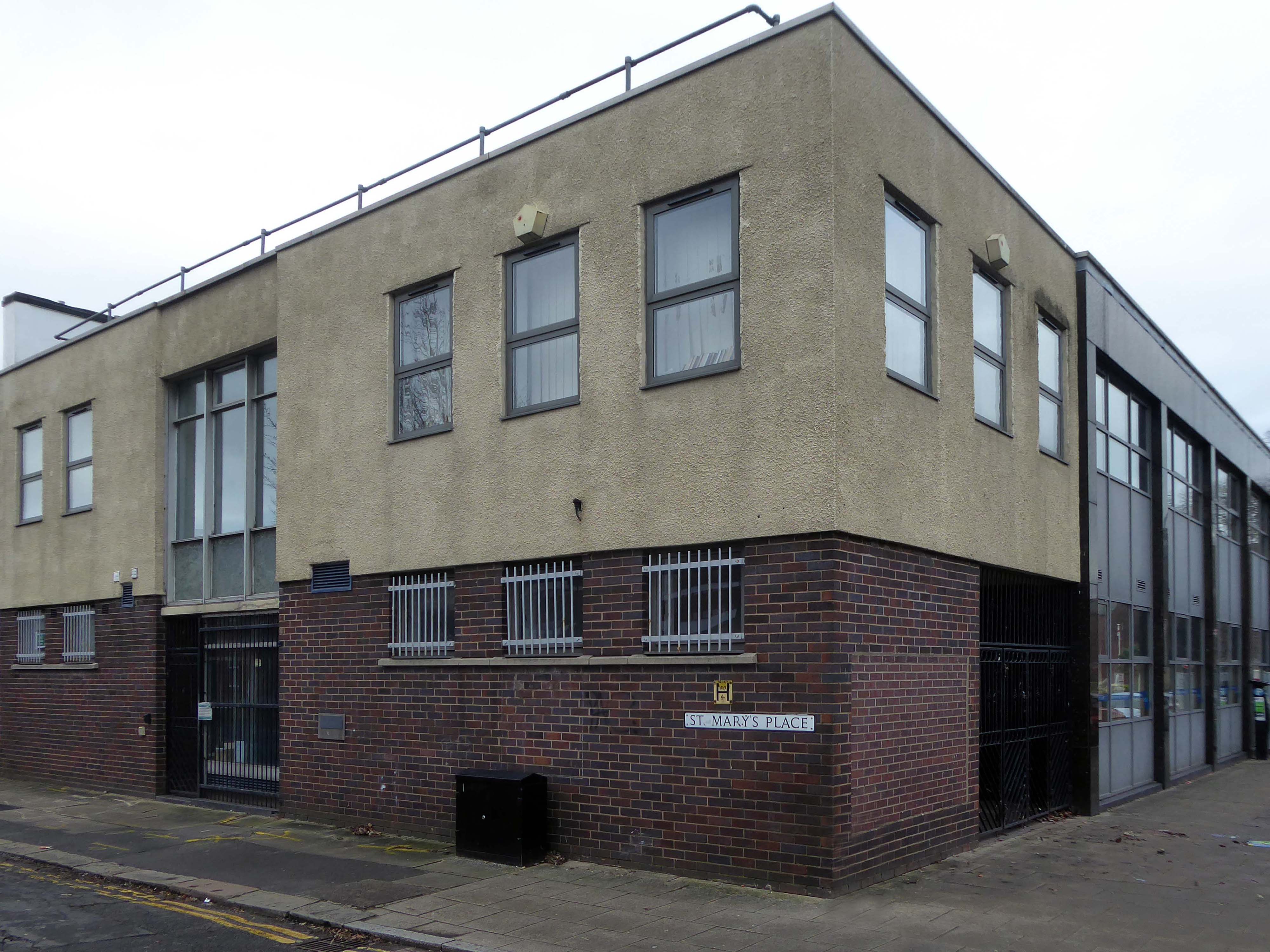
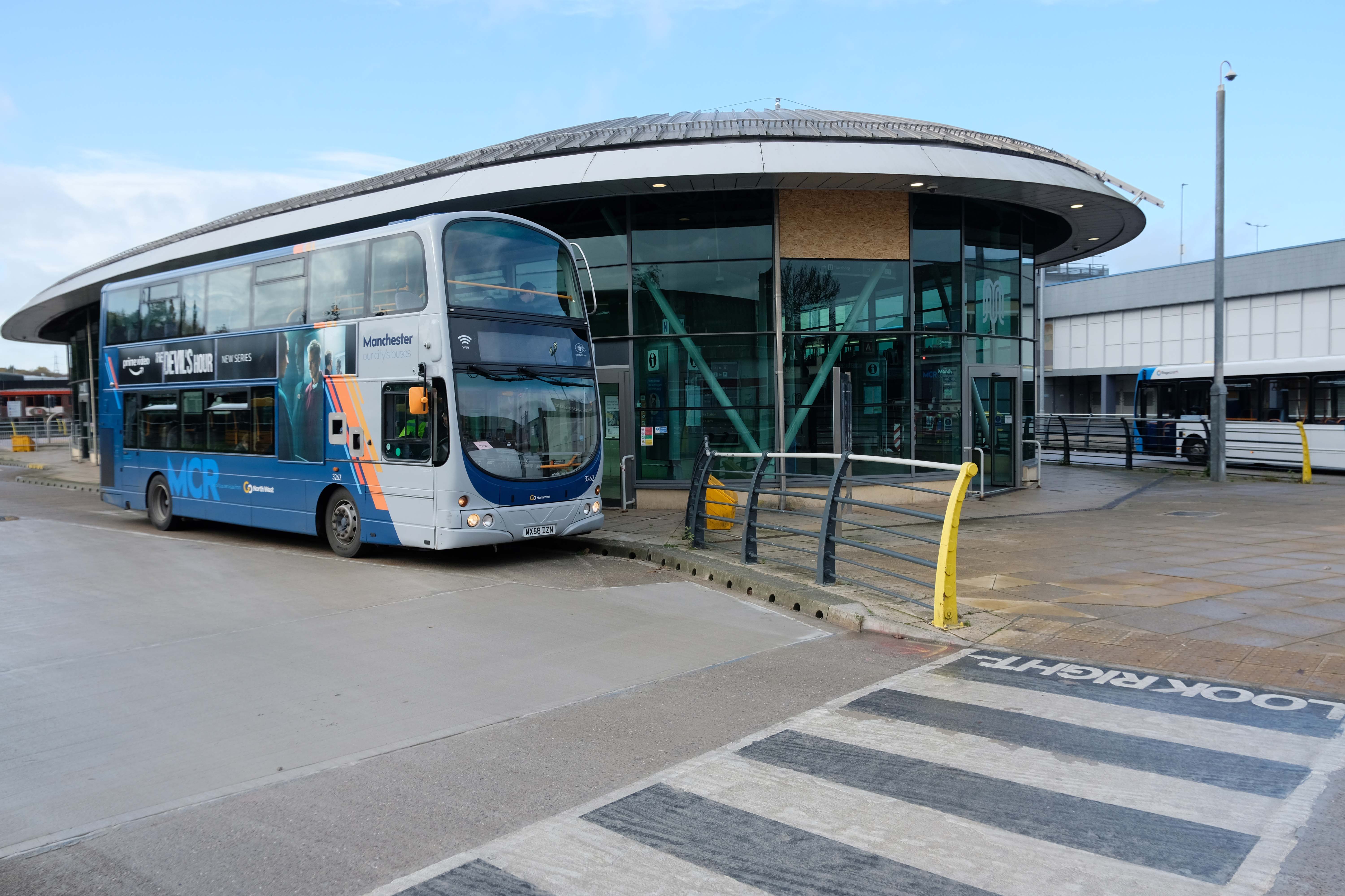
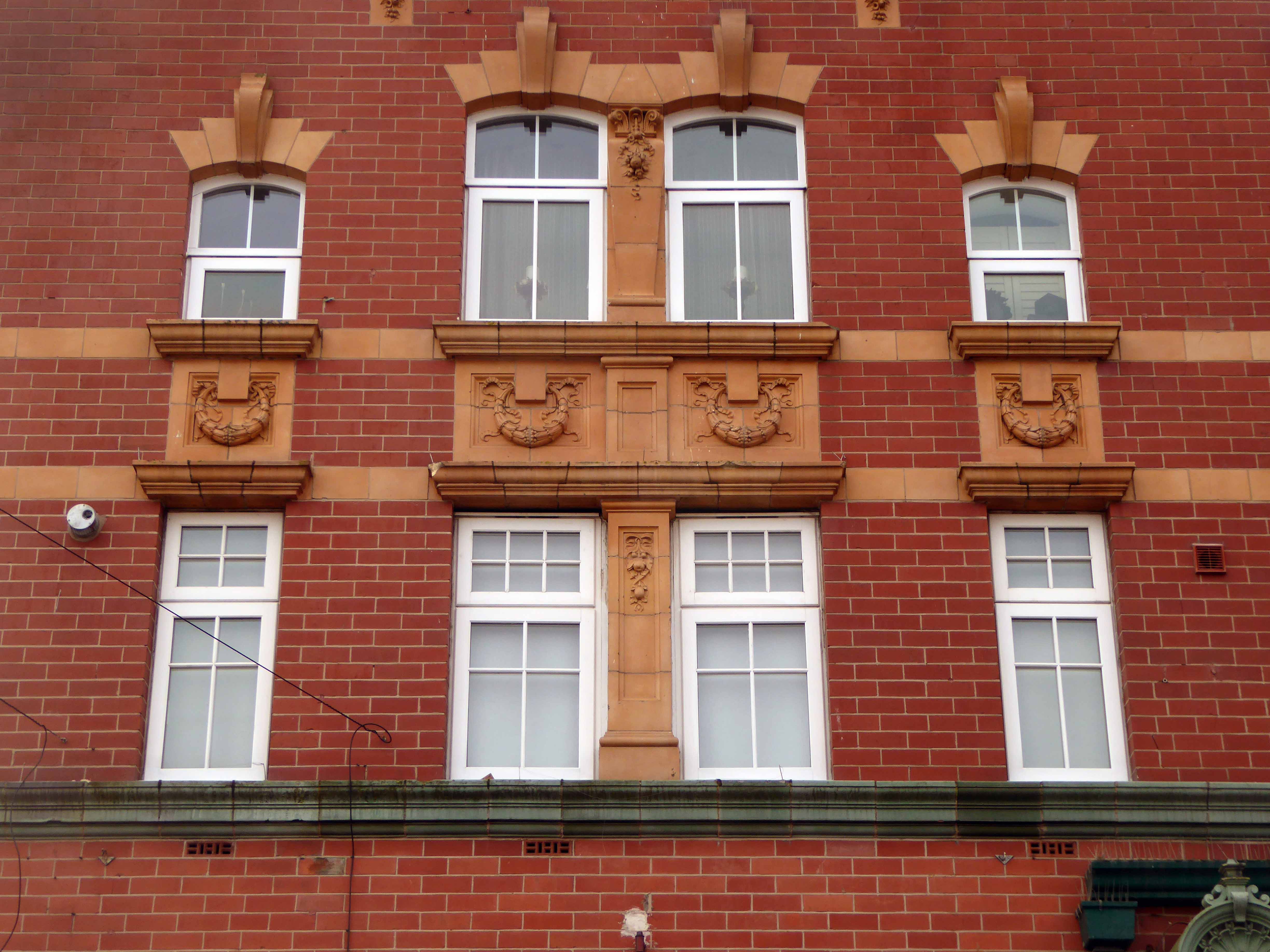
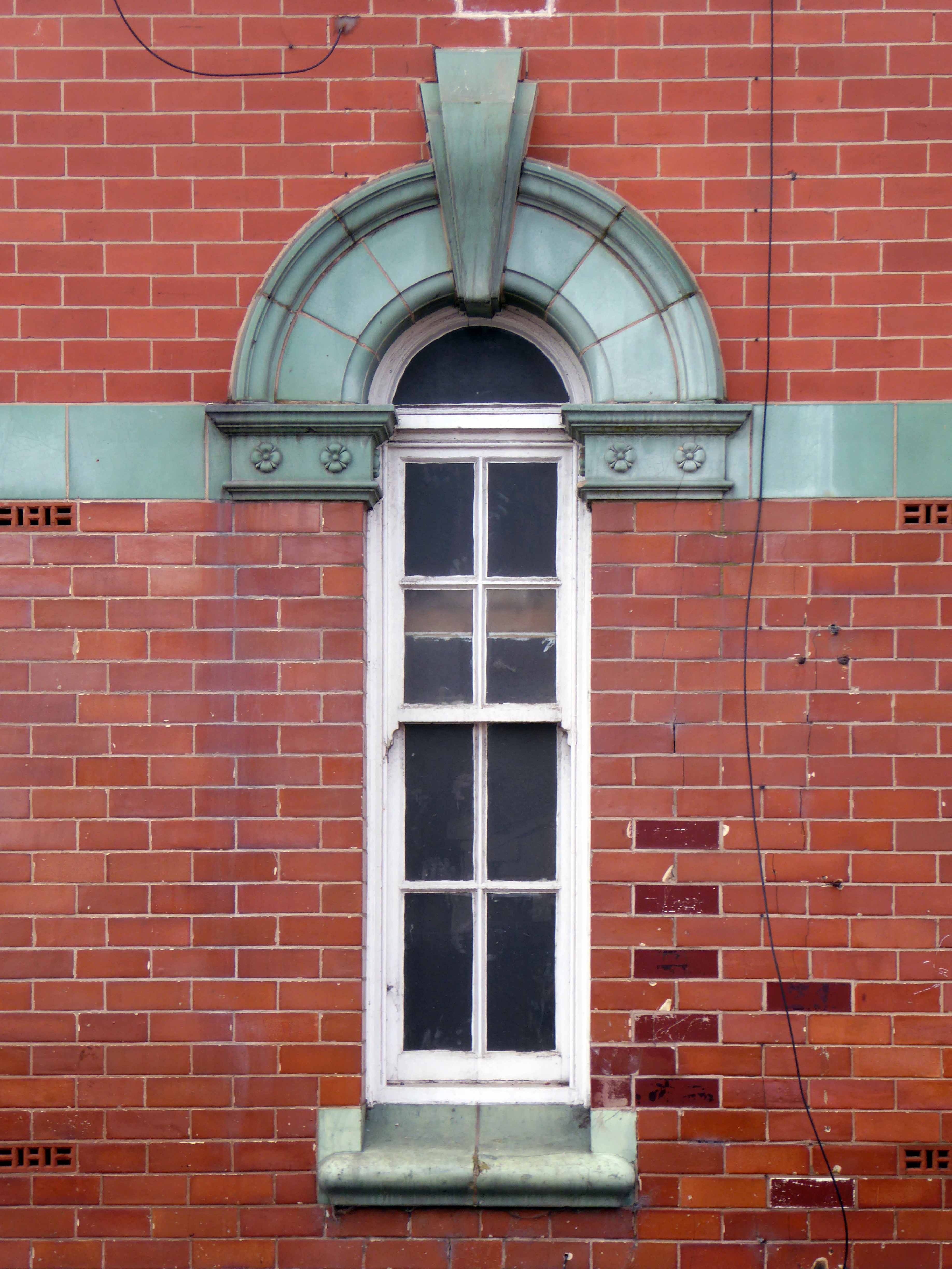
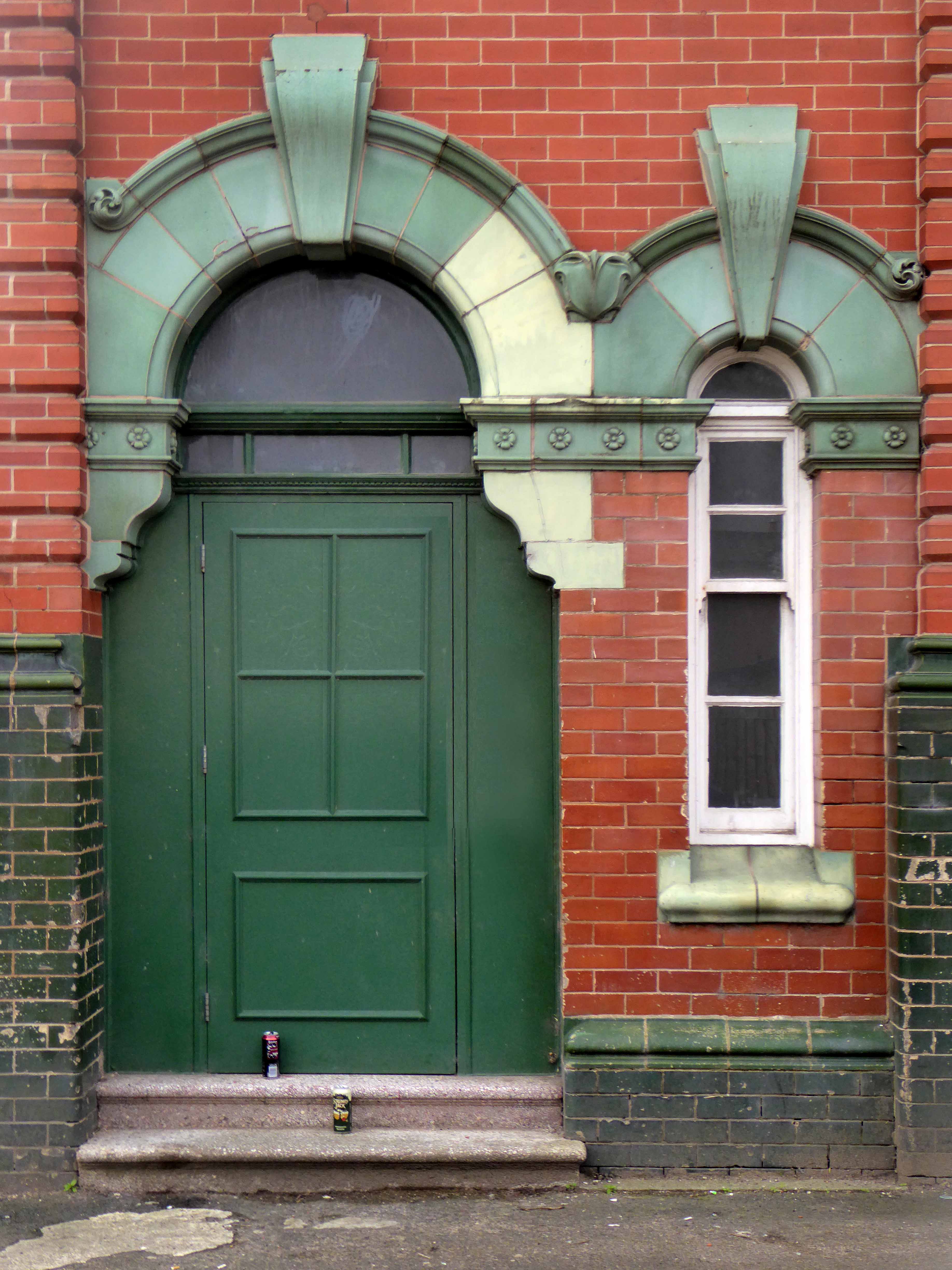
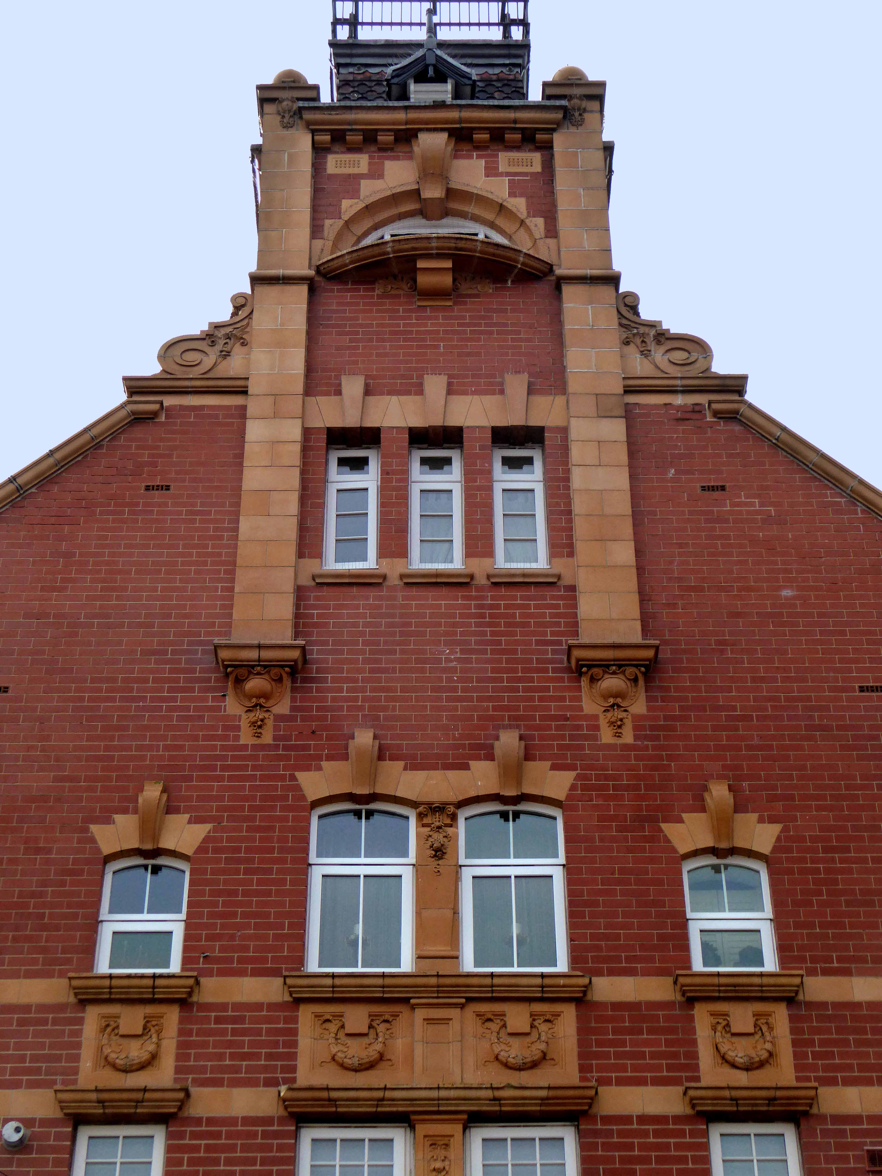
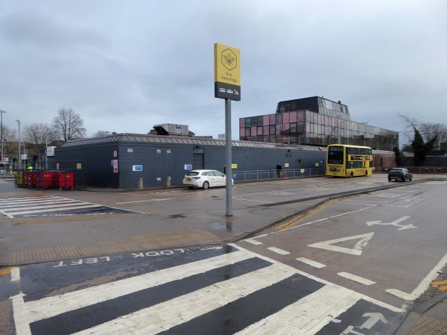
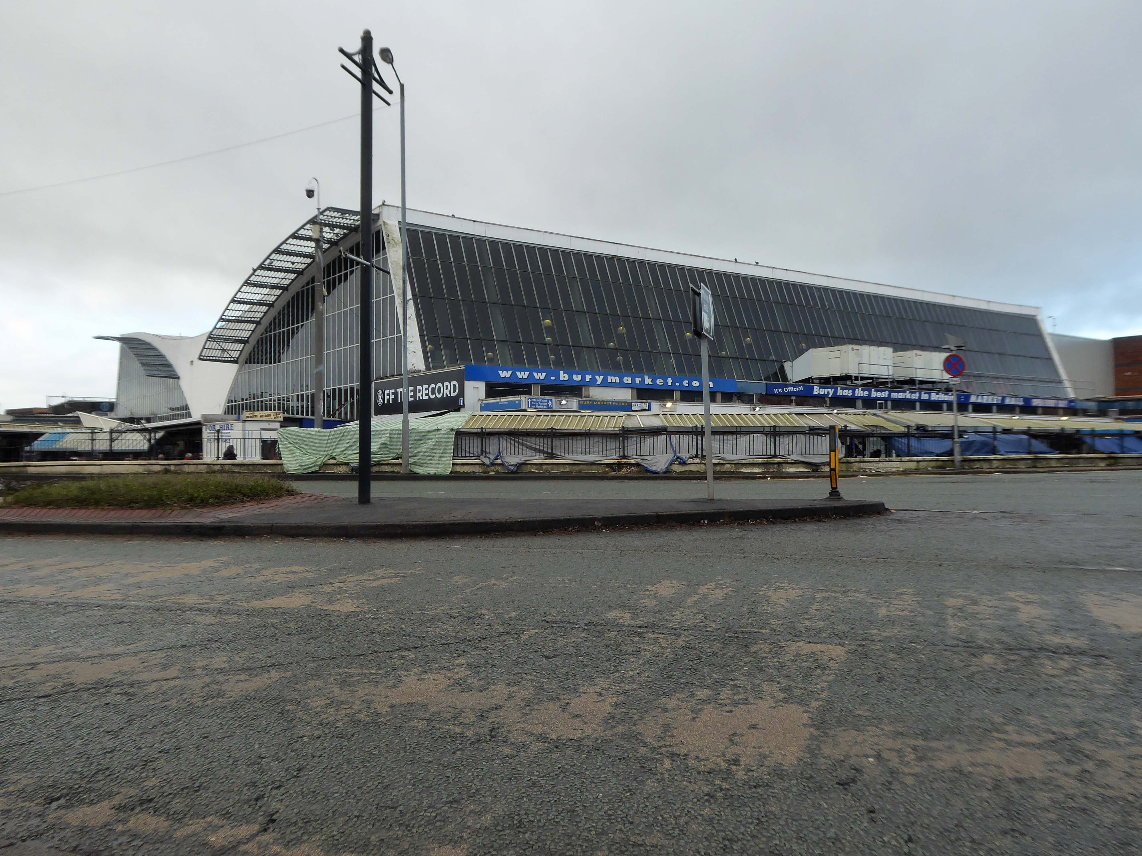
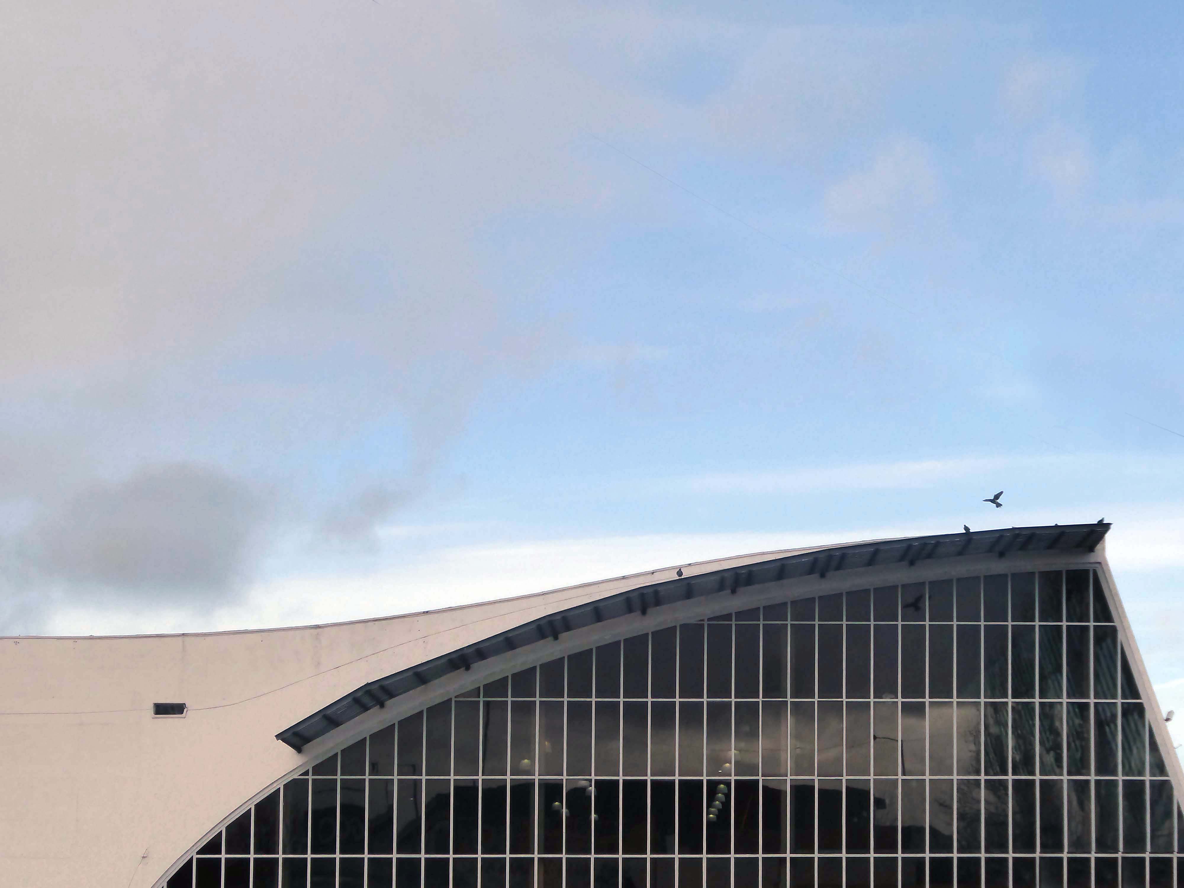
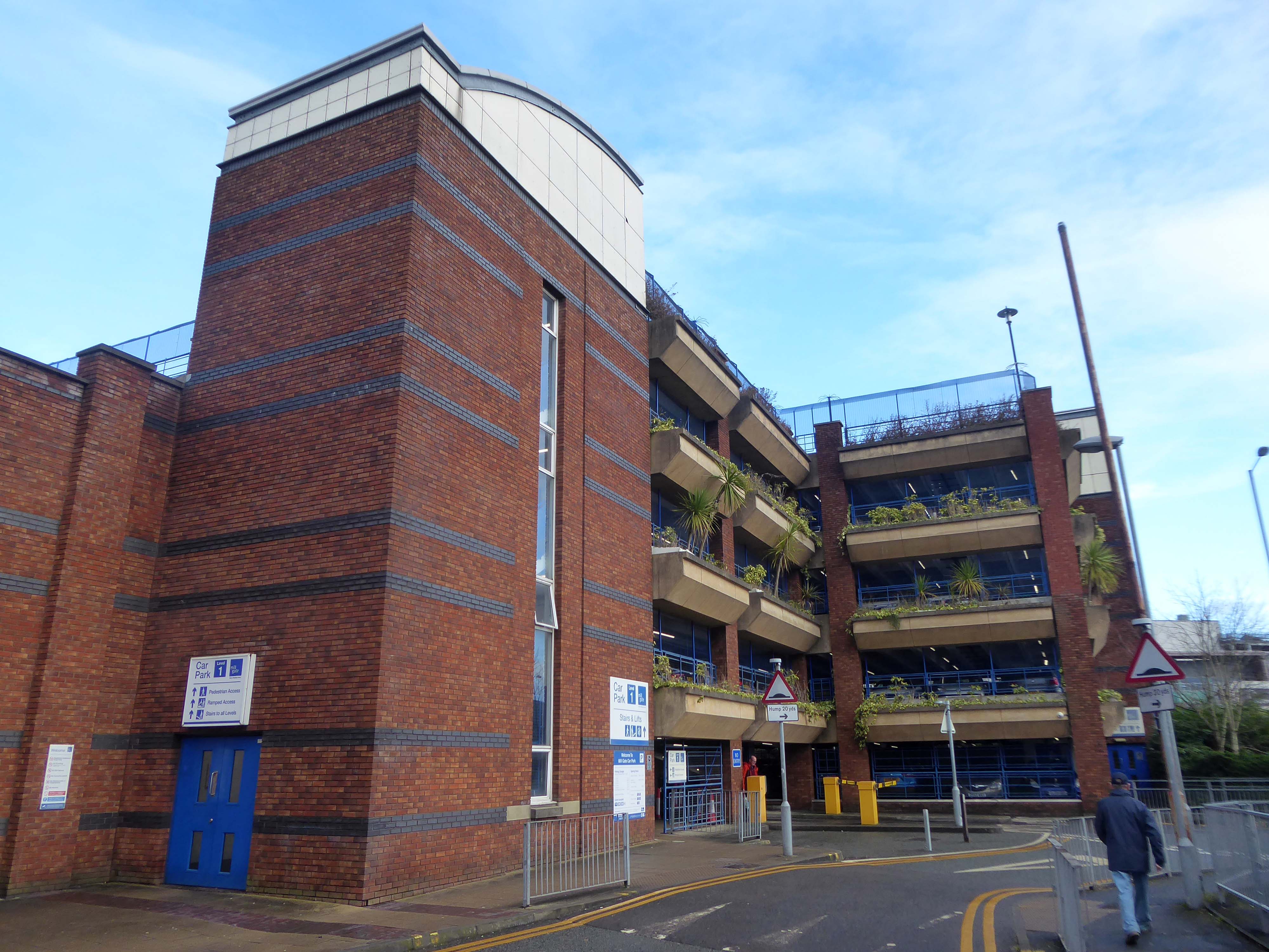
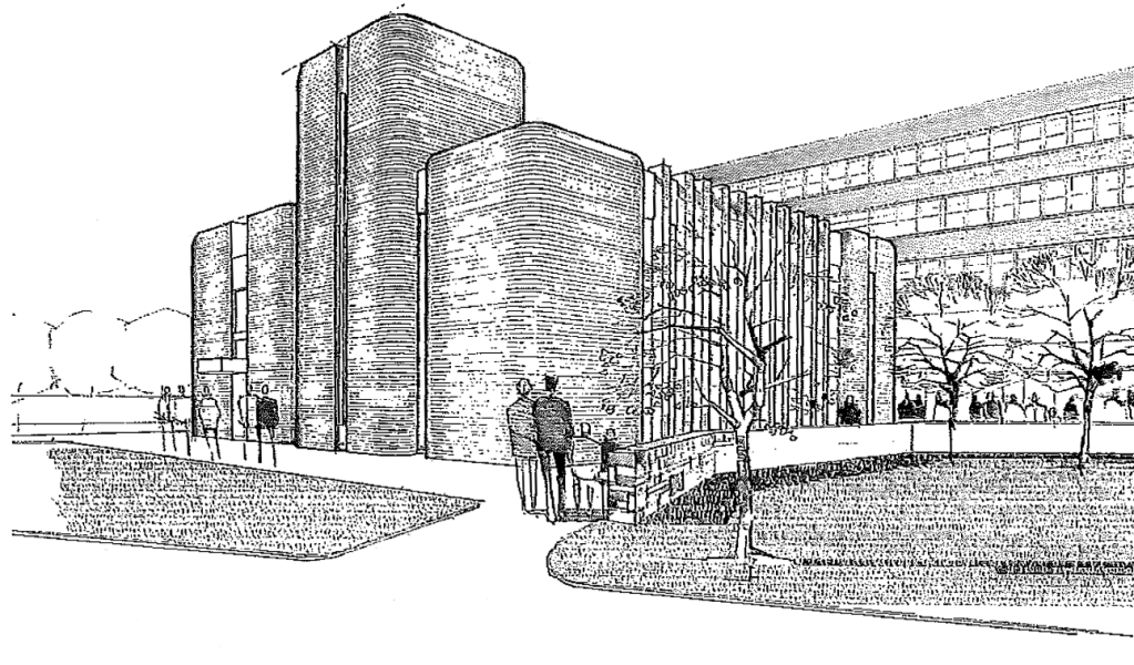
Arriving at and looking around the Interchange – 1980 architects: Essex Goodman & Suggitt

It is the northern terminus of the Manchester Metrolink’s Bury Line, which prior to 1992 was a heavy-rail line.

A new short spur line was constructed to connect the new station. The railway had originally run into Bury Bolton Street which was further away from the town centre, and was closed by British Rail on the same day that Bury Interchange opened.

It also incorporates a bus station.

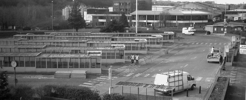
Bury Interchange replaced the bus termini scattered around Bury town centre, notably around Kay Gardens.

Wikipedia

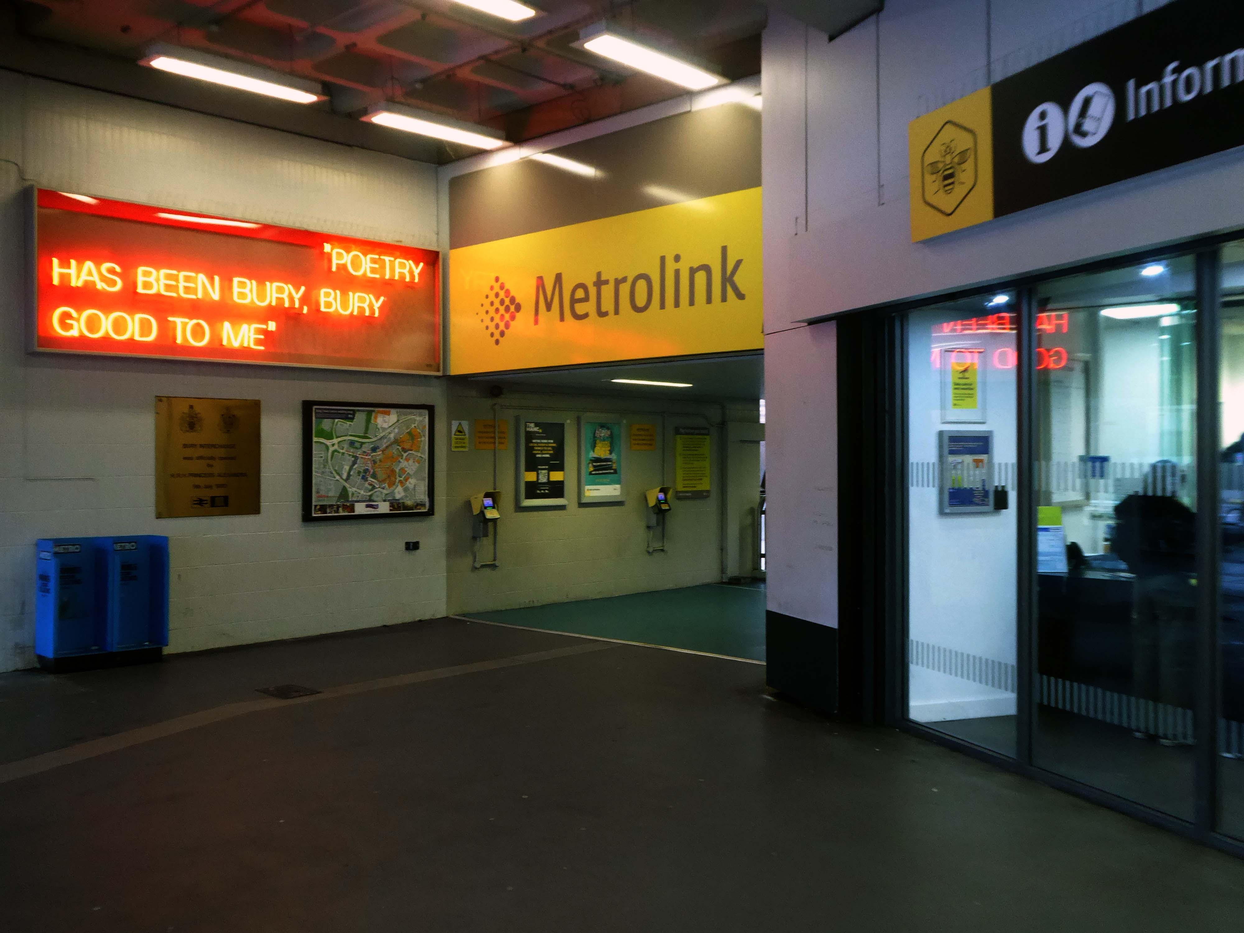
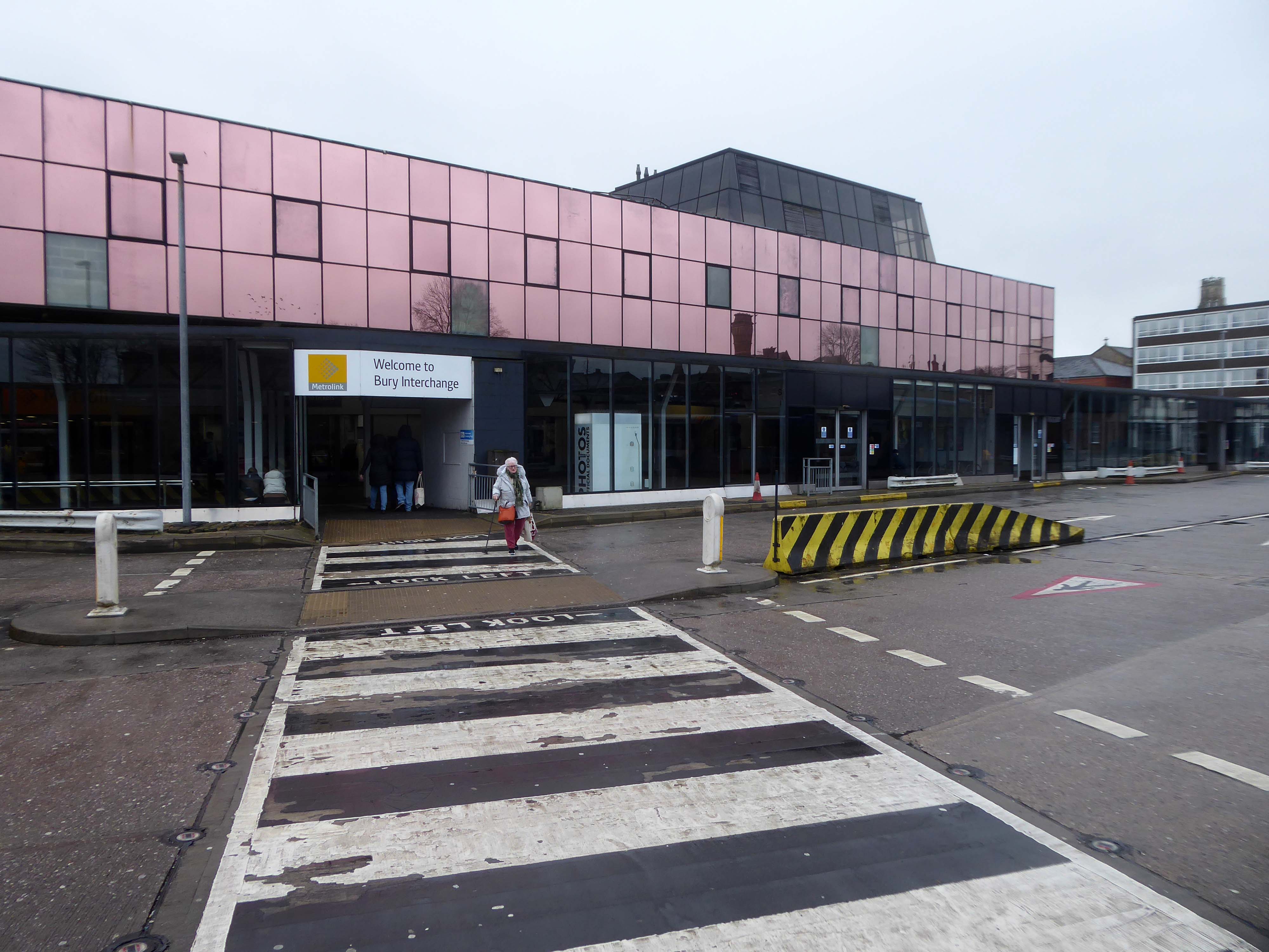
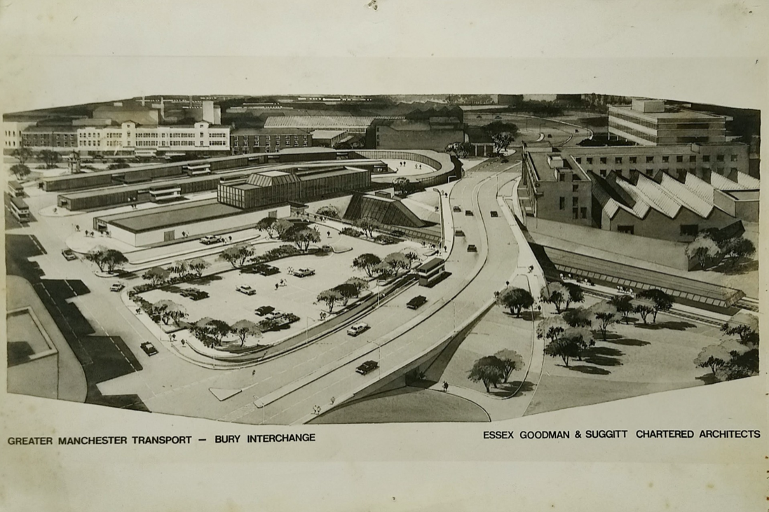
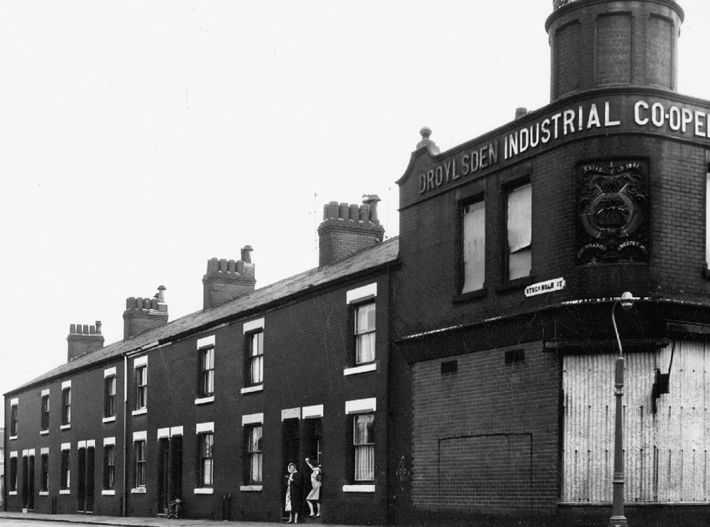
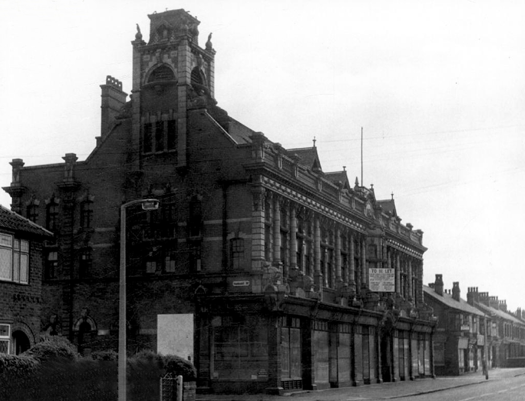
Image courtesy of Roy Banks

An £80m transformation is coming to the Bury Interchange, which will see step-free access at the Metrolink, a “vertical circulation core” to better connect the Metrolink with the bus facility, and an integrated travel hub with spaces for cycle storage.

The work is much-needed, explained Transport for Greater Manchester’s Alan Lowe, he said that the interchange was built in the 1980s and very much is of its time.

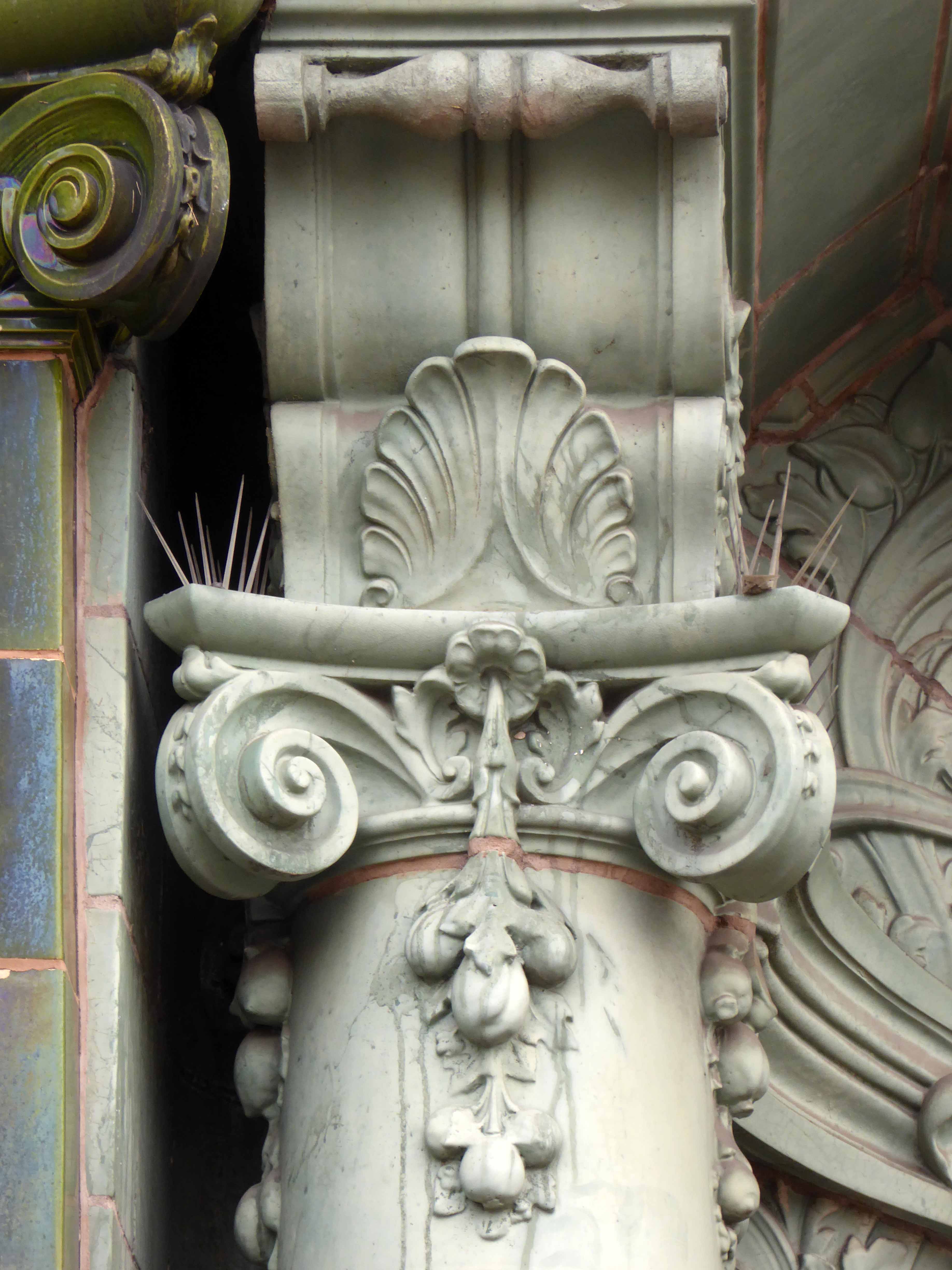
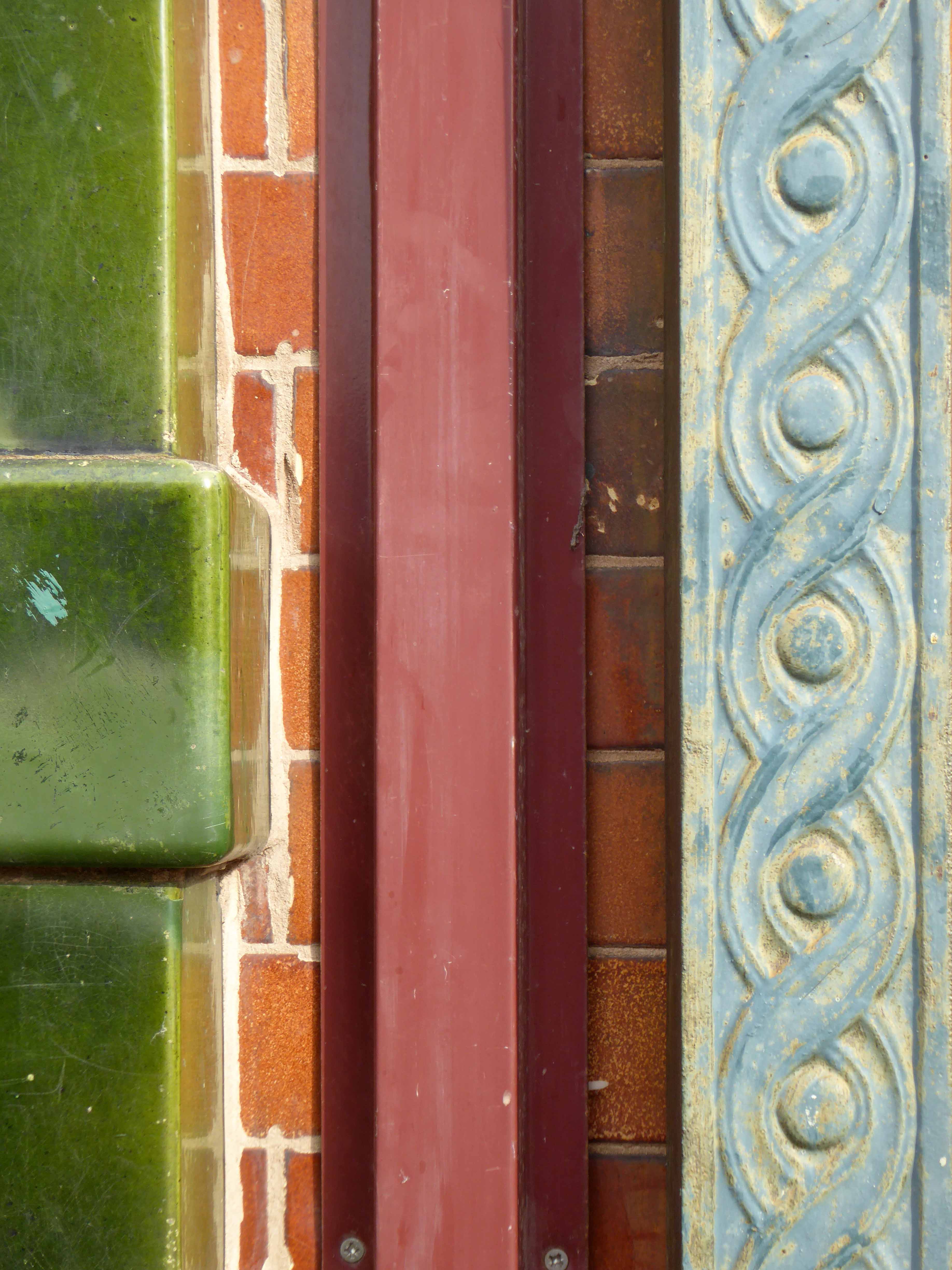
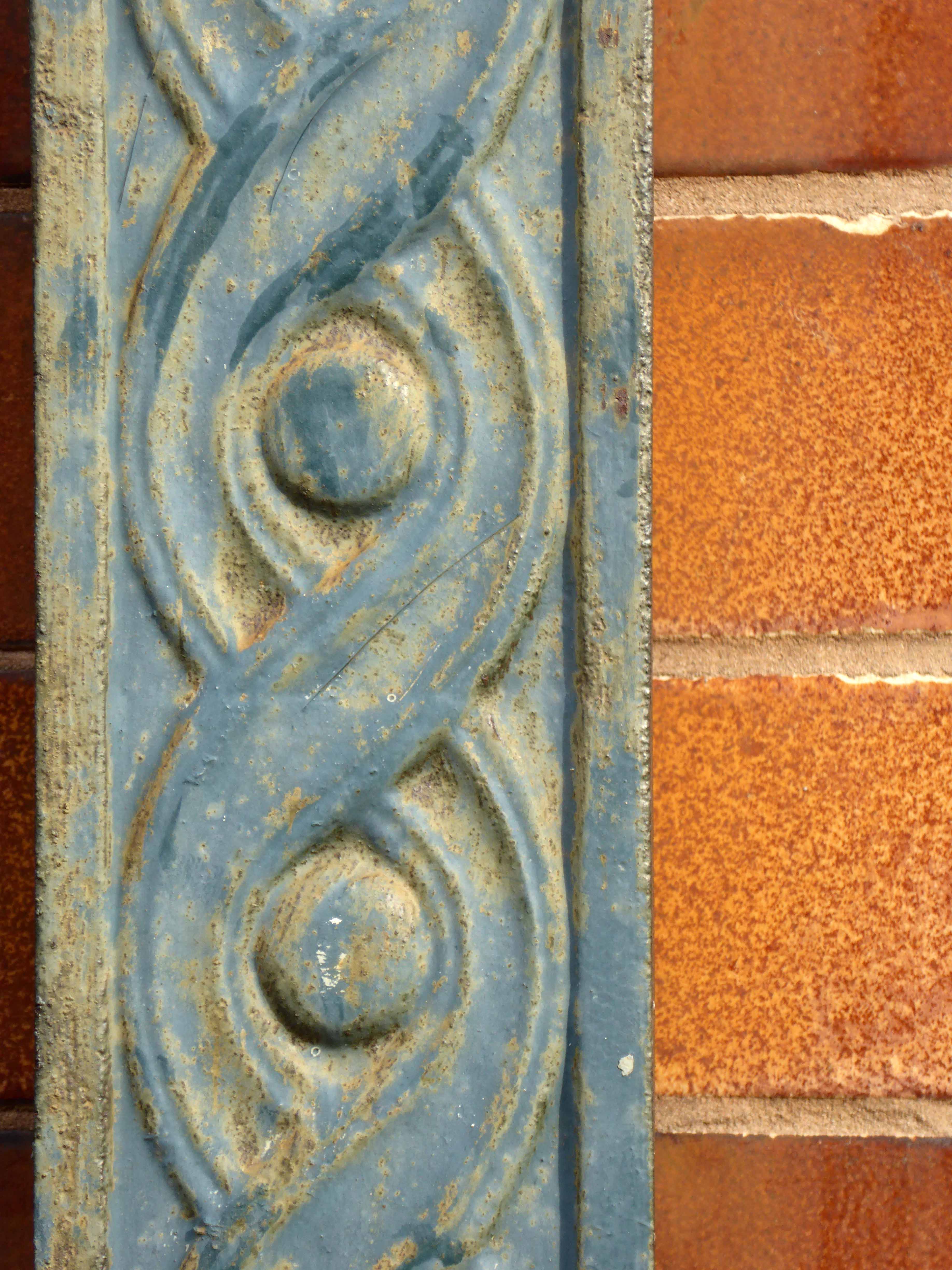
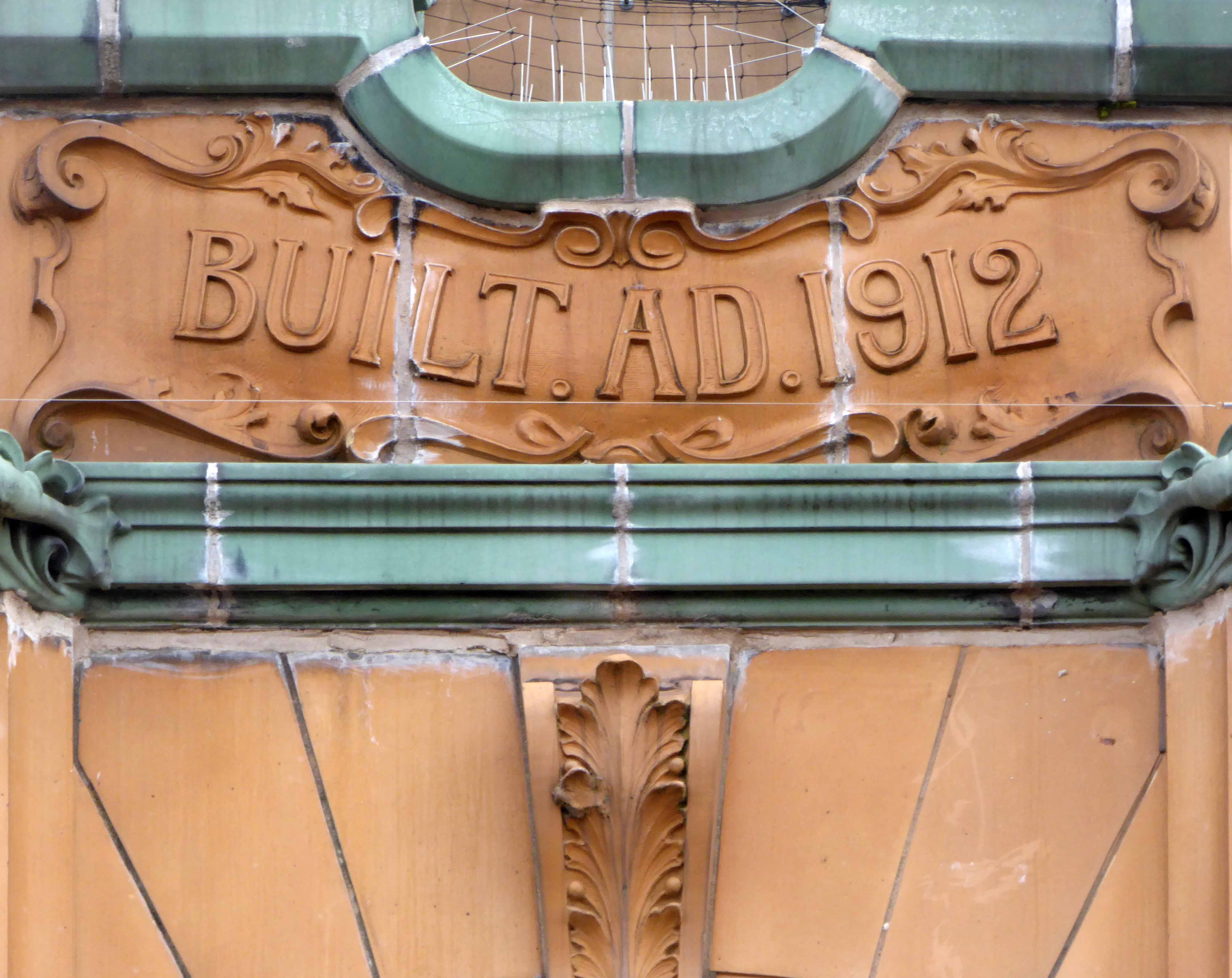
Onward to the Art Picture House which is Grade II Listed – currently operating as a Wetherspoons.

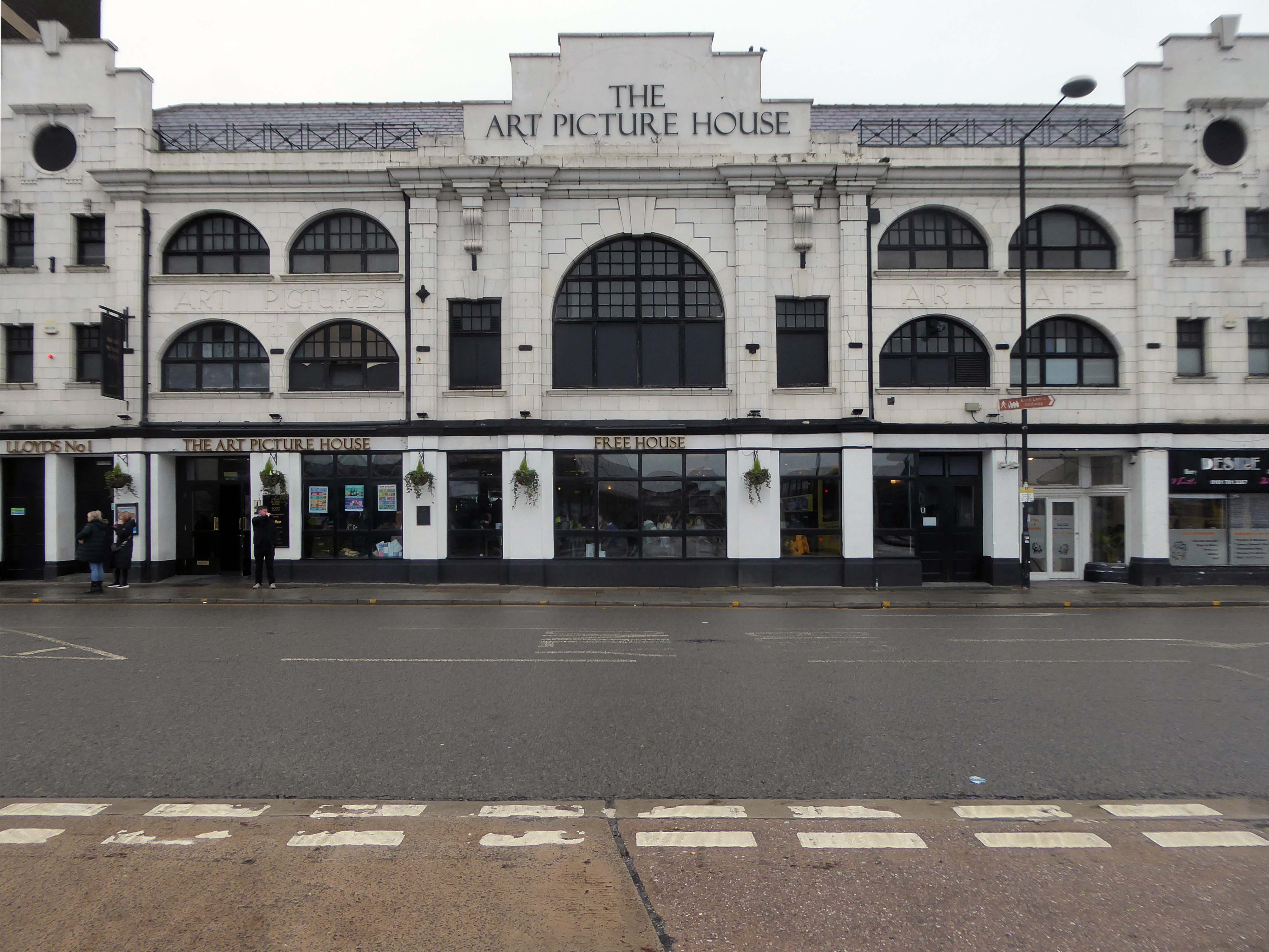
The Art Picture Palace was a 1923 rebuild of the earlier Art Picture Hall both designed by architect Albert Winstanley. The Art Picture Palace was opened on 26th January 1923. A remarkably complete survivor of a 1920’s cine-variety house executed in an elaborate style.

Films ceased in February 1965 and it became a bingo club. Later converted into a billiard hall until 19th May 1991 when it became a bingo club again, it later became a Chicago Rock Cafe.

Cinema Treasures

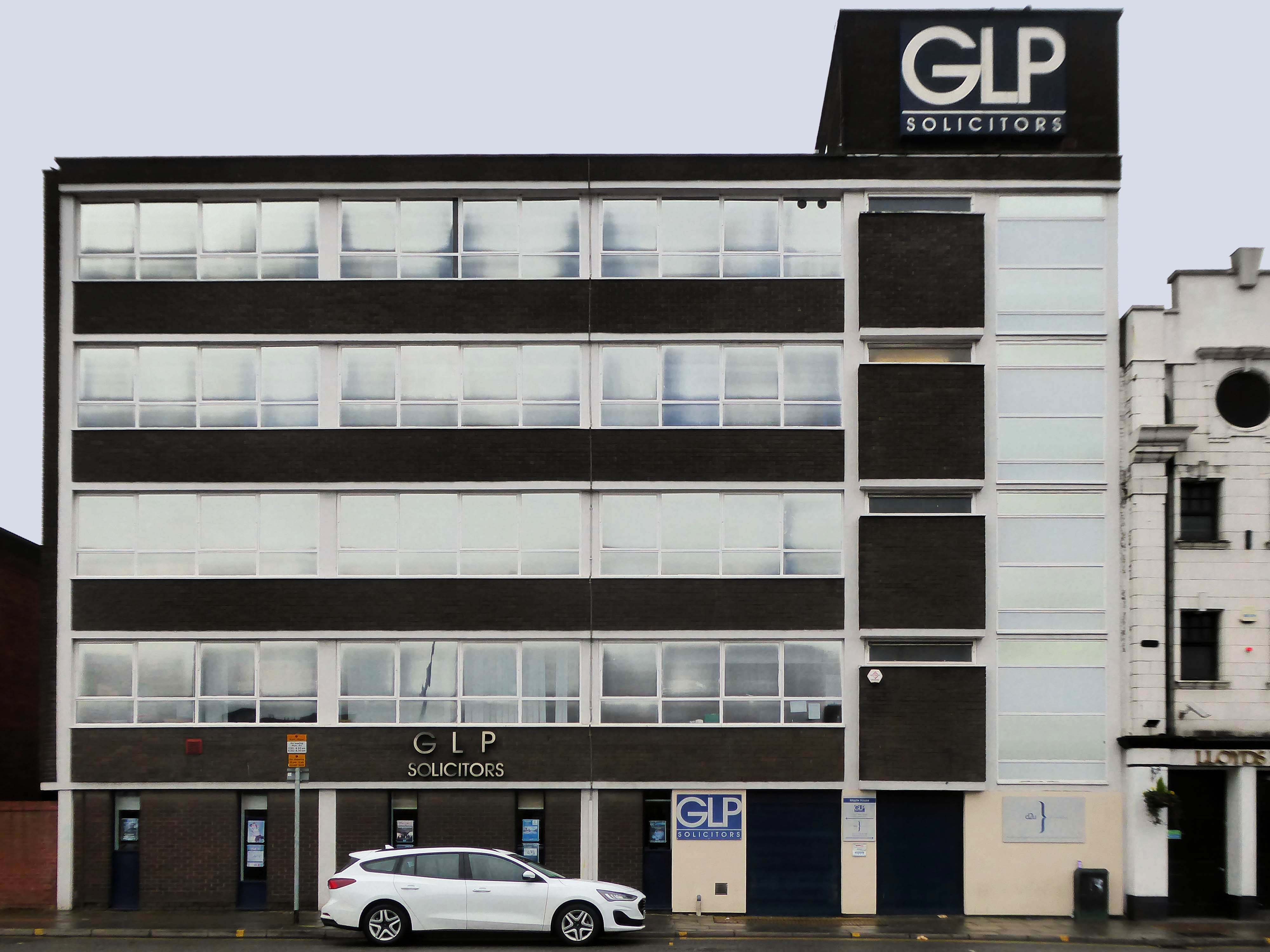
Next door a typical steel glass and brick banded office block Maple House.

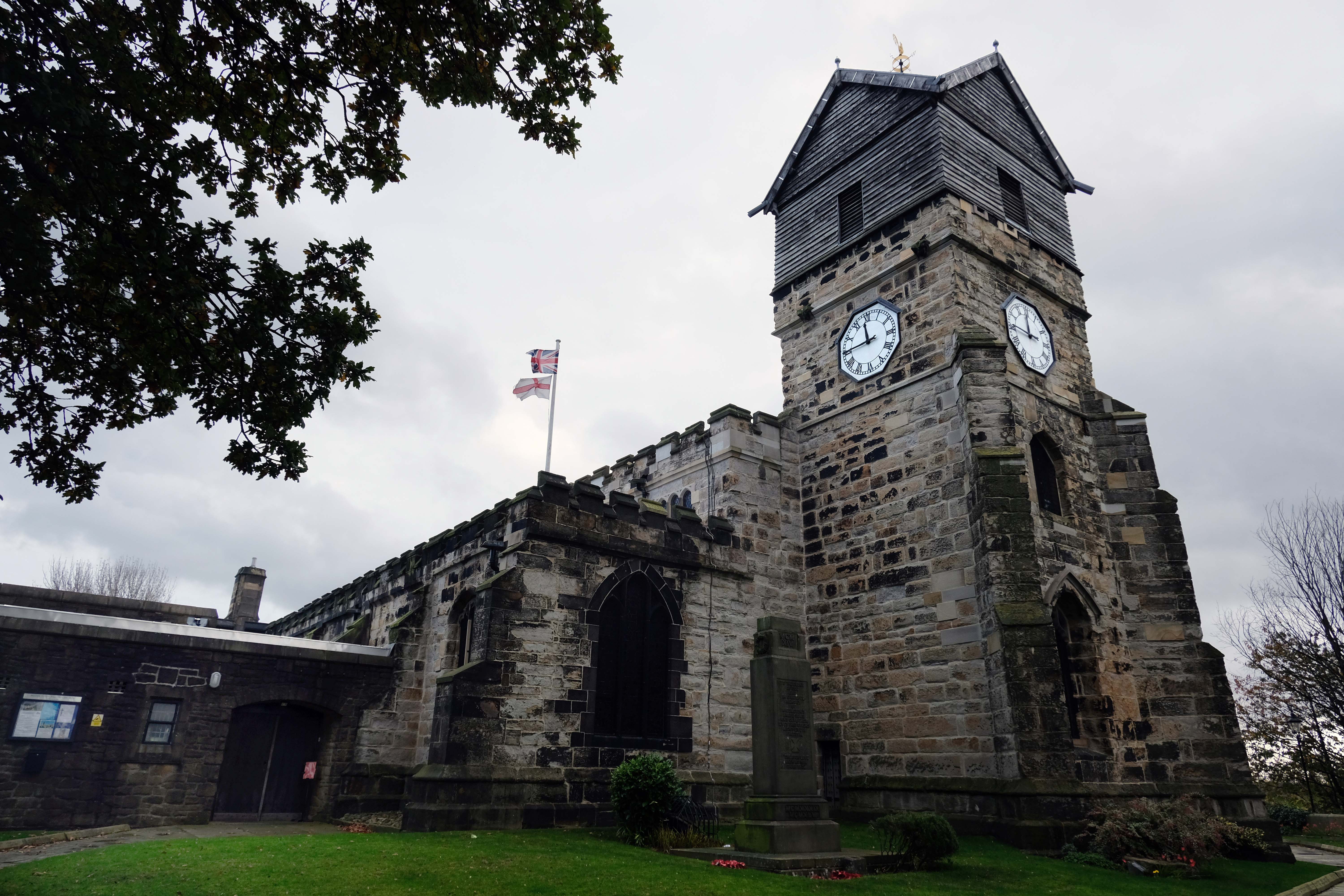
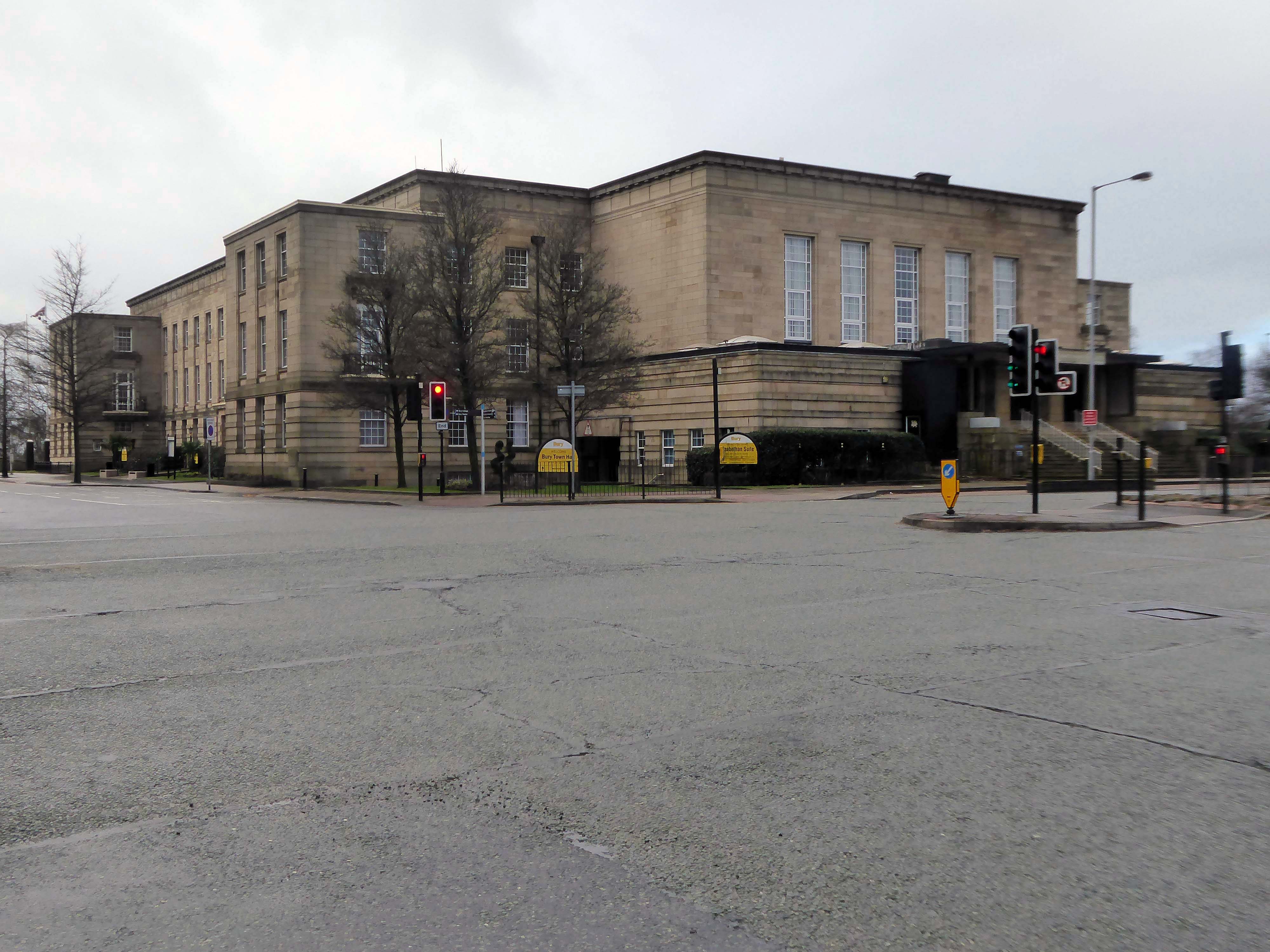
Around the corner and over the road to the Town Hall 1939-40 architects: Reginald Edmonds of Jackson & Edmonds then 1947-54.

Large and Dull – Niklaus Pevsner.

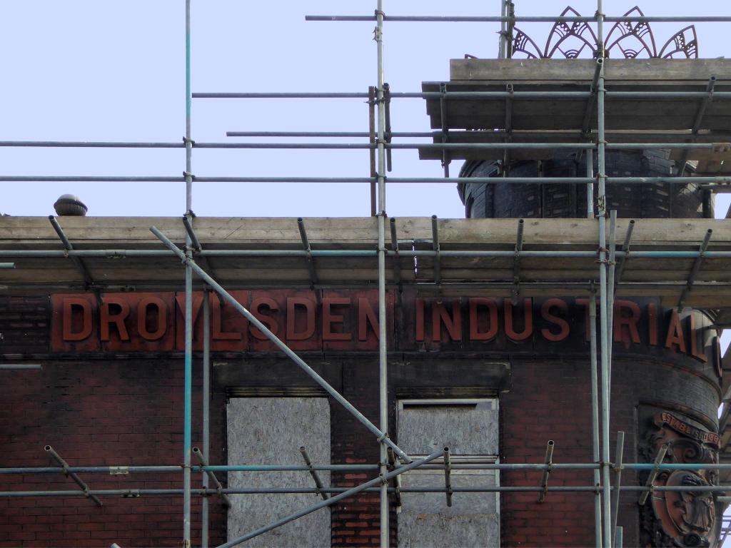
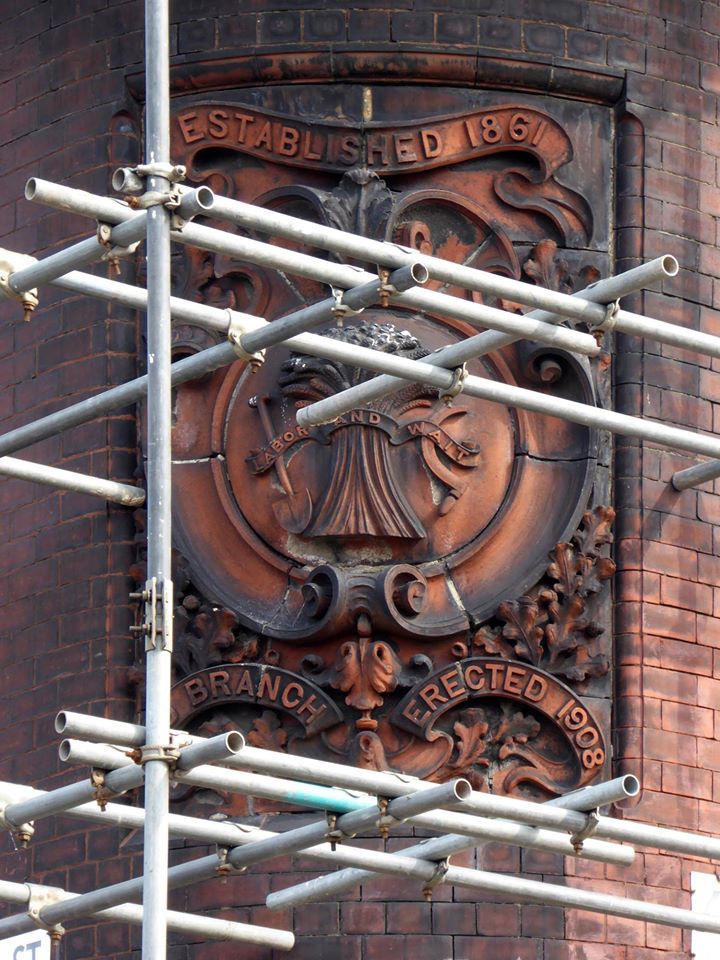
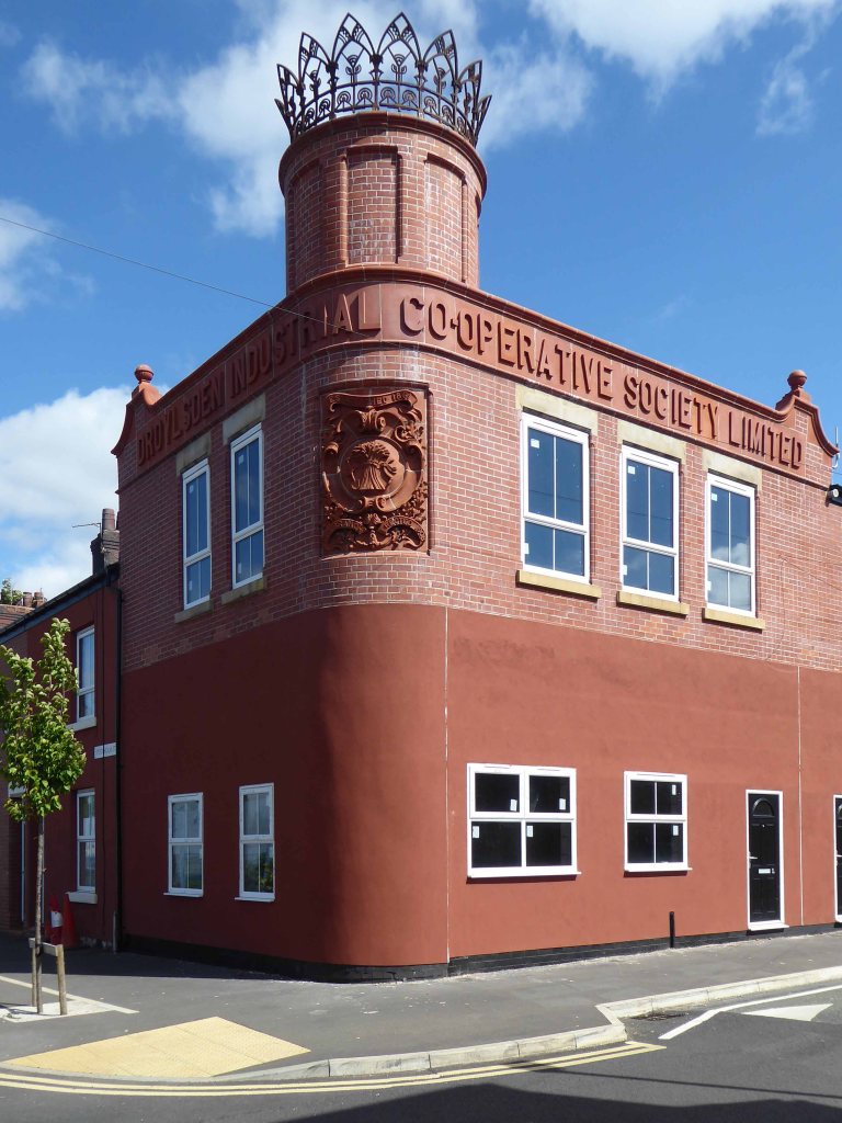
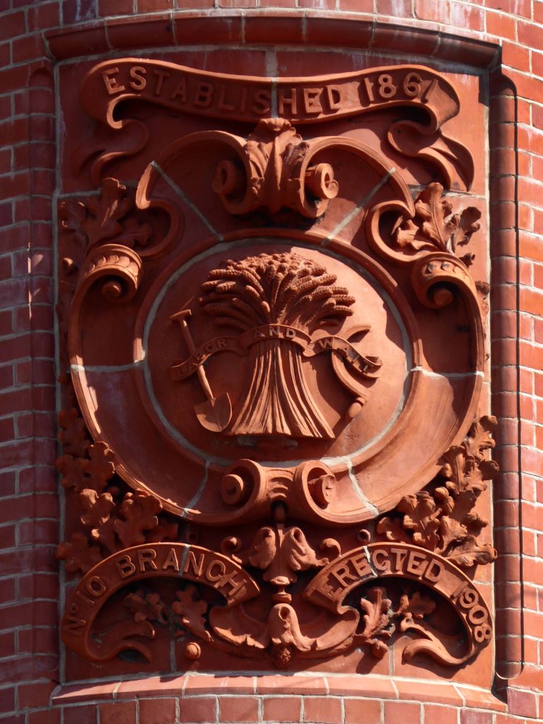
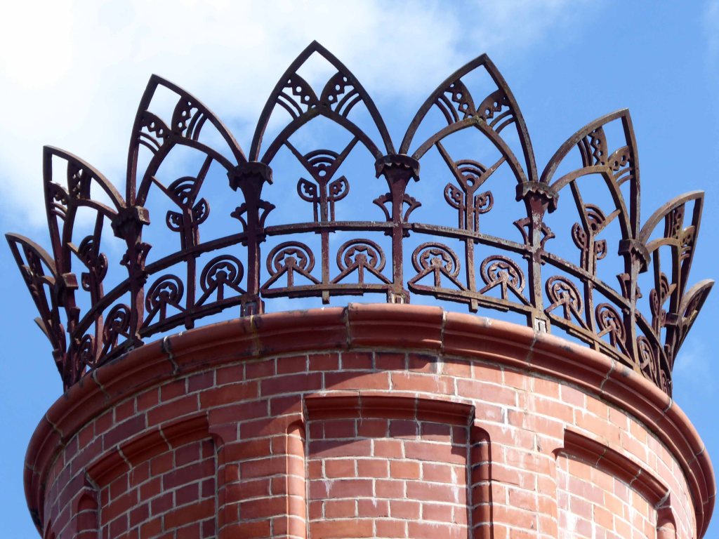
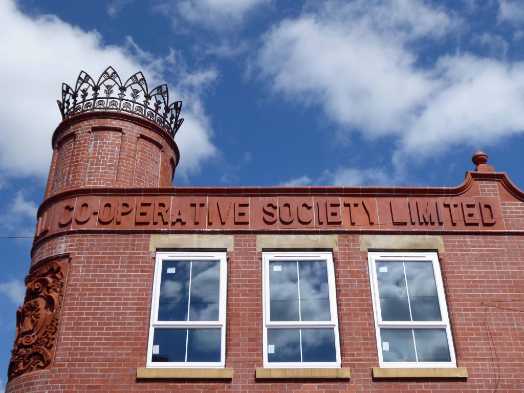
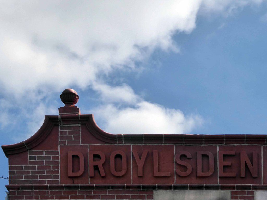
Back through the Interchange to the former Cooperative Store of the 1930’s.

The Portland Stone towers still visible – the elevation largely retro-clad in glass.

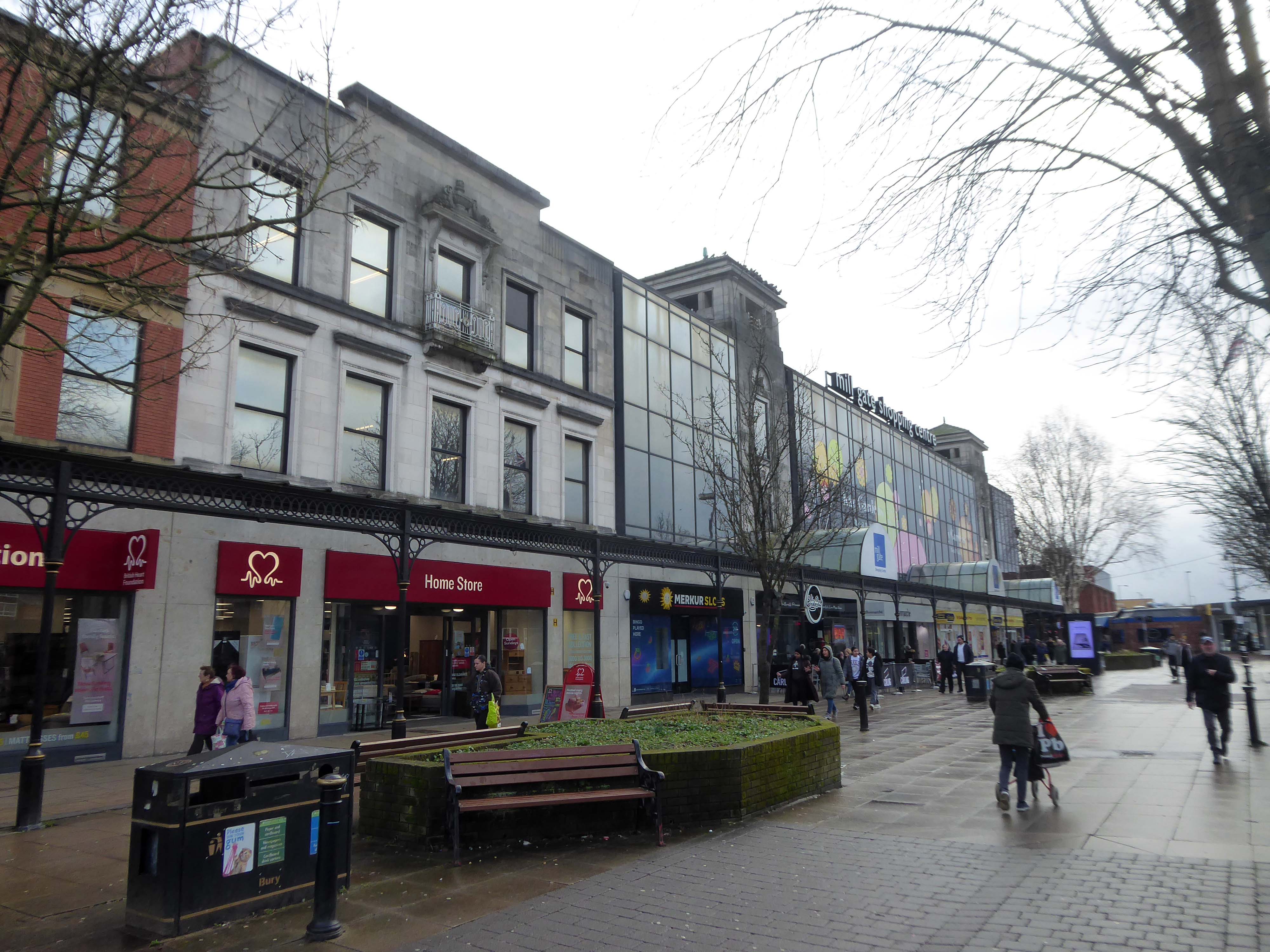
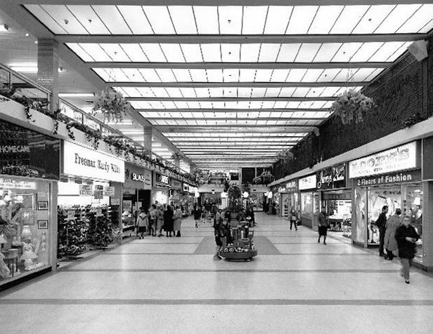
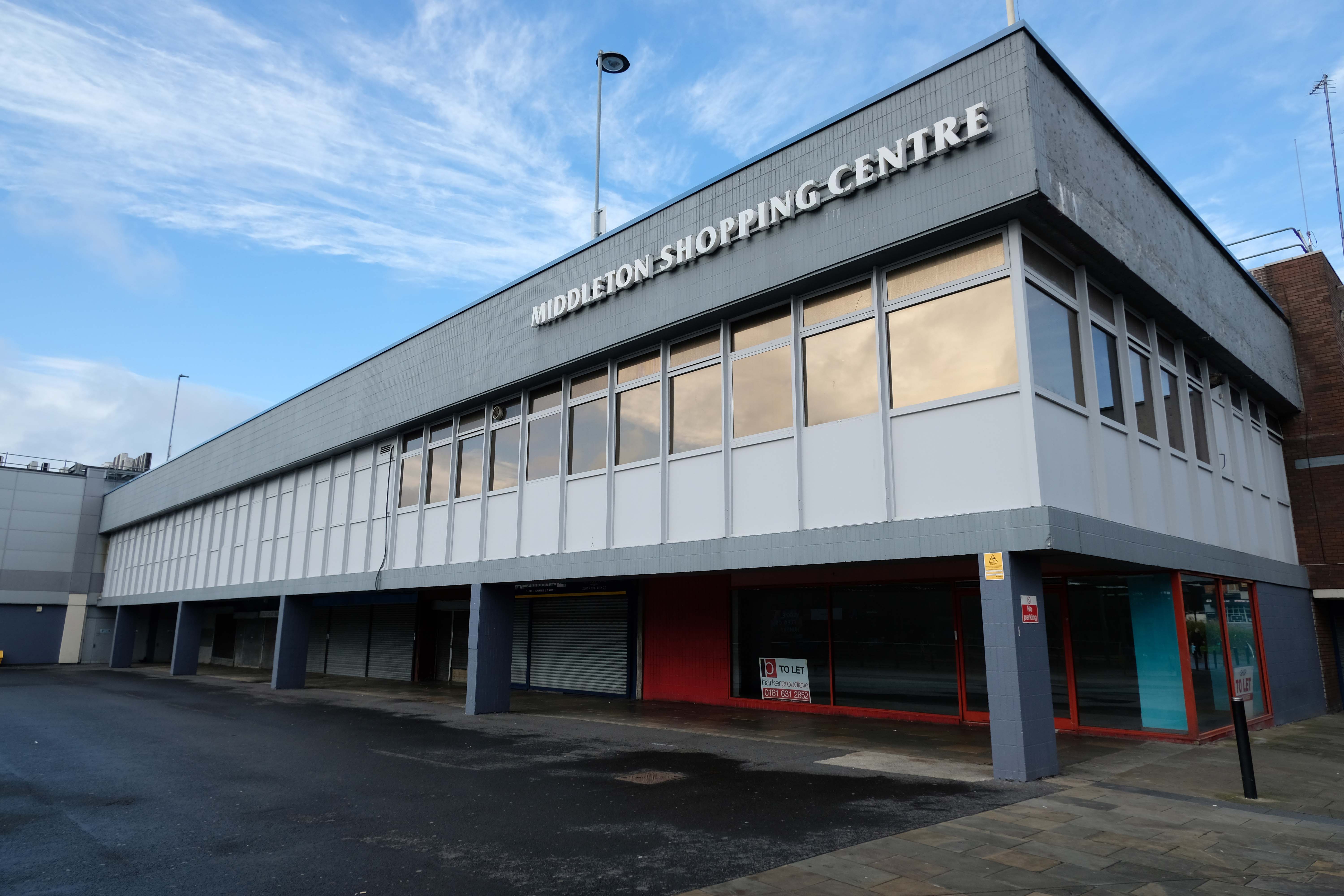
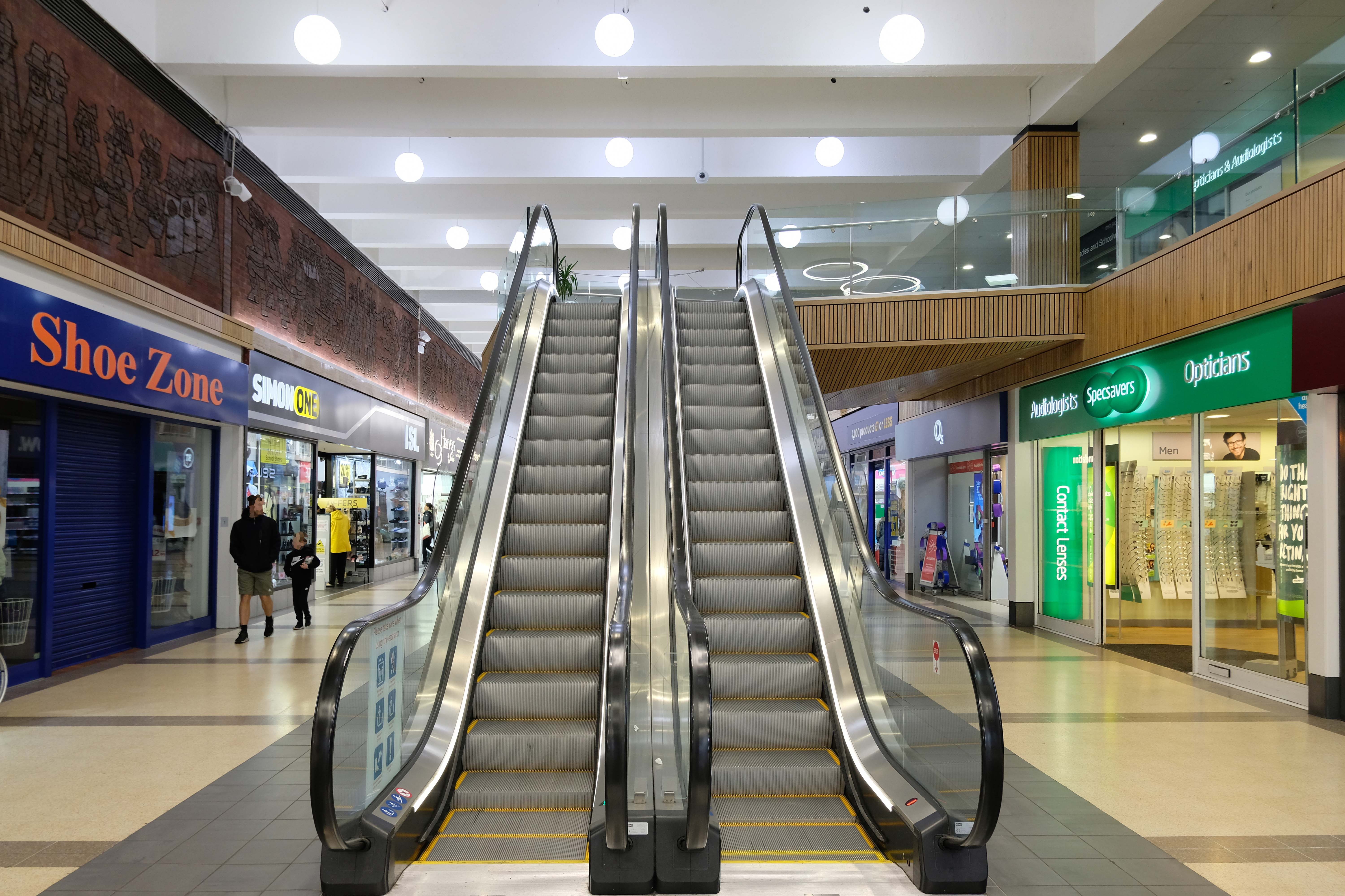
Passing through the Millgate Shopping Centre of the 1980’s.

Unambitious but successful, the floors cheerfully tiled – Niklaus Pevsner.

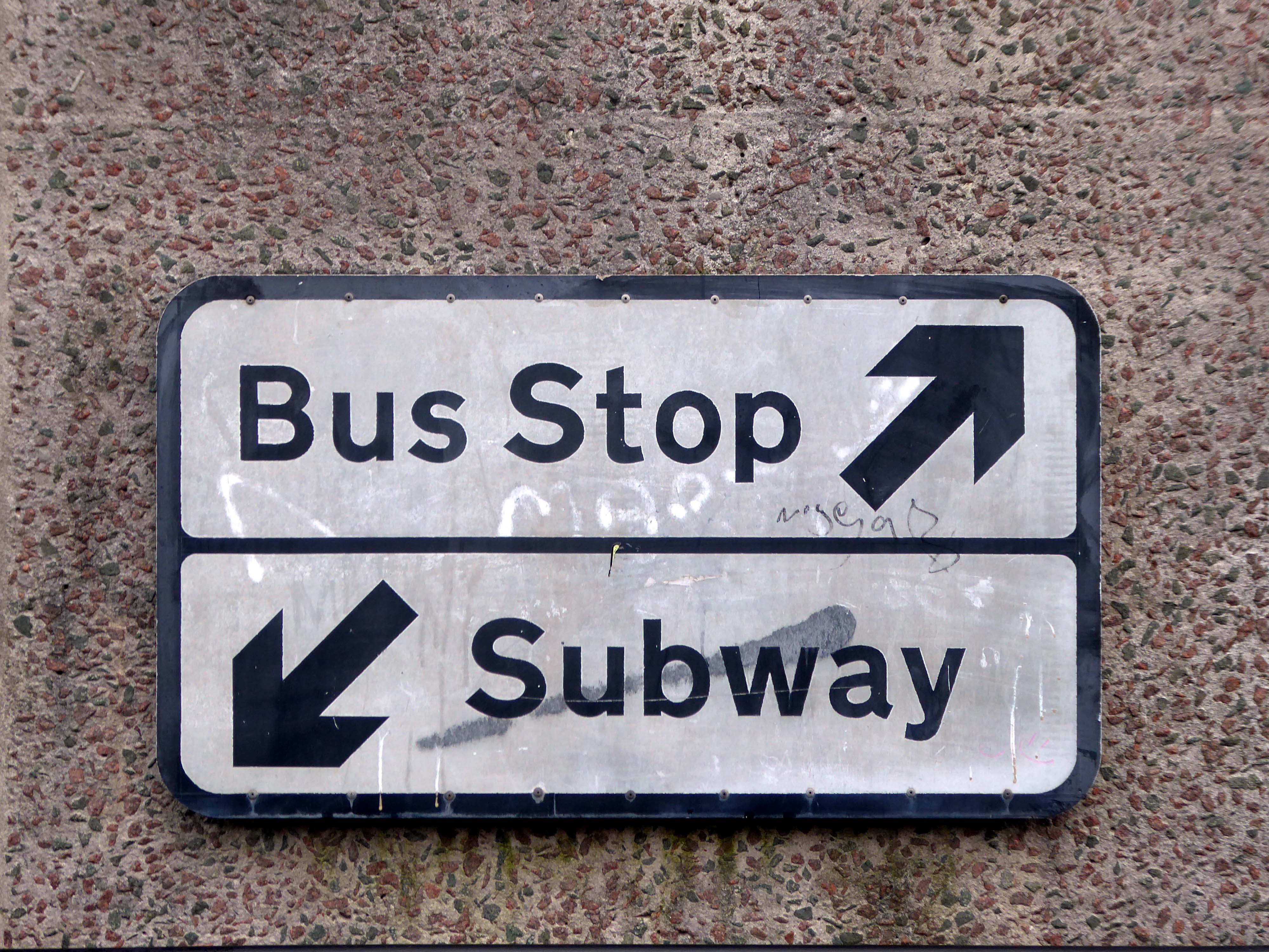
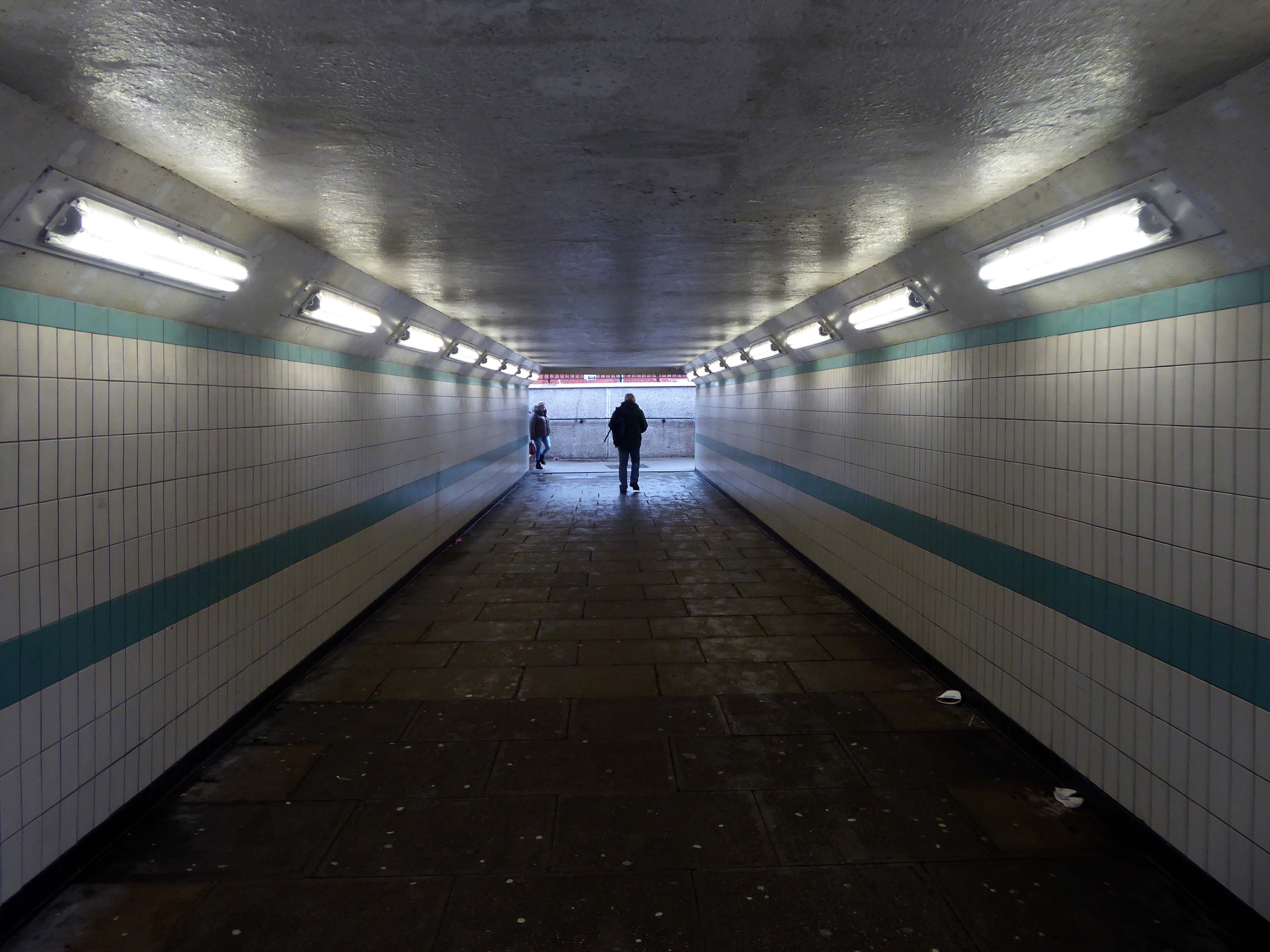
Down in the subway at midday.

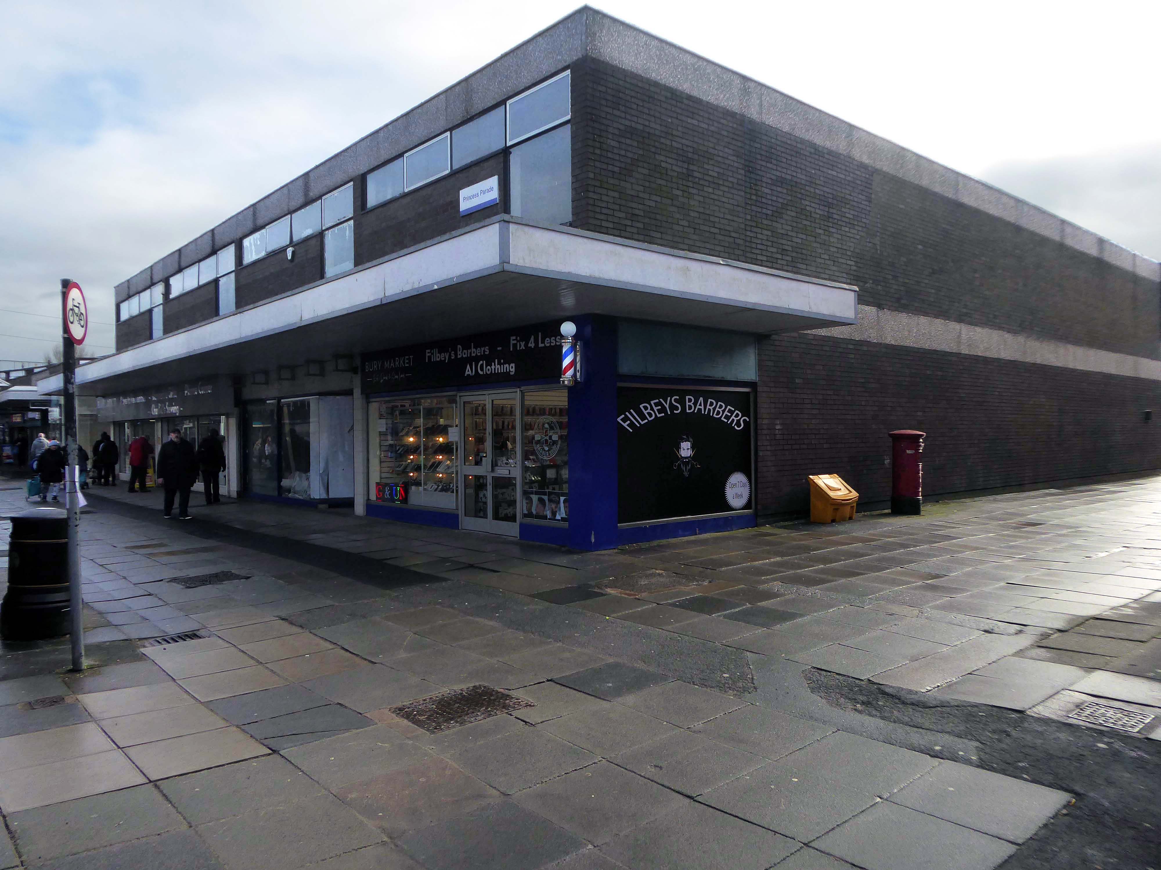
The better to get a view of the Market Hall 1971 – architects: Harry S Fairhurst.

The Indoor Market Hall is currently closed due to the discovery of Reinforced Autoclaved Aerated Concrete – within the building structure. RAAC is a lightweight type of building material that was used between the 1950s and 1990s.

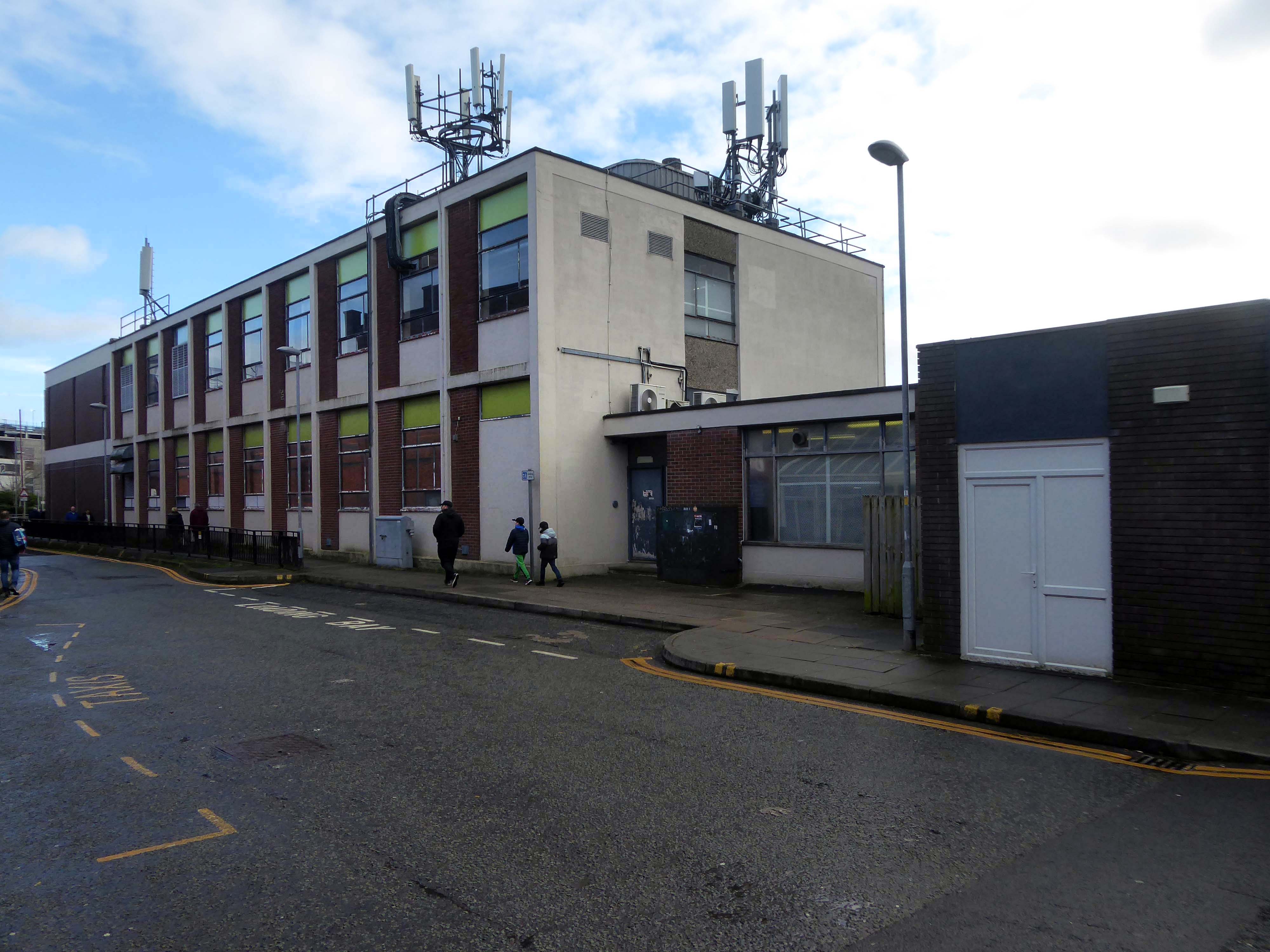
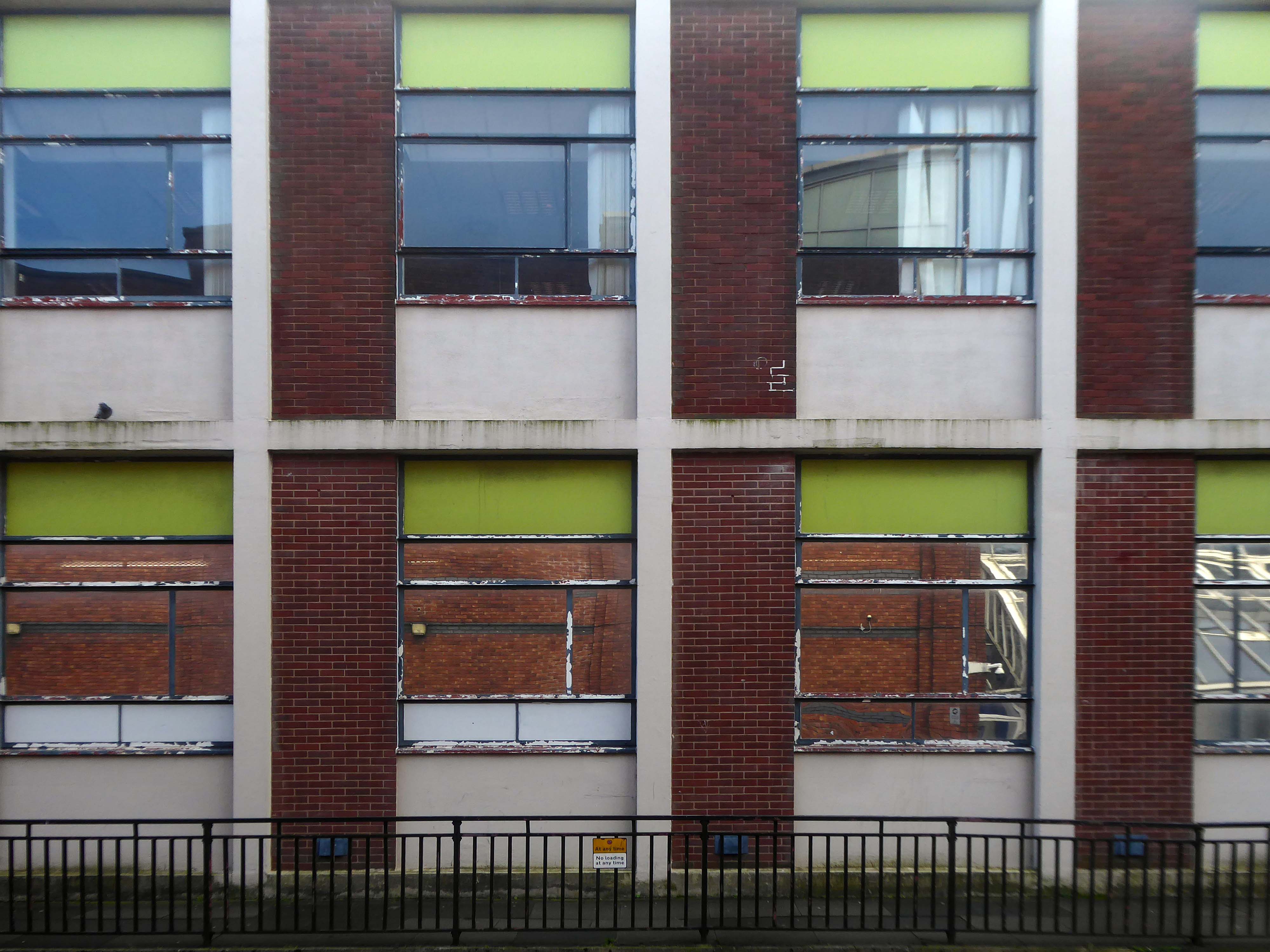
Back under the road – where we find a delightful Telephone Exchange.

With an adjacent Multi Story Car Park.

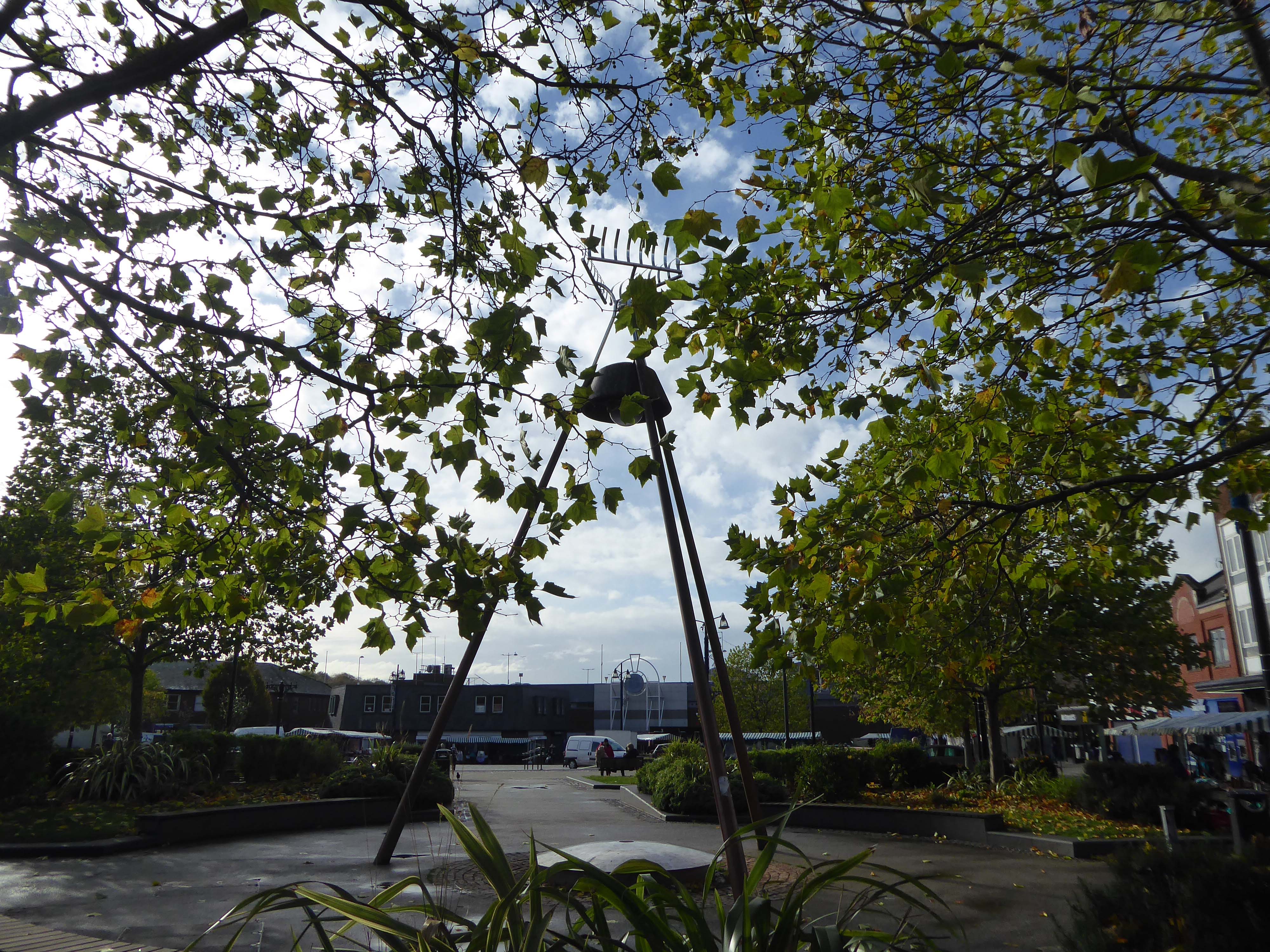
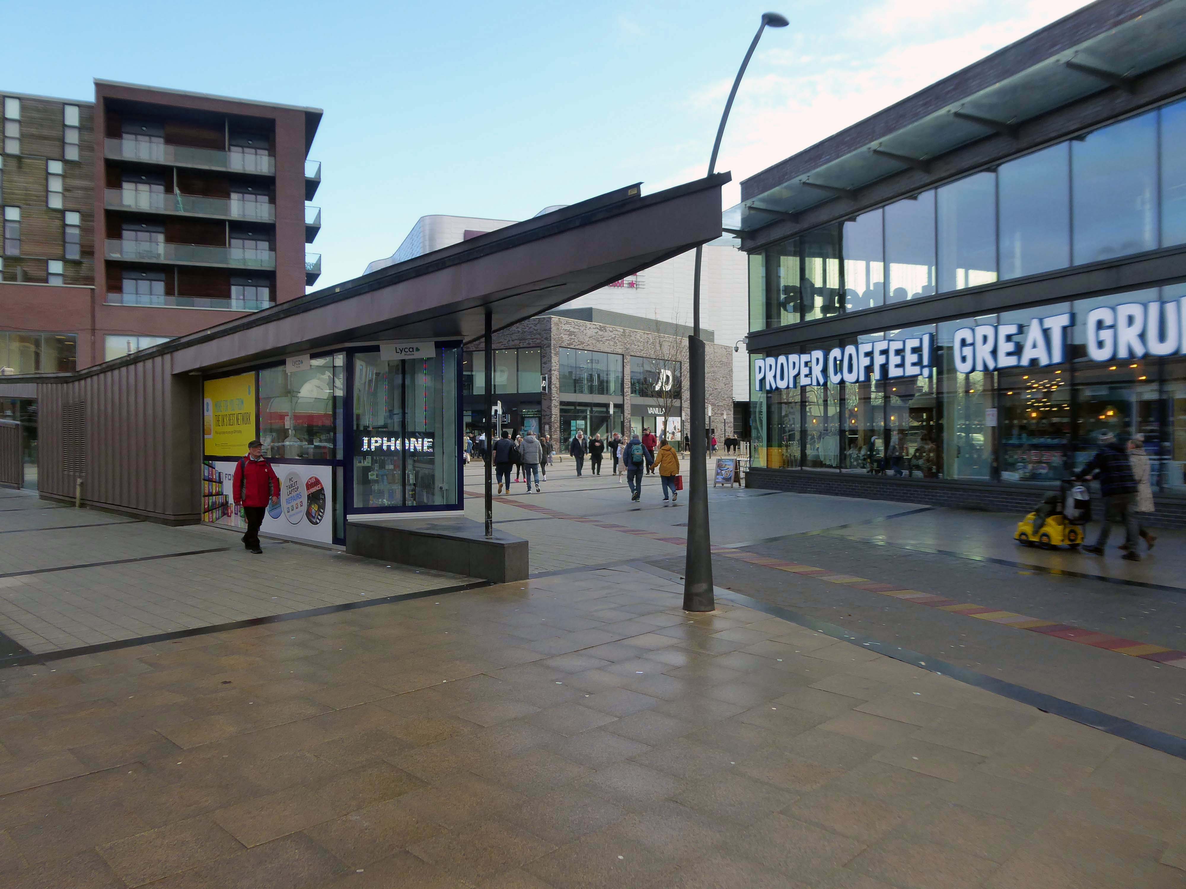
Around the bend to The Rock.

The Rock is a vibrant retail and leisure centre which is home to a range of high street fashion brands, independent retailers, tantalising eateries and fantastic entertainment – it’s the perfect place to visit any day of the week. 

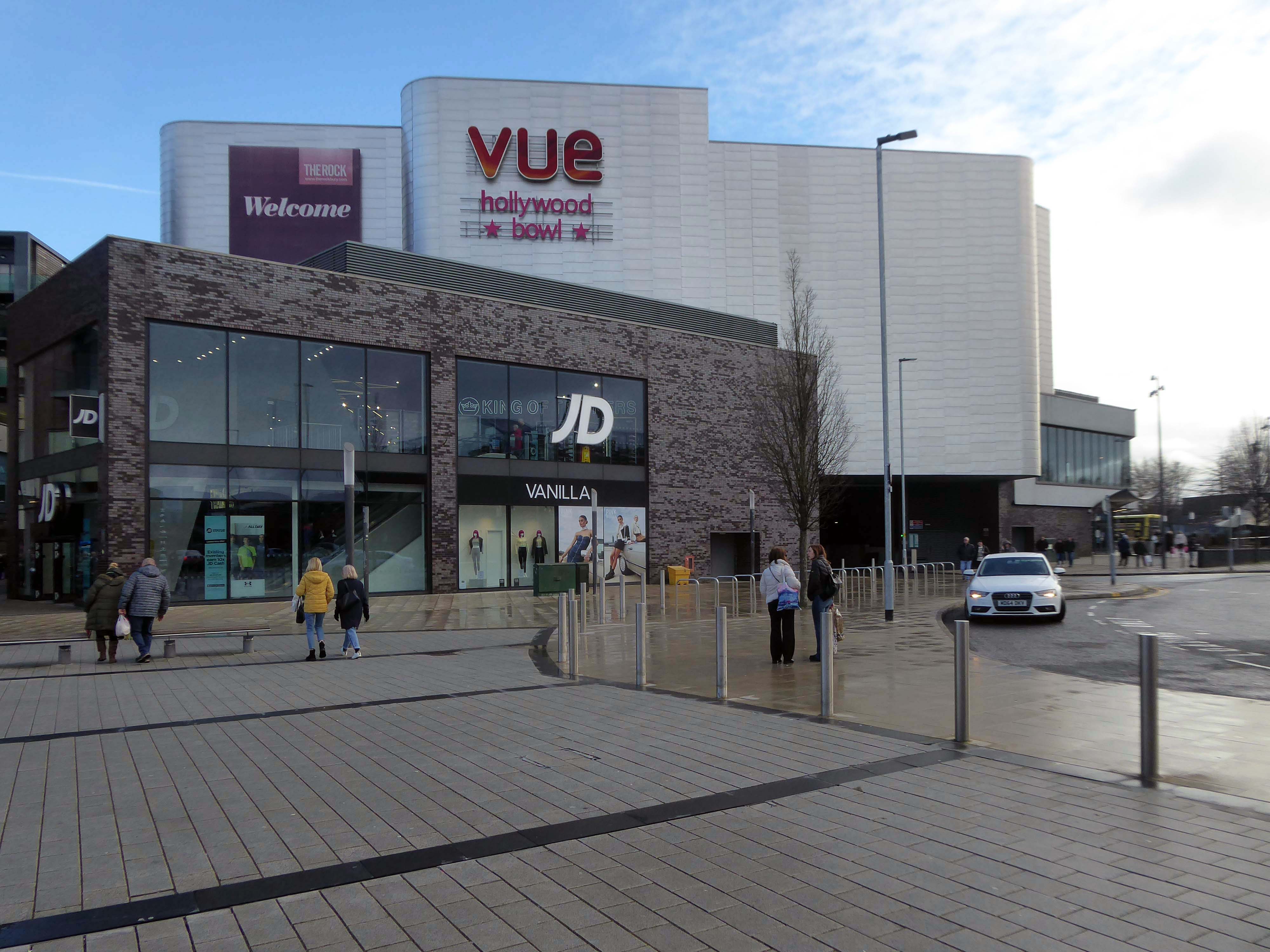
It is the work of architects BDP – completed in 2010 at a cost of £350 million.

Our masterplan for The Rock took into account the historical street pattern and public realm context to give the scheme its own identity, and make visual connections to local landmarks.

The retail and leisure scheme brings many exciting brands to Bury for the first time.

New pedestrian streets rejuvenate and improve connections to adjacent areas stitching the town back together.

The development will also contain 408 one and two-bedroom apartments.

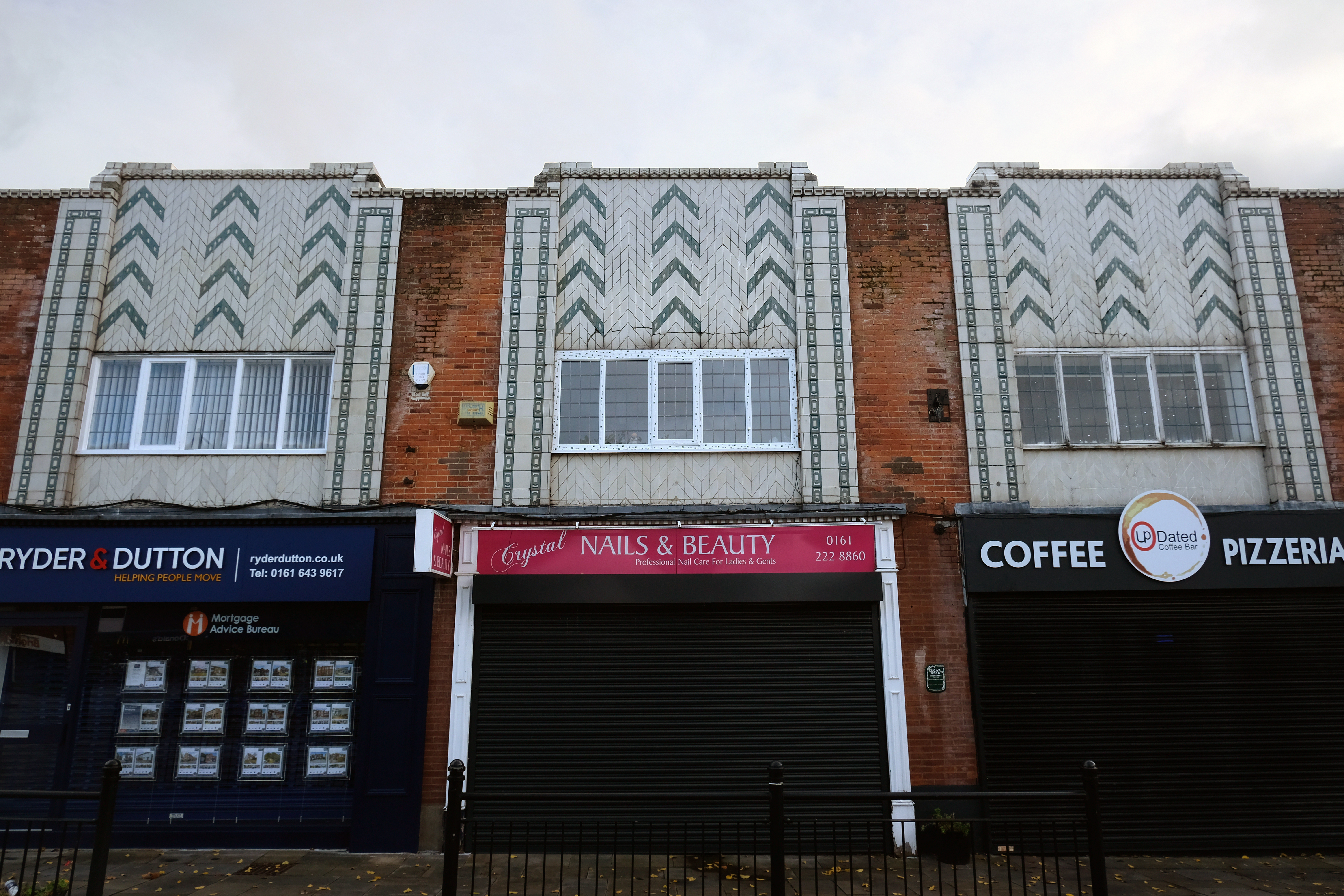
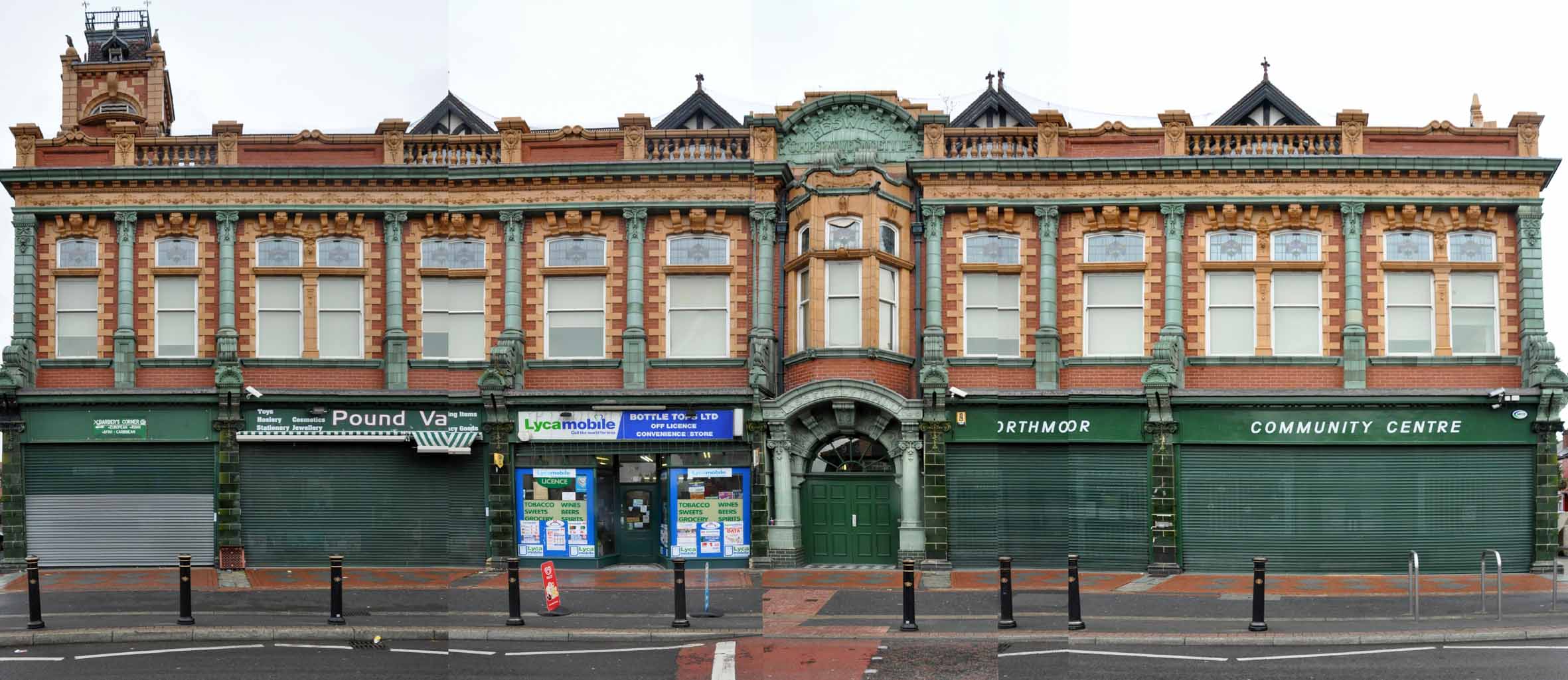
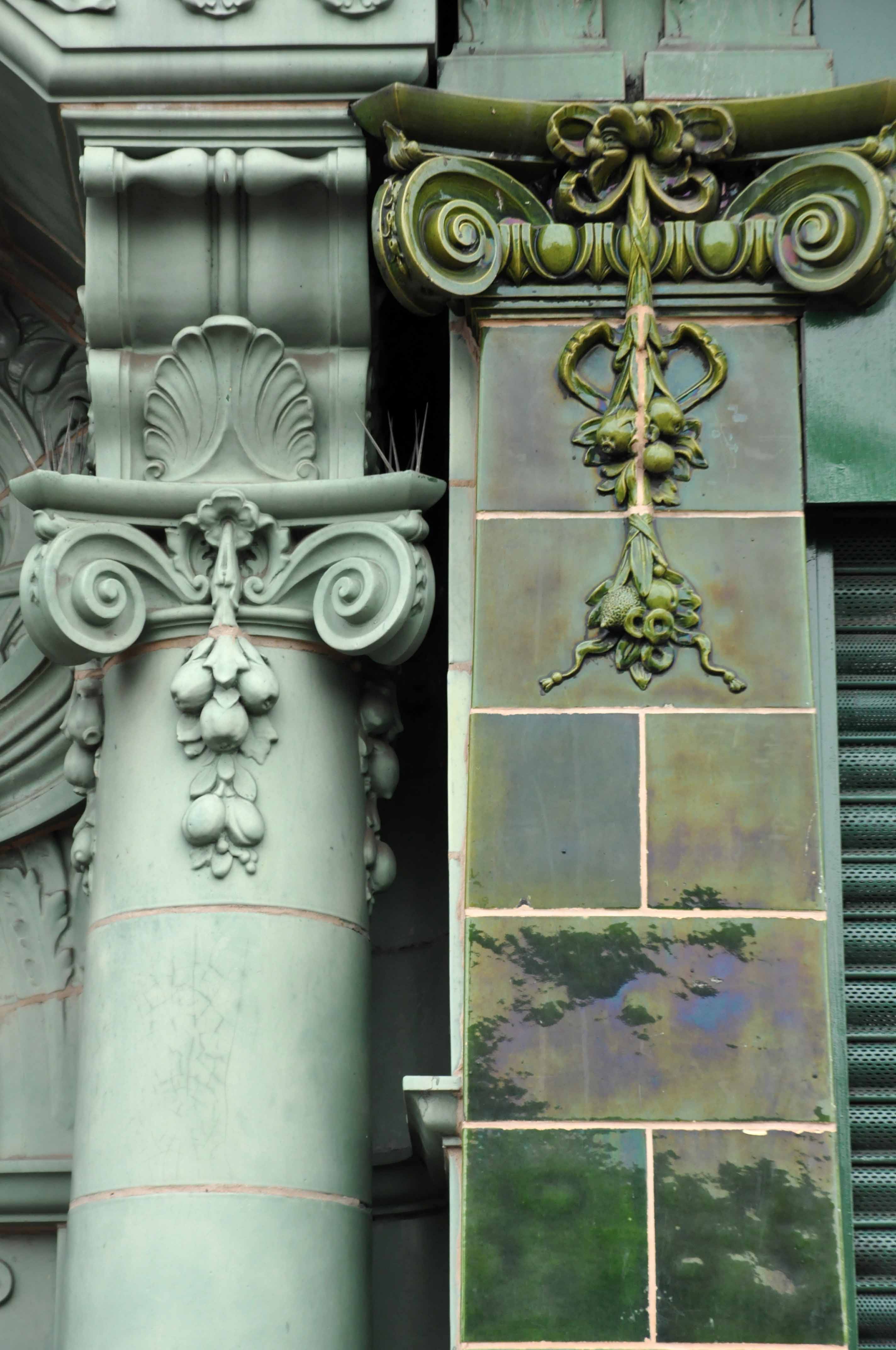
Back to basics at a former Burton’s hiding its faience facade.

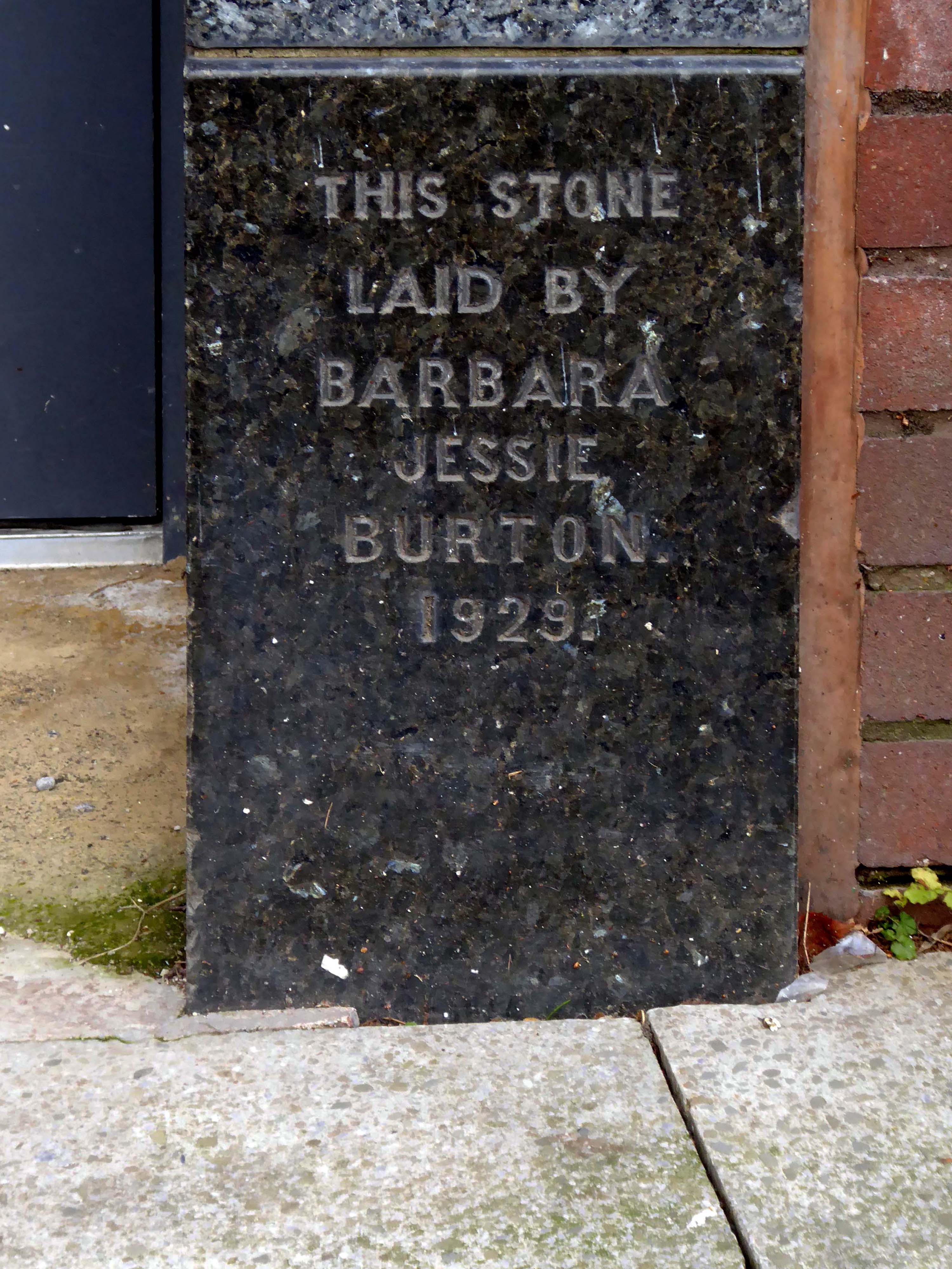
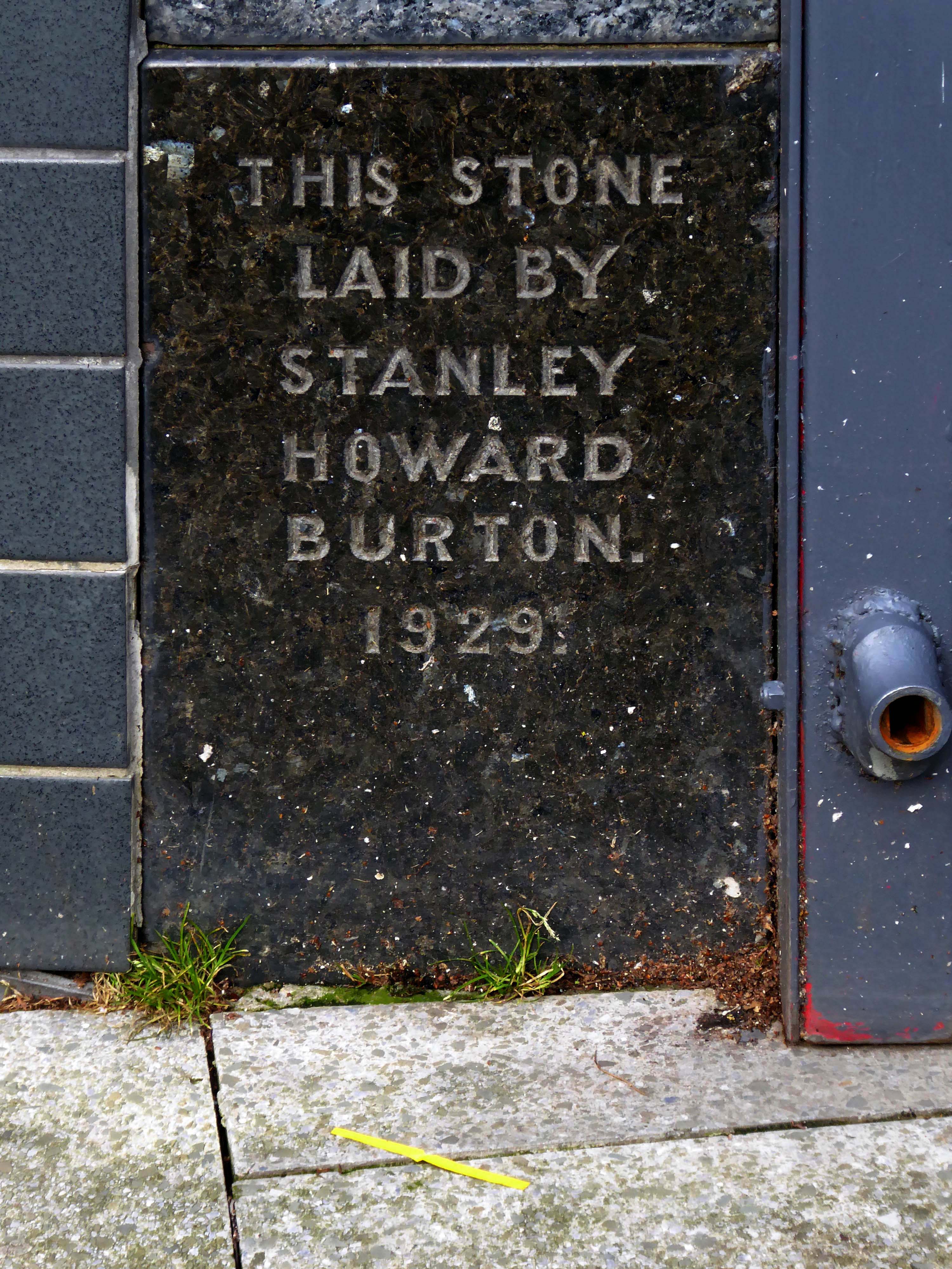
Typical inter-war infill on our crazy mixed up mongrel high streets.
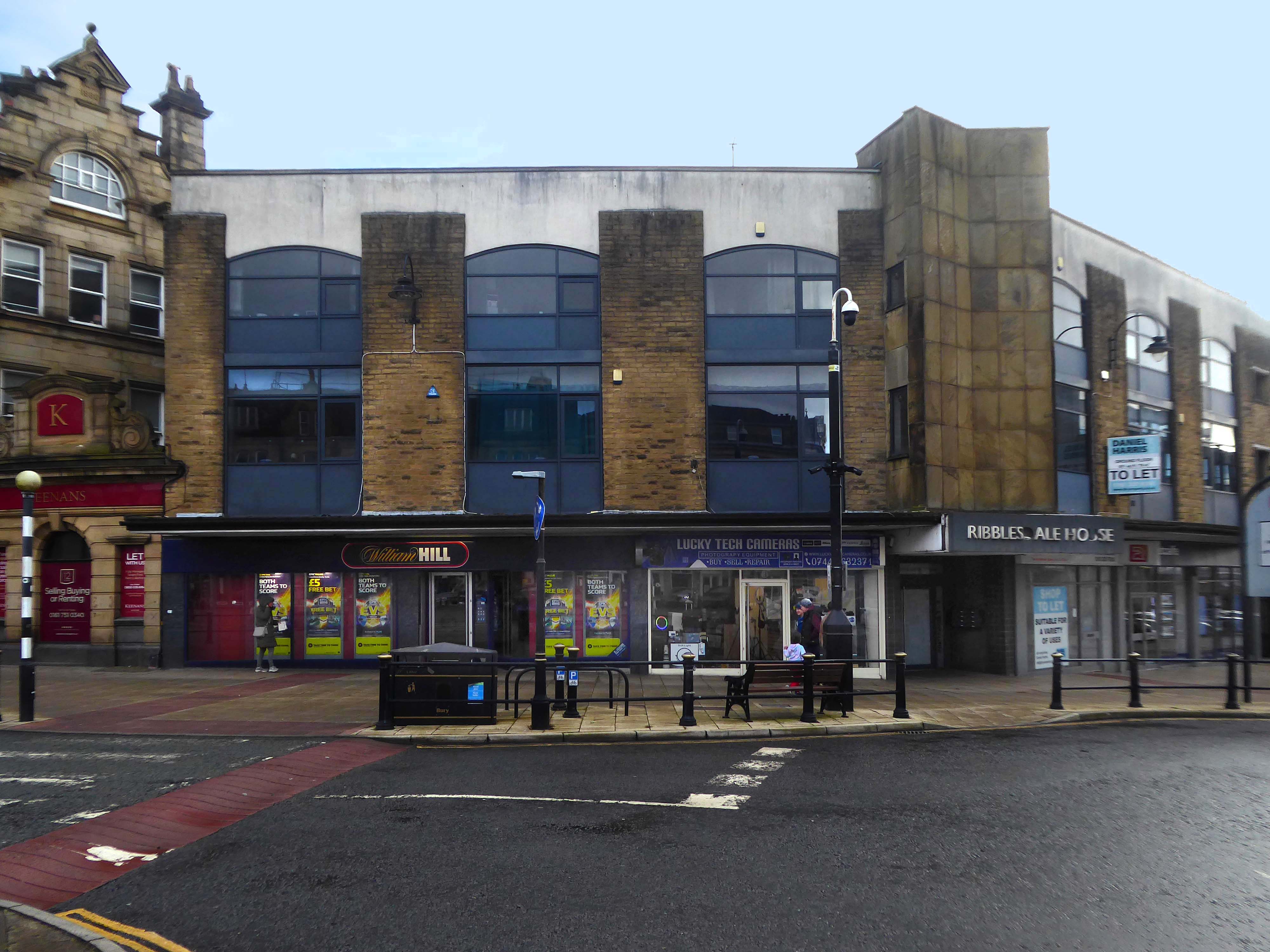
Ribblesdale House

Application by Shop and Store Developments Ltd submitted August 1965. Architect on application was Samuel Jackson and Son of Ocean Chambers in Bradford but during the application process this changed to John Brunton & Partners – Brunton was a partner in Jackson’s firm, at the same address. It had a restaurant and shops on the first floor.

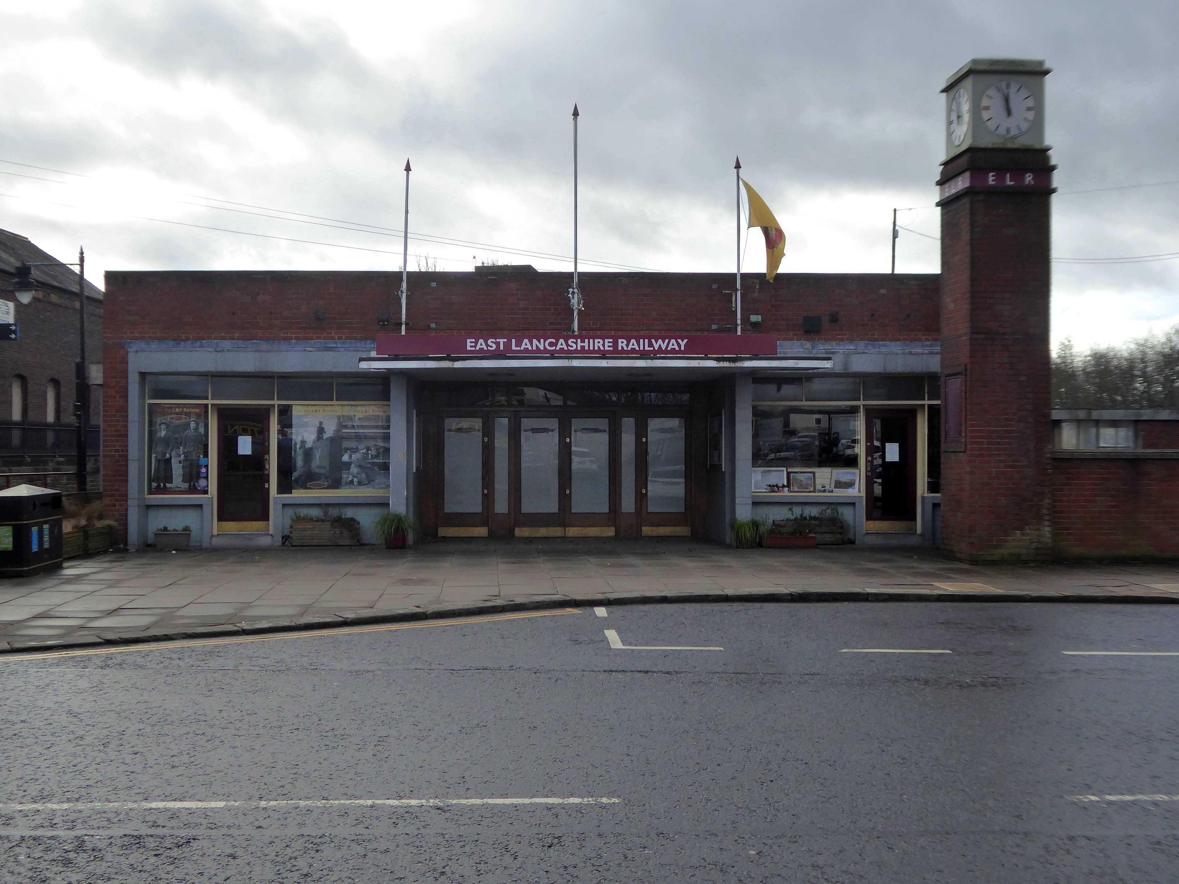
Off now to the Bury Bolton Street Station currently home to the East Lancashire Railway.

The street level buildings were destroyed by fire on 14 May 1947 and were replaced with a new brick and concrete entrance and footbridge in 1952. 

British Rail closed the station on 17 March 1980, when it was replaced by a new bus/rail interchange station further east into the town centre. Bury Interchange railway station served up until 1991 before the entire Bury Line was converted to light rail operation. It reopened in 1992 for Metrolink operation.

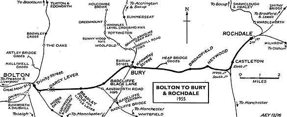
Bury was once the centre of multiple train links and the lost station of Knowsley Street.

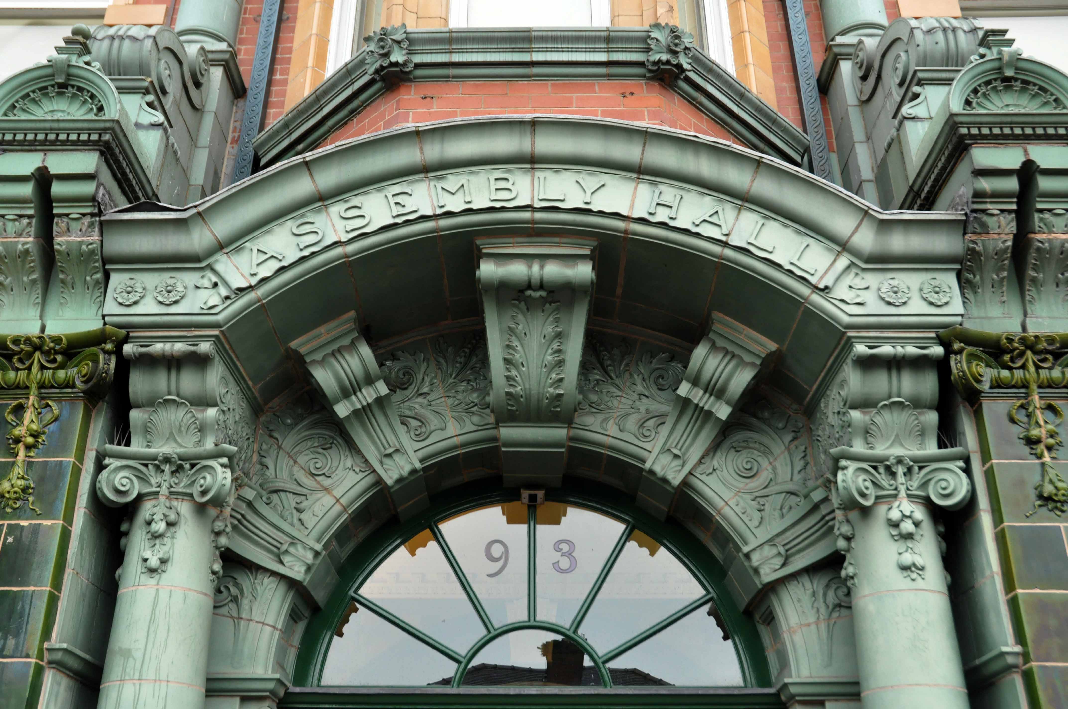
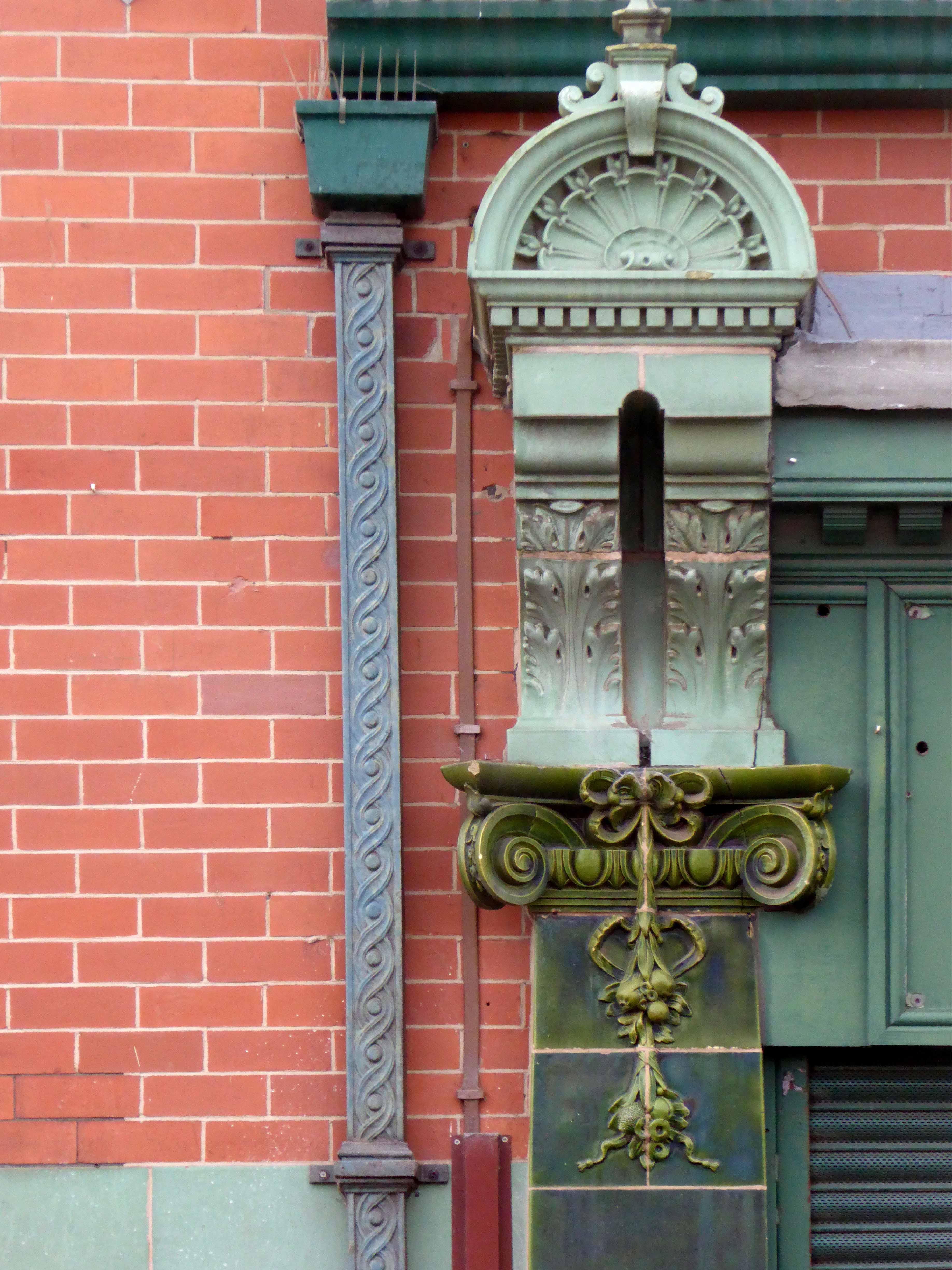
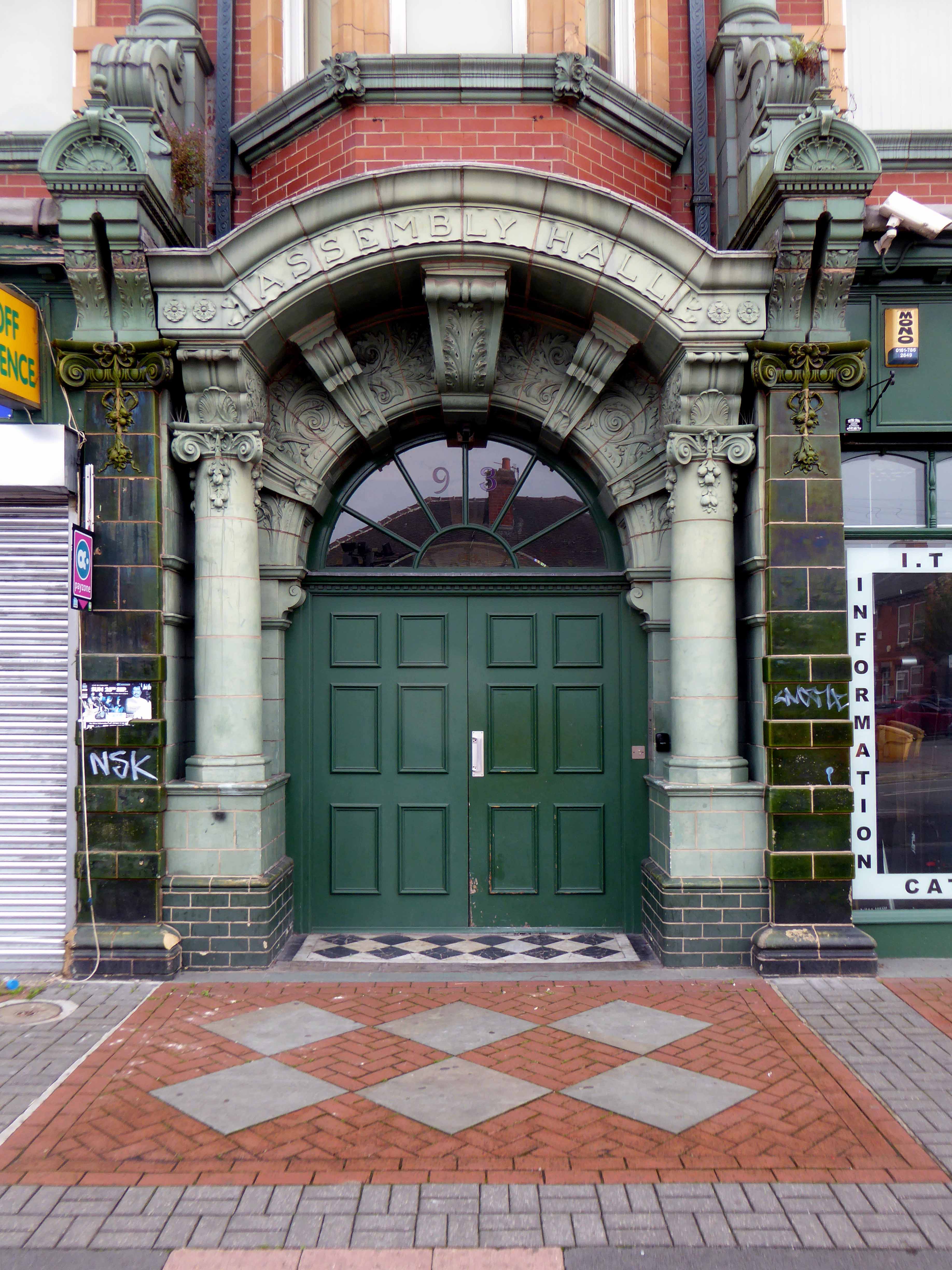
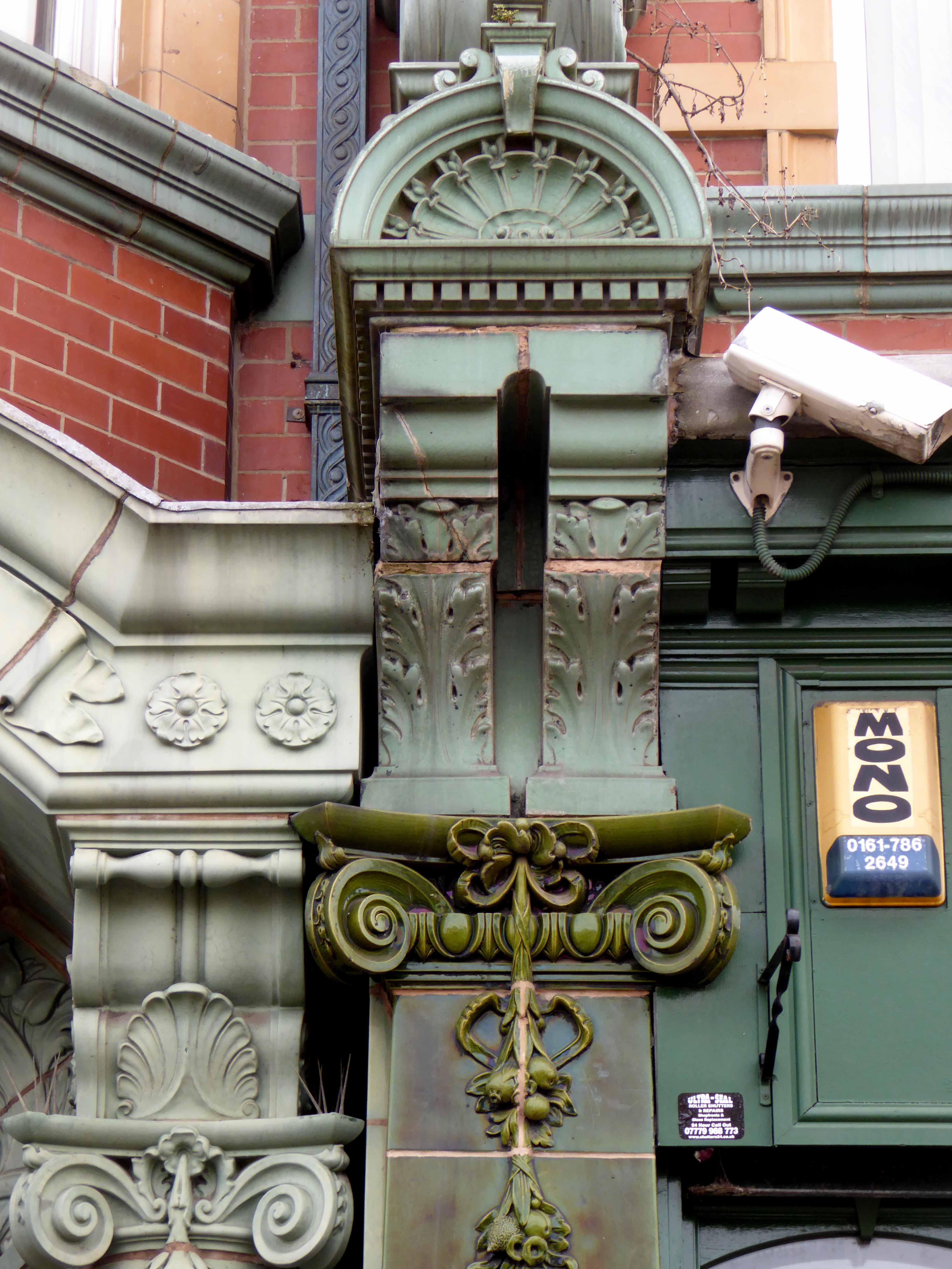
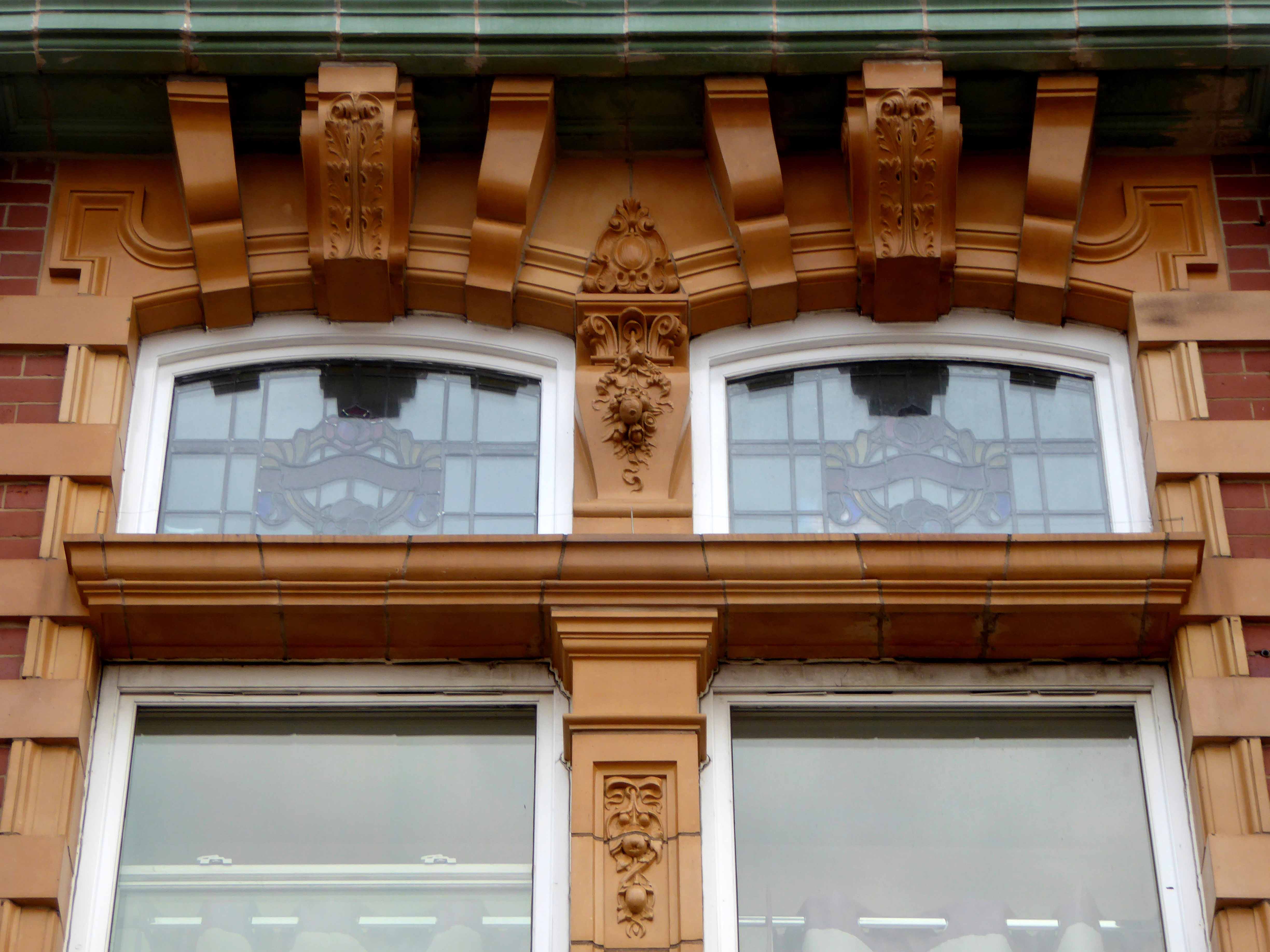
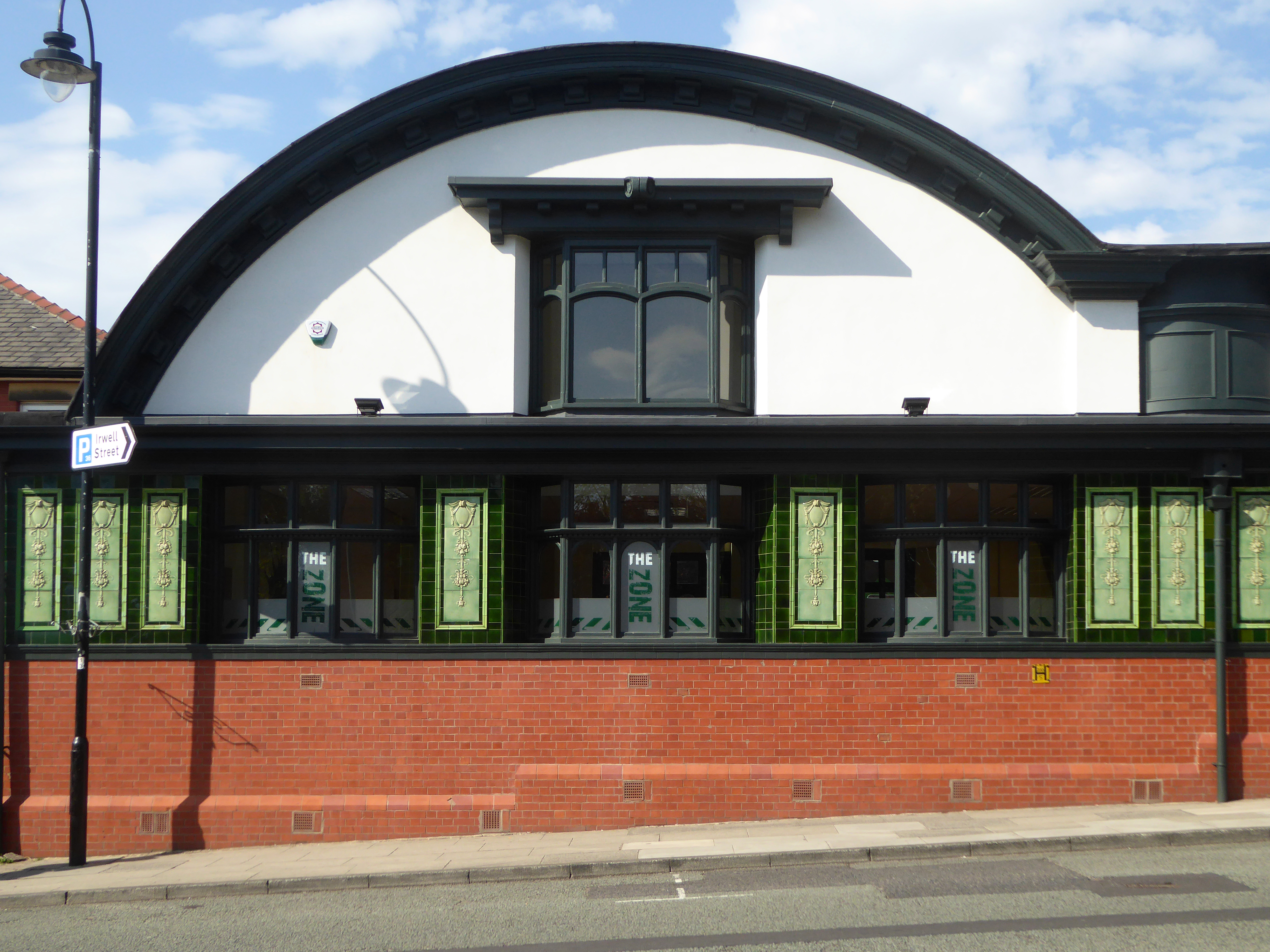
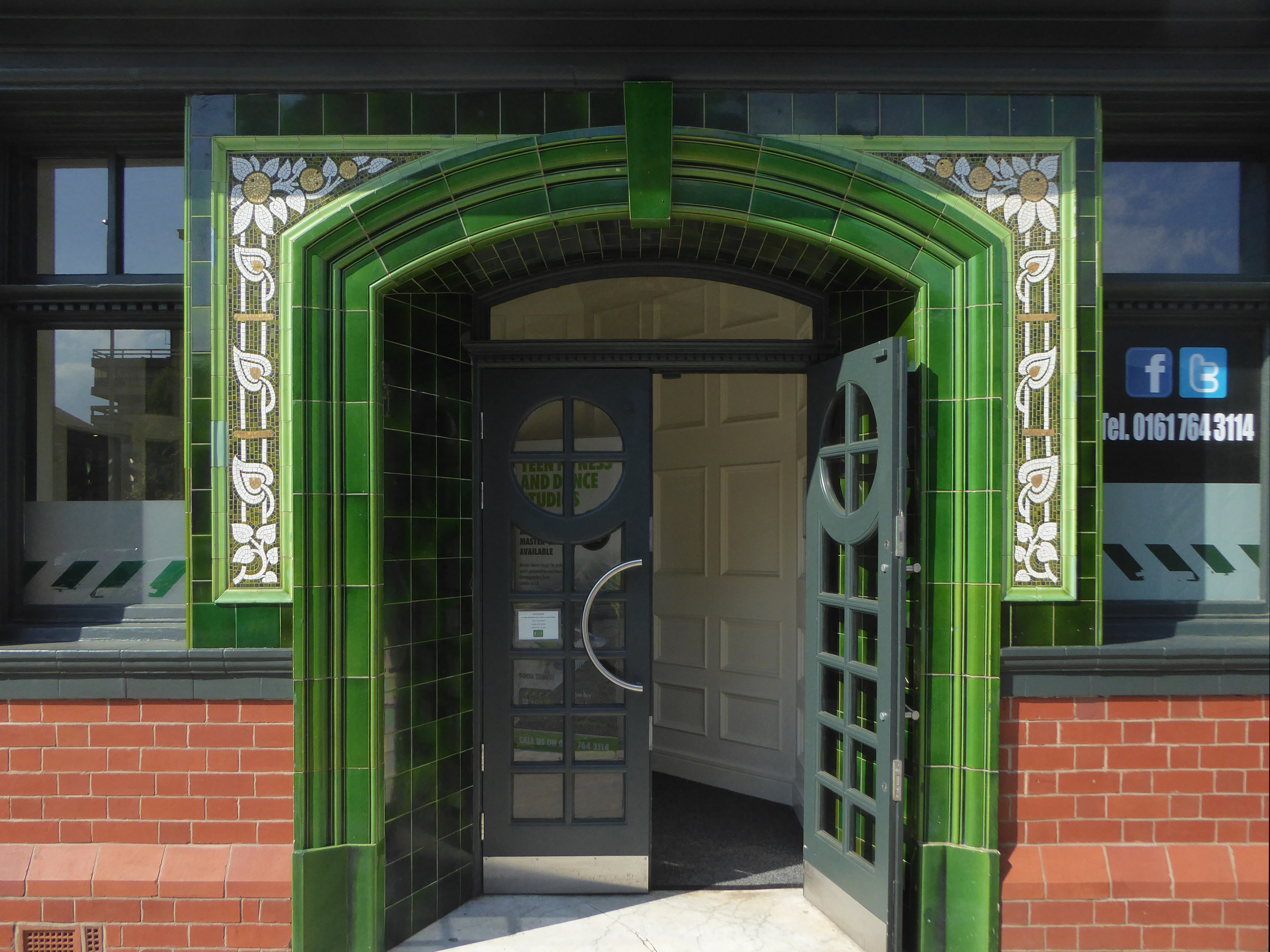
Over the road the former Temperance Billiard Hall 1910 architect Norman Evans.

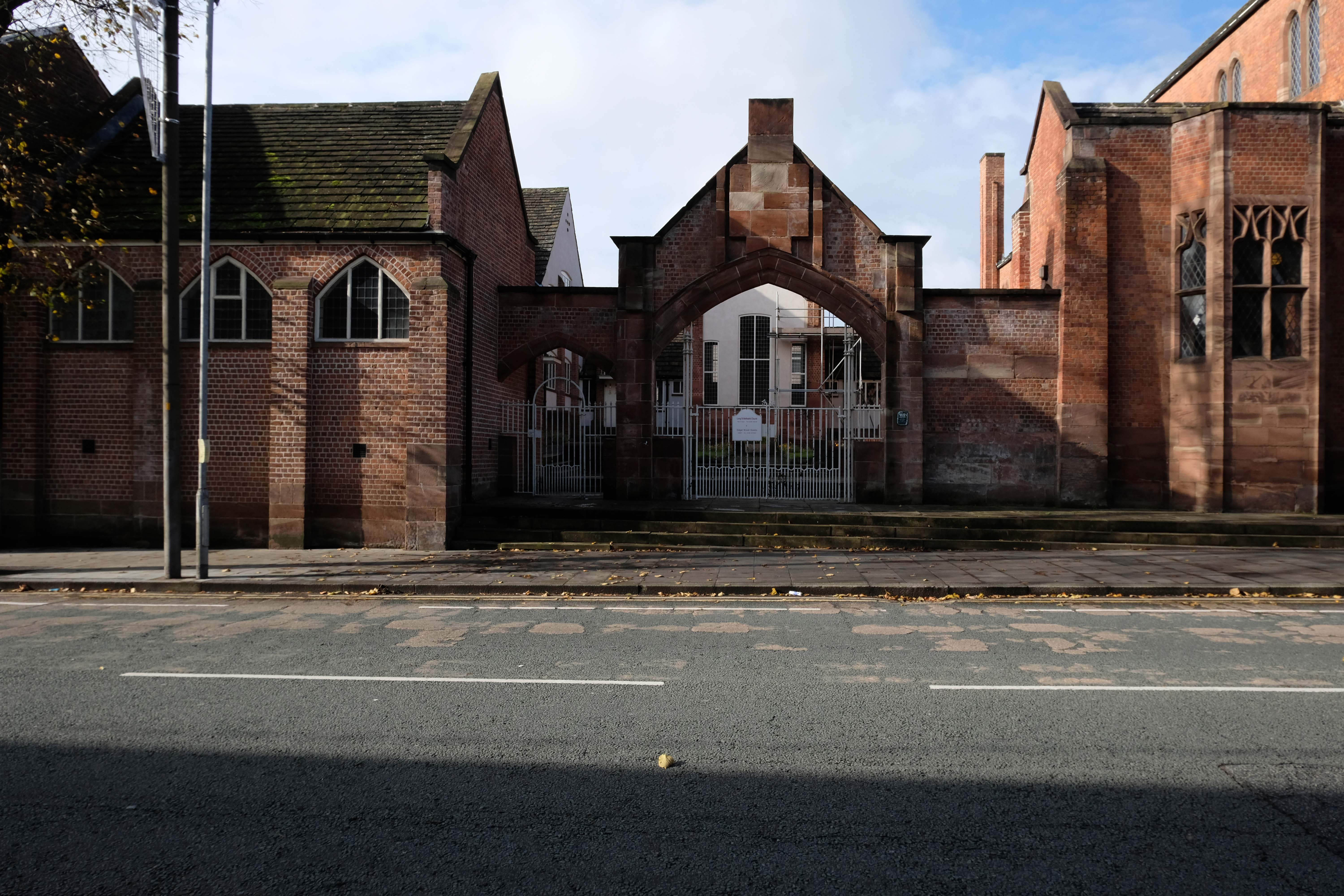
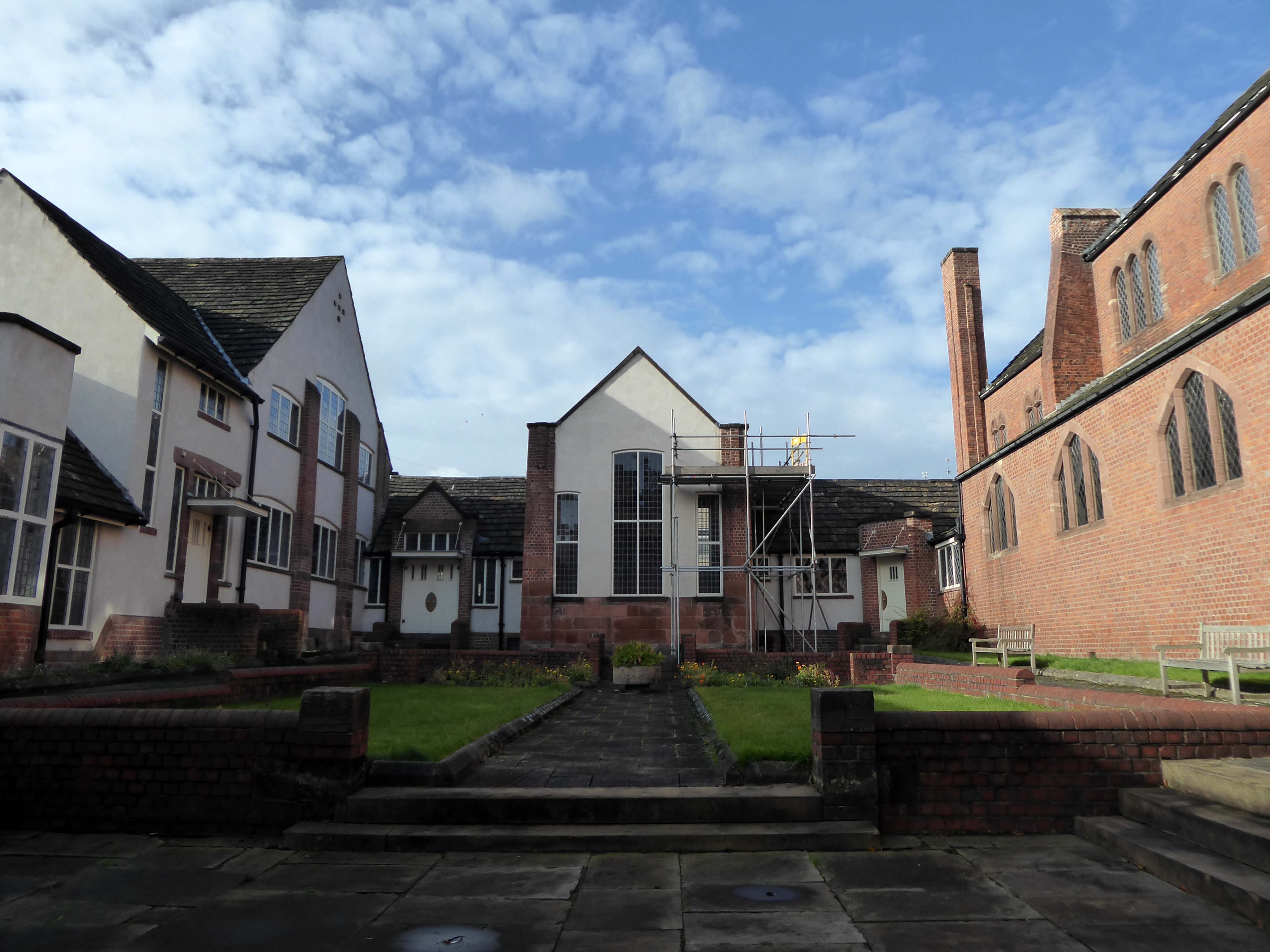
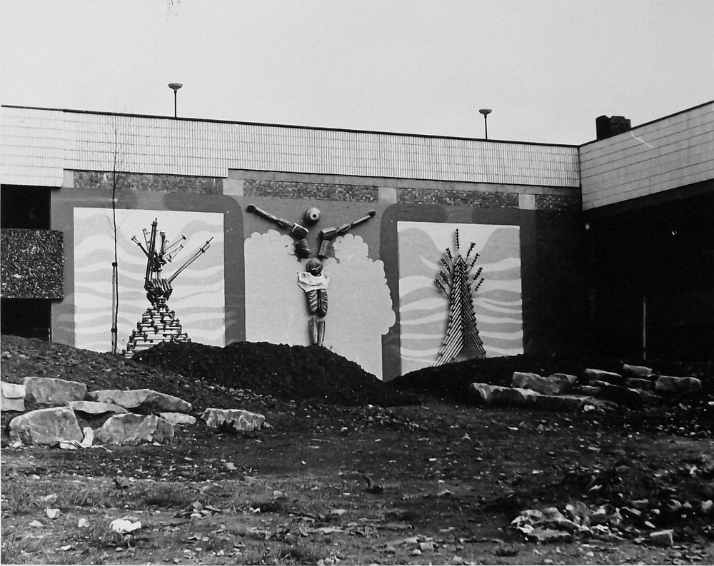
Down the side and up the steps to the Unitarian Church.

The new church was designed and constructed by local architects James T Ratcliffe.

The church was opened in 1974, with a service of dedication on Saturday, 9th March. The total cost, including furnishings, was £85,000.

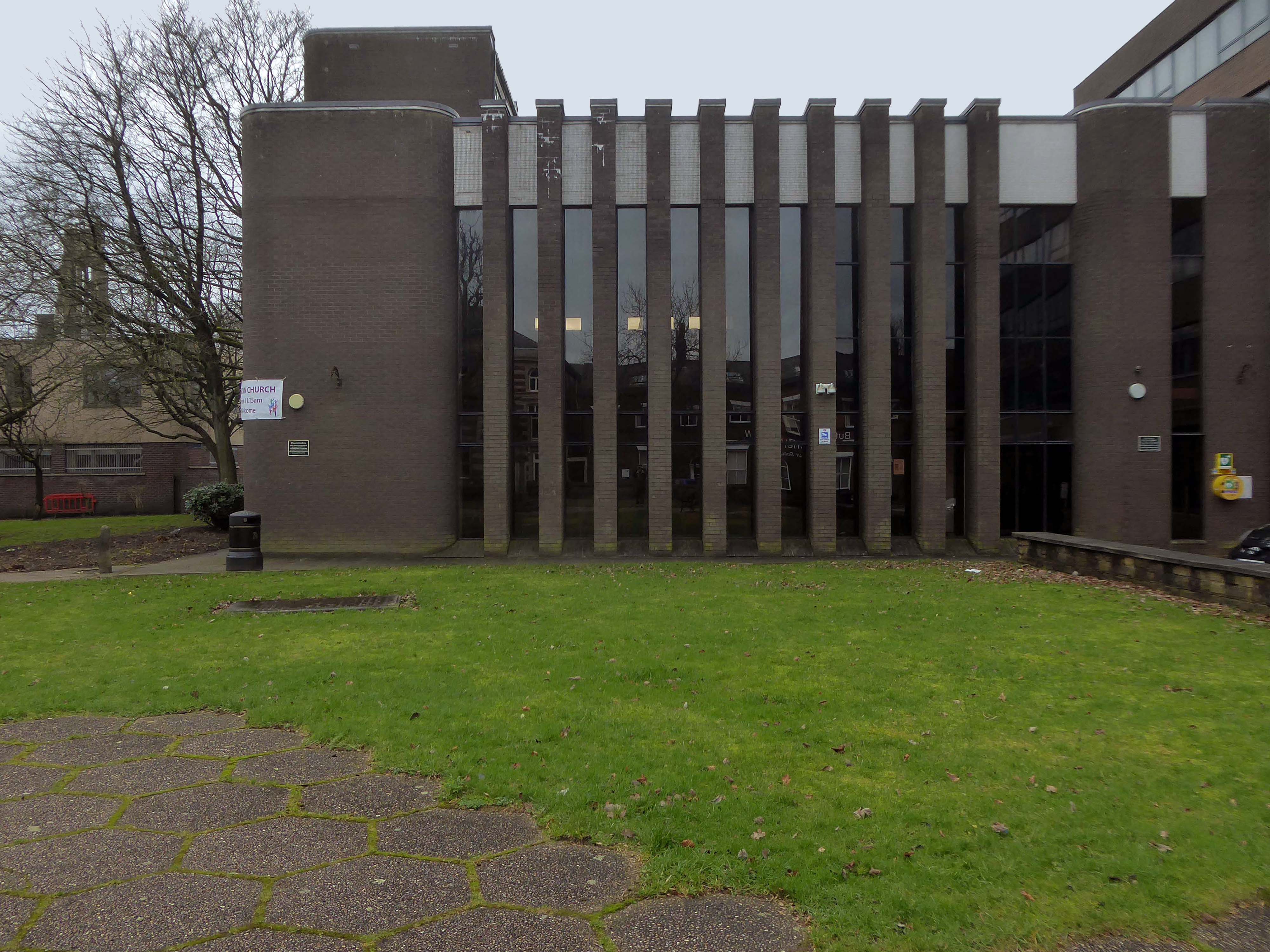
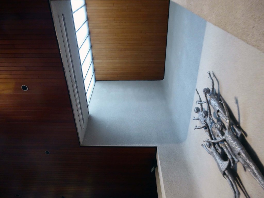
The People Praising by Elizabeth Mulchinock is a 12 foot high original sculpture at the front of the church which represents the family of the church.

Her work can also be seen at Sainsbury’s in West Ealing and Reading.

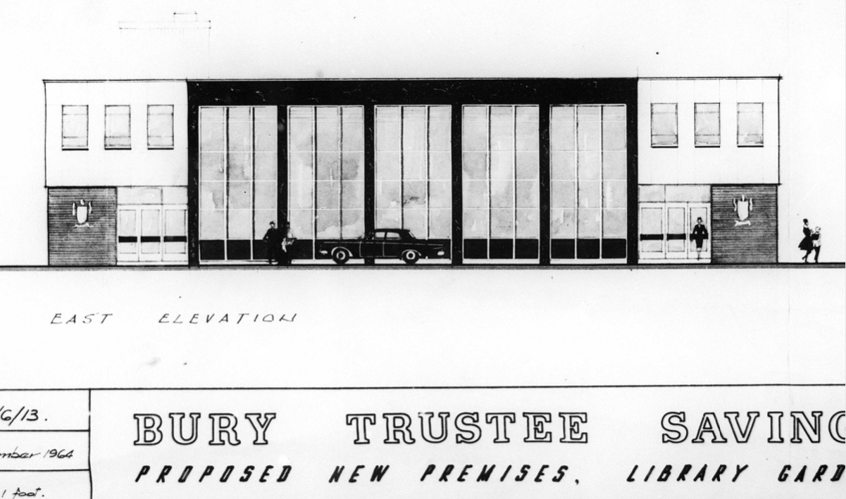
Next door is the former Trustee Saving Bank.

Planning application January 1965 – work started in June 1965. The architectural firm was Richard Byrom, Hill and partners. Richard Byrom was submitting building applications in the 1930s in Bury and locally.

The rendering on the building is original but the windows have been changed. The Job Centre took over the building in 1993. It is in a conservation area and the Civic Trust had some concerns!

Many thanks to David French for the above information.

Manchester Arterial – A57

The A57 was nearly a coast to coast route. It passes through three major city centres (Liverpool, Manchester, and Sheffield – with elevated sections in each) and several smaller ones, multiplexes with the A6 and the A1, follows the banks of two canals and negotiates the remotest part of the Peak District. In one city it part of it is a tram route, whilst in another its former route is also a tram route. After all these adventures, it sadly gives up just 40 miles short of the east coast, Lincoln apparently proving too big an obstacle.

The A57 crosses the River Irwell at Regent Bridge before entering its moment of motorway glory as the A57(M) Mancunian Way skirting the south of Manchester’s city centre on an elevated section and crossing the A56 and A34. This includes a half-completed exit that goes the wrong way up Brook Street – a one way street. The original A57 ran further north through the city centre along Liverpool Road (now the A6143) and Whitworth Street – B6469 as far as the A6 London Road which marked the start of a multiplex.

At the end of Mancunian Way, we reach a TOTSO, straight on being the short unsigned A635(M) and thence the A635 – for Saddleworth Moor, Barnsley and Doncaster whilst the A57 turns south, briefly multiplexing with the A6, and then branching off along Hyde Road. This section of road was extensively cleared for the westward extension for the M67, and consequently has seen a lot of redevelopment.

Sabre Roads

In 2014, having taken early retirement from teaching photography, I embarked on a series of walks along the arterial roads of Manchester.

See also Bury New Road and Cheetham Hill Road and Rochdale Road and Oldham Road and Ashton New Road and Ashton Old Road.

Middleton Walk

Middleton has not the gloom of so many South Lancashire towns its size. It benefits from its position close to the hills, but it has also the advantage of a large medieval church on a hill and of a number of buildings by one of England’s most original architects of the period around 1900.

Nikolaus Pevsner – The Buildings of England

He refers to Edgar Wood 1860-1935

He was the most advanced English architect of his generation, stylistically moving through through art nouveau, vernacular, expressionist and finally art deco phases a decade or more before other designers. He became England’s uncontested pioneer of flat roofed modern buildings. He worked more like an artist than an architect, designing buildings, furniture, stained glass, sculpture, metal and plaster work.  His buildings are mostly clustered in the towns of Middleton, Rochdale, Oldham, Huddersfield and Hale.  Influenced by the writings of William Morris, he saw himself as an artisan serving the people of these localities.

We begin our tour at the Queen’s Jubilee Free Library of 1889 located on Long Street.

Sixty-seven sets of designs for the proposed free library at Middleton were received by the Corporation of that borough in response to their advertisement; and a joint committee comprising of six members of the Corporation and six non-members has awarded the premium to Mr Lawrence Booth, architect of this city.

Curiously, we encounter an anchor.

Around 10pm that evening when weather conditions deteriorated to near hurricane-force gales, with the Sirene making little headway despite tacking.

Losing her helm, her sails in tatters and within sight of the Great Orme, the gales drove her back through the night towards the Lancashire coast. Eventually, and with great difficulty, Captain Gjertsen and his crew managed to manoeuvre the stricken vessel between the Central and North Piers. Becoming increasingly unmanageable, and swept in by the rushing tide and gale force winds, the Sirene looked a doomed vessel. She was helpless in the close shore currents, and unable to drop anchor she was at the mercy of the waves. She was carried alongside the North Pier, tearing off a section of the pier superstructure and part of her own keel.

Thousands of people lined the Promenade to witness the spectacle as she came in on the south side of the pier; many more stood on the pier itself, but there was a mad rush for safety when the ship collided against the structure.

Heritage Blackpool

The captain and crew survived, including the ship’s cat, many offers were made for the cat, but the captain refused them.

Onwards through Jubilee Park opened in 1889 to commemorate the Golden Jubilee of Queen Victoria.

In 1906 Alderman Thomas Broadbent Wood commissioned his son, Edgar, to design a flight of steps to lead up to a contemplation spot in the park – the inscription reads:

Who works not for his fellows starves his soul.

His thoughts grow poor and dwindle and his heart grudges each beat, as misers do a dole.

Nearby we find a memorial to the Middleton Flood – following torrential rain, the canal embankment at Mills Hill broke, flooding the already swollen River Irk, subsequently deluging the town.

Up the hill to Grade 1 Listed Parish Church of St Leonard.

Much of the present building was erected in 1412 by Thomas Langley – born in Middleton in 1363, who was Bishop of Durham and Lord Chancellor of England. He re-used the Norman doorway from an earlier structure to create the tower arch. Also distinctive in this region is the weather-boarded top stage to the tower.

The church of St Leonard was enlarged in 1524 by Sir Richard Assheton, in celebration of the knighthood granted to him by Henry VIII of England for his part in the Battle of Flodden in 1513. The Flodden Window, in the sanctuary, is thought to be the oldest war memorial in the UK. It commemorates on it the names of the Middleton archers who fought at Flodden. The church also has one of the finest collections of monumental brasses in the north of England, including the only brass in the UK depicting an English Civil War officer in full armour, Major-General Ralph Assheton.  

George Pace designed a war memorial and, in 1958, added a choir vestry and installed new lighting.

Wikipedia

This image has an empty alt attribute; its file name is dscf3808.jpg

Middleton Old Cemetery once the Thornham and Middleton Burial Ground, which became the local authority cemetery in 1862.

Retrace to the Library – adjacent is the Parish School 1842

Across the road the Old Boar’s Head

Part of the timber framing to the right of the front door has recently been tree-ring dated and confirms a building date of 1622. The first tenant was Isaac Walkden, son of Middleton schoolmaster, Robert Walkden. Isaac died during a typhus epidemic in the summer of 1623. His will, preserved at Lancashire Archives, includes an inventory of all his possessions listed on a room by room basis. There were a total of 9 beds and 20 chairs or stools in the 6 rooms. This, together with barrels, brewing vessels, pots, glasses, etc, strongly suggest the building was an inn. The Walkden family went on to run the Boar’s Head until the end of the 17th century. They also farmed nearby land including what is now Jubilee library and park.

In 1888, the fledgling Middleton Corporation purchased the building from the church with the intention of demolishing it to build a town hall. Discussions were held in 1914 but, thankfully, the plan was abandoned due to an outcry from the public spearheaded by architect Edgar Wood.

Down the road is Wood’s Methodist Church and School Rooms 1897.

Tucked away is the Durnford Street Clinic.

Further down Long Street to the Assheton Arms Hotel.

Then around the corner to the Manchester & Salford Bank again by Edgar Wood

Next door the former Market Place Bank latterly RBS.

Plans to convert a long-vacant town centre bank into a nightclub have been revived despite previously being rejected over anti-social behaviour concerns.

An application to change the use of the former Royal Bank of Scotland, in Middleton, was refused by Rochdale council’s planning committee eighteen months ago, with members citing a history of alcohol-fuelled trouble in the area.

Rochdale Online

Further up Market Place the faience fronted Bricklayers Arms formerly a Bents and Gartsides boozer – delicensed in 2012 and Converted to a takeaway.

Moving along Wood’s much altered Guardian Buildings 1889.

The Guardian Buildings, were commissioned by Fred Bagot, the proprietor of the Middleton Guardian newspaper and a man with a reputation at the time for keeping a tight control of finances. In consequence, Guardian Buildings were one of Edgar Wood’s low budget buildings, of which there are several in and around Middleton. The building housed the operations of the newspaper with the cellar containing the printing machines and the tall ground floor housing a shop, office and more machines. The whole of the first floor, with its pair of oriel windows, was taken up by the composing room.

Time has not been kind to the Grade II Listed United Reformed Church 1860.

28 Days Later

It fell into disrepair after the church moved to smaller premises in Alkrington in the 1960s.

The building collapsed in July 2012, when it was hit by a fire.

On Townley Street Lodge Mill built in1839 beside the River Irk battling on despite recent setbacks.

In August 2019, Martin Cove and Paula Hickey opened a small ice cream shop on the ground floor of the mill – named the Ice Cream Shop at Lodge – selling locally-made ice cream from Birch Farm, Heywood.

Across the way the magnificent Sub Station and Electrical Department Offices.

Then taking a turn around the banks of the Irk down Sharp Street onto Lance Corporal Joel Halliwell VC Way, where we find the Middleton ArenaBDP 2009

Then over the road to Oldham Road and Grade II Listed Warwick Mill 1907 G. Stott of J. Stott and Sons.

The mill recently changed ownership and new owner, Kam Lei Fong (UK) Ltd, has been working with Rochdale Borough Council over the past nine months on proposals to redevelop the site.

The plans will form the cornerstone of a new masterplan for Middleton town centre focusing on delivering new homes, business space, highway and environmental improvements, new walking and cycle routes to pave the way for the planned extension of the Metrolink into Middleton Town Centre.

The Business Desk

In 2005, the new Middleton Bus Station was opened – Jefferson Sheard Architects.

The station, with 13 stands, cost £4.5 million and replaced the previous station which dated to the 1970s.

The Middleton Arndale Centre commenced trading in 1971, although it was officially opened by Her Royal Highness the Duchess of Kent in March 1972.

Once home to The Breadman designed by Rochdale’s town artist of the time, Michael Dames.

Photo: Local Image Collection – Touchstones

Now trading as the Middleton Shopping Centre

The brick reliefs illustrating the town’s history are by Fred Evans of Dunstable, who completed the work in one week during May 1972 using a high powered sandblasting blaster.

Thanks to Phil Machen for the top tip.

At the centre of the public domain the Middleton Moonraker 2001 by Terry Eaton

According to folklore, the legend has several different interpretations. One version is that a traveller came upon a drunken yokel trying to rake a reflection of the moon in a village pond, convinced it was cheese.

This version conveys the notion that the men were drunk and acting foolishly.

However, an alternative narrative – and perceived to be the most reliable version – tells a different story and dates back to the time when smuggling was a significant industry in rural England.

It appears that many residents wish to rid themselves of the Moon Raker moniker and presumably become Middletonians.

There’s so much more to Middleton’s history than the Moonraker. Why did they spend all that money on a fairytale?

There were 3,000 Lancaster bombers built in Middleton during World War Two, a magnificent contribution to the effort to beat Hitler.

The bulbs inside the moon which light it up at night haven’t worked for five years.

Bernard Wynne

Along Long Street the Cooperative store what was – next door the long gone Palace Cinema demolished in 2001.

More Edgar Wood – three shops 1908.

Tim RushtonMiddleton Gateway

Middleton celebrates its history and rightly so – now is the time to take stock and plan for the future.

More green space, public transport, pedestrians and cyclists prioritised to meet the Green Agenda.

Mixed development for housing, retail and leisure in the town centre.

Take some time to explore and dream.

View the Masterplan click here

For more information on Edgar Wood click here

Ravensbury Street – Droylsden Cooperative Society Store

On the corner of Ravensbury and Stockholm Street Clayton Manchester there stands a Cooperative Shop of 1908.

We have previously visited another fine example on Northmoor Road.

In 1902 the area is still set to open ground.

This Manchester Local Image Collection photograph of 1912 shows new terraced homes emerging to meet the housing needs of the world’s first industrial city.

Stockholm Street

Here is the street in 1965 the shop already shut.

The corner shop on Bank Street still trades.

The Stuart Street Power Station does not.

Changing patterns in shoppers habits sealed the fate of many local and corner shops, as larger supermarkets opened, increased mobility and car ownership became more common.

When I first visited the building was undergoing renovation work.

The beautiful terracotta tile work and corona obscured by scaffolding .

I returned last week to find the job almost done – converted to flats, in an area which has seen a great deal of improvement to the general housing stock, paving and street furniture.

A joy to see a fine building almost returned to its former glory, with a much needed social purpose, reviving the city’s western edge.

Northmoor Road Co-op – Manchester

Cooperative Society shops and meeting hall. Dated 1912; altered. Red brick with liberal dressings of green and buff glazed terracotta, red tiled roof with geometrical patterned band and cockscomb ridge tiles. Rectangular plan. Edwardian Baroque style. Two storeys and attic, 11 bays; projected ground floor with dark green Ionic pilasters between the shops and a central recessed porch with dark green surround, light green Ionic columns and segmental open pediment ; inverted voluted brackets linking ground floor pilasters to alternate pedestals of 1st-floor colonnade, which has Ionic semi-columns with festoons and a thin cornice, all in matching light green terracotta; swagged frieze of buff terracotta with buff modillions to a green cornice; brick parapet with buff terracotta balustrades and triangular dormers in alternate bays, interrupted in the centre by a green segmental pediment with raised lettering “Beswick Cooperative Society LTD”. Tall segmental-headed windows at 1st floor including a canted bay in the centre with parapet lettered “Built AD 1912”, and coupled windows in the 2nd, 3rd, 10th and 11th bays, all with elaborate surrounds of buff terracotta including quoined jambs, moulded transoms and enriched keystones; and stained glass in the upper lights. Square Baroque-style turret at left gable.

Grade II Listed

The building itself was originally designed for commercial use with a department store on the ground floor boasting five departments including a butchers, shoes and boots, a drapery and a grocery. On the first floor there was a meeting room that was large enough to host dances with live music. Its inaugural event was an exhibition by the Co-operative Workers Society that also included a recital by the C.W.S. orchestra of Balloon Street; it was reported to have been a great success. It was also used for community events such as the Crowcroft Bowls Club prize-giving ceremony in 1914.

Northmoor Road was called North Road at the time the building was in use as a co-operative and was developed between 1899 and 1930’s. Its most famous resident was J.R.Tolkien who lived here between 1926 and 1947.

North moor Community Association

1965

1965 Manchester Local Image Collection

Northmoor Rd copy

Now home to Great Places Housing

This is such a substantial building exuding an opulent retail grandeur that easily leaves your local Tesco Local in the deep dark ignominious shade. From a time when the expanding Cooperative movement provide for most of the areas material needs – though the Beswick Society was disliked for its aggressive territorial ingress, outside of any recognised geographic constriction.

Externally it is still substantially as was – clearly visible from the nearby Stockport Road and continuing to command the street with degree of grace.

Go take a walk, take a look!

DSC_0019 copy

northmoor d copy

P1200038

P1200039

P1200040

P1200041

P1200042

P1200044

P1200045

P1200046

P1200047

P1200048

P1200049

P1200050

P1200052

P1200053

P1200054

P1200055

P1200056