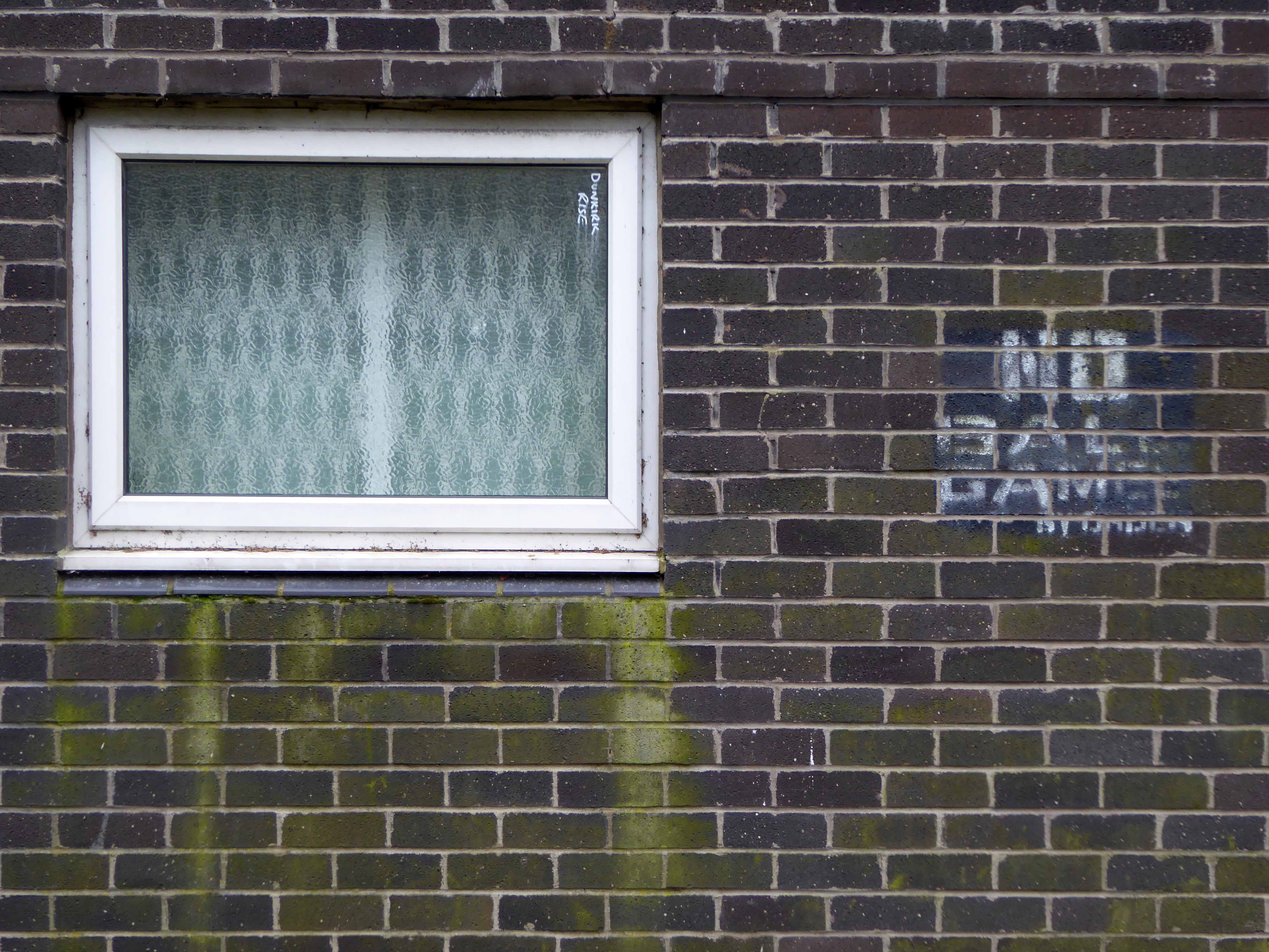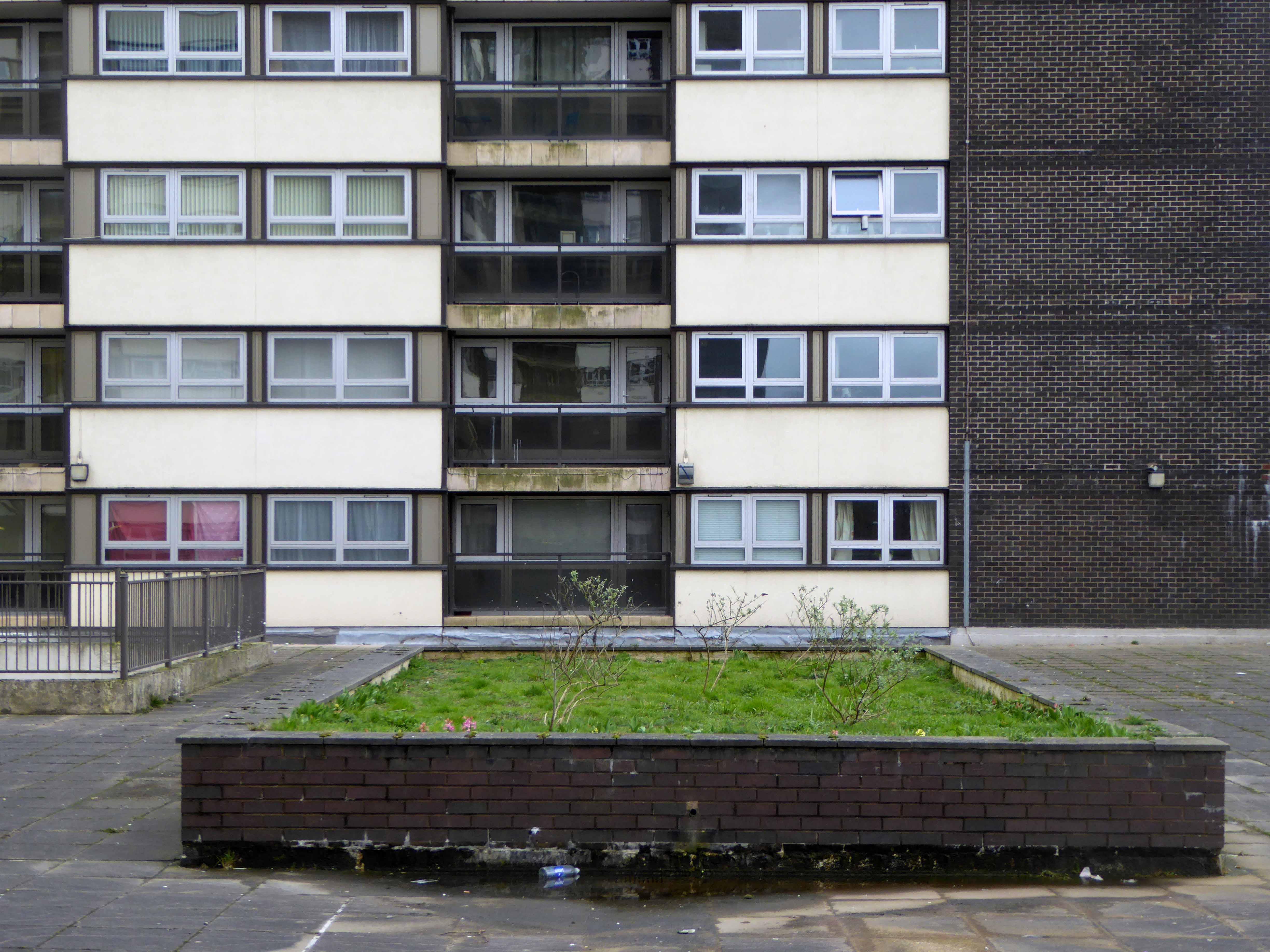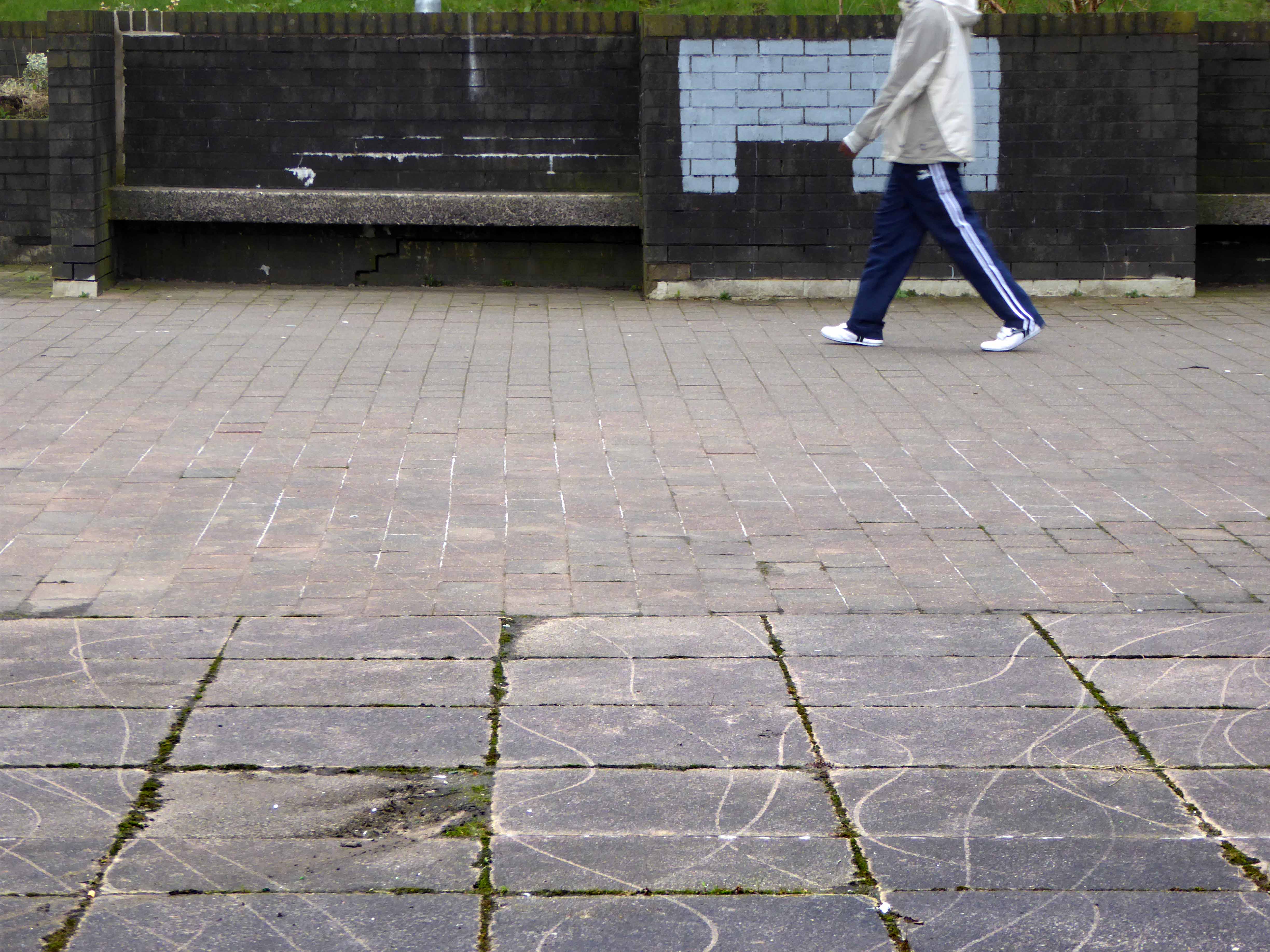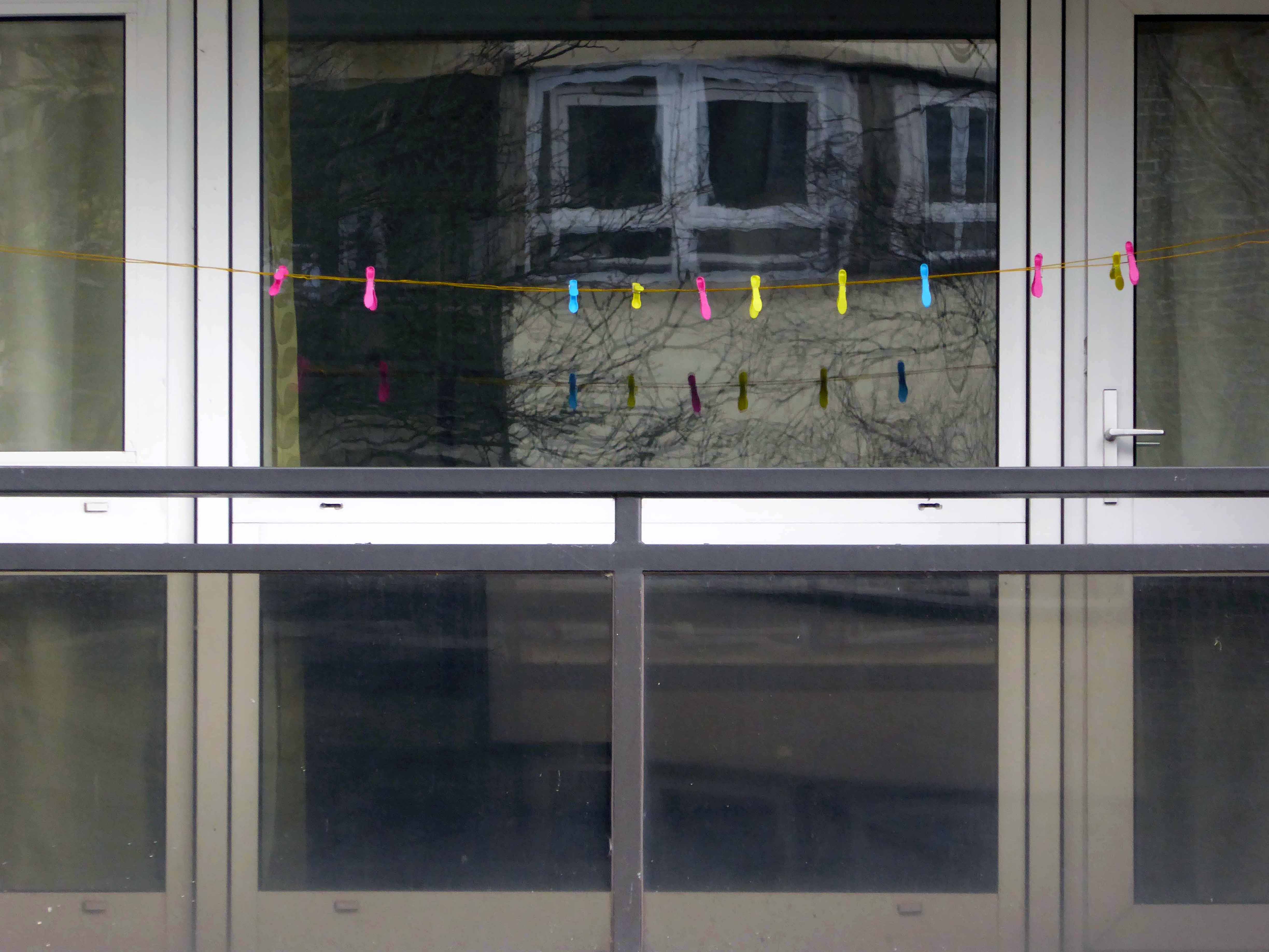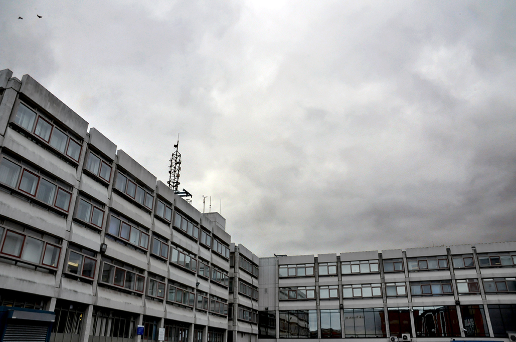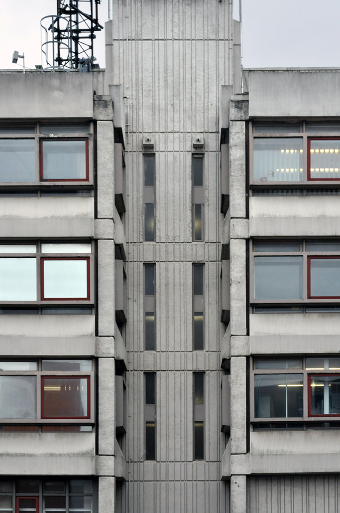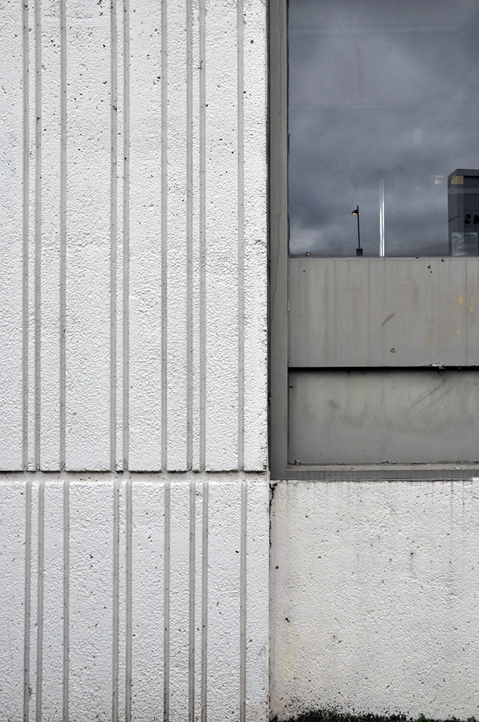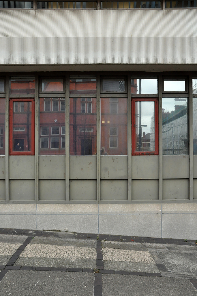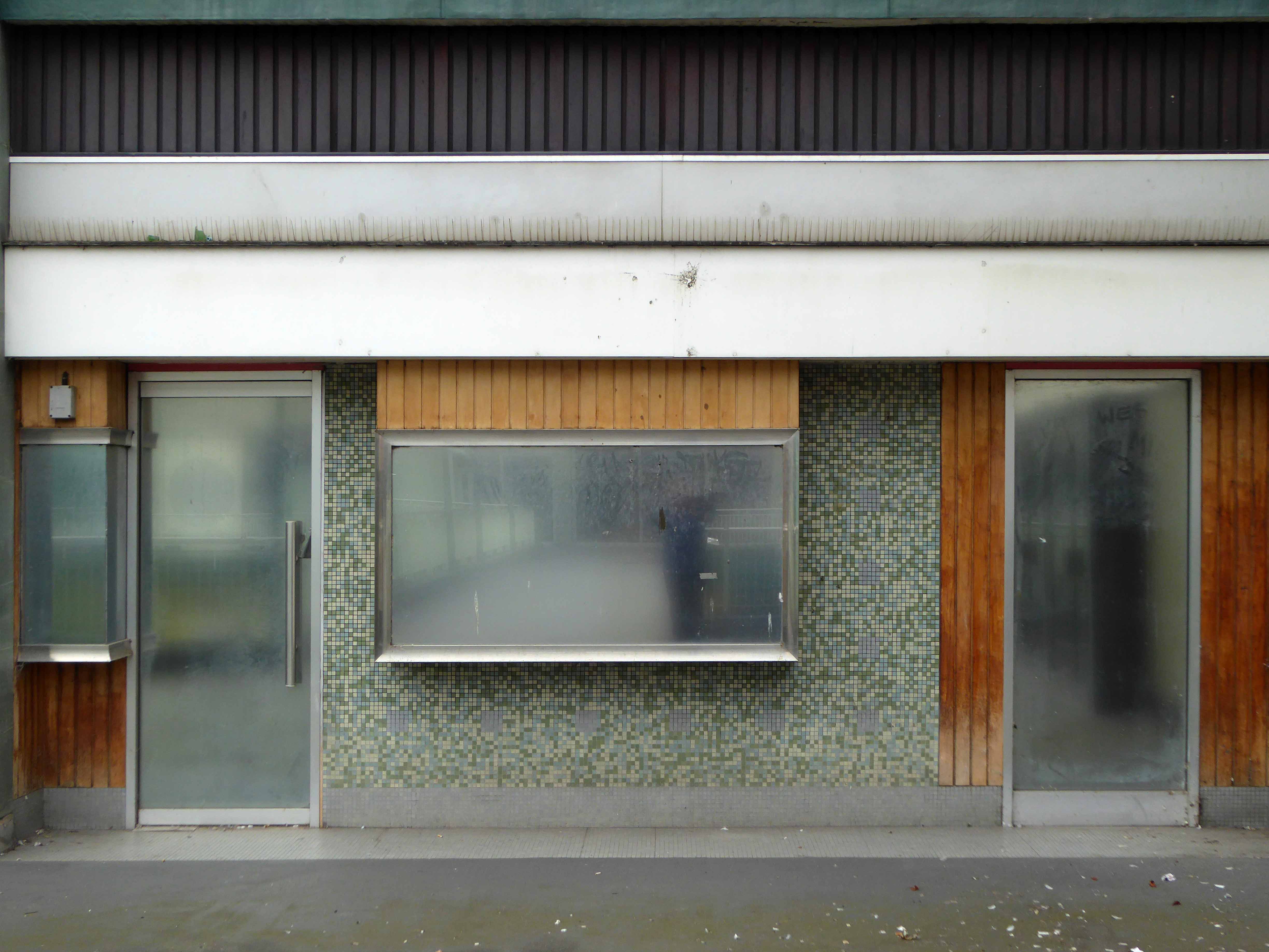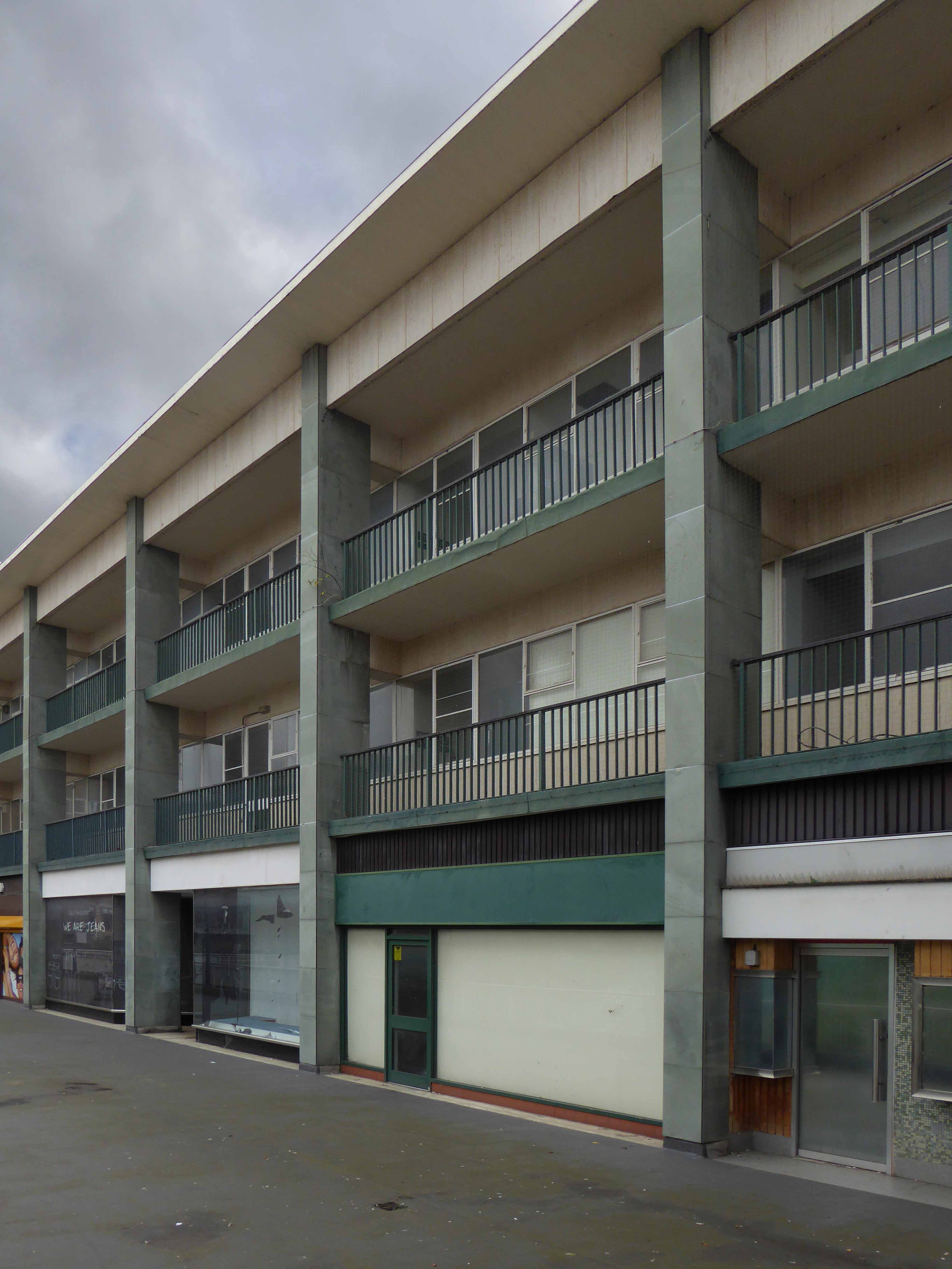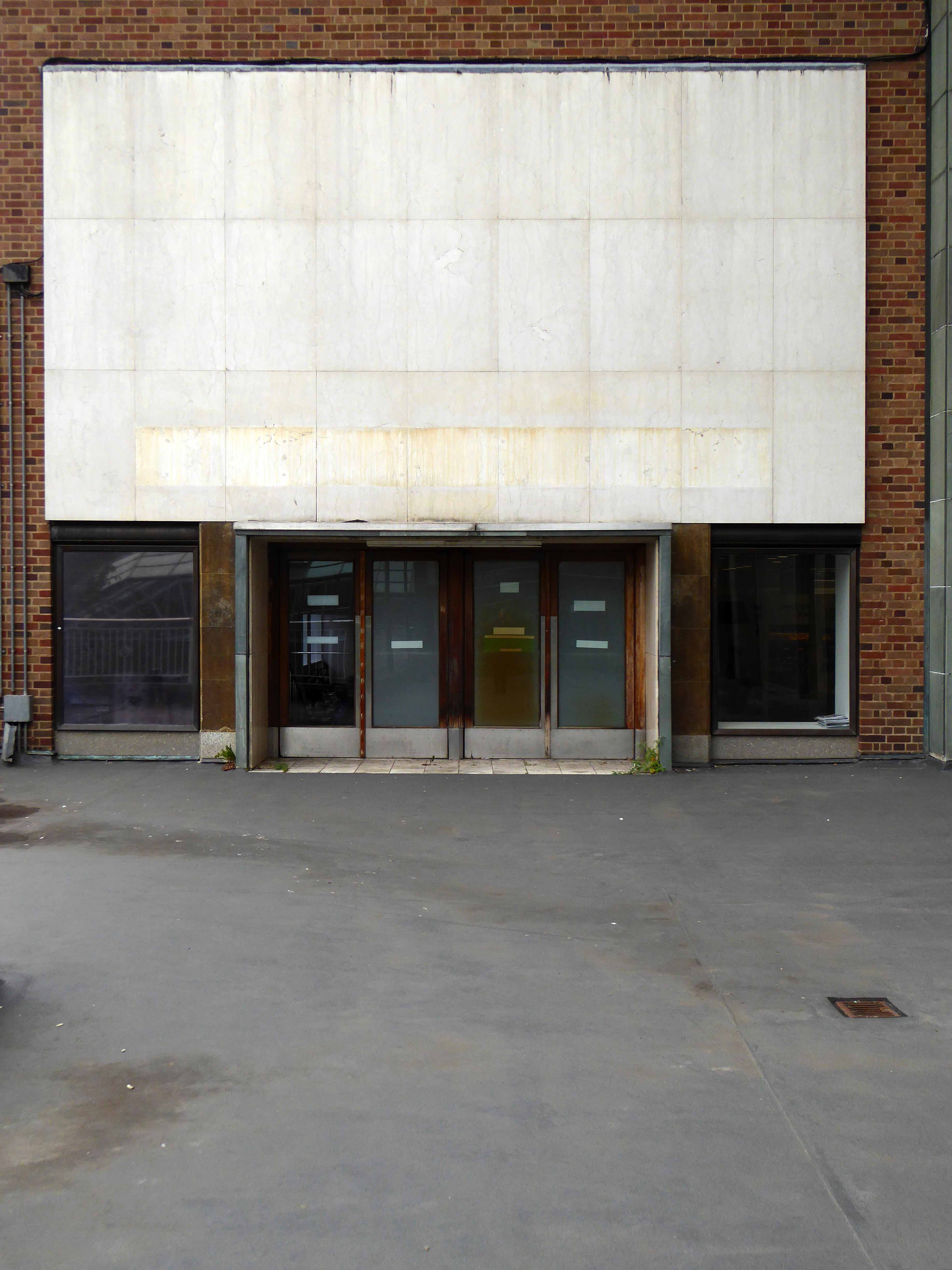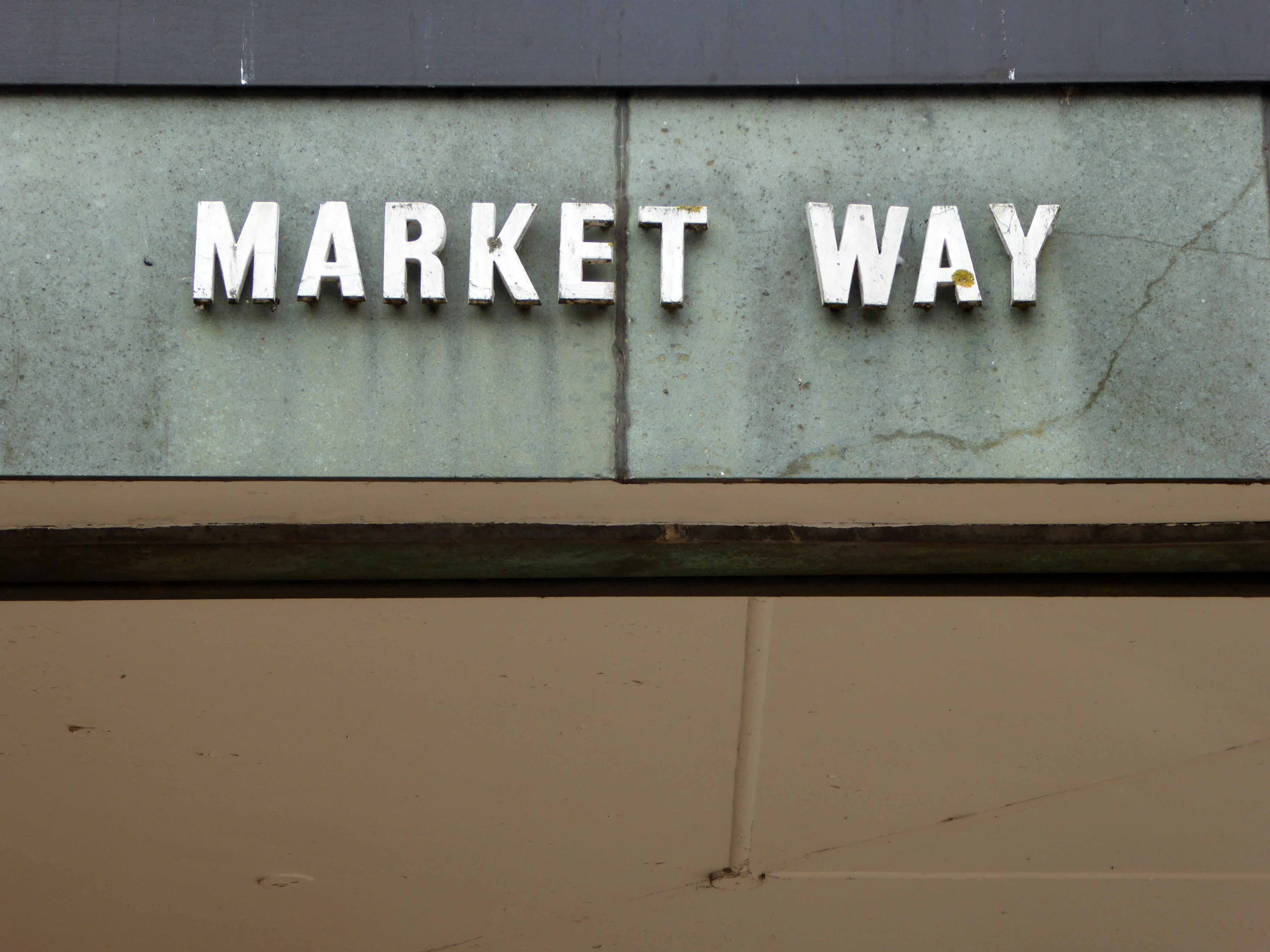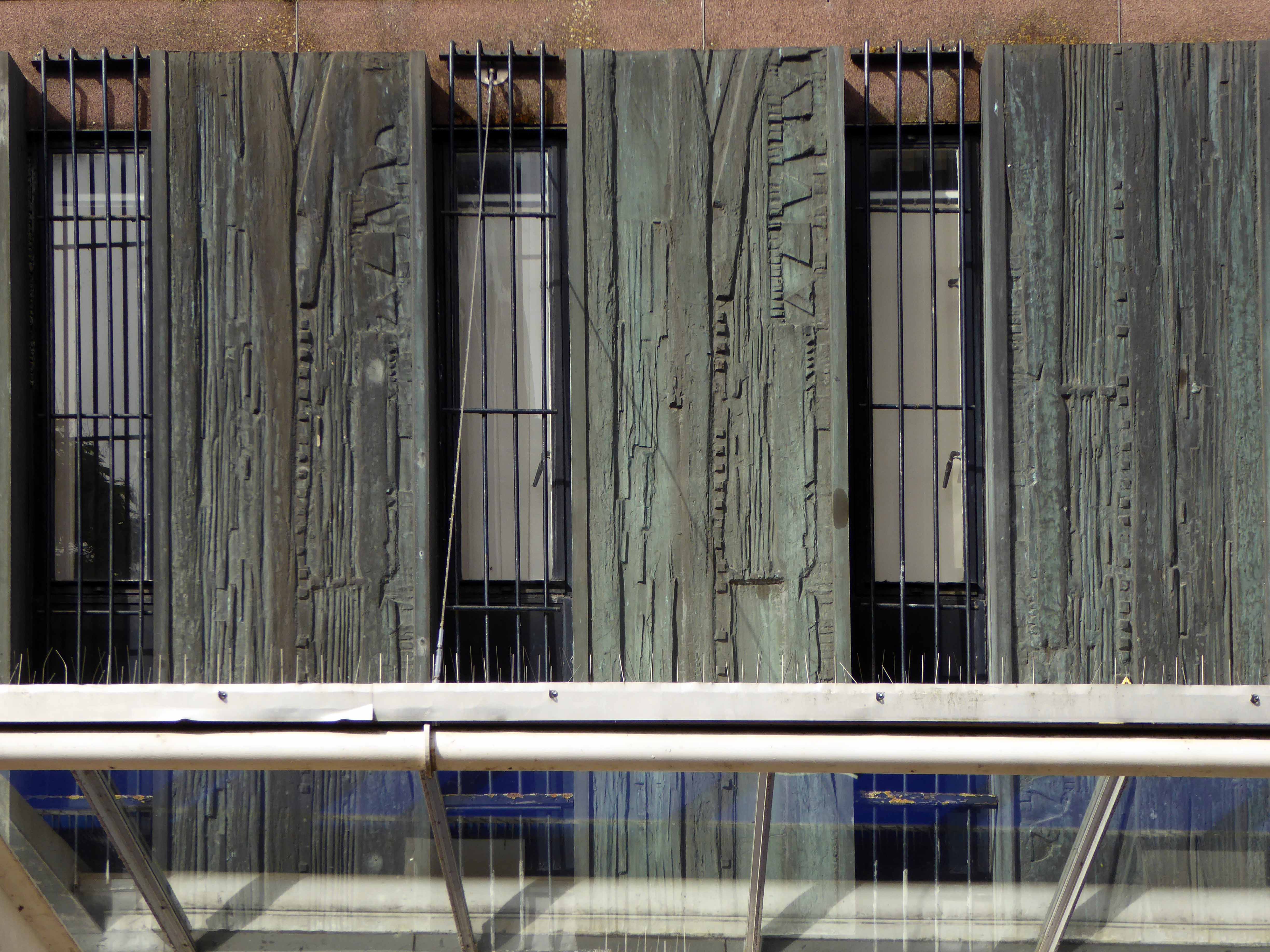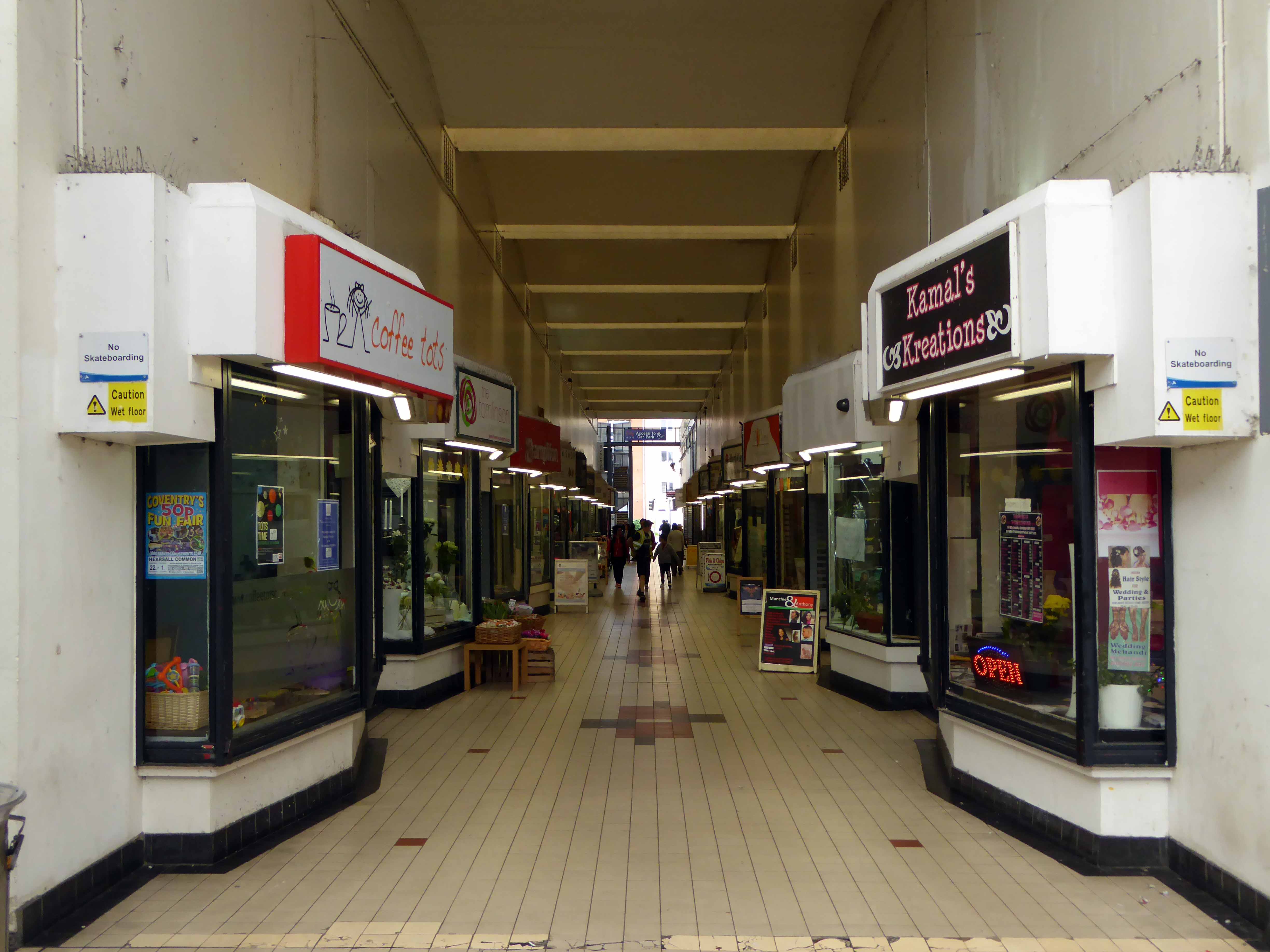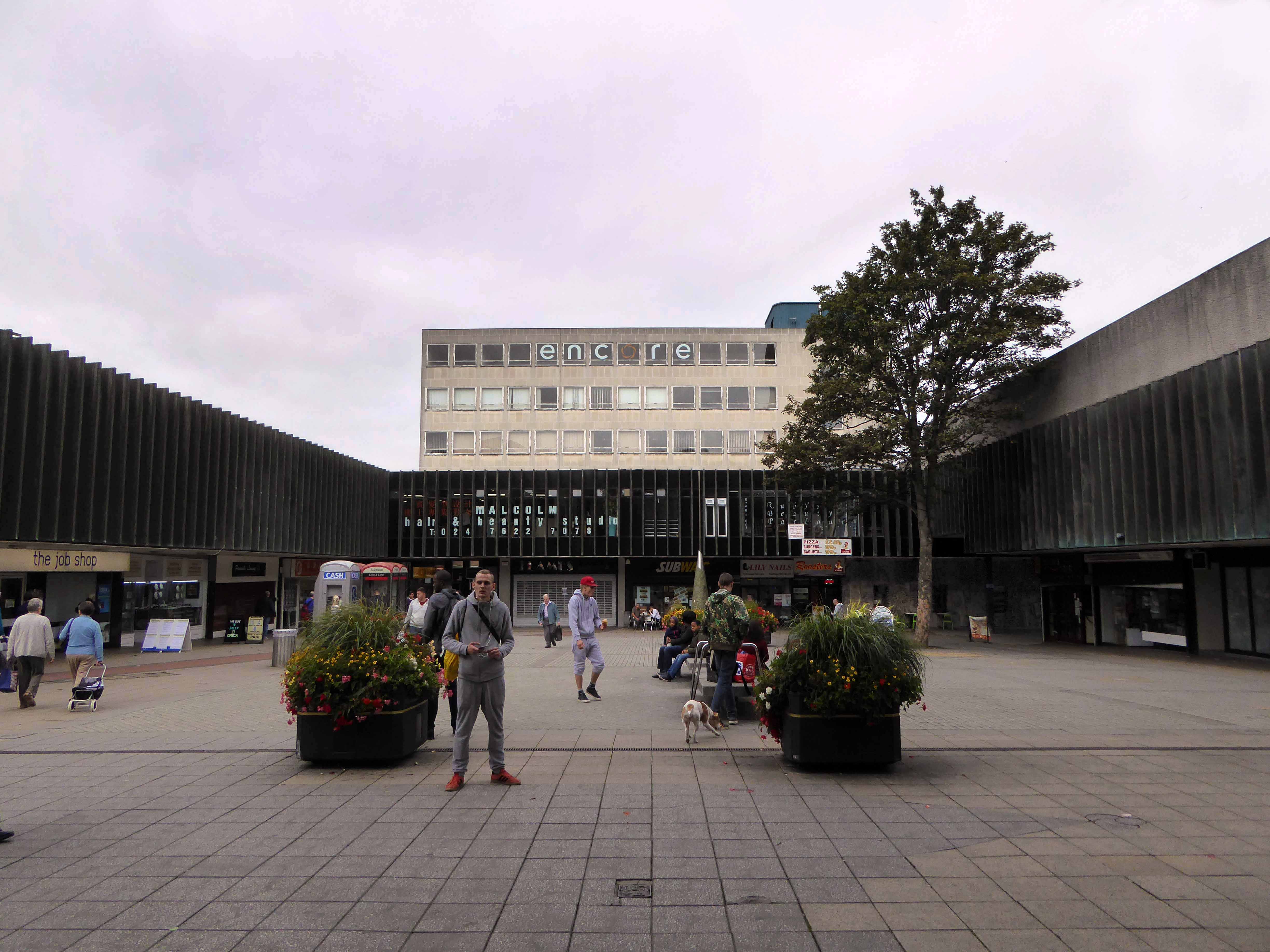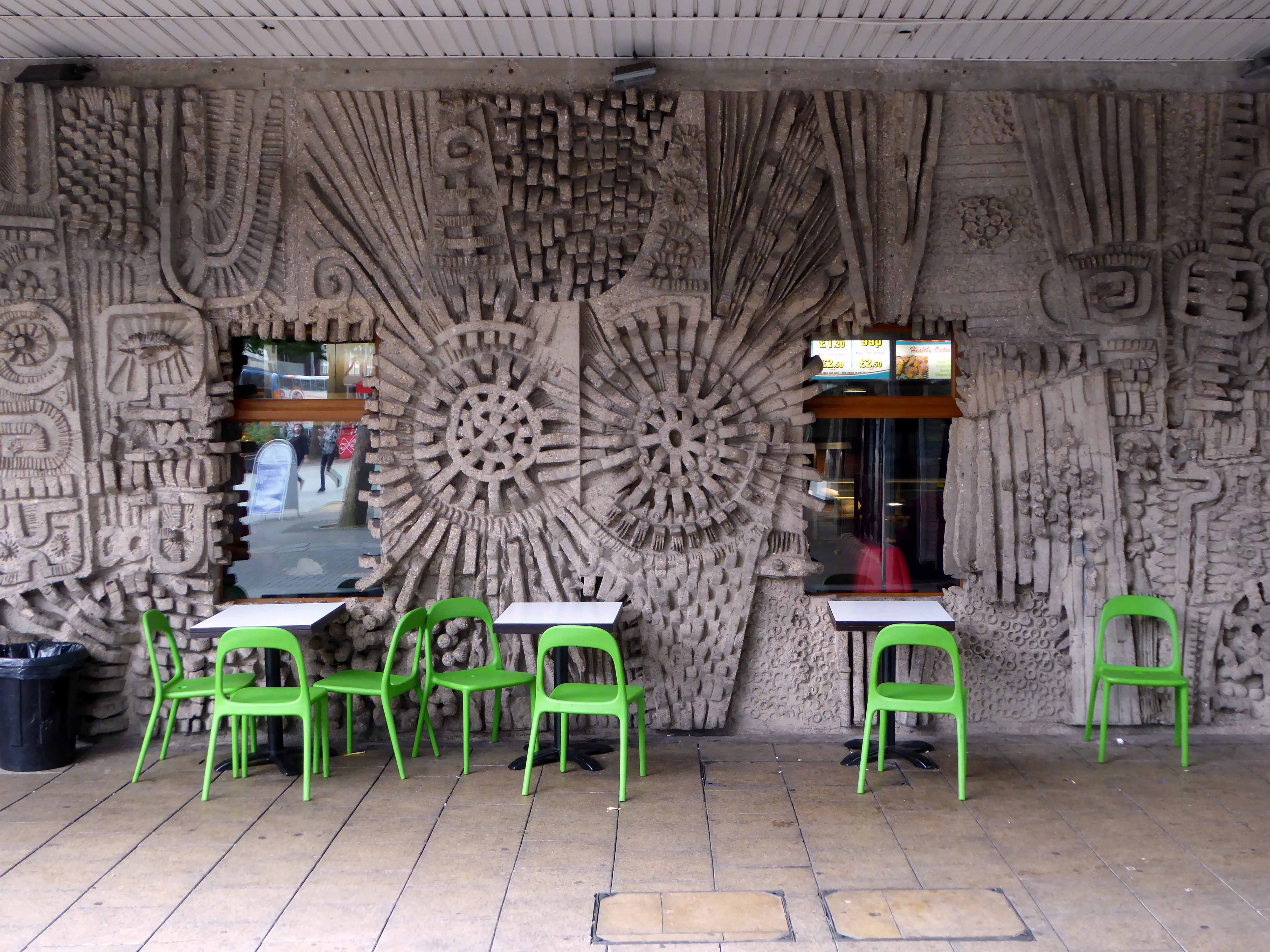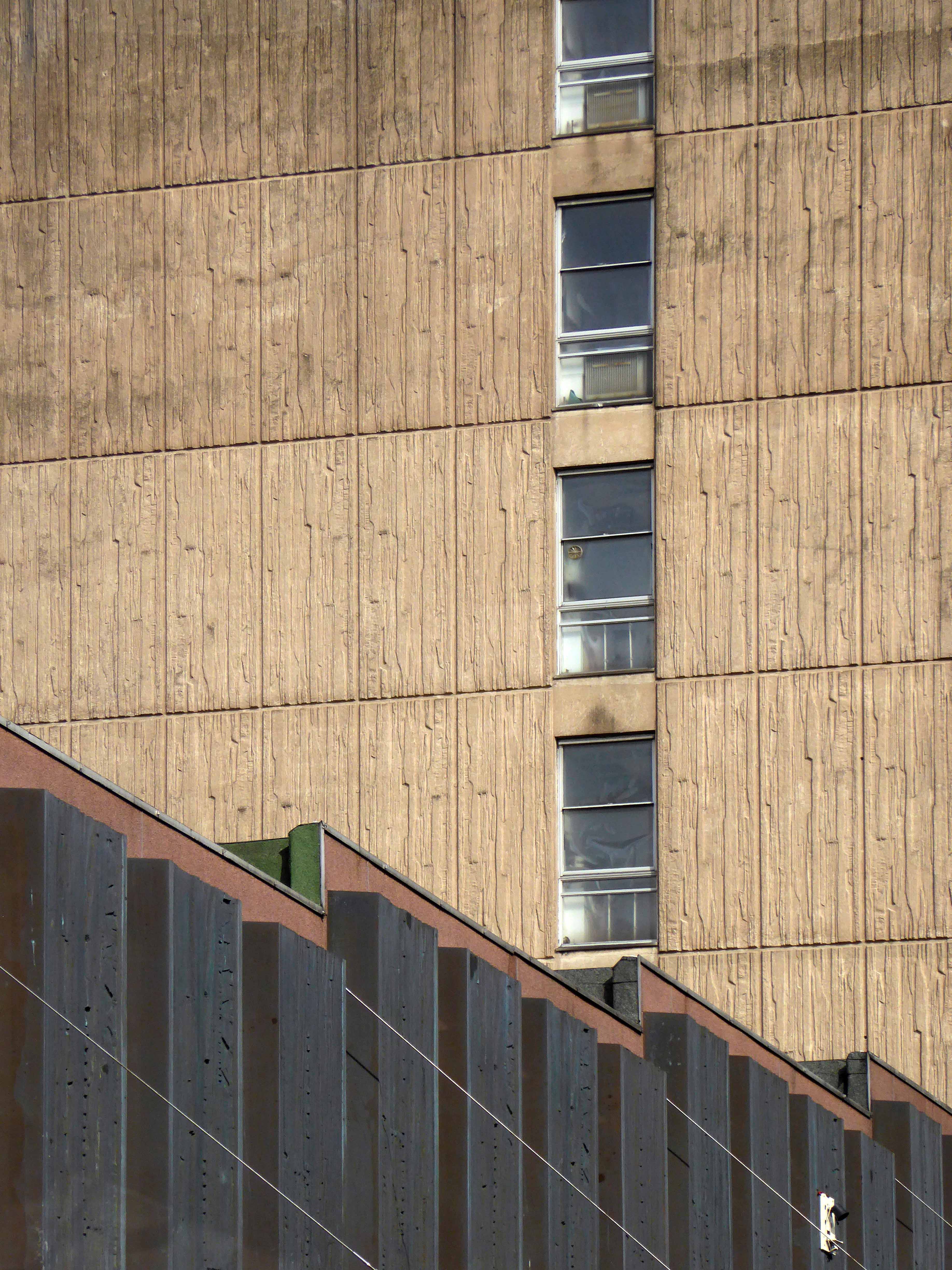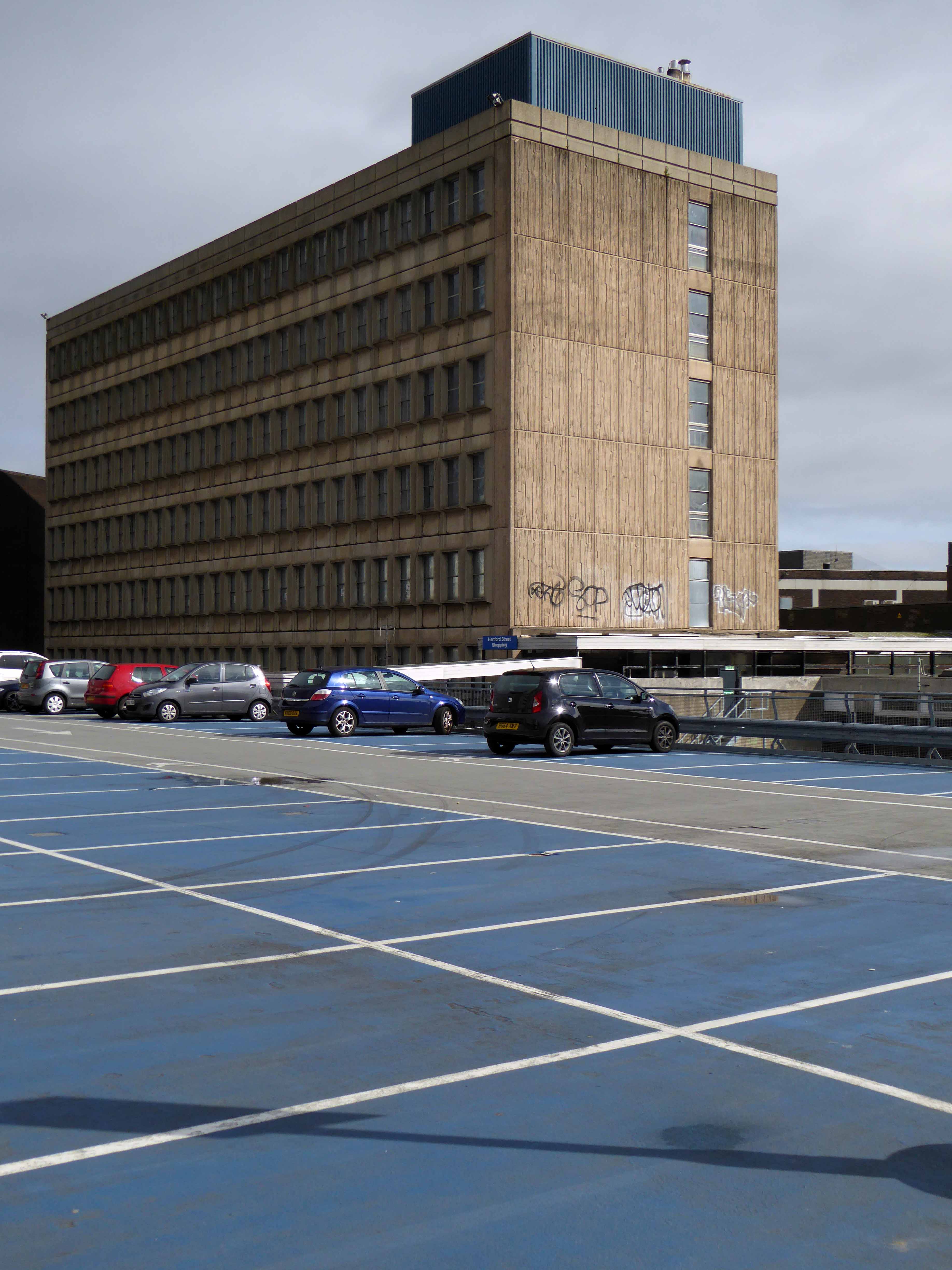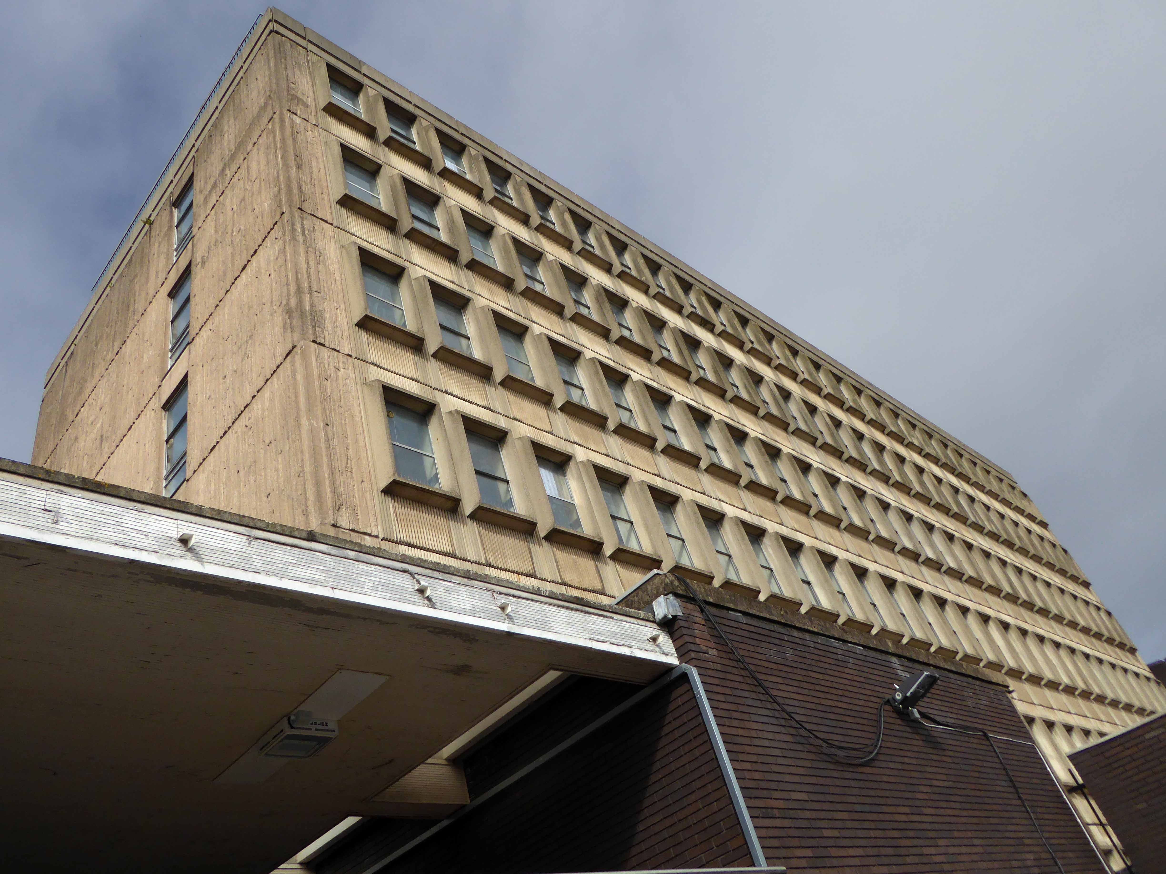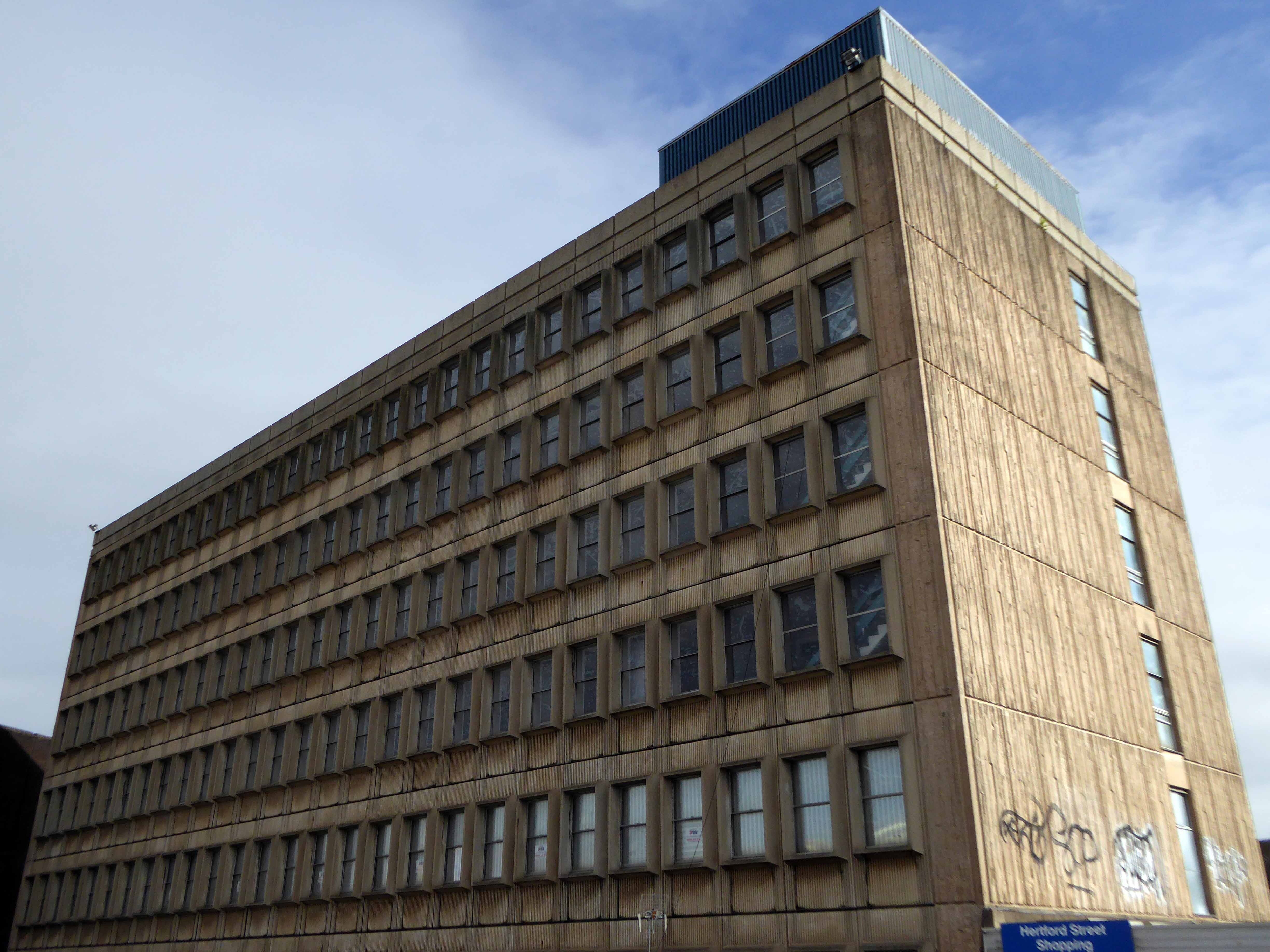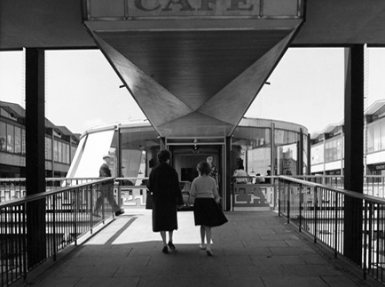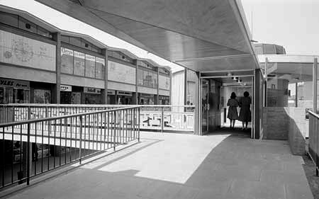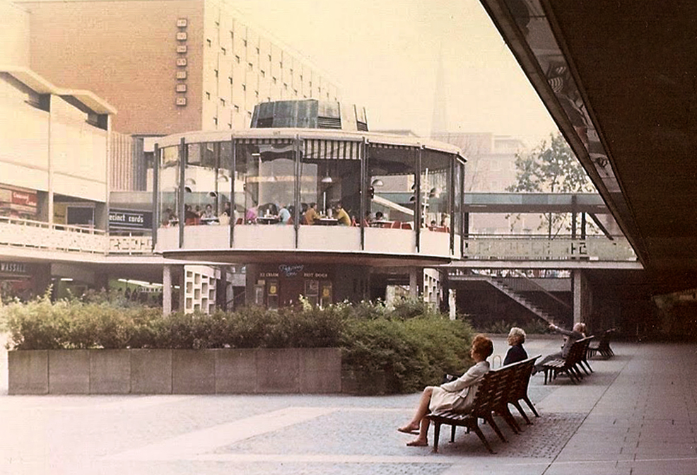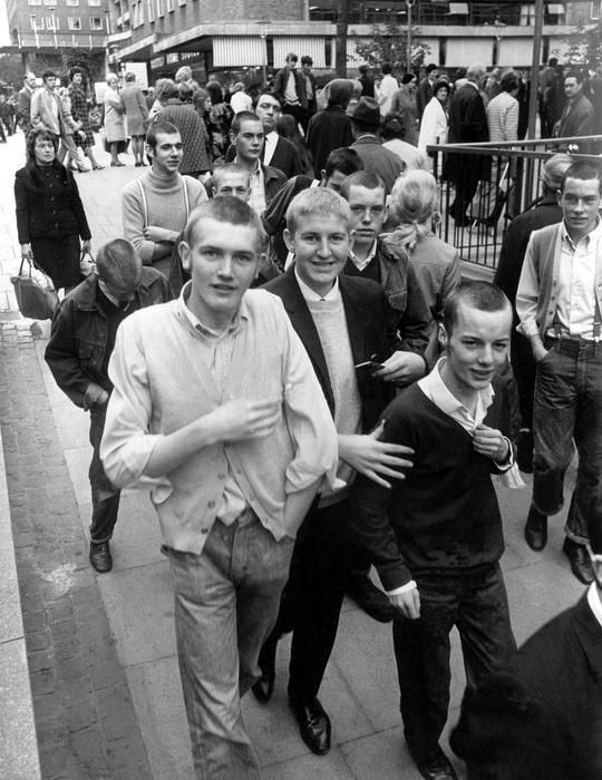
Merseyway – Stockport

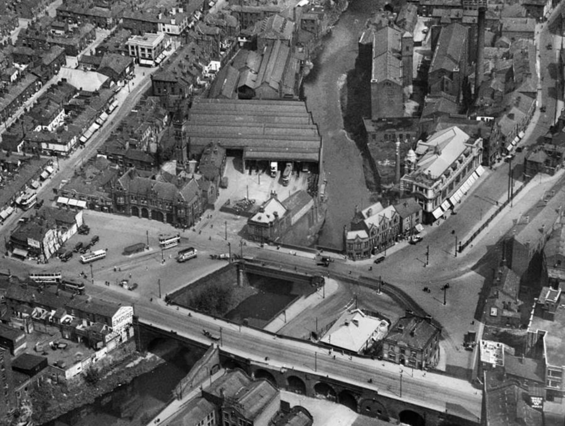
Once there was a river there, formed by the thunder of Irish Sea ice gouging a great glacial valley, bowling along boulders and millstone grit through phyllosilicate clays and sedimentary sandstone.
27983074_10215926263608490_3556820789336334741_o

Then there wasn’t.

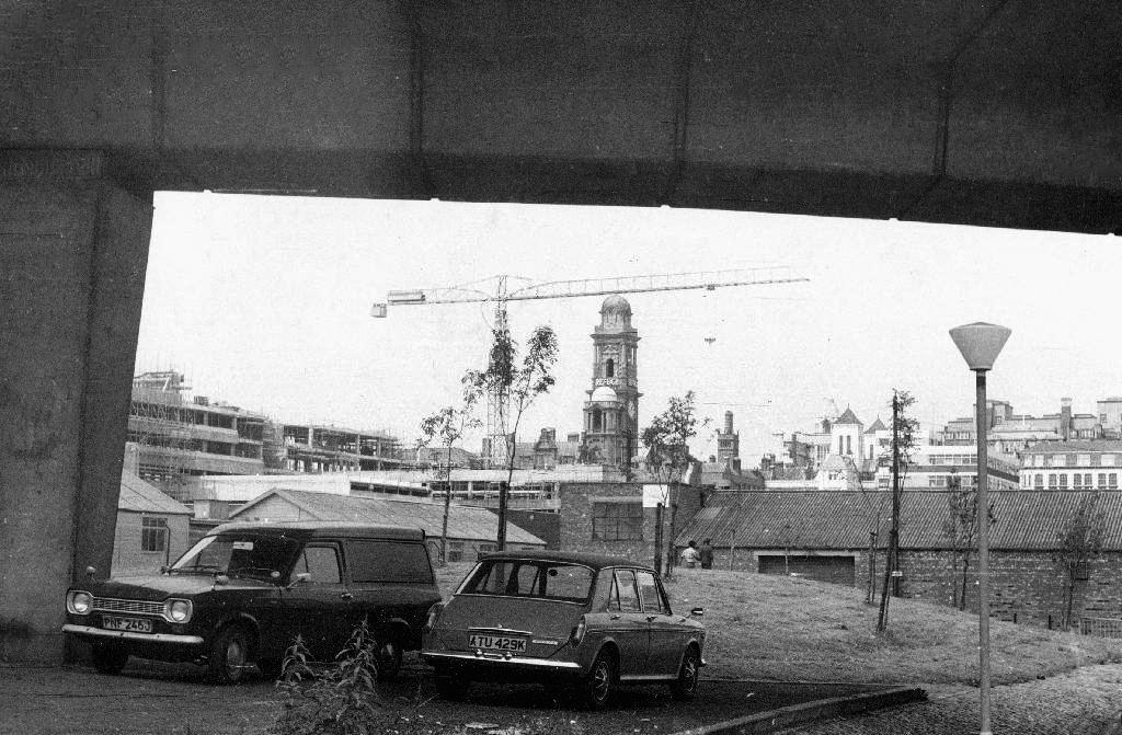
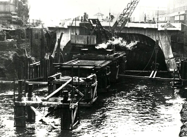
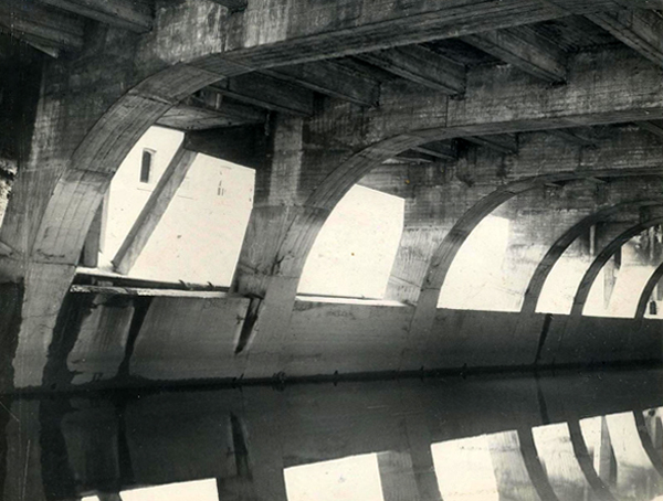
The Mersey, formed in Stockport as the Tame and Goyt conjoined, inconveniently filled with industrial grime and mire, then conveniently covered over in 1936.
16066

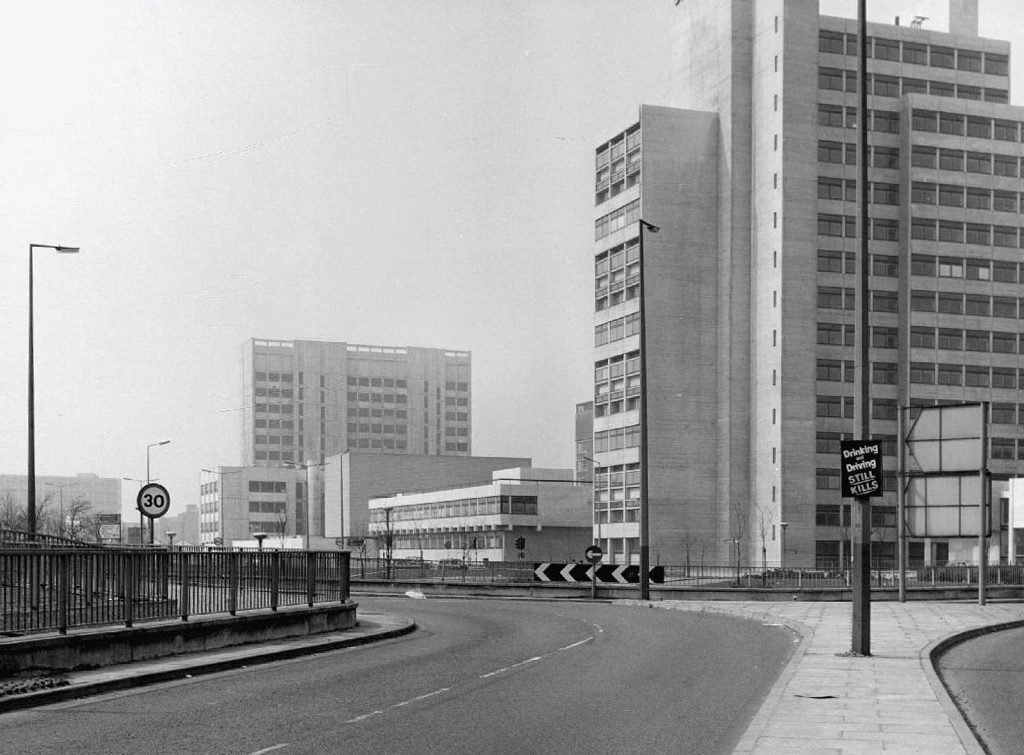
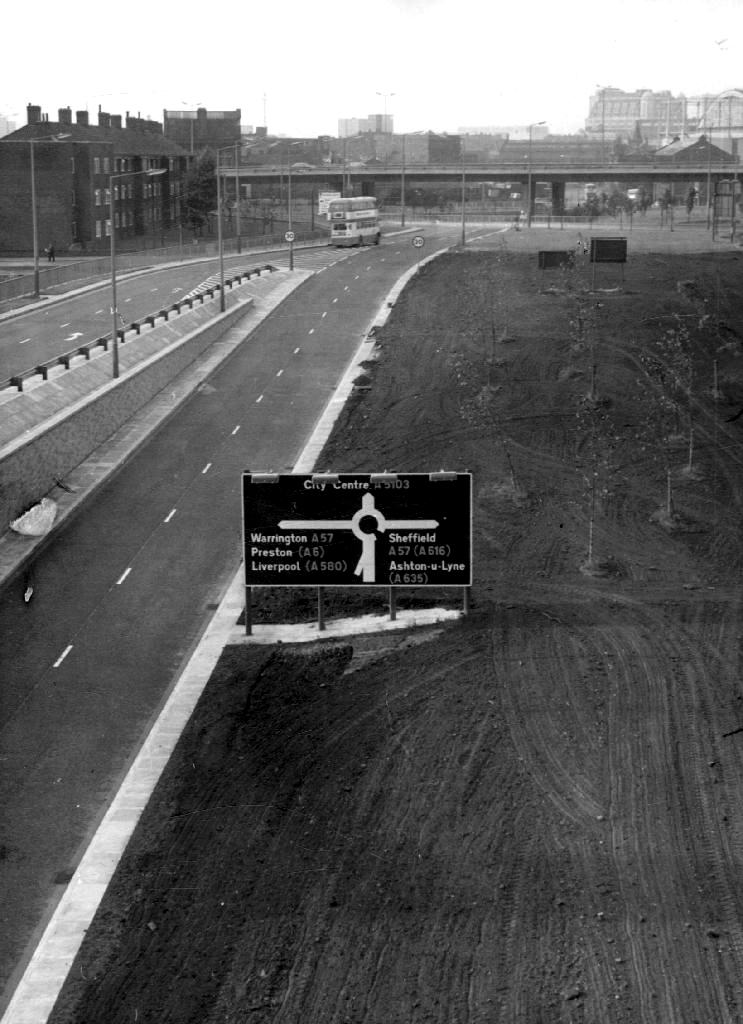
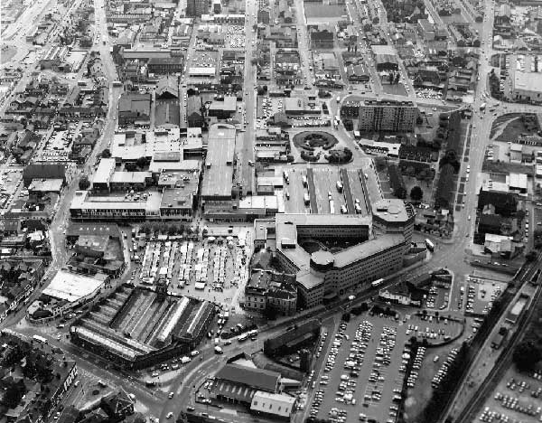
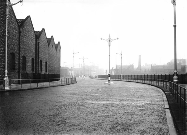
Creating the thoroughly modern thoroughfare Merseyway.
43094

The giant concrete culvert and bridge leaving the river cowering cautiously below.
11889

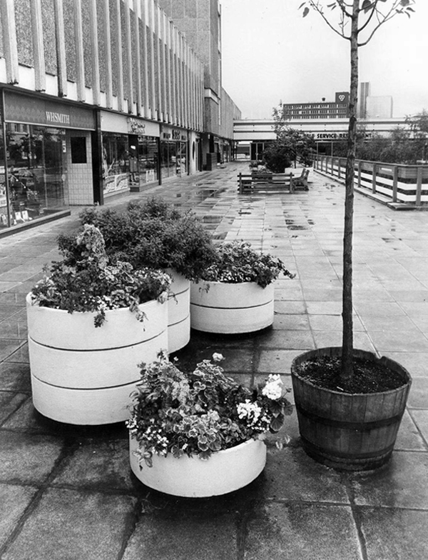
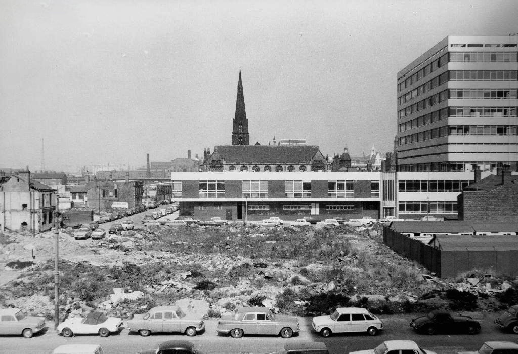
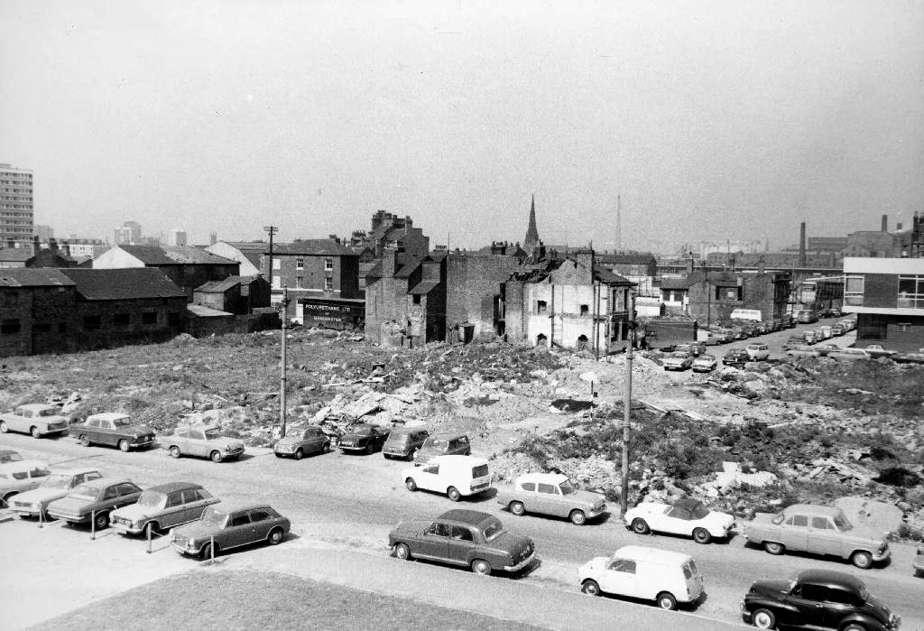
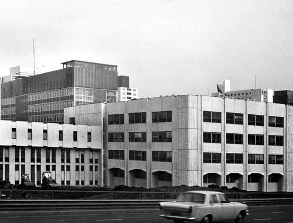
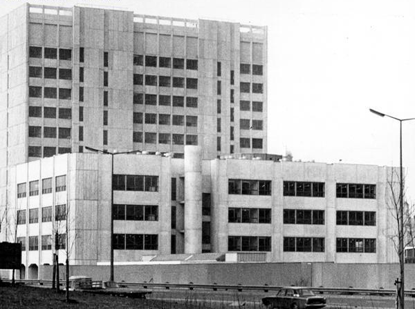
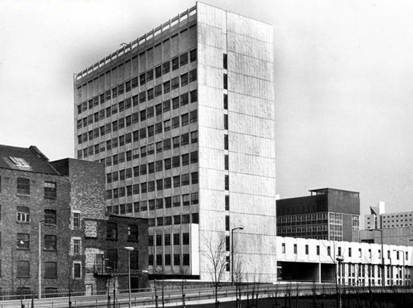
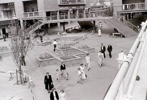
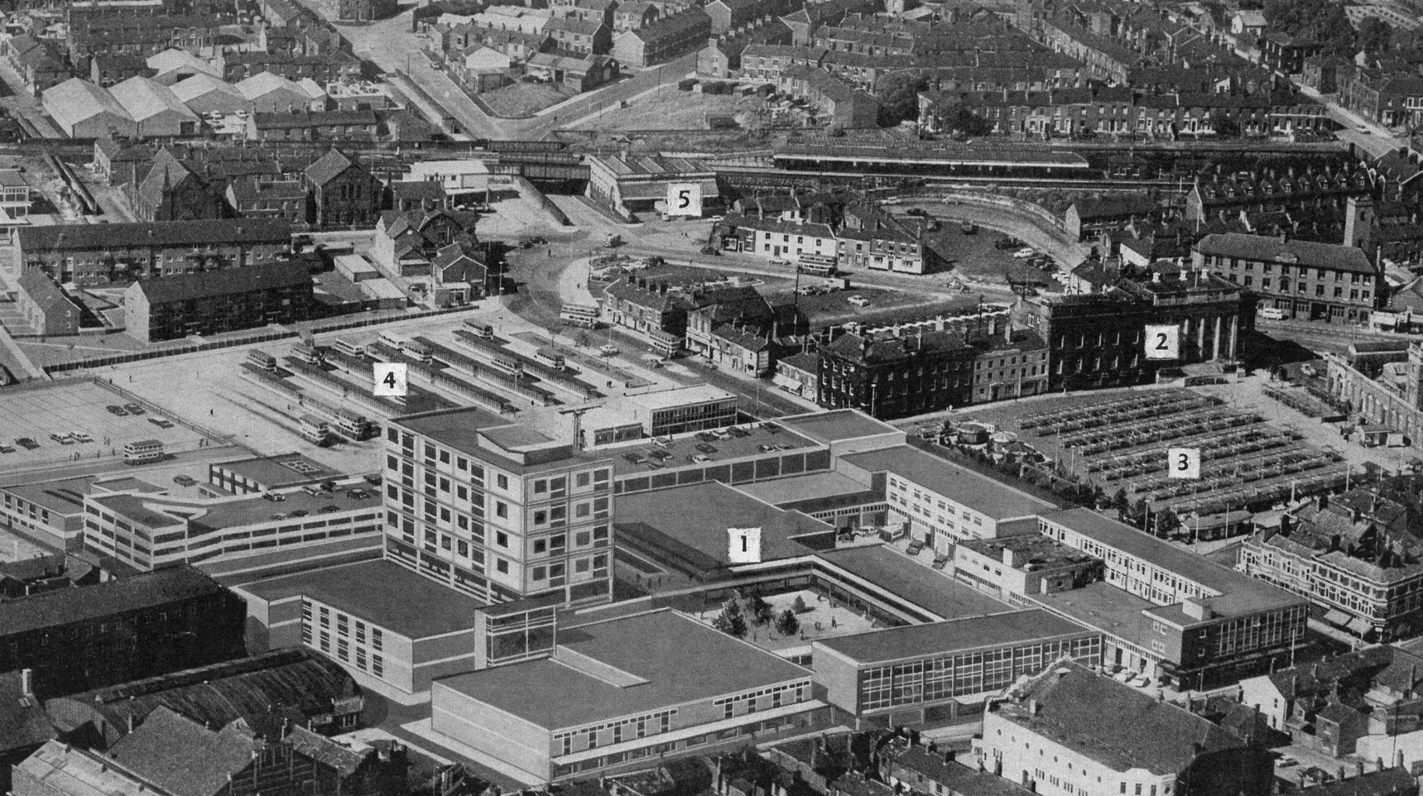
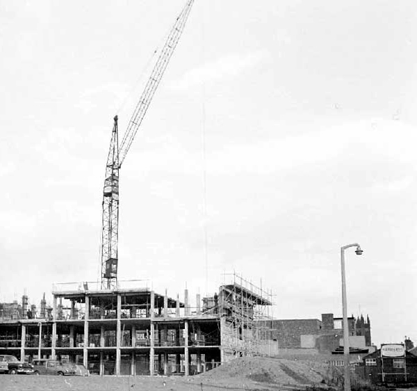
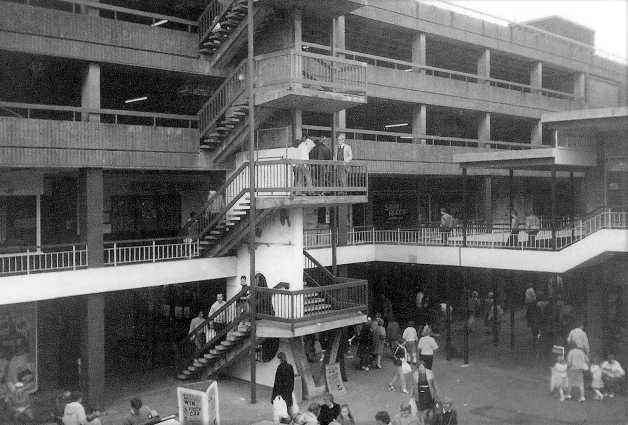
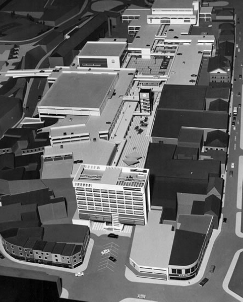
Of time and a river – little stands still and the town is whisked briskly into the late Twentieth Century with plans for a pedestrianised precinct.
15162

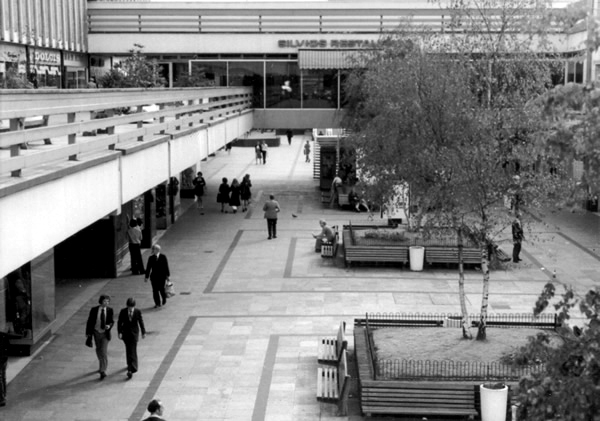
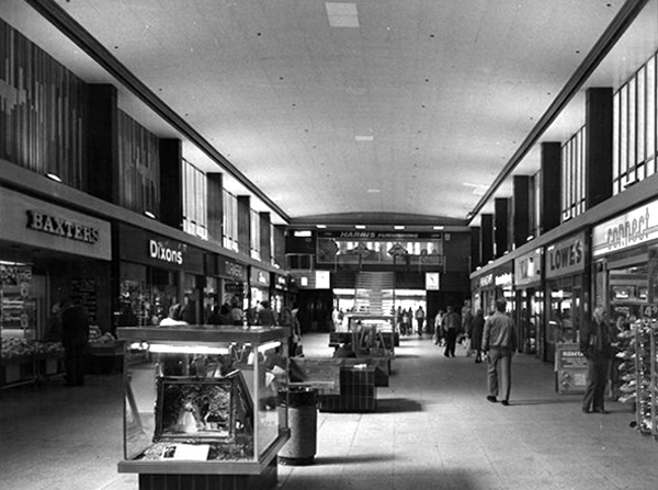
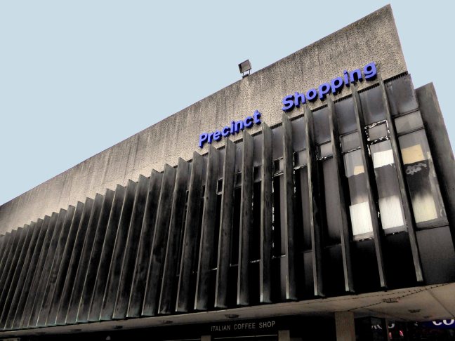
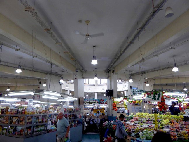
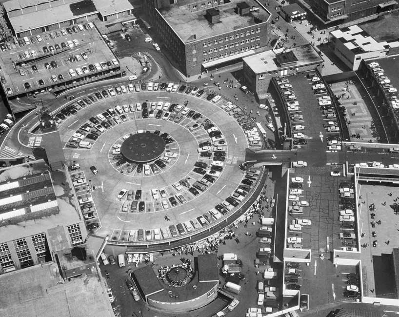
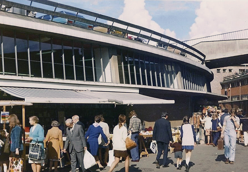
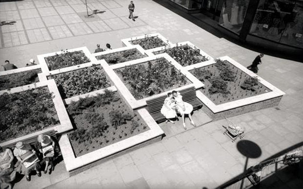
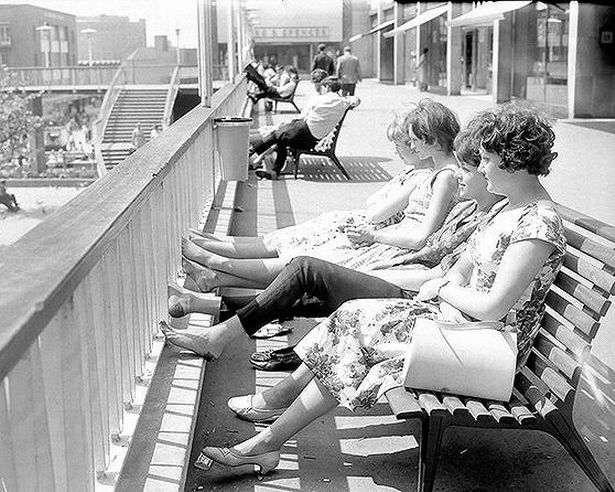
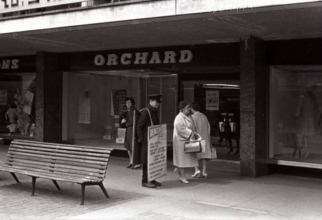
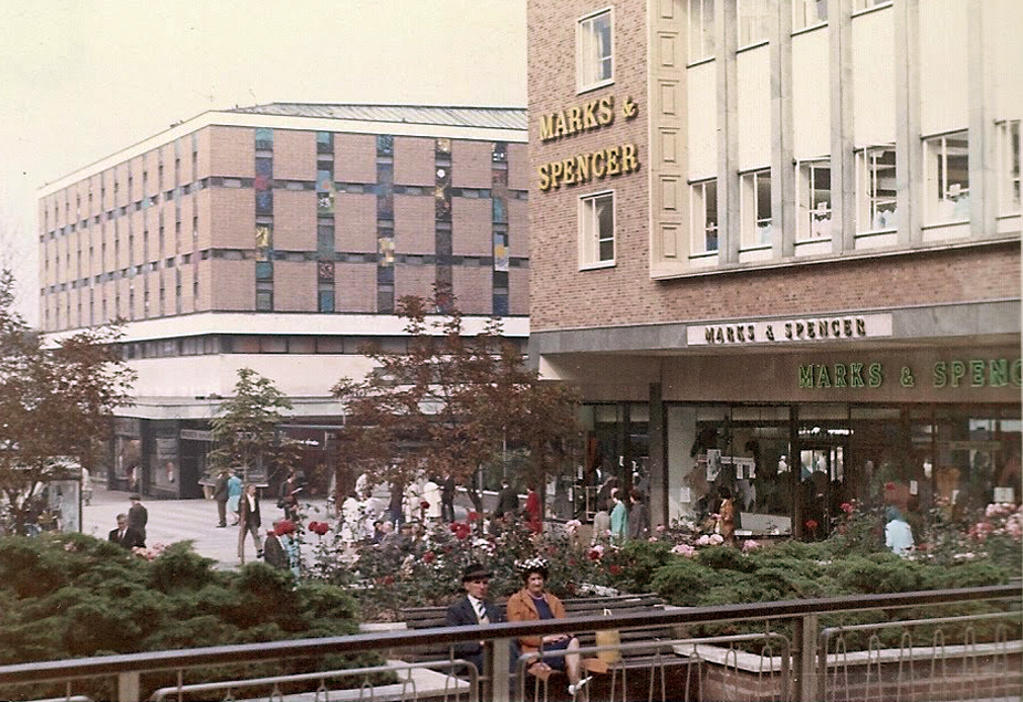
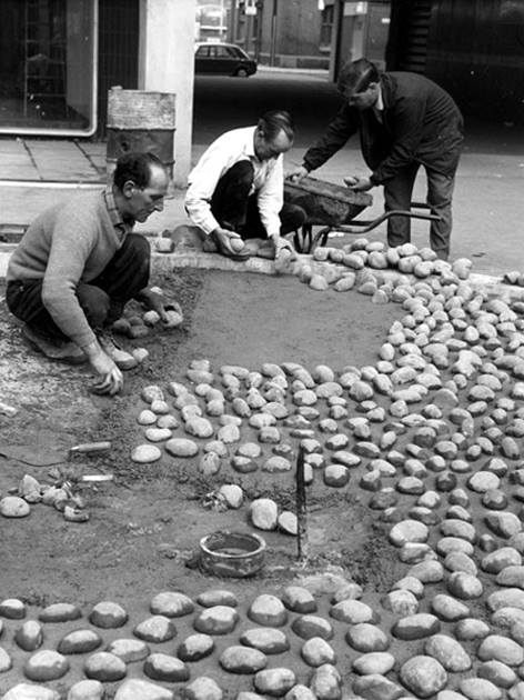
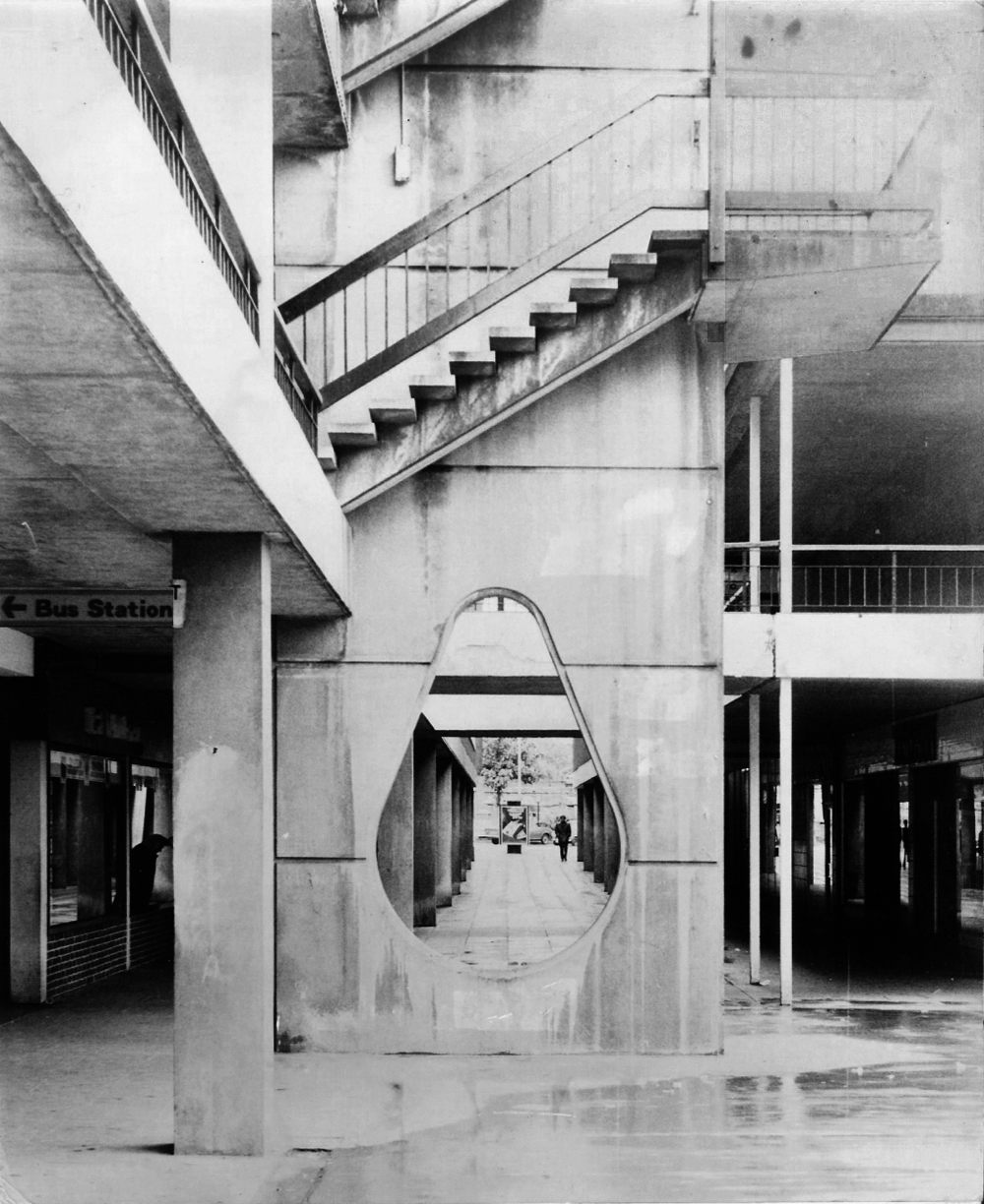
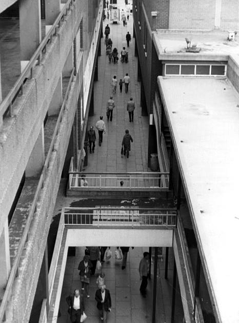
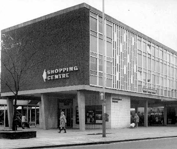
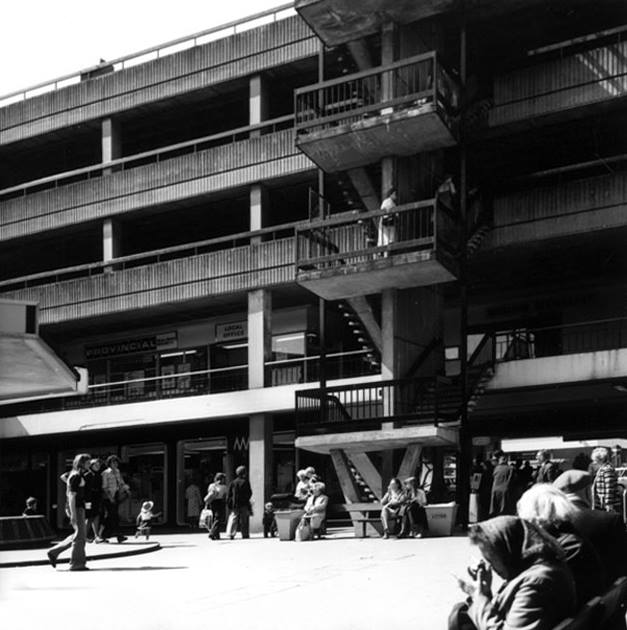
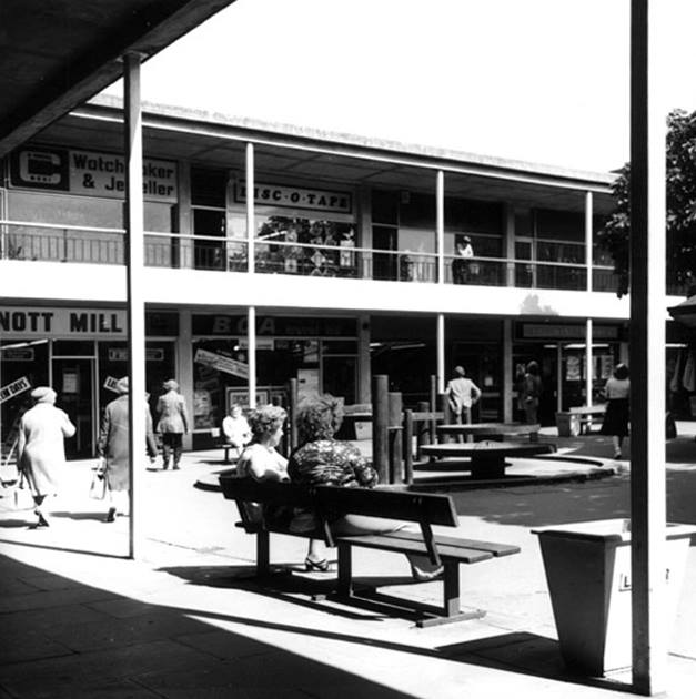
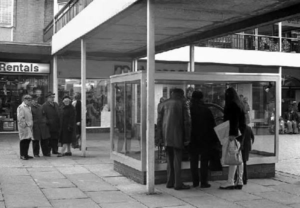
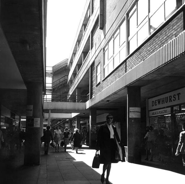
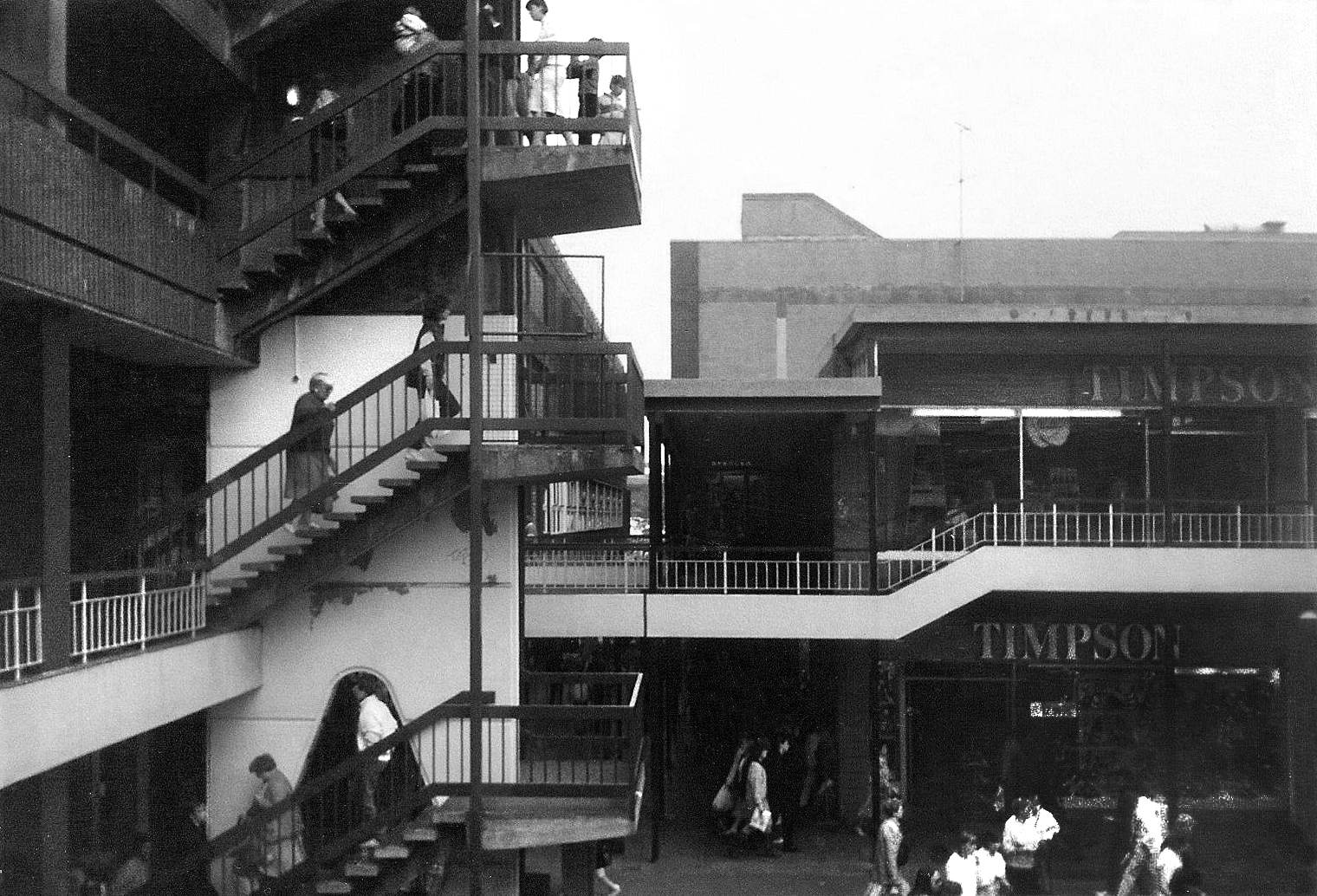
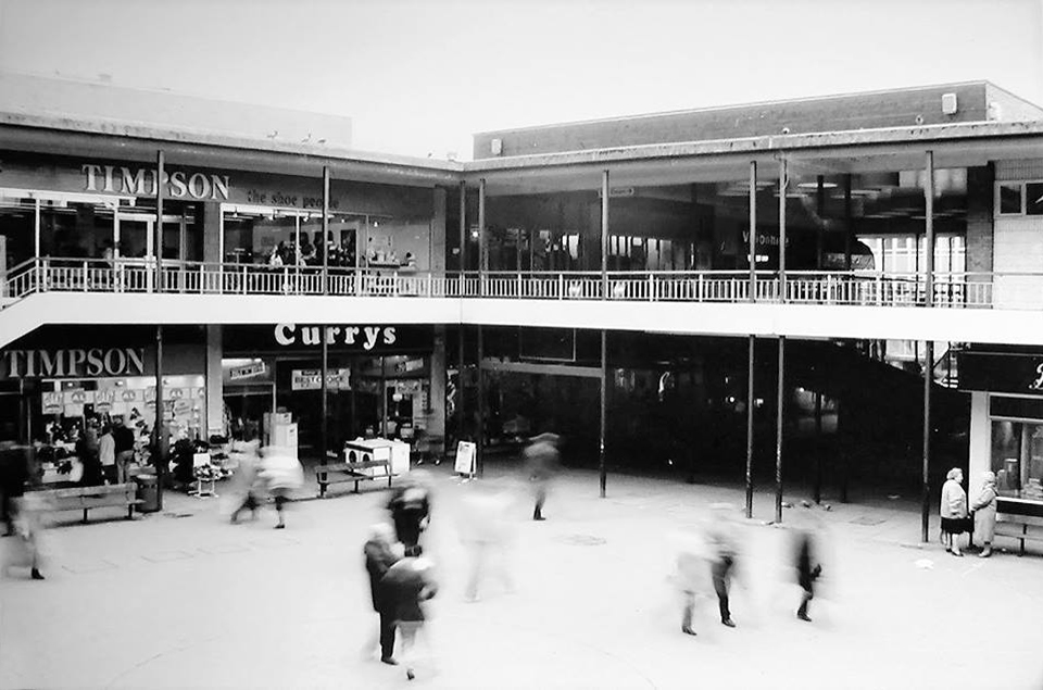
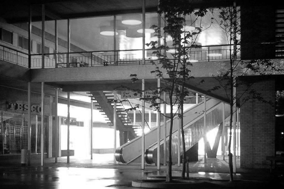
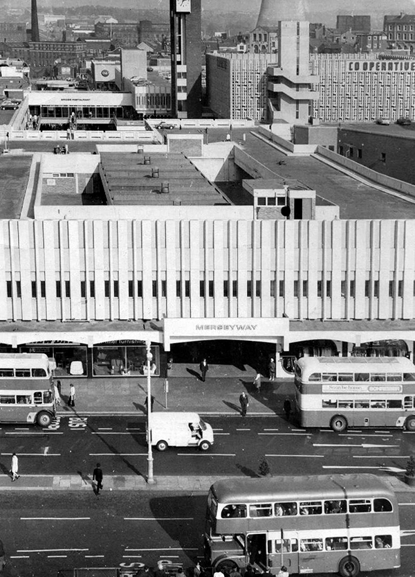
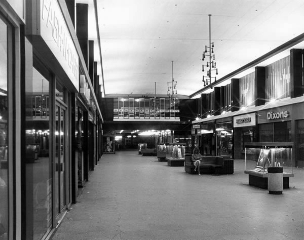
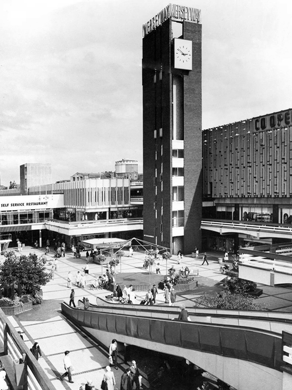
Completed and opened in 1965 the shopping precinct was concrete poetry in motion, incorporating the surrounding topography and extant architecture with grace and aplomb. Combining retail, restaurants and car parking facilities in a manner that critic Ian Nairn considered to be amongst the finest in the land.
4906

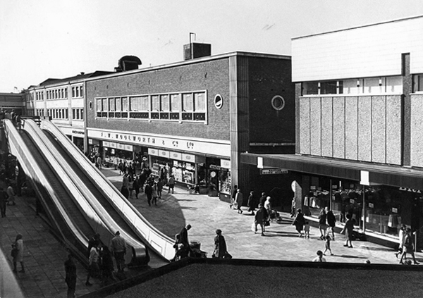
We had travelators, integrated paving, street furniture, and lighting across several levels. A carefully considered whole, combining all that was best in modern design with style, élan and panache – along with Freeman, Hardy and Willis.
16347
34942
44282

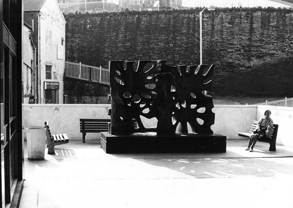
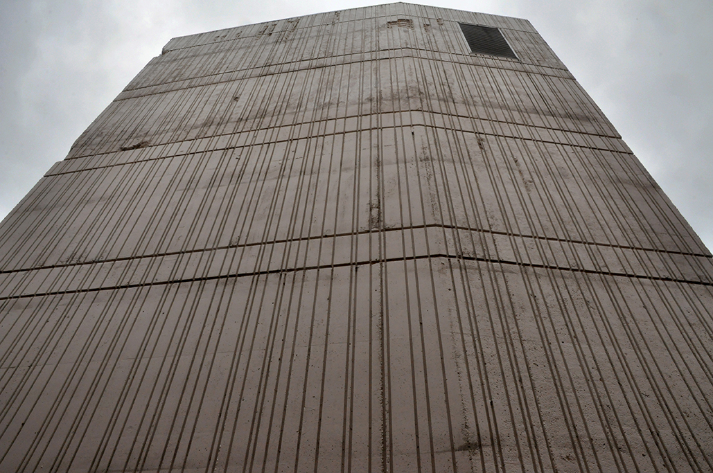
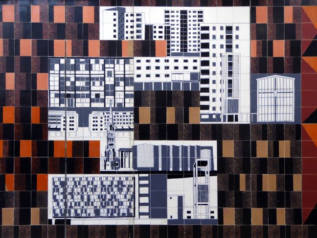
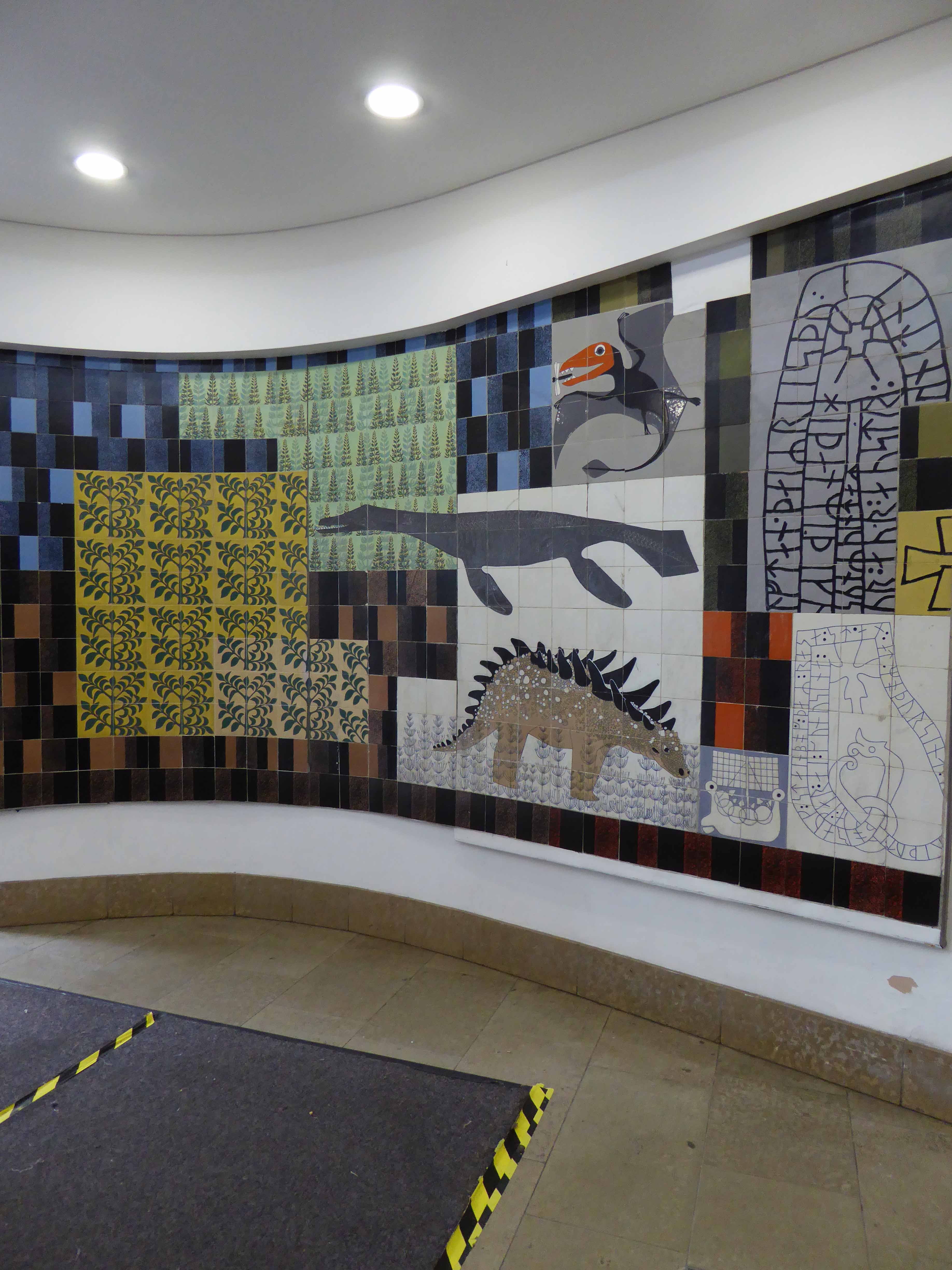
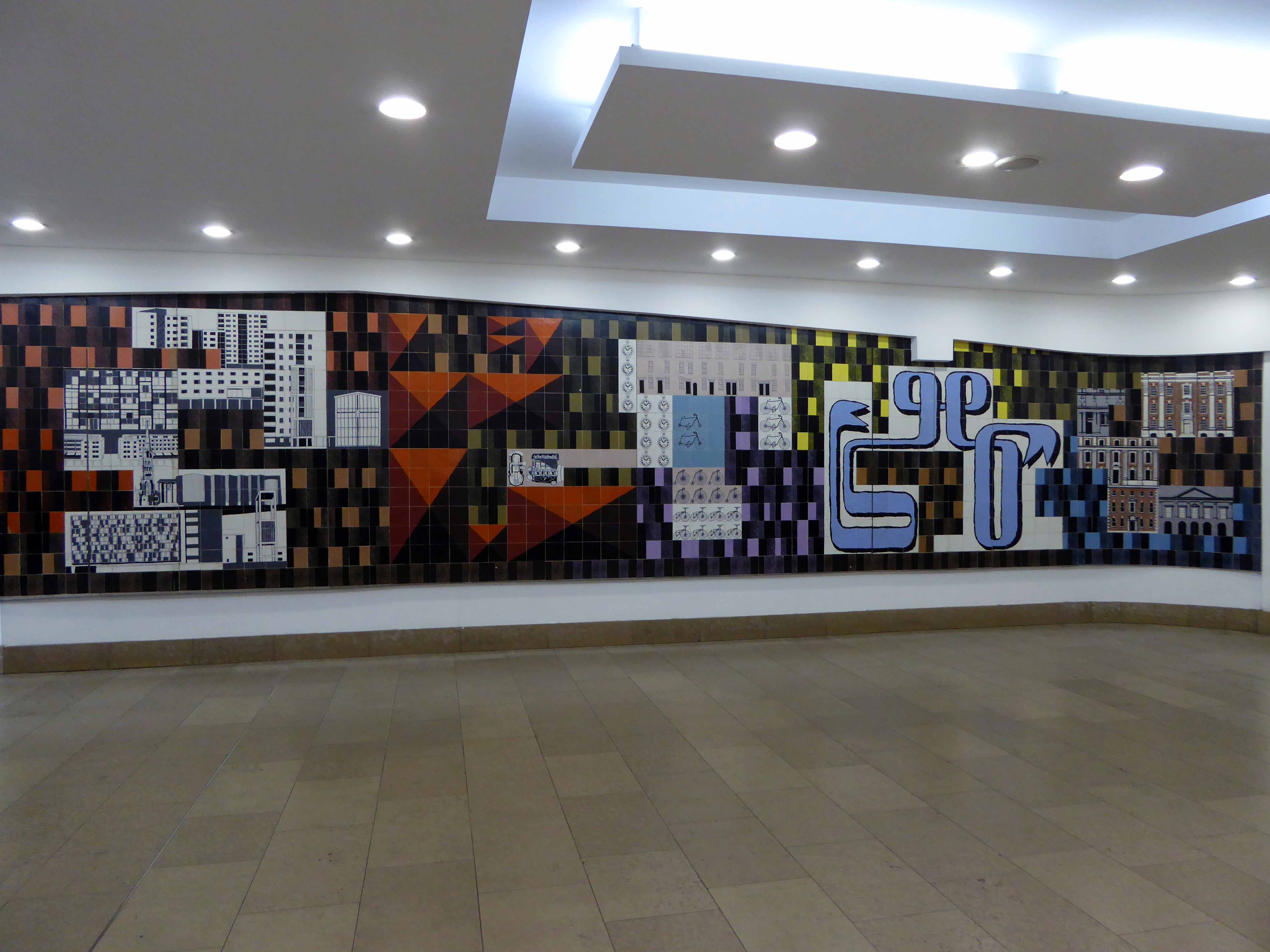
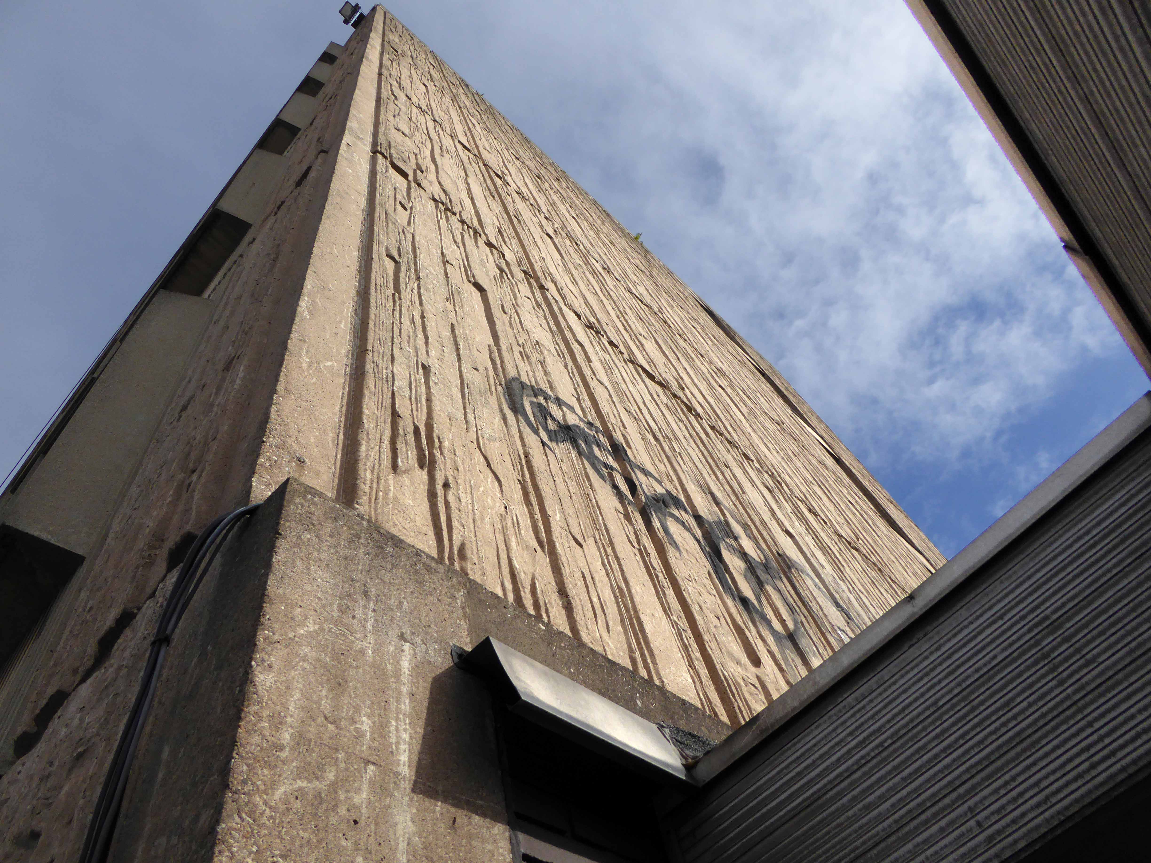
A clock tower, an Alan Boyson concrete car park screen and public art.
17379
19366

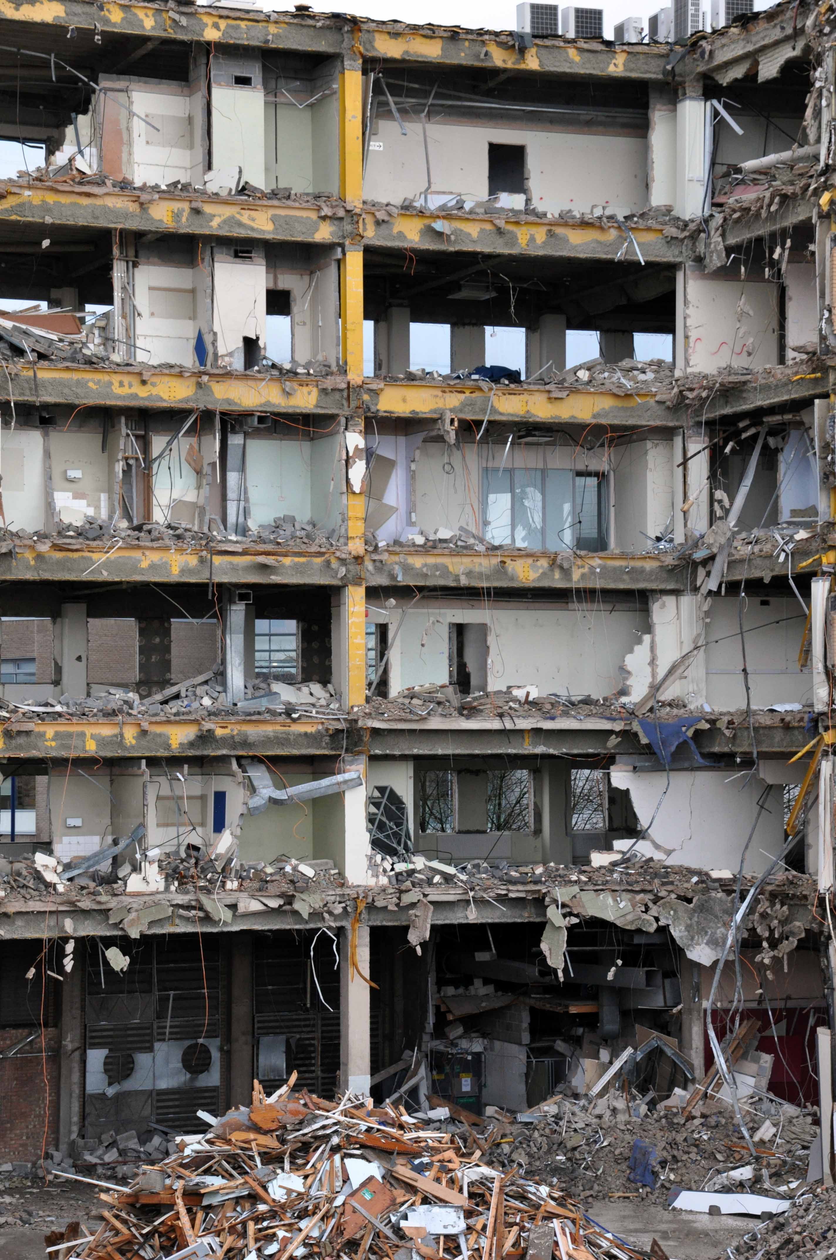
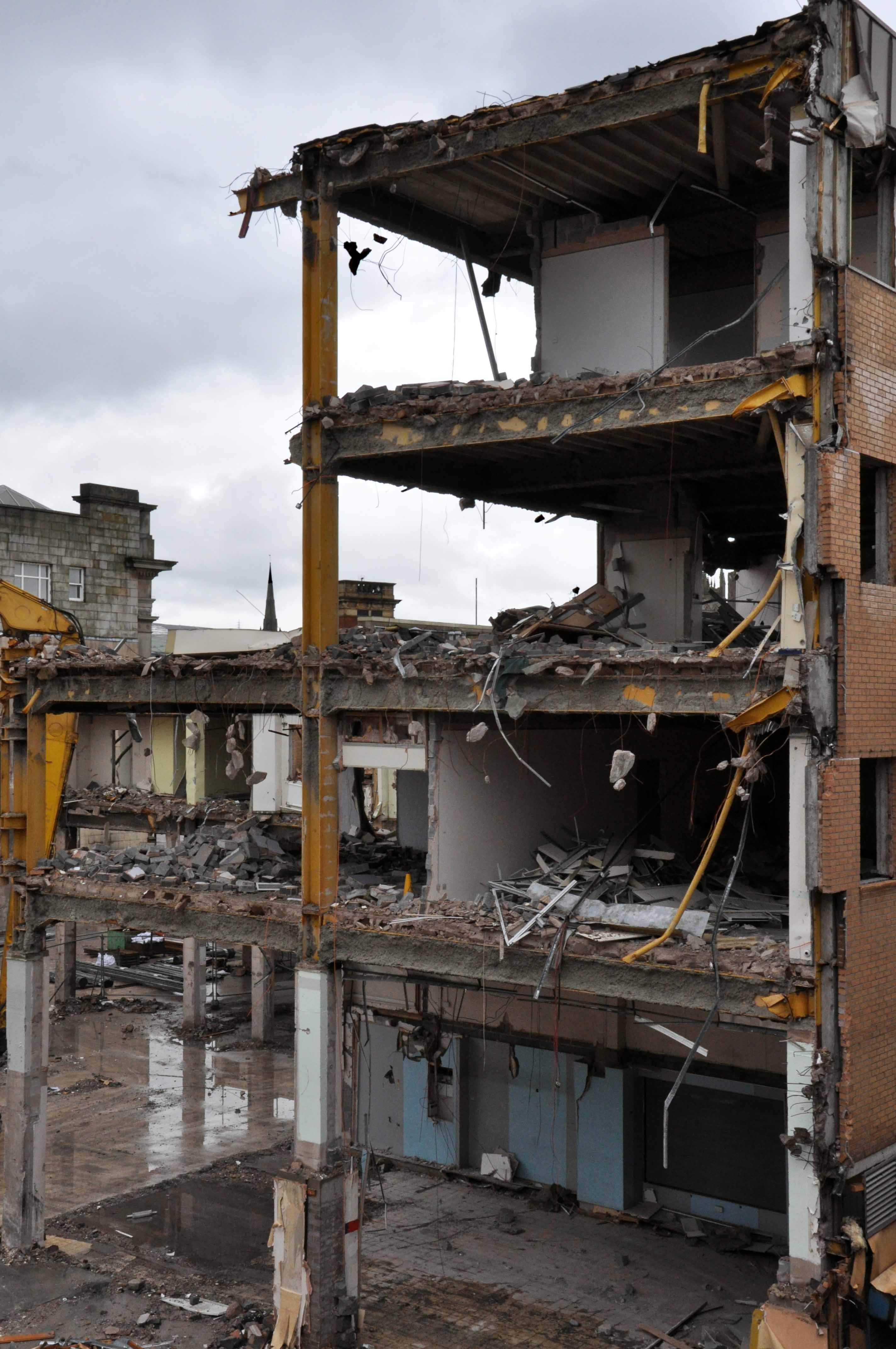
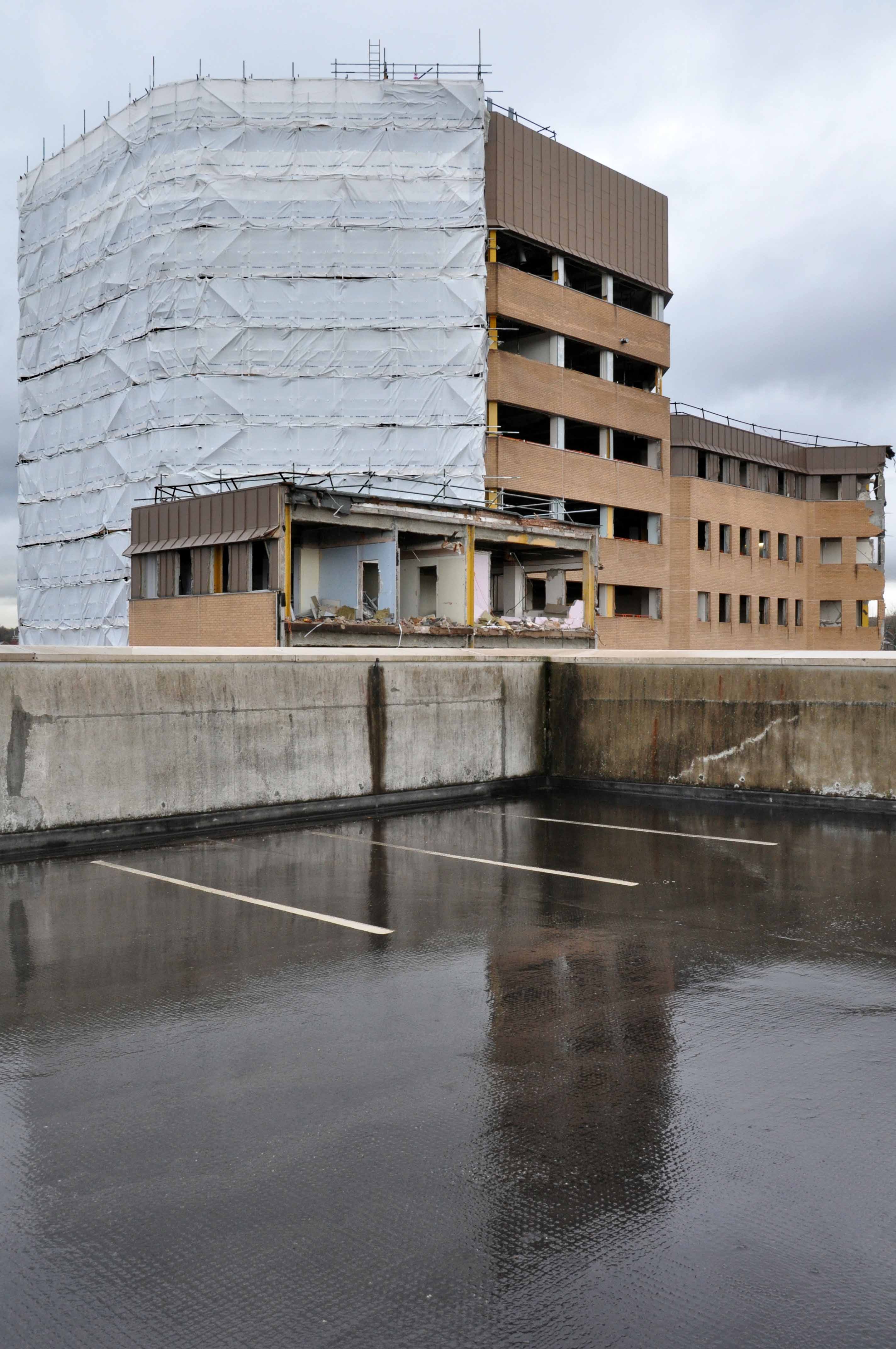
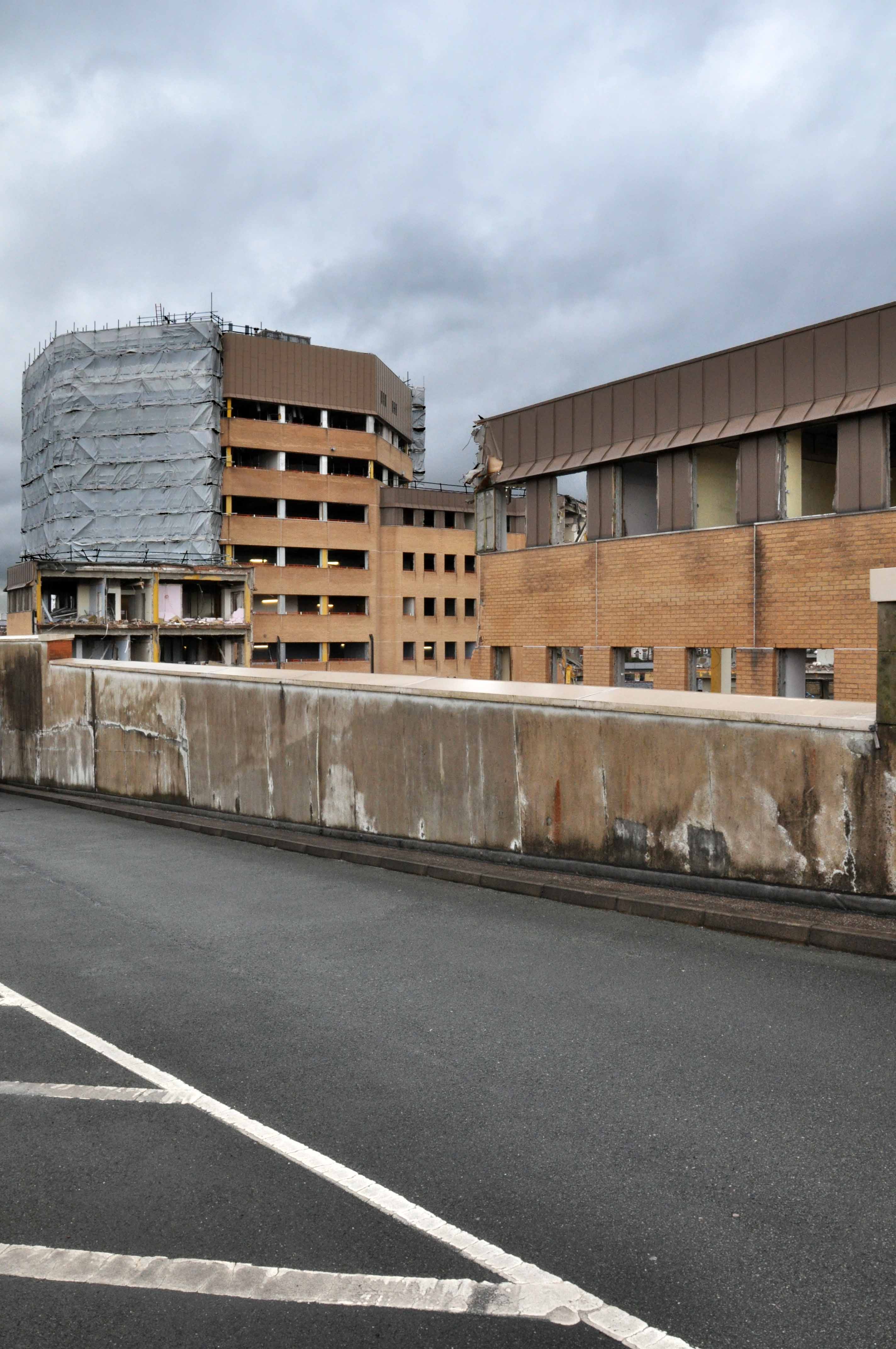
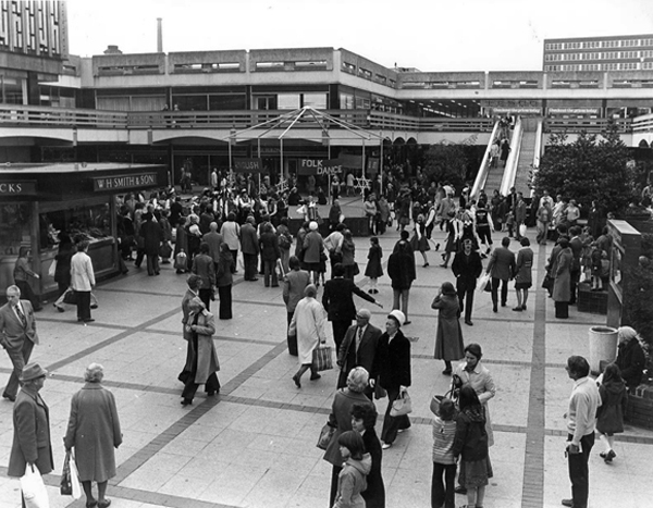
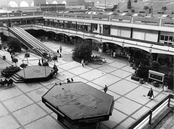
Would that it was still so, a variety of additions and subtractions have left Merseyway in architectural limbo, concrete legs akimbo across the river below, striding towards the future in a more than somewhat bewildered manner.

Yet we still continue cast our eyes upwards towards a clock that isn’t there, ride a non-existent walkway to the sky, try on an imaginary crop-top in C&A’s Clockhouse.
11408
17376
25379
17594

Photographs Stockport Image Archive
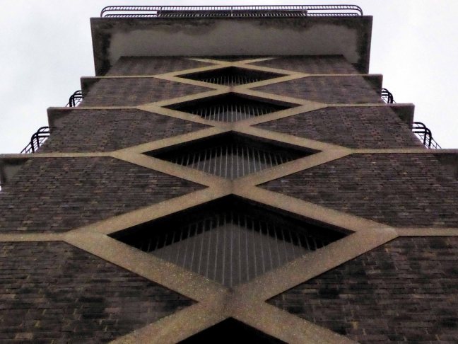
Lansbury Tower – London

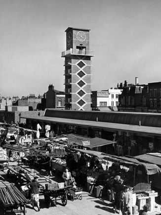
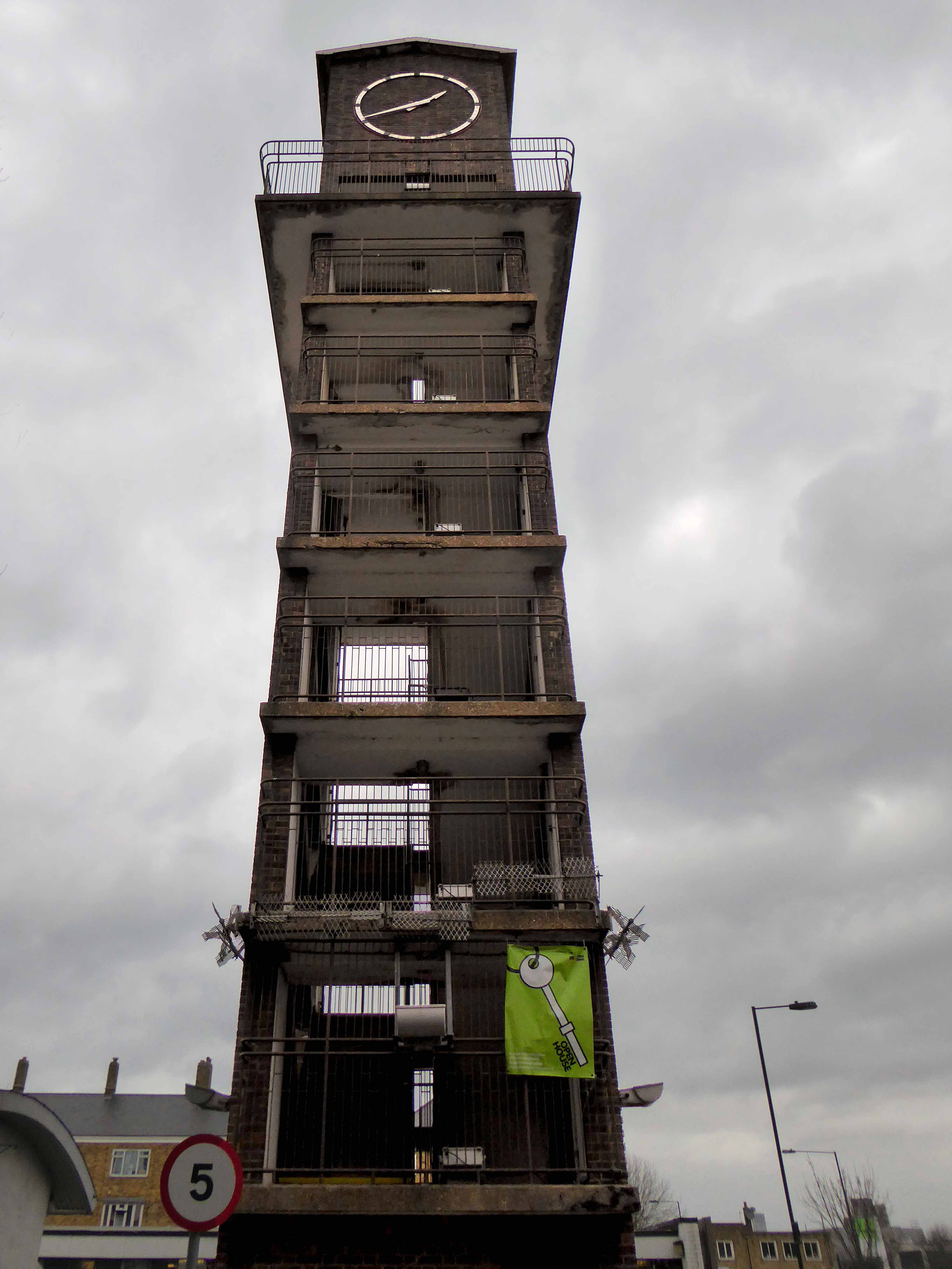
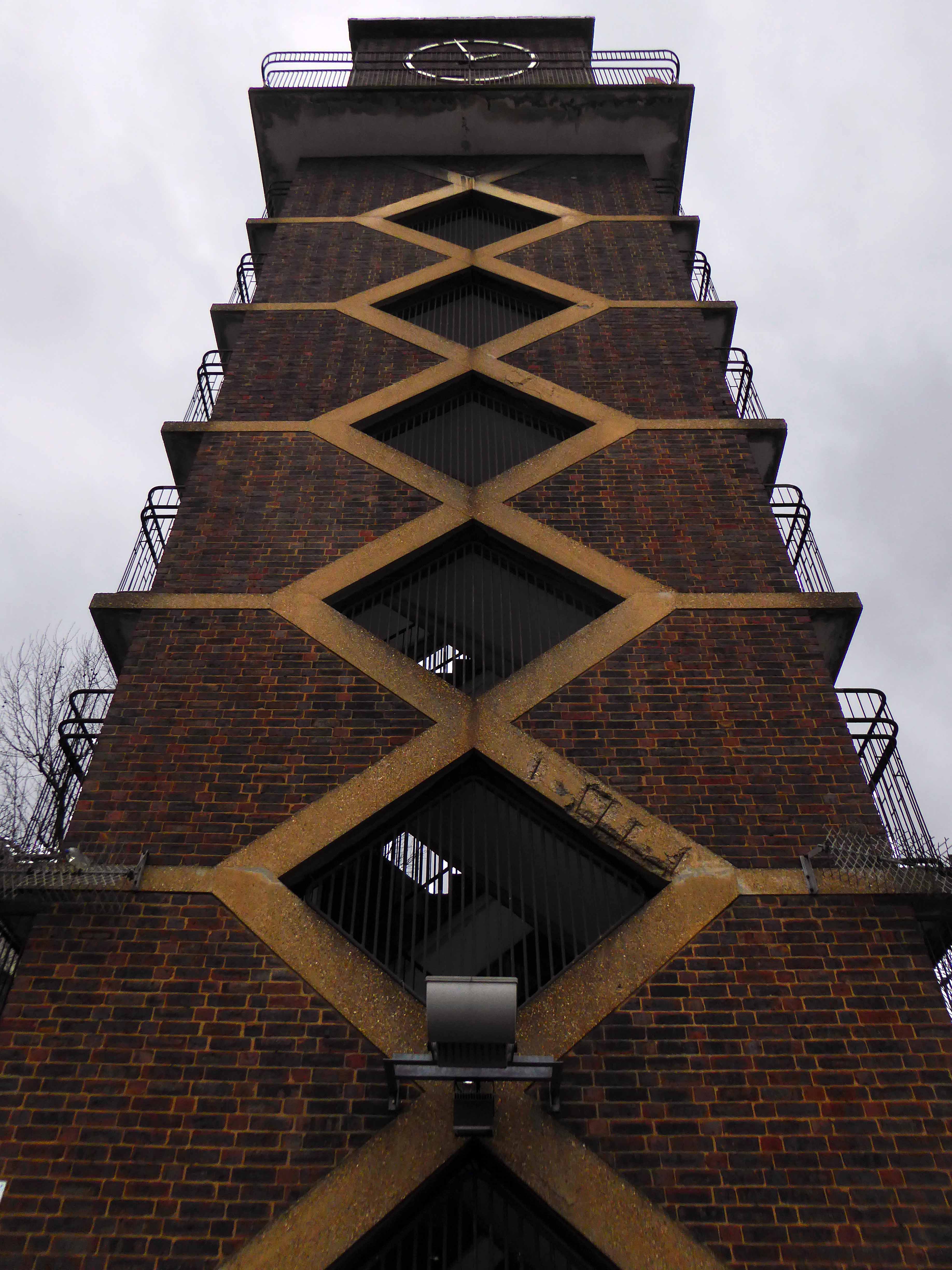
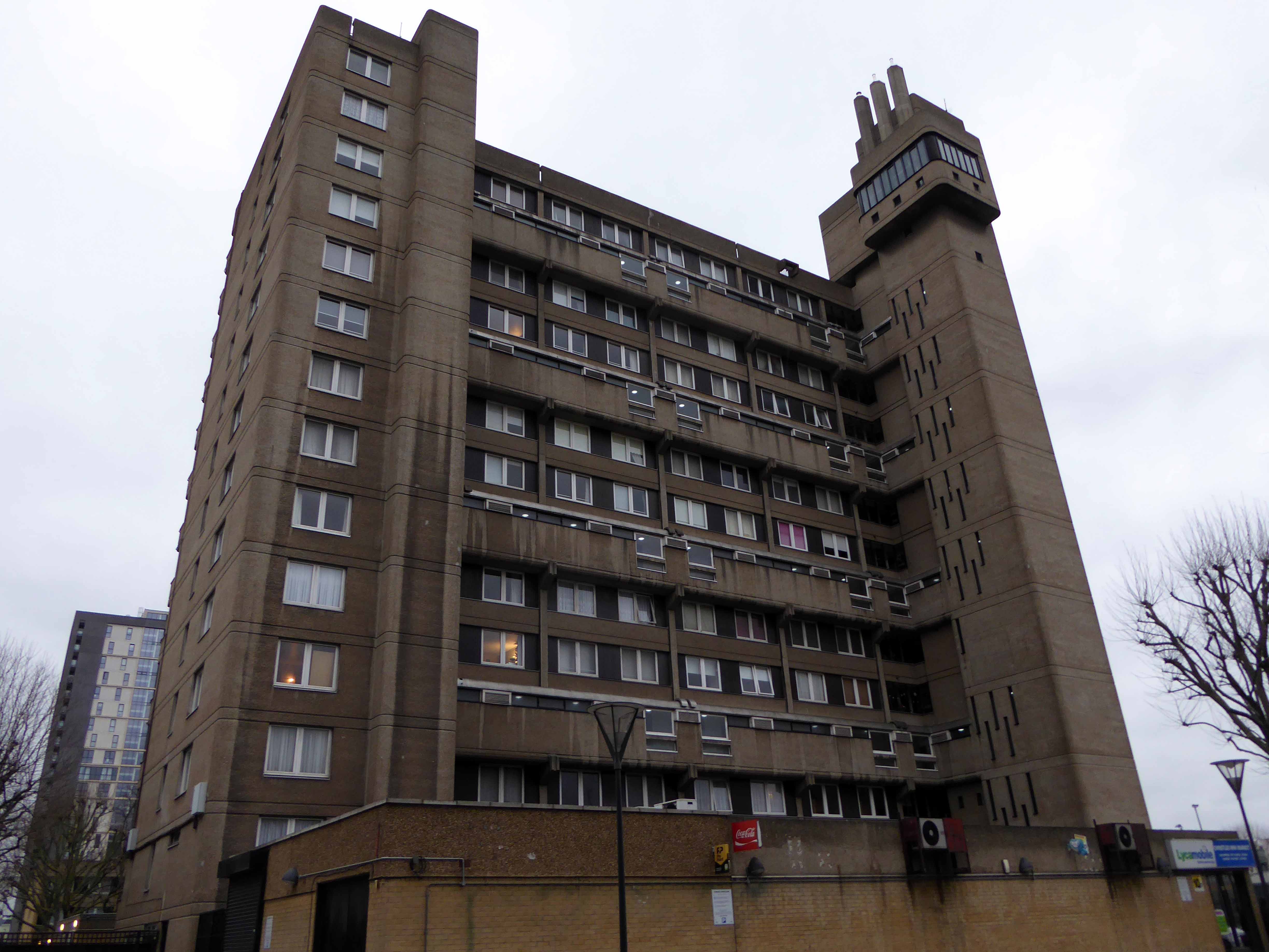
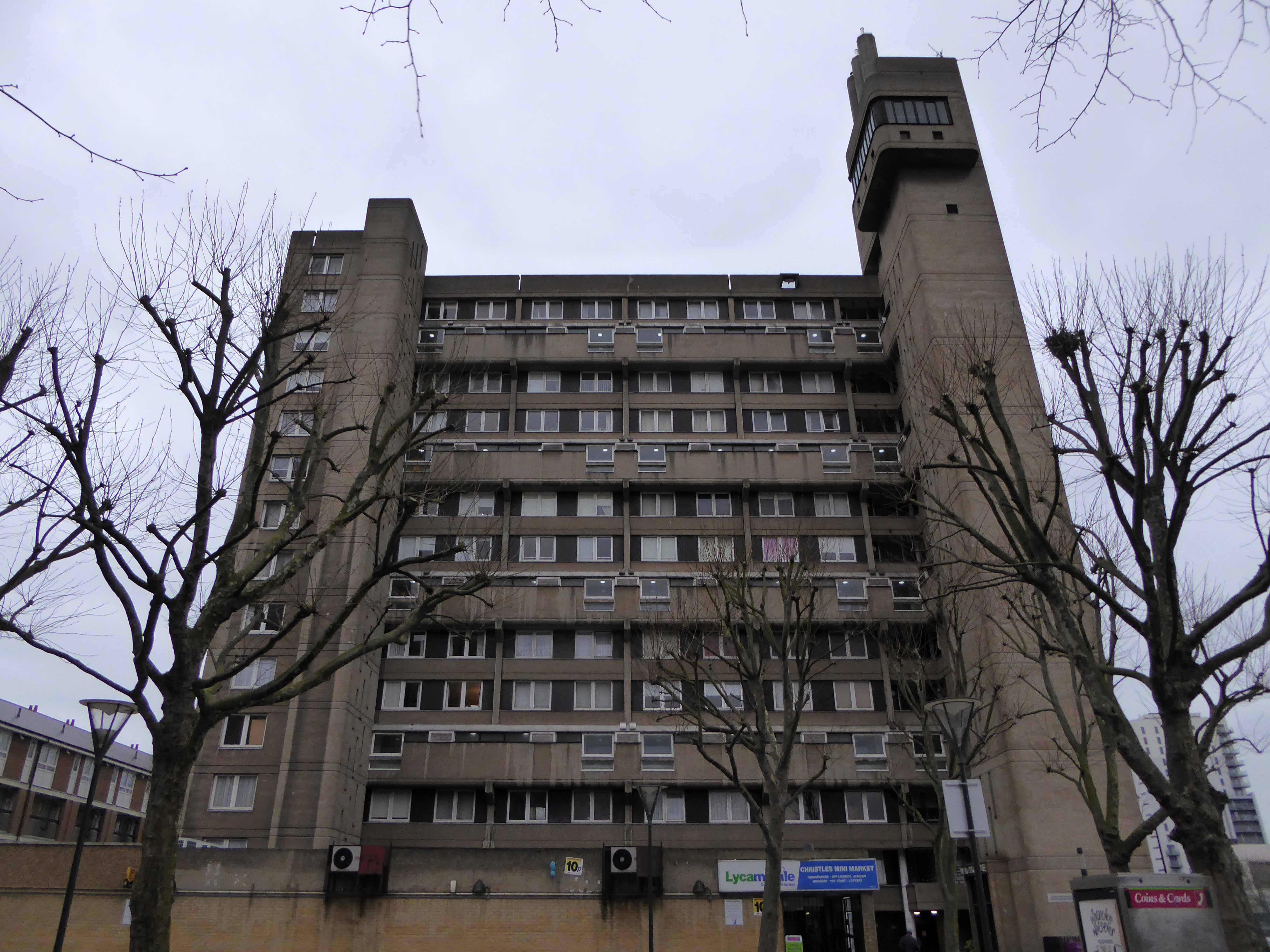
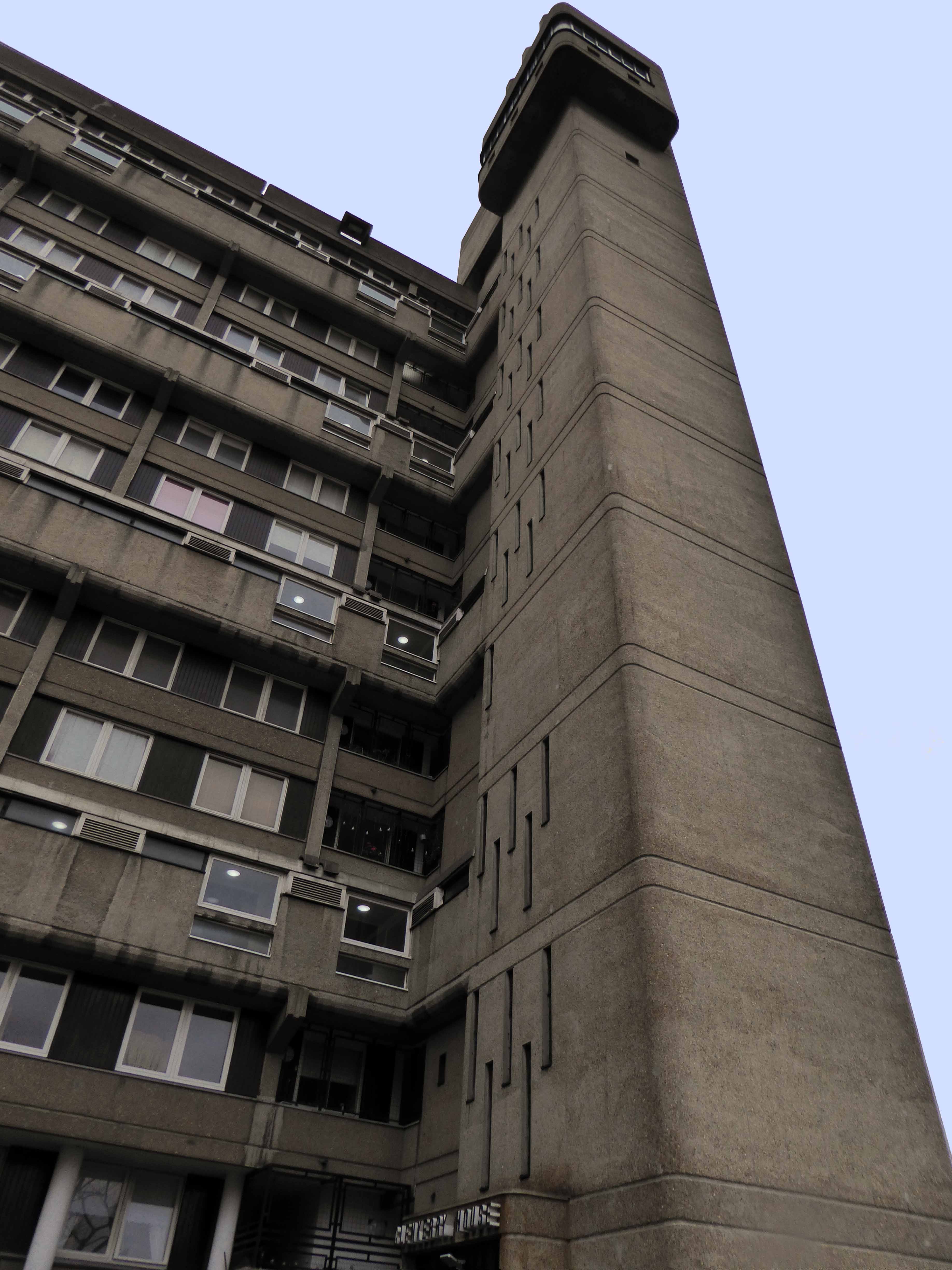
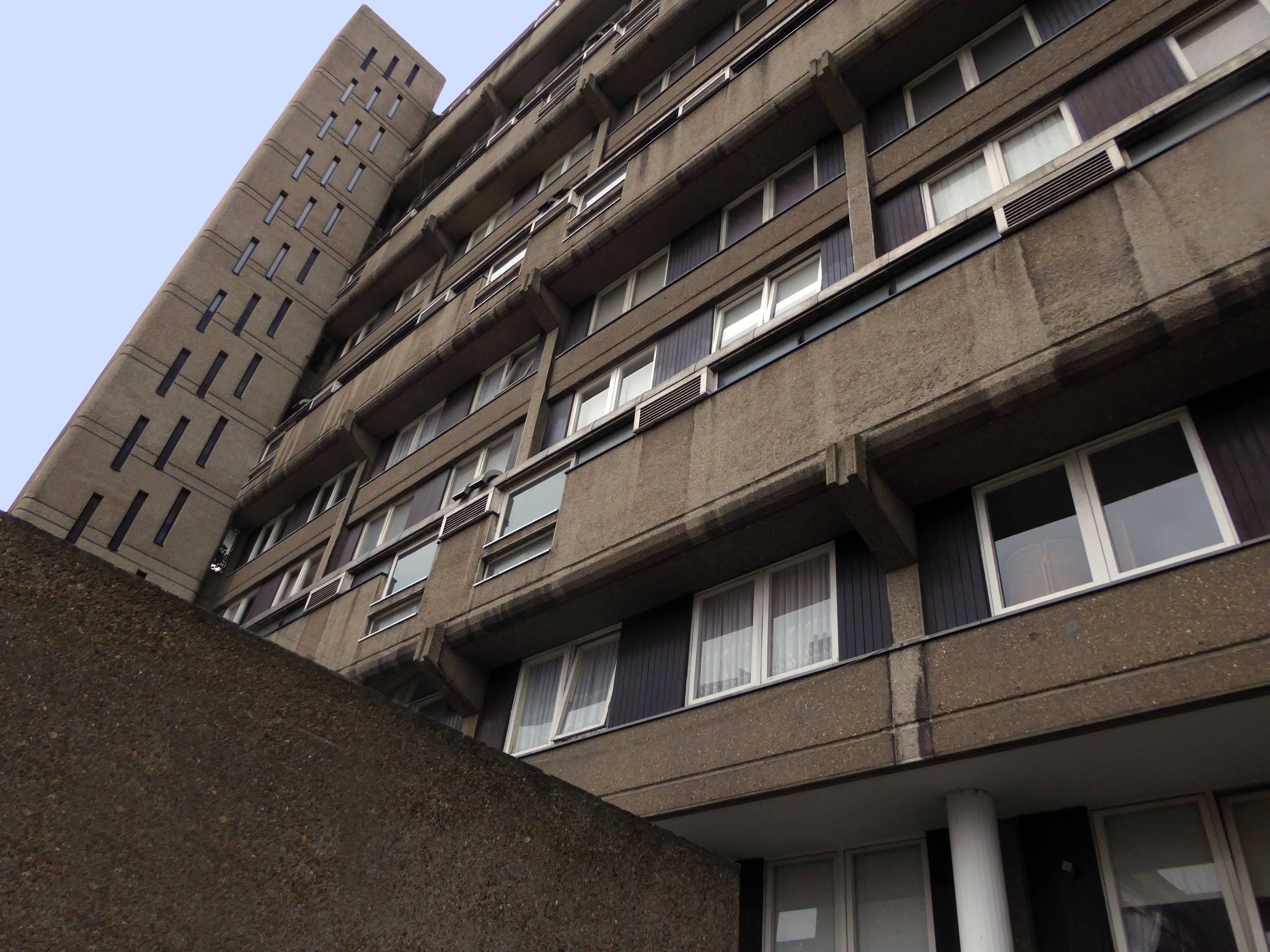
Neither wrought from purest ivory, nor containing some woe begotten, long gone, misplaced Rapunzel, but conceived as a democratic symbol of a new age of concrete, brick and steel.

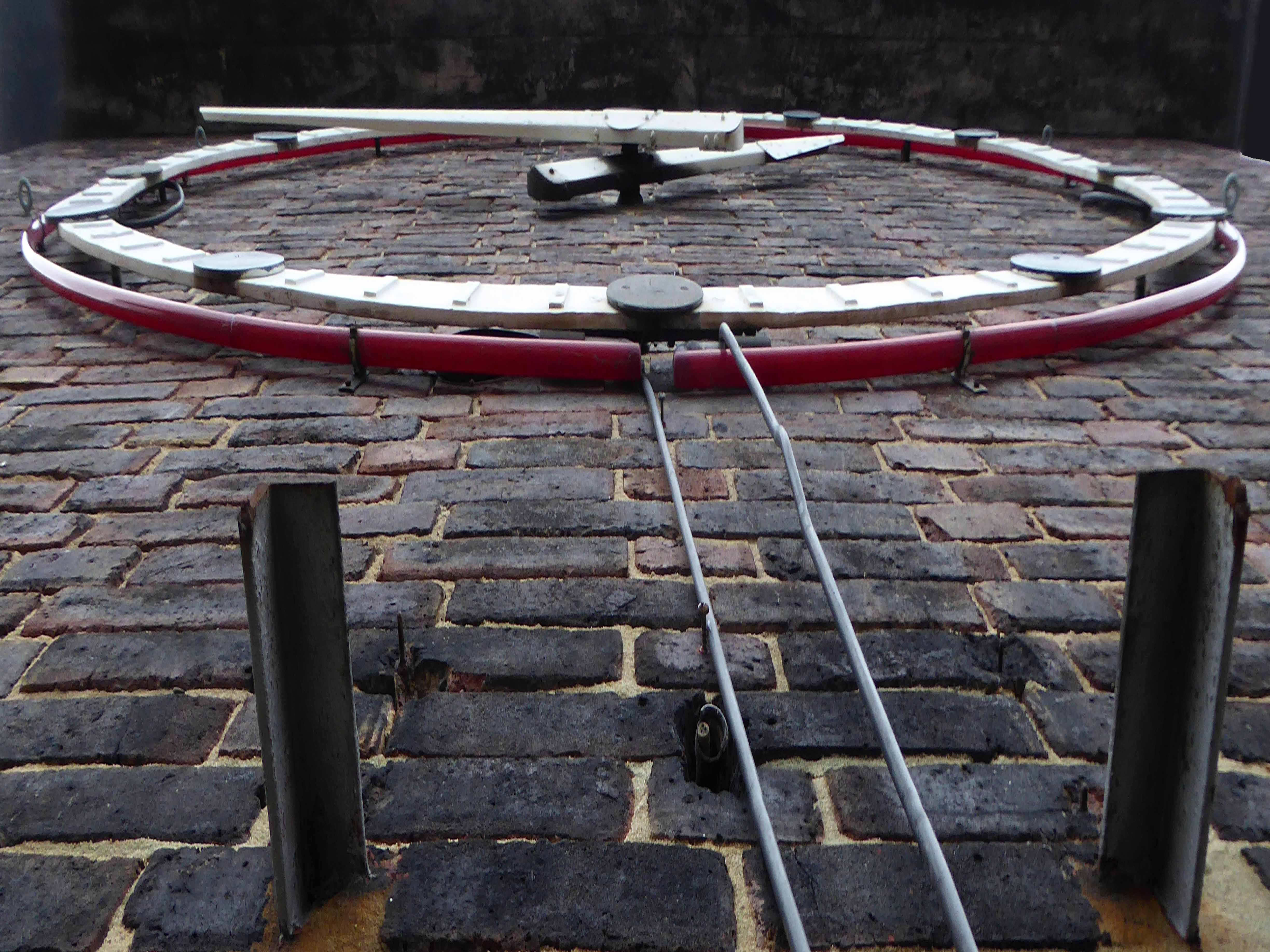
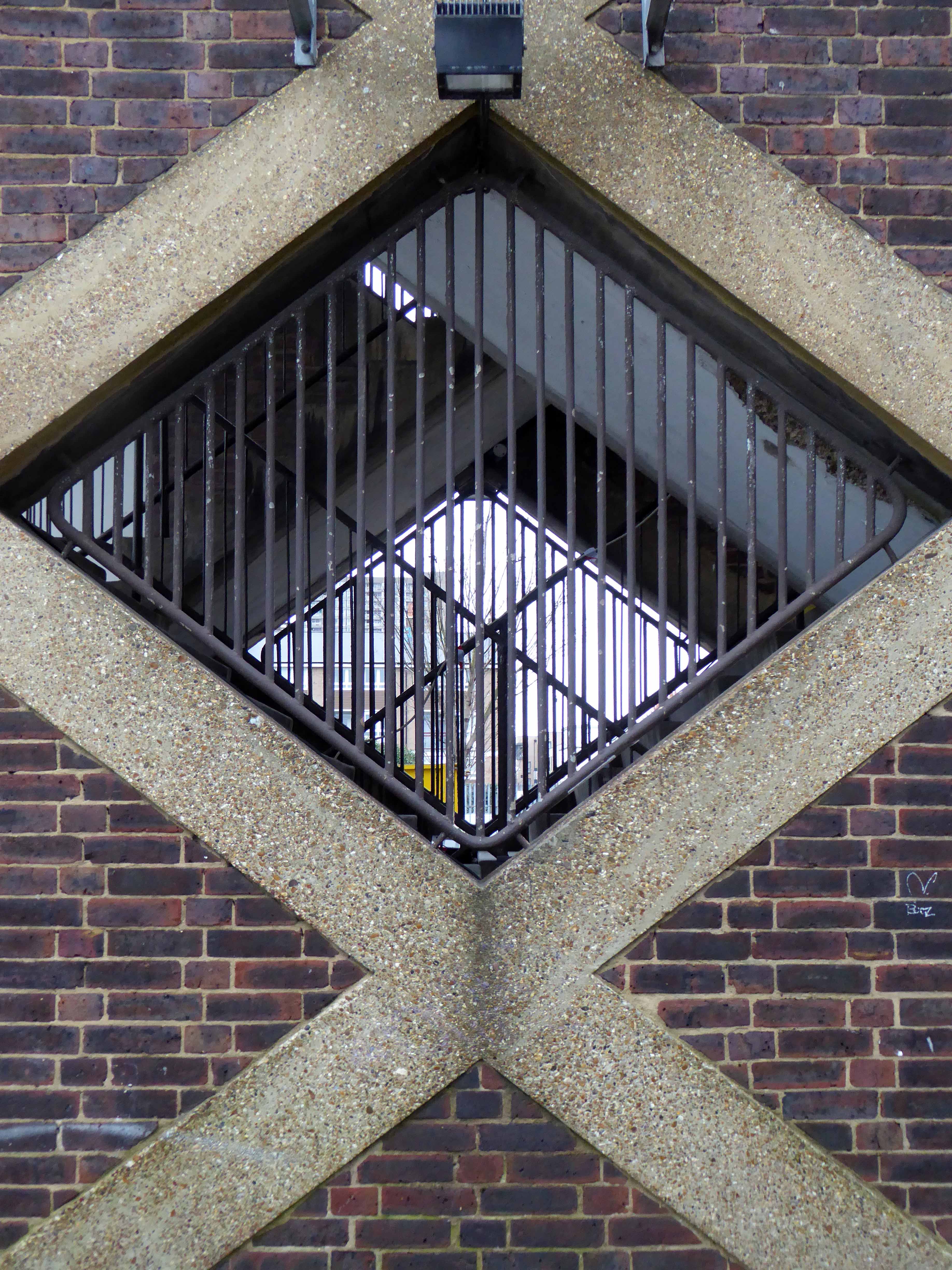
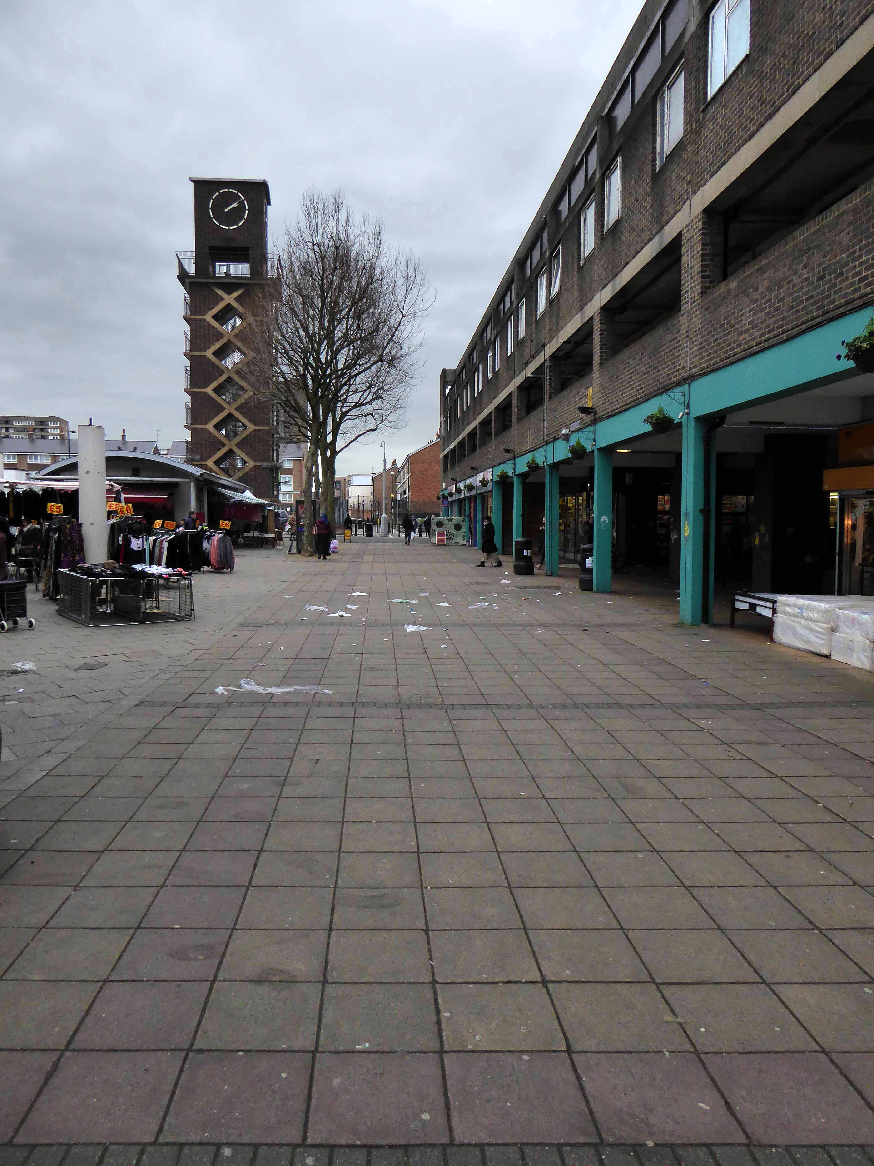
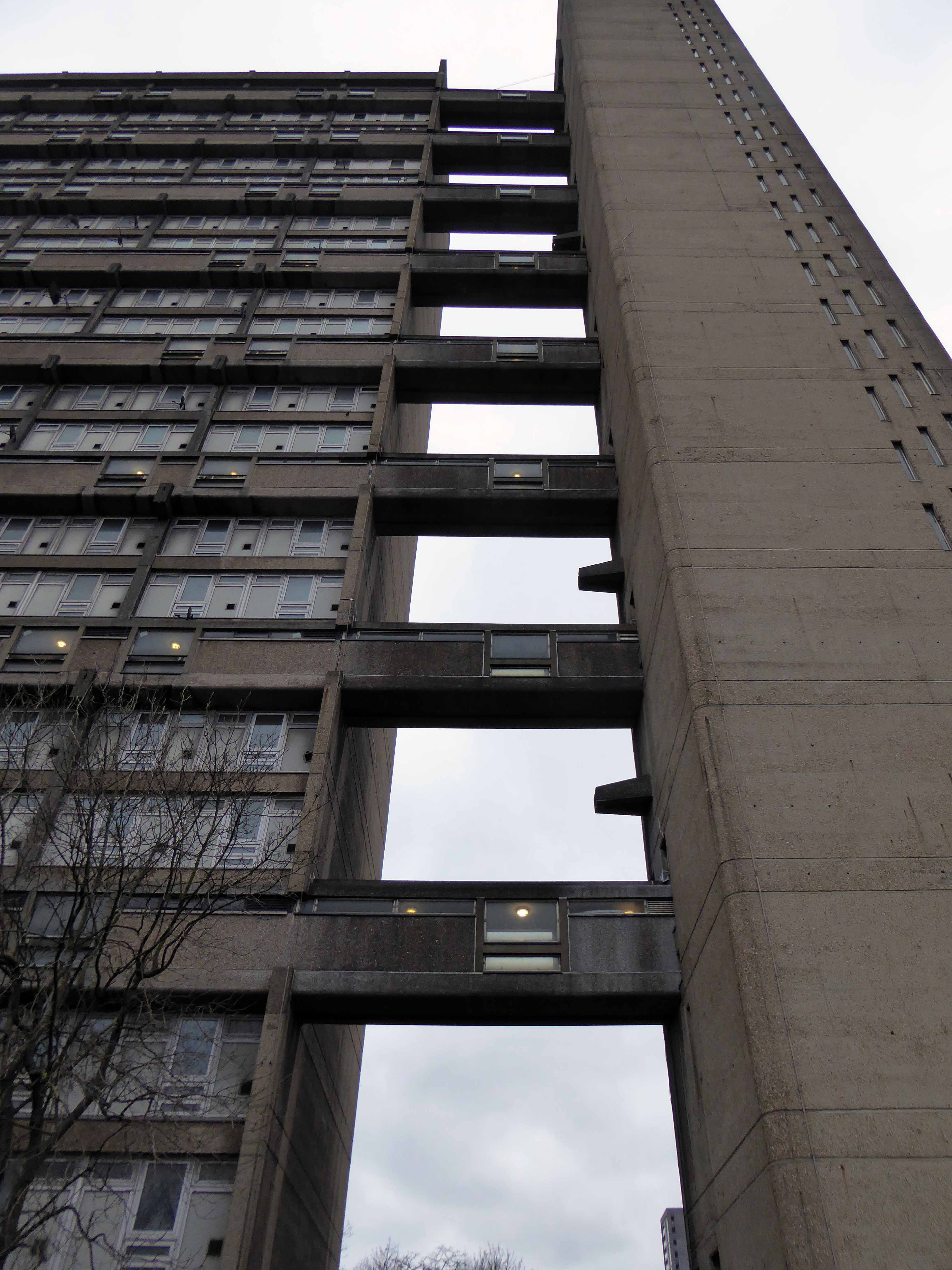
Frederick Gibberd’s almost triumphal tower interlocks zig-zag diamonds of cast concrete upwards towards a silently clicking clock, at the head of the Chrisp Street Market.

Lewis Mumford wrote of the adjoining Lansbury Estate:  

Its design has been based not solely on abstract aesthetic principles, or on the economics of commercial construction, or on the techniques of mass production, but on the social constitution of the community itself, with its diversity of human interests and human needs.

15631.1.434.434.FFFFFF

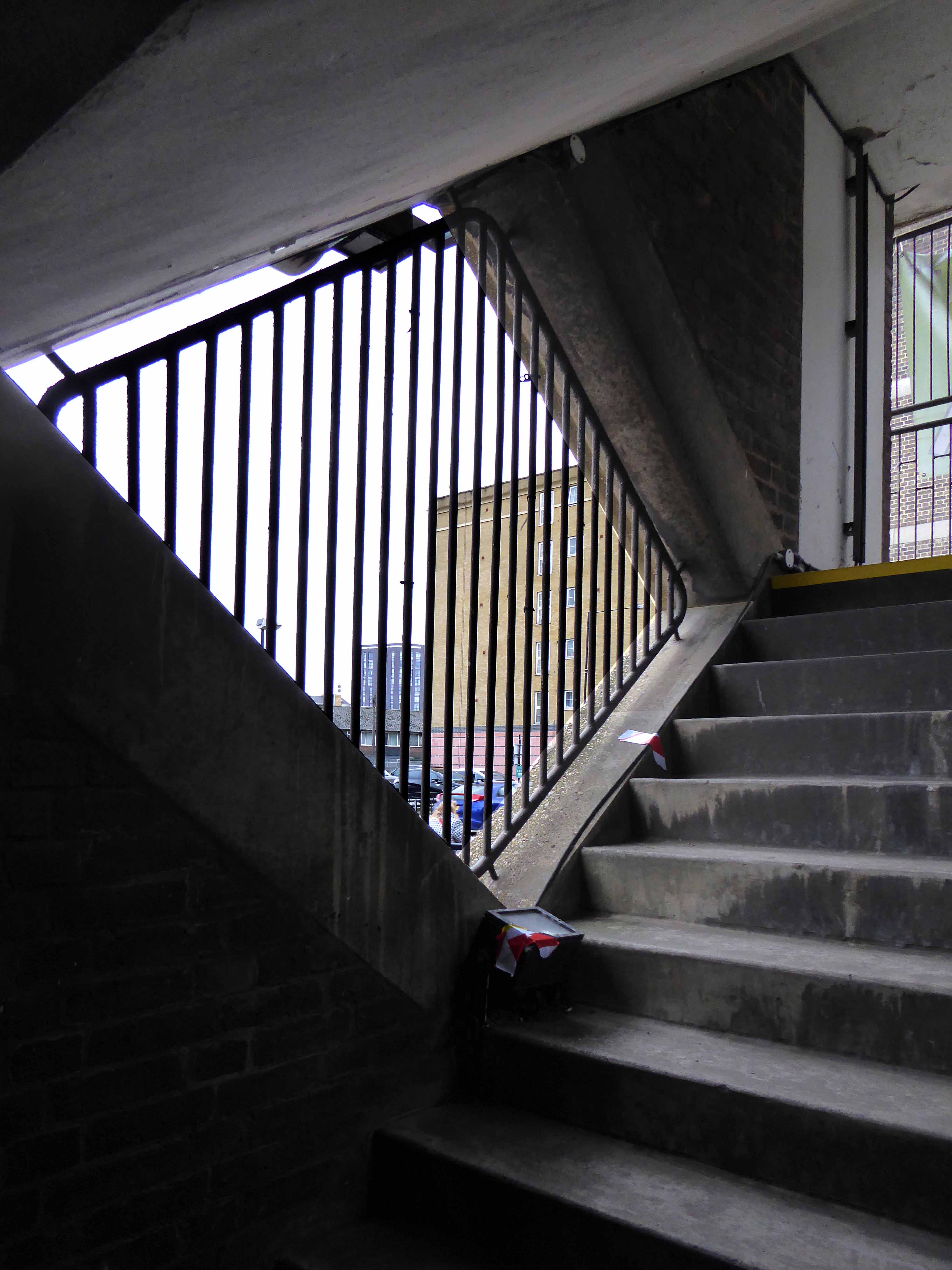
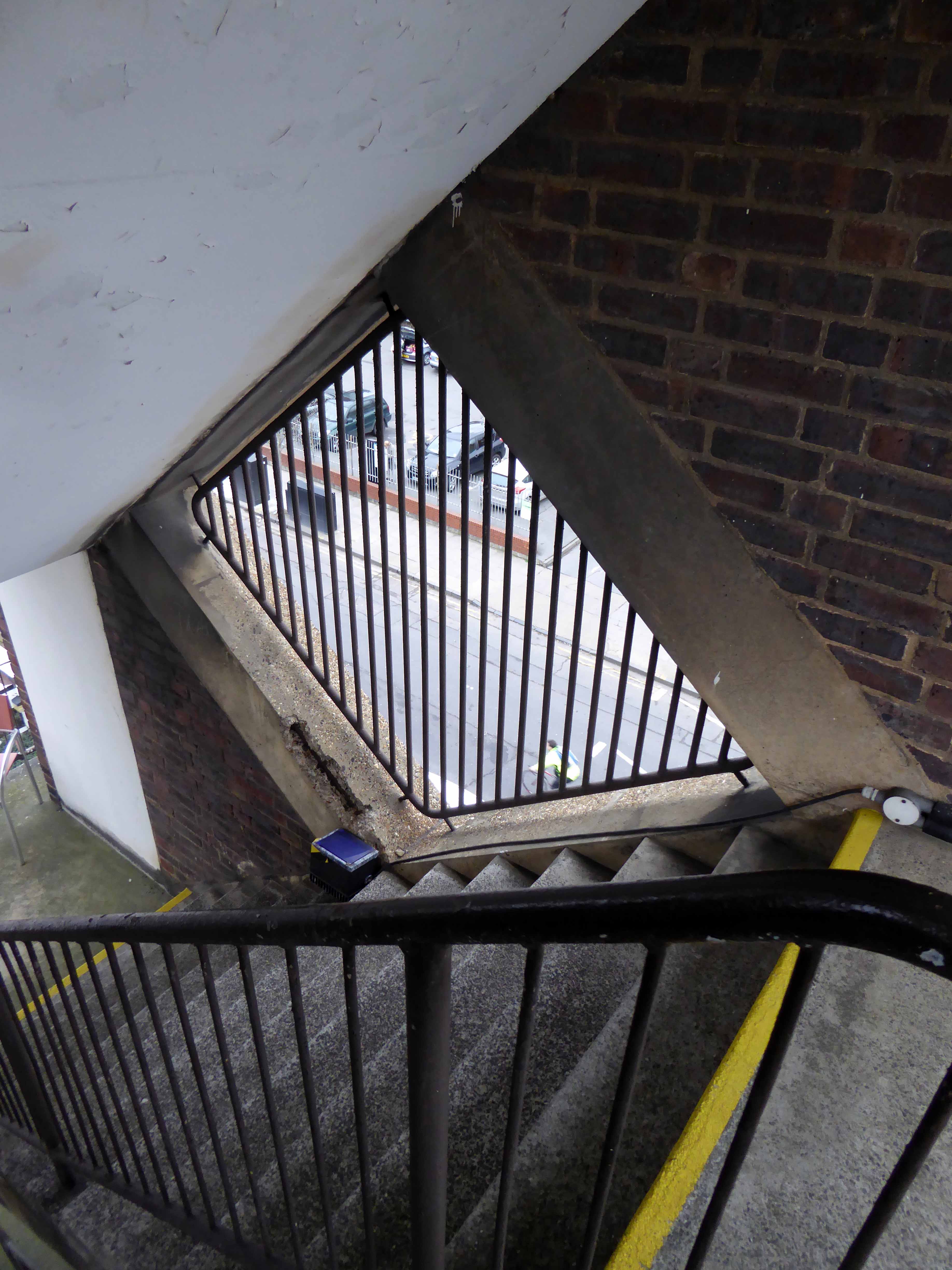
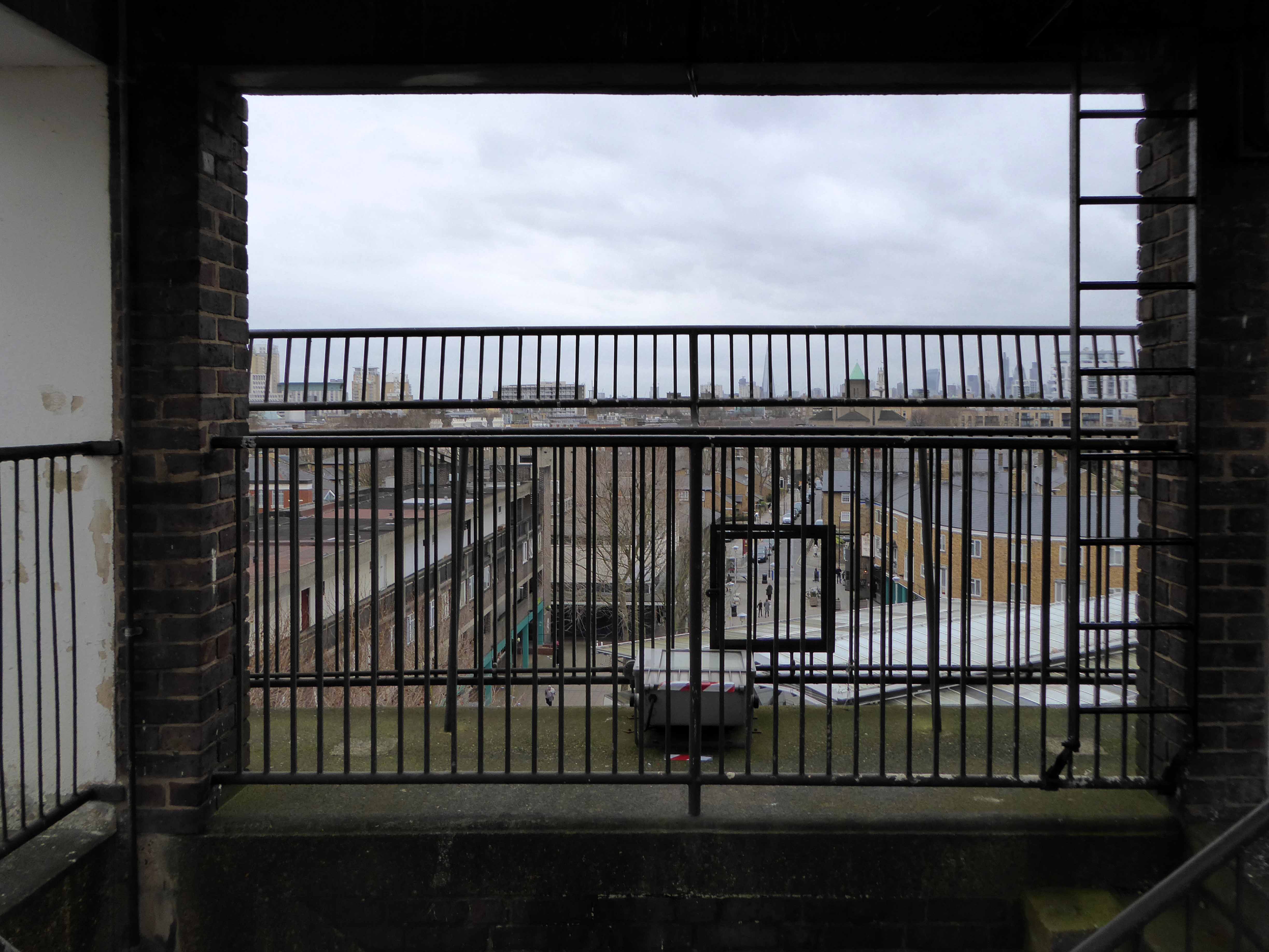
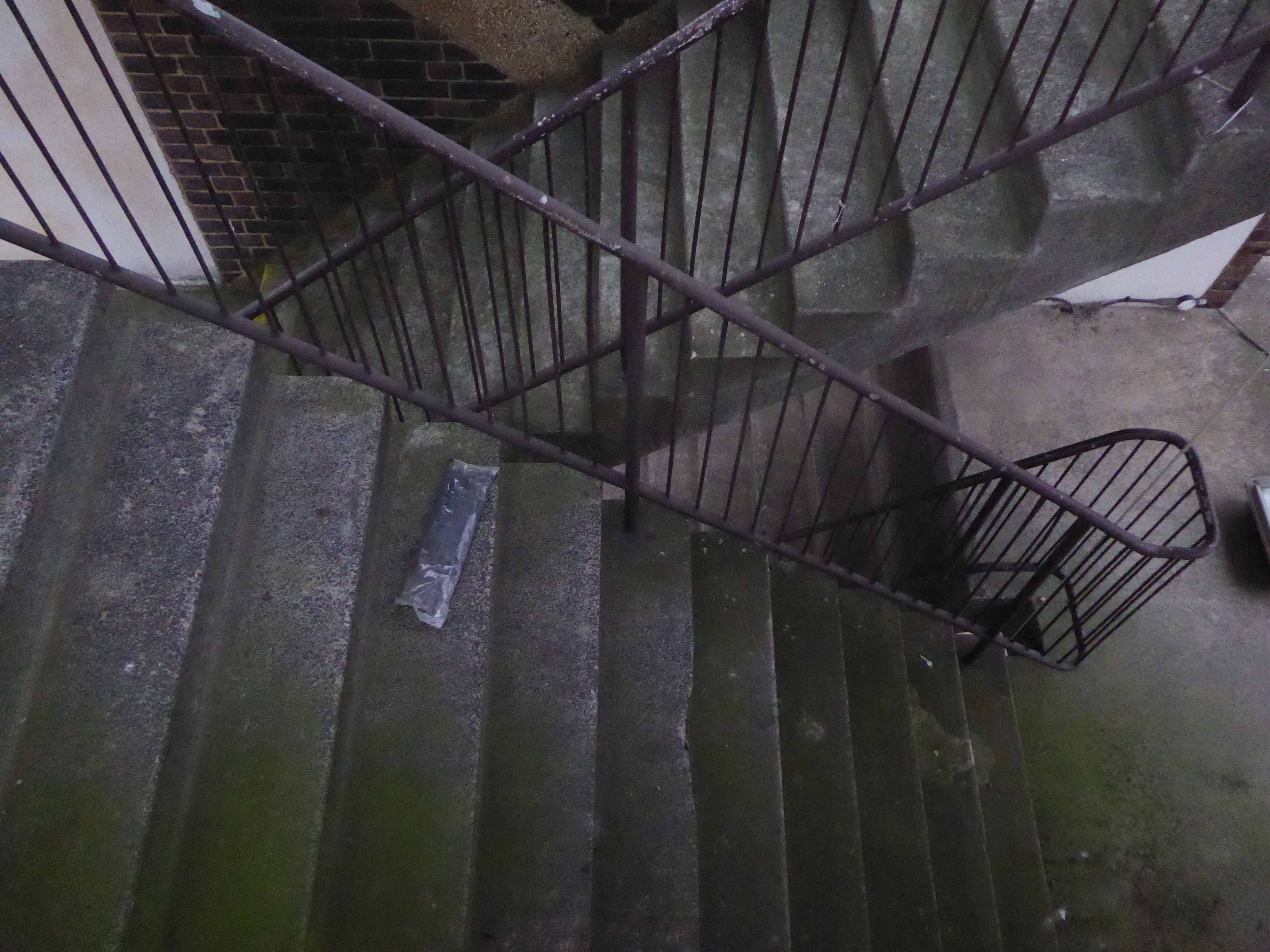
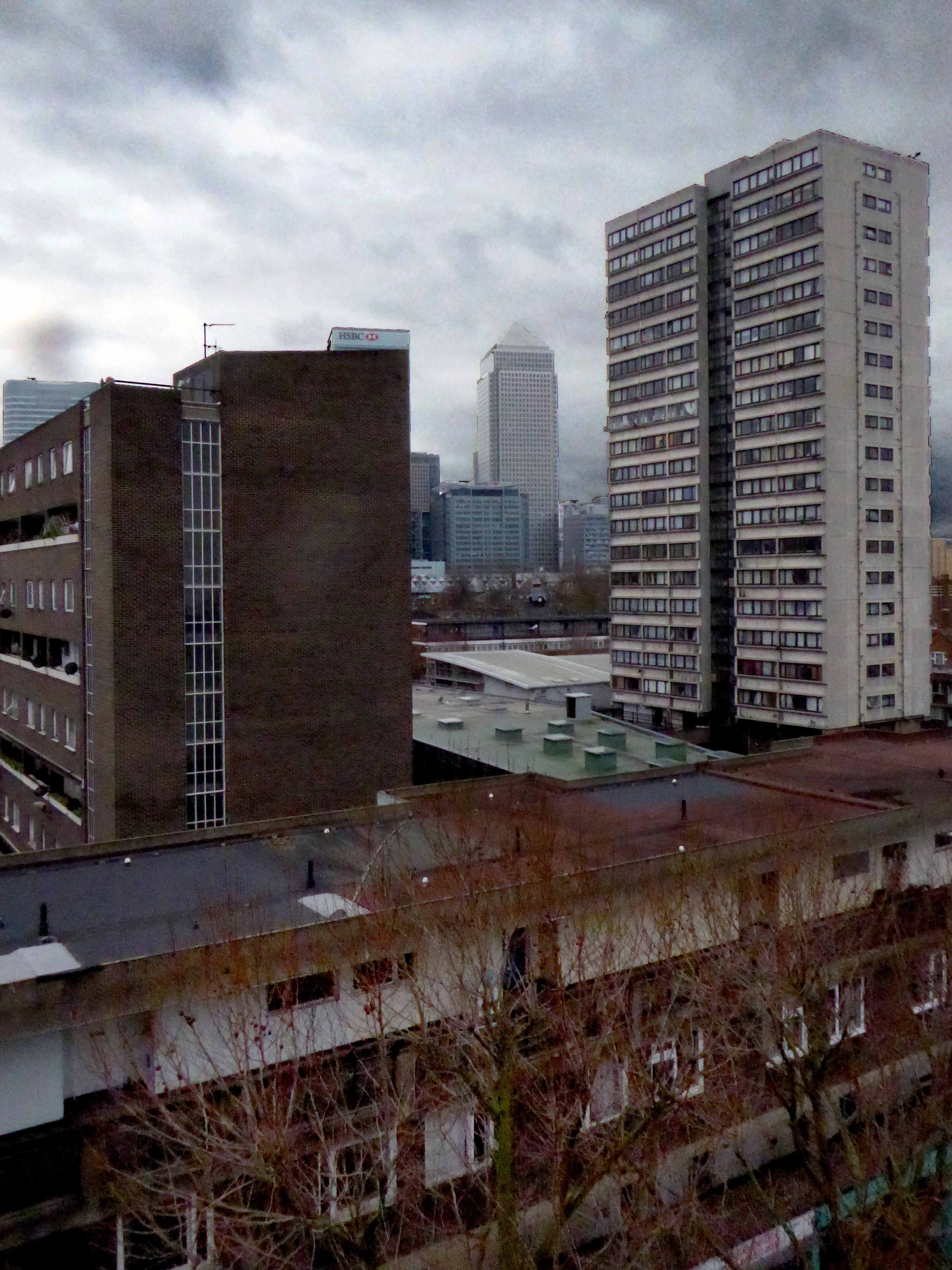
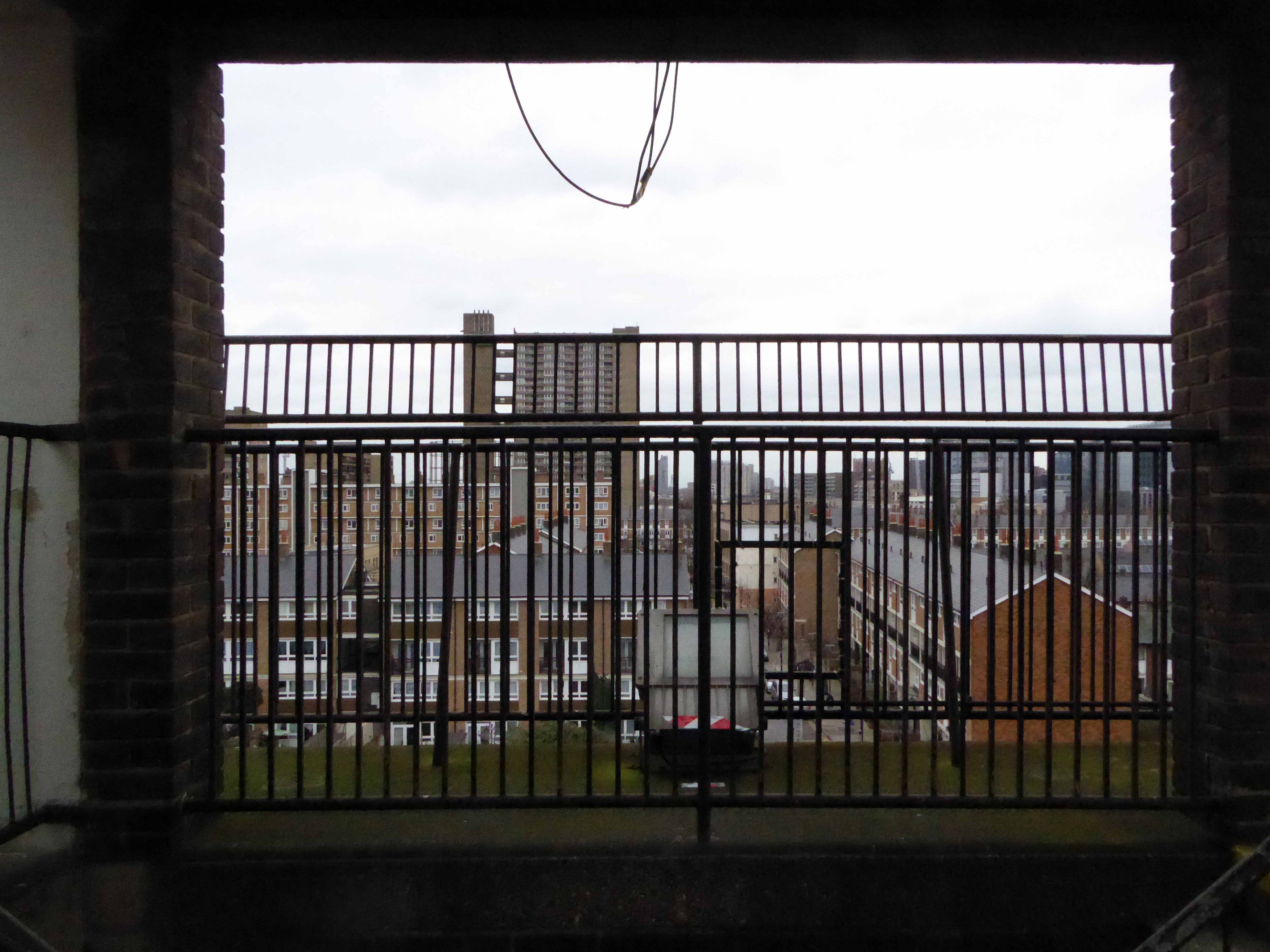
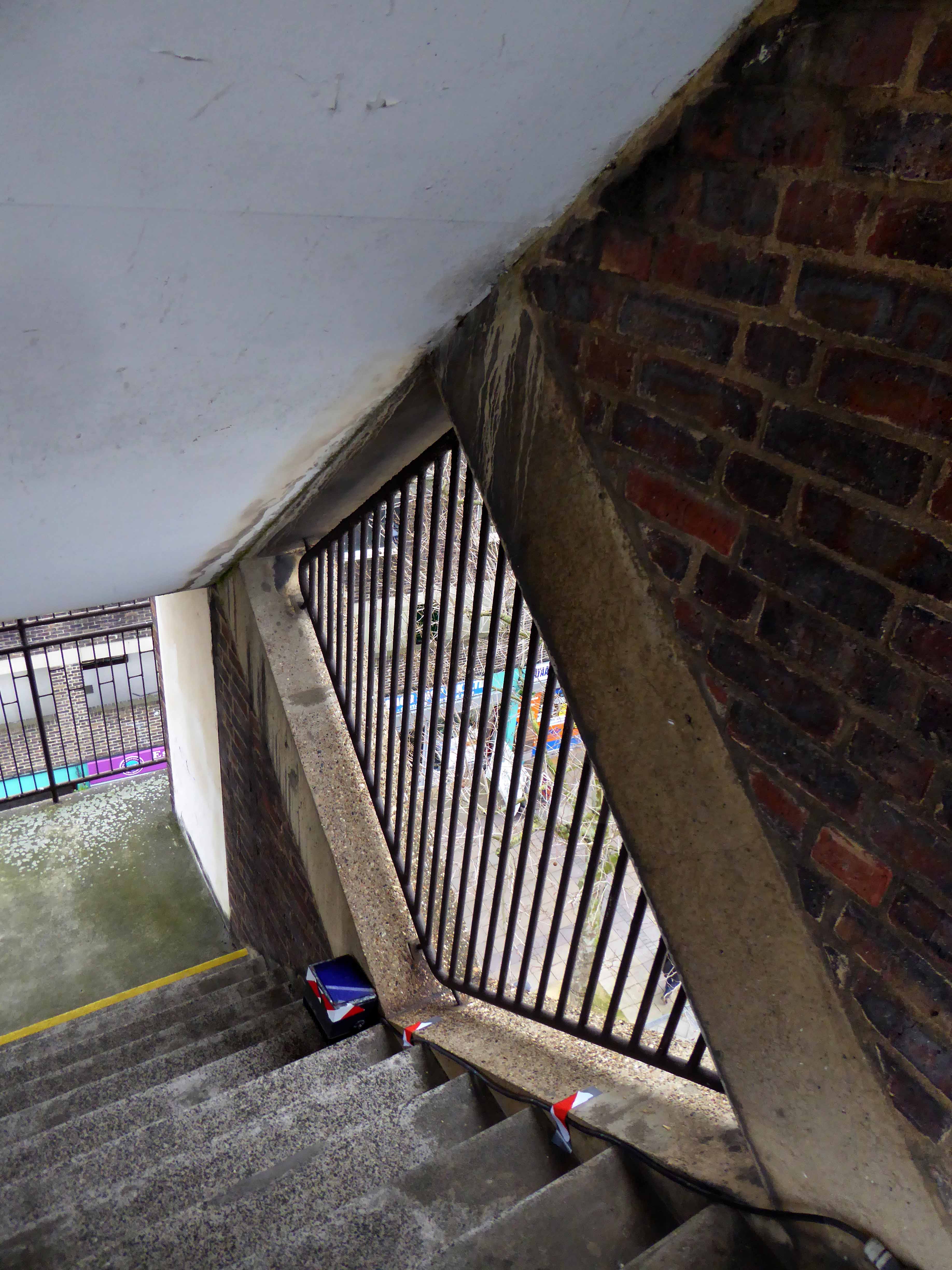
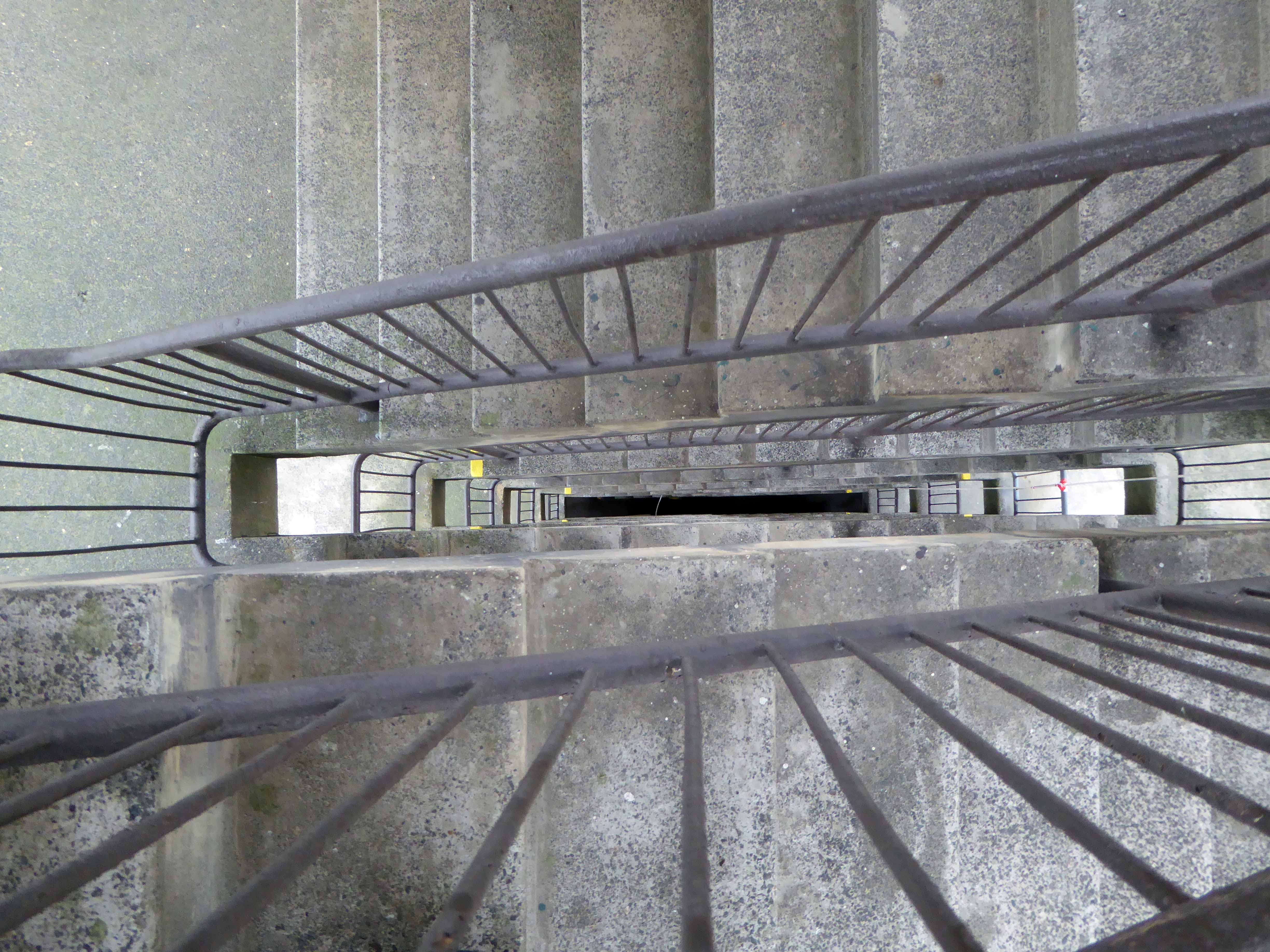
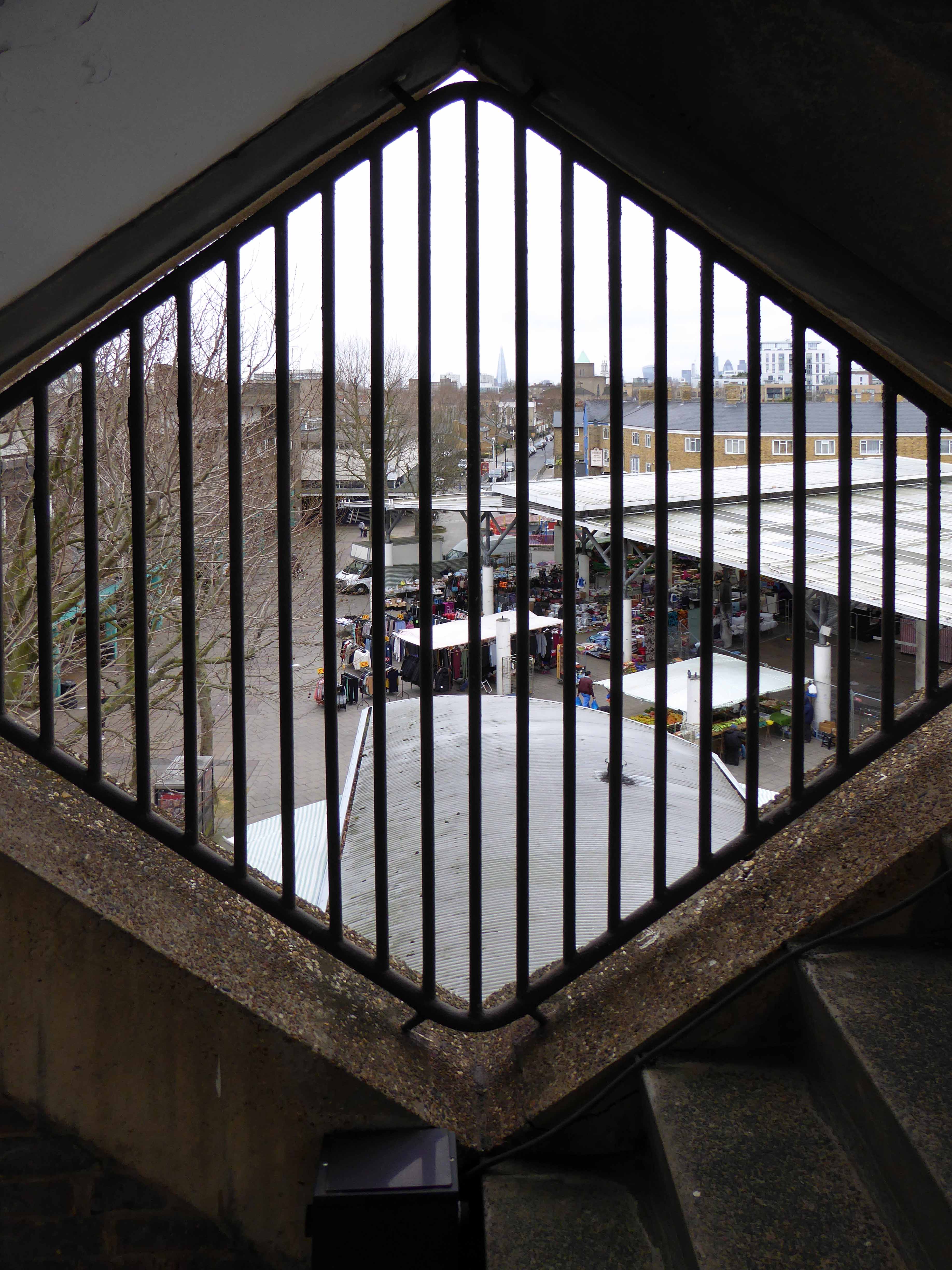
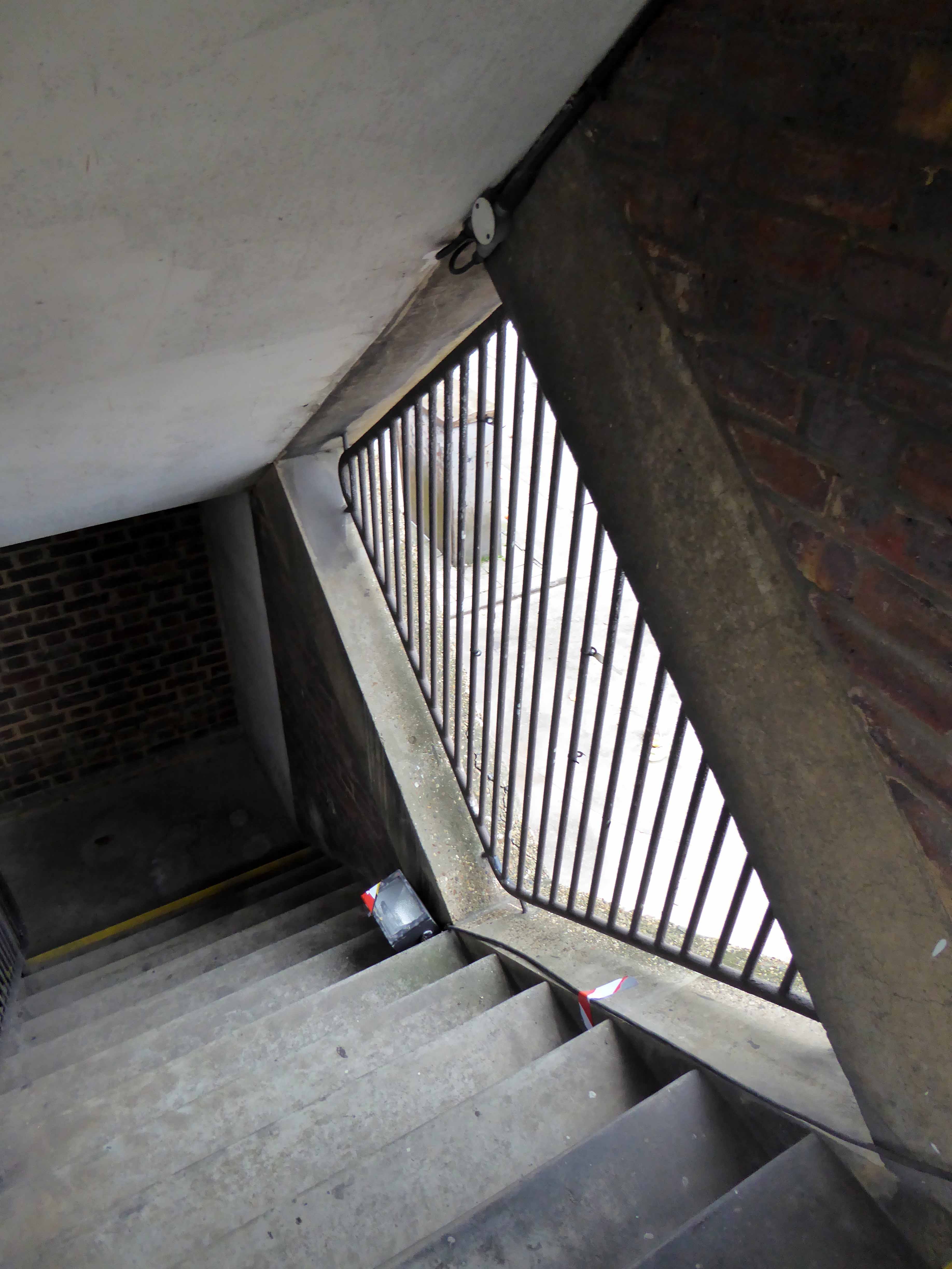
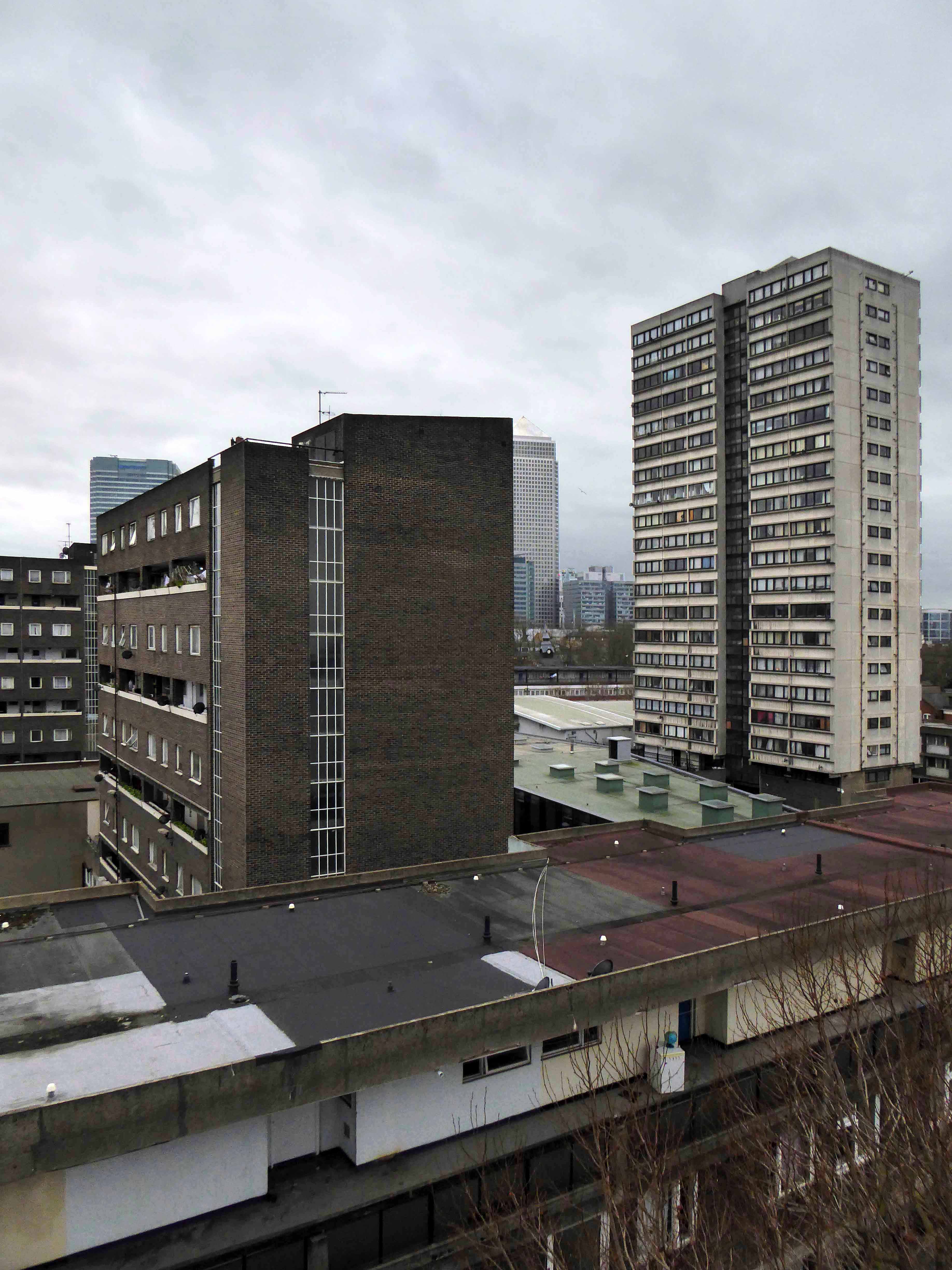
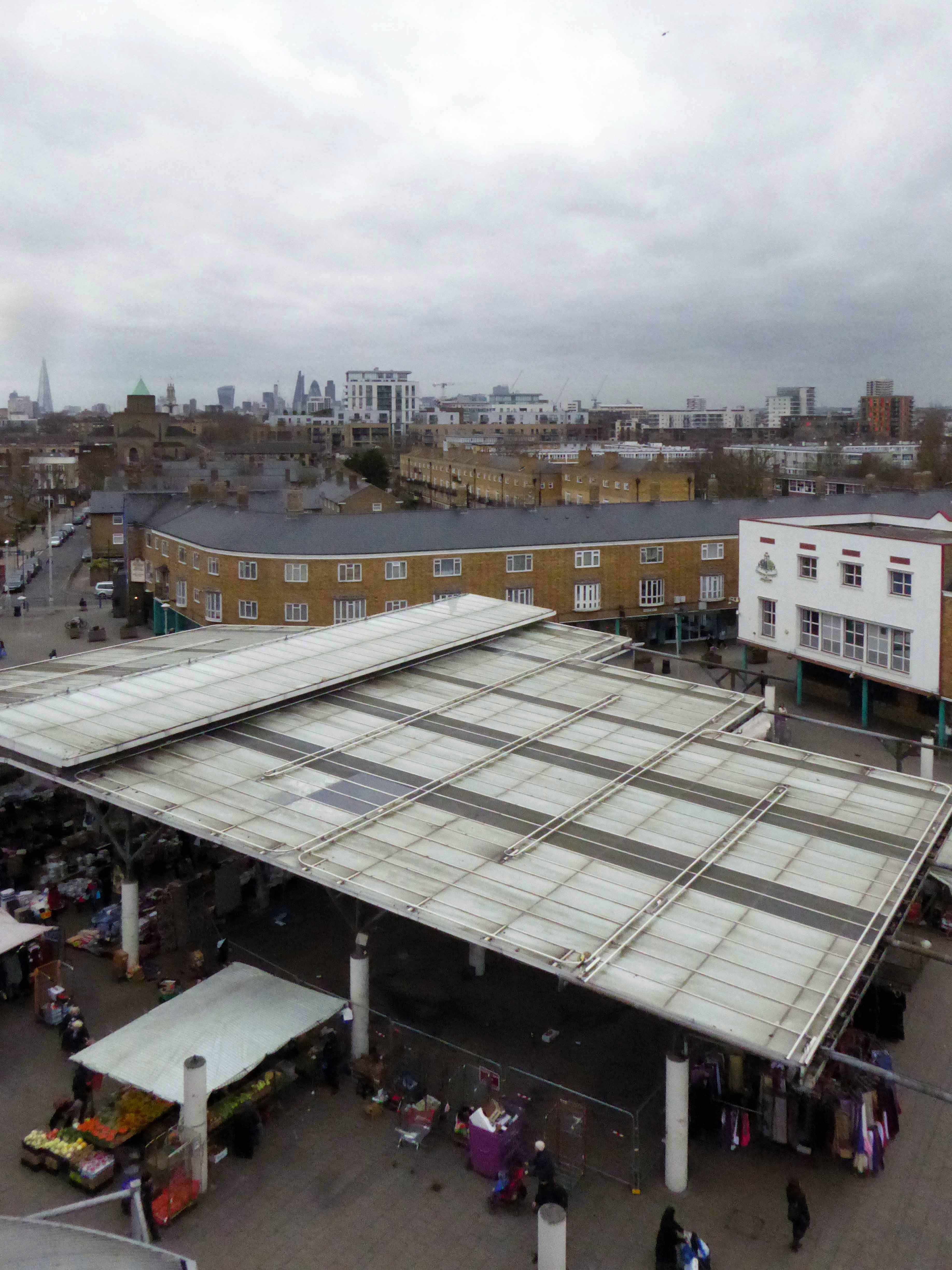
I was privileged to ascend the internal staircase, once open to the public – now reserved for high days, holidays and nosey northern interlopers. Having mildly vertiginous inclinations when so inclined, I gingerly went up in the world and leaned out to take the air and the view.

And this is what I saw.

P1130755 copy

P1130757 copy

P1130758 copy

P1130759 copy

P1130760 copy

P1130761 copy

P1130762 copy

P1130763 copy

P1130765 copy

P1130766 copy

P1130768 copy

P1130770 copy

P1130771 copy

P1130773 copy

P1130775 copy

P1130777 copy

P1130778 copy

P1130825 copy

Lansbury Estate – London

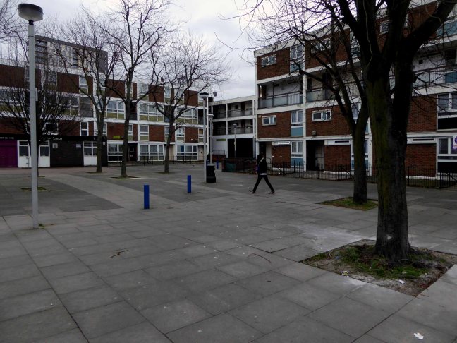
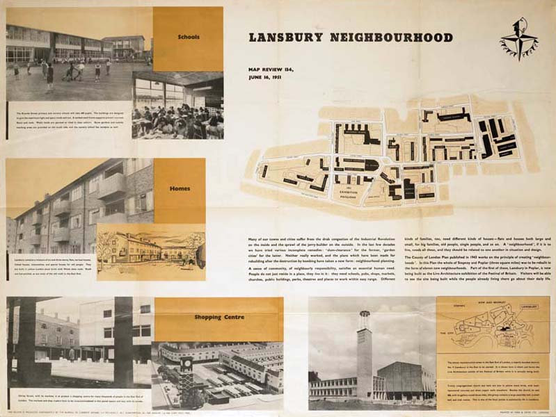
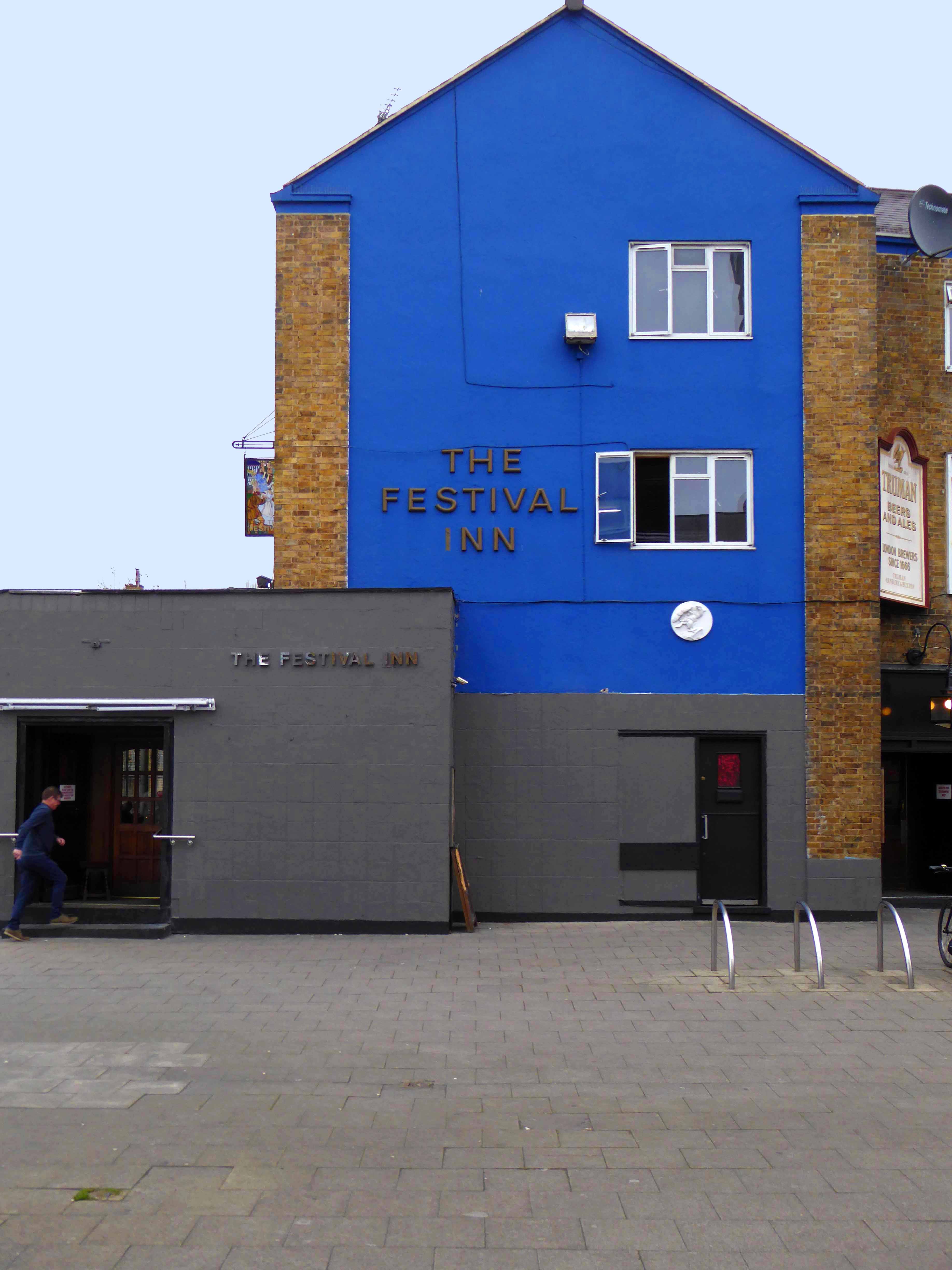
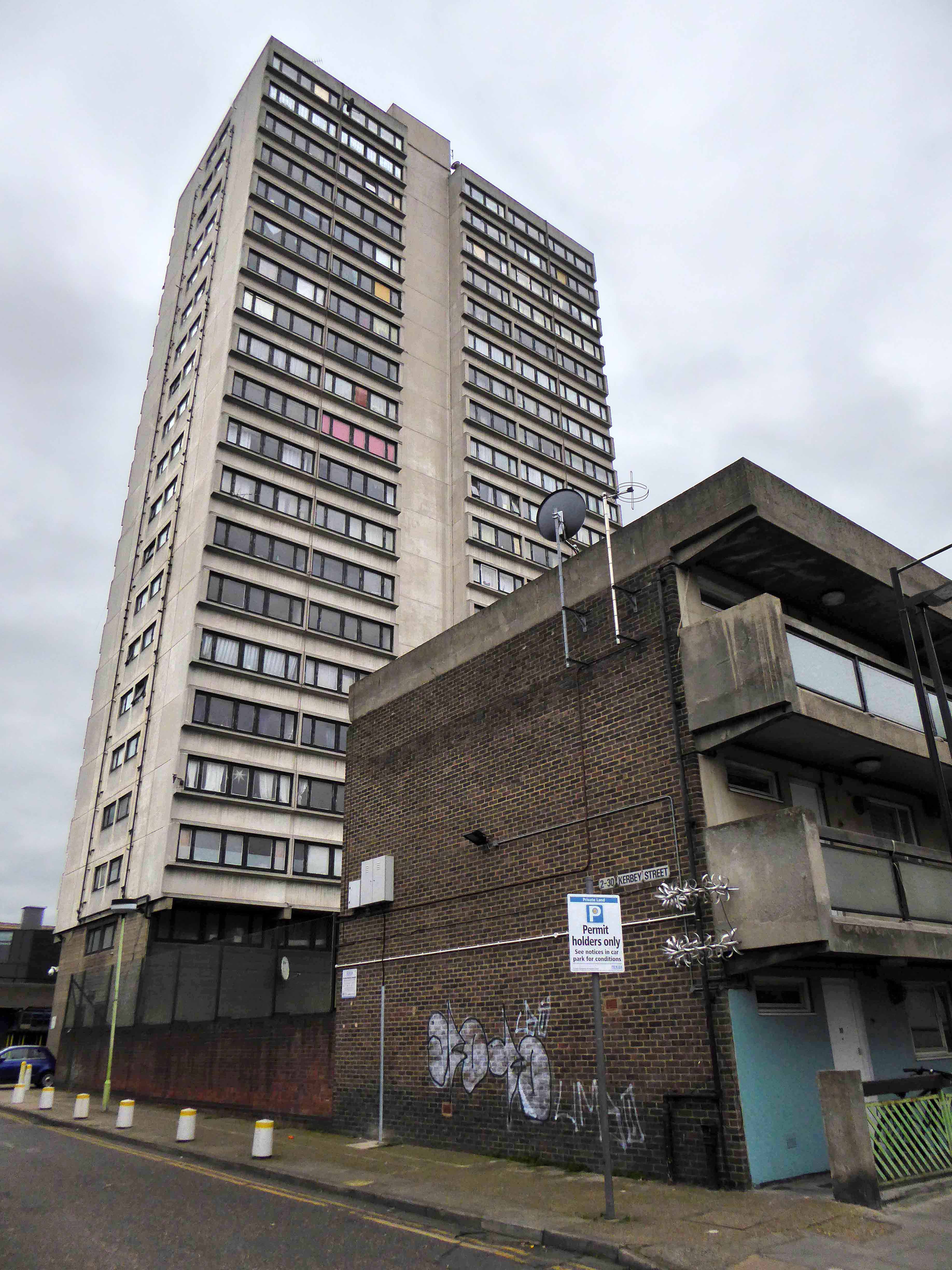
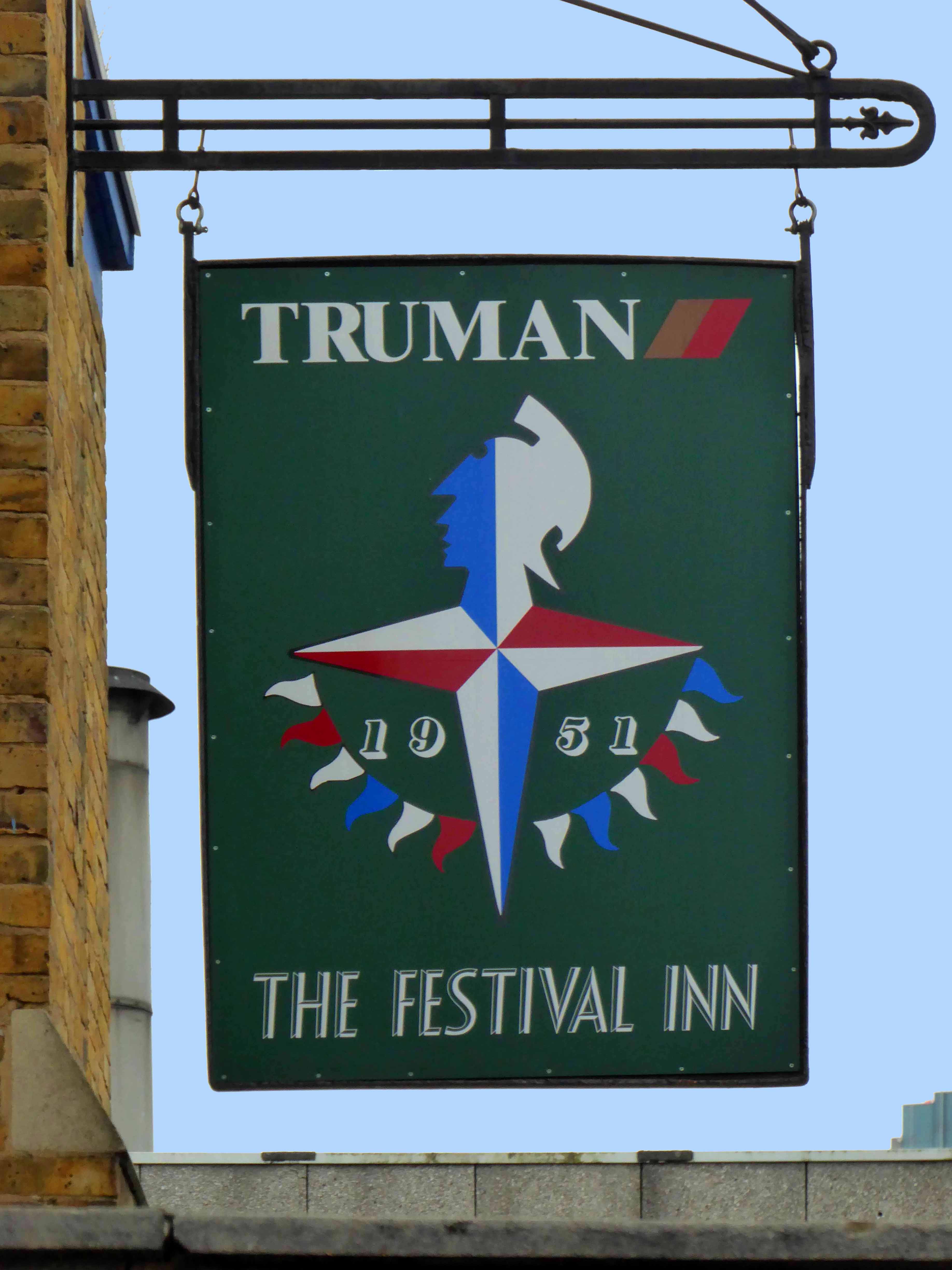
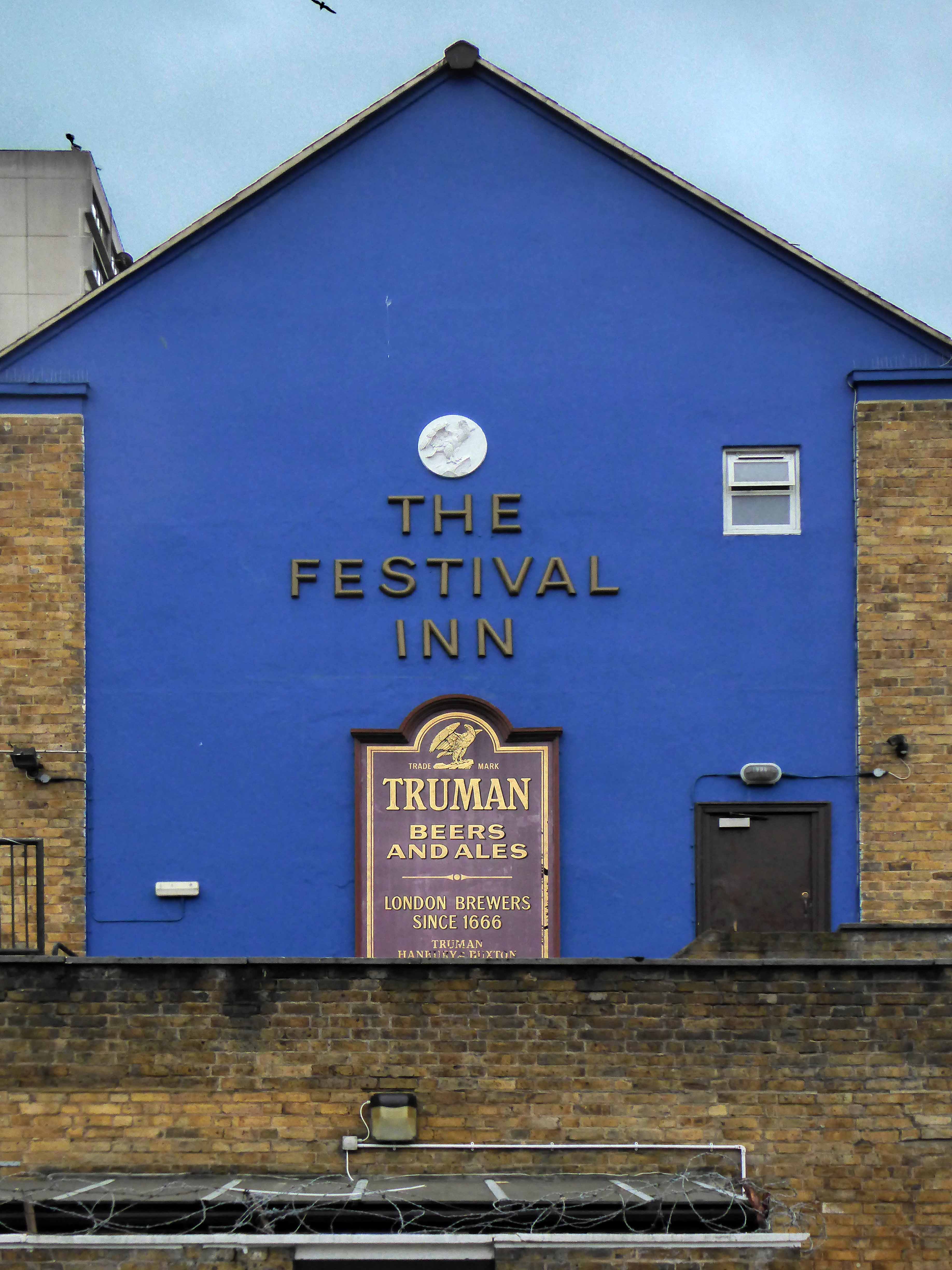
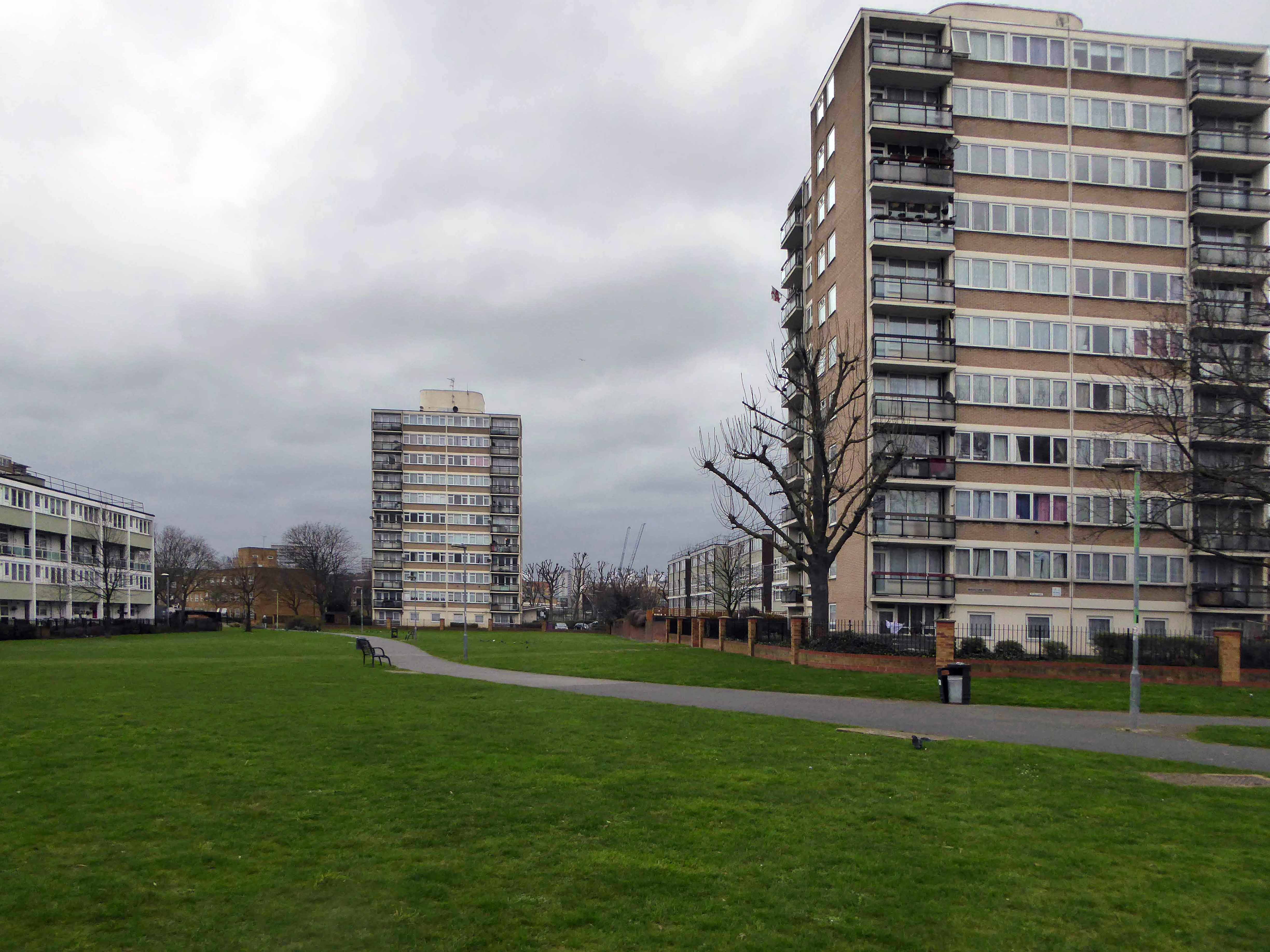
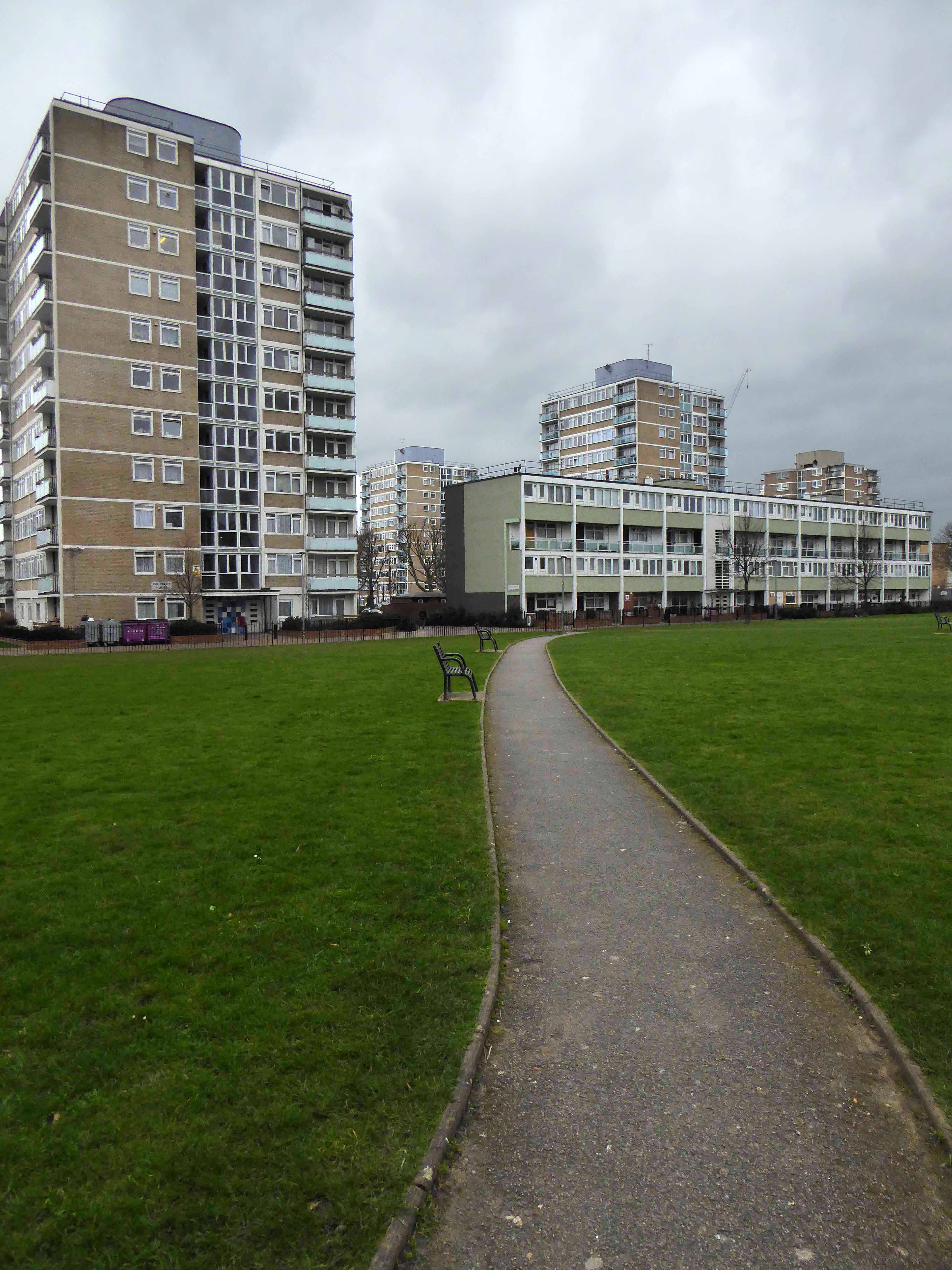
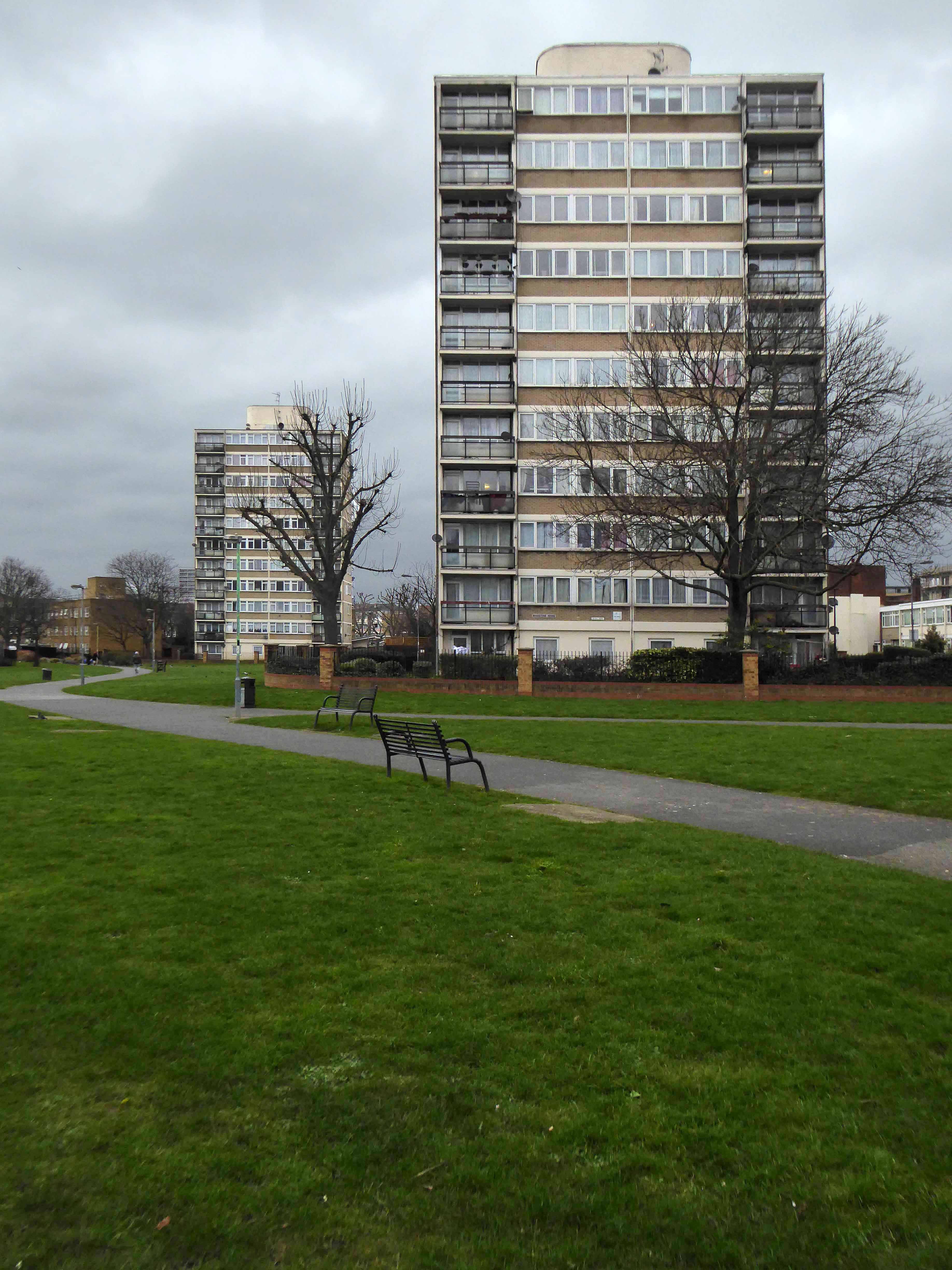
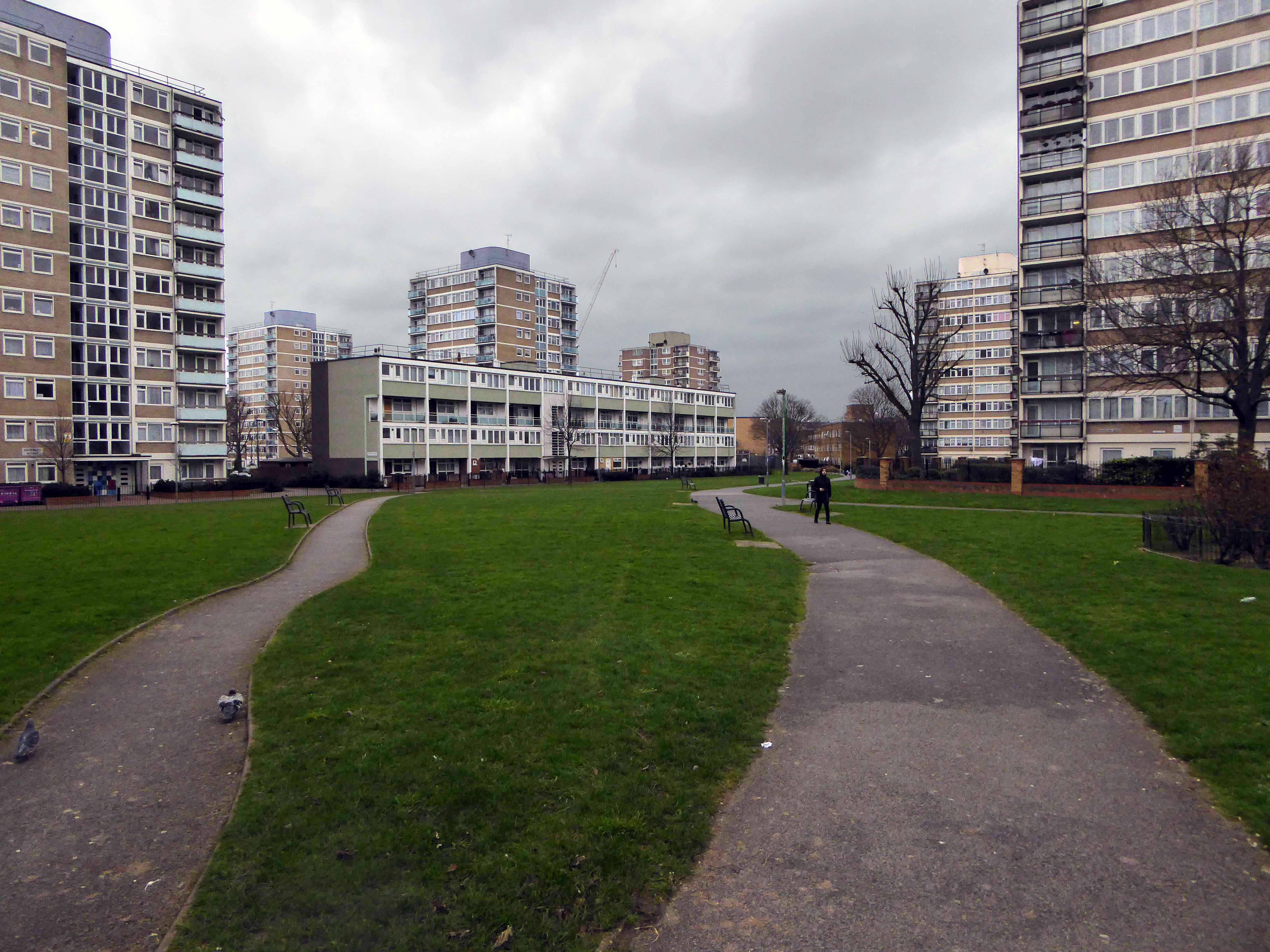
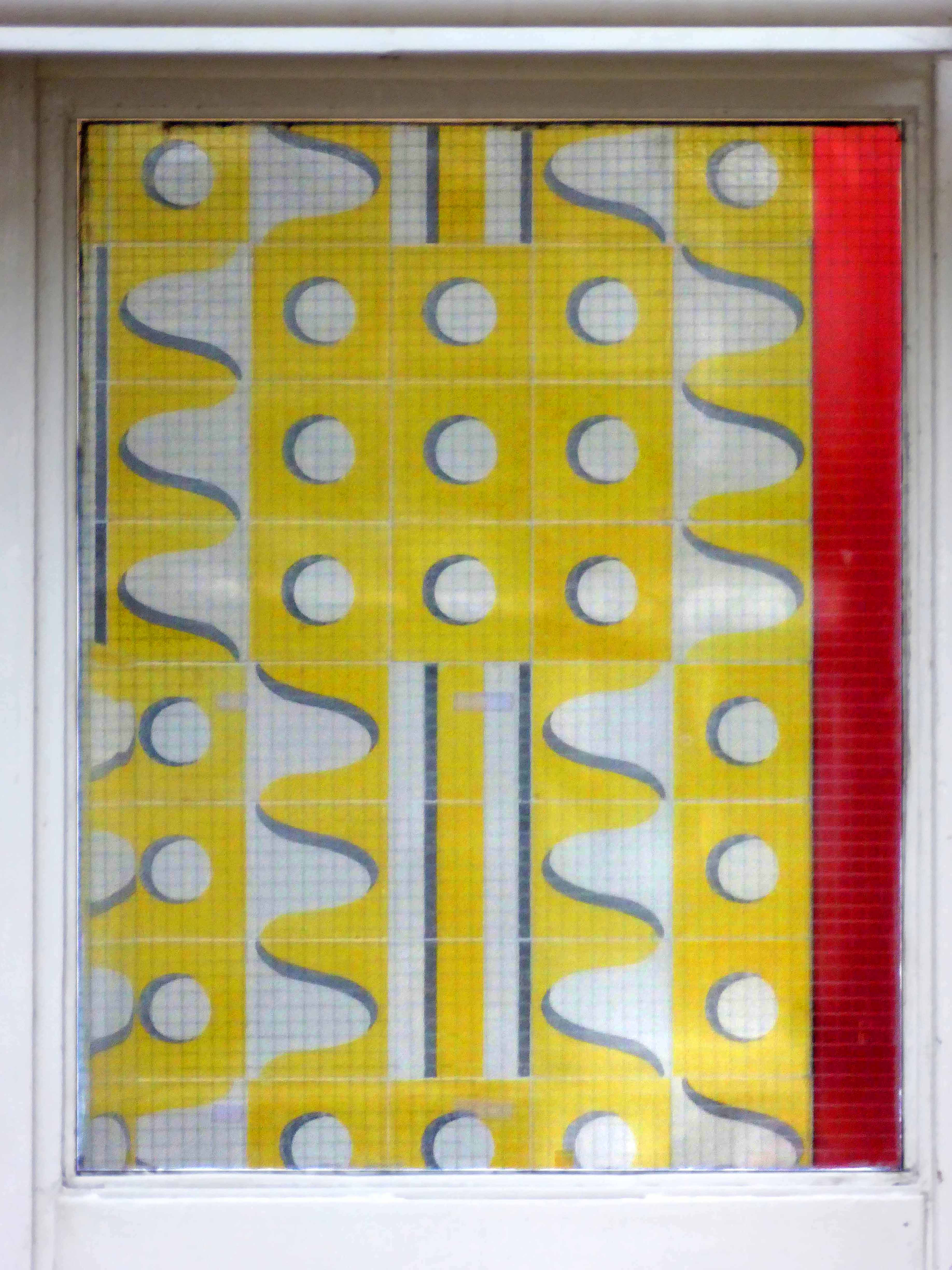
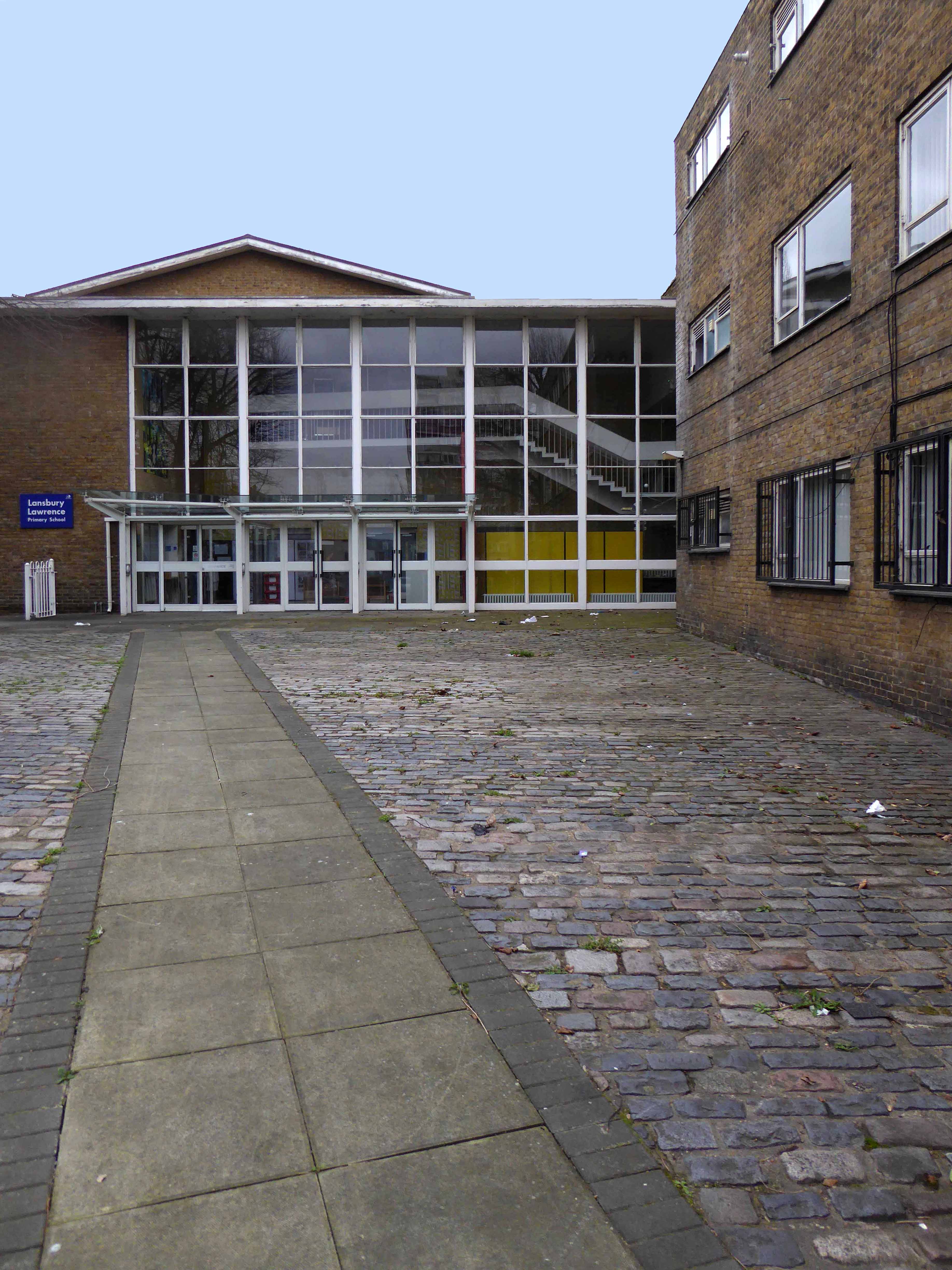
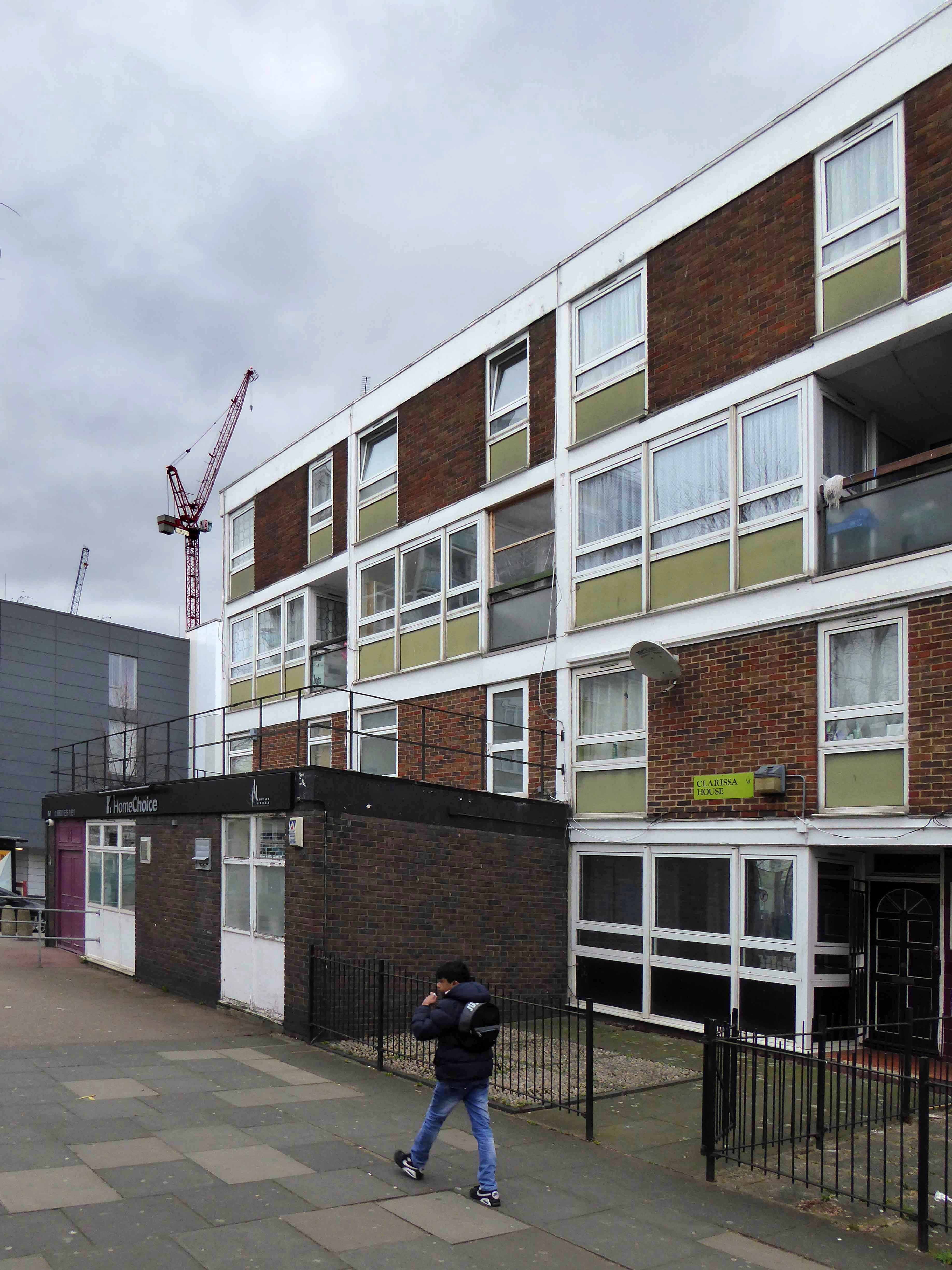
The Lansbury Estate, to the north of East India Dock Road, is the most important, largest and best-known council estate in Poplar. It demonstrates the different trends in post-war council house design and layout. The interest of the estate lies as much, if not more, in the story of its planning and construction, as in what was actually built. This is especially true of its first phase, which formed the basis of the Live Architecture Exhibition in the 1951 Festival of Britain.

lansbury-neighbourhood-map-1951


Originally outlined in the 1943 plan for London, replacing the bomb damaged homes of displaced dockers, the estate has weathered well enough, though changes in demographics, the ever greater engulfing tide of gentrification and the containerisation of all ports, brings a fresh set of challenges and changes.

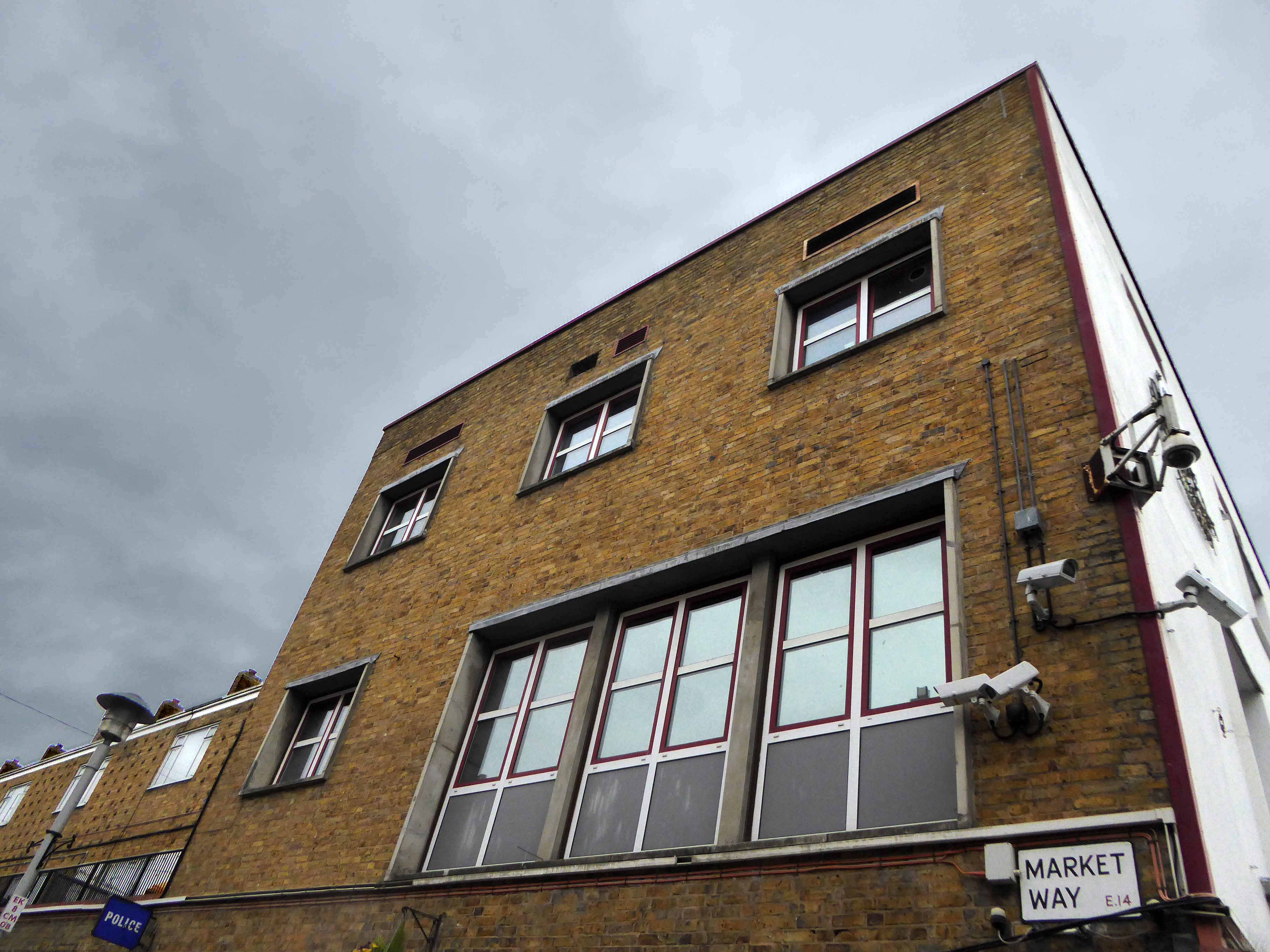
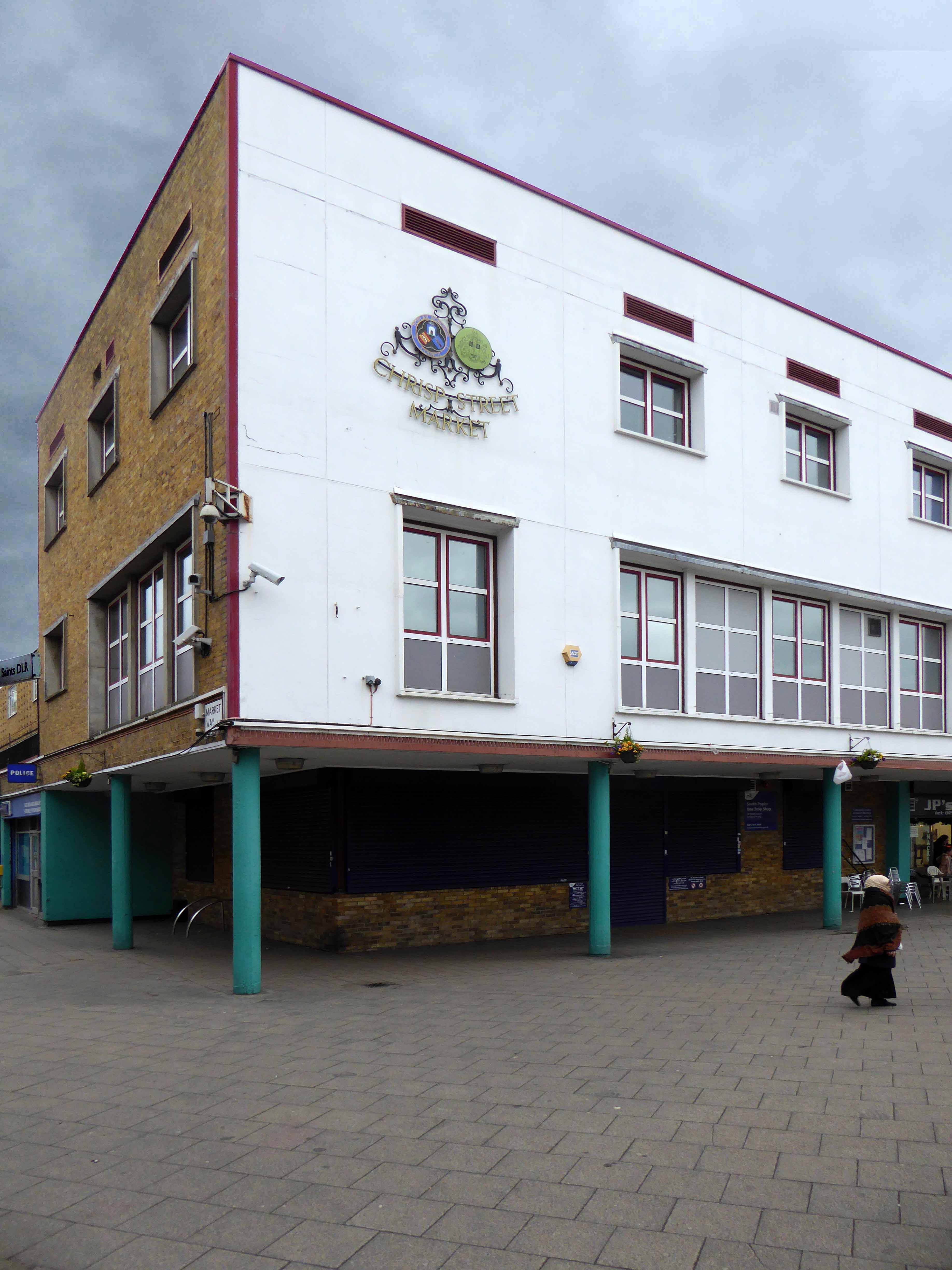
Go east – I visited the V&A Micro Museum, which has become a focus for residents’ and visitors’  memories and projections of a certain uncertain past and future. Arriving by the Docklands Light Railway, I was immediately drawn towards my destination, by the prominent Lansbury Tower, its clock patiently ticking away the time to and from 1951. Welcomed by staff and fellow travellers at the Chrisp Street Market site we began our tour at the heart of the Festival area – further details of which can be found here at Municipal Dreams.

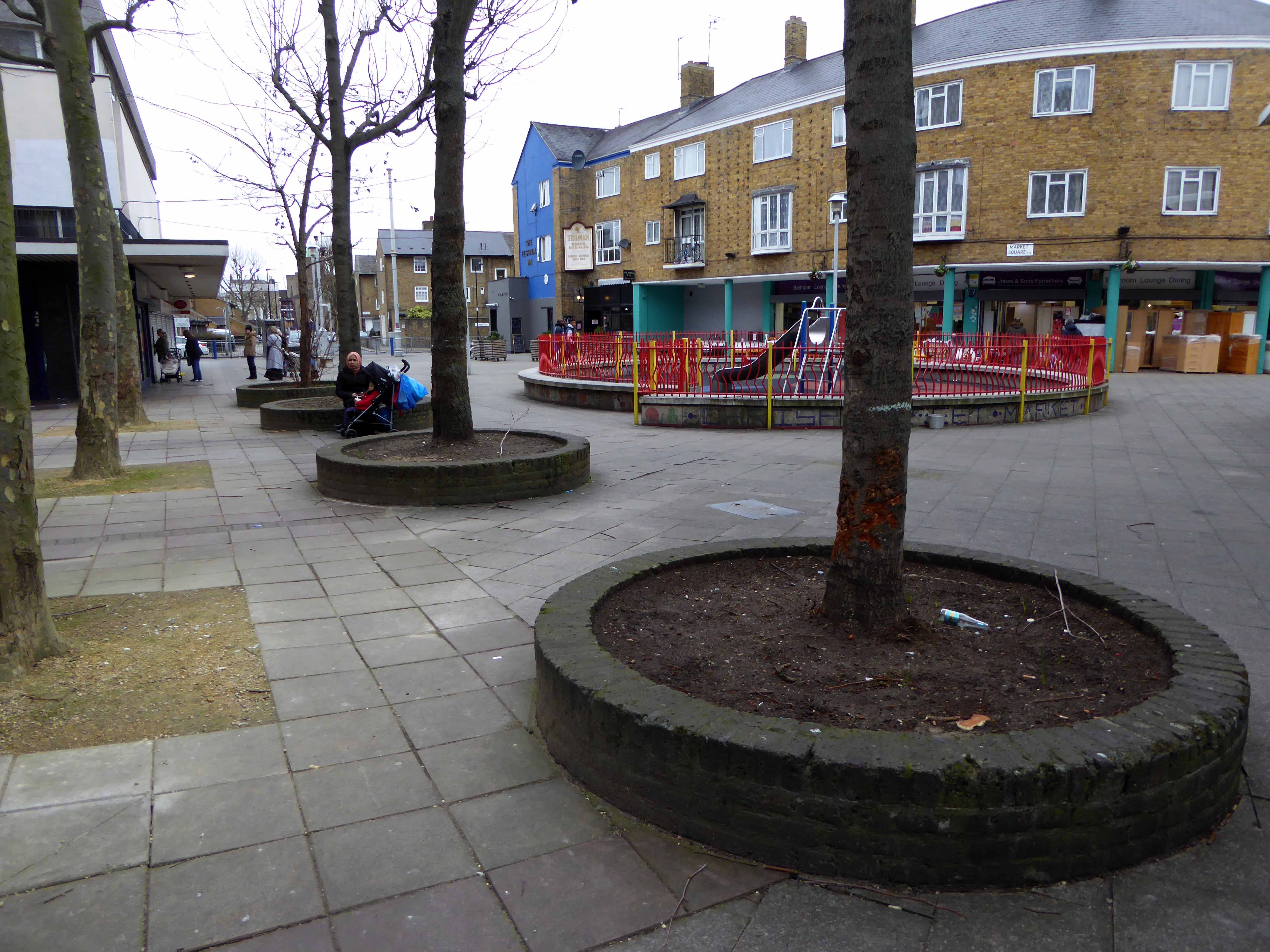
A mix of market, shops, Festival pub, warm cream London brick terraces and low rise, later tower blocks, schools, churches and open grassed communal areas. On a cold and getting colder late winter’s day, a smattering of residents went purposefully about their business.

Life goes on.

Next time everything’s going to be different.

P1130822 copy

P1130821 copy

P1130820 copy

P1130819 copy

P1130818 copy

P1130817 copy

P1130815 copy


P1130812 copy

P1130811 copy

P1130810 copy

P1130809 copy

P1130807 copy

P1130806 copy

P1130805 copy

P1130803 copy

P1130800 copy

P1130796 copy

P1130794 copy

P1130793 copy

P1130788 copy

P1130786 copy

P1130785 copy

P1130784 copy

P1130783 copy

P1130781 copy

P1130769 copy

P1130767 copy

P1130754 copy

P1130753 copy

P1130751 copy


Seven Sisters – Return to Rochdale

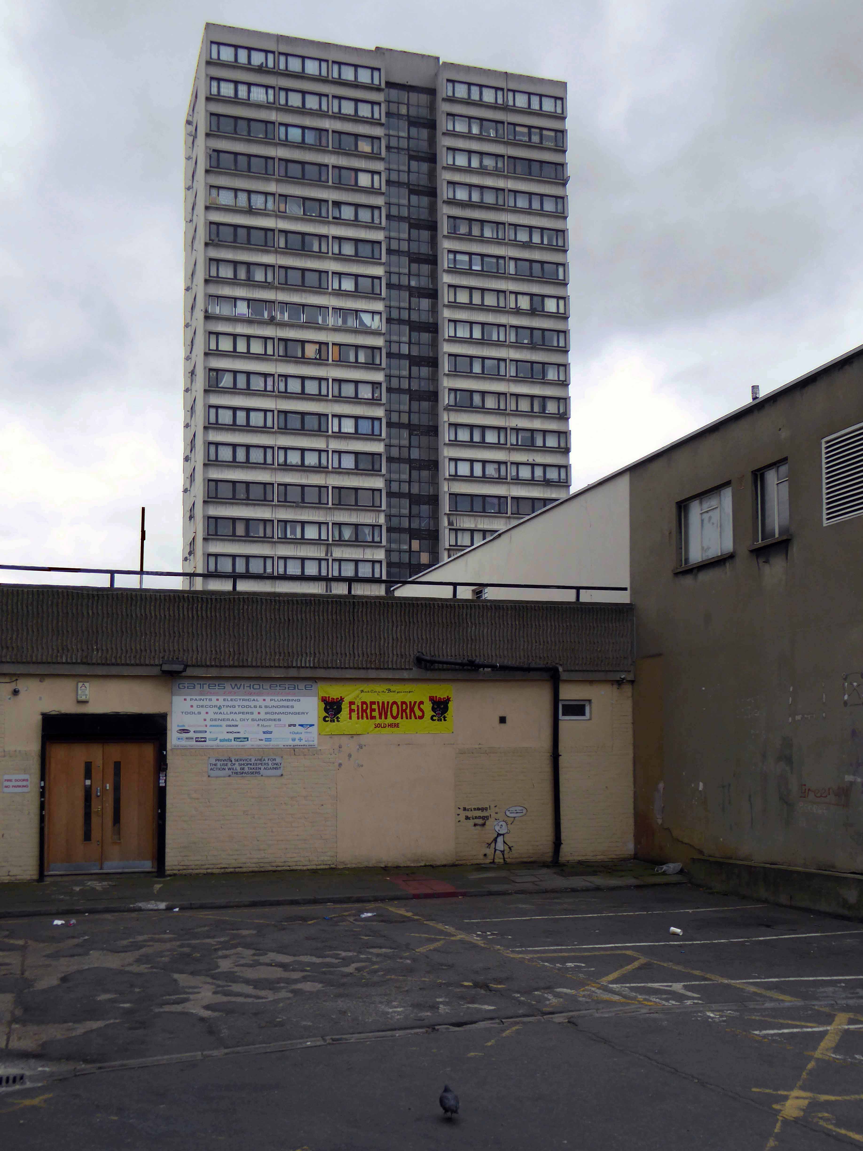
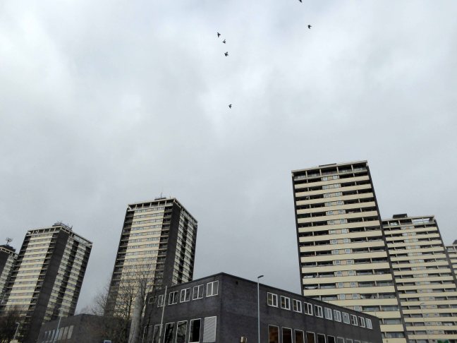
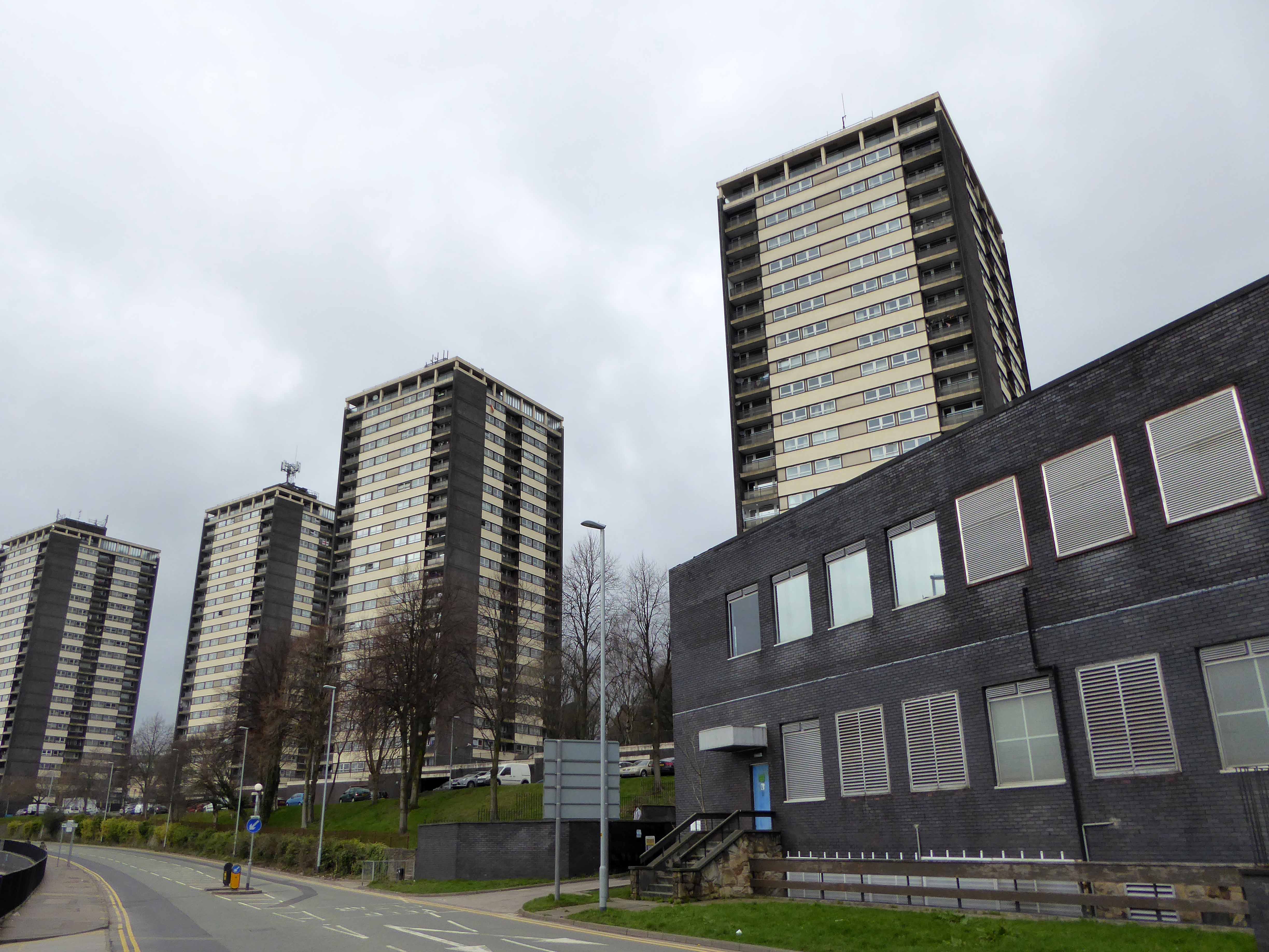
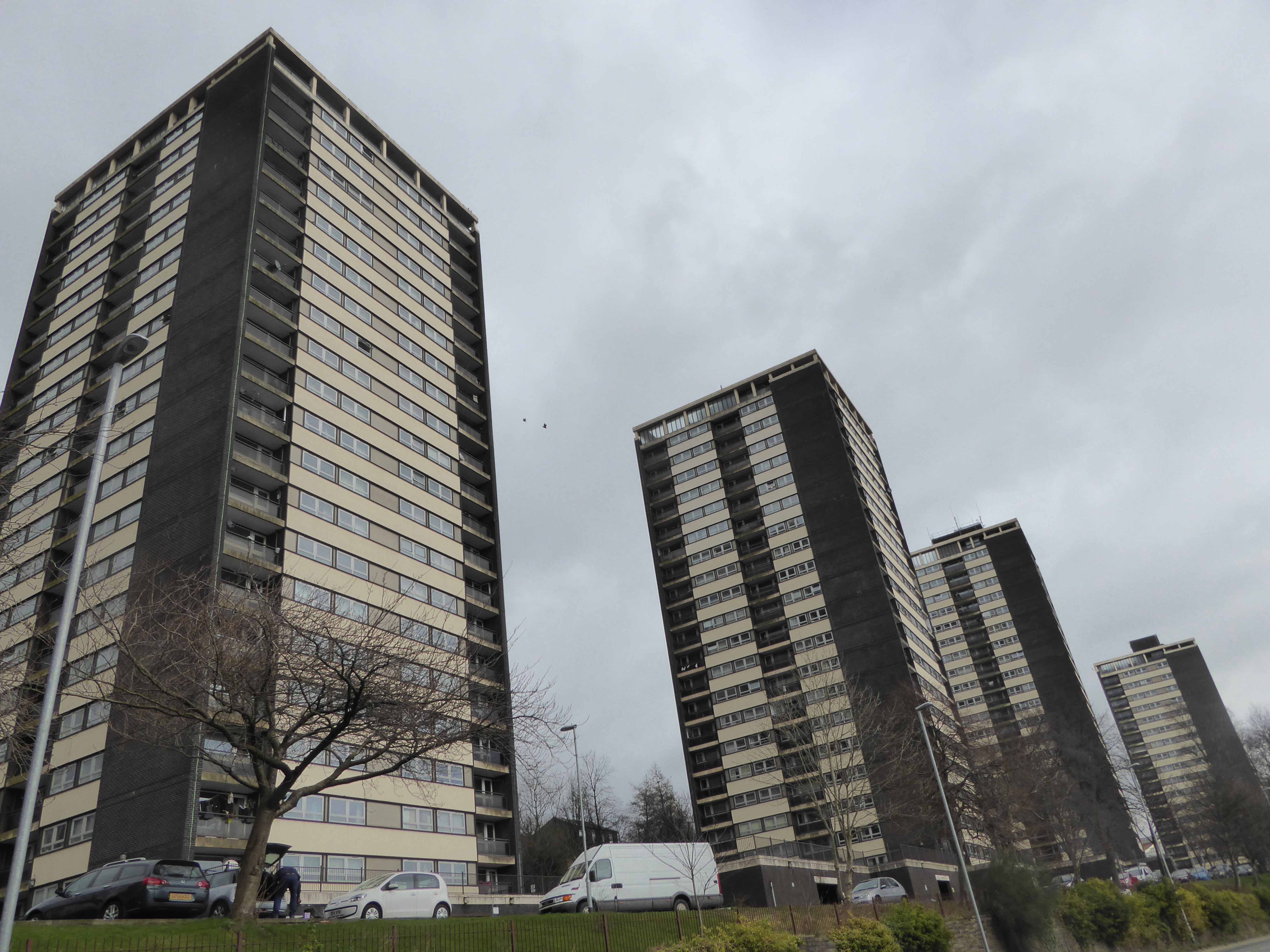
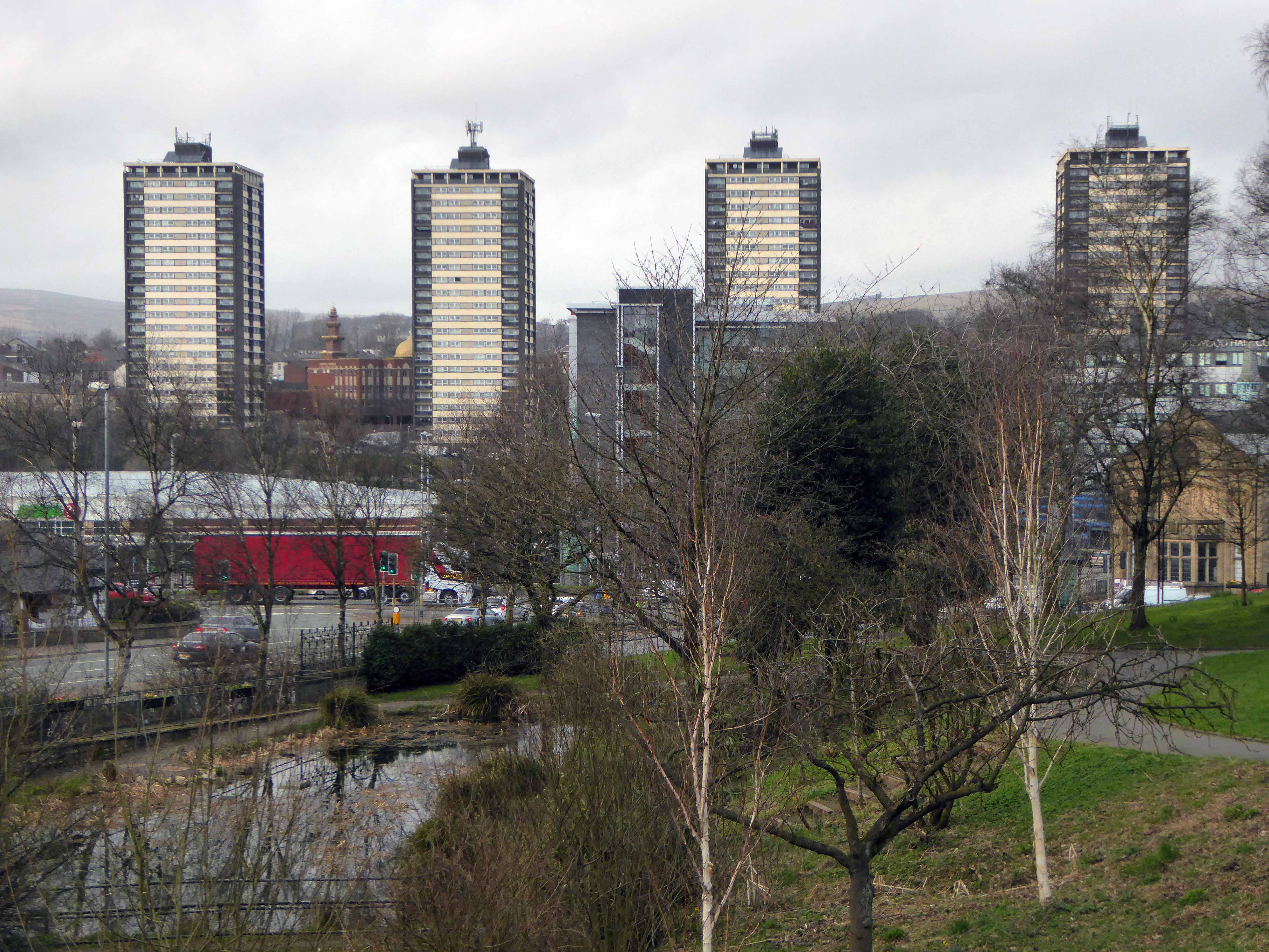
I’ve passed this way before, they’re hard to miss, seven substantial tower blocks towering over the town on College Bank.

But what goes up, may come down.

Screen Shot 2017-03-23 at 13.53.11

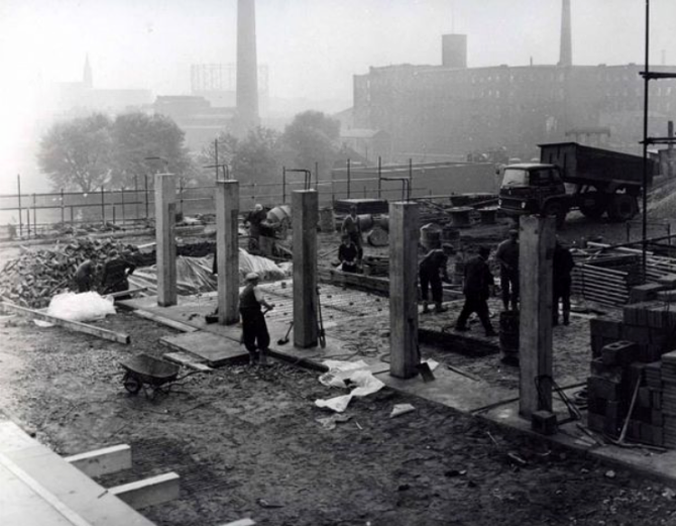
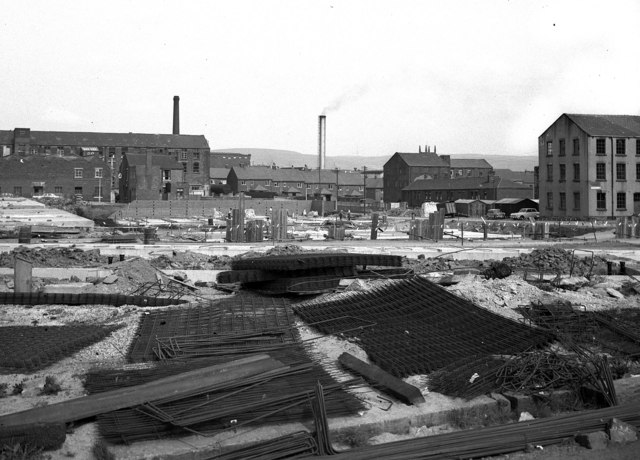
Construction in 1963

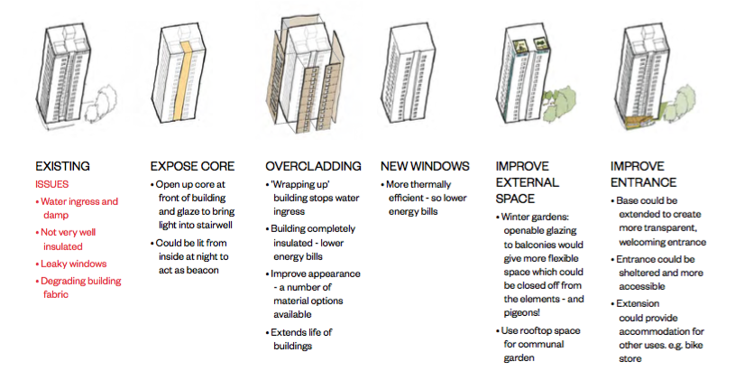
Demolition in 2017 is one suggestion – following years of poor maintenance, problems of heating and ingress, plus a whole host of other reasons outlined here.

Screen Shot 2017-03-23 at 13.50.02

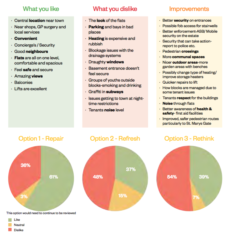
The housing trust in consultation with residents, have produced a tentative plan.

Screen Shot 2017-03-23 at 13.50.49

This may or may not include the demolition of one or more blocks. On the day of my visit, the tenants I spoke with understood that the blocks faced an uncertain future, and were rightly concerned by the rumours and conjecture. The majority would prefer to stay put, having lived there for several years, raising families and building  homes.

Whatever the outcome I hope that the wishes of the residents are not overwhelmed by political expedience, or the will of the developer.

Take a look for yourself.

P1140328 copy

P1140335 copy

P1140337 copy

P1140339 copy

P1140340 copy

P1140346 copy

P1140347 copy

P1140348 copy

P1140350 copy

P1140351 copy

P1140353 copy

P1140355 copy

P1140356 copy

P1140358 copy

P1140362 copy

P1140370 copy

P1140372 copy

P1140374 copy

P1140444 copy

P1140445 copy


Lower Falinge – Rochdale

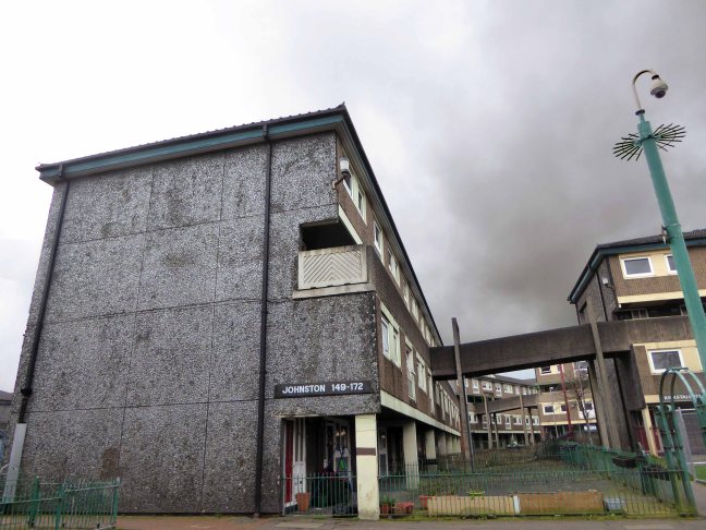
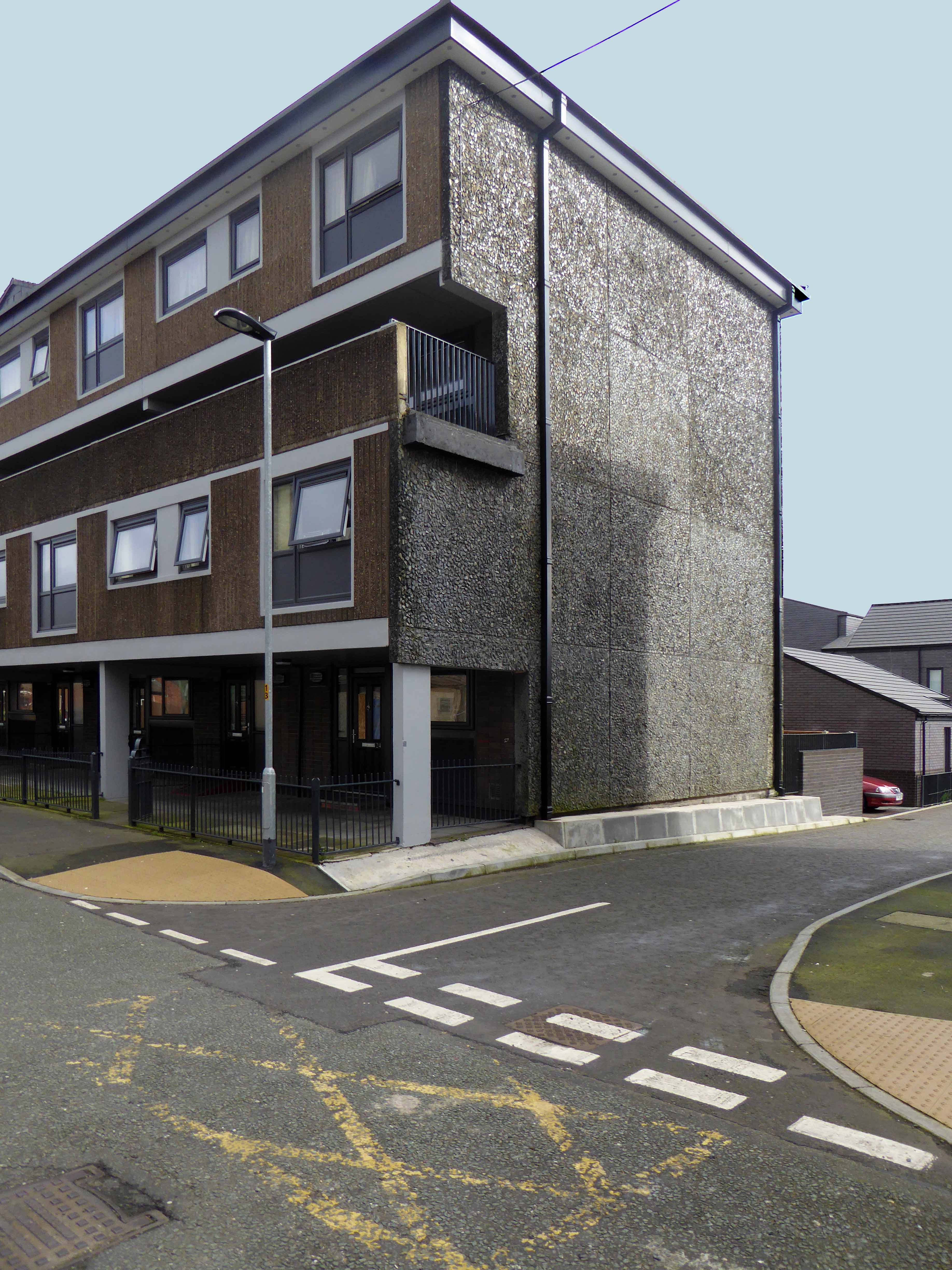
Walking between College Bank flats and St Patrick’s church you and I will almost inevitably pass through Lower Falinge.

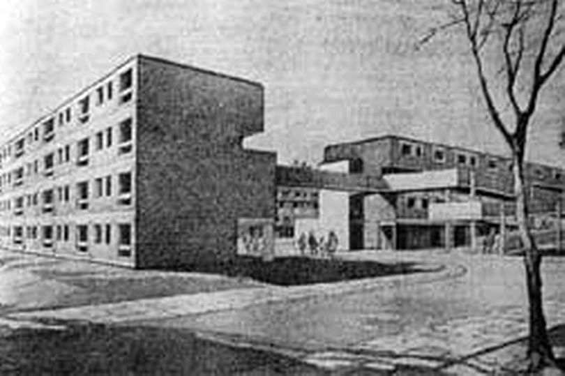
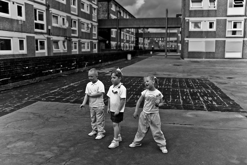
In April 1967 Rochdale Council’s Estates Committee considered a proposal to build 750 dwellings in four-storey deck access flats in the Falinge area. By November the £1,810,000 scheme for the area bounded by Spotland Road, Hudson Street and Toad Lane was given the thumbs up.

C_71_article_515340_body_articleblock_0_bodyimage

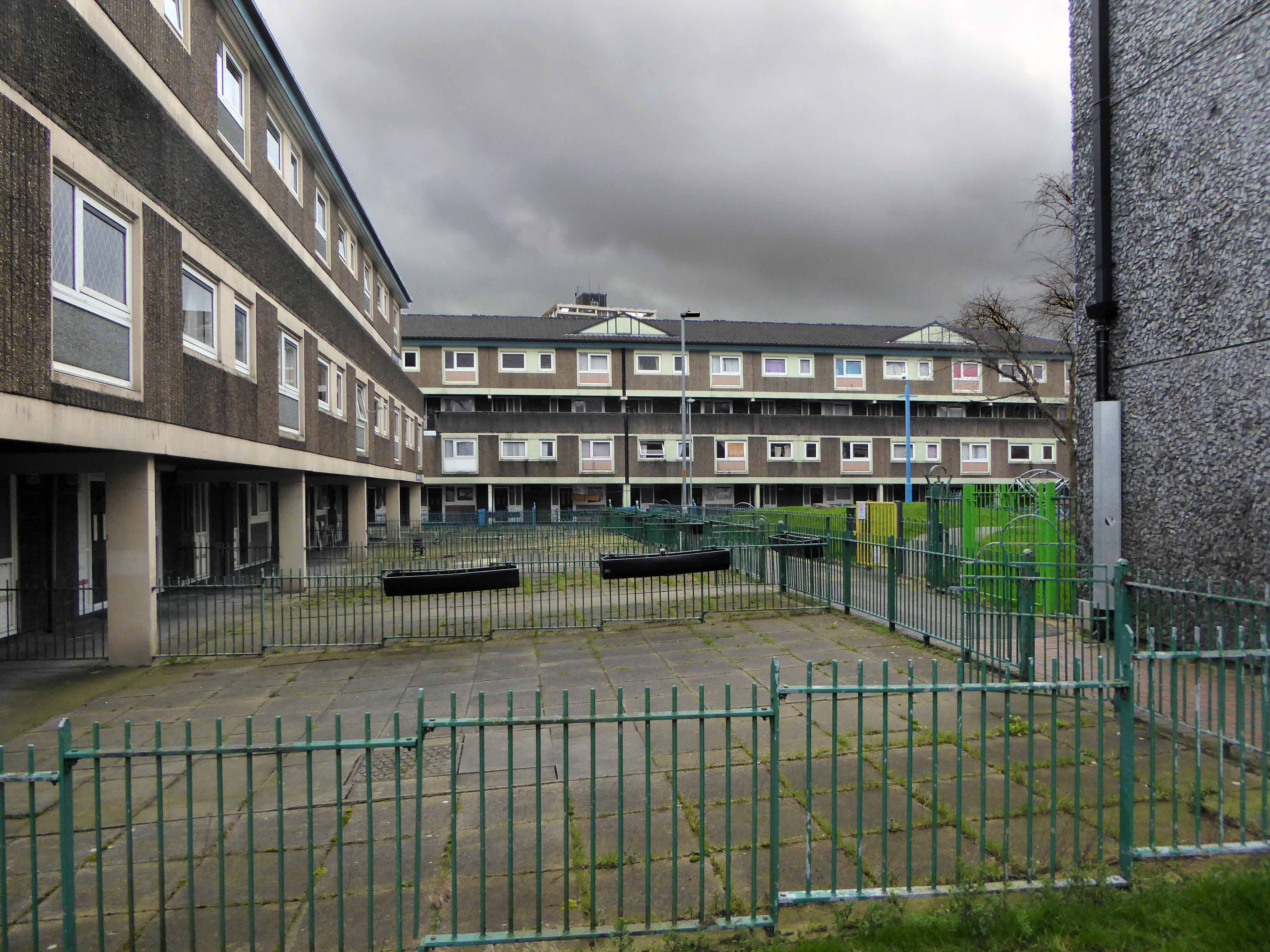
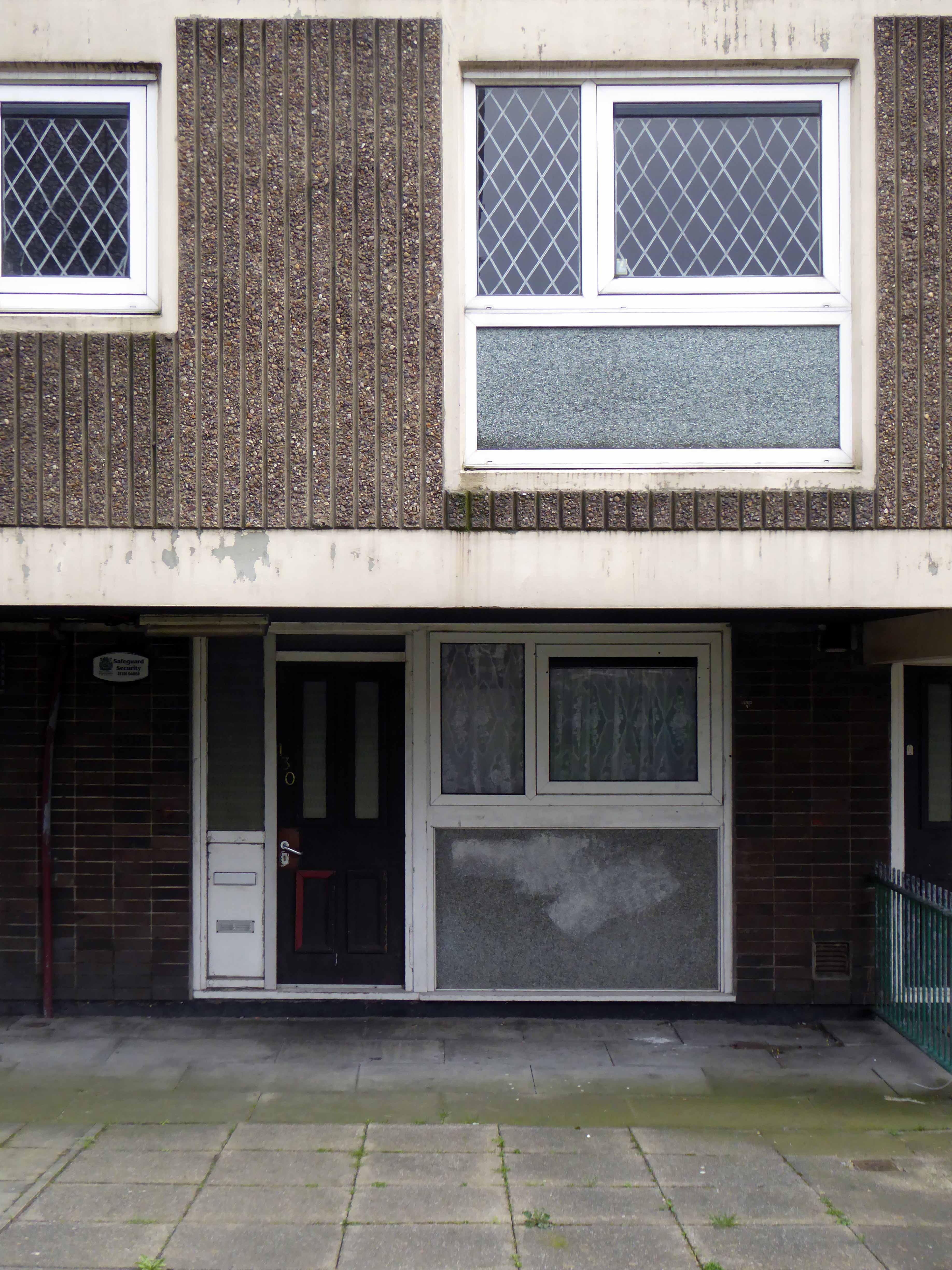
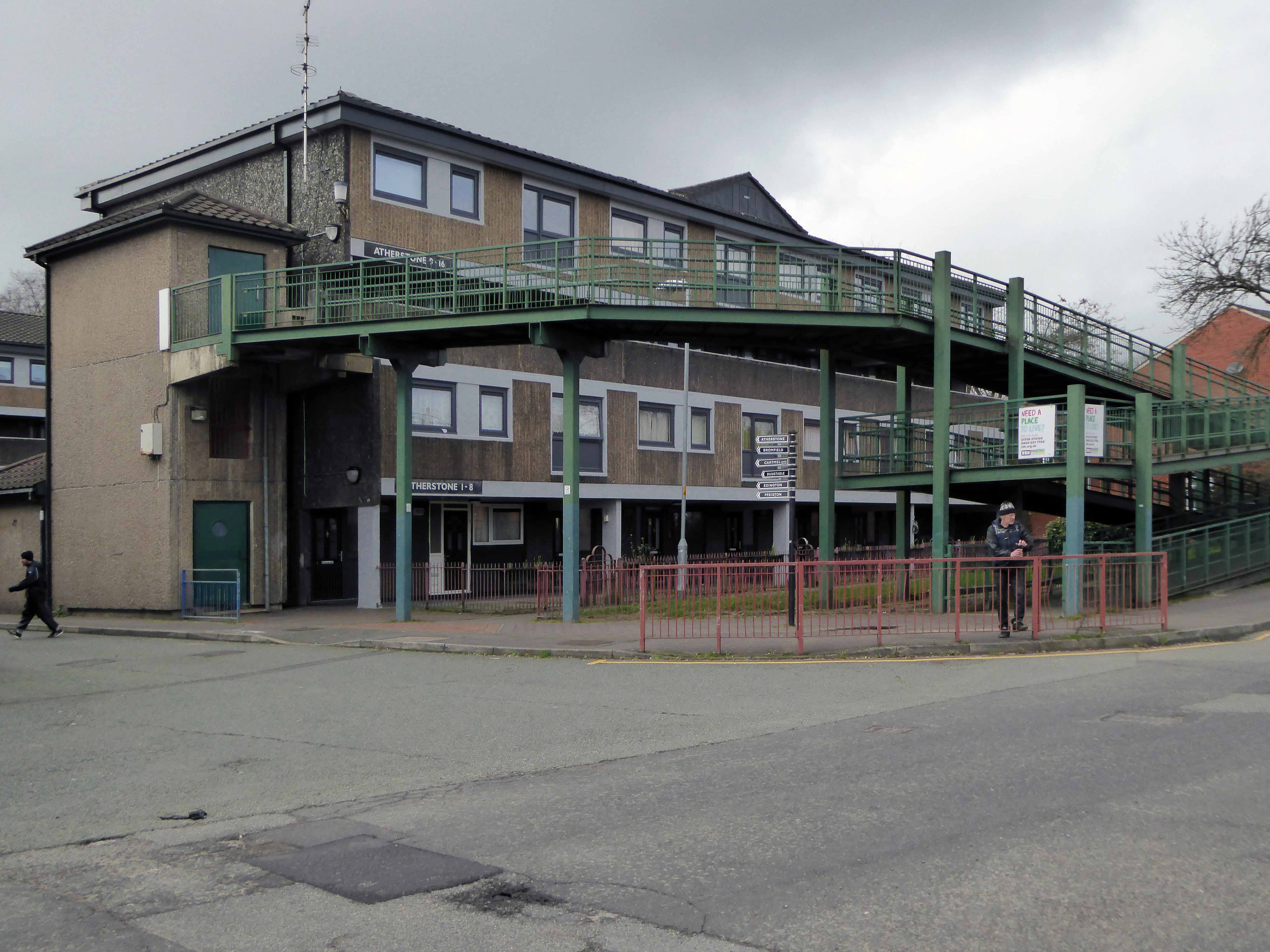
The four-storey development was to provide 527 dwellings with deck access, ramps and overheard walkways. It was planned so people could walk from any point in the area to another without having to return to ground level. Work began in early 1968 and was completed in three stages. More recently they have been up-graded and now have pitched roofs. Freehold Flats were built in the early 1970s. Eleven of the eventual 19 blocks were occupied by August 1971. 

Redevelopment_in_Falinge,_Rochdale,_Lancashire_-_geograph.org.uk_-_1395299

Built at a time when full employment was a tangible reality rather than a fondly recounted folk memory, the area was buoyant and relatively prosperous.

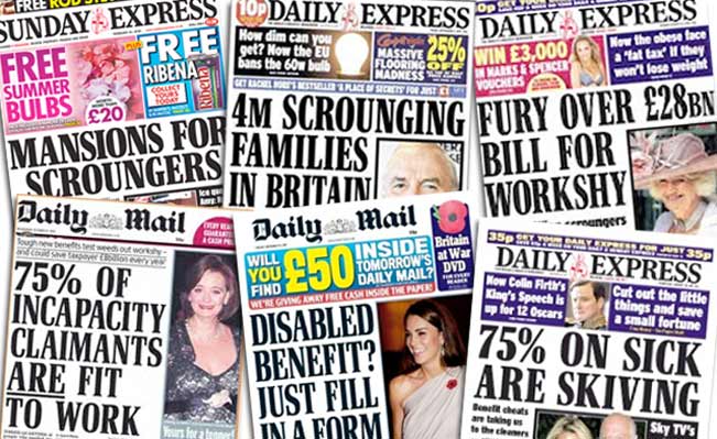
Time, the free market, and casualised labour has not been kind to Lower Falinge and many other post-industrial estates. The Thatcherite press conveniently badges the residents as scum, scroungers and frauds, a carefully conceived sleight of hand, transferring responsibility onto those careless enough to become the victims of an uncaring economic system.

scroungers_headlines_lg

Demonising and dividing working people regardless of ethnicity, ability, sexuality or ability – the equal opportunities abuser.

A few years ago there was even a national news story about a Falinge café serving fry-ups with a can of Stella for £2.50, this was untrue.

So Lower Falinge and its like become the convenient exemplar for the inconvenience of Broken Britain, a PR device to whitewash the very dirty hands that authored its very dirty demise. Those very dirty hands that have no viable solution to a very real problem, of resolving poor peoples’ uncertain futures.

Meanwhile the journalists form a disorderly queue to file the next in line, online assessment of an awful situation devoid of resolution, short of revolution.

2008826_152139

2016126_162425

Transferred from local authority control to charitable trust, forever shape shifting its hard lines to a softer, home made, fluffier image as limited resources, chase limited opportunities, all around the deck access landings.

Life goes on, we live in hope or Lower Falinge.

Limbo-5880

Mishka Henner

The estate is now post-post modern, acquiring another veneer of refurbishment over the now tarnished green of the cover all, all purpose un-repurposed steel railings.

P1140380

P1140381

P1140382

P1140383

P1140384

P1140385

P1140386

P1140387

P1140388

P1140397

P1140399

P1140401

P1140403

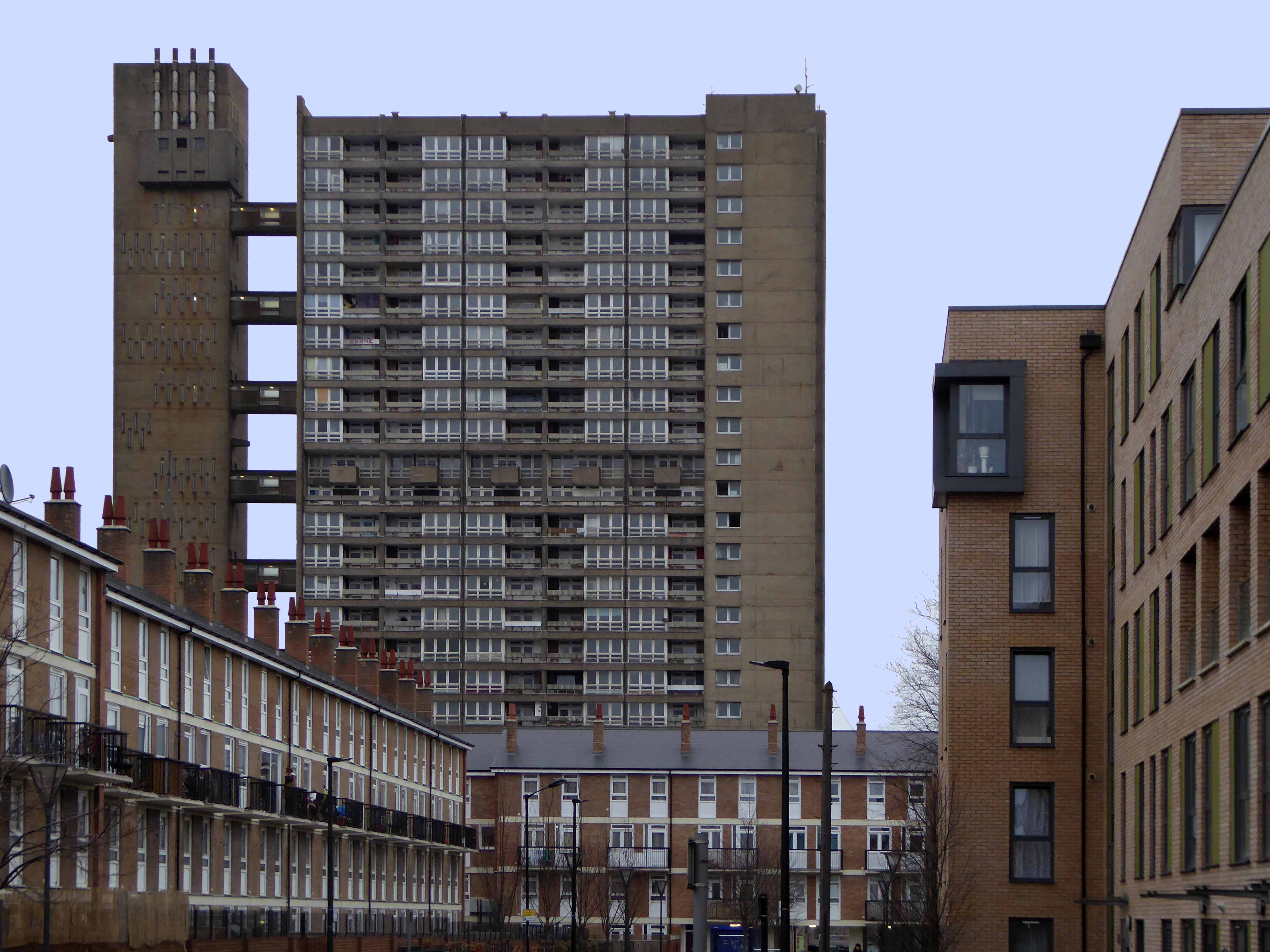
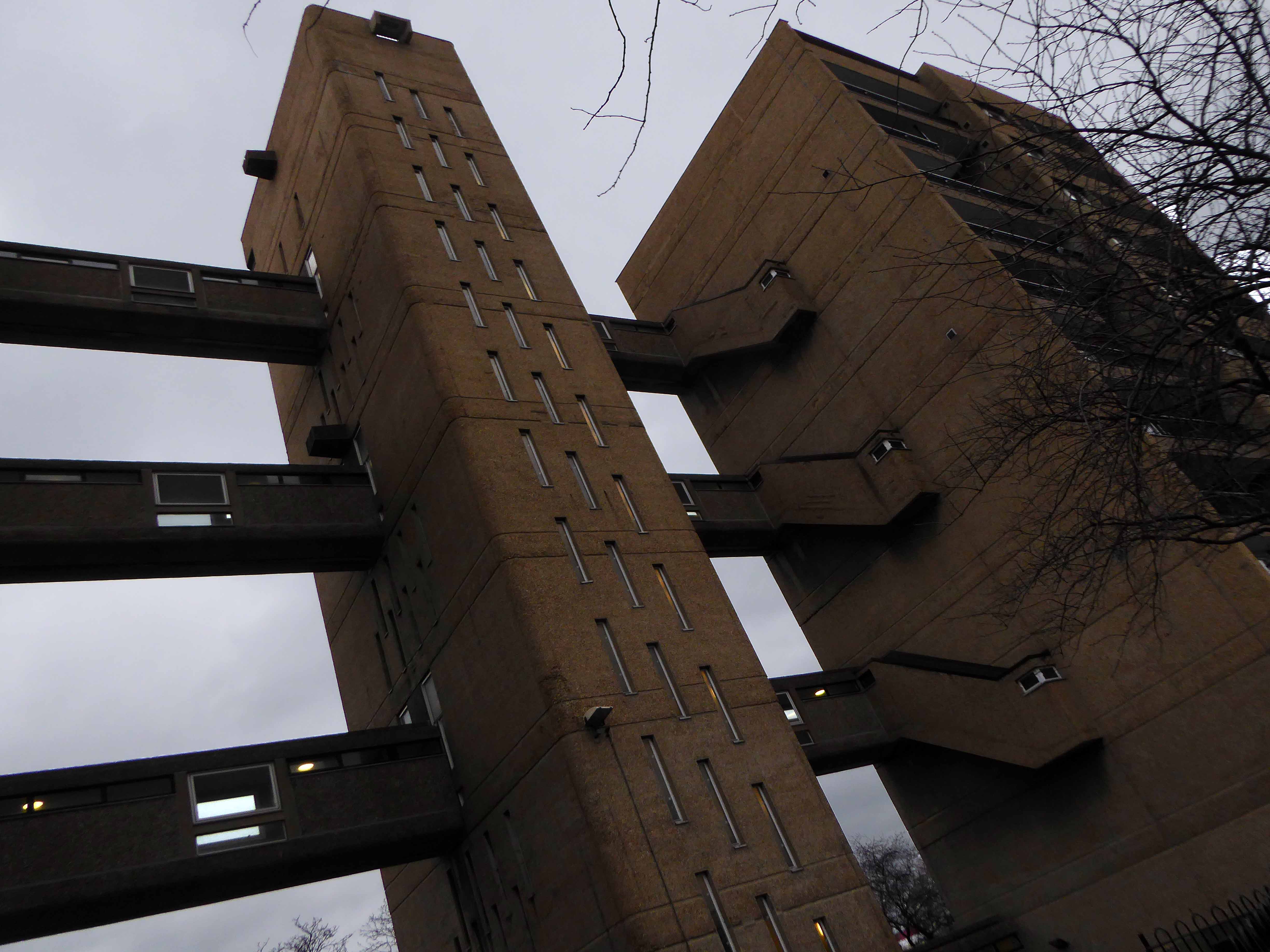
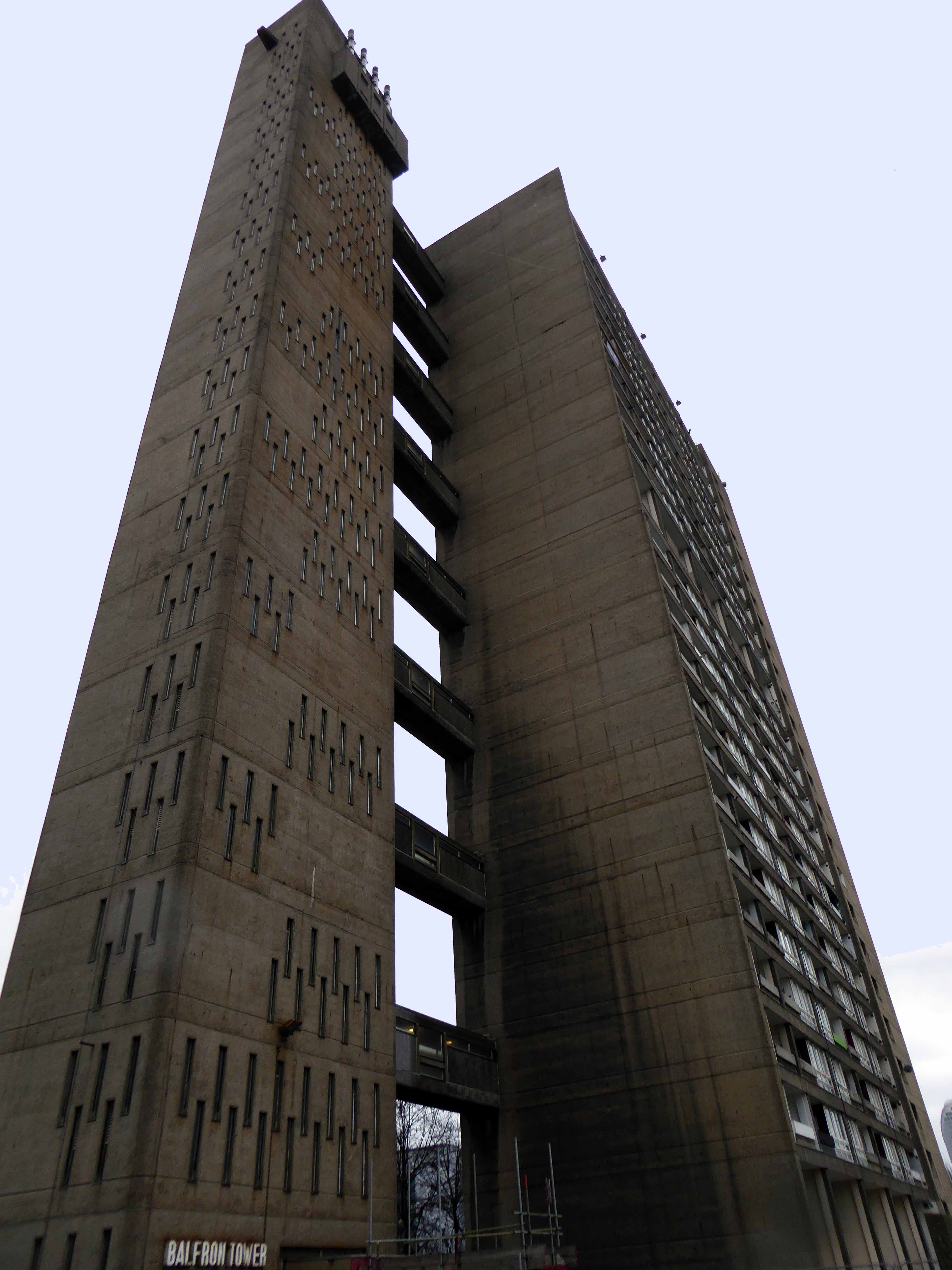
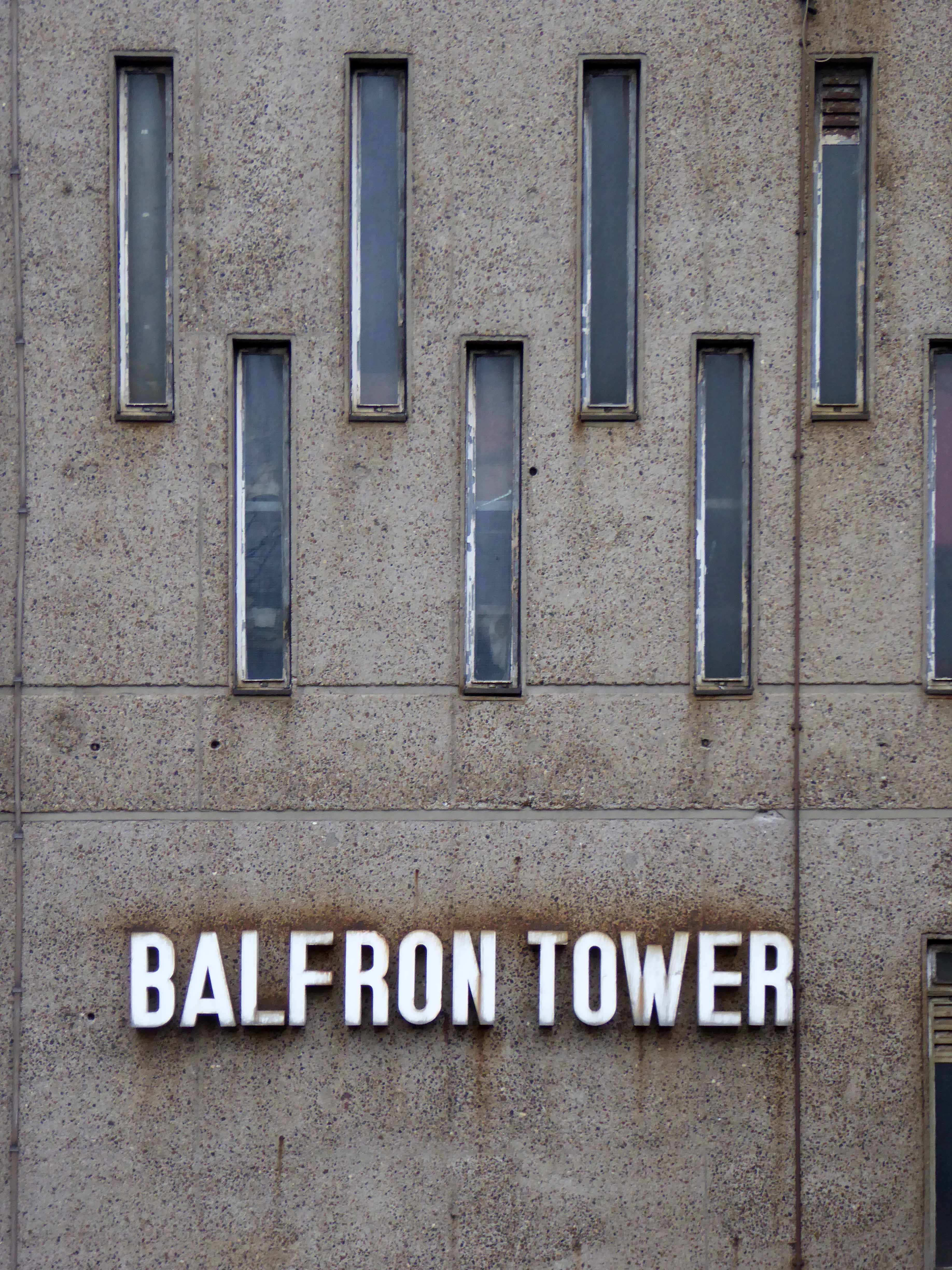
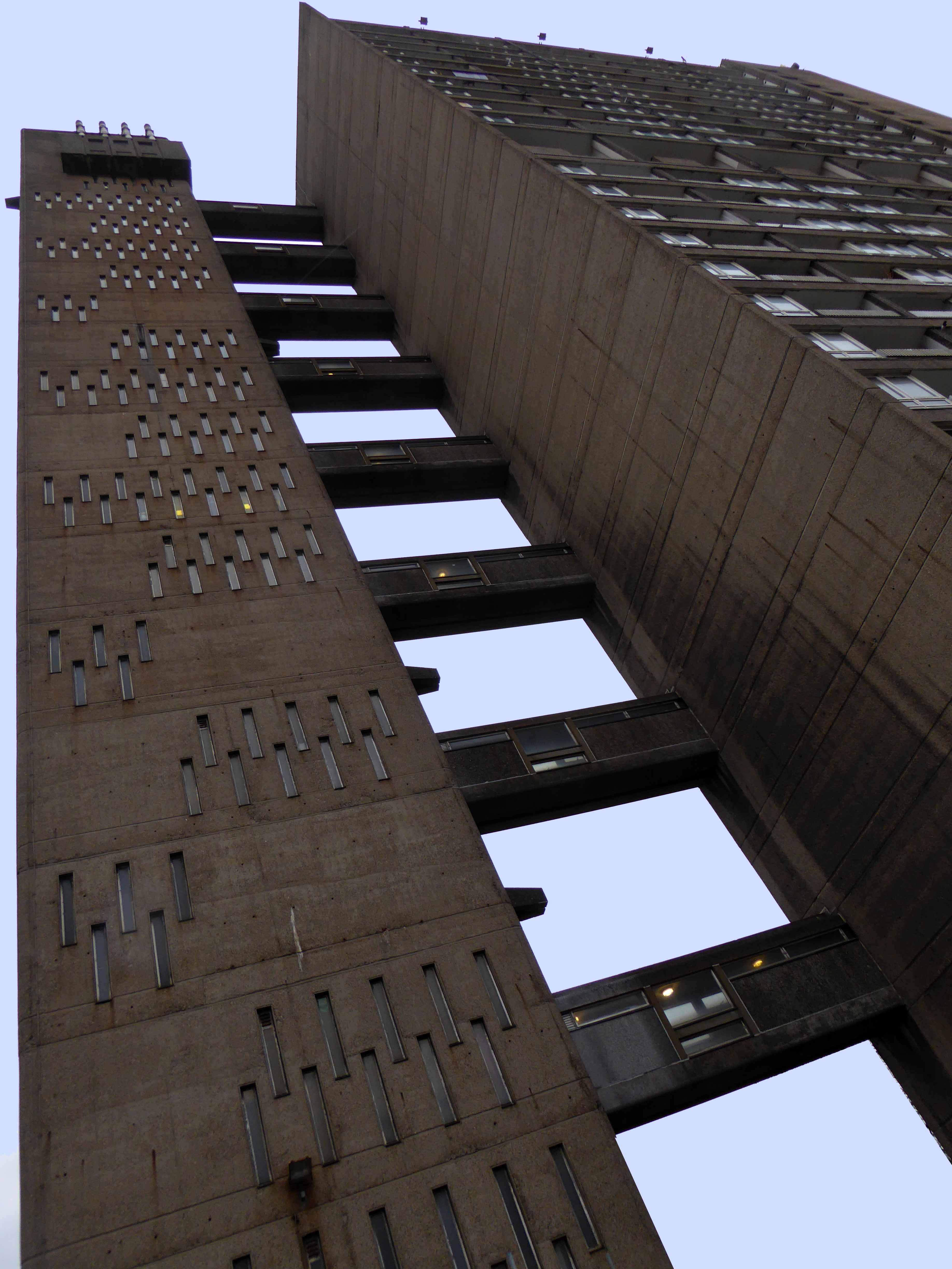
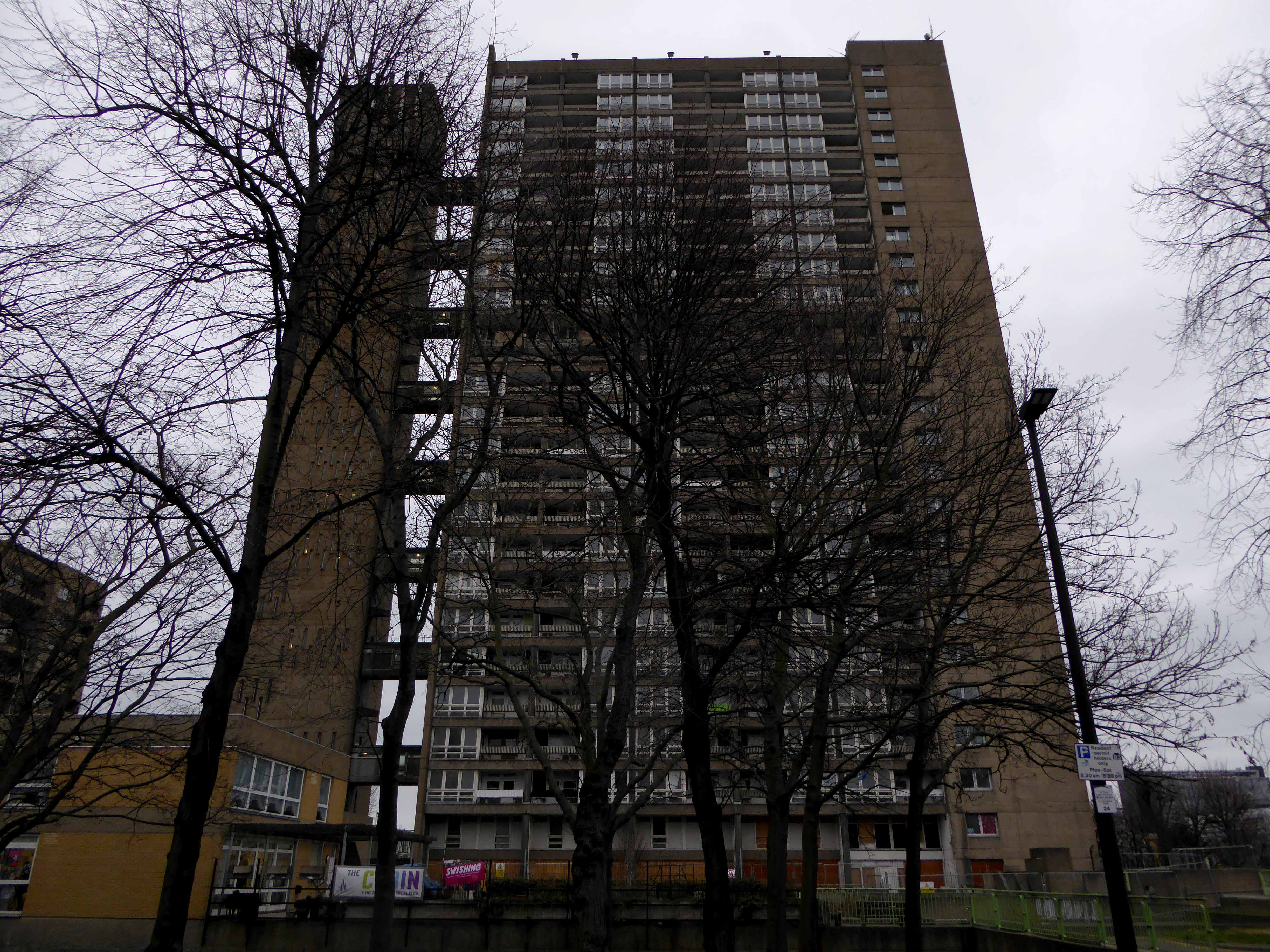
Balfron Tower London

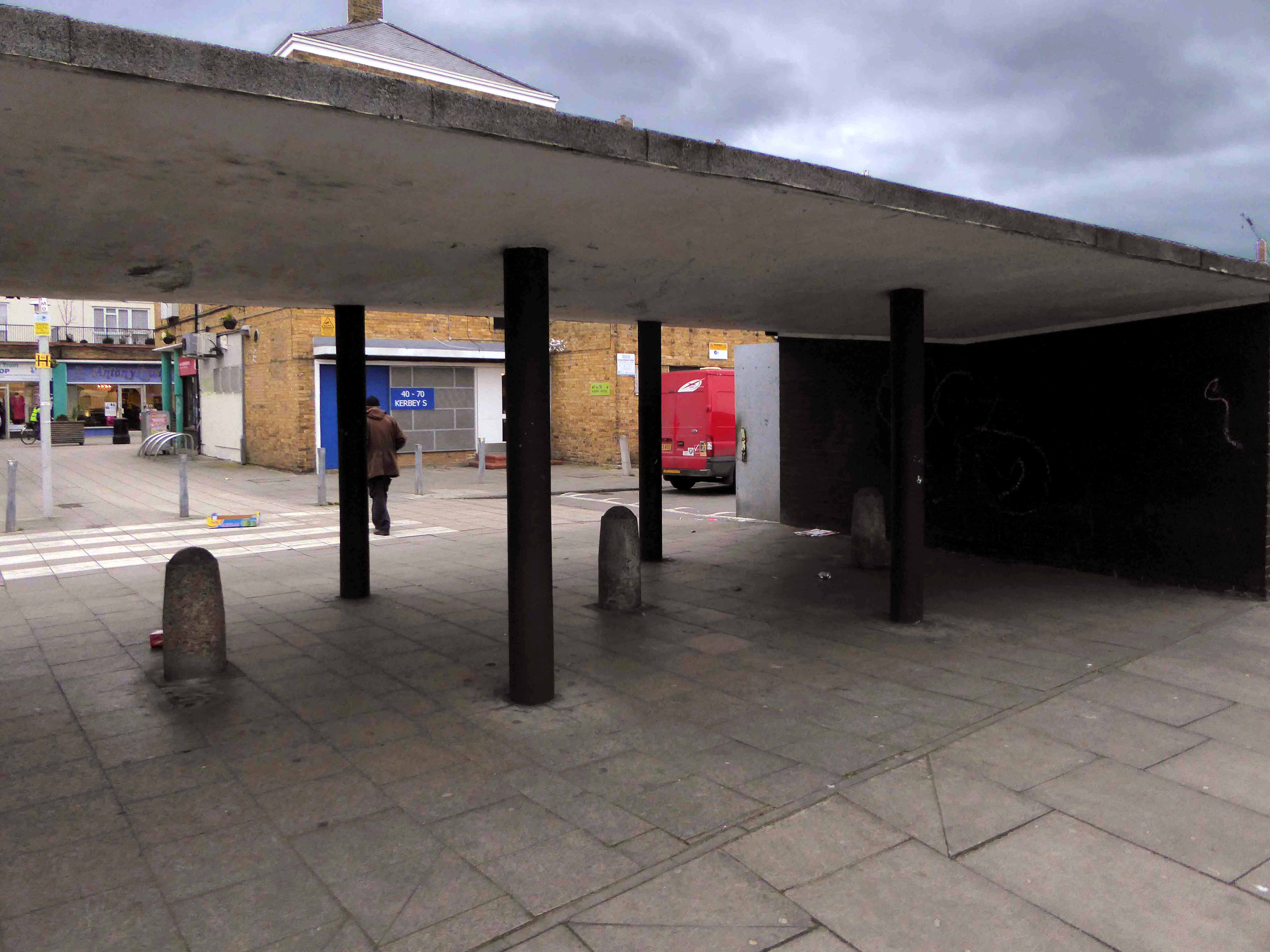
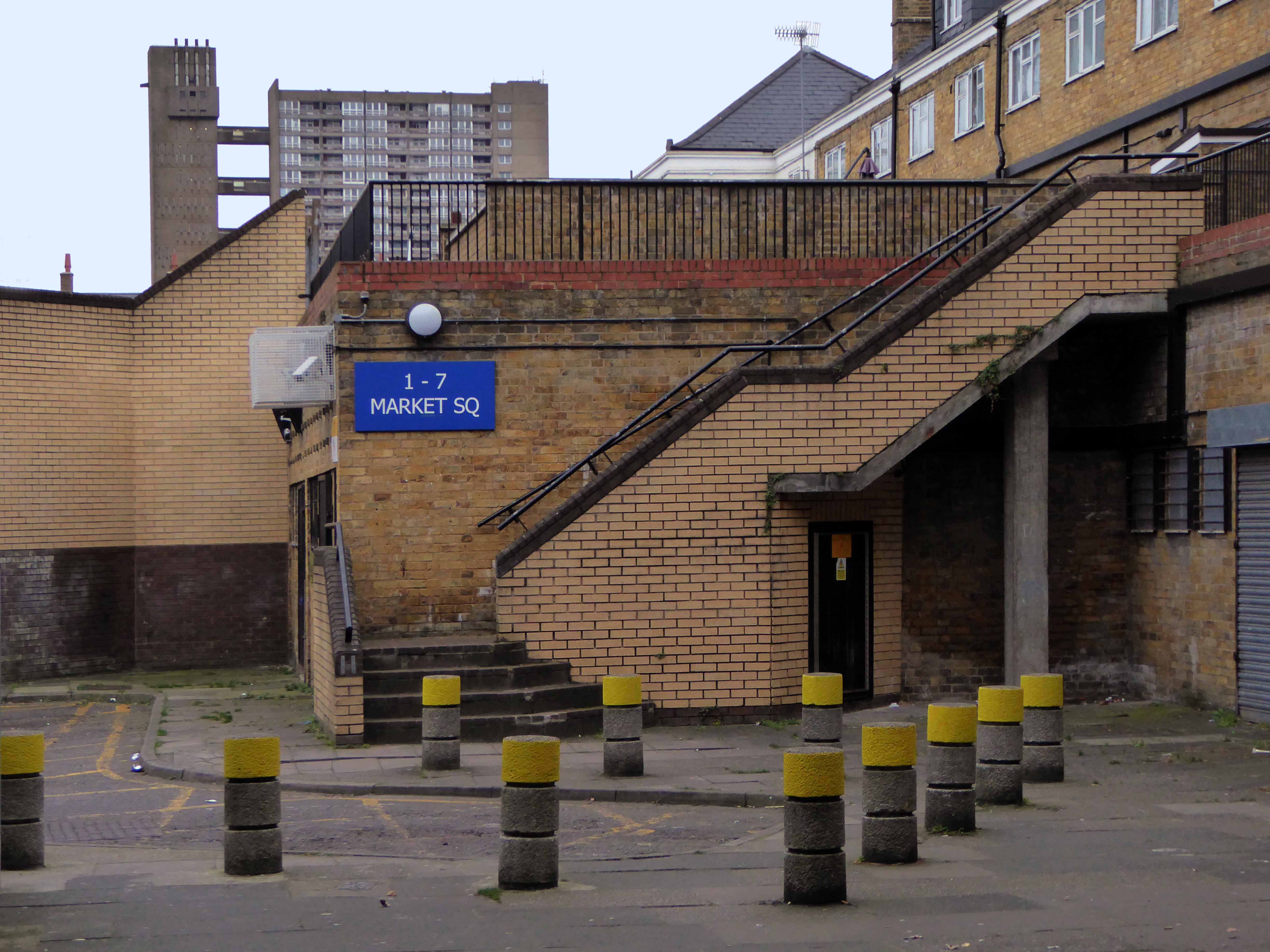
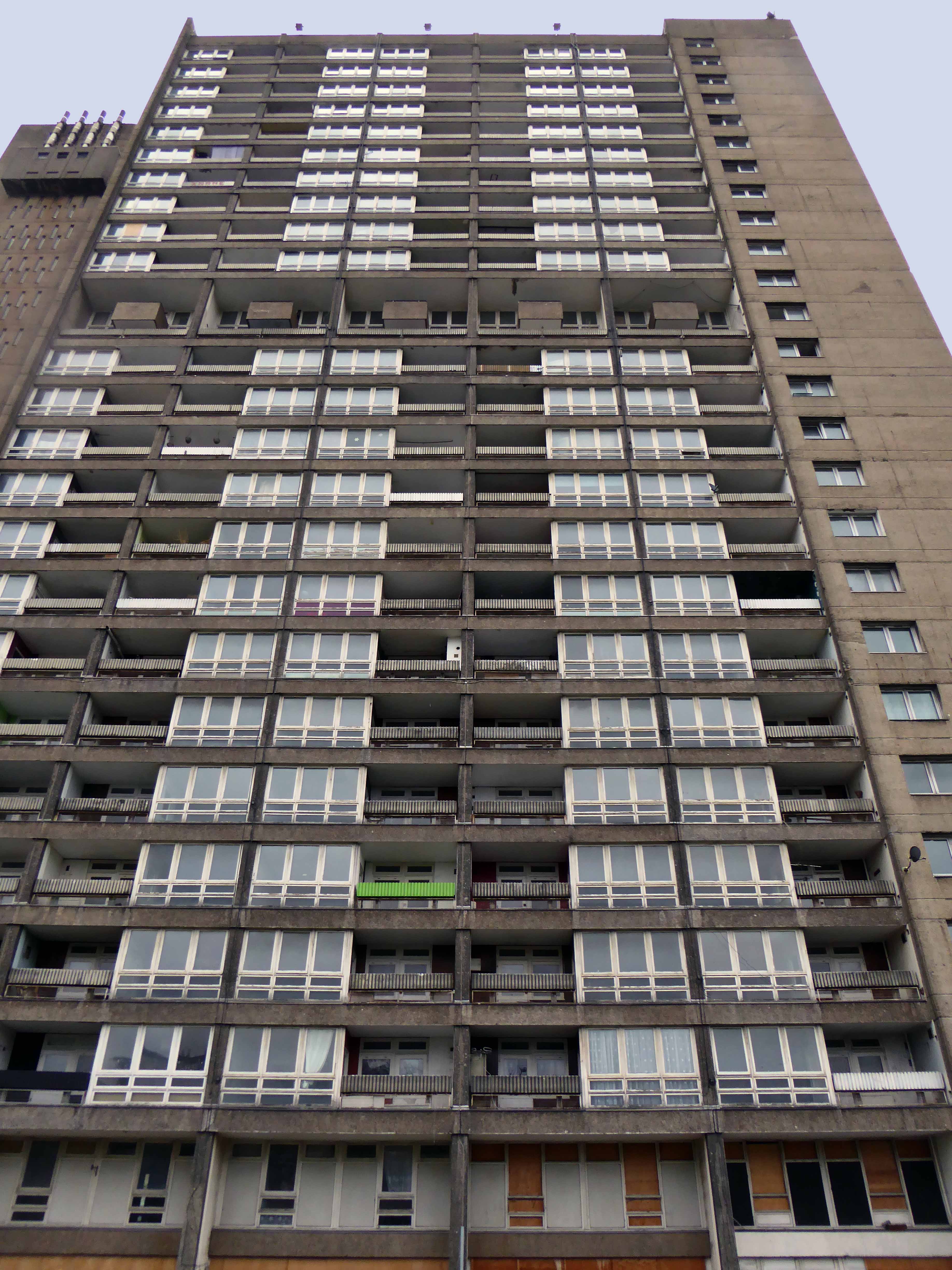
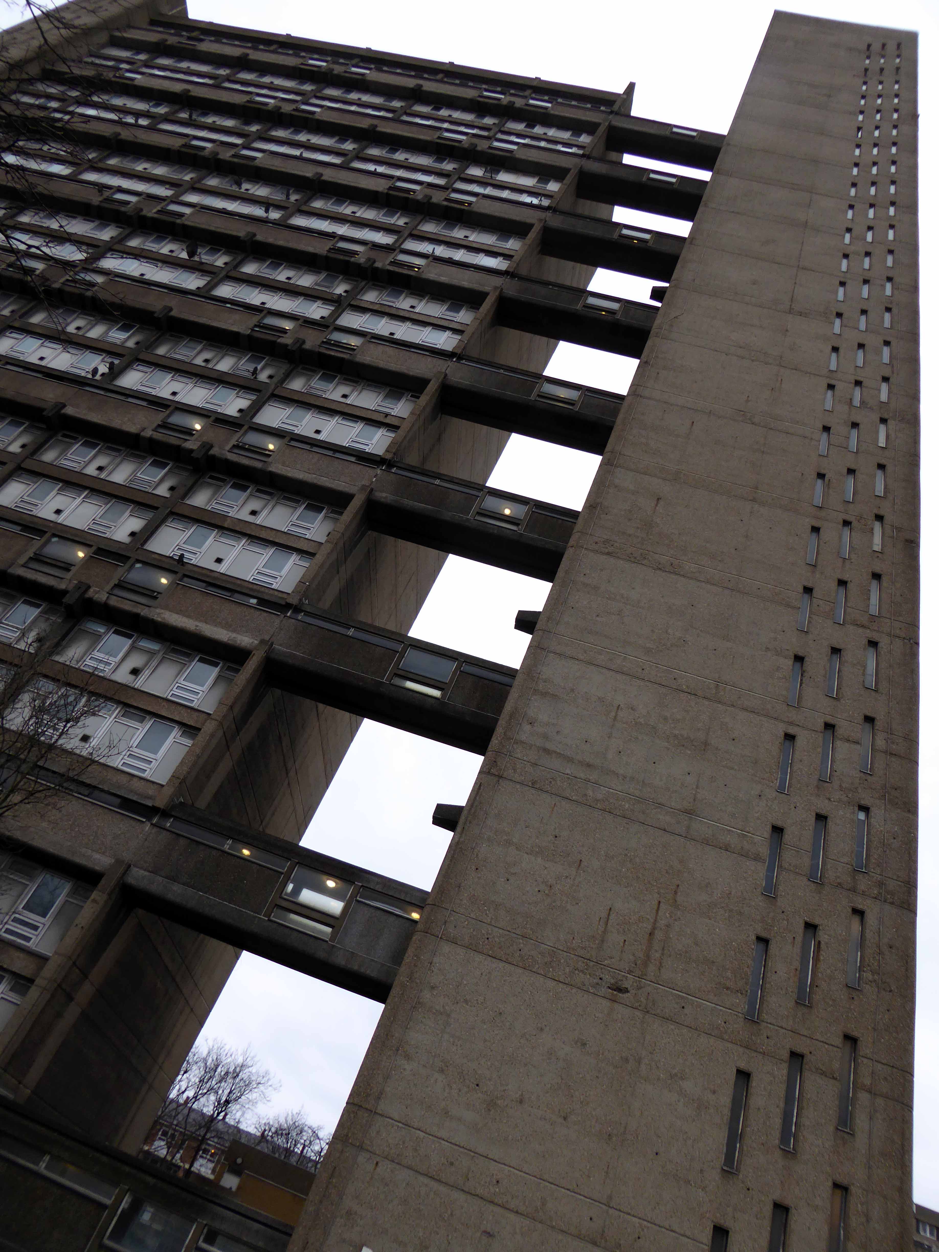
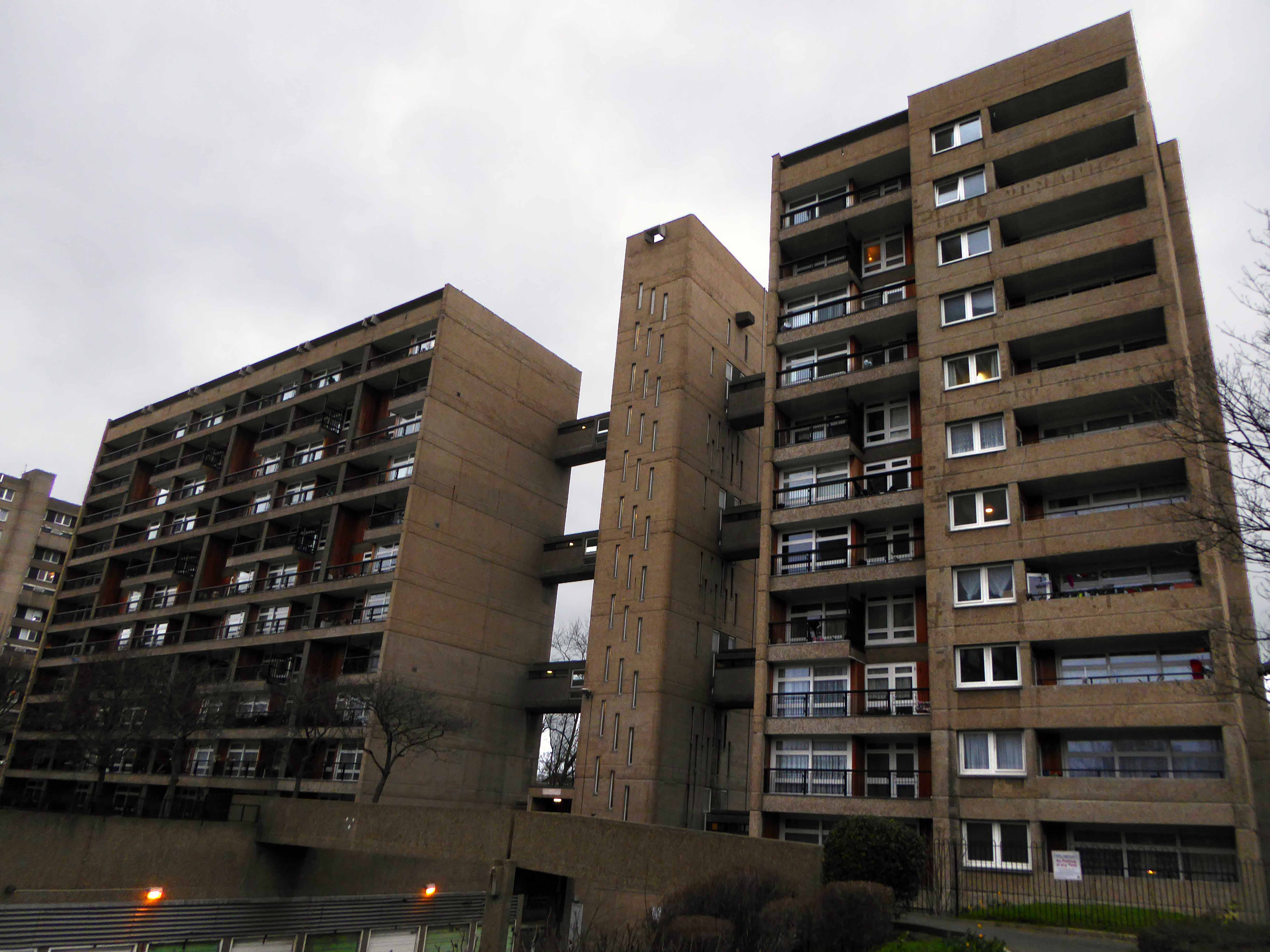
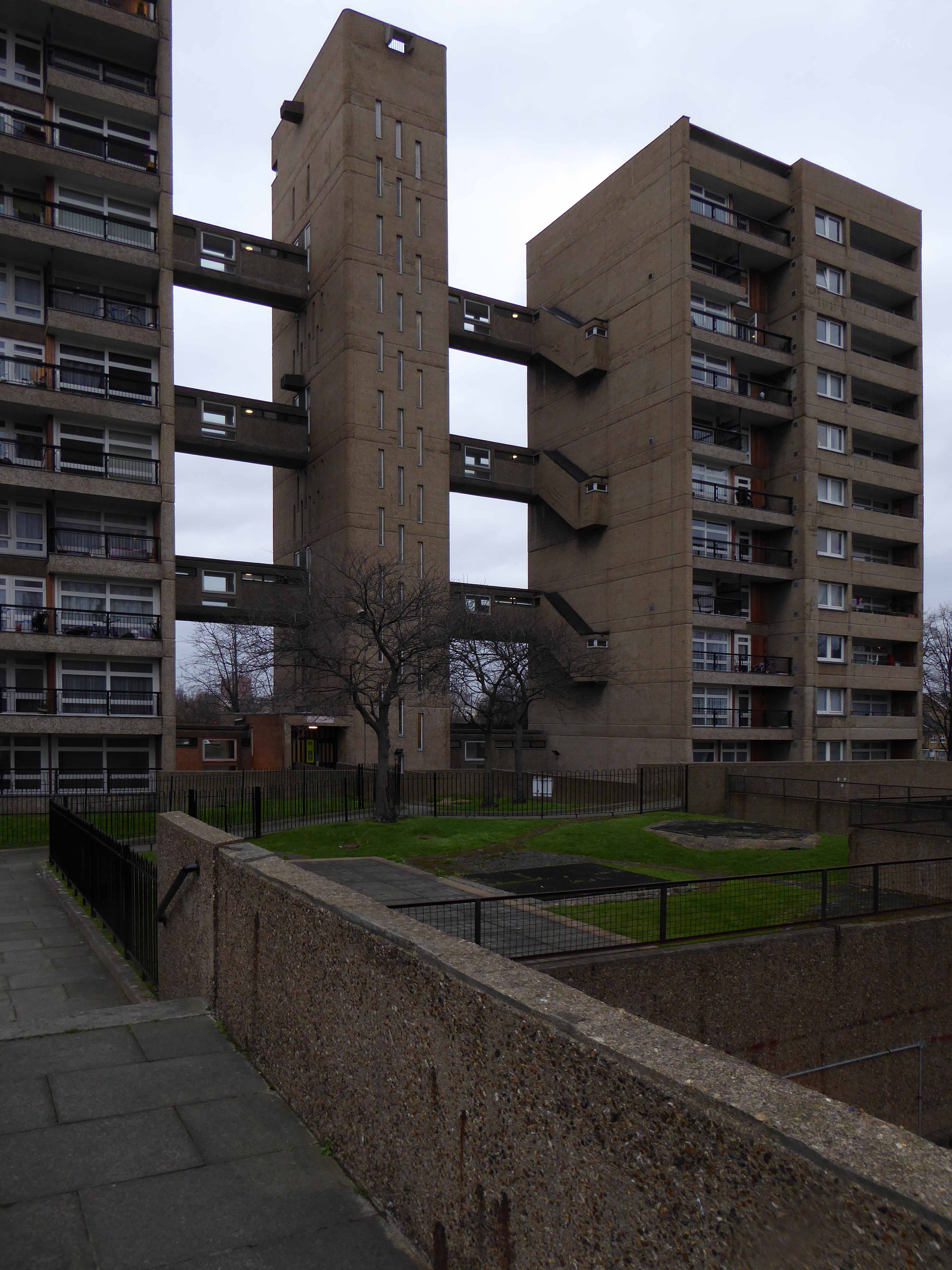
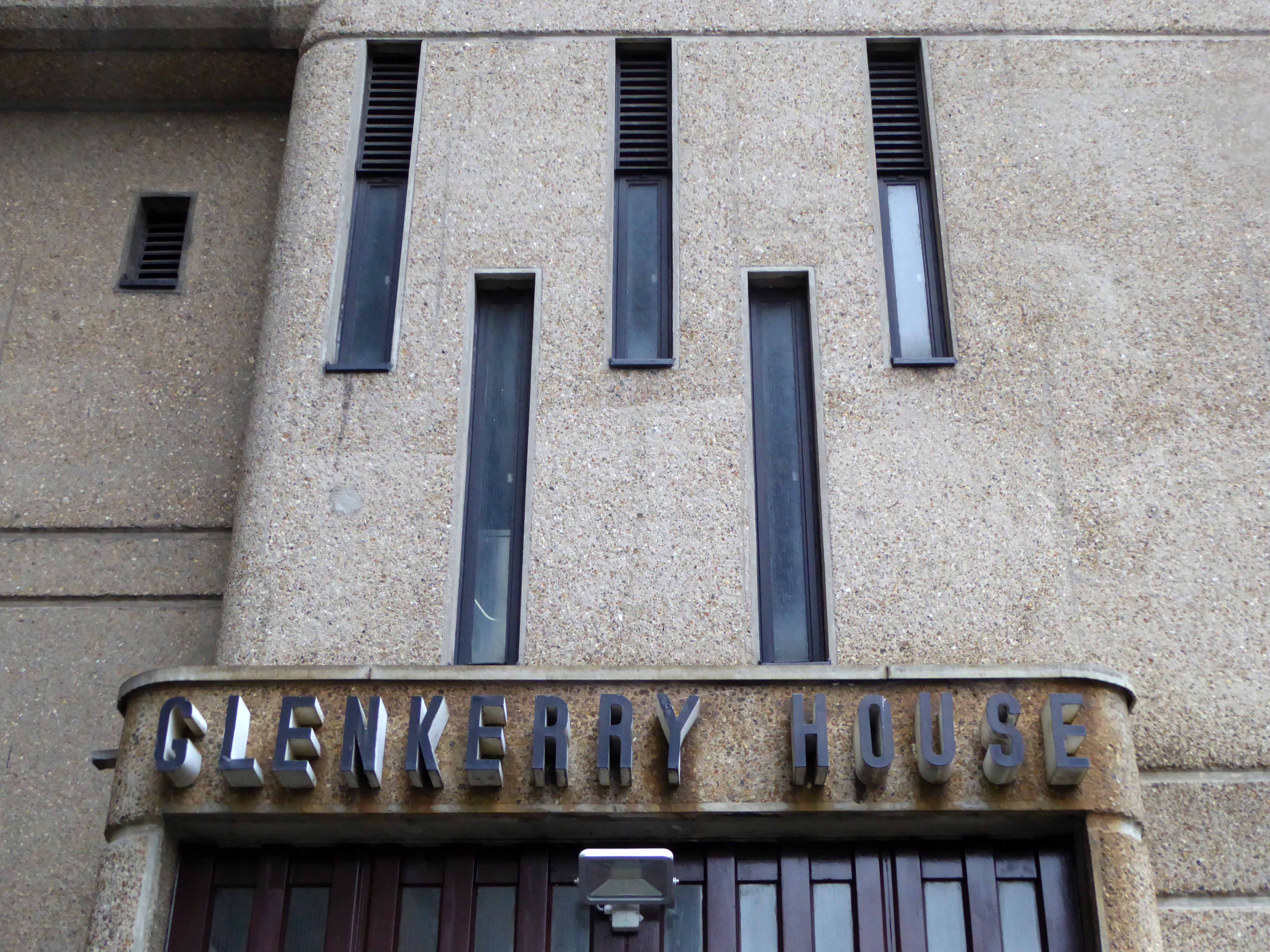
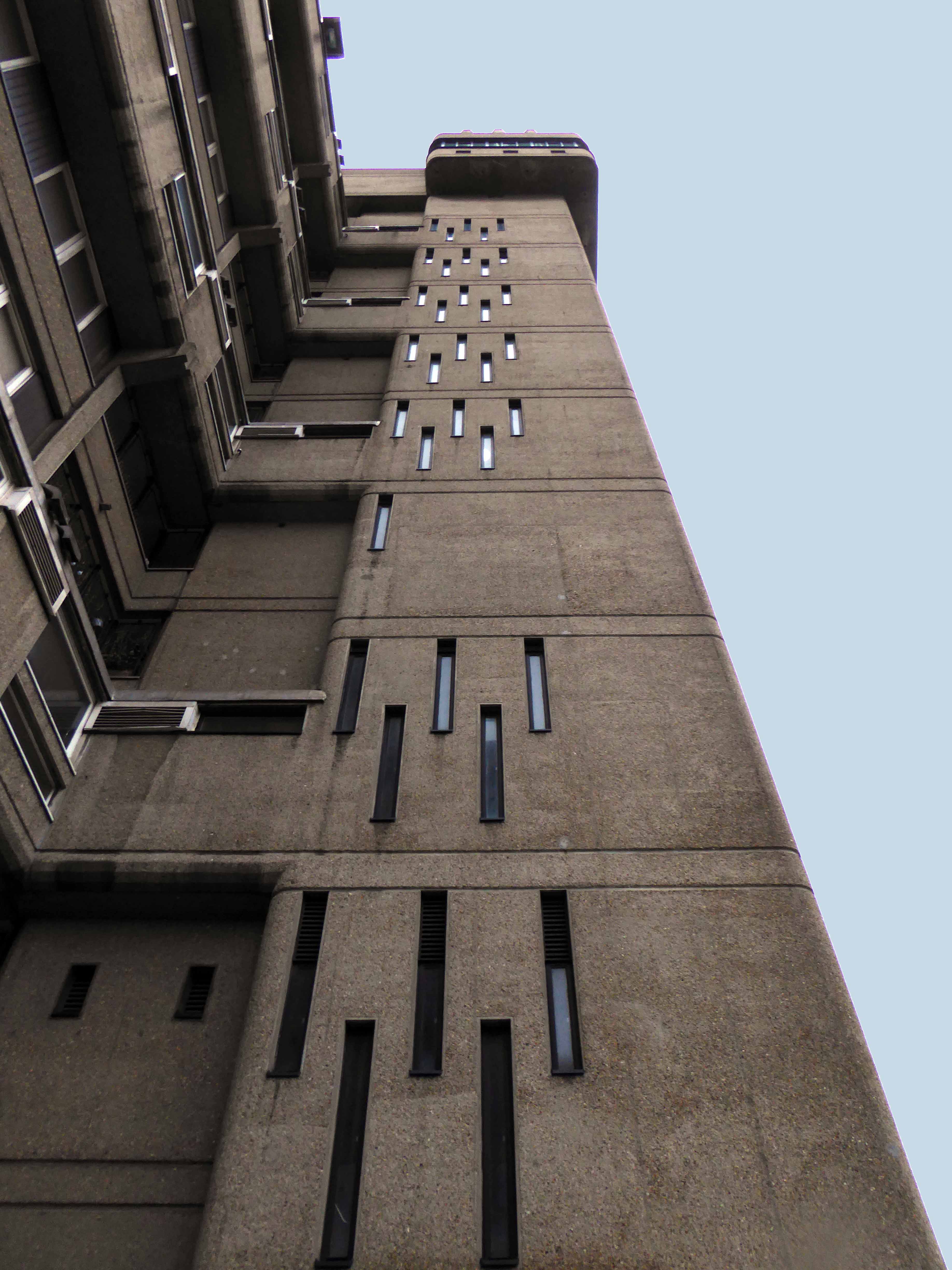
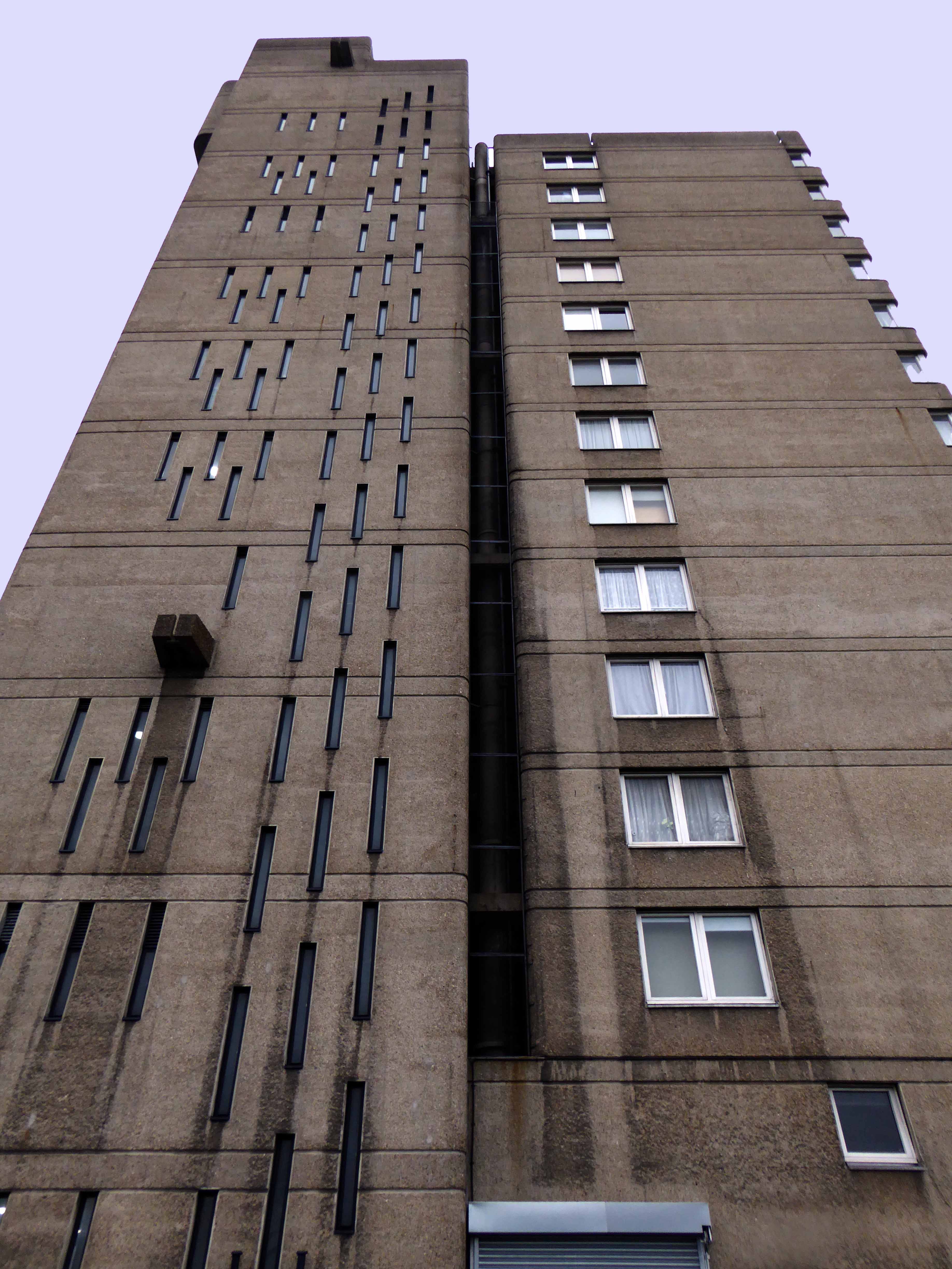
The Balfron Tower Conservation Area was designated in October 1998 around the two residential blocks designed by Ernö Goldfinger for the London County Council in the 1960s. The Conservation Area boundary protects the listed Balfron Tower and Carradale House, and other buildings in the ‘Brownfield Estate’, including Glenkerry House, a community centre, shops and associated low-rise housing development.

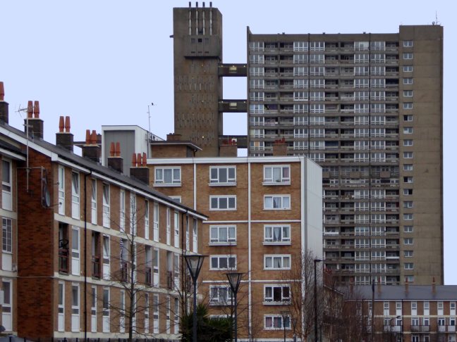
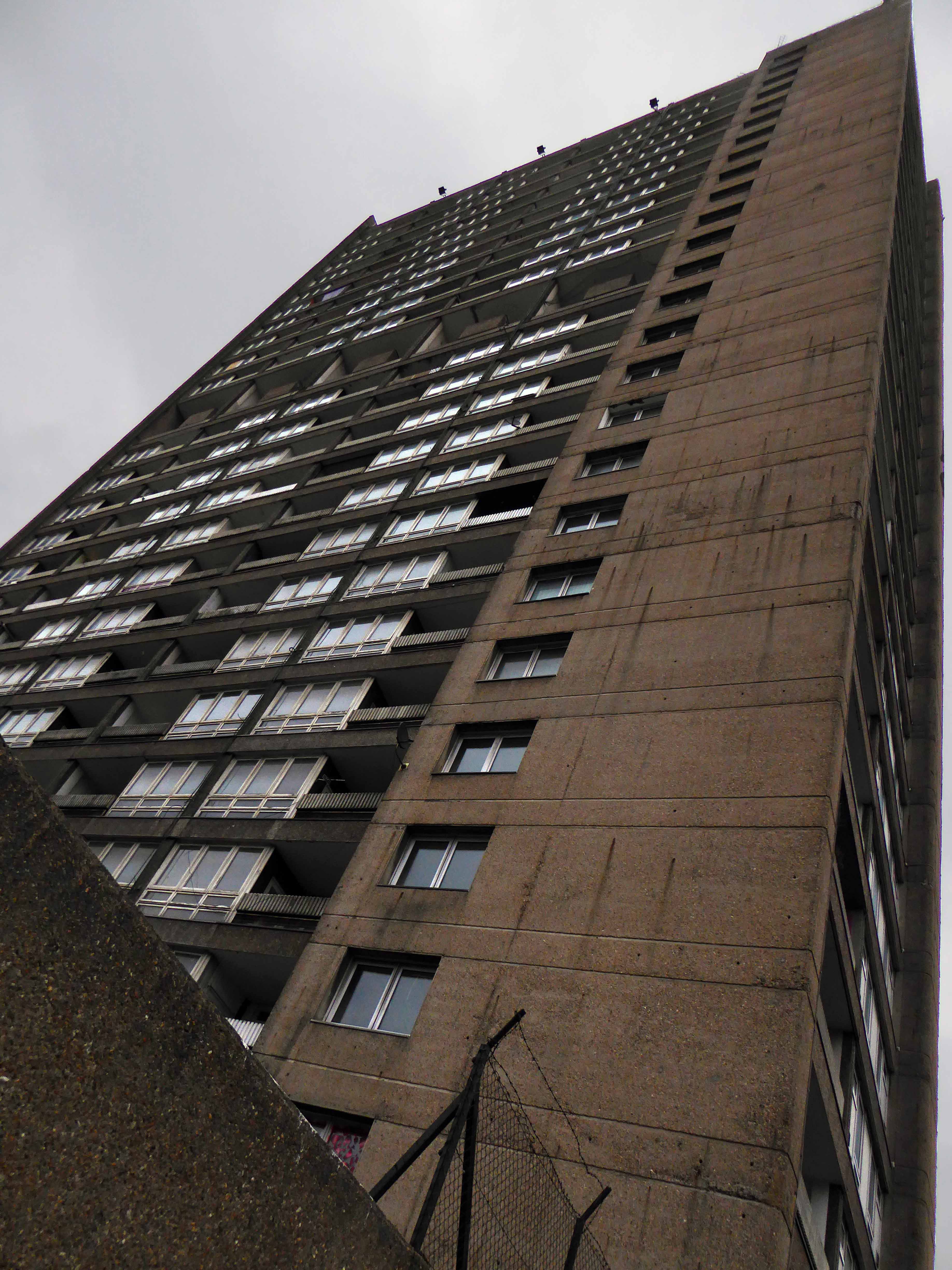
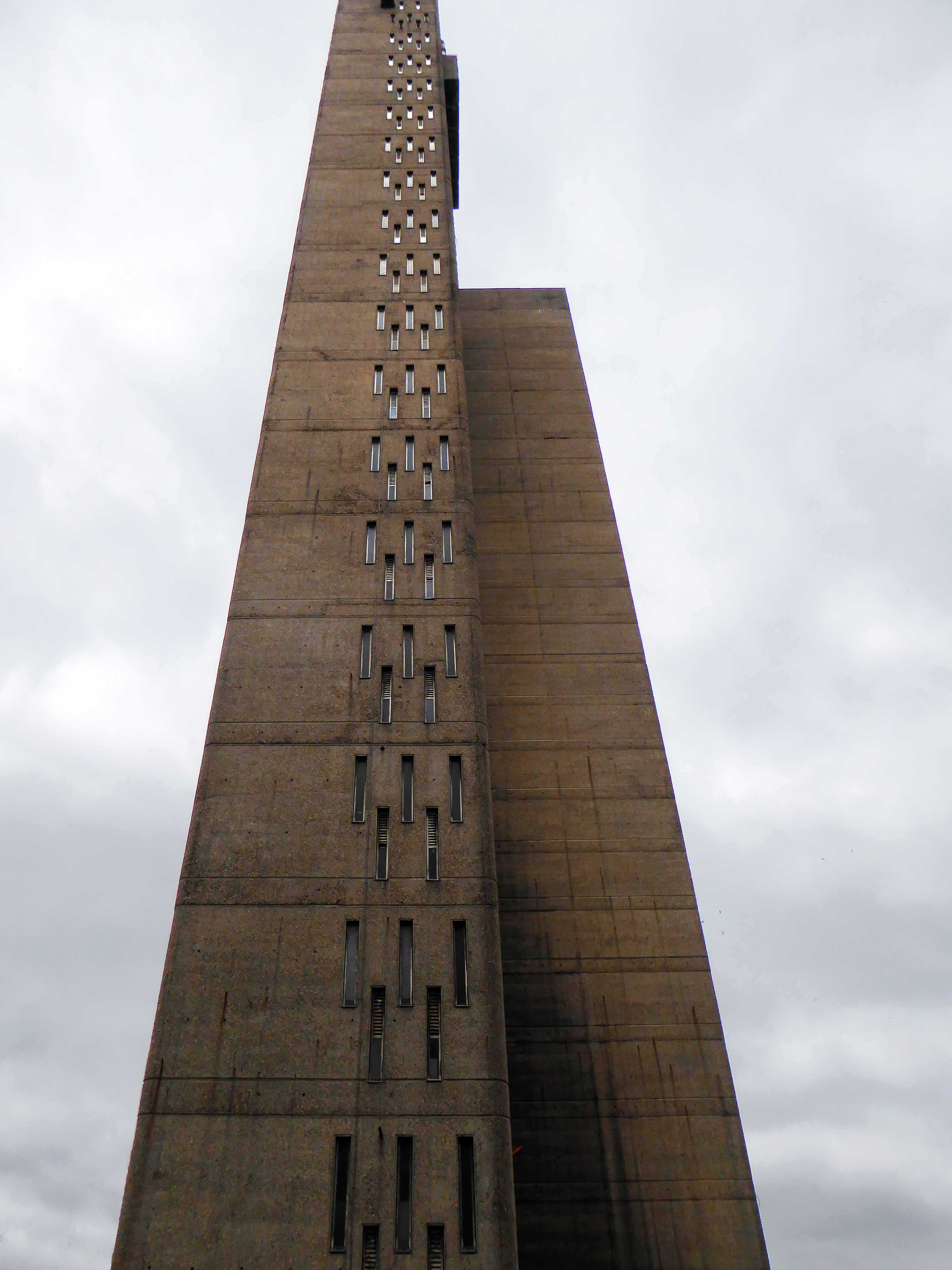
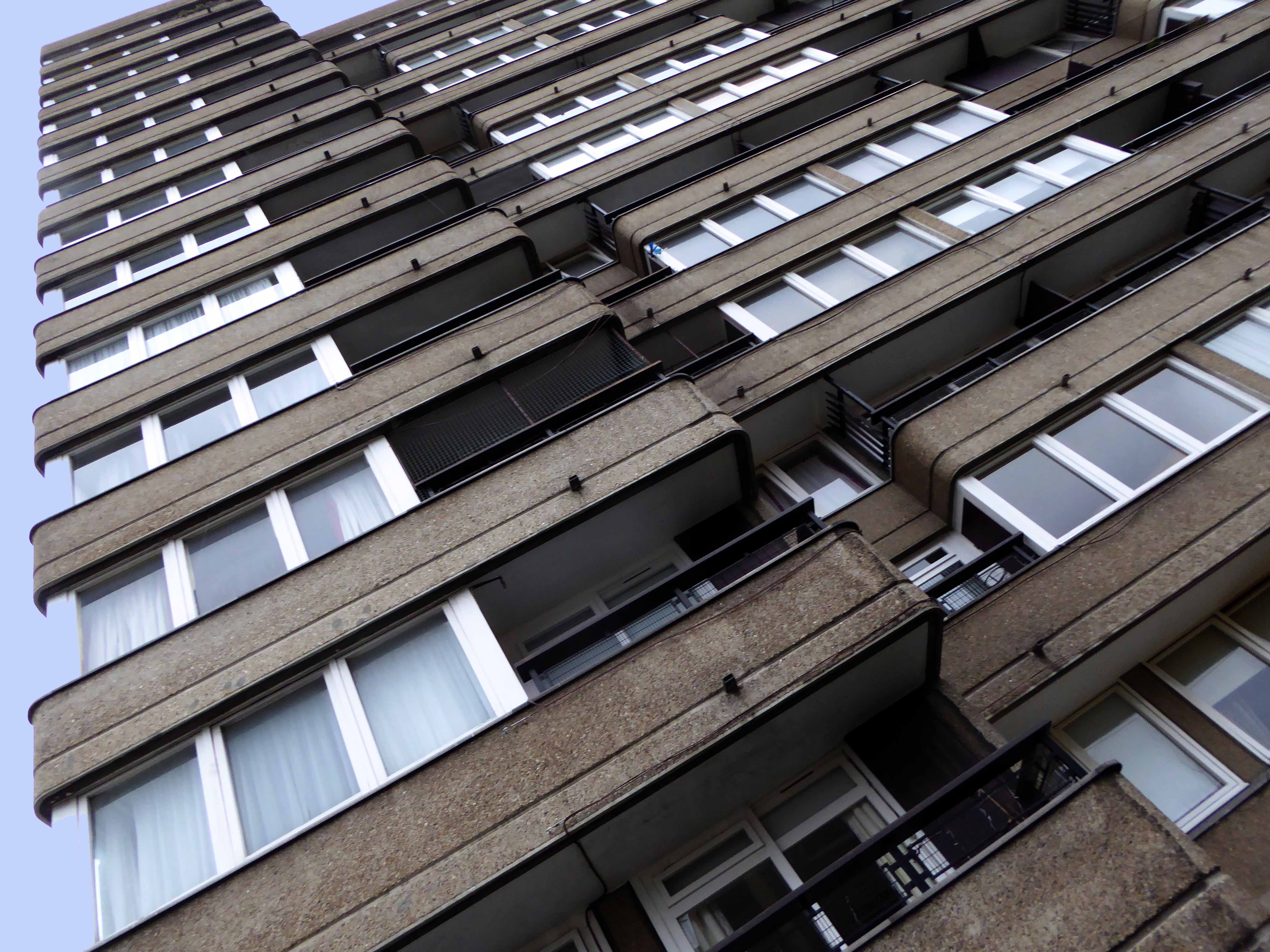
The 27-storey Balfron Tower is Goldfinger’s first public housing project, and a precursor to his better known Trellick Tower in North Kensington. The neighbouring Carradale House and Glenkerry House sit within the landscaped areas developed at the same time. The Brownfield Estate, also known as the East India Estate, is now recognised as a fine example of planned 1960s social housing. Considered to be exemplary examples of the post-war housing schemes, Balfron Tower and Carradale House were listed in 1998 for their cultural & architectural merit.

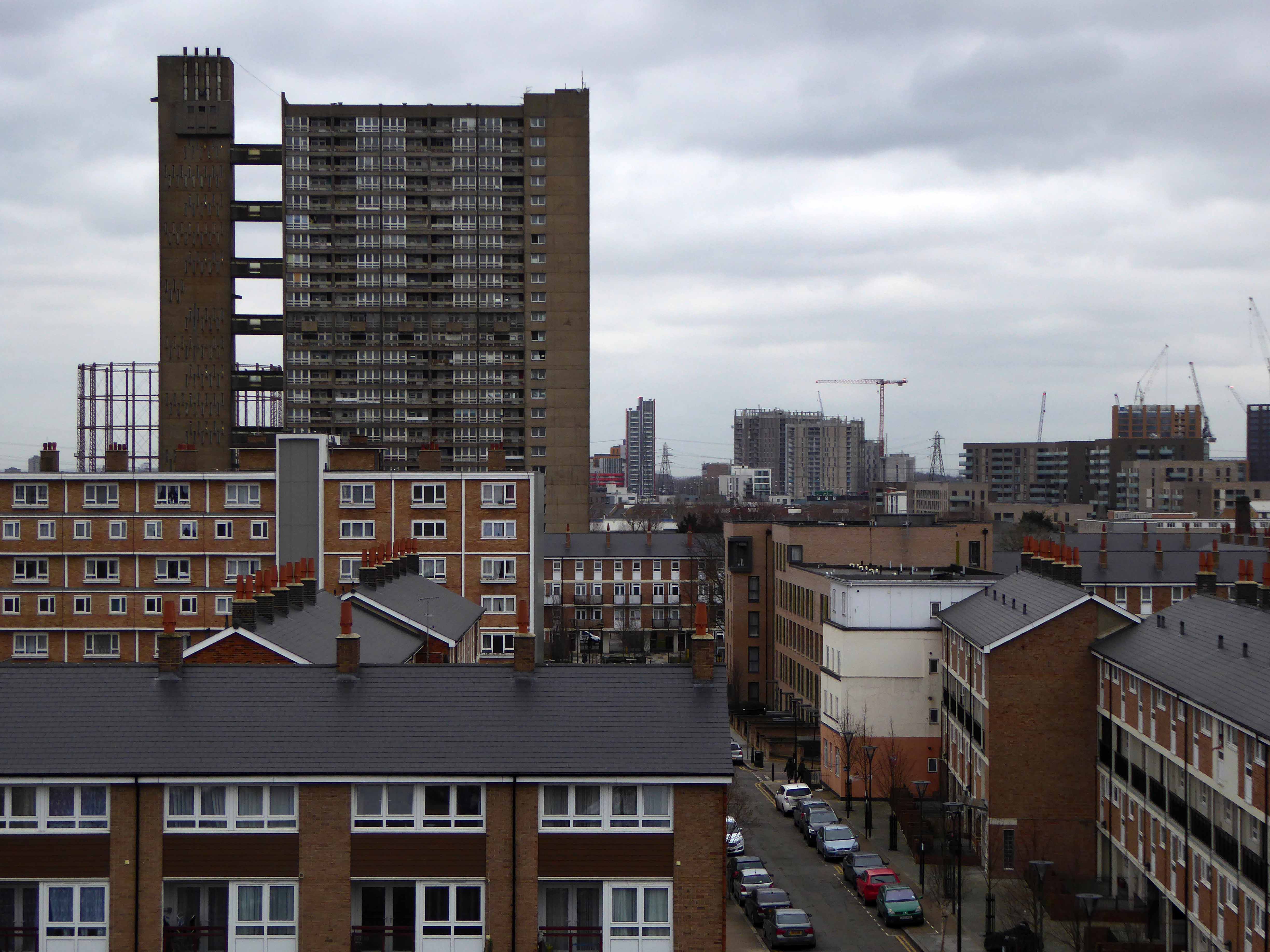
This was my first visit, to a key building in the short history of modernist post war housing, currently something of a sleeping giant, awaiting Prince Charming’s kiss.

What will it awake to?

Tower Hamlets are mid consultation, as evidenced in this here document.

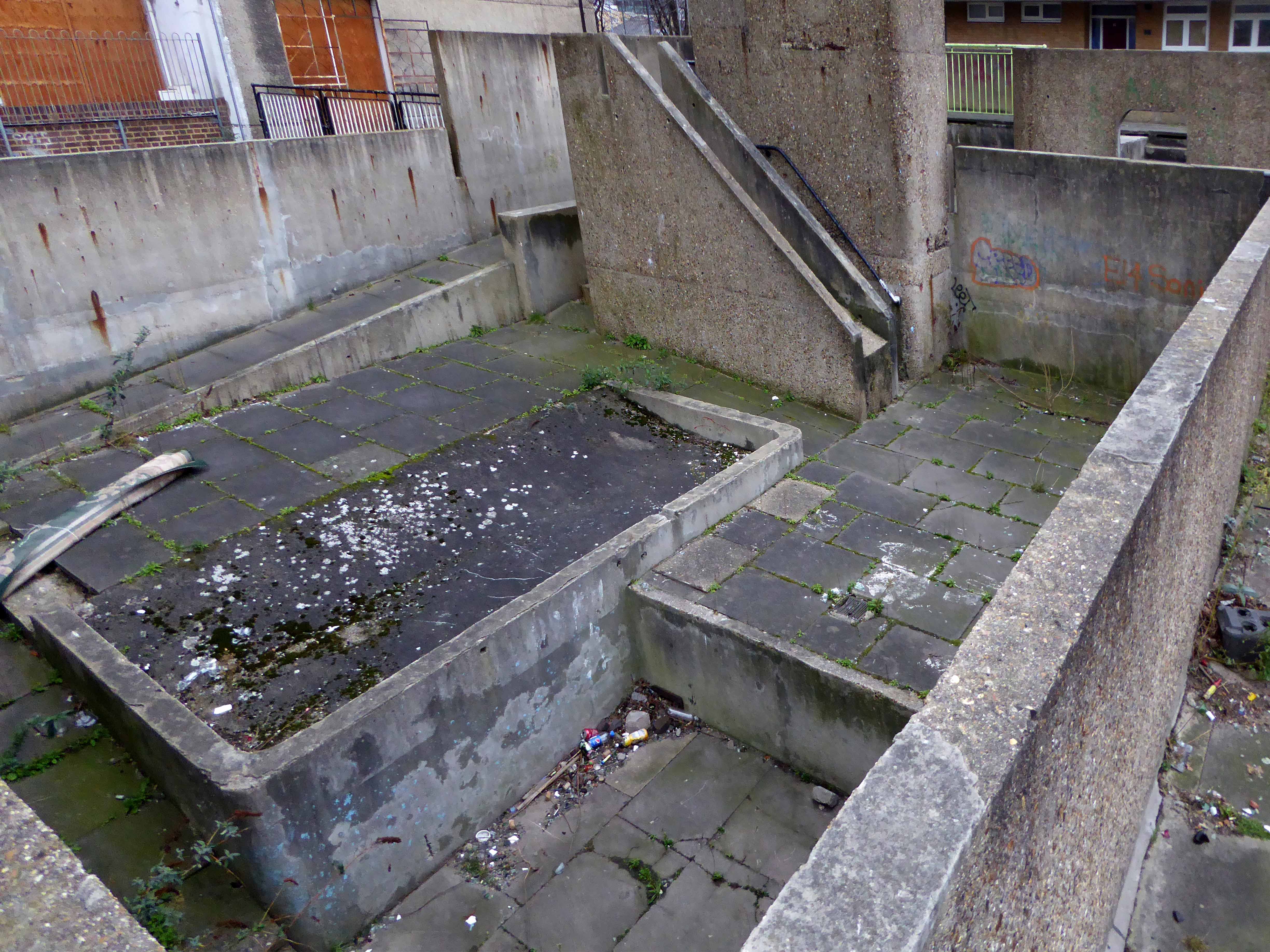
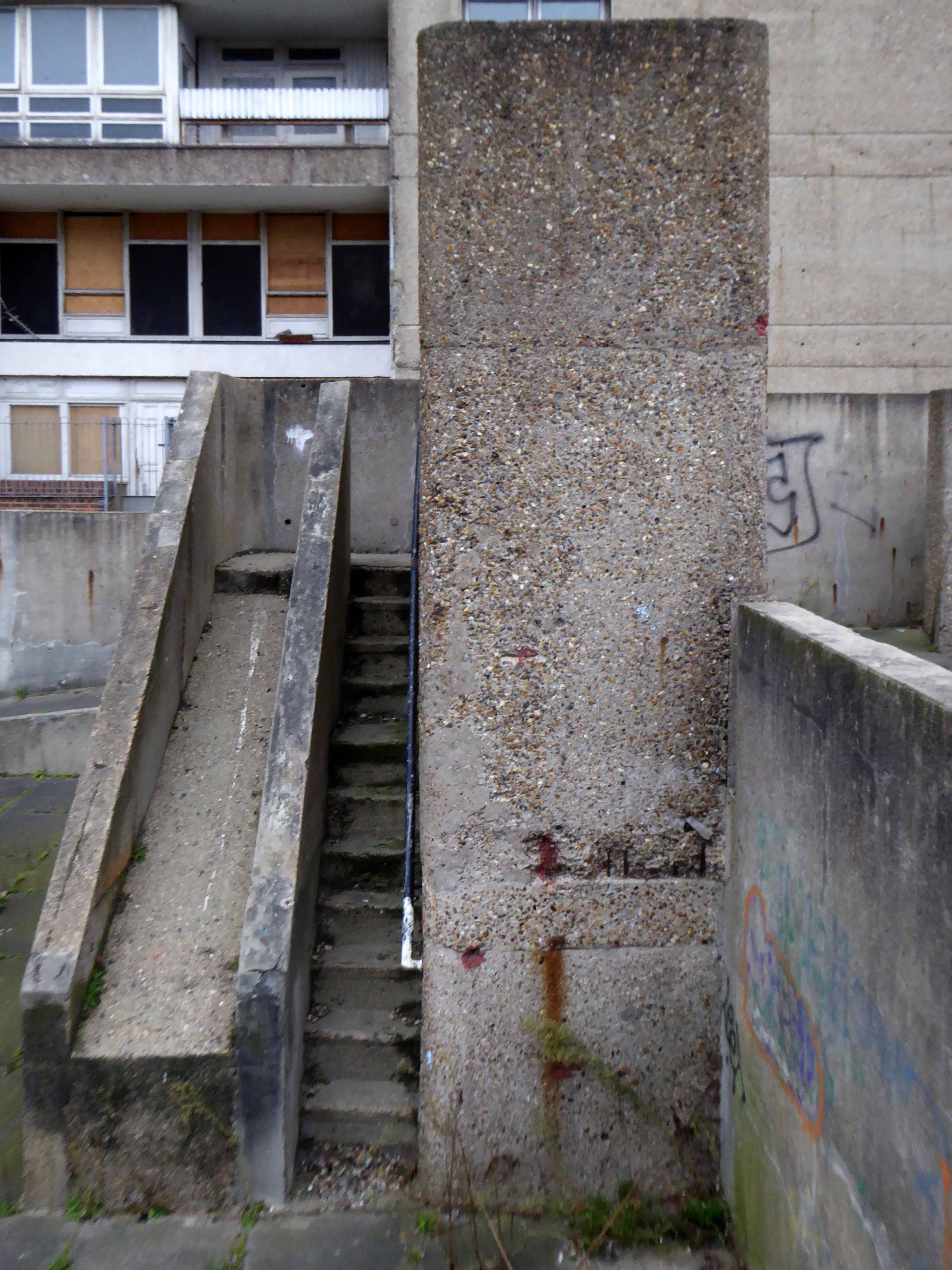
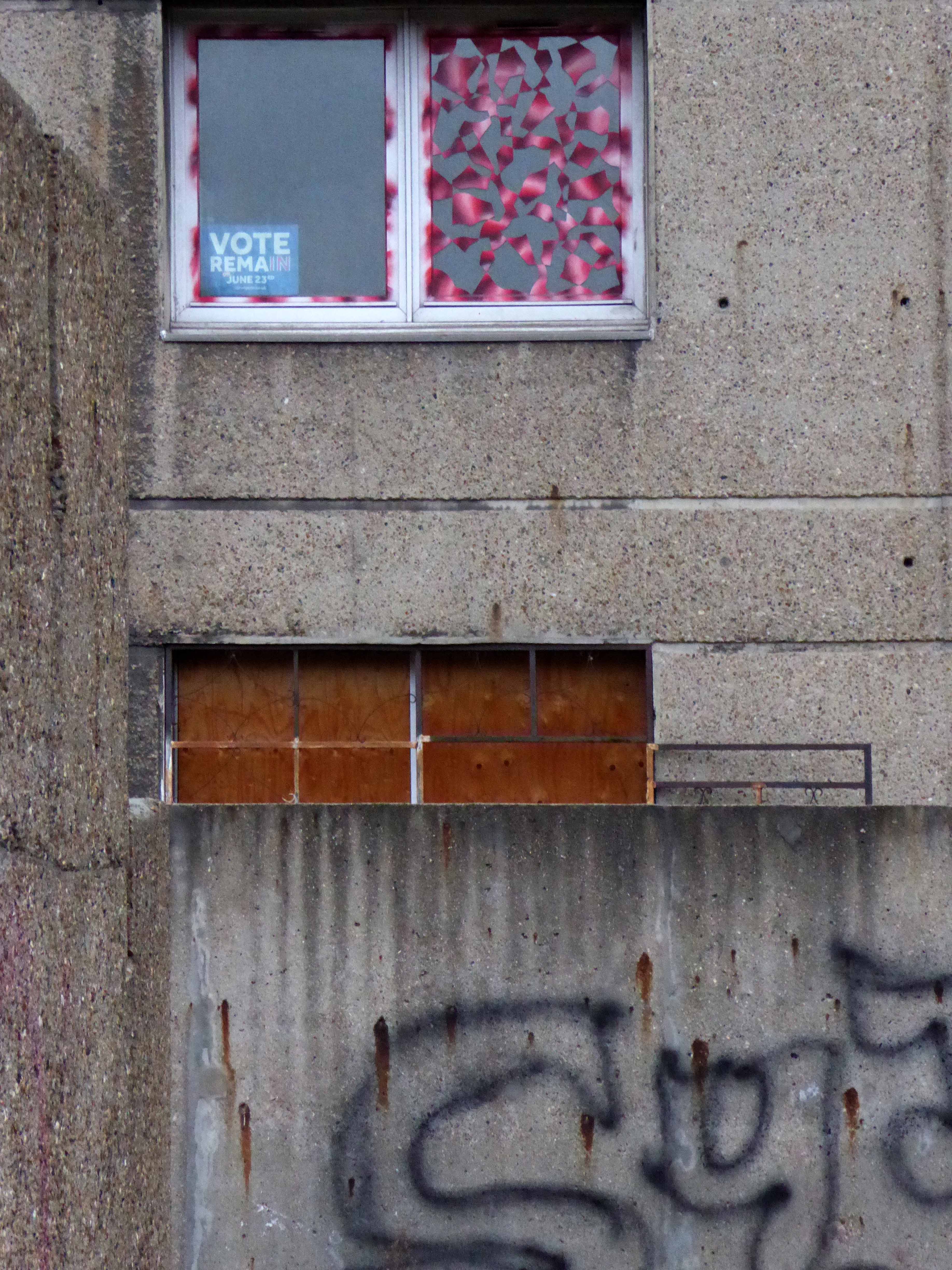
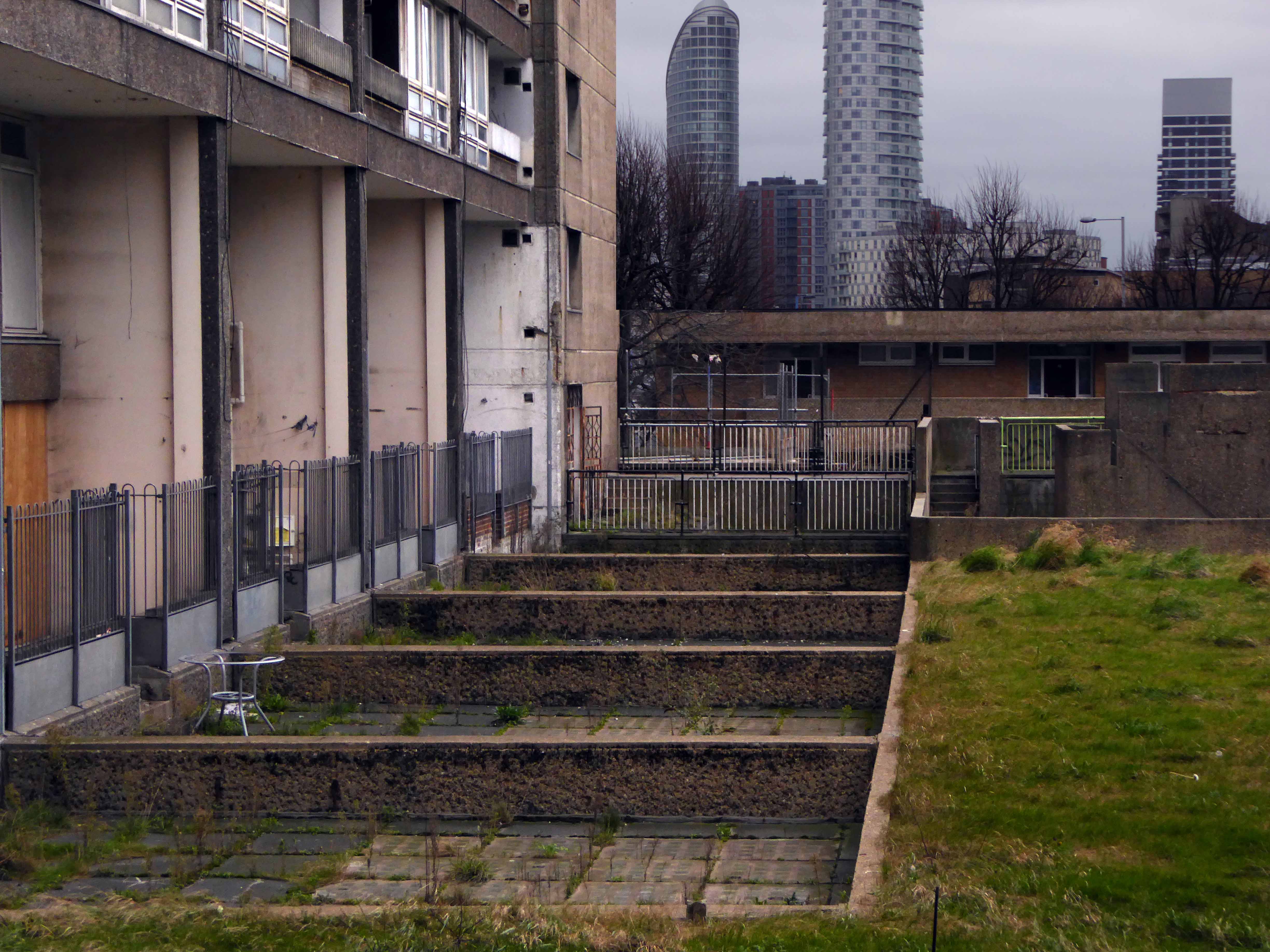
On an overcast and ever darkening afternoon, the rain cutting in on a chill wind, set against a slate grey sky, its surfaces and volumes were ever so slightly forlorn.

There is much to be done by way of regeneration, with the attendant issues of heritage, funding, gentrification and inevitably who lives where and why?

Everything you may care to almost know is here.

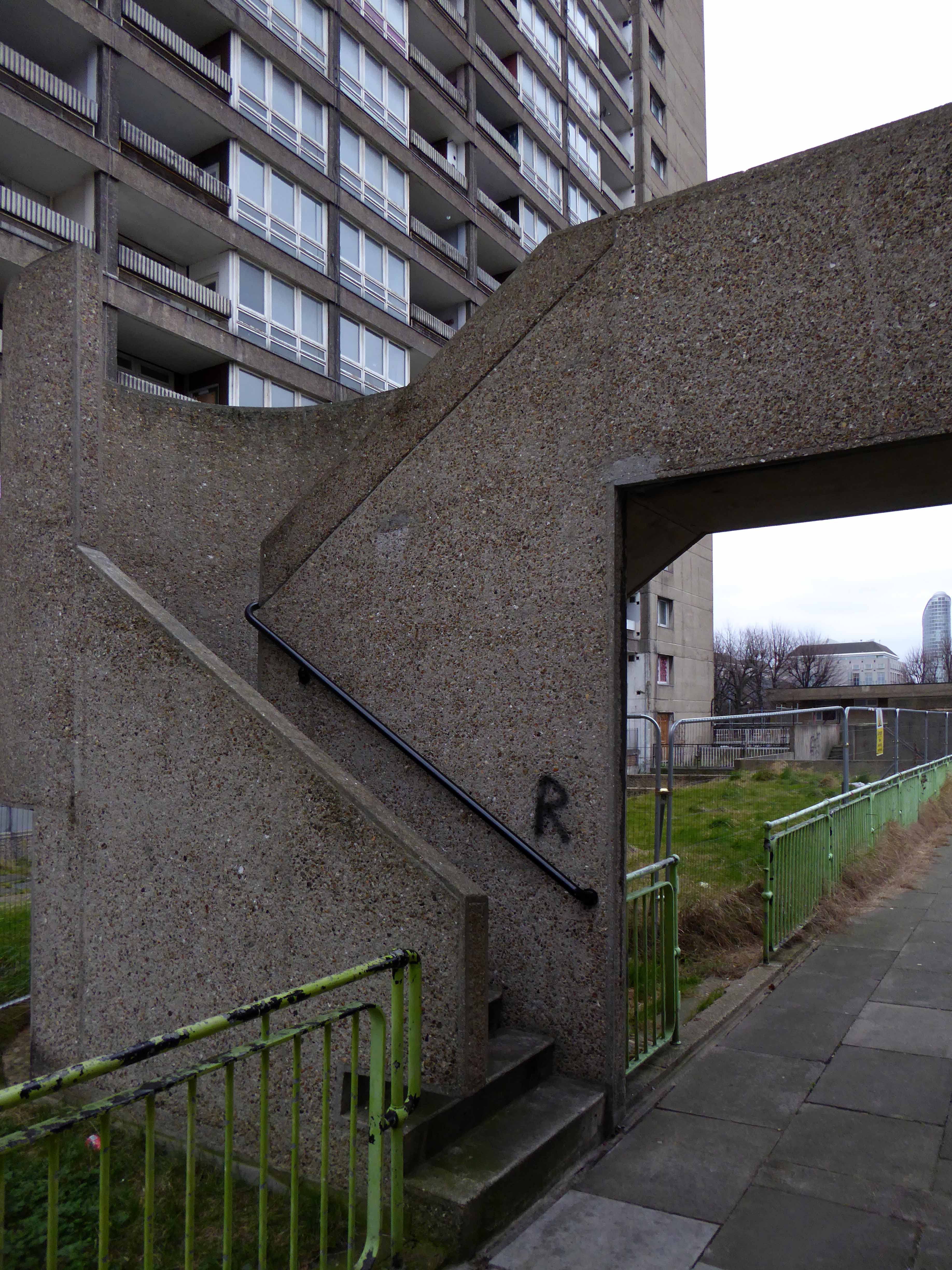
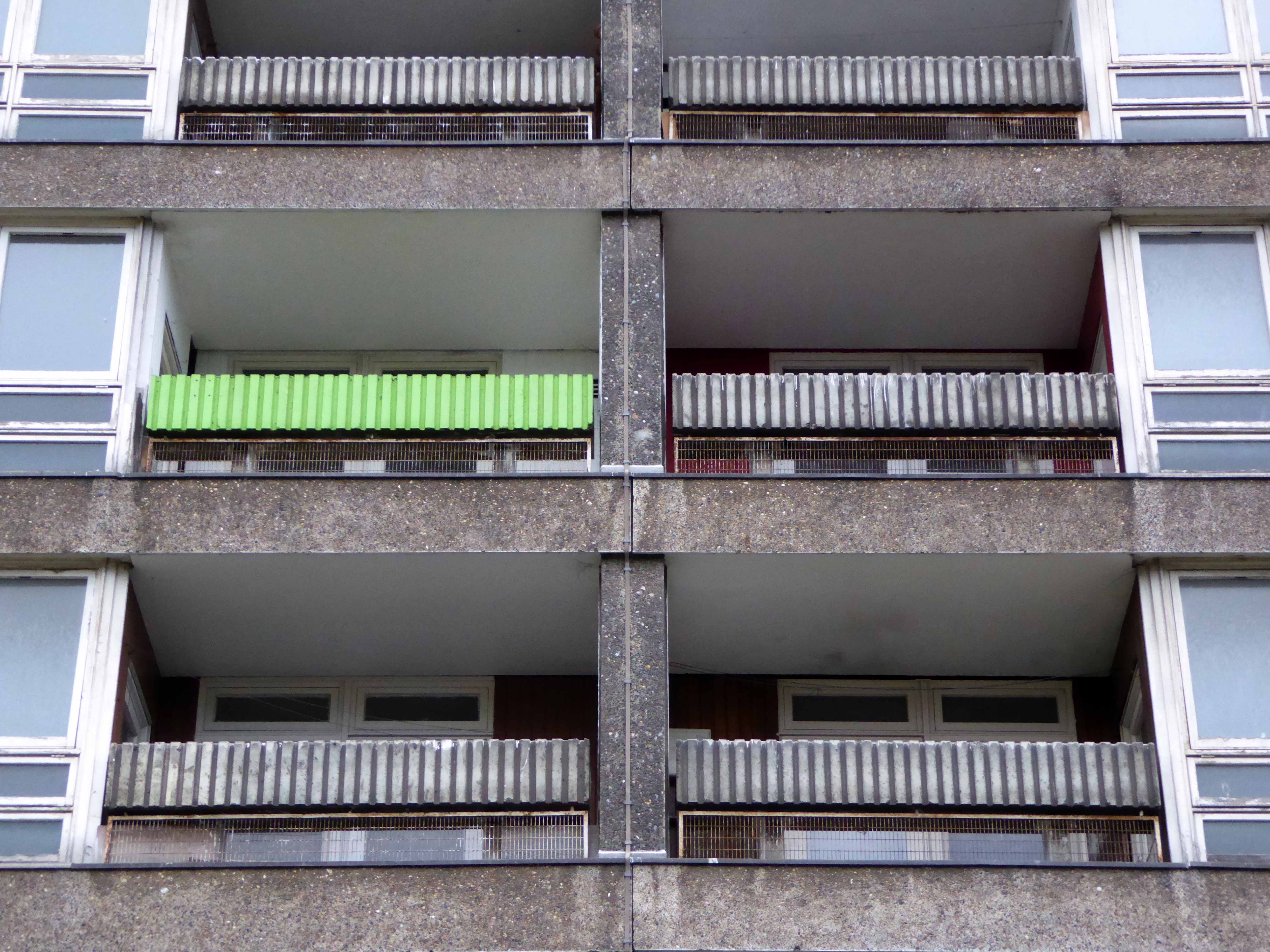
I walked around the area and took these pictures.

p1130830-copy

p1130831-copy

p1130832-copy

p1130833-copy

p1130834-copy

p1130835-copy

p1130836-copy

p1130837-copy

p1130838-copy

p1130839-copy

p1130840-copy

p1130841-copy

p1130842-copy

p1130843-copy

p1130844-copy

p1130845-copy

p1130846-copy

p1130847-copy

p1130848-copy

p1130849-copy

p1130850-copy

p1130851-copy

p1130852-copy

p1130853-copy

p1130854-copy

p1130855-copy

p1130857-copy

p1130858-copy


p1130860-copy

p1130861-copy

Newcastle upon Tyne – Civic Centre

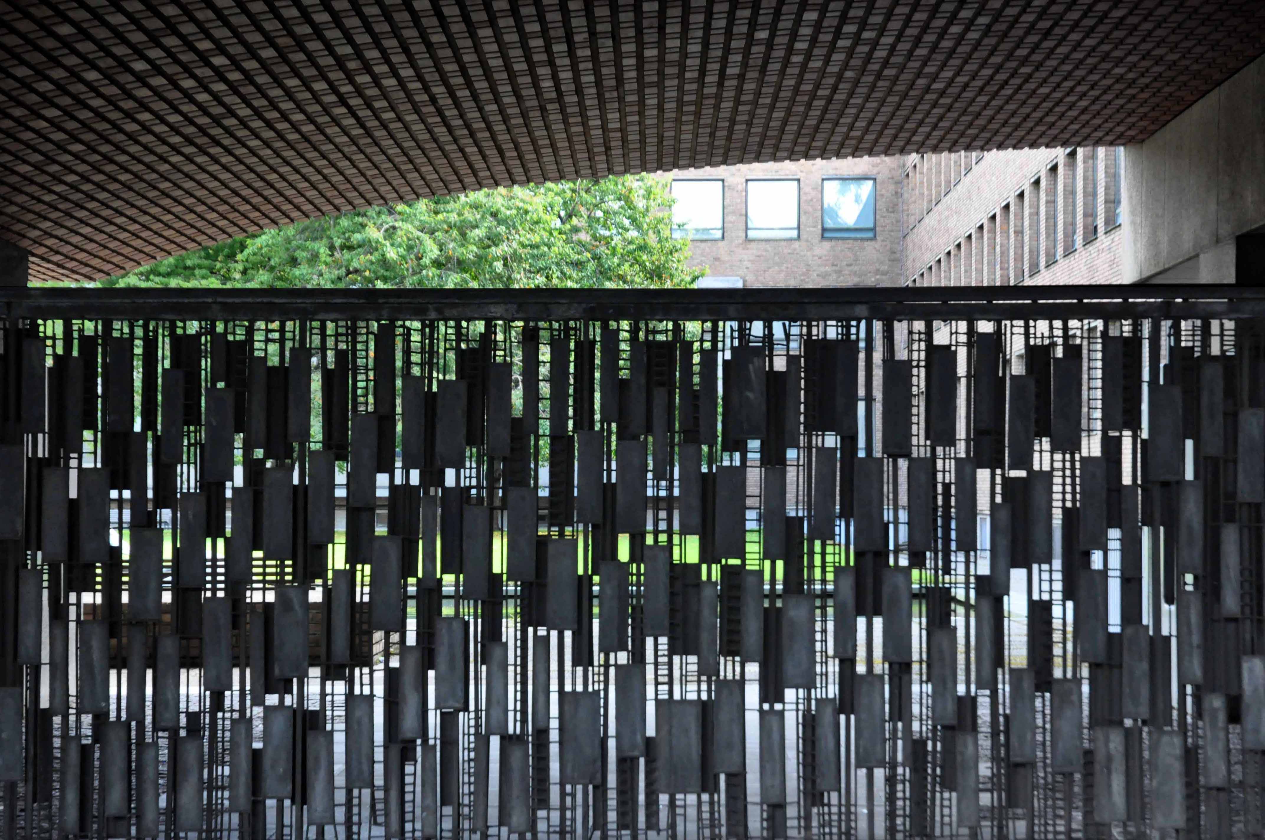
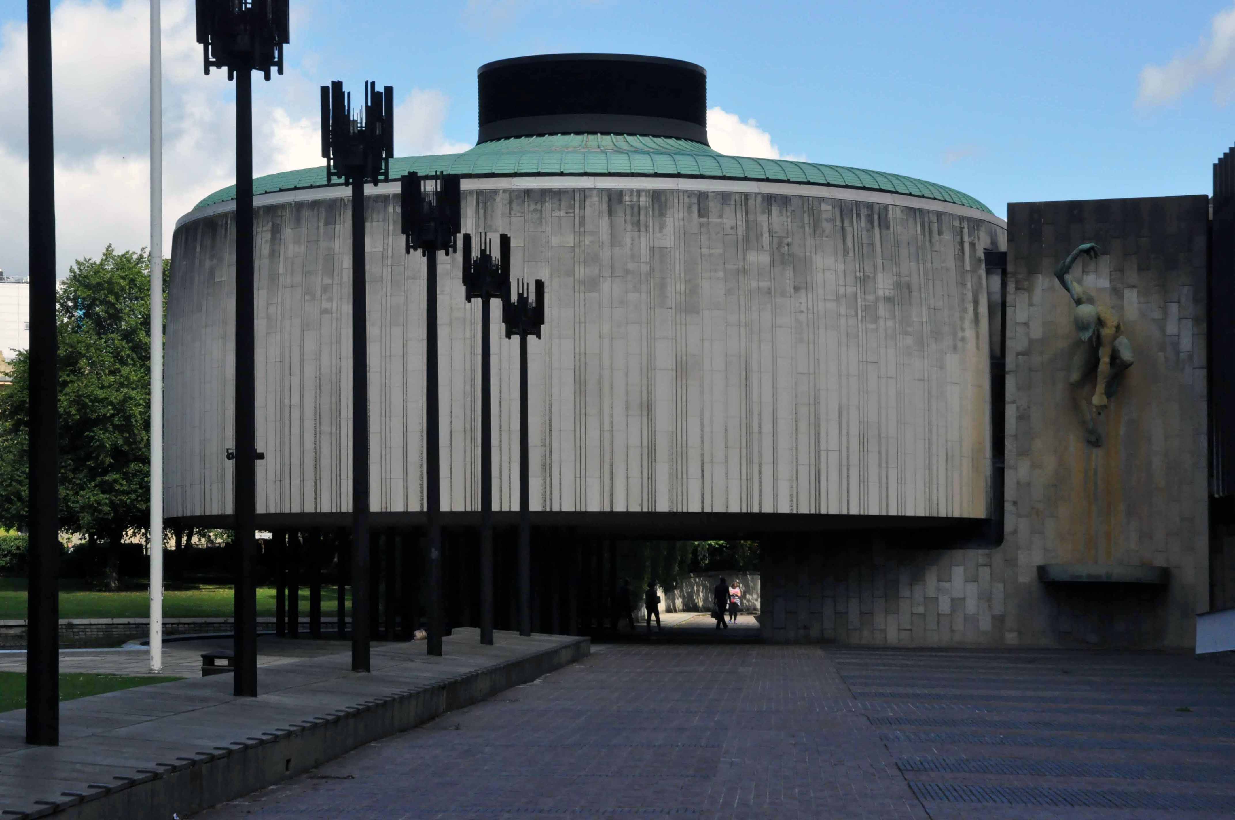
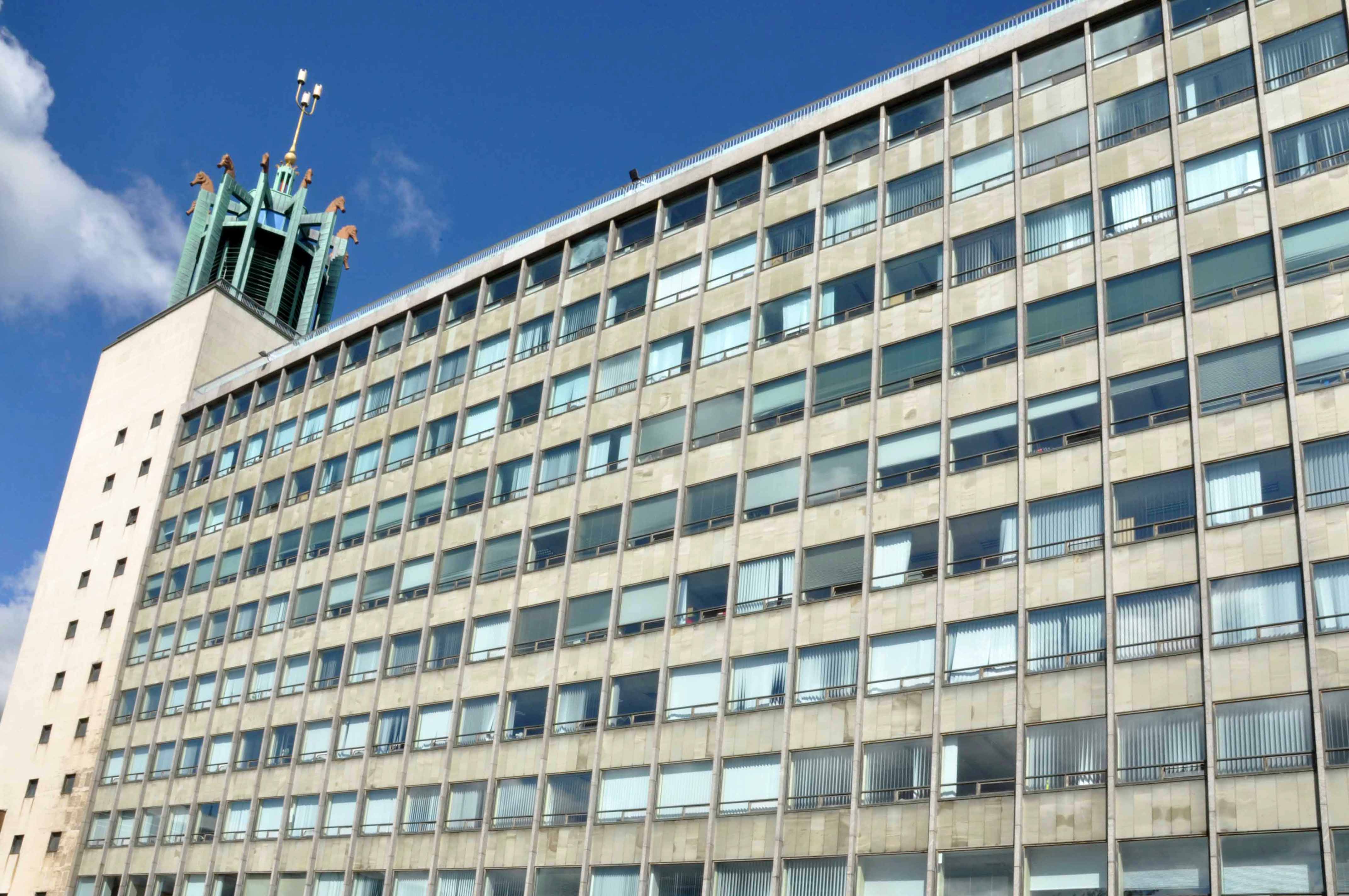
Hope, we need a little hope, here embodied in a huge municipal undertaking.

Having survived the indignity of the Luftwaffe’s absence, Newcastle set about the task of knocking itself down. T Dan Smith’s Brasilia of the North had to be built, the self-styled former revolutionary communist, Sunday painter and jail bird had a vision – fuelled by that hopped up, post war optimism that had engulfed the land.

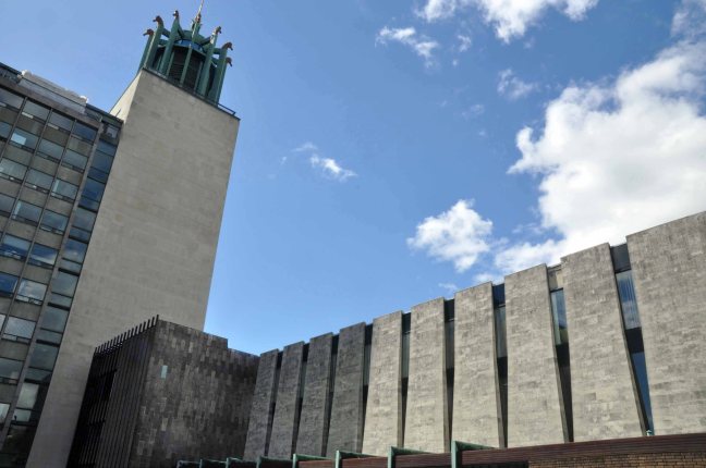
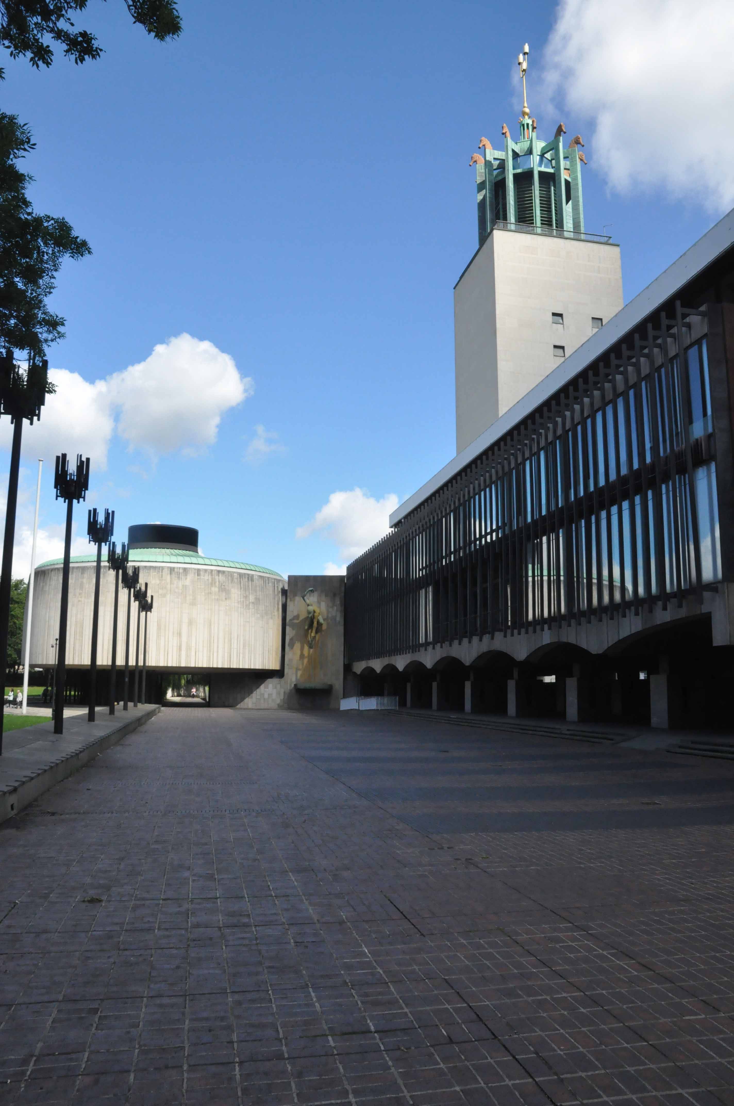
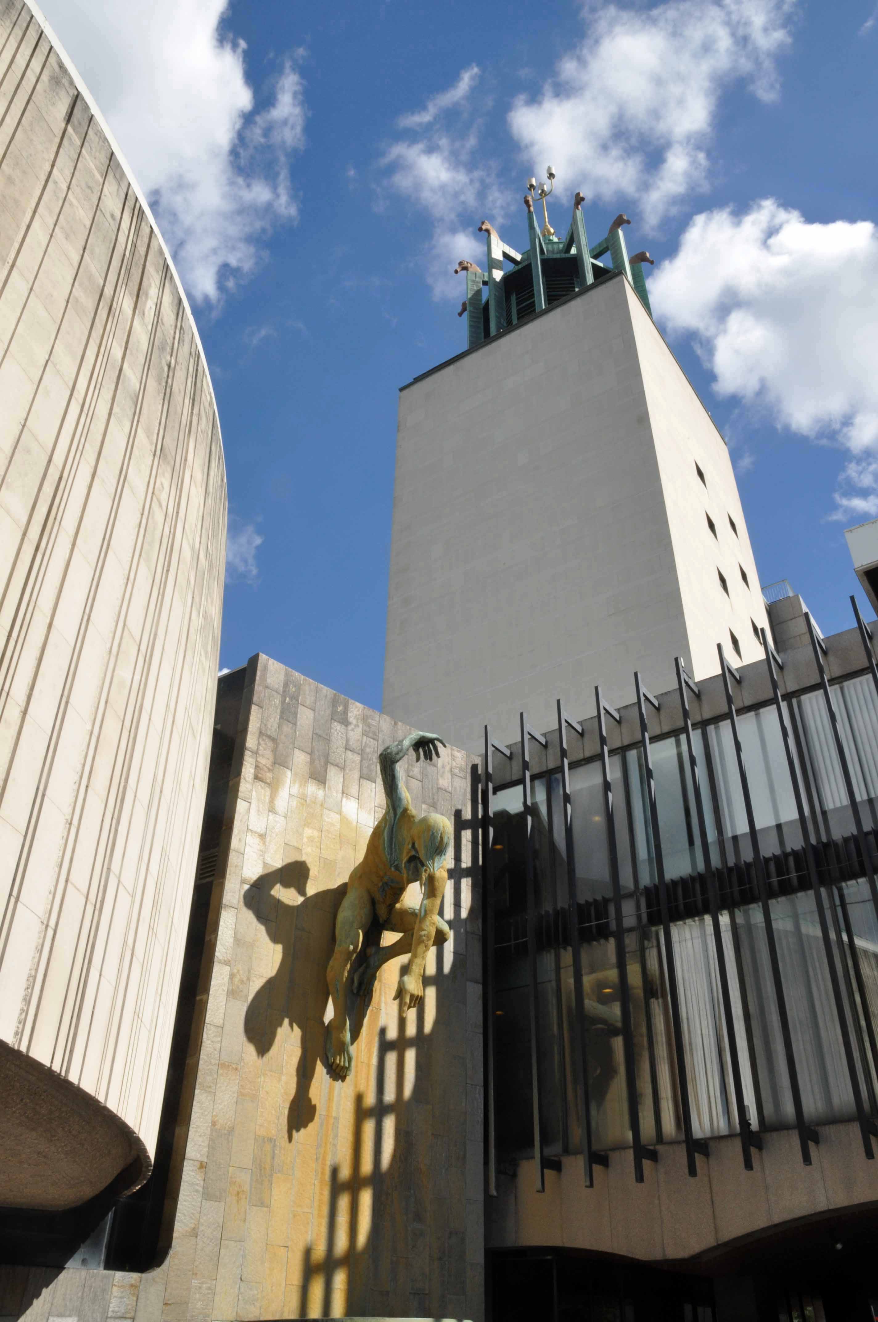
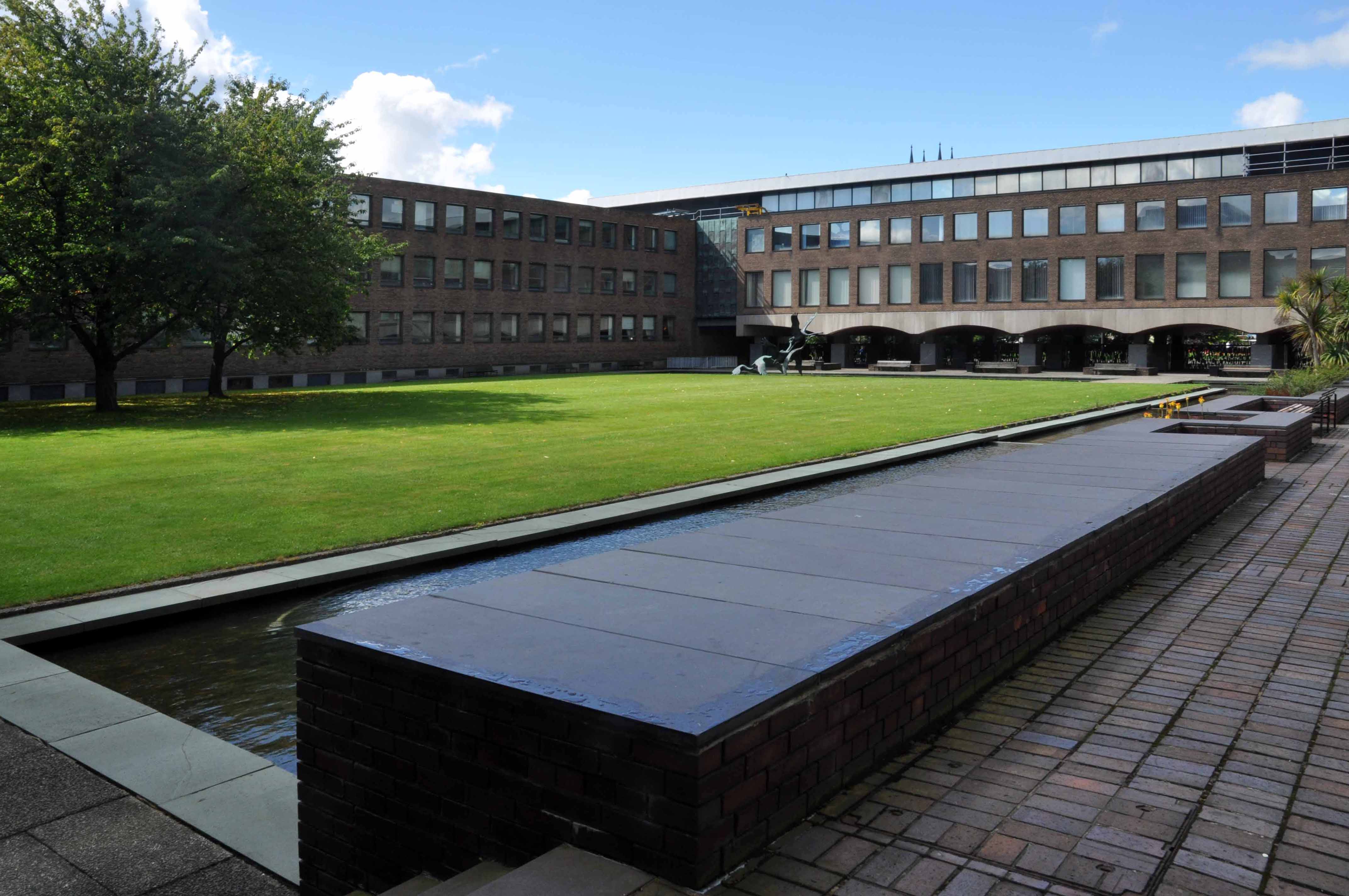
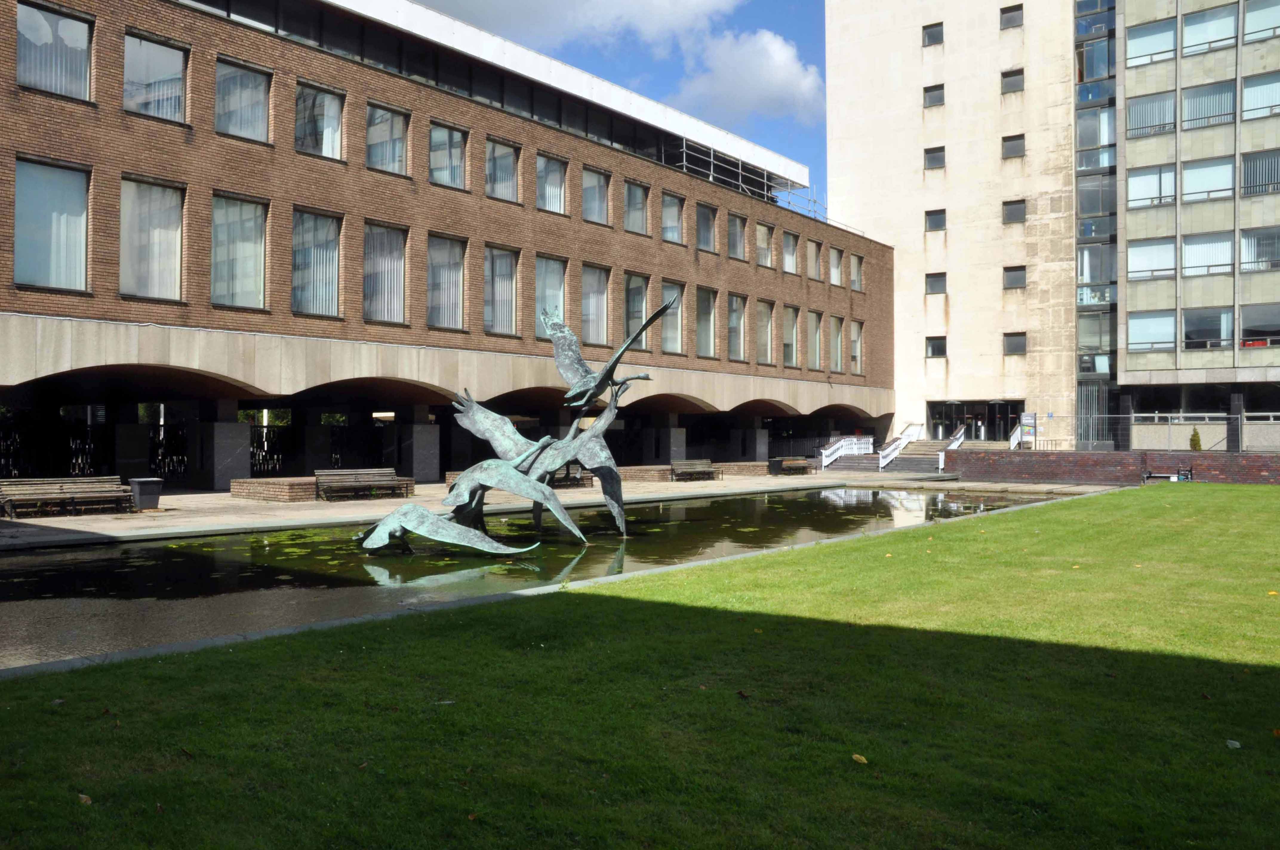
Newcastle Civic Centre is a local government building located in the Haymarket area of Newcastle upon Tyne, England. It is the main administrative and ceremonial centre for Newcastle City Council. Designed by the city architect, George Kenyon, the building was completed in 1967 and was formally opened by HM King Olav V of Norway on 14 November 1968. It is a Grade II* listed building. The Newcastle Civic Centre is the joint eighth tallest building in the city.

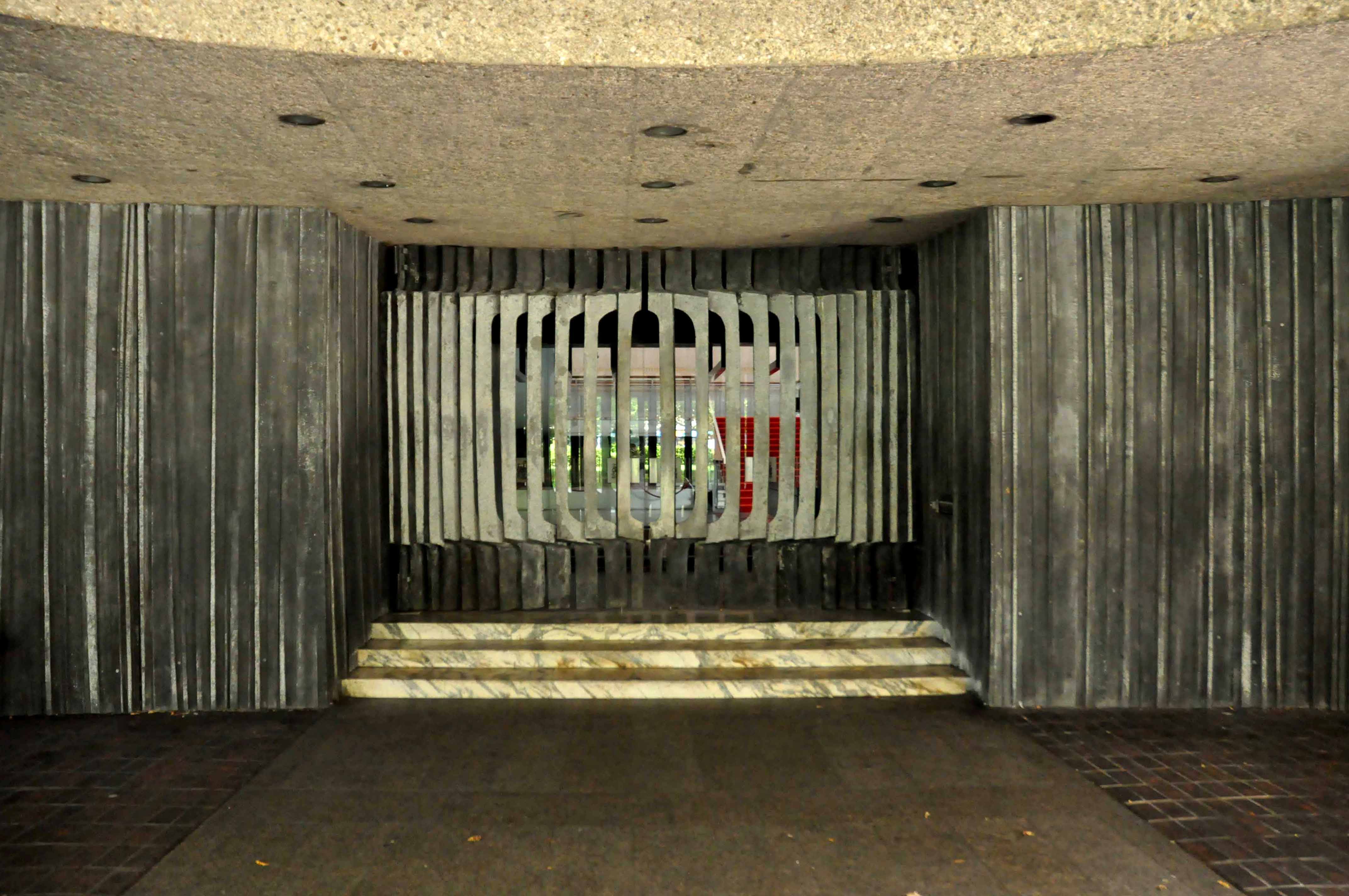
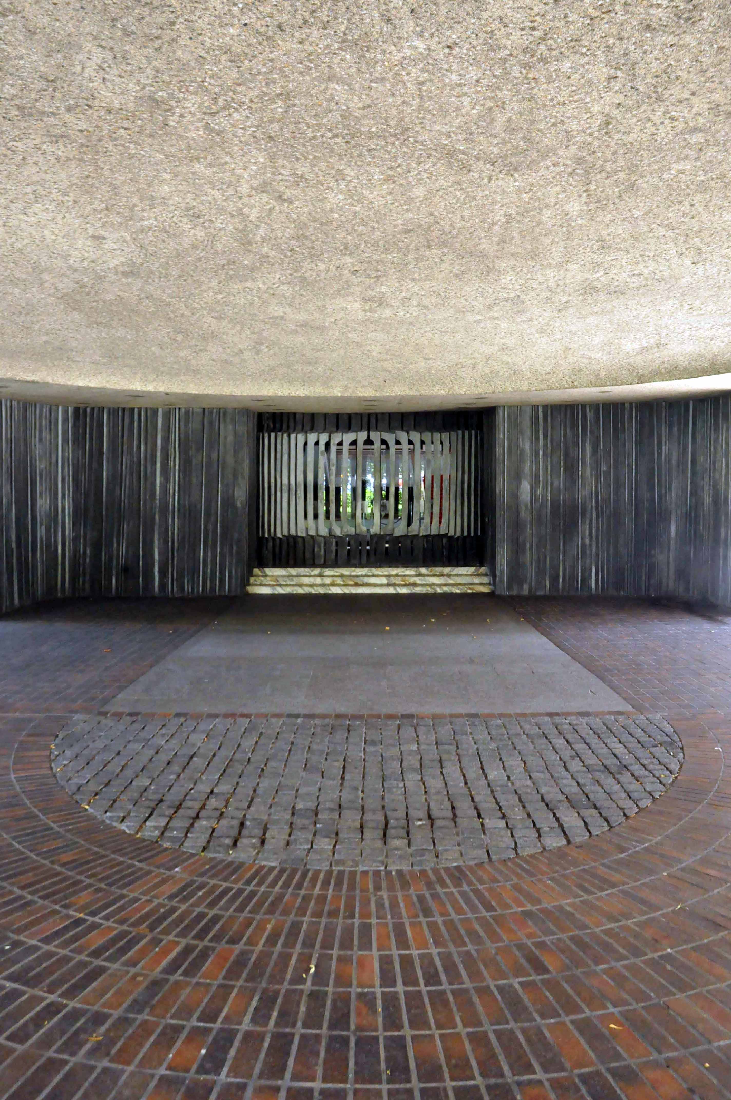
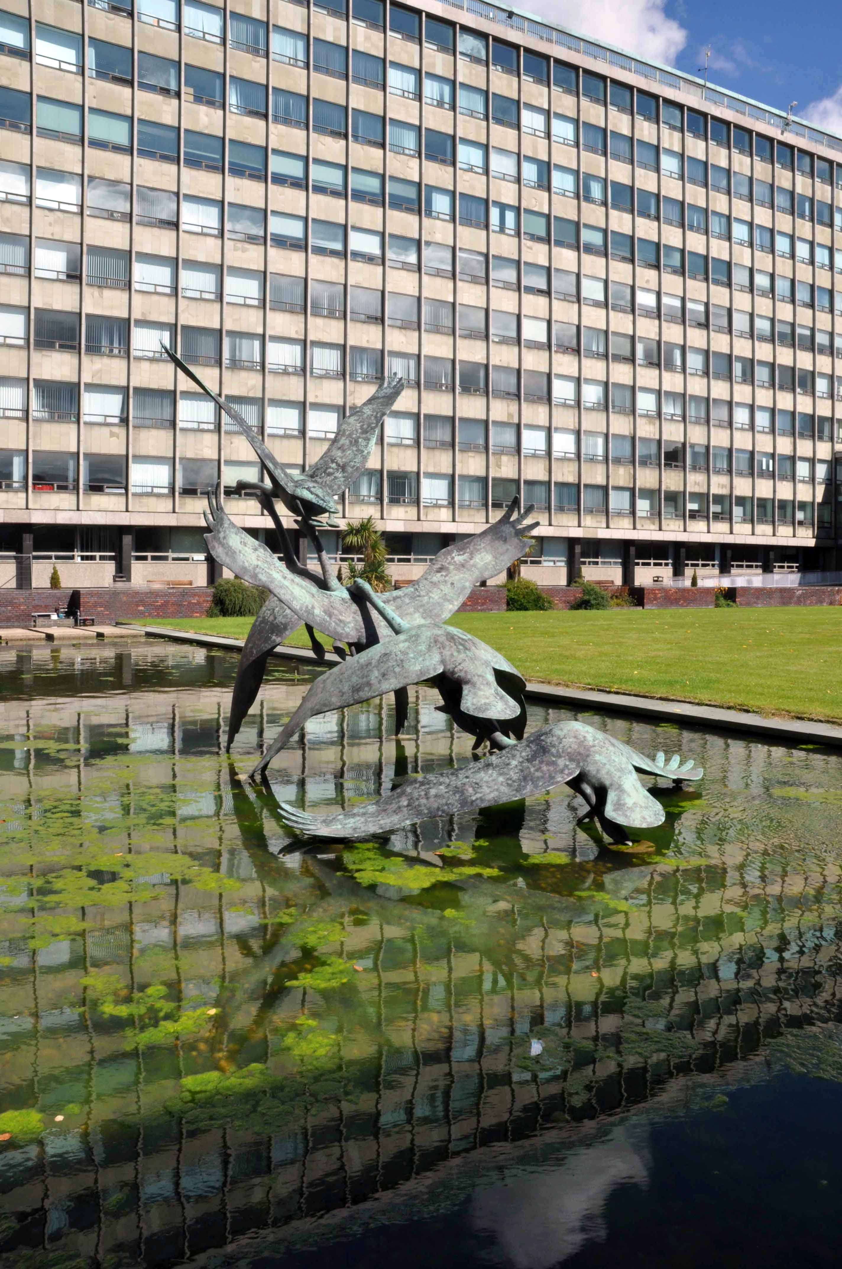
It is a concrete poem clad in Portland stone ashlar, Cornish granite, Broughton Moor stone, hand made bricks, Norwegian slate, Portuguese marble, English oak, travertine hand hewn and assembled into one of the finest buildings in the land, no expense spared. Liberally dotted with the labours of John Piper, Victor Pasmore, John Robert Murray McCheyne, Charles Sansbury Geoffrey Clarke, David Dewey, John Hutton and David Wynne.

A building full of surprises, big and small that repays exploration and further exploration, in that order. Go take a look, breathe that air, that air which whistles up the River Tyne, fresh from the Continent – and glow, all aglow with civic centre pride.

dsc_0058

dsc_0108

dsc_0119

dsc_0122

dsc_0121

dsc_0099

dsc_0068

dsc_0067

dsc_0063

dsc_0059

dsc_0077

dsc_0087

dsc_0088

dsc_0124

dsc_0090

dsc_0133

dsc_0091

dsc_0092

dsc_0093

dsc_0096

dsc_0106

dsc_0109

dsc_0113

dsc_0114

dsc_0116

dsc_0115

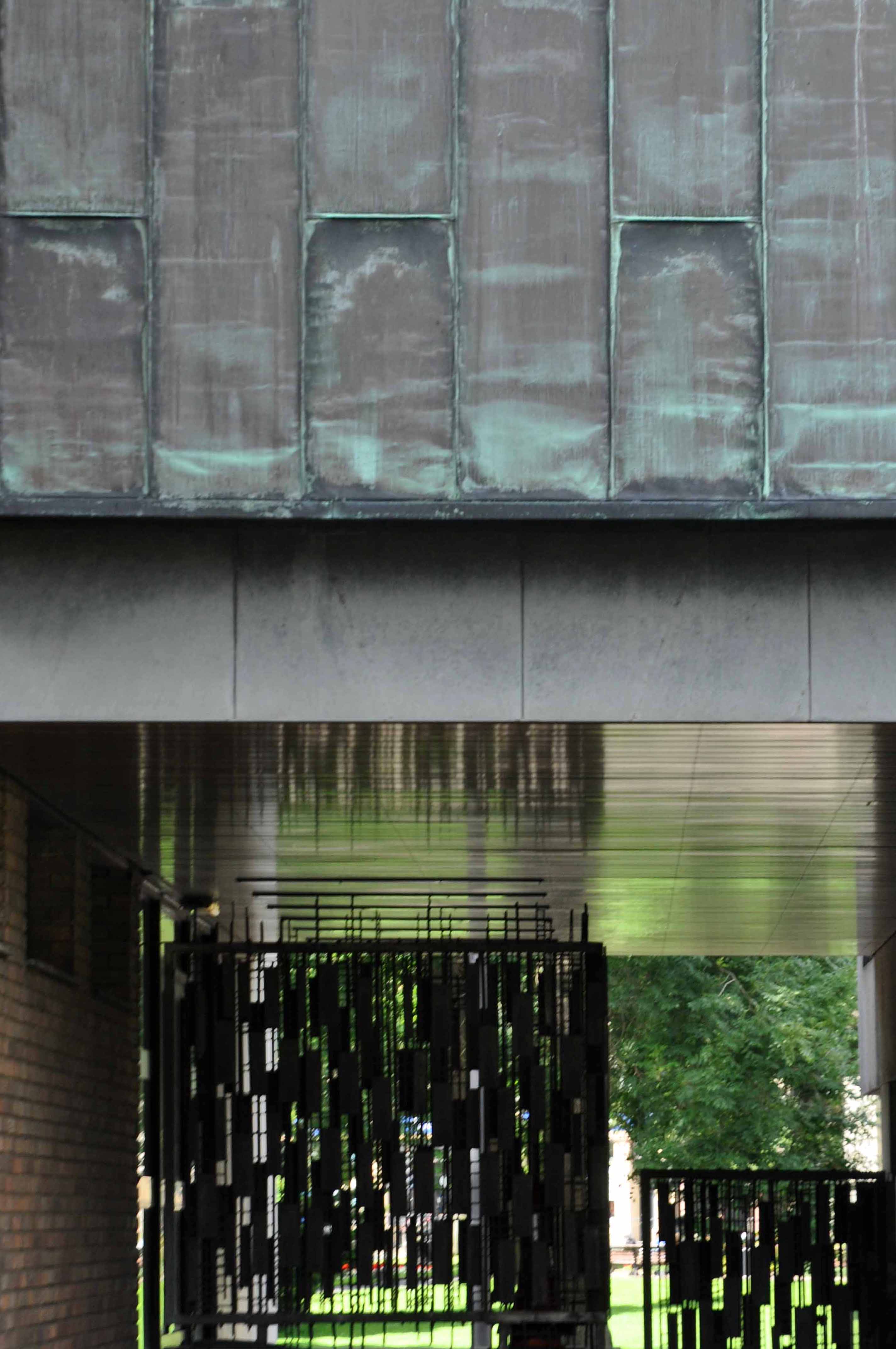
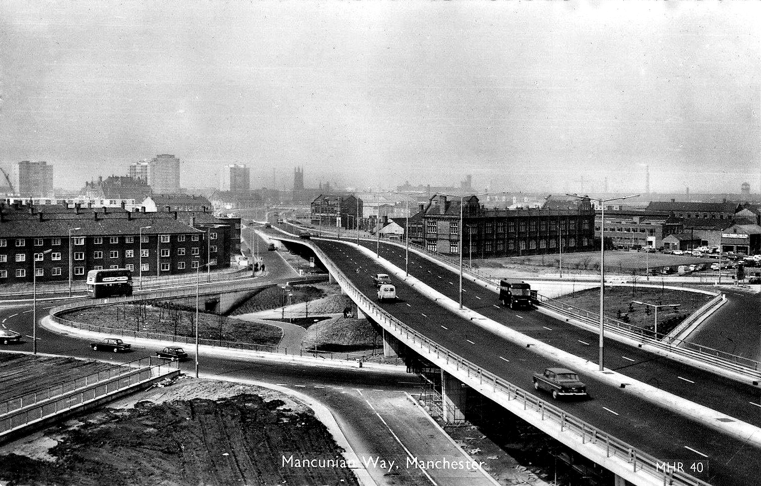
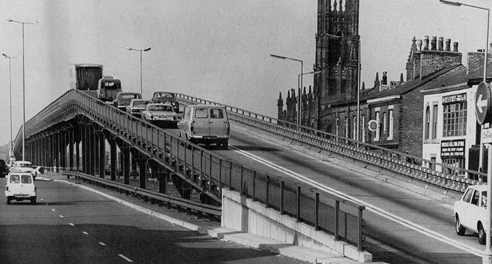
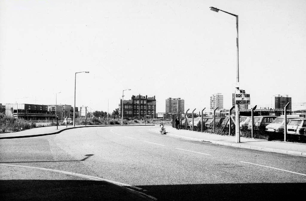
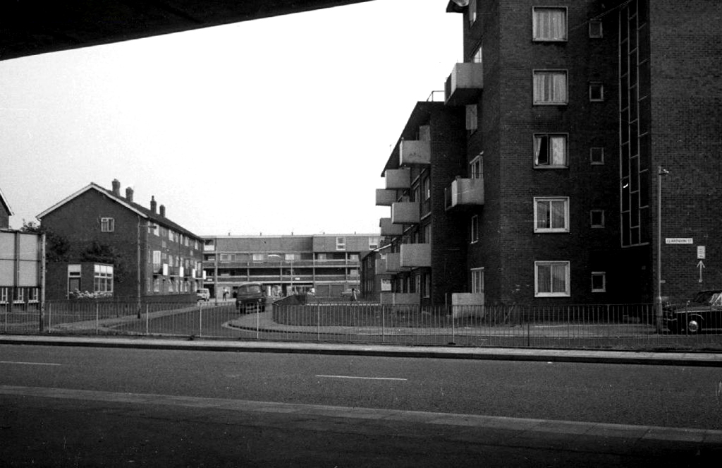
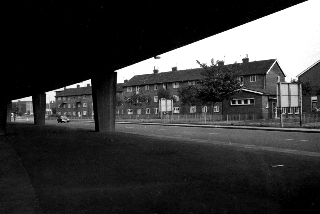
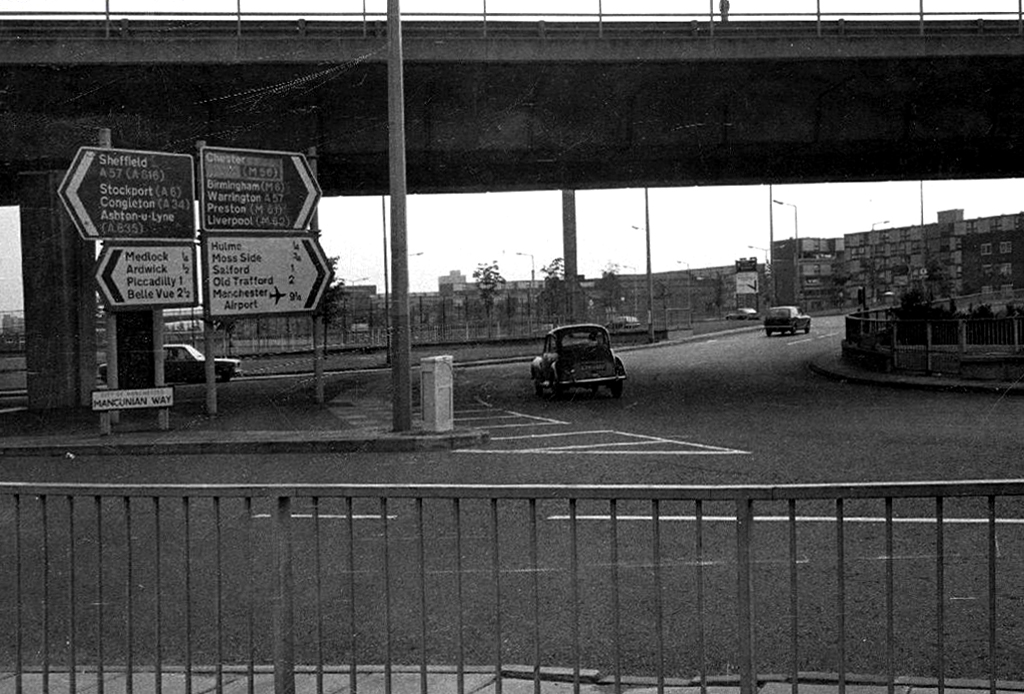
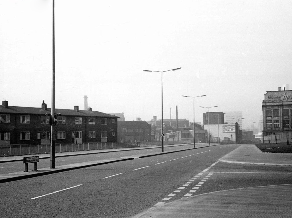
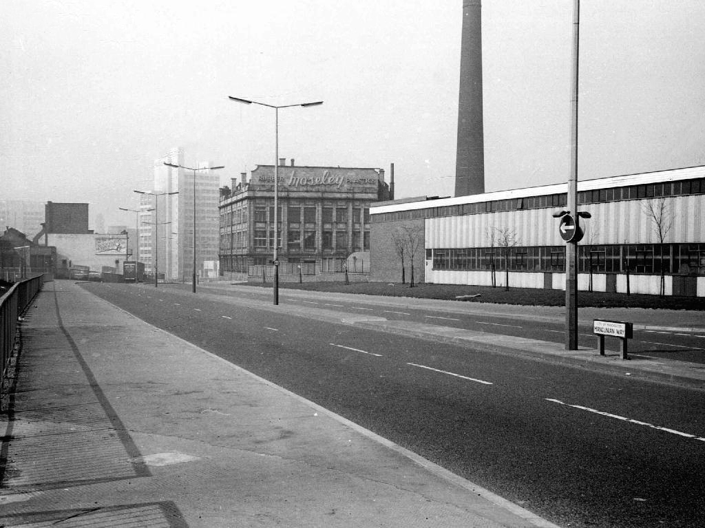
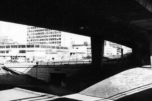
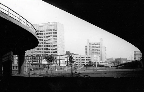
The Mancunian Way

The burnt out carcasses of cars are now hastily improvised cloches, following the annual cataclysmic courgette shortage.

Almost everything is made of Graphene, and a robot has taken your job.

The lucky ones are comfortably ensconced in custom built eco-pods, watching implanted Tarkovsky flicks around the clock and eating tasteless gloop.

Or Ultra-HD projections from the past.

Turn on.

Tune in.

Drop off.

Walk the Mancunian way – history buffs and tech heads can take a look here.

Photographs from the Manchester Image Archive
16463426_10212141901922228_700052626864377295_o

tumblr_nm6lpv4wwg1rr41pto1_1280

webmedia-1-php

webmedia-2-php

webmedia-3-php

webmedia-4-php

webmedia-7-php

webmedia-5-php

webmedia-6-php

webmedia-8-php

webmedia-9-php

webmedia-10-php

webmedia-11-php

webmedia-12-php

webmedia-13-php

webmedia-14-php

webmedia-15-php

webmedia-php

Wigan – Civic Centre

Some time ago, over a year ago or so I went to Wigan.

I found a pub,  a launderette, several interesting groups of housing and –

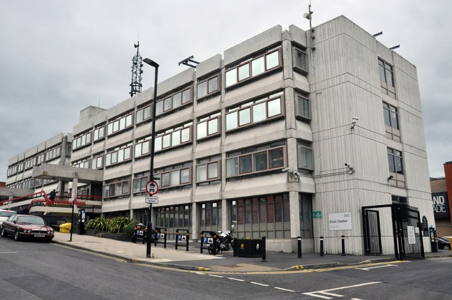
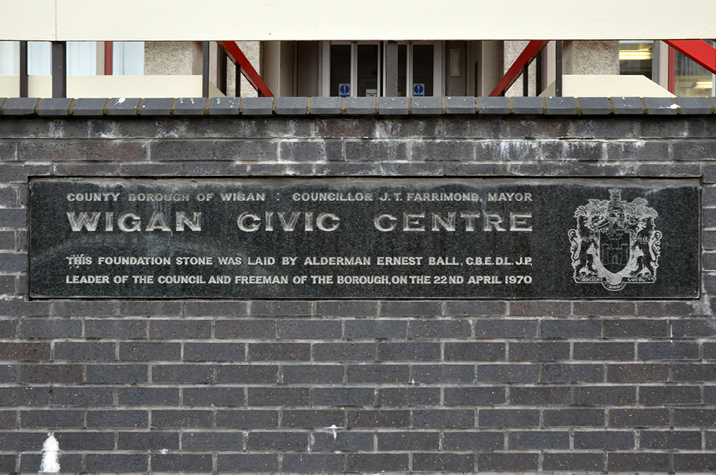
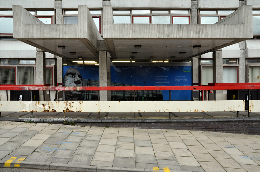
A large concrete Civic Centre, built in the early 1970s under the auspices of the Mayor JT Farrimond, the foundation stone laid by Alderman Ernest Ball on 22nd April 1970 – a man who seems to have collected letters after his name just for fun.

dsc_0129-copy

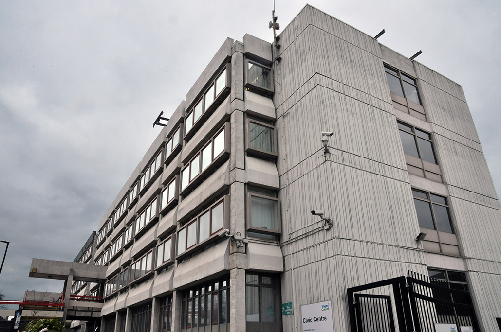
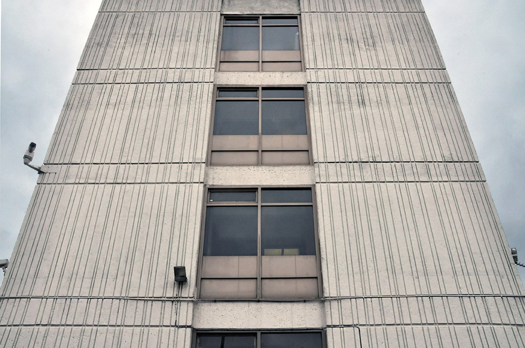
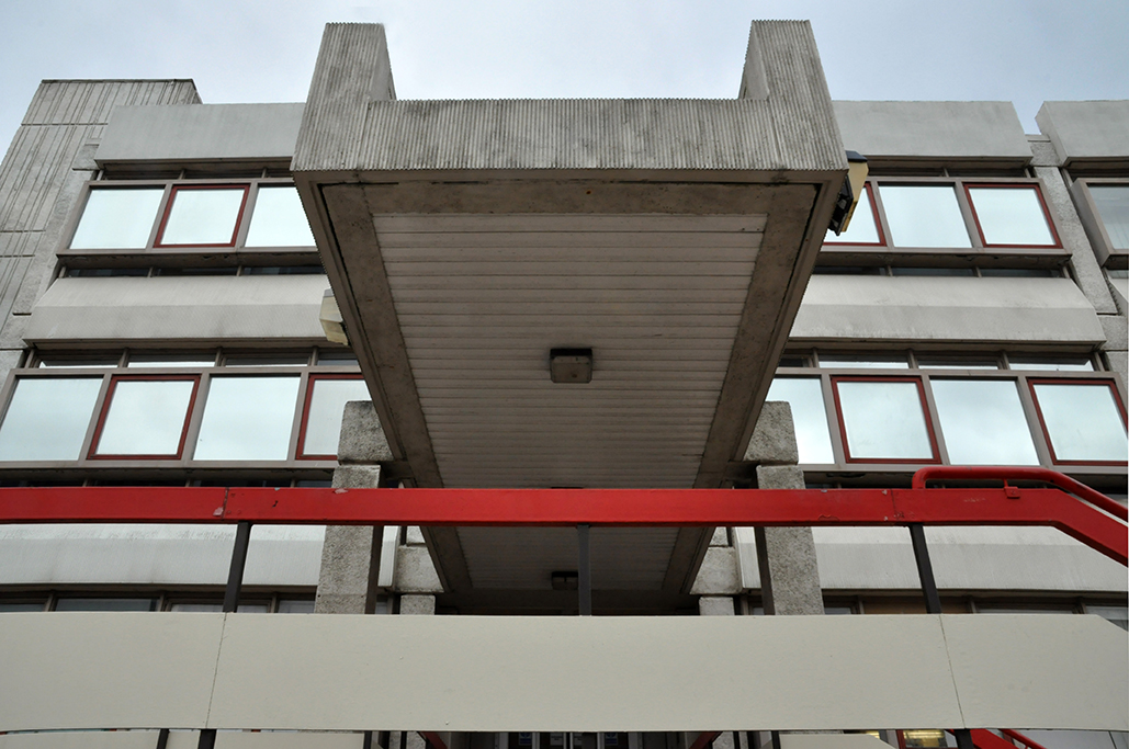
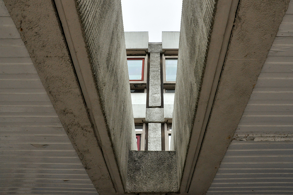
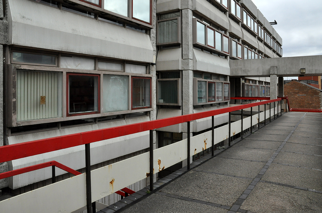
A tight grid structure is broken up with chamfered  window fames and a mix of concrete finishes, surfaces and textures, slipping neatly into the inclined topography.

A rather distinguished cantilevered canopy or two sit centrally over the entrance porch.

The building no longer offers public access, services having been transferred to the nearby Life Centre.

The Manchester Modernists have highlighted the centre in its new Top Ten Twentieth Century Buildings project.

Why not bob along, see what you think and remember – vote, vote, vote!

dsc_0119-copy

dsc_0120-copy

dsc_0121-copy

dsc_0122-copy

dsc_0125-copy


dsc_0127-copy

dsc_0128-copy

dsc_0130-copy

dsc_0133-copy

dsc_0135-copy

dsc_0136-copy

dsc_0138-copy

dsc_0139-copy

dsc_0140-copy

dsc_0141-copy

dsc_0142-copy

dsc_0143-copy

dsc_0144-copy

dsc_0145-copy

dsc_0146-copy

dsc_0147-copy

dsc_0148-copy

dsc_0150-copy

dsc_0151-copy

dsc_0152-copy

dsc_0153-copy

dsc_0155-copy

Coventry – Upper Precinct

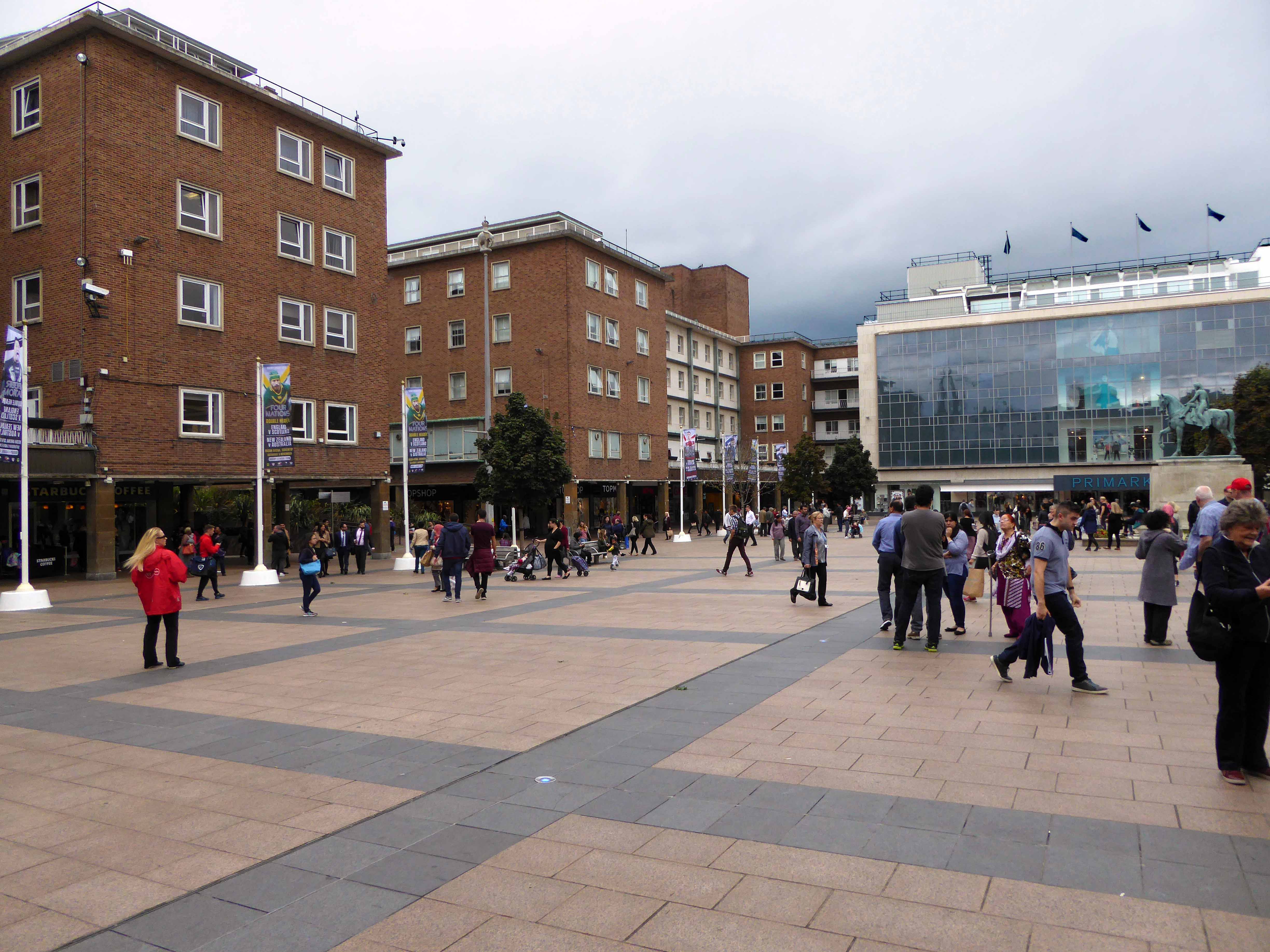
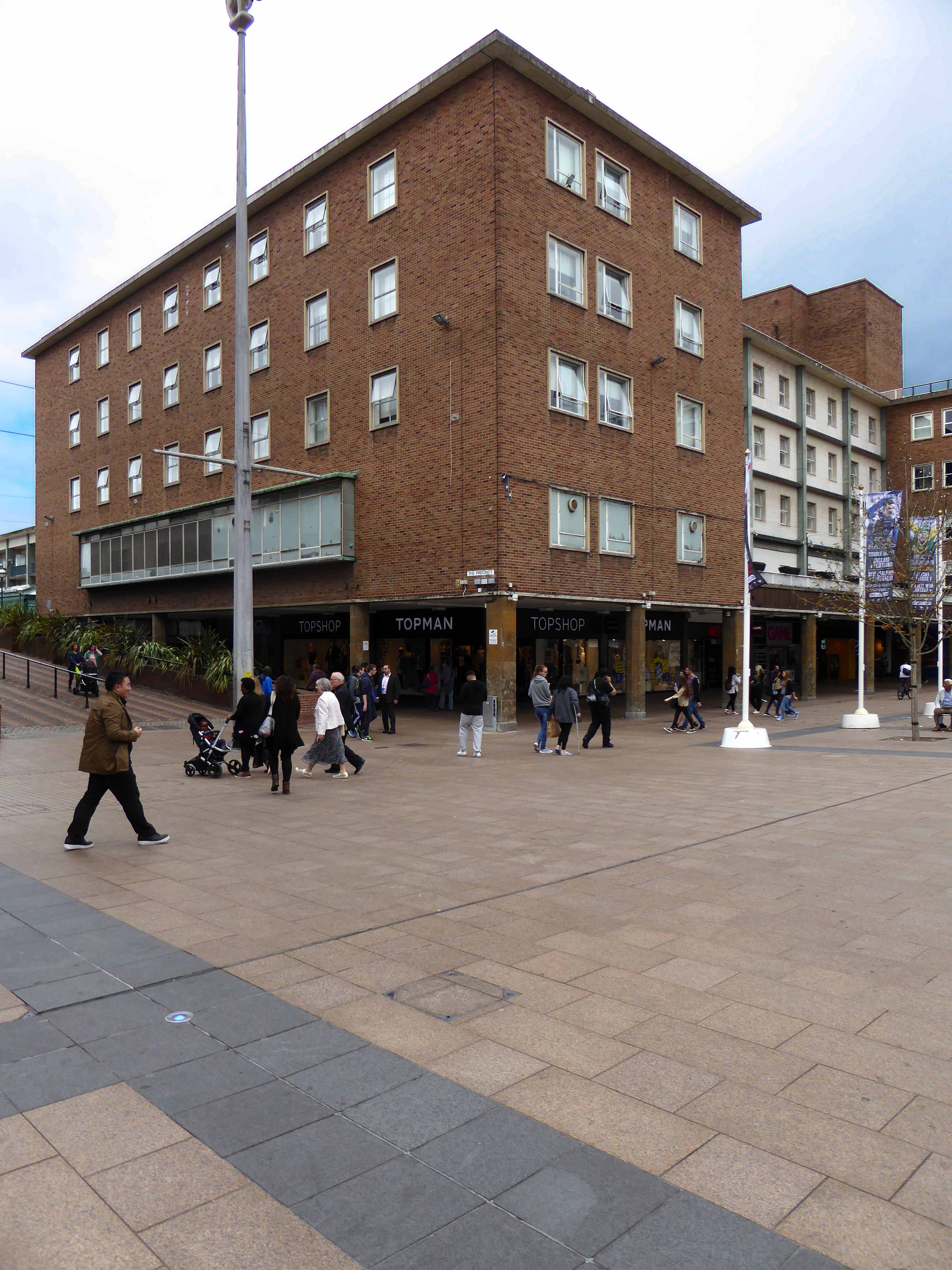
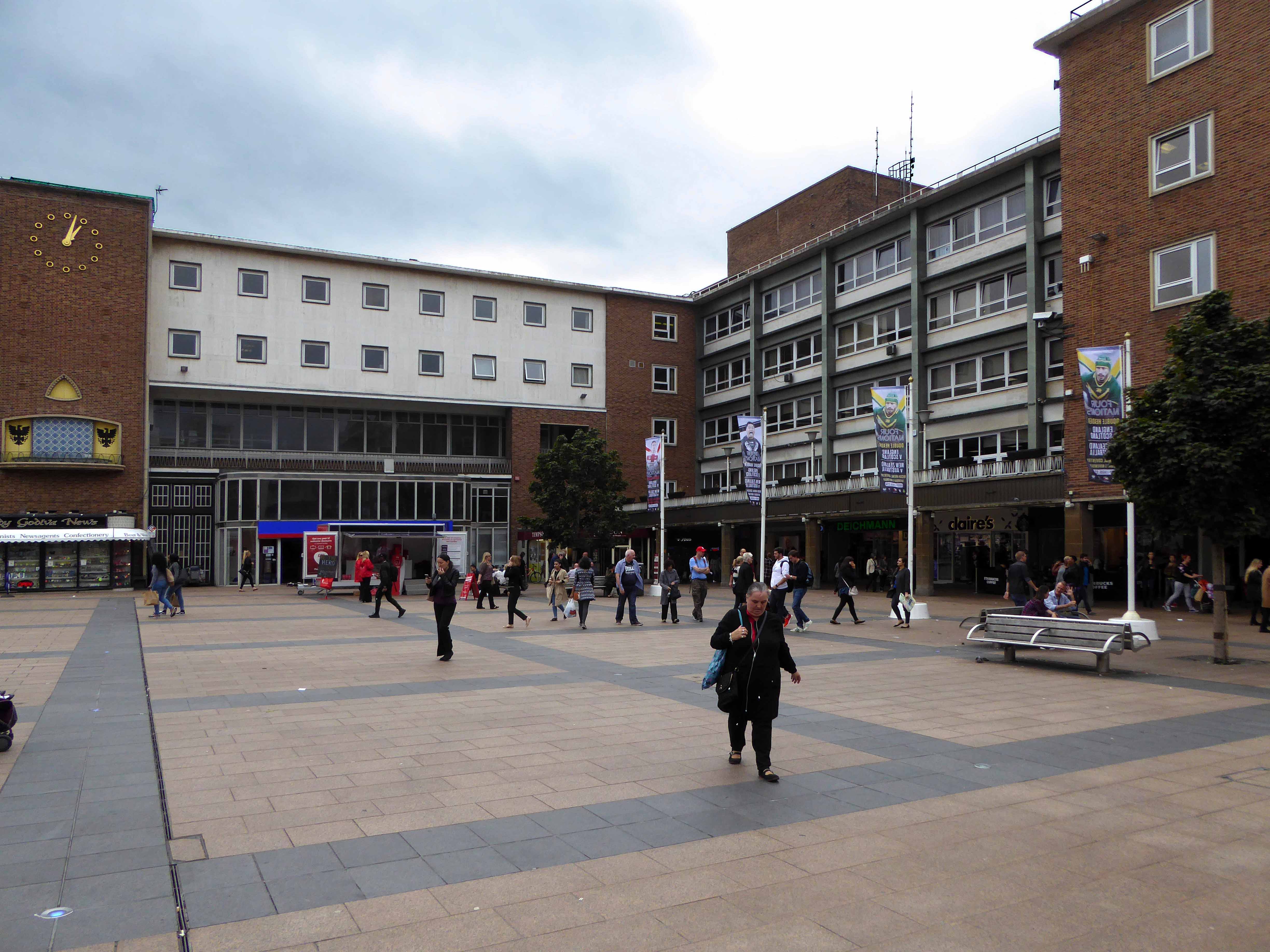
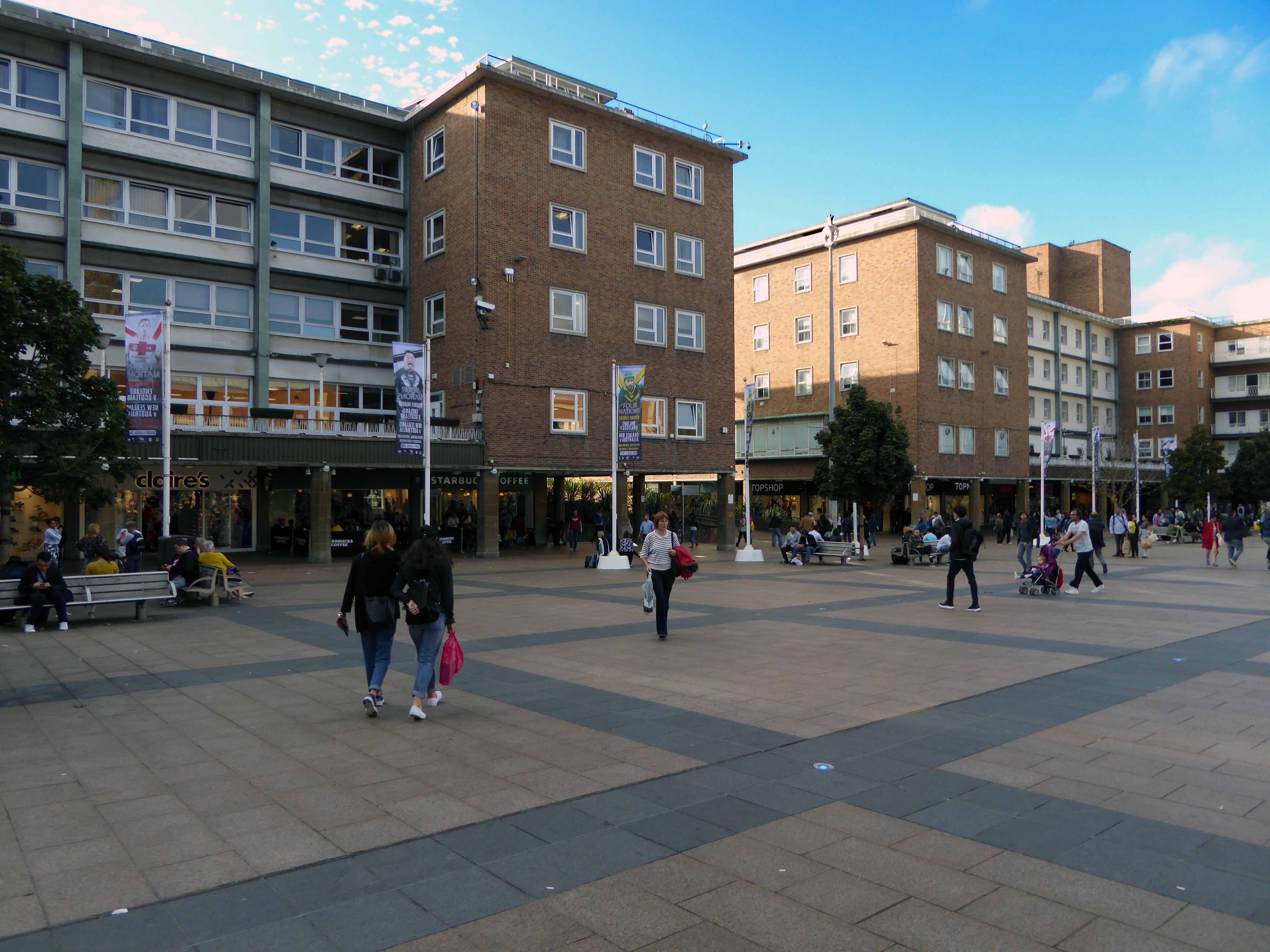
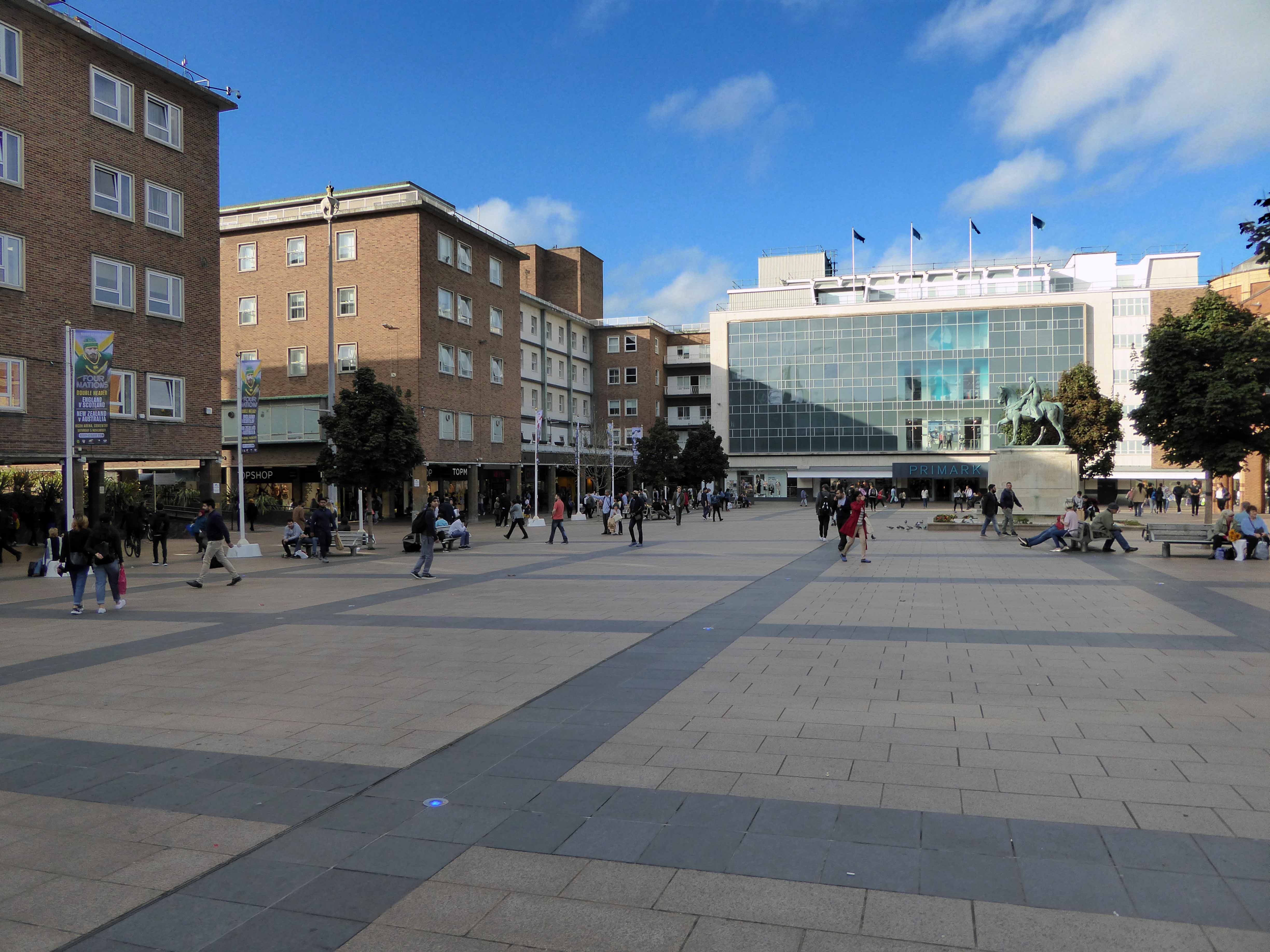
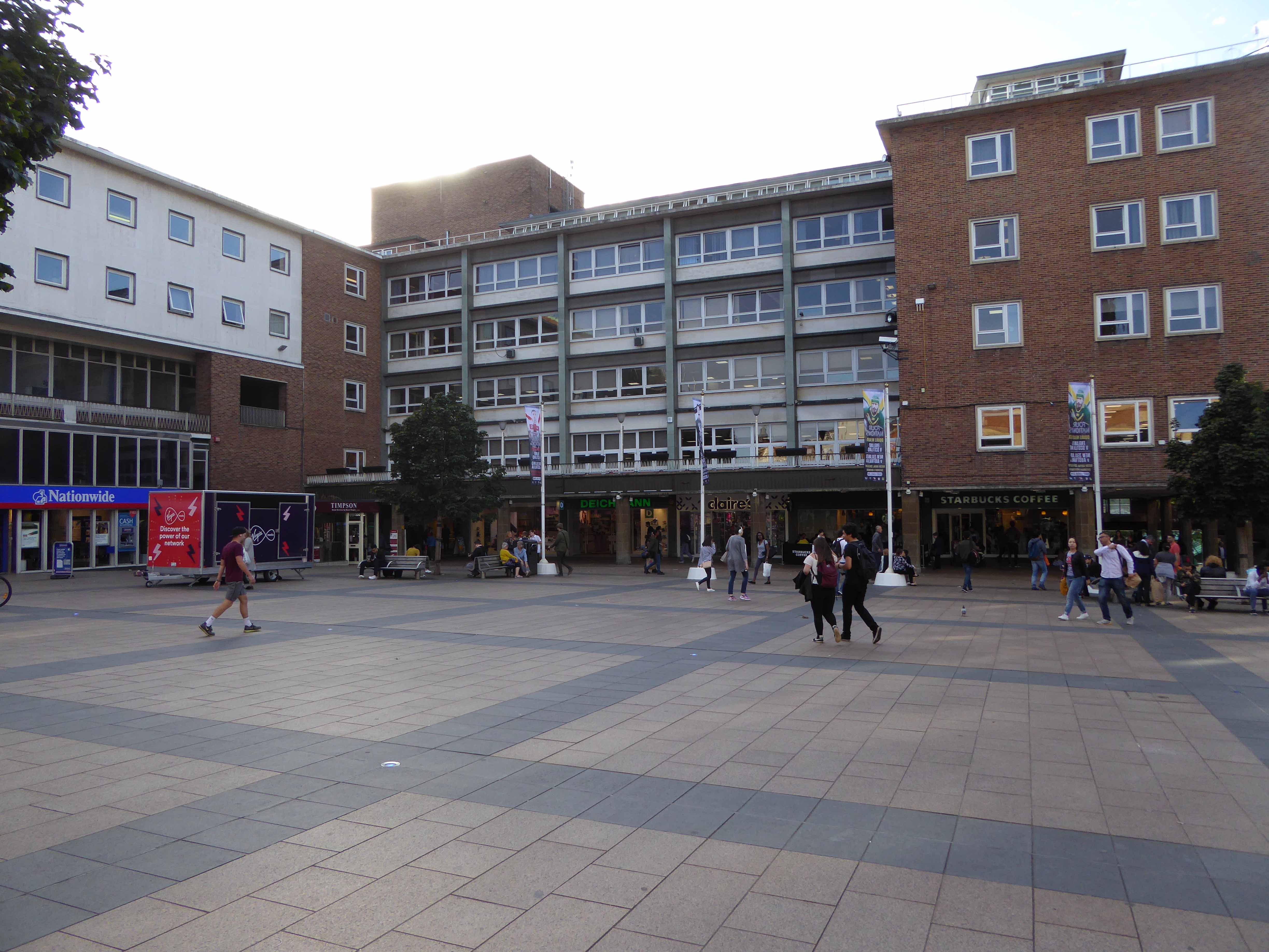
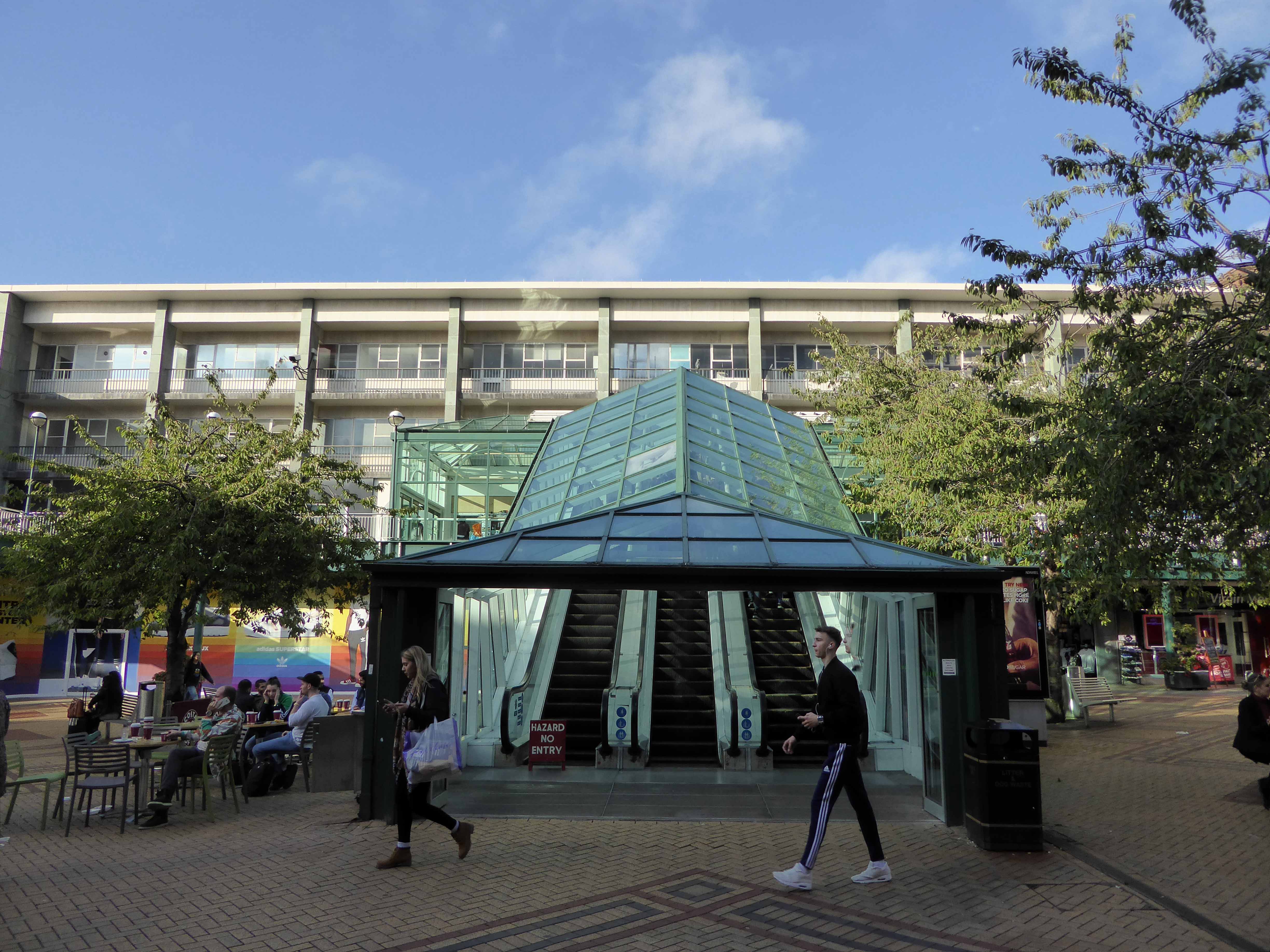
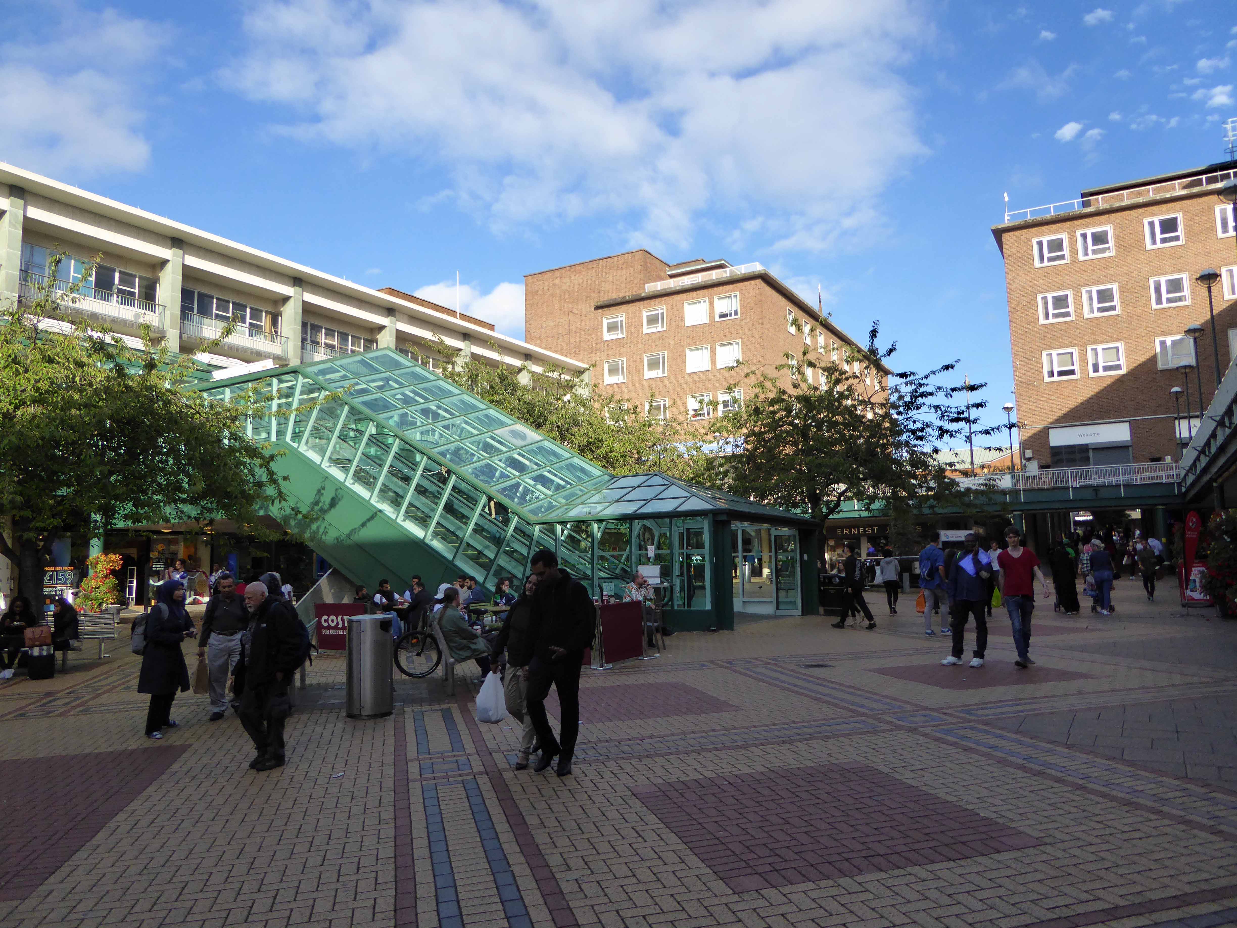
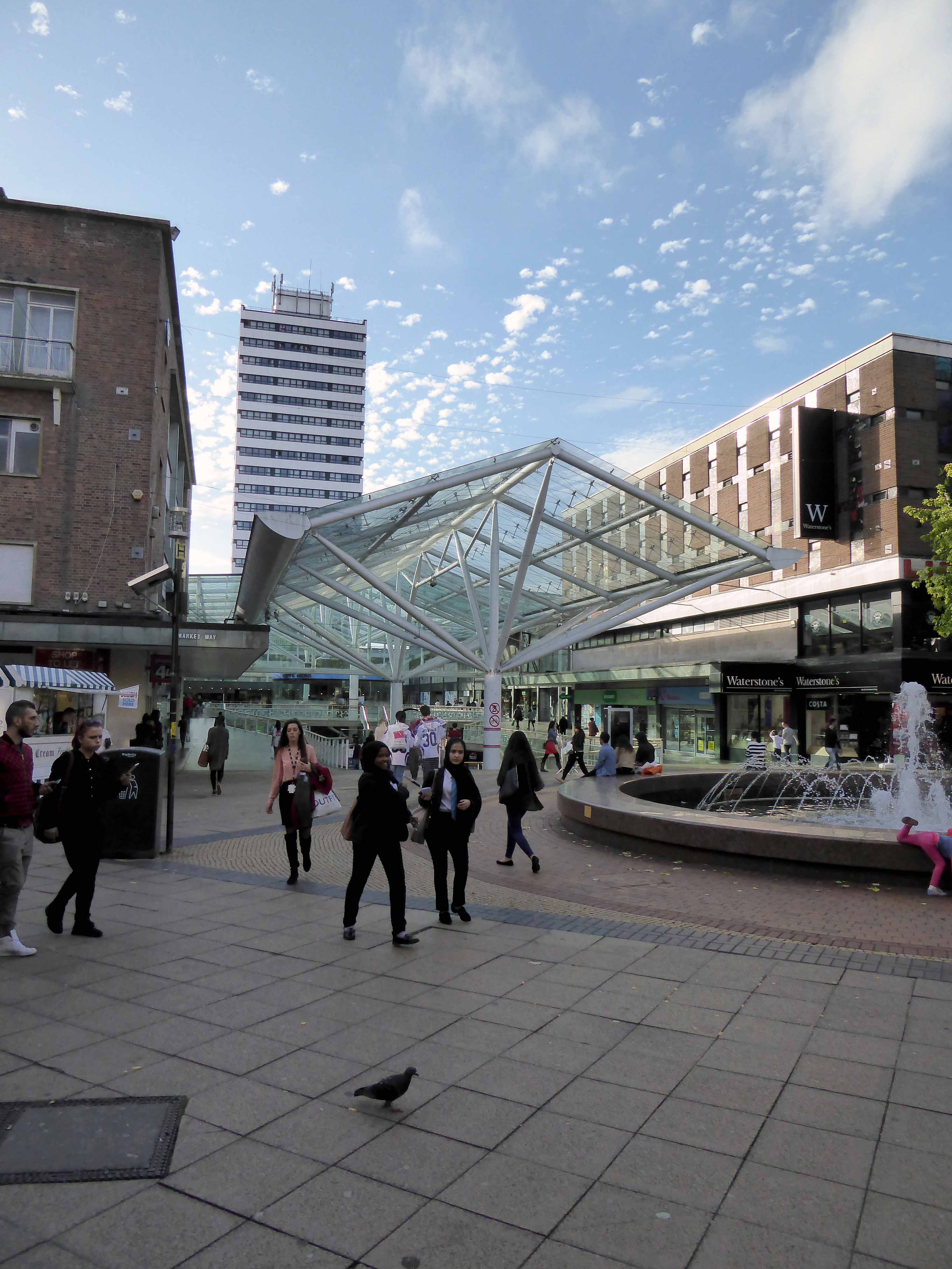
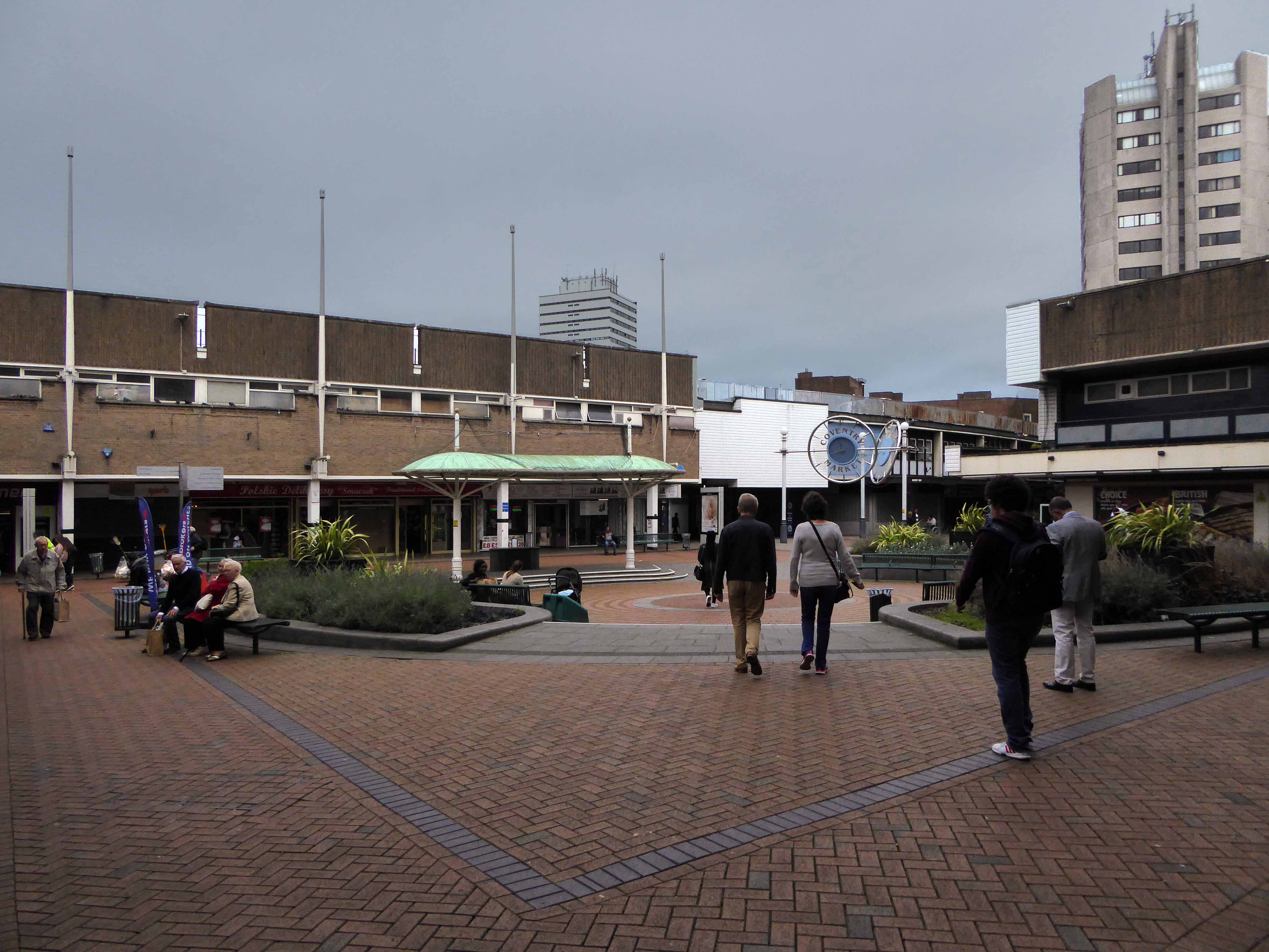
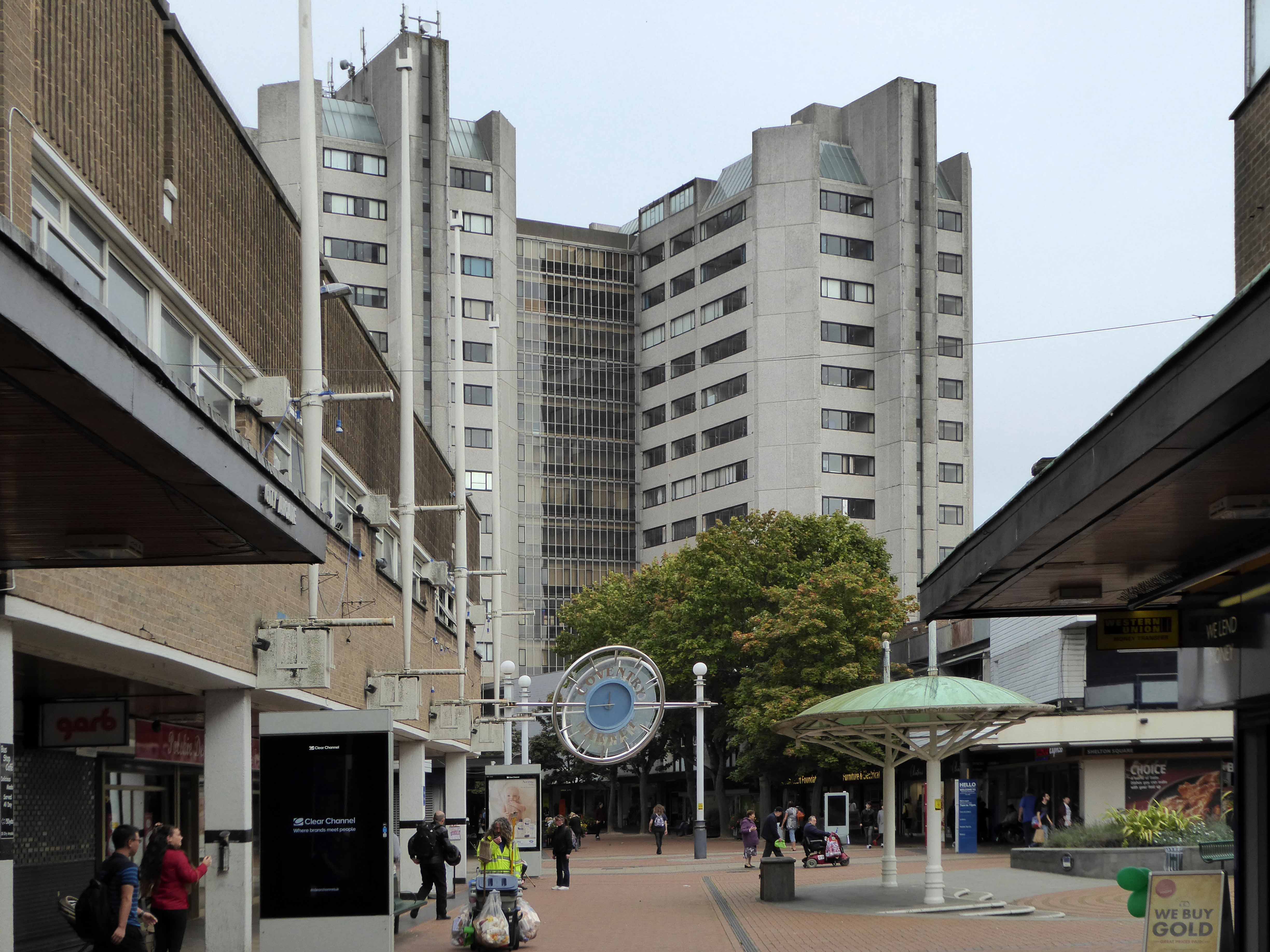
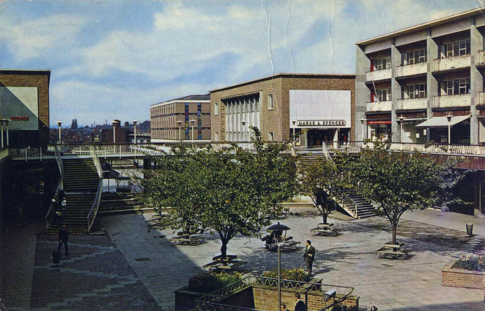
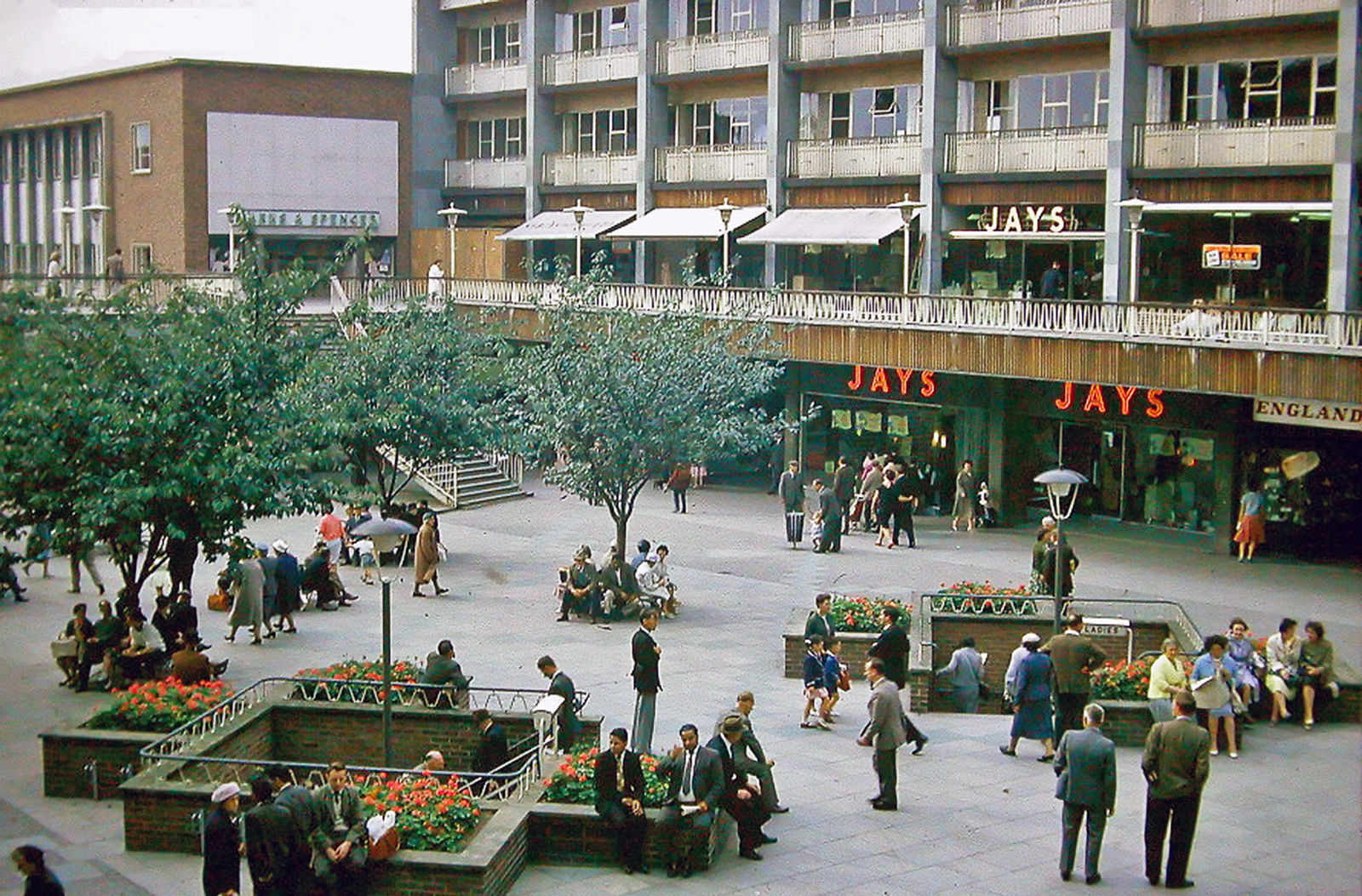
Here we are again wandering the pedestrianised precincts of Coventry  – having previously travelled by picture postcard and archival image.

Back to the future.

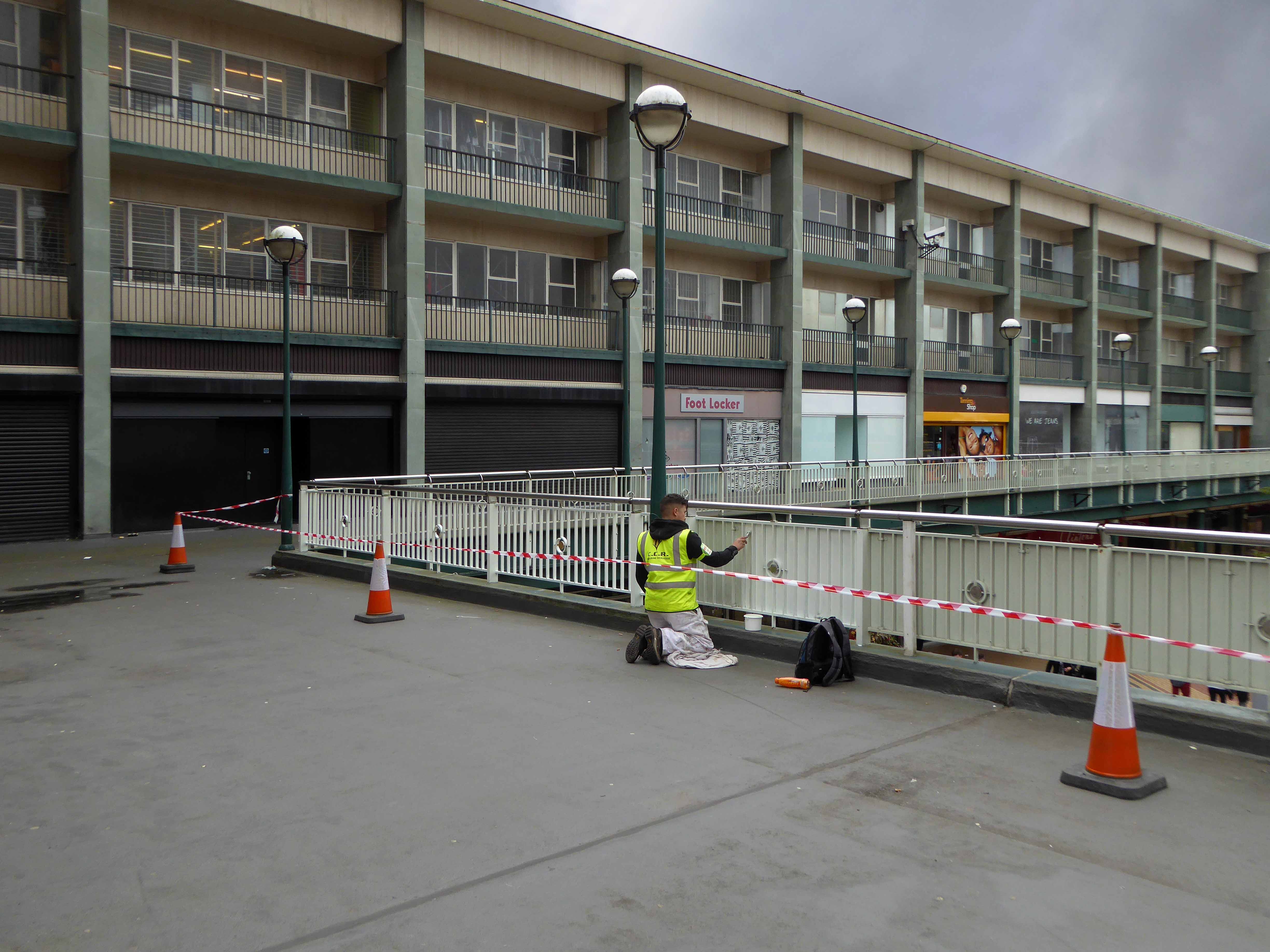
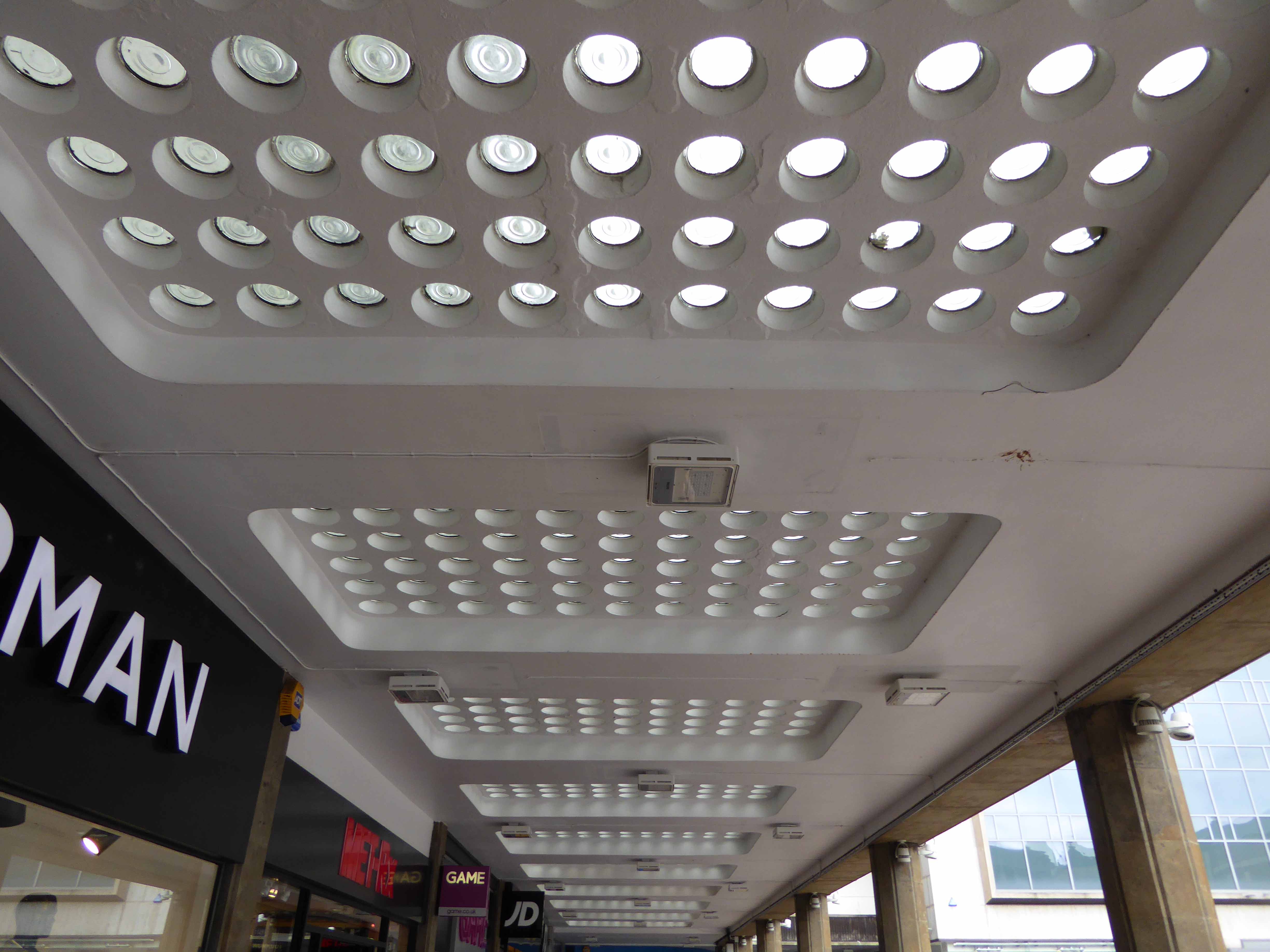
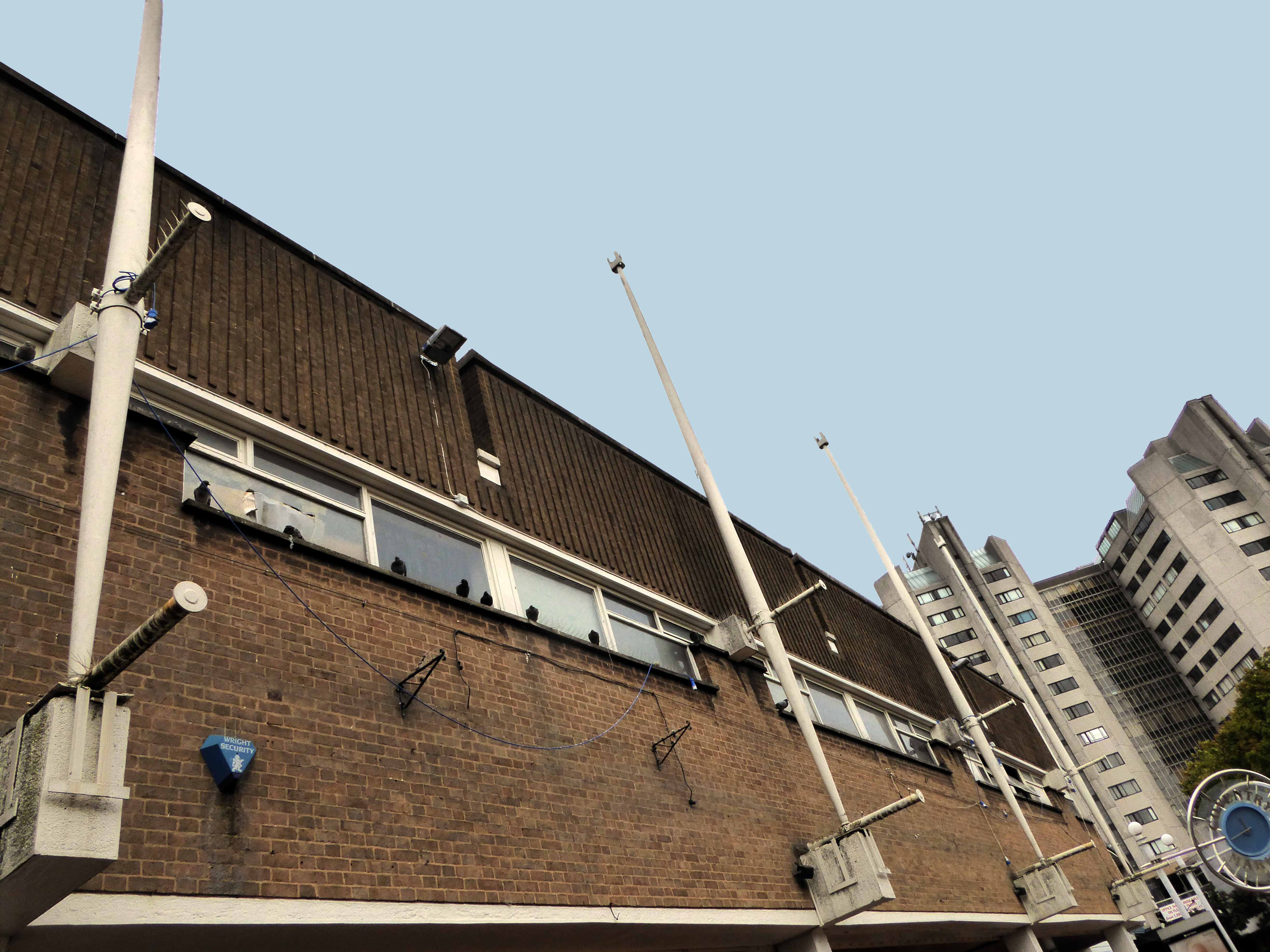
Today much of the original footprint and well-built brick, stone, glass and concrete structure prevails, with more recent retro fitted additions.

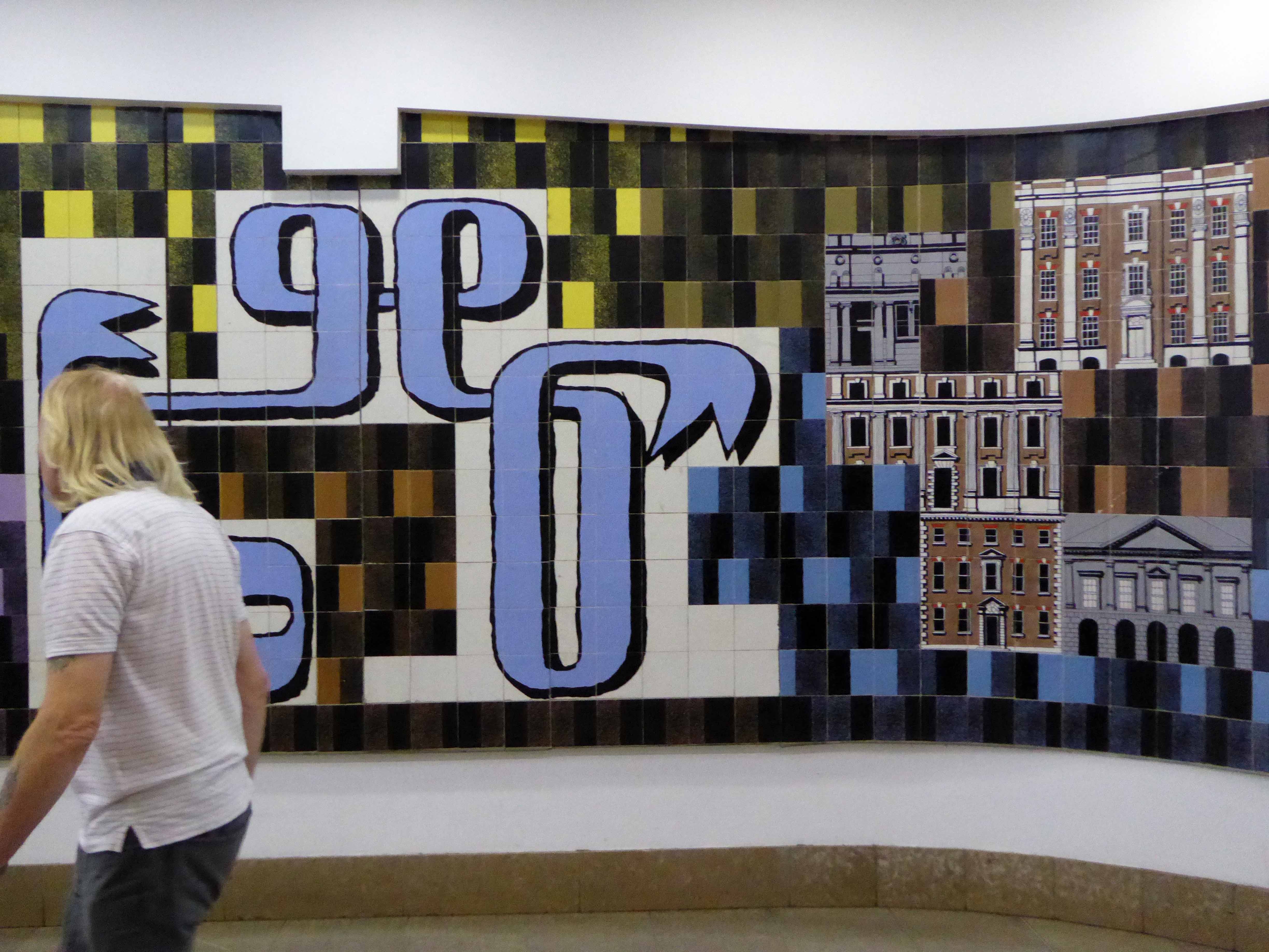
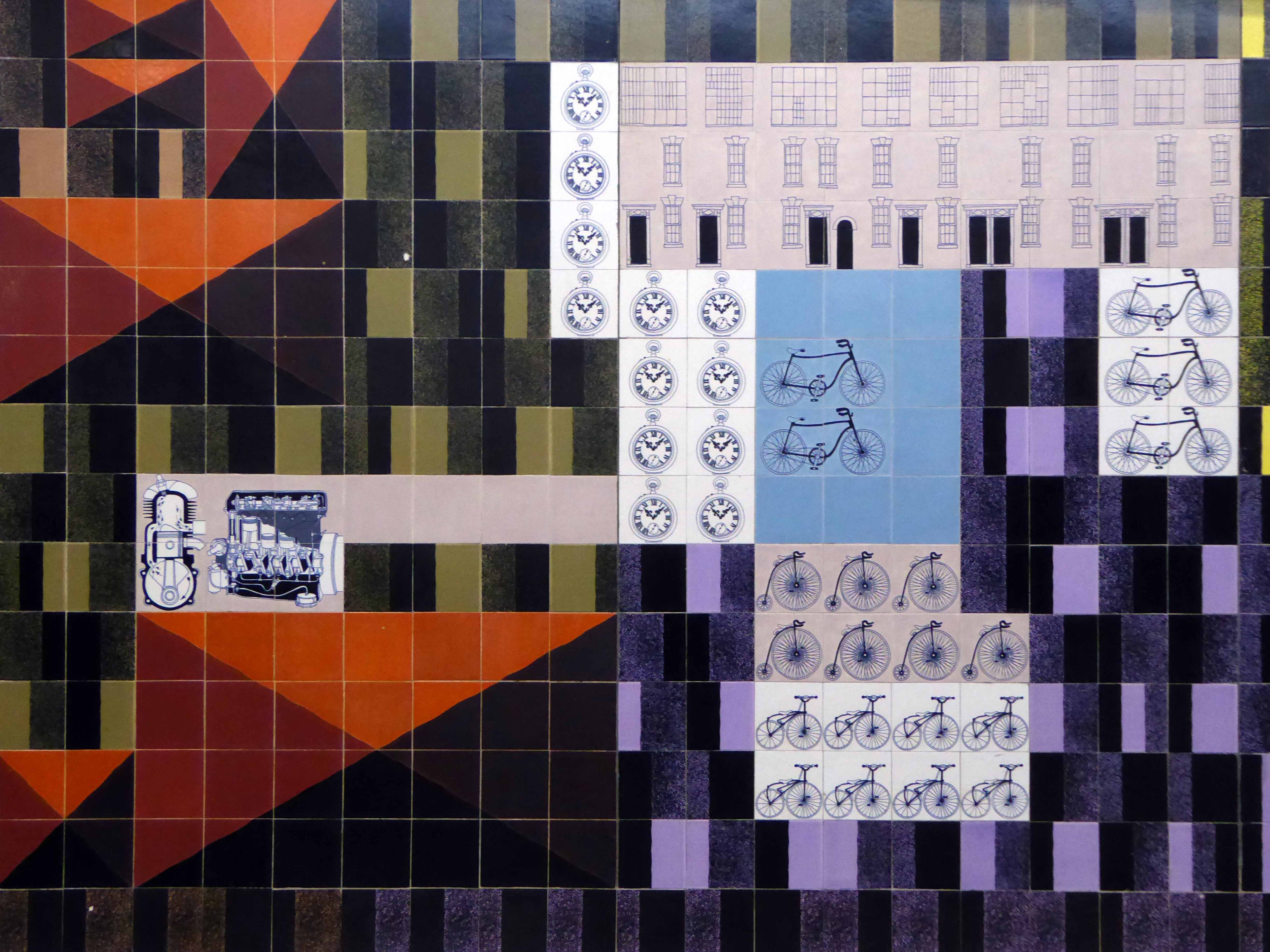
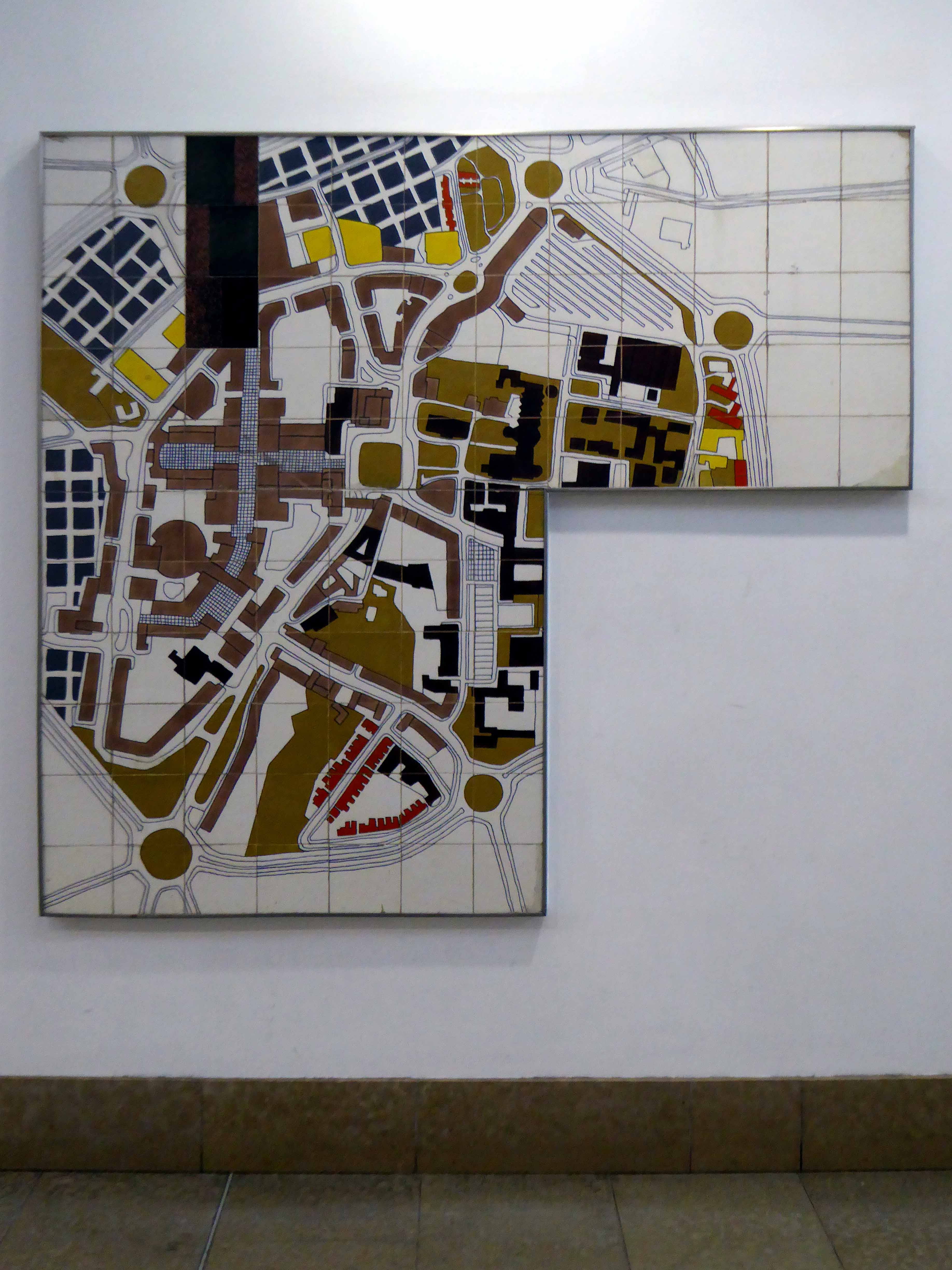
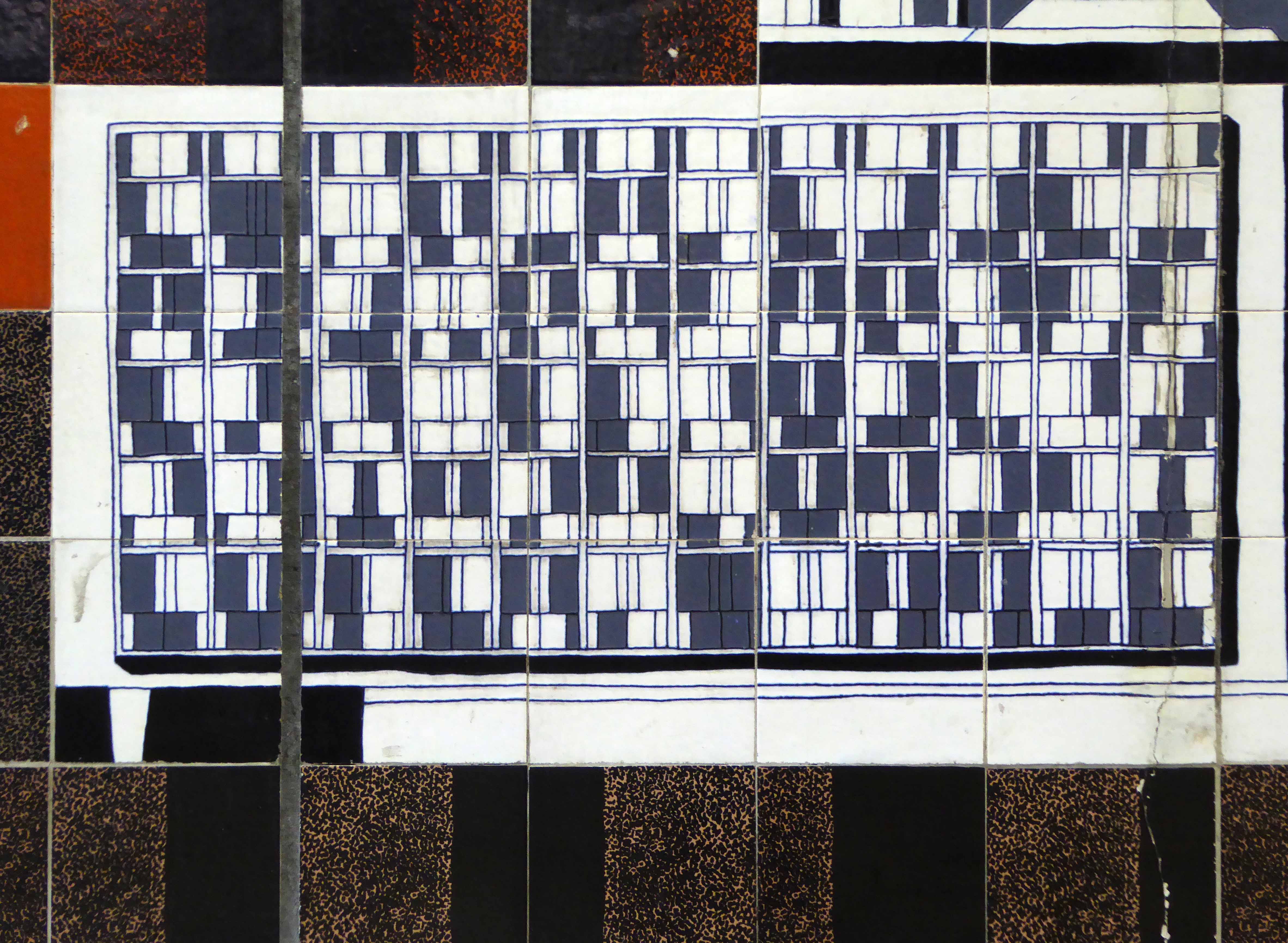
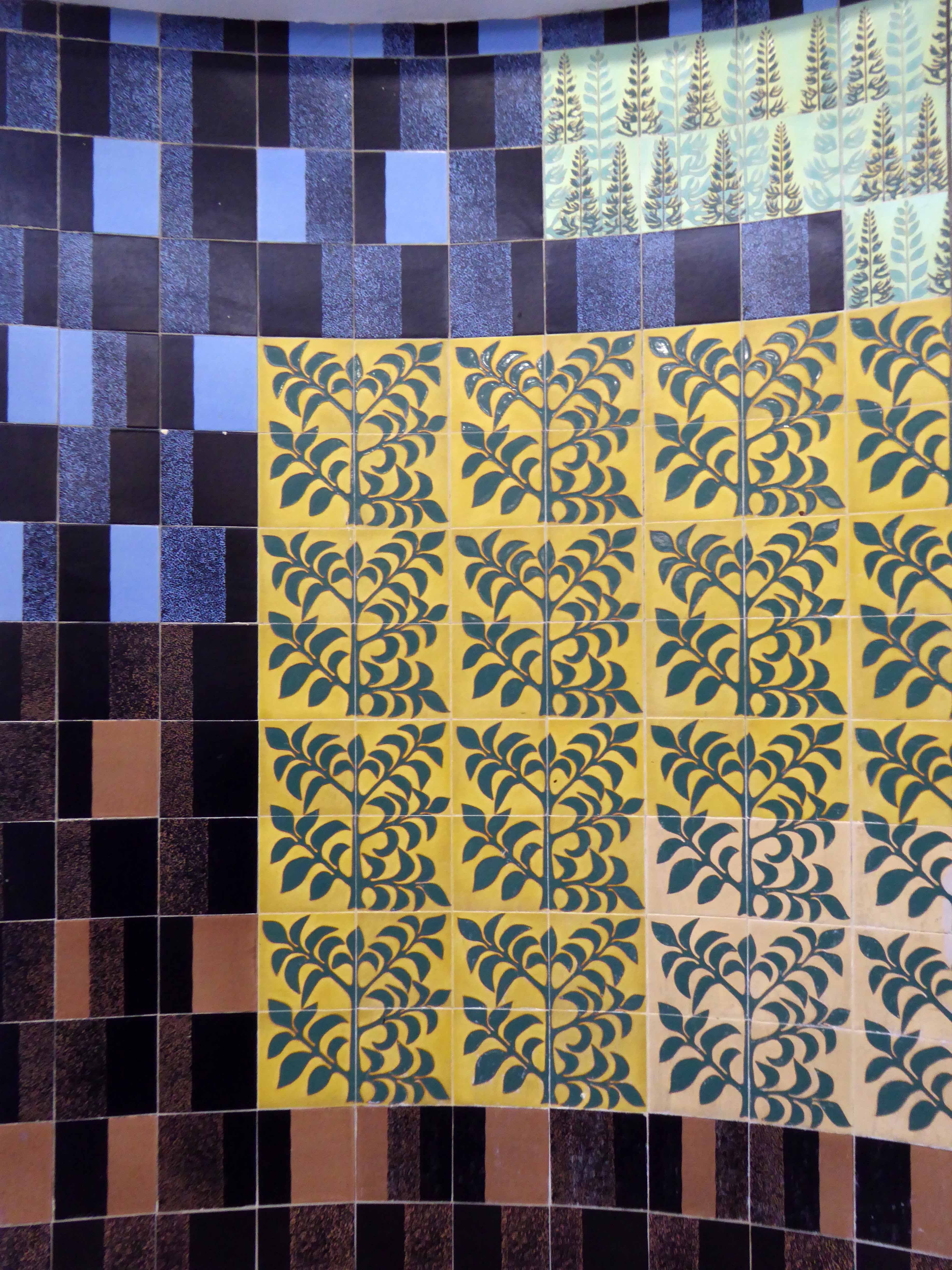
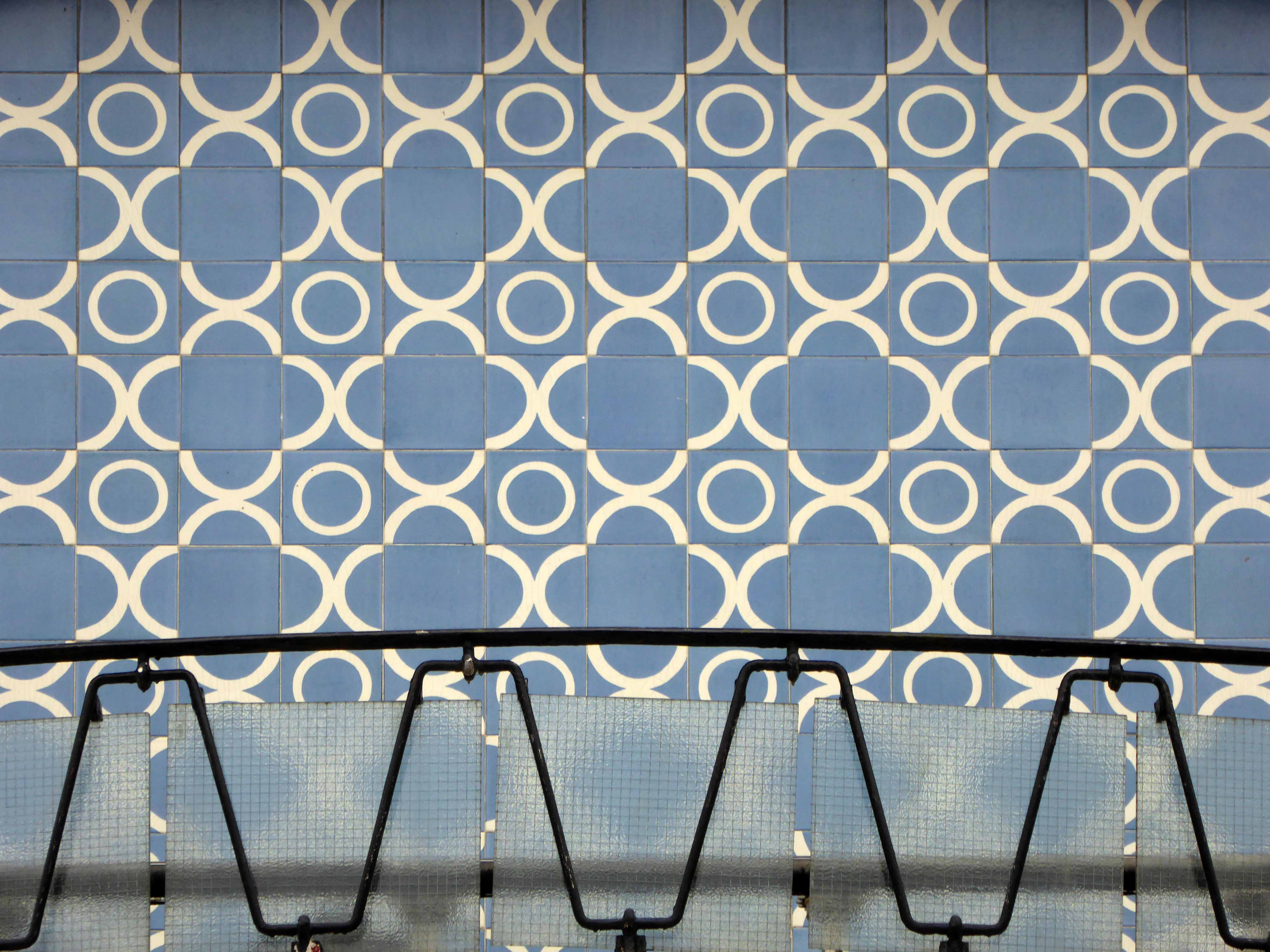
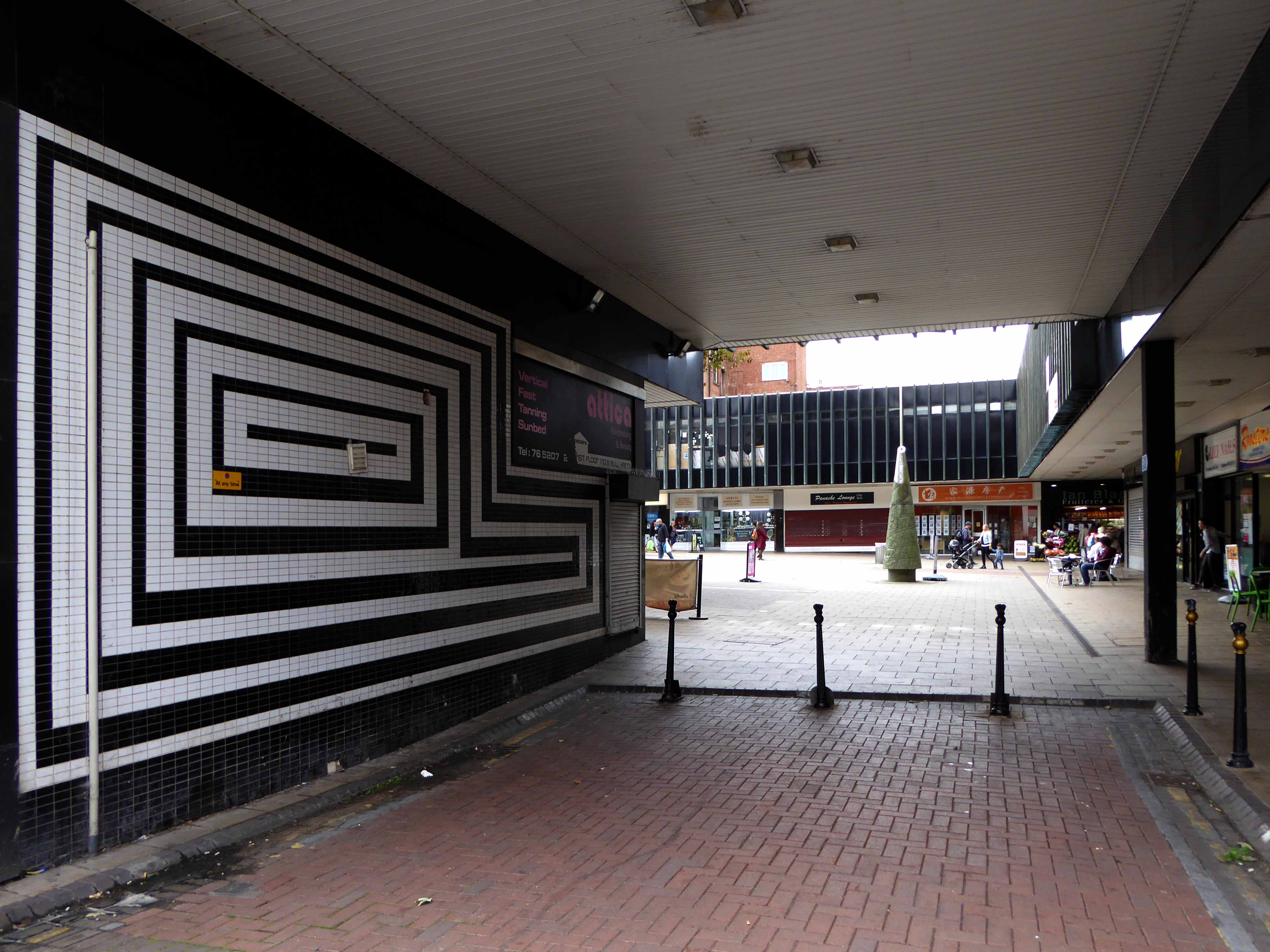
The Gordon Cullen mural has been renovated and re-sited.

Commissioned in 1957 on the recommendation of Arthur Ling – it was made by Carter’s Tiles of Poole.

Coventry Society

p1100005
p1100006
p1100009
p1100008
p1100013
p1100054
p1100055

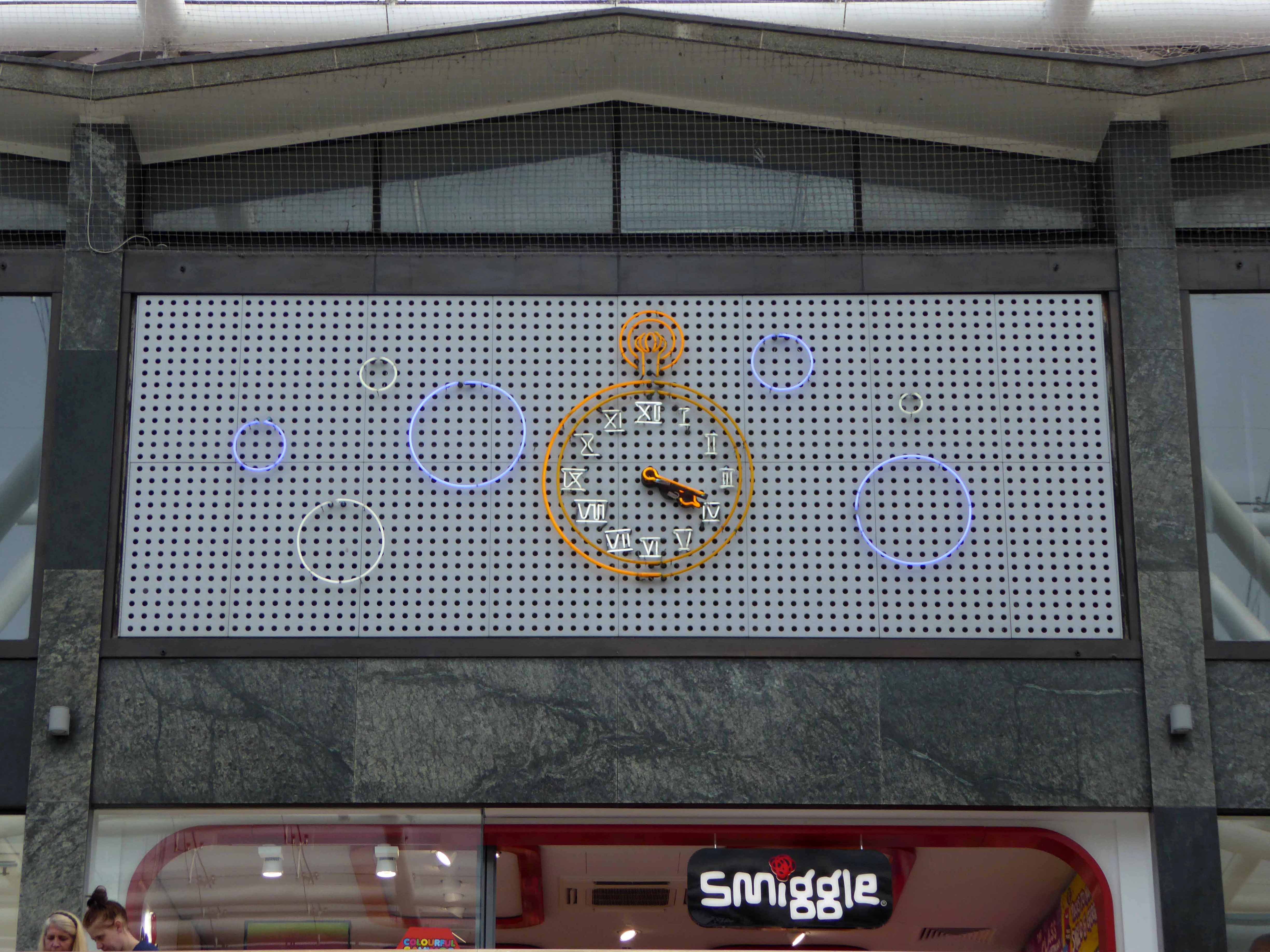
Sadly only one of the neon sculptures, remains illuminated – they may have been listed by Historic England, they have certainly given them a coat of looking at. I myself was approached whilst working away by a crack squad of precinct management, questioning my methods and motives. I reassured them I was a serious student of post-war architecture and they allowed happily to go about my business – assuring me that I was following in the footsteps of HE.

p1100015

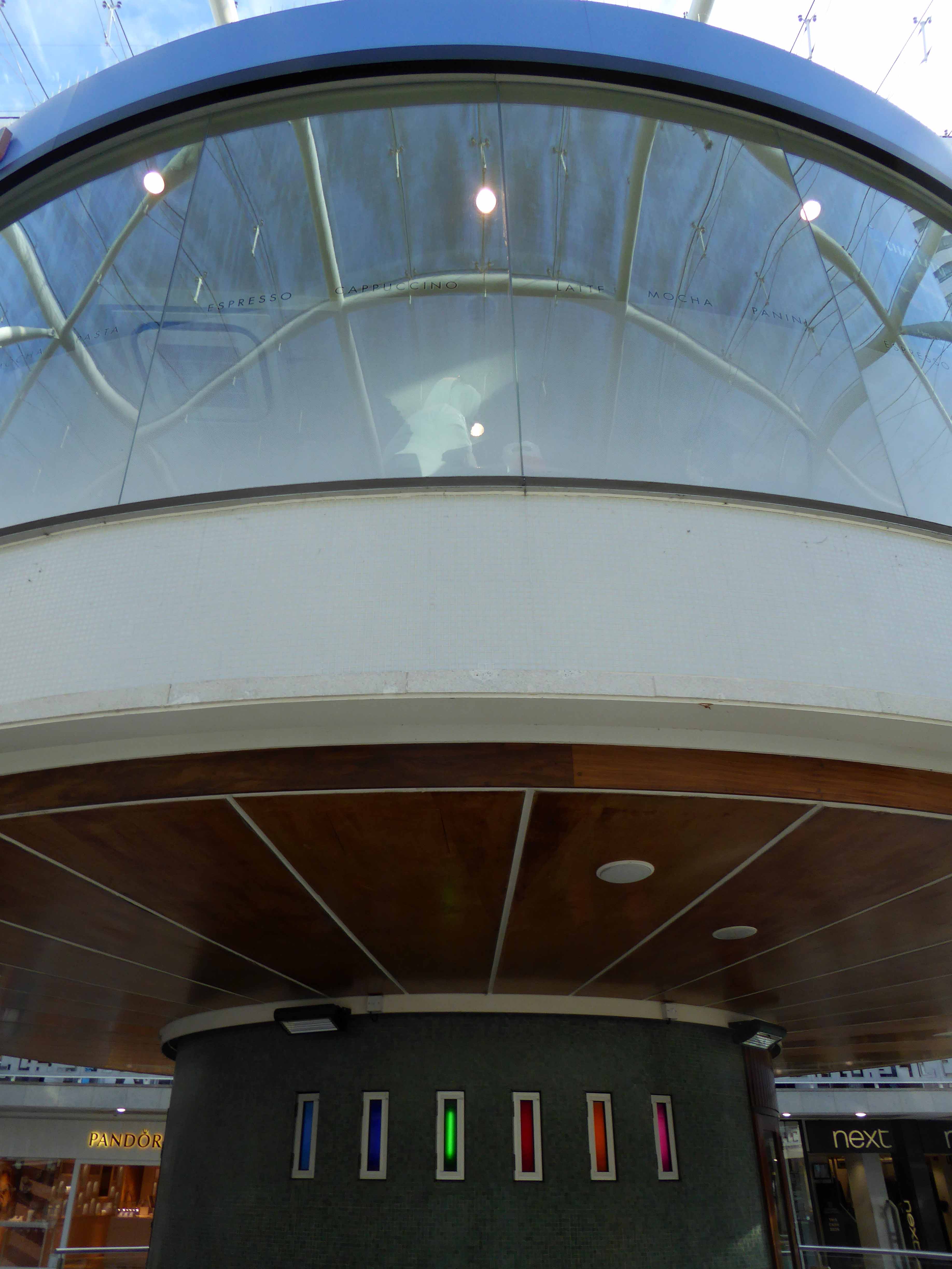
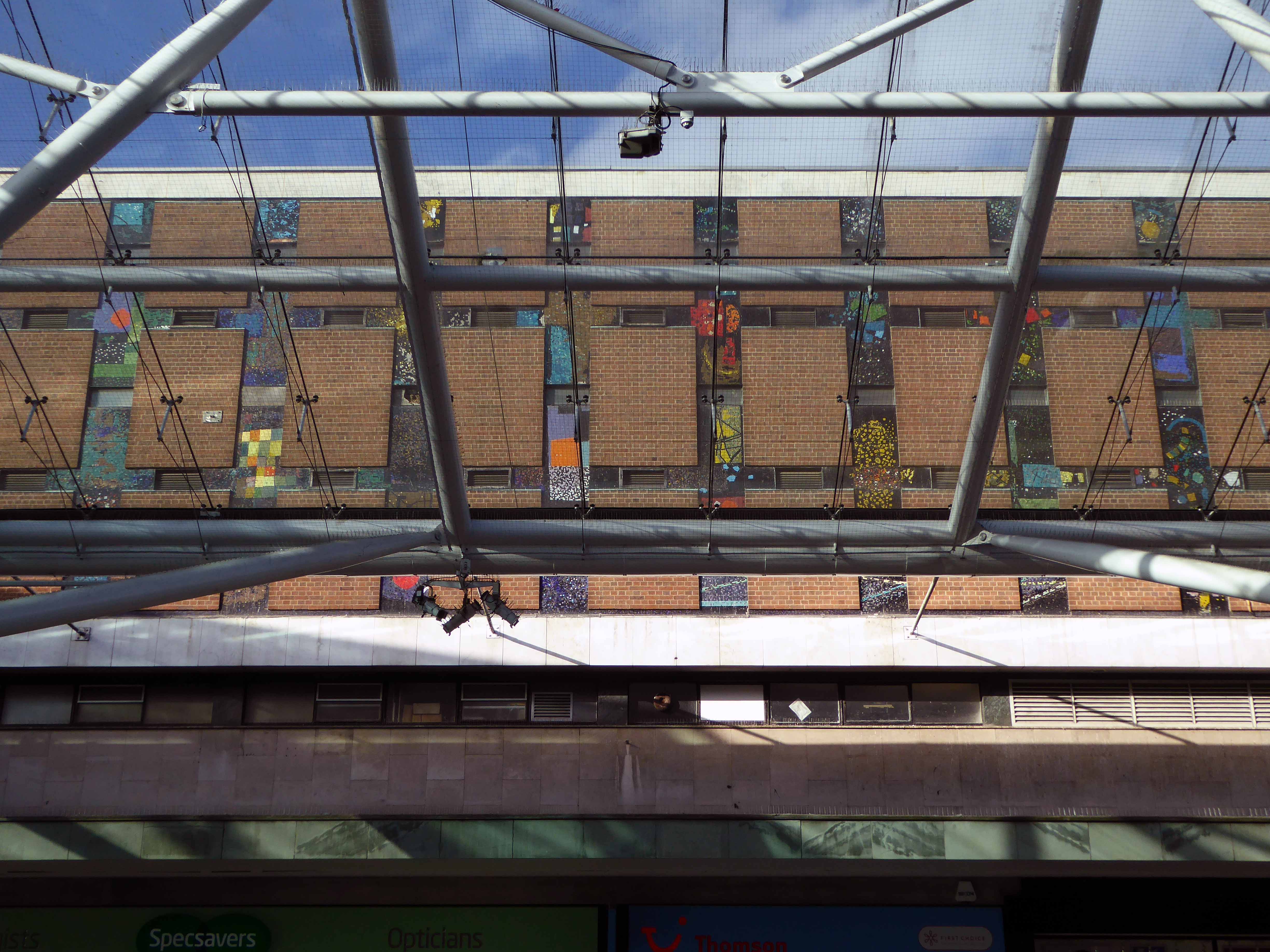
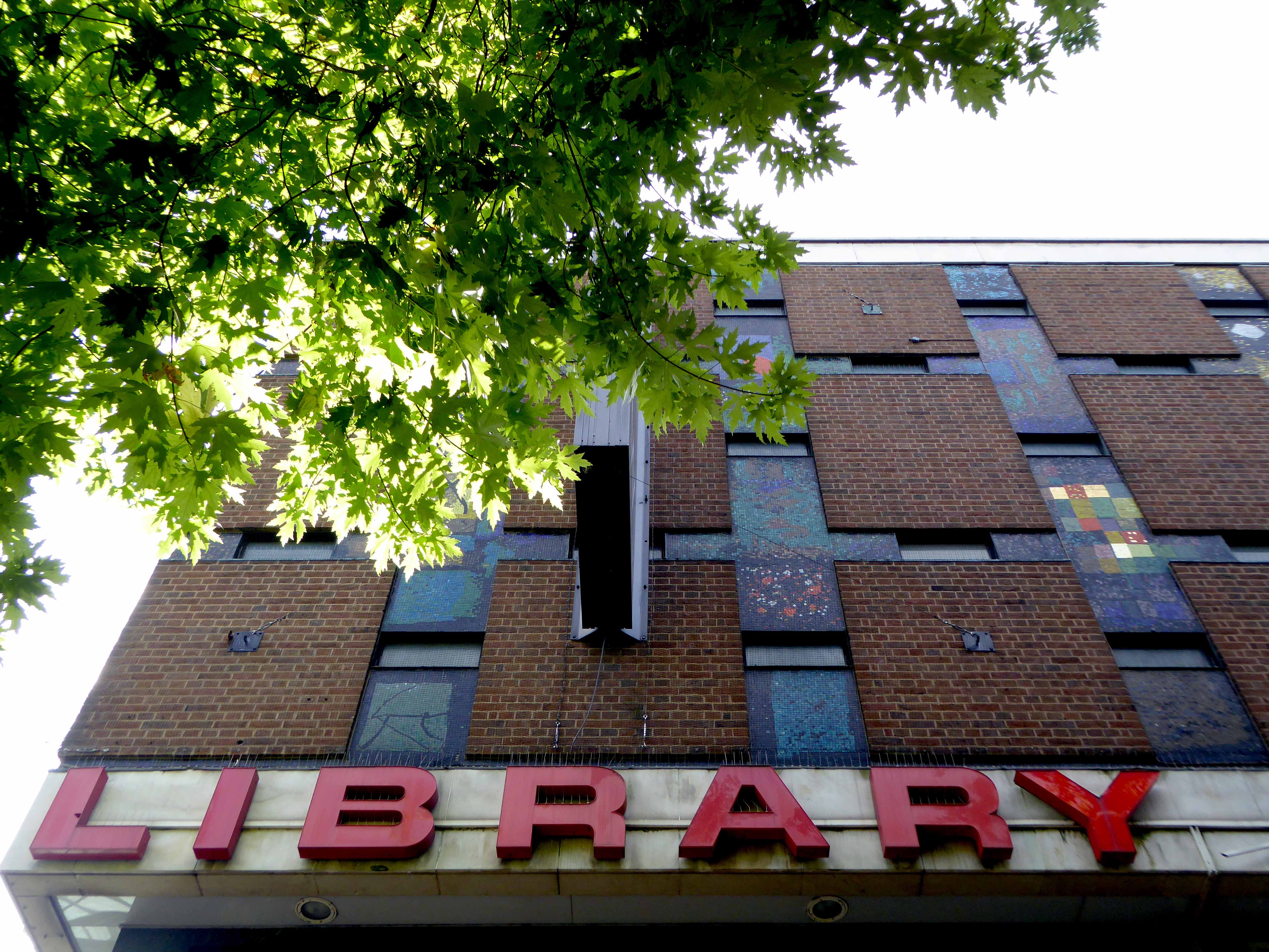
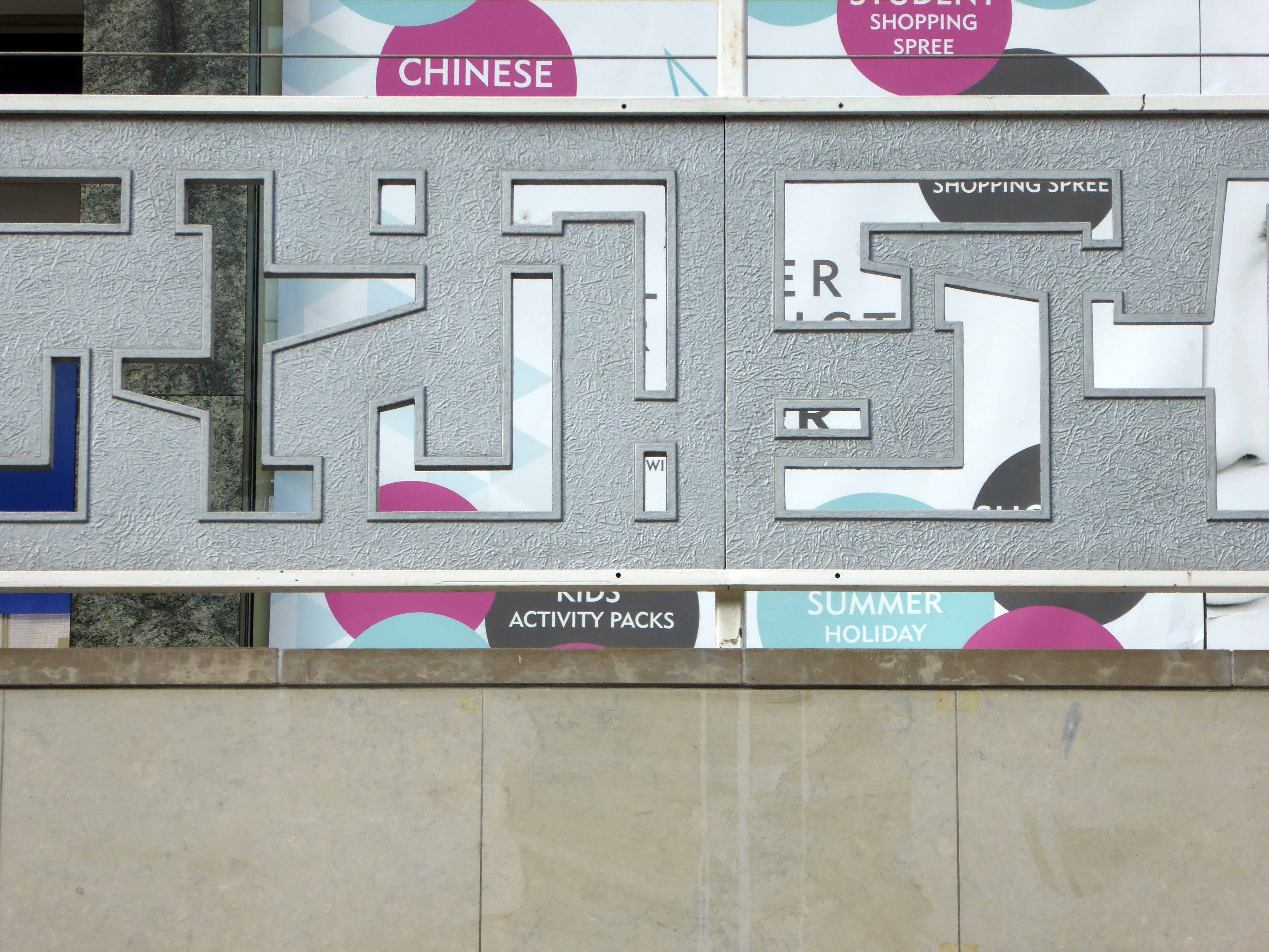
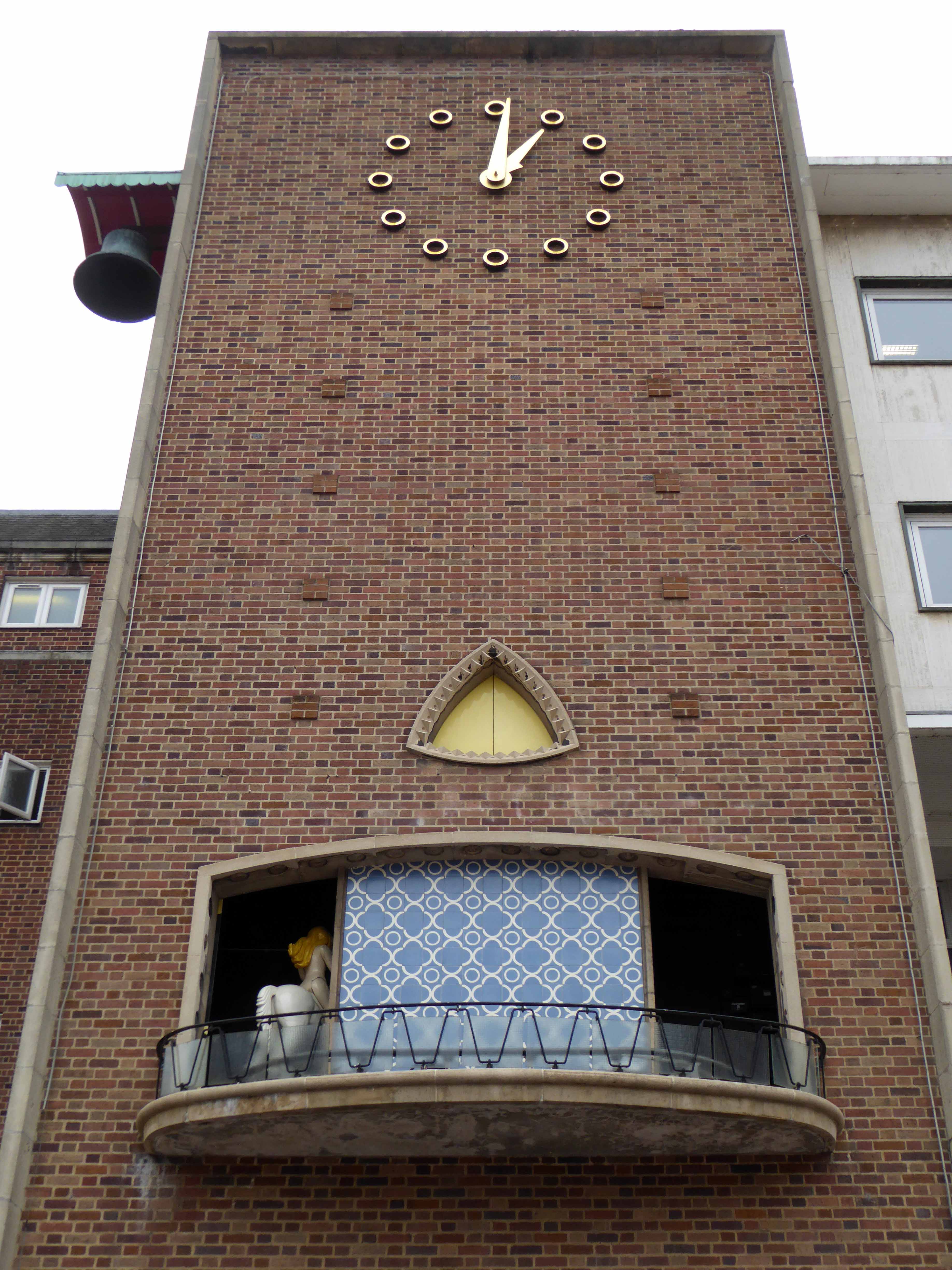
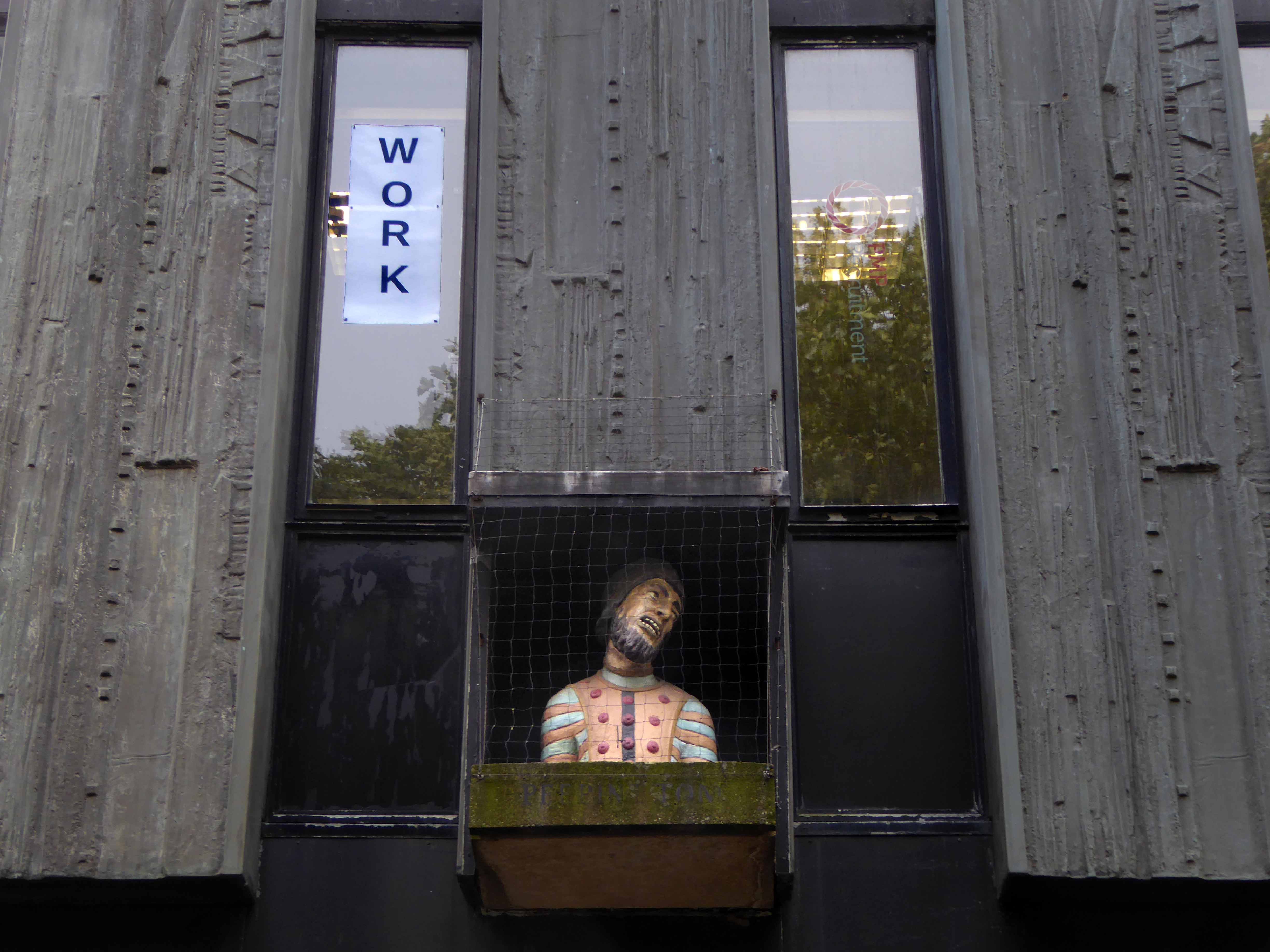
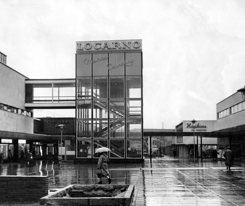
The elevated café, pierced screenwork, mosaics on the former Locarno, now Library and town clock are still every much in situ, Lady Godiva dutifully appearing on the hour, every hour with an ever attendant Peeping Tom for company.

p1100052
p1100039
p1100032
p1100016
p1090806
p1090807

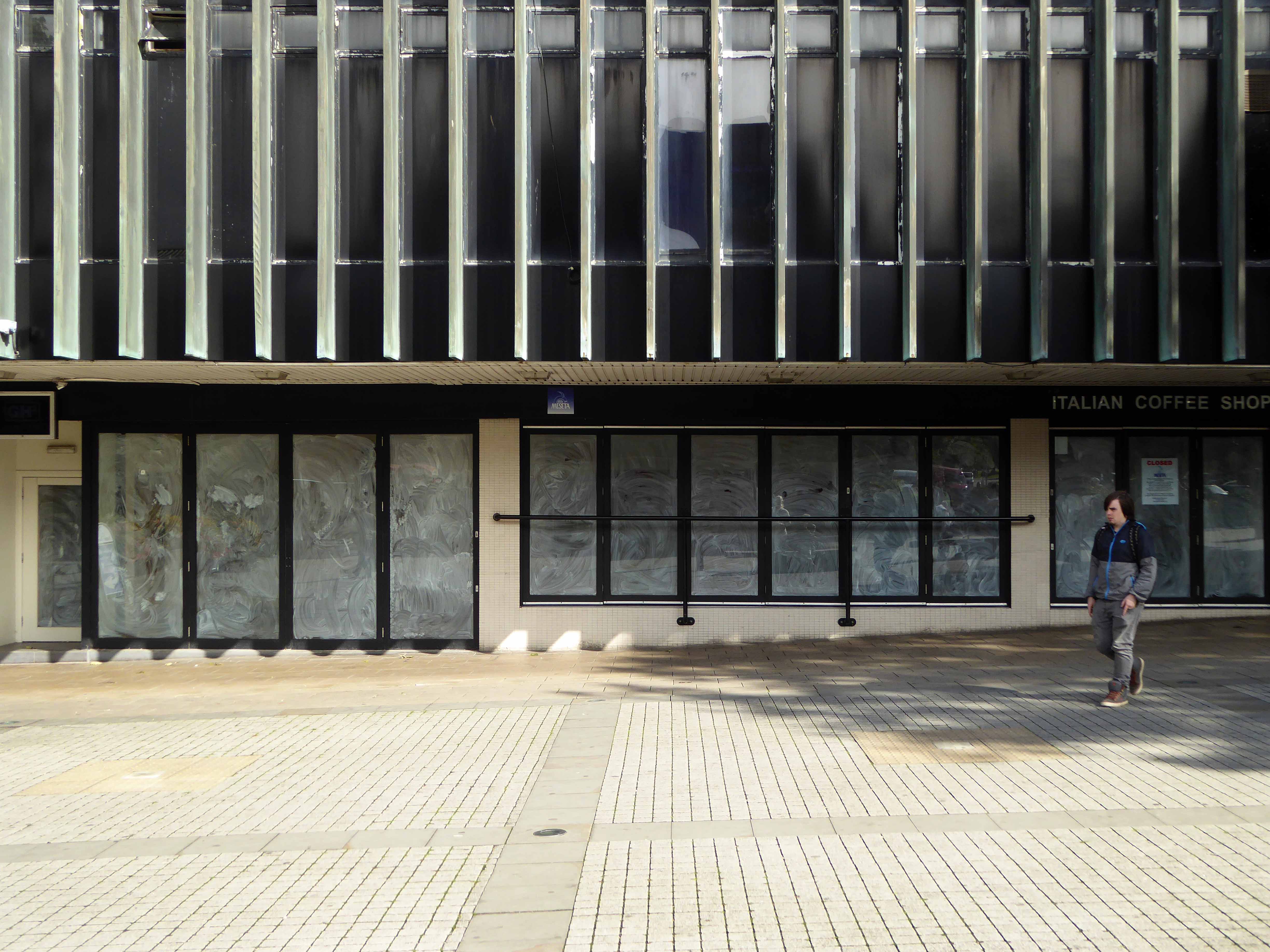
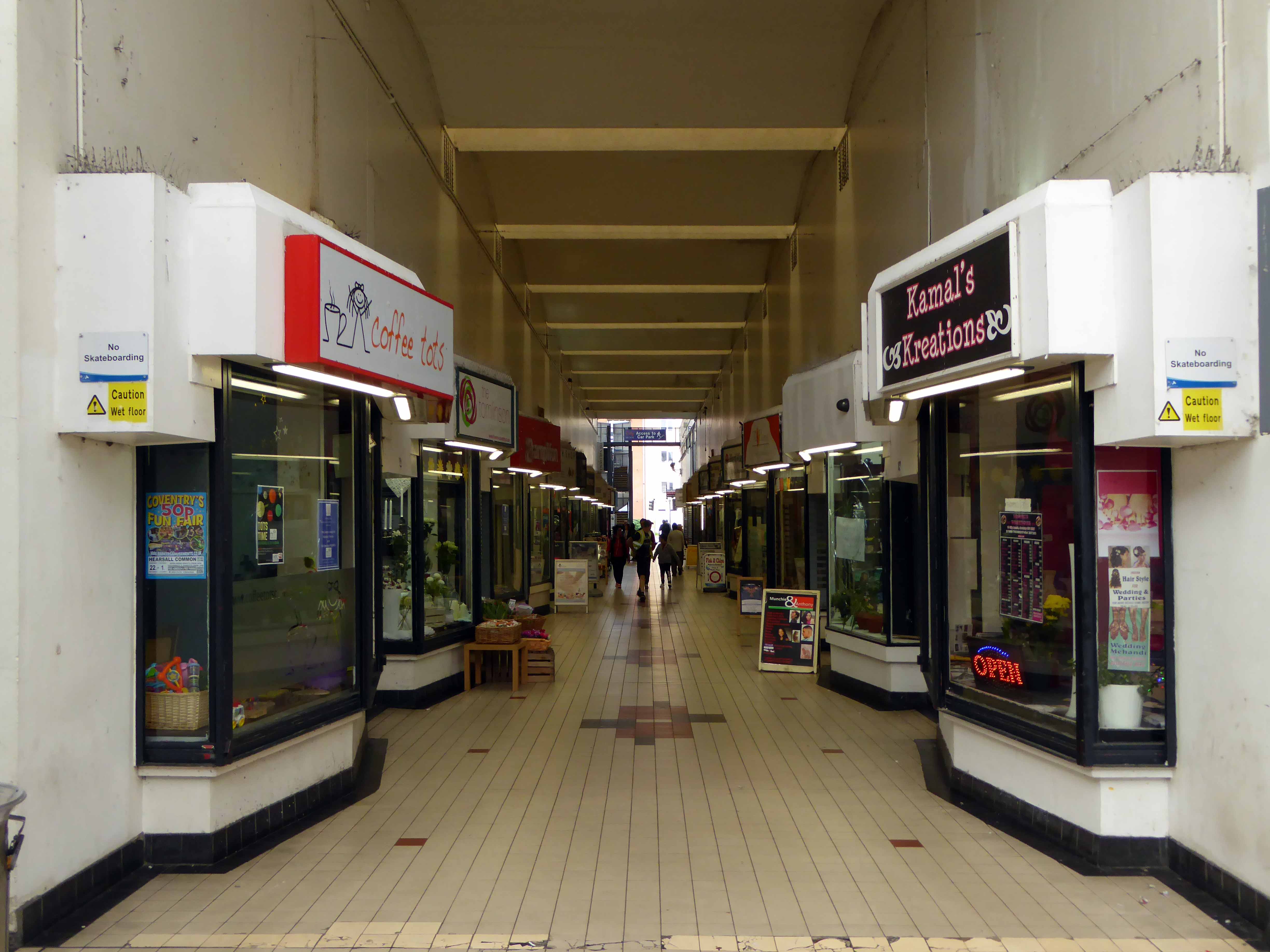
The area is well-used bustling busy, with a smattering of empty units which are sadly typical of most provincial town competing for custom and prosperity on the high street.

p1090808
p1090809
p1090810
p1090811
p1090812
p1090813
p1090814
p1090815
p1090817
p1100033
p1100034
p1100035
p1100036
p1100037
p1100038

Coventry – Precinct

Coventry city centre is a city centre, comprised of several interlocking post- war facets, realised over a thirty year period. This later addition The Bull Yard, the work of Arthur Ling and Terence Gregory, city architects and planning officers 1963-69.

It incorporates pedestrian walkways, retail, civic and car parking facilities with a crowded unease and grace. Much of the original detail survives, though not unusually, some more recent additions detract from the integrity of the scheme.

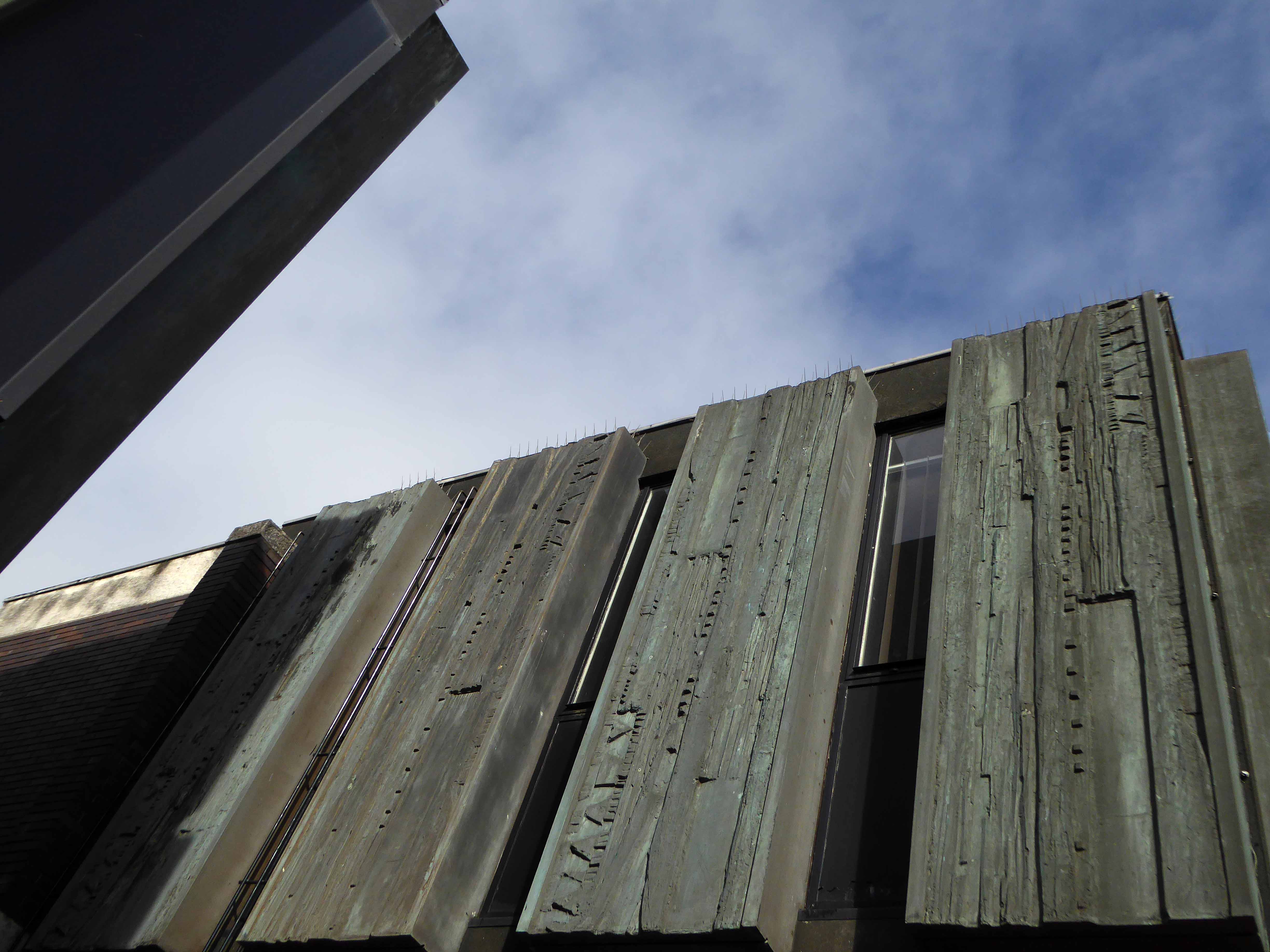
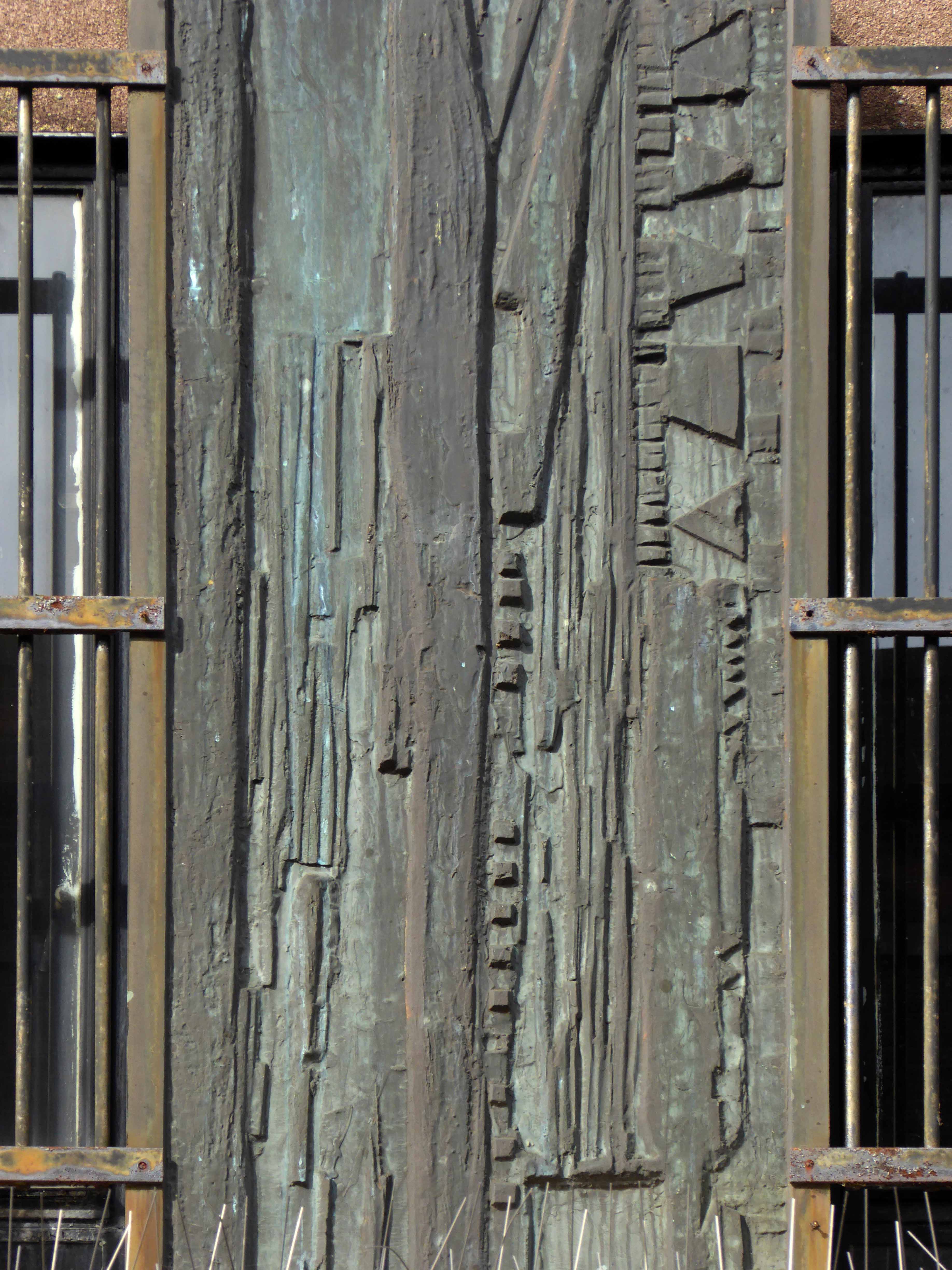
The site is graced by two major works by William Mitchell – the concrete facade and interior of the former Three Tuns public house.

fudge9

And the sculpted panels on Hertford Street.

p1090773

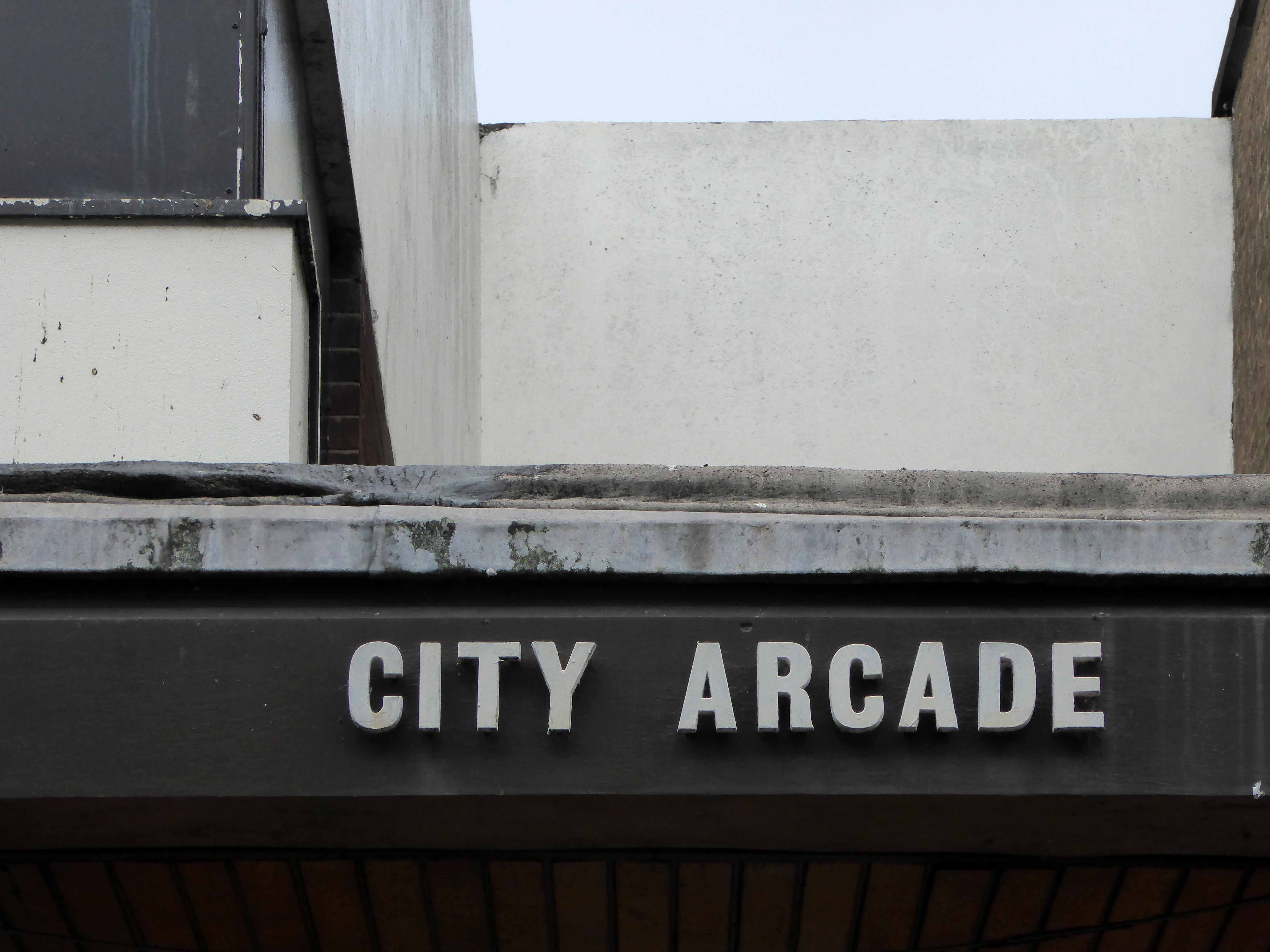
So we are left with a series of spaces that now seem slightly adrift, particularly the City Arcade, as both the earlier and more recent developments in the city compete for clients and customers.

p1090707

To explore is to discover a work continually in progress, or regression, as the forces of heritage, commercial development, and civic planning pull each other this way and that.

There is an initiative for redevelopment for the area yet to find a satisfactory resolution.

Take a look.

p1090676
p1090681
p1090687

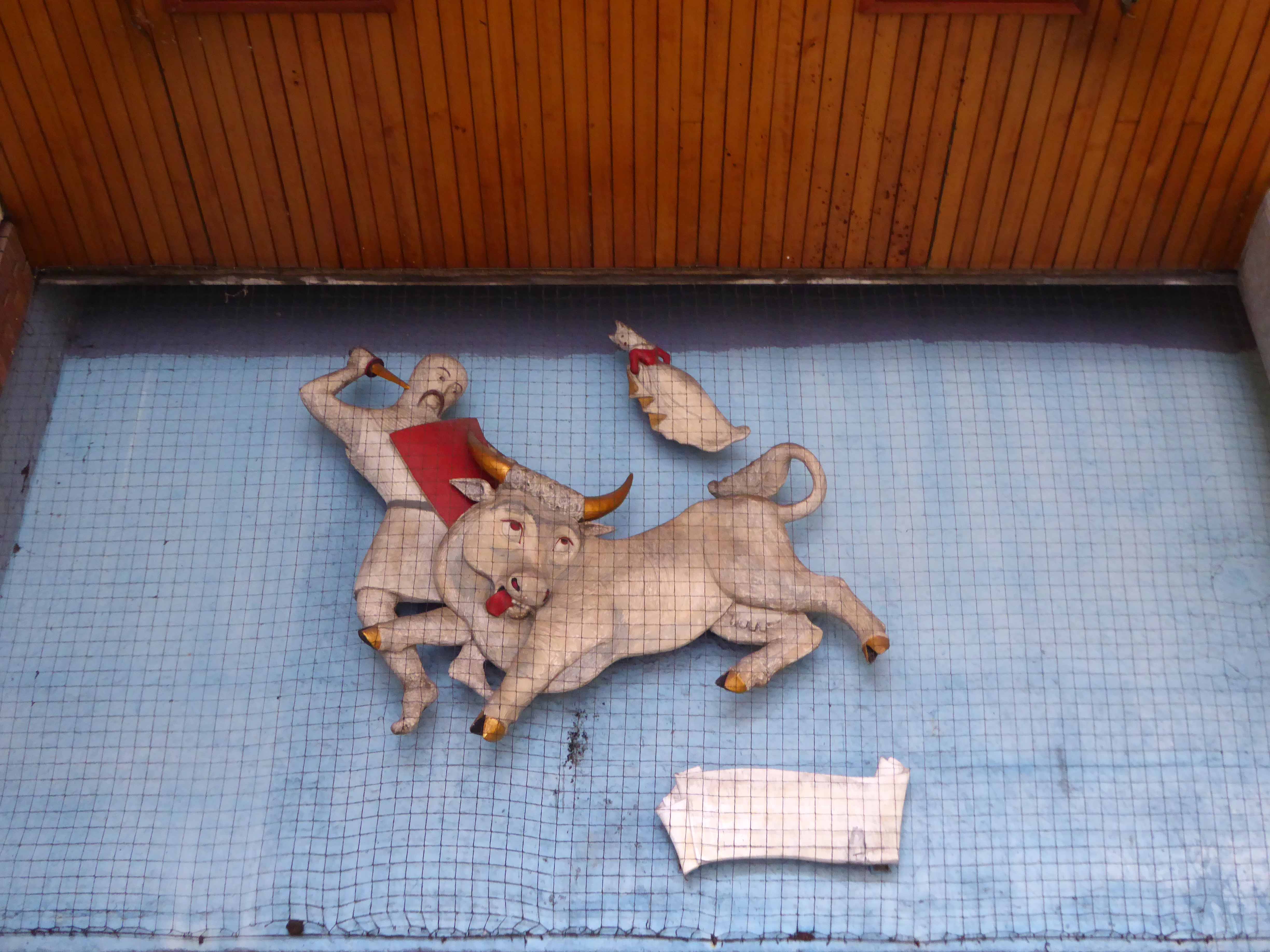
Up on high we find Sir Guy and the Dun Cow by Alma Ramsey 1952.

p1090699
p1090770
p1090700
p1090703
p1090705
p1090701

Coventry Point architects: John Madin Design Group 1969/75

p1090706
p1090707

The Peeping Tom head and shoulders sculpture is currently located in Hertford Street, mounted high up over the entrance to the covered walkway. It was originally a public house sign. It is not known who made it. It was displayed sitting in the top corner window of the Peeping Tom Public house which was on the corner of Hertford Street and Bull Yard, not far from where it is now. It was moved when the road was being redeveloped in the late 1960’s and early 70’s.

Coventry Society

p1090793
p1090771
p1090776
p1090775
p1090789
p1090779
p1090790
p1090791

Coventry – Indoor Market

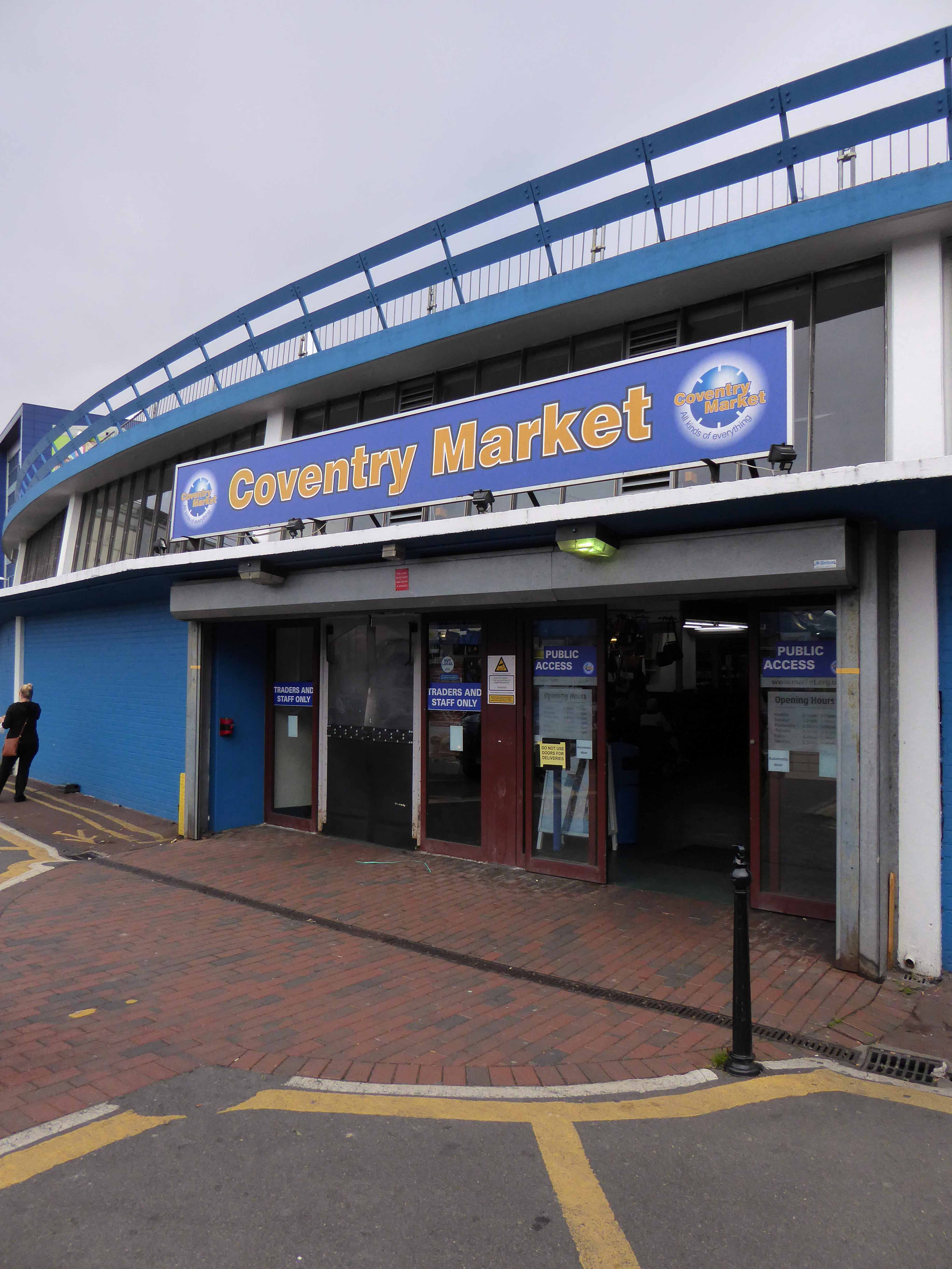
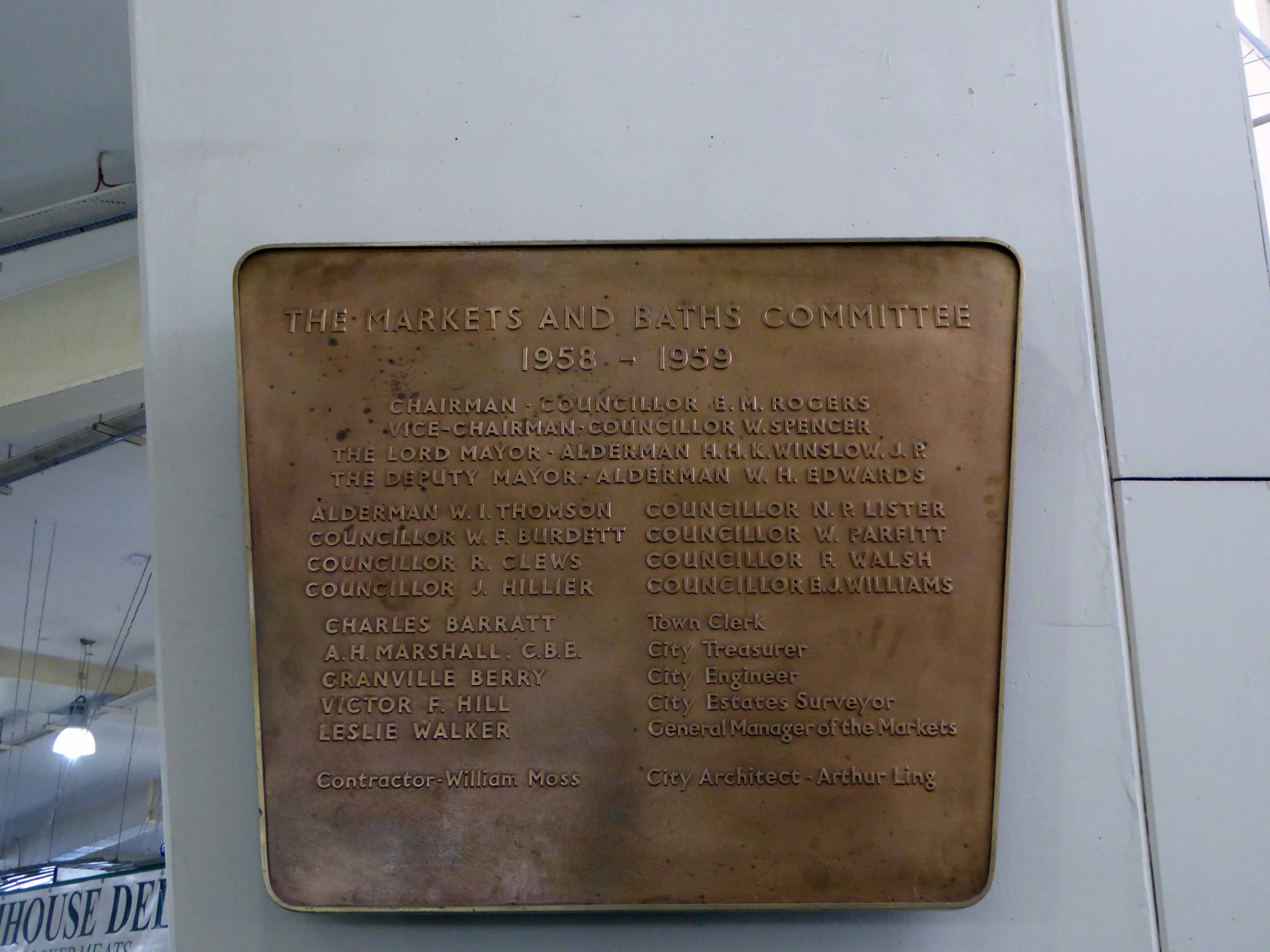
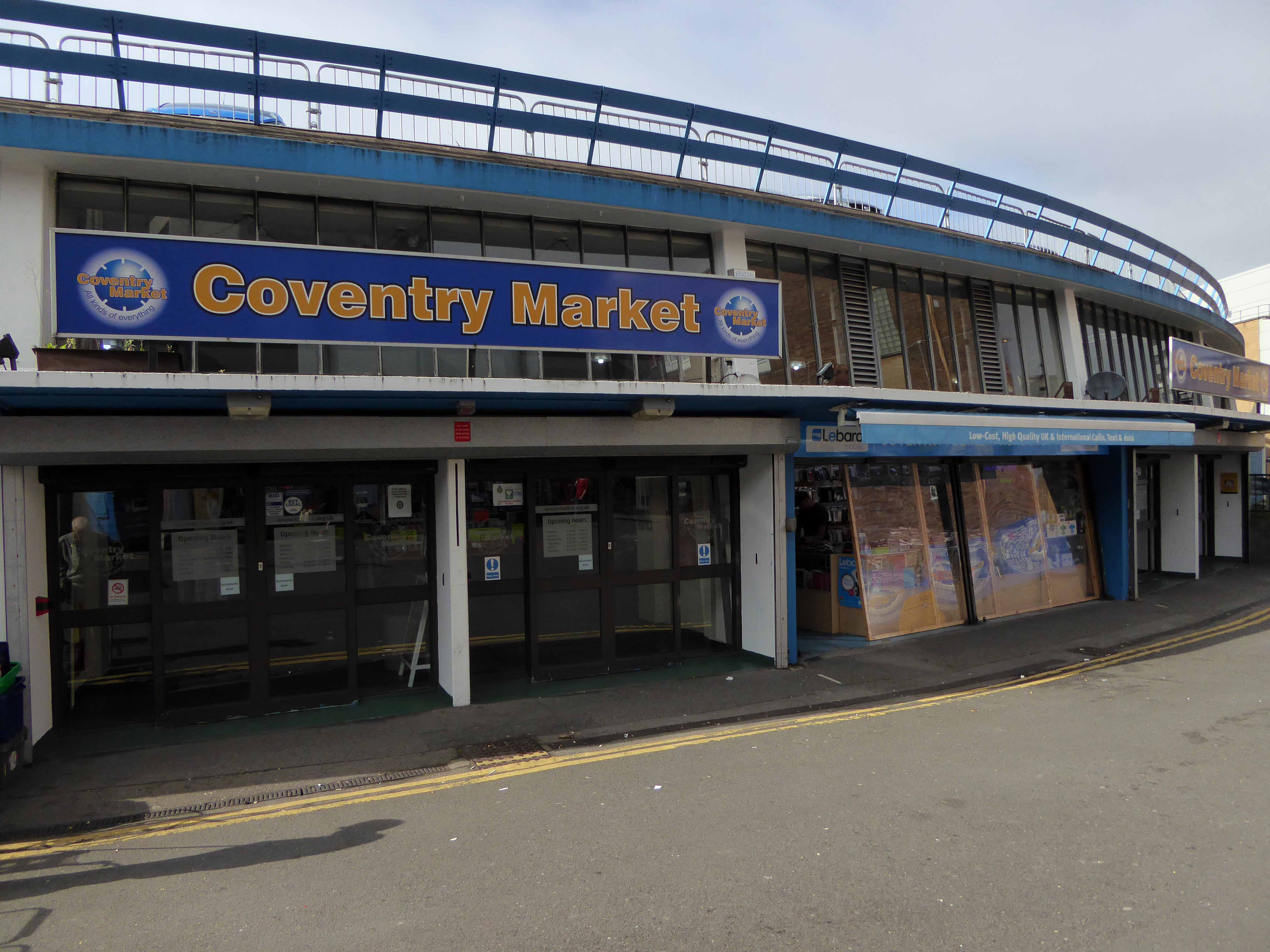
A market hall built in 1957 to designs by Douglas Beaton, Ralph Iredale and Ian Crawford of Coventry City Architect’s Department.

 Various designs were considered, but eventually a circular design was chosen to encourage circulation and to offer a number of entrances. It was given a flat roof in order to create a car park (with a heated ramp to prevent icing, now no longer there), and was to become the central focus for a complex scheme of linked roof car parks in Coventry.

coventry-market-1

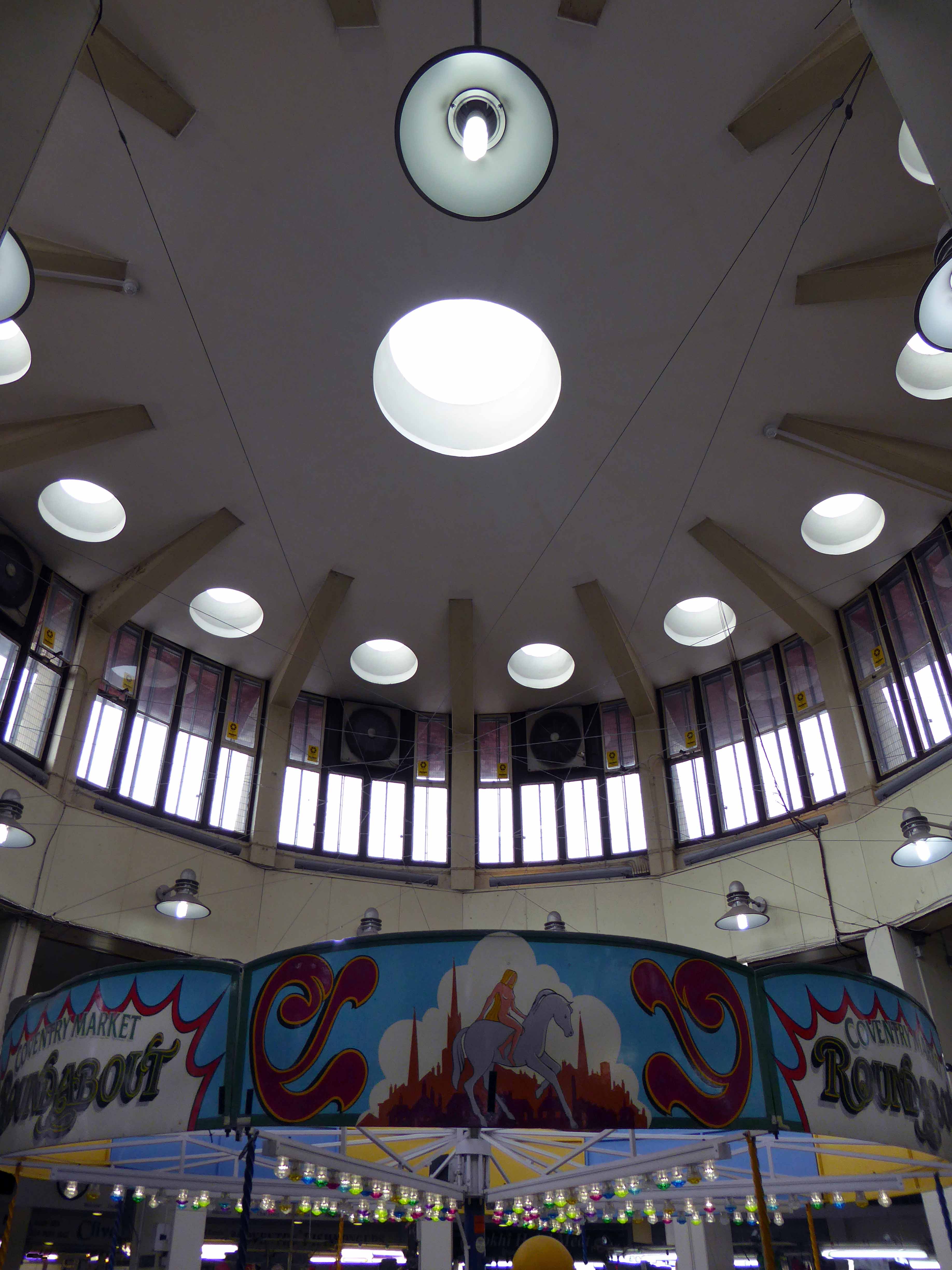
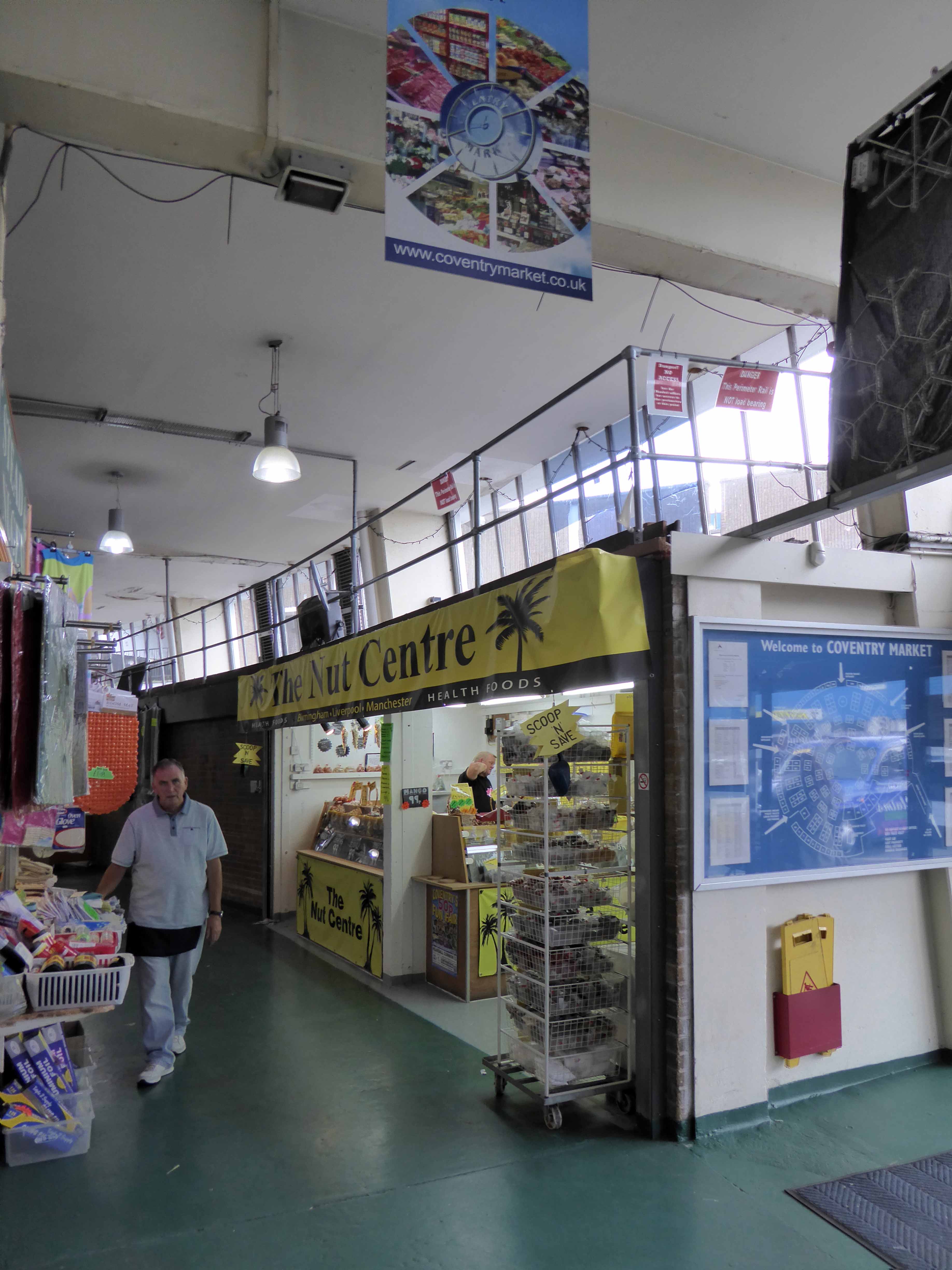
 The market consists of a series of concrete arches joined by a ring beam, all left exposed, with brick infilling and a concrete roof, laid out as a car park, with a central circular roof light. It has a circular plan, just over 84m in diameter and 4 ½ m high, is laid out with 160 island stalls, arranged in groups of two or four units in concentric rings, with 40 `shop stalls’ set into the perimeter wall.

covmarket2

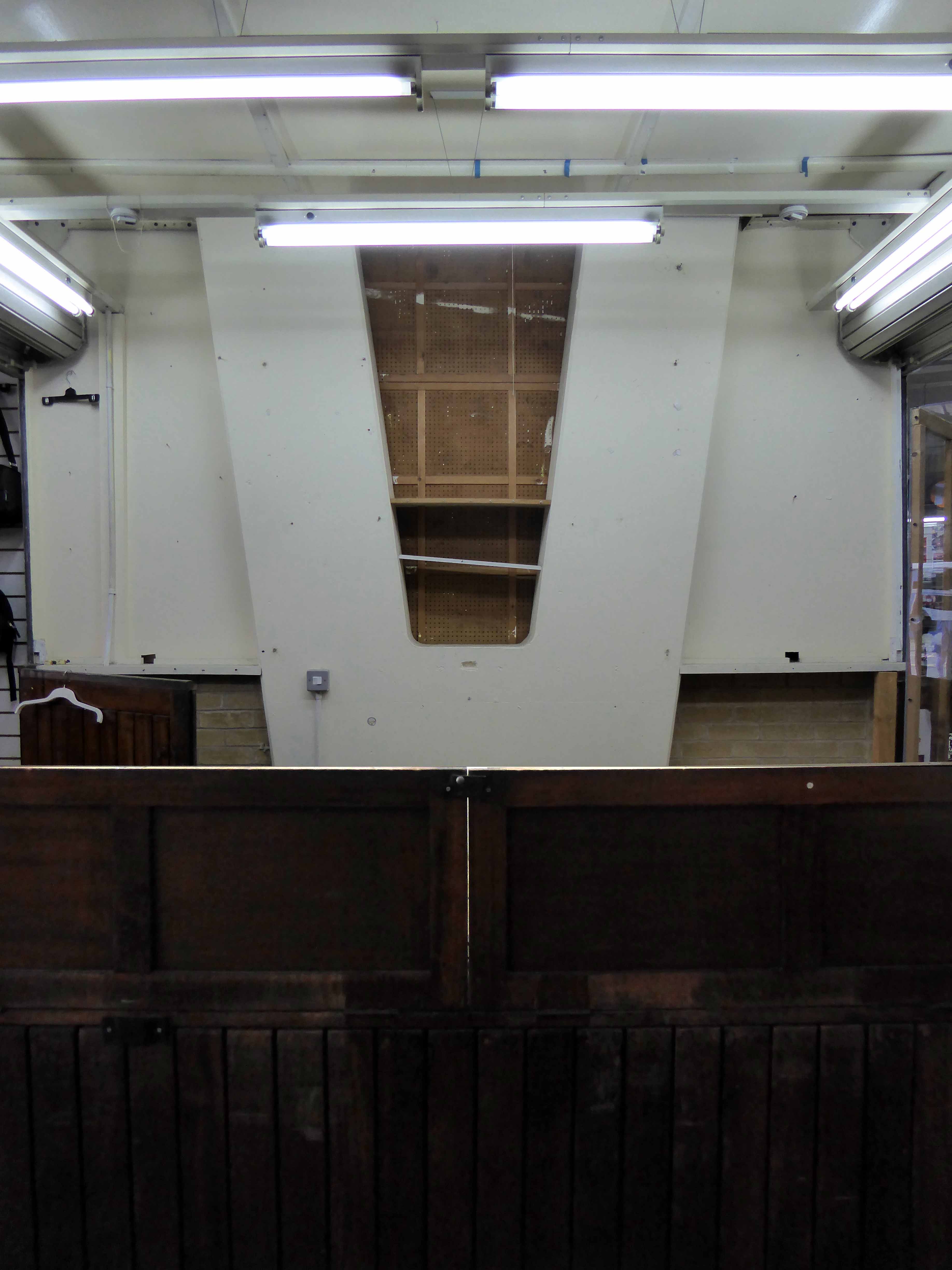
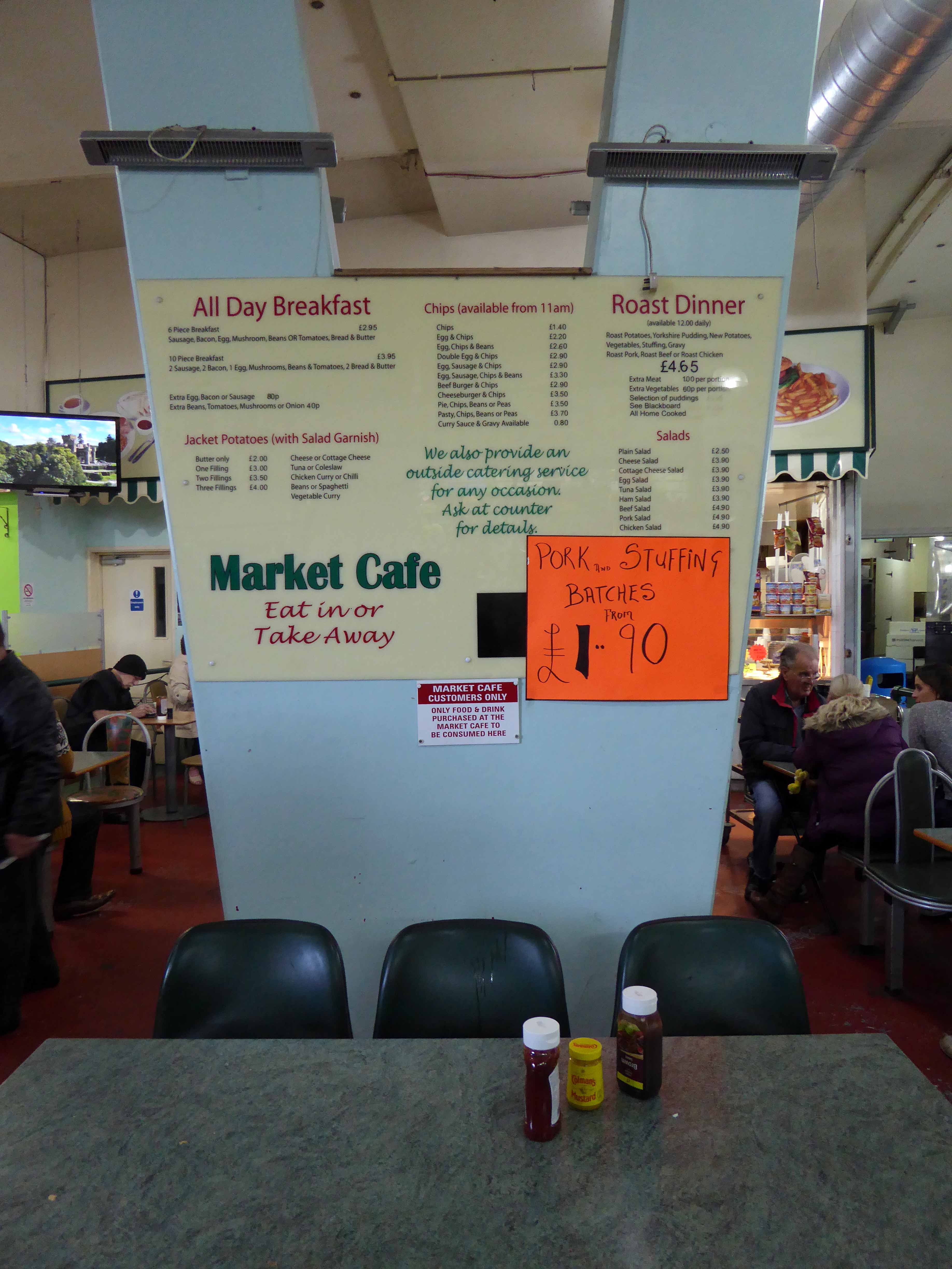
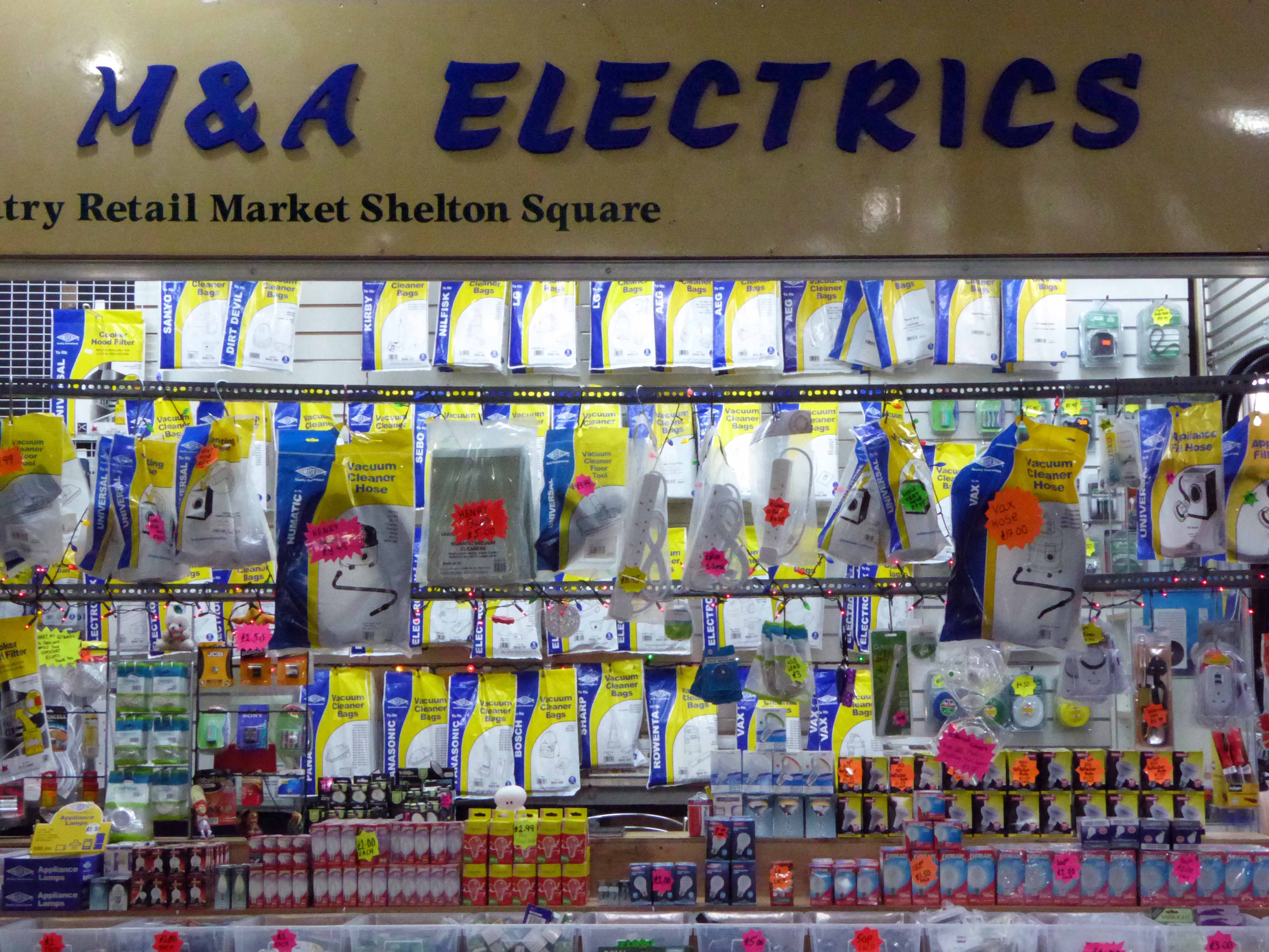
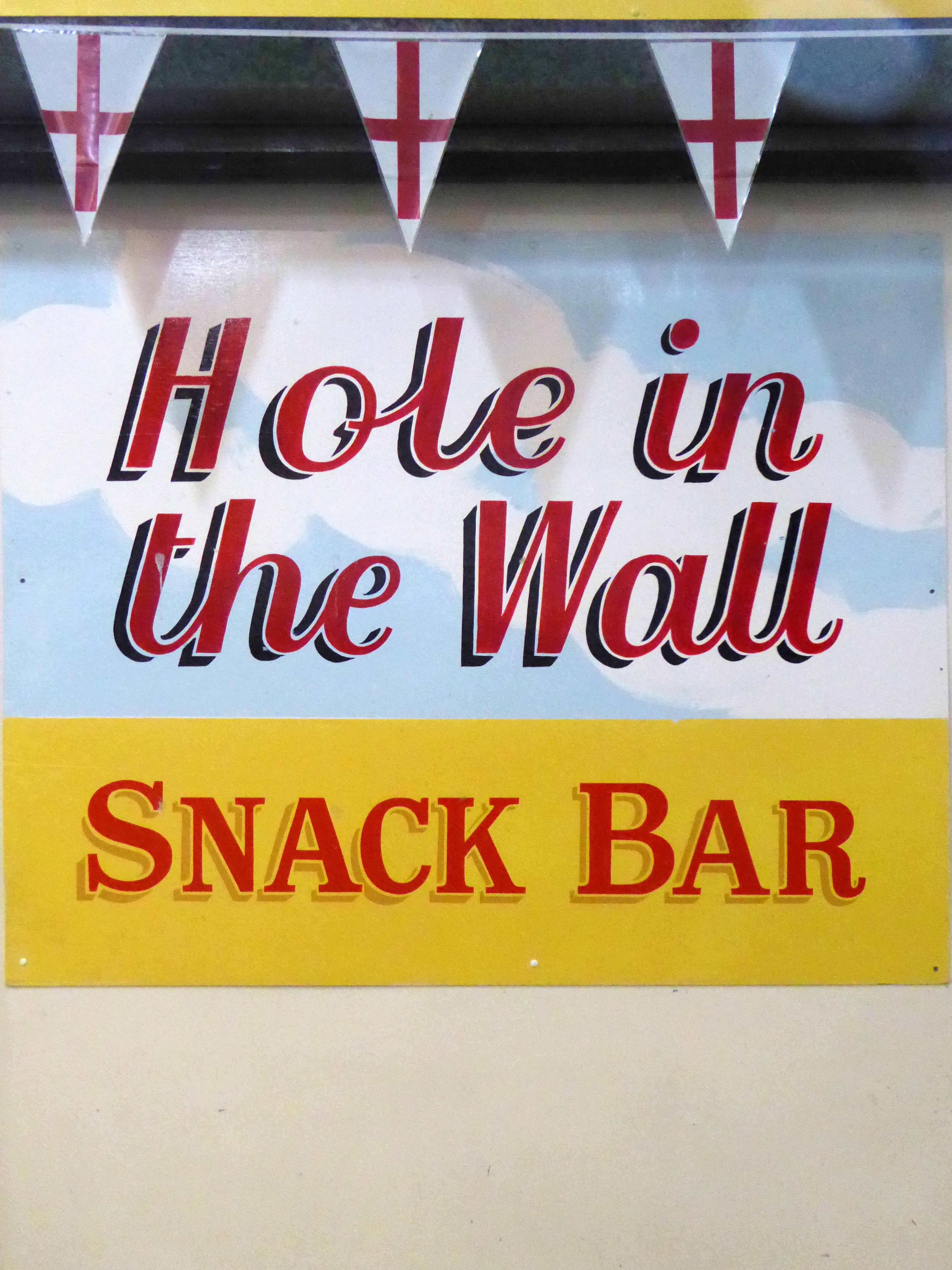
Inside, the circular space is characterised by the tall V-shaped concrete `columns’ that hold the roof. Some of the original shop and stall signs have survived. Natural light enters via the clerestory windows along the top perimeter of the building and through the clerestory lighting and oculi in the central dome. The space under this dome, designed as an area for shoppers to rest, is lined with seats and has a terrazzo mosaic floor designed by David Embling, with a central sun motif, a gift from the Coventry Branch of the Association of Building Technicians.

p1090738-copy

p1090736-copy

p1090737-copy

p1090742-copy

p1090744-copy

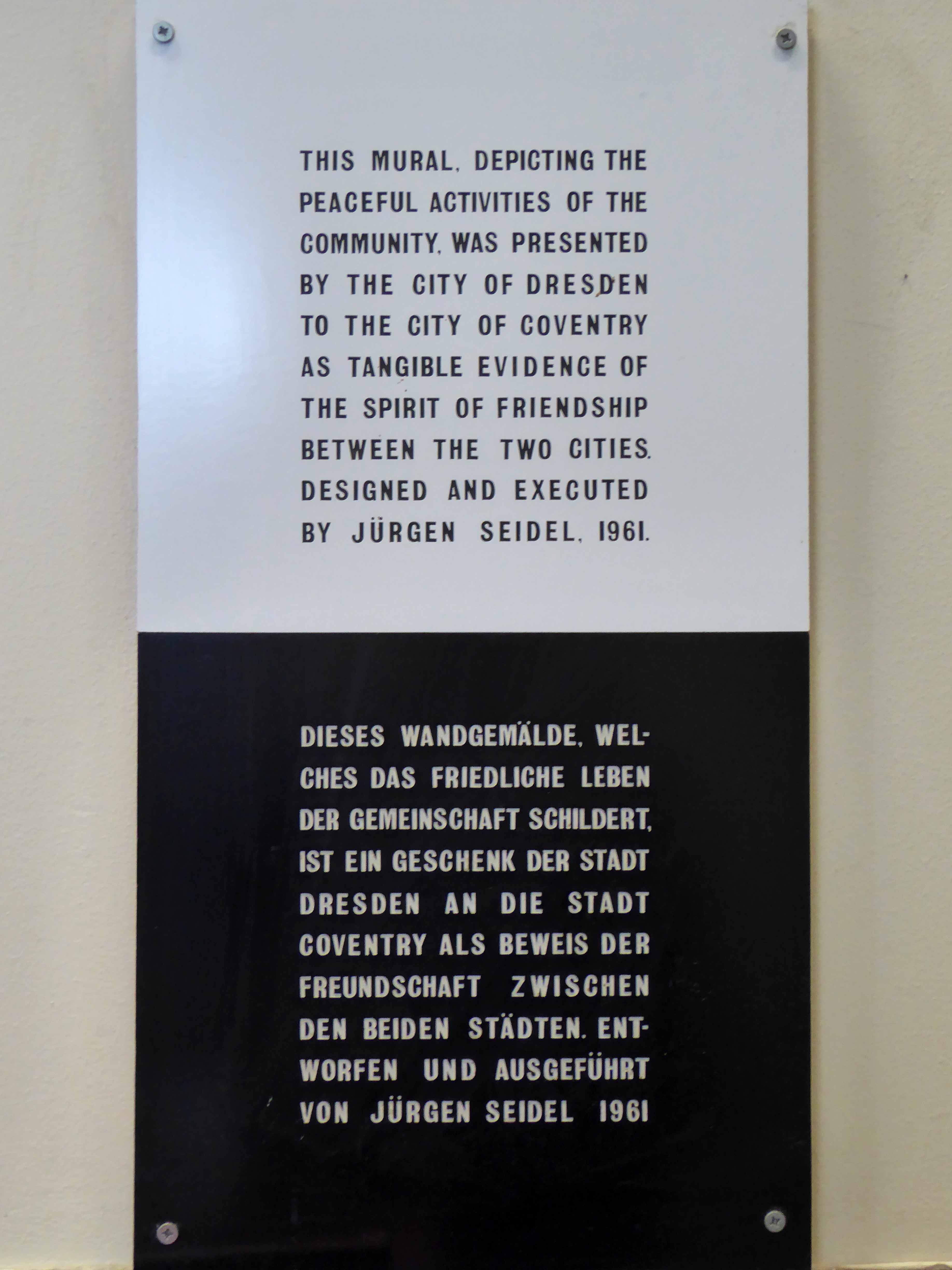
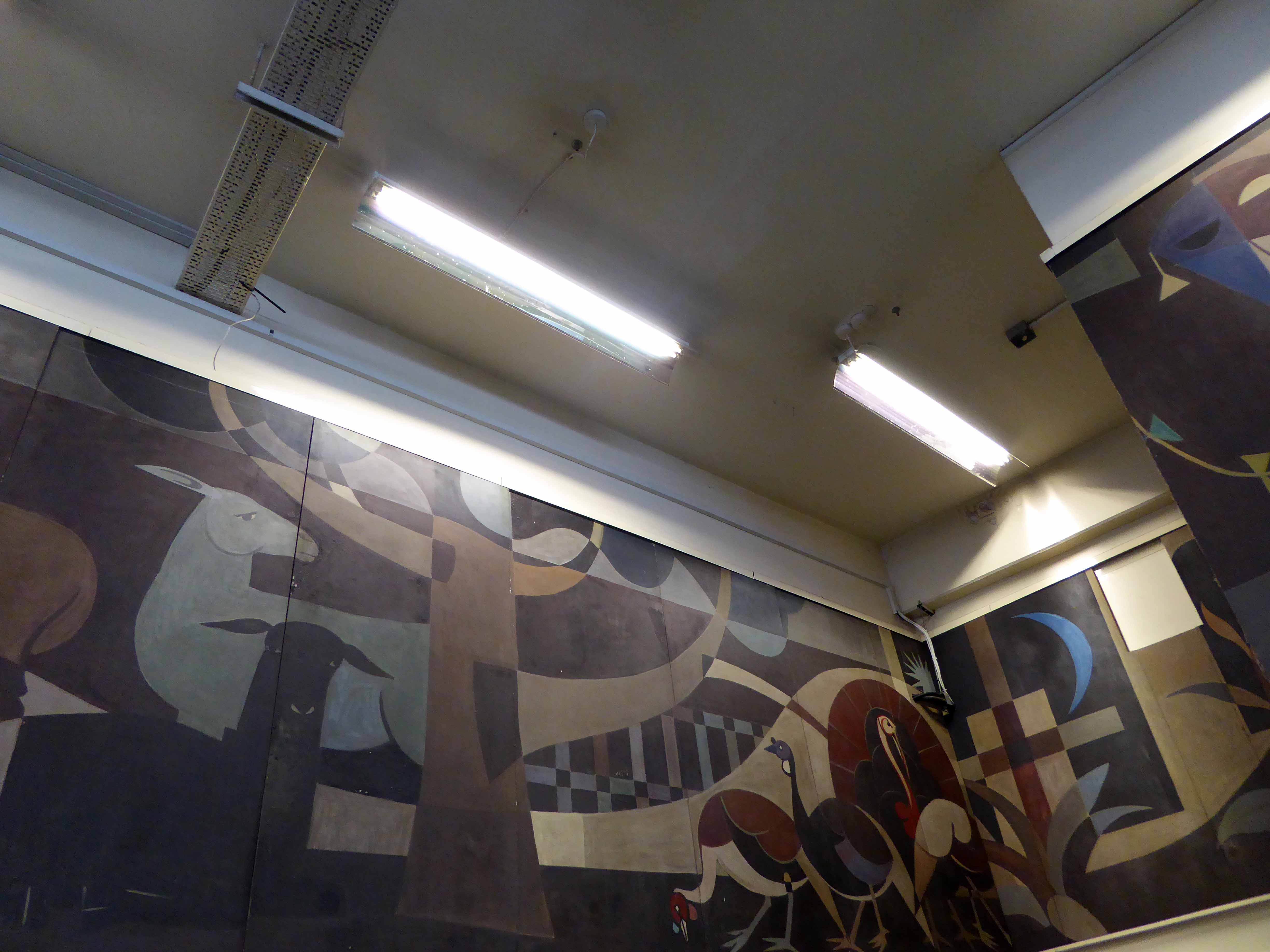
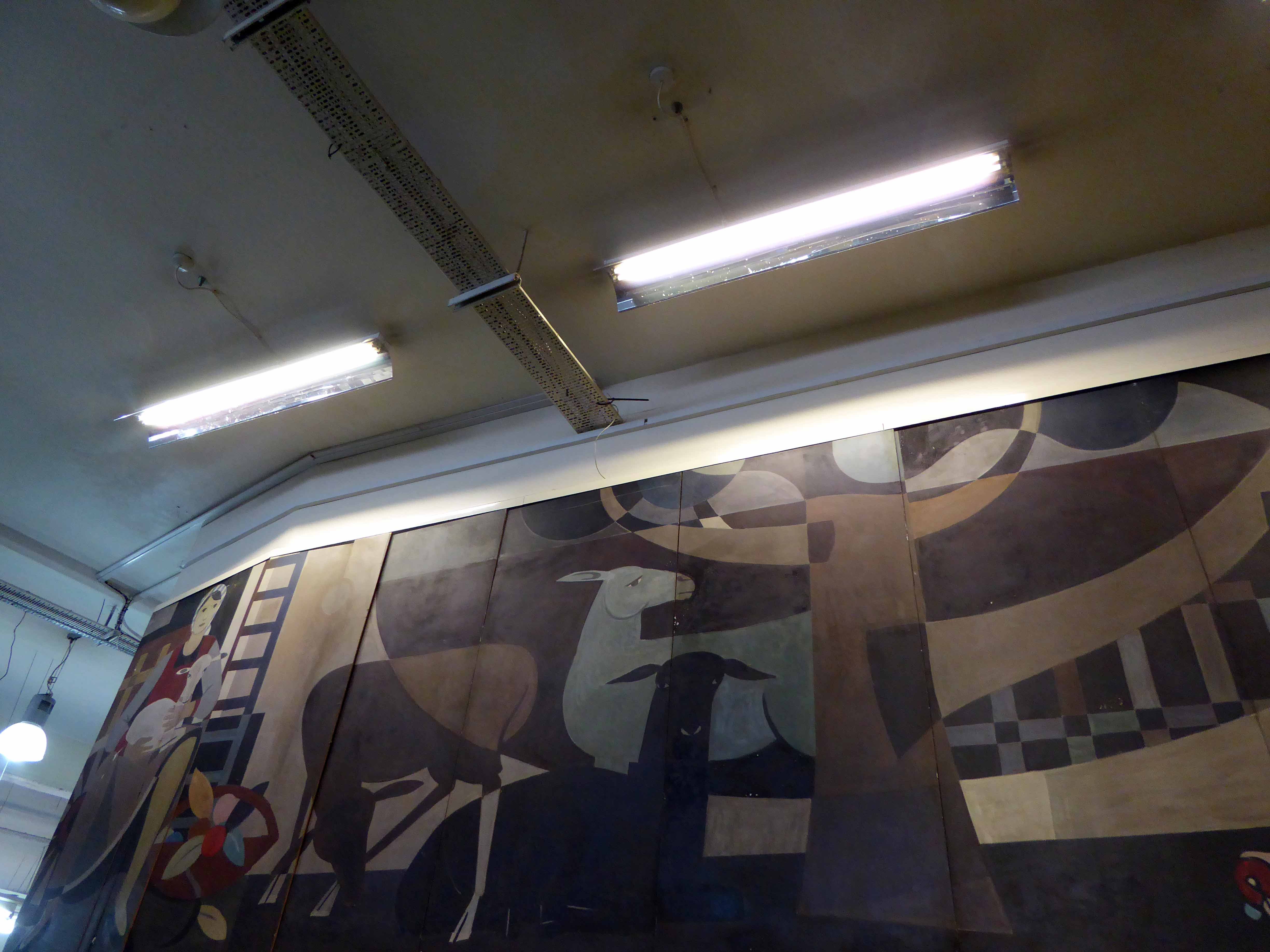
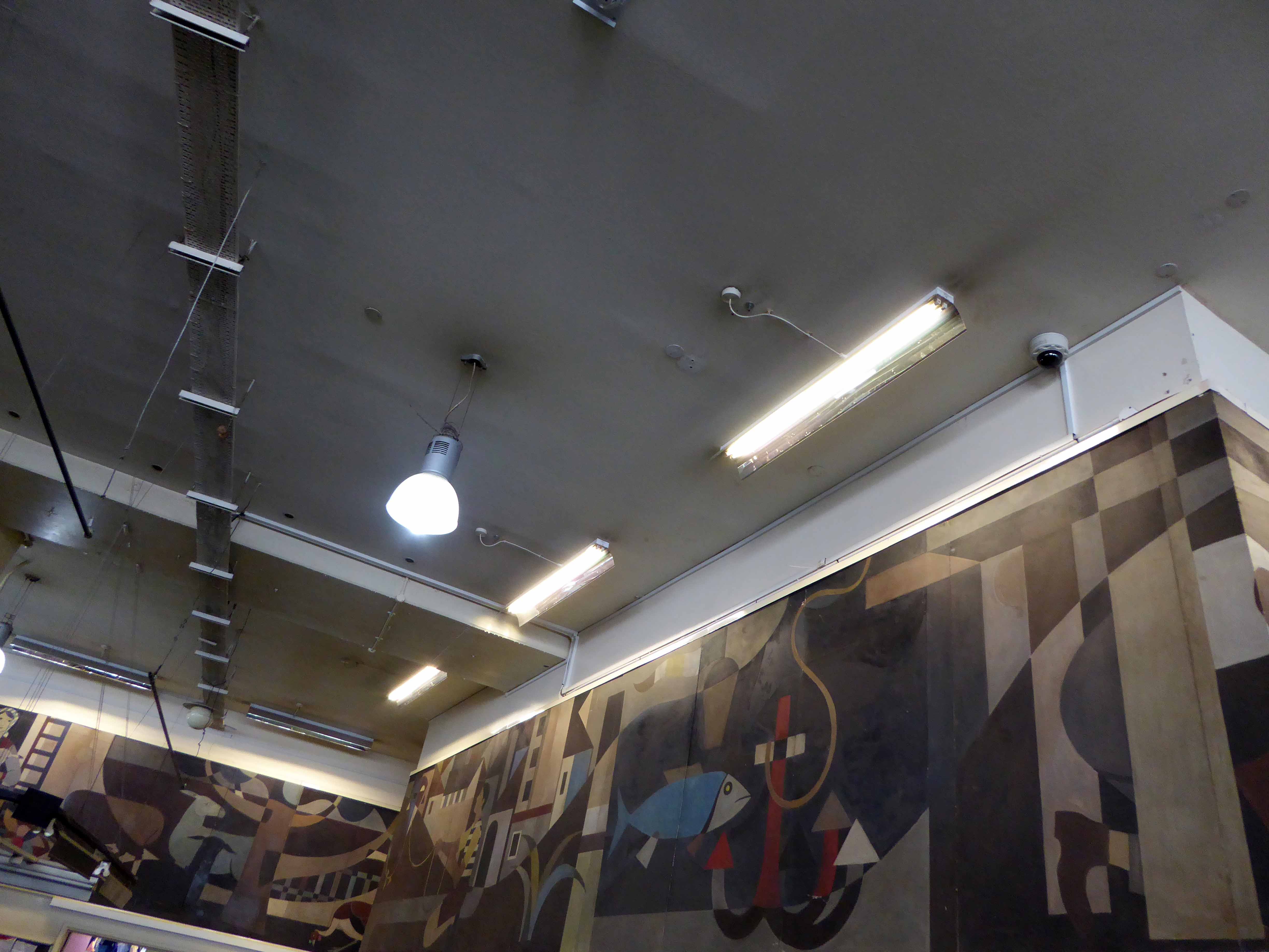
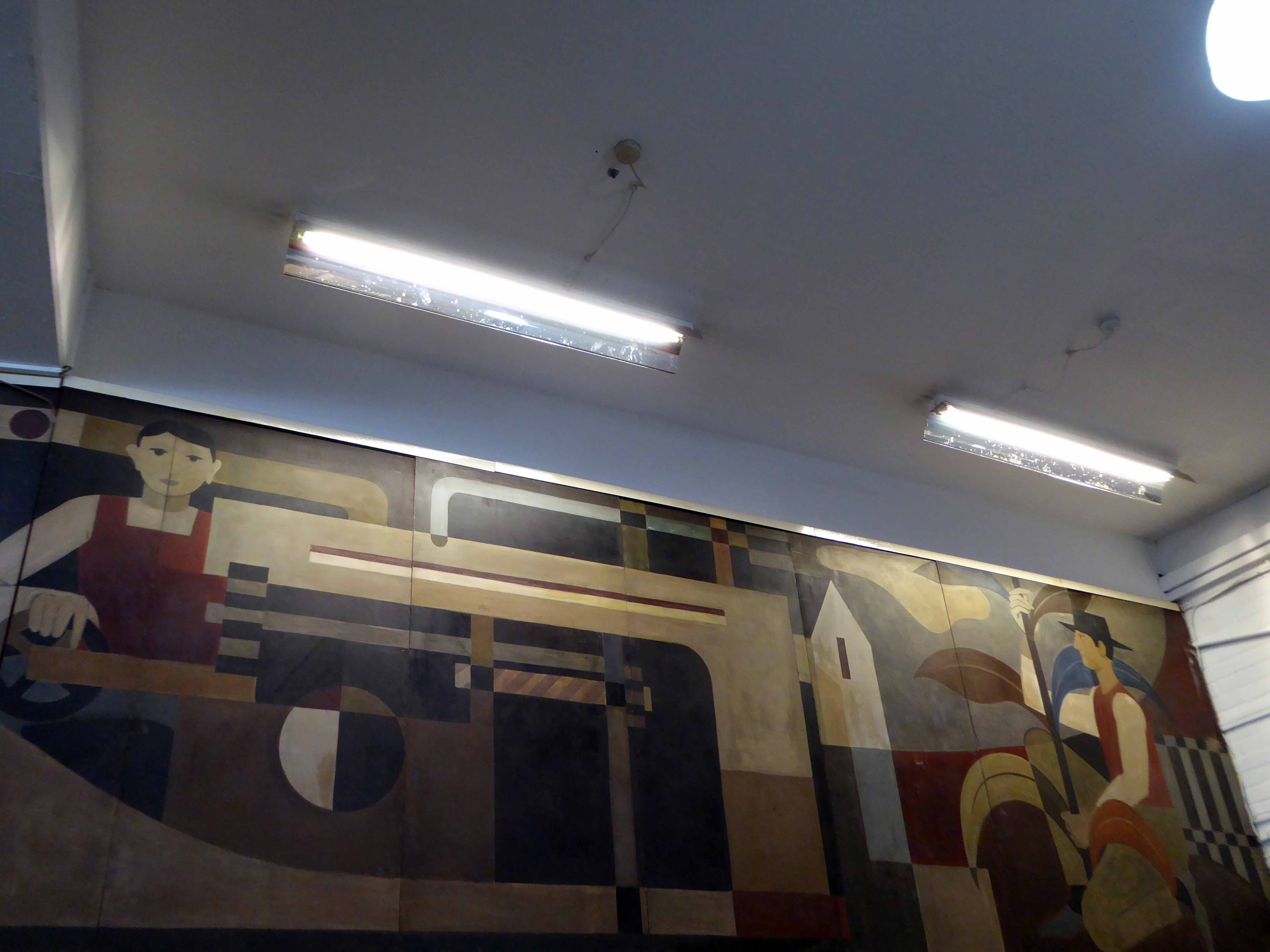
Above the current market office is an impressive painted mural by art students from Dresden commissioned especially for the market in the 1950s in a Socialist Realist manner, depicting farming and industrial scenes. 

Thanks to Historic England

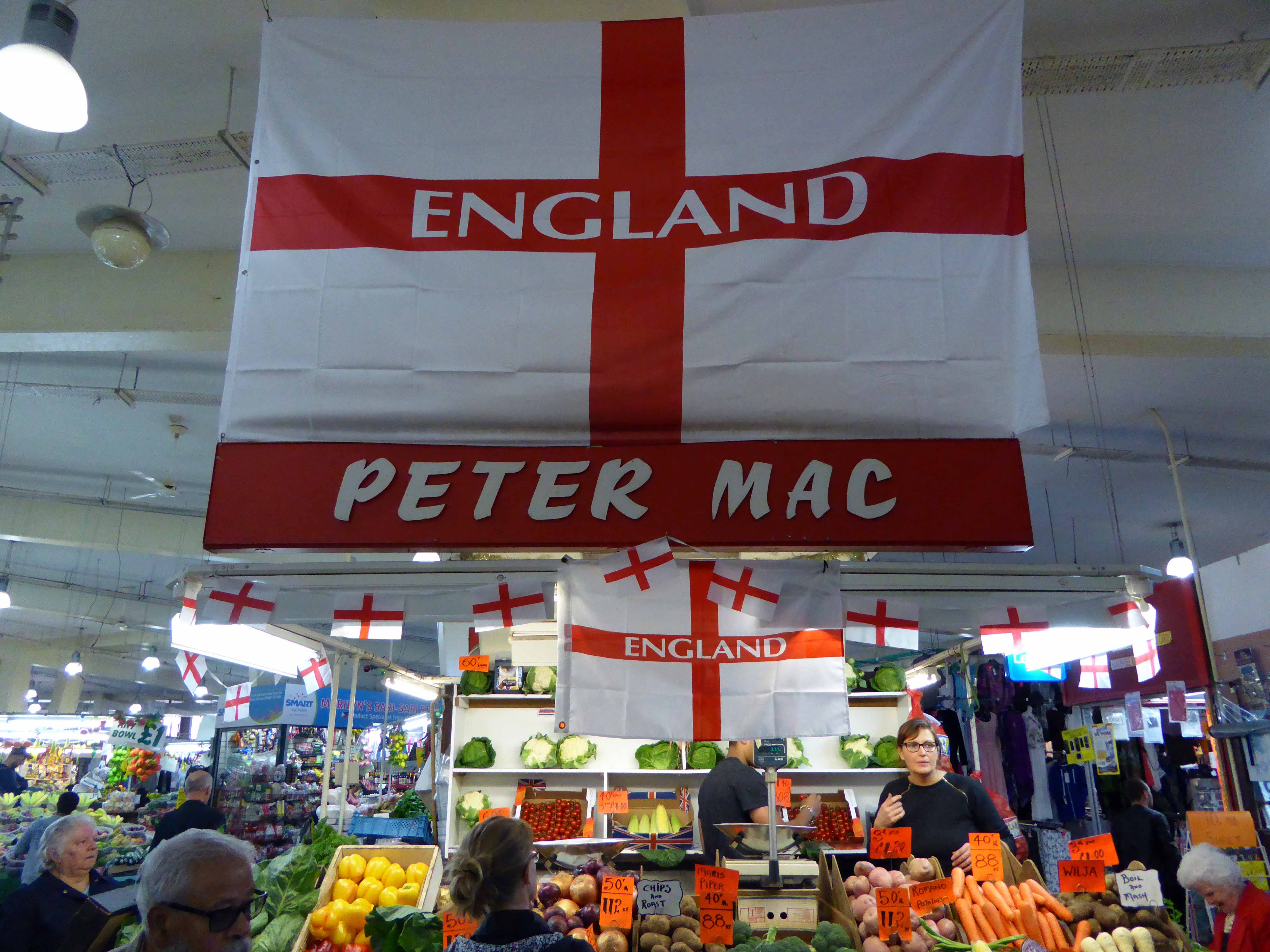
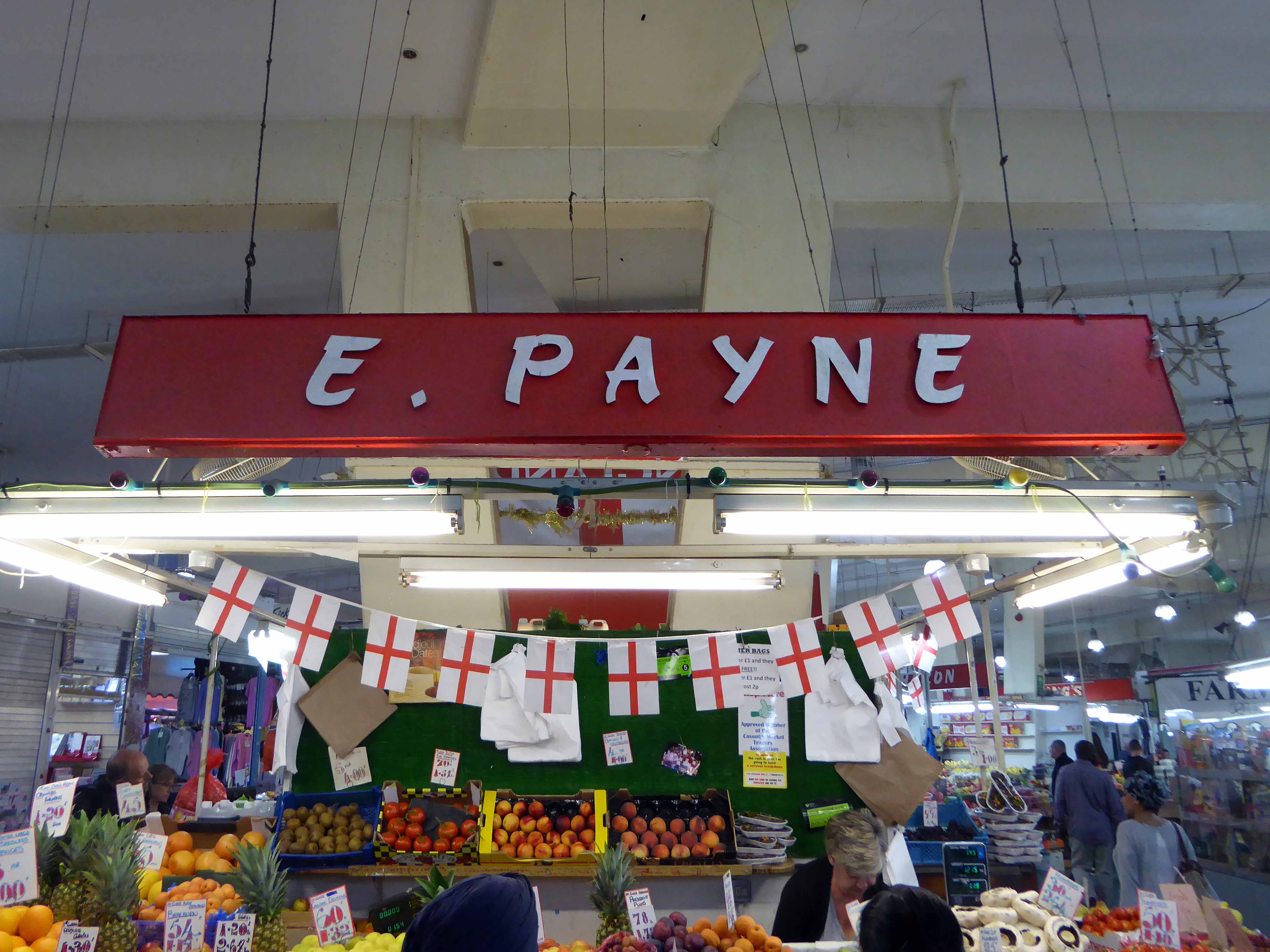
I visited the market on a busy bustling day and was made to feel more than welcome, a wide range of heavily laden stalls was trading briskly. The Market Office kindly gave me a copy of the book Coventry Market in a Roundabout Way.

It’s a splendid structure, now listed, that functions six days a week.

Get down take a look around.

p1090713-copy

p1090723-copy

p1090714-copy

p1090716-copy

p1090719-copy

p1090726-copy

p1090733-copy

p1090721-copy

p1090758-copy

p1090751-copy

p1090764-copy

Coventry – The Precinct

Prior to the 1930s Coventry was a shining example of a well-preserved medieval city, but the damage it sustained during the war meant it had to be extensively rebuilt. Donald Gibson was appointed Coventry’s first City Architect and Planning Officer in 1938 at the tender age of 29. His plan involved completely rethinking the city centre in a radical design.

Local people took some convincing, but Gibson’s ideas were greatly admired by the architectural community. His plan wasn’t entirely realised, however, partly due to a lack of funding. This avoided the complete extinction of Coventry’s remaining medieval features, but it also meant some of his best designs were compromised. By the 1960s, Coventry was a model of modern, brutalist architecture – quite removed from its pre-war image.

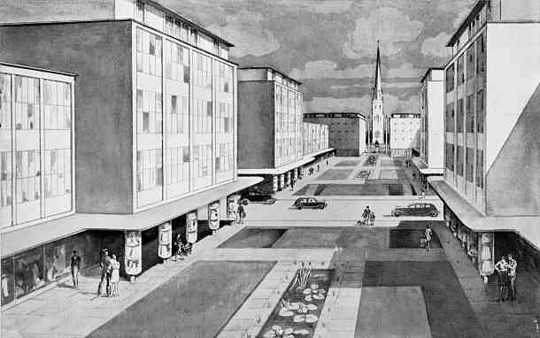
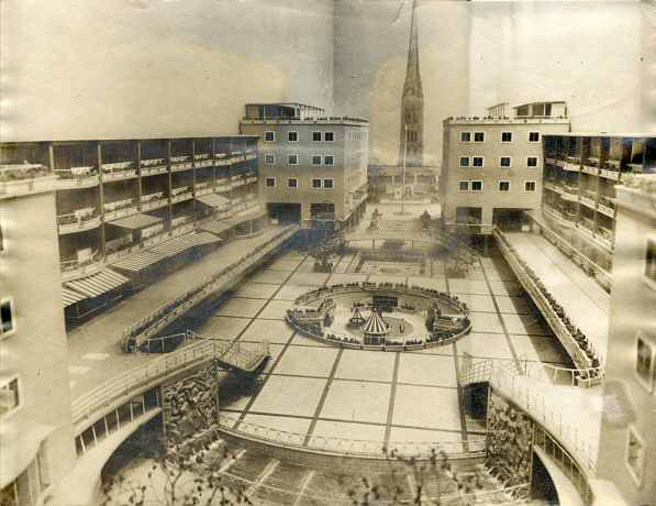
Rebuilding Coventry 1945 -1950

Central to those plans was a pedestrianised shopping precinct, new, expansive carefree and mercifully car-free.

Split levels deck access, the pride of Modern Britain.

precinctview1945

precinct-model1948

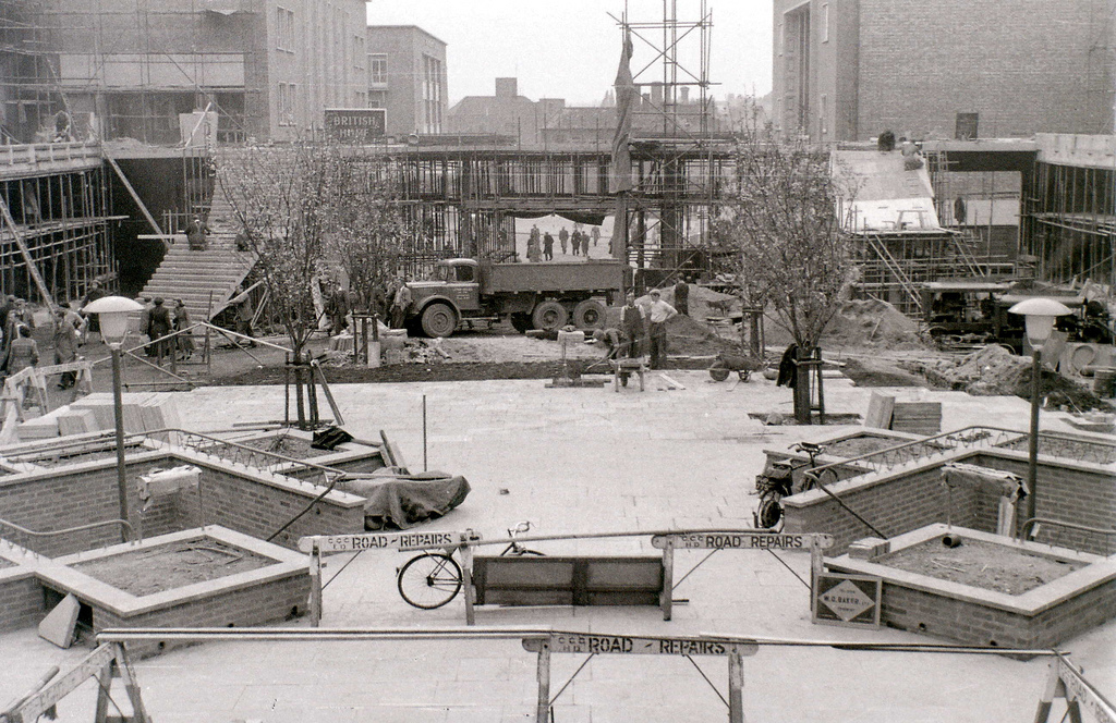
The future must be built, so it was.

2639558246_085352949a_b

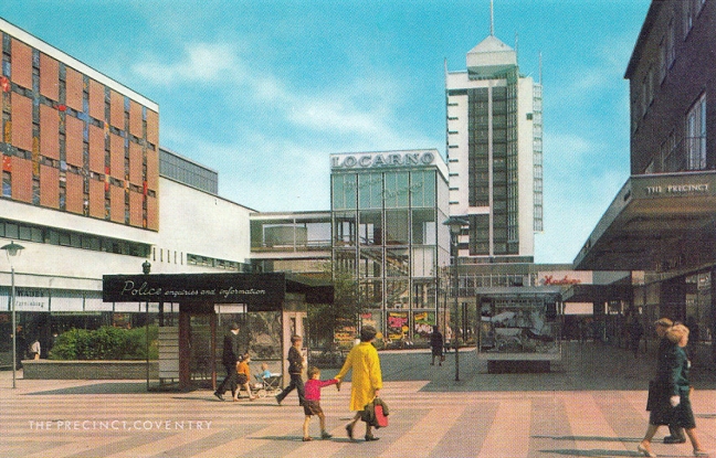
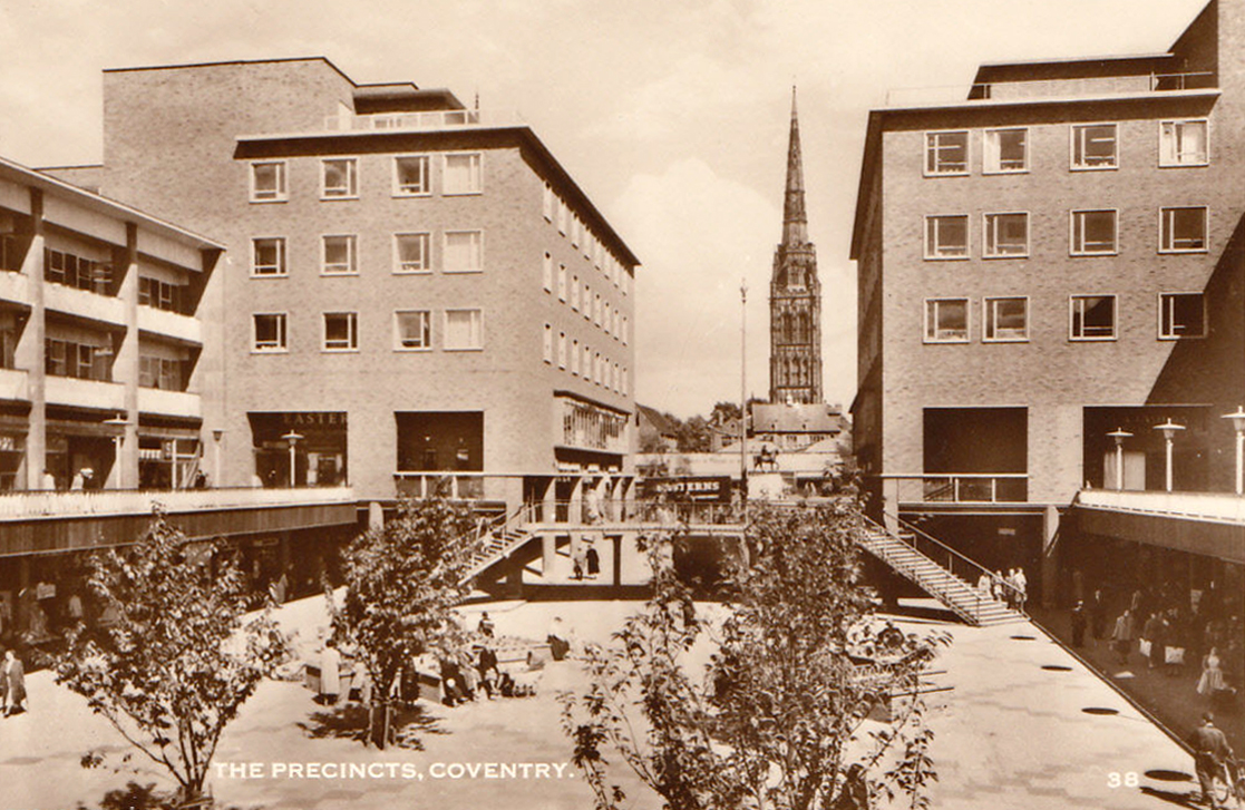
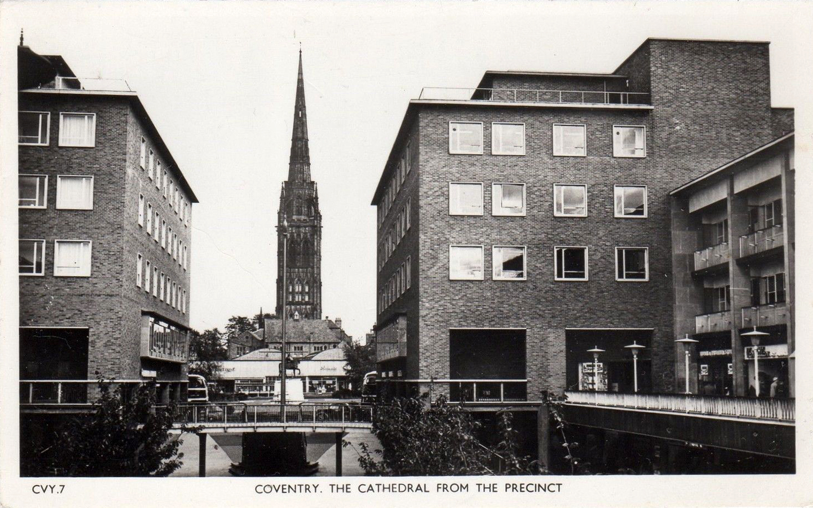
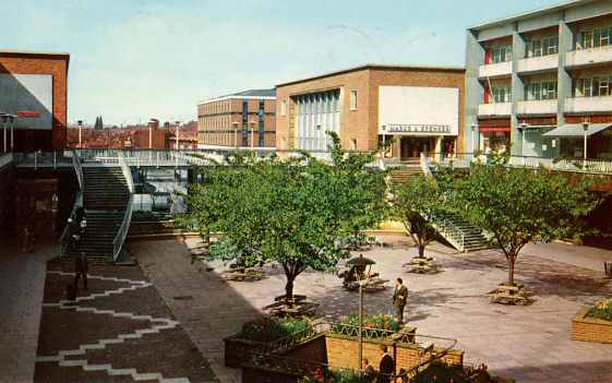
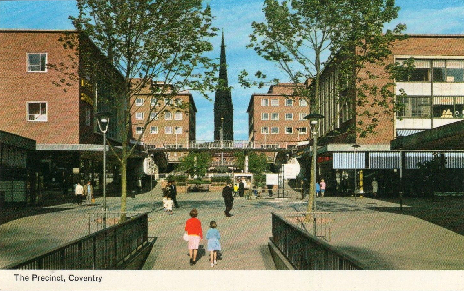
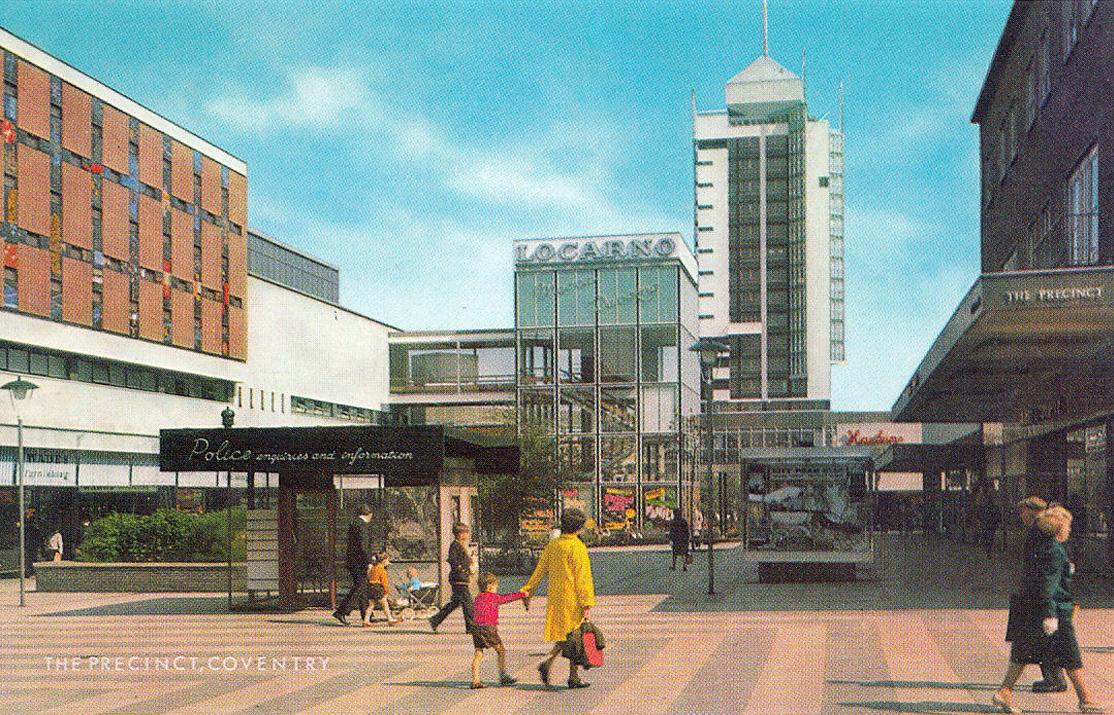
Whilst researching the visual history of the precinct, it became clear that it was one of the most celebrated modern architectural subjects for the post-war postcard market.

s-l1600

s-l1600-1

They are a pure delight, the celebration of all that was new and good.

precinctwest-1970s

s-l1600-copy

s-l1600-1-copy

s-l1600-2-copy

s-l1600-3

The Locarno at the centre of the image was to later become the Central Library.

screen-shot-2016-10-10-at-16-56-23

Central to the new development was a rotunda café, pie in the sky.

41331-1-434-434-ffffff

aa98_06072

fudge5

So a precinct well used, and loved, designed and realised with an integrity, a clean modern aesthetic and lively functionality – Coventry Precincts and the gentle folk of Godiva’s fair city – I salute you!

2d35790b7d5f51258ff72fad85400c4e

2473051099_23b1563790

arcshopping-centre_1718065i

h_00017730

utils

maxresdefault

screen-shot-2016-10-10-at-16-57-50


BHS Murals – Stockport

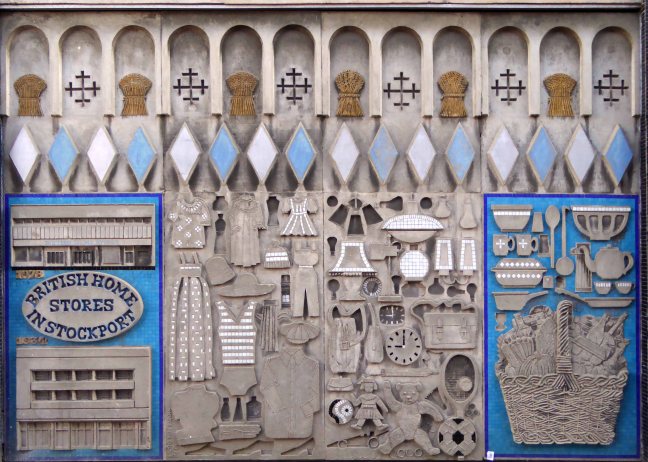
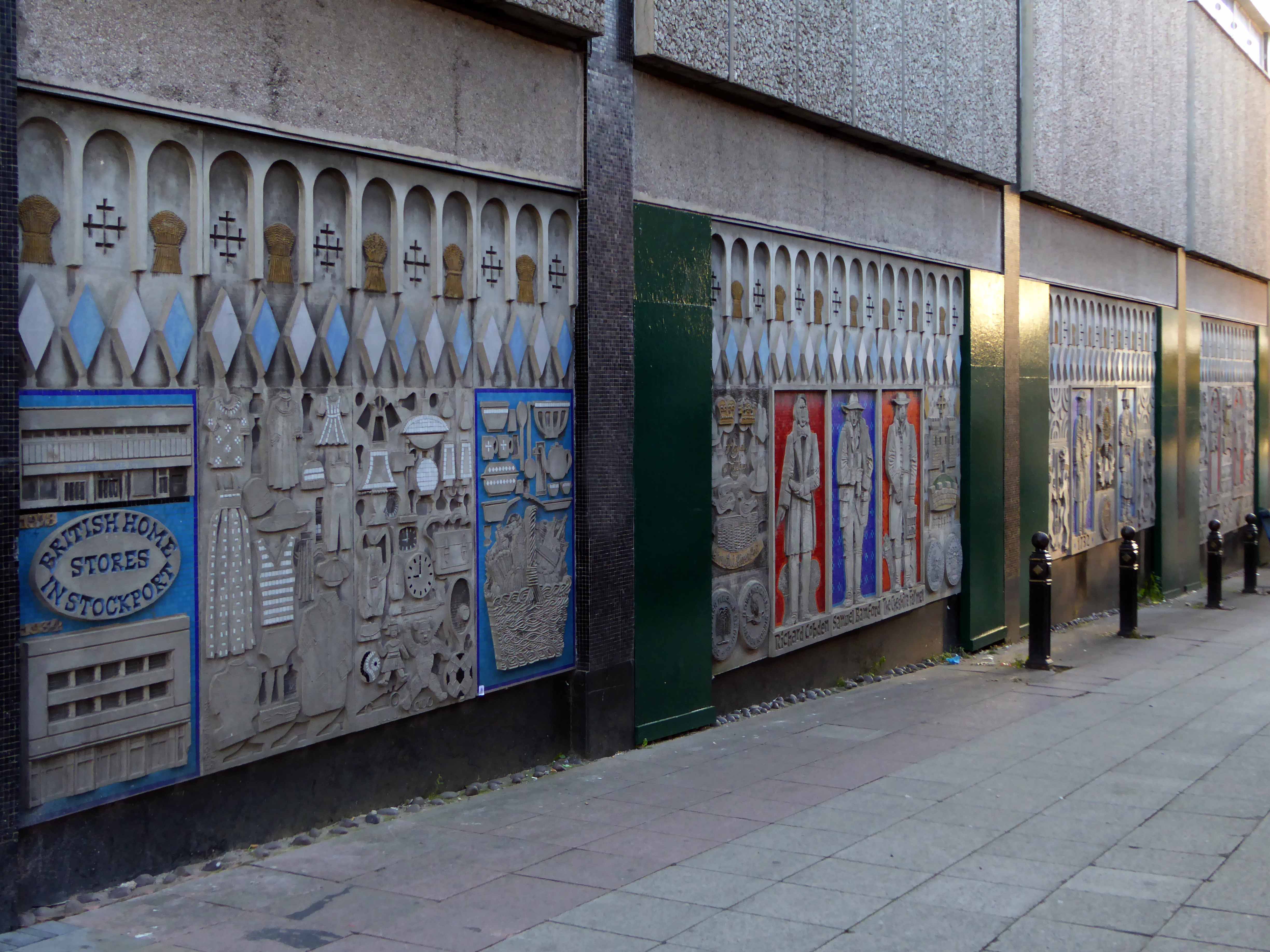
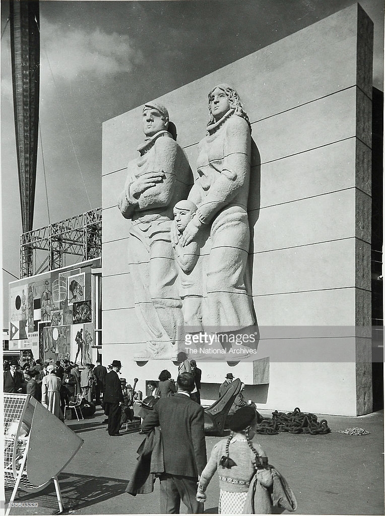
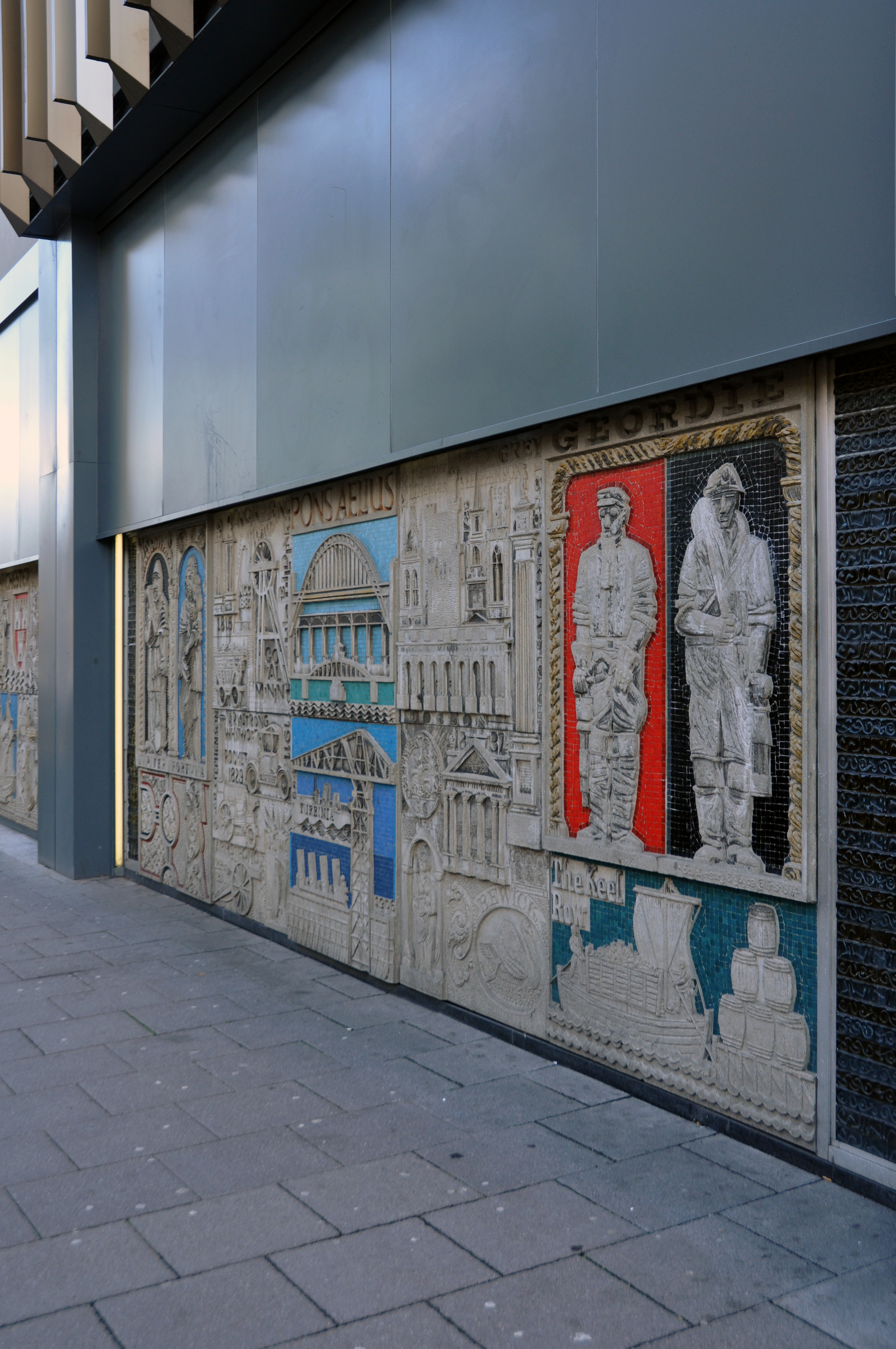
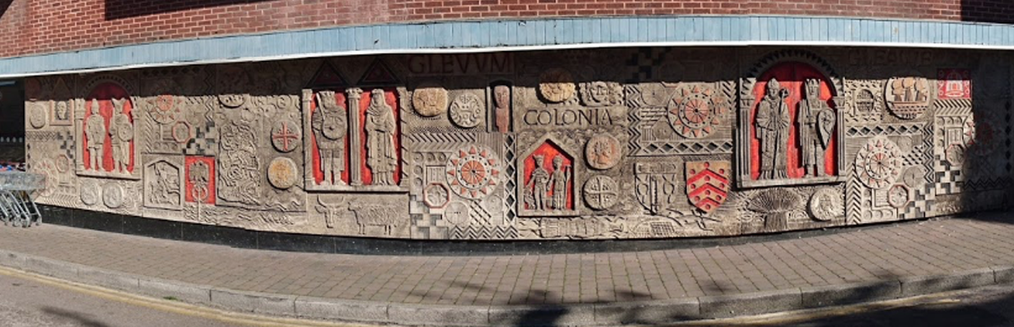
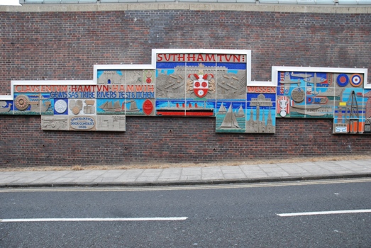
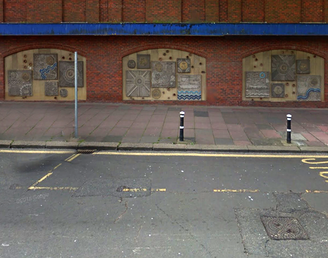
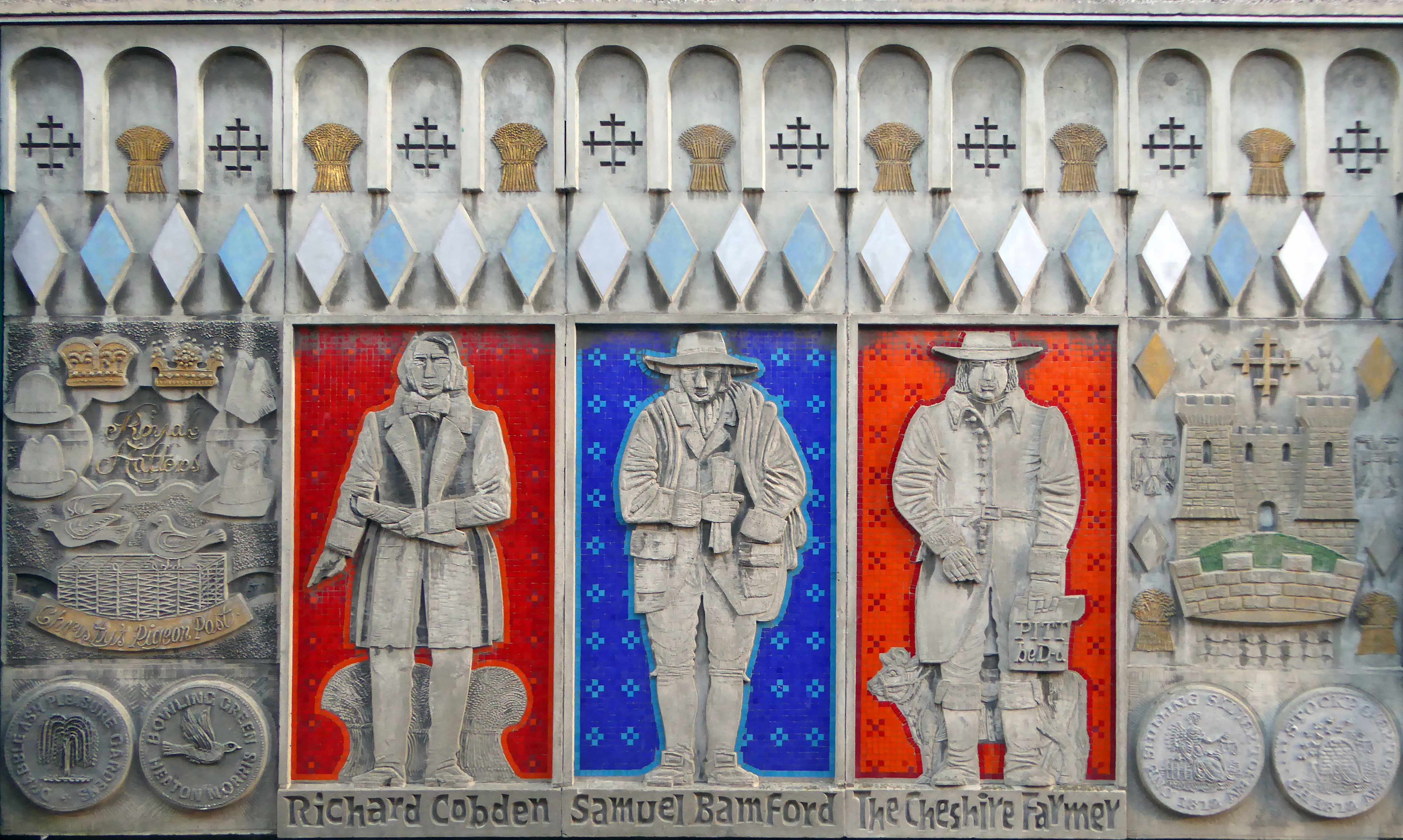
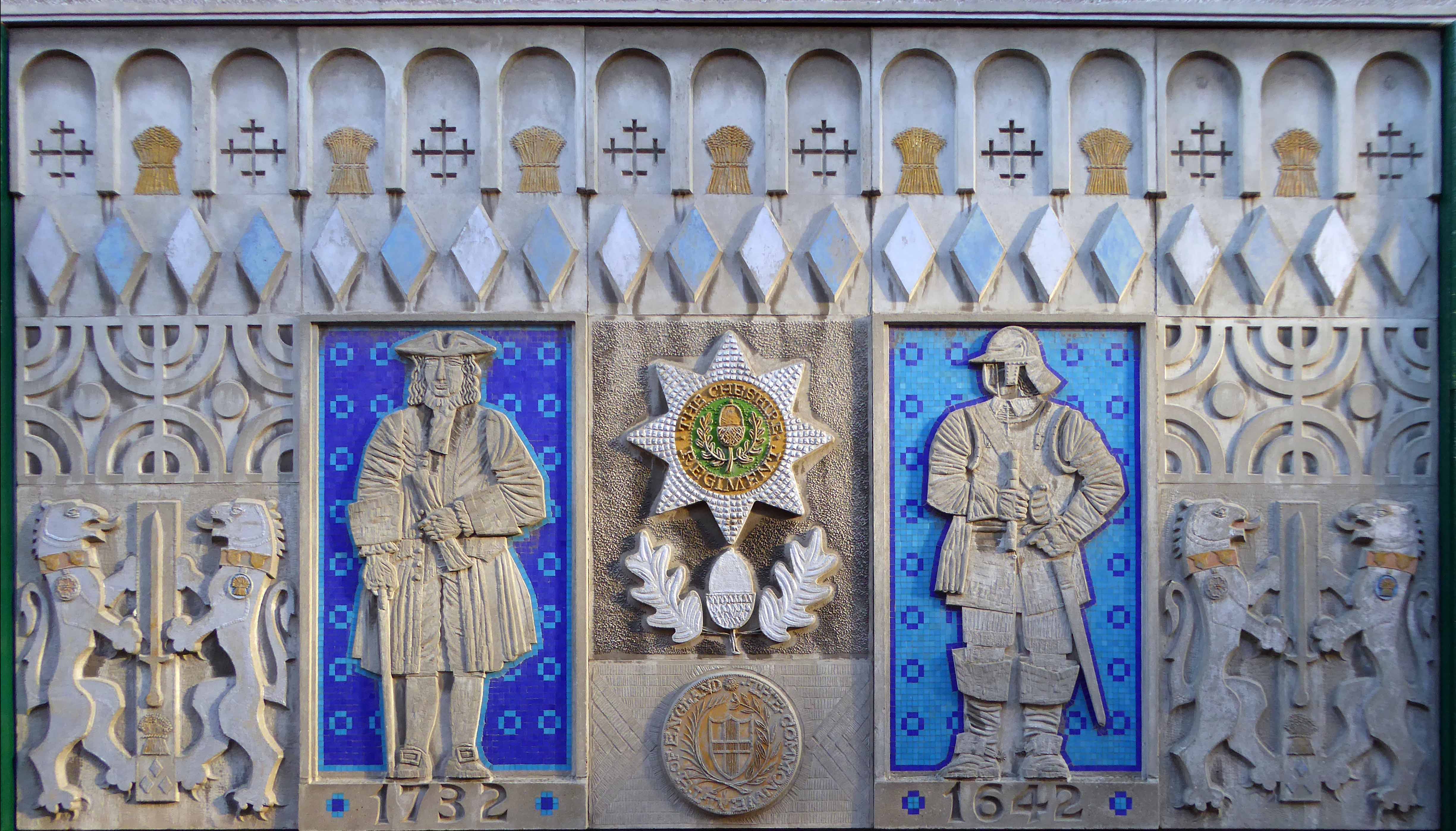
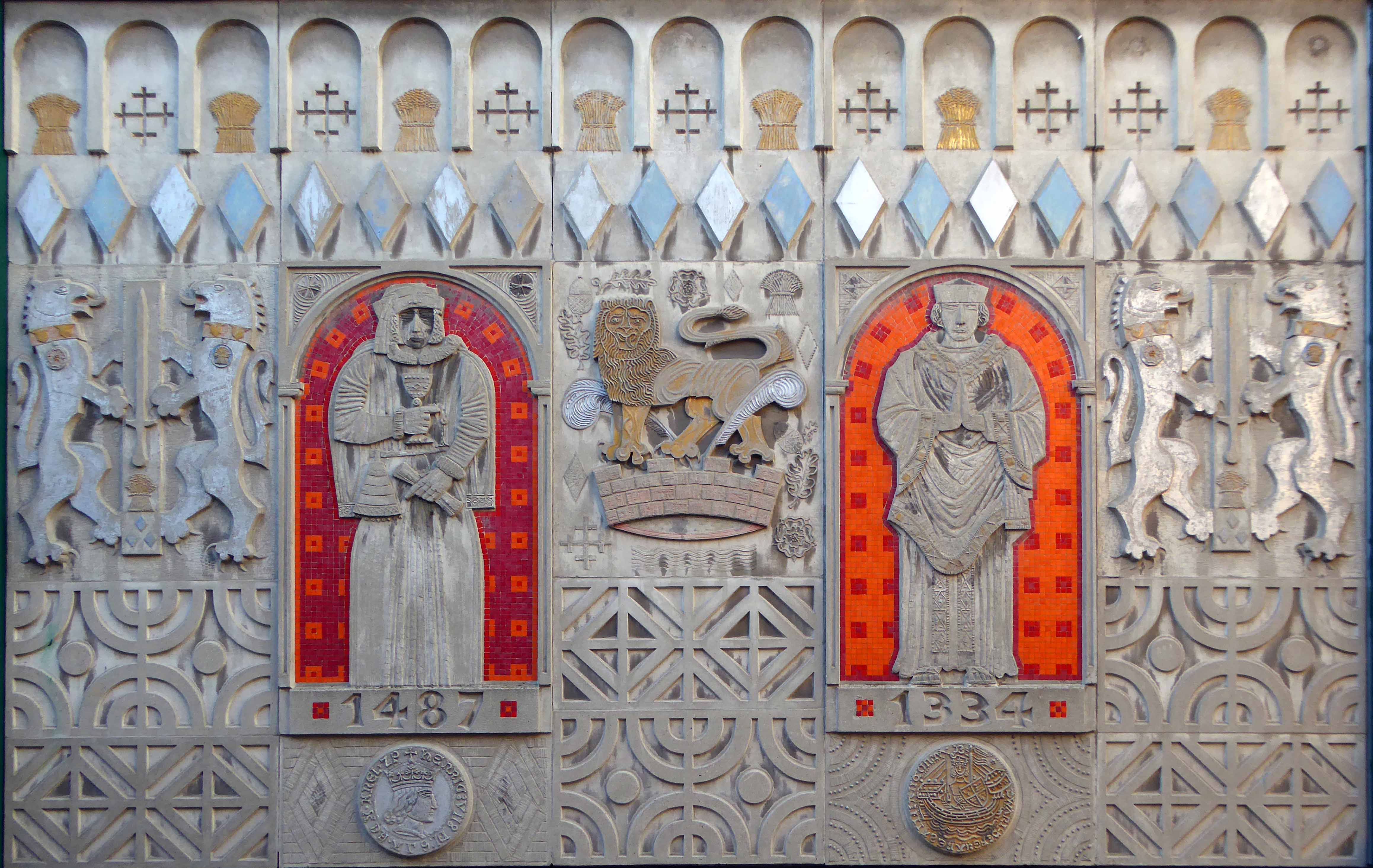
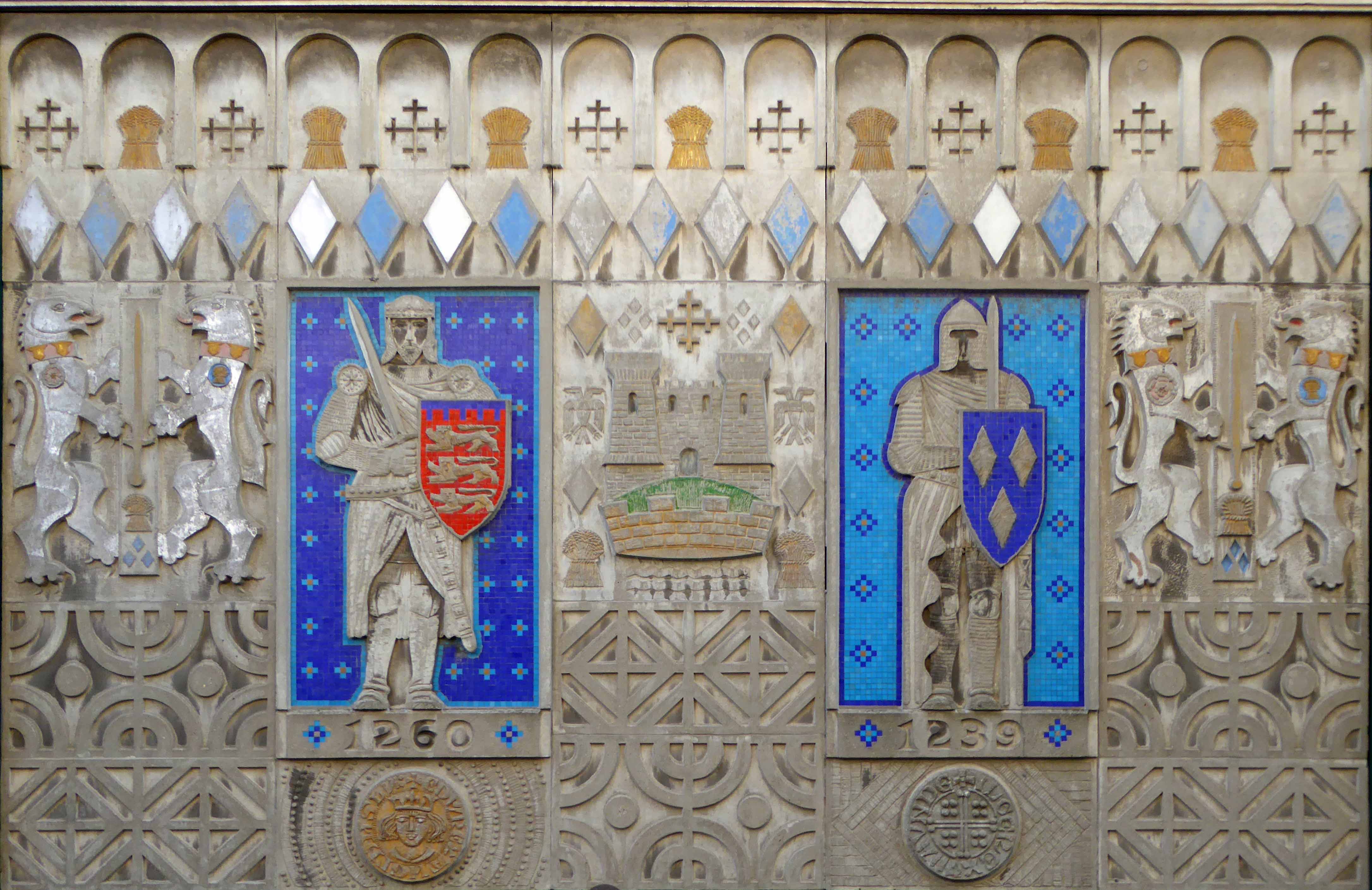
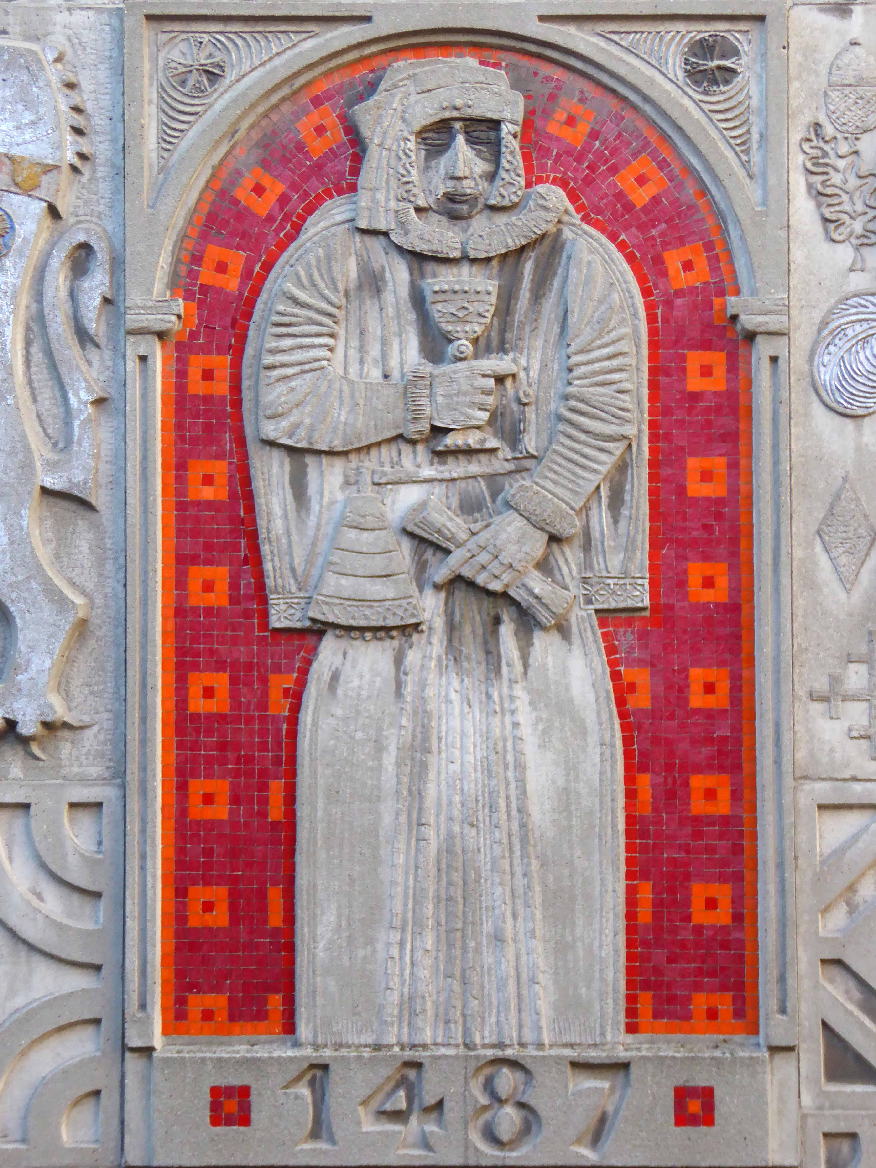
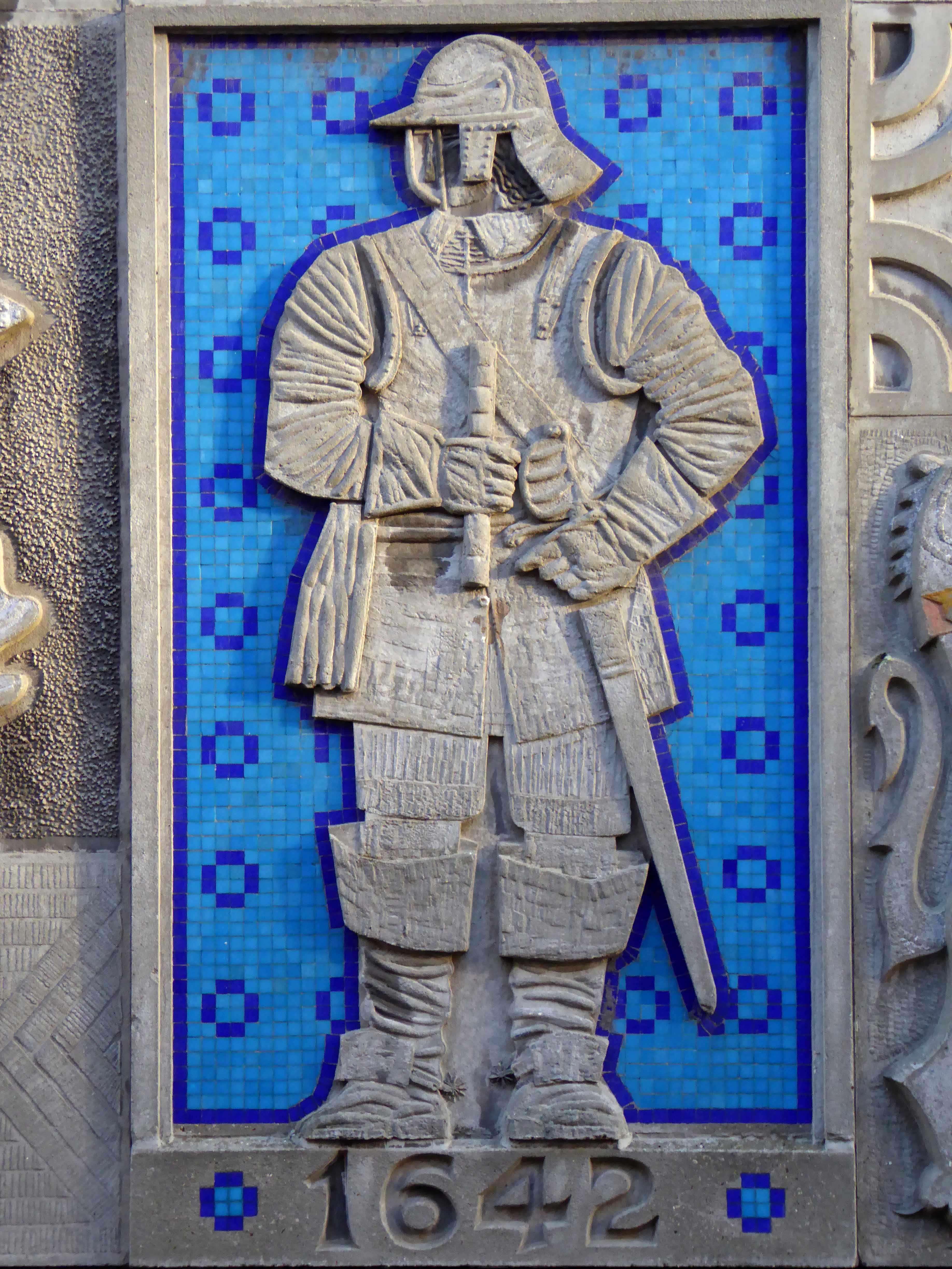
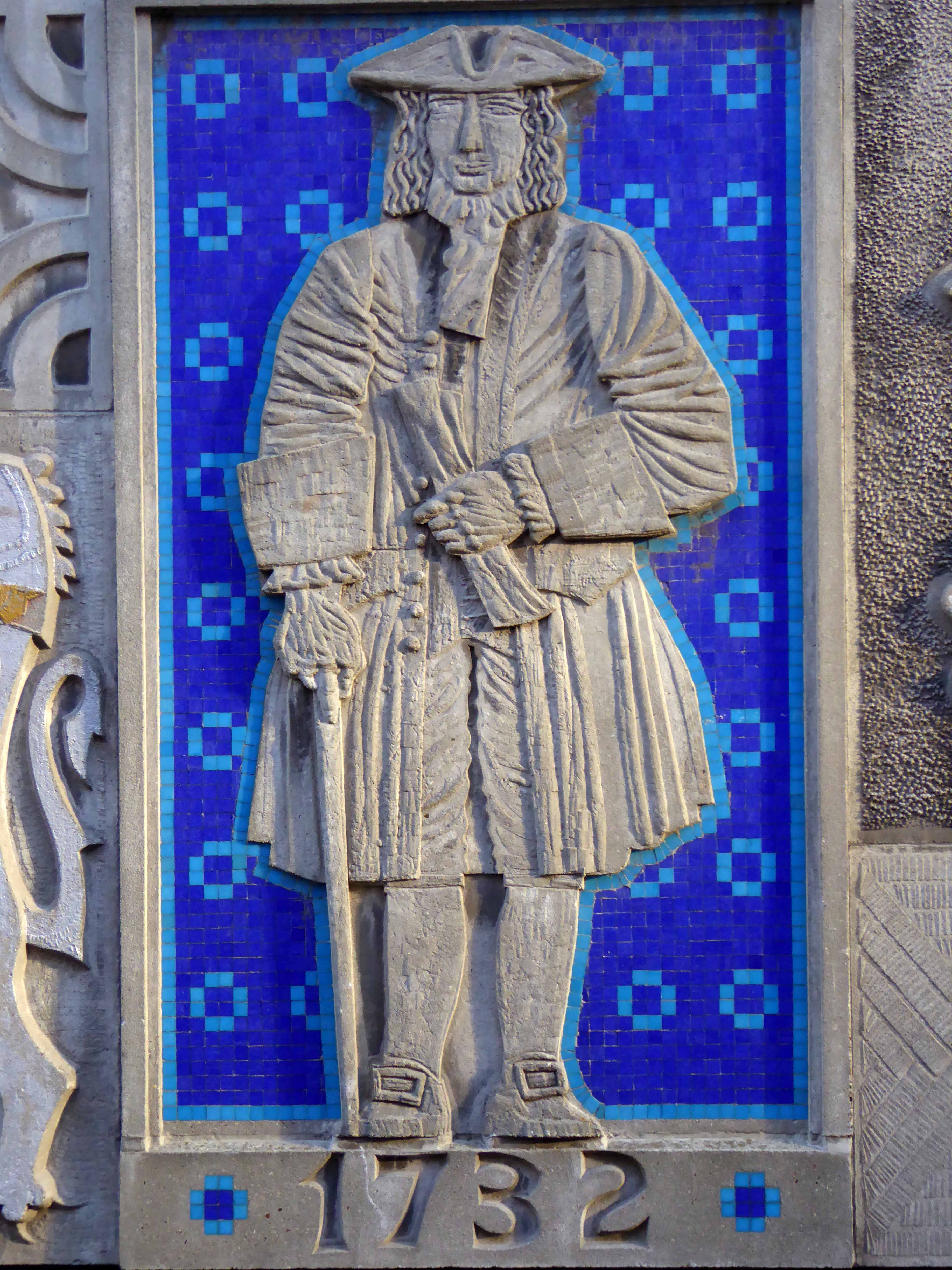
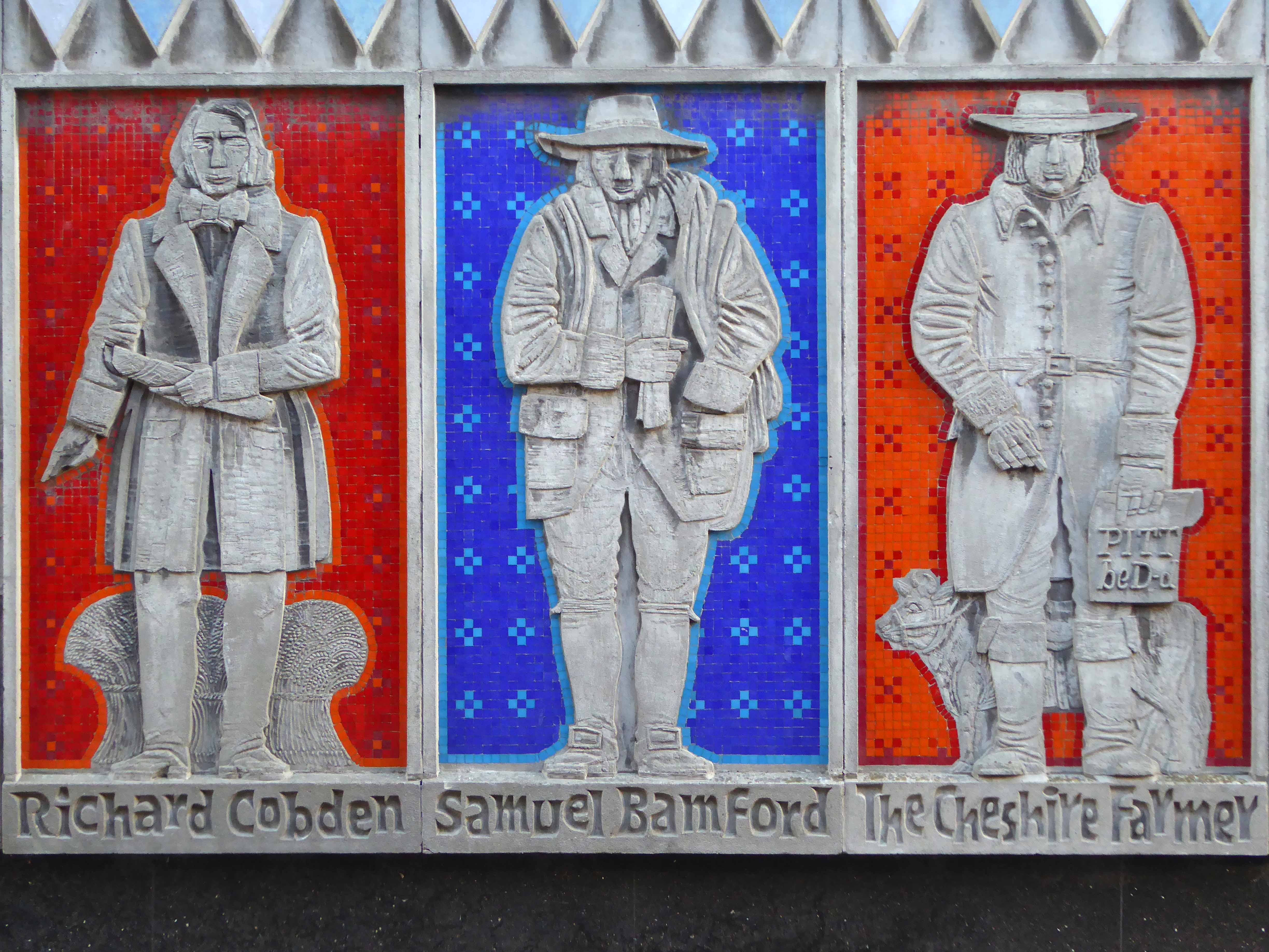
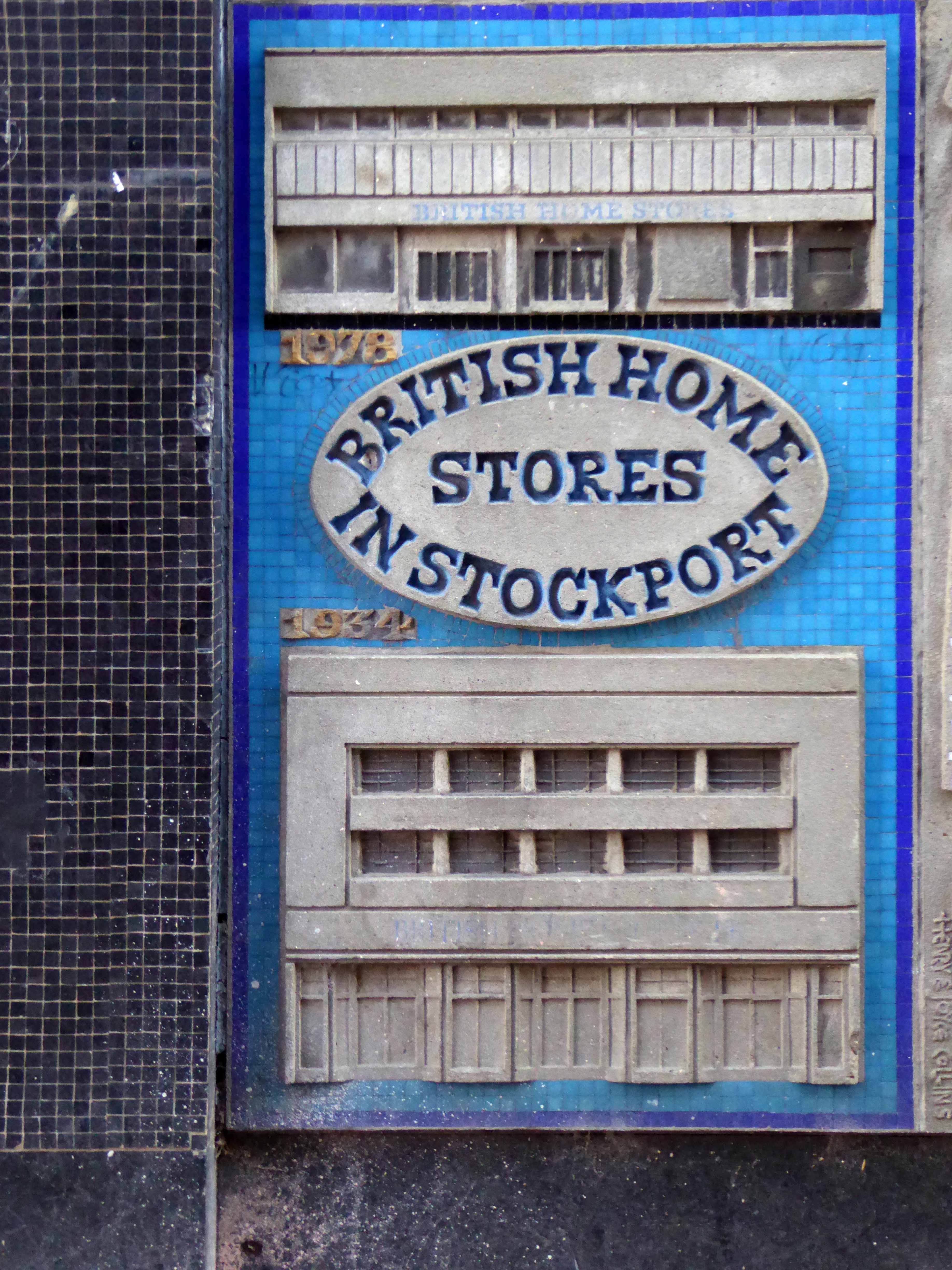
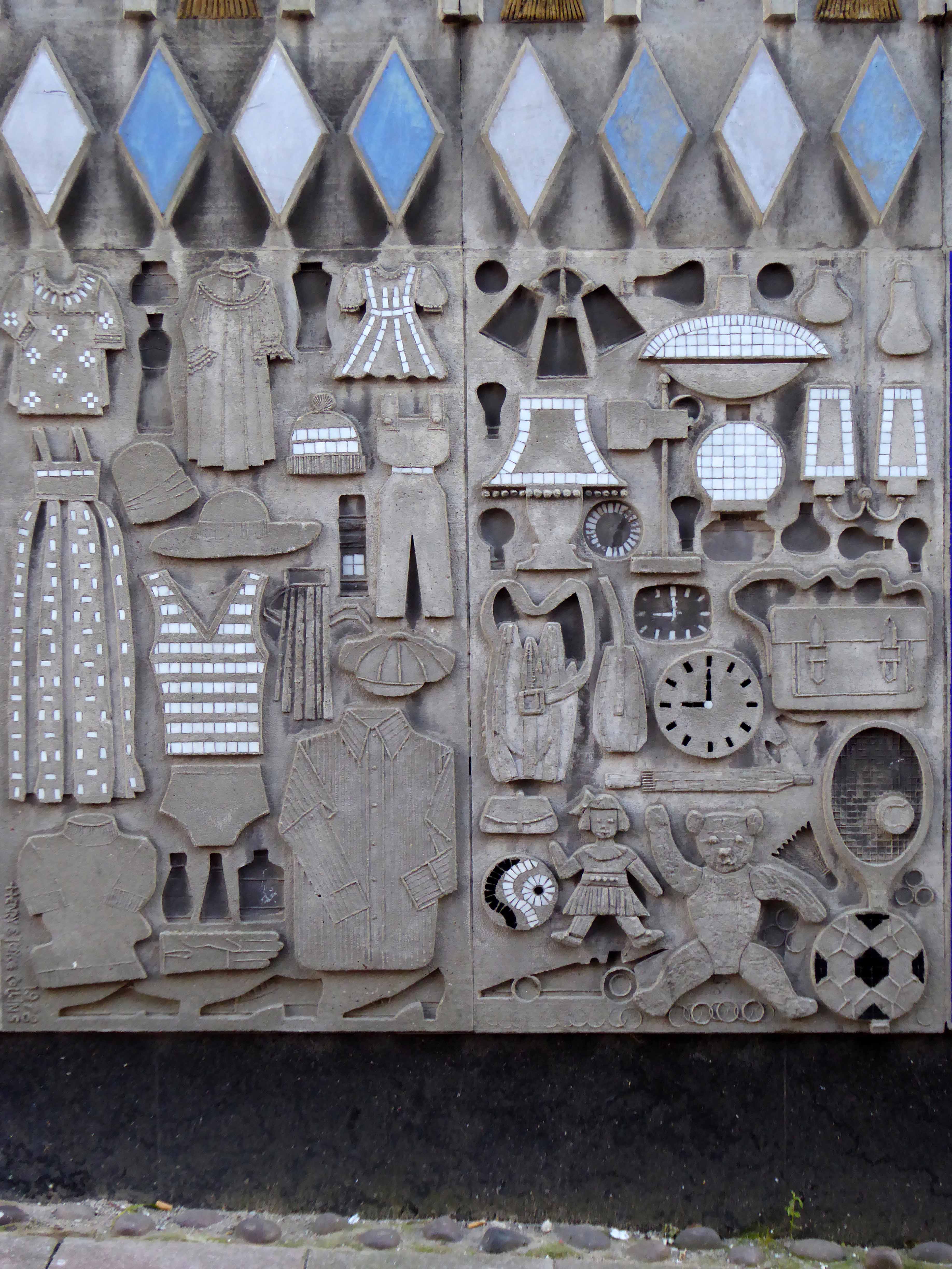
At the side of the BHS store in Merseyway are five concrete panels depicting local people, events and symbols. Commissioned by BHS in 1978 – To fill space on the blank wall at the side of the shop.

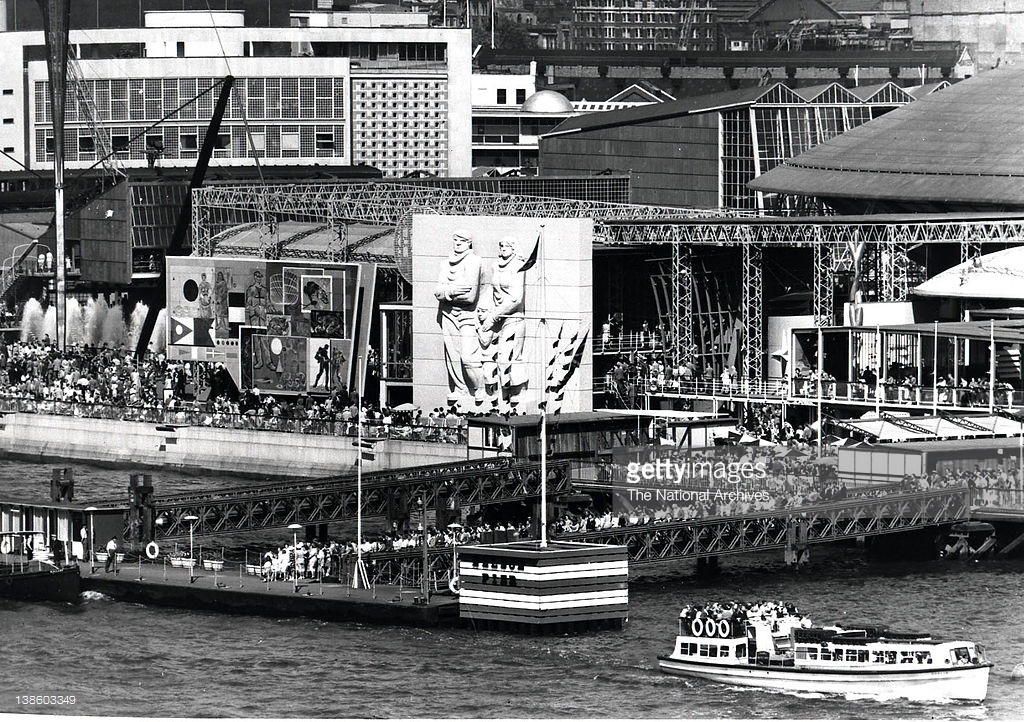
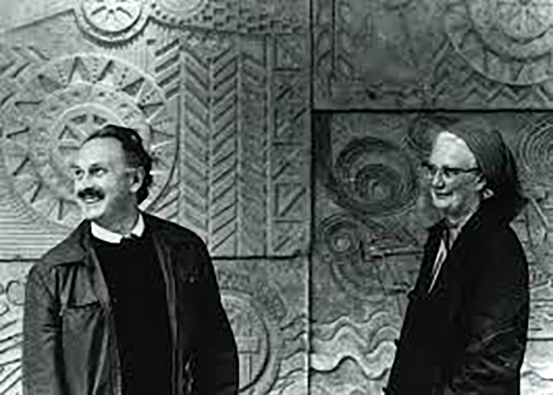
They are the work of Joyce Pallot 1912-2004 and Henry Collins, 1910-1994 – two artist/designers, who along with John Nash, established the Colchester Art Society, during the 1930s.

p1100467

Their work was featured in the Festival of Britain, GPO Tower and Expo 70, along with other retail outlets in Southampton, Newcastle, Gloucester, Bexhill and Colchester.

Festival of Britain – their mural is to the left of the pavilion

138603339

138603349

Colchester

unknown

Newcastle upon Tyne

dsc_0039-copy

Gloucester

screen-shot-2016-10-07-at-10-11-56

Southampton

middle

Bexhill on Sea

screen-shot-2016-10-07-at-11-56-22

The Murals, BHS Stockport and Merseyway have an uncertain future, SHMBC applied for listing, this was refused. On the other sites illustrated, restoration and preservation has been undertaken.

I do hope that these works of national and international importance are not placed under threat. We have already lost too much post-war public art – we all deserve better.

p1100469

p1100470


p1100472

p1100473

p1100477

p1100478

p1100479

p1100480

p1100481

p1100482

p1100483


William Mitchell – Liverpool

To wander the streets with a broad smile, open heart and eyes, is to enter into an unwritten contract with the unexpected and inexplicable.

Chance encounters with old, new or familiar friends.

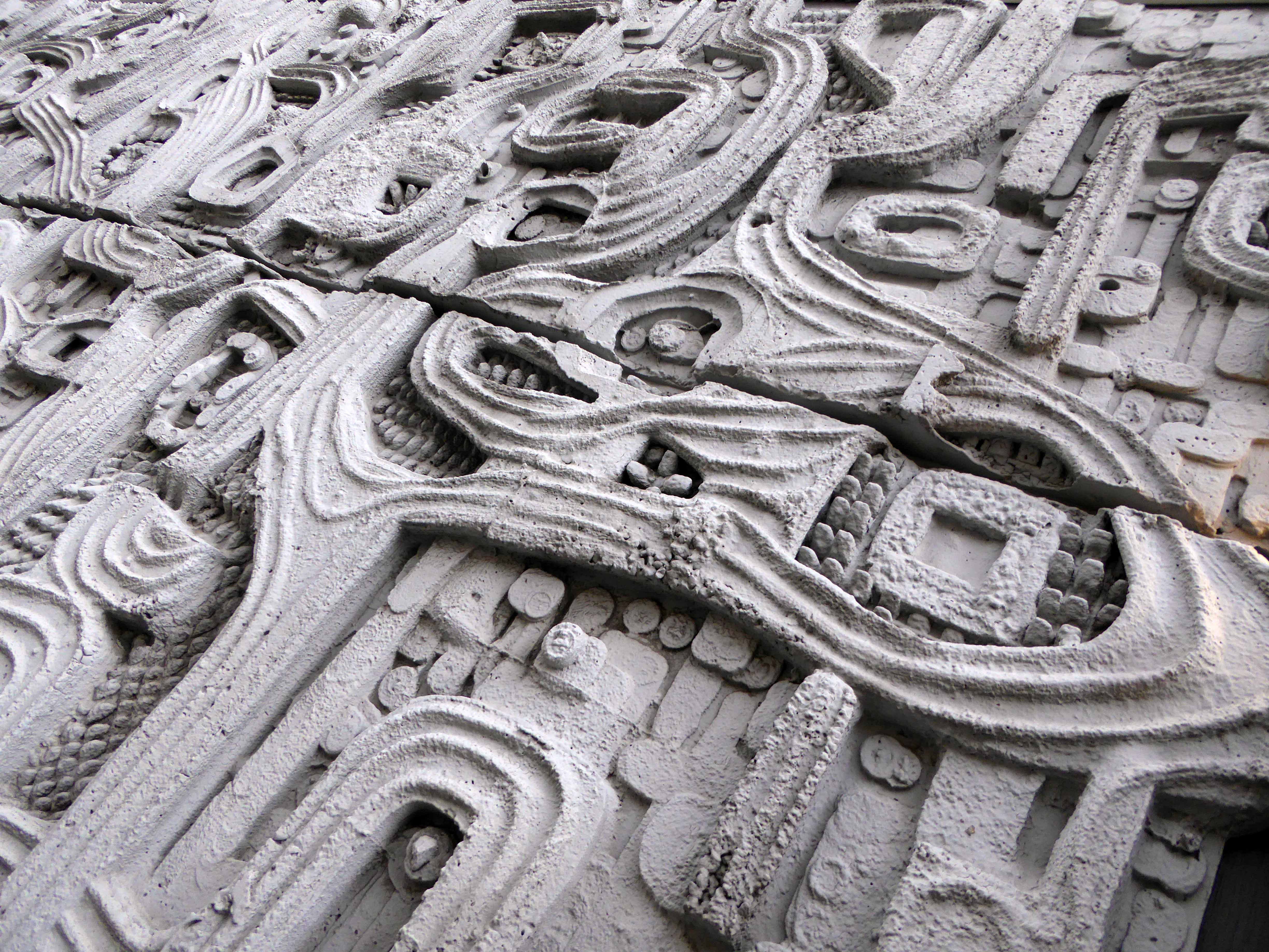
Imagine my surprise, when for the first time ever I unexpectedly came upon these William Mitchell reliefs on Hope Street, whilst walking aimlessly away from Lime Street.

That sense of surprise has never diminished, my spirits lift and my smile broadens to a cheeky grin, my pace quickens in ever so eager anticipation as I approach.

Wrapped tightly around the low, low waist of the former Federation House – big, bossy and very, very beautiful – though at times obscured by more recent architectural intrusions.

Public Sculpture of Liverpool – Terry Cavanagh 1997

mitchell

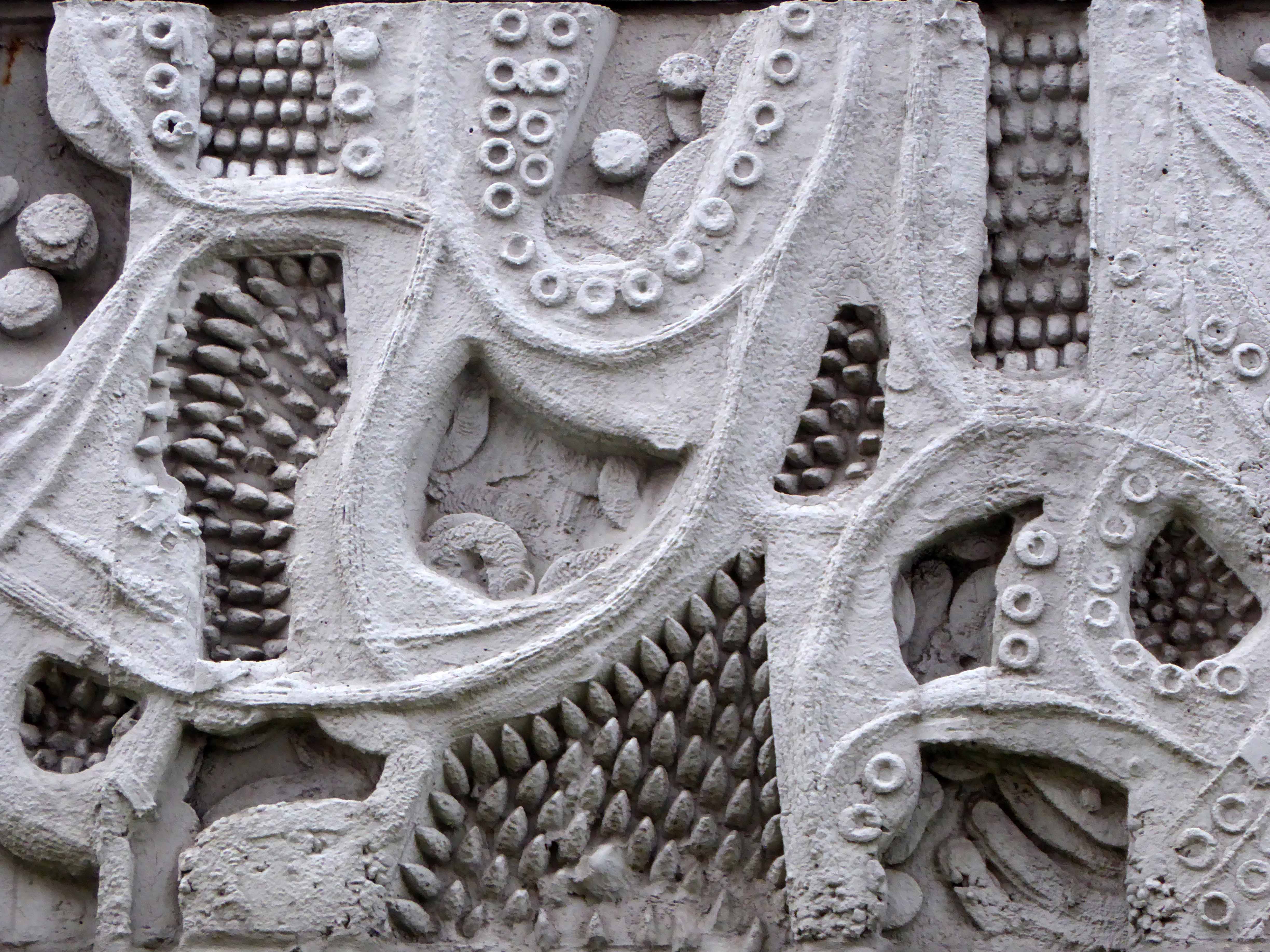
The original raw concrete is now awash with washes of off-magnolia exterior emulsion.

mitchell-1

Hughes and Willet were seemingly less amazed or amused, the opinion of the Aztecs, or for that matter the Neo-Aztecs, is sadly not a matter of record.

aztec

I remain impressed by the impressed concrete relief, a convincing addition to a sharp functional modern office block, all of which have not dated disastrously as soon as the fashion supporting it has collapsed.

Treat yourself take a walk, surprise yourself once in a while.

Aztec bars were withdrawn shortly after their launch in 1967.

The Aztec race was all but wiped out following their disastrous encounter in 1519 with the Conquistadors.

The William Mitchell reliefs prevail to this this day, as of last Sunday.

p1090463-copy

p1090465-copy

p1090466-copy

p1090467-copy

p1090468-copy

p1090469-copy

p1090470-copy

p1090471-copy

p1090472-copy

p1090473-copy

p1090474-copy

p1090475-copy

p1090476-copy

p1090477-copy

p1090478-copy

p1090479-copy

p1090480-copy

p1090481-copy

p1090482-copy

p1090483-copy


Motorways an Introduction

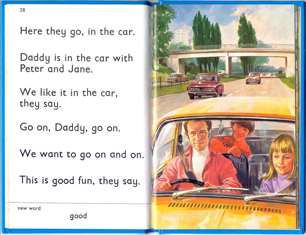
Once upon time there was no such things as motorways, we made our way across country in a haphazard fashion, by way of of a raggle-taggle bunch of muddy, puddle strewn byways, tracks A, B and C roads.

Journey times were long and often unpredictable, it was not unusual for a traveller to never ever reach their intended destination.

But then as if by magic:

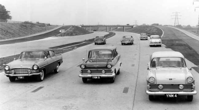
On 5 December 1958, the day the 8 mile Preston bypass opened.

Robert Gornall was the AA’s first motorway patrol and he was on duty on the Preston by Pass – now the M6, from day one – he even attended the opening ceremony.

Robert recalls that in those early motorway days, when there was no speed limit or hard shoulder, things were very different when it came to dealing with breakdowns. 

Robert said:


“This was entirely new and when we reached a broken down car we simply pushed it, bumper to bumper, out of the way to a place of safety where we could fix it – our vehicles were fitted with special rubber bumpers so as not to cause any damage.

Breakdowns came thick and fast because cars just couldn’t cope with the higher speed – engines just simply blew. The vehicles we used were Ford Escorts and even a soft top Land Rover.”

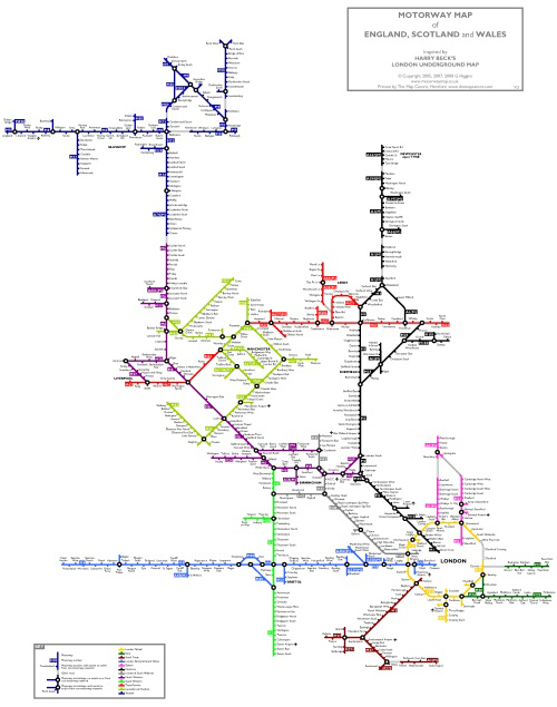
Having overcome these early teething troubles a whole complex network was developed.

motorwaymap2008

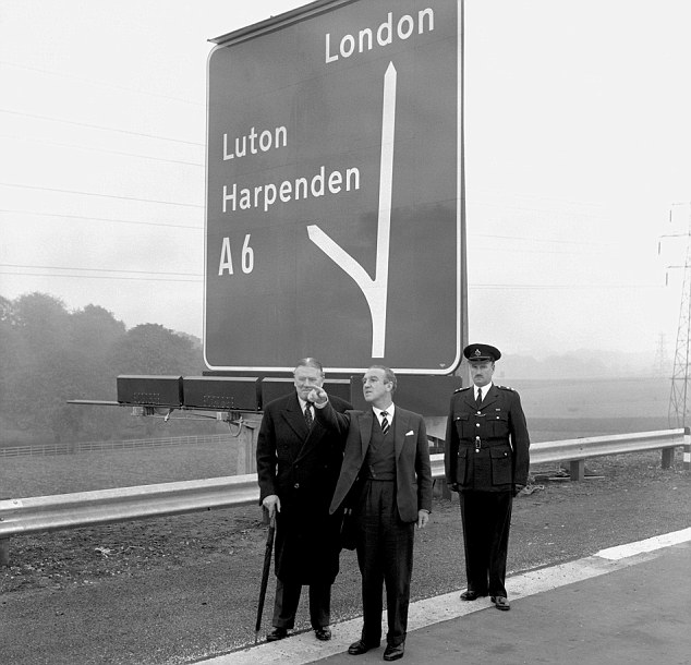
Opened by the transport minister Ernest Marples and other assorted worthies.

marples_owen_openingm1_2

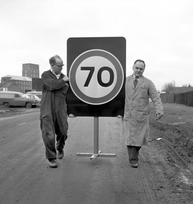
Speed limits and controls were applied to quell the threat of crashes and blow-outs.

c11c126e-c491-49c5-9f7a-d5b4a053808c_pa-1730423

Welcome to the fact packed modern world of the modern motorway.

550px-tcc_motorway_example

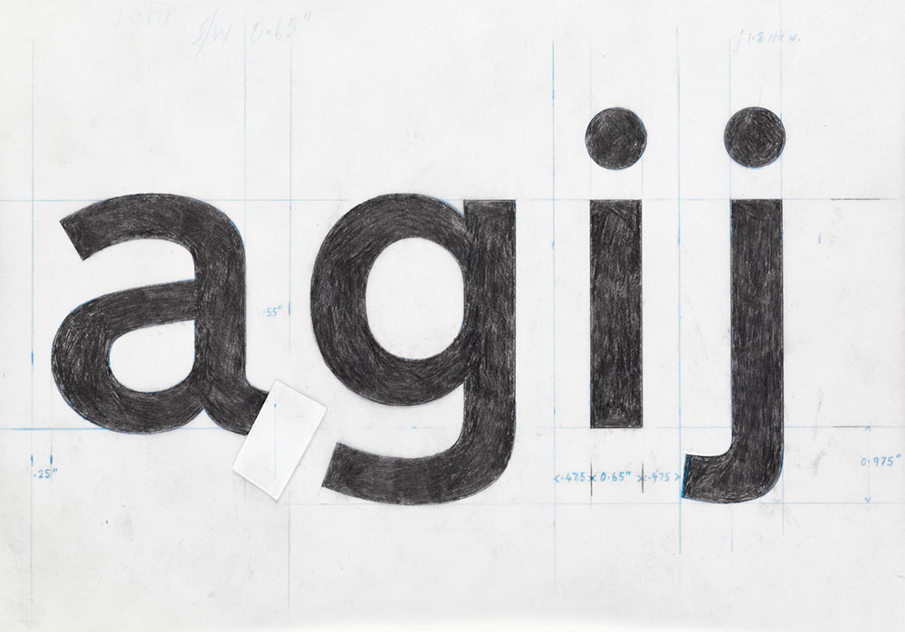
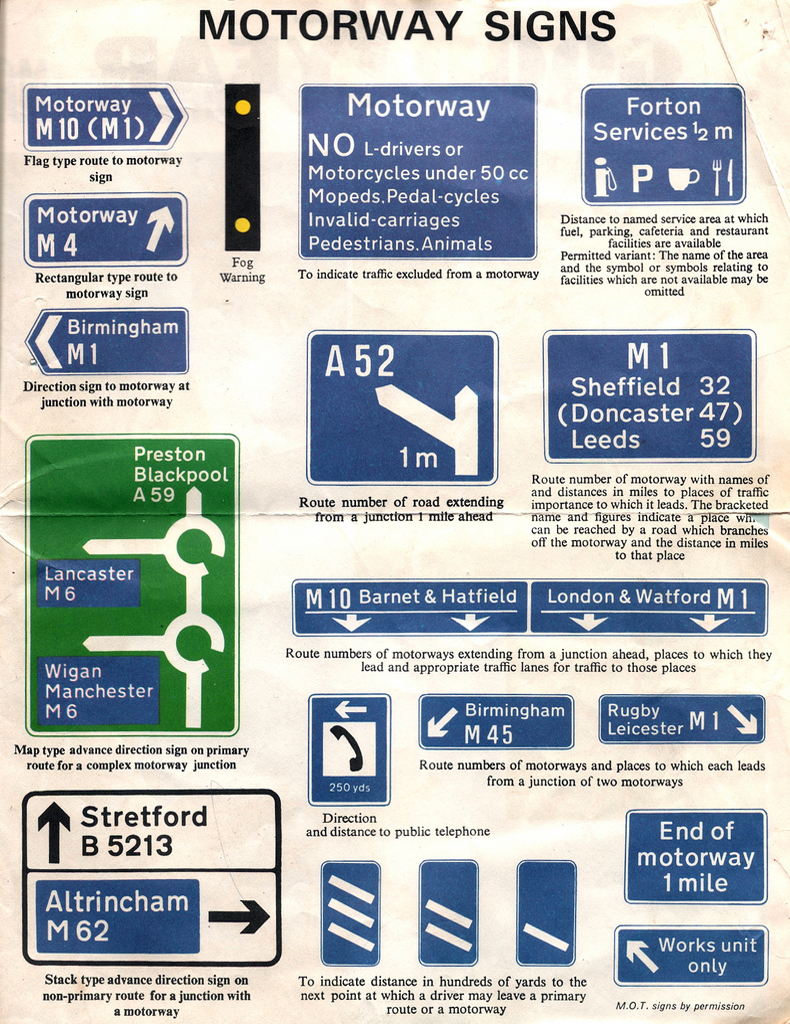
New typography and signage systems were developed by Margaret Calvert and Jock Kinneir.

margaret-calvert-typography

3791254247_fa4d8d3aeb_b

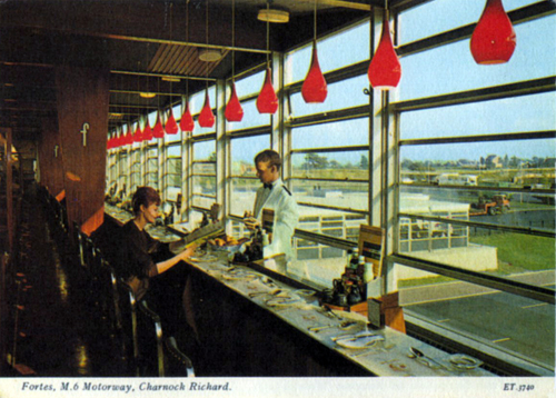
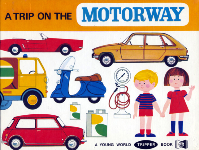
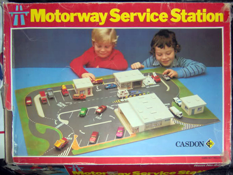
Special provision was made for provisions for the motorway motorist in special places, with special names – and their own unique approach to modern cuisine.

motorway14

Quite literally food on the move at the motorway services.

motorway4forblog

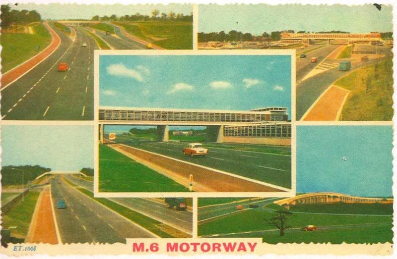
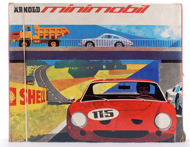
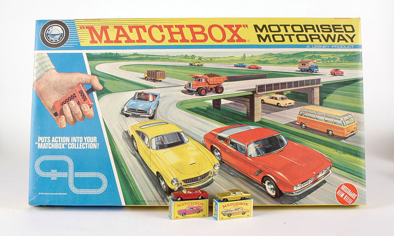
Ever eager to communicate their fondness for the modern motorway, the modern motorist would often send a picture postcard to friends and/or family.

m6motorway

A whole literary and visual culture built up over time, to celebrate a deep and growing affection for the motorway network.

920108_10151602324156600_410904325_o

0416560806

motorway5forblog

5253_l

IM000285.JPG
IM000285.JPG

7122_l

3088_l

The rest is history, so break out the string backed gloves, top-down hit the road!

Jacqueline and/or Jack.


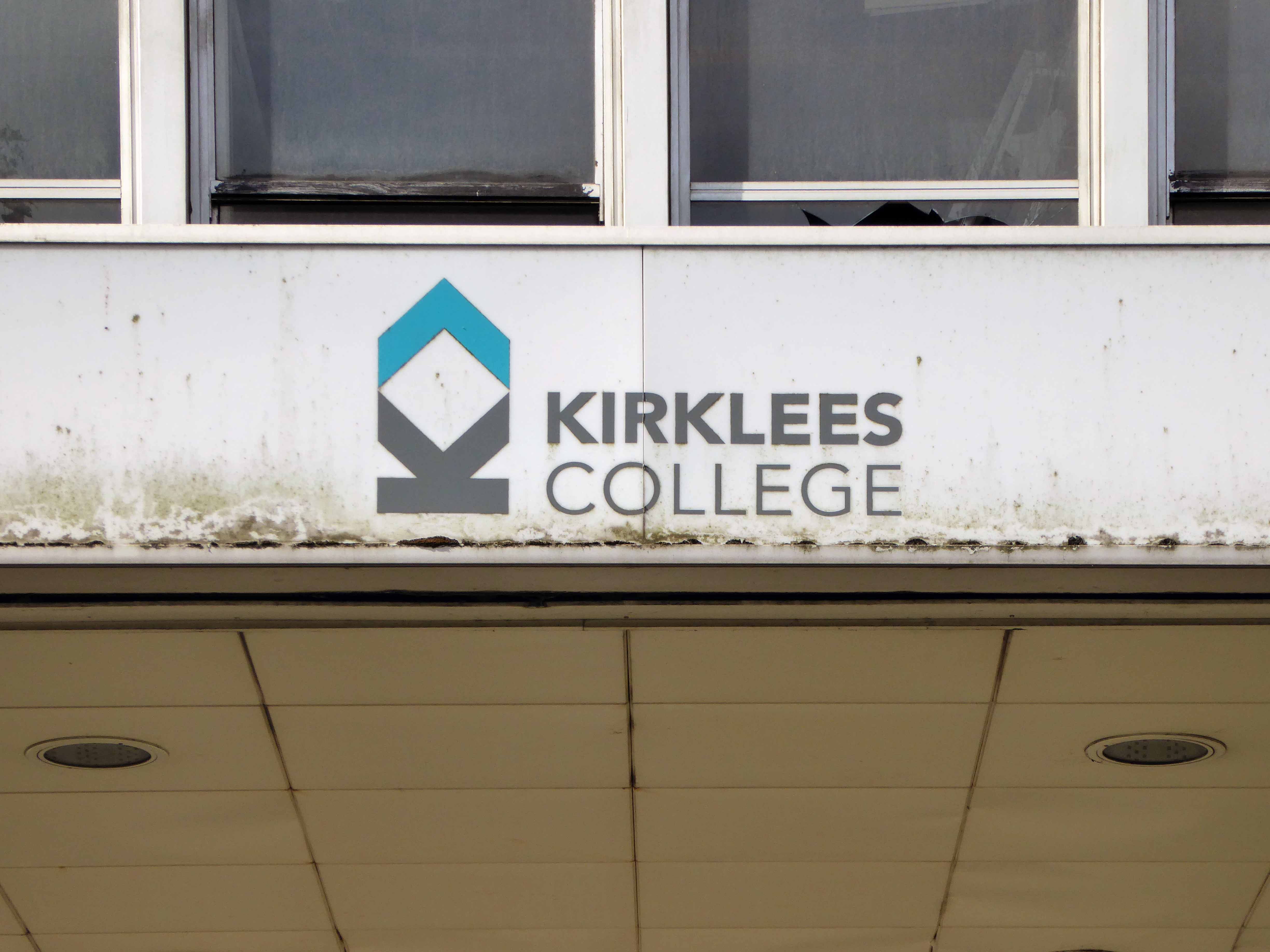
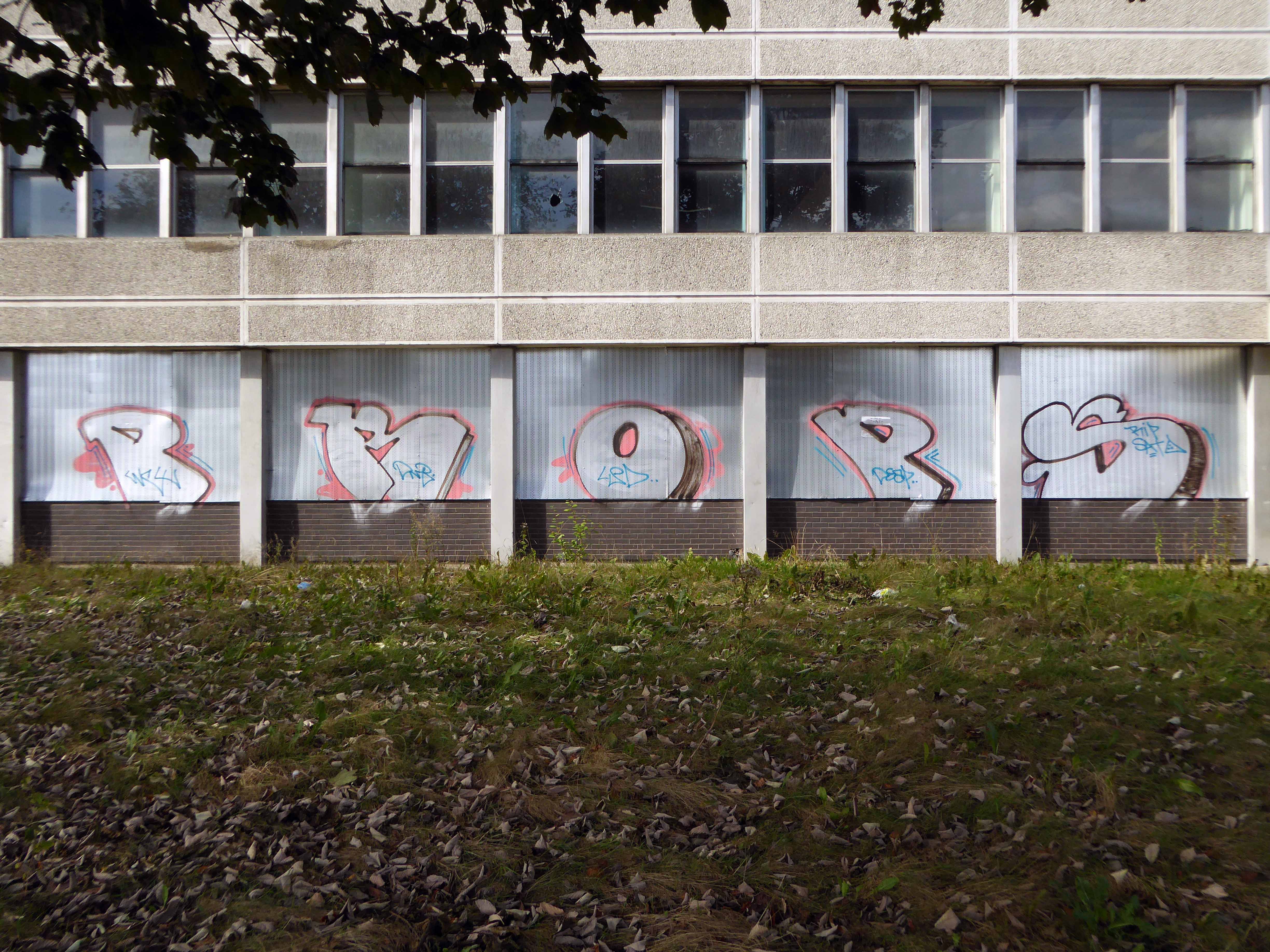
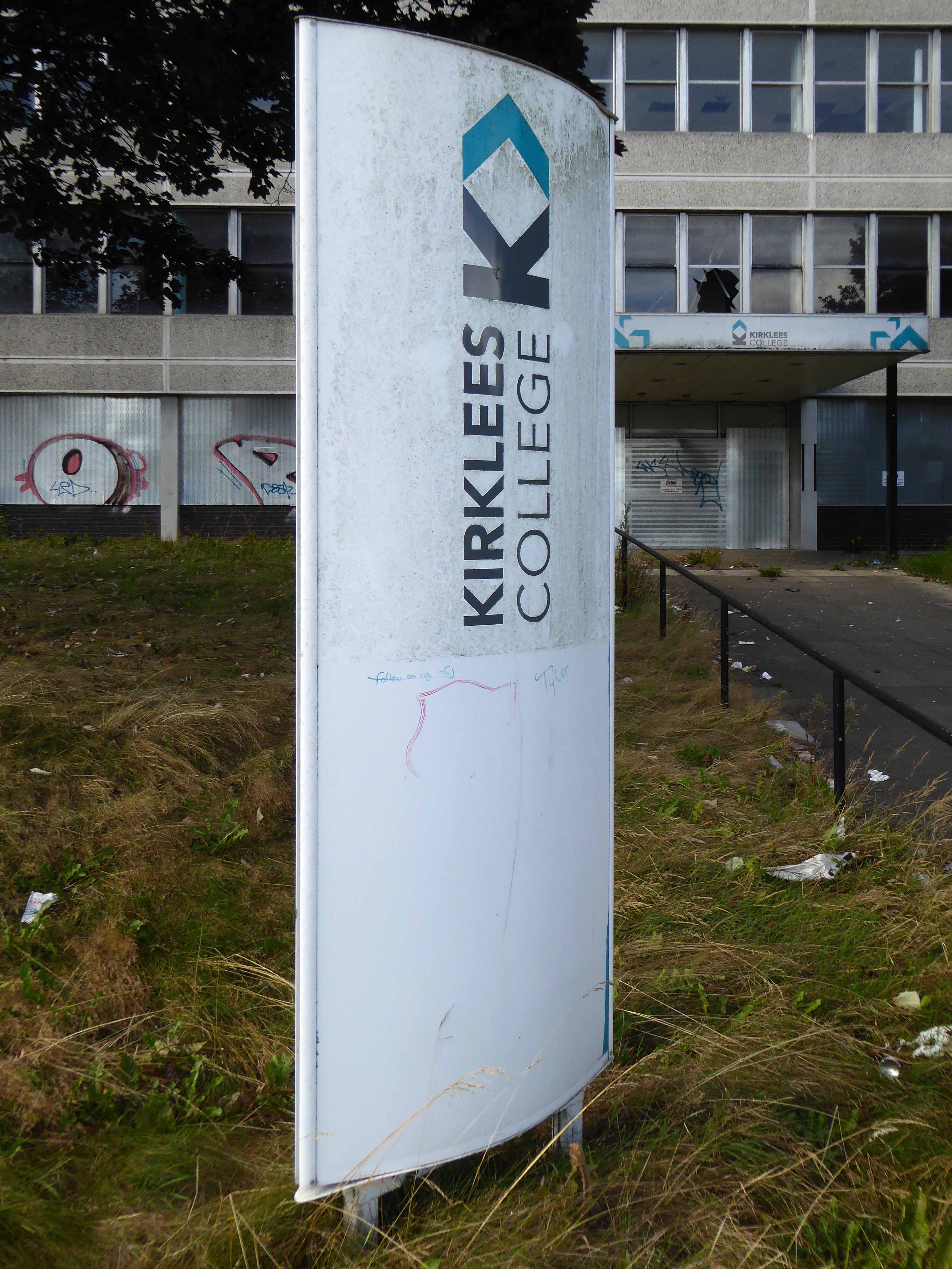
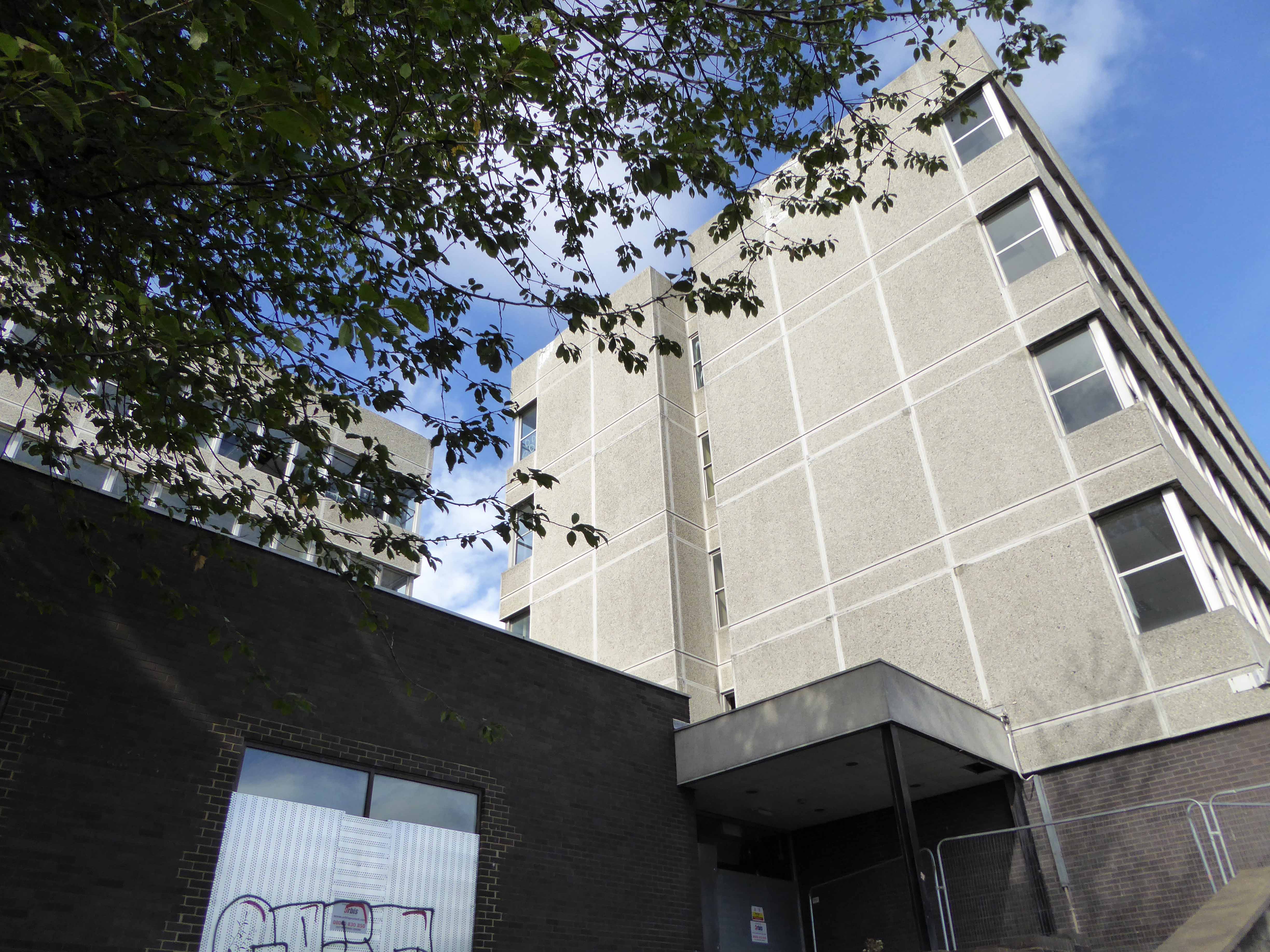
Kirklees College – Huddersfield

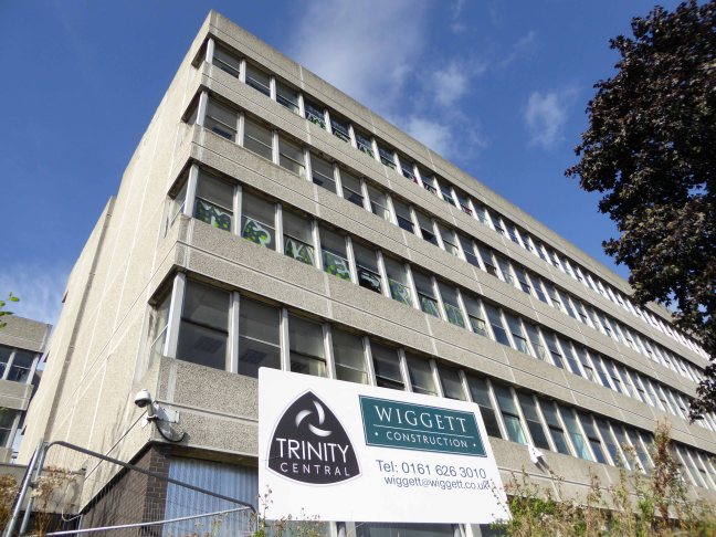
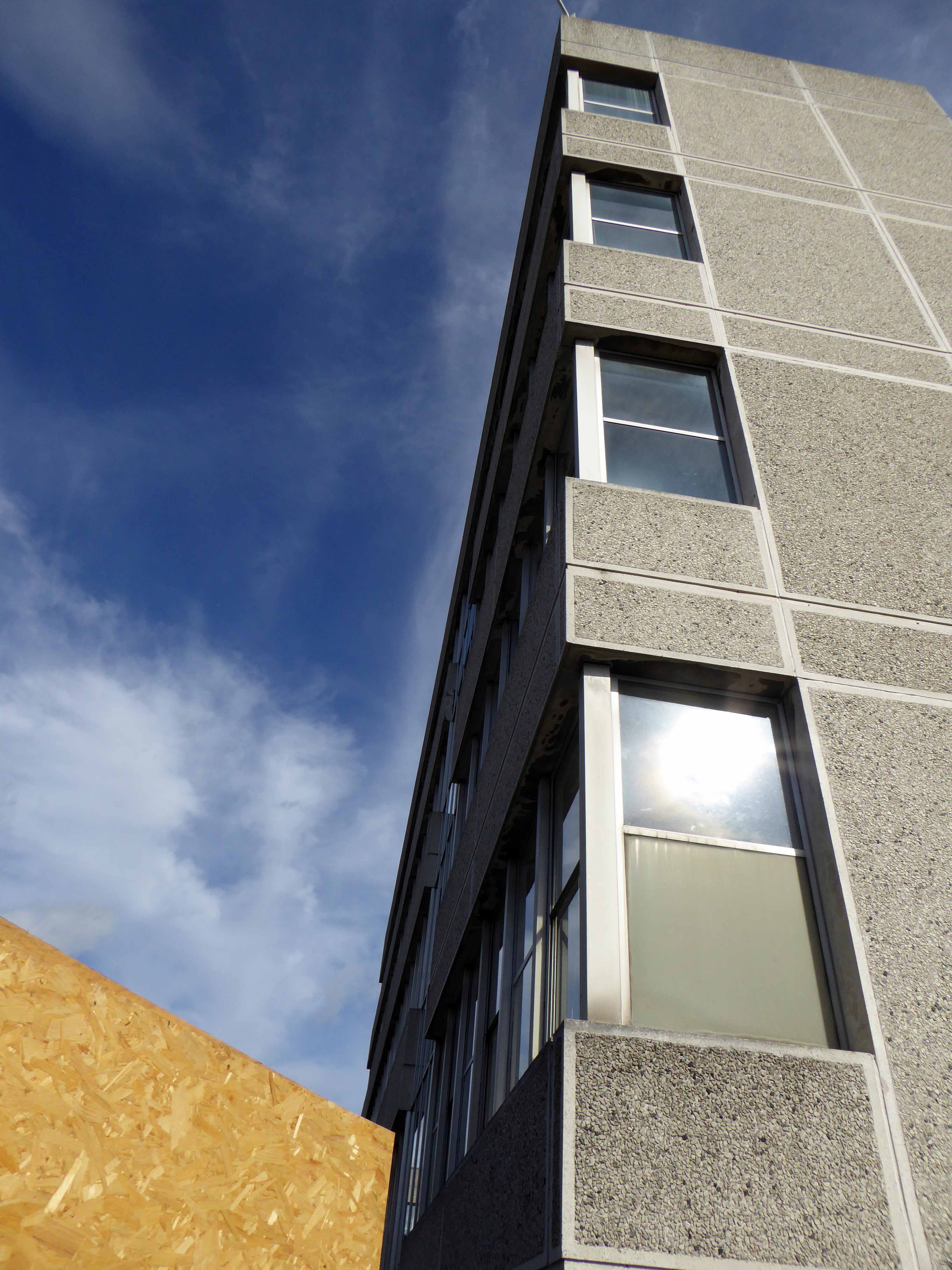
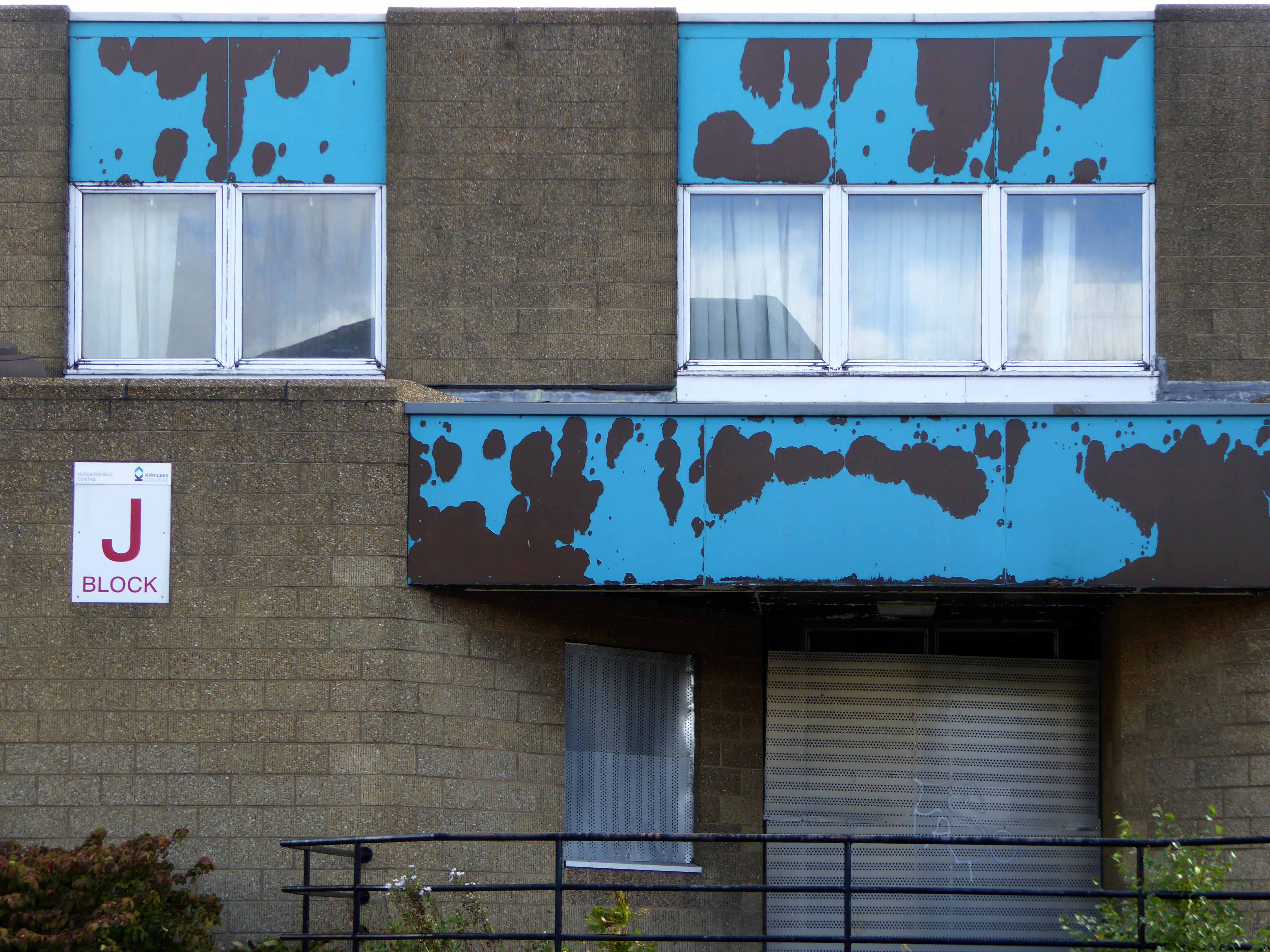
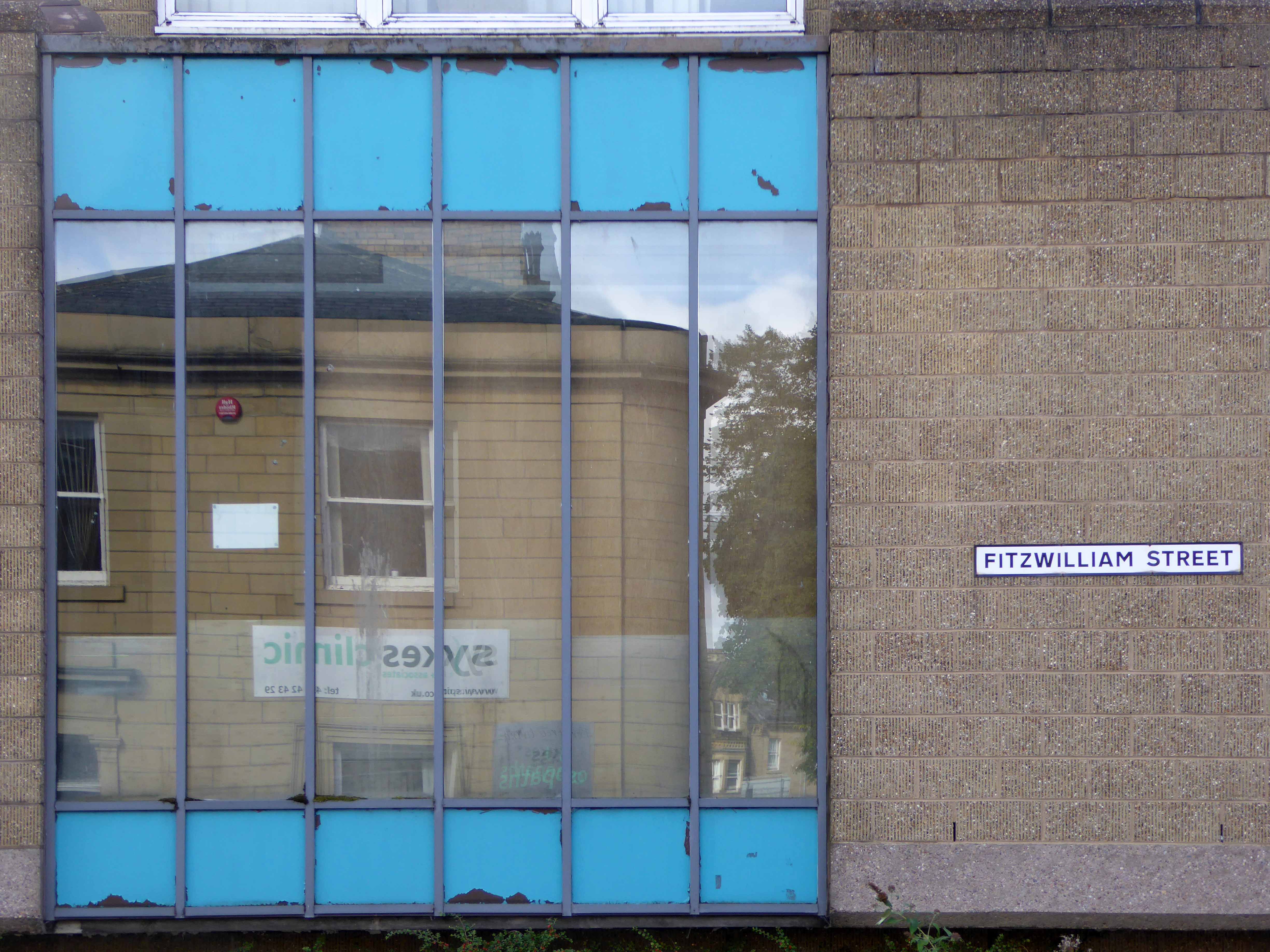
Kirklees College started life as Huddersfield Infirmary in 1831 up until 1967 when the Ramsden Technical College moved in, they paid £105,000 for the site. 

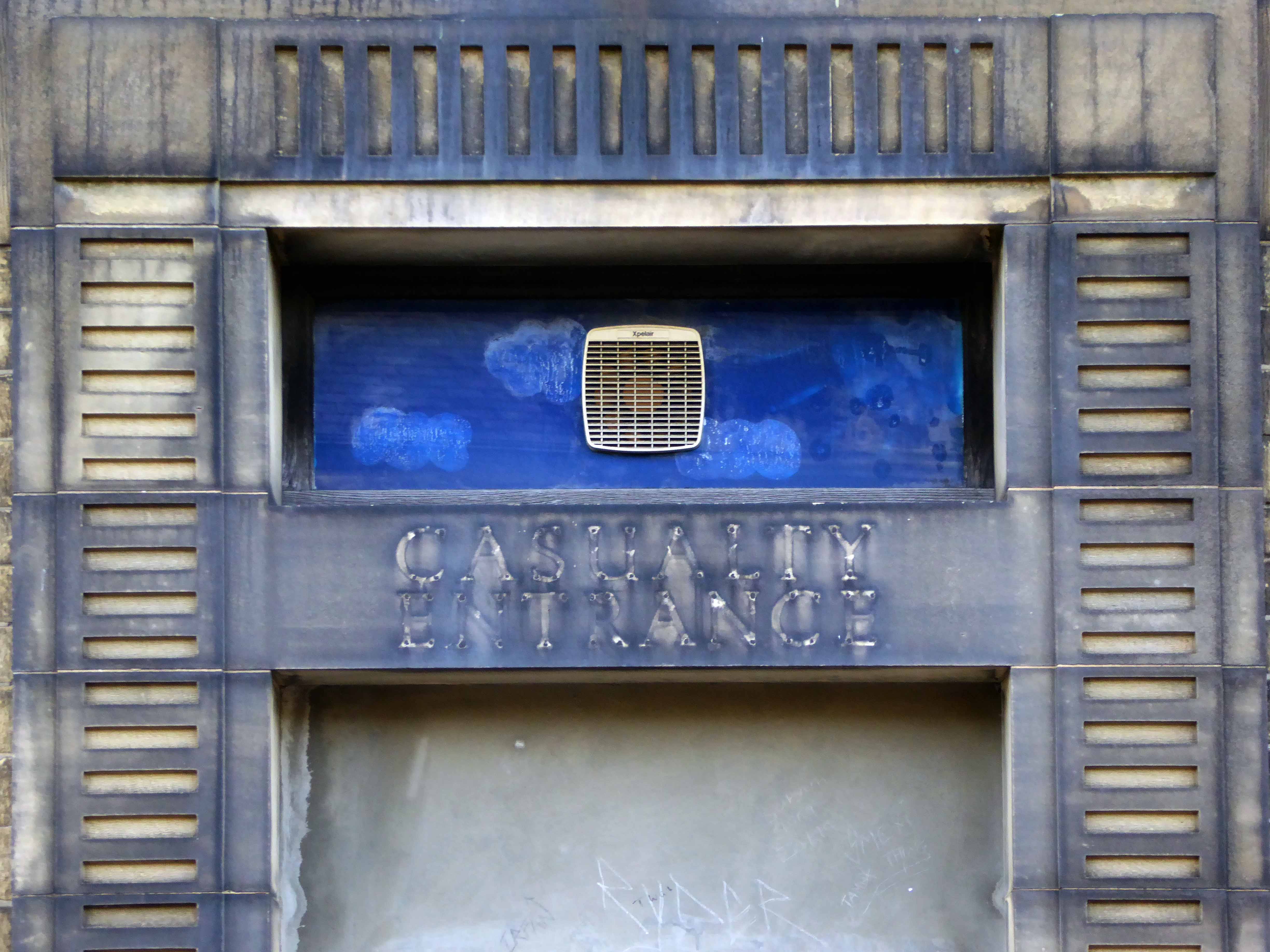
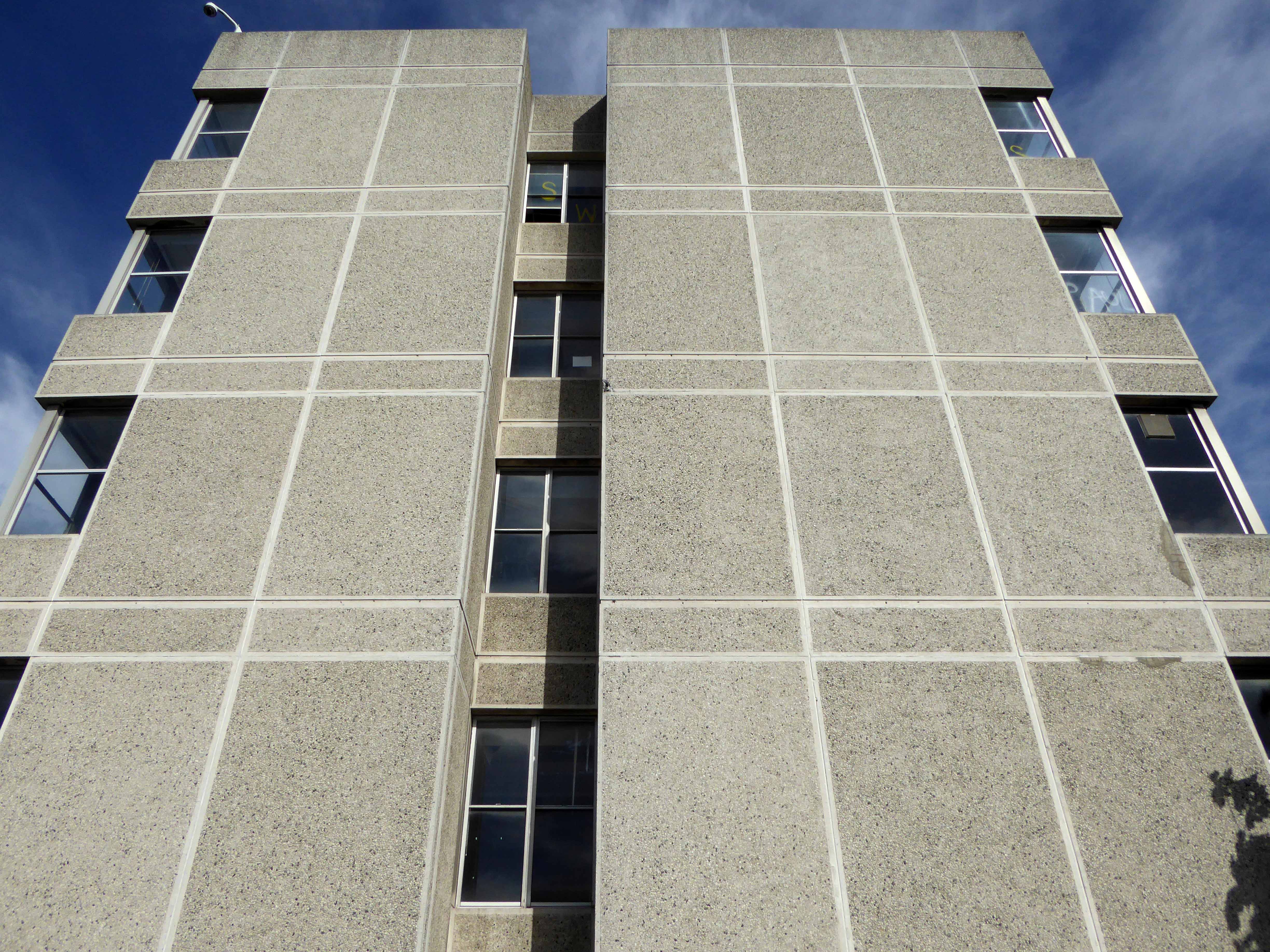
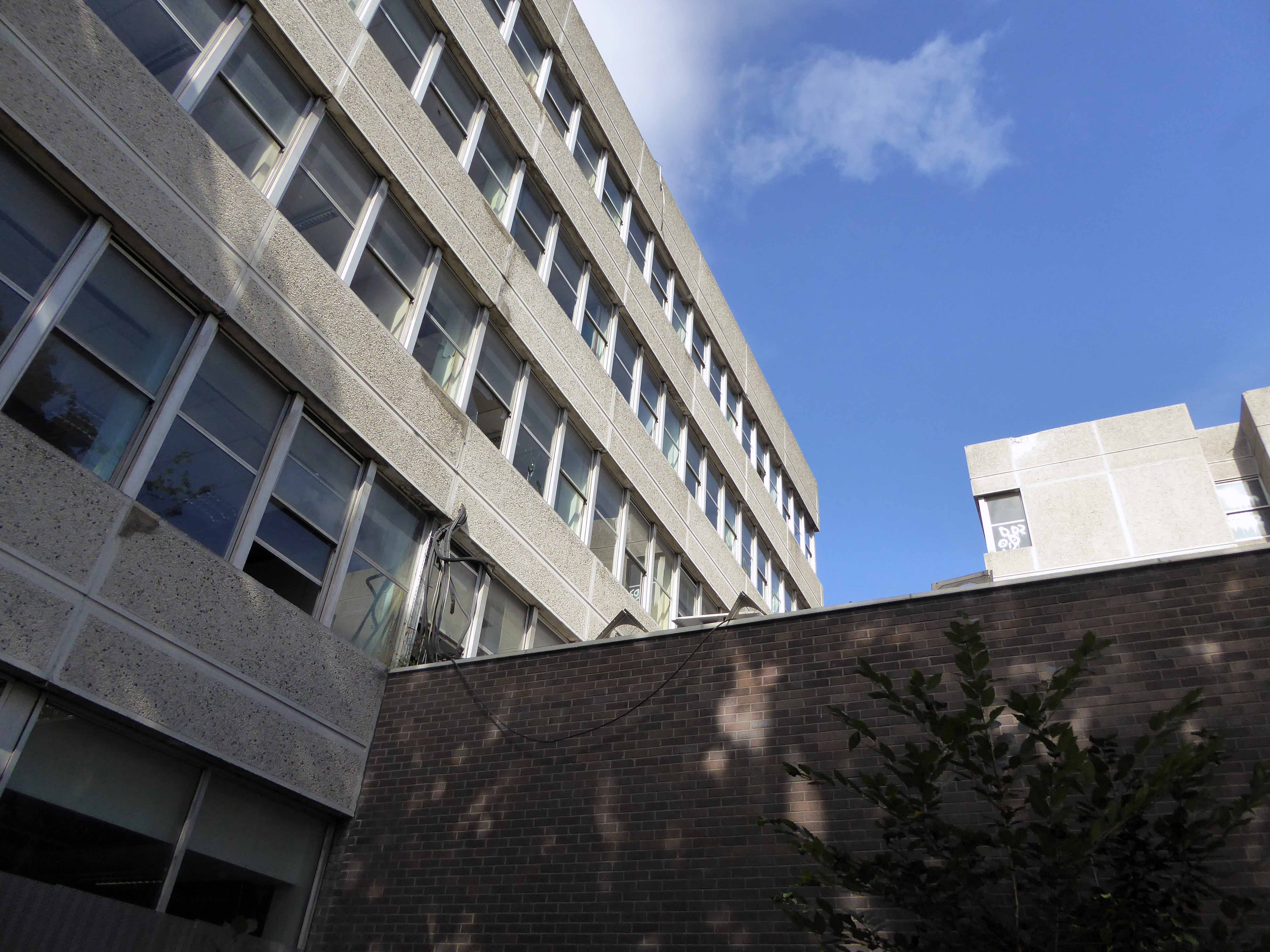
In September 1968 the first students began lectures and the first new building on the site opened in 1969. The main new block was built in 1971 – the year the college became Huddersfield Technical College. In 2008 Huddersfield Technical College merged with Dewsbury College to form Kirklees College and relocated in 2013.

The campus incorporates 10 buildings over a 6.1 Acre site ranging from the old hospital complex to modern blocks of classrooms. 

p1080524

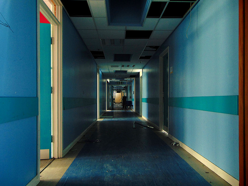
Some of the buildings have been used for the filming of the dramas Black Work, Remember Me where they changed some areas to be a care home, a hospital and a police station and the film Extremis. 

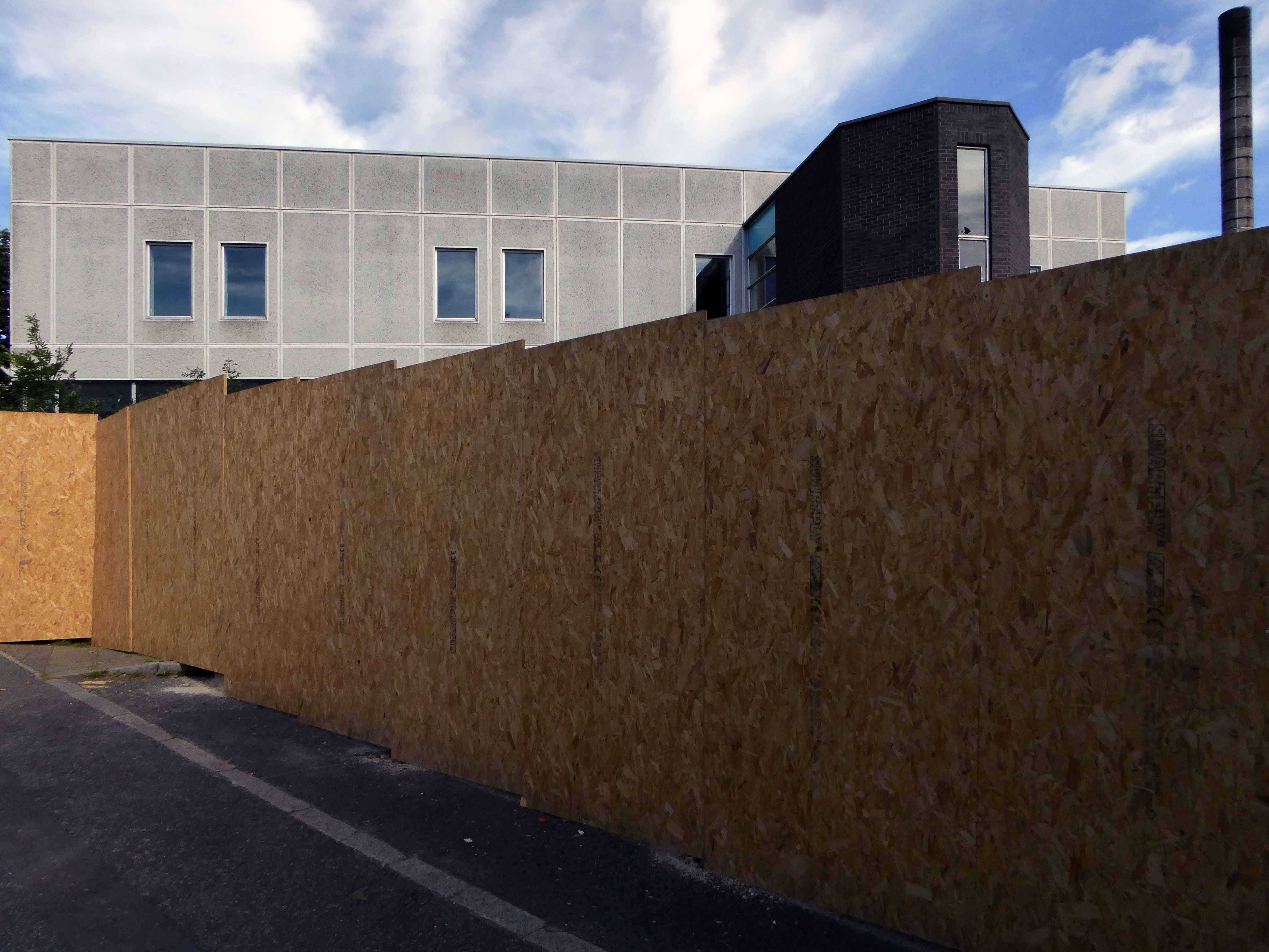
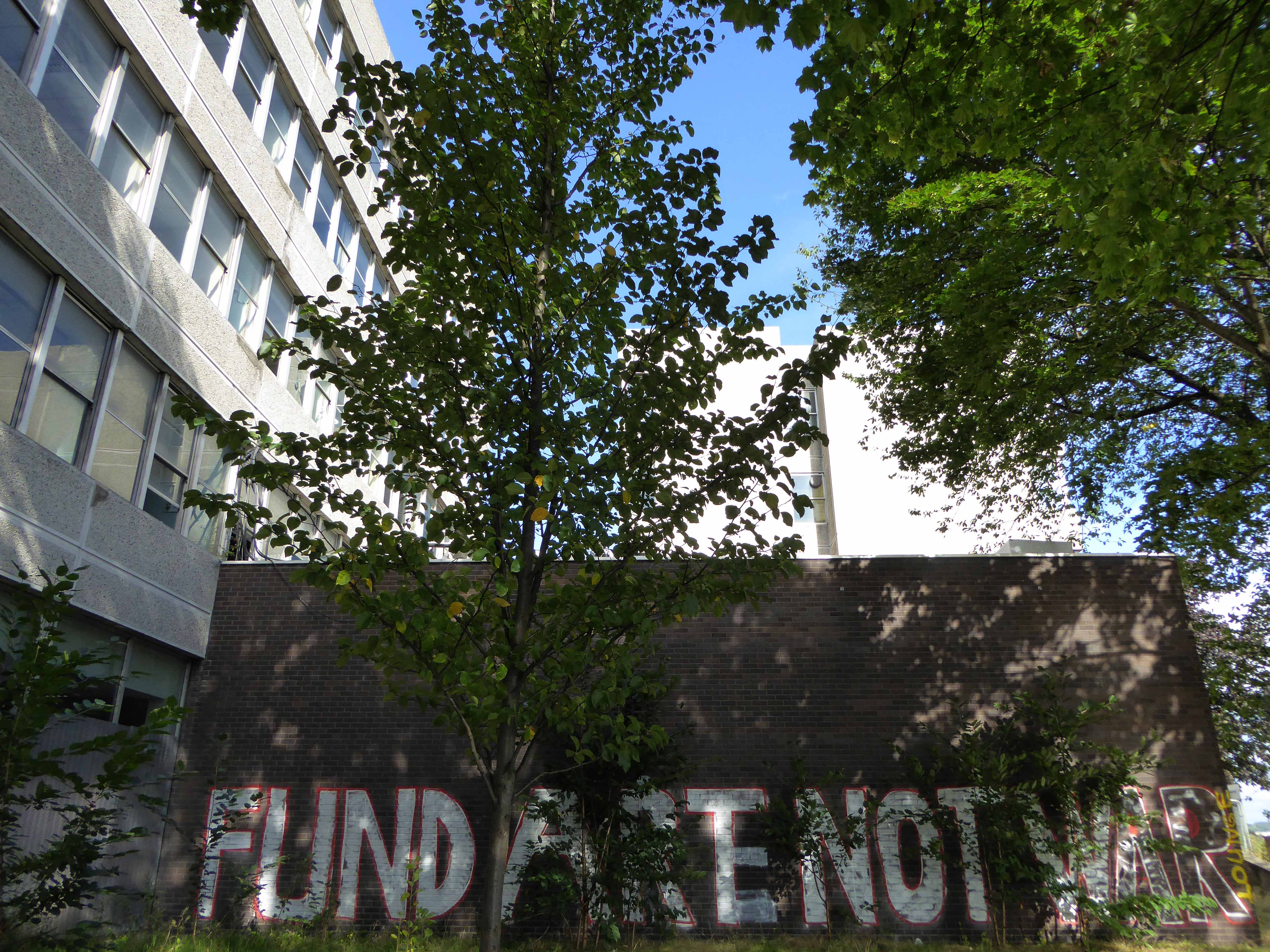
The site is owned by Wiggett Construction Group, who have now confirmed they want to demolish the 1970s college buildings to make way for a Lidl supermarket.

Thanks to Derelict Places – they went inside, I didn’t, I don’t do that sort of thing.

24873199691_49c901c0f0_c

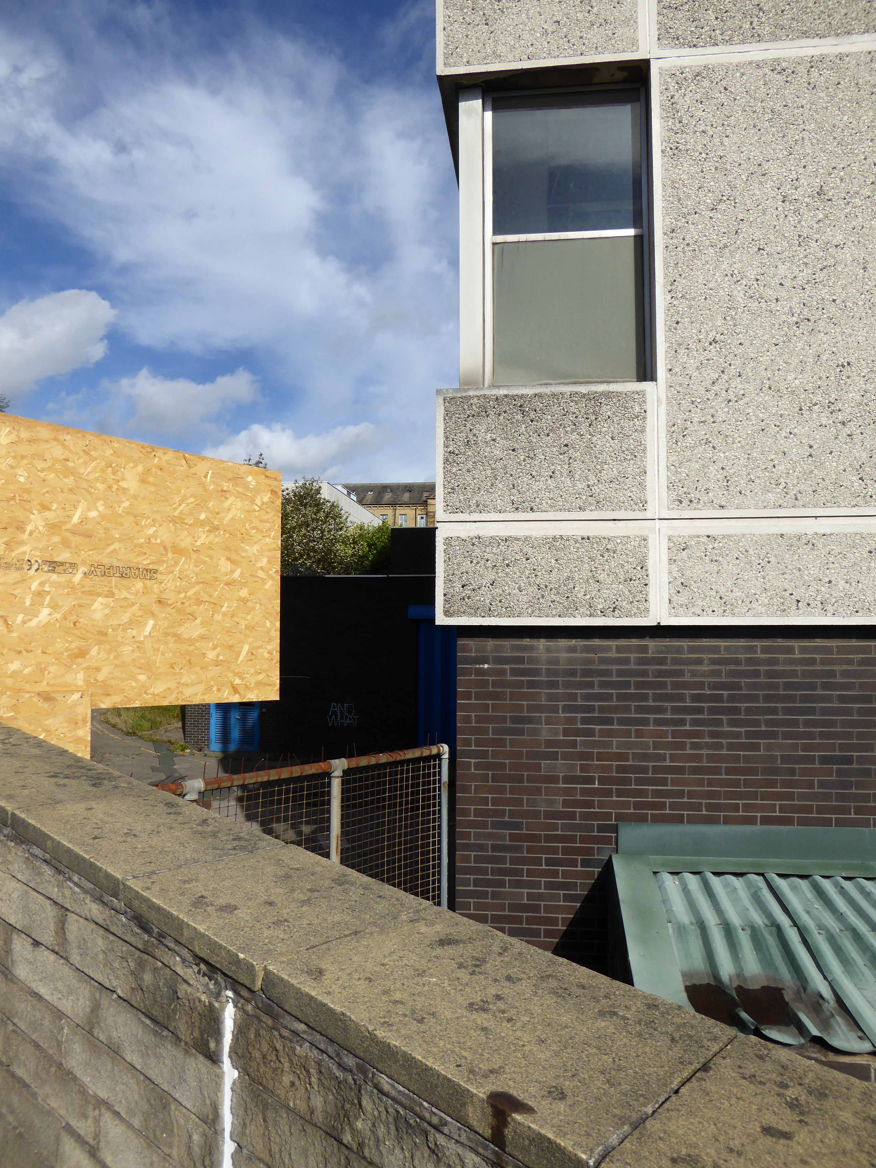
I walked the lengthy perimeter, bobbing in and out of nooks and crannies in search of nothing in particular. Chatted to a Kirklees employee who had worked at the site, he regretted its closure and passing.

“This building had character, it was great to work here – now it’s going to be a supermarket.”

A curious amalgam of municipal classicism and hard edged 70s modernity, presided over by a sombre, care worn and  patinated Edward VII.

“Worth a few bob, a bugger to shift.”

p1080517-copy

p1080518-copy

p1080521-copy

p1080522-copy

p1080523-copy

p1080531-copy

p1080534-copy

p1080538-copy

p1080545-copy

p1080546-copy

p1080547-copy

p1080550-copy

p1080551-copy

p1080553-copy

p1080554-copy

p1080557-copy

p1080558-copy

p1080561-copy

p1080562-copy

p1080564-copy

p1080565-copy

p1080567-copy

p1080569-copy

p1080574-copy

p1080576-copy

p1080577-copy

Bus Station – Huddersfield

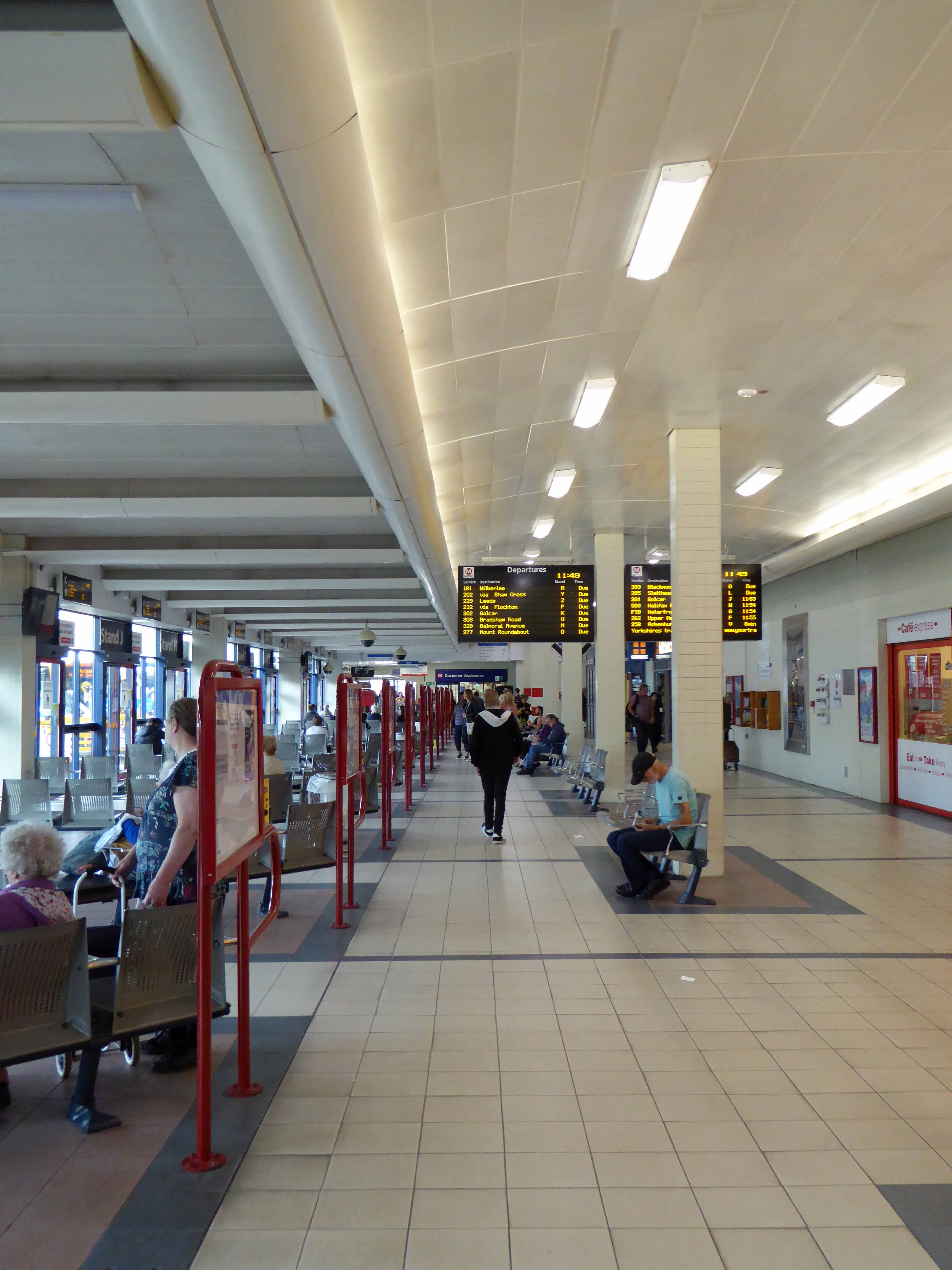
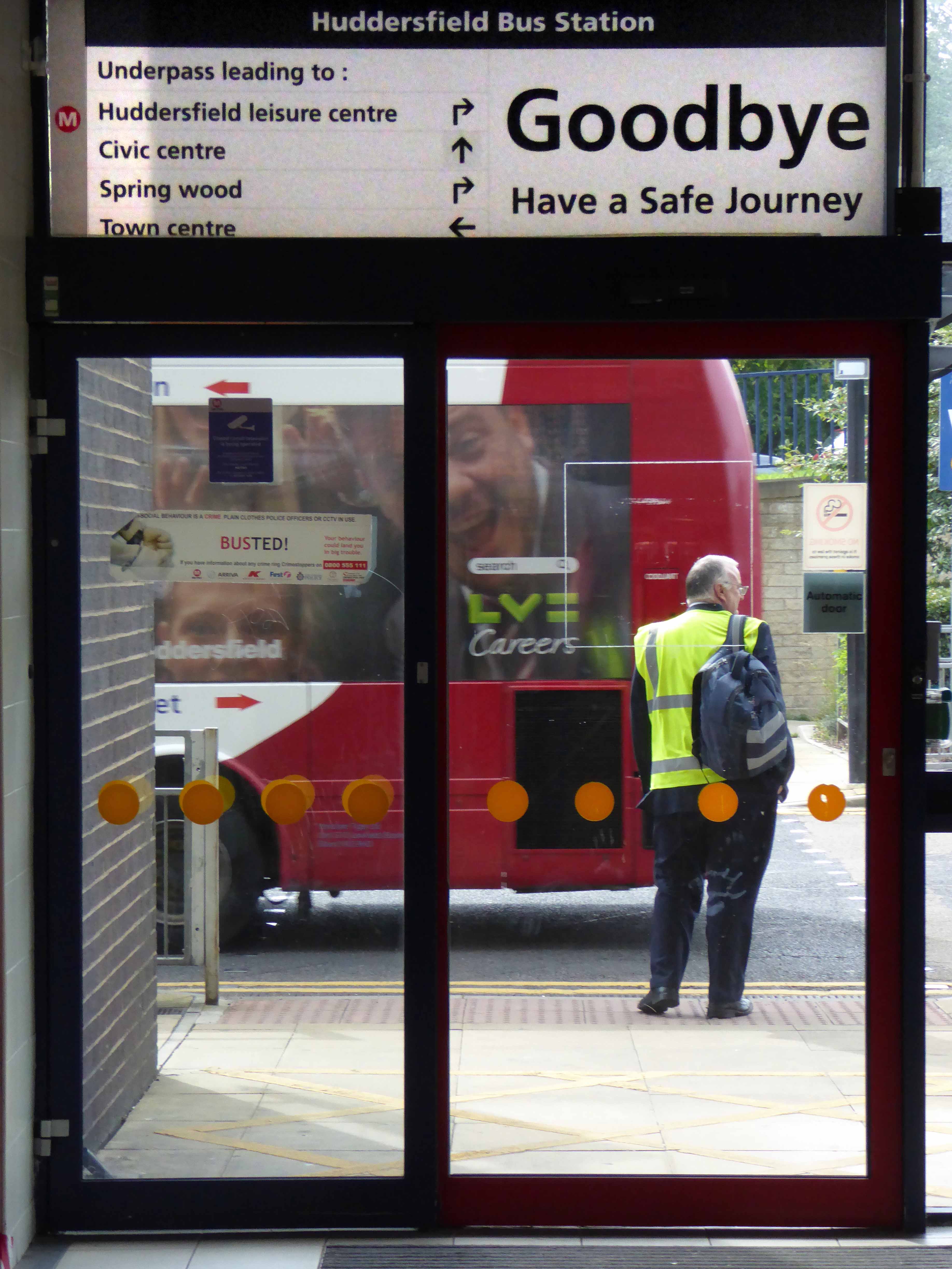
Huddersfield bus station serves the town of Huddersfield, West Yorkshire, England.

Which seems both serendipitous and heartwarmingly convenient.

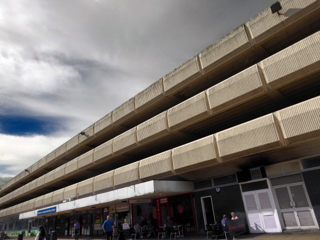
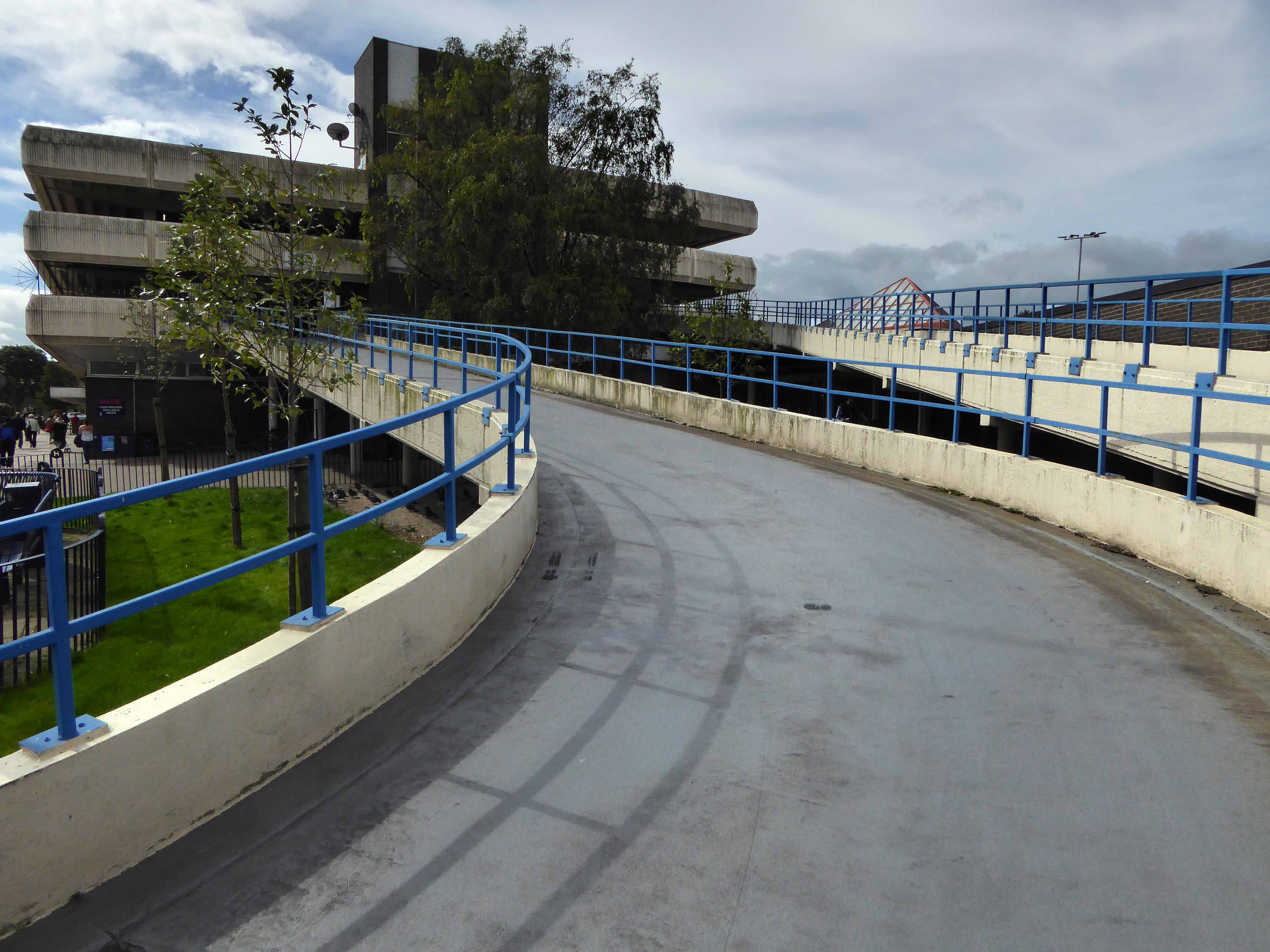
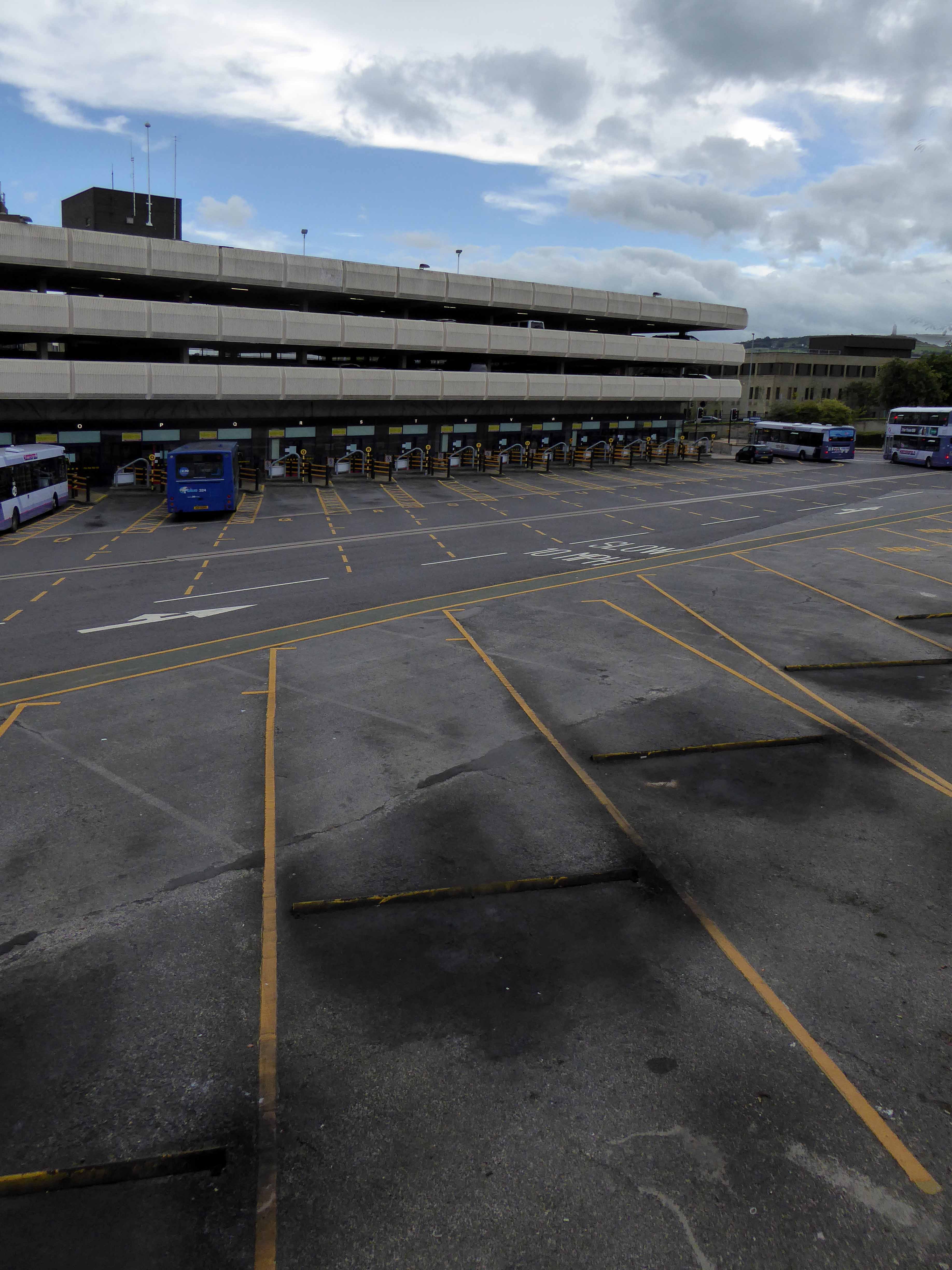
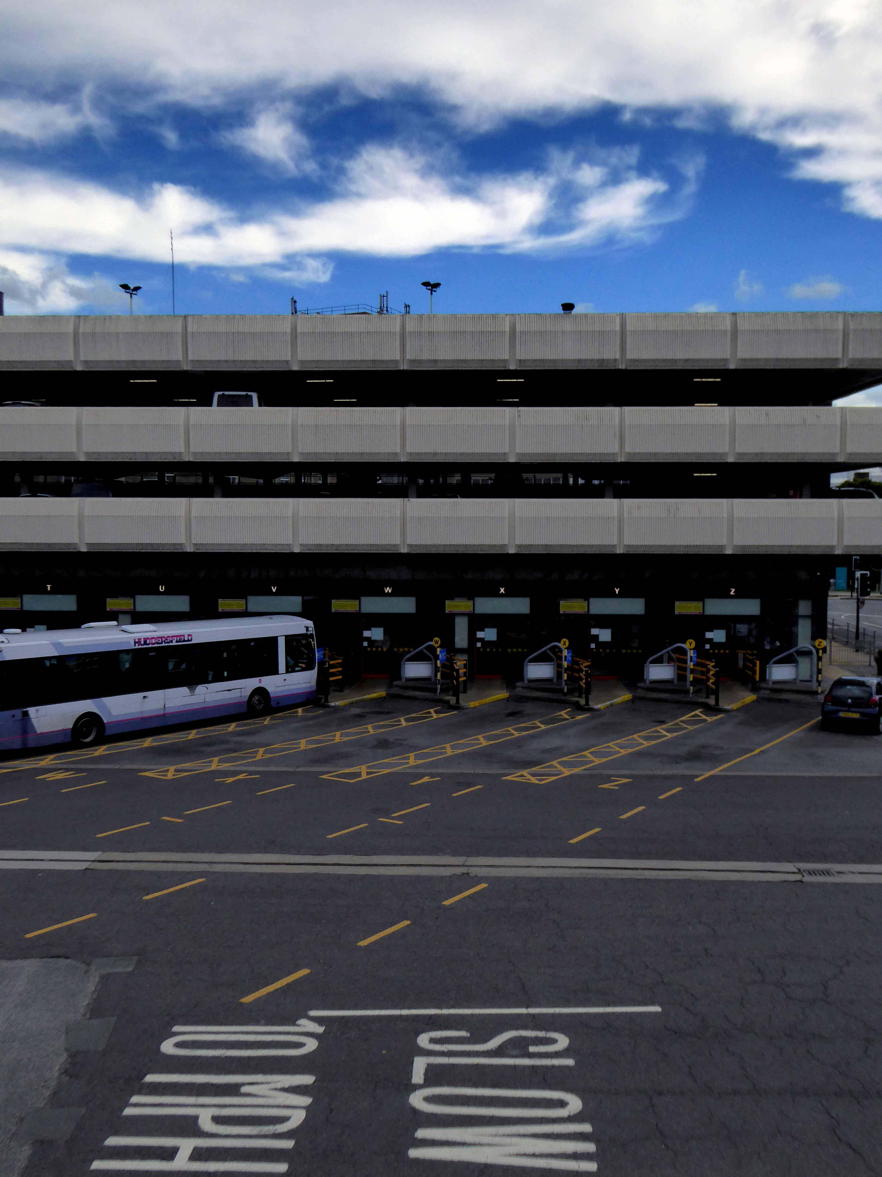
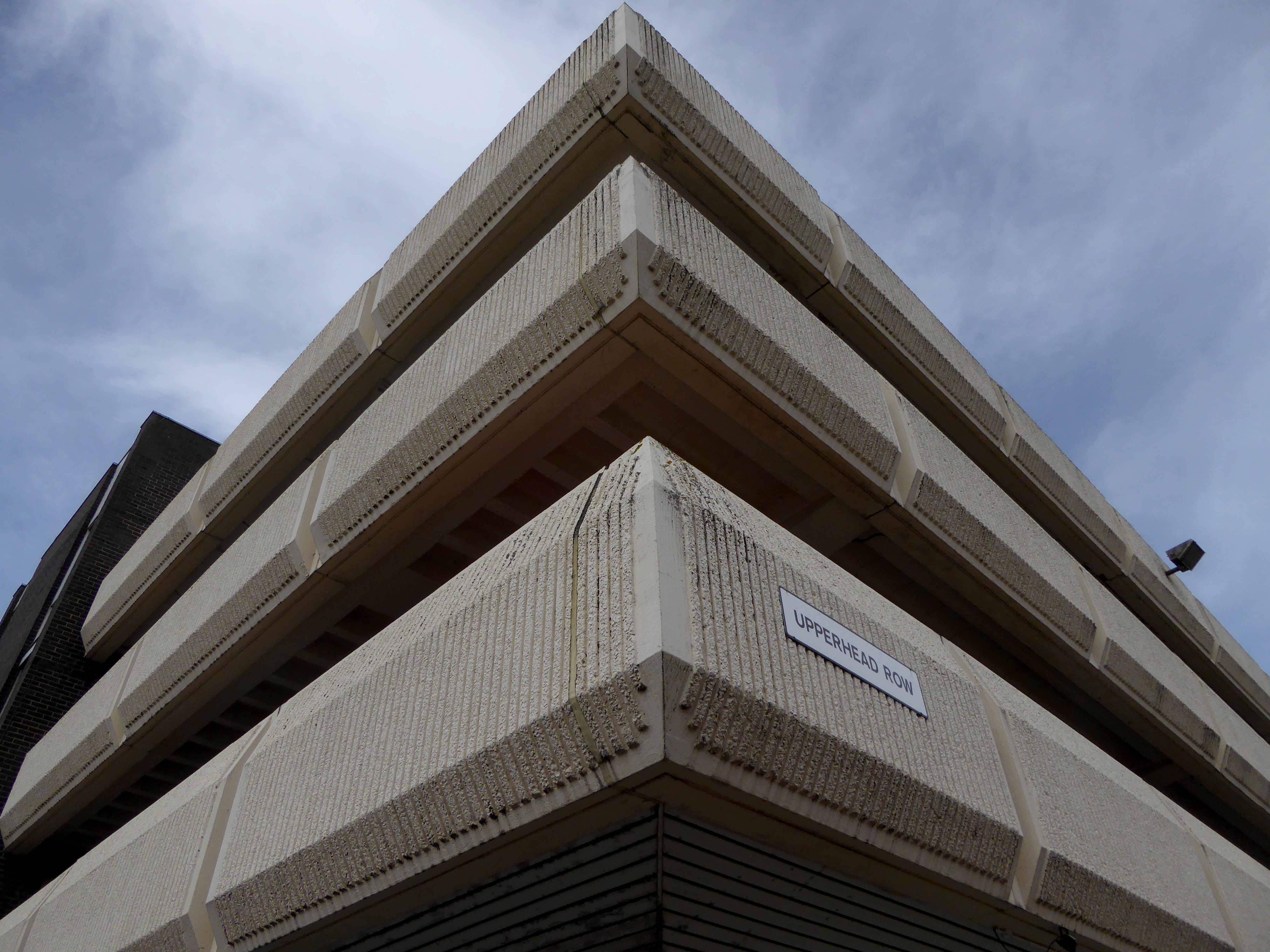
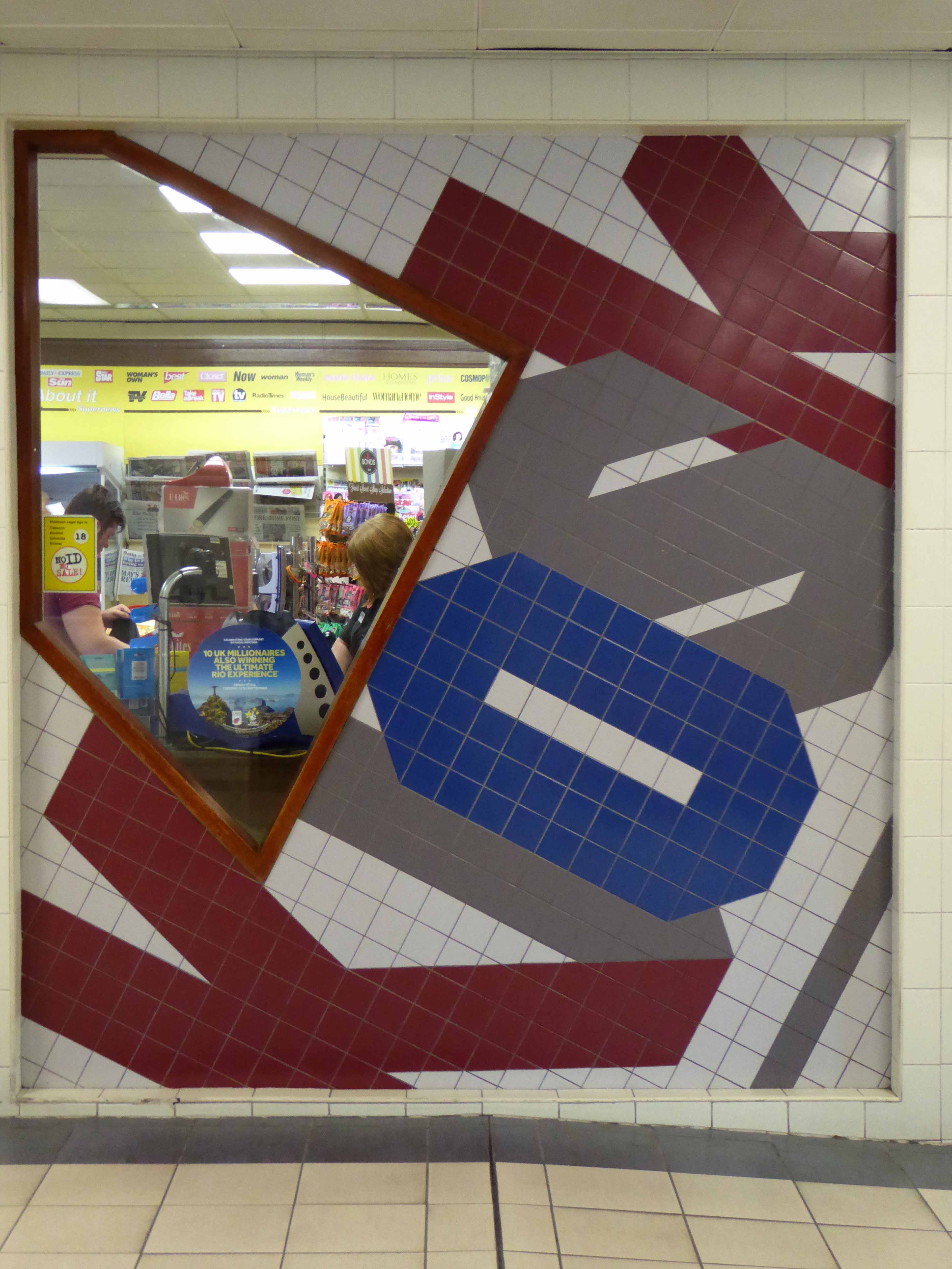
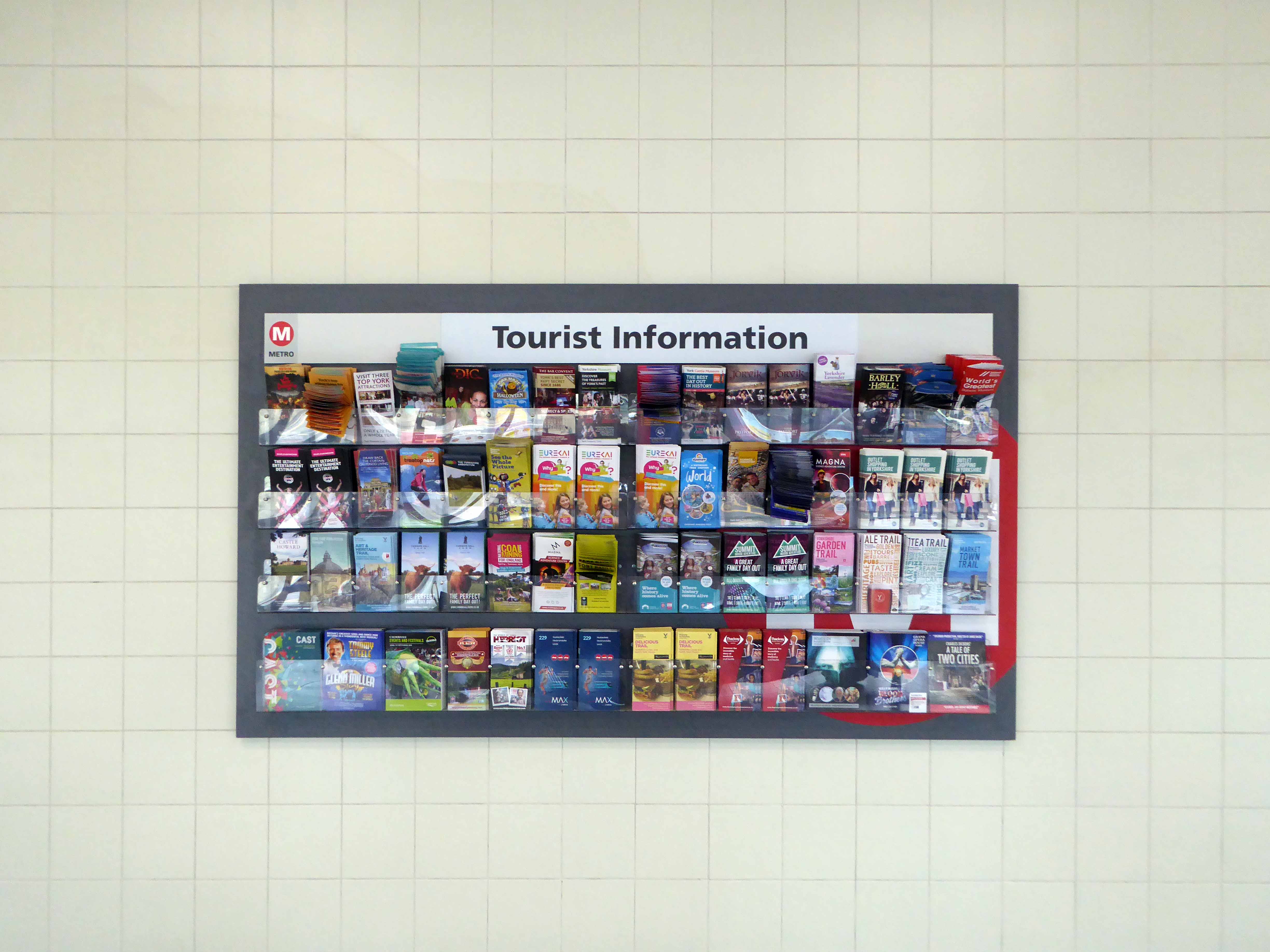
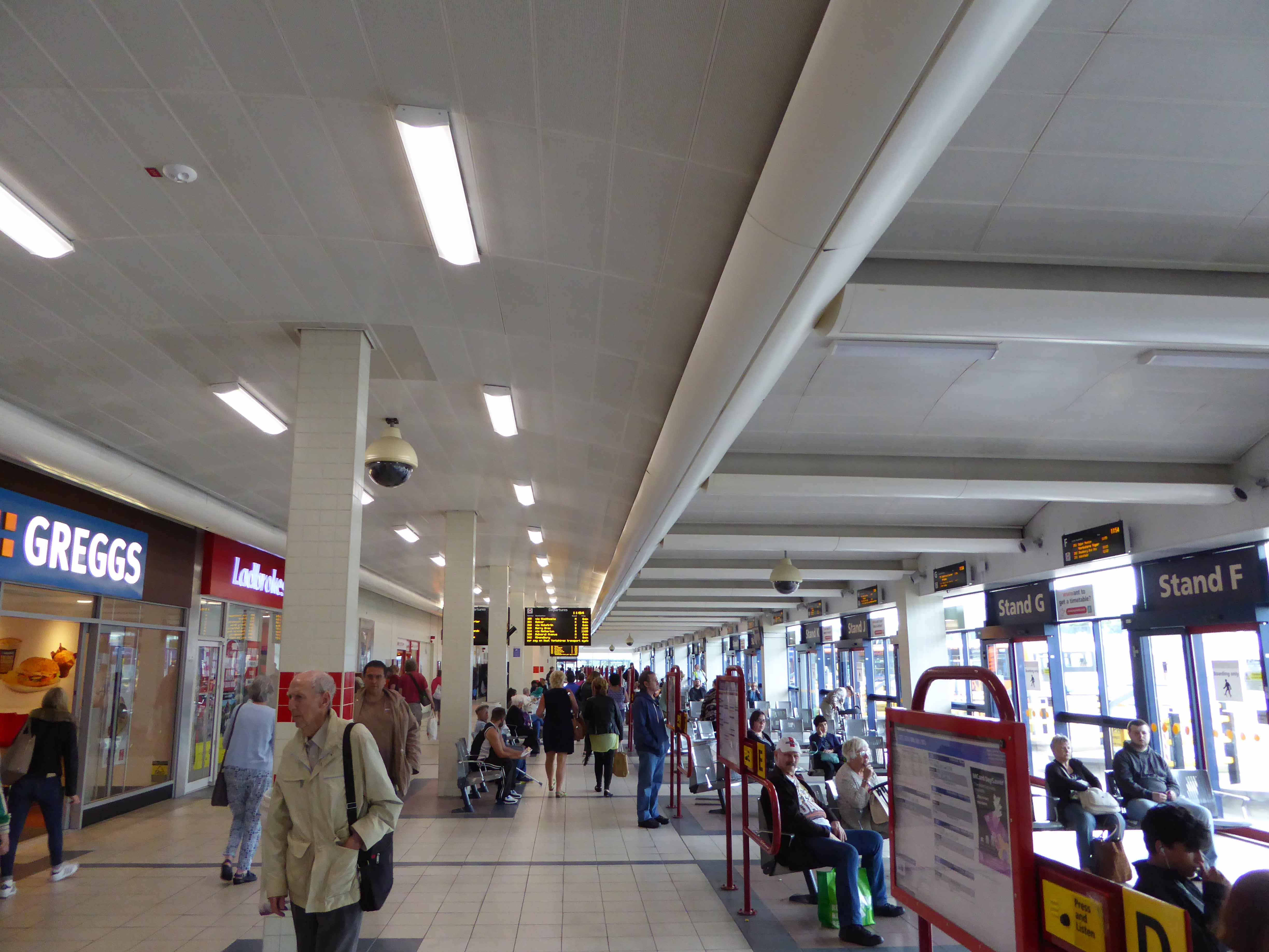
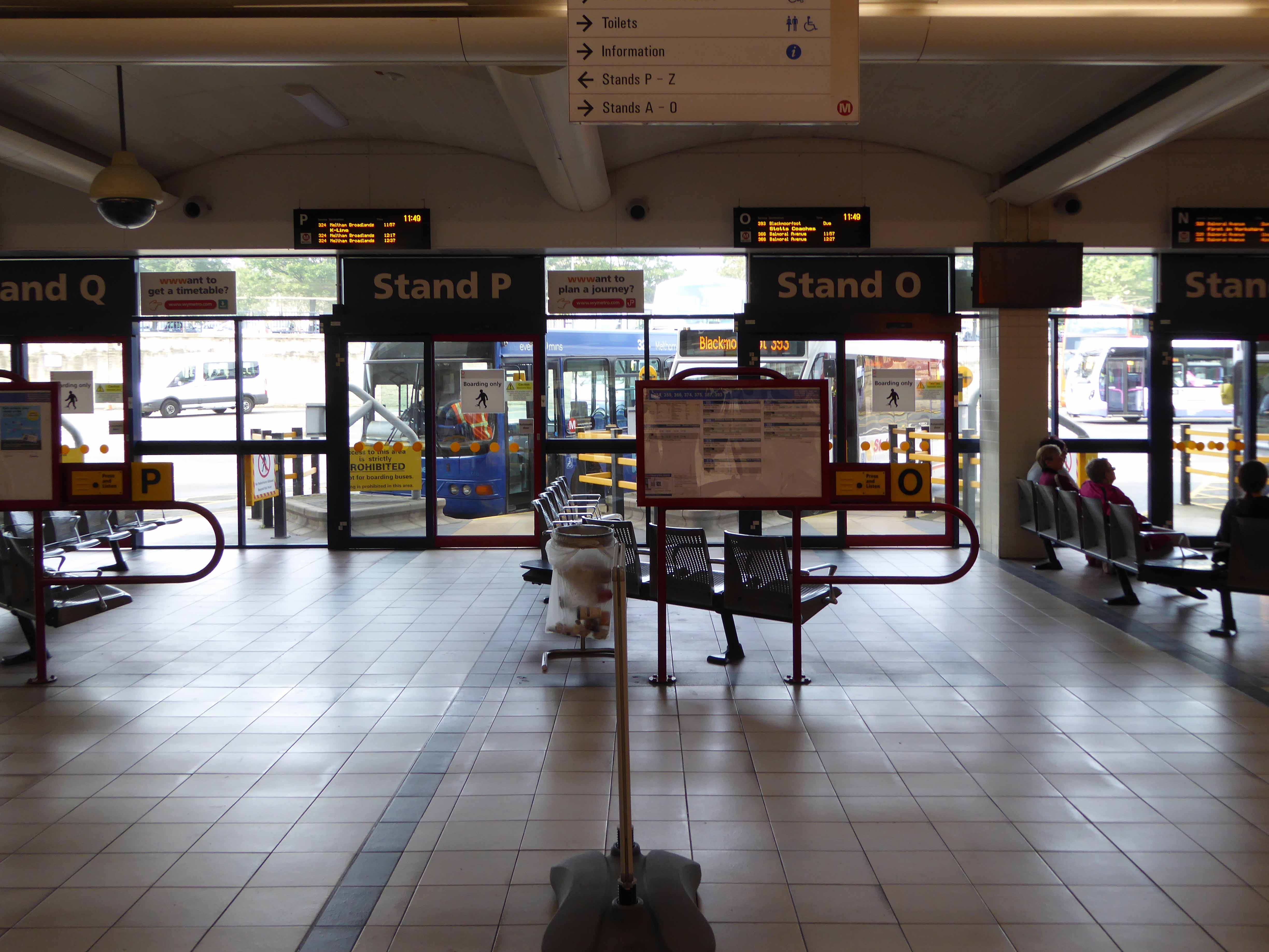
The bus station was opened on Sunday 1 December 1974 and is owned and managed by Metro. It is now the busiest bus station in West Yorkshire. The bus station is situated in Huddersfield town centre, underneath the Multi-storey car park. It is bordered by the Ring Road – Castlegate A62 and can be accessed from High Street, Upperhead Row and Henry Street.

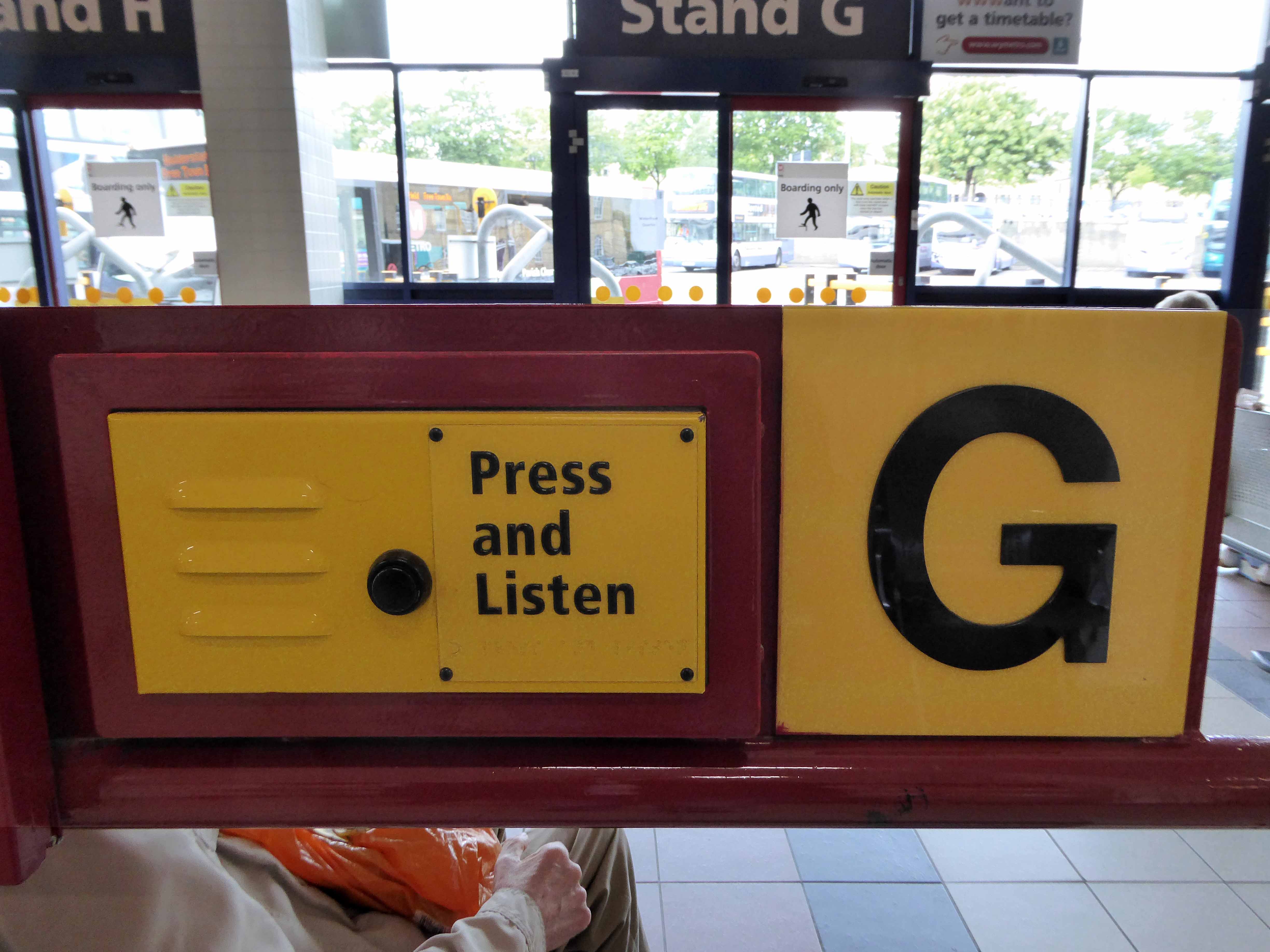
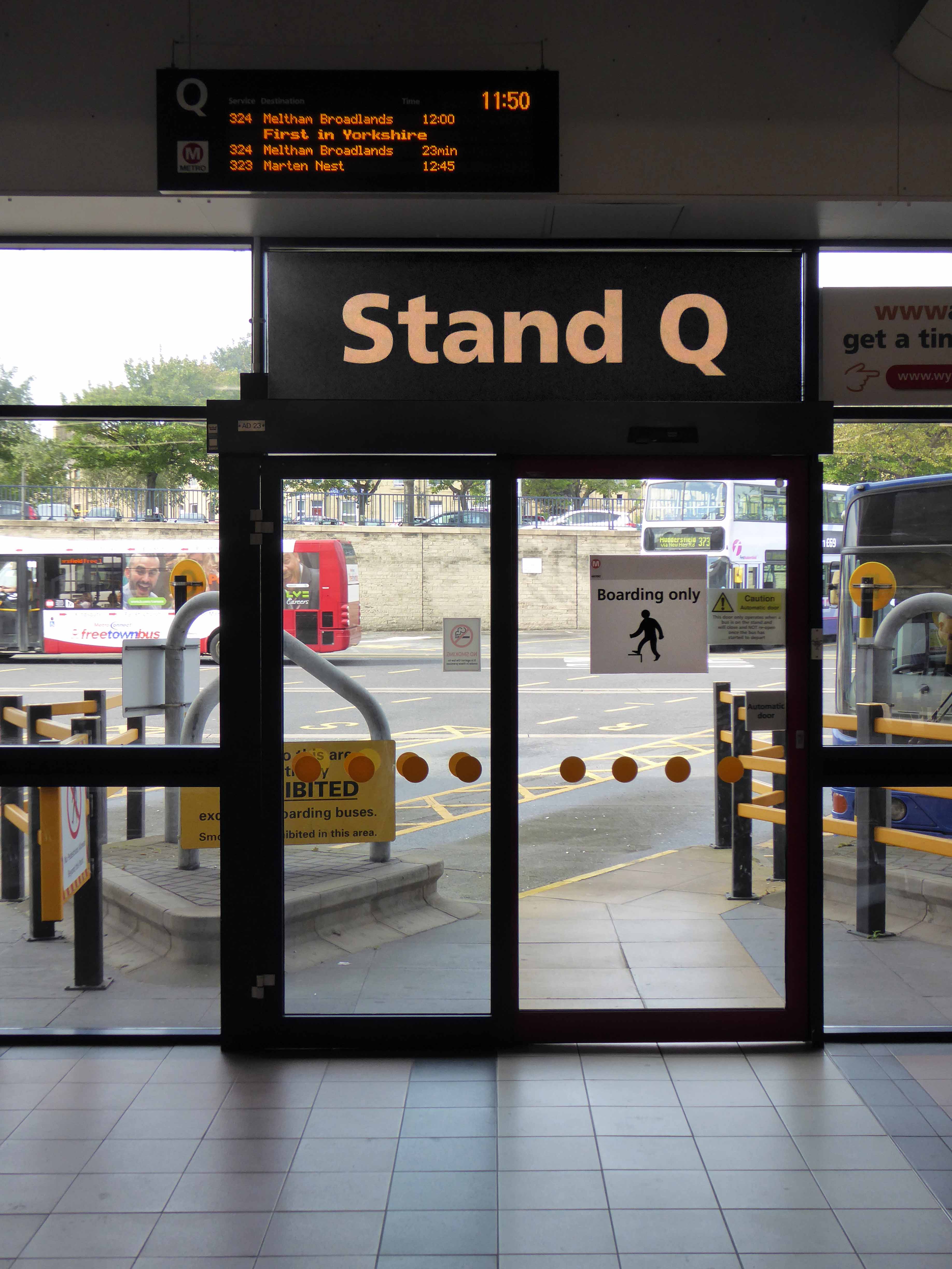
There are 25 pick-up and three alighting only stands at the bus station.

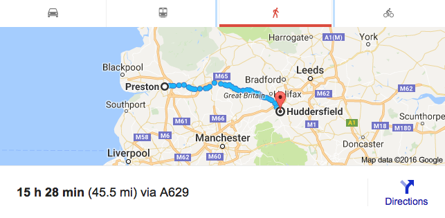
Forever in the shadow of its Red Rose almost neighbour in Preston.

Some forty five miles and a fifteen and a half hour walk to the west.

screen-shot-2016-09-12-at-07-00-56

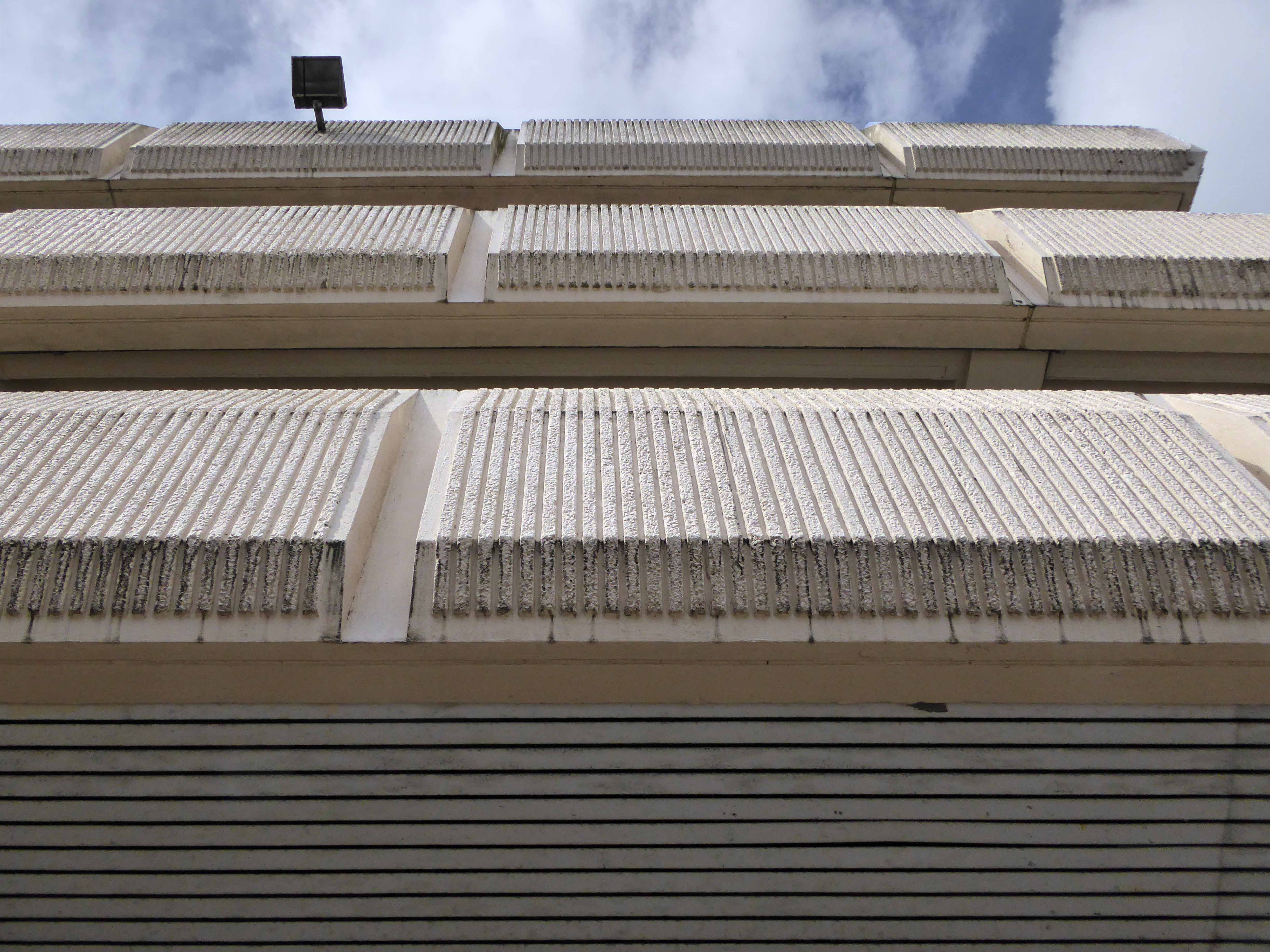
Yet still a thing of beauty and a joy forever  – given the recent repairs to the membrane covering of its multi-storey car park.

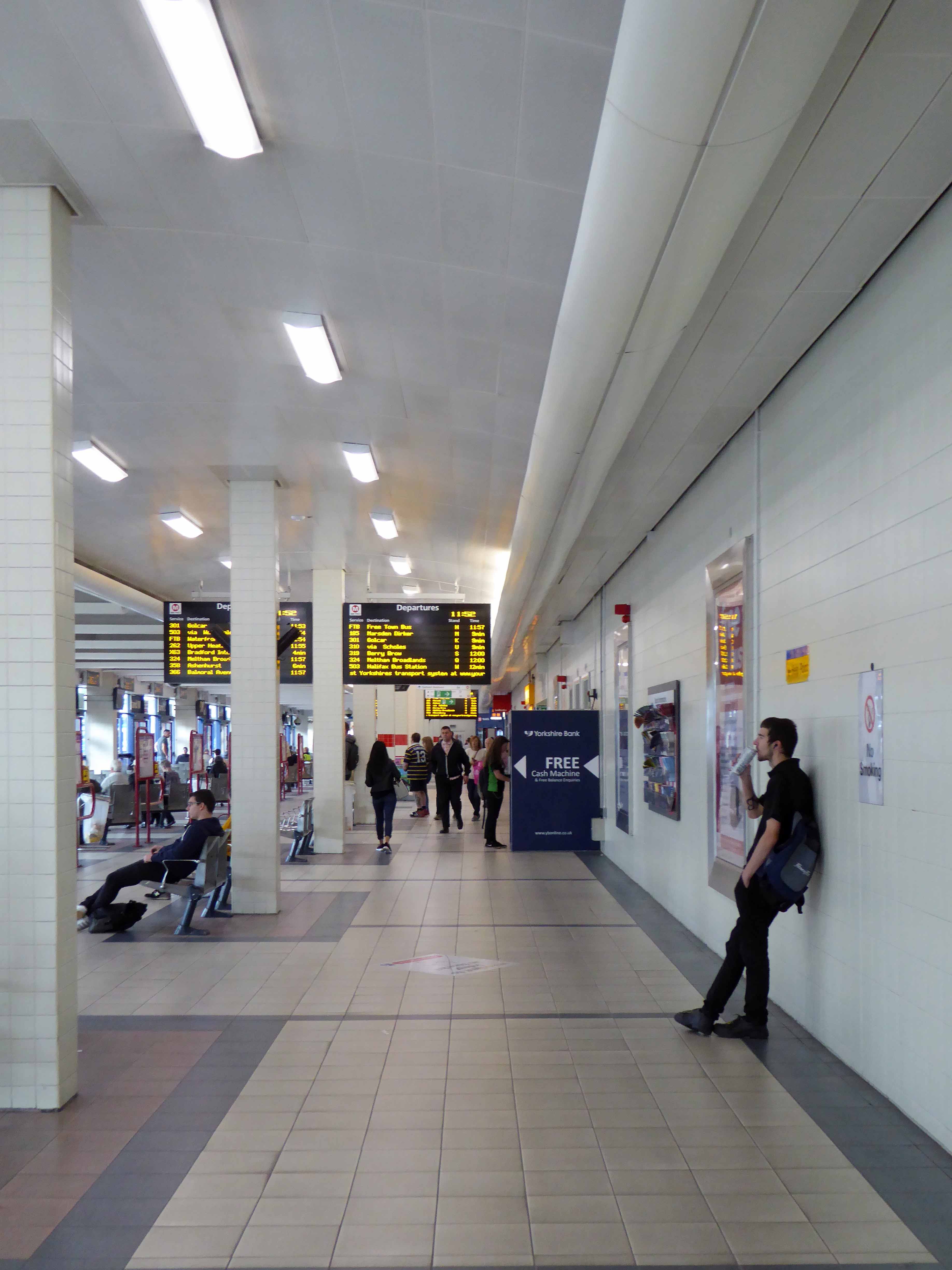
On the day of my visit it was clean, compact, cheerfully bustling and well used, passengers busy going about their business, of busily going about their business of going.

Light classics played soothingly upon the Tannoy, punters popped in and out of Ladbrokes, the kiosk plied its trade, the café was full and an air of calm, clear functionality reigned.

I walked quietly away.

p1080644-copy

p1080645-copy

p1080646-copy

p1080647-copy

p1080648-copy

p1080678-copy

p1080677-copy

p1080675-copy

p1080673-copy

p1080651-copy

p1080671-copy

p1080667-copy

p1080662-copy

p1080663-copy

p1080661-copy

p1080664-copy

p1080666-copy

p1080665-copy

p1080660-copy

p1080659-copy

p1080658-copy

p1080655-copy

p1080654-copy

p1080653-copy

p1080652-copy

p1080657-copy


Precinct – Ashton under Lyne

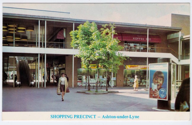
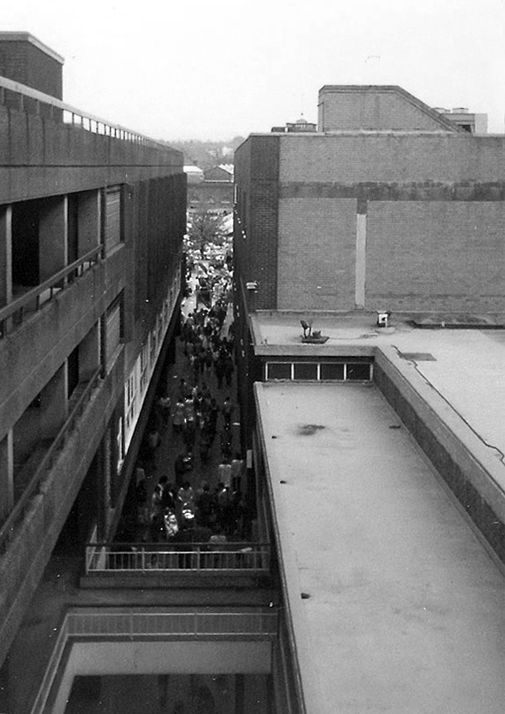
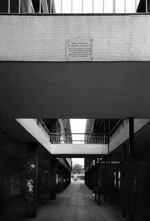
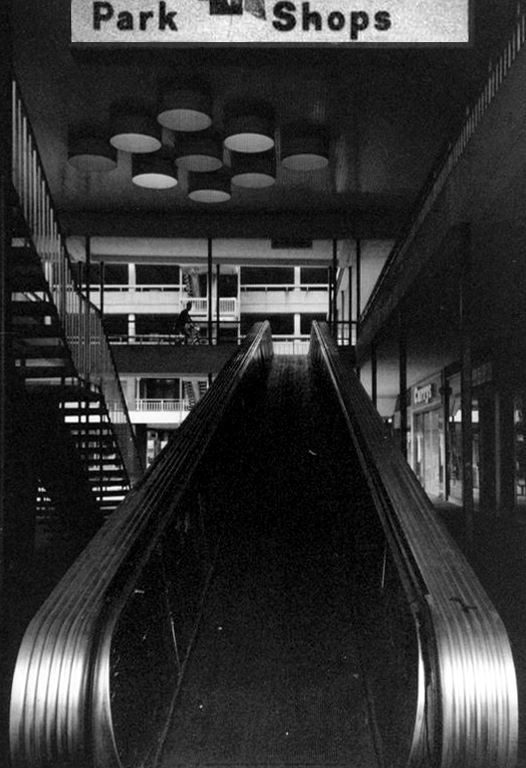
Possibly my first brush with modernism and modernity, the shopping precinct in Ashton under Lyne. Typically in the mid Sixties, British towns reinvented themselves as space age retail experiences, in stark contrast to their middle aged, Middle Aged market centre, market centred identity.

Out with the cobbles and stalls, in with the travelator, frothy coffee, concrete and a pedestrianised, undercover, all weather, super convenient haven of heavenly fun!

ashton precinct copy

And lo, it came to pass, let construction commence.

t01953

t01950

Simply add a few decorative embellishments courtesy of the Direct Works’ pavoirs.

12745520_10153983510951600_6512440473109429374_n

You have built it and now they will come:

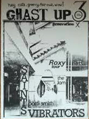
Little did you know you had created a punk rock icon.

hires-10932

Featured on the cover of fanzine Ghast Up #3 – many thanks to MDMA

unknown

1979654_10152428276351641_6999424894618567349_n

10264662_10153983511236600_4523373721109693617_n

10385434_10153983511291600_4613412642380719745_n

16602225_1570603029620874_2256672277170597802_o

10342461_10153983511146600_7512830533940401704_n

12728821_10153983510731600_7256812645345890936_n

12729035_10153983511066600_1320602826549288893_n

12742561_10153983511096600_5537488918949045366_n

12743866_10153983510701600_2875237727693899359_n

12744088_10153983510966600_242545068376562667_n

10557745_10152428276466641_5539685419732486974_o

ashton precinct

precinct

Many thanks to the Tameside Image Archive
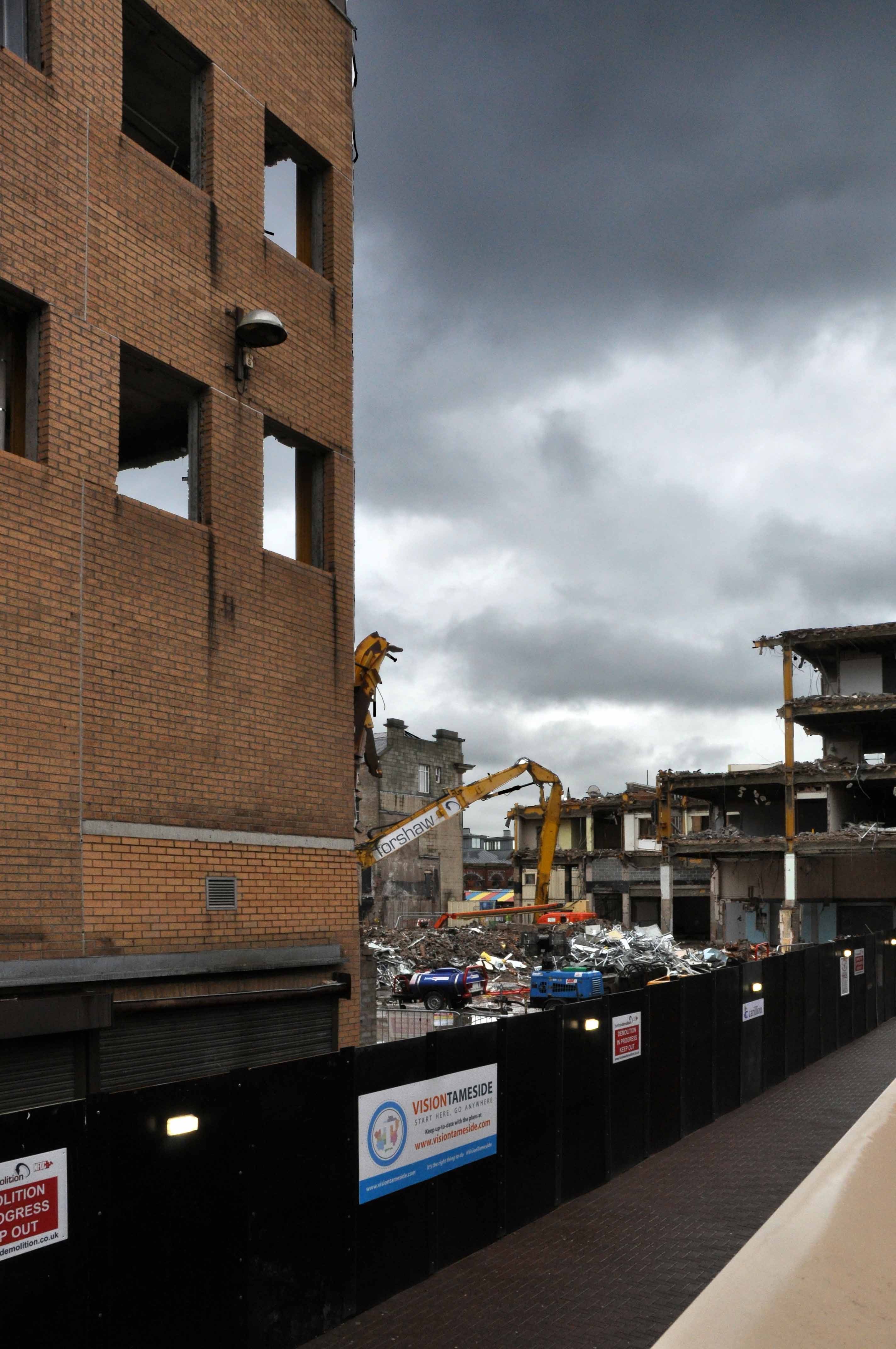
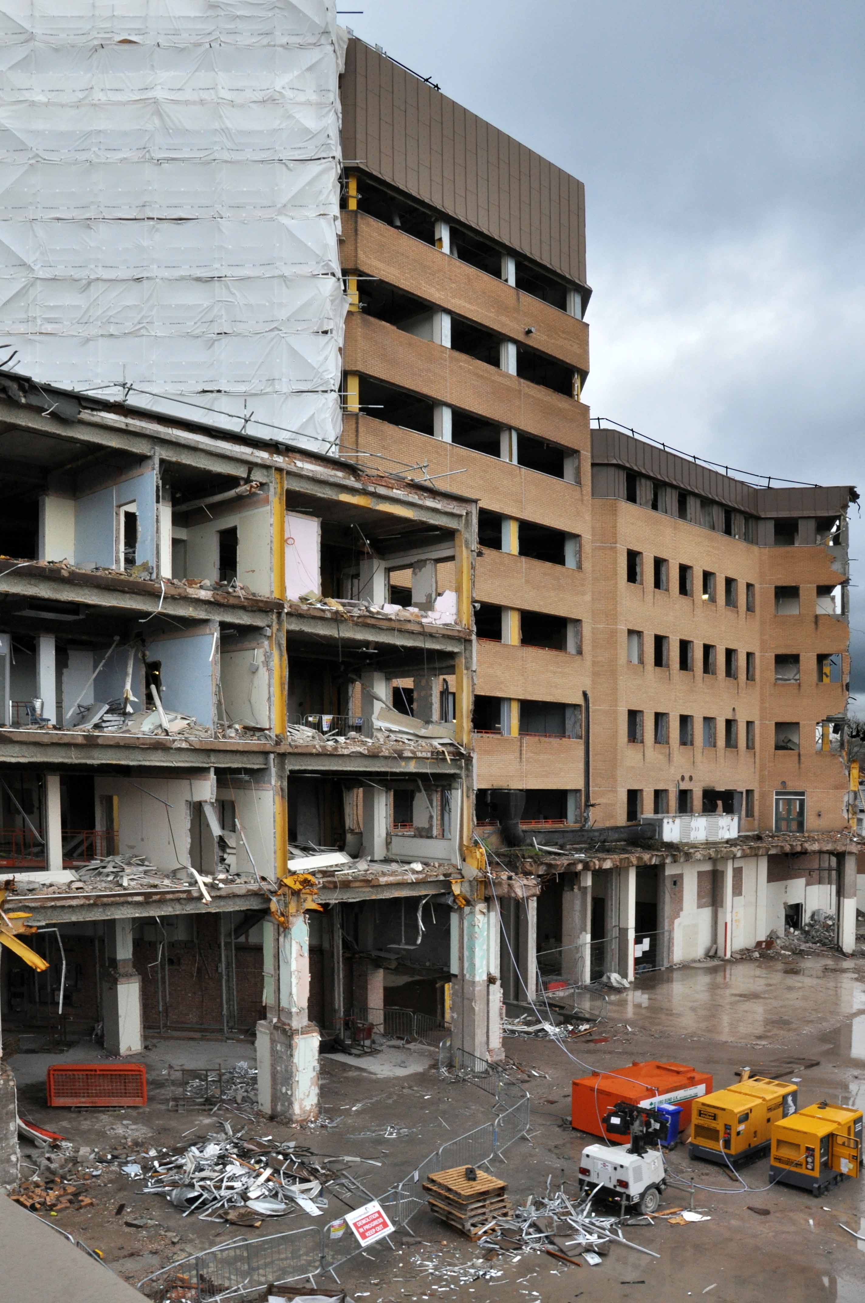
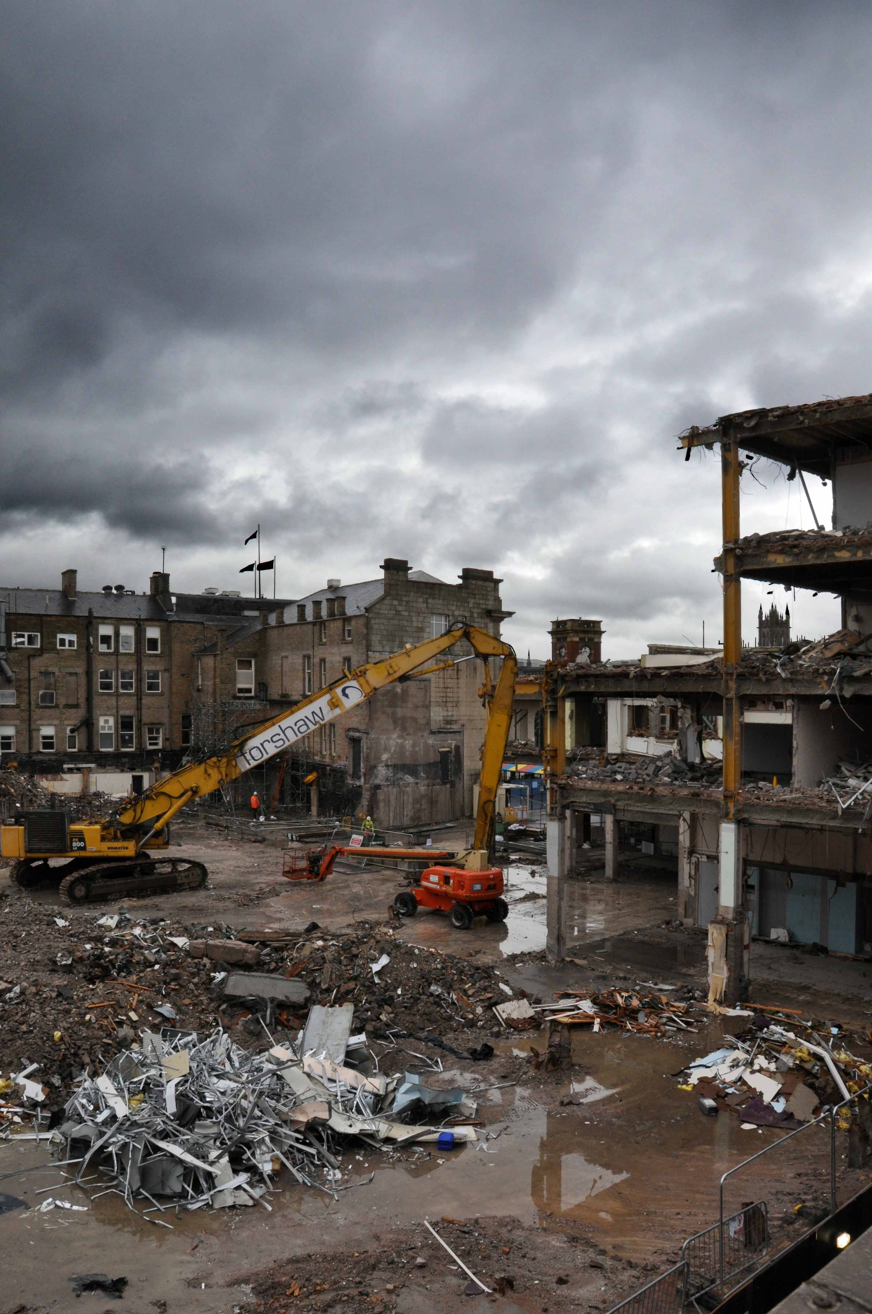
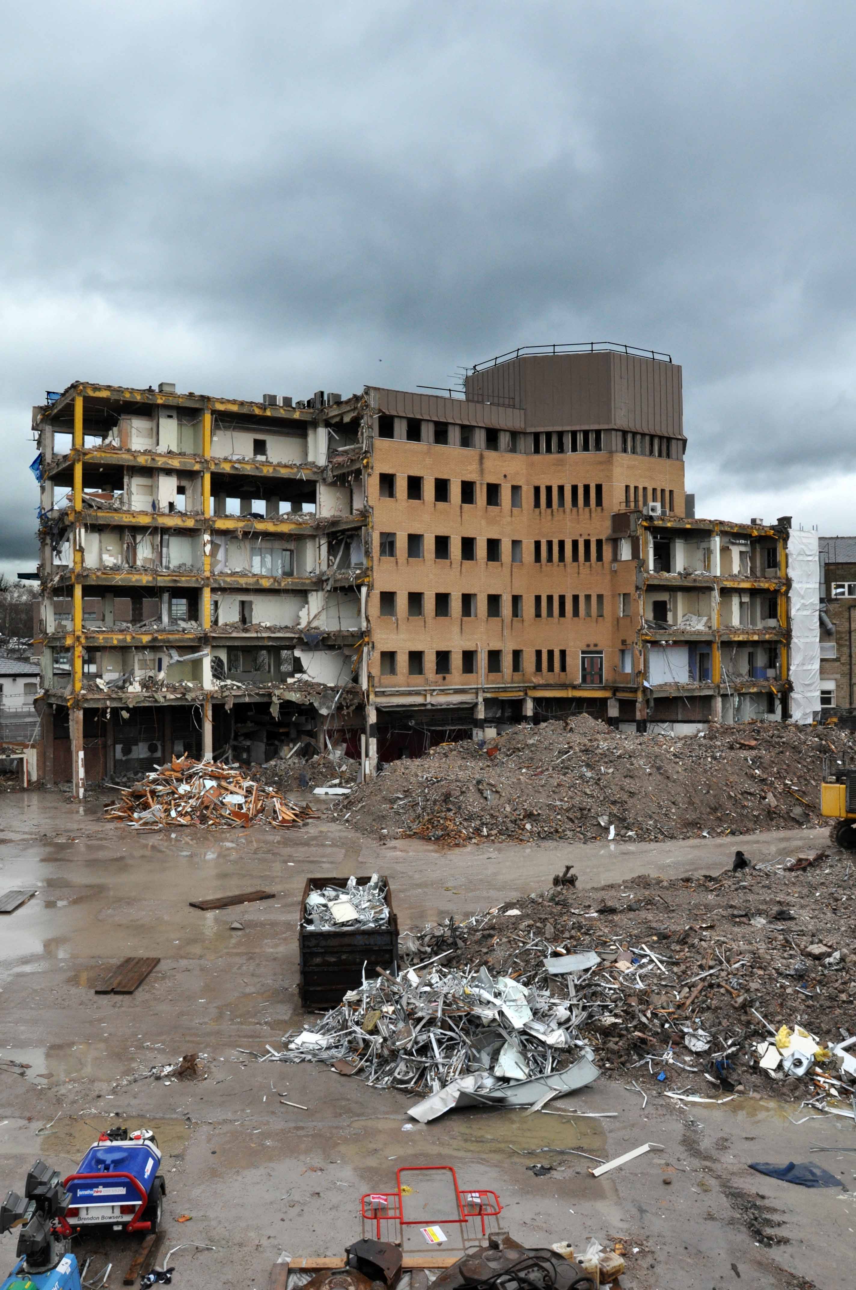
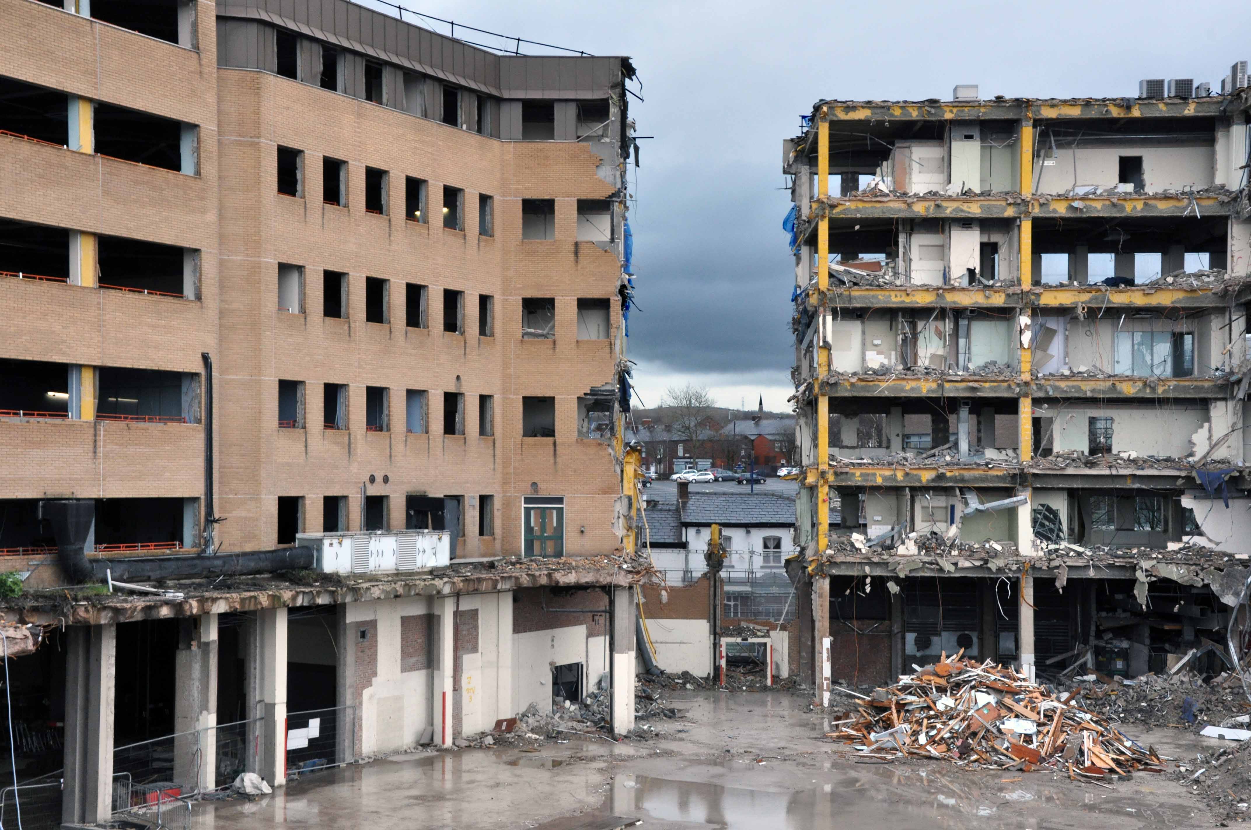
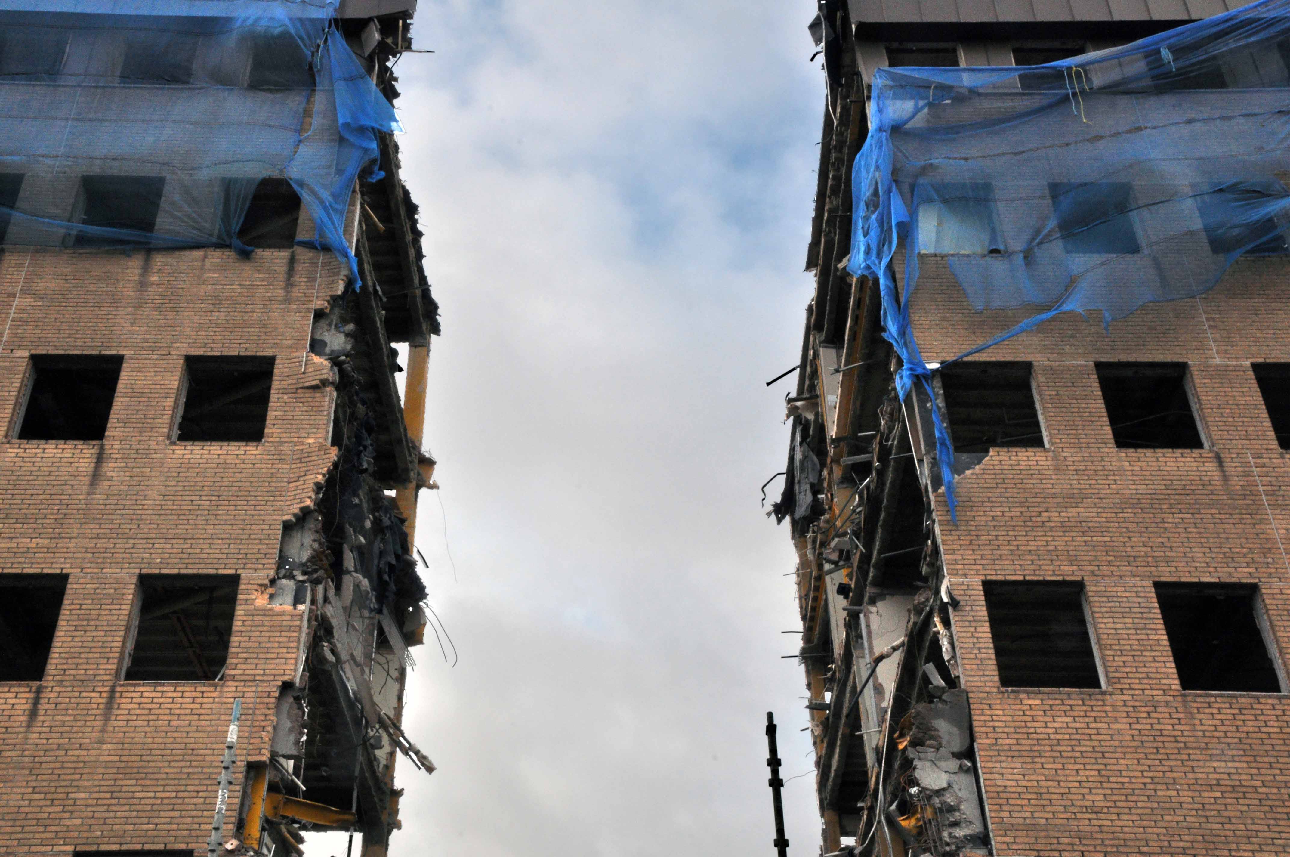
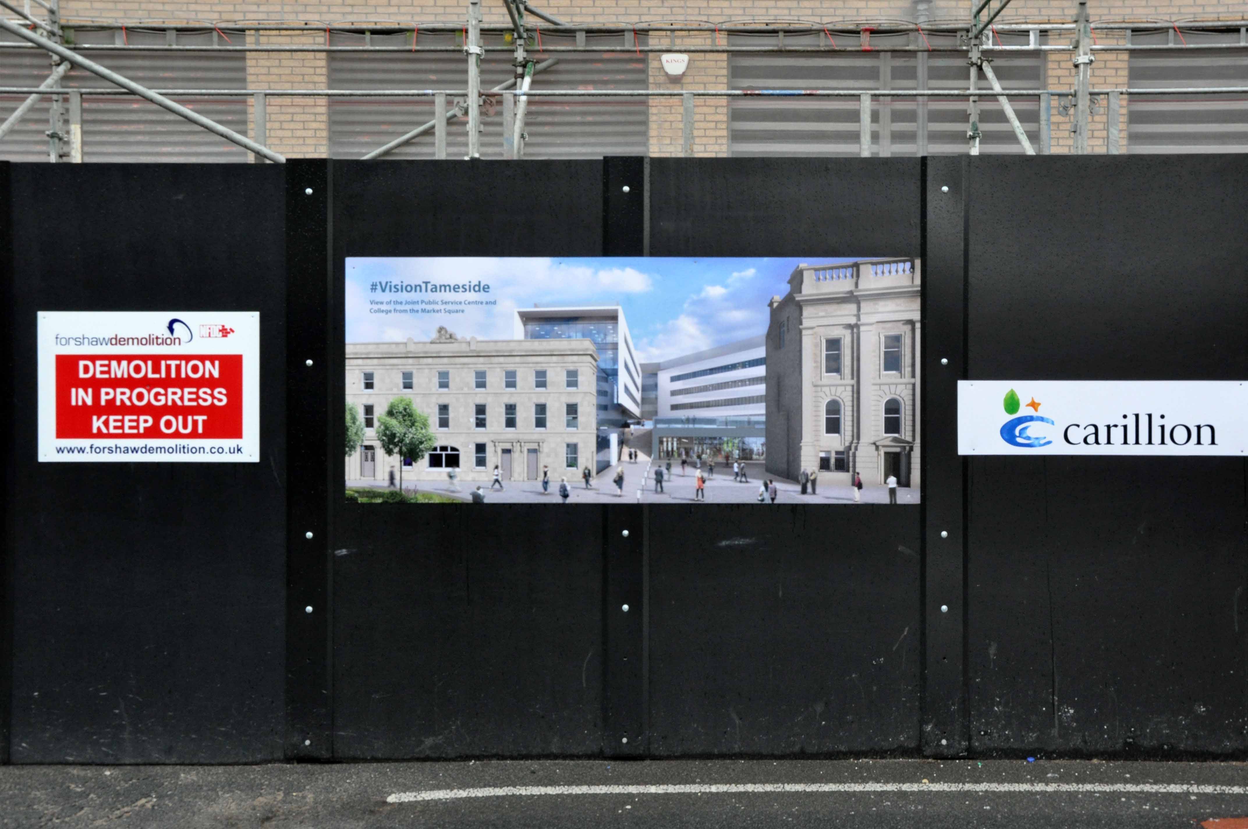
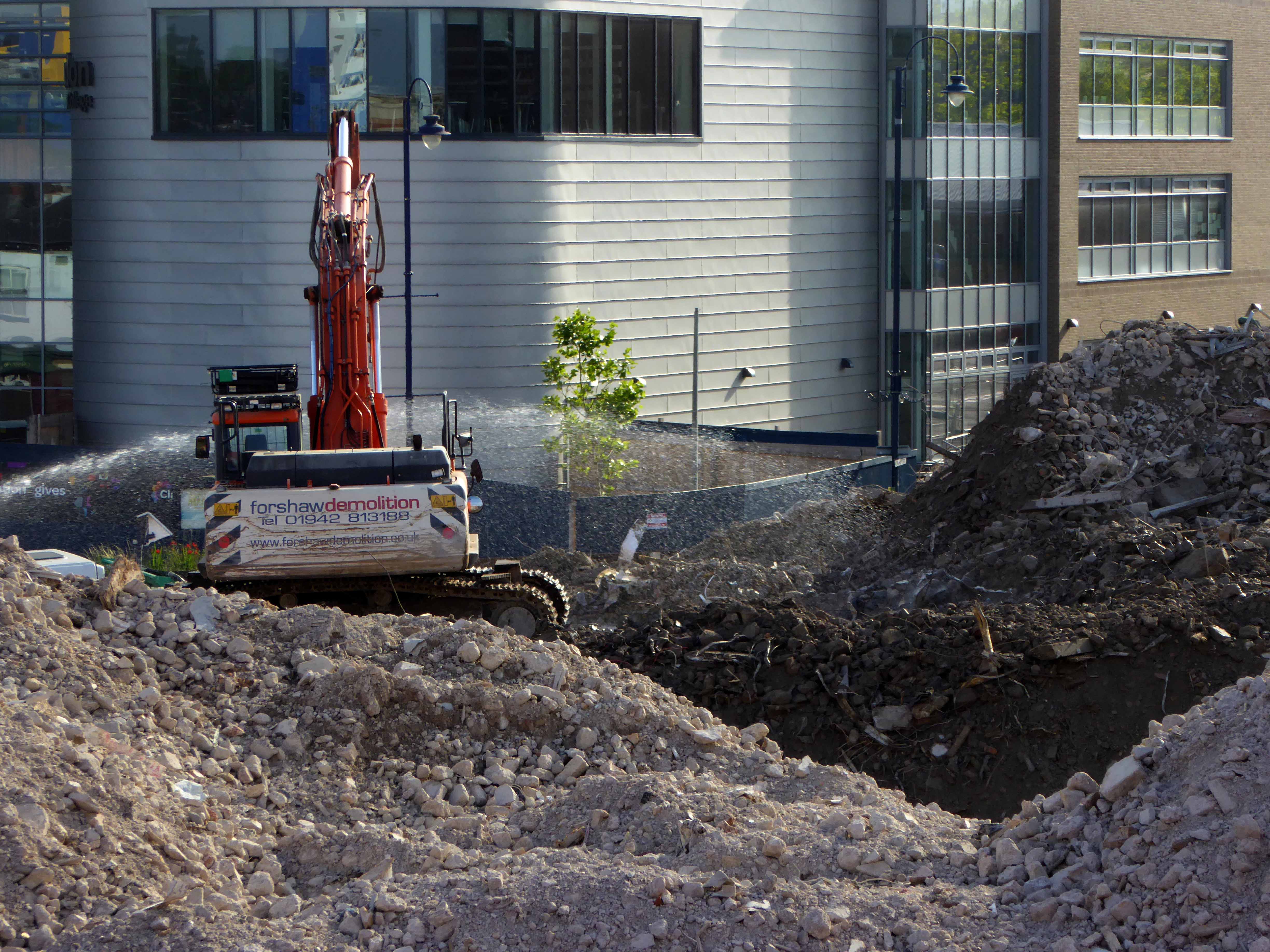
Ashton under Lyne – The Dustbin Demolished

For over thirty year you have weathered the storms of public ignominy.
The unloved Dustbin – repository of Tameside Council’s officers and offices.
Last time I was here you were there.

Screen Shot 2016-08-01 at 13.07.59

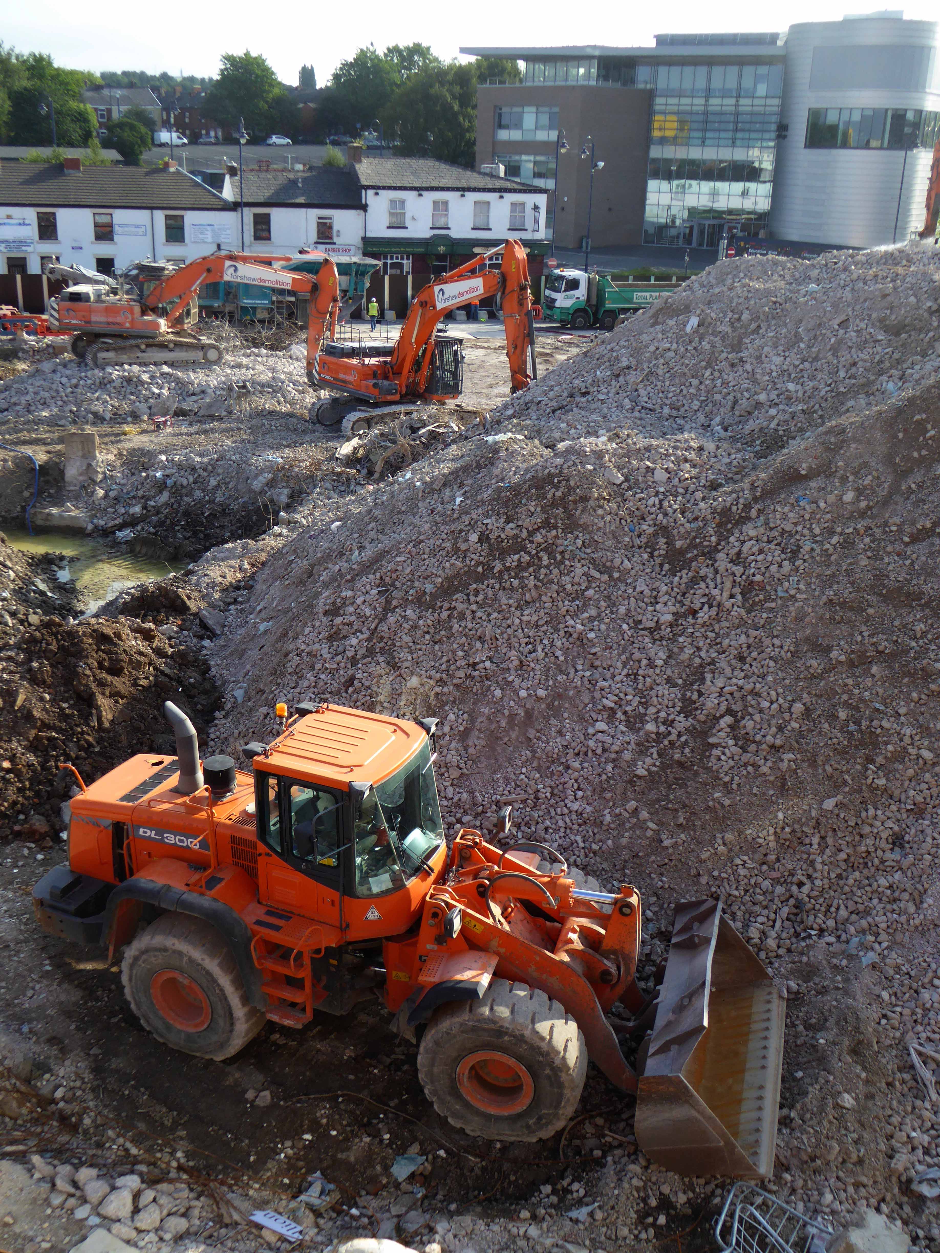
Then along came the ‘dozers.

DSC_0001 copy

DSC_0002 copy

DSC_0004 copy

DSC_0005 copy

DSC_0008 copy

DSC_0009 copy

DSC_0016 copy

DSC_0018 copy

DSC_0019 copy

DSC_0023 copy

DSC_0022 copy

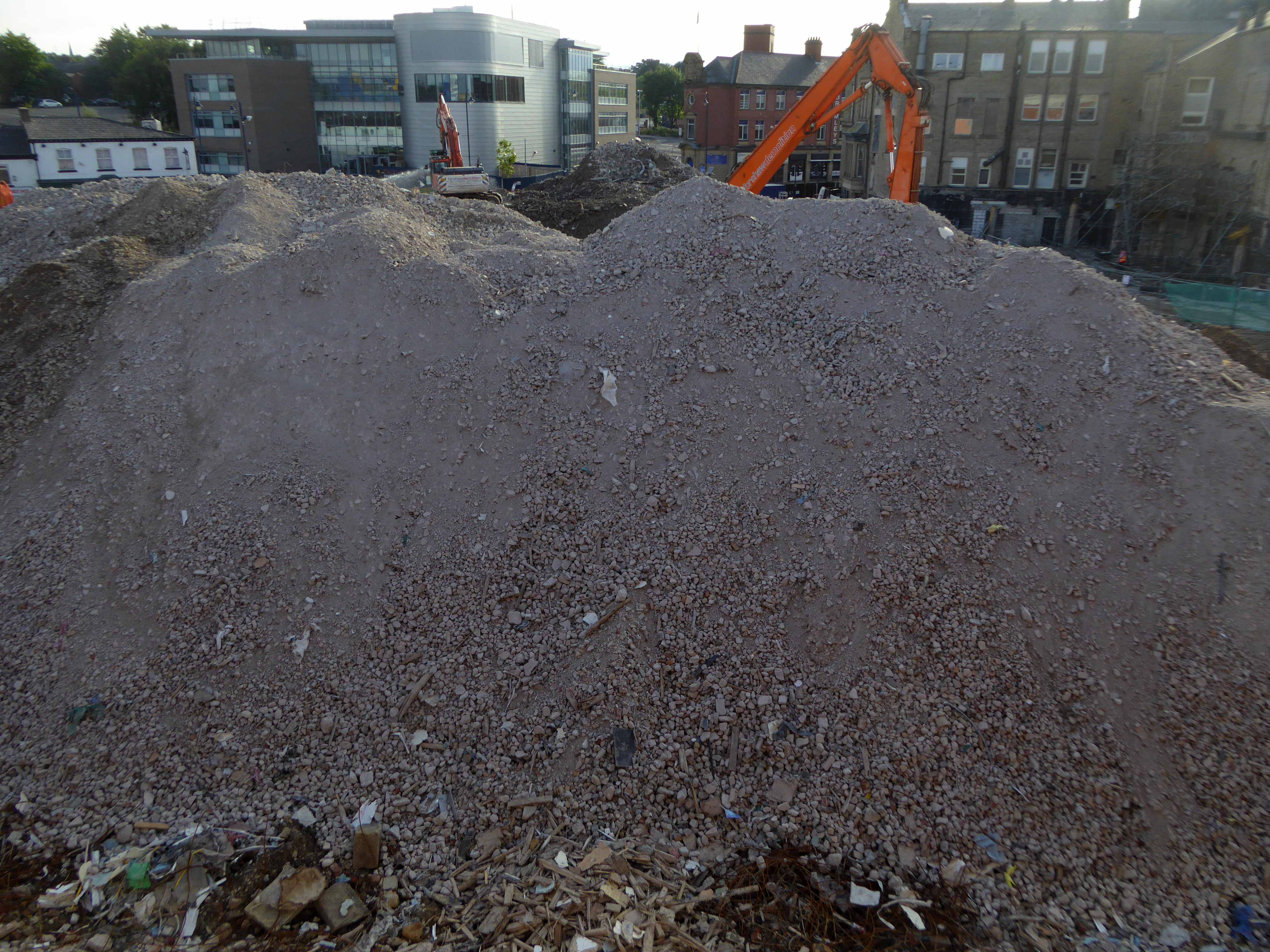
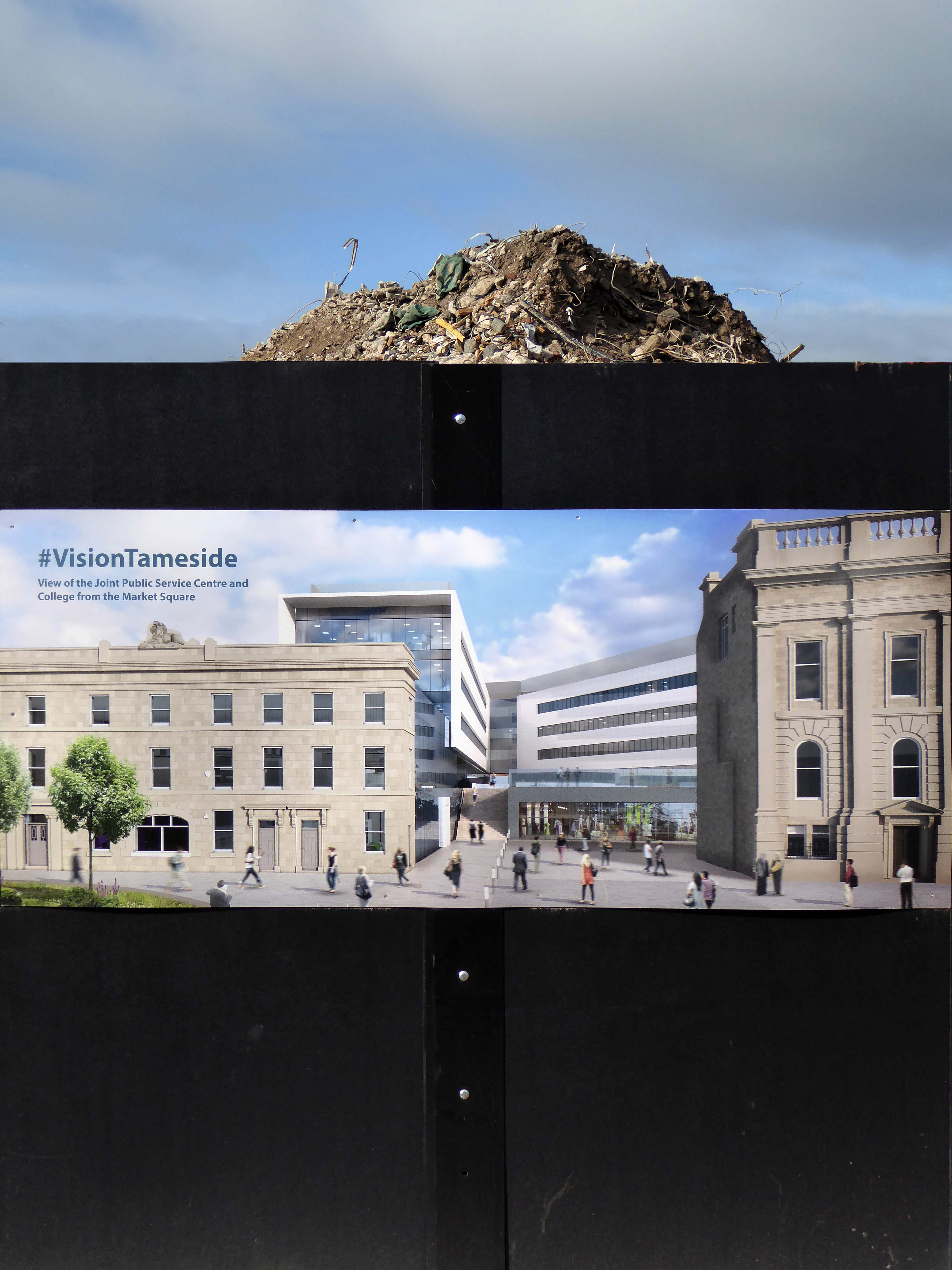
Vision Tameside has left you in tiny pieces.

– poked out your eyes and stamped you into the ground.

P1070145 copy

P1070148 copy

P1070138 copy

P1070152 copy

flag