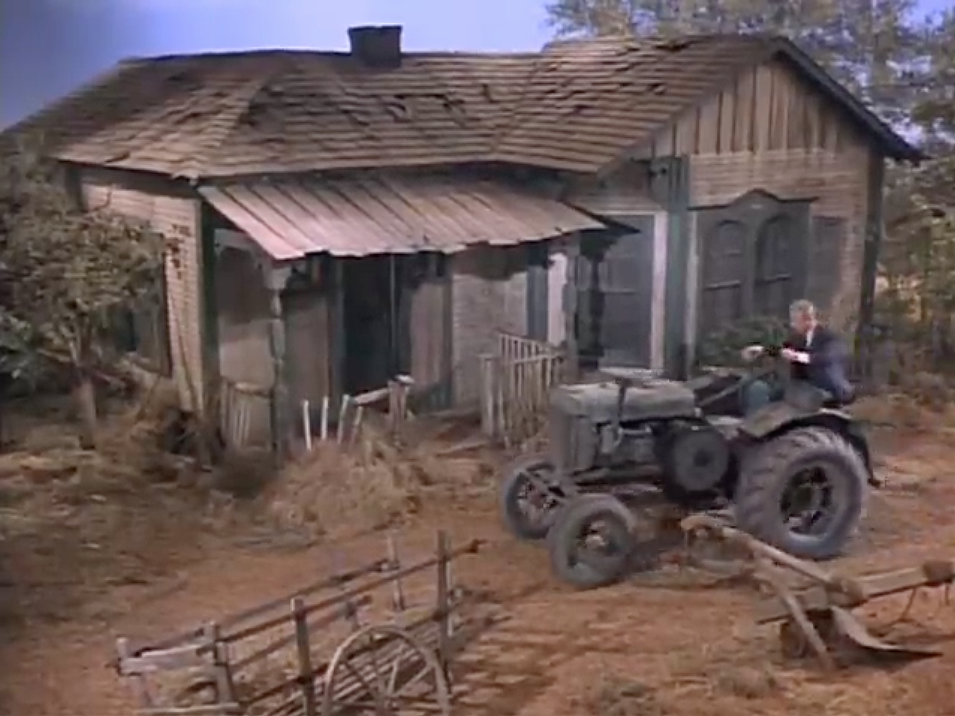
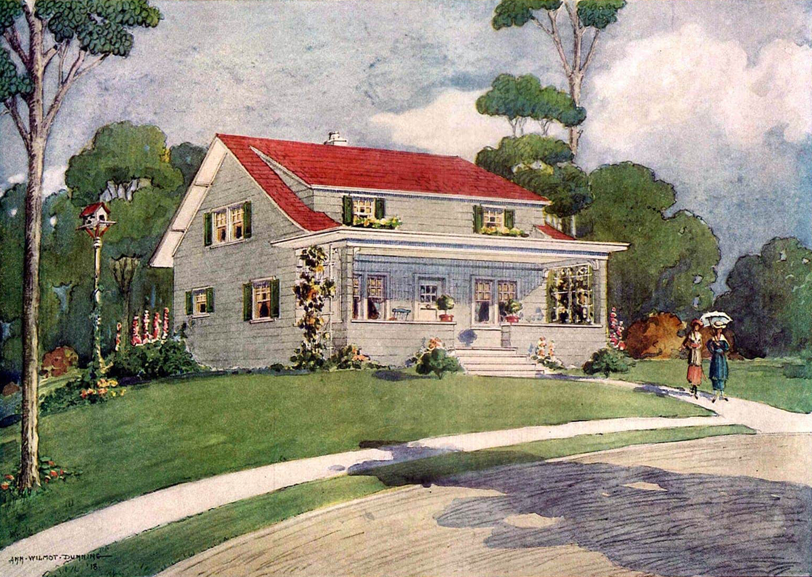
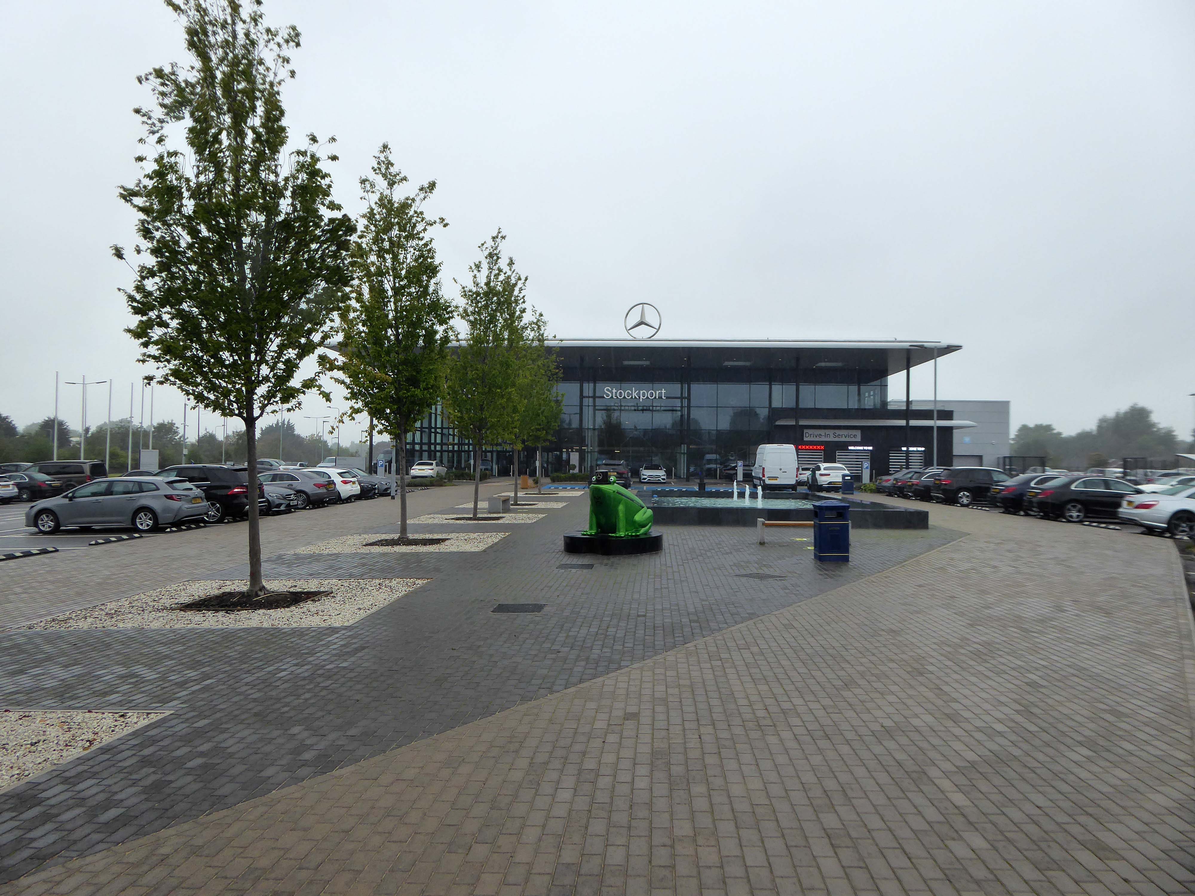
For my part I cannot help bur recall the TV show Green Acres whenever I pass by Green Pastures.
Eva Gabor preferring the glamour of Manhattan.
To the rural life.
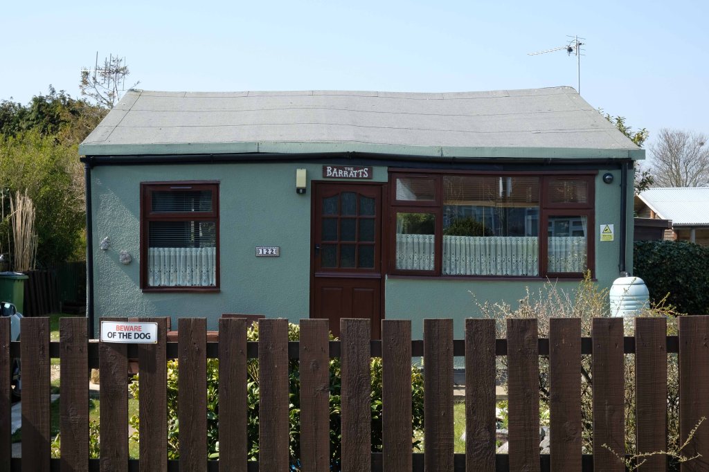
Culturally and stylistically, Green Pastures sits somewhere betwixt and between.
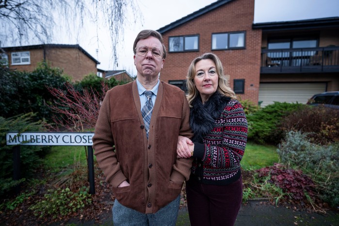
In reality the fictional life of Green Pastures became Mulberry Close, in the hit TV show Inside No. Nine
Vinette Robinson, Reece Shearsmith, Adrian Scarborough, Steve Pemberton and Dorothy Atkinson.
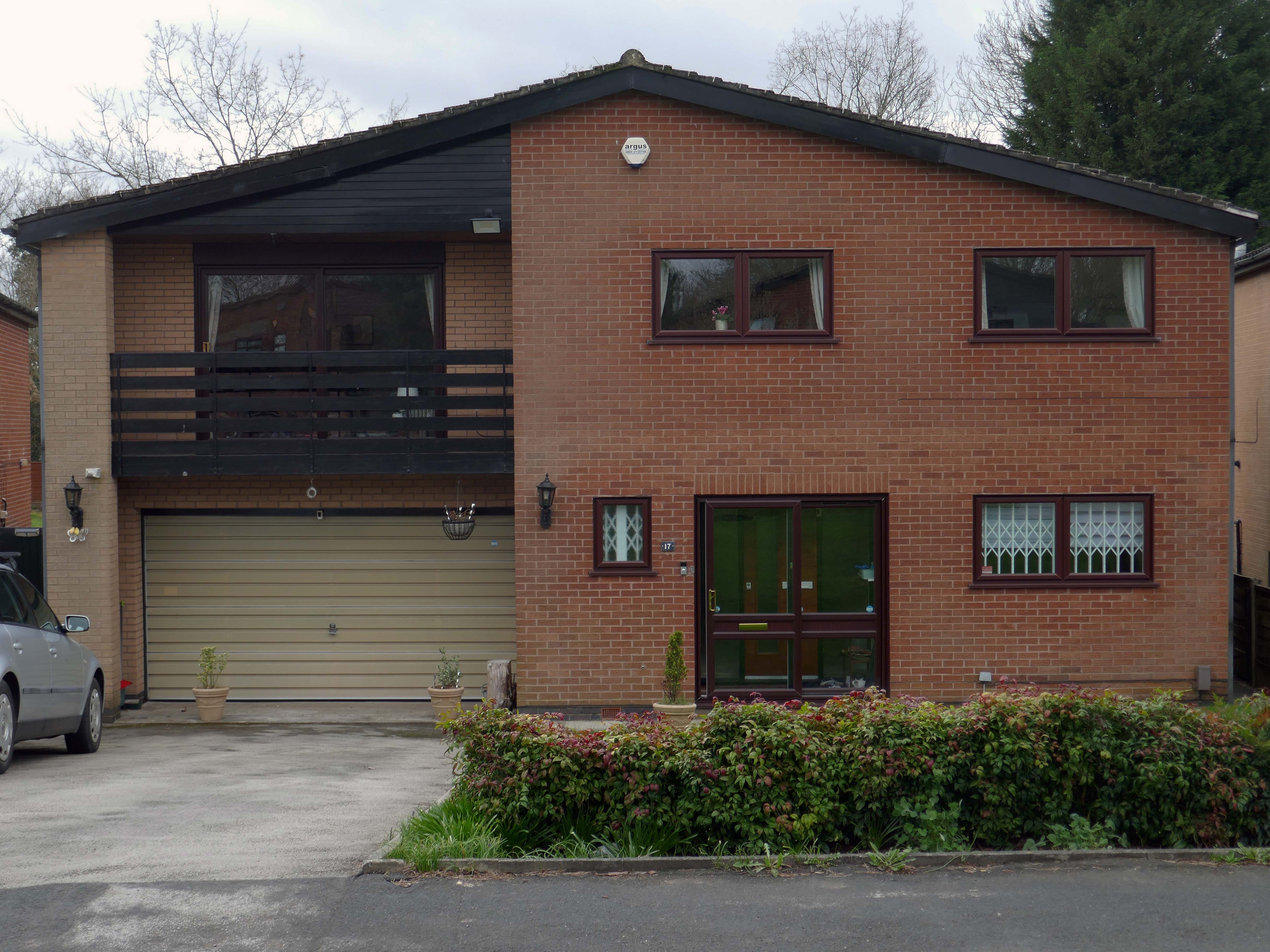
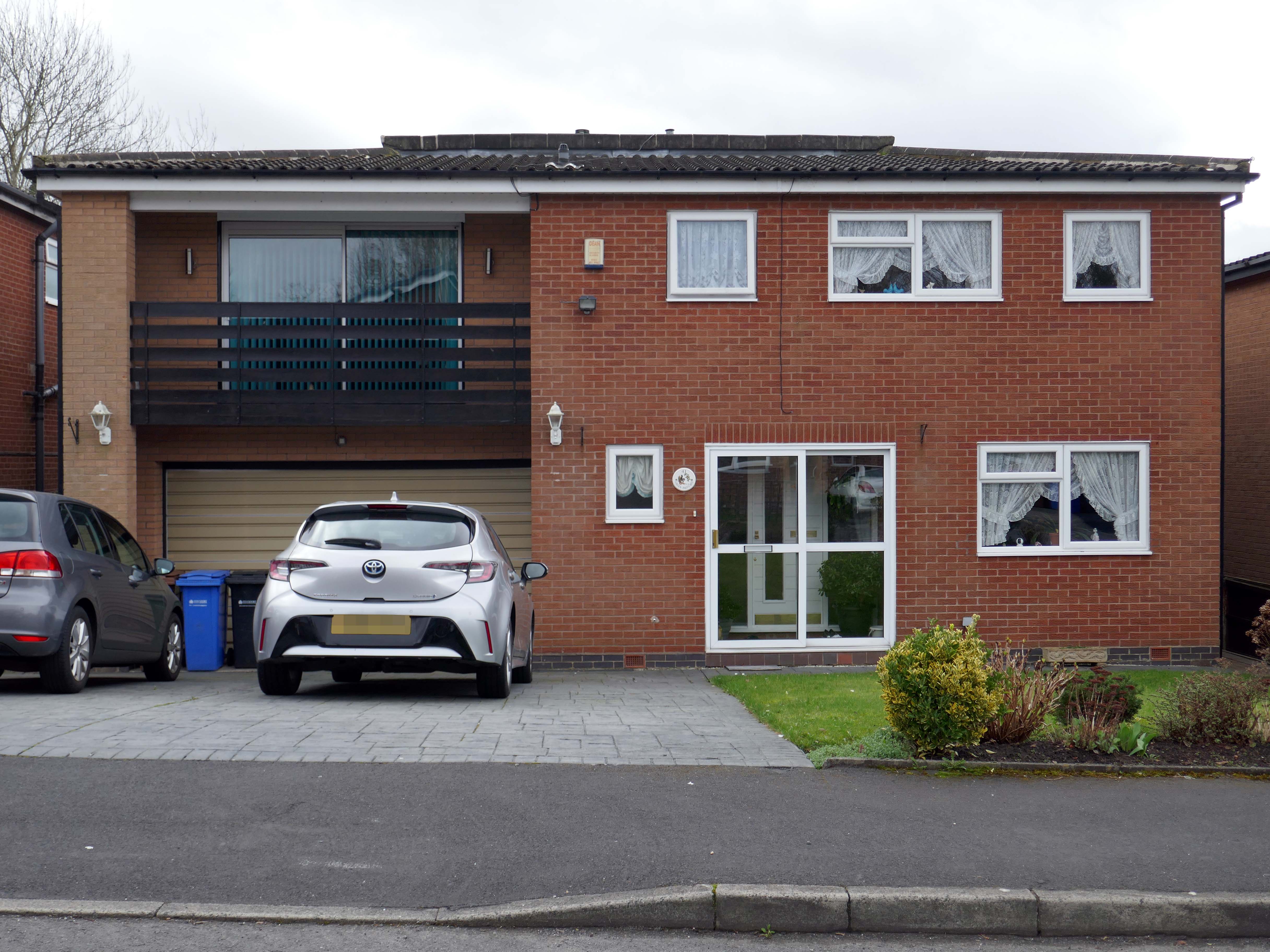
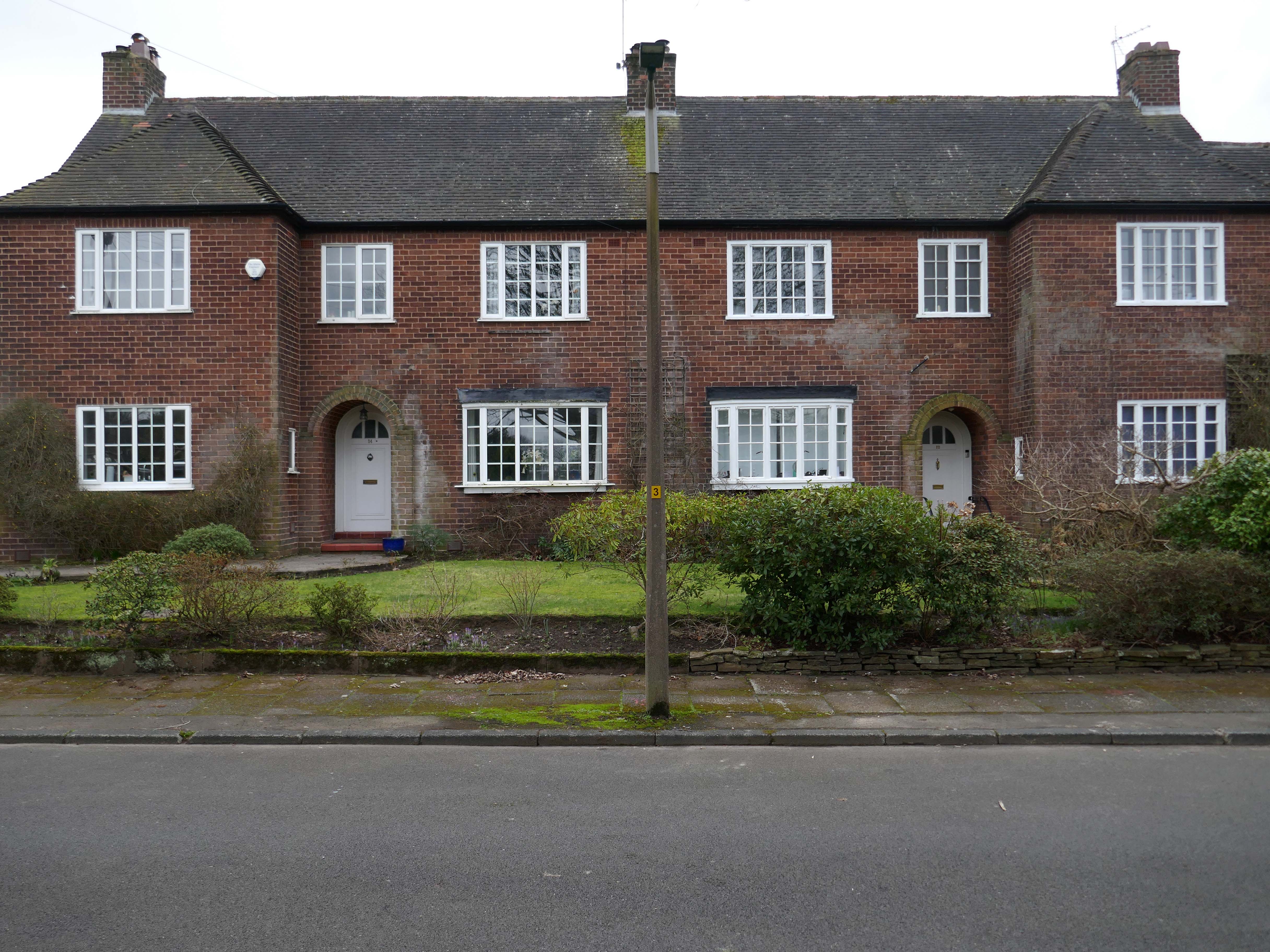
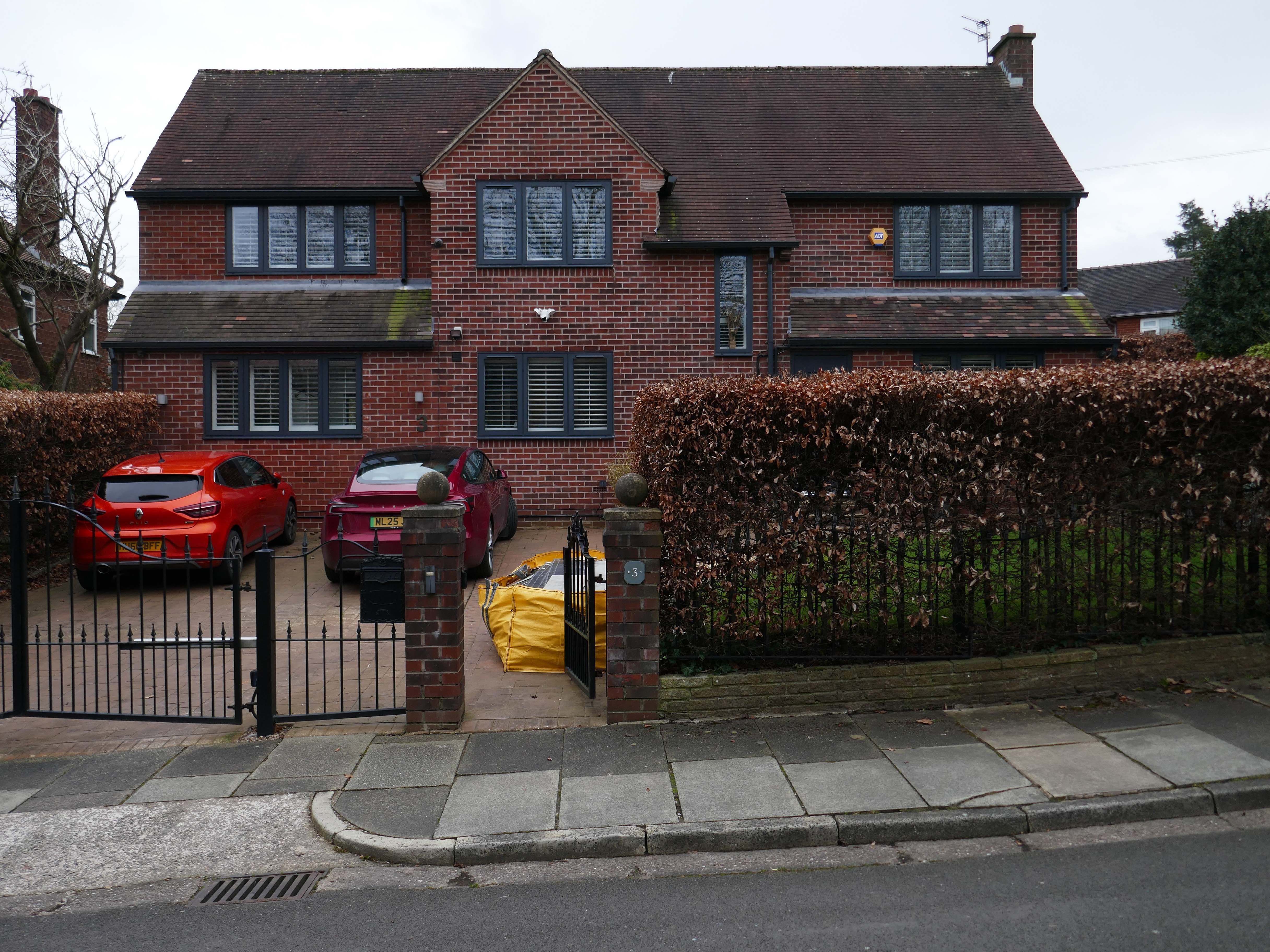
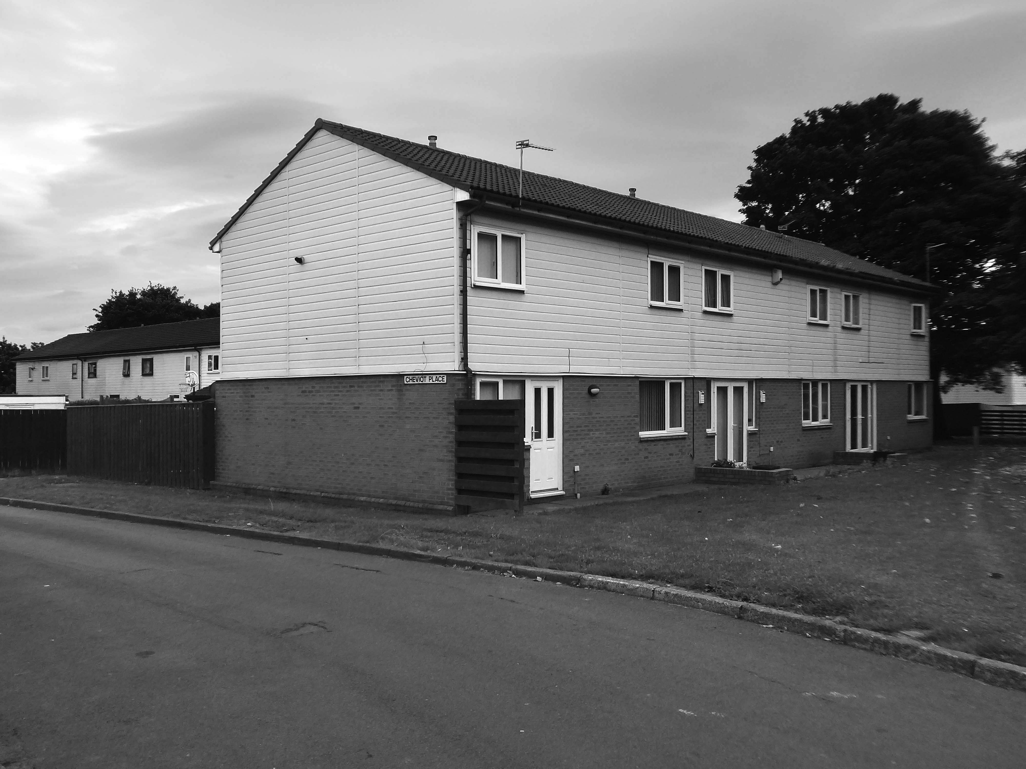
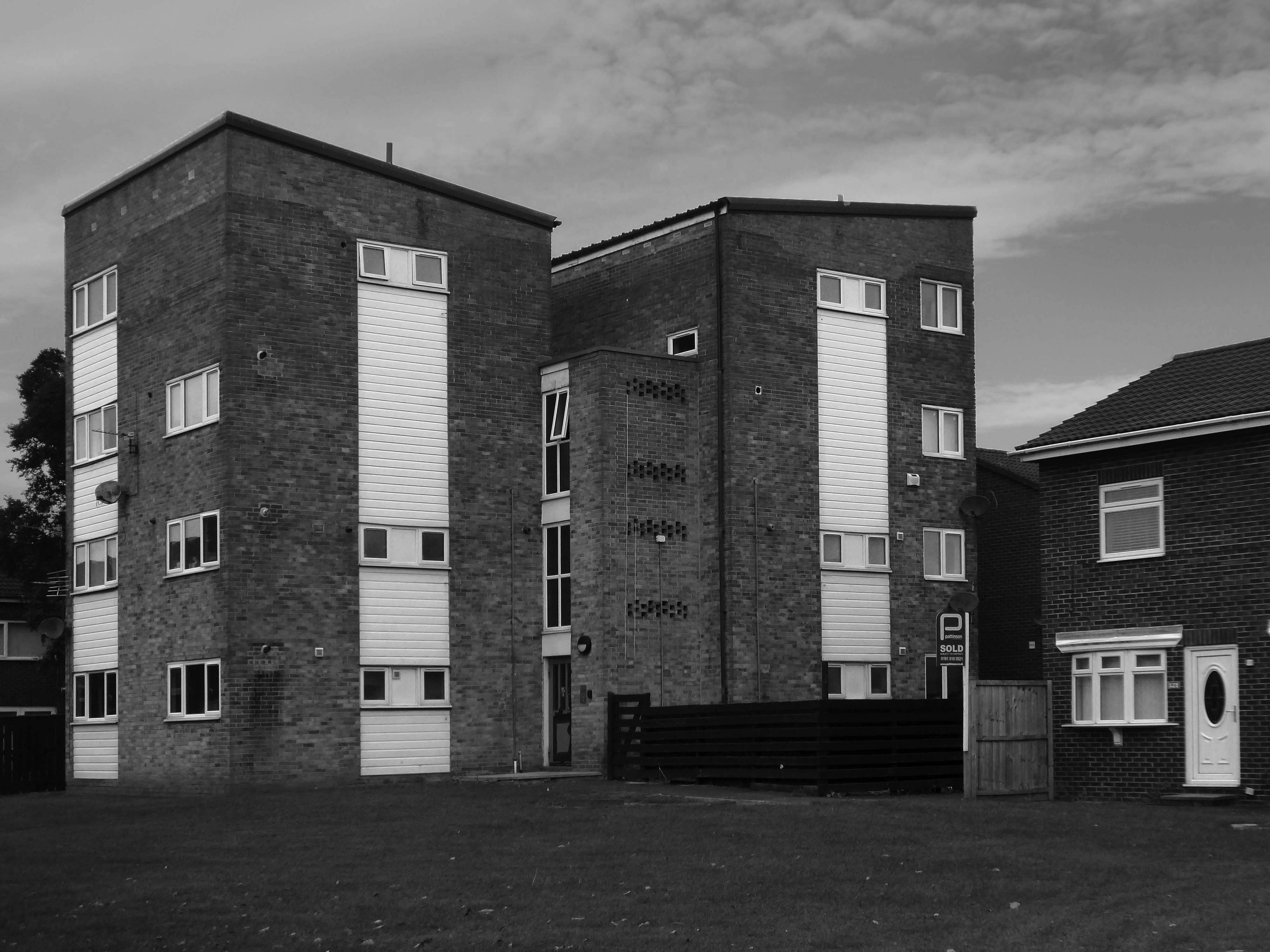
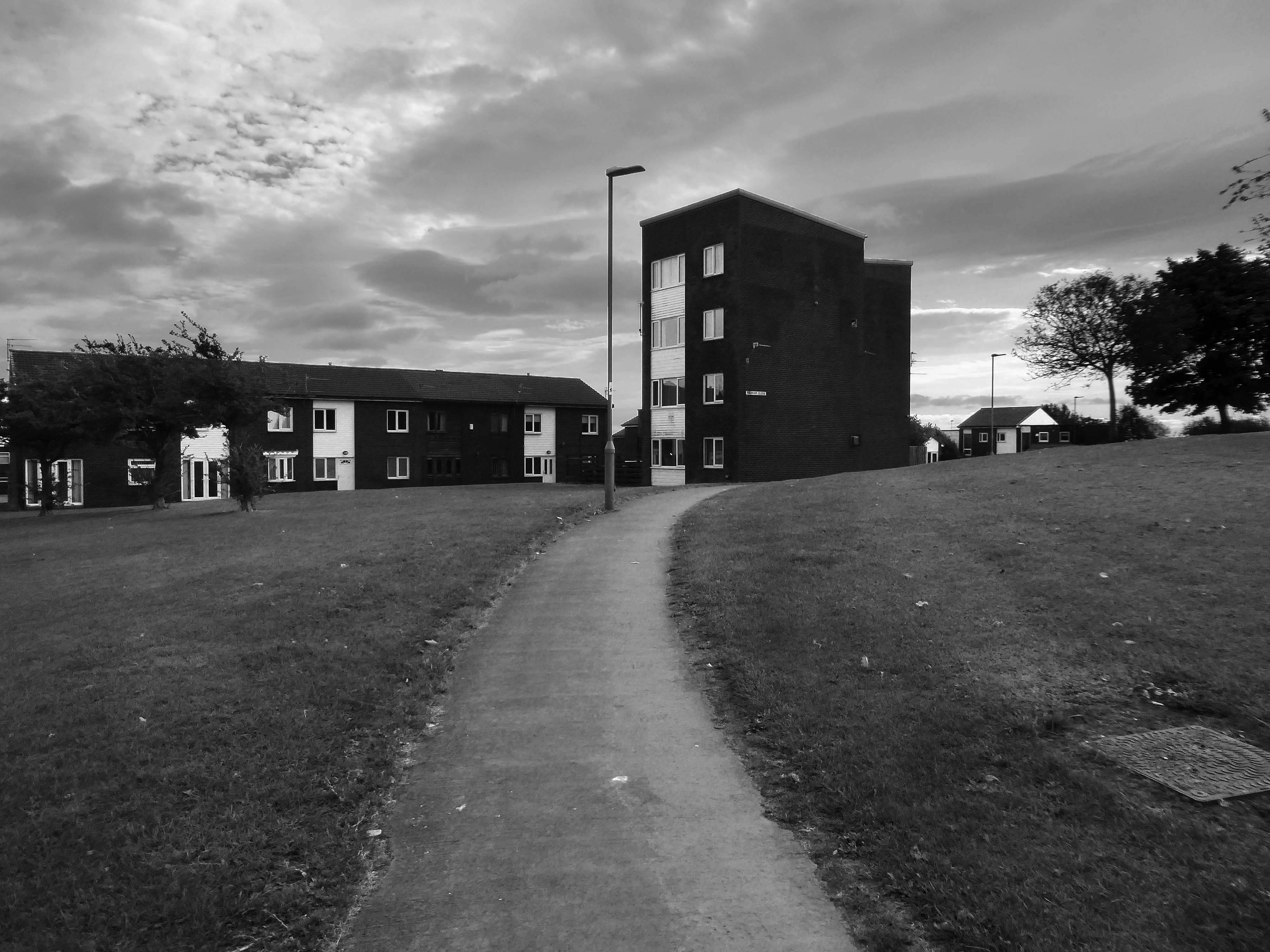
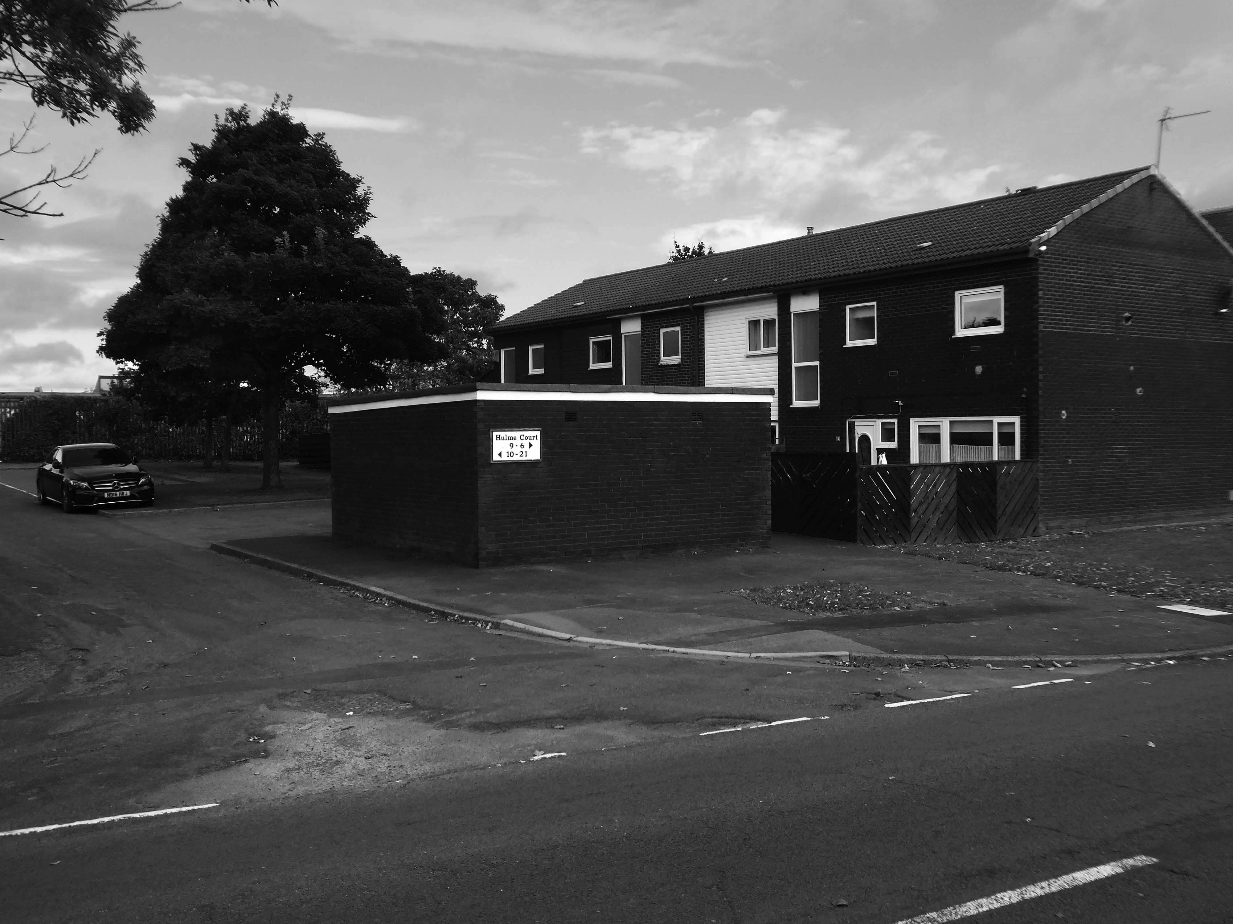
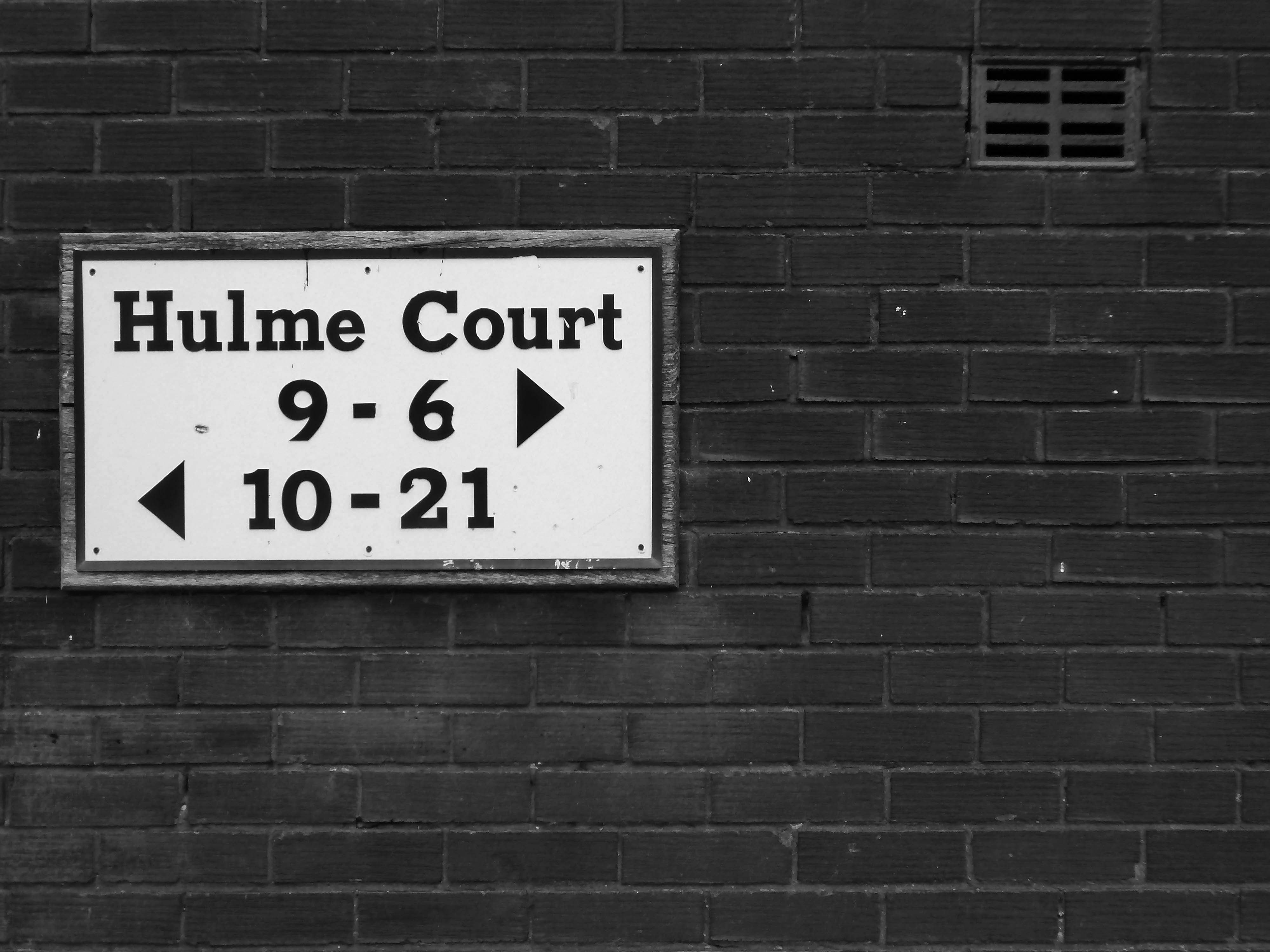
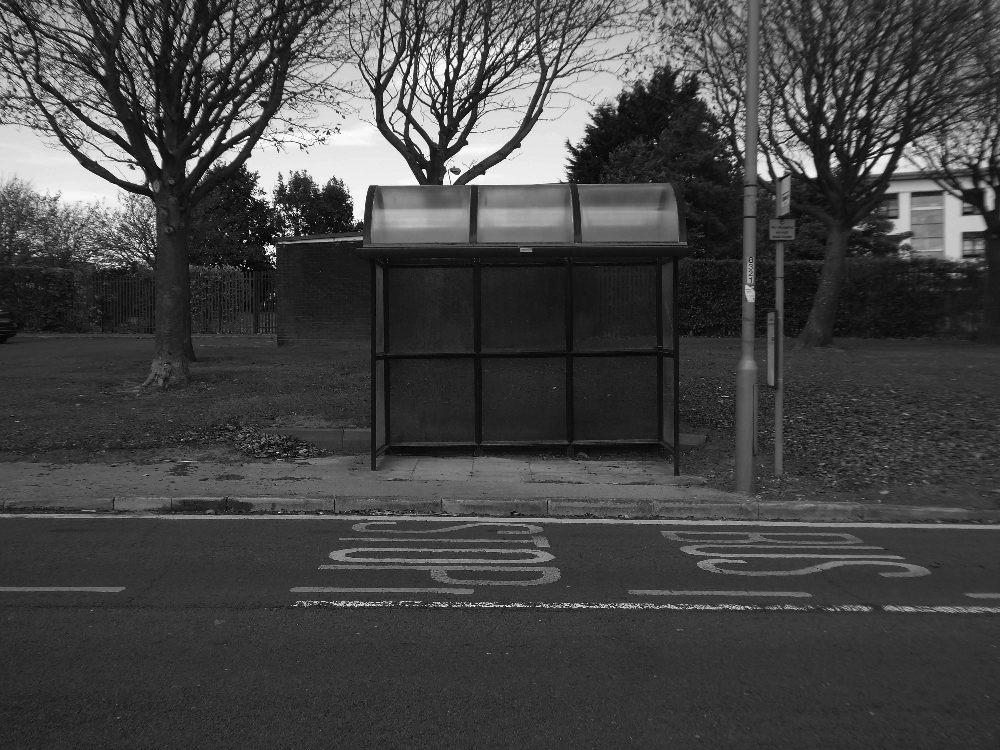
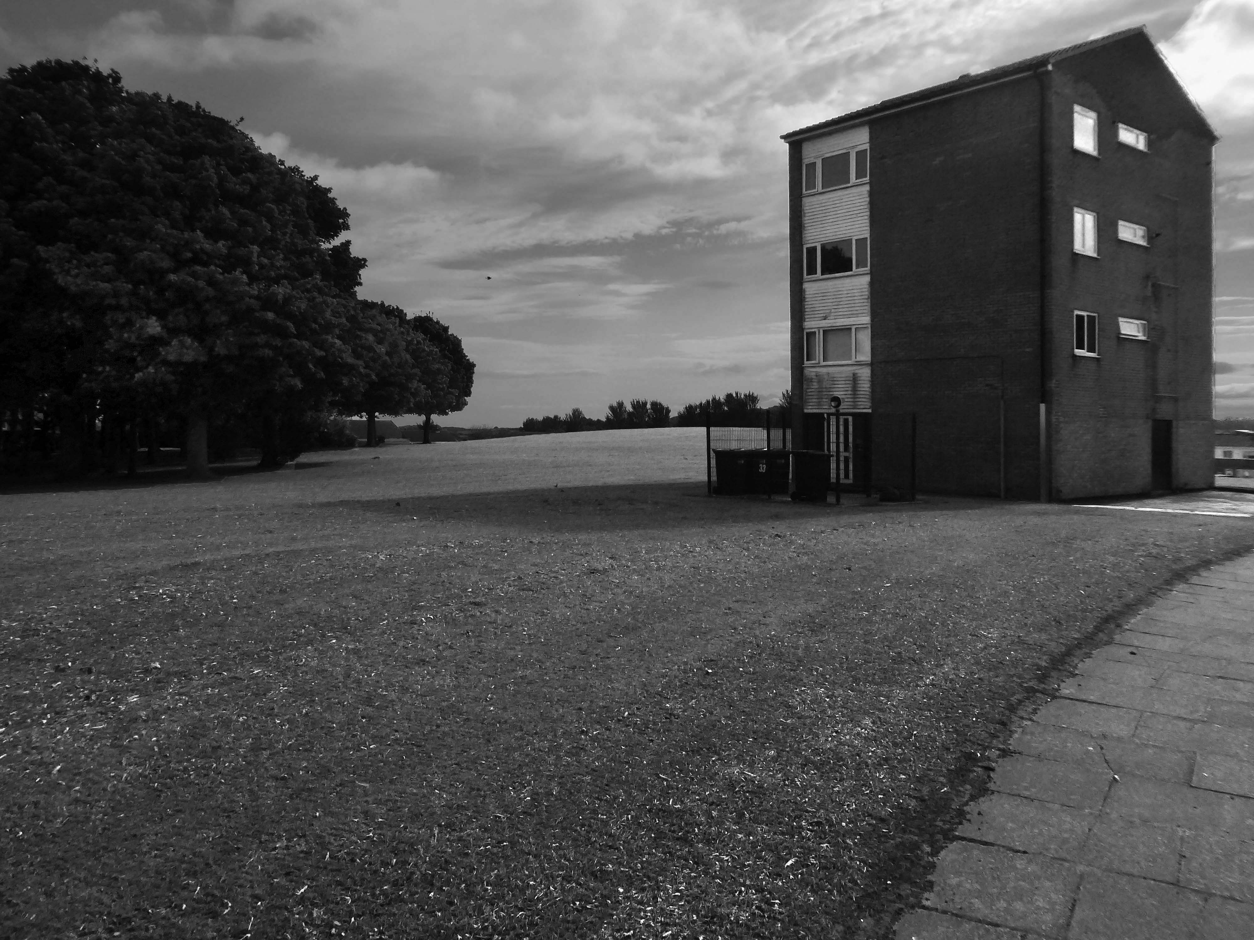
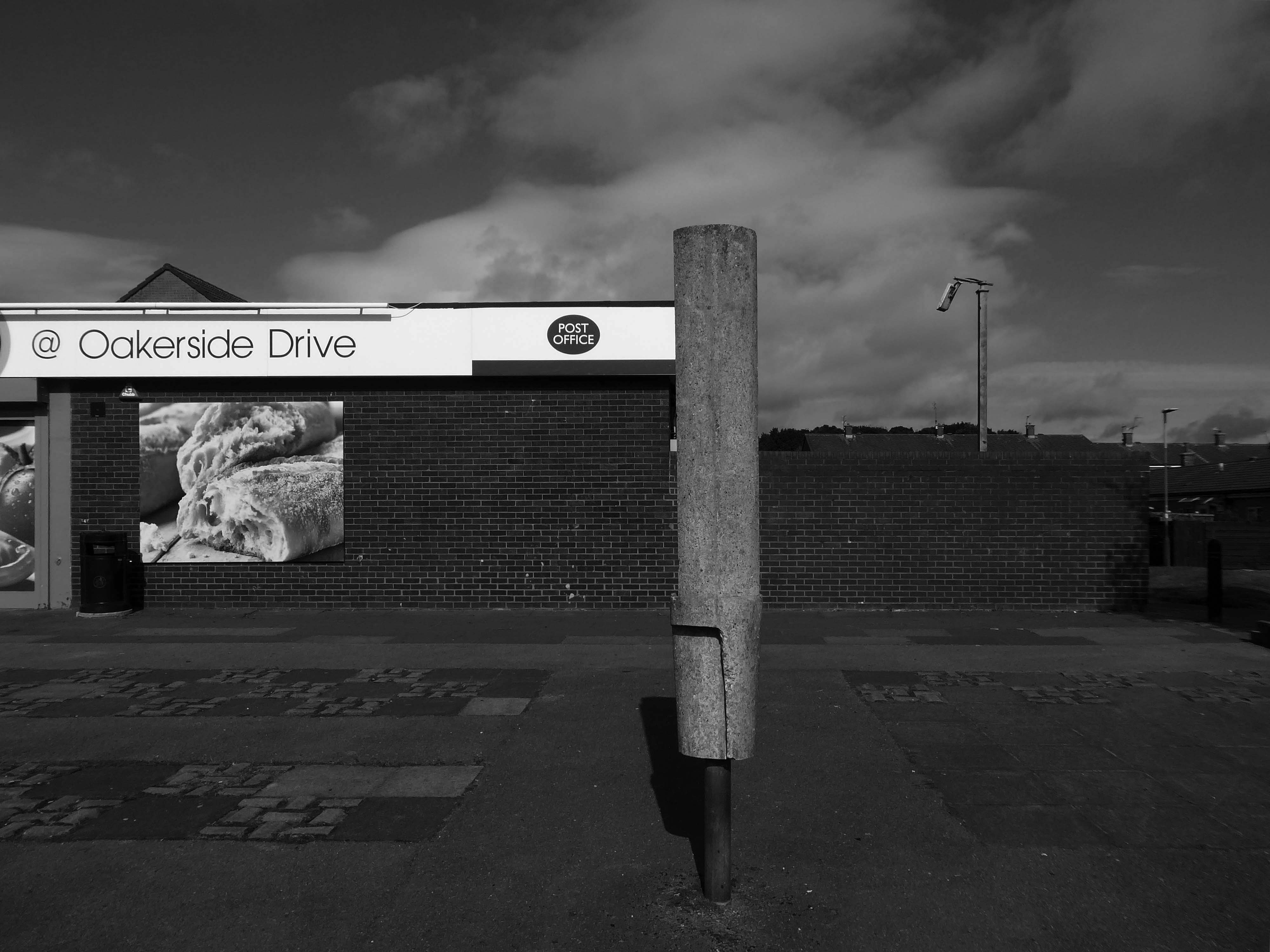
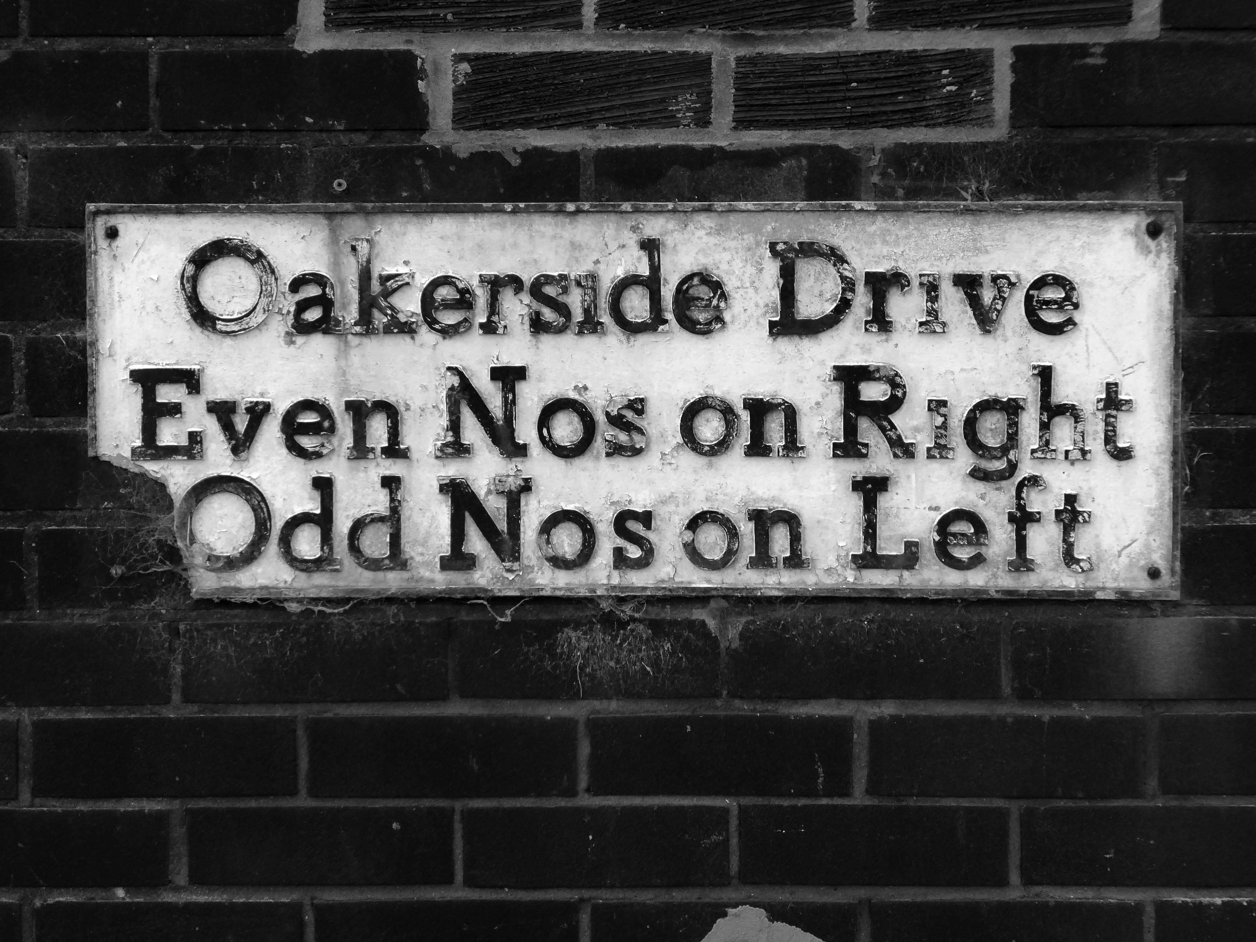
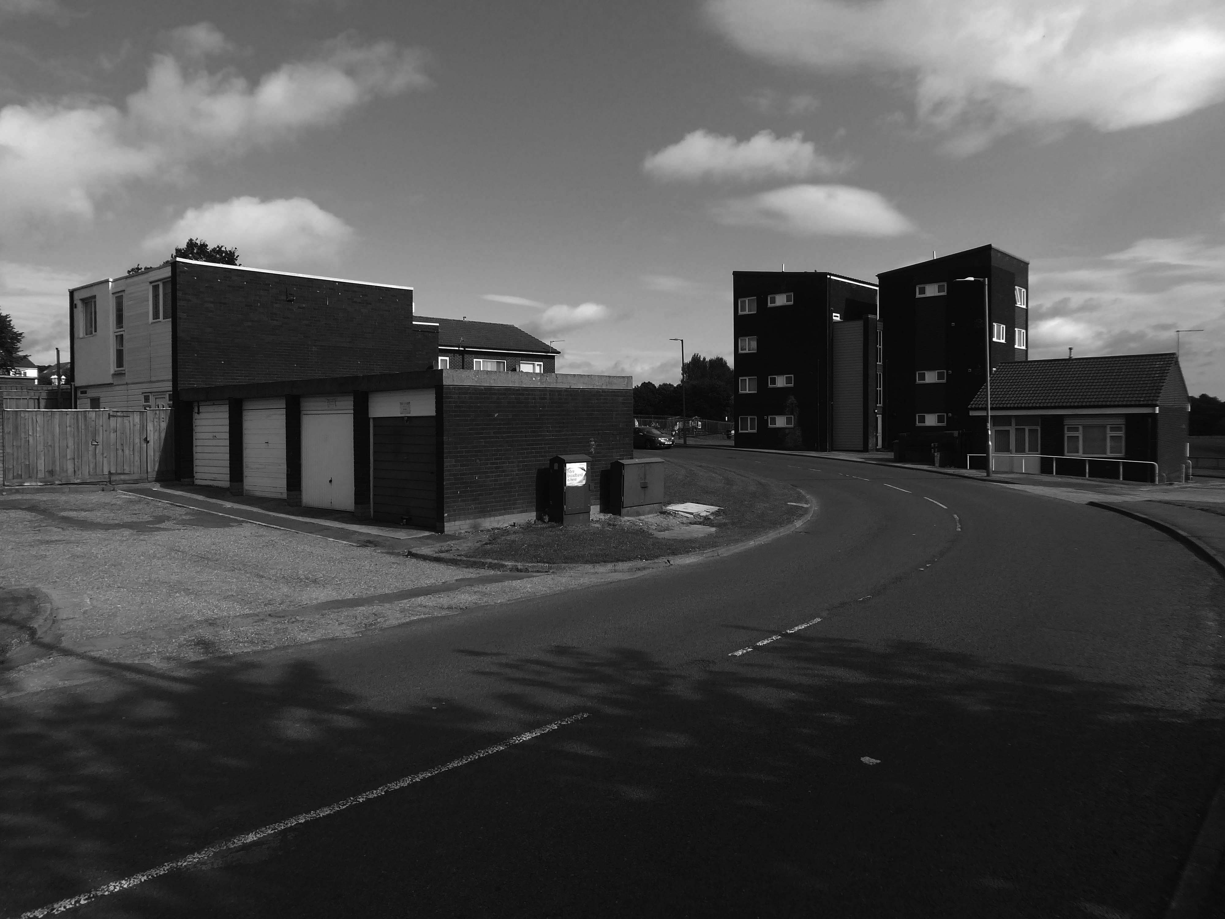
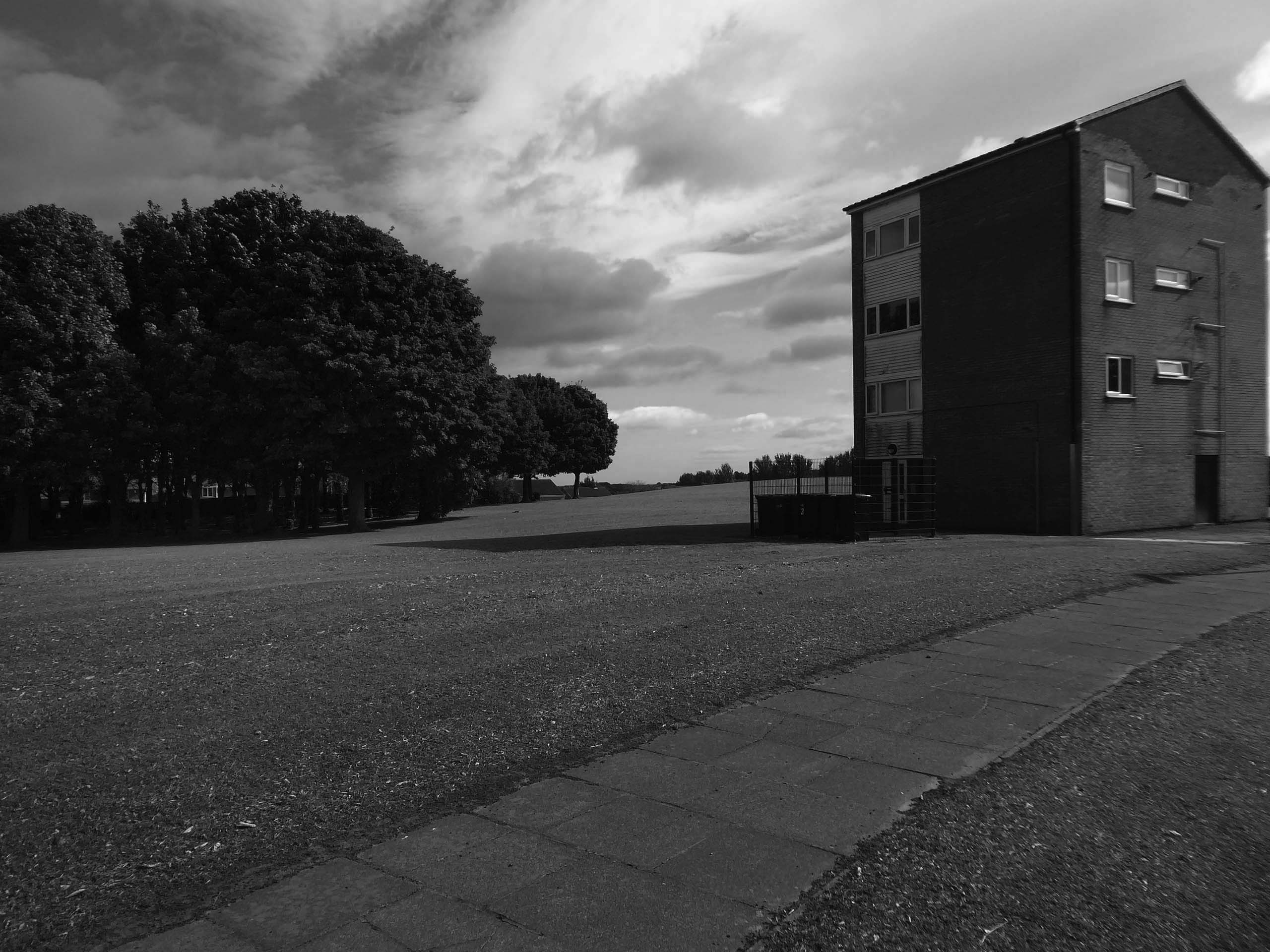
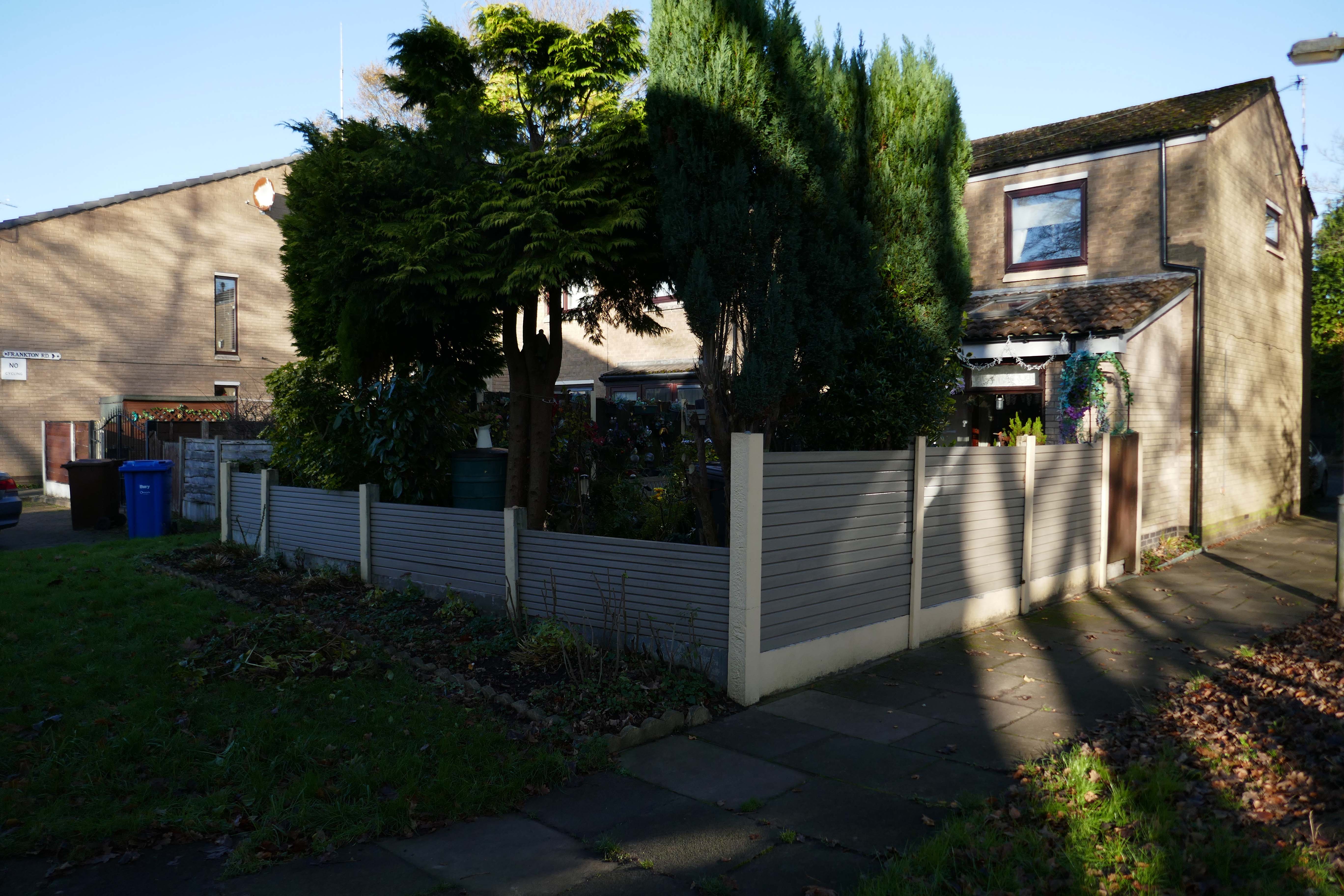
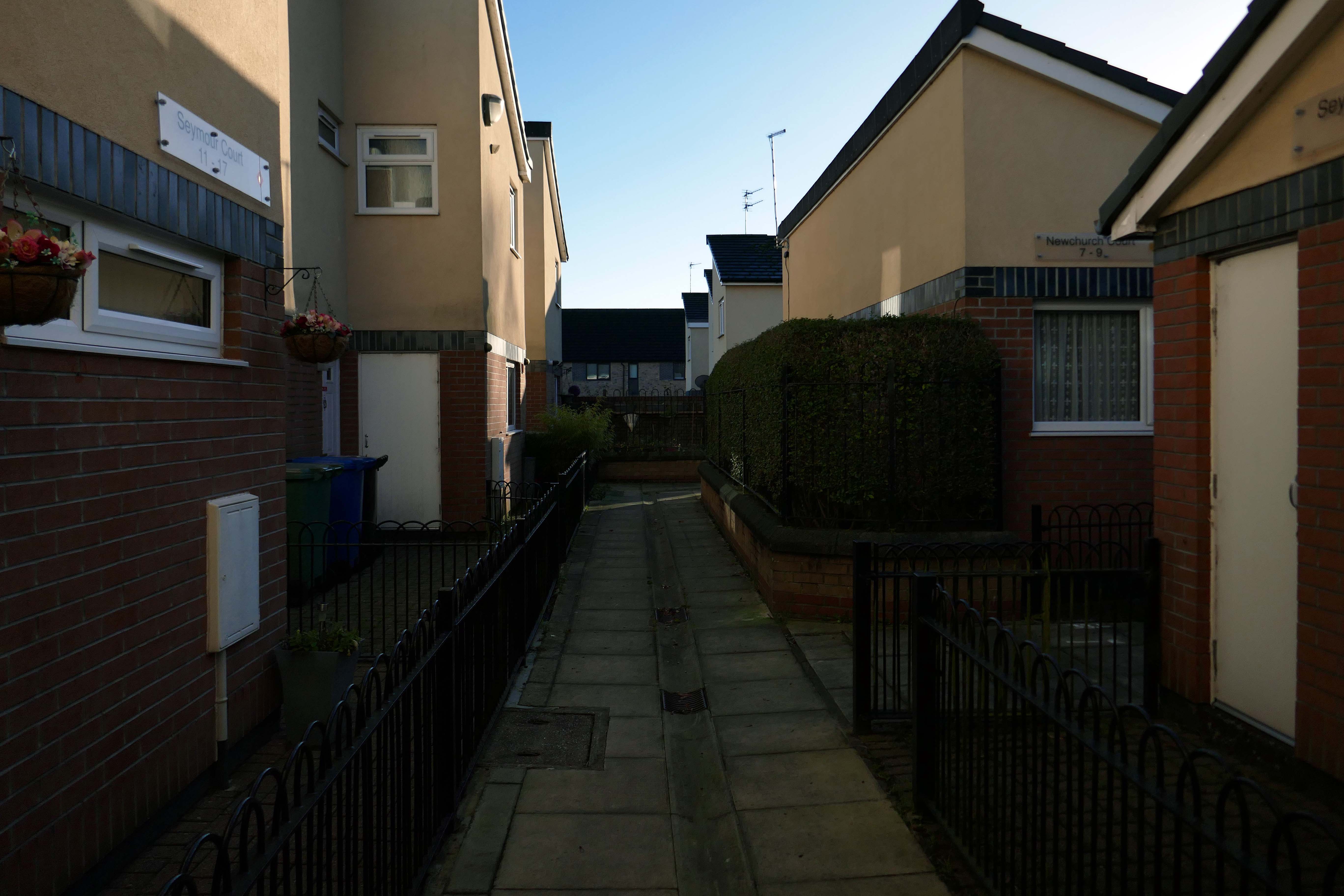
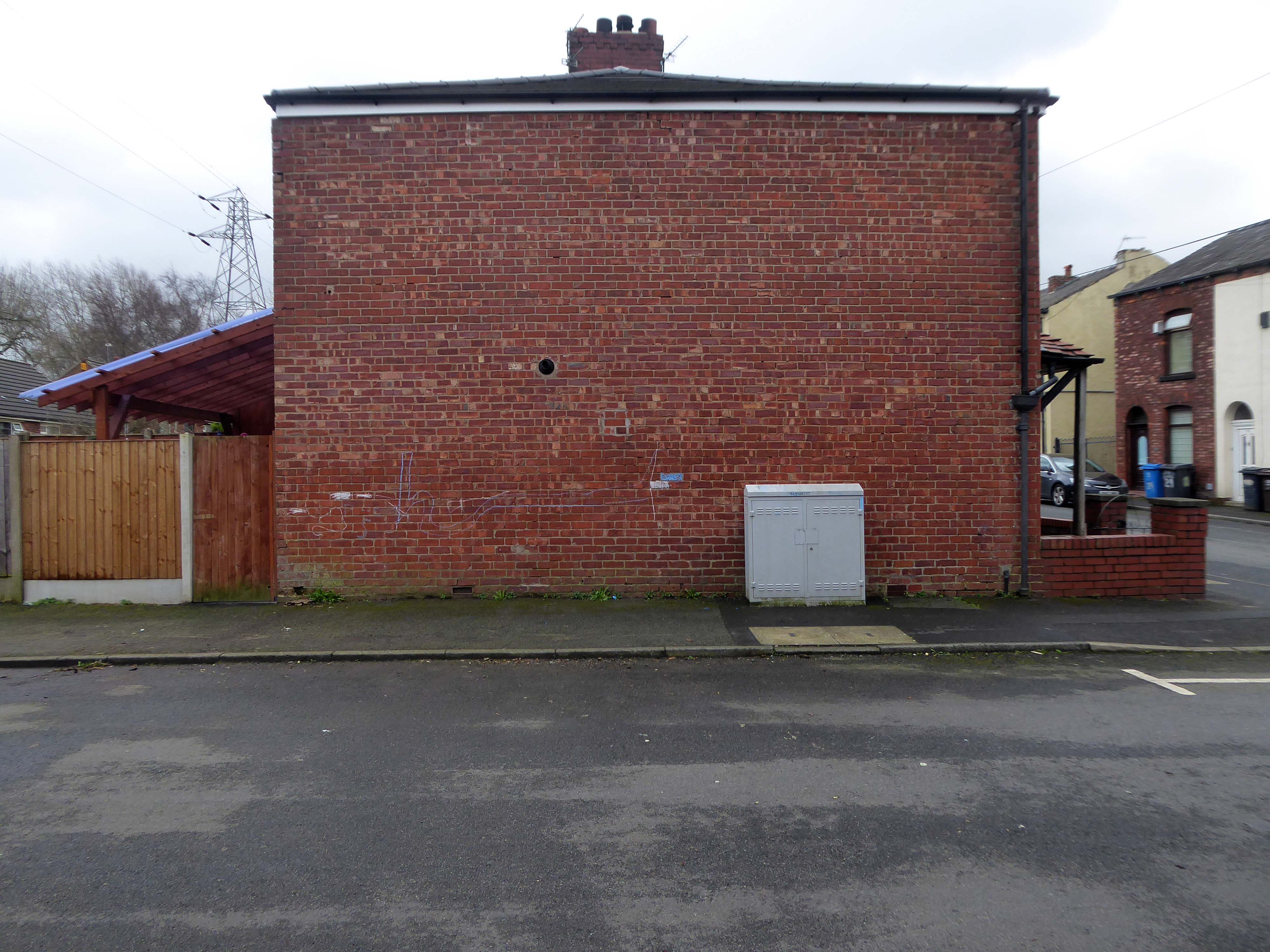
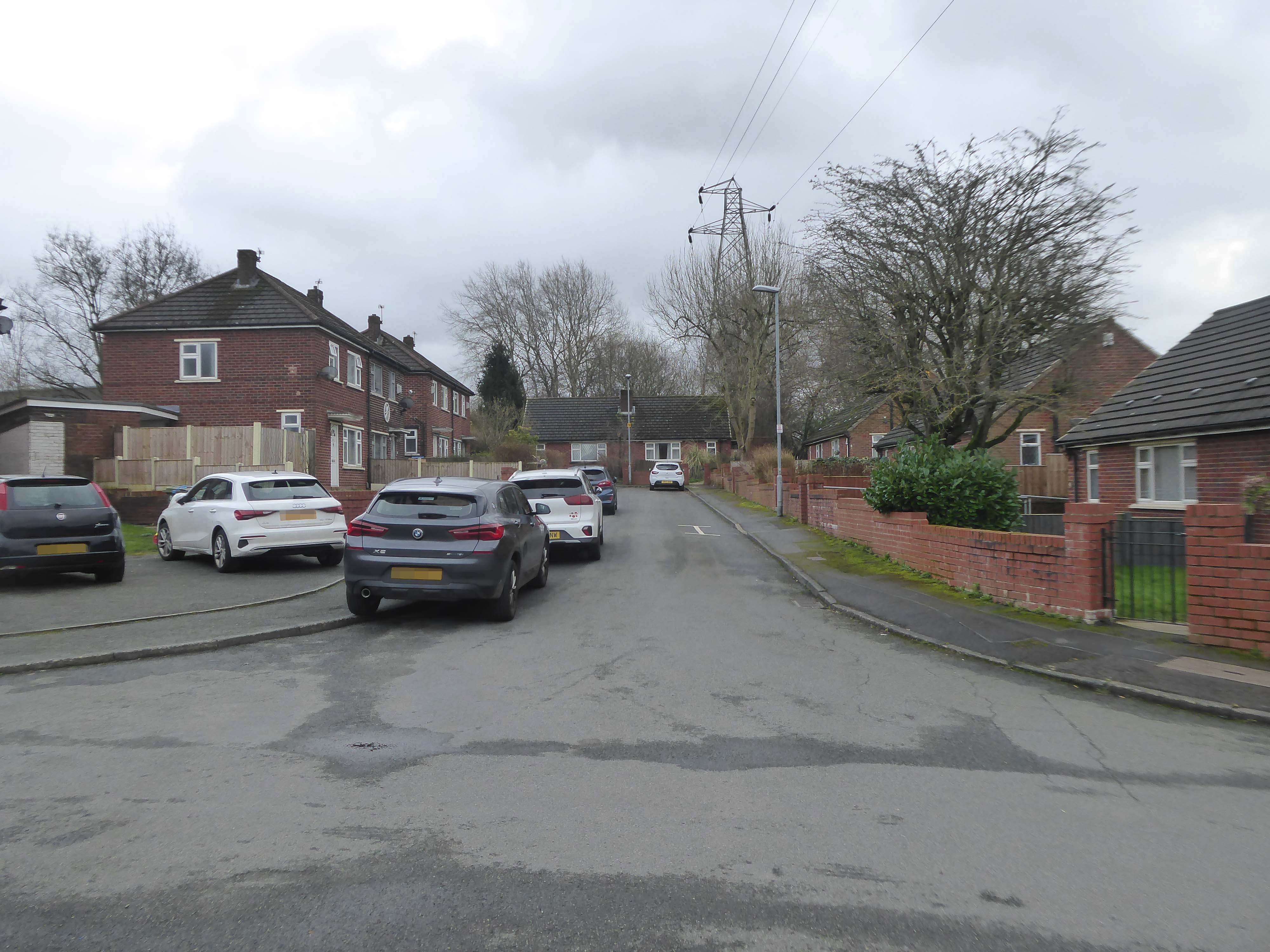
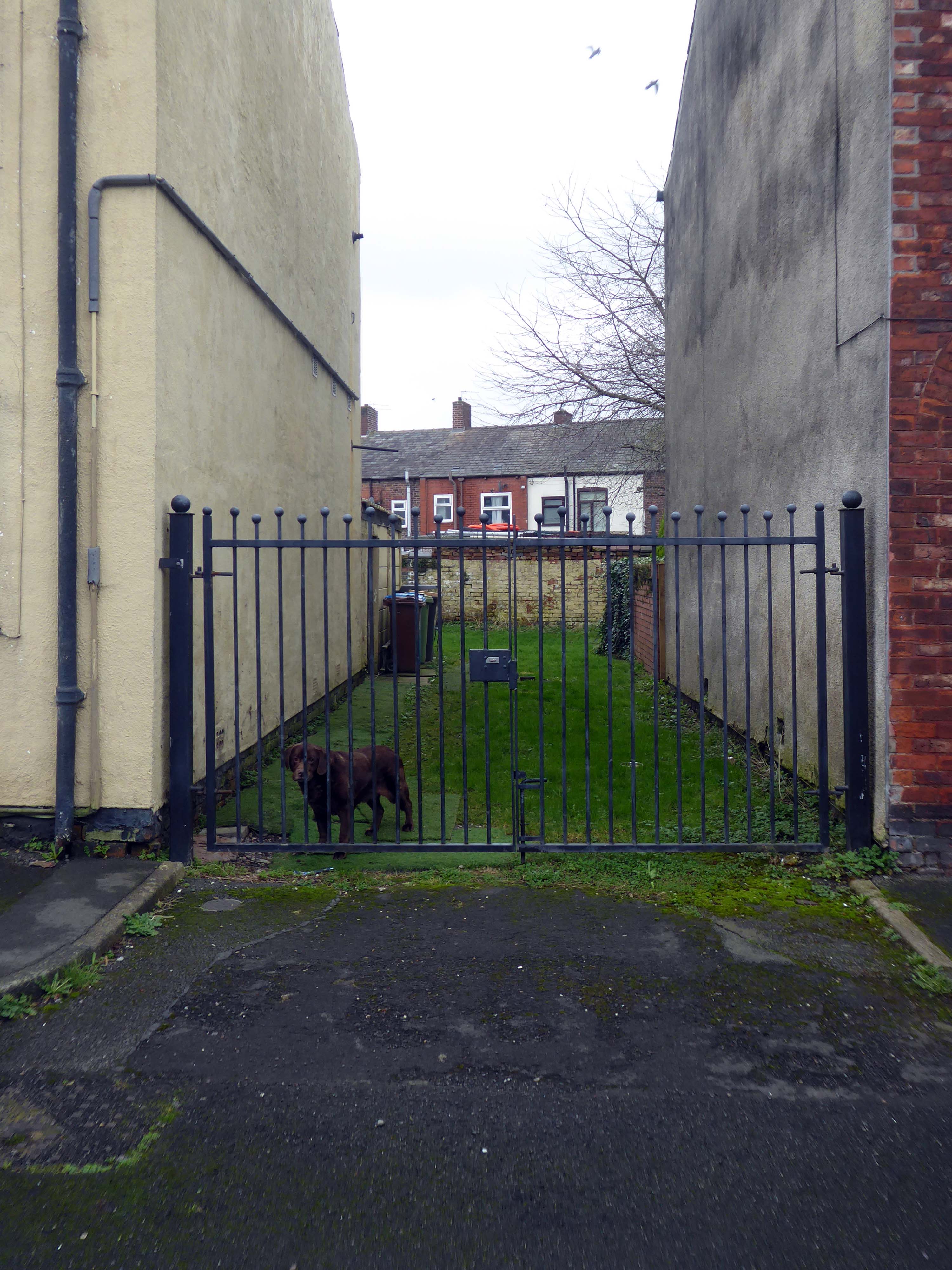
So much for the scriptwriters wild imaginings, what does the road look like?
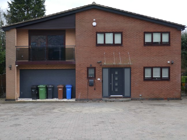
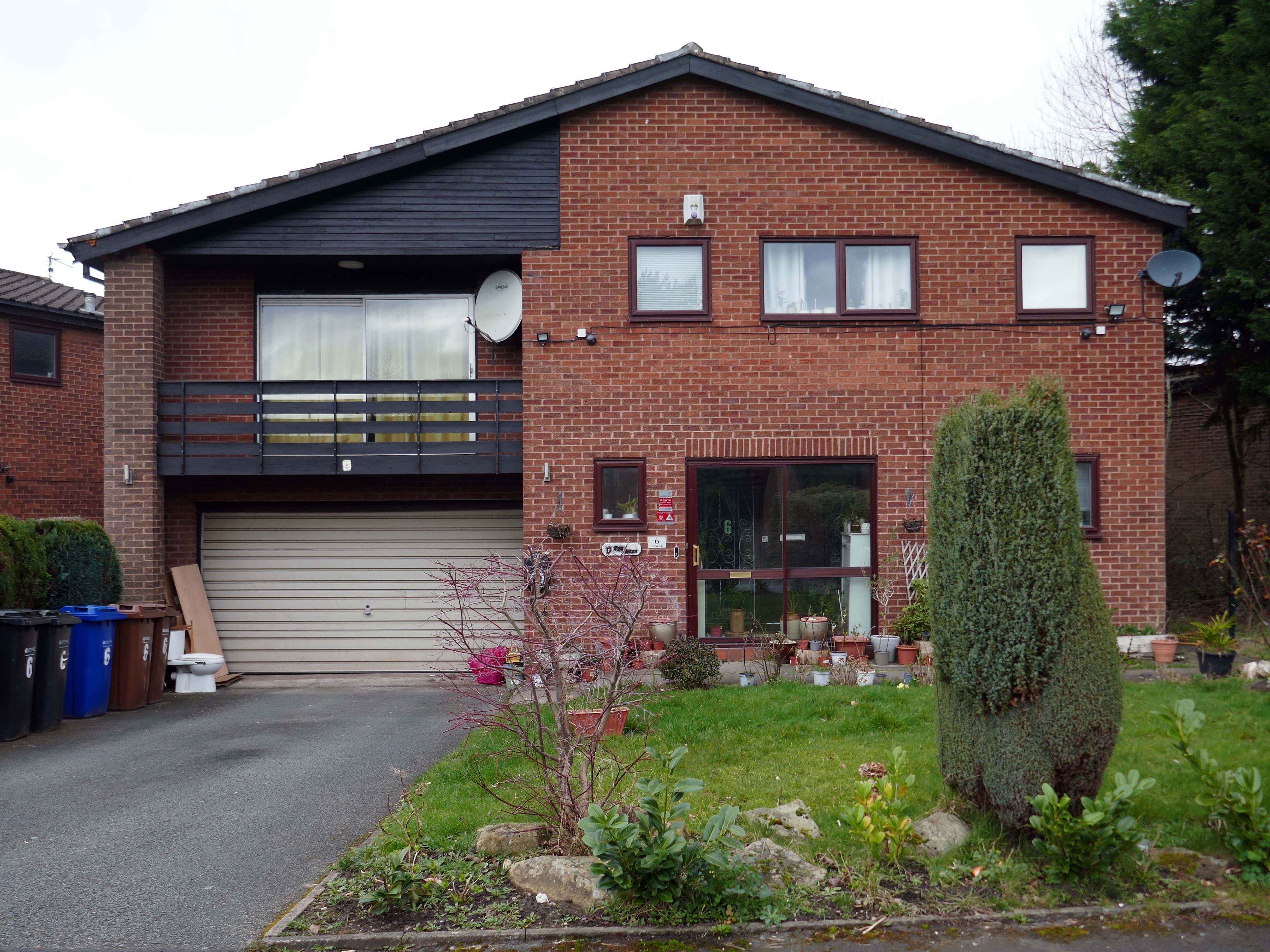
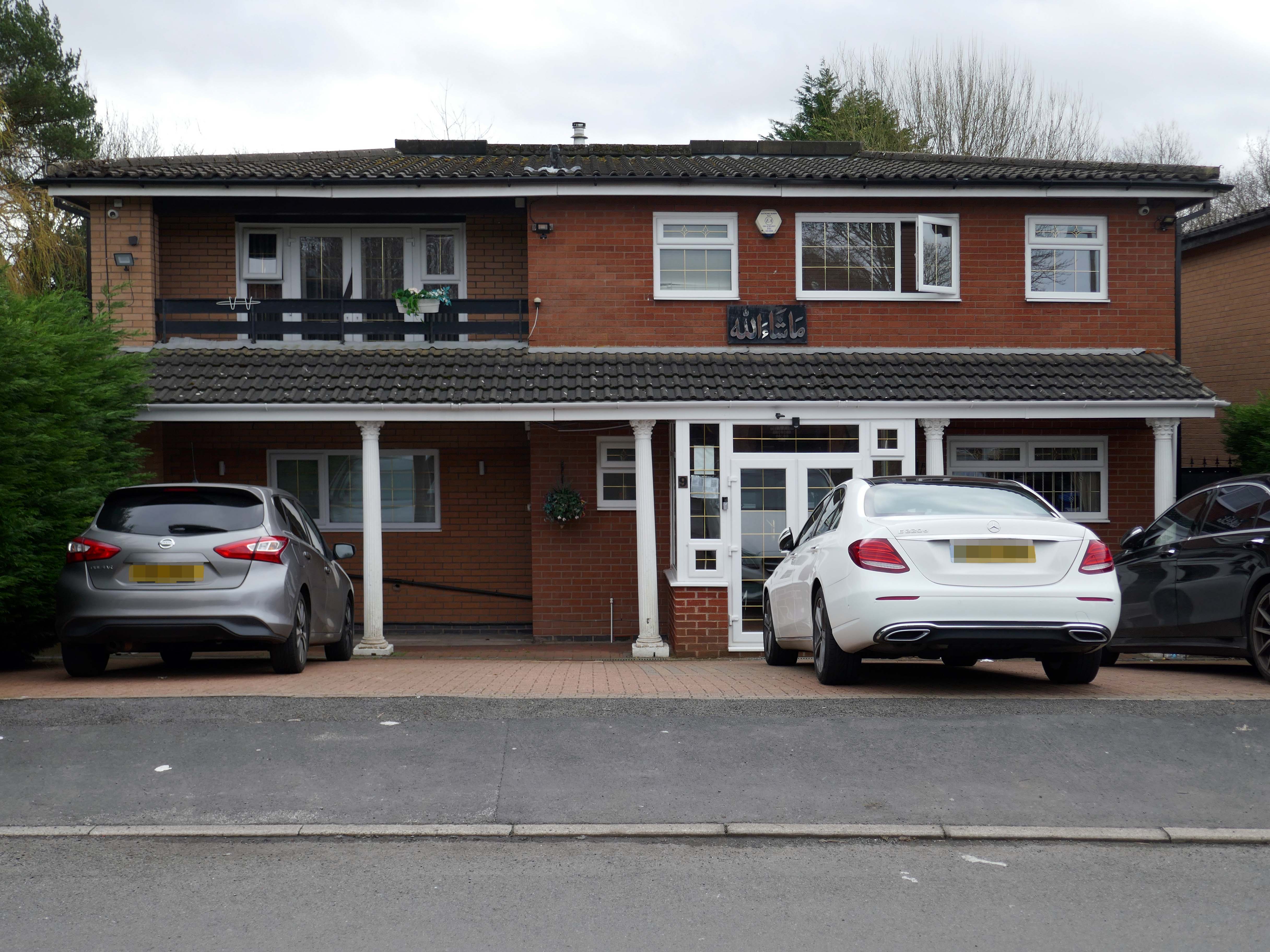
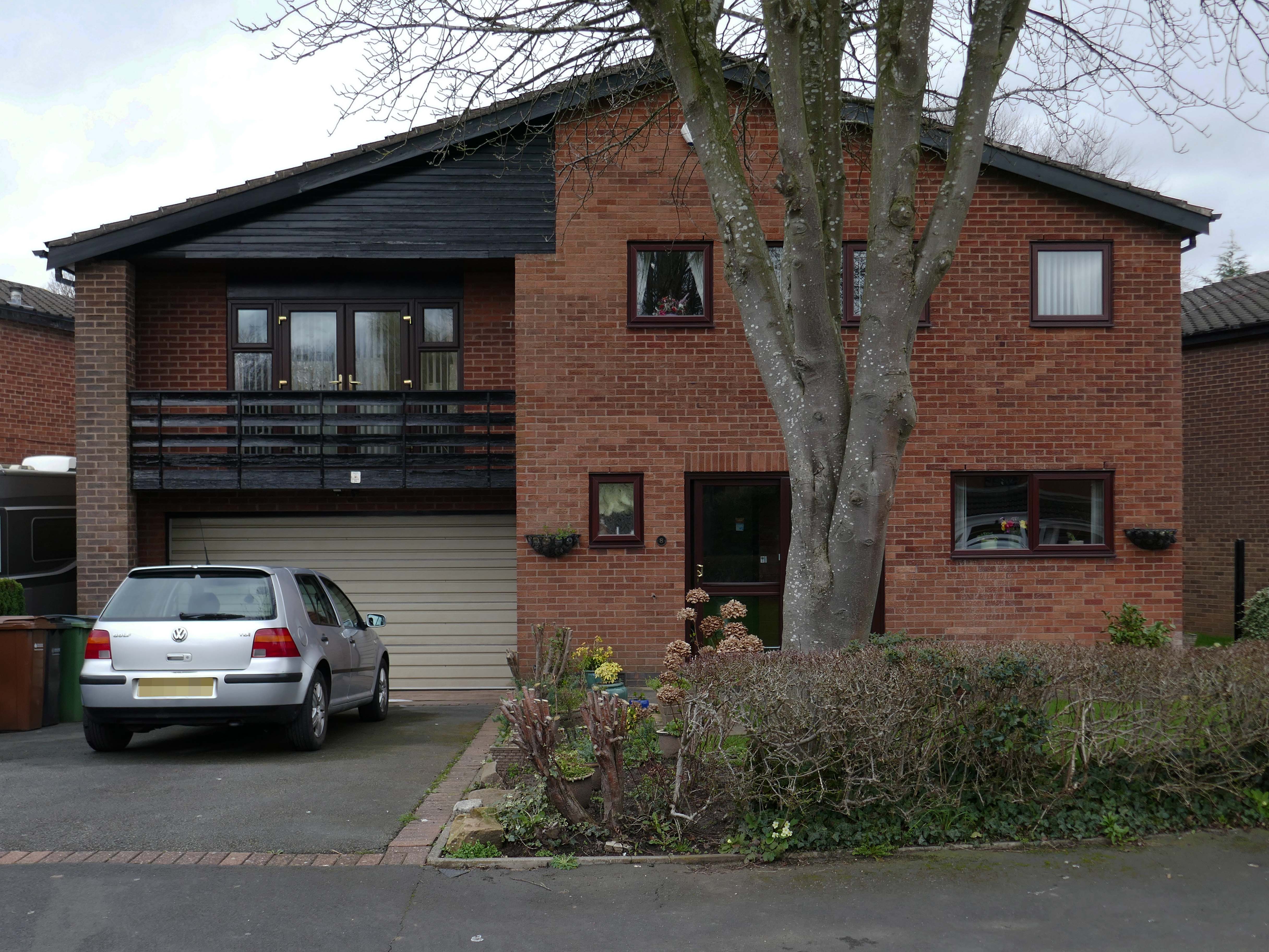
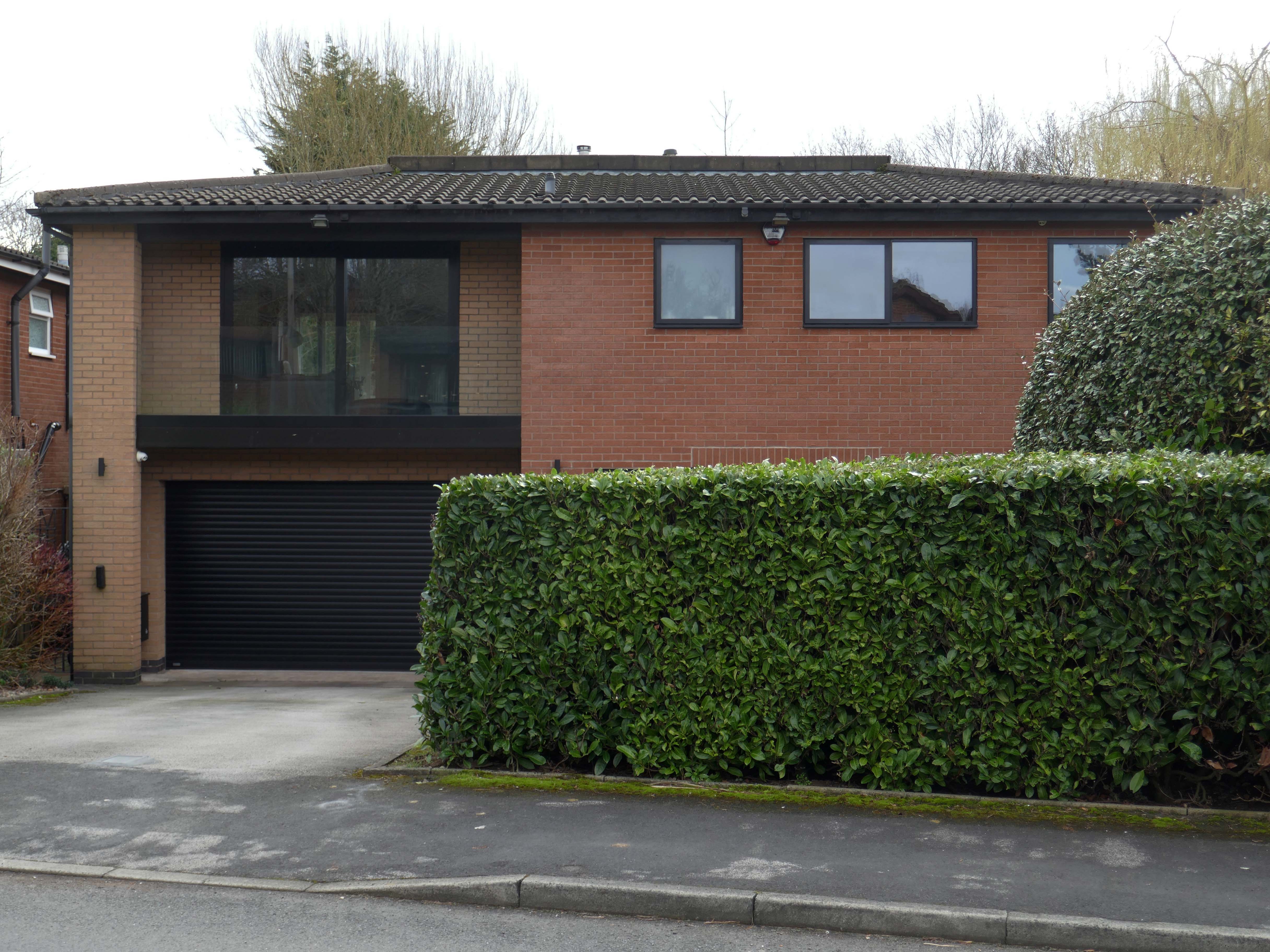
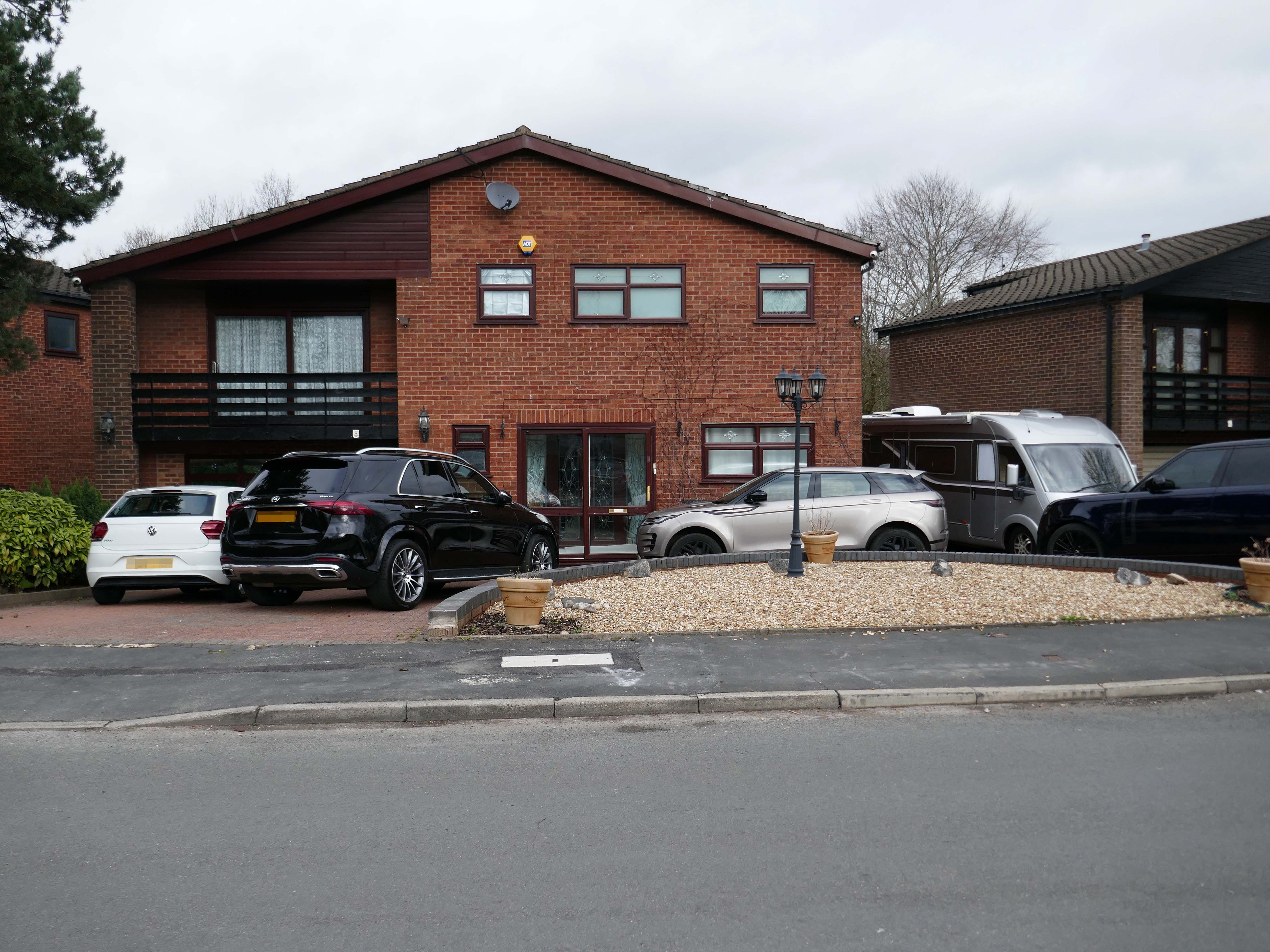
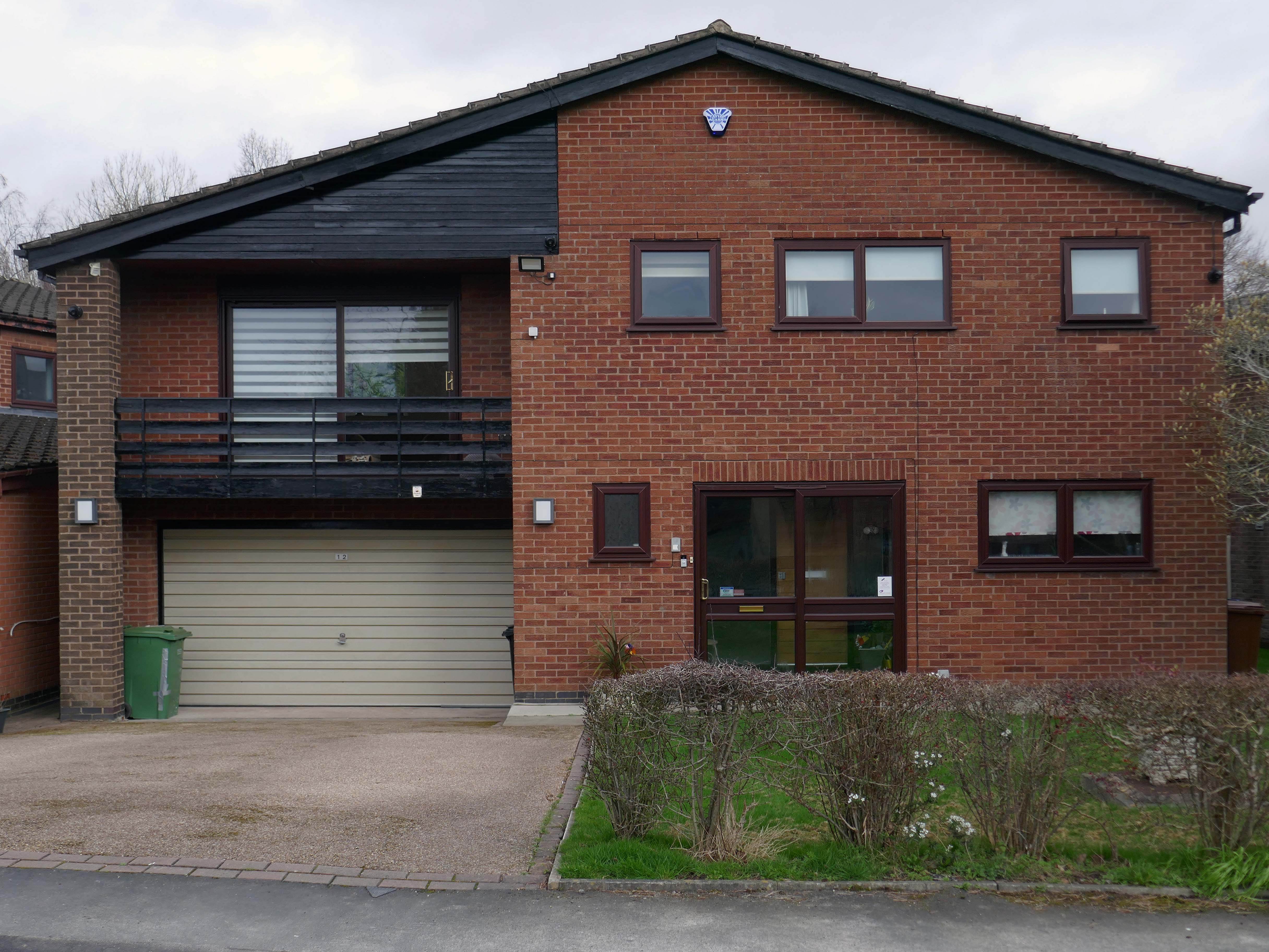
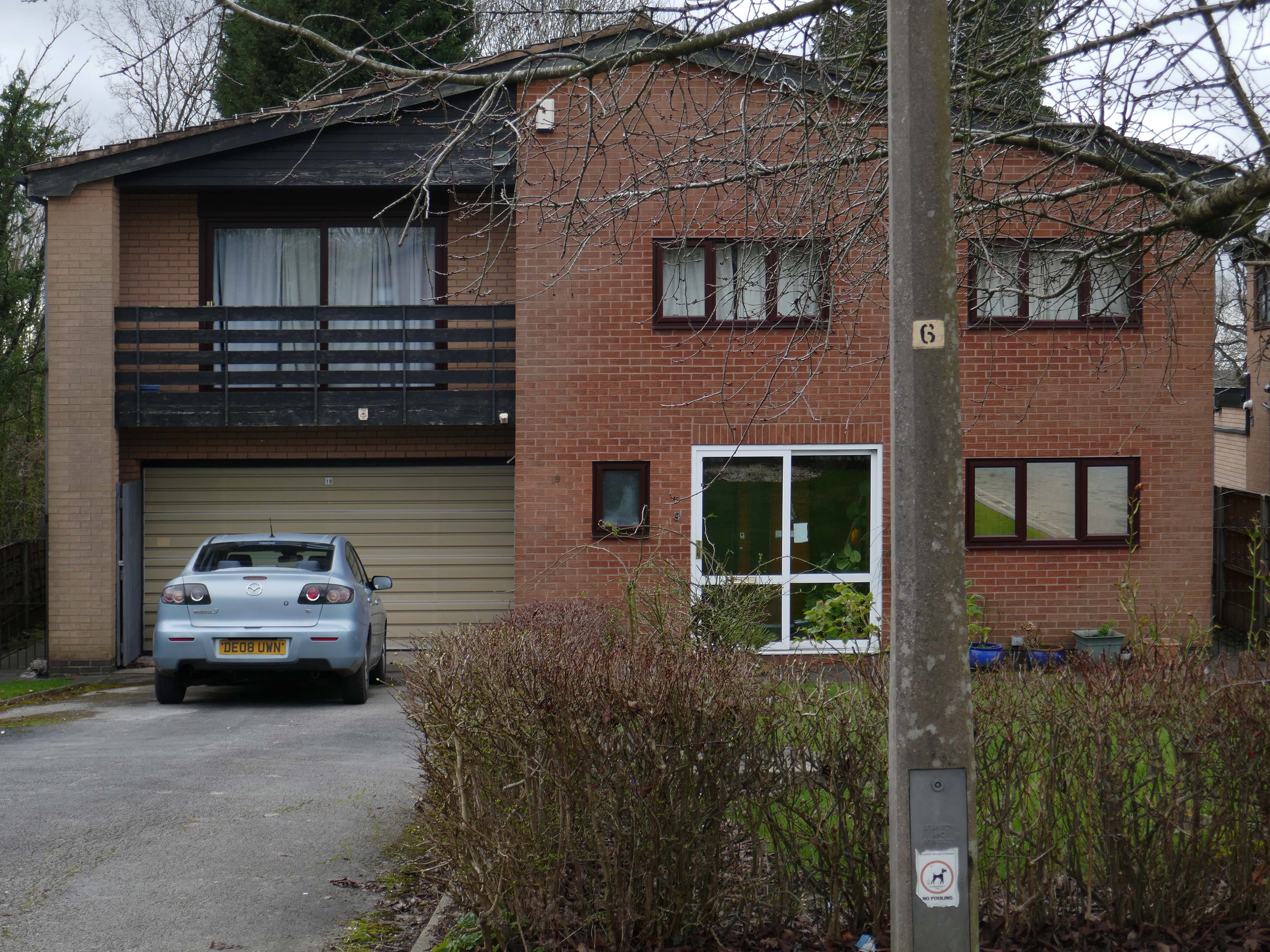
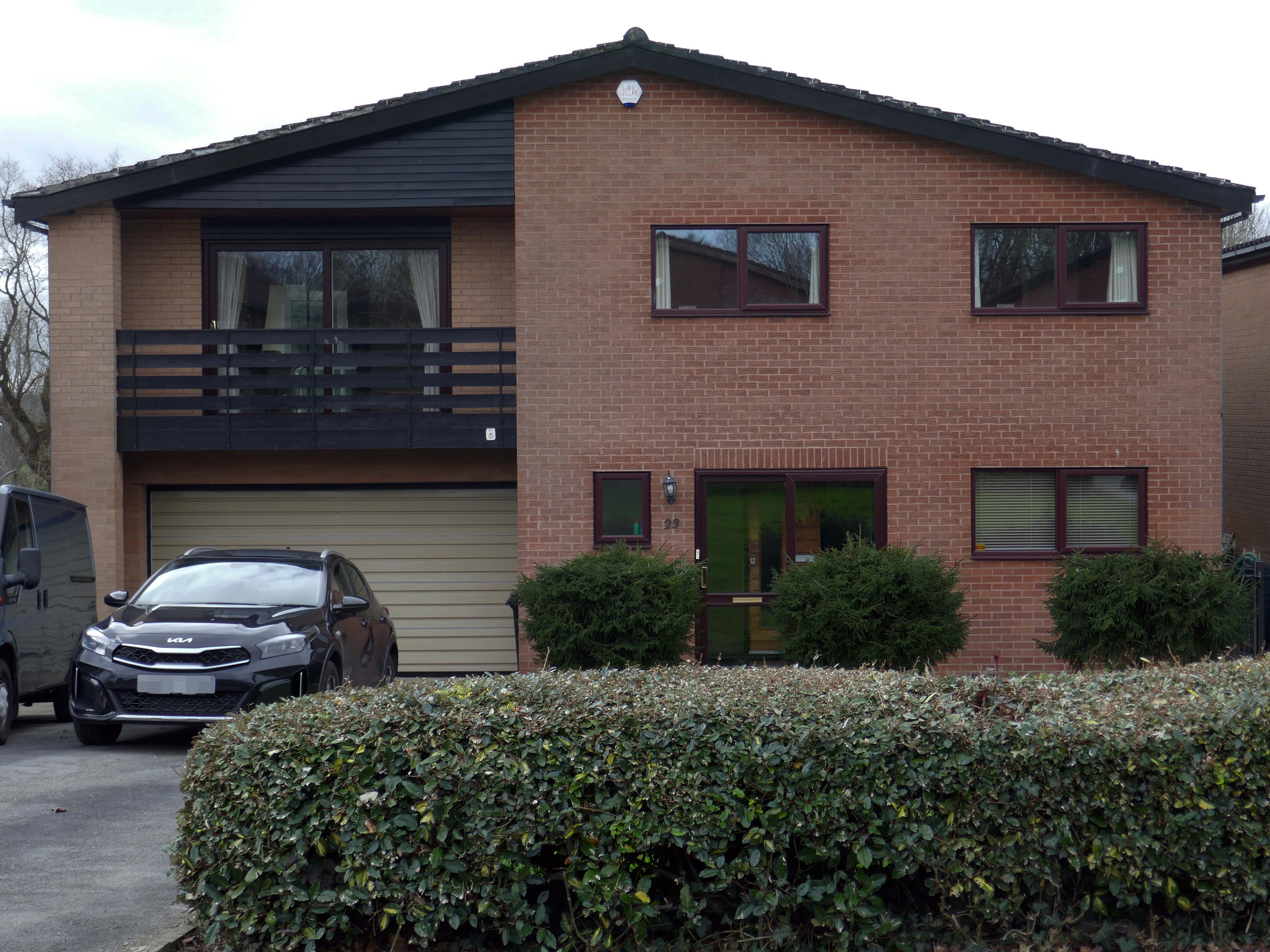
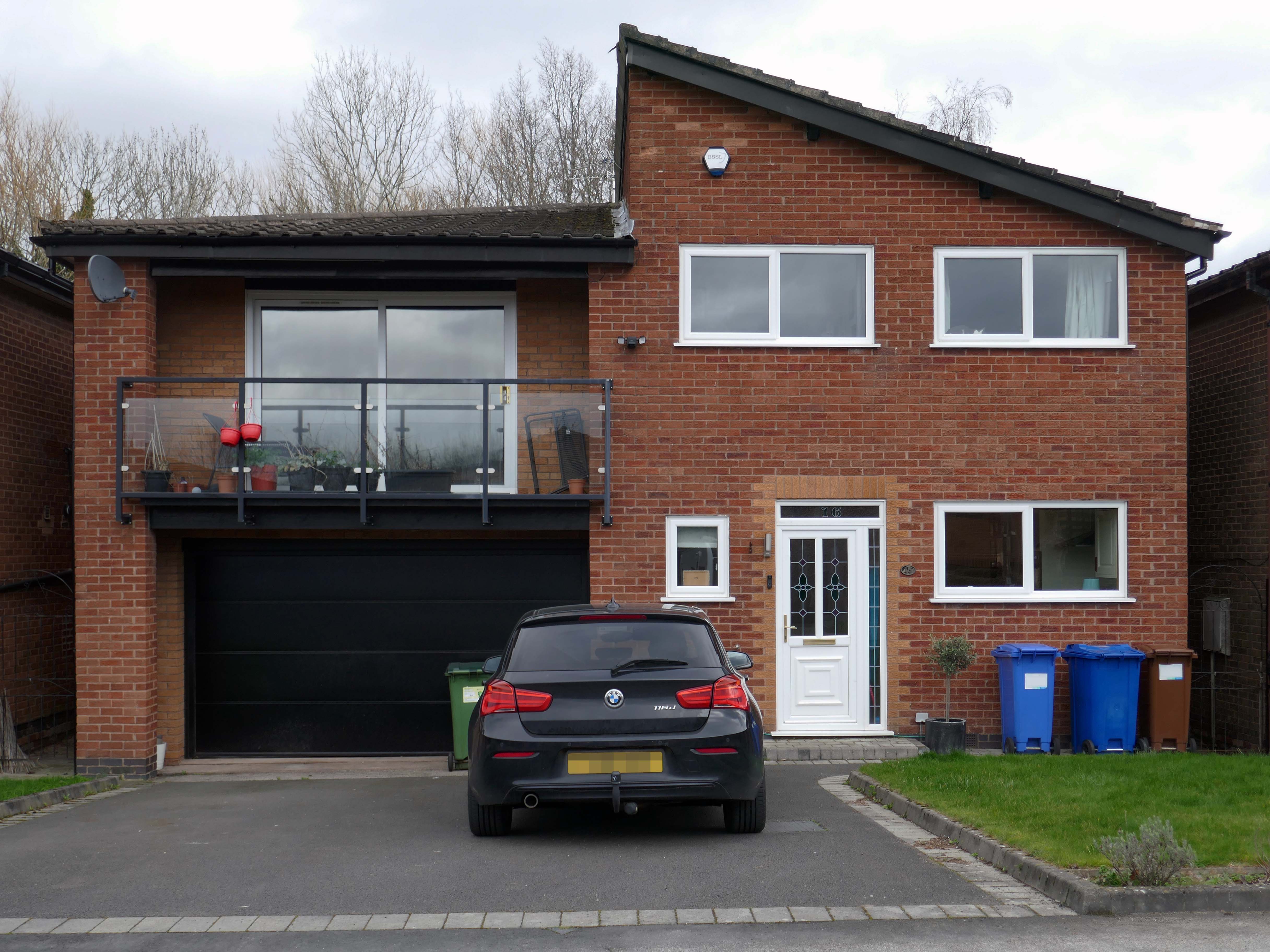
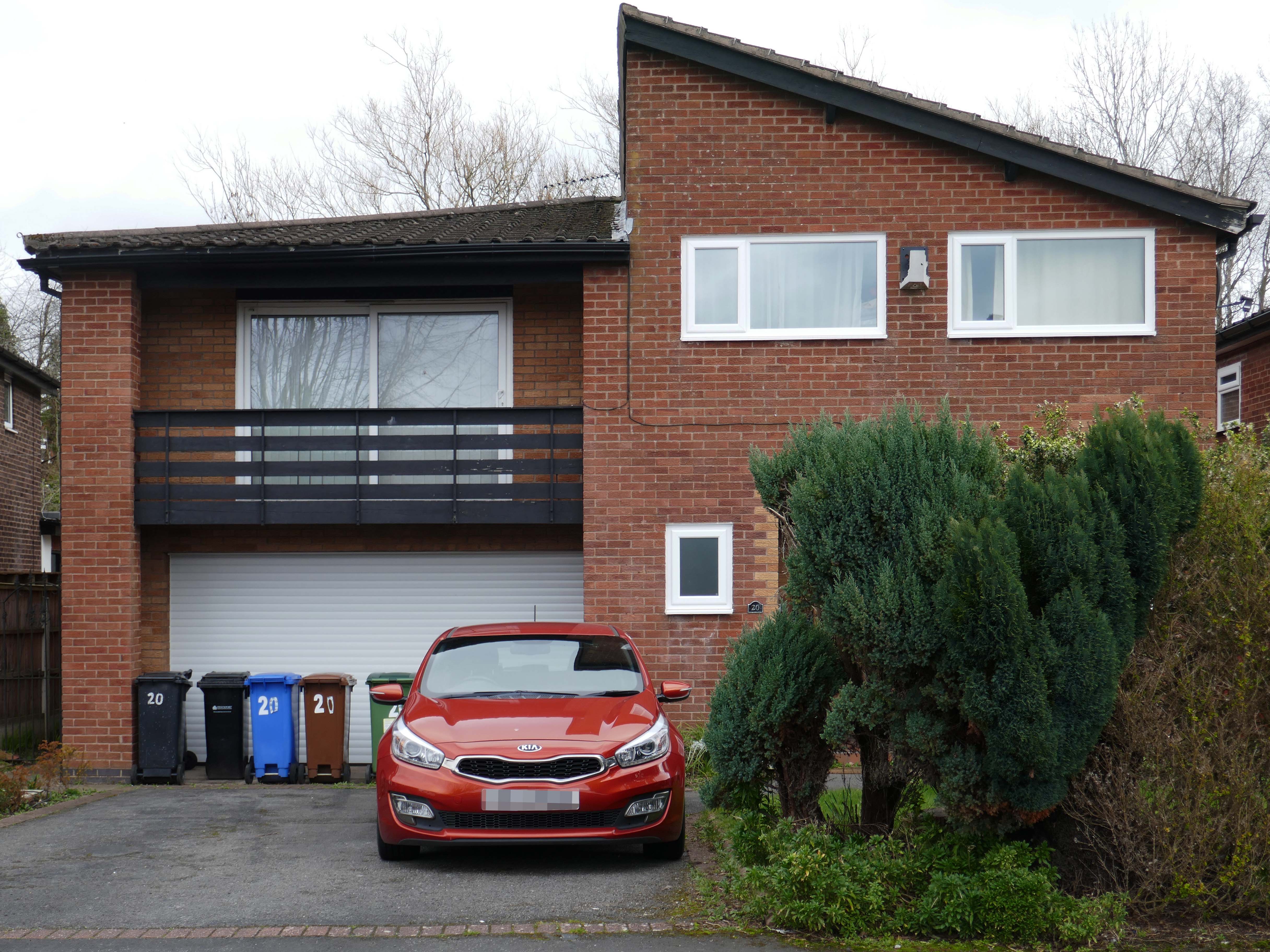
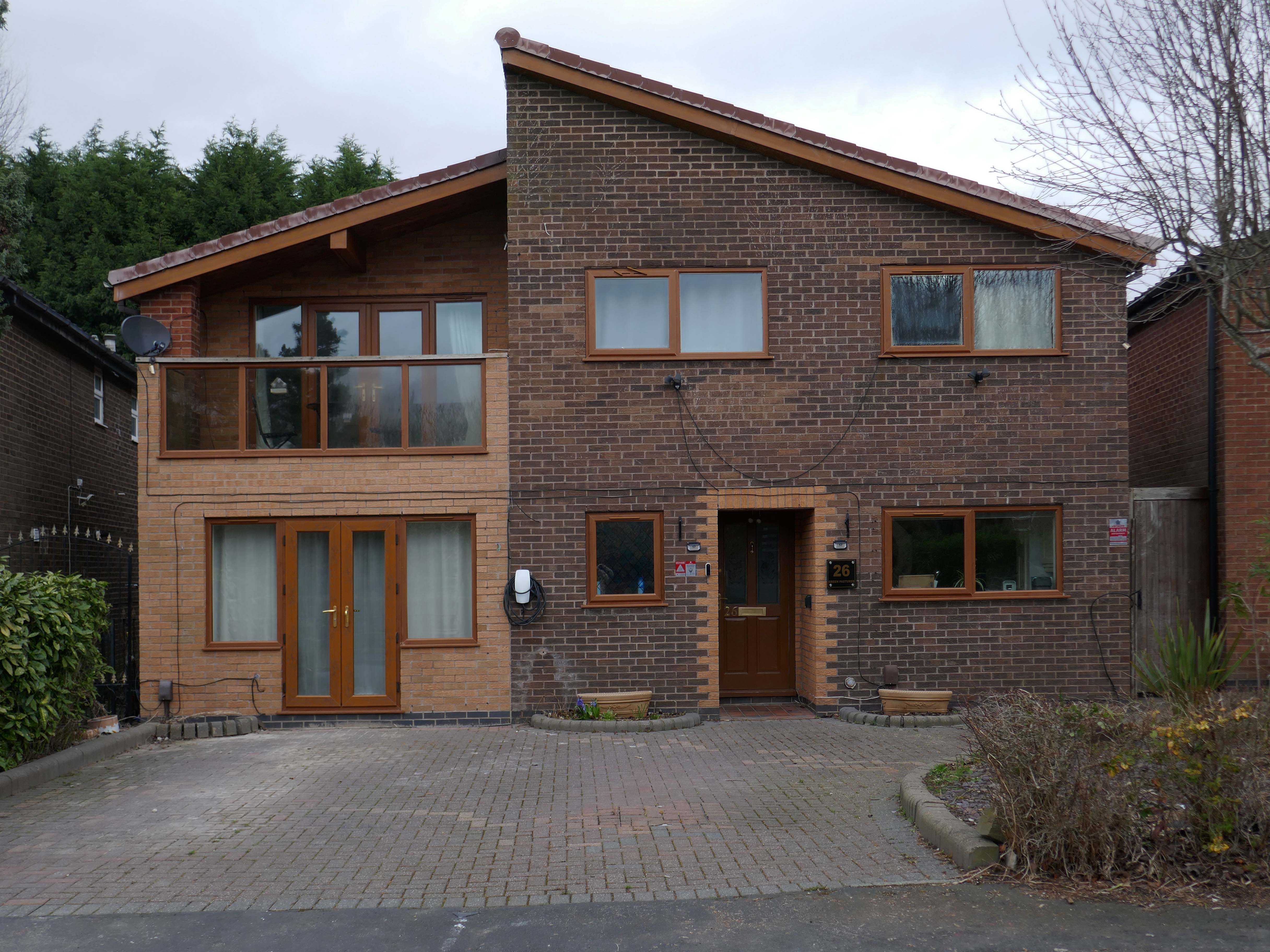
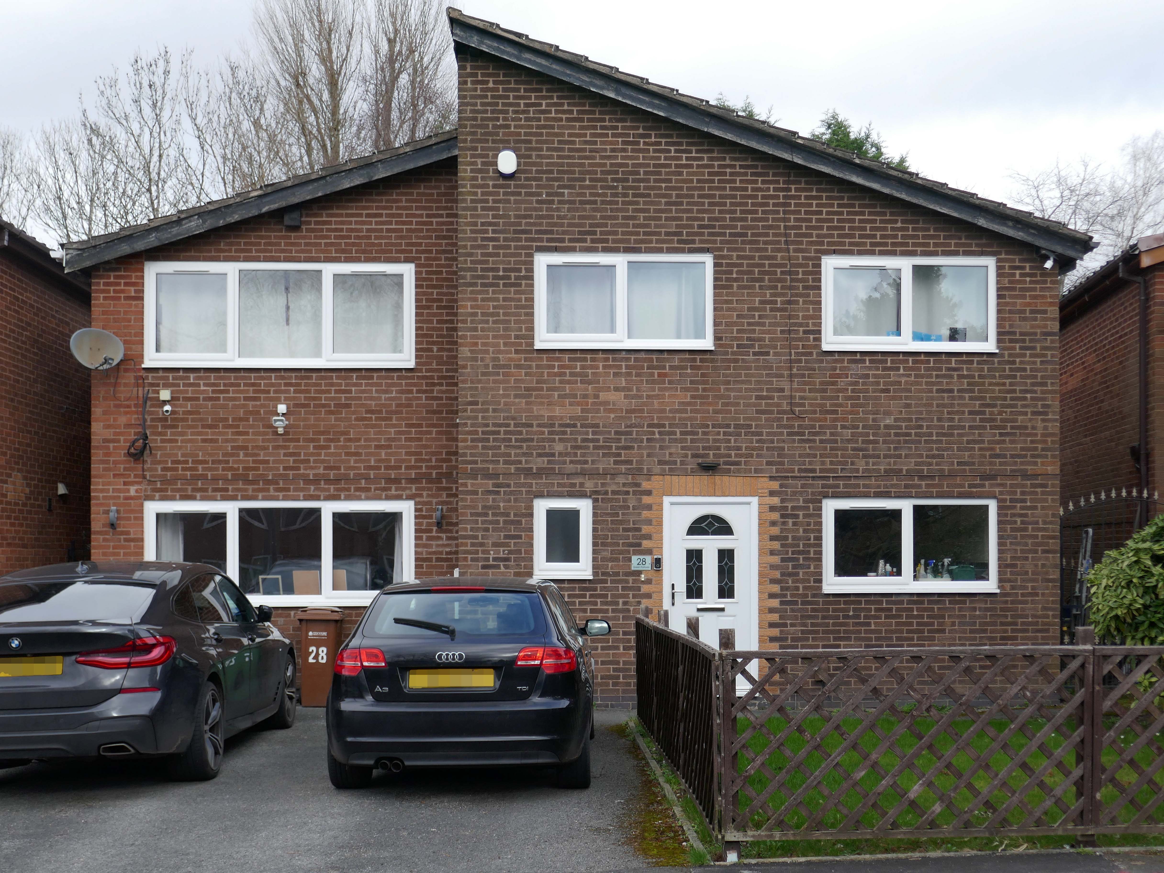
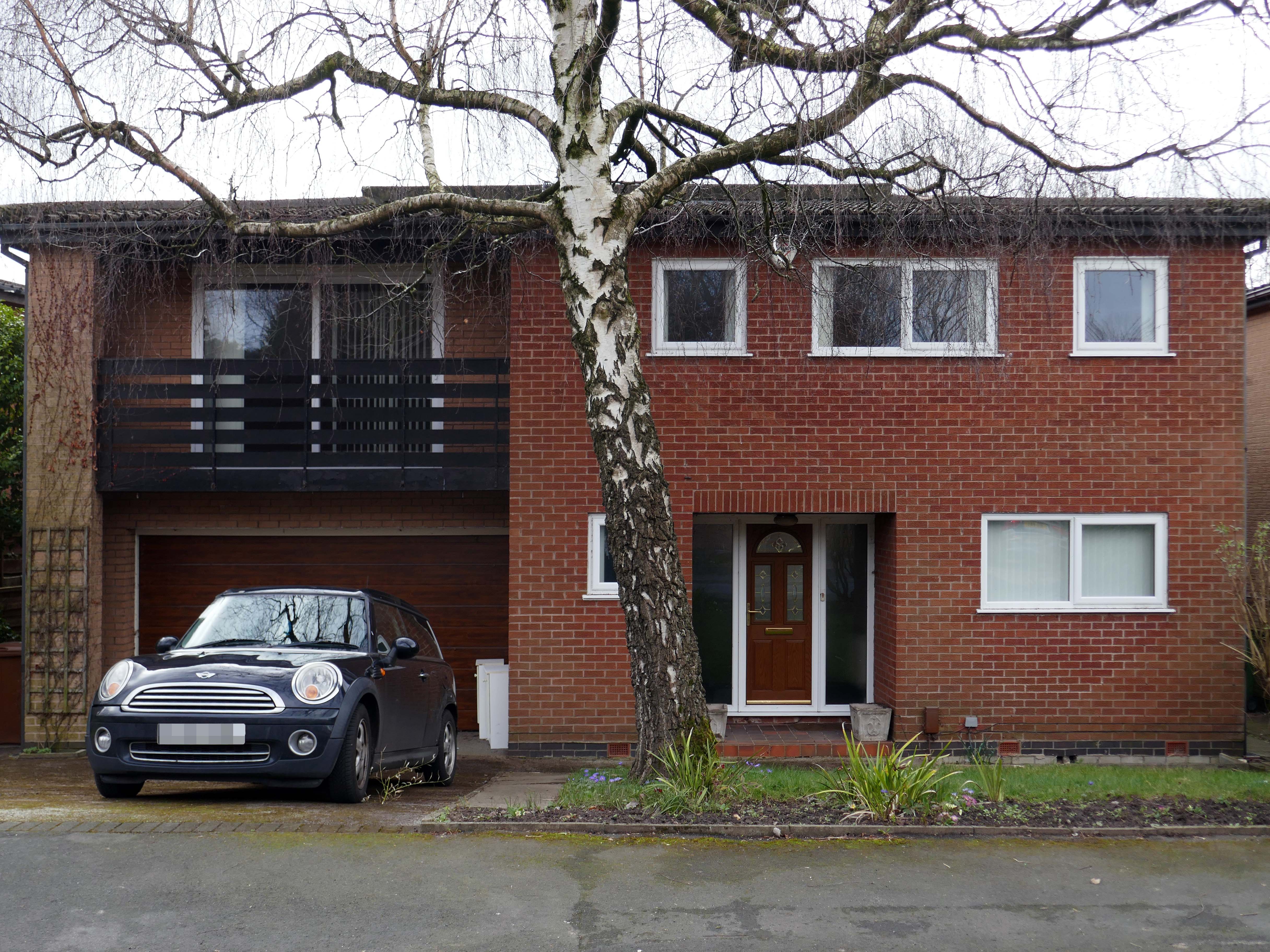
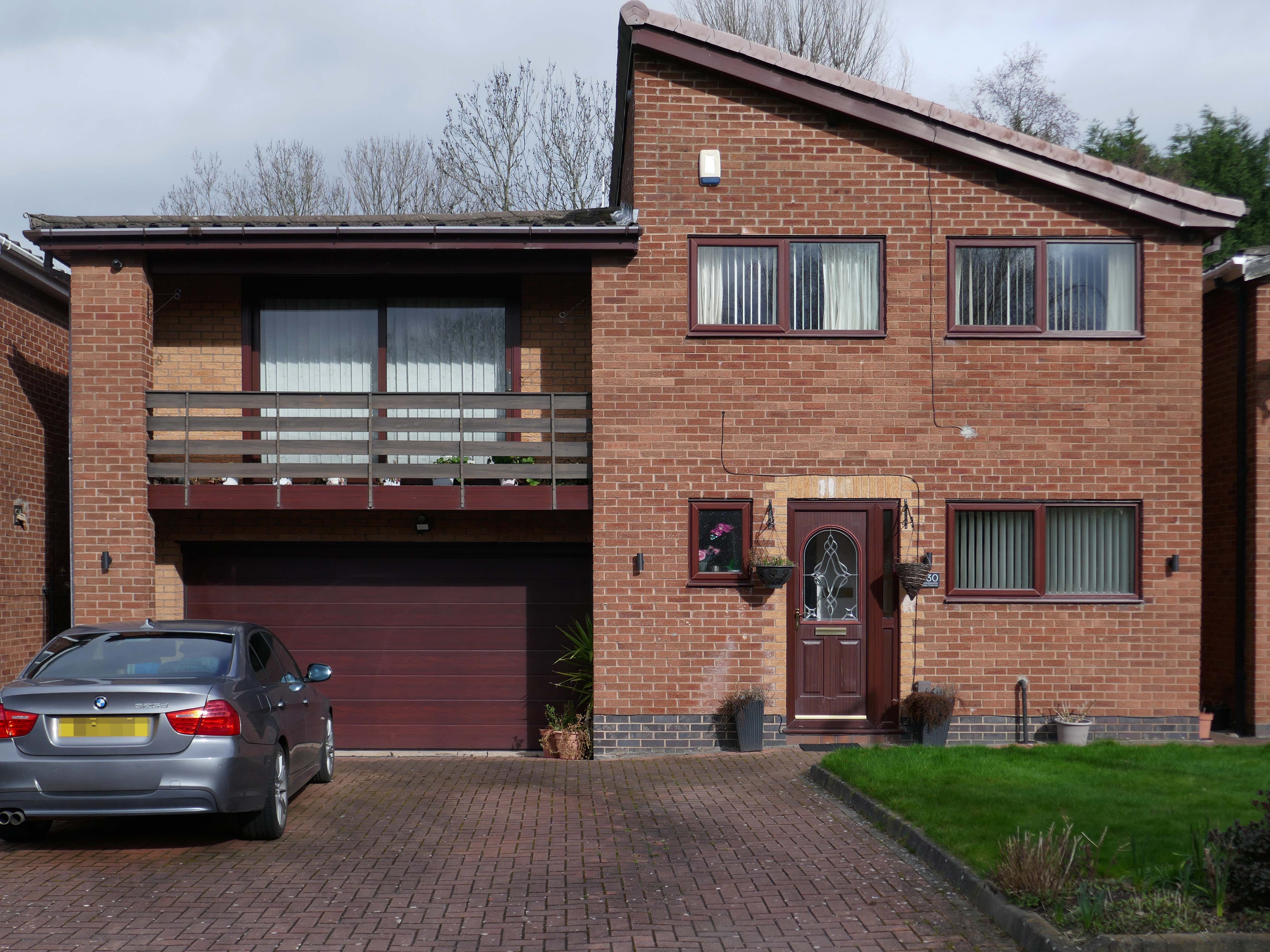
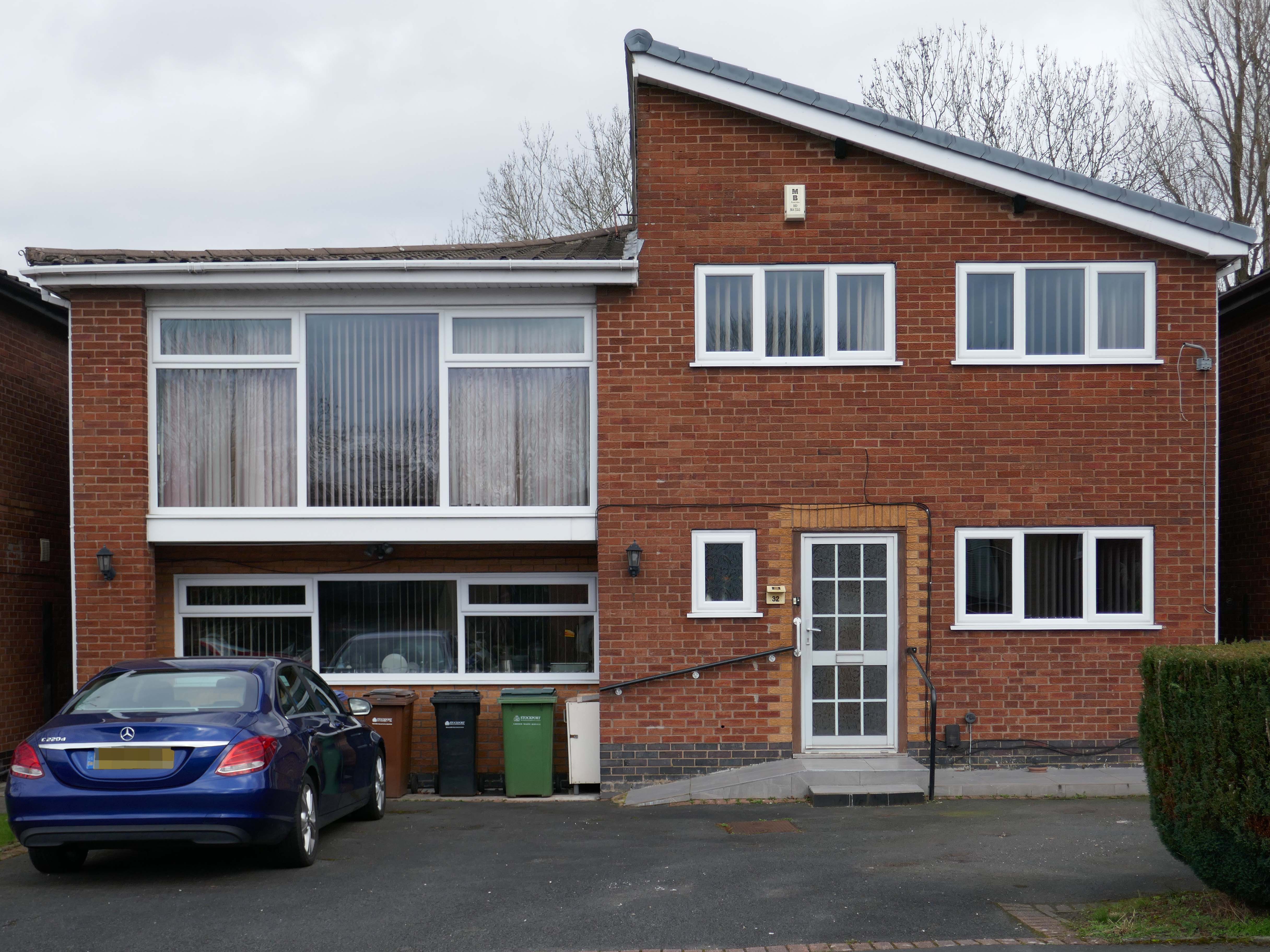
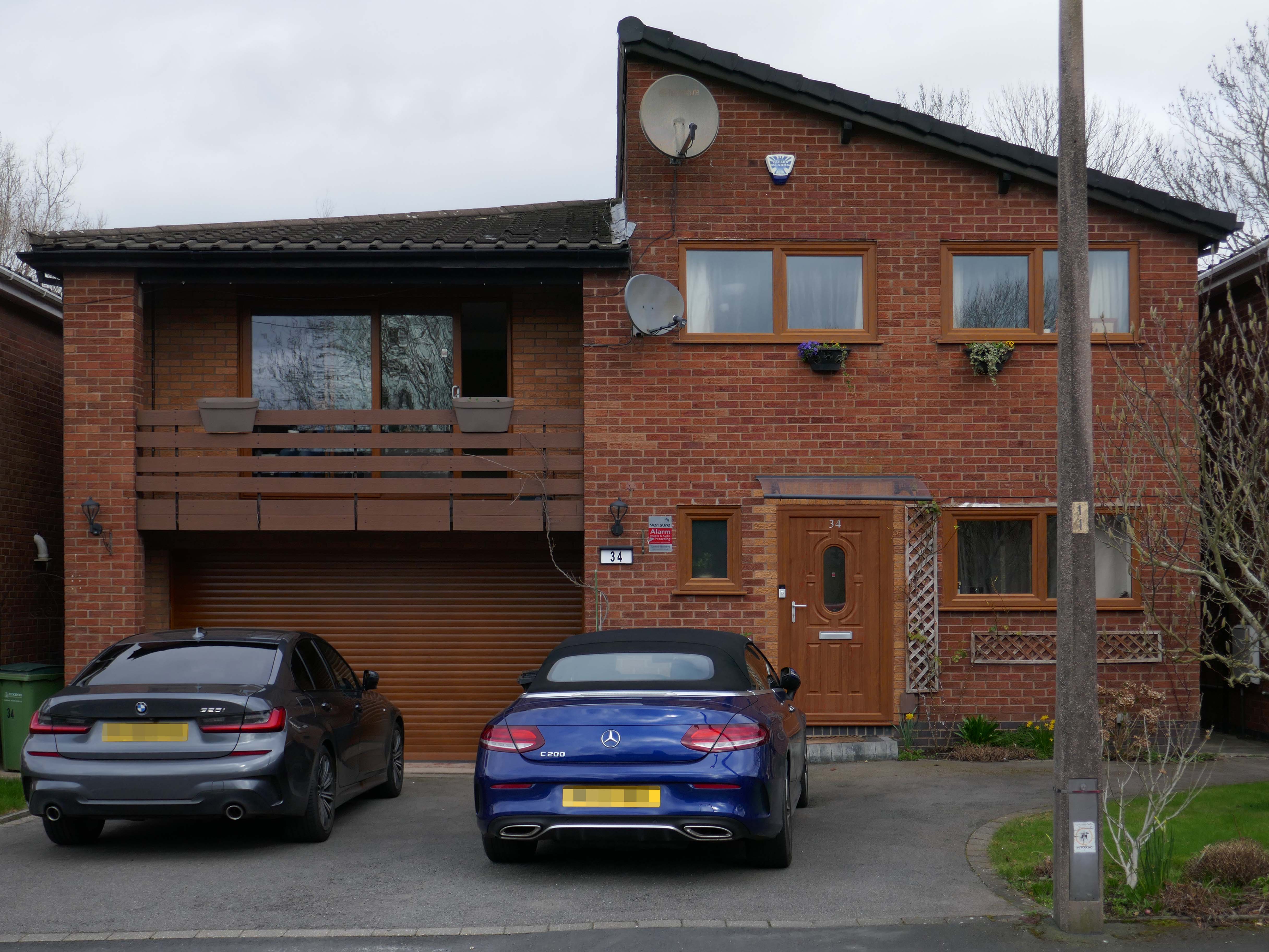
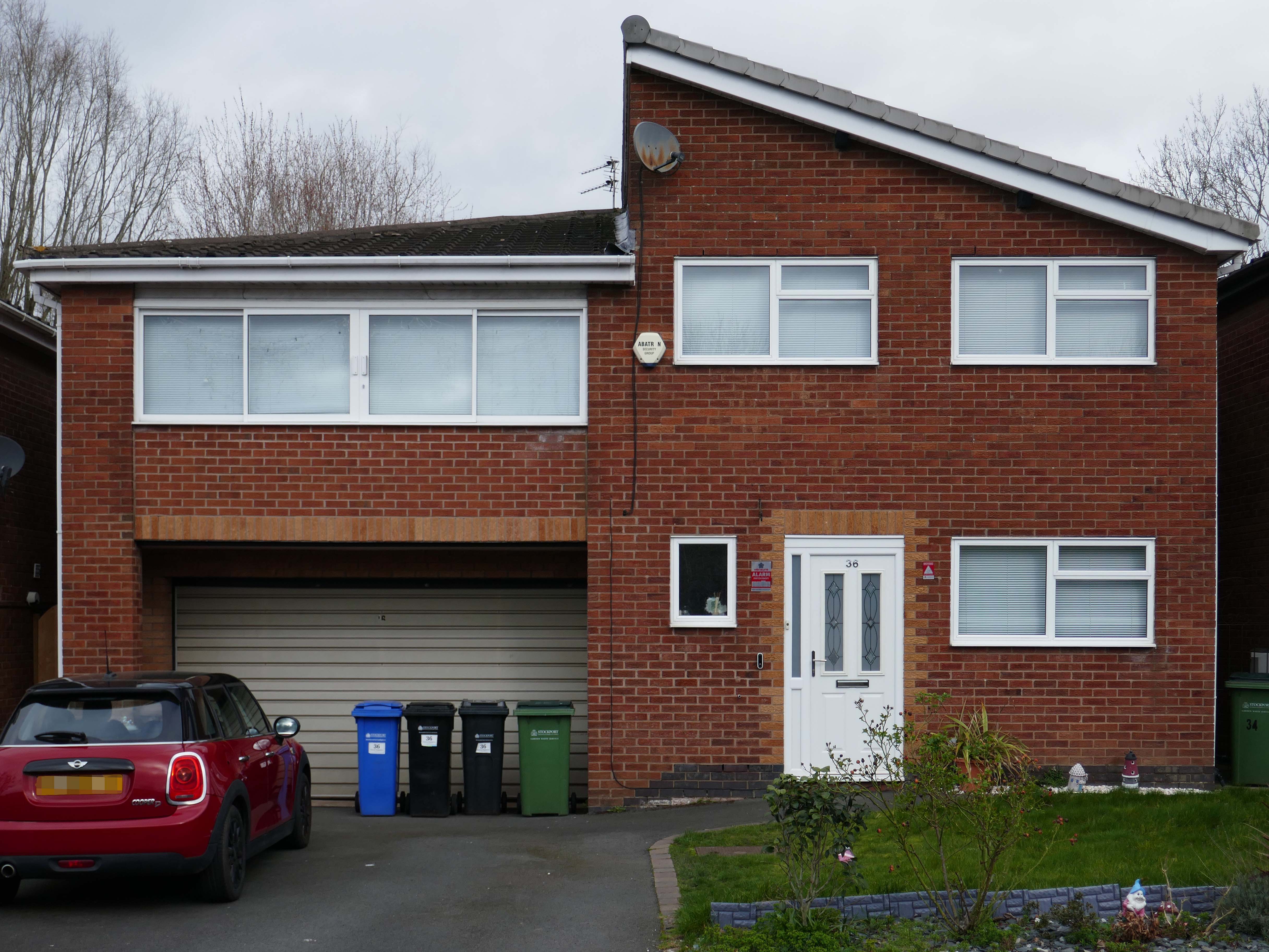
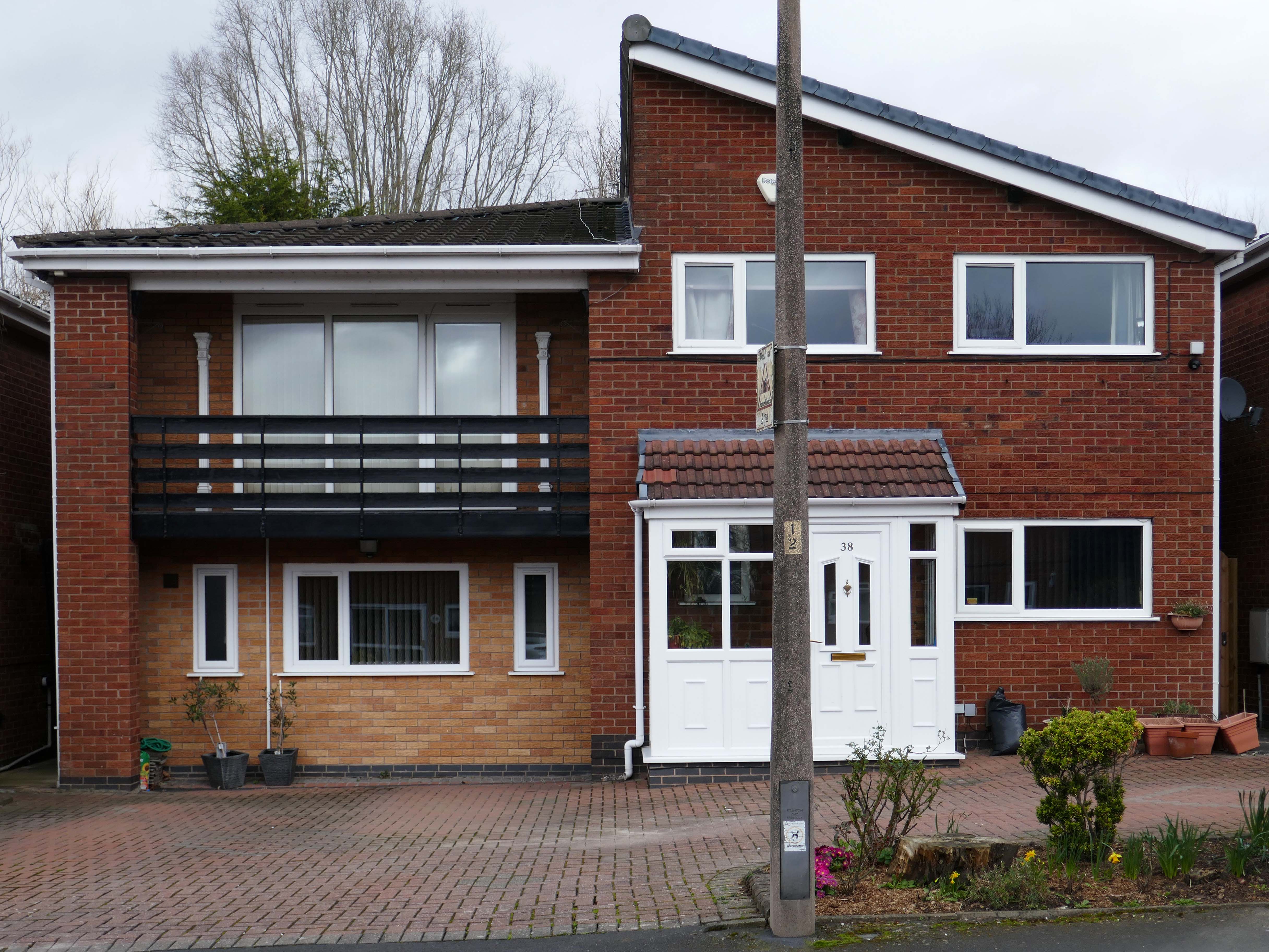
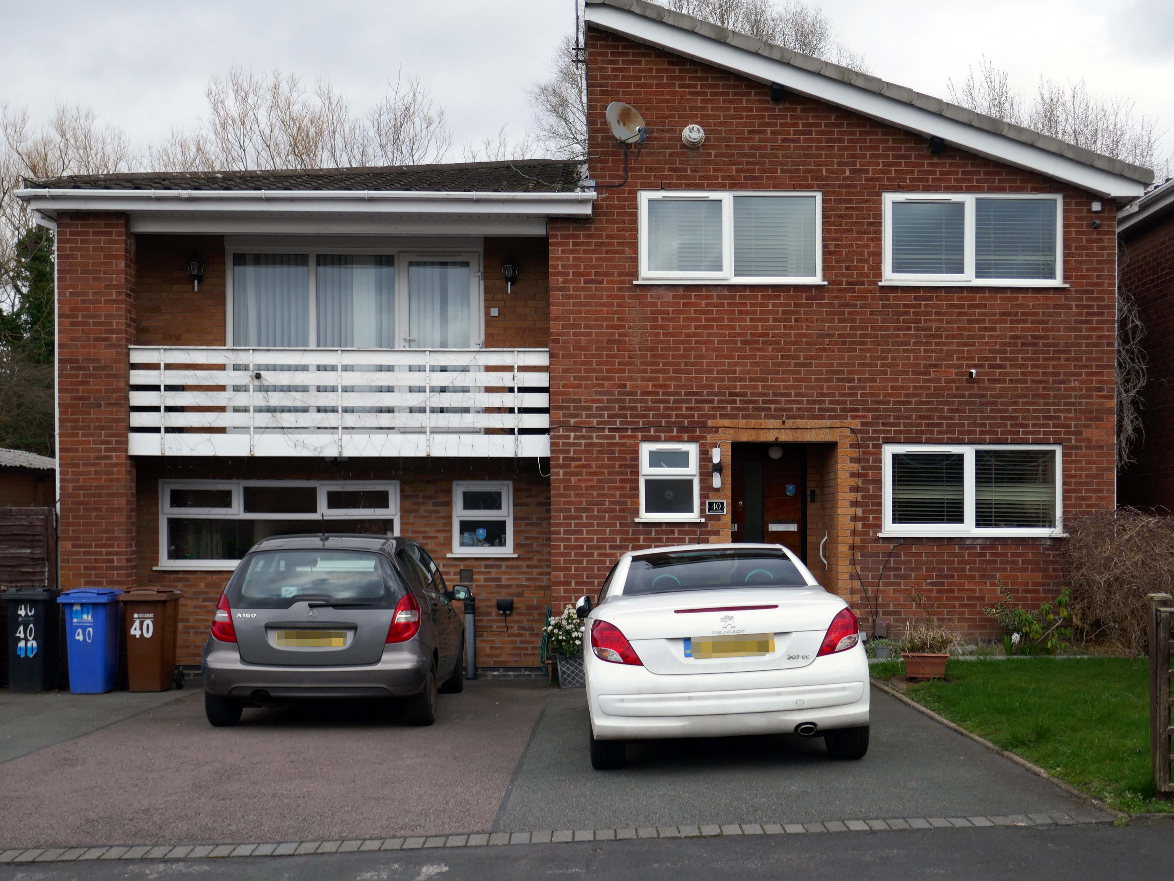
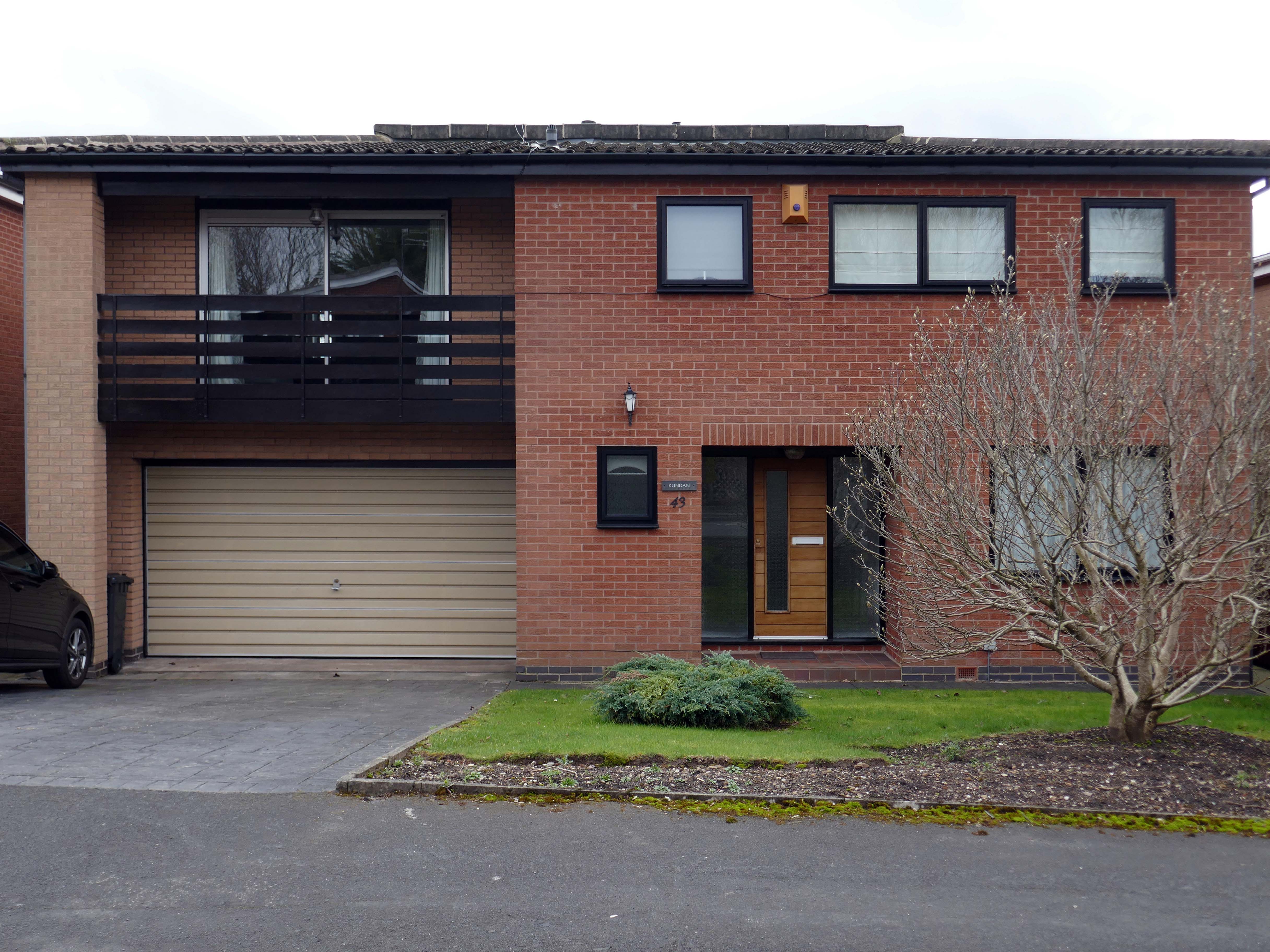
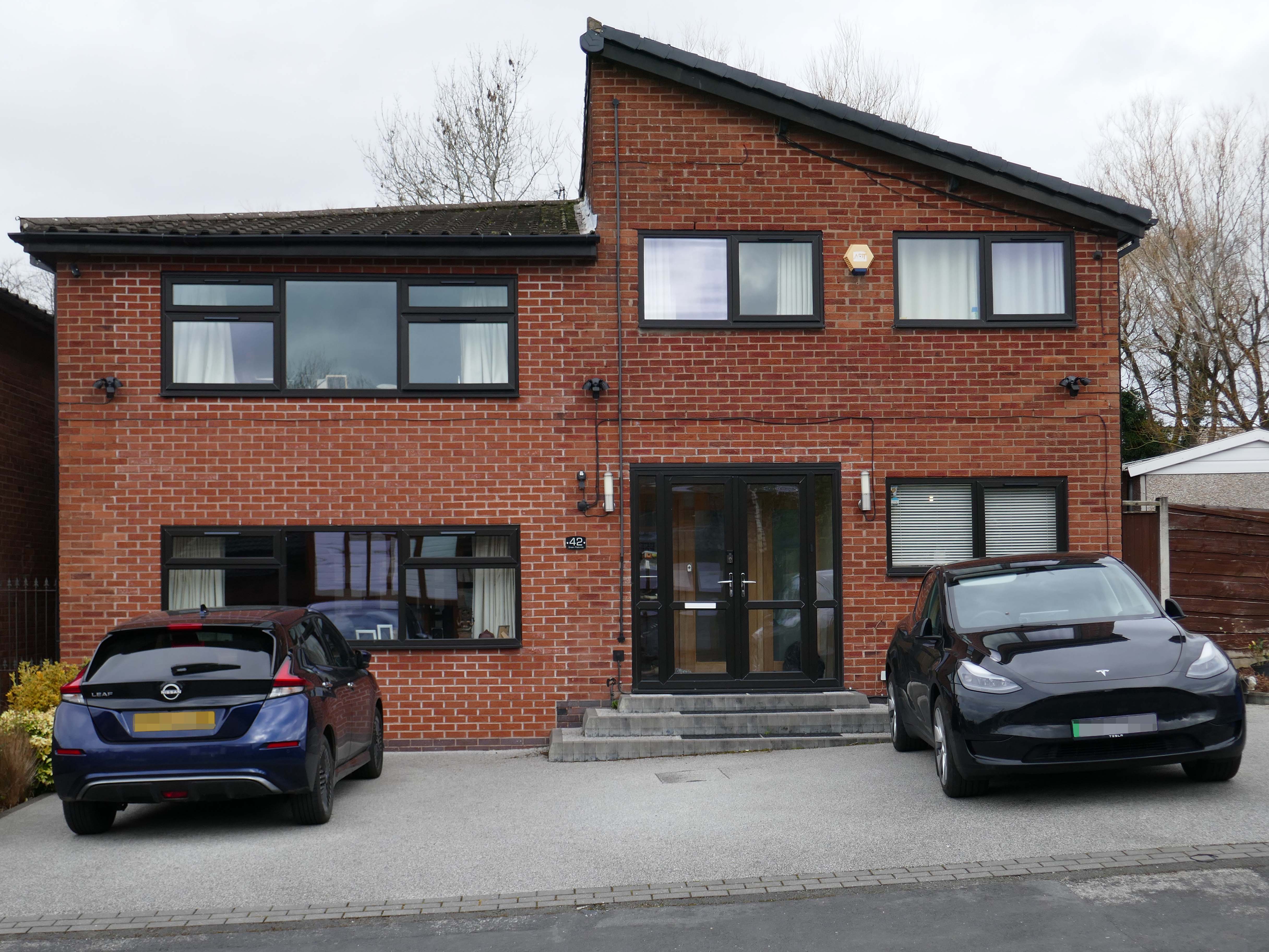
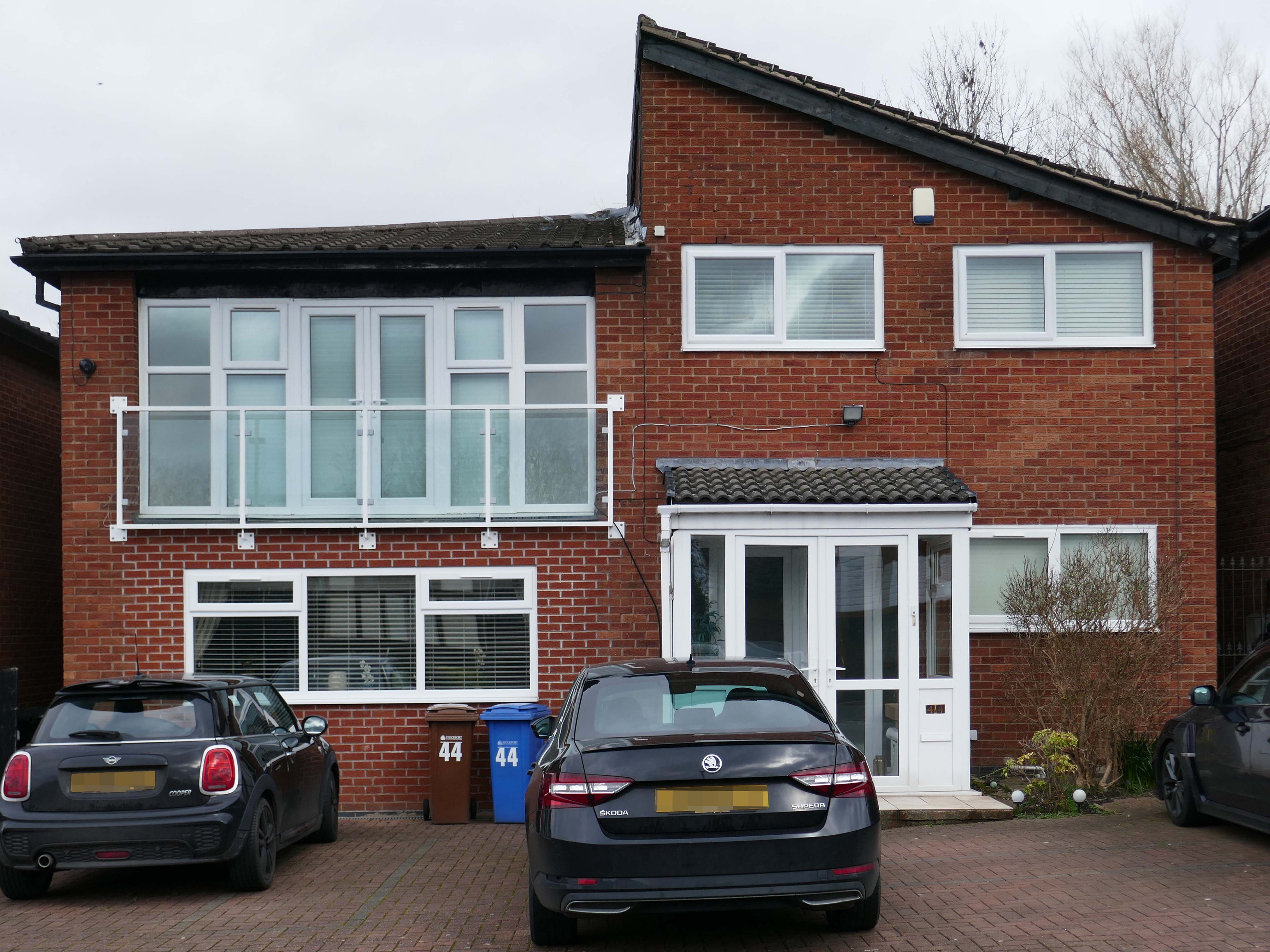
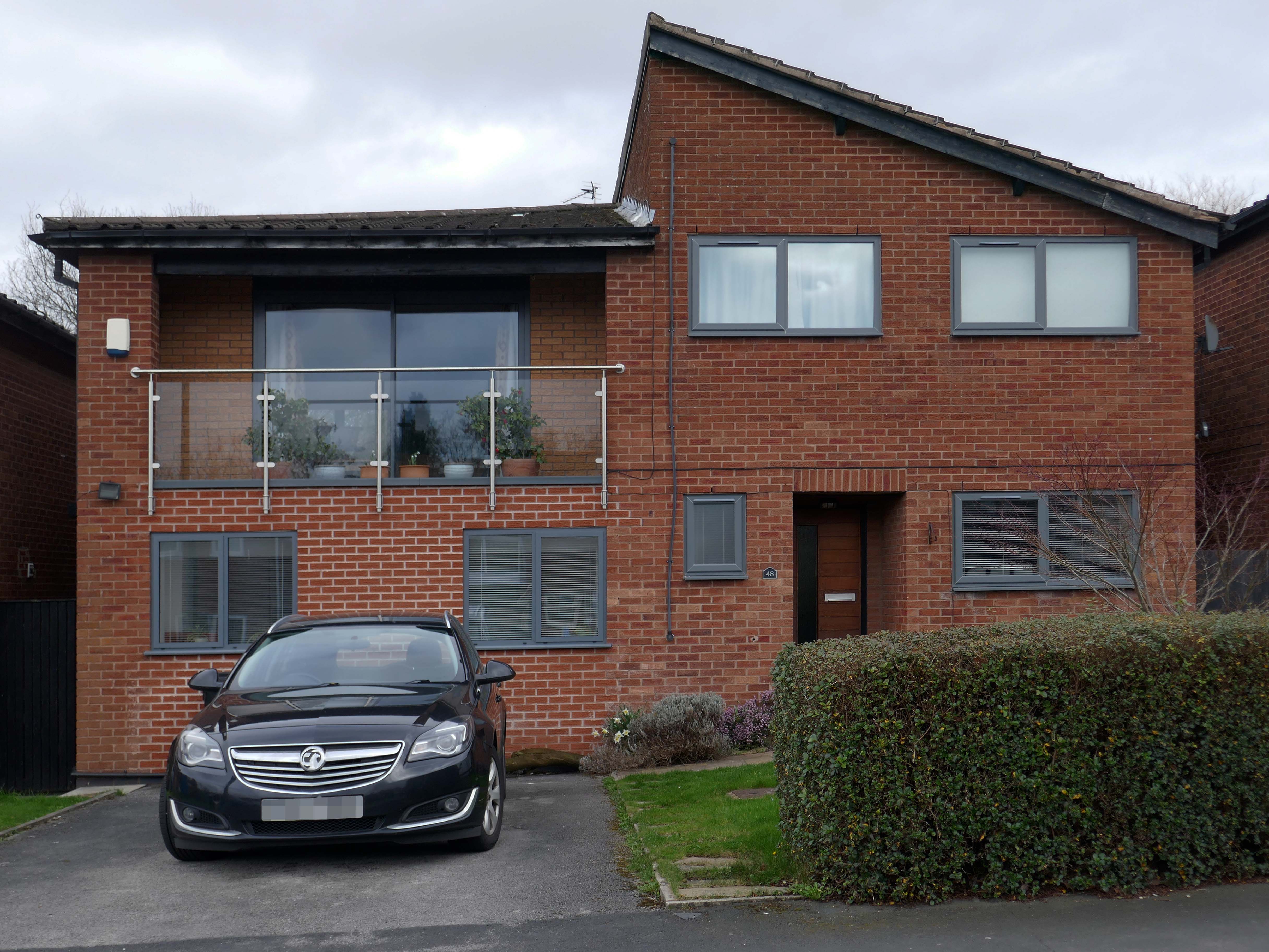
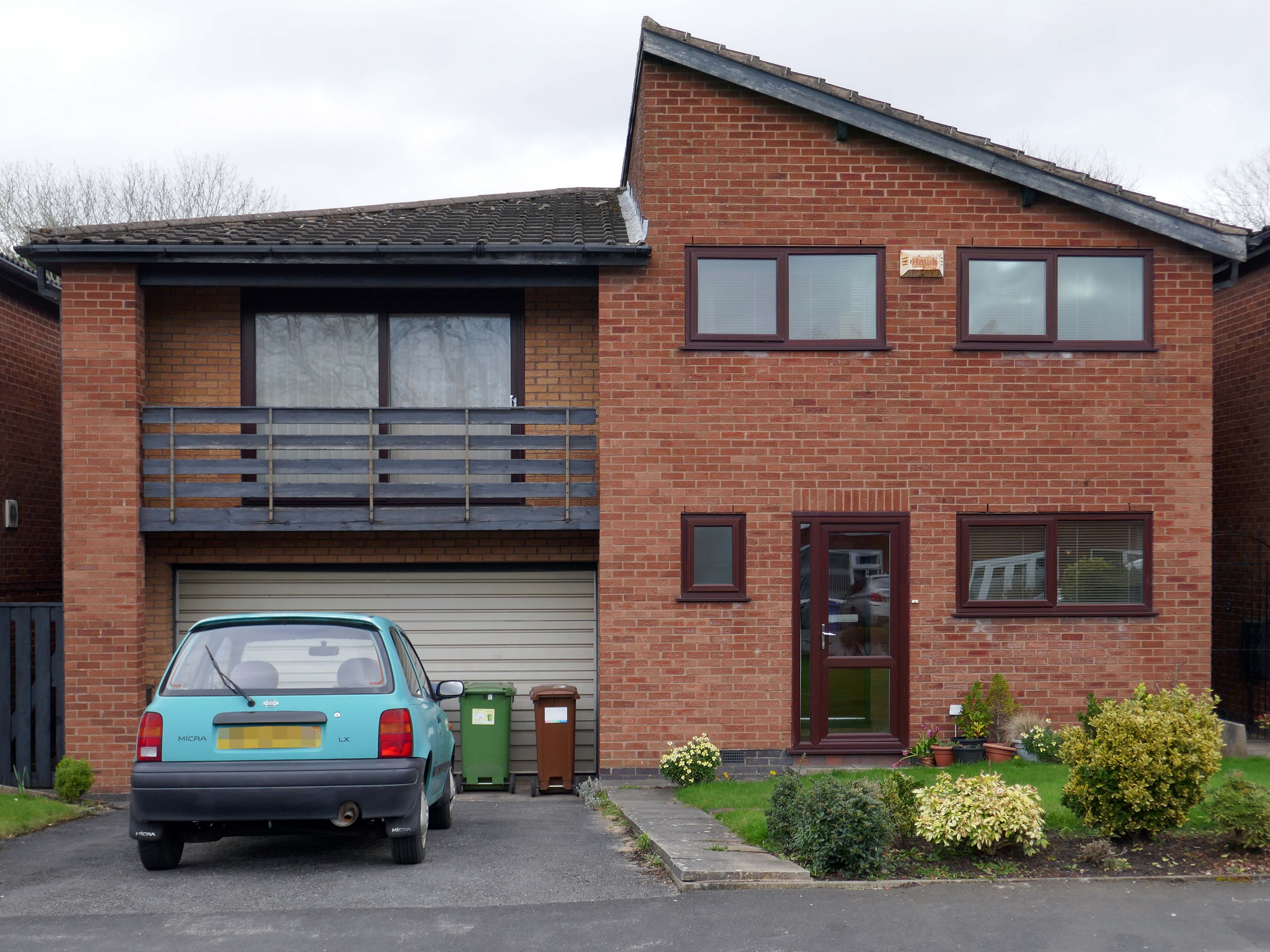
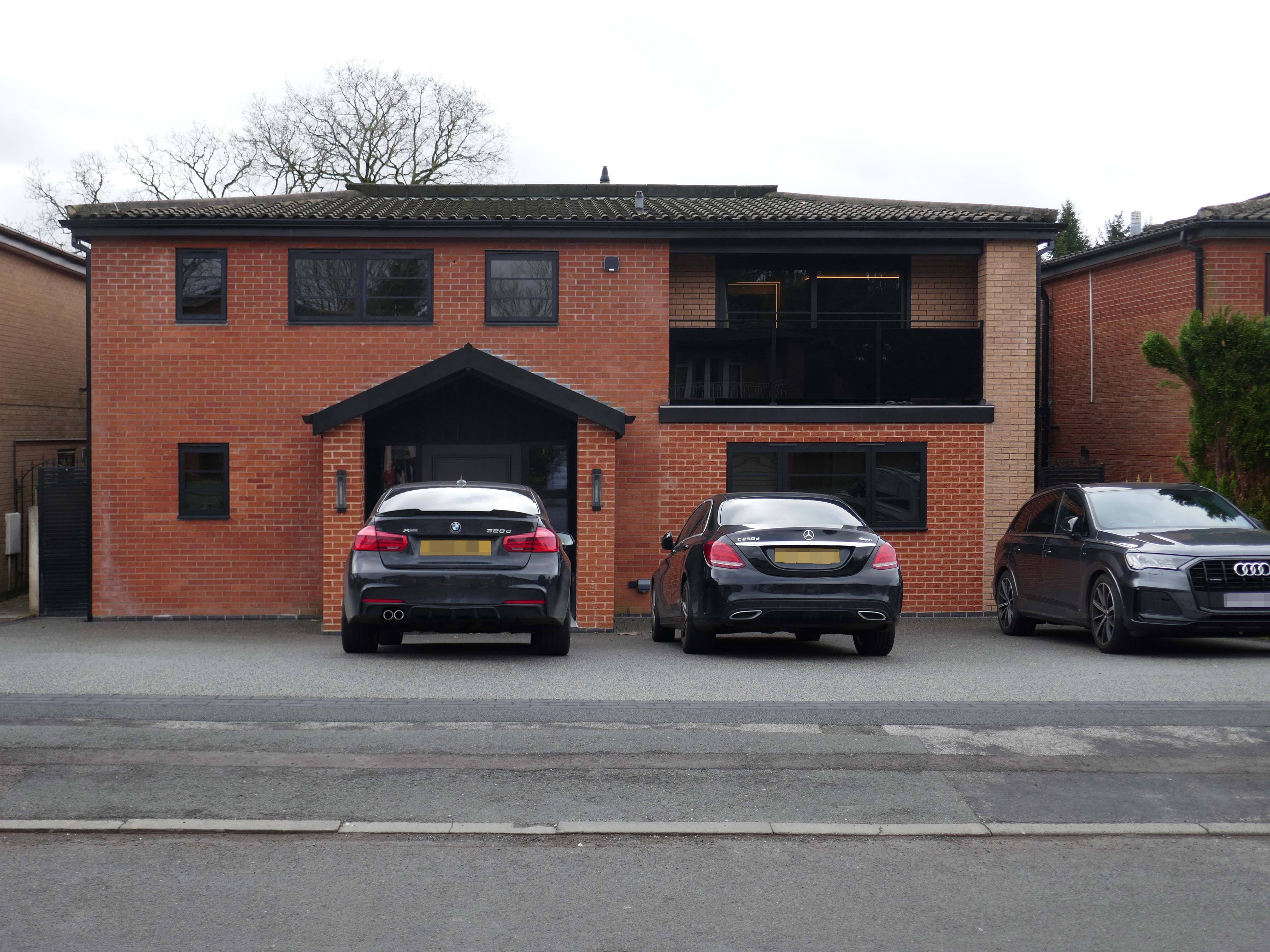
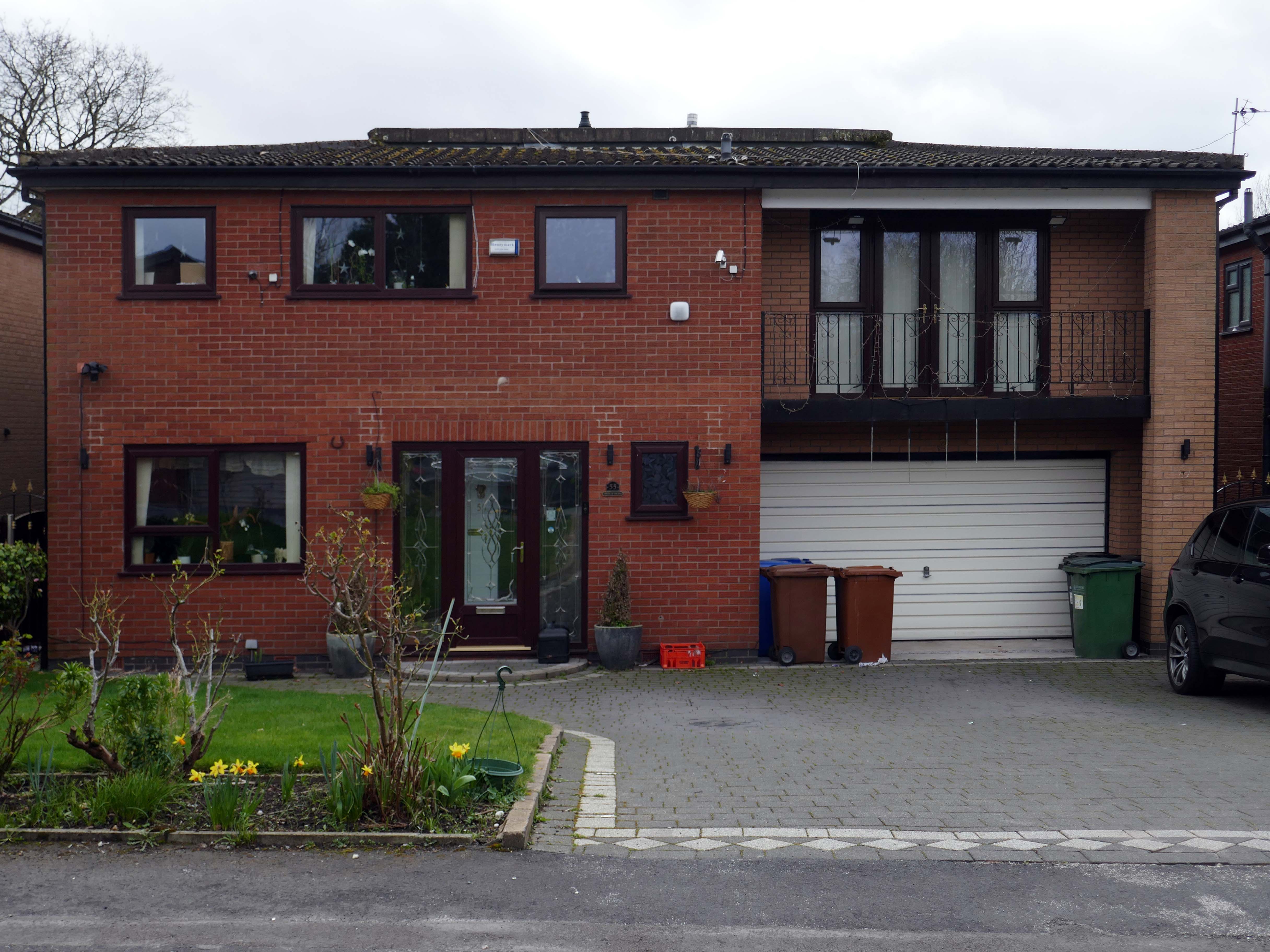
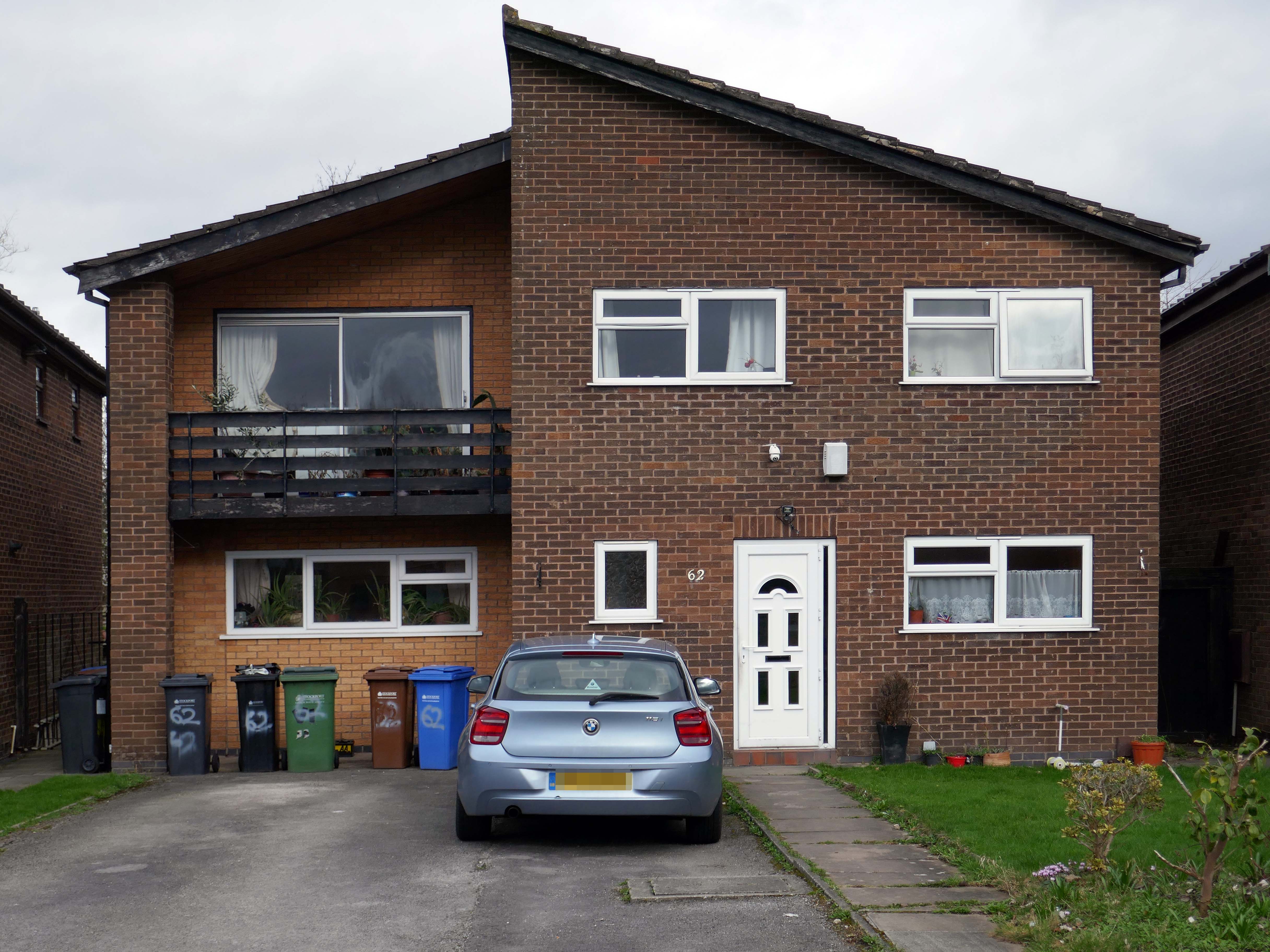
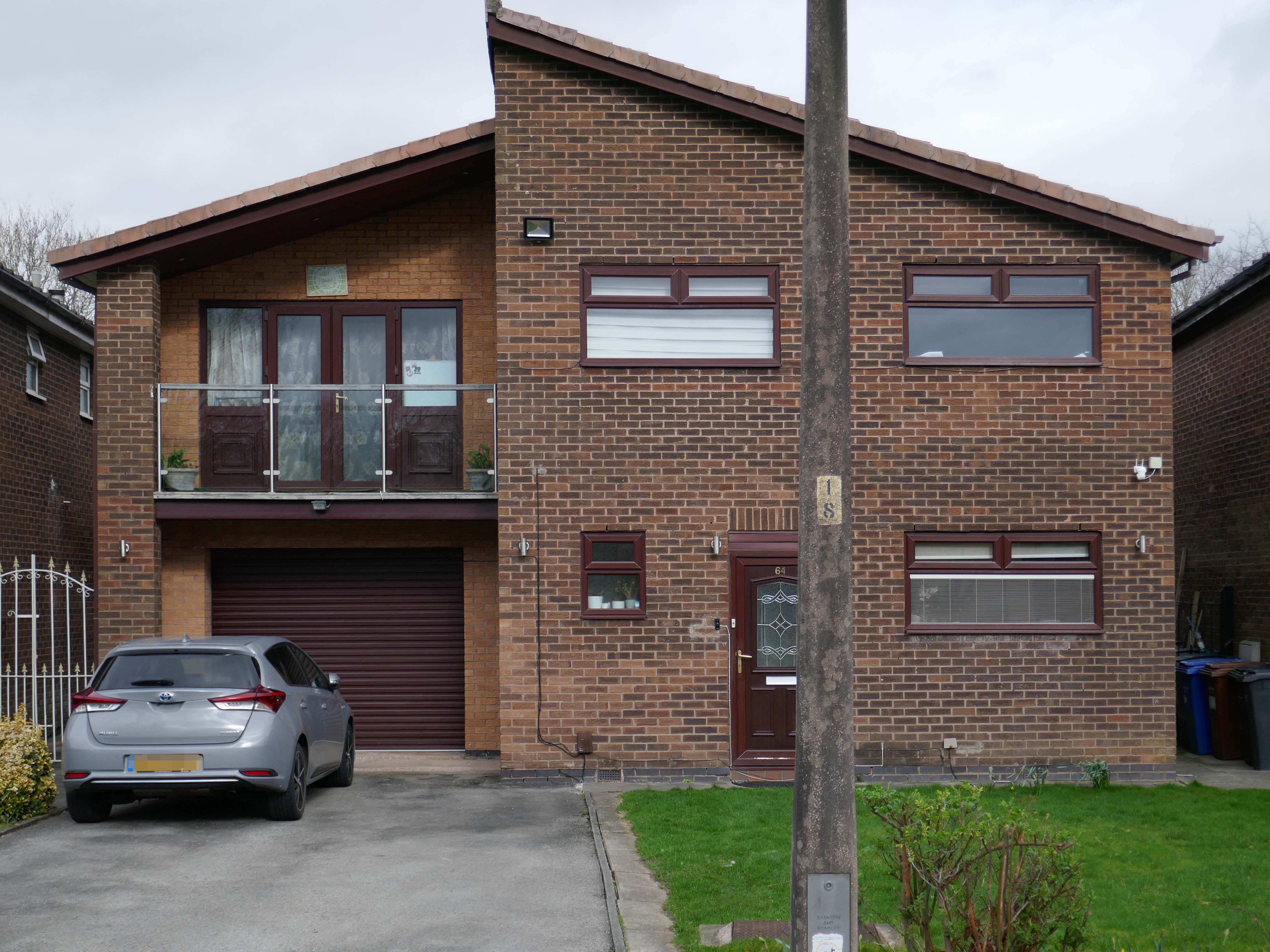
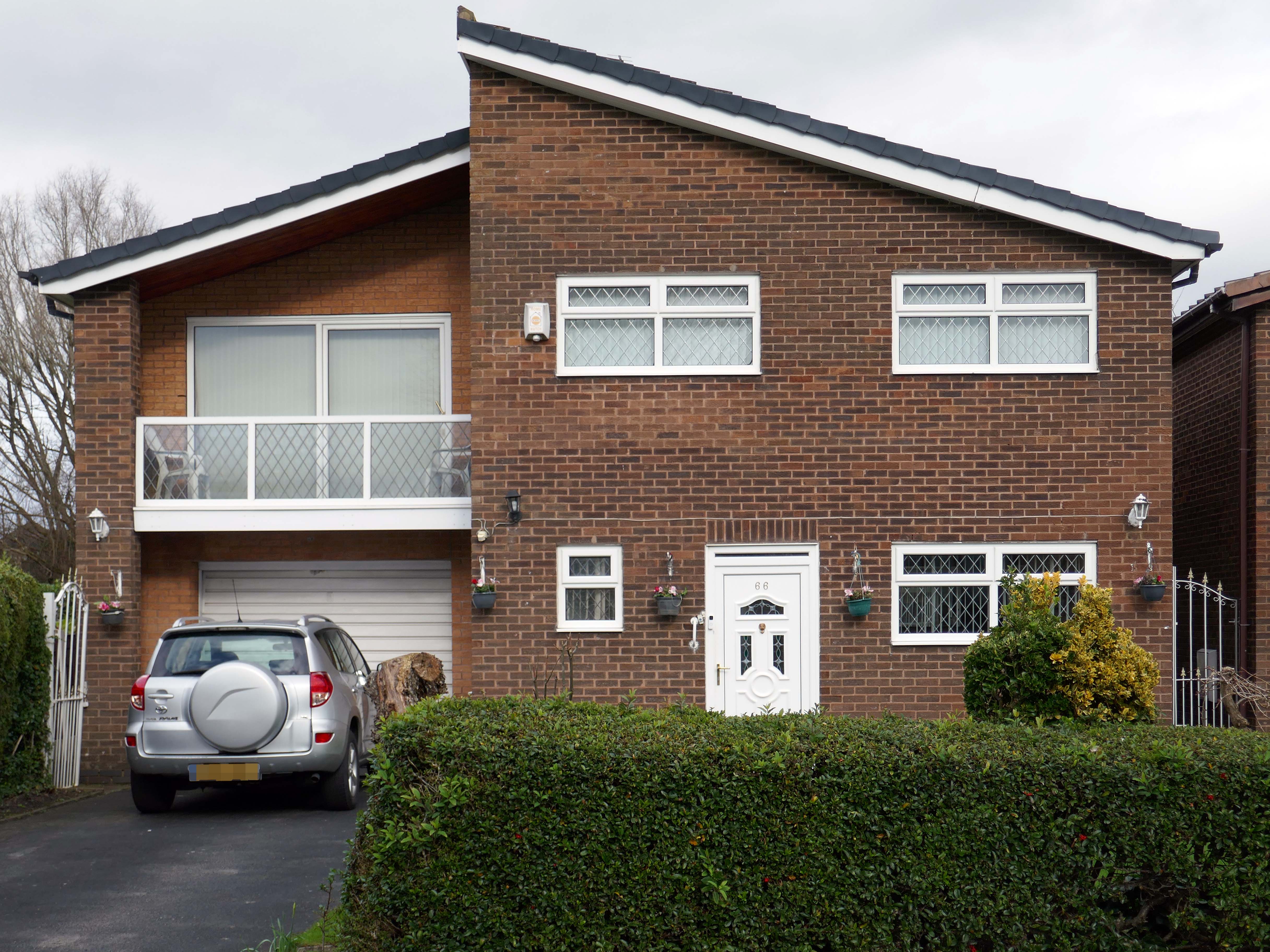
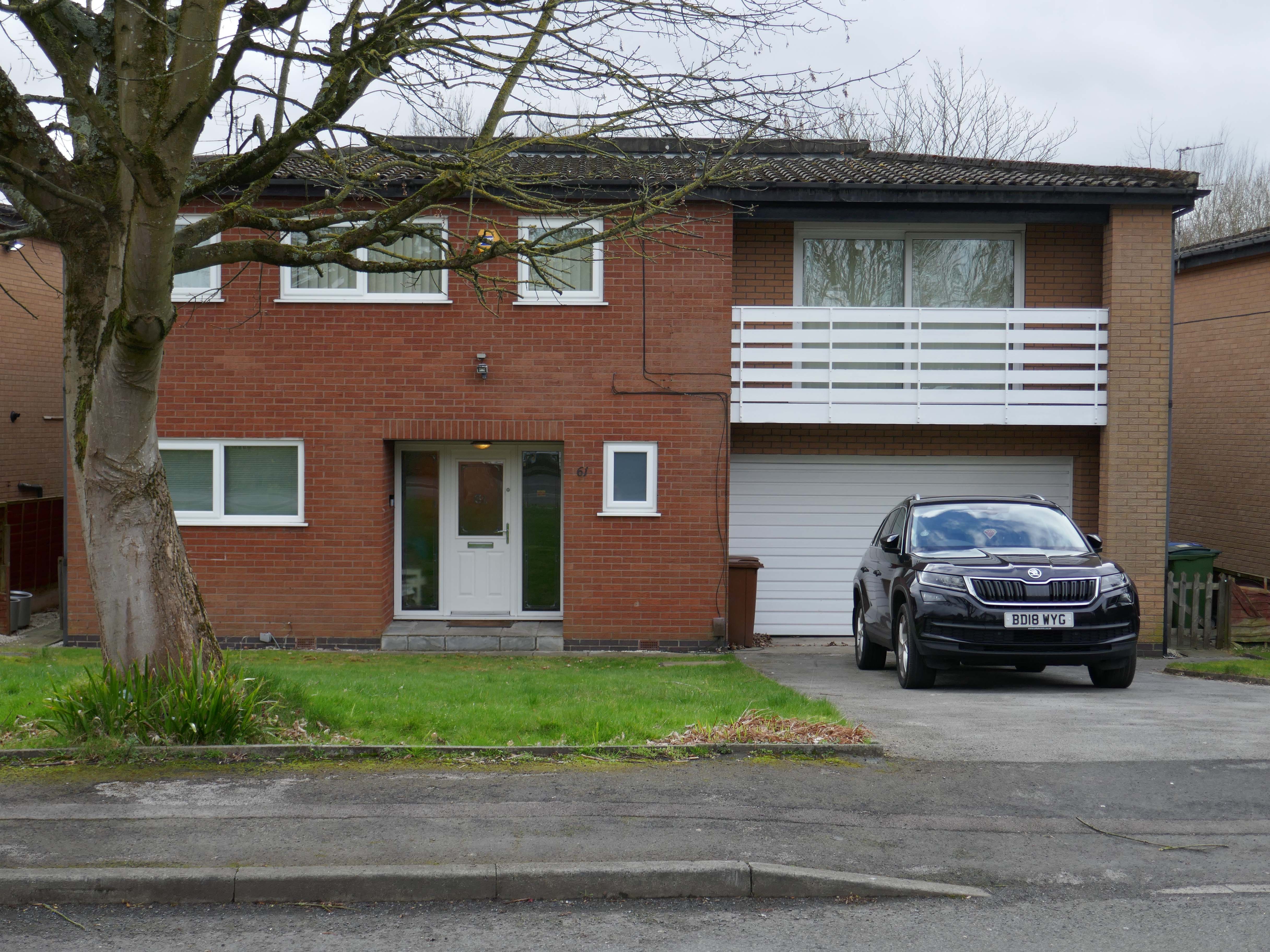
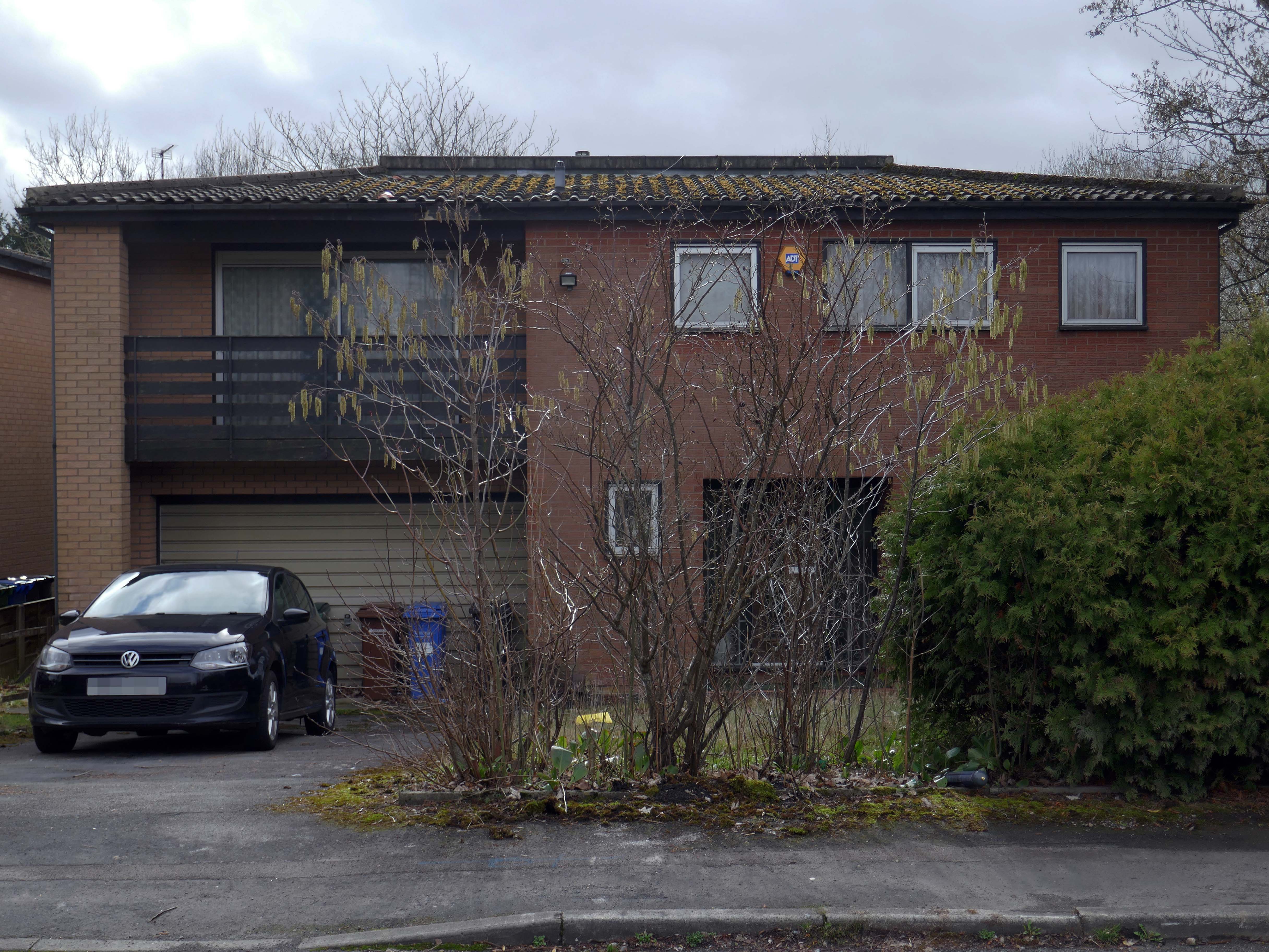
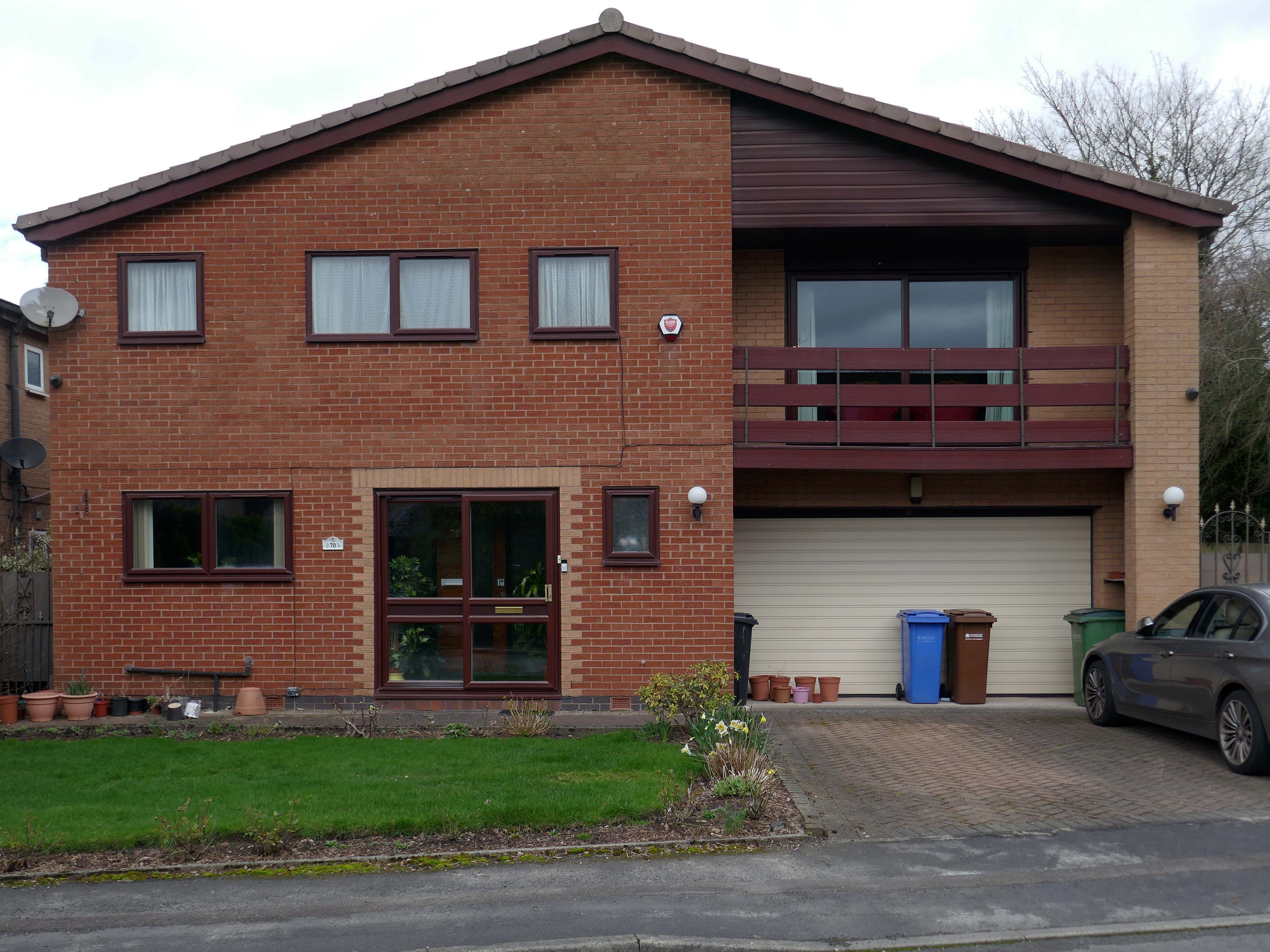
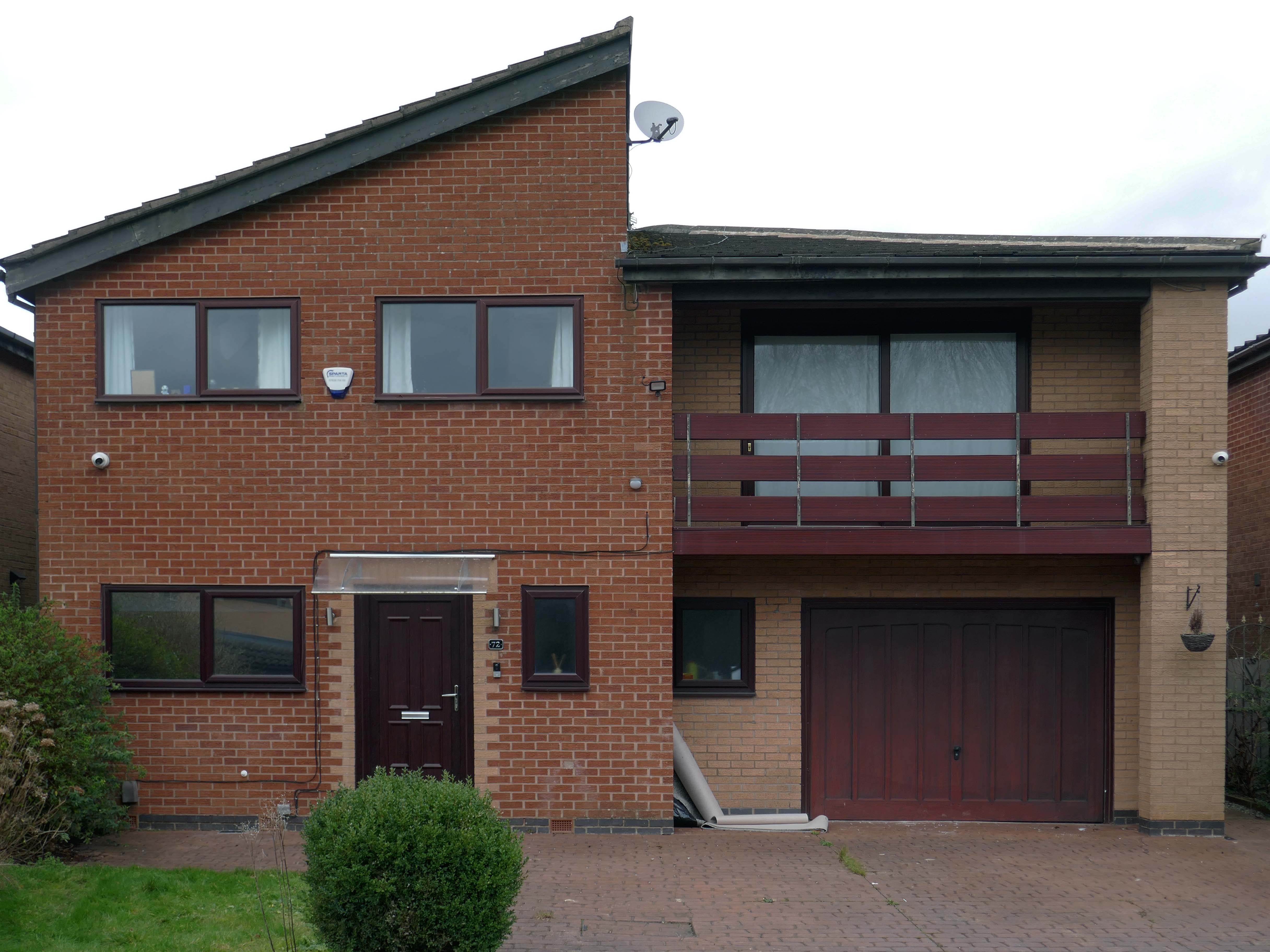
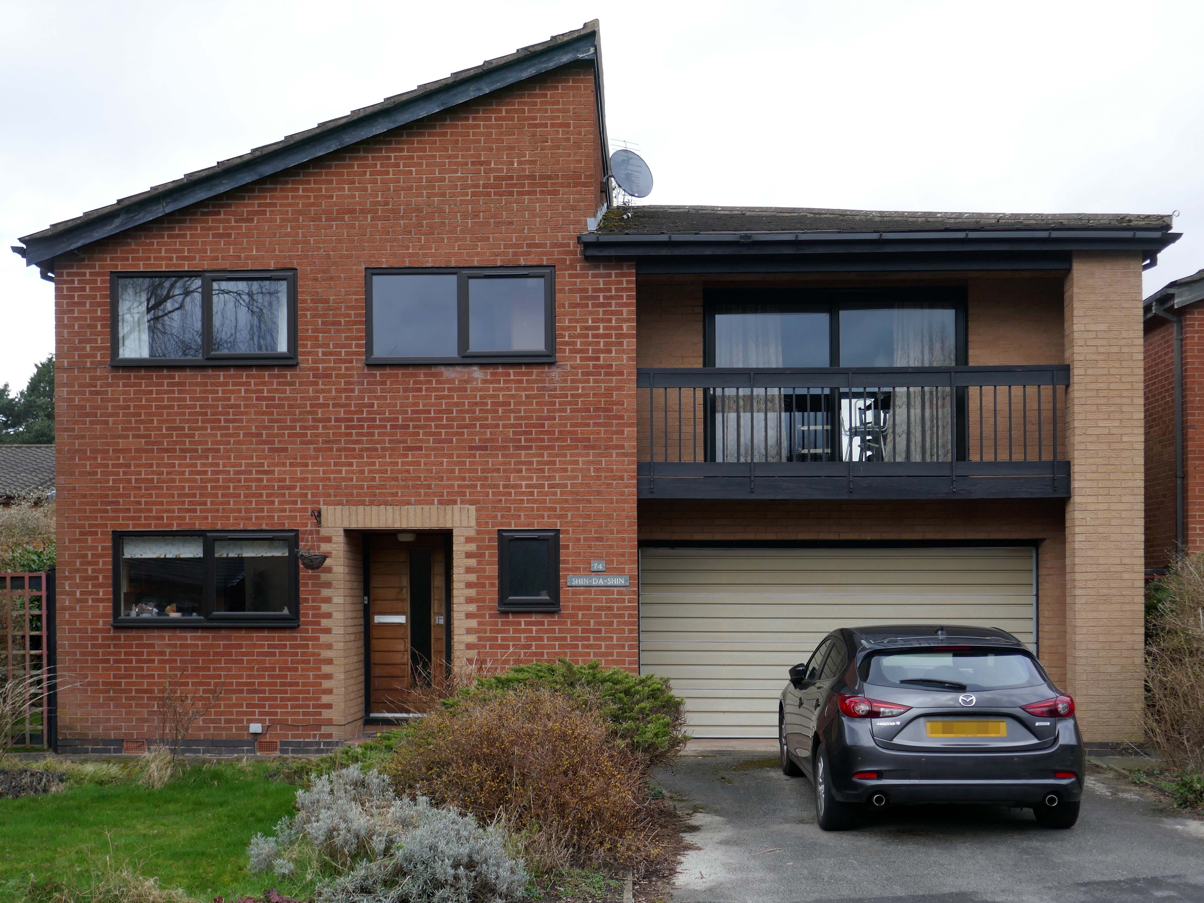
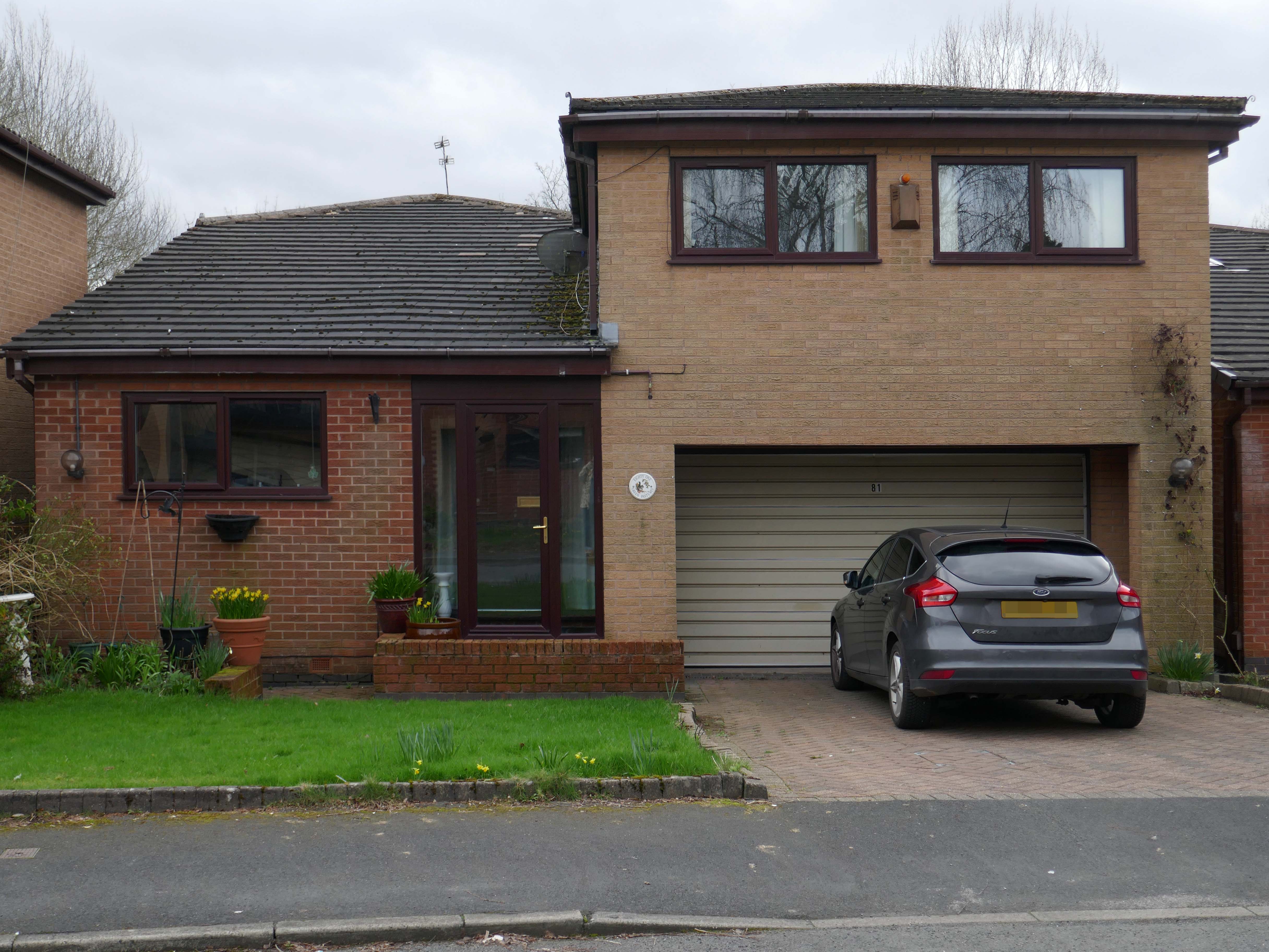
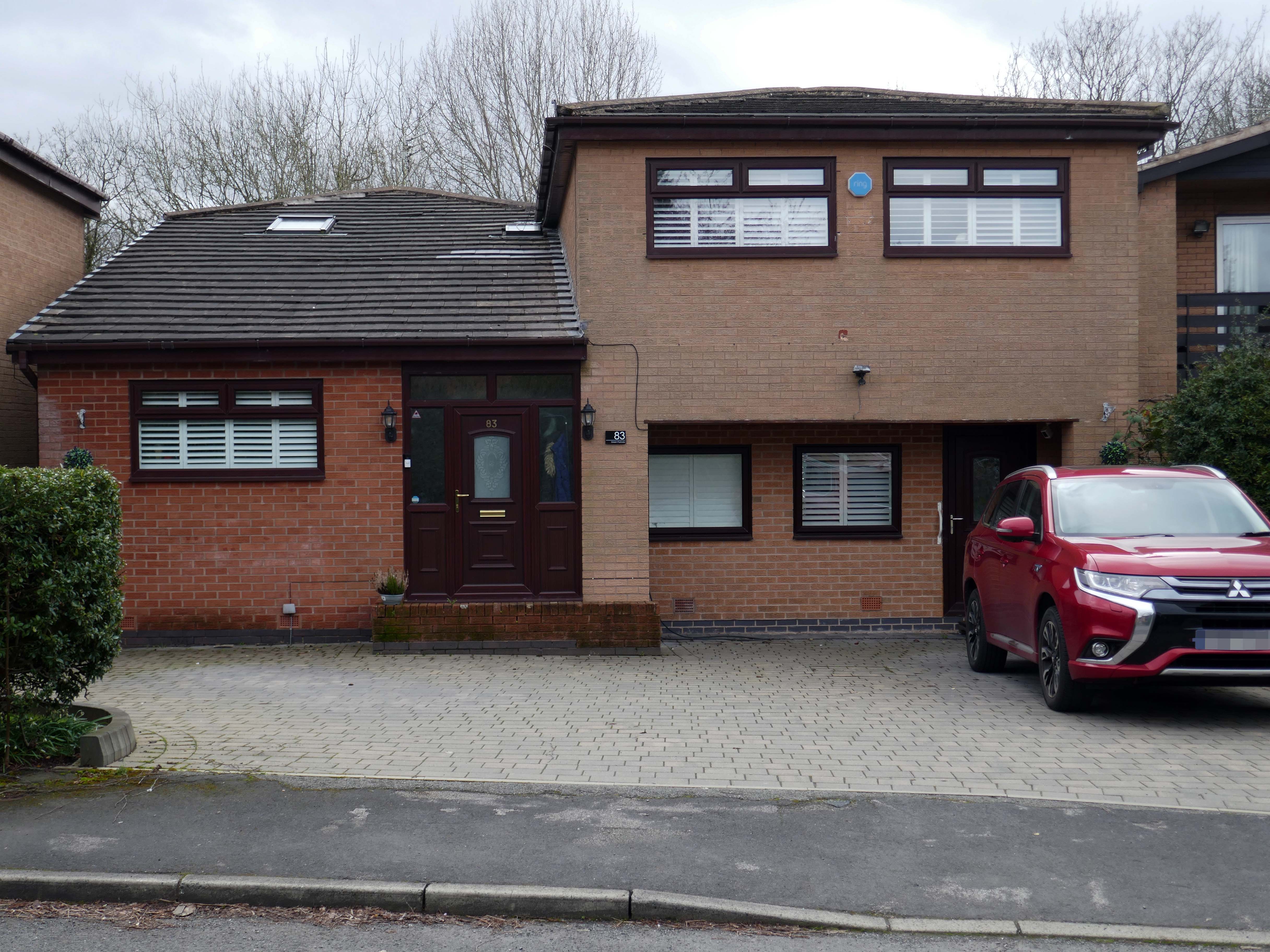
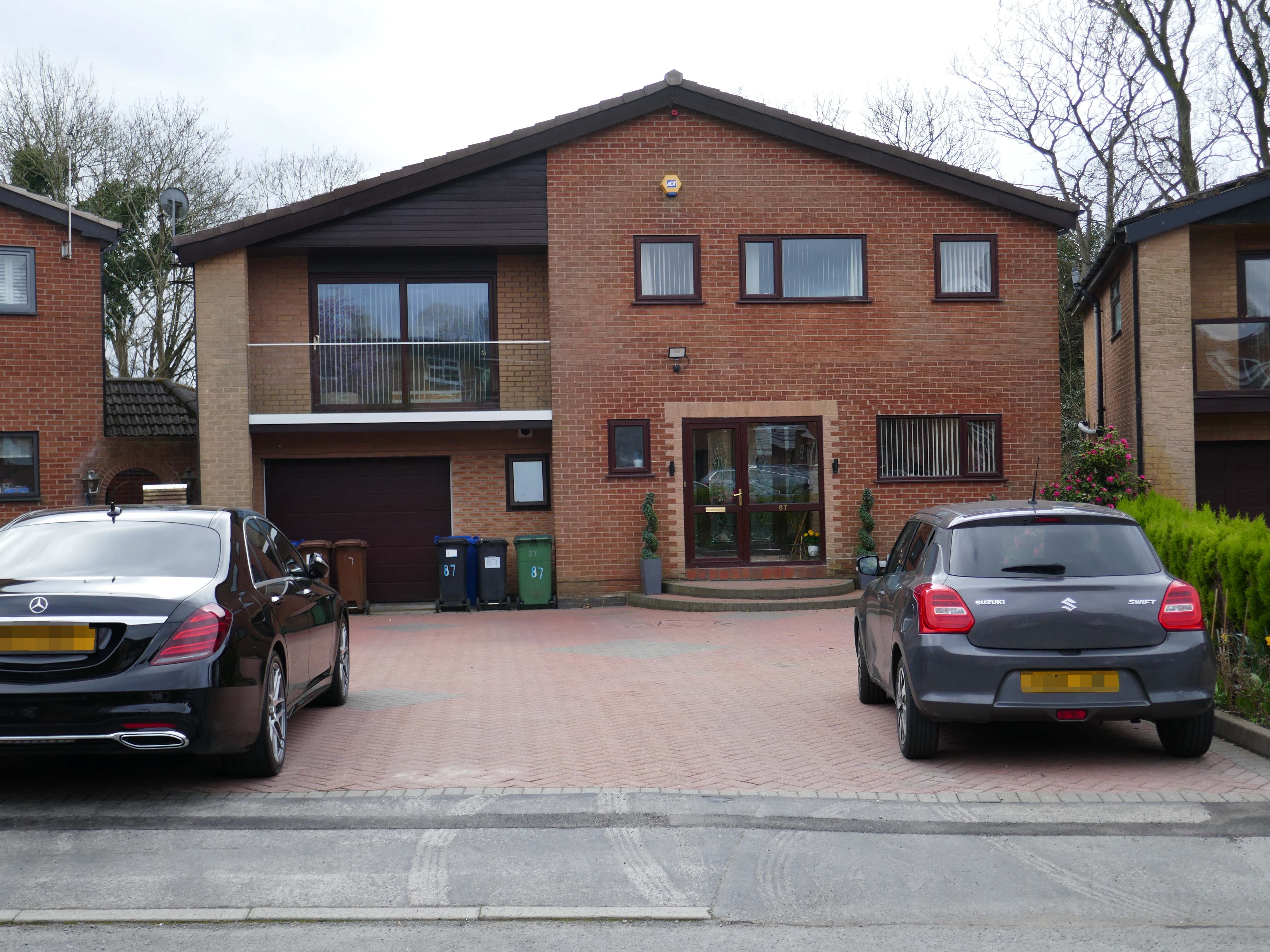
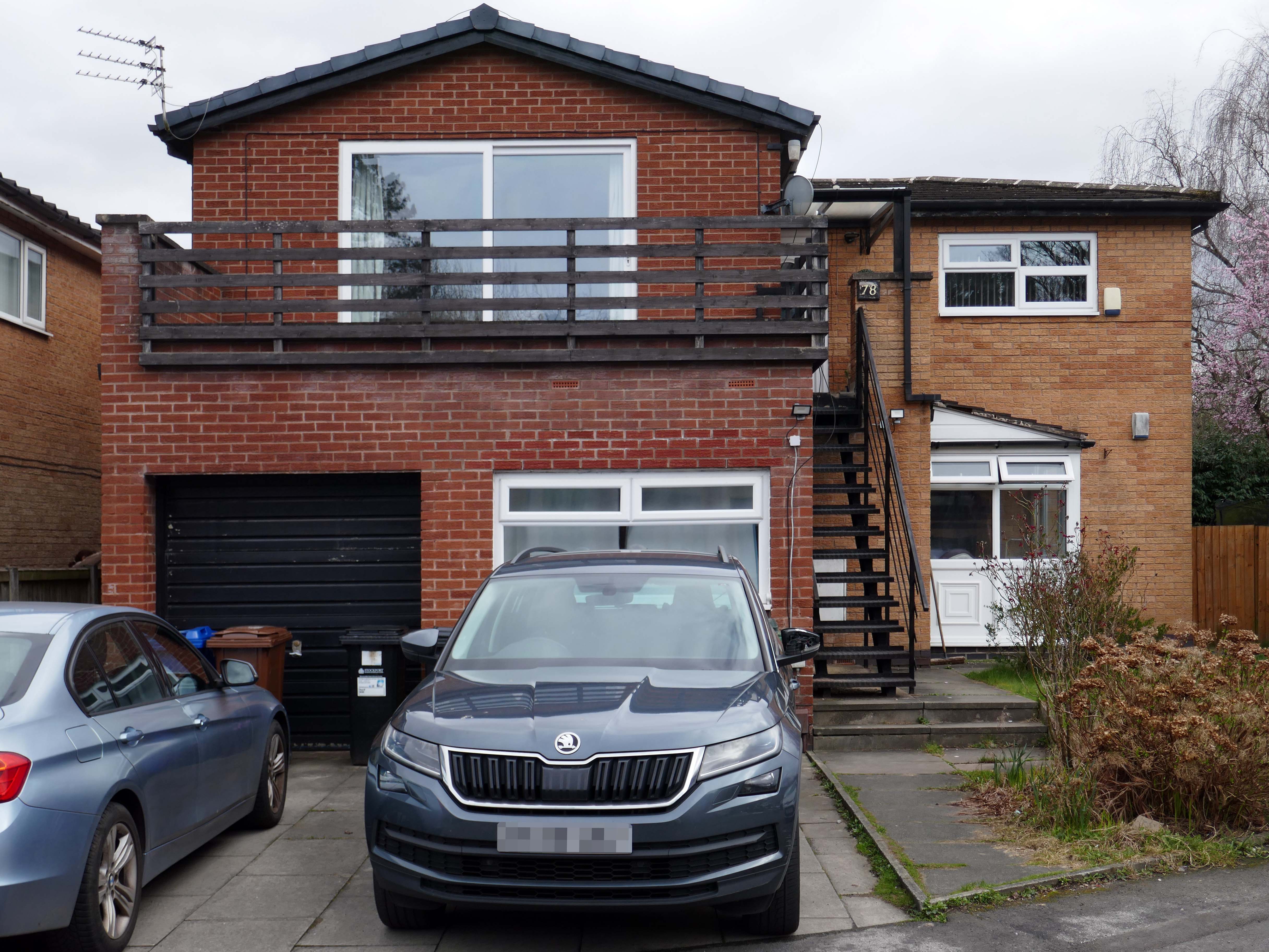
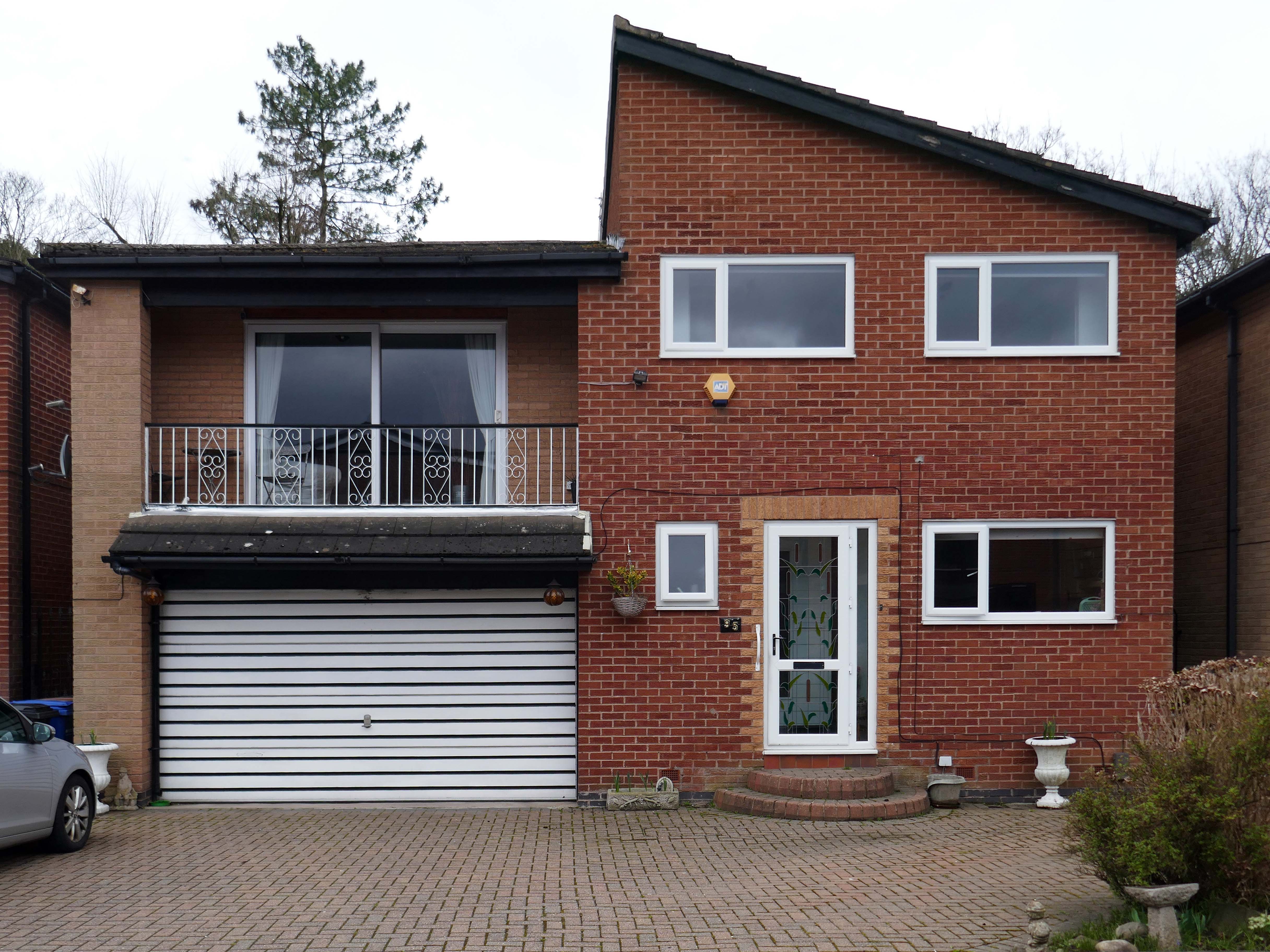
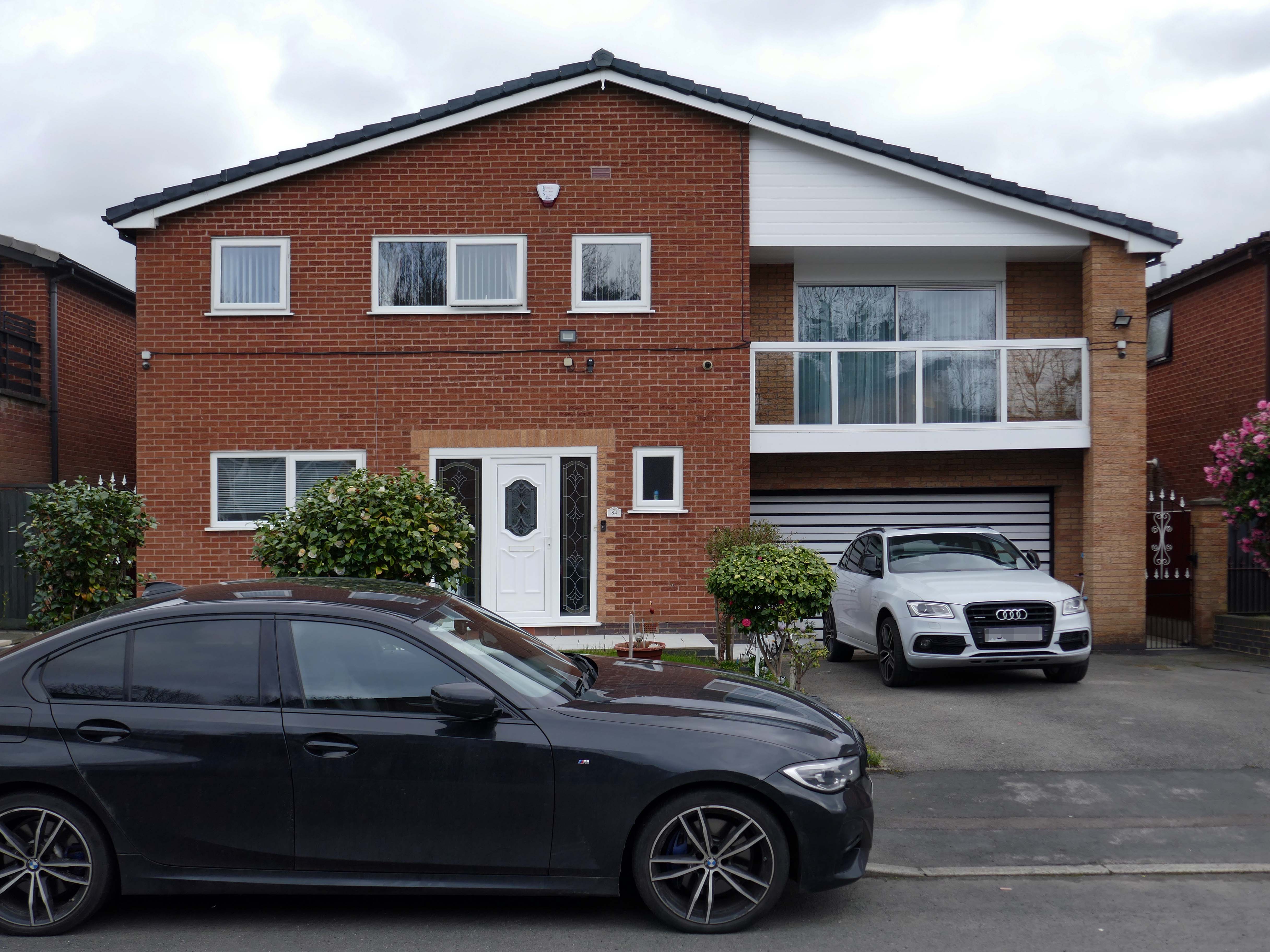
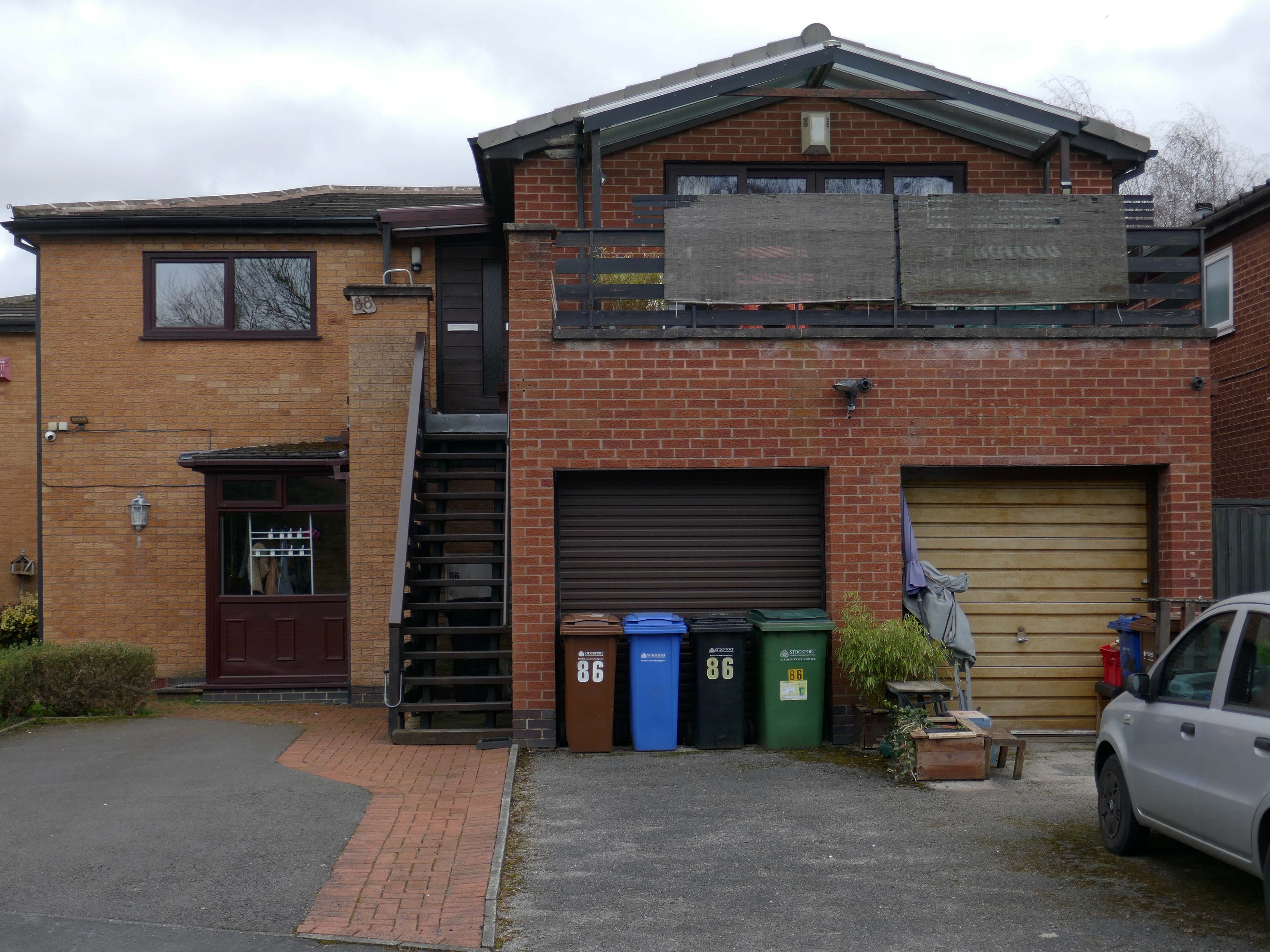
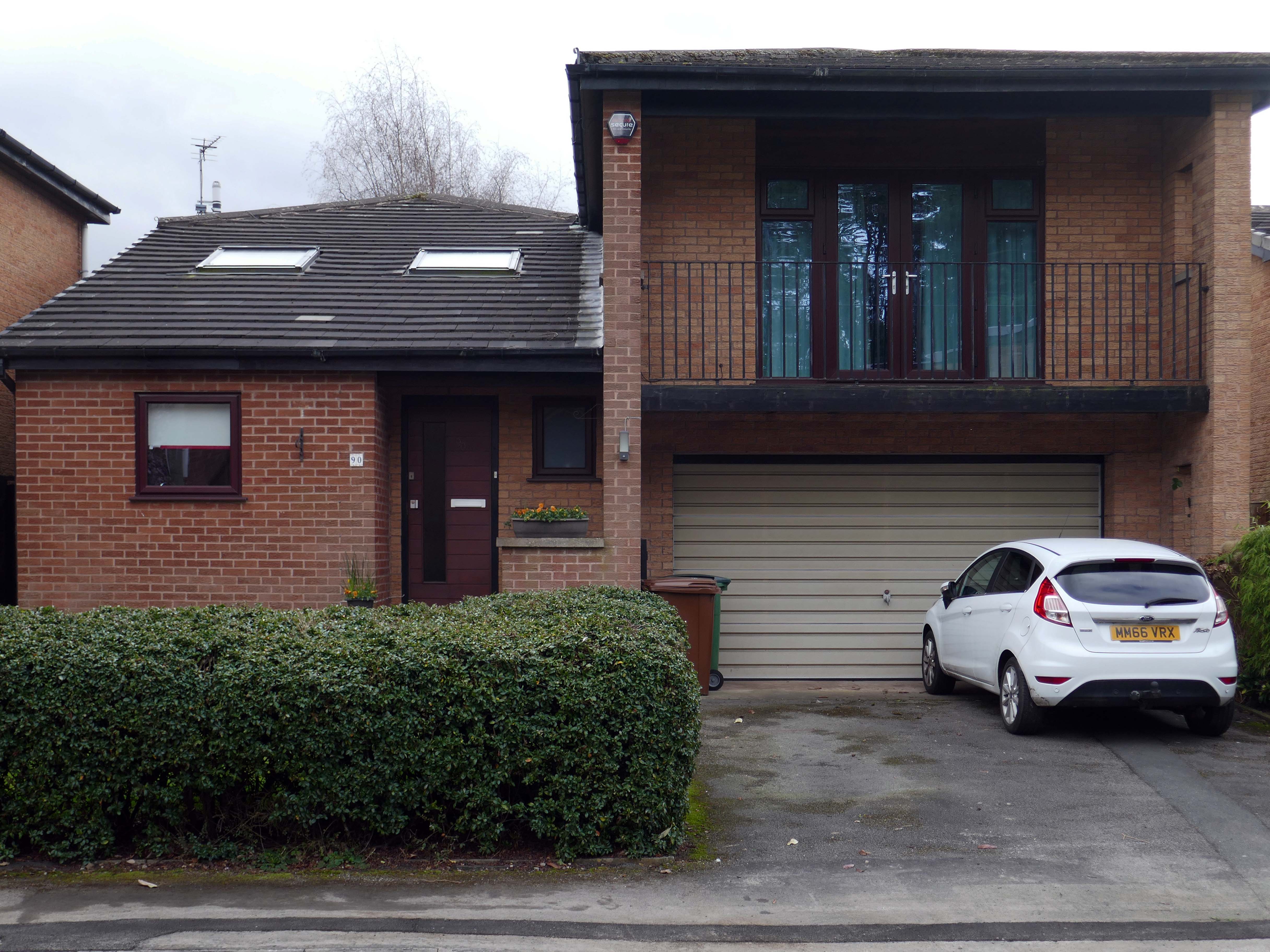
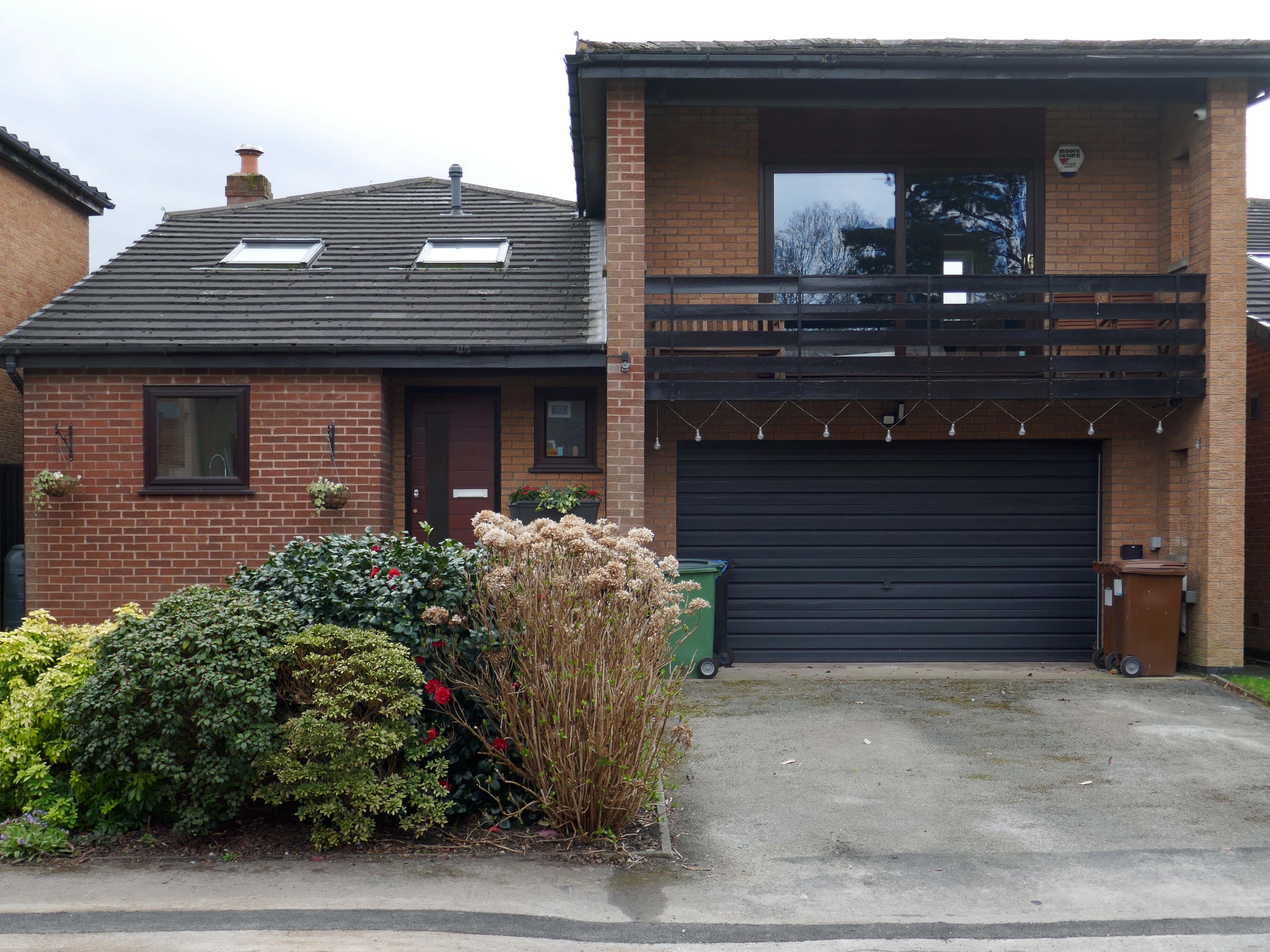
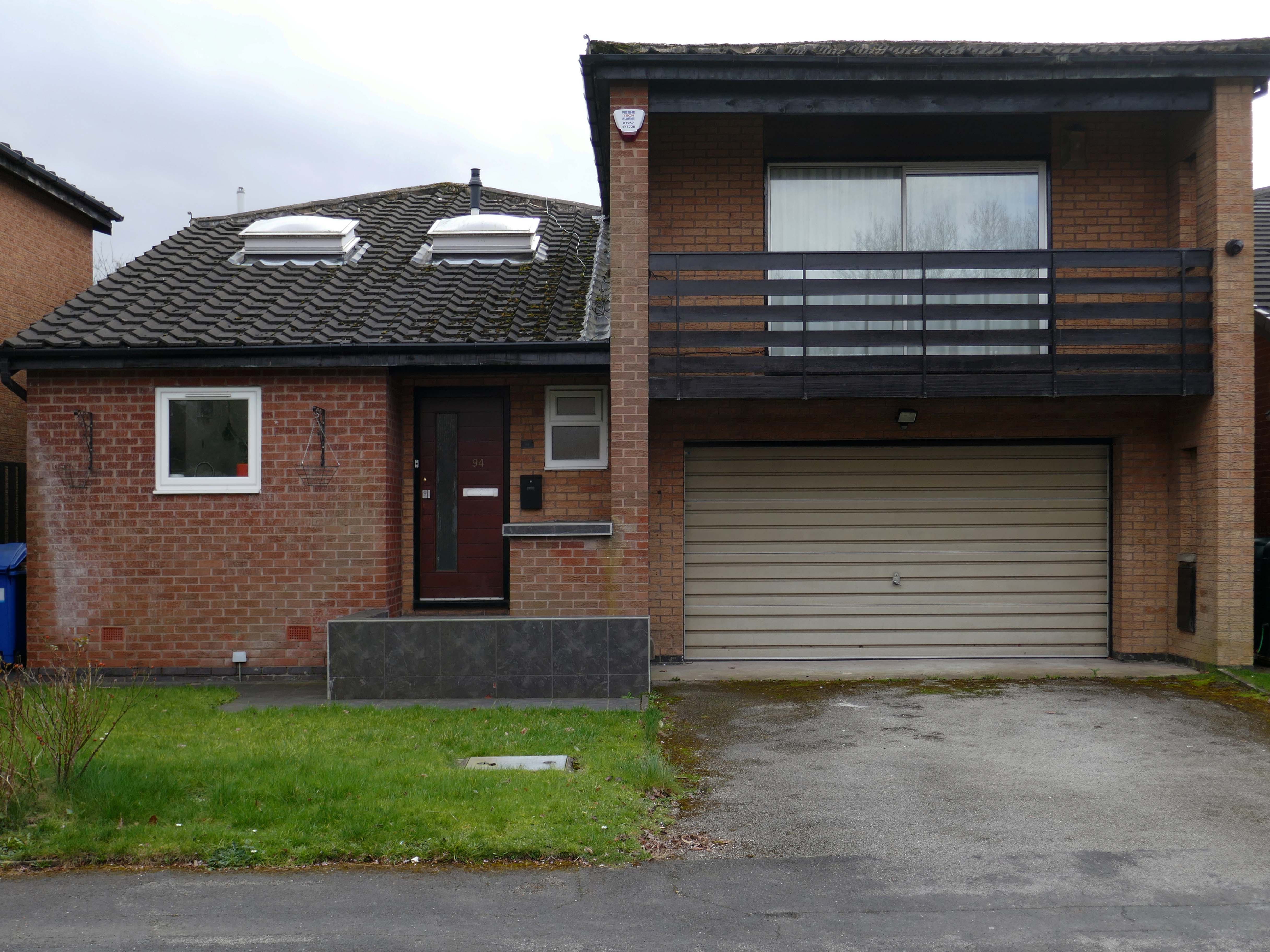
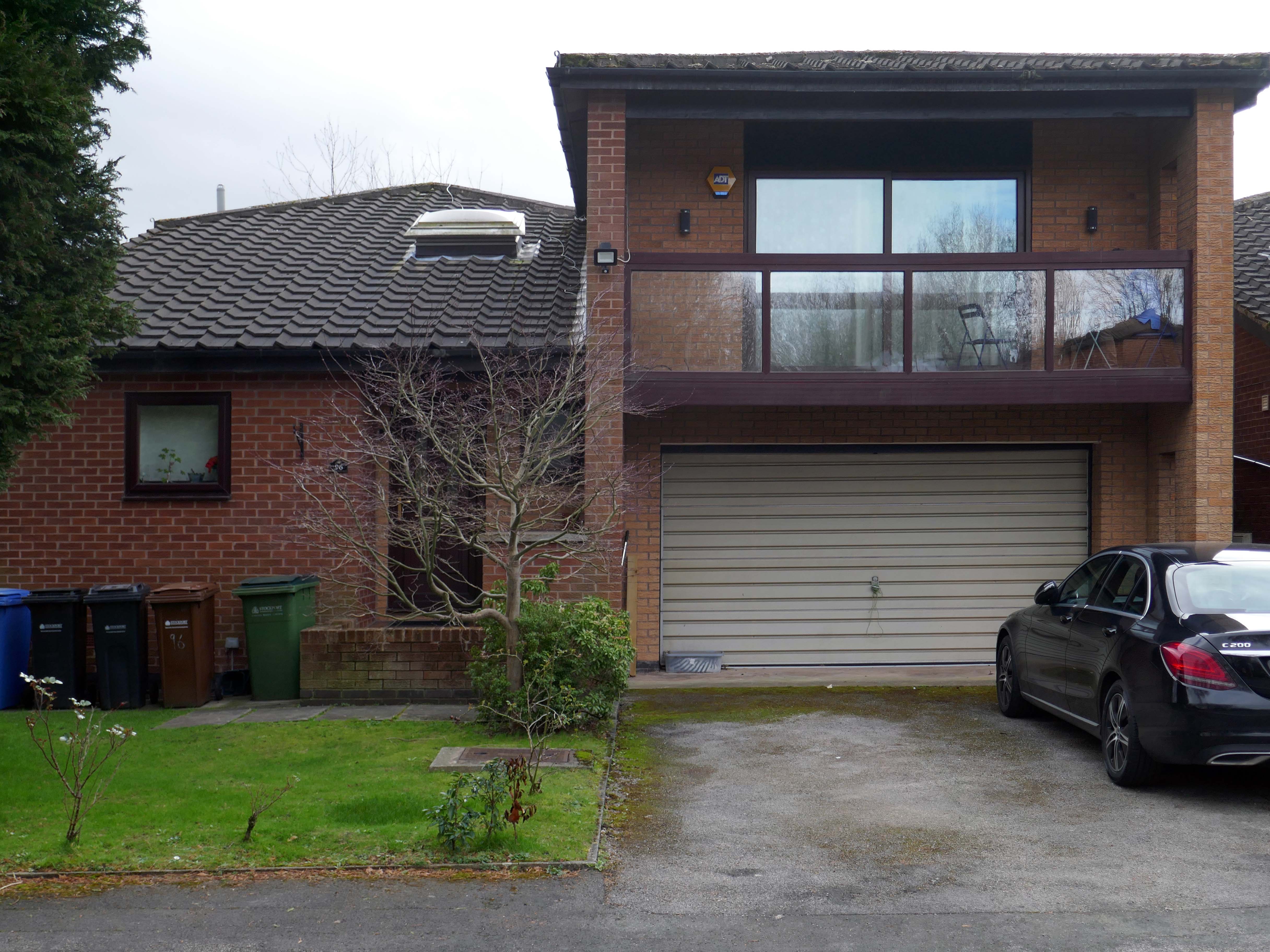
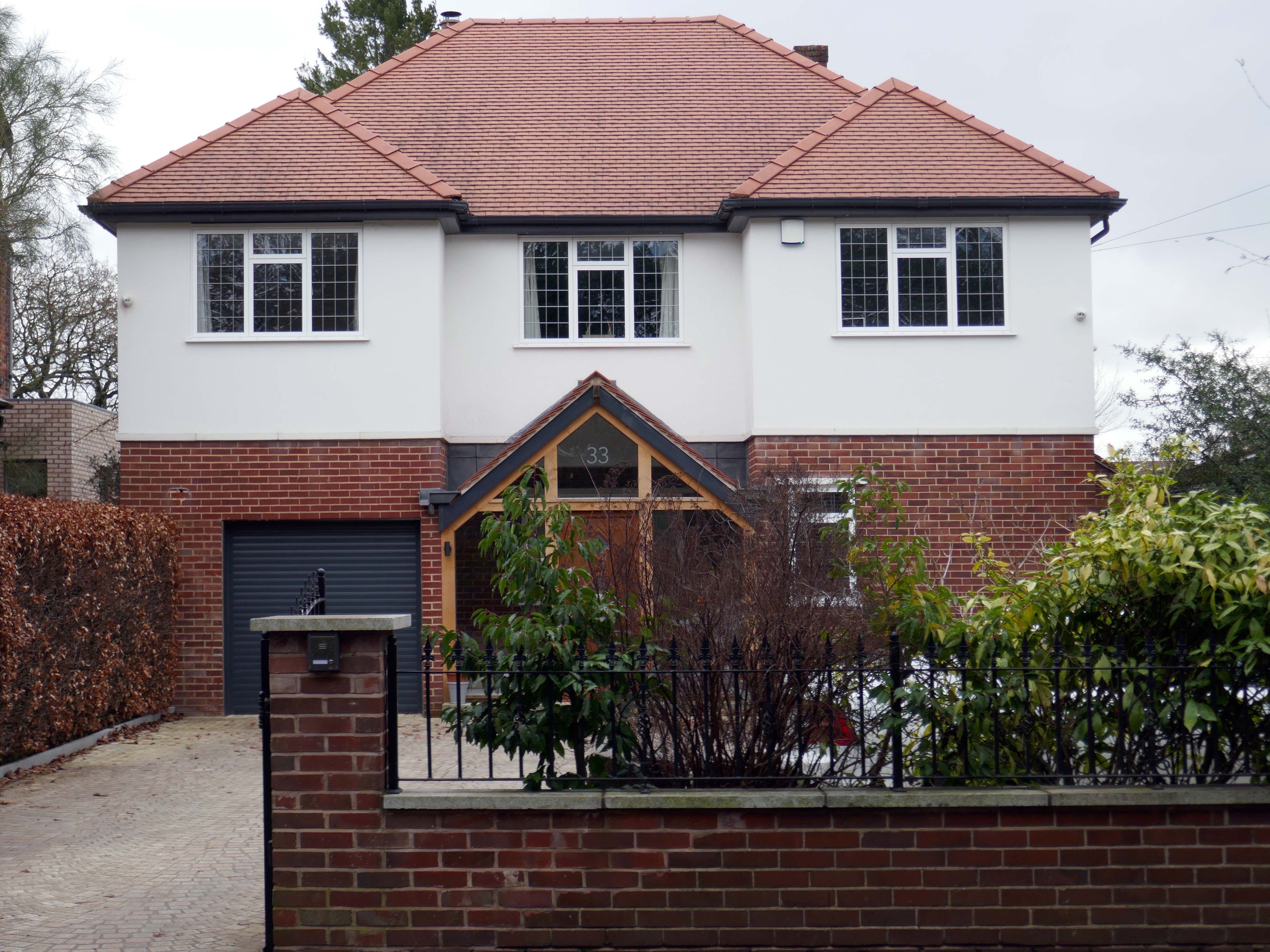
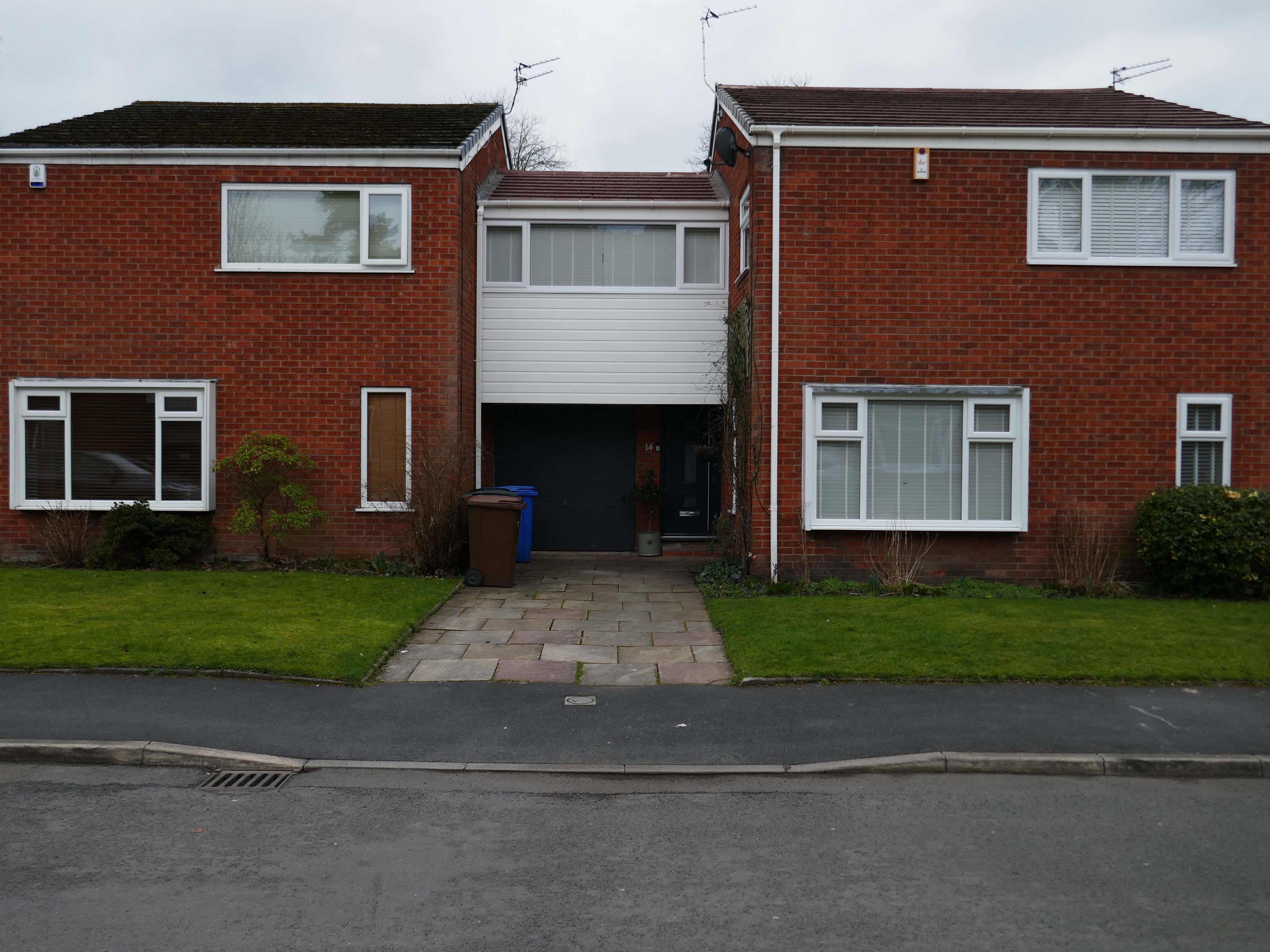
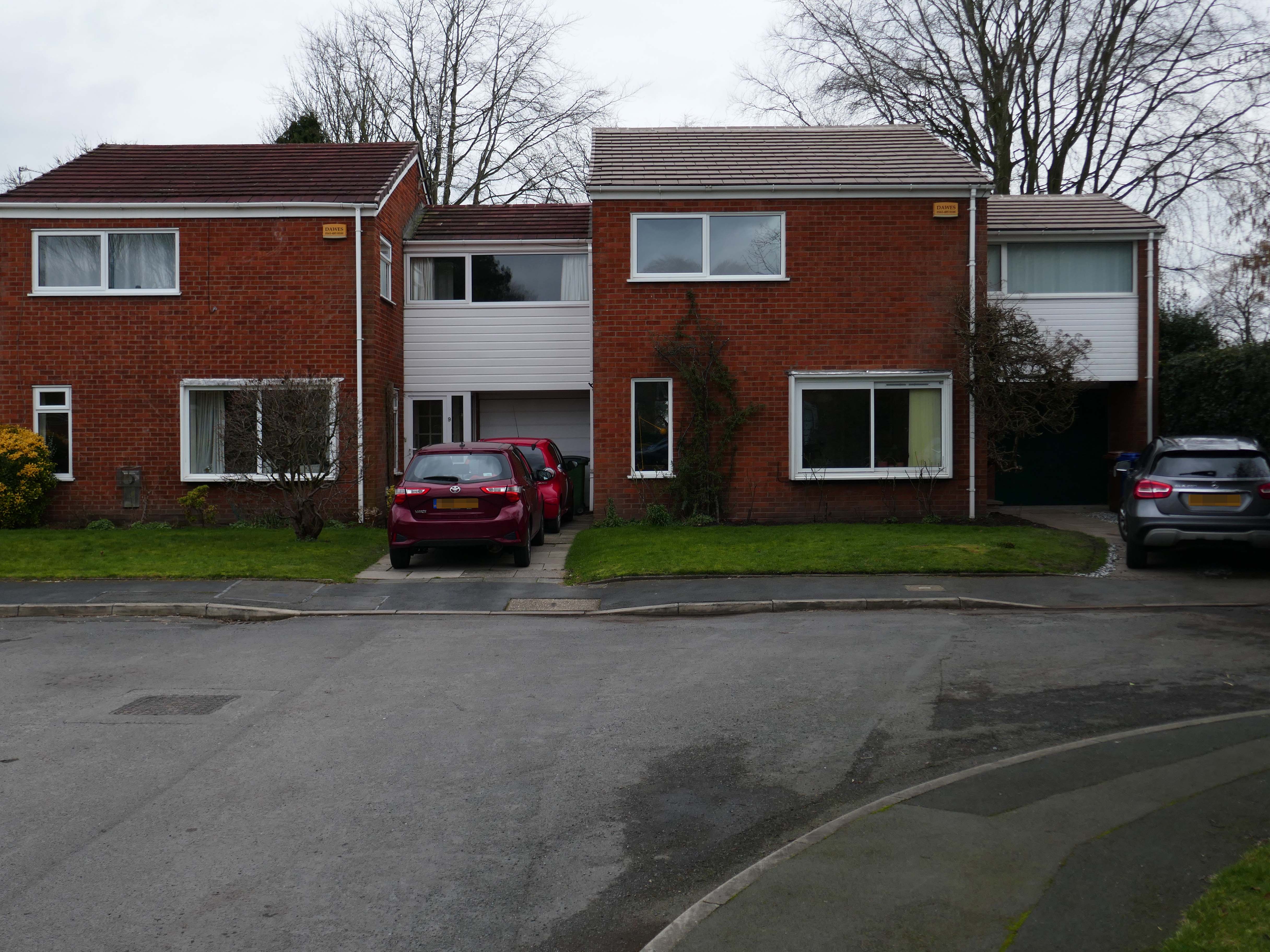
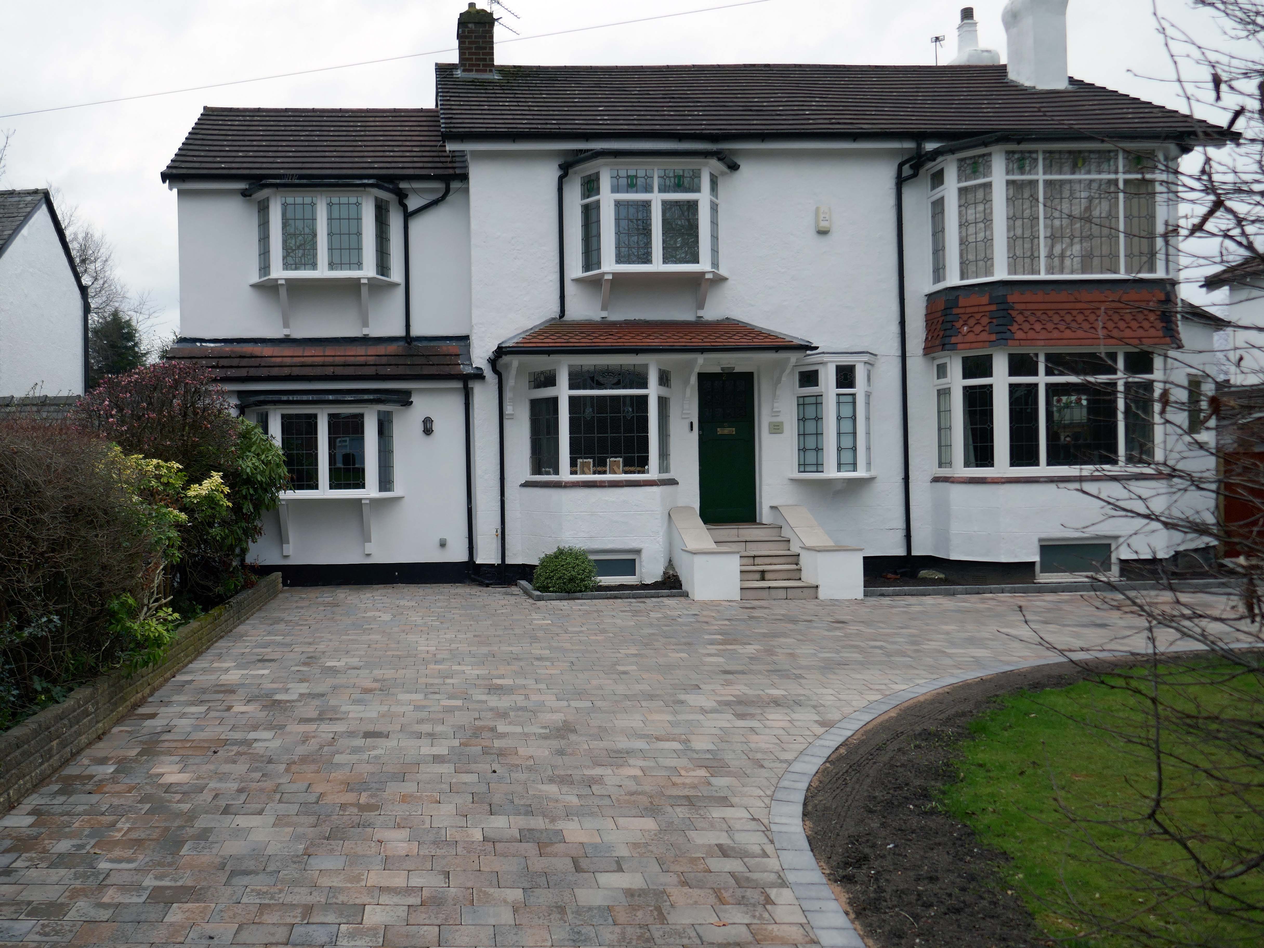
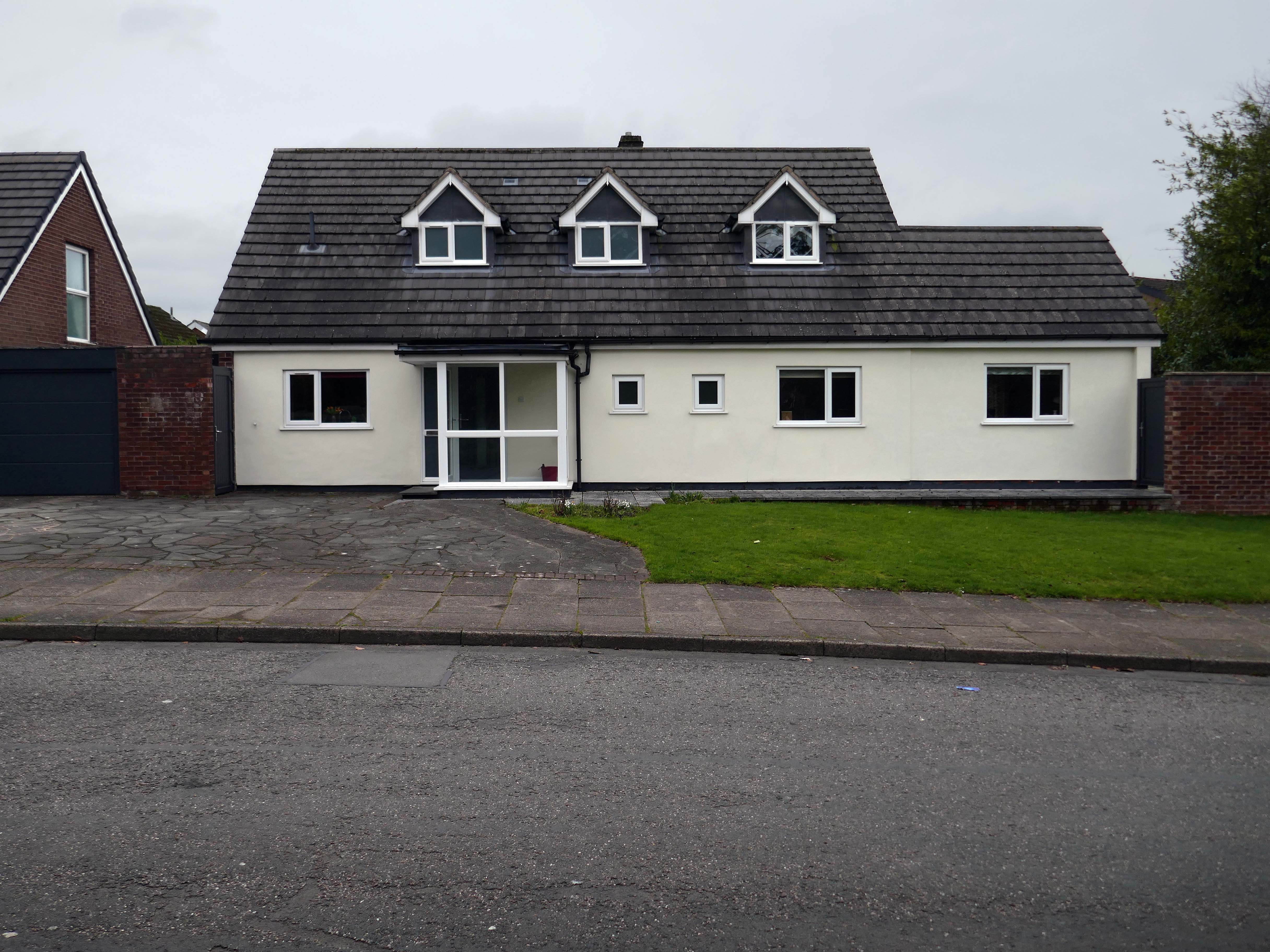
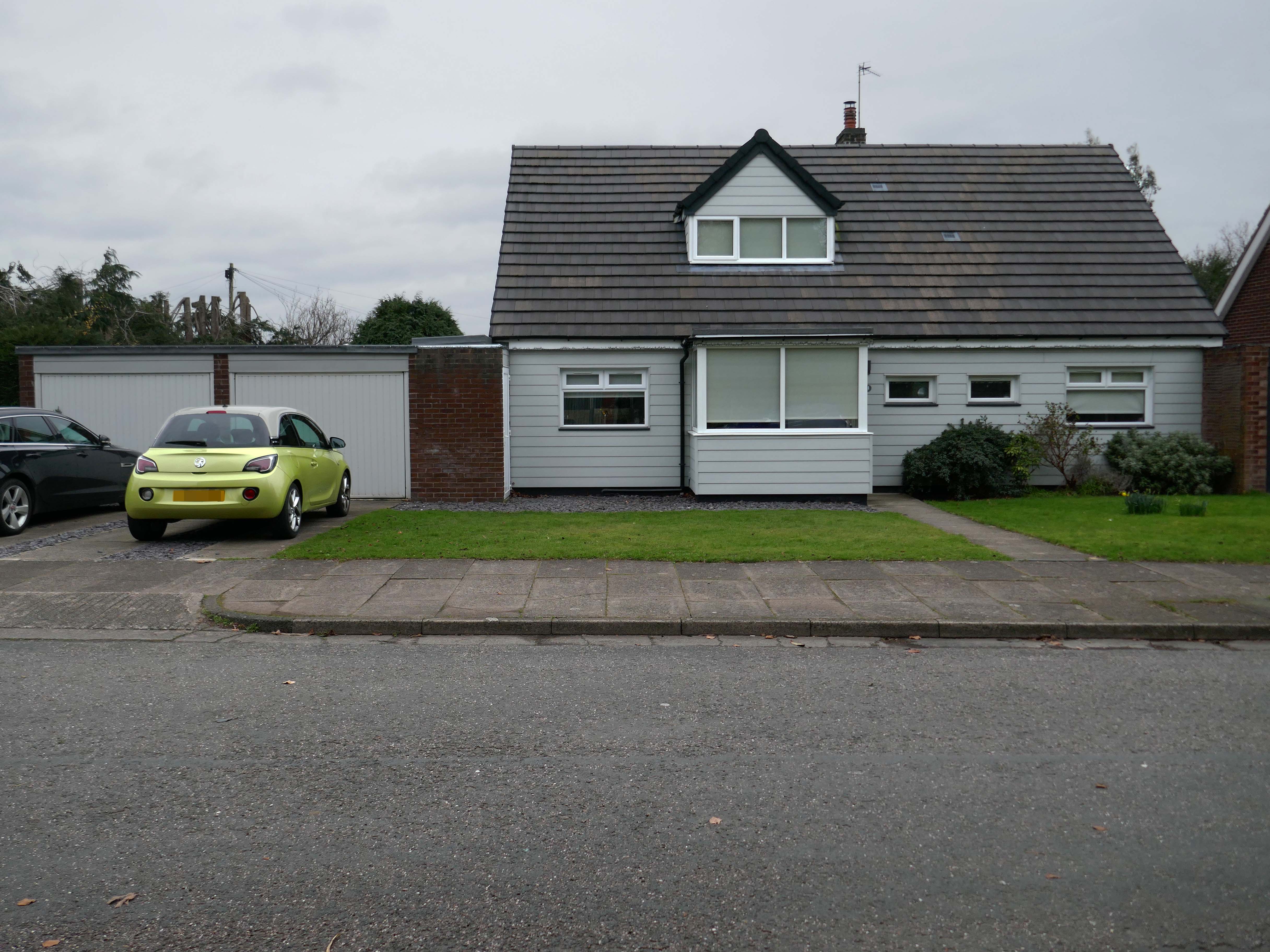
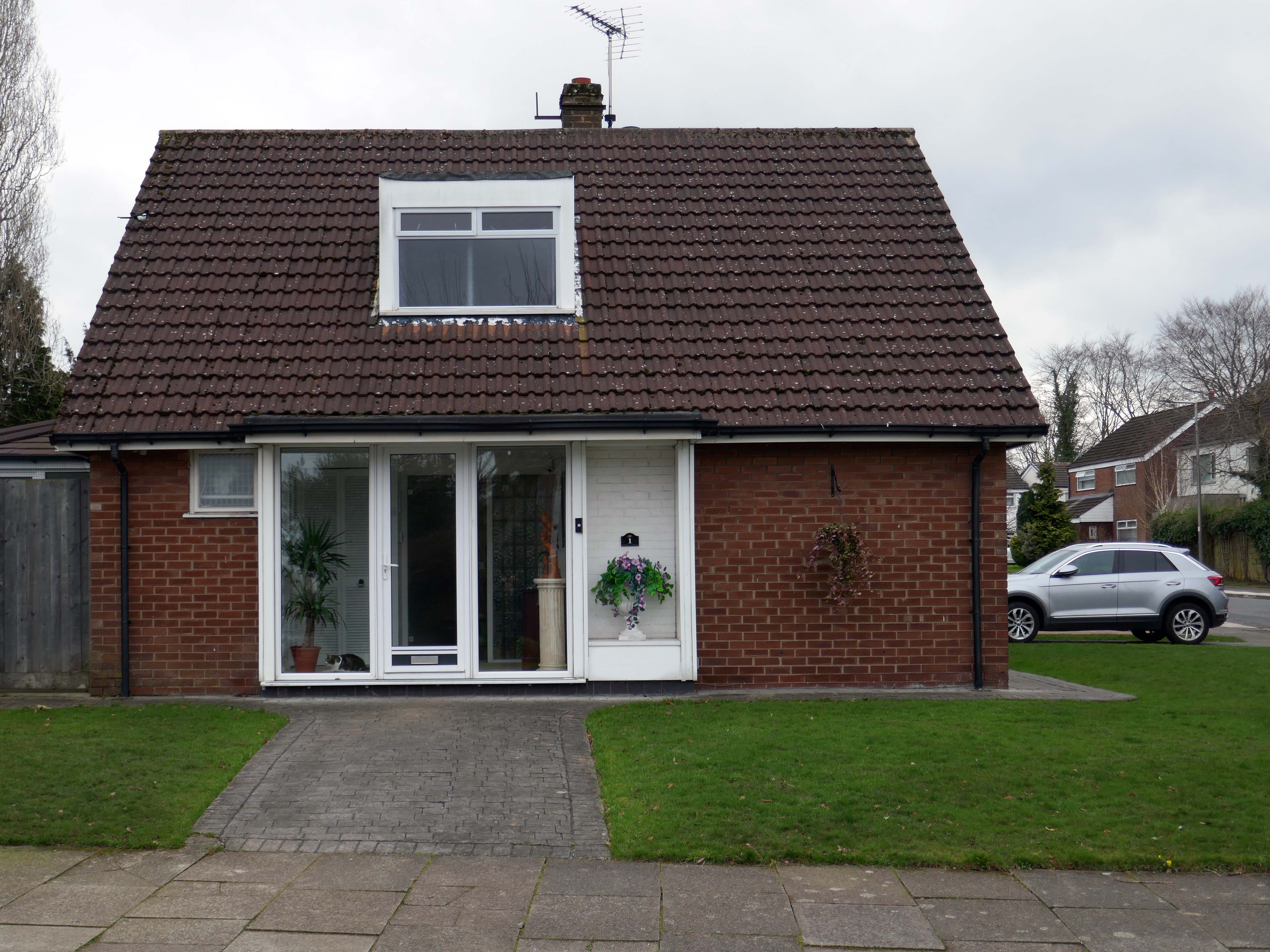
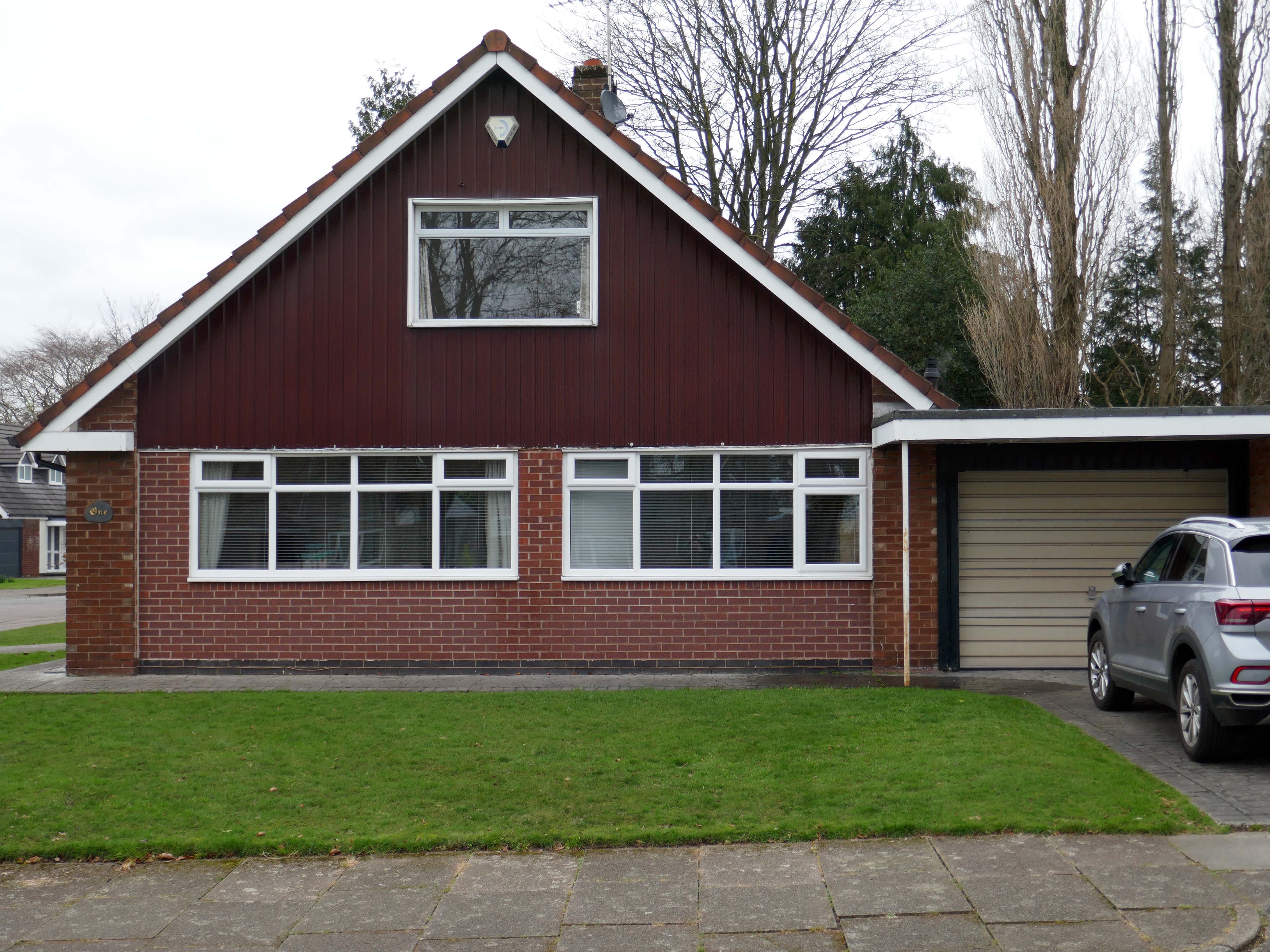
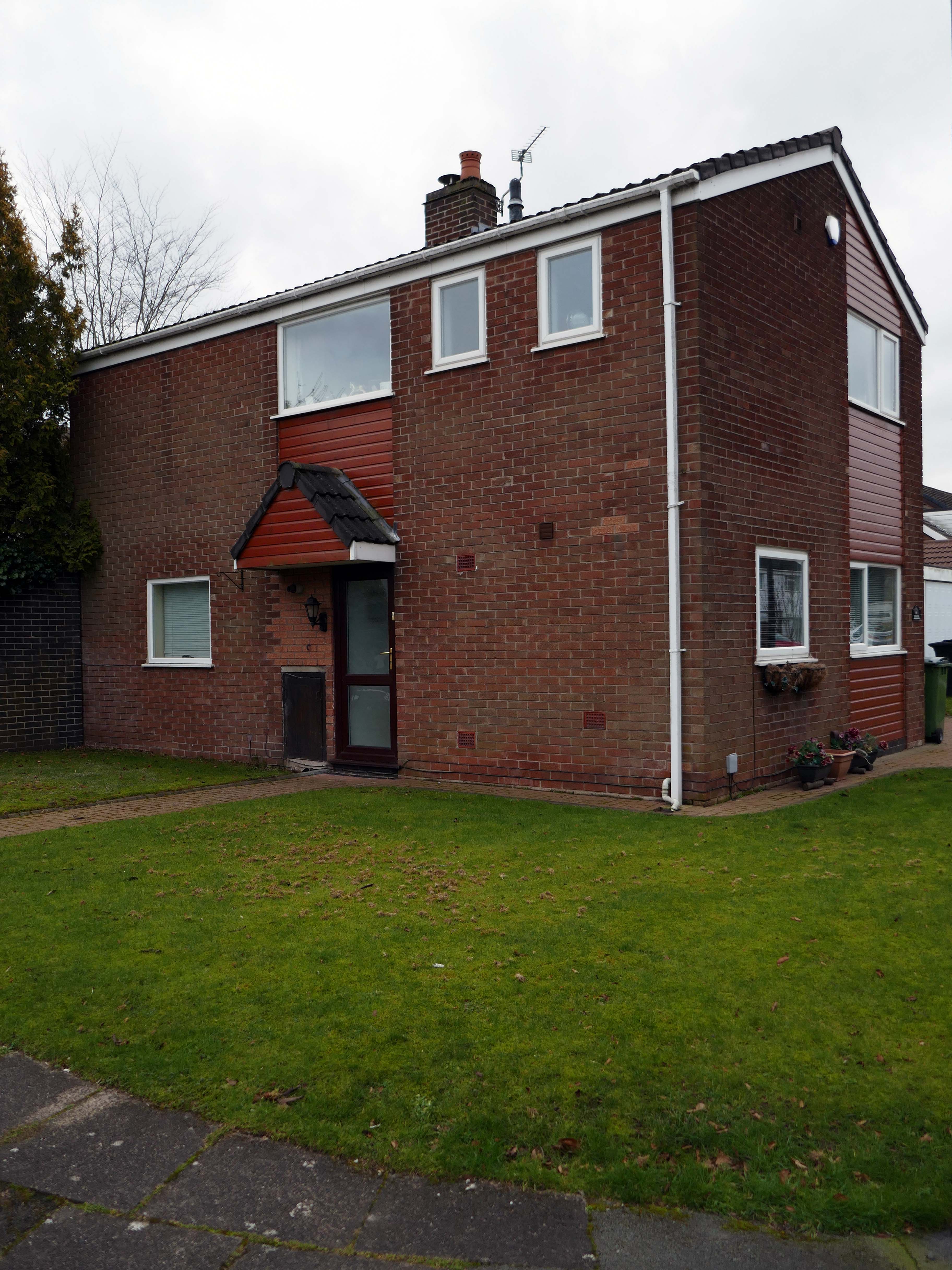
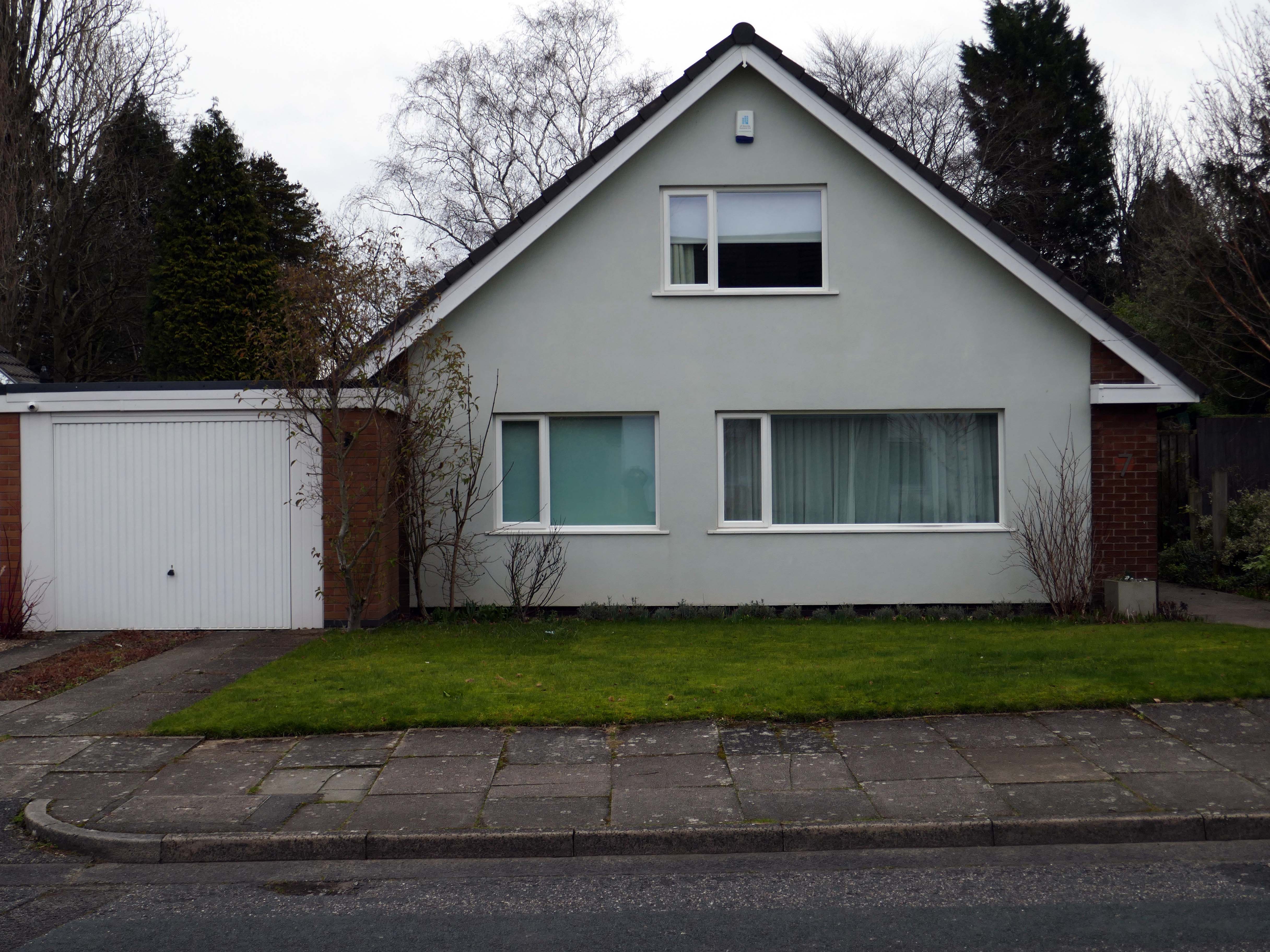
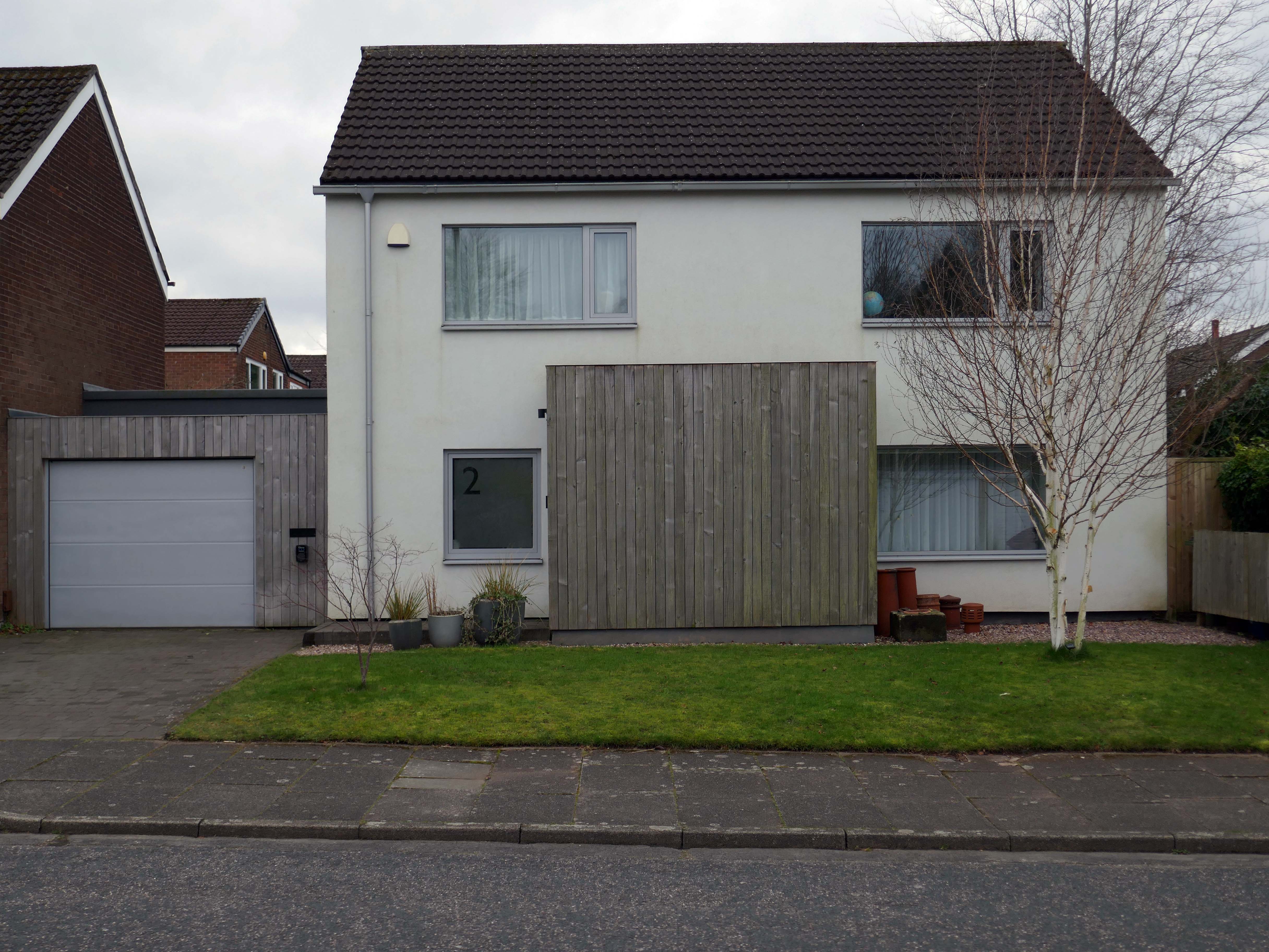
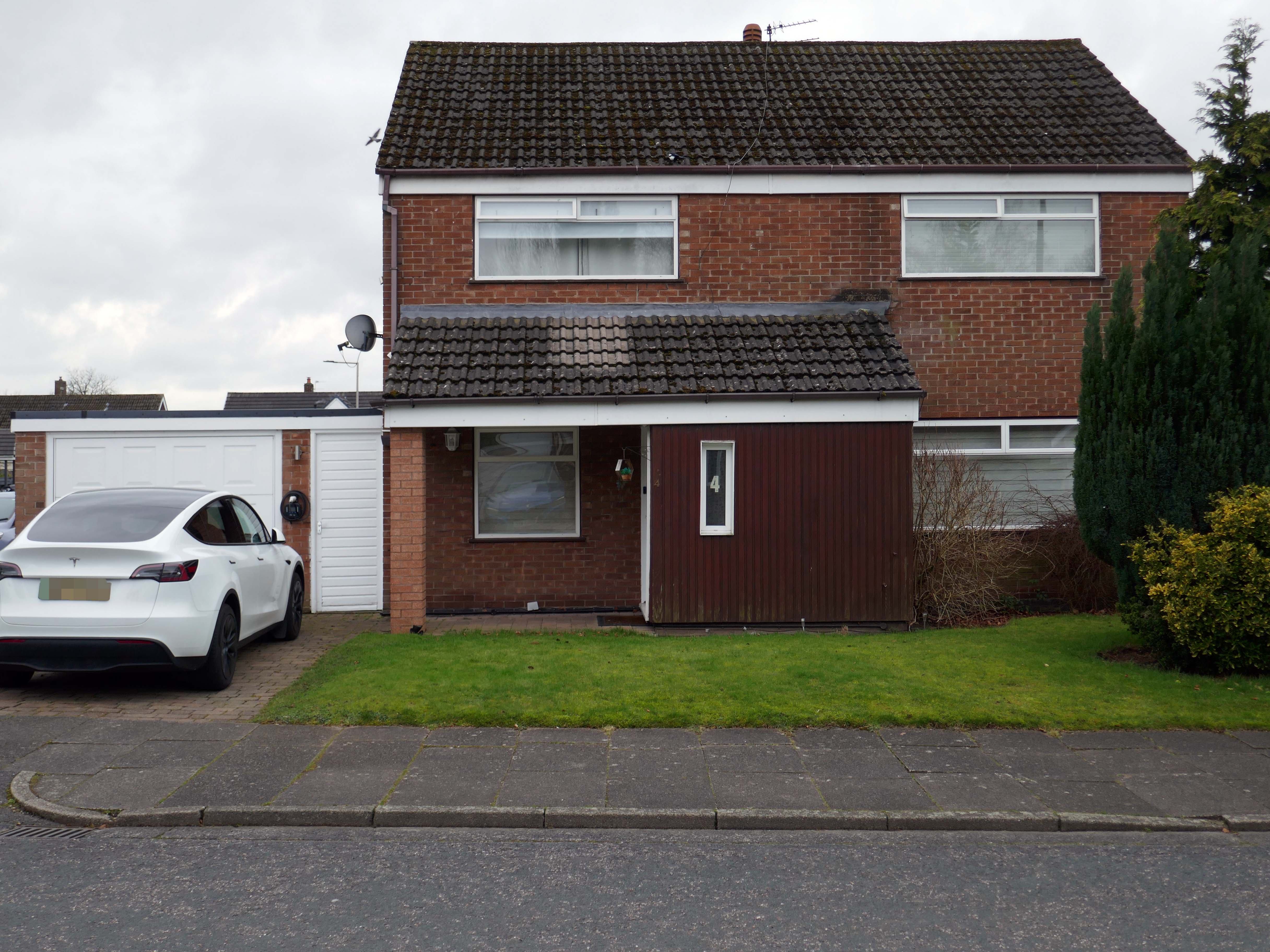
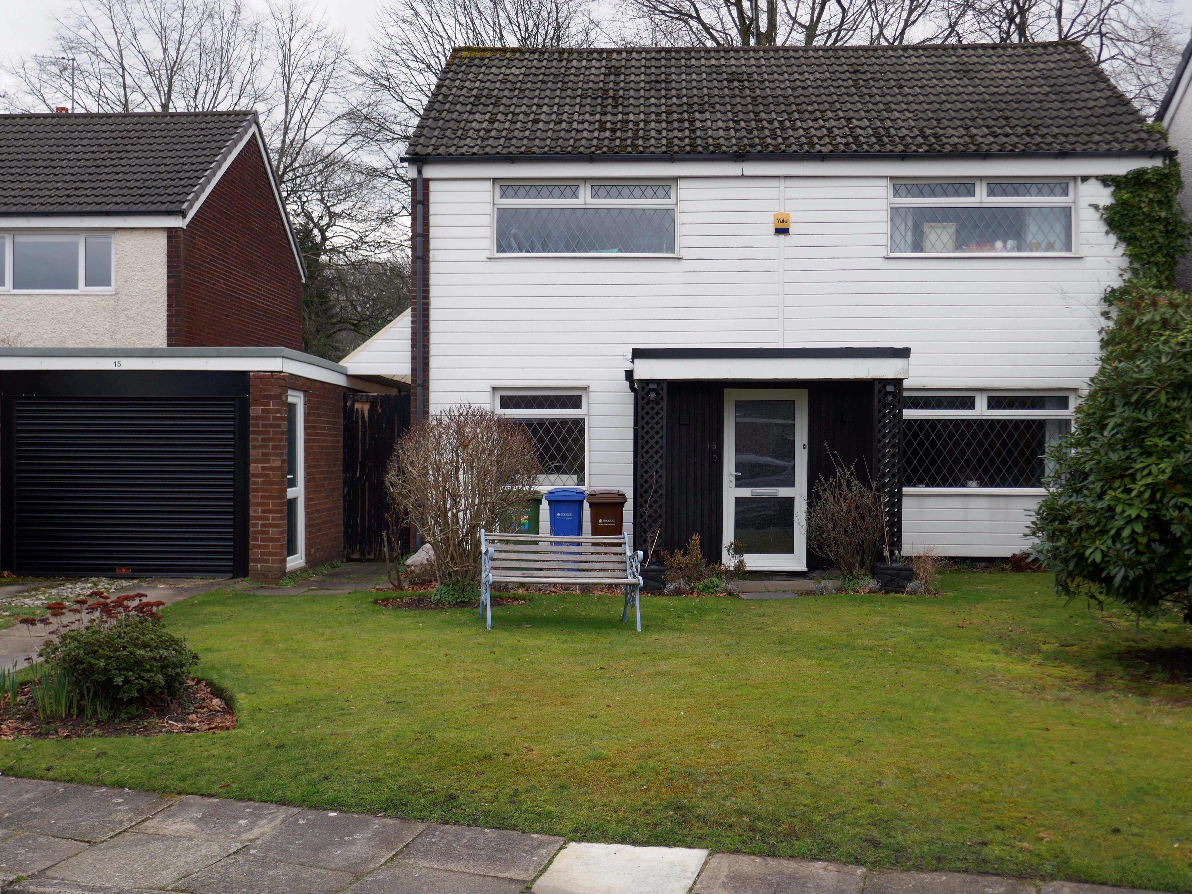
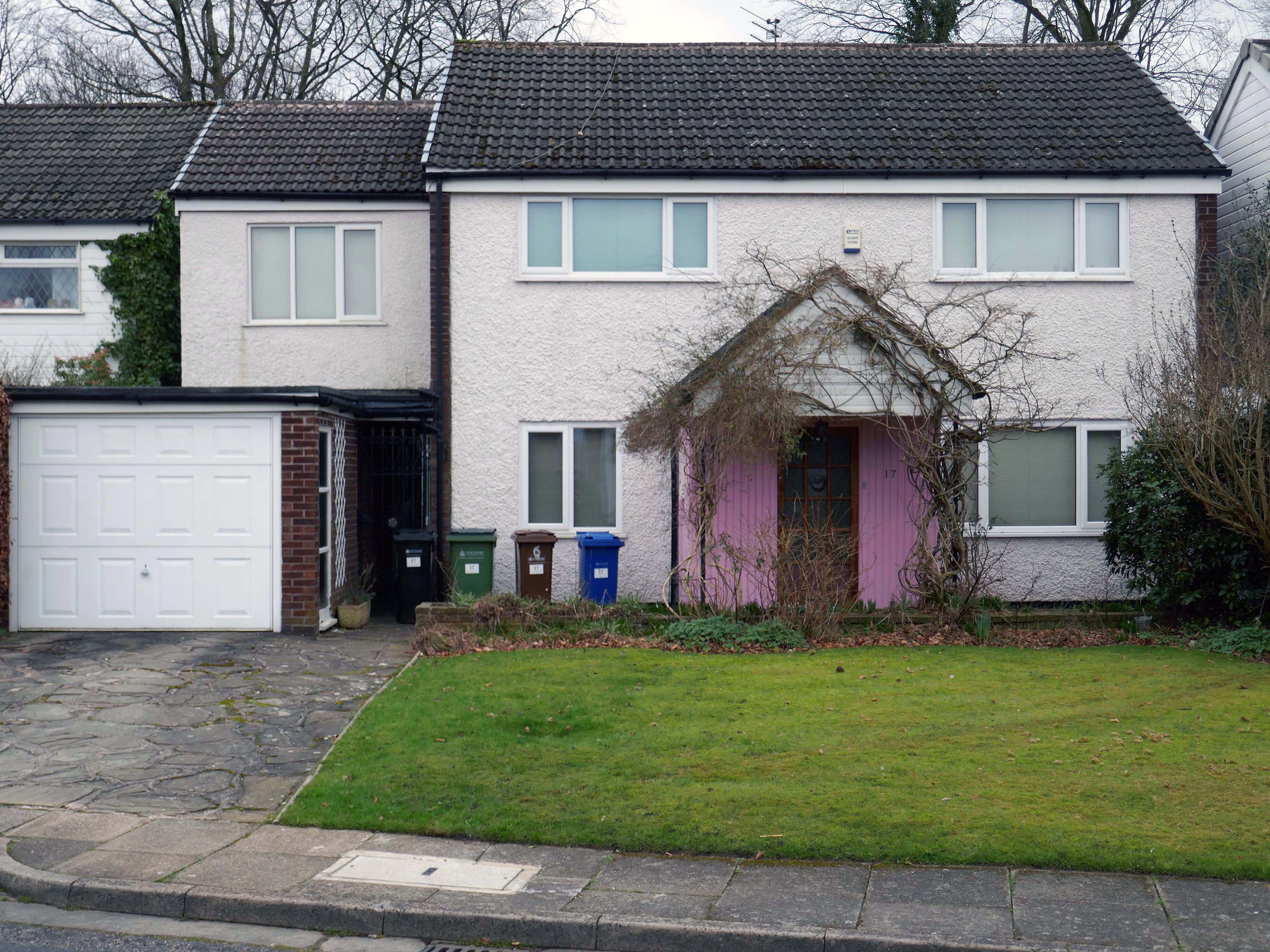
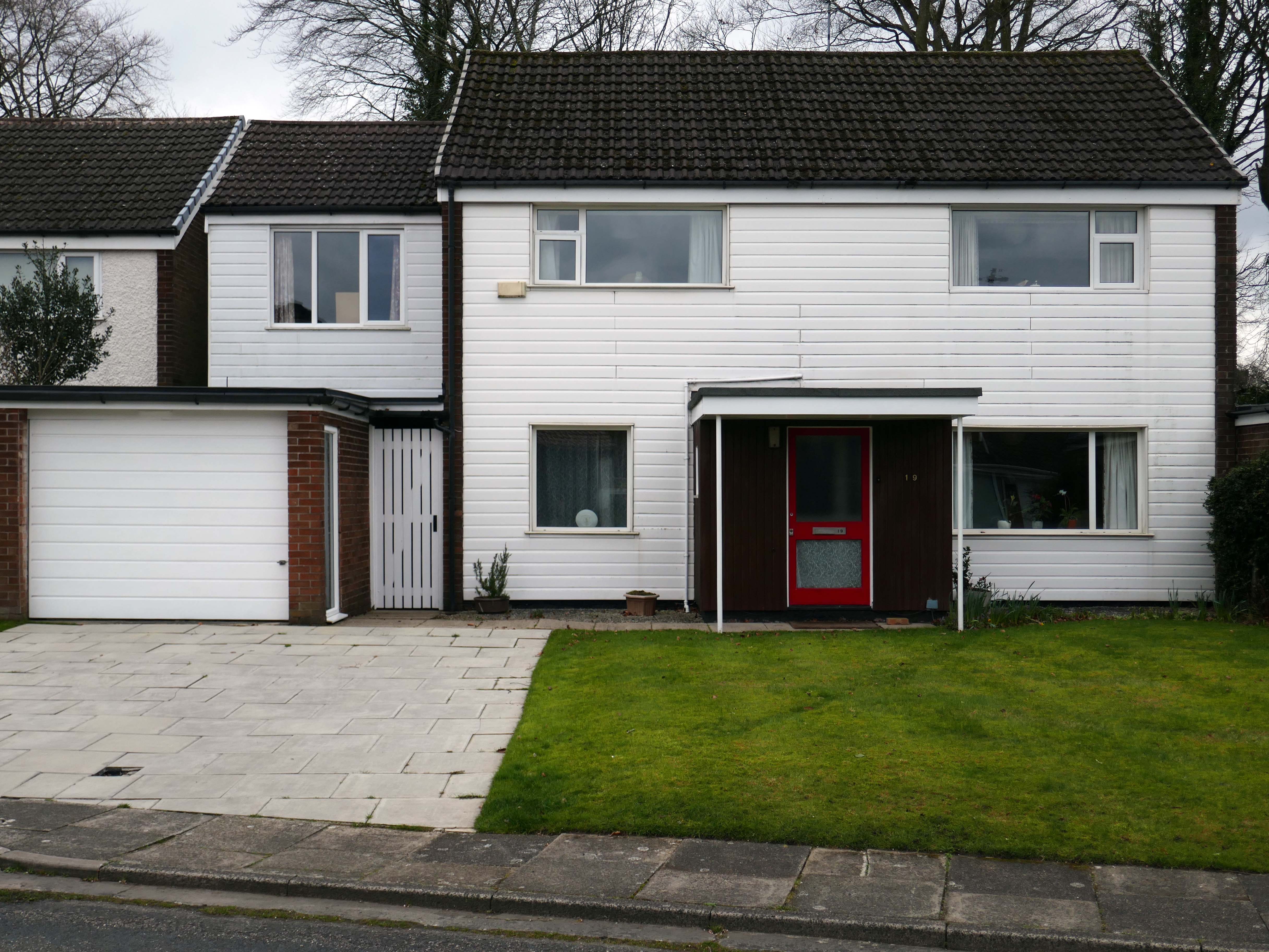
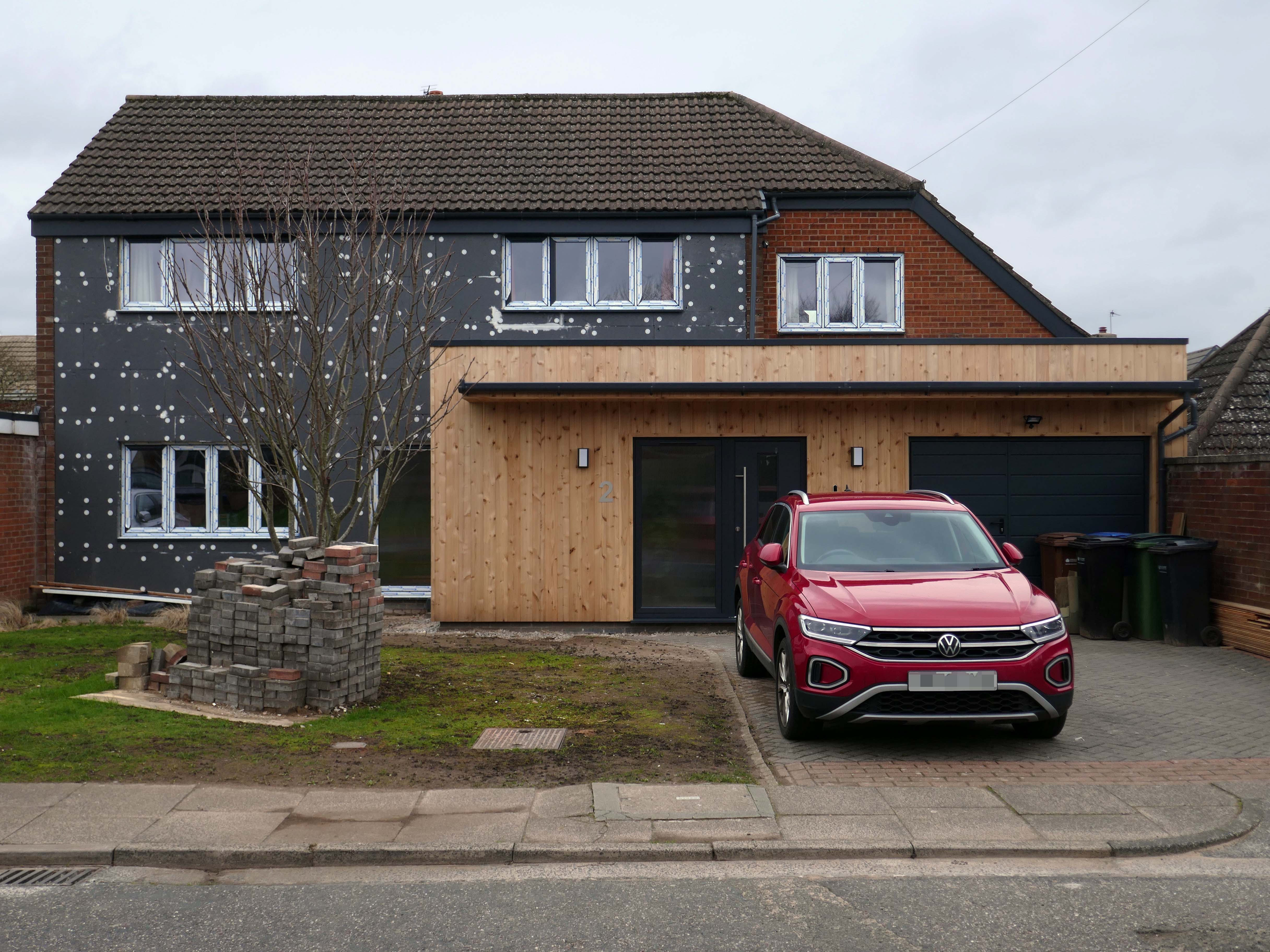
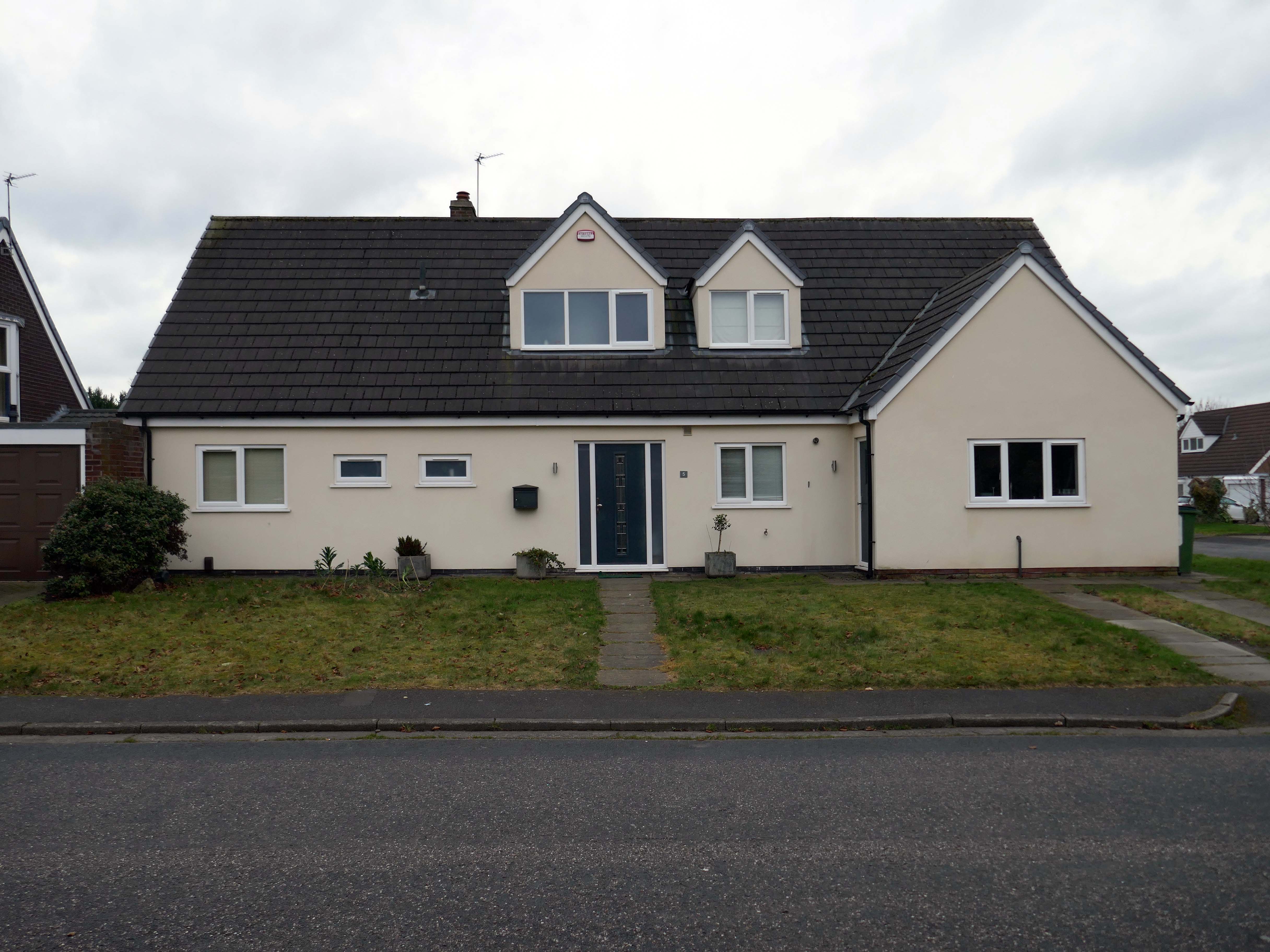
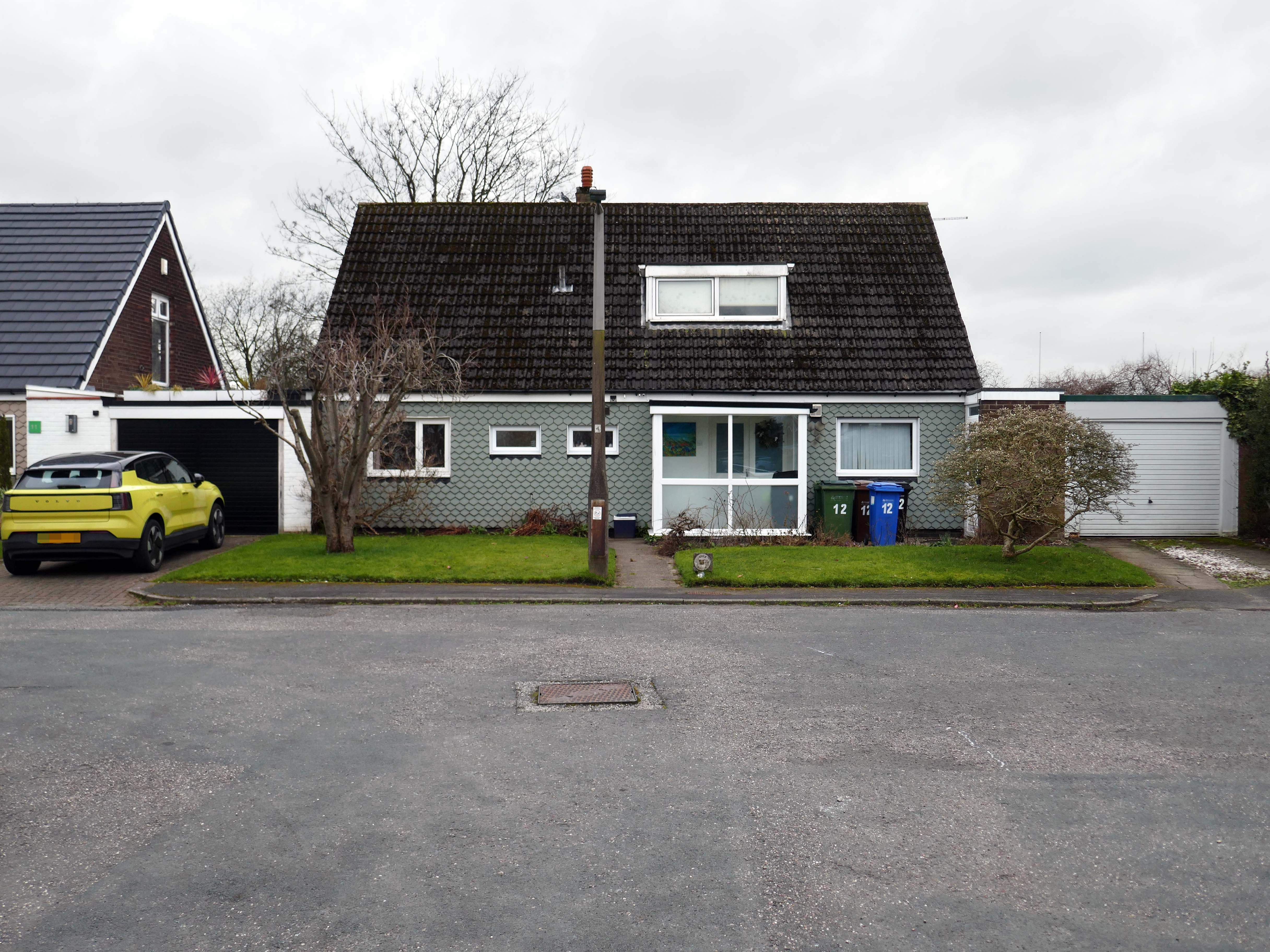
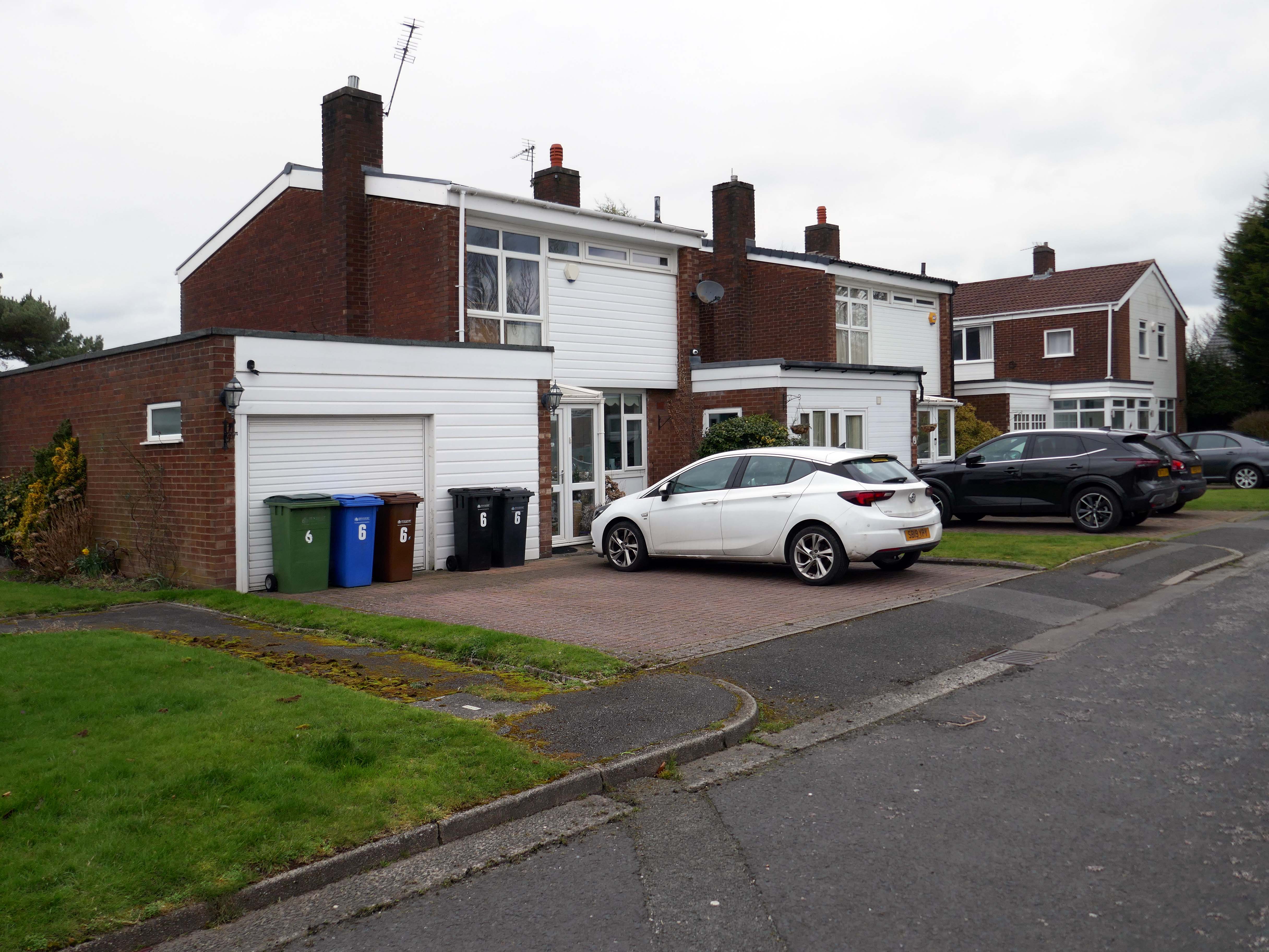
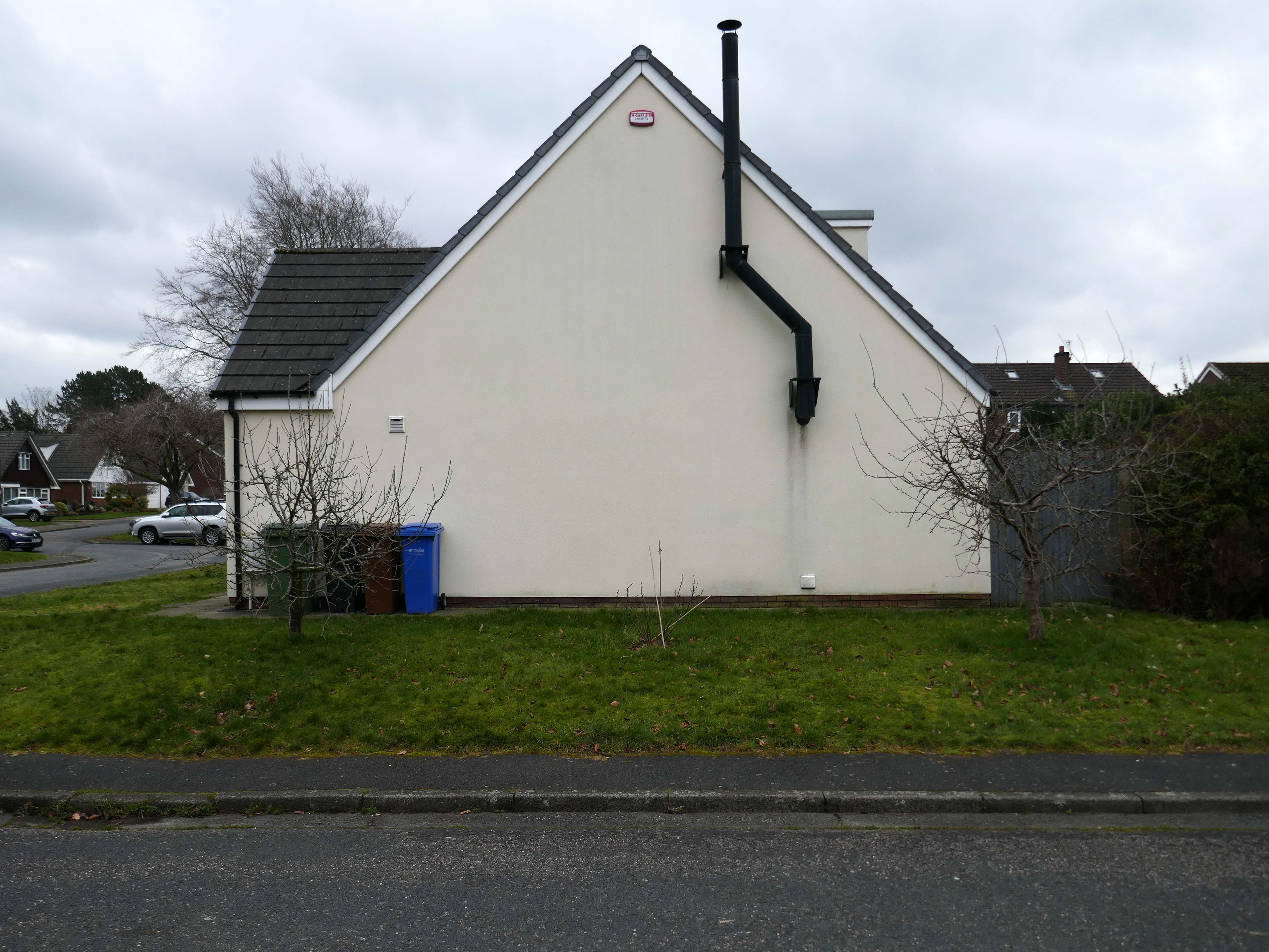
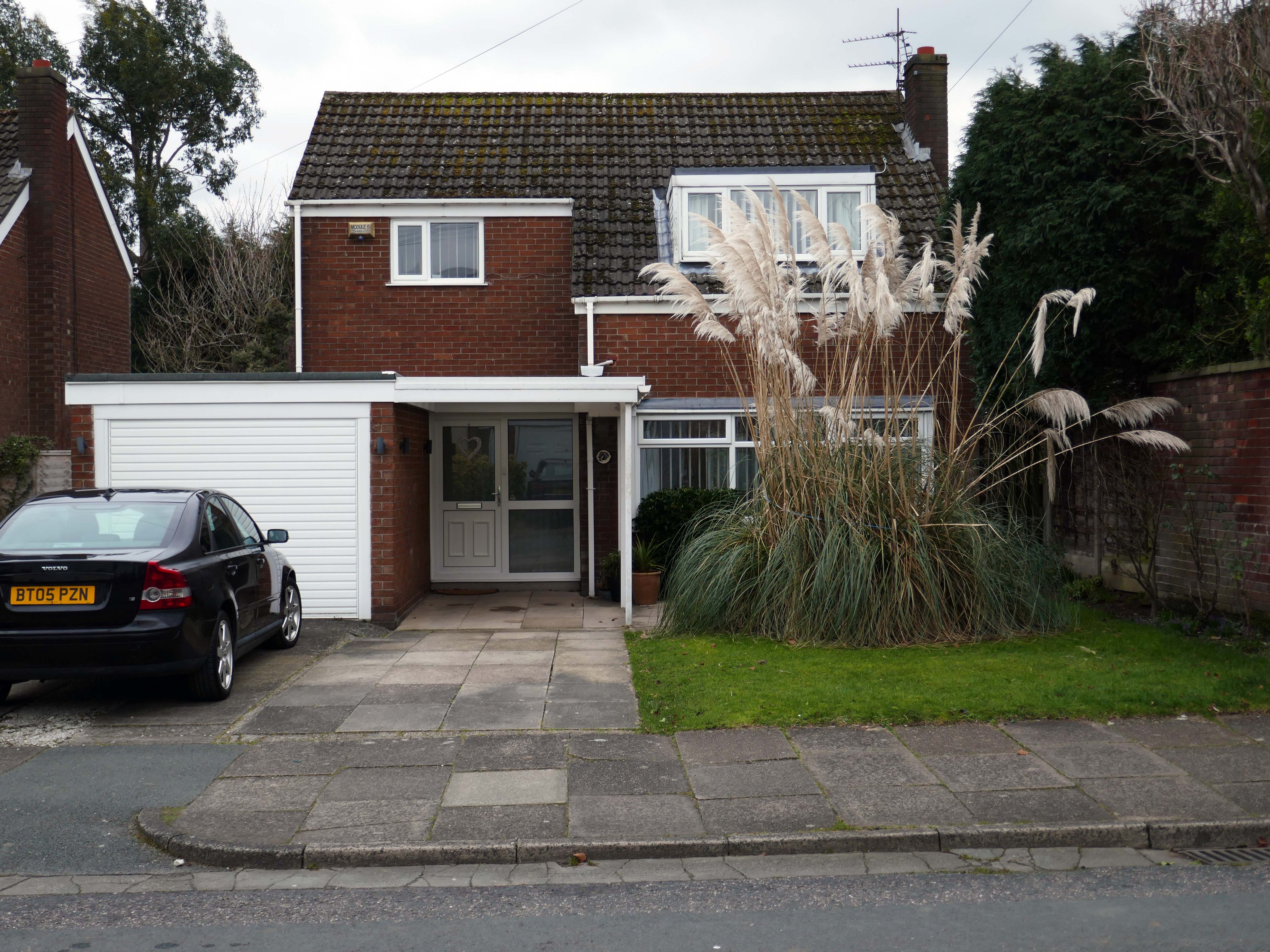
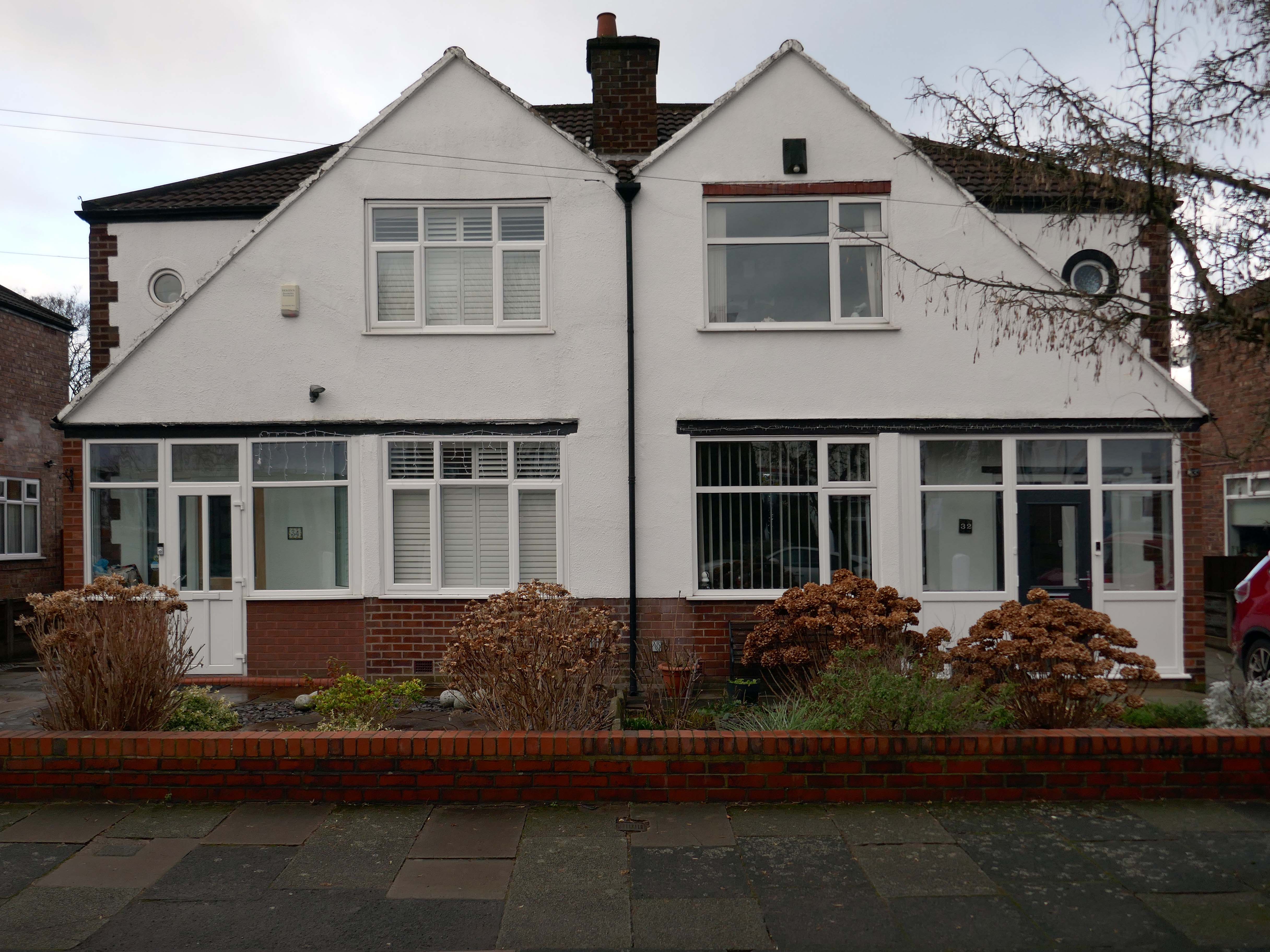
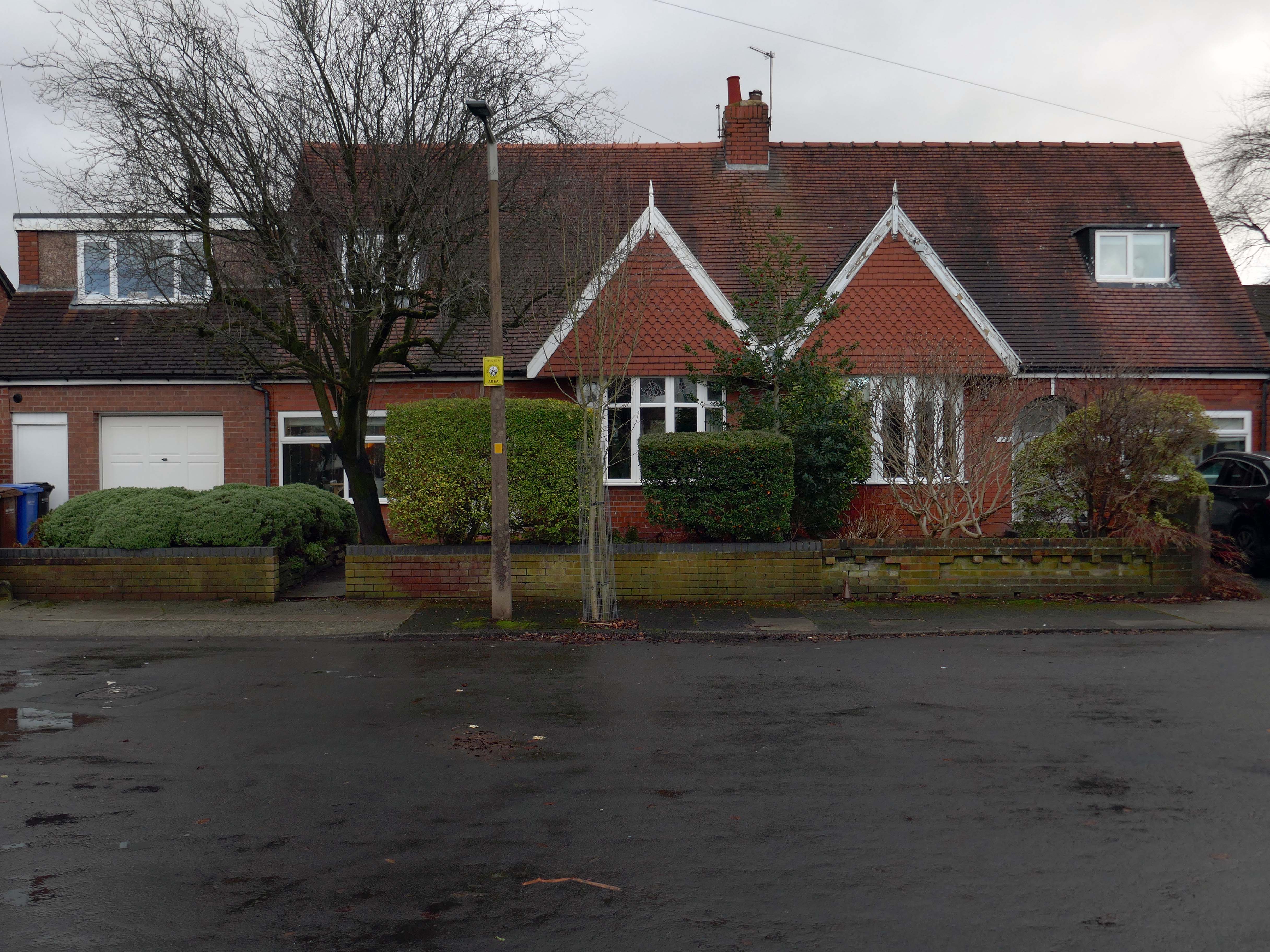
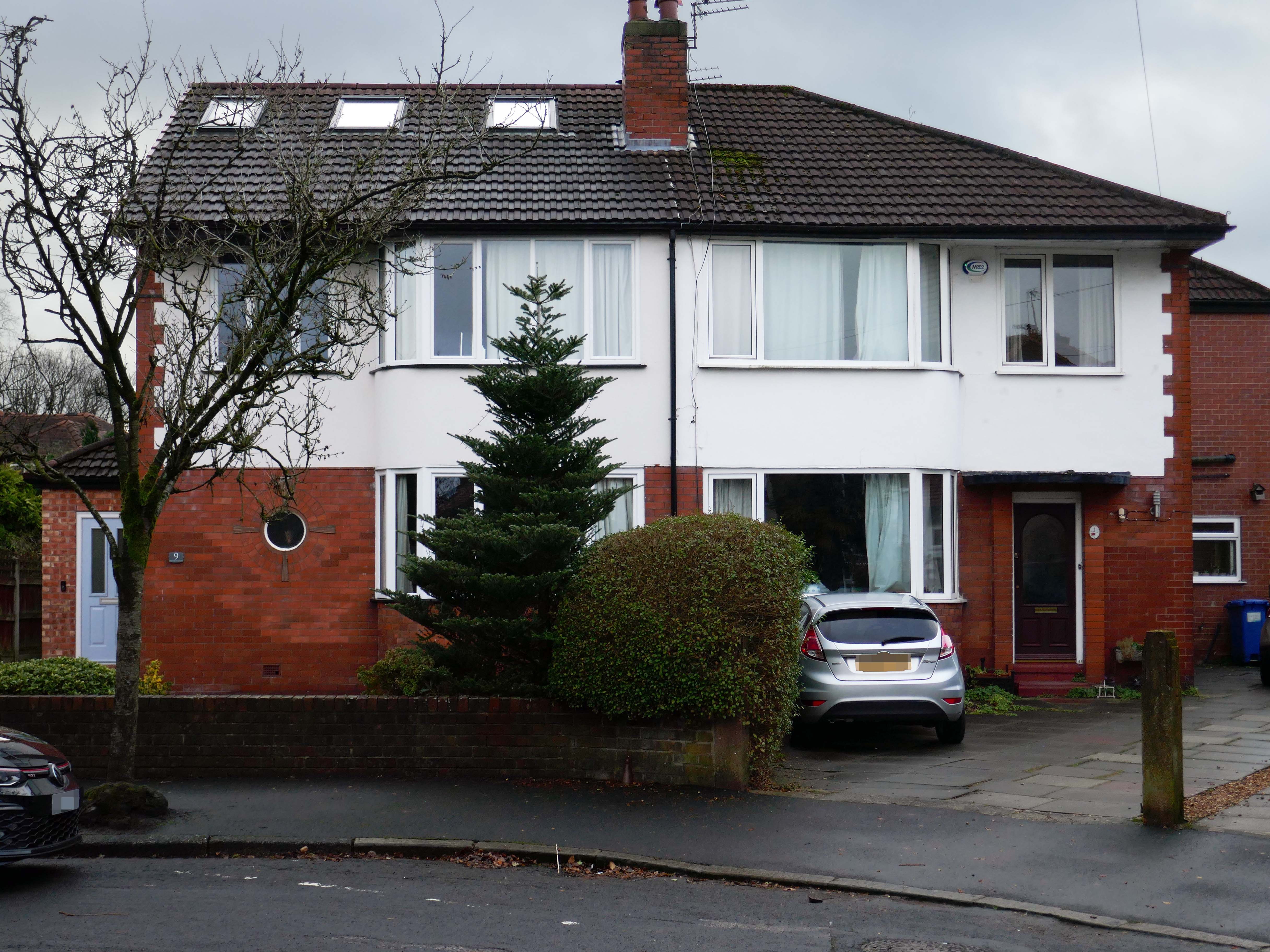
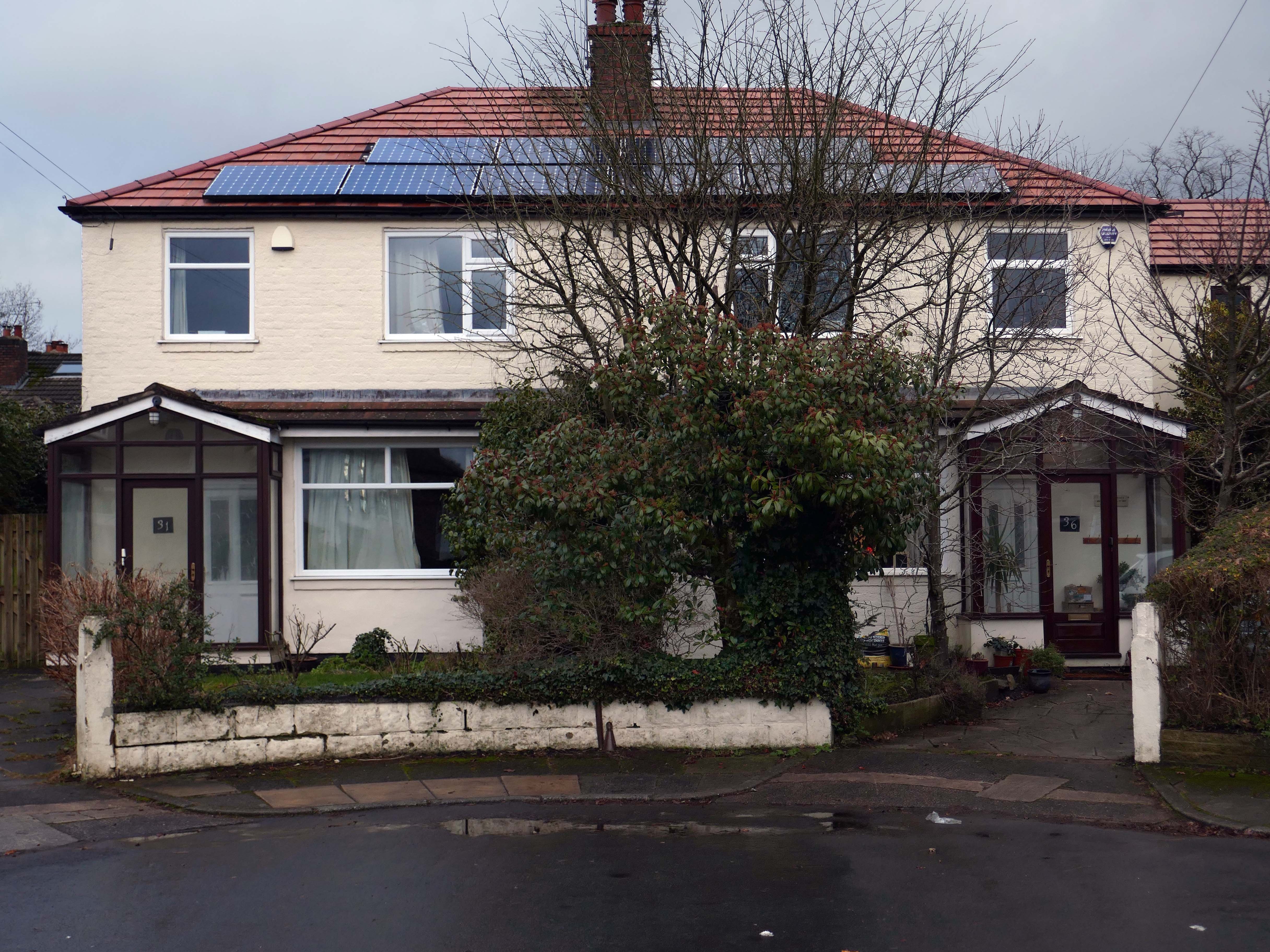
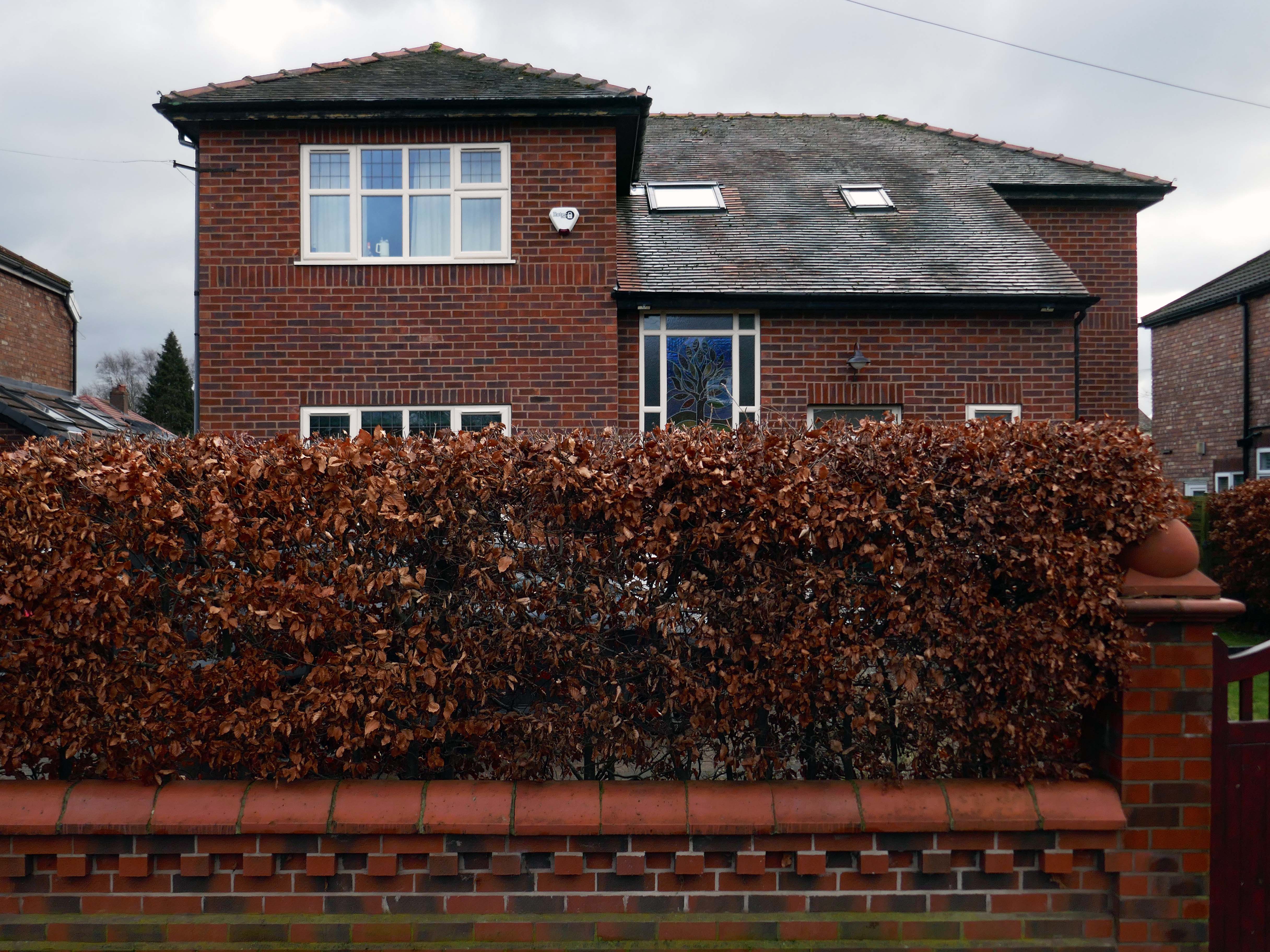
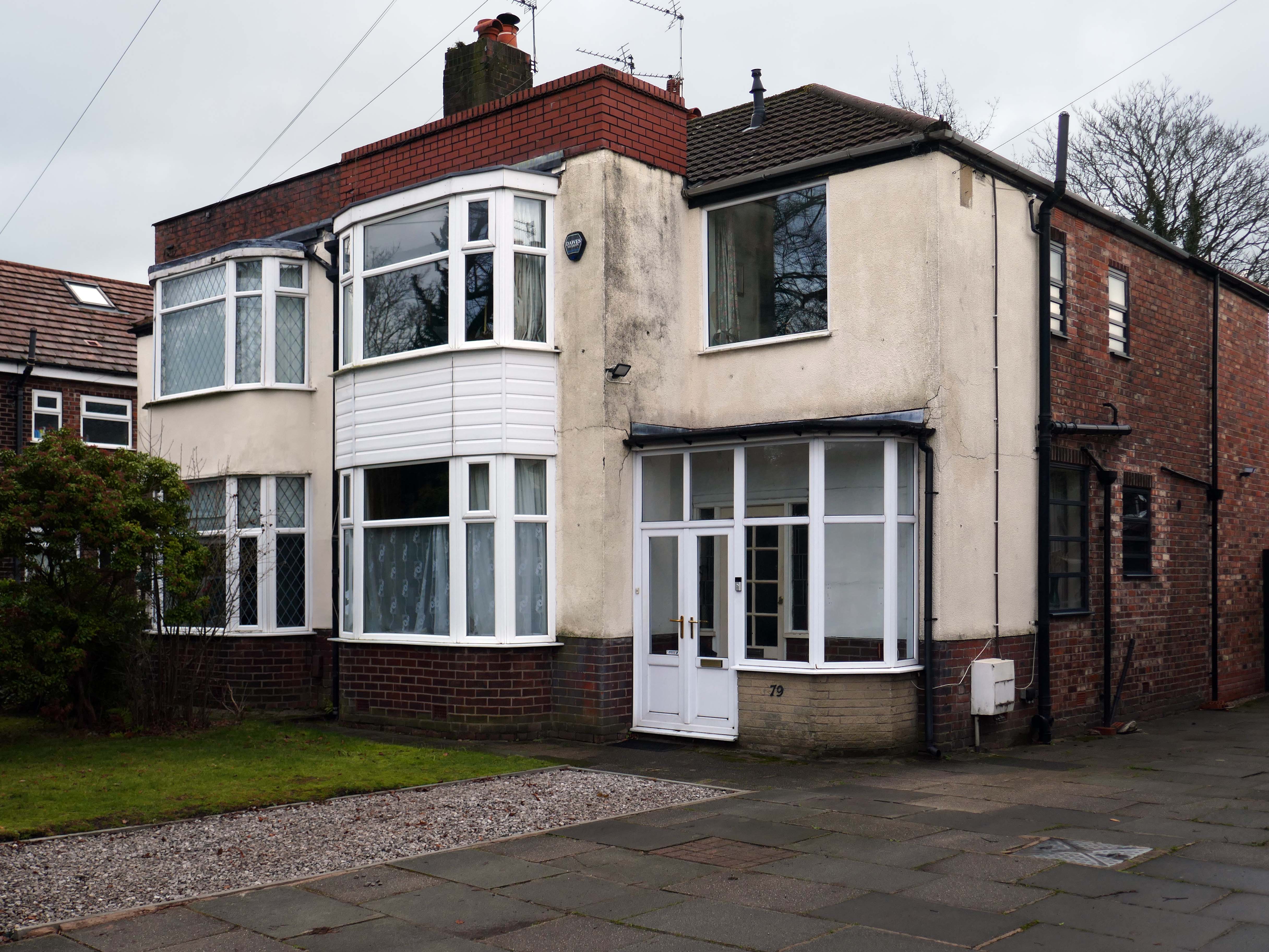
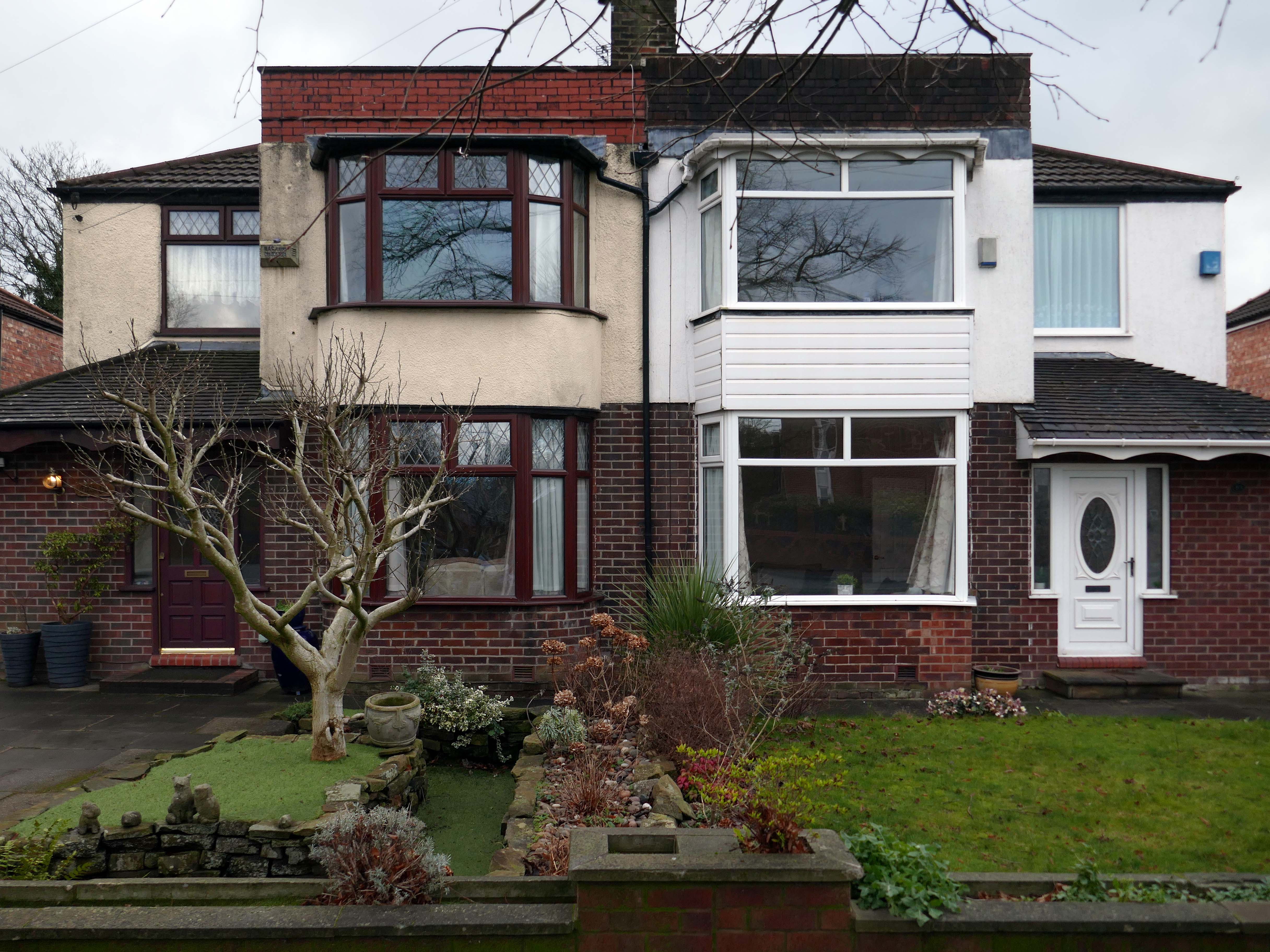
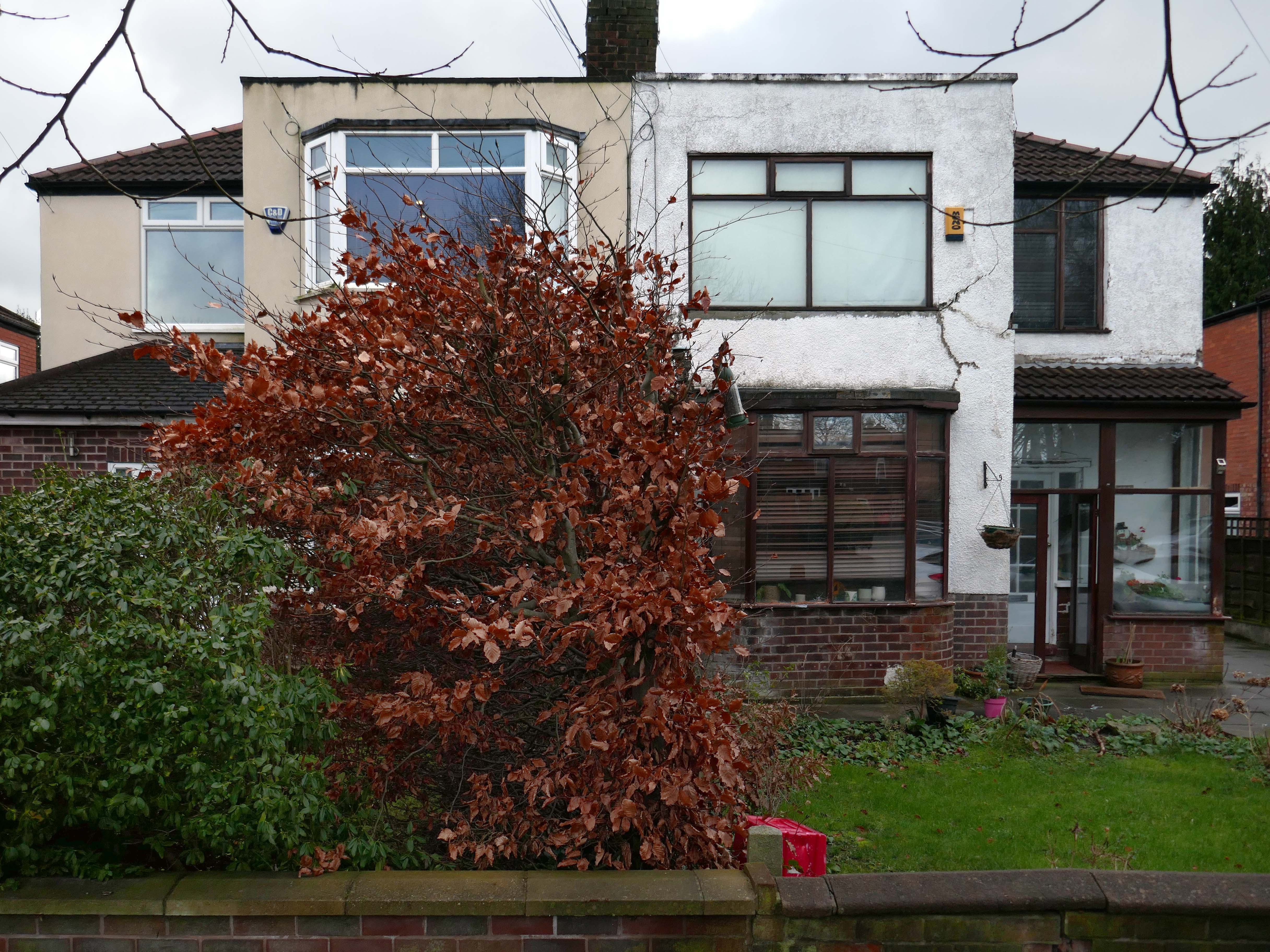
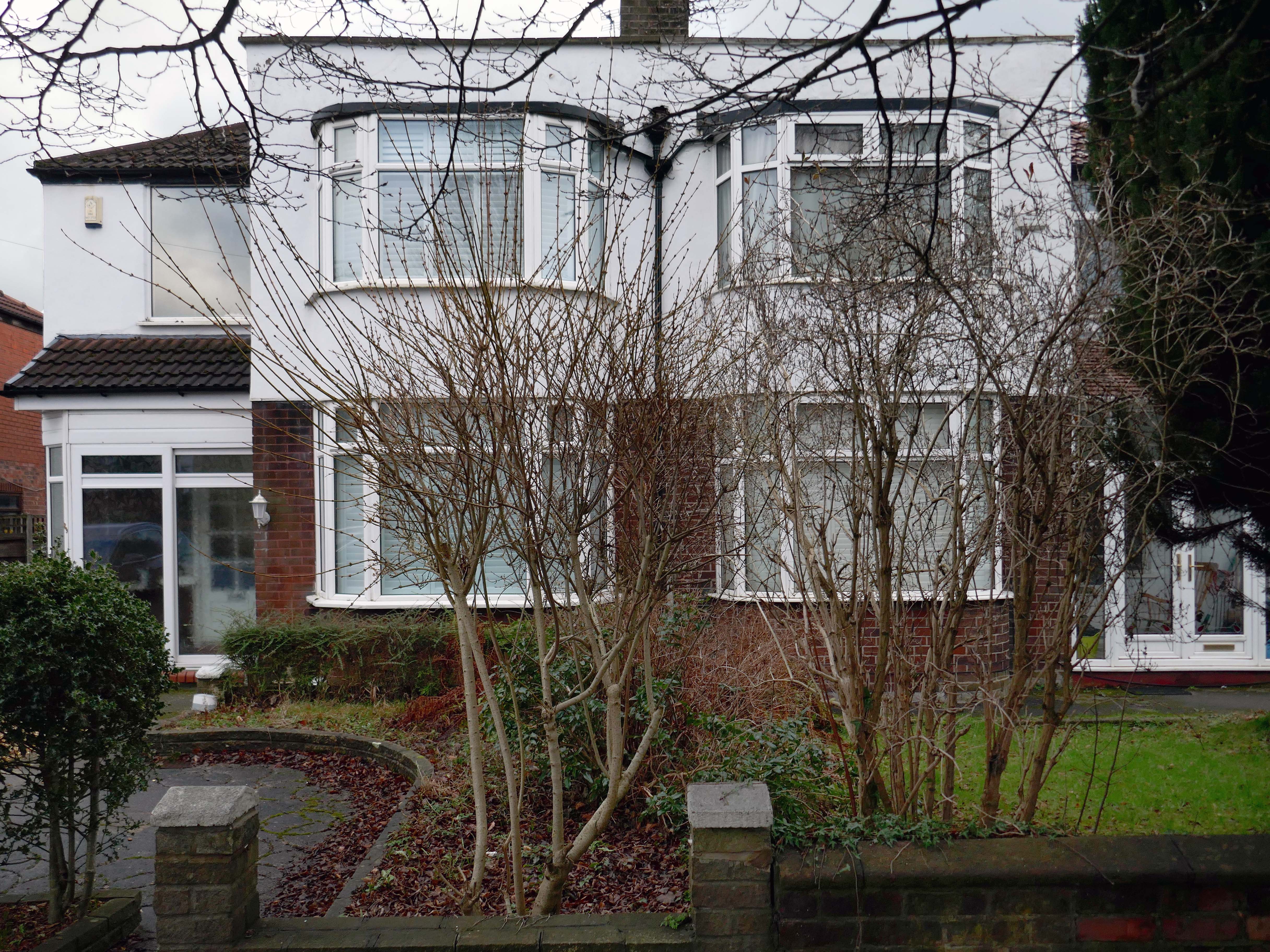
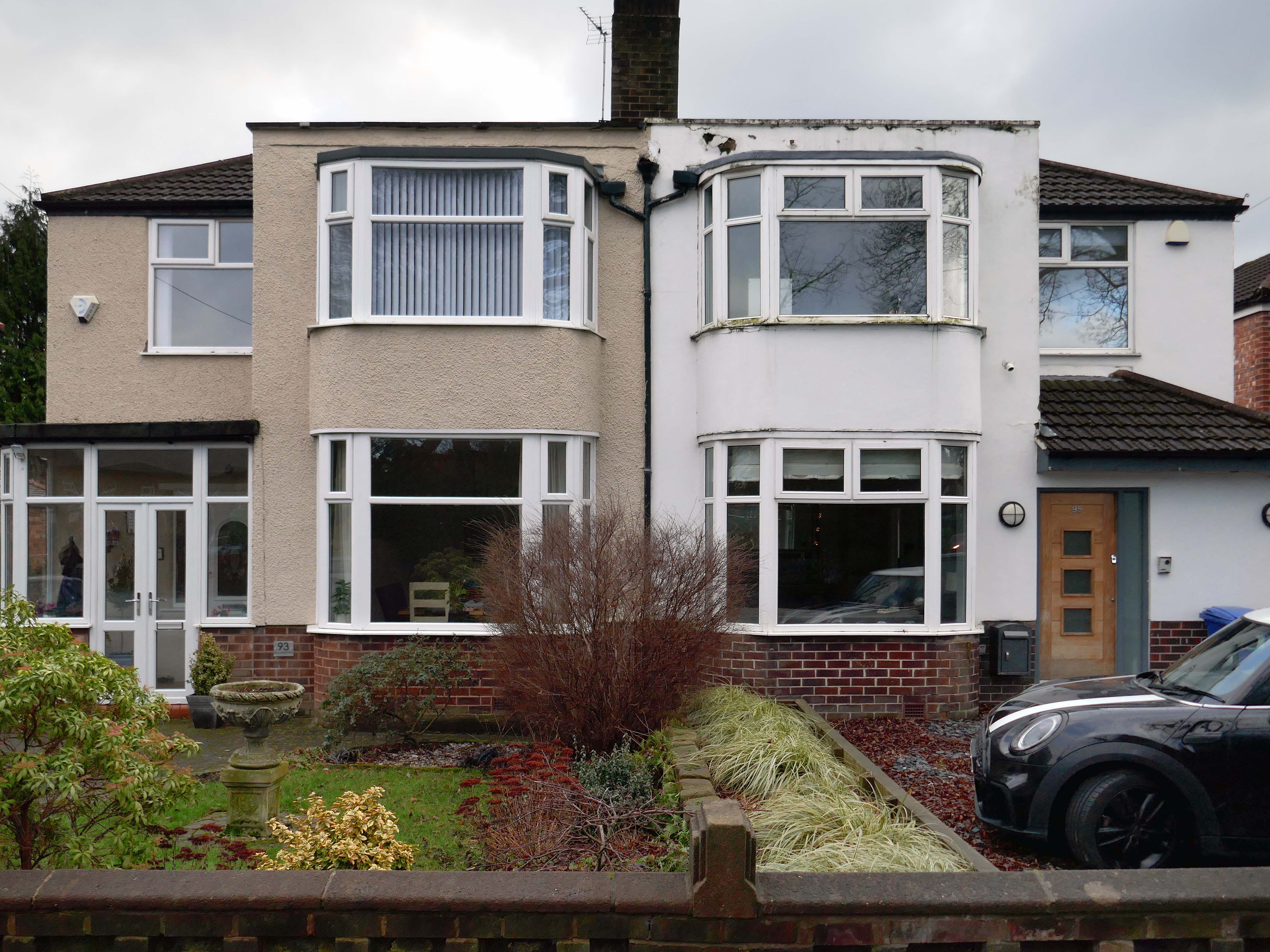
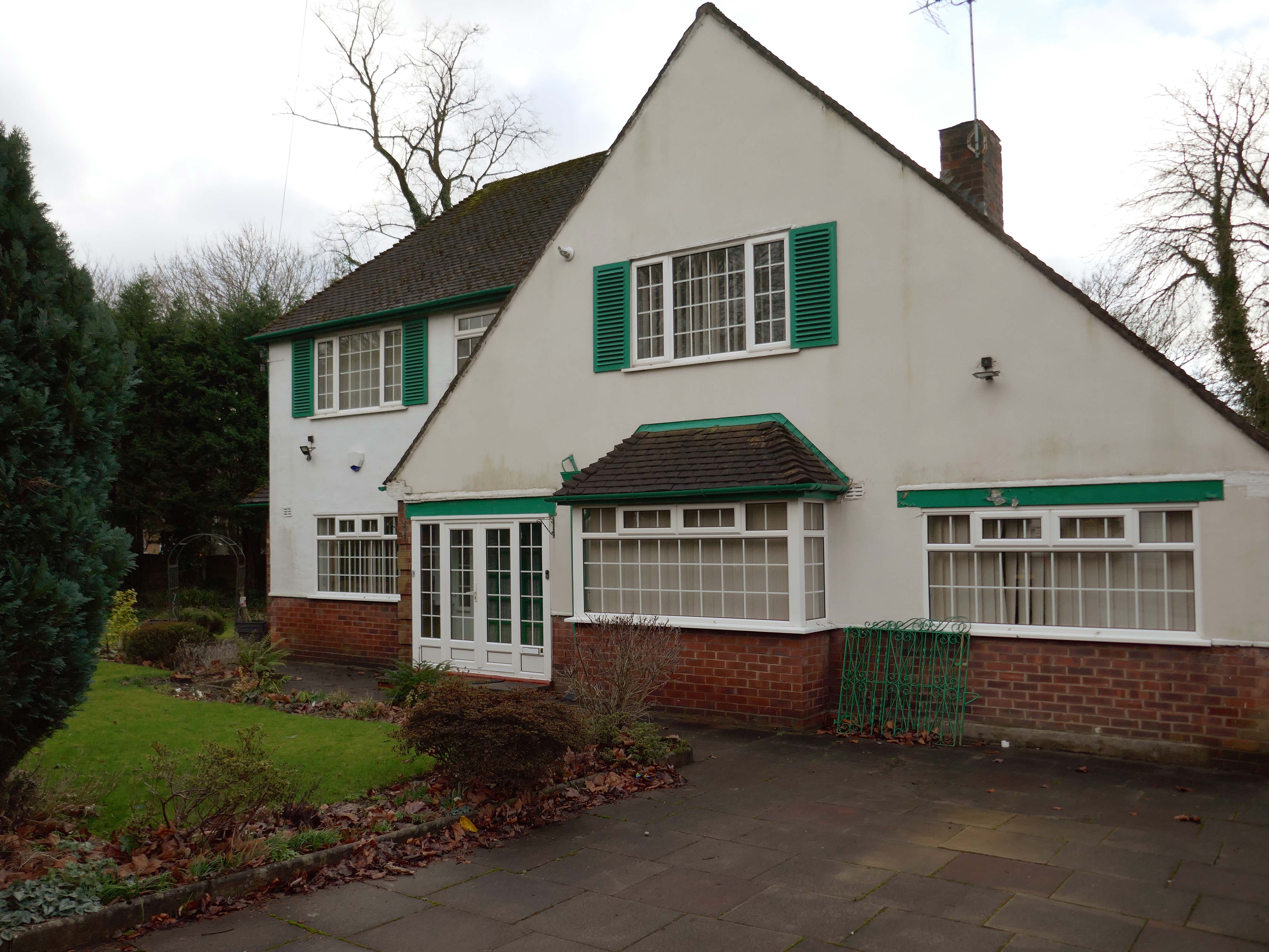
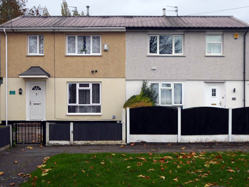
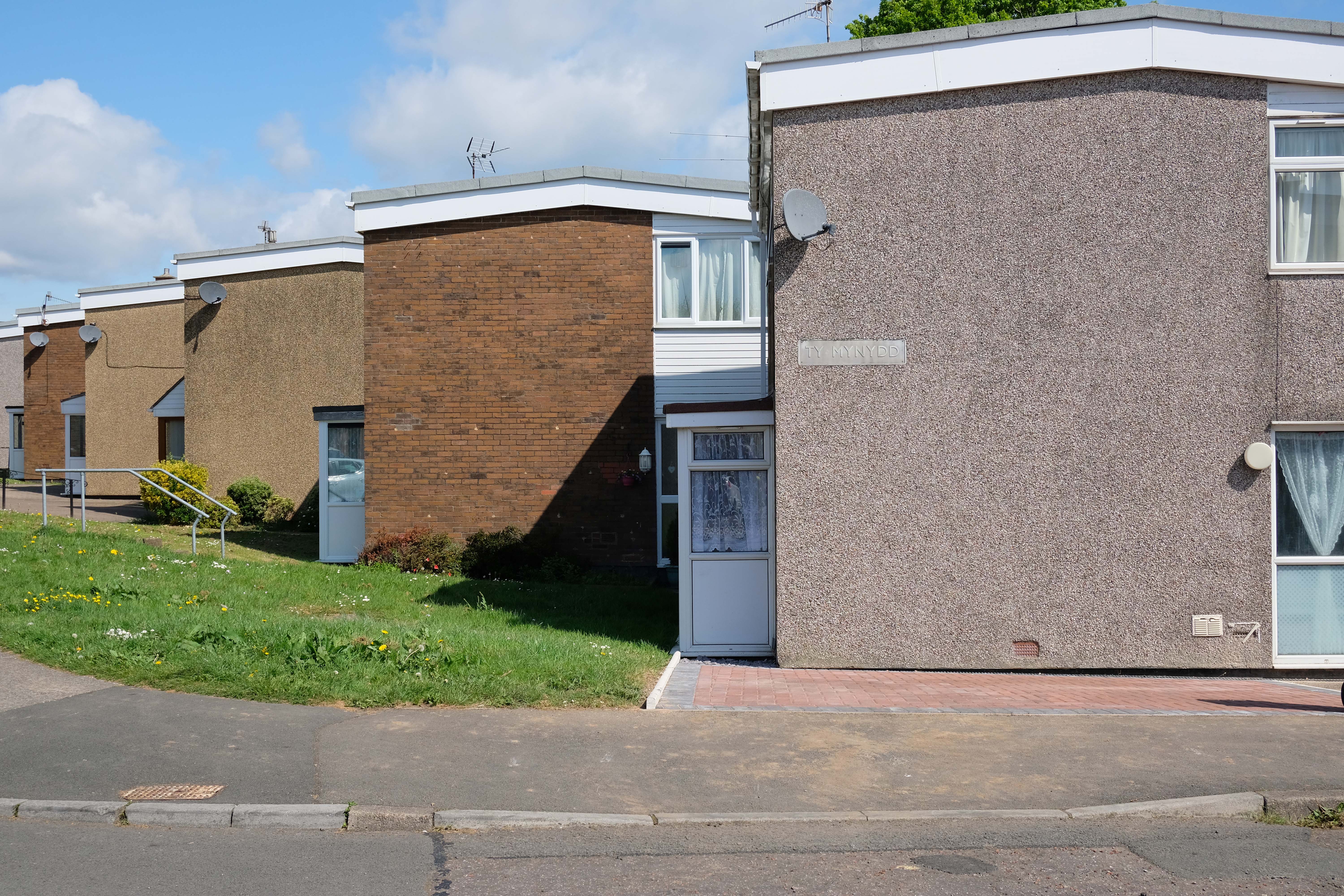
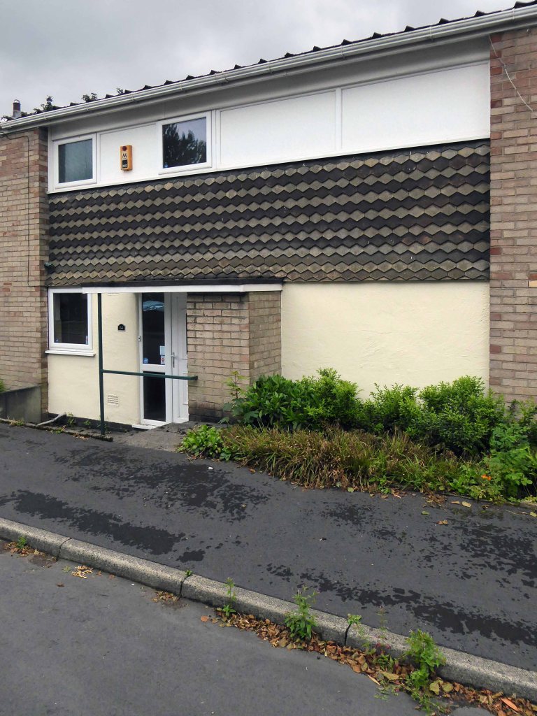
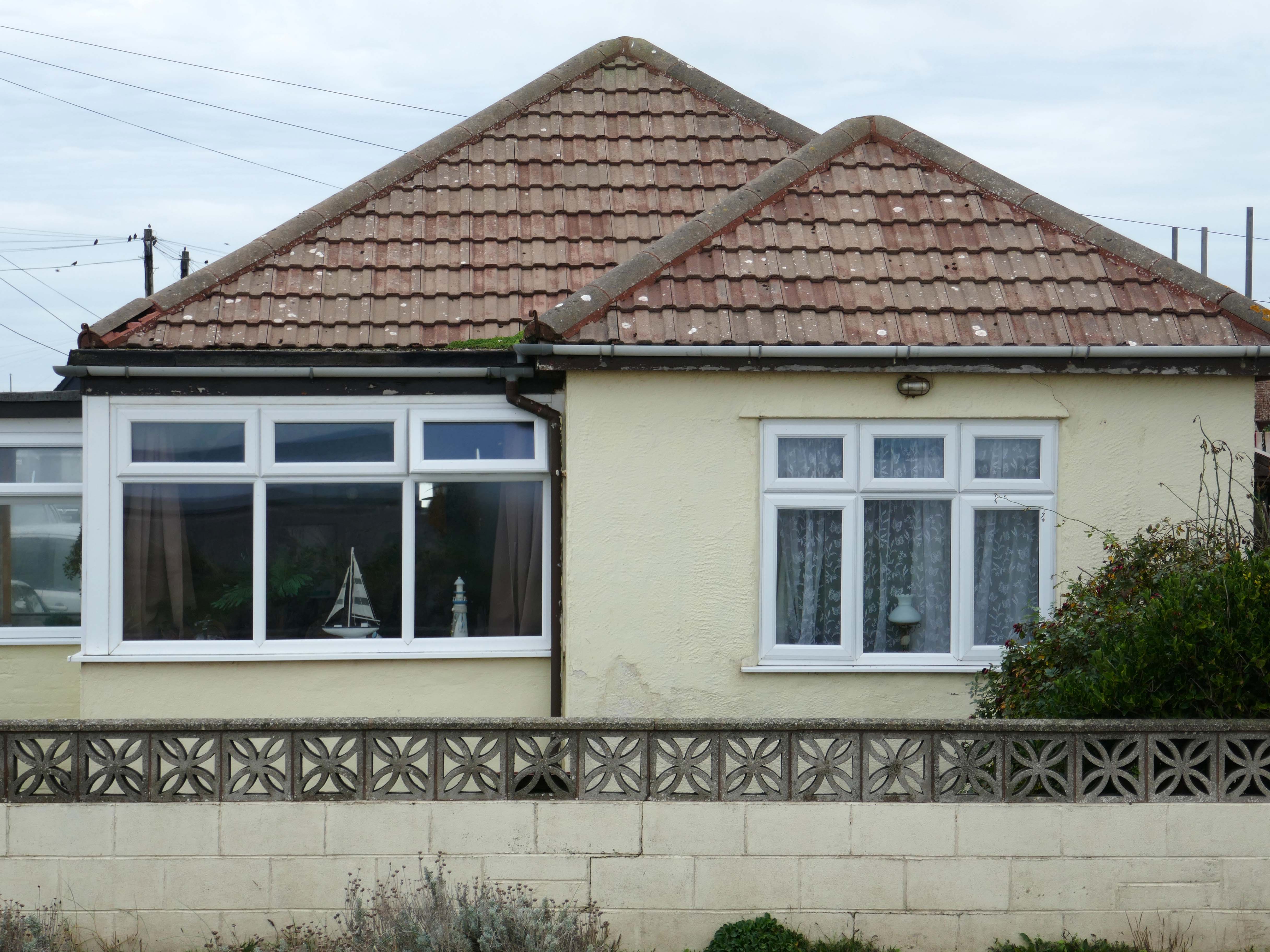
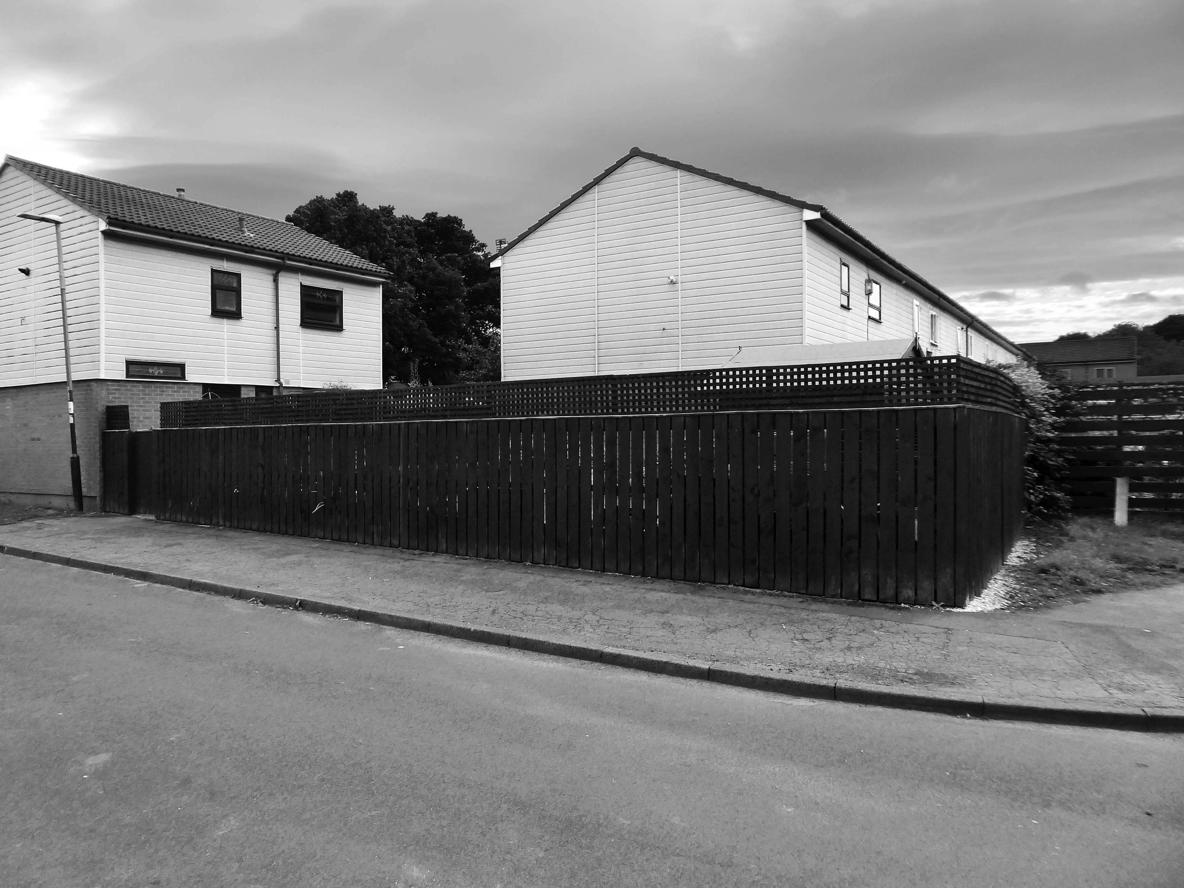
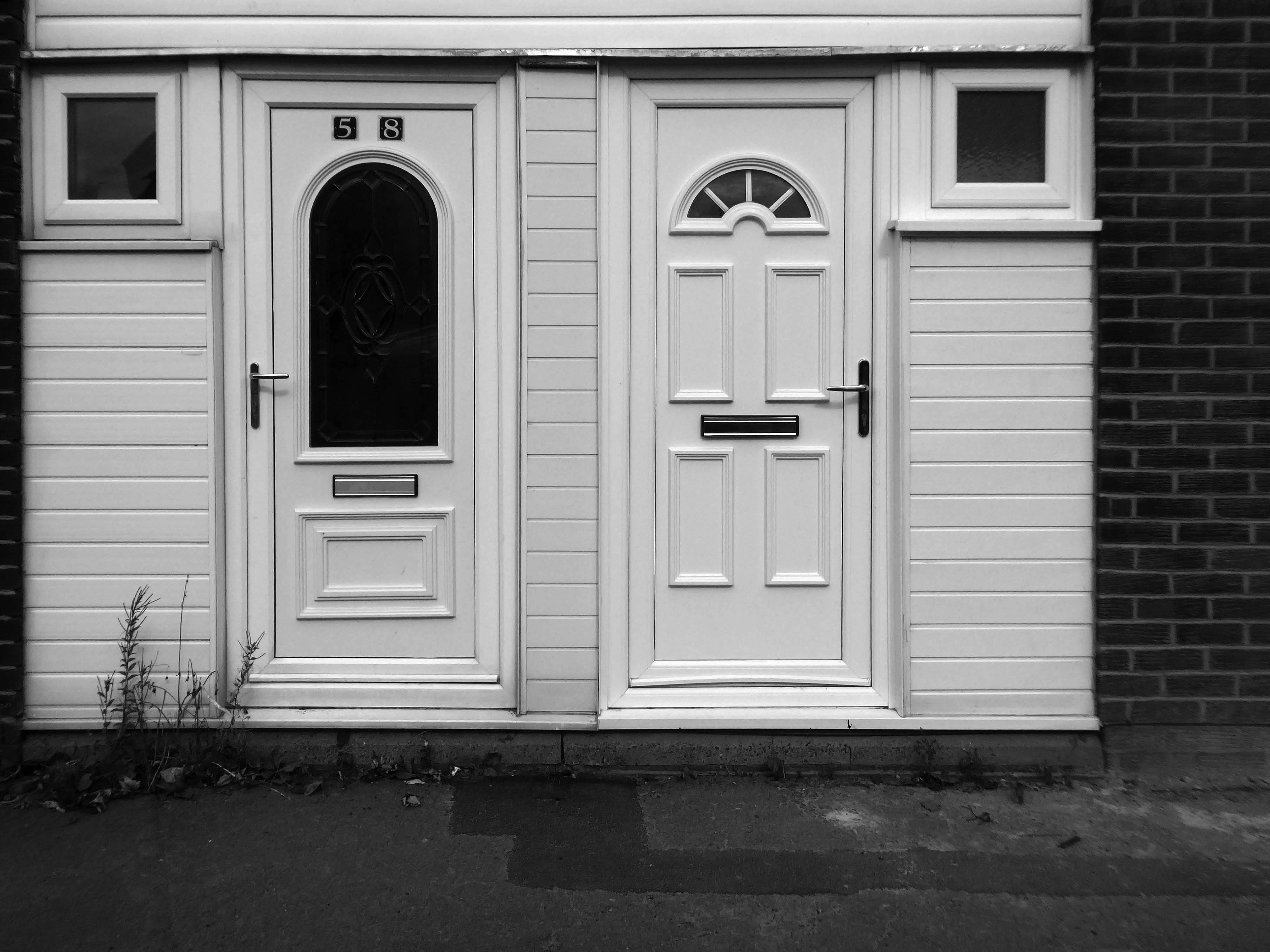
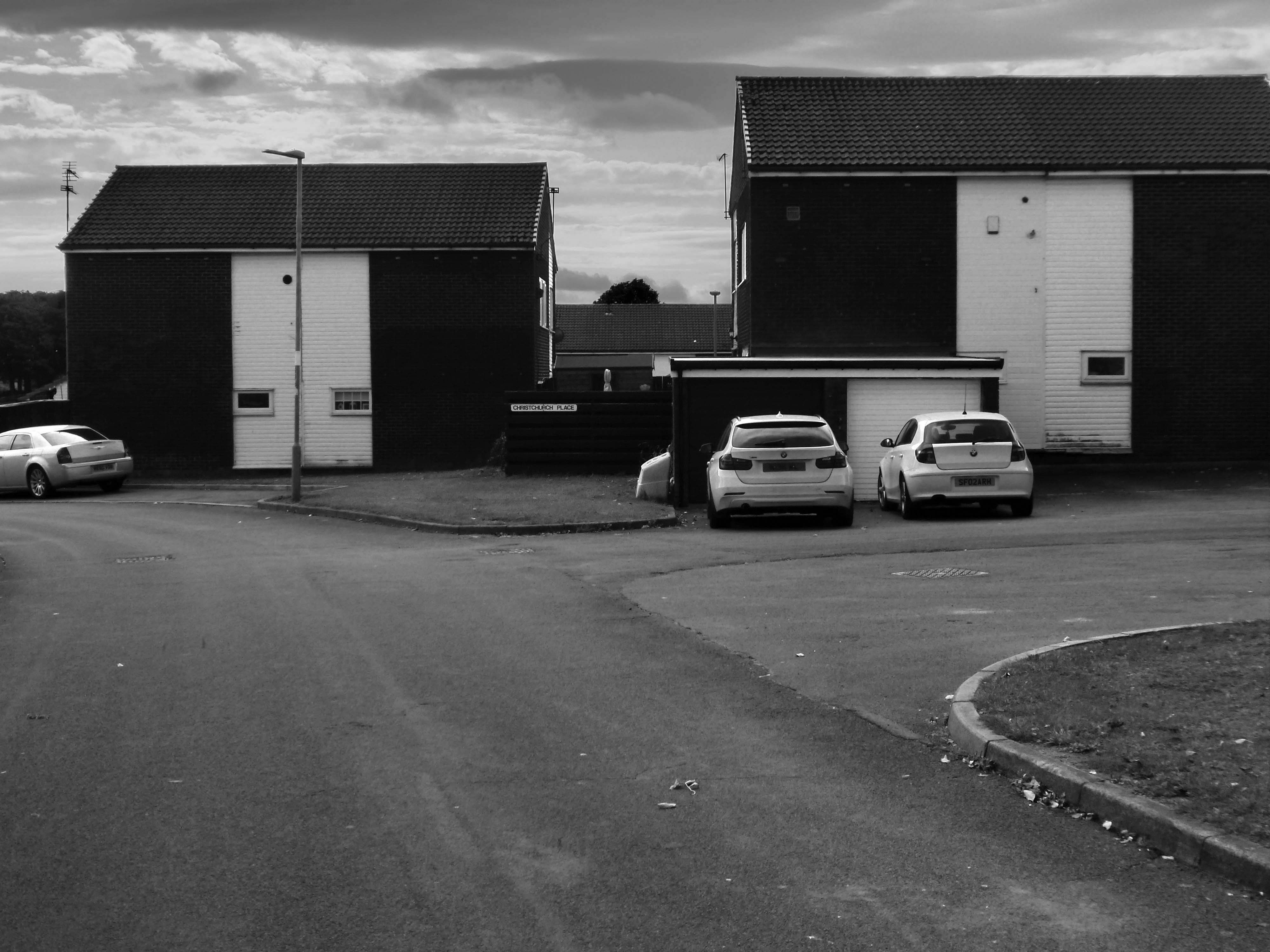
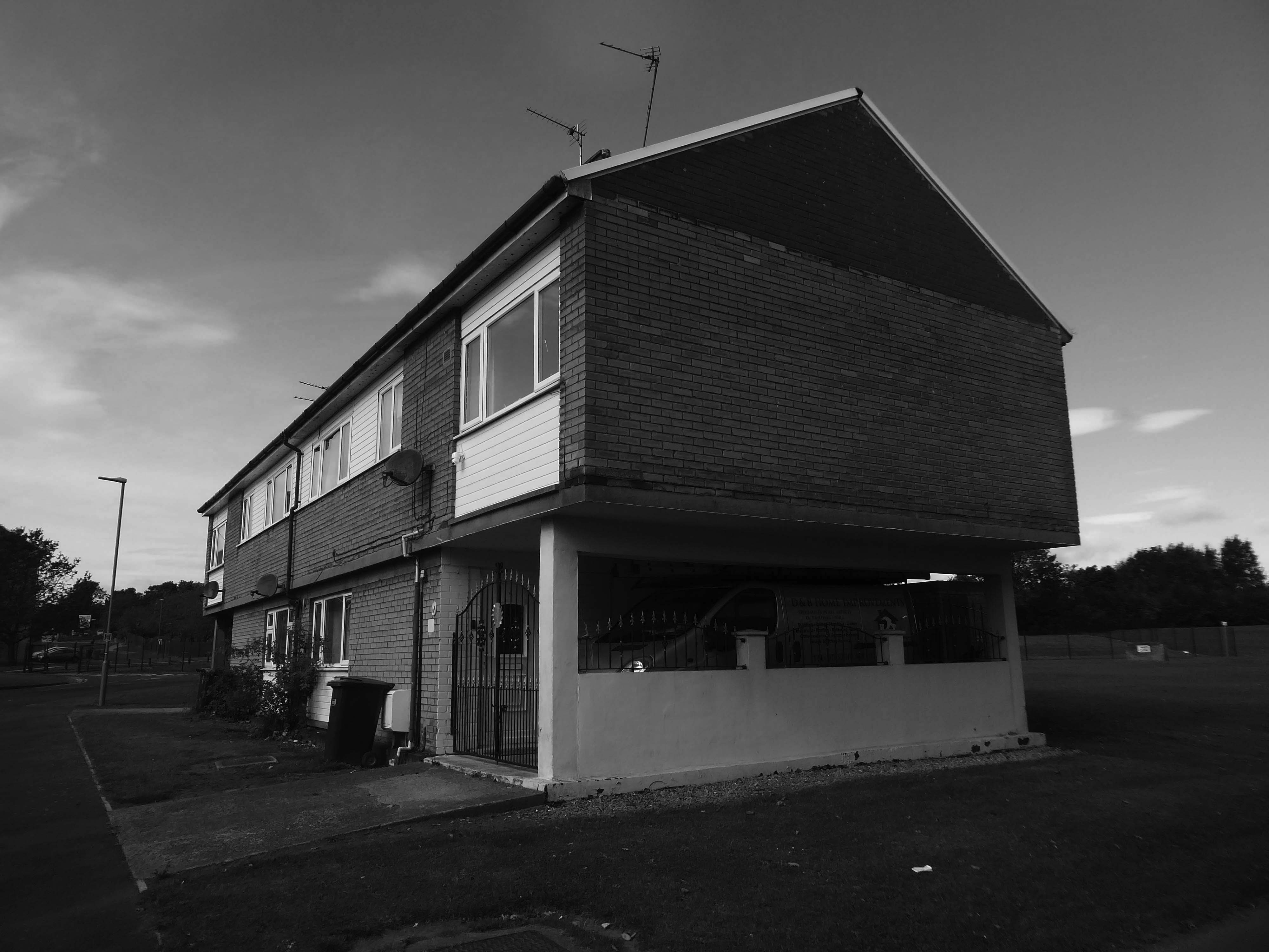
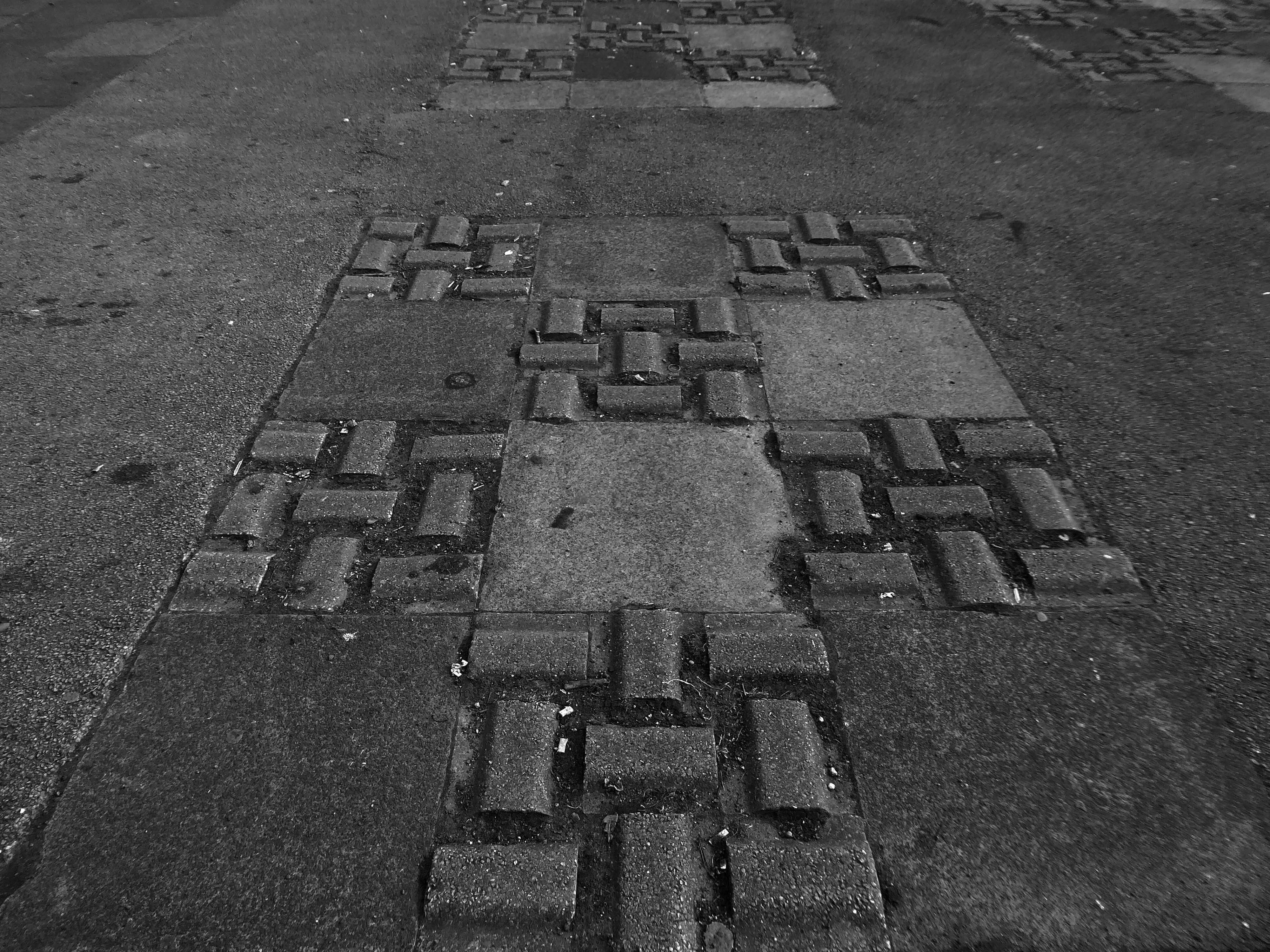
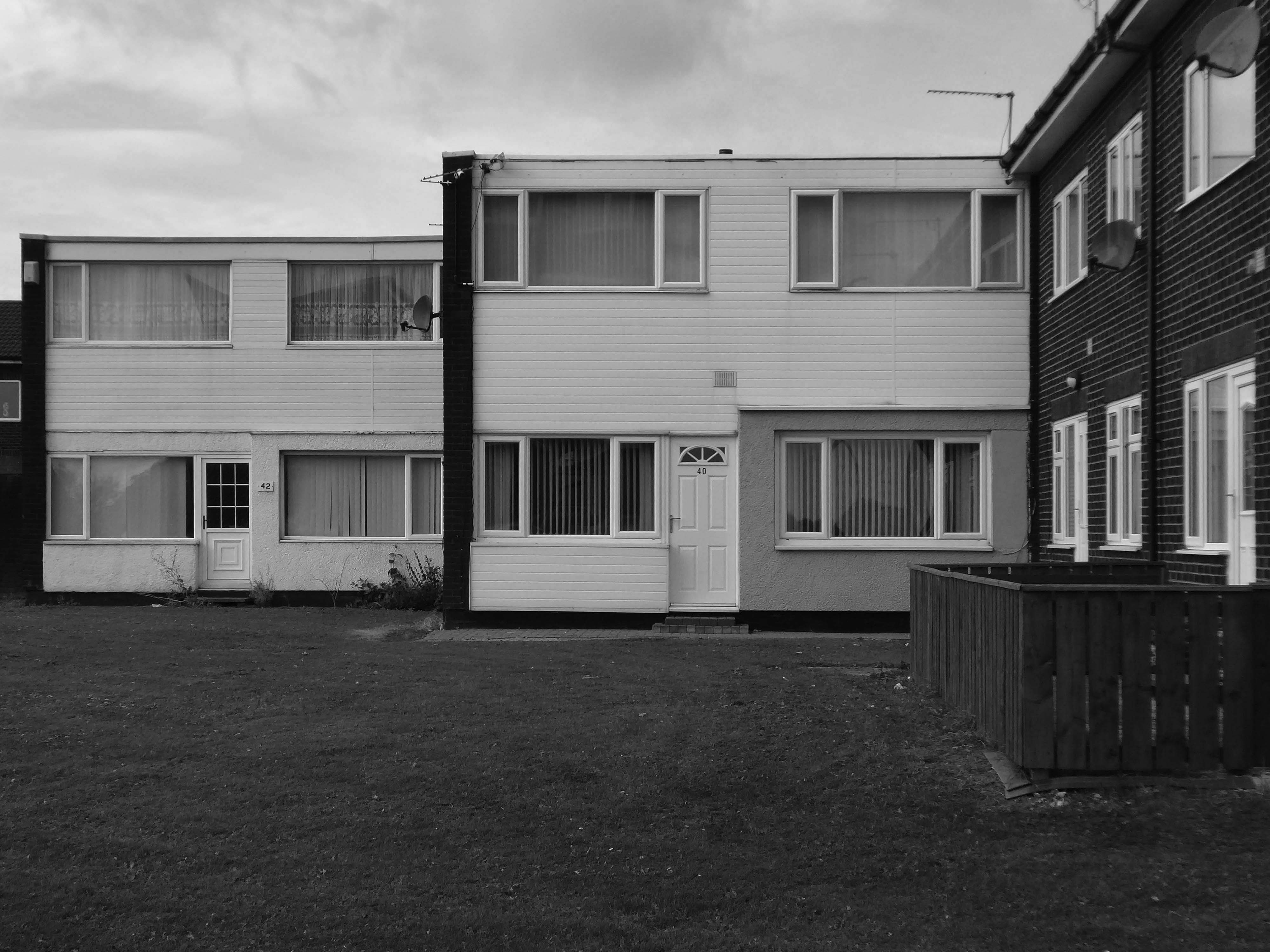
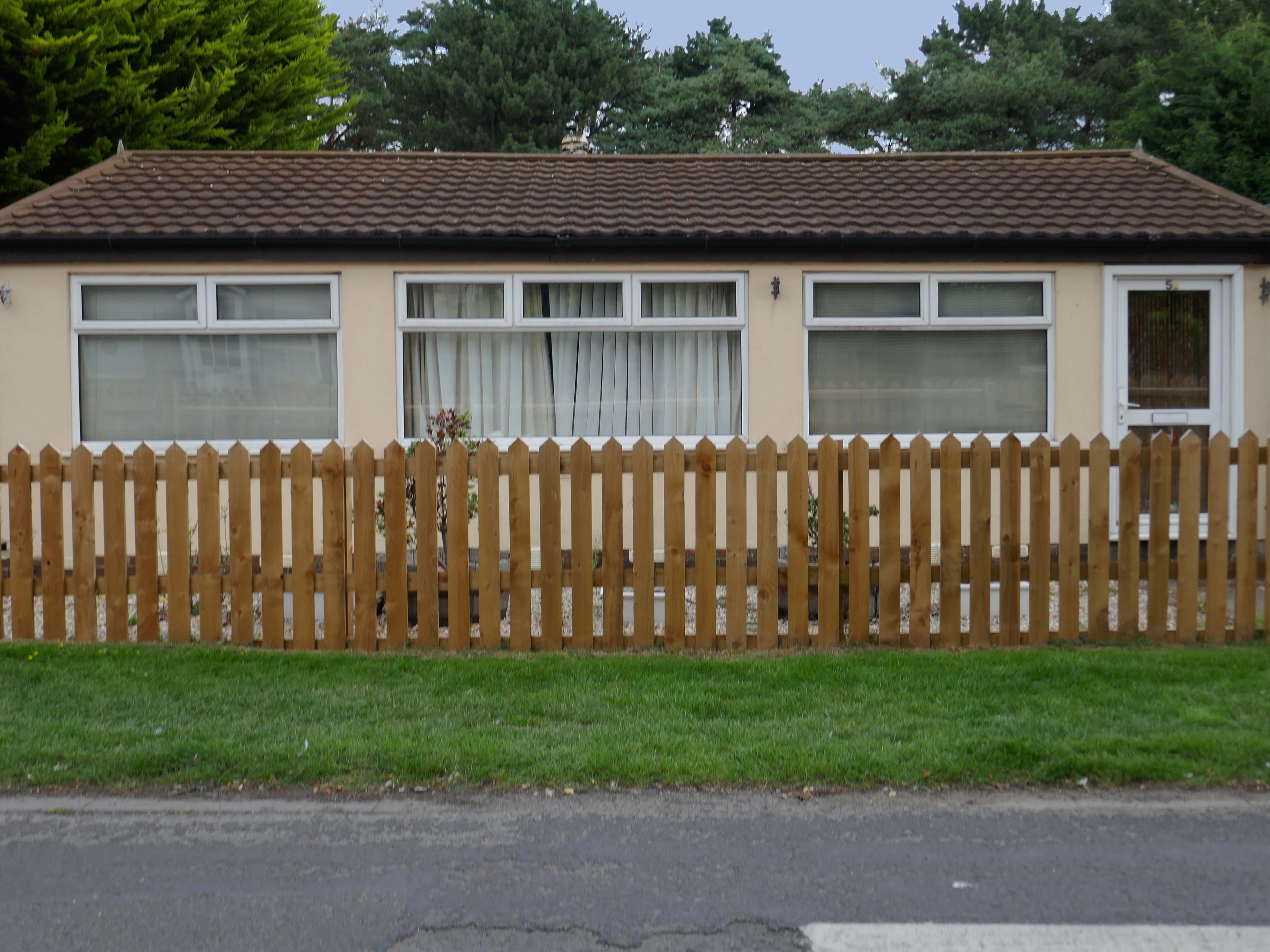
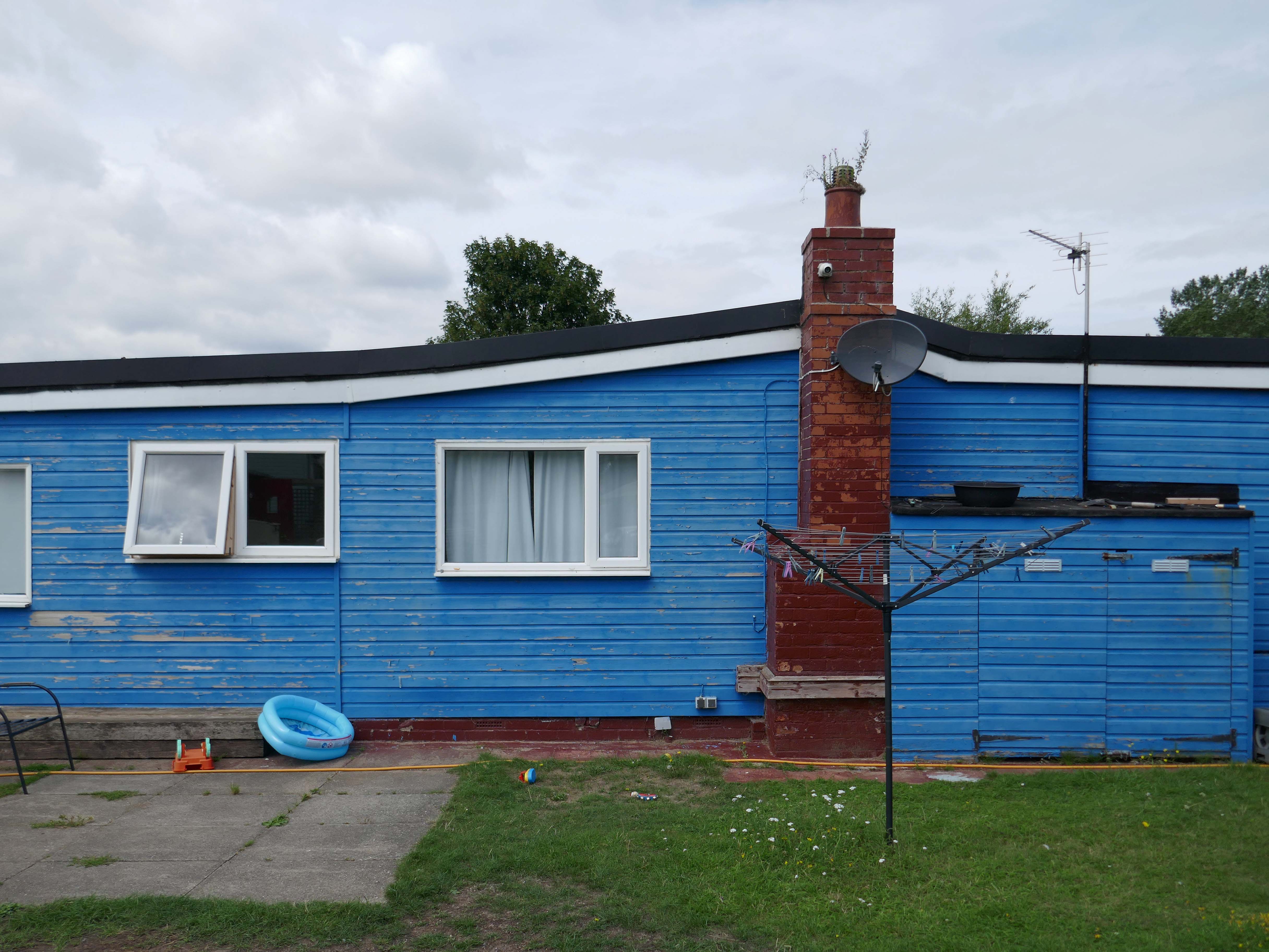
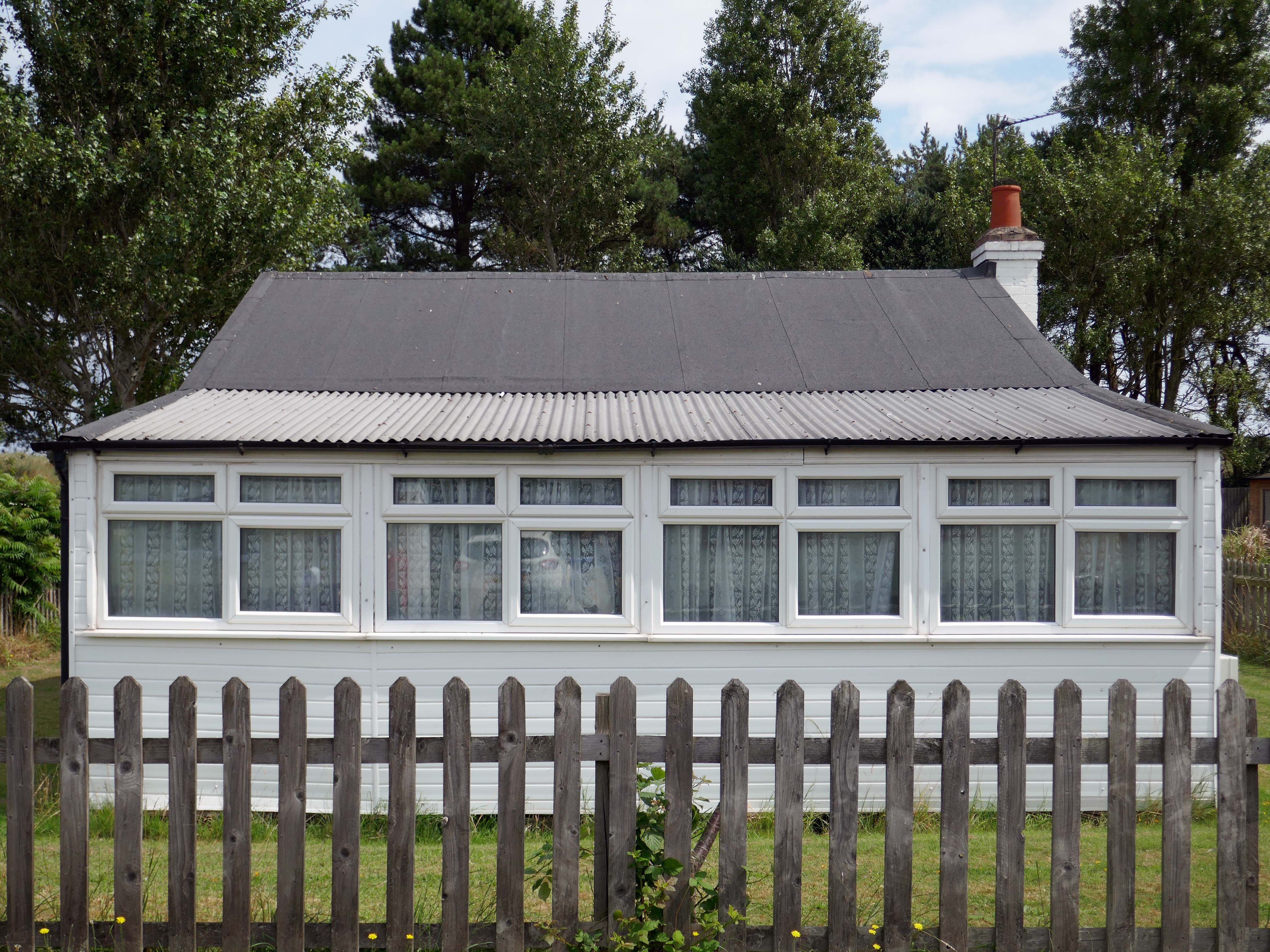
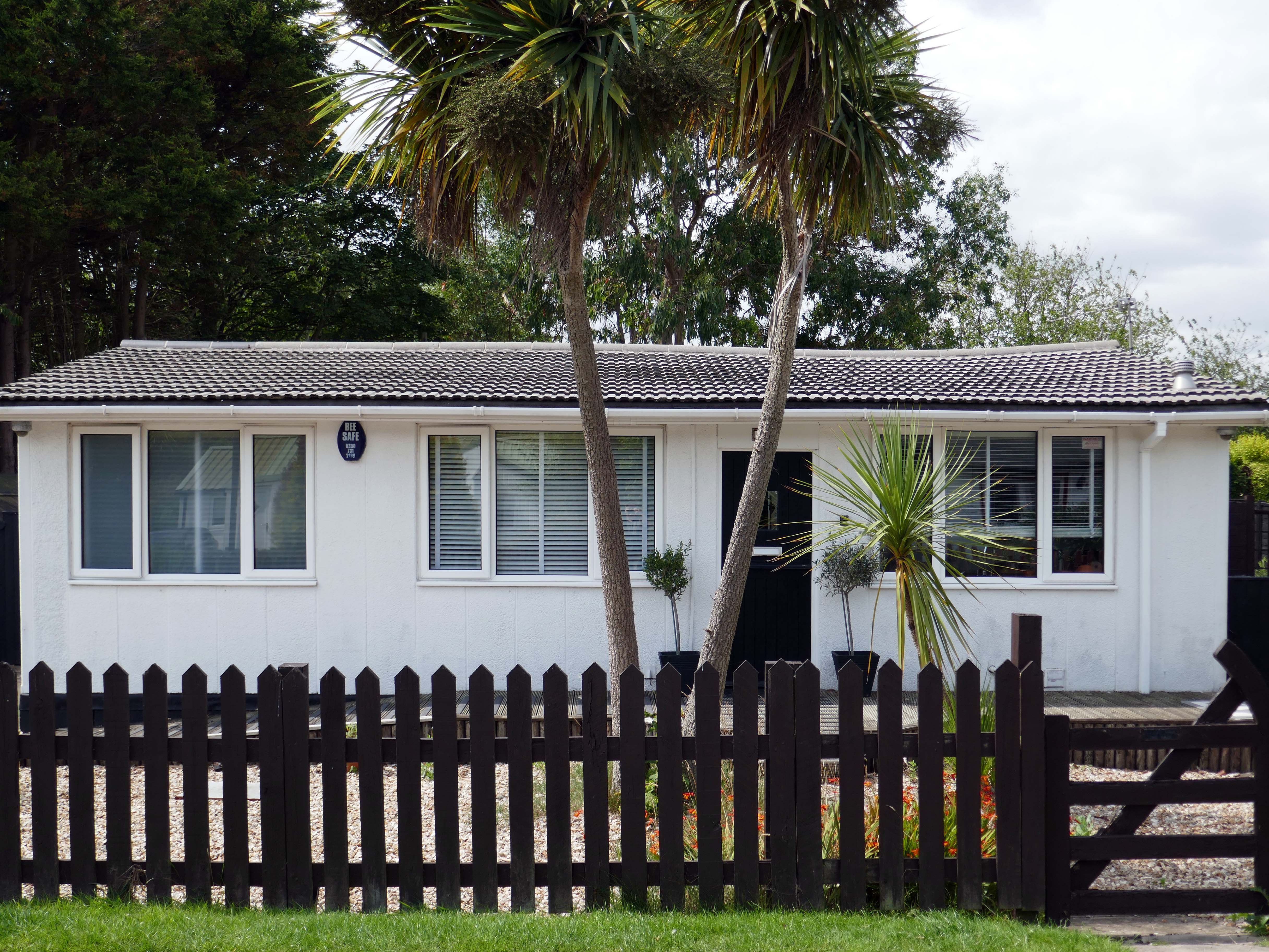
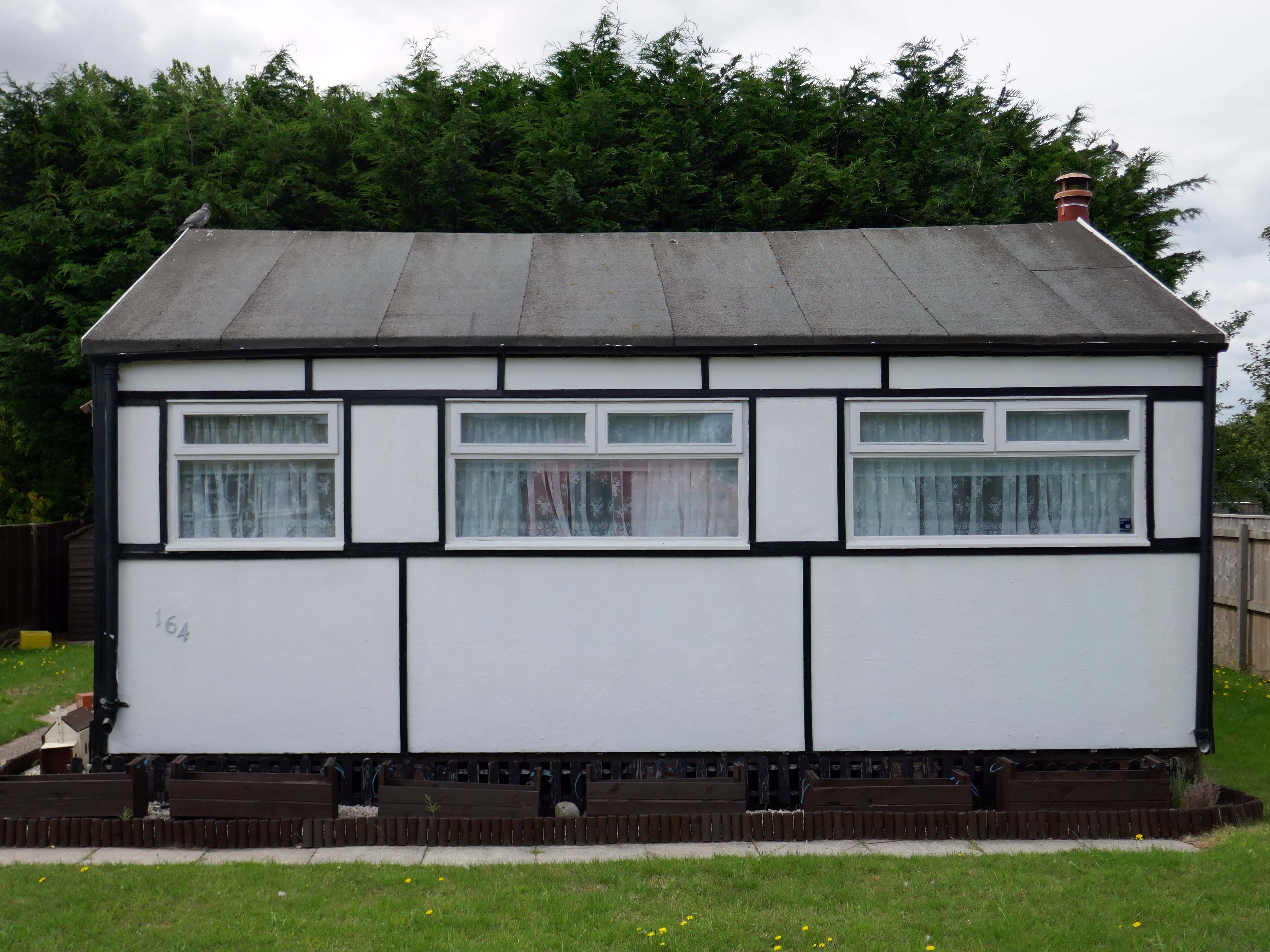
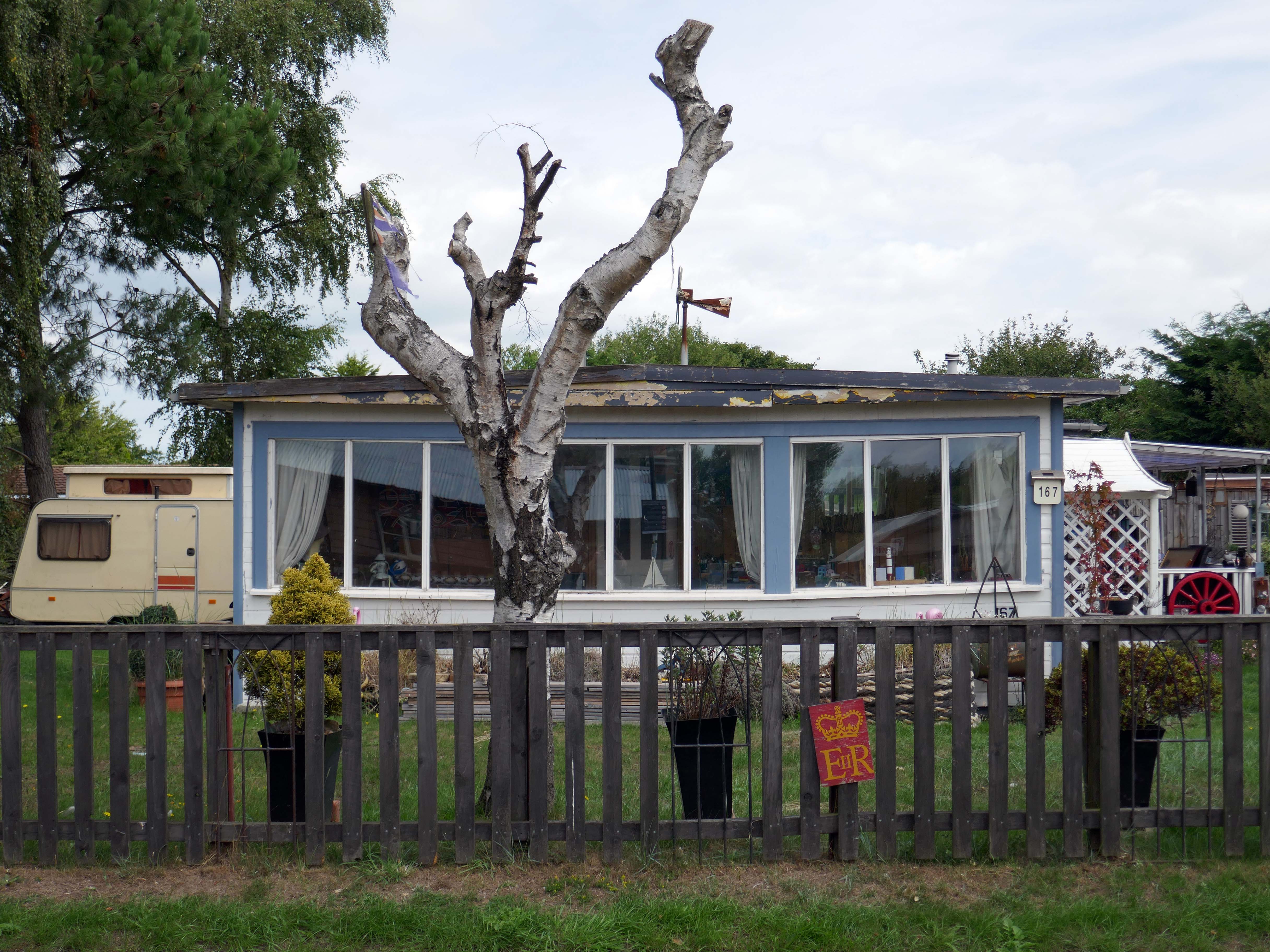
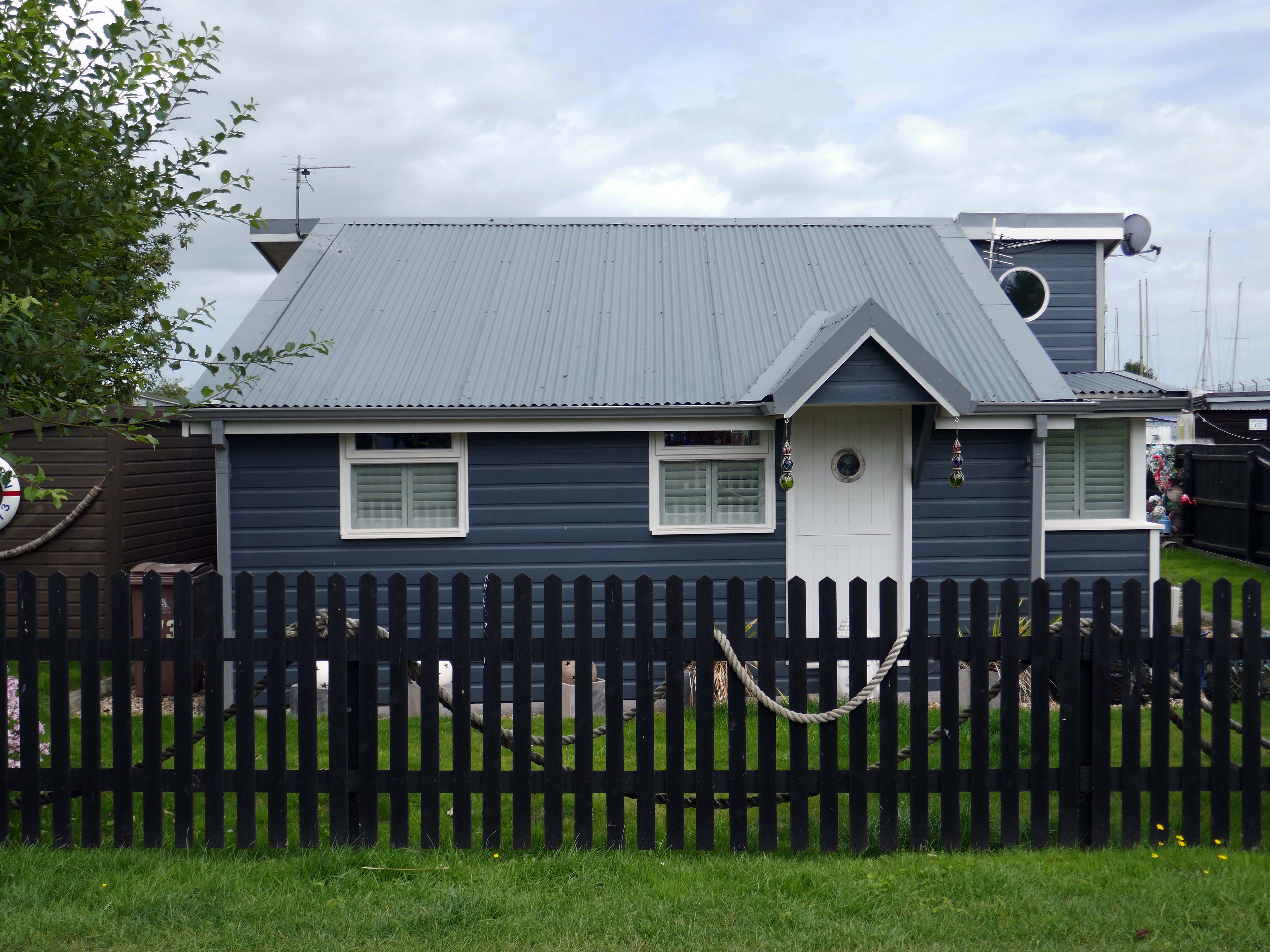
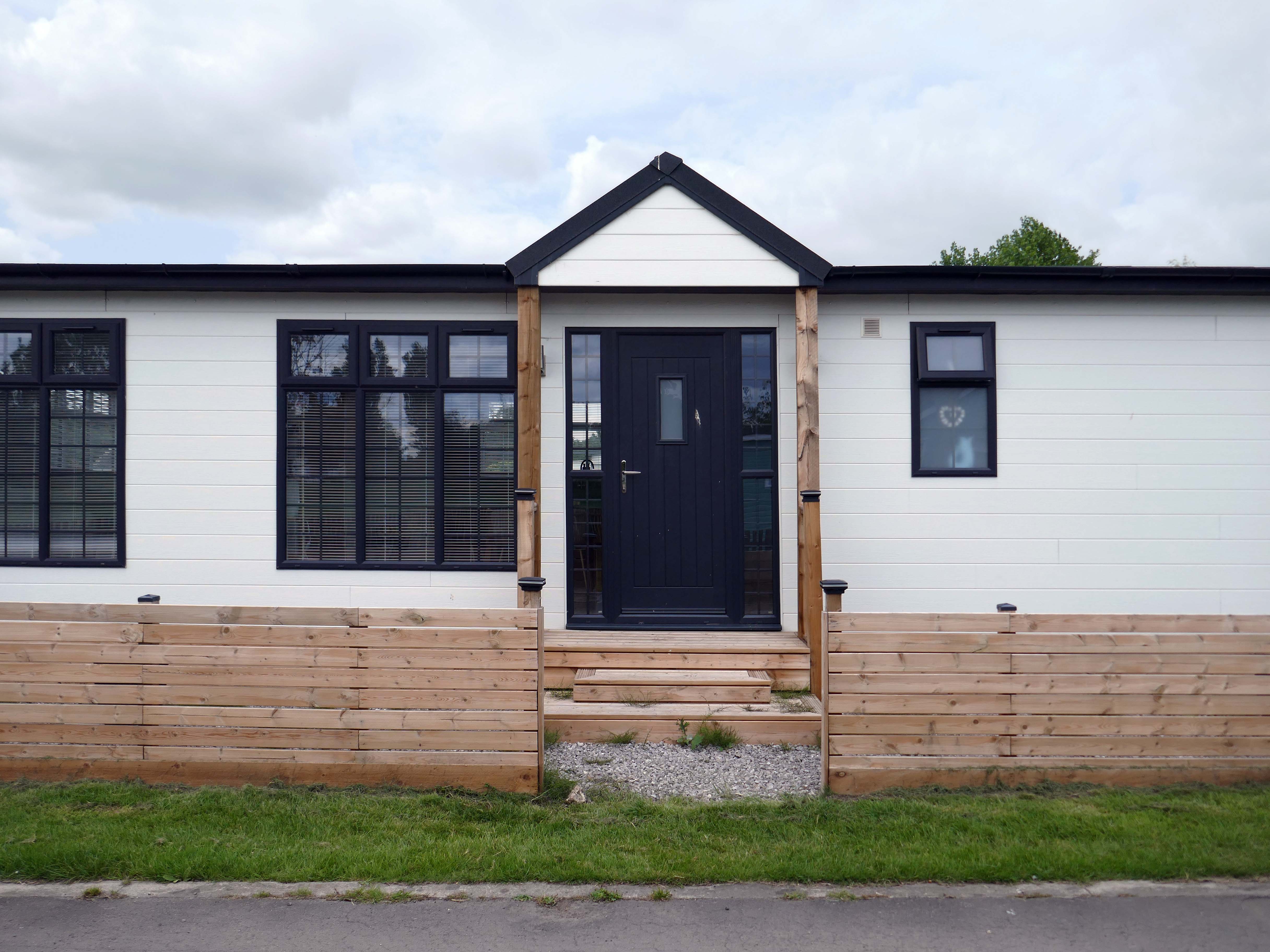
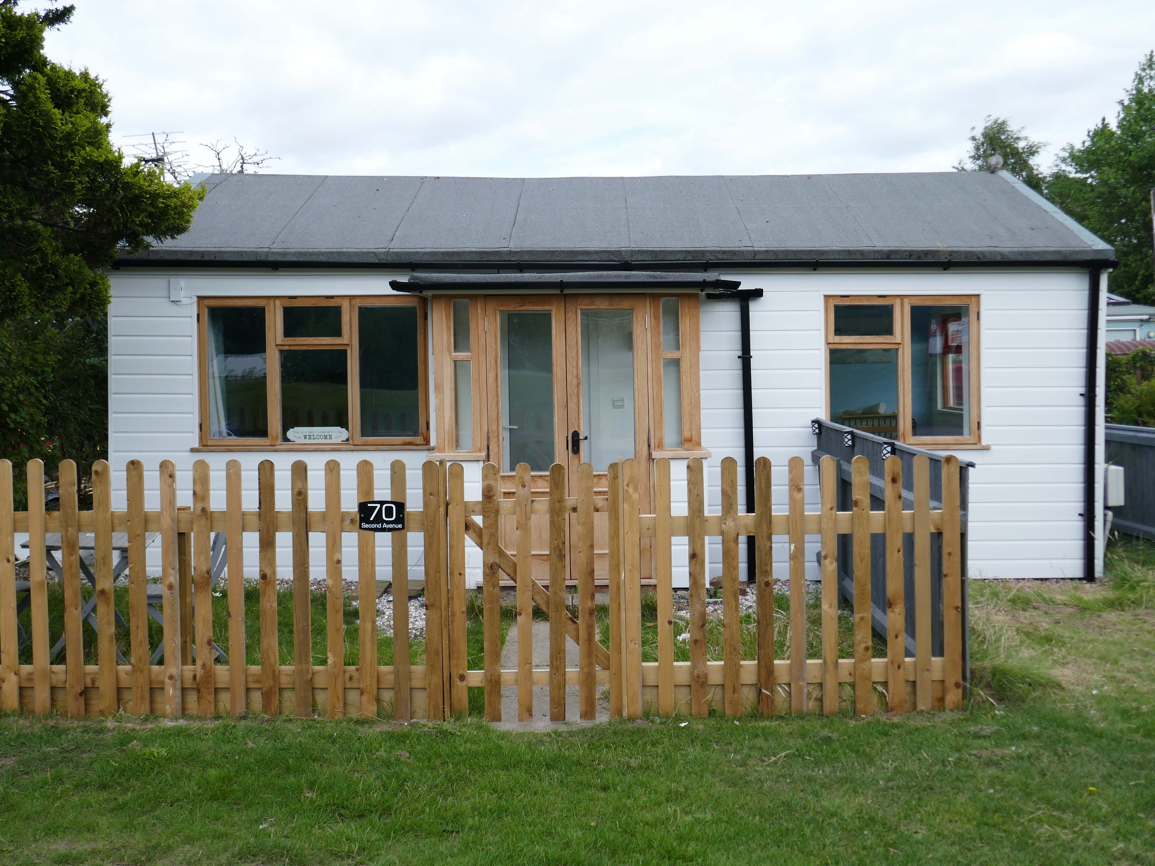
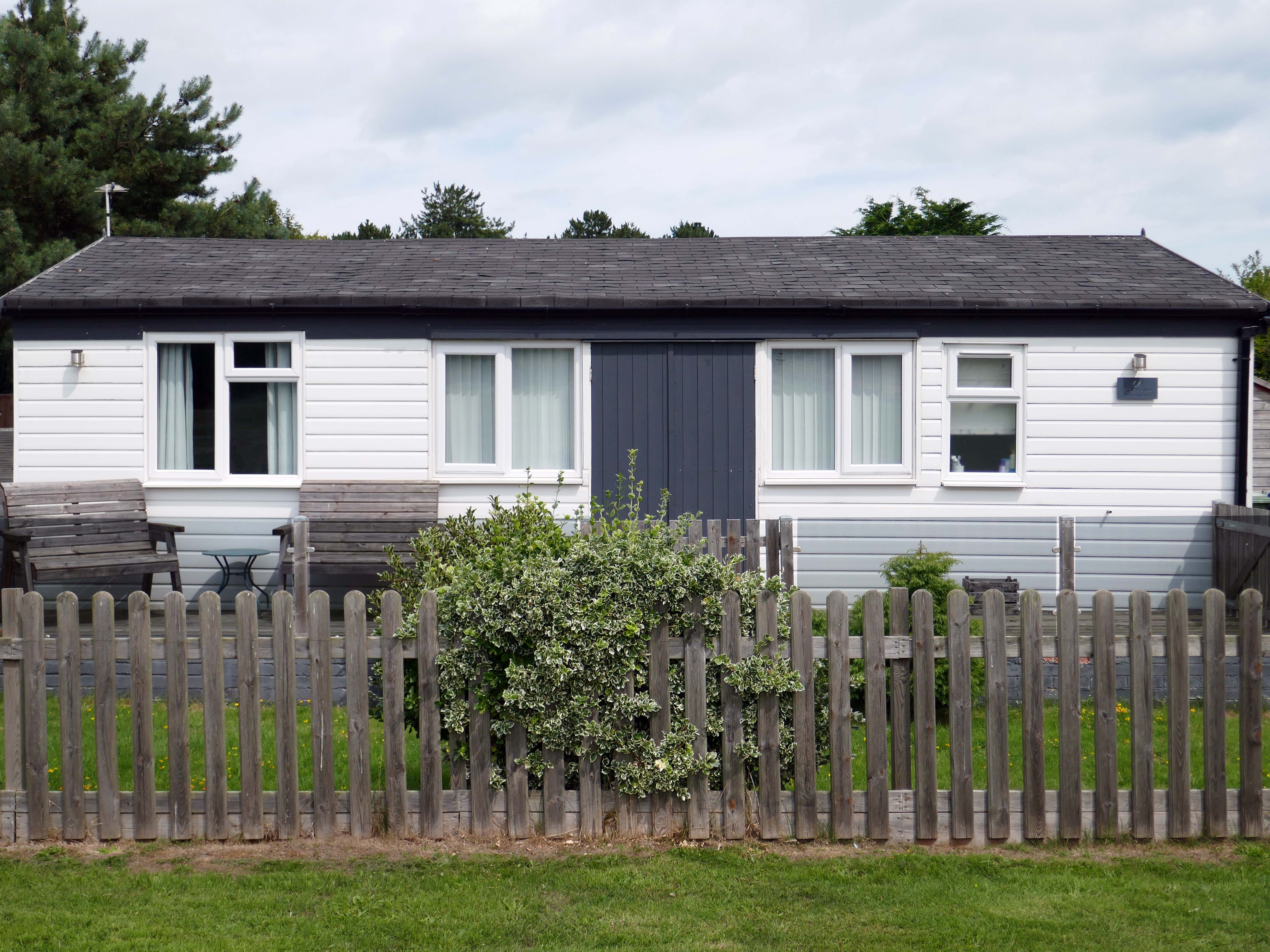
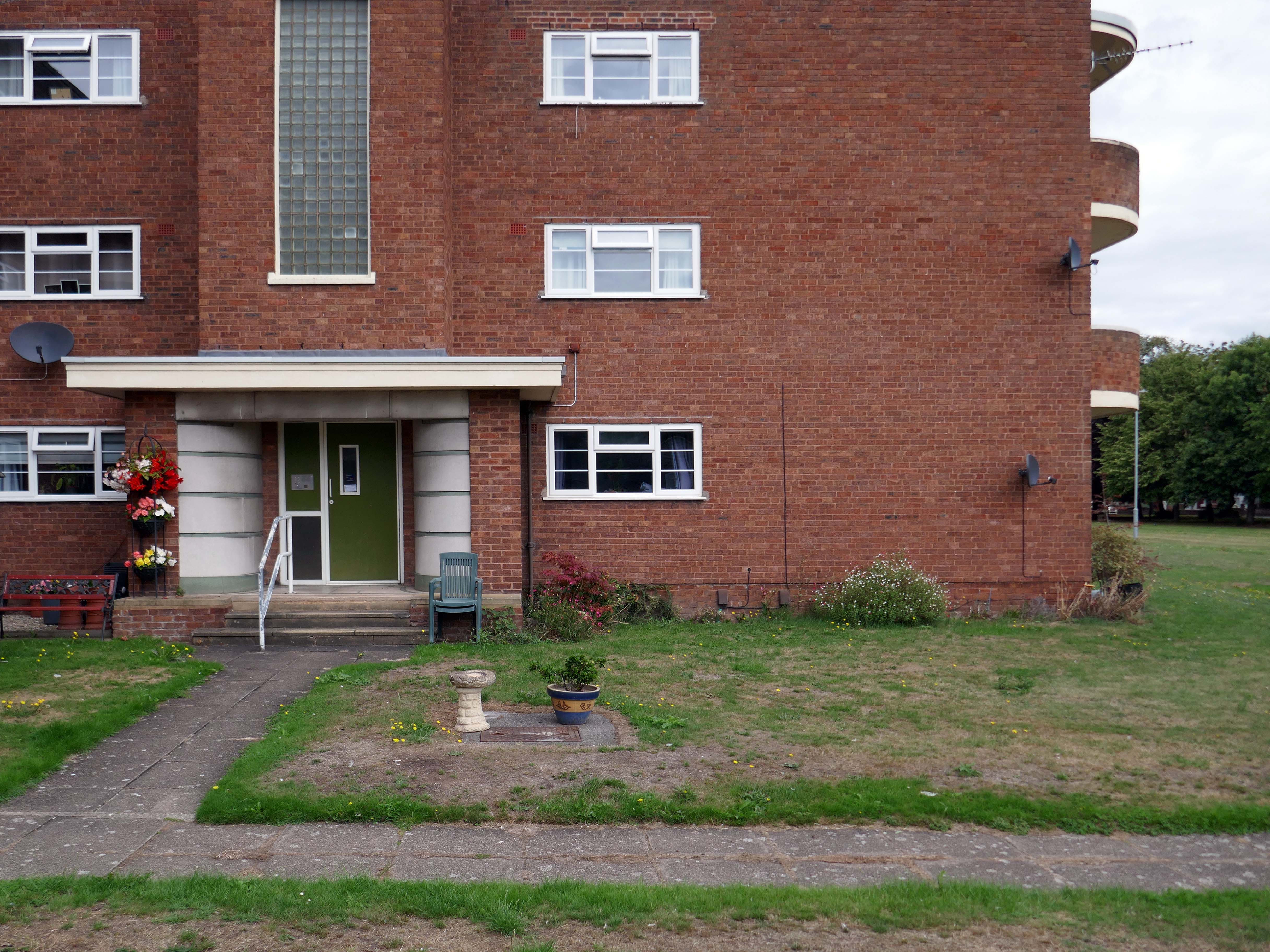
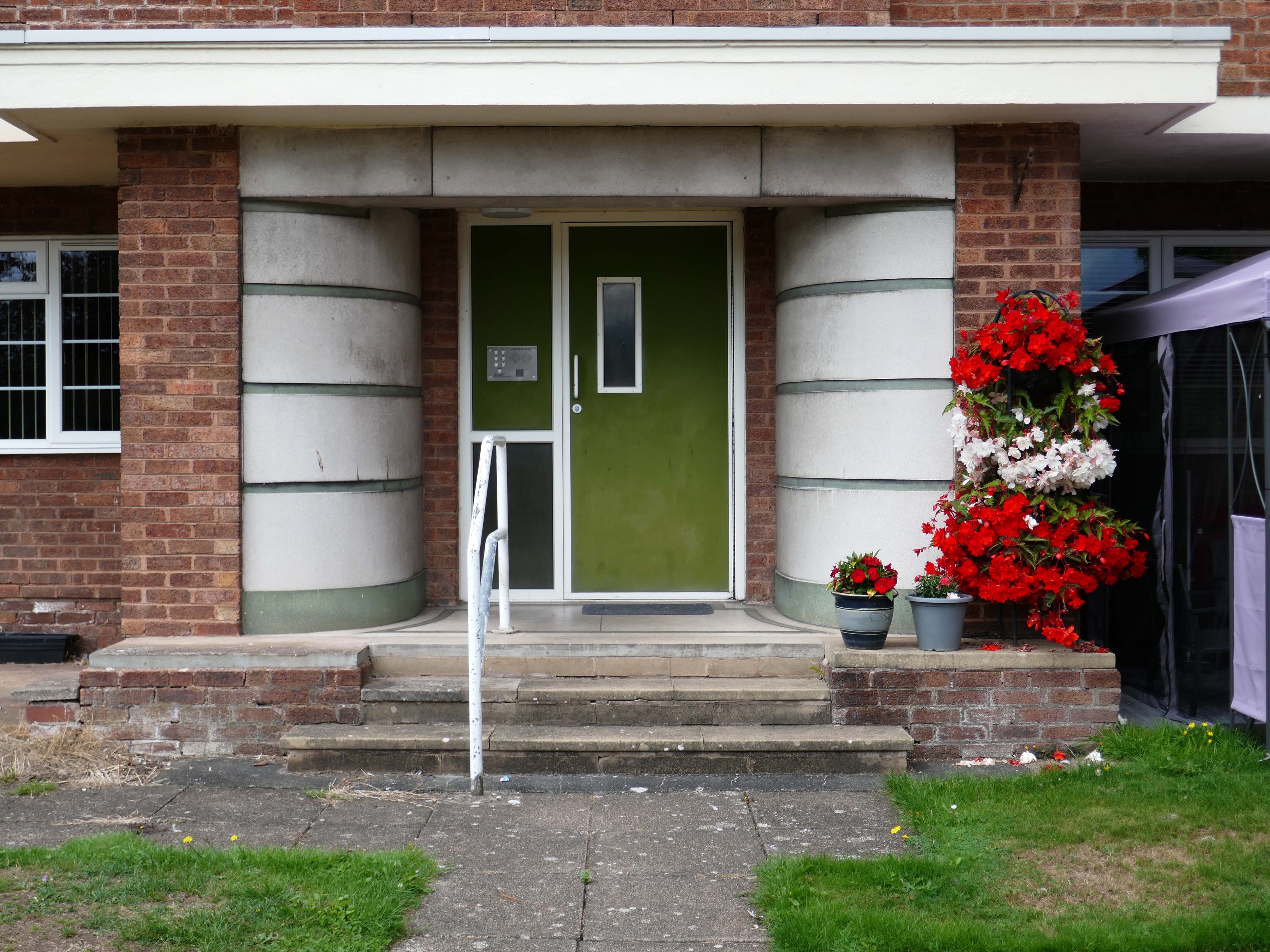
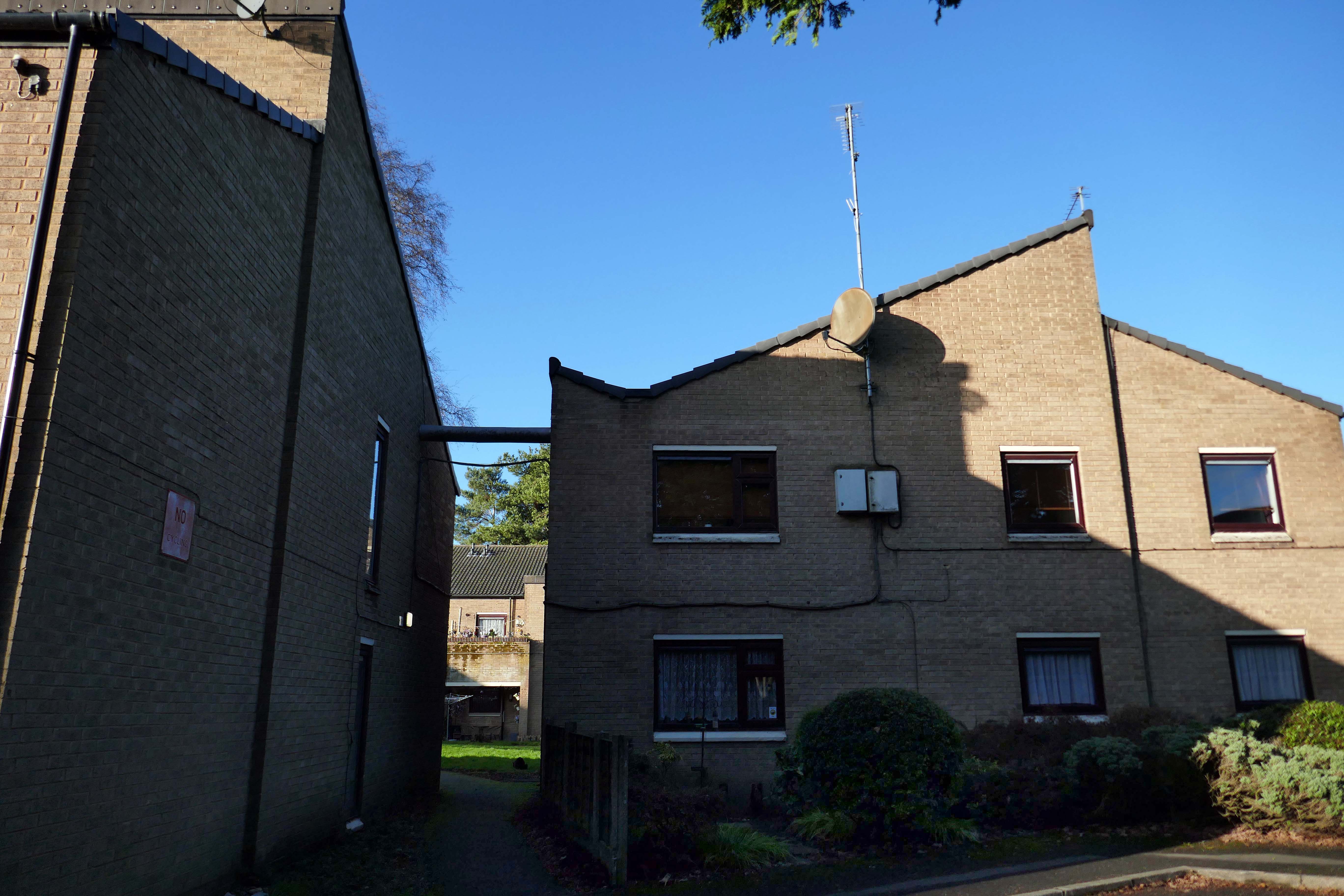
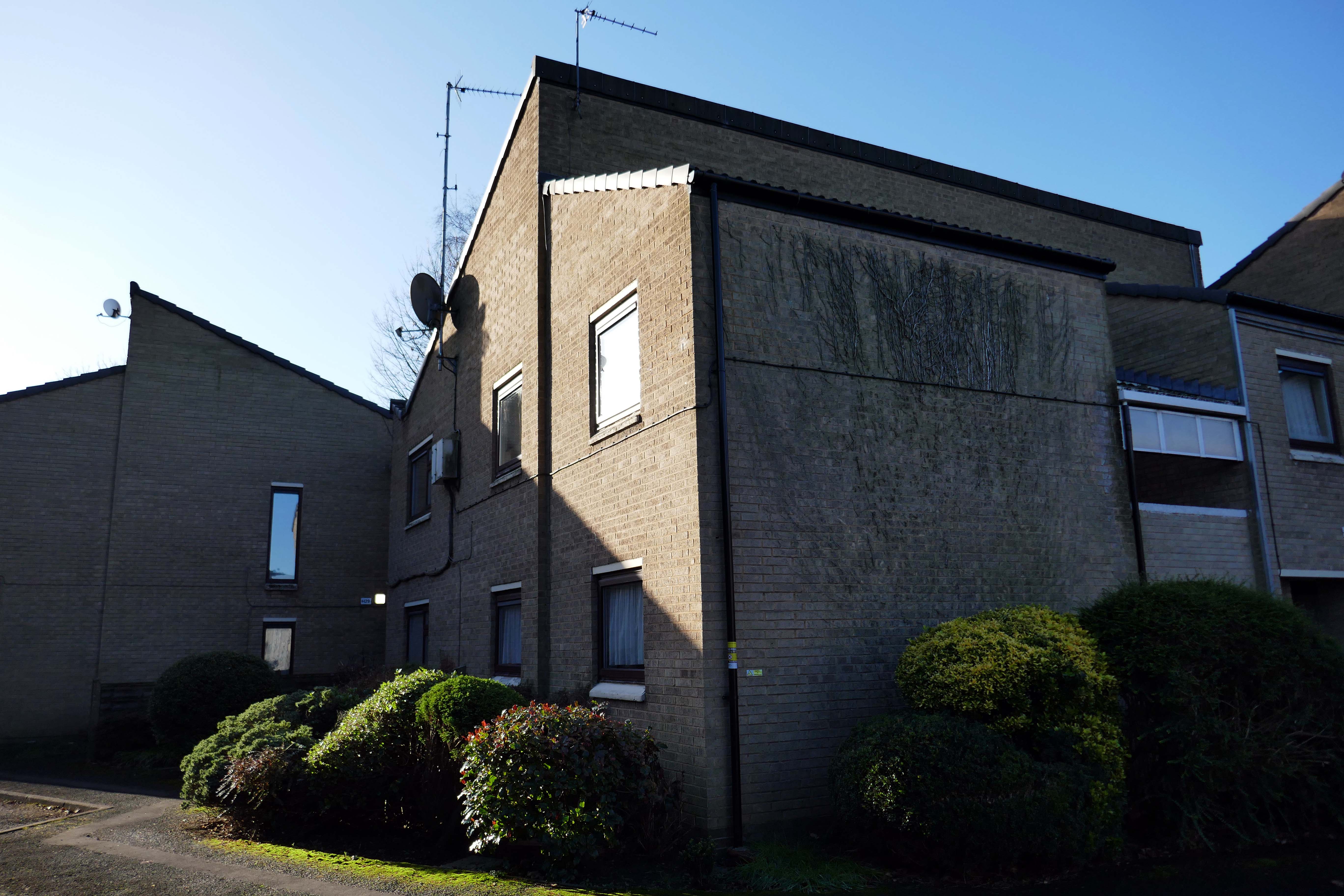
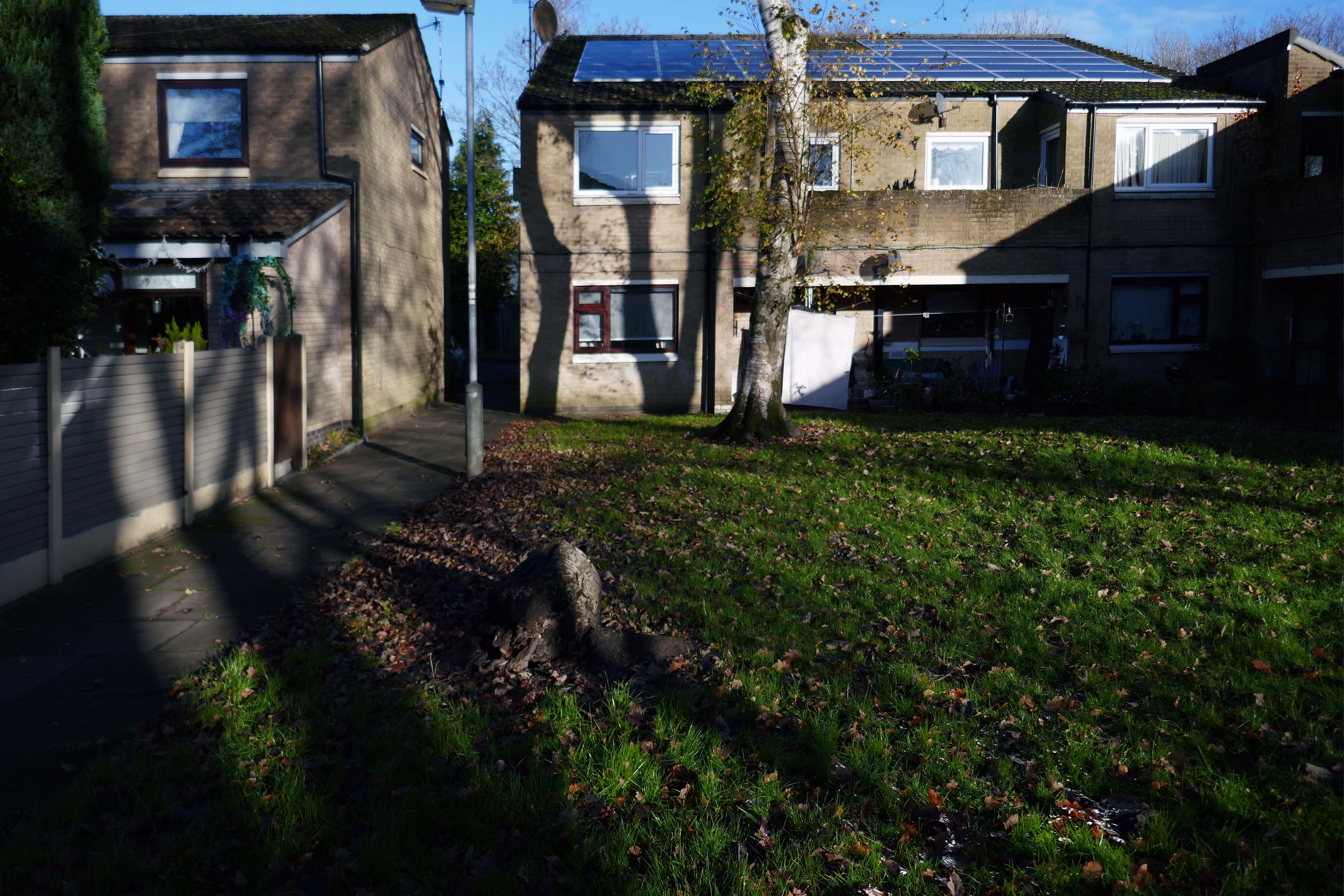
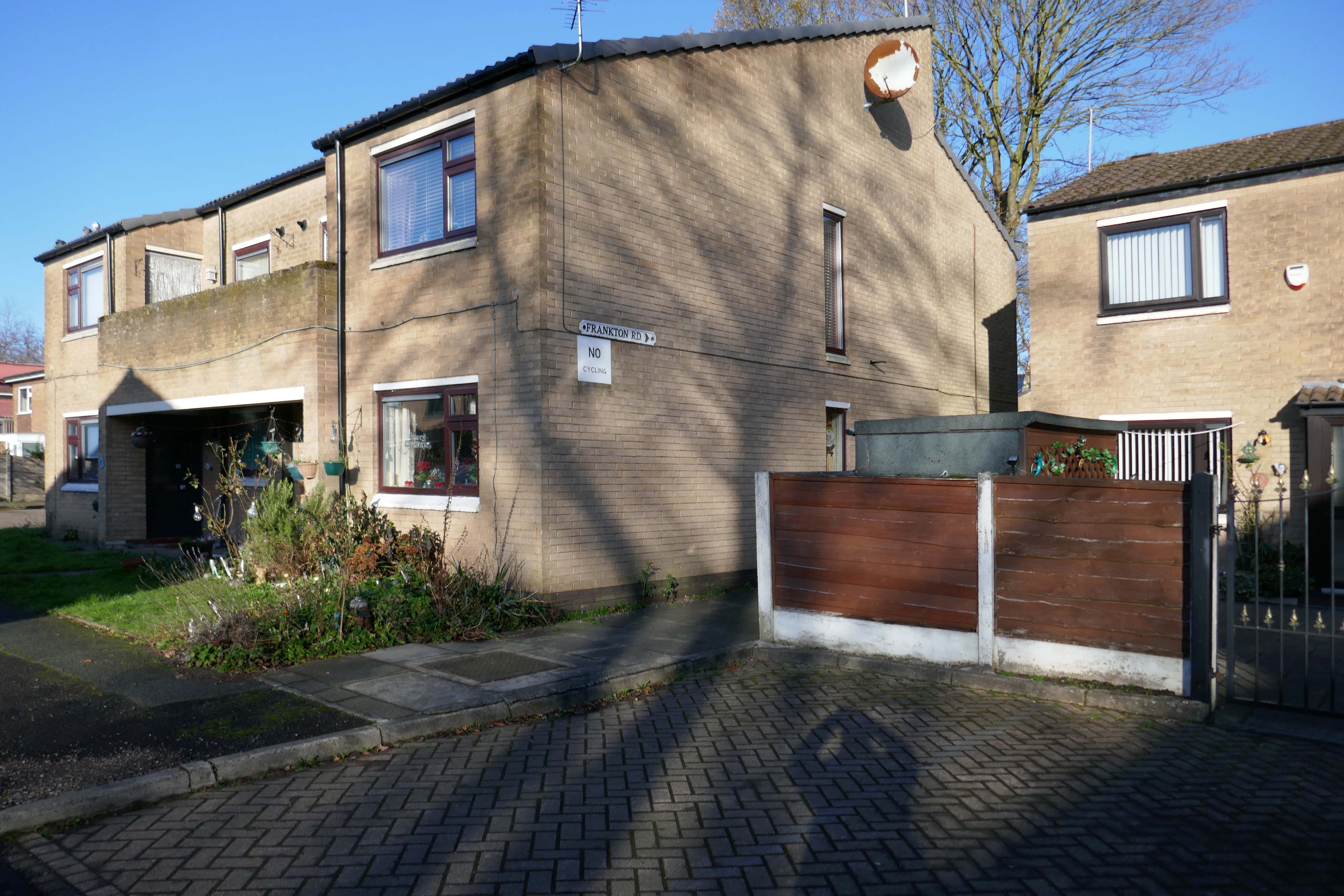
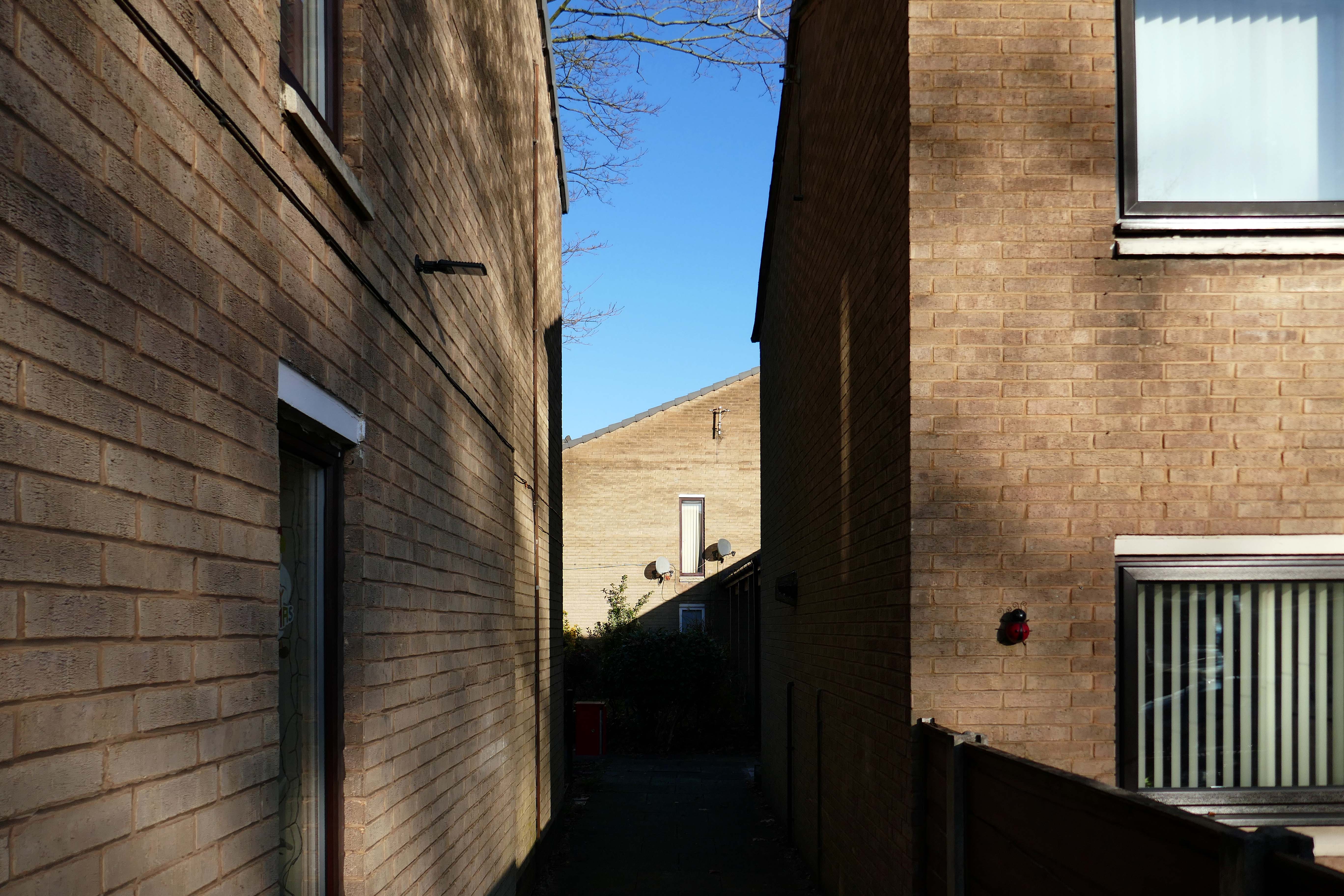
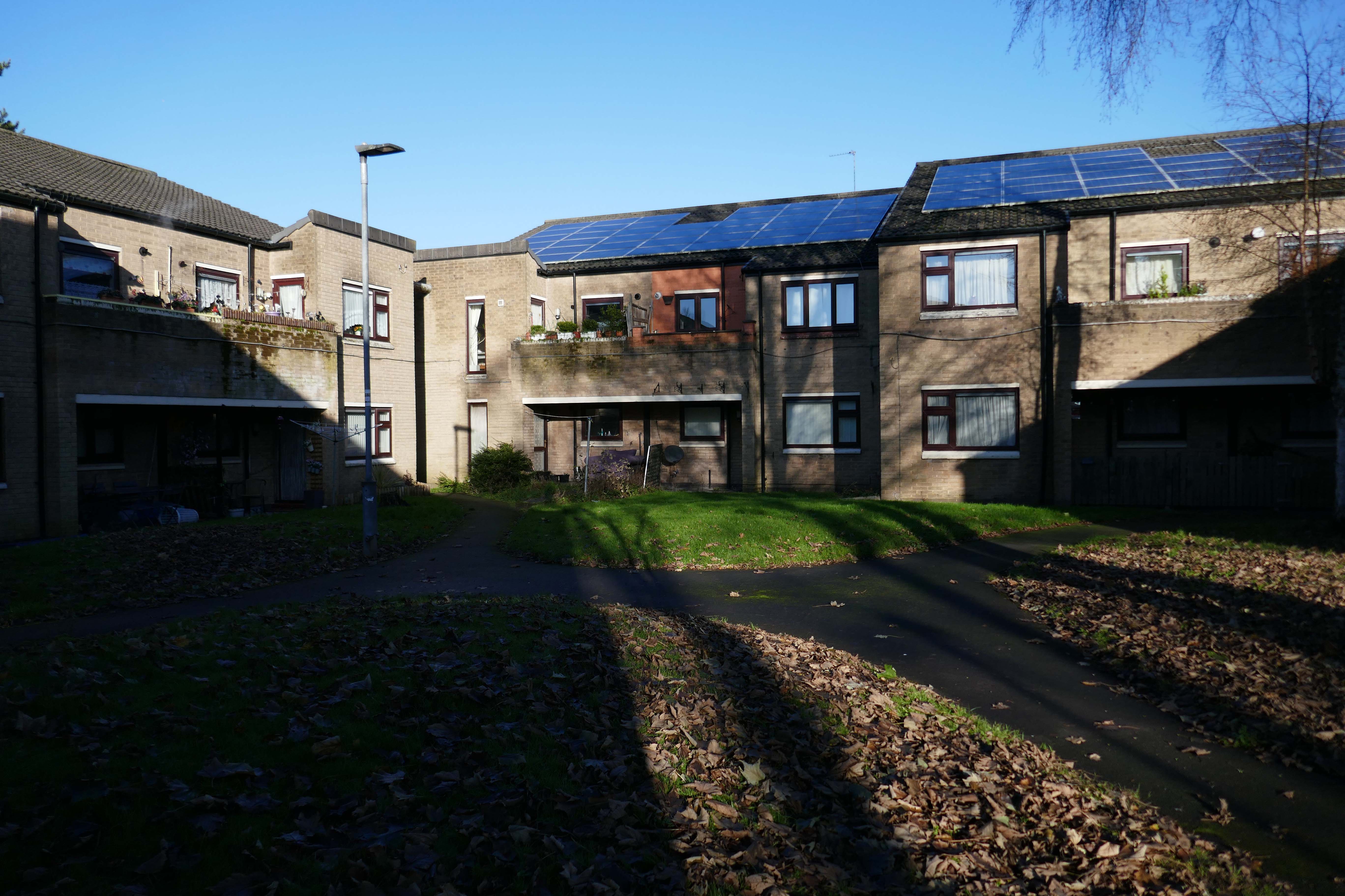
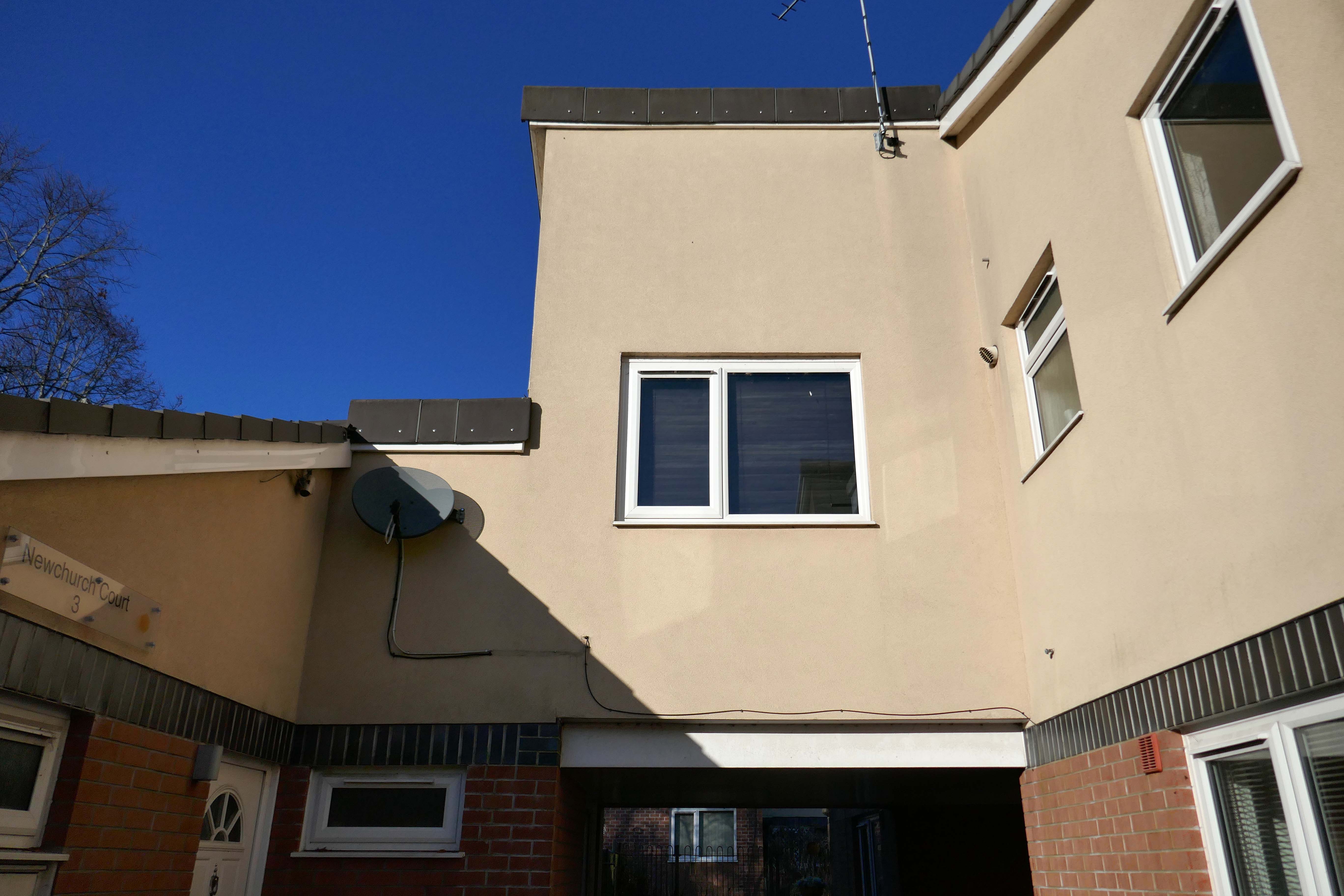
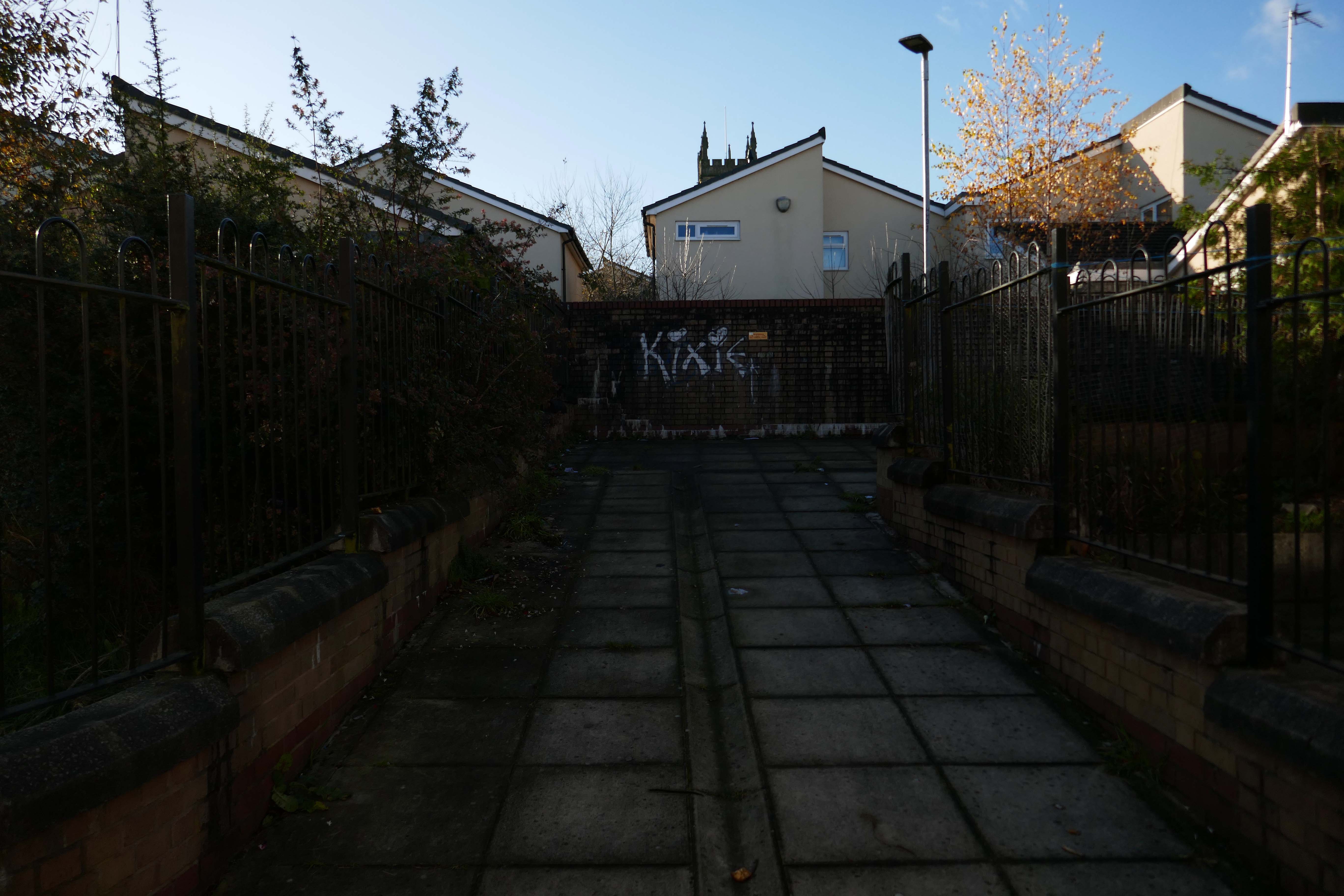
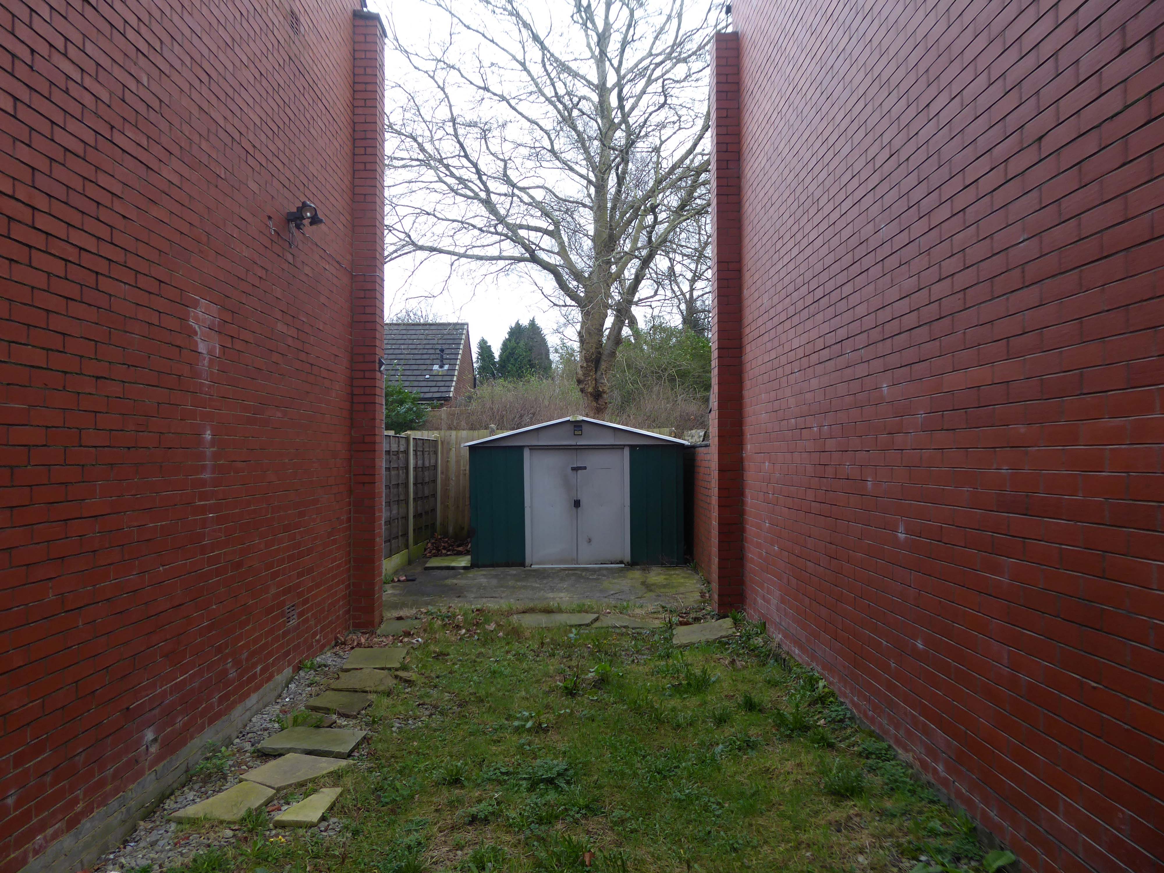
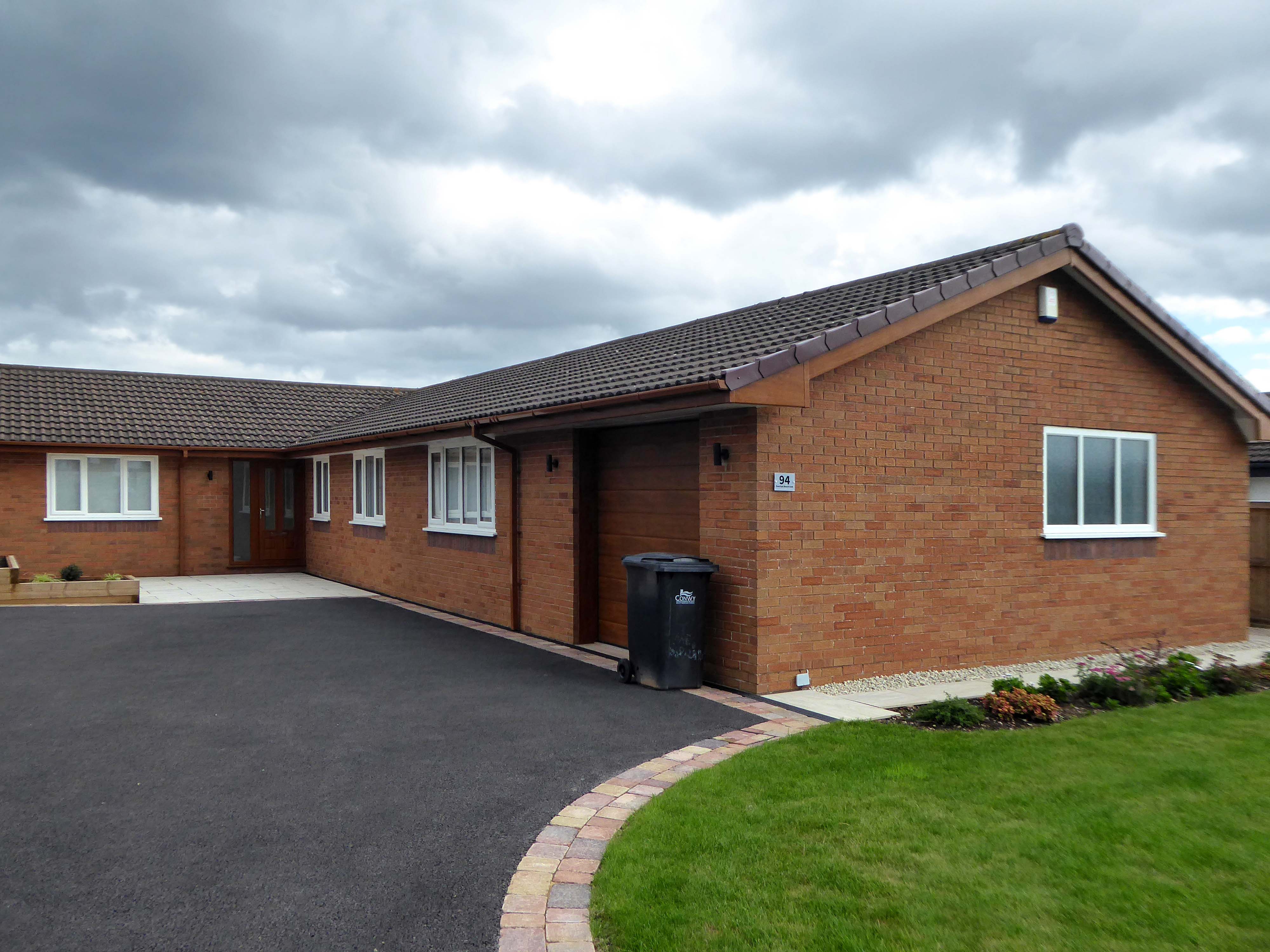
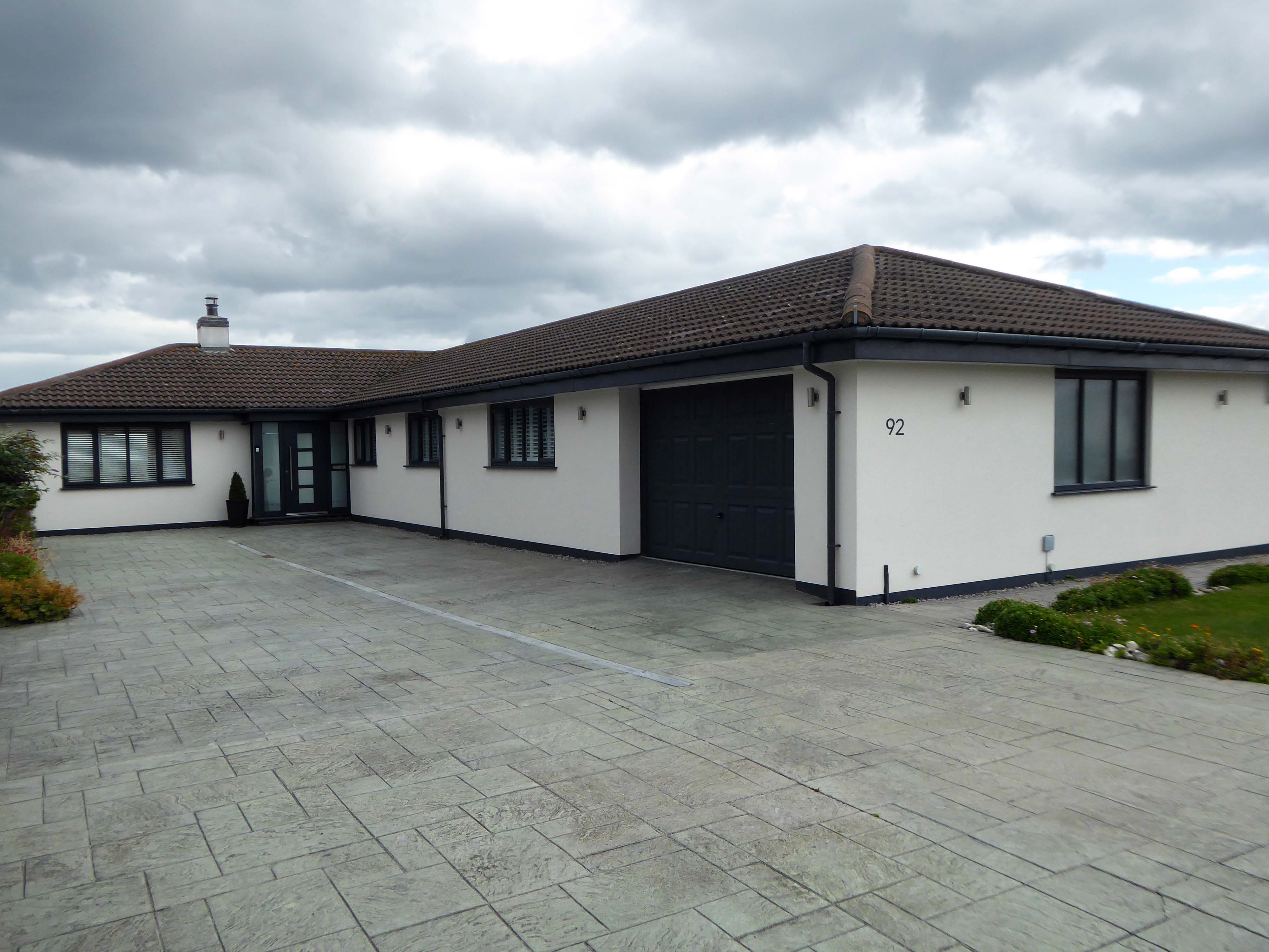
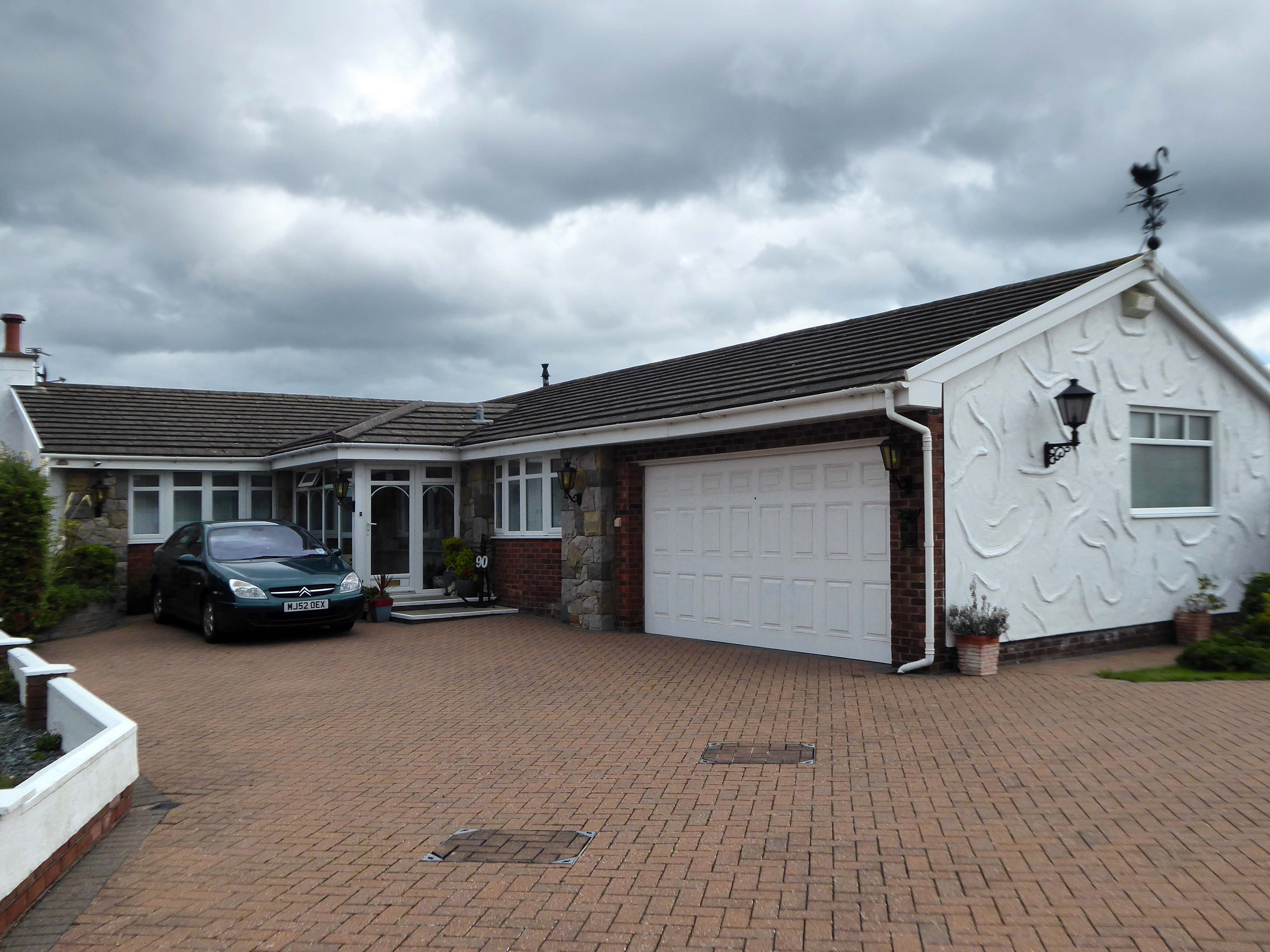
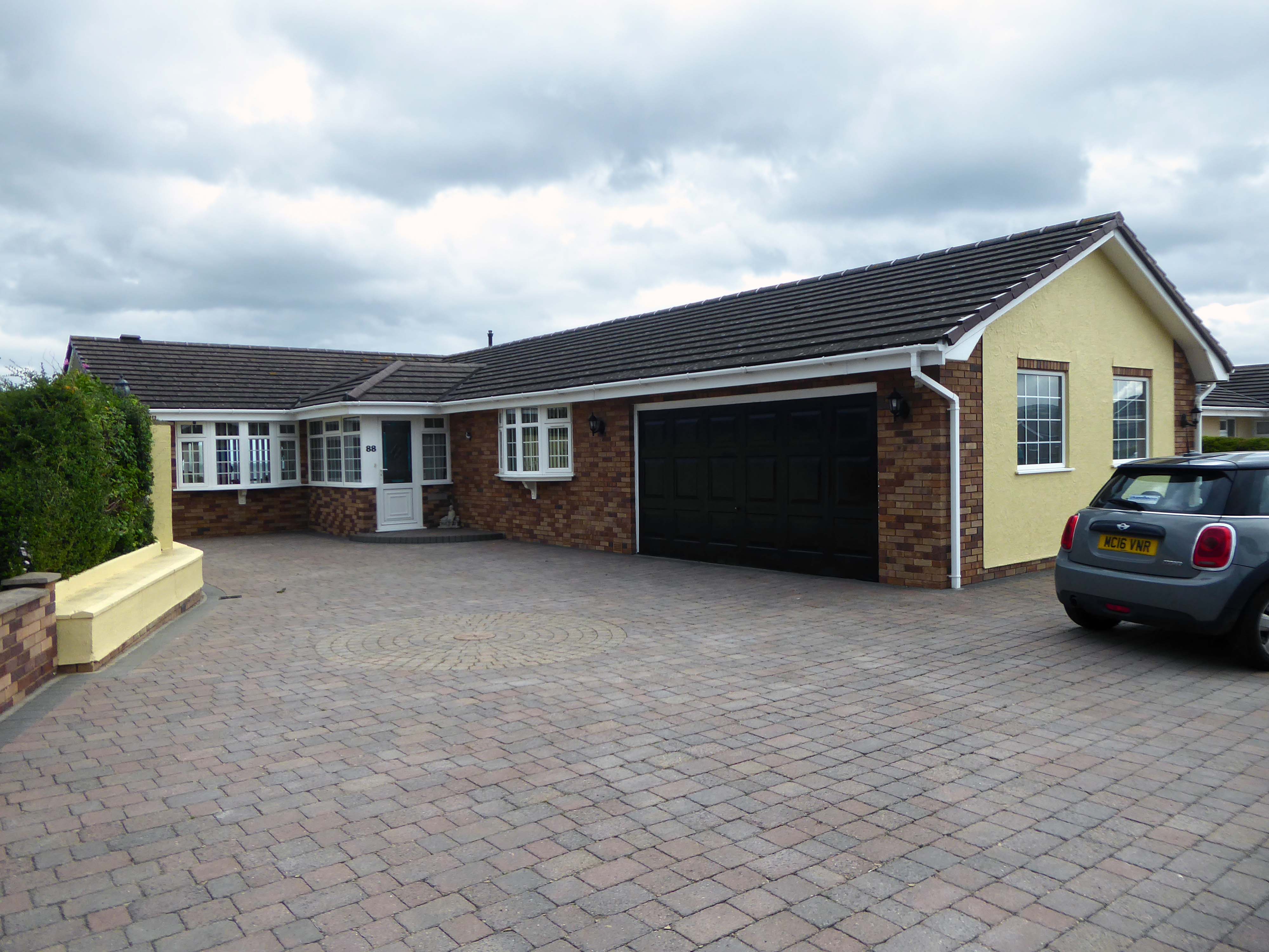
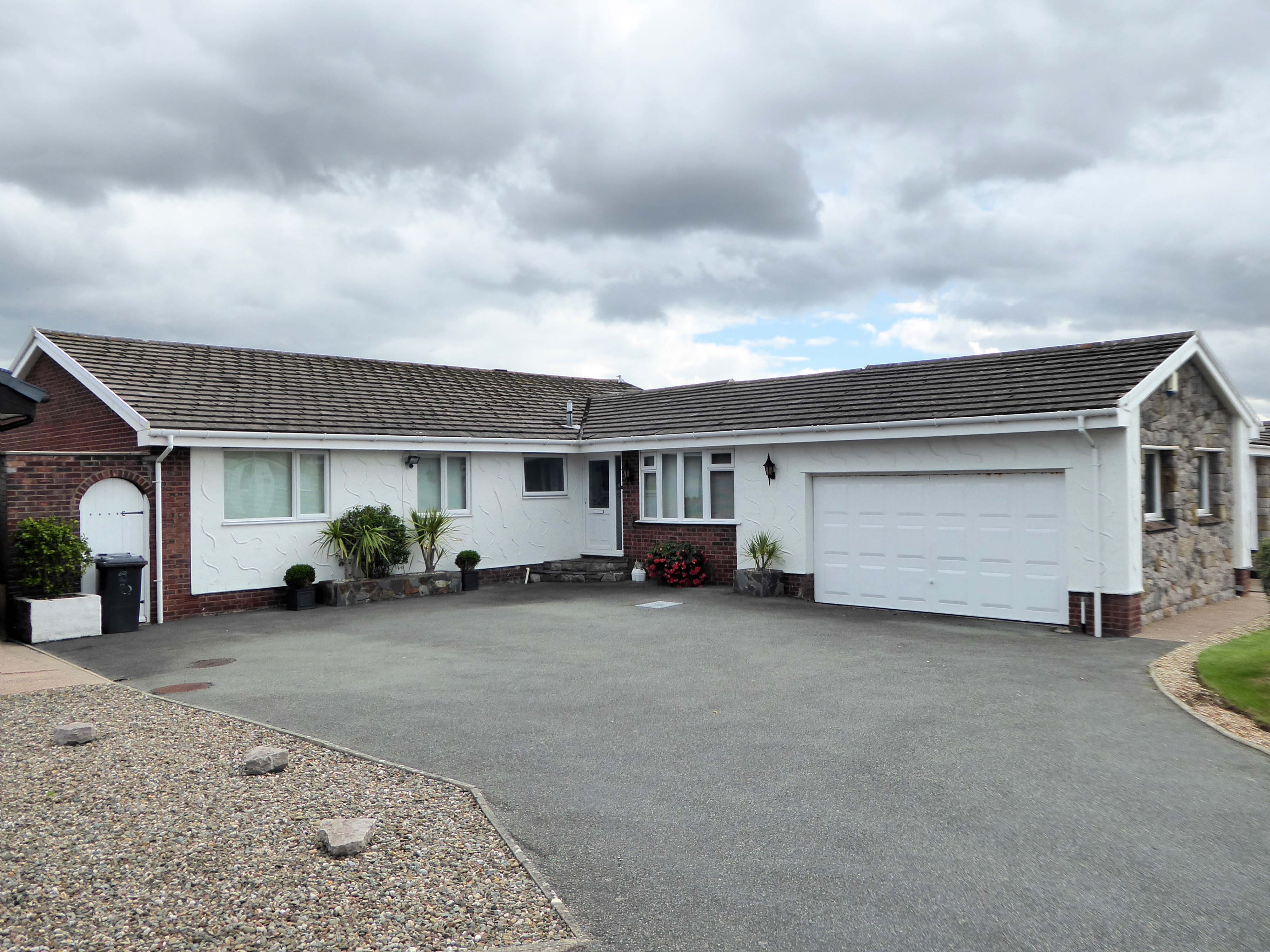
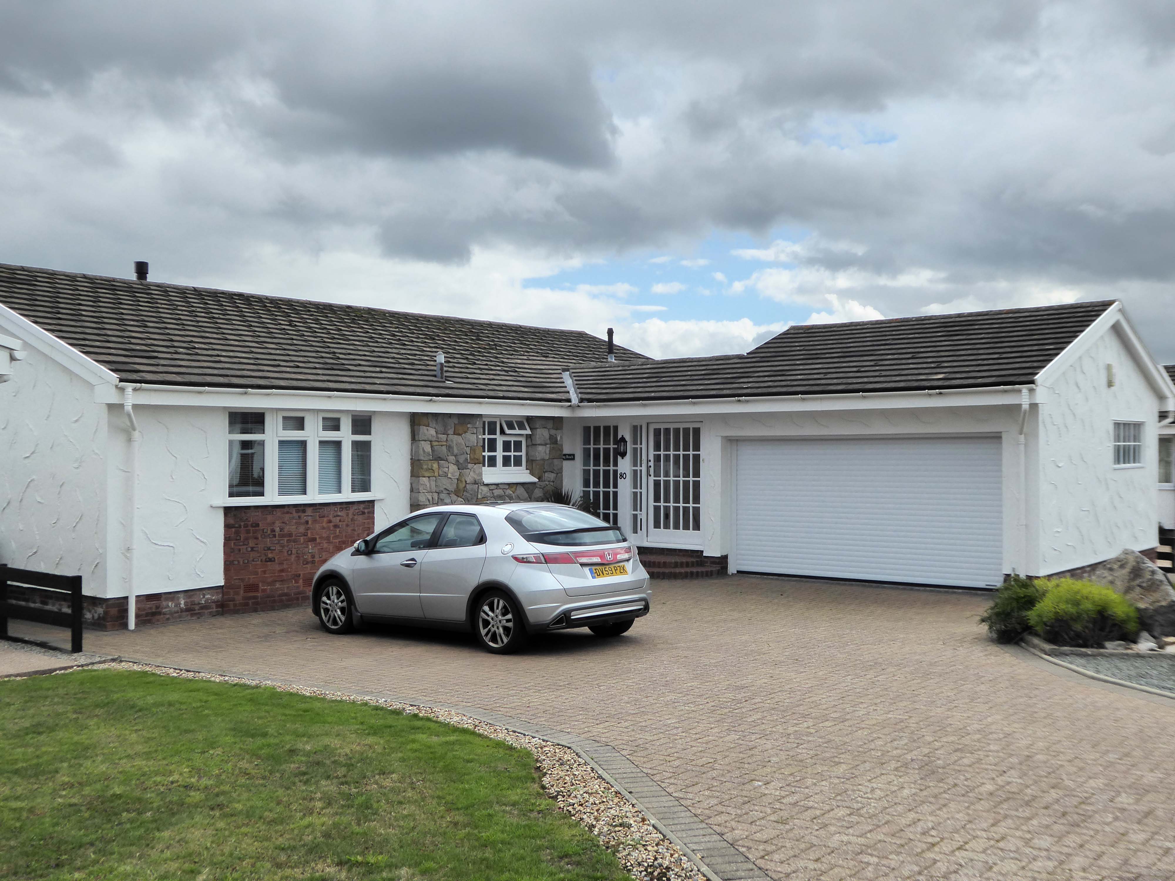
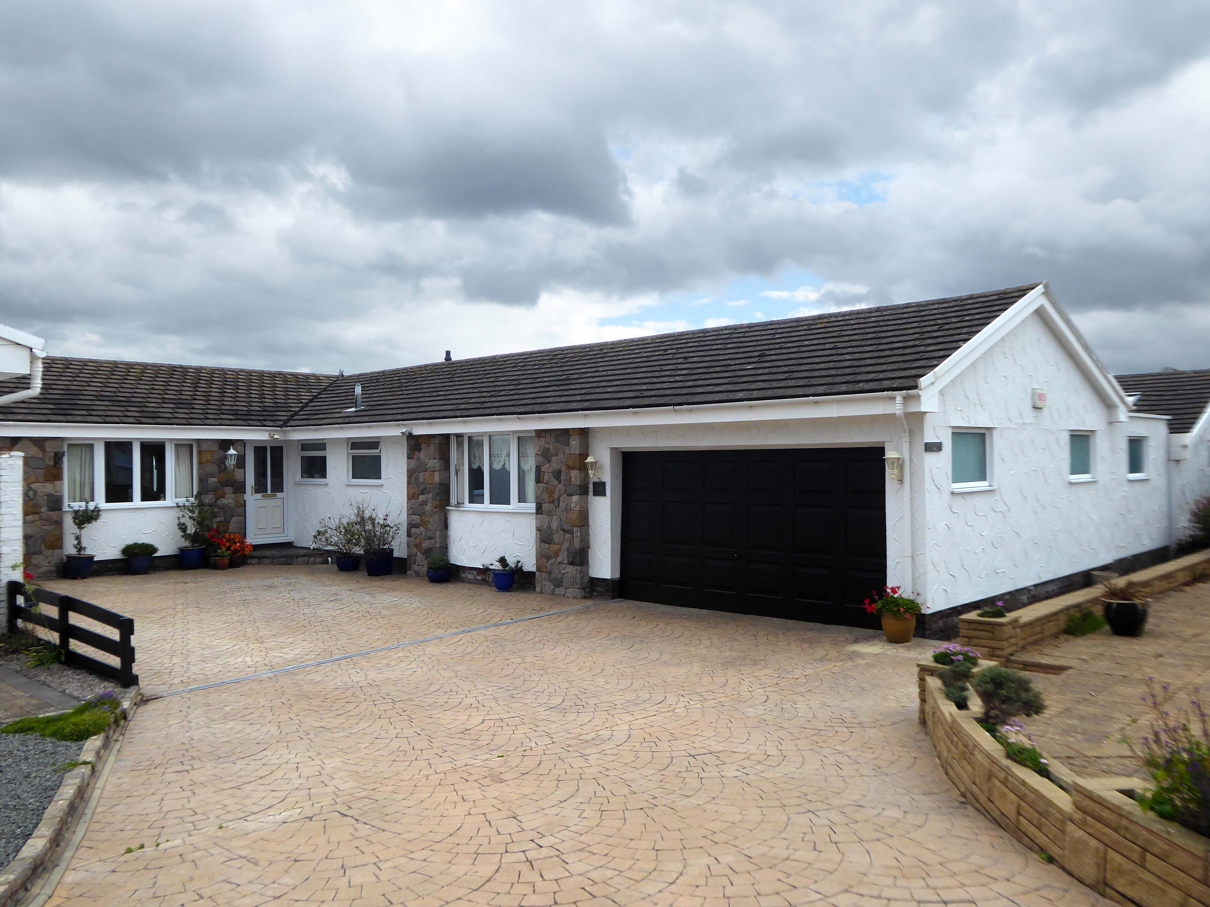
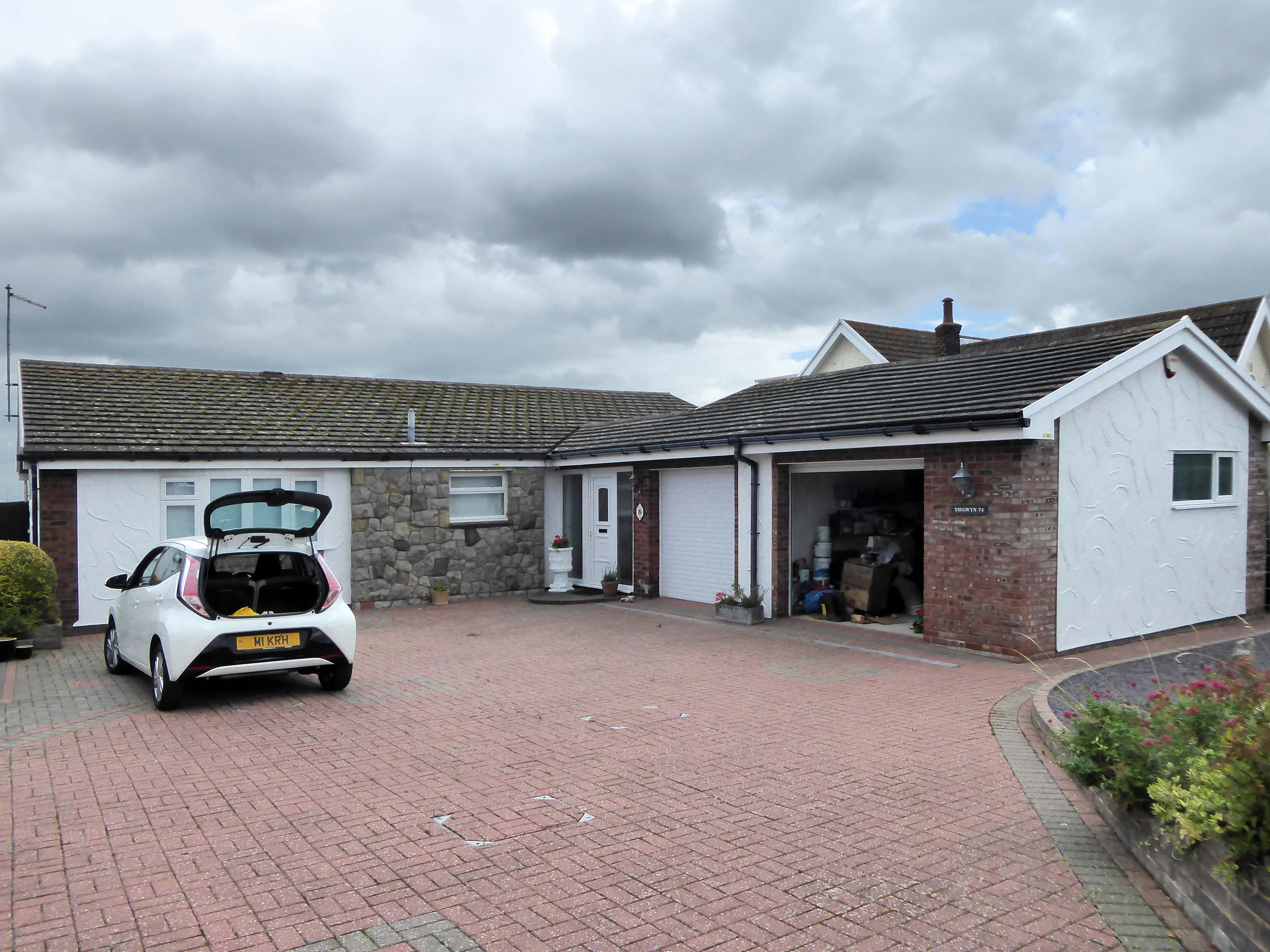
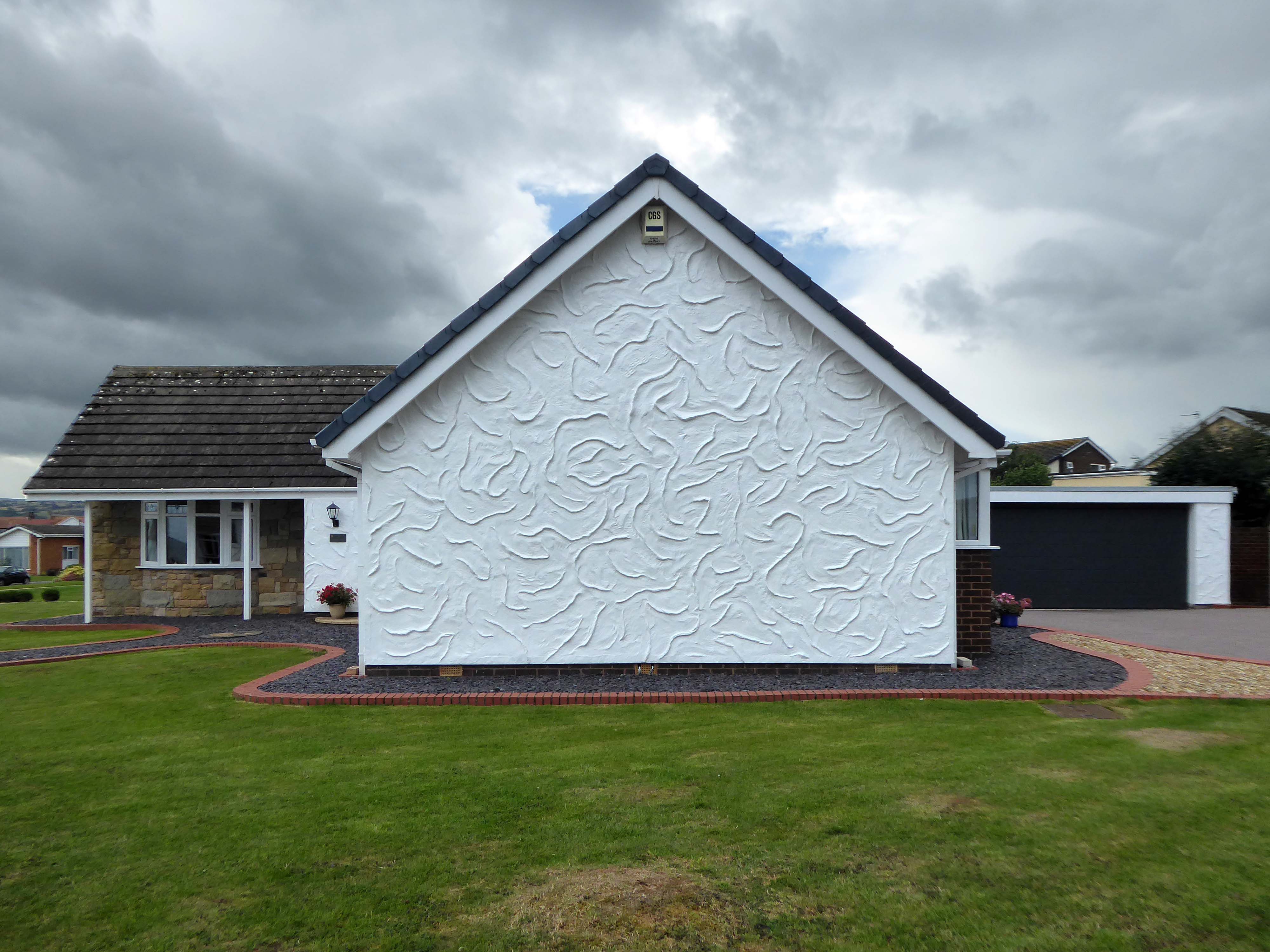
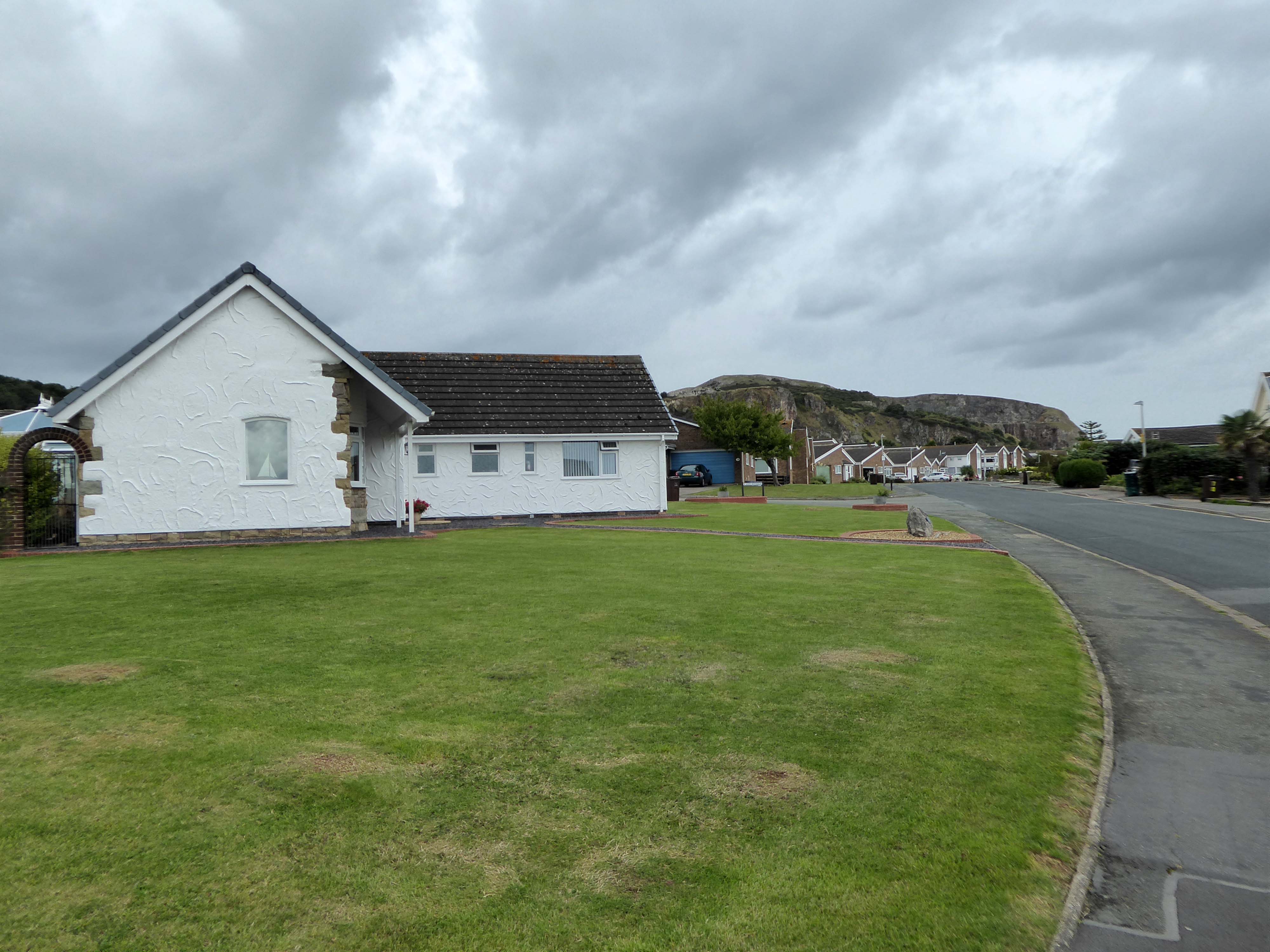
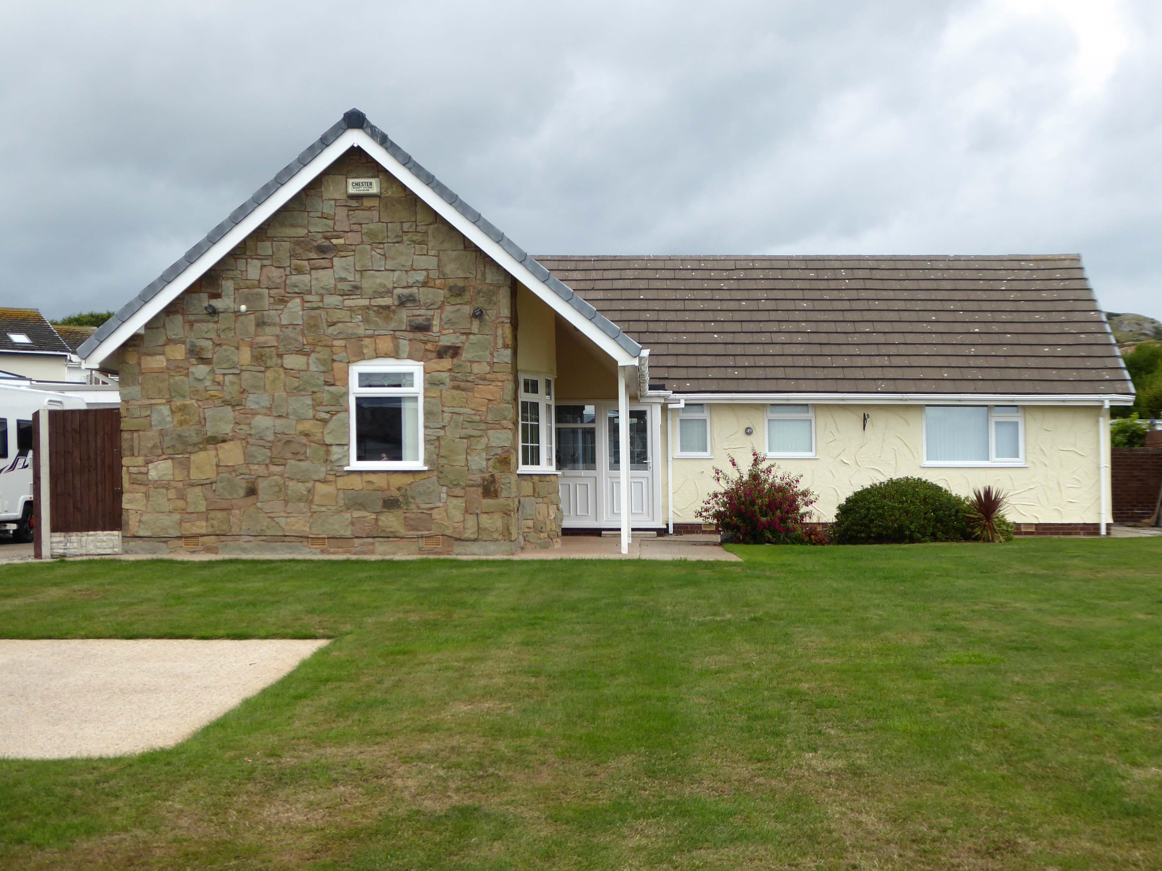
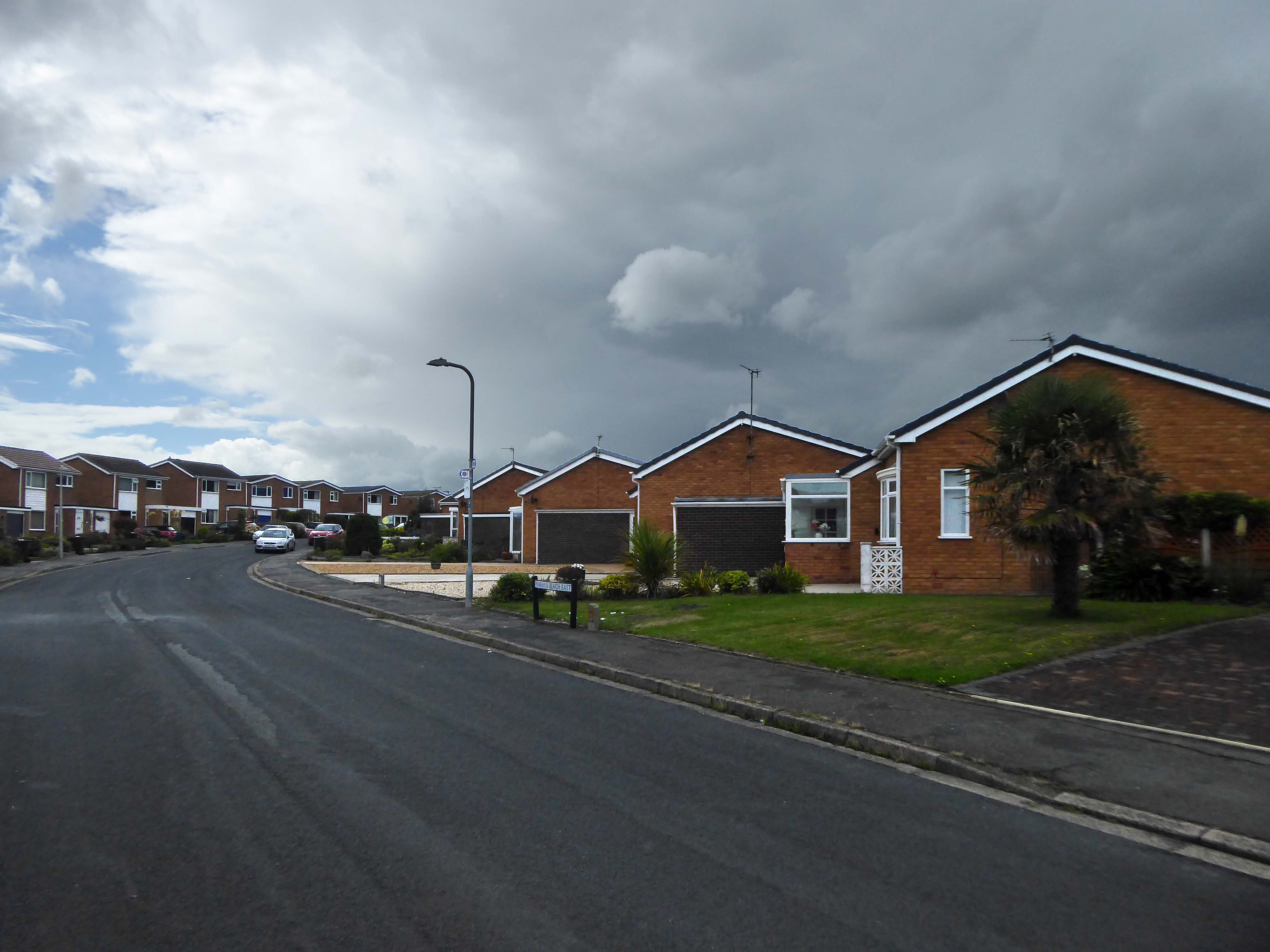
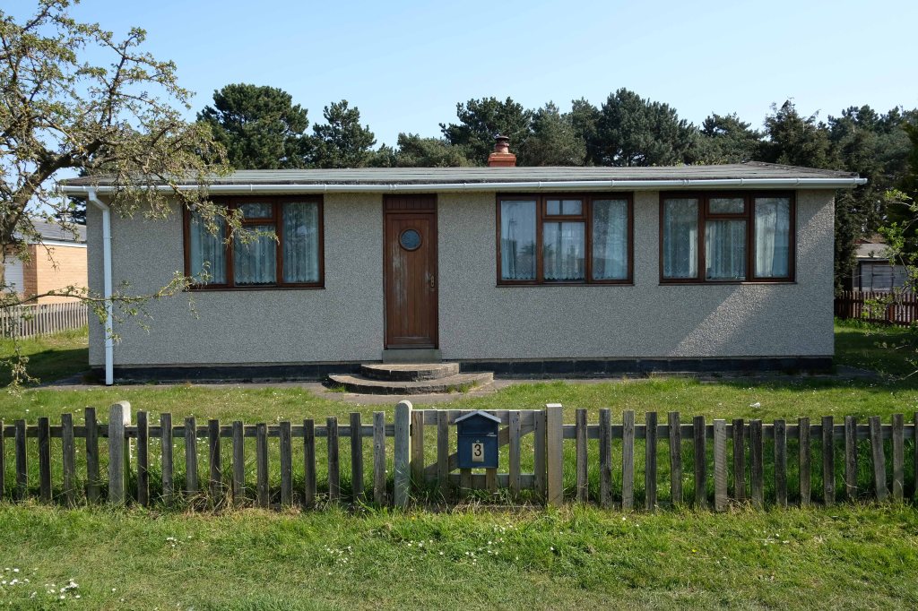
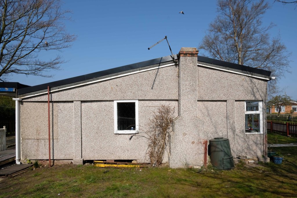
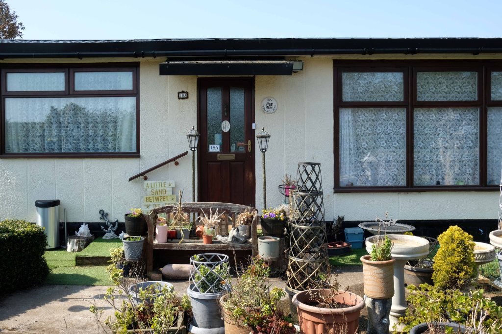
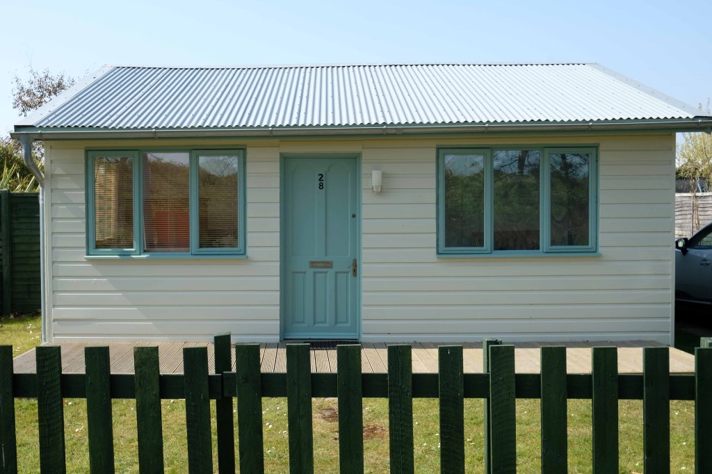
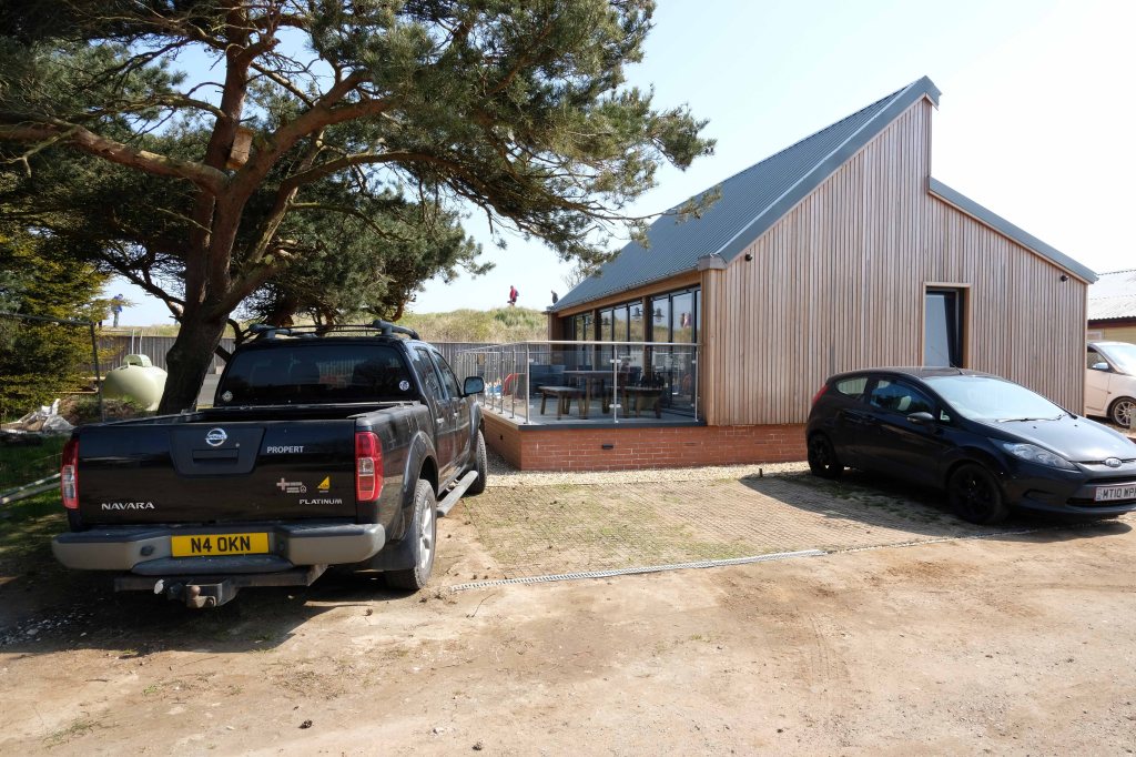
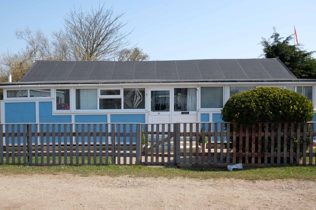
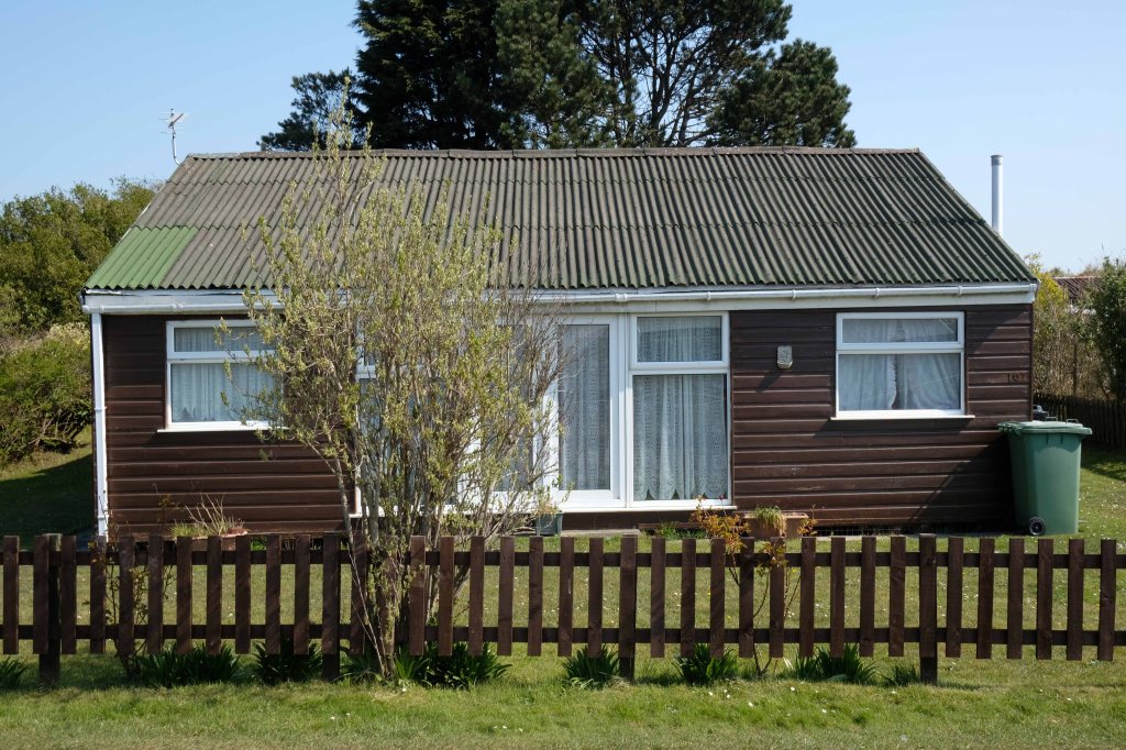
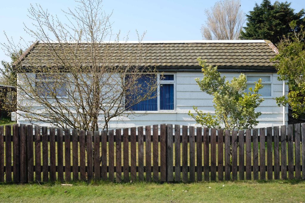
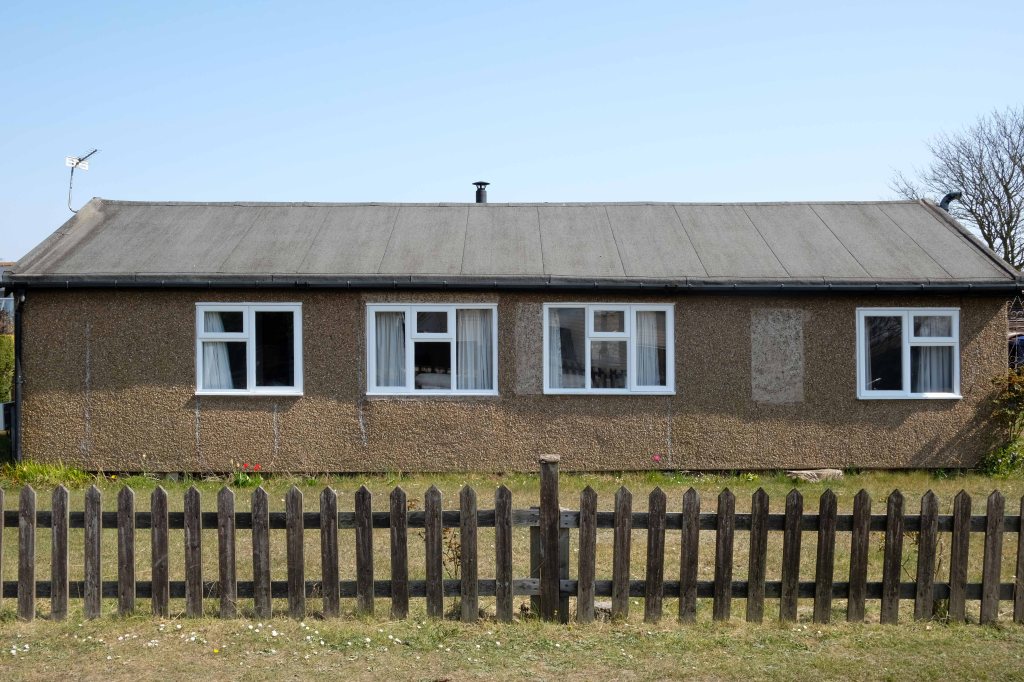
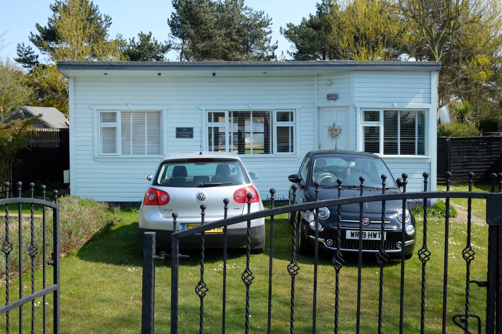
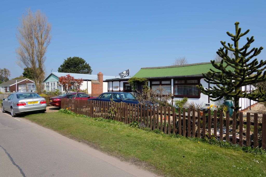
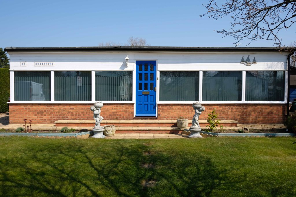
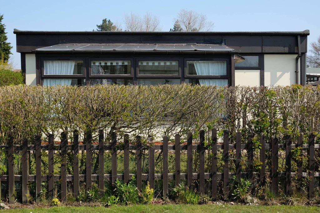
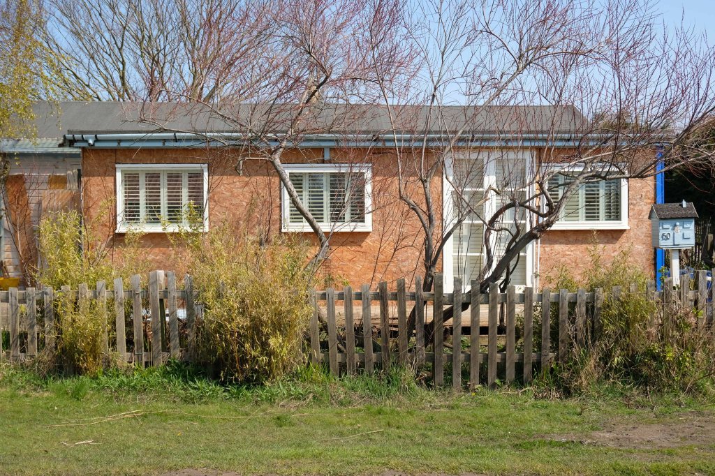
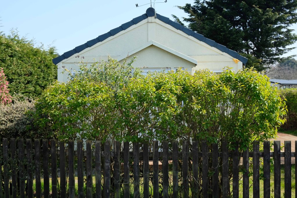
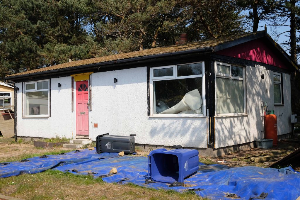
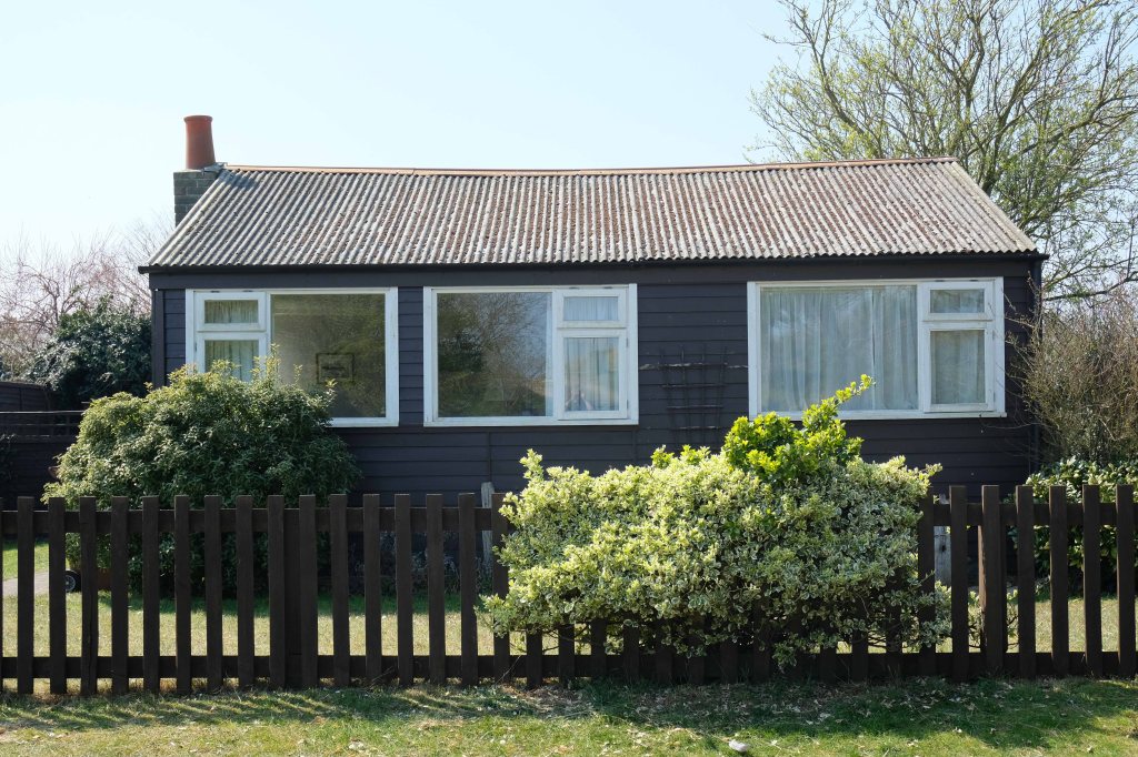
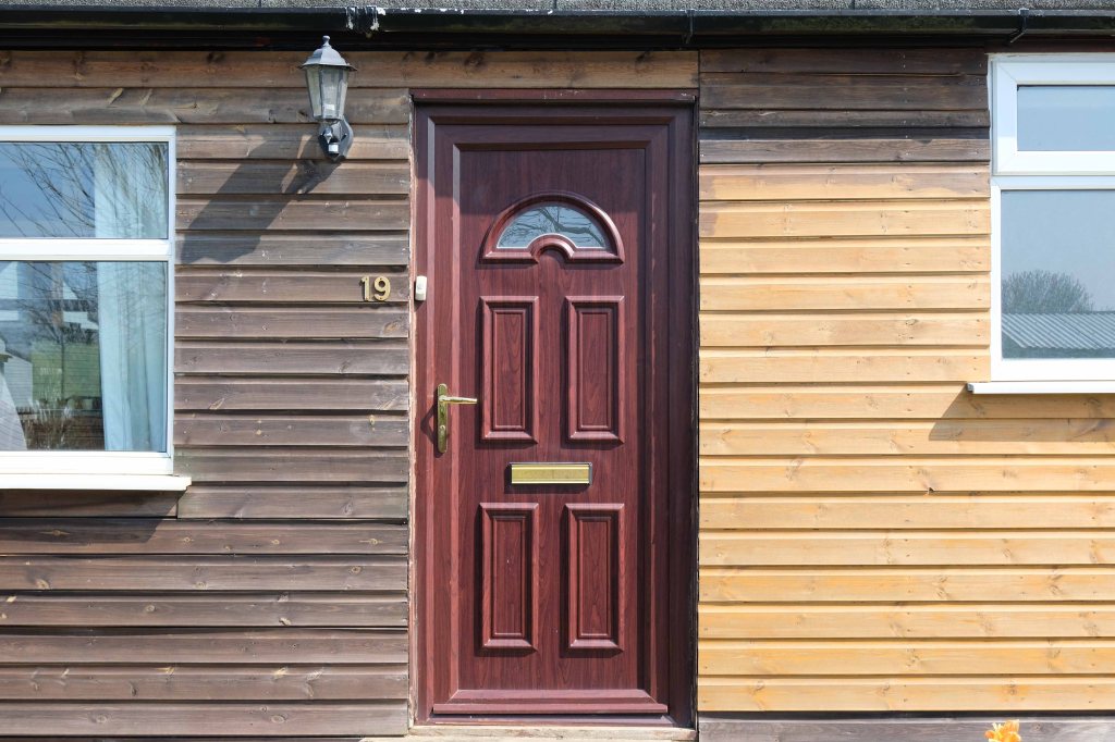
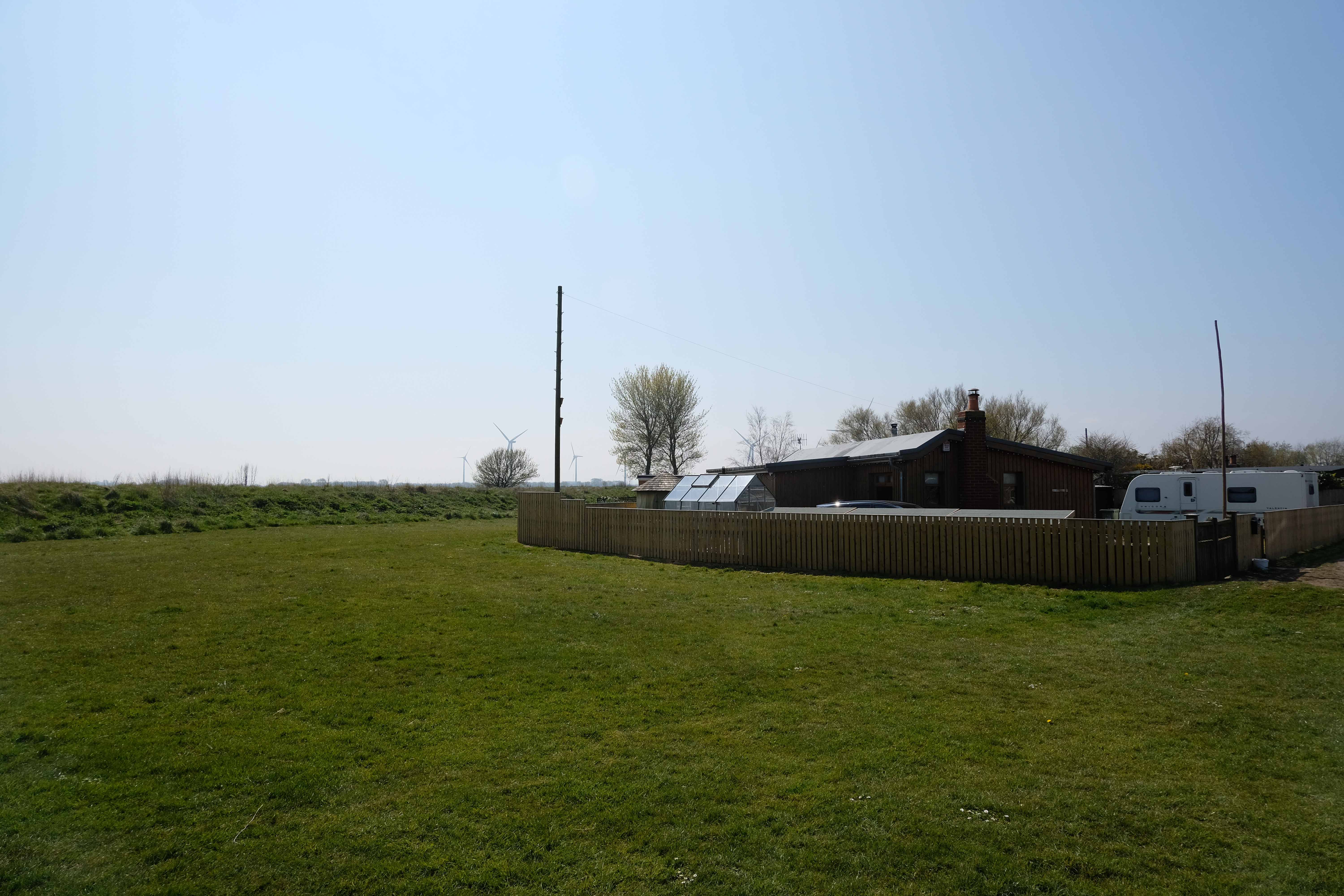
A broad sweeping swathe of tarmac, with a range of 70s housing typologies – wall less gardens, where grass becomes easily impressed concrete, gravel and artfully paved car parks.
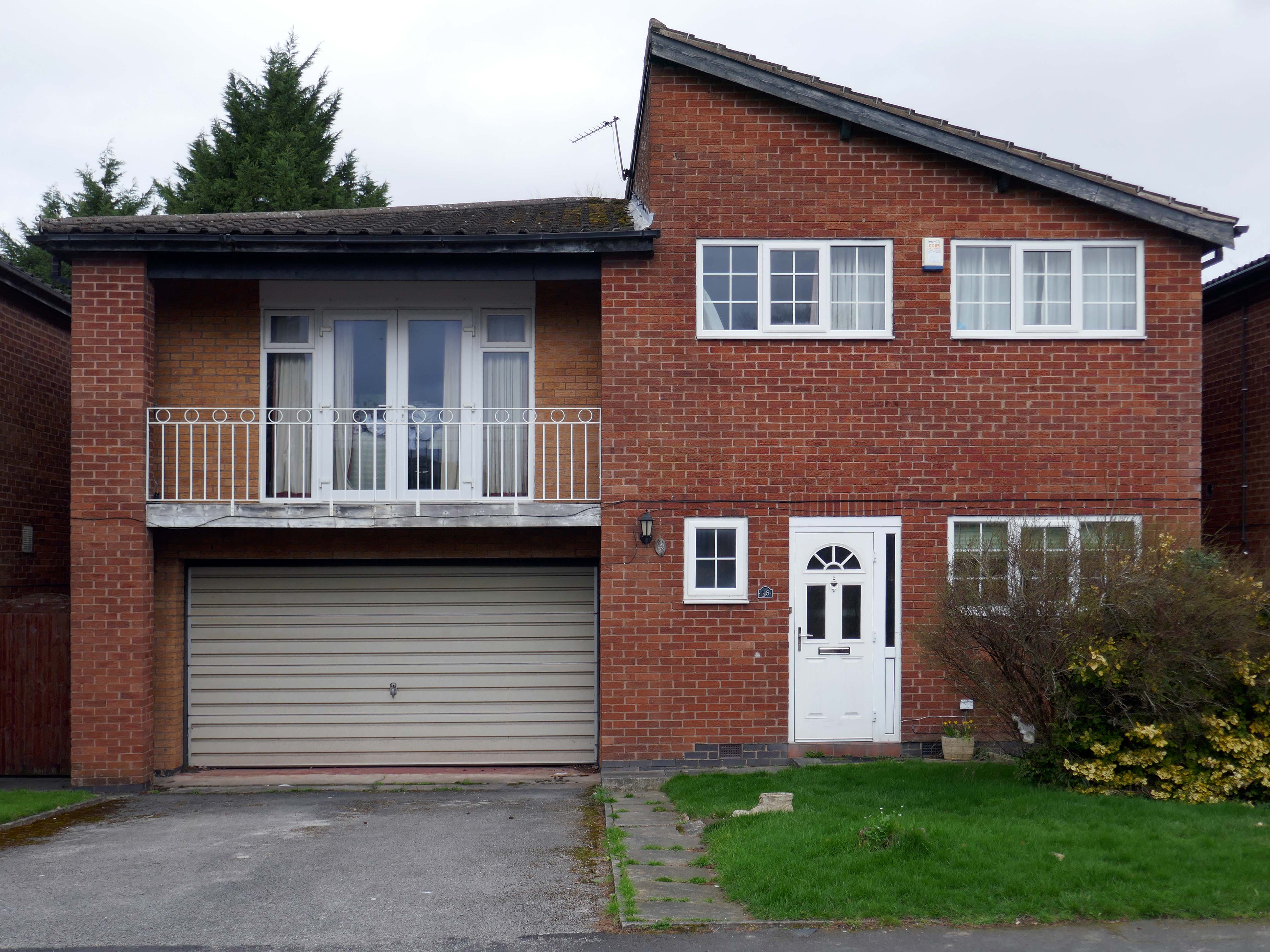
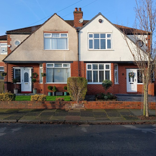
Asymmetric roof, bedroom balcony with optional infill, ever more pointless integrated garage, as the inflated automobile refuses to fit in.
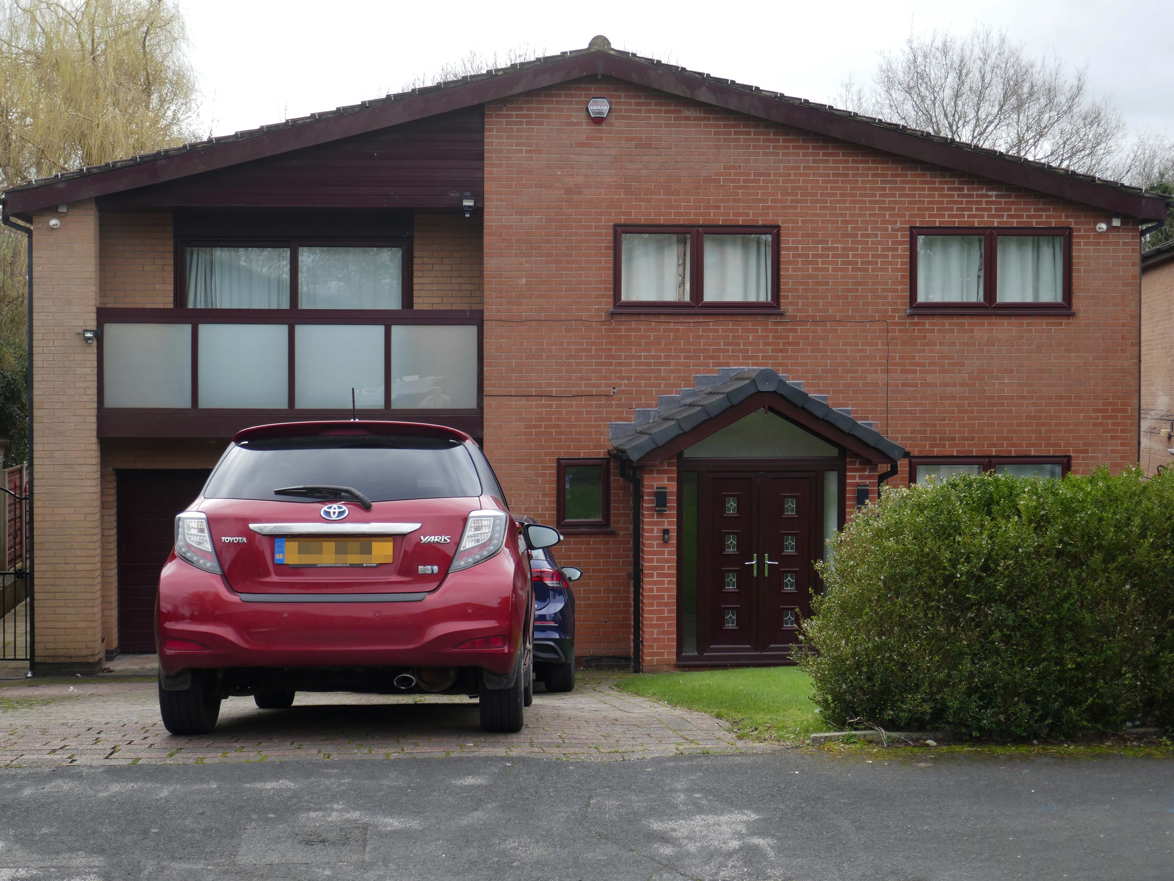
The ubiquitous carriage lamp, B&Q Georgian front door and hanging basket, all head up the relentless quest to defy period integrity, in favour of a free market, free for all of undiluted historicism.
The future and the past and the houses are infinitely all extendable.
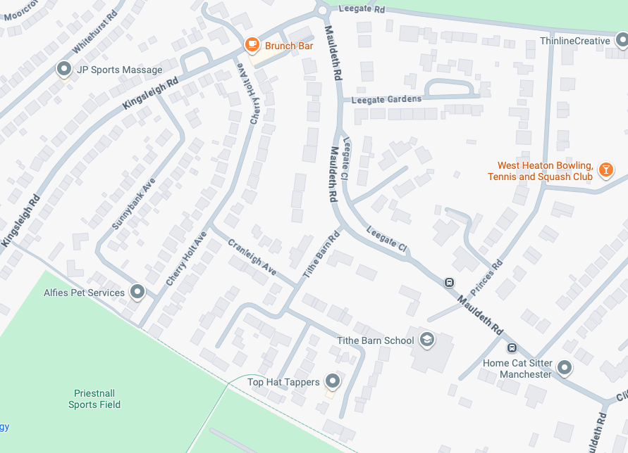
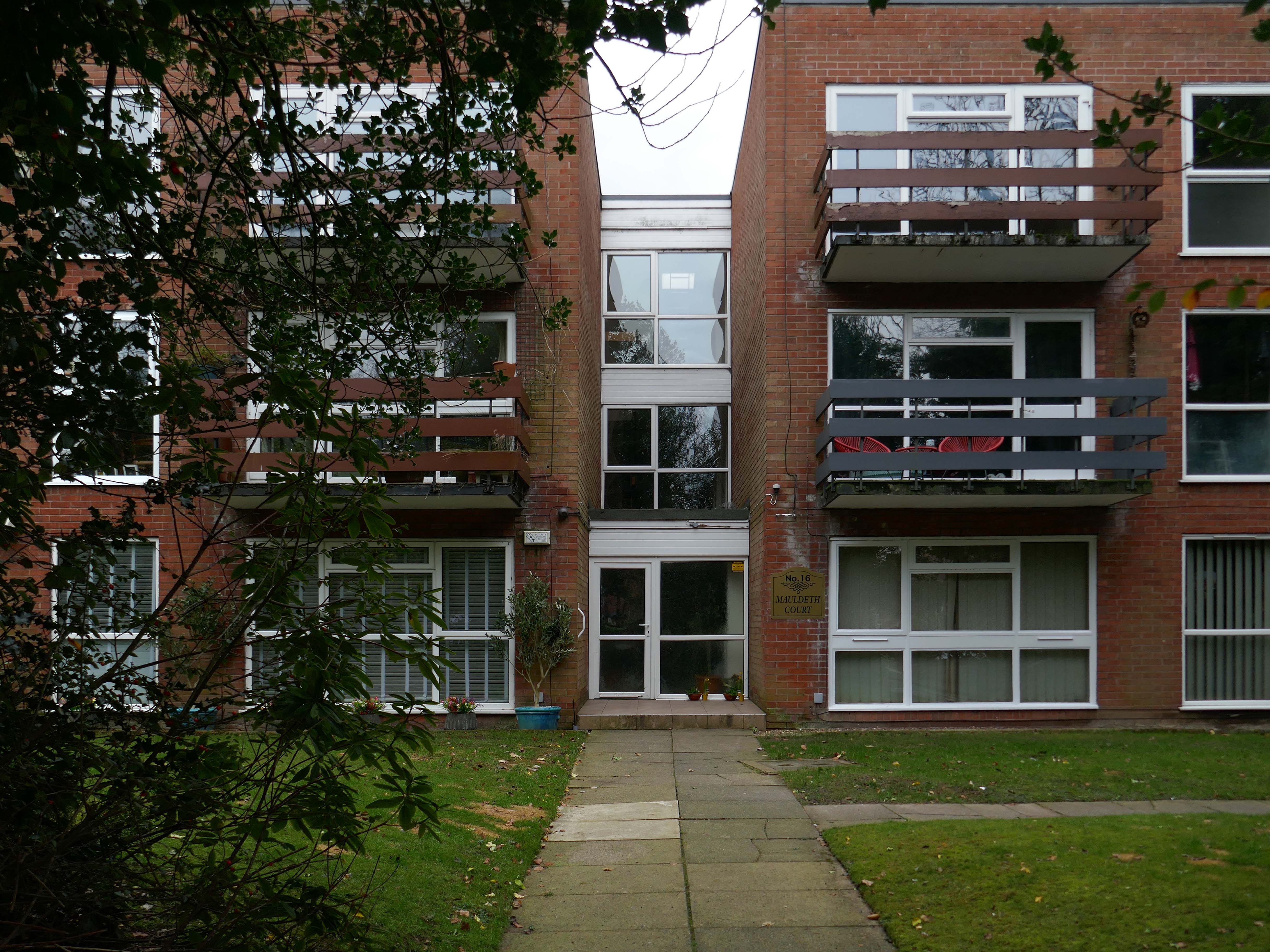
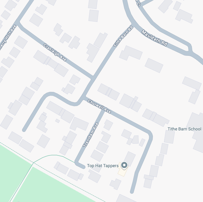
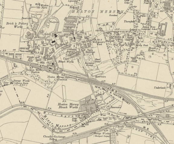
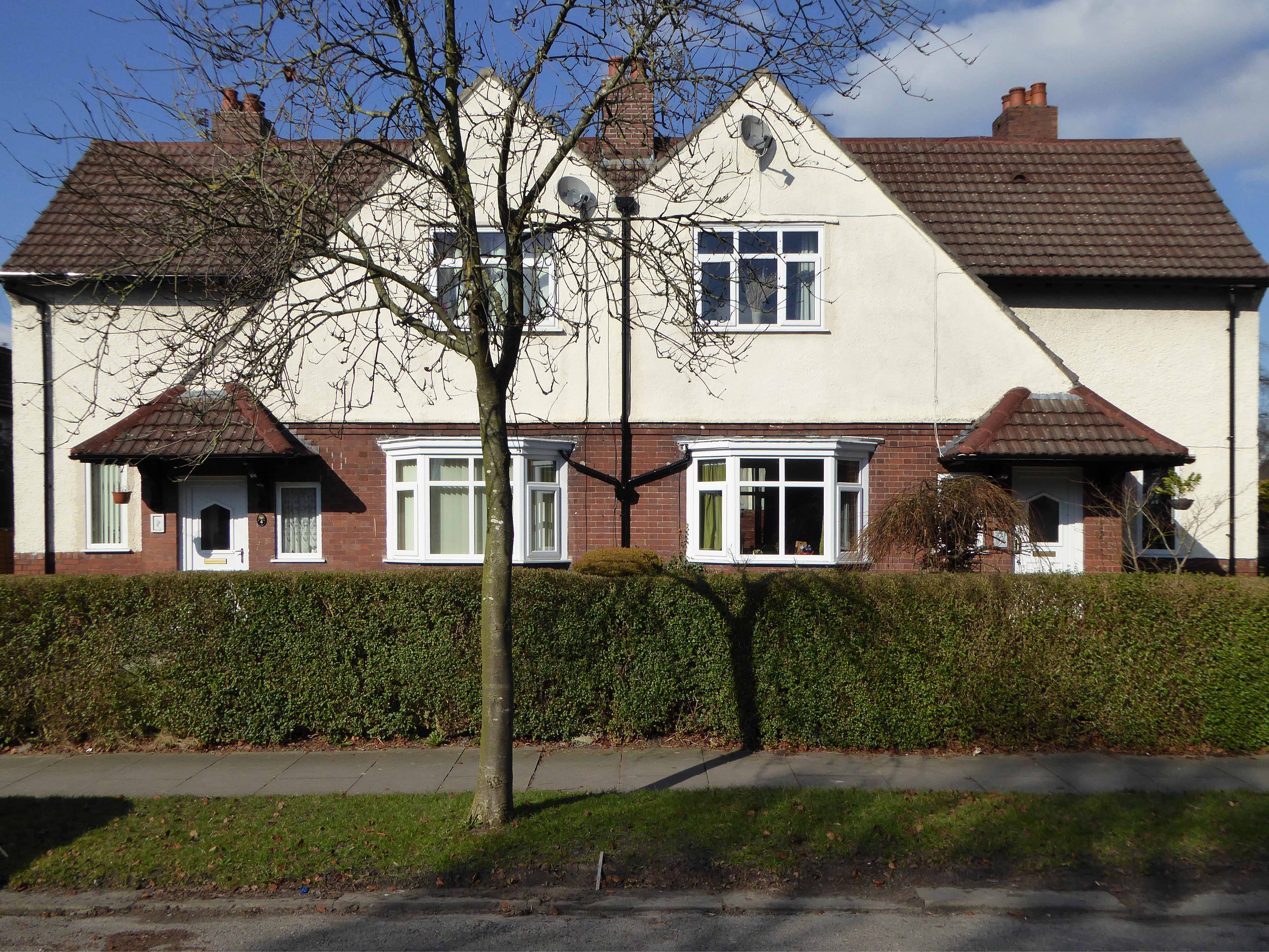
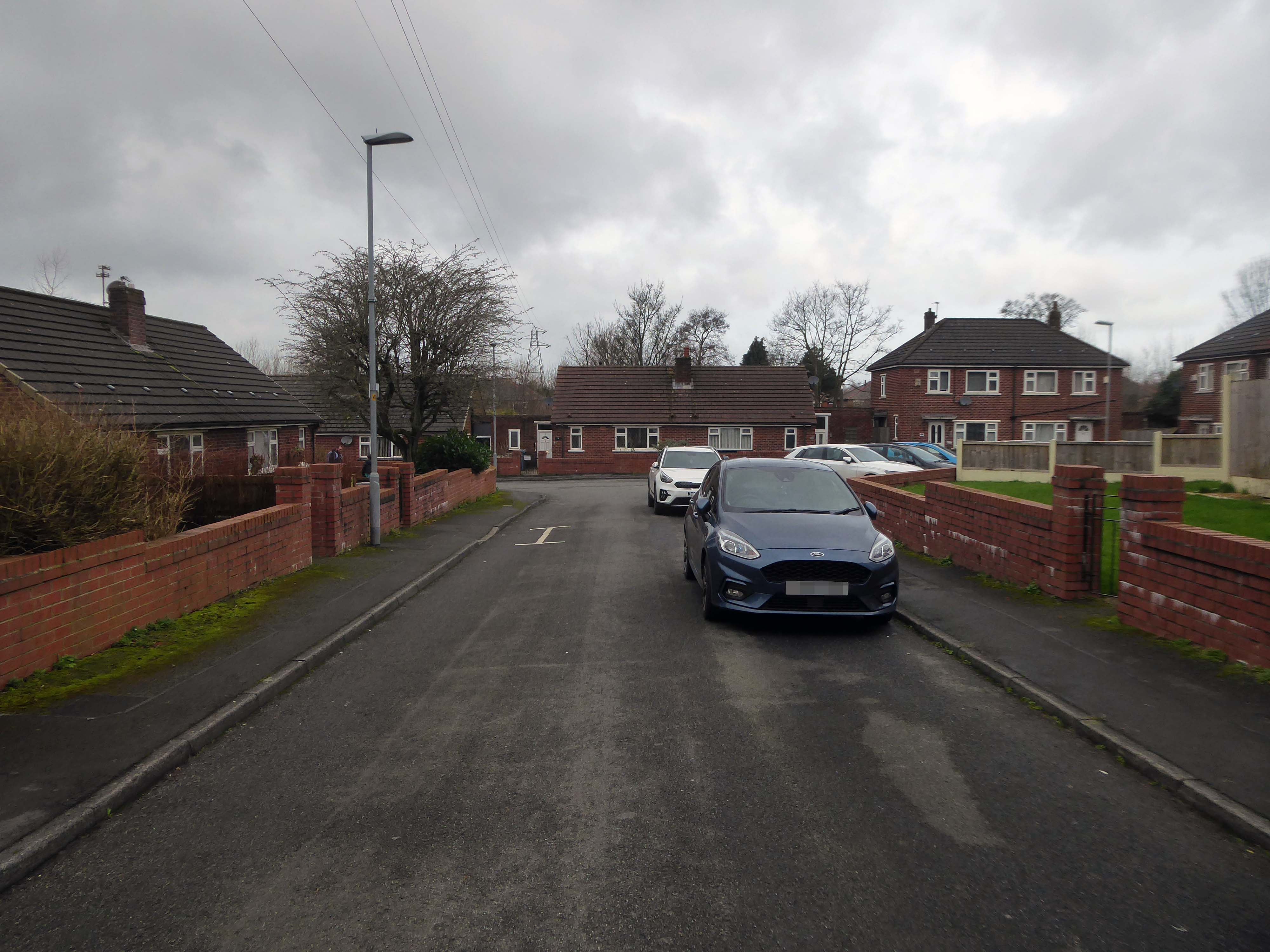
Taking in Mauldeth Road, Pinewood Close and Leegate Gardens
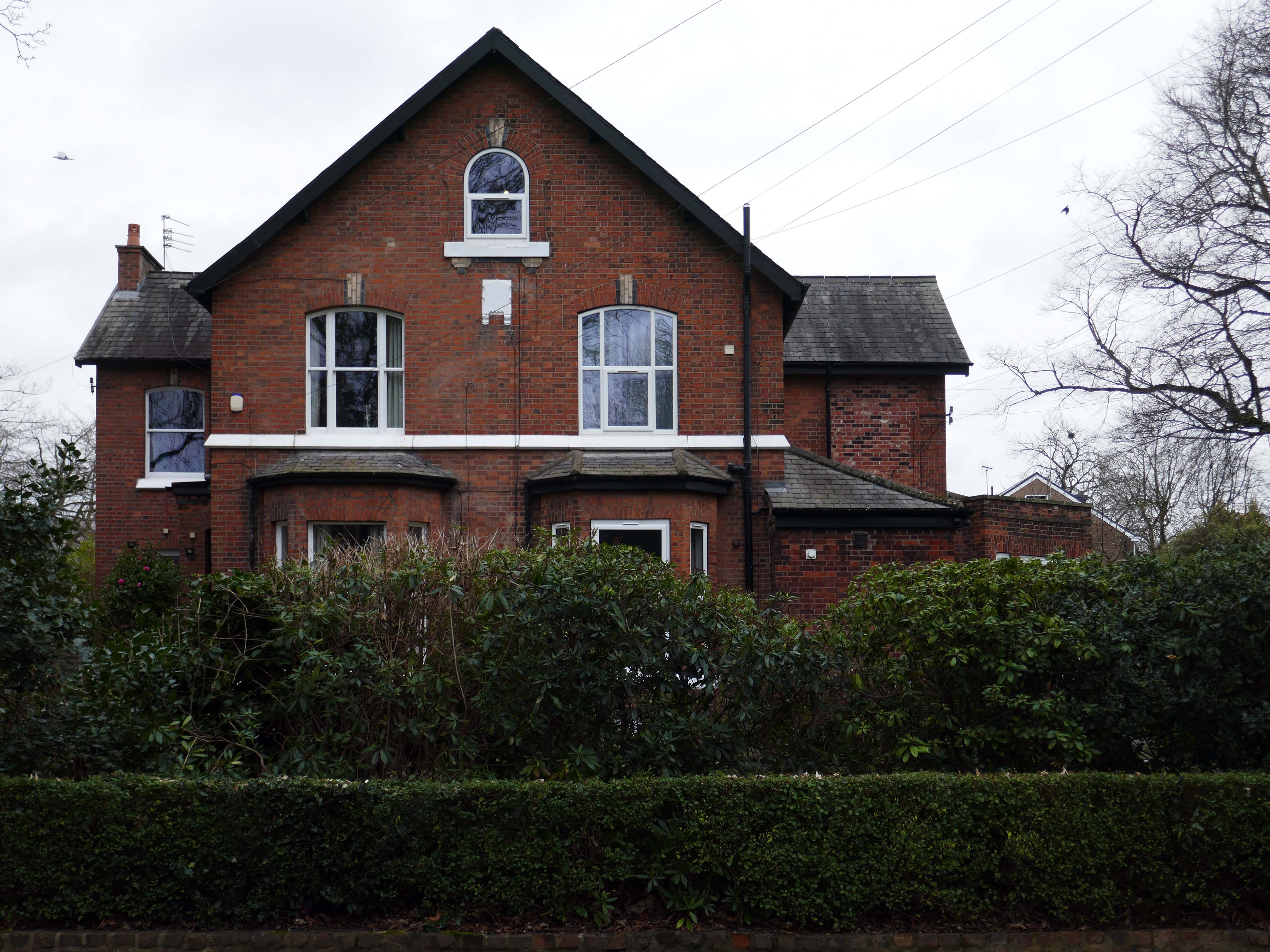
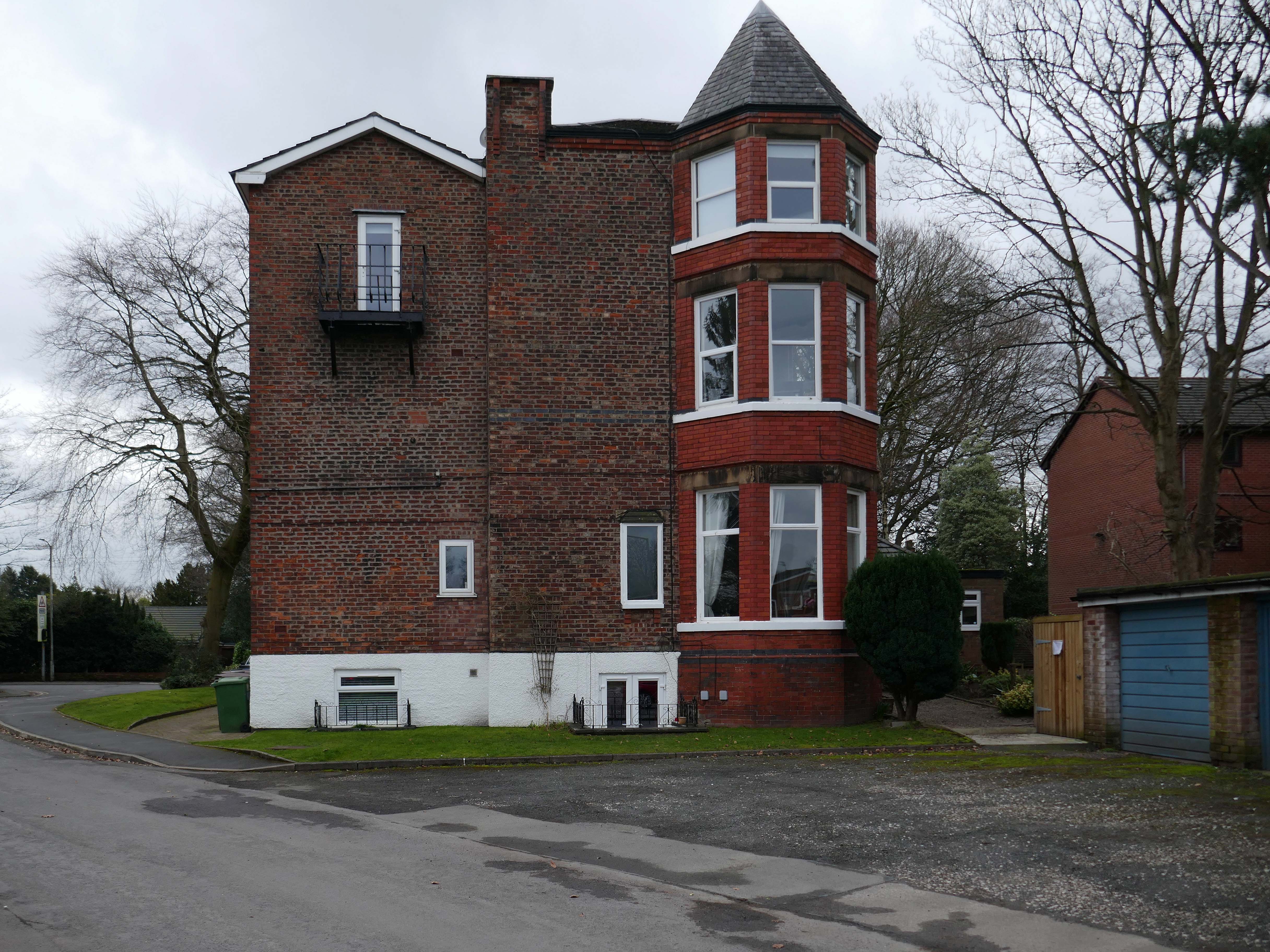
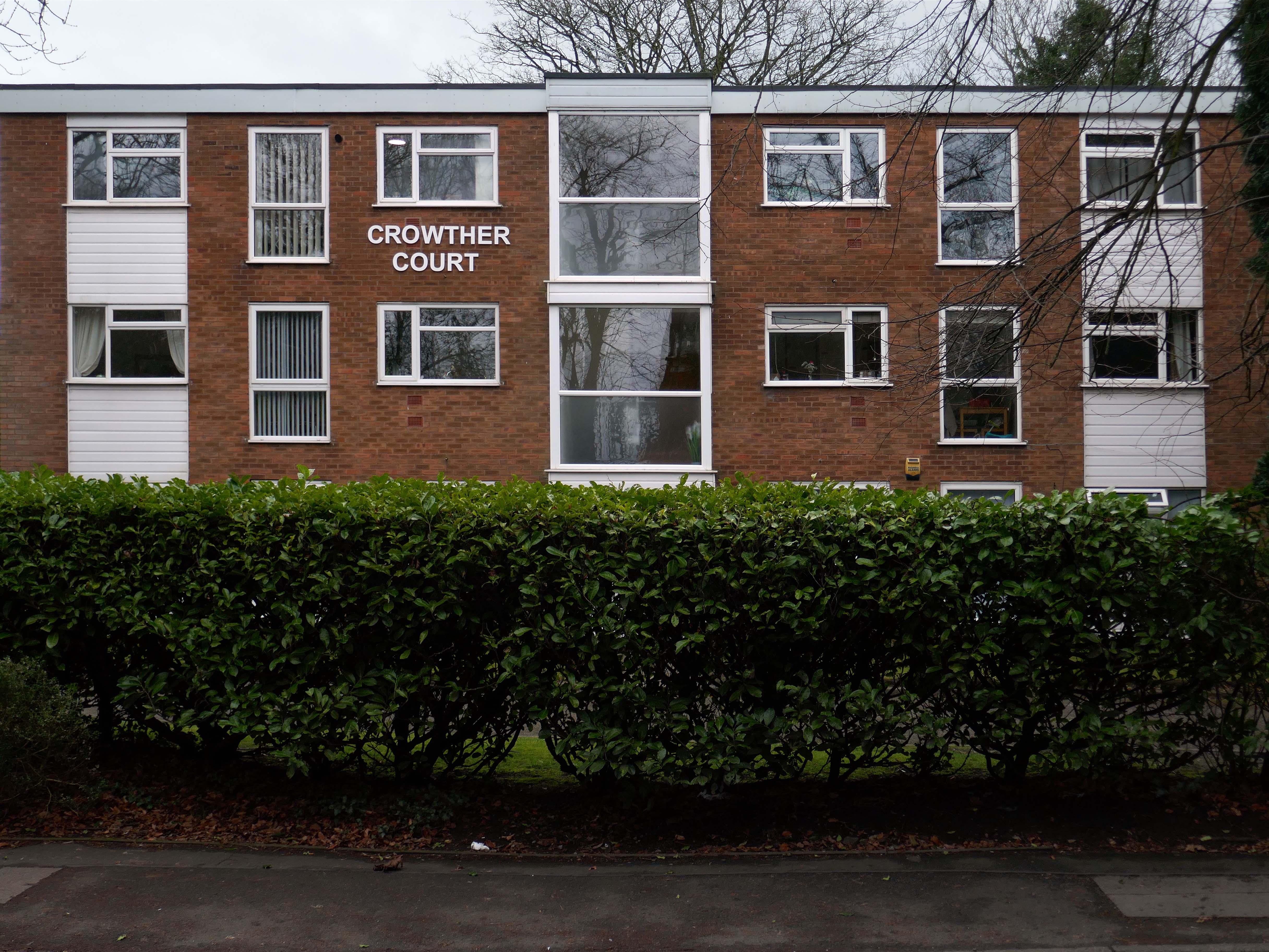
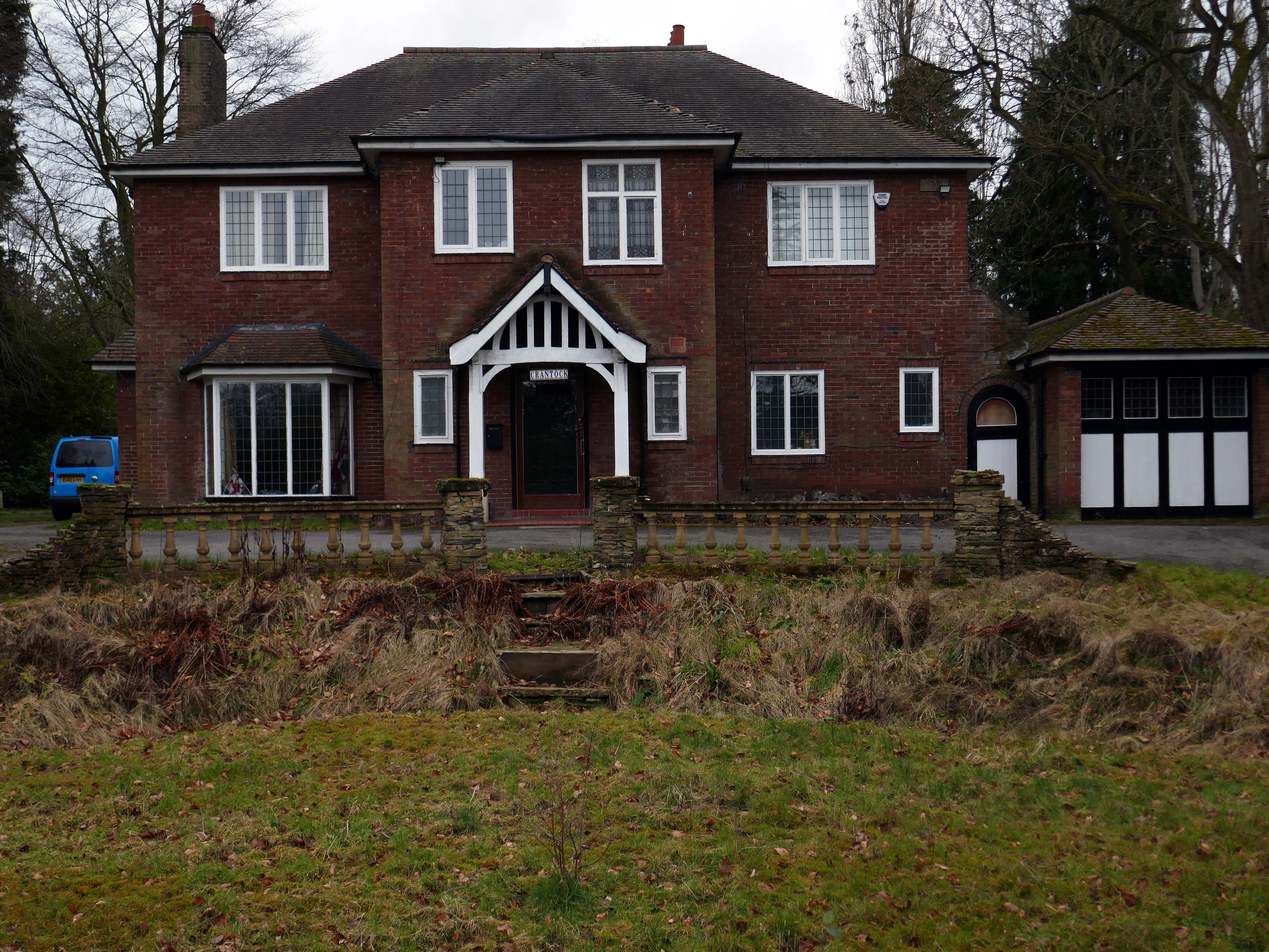
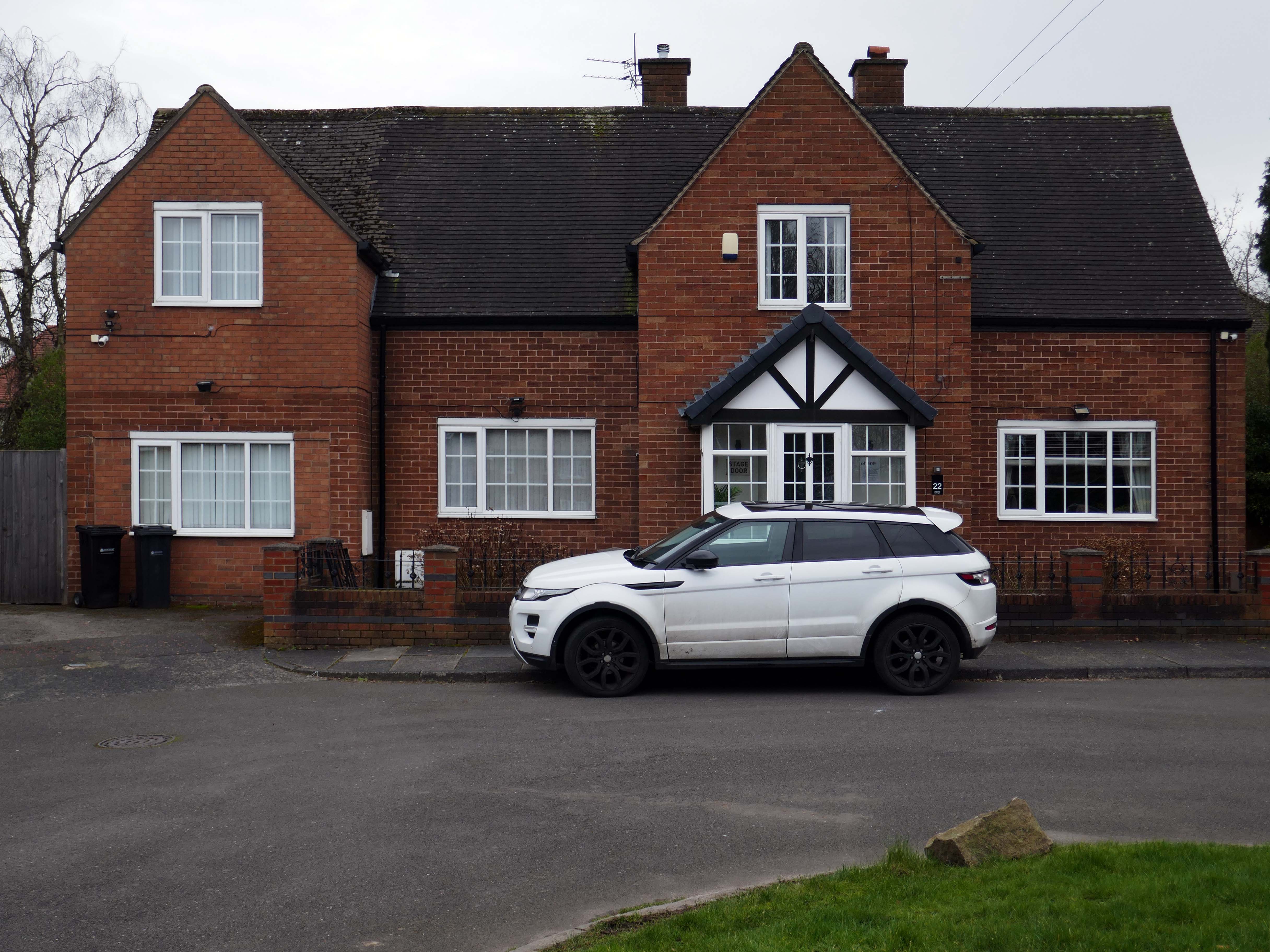
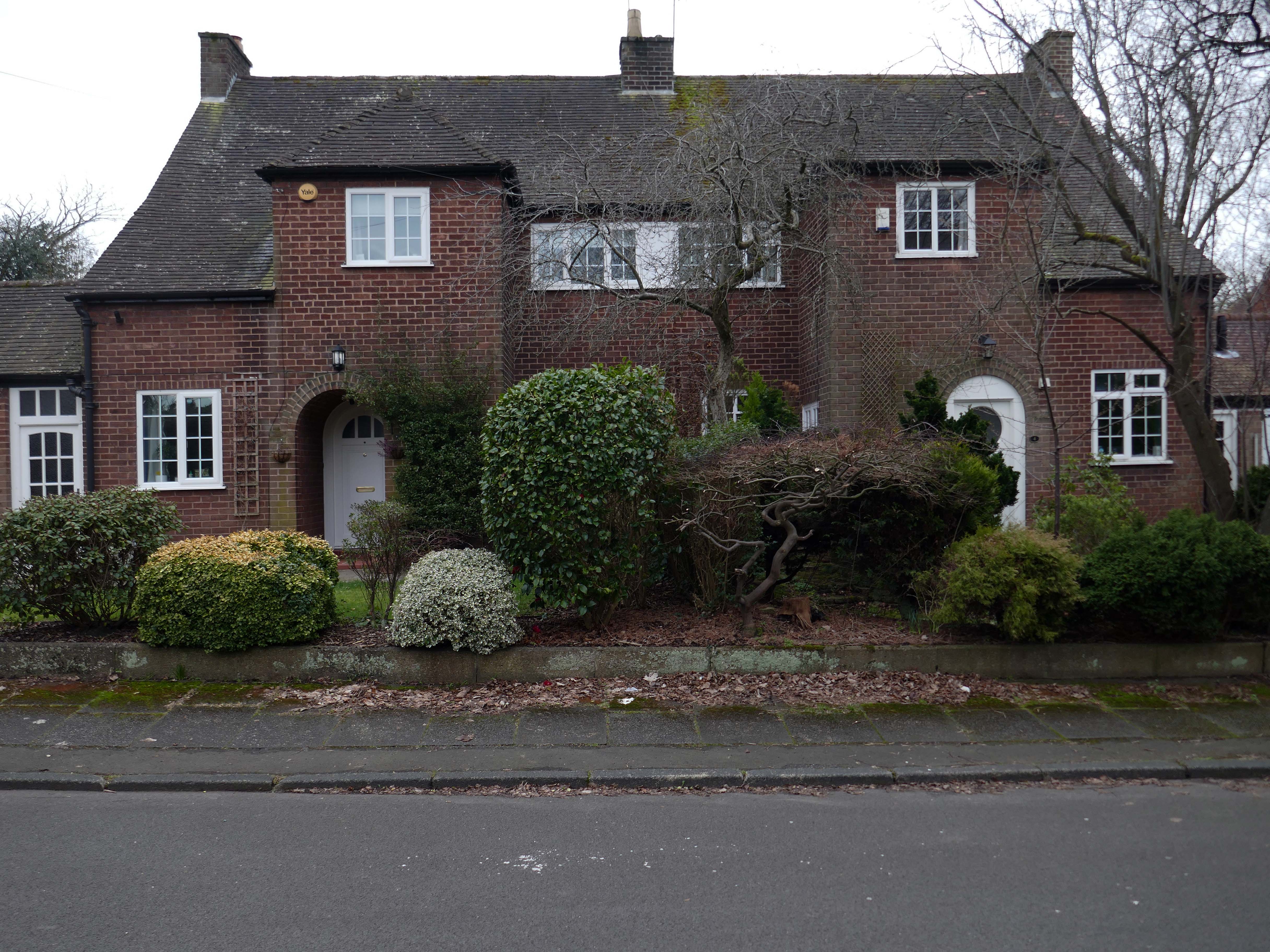
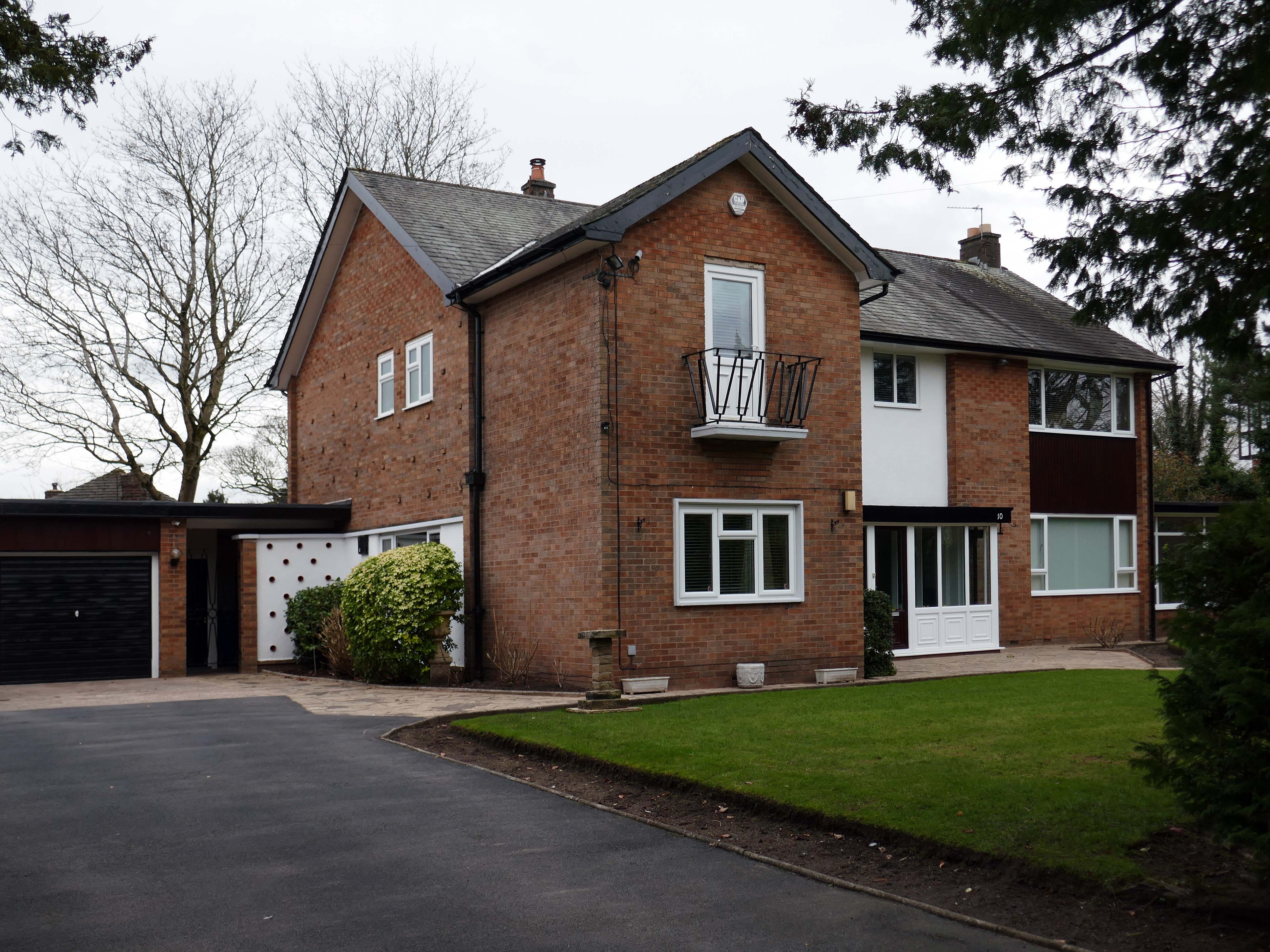
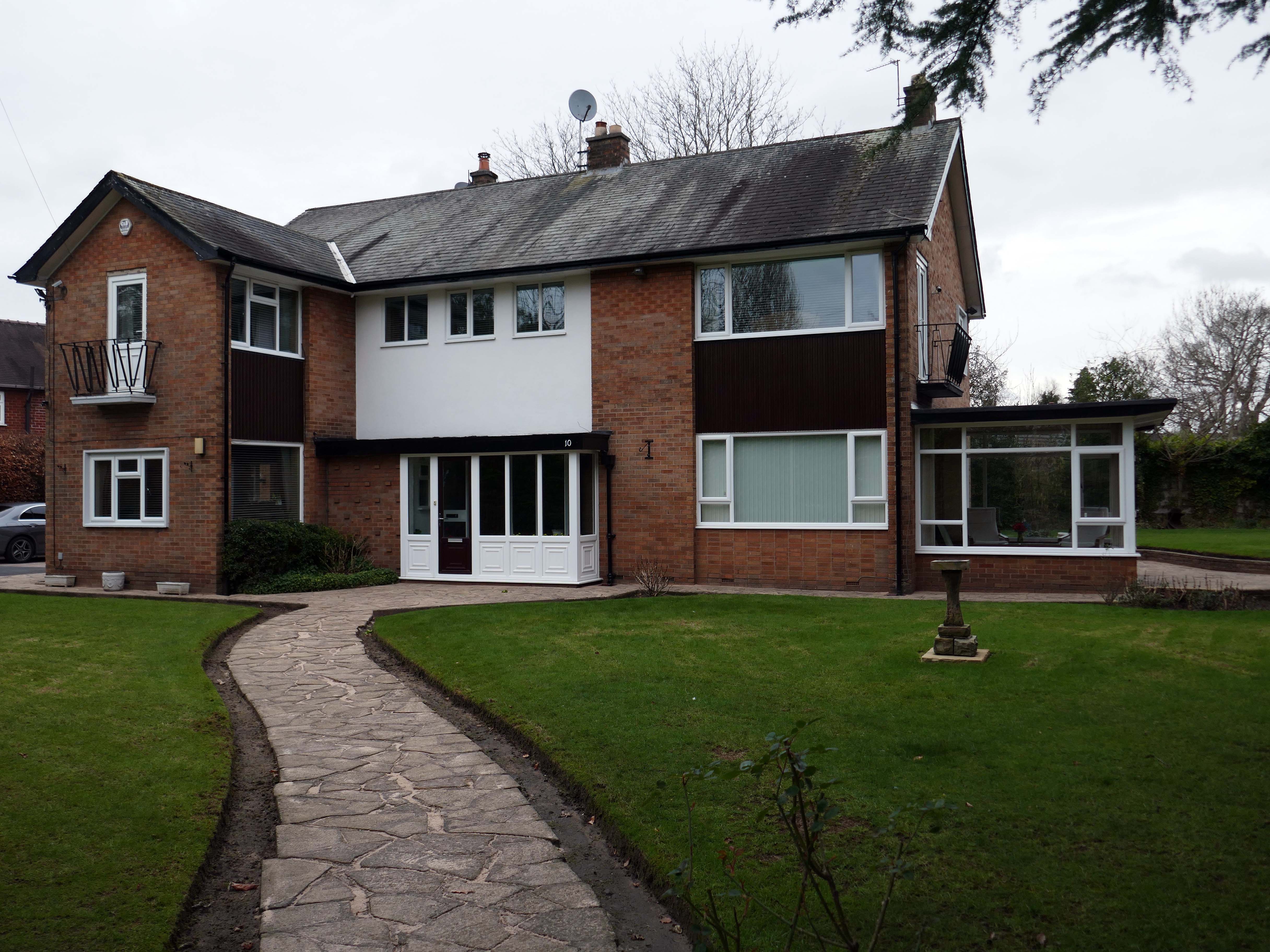
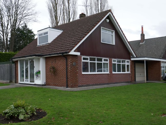
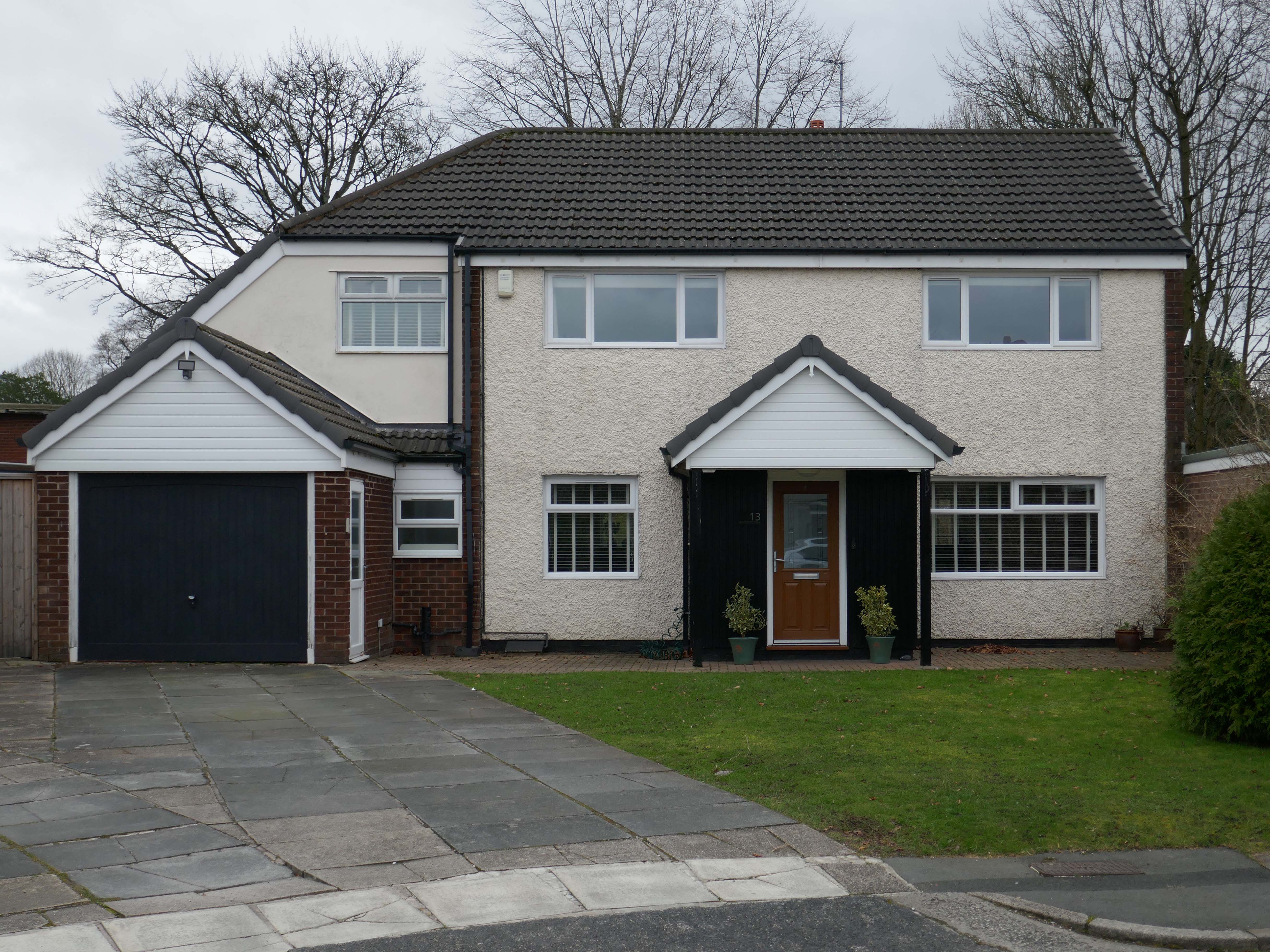
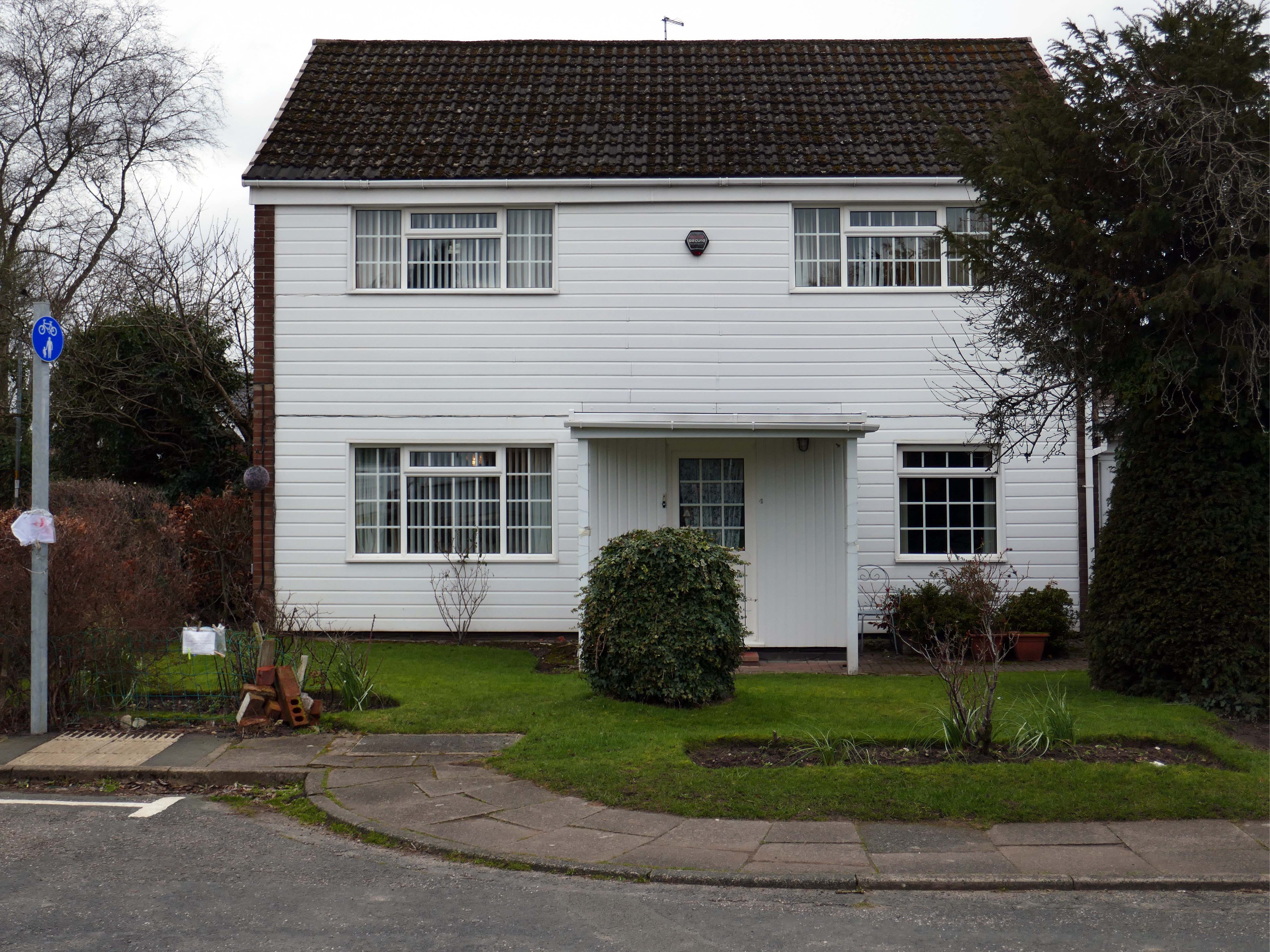
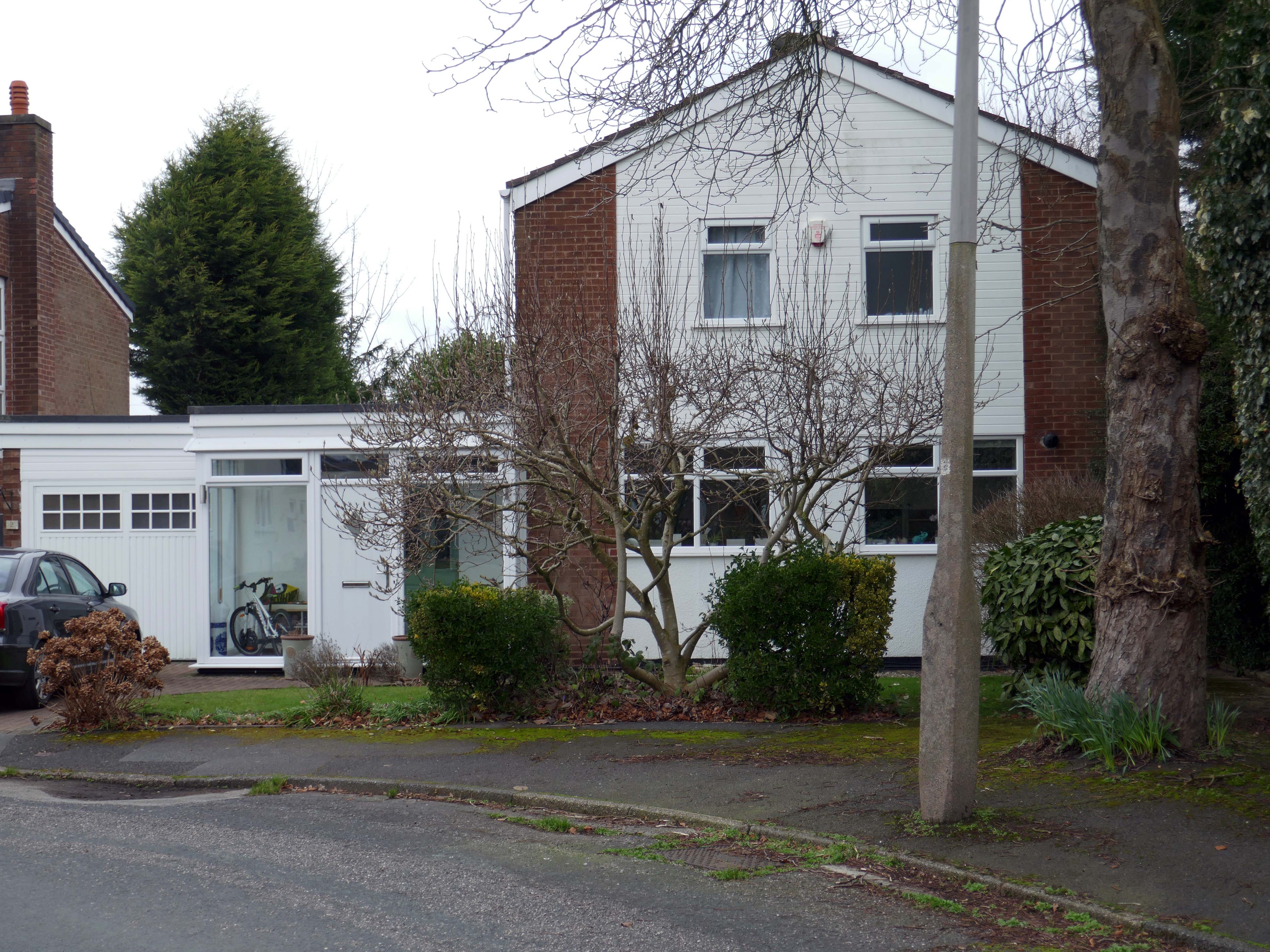
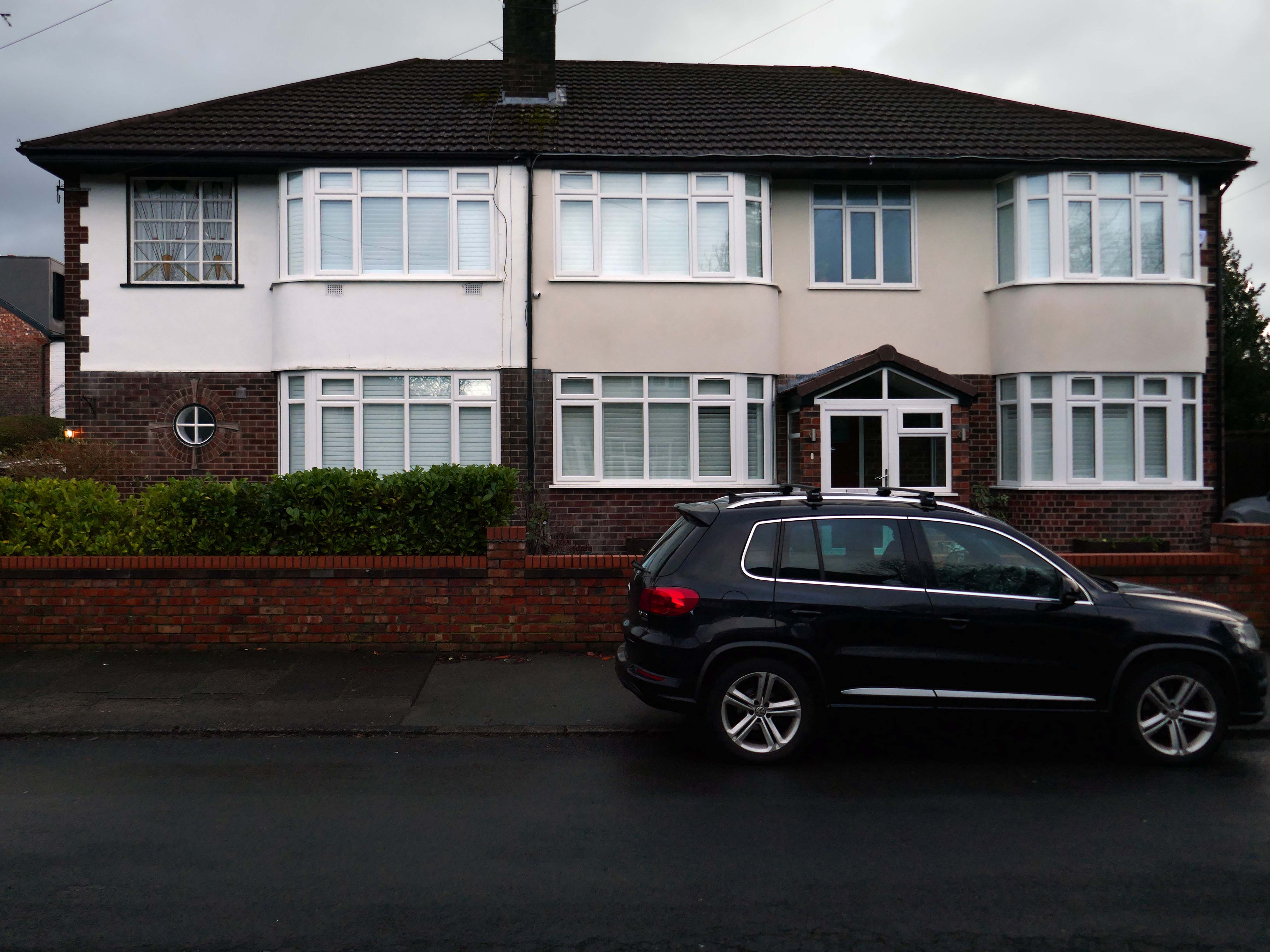
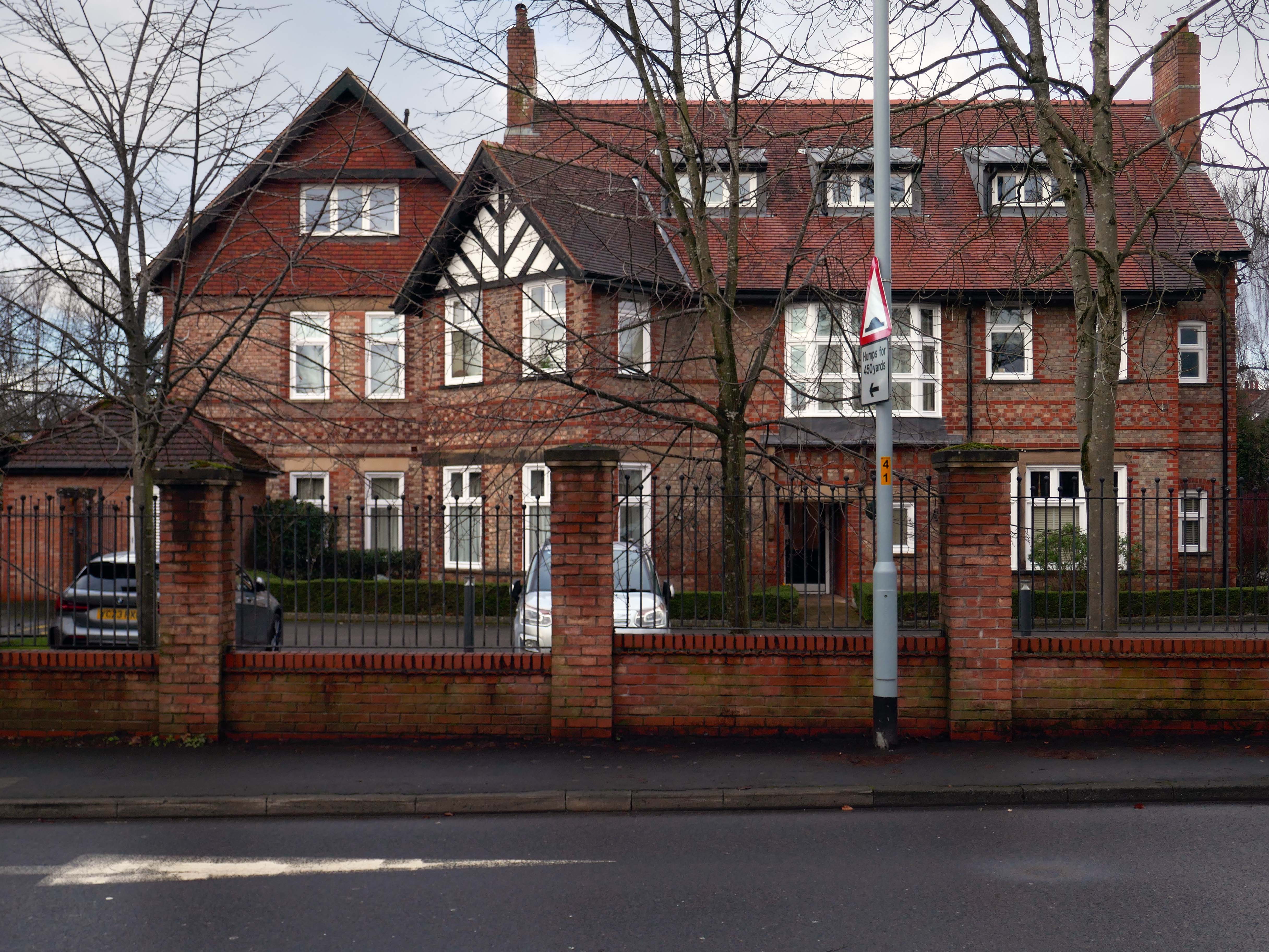
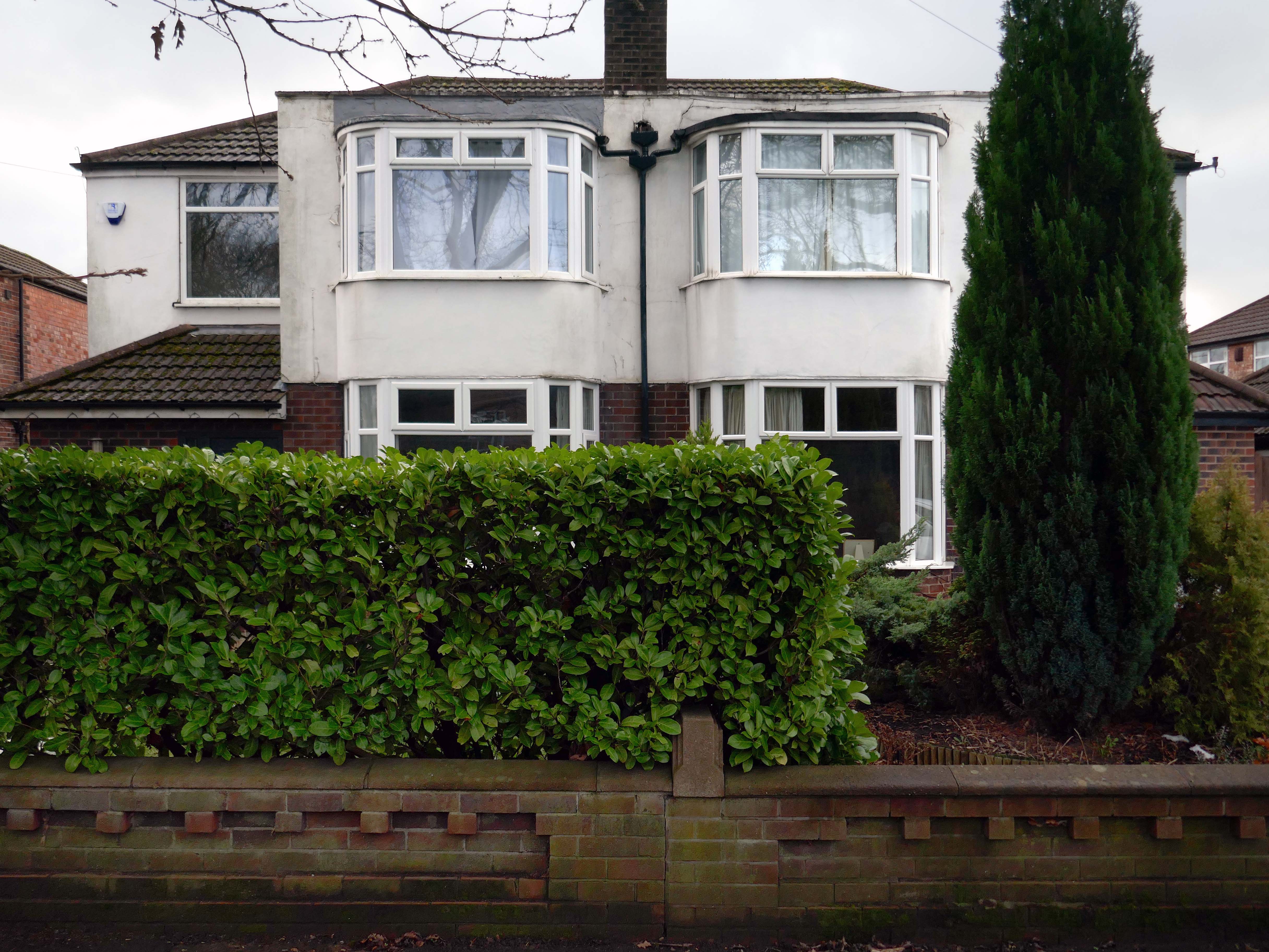
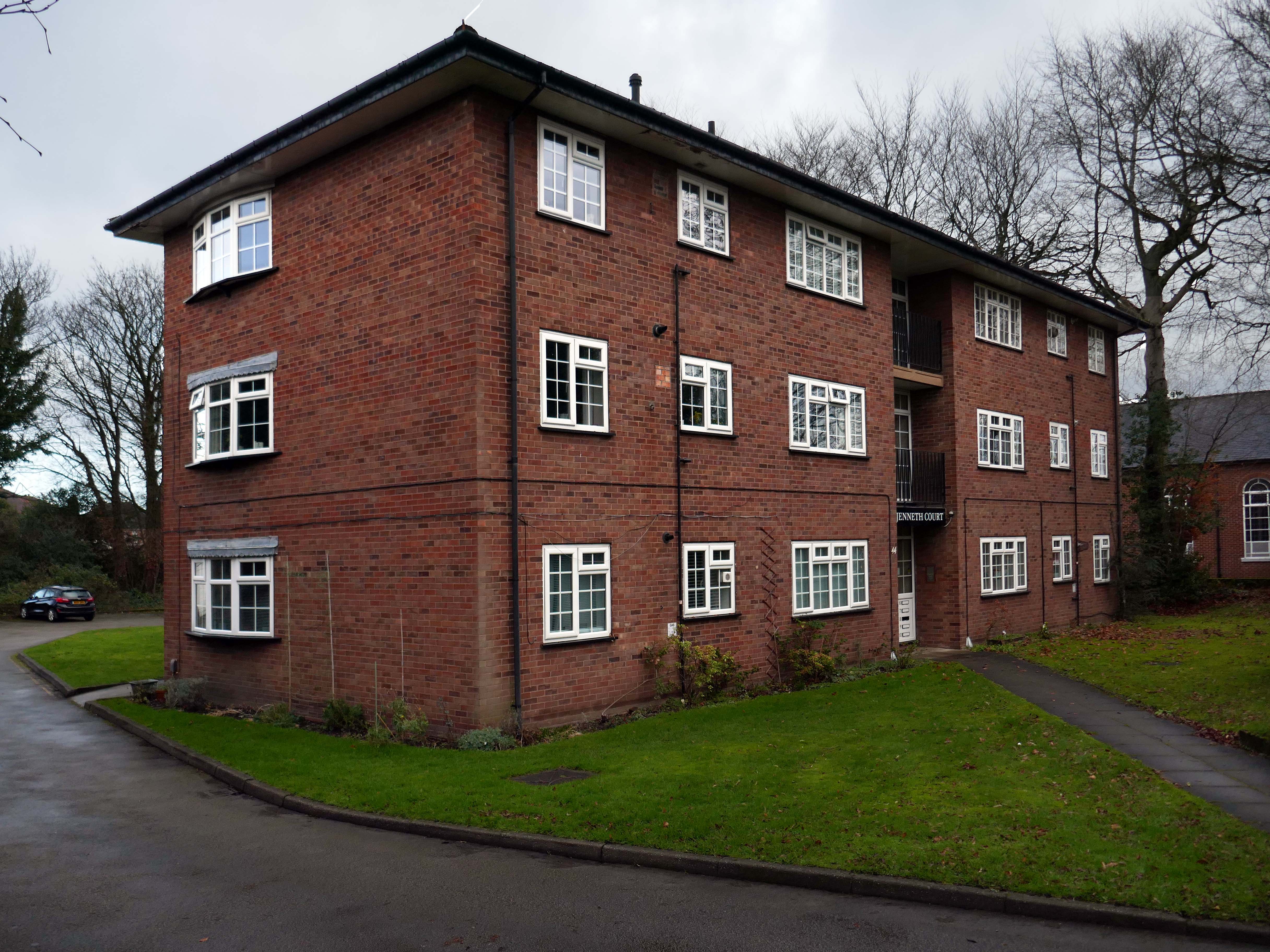
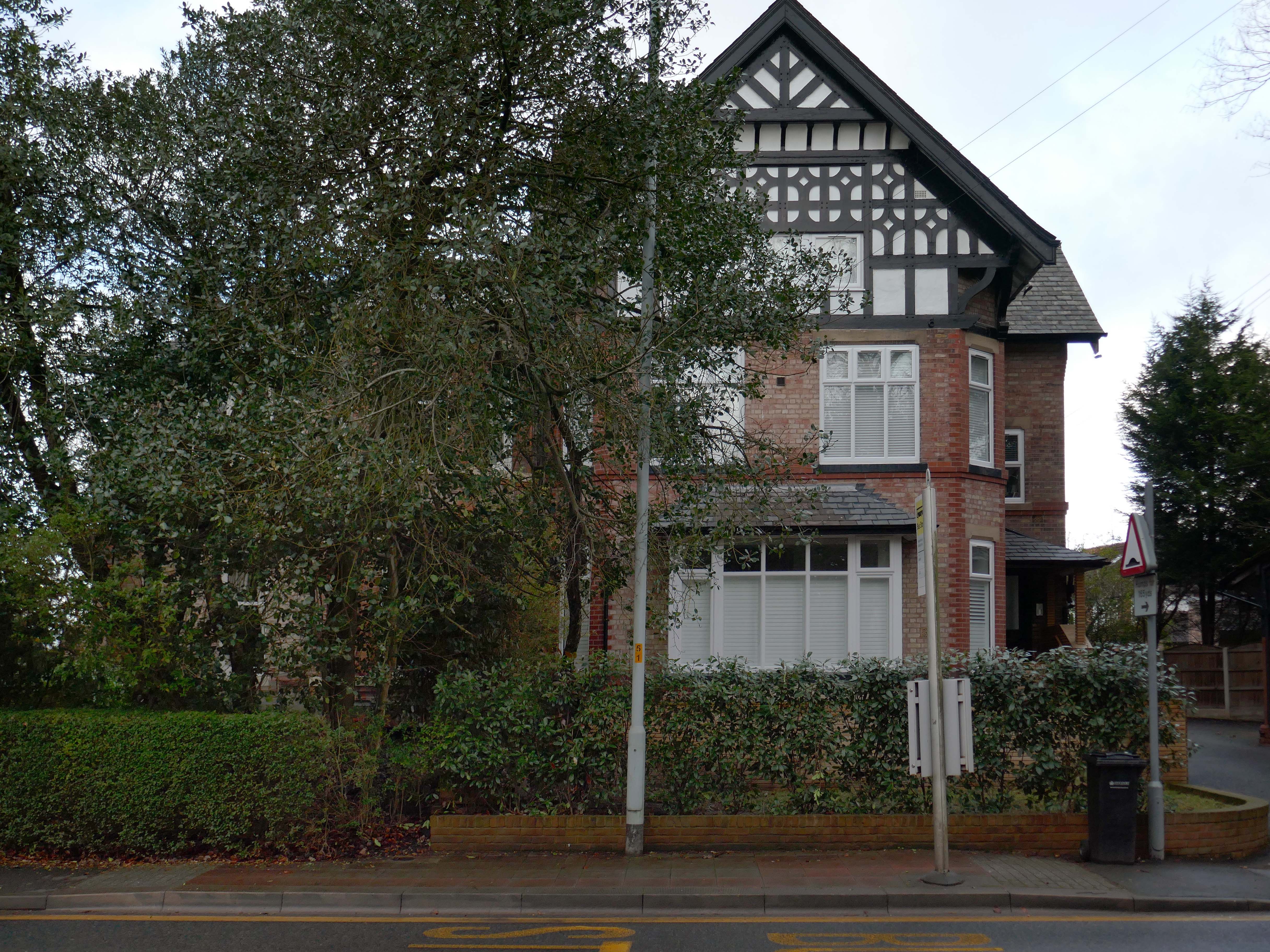
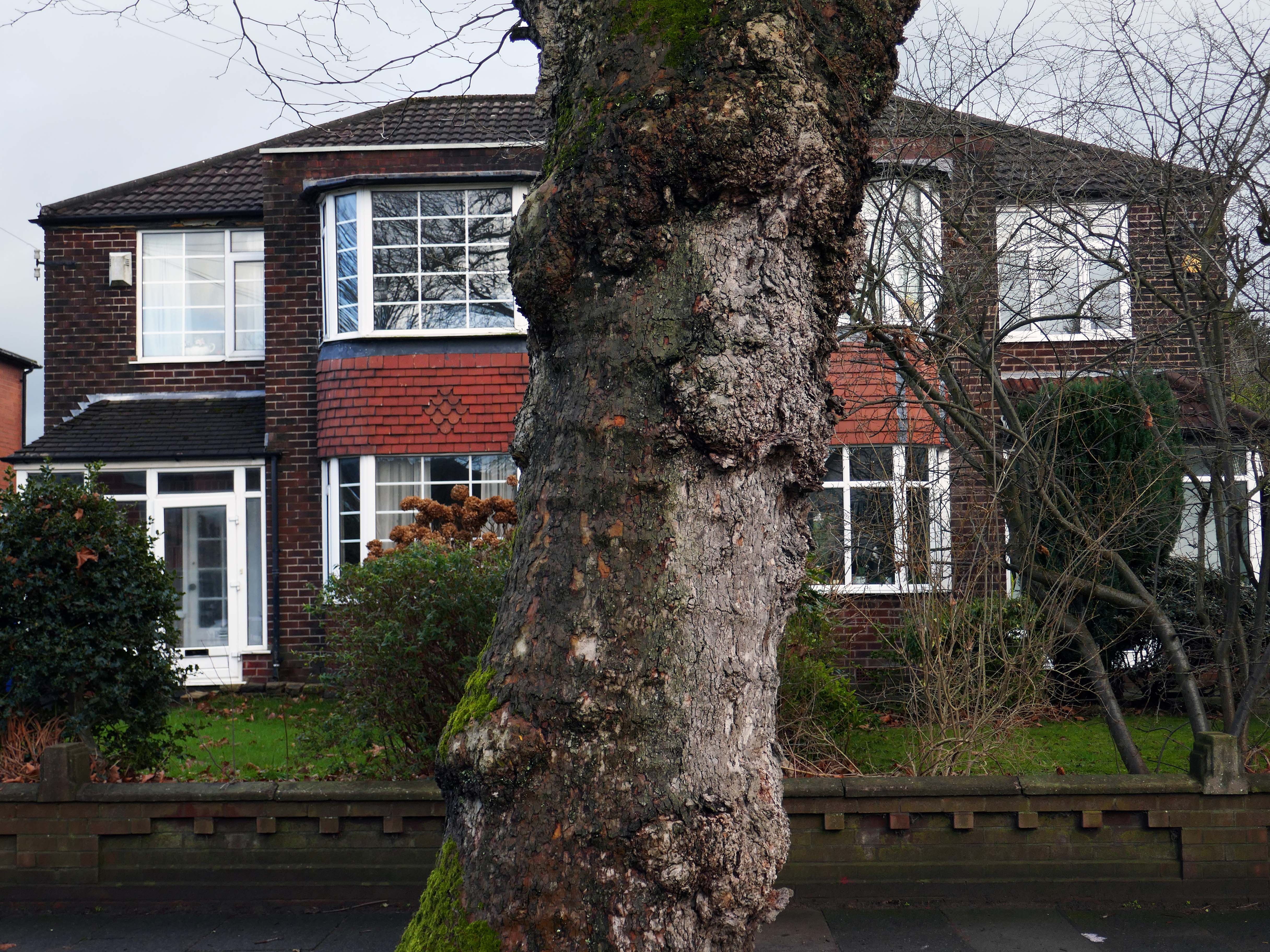
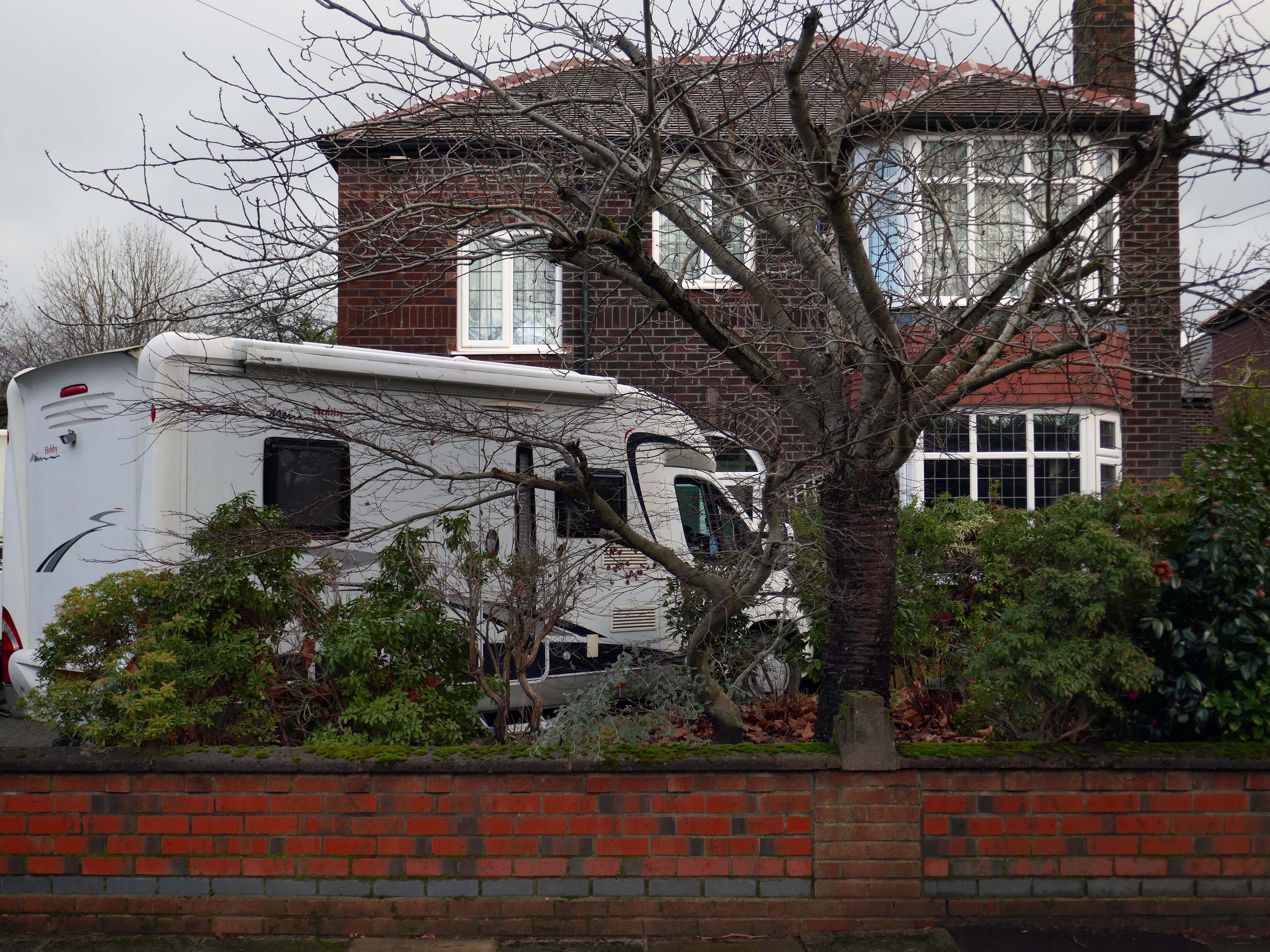
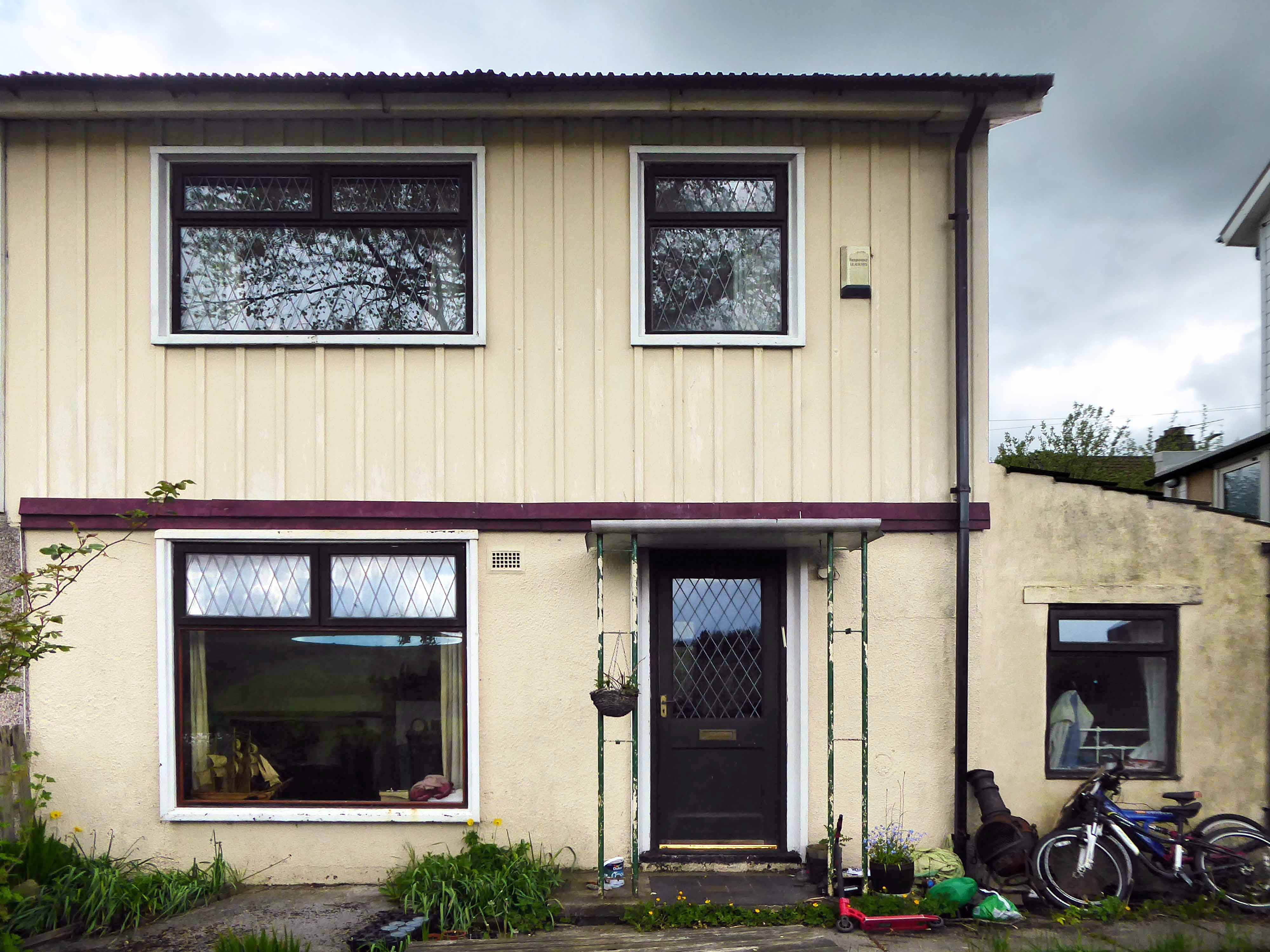
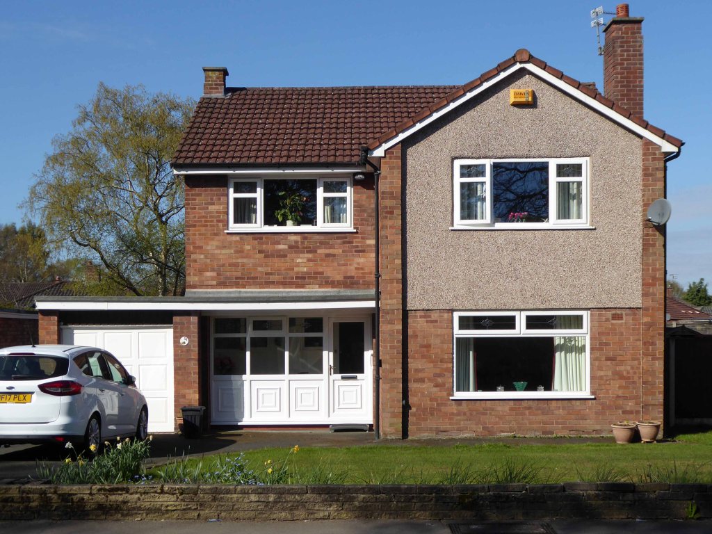
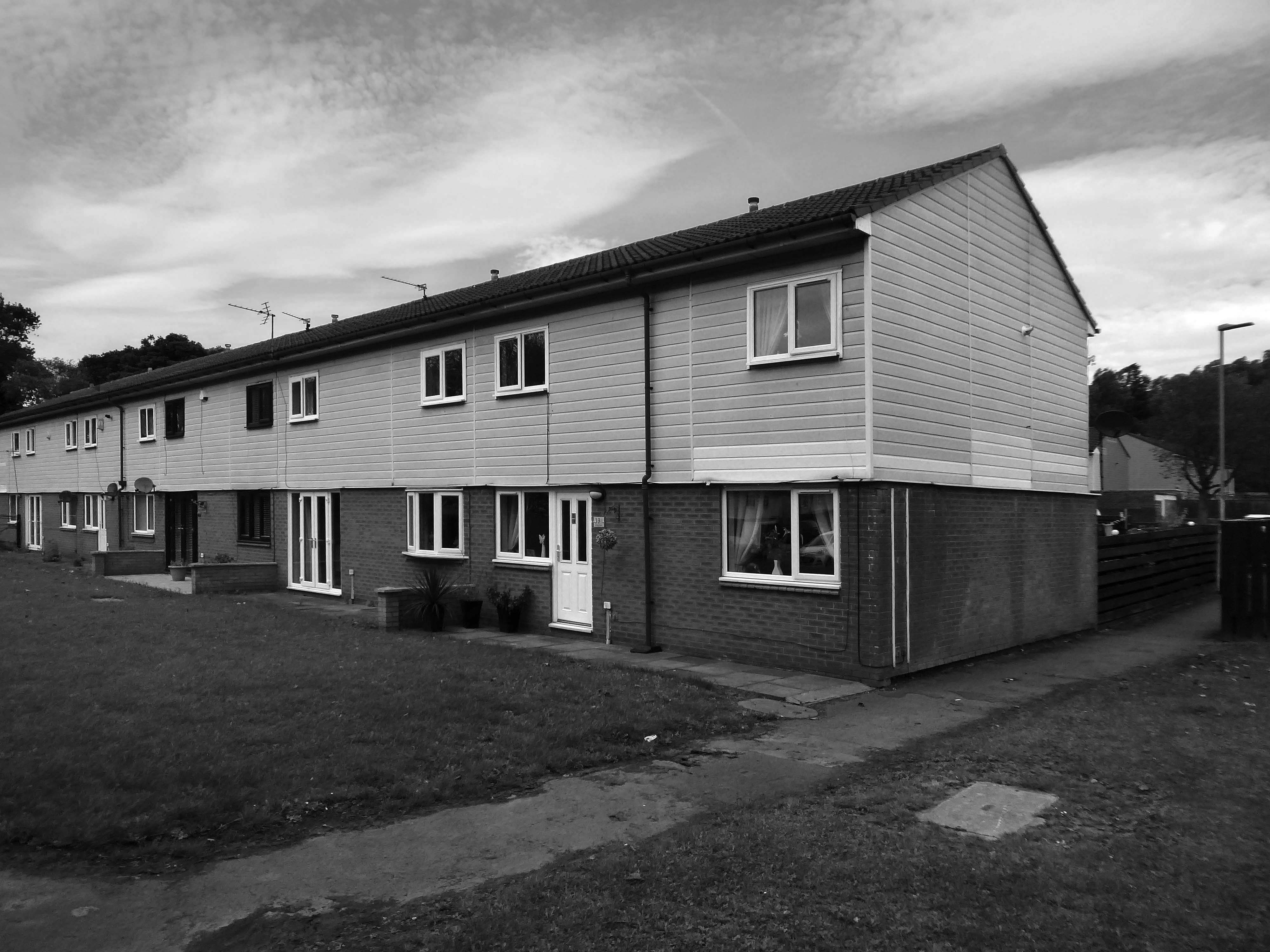
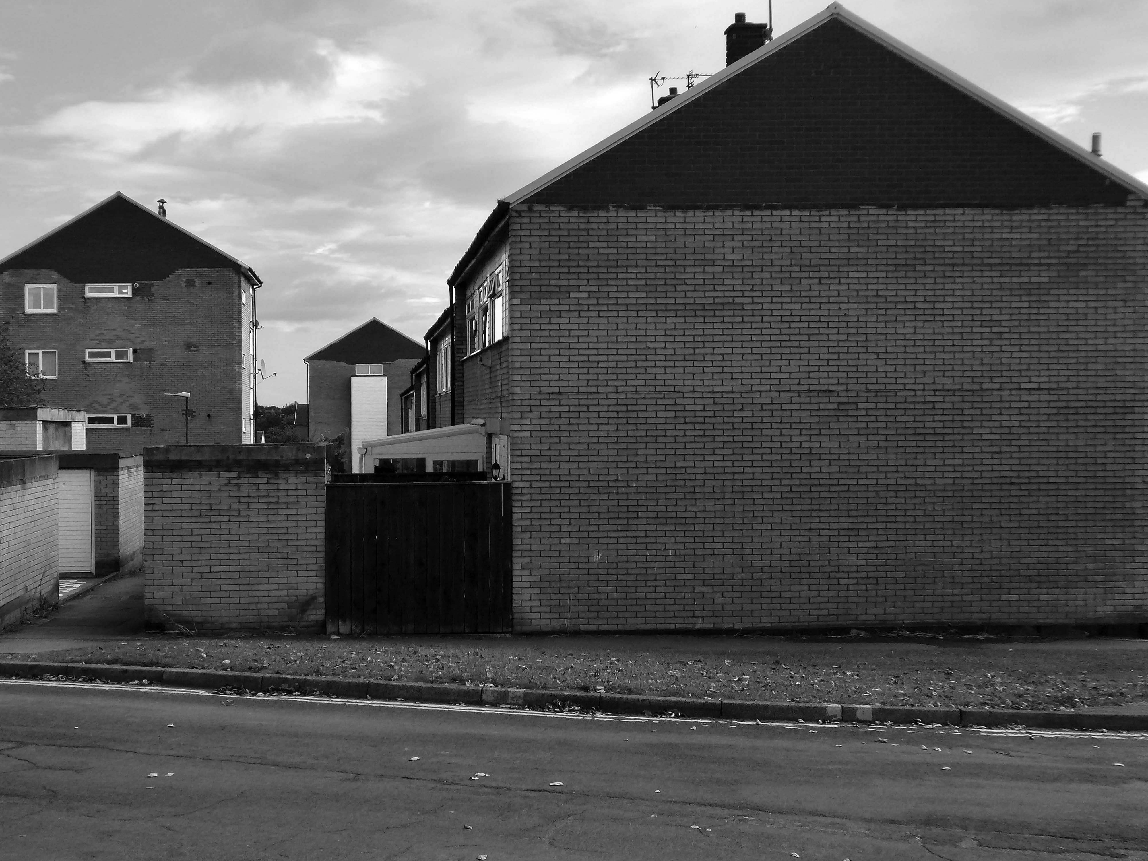
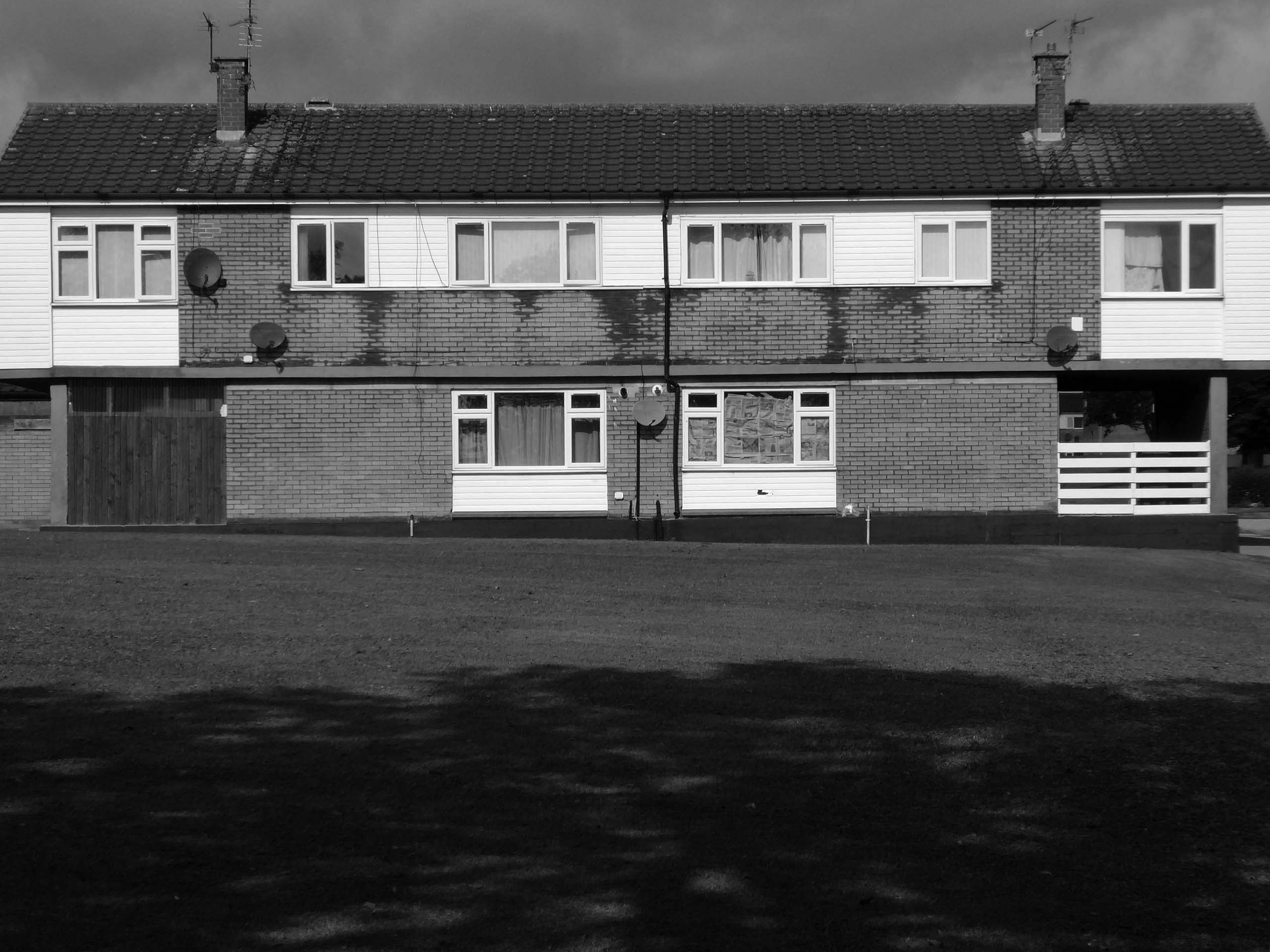
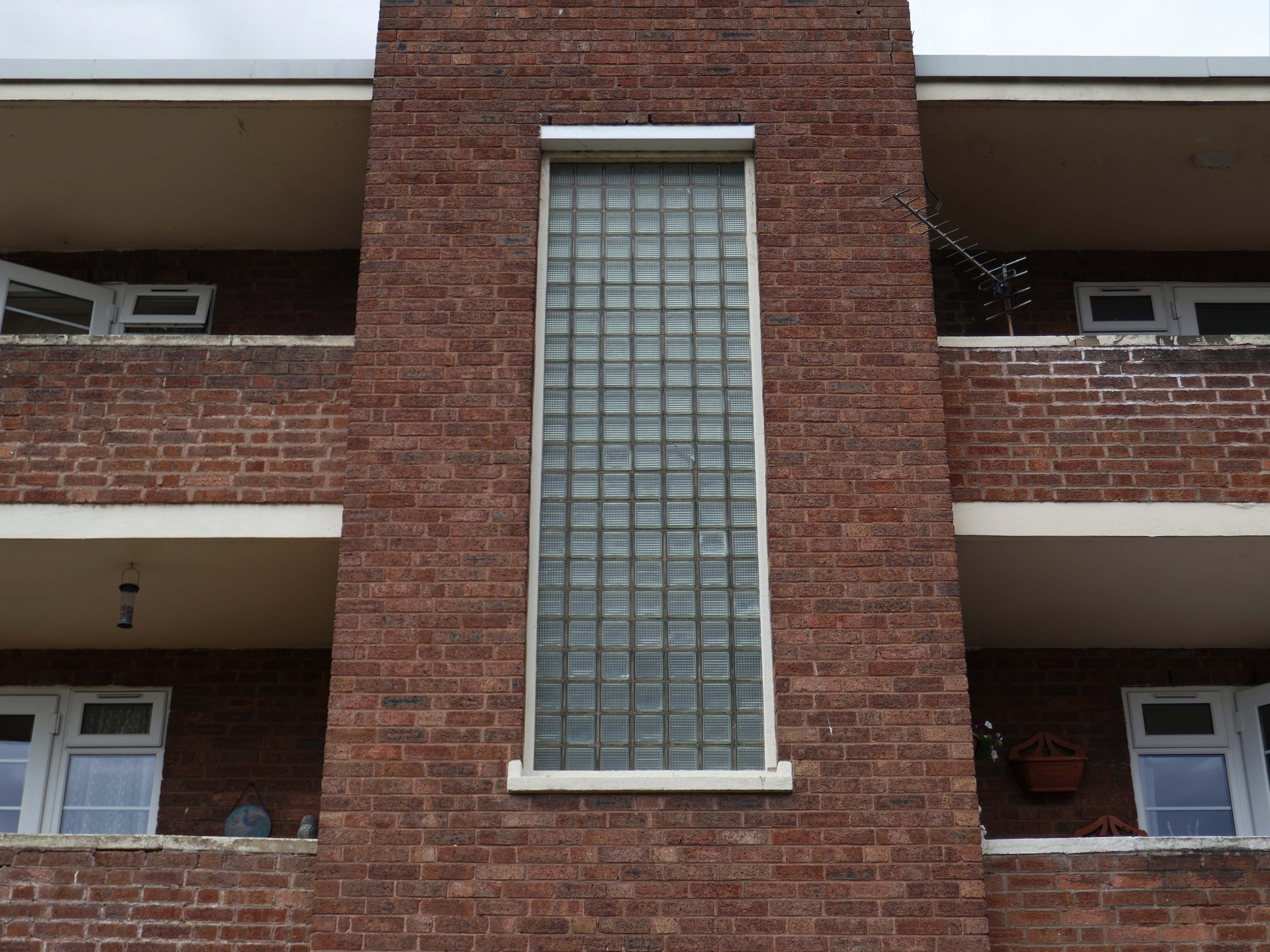
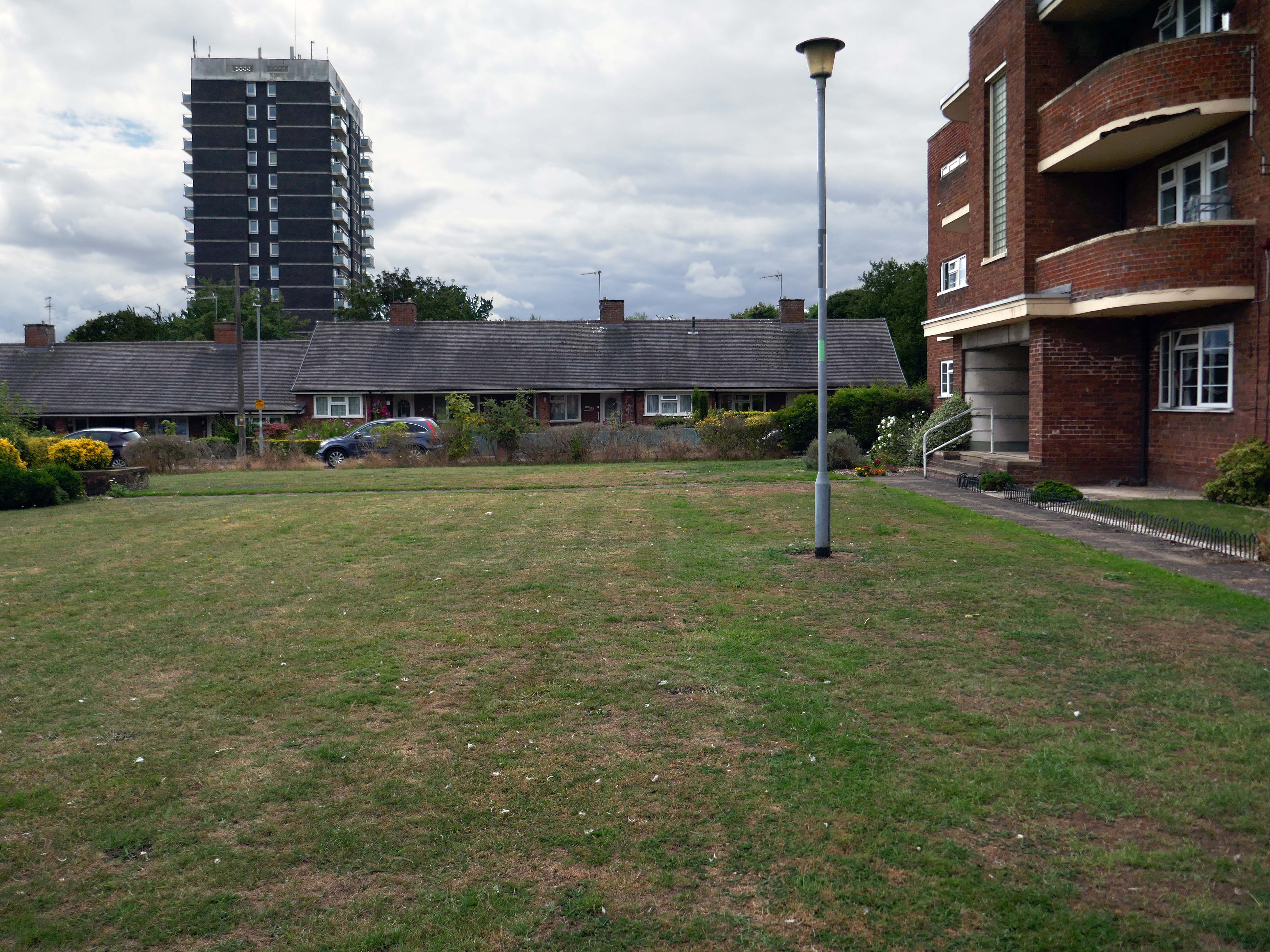
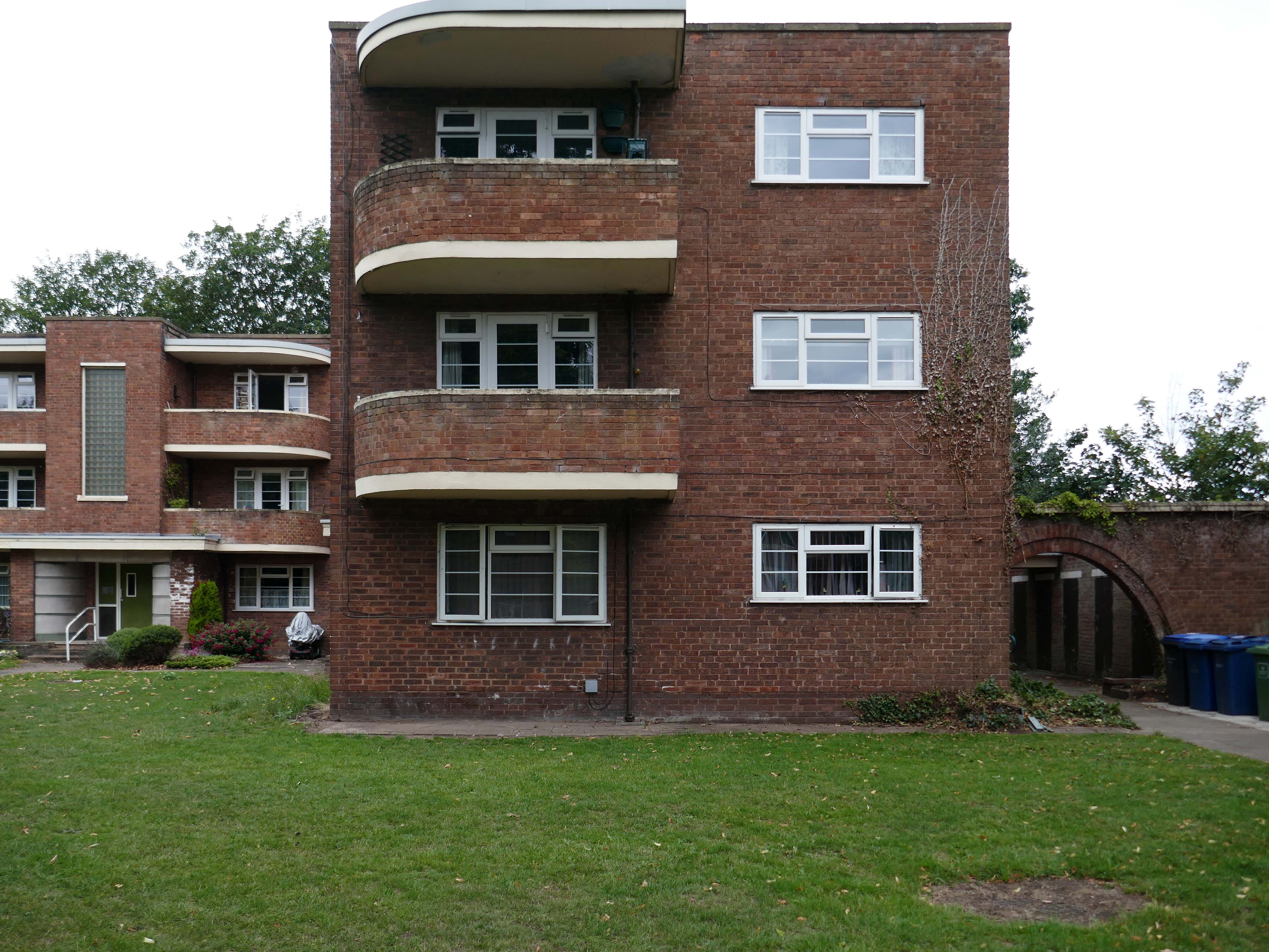
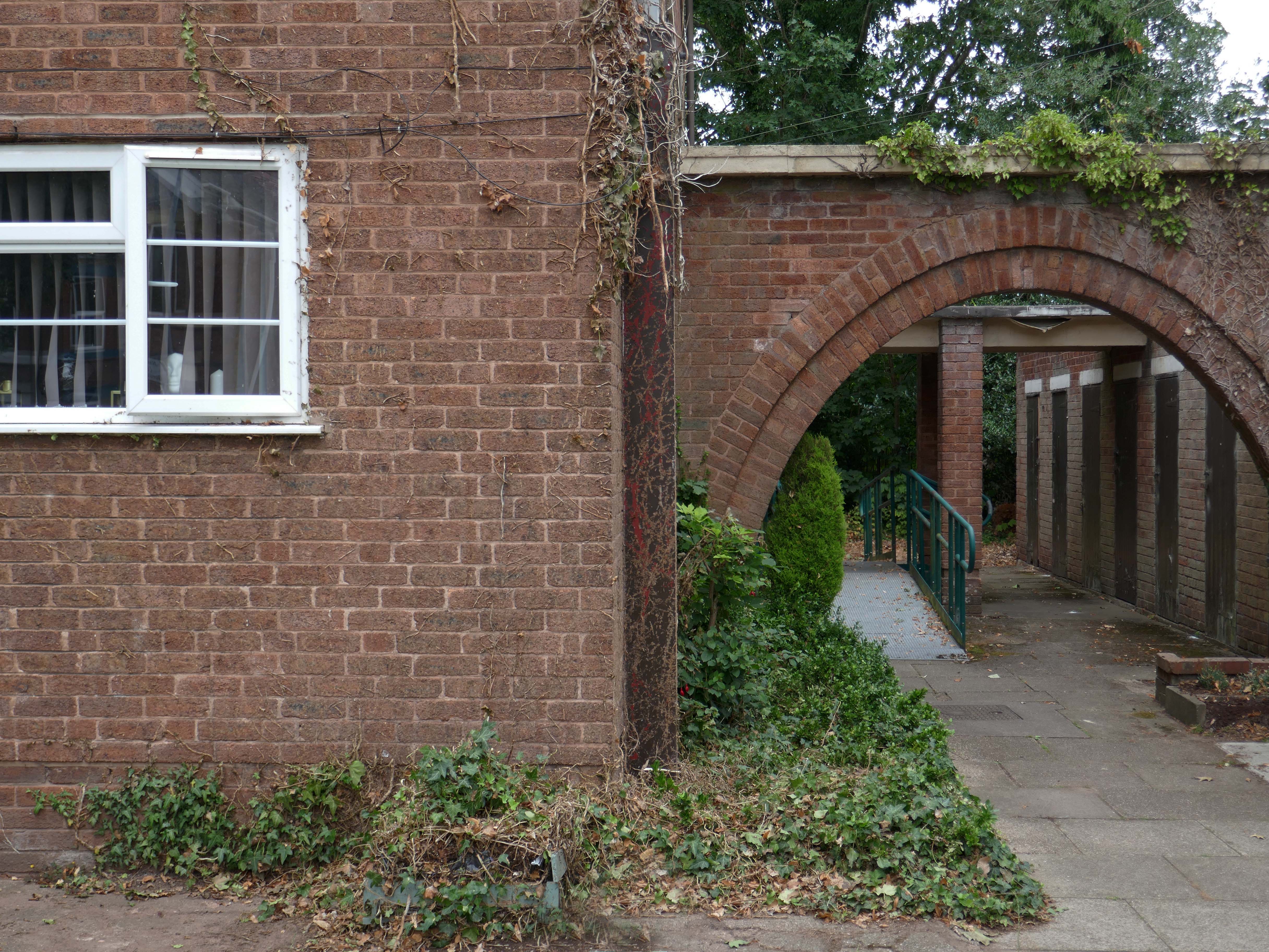
Mauldeth Road is lined with larger houses, Victorian and interwar villas, bijou apartments and the odd Modernist interloper.
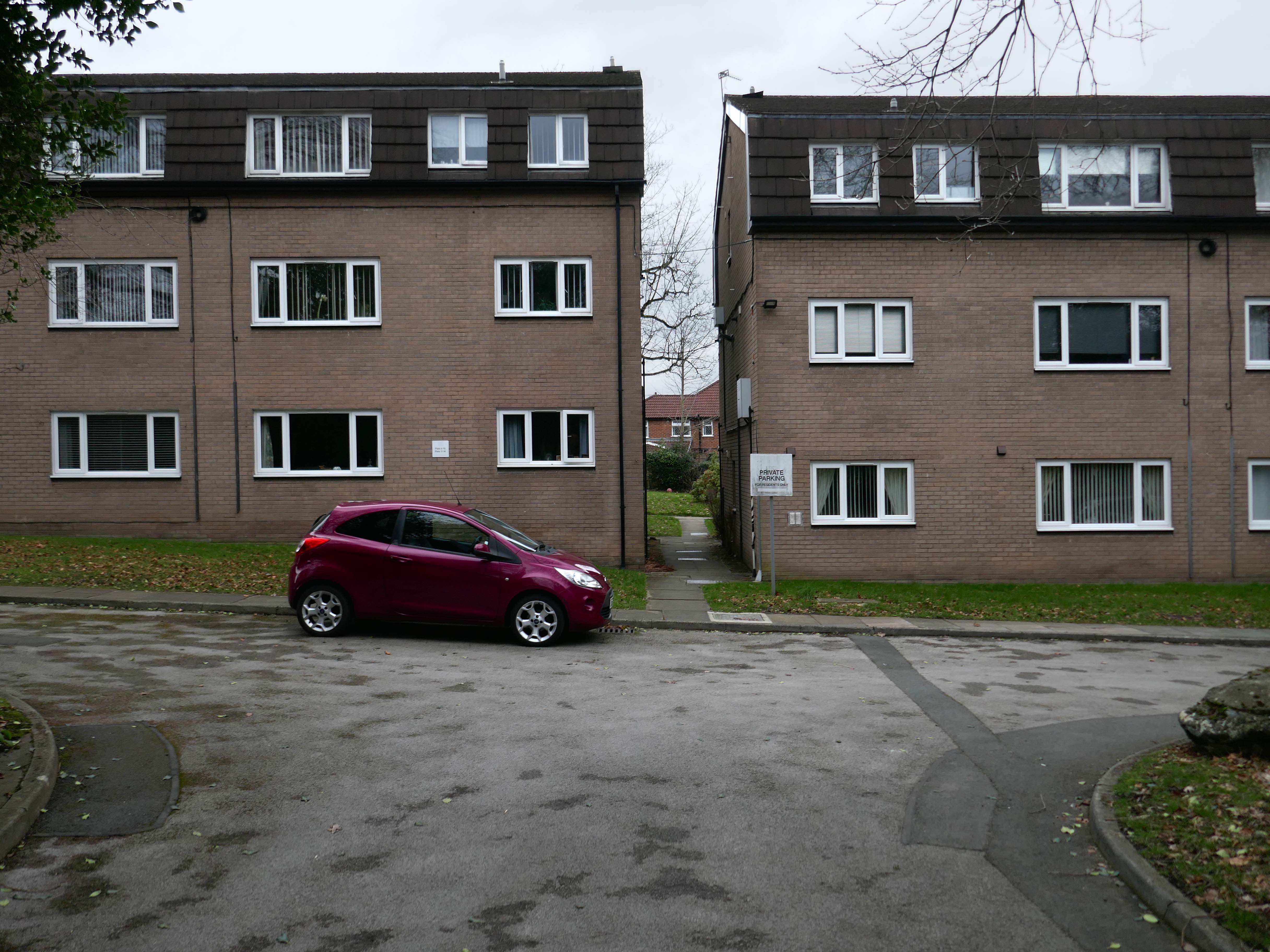
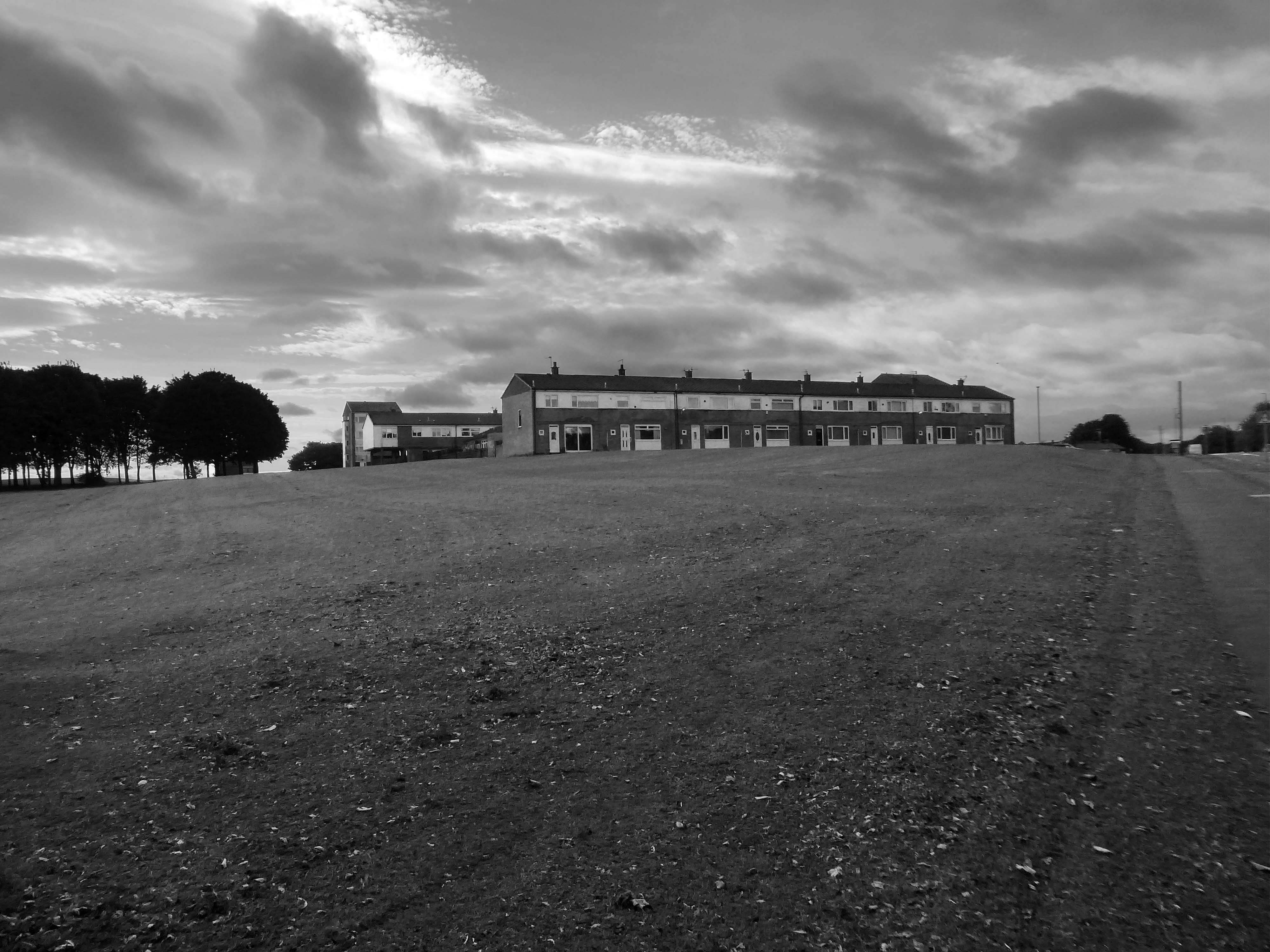
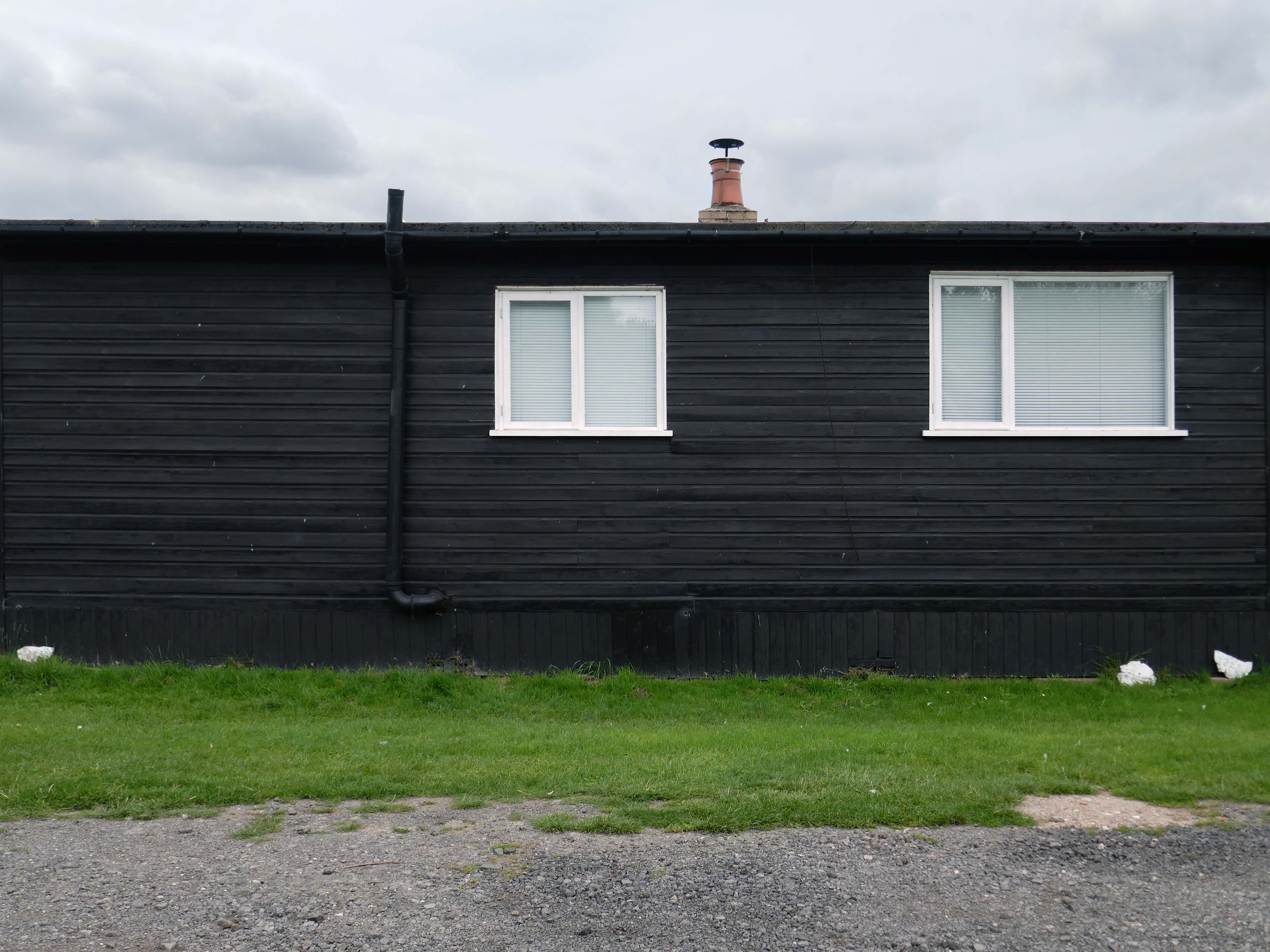
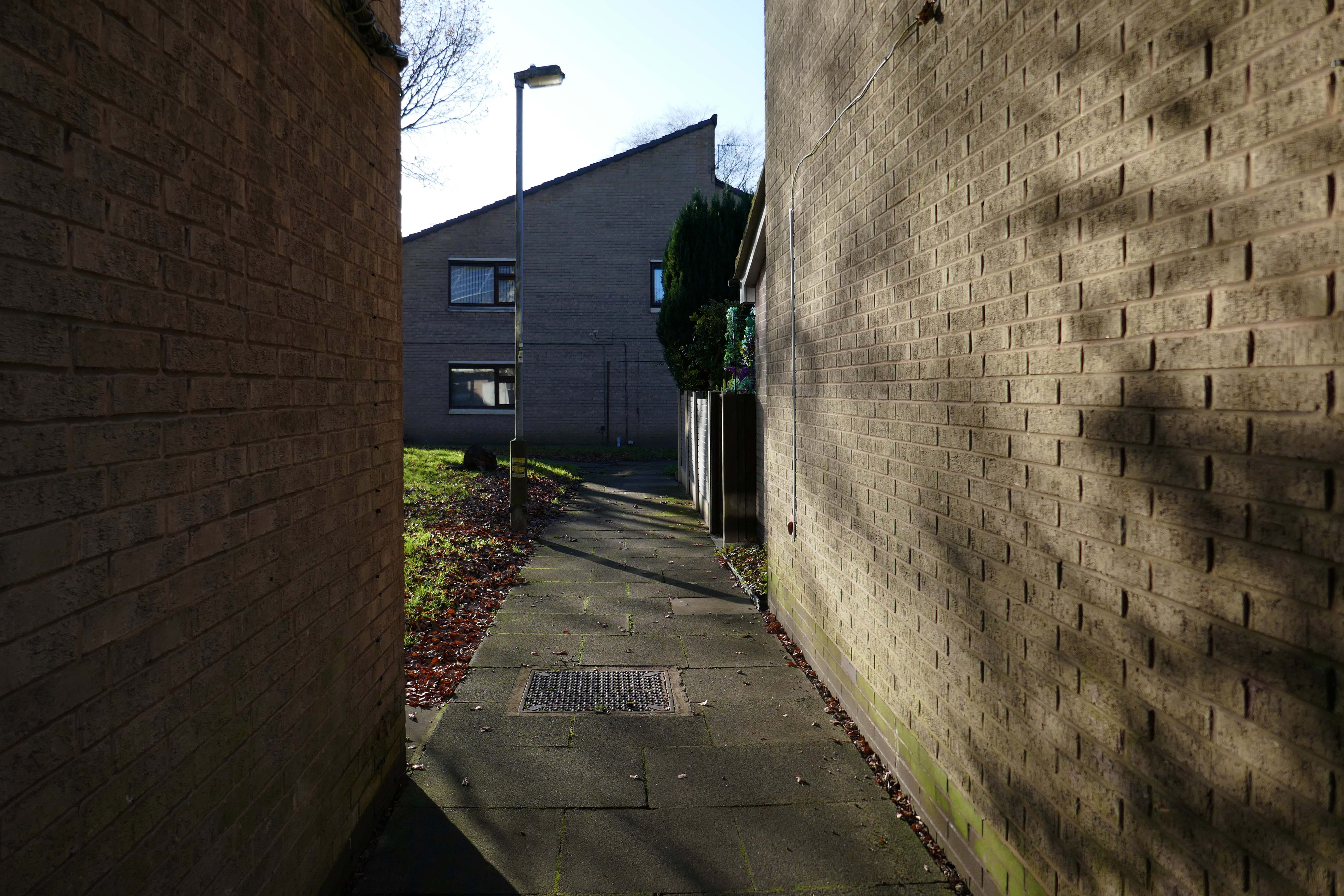
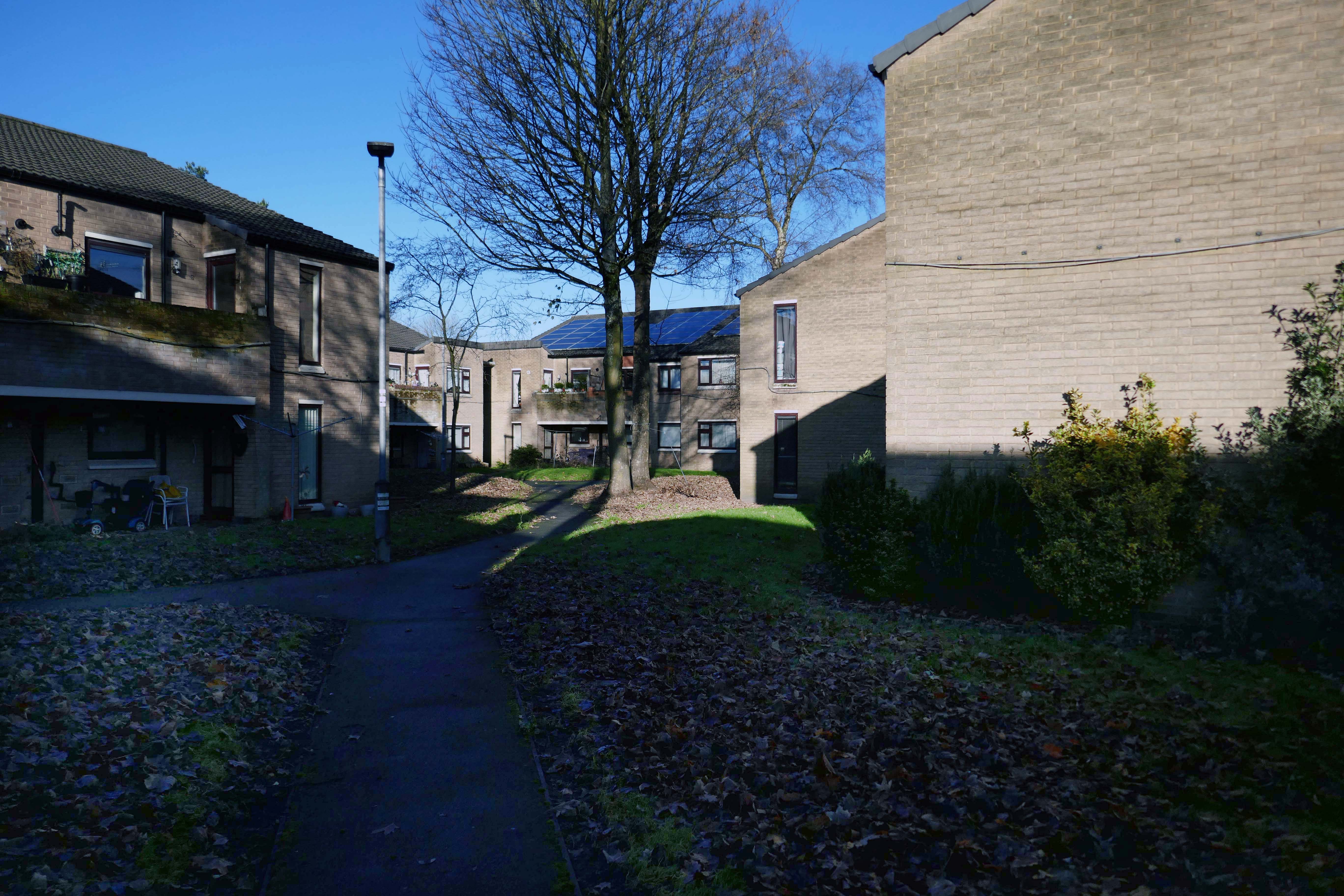
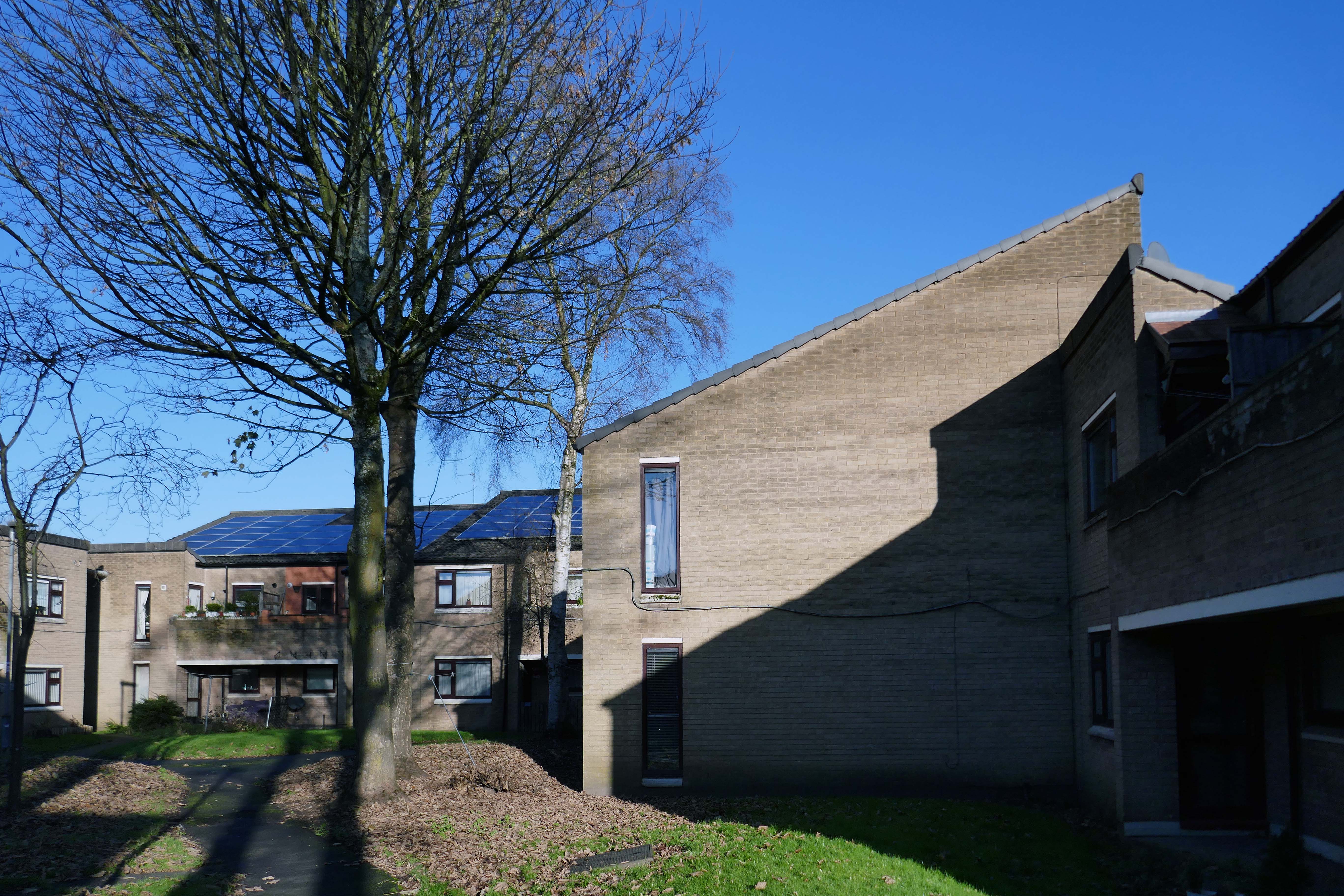
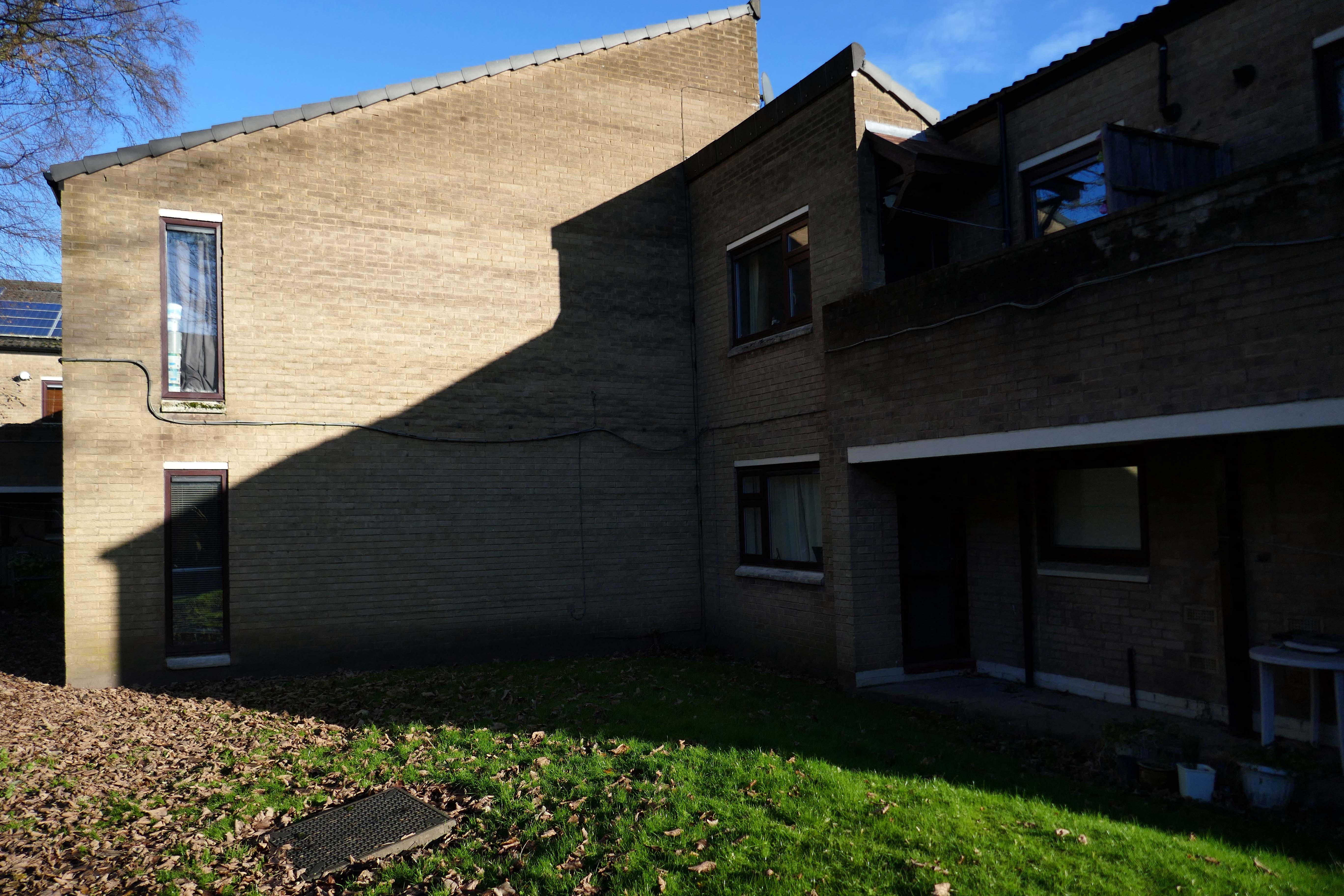
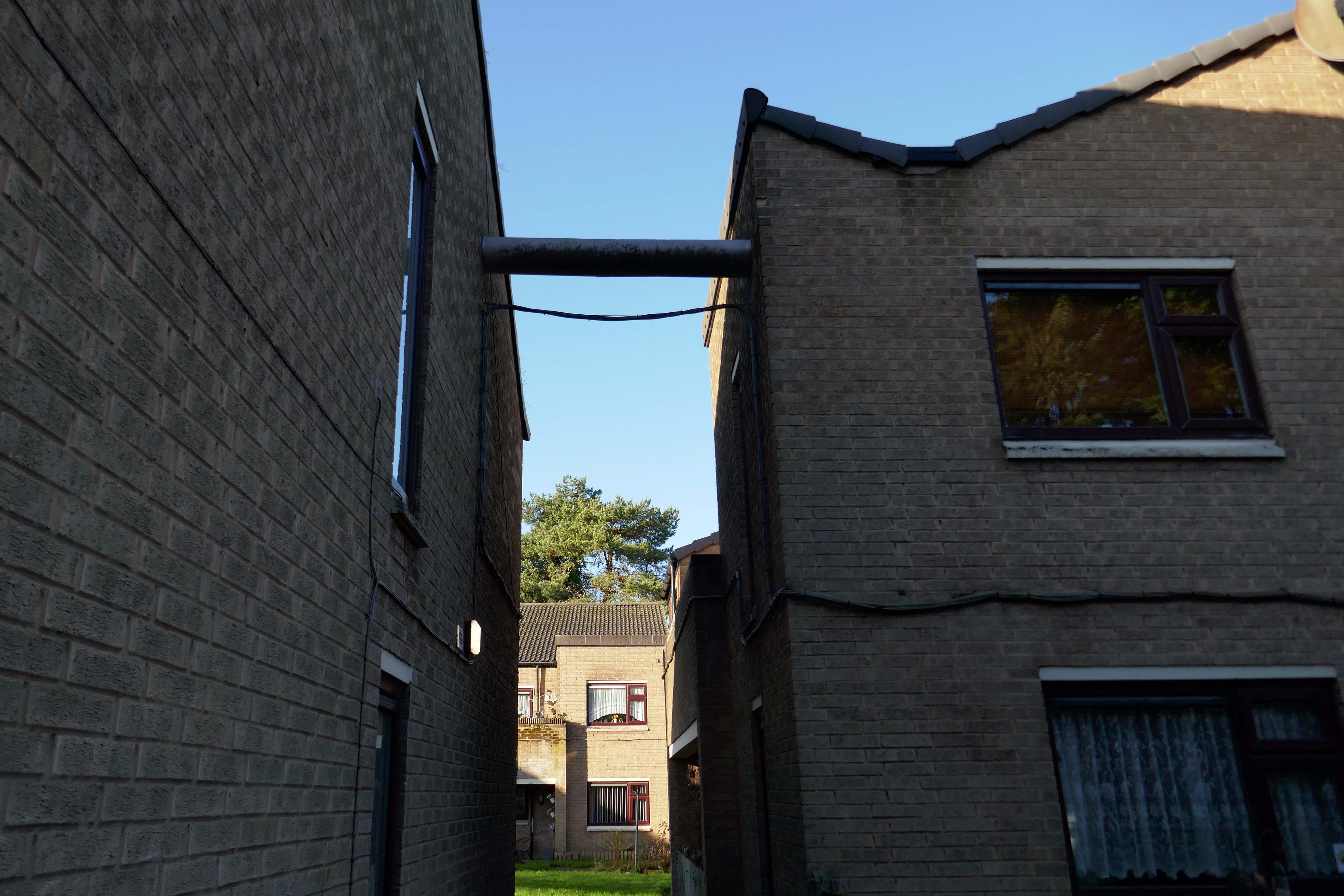
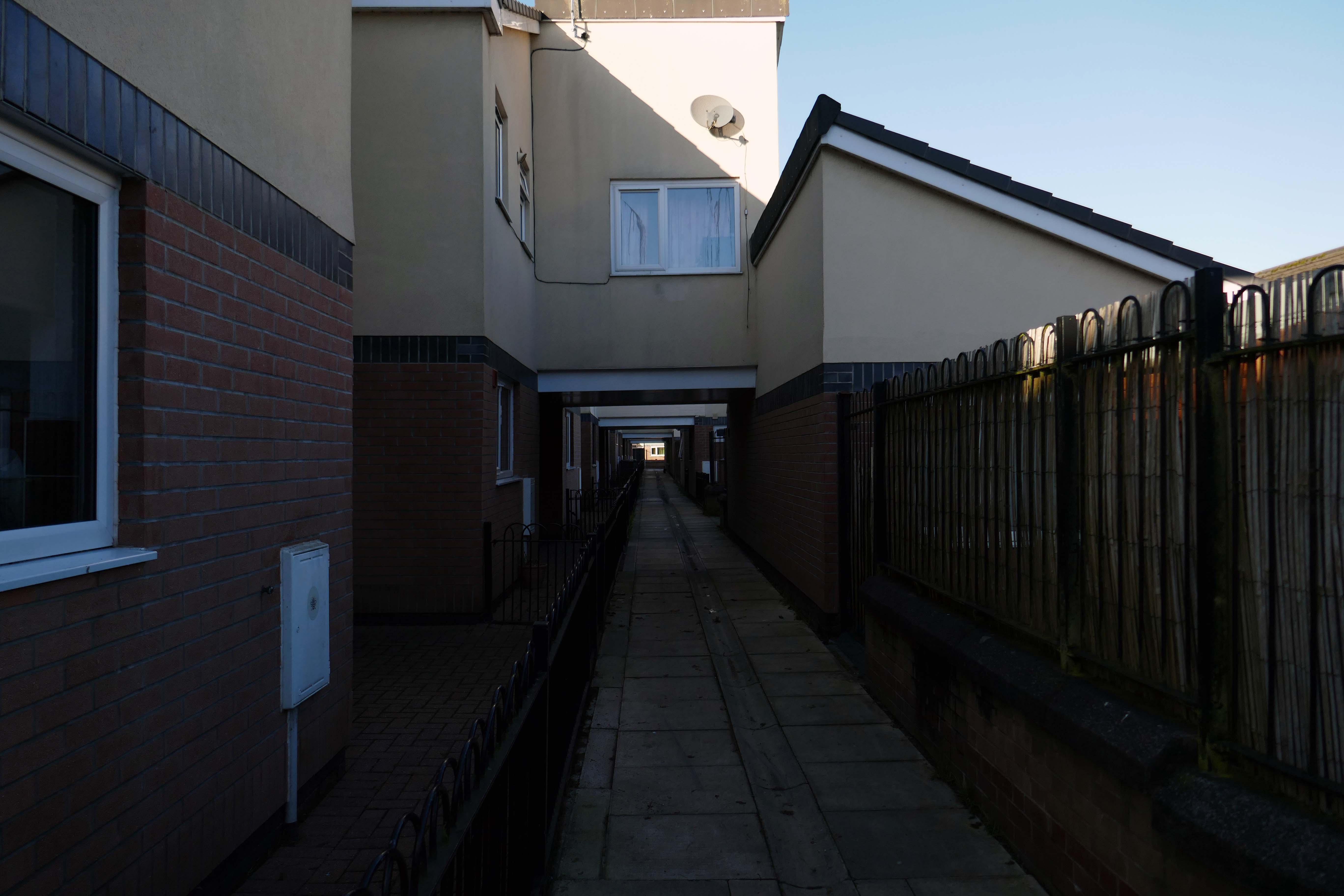
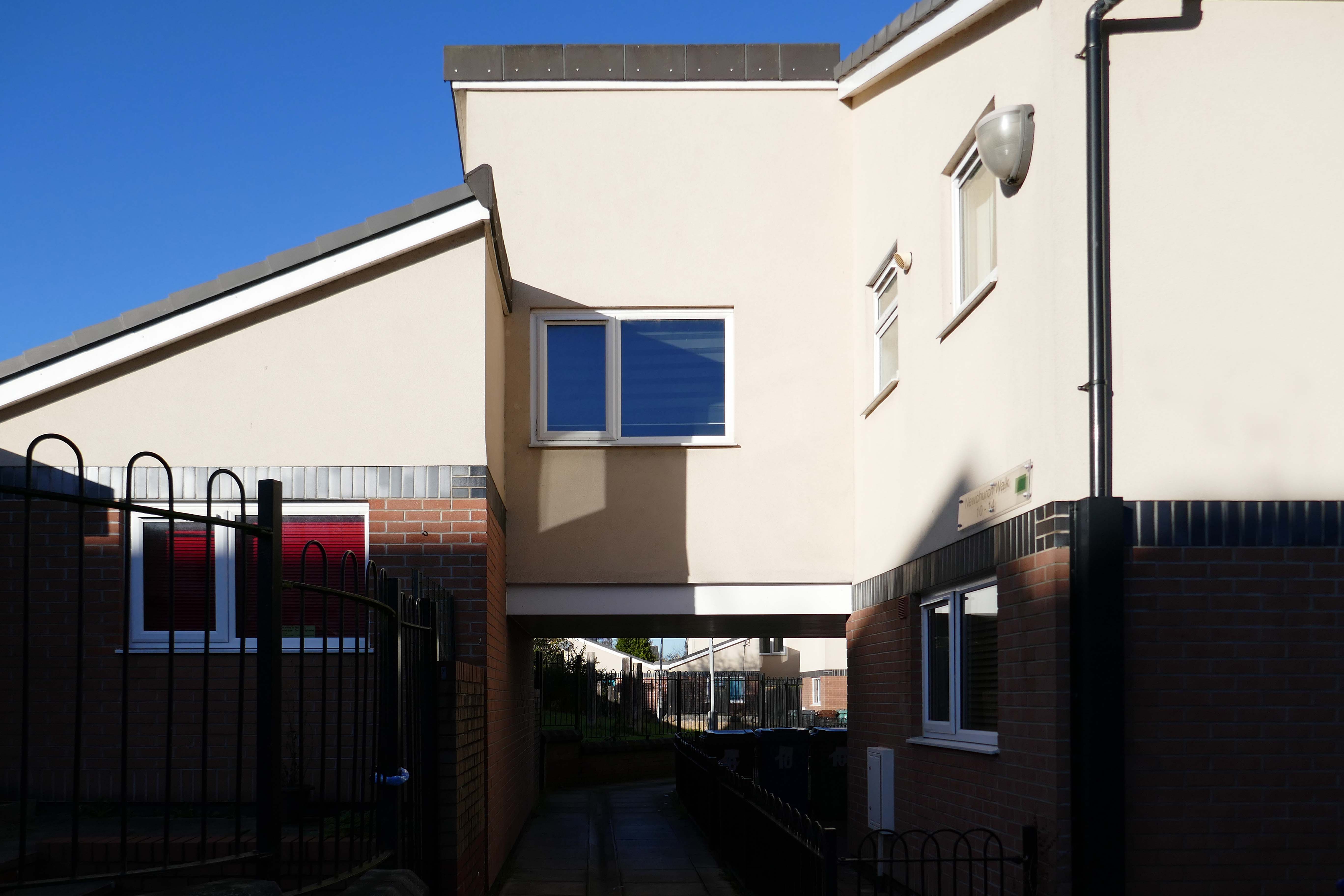
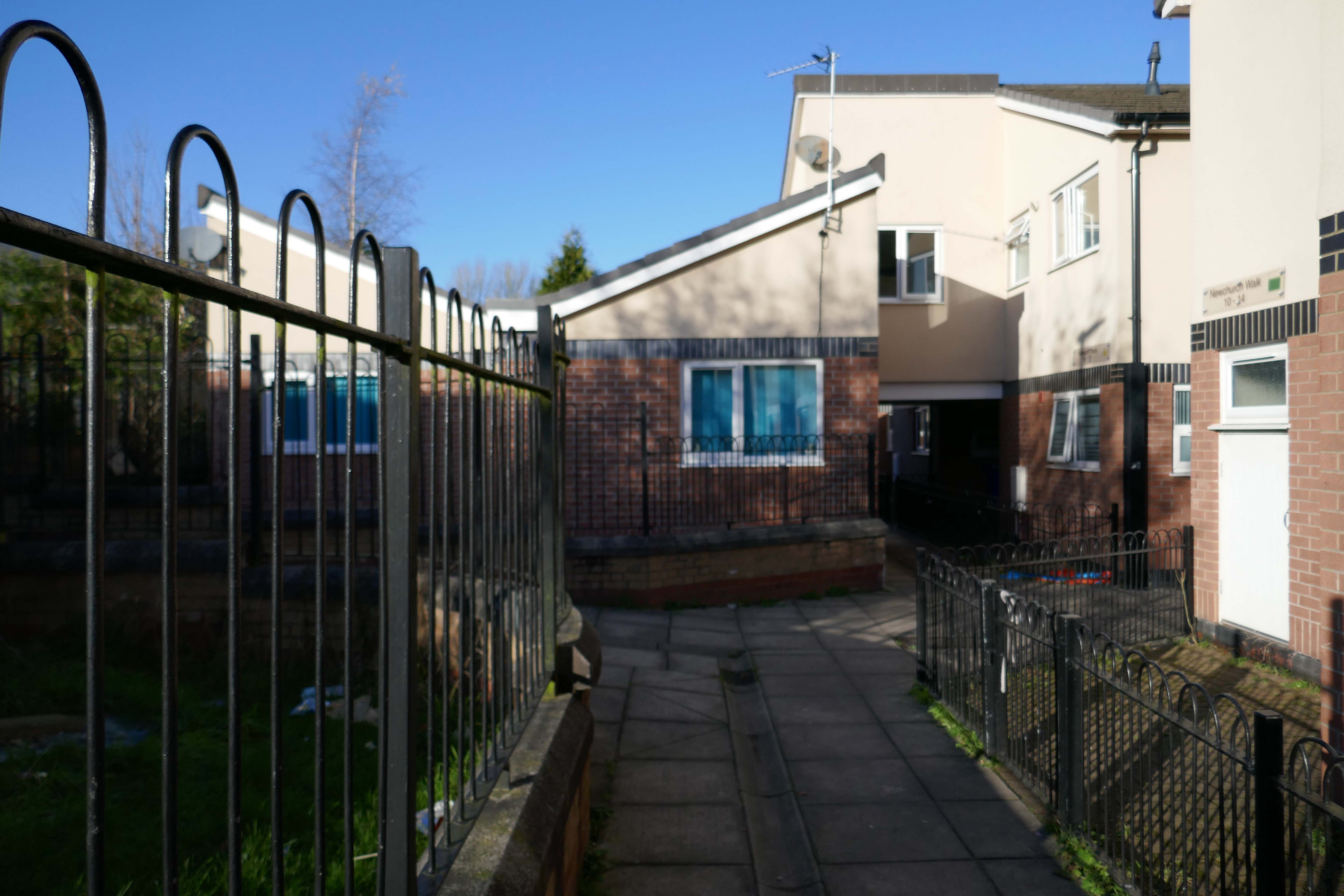
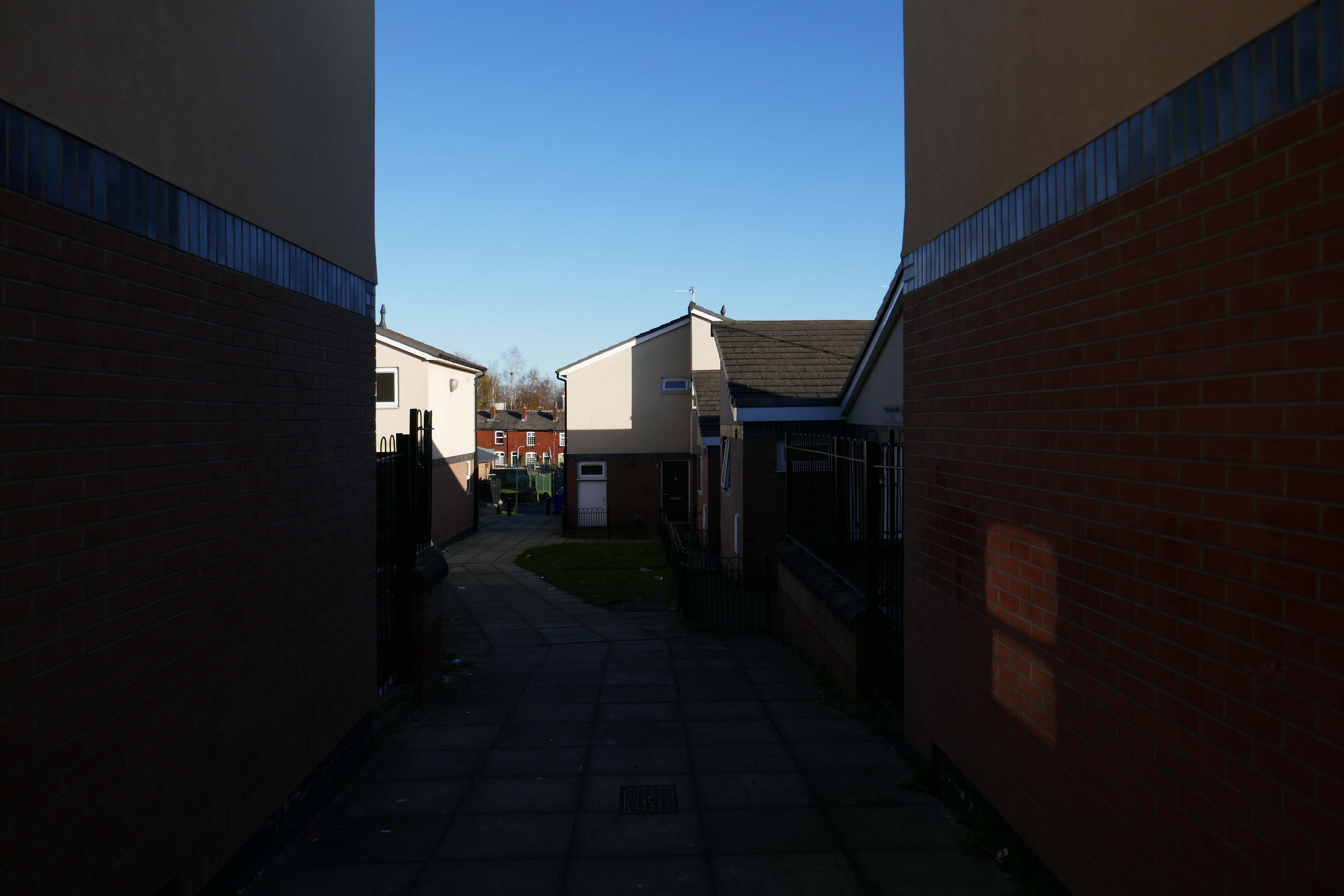
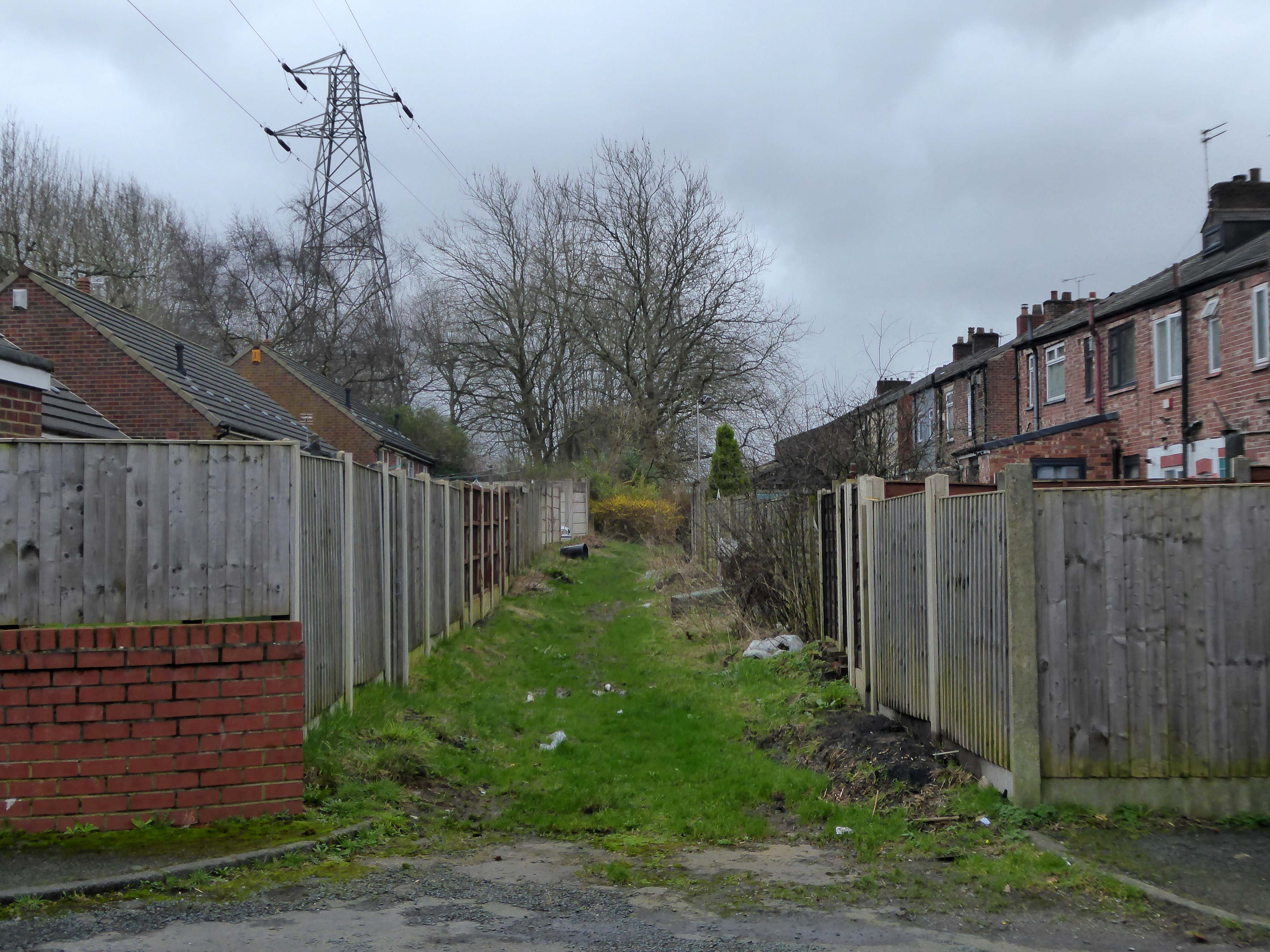
Through the avenues and alleyways, home to those ever so tidy inter and postwar enclaves.
Where a mans gotta work out which side he’s on Any way he chooses Chances are he loses No one gets to live too long
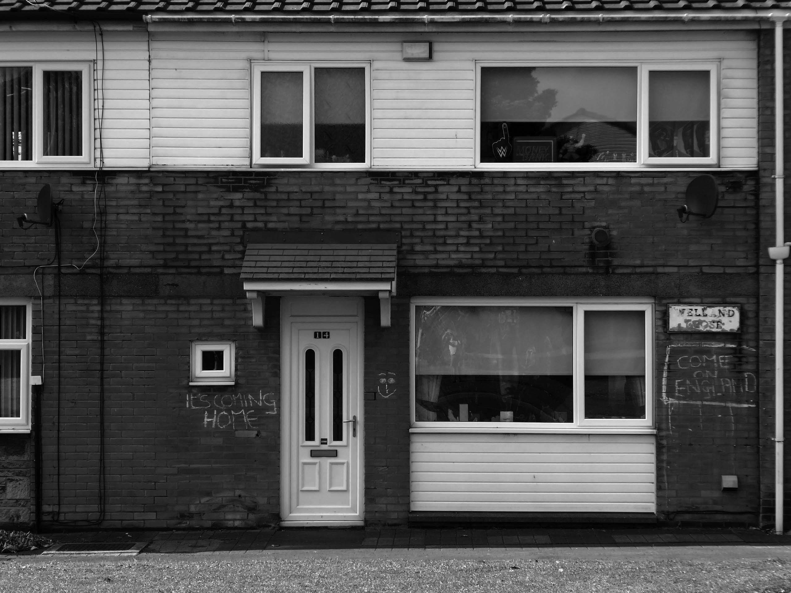
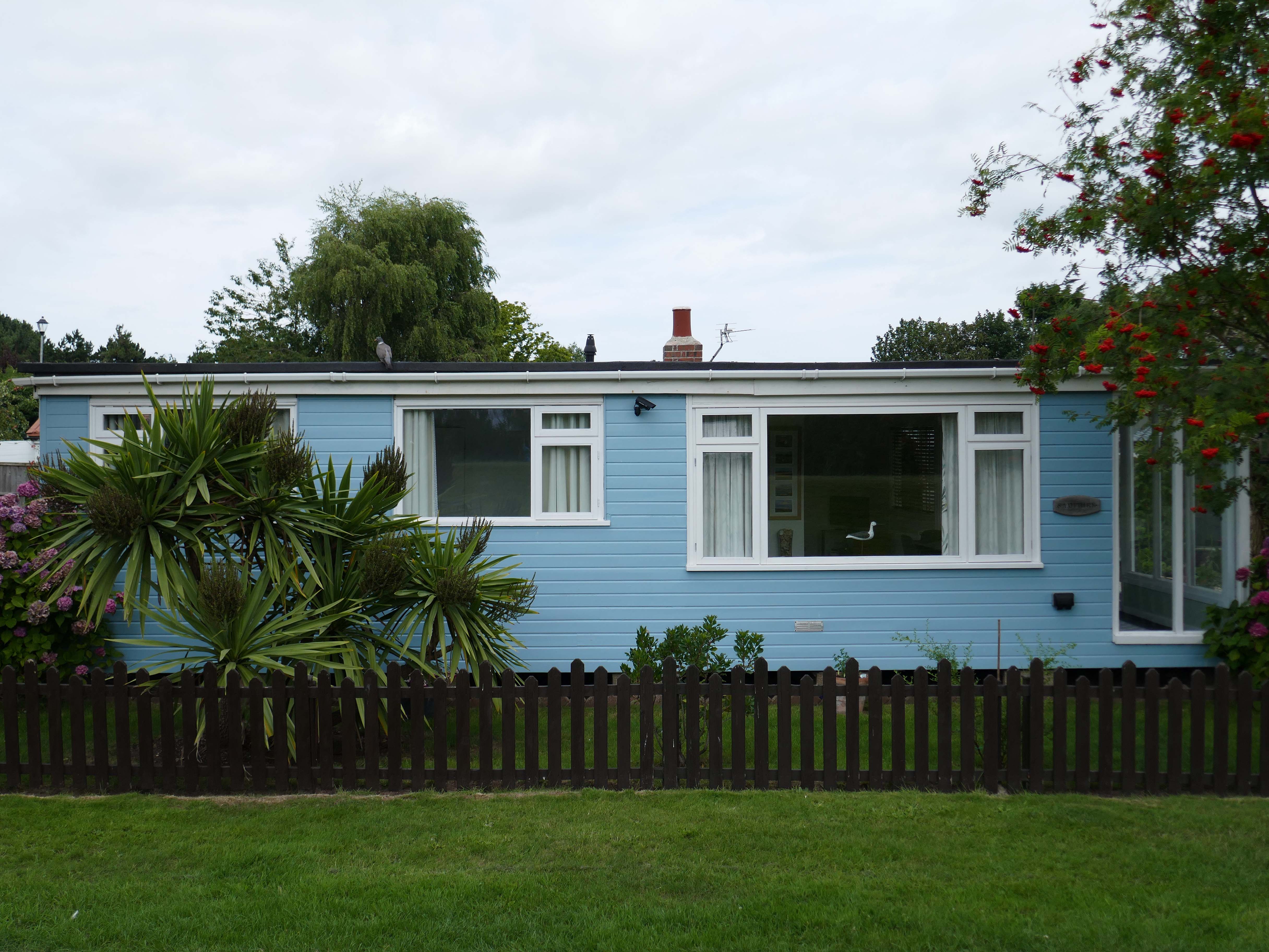
Though in my experience the converse is true, this is a mature community gently maturing, on the inside of everything.
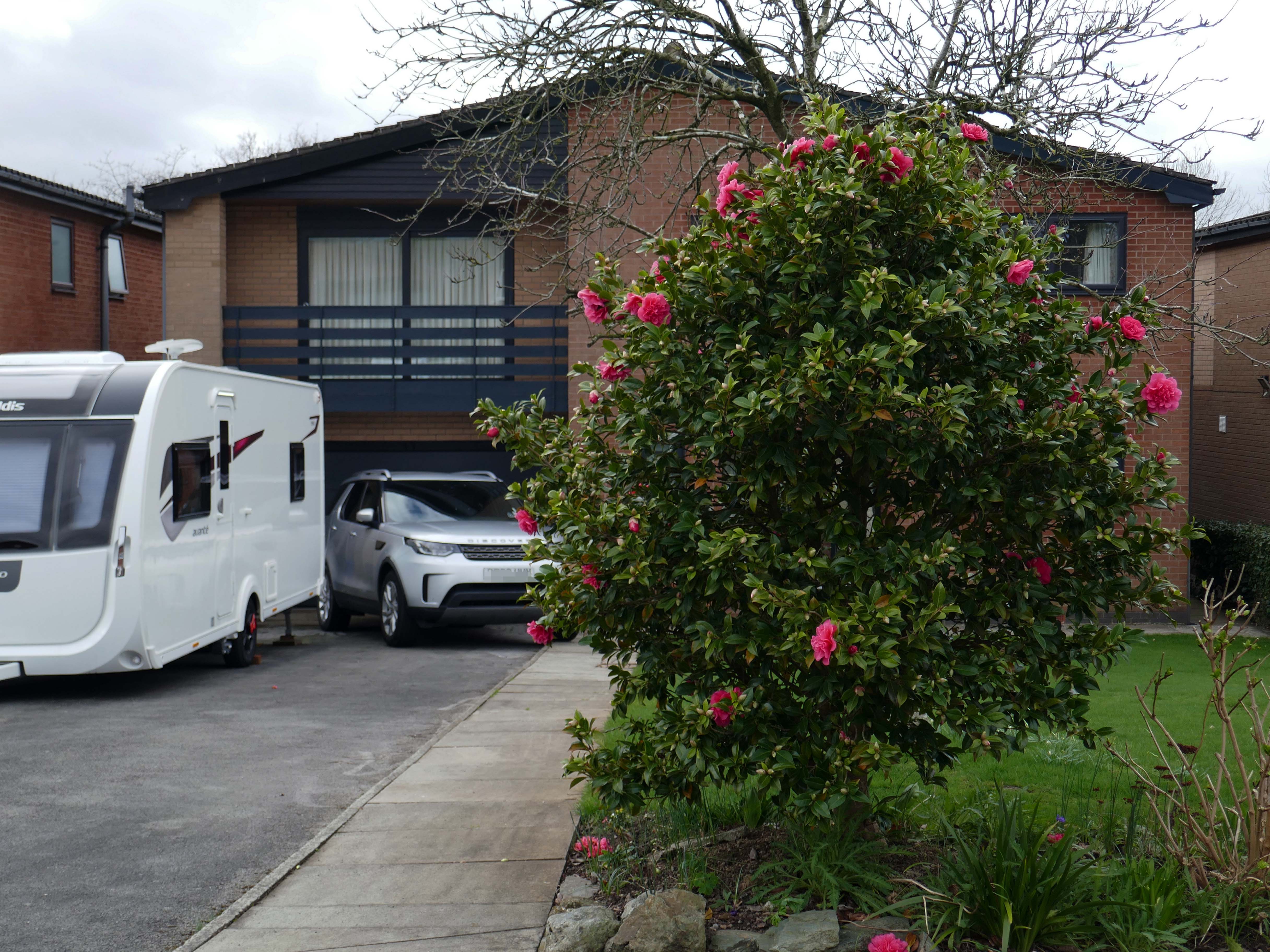
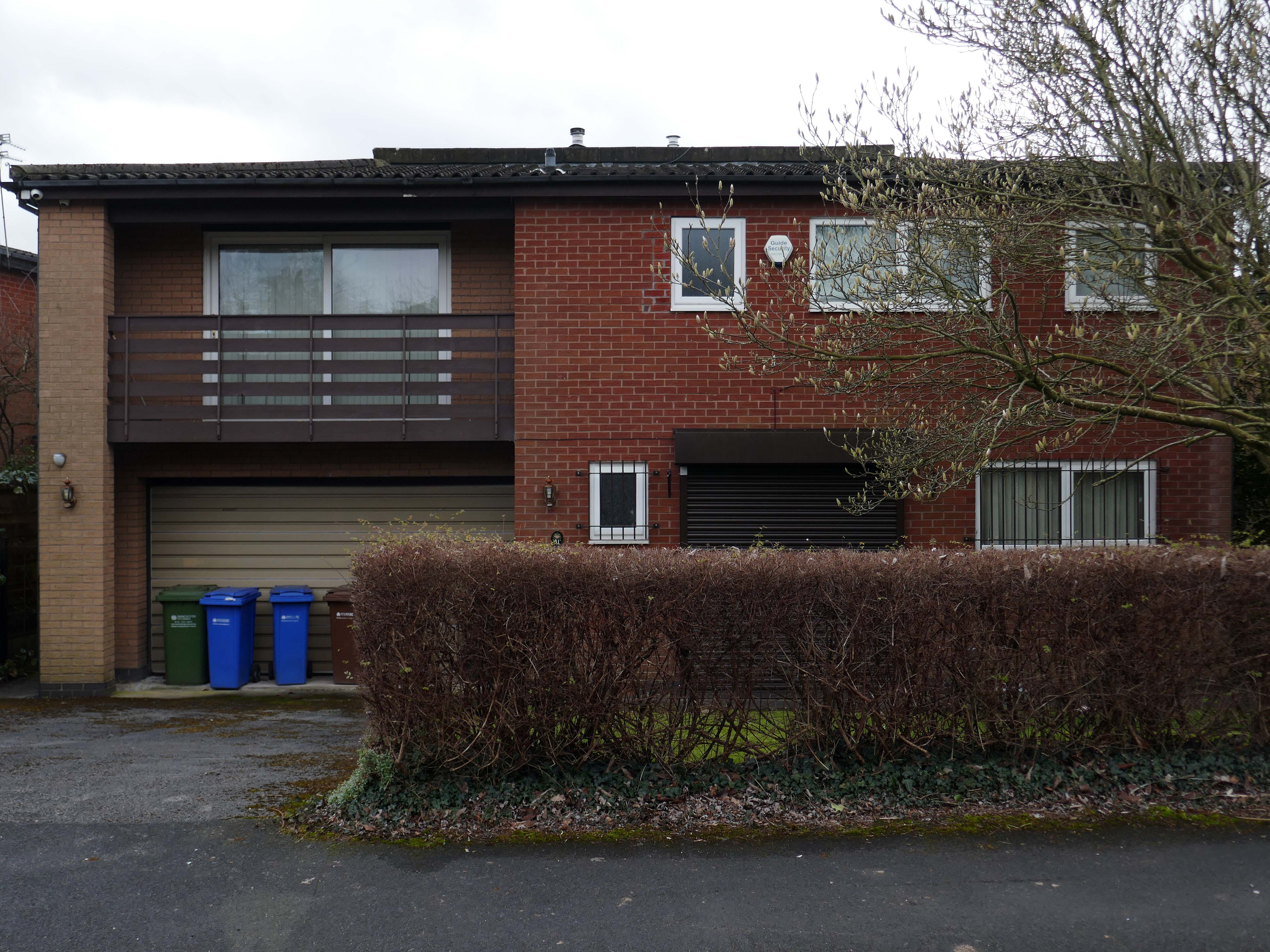
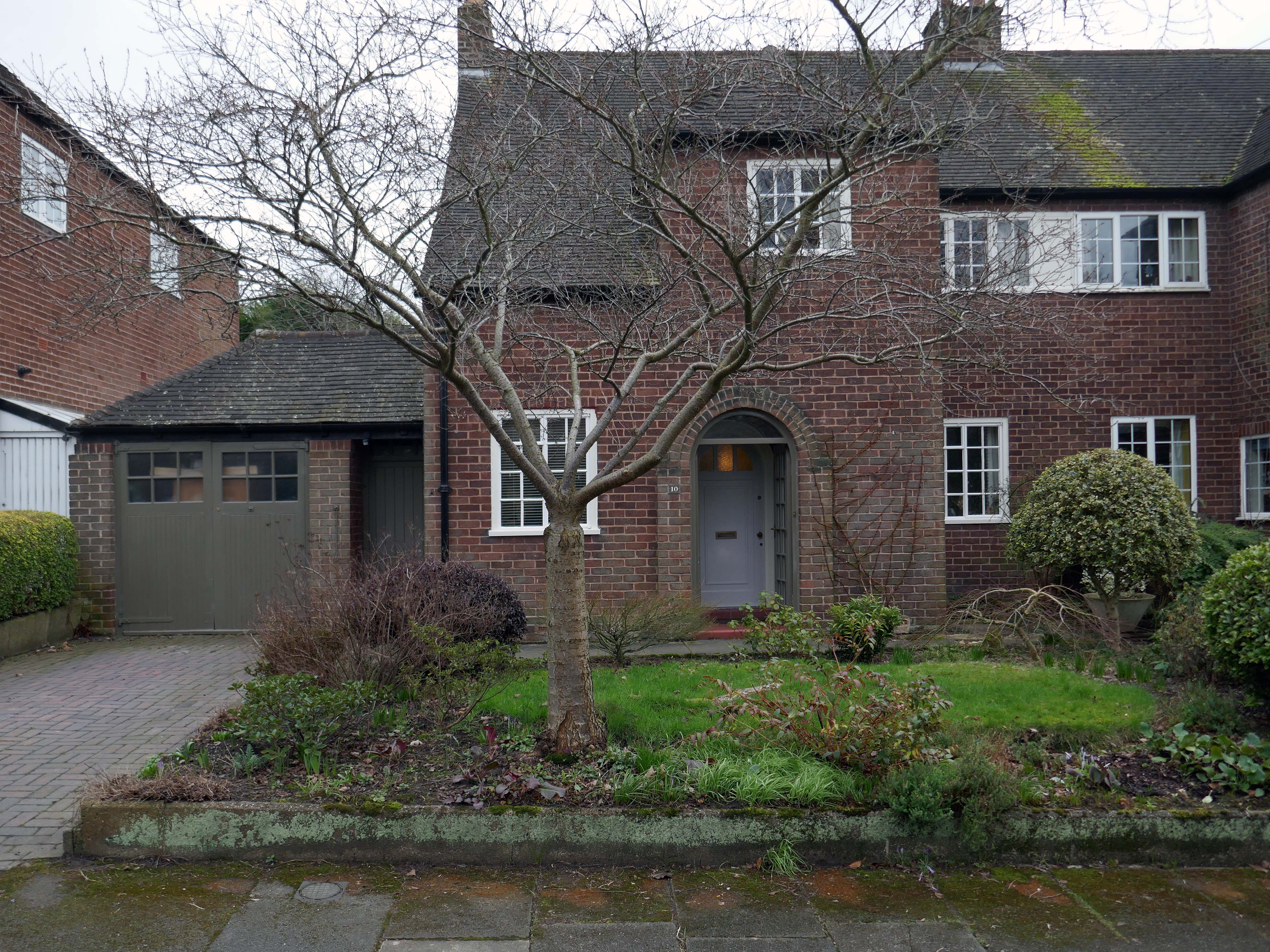
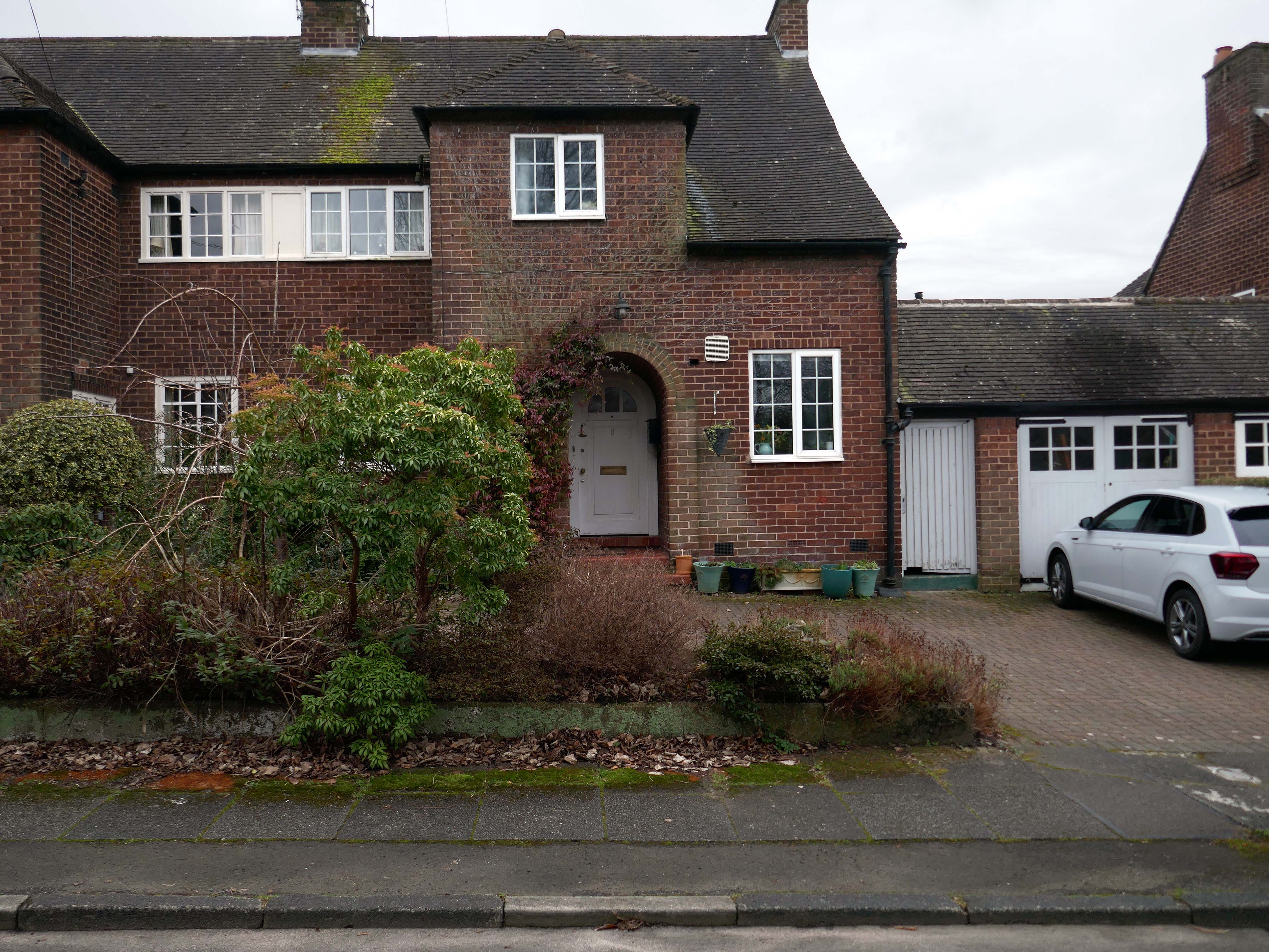
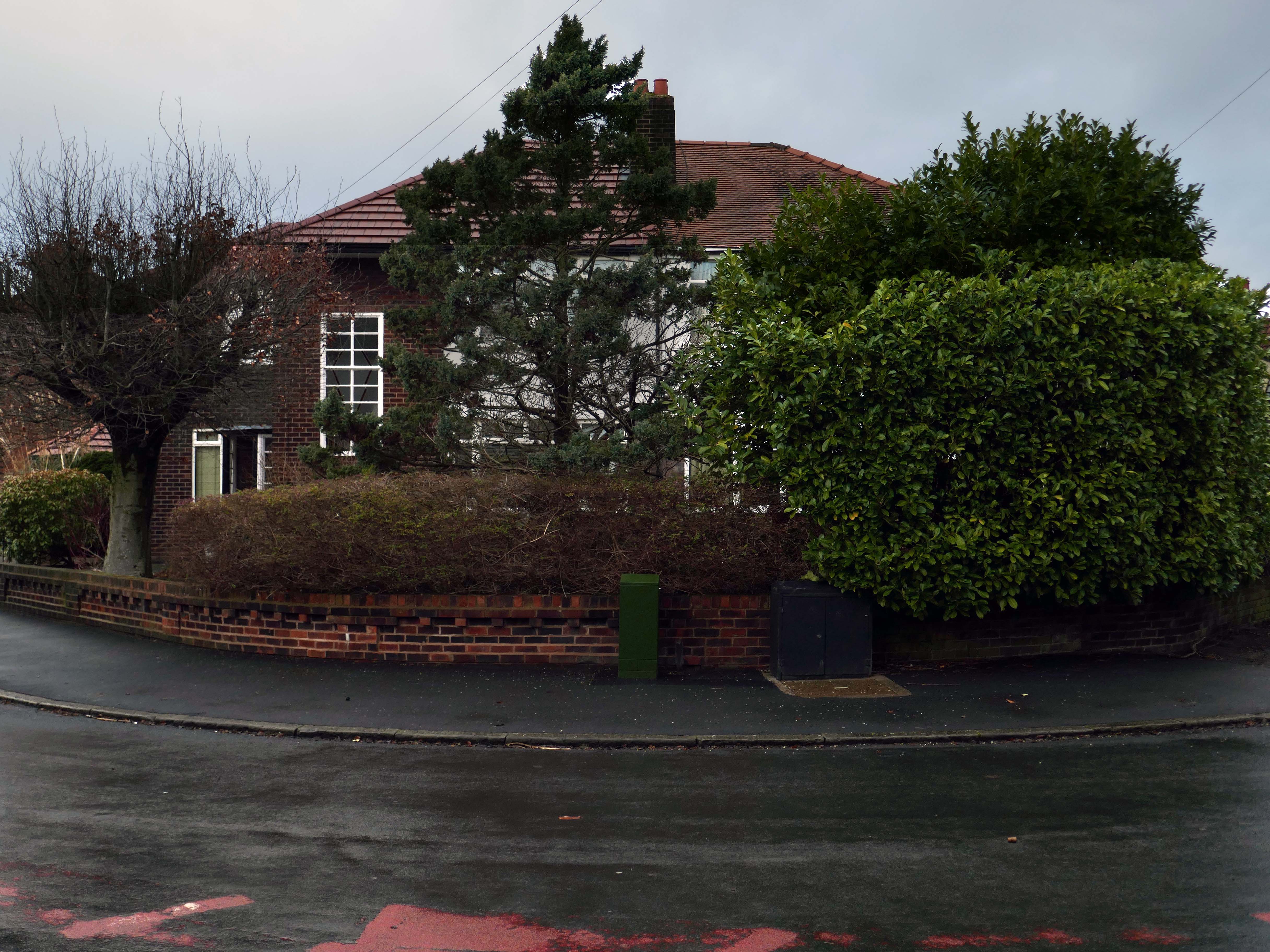
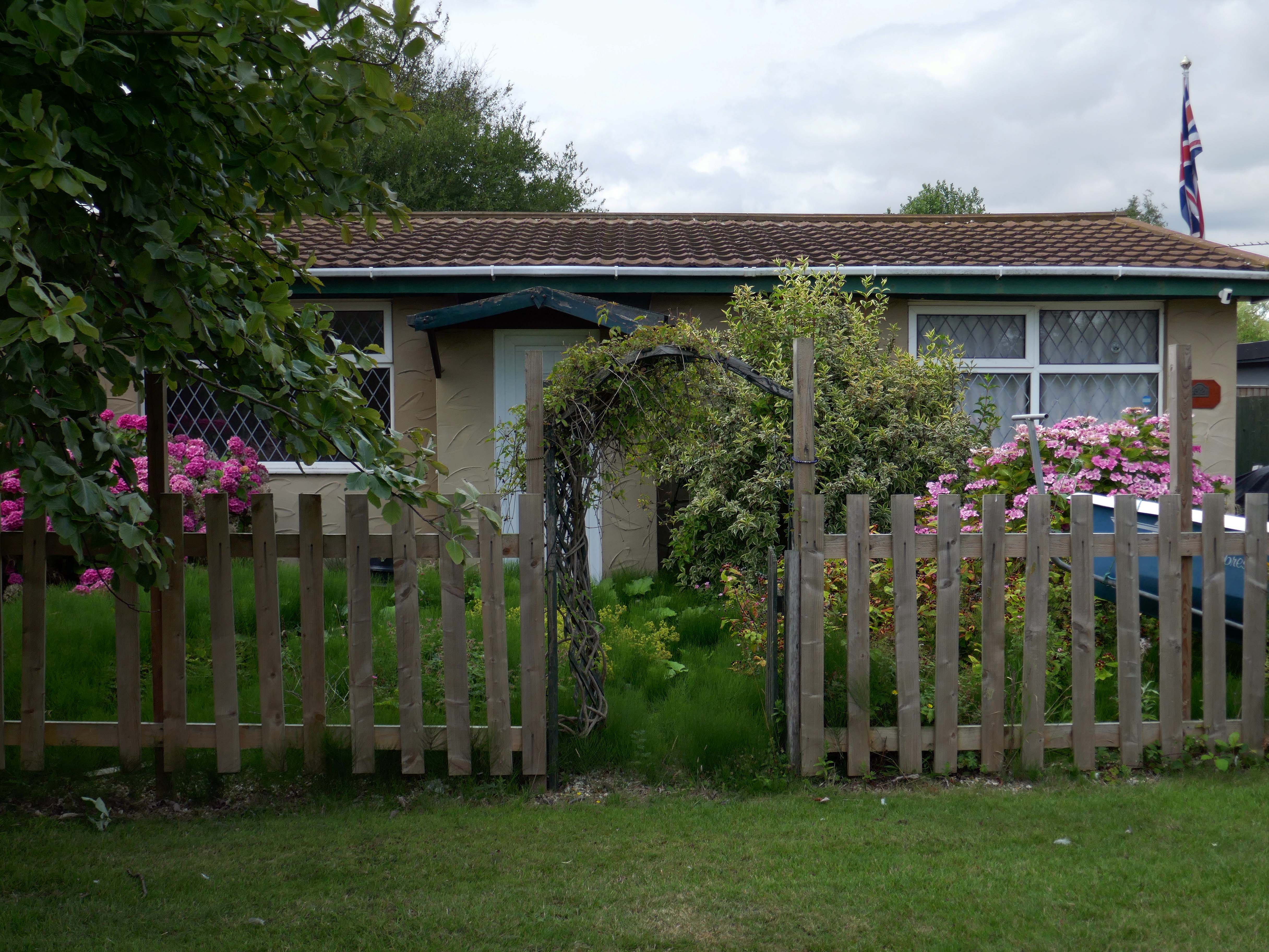
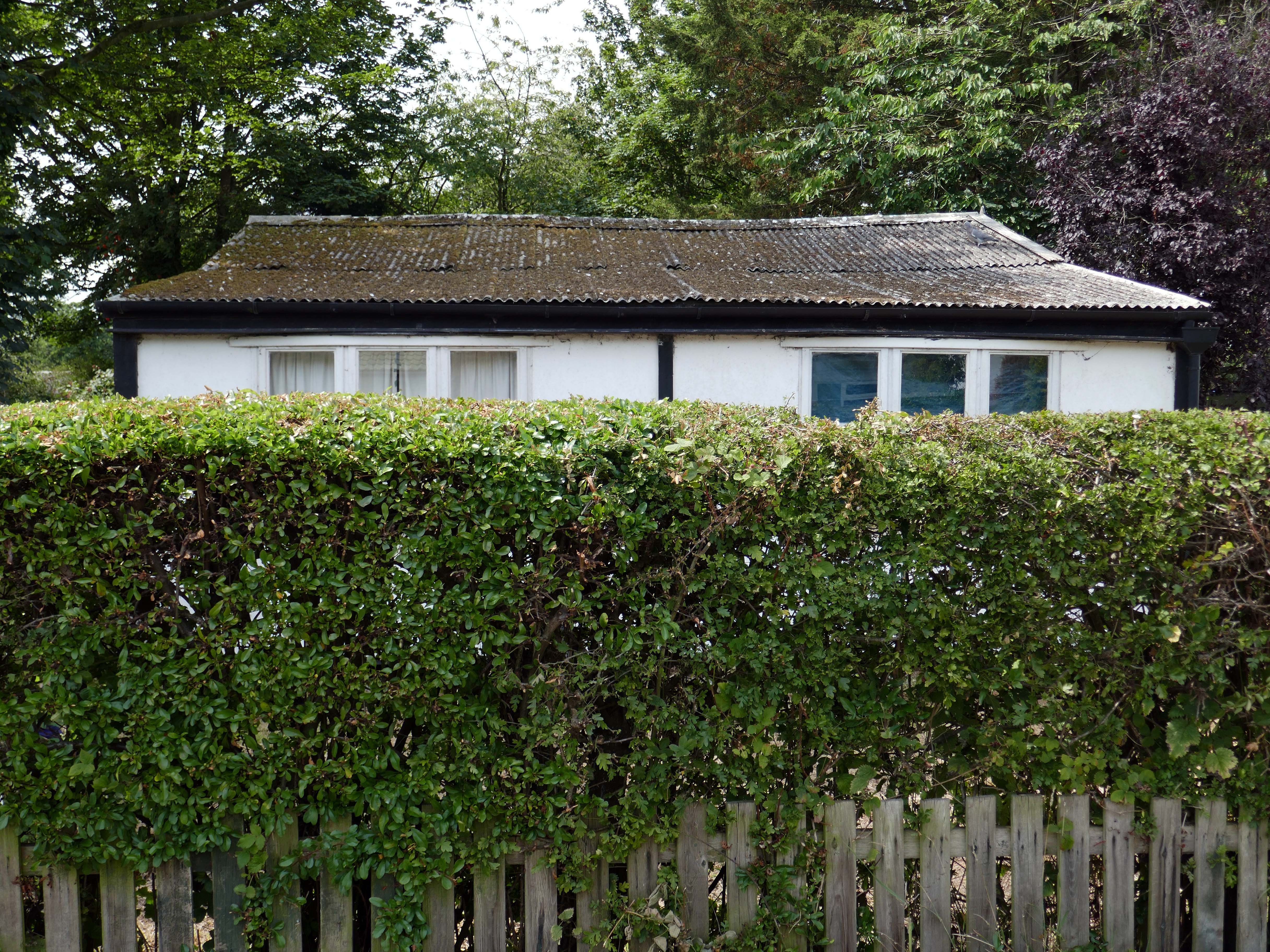
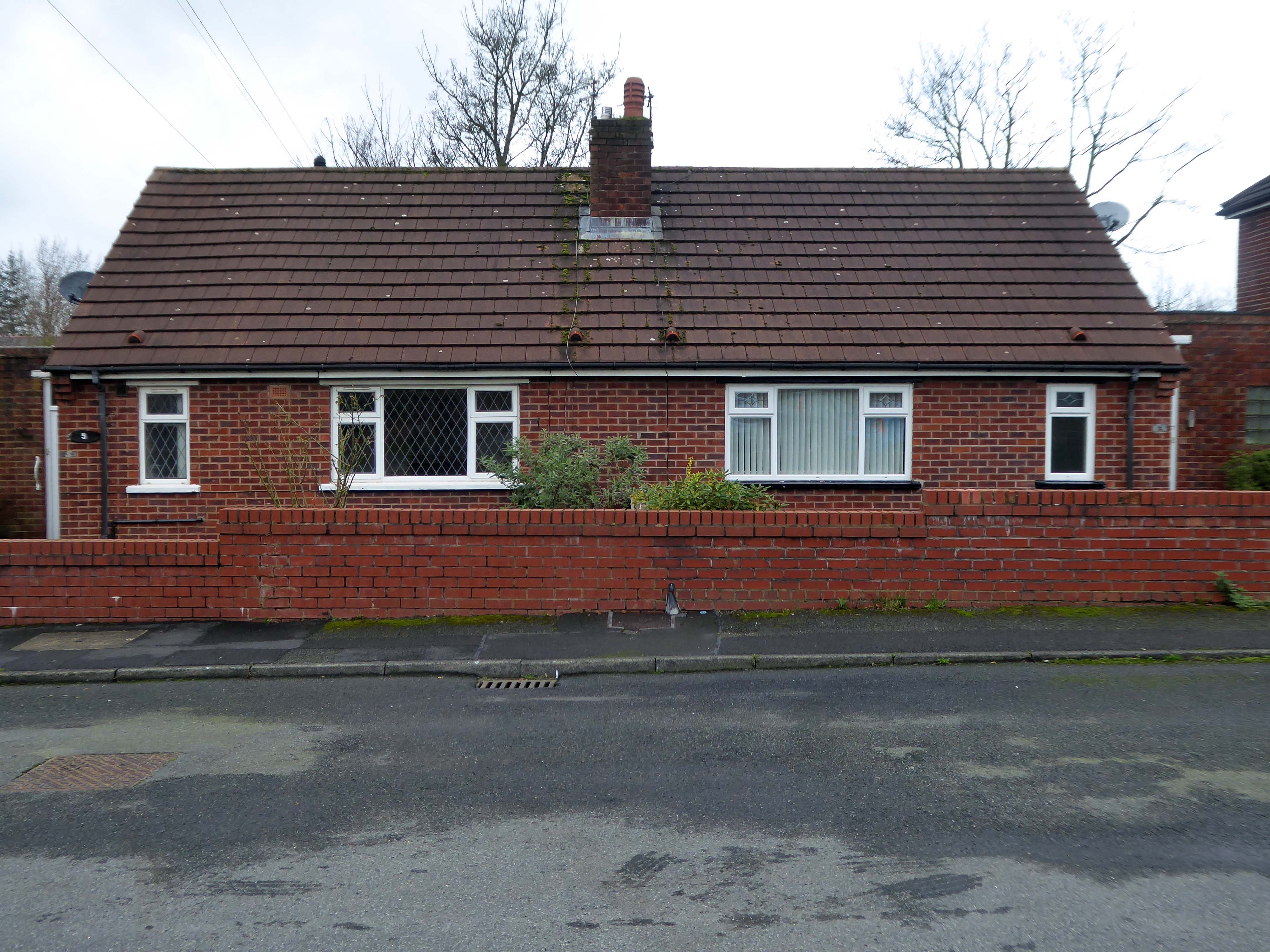
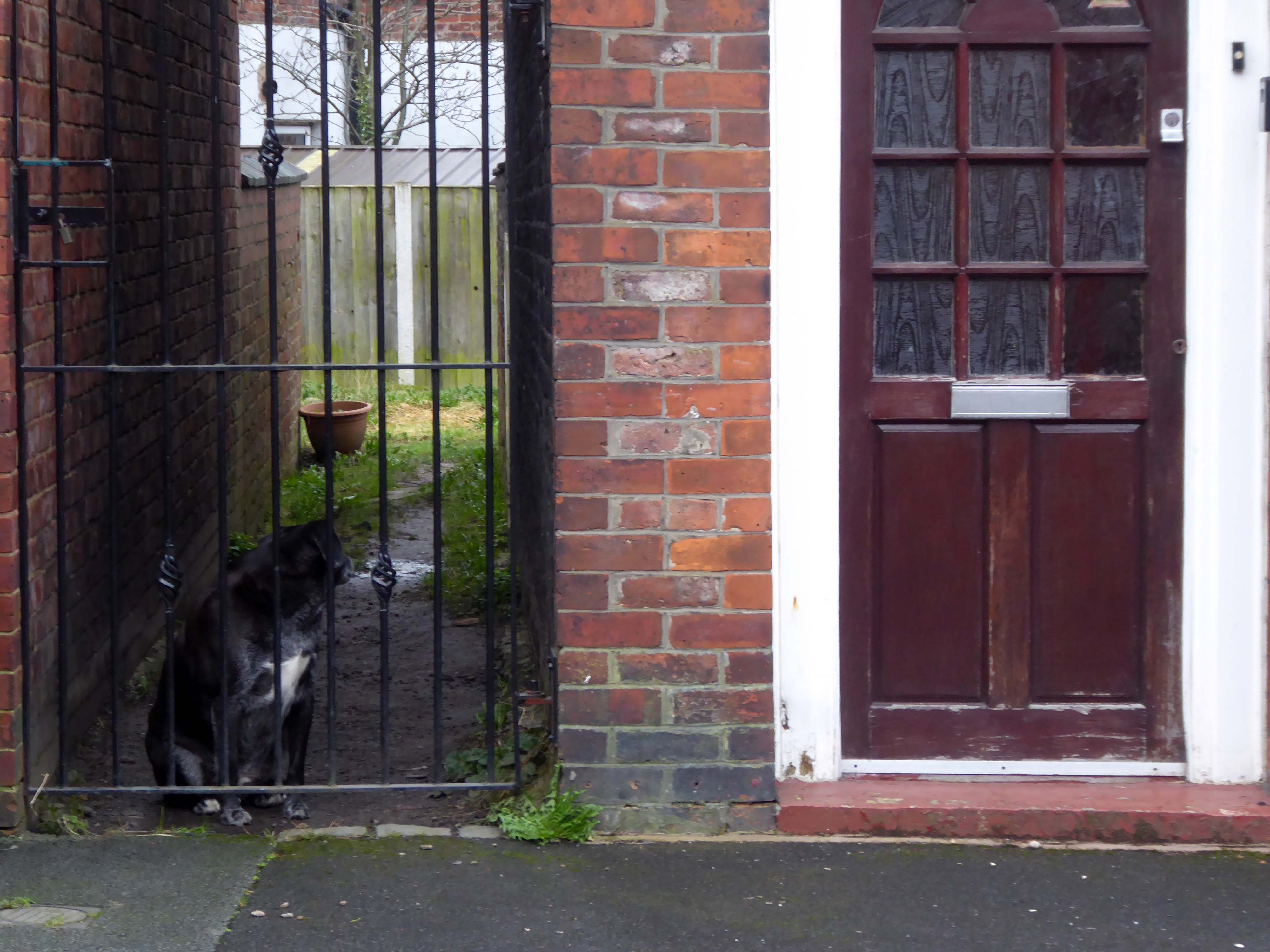
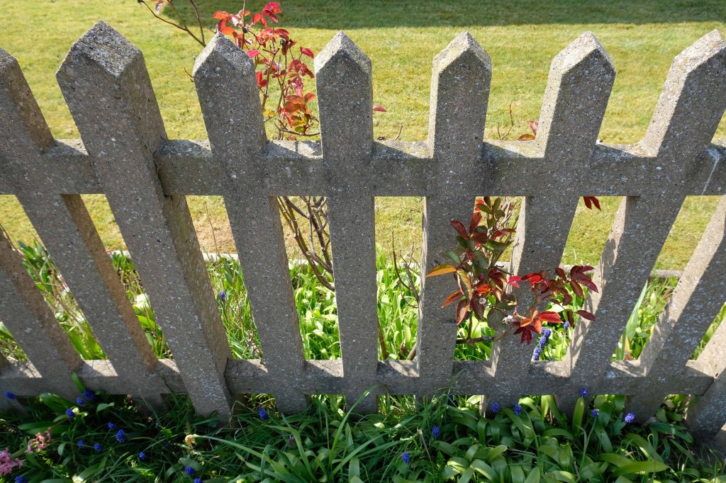
Hiding what may possibly be hidden behind the hedge, though the privacy of privet is in retreat, replaced by bay, birch, holly and the extremely hardy laurel.
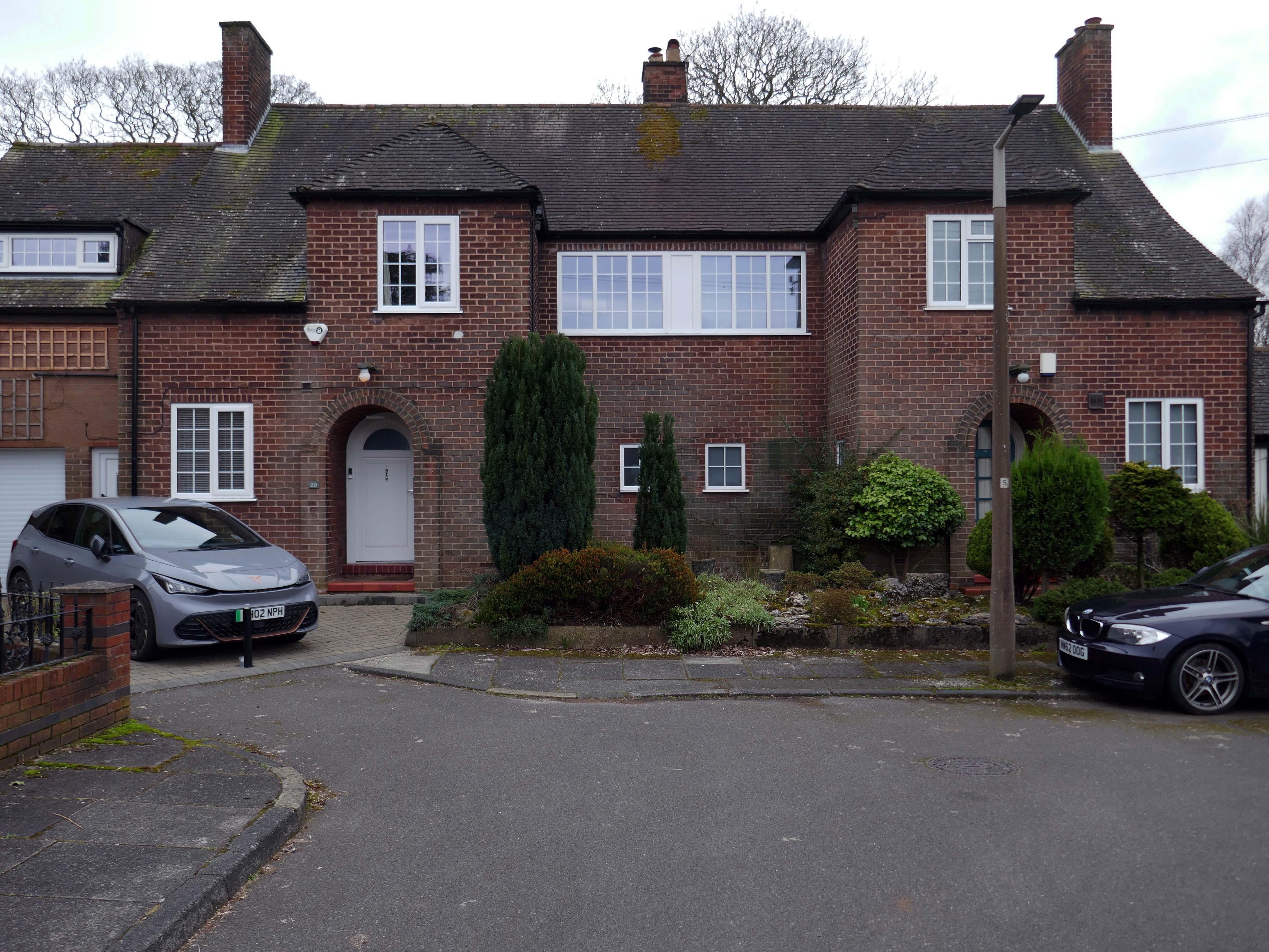
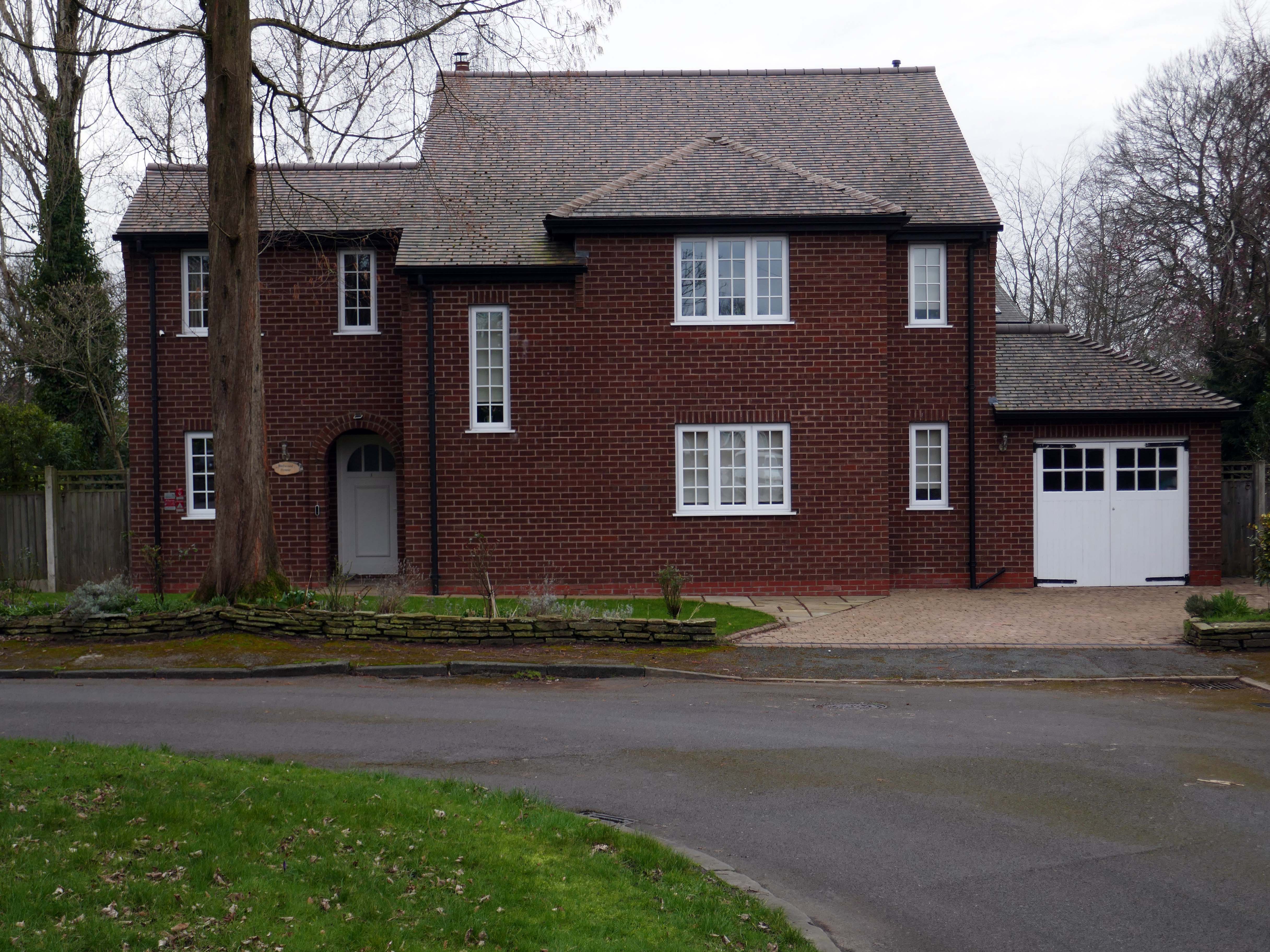
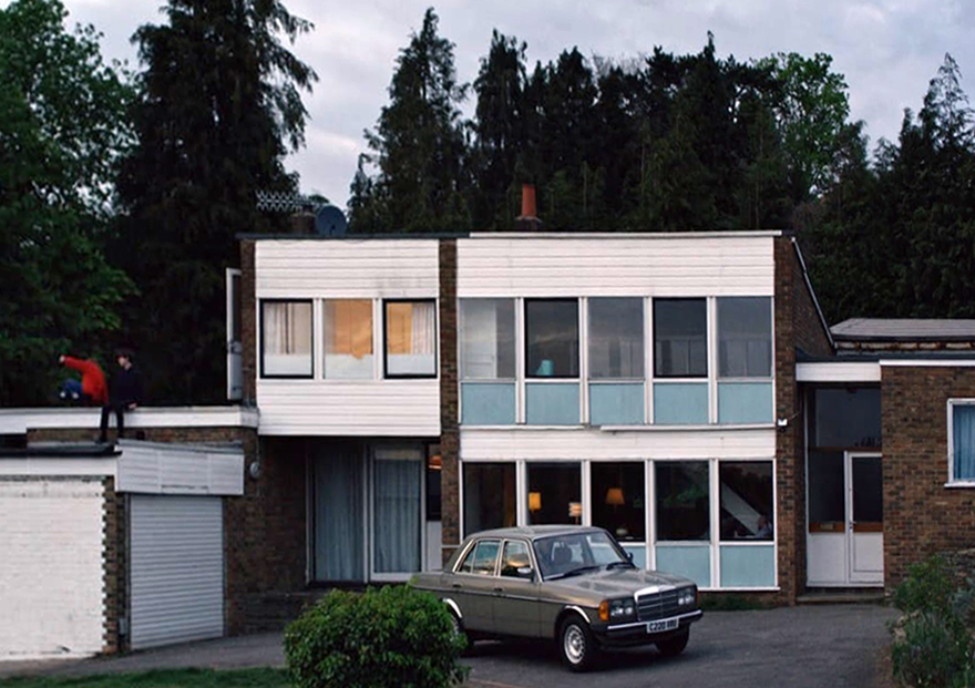
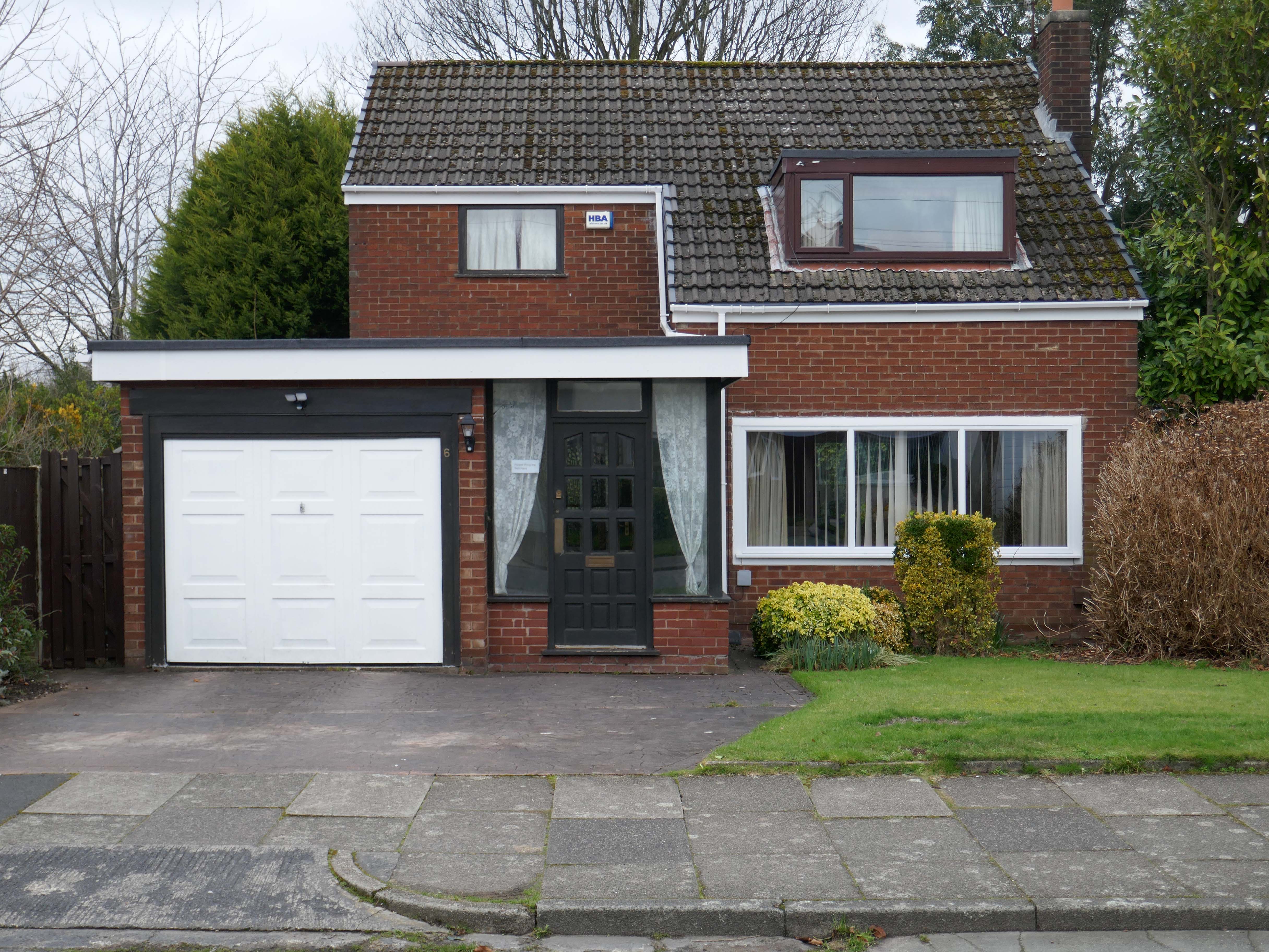
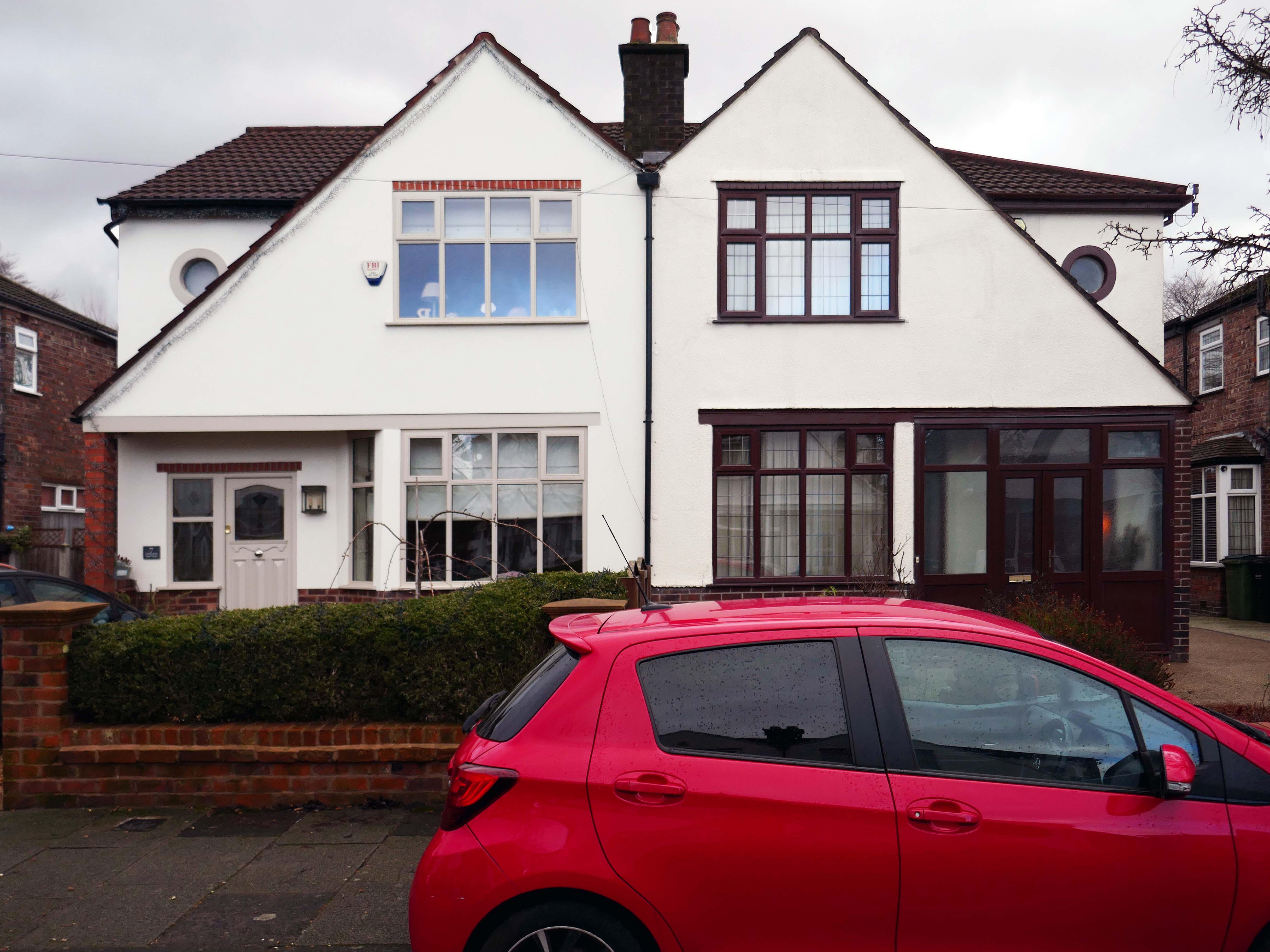
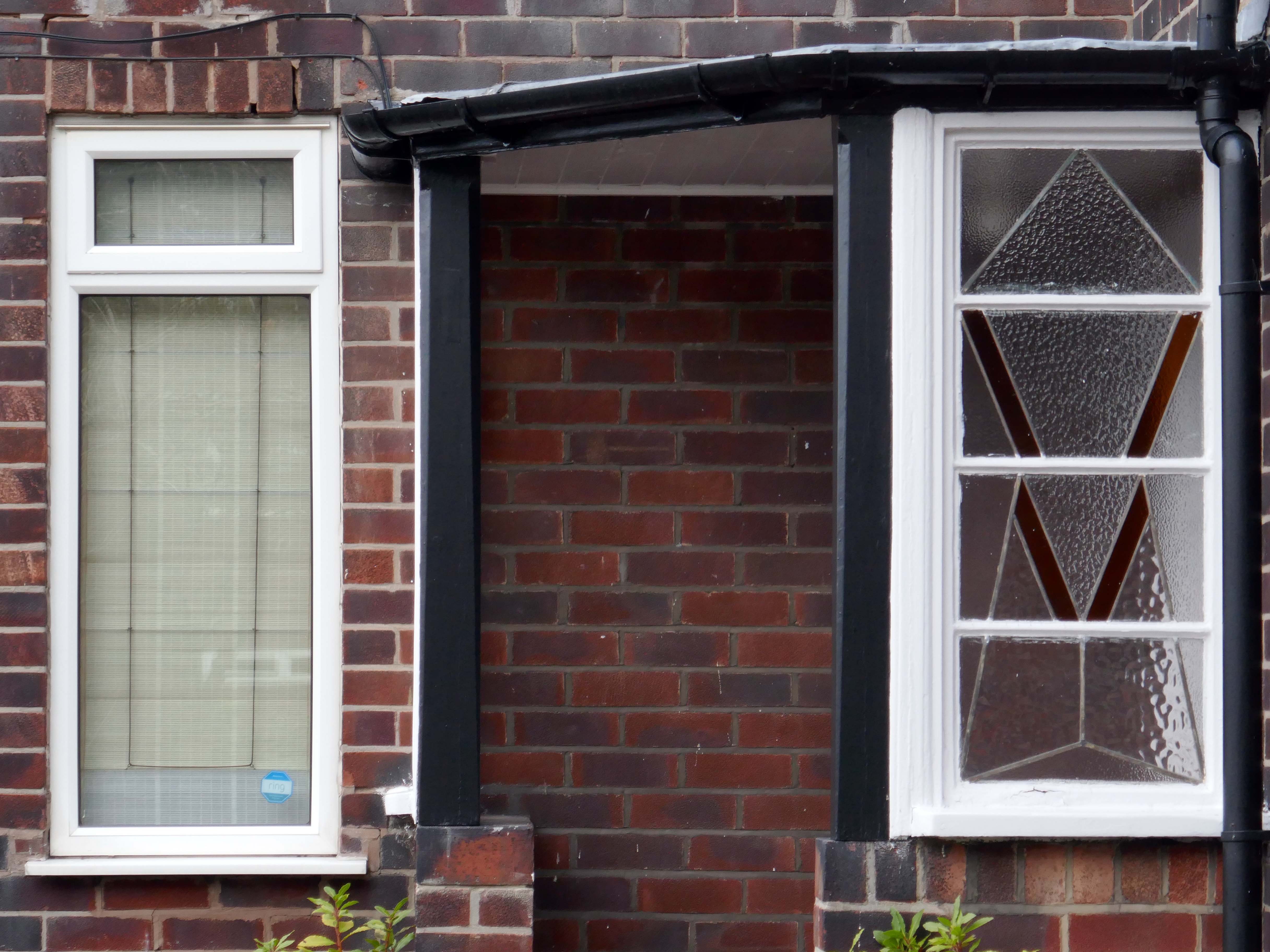
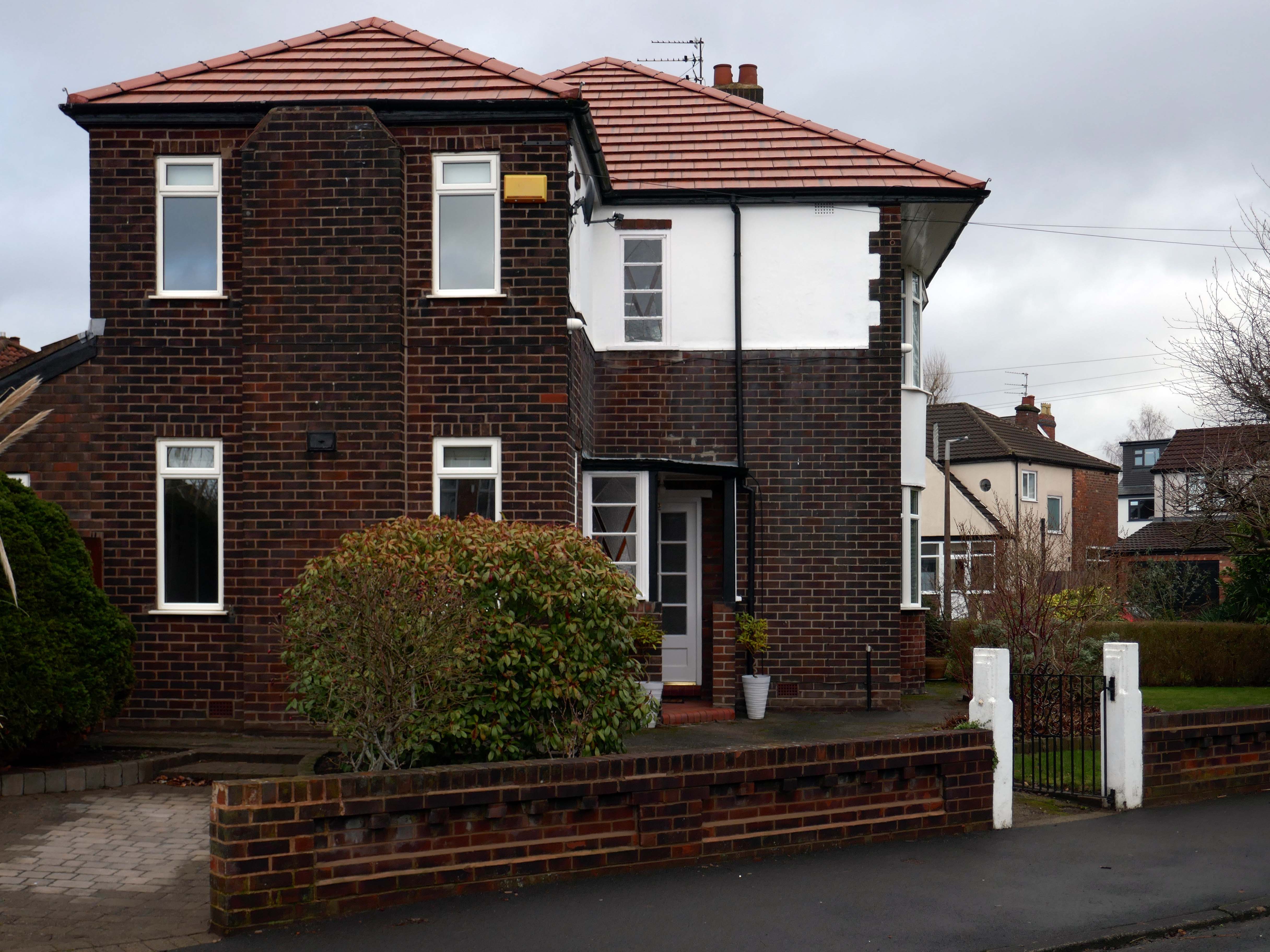
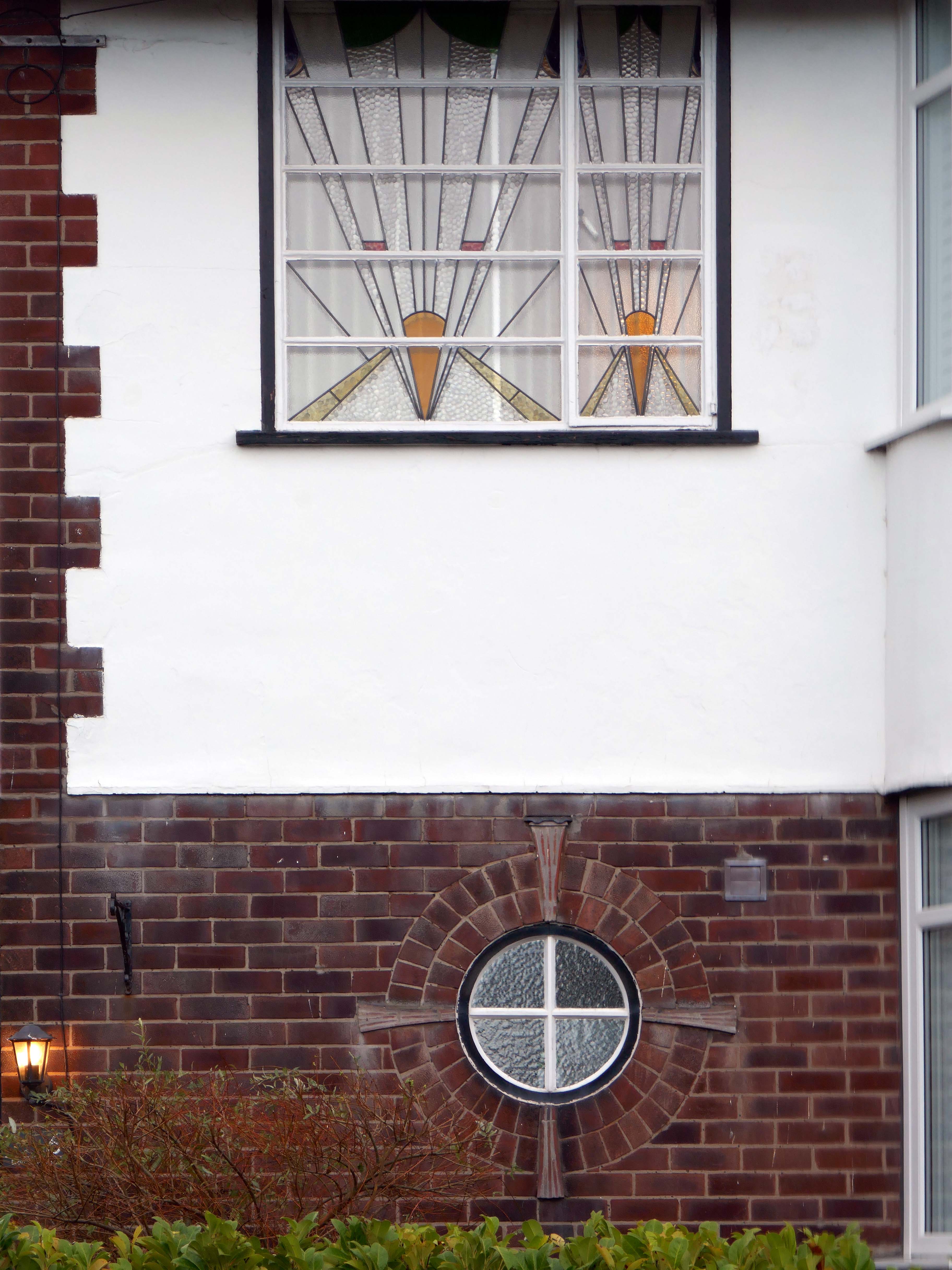
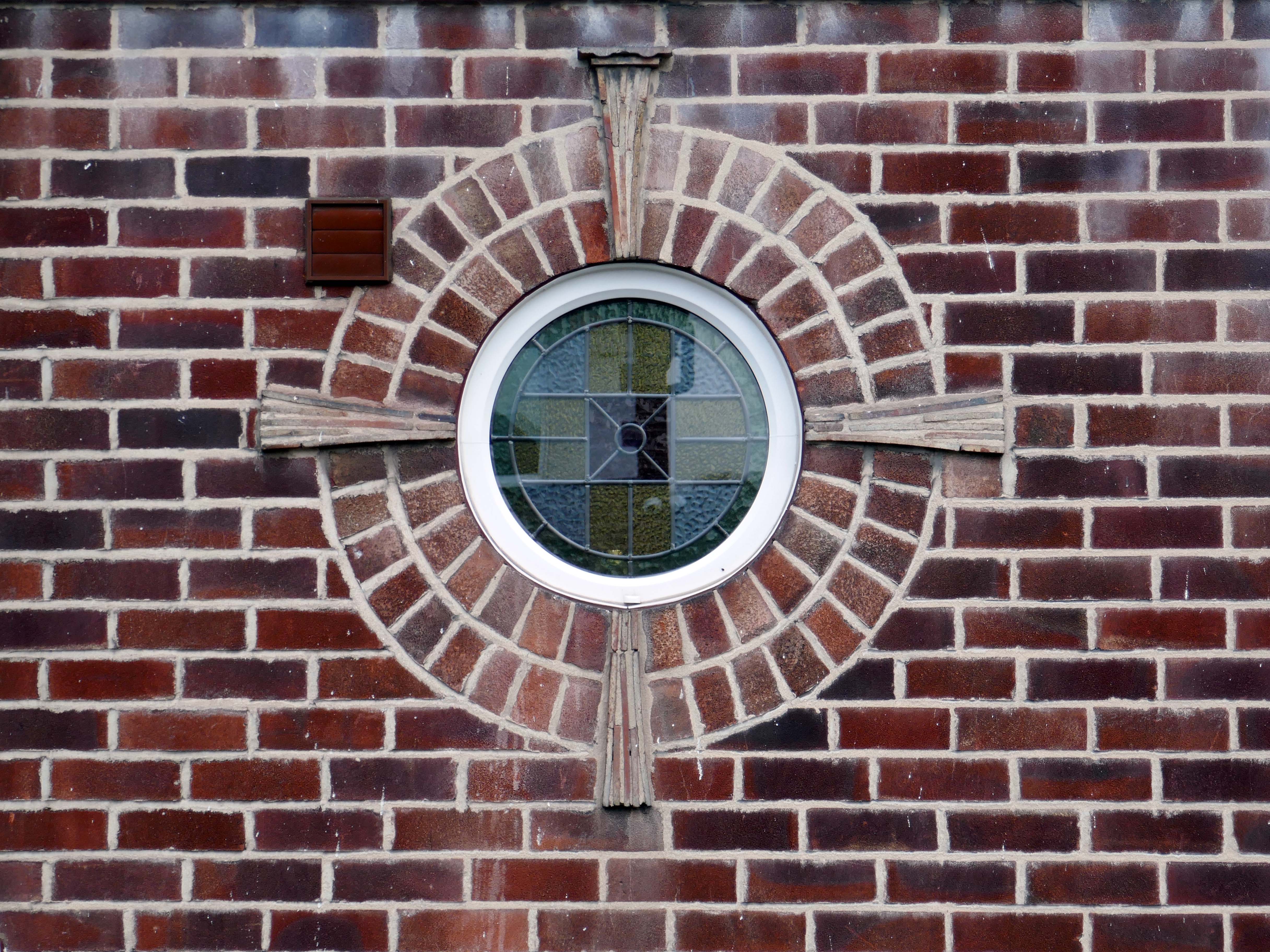
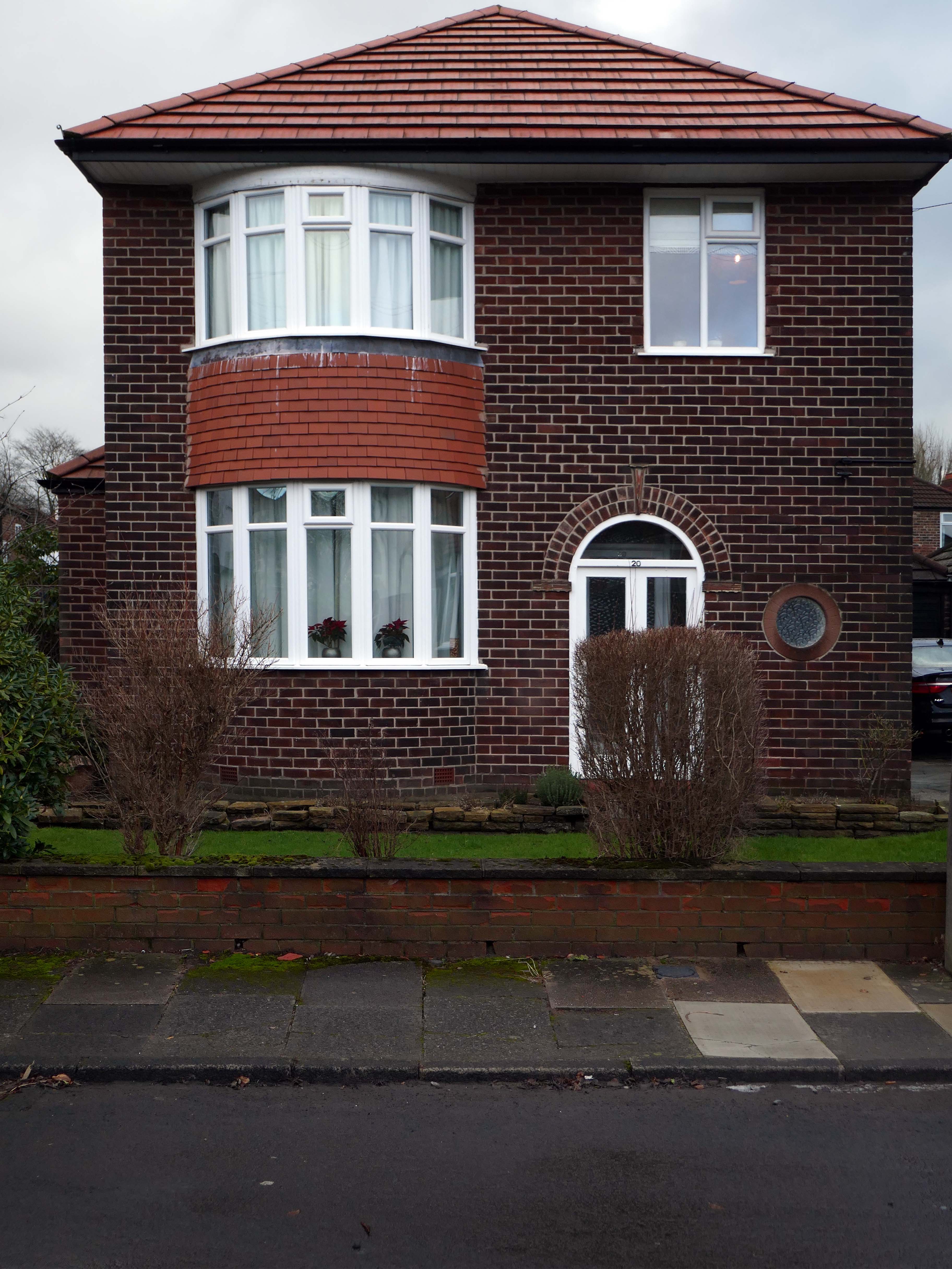
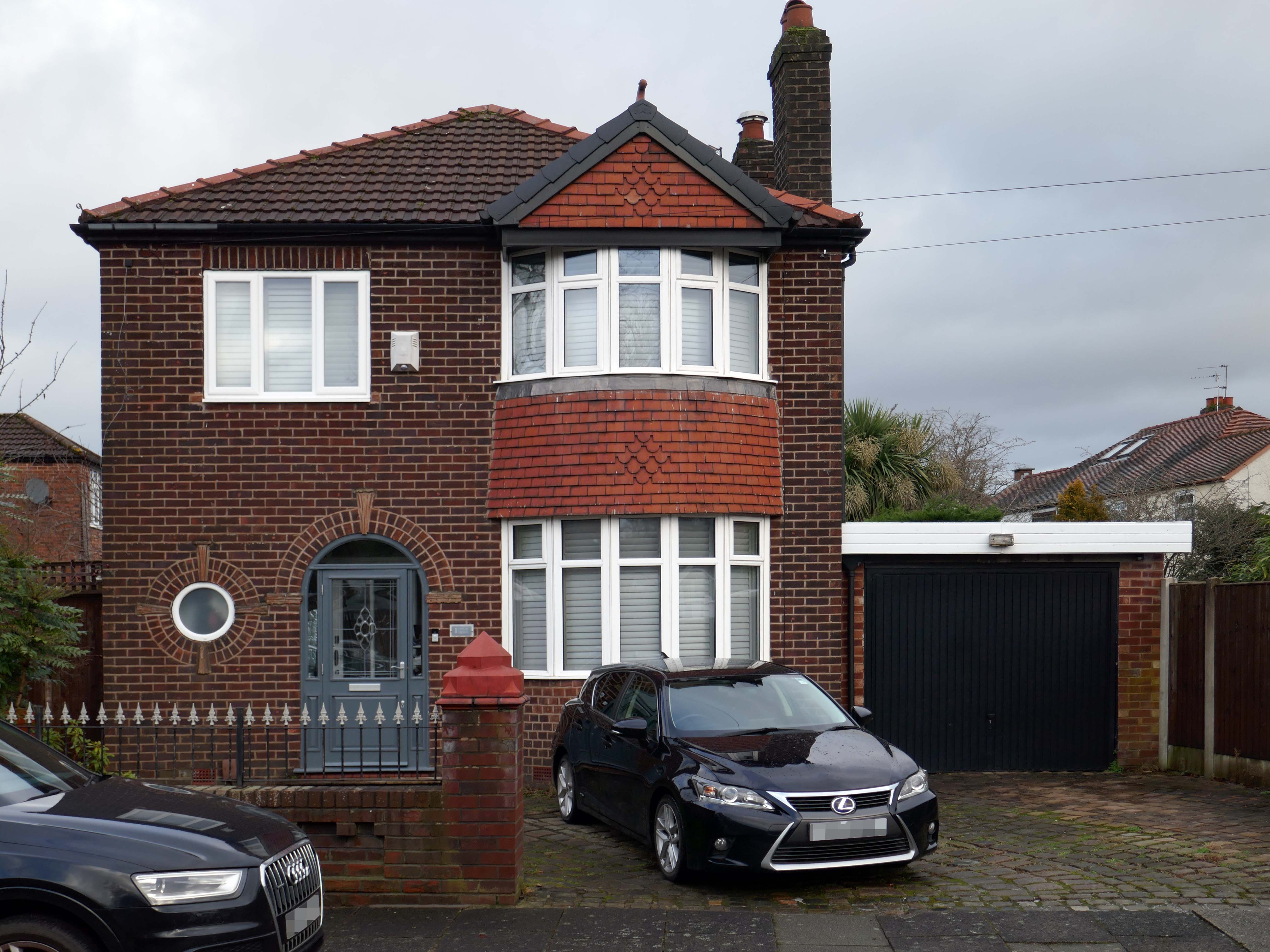
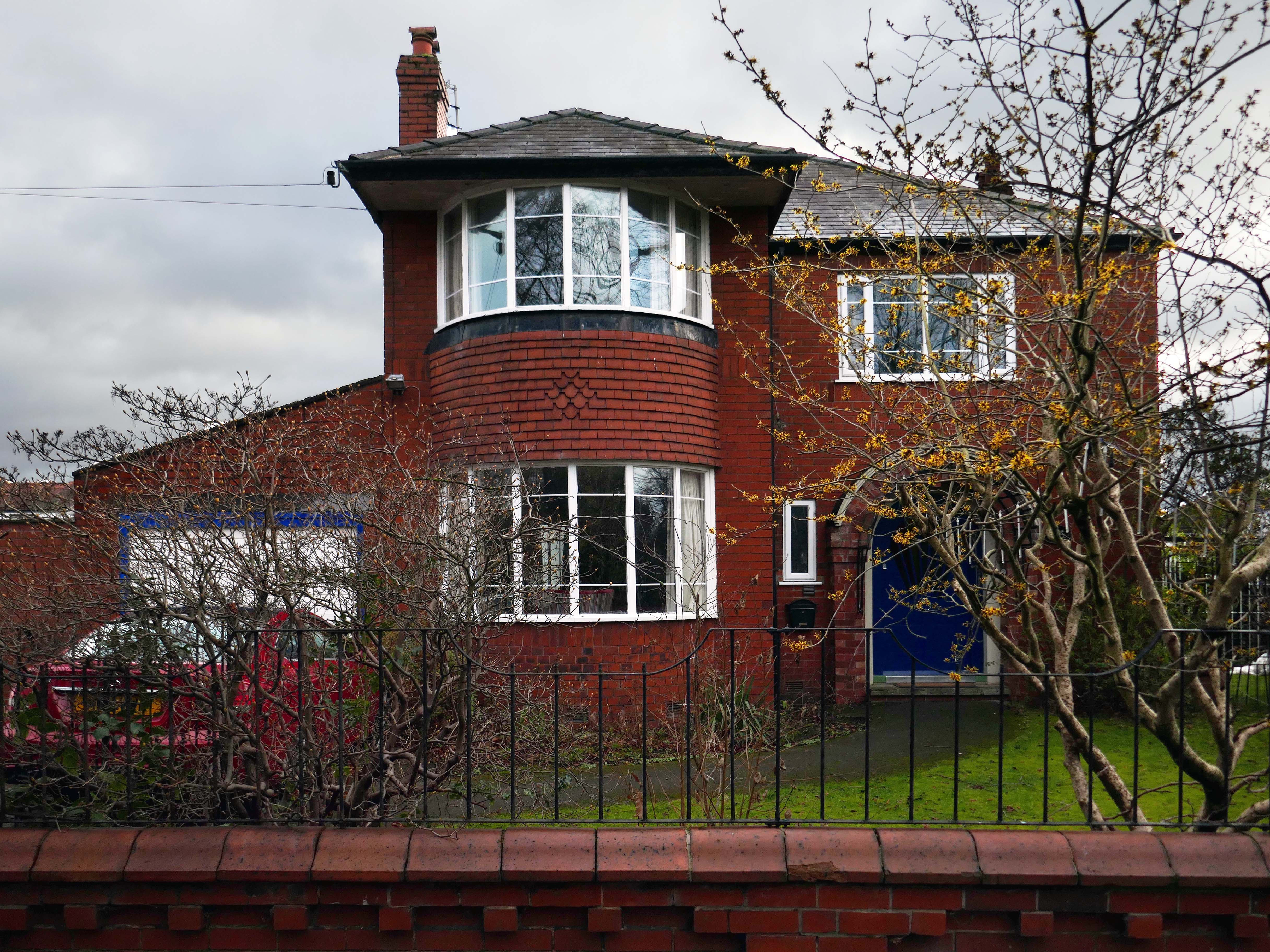
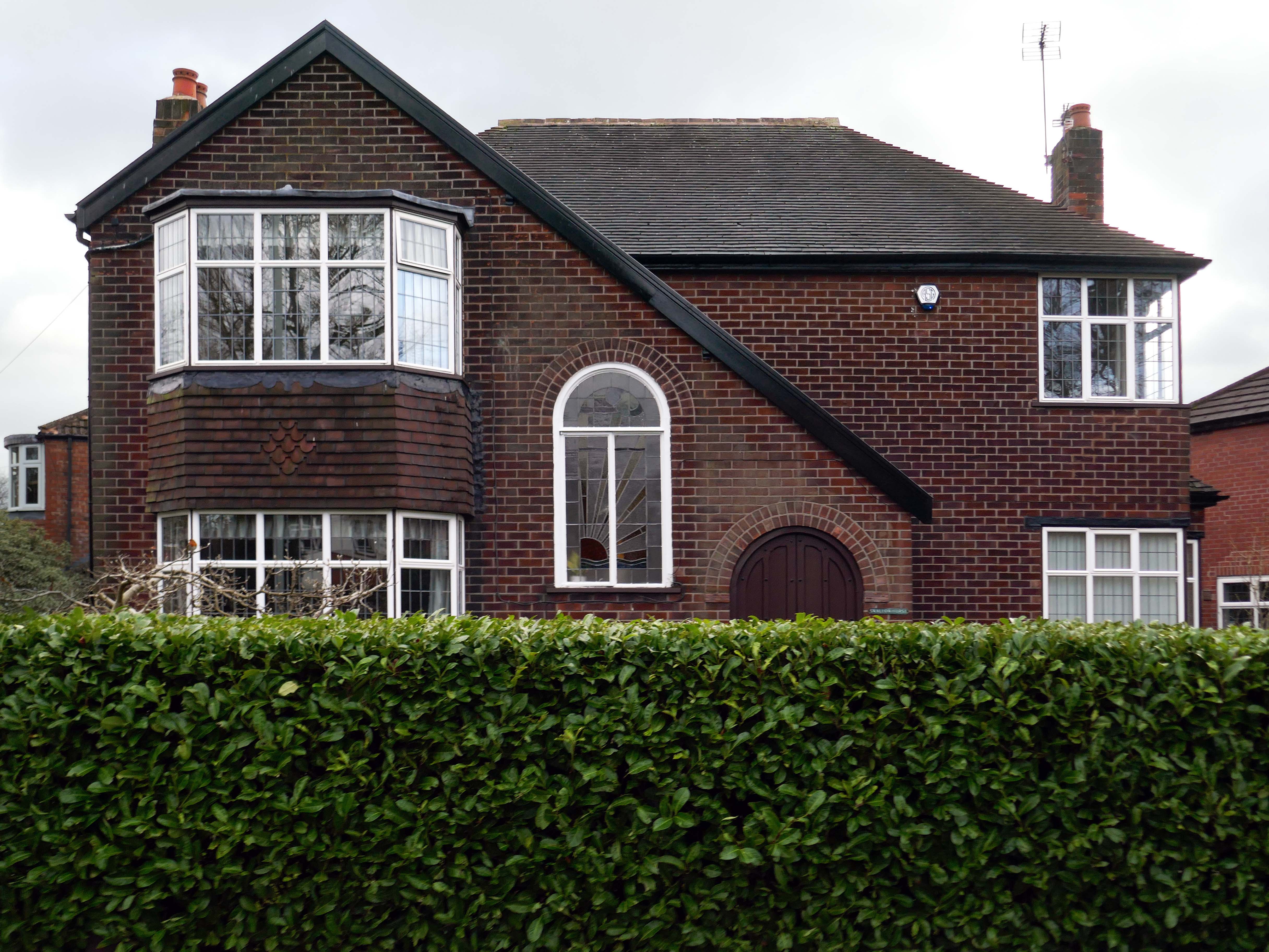
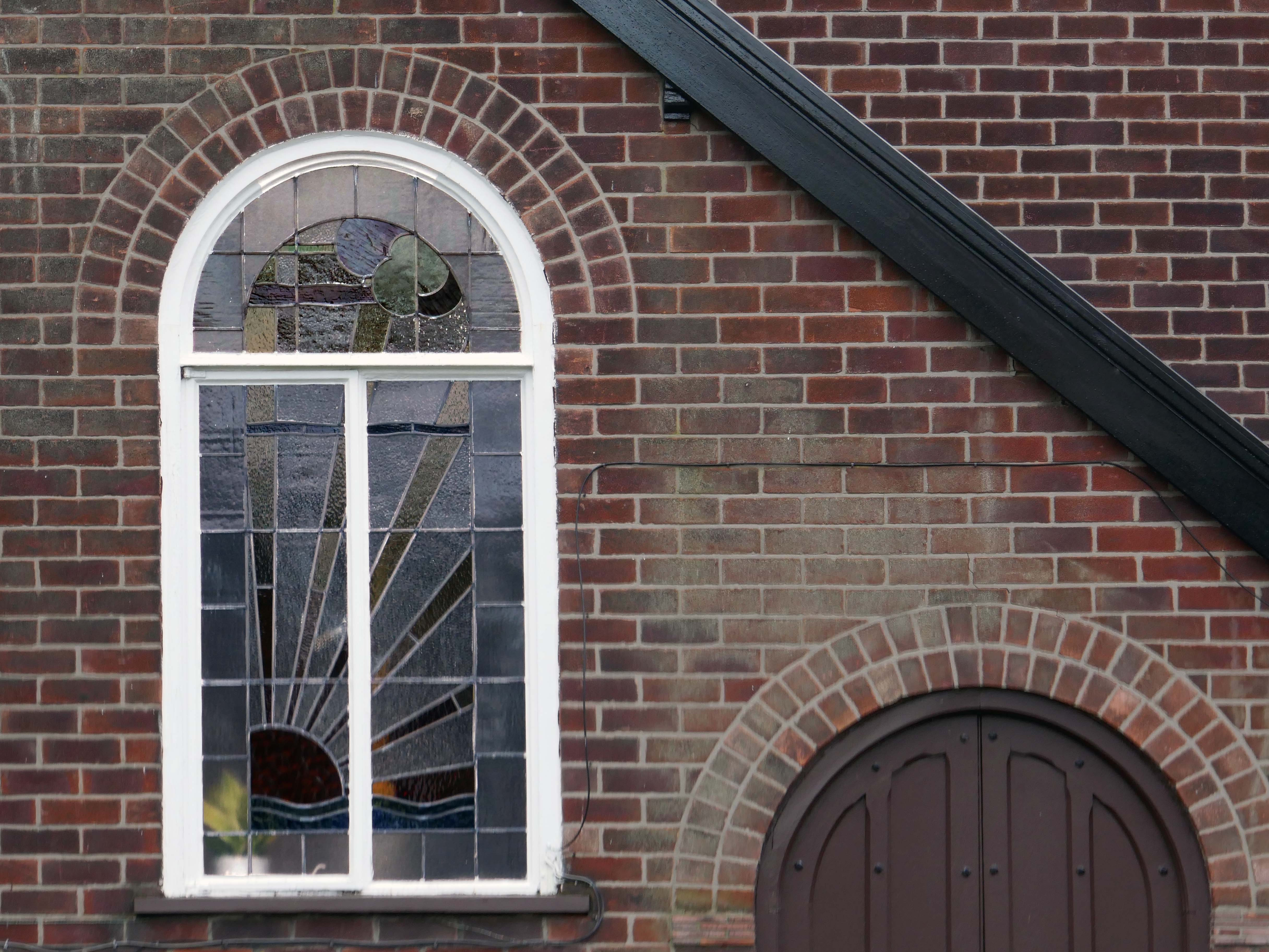
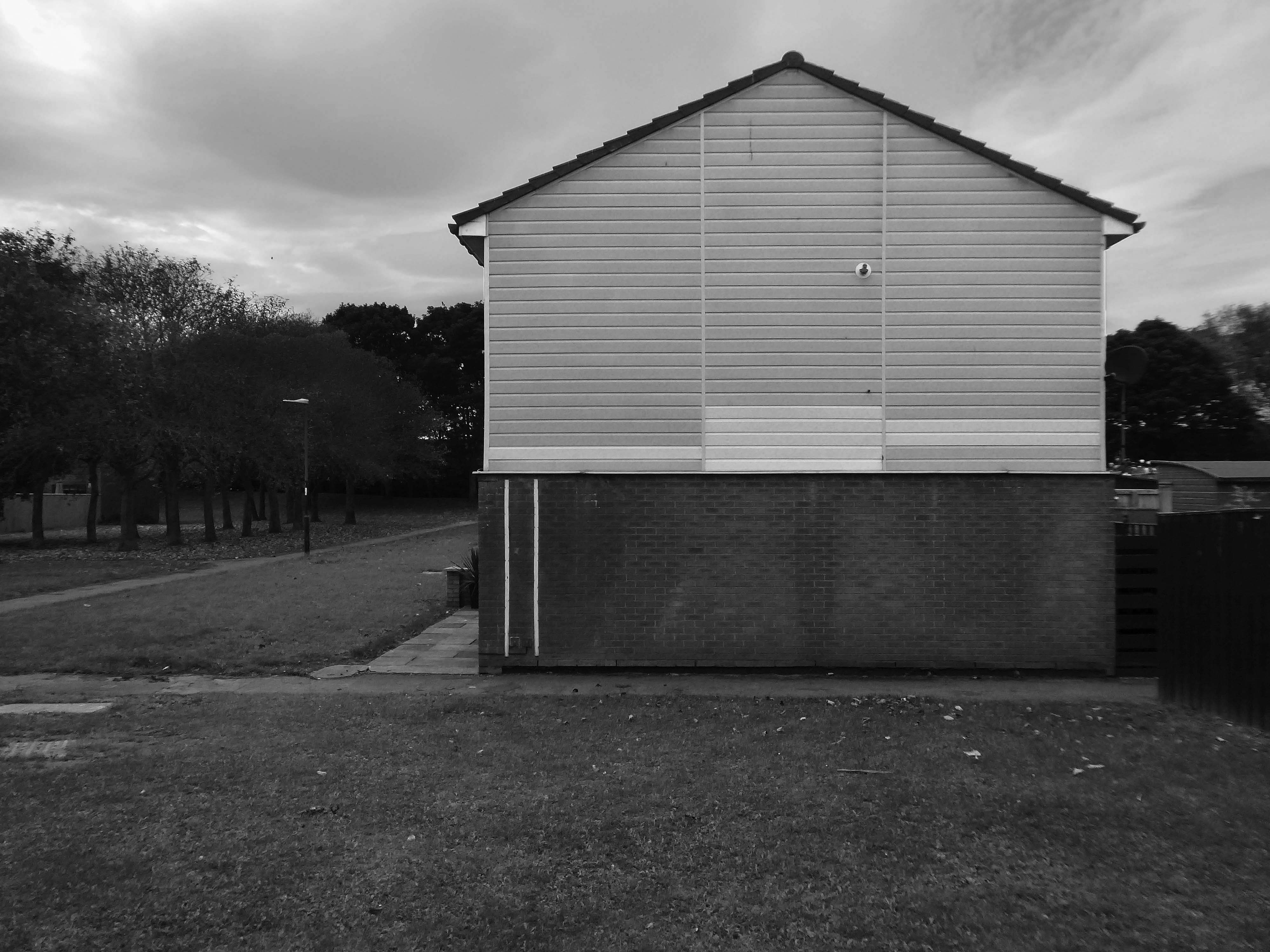
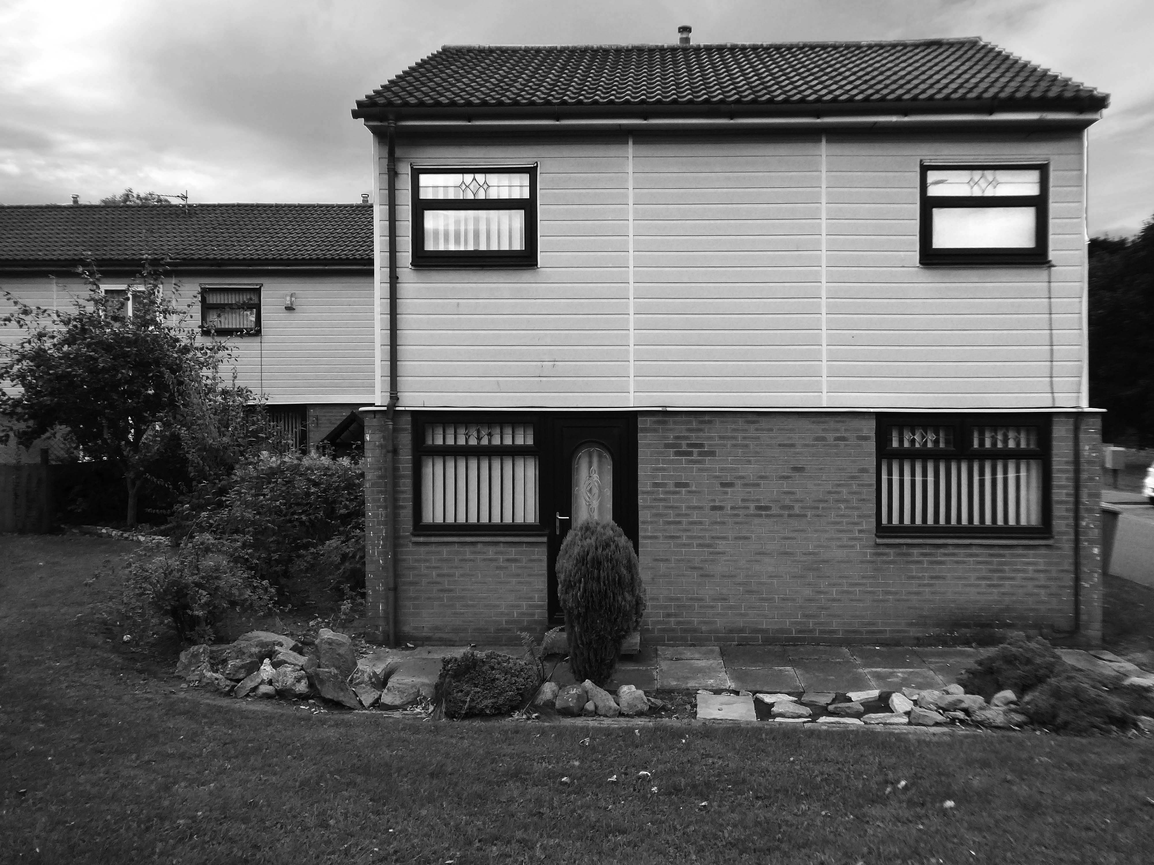
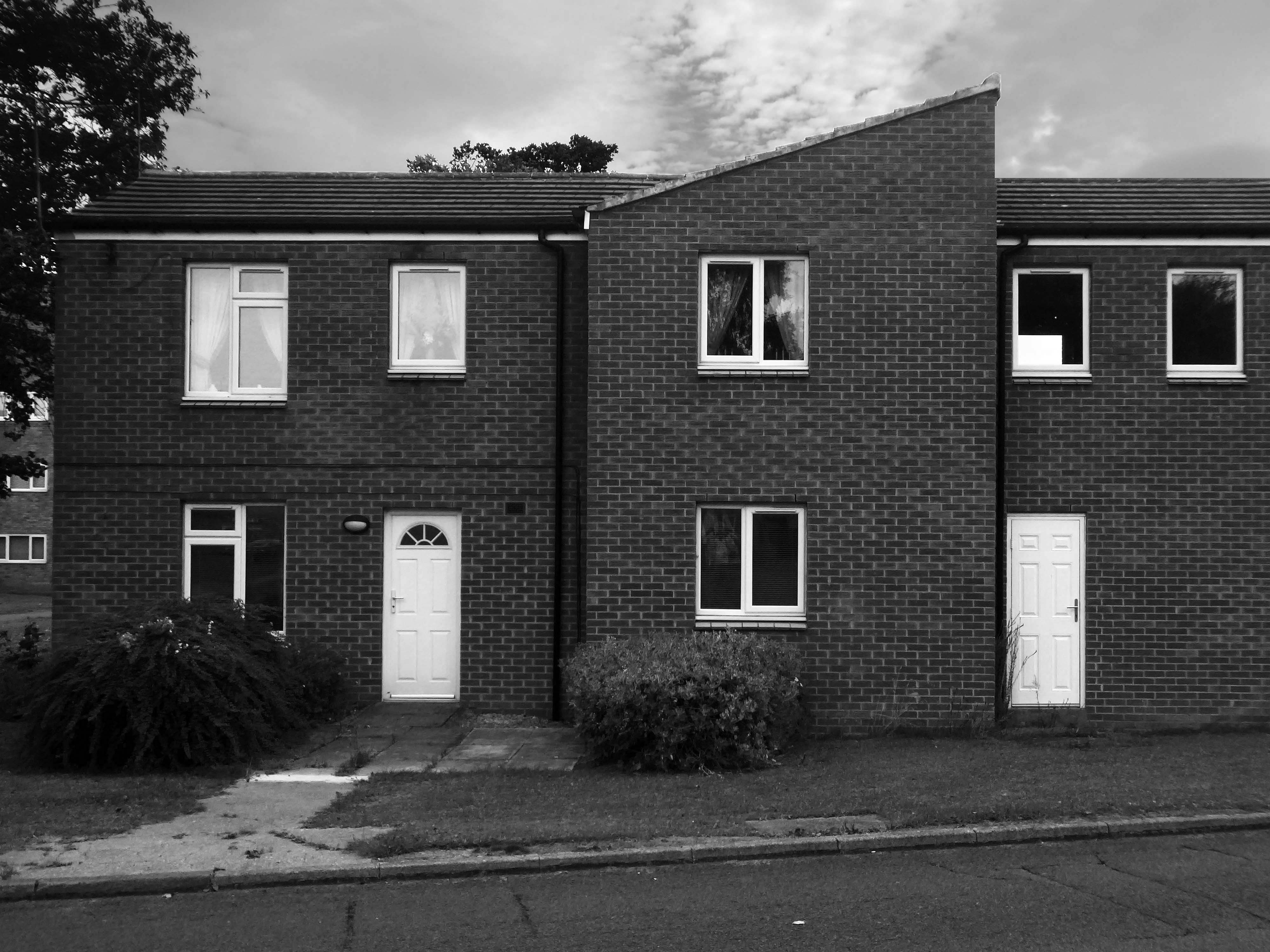
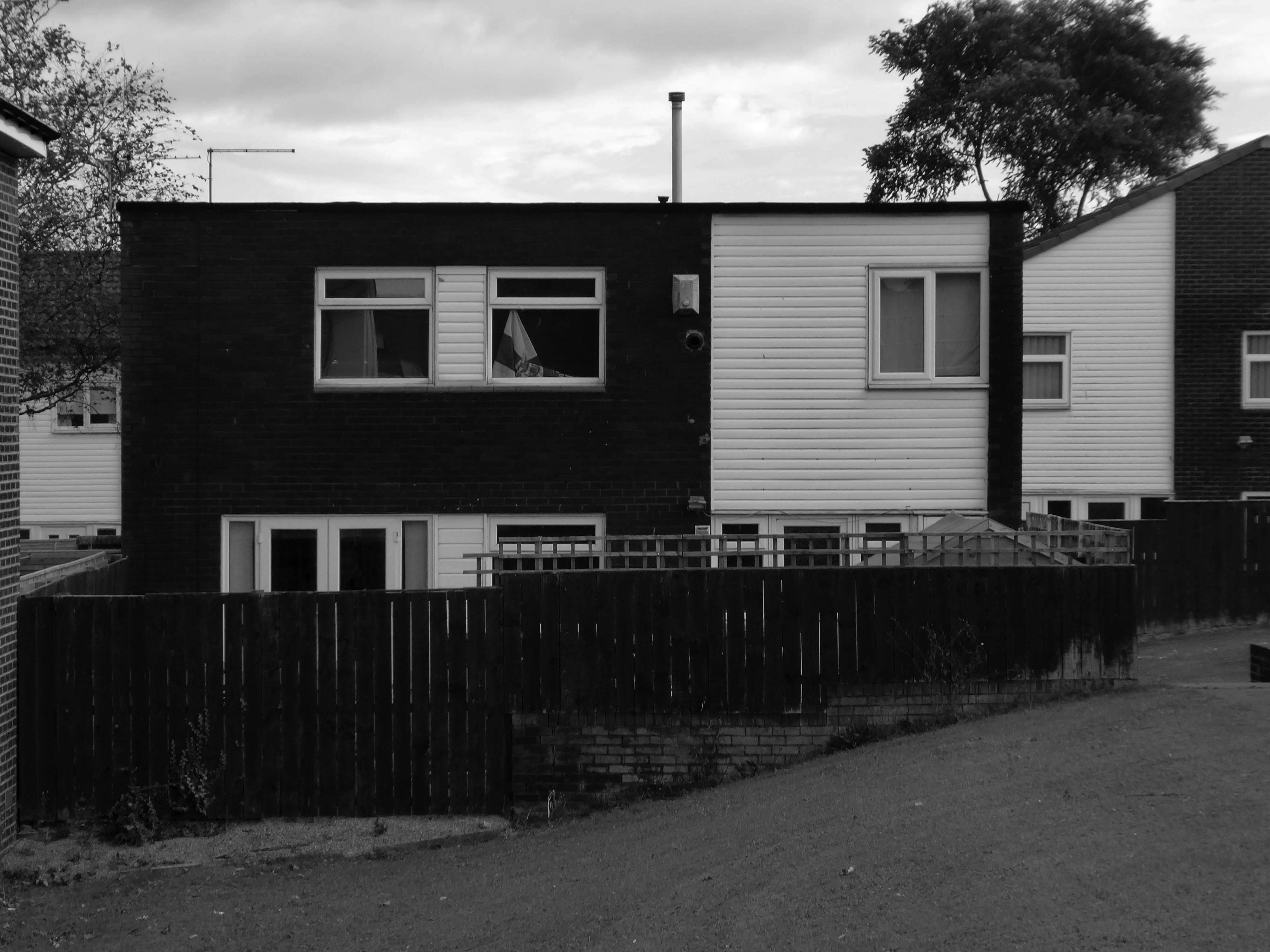
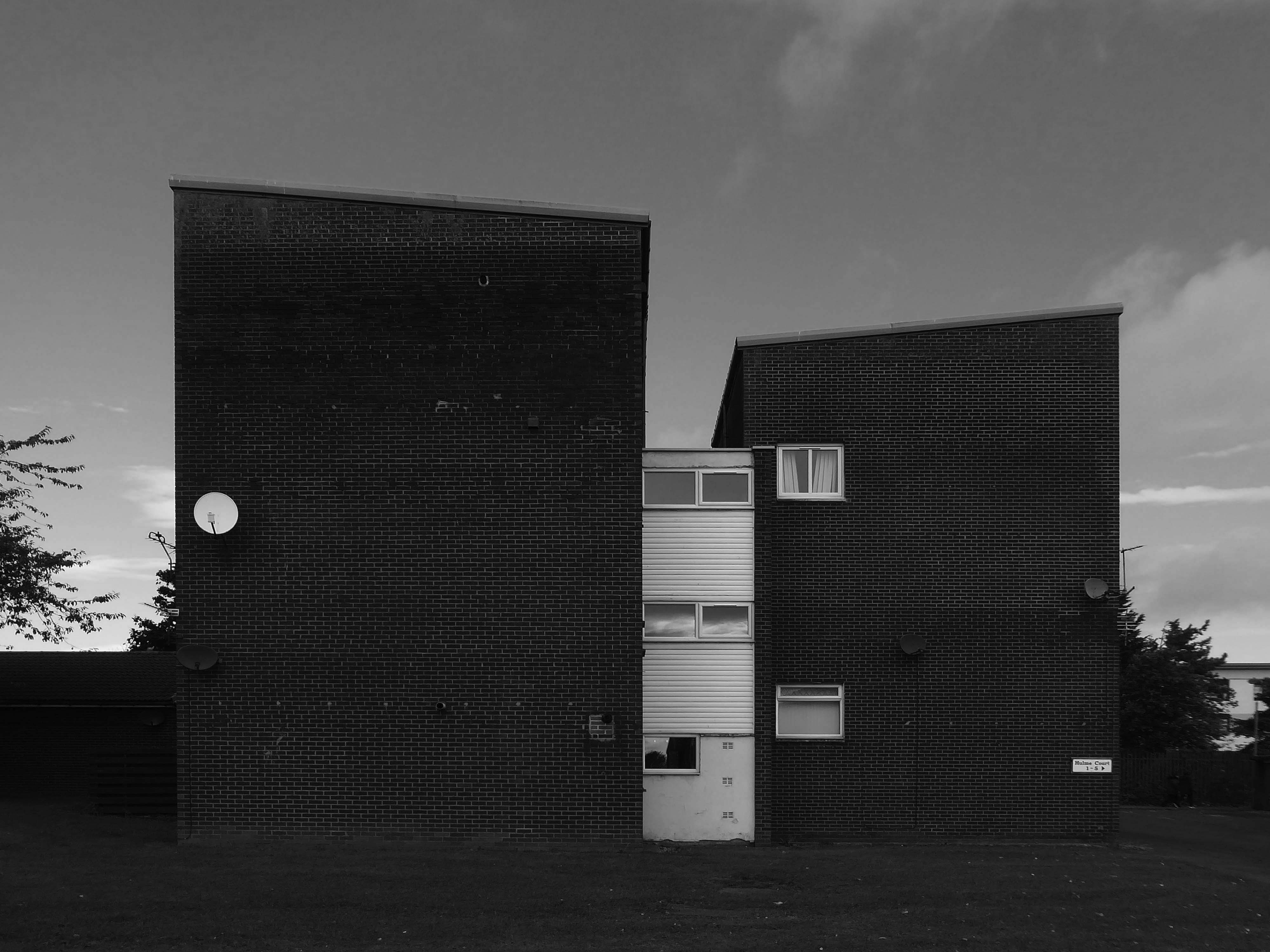
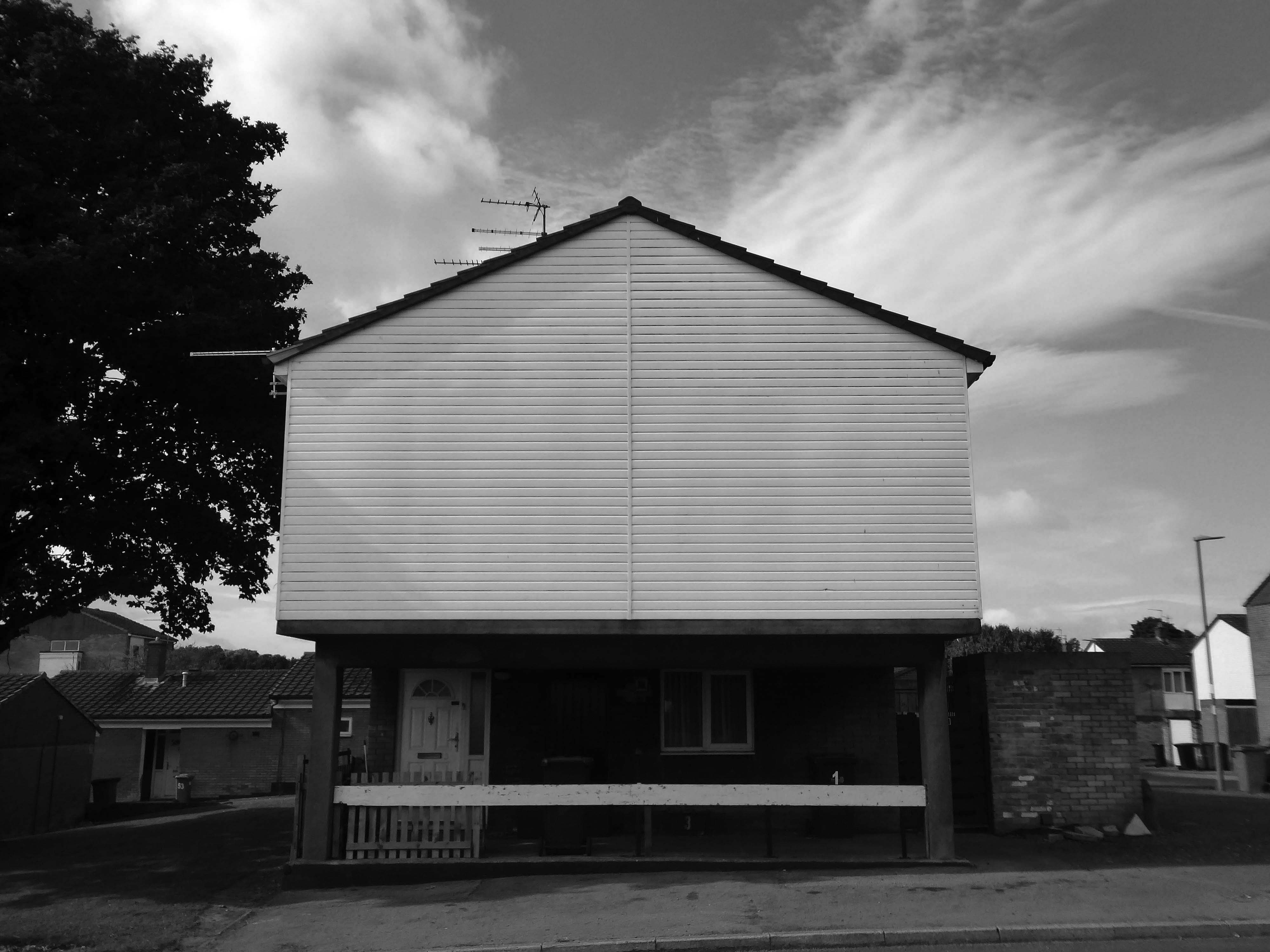
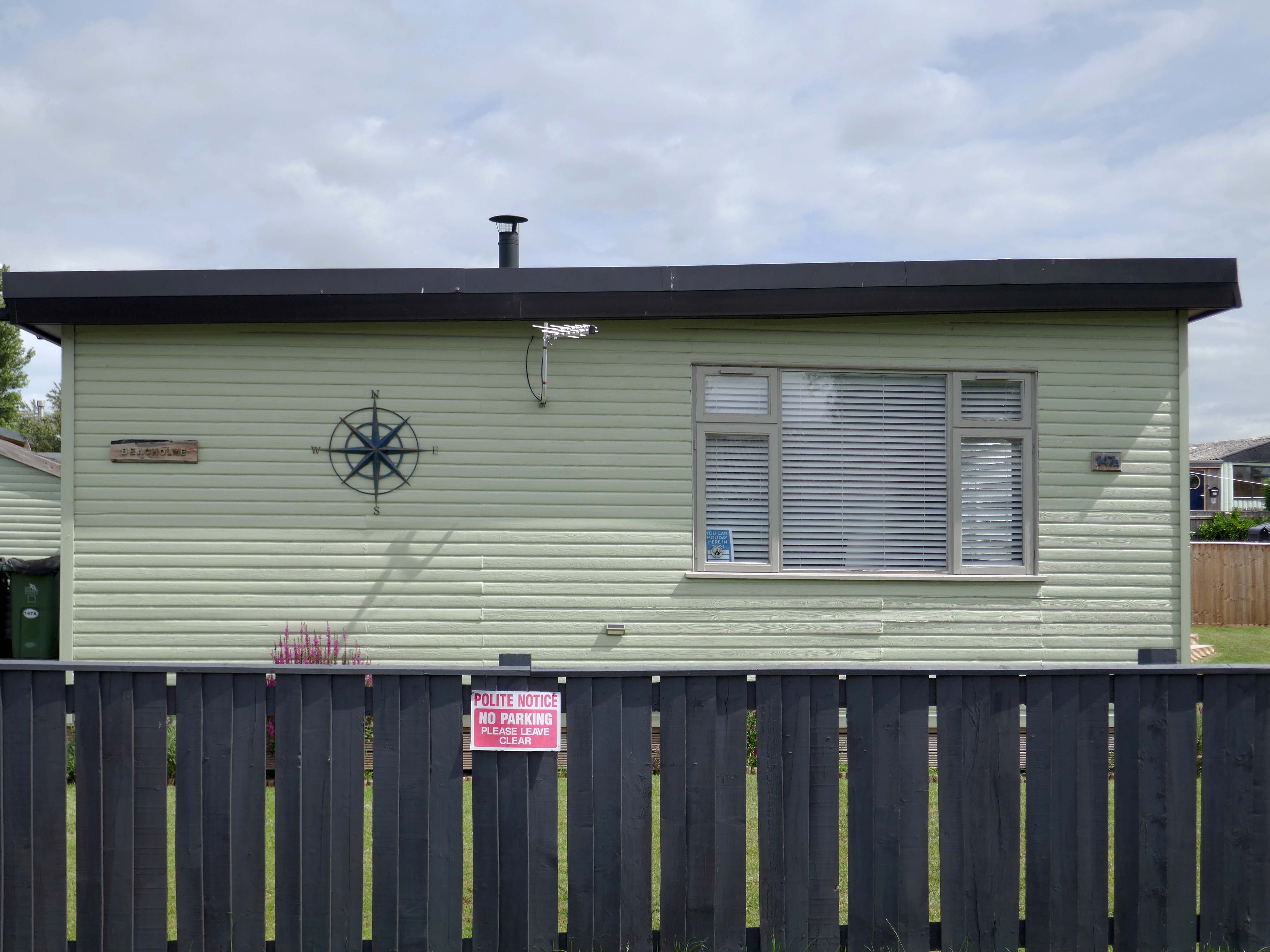
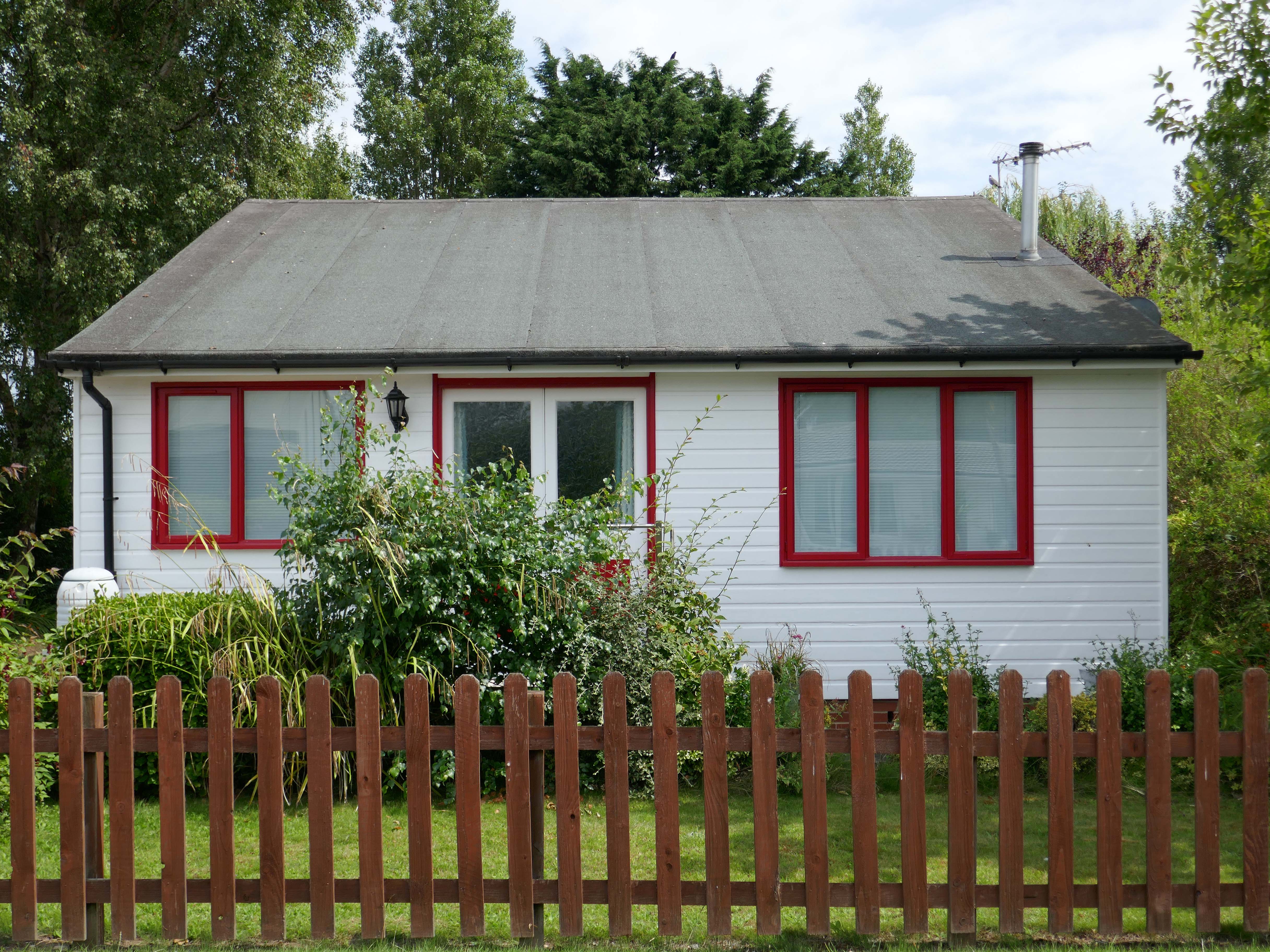
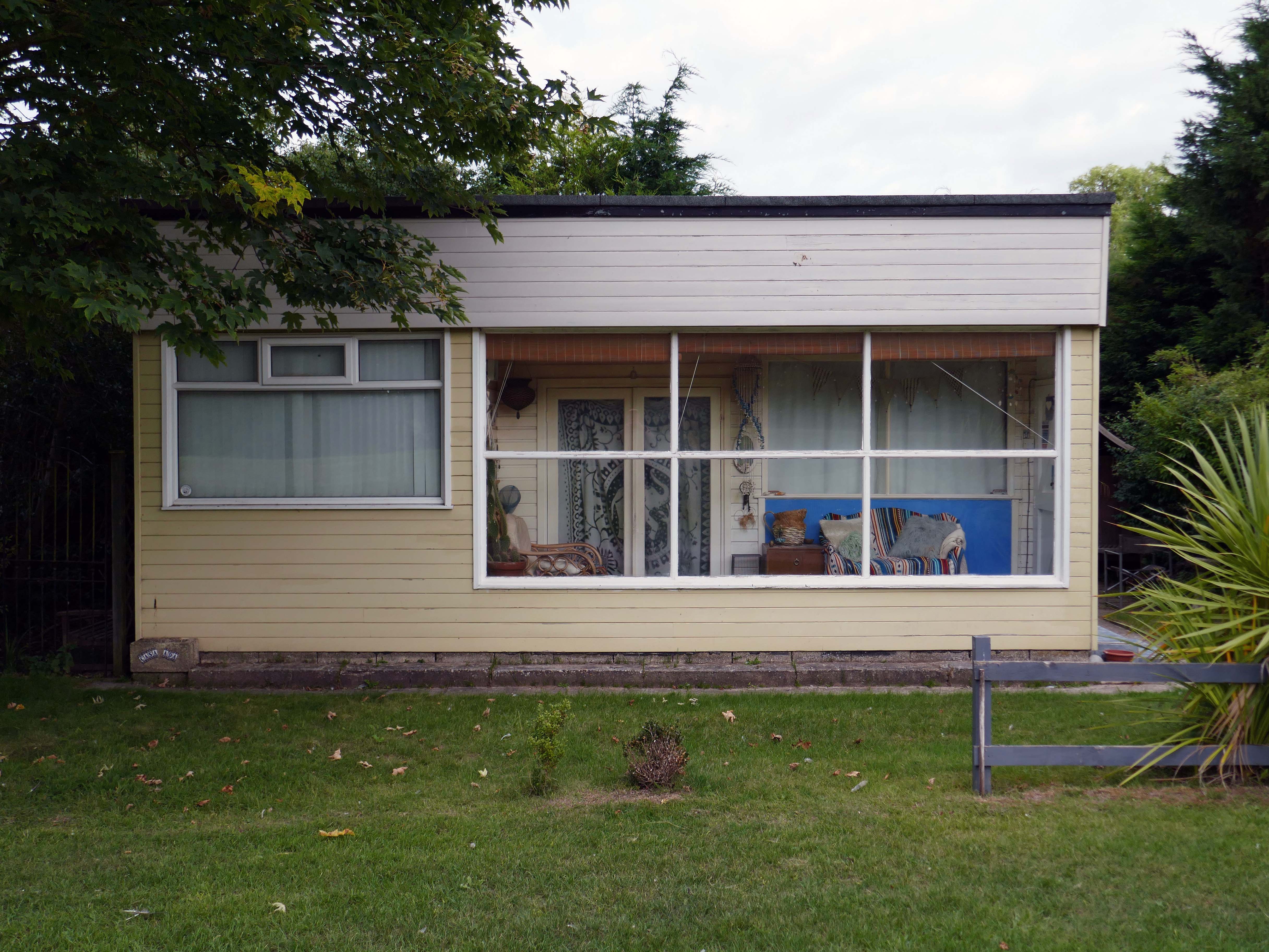
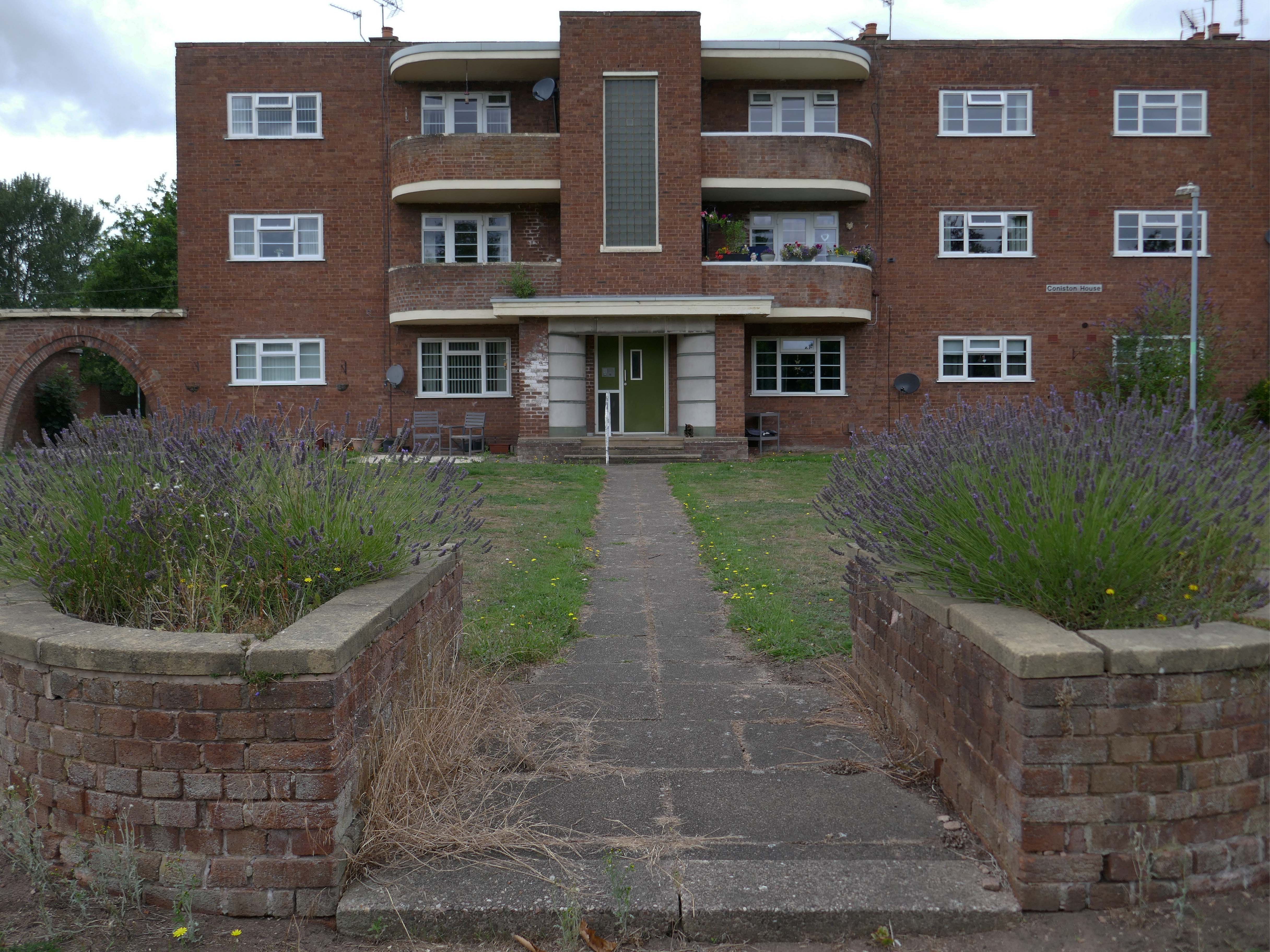
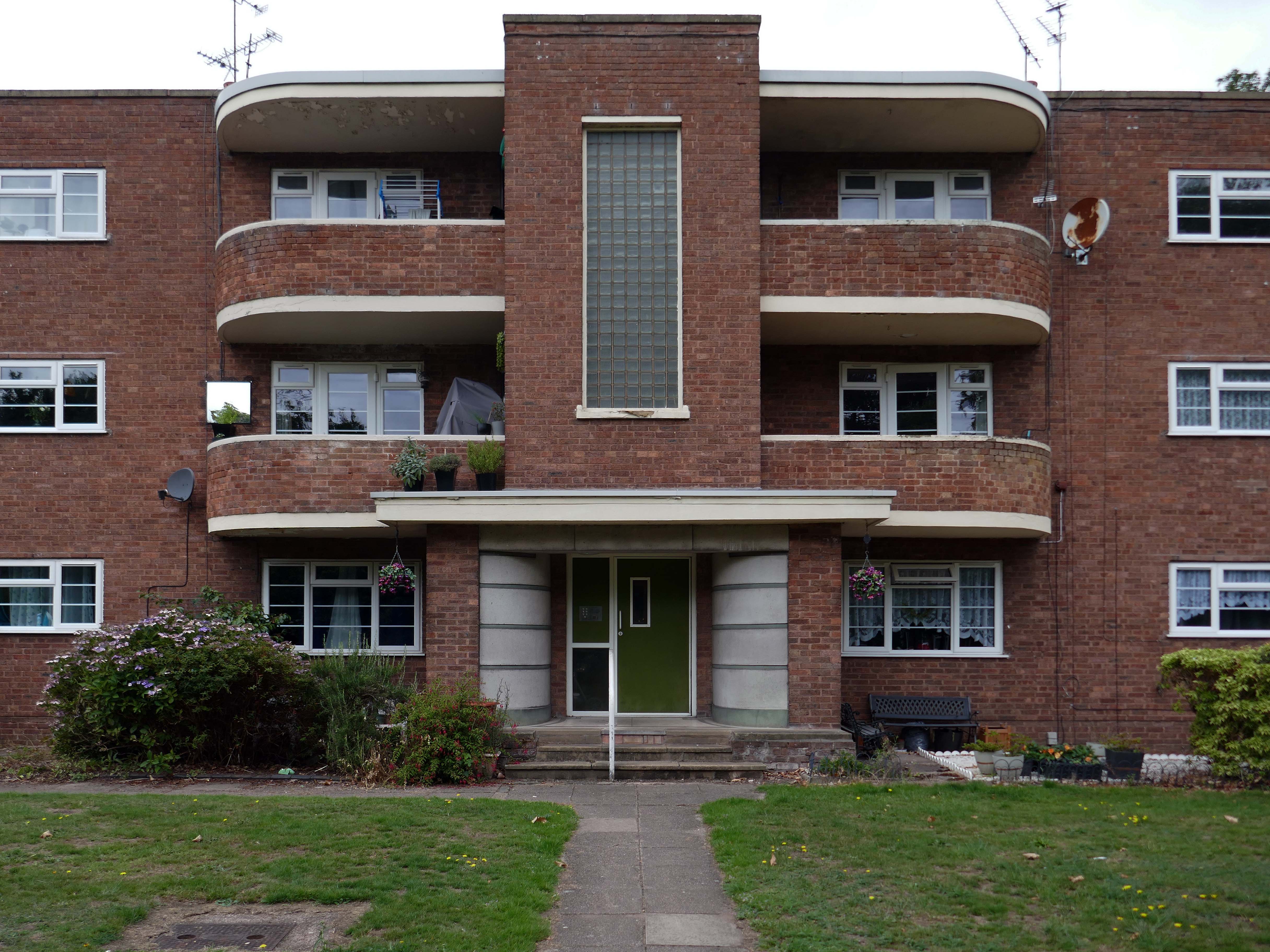
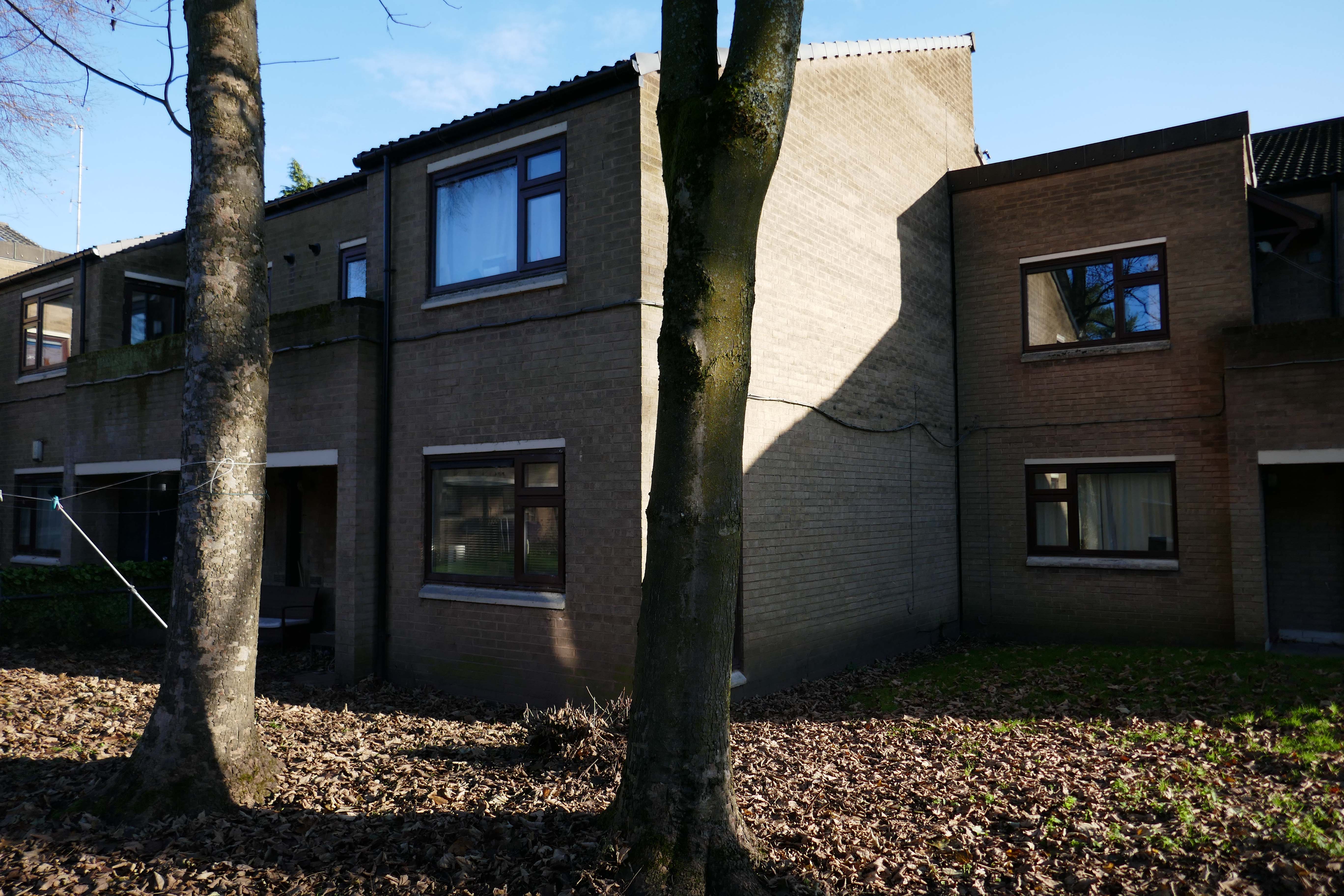
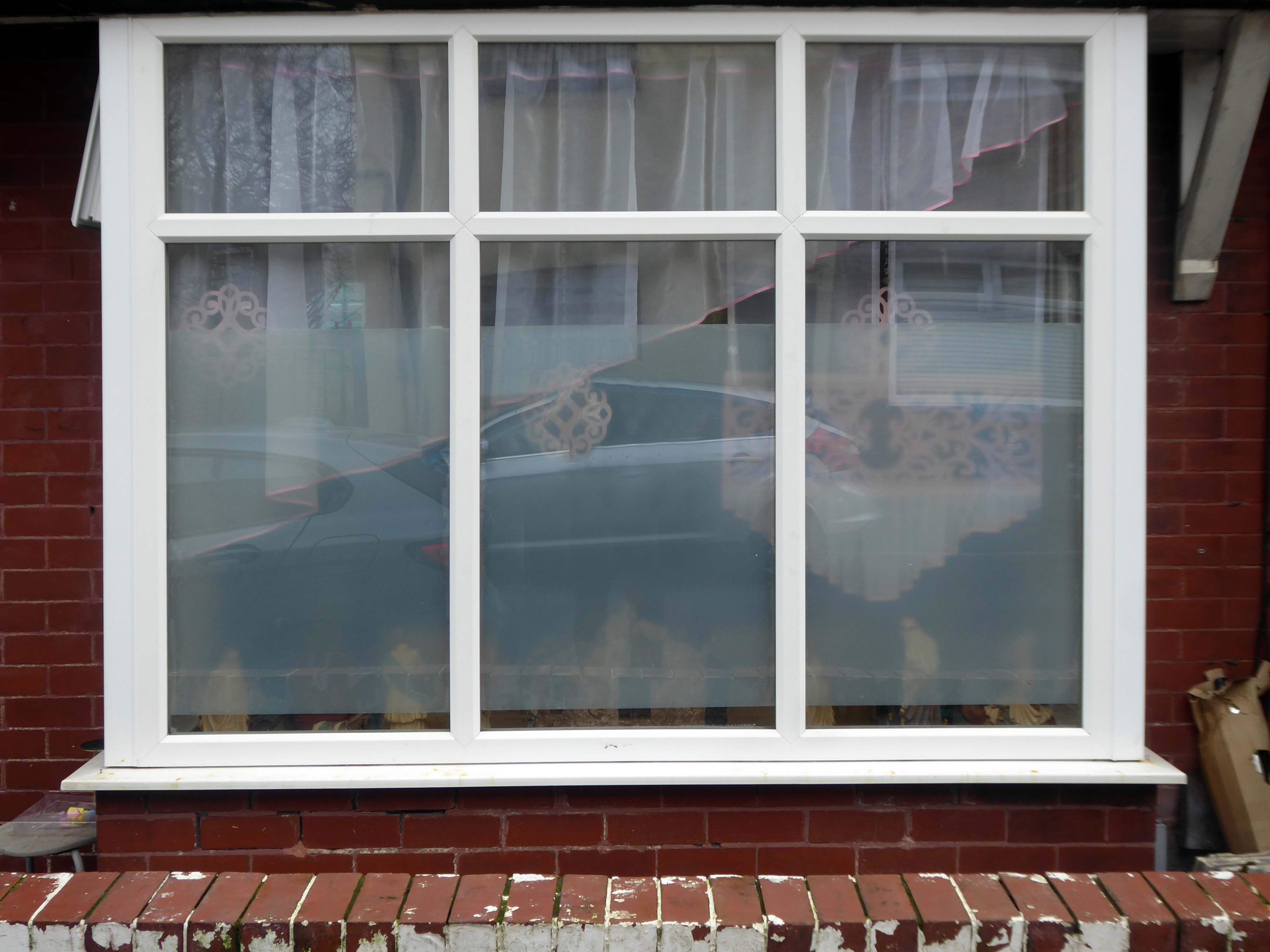
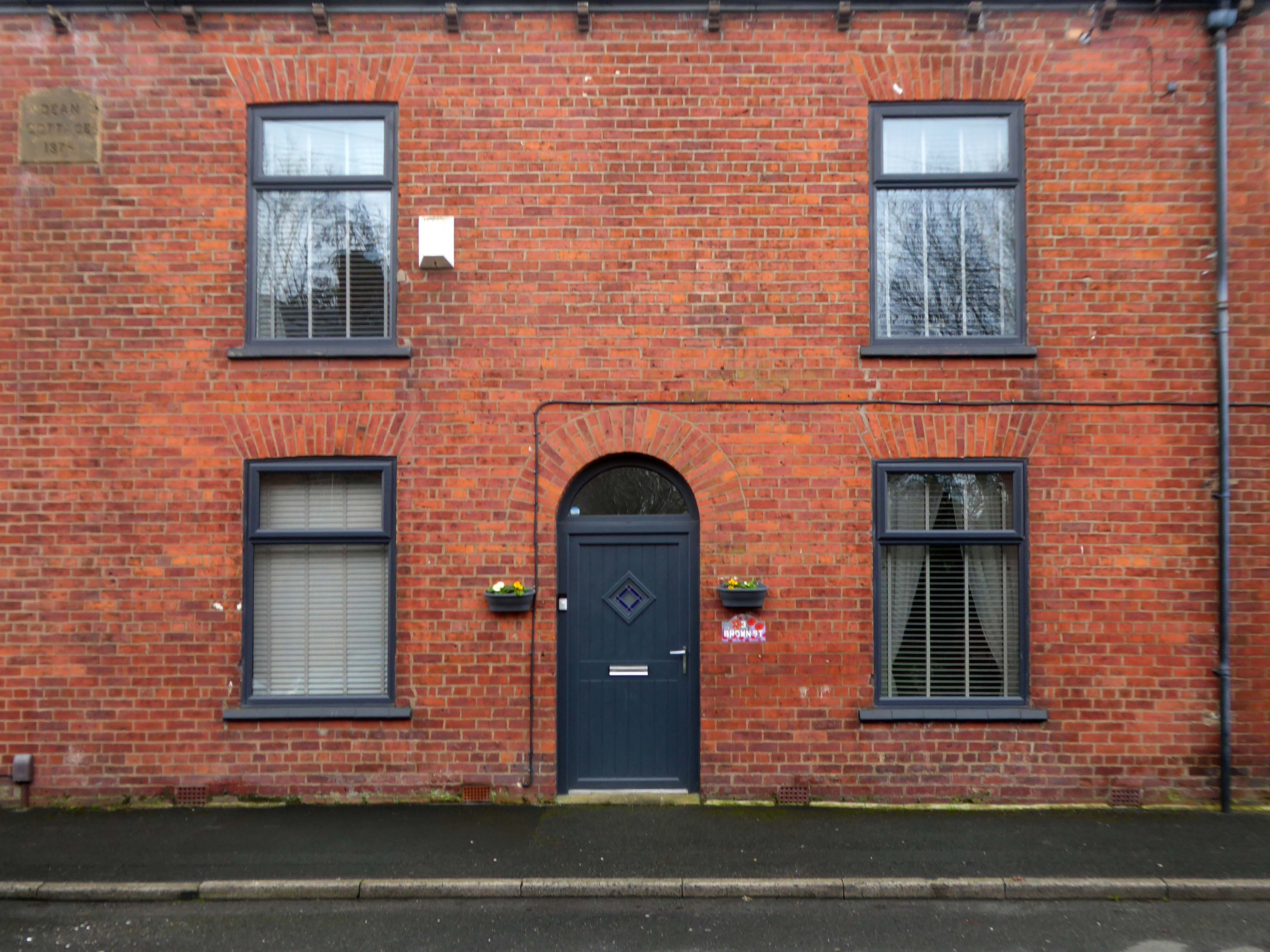
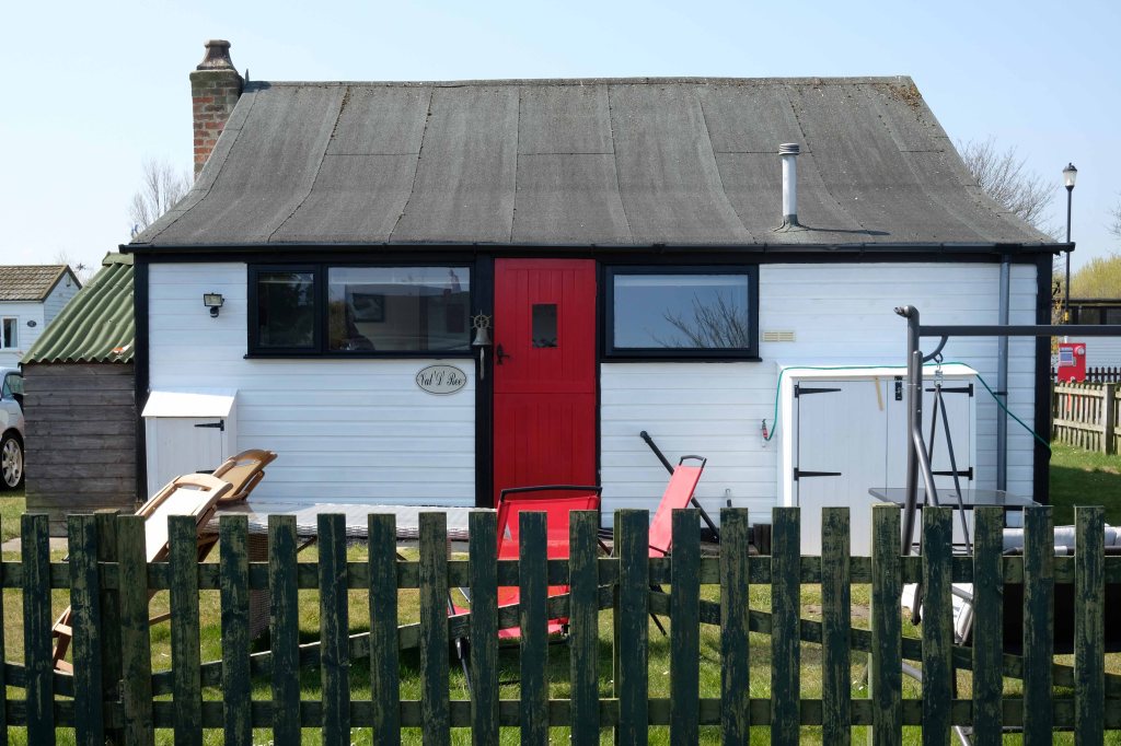
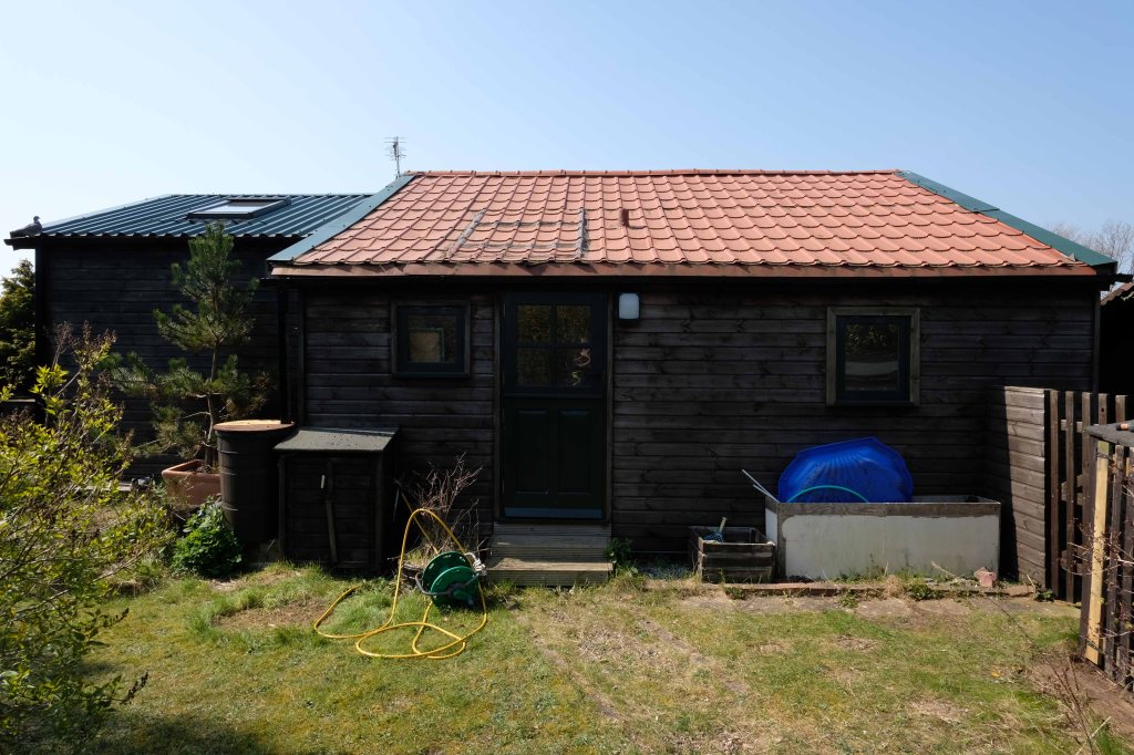
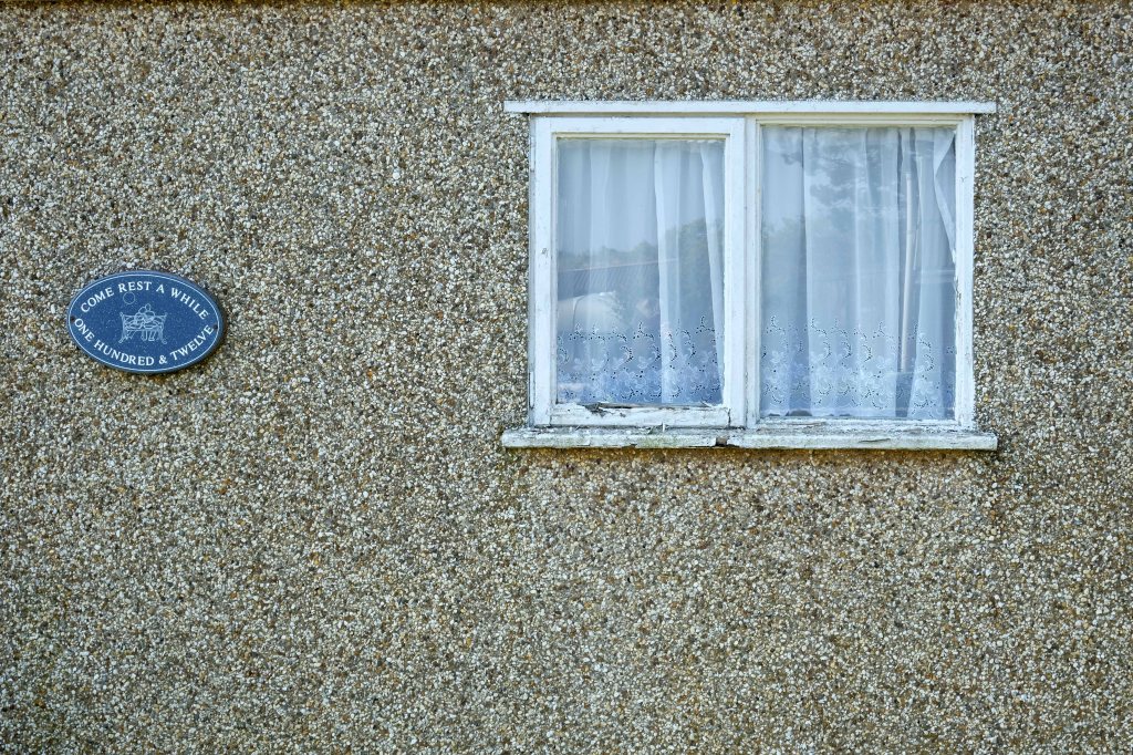
The left hand house has purposefully retained the original Crittall Windows.
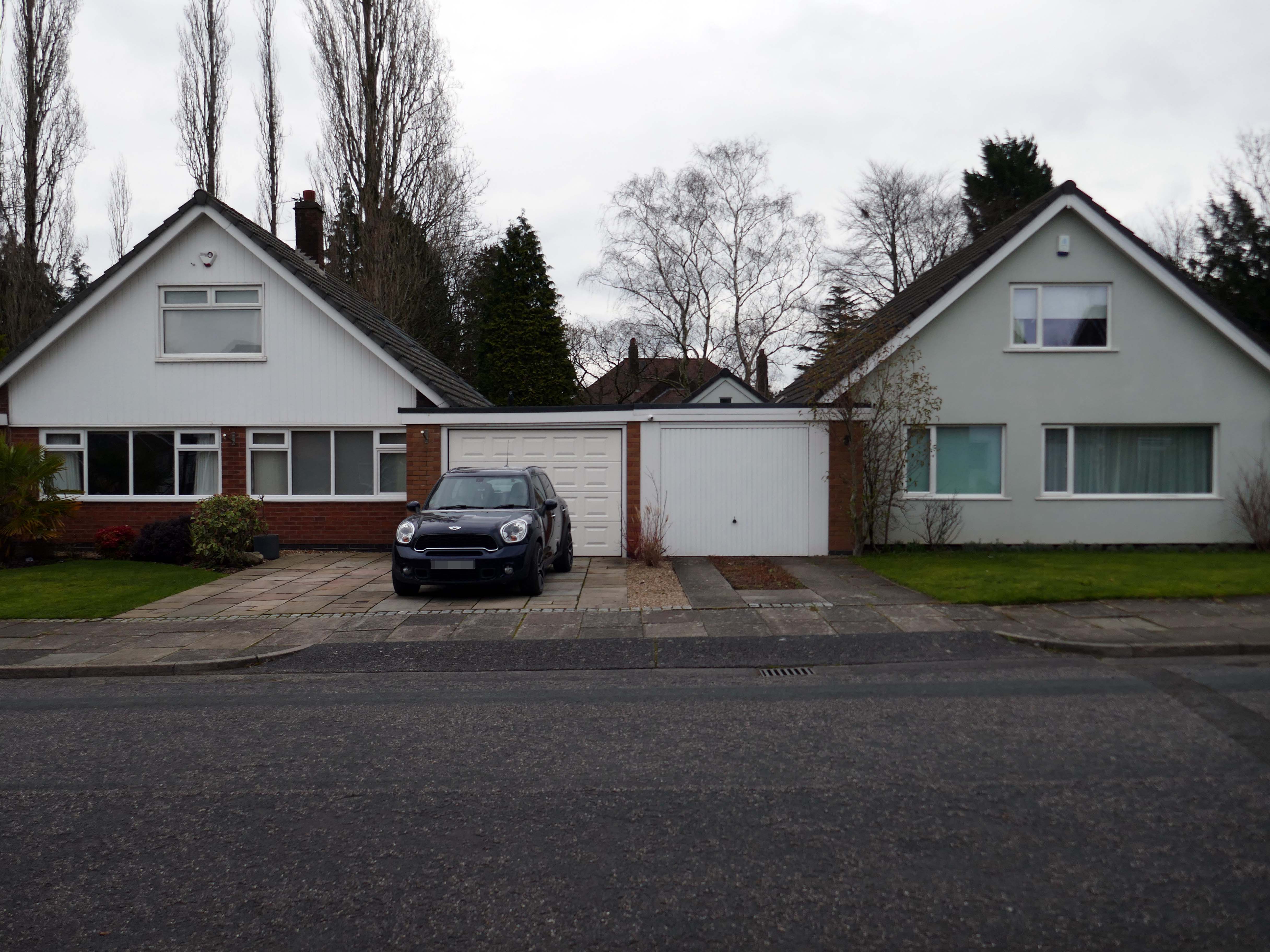
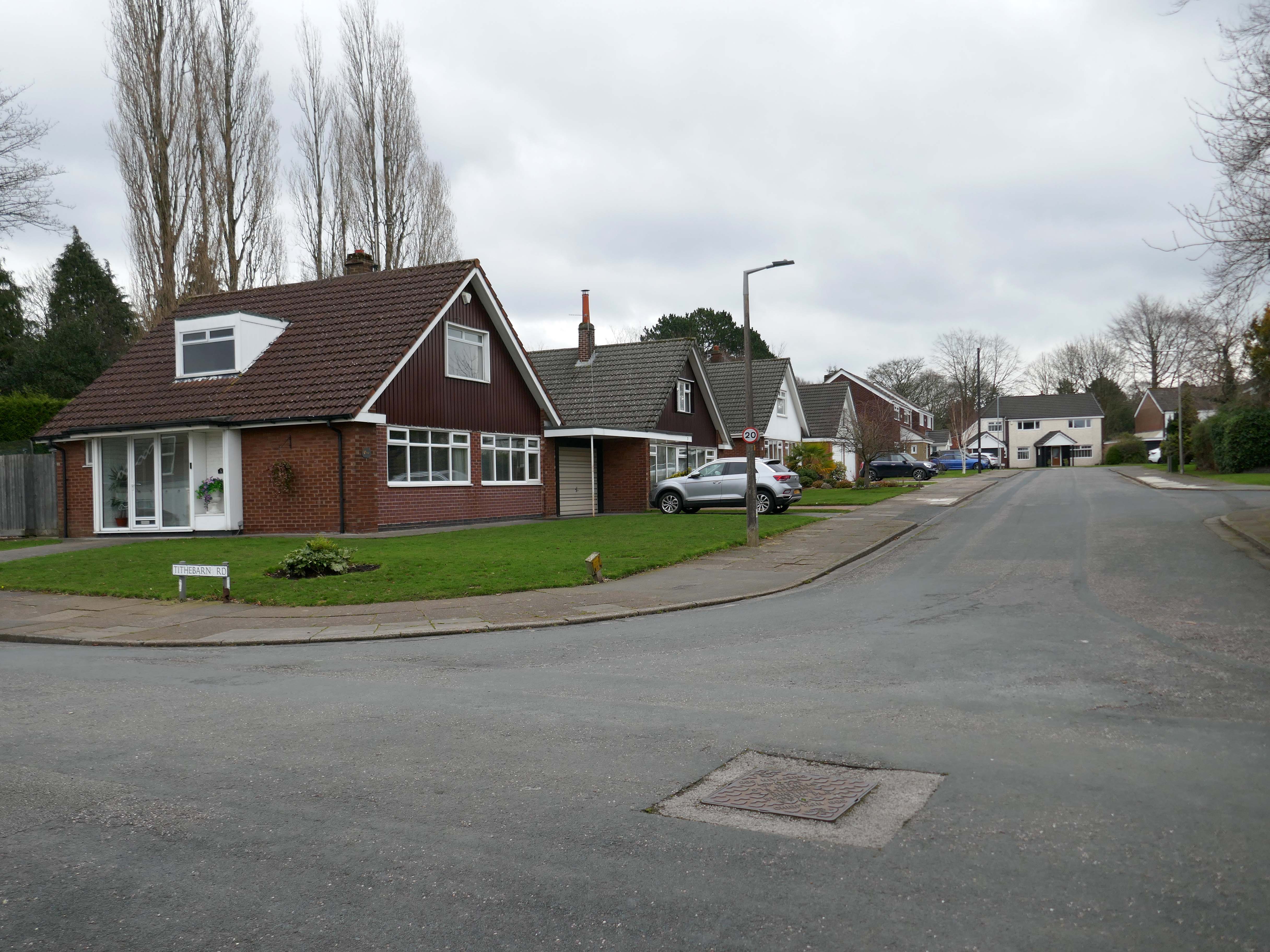
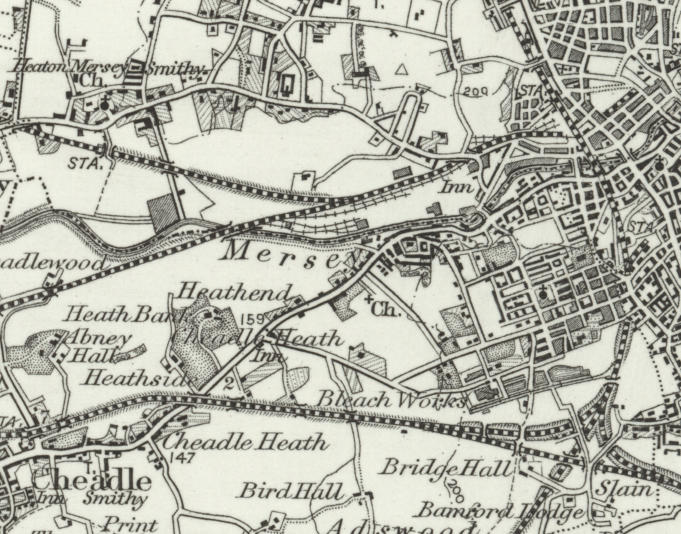
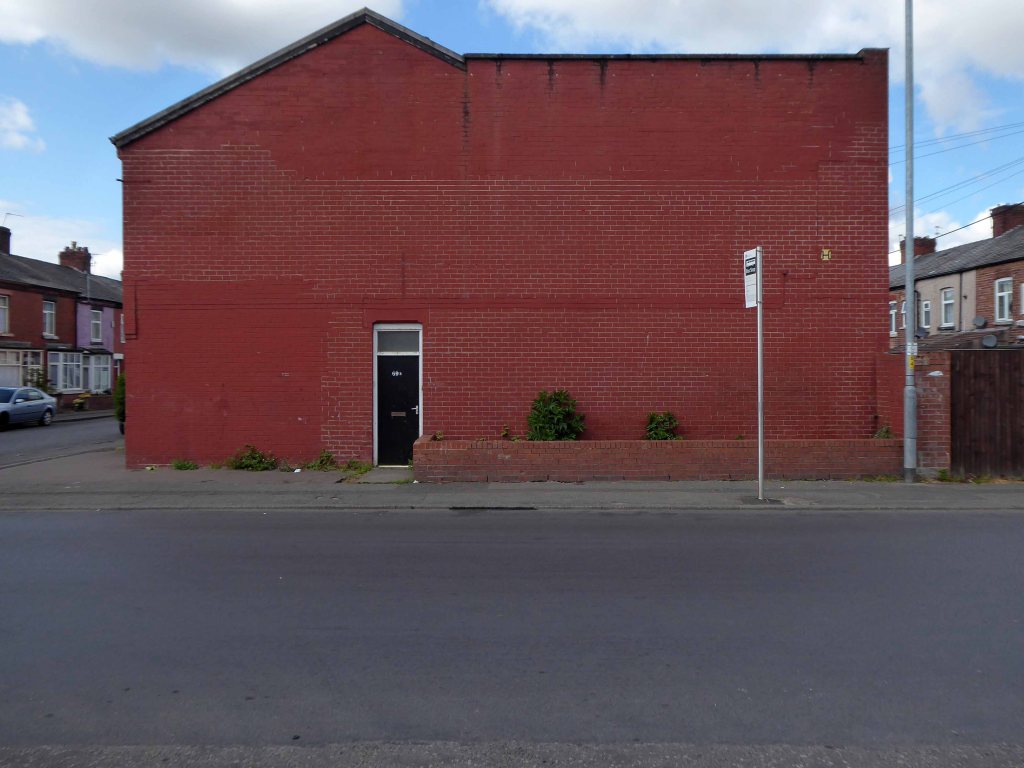
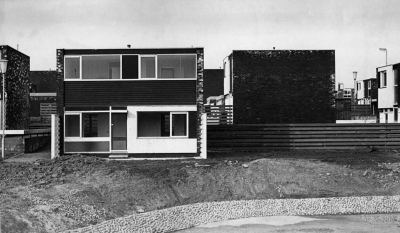
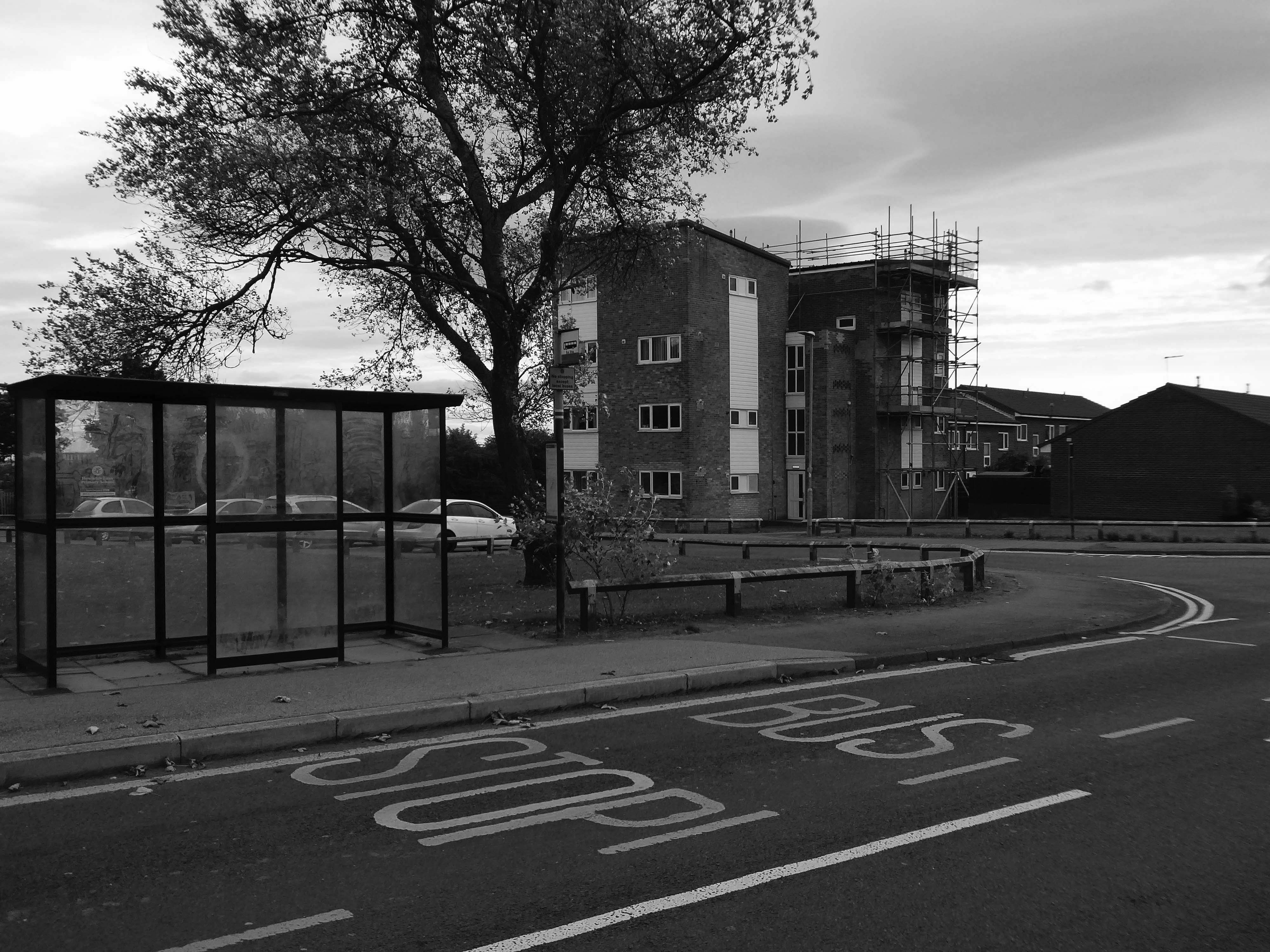
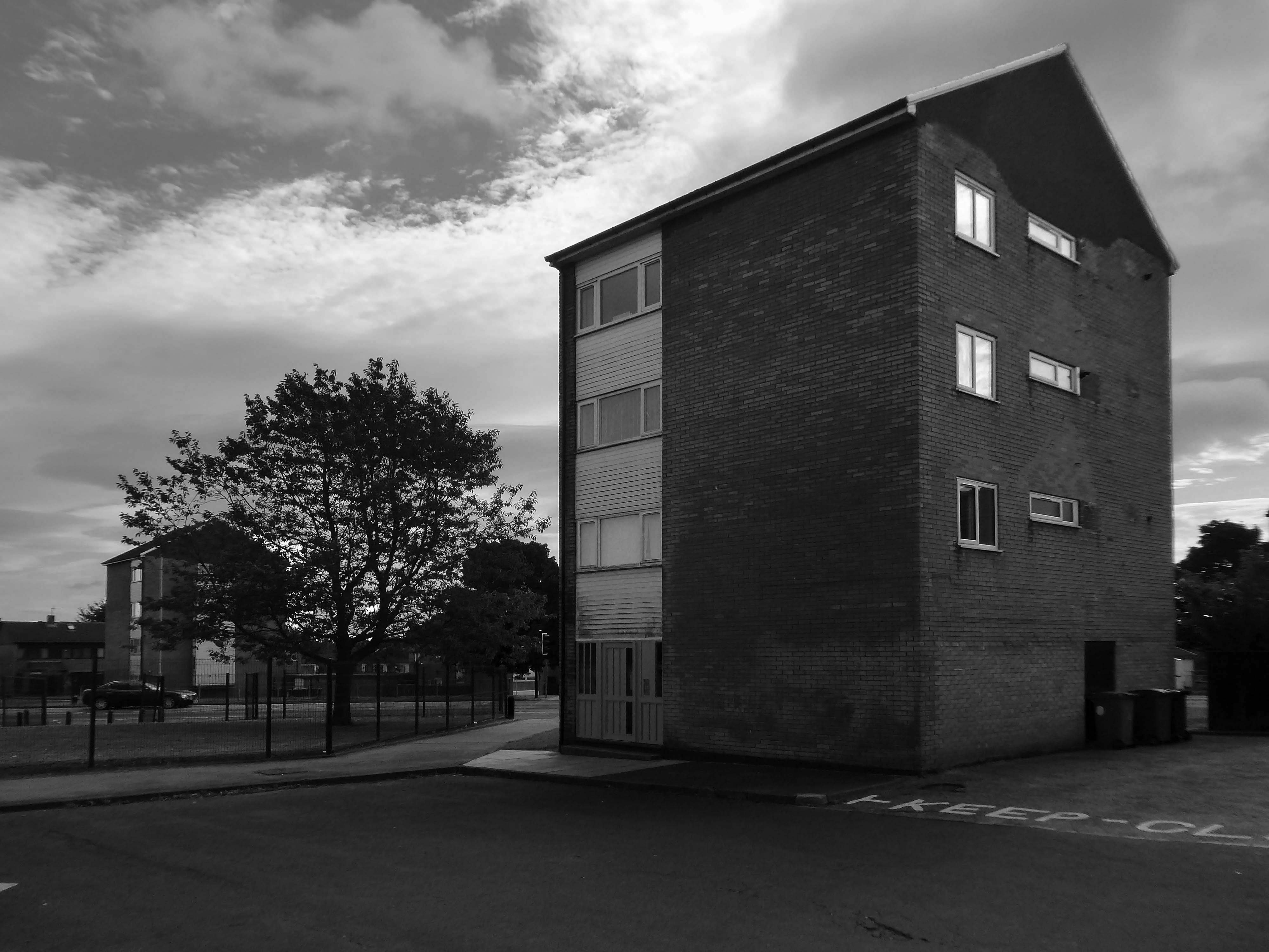
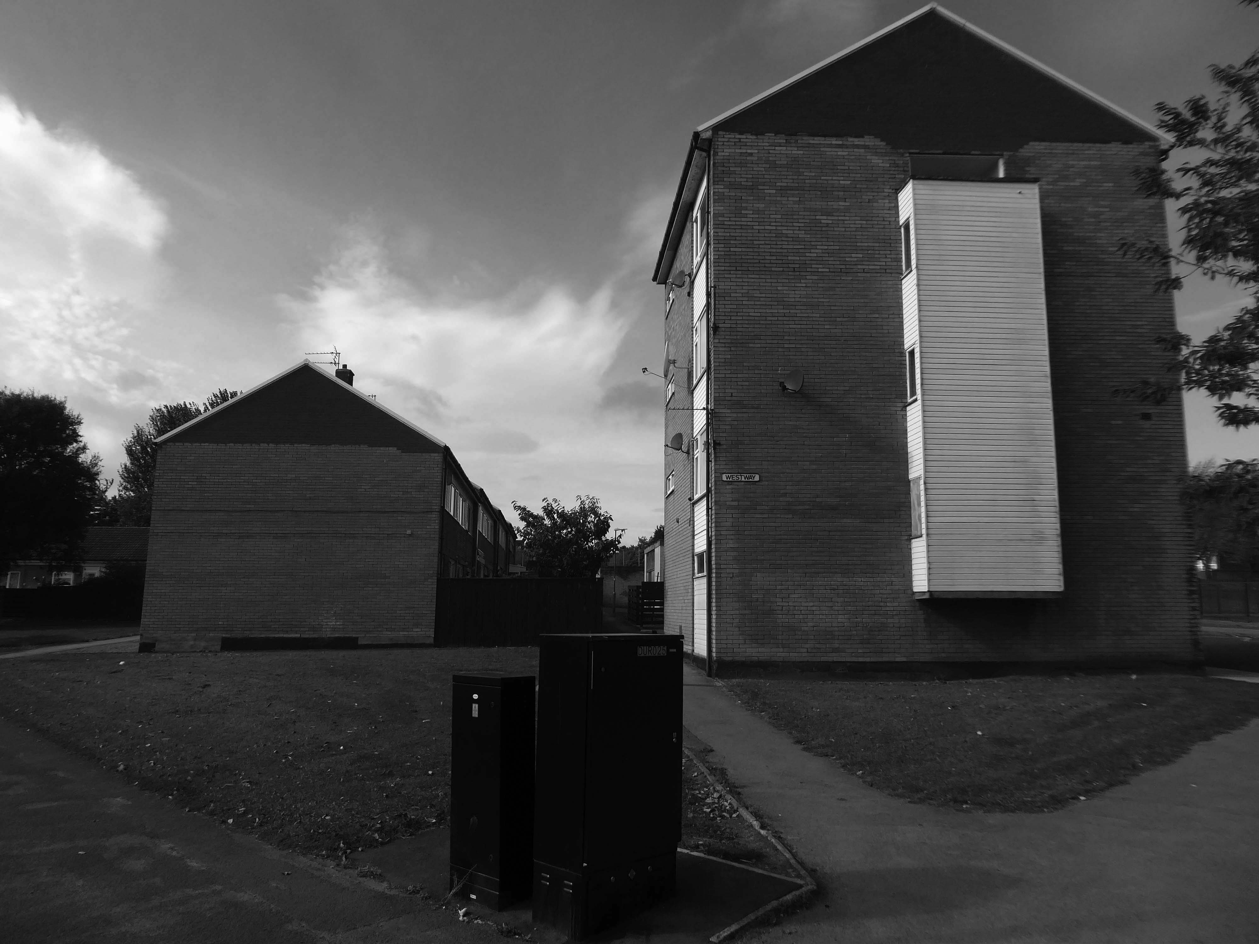
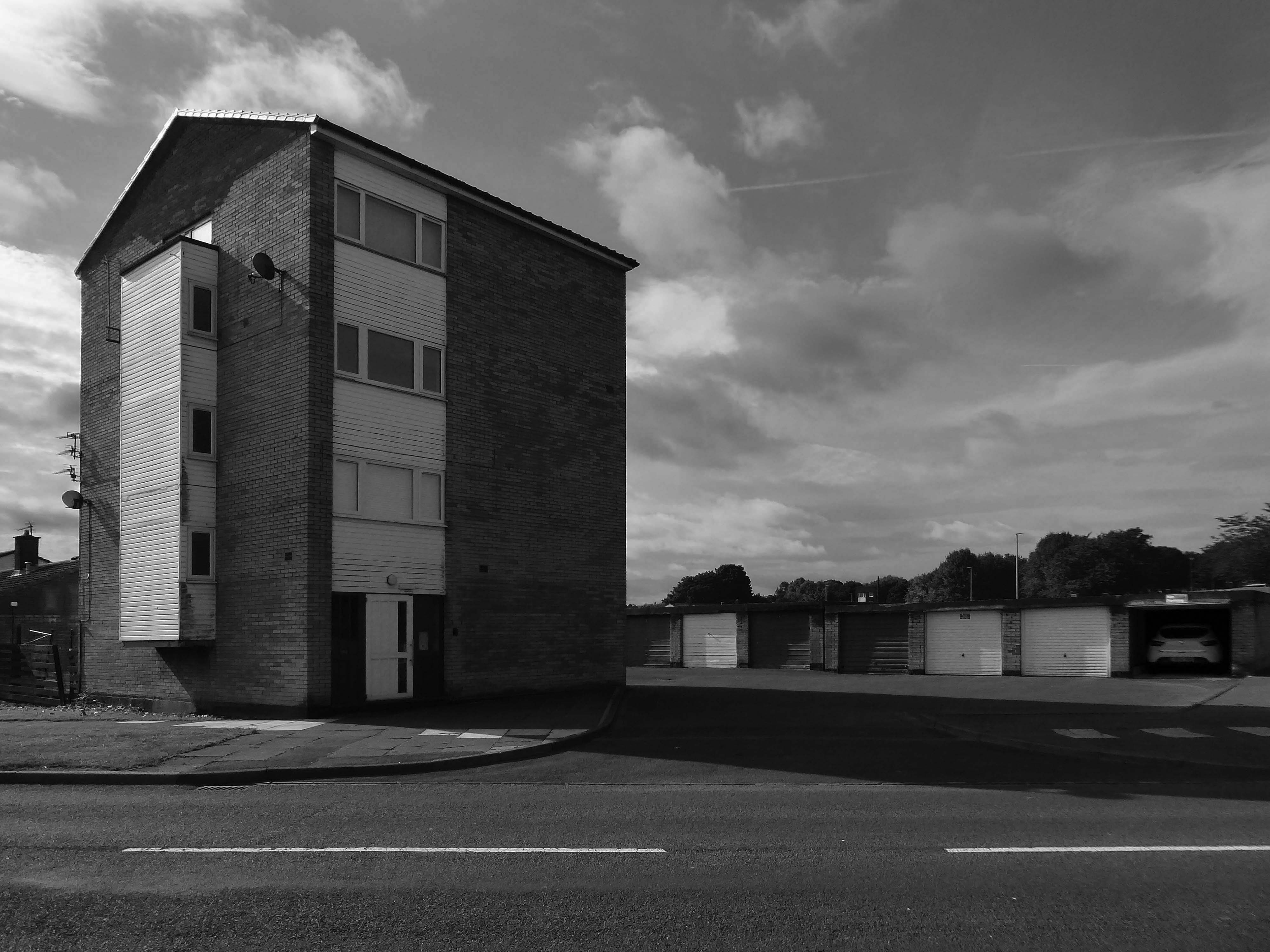
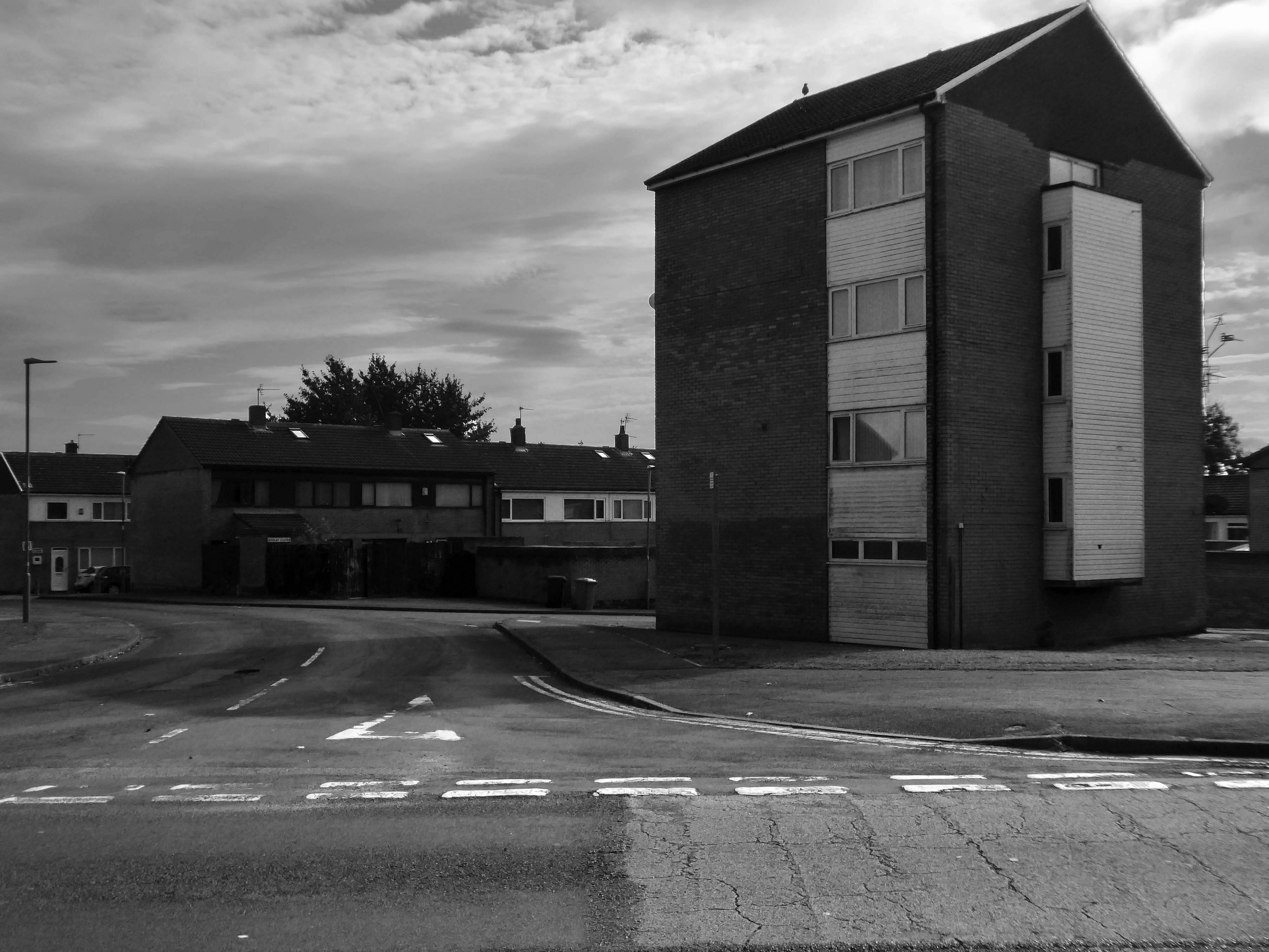
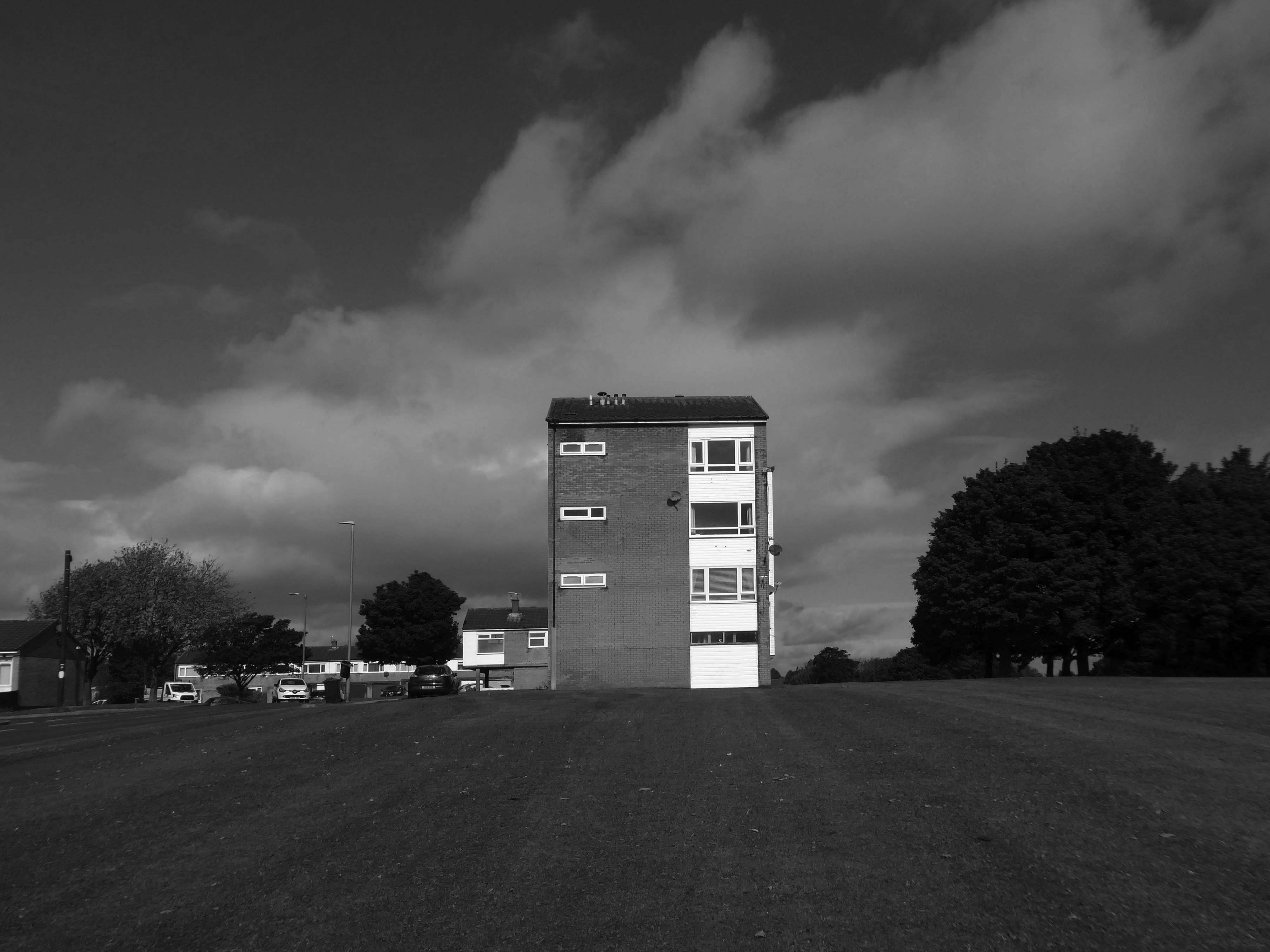
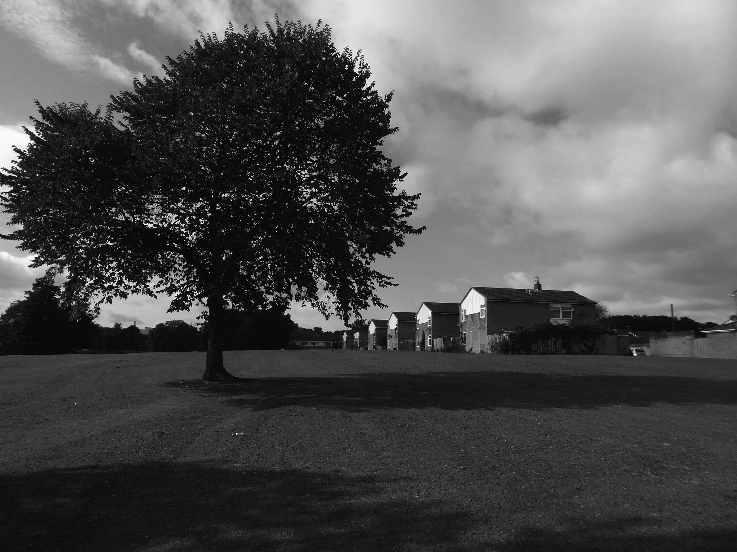
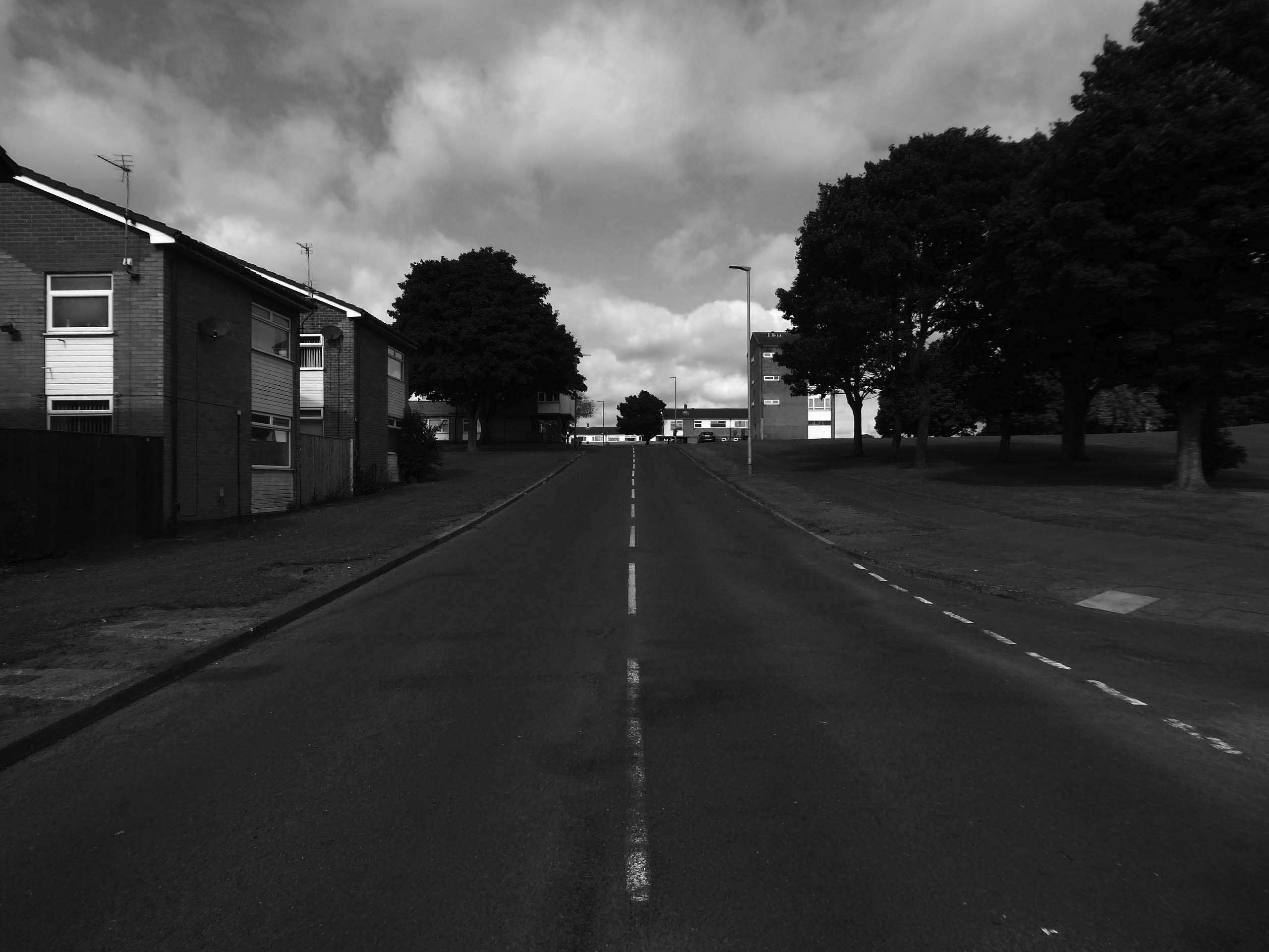
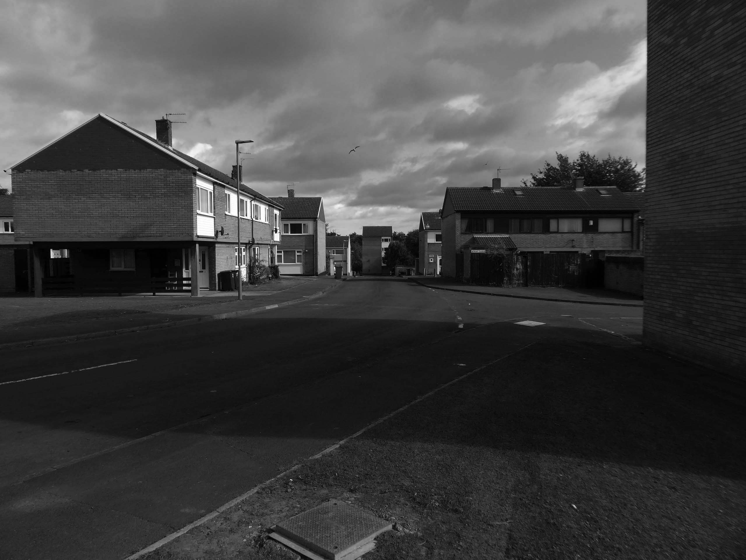
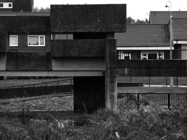
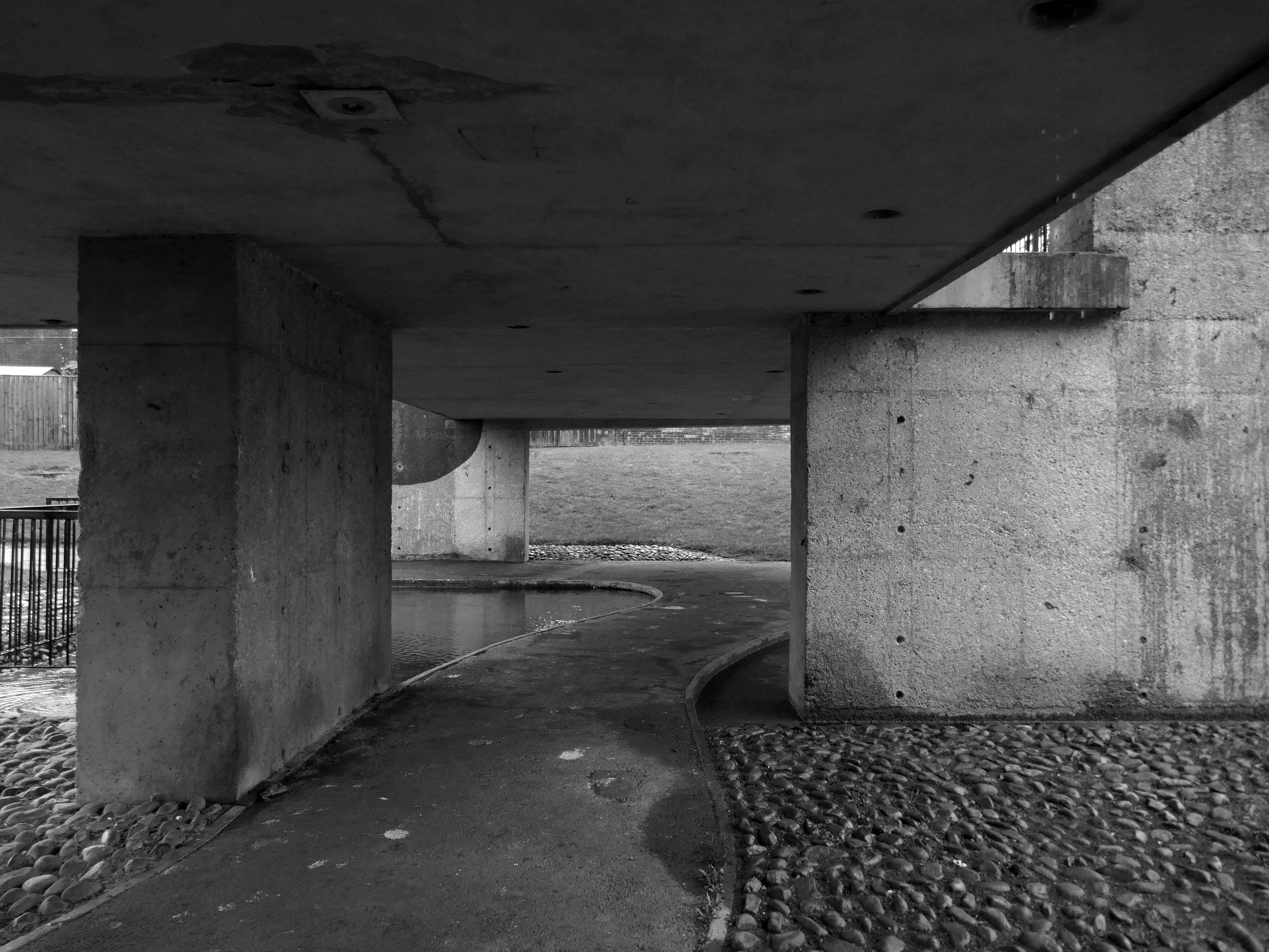
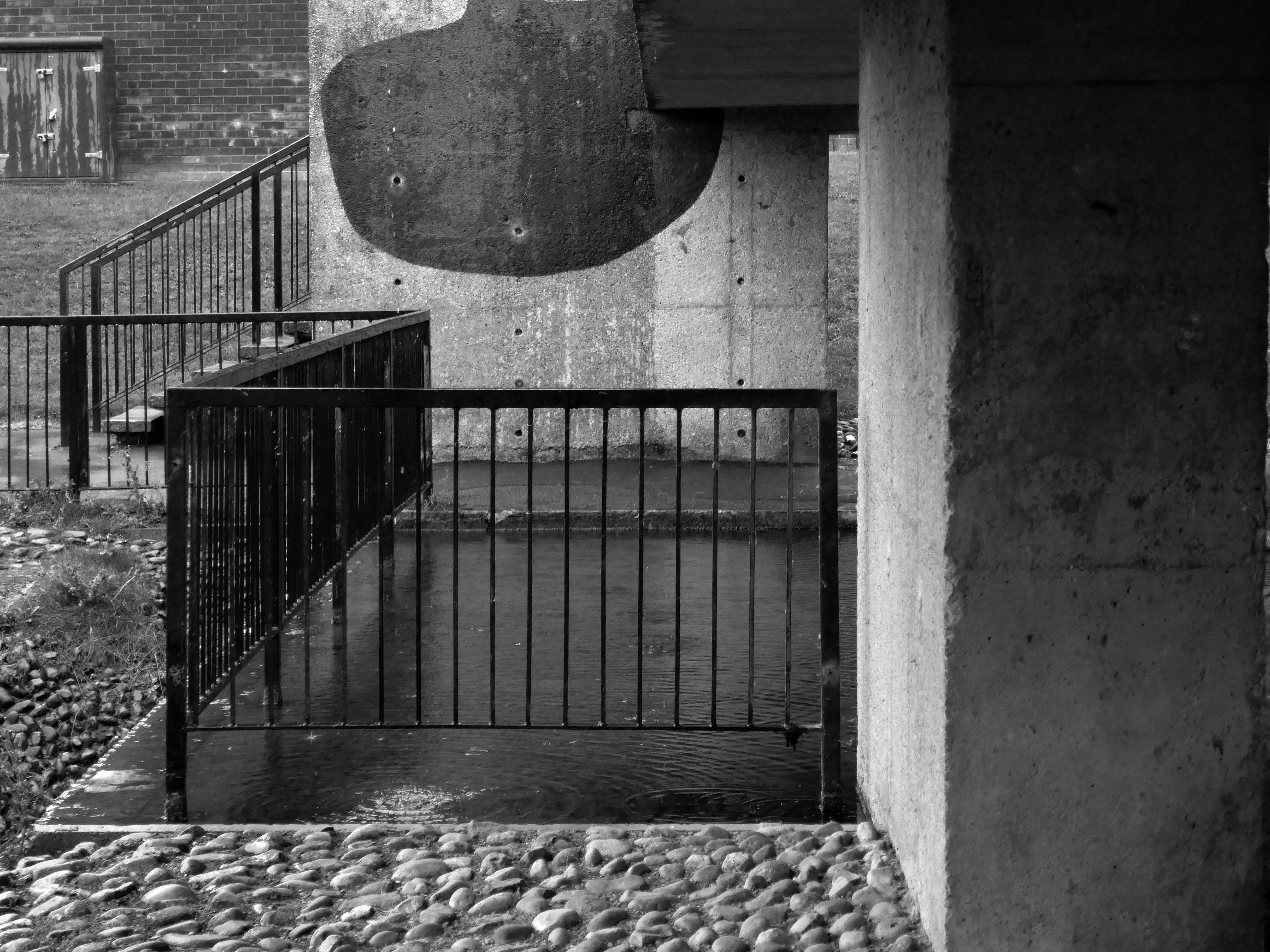
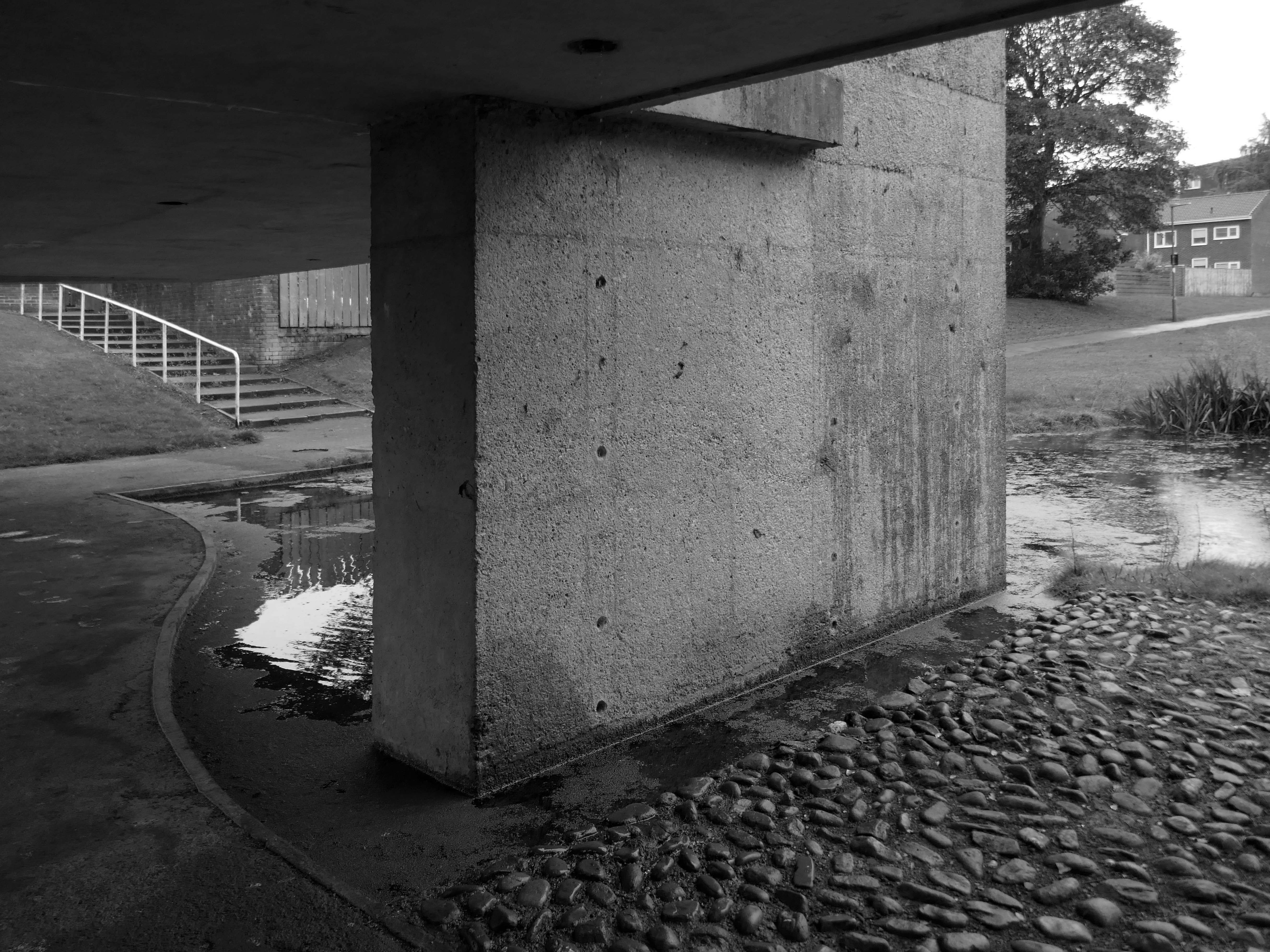
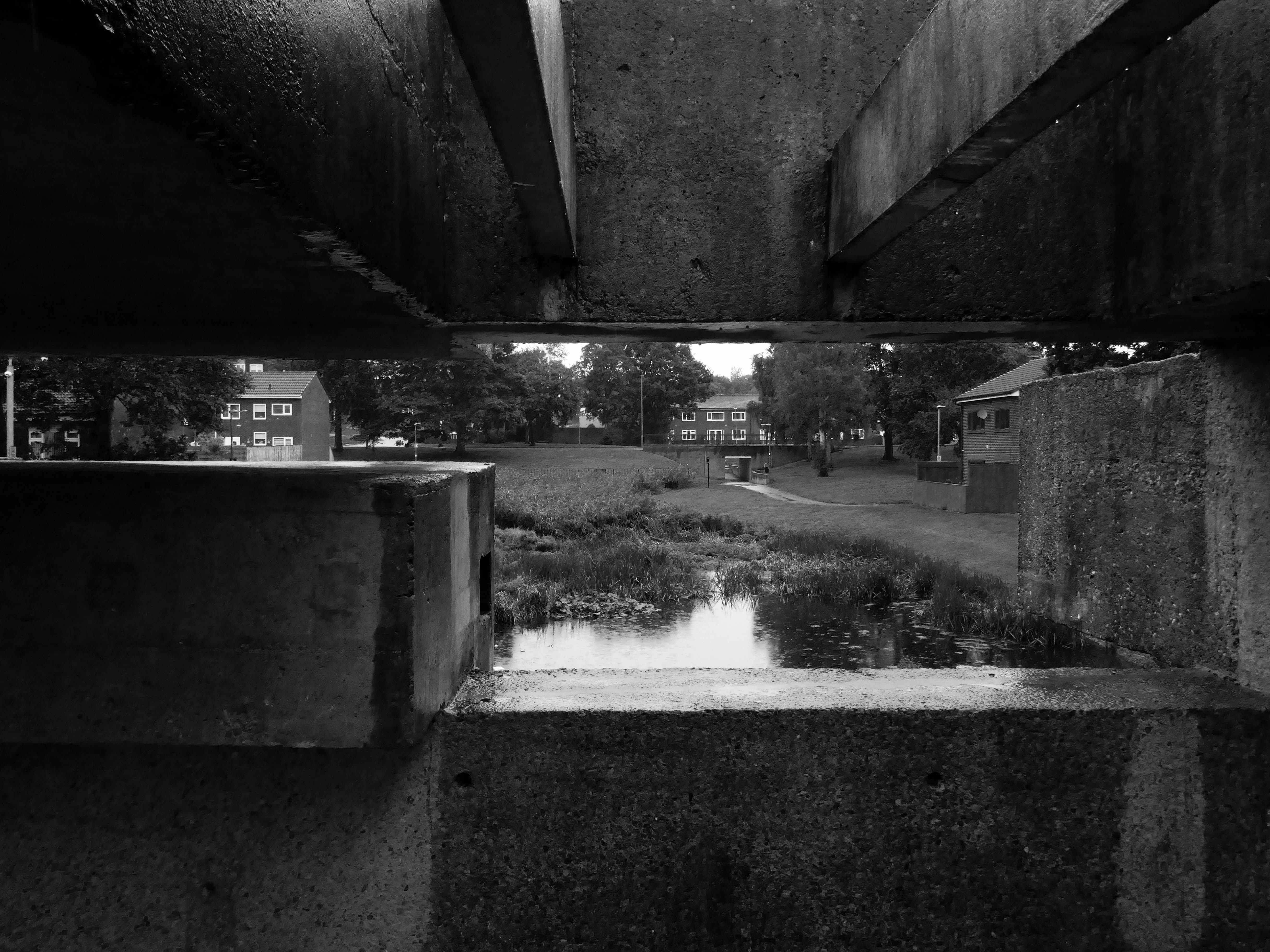
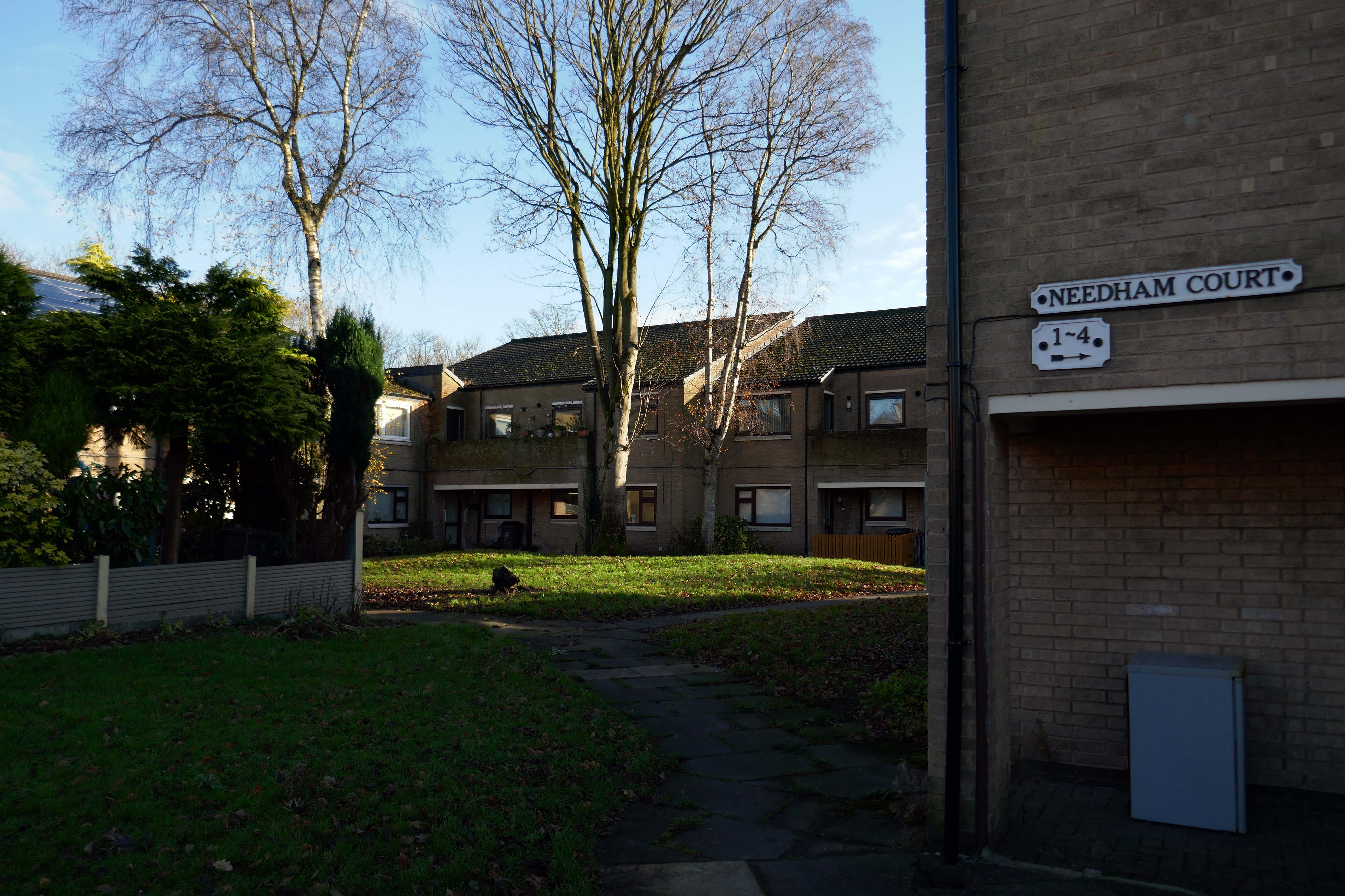
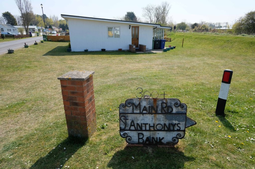
High above the streets of Stockport – zooming in to a cluster of cul de sacs branching out from Tithe Barn Road.
Cul de sac translates as bottom of the bag, the French do not use the term, preferring voie sans issue, literally a dead end.
In the slums of New York City, on the East River just below the Queensboro Bridge, wealthy people live in opulent and luxurious apartments because of the picturesque views of the river, while the destitute and poor live nearby in crowded, cockroach-infested tenements.
I assume that countless civic meetings and Estate Agents’ offices eschew the terminal term – dead end, in favour of the assumed elegance of the cu de sac.
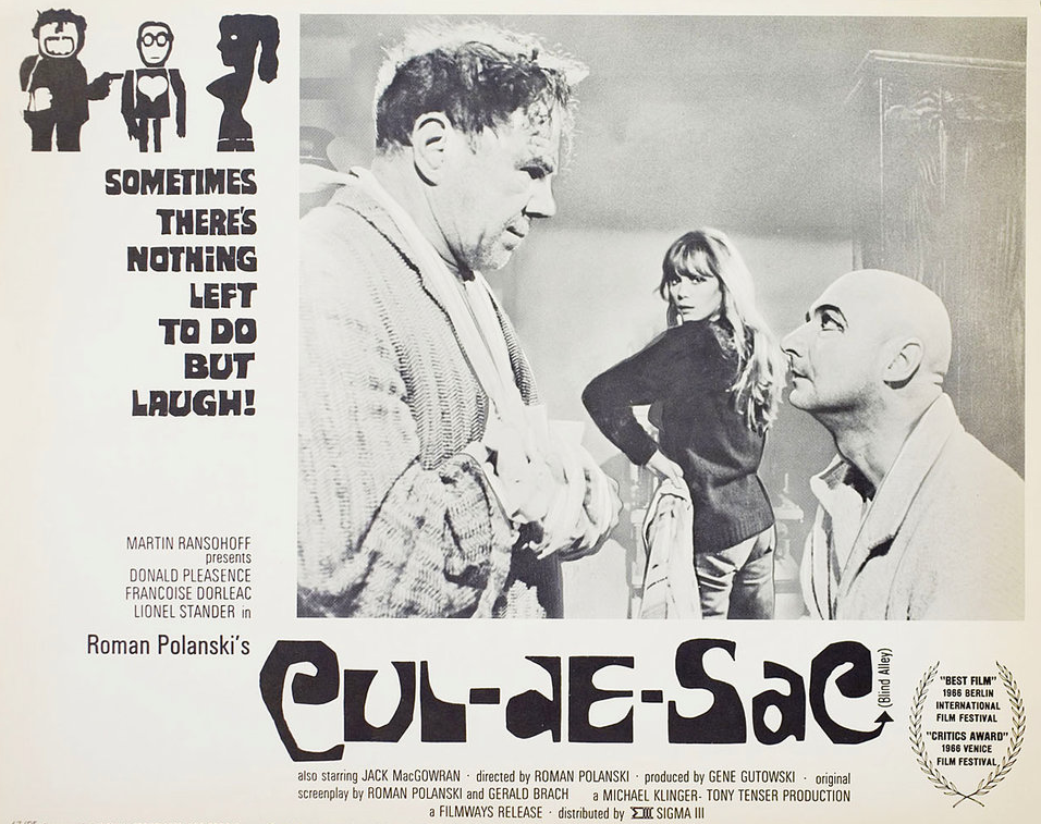
Polanski’s second English-language feature, it follows two injured gangsters who take refuge in the remote island castle of a young British couple in the North of England, spurring a series of mind games and violent altercations.
I was informed by a local resident that the streets and houses had been used by film crews, firstly for ease of access, the location being closed off, and secondly as the period architecture aligns perfectly with the current penchant for mid-century styling.
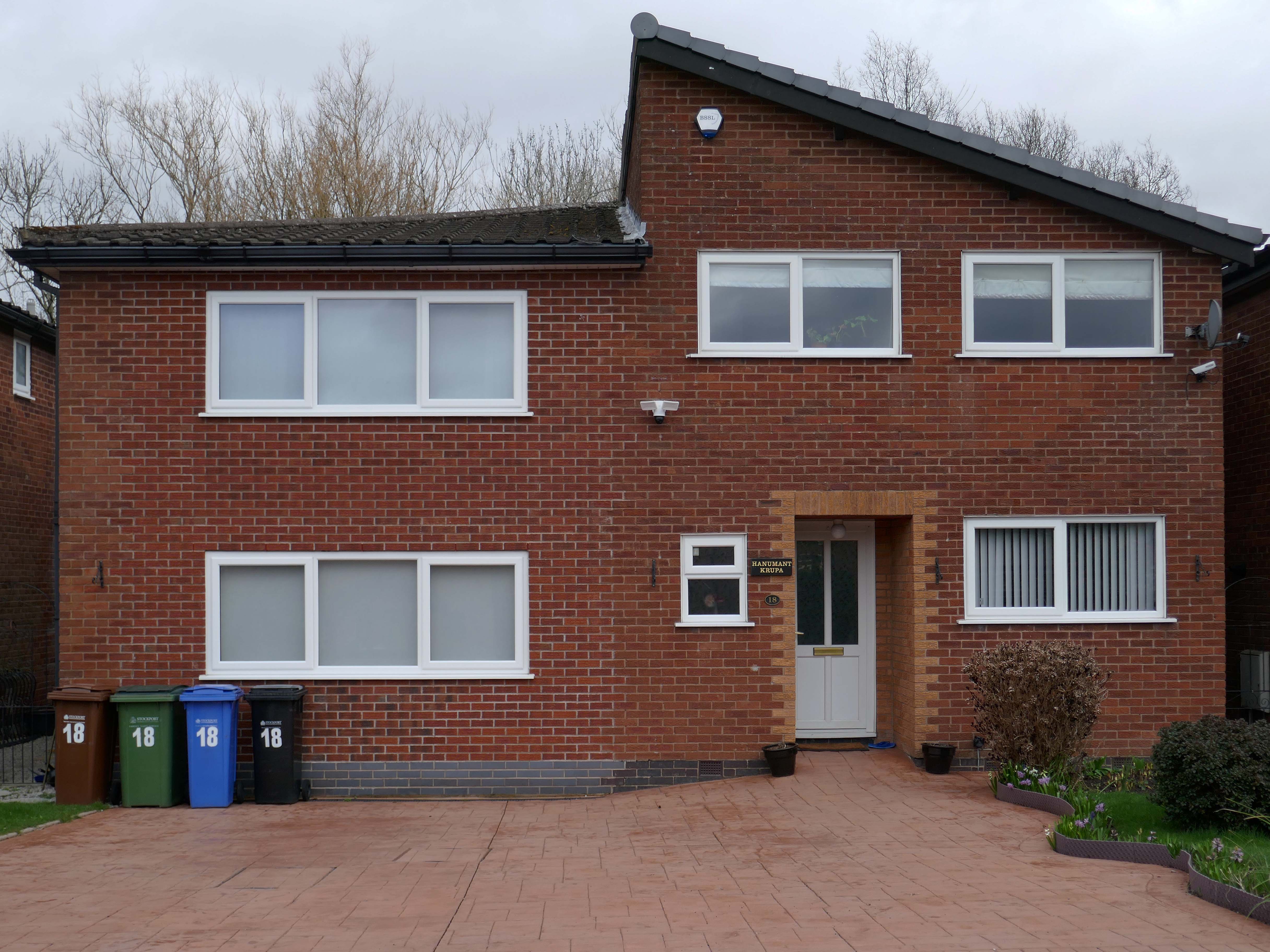
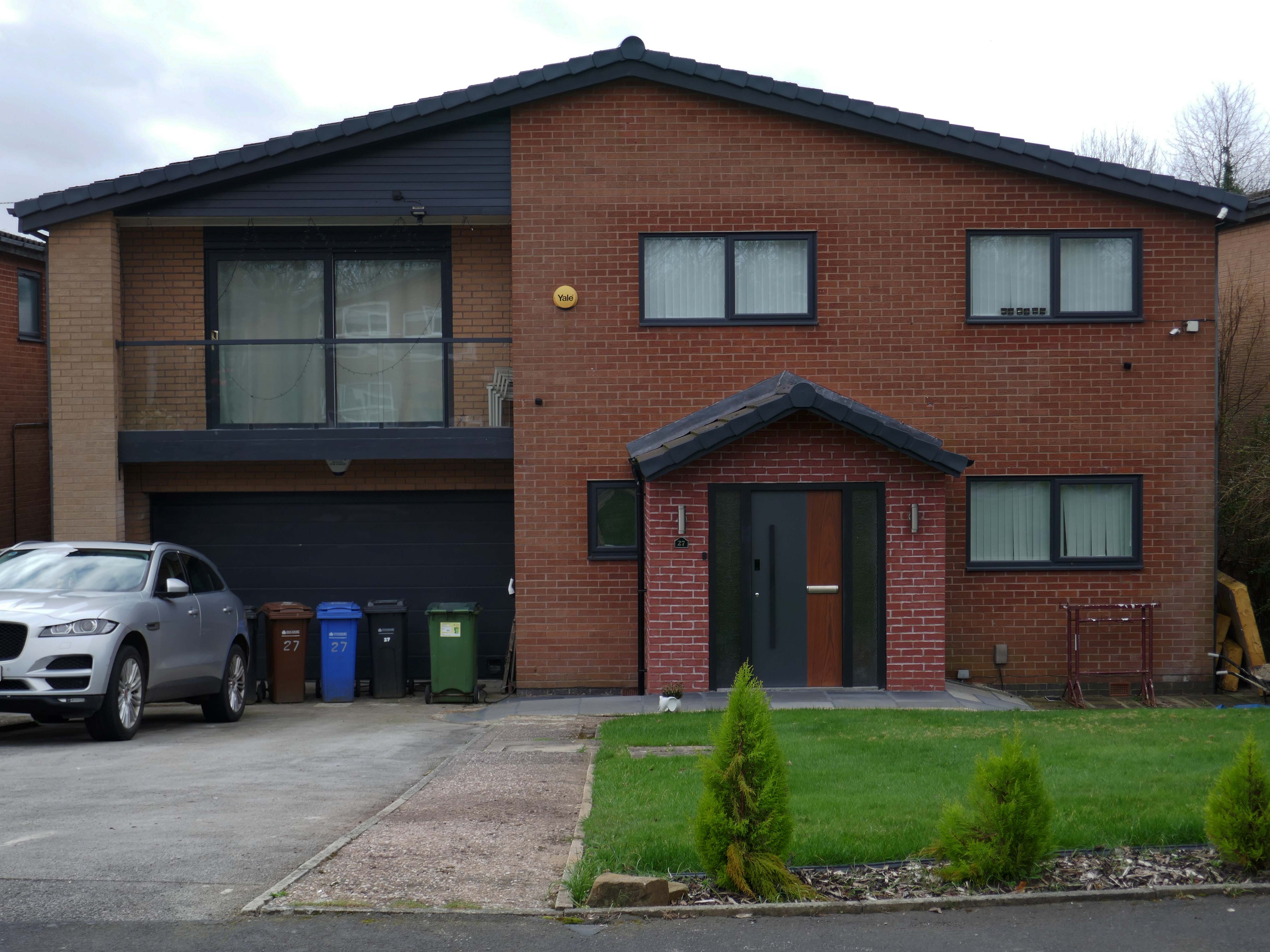
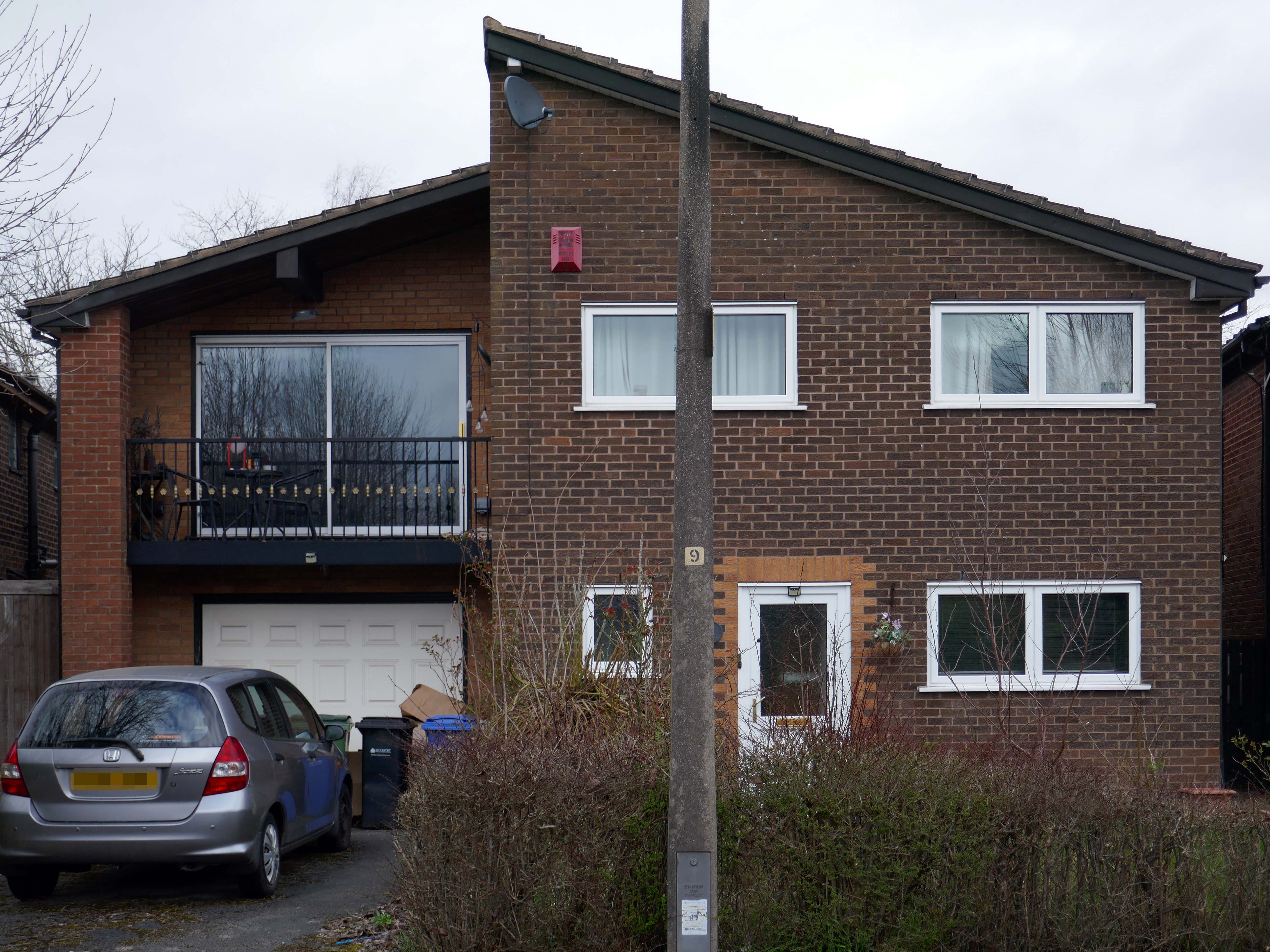
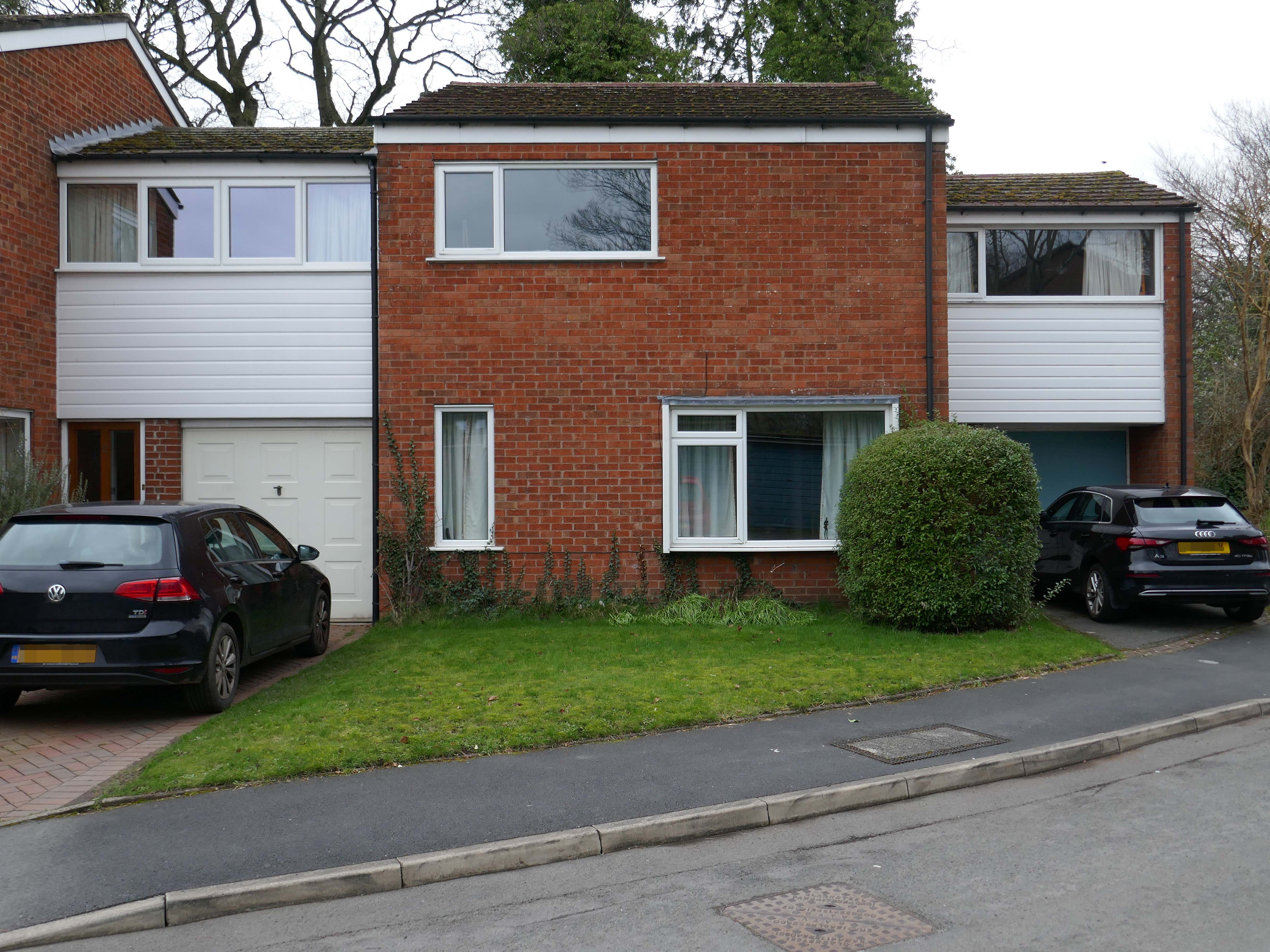
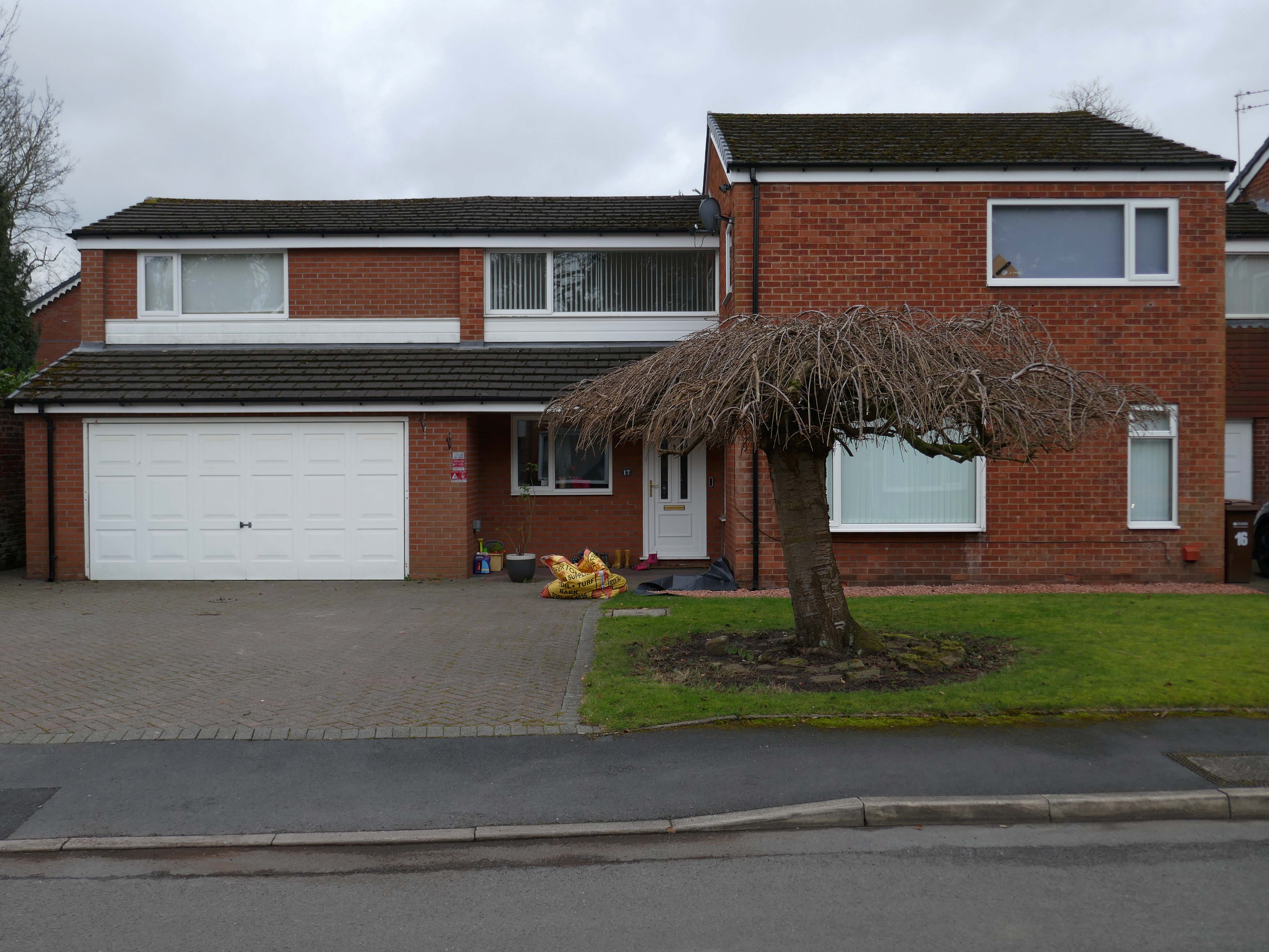
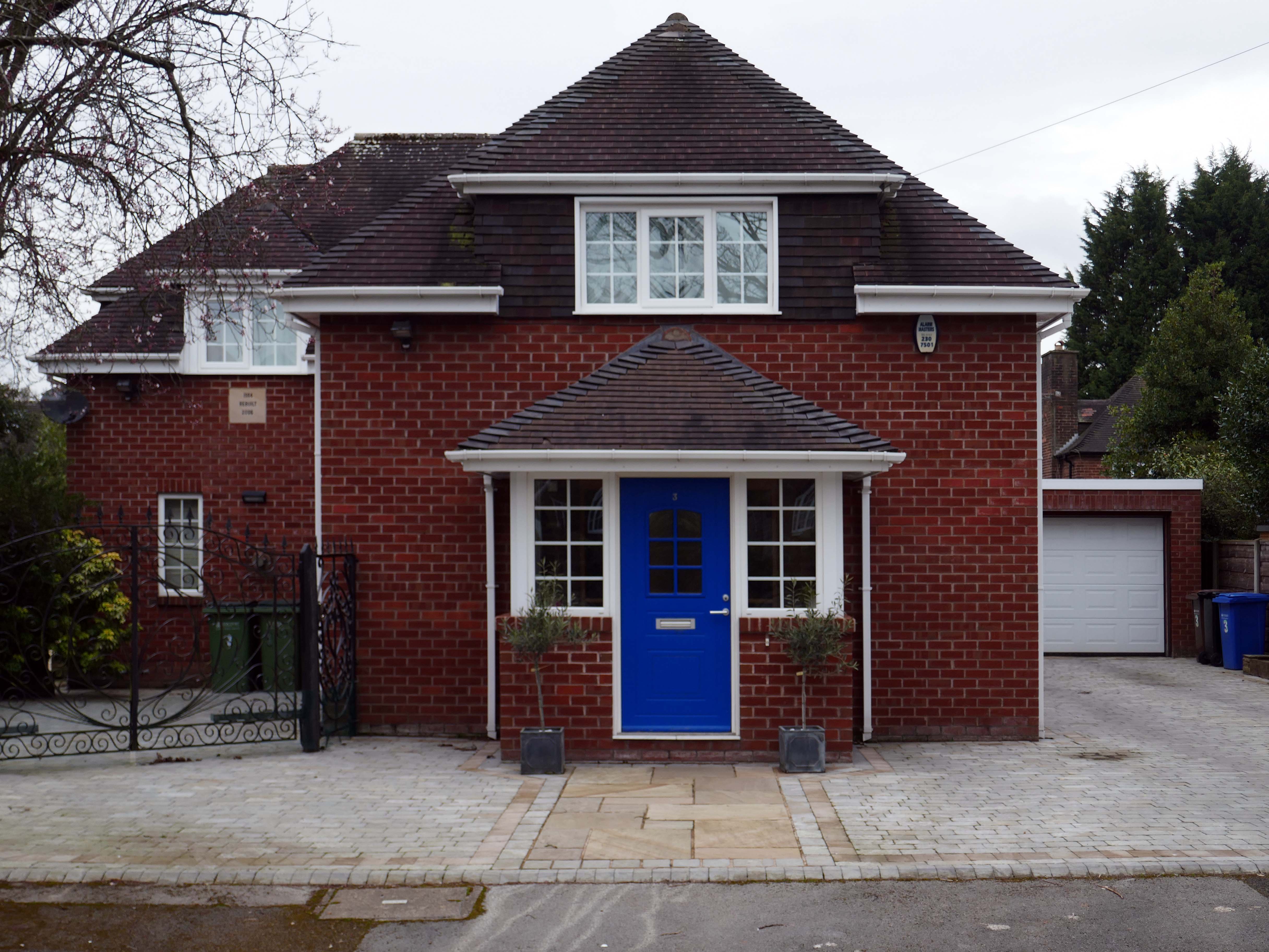
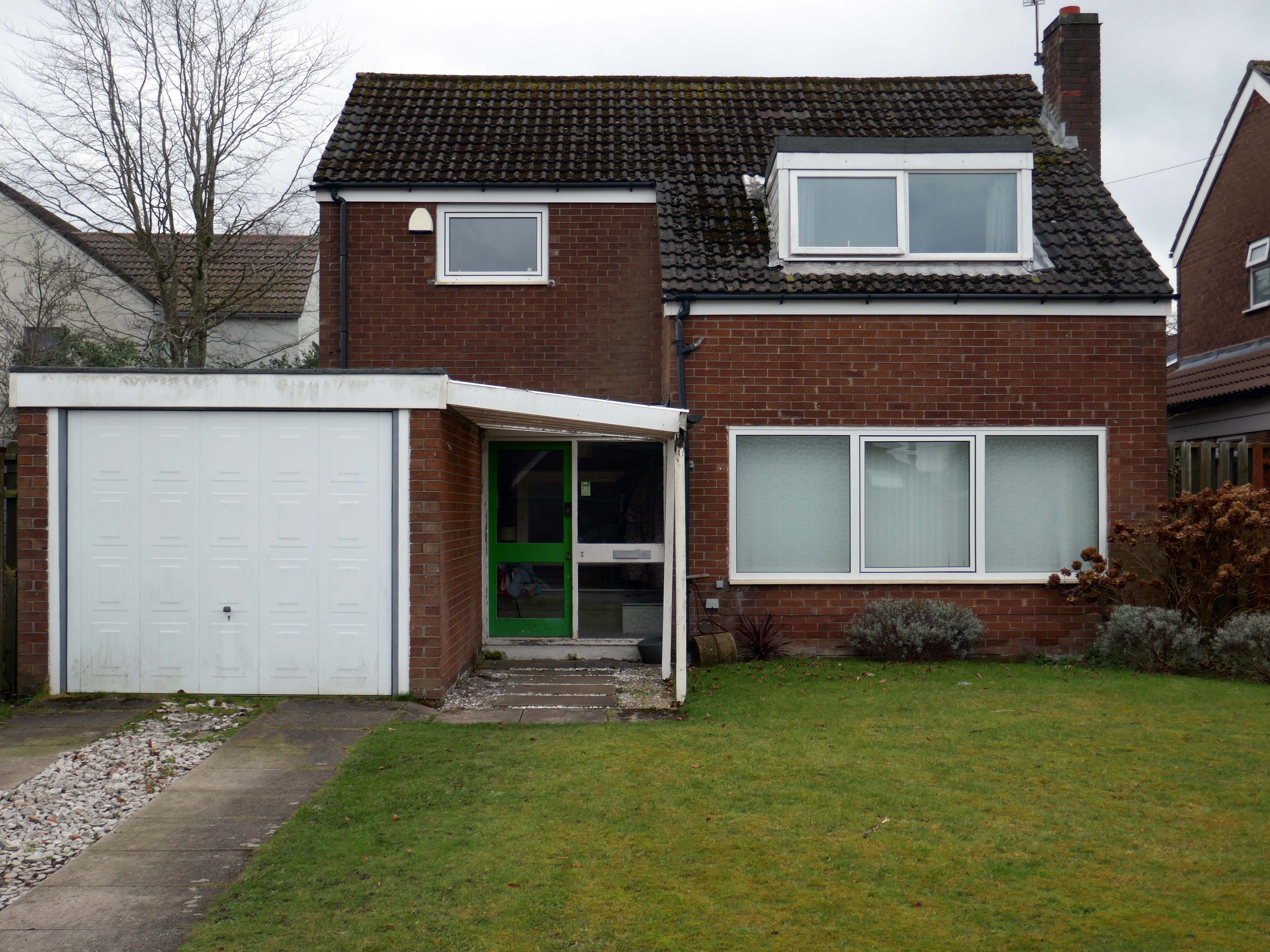
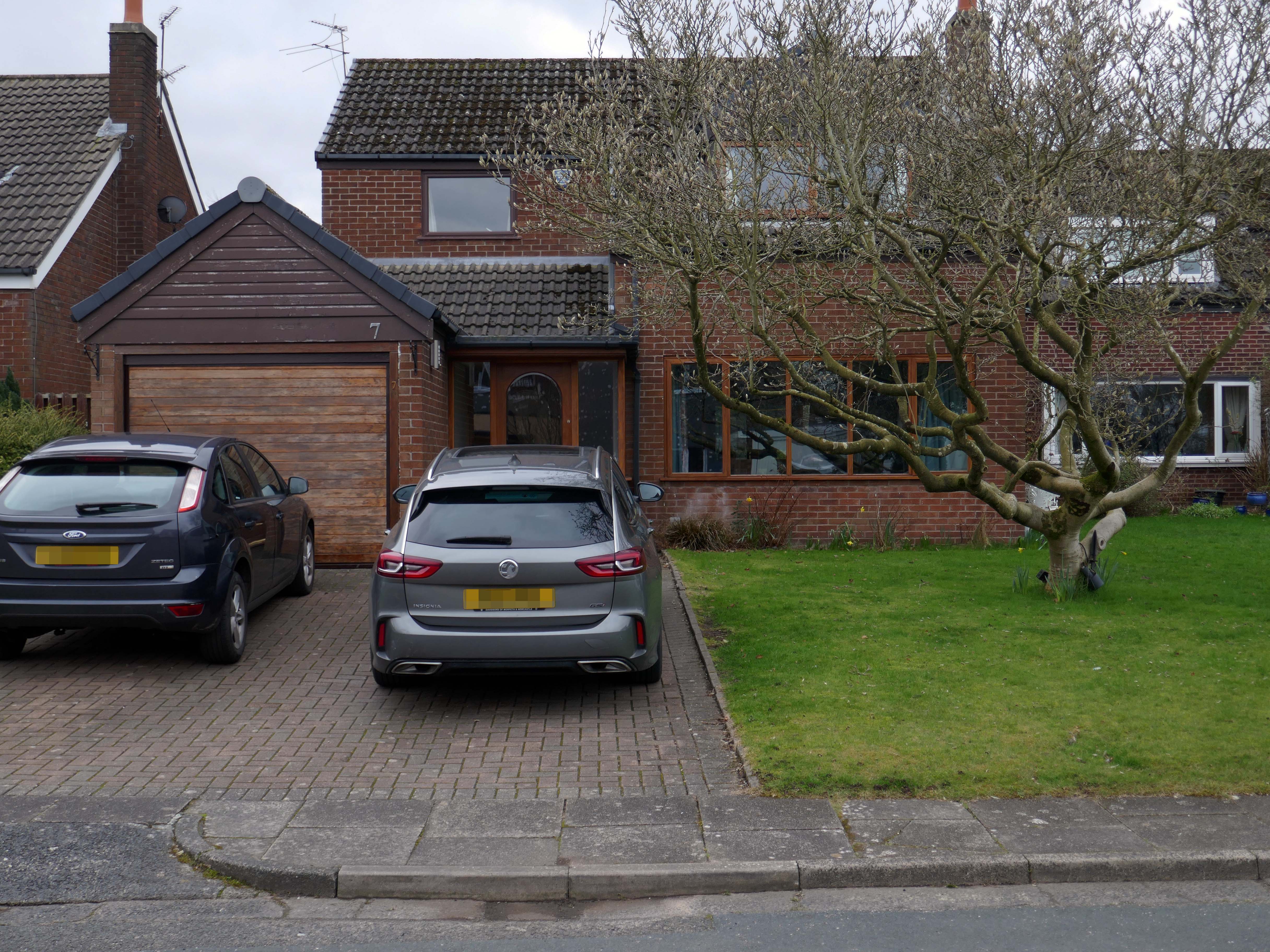
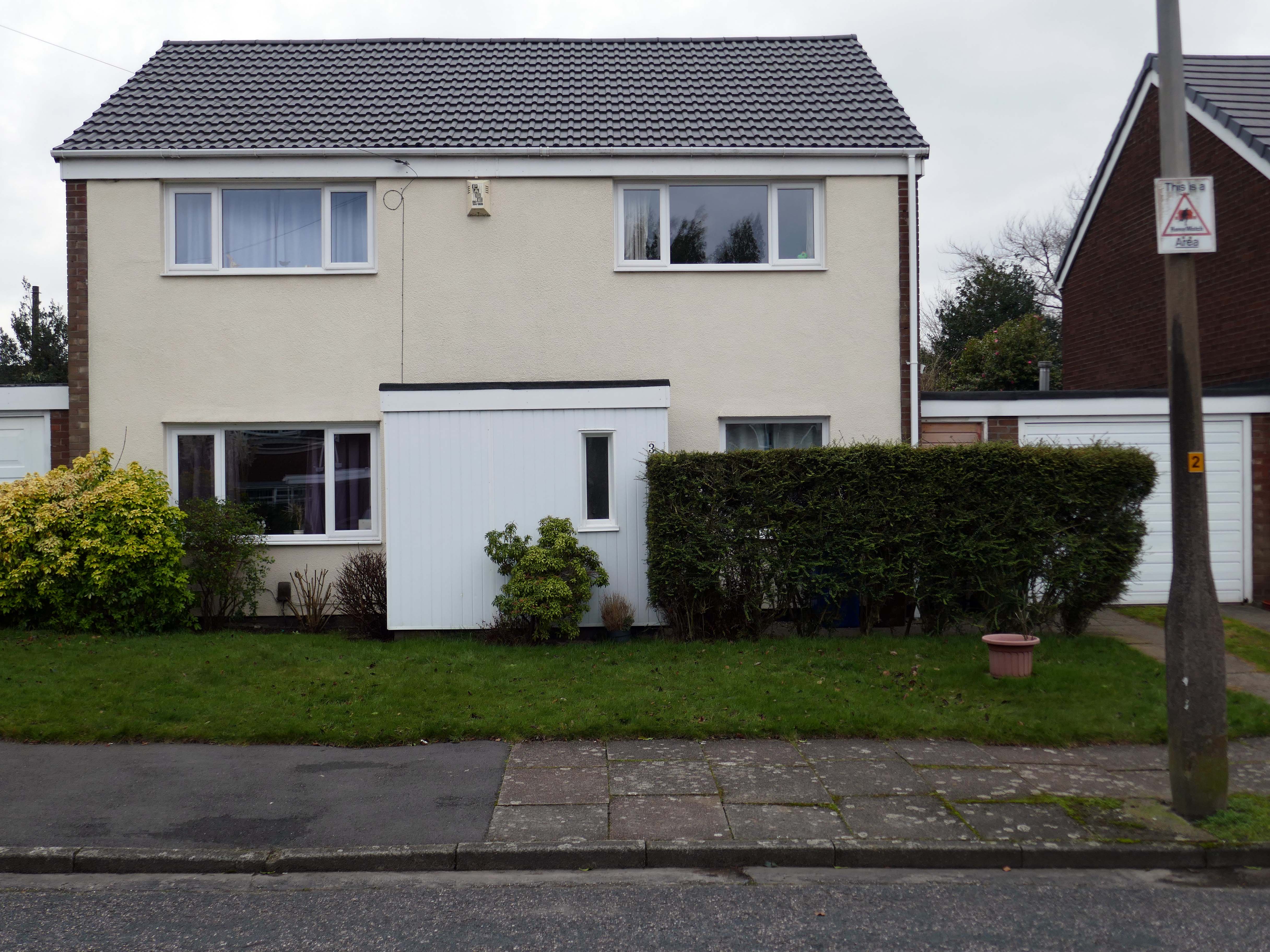
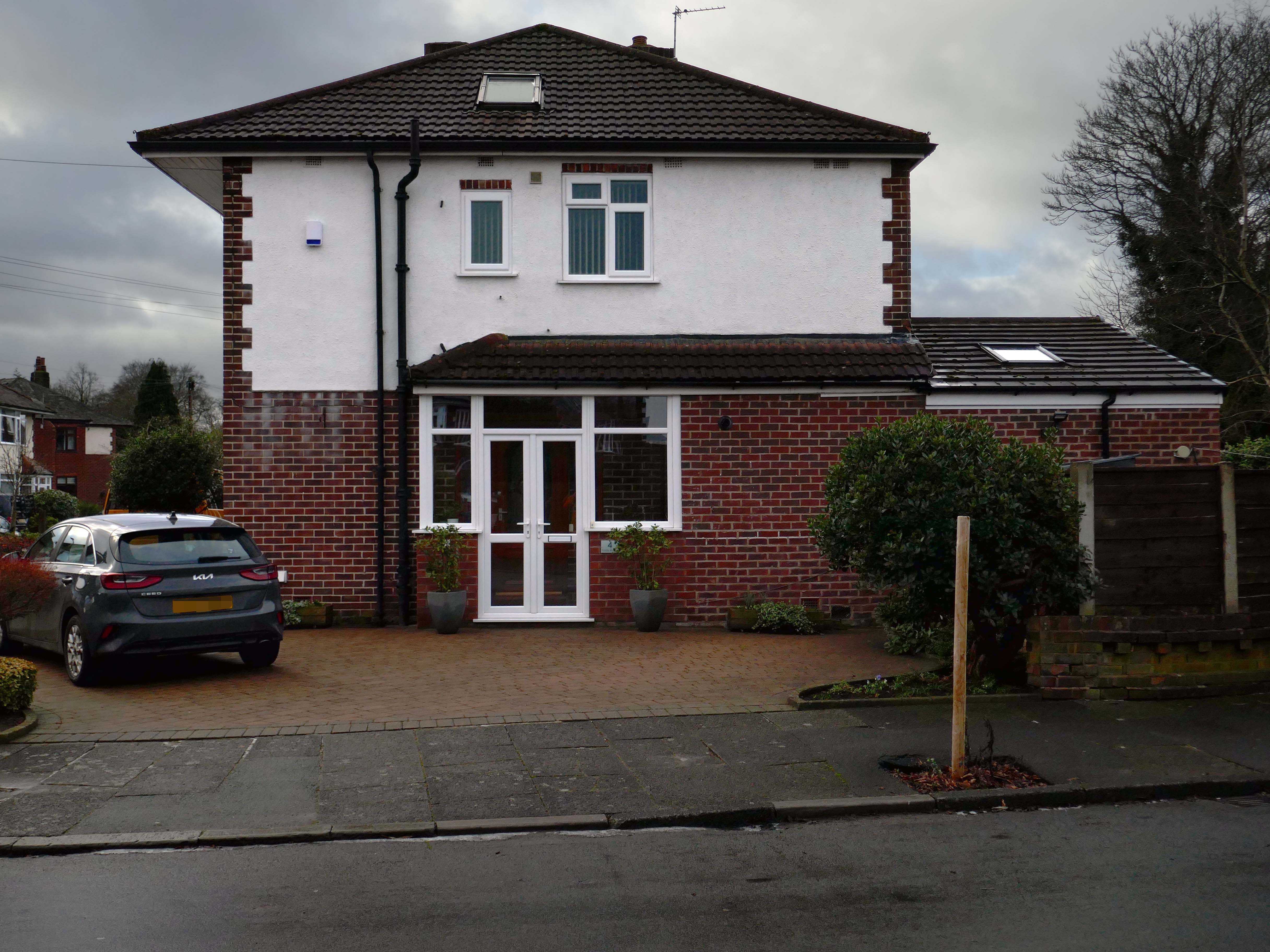
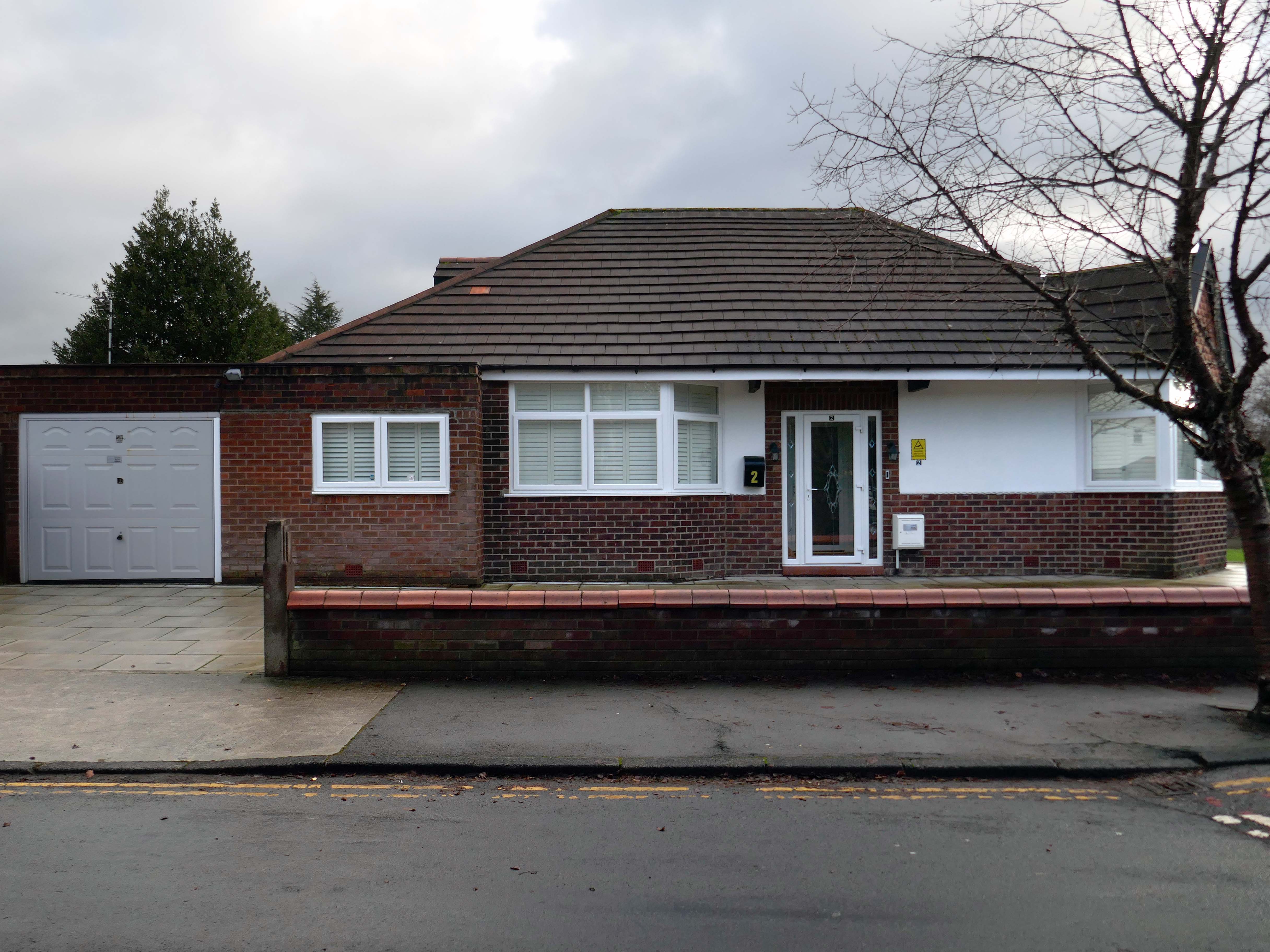
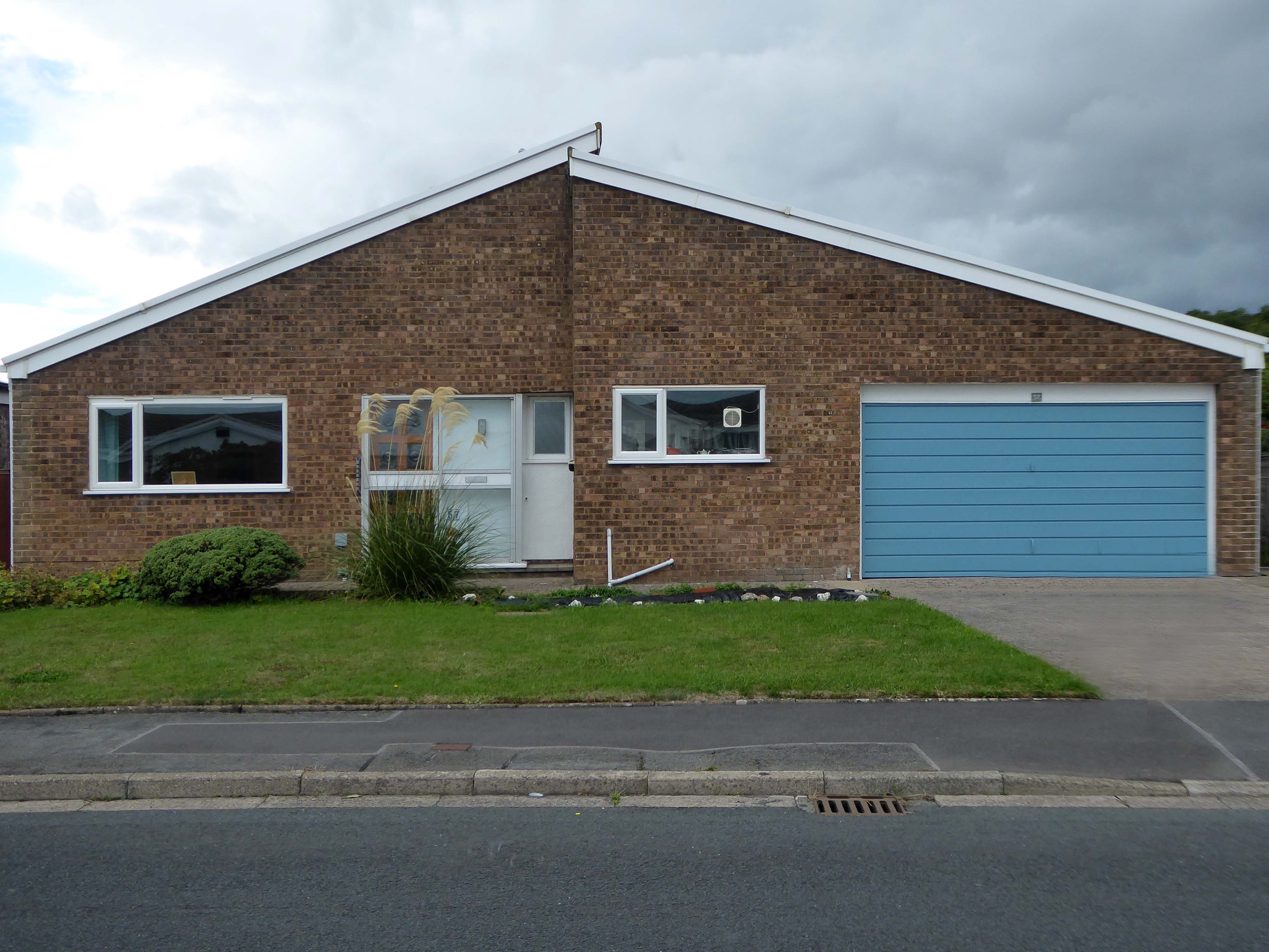
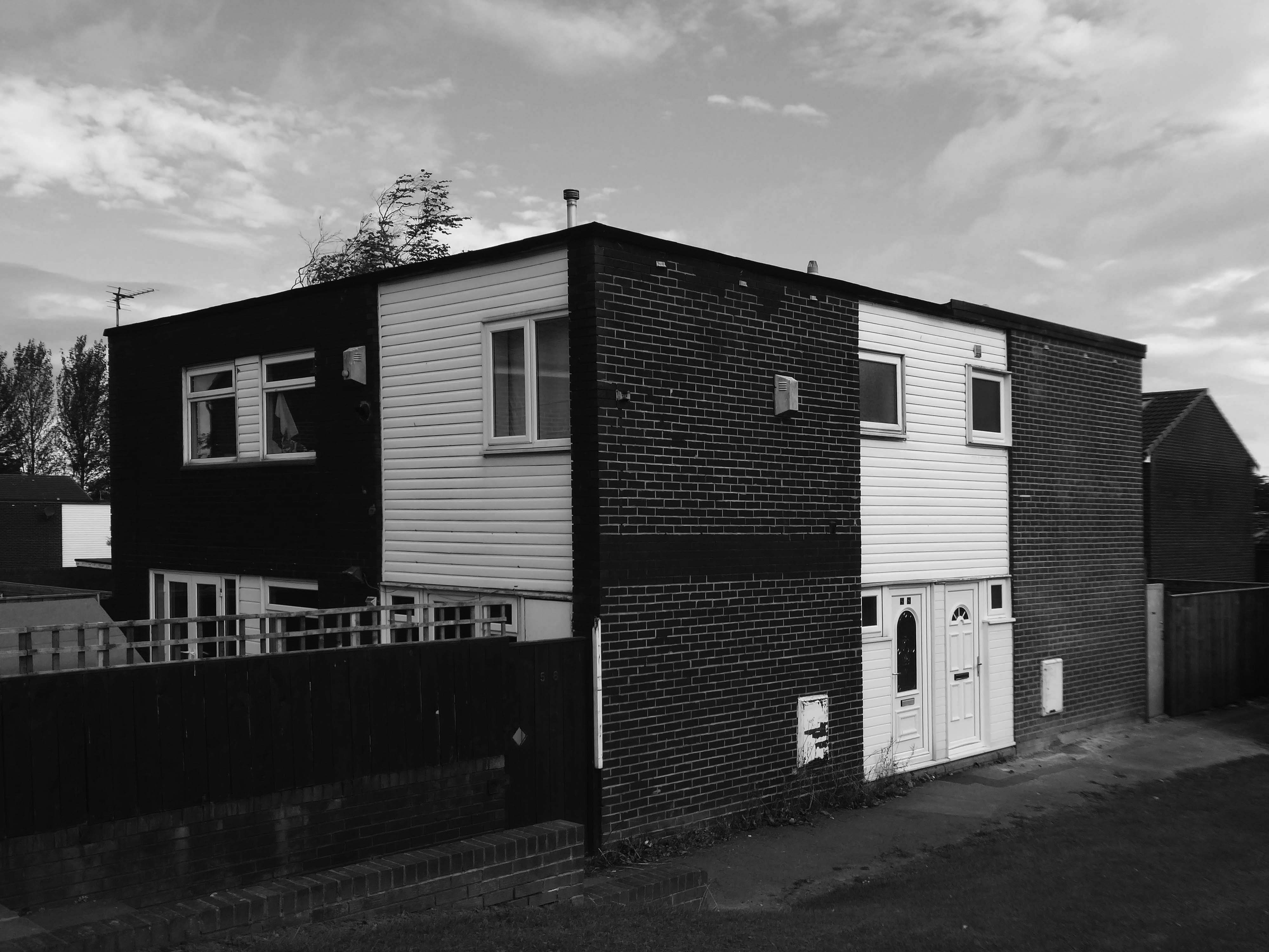
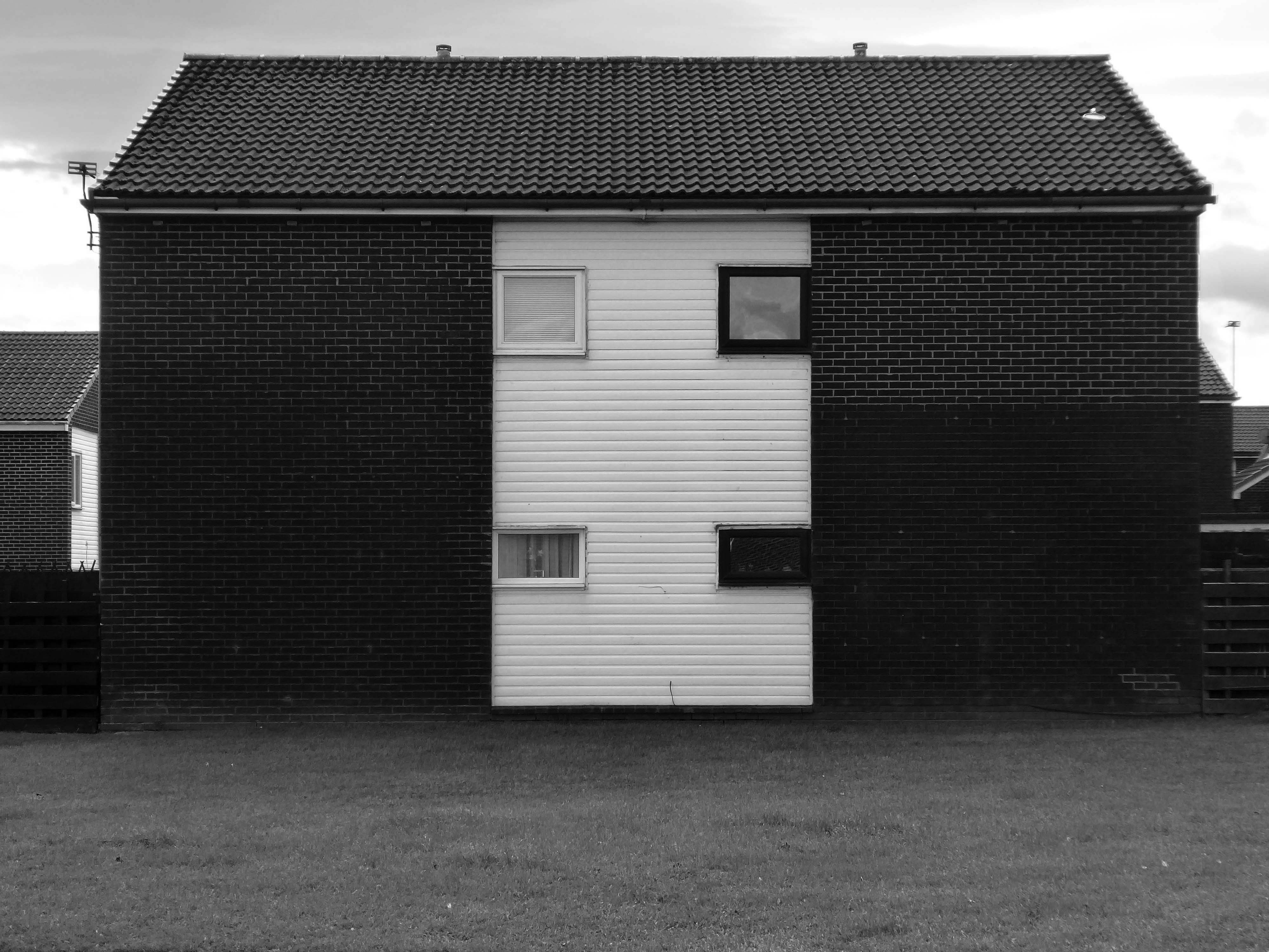
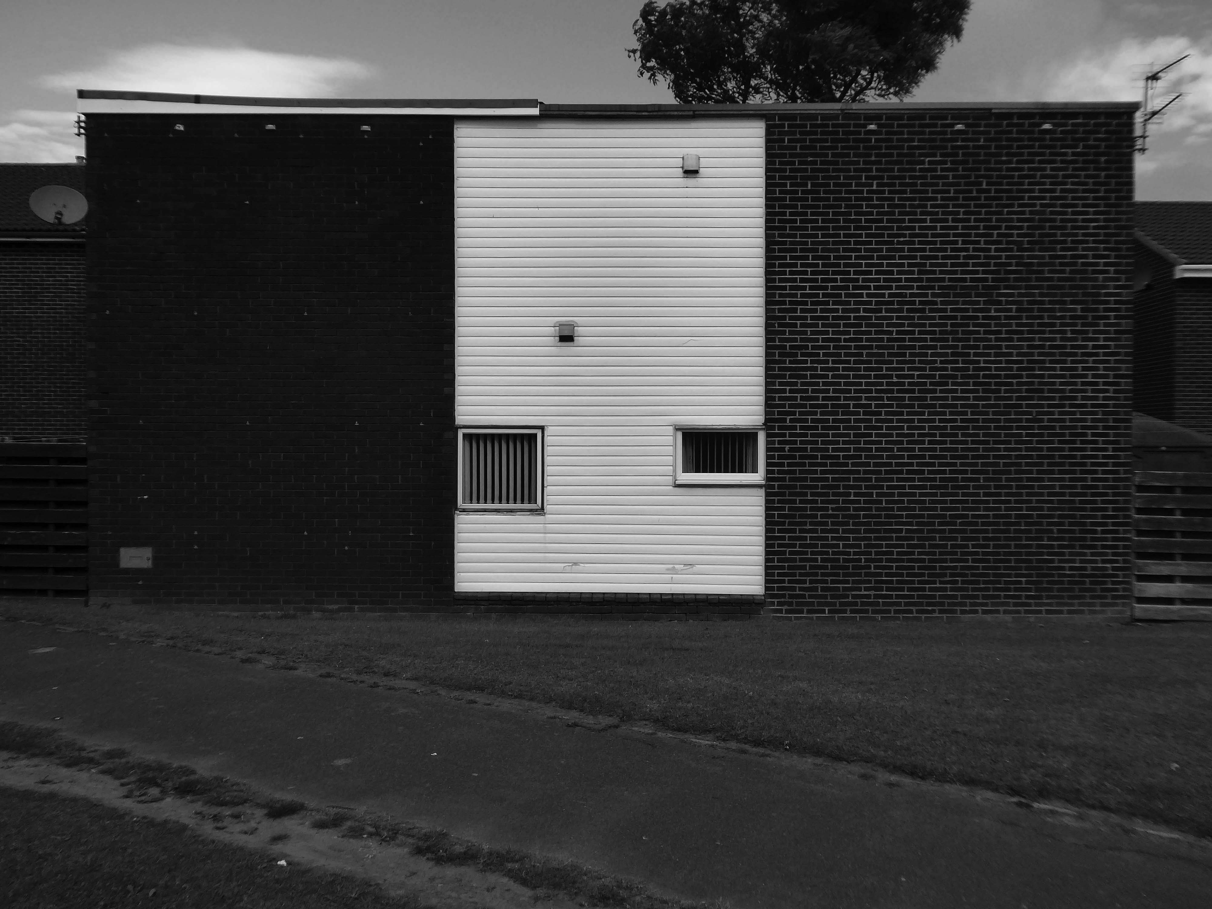
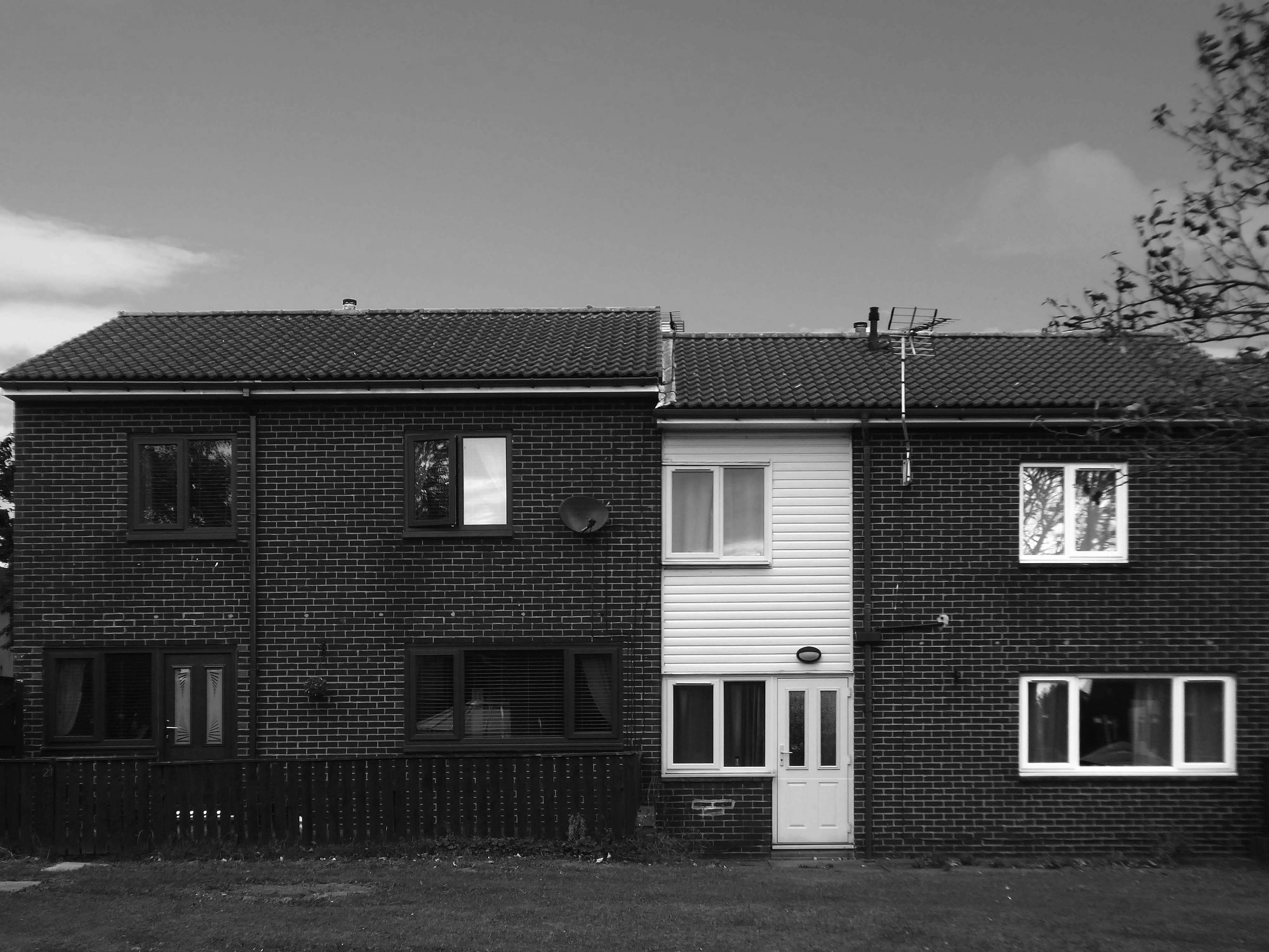
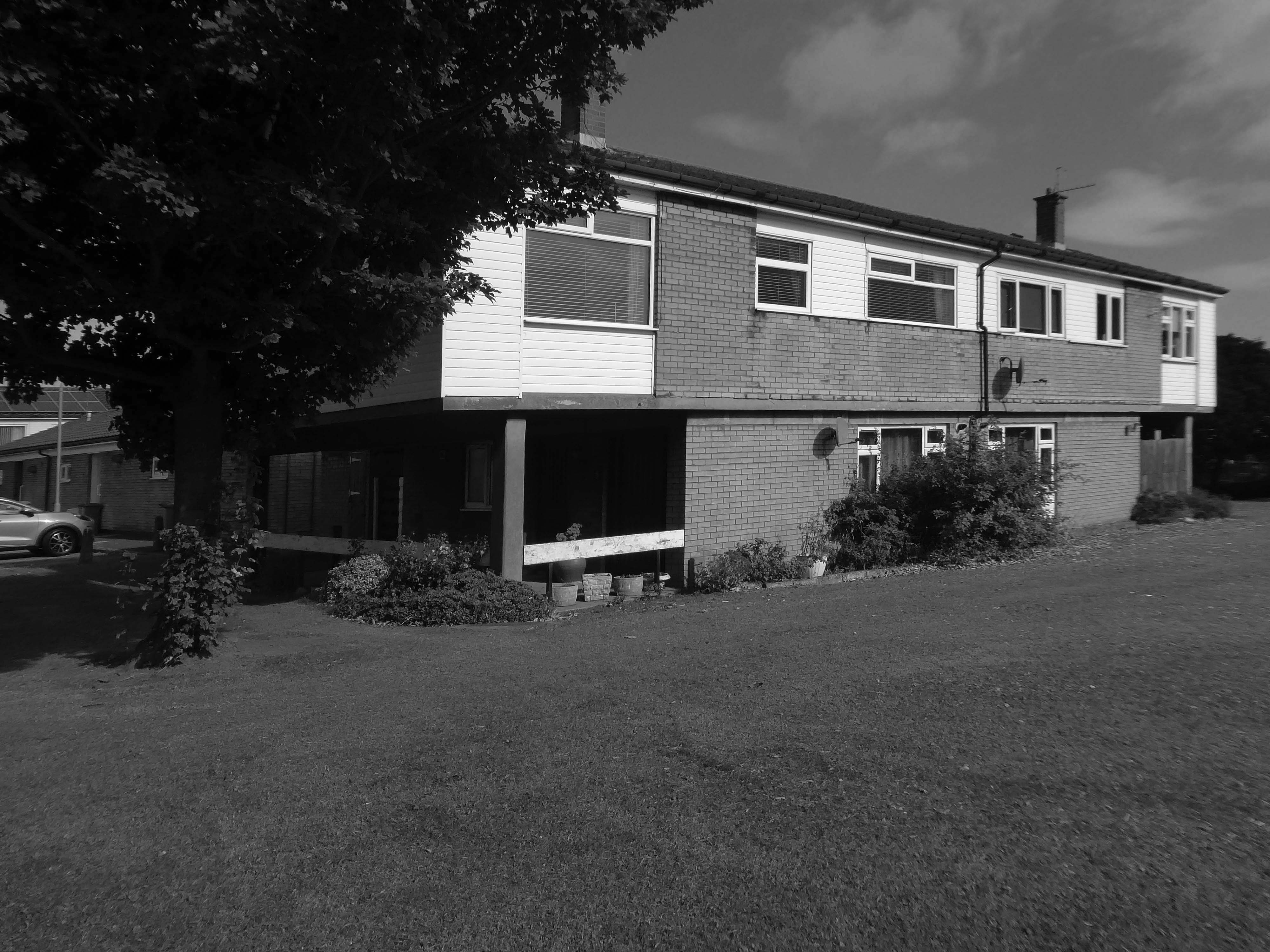
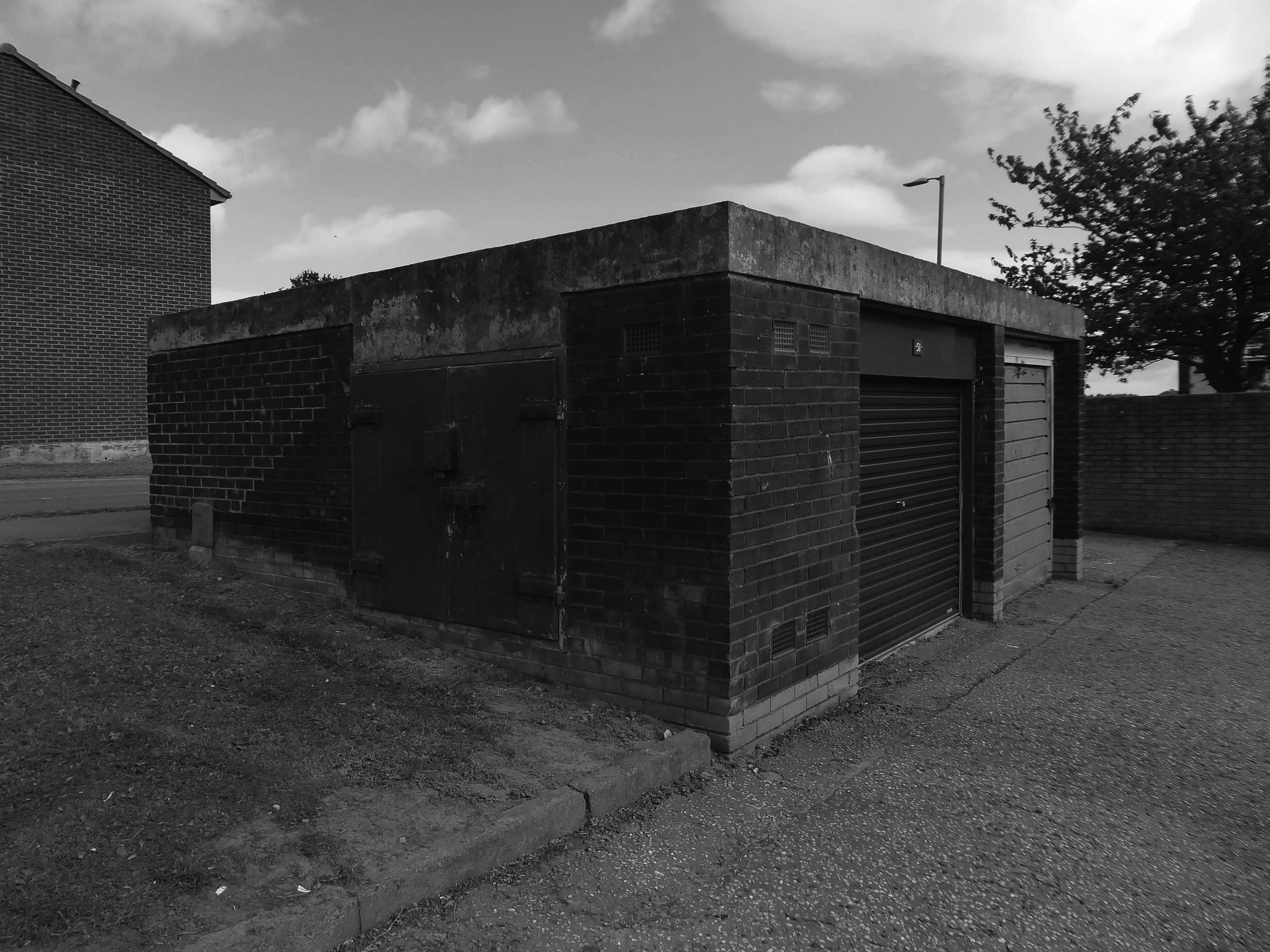
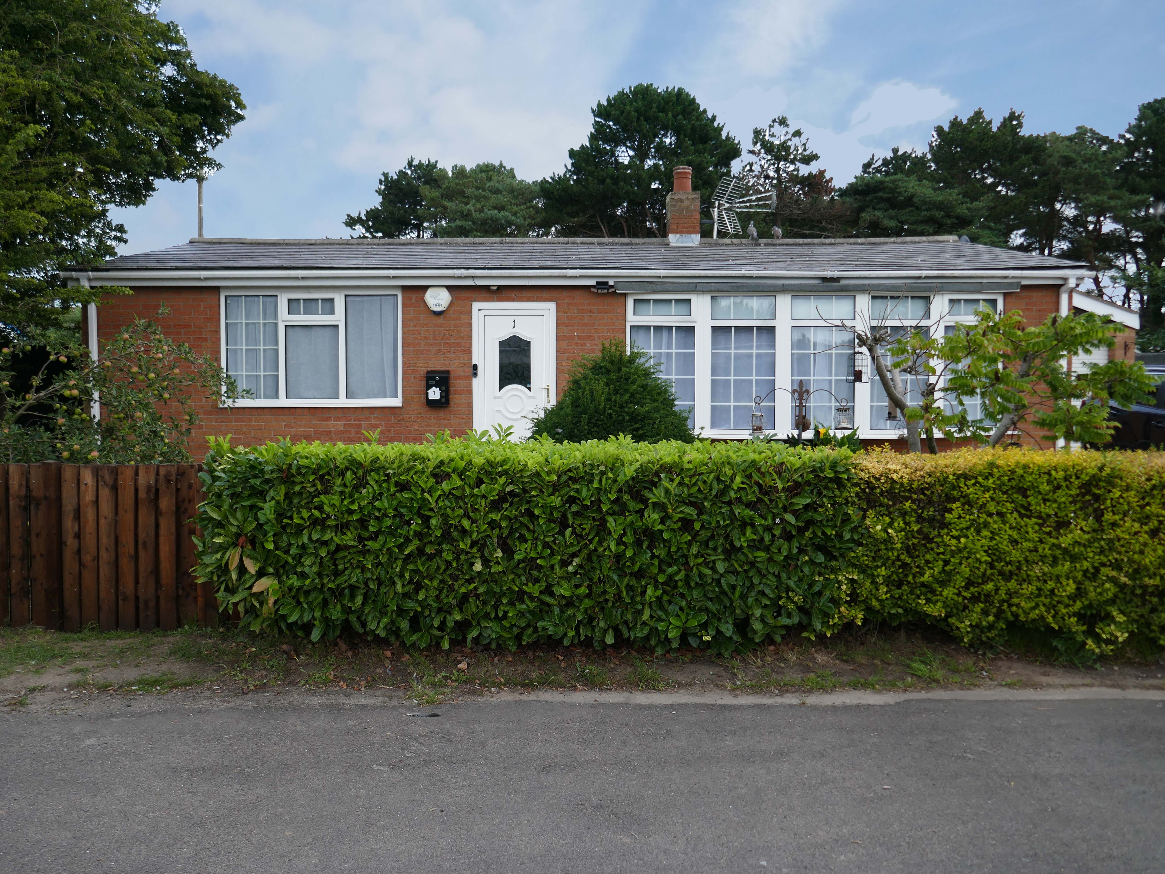
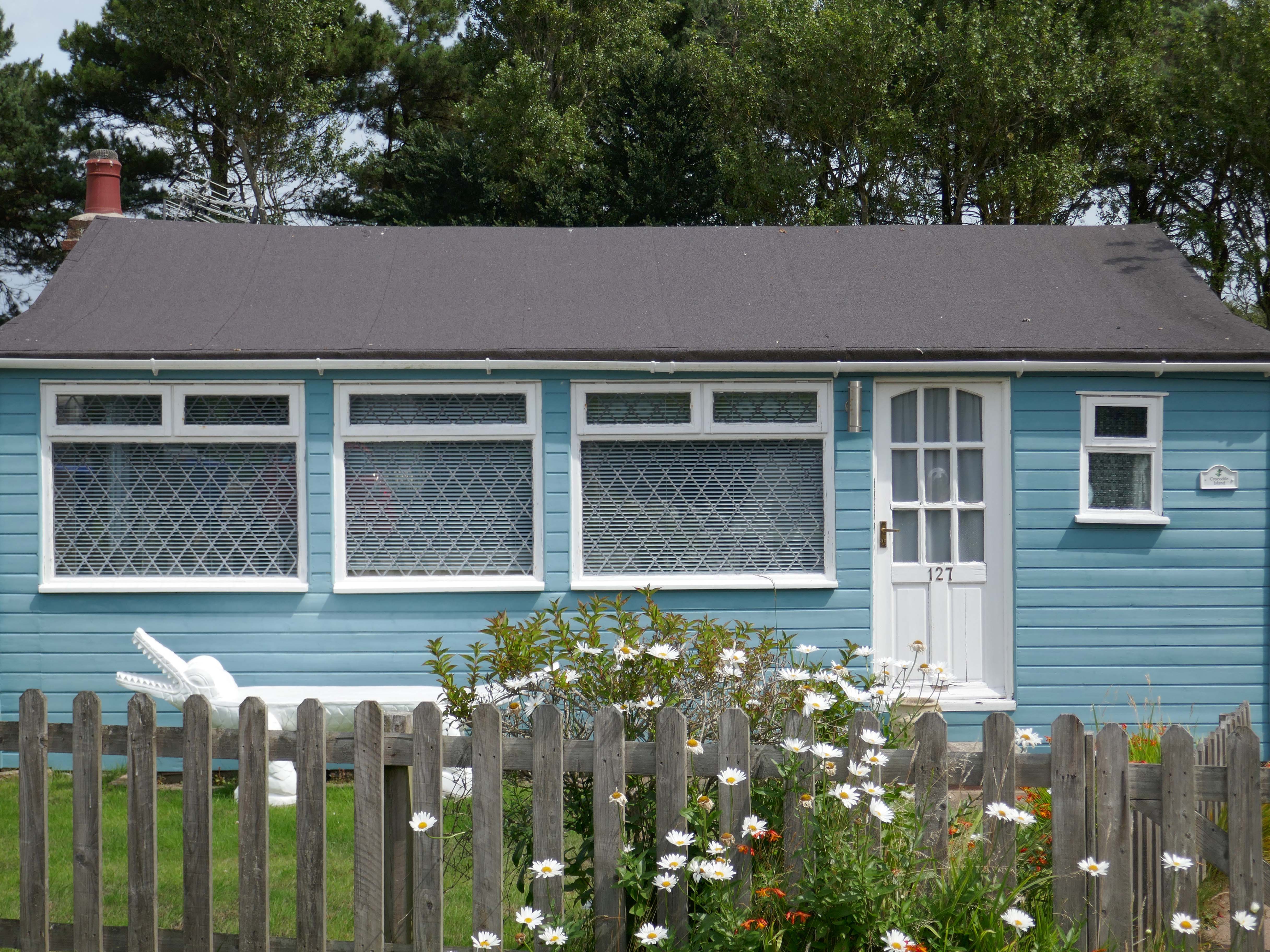
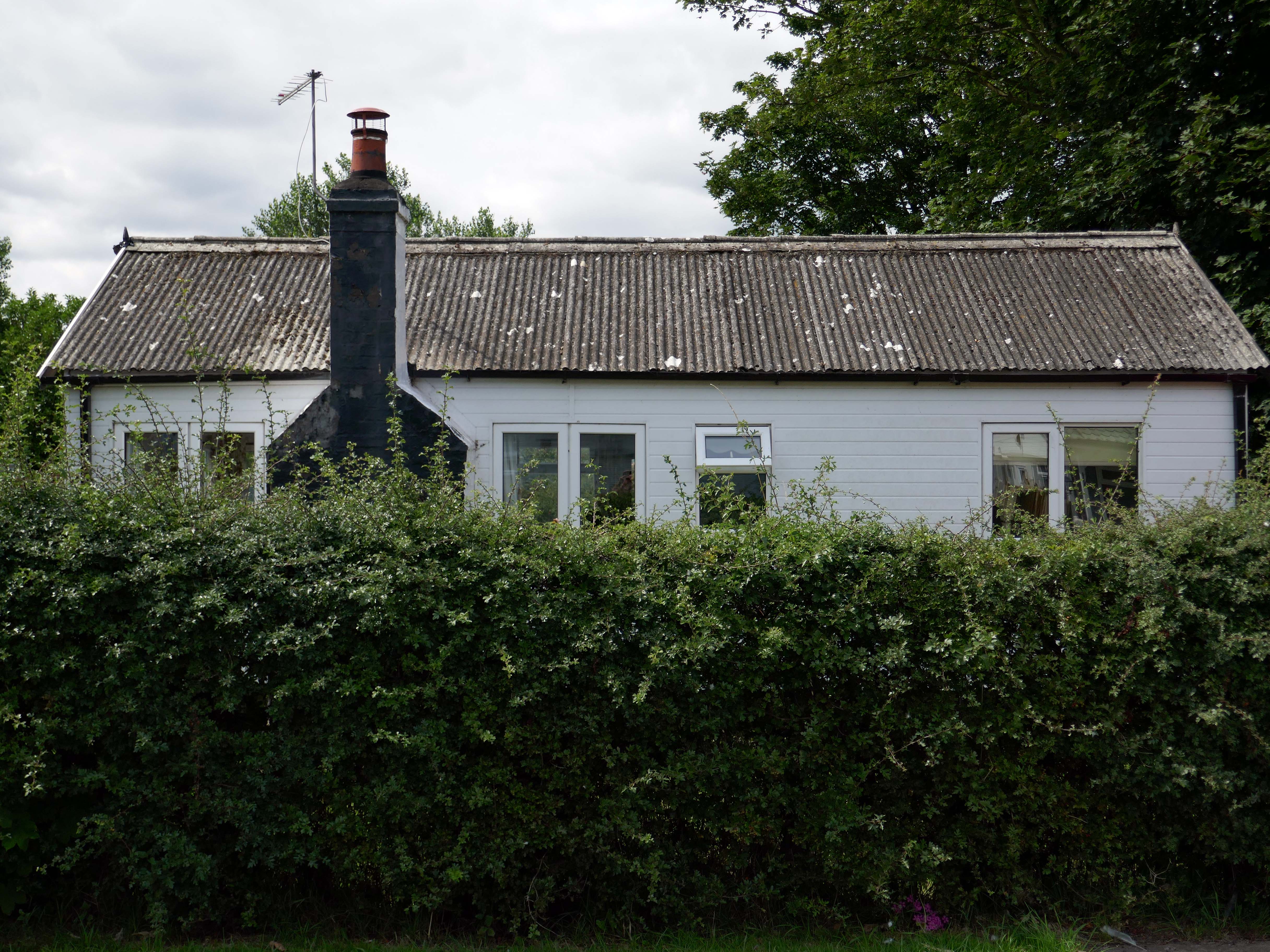
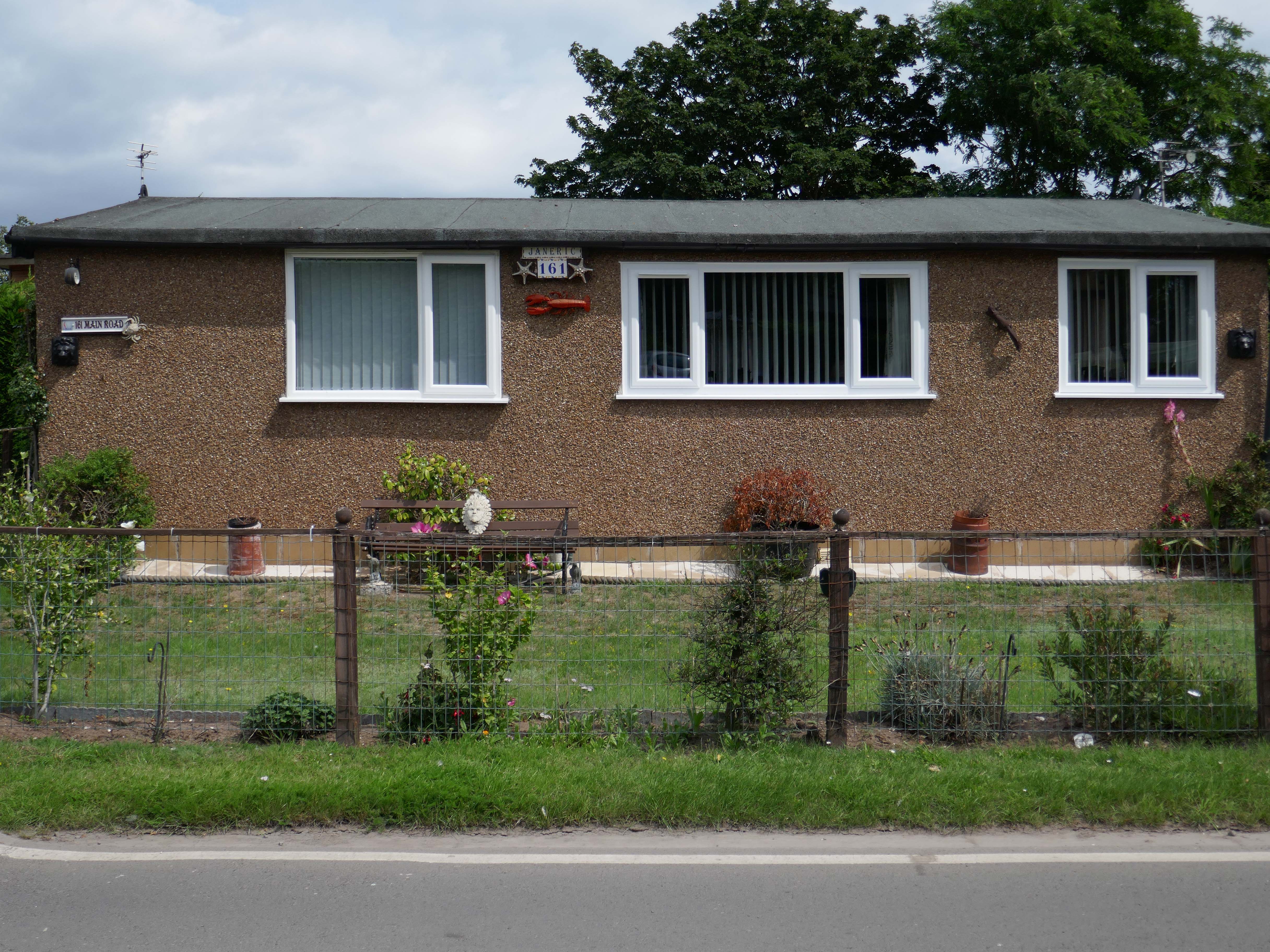
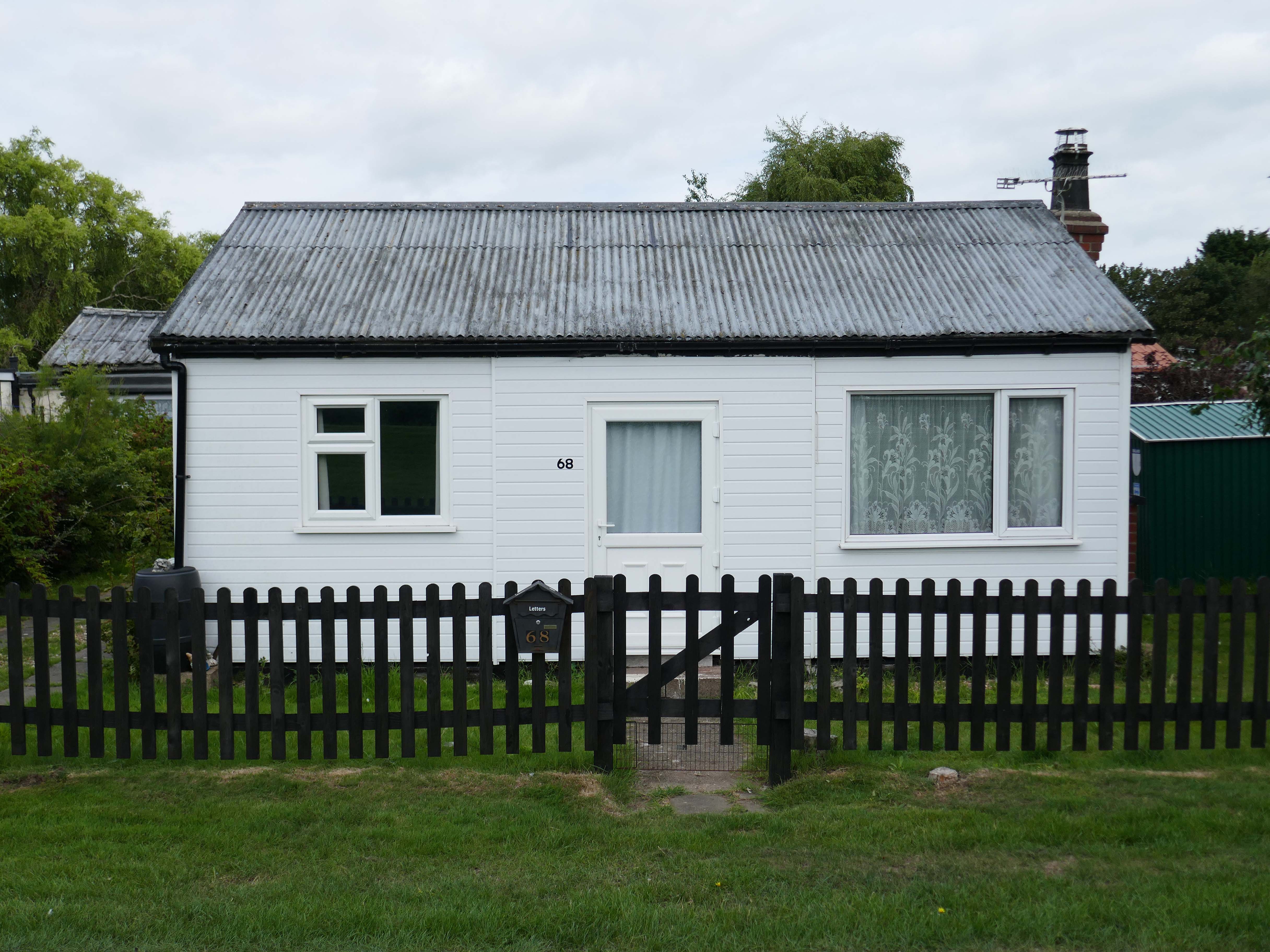
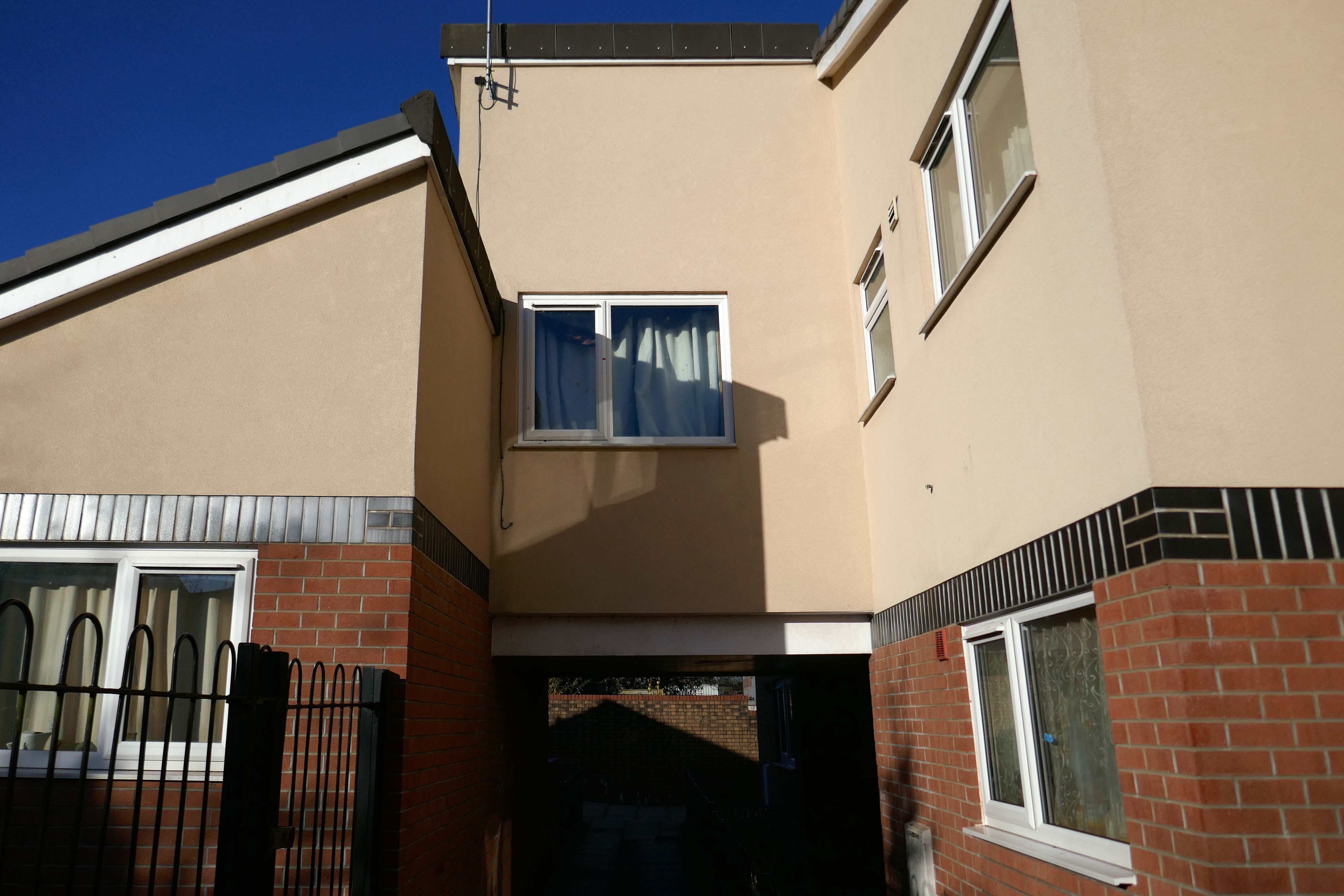
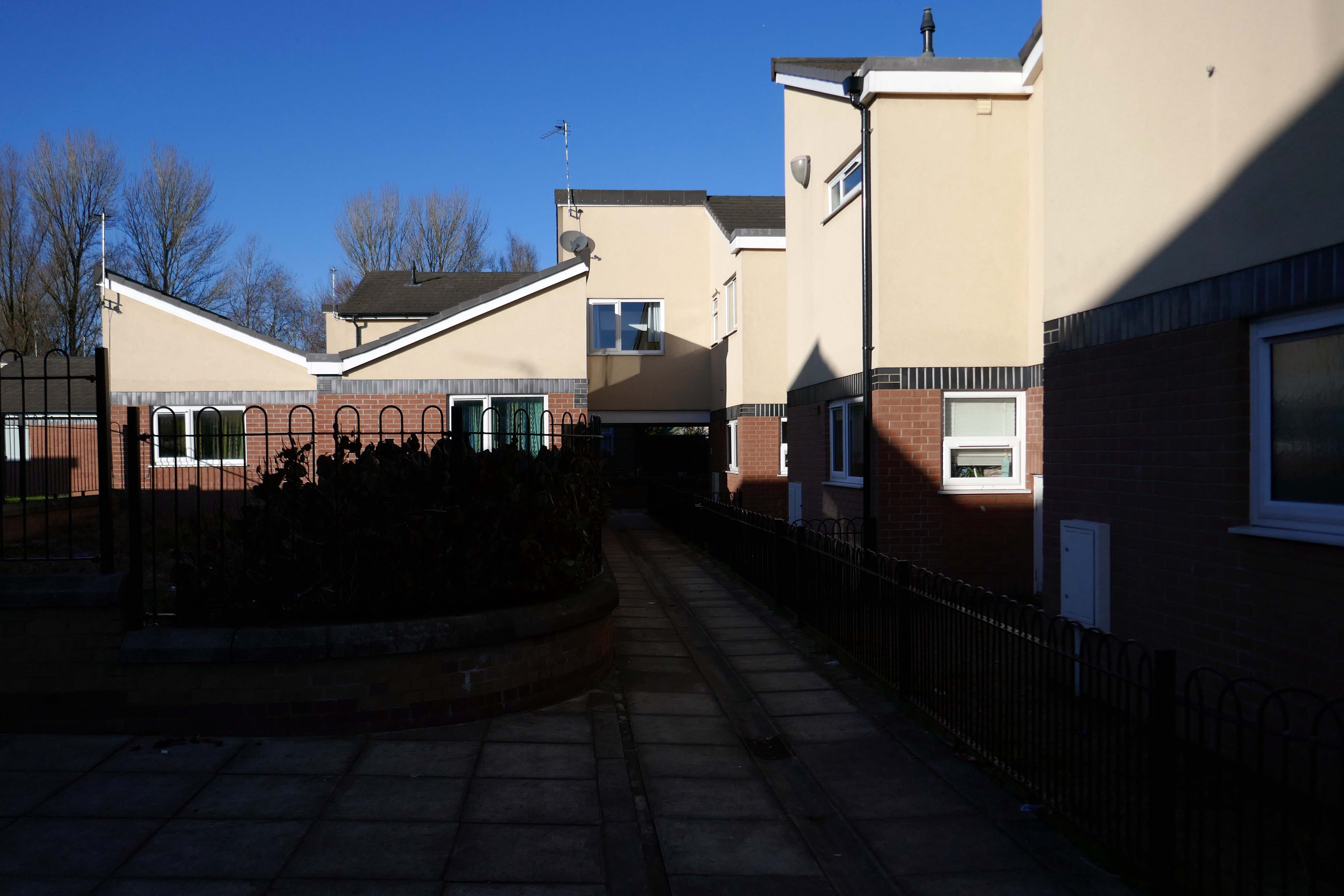
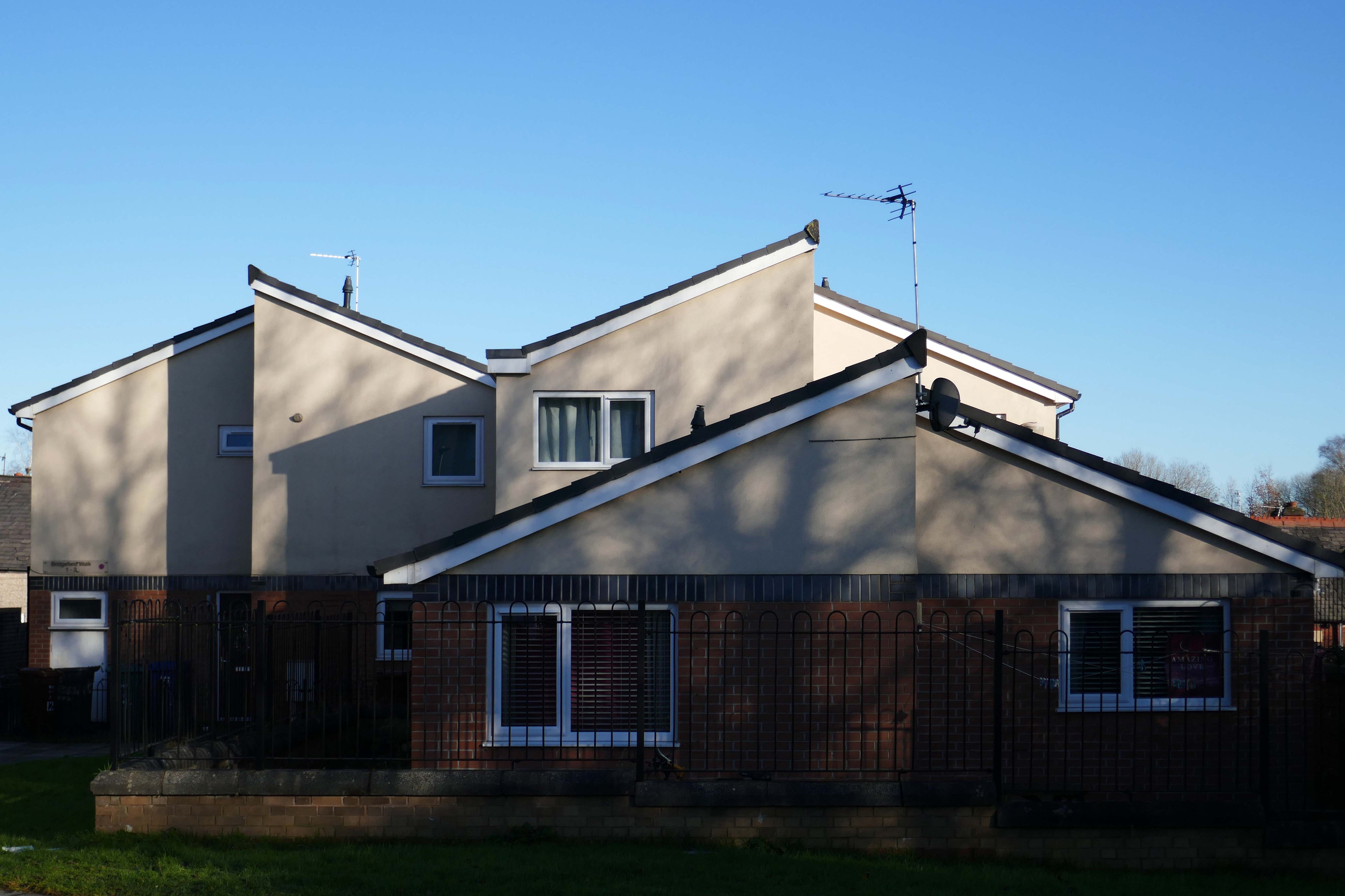
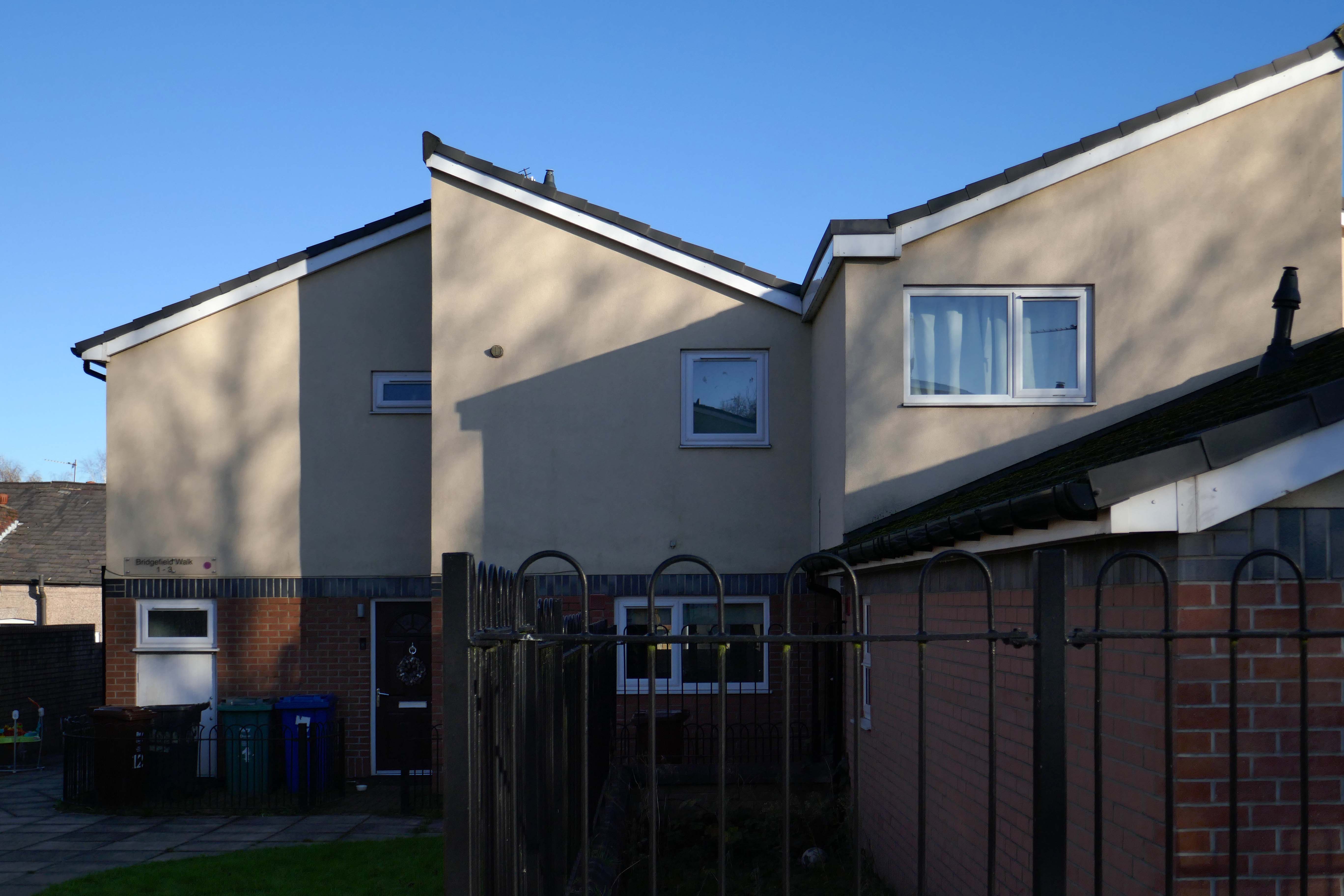
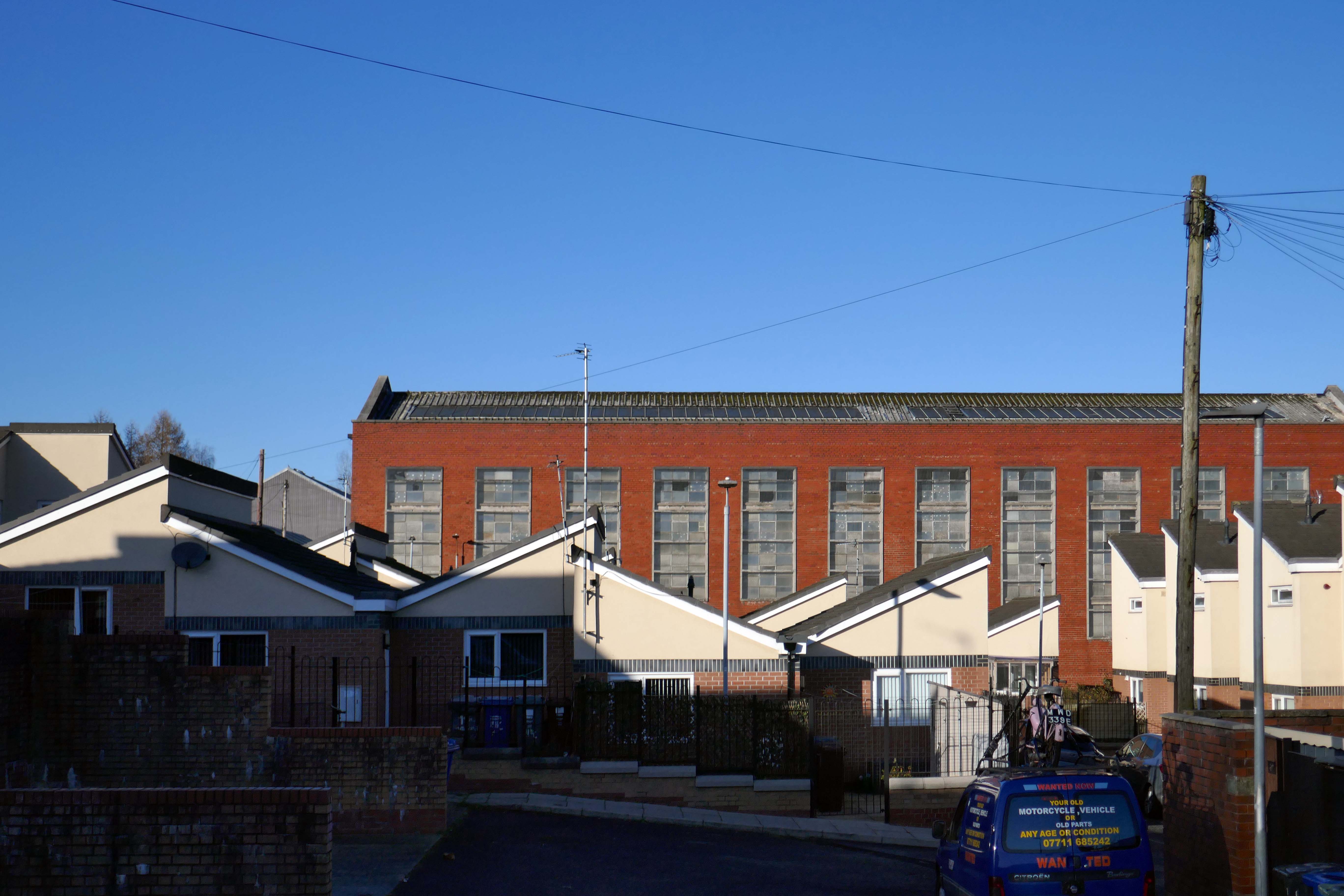
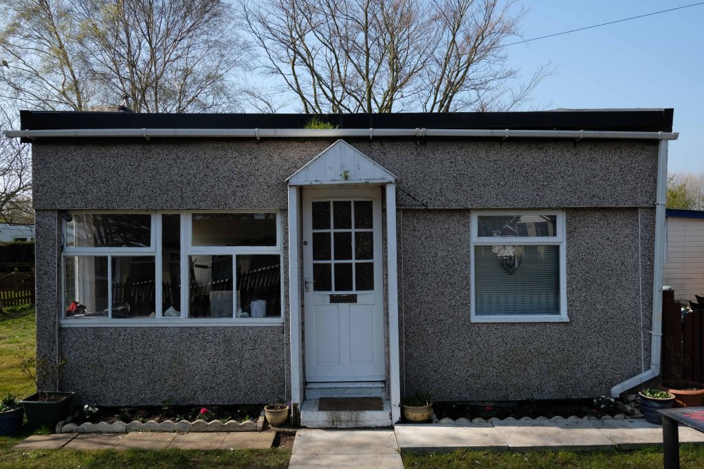
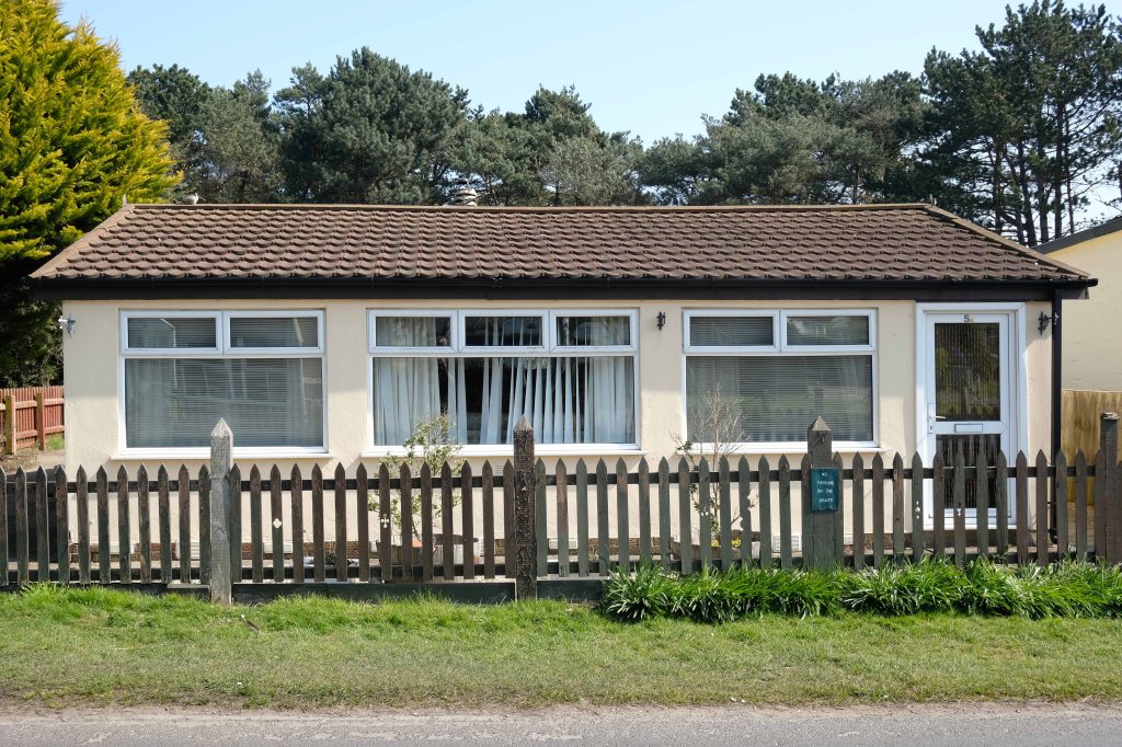
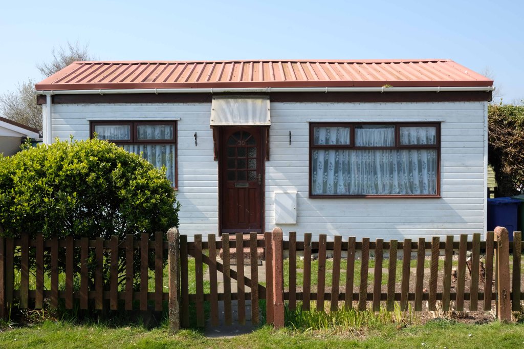
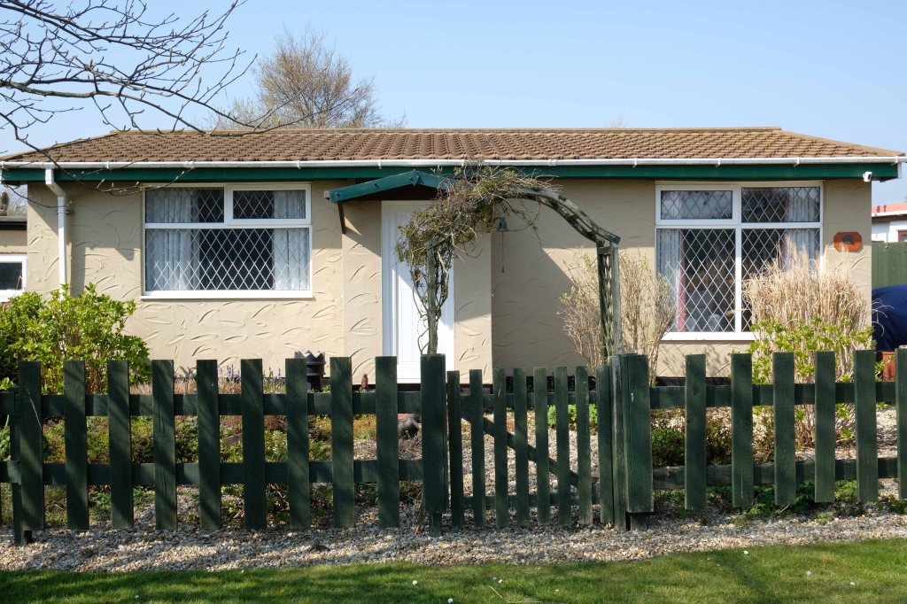
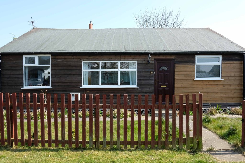
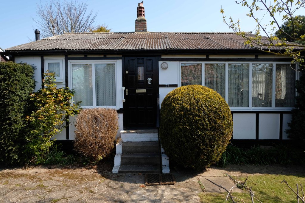
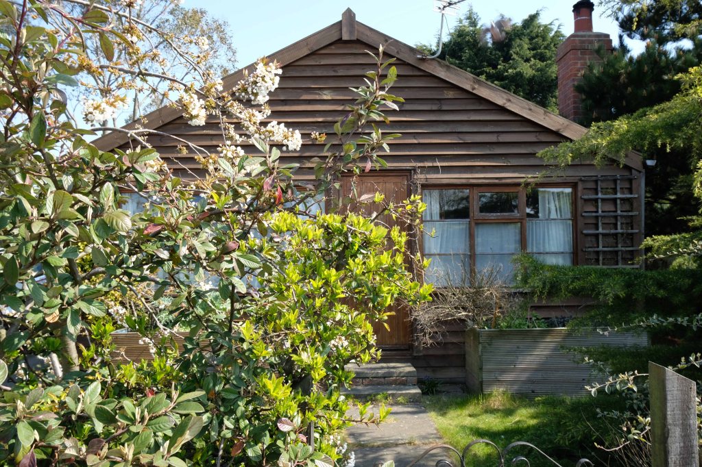
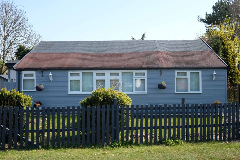
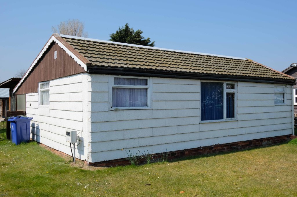
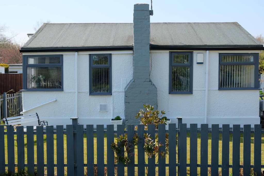
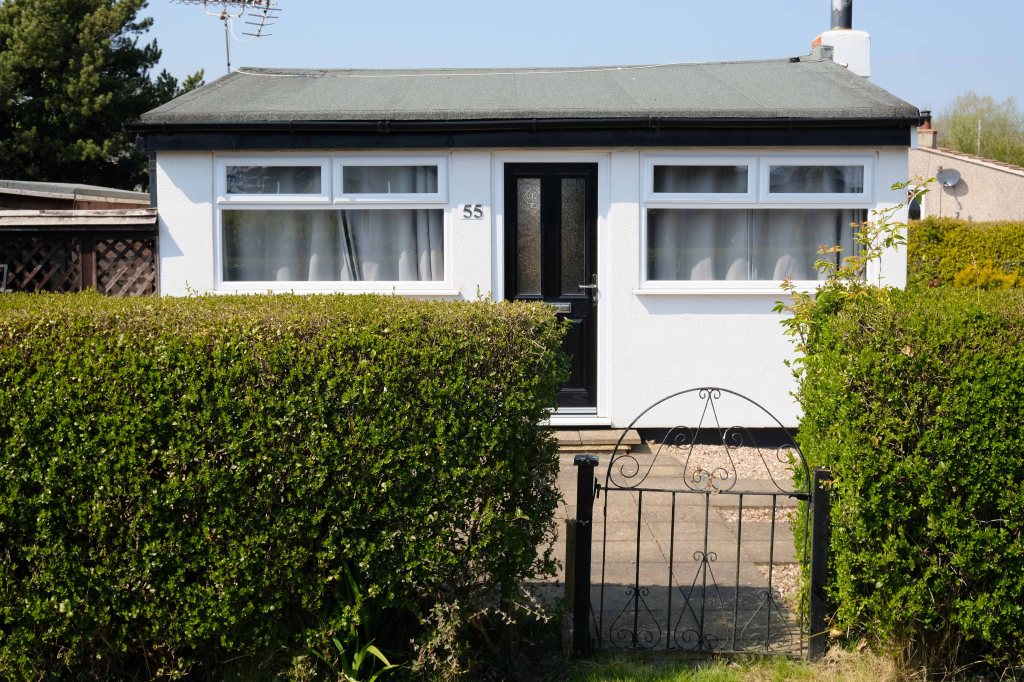
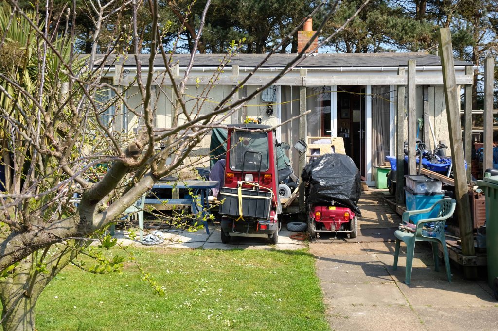
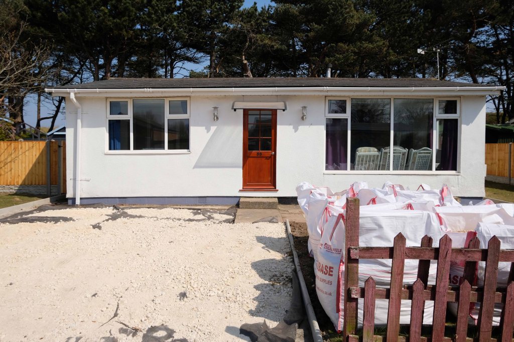
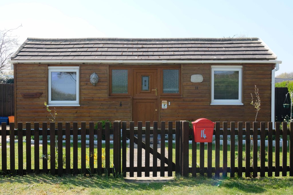
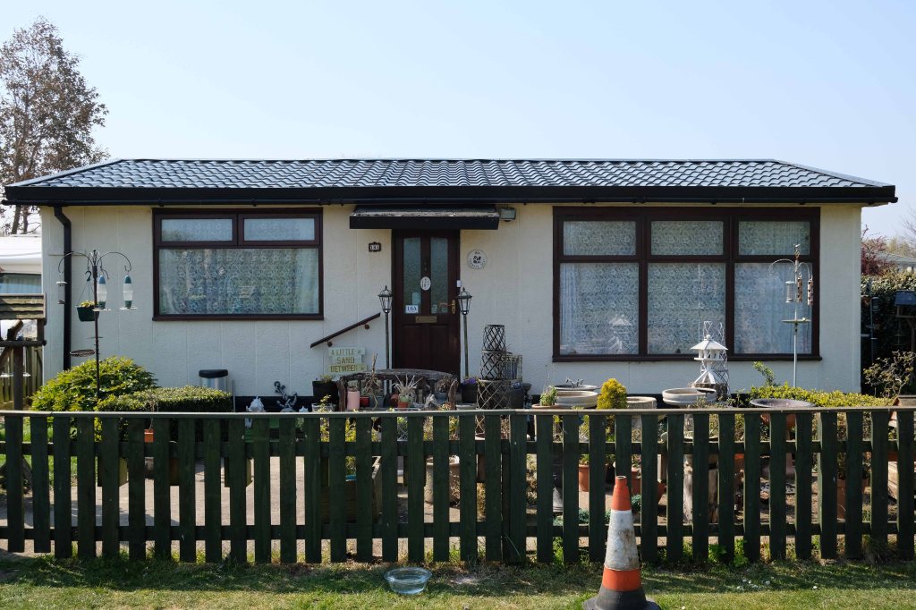
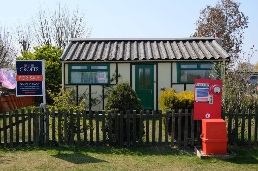
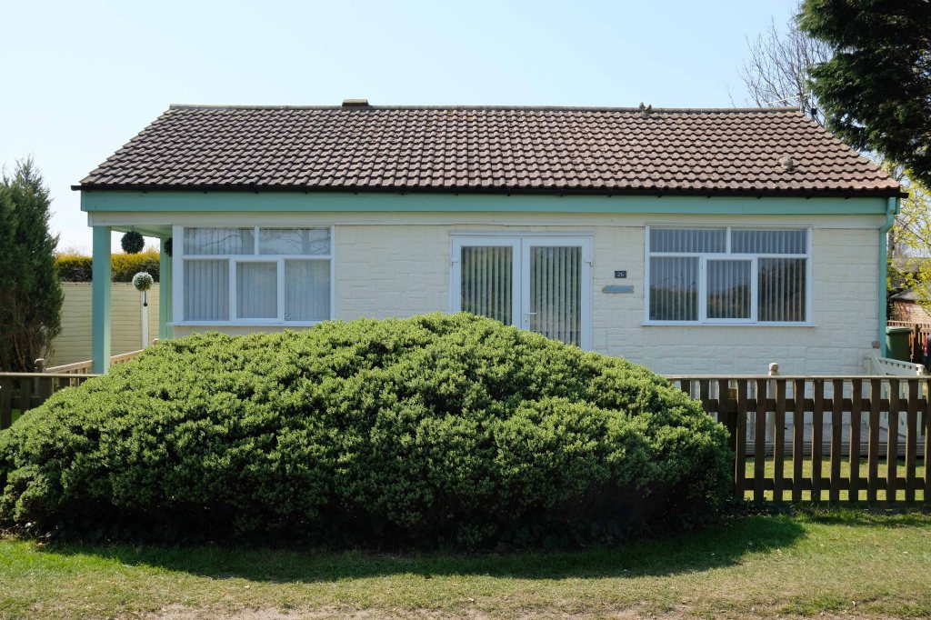
Within the typology there area number of variants, bungalow, dormer bungalow, link detached, semi-detached and detached.
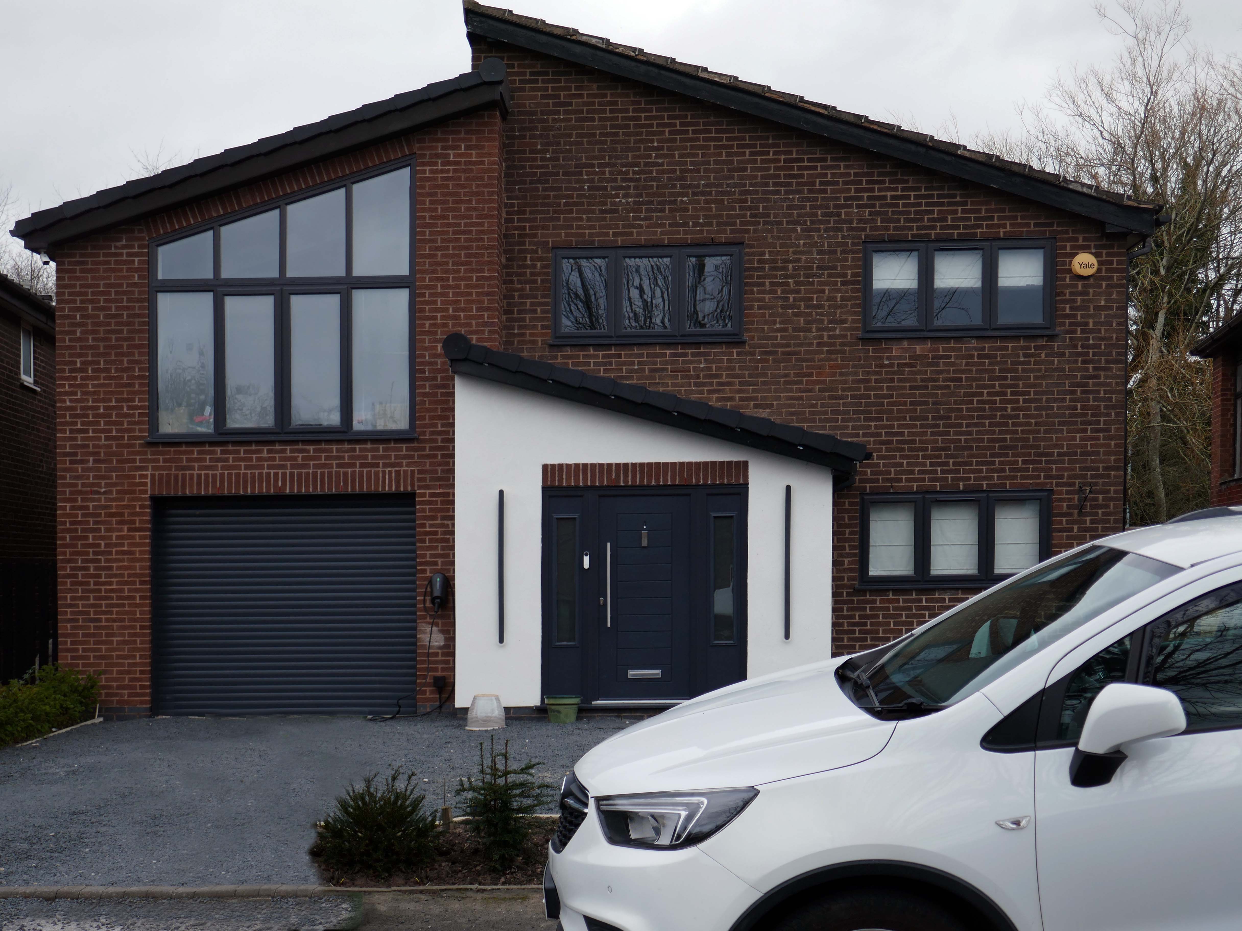
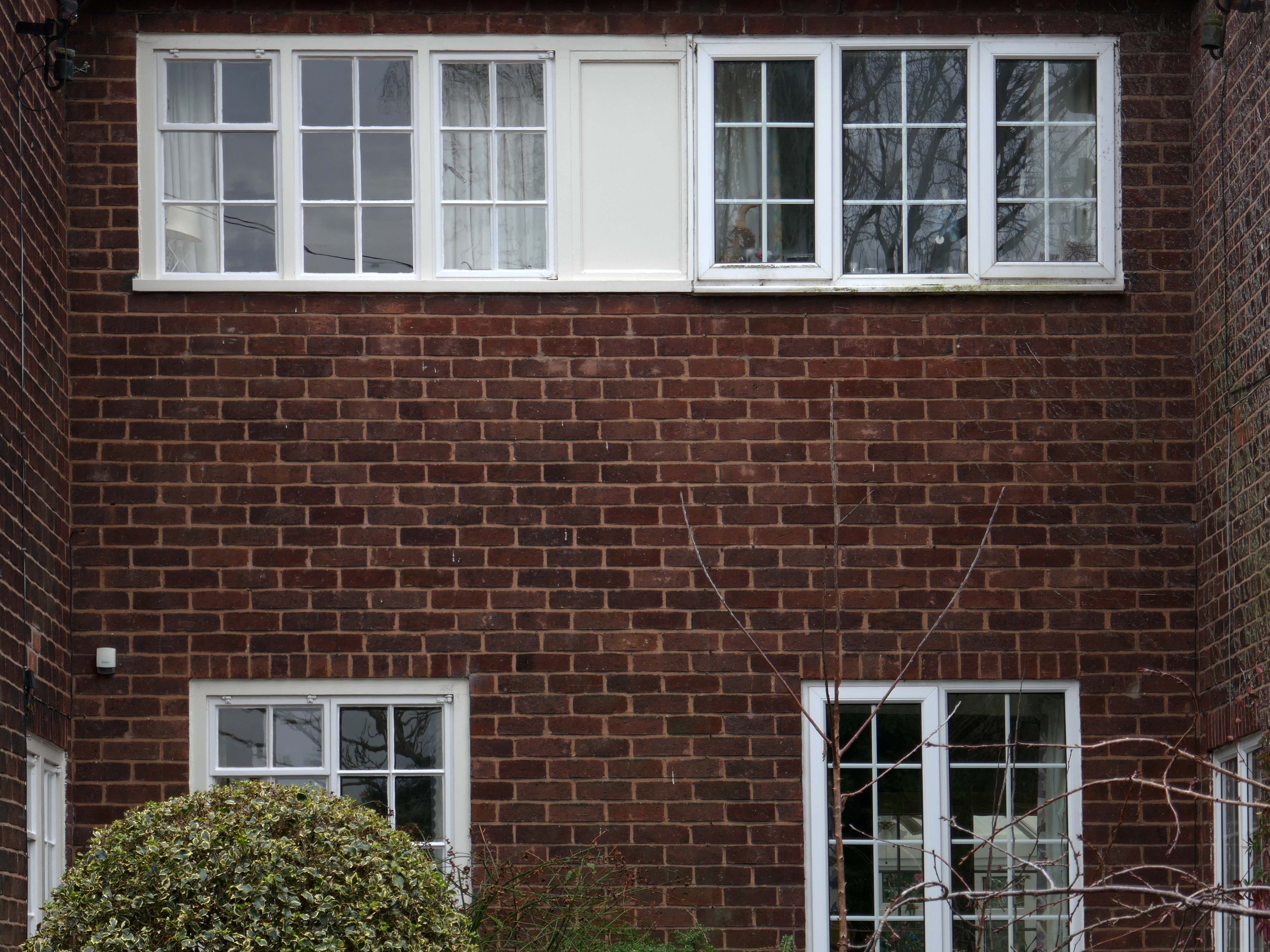
Very very few of the homes have retained their original features, the imperative of our age is to extend and improve.
There is a covenant in the deeds which prevents the building of border fencing – therefore the development retains its small-scale suburban American ambience.
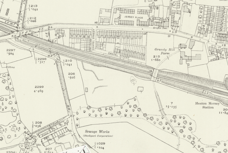
In 1896 the area to the east of central Stockport is a potpourri of emergent industry, railways, a river and agriculture – a product of the second Ice Age, the subsequent formation of the Mersey Valley and the Industrial Revolution.
By 1911 there is an expansion in the housing stock.
A comprehensive history of the area cane be found here.
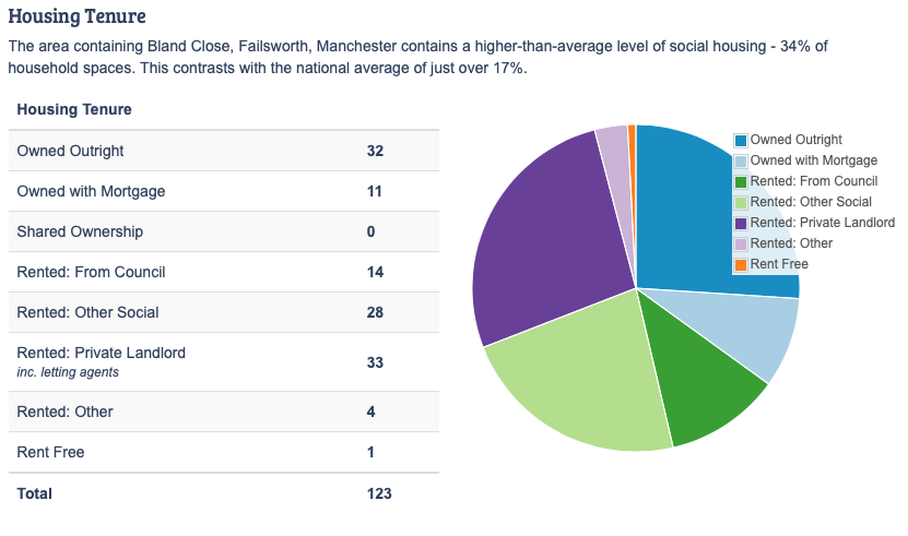
In 1918, the UK property landscape was dominated by private renters, who made up 75% of all households. At the time, only 25% of the population owned their own homes.Over the next few decades, home ownership gradually increased, reaching about 38% by 1958. This shift was accompanied by a decrease in private renting, which fell to 41% during the same period.
The most significant growth in home ownership occurred between 1958 and 2003. The percentage of owner-occupiers surged from 38% to 70%. This period saw a corresponding decline in both private renting, which fell to just 8% in 2003, and social renting, which peaked at 29% in 1978 before declining to 22% by 2003.
The pattern of home ownership has been determined by a number of factors –
The Property Owning Democracy – Coined by British MP Noel Skelton in 1920, the concept emphasised the terms ‘property-owning’ and ‘democracy’ as a conservative response to left-leaning ideas of liberalism and socialism.
Right to Buy scheme, introduced by Margaret Thatcher’s Housing Act 1980, allowed long-term council social tenants in England and Wales to buy their homes at a significant discount, fostering homeownership but drastically reducing the stock of affordable social housing, leading to ongoing housing shortages and debates over its legacy.
The Property Ladder which commodifies housing. Where once house and home were largely for life, the upwardly mobile homeowner wishes to continually acquire value and status through trading ever onwards and upwards.
Socially the role of the home has also changed over time, once a place to be outside of – working or playing, the home is now possibly a place of both work and play. A larger percentage of weekly earnings is now absorbed by housing costs, and the lure of the multi-channel Smart TV, gaming systems, take away food and supermarket lager, nails the residents’ slippers firmly to the laminate flooring.
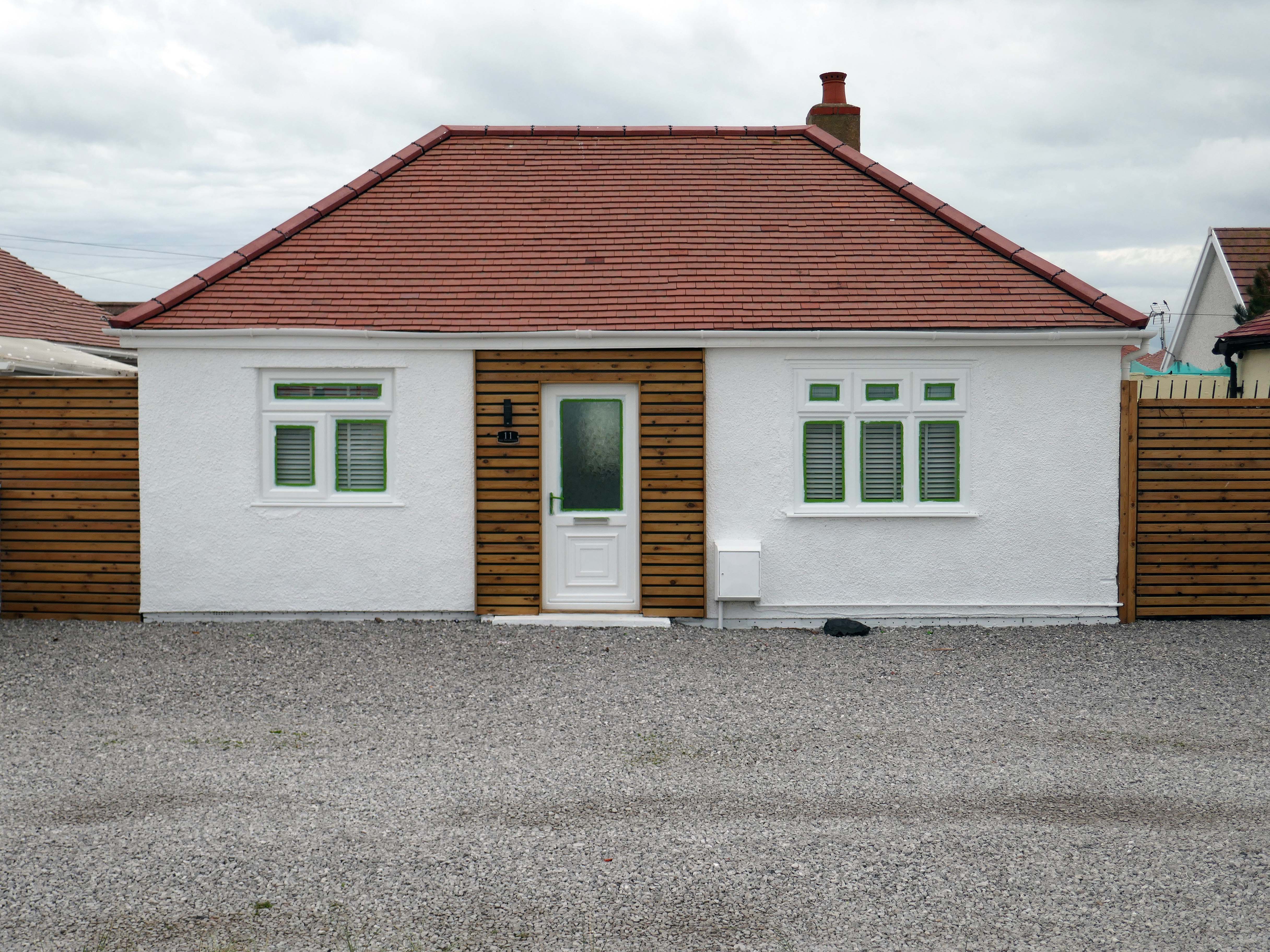
This has gone hand in hand with the trend home improvements and extensions – fed by glossy magazines, design led property TV shows advocating a New England, Shabby Chic, Maxi/Minimalist Vibe.
Welcome to the new England.
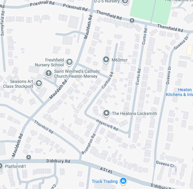
It’s January 2026 and I have taken to the area between Mauldeth Road, Thornfield Road, Queens Drive and Didsbury Road.
What is actually going on in my locale? – The only way to find out is to go and take a good look around.
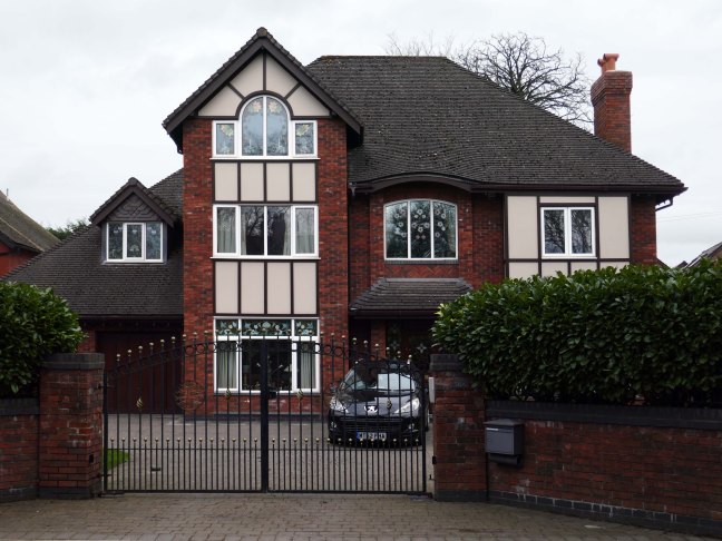
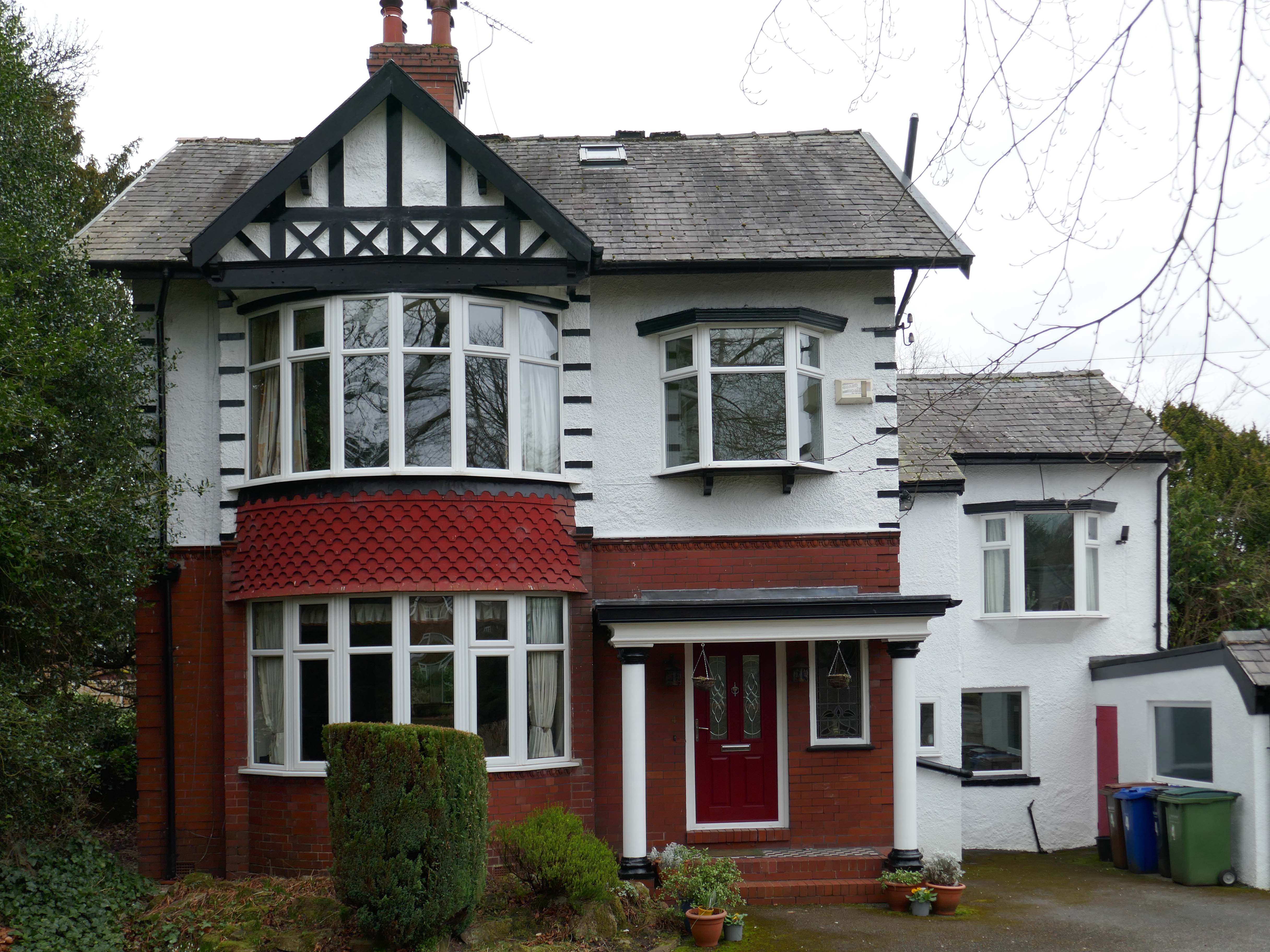
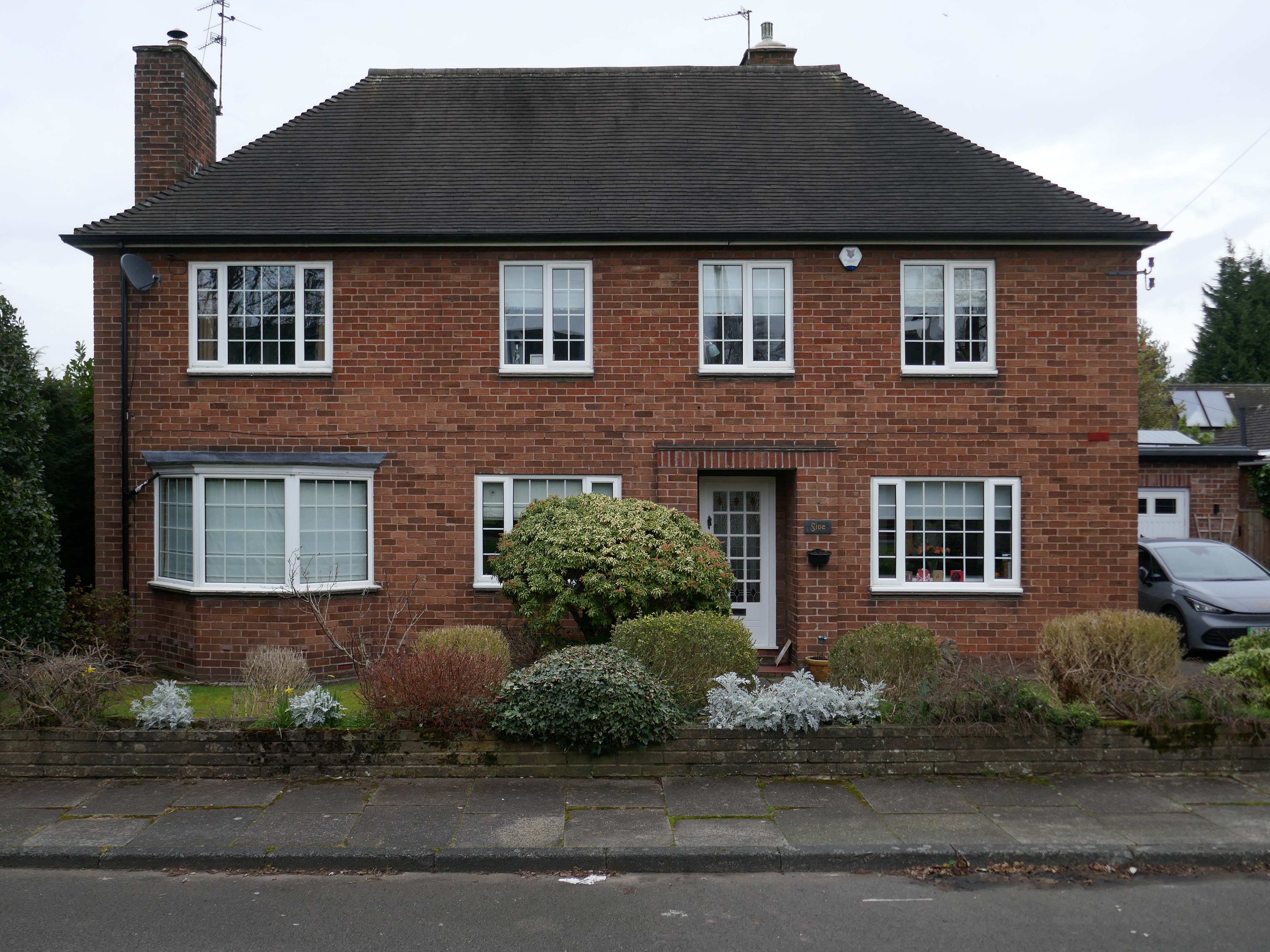
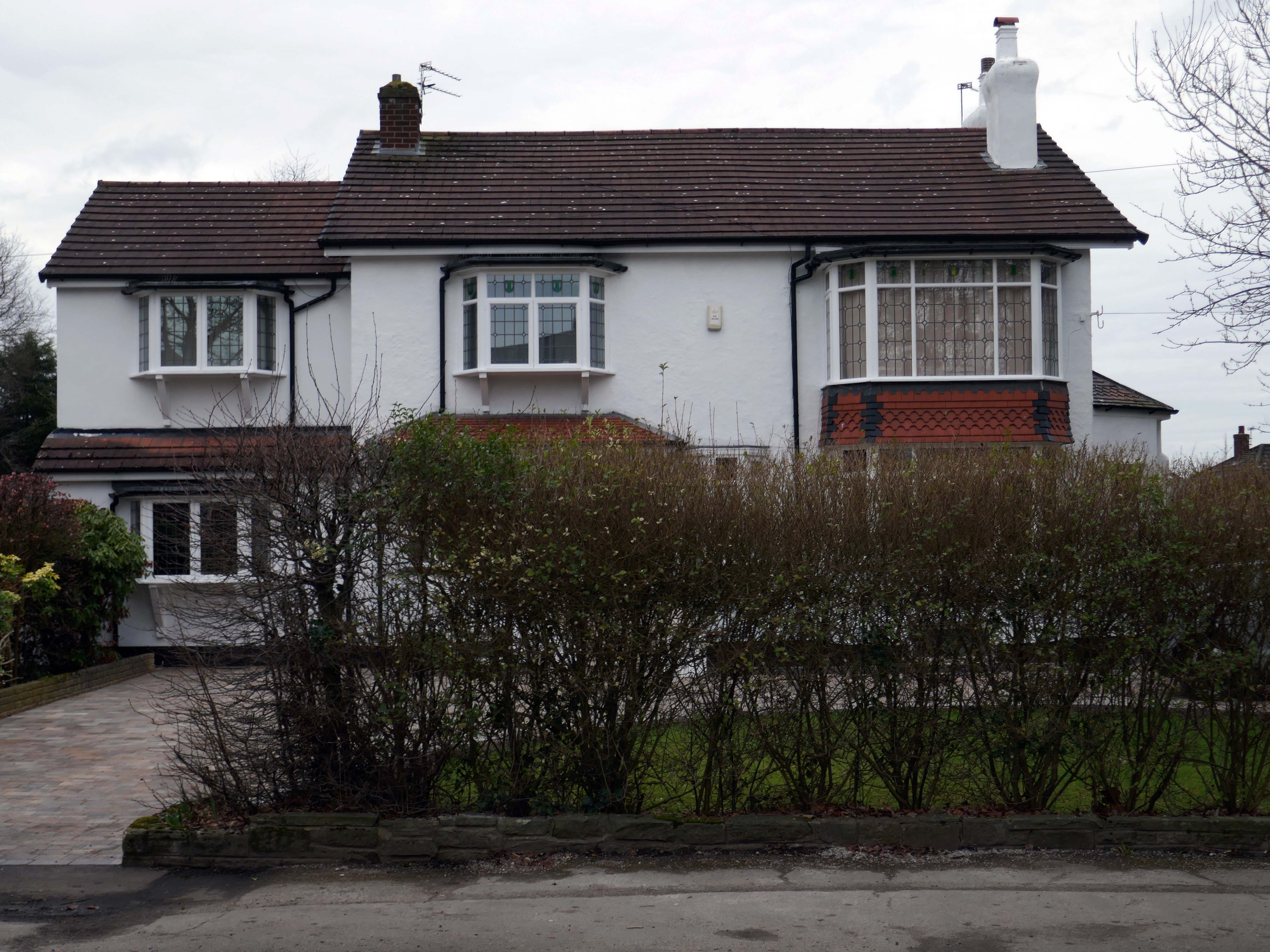
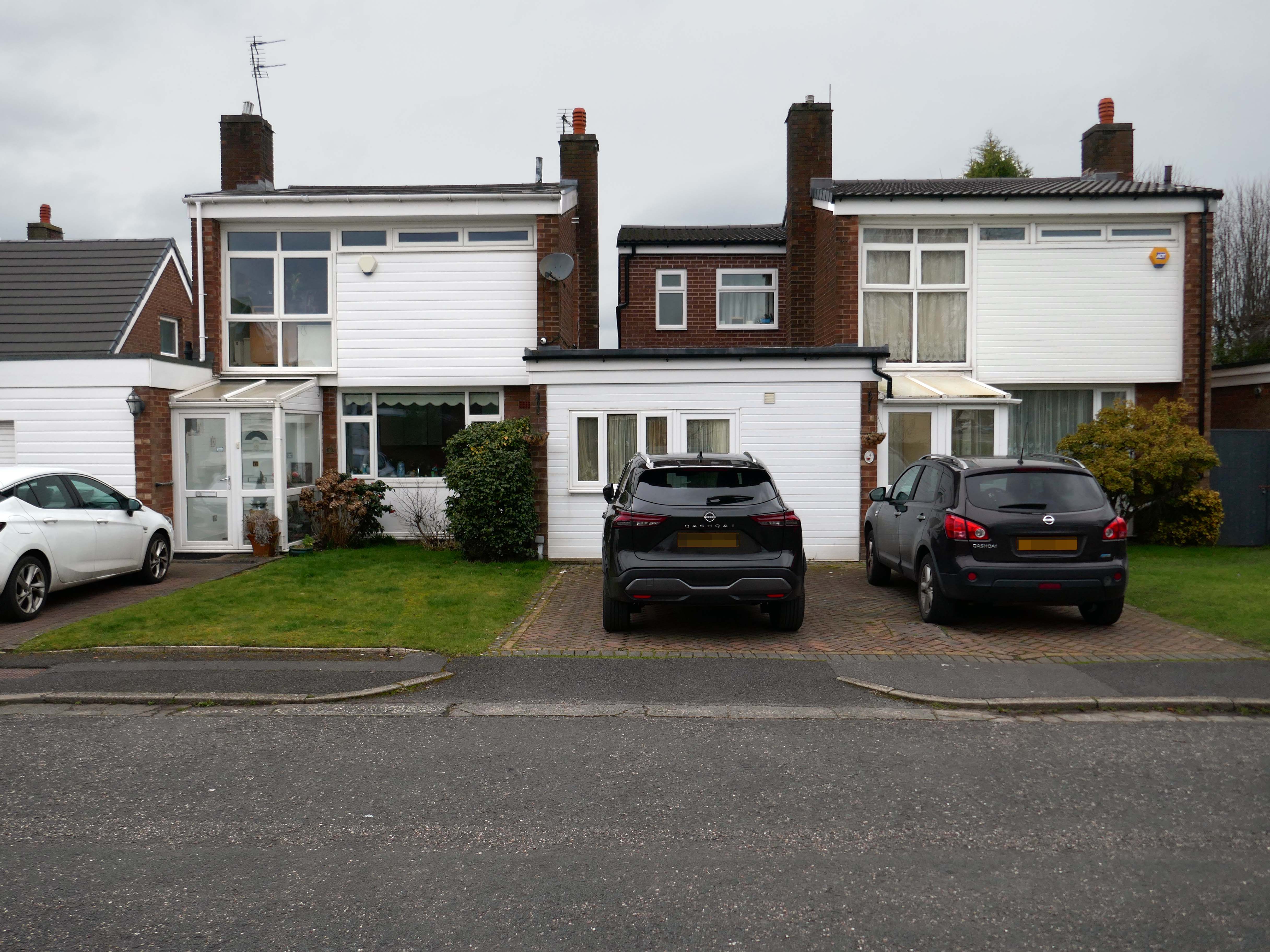
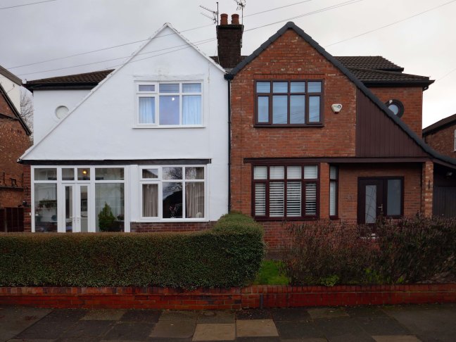
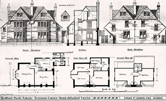
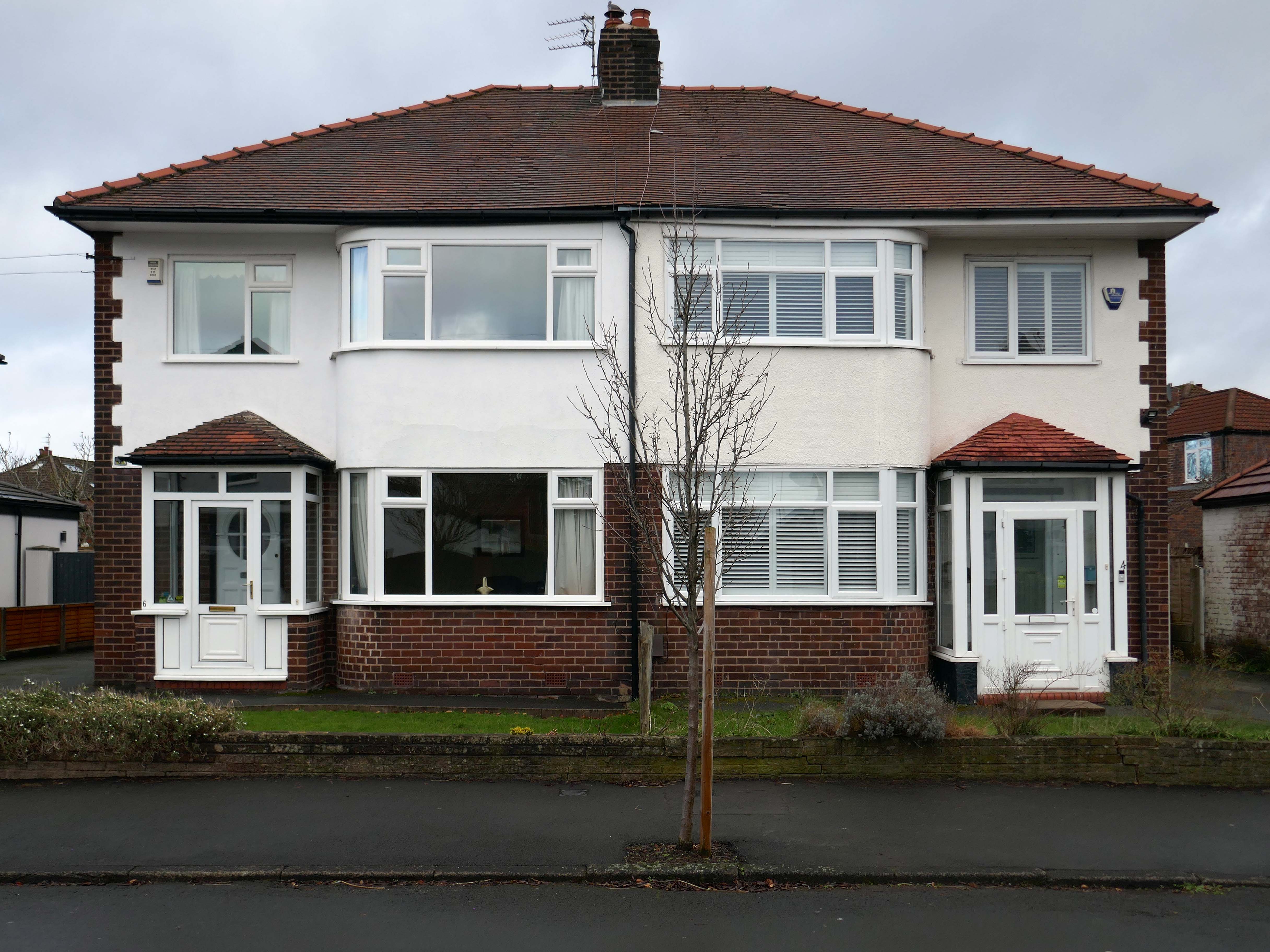
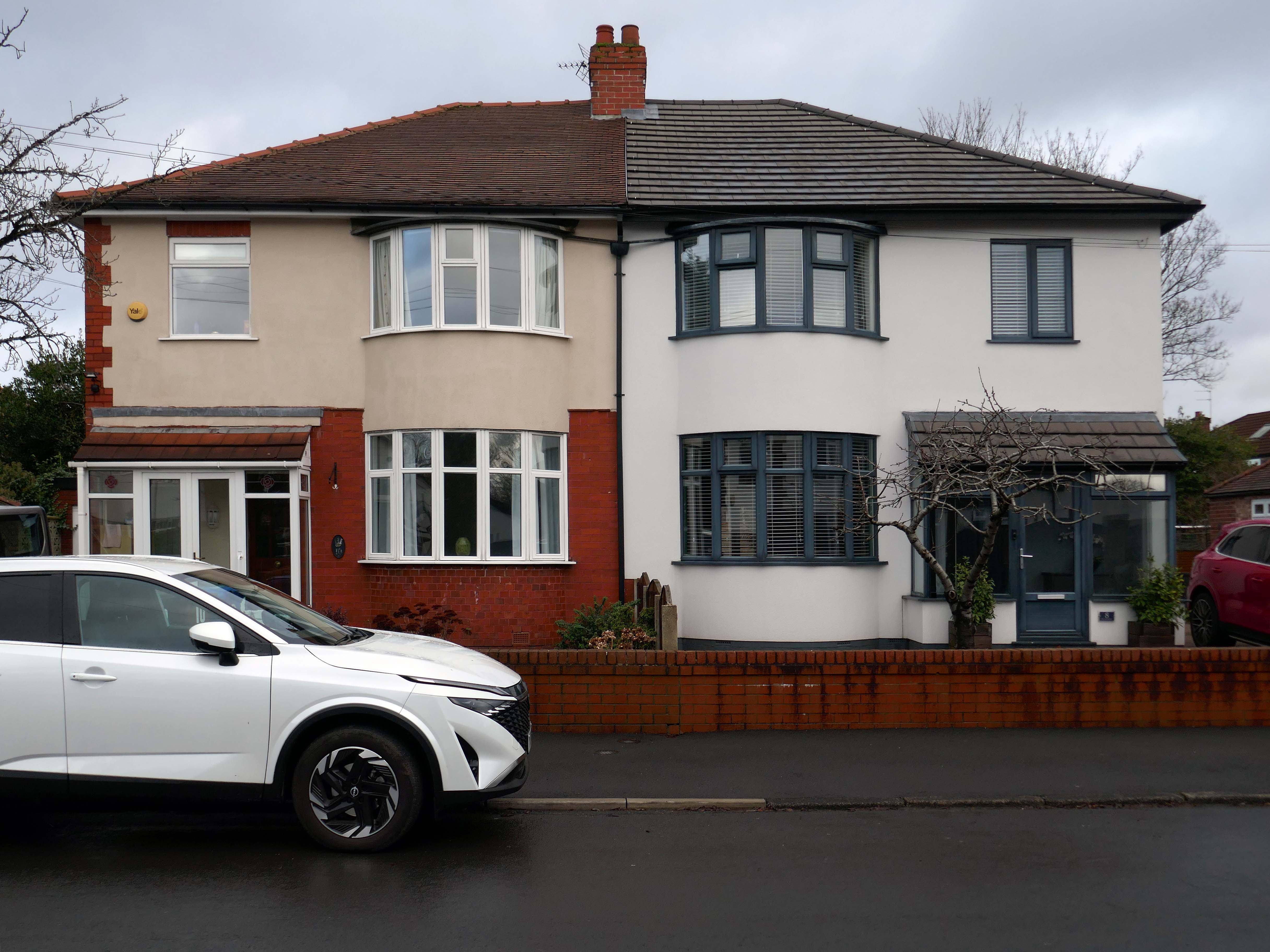
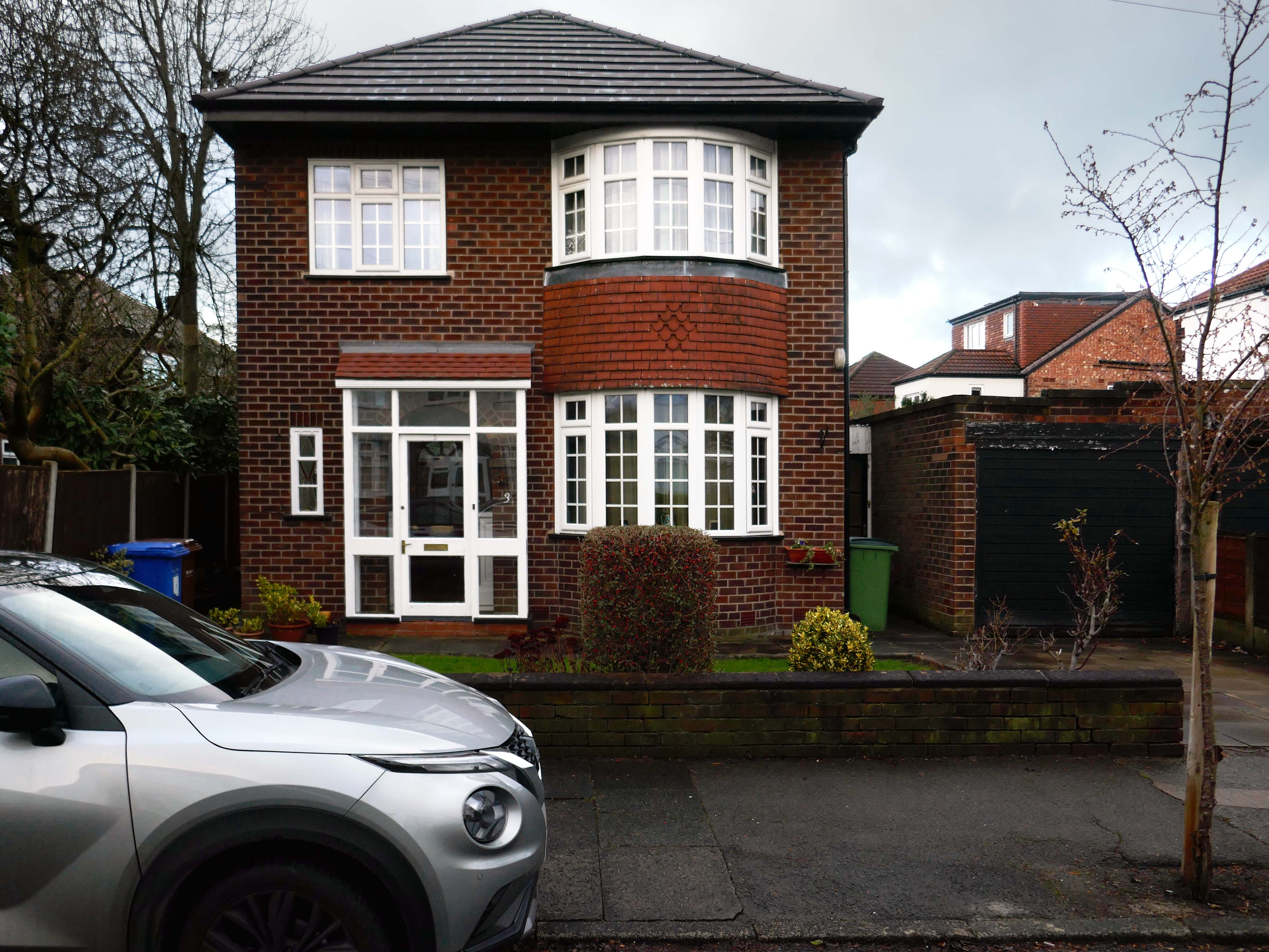
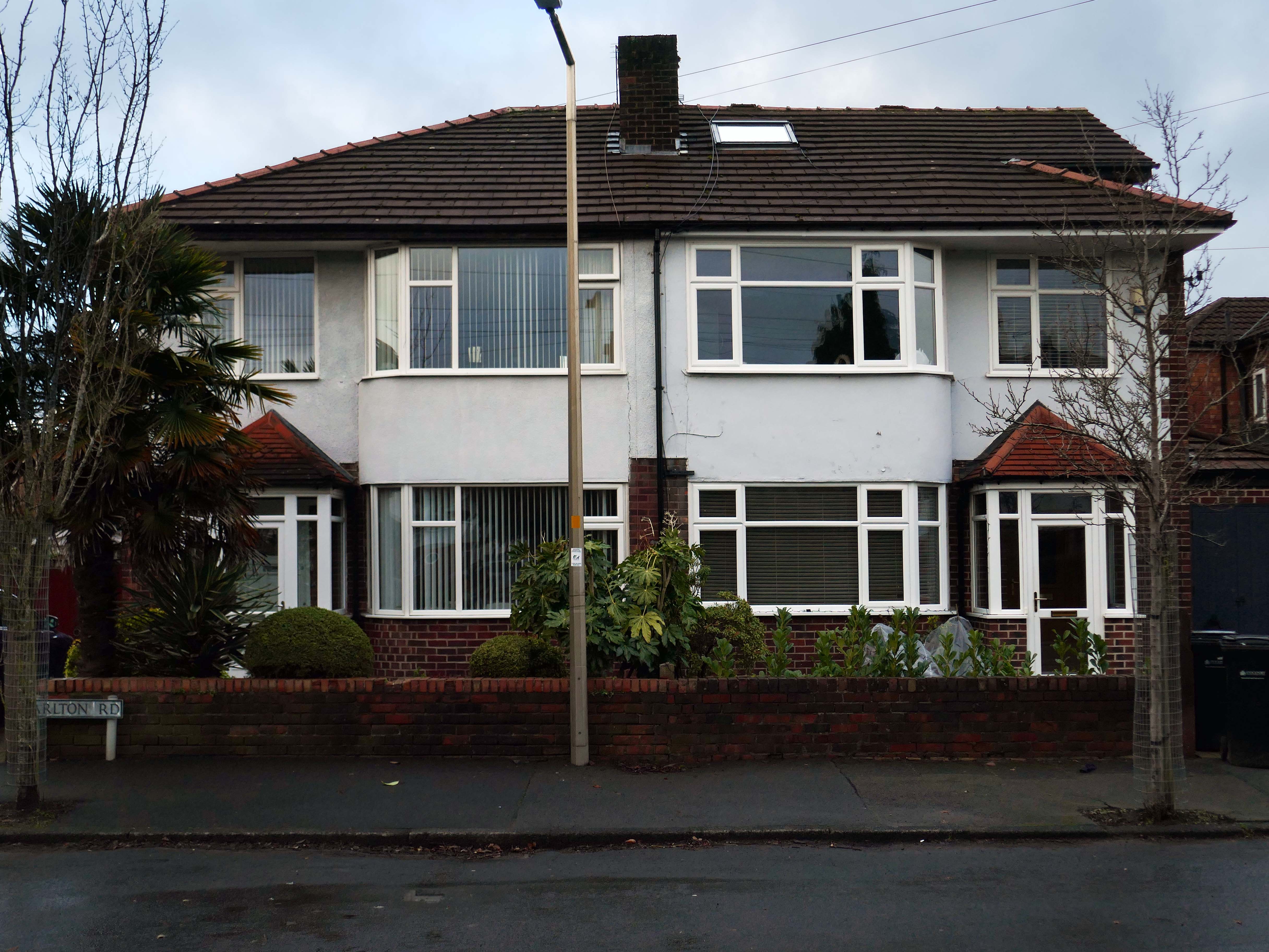
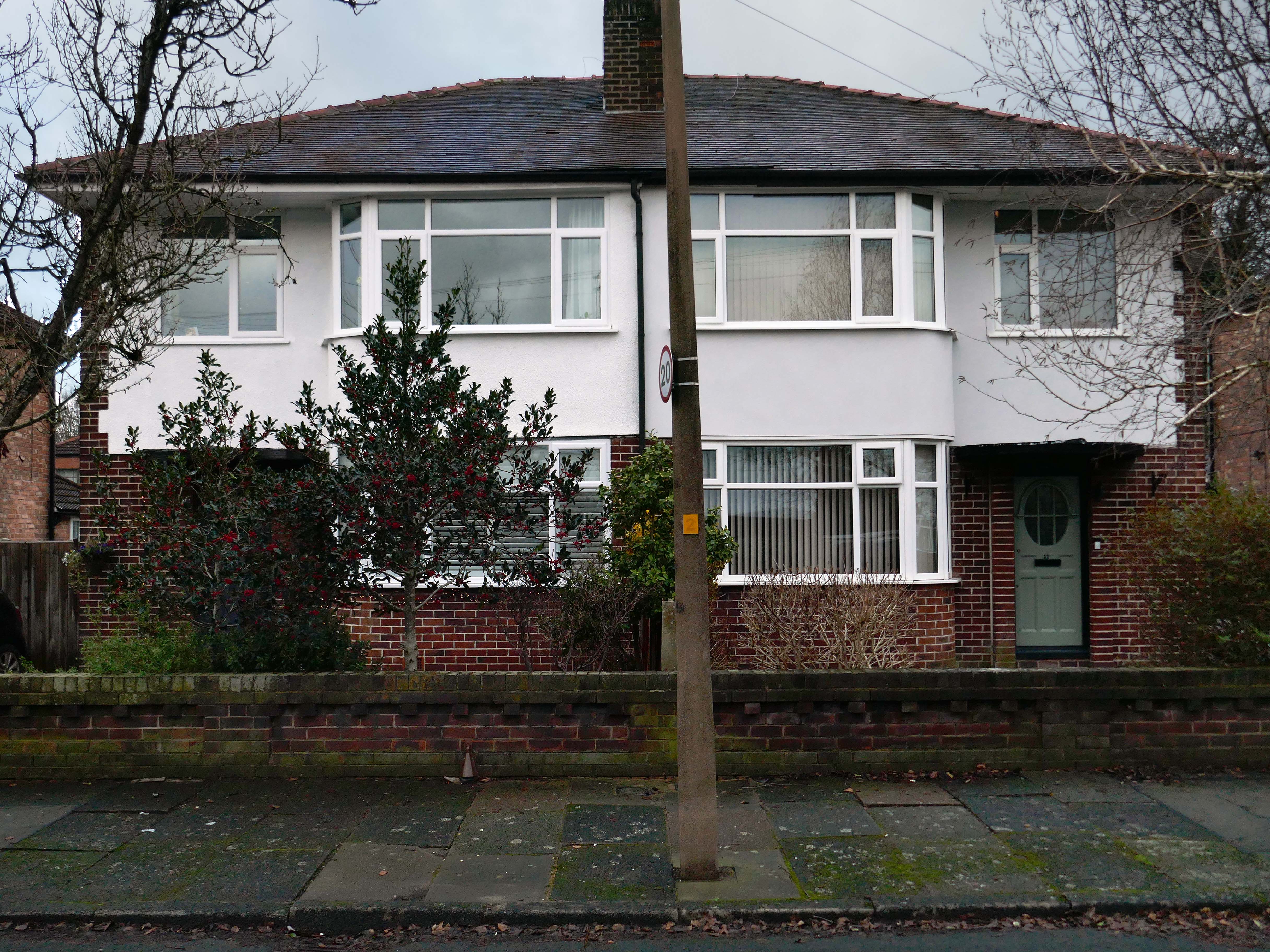
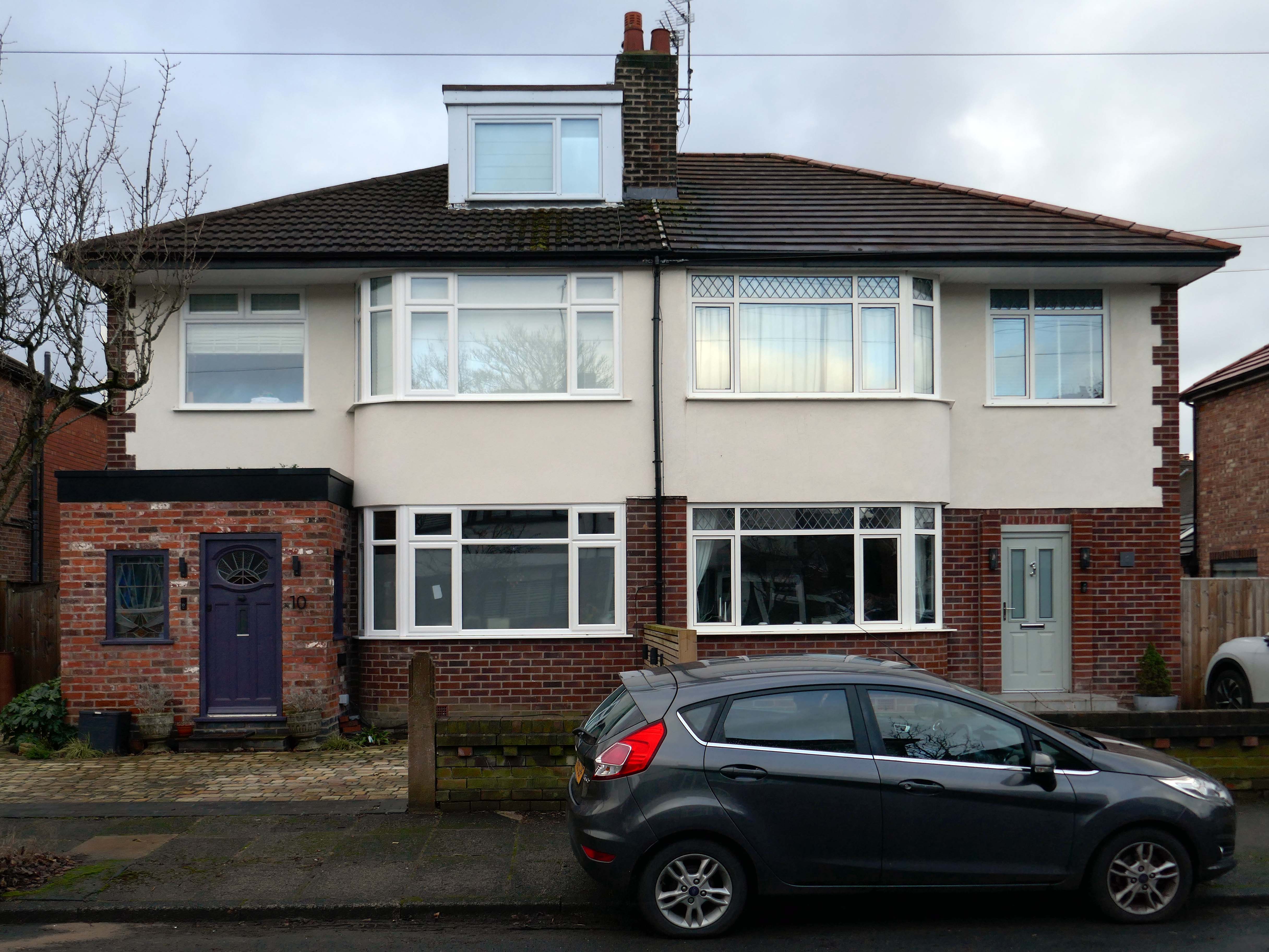
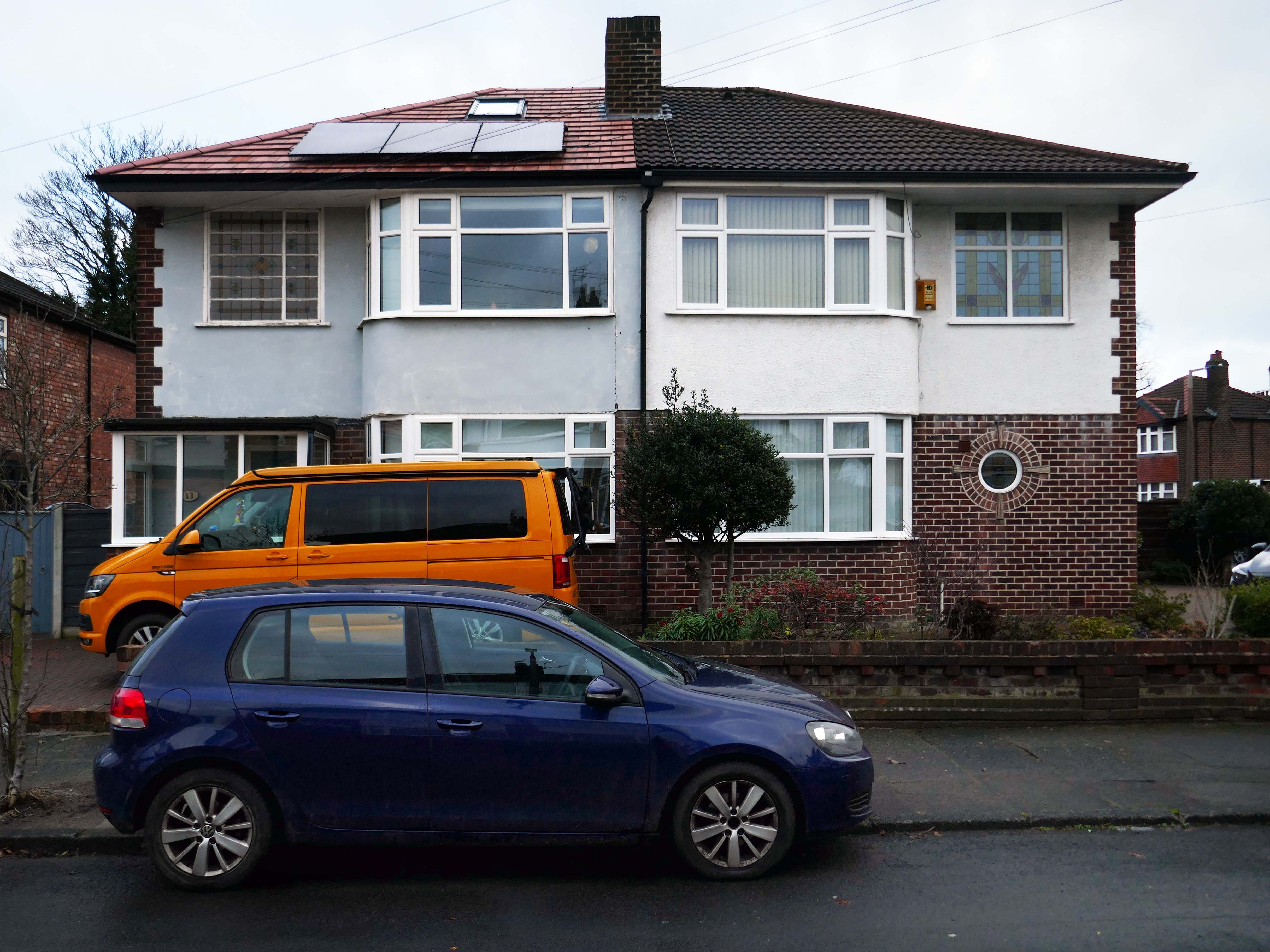
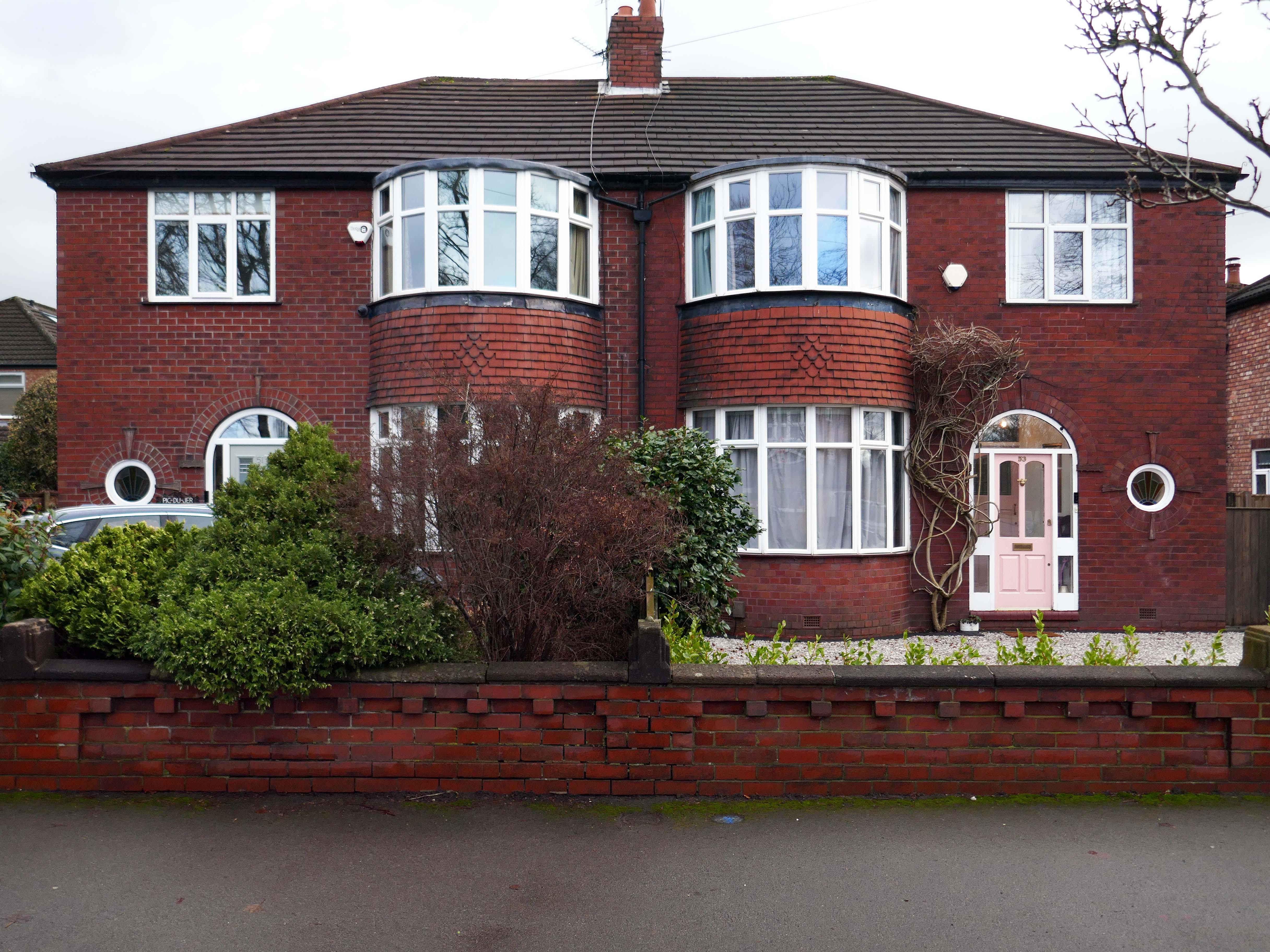
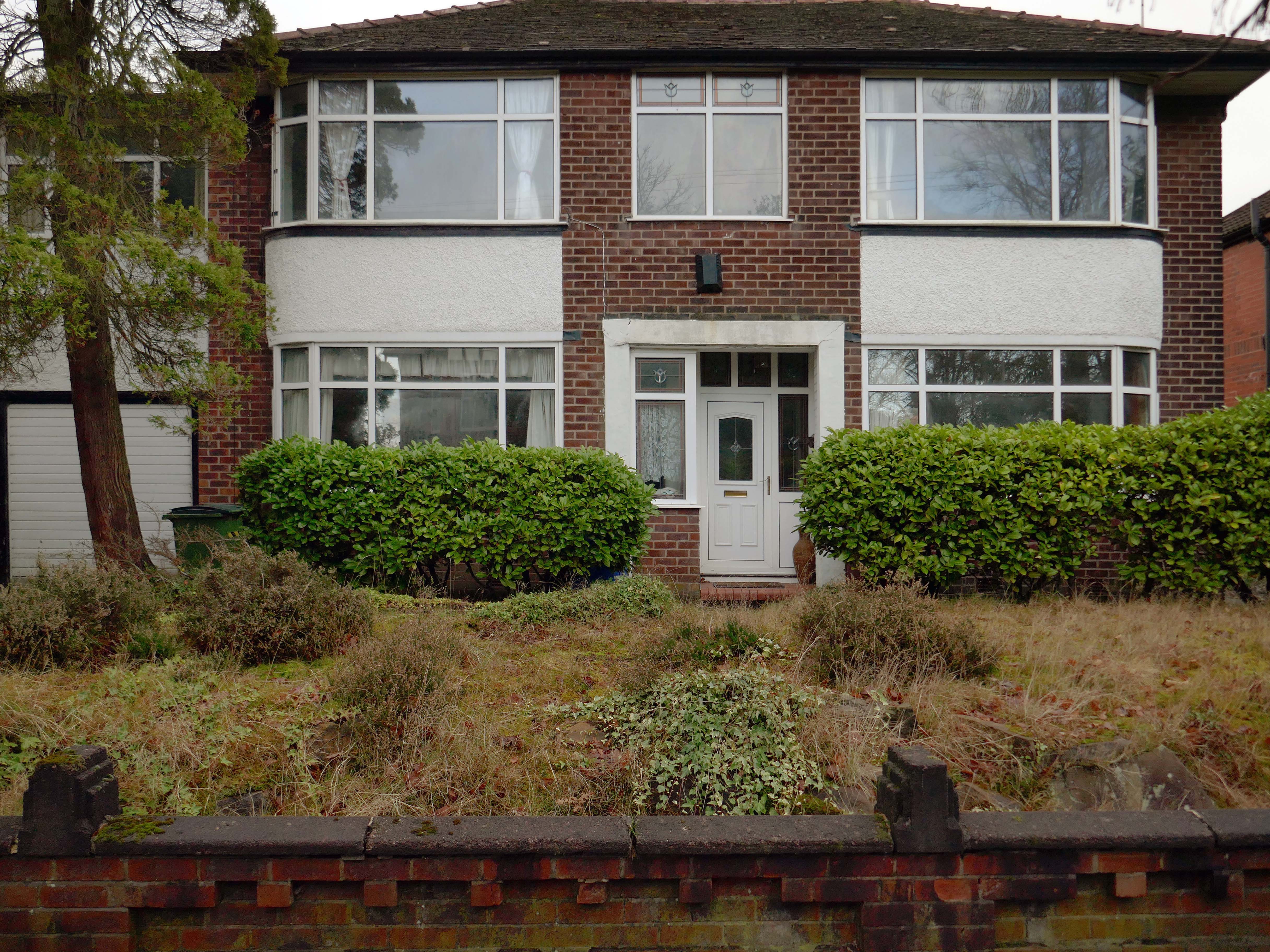
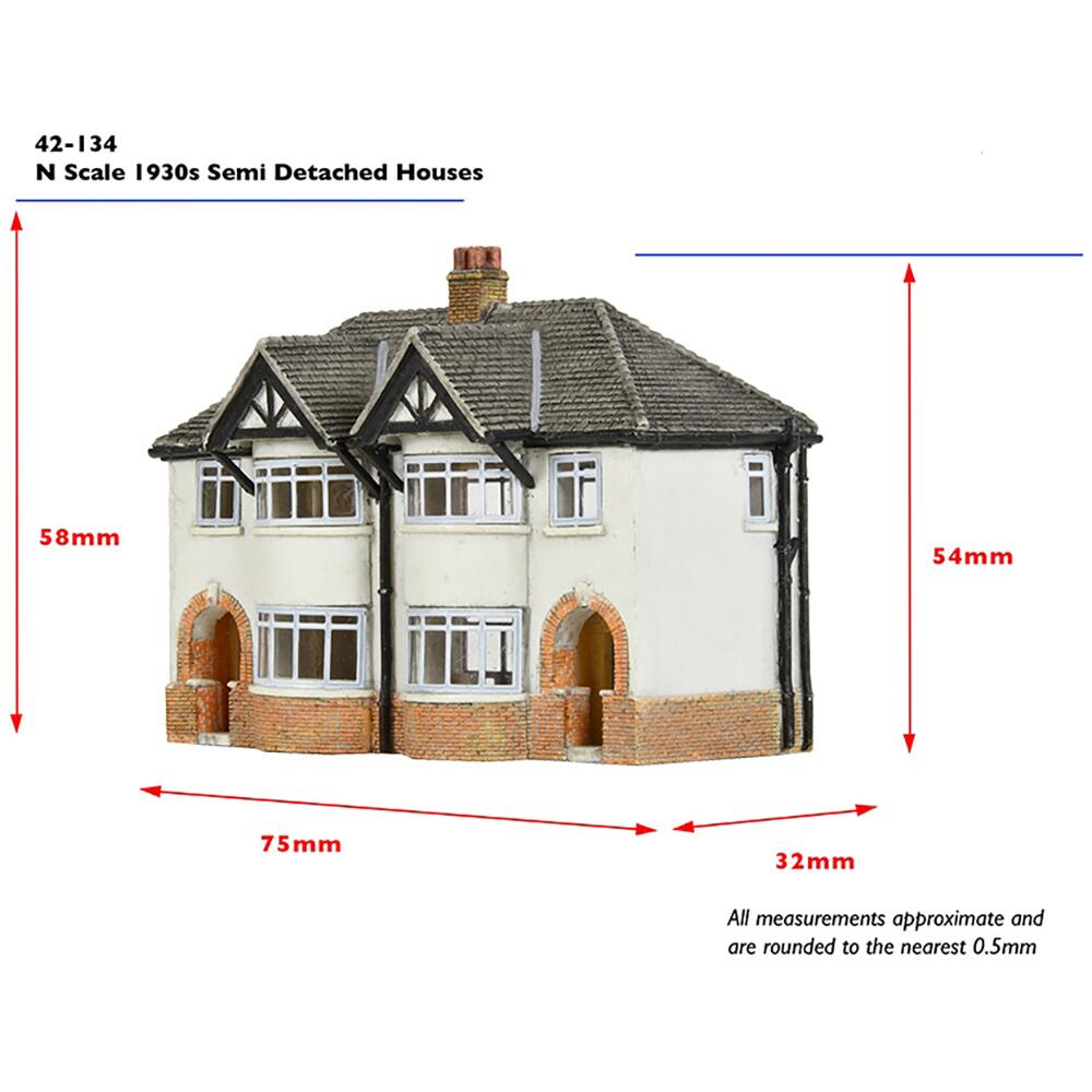
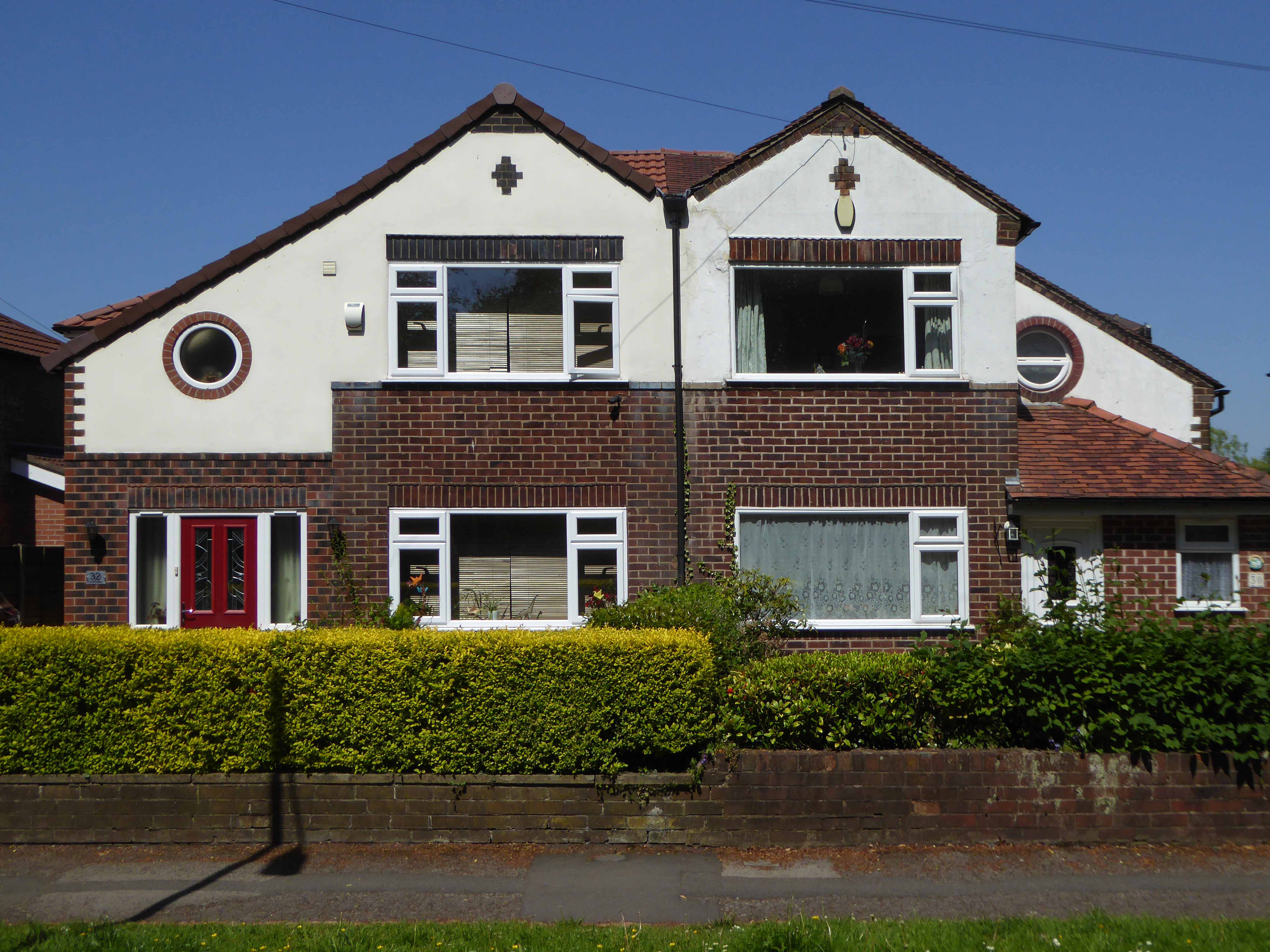
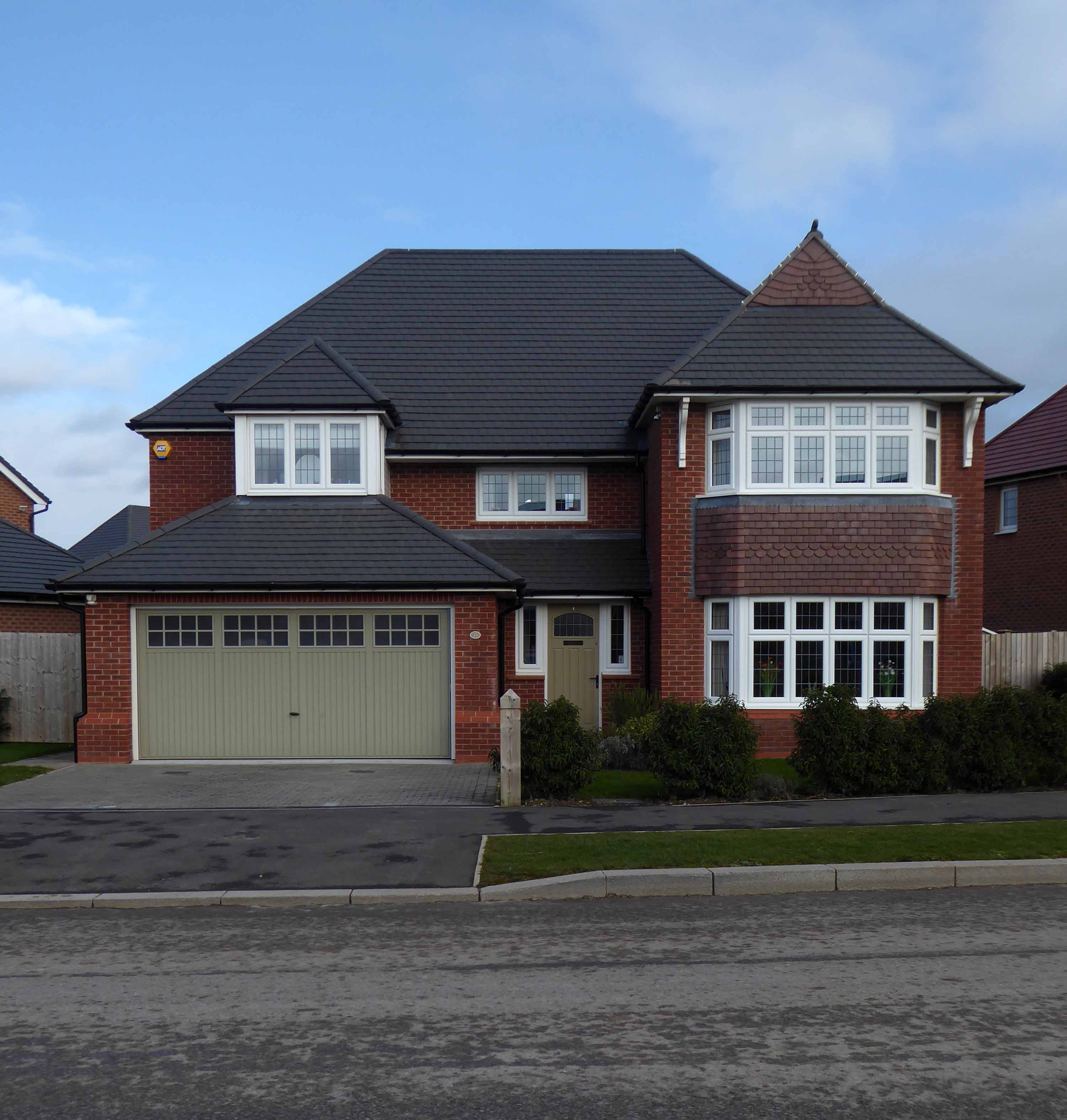
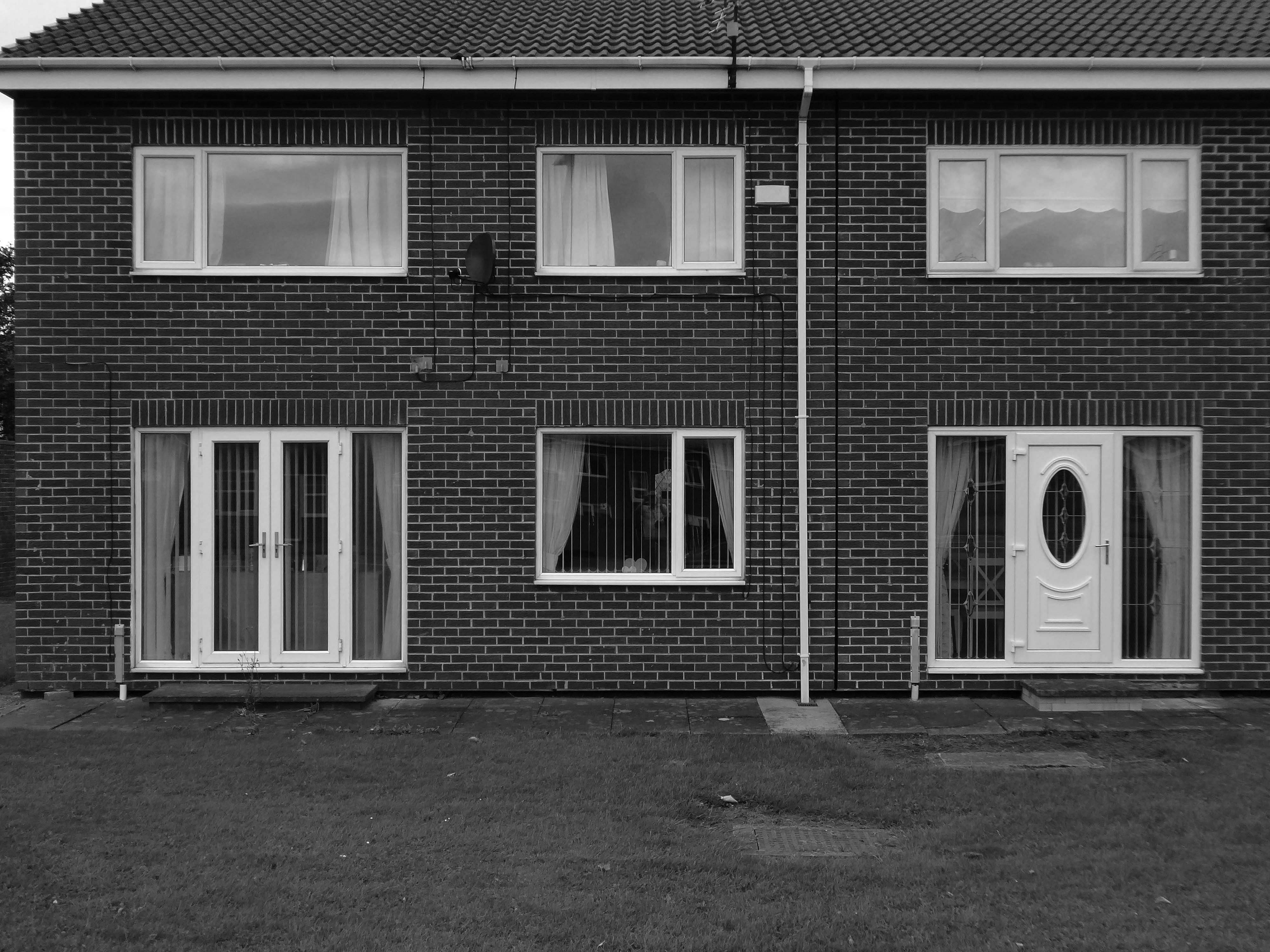
Symbol of middle-class aspiration, conservatism and compromised individualism, the semi-detached house is England’s modern domestic type par excellence.
Semi-detached houses are the most common property type in the United Kingdom. They accounted for 32% of UK housing transactions and 32% of the English housing stock in 2008. Between 1945 and 1964, 41% of all properties built were semis.
Semi-detached houses for the middle class began to be planned systematically in late 18th-century Georgian architecture, as a suburban compromise between the terraced houses close to the city centre, and the detached villas further out, where land was cheaper.
Although semi-detached housing is built throughout the world, it is generally seen as particularly symbolic of the suburbanisation of the United Kingdom and Ireland.
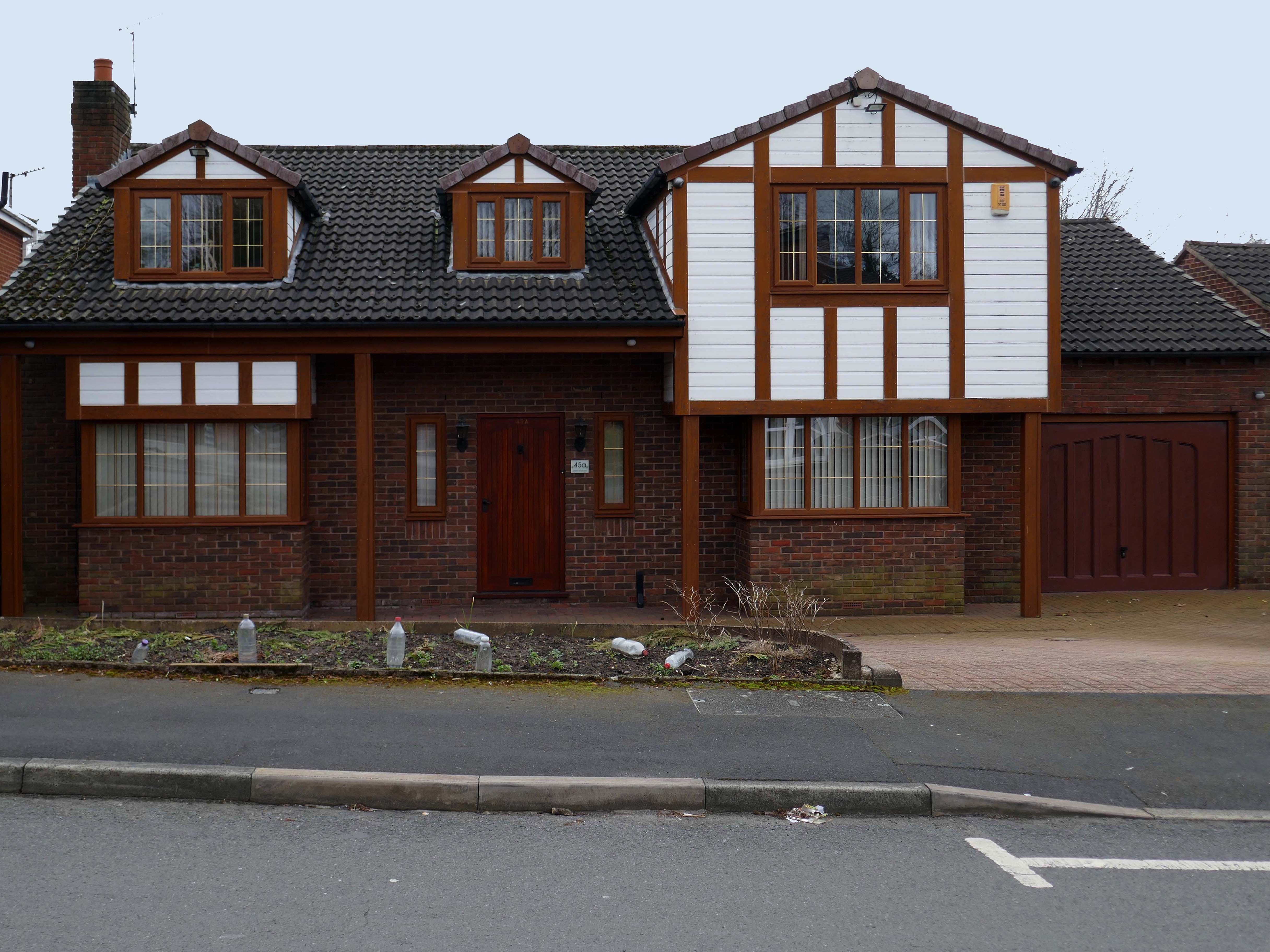
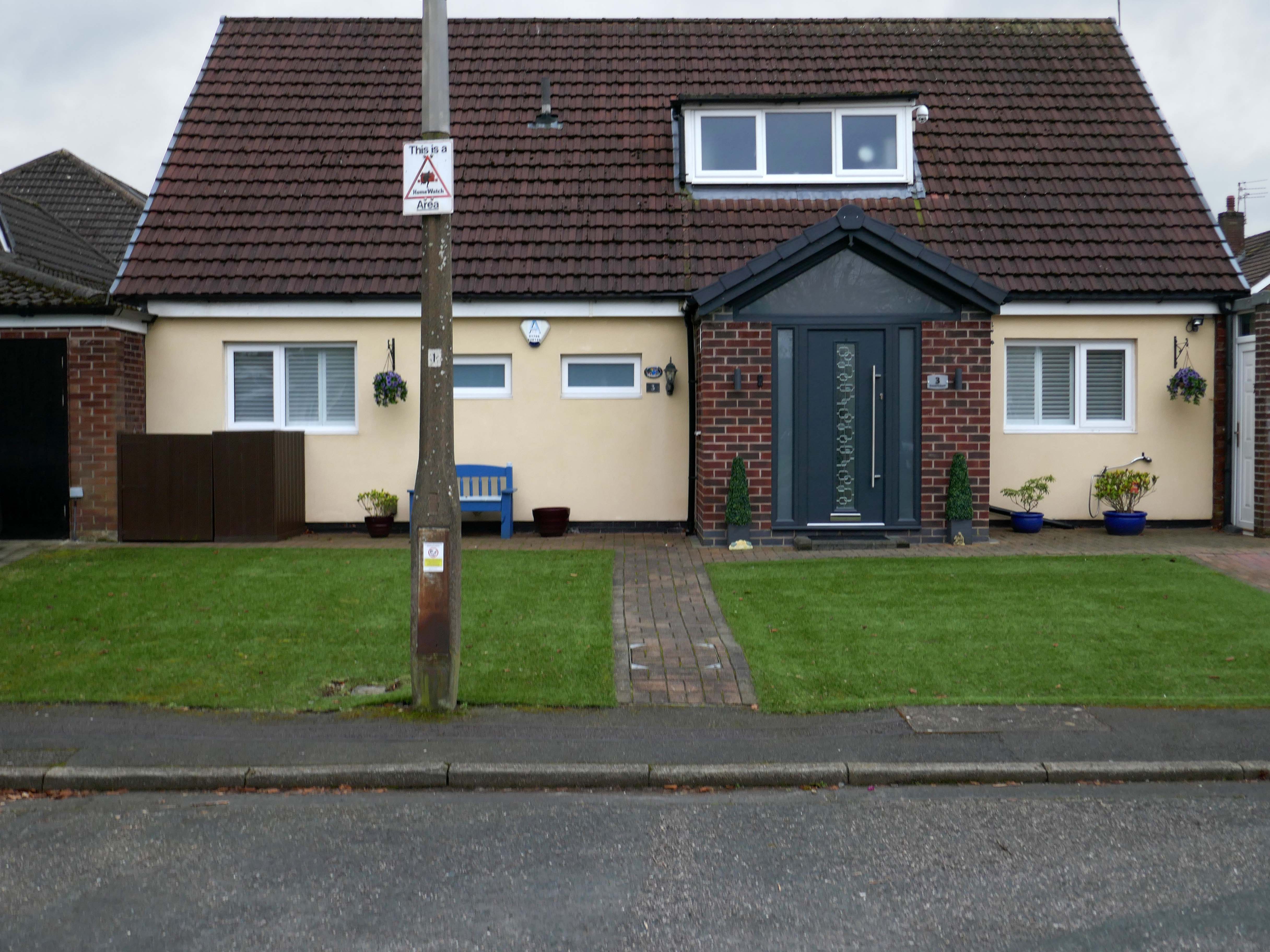
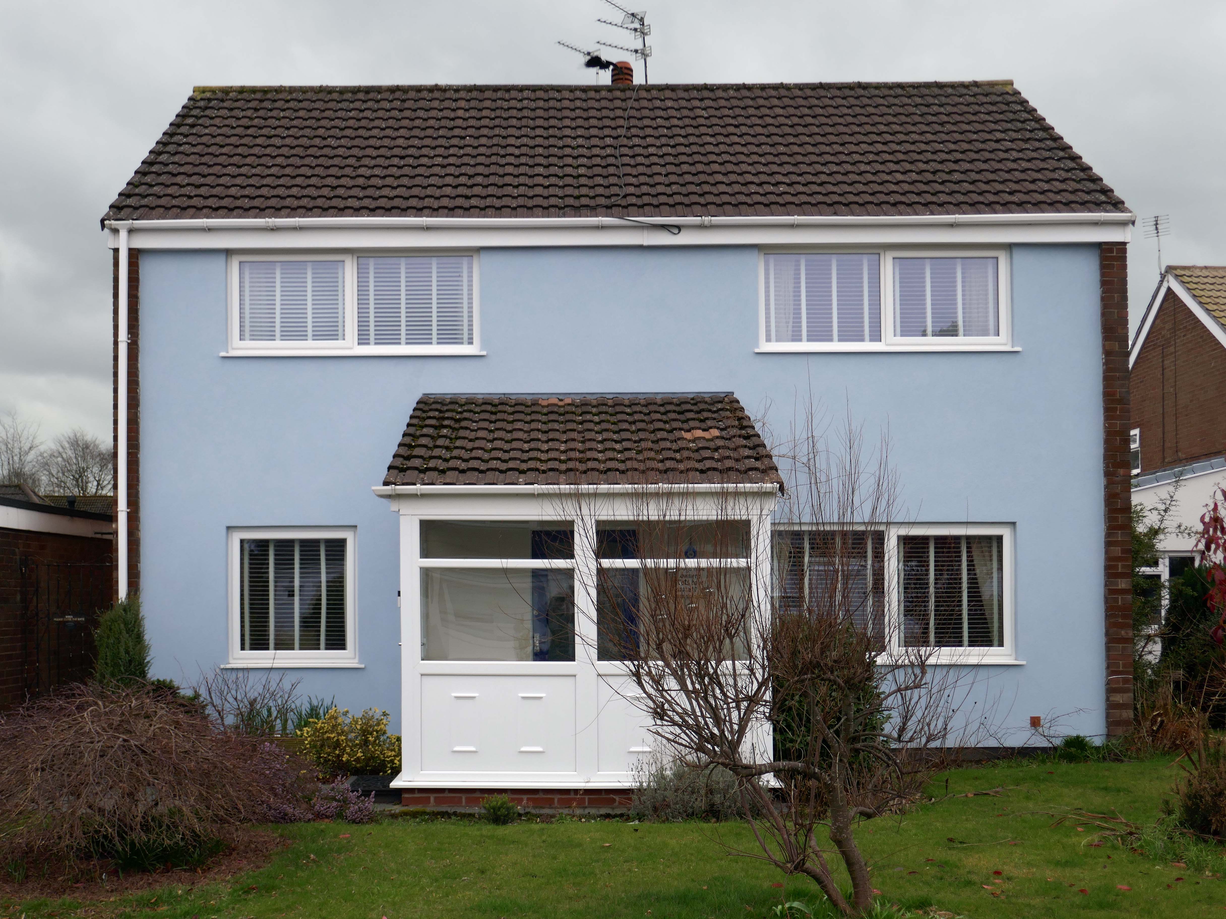
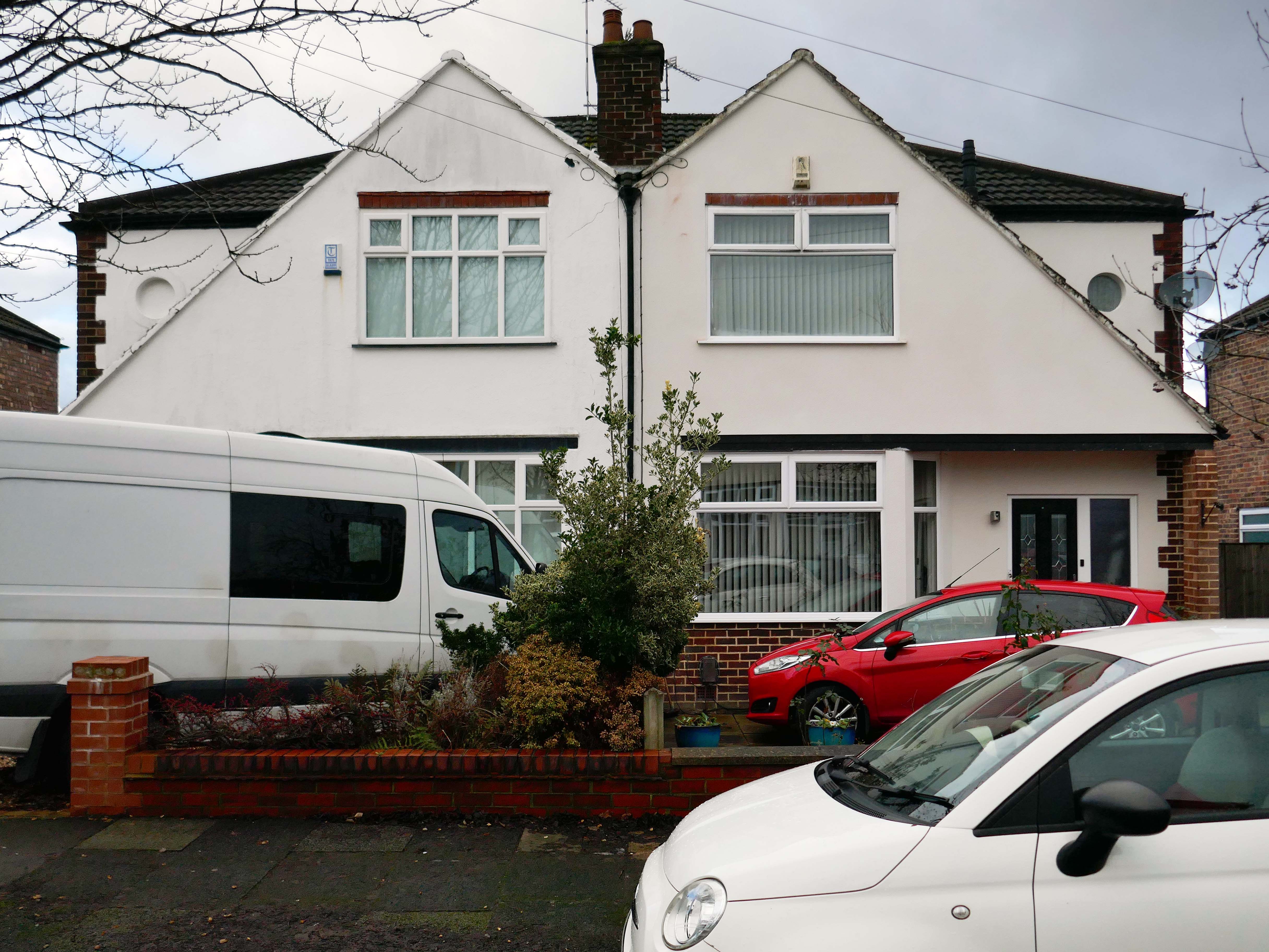
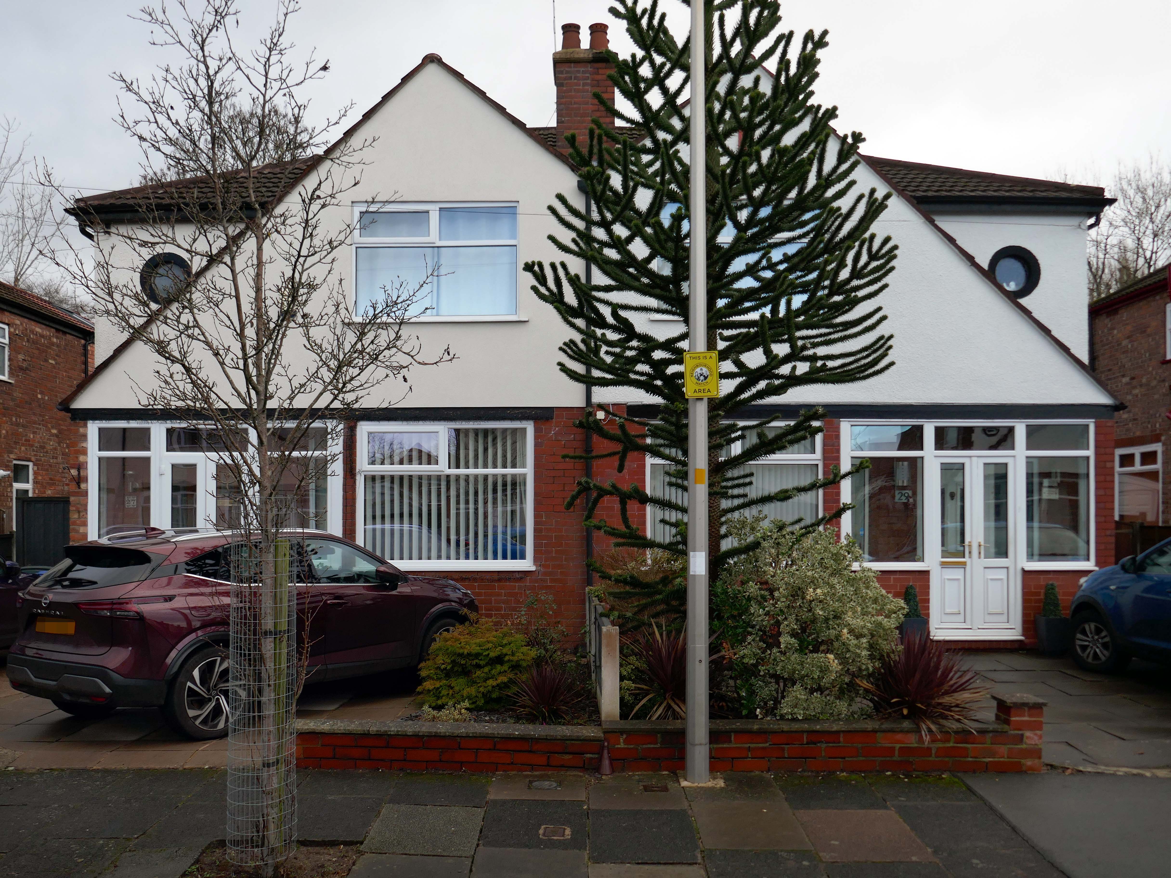
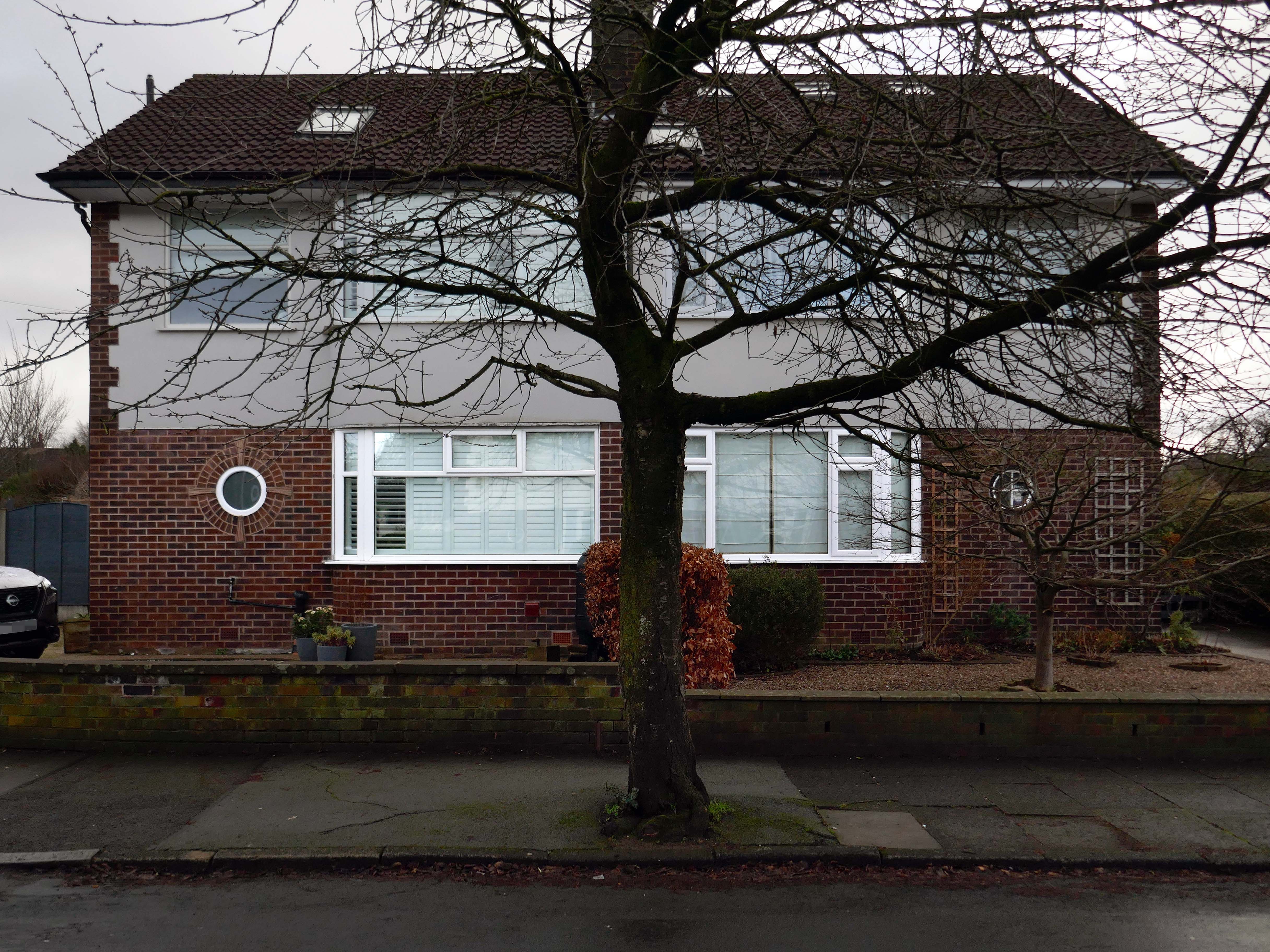
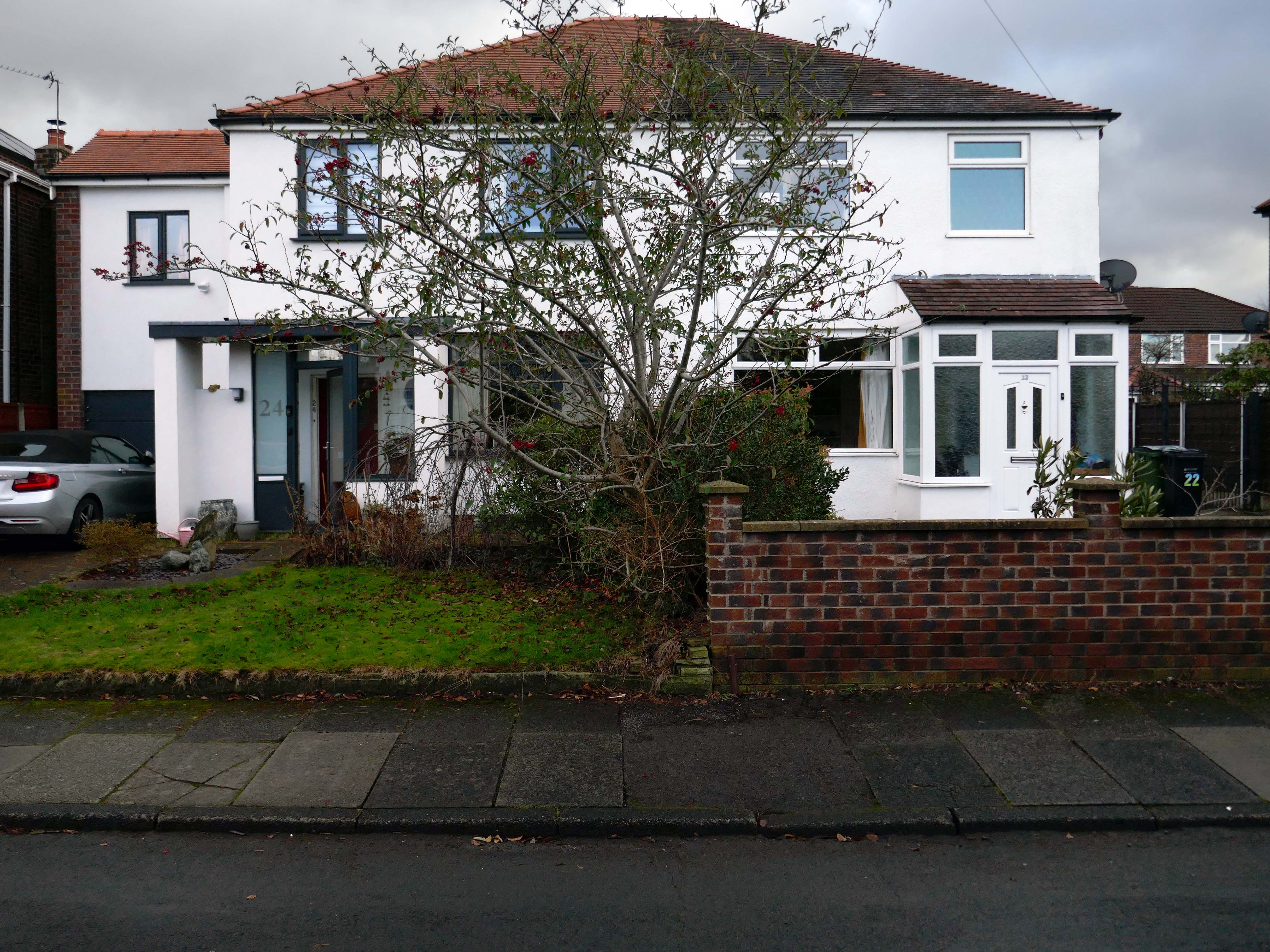
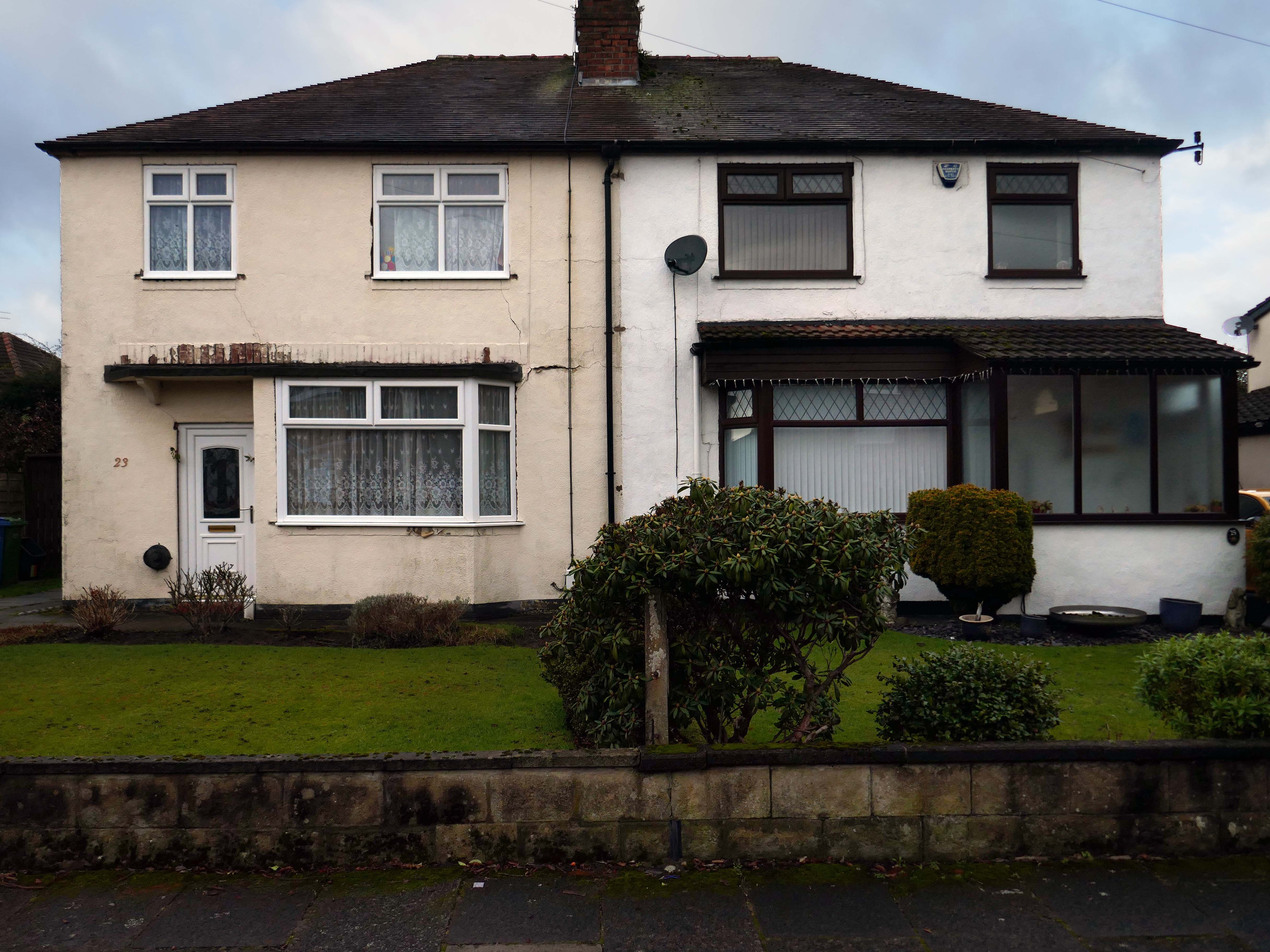
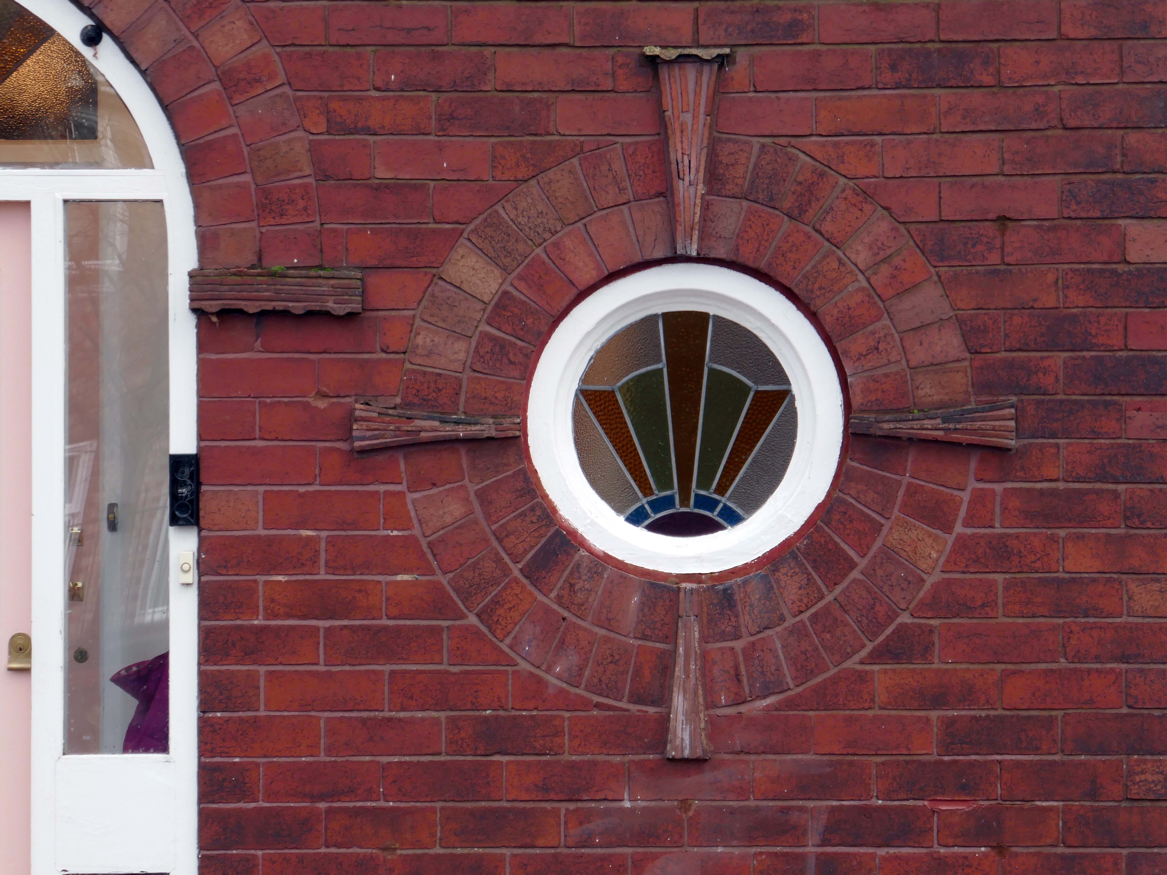
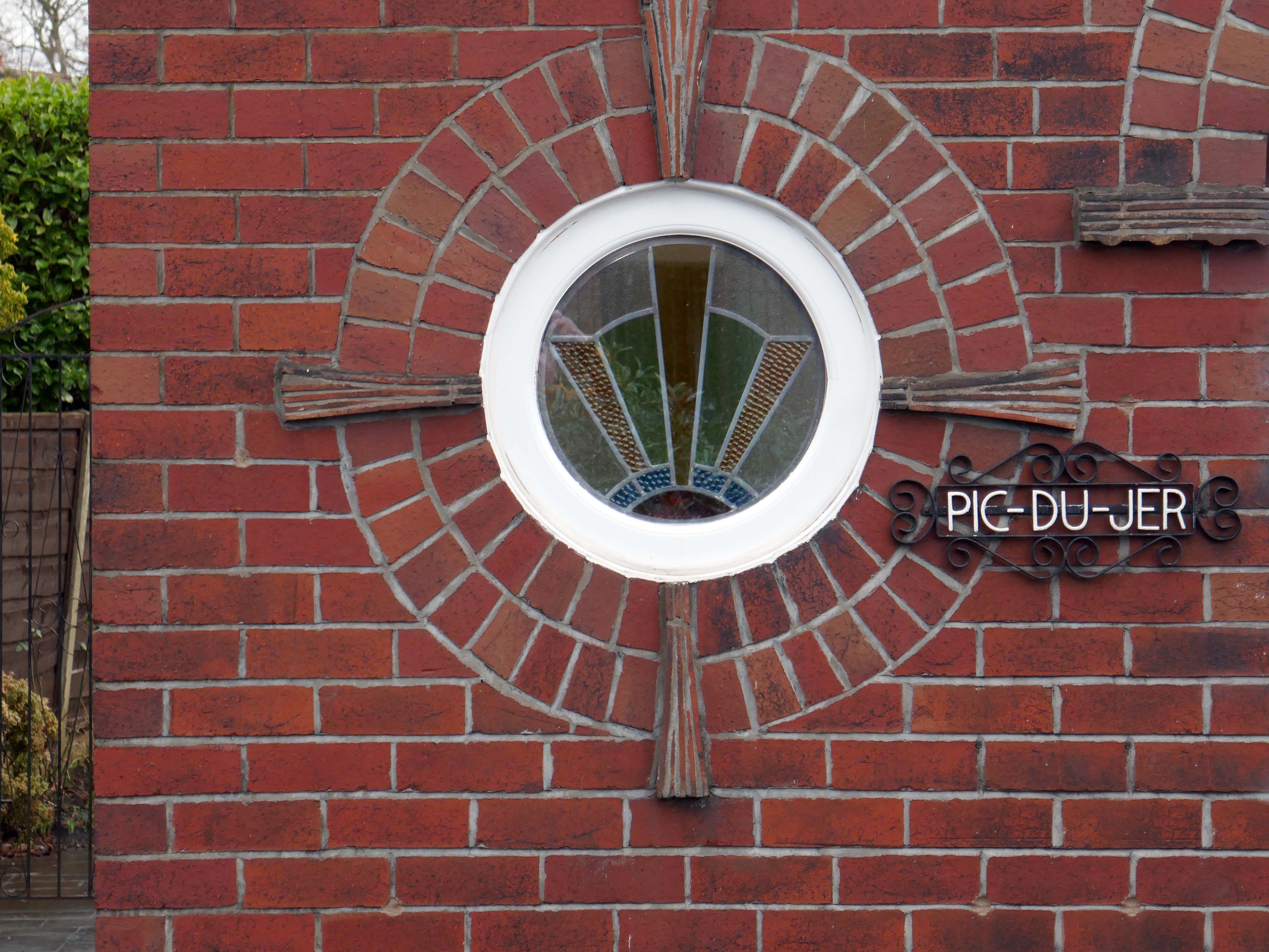
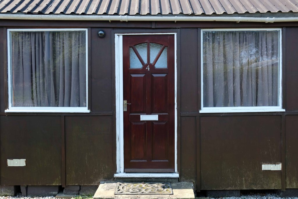
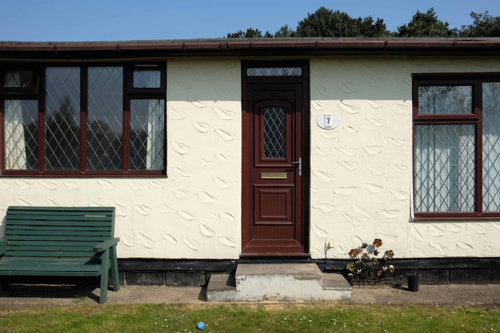
The homeowners quest for the individual within a typology, no two doors the same, render re-rendered, period details largely erased, occasionally preserved, windows awash with white uPVC, along with the more recent incursion of one shade of grey, front gardens replaced by unimpressive pressed concrete car parking, cars and more cars, bay windows held at bay by red brick walls and well-trimmed beech hedges.
My pink half of the drainpipe Separates next door from me My pink half of the drainpipe Oh, Mama – belongs to me
My baby takes the morning train He works from nine till five and then He takes another home again To find me waitin’ for him
Sheena Easton
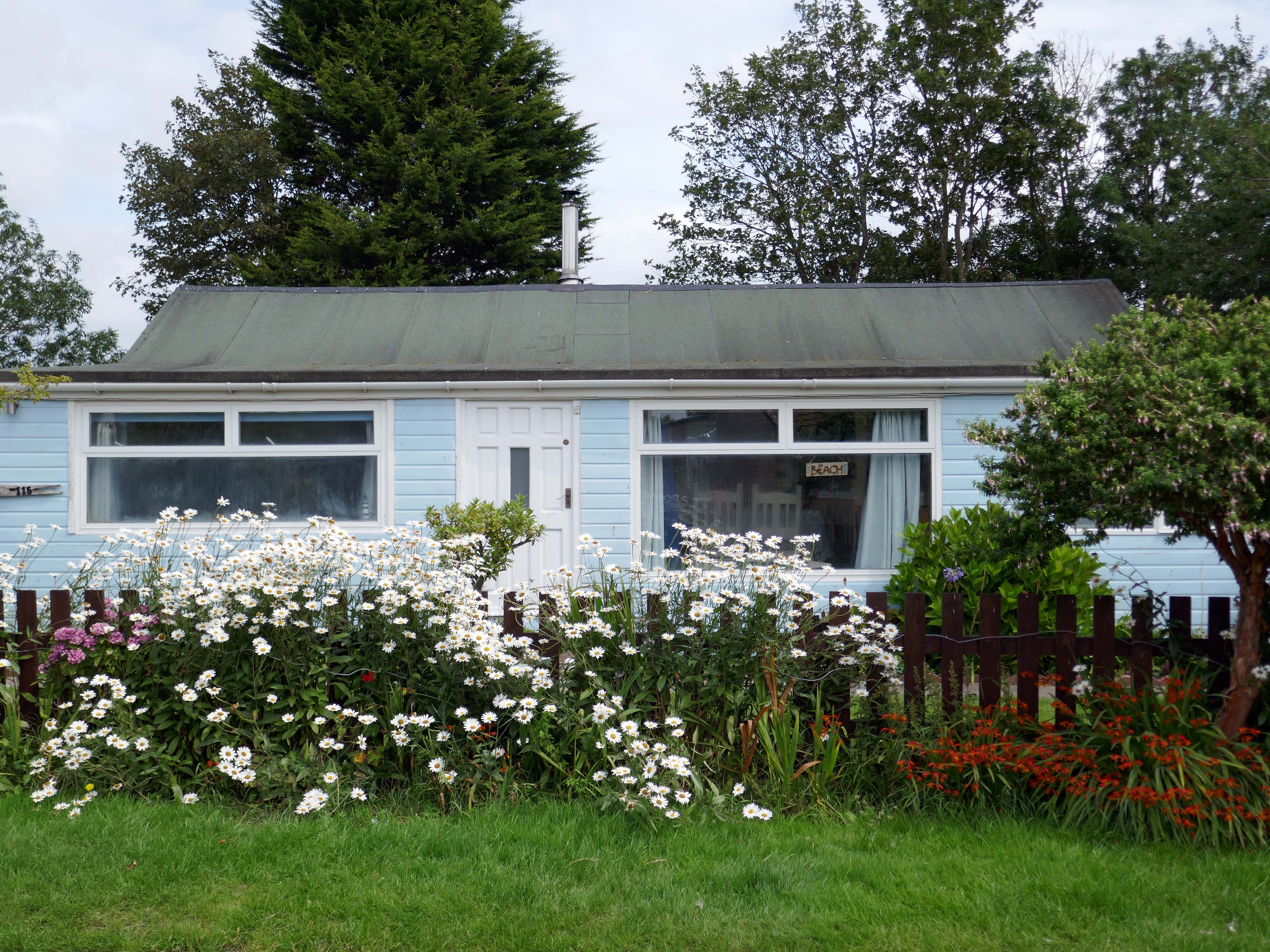
Welcome to the land of Terry and June – the seemingly complacent home to the newly aspirational classes, anathema to those thrill seeking Modernists, embracing the dynamism of the city, or those Ruralists protecting the integrity of the countryside.
Tradition has broken down. Taste is utterly debased, the town, long since degraded, is now being annihilated by a flabby, shoddy, romantic nature worship. That romantic nature worship is destroying also the object of its adoration, the countryside.
The growth of British towns and cities, from the onset of the Industrial Revolution, created a demand for new homes, the earliest developments were close to the centres of production and administration. Followed by the creation of outlying estates for the fleeing middle classes, as the smoke began to billow and the trains and buses began to run.
Originally the work of speculative private enterprise, followed by homes built by the local authority along with charitable institutions.
My own experience has taught me that Suburbia is architecturally diverse, socially less so, as various areas are segregated by class, and perhaps less so by ethnicity and/or culture.
The majority of the population live in Suburbia it seems, there now follows a selection of the suburban sites which I have visited in the last ten years or so.
In search of Suburbia.
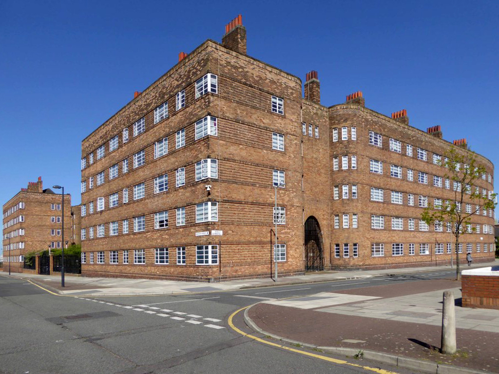
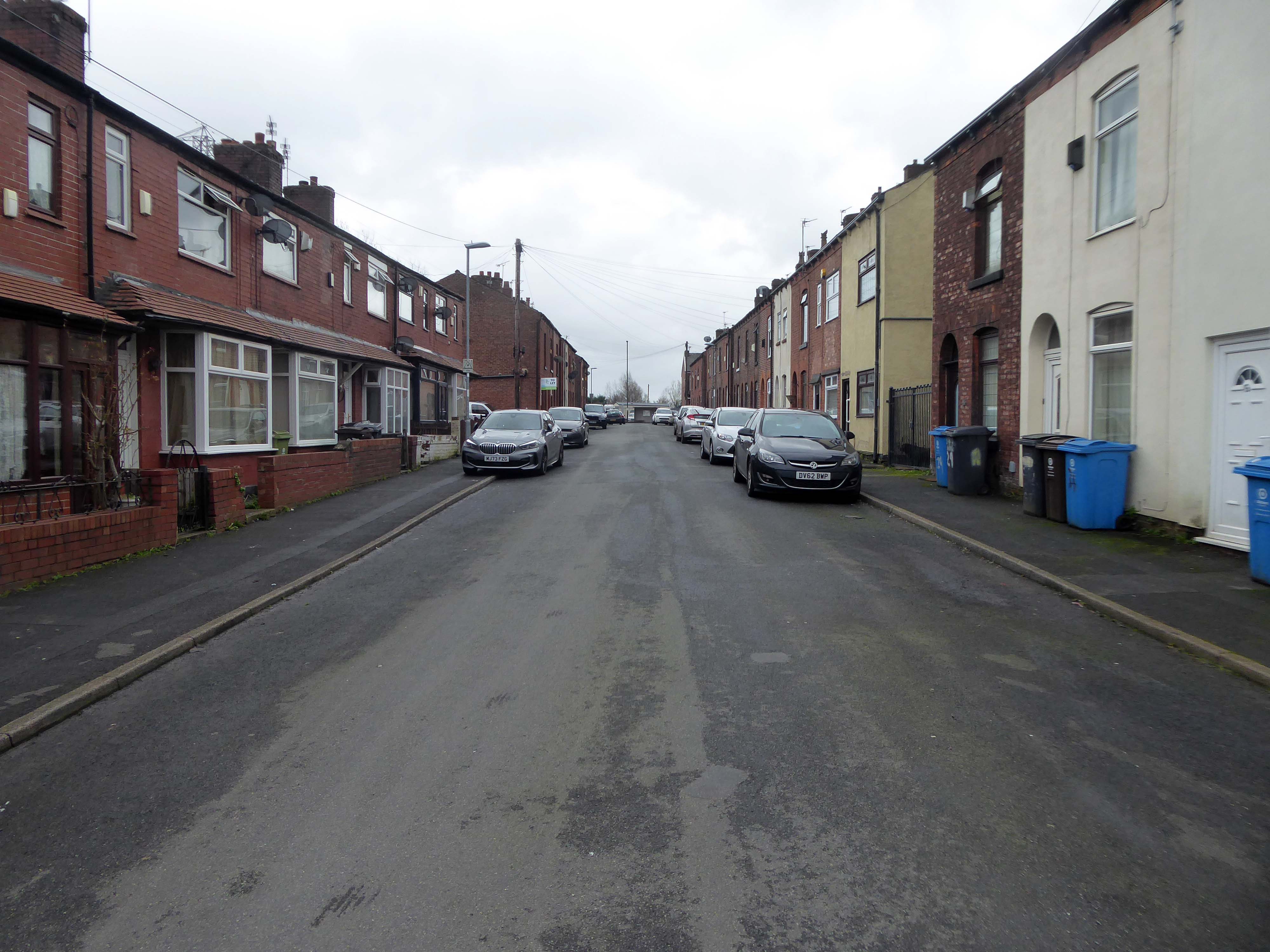
There are areas of Victorian terraced housing Manchester which survived clearance – such as Jetson Street in Abbey Hey.
By 1931 1.1 million council houses were built and 2.8 million privately owned homes.
Post WW2 the emphasis was on an expansion of social housing, along with a growth in privately owned property – detailed information and analysis of social housing can be found here at Municipal Dreams.
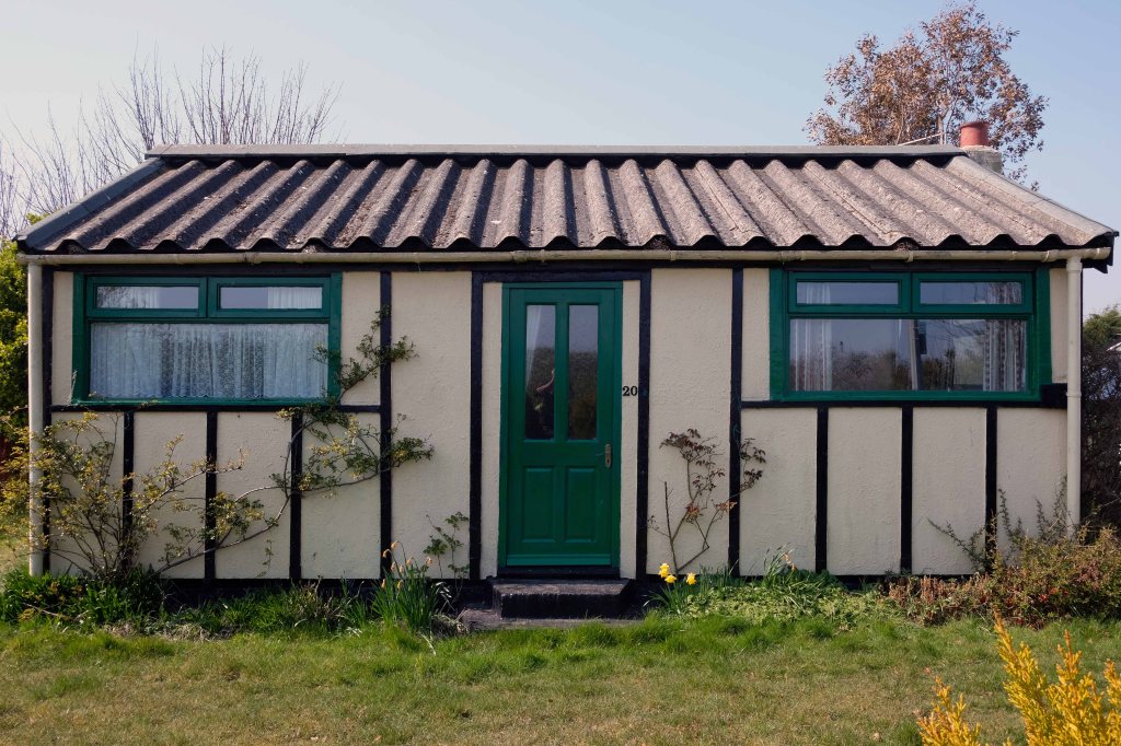
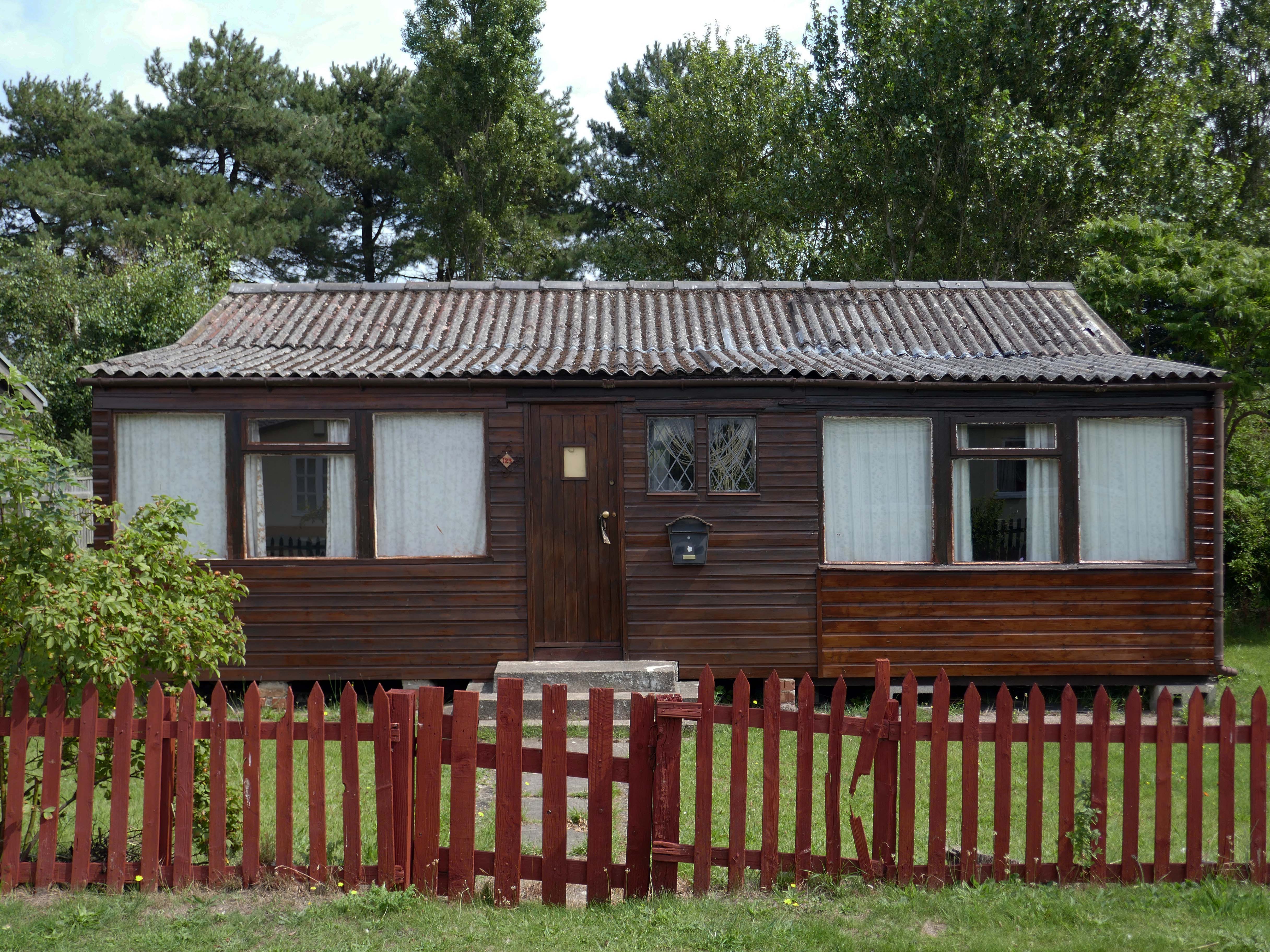
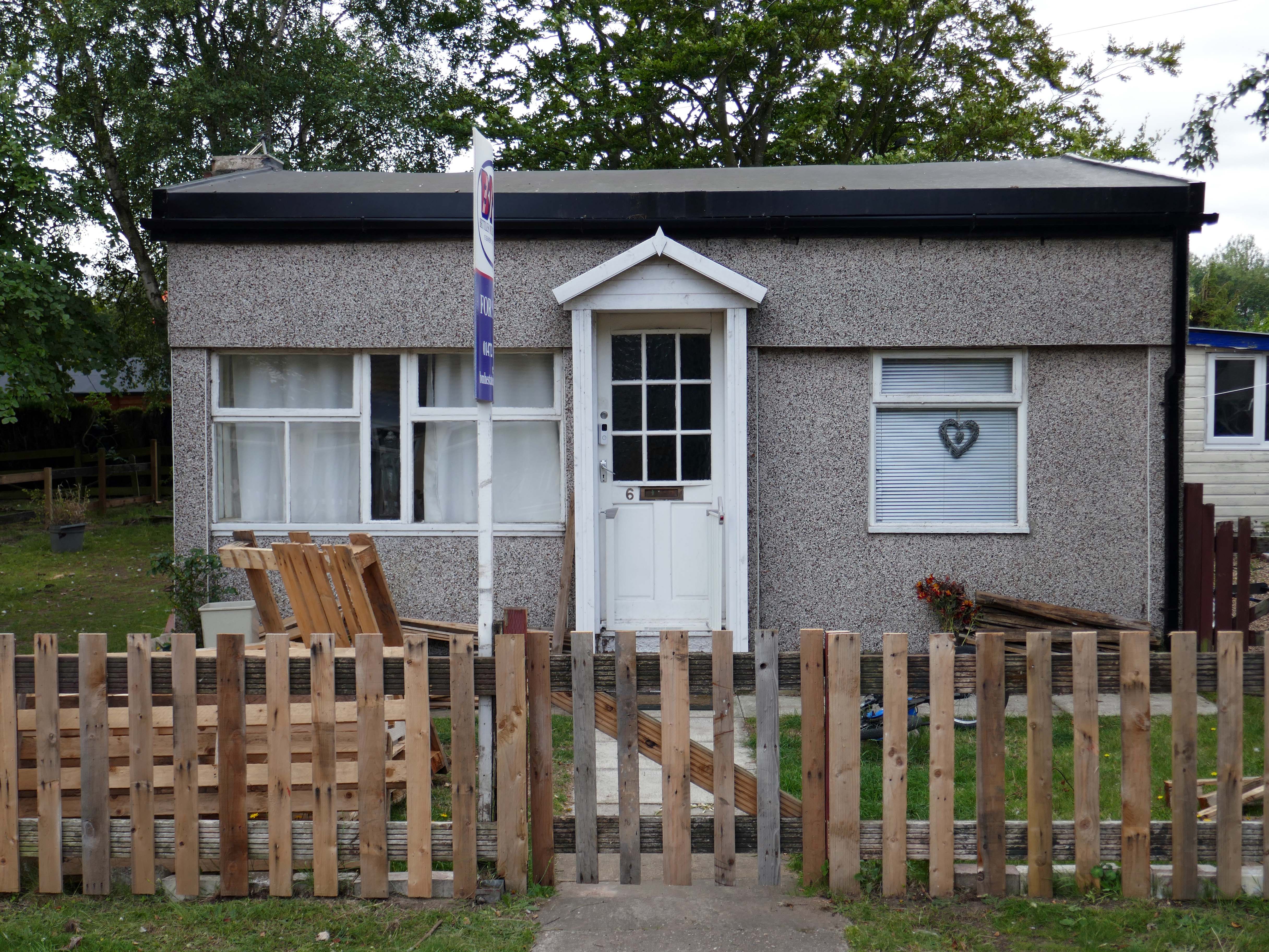
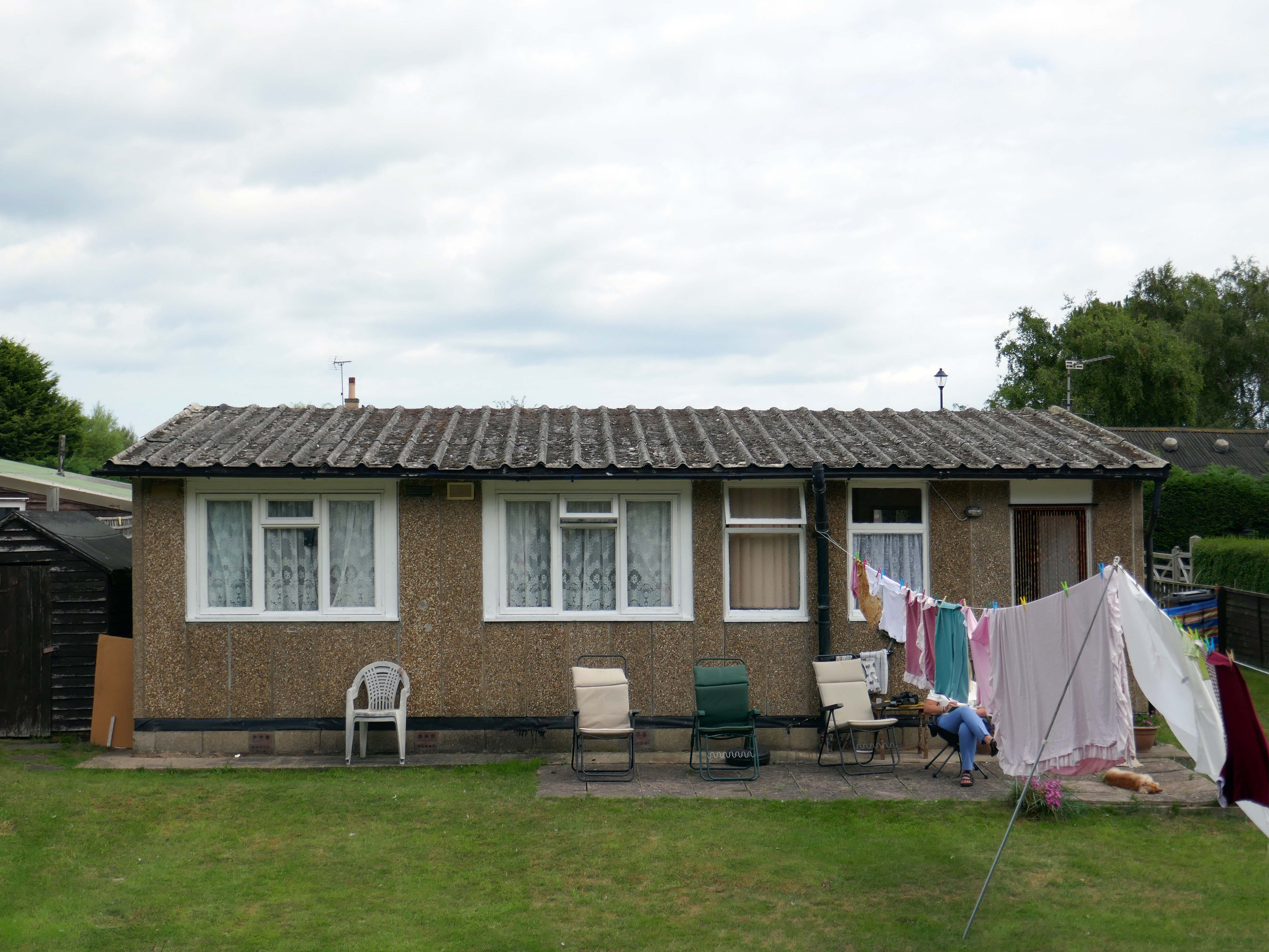
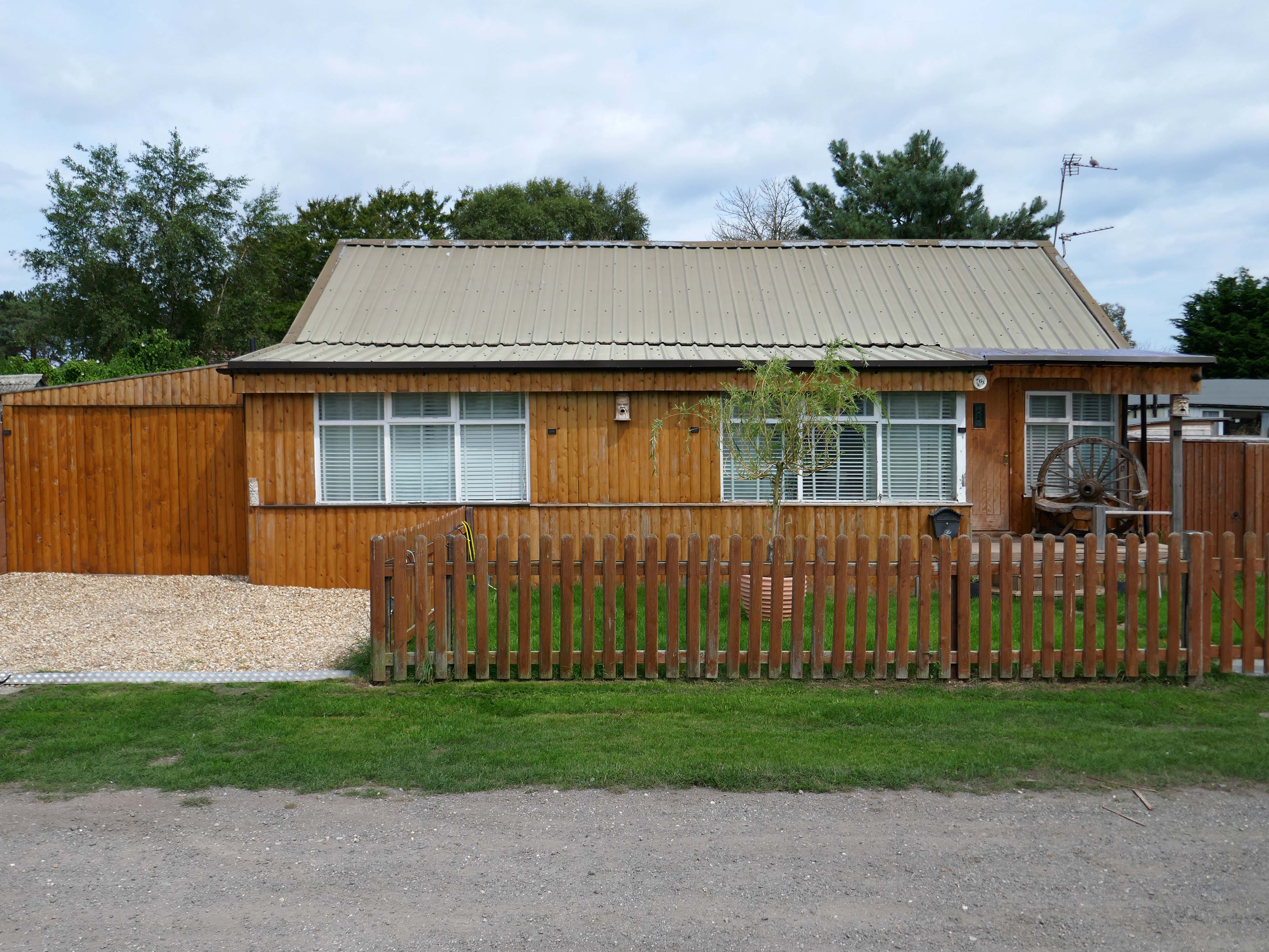
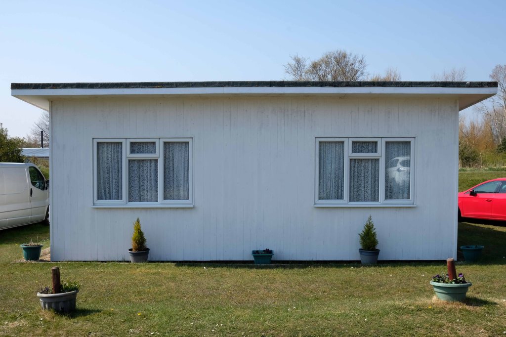
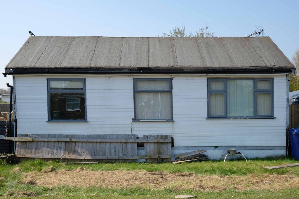
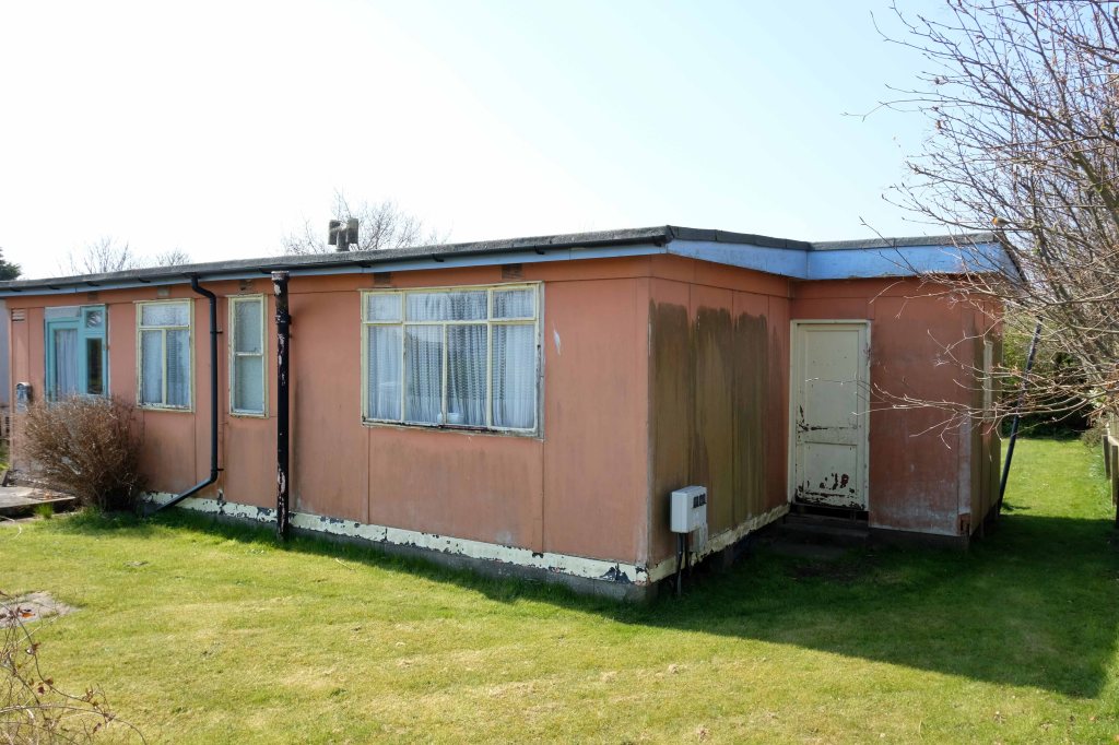
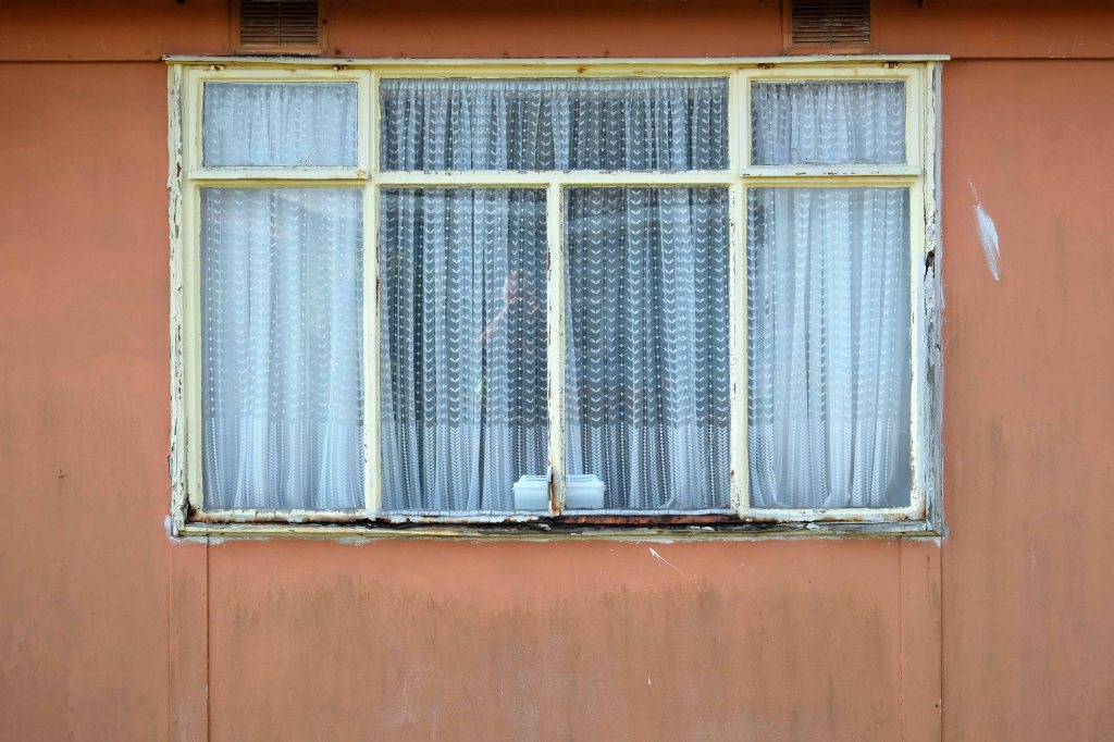
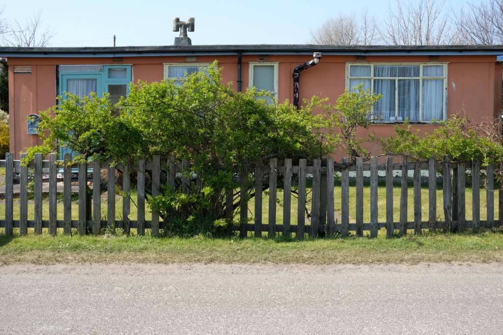
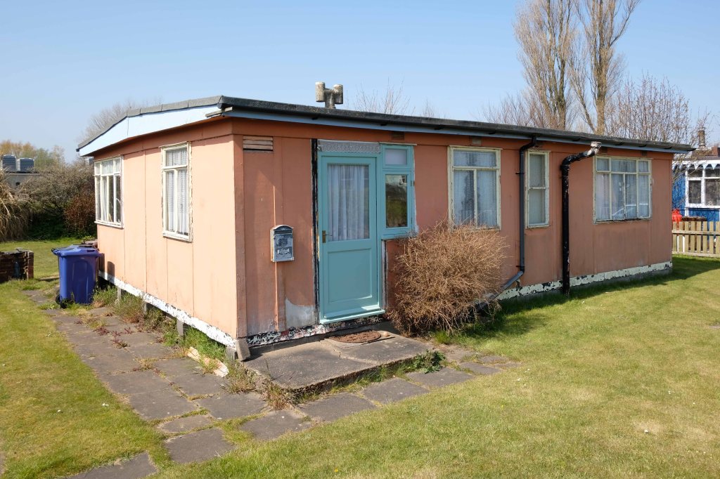
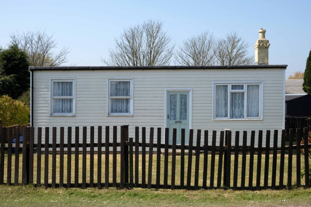
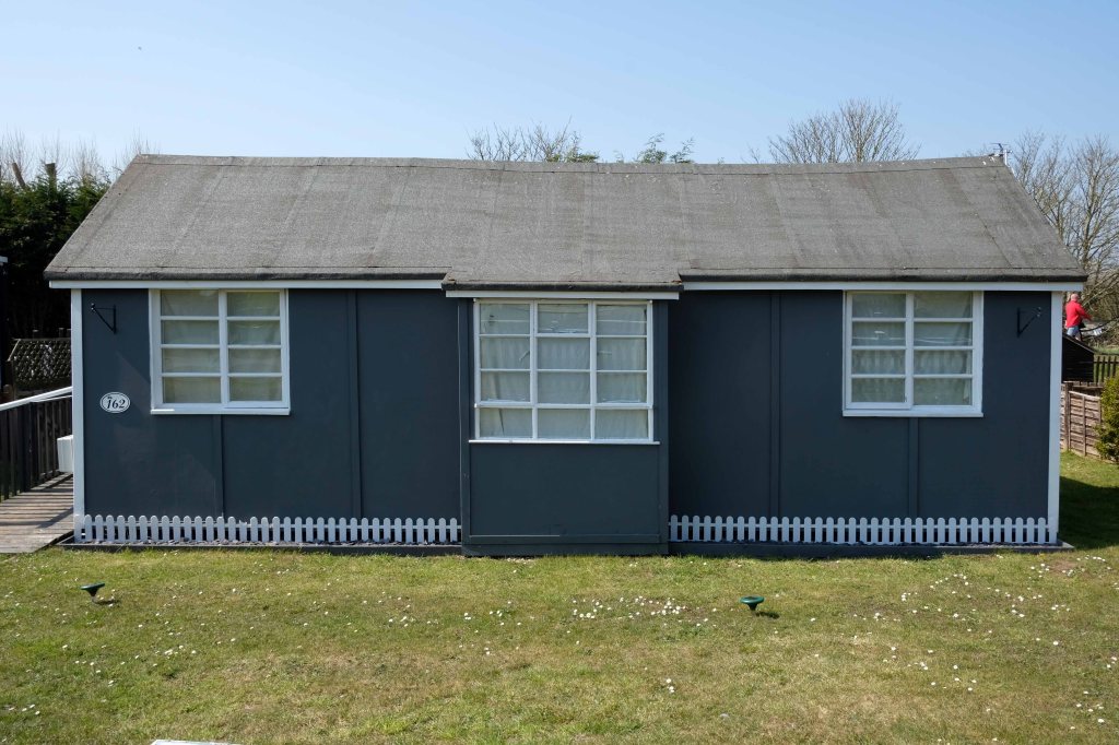
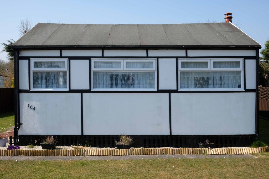
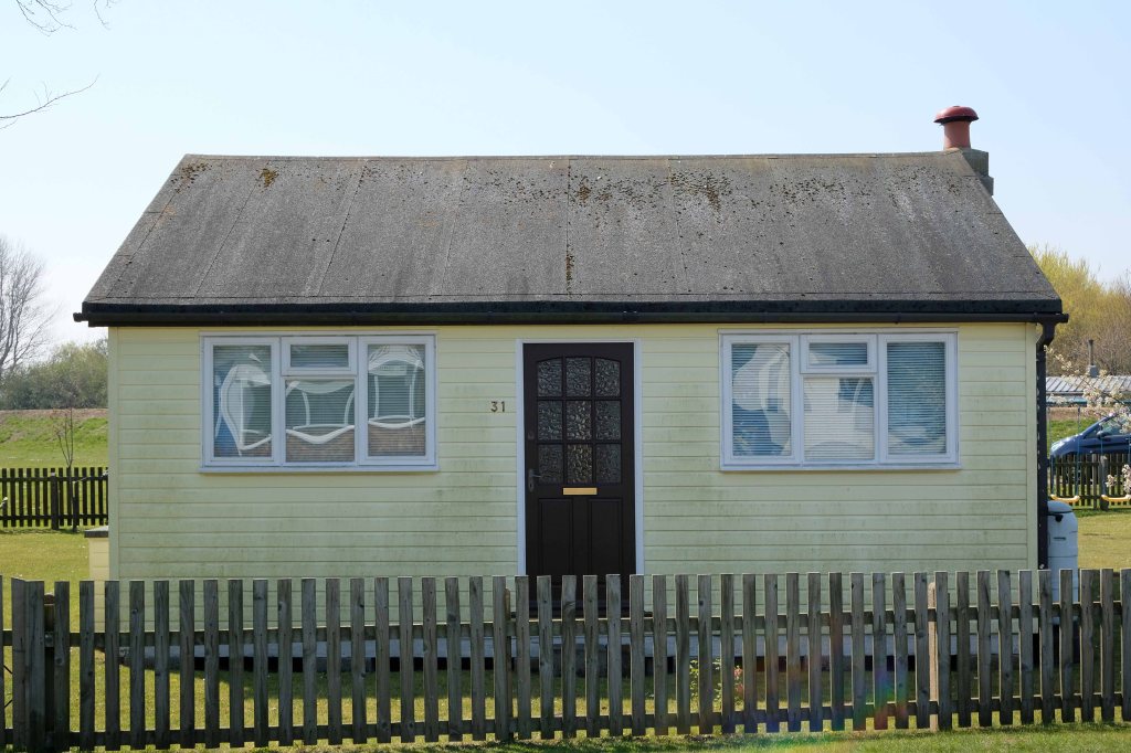
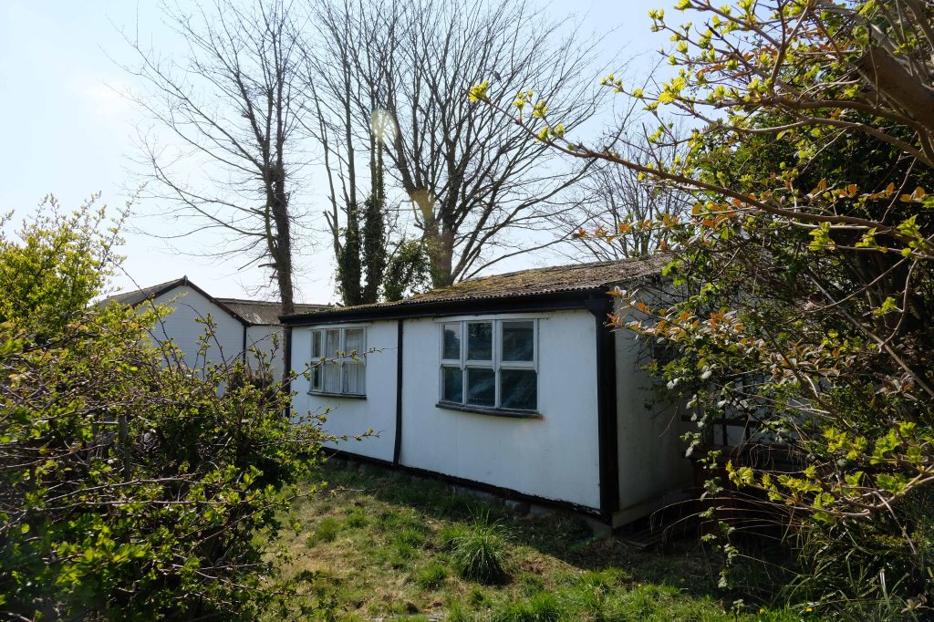
These homes were at times both temporary and of non-standard construction.
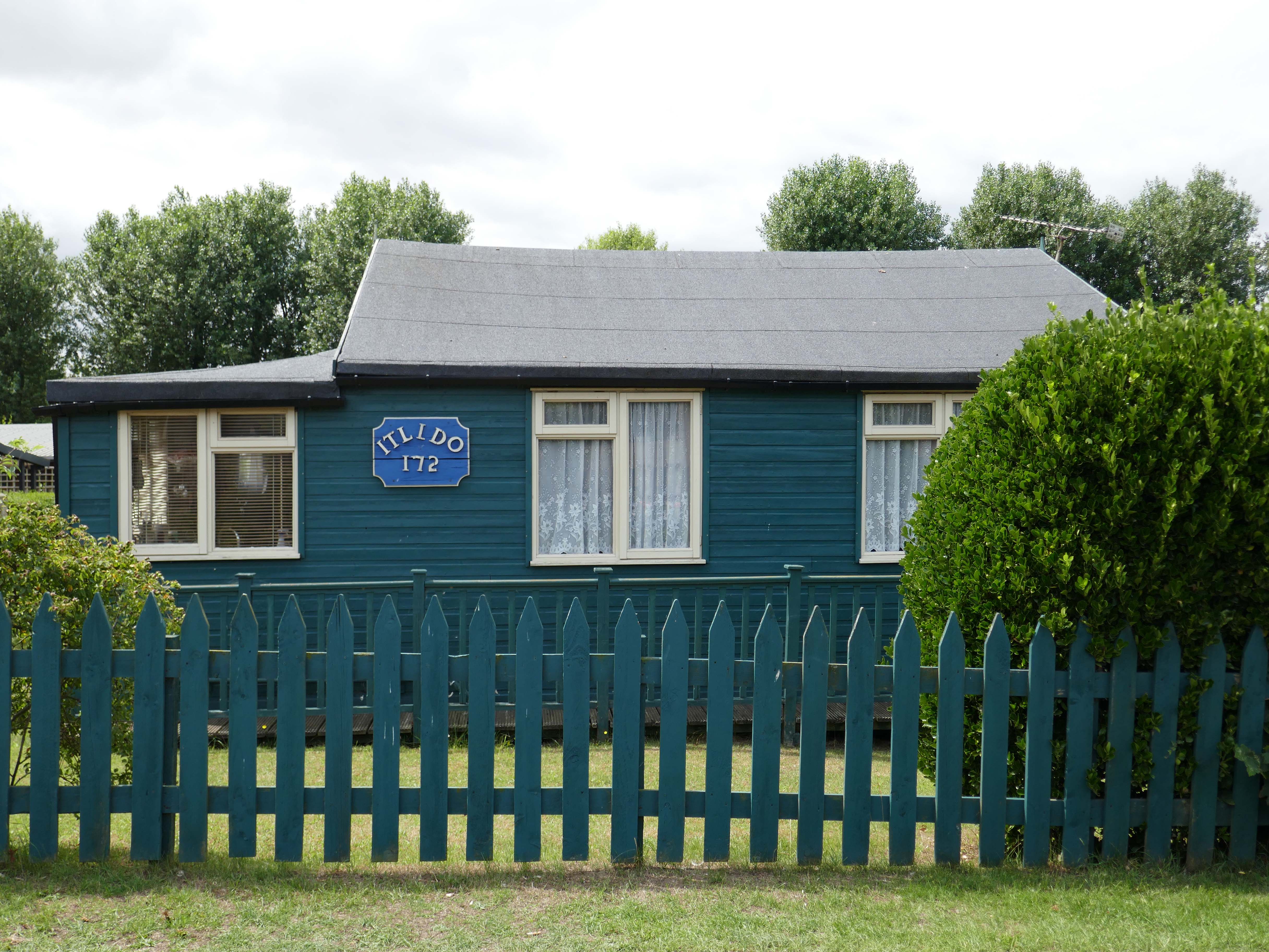
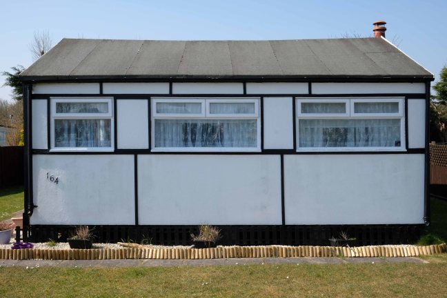
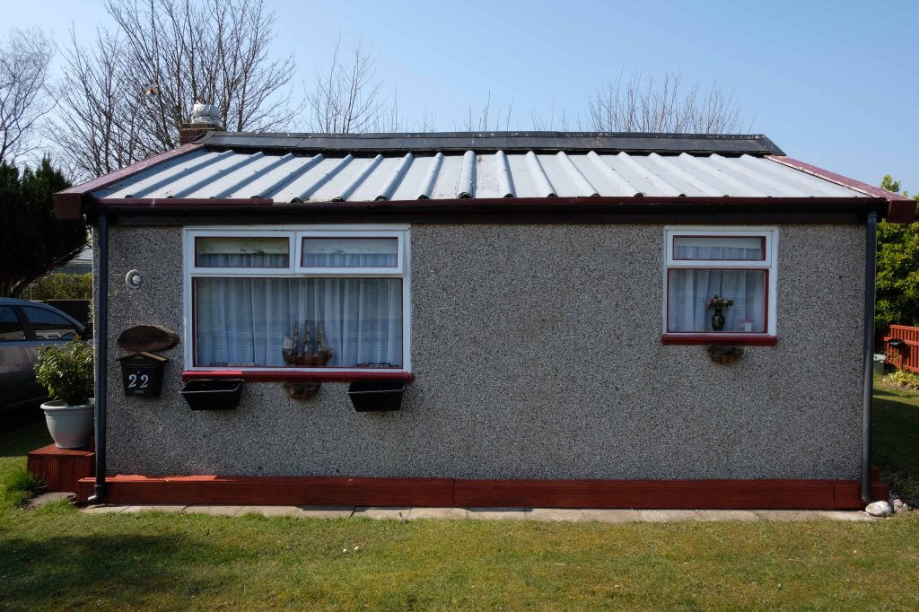
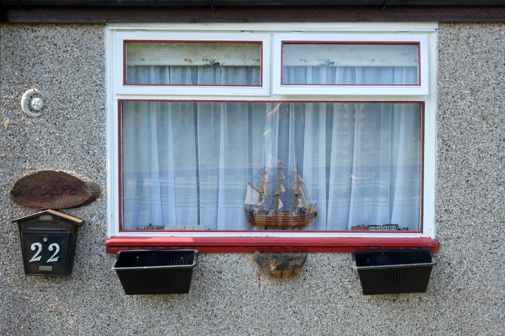
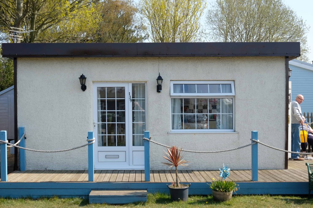
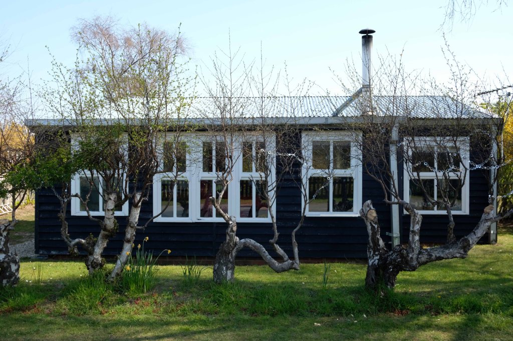
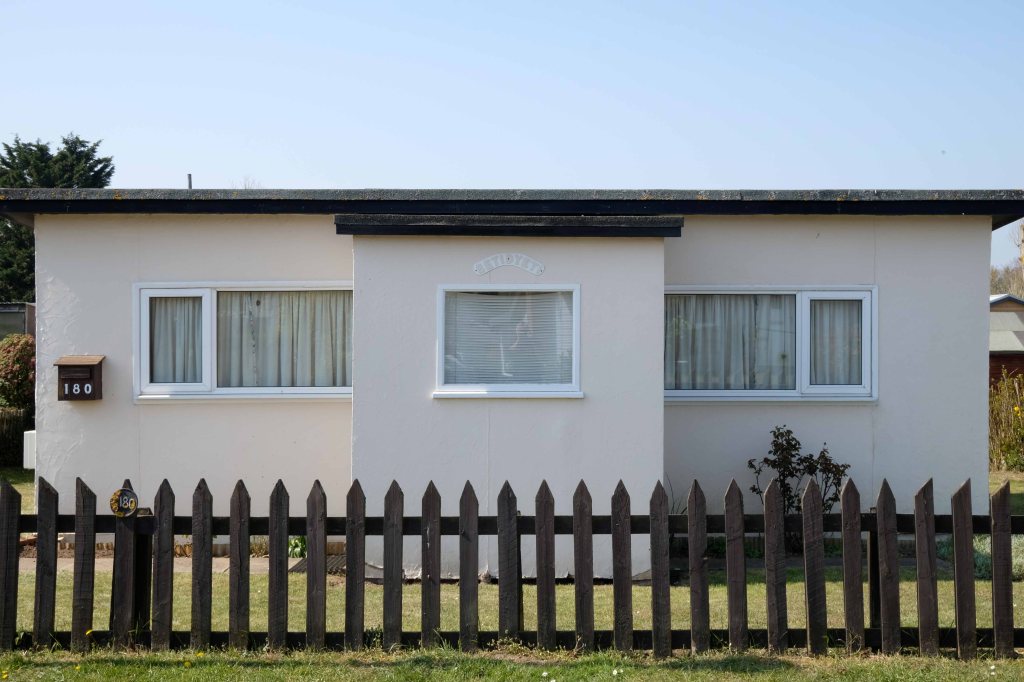
This prefabricated house was originally built for the good folk of Doncaster, later finding itself in Humberston Fitties
These Wythenshawe BISFHomes designed by Frederick Gibberd, the so-called Tin Town are still very much habitable homes.
Post war development was inextricably linked to the New Towns.
The new towns in the United Kingdom were planned under the powers of the New Towns Act 1946 and later acts to relocate people from poor or bombed-out housing following World War II. Designated new towns were placed under the supervision of a development corporation, and were developed in three waves. Later developments included the “expanded towns”: existing towns which were substantially expanded to accommodate what was called the “overspill” population from densely populated areas of deprivation.
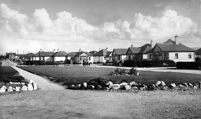
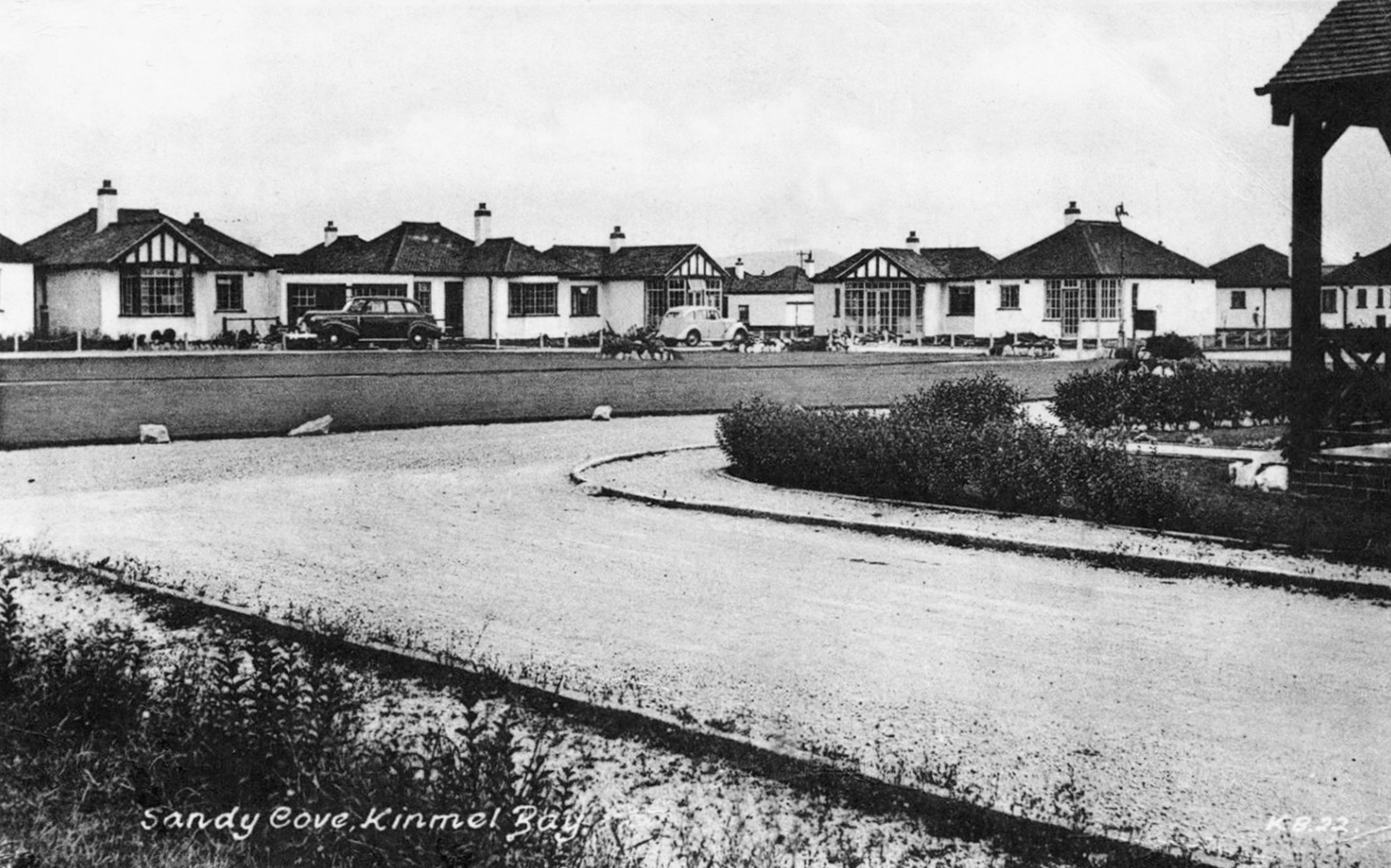
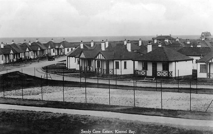
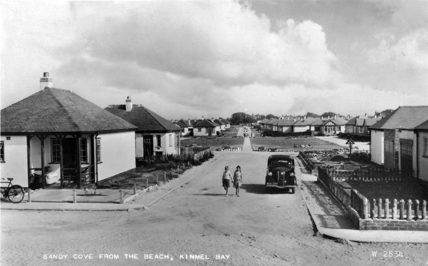
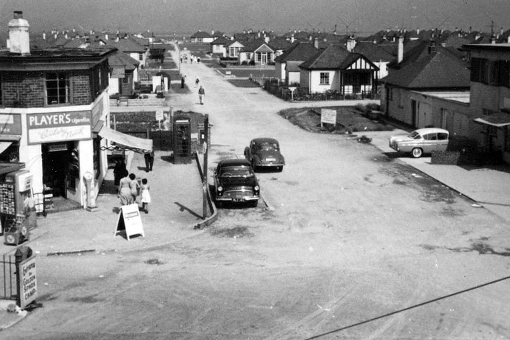
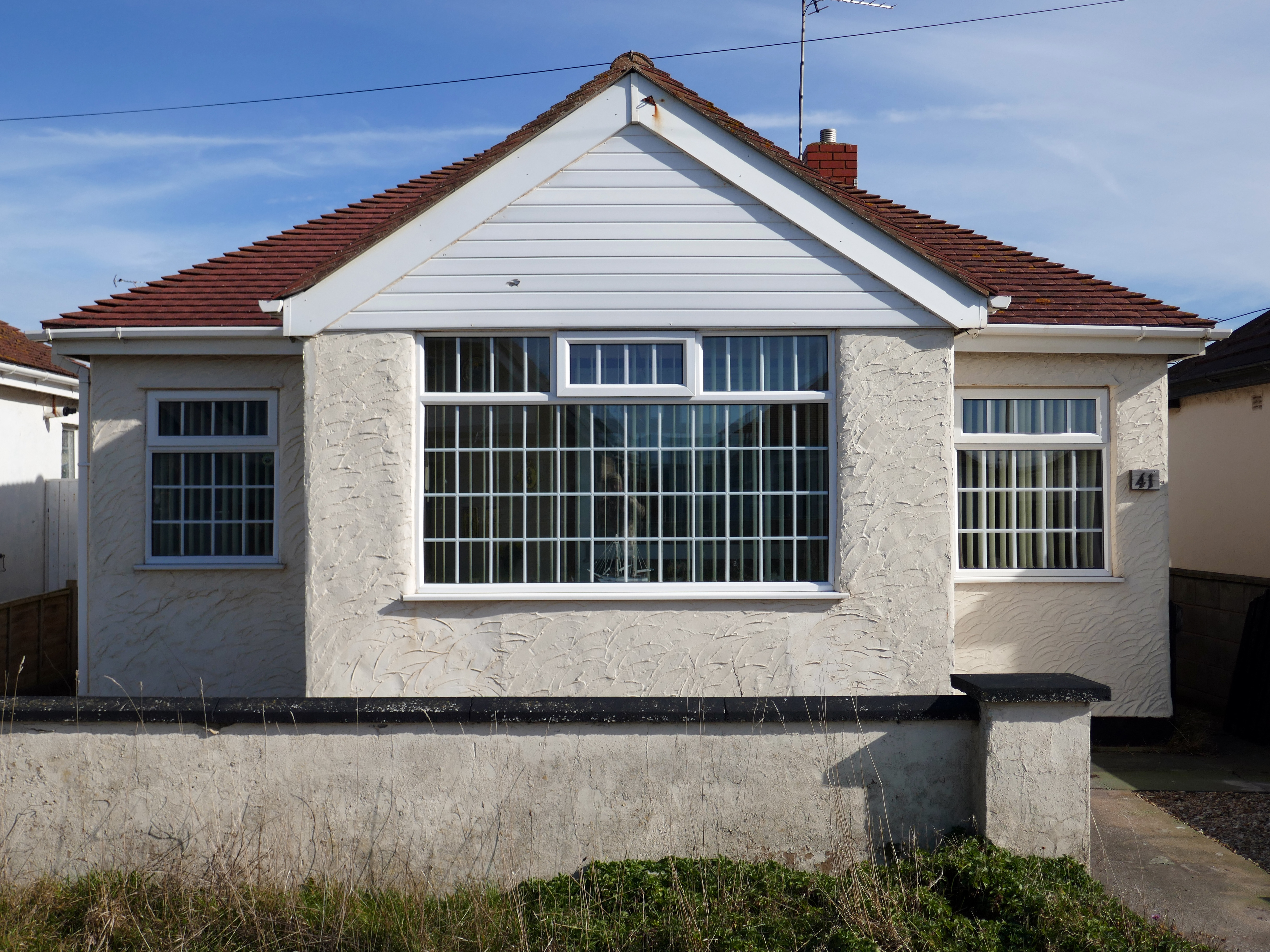
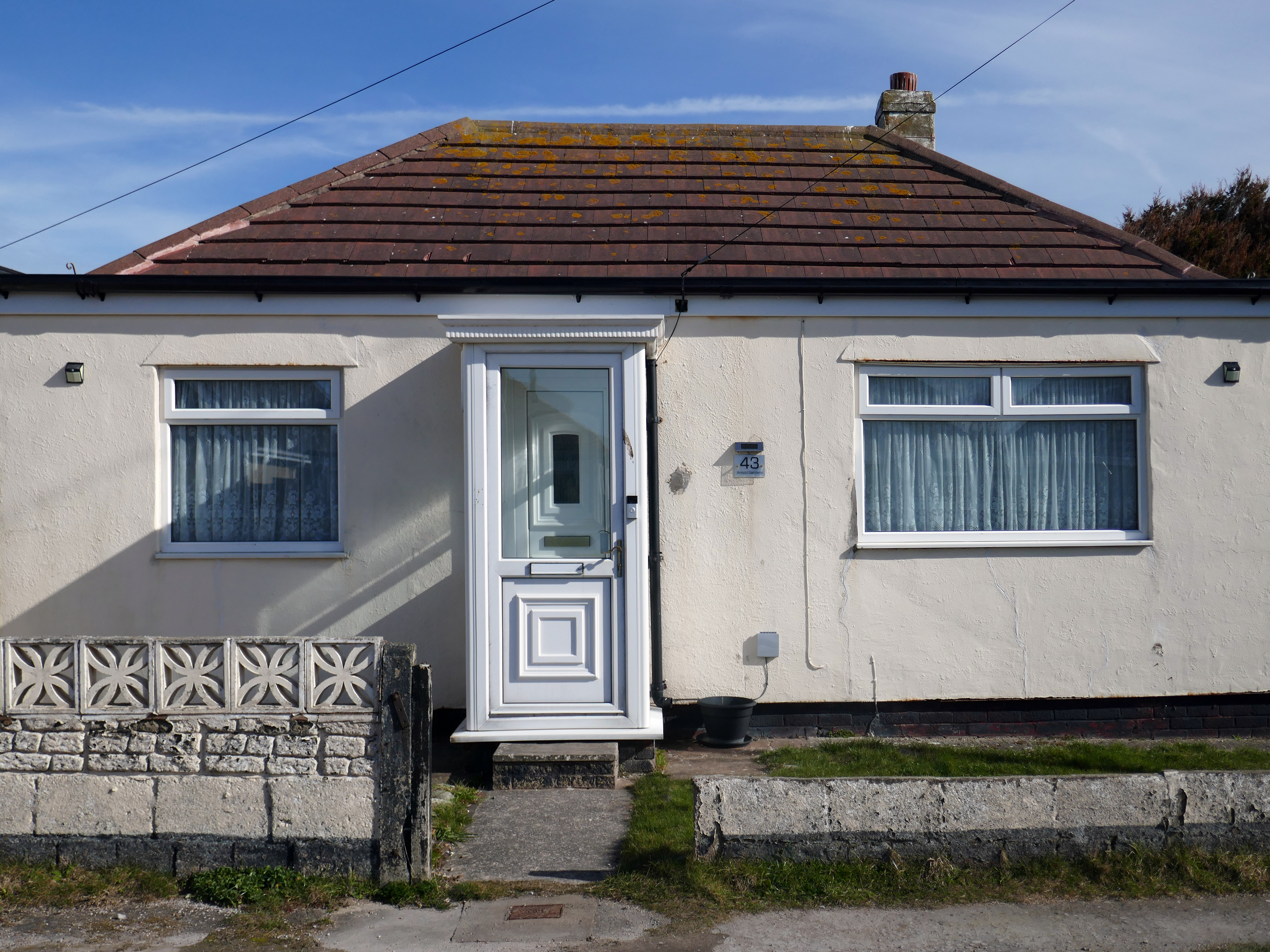
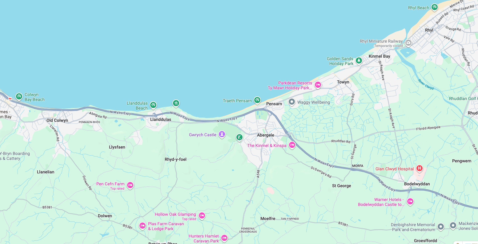
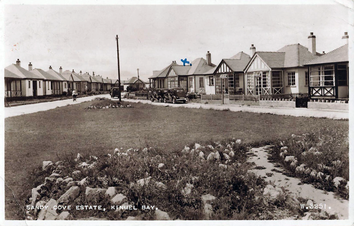
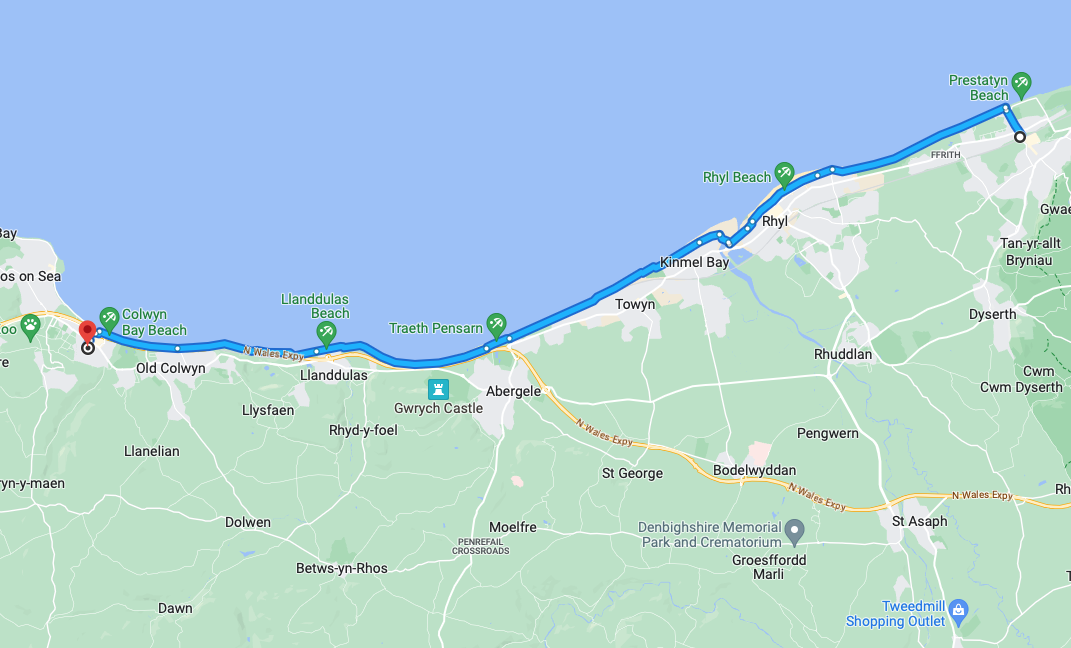
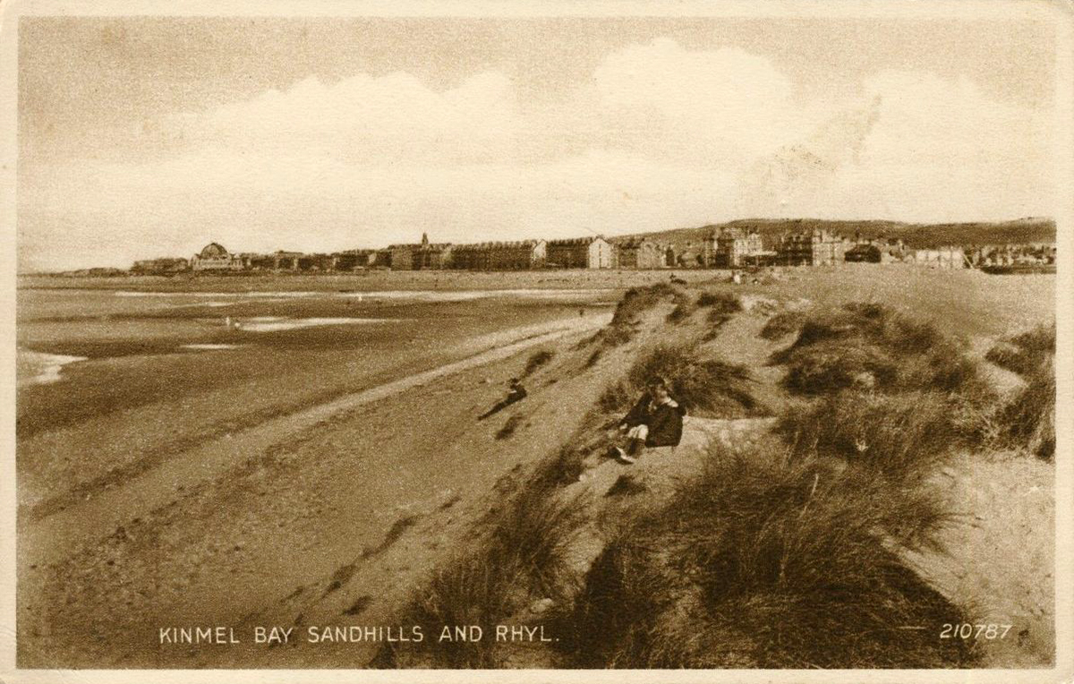
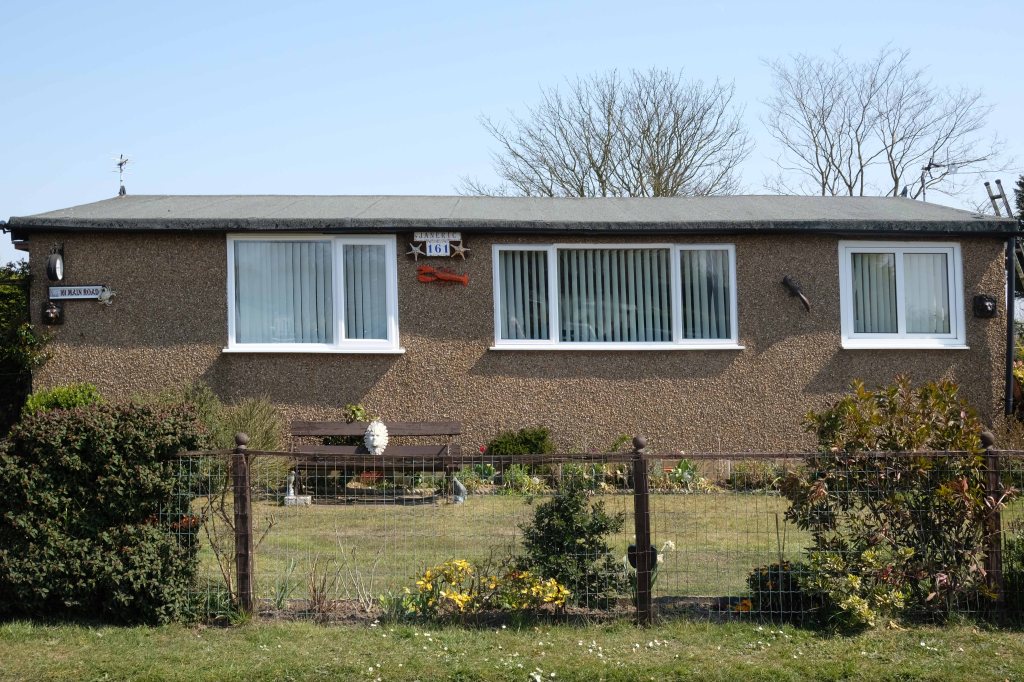
As I walked out one morning, as on other mornings I passed a group of bungalows along the North Wales Coast, as seen on many a trip twixt Rhyl and Colwyn Bay.
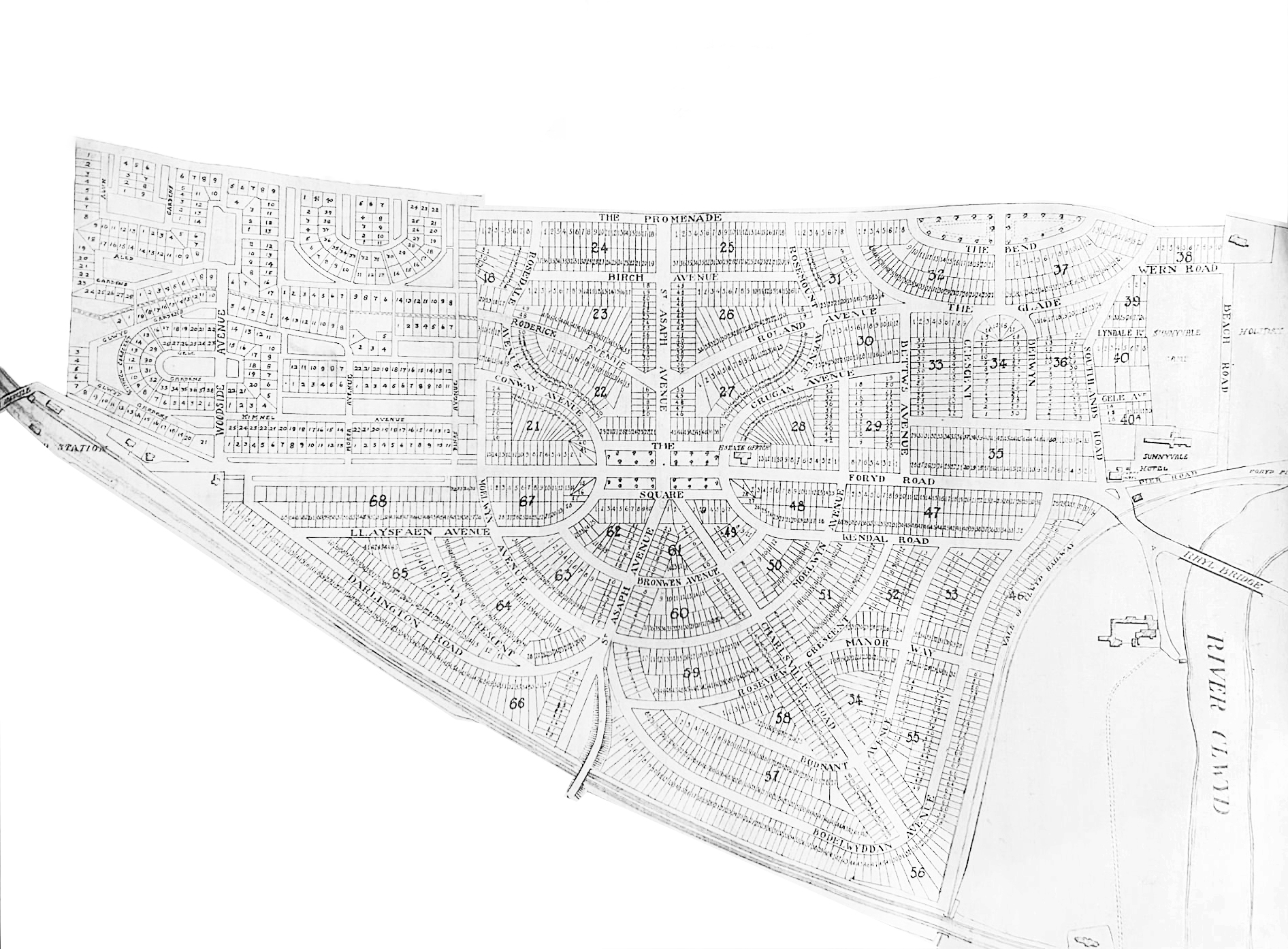
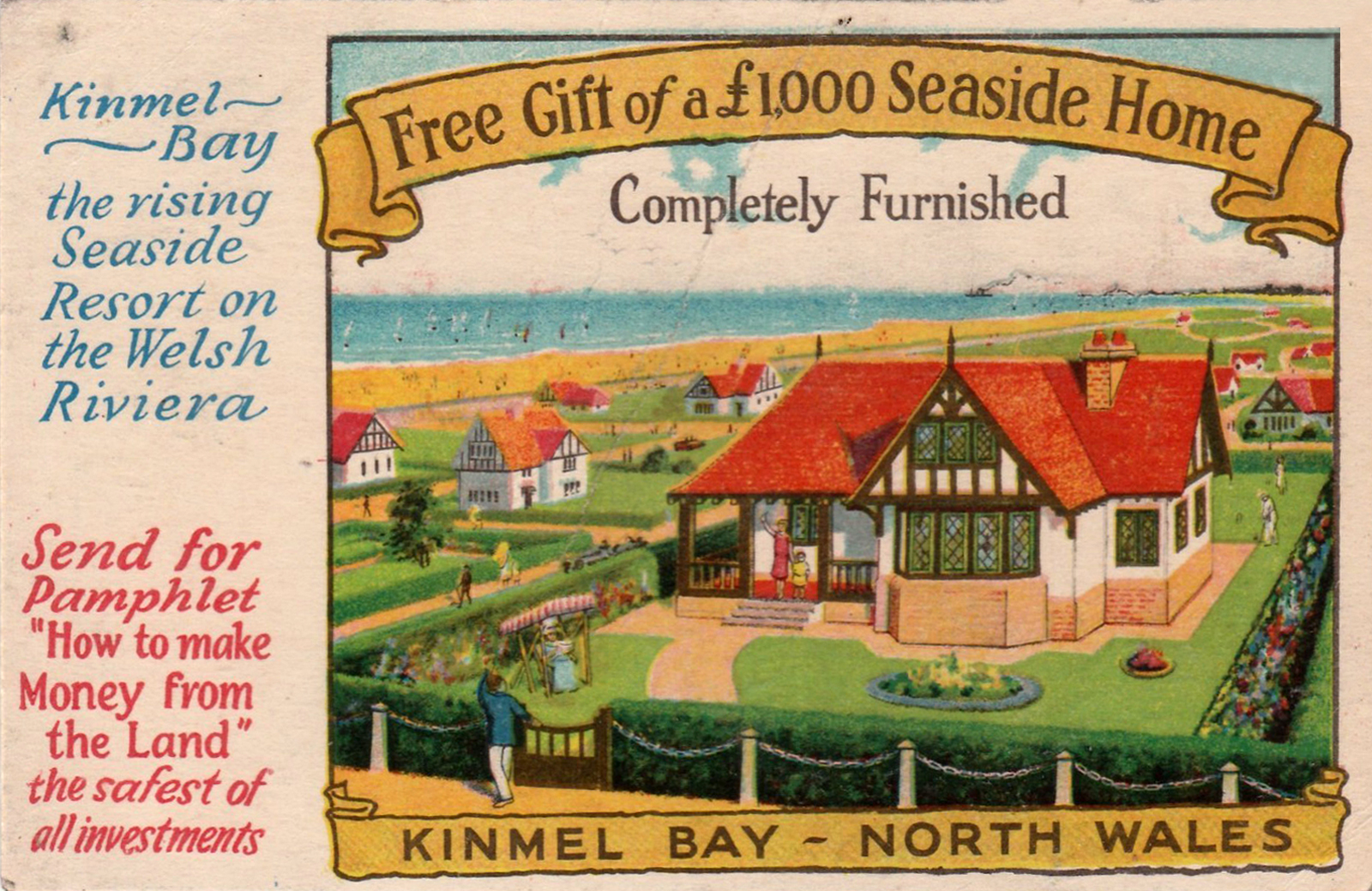
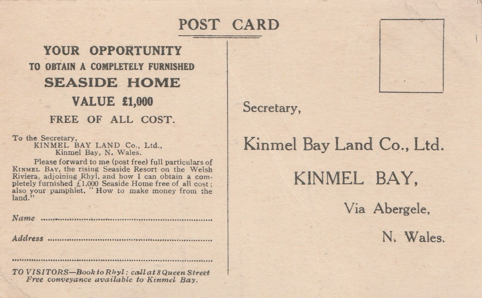
What is the history of this Kinmel Bay estate?
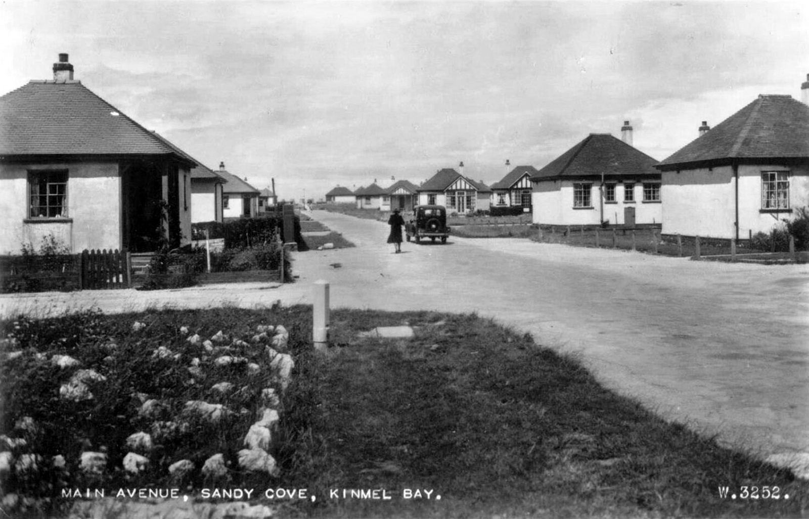
During the 1930s a company called Kinmel Estates Ltd came up with a idea of building a Holiday Village called Sandy Cove Estate. These Houses soon produced a lot of interest by many wishing to own their own holiday home and by the 1940s most were sold.
Due to unknown financial problems the Company went into liquidation in 1947 leaving further work on the infrastructure of the village undone. The Village was taken over by the Crown as the local Council showed no interest. It remained this way until 1997 when the land passed to The Kinmel Bay and Towyn Community Assocation Ltd.
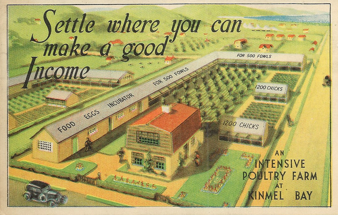
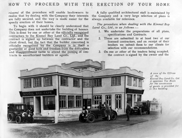
In 1925 a Mr Charles W Neville bought from 1,500 to 2,000 acres of land for the very small price of £30 an acre, and subsequently sold it at a handsome profit to himself, that is to say, to another company of which he is the moving spirit, a company known as the Kinmel Bay Land Company, of which he has been the dominating figure throughout.
By specious advertisements—which I have not now the time to show the House but they are contained in wonderful advertisements shown all over the Kingdom—and very cleverly devised contracts they have induced a large number of retired people, some with very small incomes, or small pensioners, to buy land which up to the year 1925 had cost £30 an acre at a price of from £100 a quarter of an acre up to £500 an acre with annual charges supposed to be for roadmaking, sewerage, and so on—a charge actually on the land which will last for all time, with the result that a beautiful site—a place of great possibilities to that part of the world—has been largely ruined and has brought a great deal of misery and discomfort to many people.
What is the present state of Kinmel Bay? In a few words I will give it. There is no proper system of sanitation or sewerage. Cesspools are a disgusting nuisance. In some cases they have to be emptied once a fortnight by the householder at an exorbitant cost, sometimes as much as £1 of poor people’s money. Ditches have become full. The sewerage in summer months is quite intolerable at times. Instances have been known of crude sewage floating on the surface and actually overflowing into a house in this area. There is no proper system of roads. Those that are made are mainly of twigs or branches of trees, old tin cans, and other rubbish, with a layer of stones on top. Even these roads, of course, are not maintained. Drinking water, at one time brown and muddy, has improved. A new company has been formed, a subsidiary of this very company, which is certainly selling rather purer water now, but at the exorbitant price of a minimum charge of 15s. a quarter to the householders. Of course, the hydrants are quite useless in the case of fire. Now we have here 1,380 acres built over in this scattered and haphazard manner with a population of over 2,000.
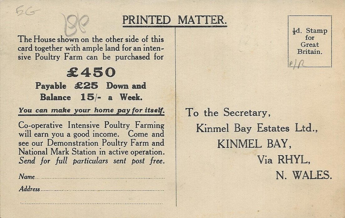
This seems to have been the oddest case of hucksterism – which also involved the sale of putative poultry farms. This image seems to be the only reference which I can find online.
Were they ever built?
Along with the aforementioned homes.
It would appear that they were perhaps self-assembly kits.
These are archival images from a variety of sources:
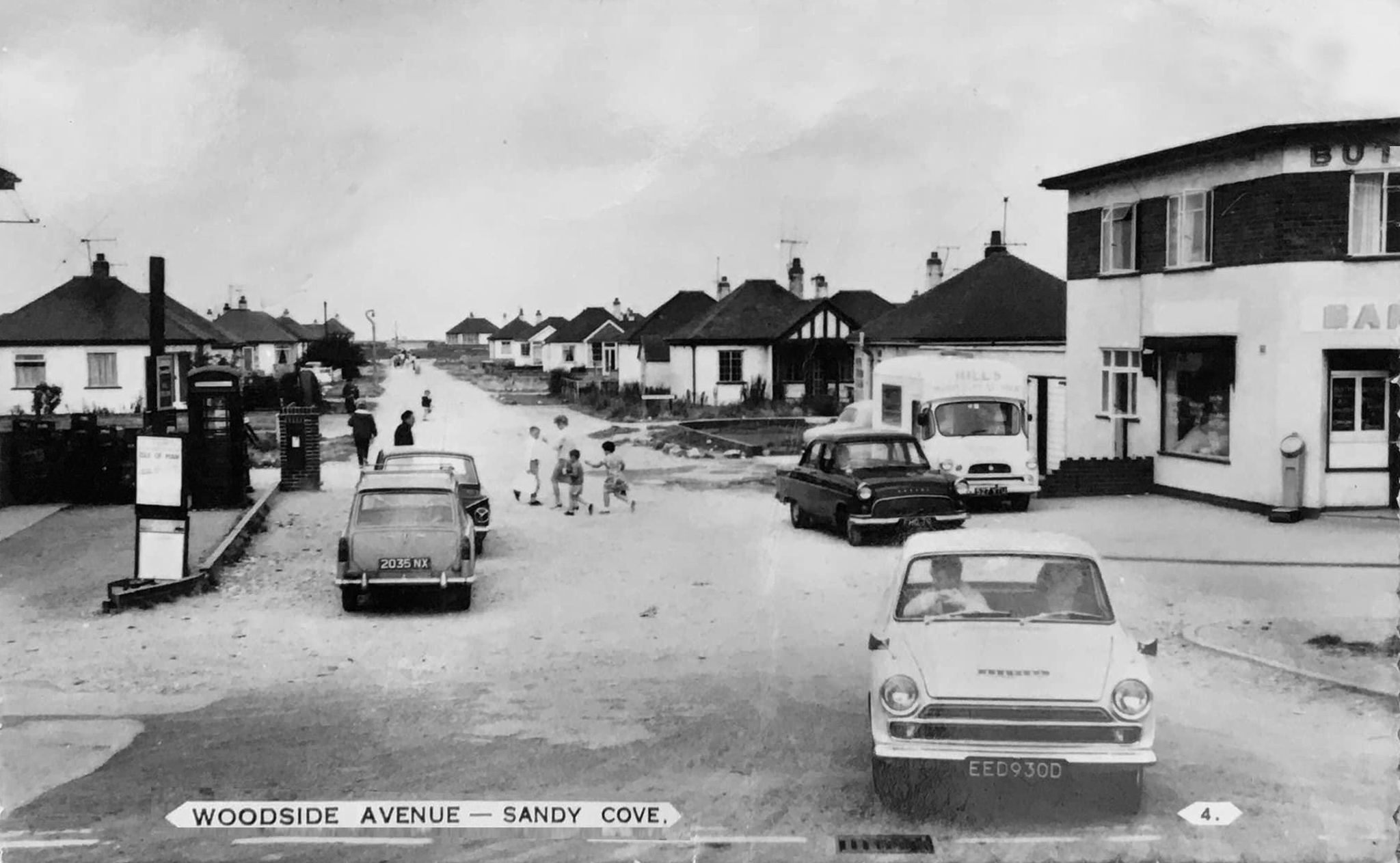
In the past Chester Avenue was nicknamed Dodge City thanks to its reputation for low-level crime and scruffiness.
It was like Beirut in the early days – said Mike Nolan, who has lived in the area since 1978.But now it is very pleasant, and since Cartrefi Conwy has taken over it has been even better. People want to come and live here now.
The issue of infrastructure management on the estate is still an issue it would seem:
Clwyd West MS Darren Millar yesterday raised in the Senedd the plight of residents living on Kinmel Bay’s Sandy Cove, who recently experienced flooding. Calling for a Welsh Government statement on the issue of unadopted roads during the Business Statement, Darren referred to the situation at Sandy Cove.Adverse weather on April 9th led to residents of the estate being evacuated from their homes. The estate has also been hit by flooding in the past.
Speaking in the Senedd Chamber, Darren said:
I’d like to receive an update from the Cabinet Secretary for Transport on the issue of unadopted roads. Sandy Cove in Kinmel Bay, which has around 250 properties on unadopted roads, experienced flooding during storm Pierrick just over 10 days ago.
That flooding was made worse because of the lack of drainage on that estate. It clearly needs an improvement to the drainage infrastructure. Those roads need to be up to an adoptable standard, and the poor condition of them is making life a misery for local residents.
Time for the train home to Stockport – but you can bet I’ll be back.
And true to my word I have been back, several times – on this occasion alone and on foot.
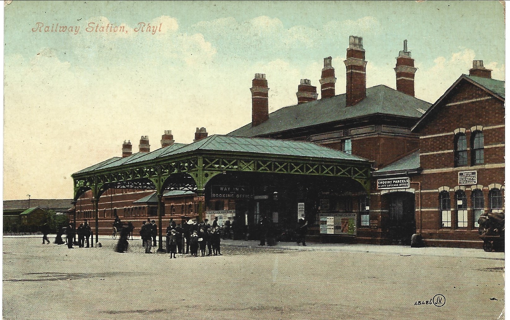
An almost overcast mid-grey day in November, alighting at Rhyl Station and loafing along to Colwyn Bay – this what I done seen.
1907
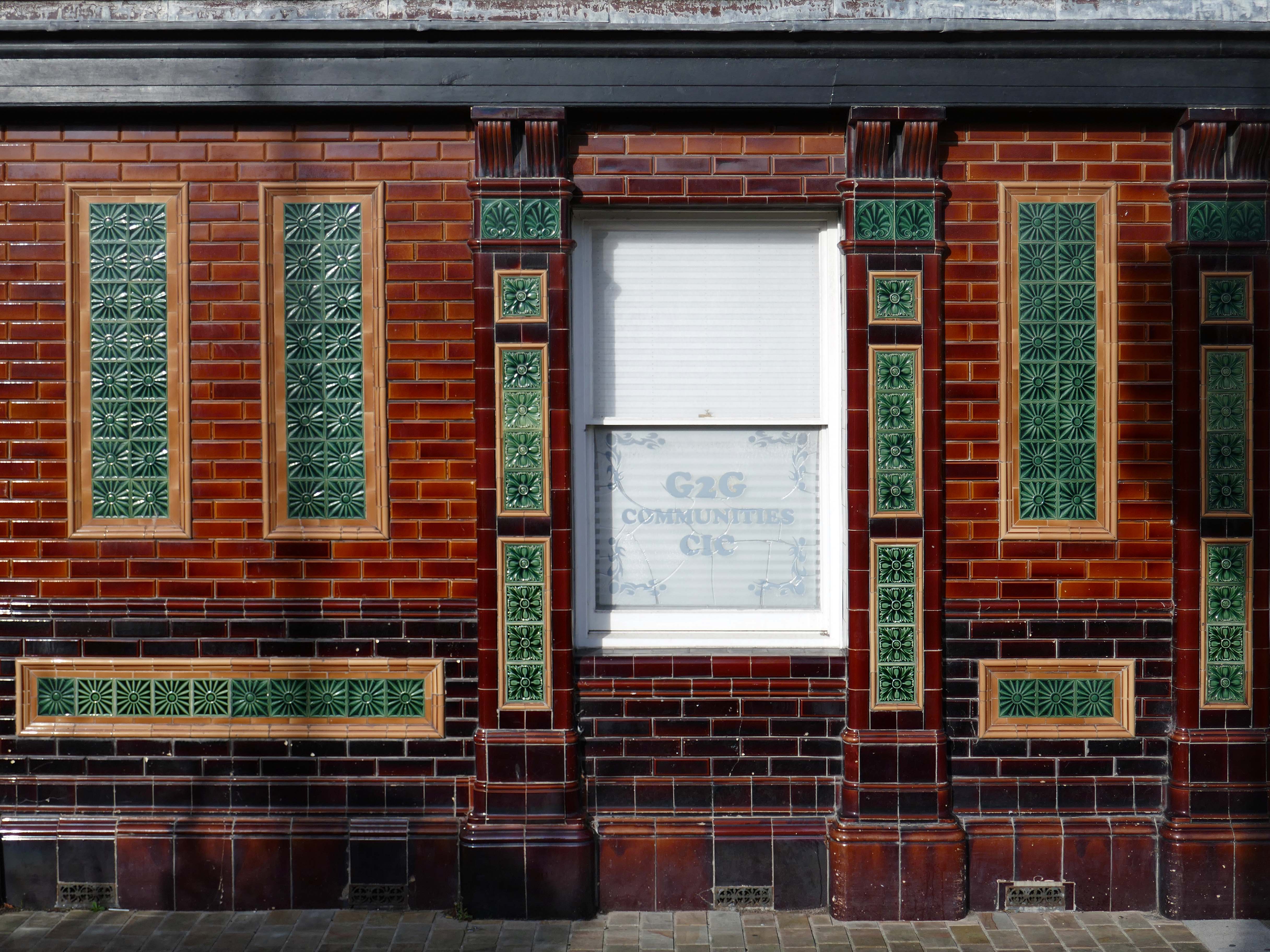
Former Bee and Station Hotel immediately opposite the Station.
The Bee and Station Hotel was built in the 1860s. The decorative tile work of the exterior was probably added during remodelling c.1890. Inside, the lobby is also richly decorated with brightly coloured tiling. The building was listed in 1991 as an excellent example of pub of the late 19th century with a complete tiled frontage and a rare surviving internal layout throughout.
The pub closed in 2005. The building reopened in 2013 after being refurbished and given a modern extension by Denbighshire County Council, under the Townscape Heritage Initiative, to provide new offices for small businesses
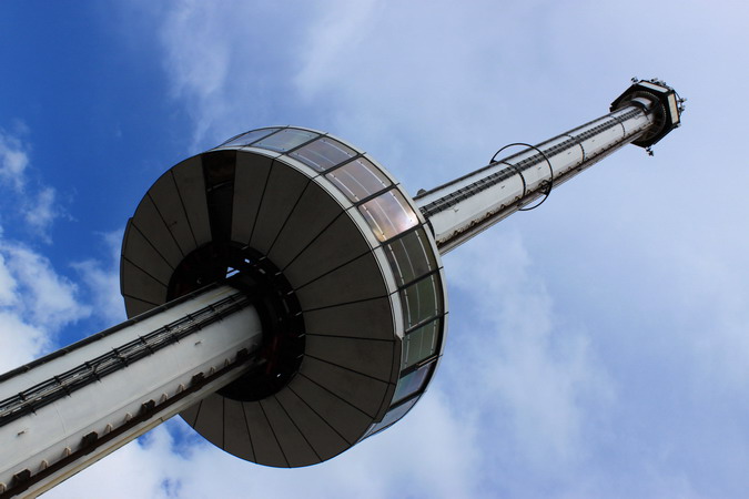
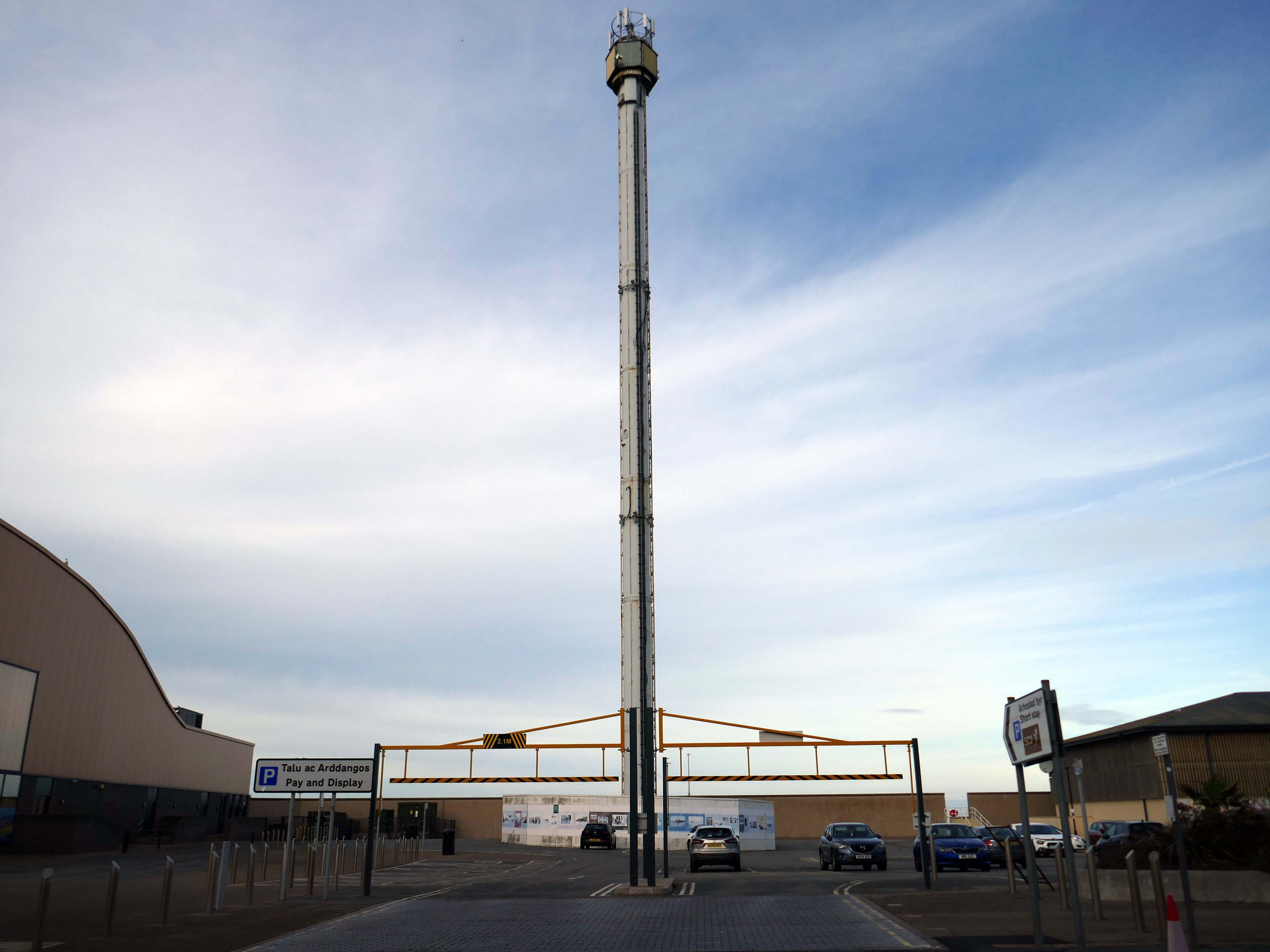
Onward to the seafront, home to the defunct Skytower.
The tower first operated at the 1988 Glasgow Garden Festival, where it was known as the Clydesdale Bank Tower and was opened by Prince Charles and Princess Diana. Following the festival, it was dismantled and reassembled on the Rhyl seafront.
The tower last operated in 2010. The following year, a safety report found that £400,000 worth of repairs were required to keep the ride operational. After standing but not operating for seven years, in 2017 work was carried out to turn the tower into a beacon.
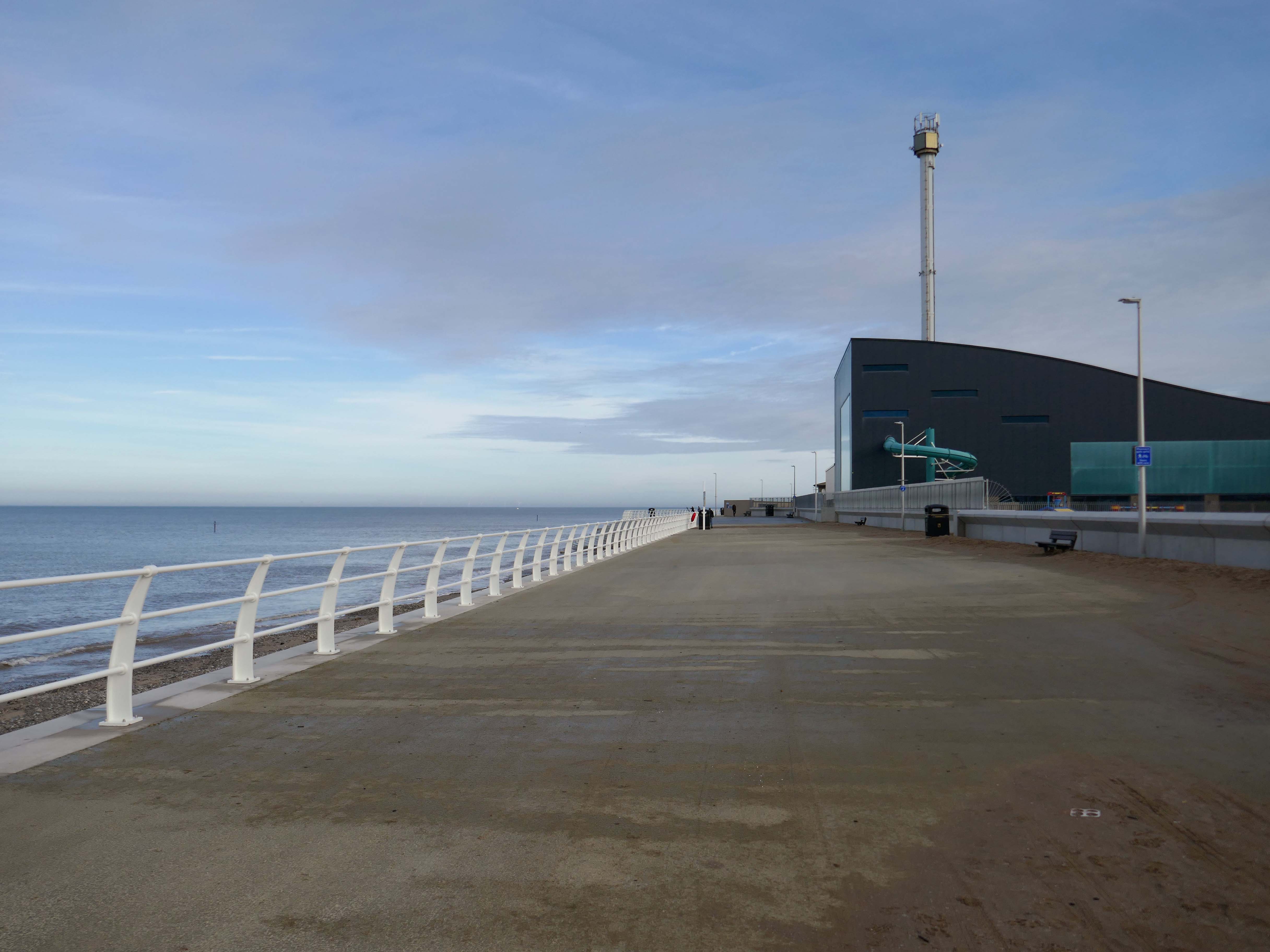
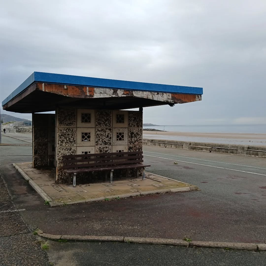
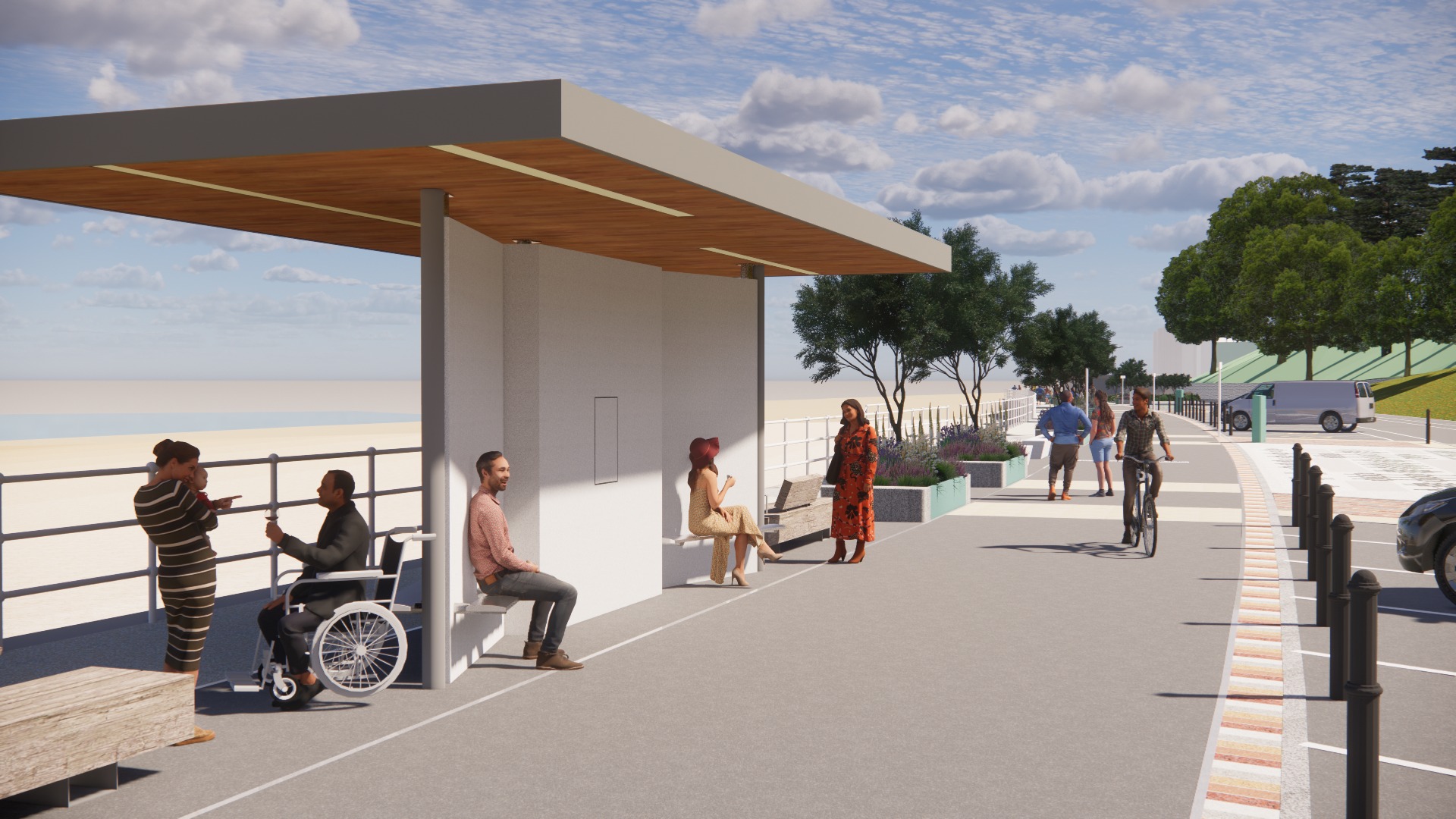
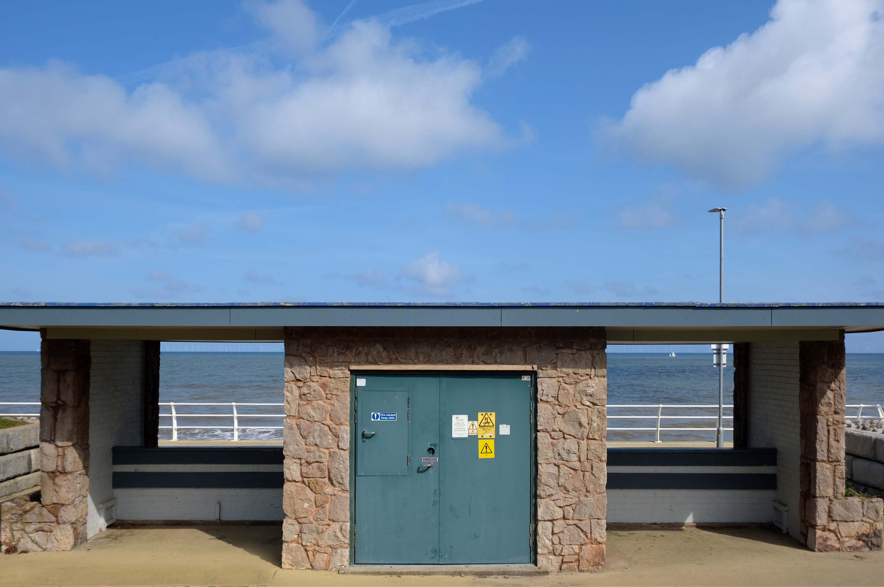
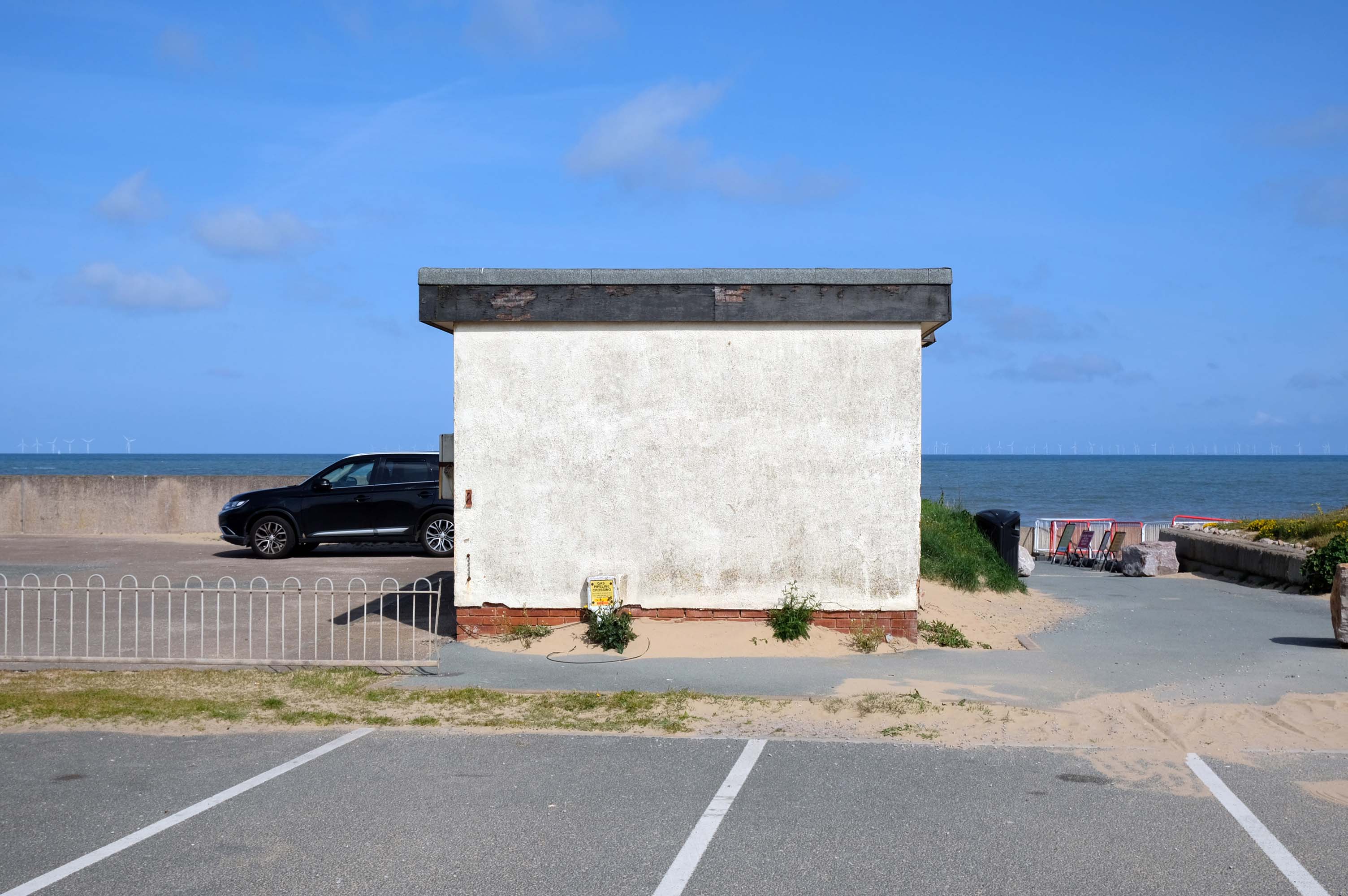
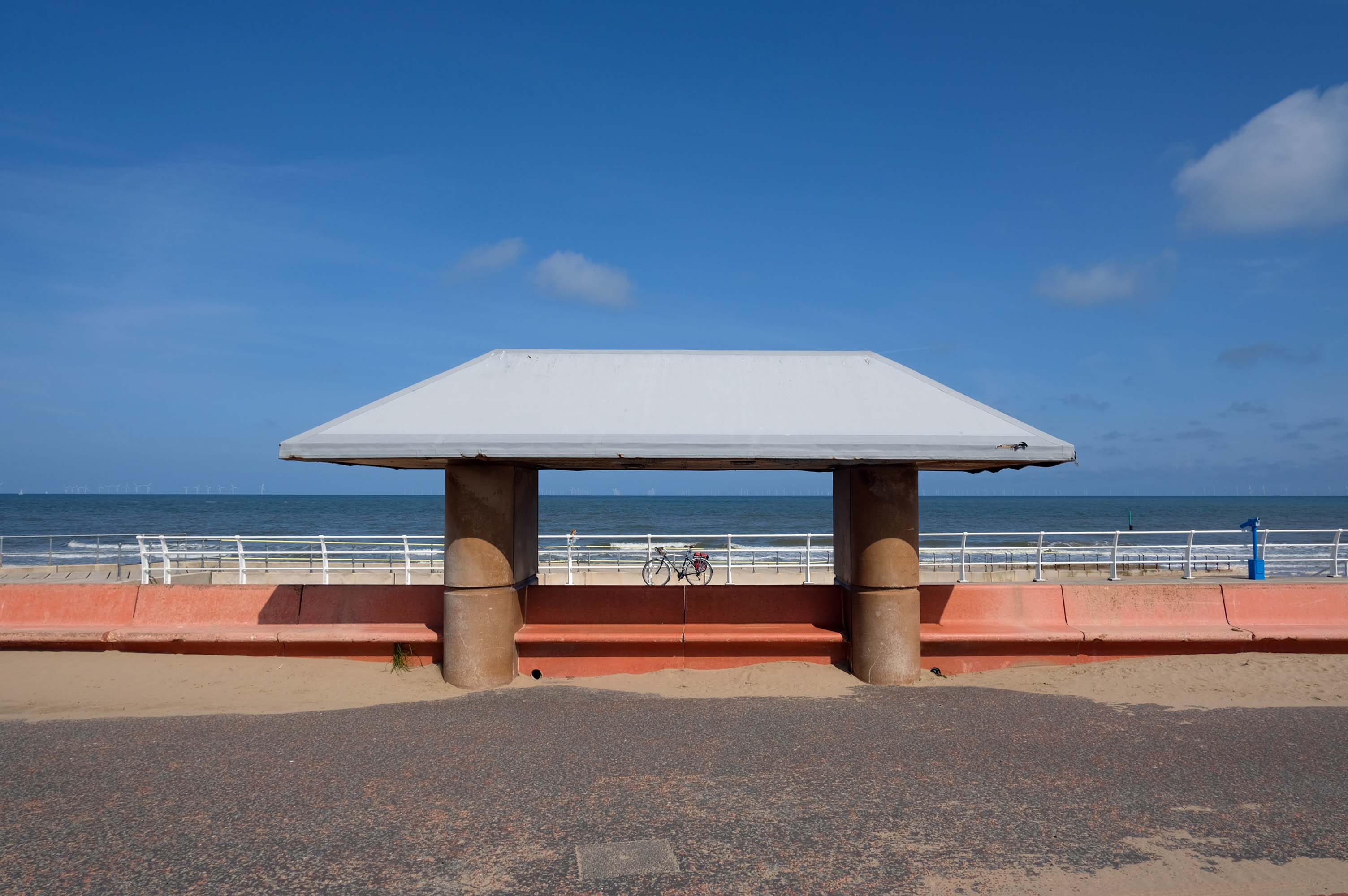
Much has been done to improve the promenade, with sumptuous hard landscaping, coastal defences and seafront shelters.
The £66m Central Rhyl Coastal Defences Scheme will protect almost 600 properties in Rhyl from flooding and coastal erosion for decades to come.
85% of the construction costs have been funded by the Welsh Government, with the Deputy First Minister labelling the project a ‘significant milestone’ in efforts to protect Welsh communities from the growing threats of climate change. Denbighshire County Council contributed the remaining 15%.
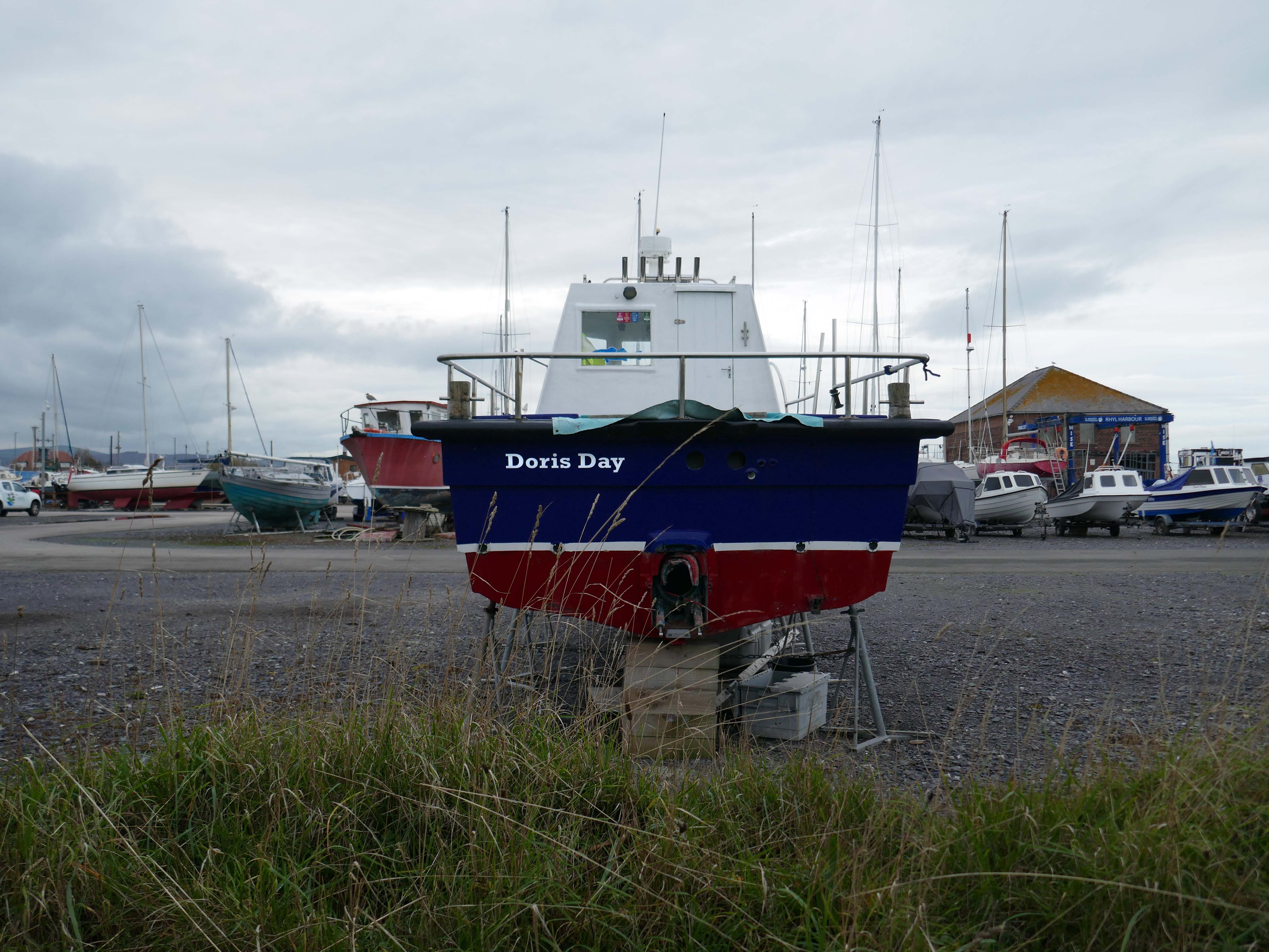
Over the estuary to Rhyl Harbour home to Doris Day.
Rhyl Harbour is located on the spectacular North Wales Coast and has undergone a dramatic refurbishment which has hugely improved the facilities on offer. The original timber yard which was used by sailing ships up until the Second World War, has been redeveloped and now offers storage for over 150 boats.
The foreshore home from home for thousands of caravan dwellers.
Golden Sands Holiday Park Rhyl has over 85 years history of fun filled holidays. Wonderfully located right next to the beach in Kinmel Bay in North Wales, it’s the perfect place for a family seaside holiday. It’s also an excellent base for exploring the beauty of North Wales. The town of Rhyl is closest, though also nearby are Prestatyn, Colwyn Bay and Llandudno – with the Great Orme. Blue Flag beaches offering wonderful seaside holiday traditions along with stunning Snowdonia National Park are within an easy drive.
Fast food is often nutritionally poor and high in calories. Evidence demonstrates that overeating commercial fast food products can negatively impact health in both the short and long term.
However:
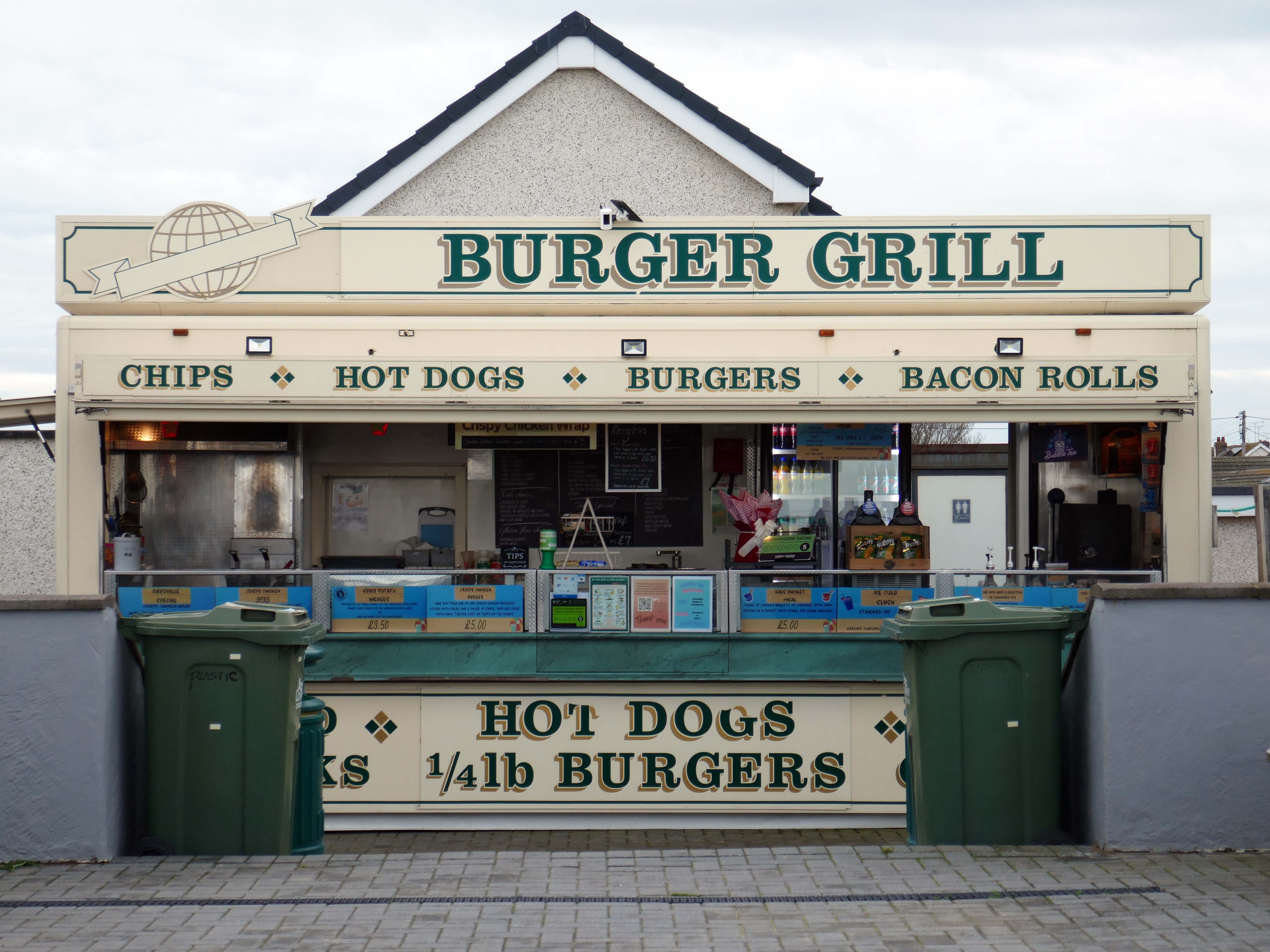
Baysville is lovely and clean, lots of tables and a good choice of foods from ice cream, donuts, burgers, hot and cold drinks and a bar. The staff are pleasant and welcoming.
Researchers have found people who drink up to three cups of coffee a day could have a healthier heart and a lower risk of dying of any cause.
But too much caffeine can produce anxiety, sleeplessness, agitation, palpitations, diarrhoea and restlessness. In individuals with a mental health condition caffeine can worsen psychosis and result in the need for higher amounts of medication.
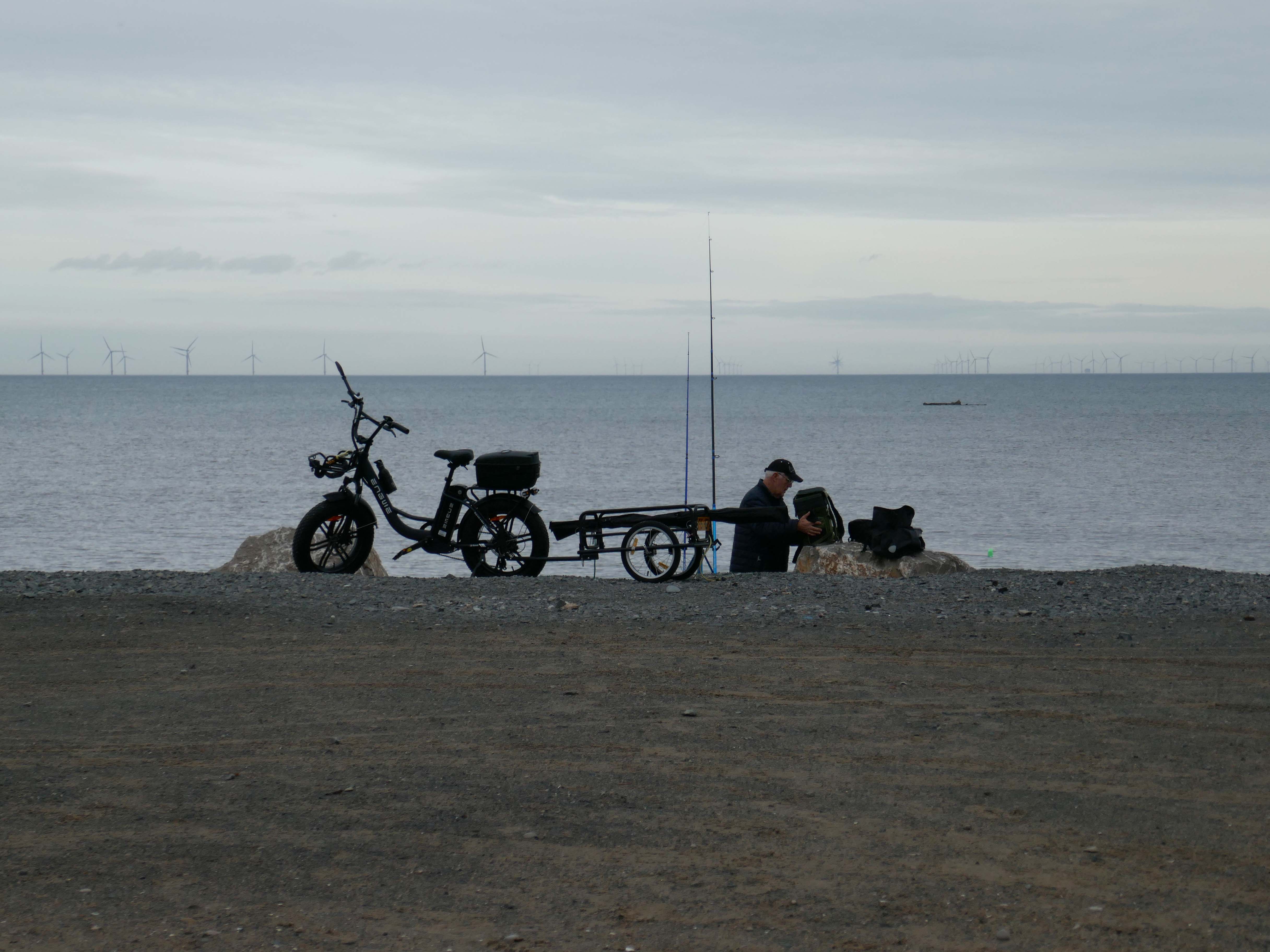
Possibly wiser to take a leisurely ride on your electric bicycle, followed by an hour or two of beach casting .
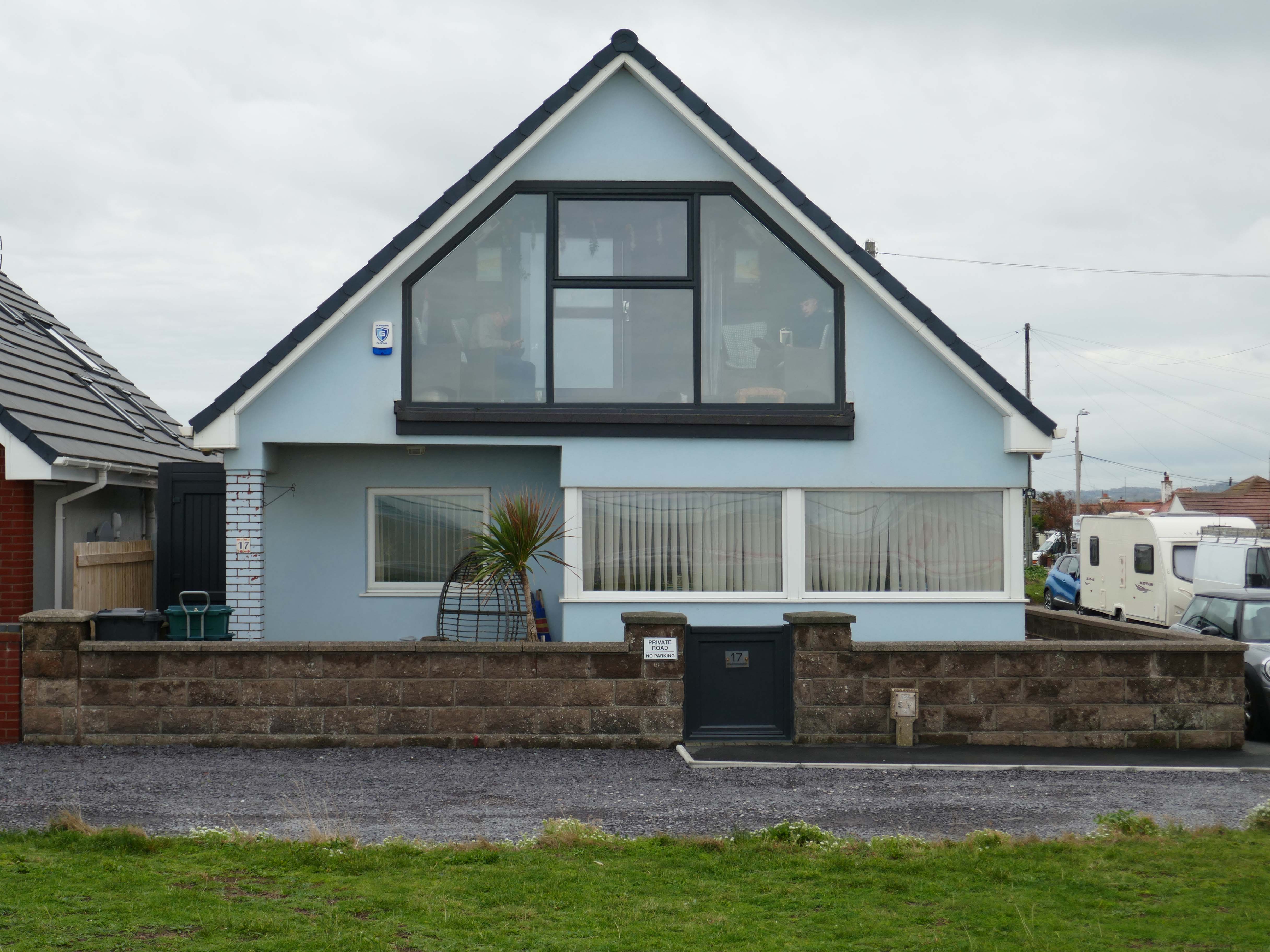
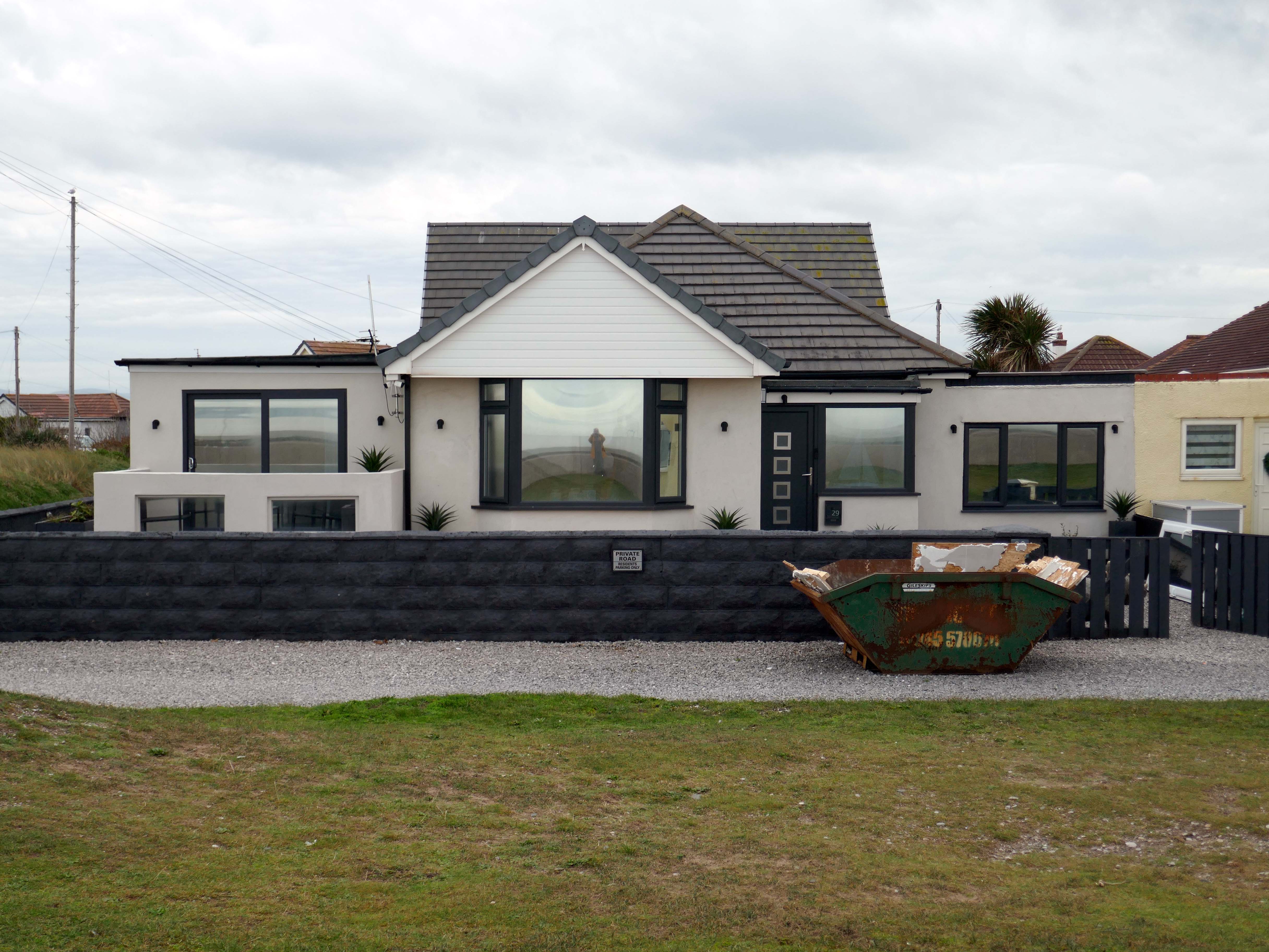
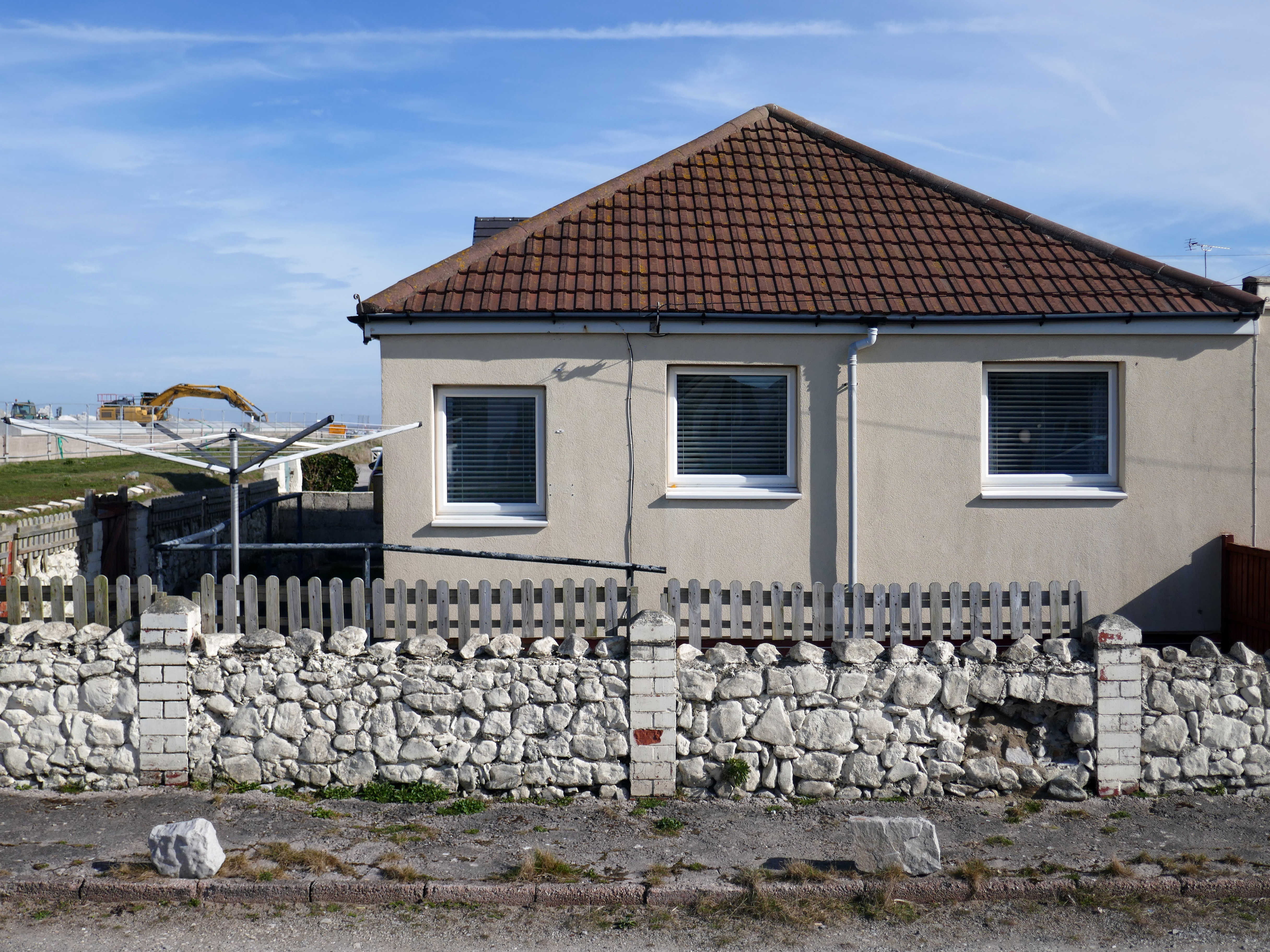
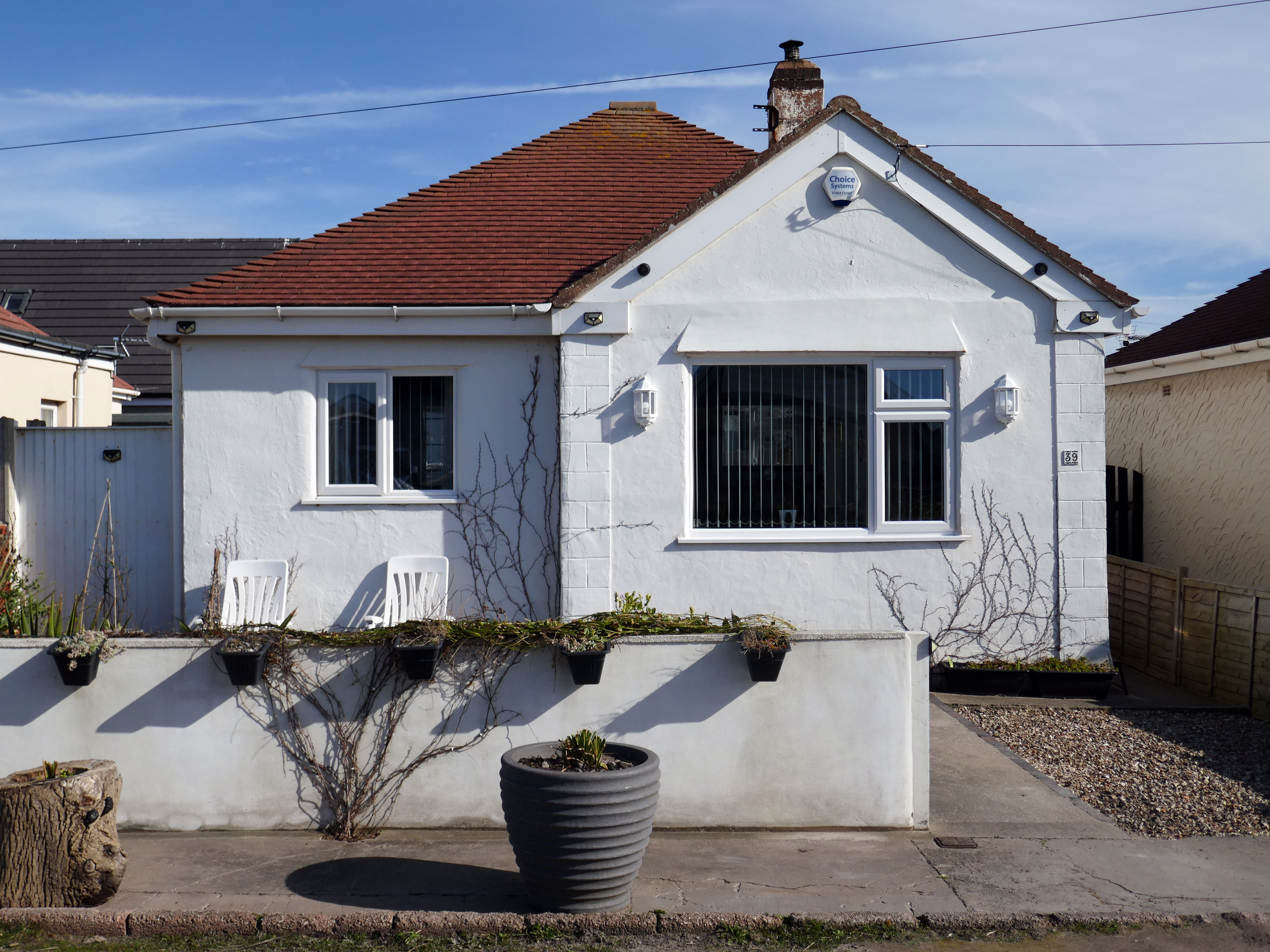
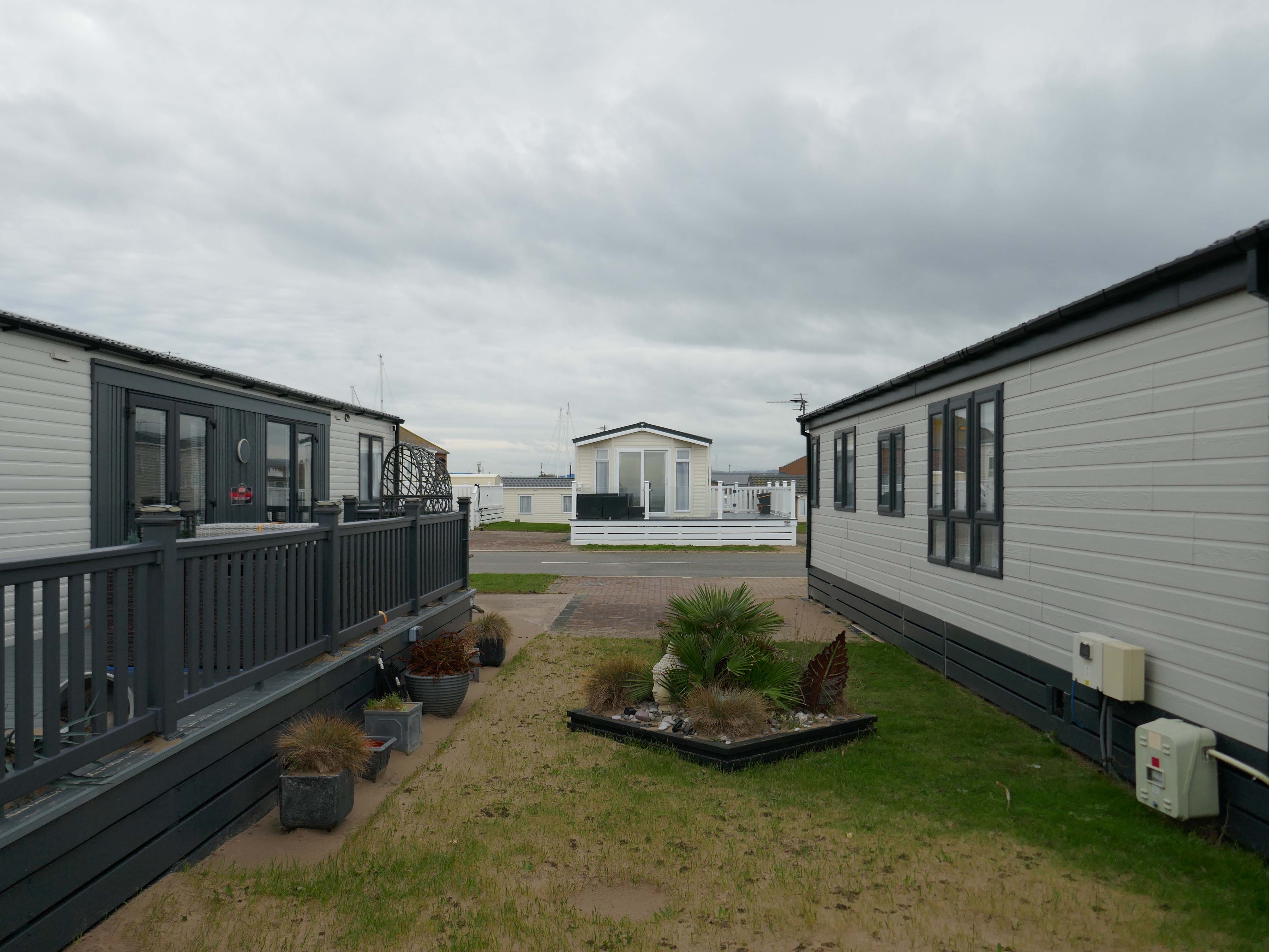
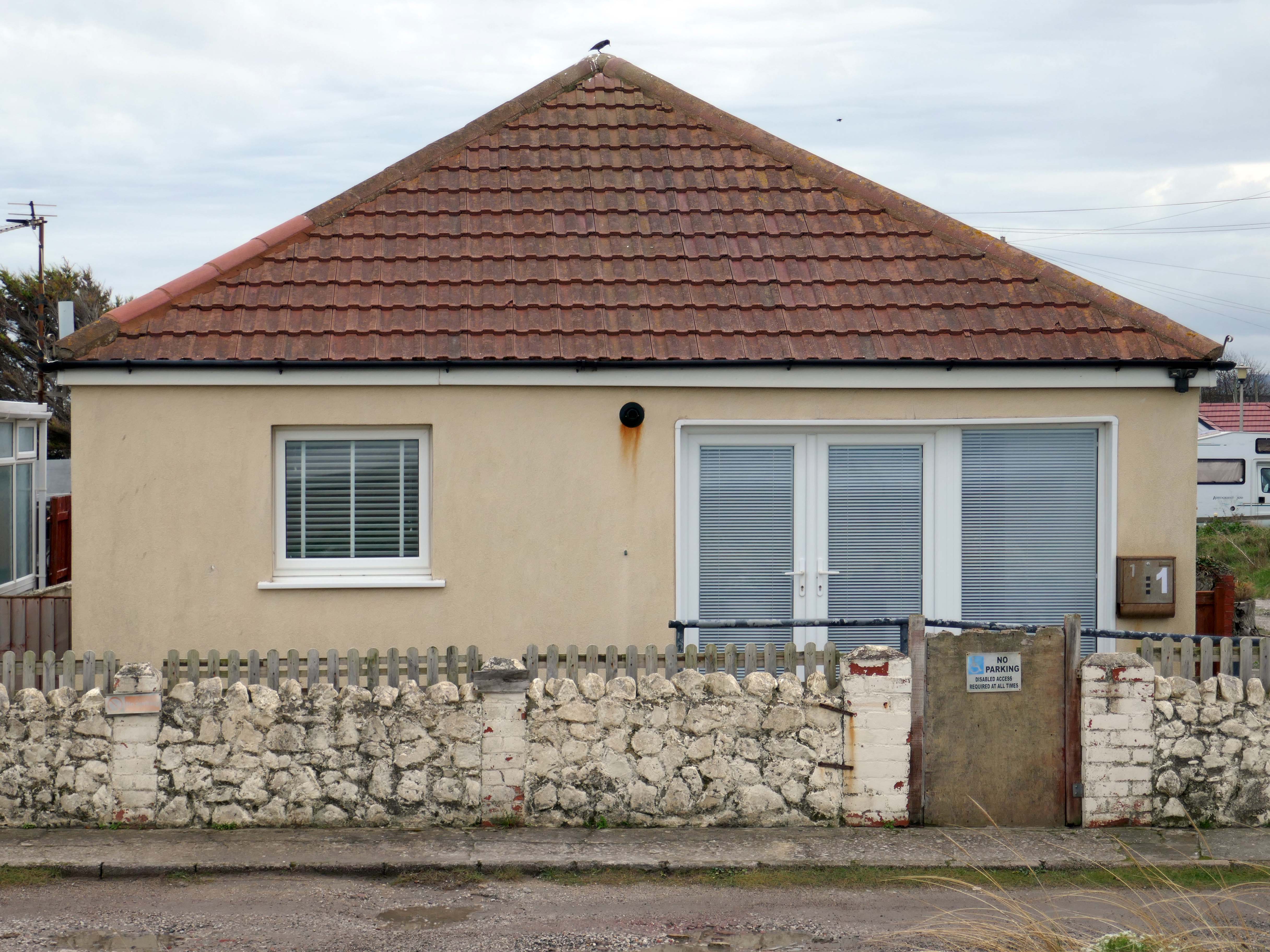
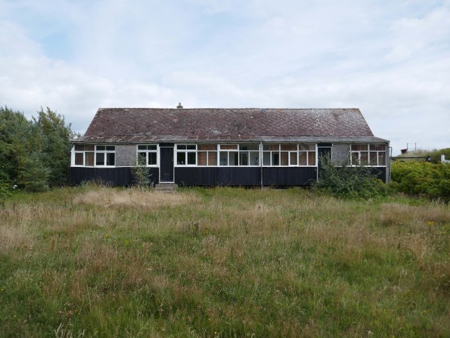
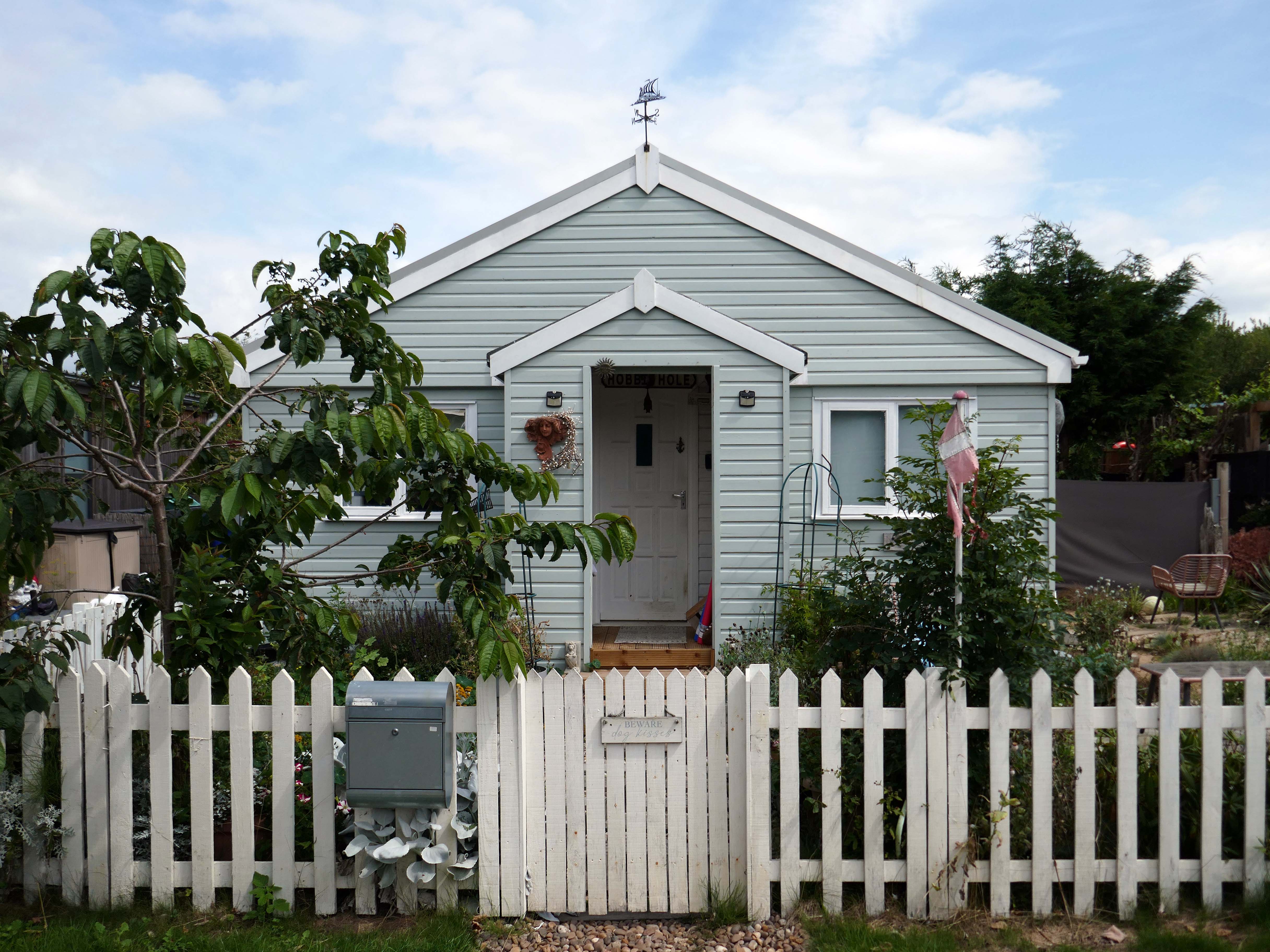
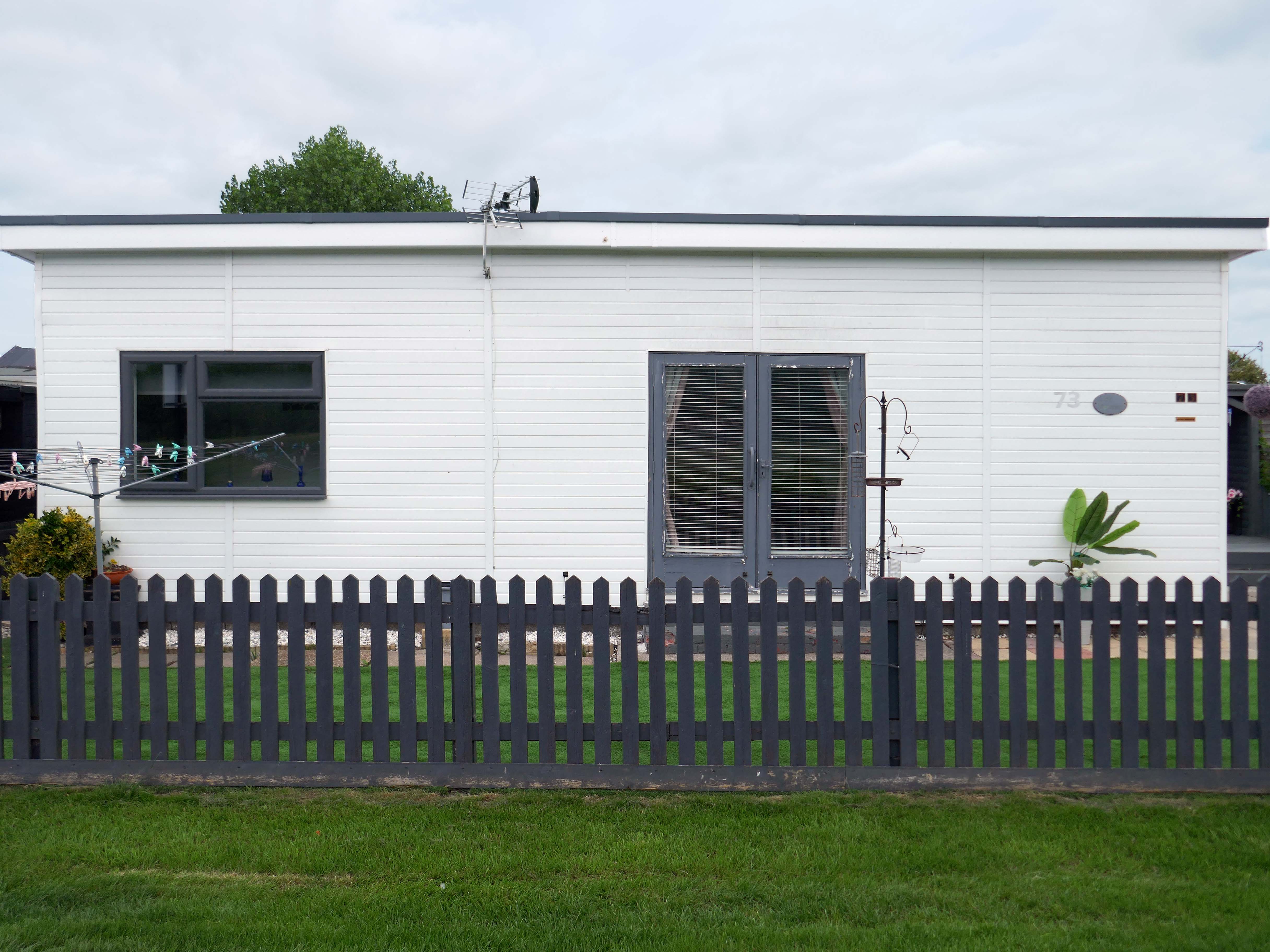
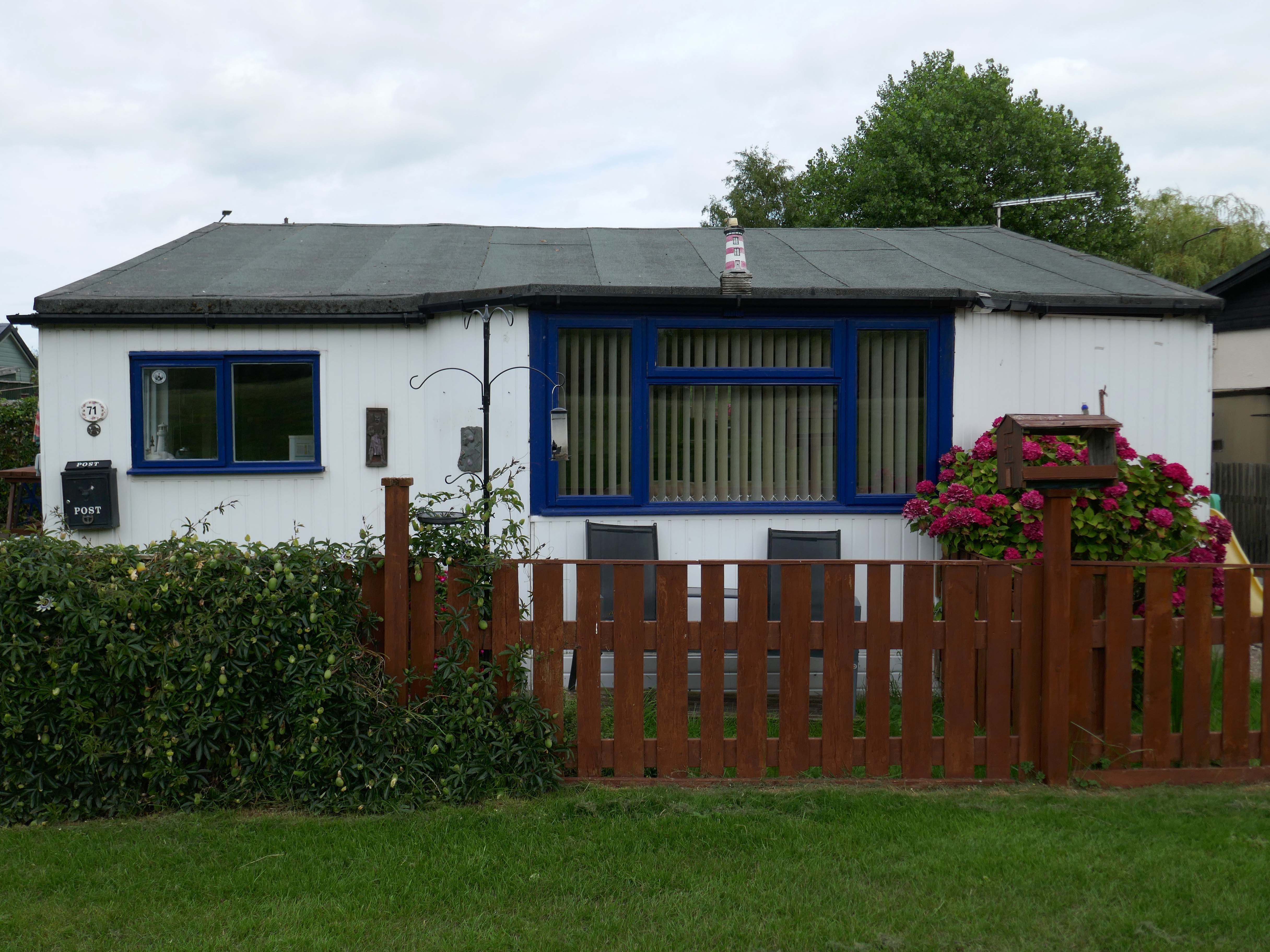
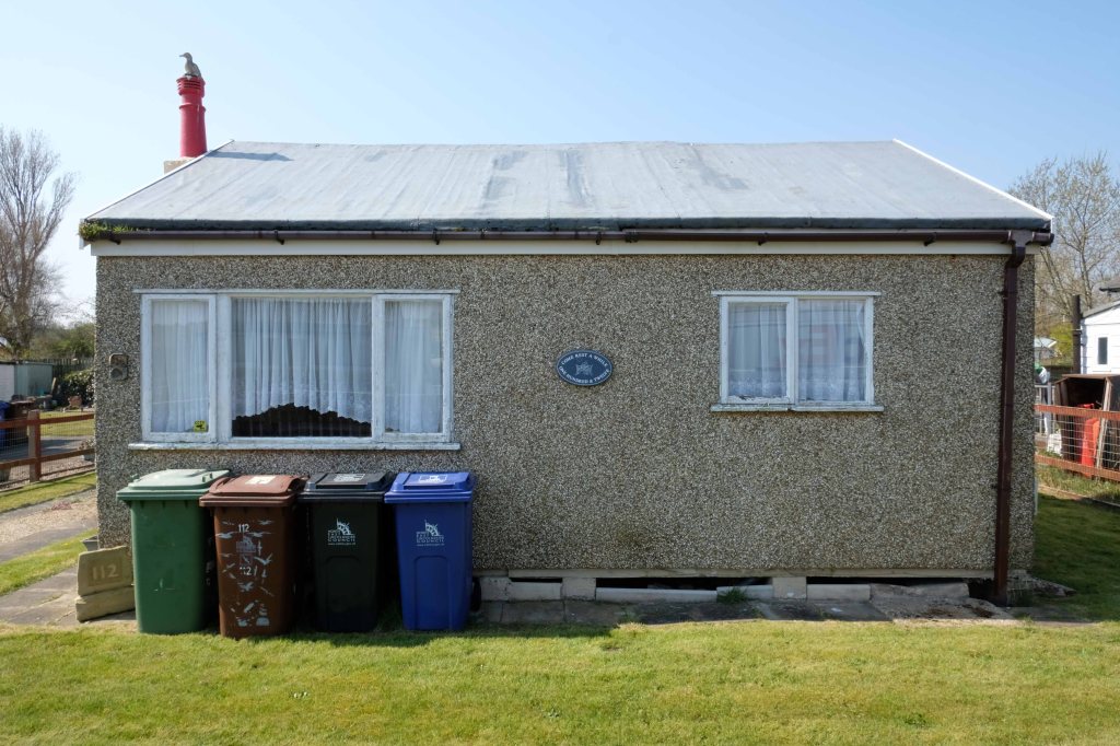
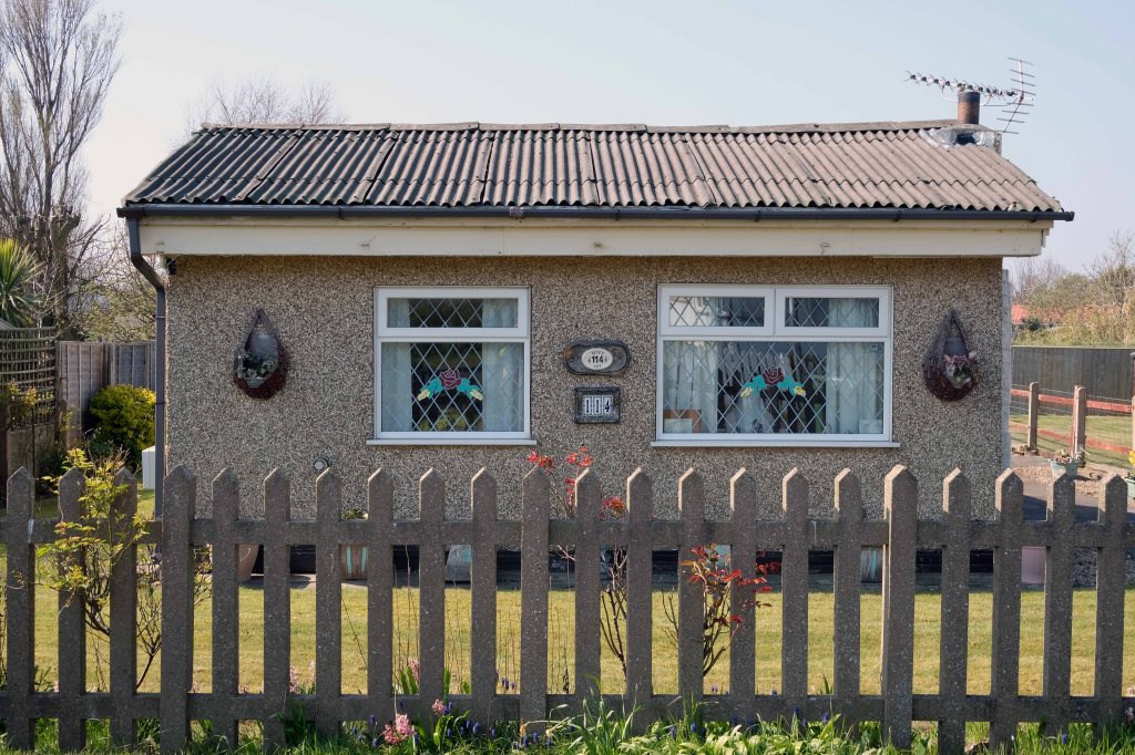
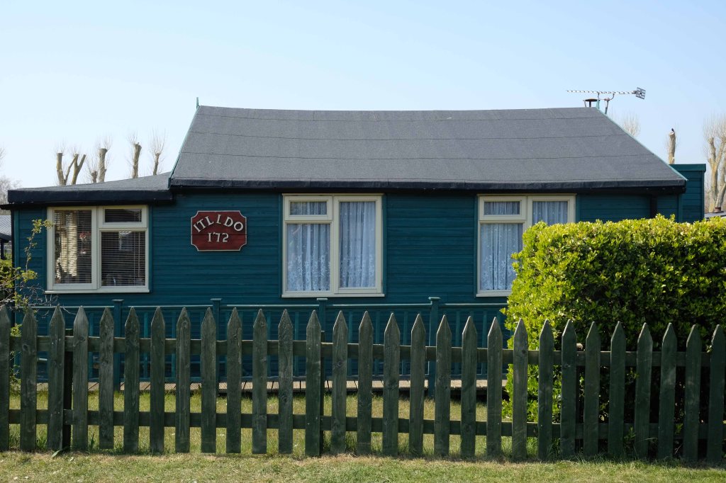
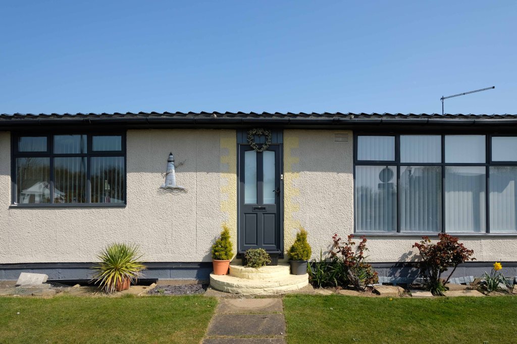
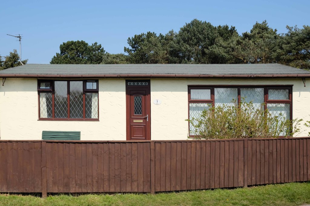
The coastal housing at Kinmel bay is undergoing a cosmetic upheaval, the determinedly down home bungalow swamped by the relentless monotone tide of home improvements.
The Sandy Cove Estate consists of 250 bungalows that were built in the 1930s by the Kinmel Estates Ltd, who sadly went into liquidation around 1947, before the estate was completed. This left the estate with only dirt tracks for roads with no sidewalks or pavements, no drainage for surface water or any adequate street lighting. After the liquidation of the company the roads and communal greens were escheated to the Crown who then offered the land free of charge to successive Councils for the to incorperate into the towns that were developing. This was refused by the Councils.
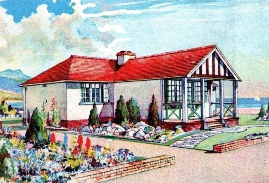
Fifty or more homes are ready for you to choose from, gardens and tennis courts have been provided for the sole use, in perpetuity of residents.
Onward now to Towyn.
The town made national headlines in 1990 when a combination of gale-force winds, a high tide and rough seas caused Towyn’s flood defences to be breached at about 11.00am on 26 February. 4 square miles of land was flooded, affecting 2,800 properties and causing areas of the resort to be evacuated. Further flooding occurred later the same week, on 1 March, shortly after the site of the disaster was visited by Prince Charles and Princess Diana.
Scientific experts also believe that the silt left behind from the flooding had left the town with a higher concentration of radioactivity, over ten times the governmental safety limits, most likely originating from the nuclear processing plant at Sellafield which had been dispersed into the Irish Sea over many years since its construction. The National Radiological Protection Board stated that there was a “small risk” to the people there, while the Welsh Office claimed there was no danger to the public. The coastal defences have since been reconstructed and significantly enhanced.
The People of the First Nation here at Knightly’s Fun Park are now safe from the threat of flood.
Knightly’s Funfair has a fantastic range of rides for the whole family! Experience high speed thrills and heart pumping excitement! We’ve got rides for the little ones too as well as games and food stalls to keep the whole family entertained all day!
We also welcome dogs, so you don’t have to leave your furry friends behind!
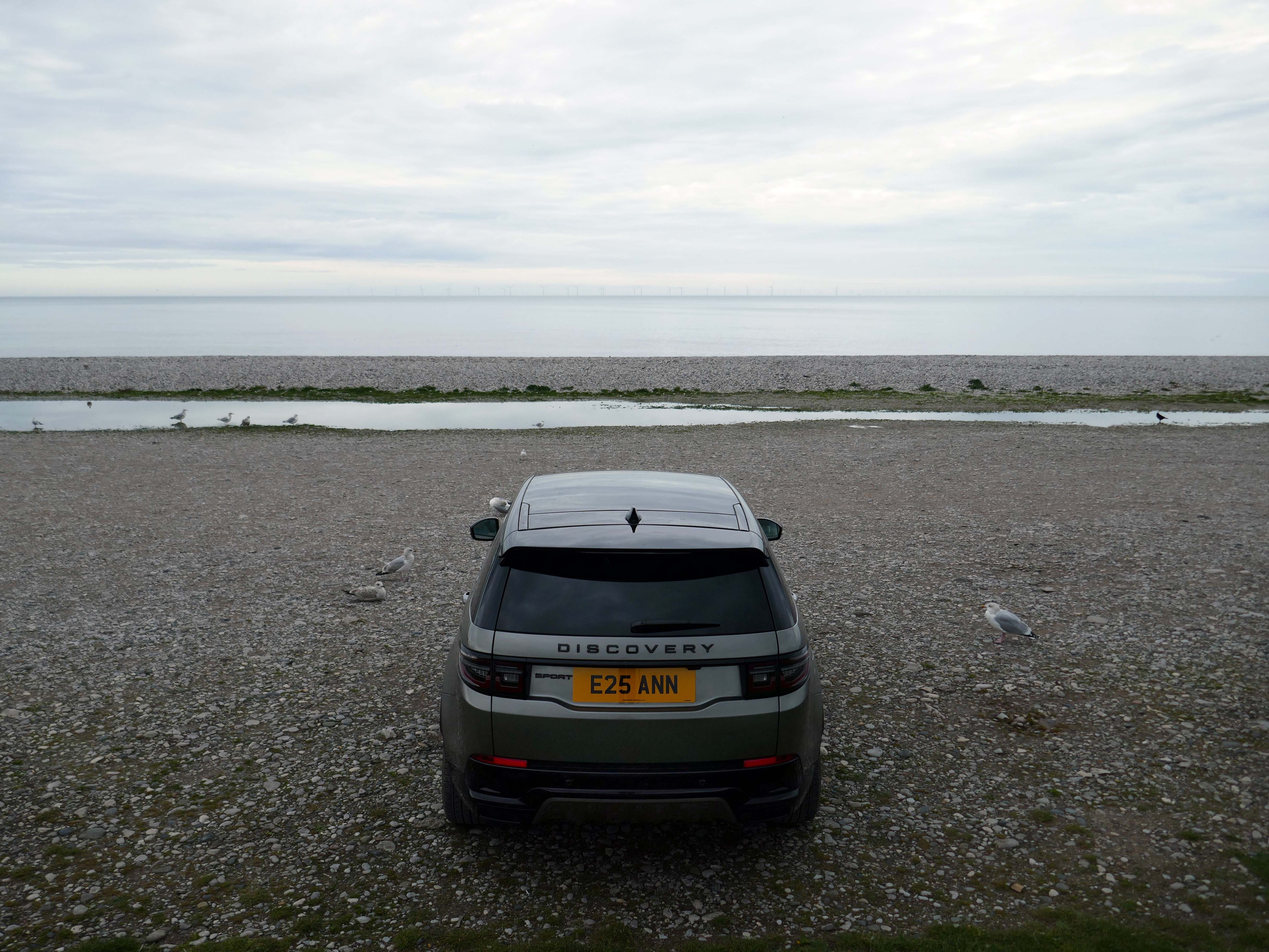
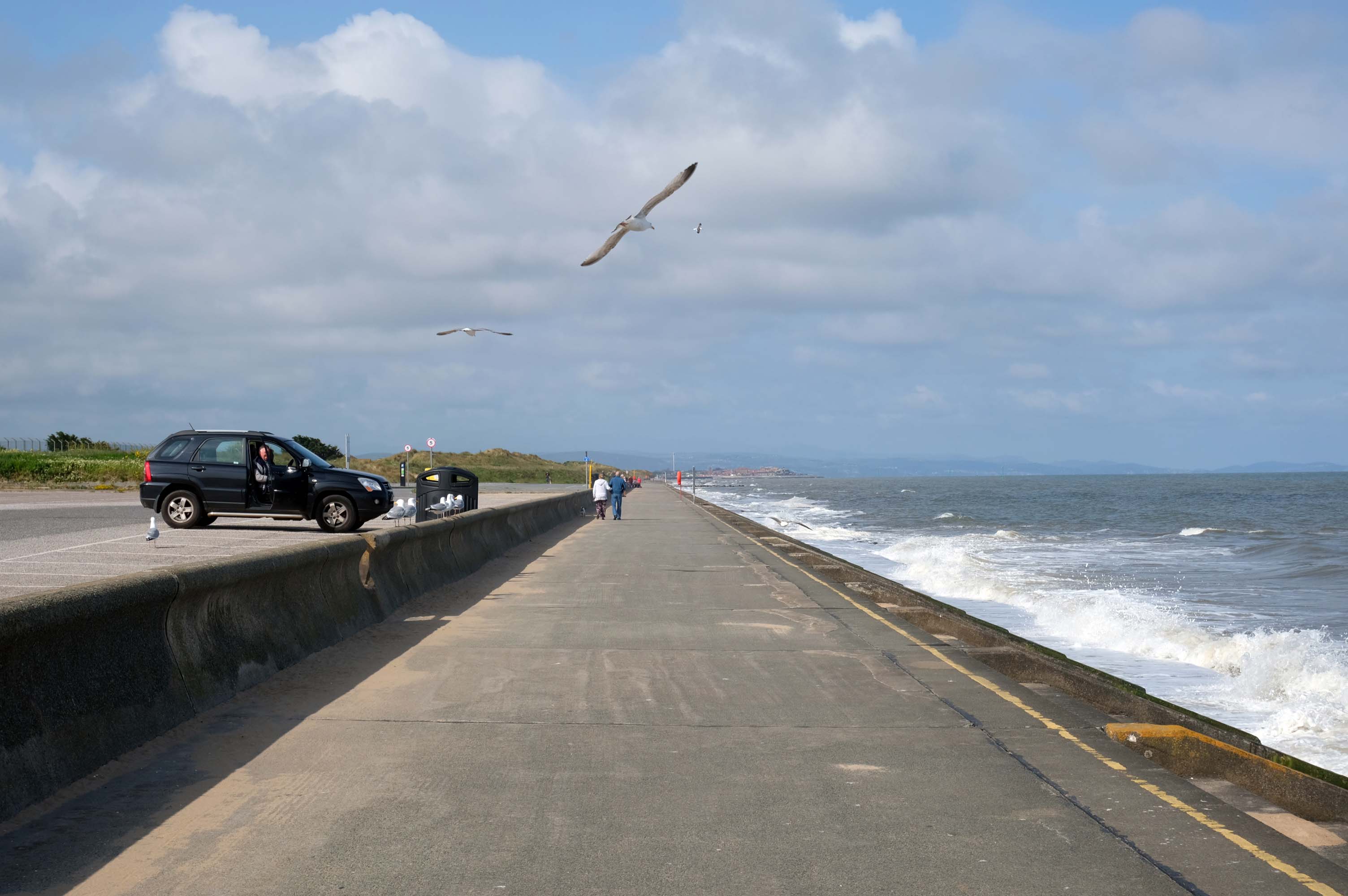
The monotone gentrified home is accompanied by the monotone SUV – the Land Rover Discovery Sport.
The joy of Discovery Sport is in finding that no adventure is out of reach. Offering the ultimate in comfort, while having the toughness to cope with family life.
According to a Europe-wide study, which included the UK, when vehicles are 300kg heavier, the risk of fatal injuries is 30% higher for vulnerable road users.
Pedestrians and cyclists are also 30% more likely to be killed if they’re hit by a car with a bonnet that’s 10cm higher than average.
E25 is Spirulina Extract Phycocyanin, when taken as directed, Spirulina generally doesn’t cause side effects. In some people, it may cause mild side effects, including headaches, diarrhoea, bloating and gas.
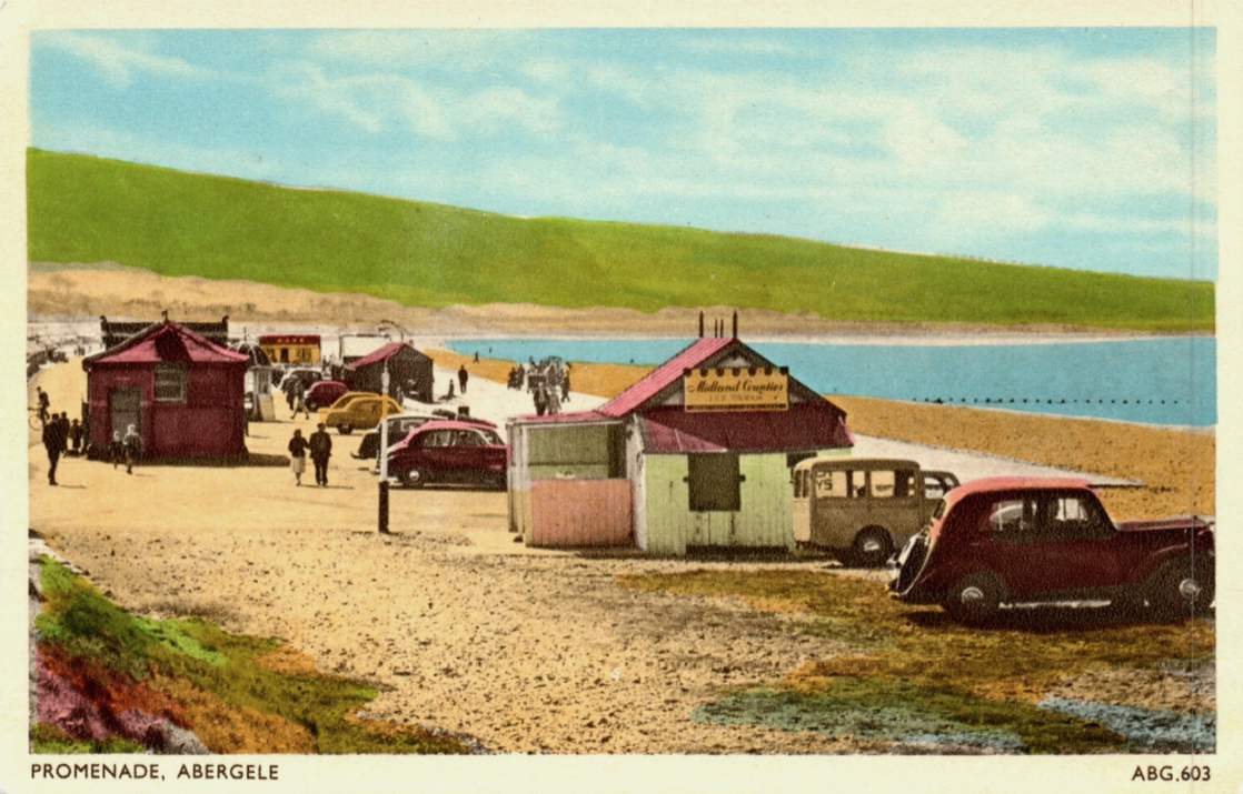
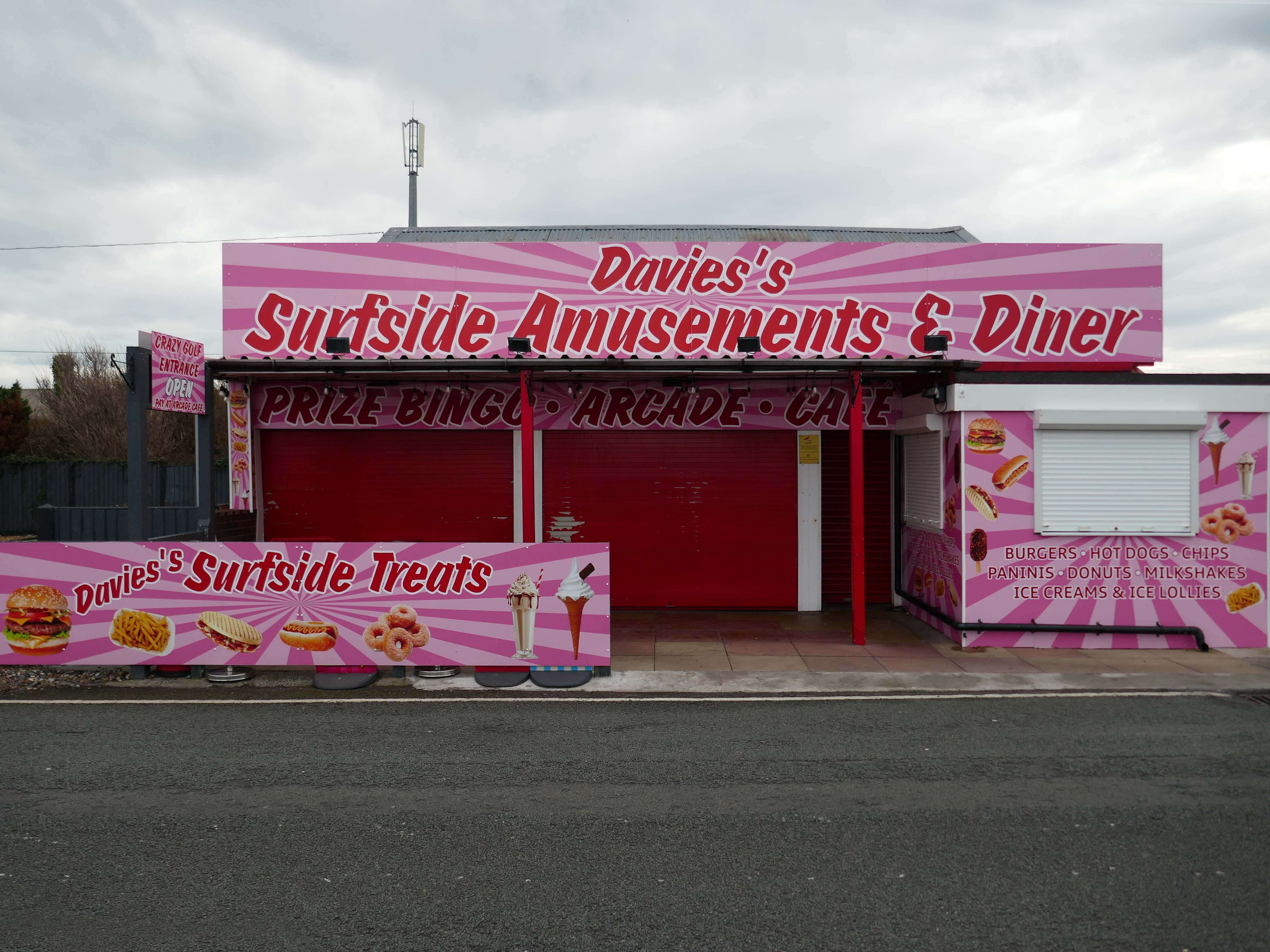
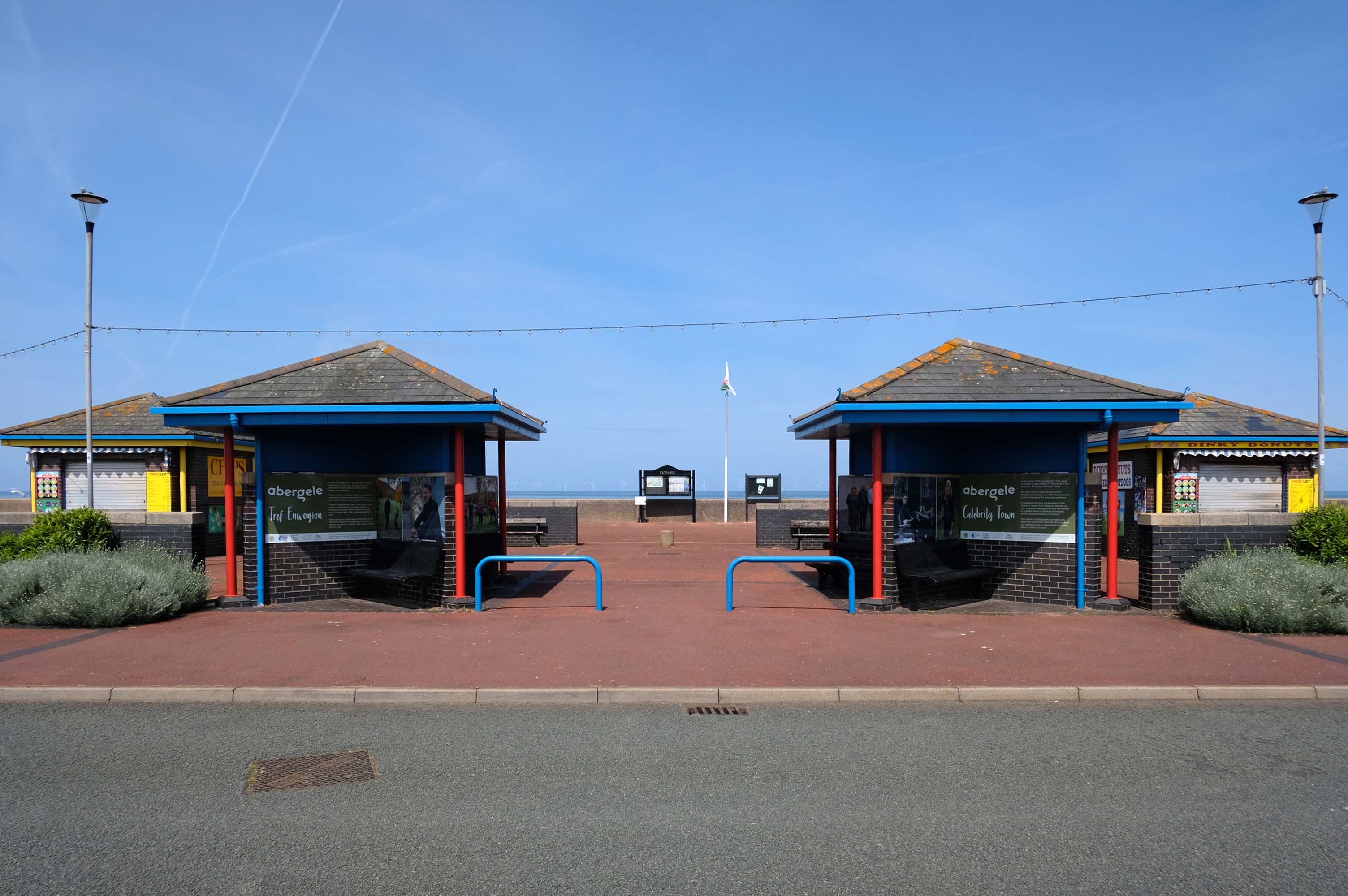
Here we are now at Abergele and Pensarn which have quiet sandy beaches close to historic sites and wooded hills. From here, you can escape the stresses of everyday life. Enjoy sea views, historic places such as Gwrych Castle – home to ITV’s I’m a Celebrity 2020 and 2021 TV series, and a range of things to do providing fun for all the family.
Pensarn Pleasure Beach Amusement Arcade, operated by Laurence Williams Amusements, offers a charming family-friendly experience. Visitors often highlight its nostalgic appeal with fun penny machines and small shops selling drinks and handmade goods.
While many appreciate the charm of the arcade, some mention that certain machines are quite dated and do not work properly, this aspect may affect overall enjoyment for some users.
The reviews indicate a good variety of activities including classic penny slots and local shops offering food and unique handmade items like dog harnesses, catering to diverse interests.
Such a pleasant stretch of coast to stretch your legs along.
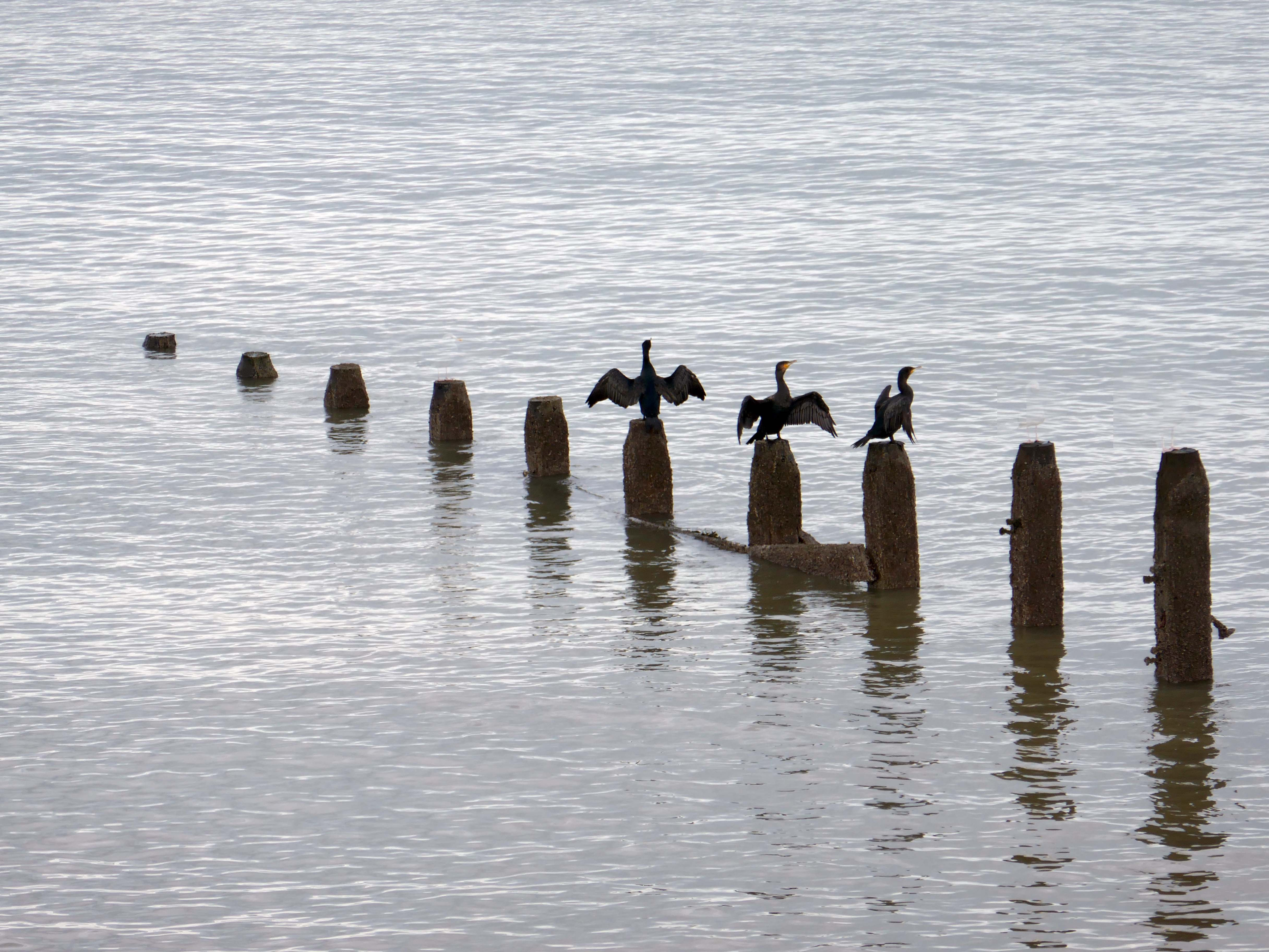
Or to stretch your wings for that matter, should you happen to be a cormorant.
Coastal defences from the giant concrete bobbers and jacks.
A tetrapod is a form of wave-dissipating concrete block used to prevent erosion caused by weather and longshore drift, primarily to enforce coastal structures such as seawalls and breakwaters. Tetrapods are made of concrete, and use a tetrahedral shape to dissipate the force of incoming waves by allowing water to flow around rather than against them, and to reduce displacement by interlocking.
Tetrapods were originally developed in 1950 by Pierre Danel and Paul Anglès d’Auriac of Laboratoire Dauphinois d’Hydraulique in Grenoble,who received a patent for the design. The French invention was named tétrapode, derived from Greek tetra ‘four’ and pode ‘foot’.
Tetrapods were first used at the thermal power station in Roches Noires in Casablanca, to protect the sea water intake.
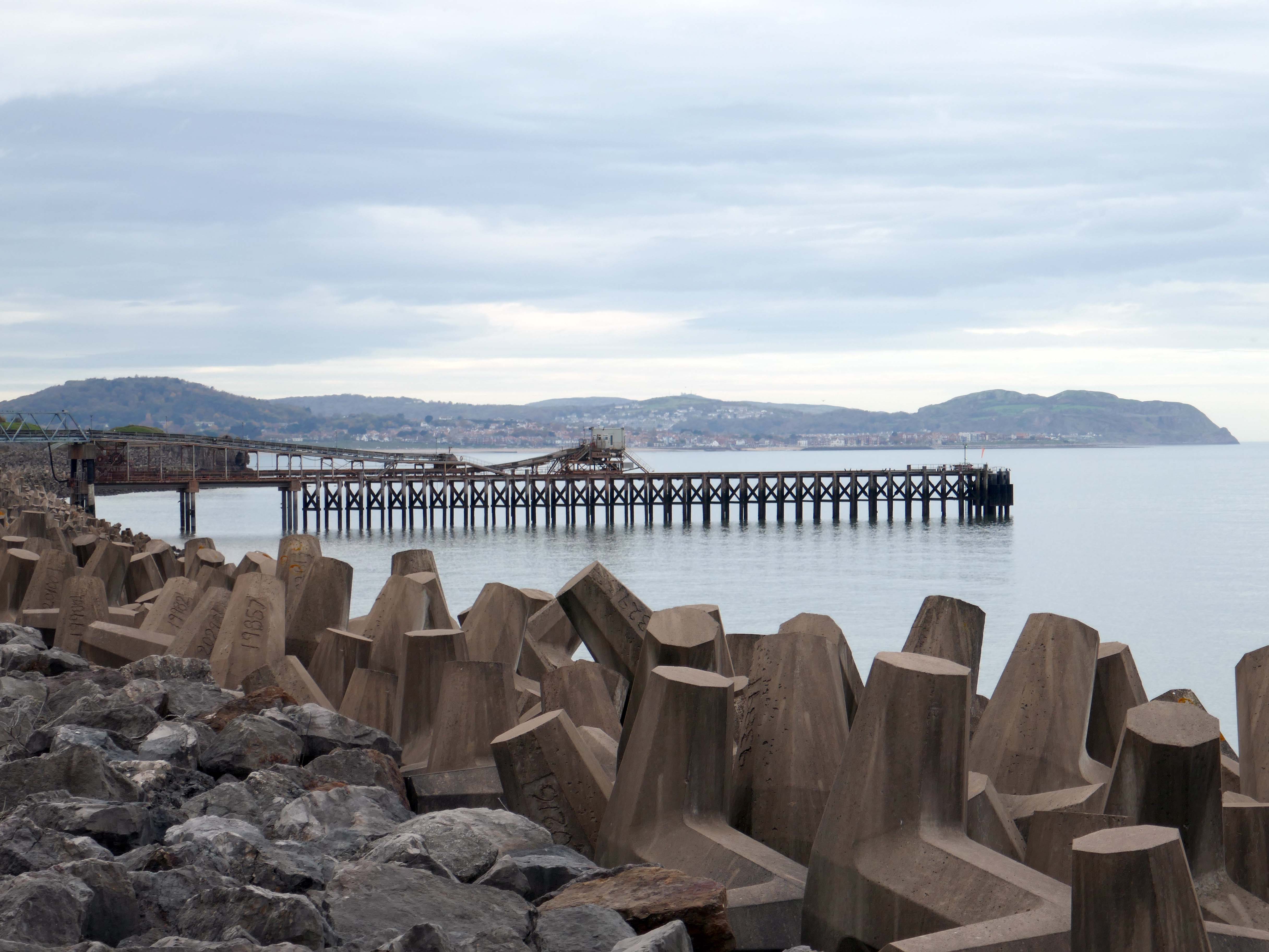
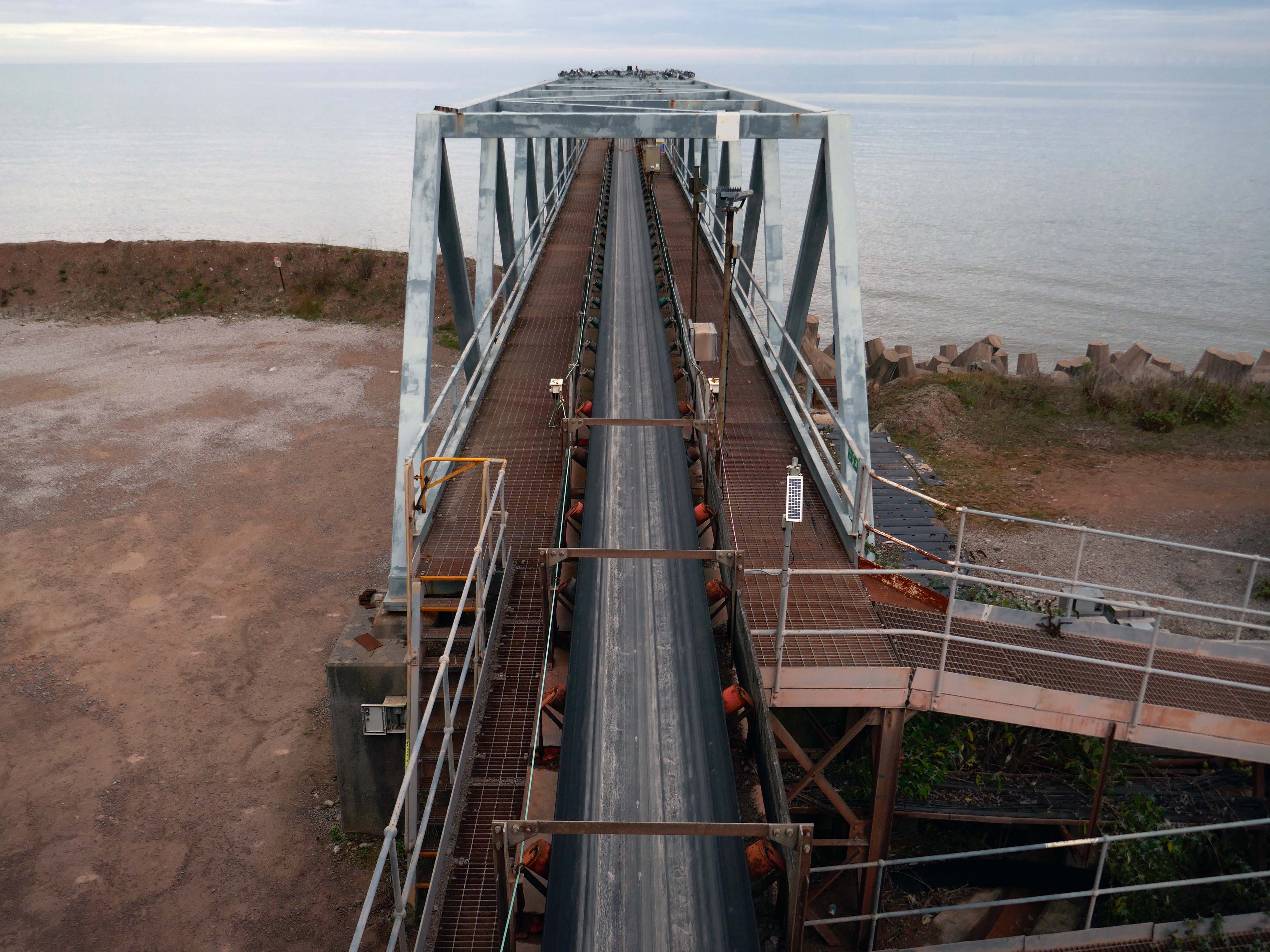
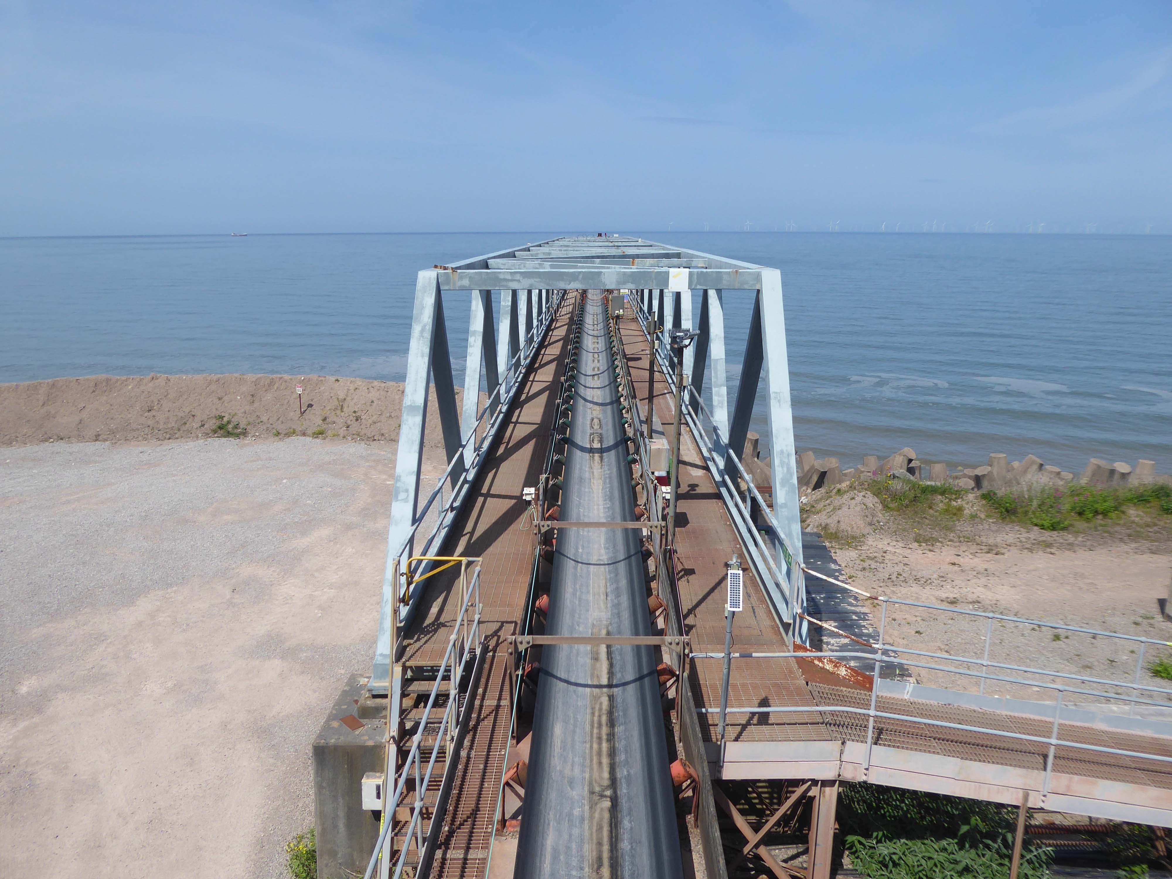
Next we pass Raynes Jetty the quarry conveyor belt – shifting and shipping limestone out to sea.
Limestone from Raynes quarry, to the south, is transported by conveyor belts to the jetty, crossing the A55 Expressway and railway. From the jetty it is loaded into coastal freighters which take it to other parts of the British Isles. Limestone from this quarry is a pure form of the rock, making it ideal for the chemical and cement industries.
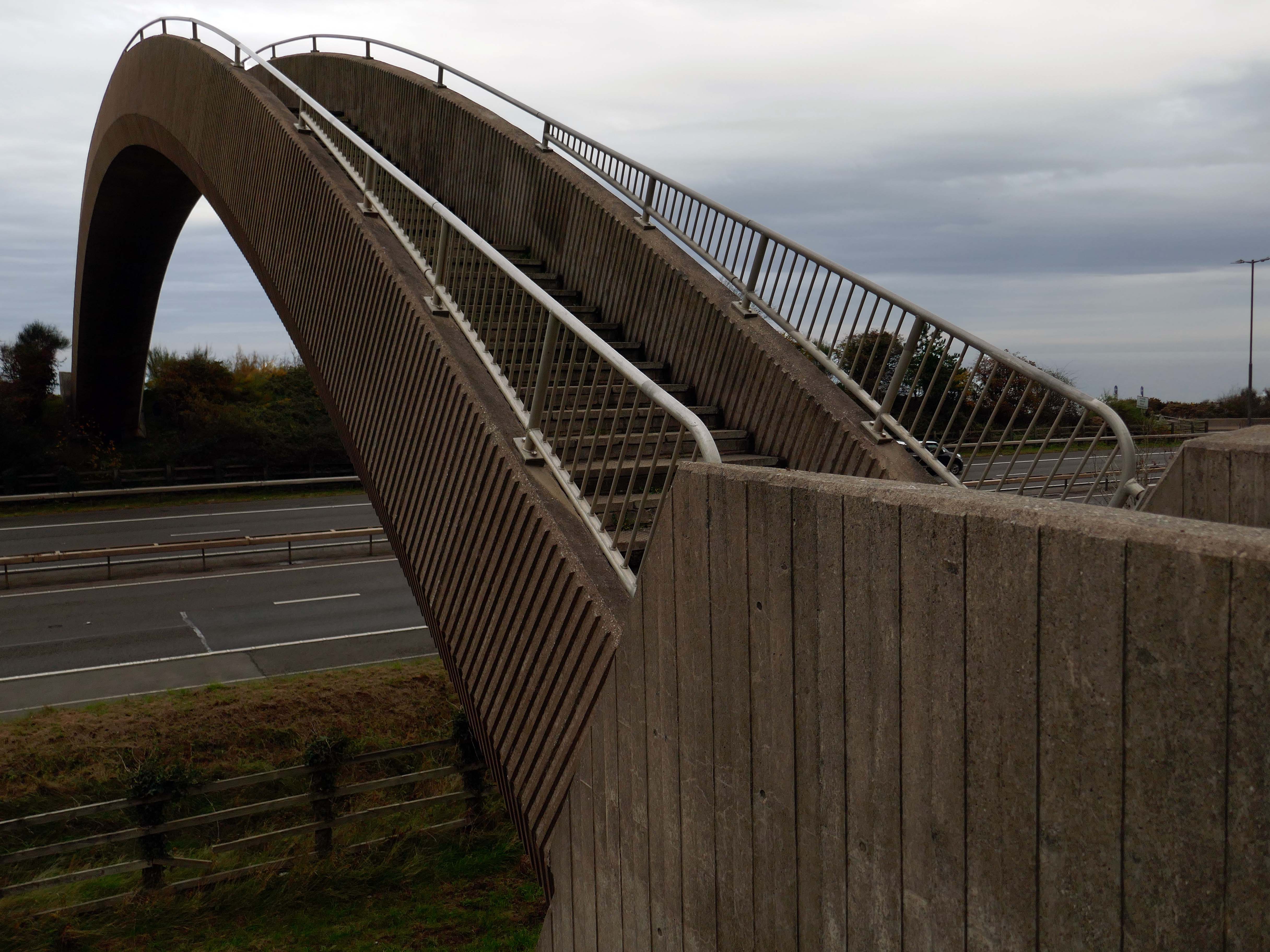
Limestone forming an important constituent part of the nearby concrete Rainbow Bridge – linking Old Colwyn’s pedestrians to the shore.
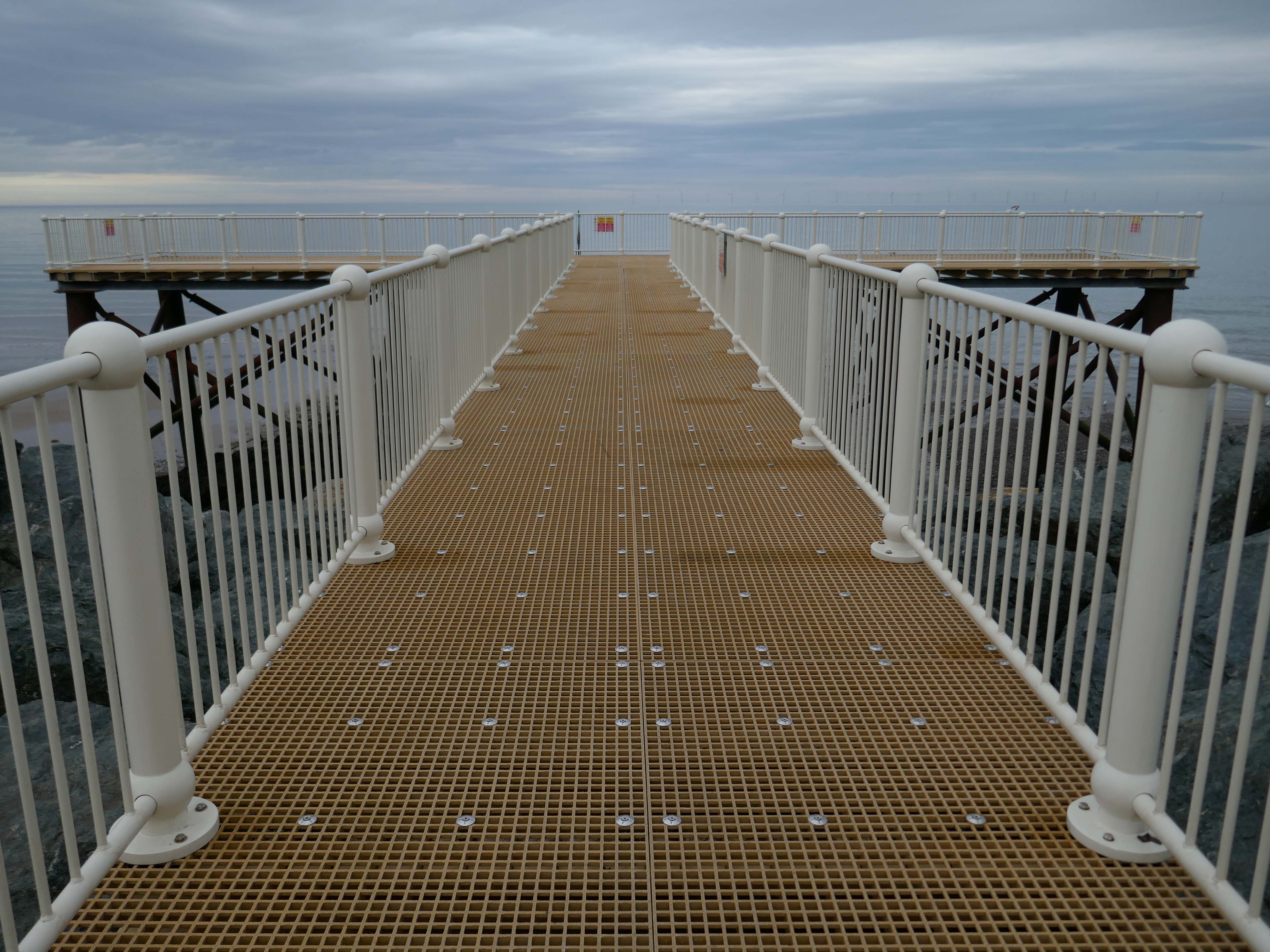
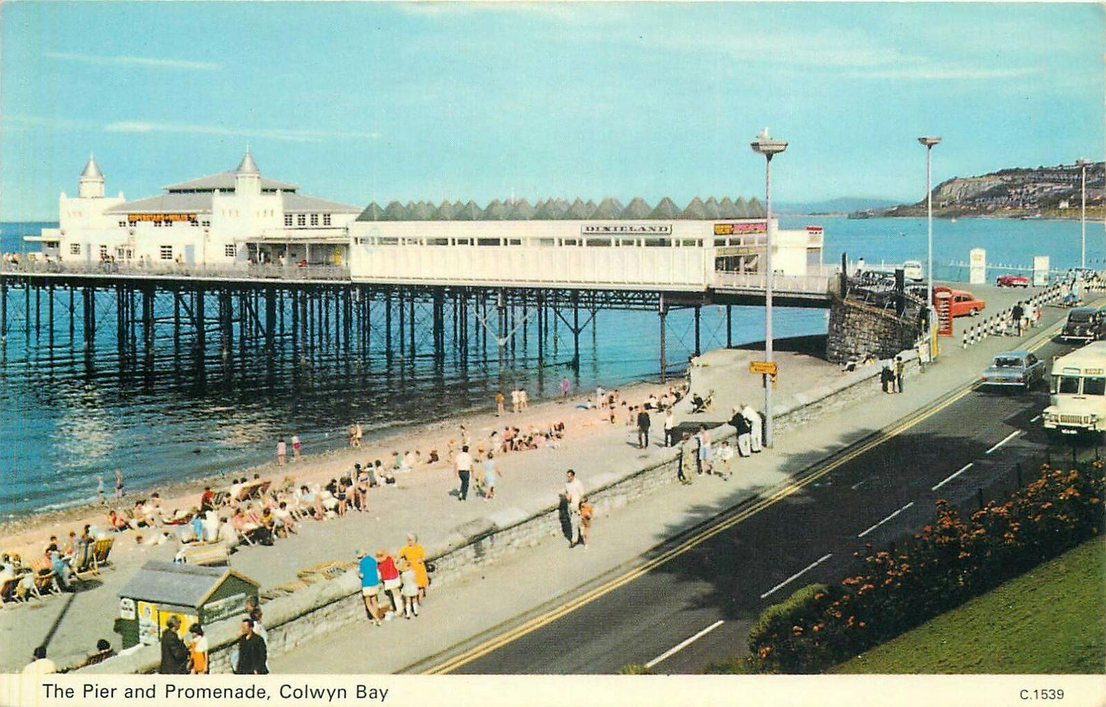
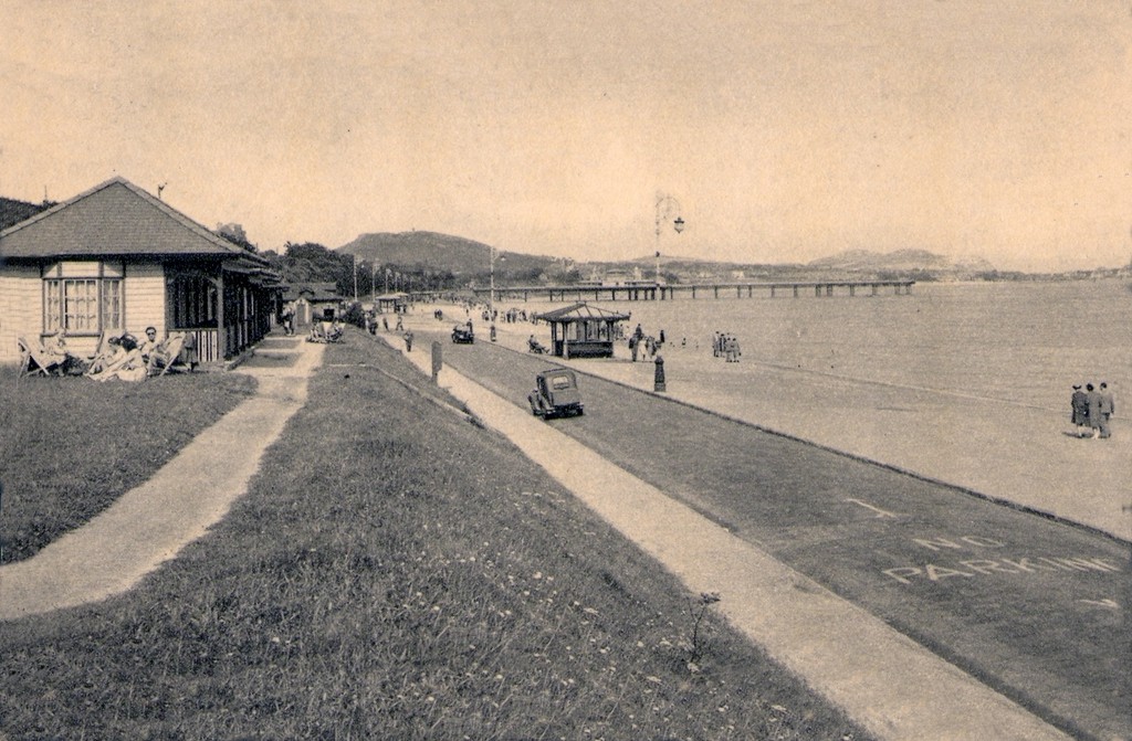
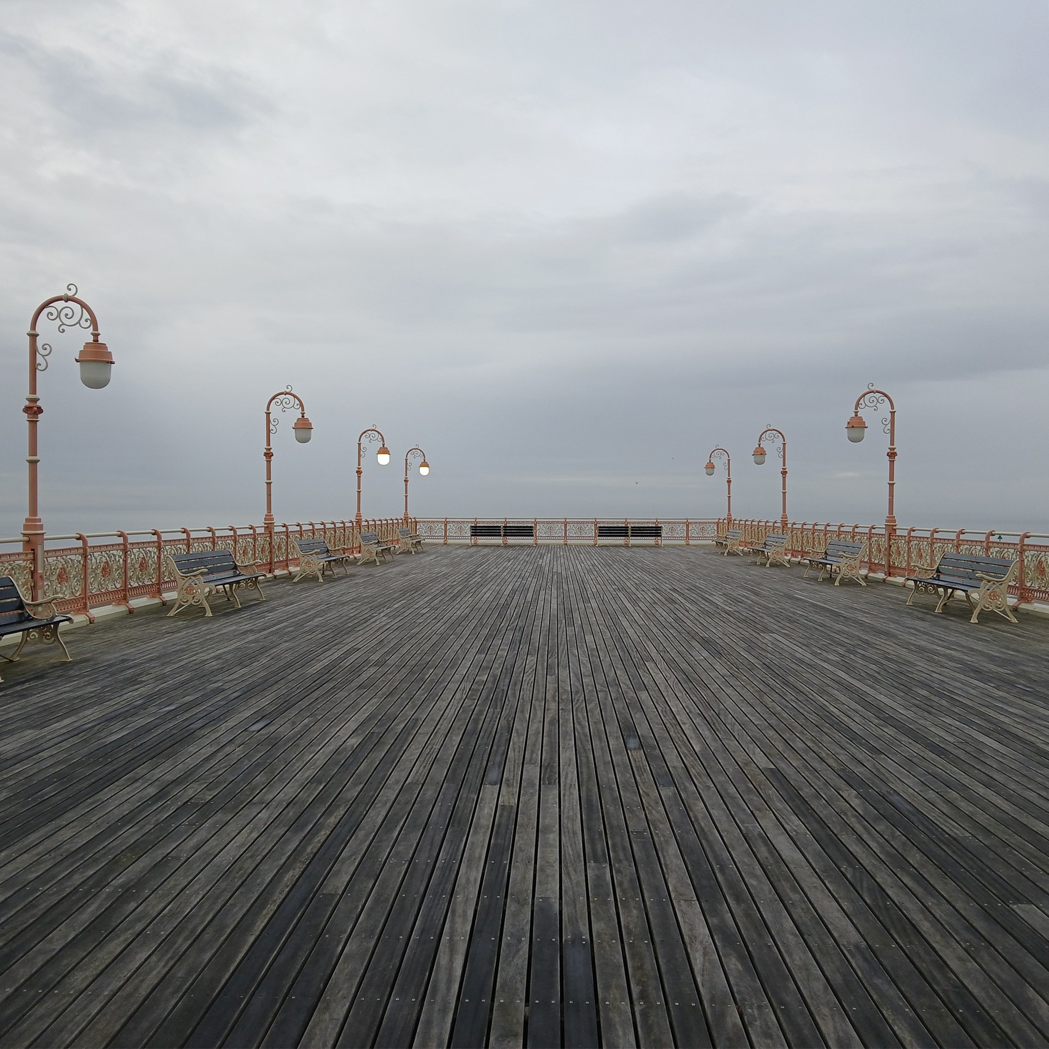
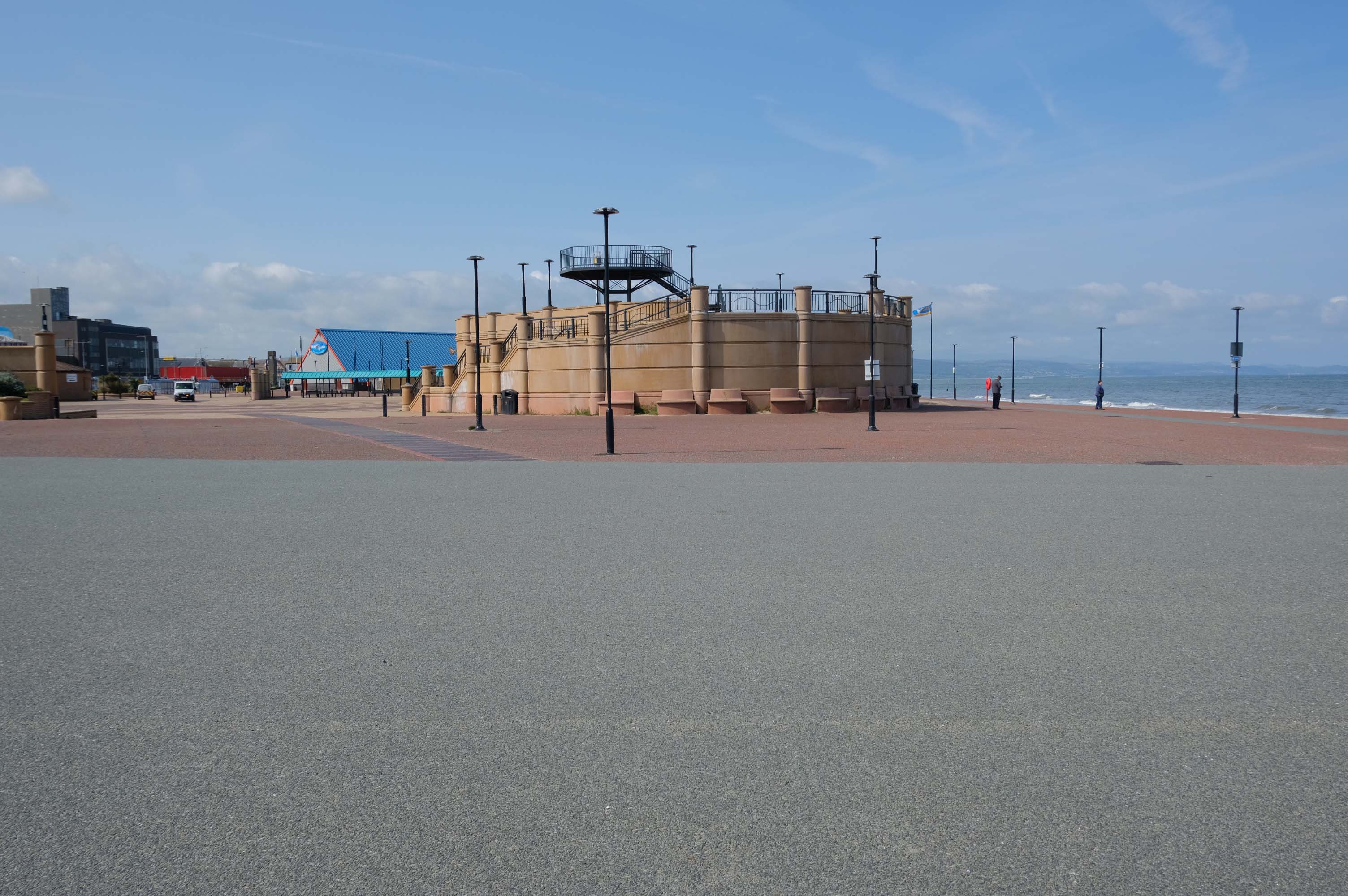
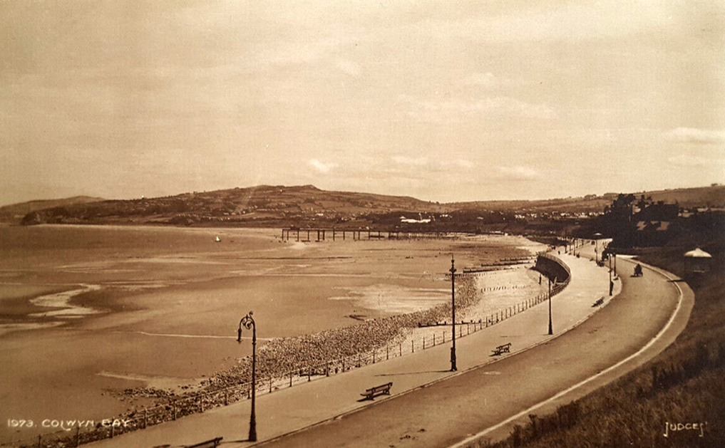
On the site of Colwyn Bay Pier is a seriously truncated pier.
It was conceived in the late 19th century, when Colwyn Bay wanted to catch up with other towns which had piers where steamers deposited and collected passengers. However, it was found that the proposed pier would have to extend almost half a mile to reach the area where the water was deep enough for ships. This was too costly, so the pier was built purely for entertainments. The councillors saved face by saying this would avoid day trippers arriving by steamer and lowering the tone of Colwyn Bay!
The pier was less than 100 metres long when it opened in 1900. The pavilion had a 2,500-seat theatre, shops and a restaurant. The opening performance featured Adelina Patti, one of the world’s most renowned operatic sopranos in her day.
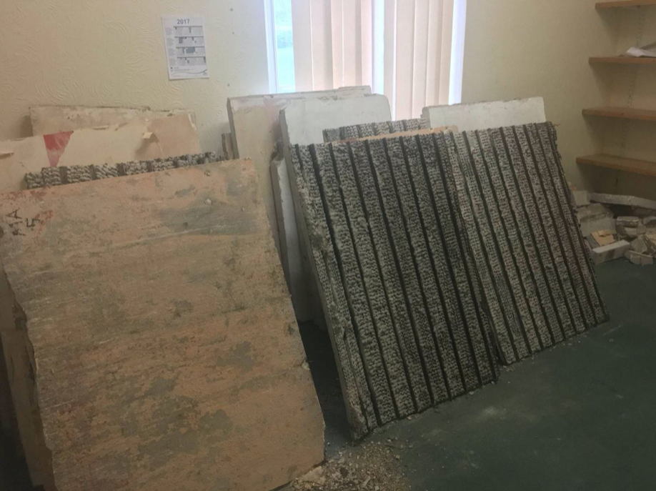
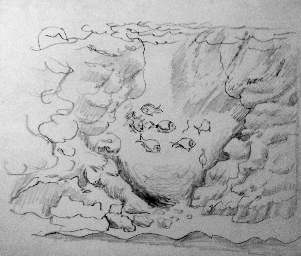
The final pavilion, opened in 1934, incorporated Art Deco features and murals by Eric Ravilious and Mary Adshead.
Both walls of the last remaining Eric Ravilious mural have been successfully removed, and were placed safely in storage. But with CCBC staff set to relocate to new Colwyn Bay offices a more permanent home is needed for the murals.
Many of those features were destroyed or obscured in post-war refurbishments. Entertainers who performed at the pier in this period included comedians Ken Dodd and Morecambe and Wise, and singers Harry Secombe and Elvis Costello.
The new promenade, measuring 2.3 miles long, has been designed to protect the town and its infrastructure from the effects of the sea. The project was split into two phases; the first, to remove what was originally there and to construct the new raised promenade including a road, cycleway and car parking. The second phase was to transform the promenade with further development as well as reinforce the defence structures.
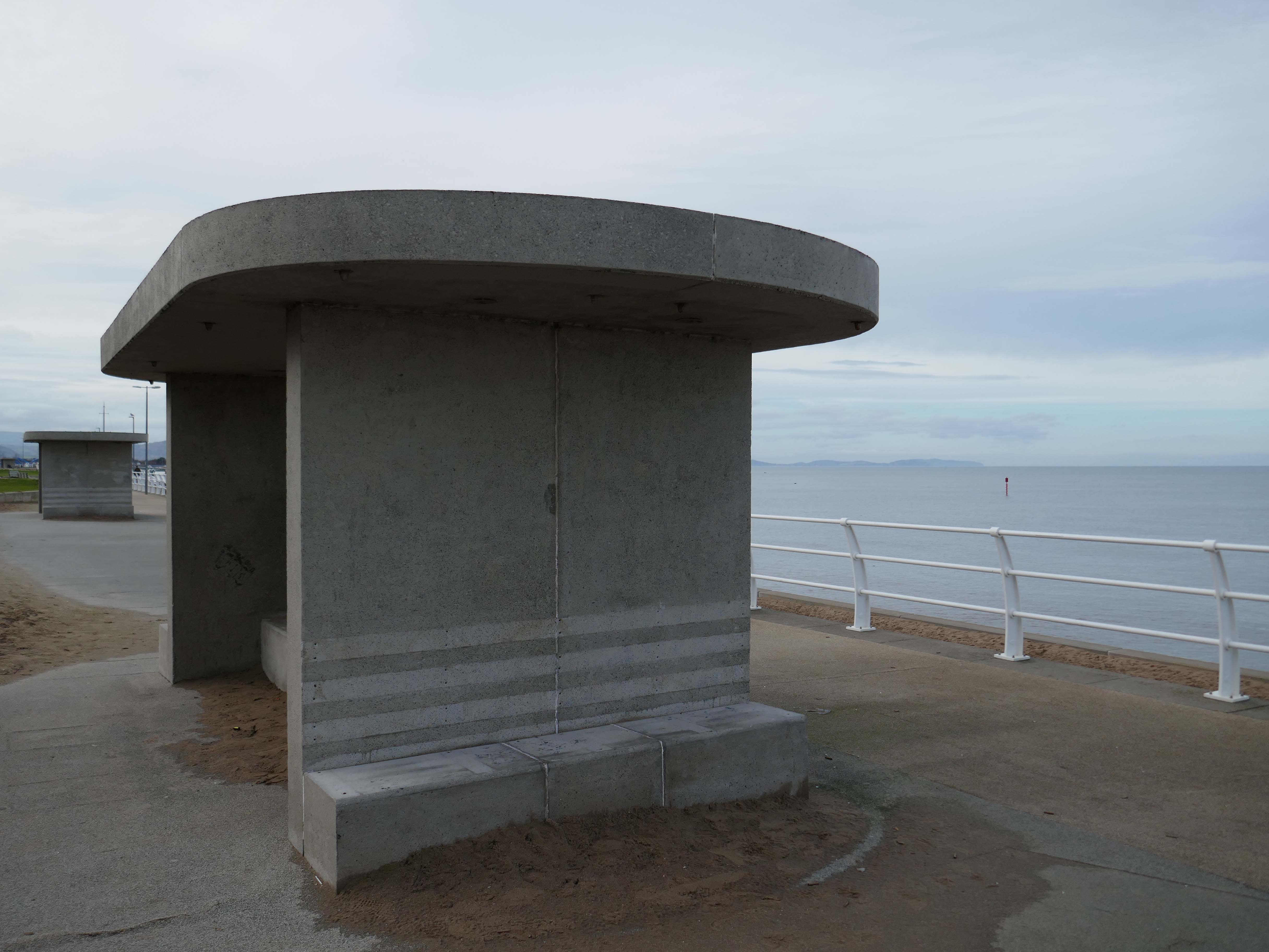
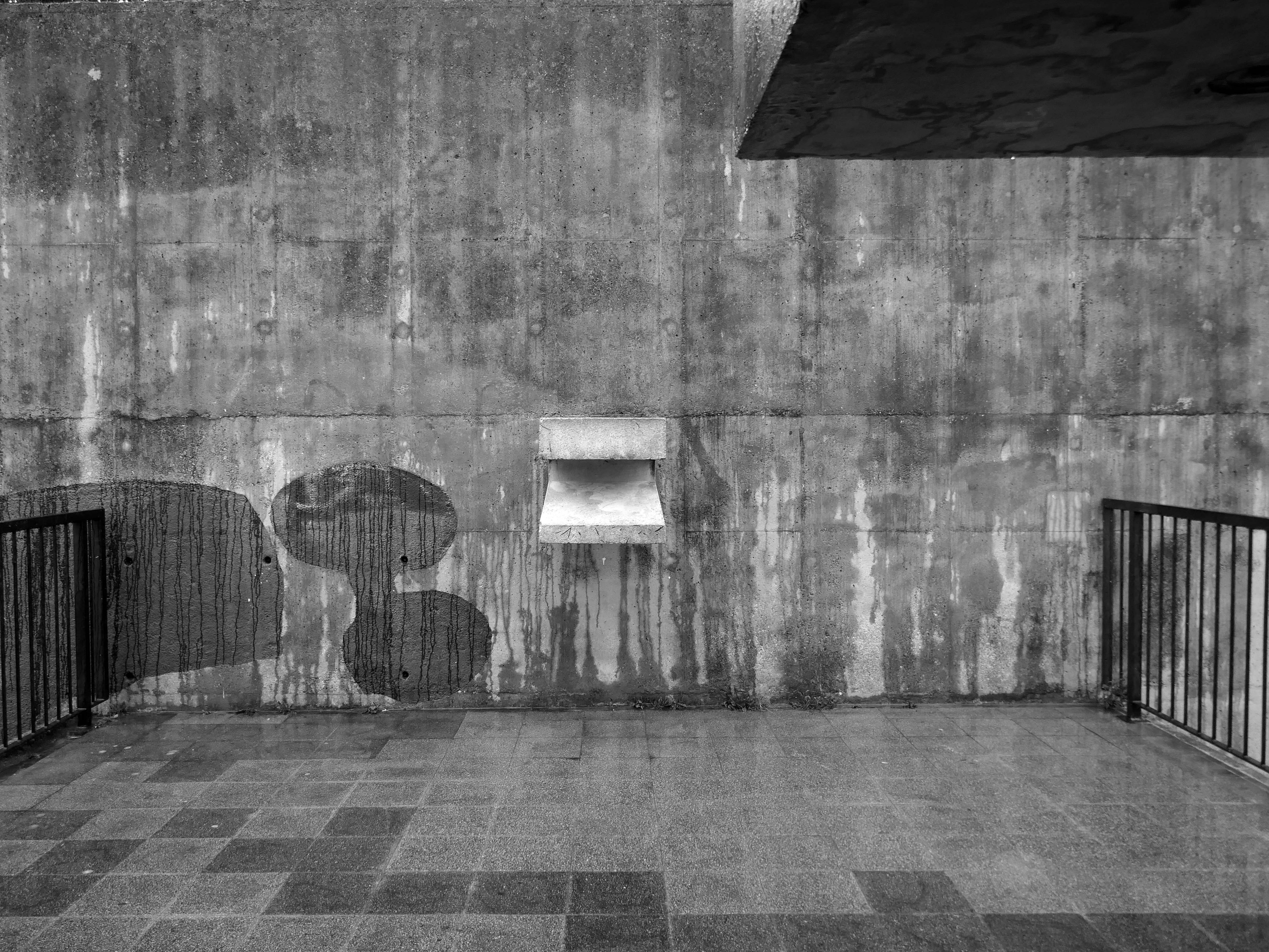
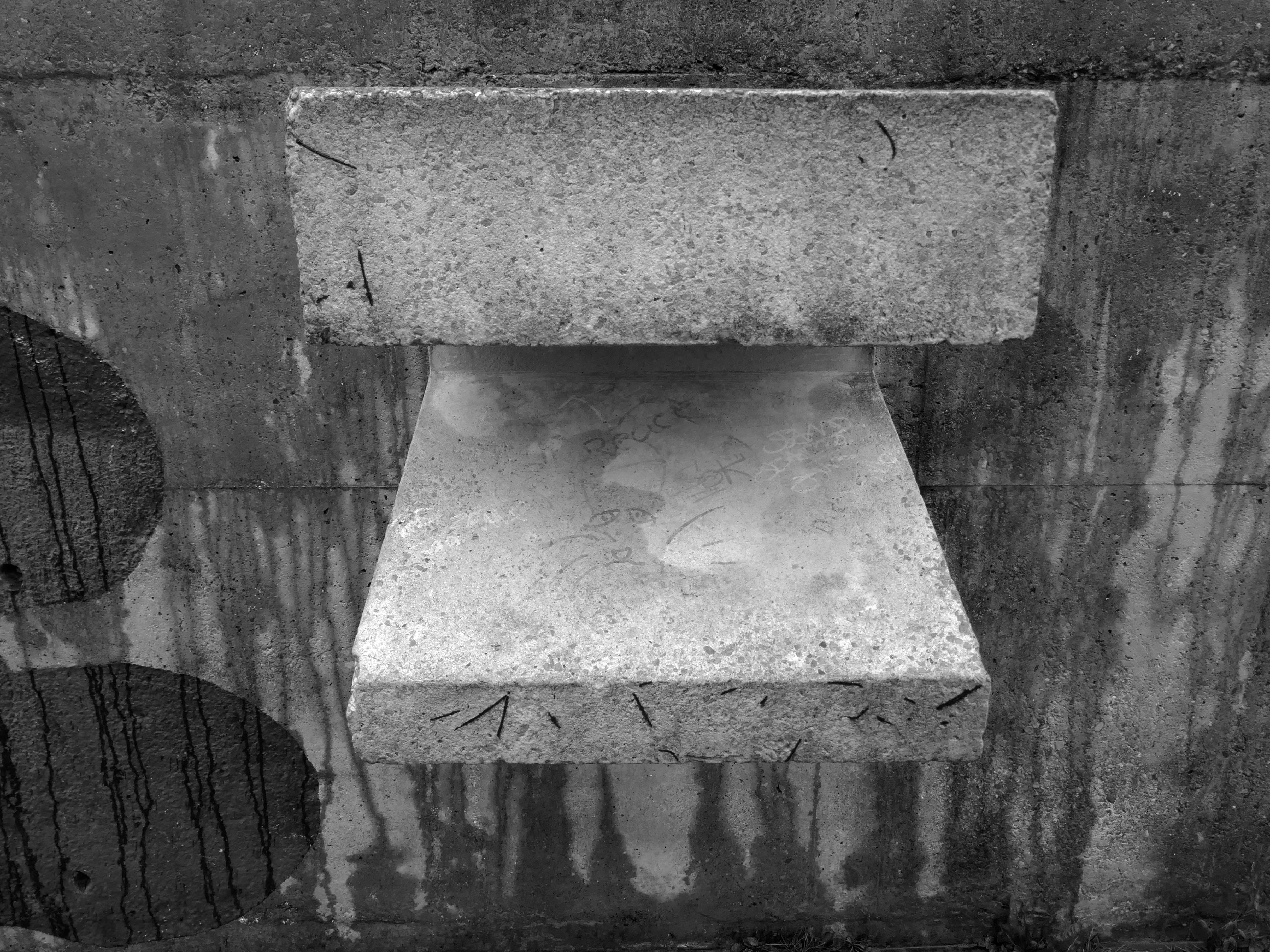
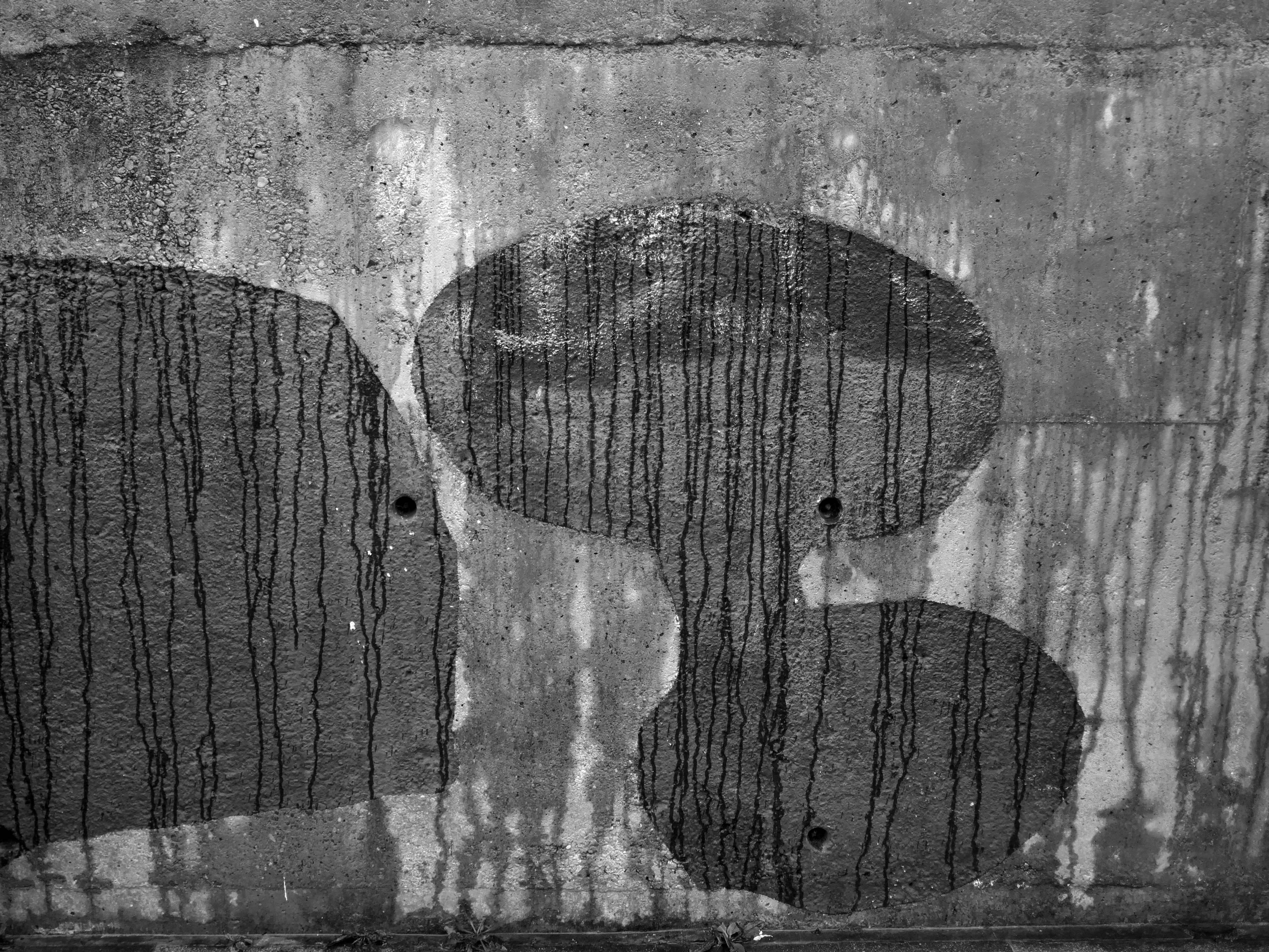
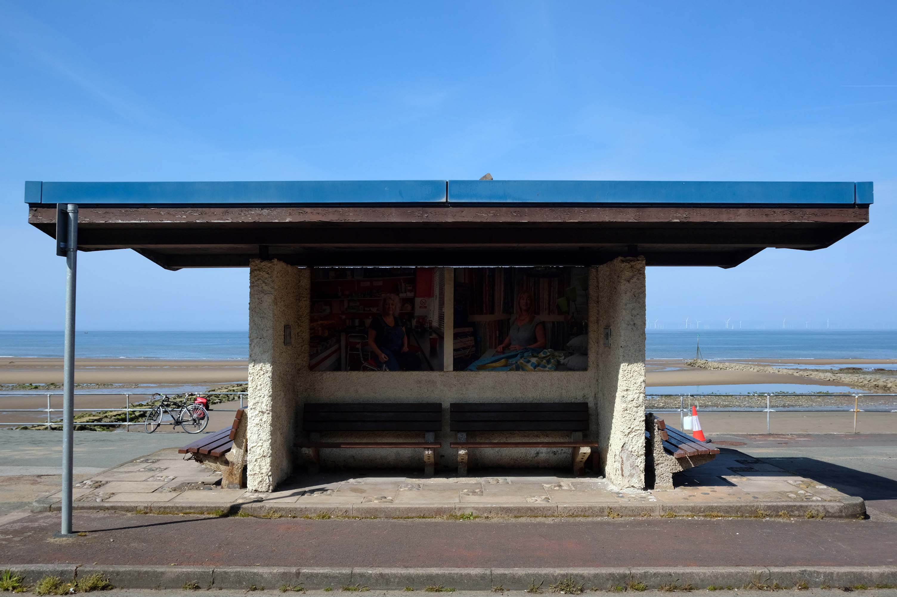
This is the last of the Sixties concrete shelters – which once stretched all the way to Rhos on Sea.
New shelters have appeared
A Conwy County Borough Council spokesperson said:
The shelters include new features such as solar power lighting and are designed to be accessible for wheelchair and mobility scooter users.
The closed design of the old shelters made anti-social behaviour easier and led to their condition deteriorating.
And a new pier has appeared.
Construction on the new Pier at Colwyn Bay commenced in July 2020. Despite being initially slated for completion in the summer, the erection of scaffolding and subsequent work on the 45-meter truncated Colwyn Bay pier were delayed. However, the project timeline was expedited, and the construction was successfully finished in July 2021.
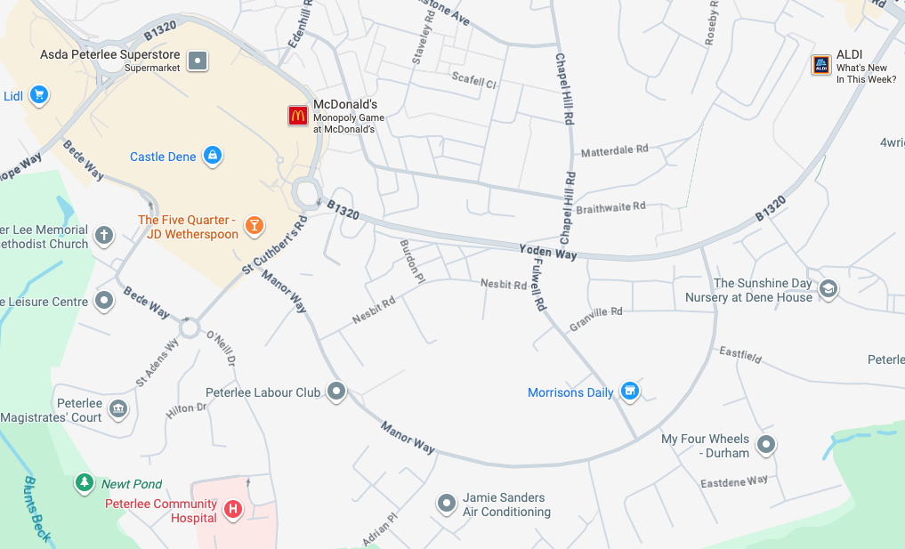
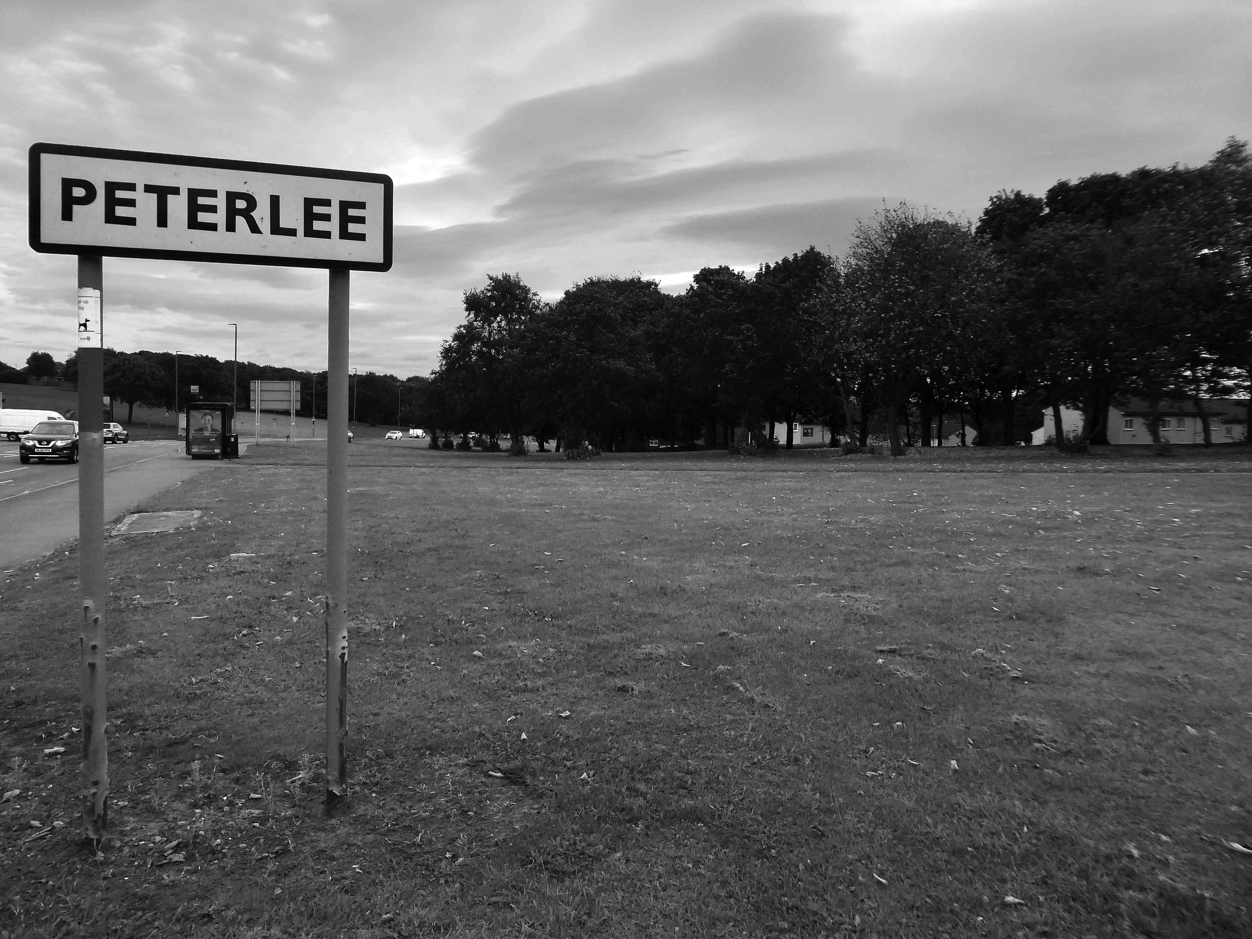
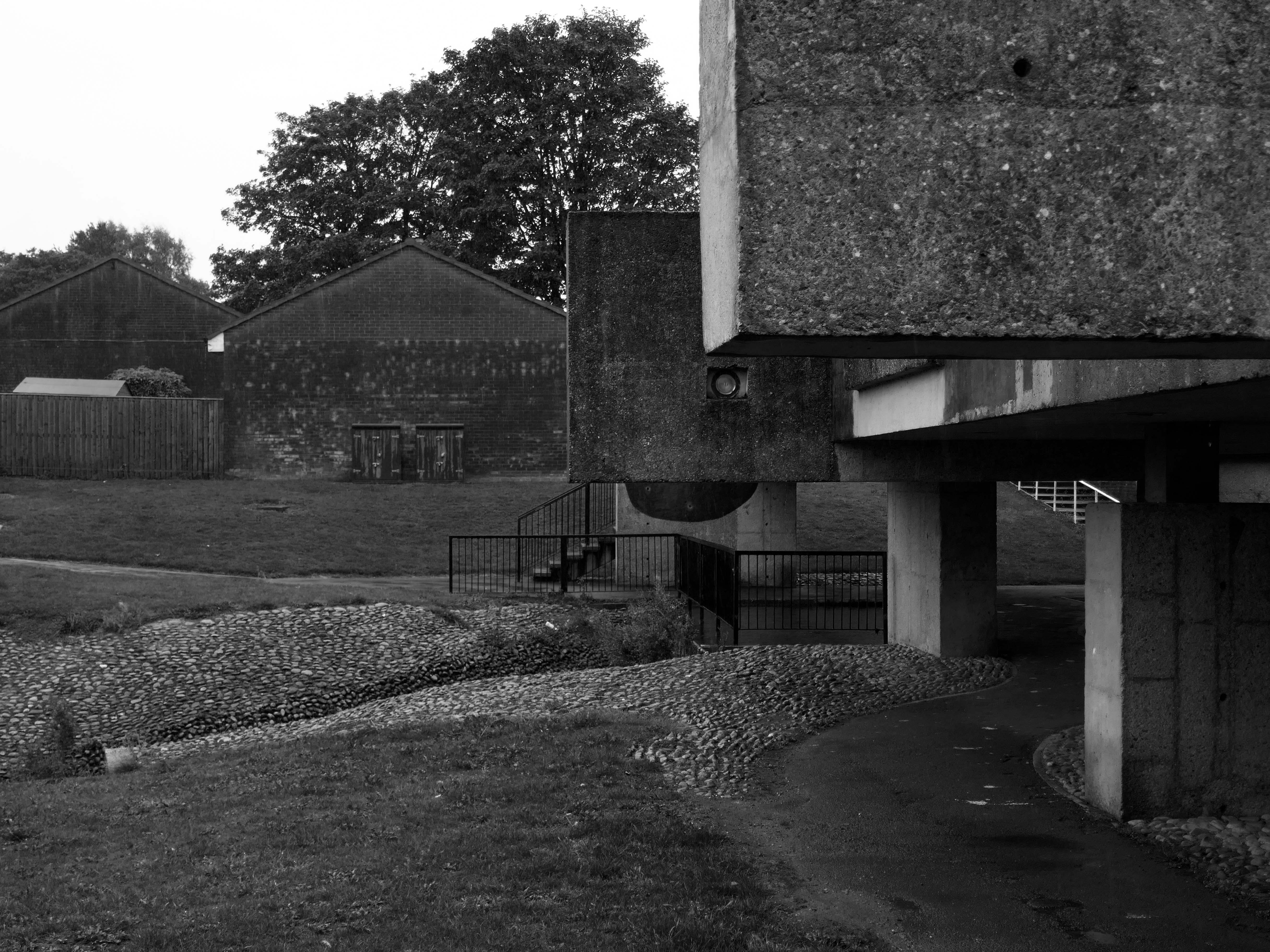
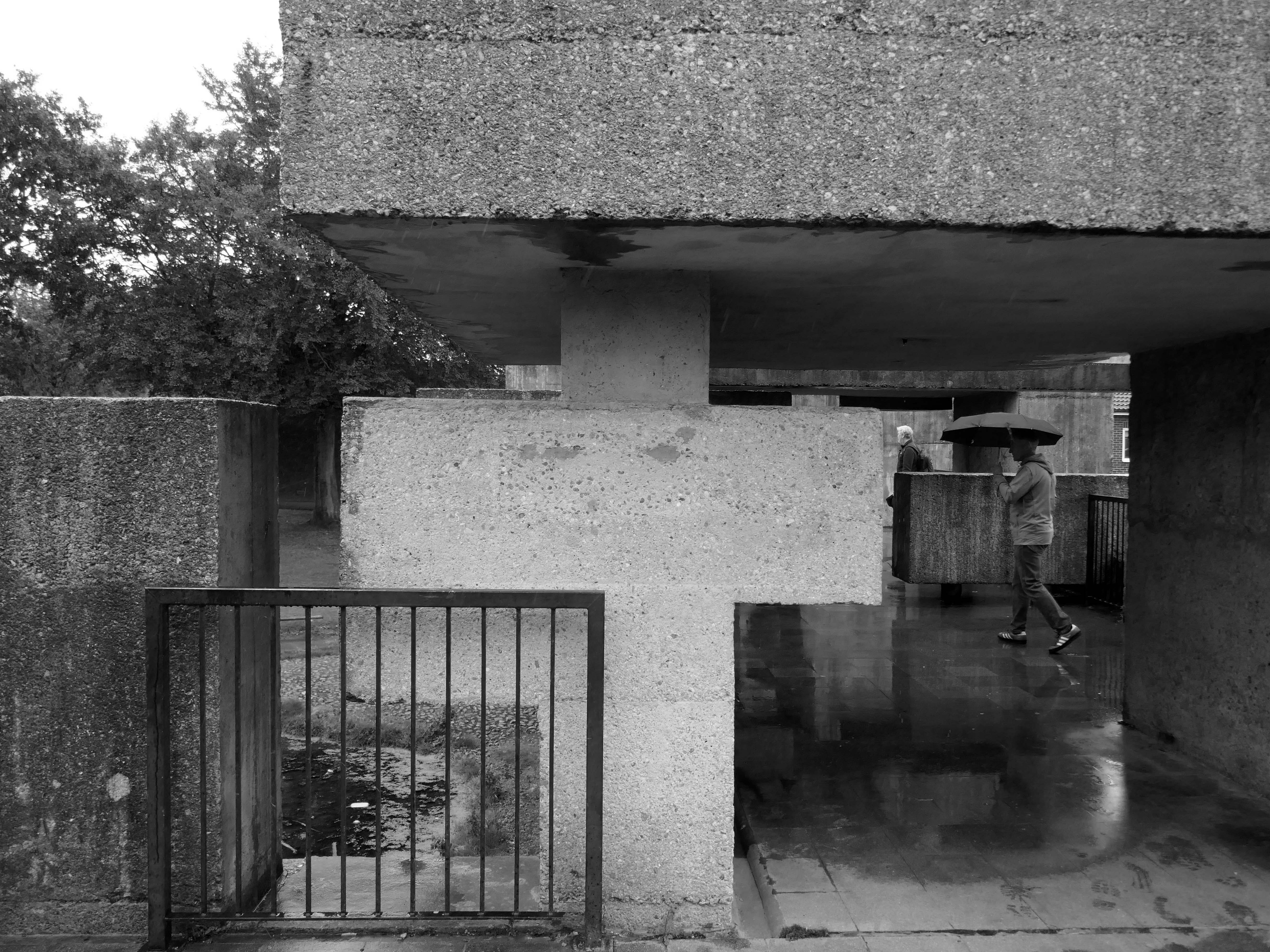
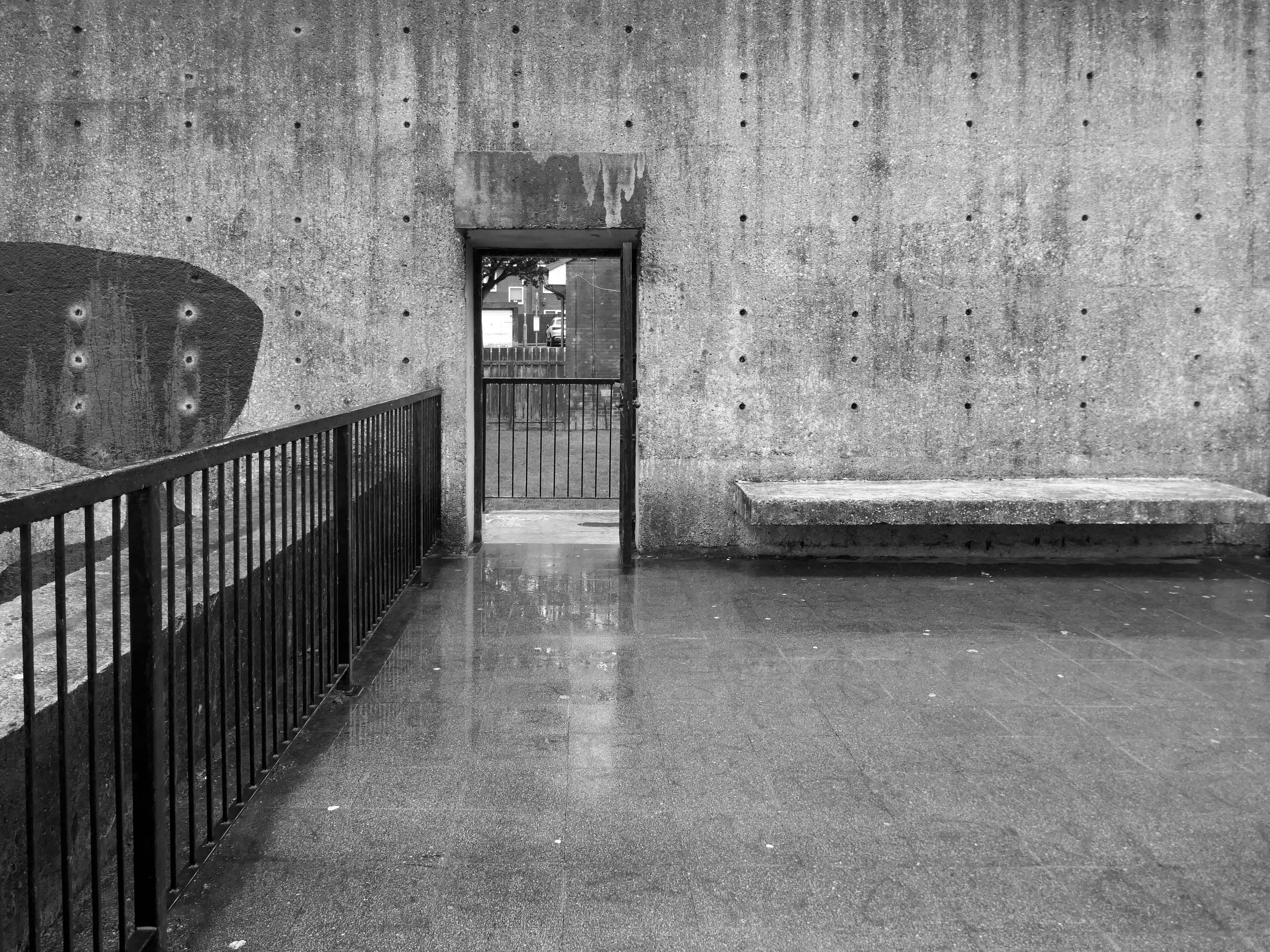
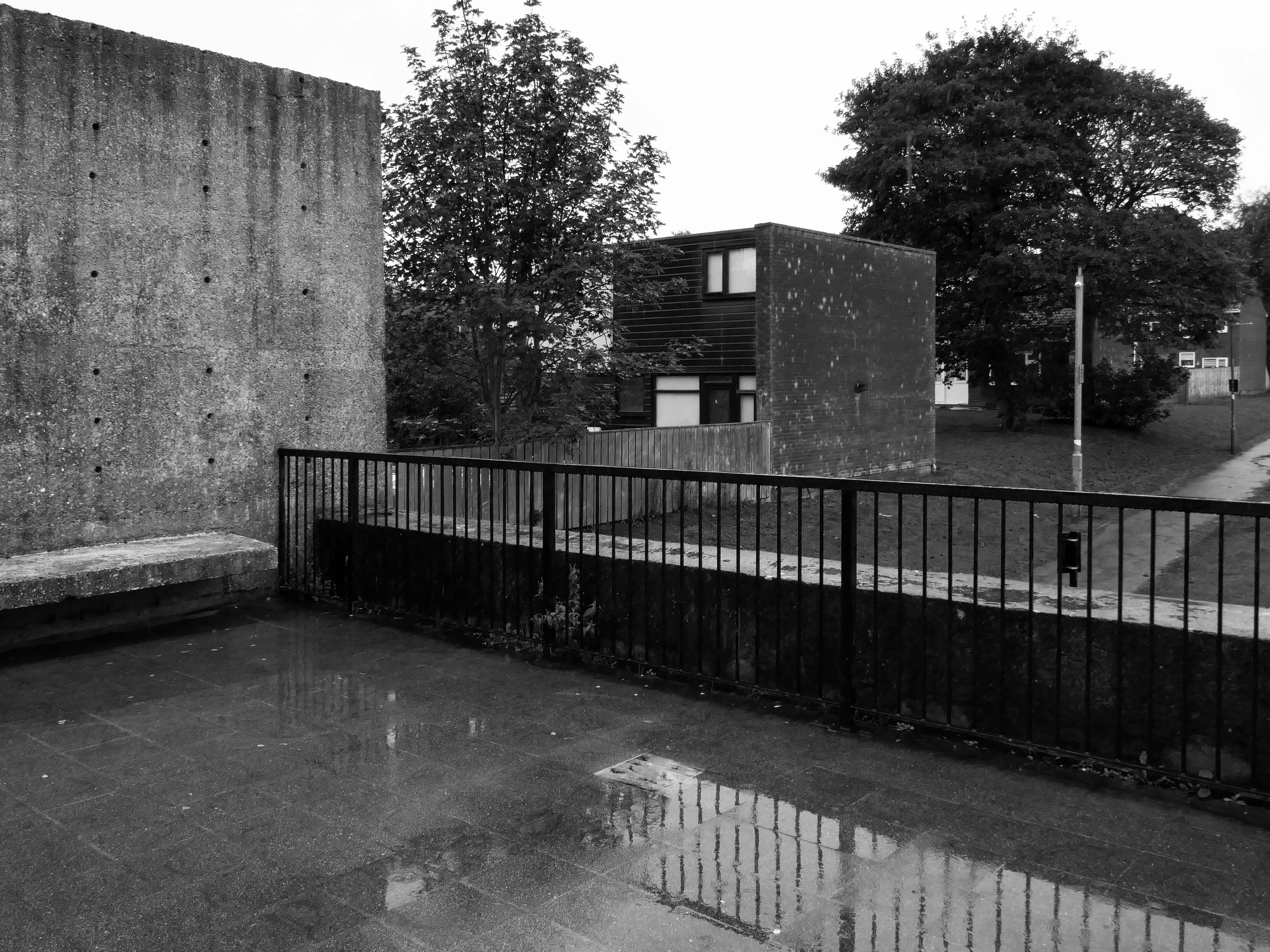
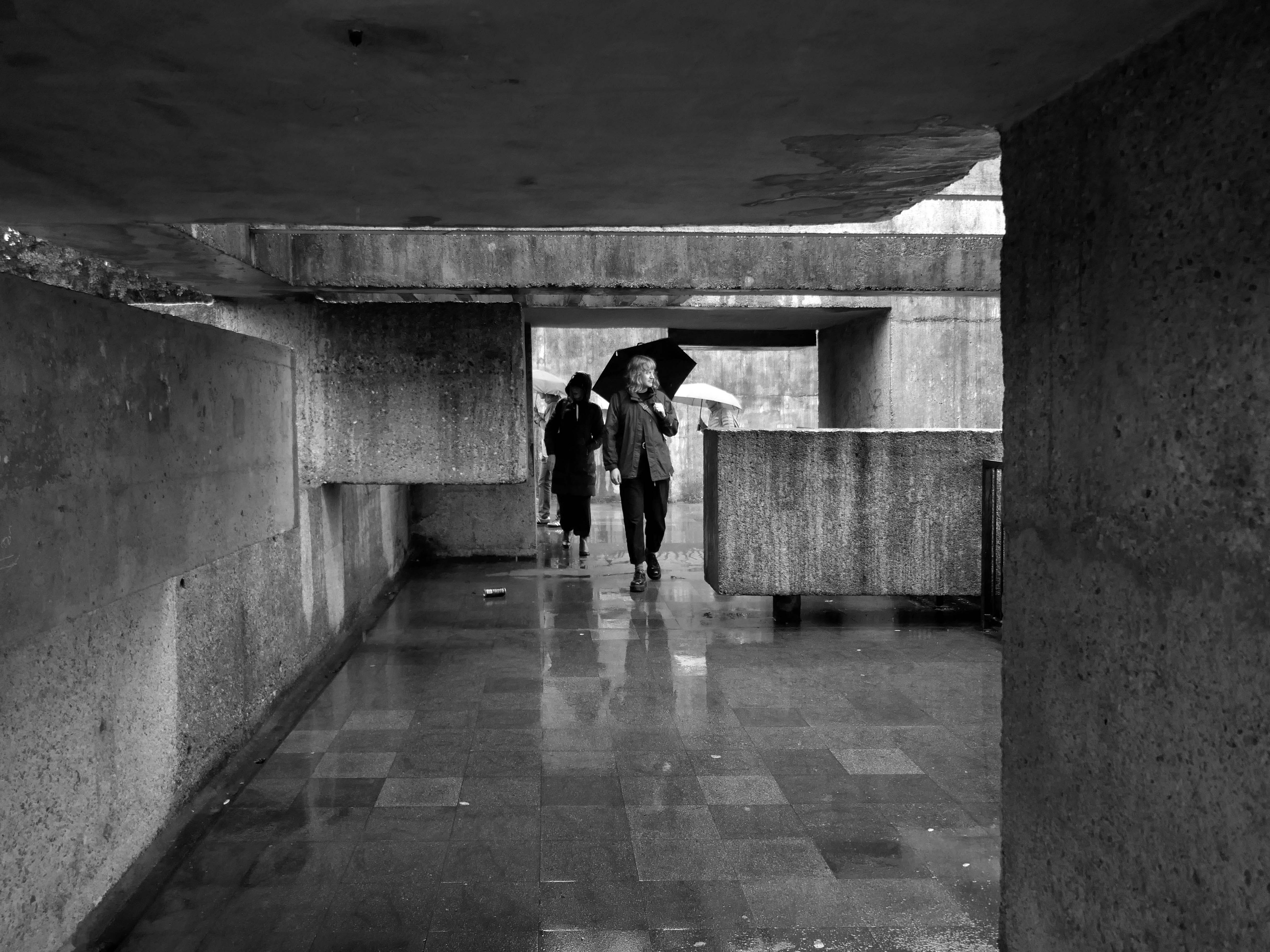
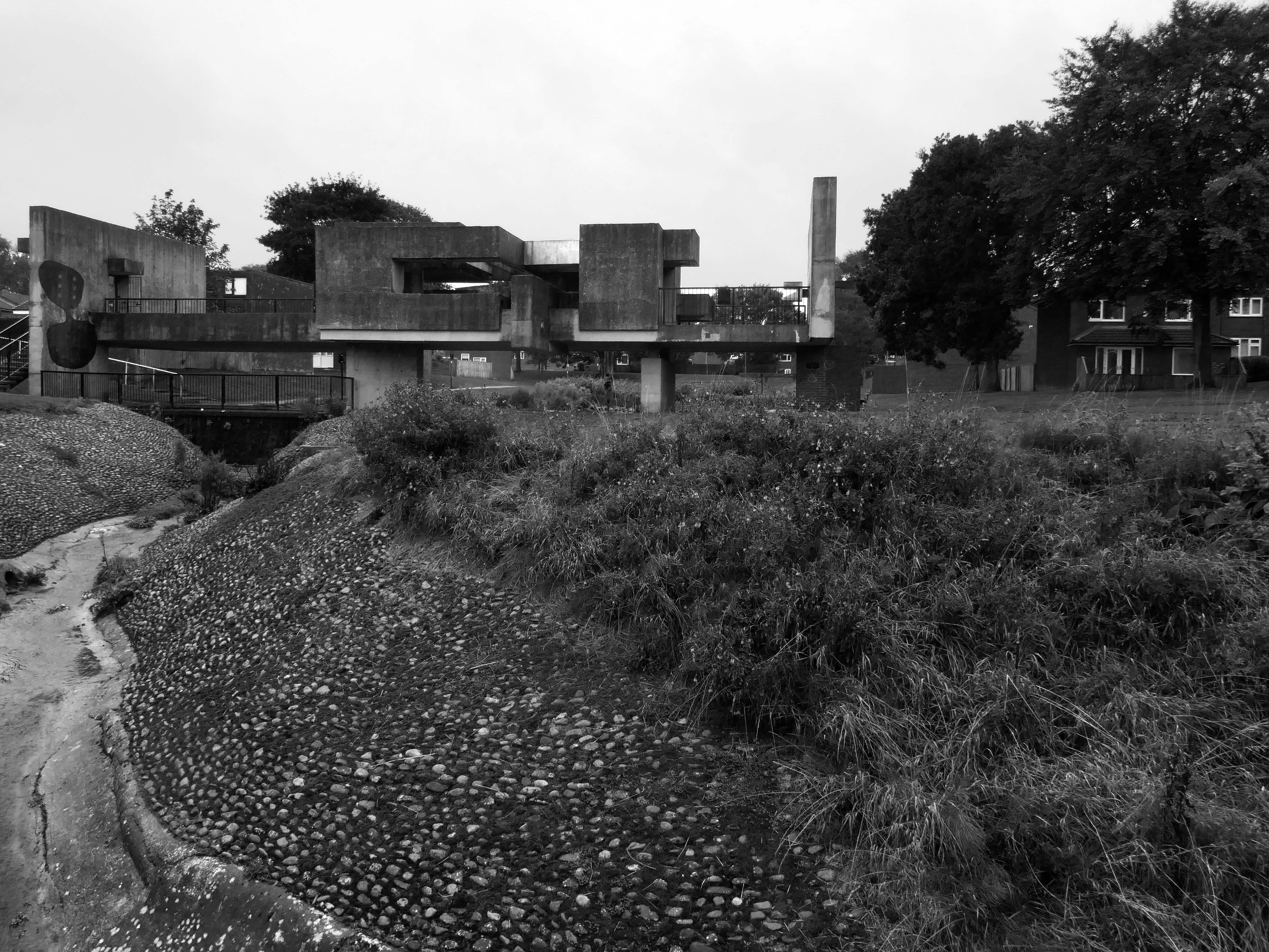
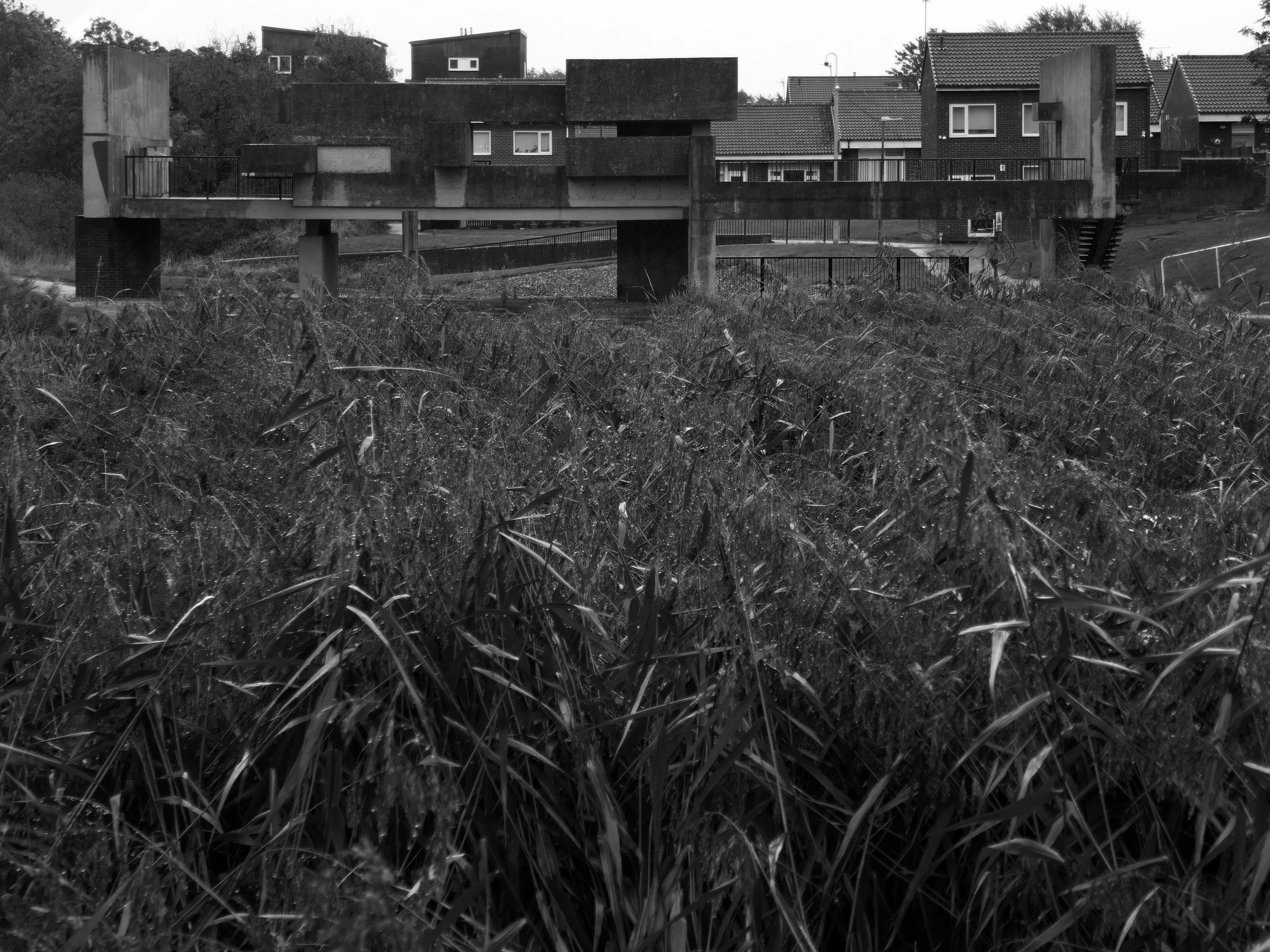
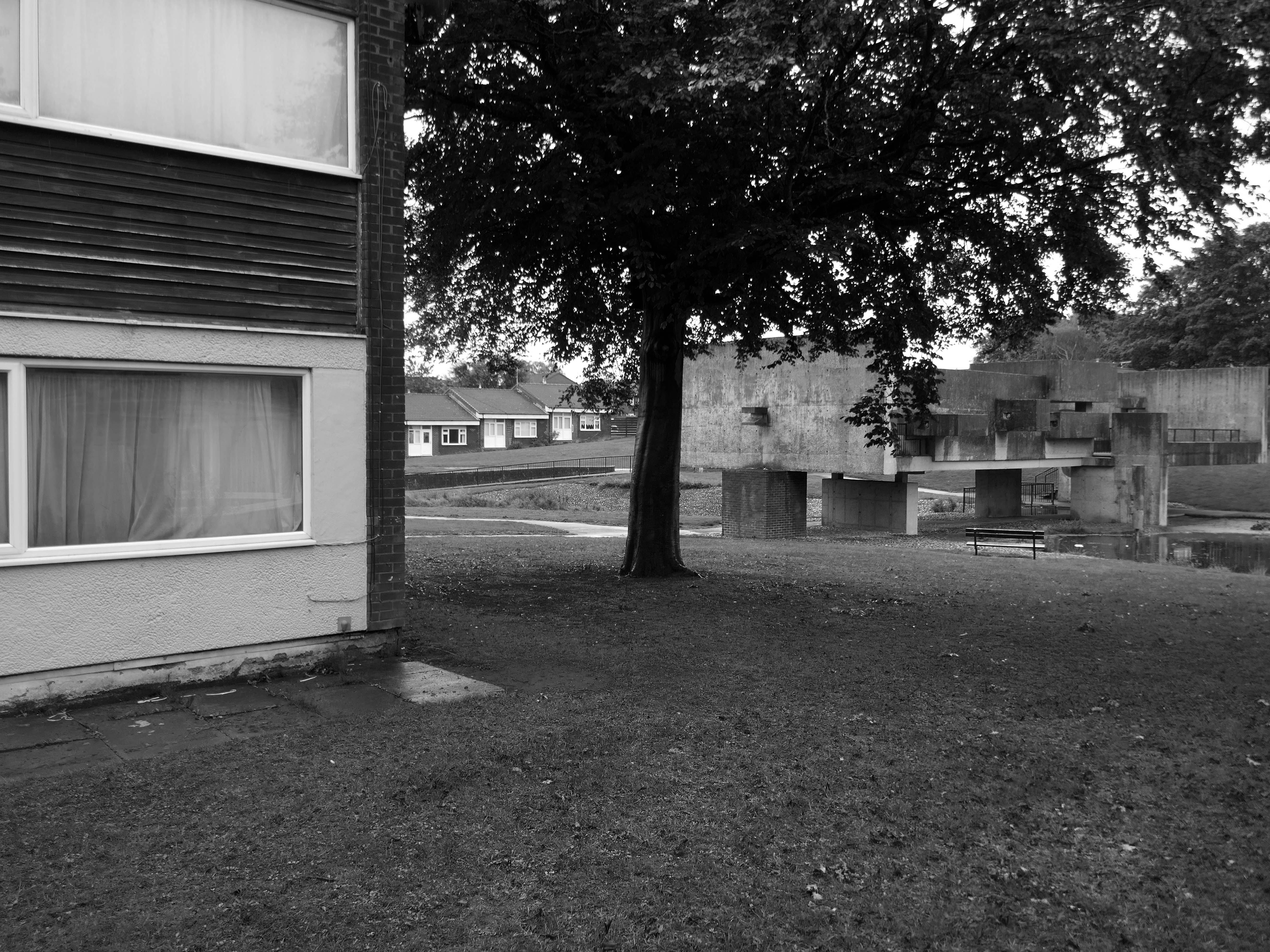
An express bus ride away from Newcastle City Centre – arriving in Peterlee, with a clear intent to wander around and look at housing.
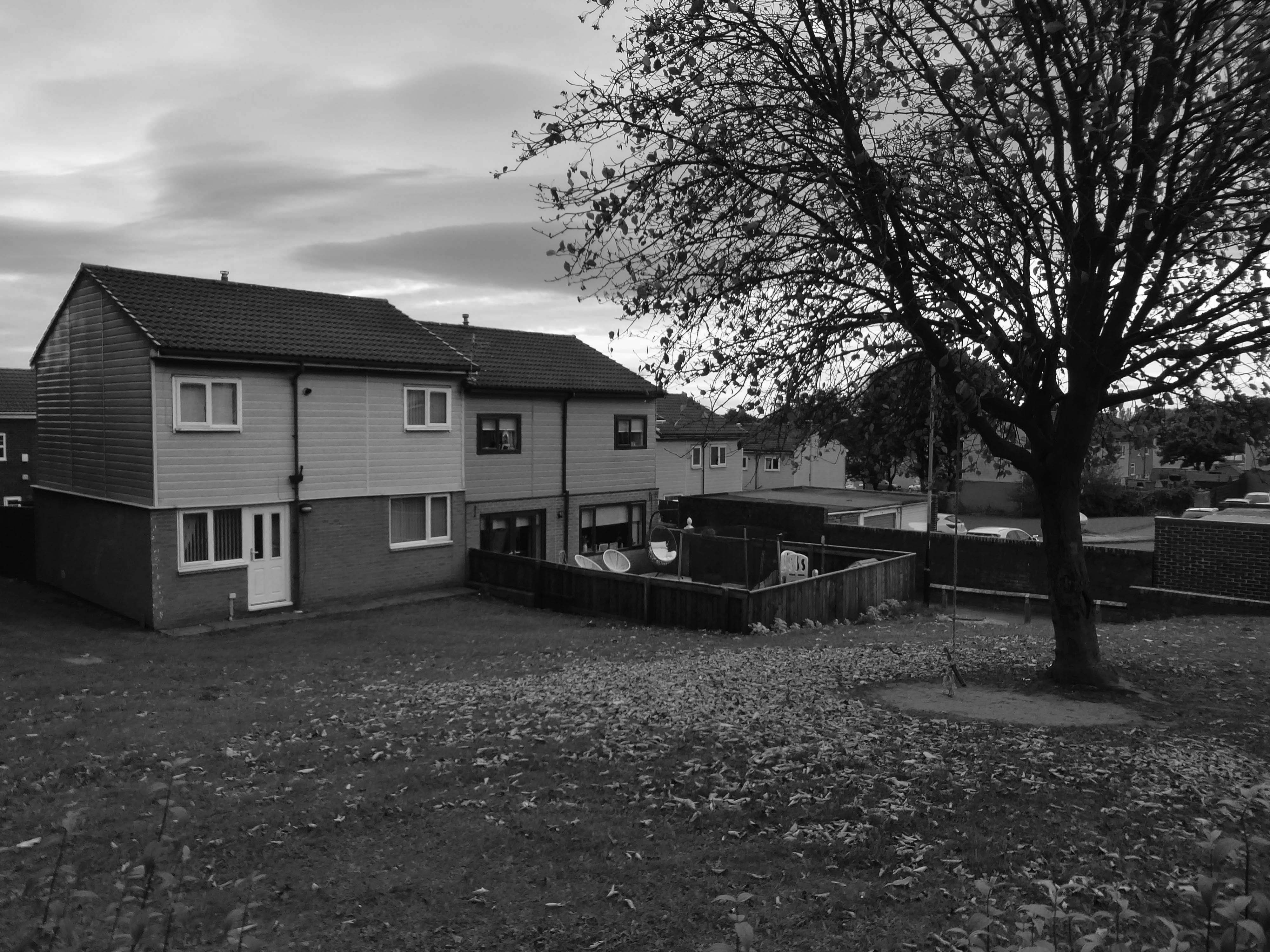
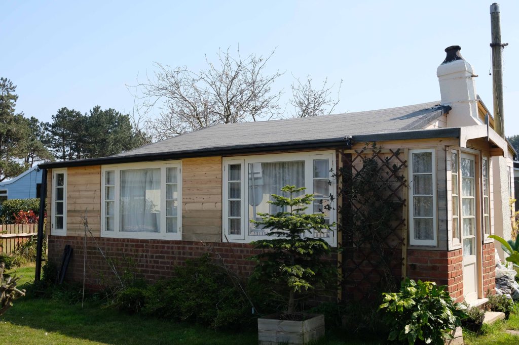
There have been many alterations and amendments made, in the short time since the inception of the Masterplan. Flat roofs have largely been and gone, timber replaced by uPVC, what remains is an interesting array of building types set in an attractive rolling landscape.
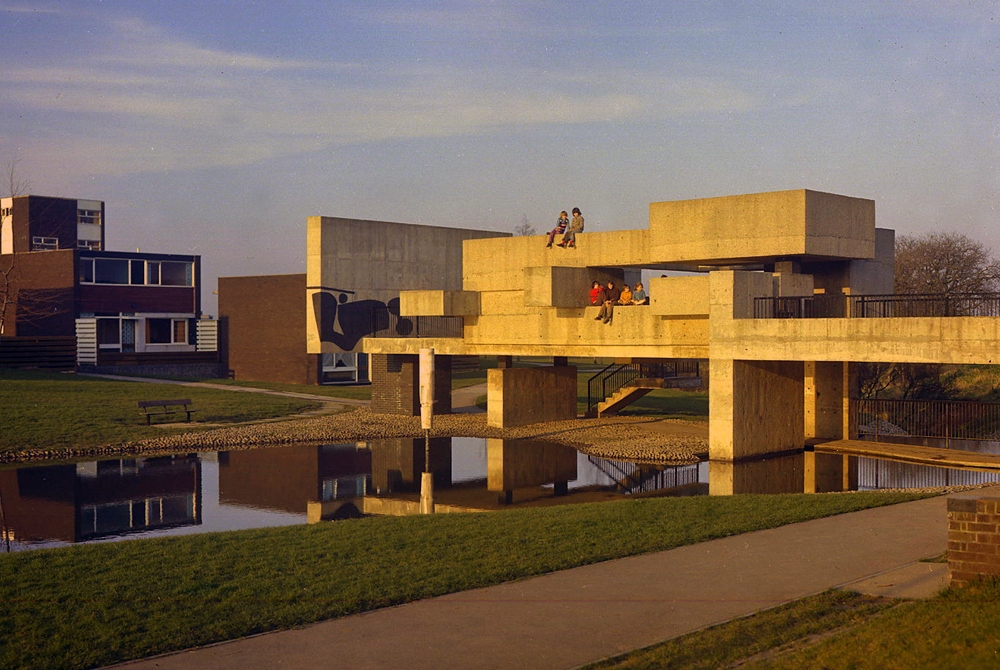
The idea for the Apollo Pavilion was the culmination of Victor Pasmore’s involvement with the planning and design of the new town of Peterlee in County Durham which began in 1954 with his appointment by AV Williams, the General Manager, as a consultant architectural designer to the Corporation. The brief was to inject a new initiative into the new town’s design, which had been limited by practical and financial constraints. The early departure of Berthold Lubetkin from the original design team, and the limitations imposed by building on land subject to underground mining, had led to a deterioration in the quality of the architecture being produced at Peterlee.
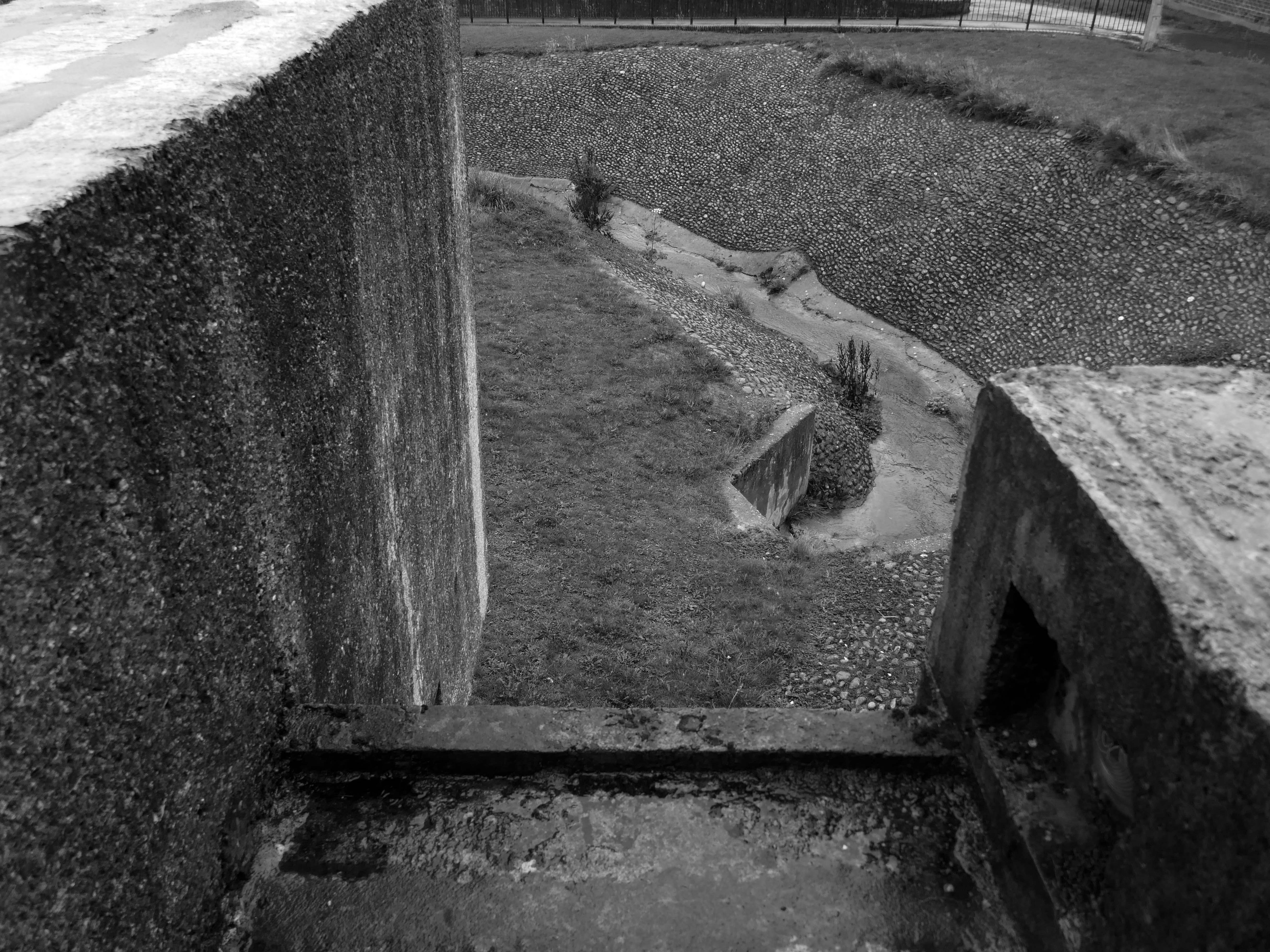
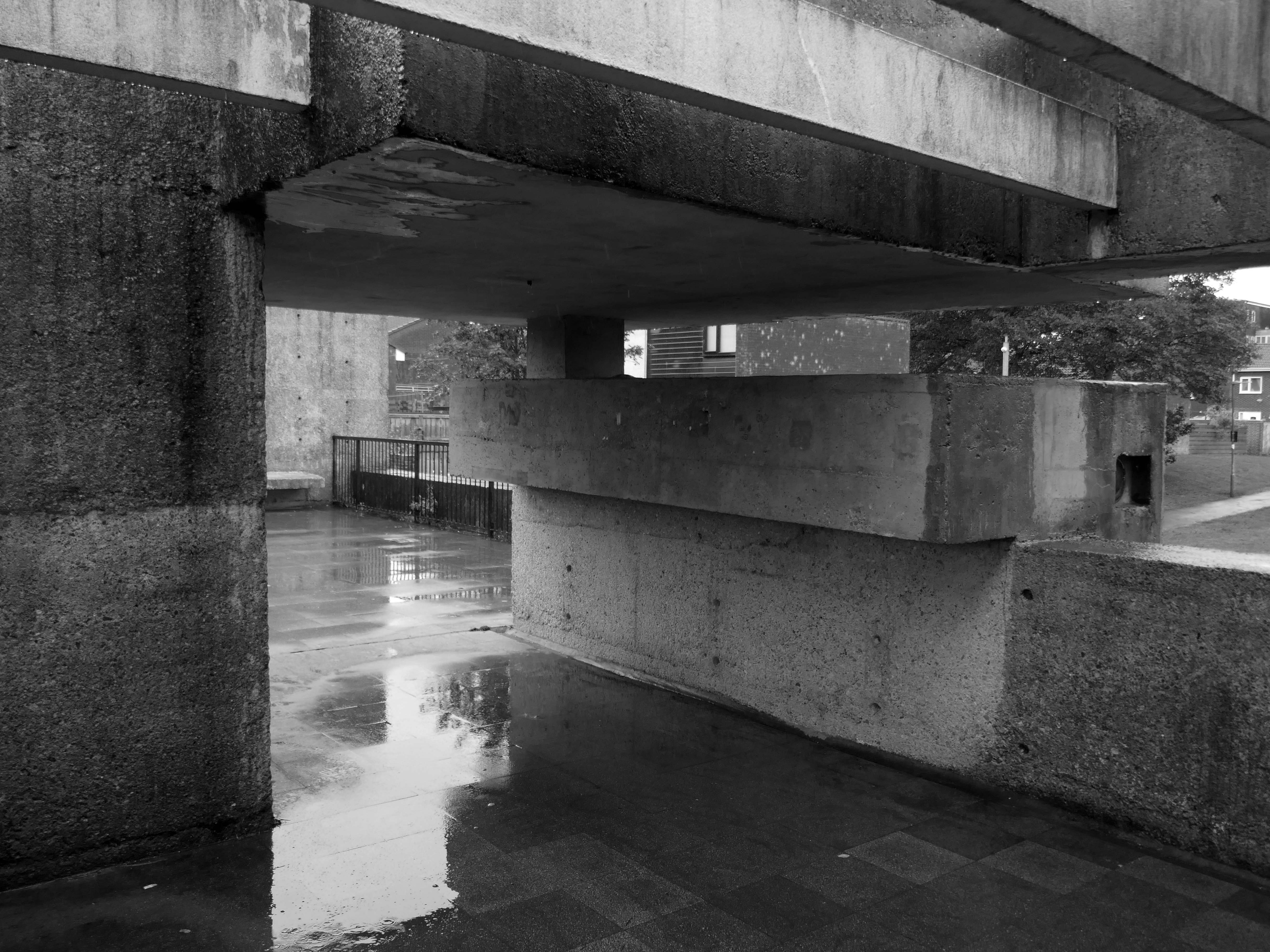
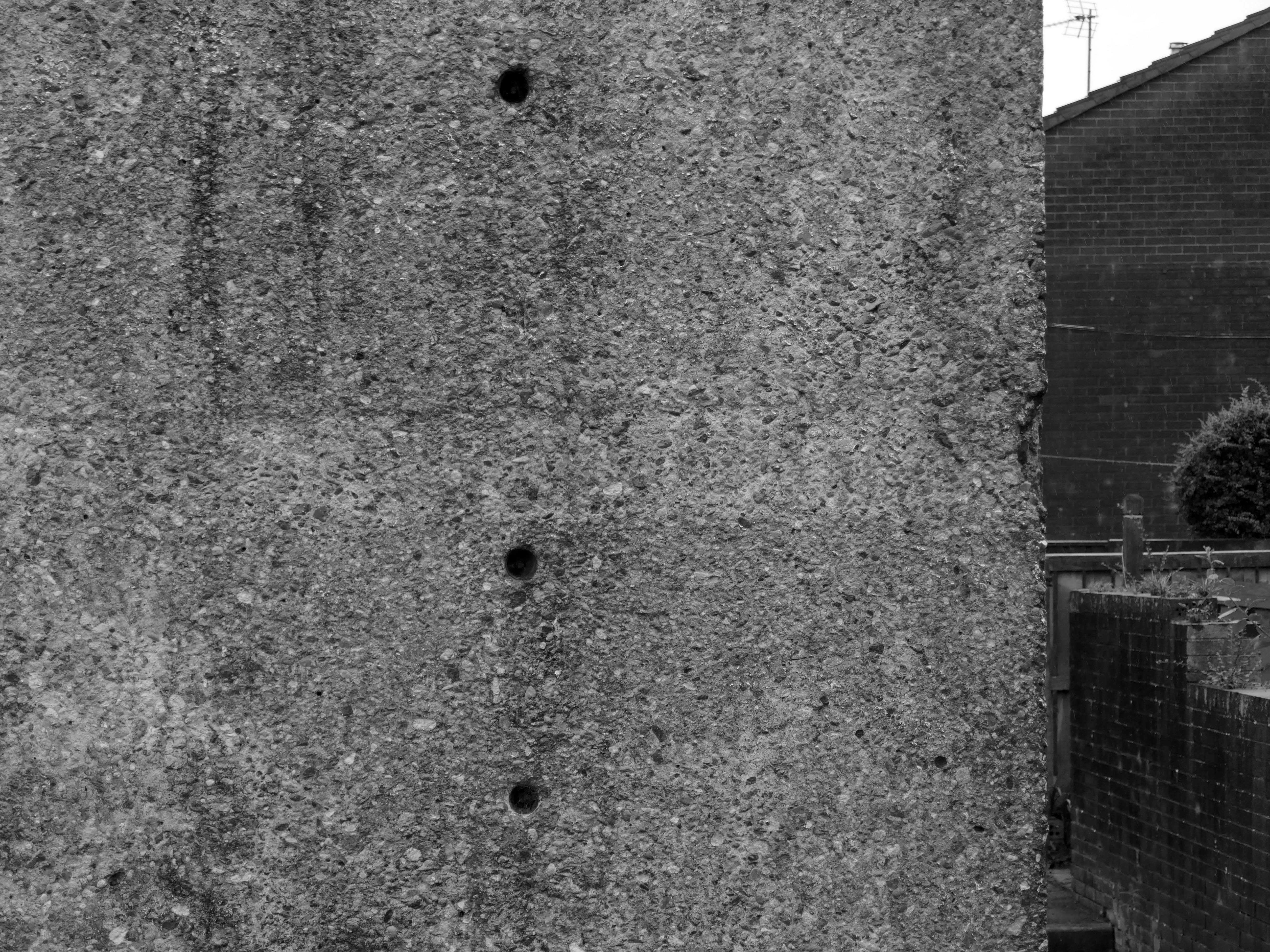
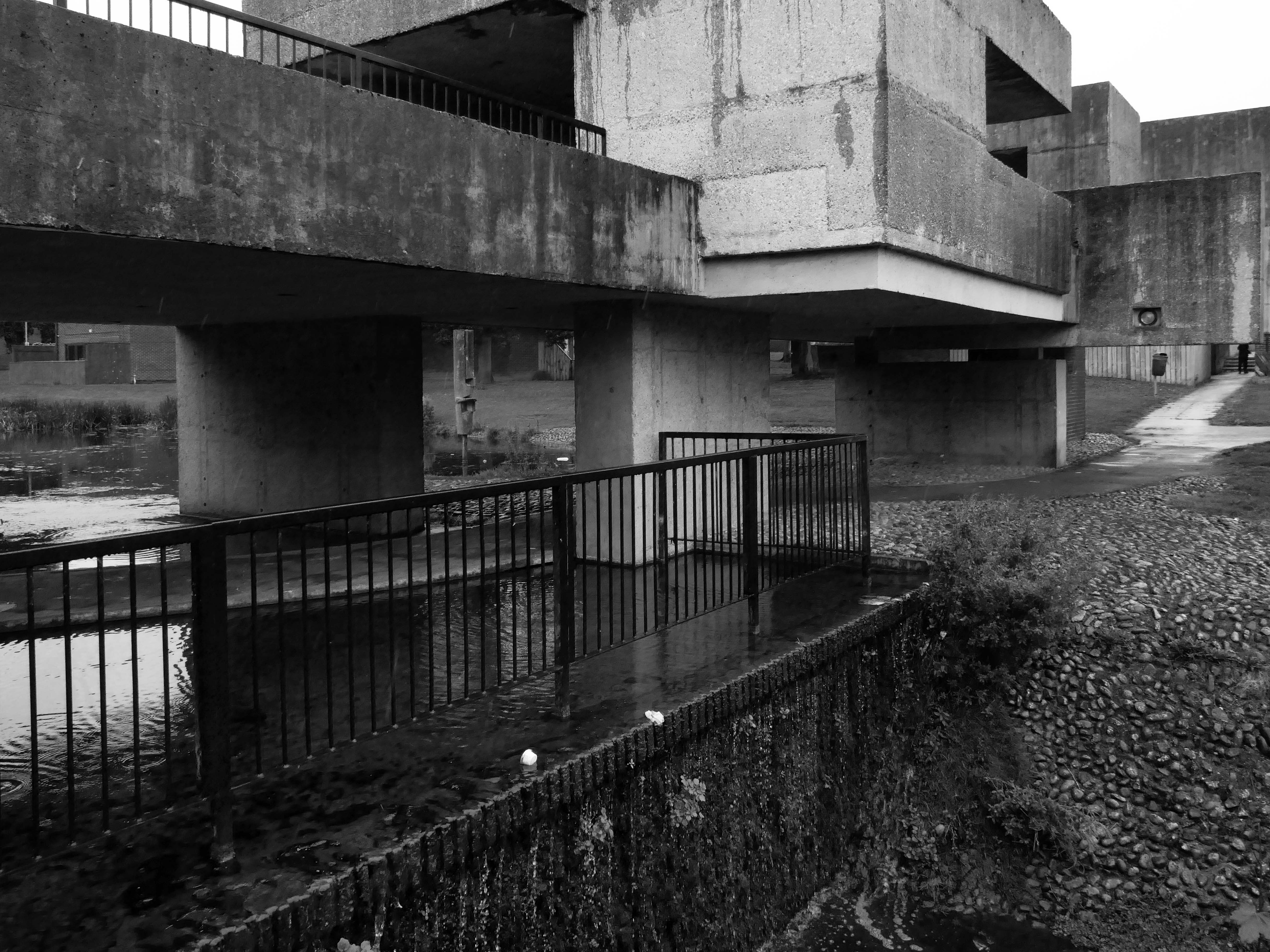
The Apollo Pavilion, created by Victor Pasmore in 1969, is designated at Grade II* for the following principal reasons: Architectural interest: the structure is of very high architectural quality, forming the centrepiece of a registered landscape Artistic quality: the only truly three-dimensional work by the internationally known artist Victor Pasmore, the Pavilion is an abstract work of art, a demonstration of Constructivist ideas on a large scale and an expression of brutalist architecture Setting: the setting of the structure is the centrepiece of the registered Pavilion Landscape and as such survives intact.
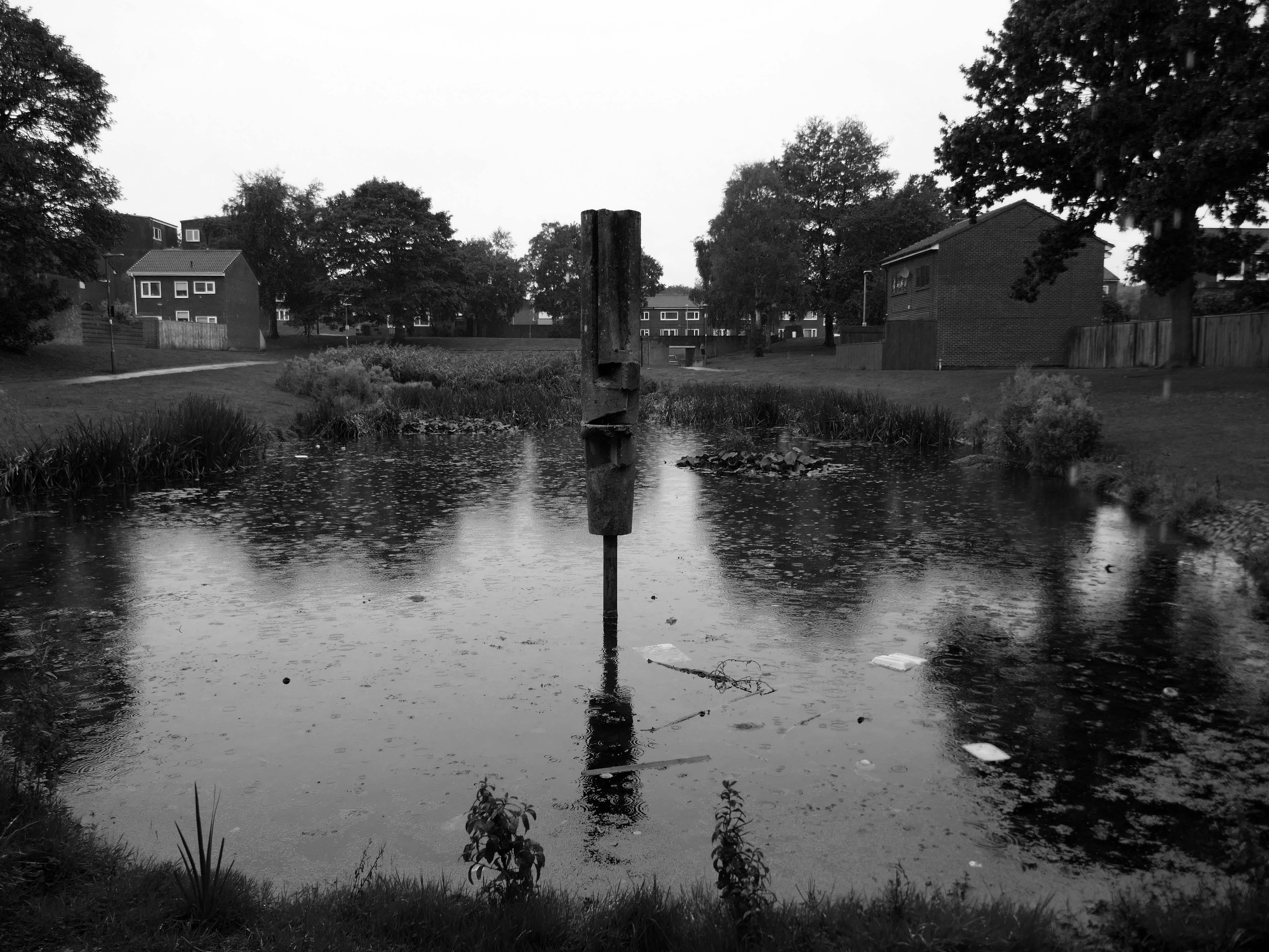
Well well here we are again, third time around following a visit in 2018 and later in 2021.
Almost inevitably, changes have taken place.
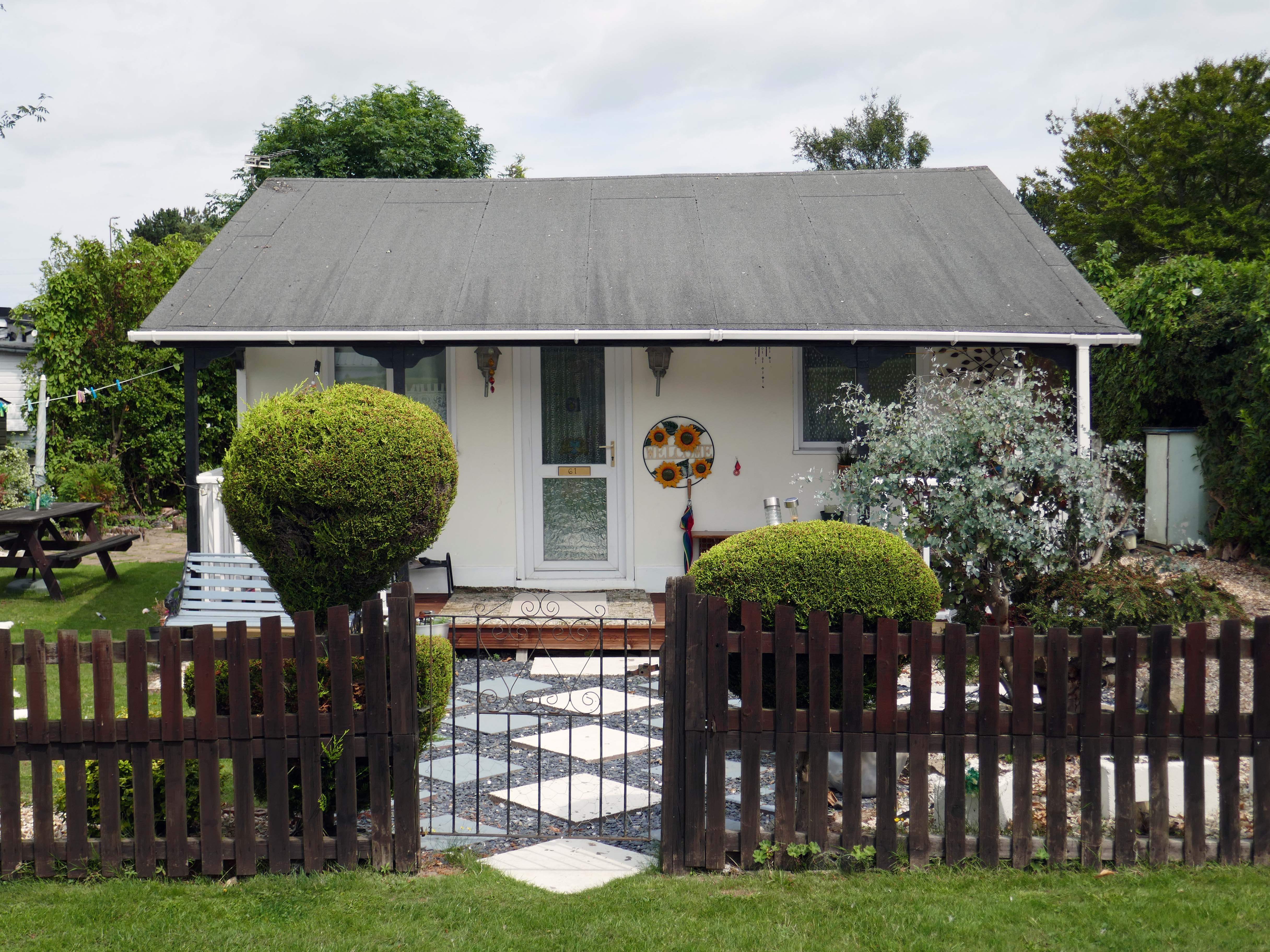
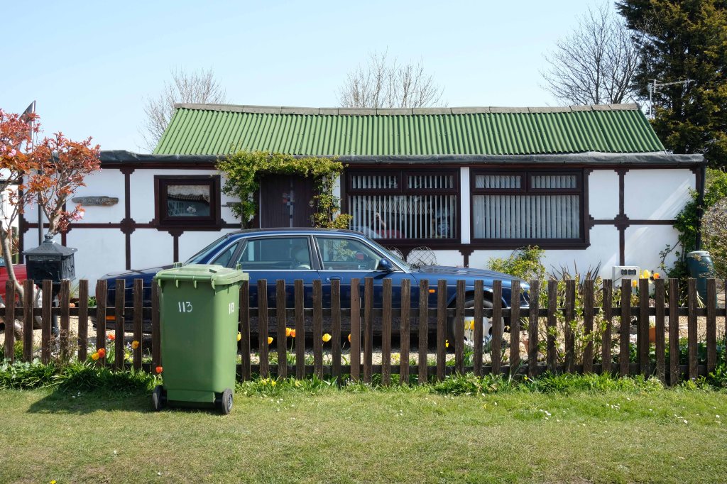
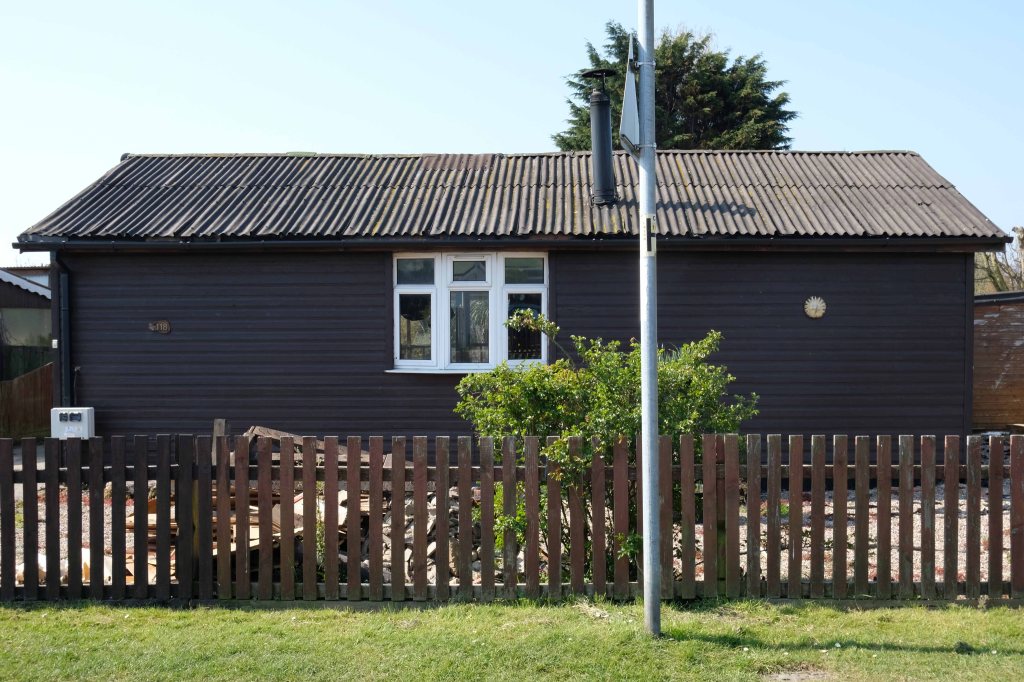
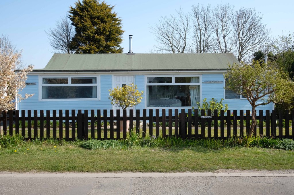
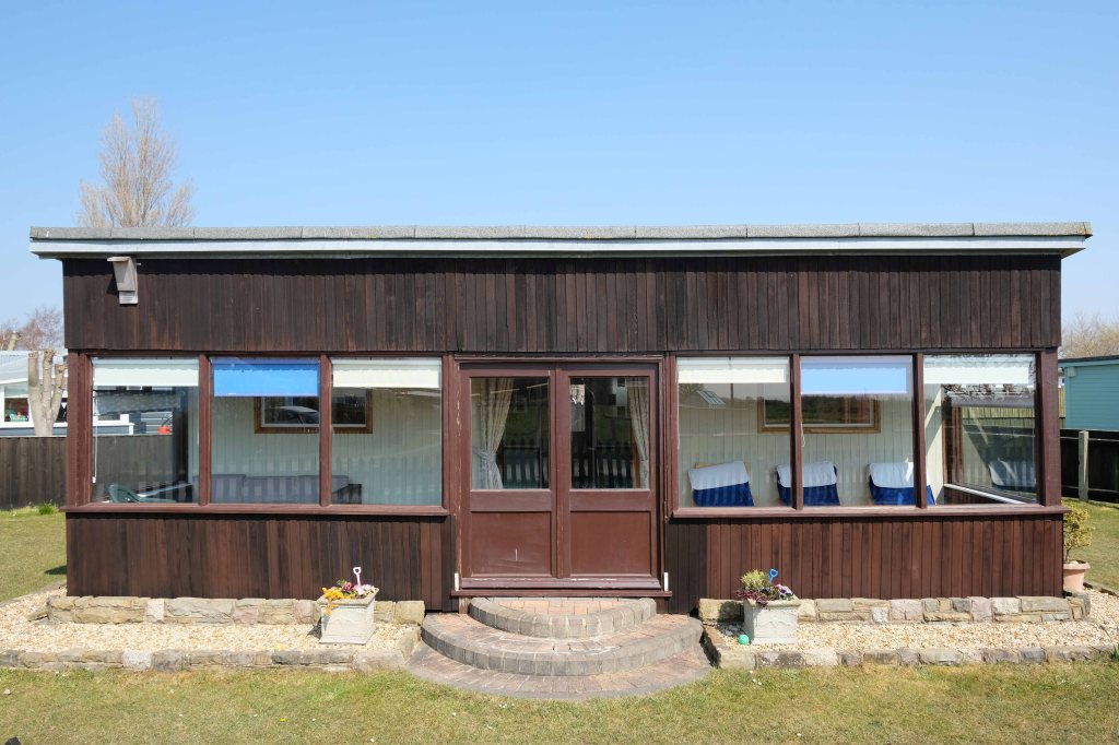
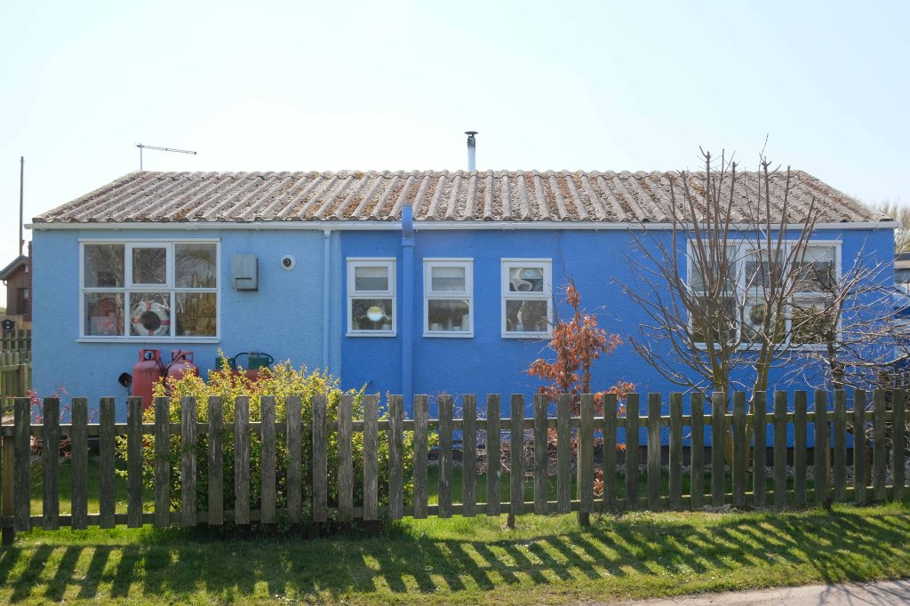
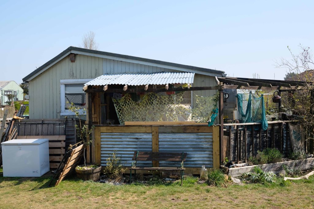
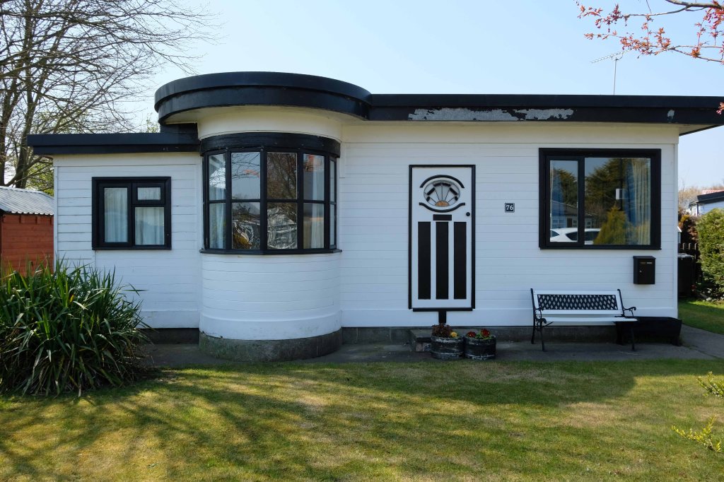
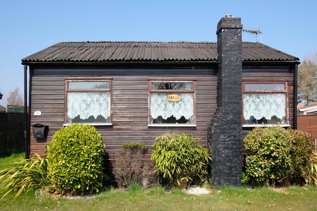
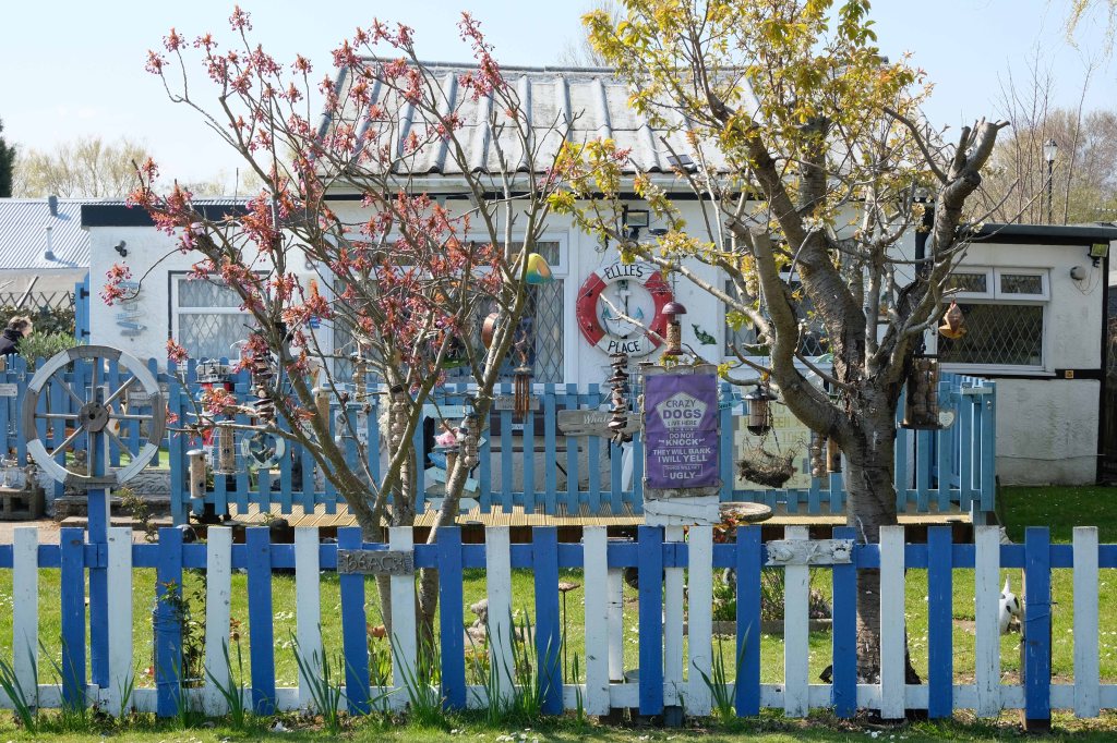
There is an almost constant tension between order and/or disorder.
Between those who prefer the shambolic aesthetic of the shotgun shack, and those whose hearts and minds are in the double spread of Homes and Gardens.
It’s also a question of economics, there are those with capital who may wish to make investments in property. Buy to let, second homes that yield a return above the current savings’ rates. Thus raising the cost of housing, both ordered and disordered.
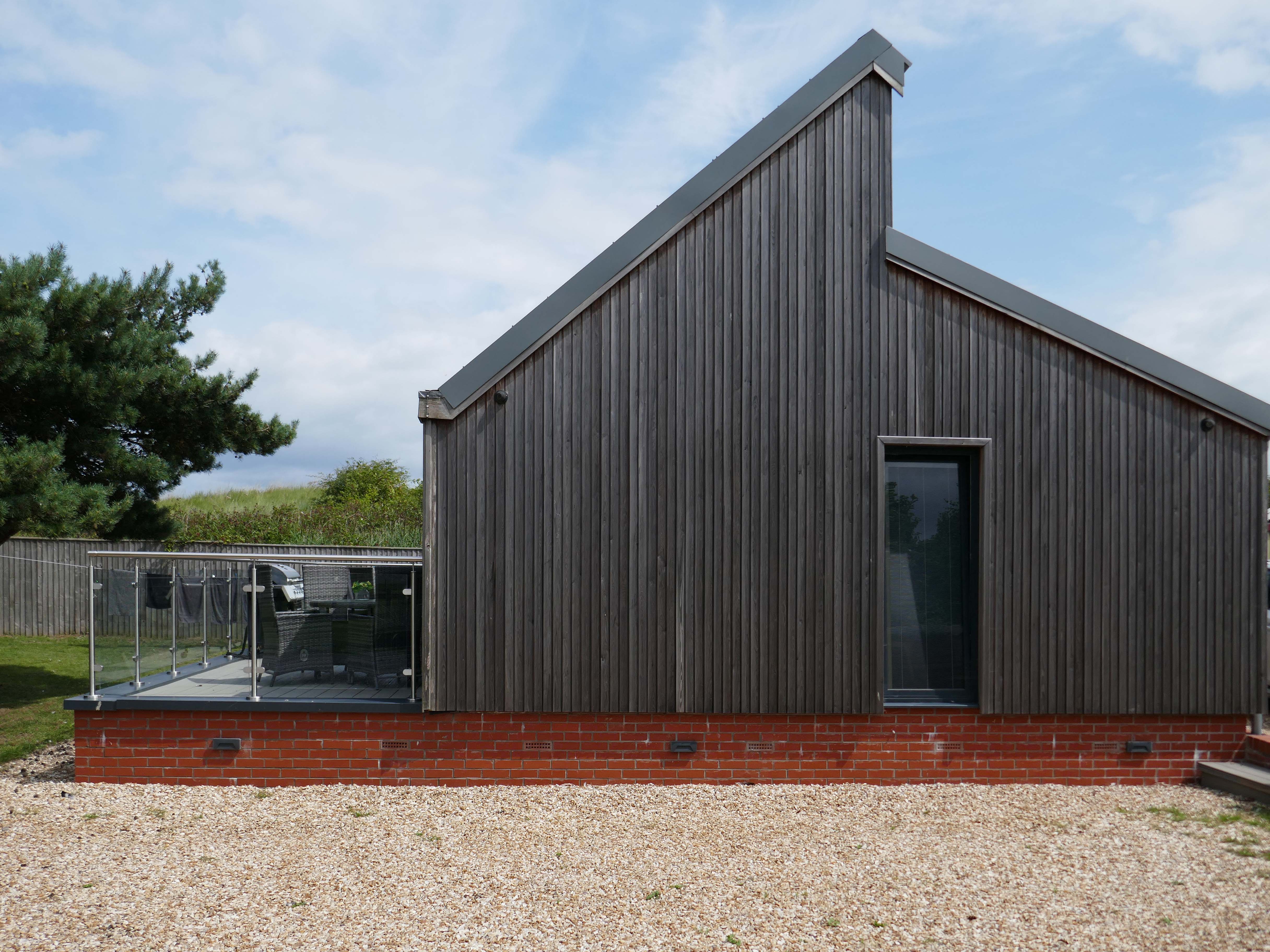
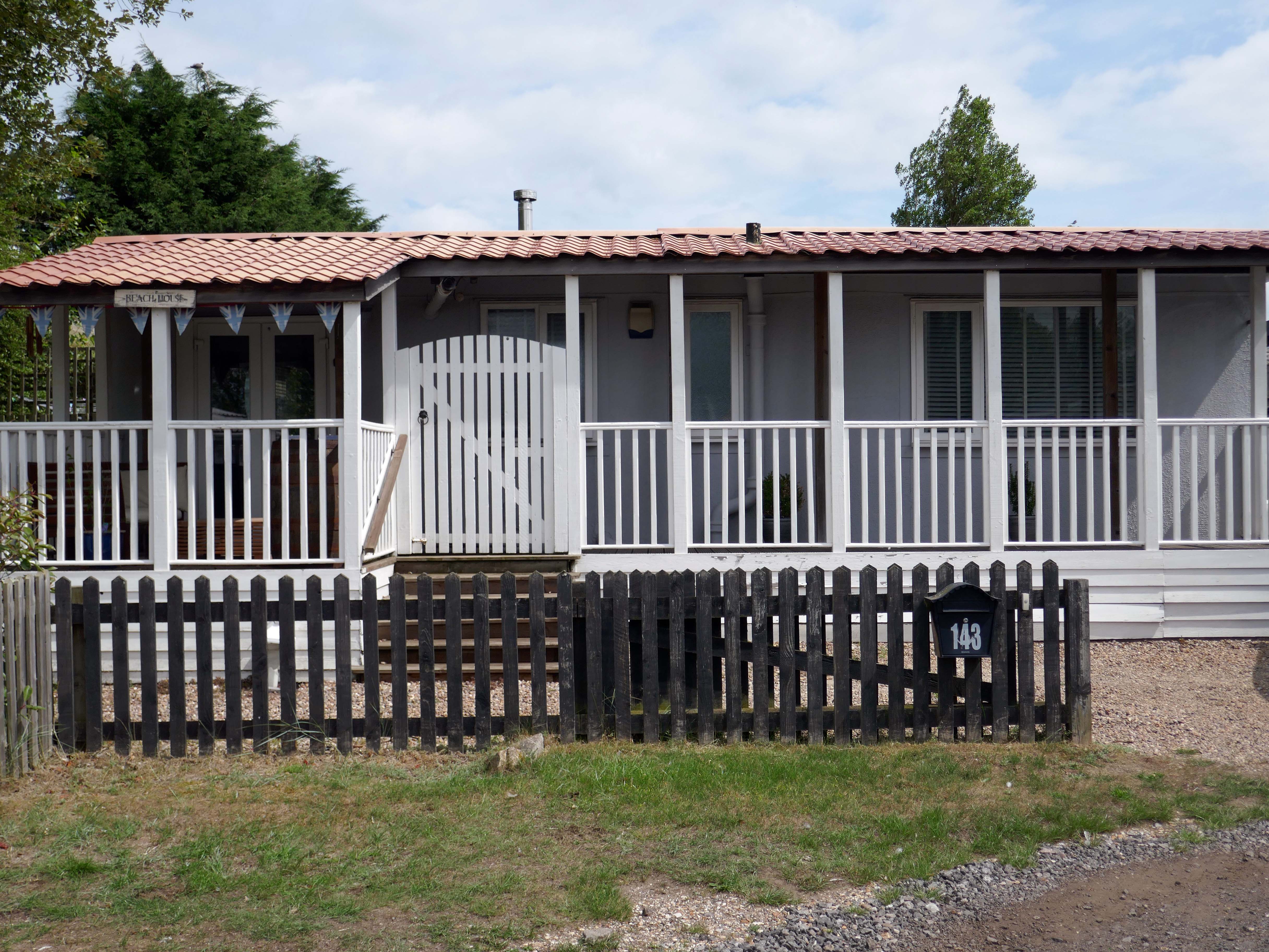
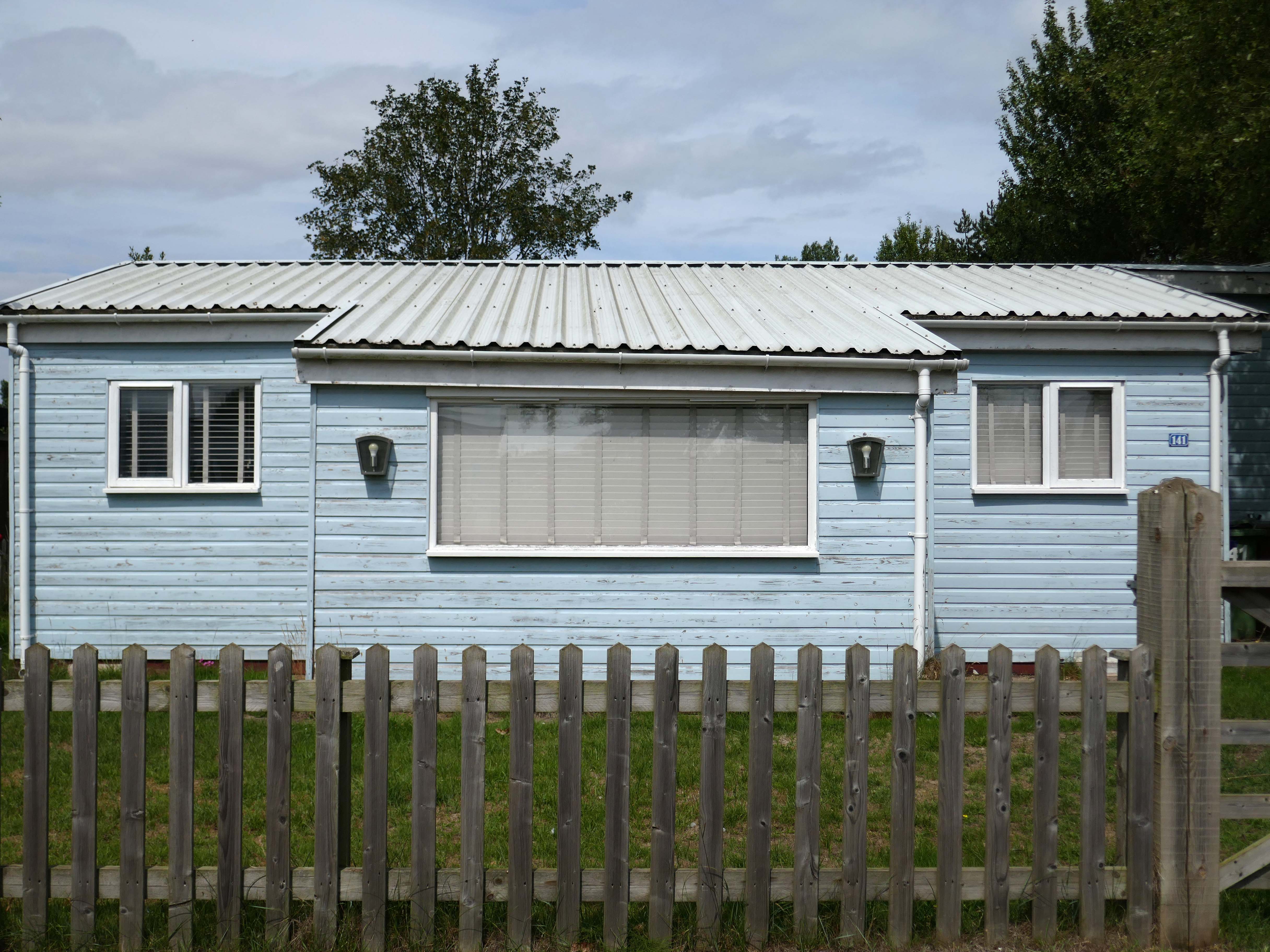
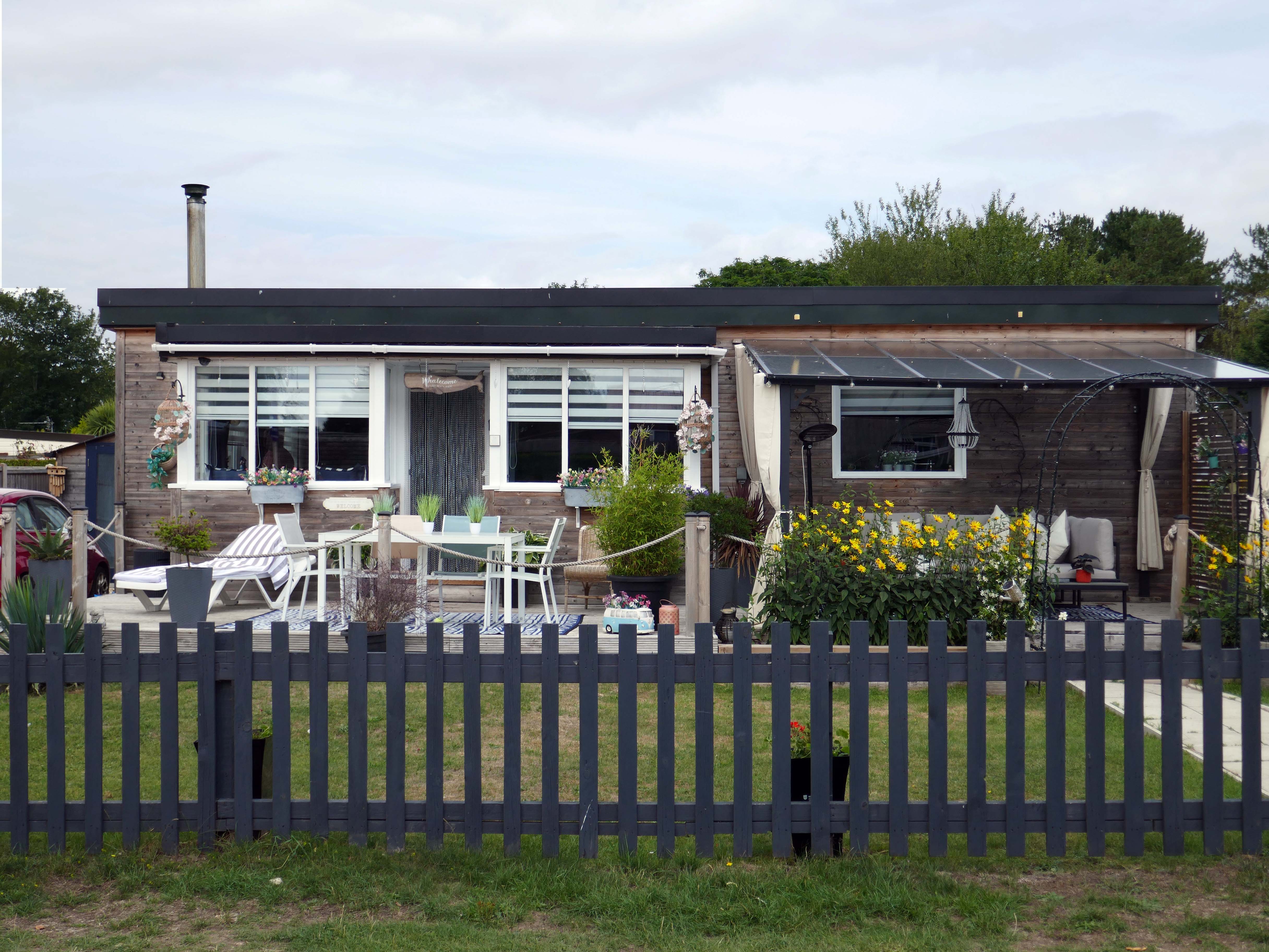
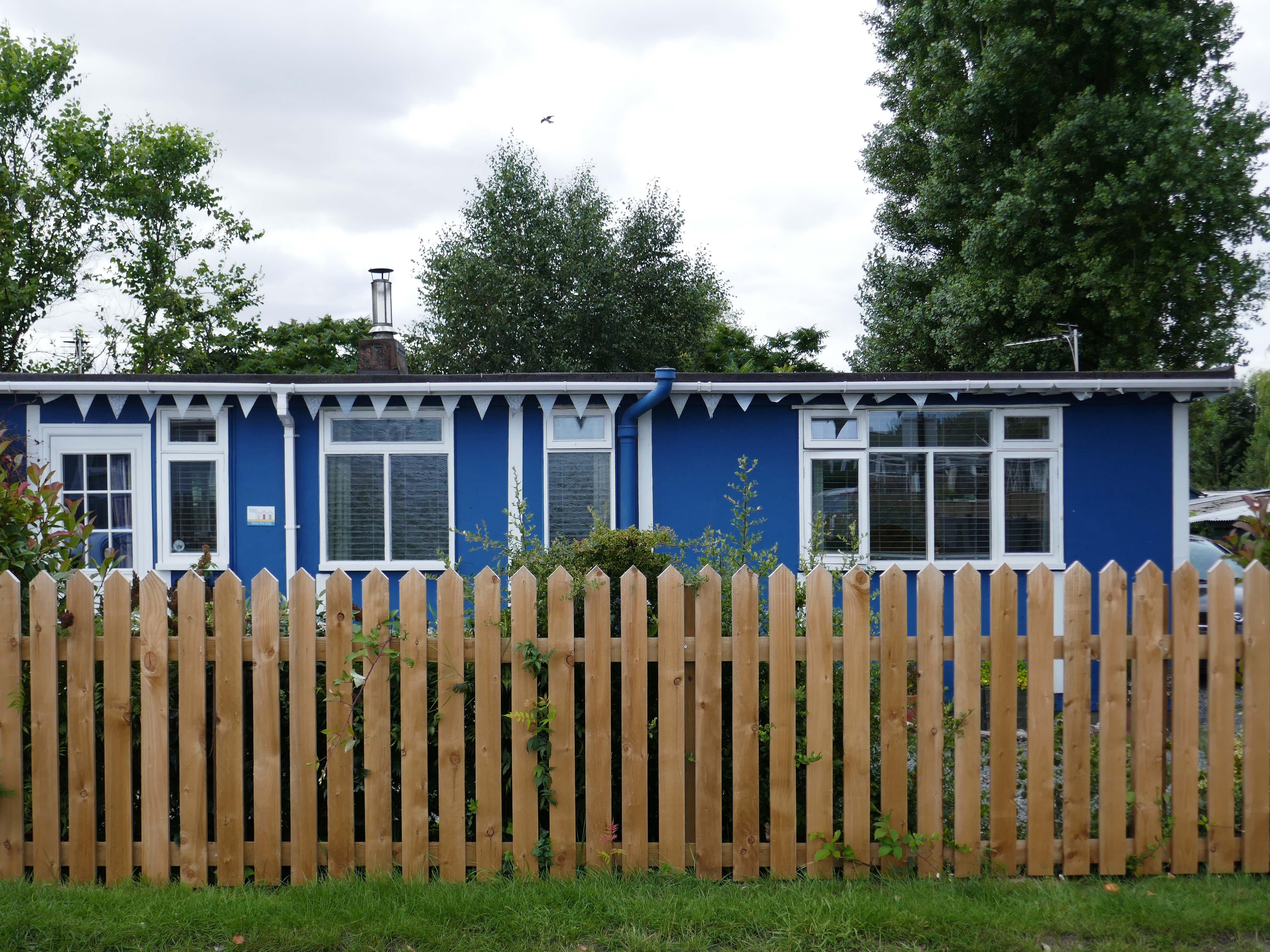
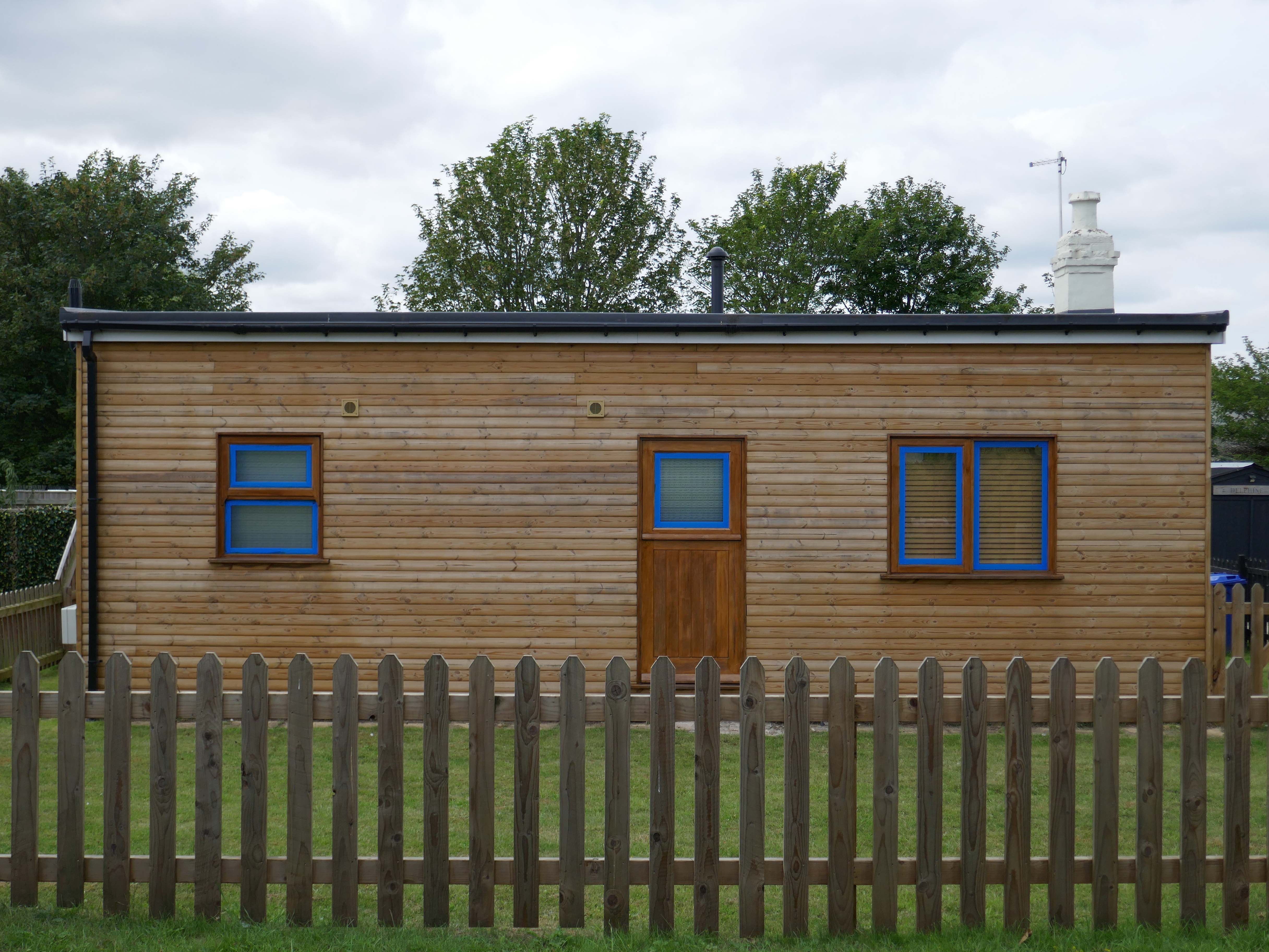
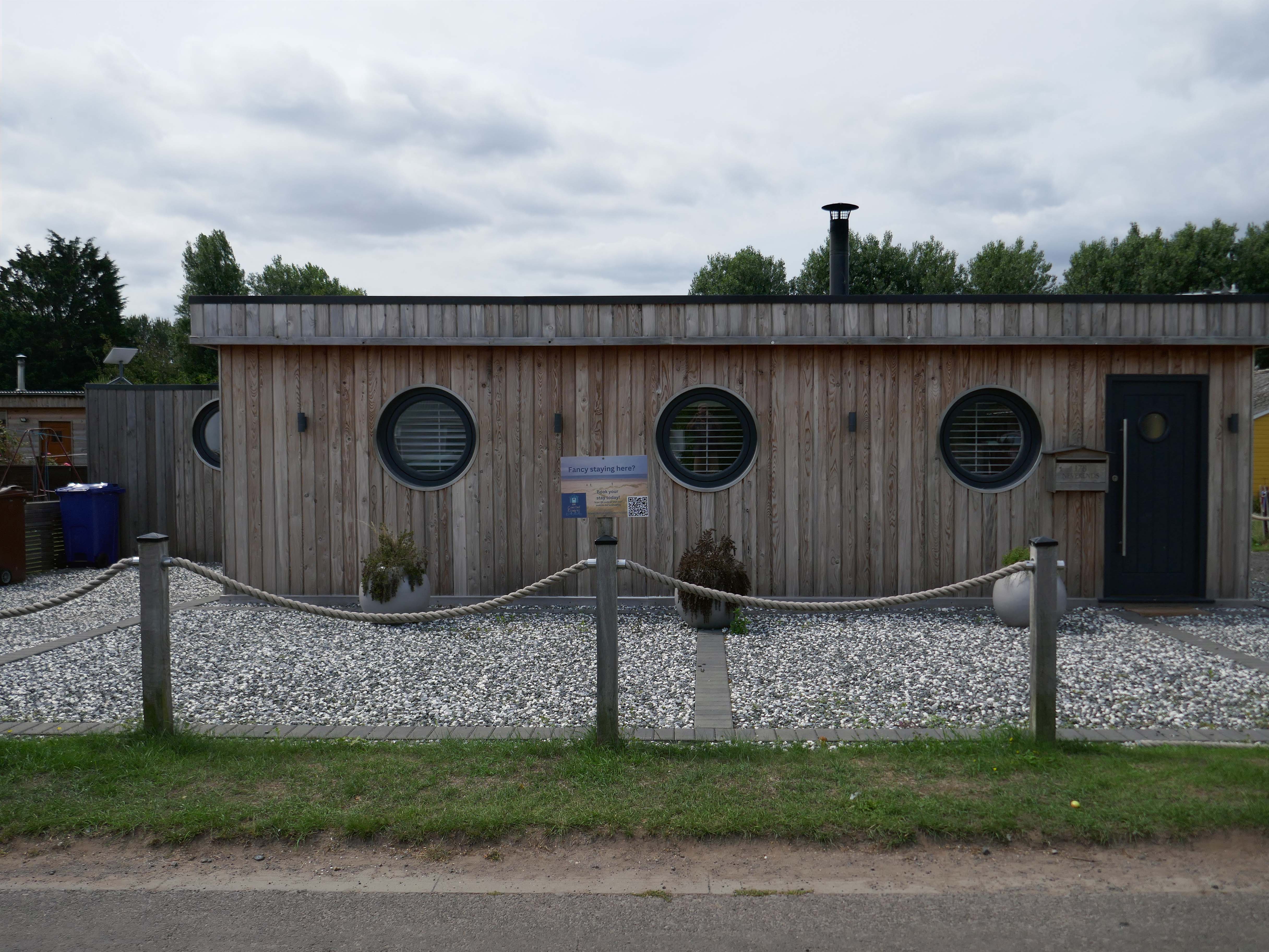
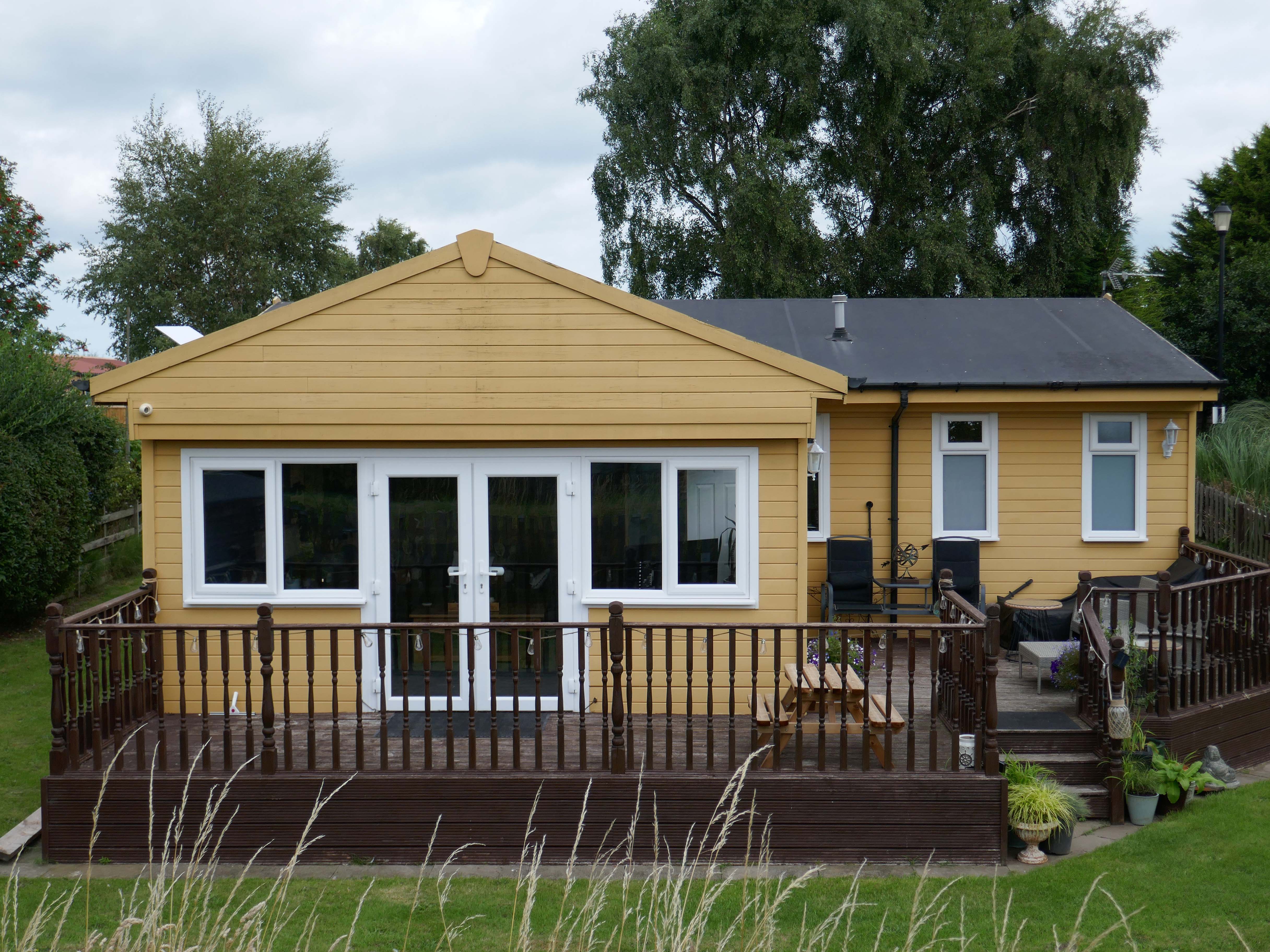
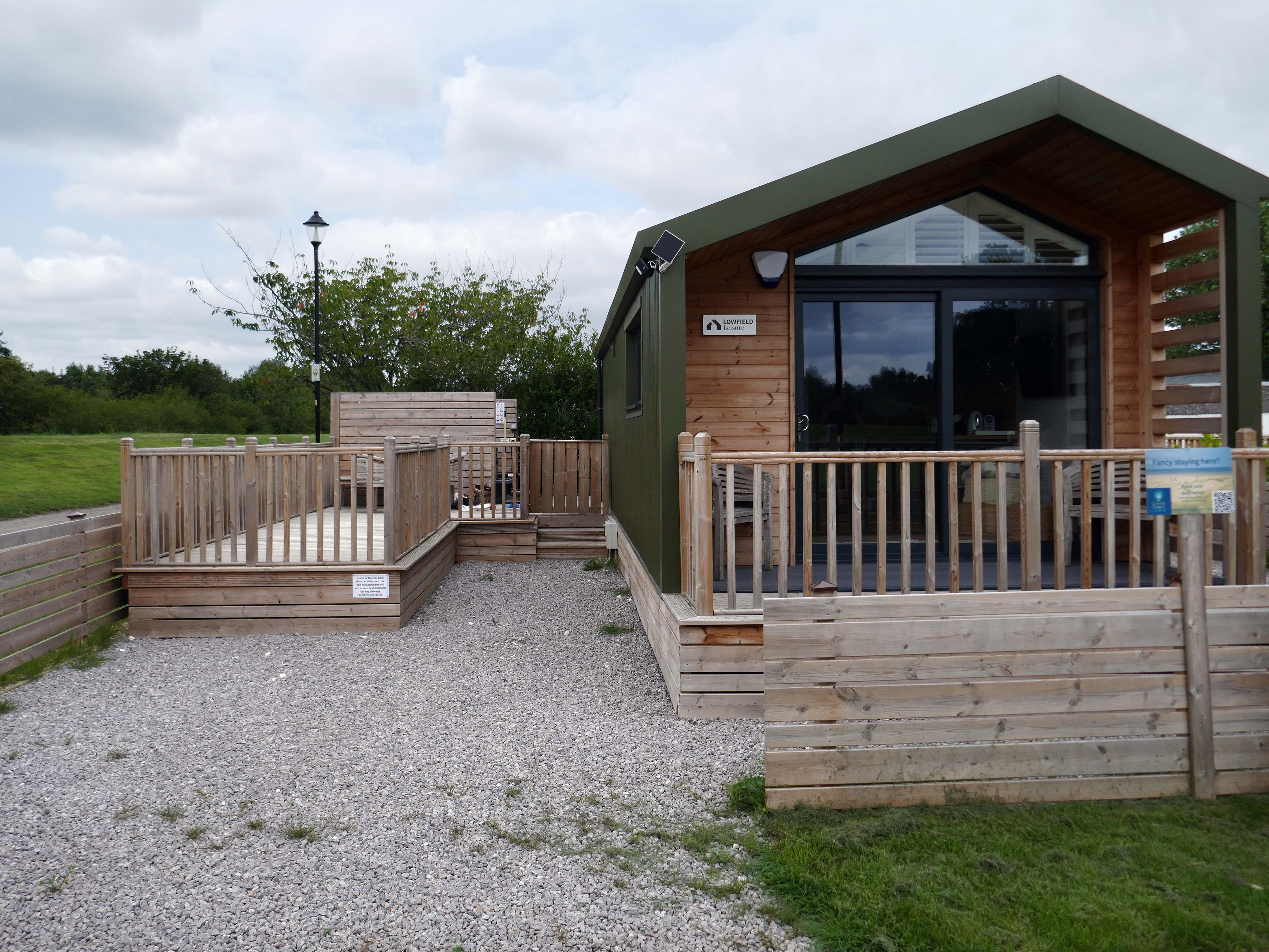
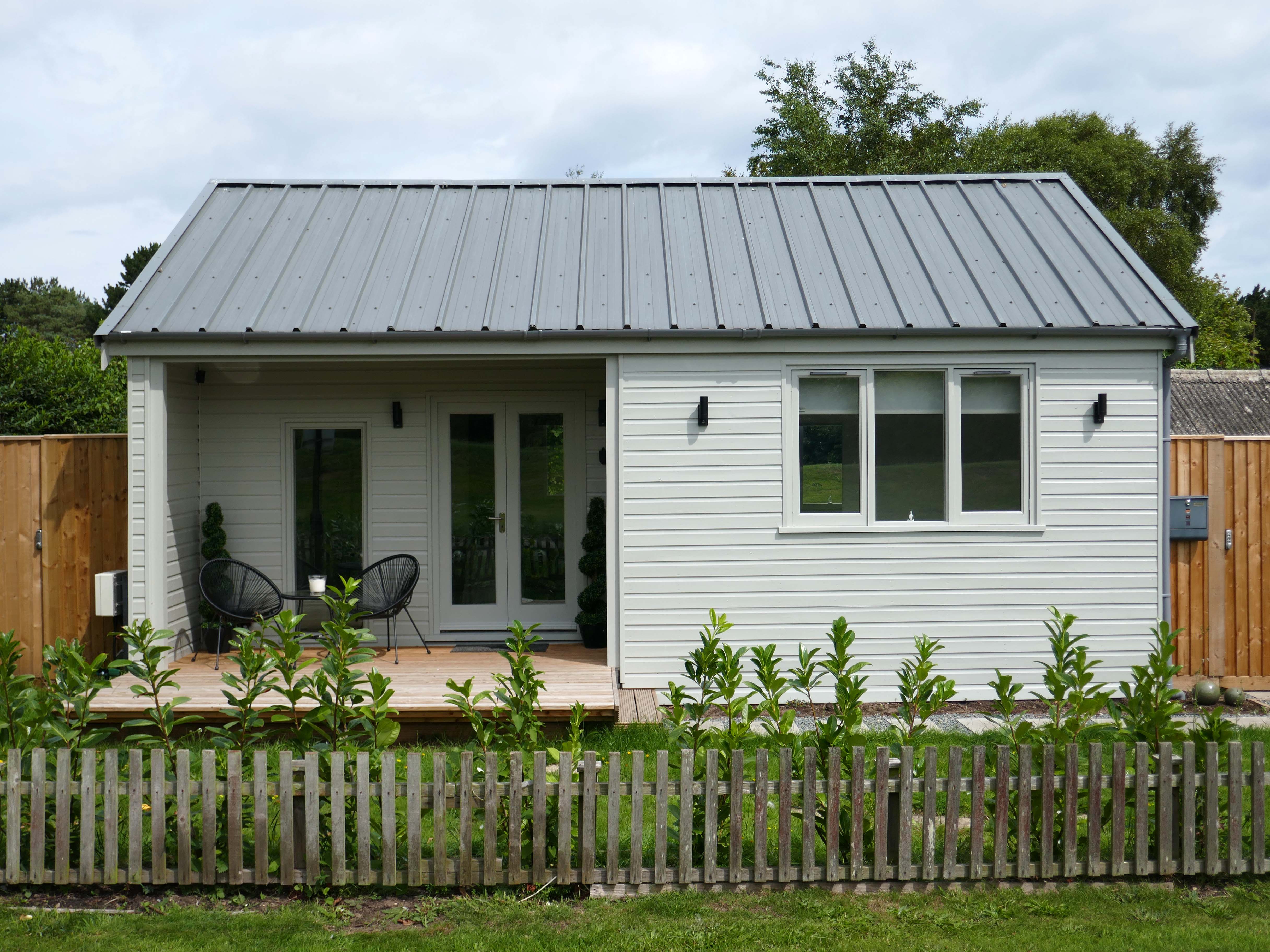
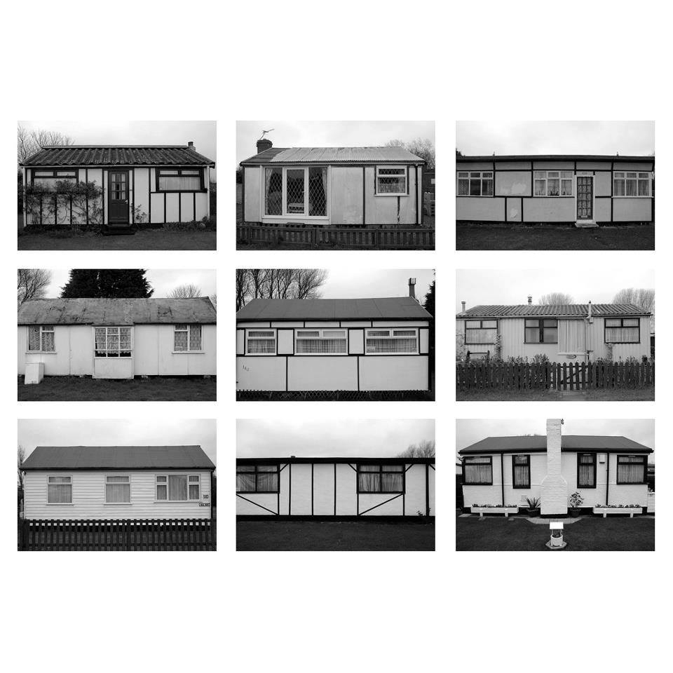
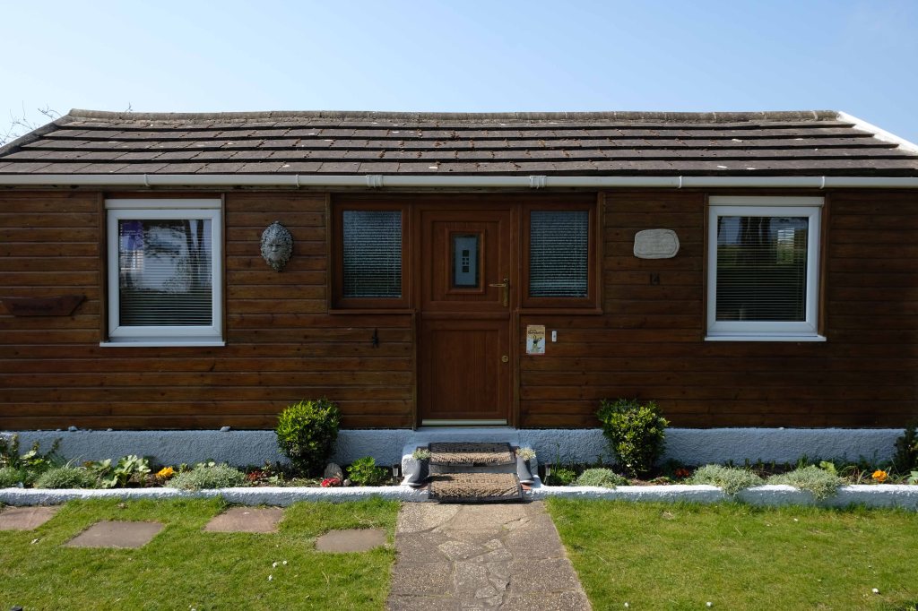
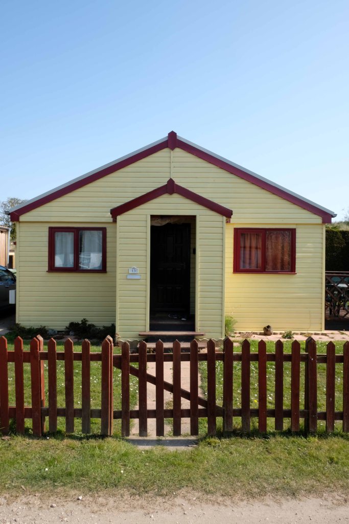
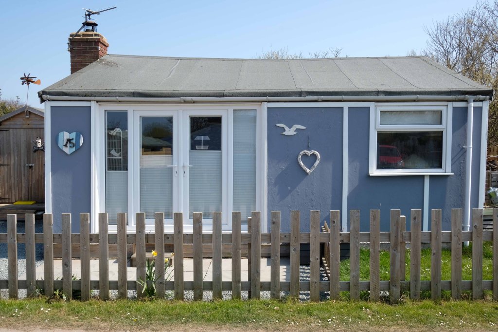
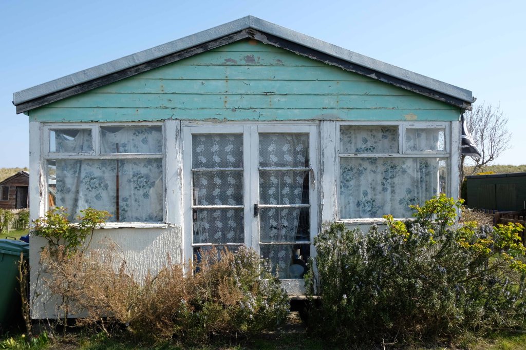
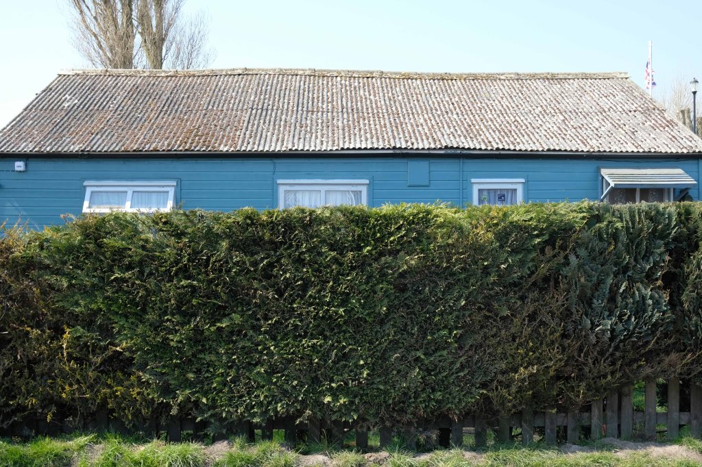
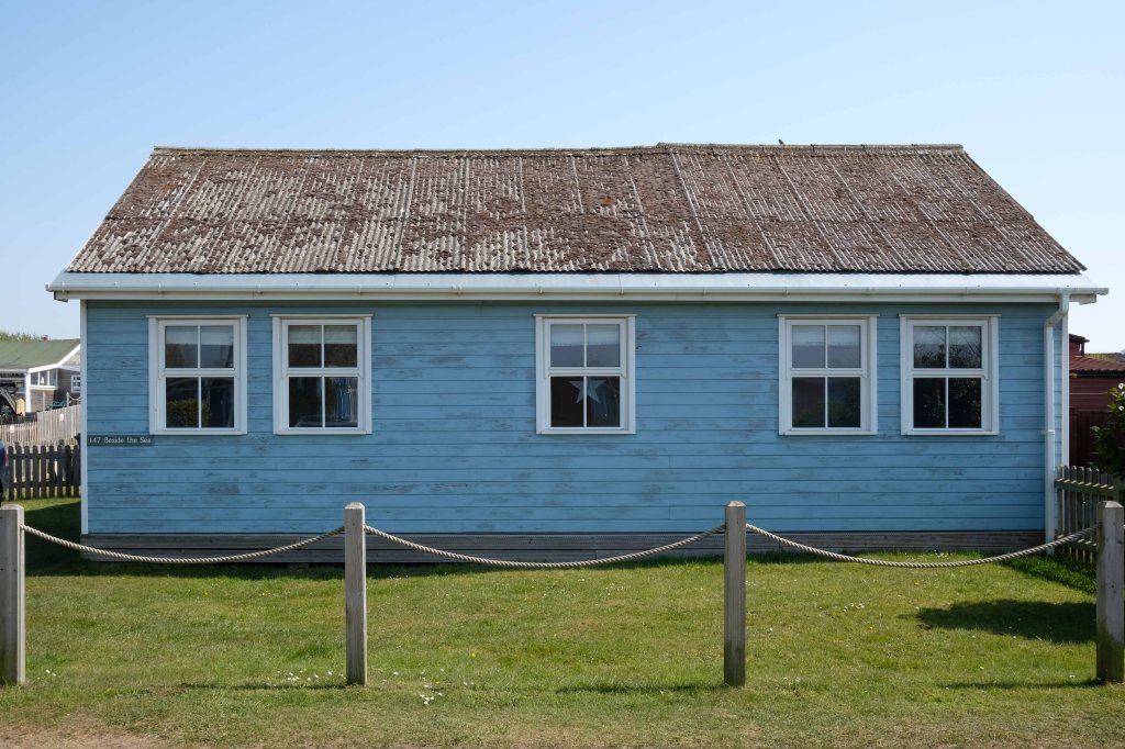
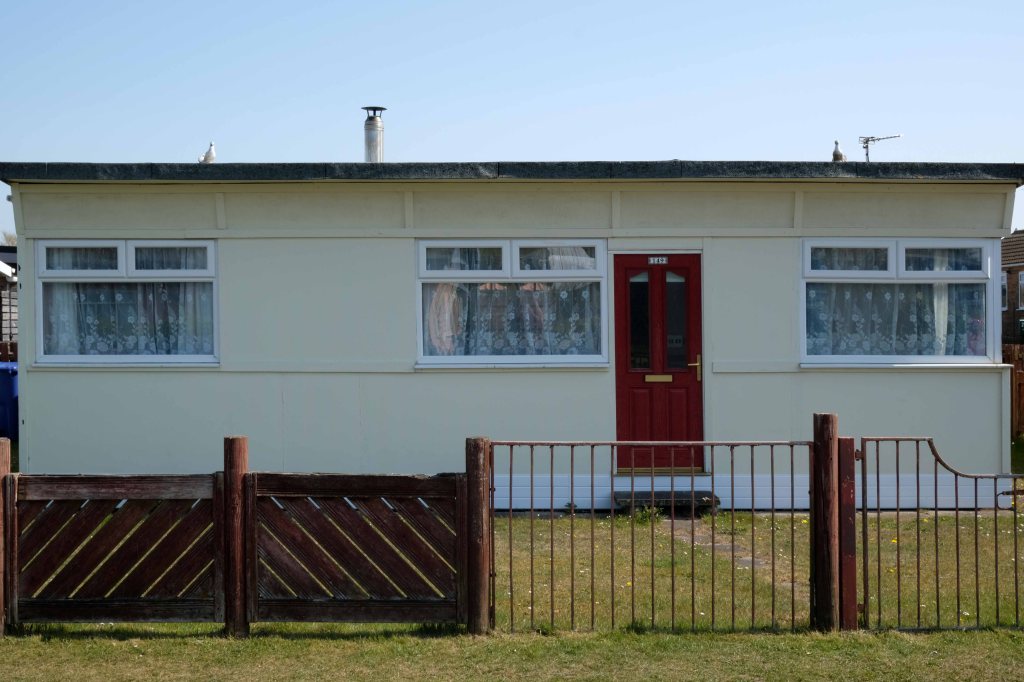
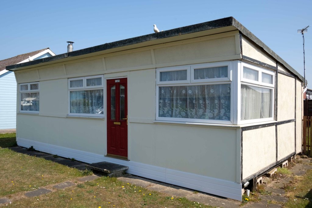
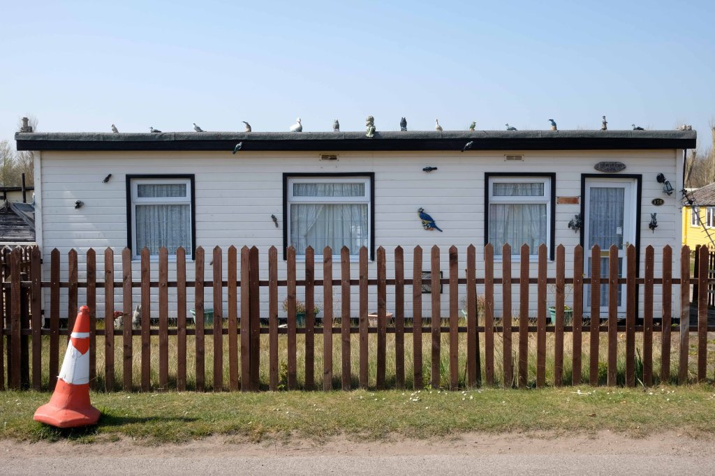
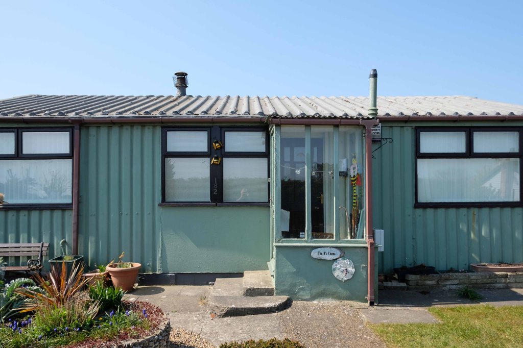
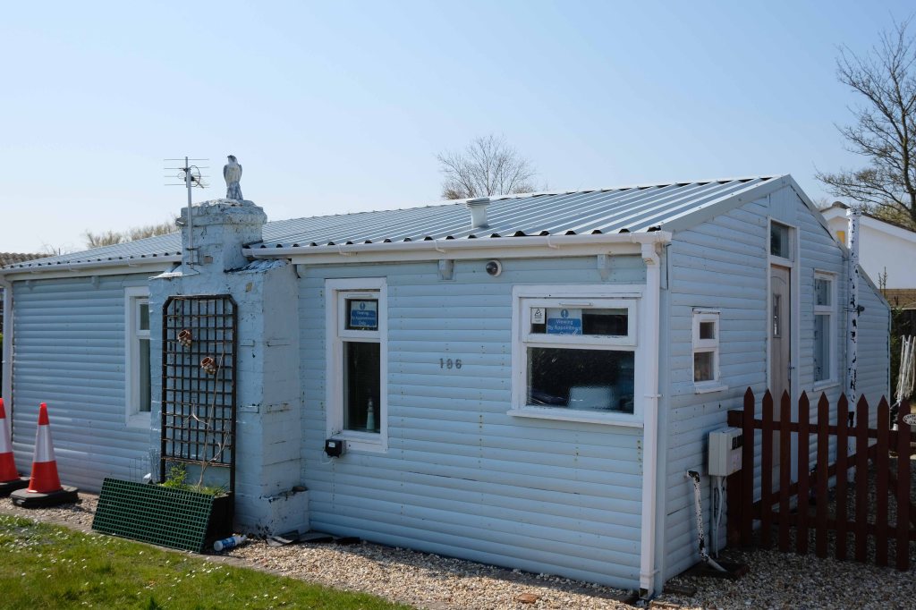
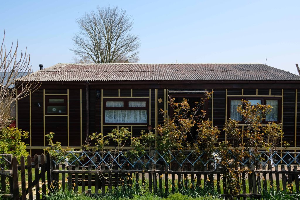
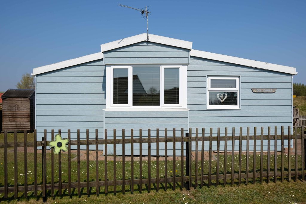
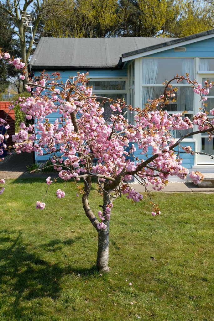
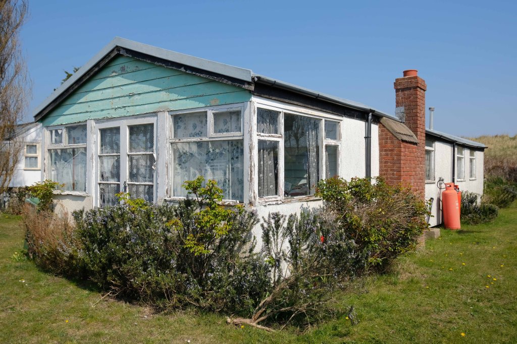
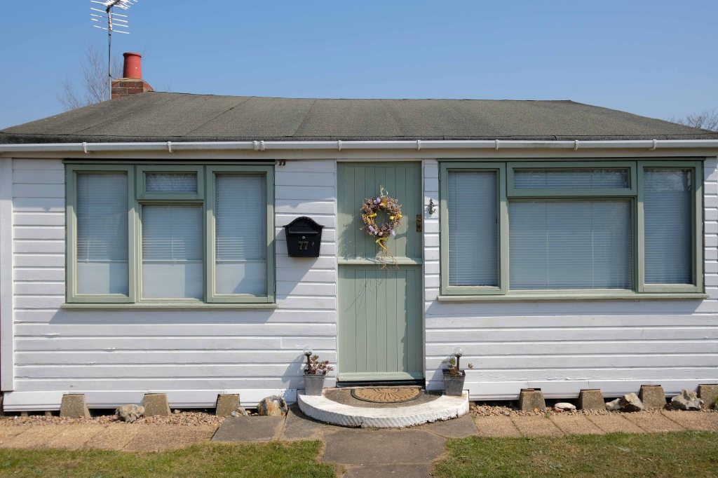
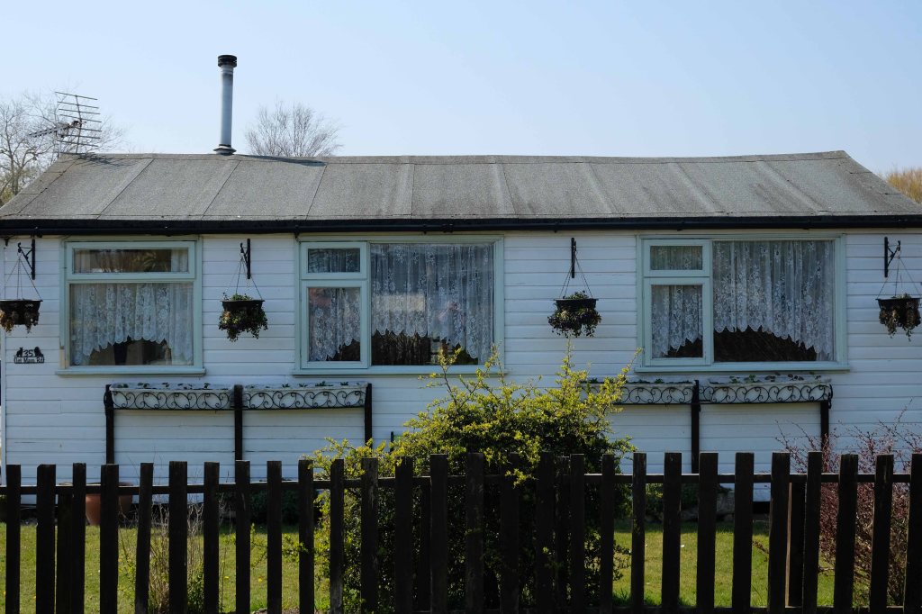
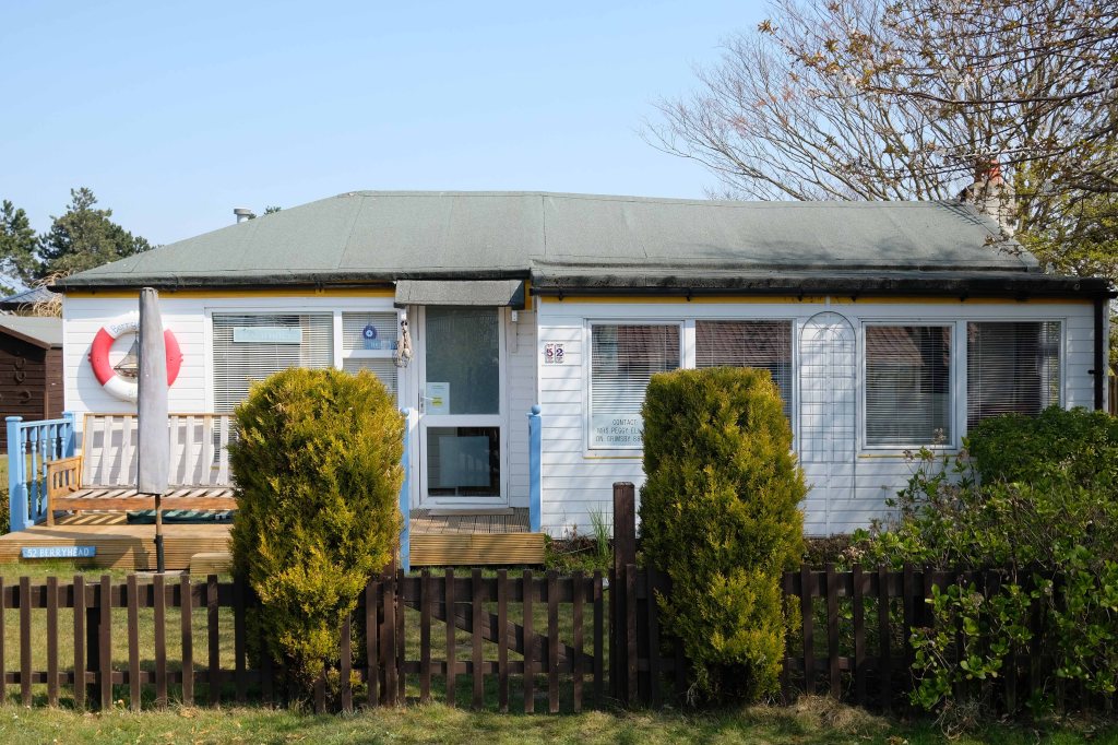
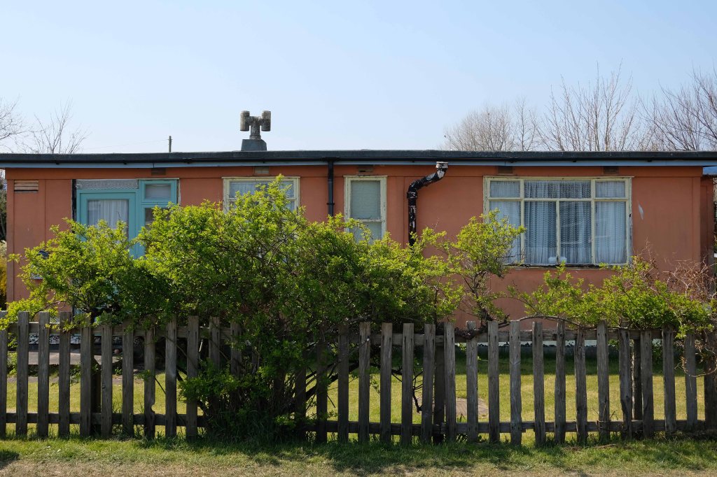
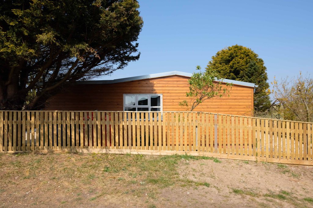
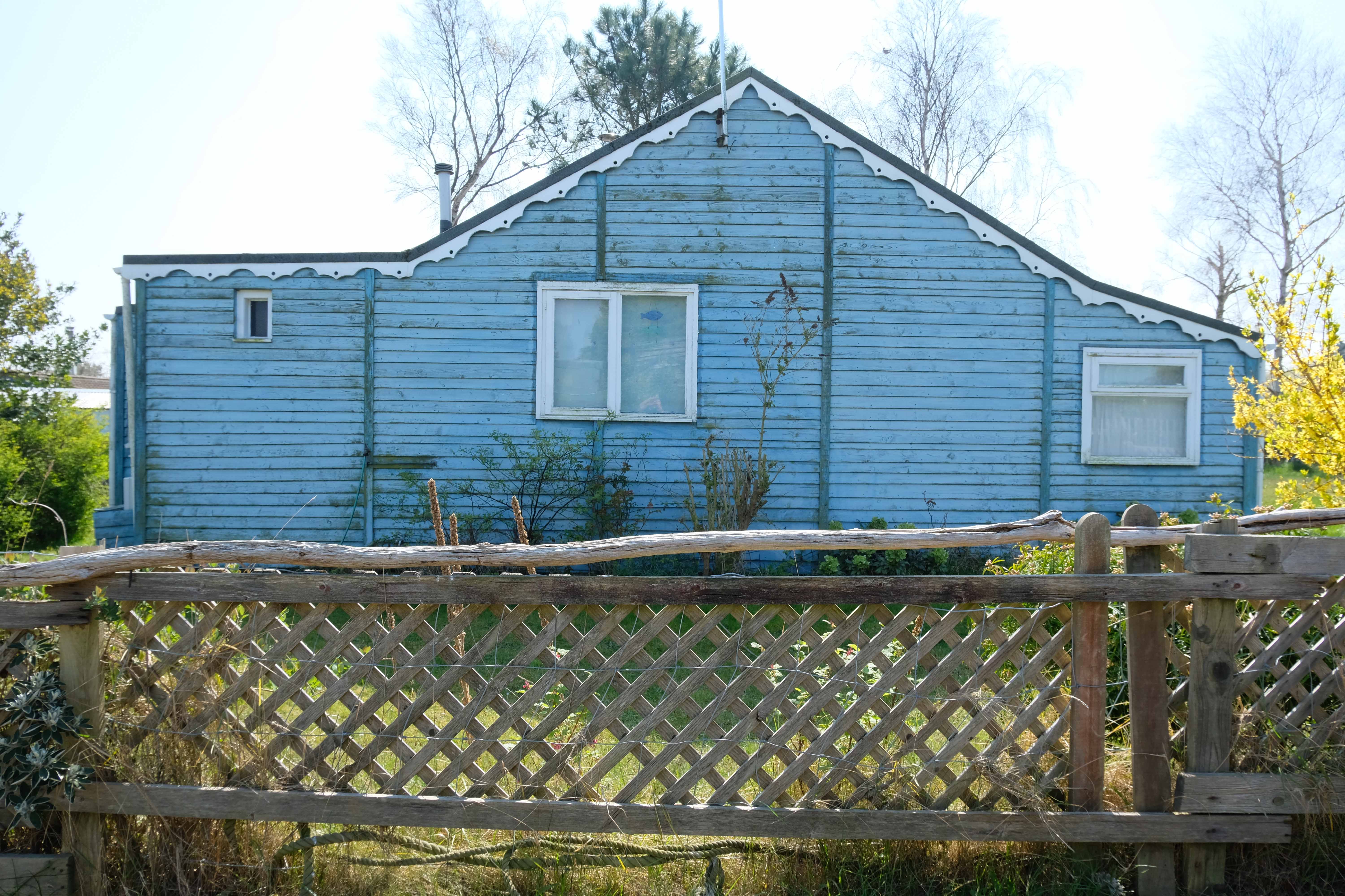
The chalet is a unique wooden clad cabin painted in lovely complimentary colours of Cream and Seaspray Green. A porthole window peers into a generous open plan living room and adjoined kitchen with subtle seaside touches of stripes, driftwood, shells, all quality wooden furniture and large comfy corner sofa plus two relaxing reading chairs with plenty of blankets to snuggle up in.
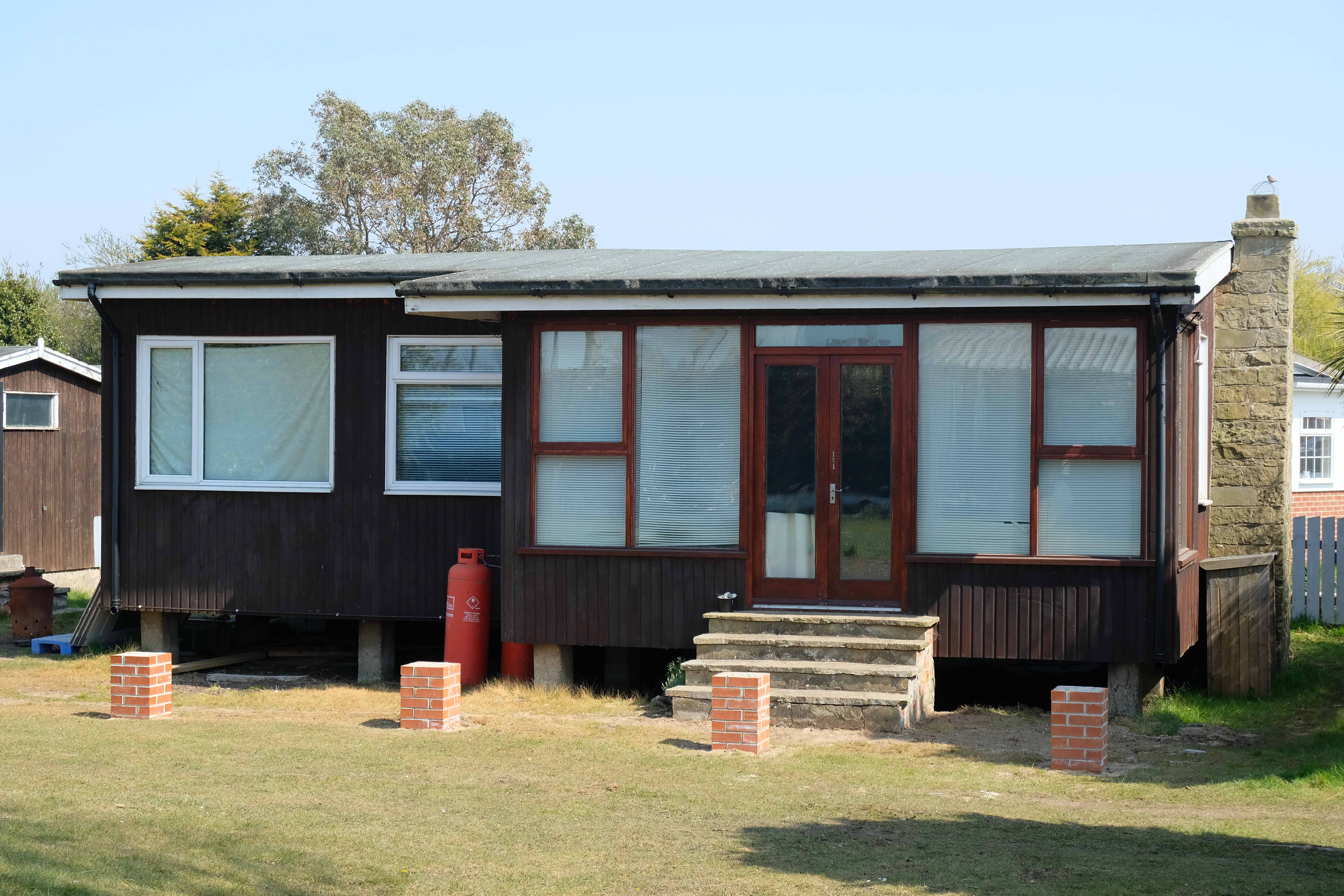
So the march of big money heralds the arrival of complementary after dinner mints, uPVC cladding, tasteful nautical bric a brac, prohibitive signs, off road parking and a Hampton’s aesthetic – a little bit of New England inna little bit of England.
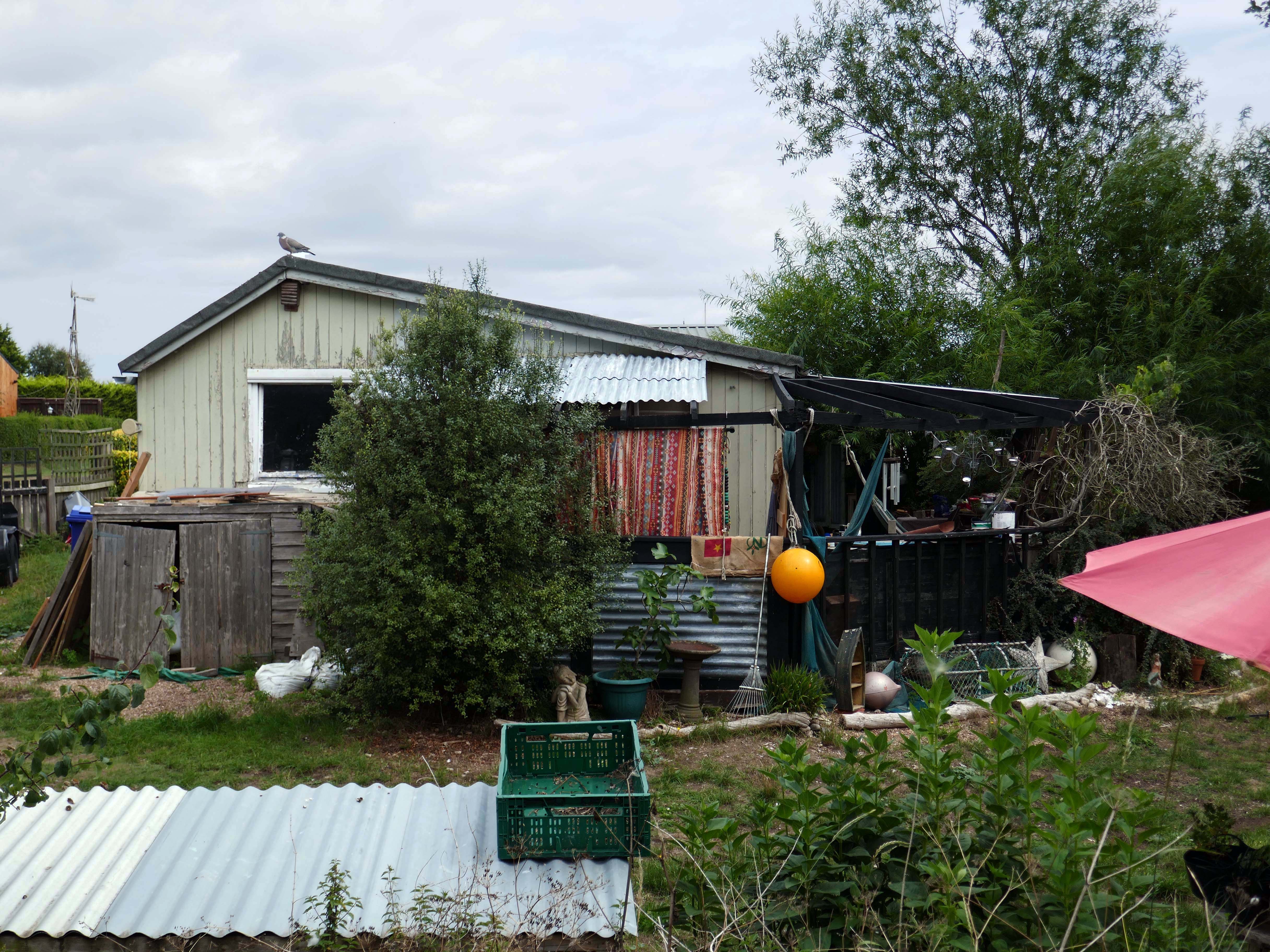
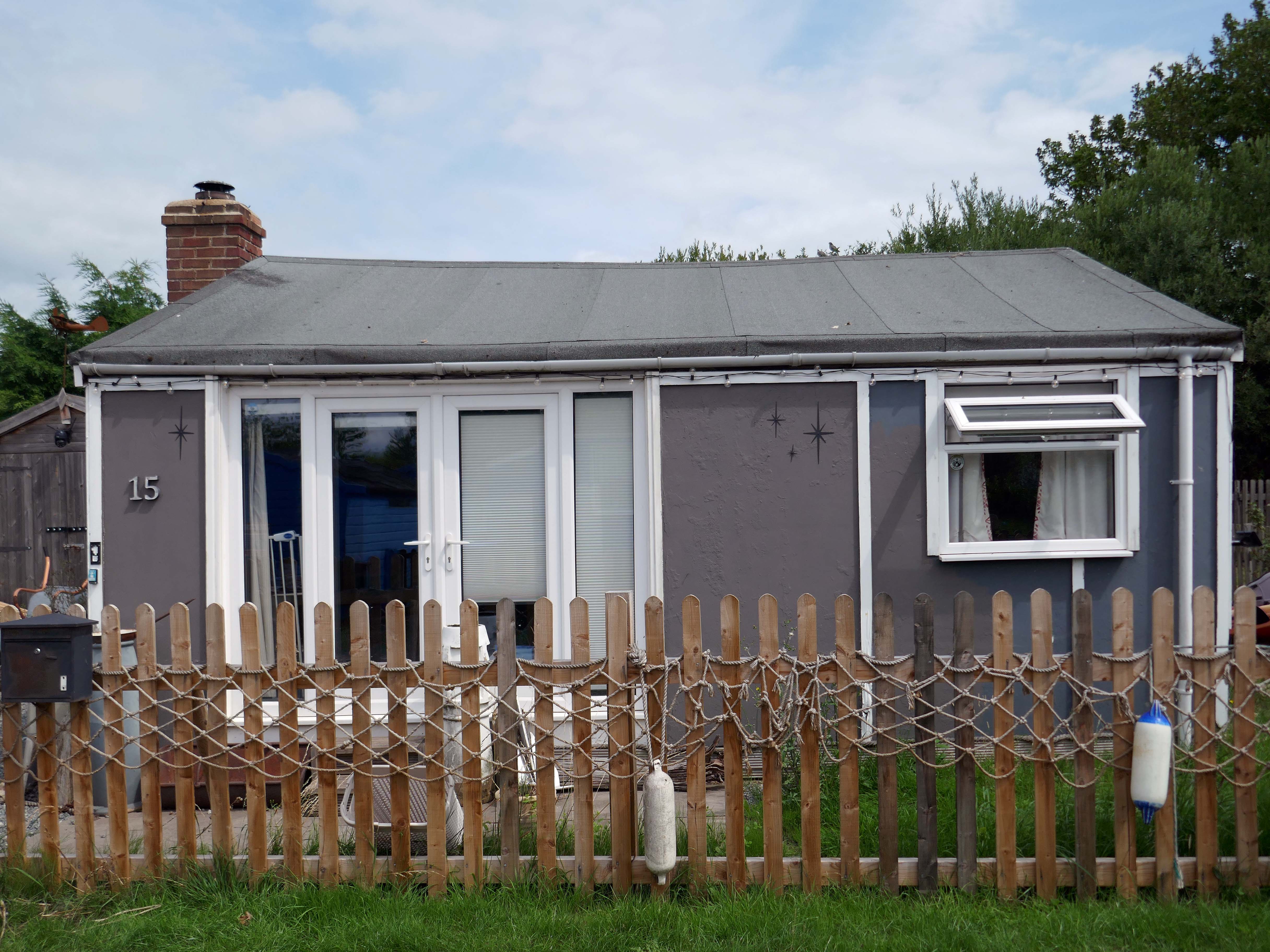
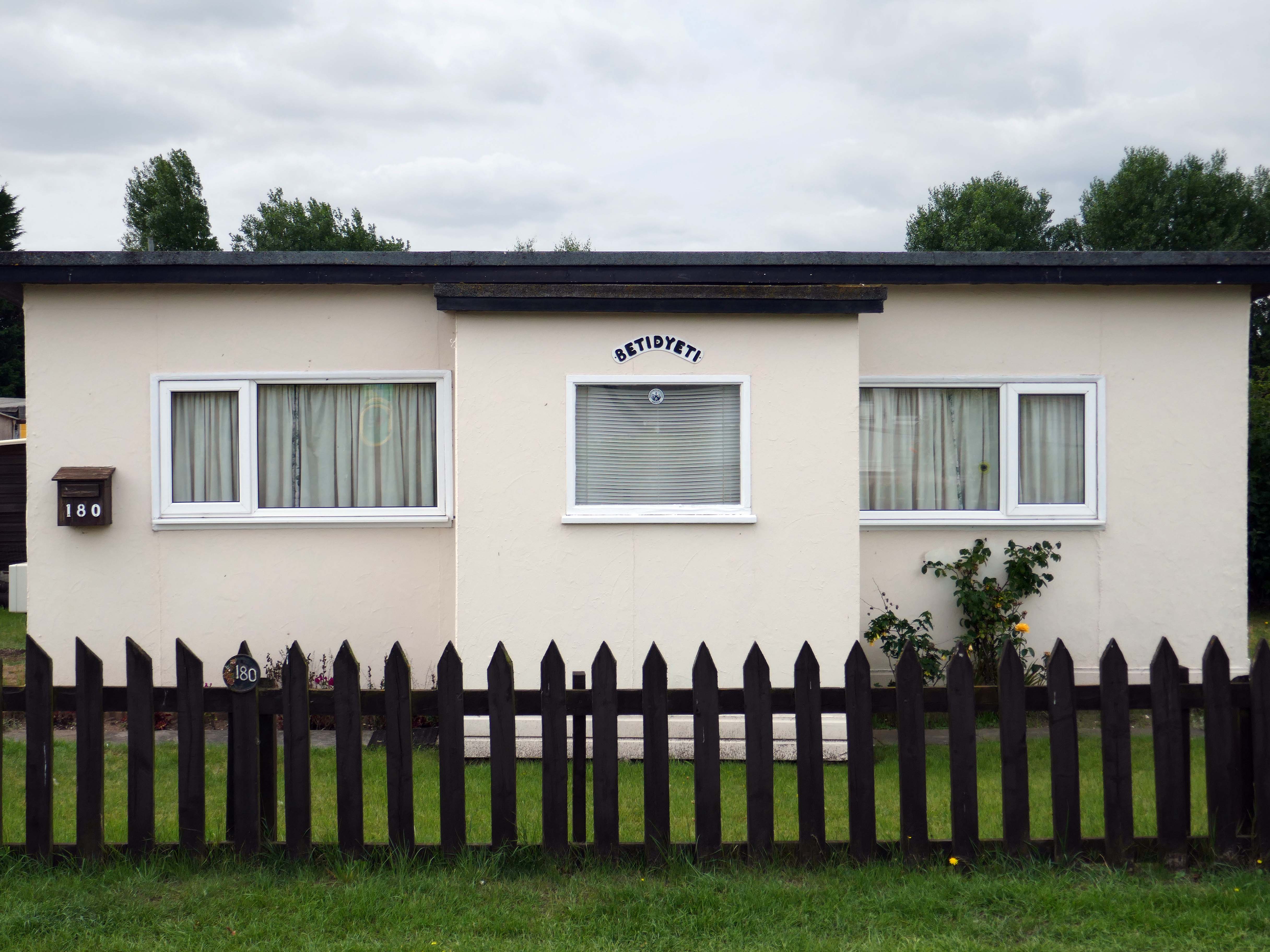
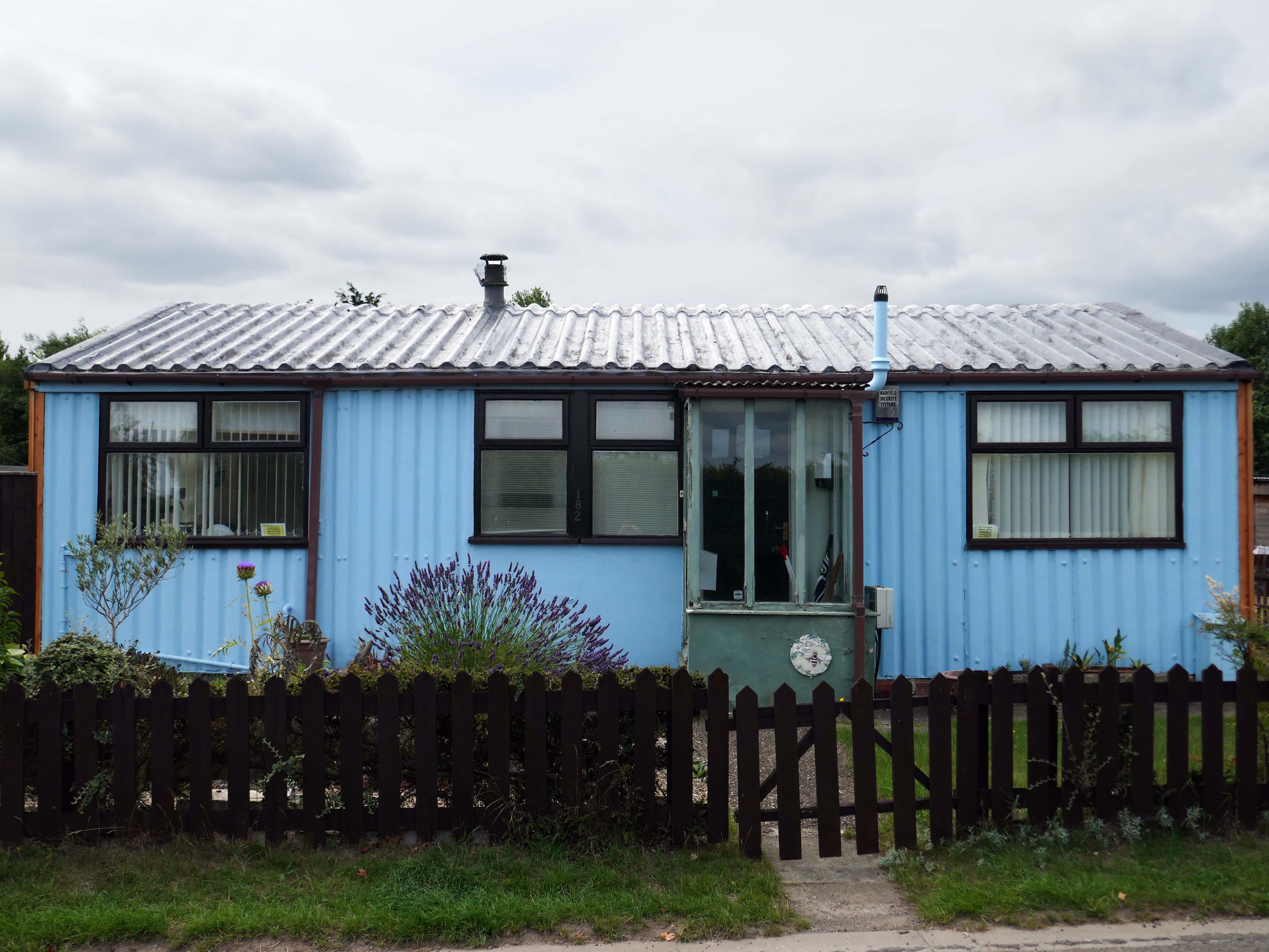
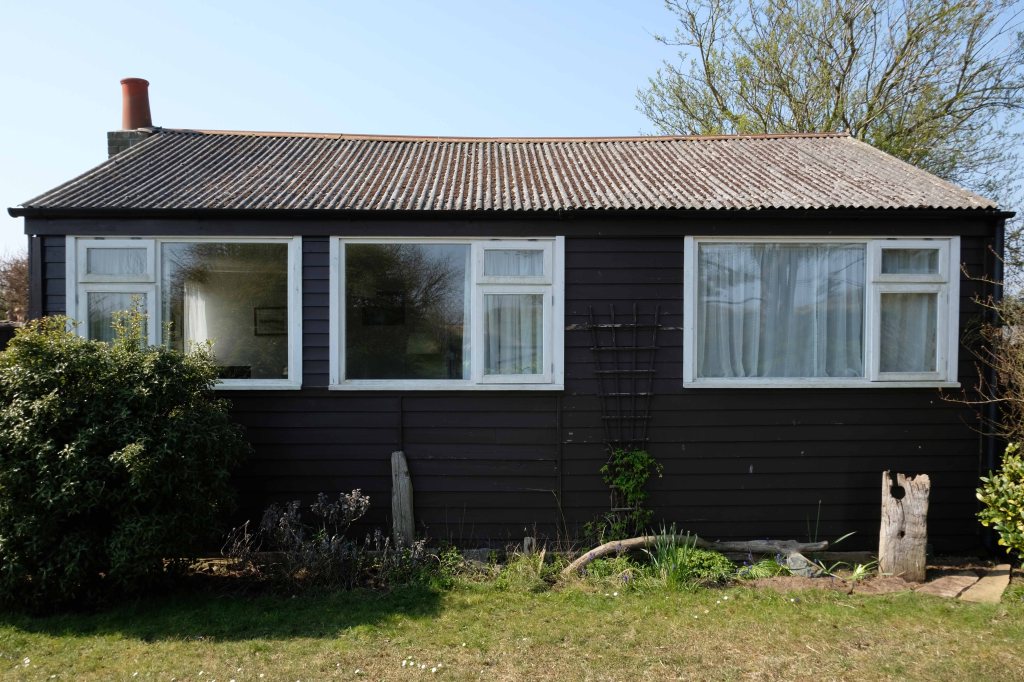
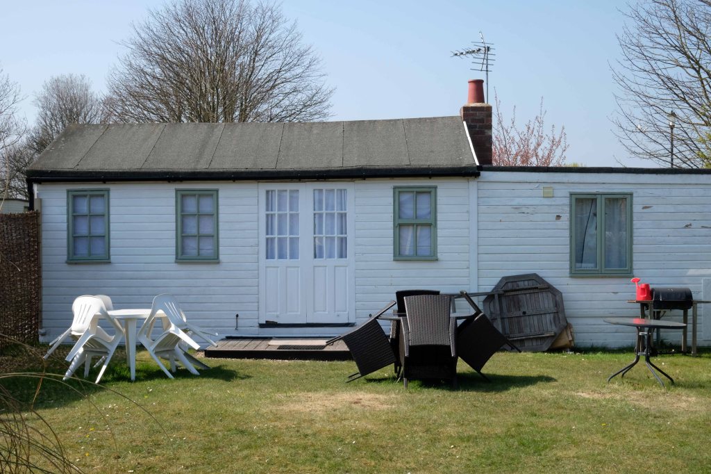
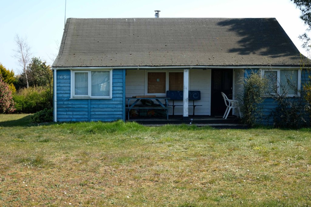
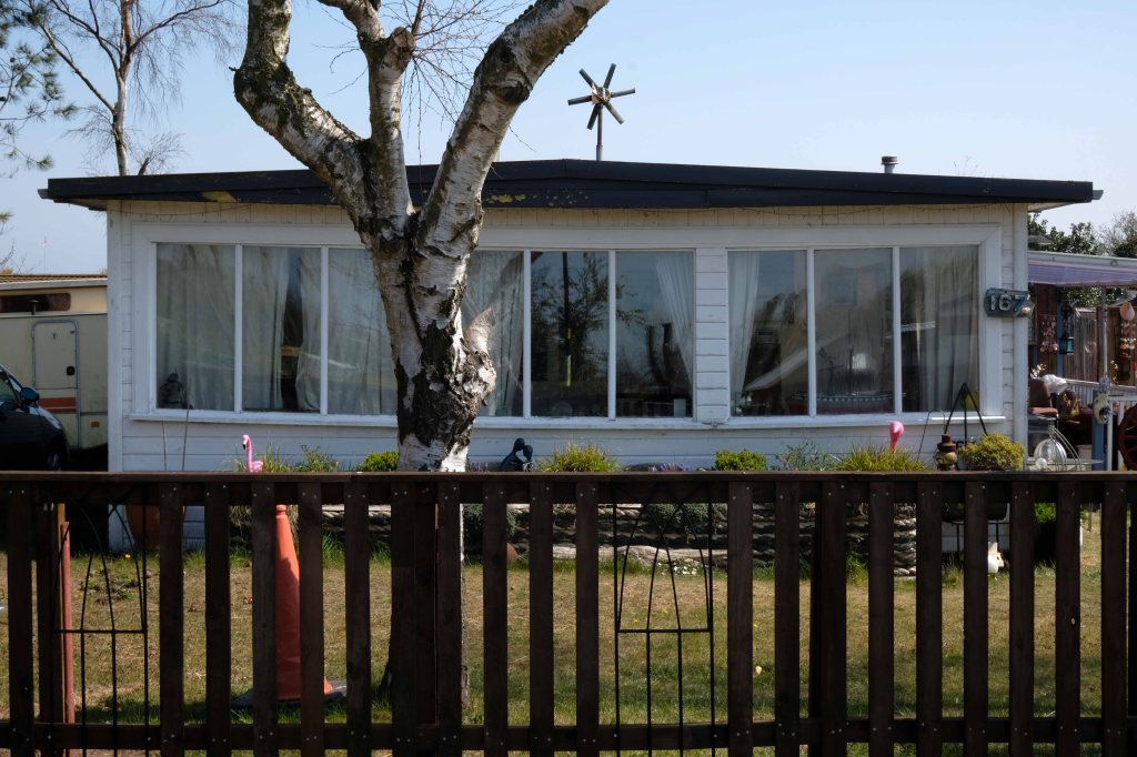
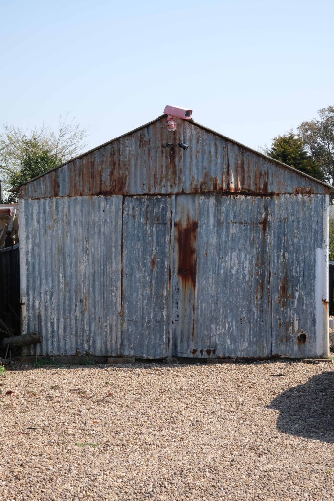
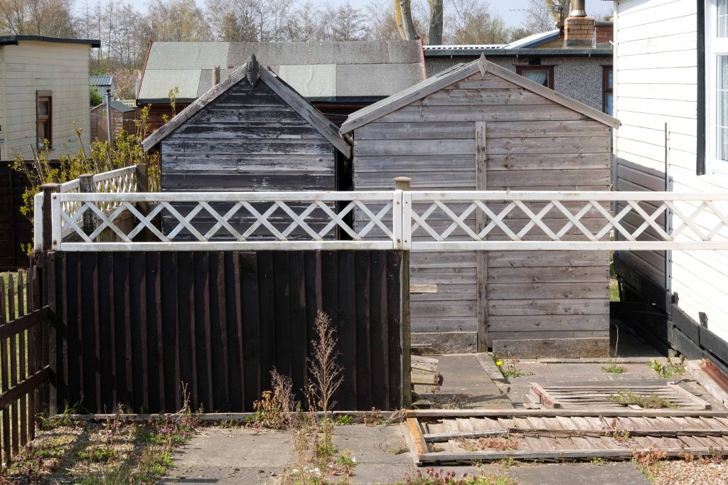
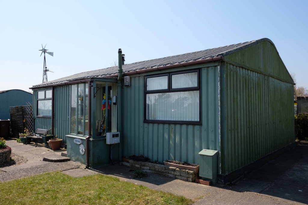
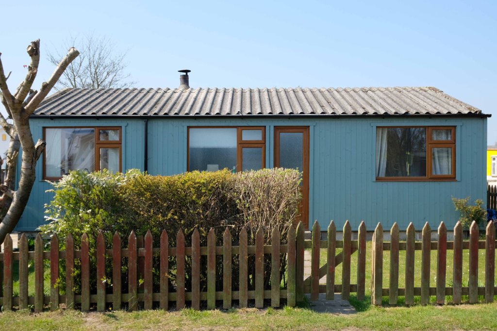
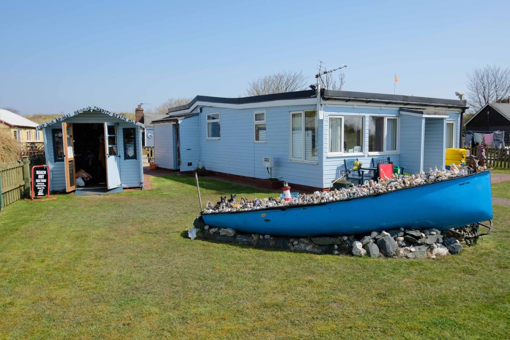
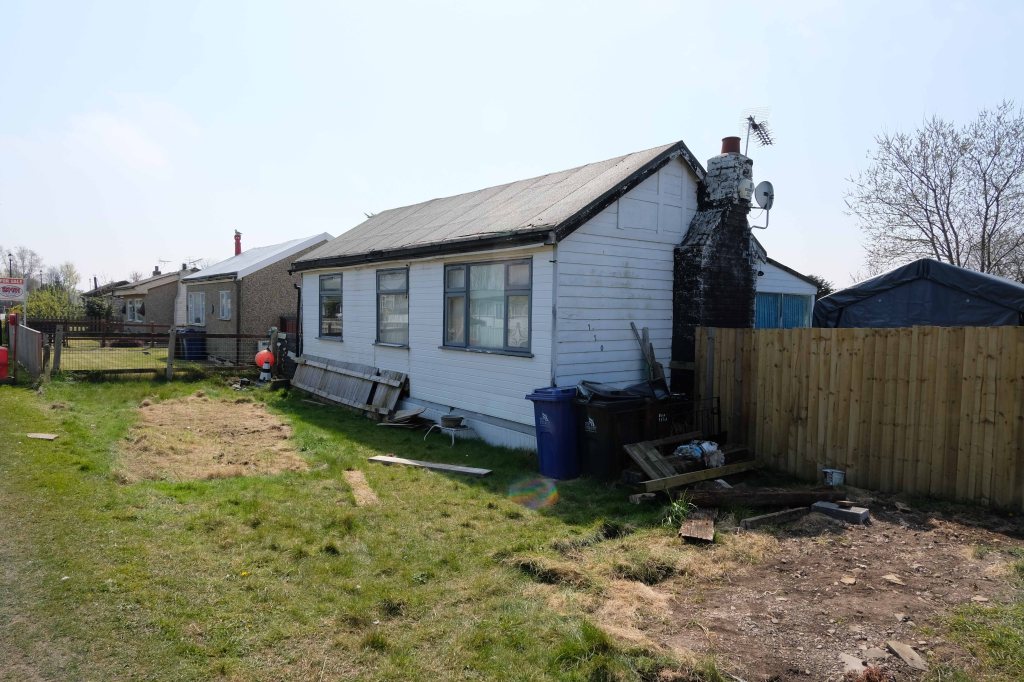
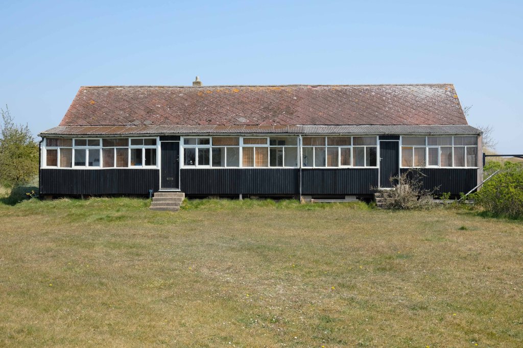
Despite the incursion of those folks on a week long excursion, there is still an air of lukewarm anarchy which pervades the Fitties. An array of wonky homemade fences constantly askew, refusing to be aligned to the orthogonal.
Mañana never comes here on this little stretch of the Lincolnshire coast, get it while you can.
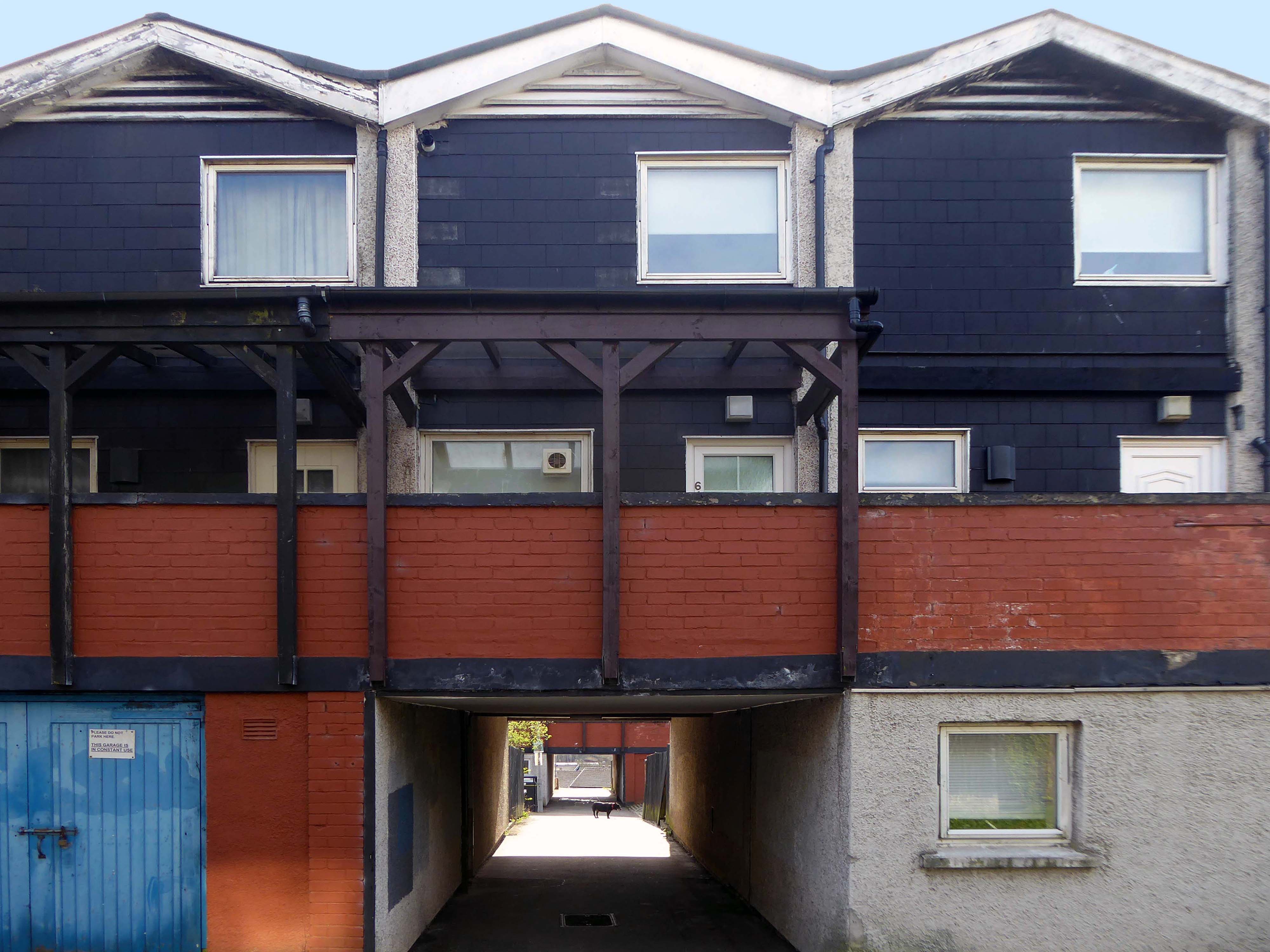
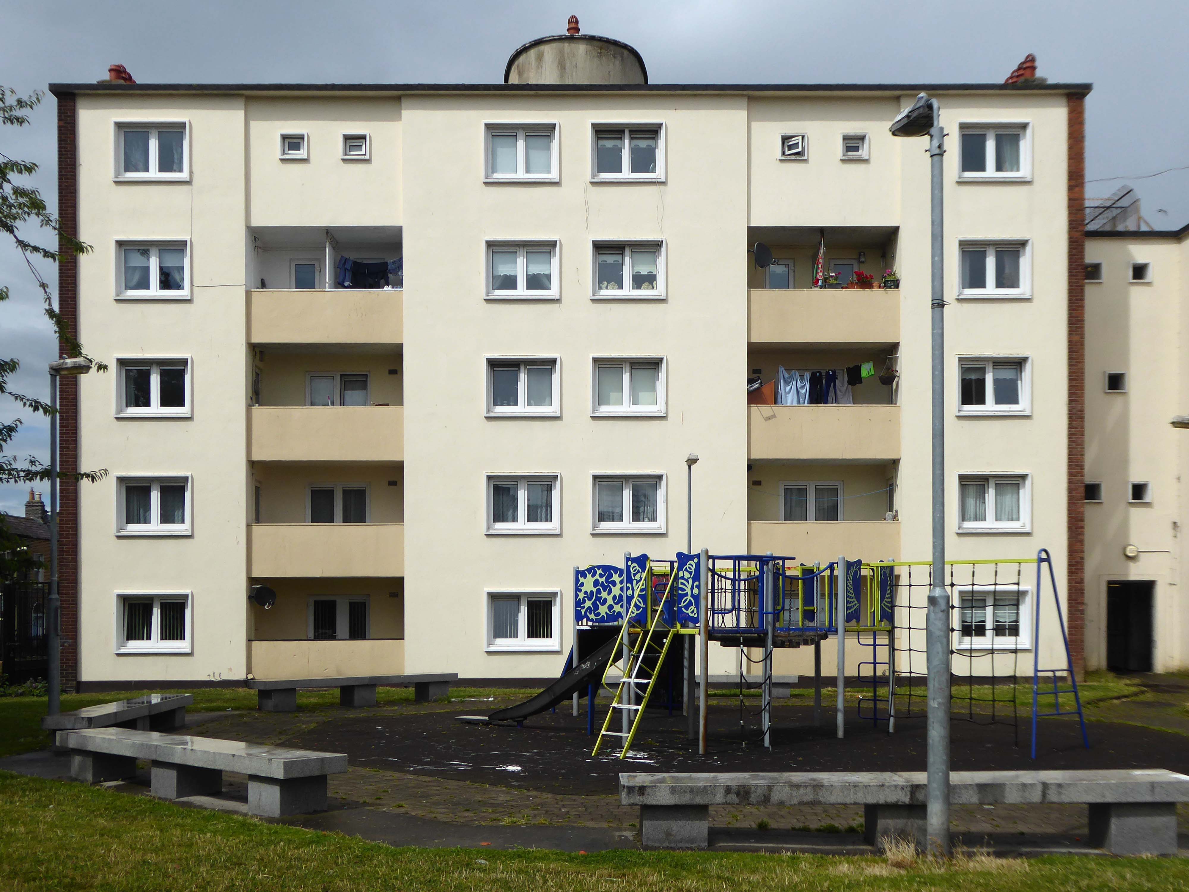
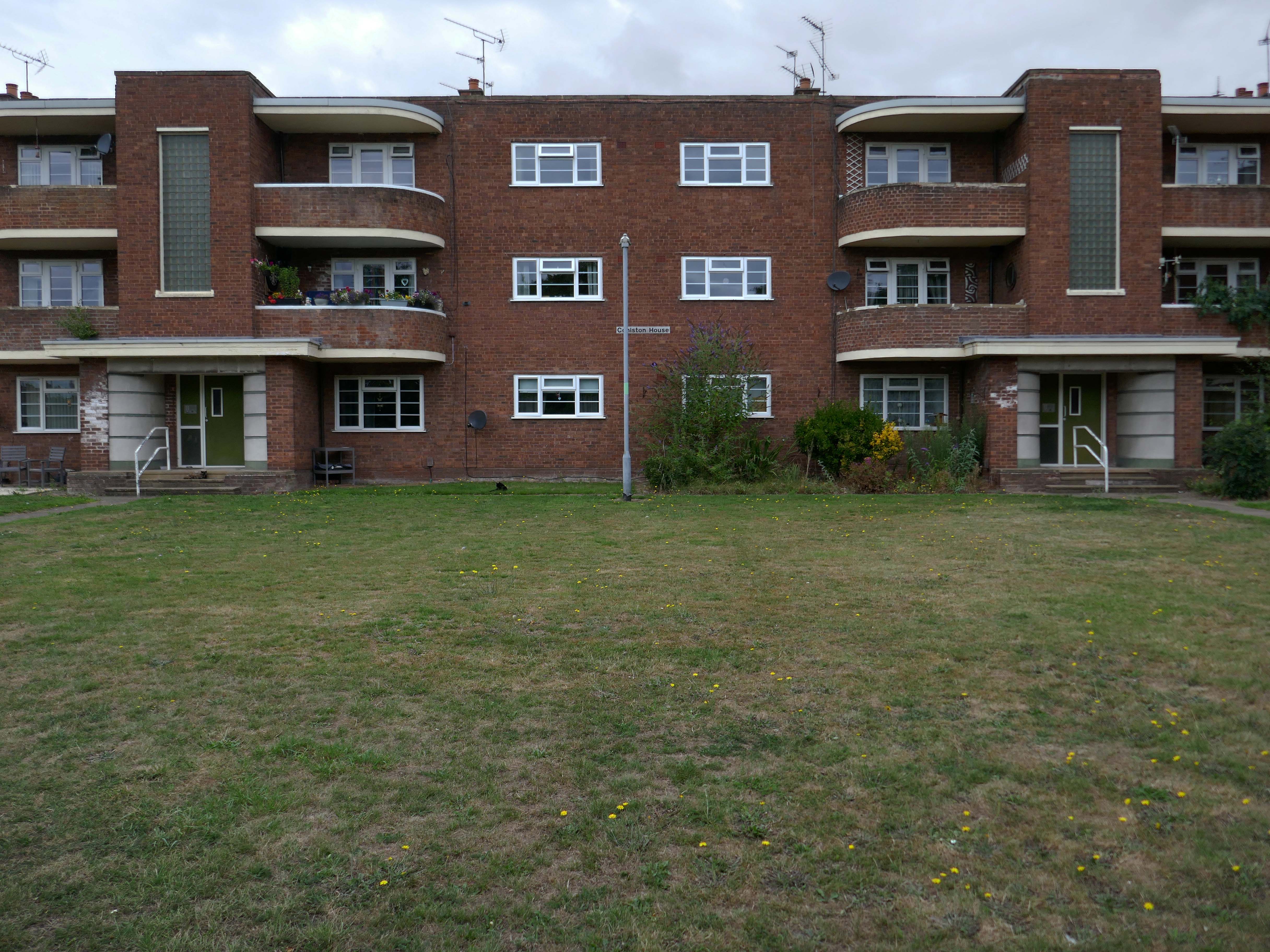
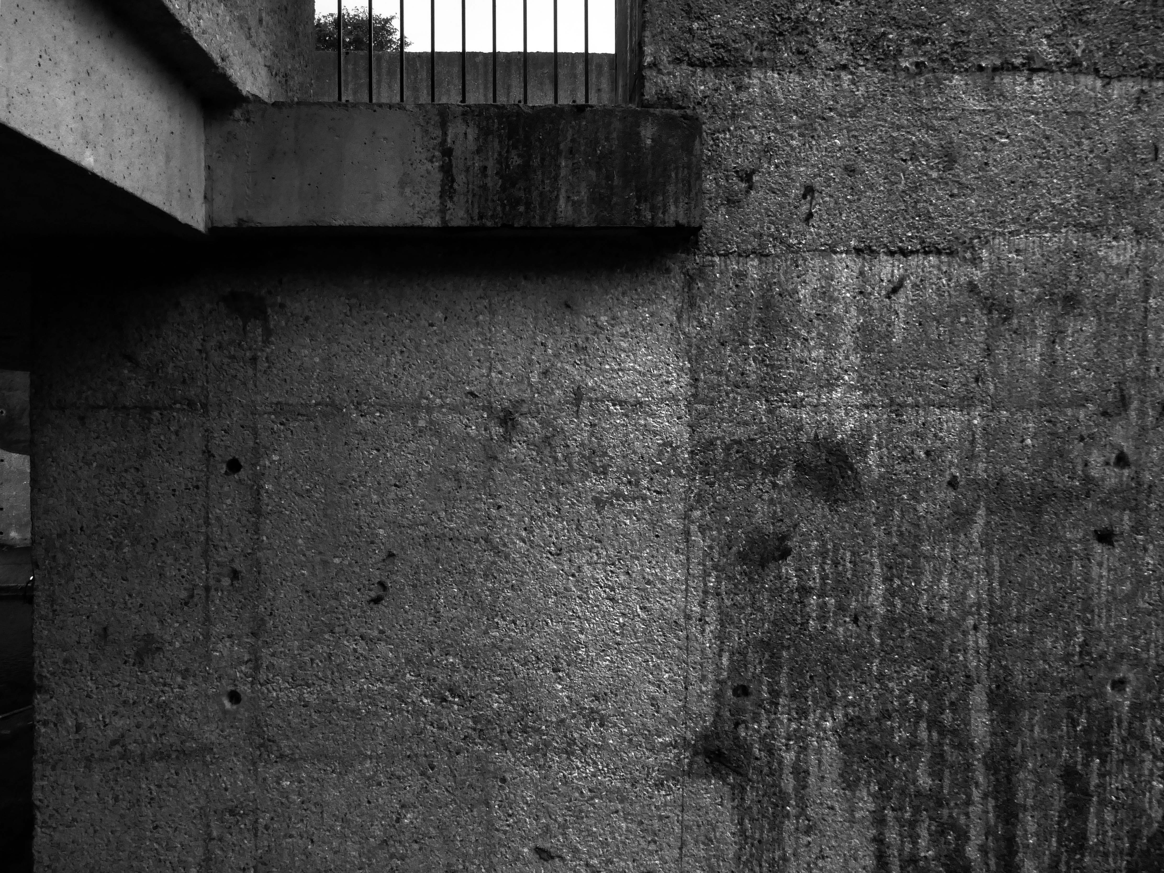
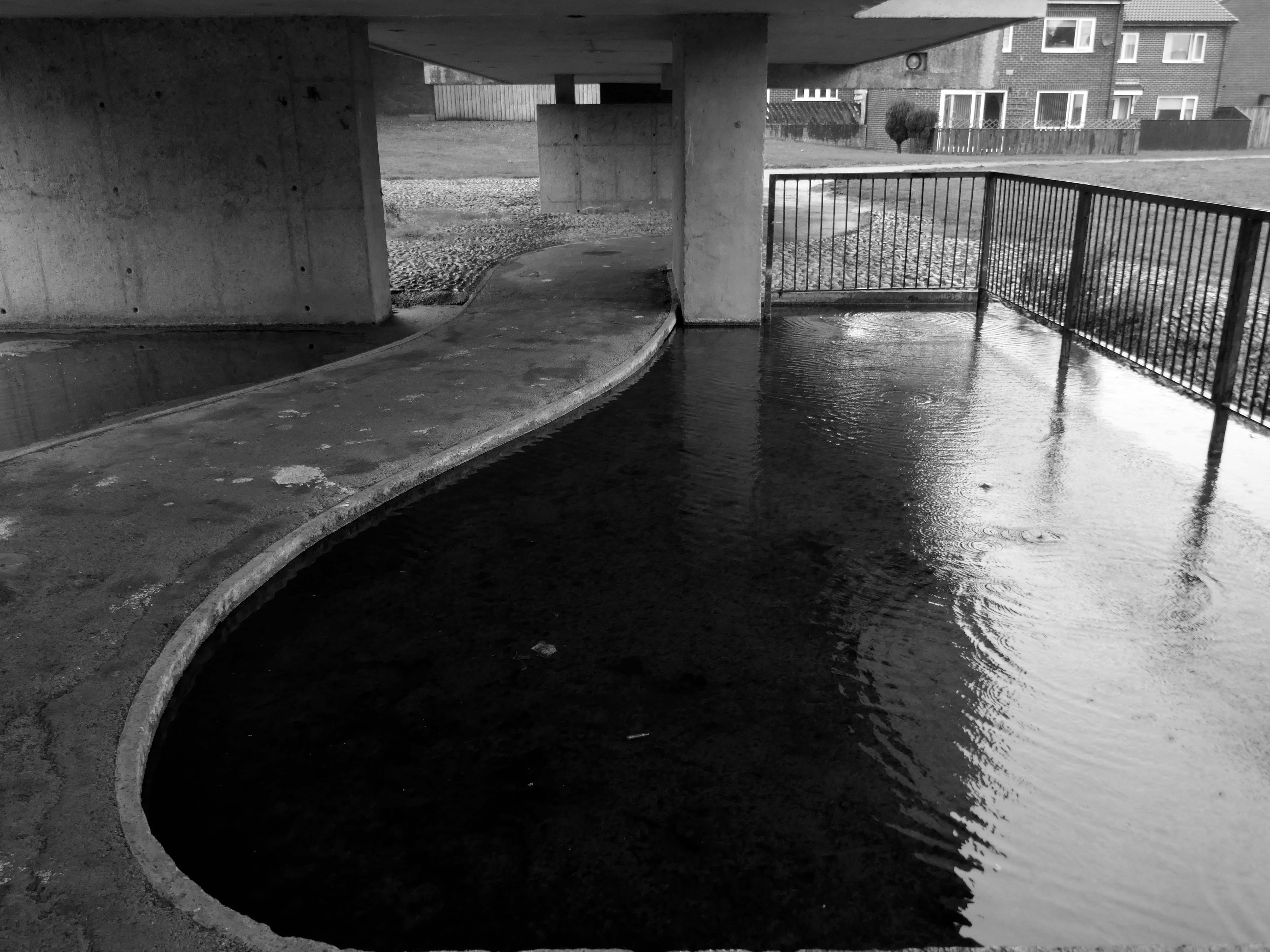
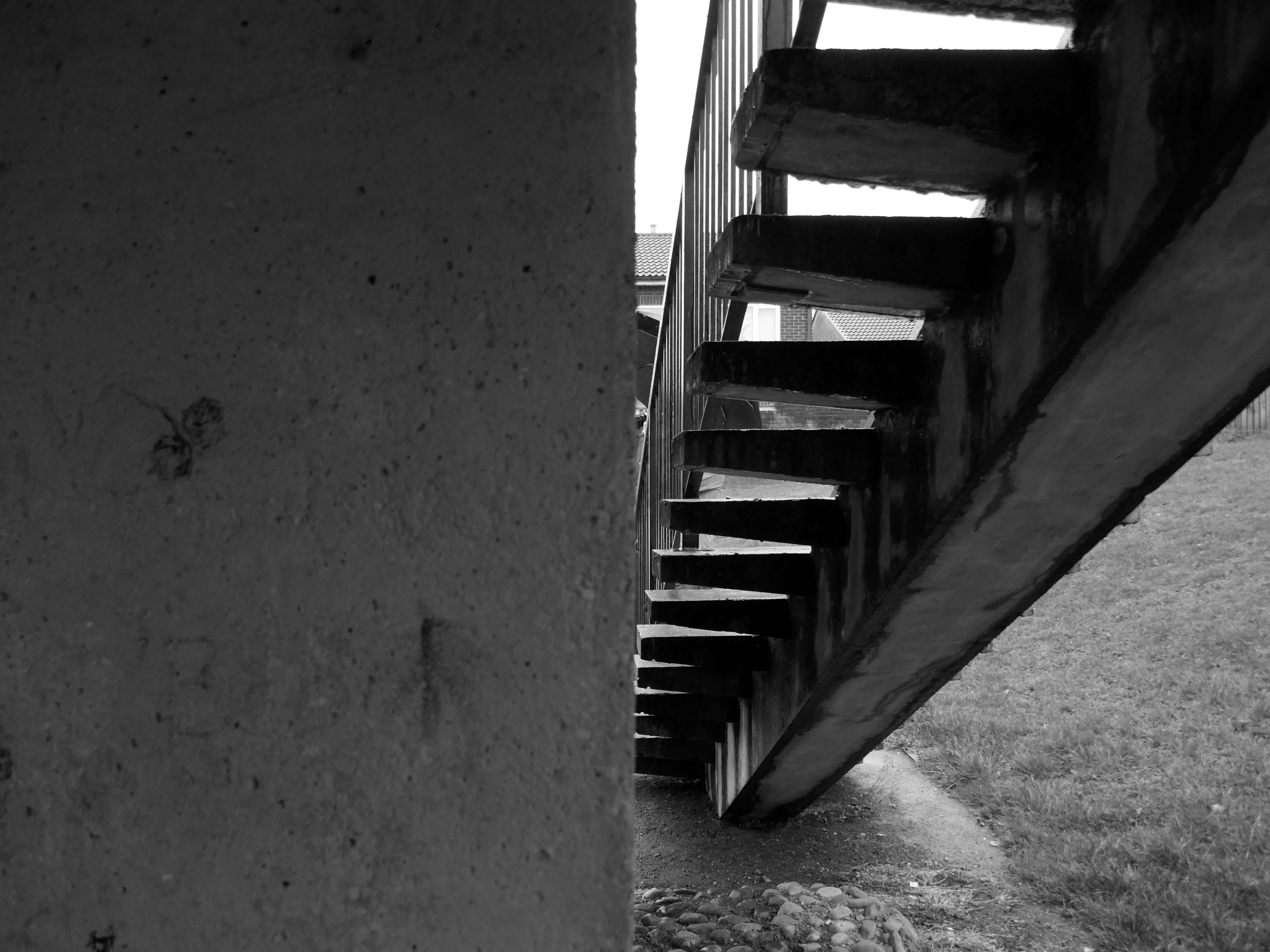
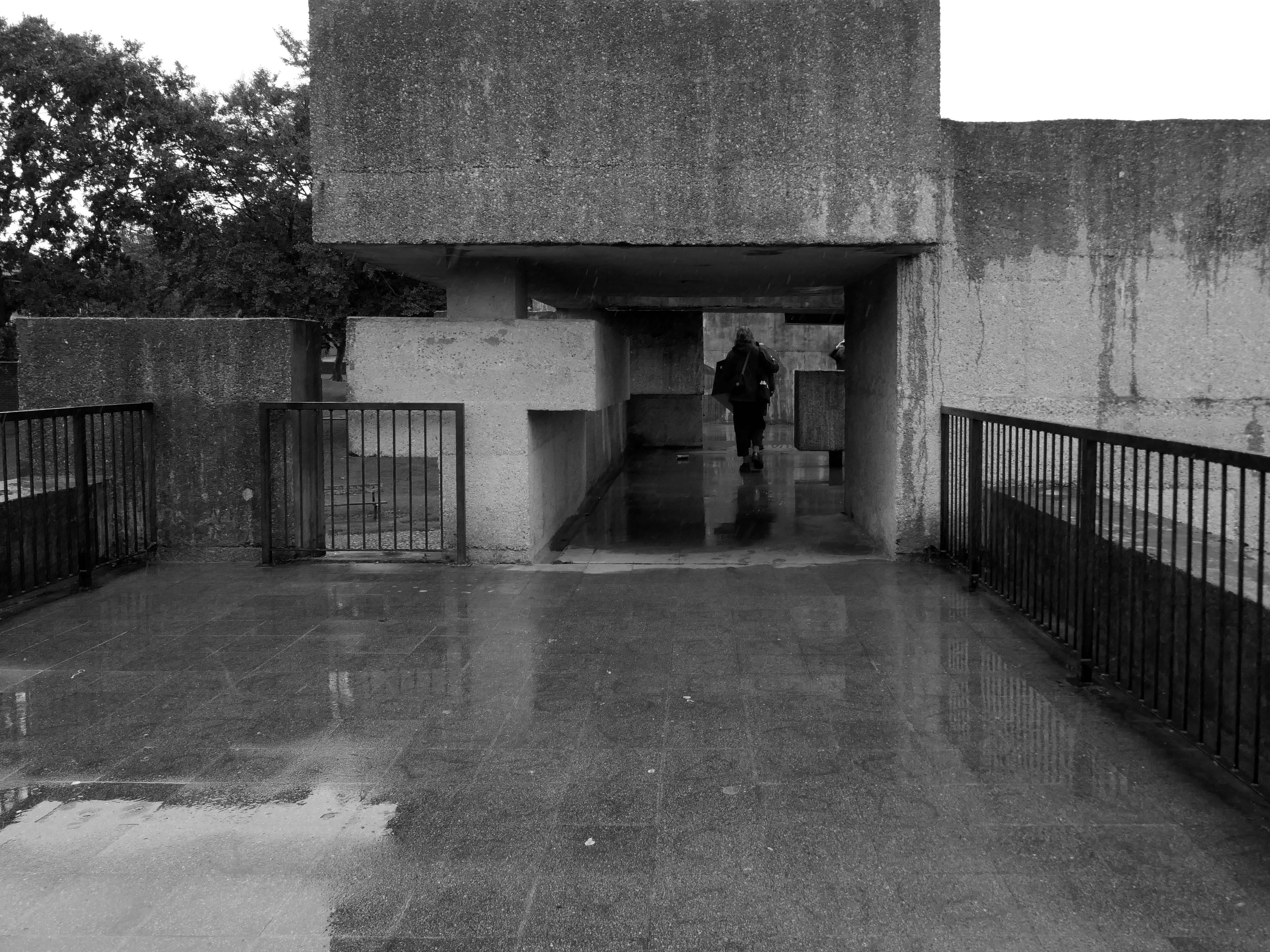
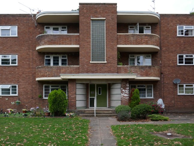
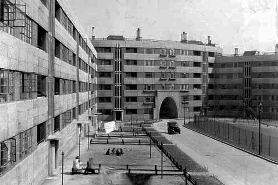
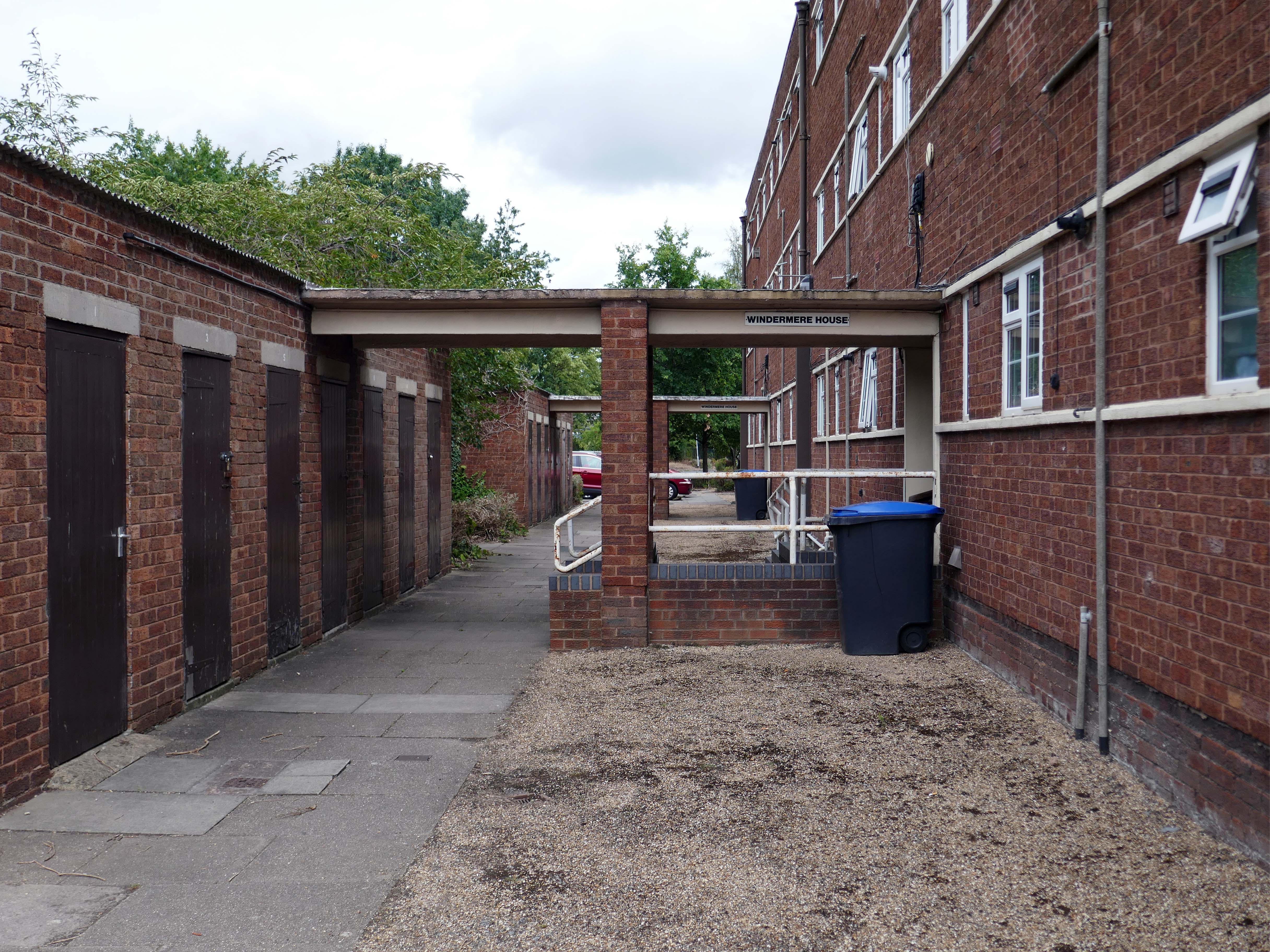
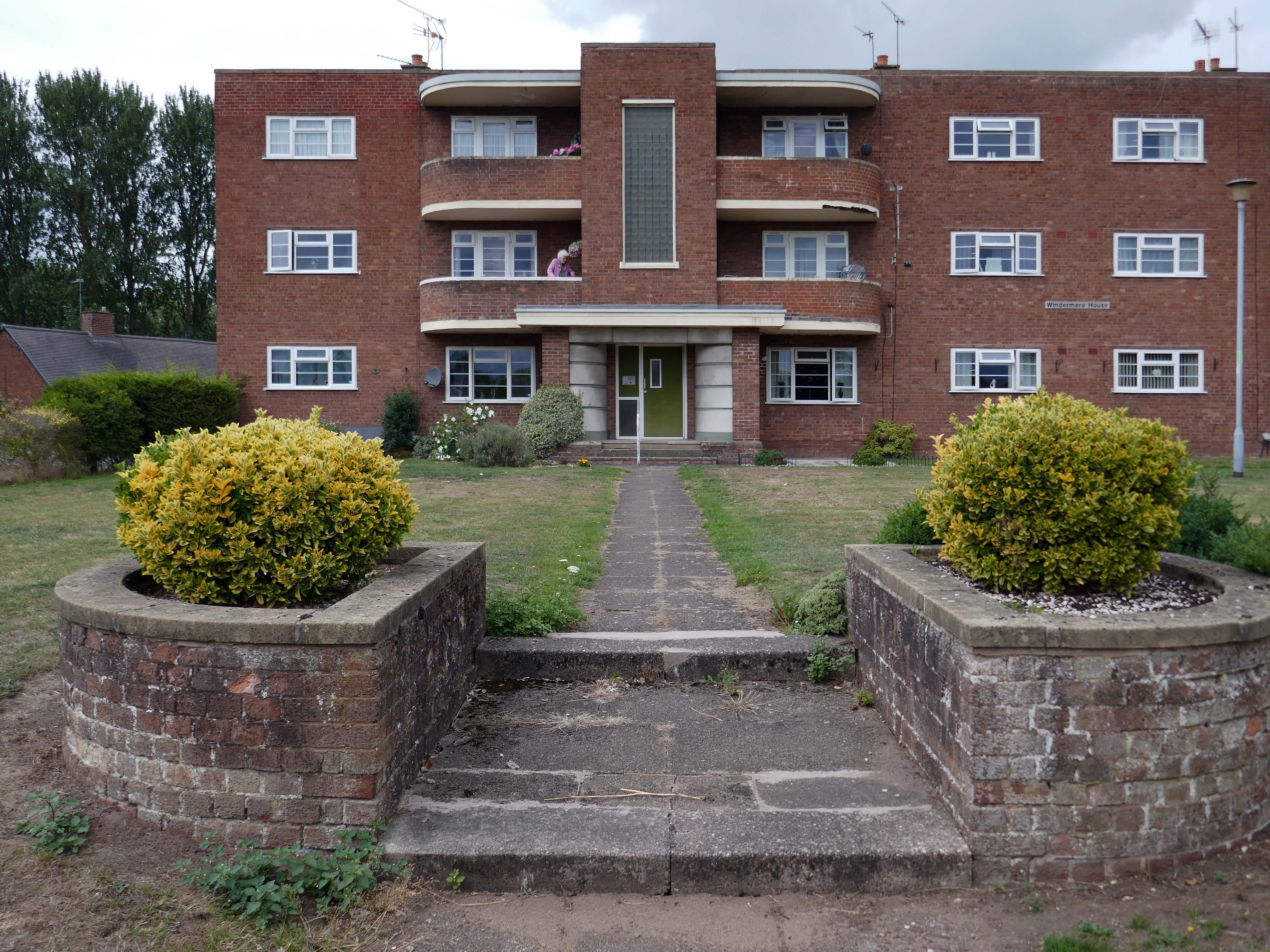
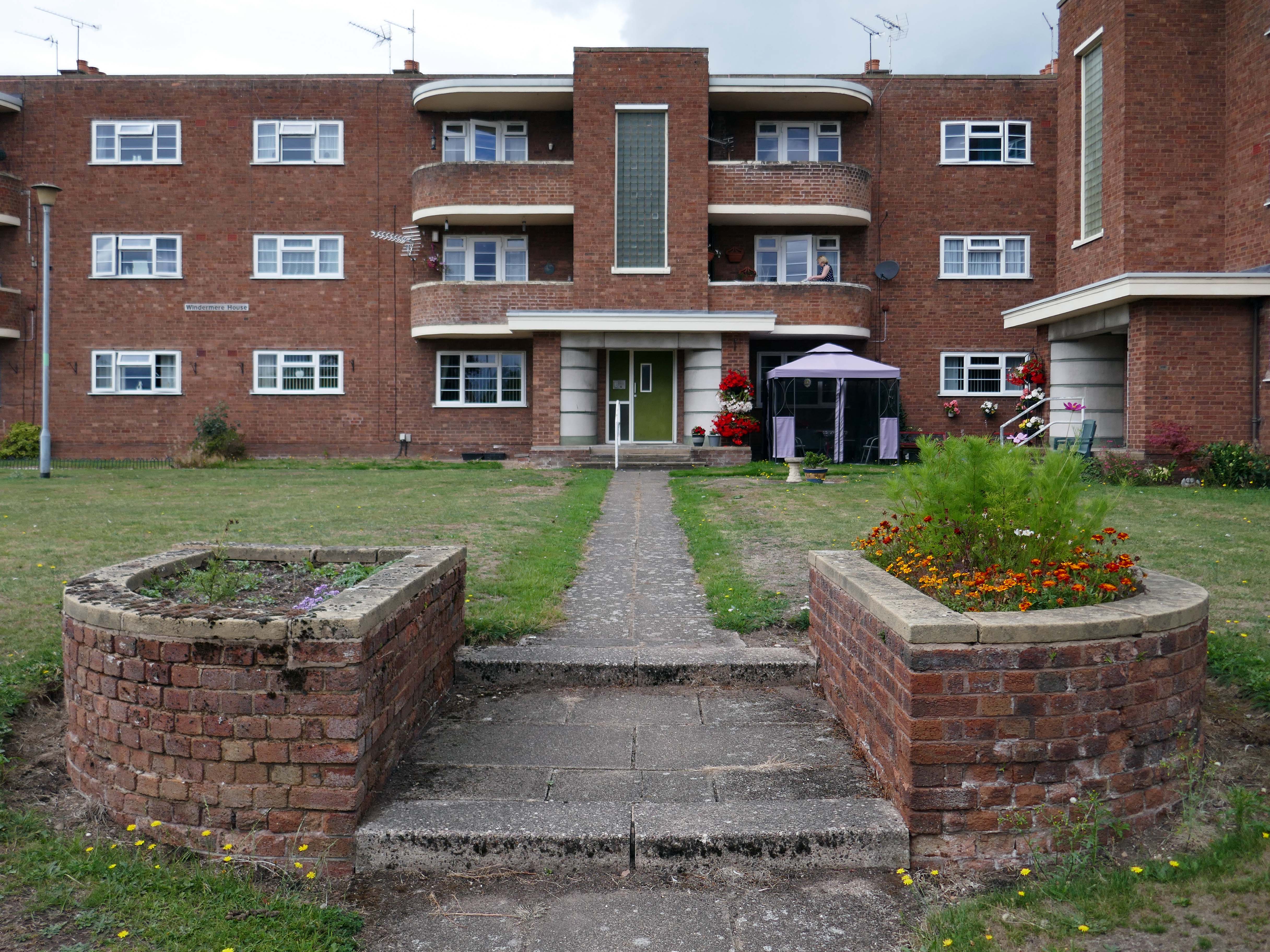
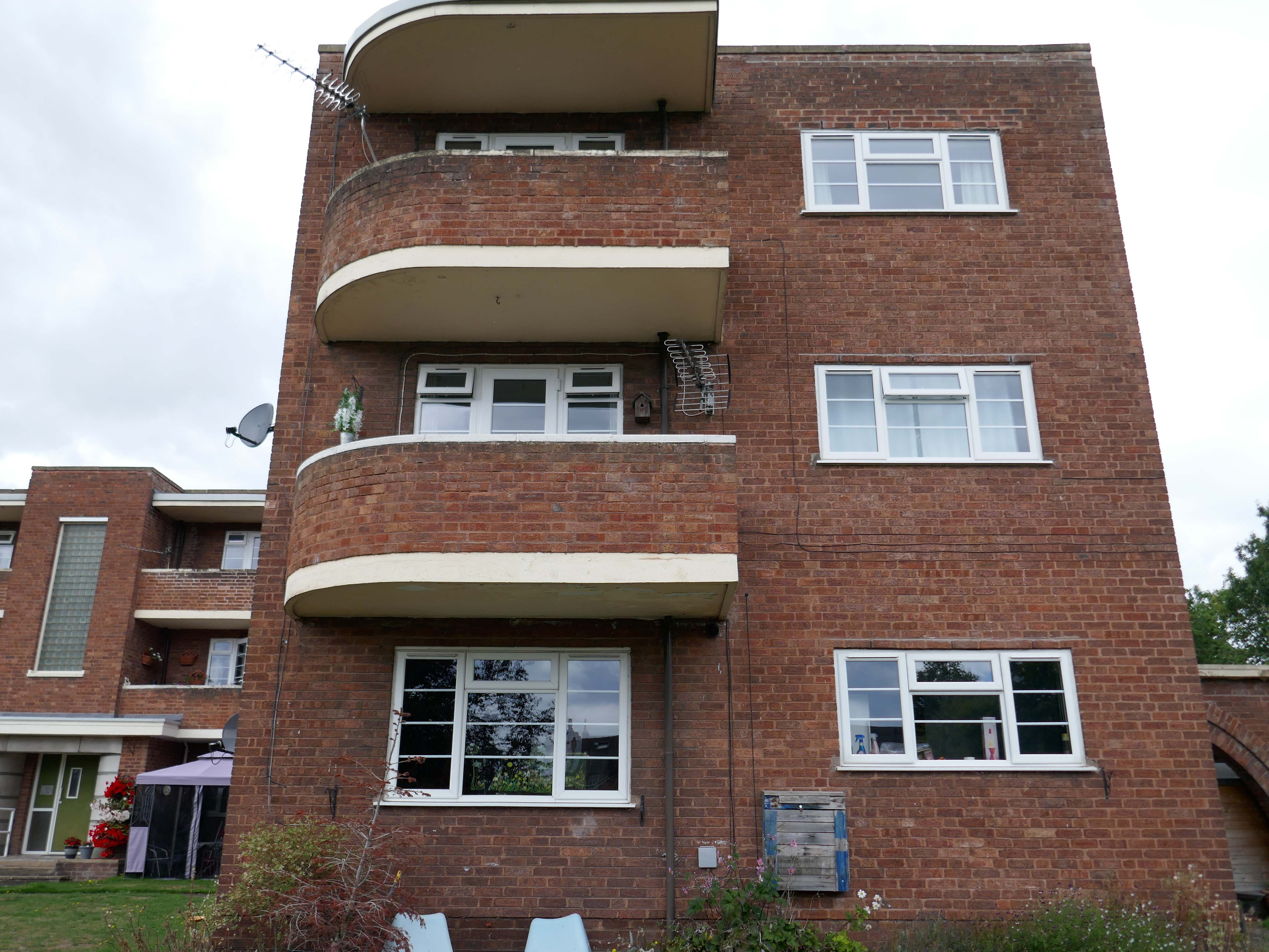
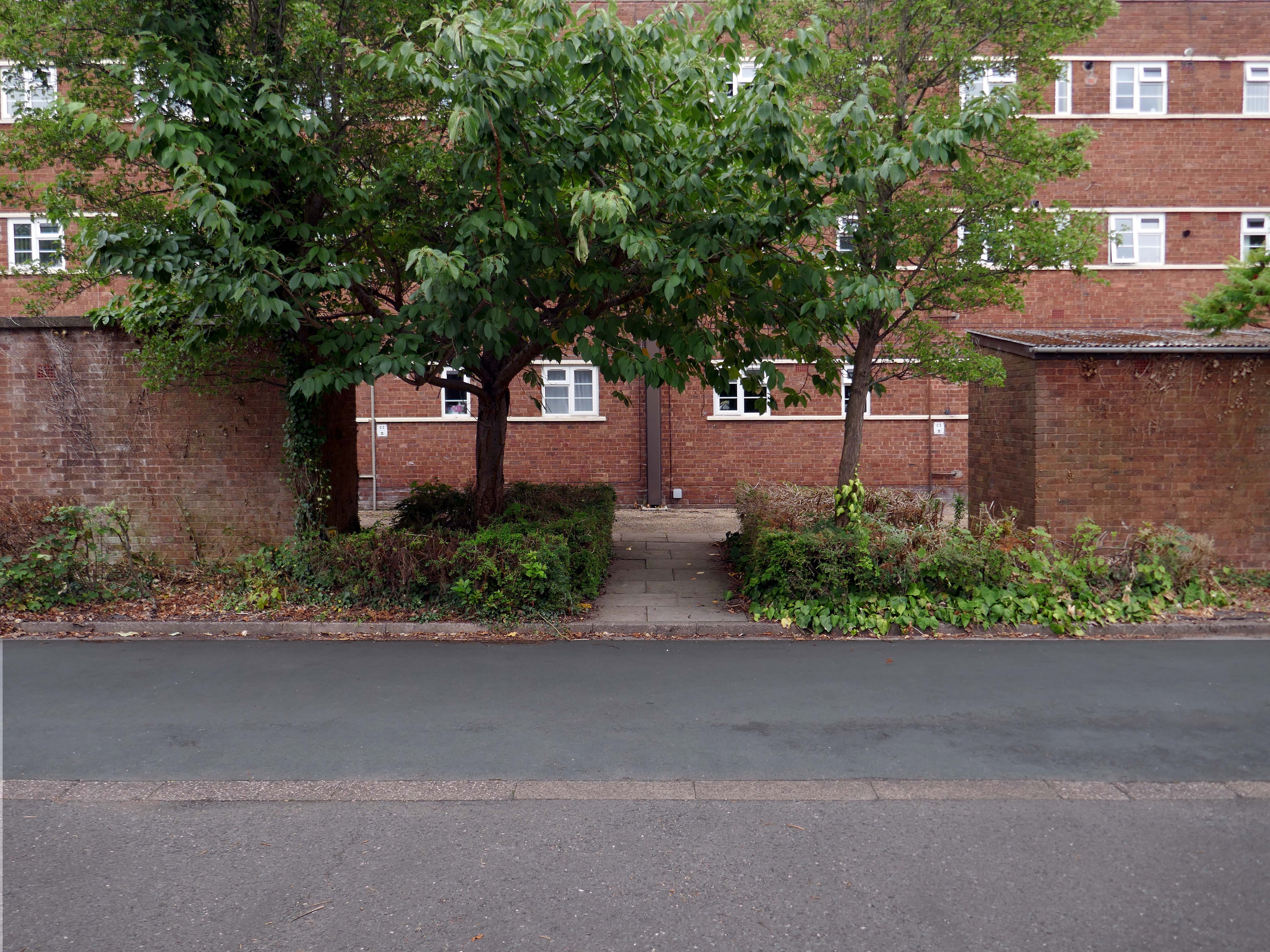
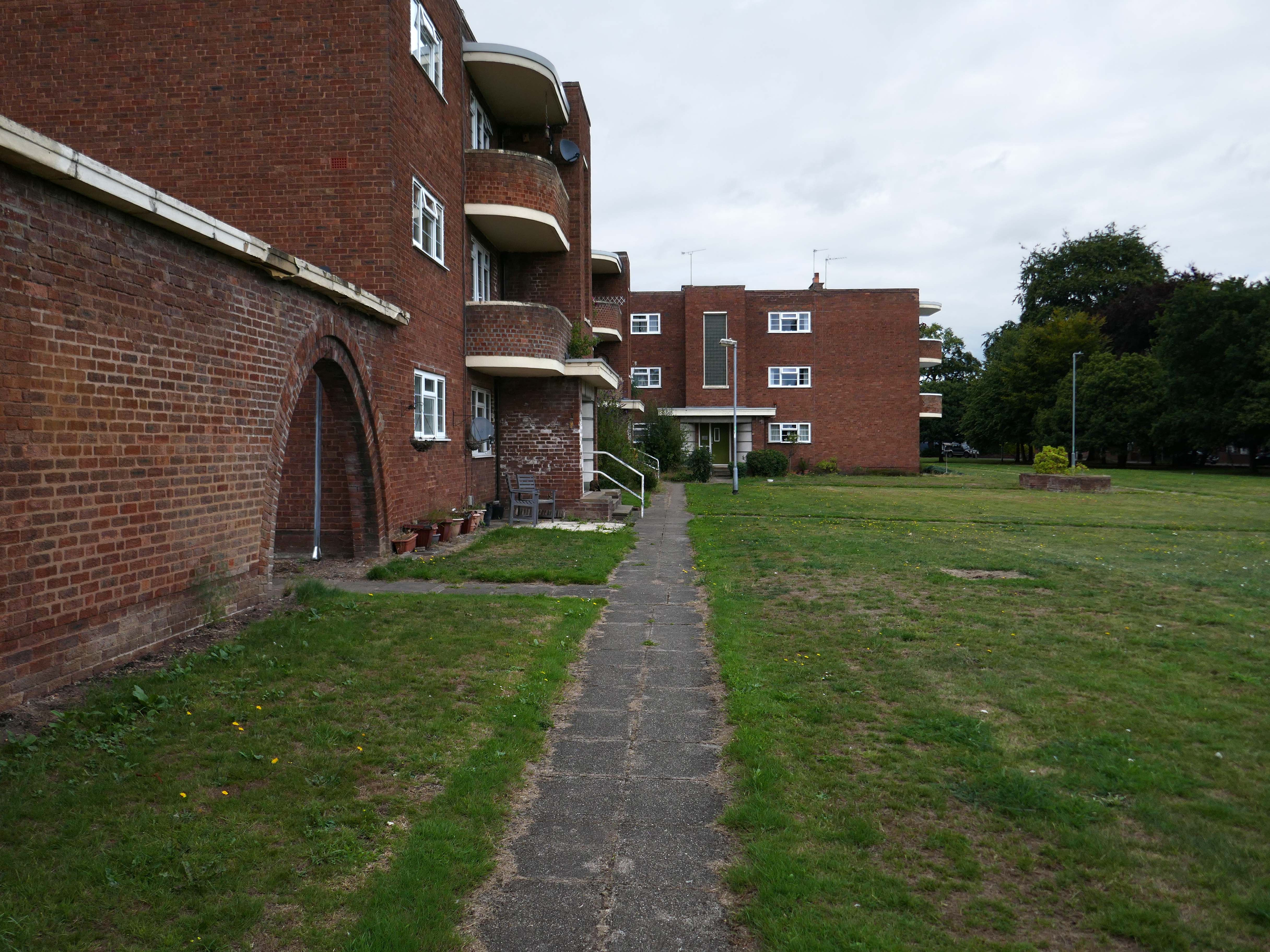
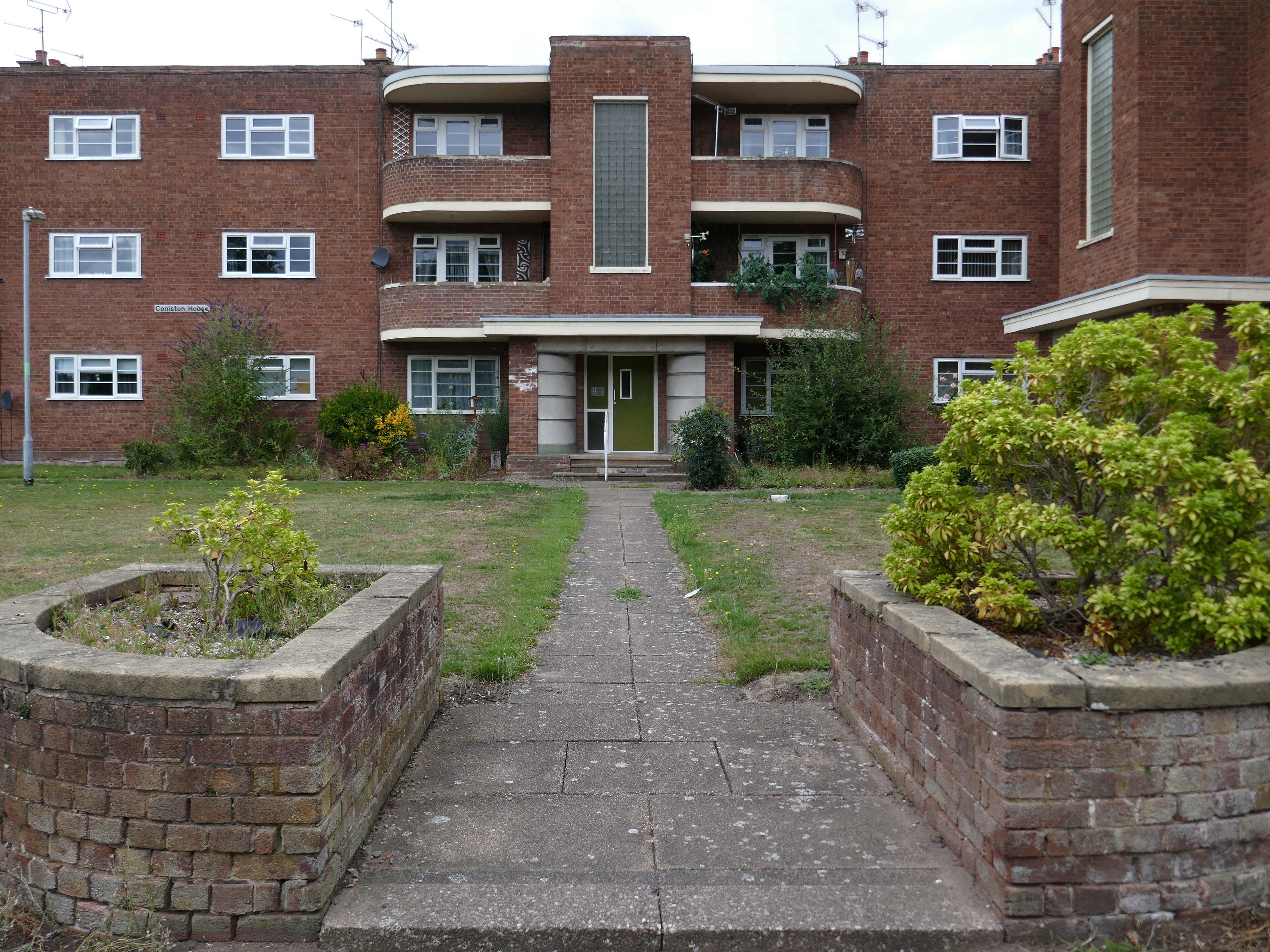
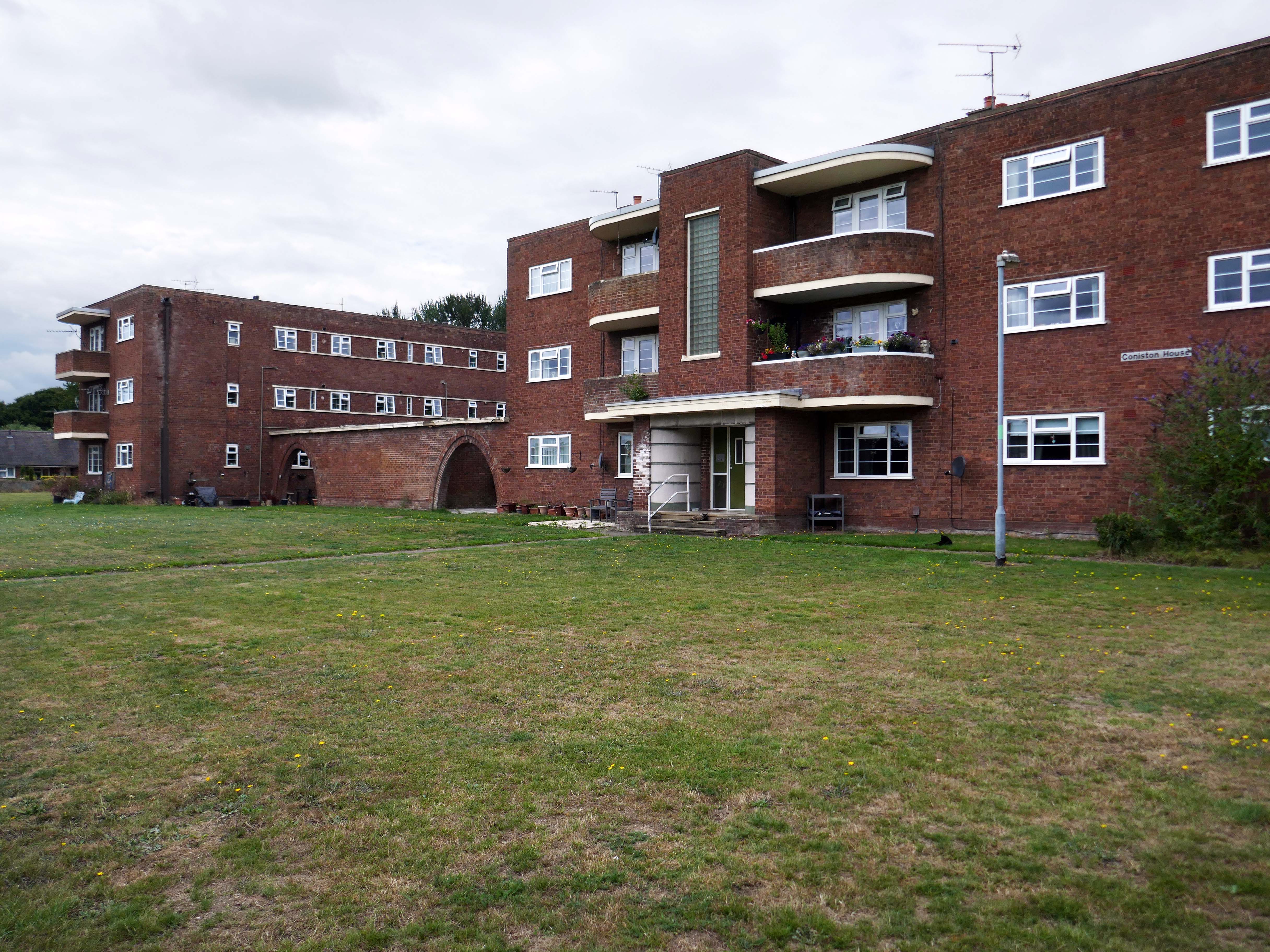
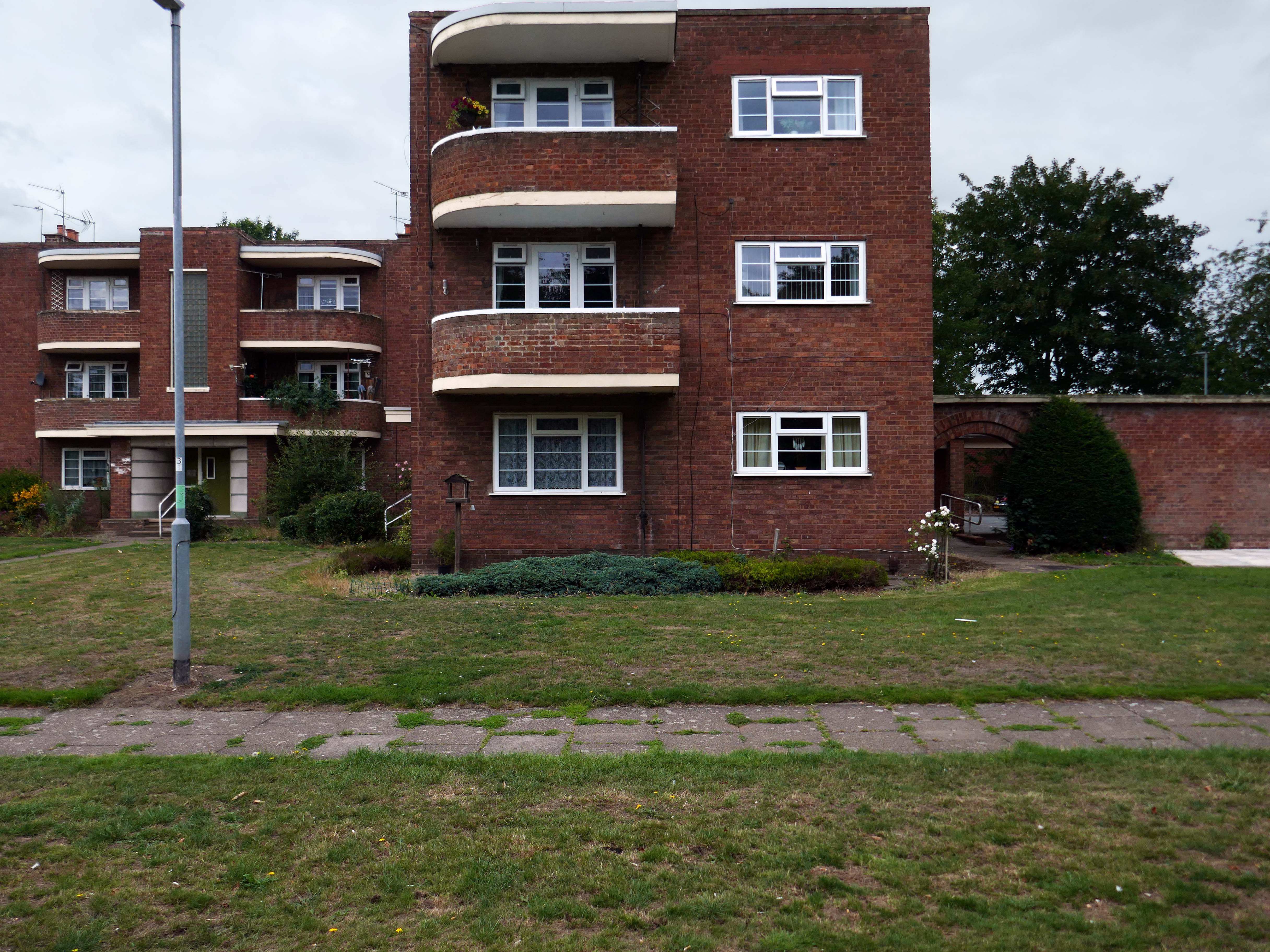
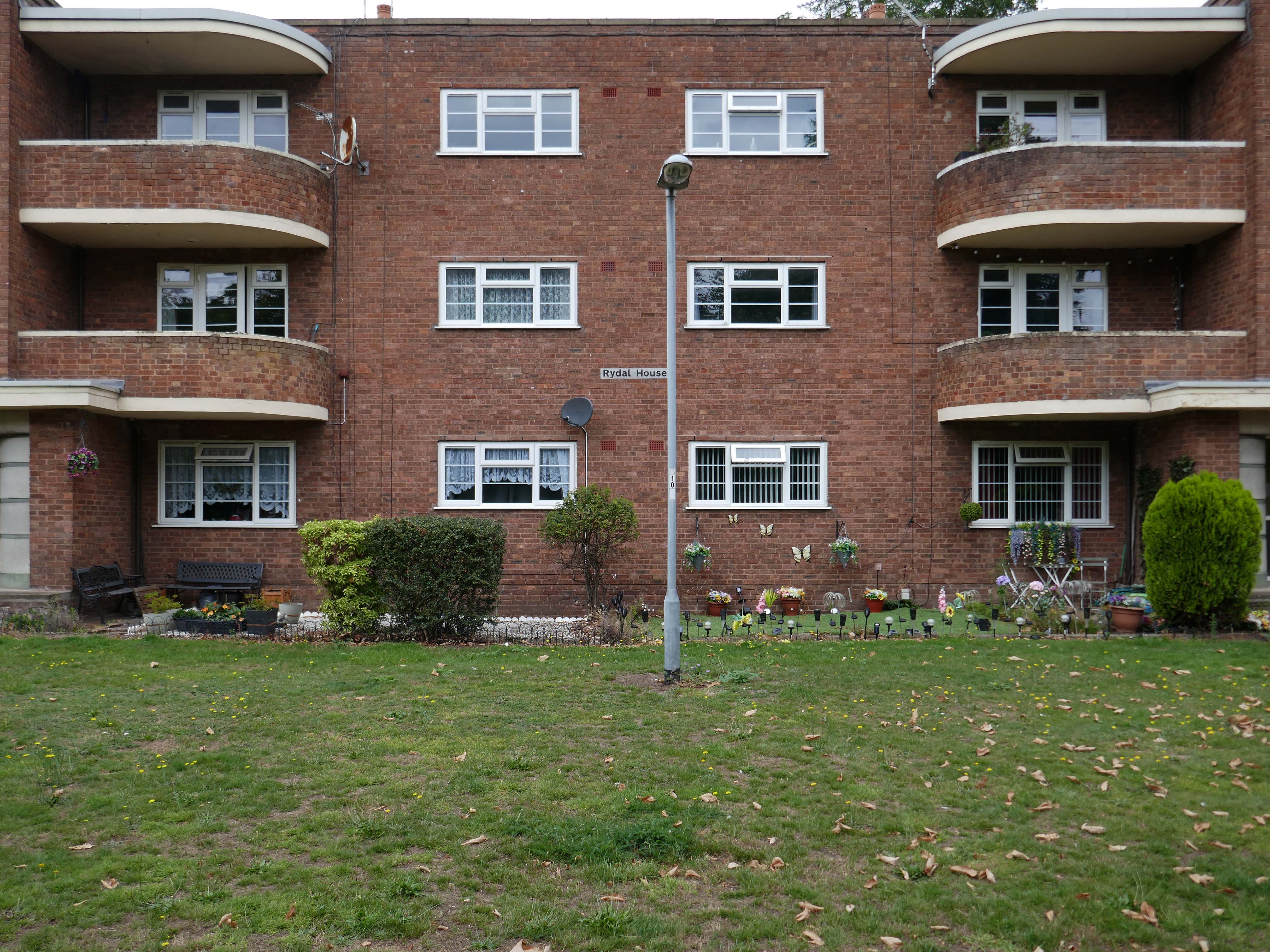
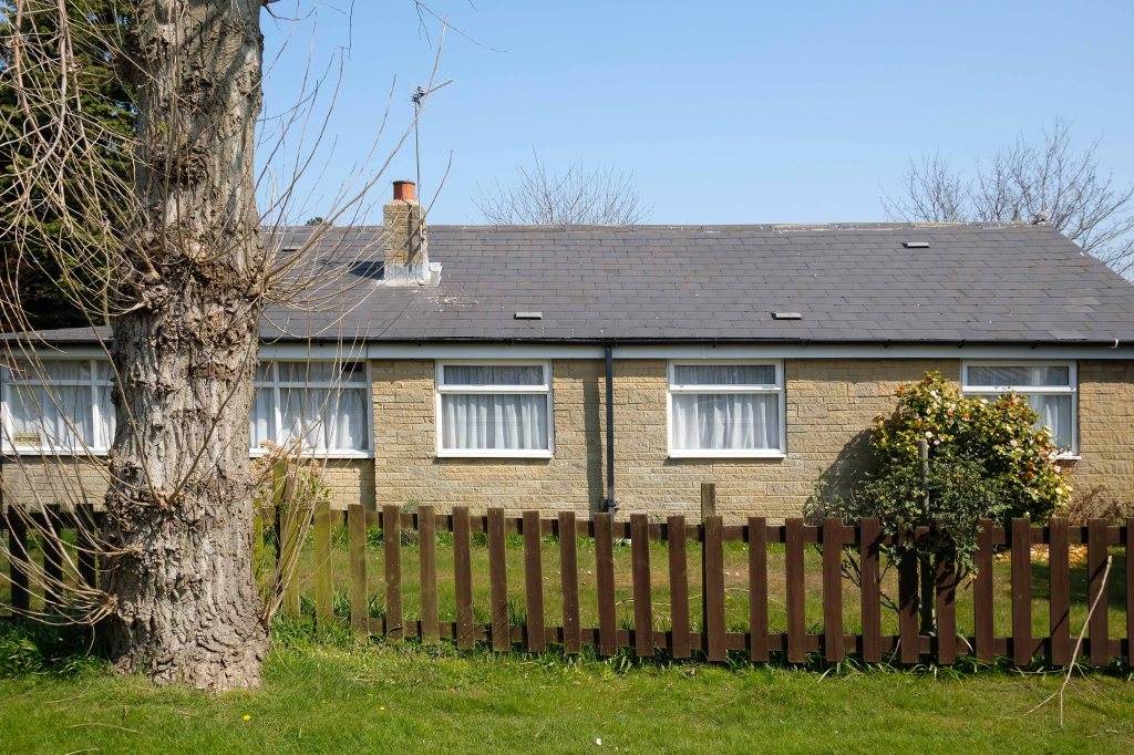
Coniston, Windemere and Rydal were among the first council homes to be built in Stafford, between 1951-52, under the direction of County Architect CM Coombes.
The flats were built as a result of The Housing – Financial and Miscellaneous Provisions Act 1946, which gave subsidies to local authorities to provide social housing. The expansion of the Borough Council’s civic duties included the employment of County Architects, in this case CM Coombes FRIBA, to whom these flats are attributed.
54 flats were built in total, to a distinctly Modernist design, and their appearance and setting are very well preserved.
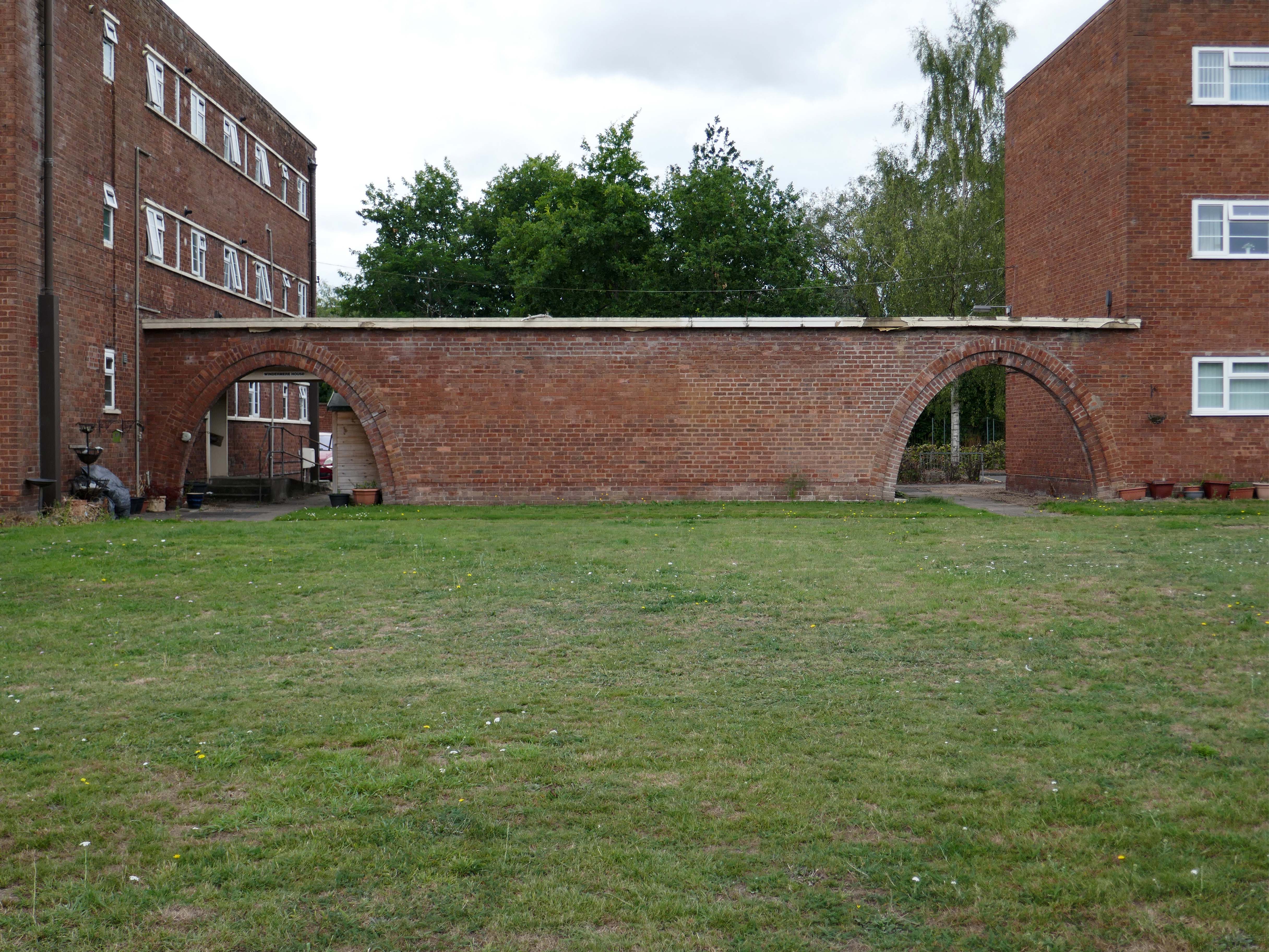
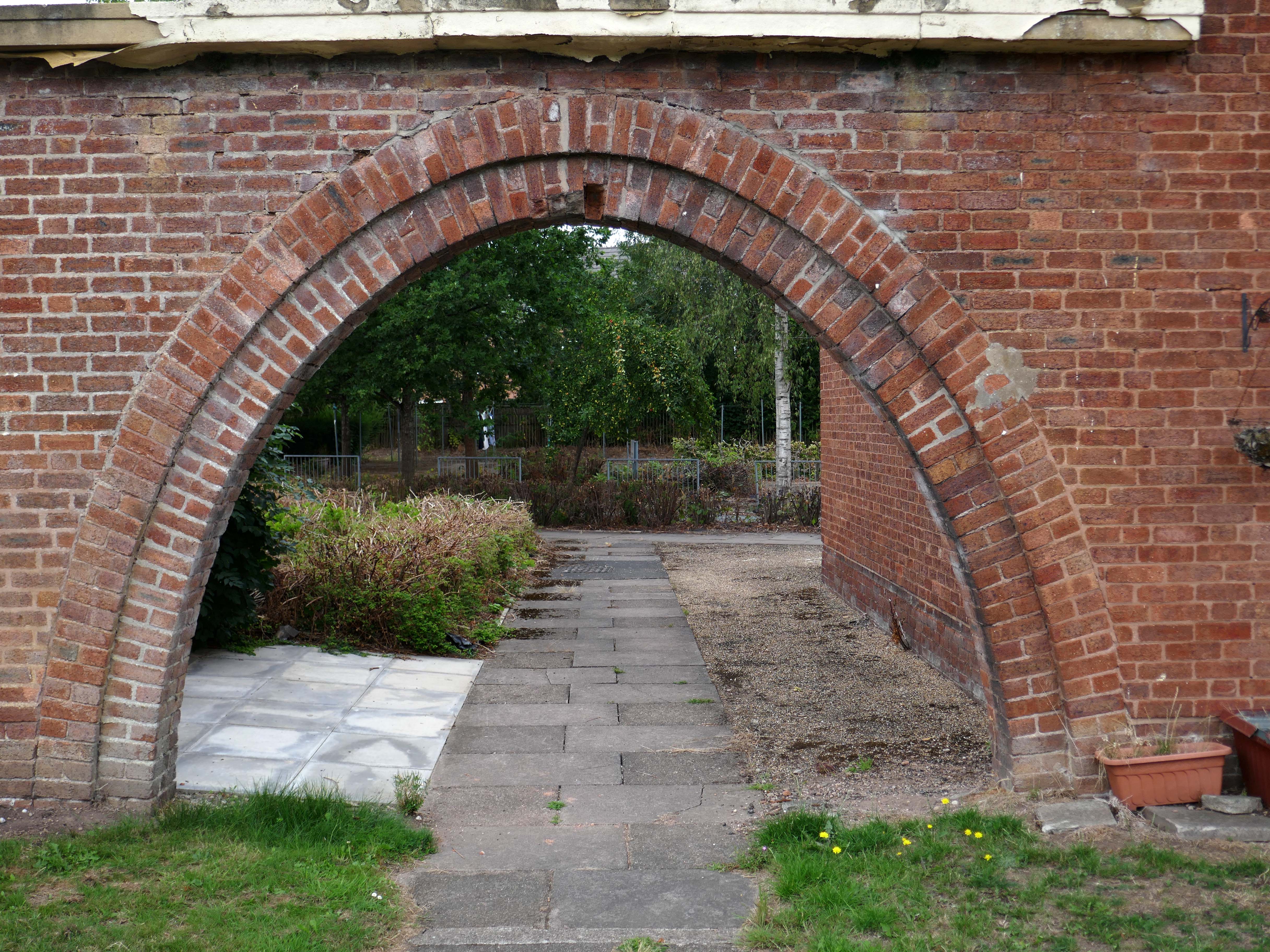
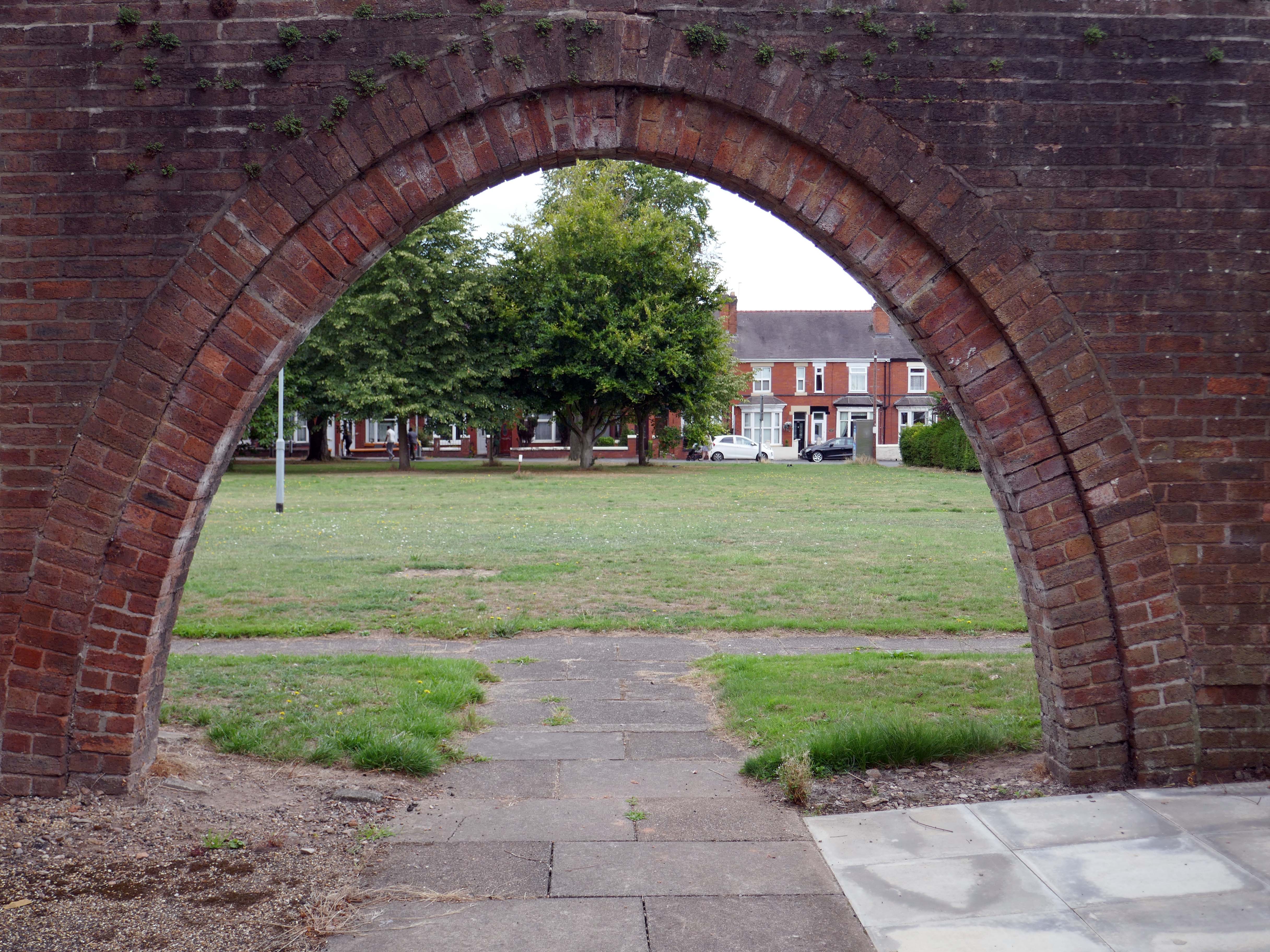
Whilst there are some common stylistic characteristics the Corporation Street Flats are of a more modest order. There are communal areas and a grassed apron, balconies and arched passages.
Over time the standard of maintenance seems to have declined, and the Crittall Windows have been replaced by white uPvc, where once there was a bowling green, this is now roughly mown and unused.
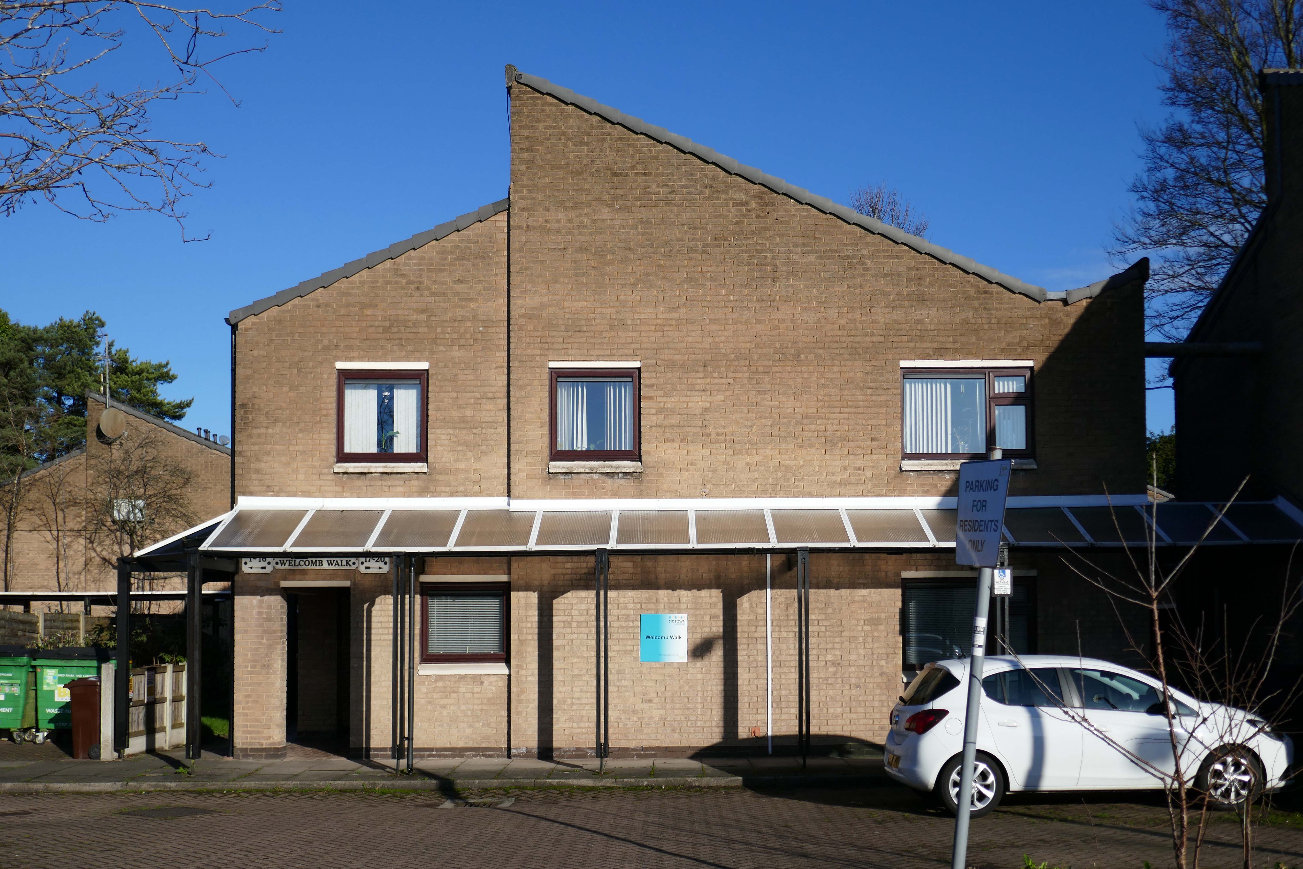
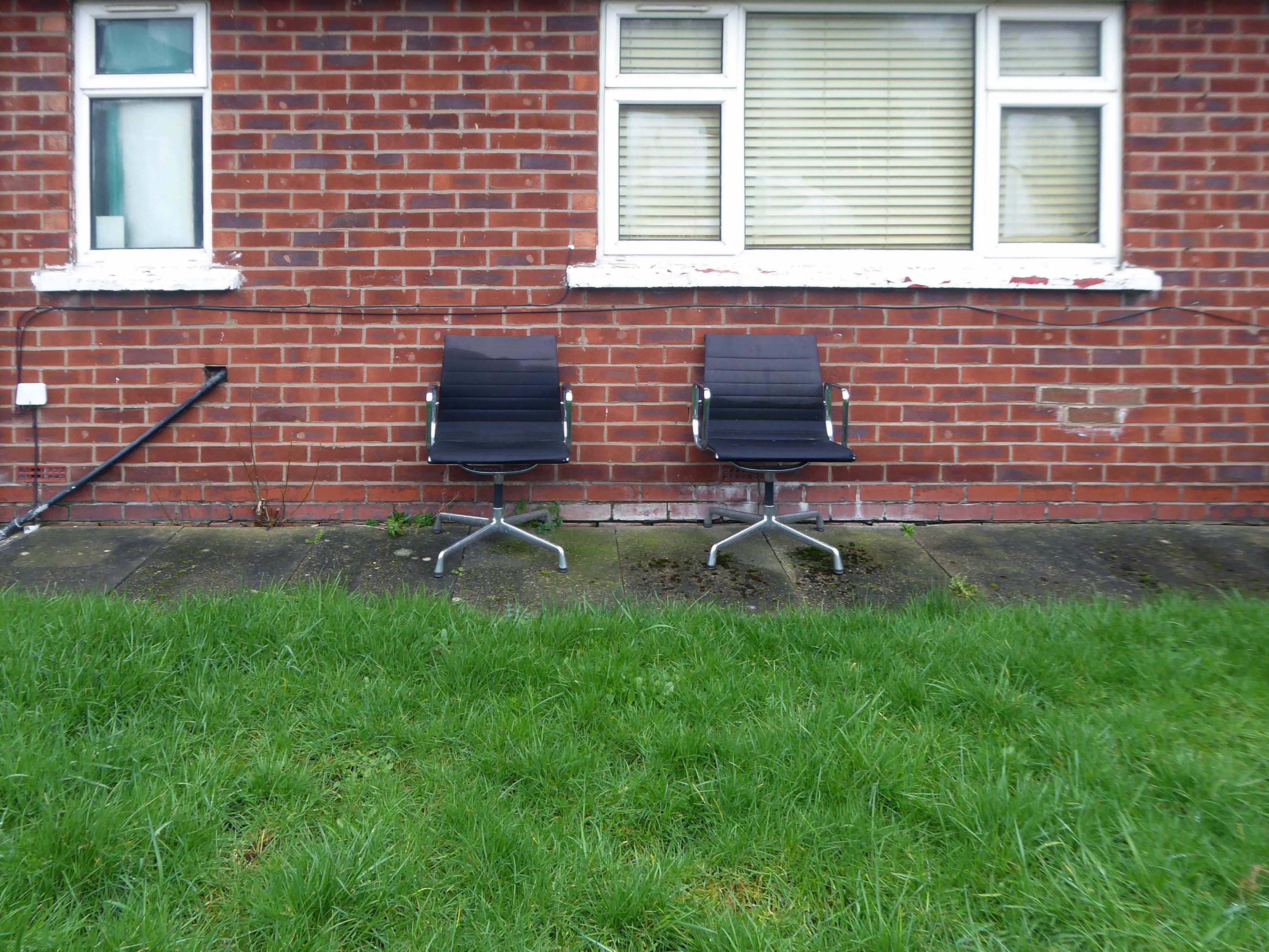
Whilst not seeking sheltered housing for my good self, I am always intrigued by small developments of interesting social housing, grouped around pedestrian walk ways and green space.
The residents with whom I chatted seems content with their homes and the management thereof.
I bade them adieu and went about my way, taking these few snaps.
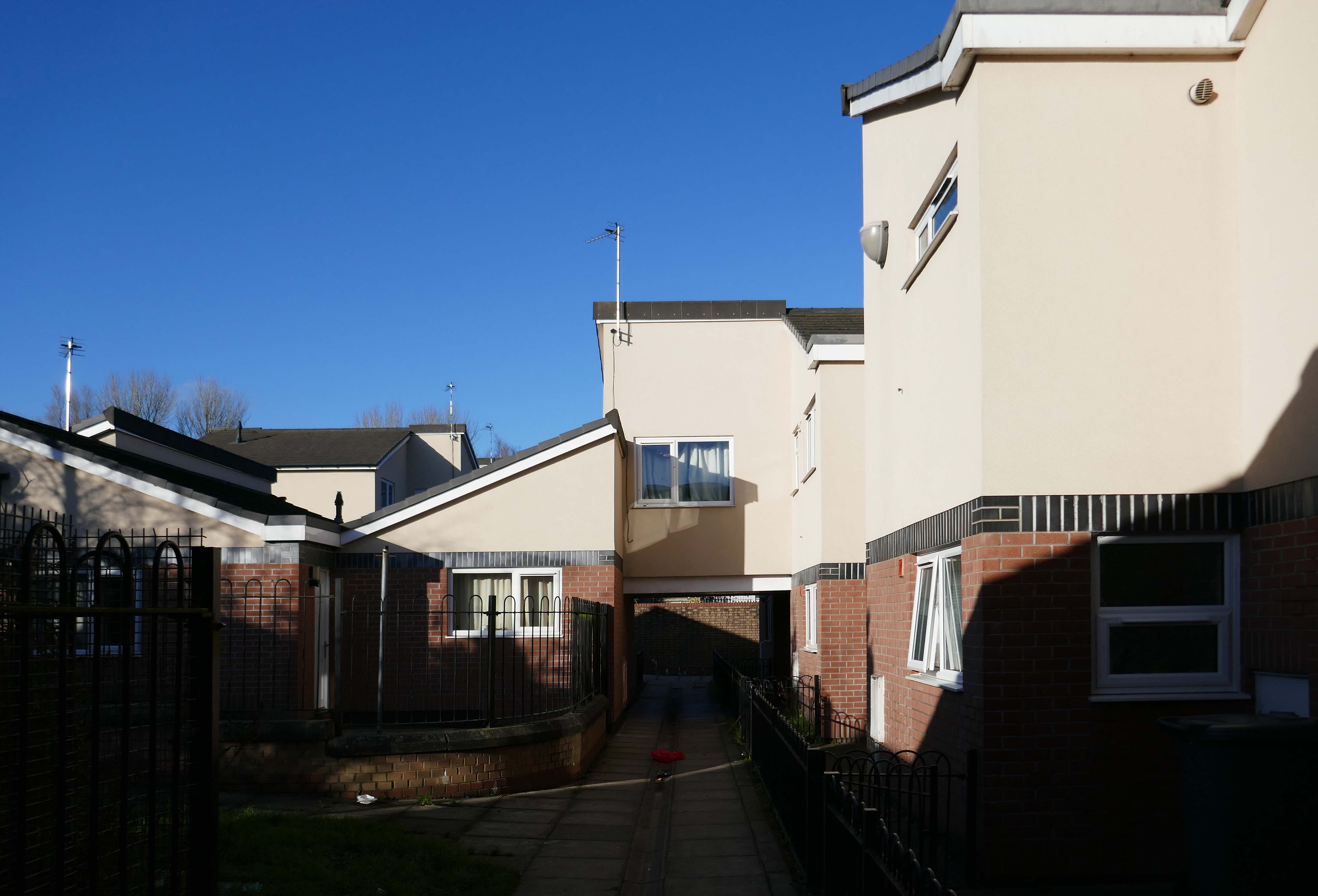
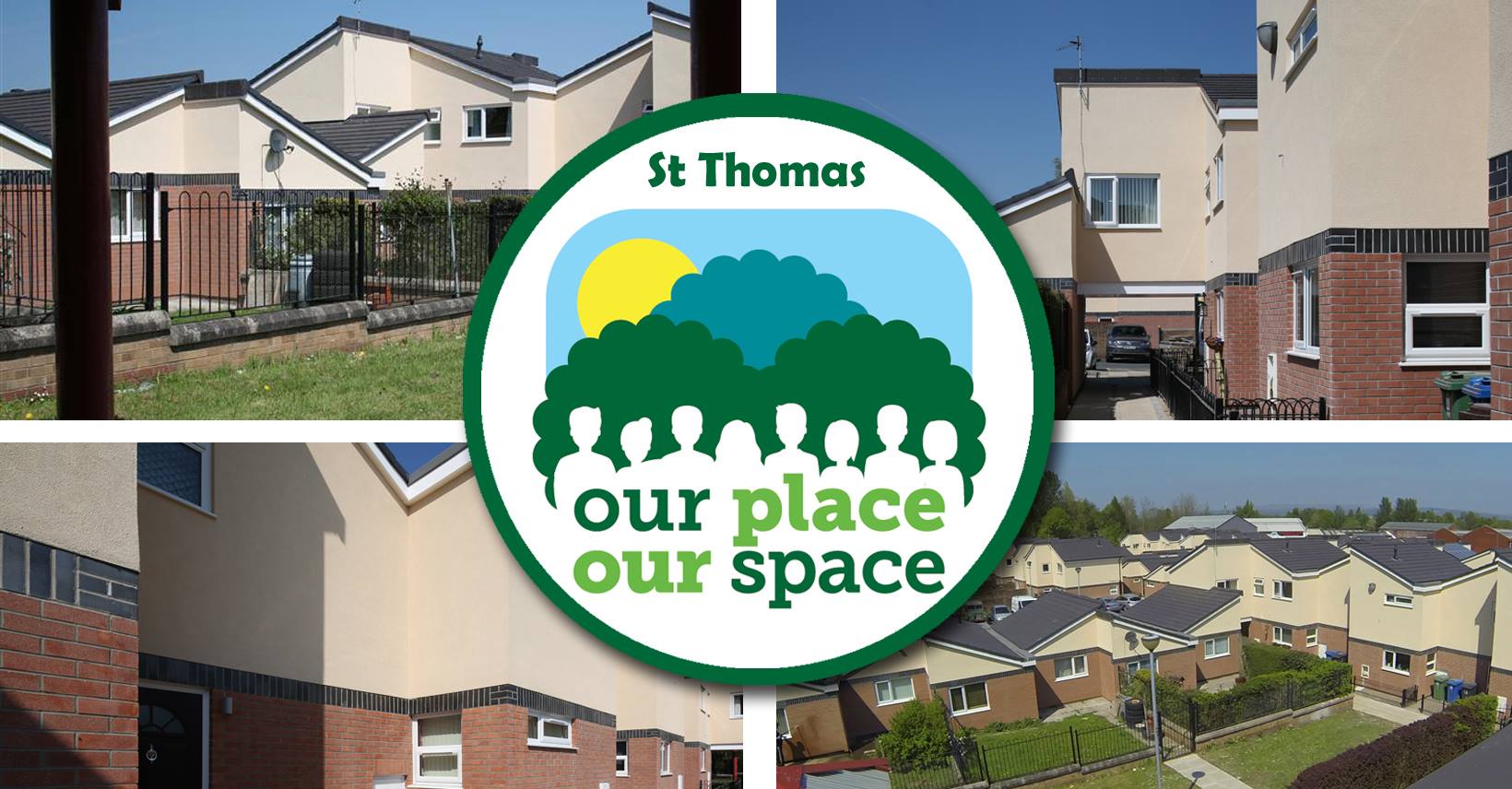
The masterplan states that Radcliffe has many unattractive buildings and few architectural assets. But this could work to its advantage as a lack of protected or noteworthy buildings makes it easier to replace them with contemporary structures.
This could include demolishing the “unwelcoming” St Thomas Estate and replacing it with a mix of private and social housing on the old street layout. Existing tenants would be rehoused in the new houses so that the community would not be broken up.
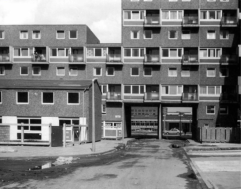
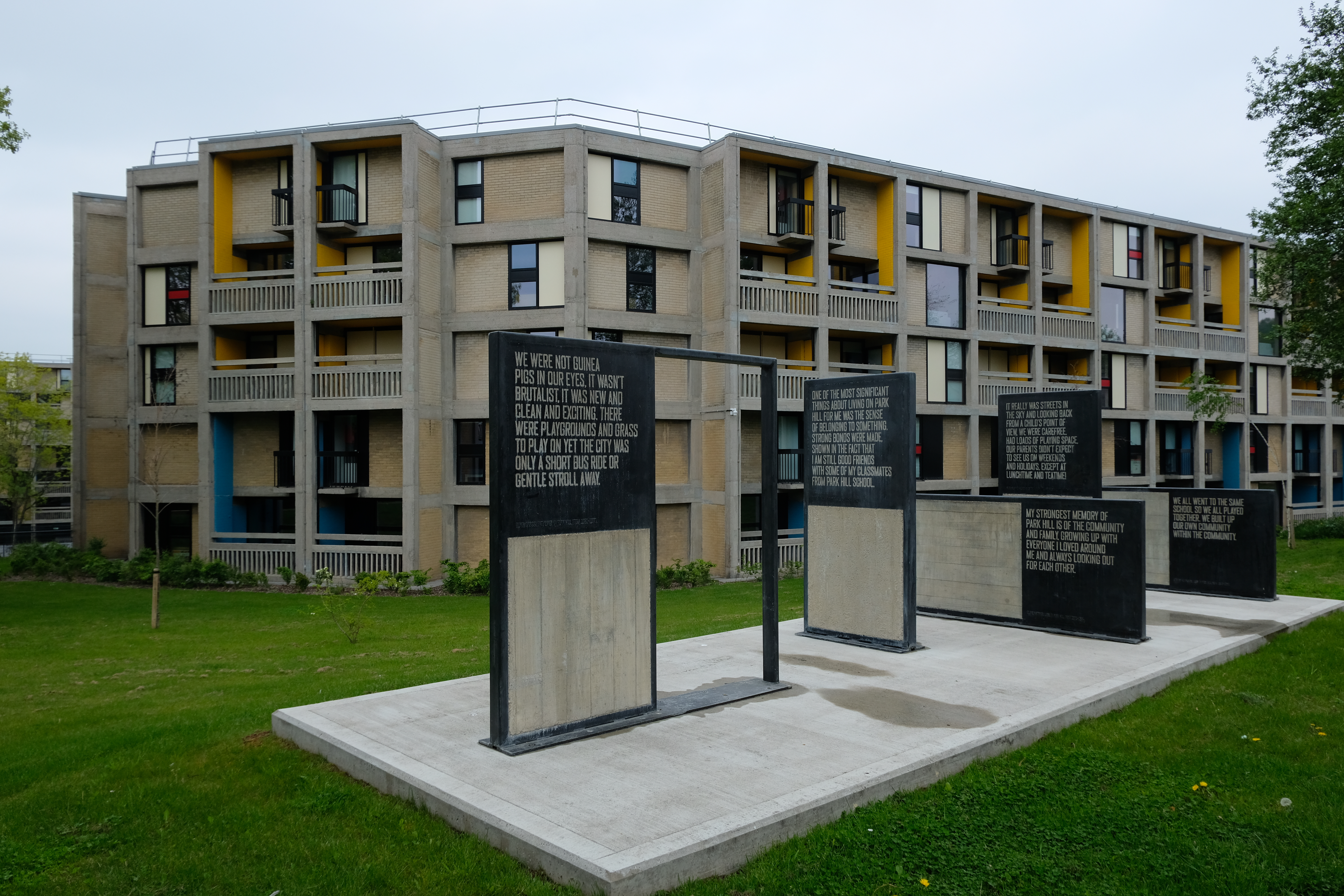
During his term, Sheffield’s housing grew upwards with multi-storey flats constructed at Low Edges, Park Hill, Hyde Park, Netherthorpe and Woodside. It was Womersley’s response to 13,000 families on the council’s waiting list and 10,000 condemned properties waiting to be demolished.
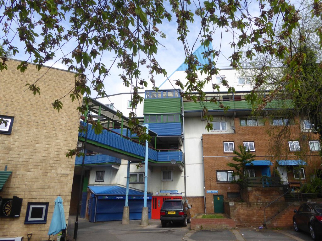
In the space of a decade they shaped Manchester’s urban fabric, leaving a questionable legacy. The technical quality of their buildings was undoubtedly poor, but their qualities – bold forms, monolithic materiality and streets-in-the-sky – were of the moment, and captured a particular brand of urban renewal, imported from North America and inflected through British post-war planning.
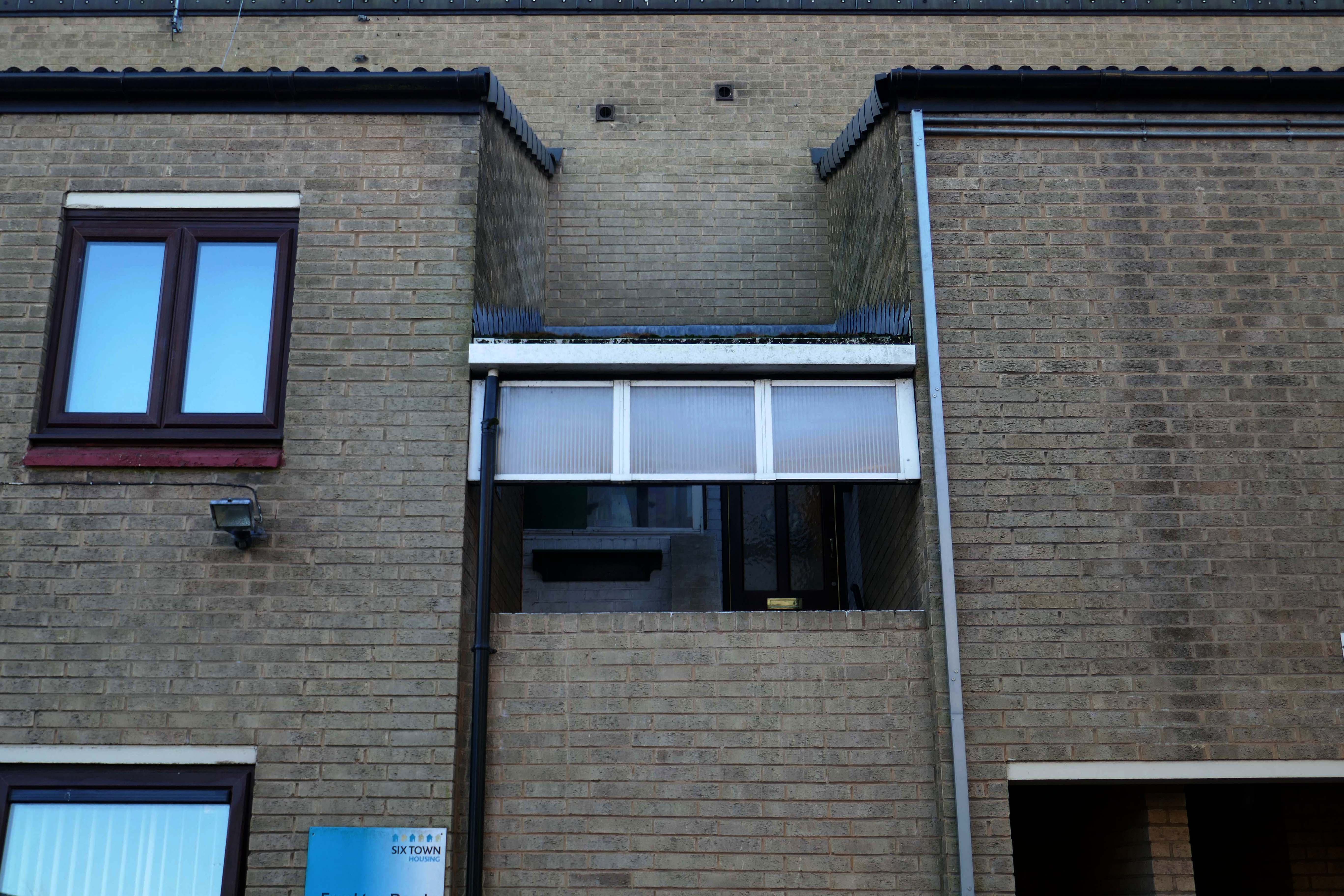
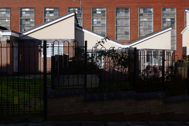
Social housing has been, and continues to be, a contentious arena. This seemingly well-constructed estate was once deemed unfit for habitation by its residents.
Tenants of the St Thomas’ Estate in the town centre allege they have been forgotten by Six Town Housing, which manages the properties.
Magda Csatlos, former chairman of the now disbanded Tenants and Residents Association said rotten bricks with visible gaps between them, badly-designed leaking roofs and damp and mouldy conditions plague many of the 90 homes.
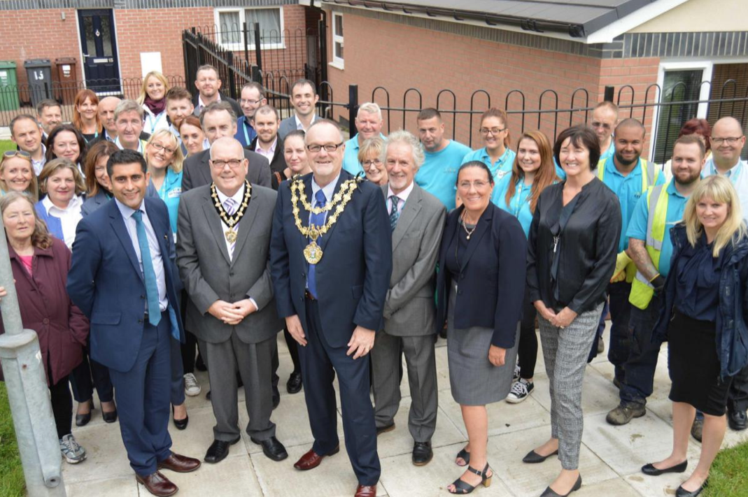
Happily the Local Authority are able to remedy the problem.
After some residents on the estate, who were visited by Bury South MP Ivan Lewis, called for the properties to be “condemned”, the Council agreed to invest £2 million to bring the homes up to standard.
A total of 90 social housing properties on St Thomas Estate have been provided with new external rendering, roofing, windows, doors, insulation and brick cladding.
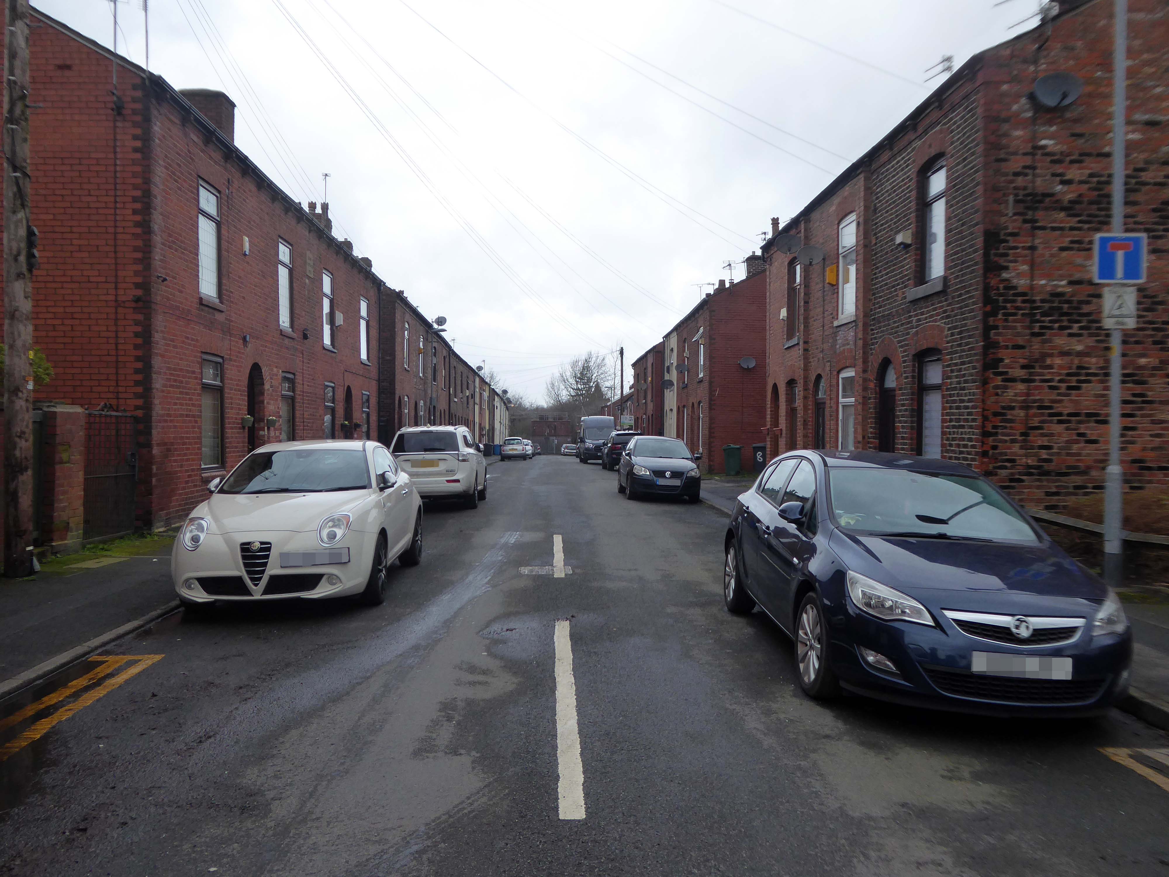
On a February morning the streets were well behaved and consisted of a typical mix of nineteenth century terraces and postwar semis, the residents chatty and welcoming, whilst they went about their business.
There are different causes that can make a street name controversial:
A person, organisation or event who or which was once honoured with a street name is subsequently thought to not or no longer deserve one, for example because that person later turned out to be a criminal.
A group of street names – for example in a residential area, is deemed to be unrepresentative for the population of that place, region or country because some demographics are overrepresented and others underrepresented, for example, because a disproportionate number of streets are named after men, and few after women.
Research has found that if you live on Pear Tree Lane your property is more likely to attract potential buyers and a higher price, than those living in a similar property on Crotch Lane.
What are the guidelines for street naming?
The exclusion or inclusion of certain numbers for cultural or religious reasons
The use of building names without numbers
New building or street names should not begin with The
The use of street names which include numbers that can confuse, for example – 20 Seven Foot Lane sounds the same as 27 Foot Lane
The use of the names of deceased people in the adoption of any street names. The reason for choosing a person’s name should be established in the council’s policy
The use of the name of a living person – it’s not recommended
The adoption of historic connotations by developers – guidance on this should be provided by the council to all developers through close liaison with local historic societies.
The use of national or local historic figures or events
The use of a name with Royal connotations – the Lord Chamberlain’s office must be contacted if a name has any reference to the Royal family or if the word ‘Royal’ is suggested.
The use of names and their combination with numbers that could be considered rude, obscene, and racist or contravene any aspect of the council’s equal opportunities policies
The use of names and their combination with numbers that could be easily vandalised or changed into any of the above, for example – Canal Turn
The use of names that can cause spelling or pronunciation problems
The use of names that can be construed to be used for advertising or commercial gain
The use of names would lead to variations in the use of punctuation as these can confuse or result in early demands for a change of address from occupiers.
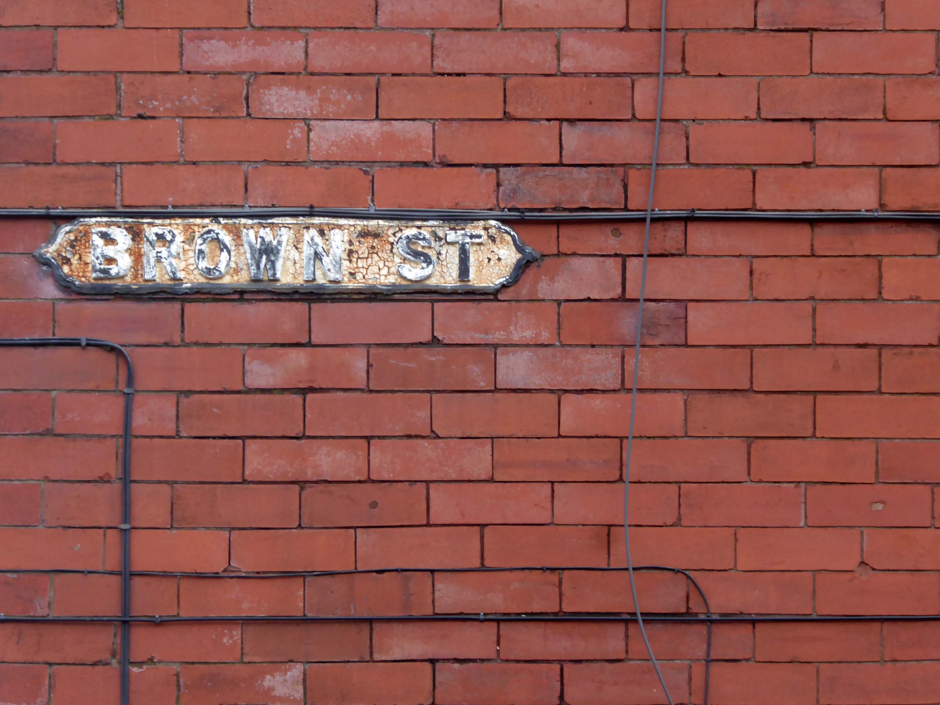
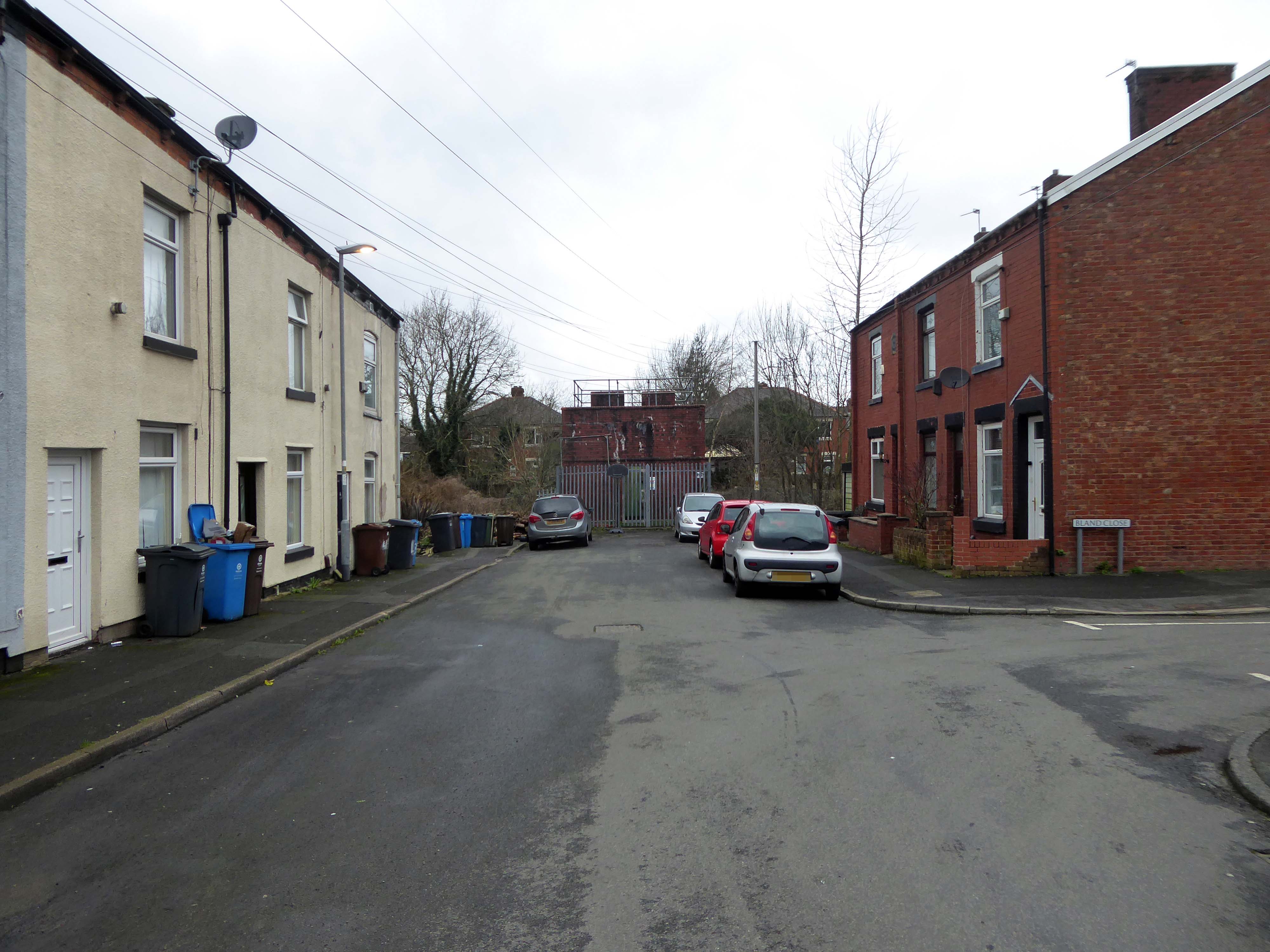
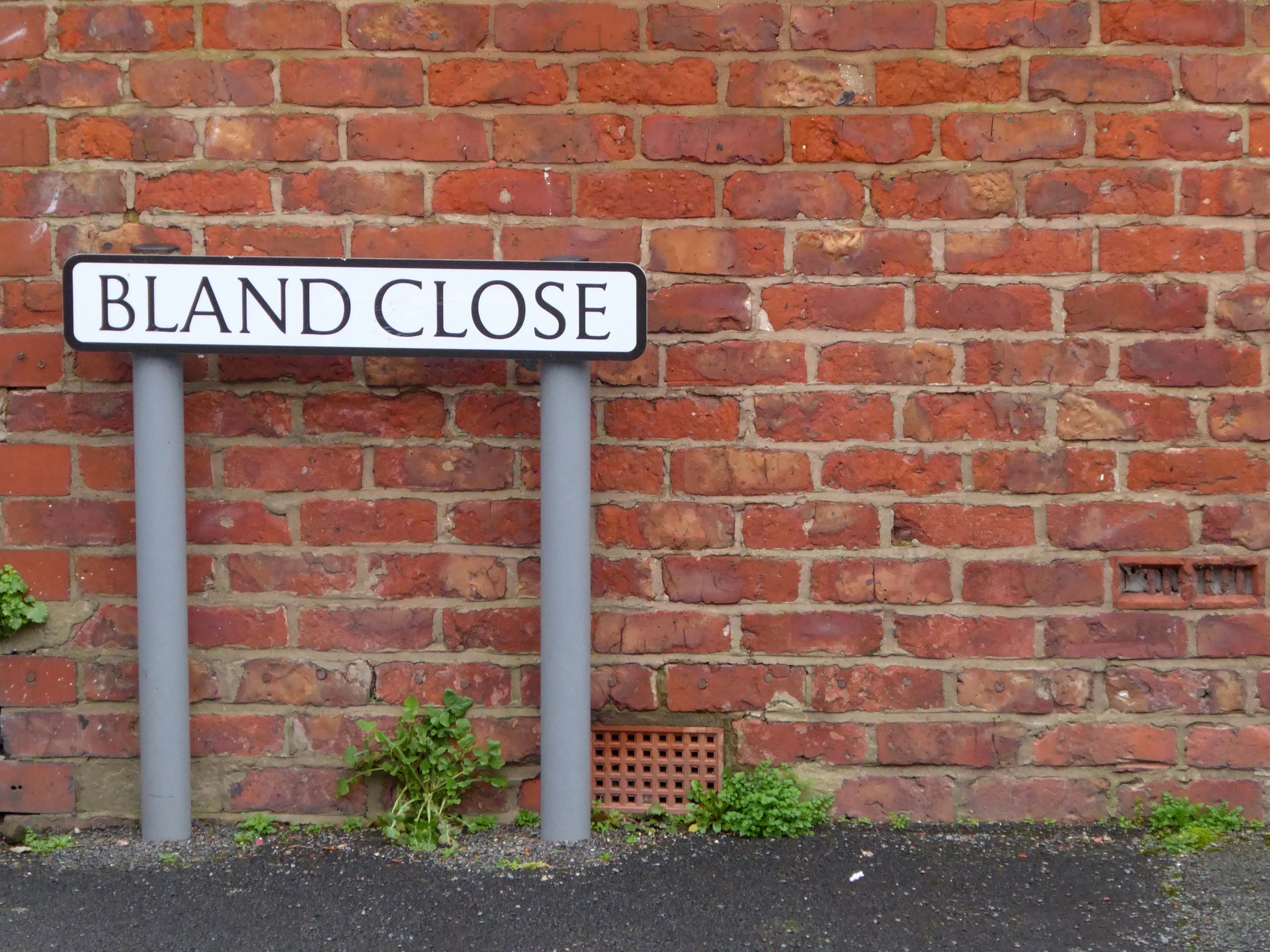
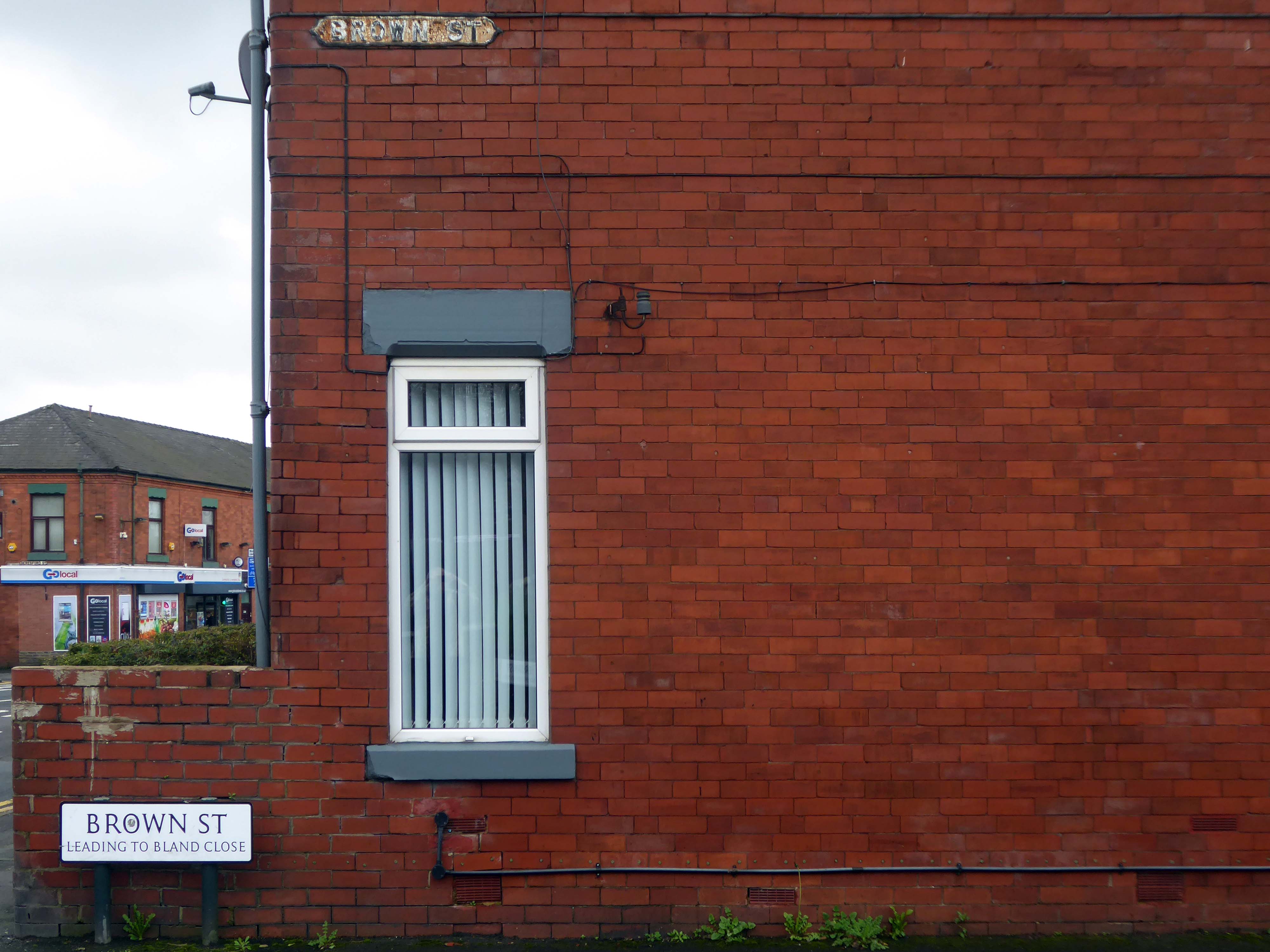
So in summary the name Bland does not in my opinion represent the close’s appearance and may in fact detract from the value of the property and possibly the perception of the area.
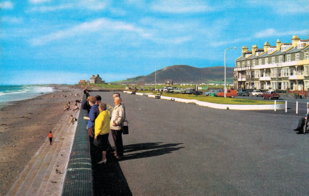
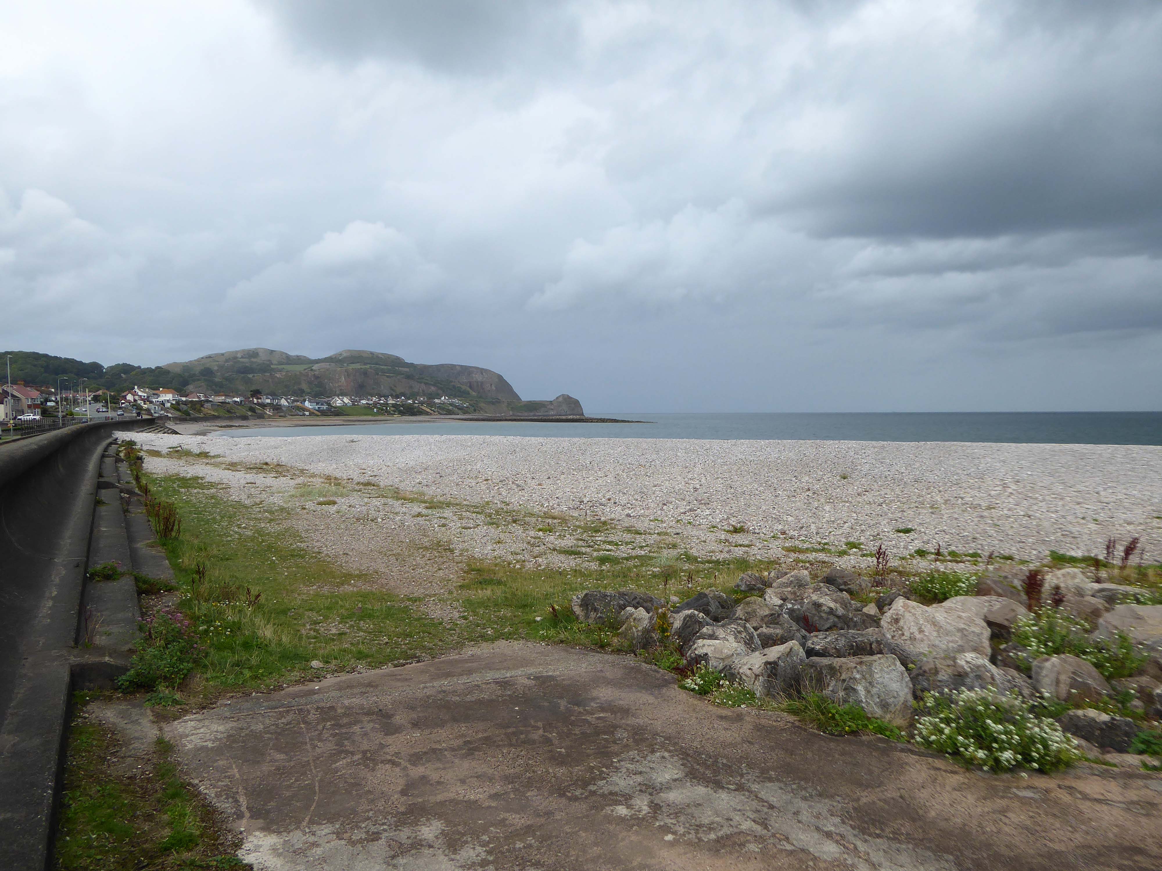
I have to admit that I’m fascinated by the manicured homes of this long sweep of road reaching from the base of the Little Orme.
It was fascination, I know And it might have ended right then, at the start Just a passing glance, just a brief romance And I might have gone on my way, empty hearted
There is evidence that the current town location has been occupied since prehistoric times. Prehistoric tools found in the caves of Graig Fawr, in the nearby village of Meliden, have revealed the existence of early human habitation in the area.
“Sunny Prestatyn” became famous for its beach, clean seas and promenade entertainers, and visiting for a bathe was considered very healthy by city-dwelling Victorians.
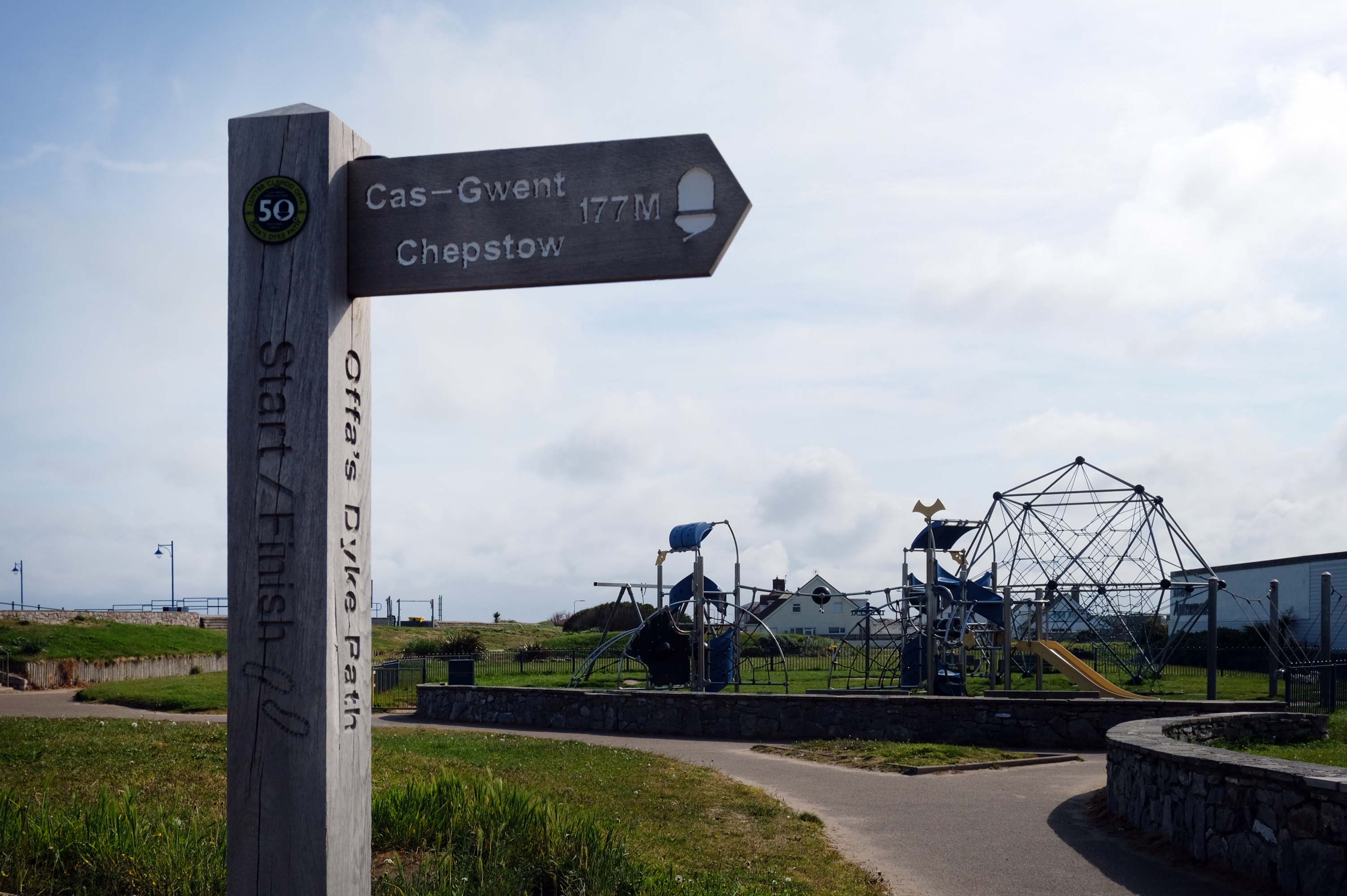
The town is at the northern end of the Offa’s Dyke Path, although not on Offa’s Dyke itself.
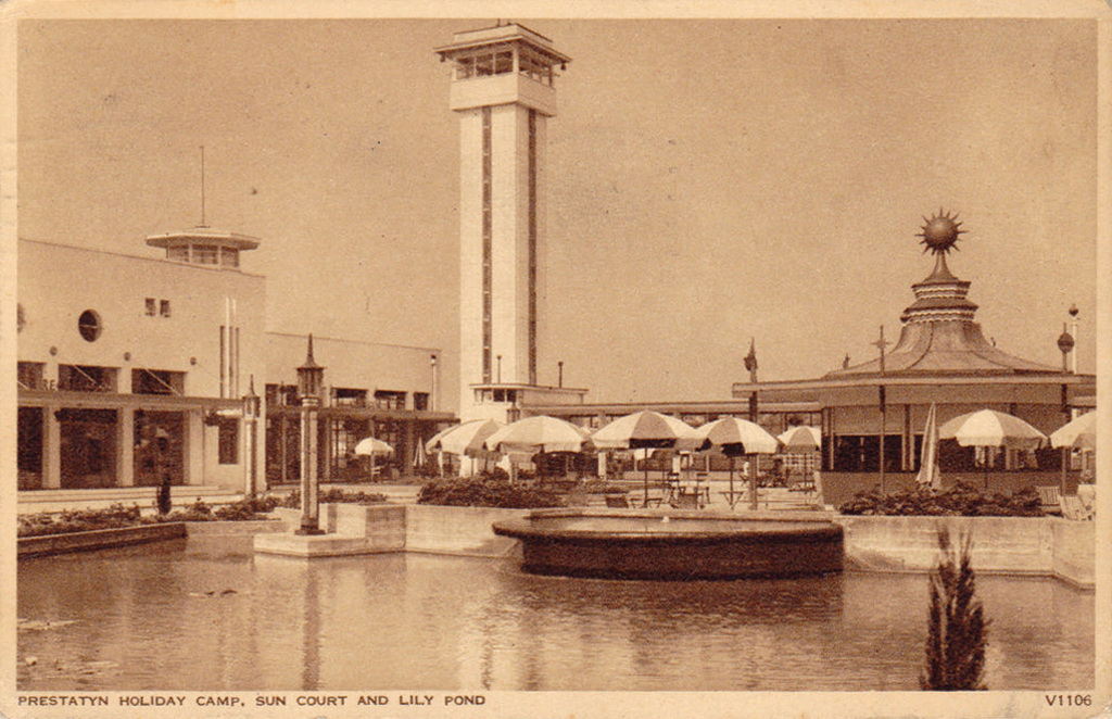
The holiday camp in Prestatyn was built by the London Midland and Scottish Railway Co. in 1939. The main buildings were in classic 1930s style, featuring rounded building ends, steel framed windows and porthole windows. Chalets showed an early form of sectionalised building method.
Requisitioned as a military camp until after the Second World War, it reopened as a holiday camp in the early 1950s. The site was demolished and cleared between February and March 2001.
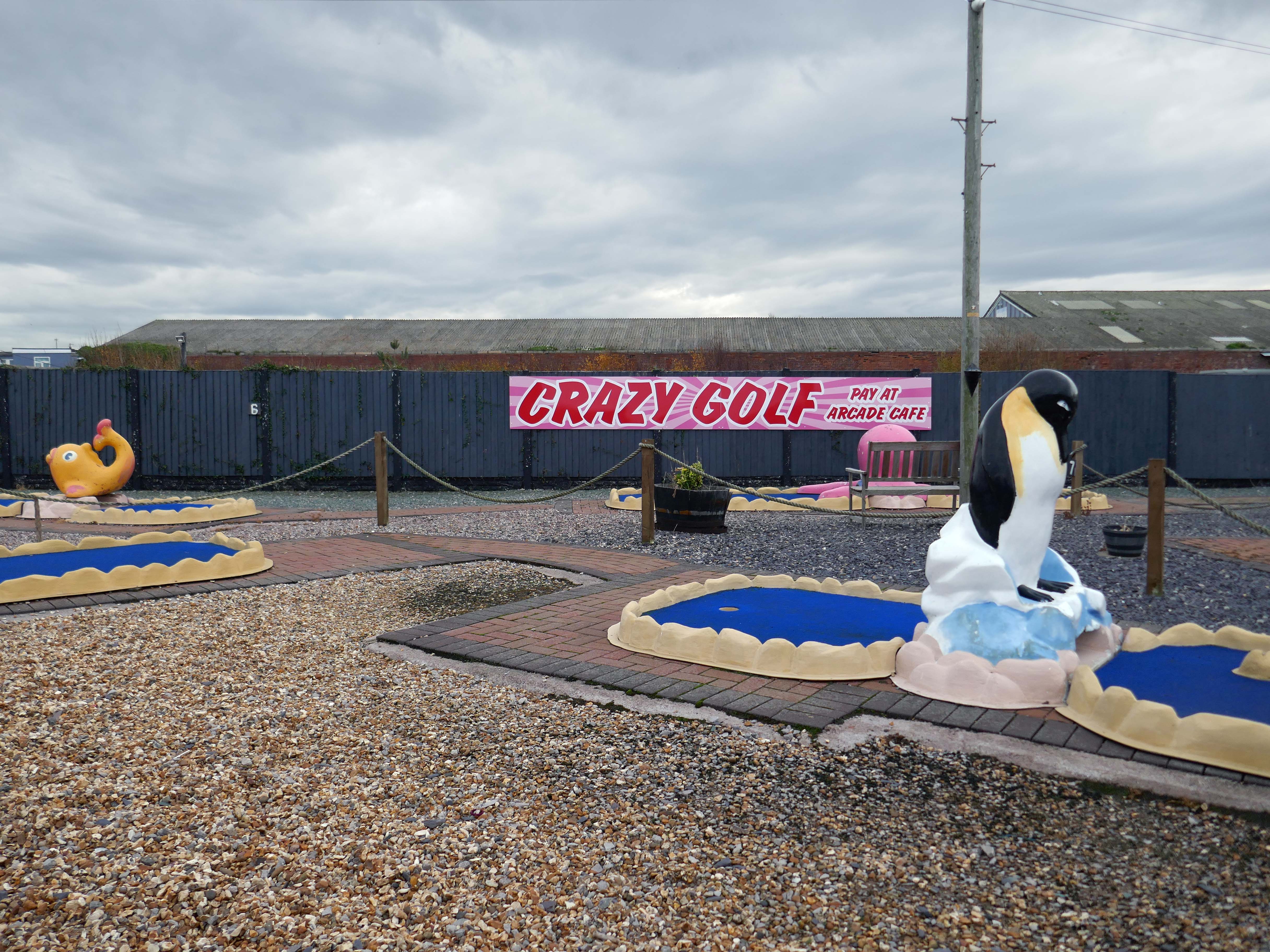
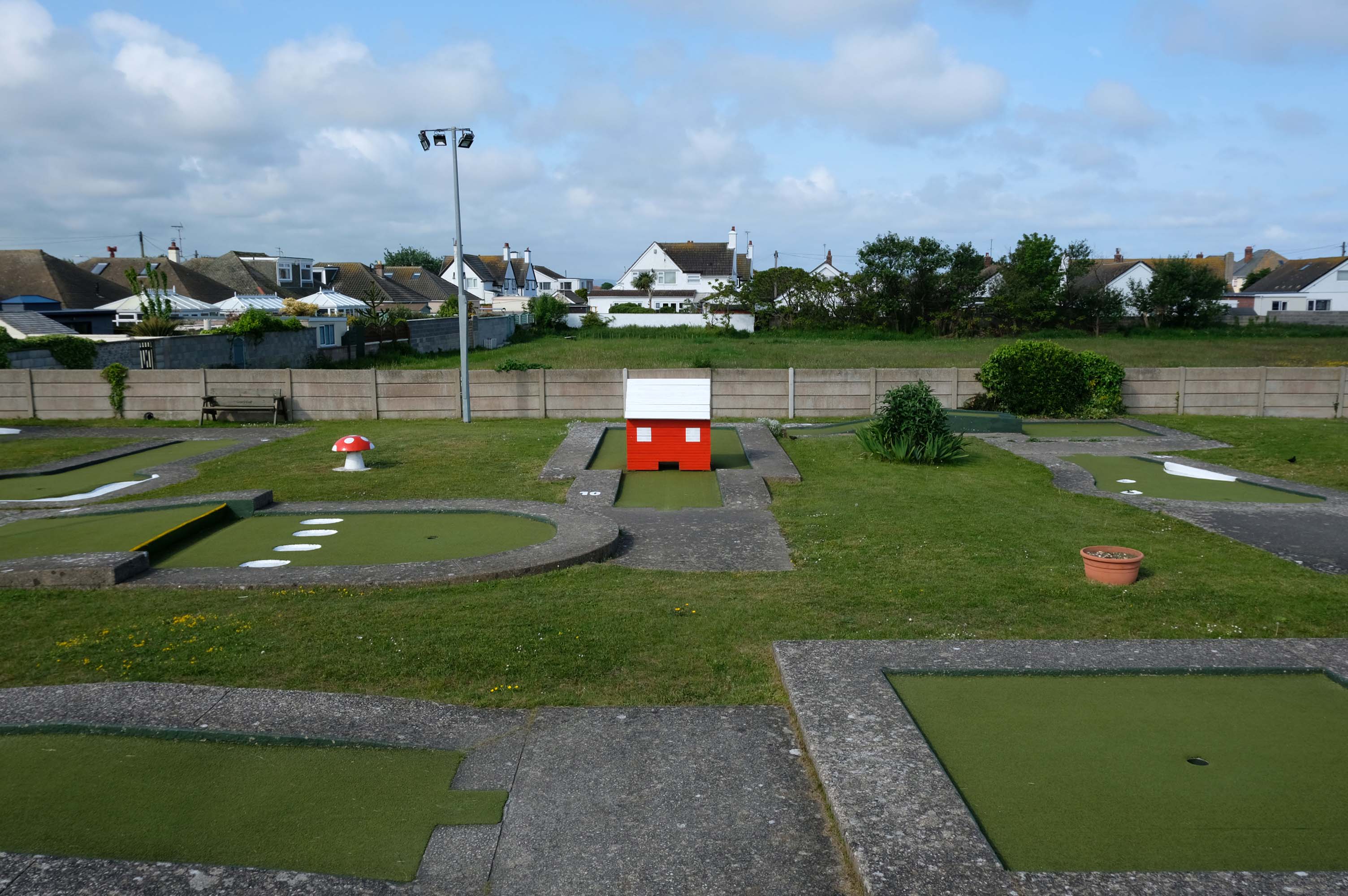
Prestatyn offers the opportunity to engage in an impromptu game of Crazy Golf – though the facility was closed on the morning of my visit.
The crazy golf was fantastic the kids didn’t want to leave plus the lady was so helpful plus the price were very reasonable – would highly recommended.
The promenade is dominated by a tight knit group of modern leisure facilities.
An expansive car park fronts directly onto the seafront.
There have been serious reinforcements made to the seawalls – ensuring that the passing cyclist will not be washed away, by the crashing waves of the incoming tide.
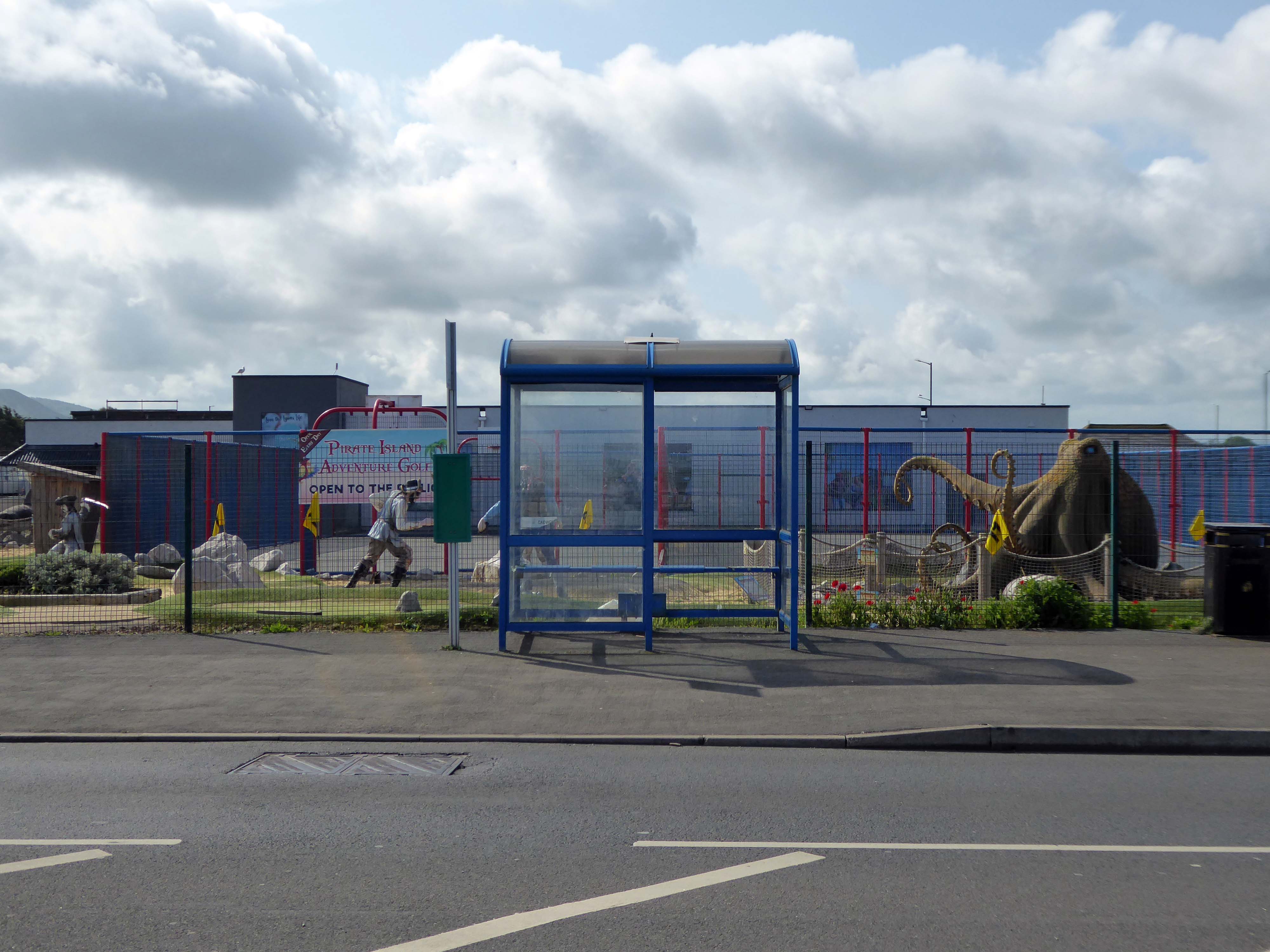
The reinforcement work demands that we temporarily detour onto the Rhyl Coast Road, where we encounter Pirate Island Adventure Golf.
Uncover hidden treasure on the North Welsh Coast at Pirate Island Adventure Golf at Lyons Robin Hood Holiday Park.
Make friends with the great white shark, octopus, and the resident pirates who guard the Island.
This 18-hole course is a fun and crazy challenge for all the family, with stunning views of Rhyl seafront to boot. Plus, it’s located just a stone’s throw away from Sherwoods Sports Bar where refreshments are served.
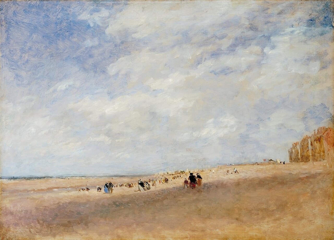
Rhyl
Rhyl Sands: David Cox 1854
The Welsh orthography has proved difficult for English writers to transliterate as Rhyl’s opening voiceless alveolar trill is uncommon in the English language.
I nipped into town for a tub from Sidoli’s – £1.83 well spent.
The promenade is home to a series of entertainments including the Rhyl Pavilion Theatre
The theatre, owned and operated by Denbighshire Council, has also been re-clad as part of the project, designed by architects Space & Place.
It forms part of a wider redevelopment of Rhyl’s seafront, which includes the demolition of the Sun Centre and the construction of a £15m water park.
There is a also a becalmed Post Modernist Piazza – named Rhyl Events Arena.
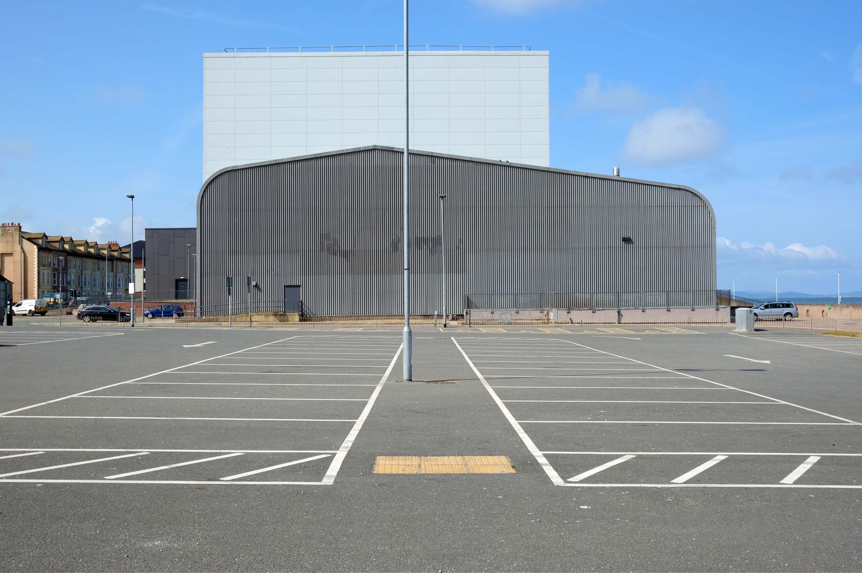
The playful nursery geometry of the SeaQuarium.
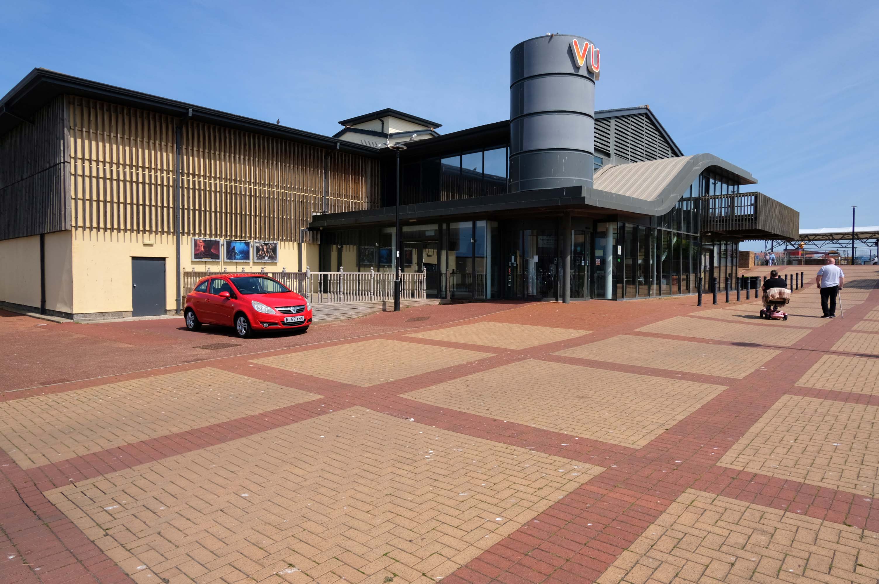
The functionalist Vue Cinema.
Tickets were £5.99 for a standard seat, the staff said not to bother upgrading as the premium seats were rubbish, sound was okay and picture quality was okay.
Food price was expensive so it maybe cheap to get in, but £16.99 for a large popcorn and drink ups the price, would go again if in the area.
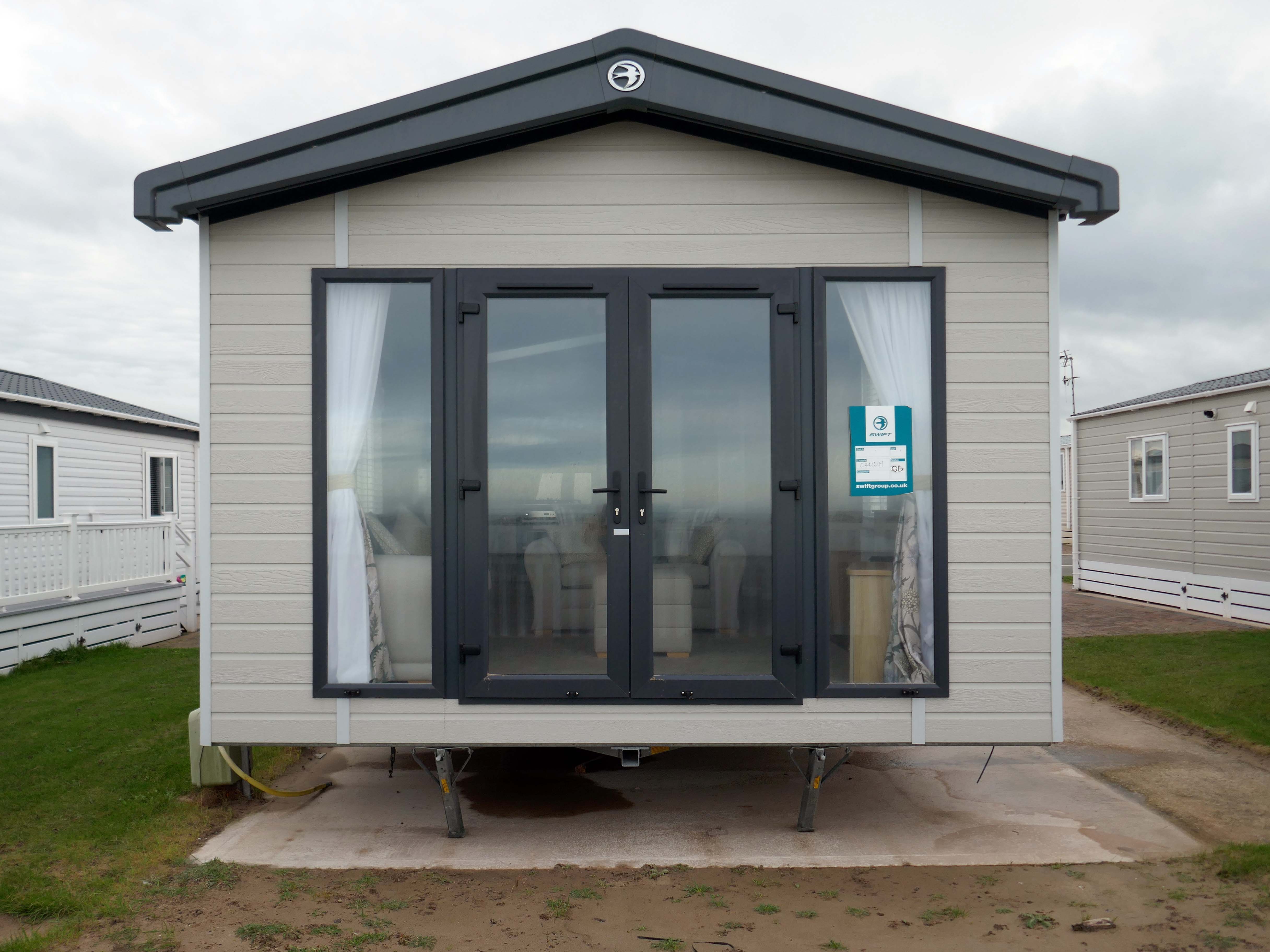
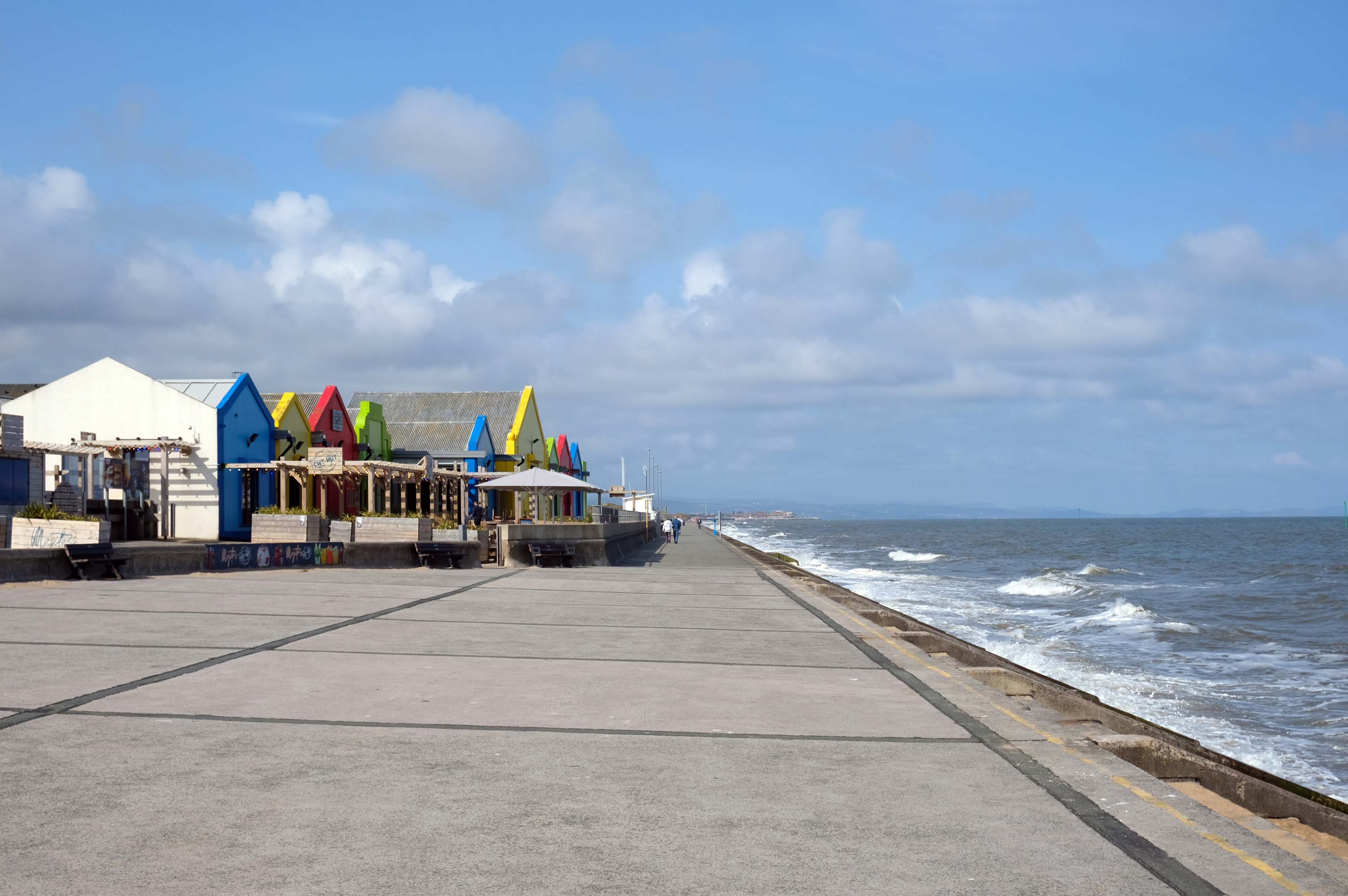
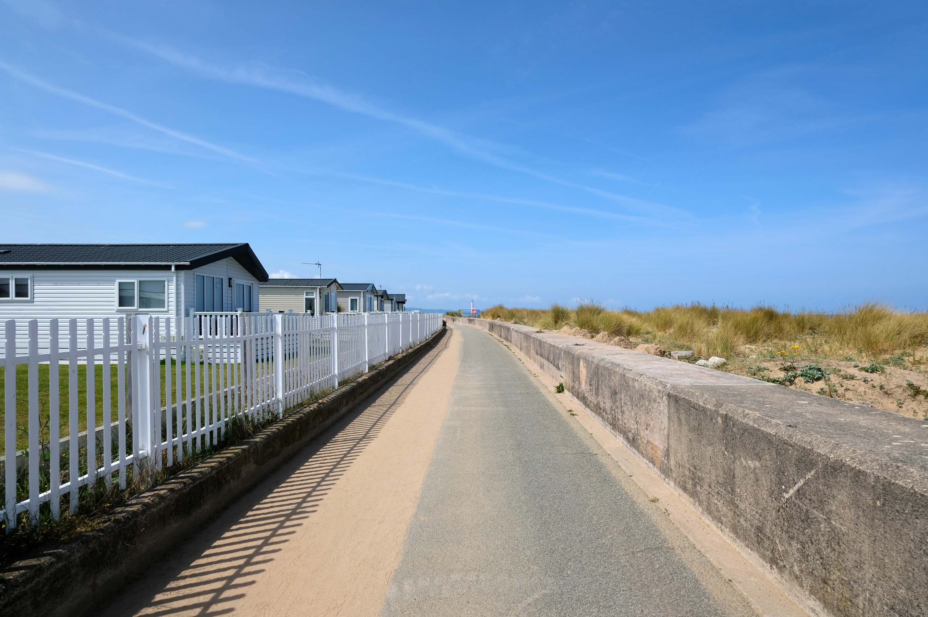
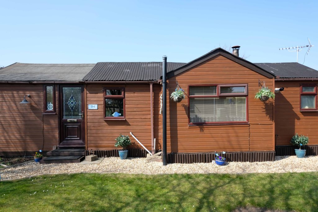
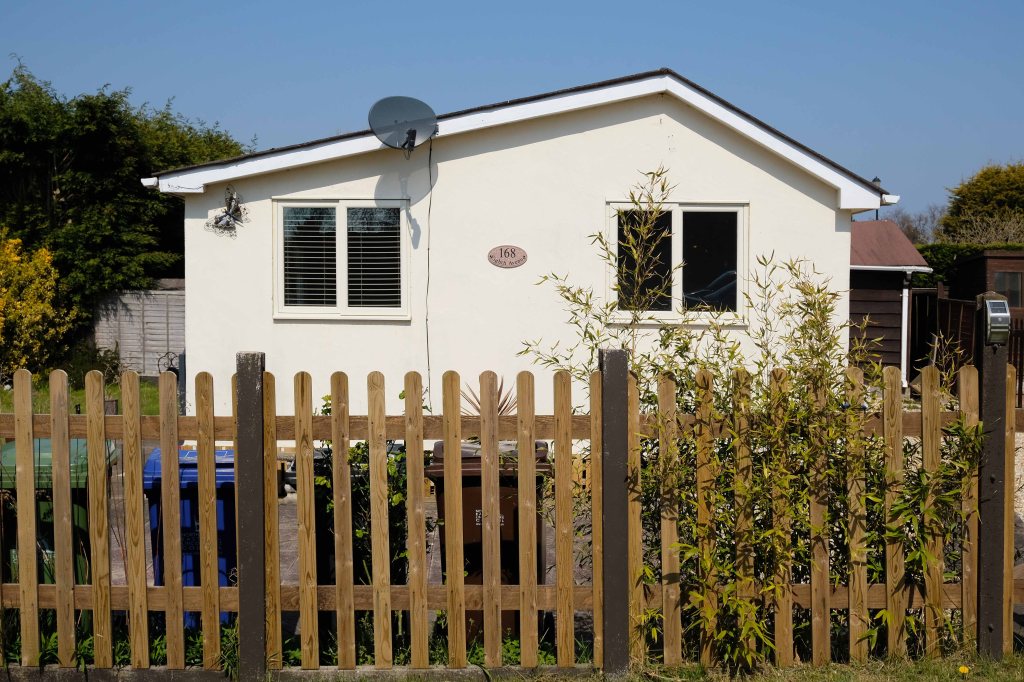
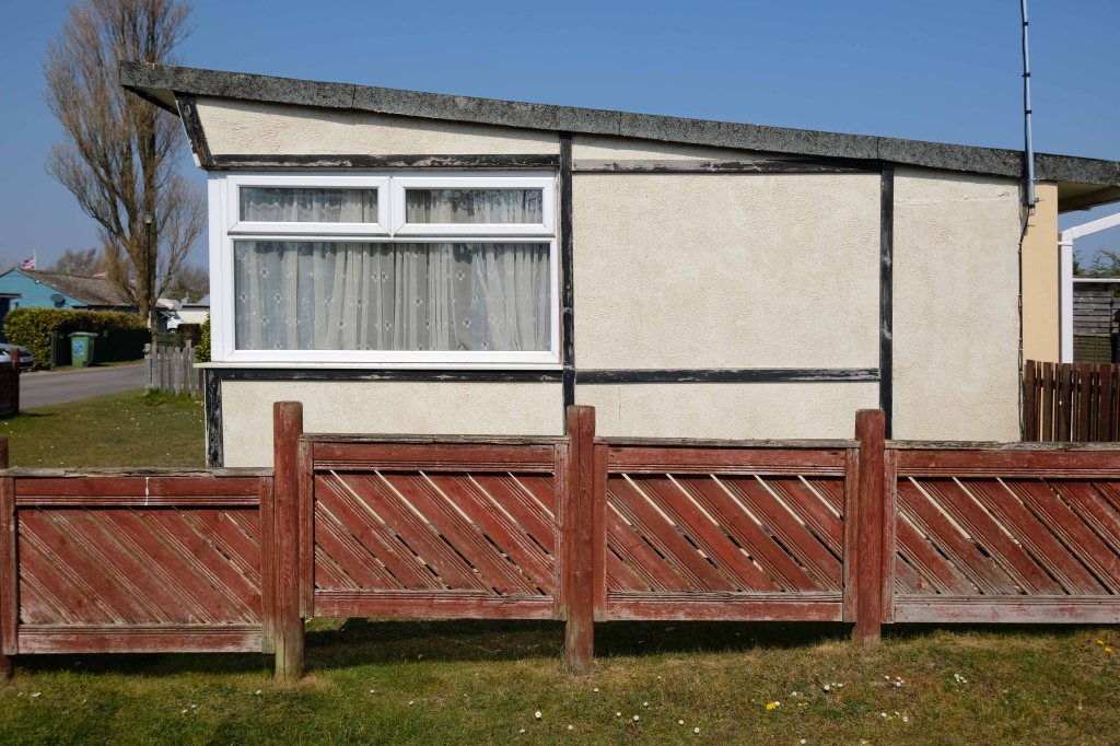
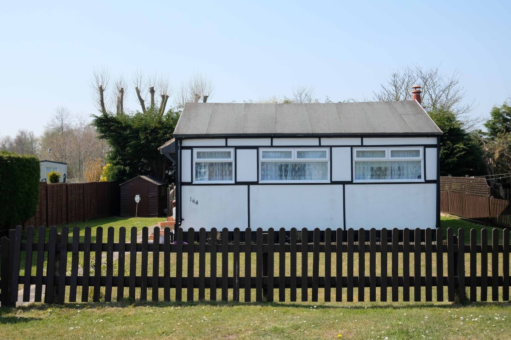
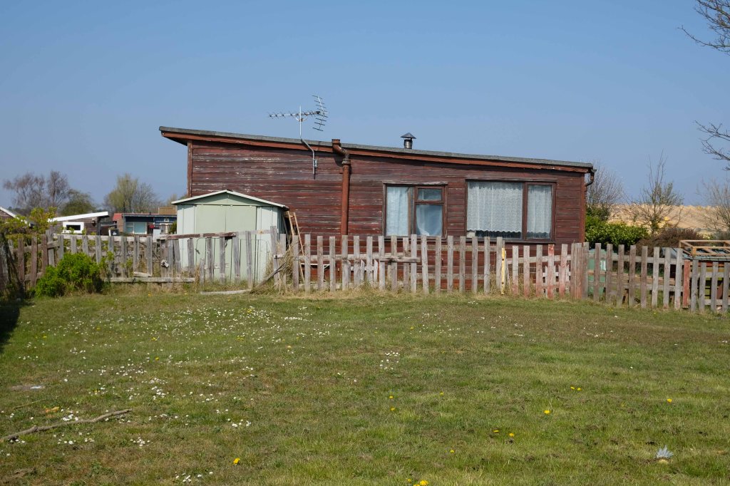
Much of the coast is fringed with chalets and static caravans.
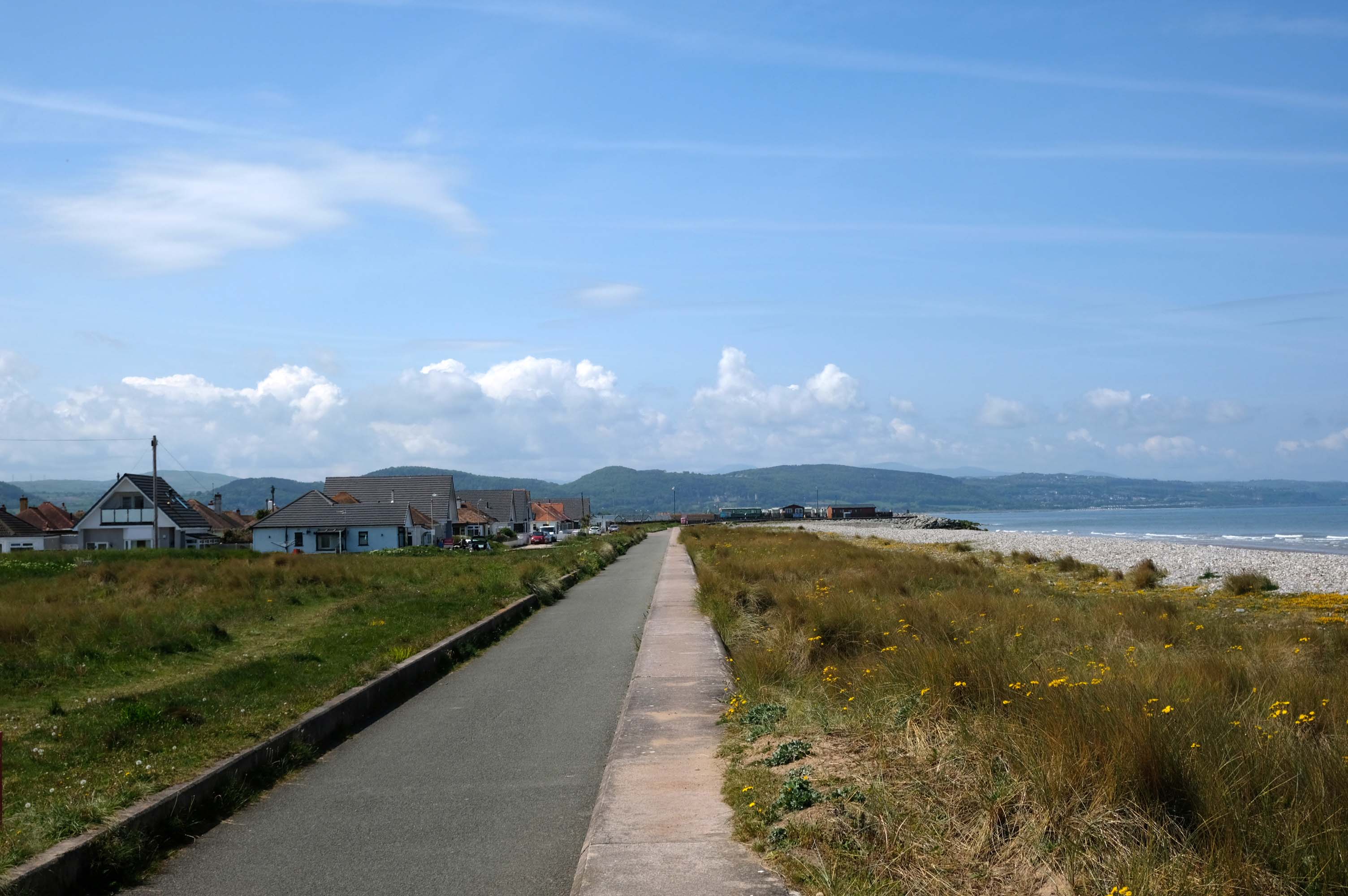
Kinmel Bay
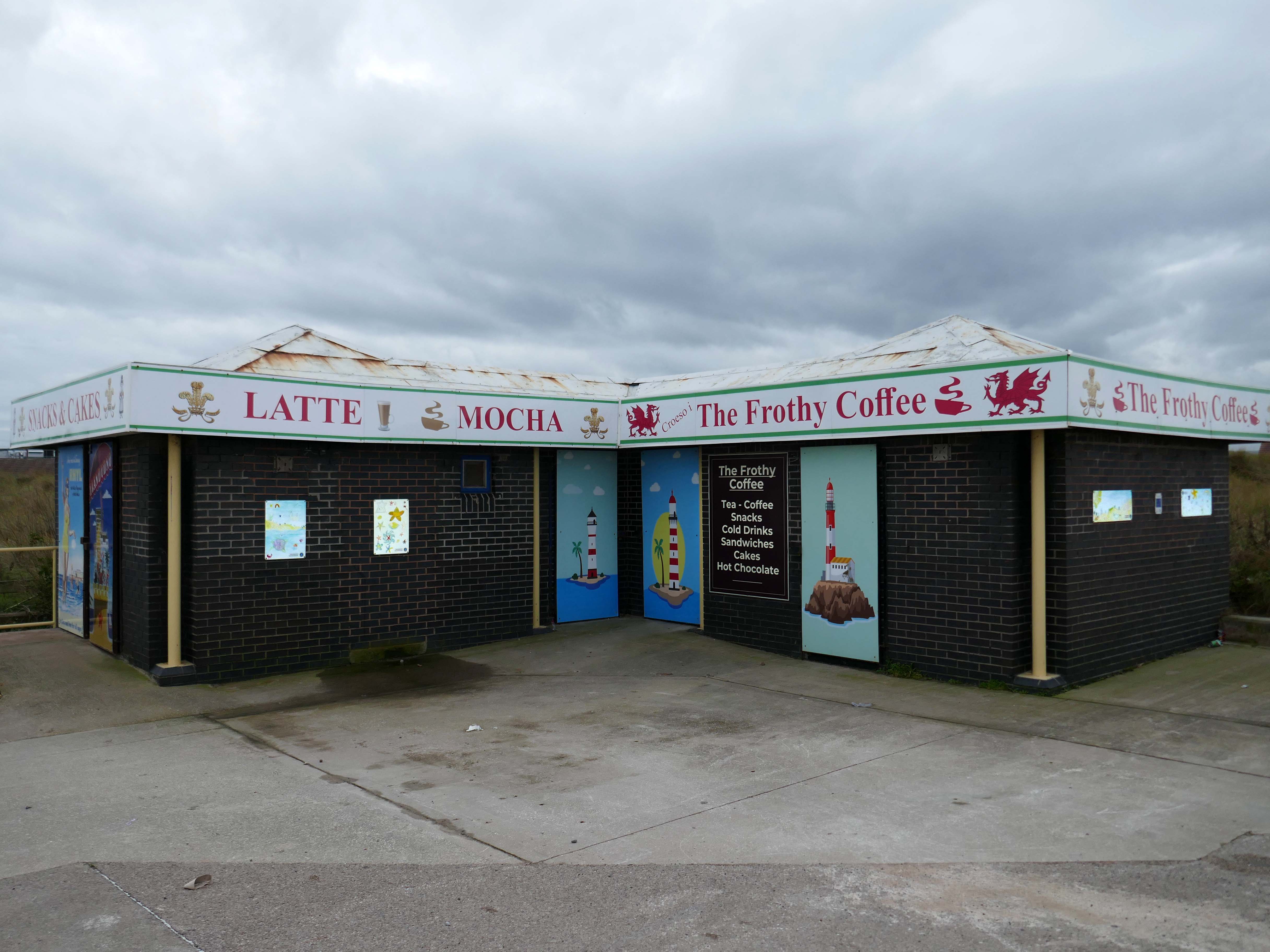
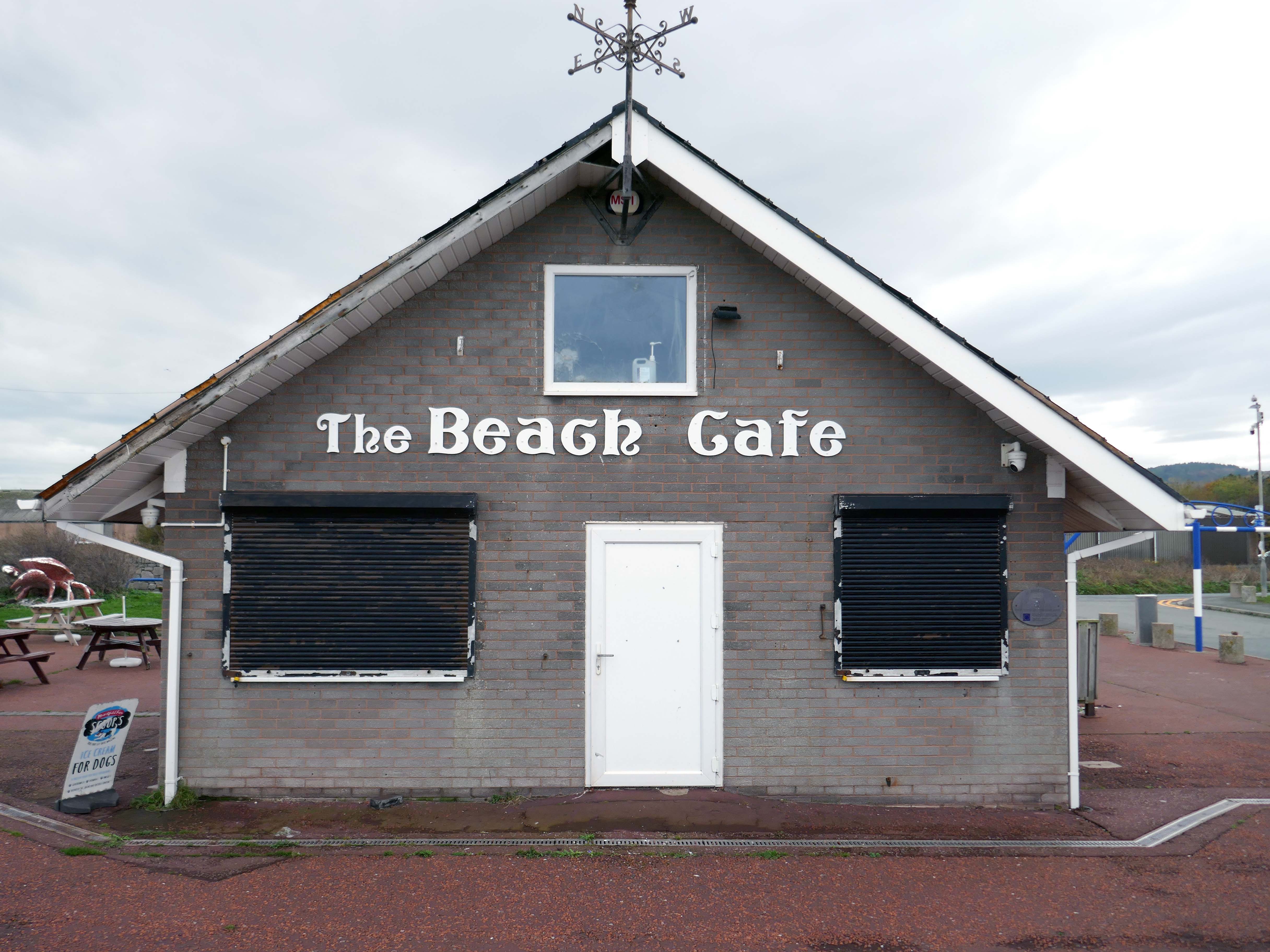
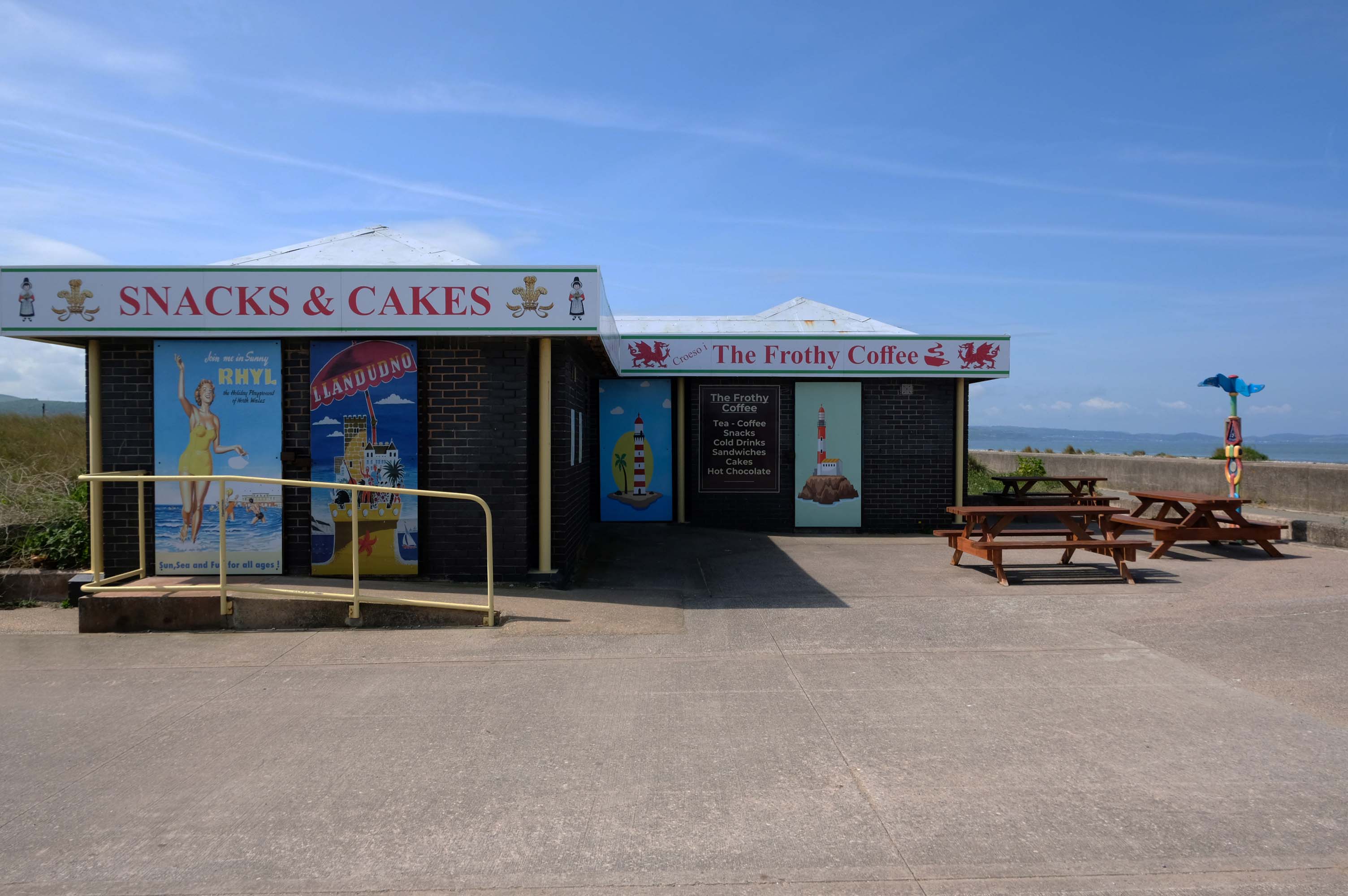
Home to The Frothy Coffee.
There aren’t enough food, service, value or atmosphere ratings for The Frothy Coffee, yet – be one of the first to write a review!
Kinmel Bay beach is popular with tourists and the local population. In addition to various small shops and takeaway outlets, there is also an Asda superstore that opened in 1981, which includes a large petrol filling station.
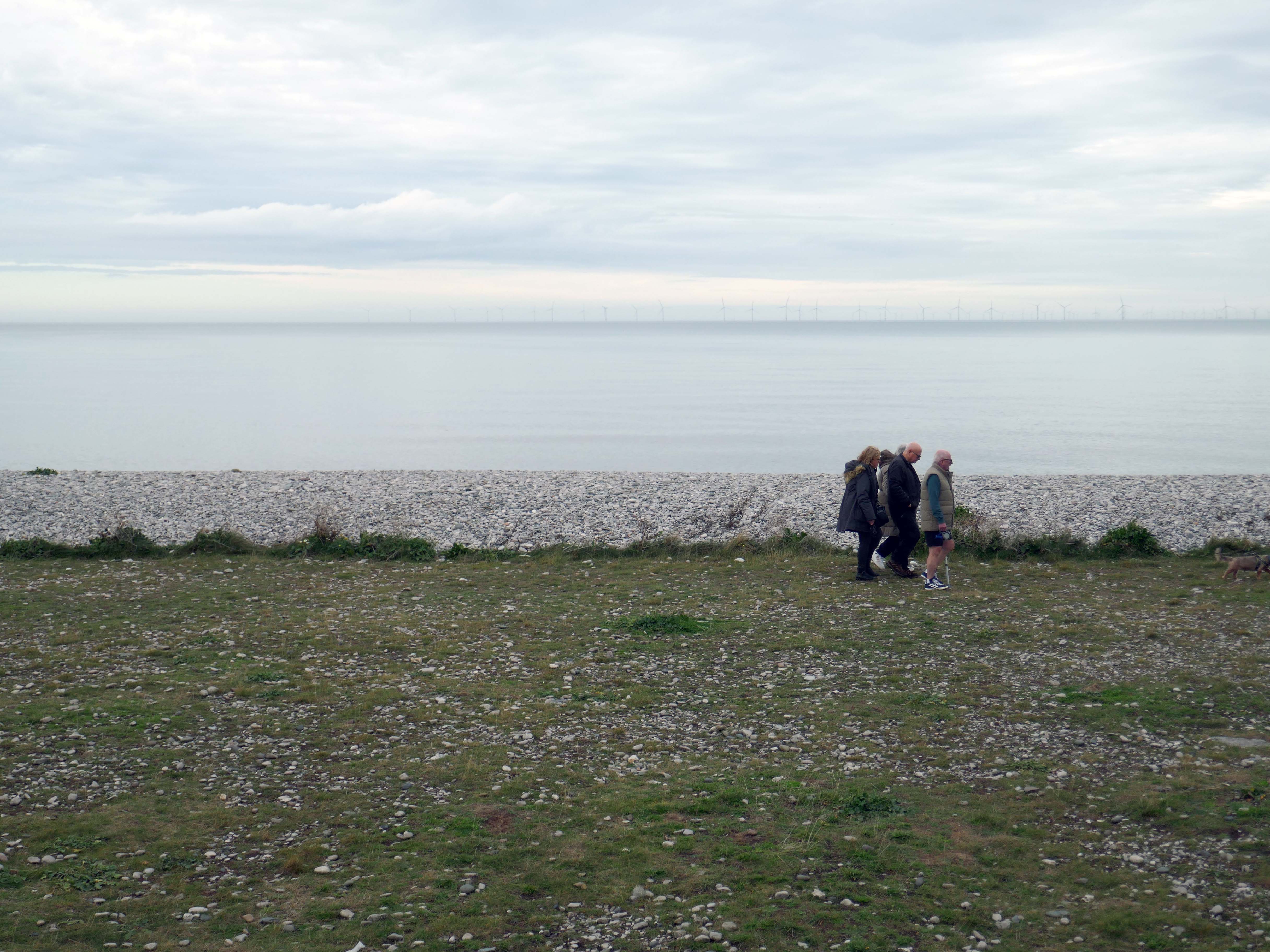
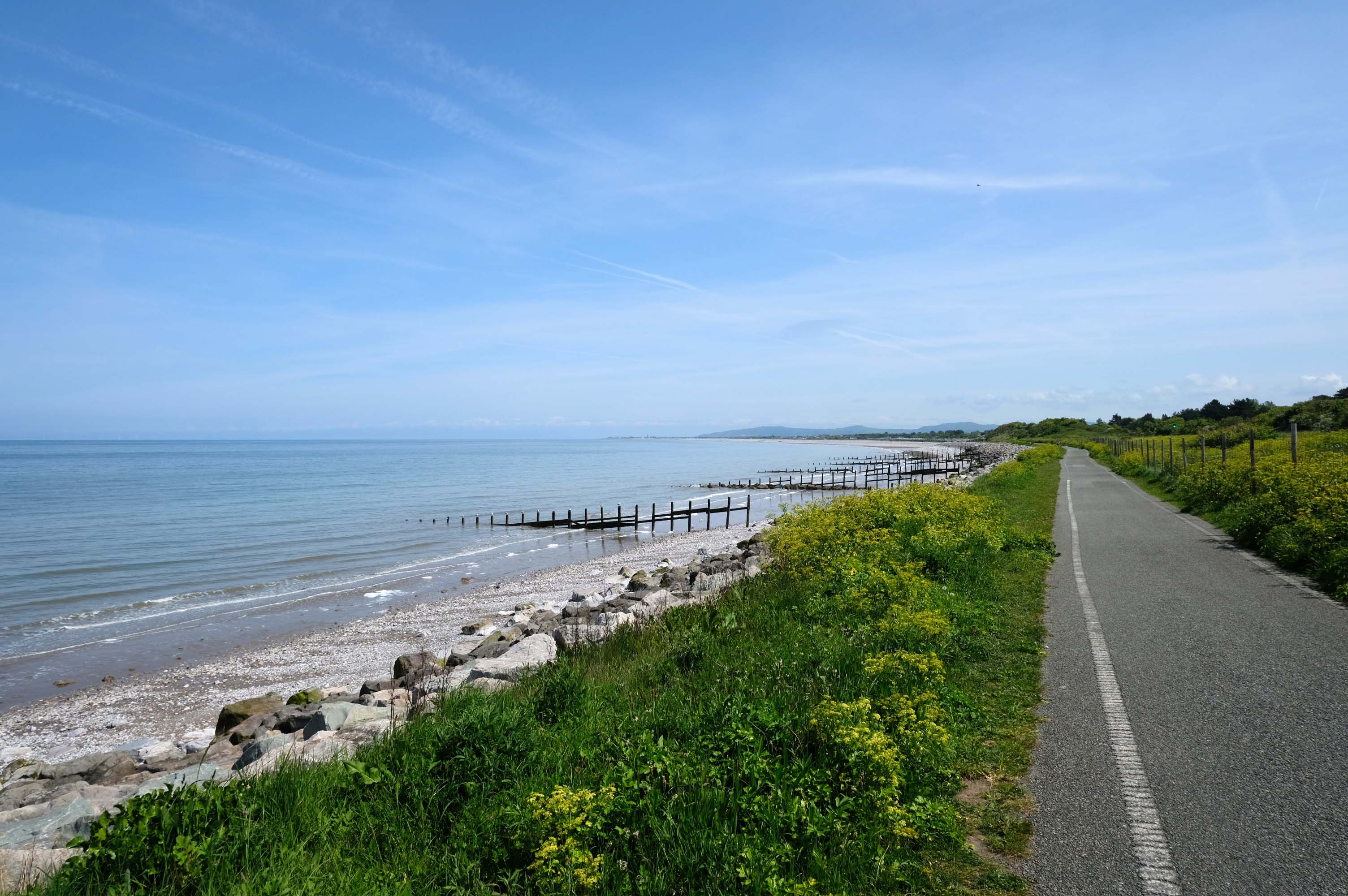
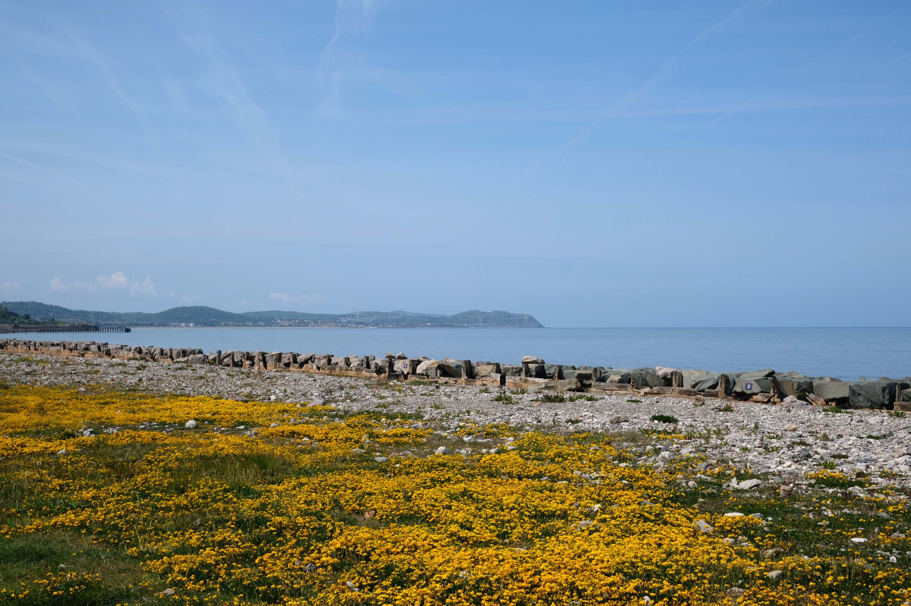
The concrete shore is softened by grasses and wild flowers – with views of the mountains beyond.
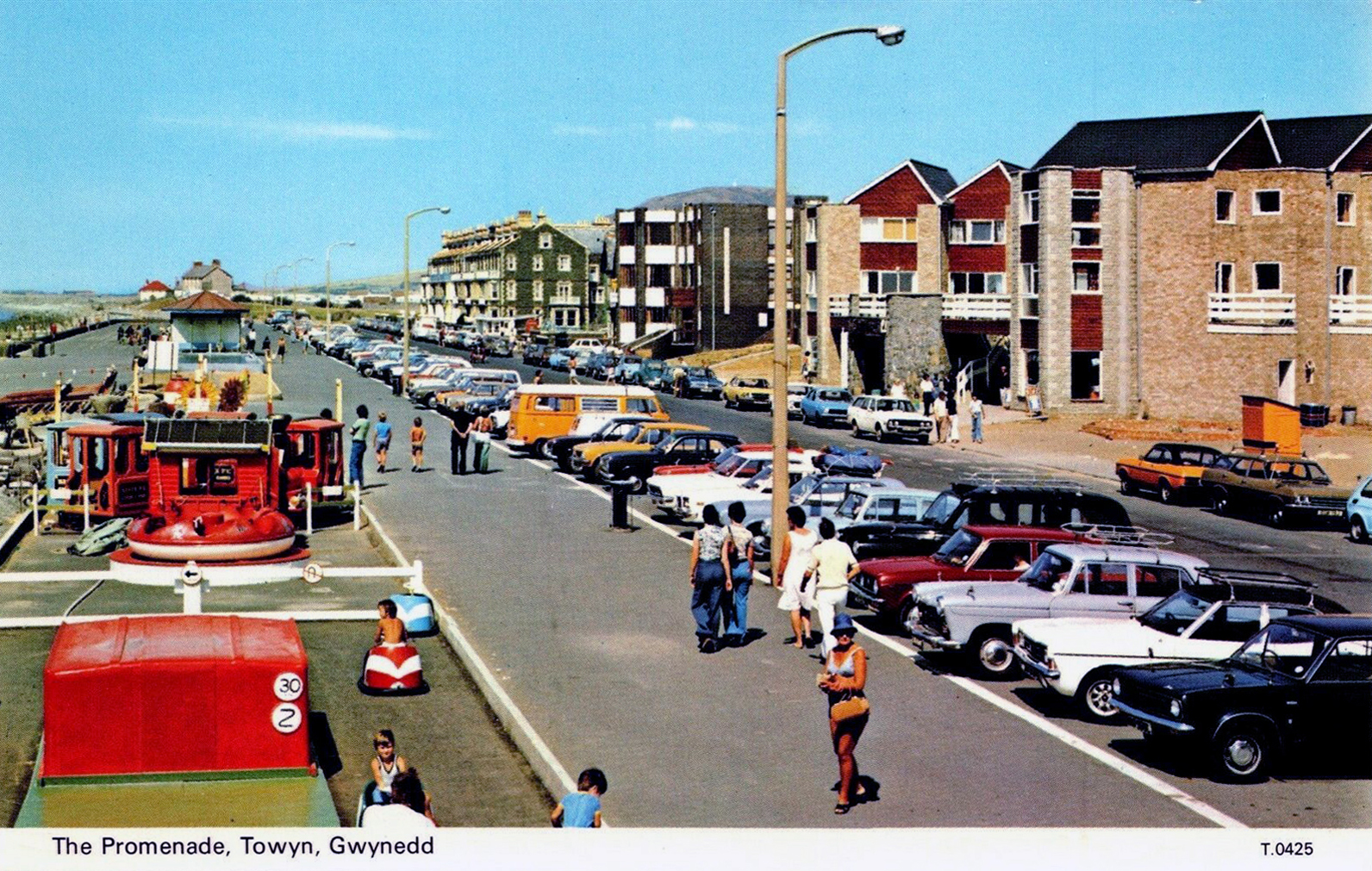
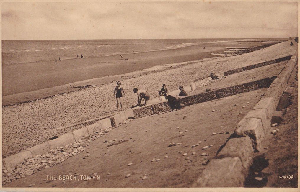
Here we are in Towyn
The town made national headlines in 1990 when a combination of gale-force winds, a high tide and rough seas caused Towyn’s flood defences to be breached at about 11.00am on 26 February. Four square miles of land was flooded, affecting 2,800 properties and causing areas of the resort to be evacuated. Further flooding occurred later the same week, on 1 March, shortly after the site of the disaster was visited by Prince Charles and Princess Diana.
Scientific experts also believe that the silt left behind from the flooding had left the town with a higher concentration of radioactivity, over ten times the governmental safety limits, most likely originating from the nuclear processing plant at Sellafield which had been dispersed into the Irish Sea over many years since its construction.
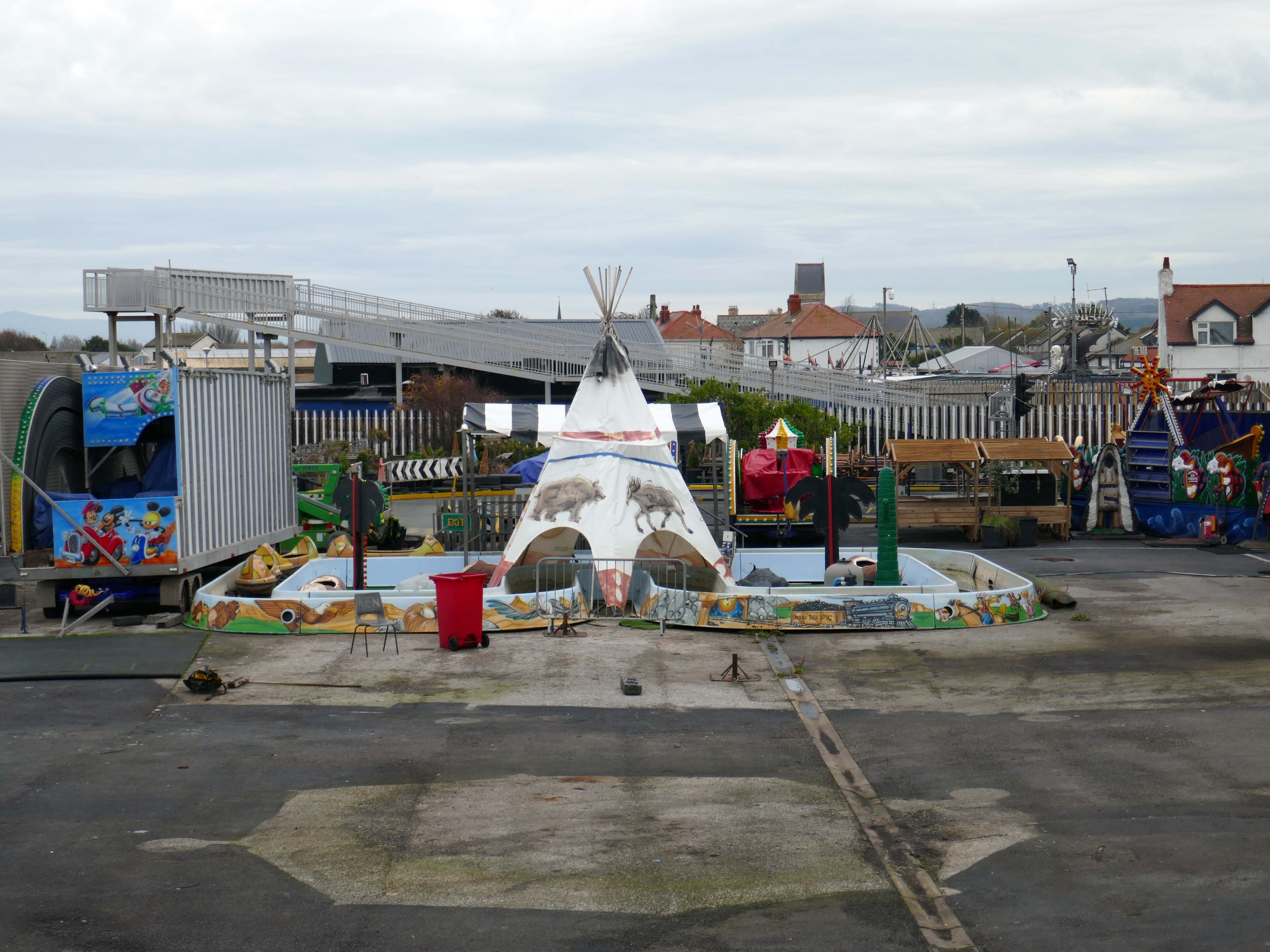
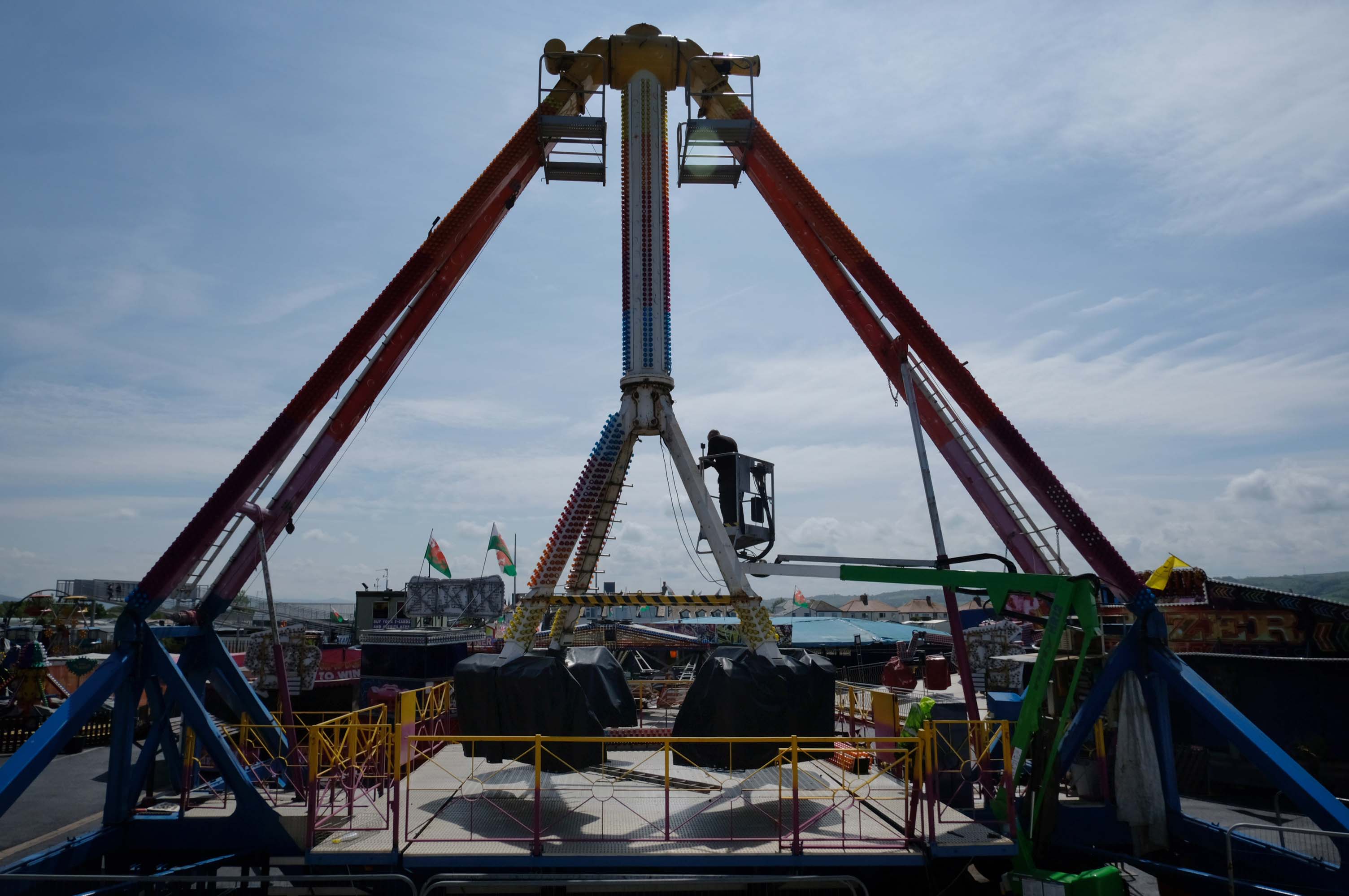
Excitements galore, await at the well maintained funfair.
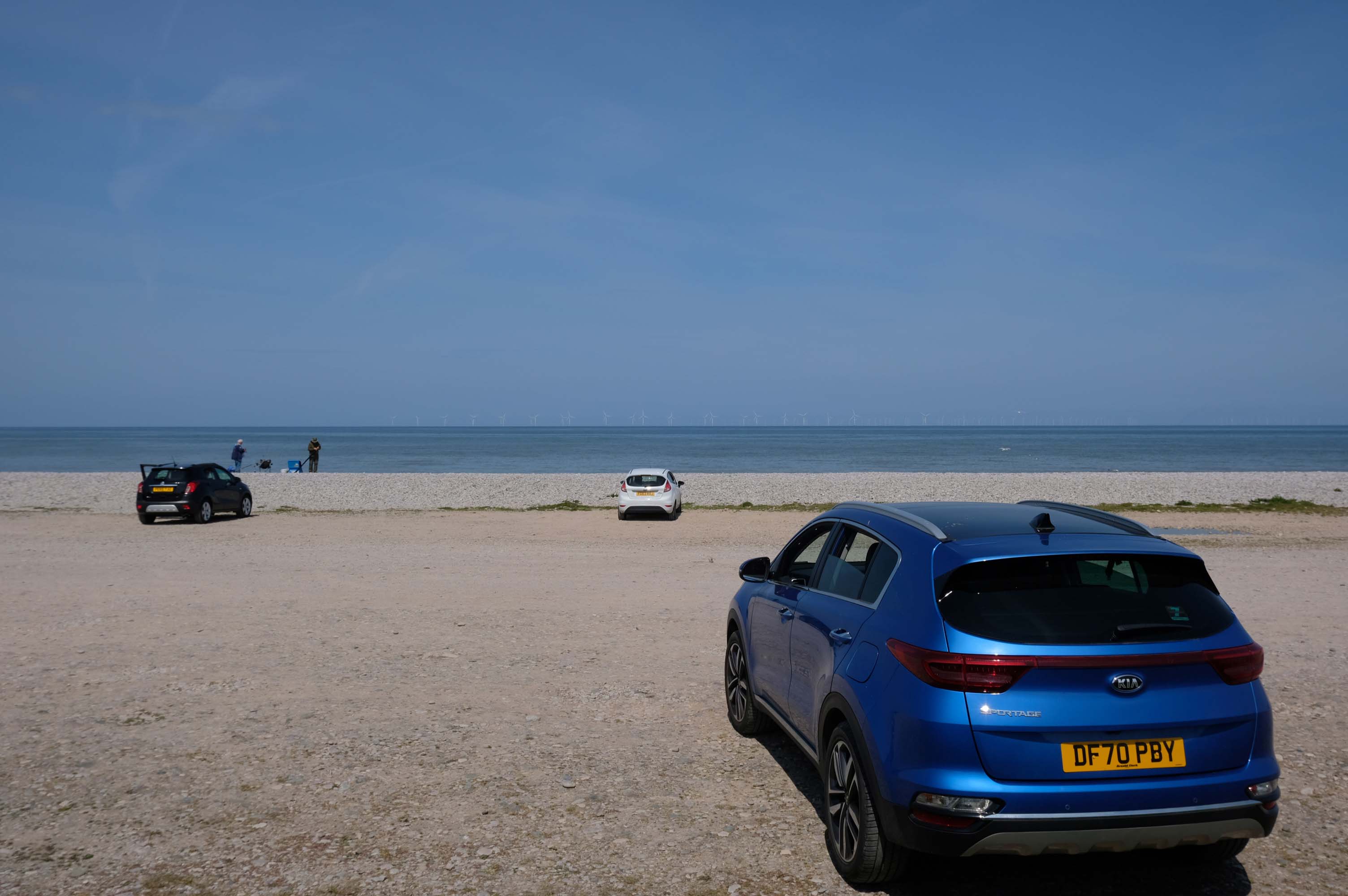
Motor cars to the fore, as the intrepid sea-anglers prepare for a day of sea-angling.
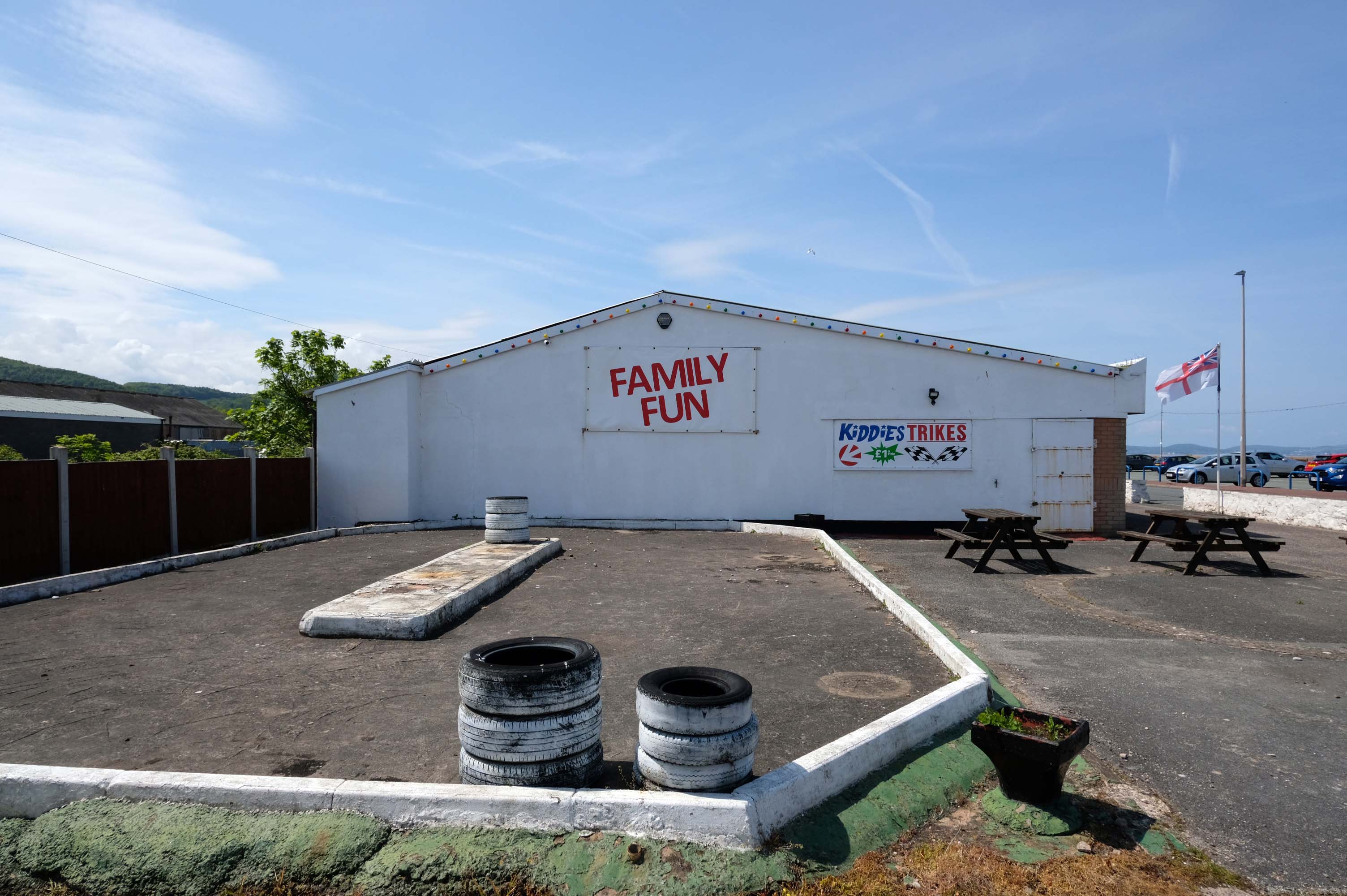
Abergele where Family Fun can be found in the form of Kiddies Karts.
In 2020/21 Abergele hosted the 20th and 21st editions of I’m a Celebrity Get Me Out of Here! at Gwrych Castle, due to the Covid pandemic restrictions in Australia.
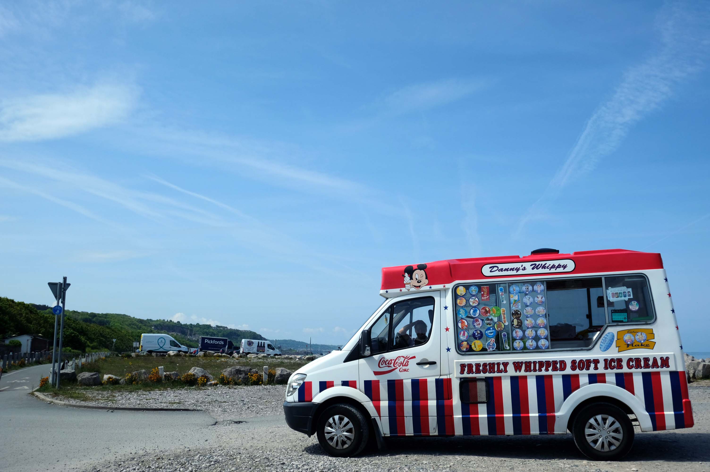
I failed to avail myself with a chilly treat courtesy of Danny’s Whippy, having already had my 99 tub, from Sidoli’s in Rhyl.
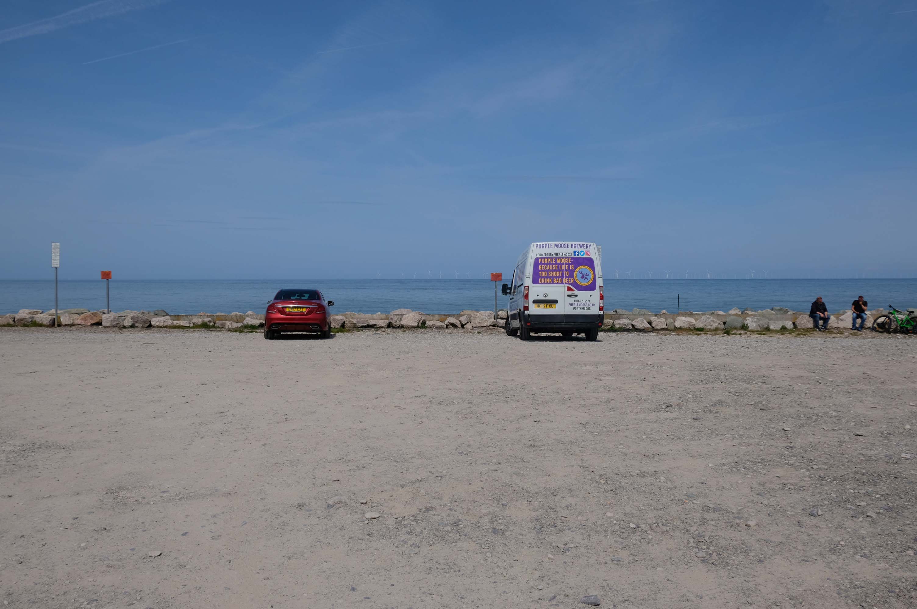
Local brewery Purple Moose’s delivery van driver takes a timely break, whilst fellow cyclists stop for a cig and a chat.
Rugged rocks, sadly lacking ragged rascals, as the Little Orme comes into view.
Cast concrete defences, and Raynes Quarry jetty at Llandulas.
The quarry was originally known as Llysfaen Limeworks, being close to Llysfaen railway station. James Trevelyan Raynes of Rock Ferry, Birkenhead, took over the quarry in the 1870s, adding large new limekilns. Lime from the quarry was shipped to various alkali works. Alkali was used for soap, textiles and many other goods.
Quarrying in this area has also produced porcelain-like limestone for high quality architectural uses. St Margaret’s Church – also known as the Marble Church in Bodelwyddan, was built with limestone from Llanddulas.
In November 2011 one of the freighters, MV Swanland, sank in stormy weather on the Irish Sea after collecting 3,000 tons of stone from Raynes jetty bound for the Isle of Wight.
Two crewmen were rescued but five, all Russian, were lost.
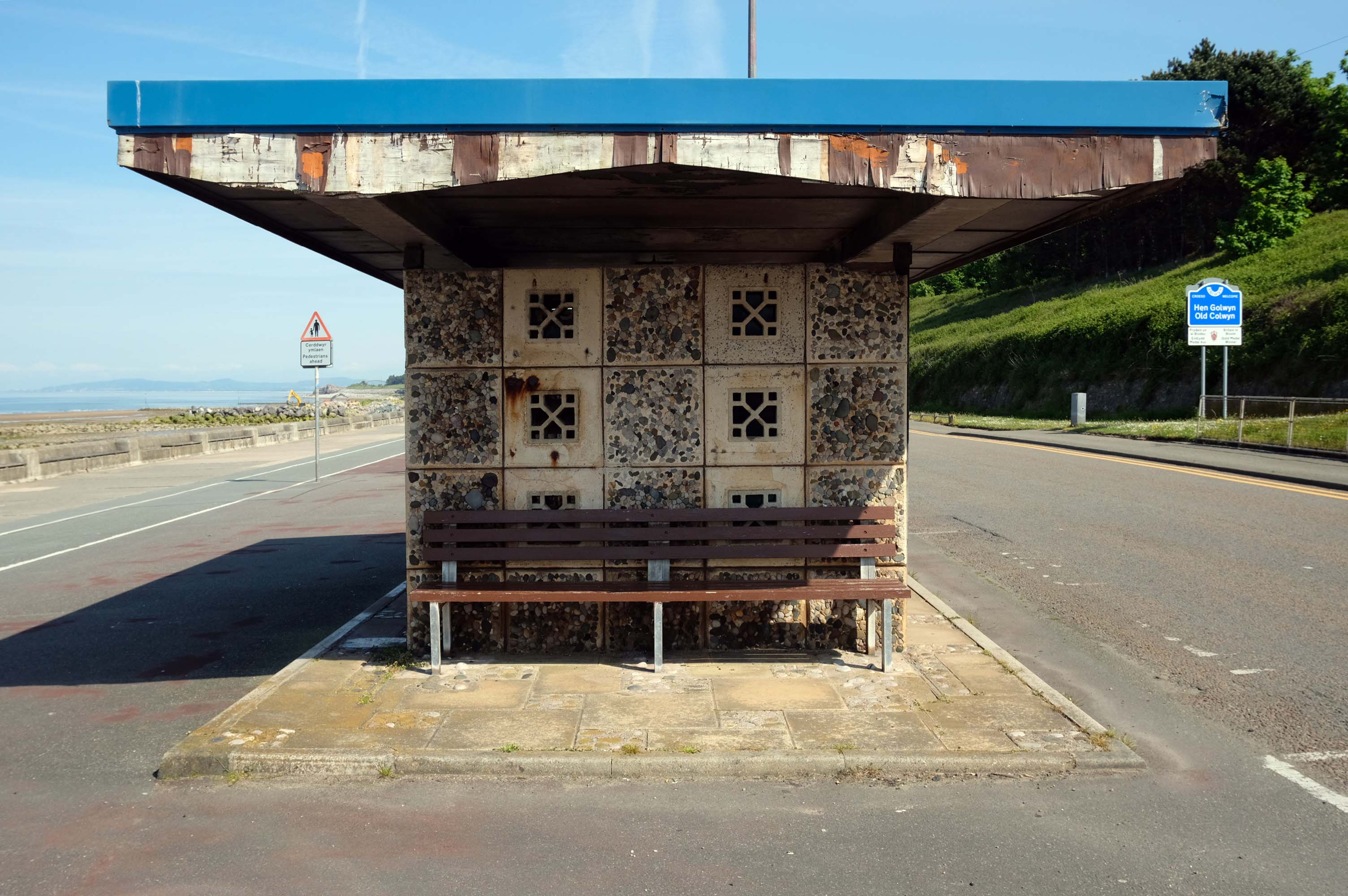
Almost the end of the line here in Old Colwyn – where there are the last of a series of shelters.
Formerly lining the prom all the way to Rhos on Sea
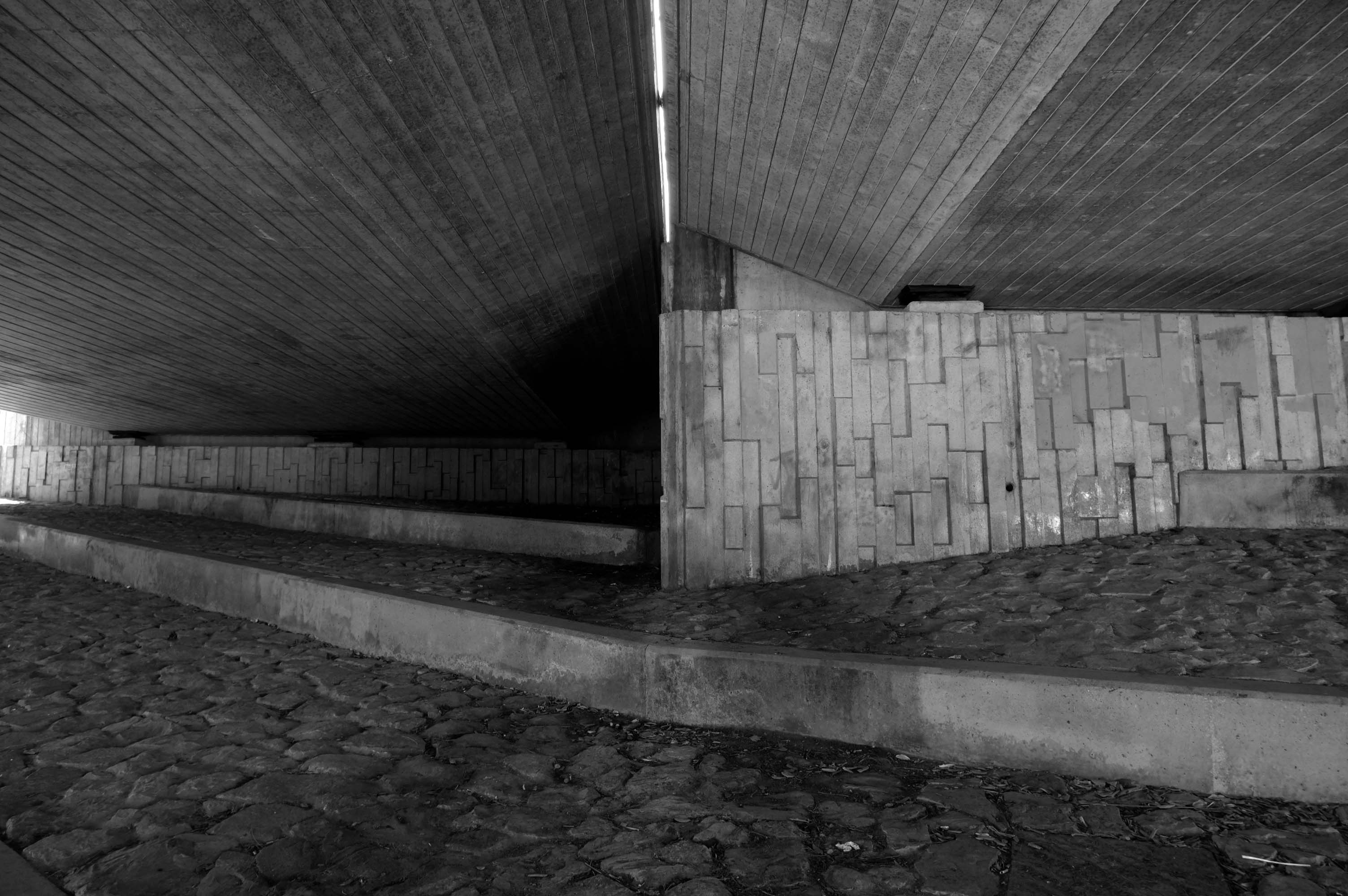
Cutting under the A55 Expressway to Colwyn Bay.
During World War II the Colwyn Bay Hotel, Marine Road – now demolished, was the headquarters of the Ministry of Food. This also housed the Cocoa & Chocolate division and was the communications hub for the ministry, they continued to use the hotel until 1953.
The soft clays of the cliffs are subject to constant erosion.
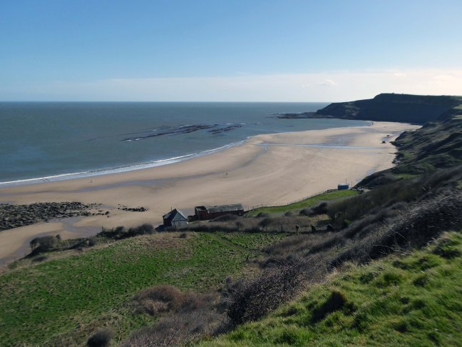
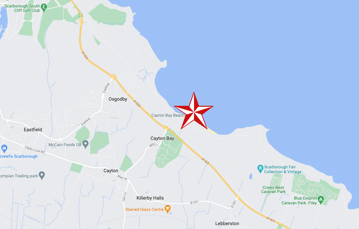
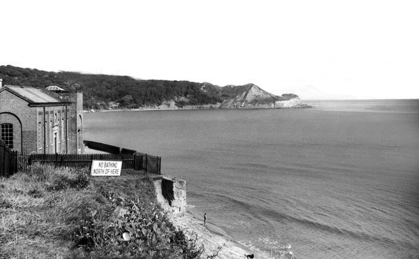
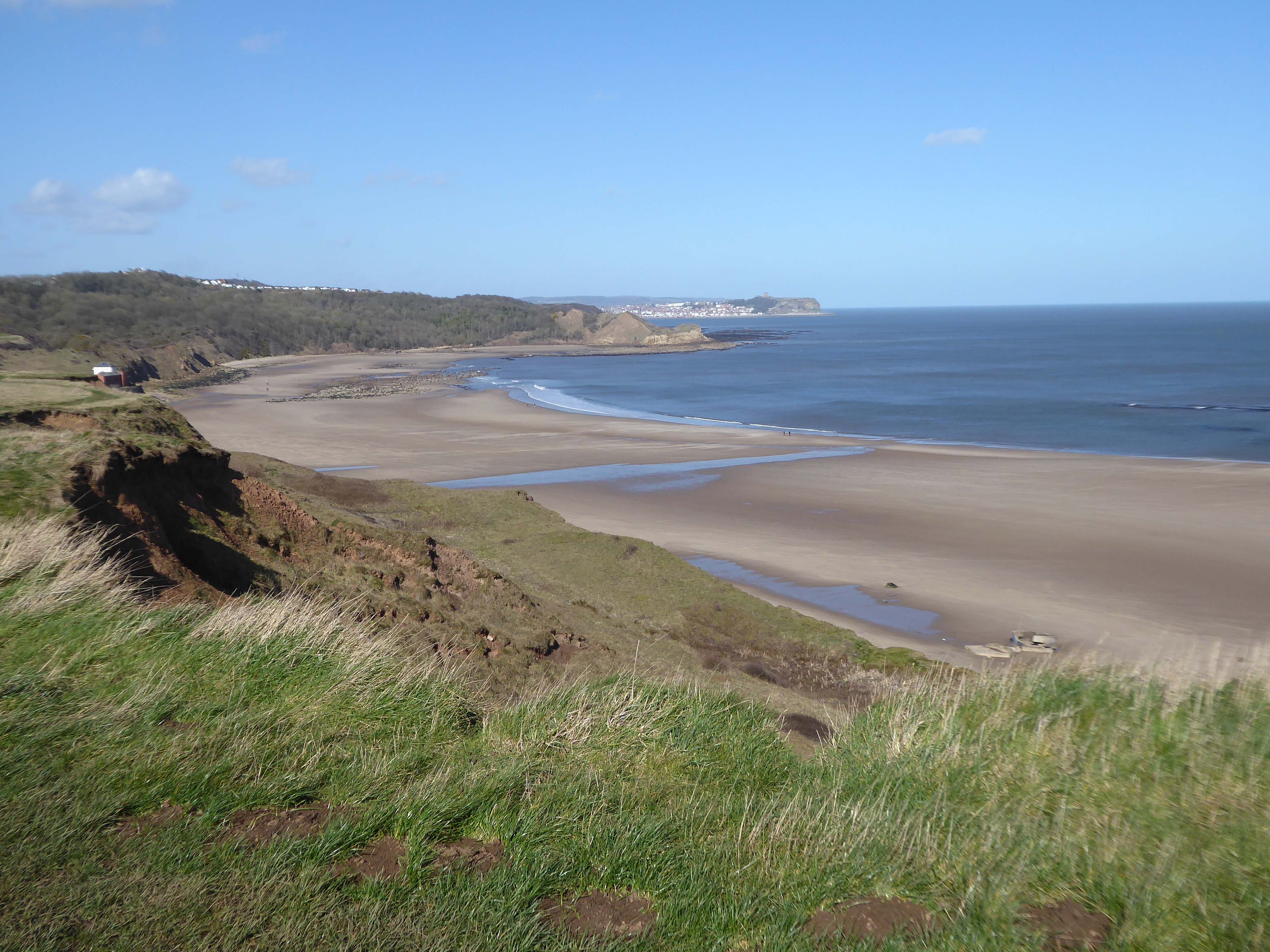
In 2008 fresh landslips have occurred around Cayton Bay. The bungalows built on the old holiday camp at Osgodby Point have started to suffer serious erosion. The cliffs around the Cornelian and Cayton areas are just made of soil. So erosion is to be expected. It may taken time. But there is not much which can be done to prevent the seas moving in.
The Pumping Station was partially demolished in 1956.
Several well worn layers of geological time have been hanging around for a while now.
Whilst the long-gone critters are but fossilised versions of their former selves.
The rocks found at Cayton Bay are Jurassic aged from the Callovian stage. At the north end of Cayton Bay, the Cornbrash Formation can be seen, comprised of red-brown, sandy, nodular, bioturbated limestone with oysters and other bivalves.The Cornbrash lies beneath the start of the Cayton Clay Formation. Walking south towards Tenant’s Cliffs, Lower Calcareous Grit is brought to beach level, followed by a calcareous limestone. At the waterworks, low tides reveals a section in the Middle and Upper Jurassic rocks.
On scouring tides, argillaceous limestone and calcareous sandstone can be seen layered along the Upper Leaf of the Hambleton Oolite, which is seen excellently in the low cliff on the southern side of the Brigg. The tough, impure limestone contains well-preserved bivalves and ammonites. The sequence is shown in the diagram but faulting has caused unconformities.
During scouring, Oxford Clay can be seen along the foreshore south of the argillaceous limestone. Walking further south, Red Cliff is reached, where rocks of the Osgodby Formation slope above the Oxford Clay.
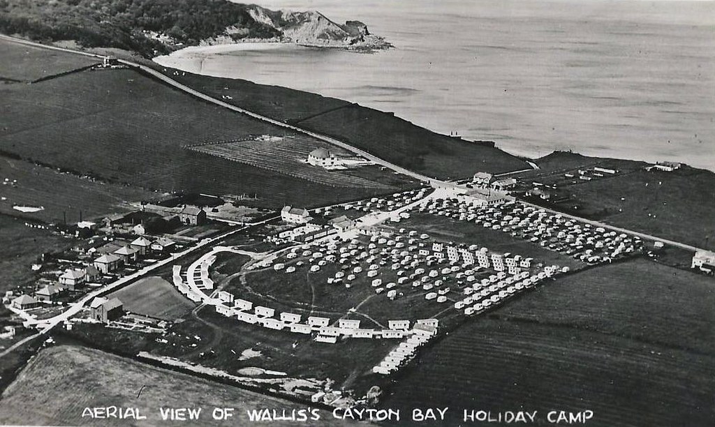
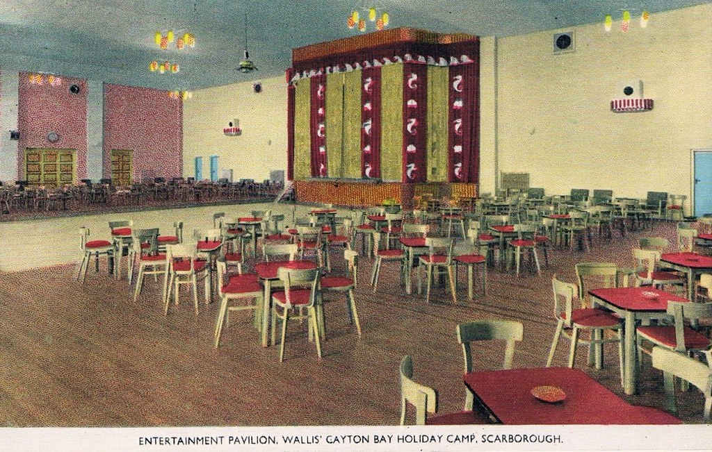
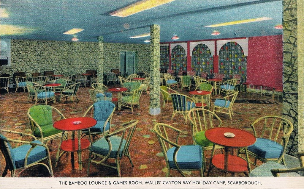
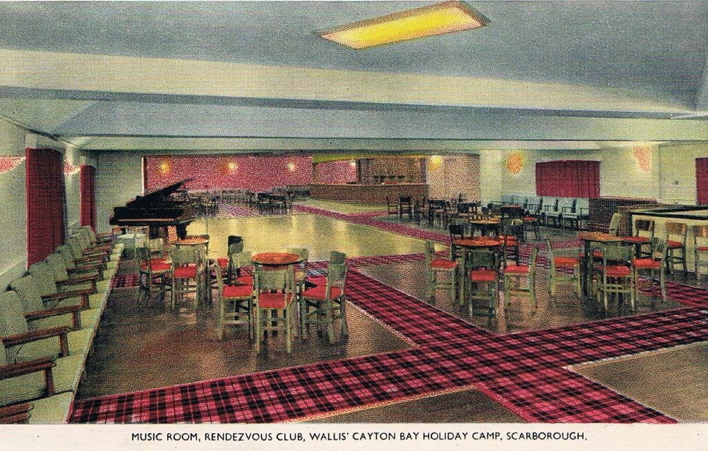
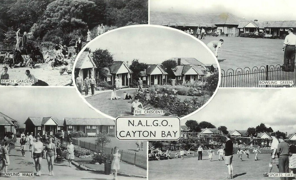
Originally the first Trade Union holiday camp in the North of England, owned by NALGO it opened its doors in 1933. It had 124 wooden bungalows, accommodating 252 visitors. A dining hall with waiter service, a rest room along with recreation rooms for playing cards, billiards, a theatre for indoor shows and dancing was also provided. The new centre also provided Tennis courts, Bowling greens along with a children’s play area. The visitors could walk to the beach where there was a sun terrace and beach house which also had a small shop.
Click here to see photos of the NALGO camp from the 1930s.
One of the earliest visitors were the family of poet Philip Larkin and during the Second World War it became a home for evacuated children from Middlesbrough.
The NALGO camp closed in 1974 and was later sold.
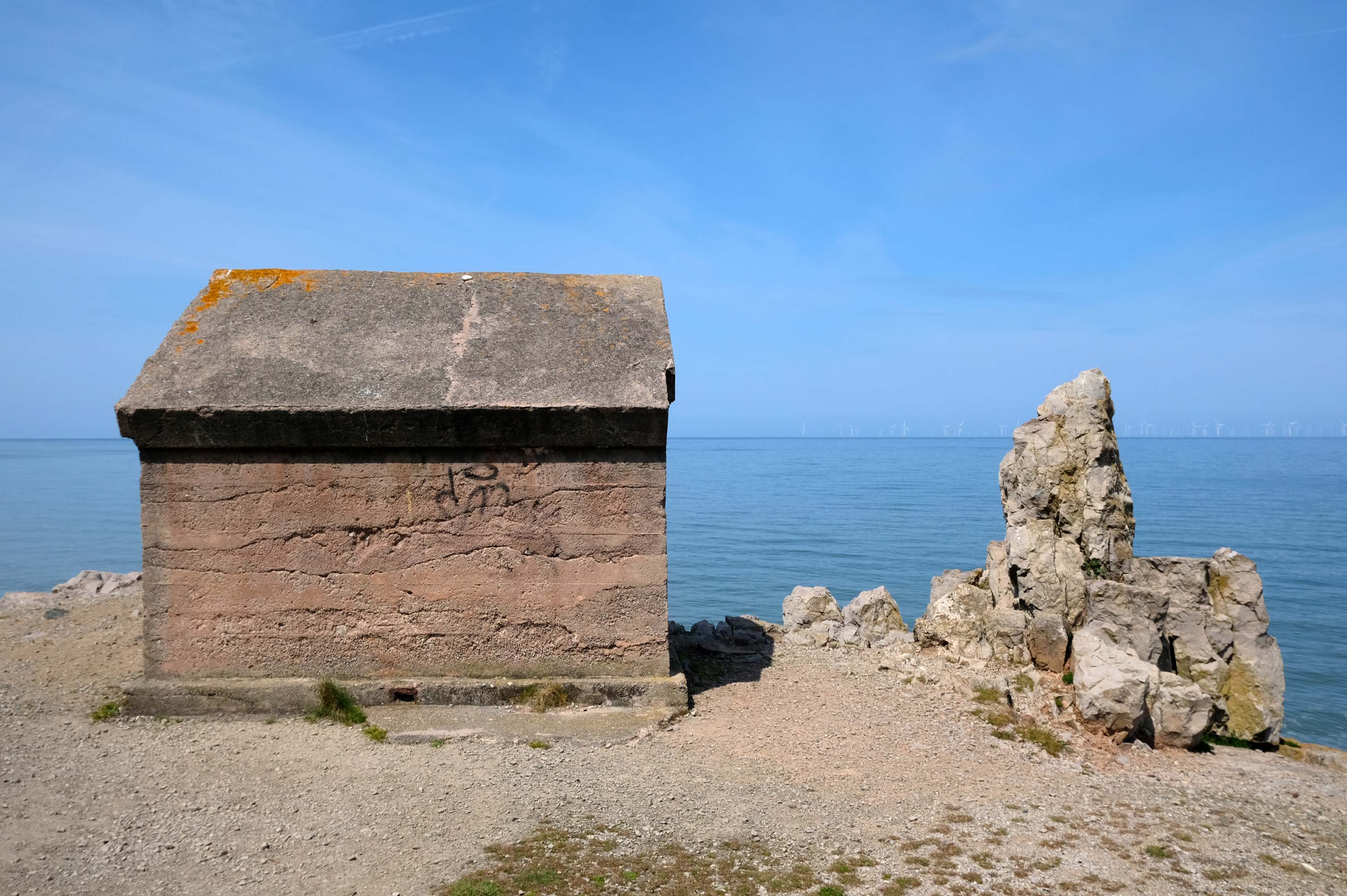
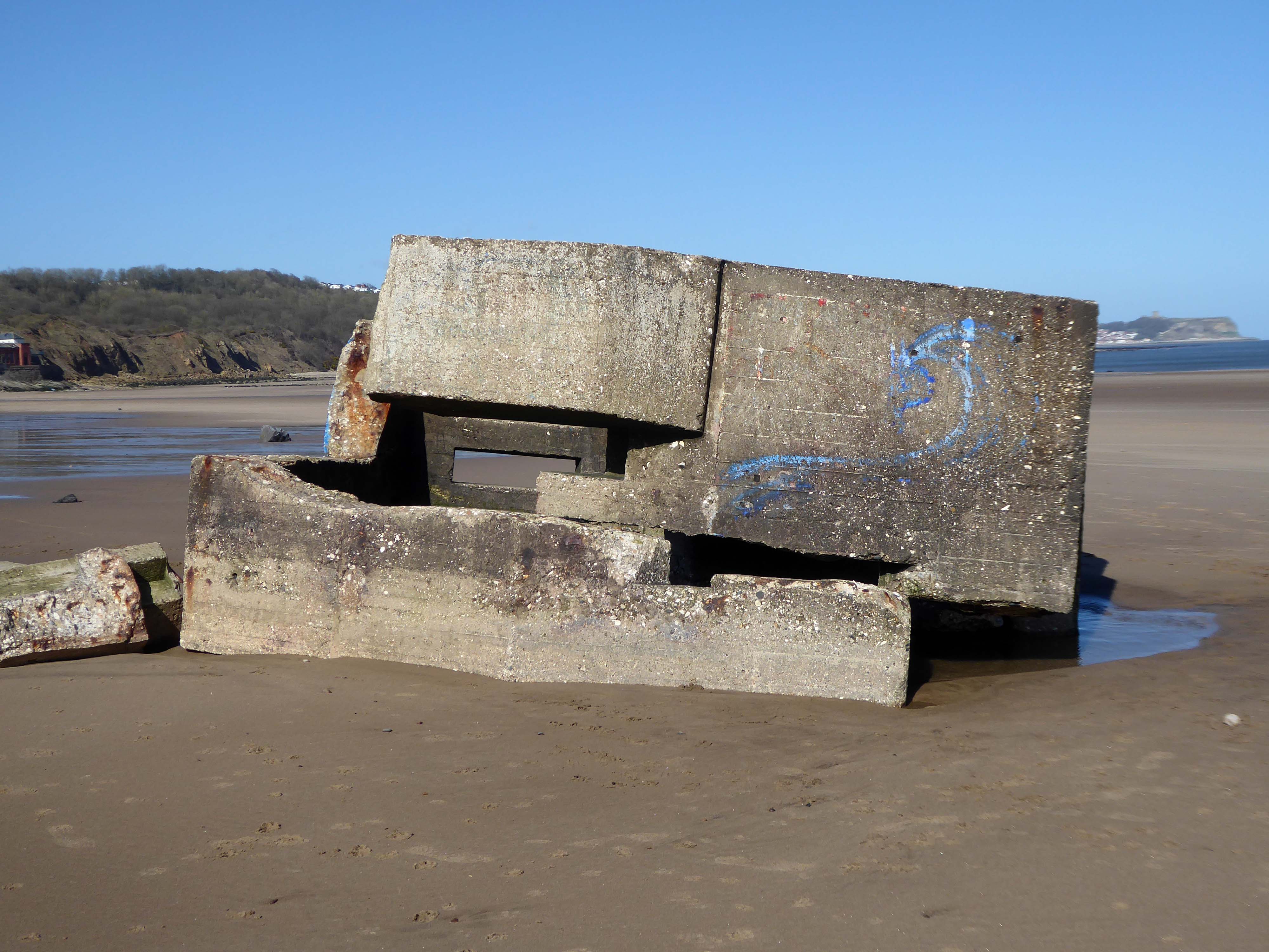
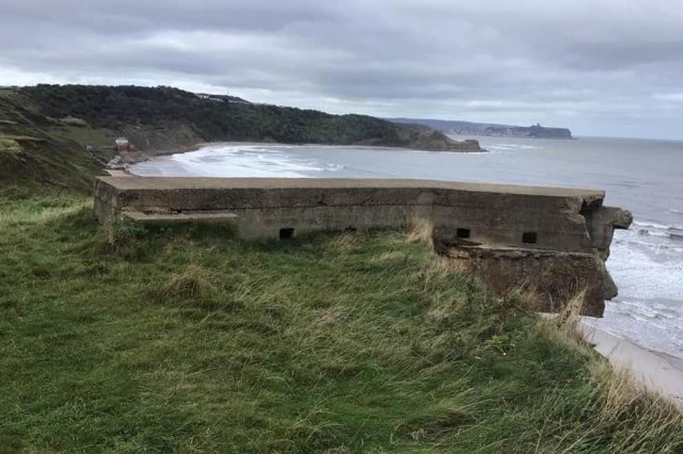
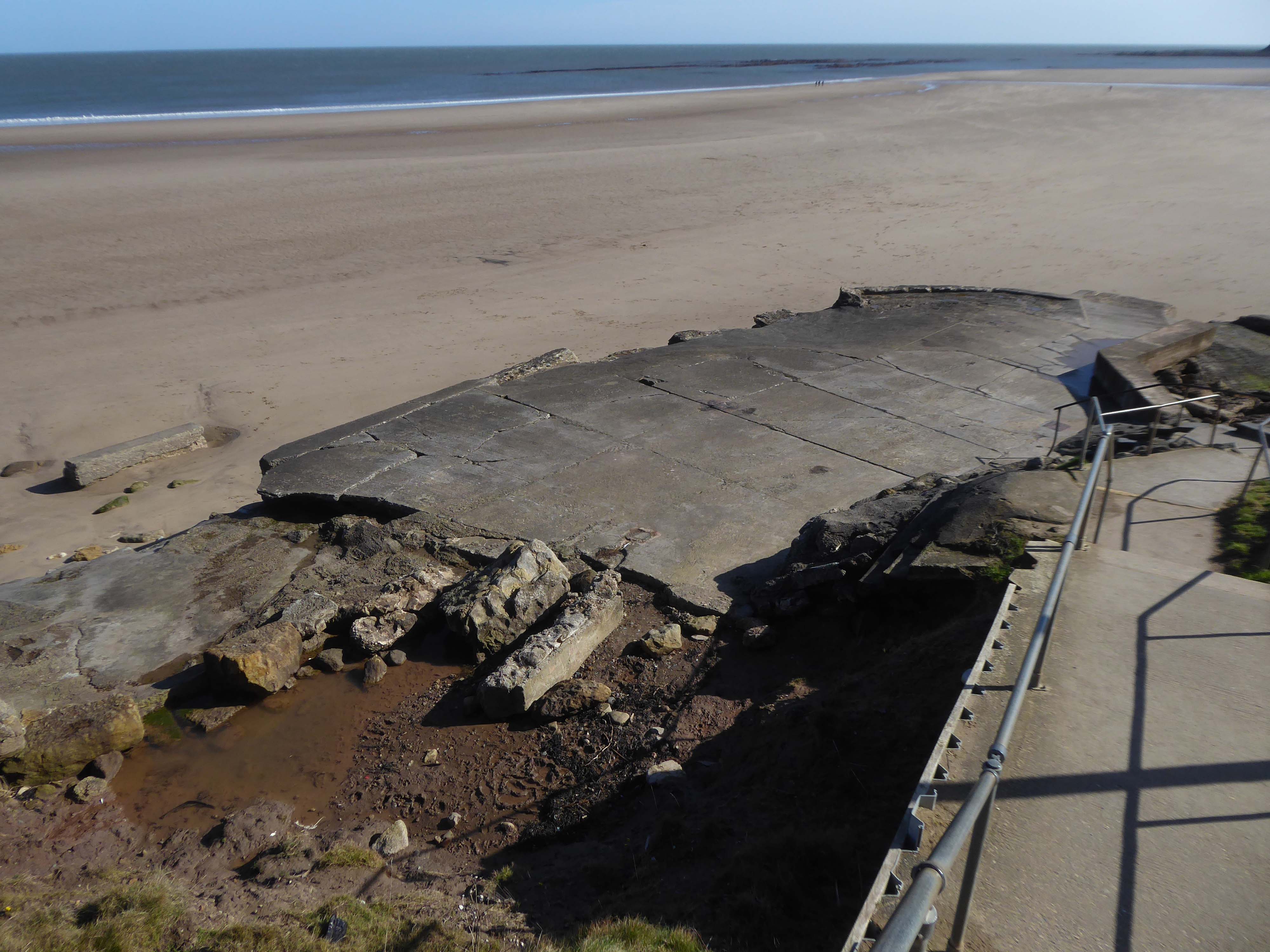
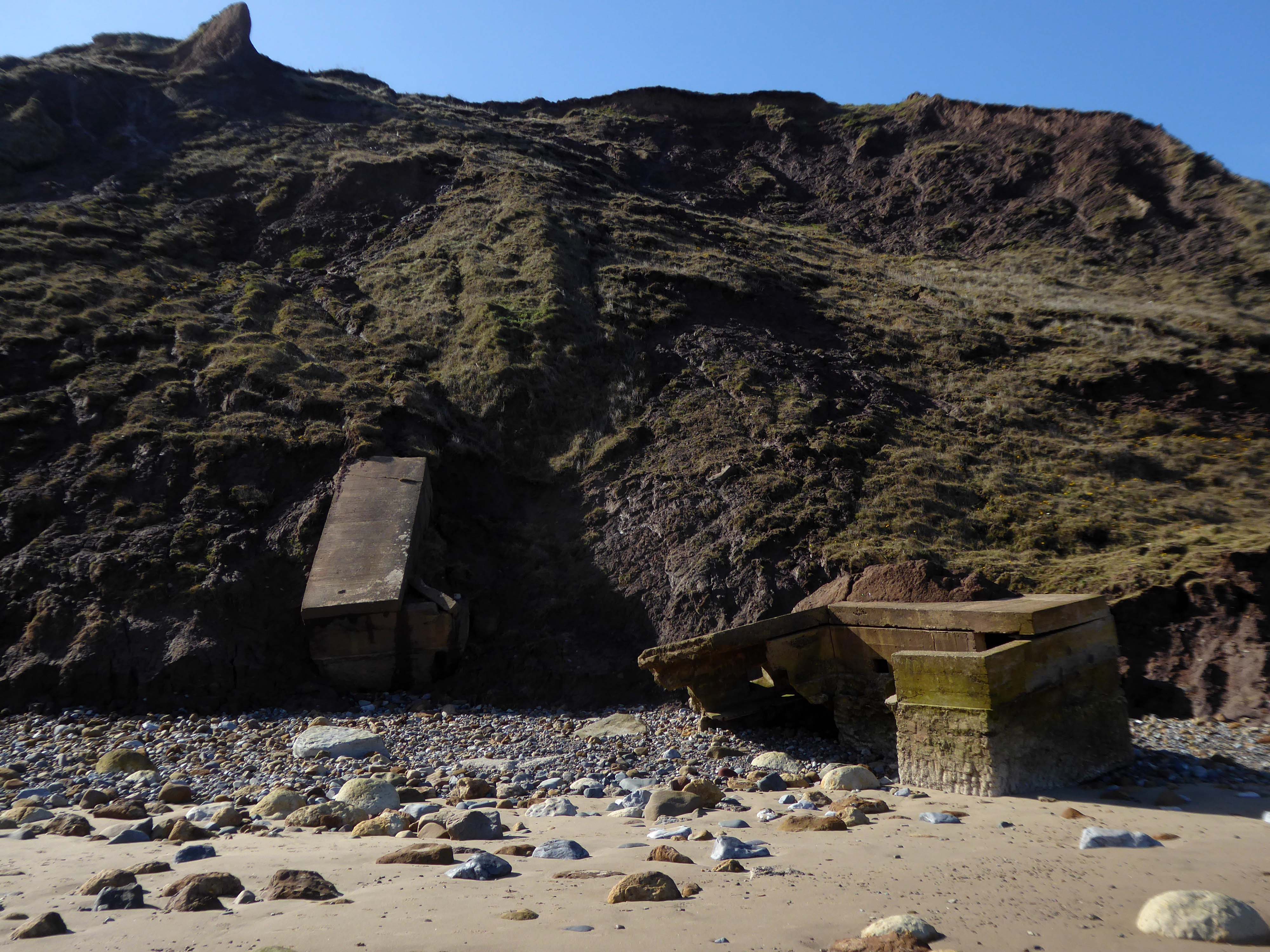
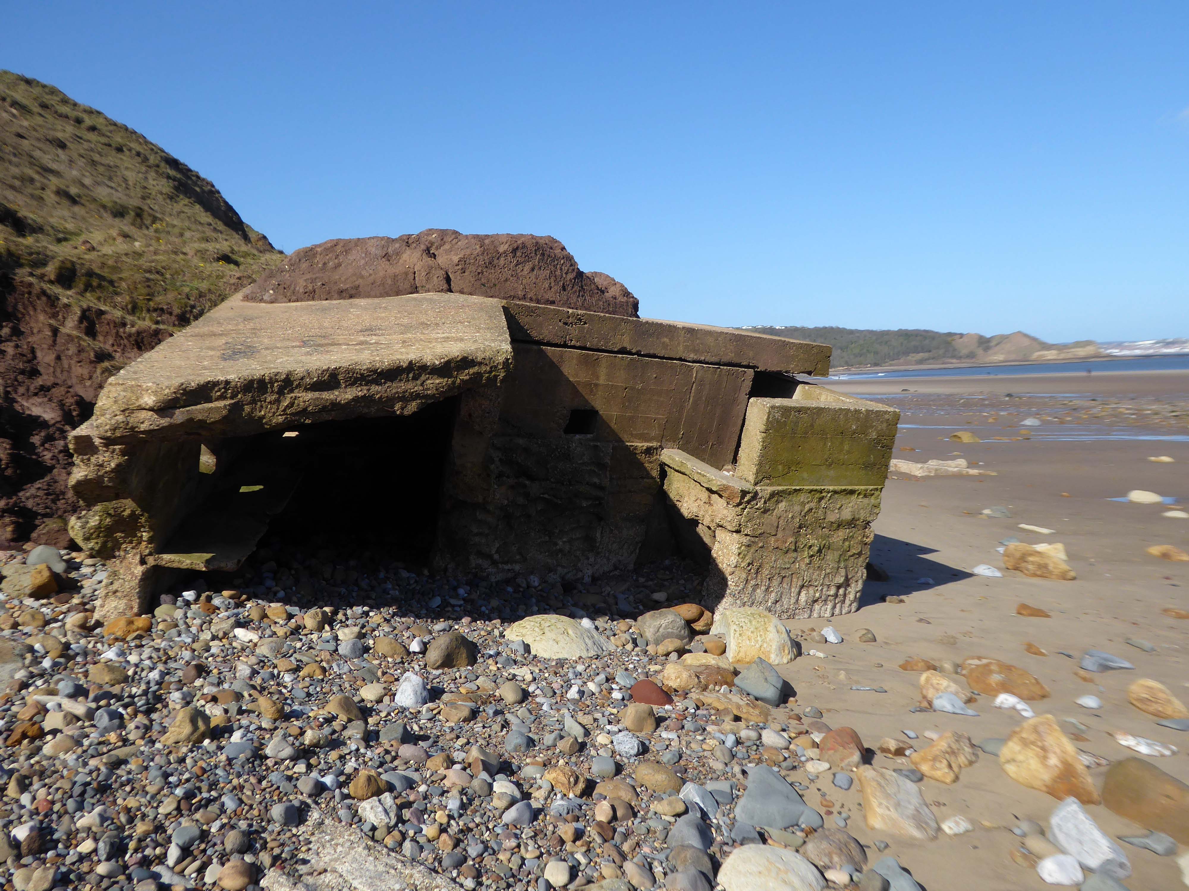
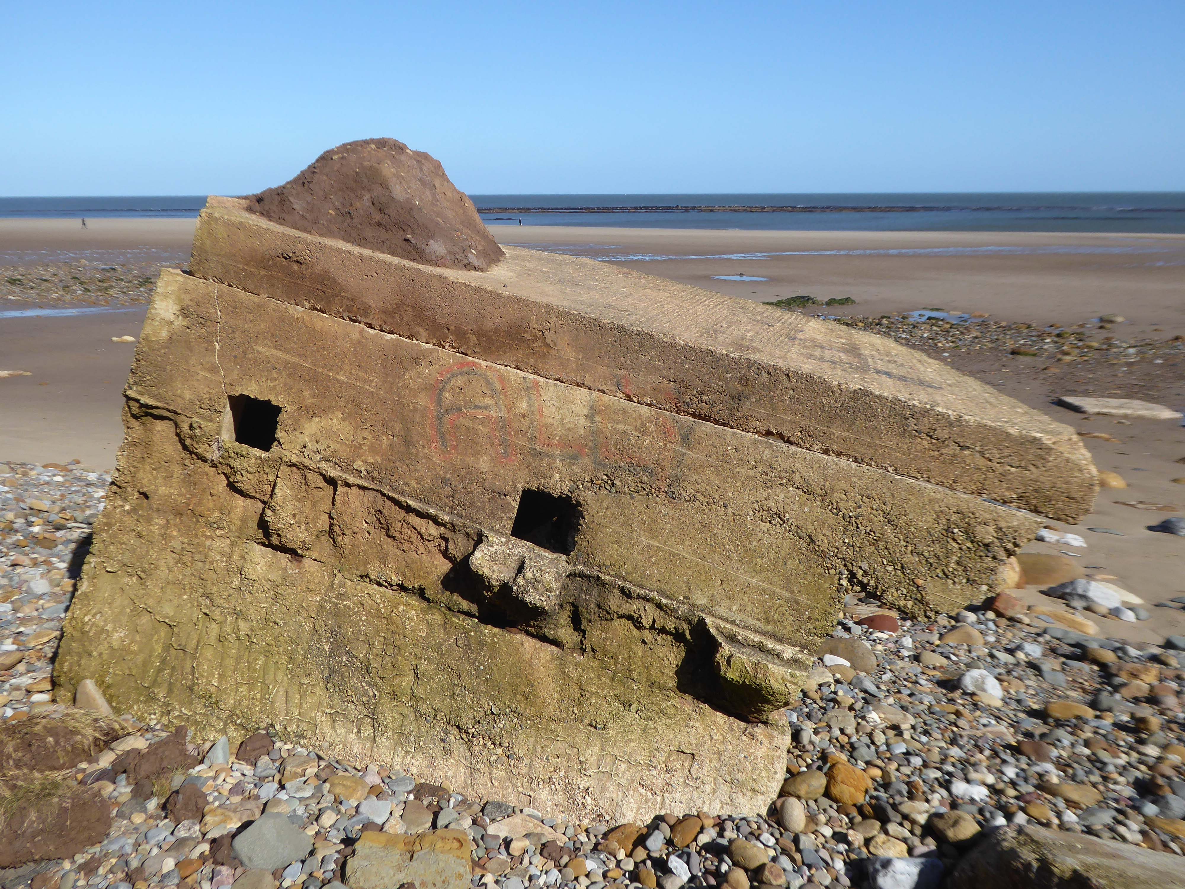
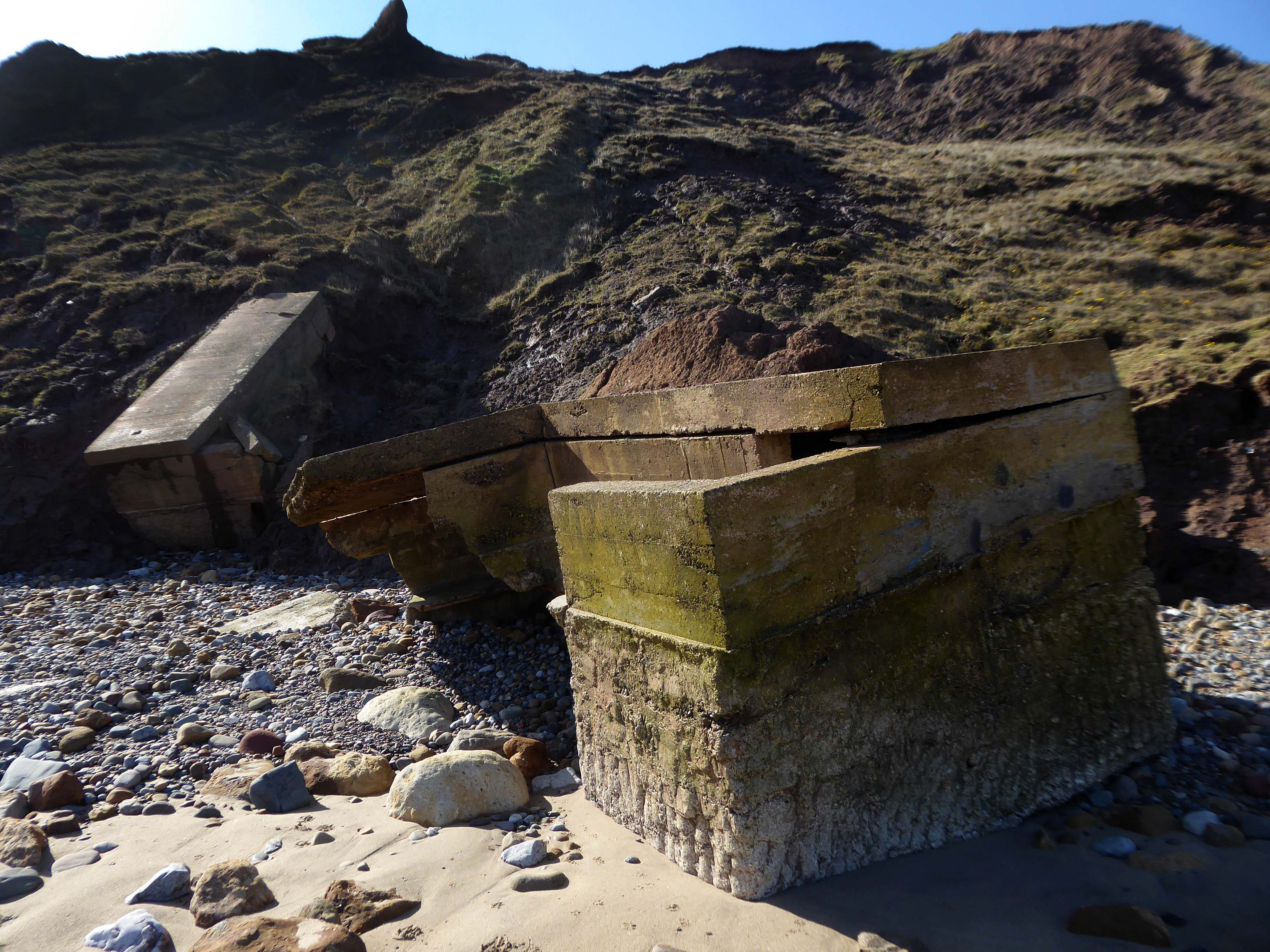
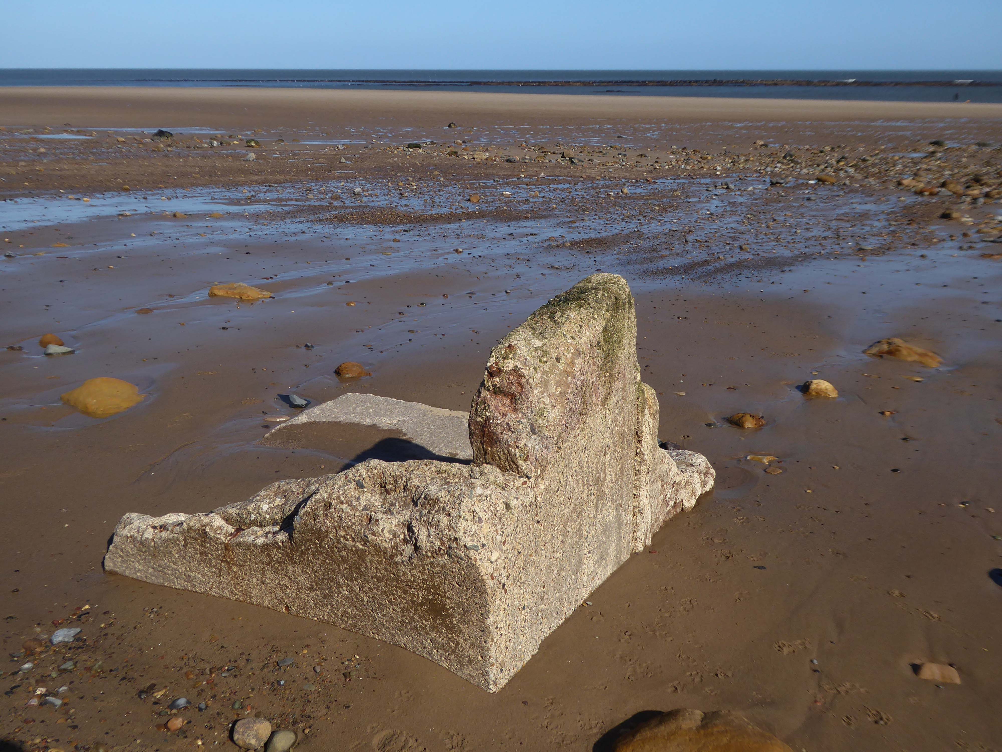
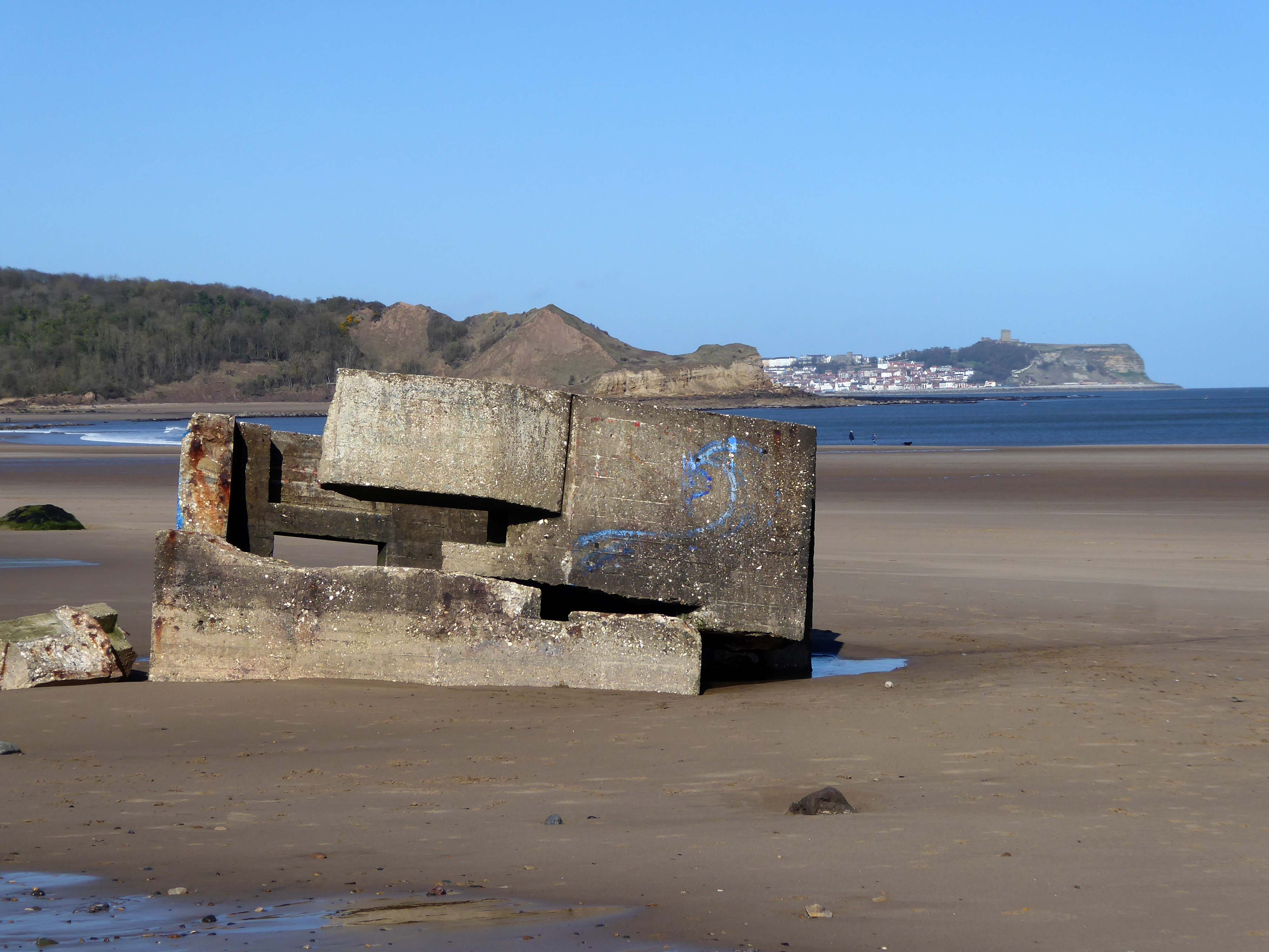
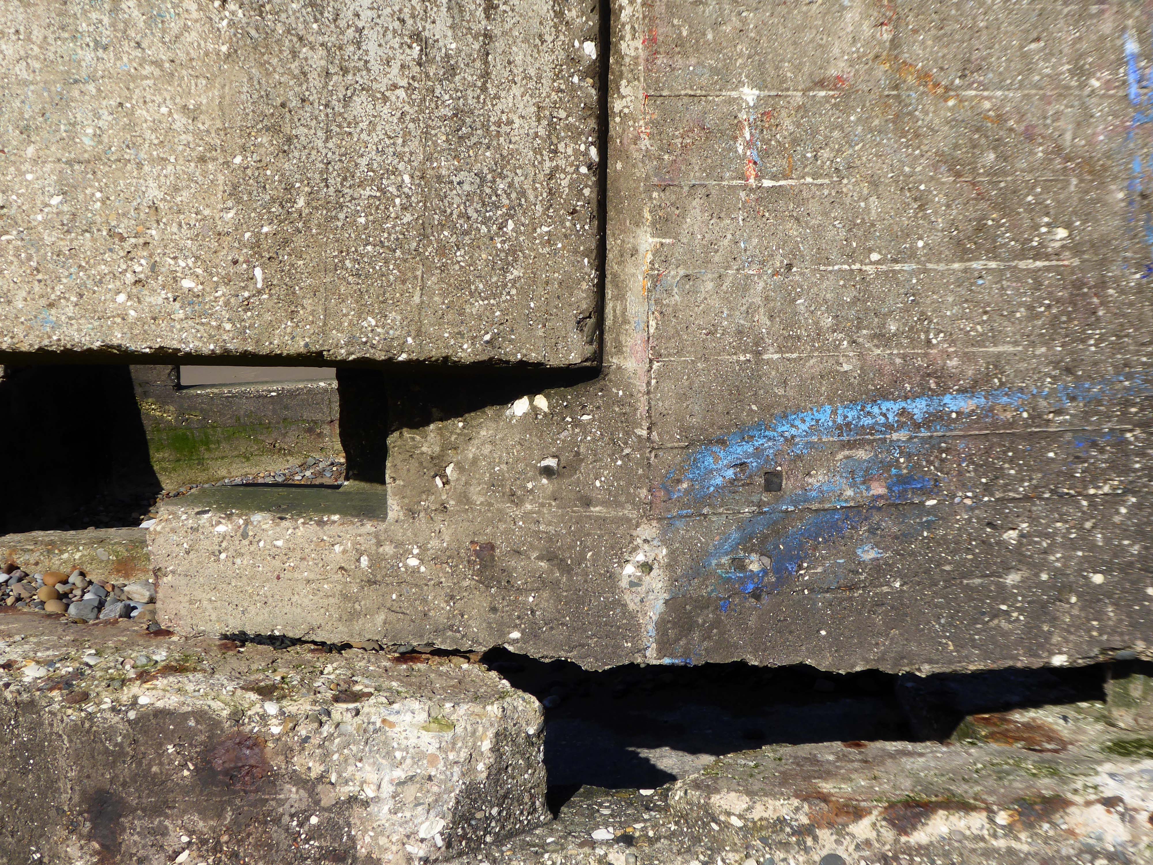
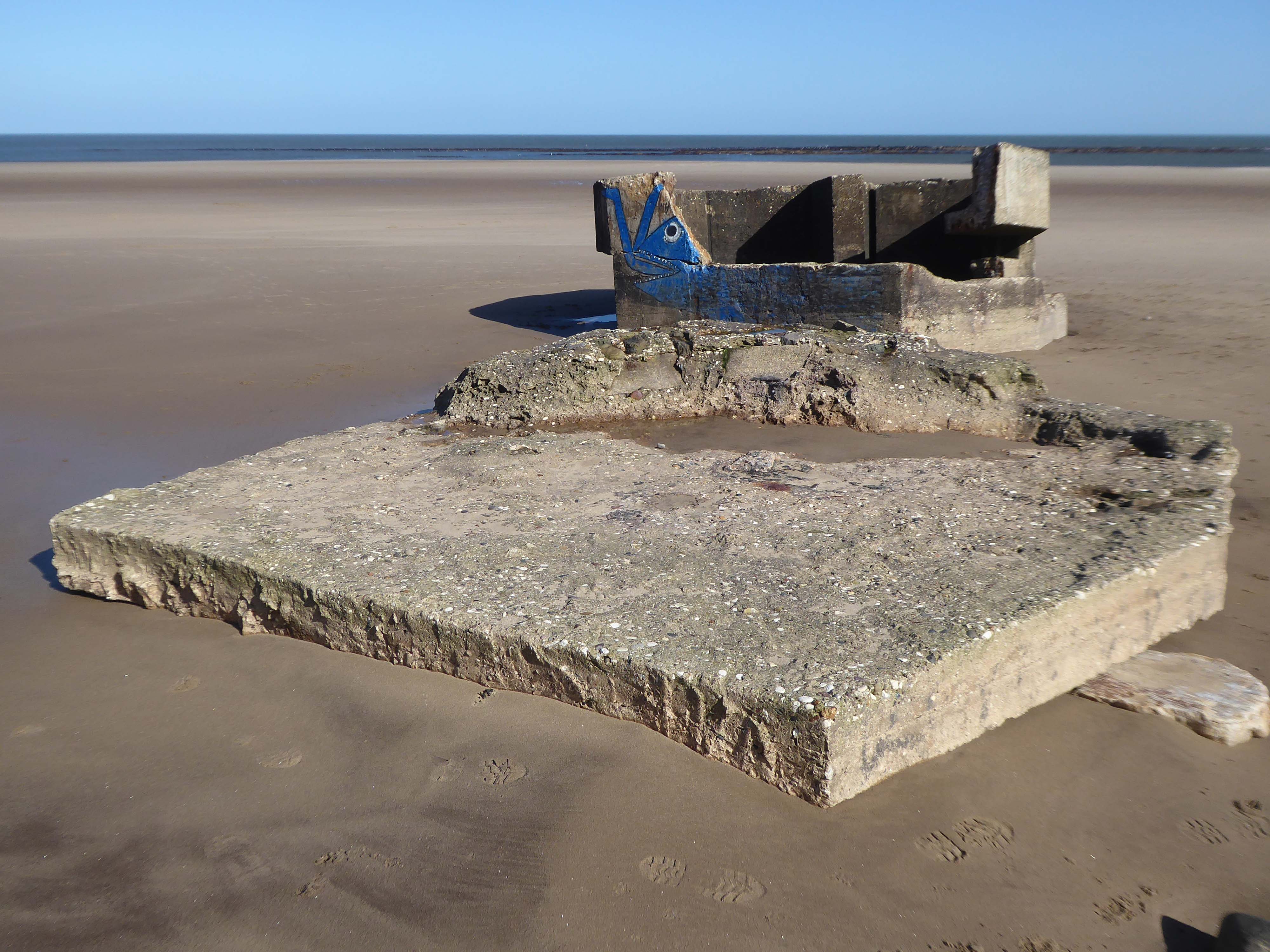
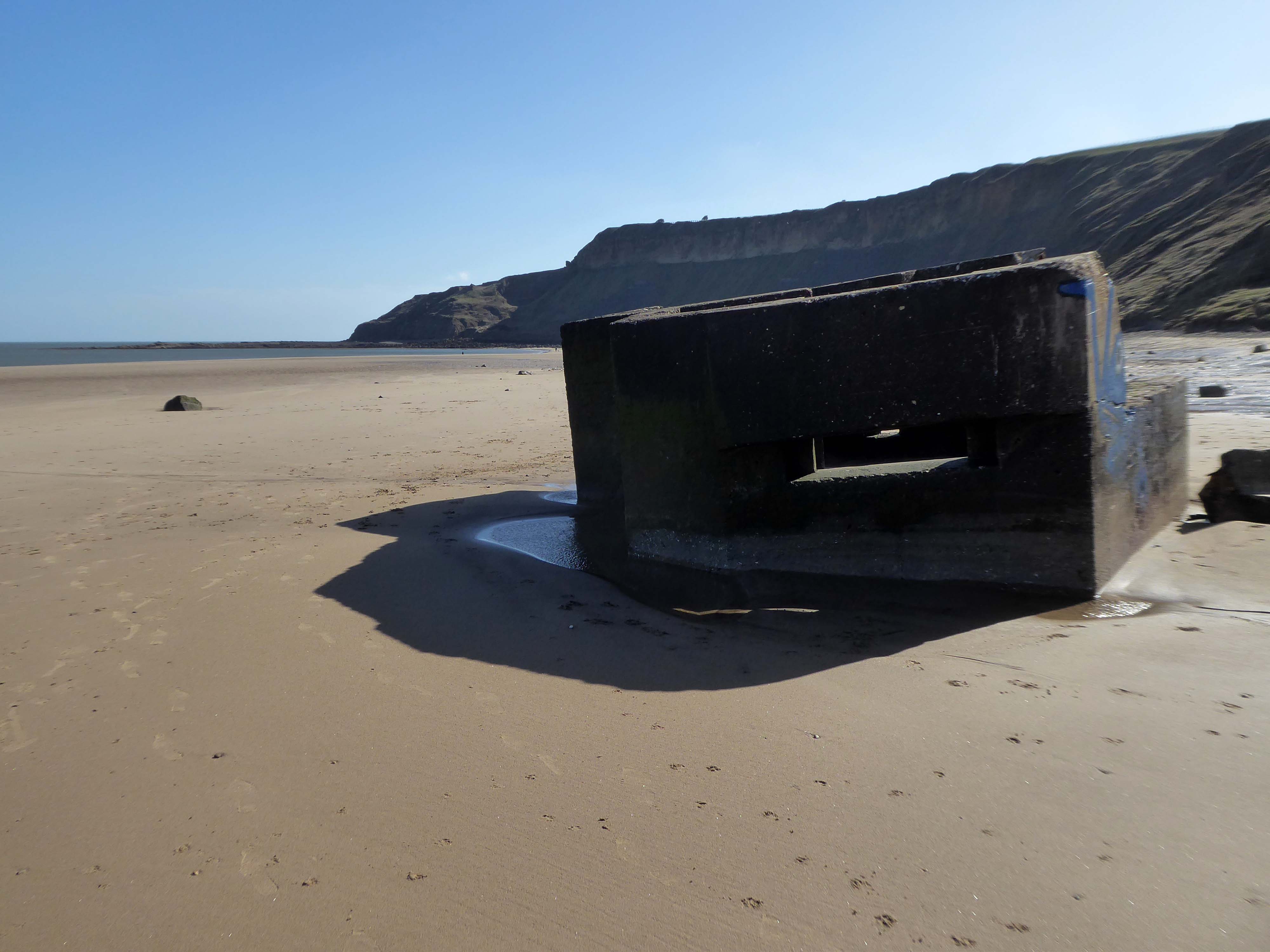
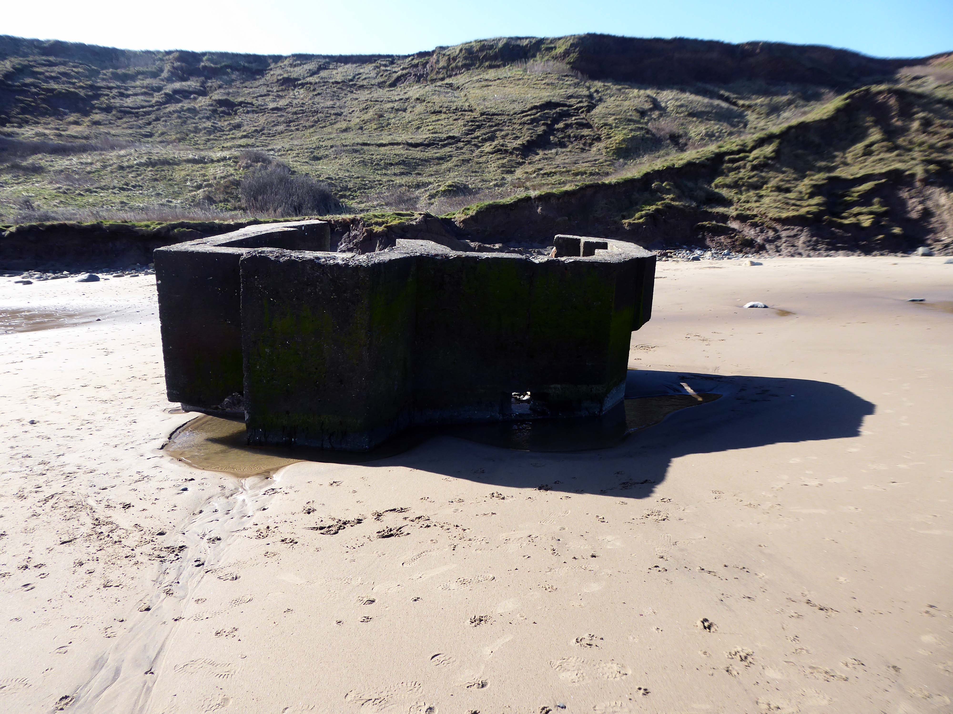
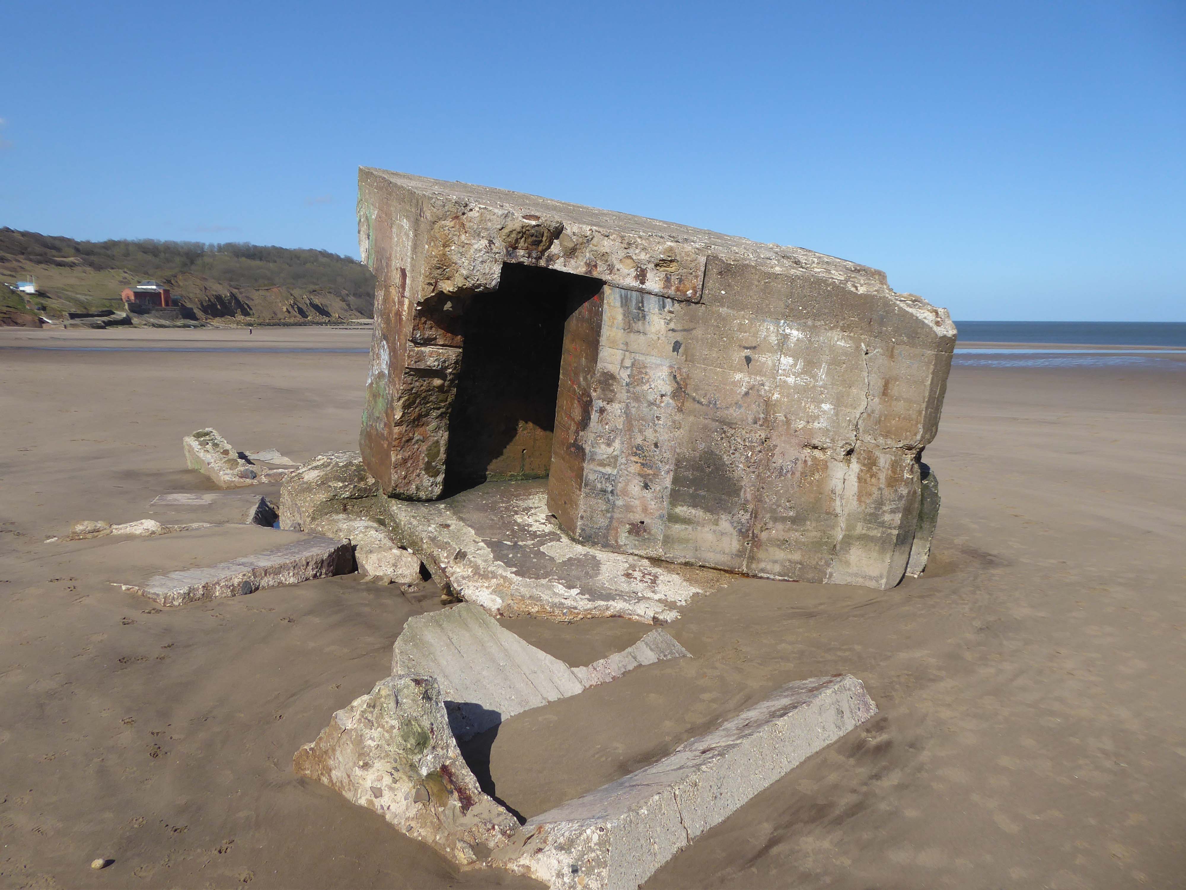
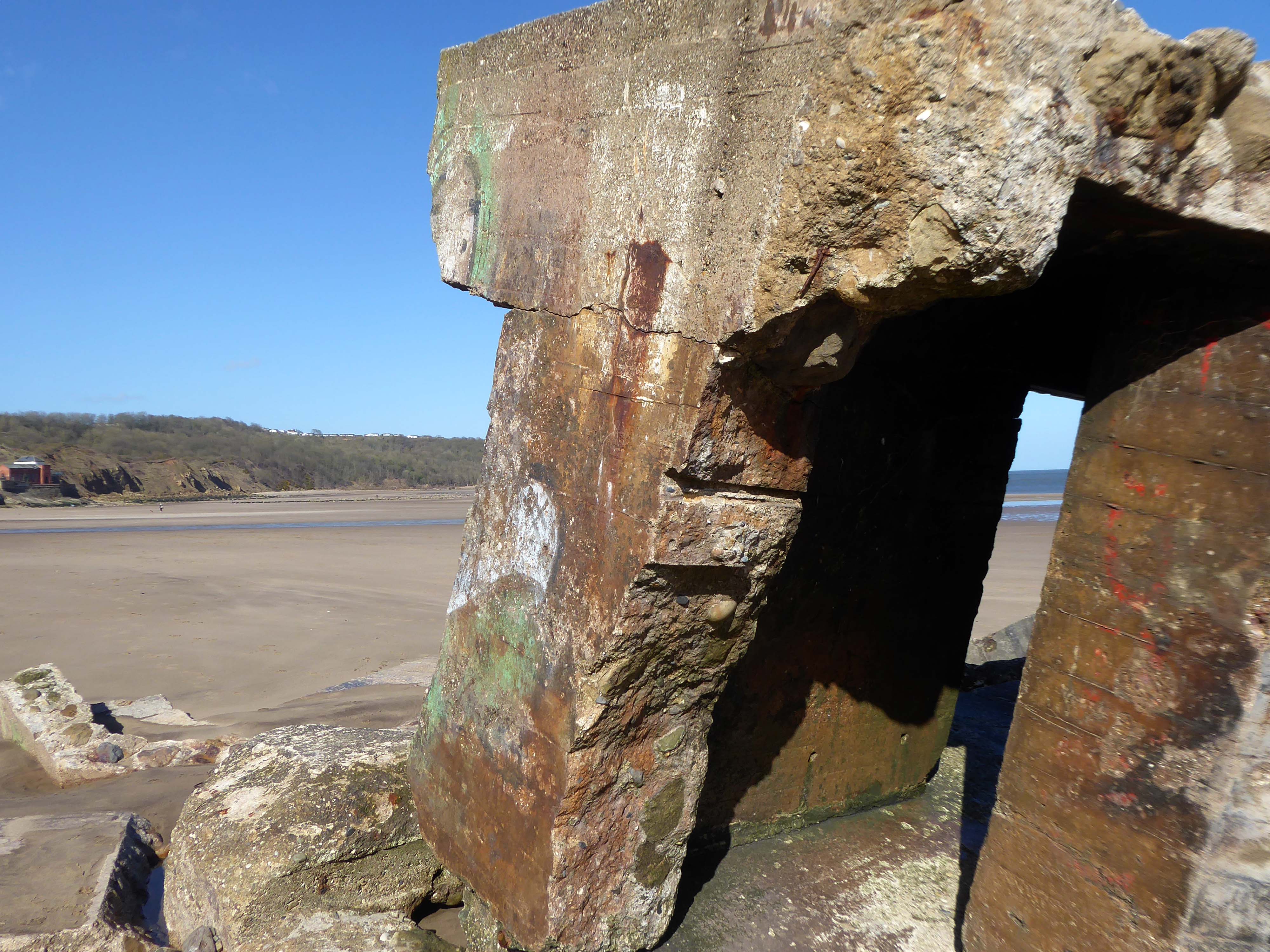
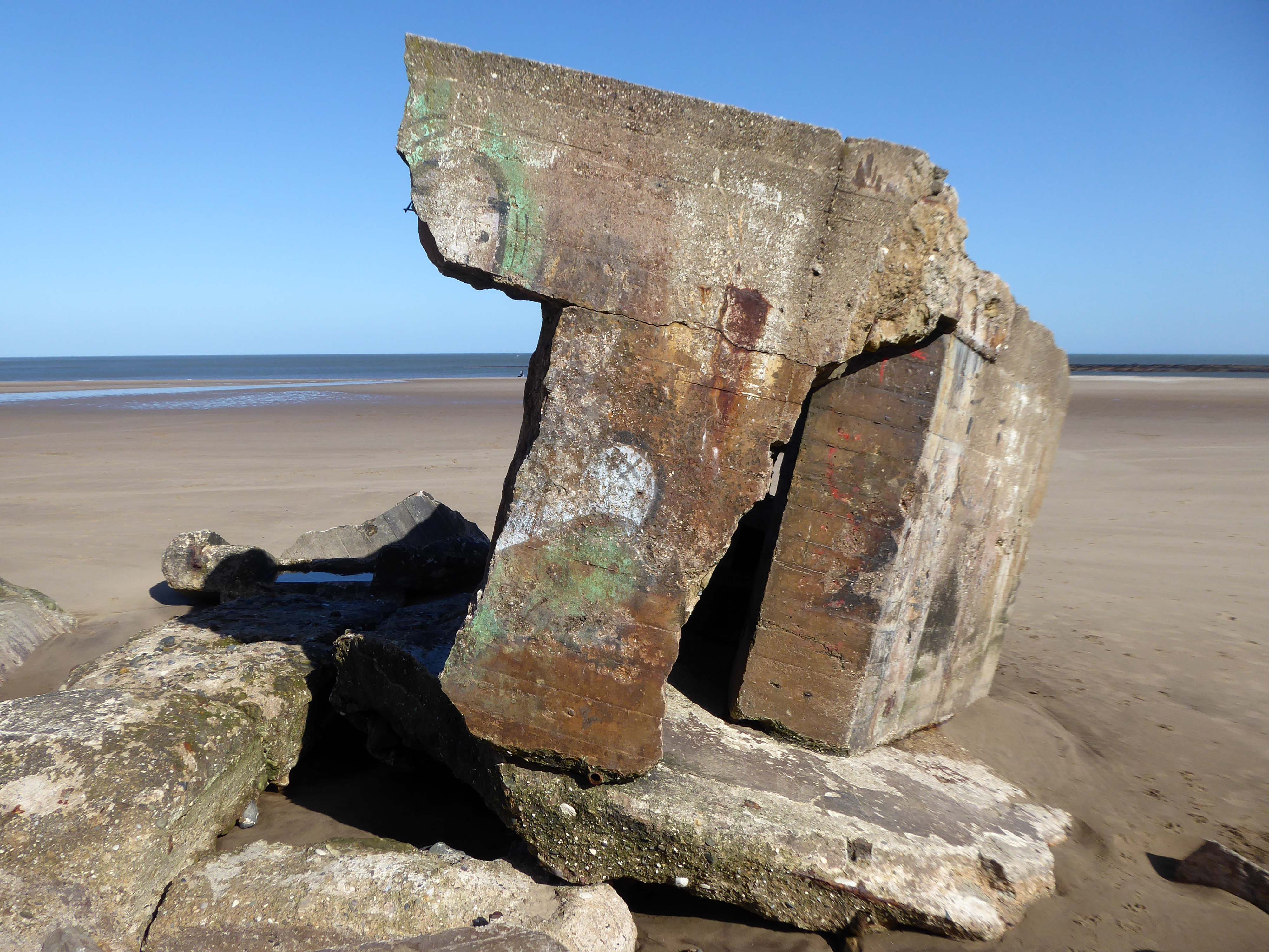
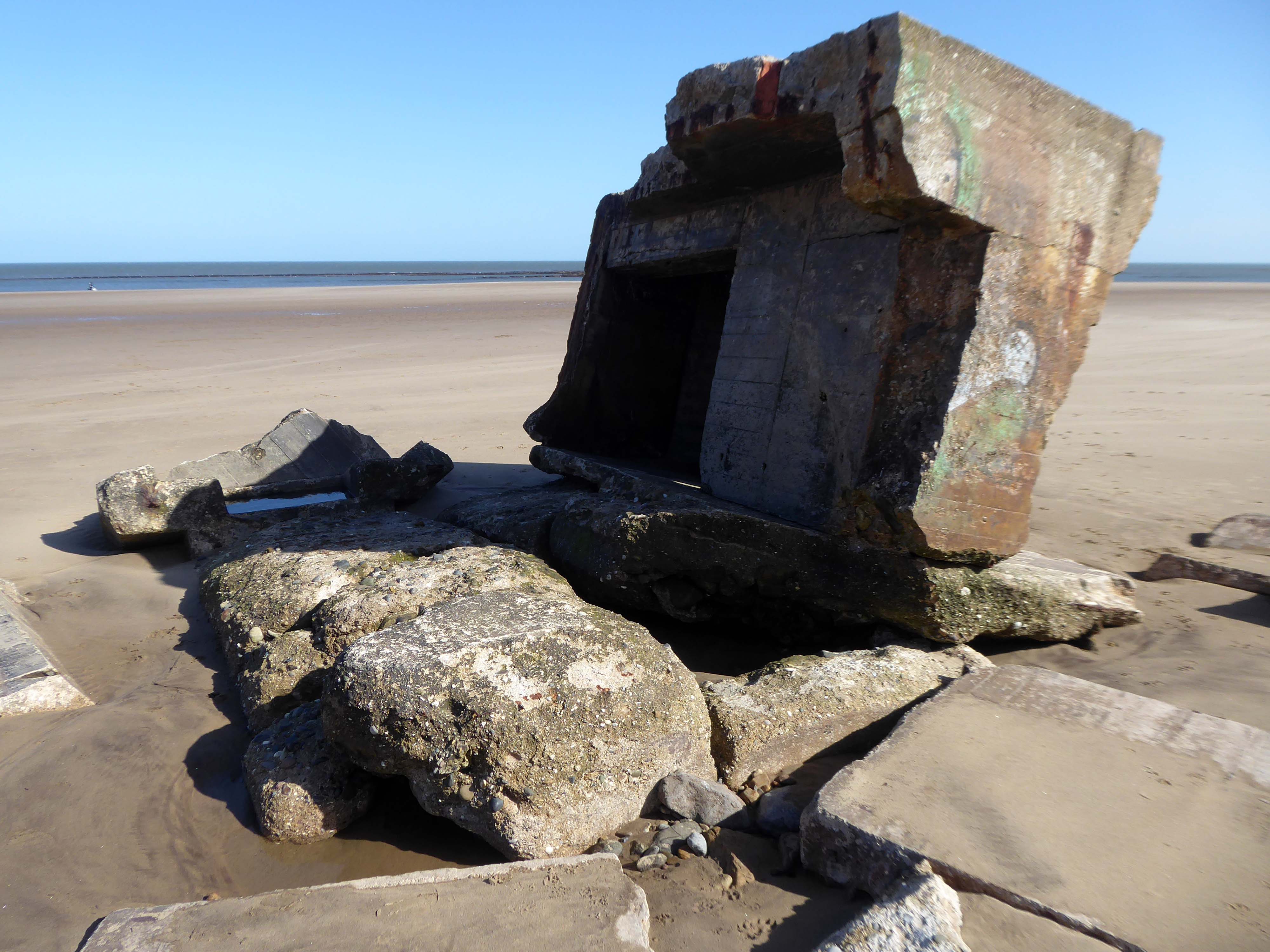
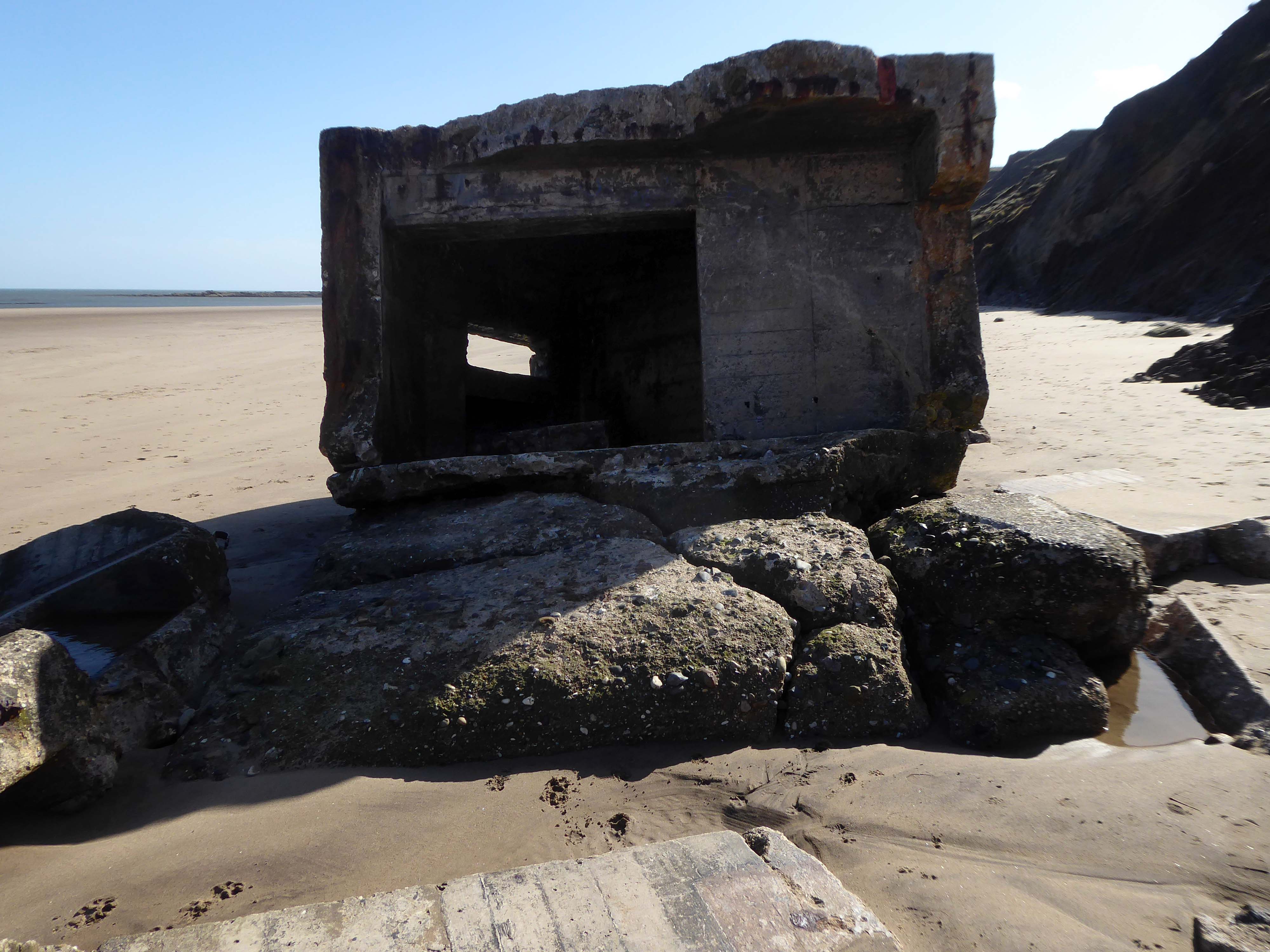
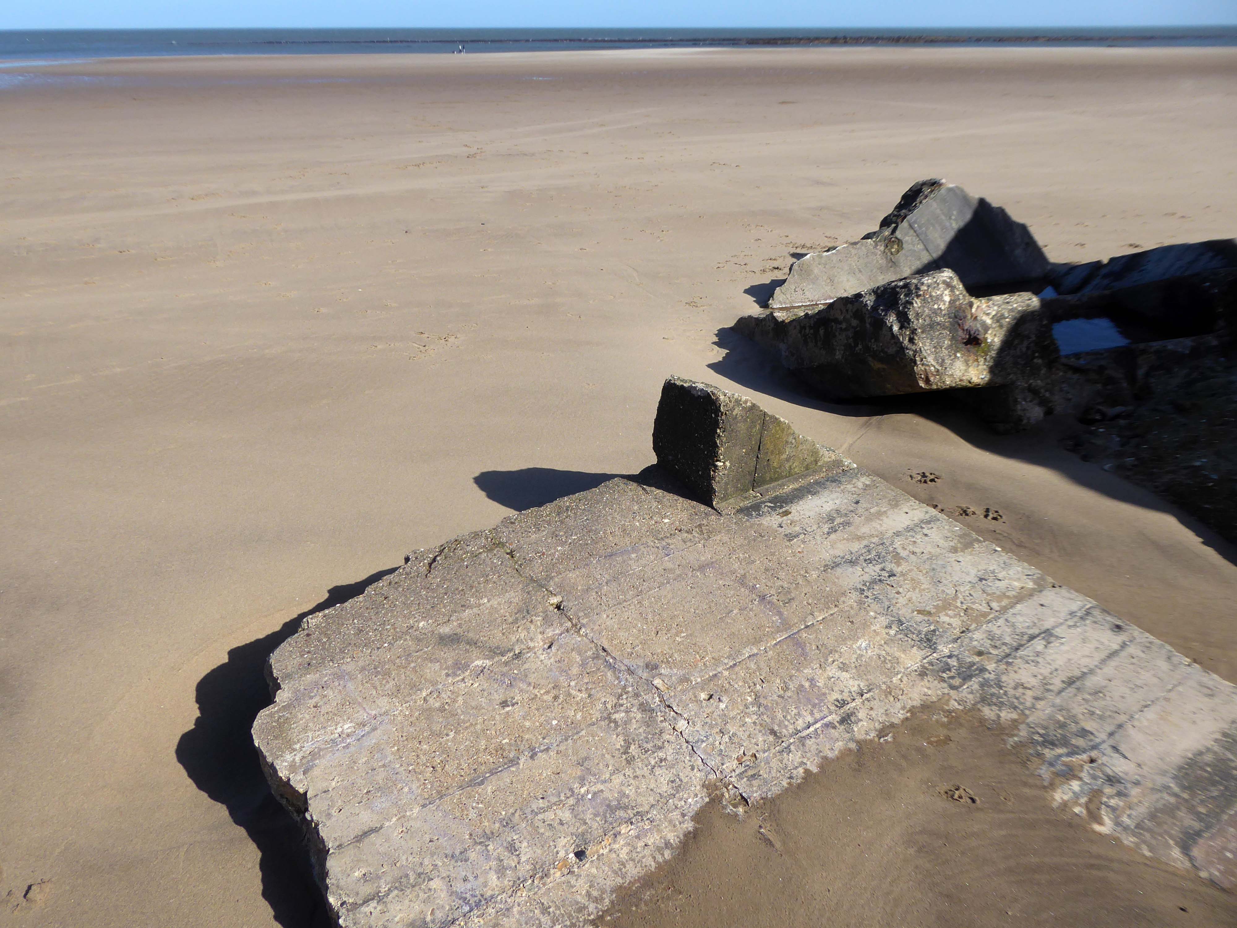
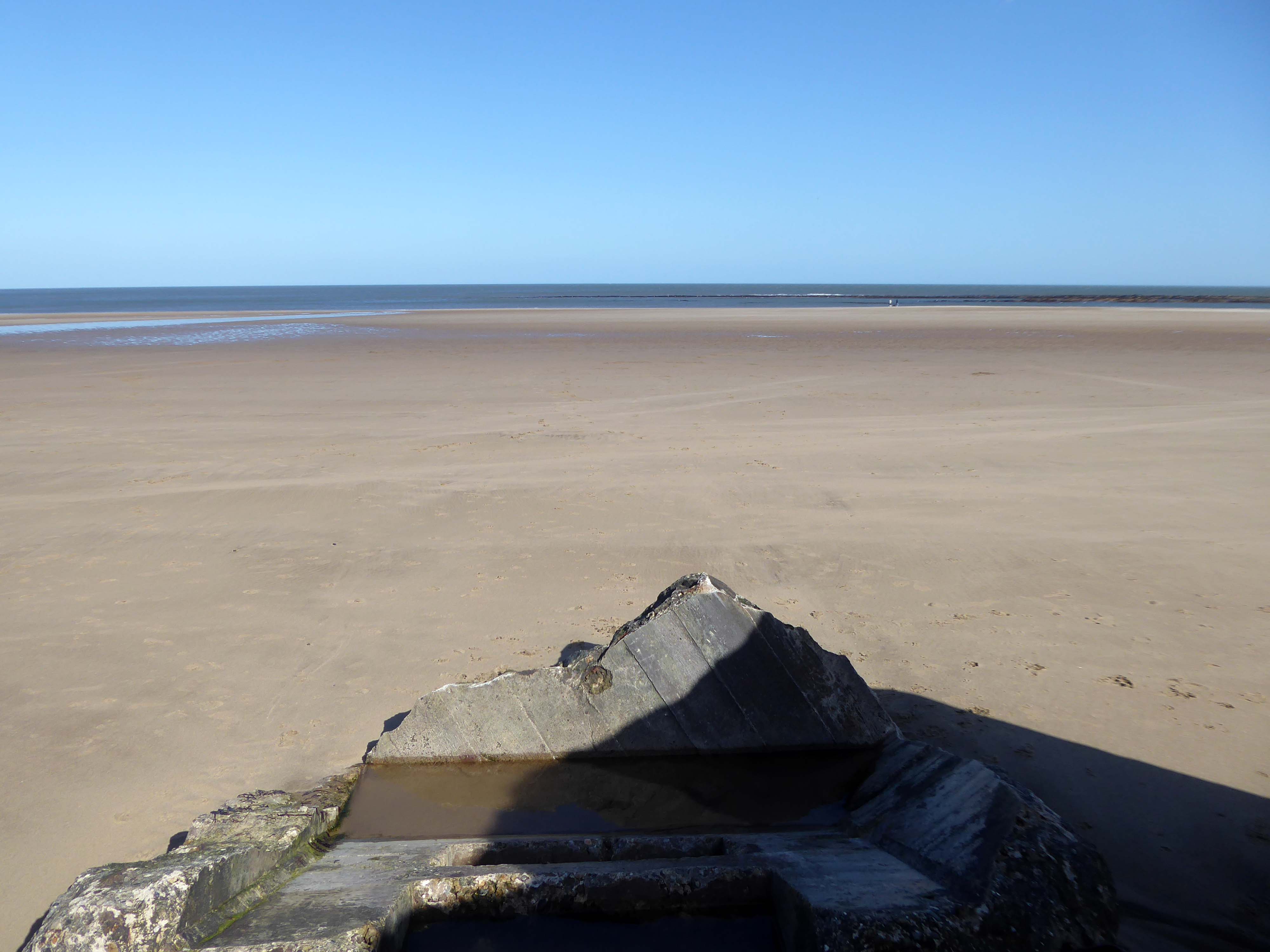
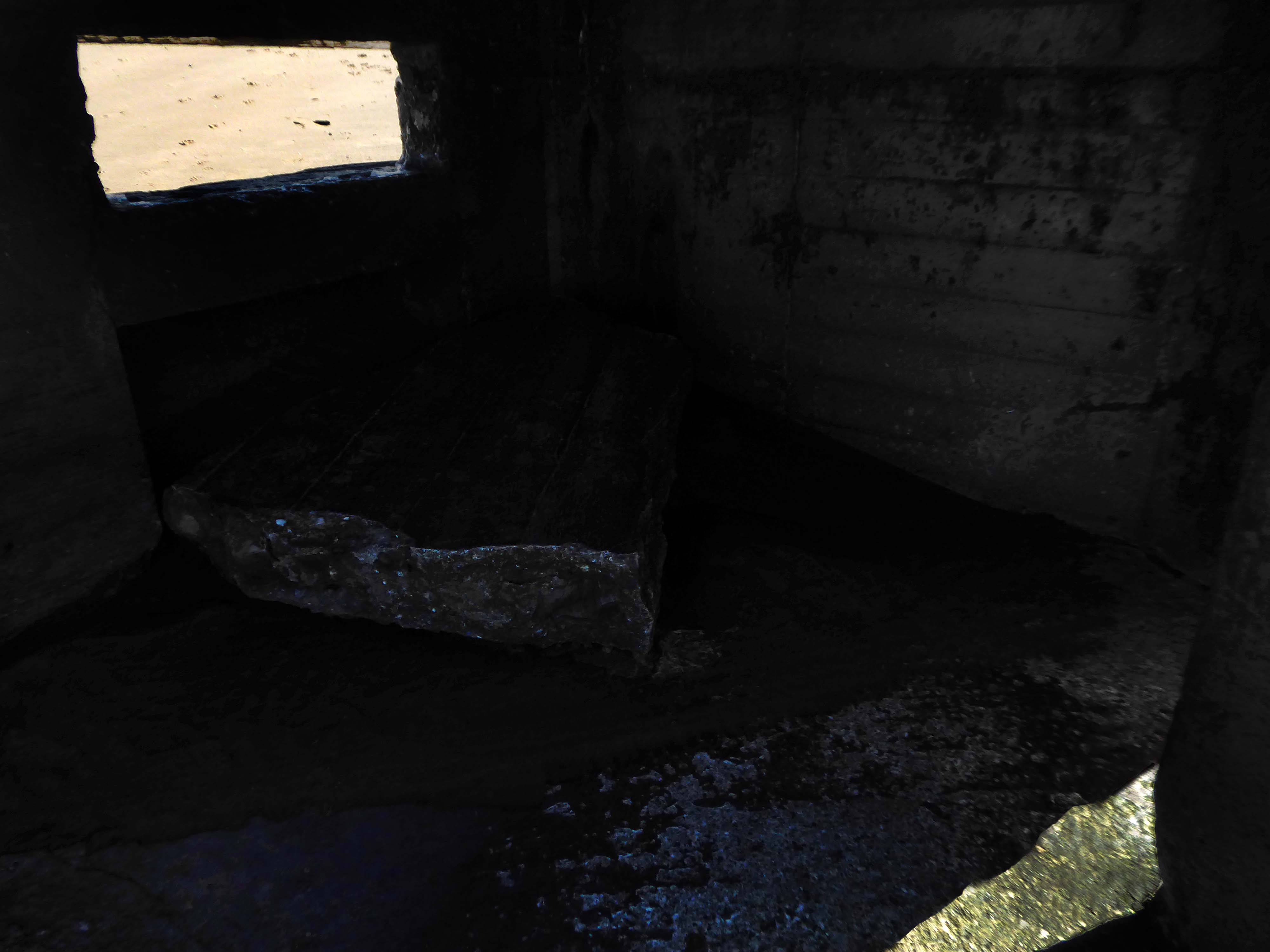
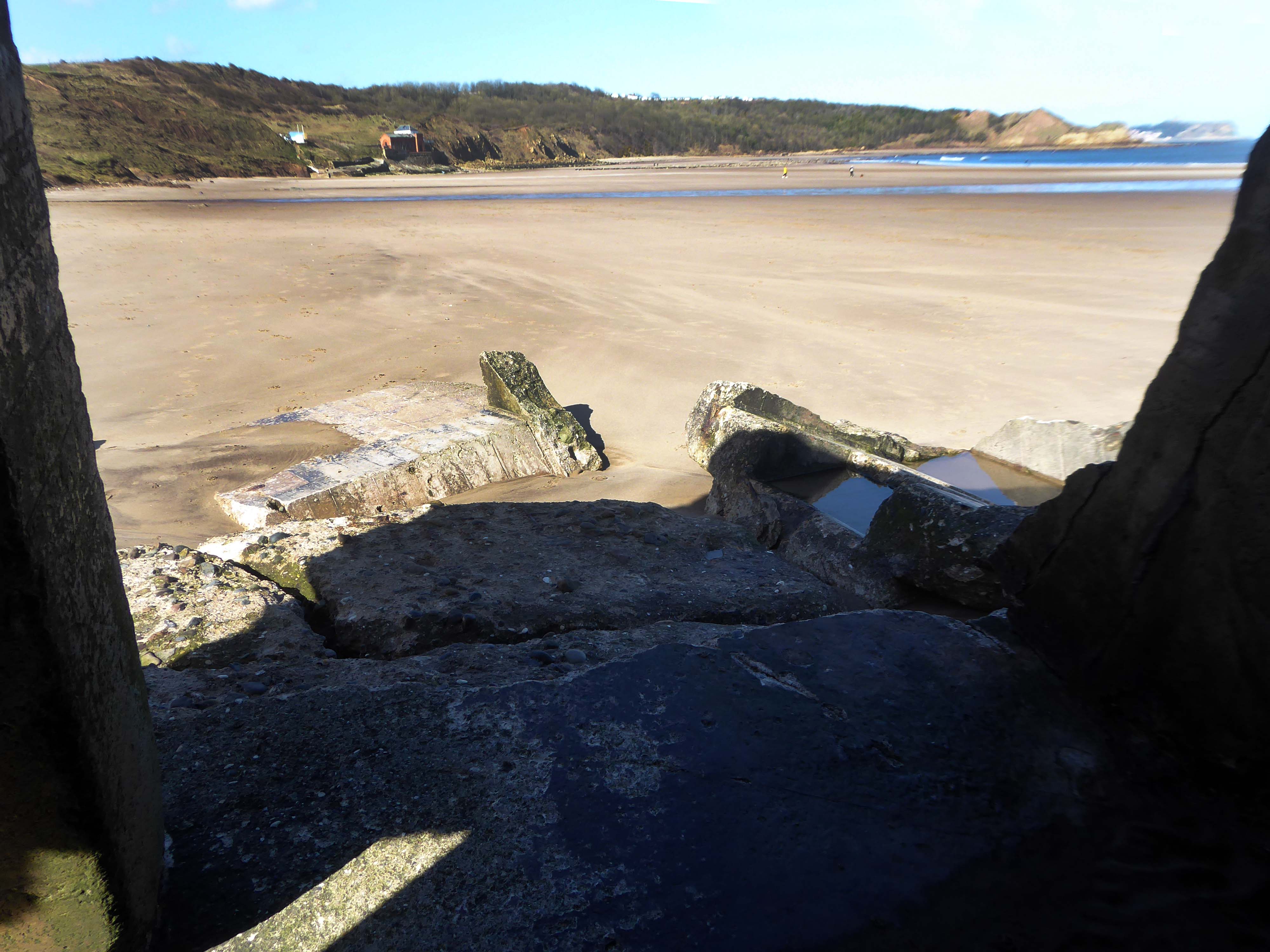
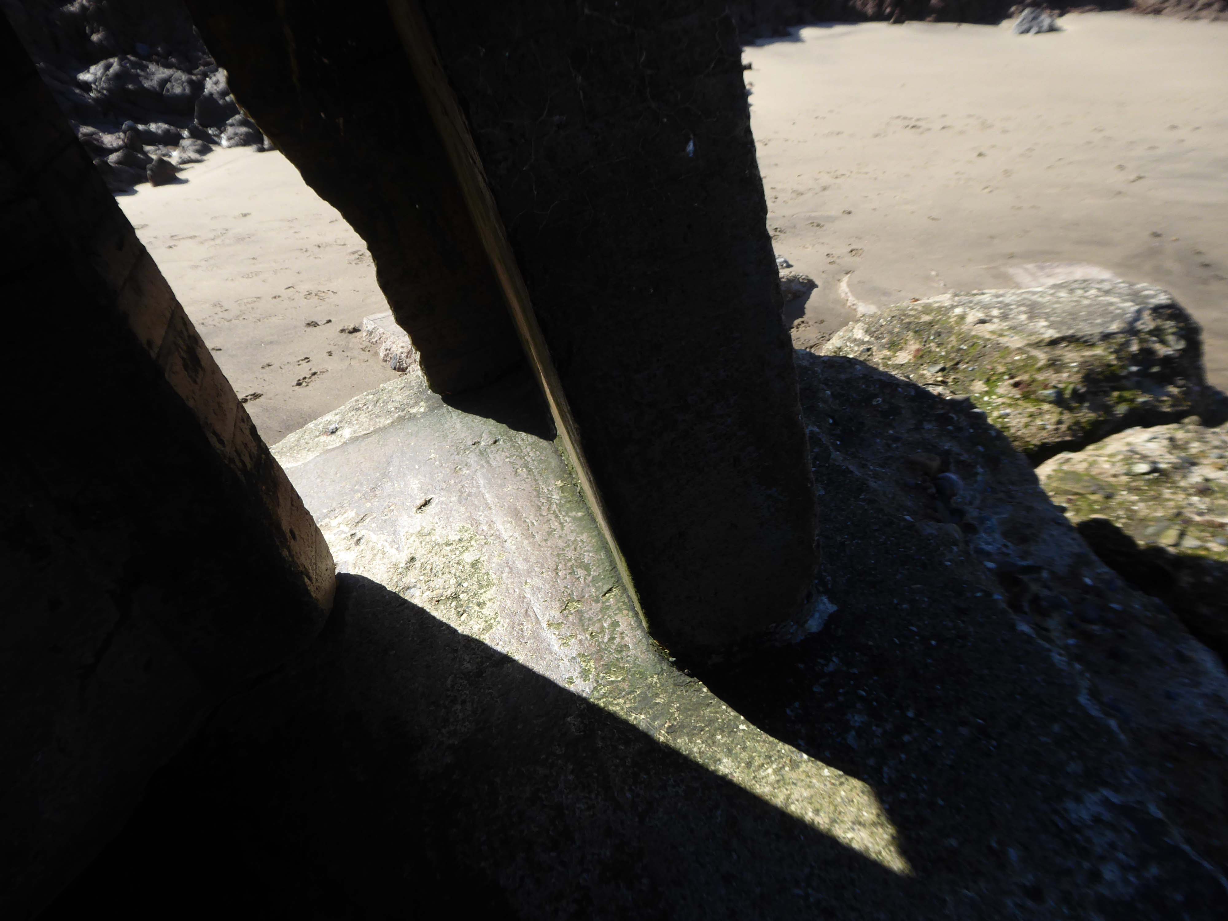
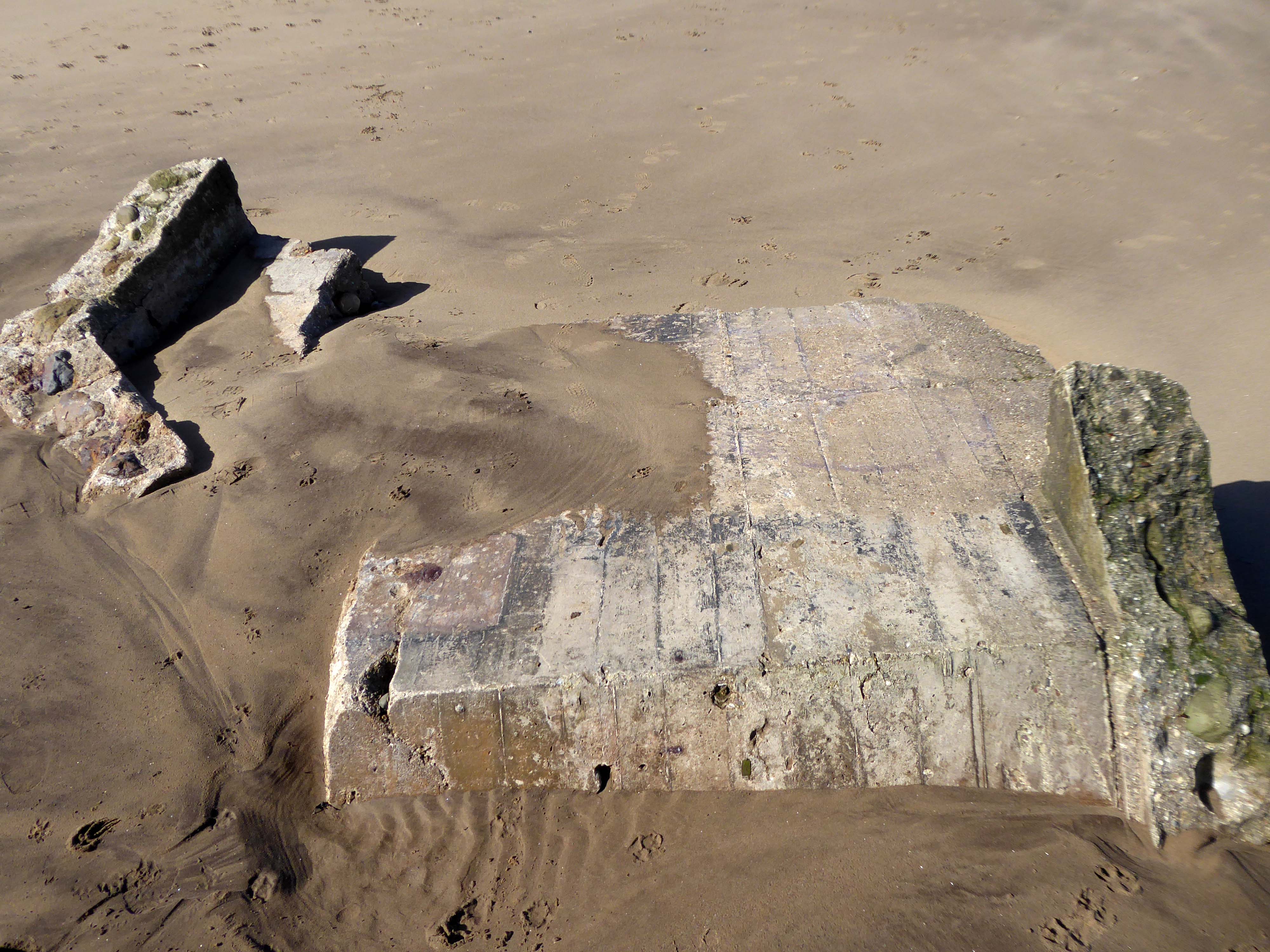
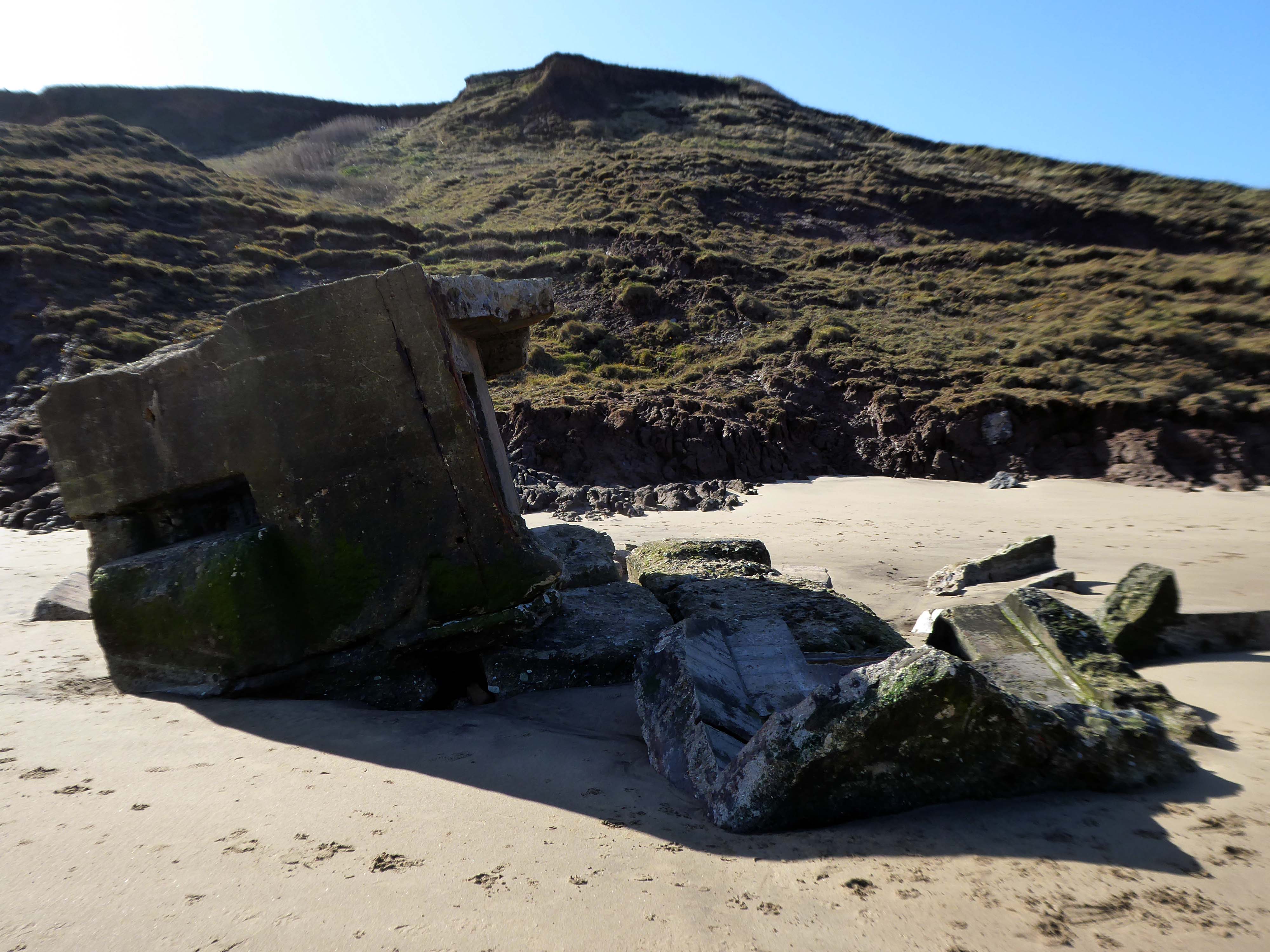
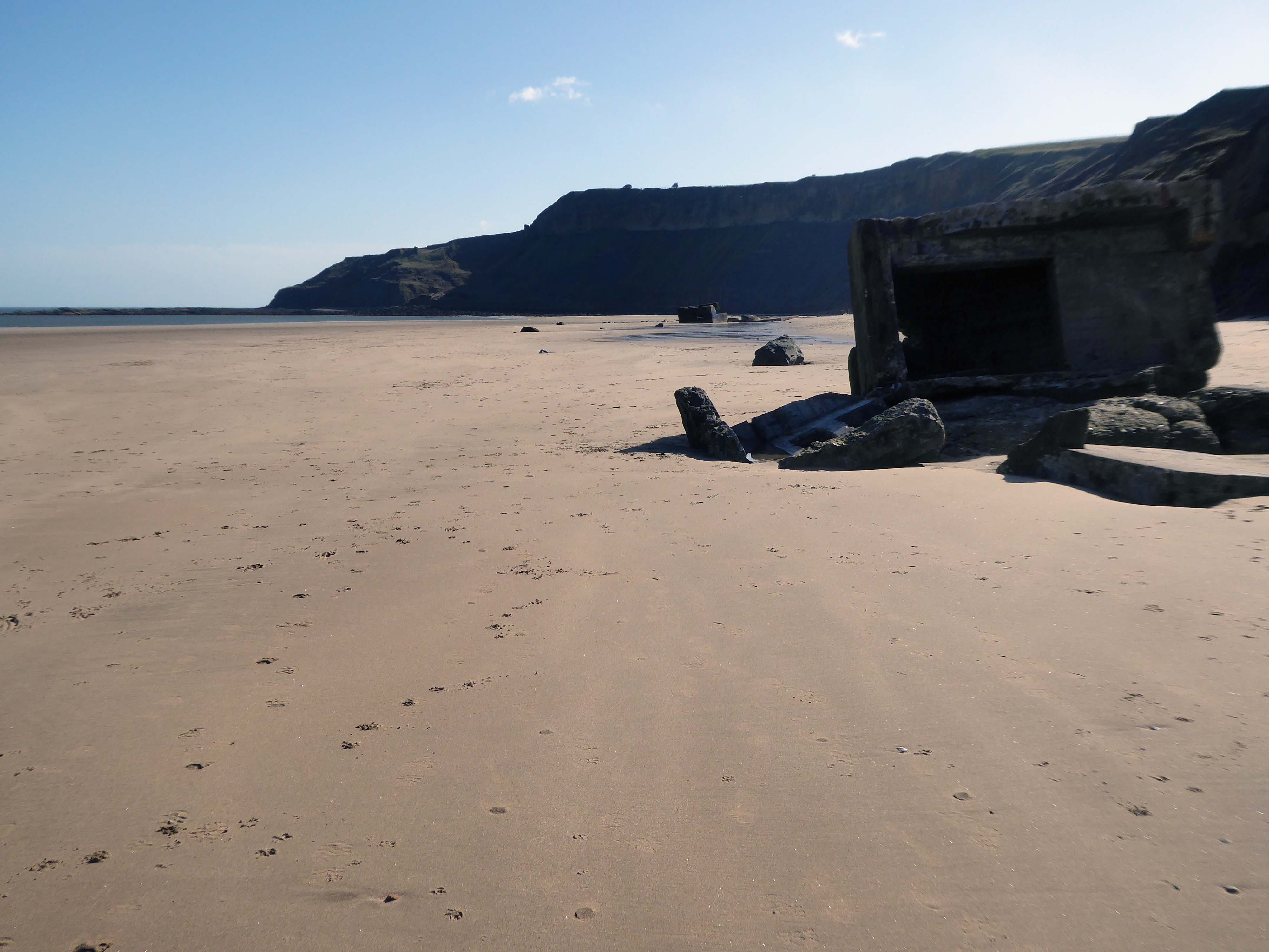
The wide sandy bay was an ideal location for WW2 pillboxes and gun emplacements – anticipating a possible North Sea invasion.
They too are built quite literally on shifting sands.
The pillbox – one of many built along the coast to defend against an invasion during World War II – had started to break down, leaving one large piece of stone in a precarious position.
Rob Shaw, of Ganton, noticed the large slab was propped up dangerously against another piece of stone last September.
He said he reported his concerns to Scarborough Borough Council then, but that nothing was done until last month.
The dad-of-two said before the work:
I used to work in construction and I would have been fired if I had left a lump of concrete like that, it could weigh four or five tonnes.
It just needs lying flat on the sand so it can’t fall on anyone.
A spokesperson for Scarborough Borough Council said the council had assessed the pillbox and arrangements had been made for the problem section to be removed.
The Scarborough News
This unstable cliff-top structure was allegedly hastened bay-wards by the Council.
Claims that we pushed the pillbox off the cliff are untrue – our colleagues have many amazing talents but pushing huge concrete structures is not one of them. The structure people can see at the base of the cliff is the other section of the pillbox that has been on the beach for many years.
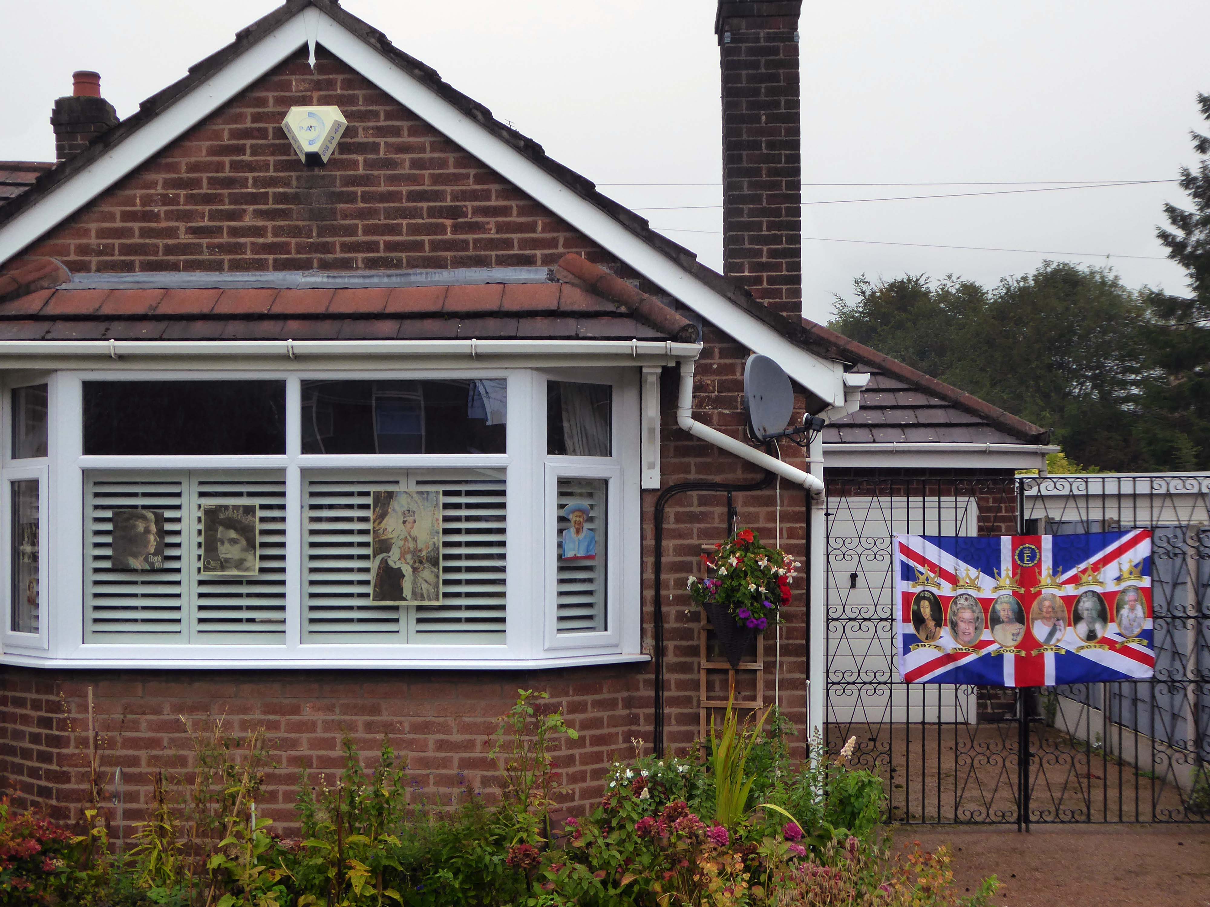
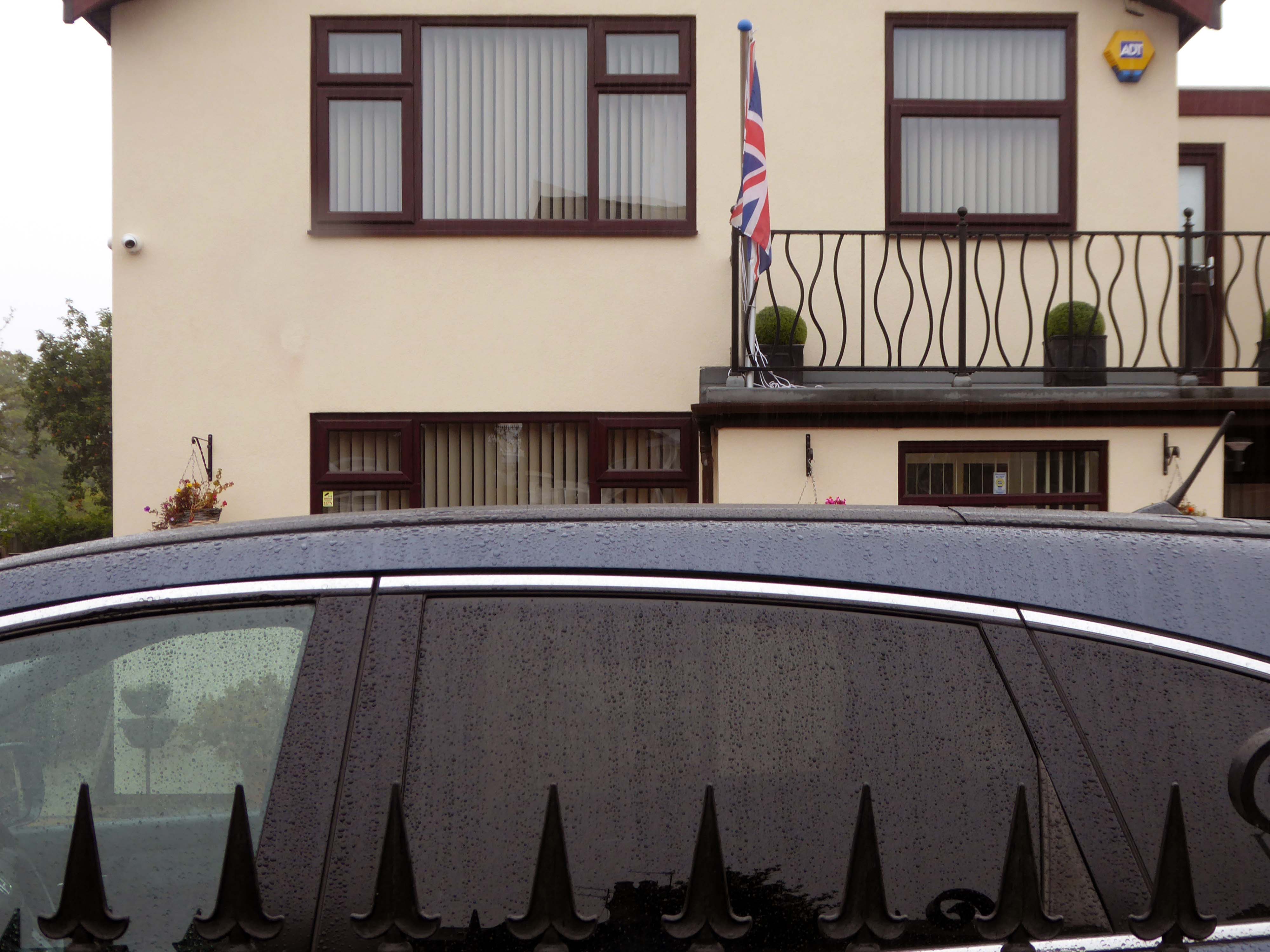
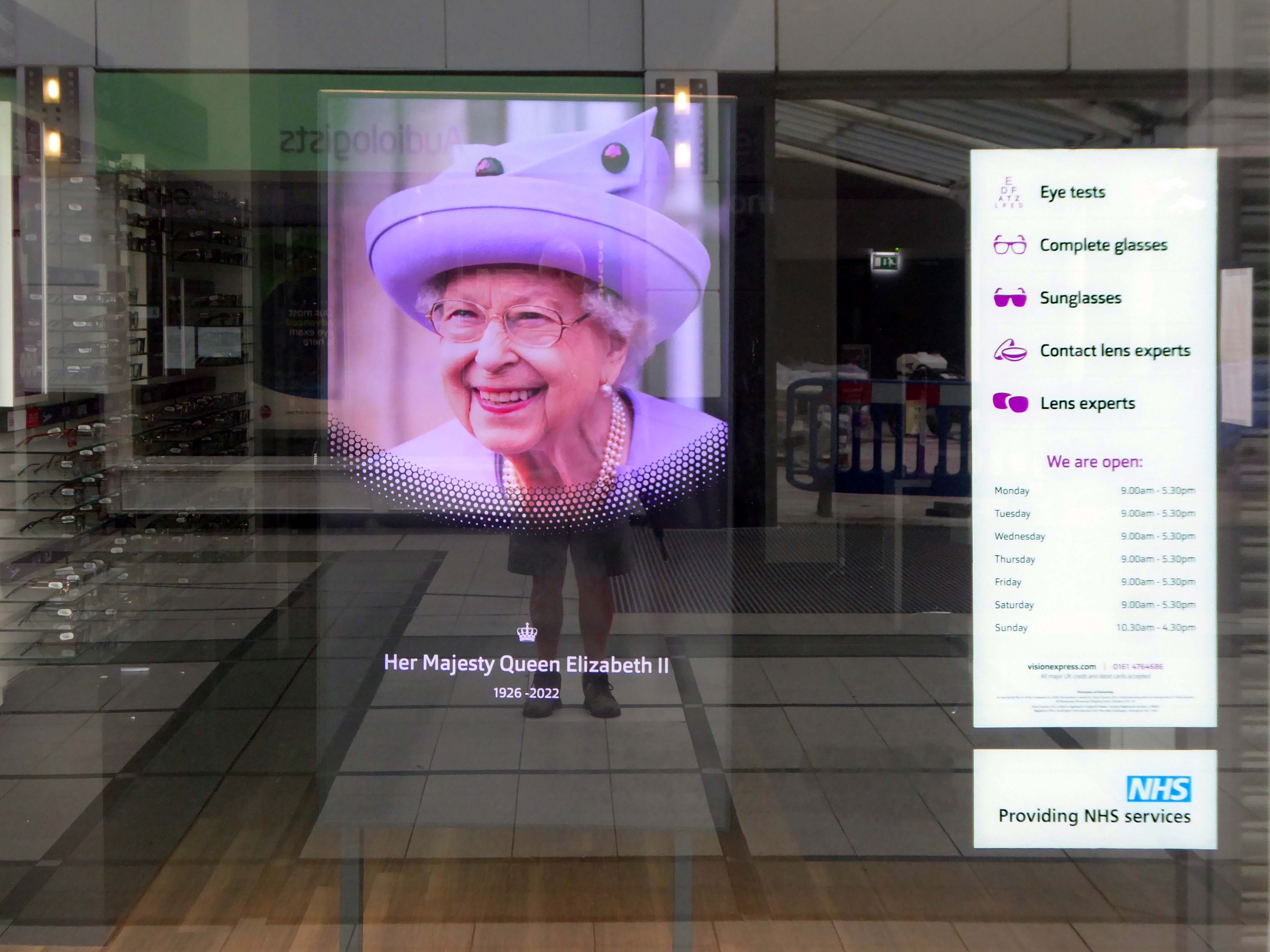
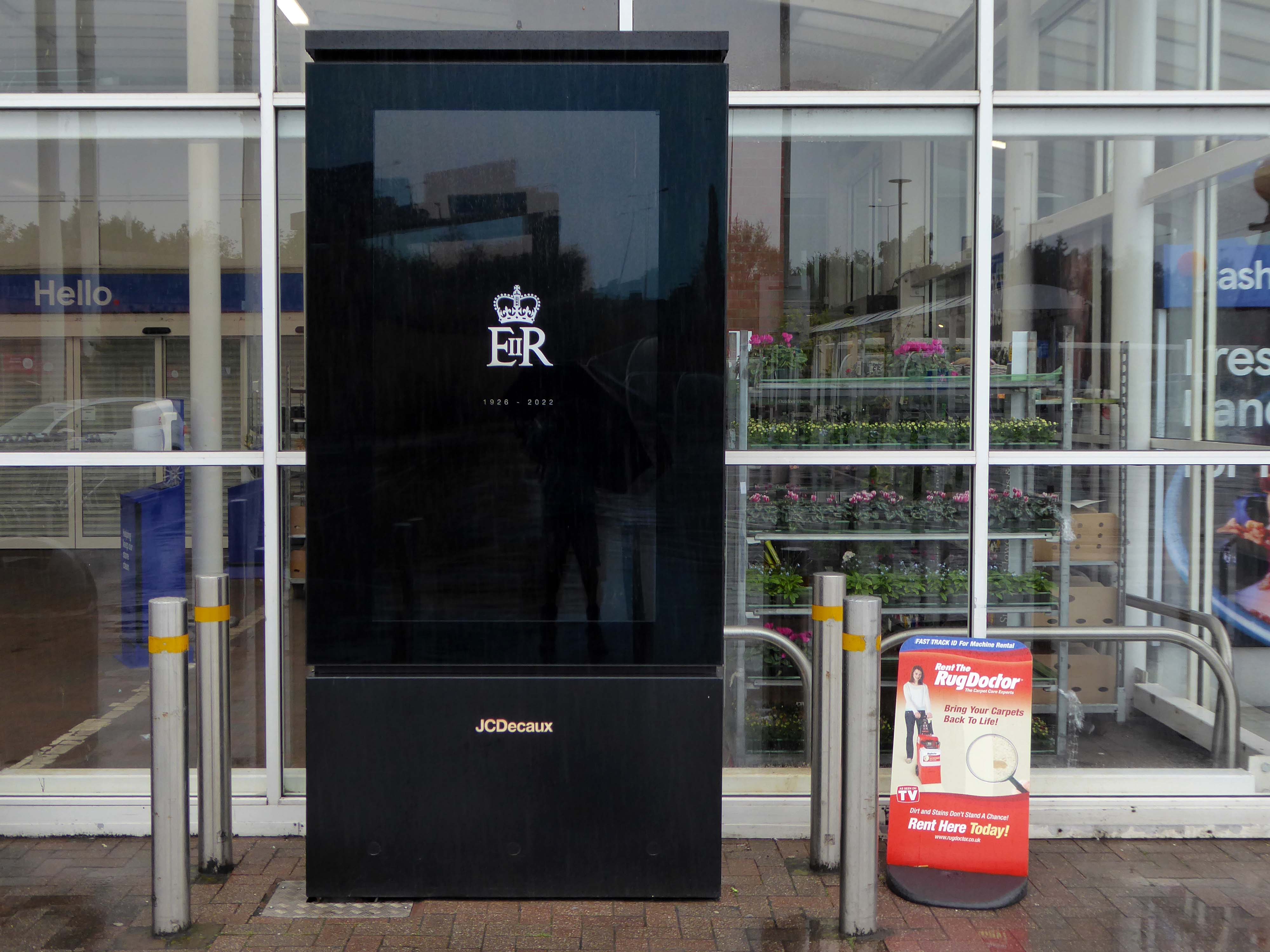
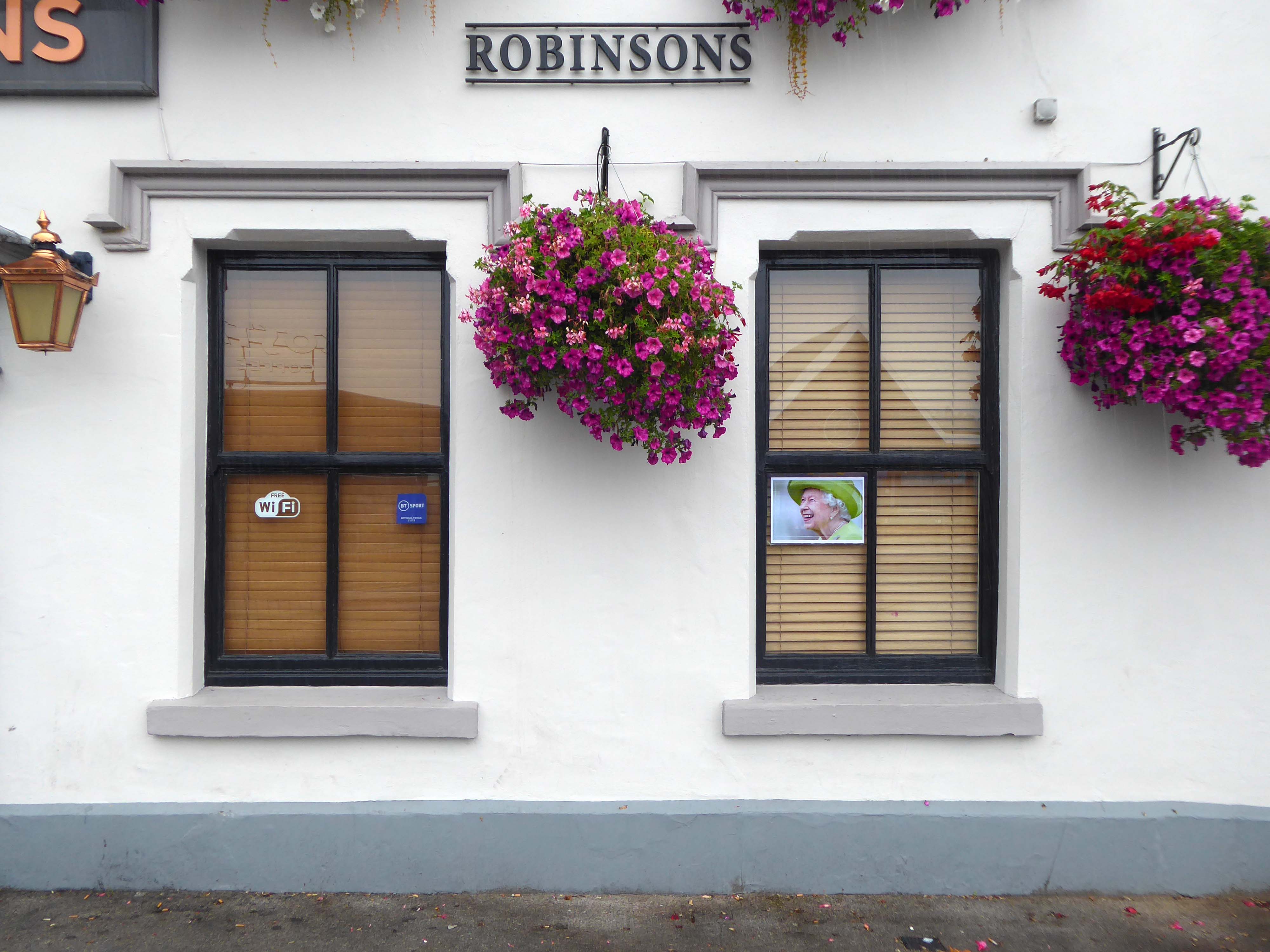
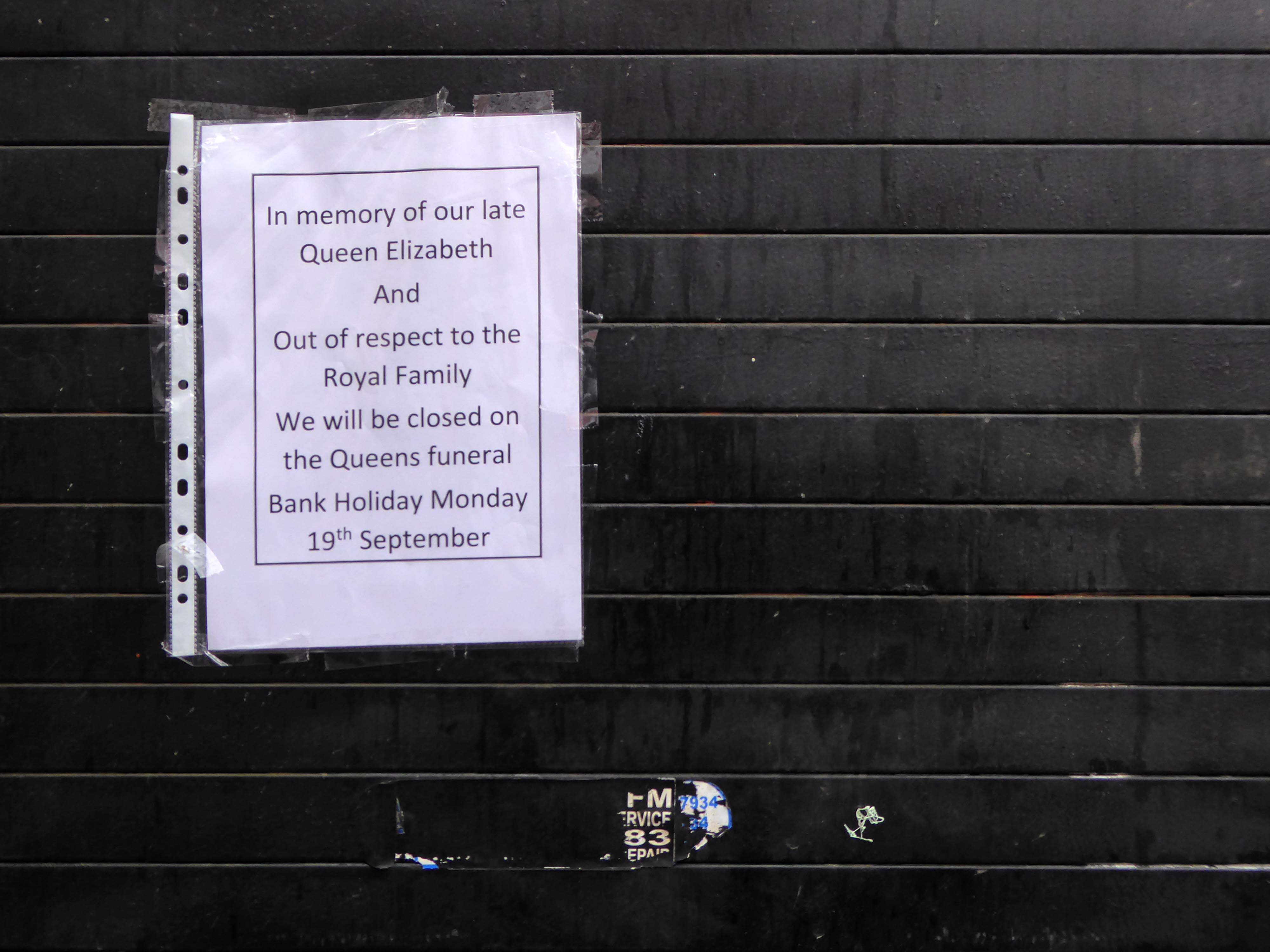
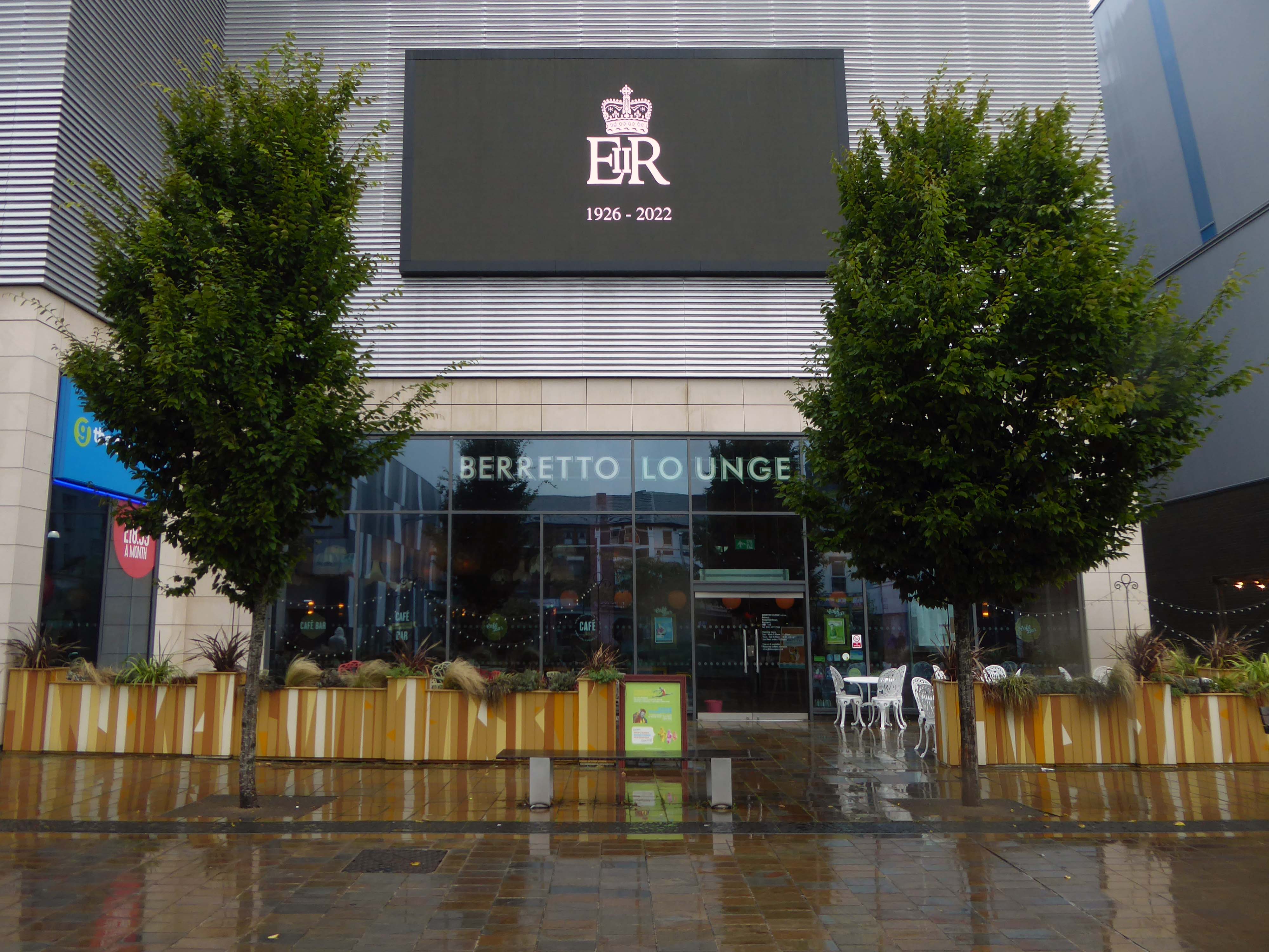
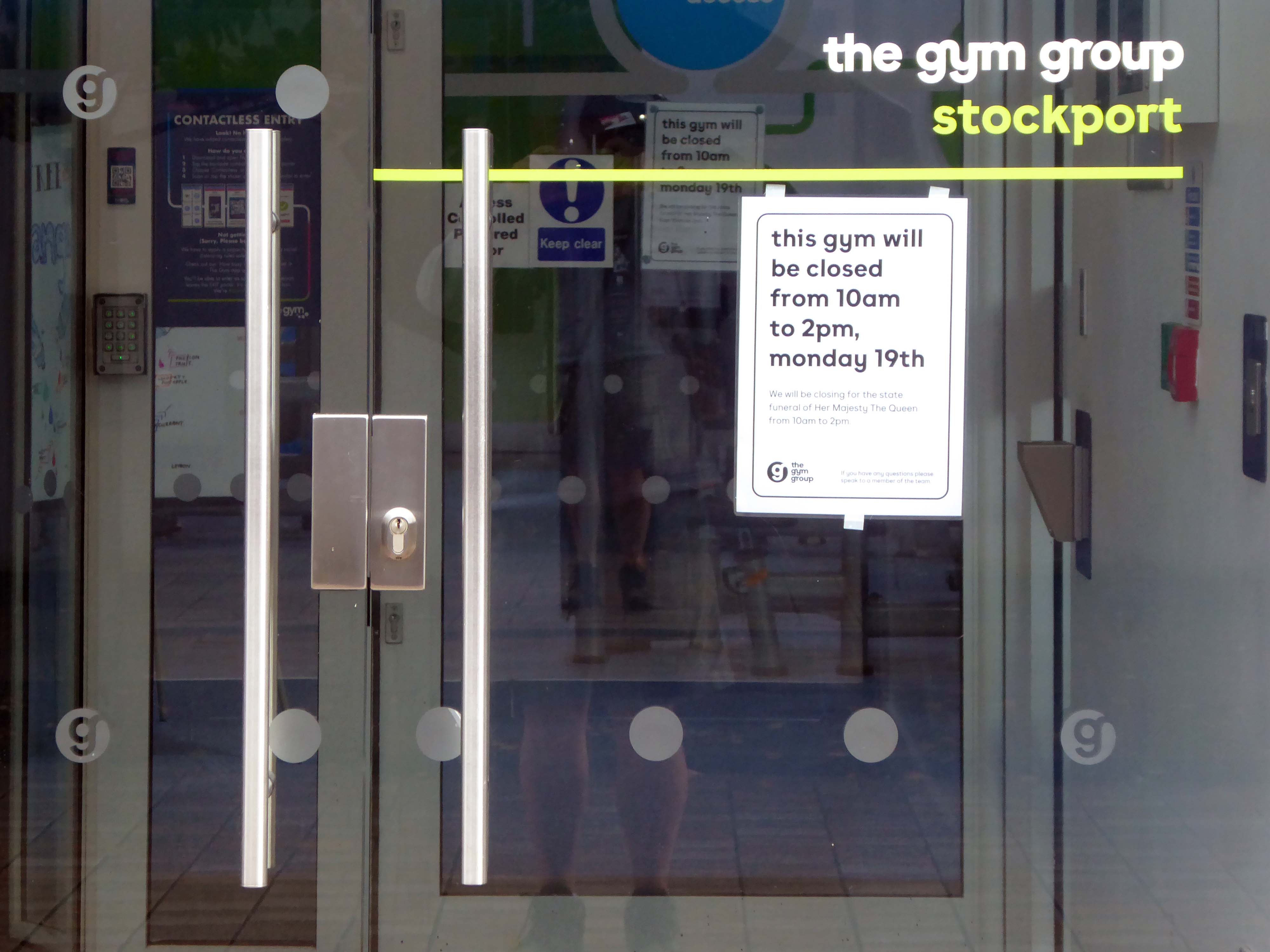
On the day of HM Queen Elizabeth II’s Diamond Jubilee, I cycled around Ashton under Lyne in search of landmarks of her sixty year reign.
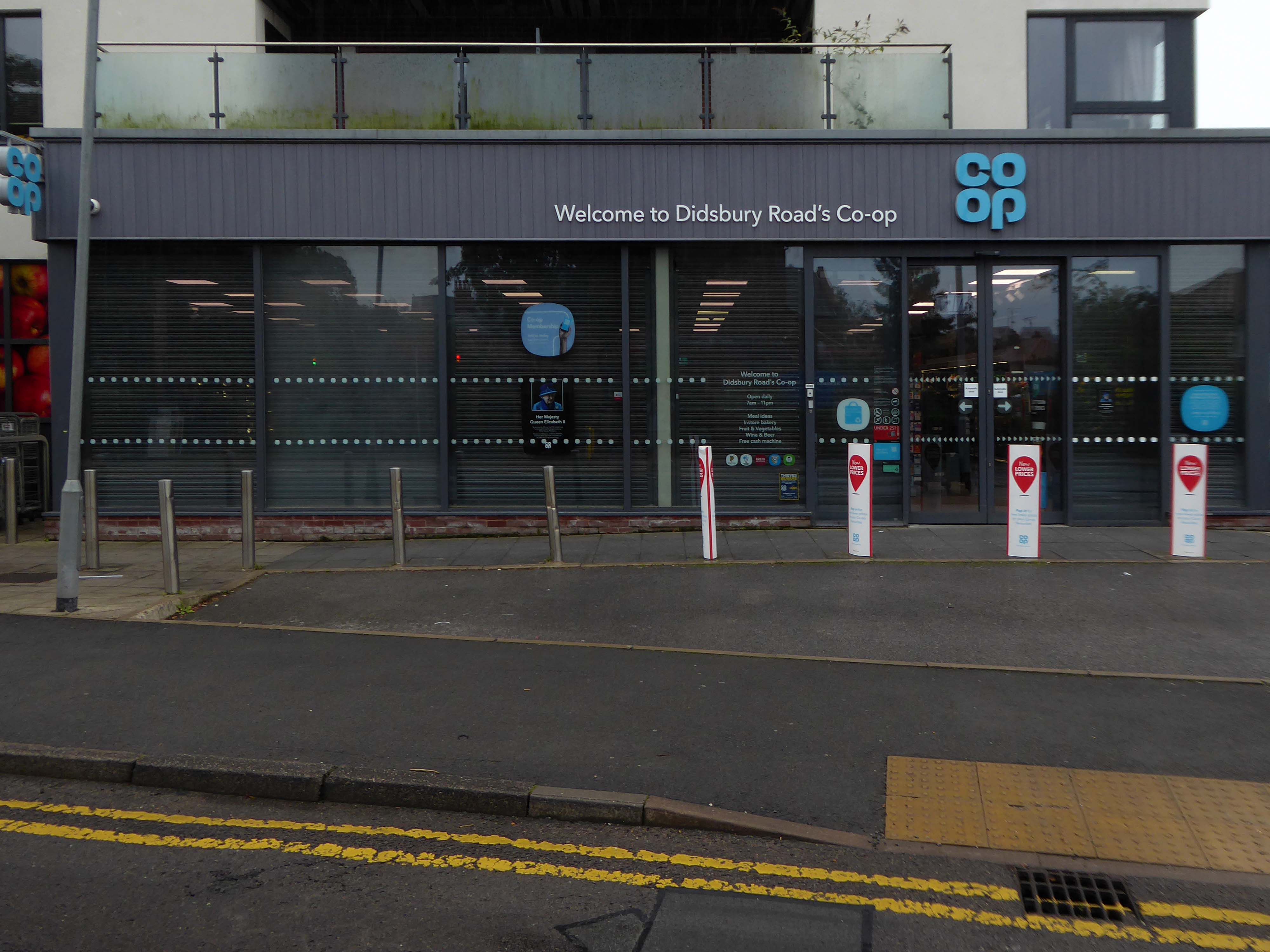
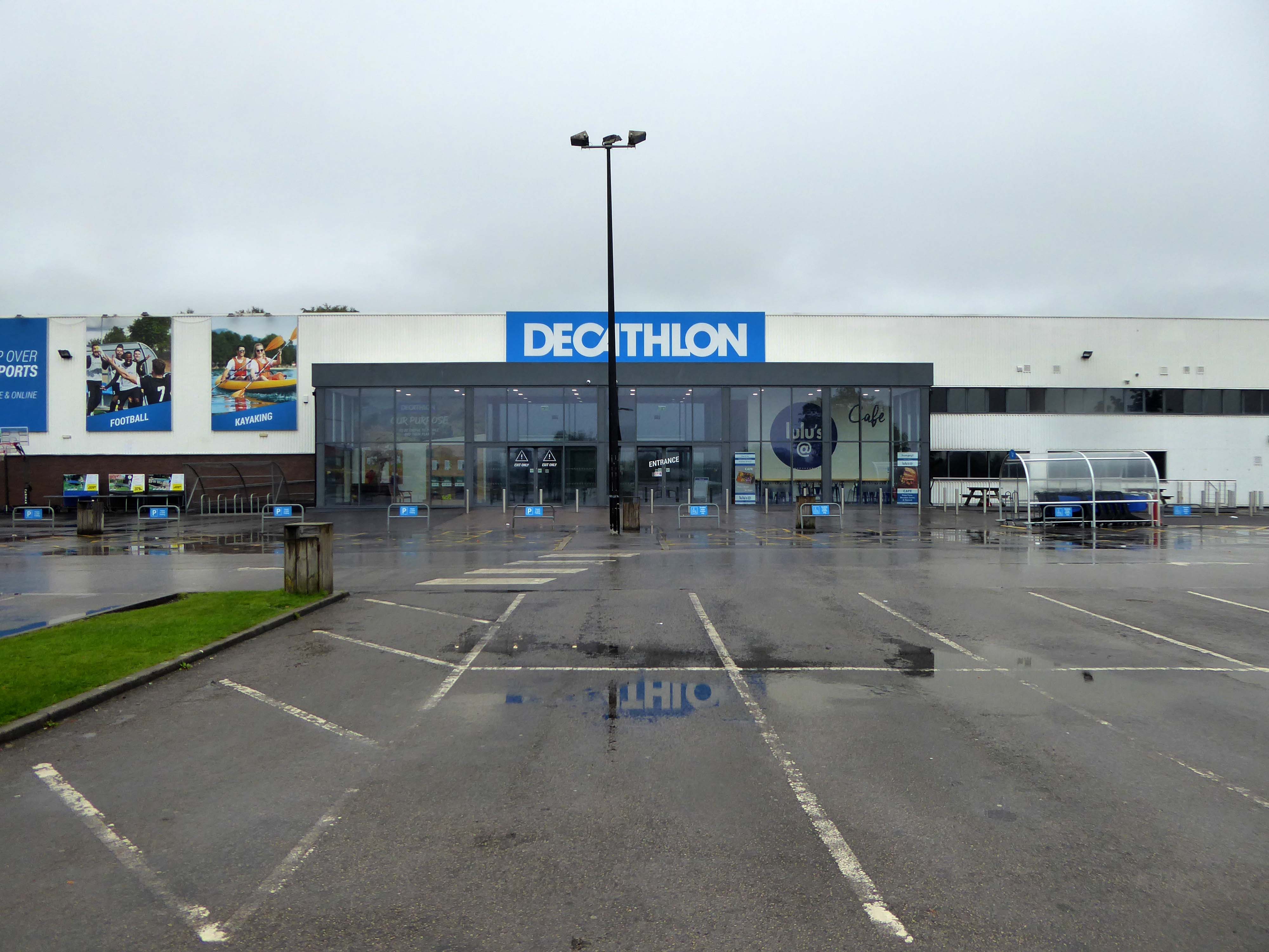
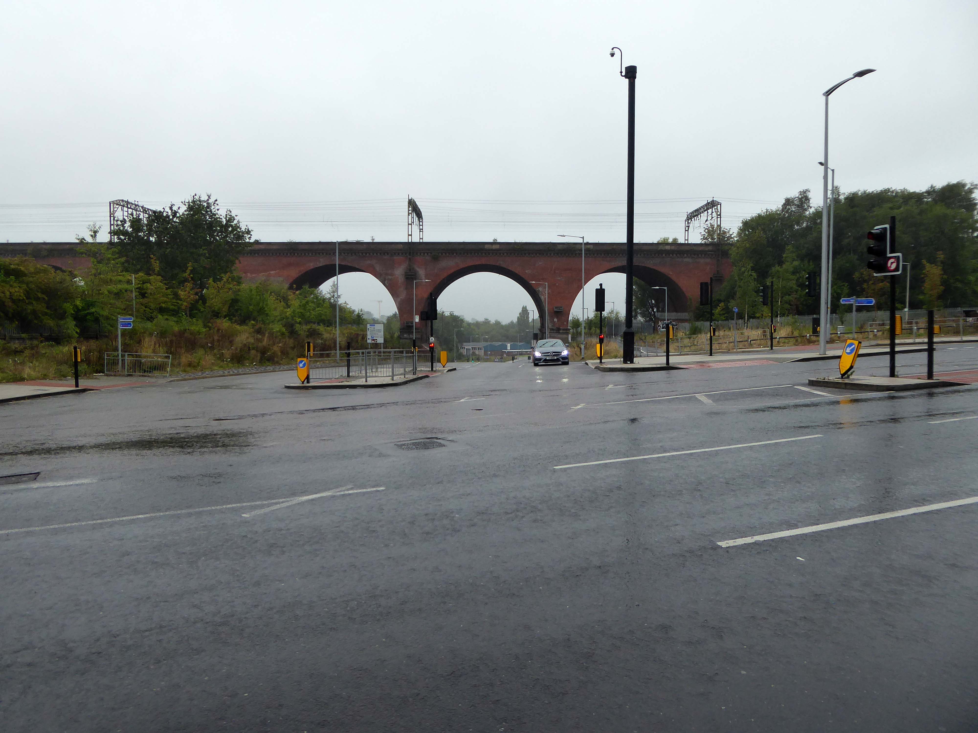
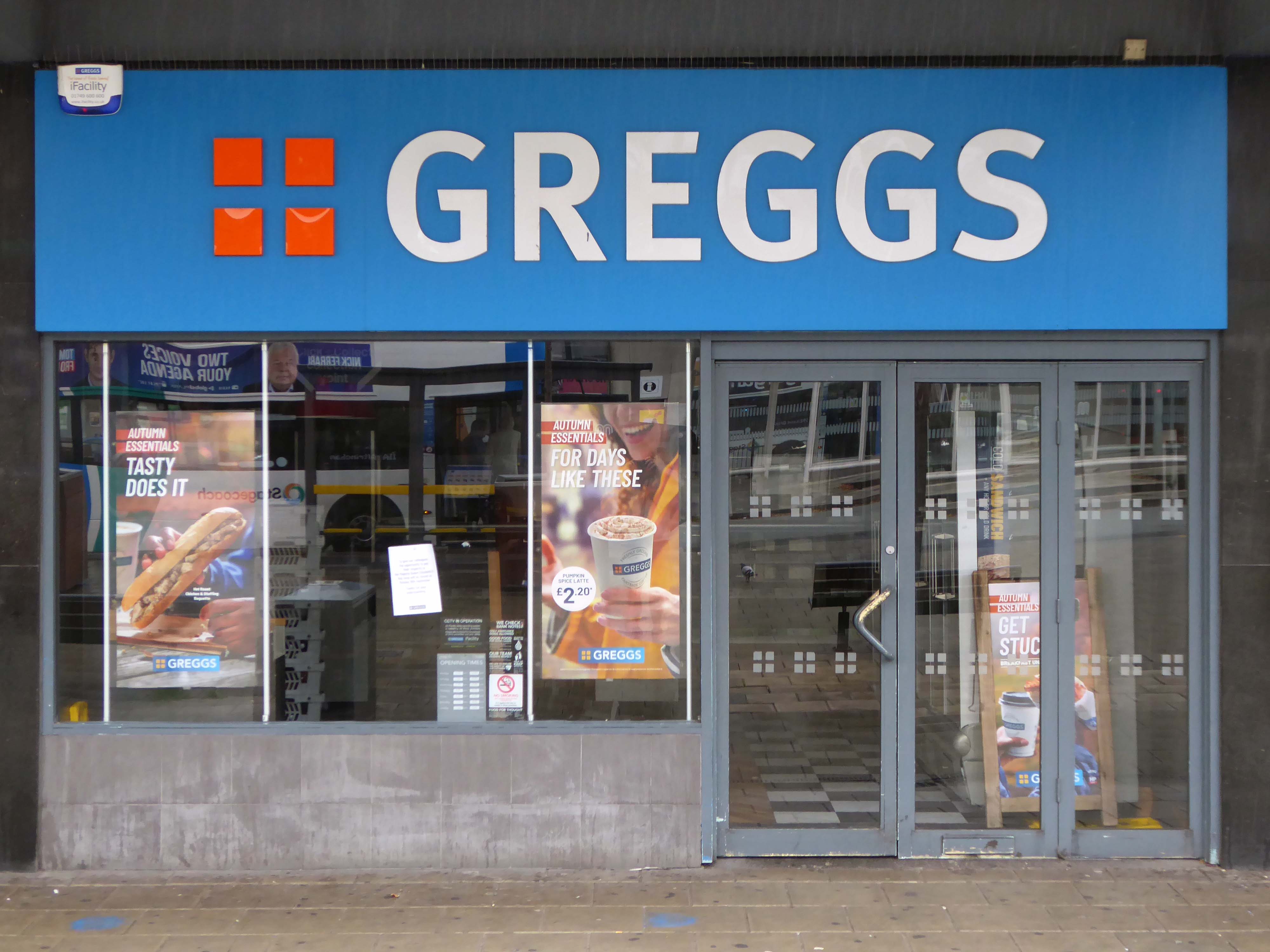
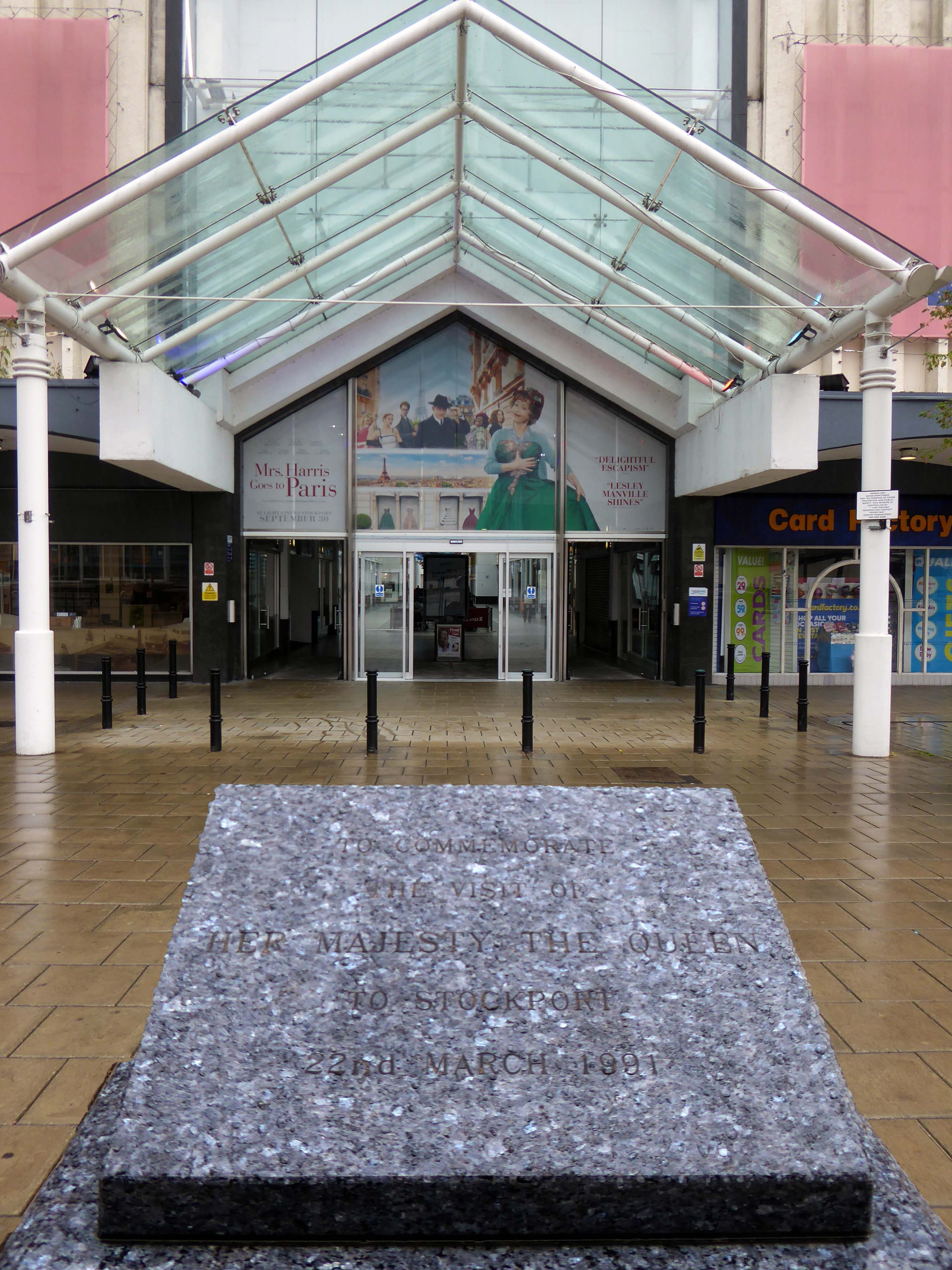
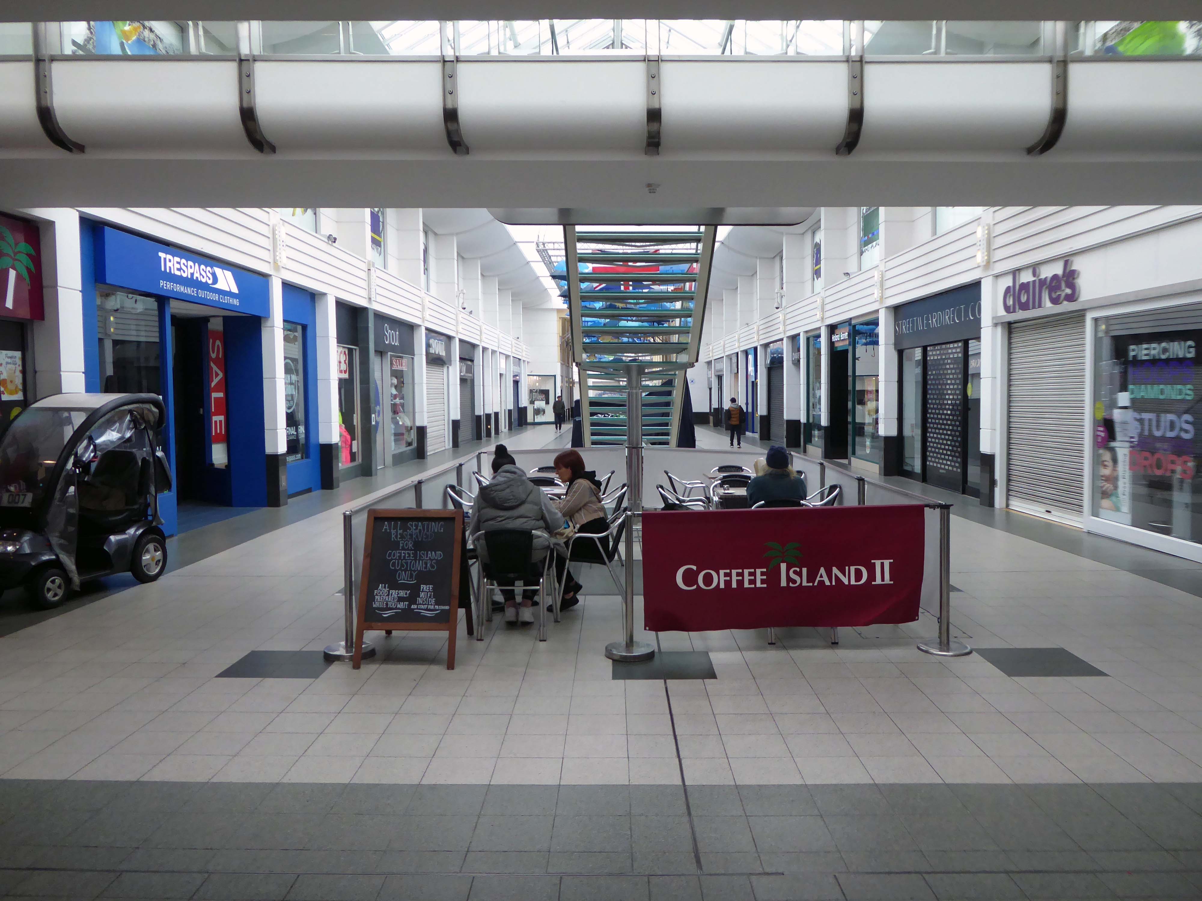
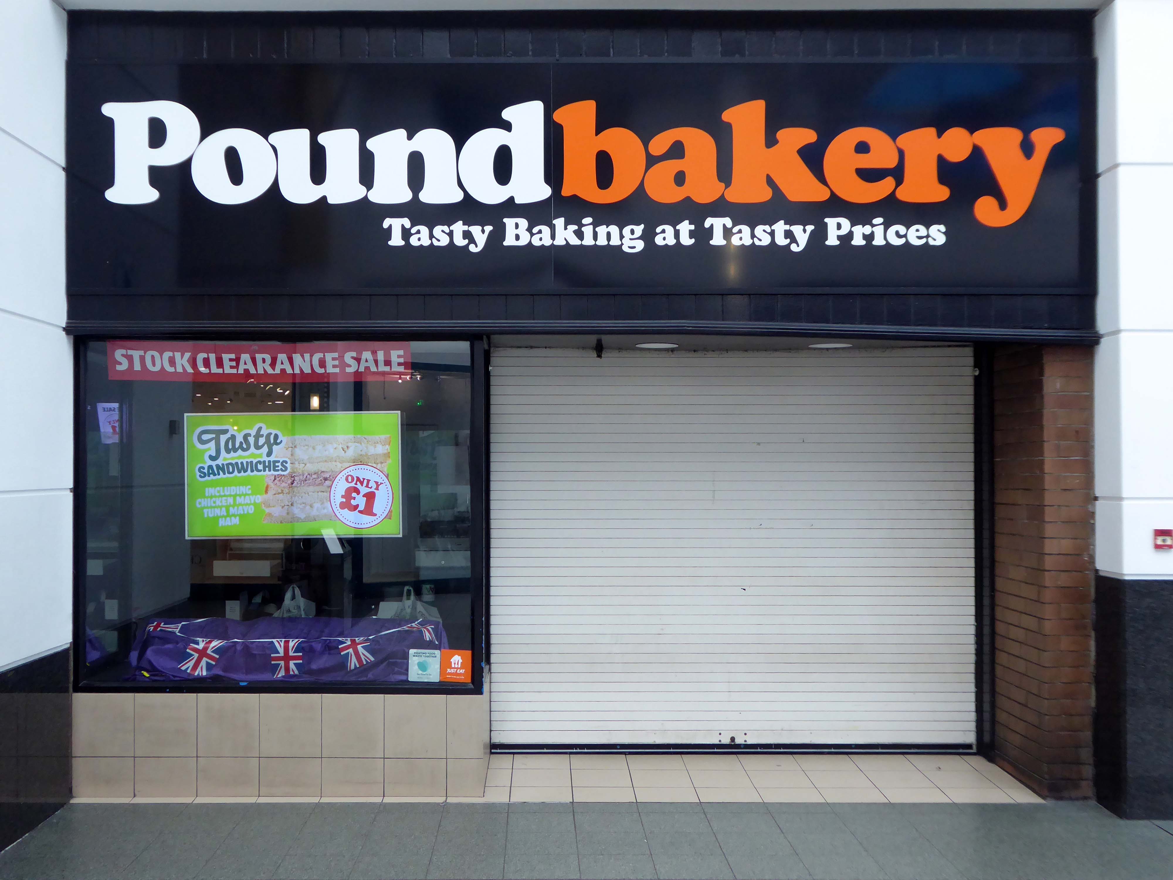
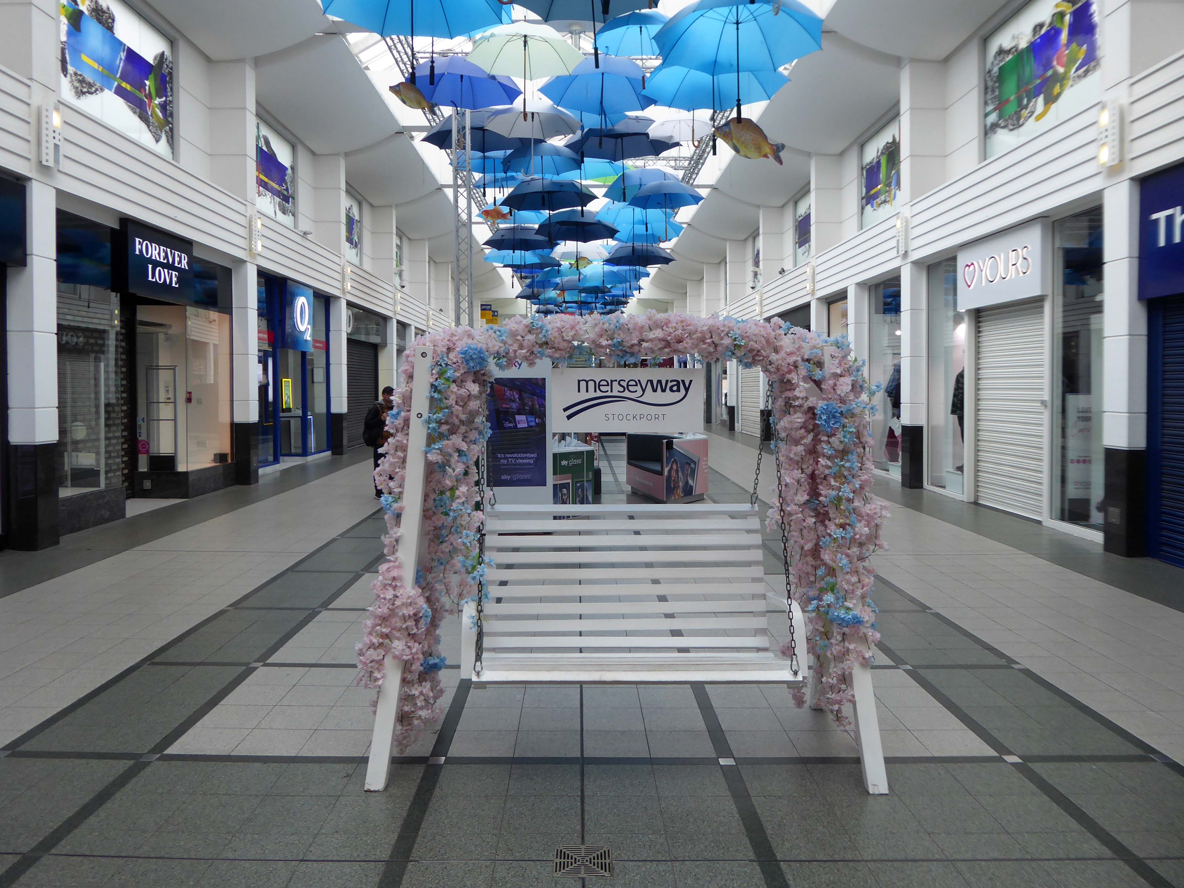
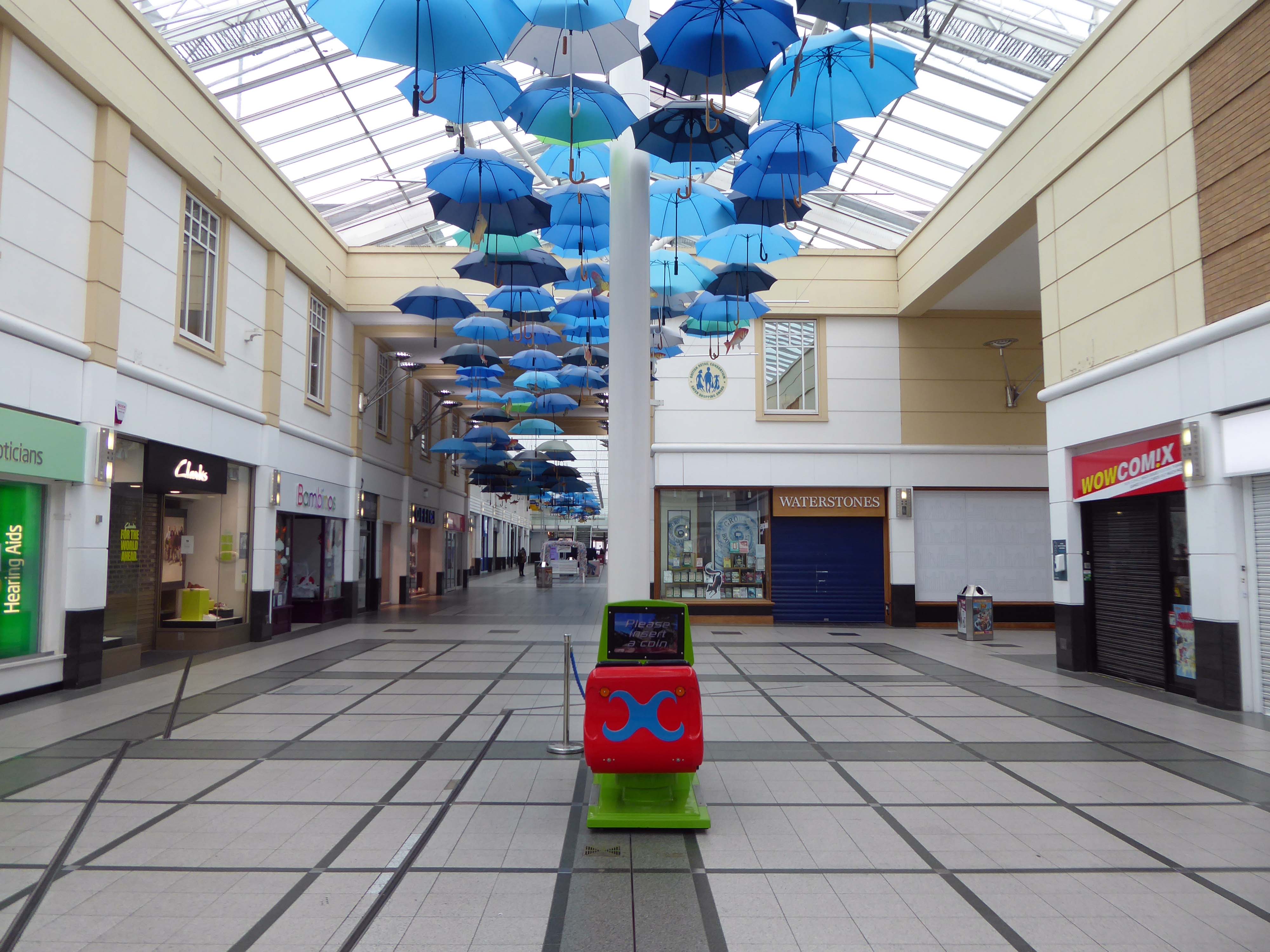
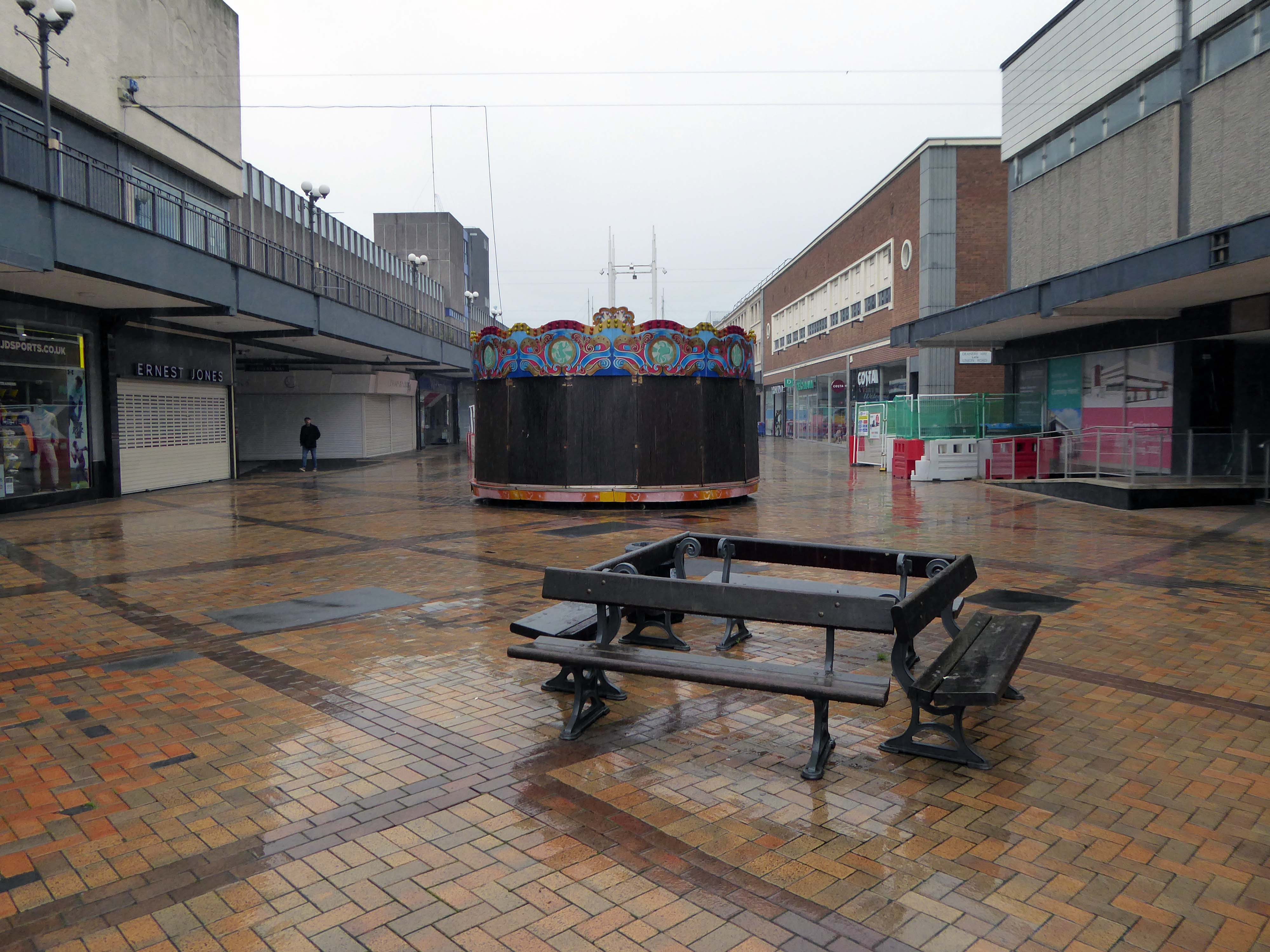
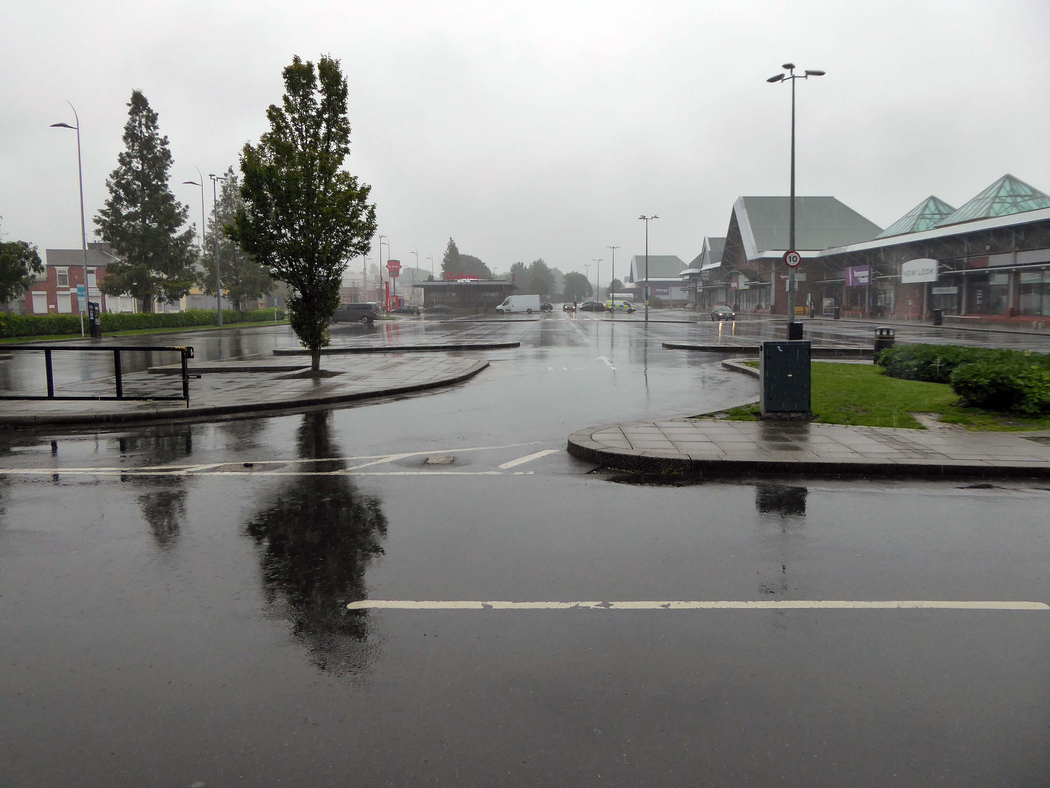
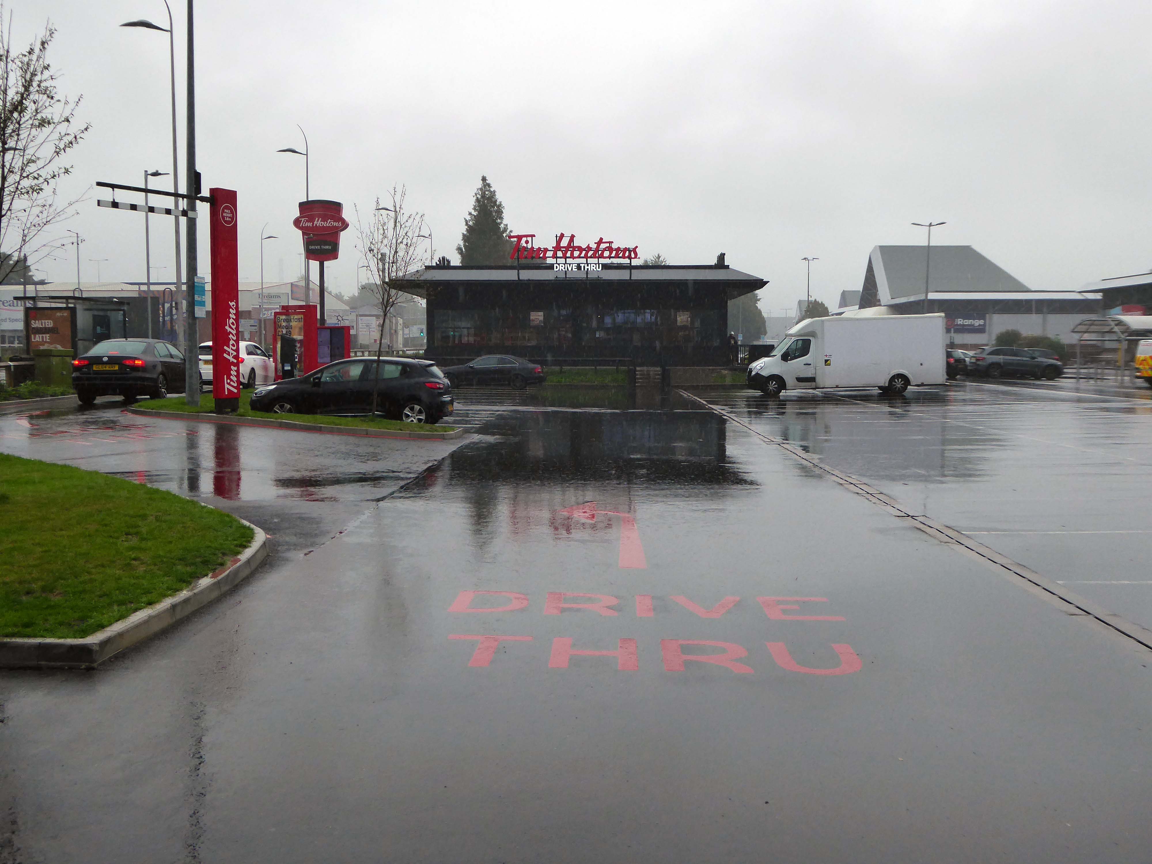
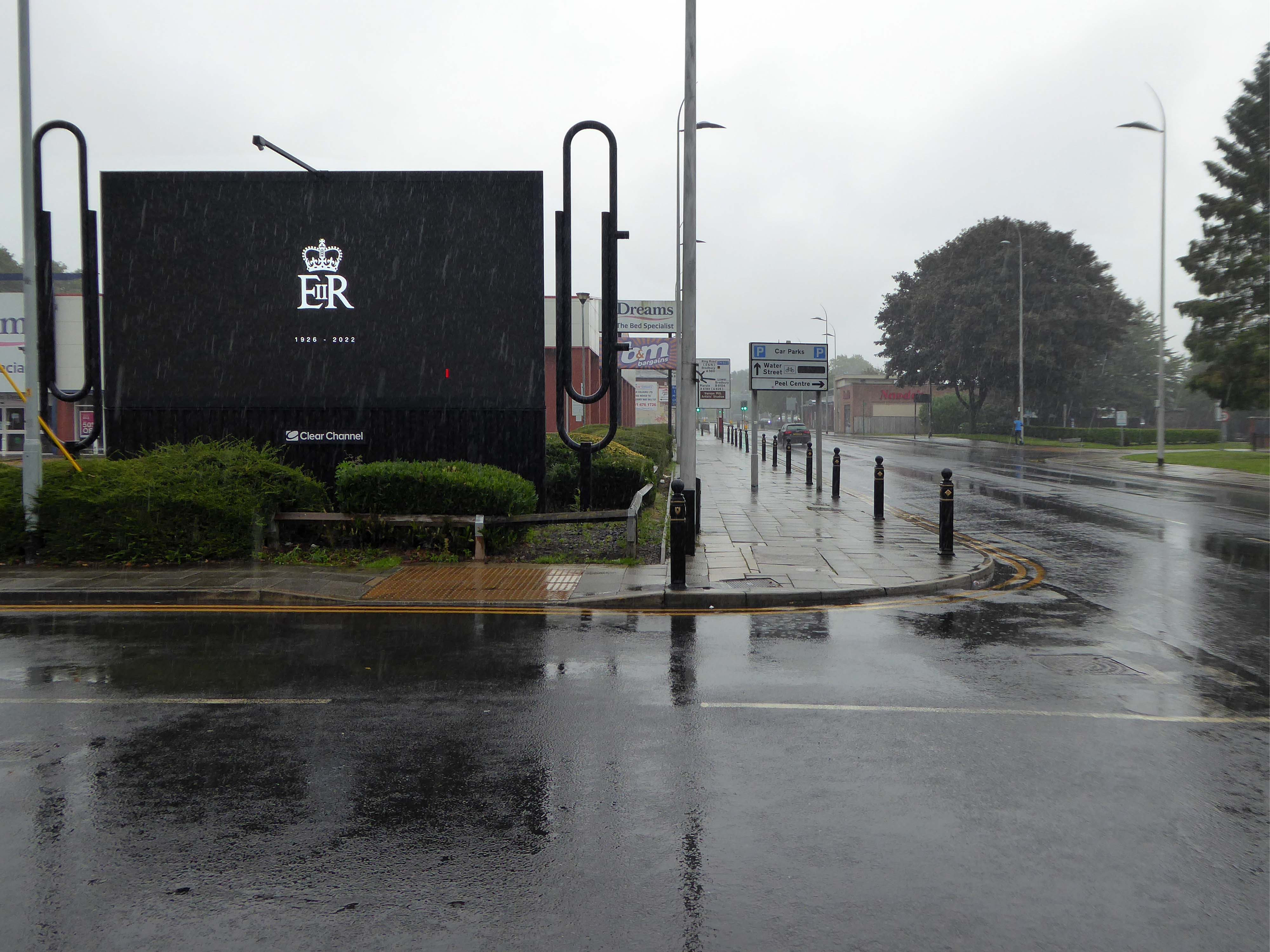
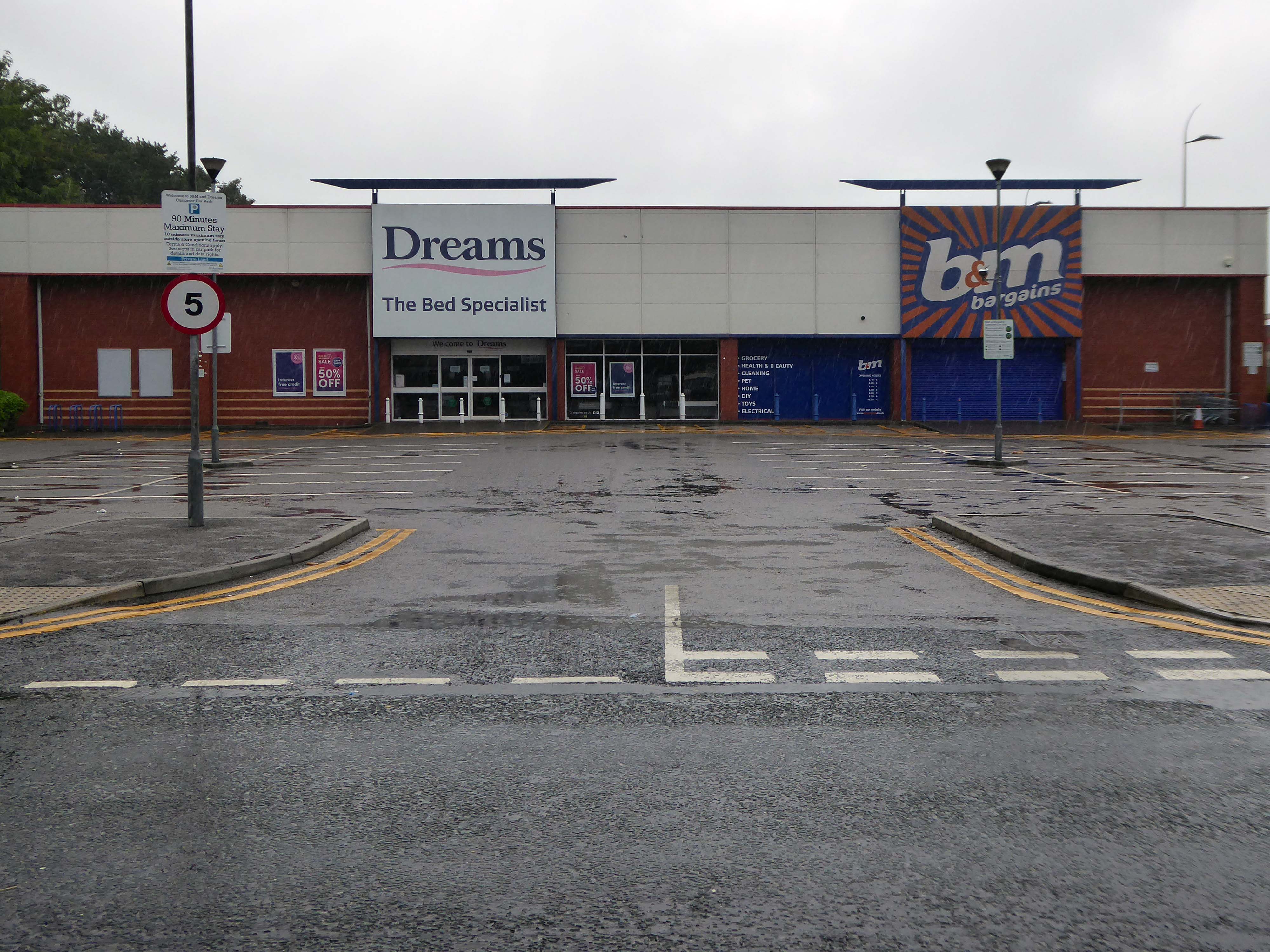
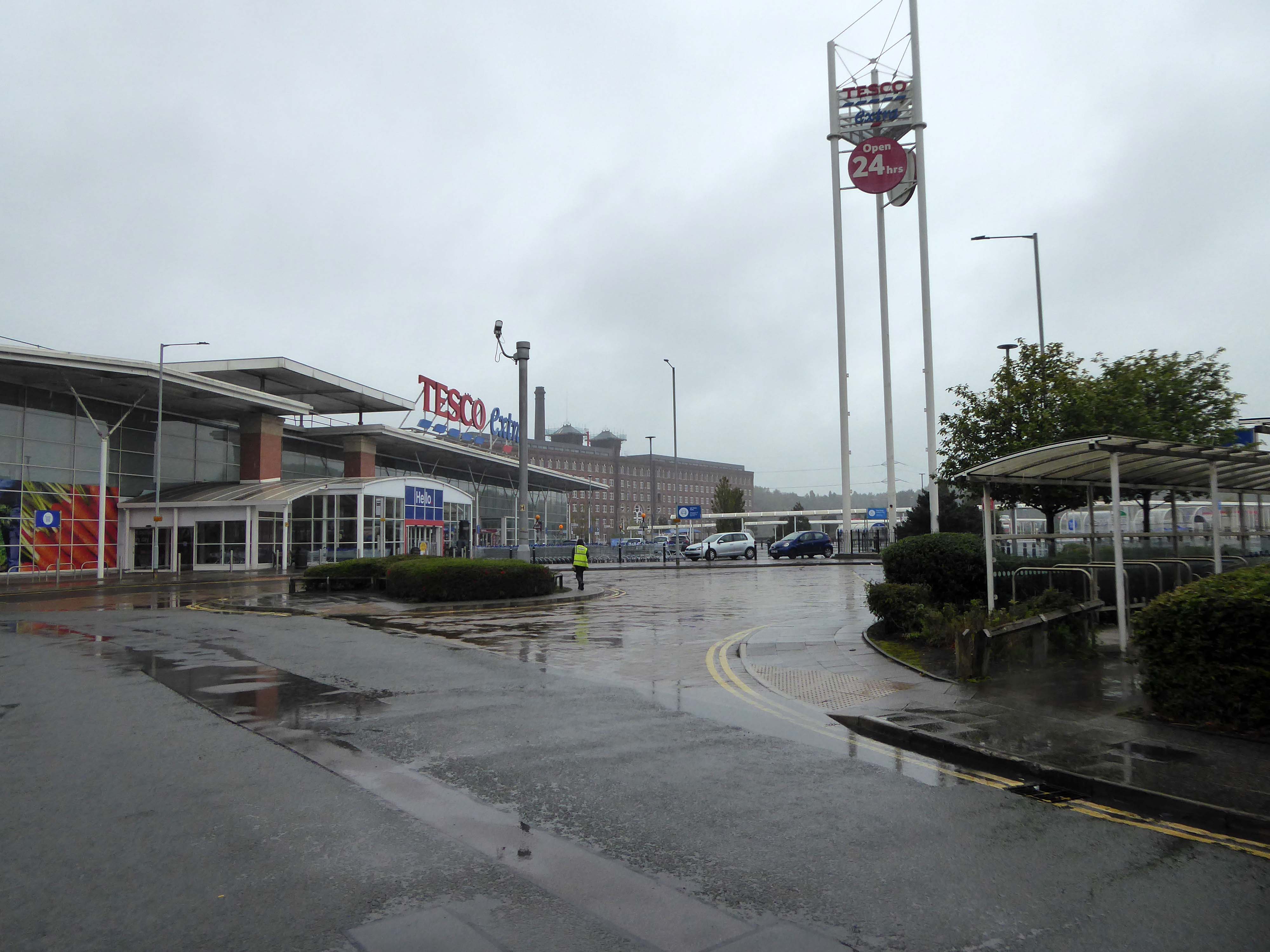
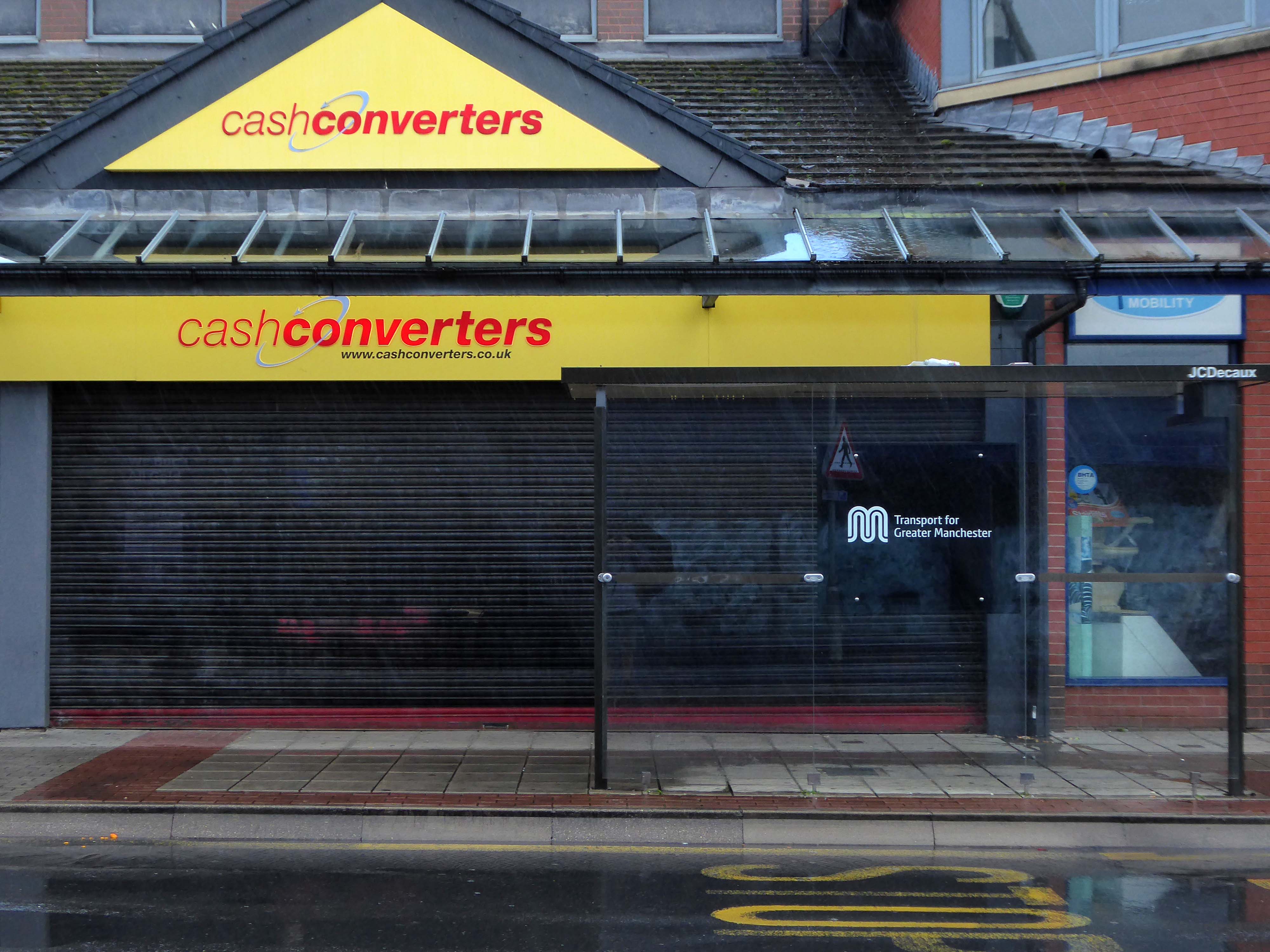
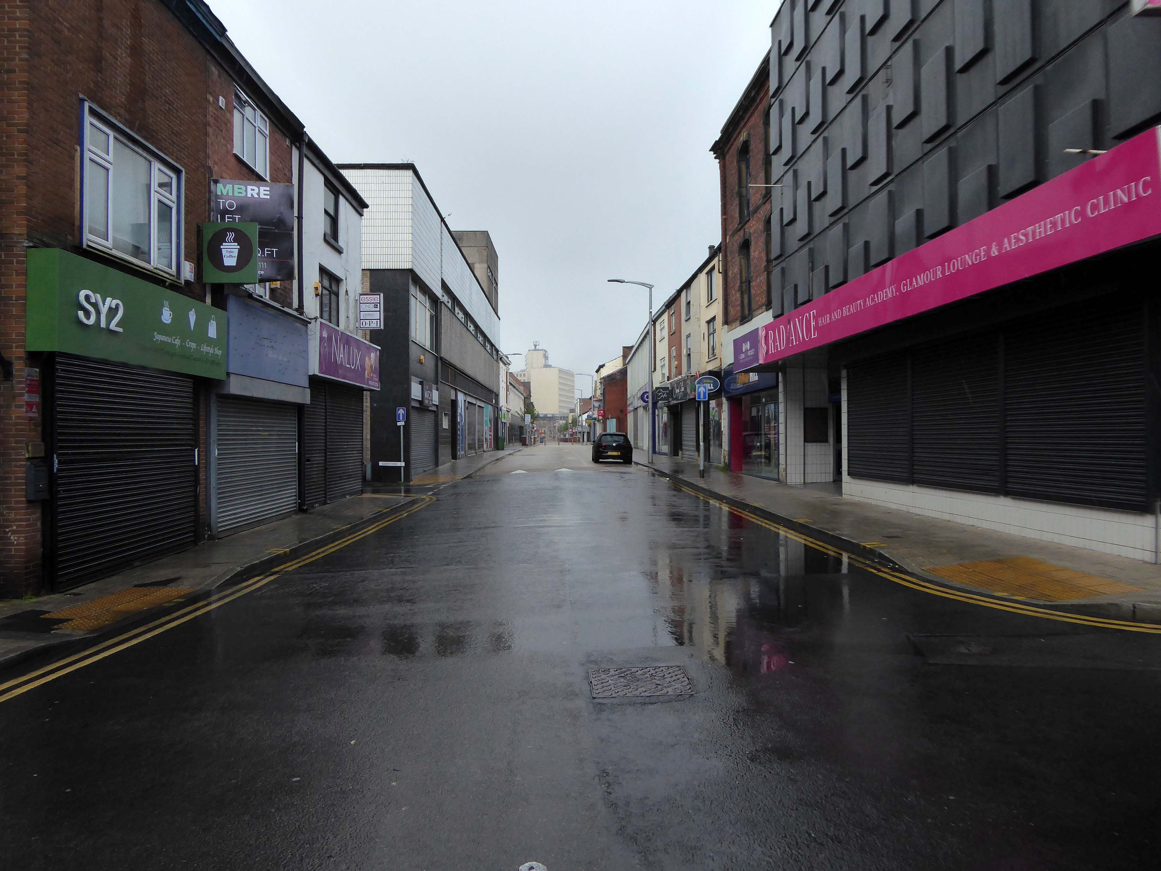
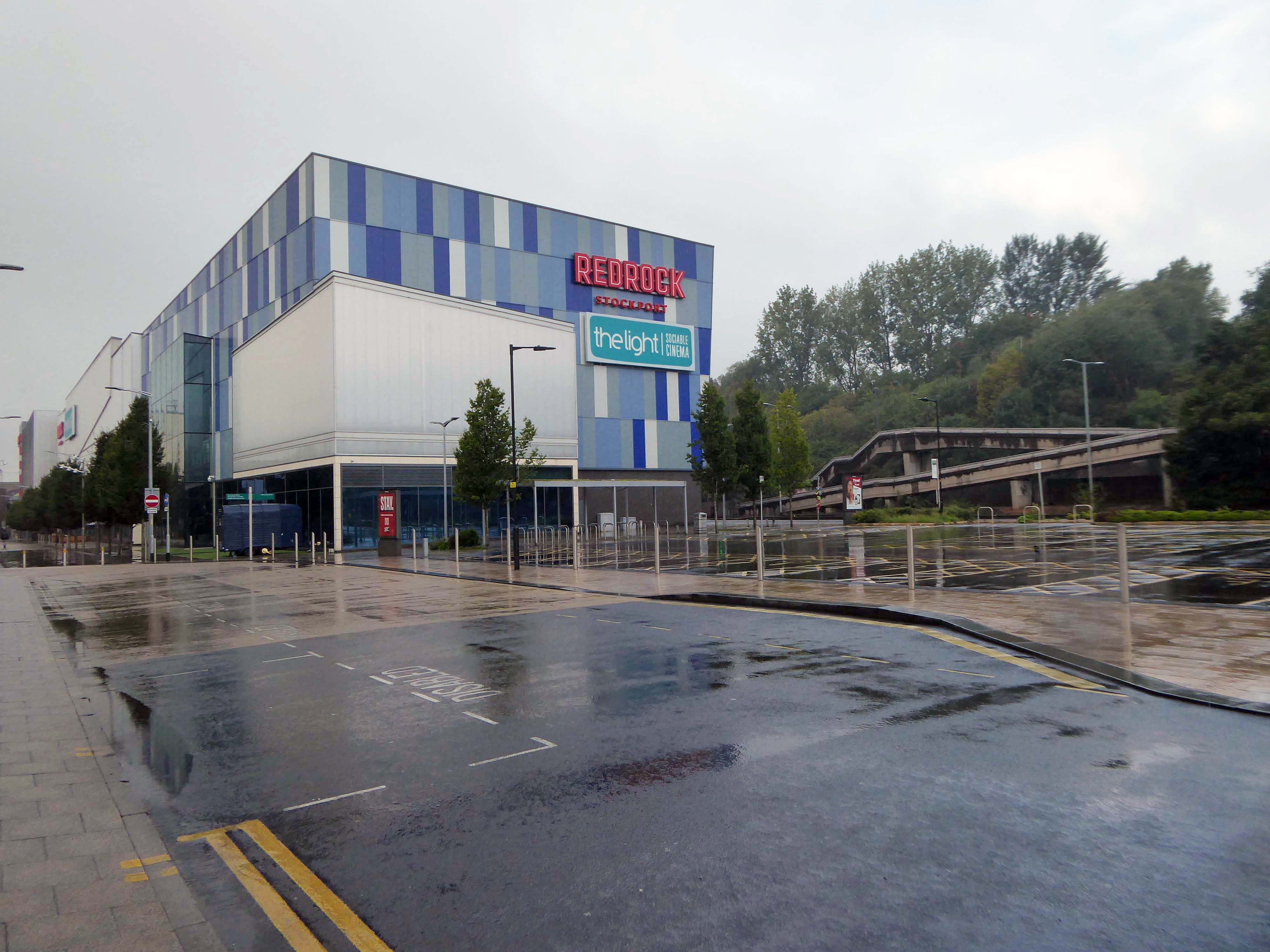
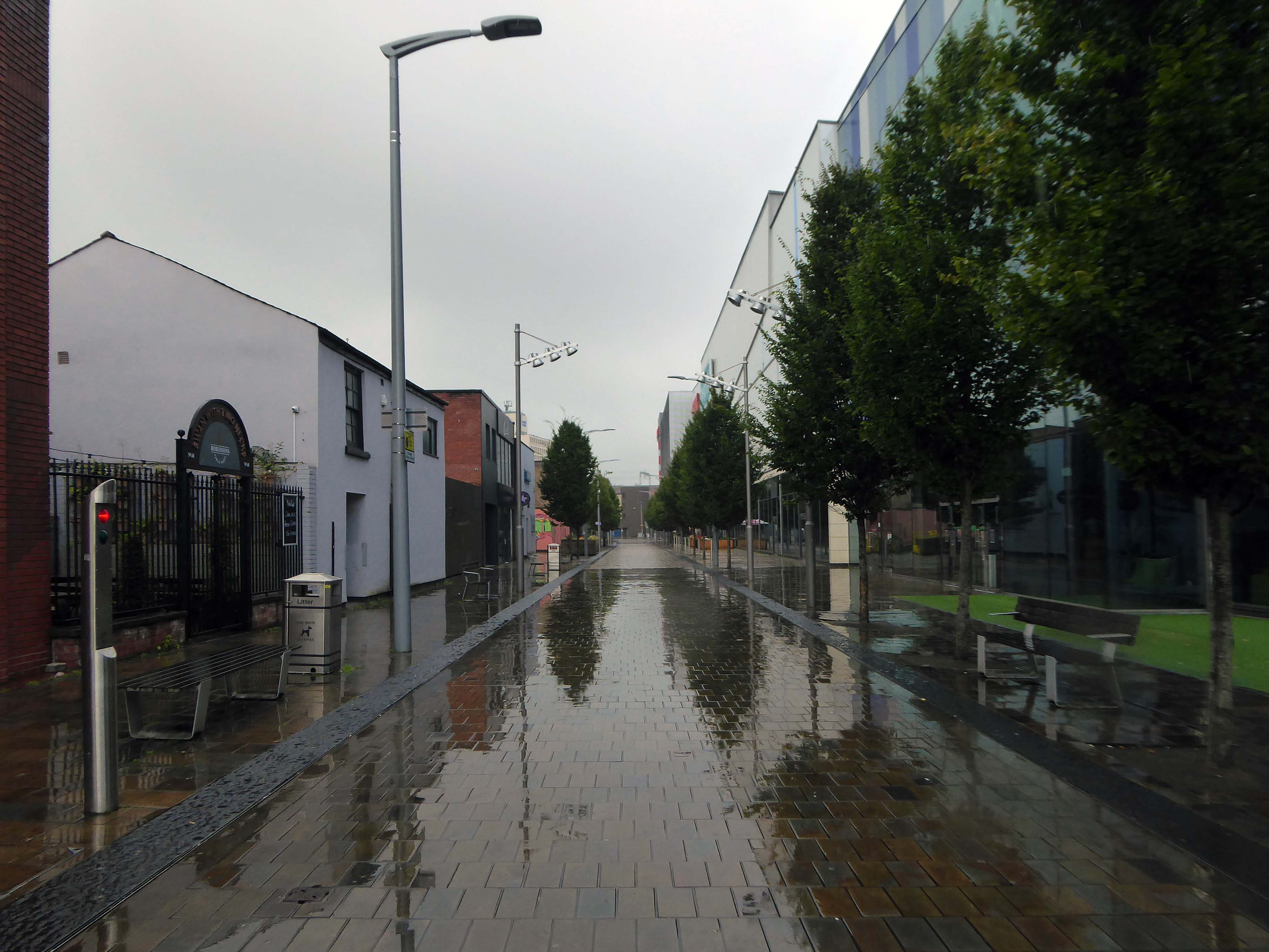
Today, on the day of her funeral, I set out for a walk around Stockport, to record a town largely closed for business. Overcast but far from downcast, I defied the almost persistent fine rain and these are the pictures that I took.
Many of the subjects are products of her time on the throne.
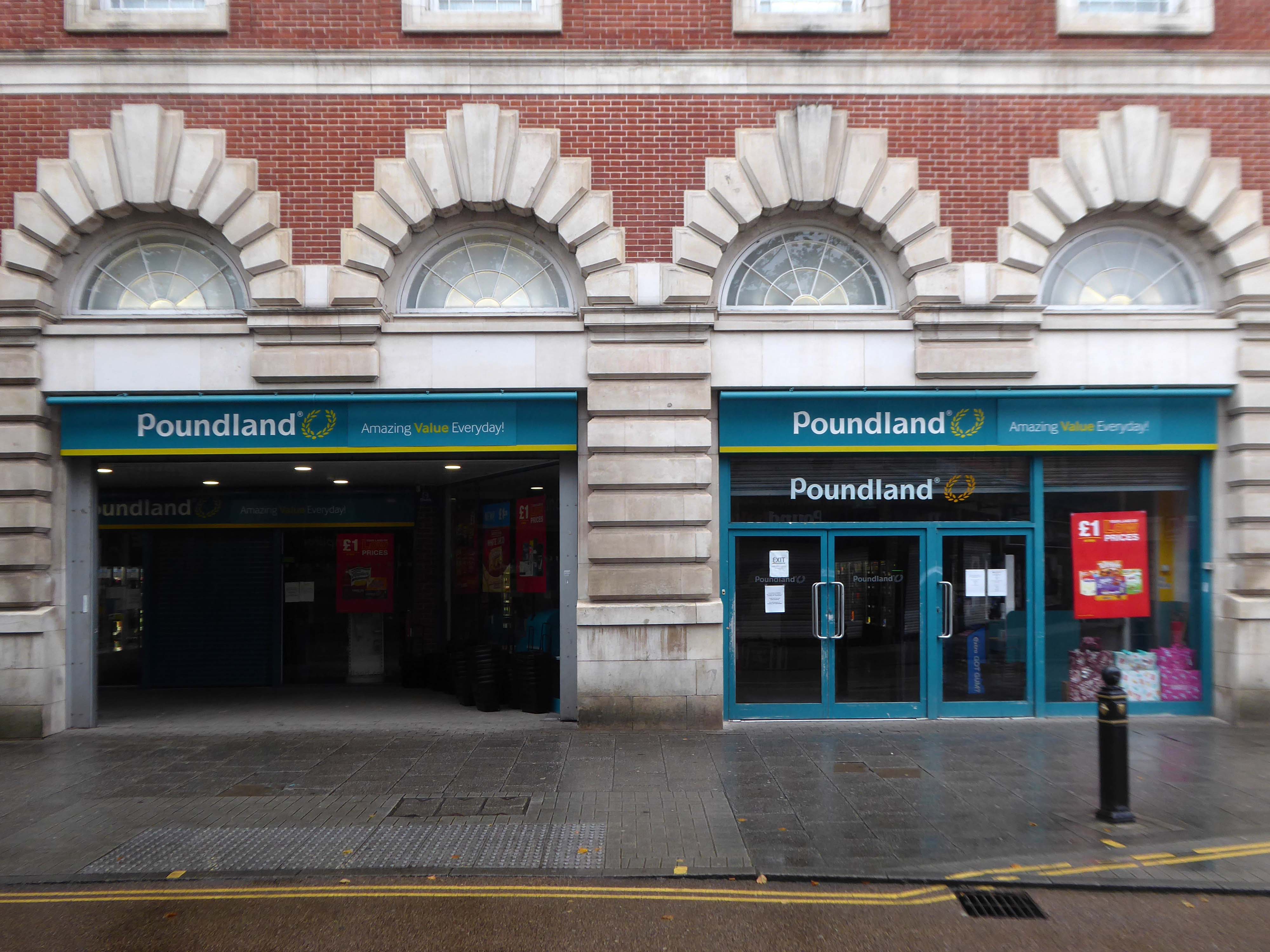
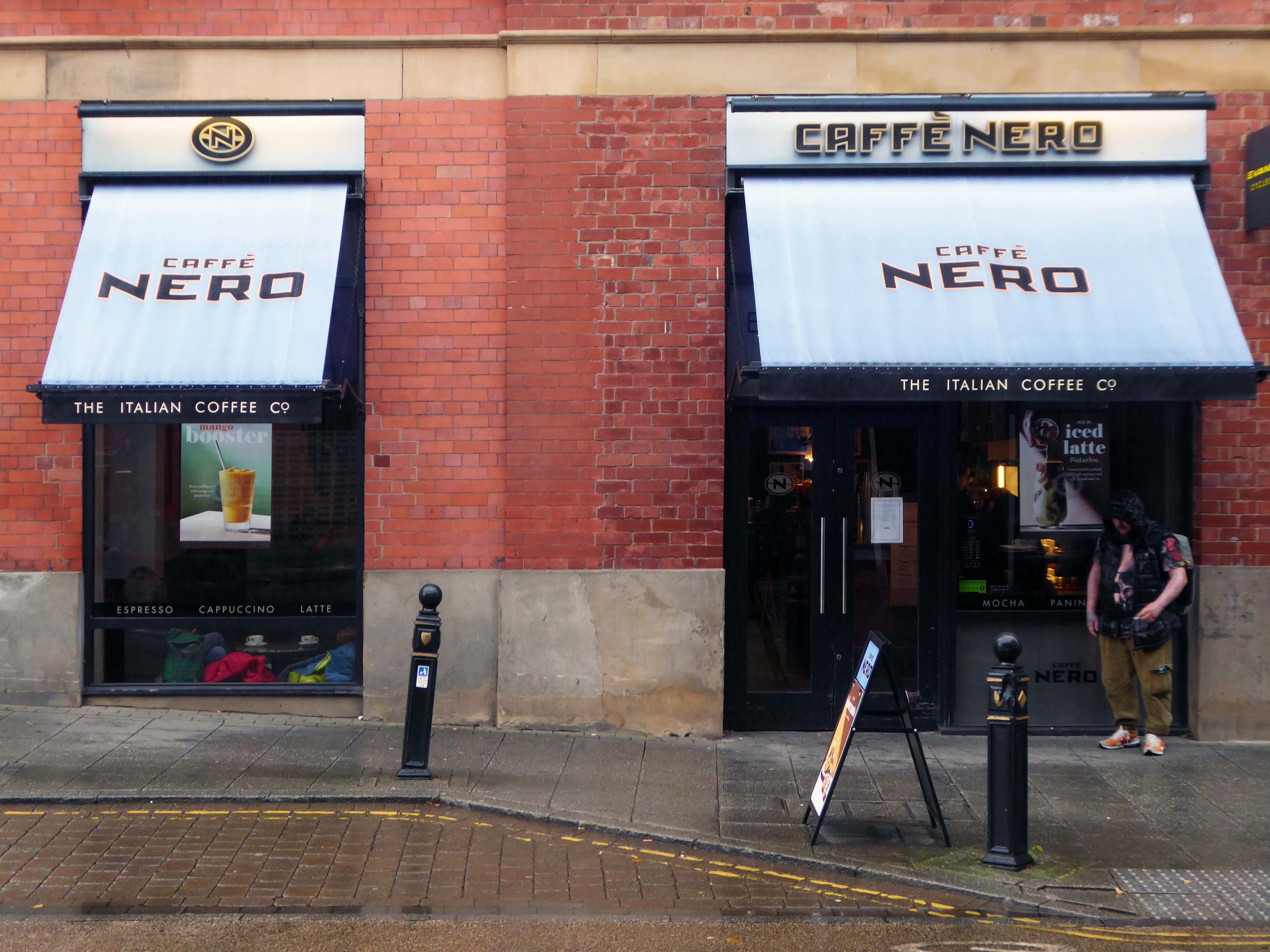
The traffic was much lighter, there were few pedestrians, a couple of cafés were open and two men watched the funeral service on the Sky TV stand in the precinct.
Lately I have been frequenting bad houses Places no respectable man would be seen I hate myself for my weakness My past sickens me I tell myself I will not go Even as I drive there