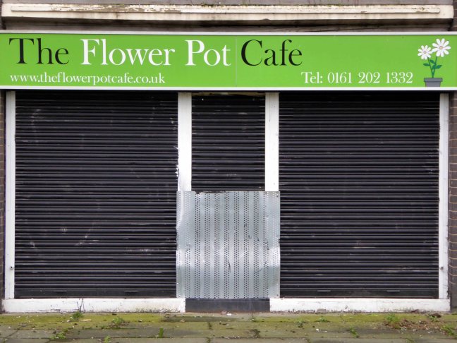
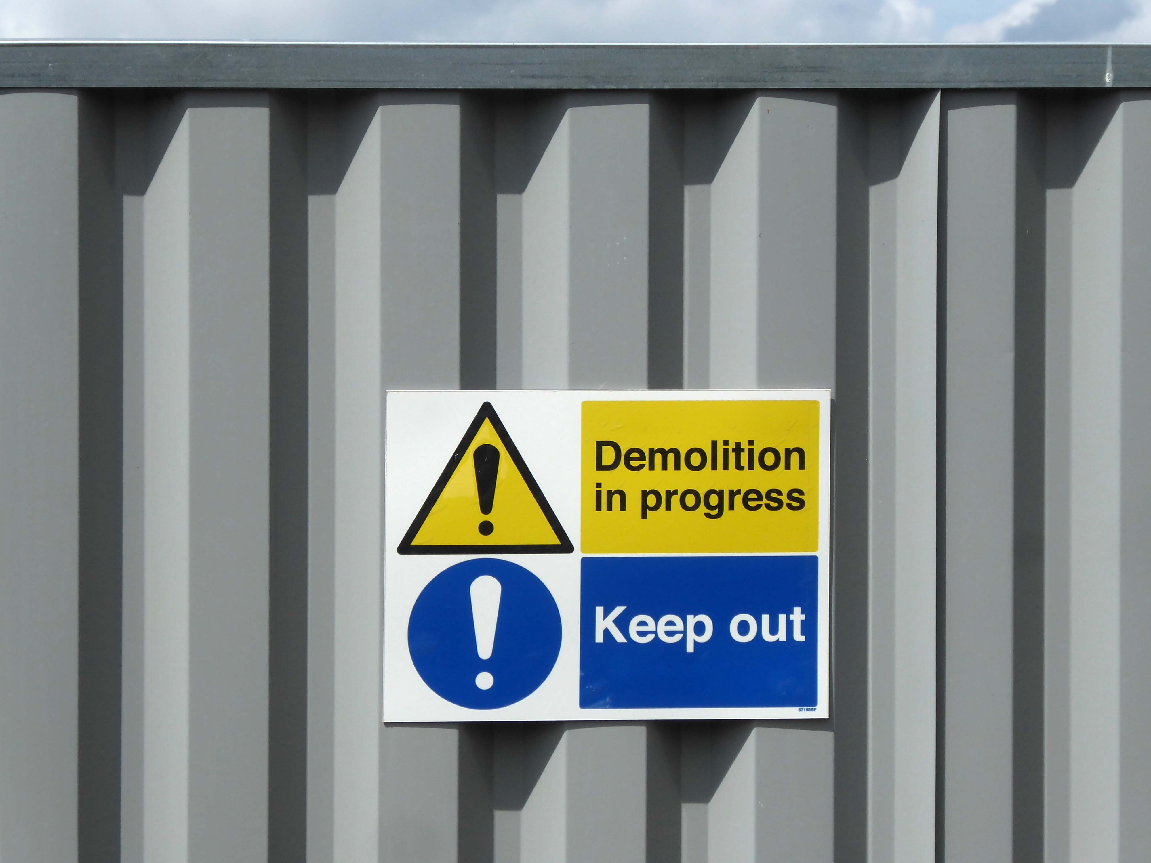
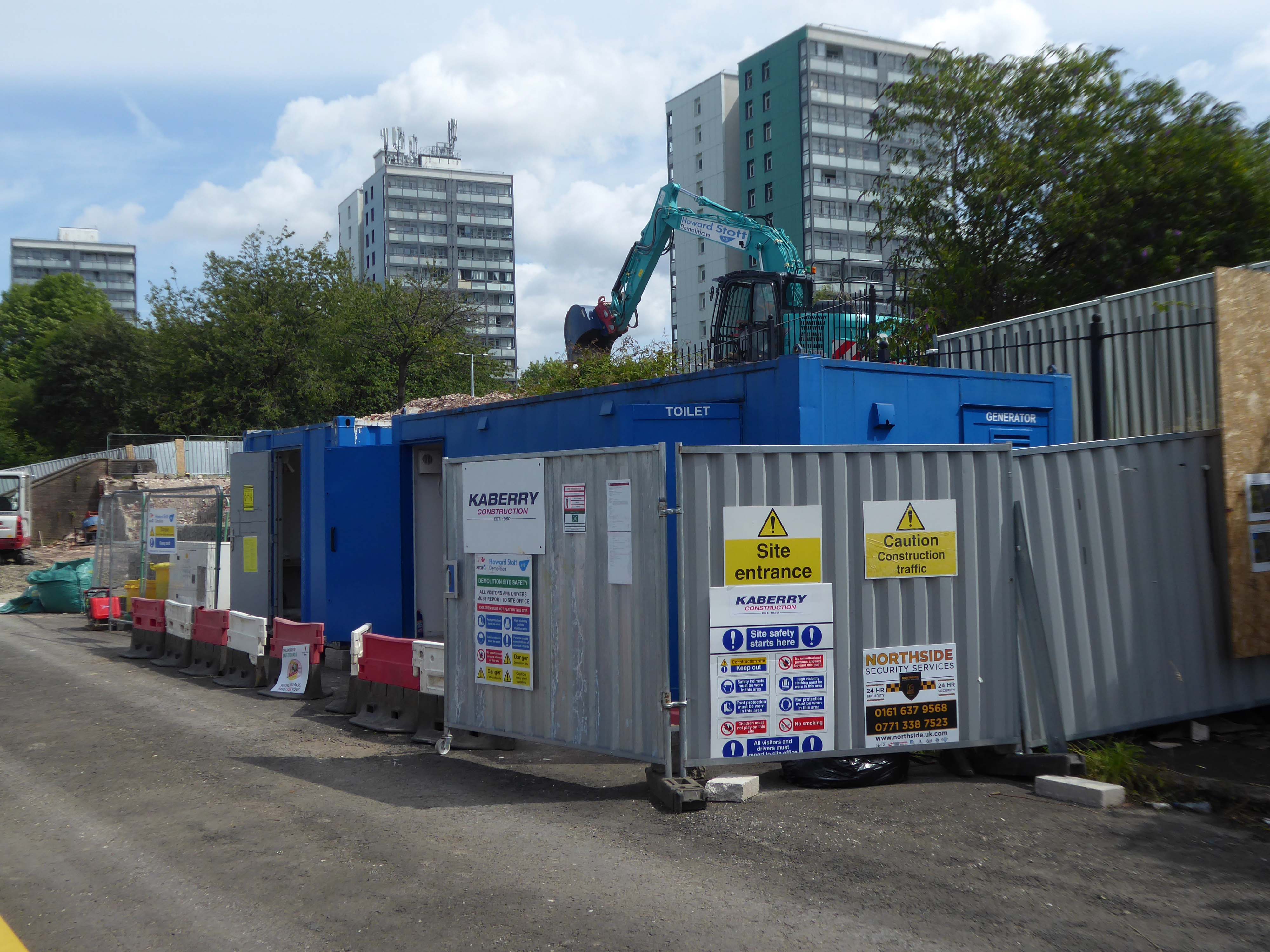
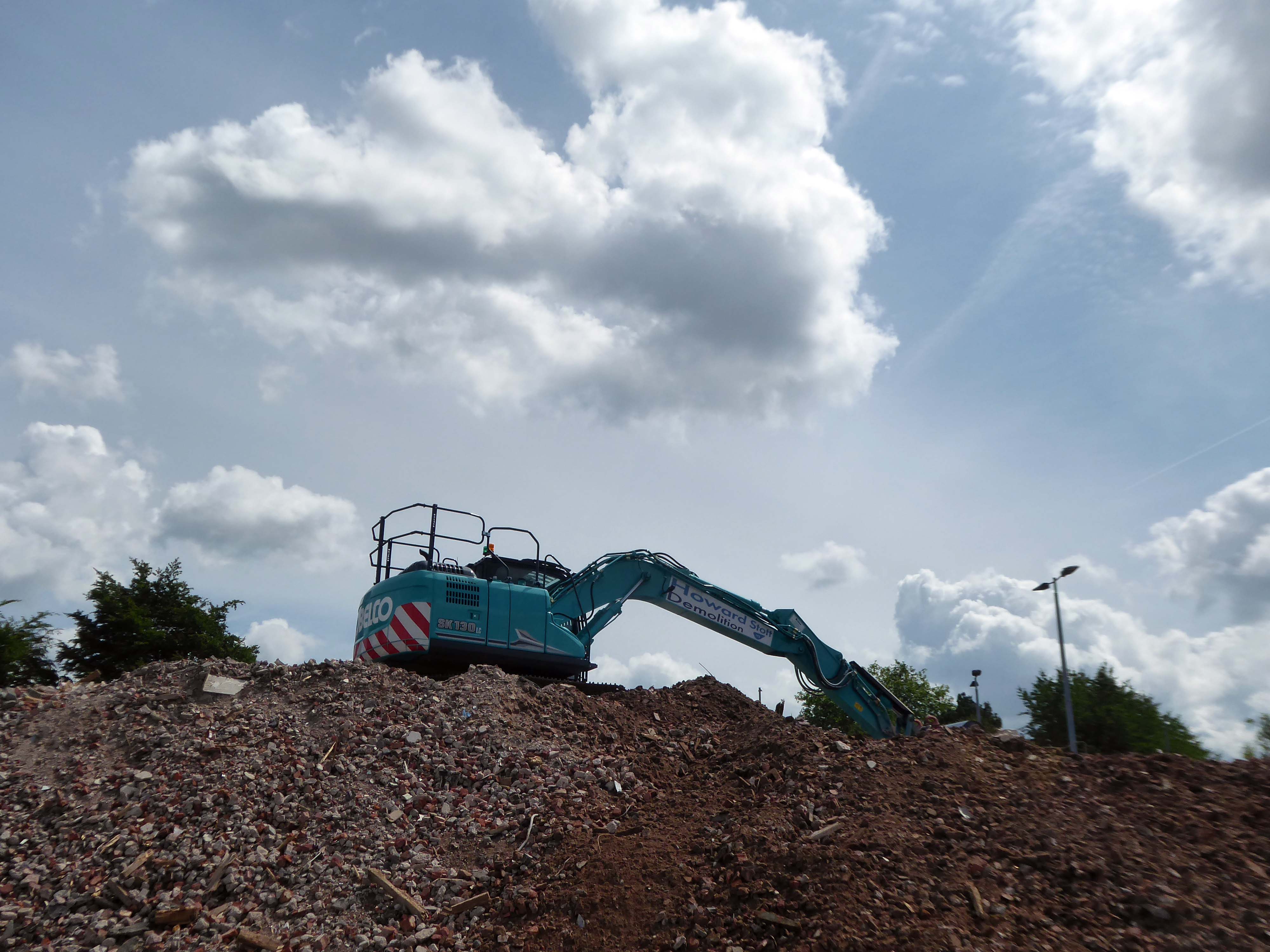
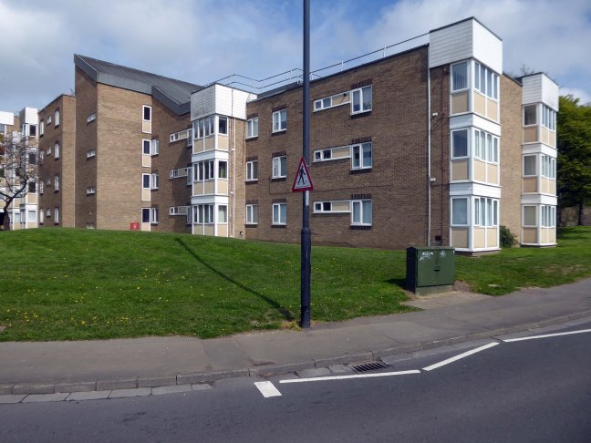
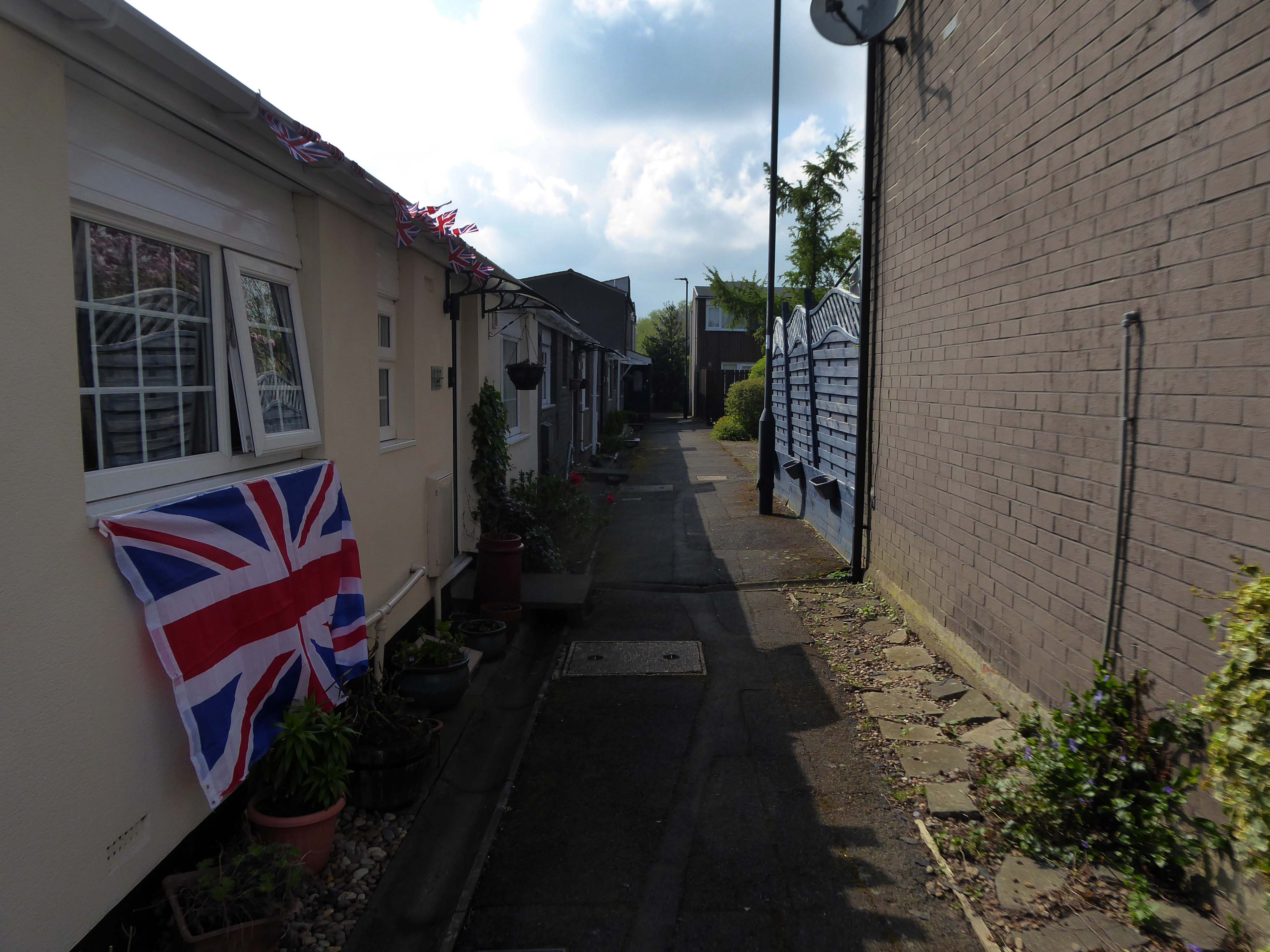
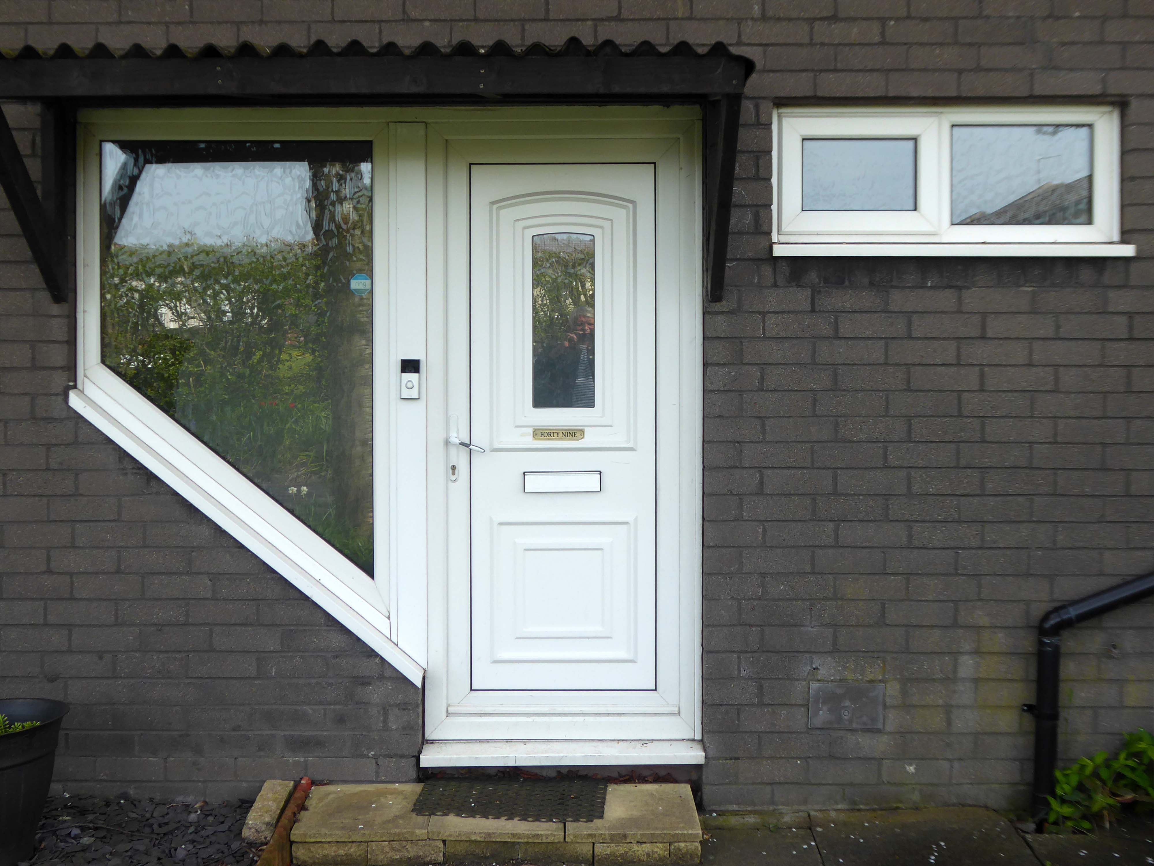
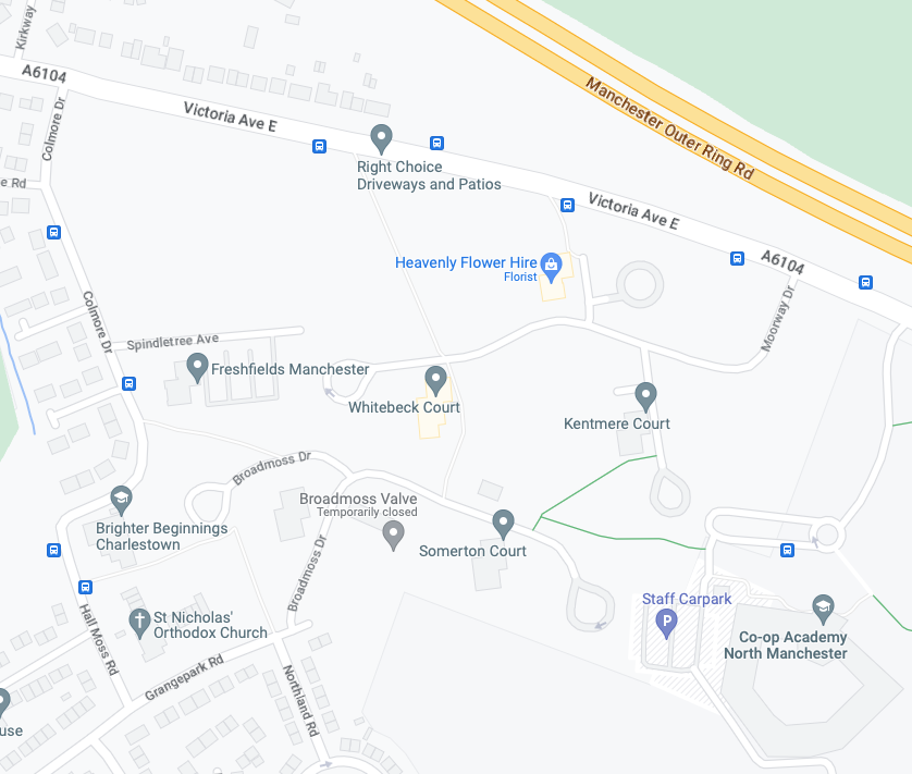
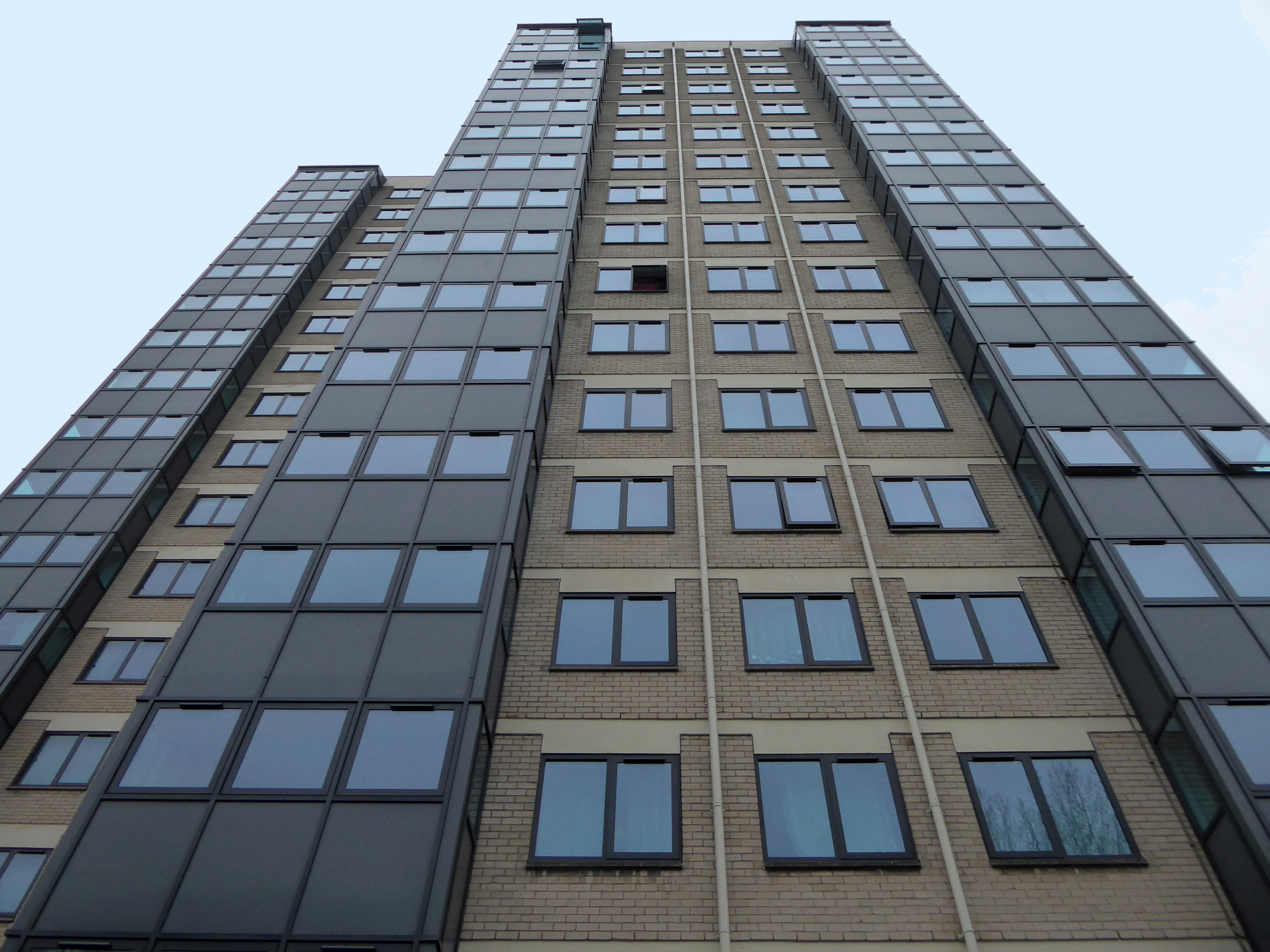
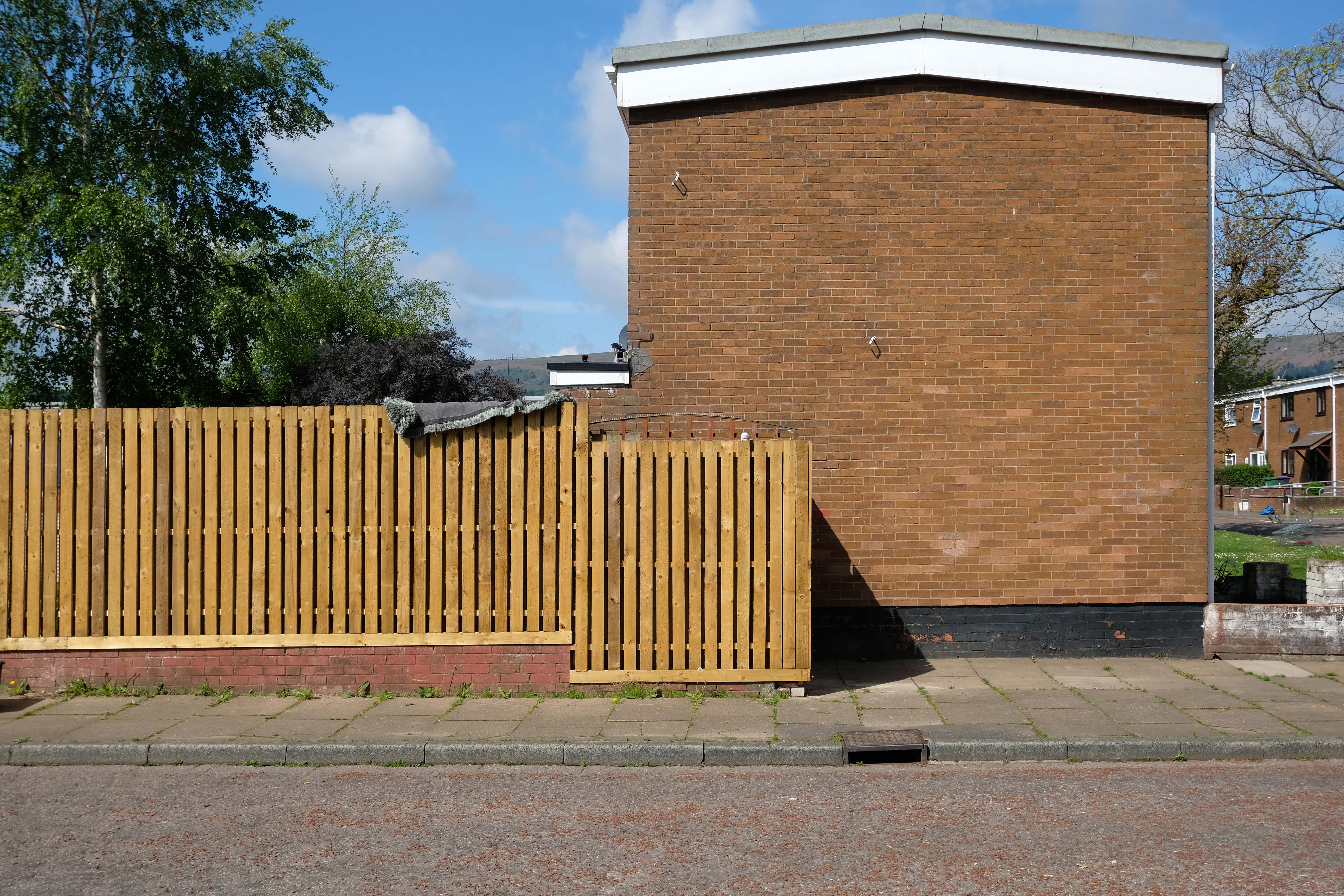
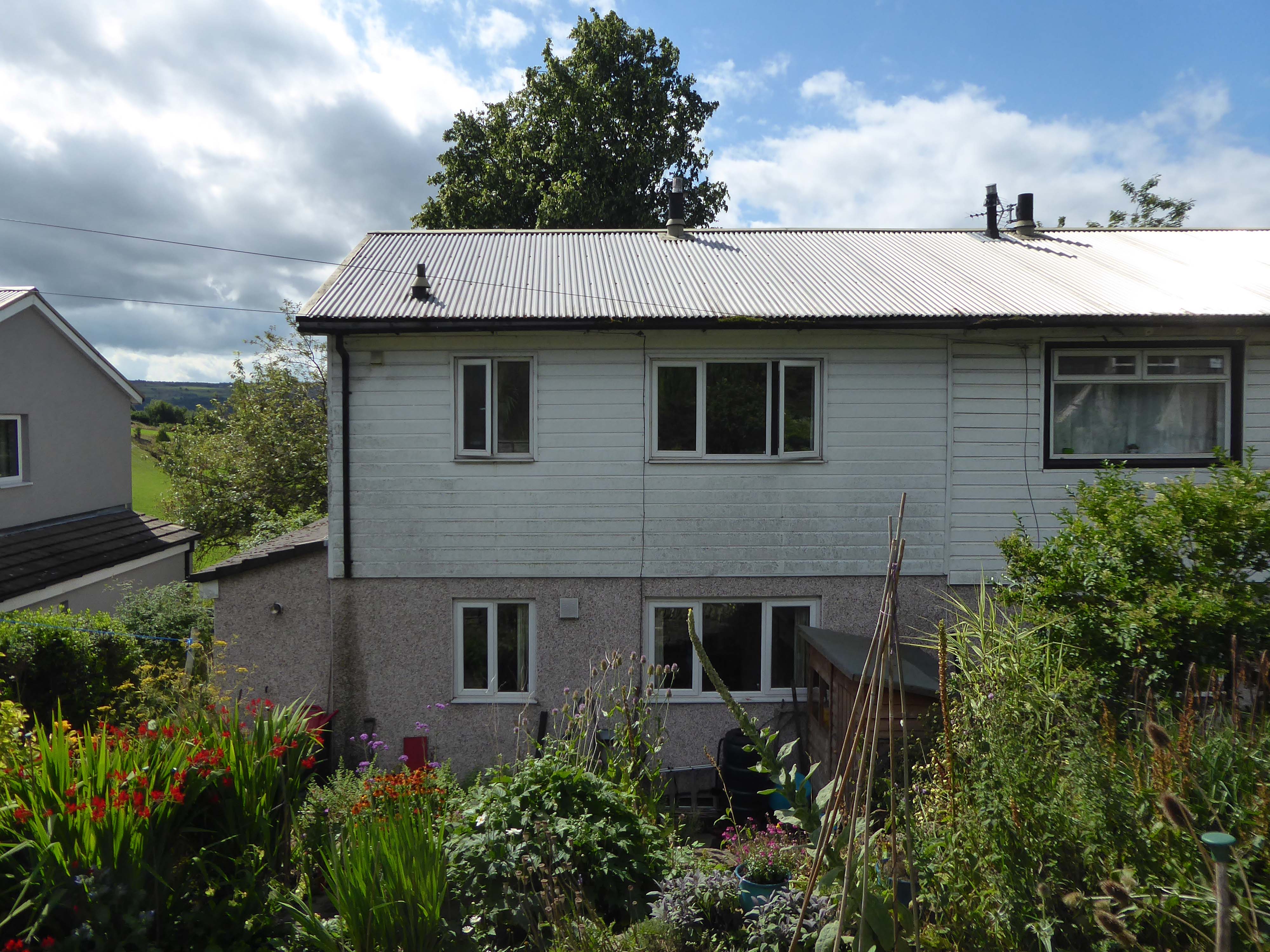
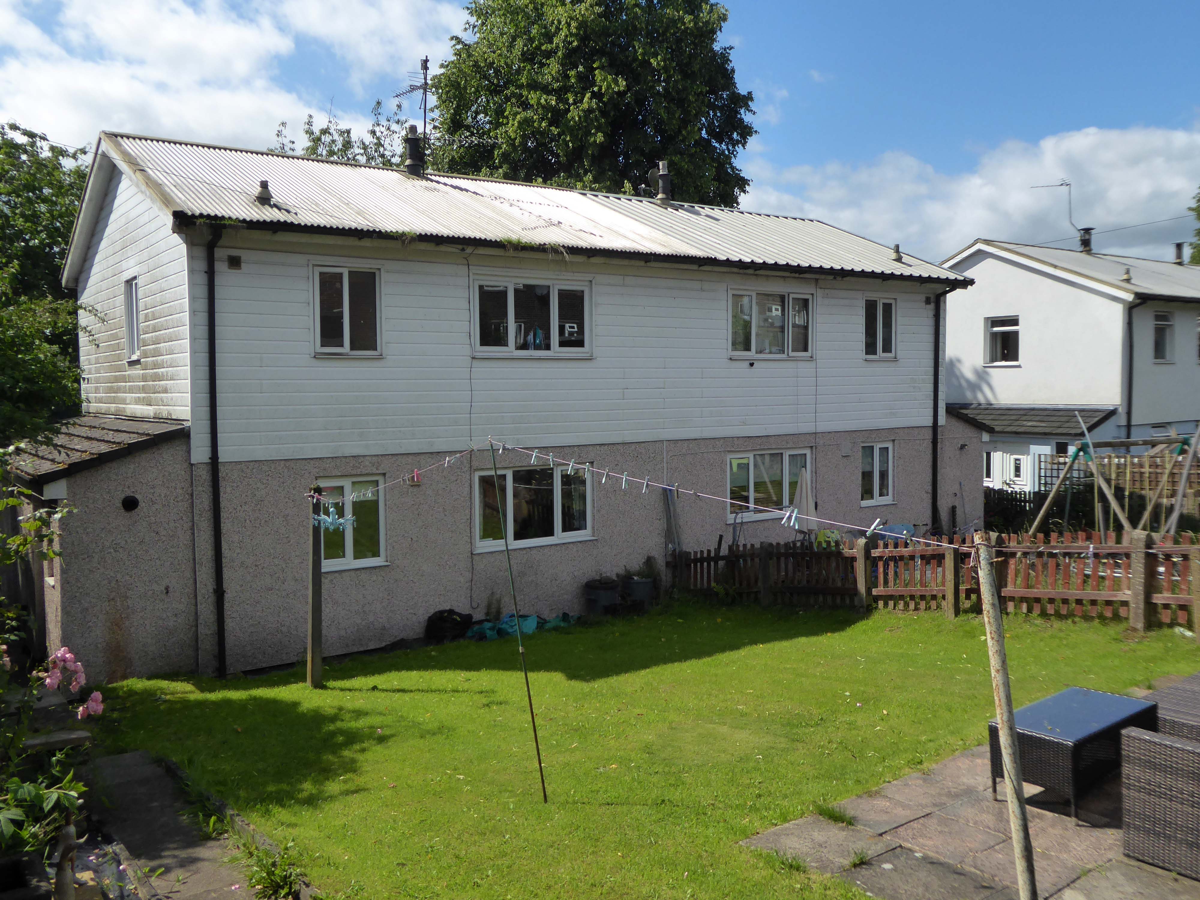
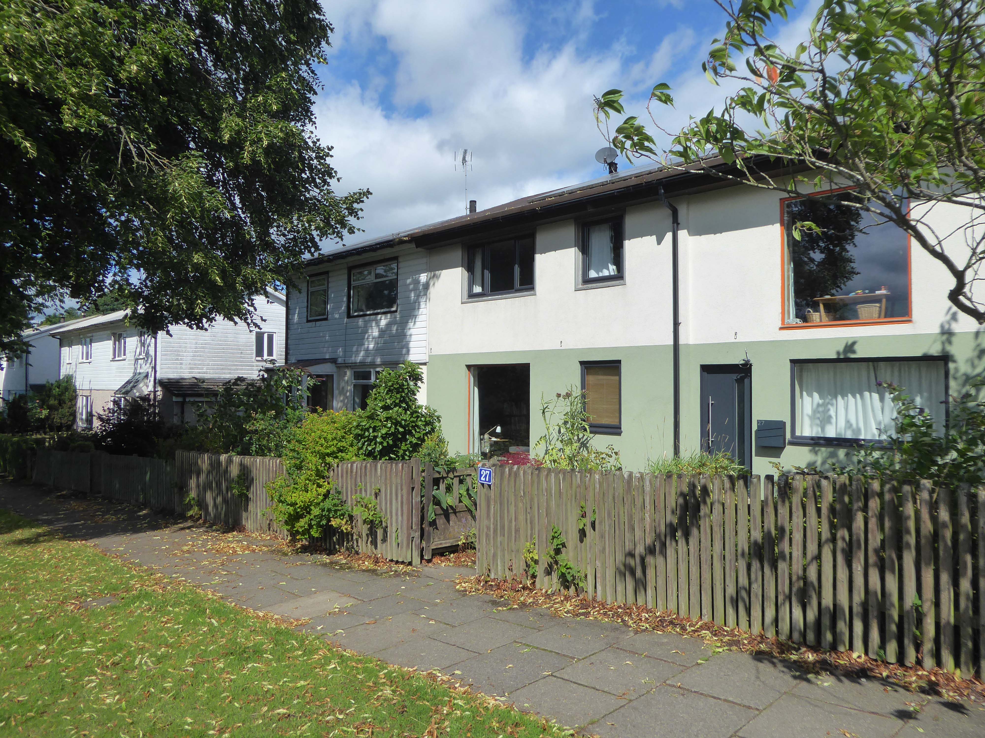
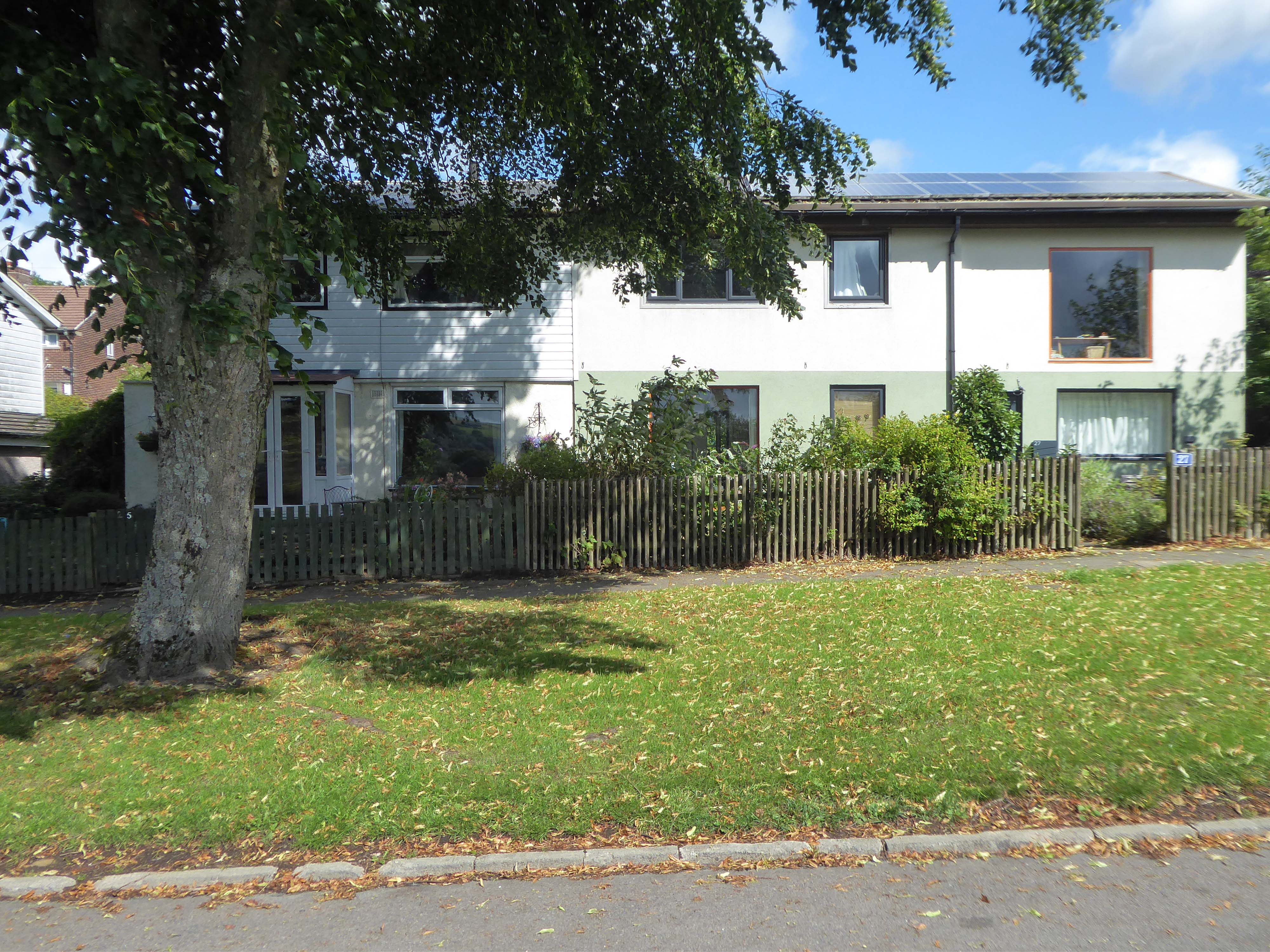
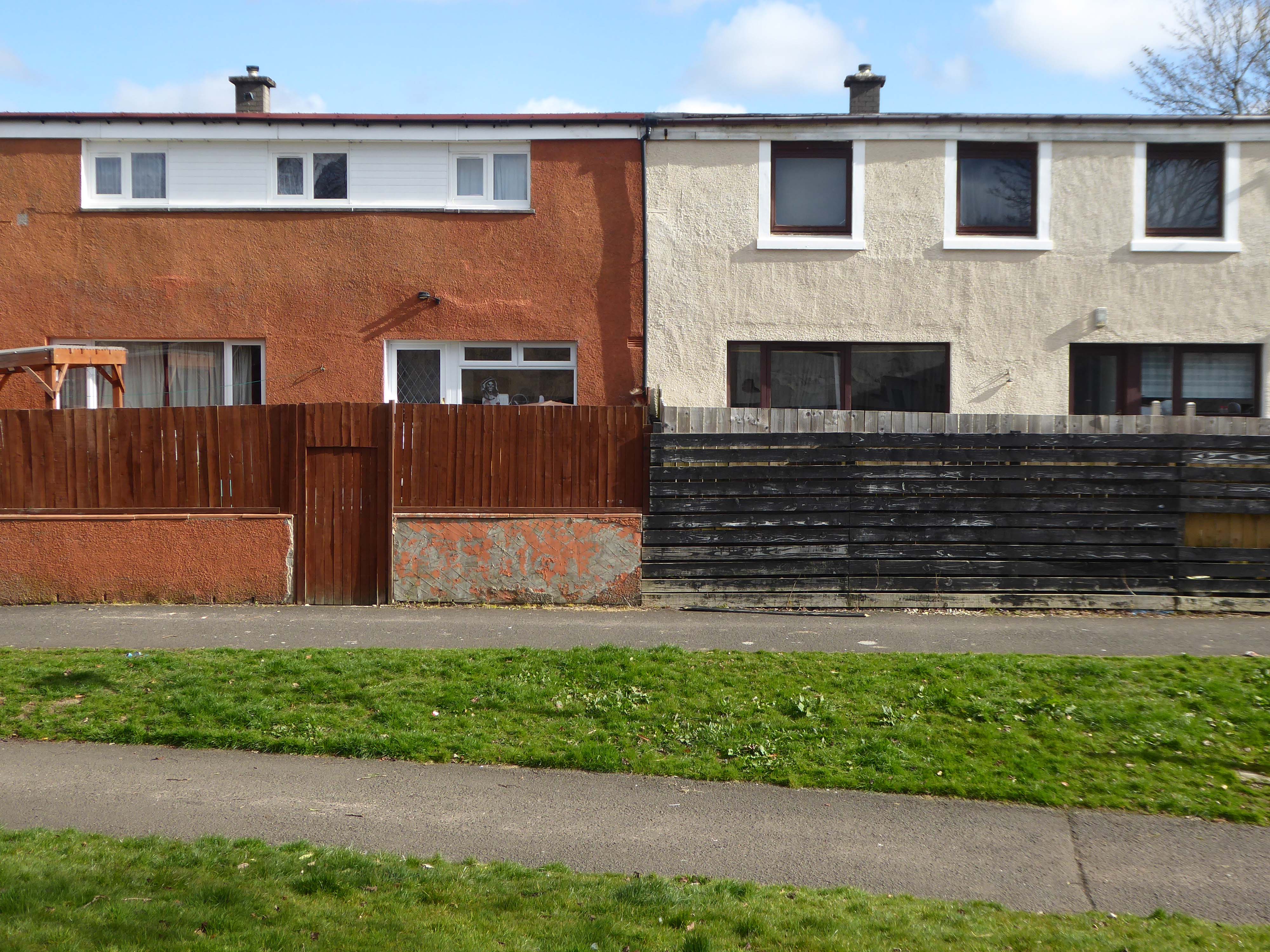
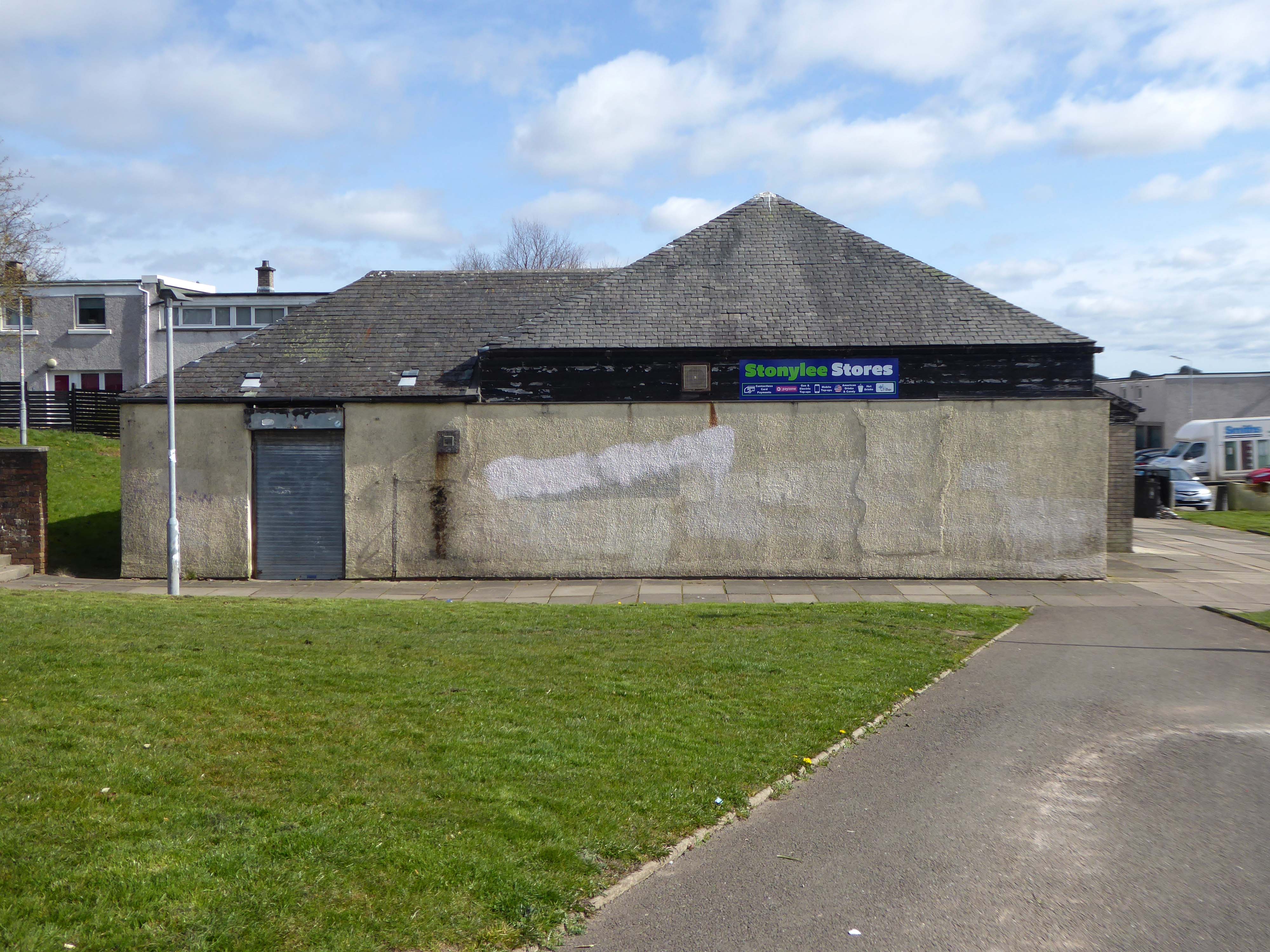
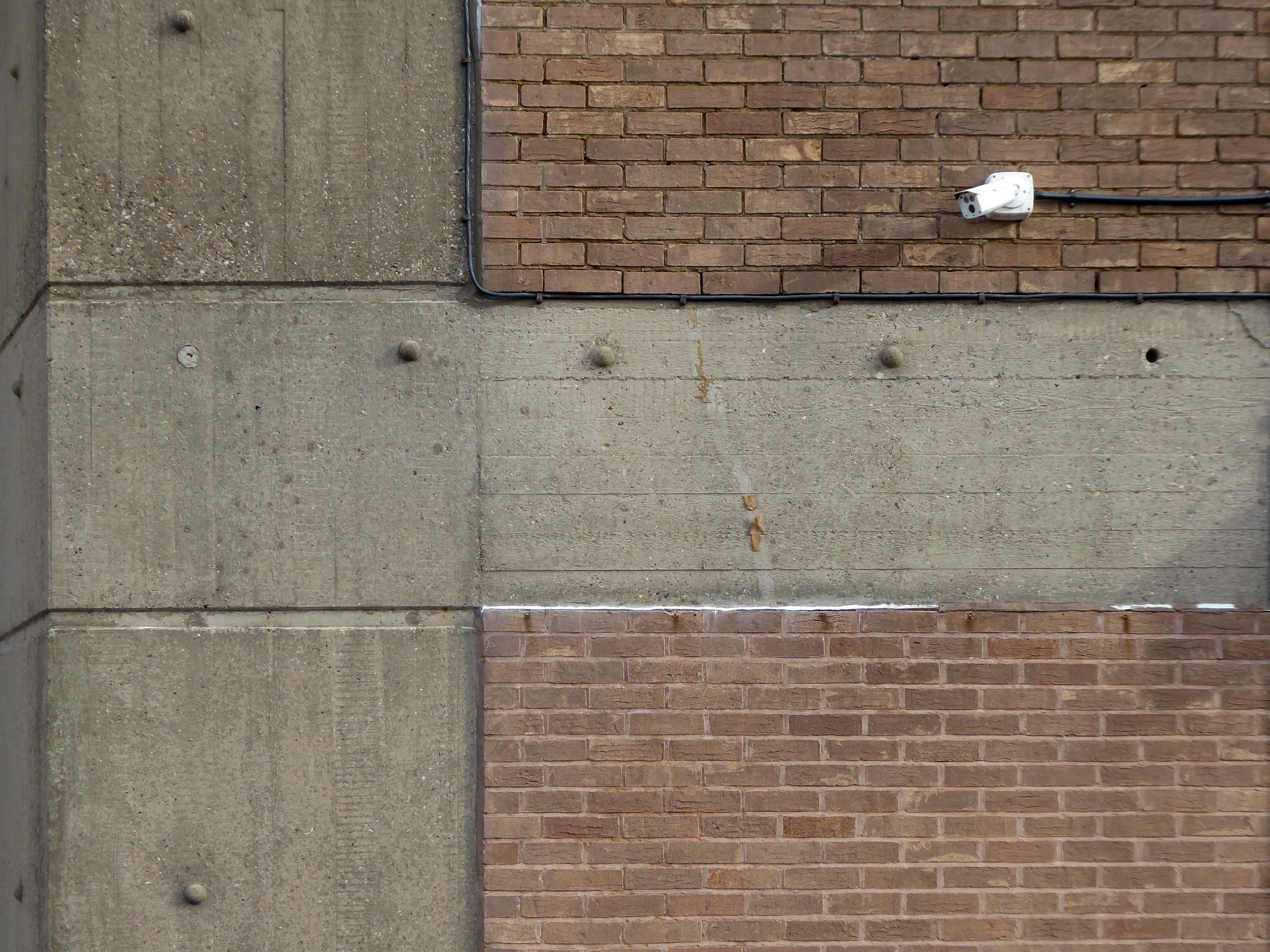
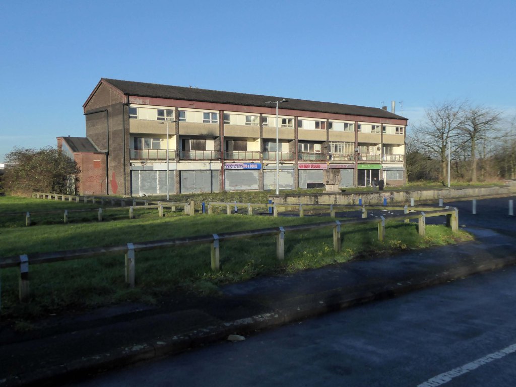
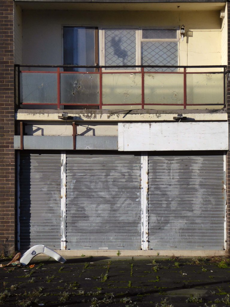
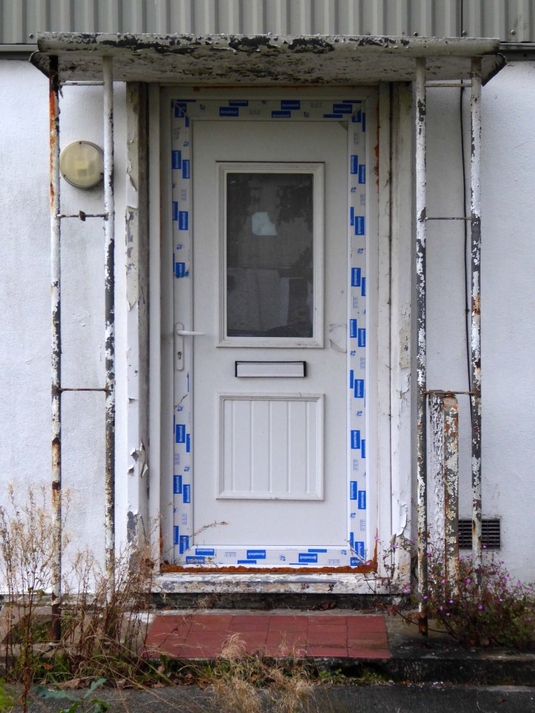
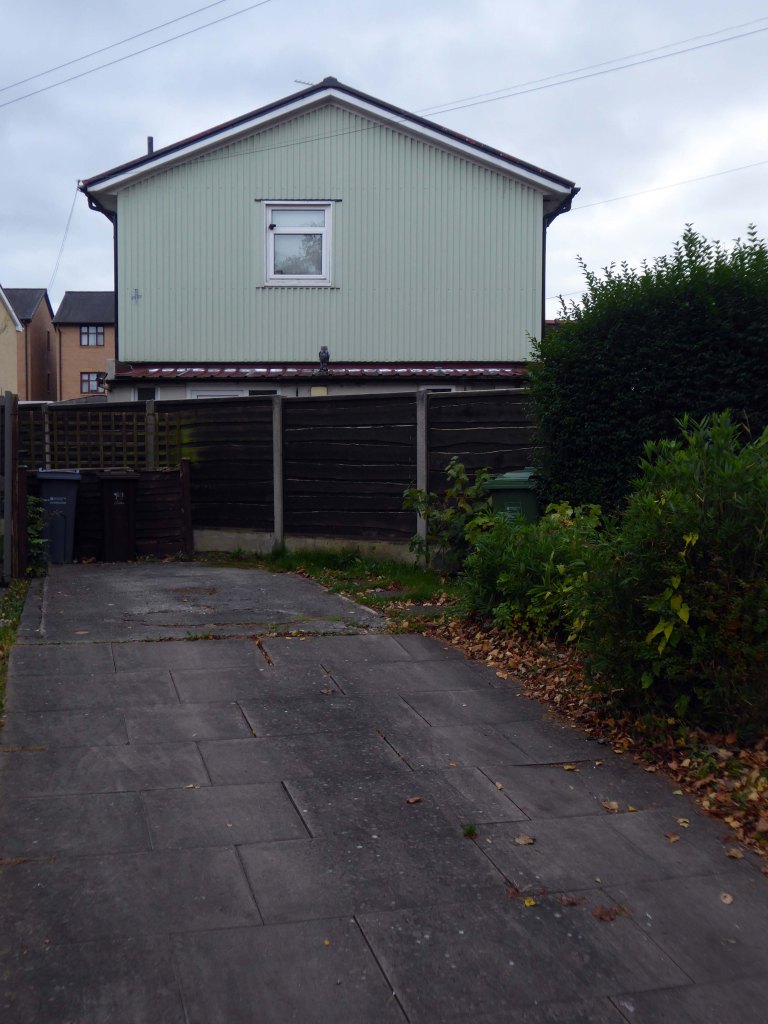
April 2023 and the shops and homes are being prepared for demolition.
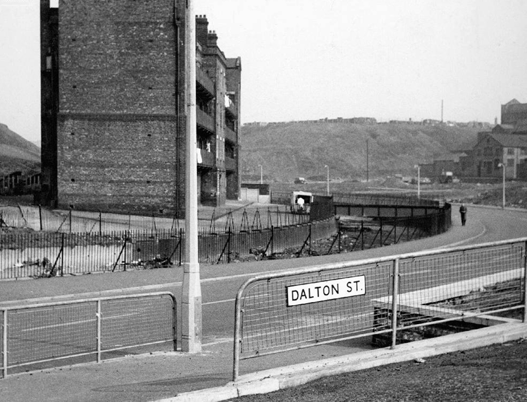
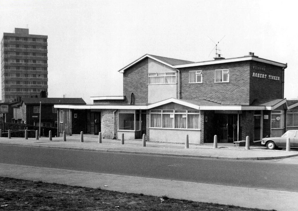
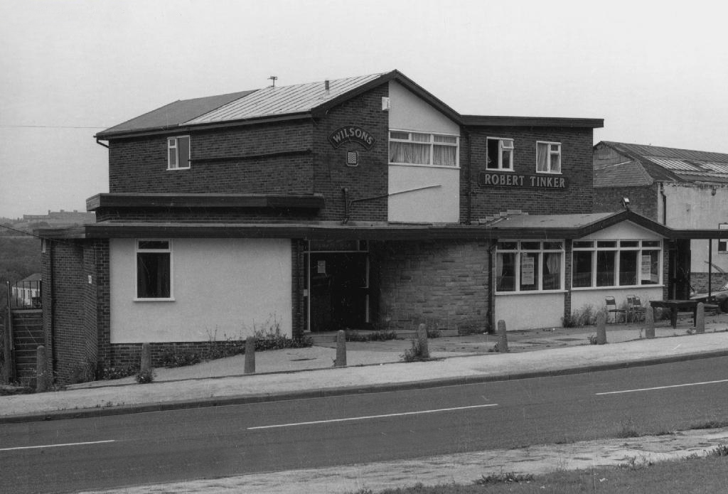
The company responsible for the demolition also dropped the Robert Tinker, on nearby Dalton Street.
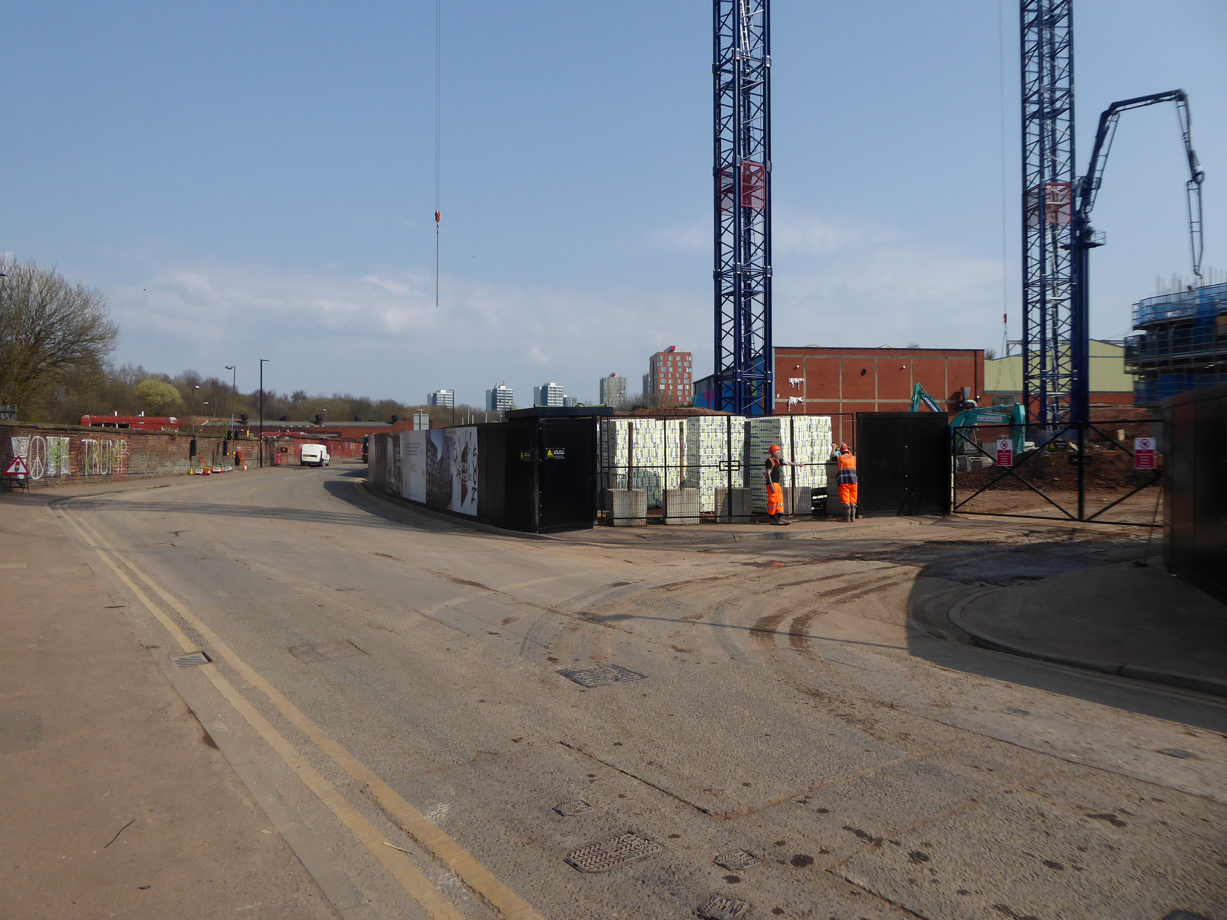
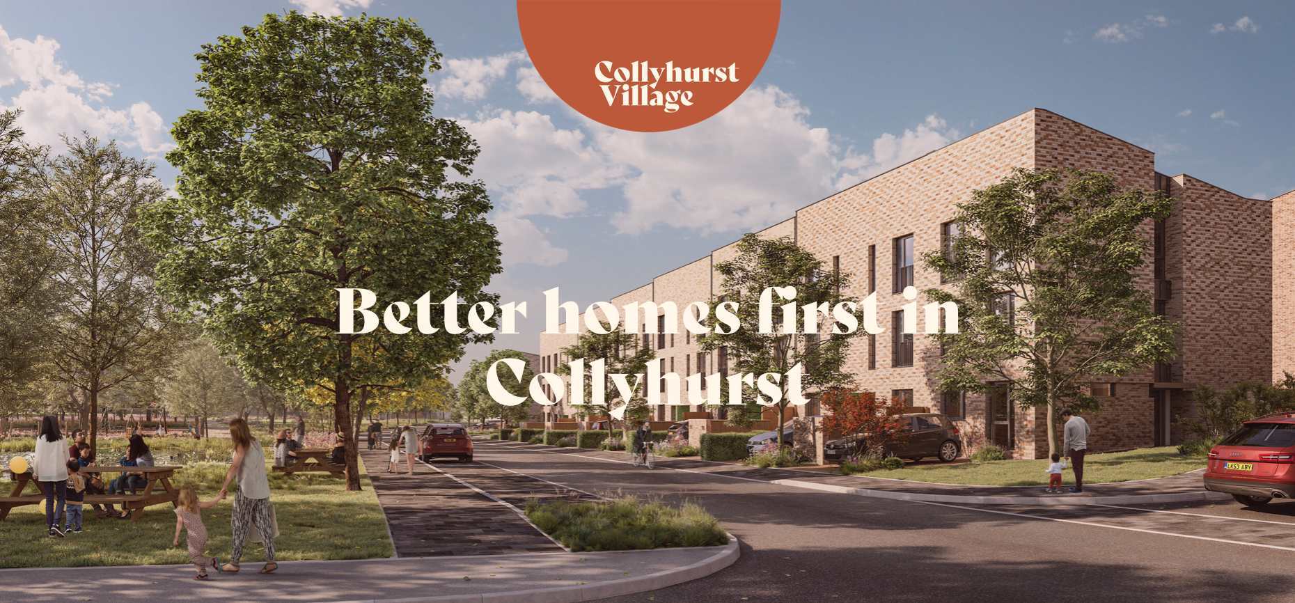
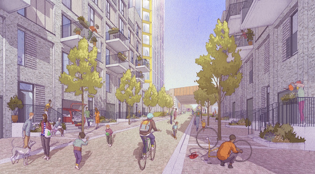
While it is not yet clear exactly what will replace the shopping parade, work has already started nearby on other projects within the scheme. The first phase of development in Collyhurst will see 274 new homes built in the area.
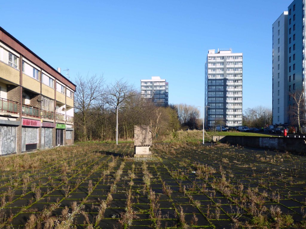
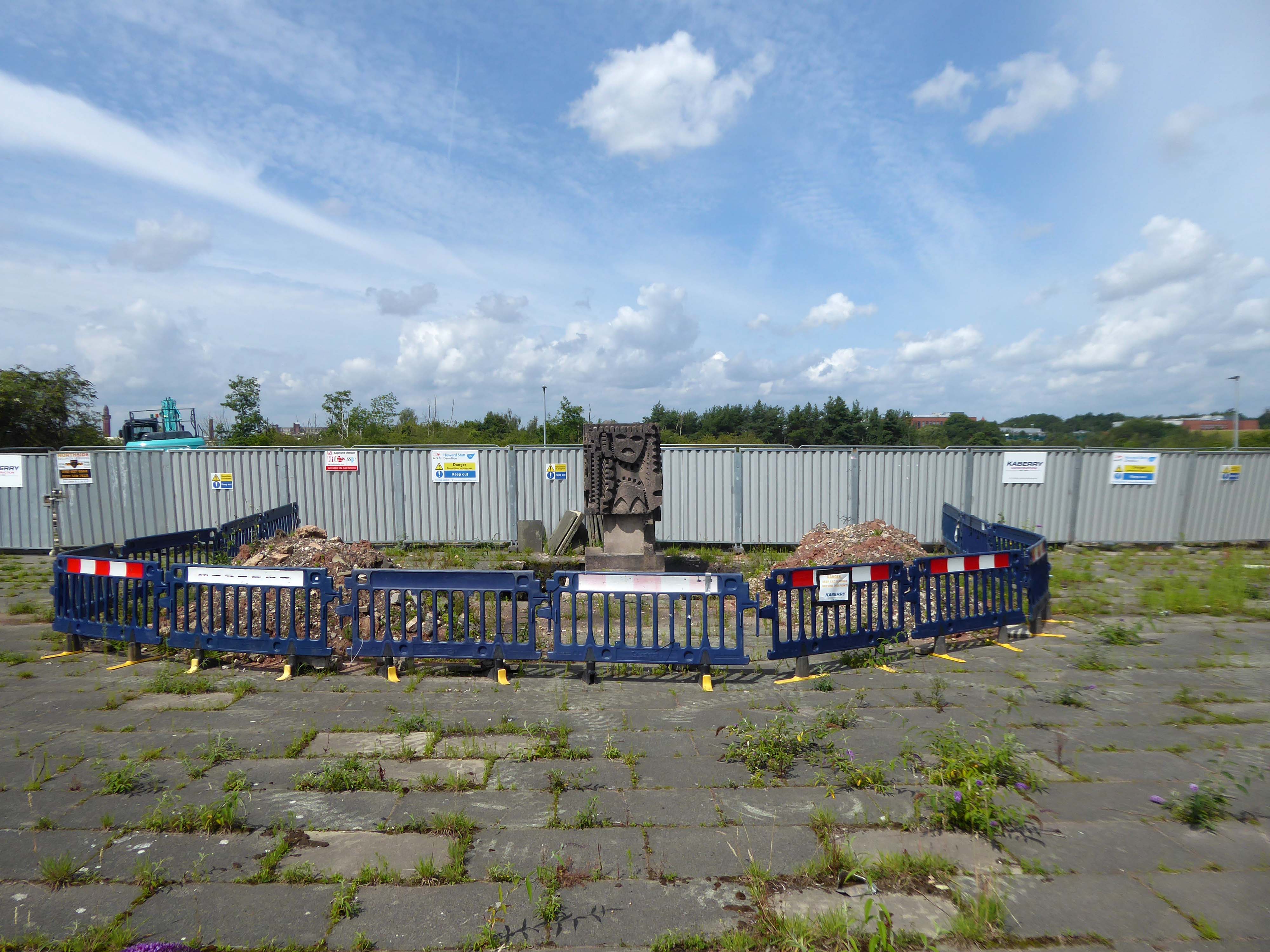
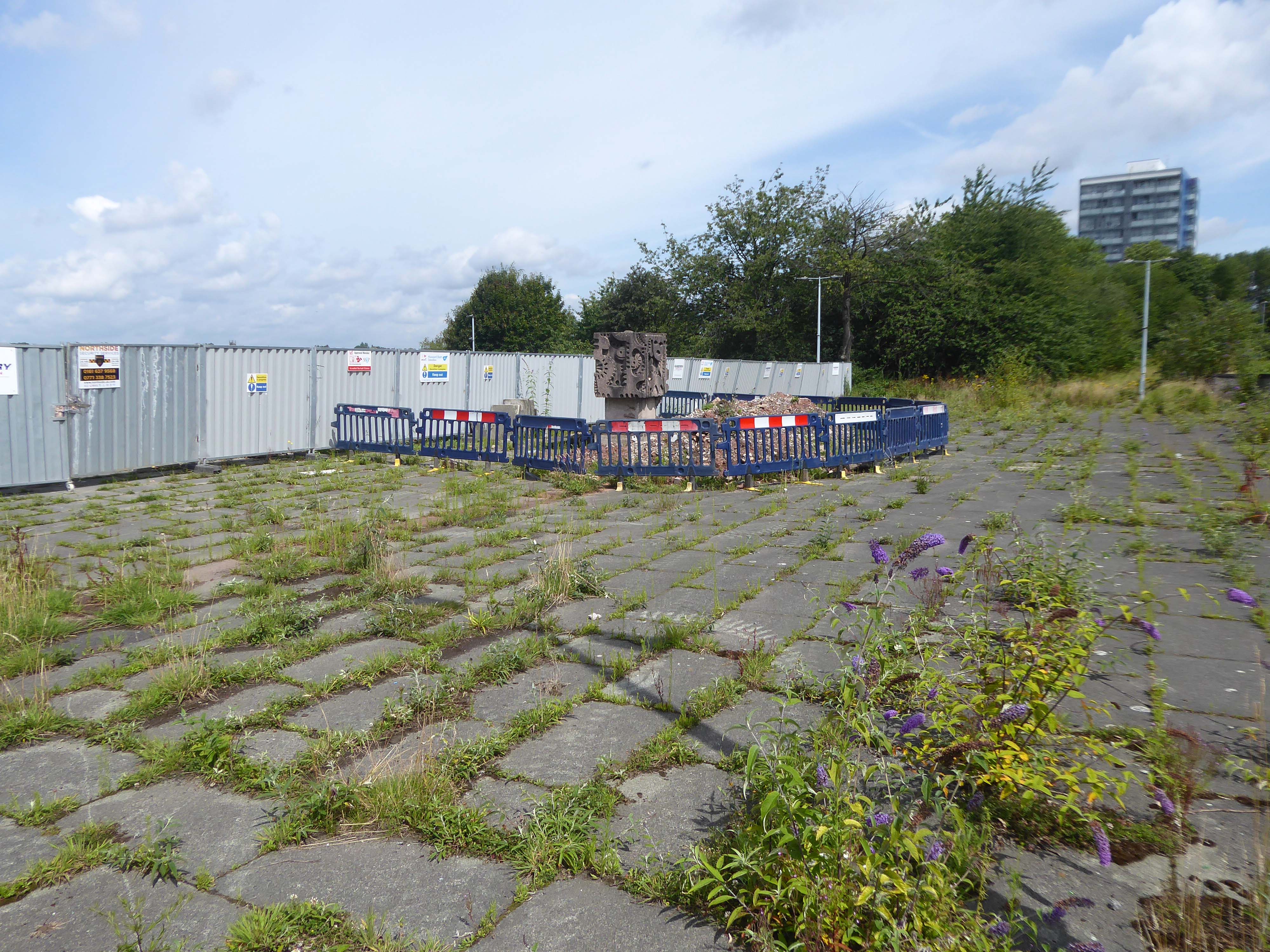
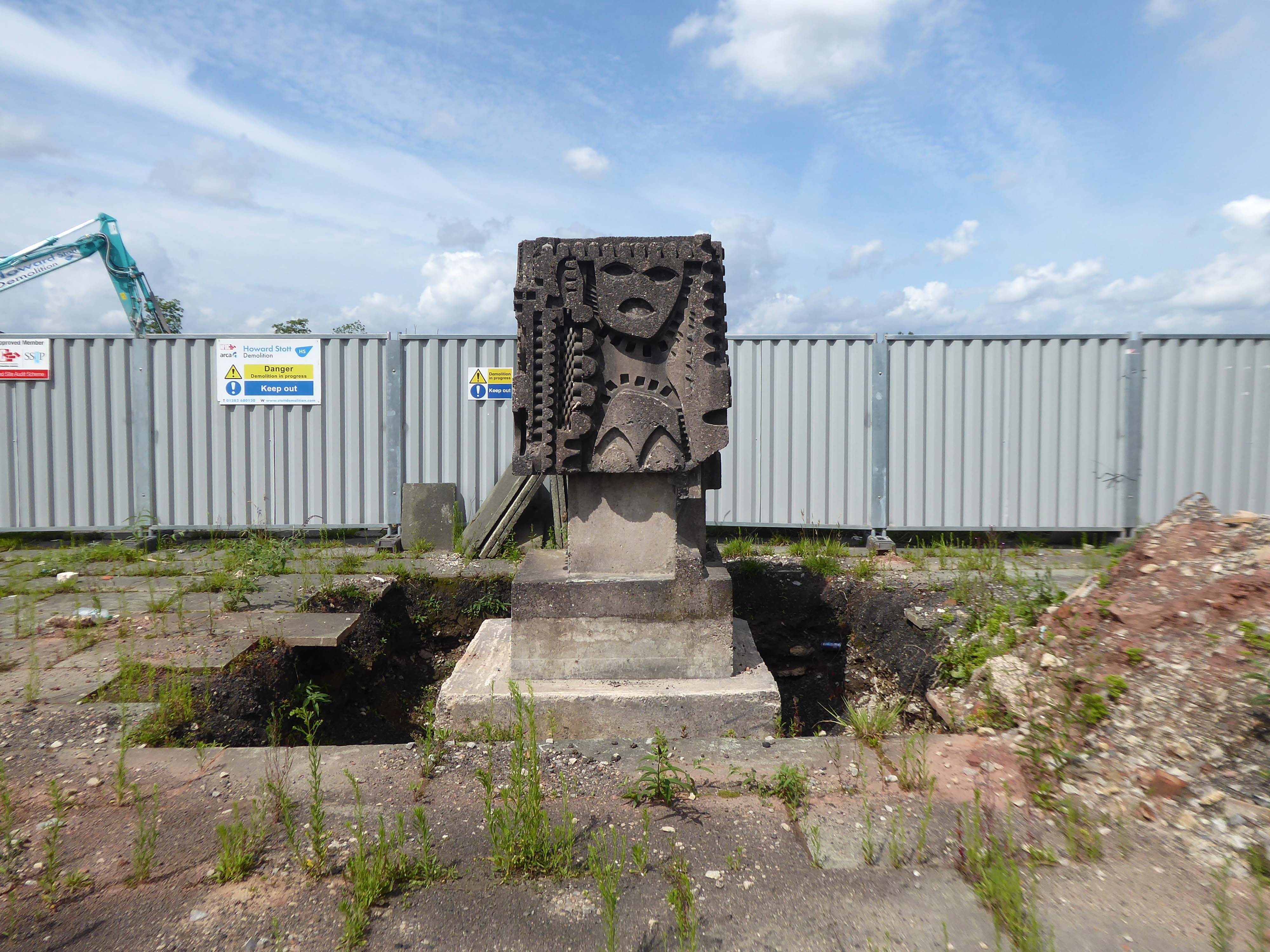
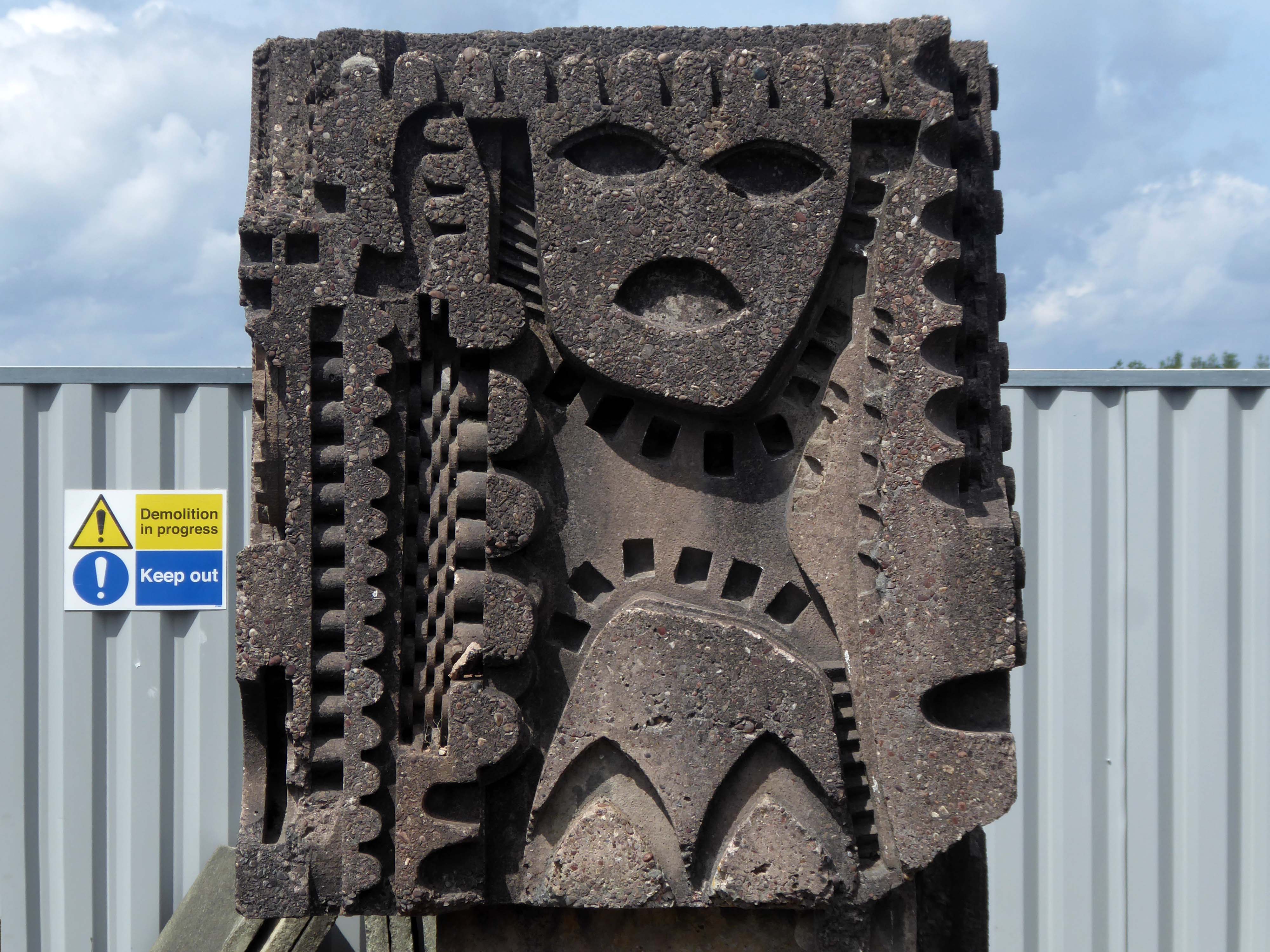
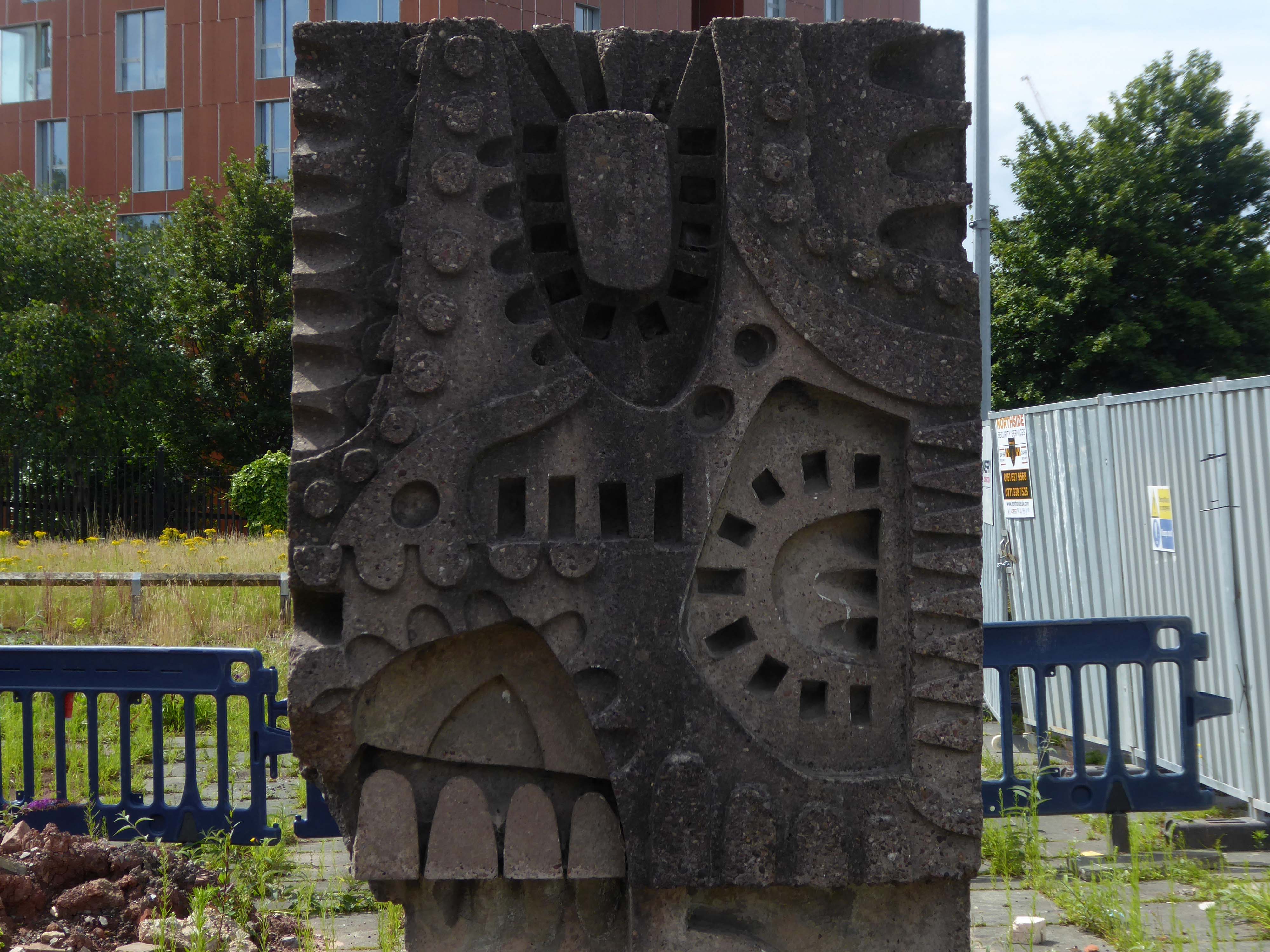
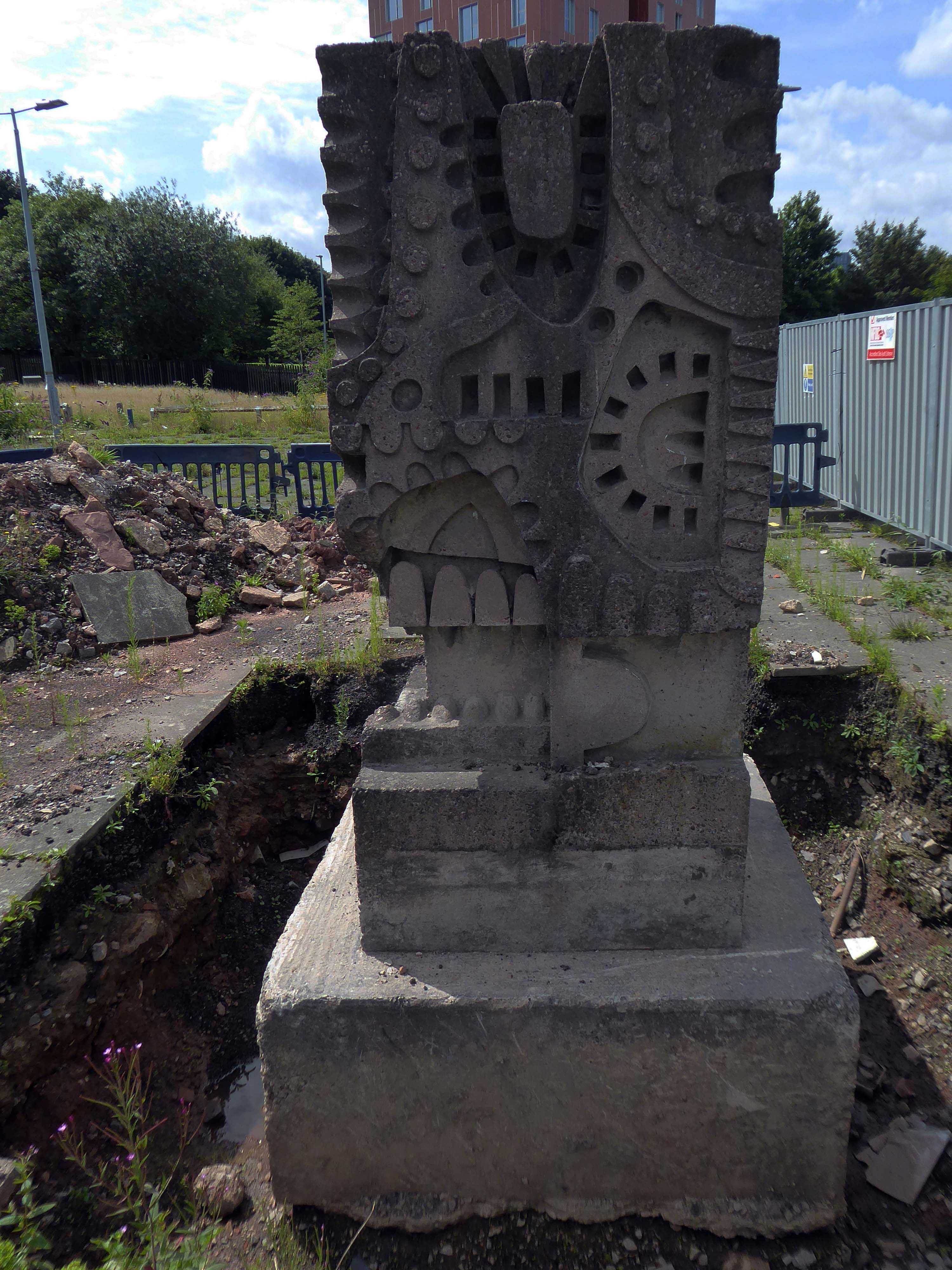
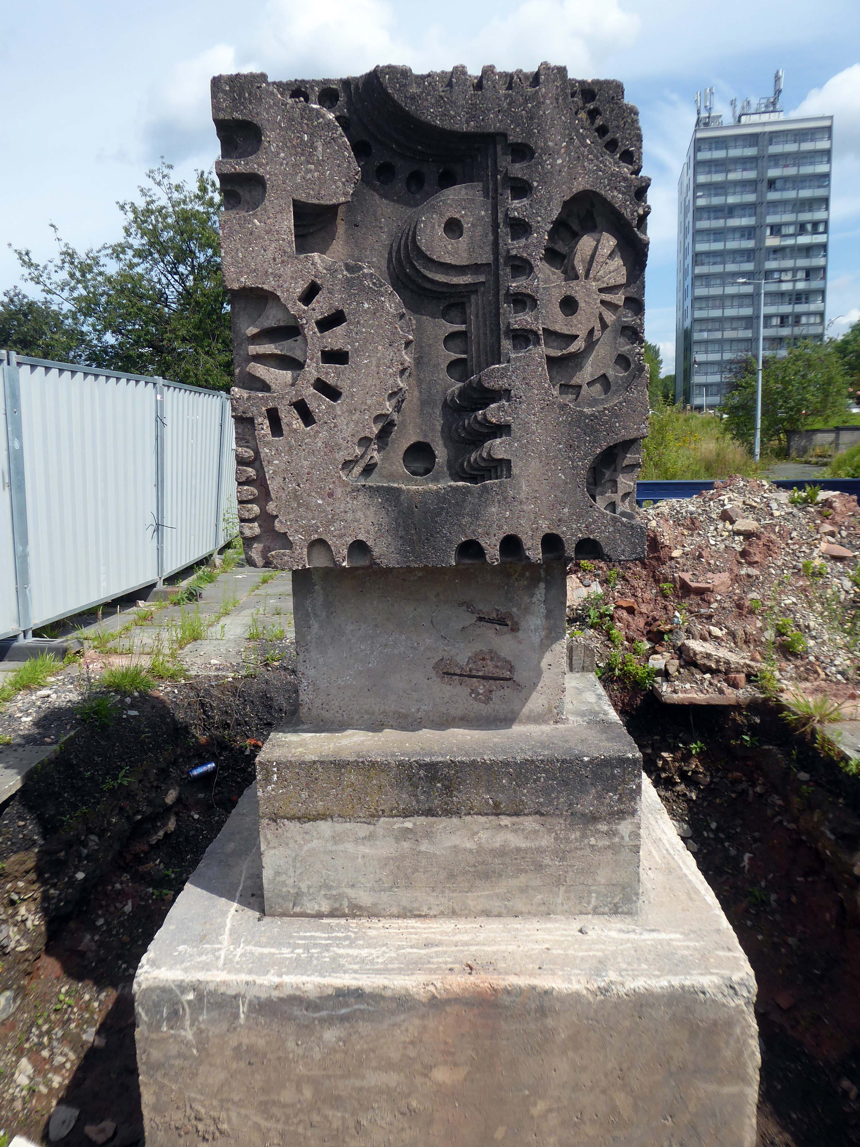
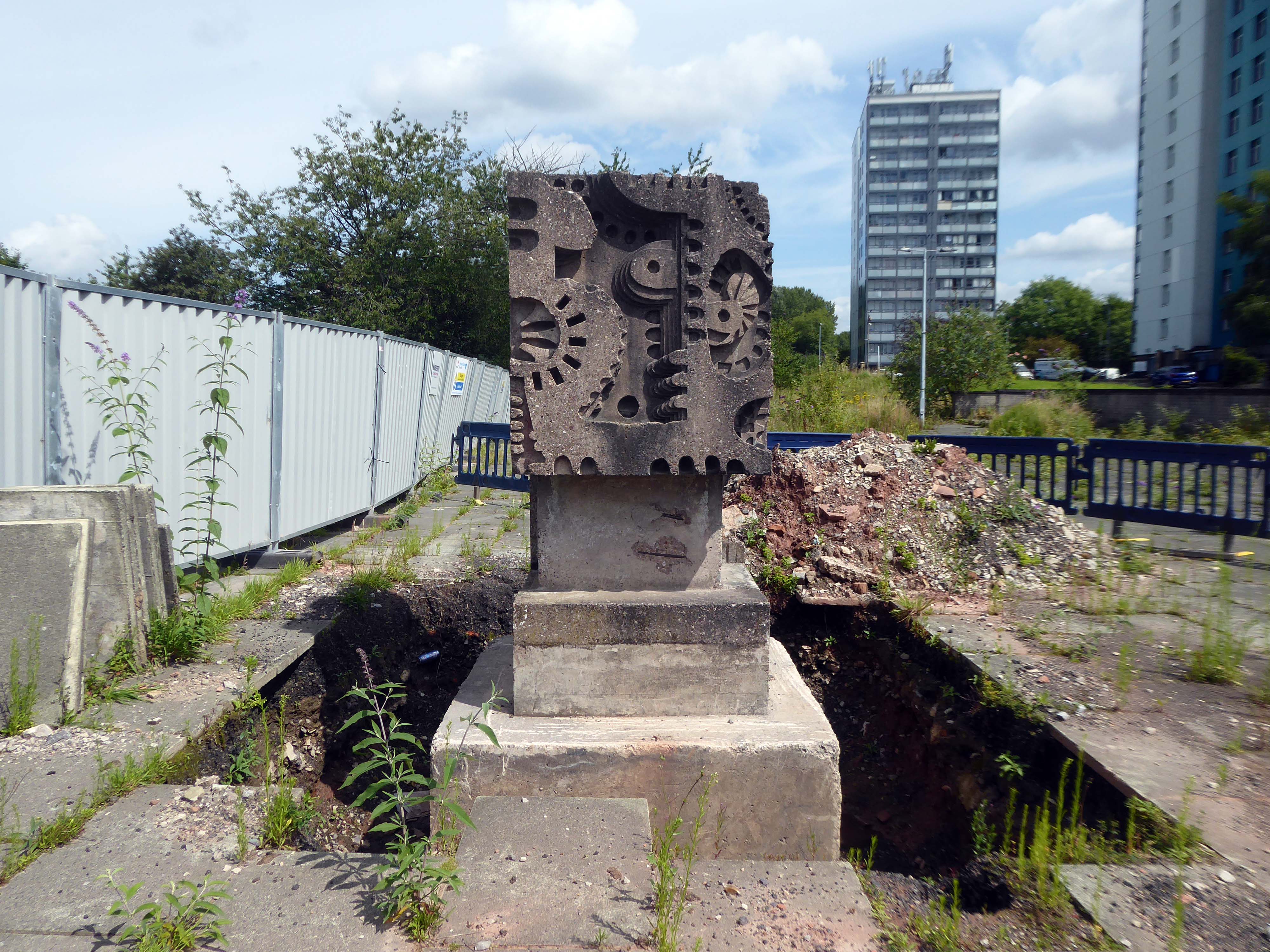
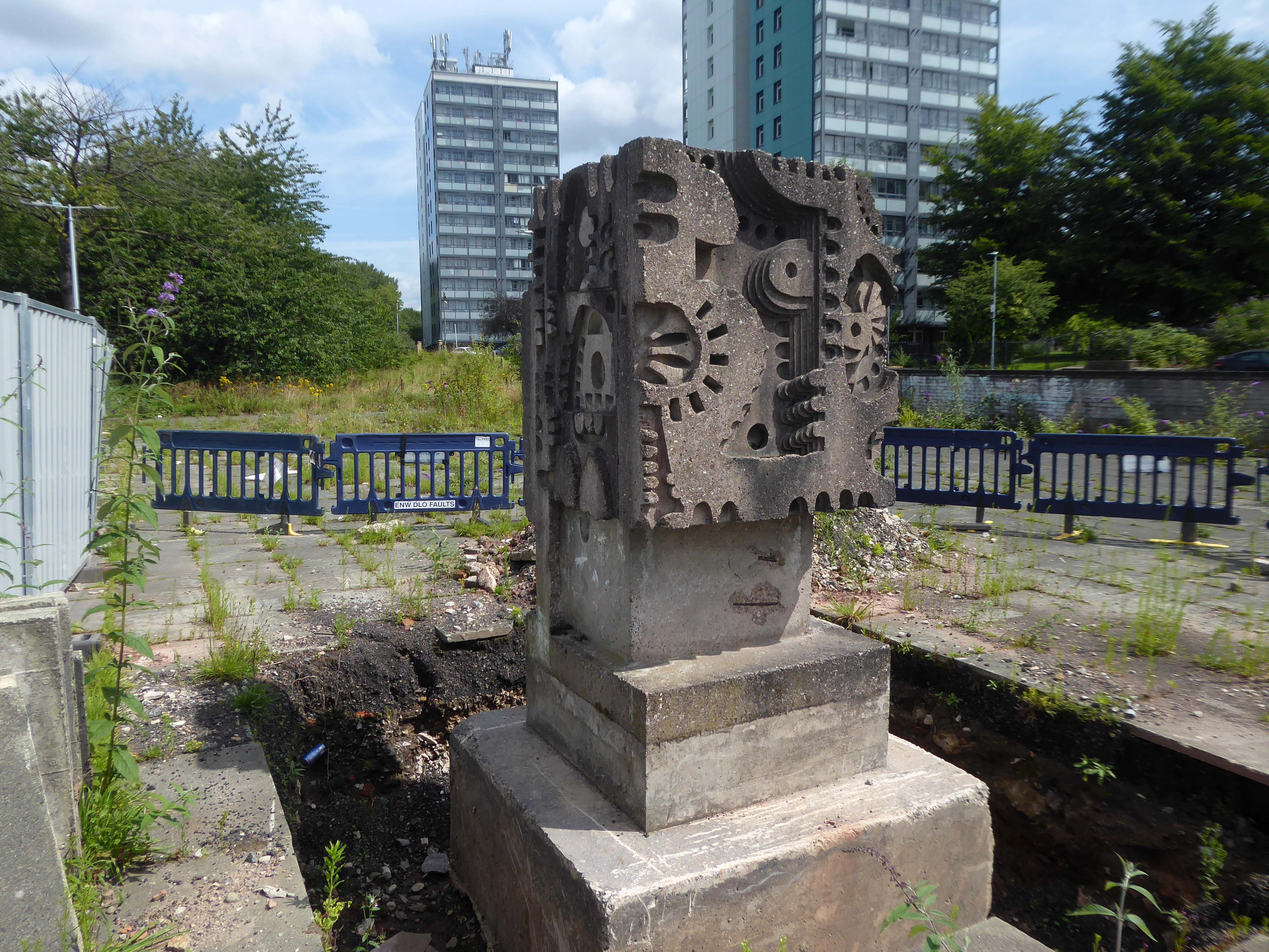
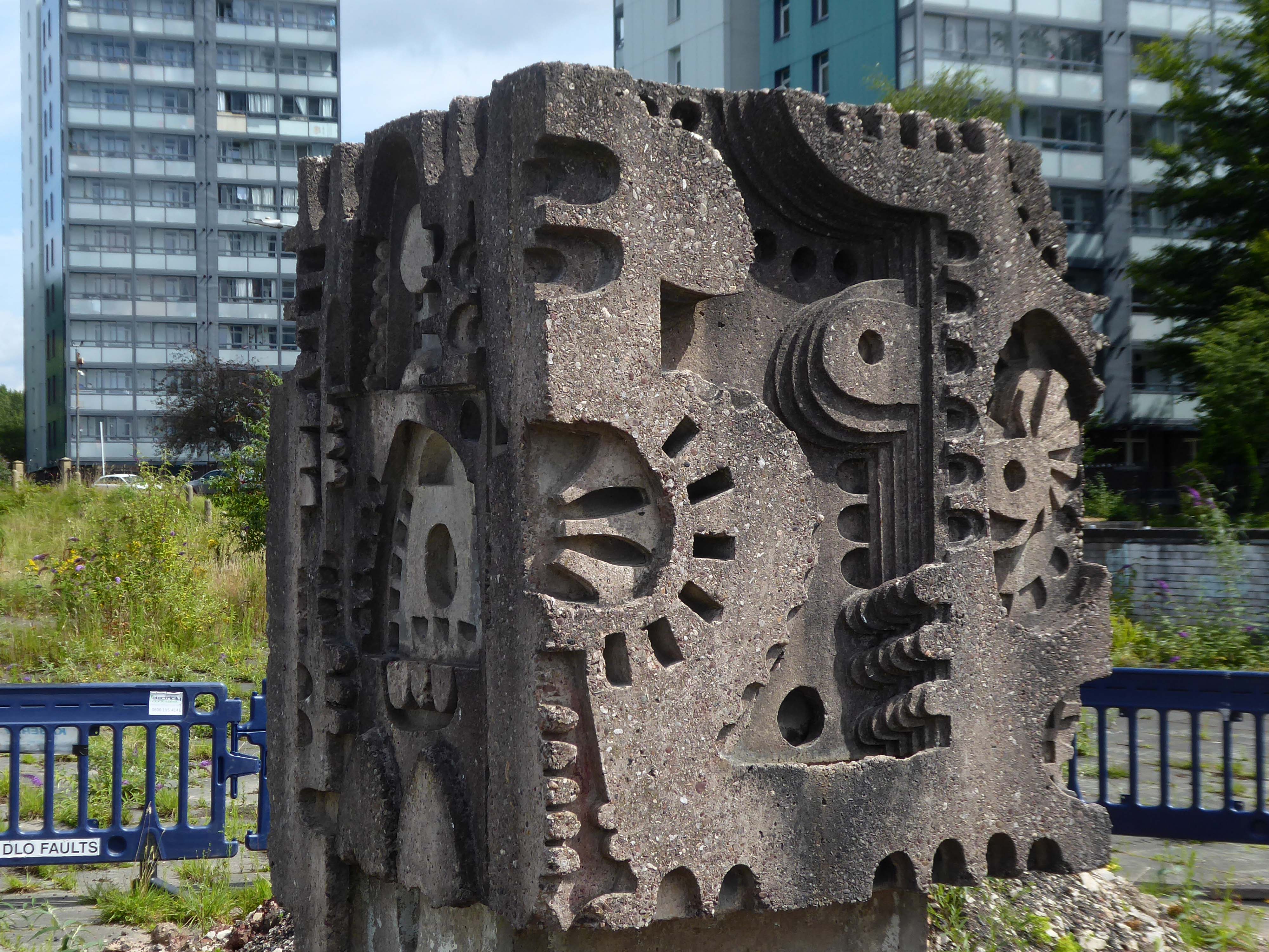
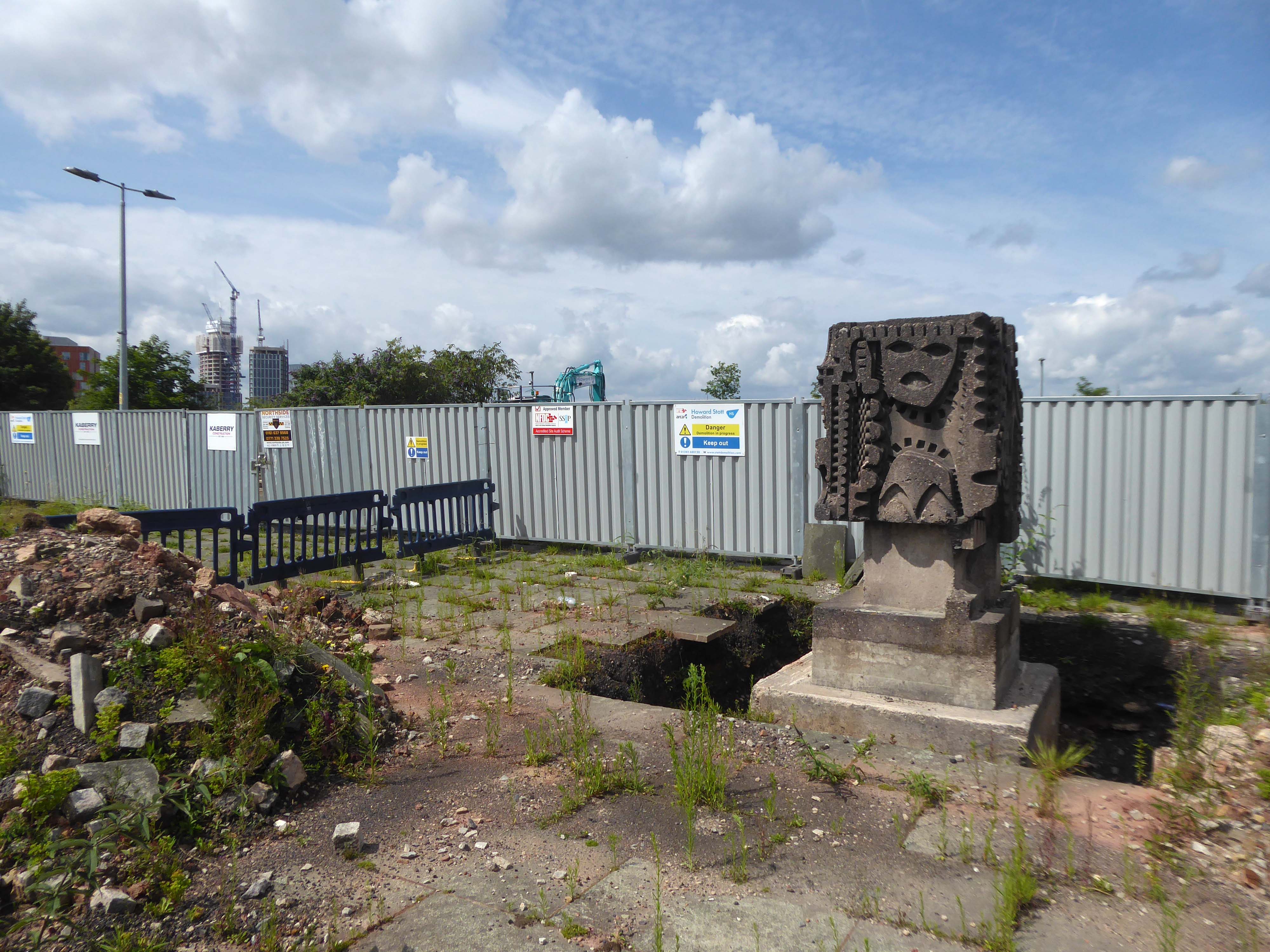
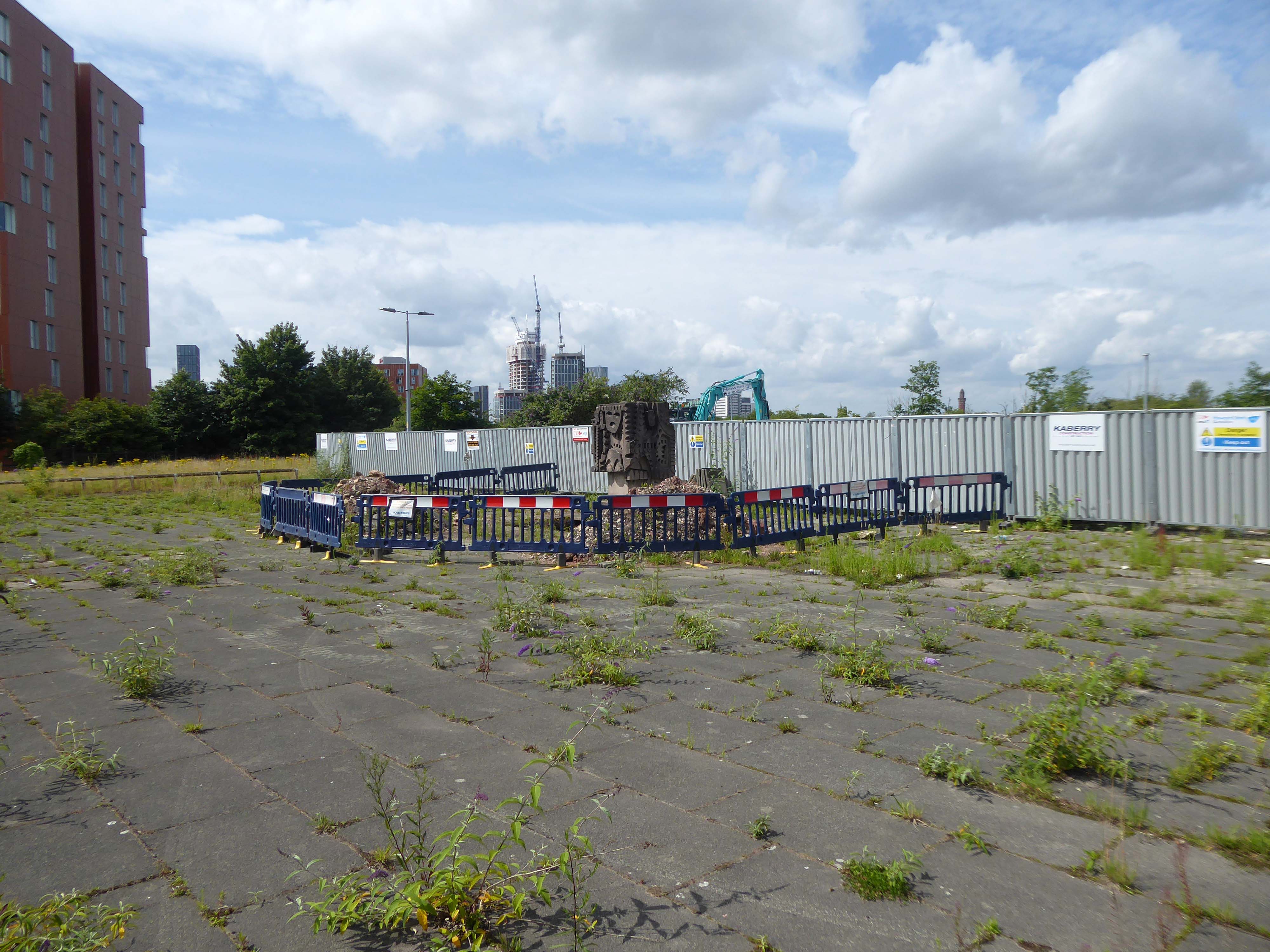
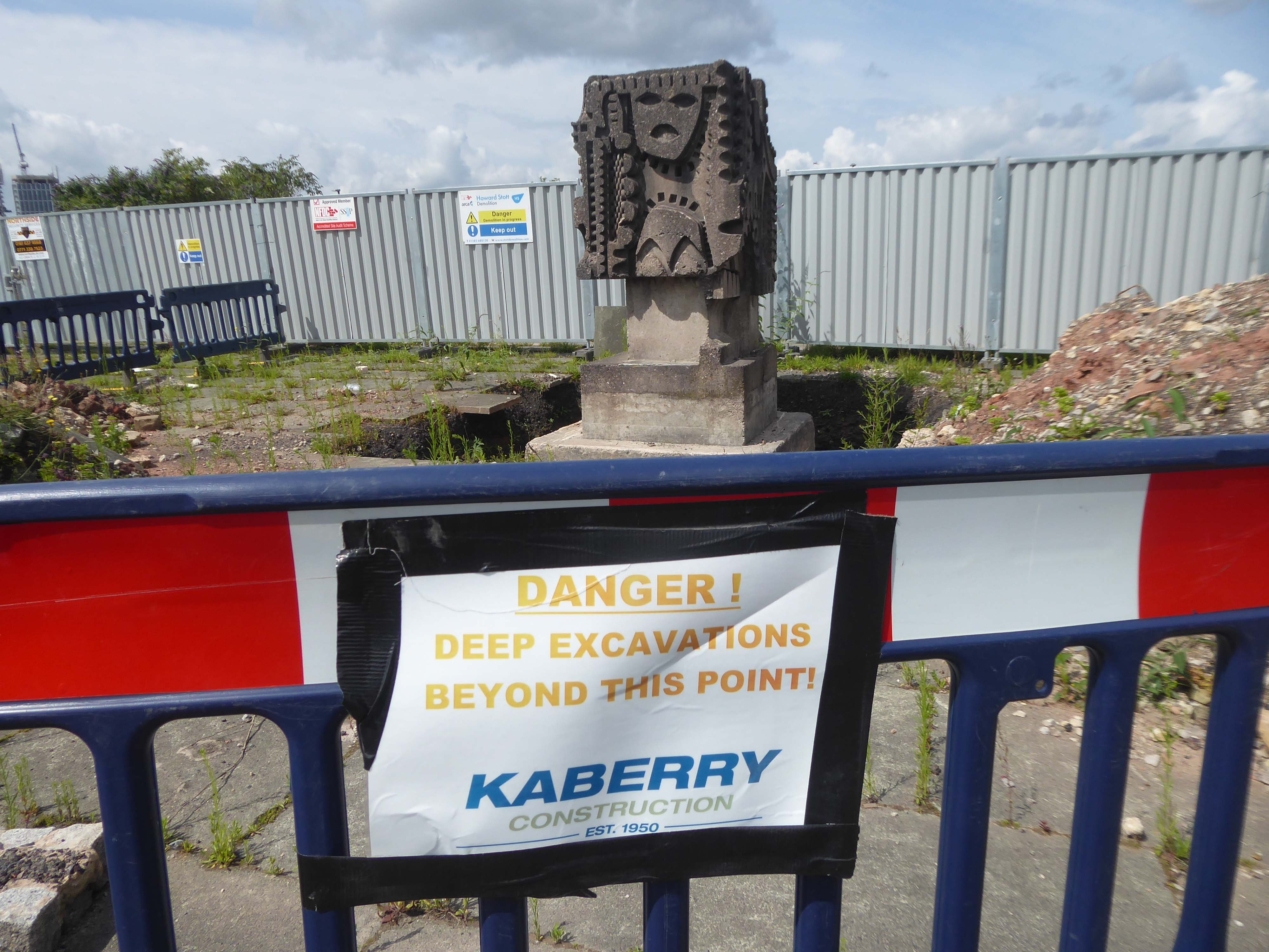
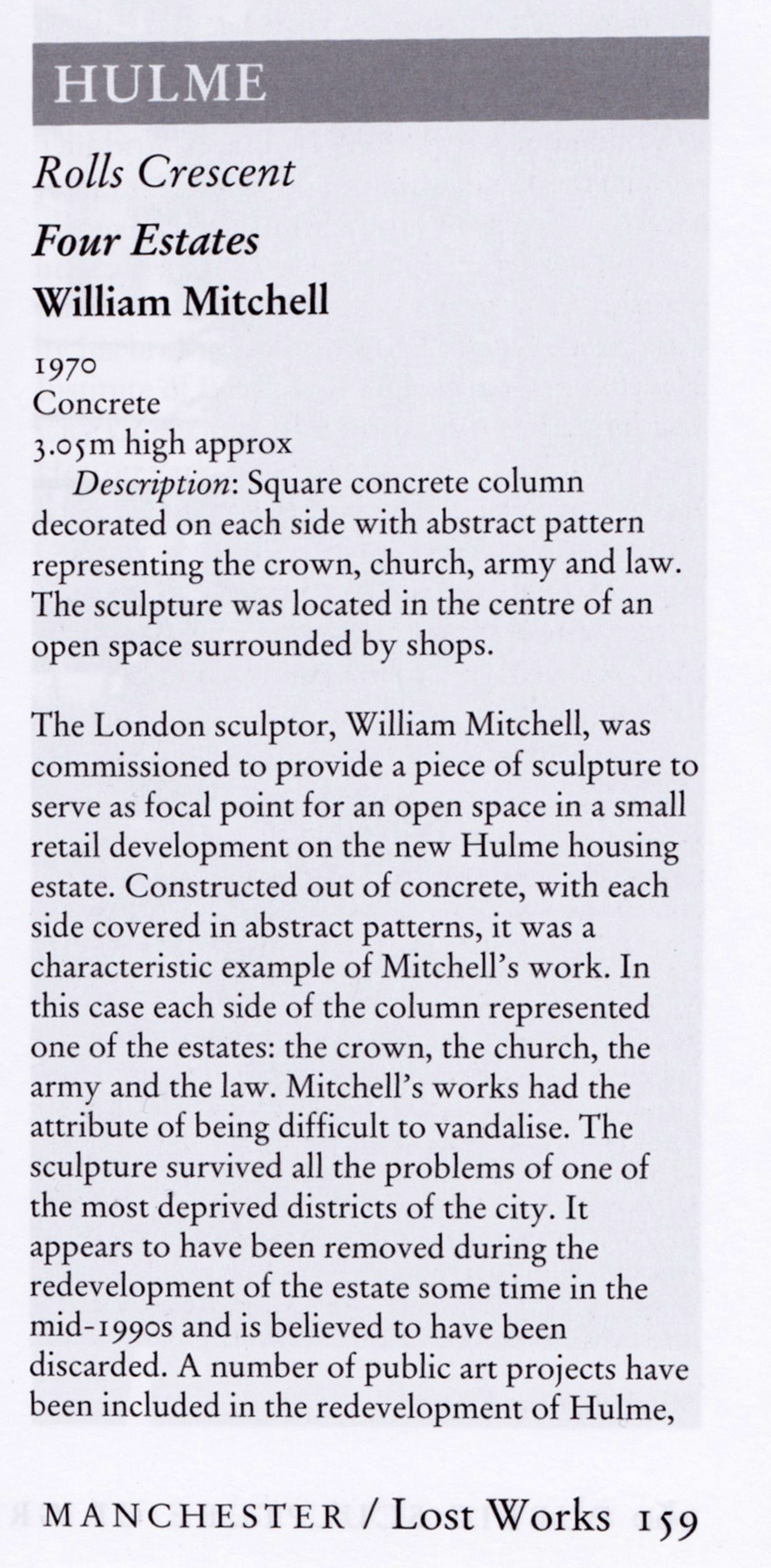
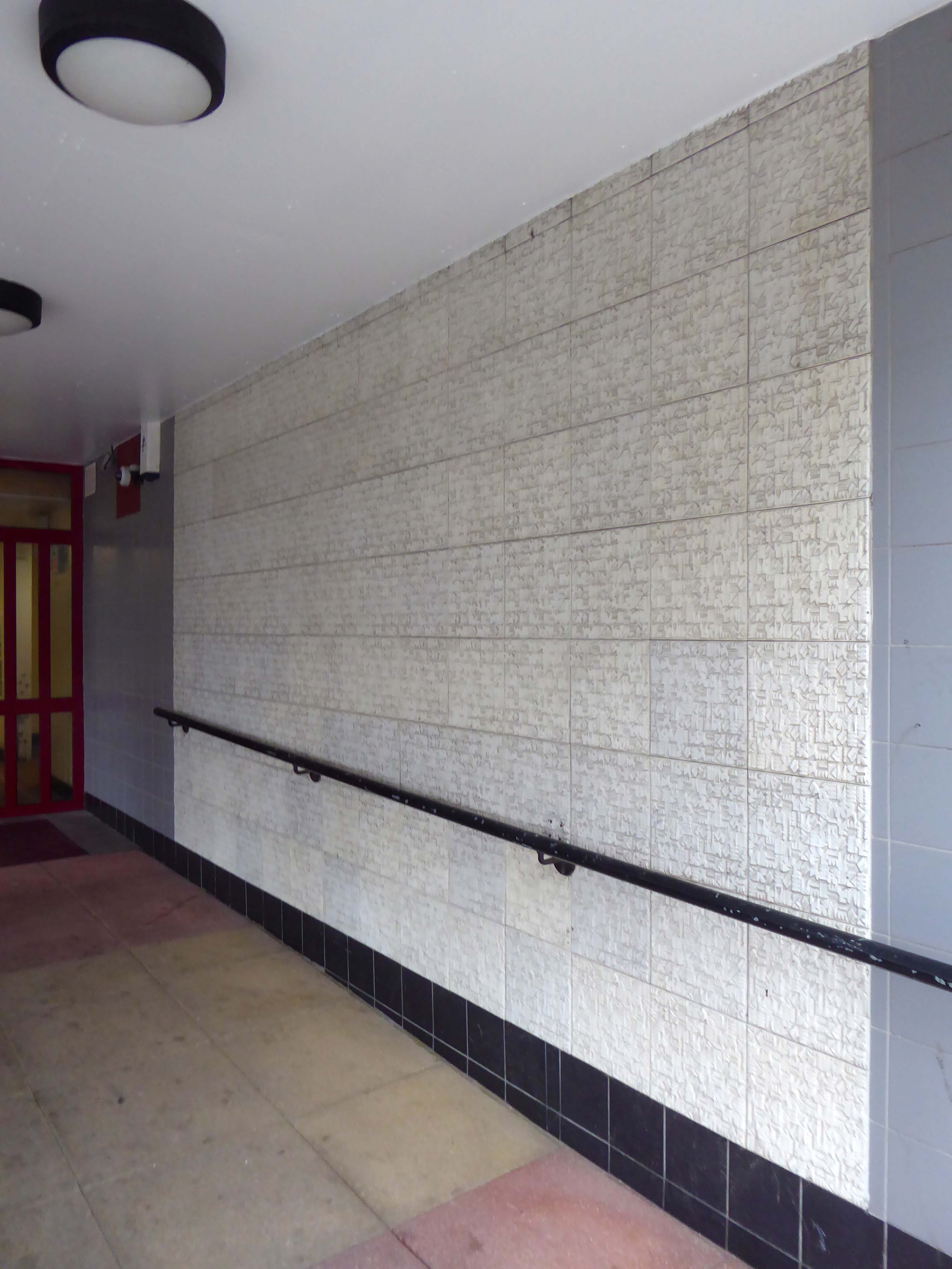
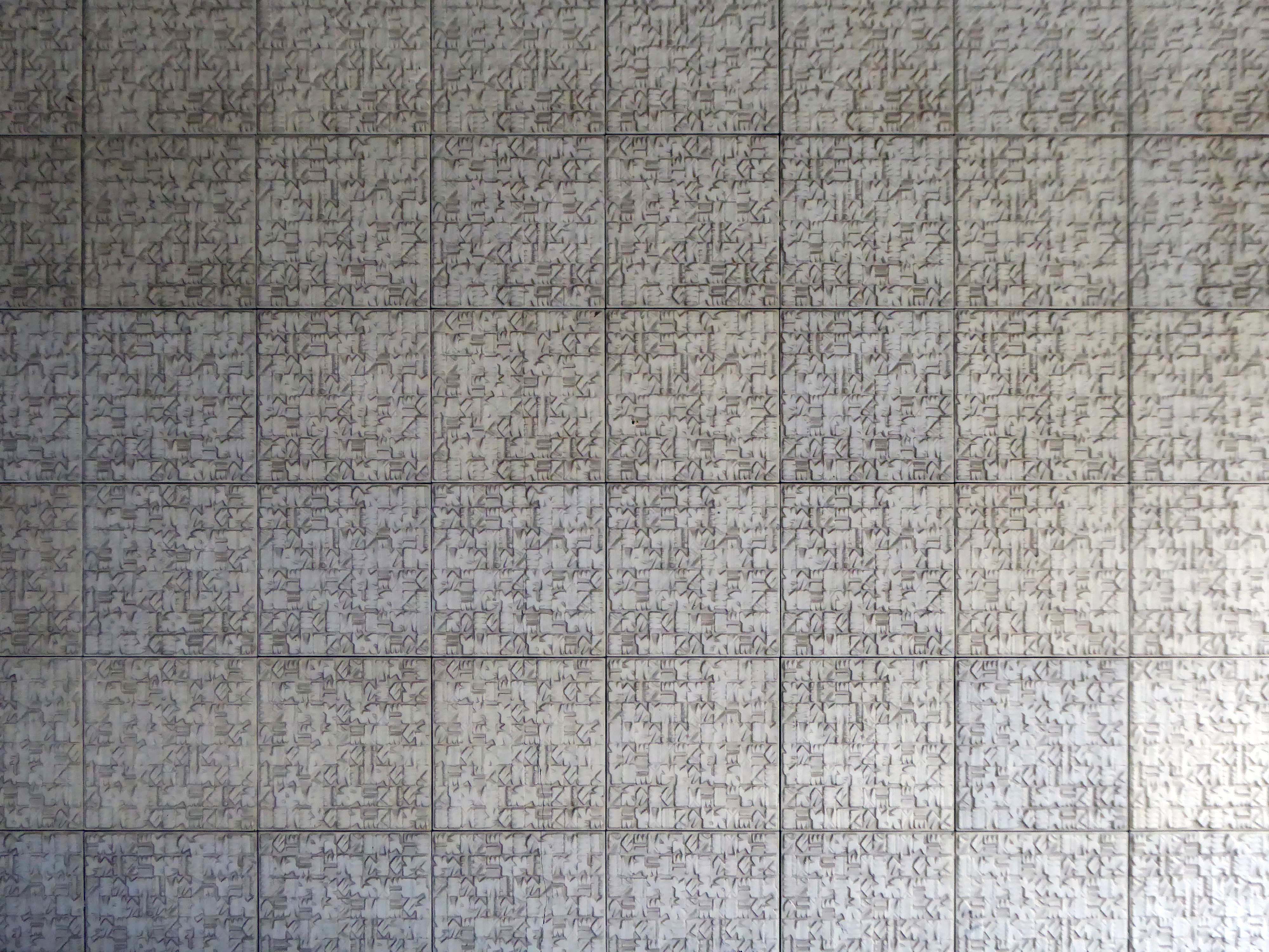
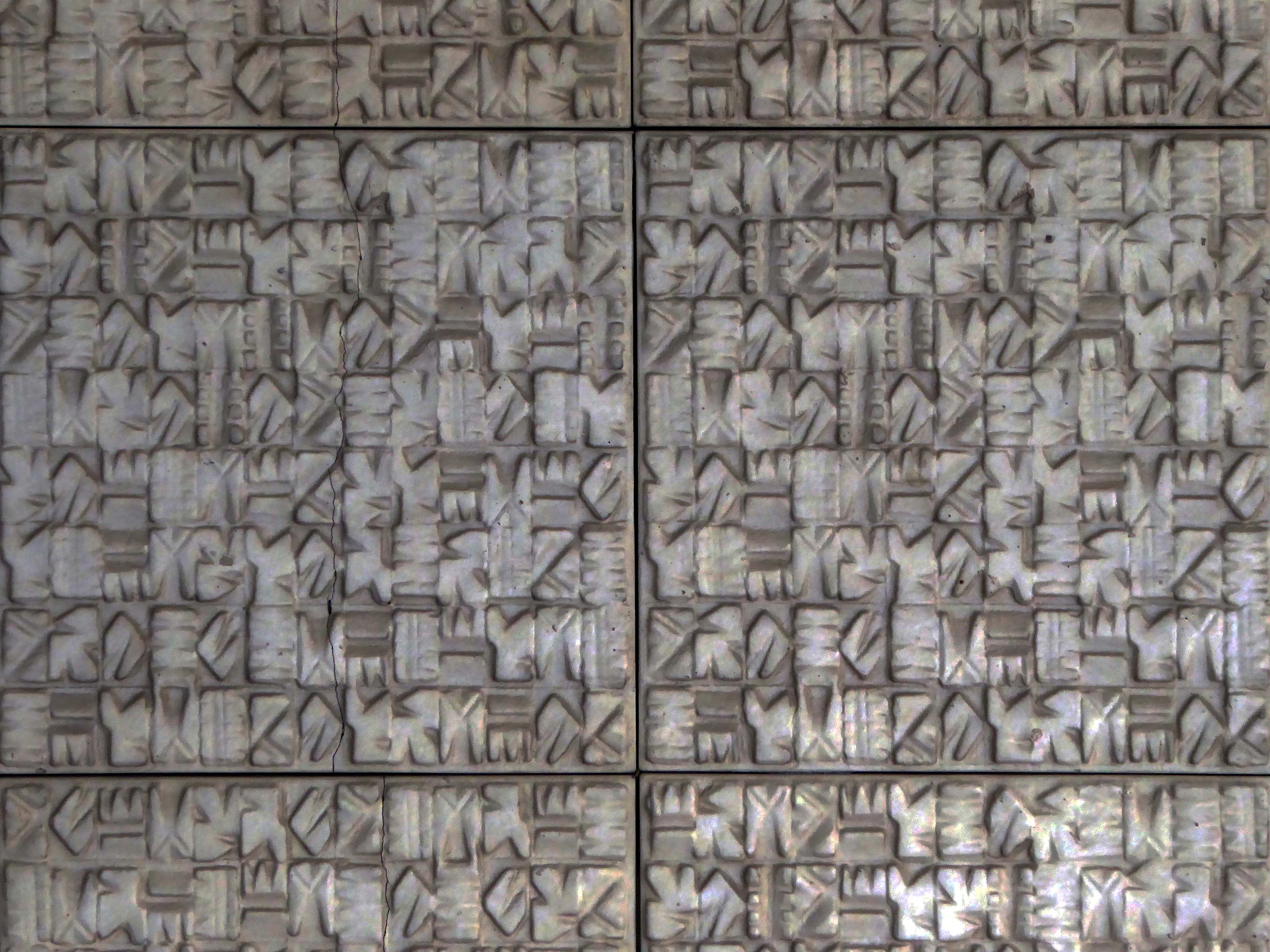
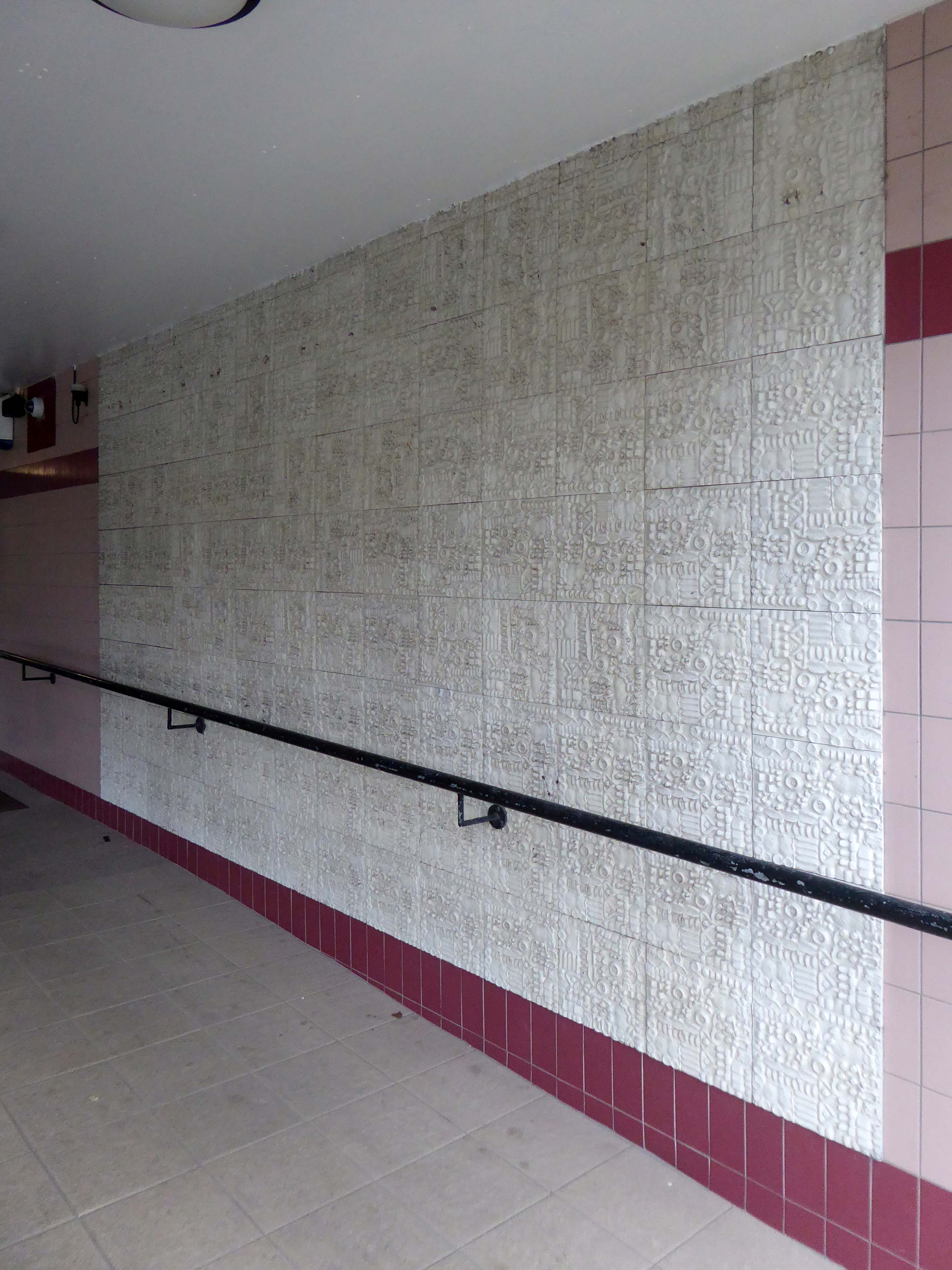
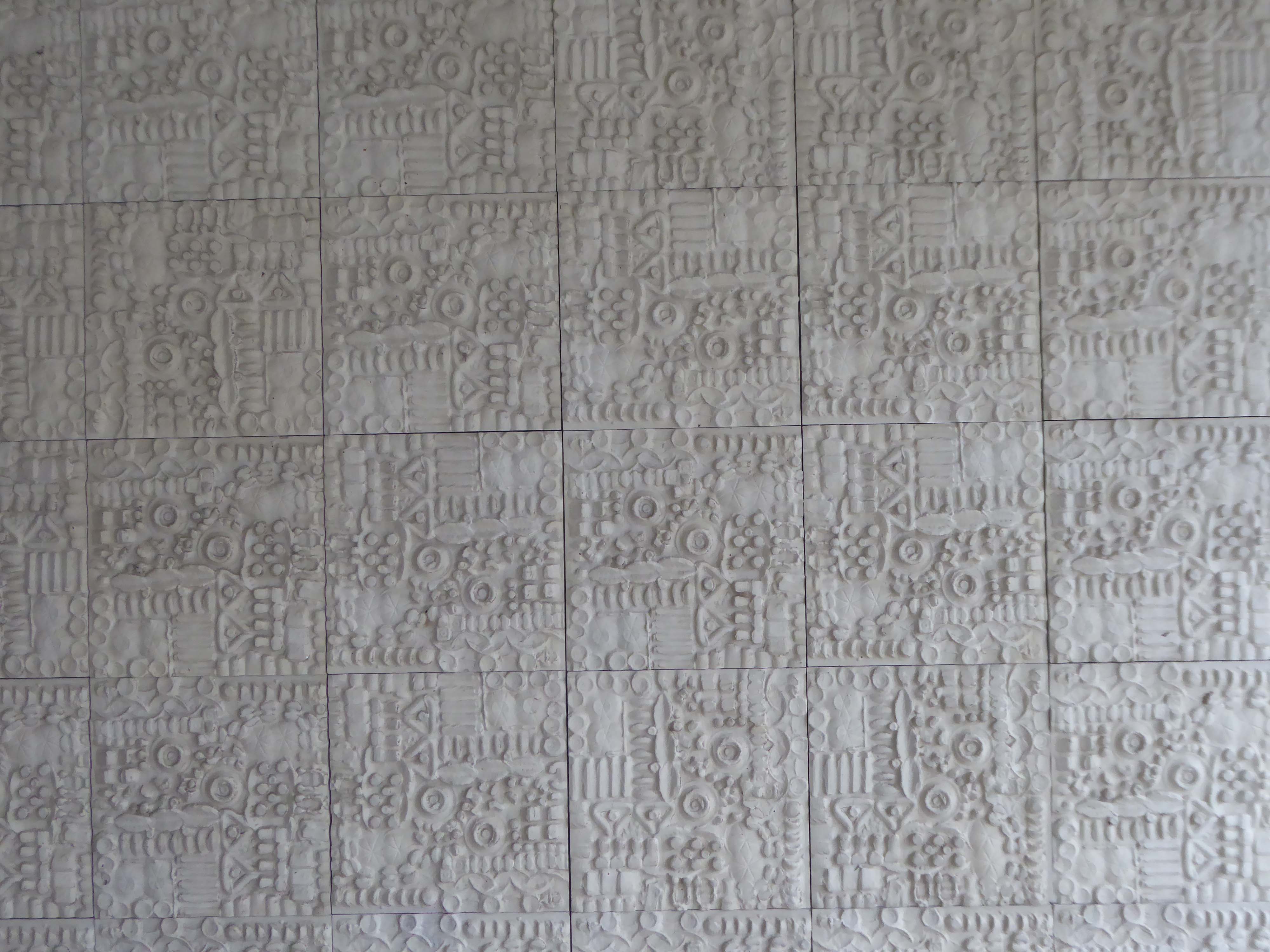
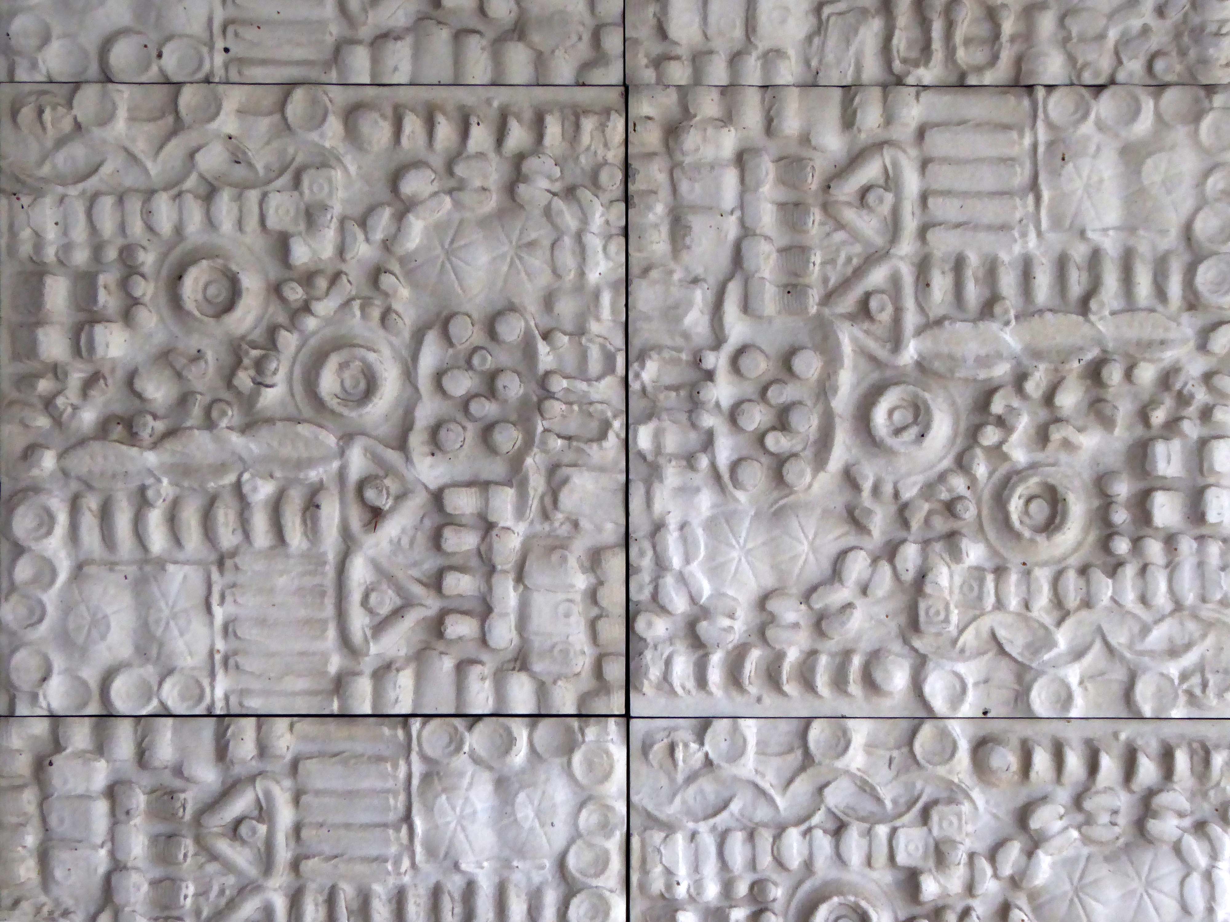
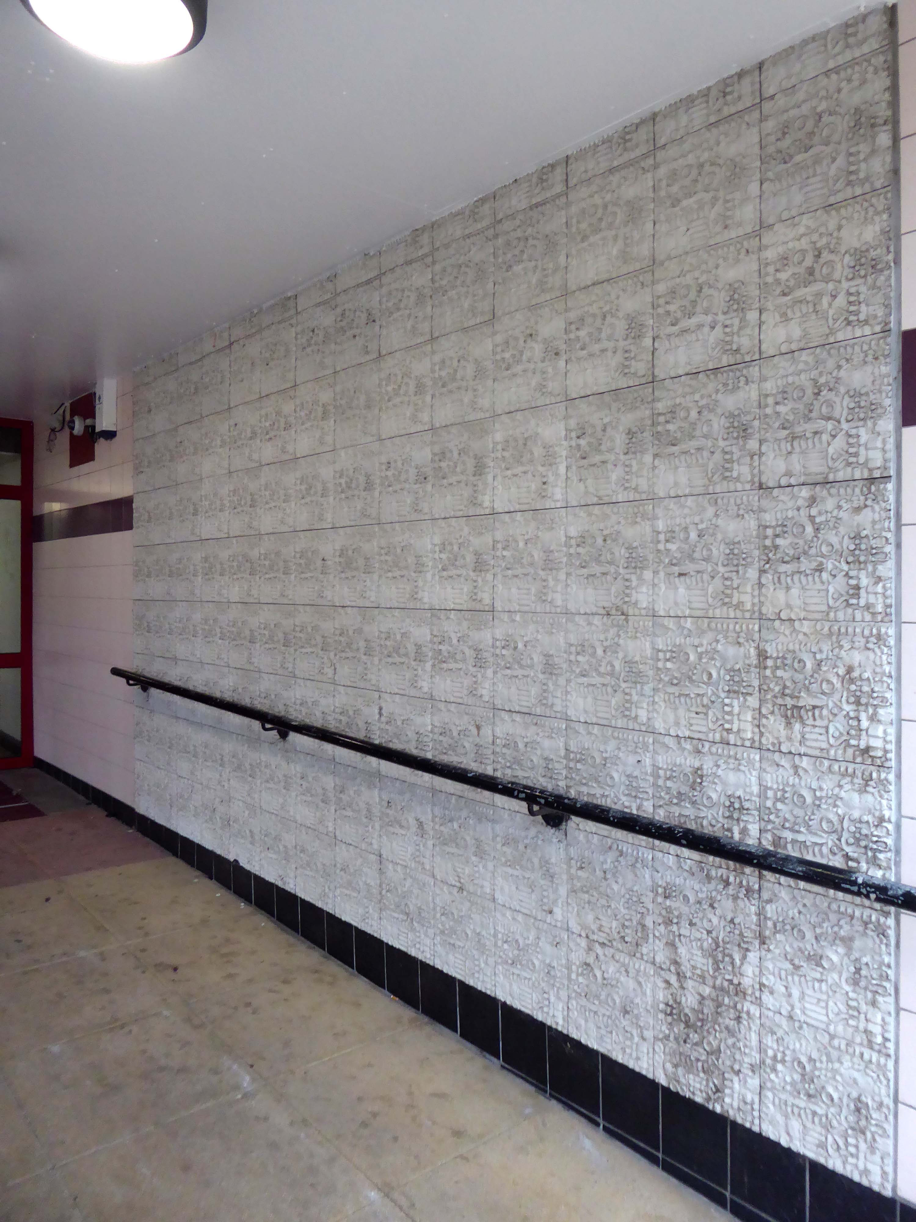
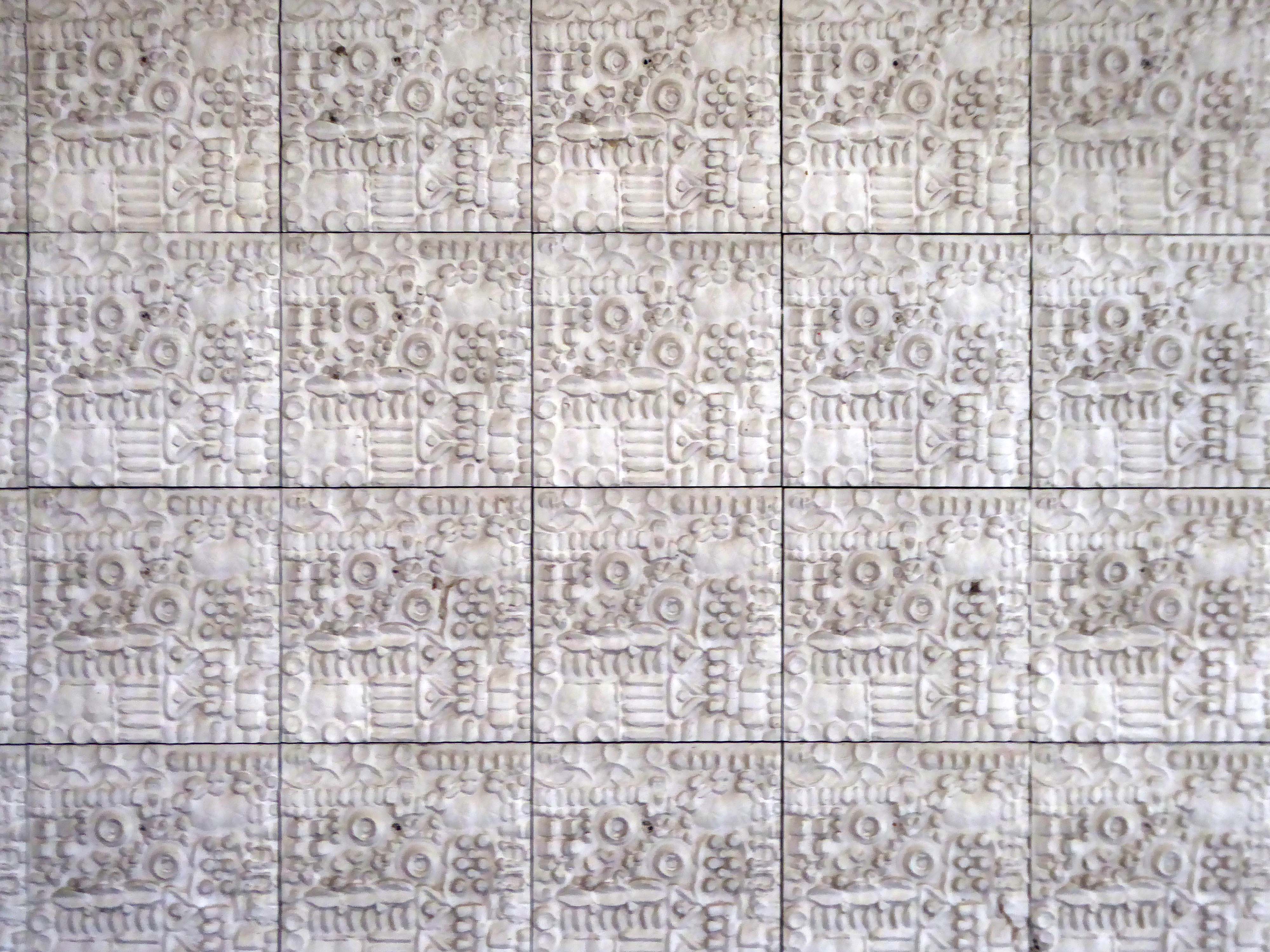
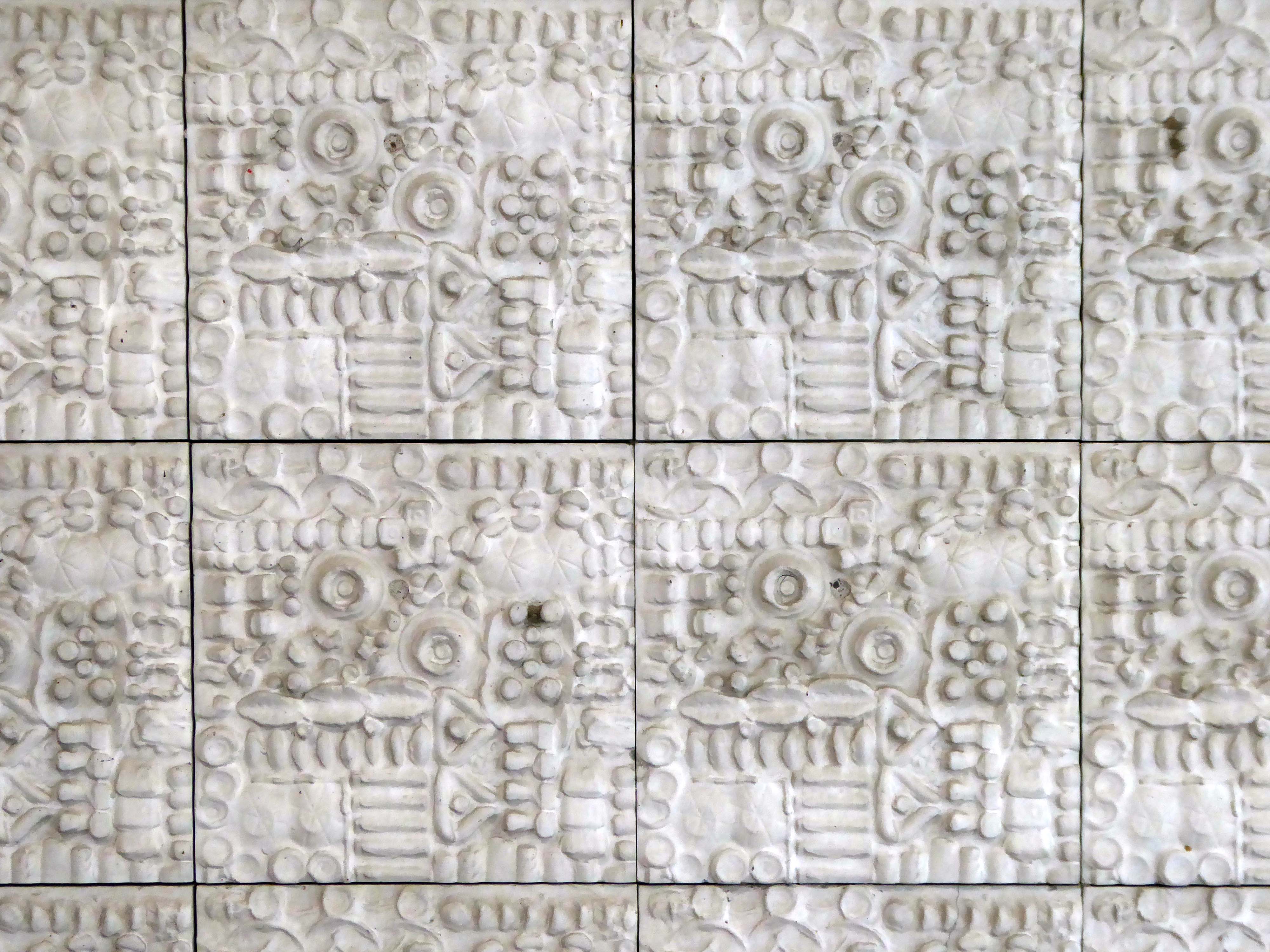
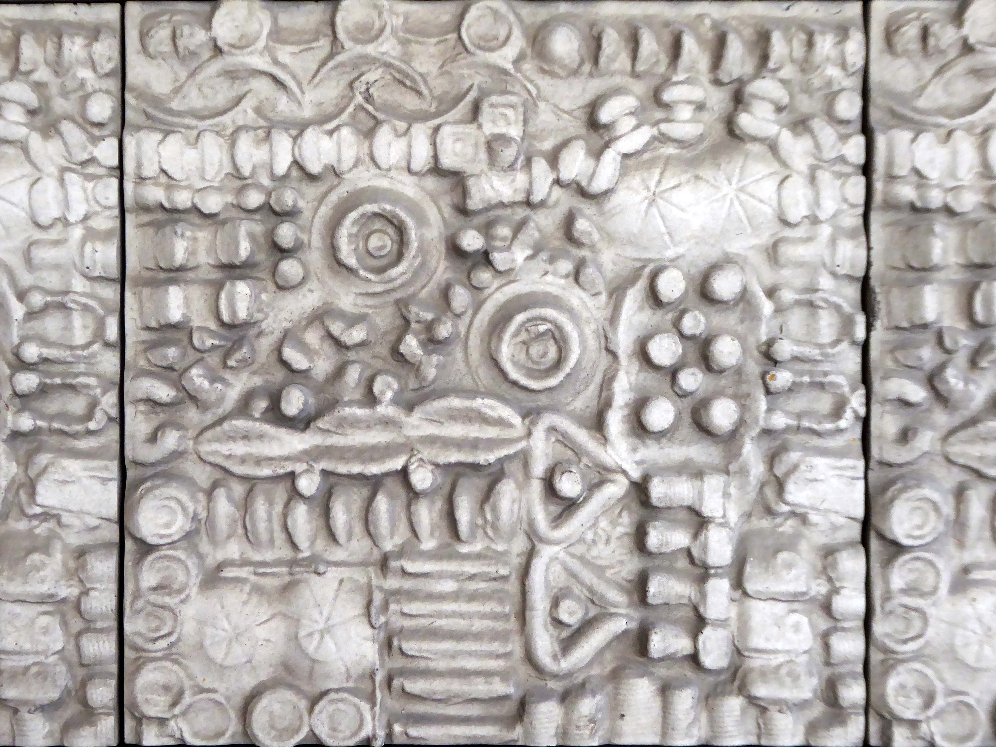
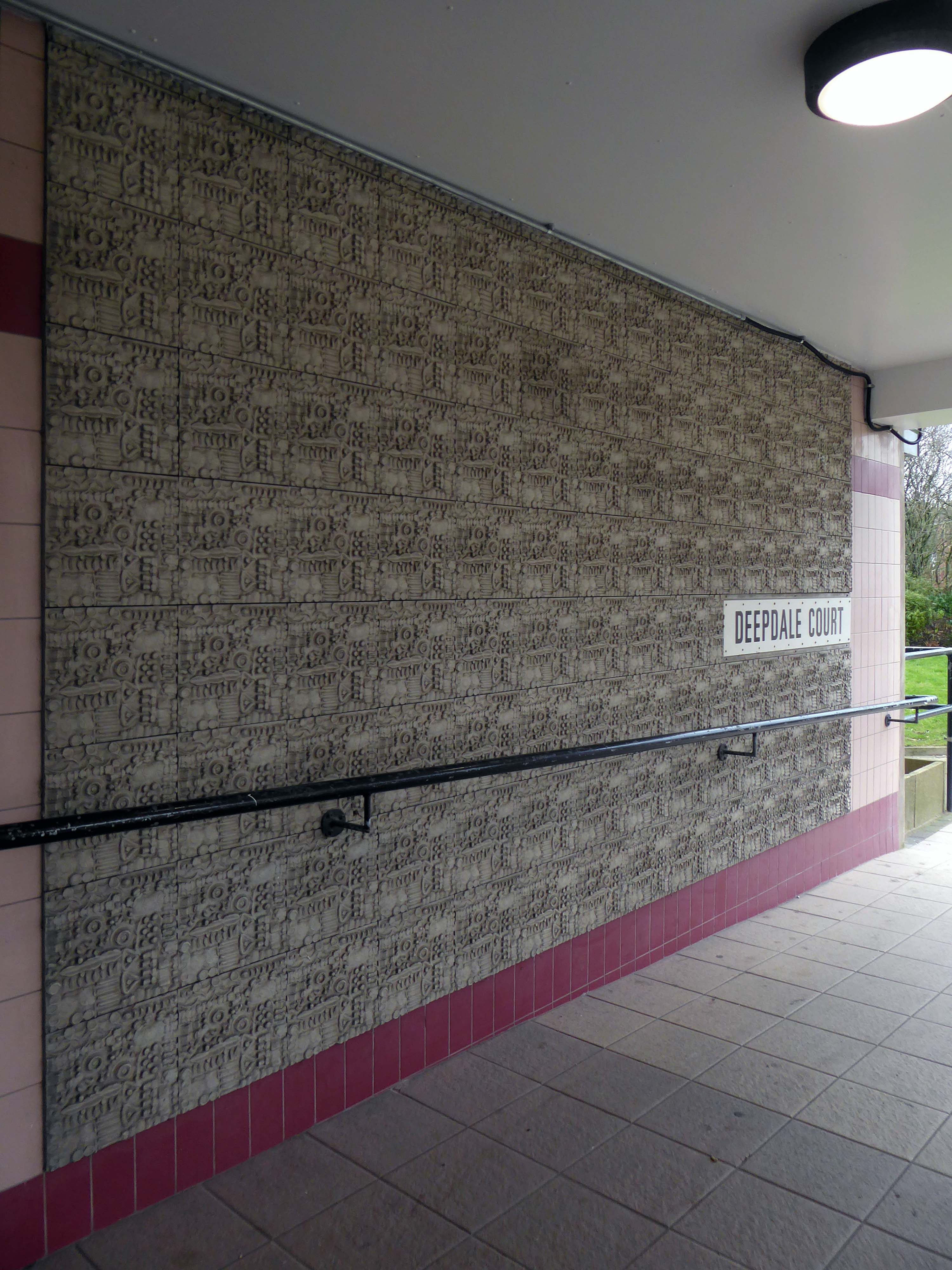
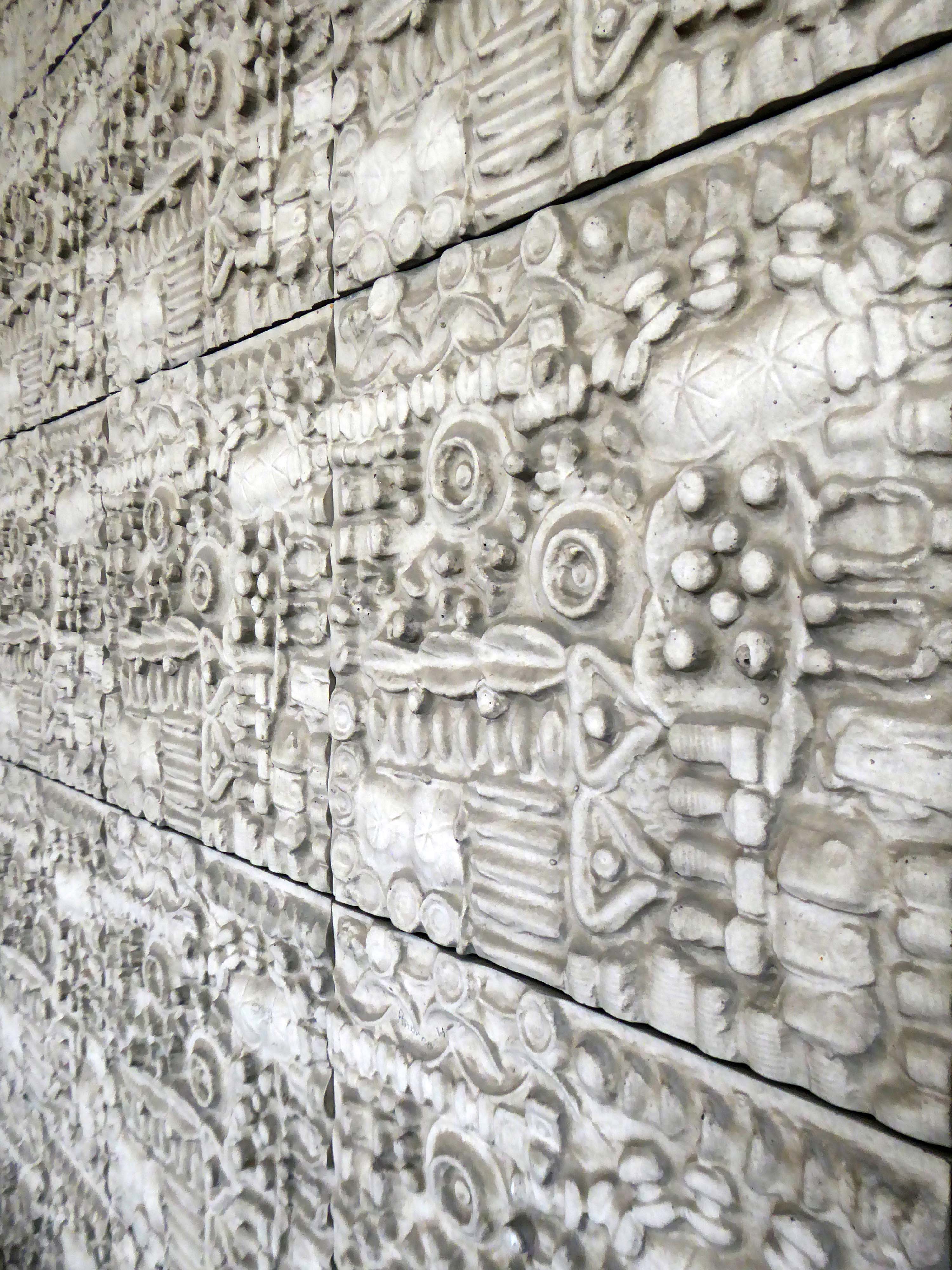
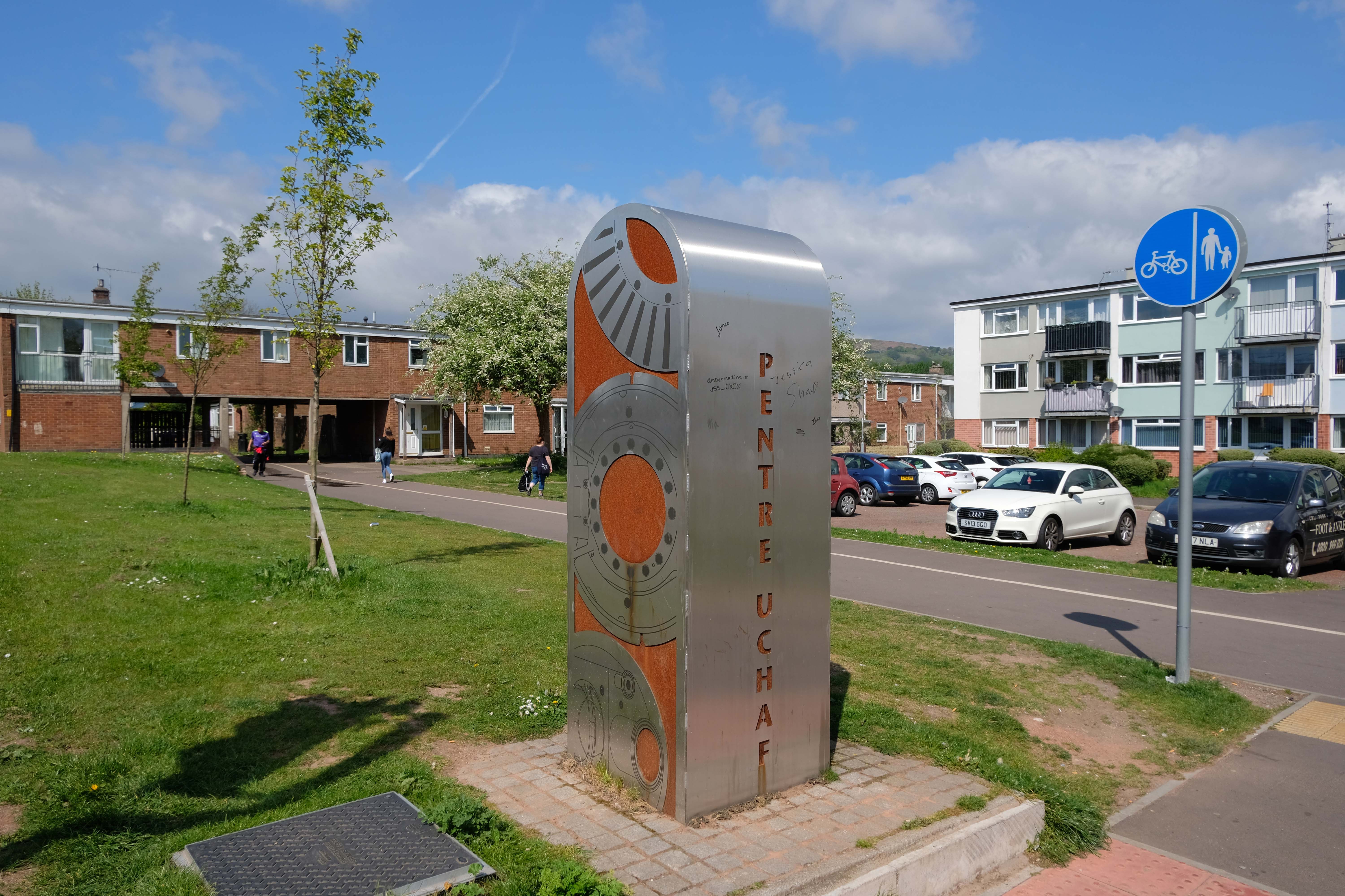
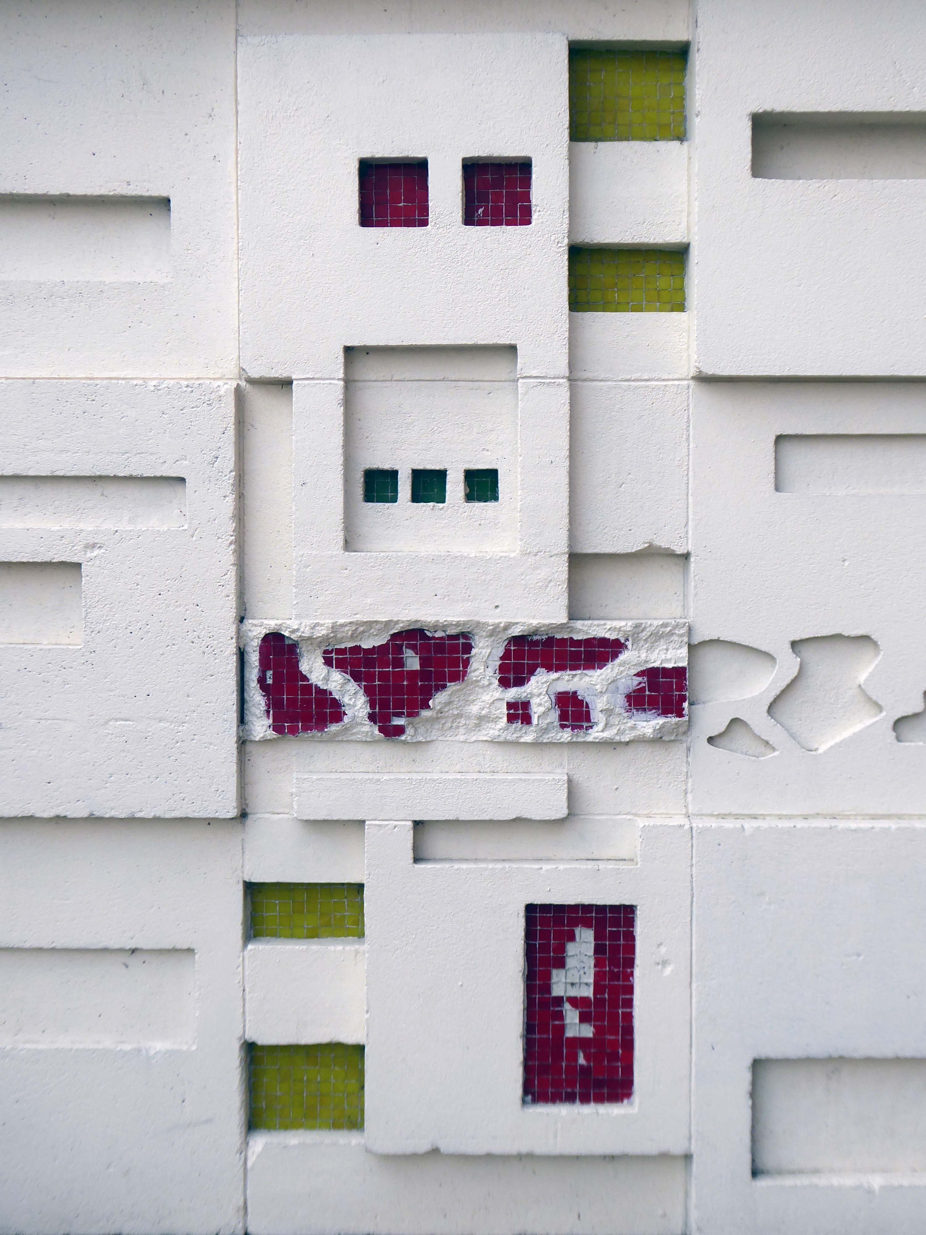
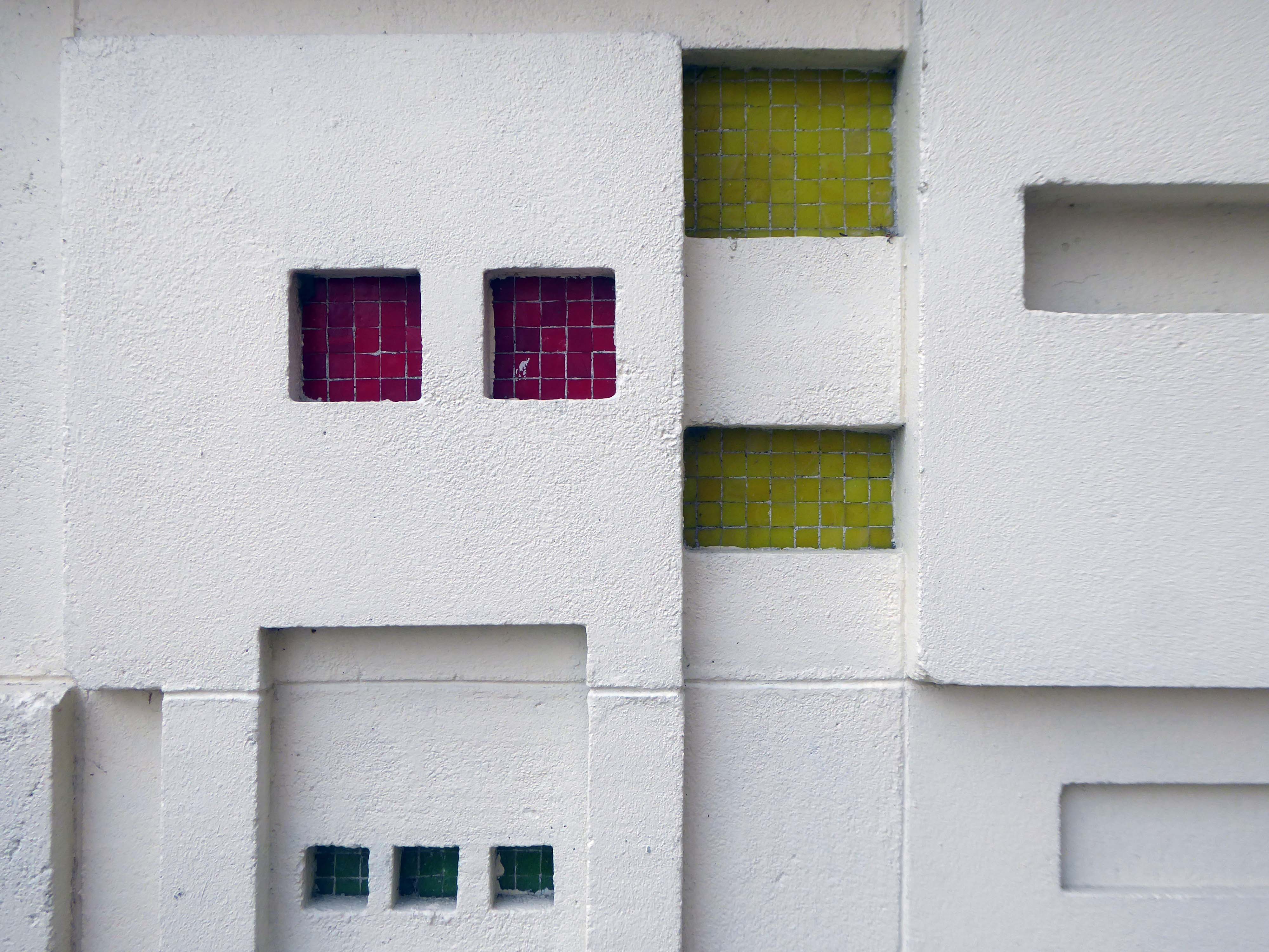
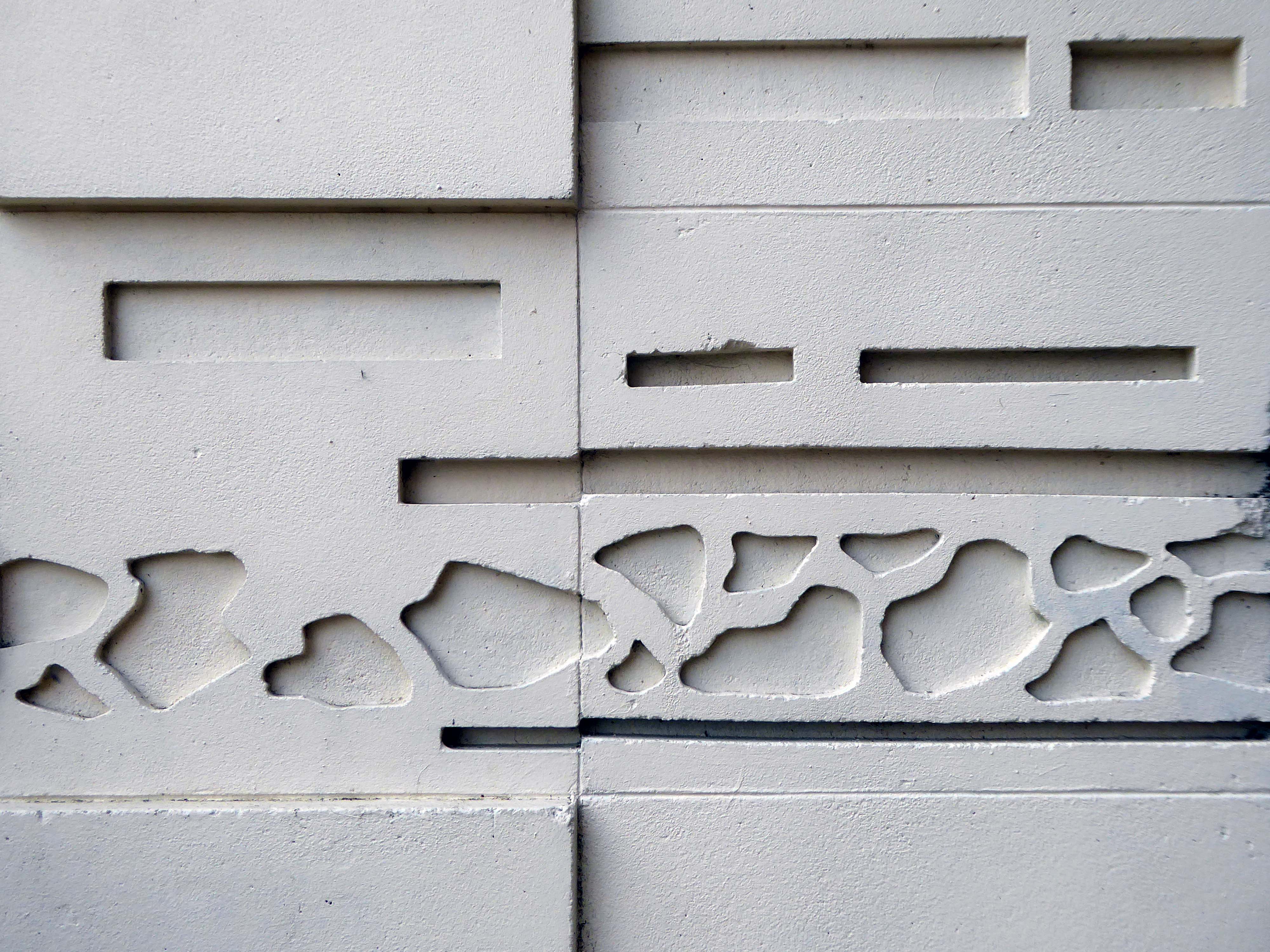
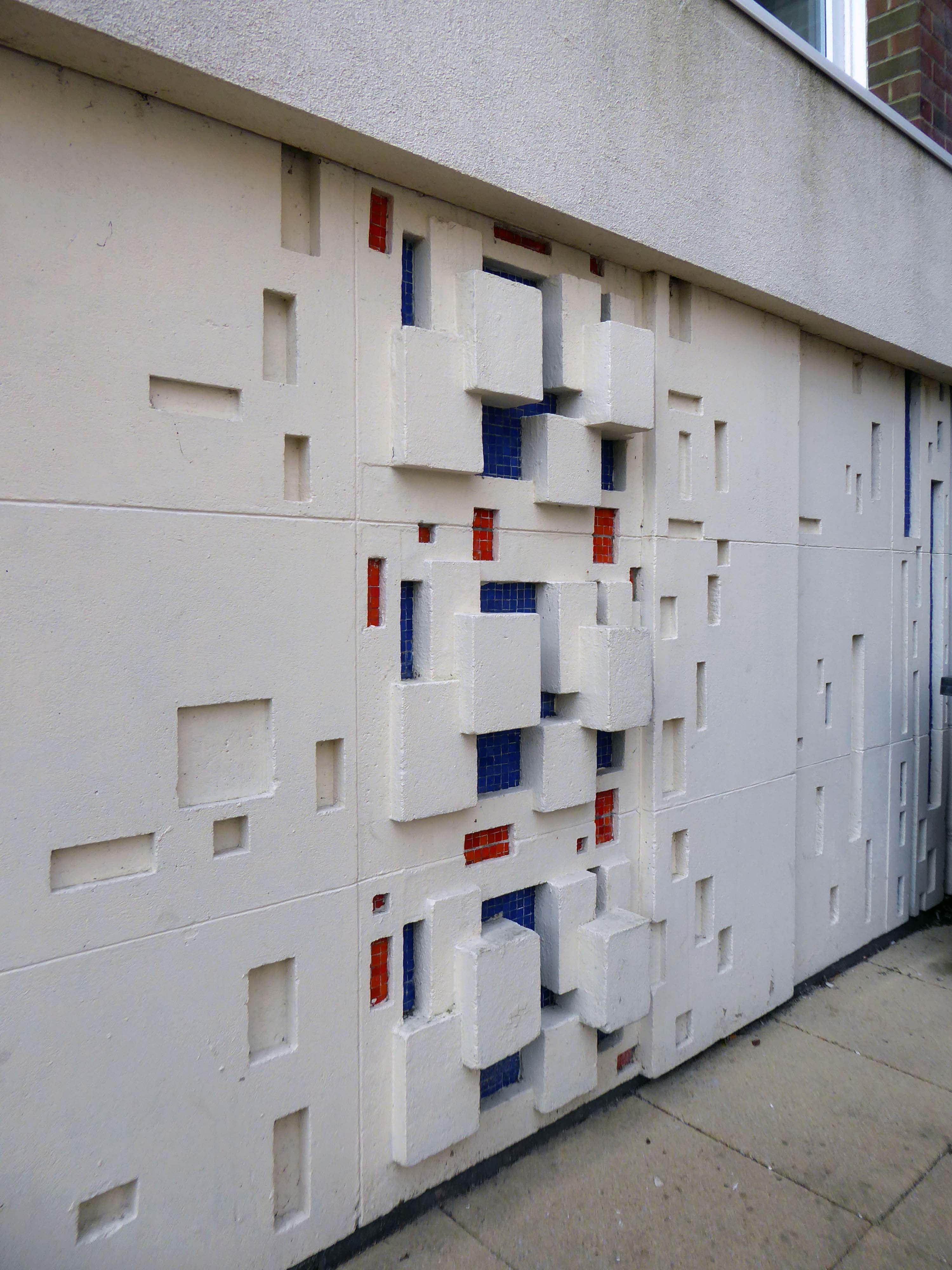
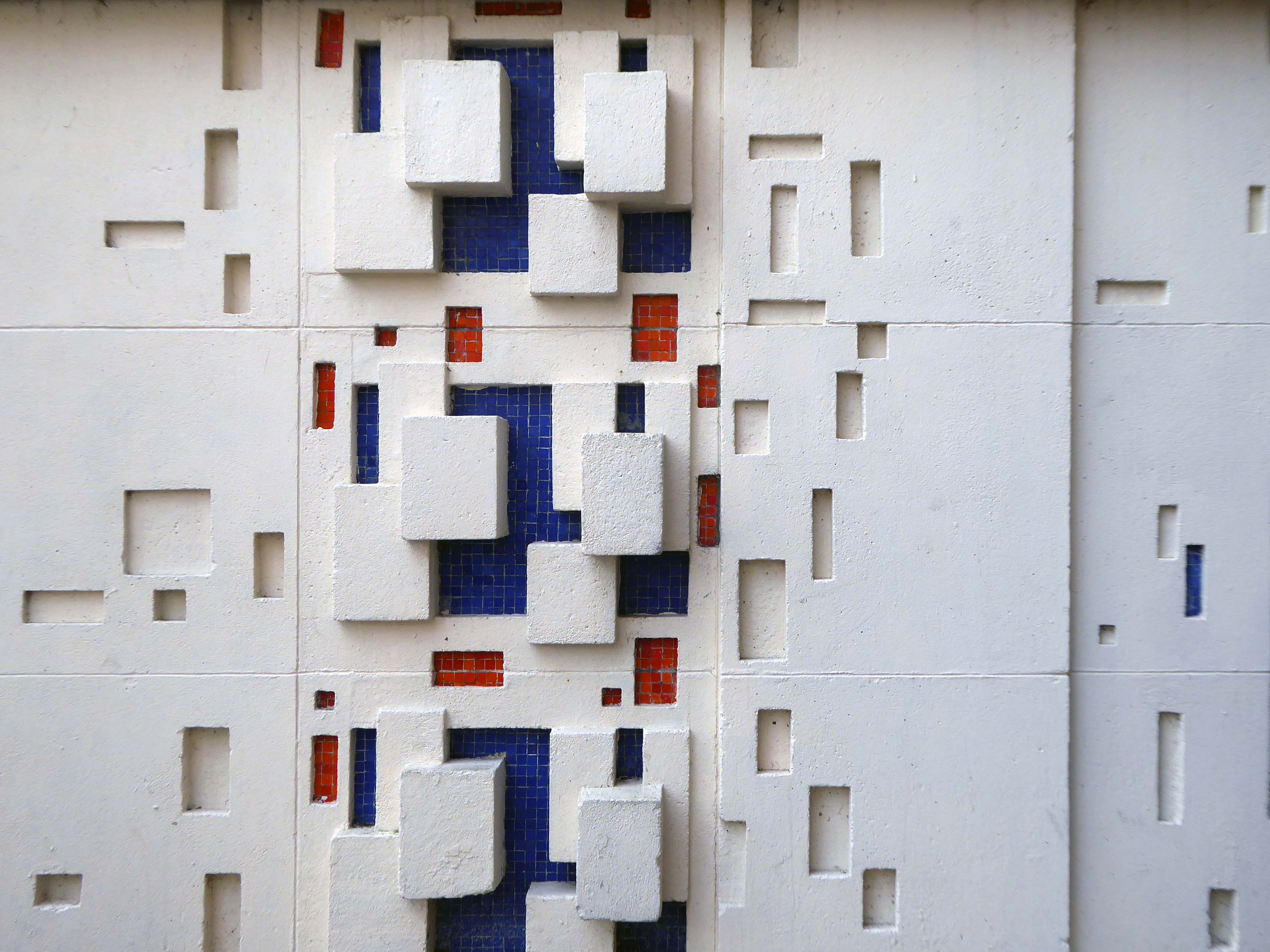
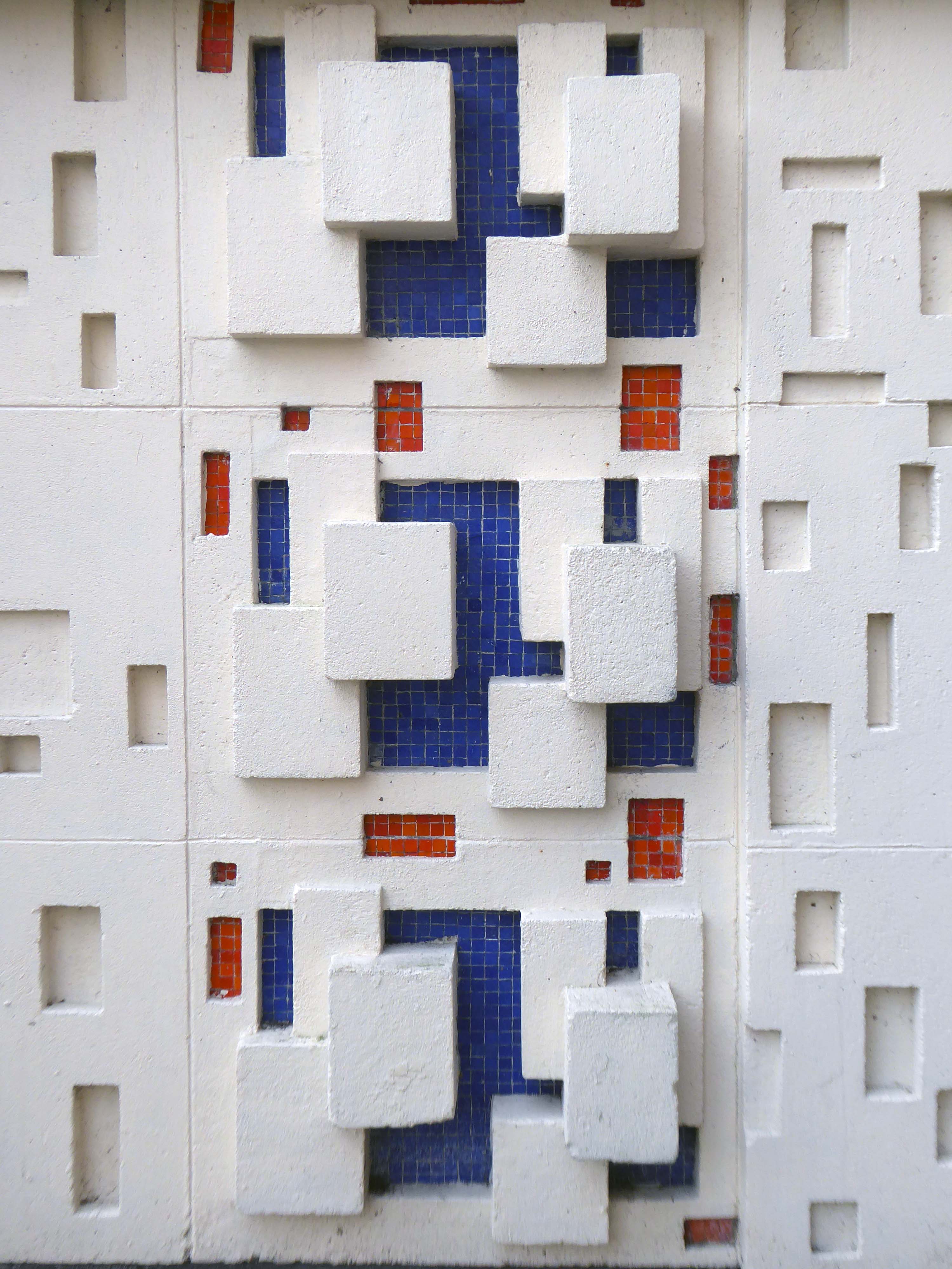
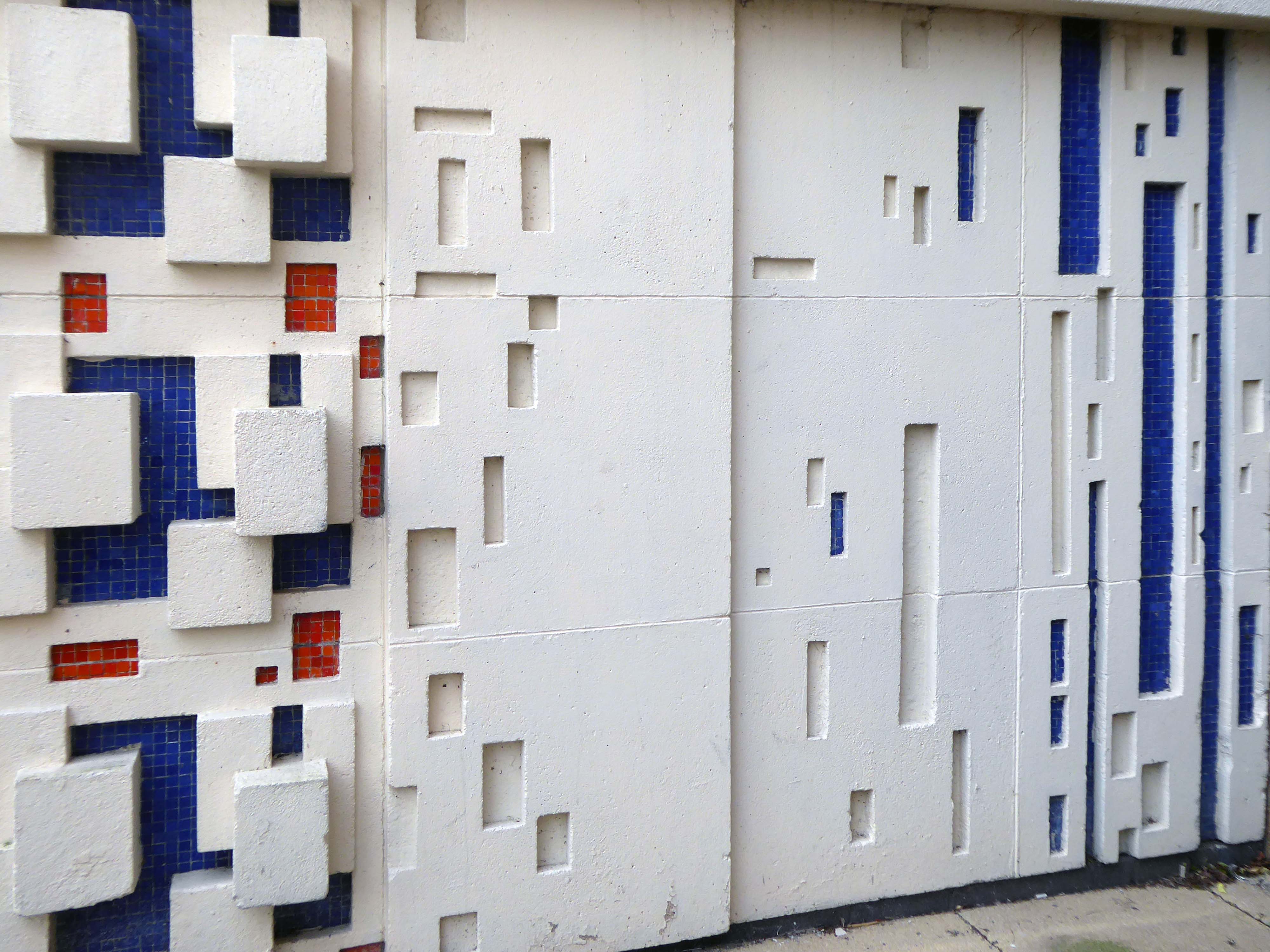
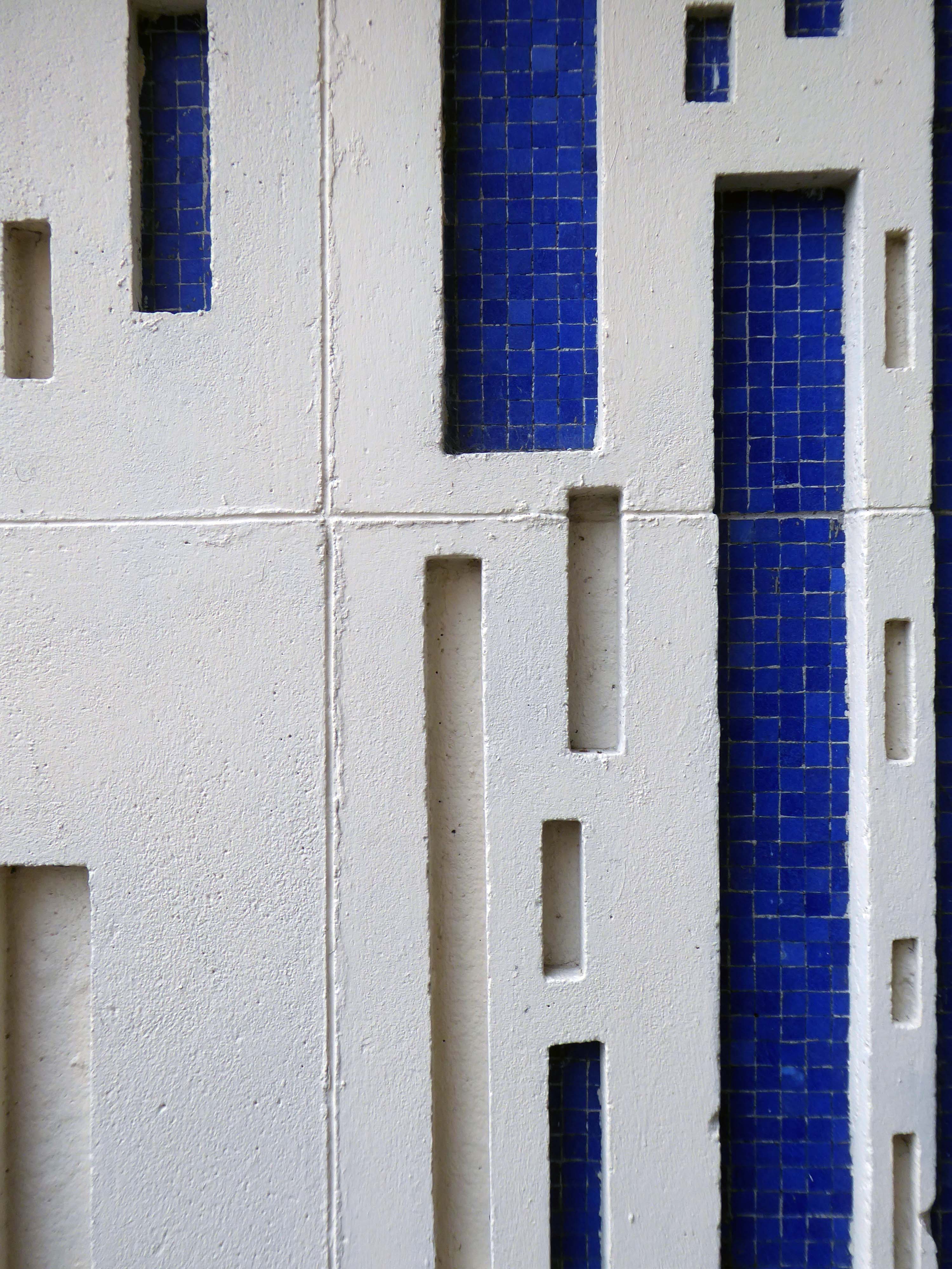
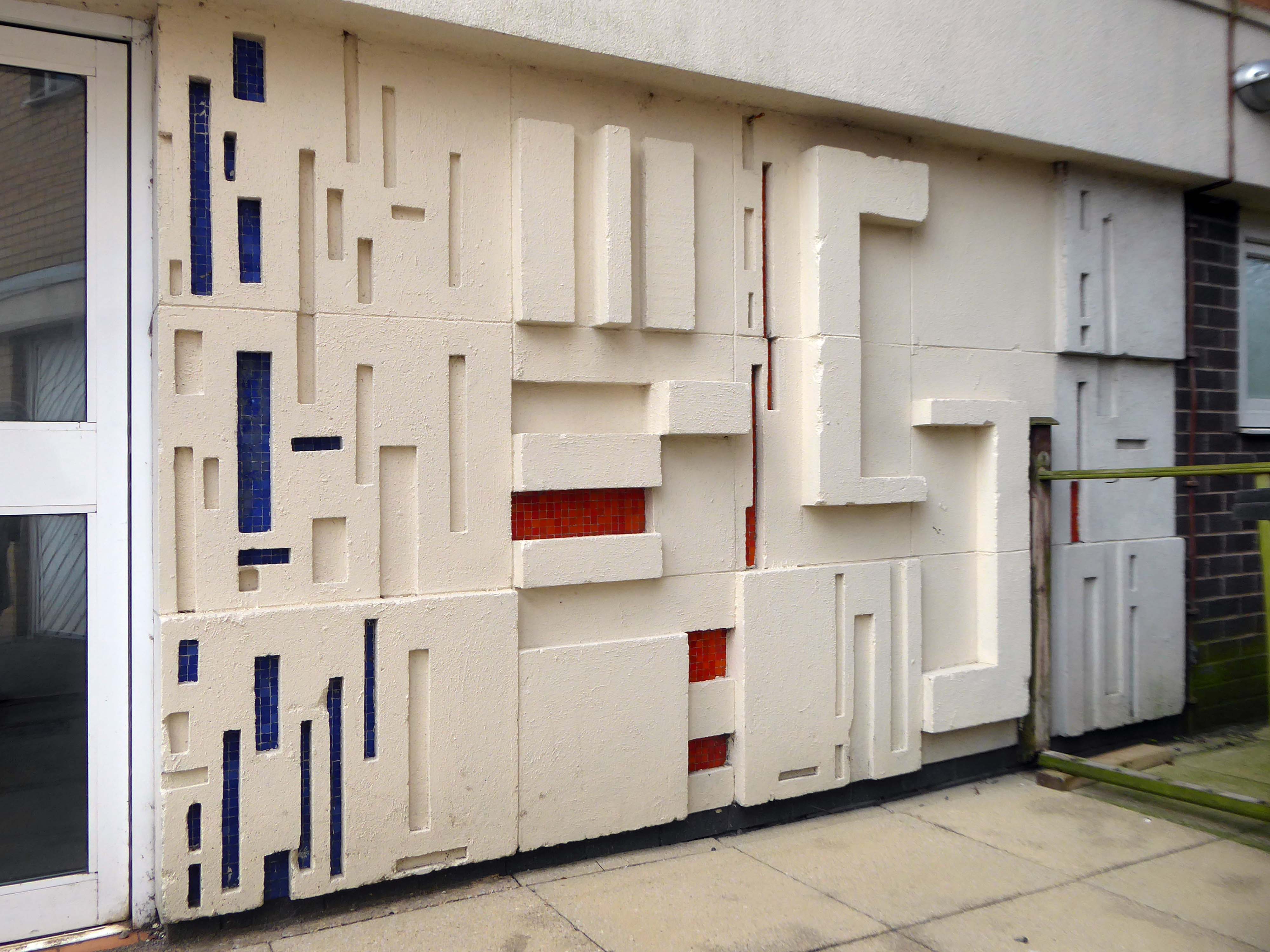
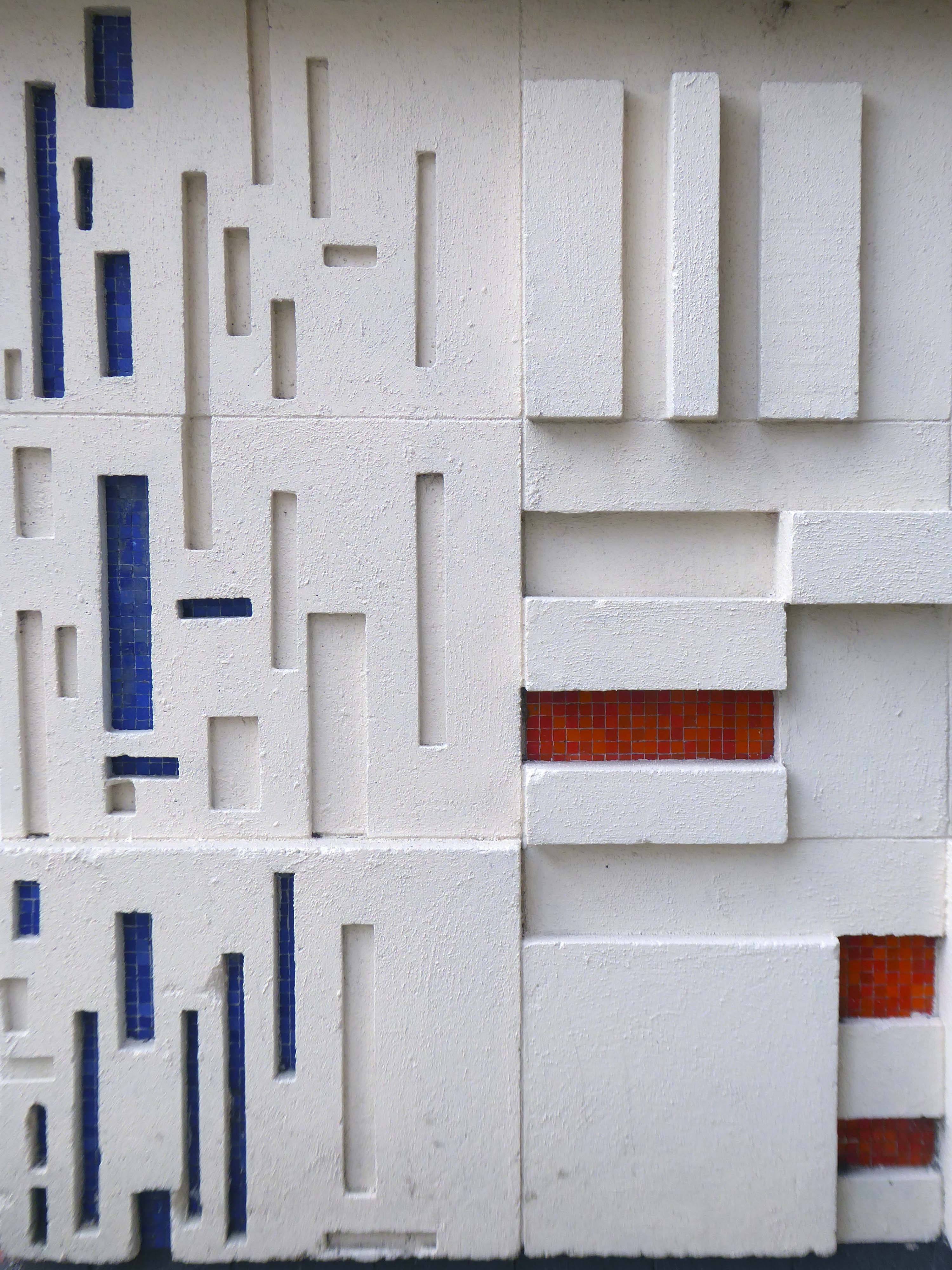
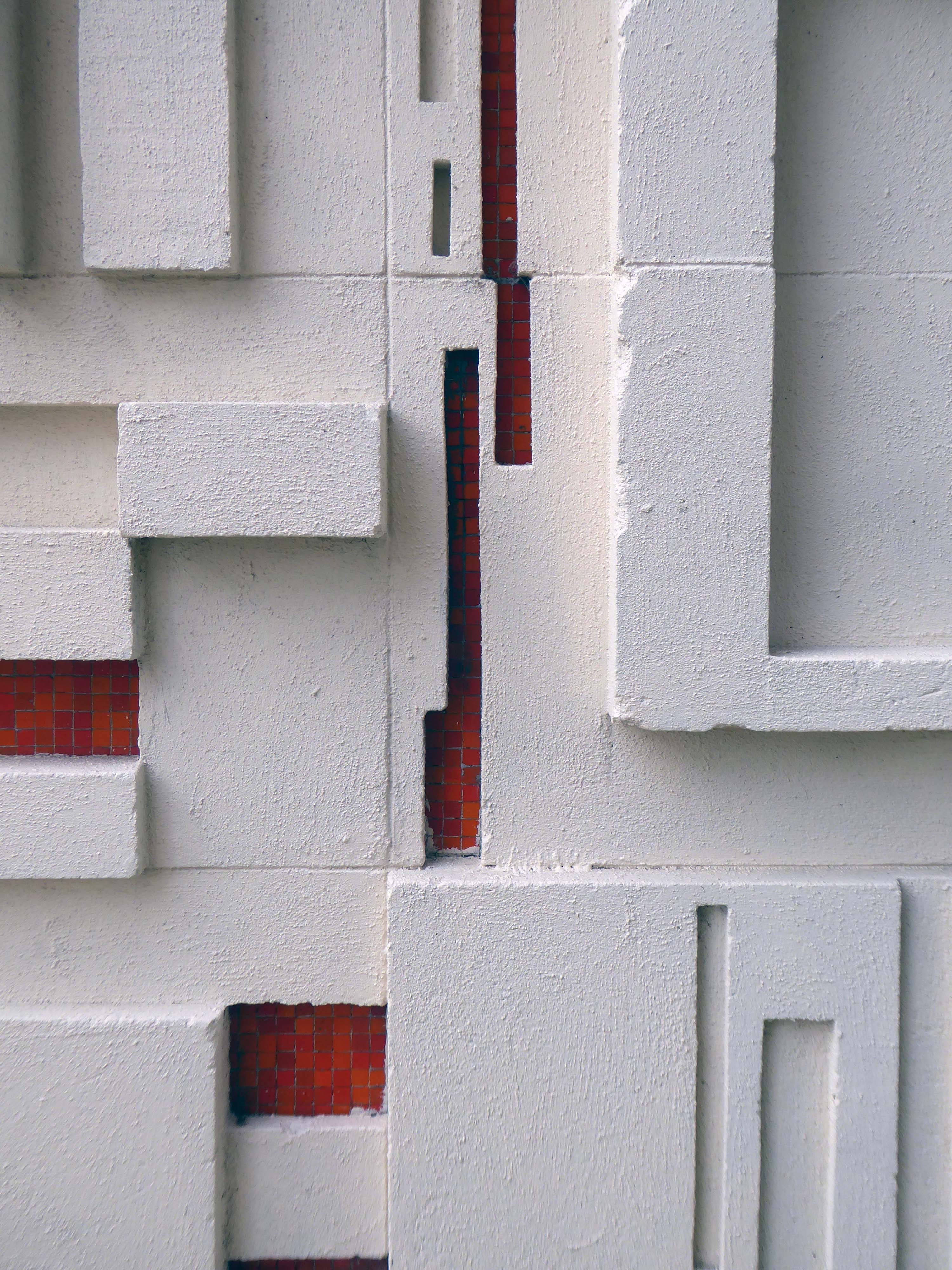
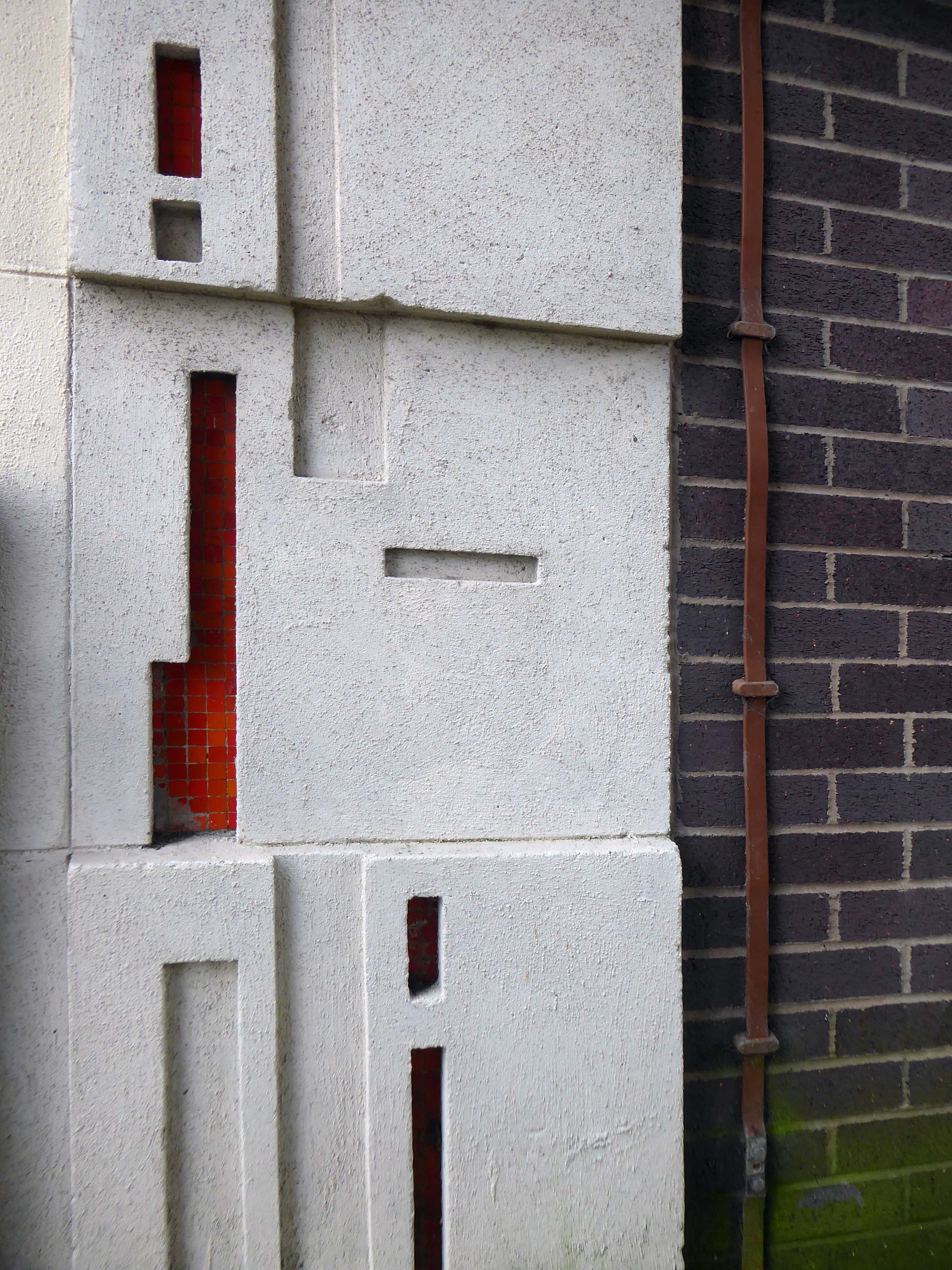
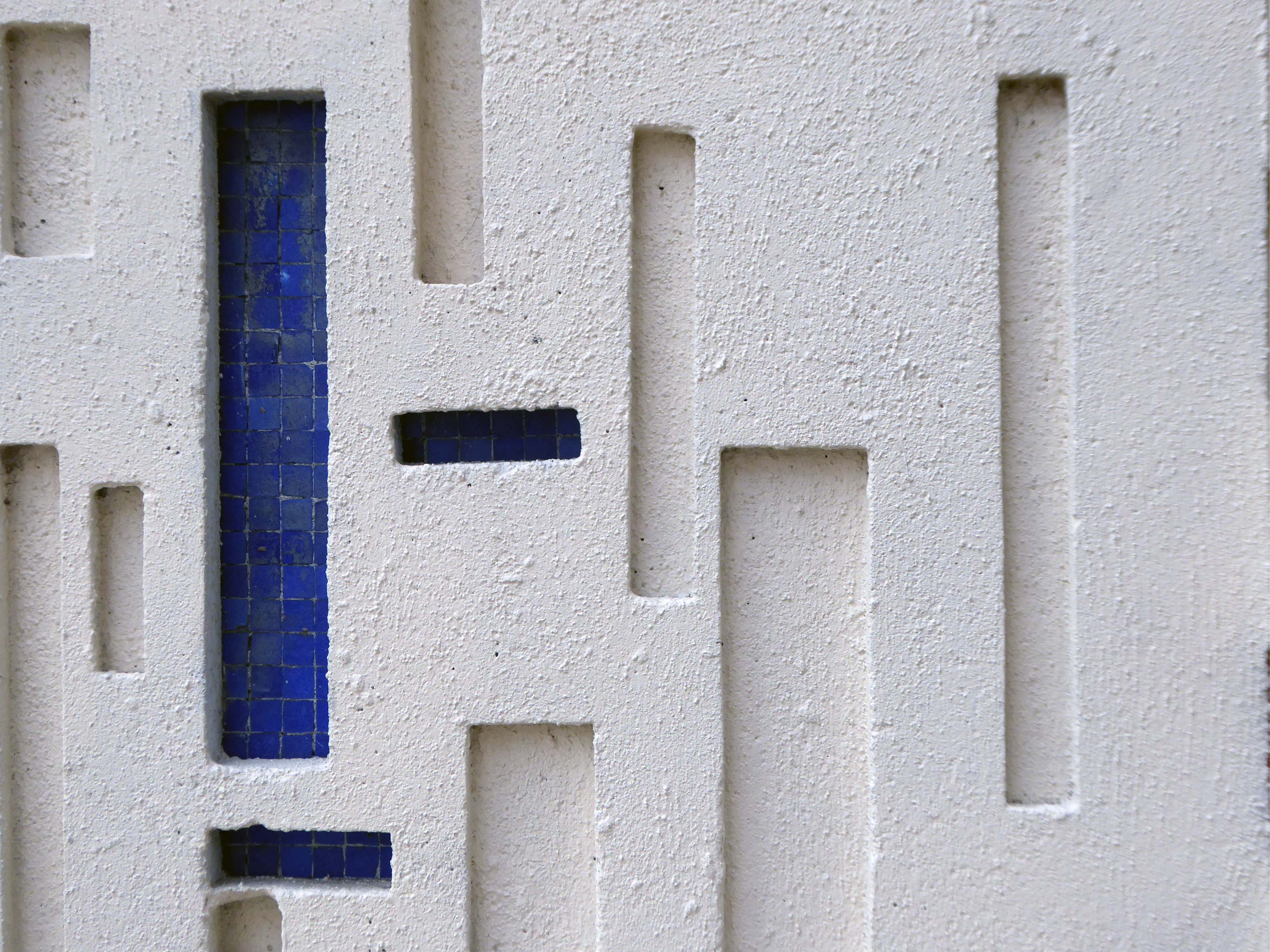
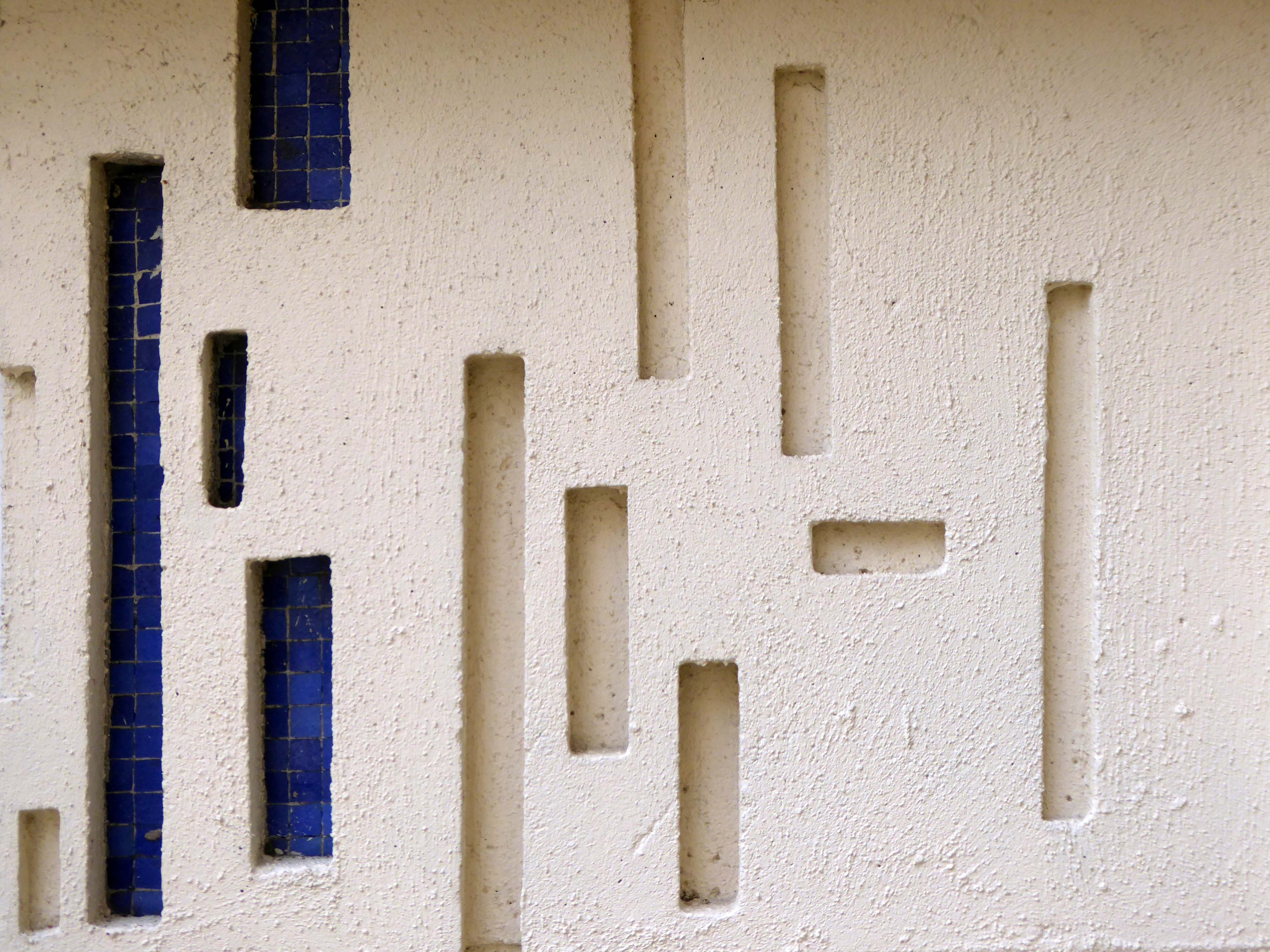
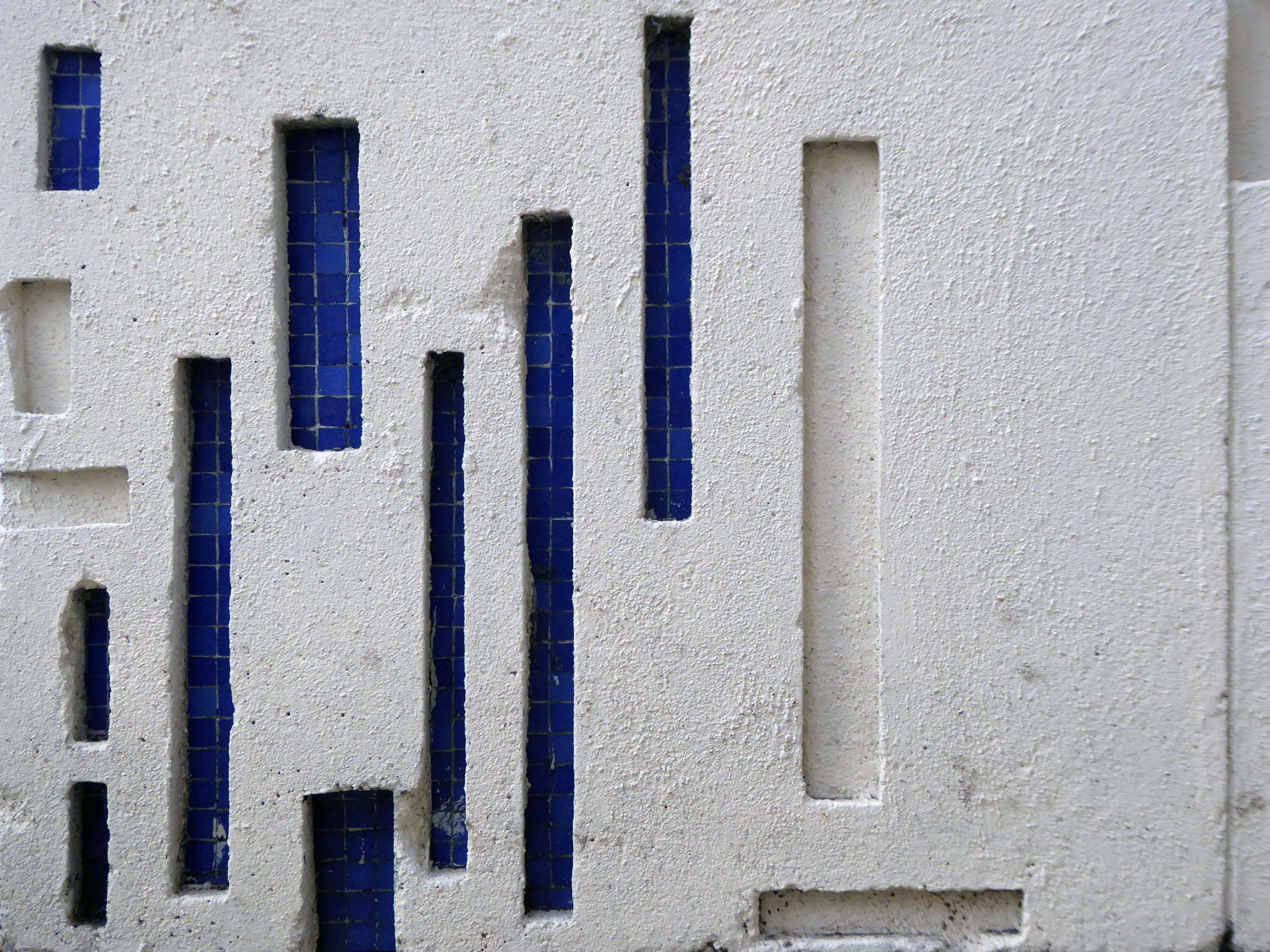
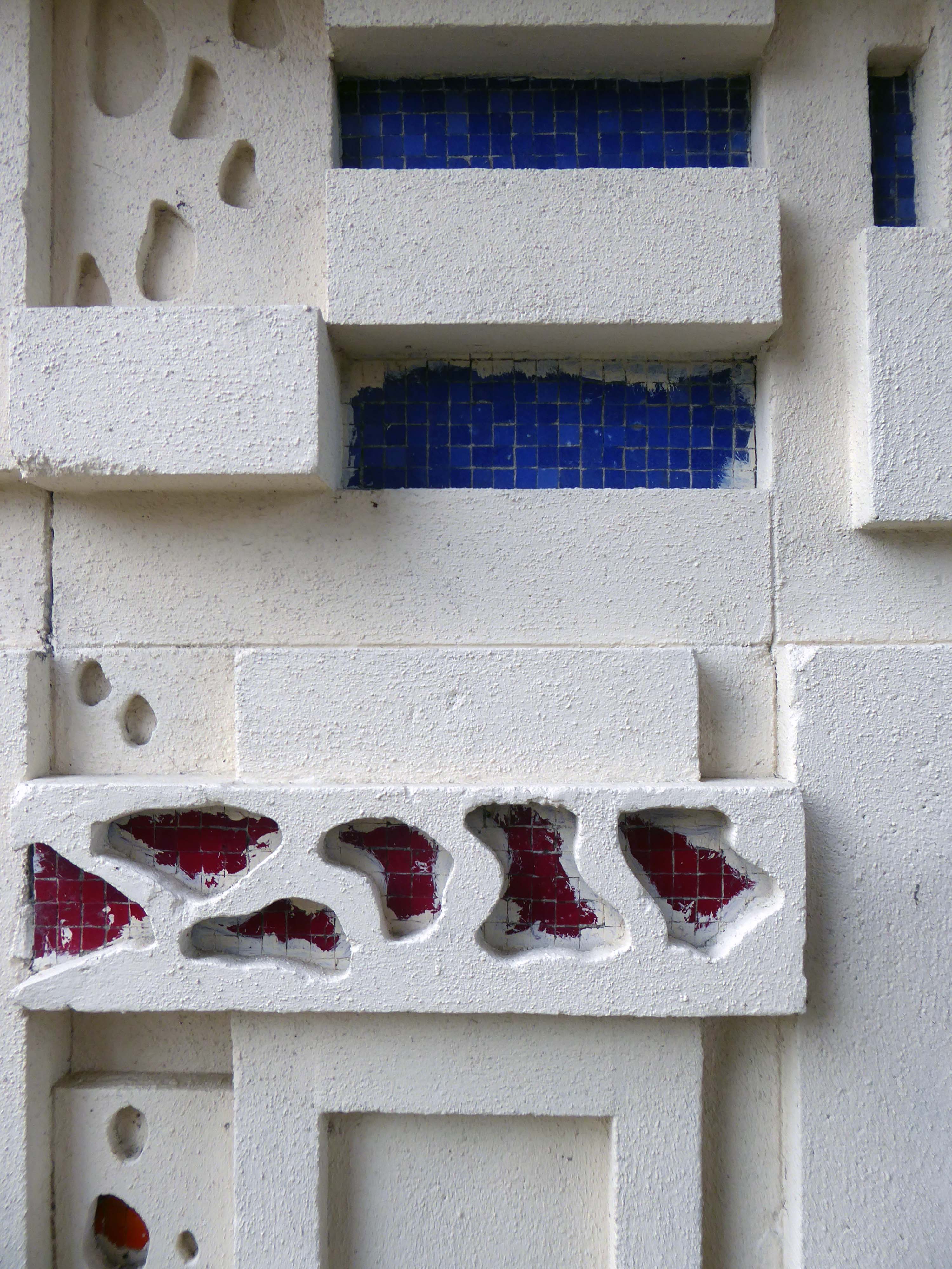
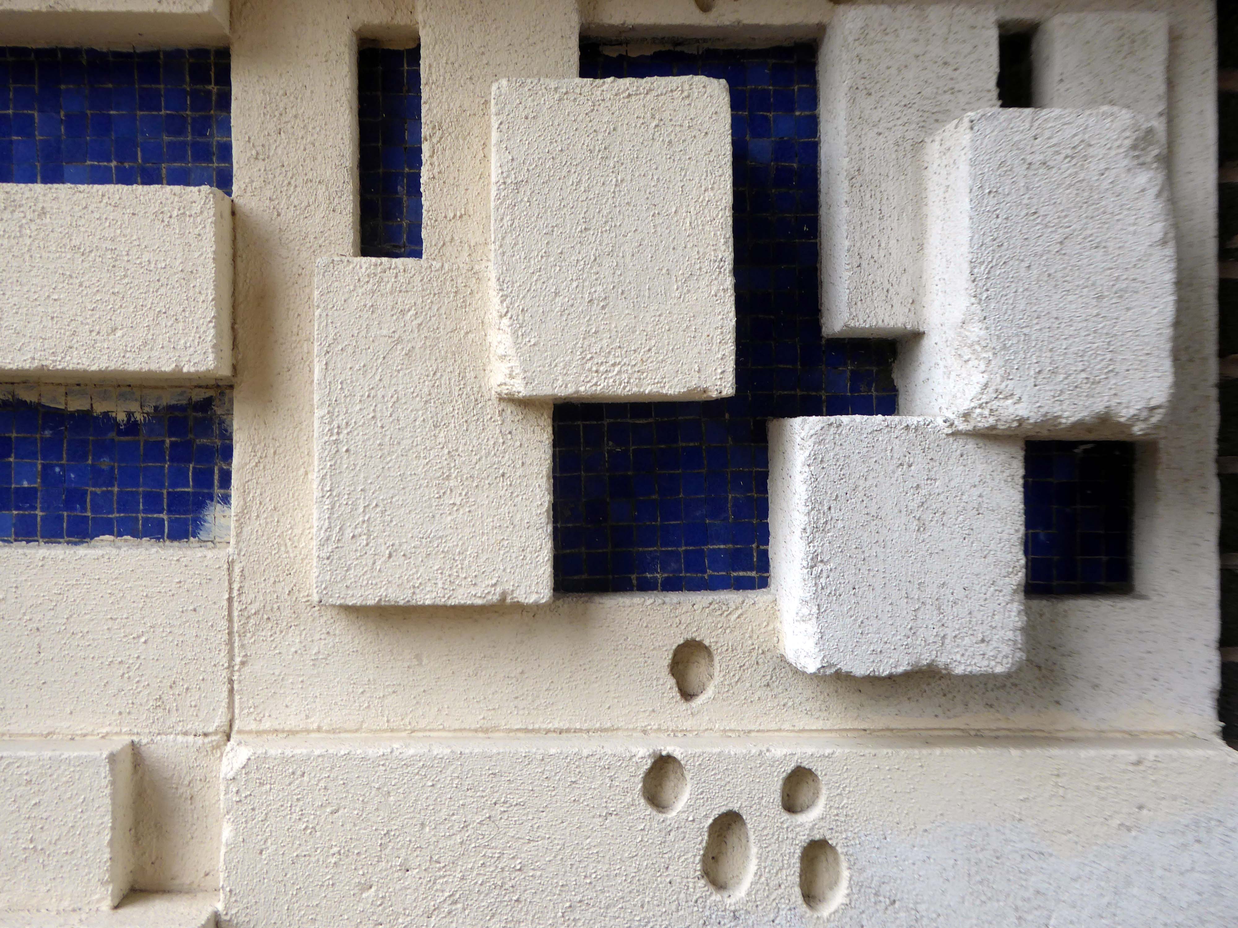
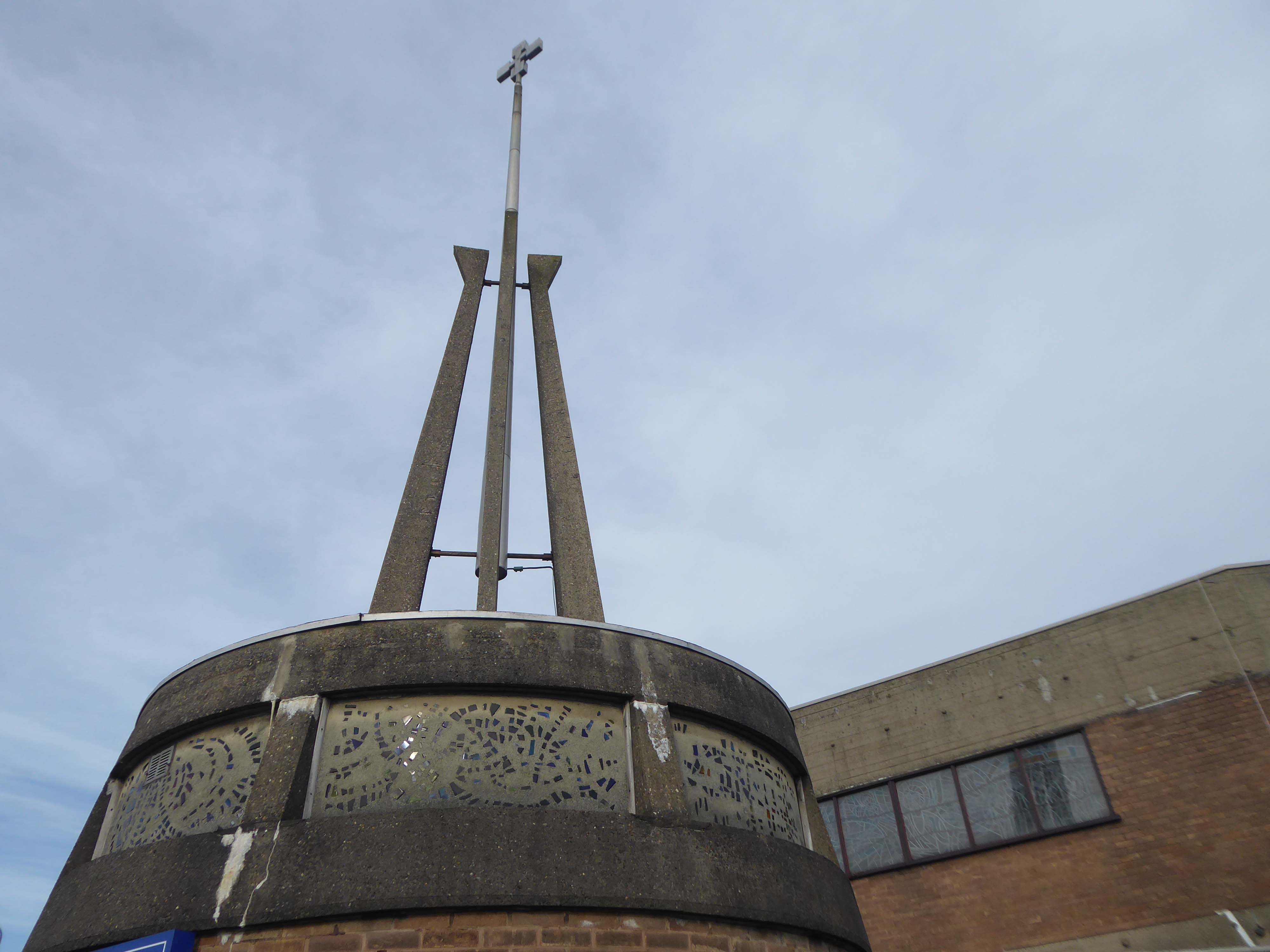
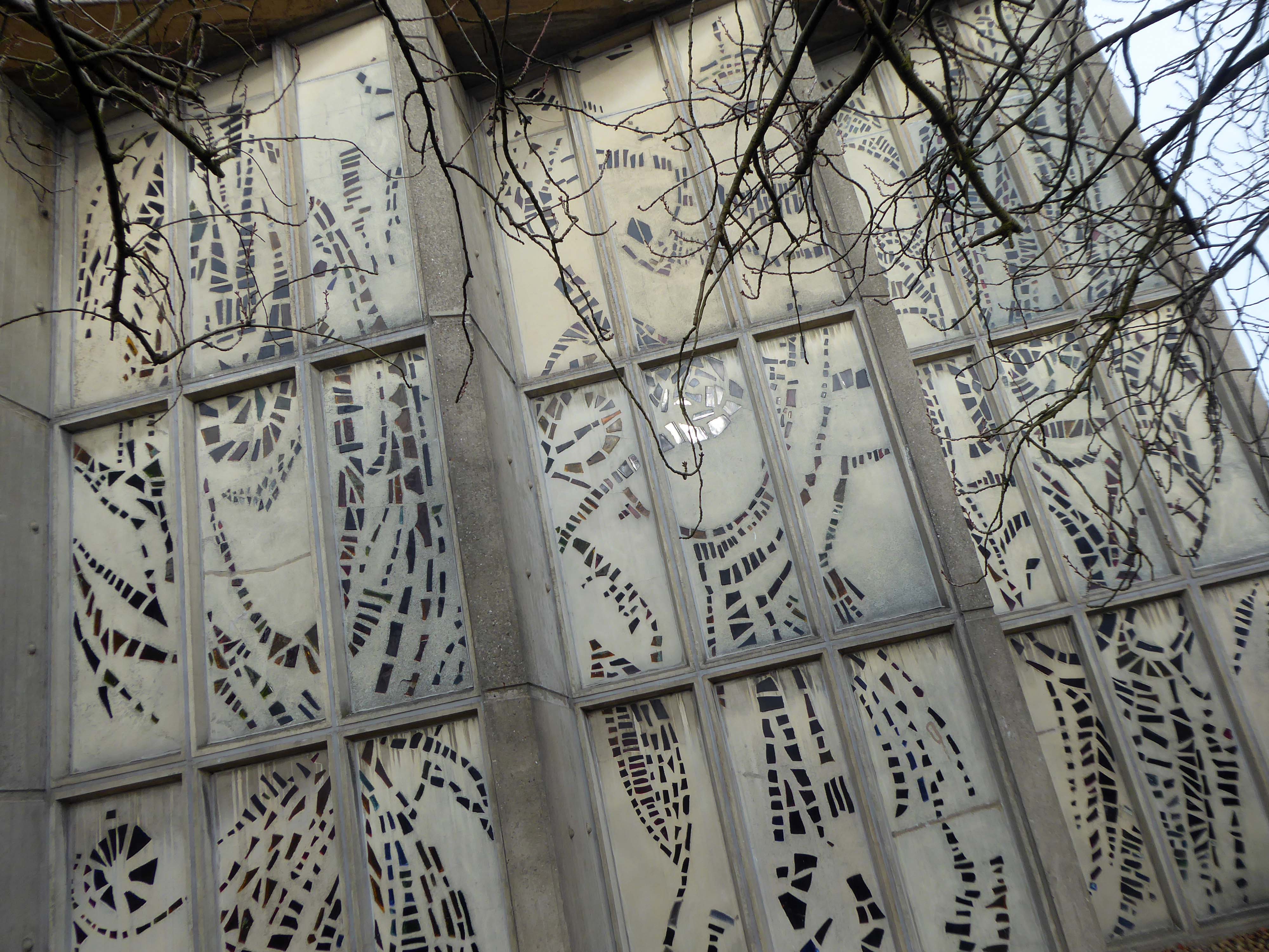
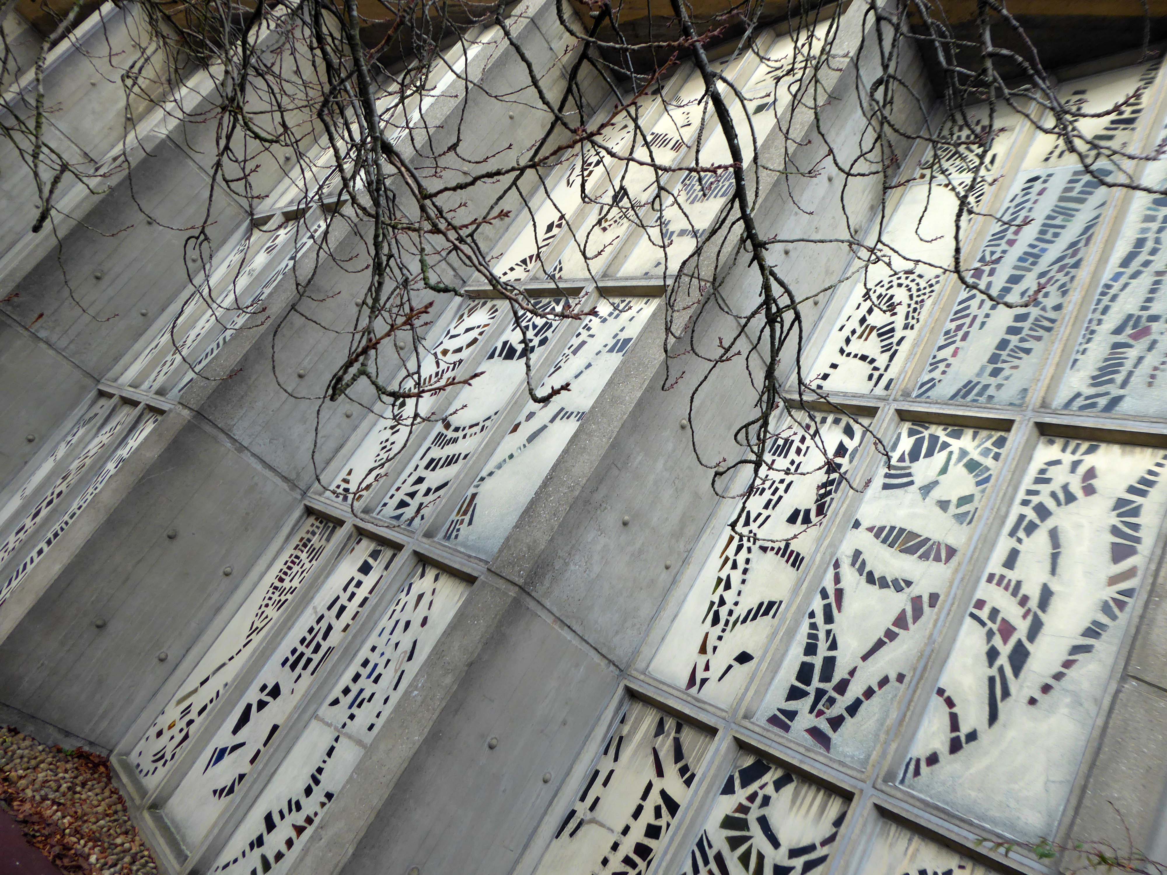
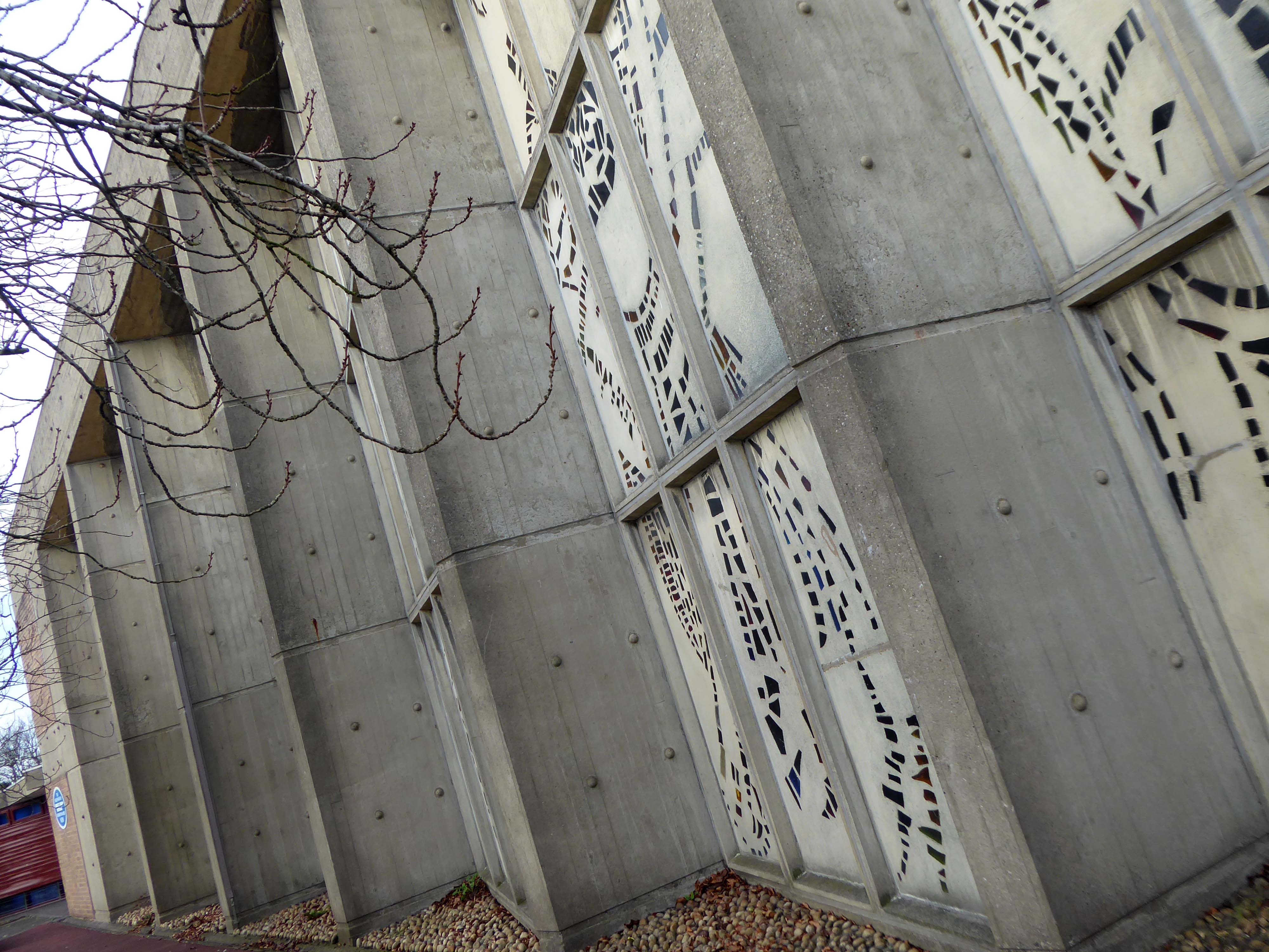
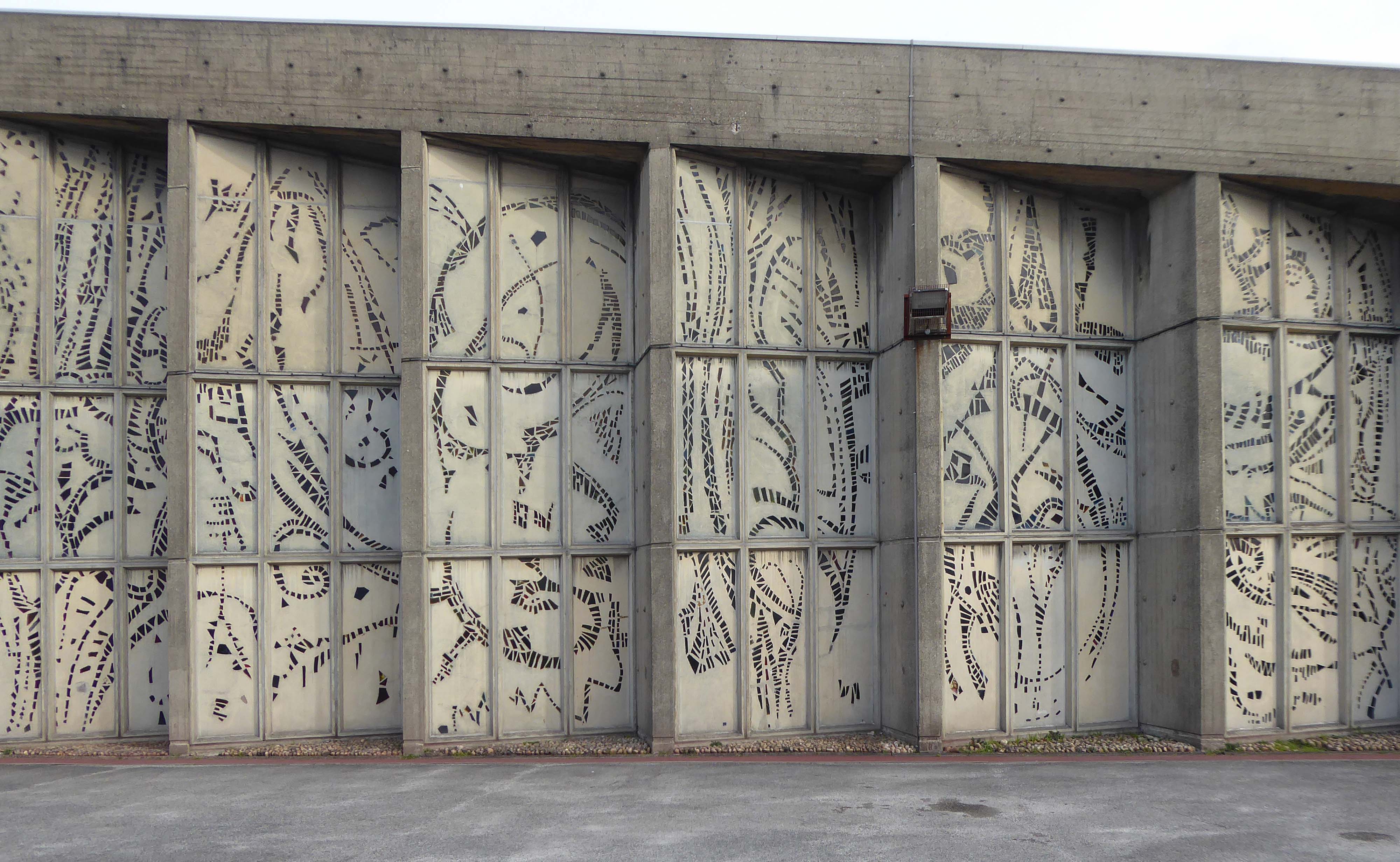
The council has pledged to reinstate the William Mitchell totem nearby.
However the weight of the concrete sculpture and its base have presented unforeseen challenges.
Siting a crane above the Victorian rail tunnel is an issue, as is the cost, a quote for £100,000 was deemed excessive. So stasis is the order the day – the immovable object awaits an unstoppable force.
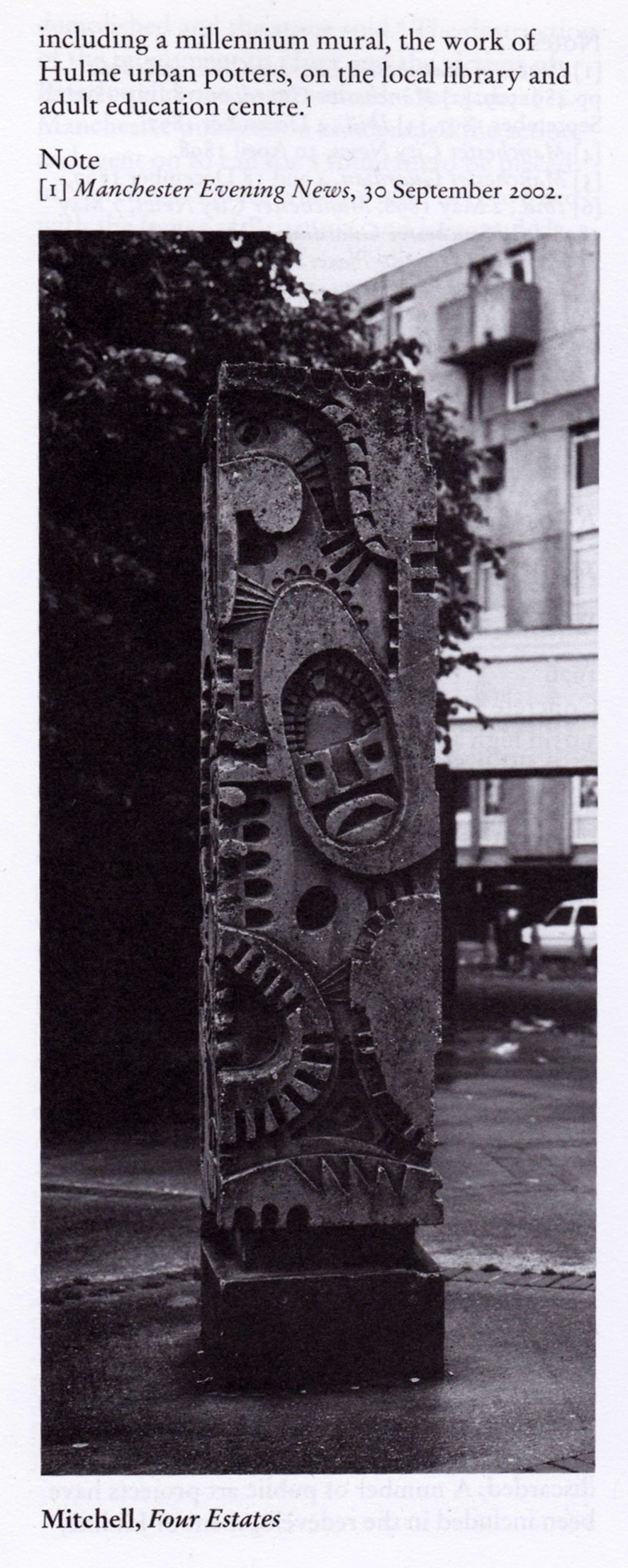
The sculpture is one of four around Manchester – the Hulme exemplar is long gone.
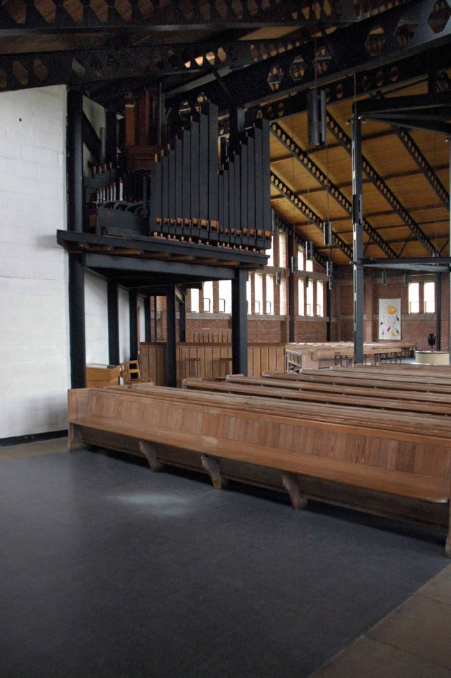
Hyde Road was a football stadium in West Gorton, Manchester, England.
It was home to Manchester City FC and their predecessors, from its construction in 1887 until 1923, when the club moved to Maine Road.
Billy Gillespie on the ball.
Before its use as a football ground, the site was an area of waste ground, and in its early days the ground had only rudimentary facilities. The first stand was built in 1888, but the ground had no changing facilities until 1896; players had to change in a nearby public house, the Hyde Road Hotel.
As a Chester’s house, a condition of the club’s official link to the pub was that supporters and club officials and players would sup Chesters ales, and in return Stephen Chesters Thompson of the brewery helped finance stadium improvements.
The move of MCFC to Maine Road in 1923 following a fire at the Hyde Road ground, didn’t adversely affect the Hyde Road Hotel and it continued to serve the West Gorton community and the once-bustling Hyde Road thoroughfare.
As late as the 1980s, renamed the City Gates, it was a popular watering hole before the match for supporters travelling in from East Manchester. It was kitted out in all sorts of MCFC memorabilia and was run by George Heslop, City legend of the 1960s, after he’d had the Royal George in town.
Sadly, as the community around it was decimated, the pub struggled and its last hurrah was as the City Gates theme pub. The business failed in 1989 and the pub sat empty and rotting for twelve years until it was demolished, despite a half-hearted fans campaign to save it. Two keystones from the Hyde Road Hotel reside in the MCFC memorial garden and are all that remain of this significant Manchester pub.
By 1904 the ground had developed into a 40,000-capacity venue, hosting an FA Cup semi-final between Newcastle United and Sheffield Wednesday the following year.
The stands and terraces were arranged in a haphazard manner due to space constraints, and by 1920 the club had outgrown the cramped venue. A decision to seek an alternative venue was hastened in November 1920, when the Main Stand was destroyed by fire. Manchester City moved to the 80,000-capacity Maine Road in 1923, and Hyde Road was demolished shortly afterward. One structure from the ground is still in use in the 21st century, a section of roofing which was sold for use at The Shay, a stadium in Halifax.
Maine Road – which in turn closed on May 11th 2003, City losing 1-0 to Southampton
City are now at home at the Etihad – formerly the Commonwealth Games Stadium.
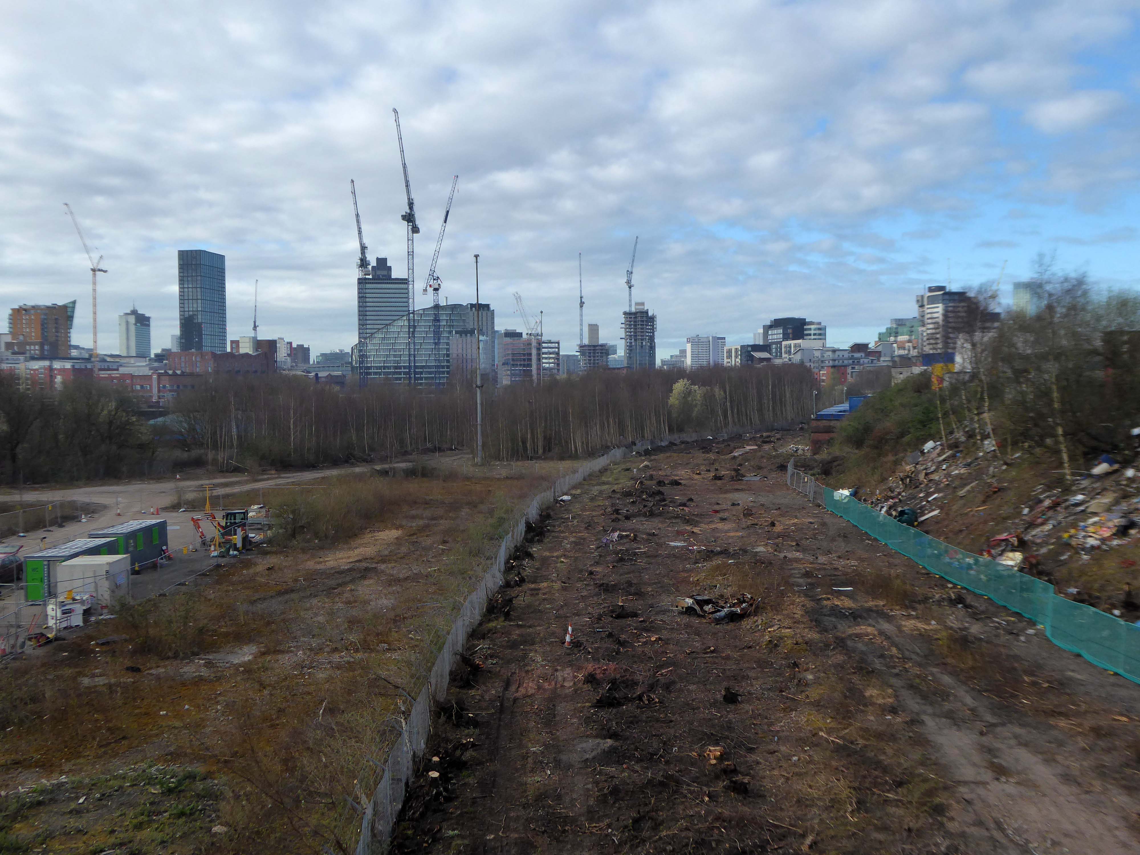
I had always known the area as the Olympic Freight Depot – seen from the passing train.
I cycled by the other day and the containers are long gone – the site is being cleansed to a depth of two metres.
Loitering by the gates, I asked if I may take some snaps .
Please y’self – so I did.
So what’s next on the cards, for this little corner of local history – set twixt Bennett Street and Hyde Road?
New homes is on the cards – and on the hoardings.
Plans have been revealed for a 337-home development on the Olympic Freight depot in West Gorton.
Brought forward by Sheffield-based Ascena Developments, the planning application to Manchester City Council outlines proposals for 191 houses and 146 apartments, split across two blocks.
Alongside the homes, the development would include a 3,000 sq ft circular community centre and café, shop, and a unit which is earmarked for a chip shop.
Kellen Homes has been granted planning consent to redevelop the thirteen-acre Olympic Freight depot on Bennett Street in Manchester into 272 homes.
The developer, owned by Renaker founder Daren Whitaker, lodged plans for the West Gorton scheme last year following the withdrawal of an earlier and larger scheme drawn up by Sheffield-based Ascena Developments.
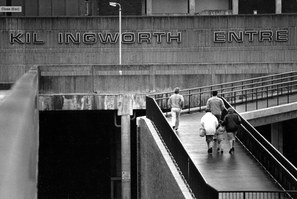
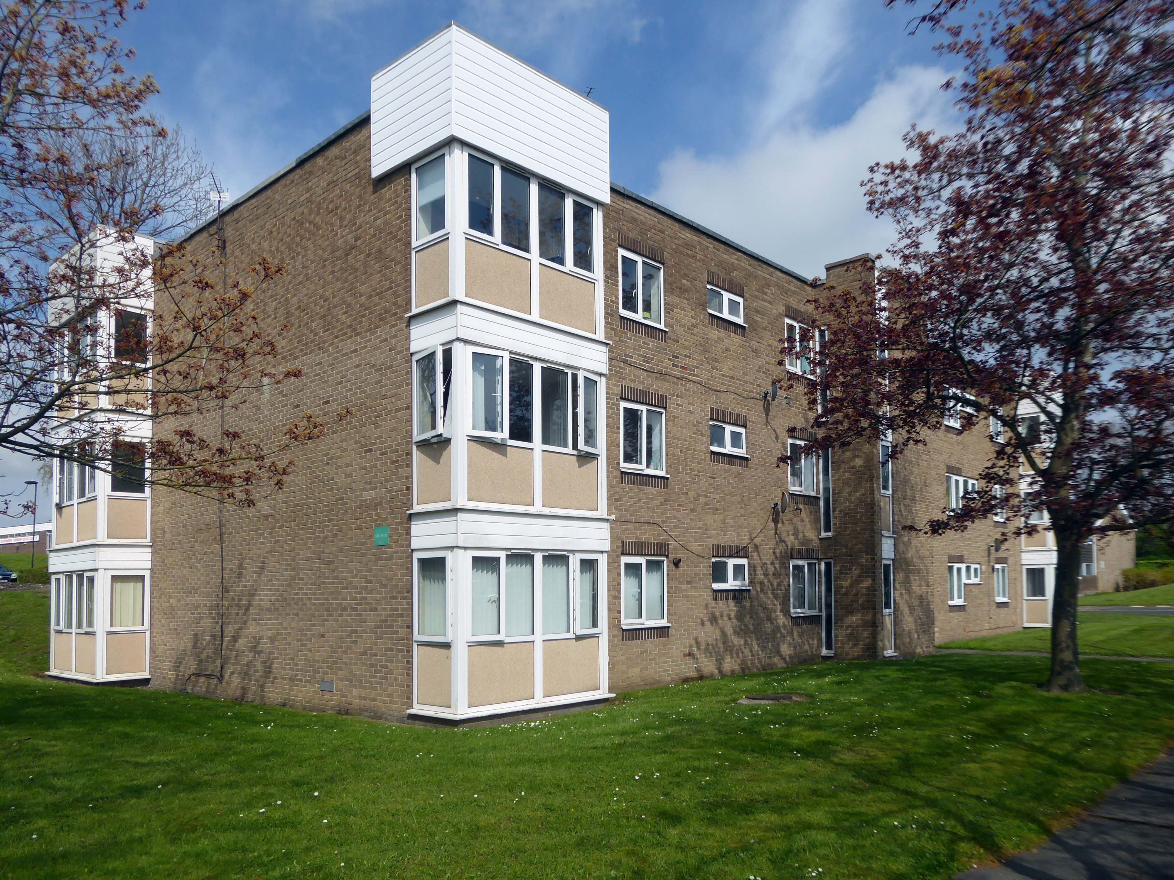
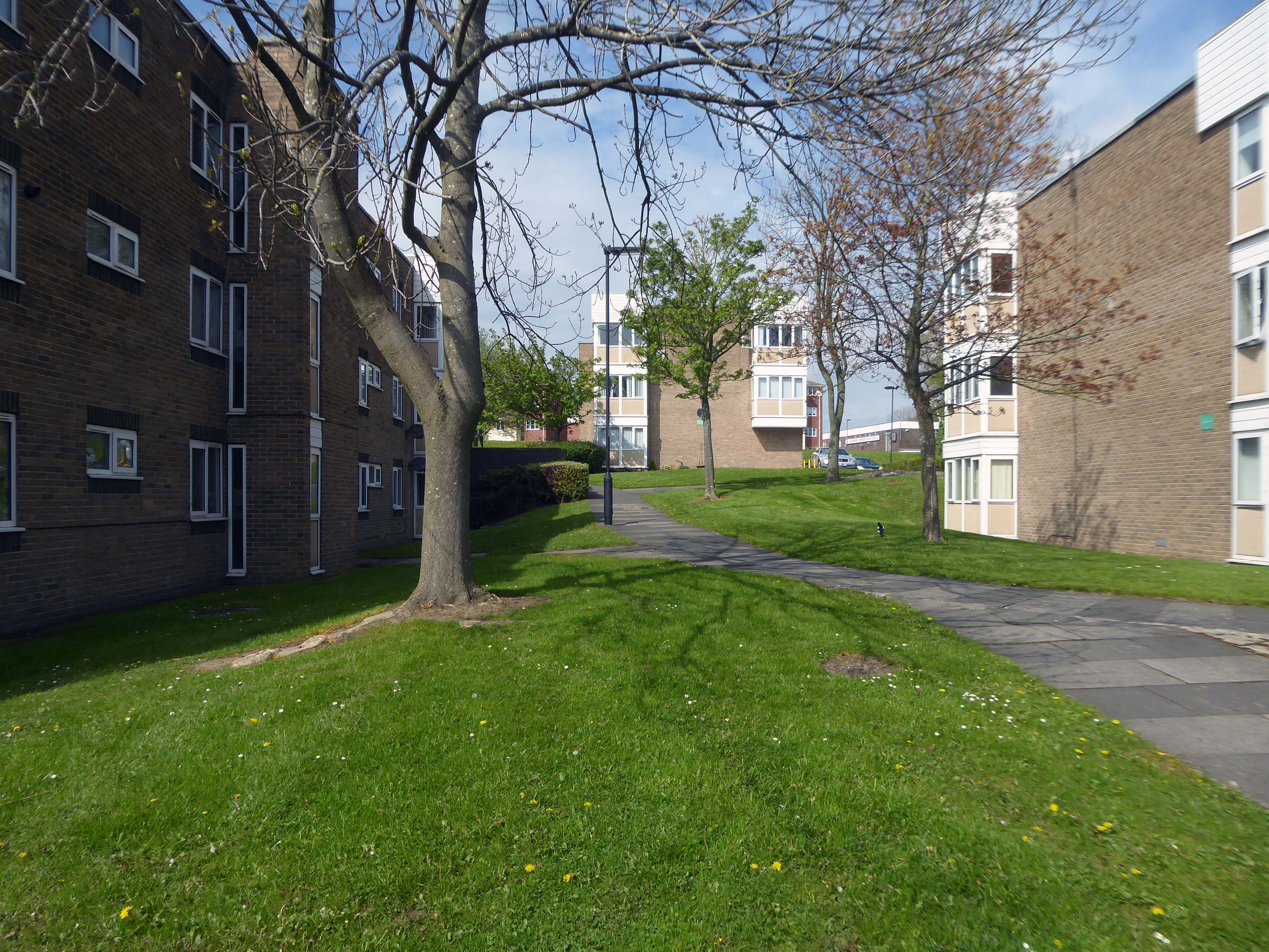
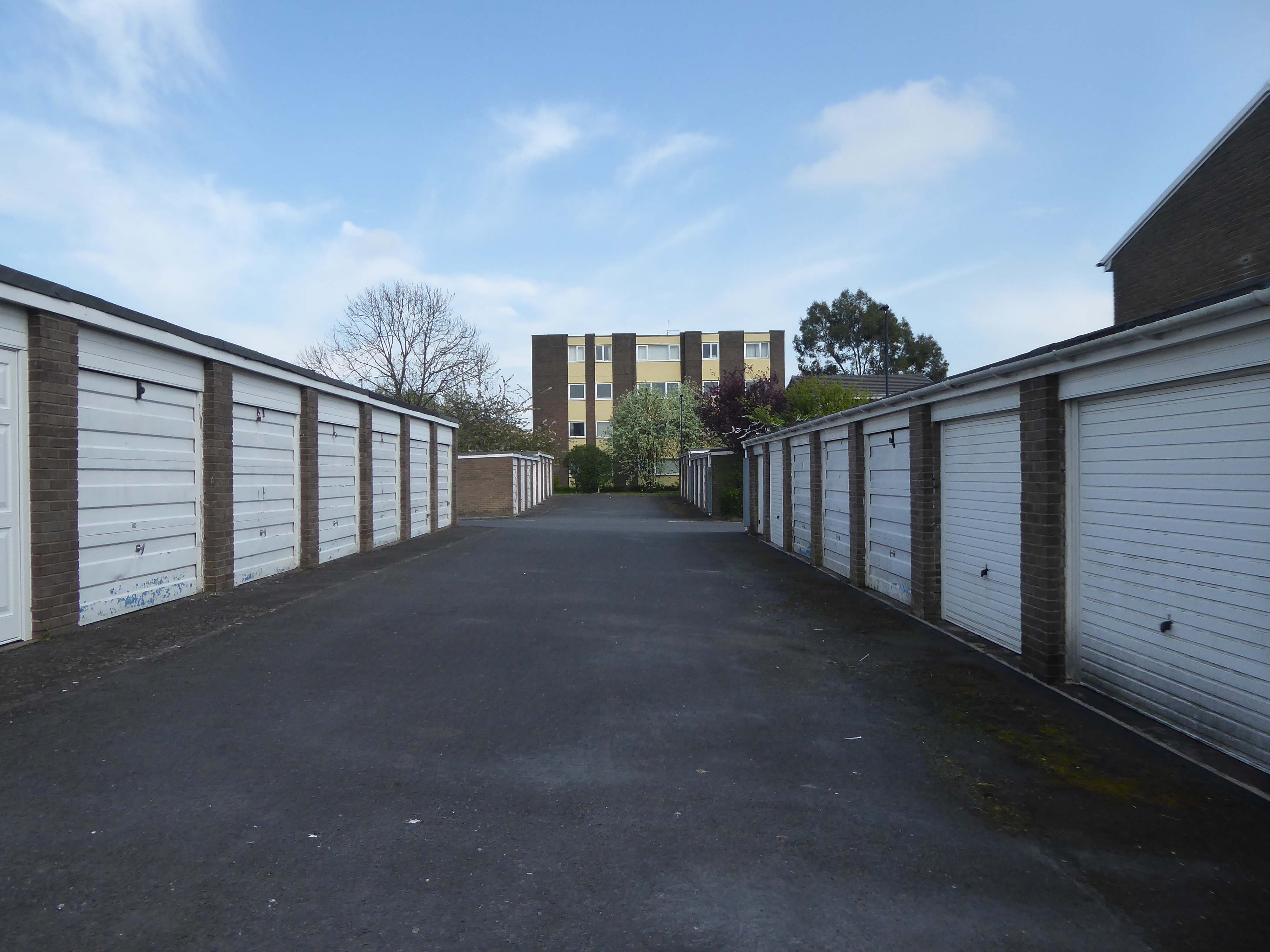
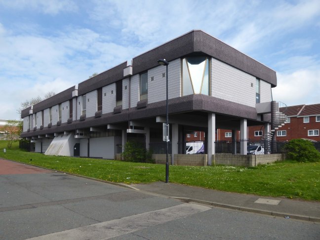
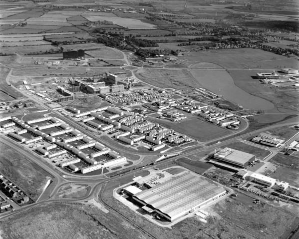
Construction of Killingworth, a new town, began in 1963. Intended for 20,000 people, it was a former mining community, formed on seven hundred and sixty acres of derelict colliery land near Killingworth Village. The building of Killingworth Township was undertaken by Northumberland County Council and was not formally a New Town sponsored by the Government.
Unlike that town, Killingworth’s planners adopted a radical approach to town centre design, resulting in relatively high-rise buildings in an avant-garde and brutalist style that won awards for architecture, dynamic industry and attractive environment.
This new town centre consisted of pre-cast concrete houses, with millions of small crustacean shells unusually embedded into their external walls, five to ten storey flats, offices, industrial units and service buildings, which often consisted of artistic non-functional characteristics, shops and residential multi-storey car parks, interconnected by ramps and walkways. These made up a deck system of access to shopping and other facilities, employing the Swedish Skarne method of construction.
Originally named Killingworth Township, the latter part was quickly dropped through lack of colloquial use.
Killingworth is referred to as Killy by many residents of the town and surrounding areas.
Around 1964, during the reclamation of the derelict pit sites, a fifteen acre lake south of the town centre was created; spoil heaps were levelled, seeded and planted with semi-mature trees.
In 1987 the demolition of this three-tier housing estate of the township was undertaken by the Architects’ Department of the Metropolitan Borough of North Tyneside.
Photo: Philip Wolmuth
Once the wrecking ball arrives new town can begin to look like any old town.
Following Euan Lynn’s suggestion – I went to take a look around.
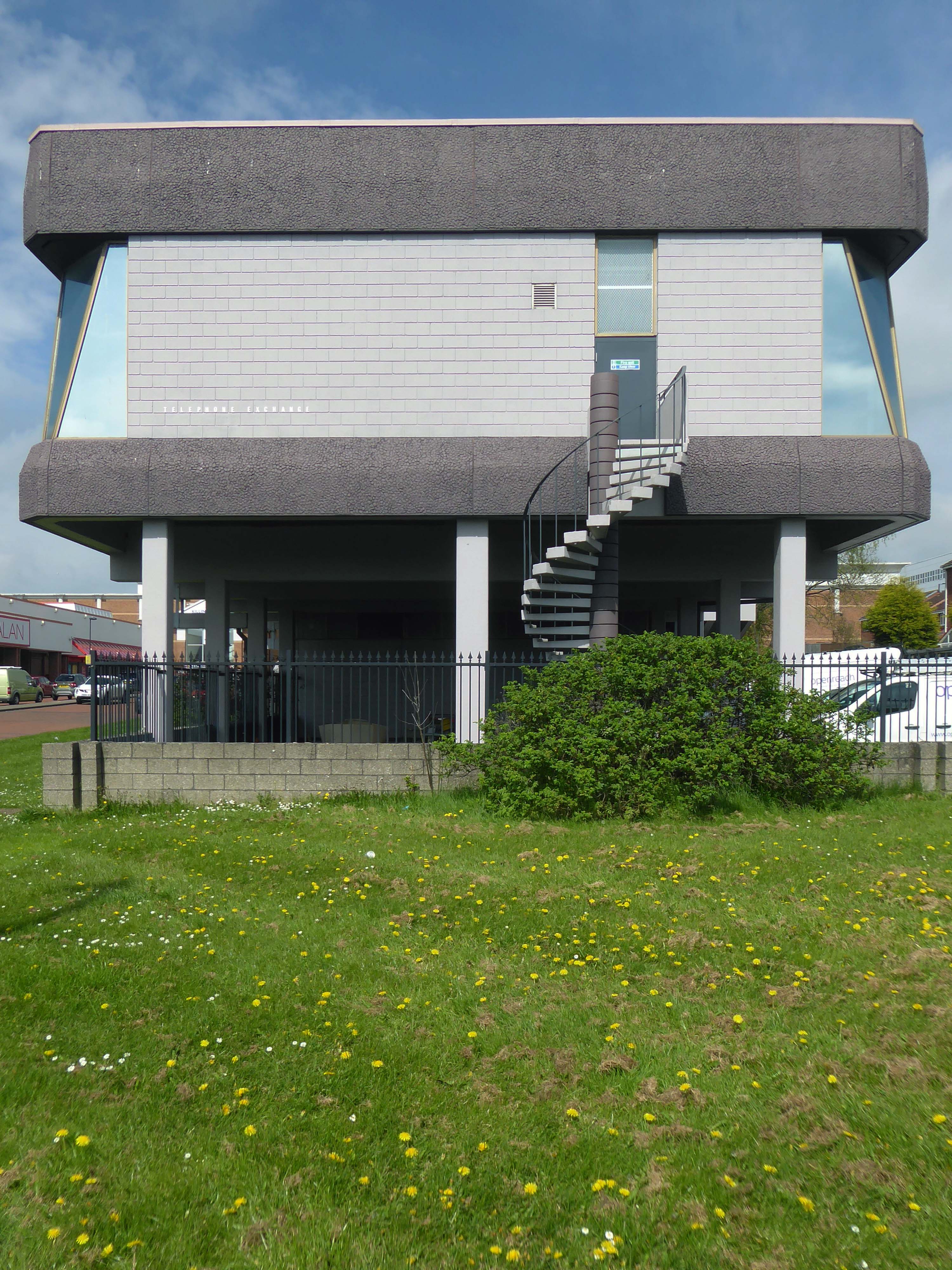
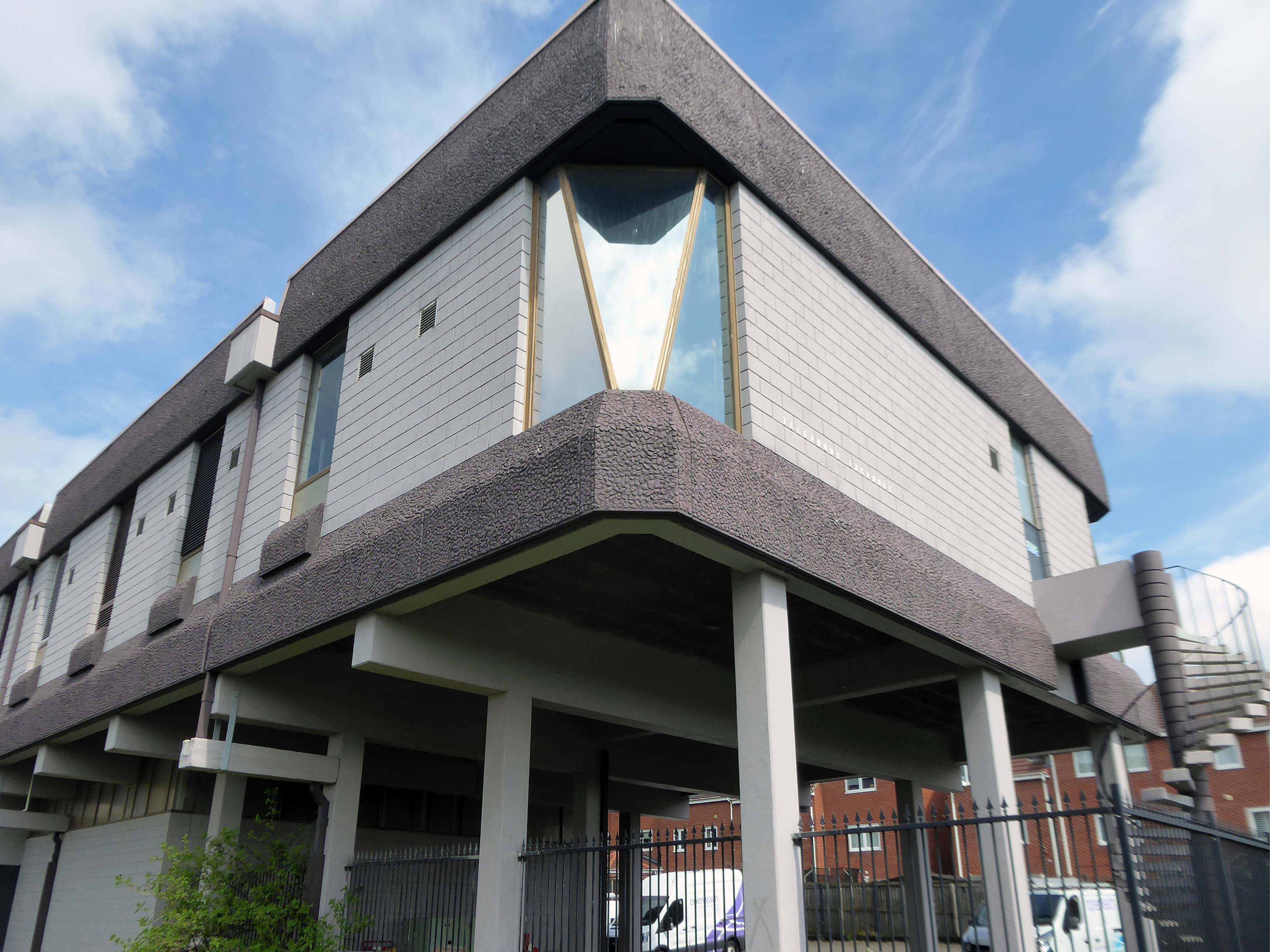
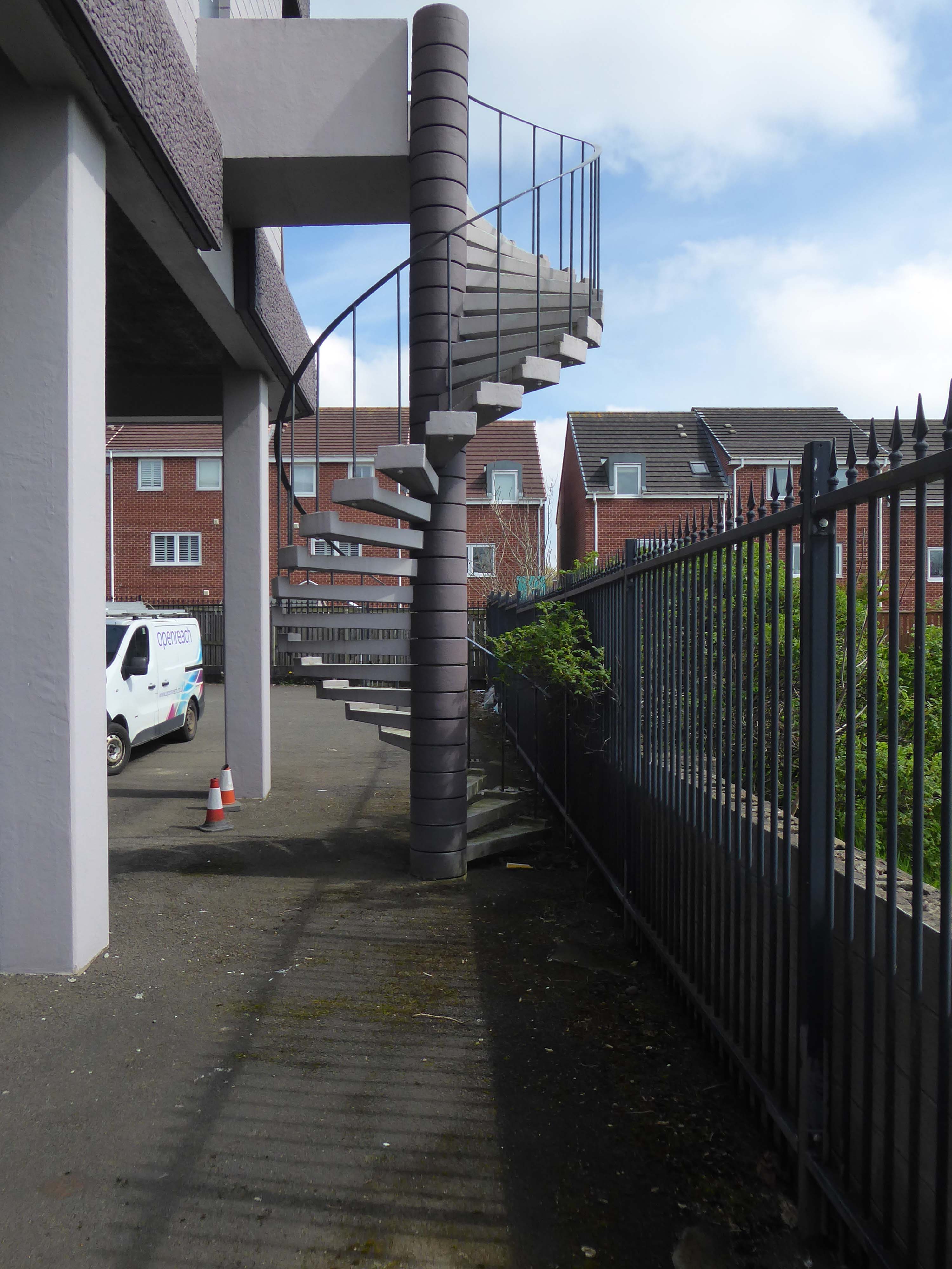
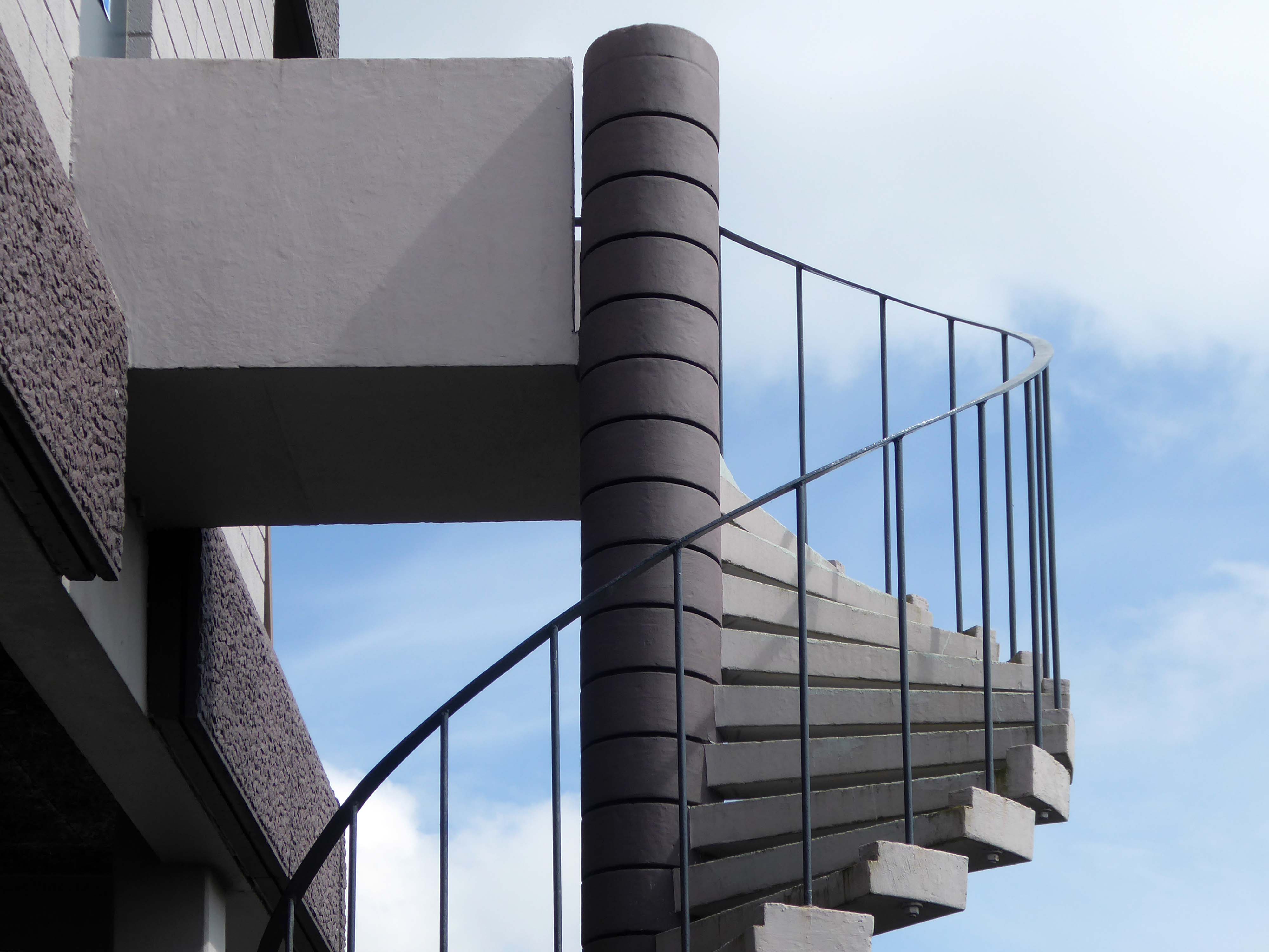
From the window of the 52 bus, I saw an enchanting Telephone Exchange.
Having taken a particular interest in this particular piece of public art for some time – I need to go and take a little look.
But what will we see along the way, as we hasten along Rochdale Road?
Which once looked like this, way back when in 1904.
Though some things inevitably come and go, as some things are prone to do.
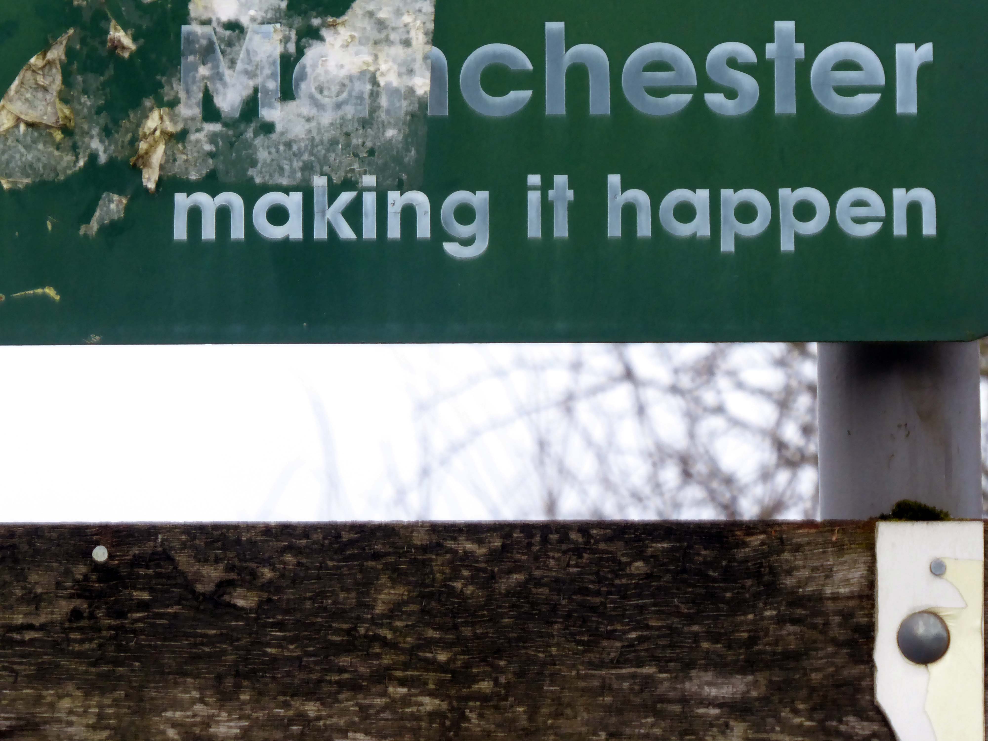
The city is undergoing yet another reinvention as Manchester becomes – an attractive place to invest and do business.
See, I am doing a new thing!
Now it springs up; do you not perceive it?
I am making a way in the wilderness and streams in the wasteland.
Isaiah 43:19
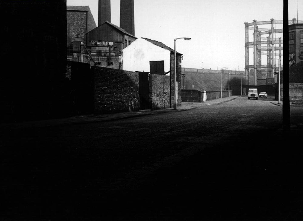
Once there was a gas works here – adjoining Gould Street, seen here in 1958.
The Gould Street Gas Works was a gas manufacturing plant located in Manchester, England. Originally built in 1824, the plant was operated by the Manchester Corporation Gas Department and was in operation from 1833 to 1969. It was named after the street on which it was located, which was named after John Gould, who was a prominent Manchester businessman in the 19th century.
The Gasworks New Town neighbourhood is one of seven envisioned by the £4bn Victoria North masterplan. It will feature nine buildings ranging from 8 to 34 storeys. The 6.6-acre site has most recently been home to a car park but the green development will overwhelmingly prioritise walking and cycling over driving. It will result in tens of millions of pounds being pumped into the city’s economy over the lifetime of the development.
Plans for a trailblazing city centre regeneration scheme that will create more than 1200 homes has been approved by Manchester City Council.
A total of 85 of the 1200, will be affordable homes available through Shared Ownership.
Though as of March 31st 2023 ground is yet to be broken, no signs of the:
New centre of gravity for central Manchester that will create thousands of jobs and inject tens of millions of pounds into the city’s economy.
So you zig-zag wanderers, make the most of these wide open expanses of affordable car parking, while you can.
The future may yet be here today – or the next.
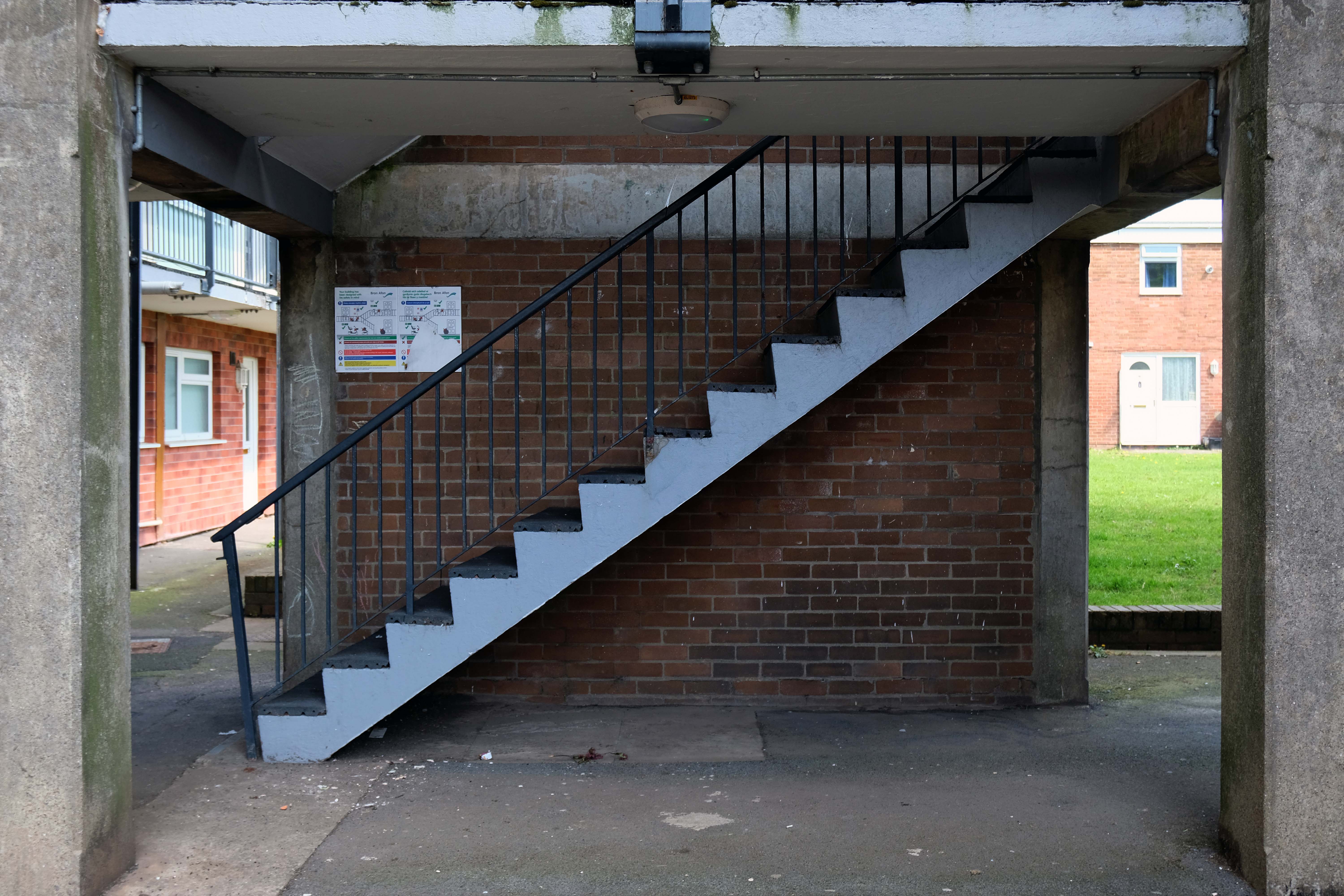
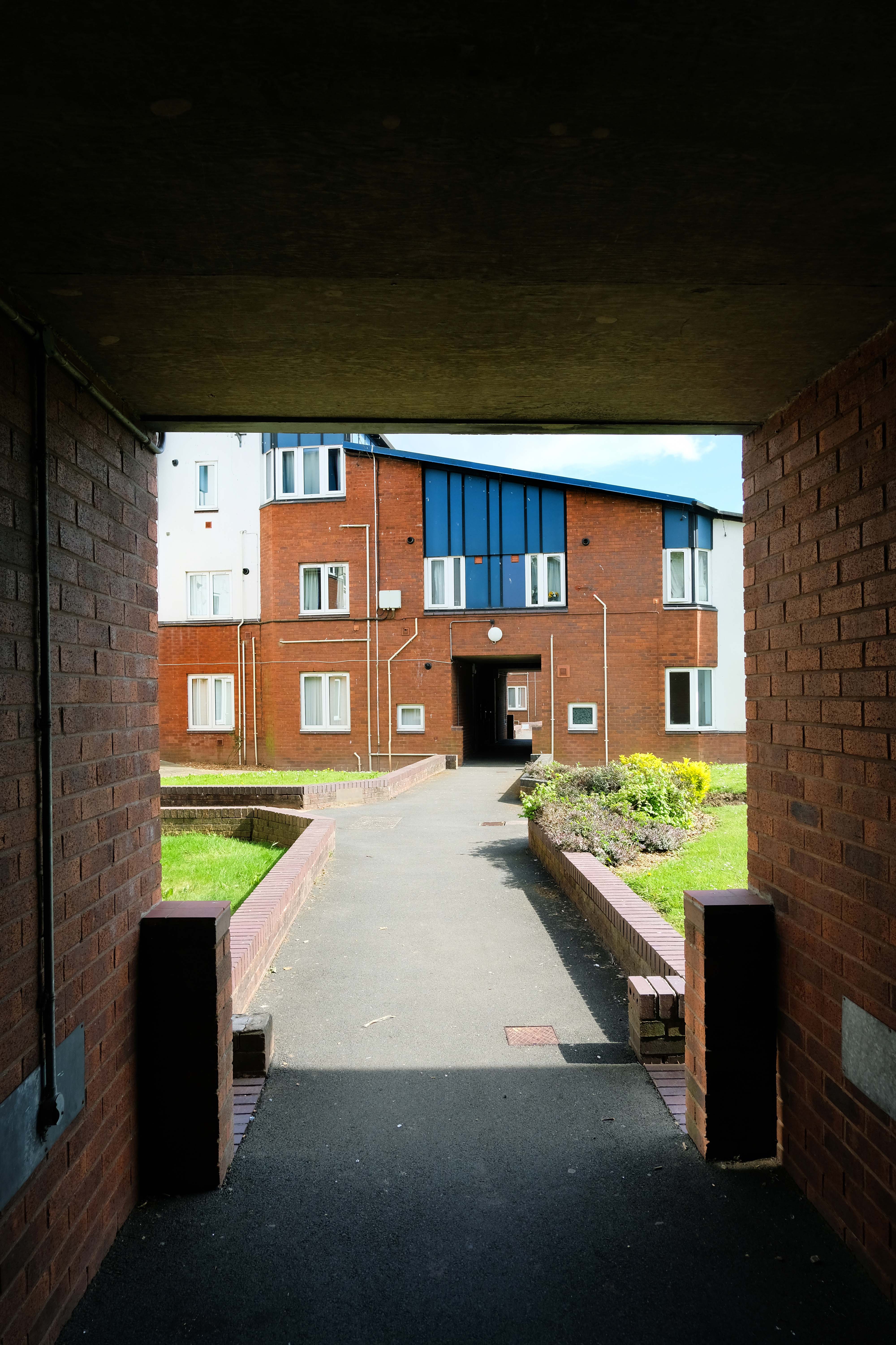
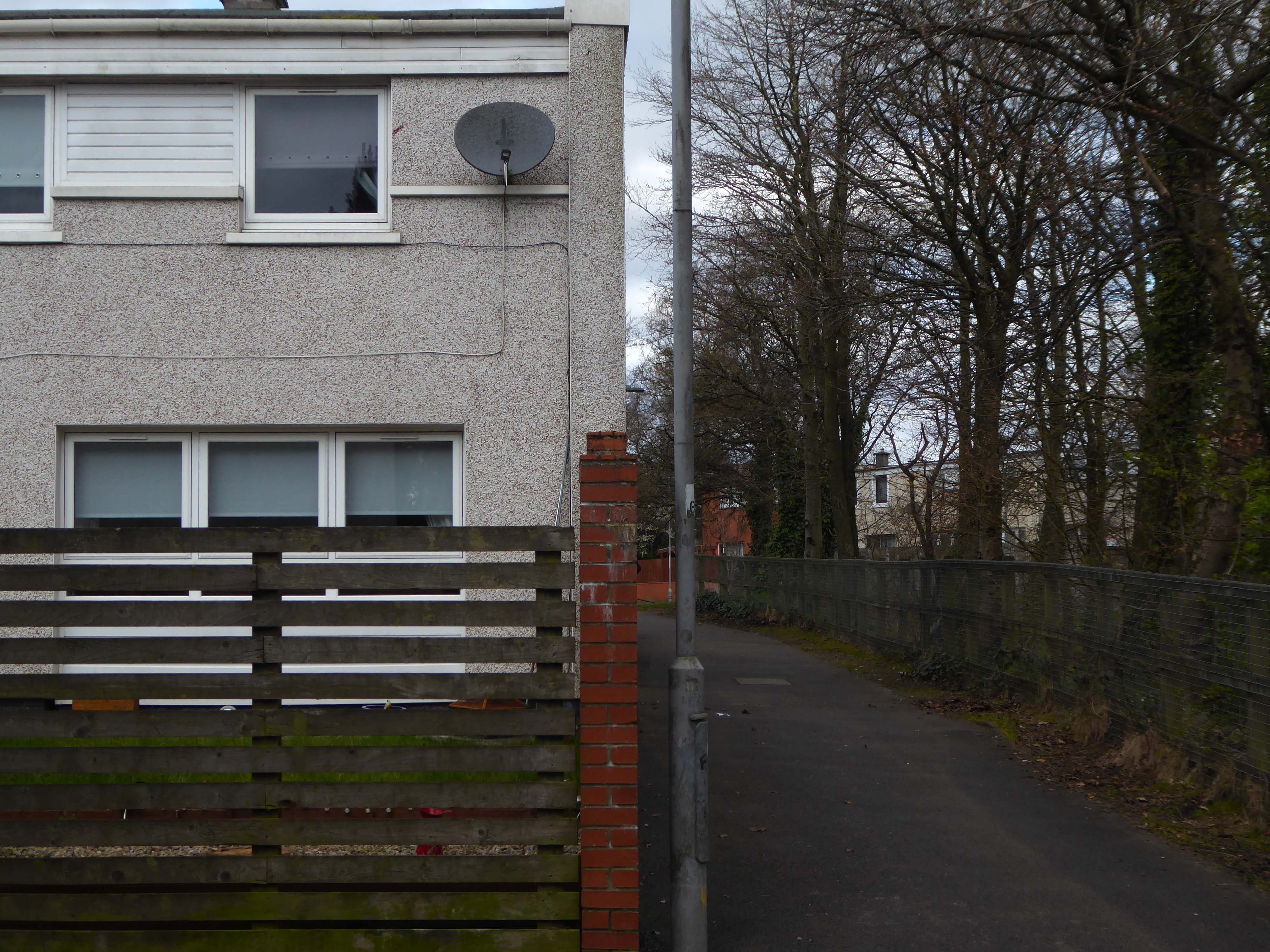
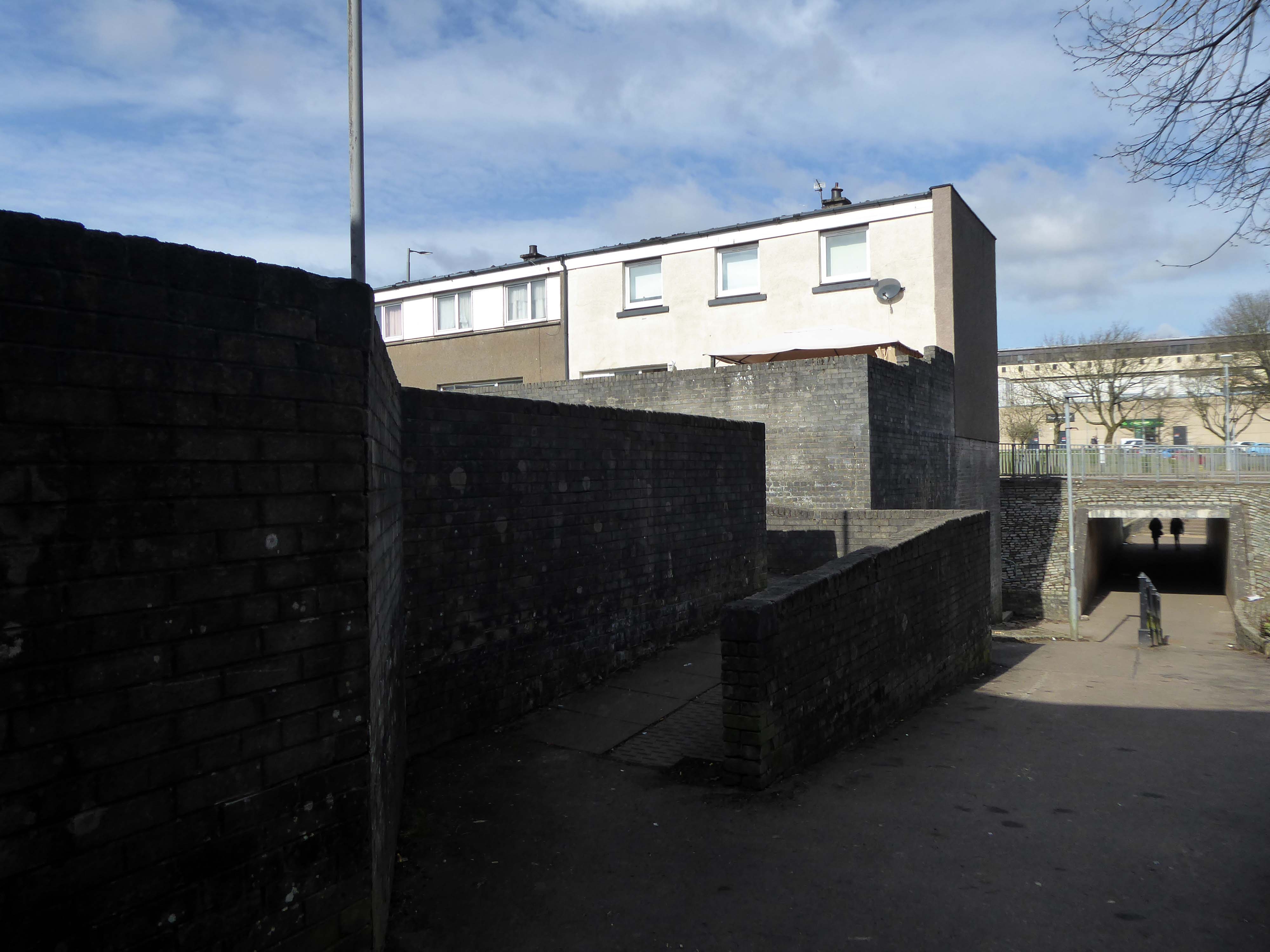
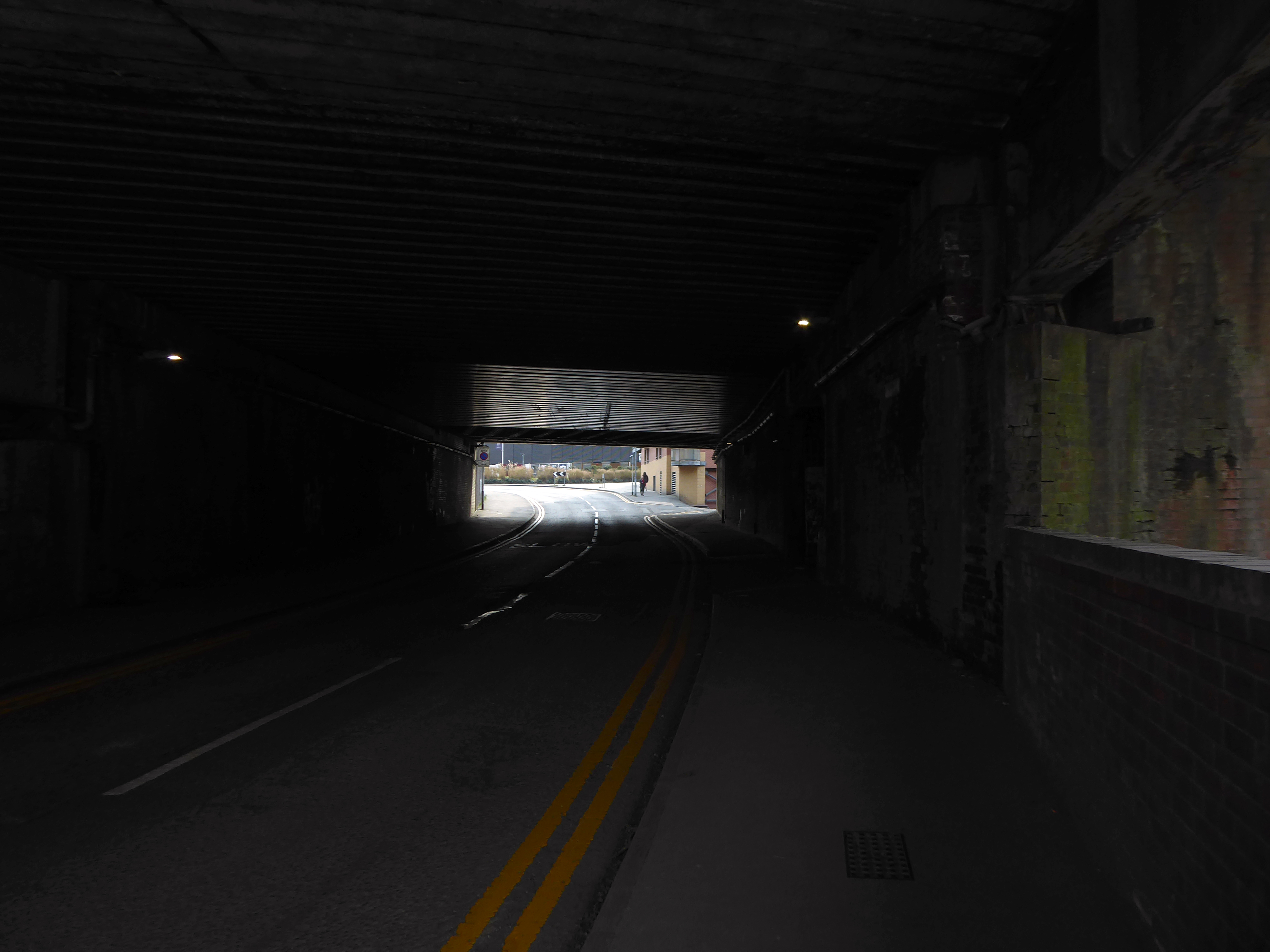
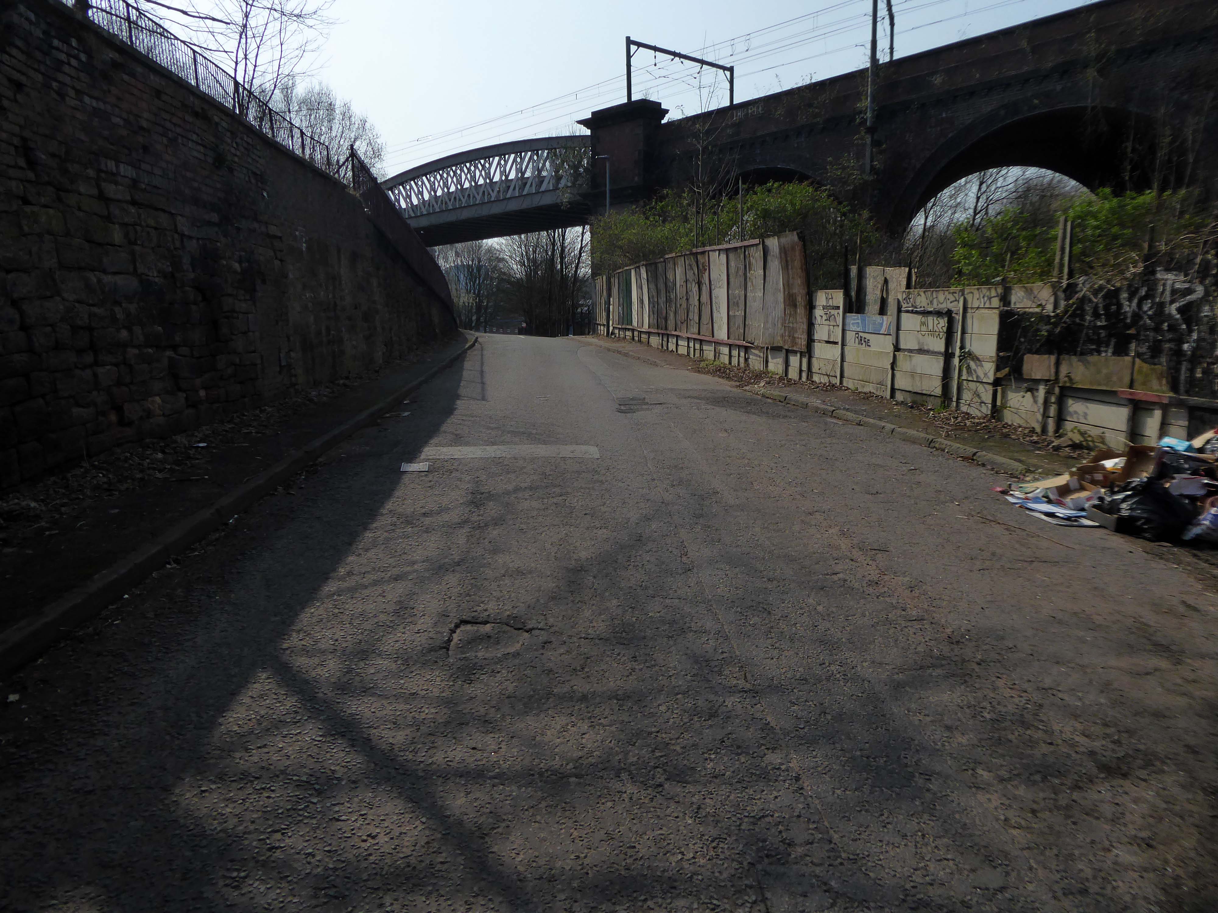
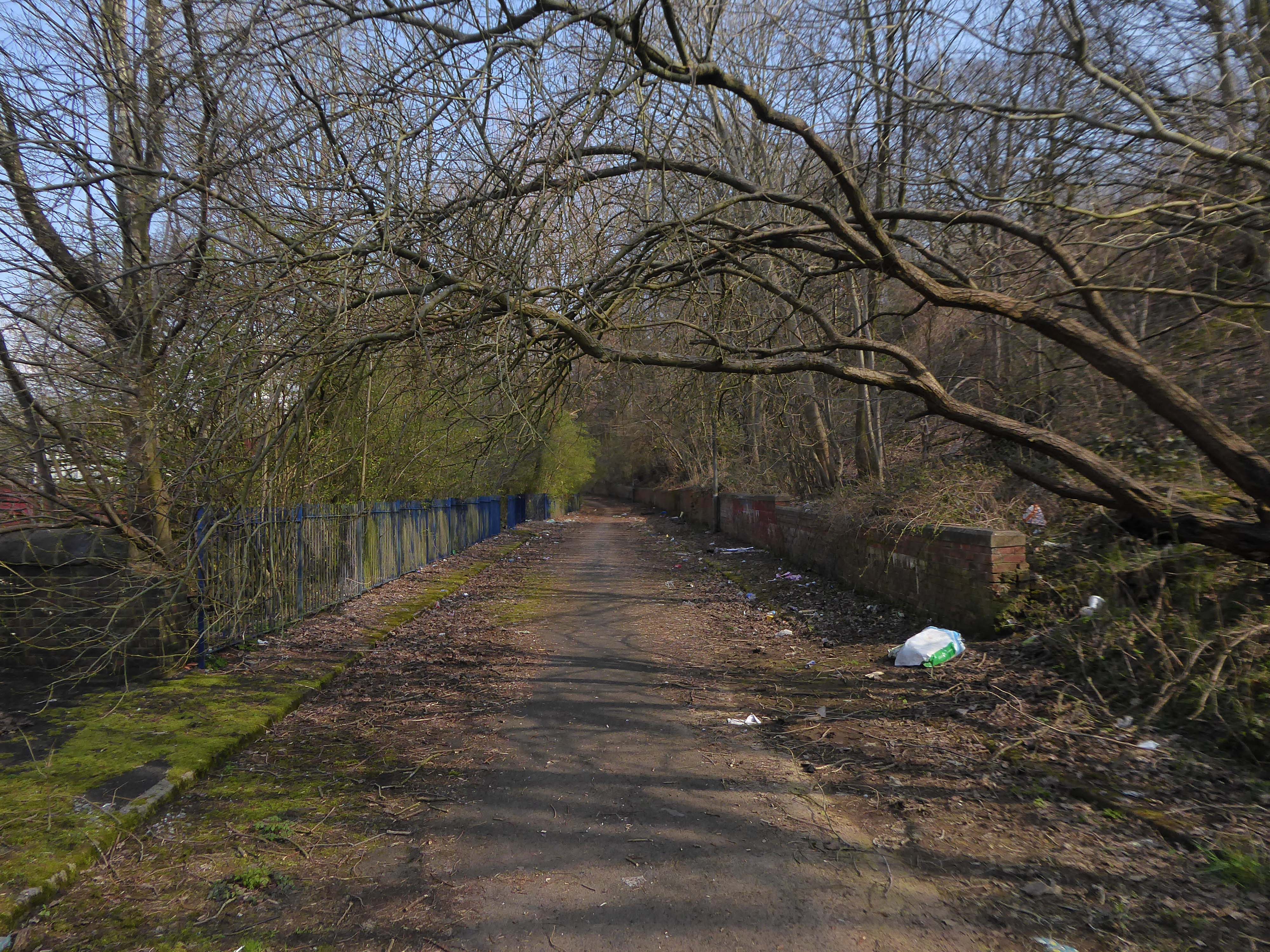
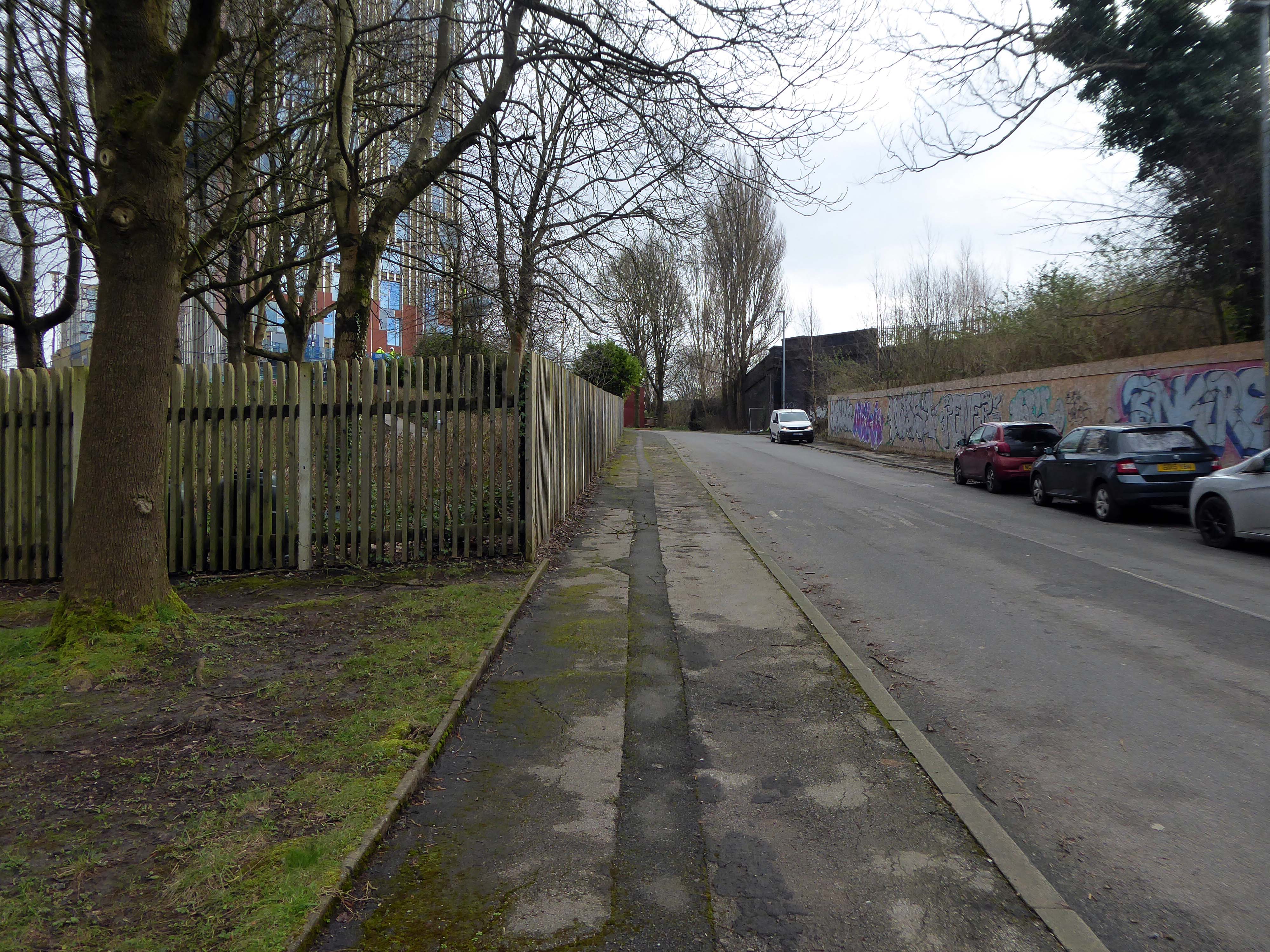
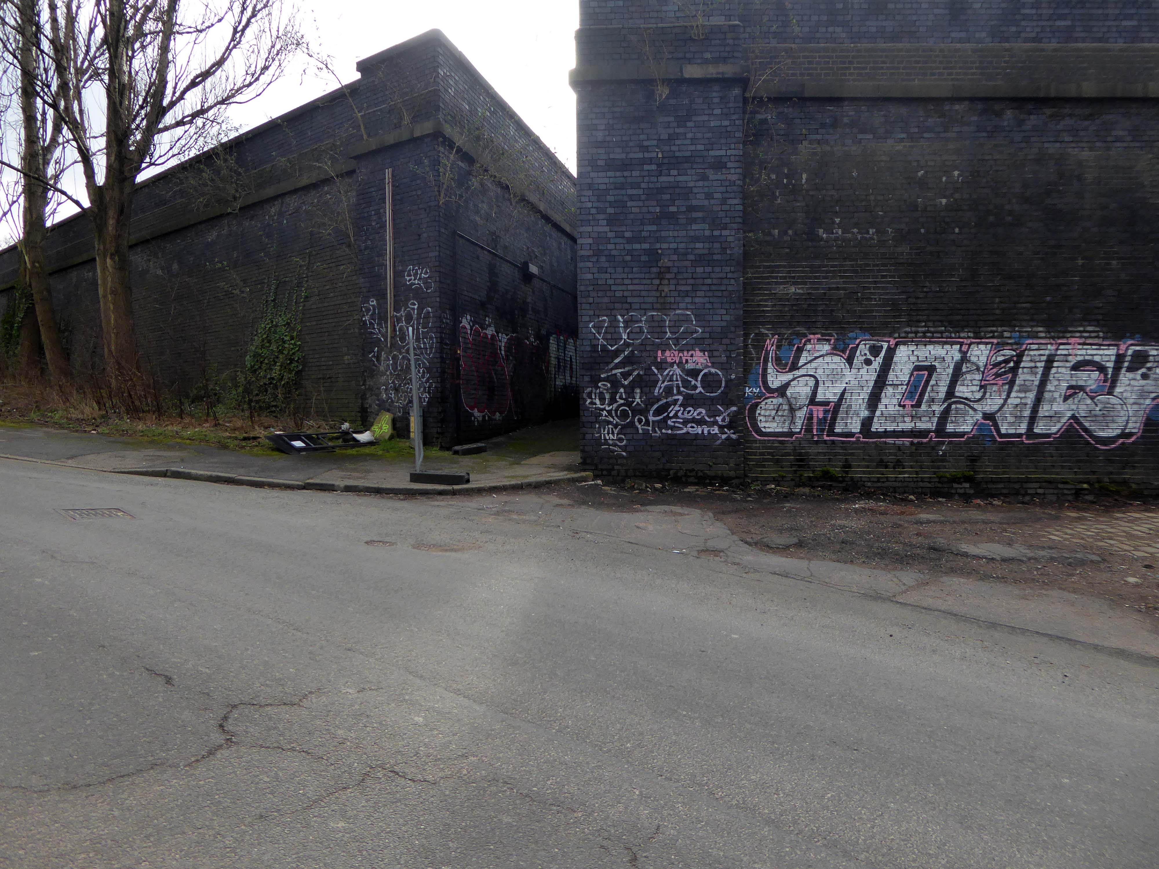
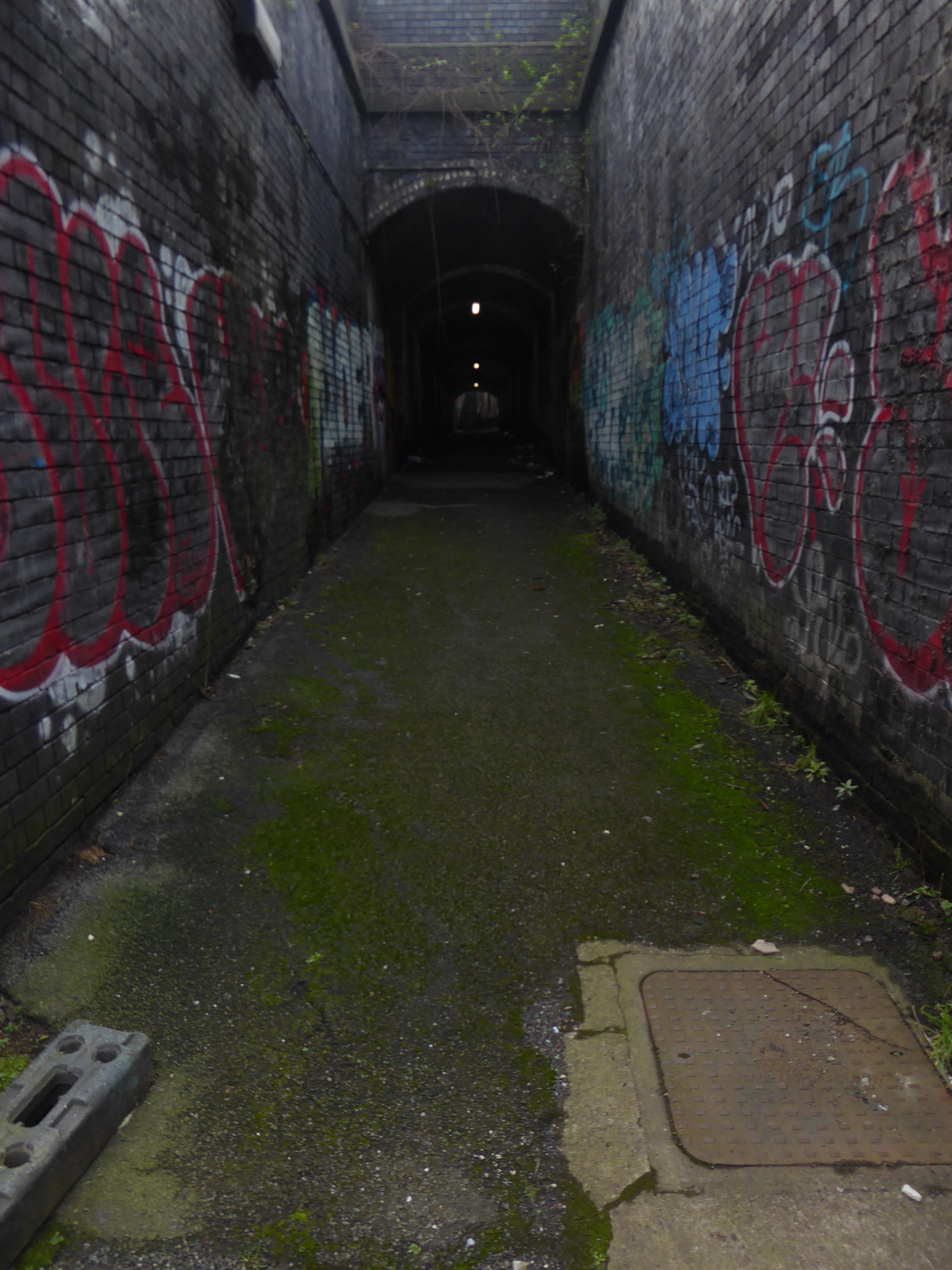
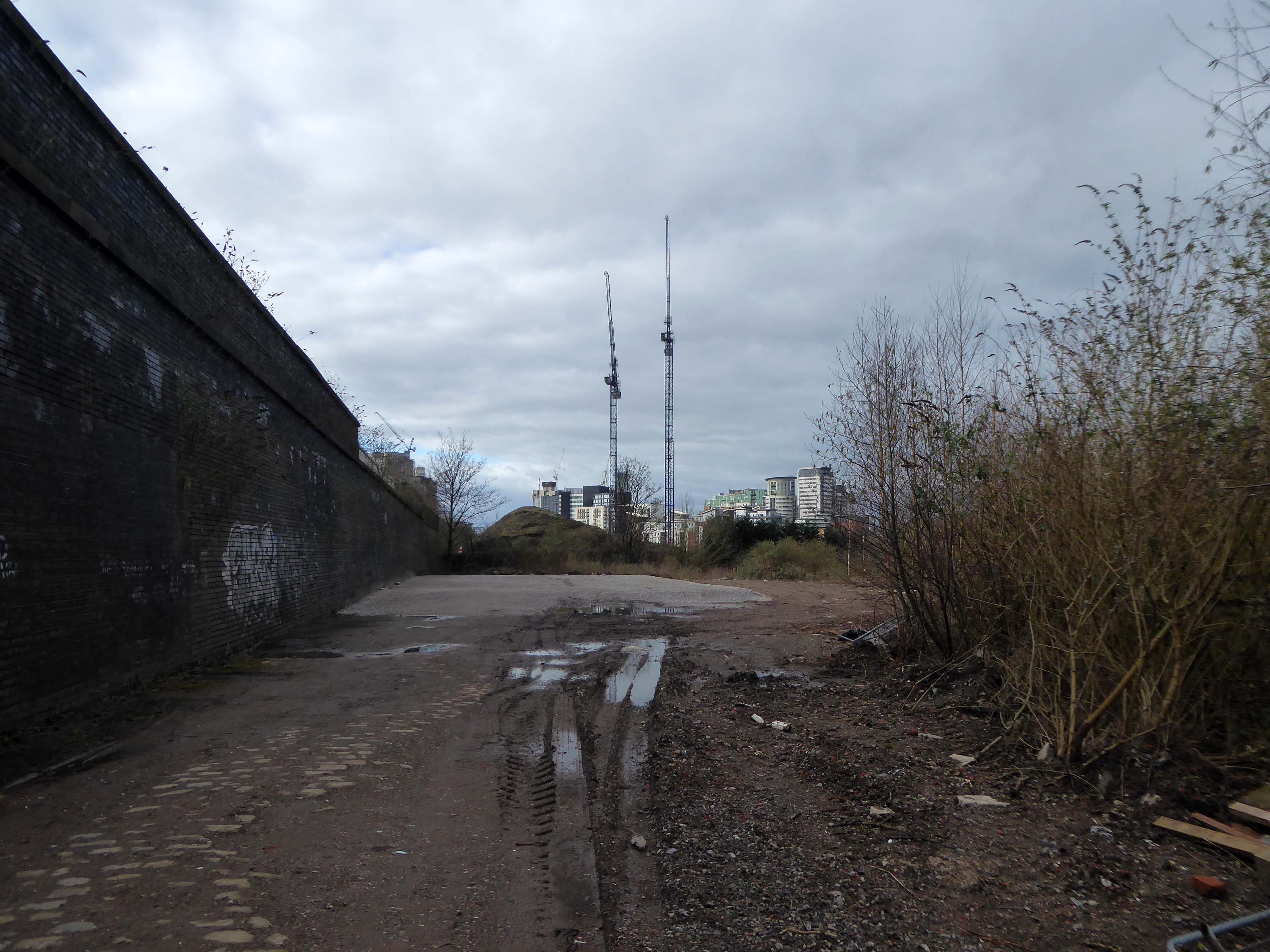
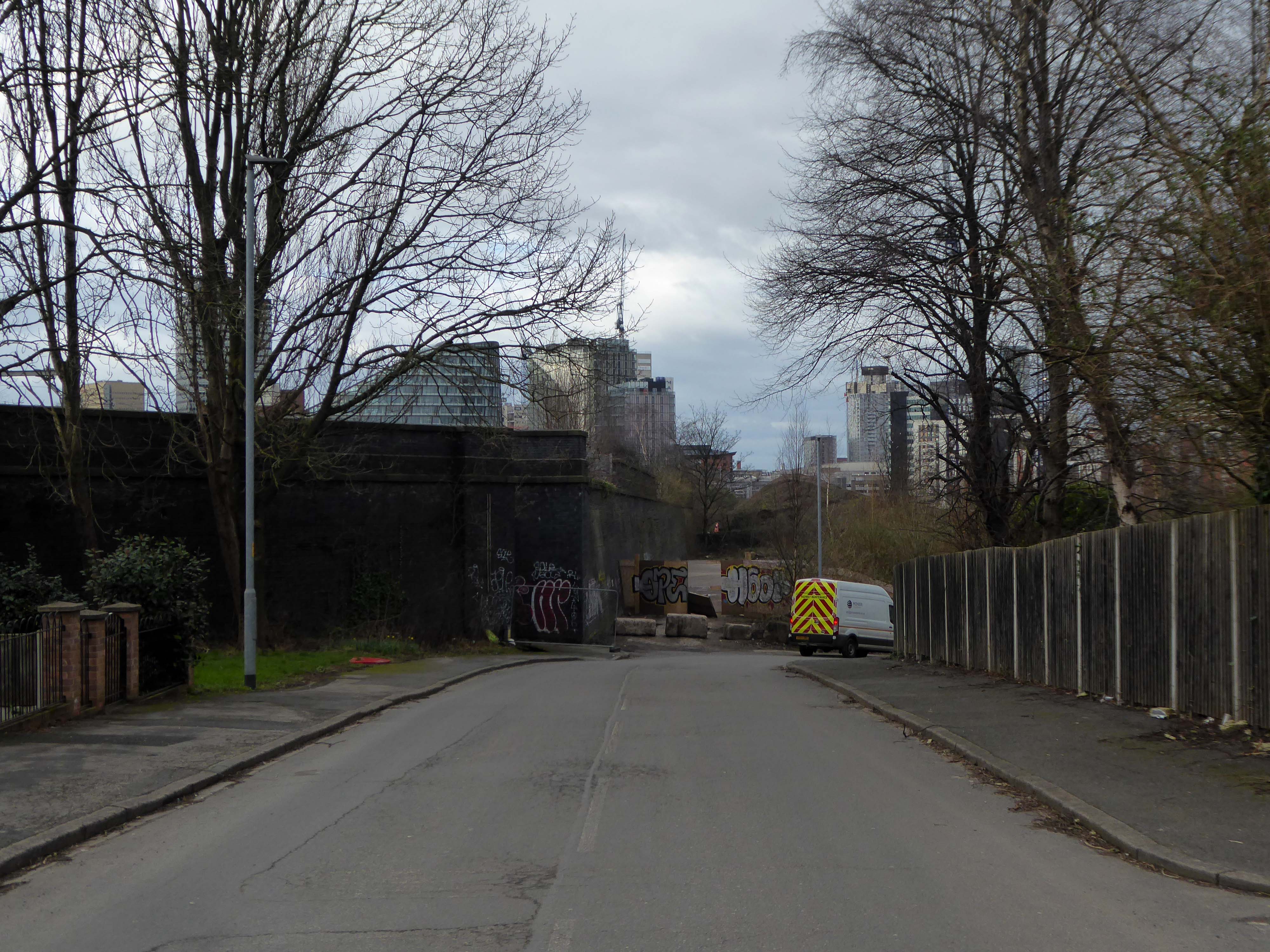
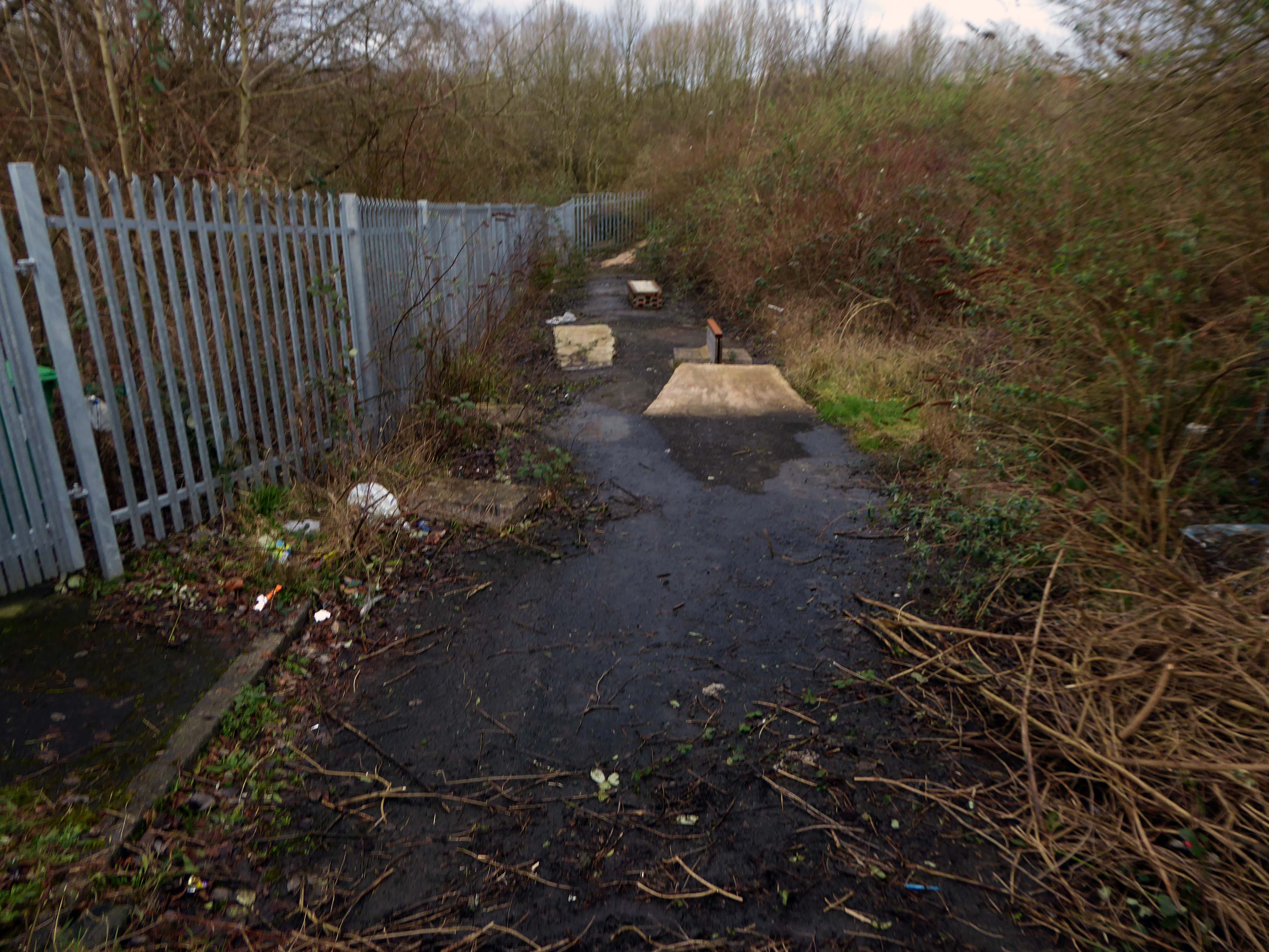
Let’s duck under the railway, through this sad damp pedestrian tunnel – the domain of the cash strapped daytime drinker, transient tagger and disaffected leaflet distributor.
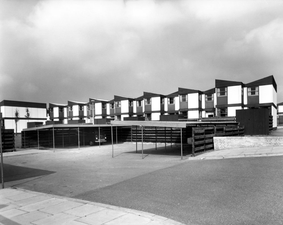
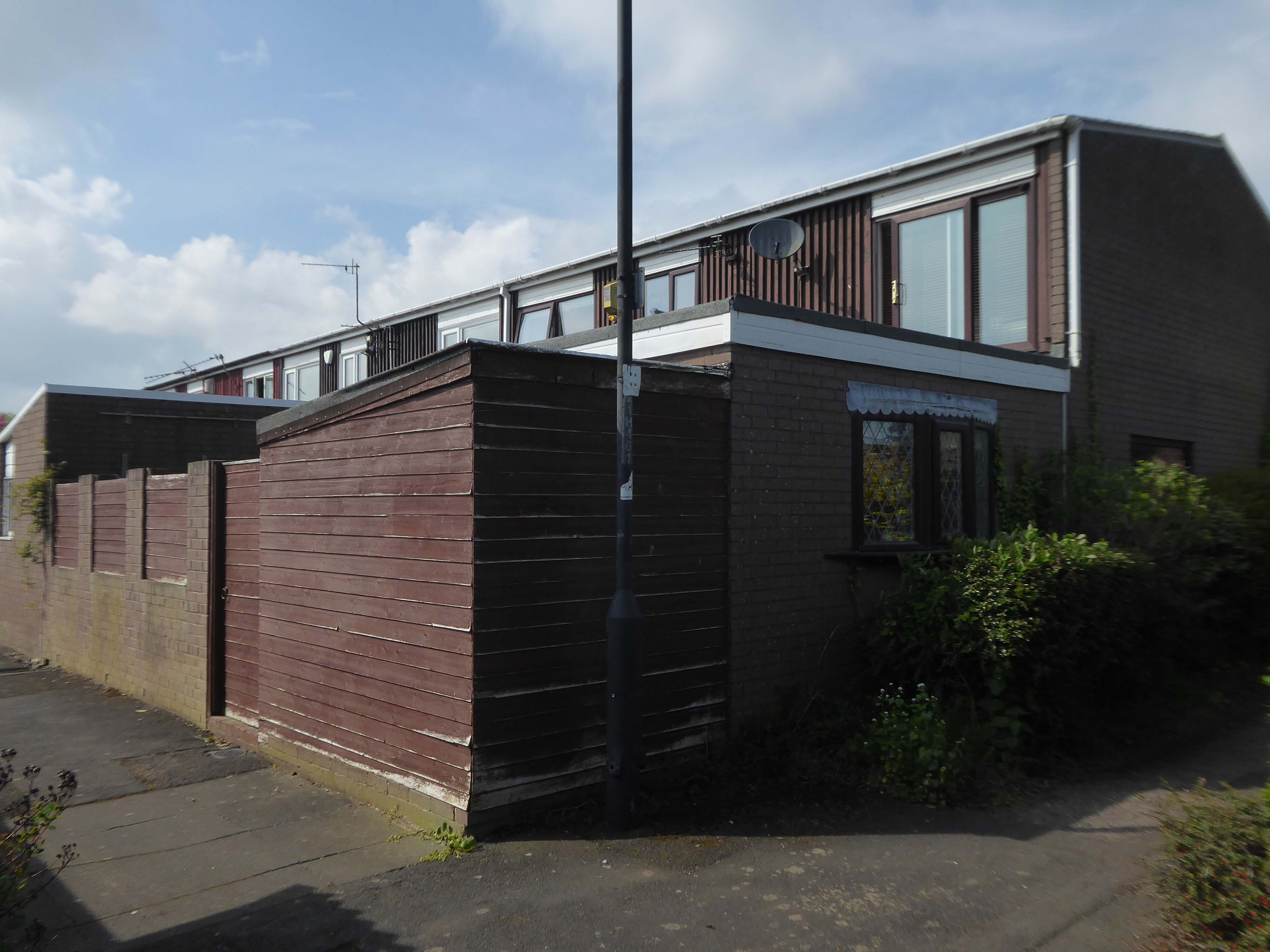
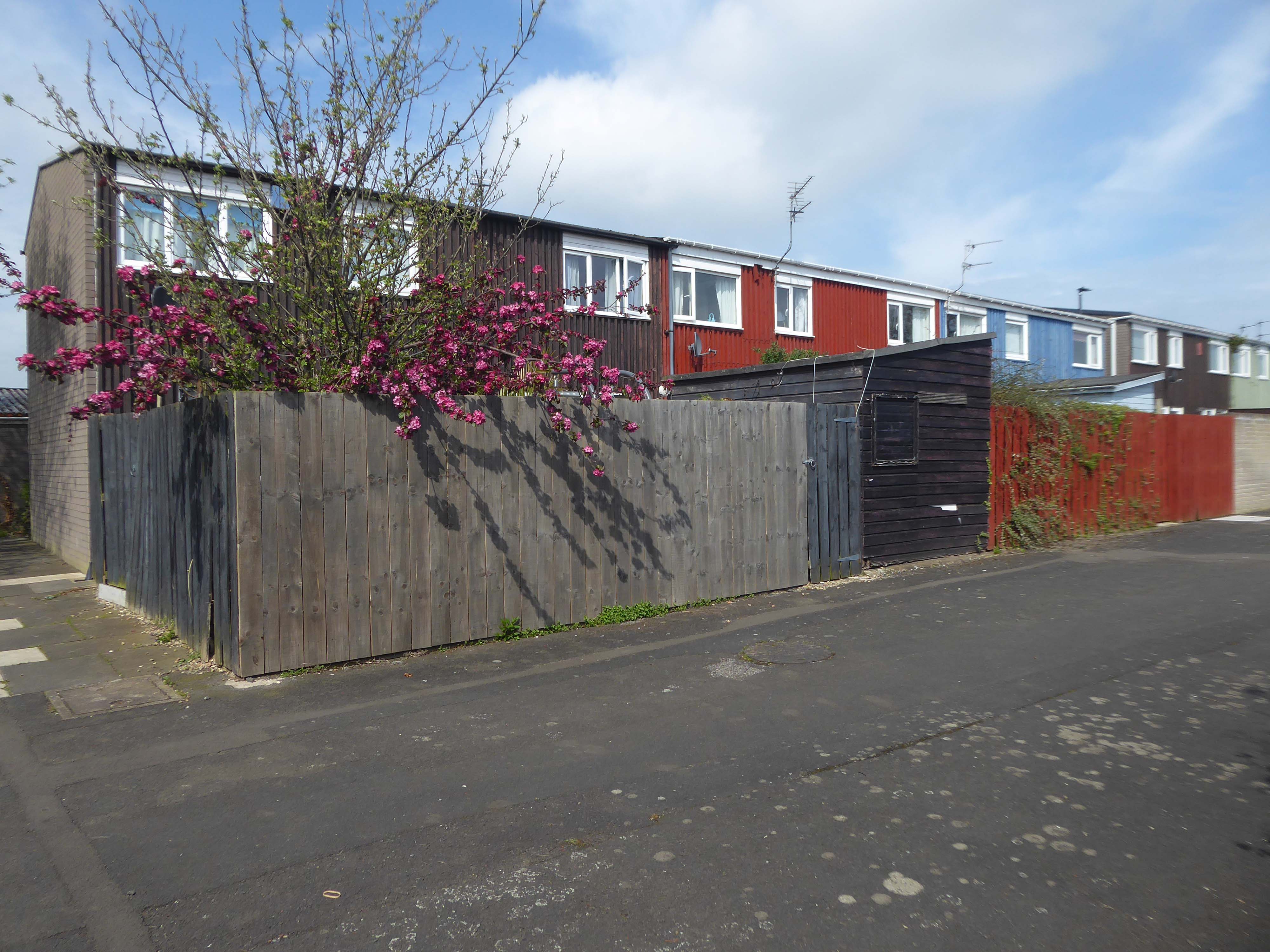
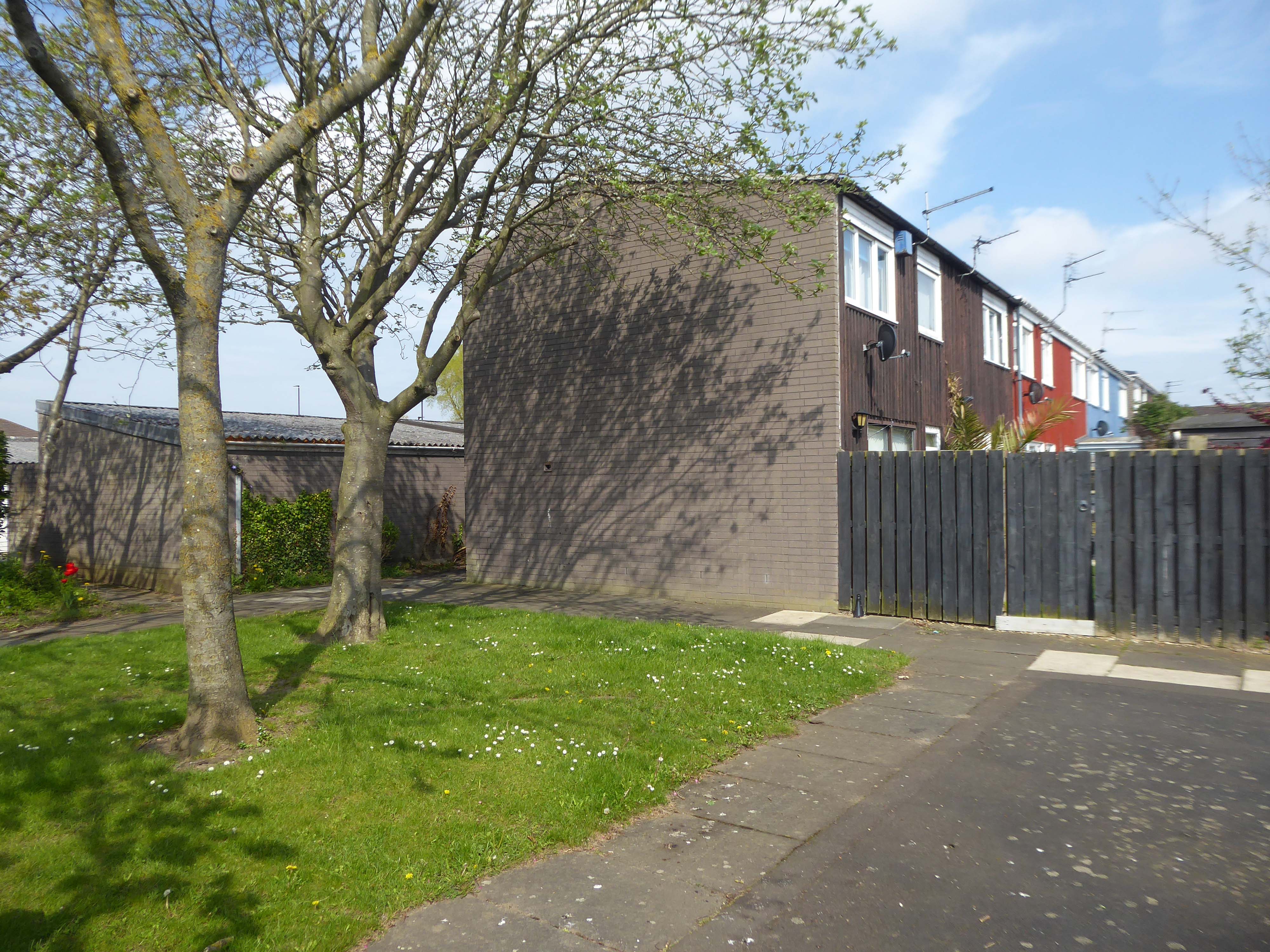
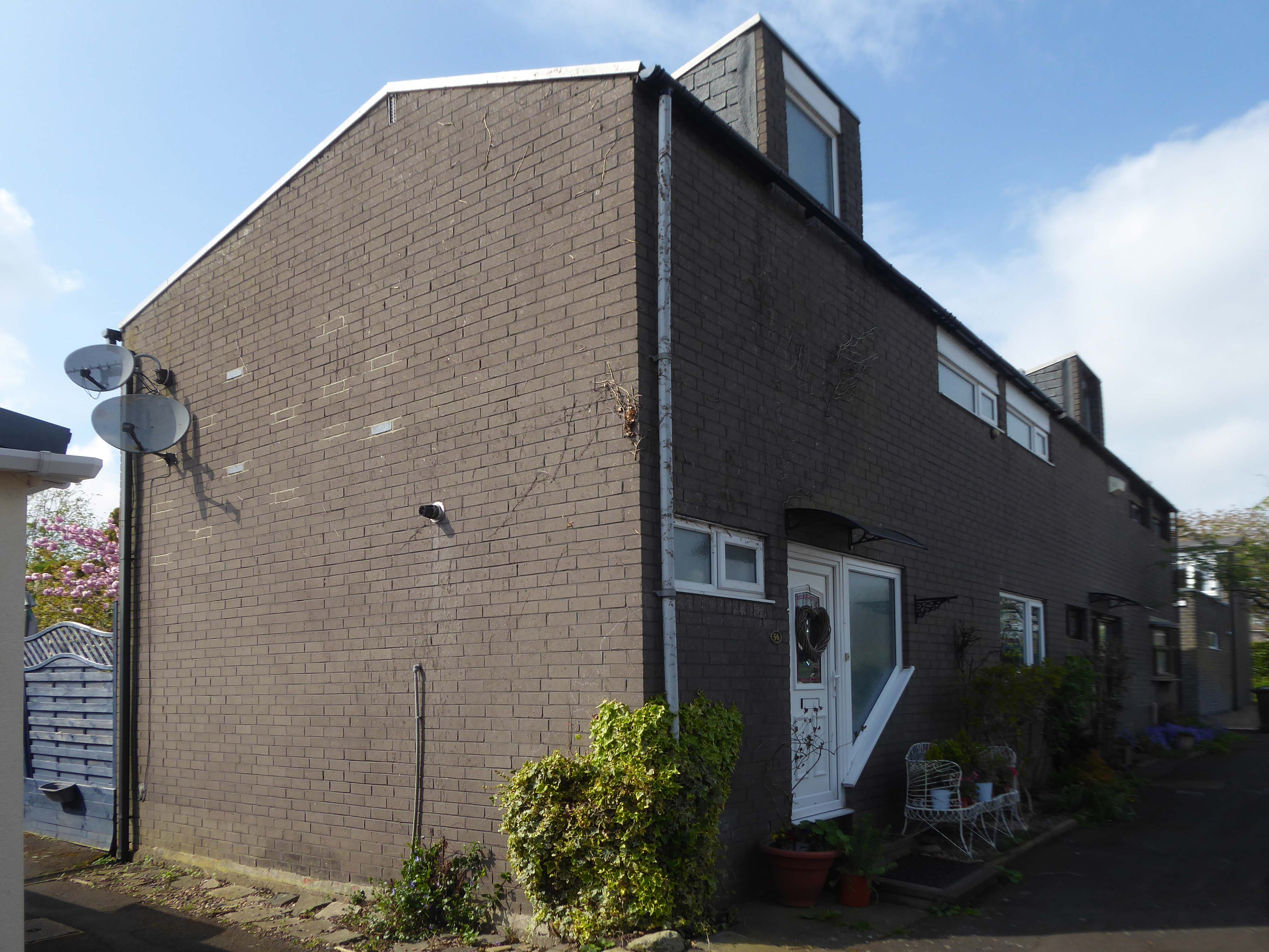
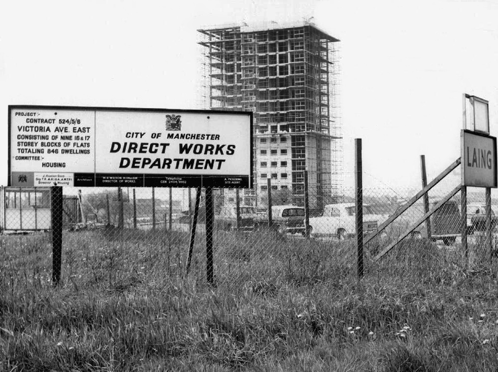
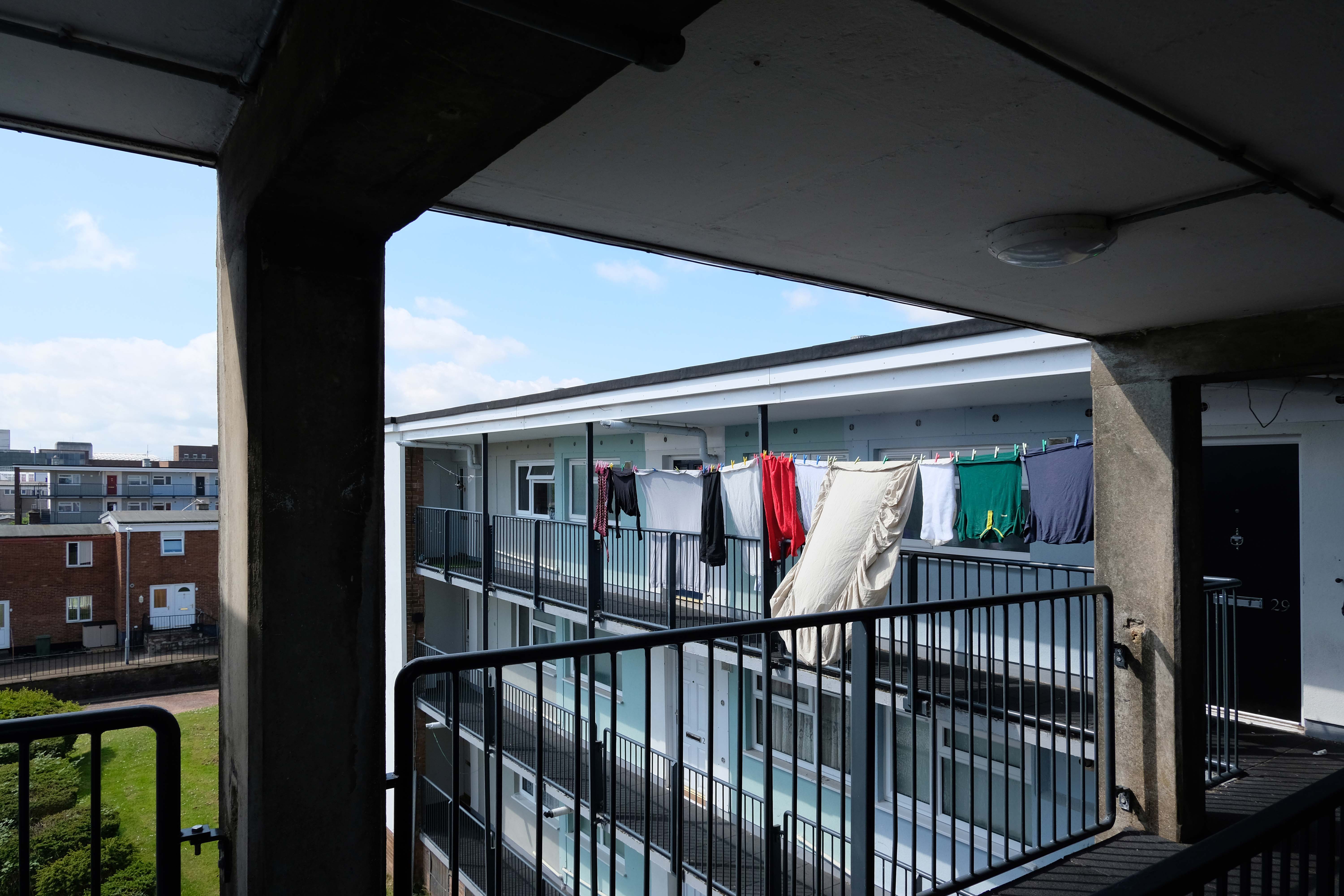
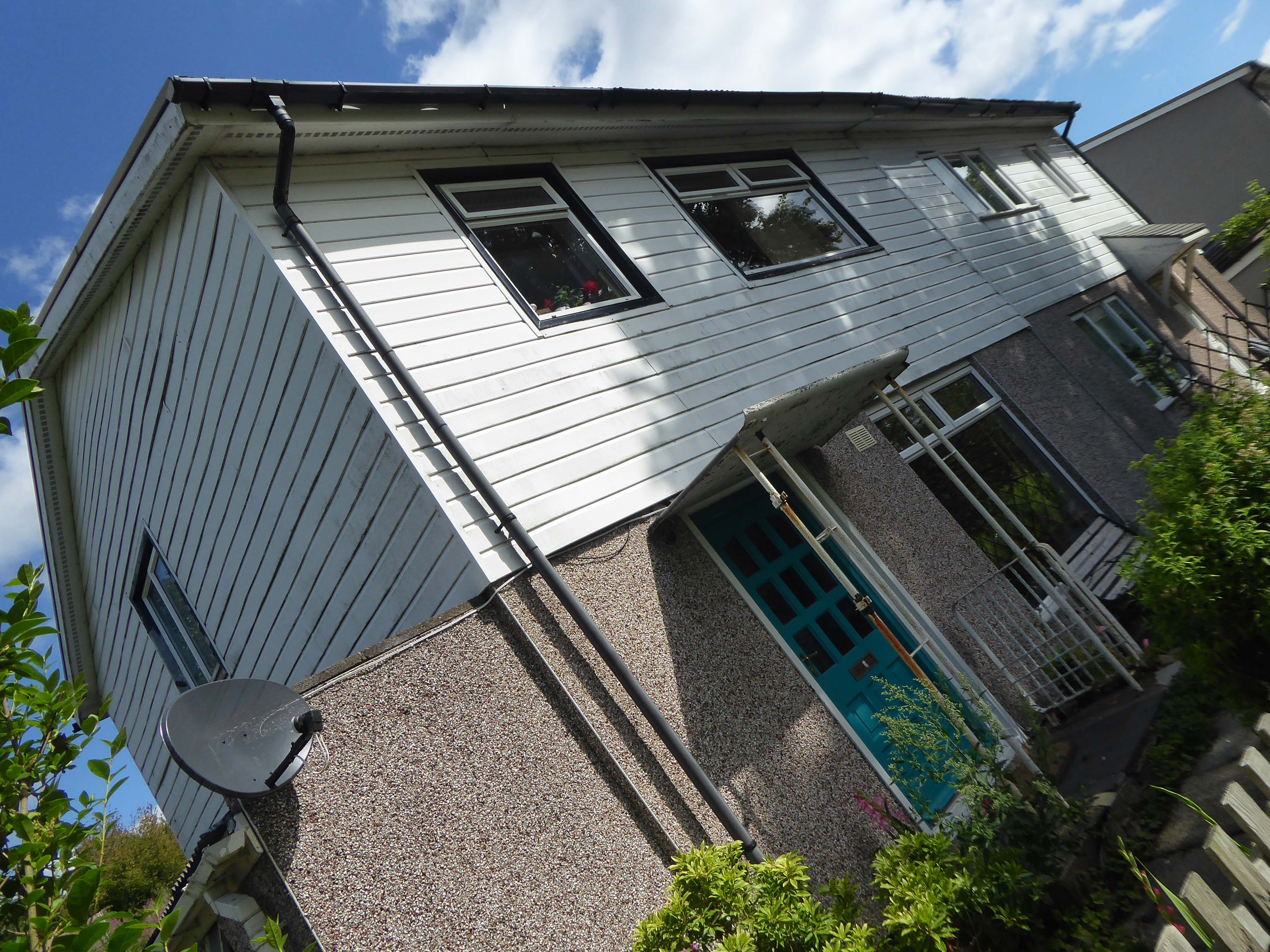
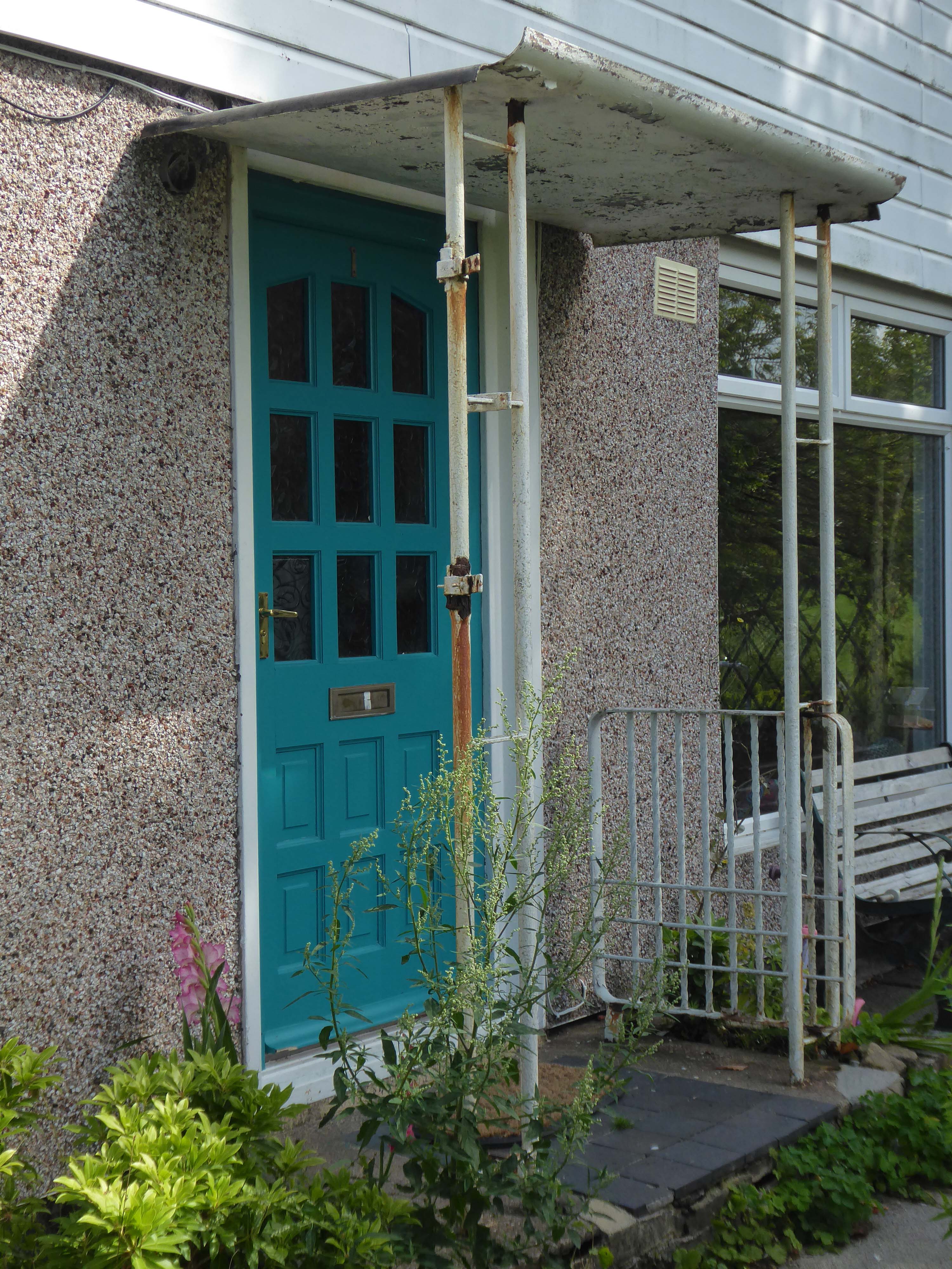
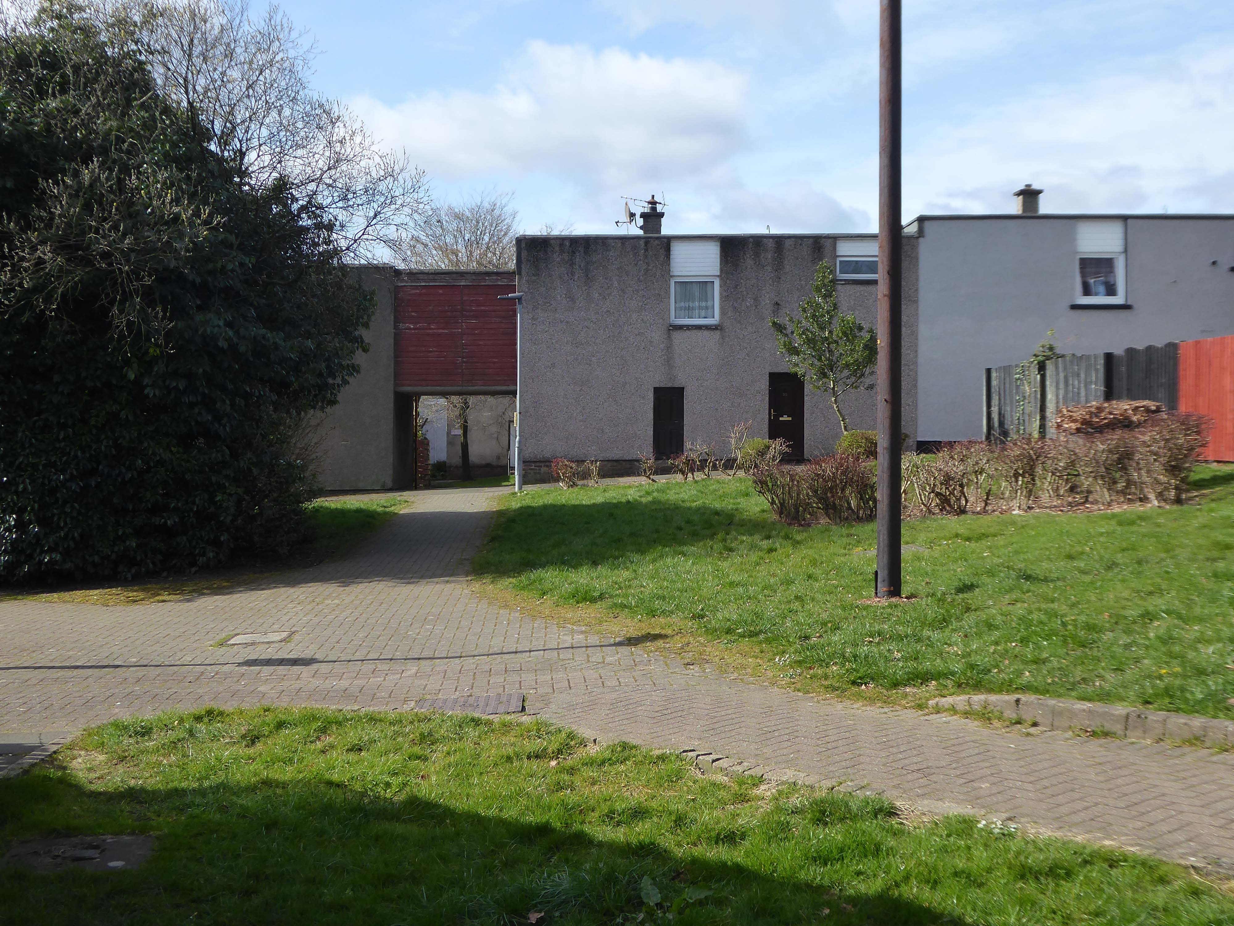
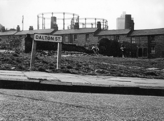
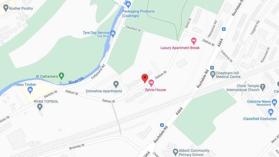
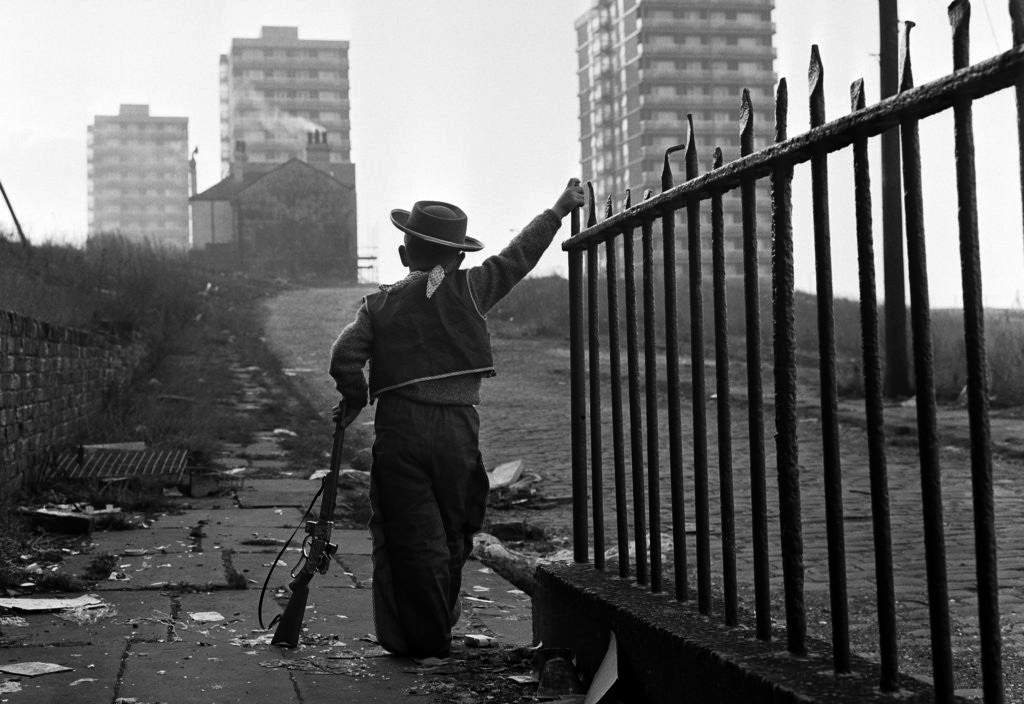
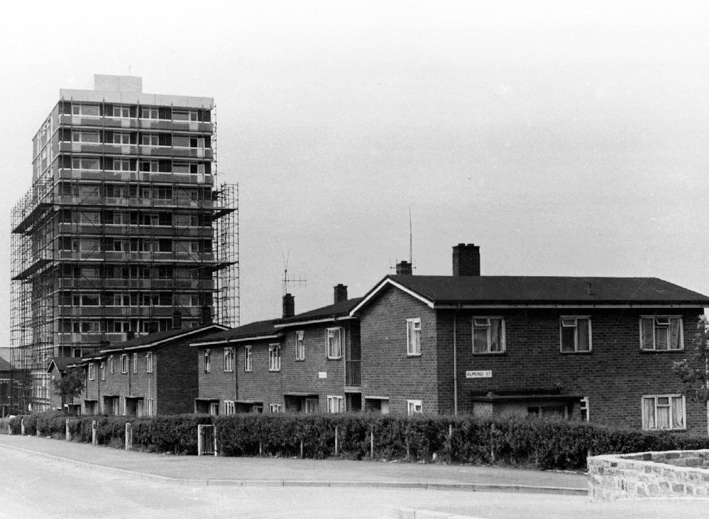
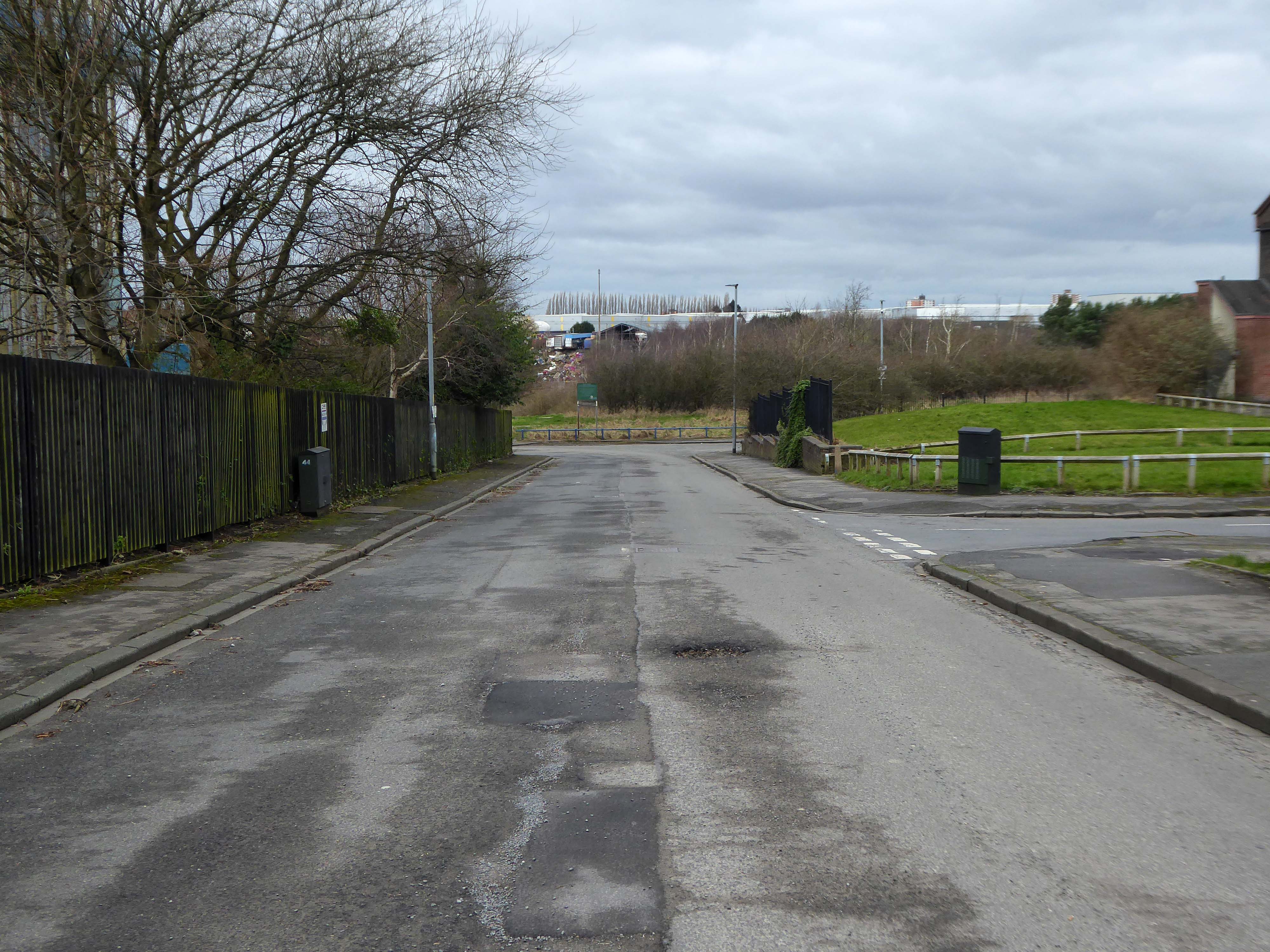
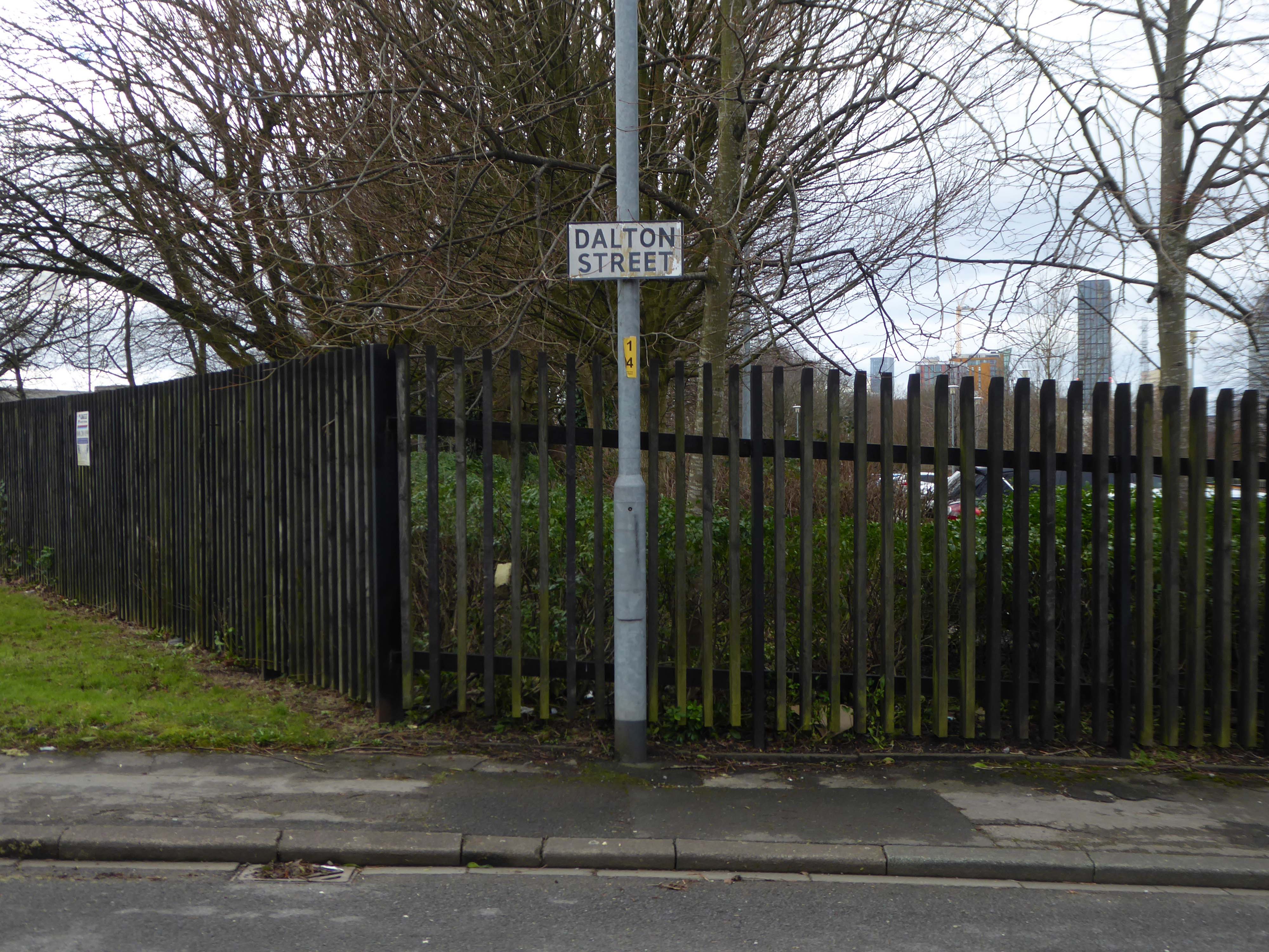
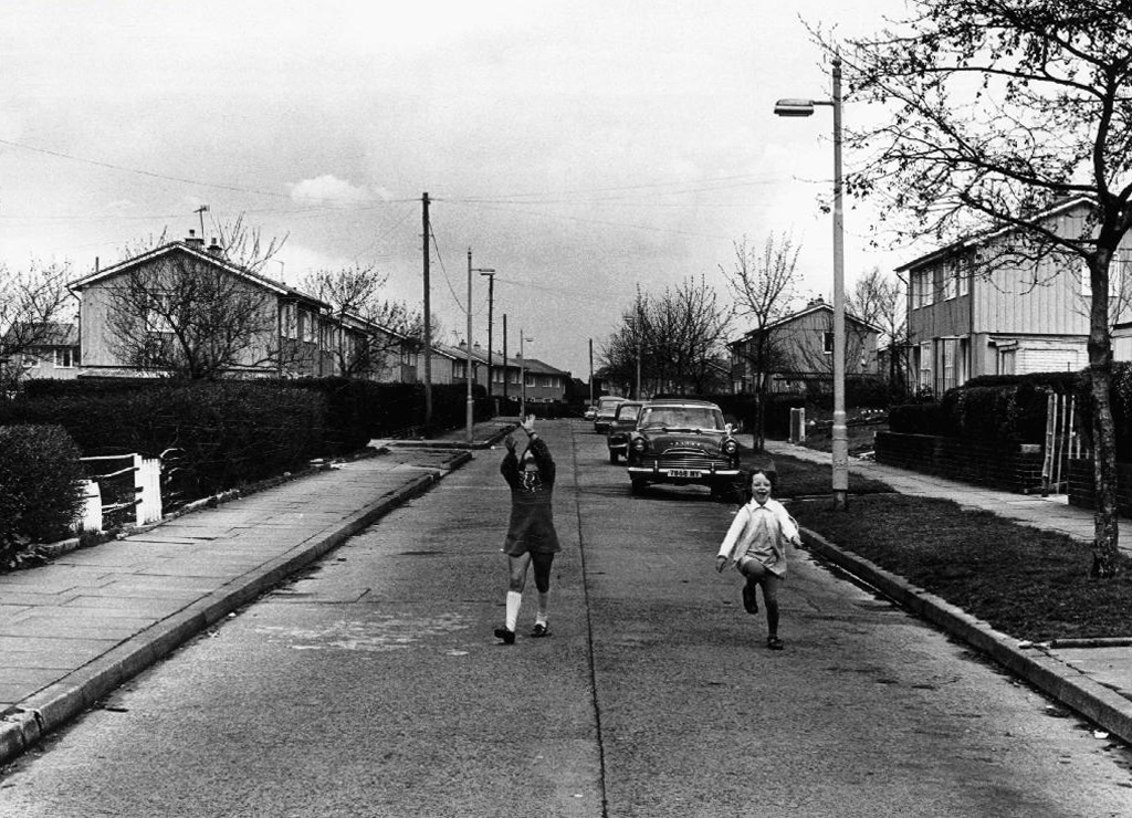
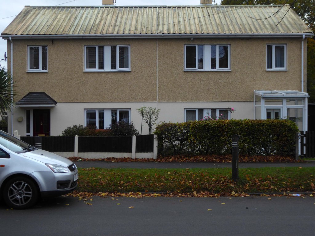
Next thing you know you have emerged into the daylight on Dalton Street – we have been here before seeking the Collyhurst Cowboy.
Photograph: Dennis Hussey
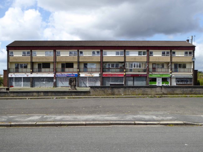
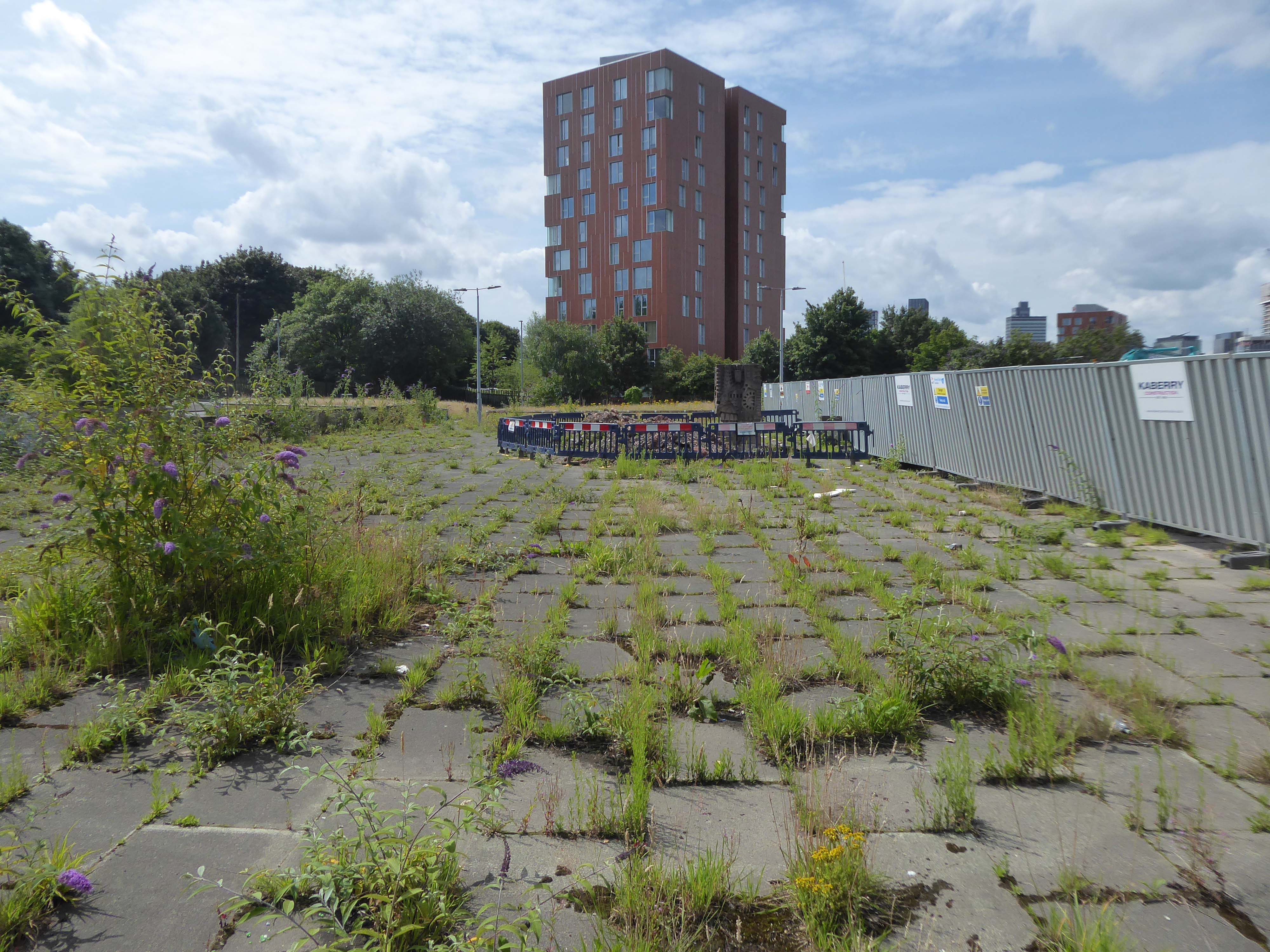
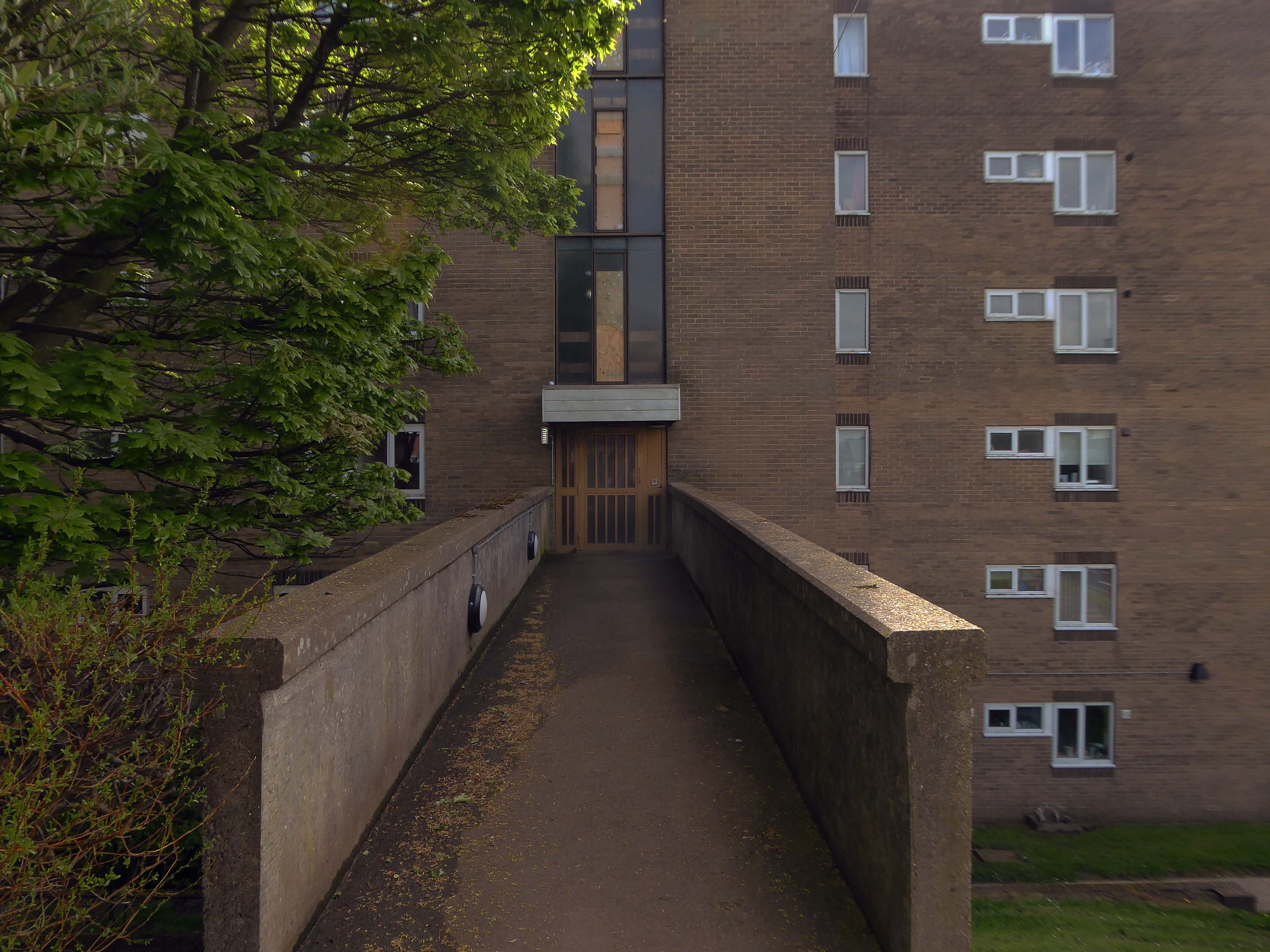
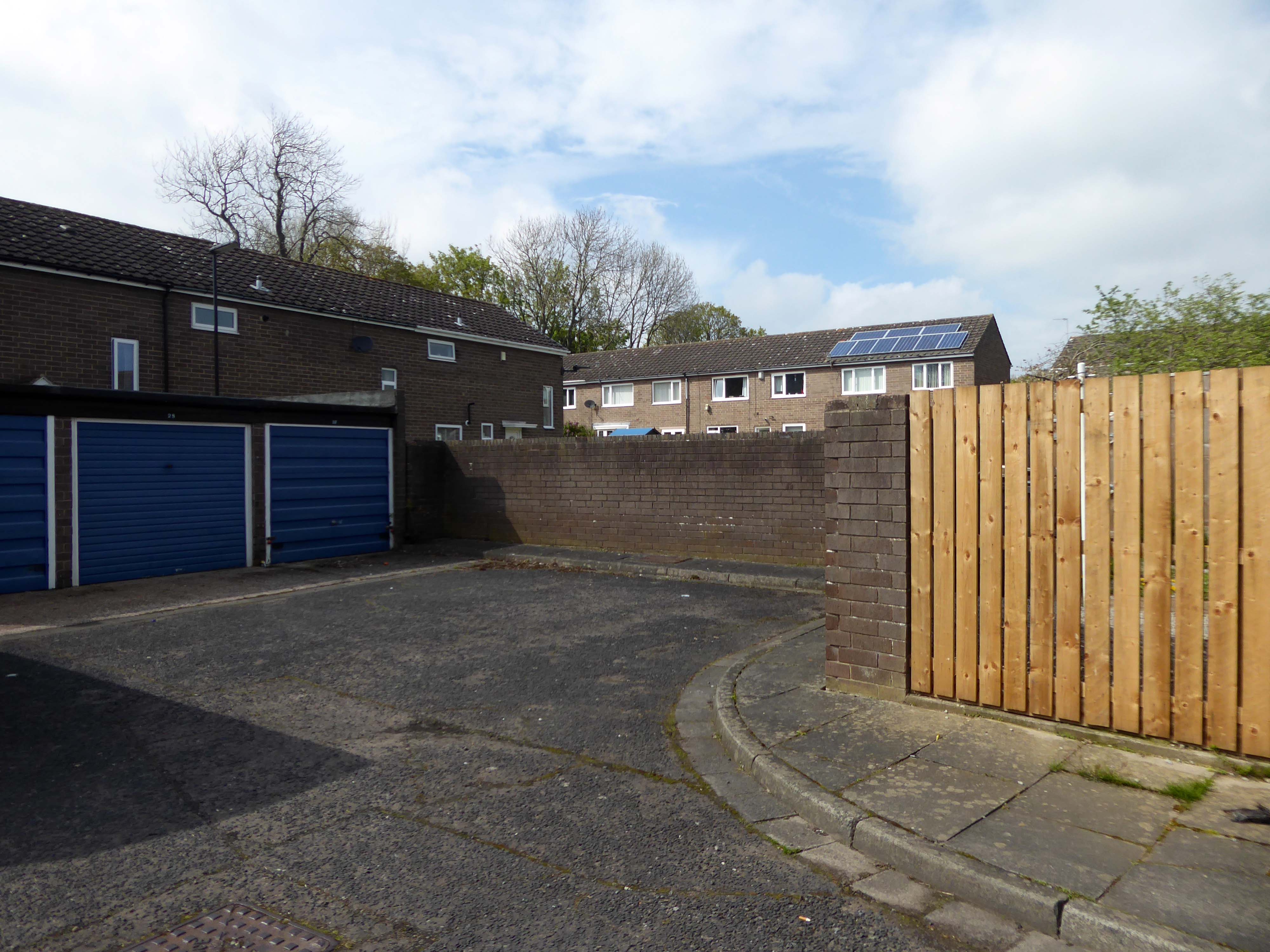
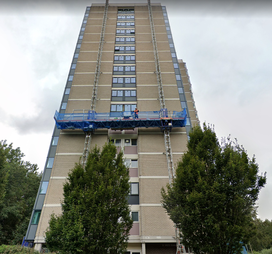
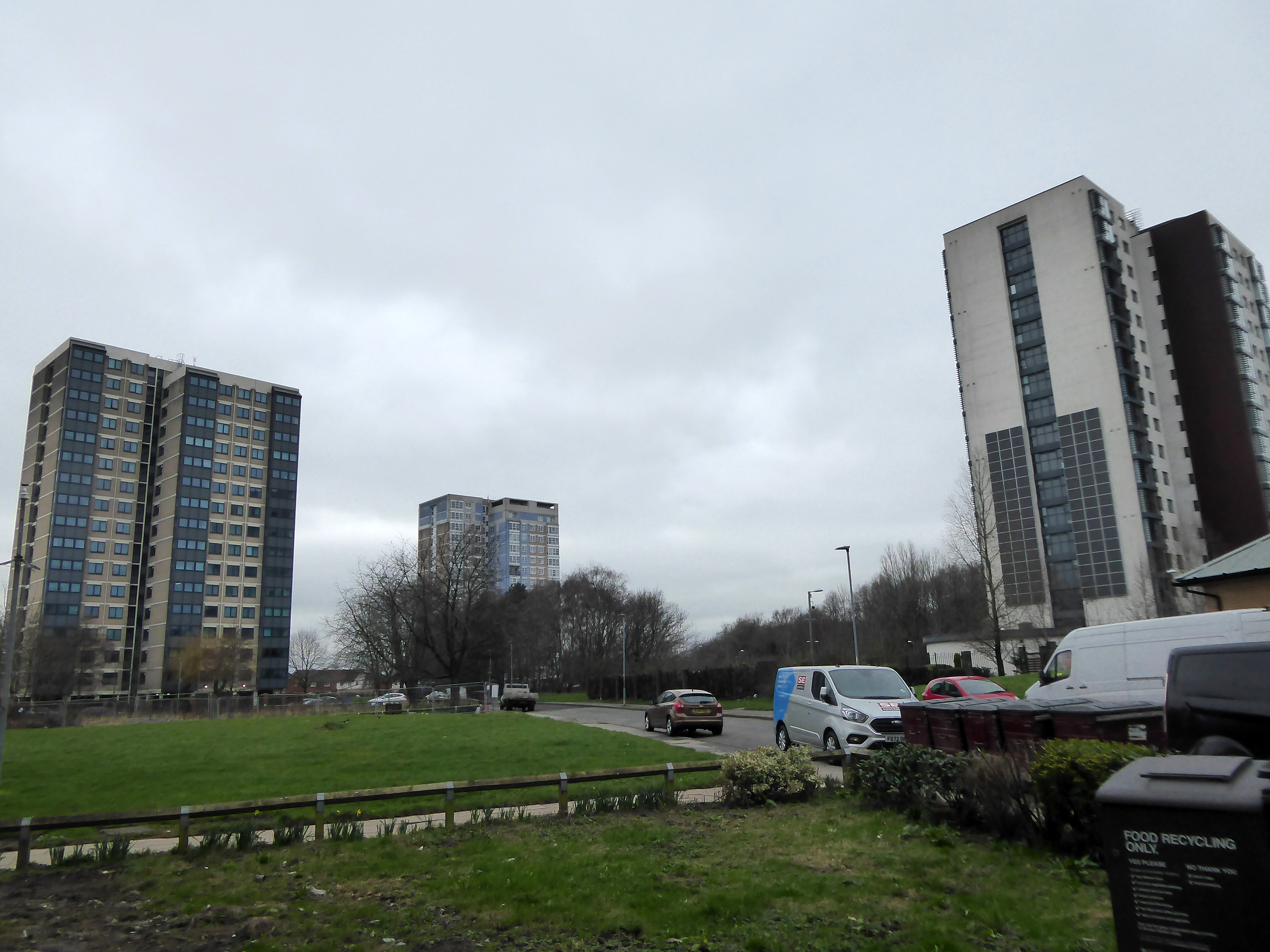
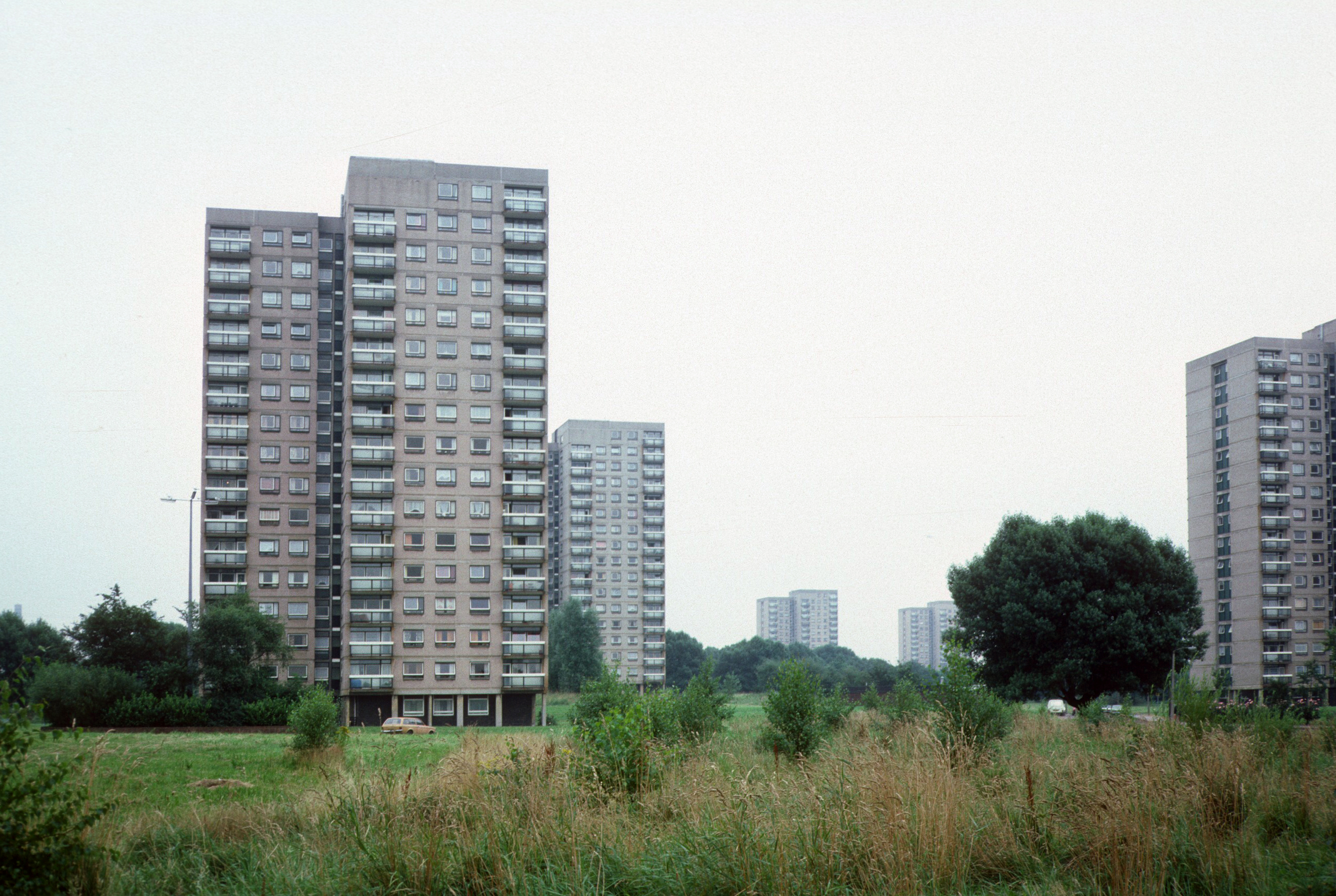
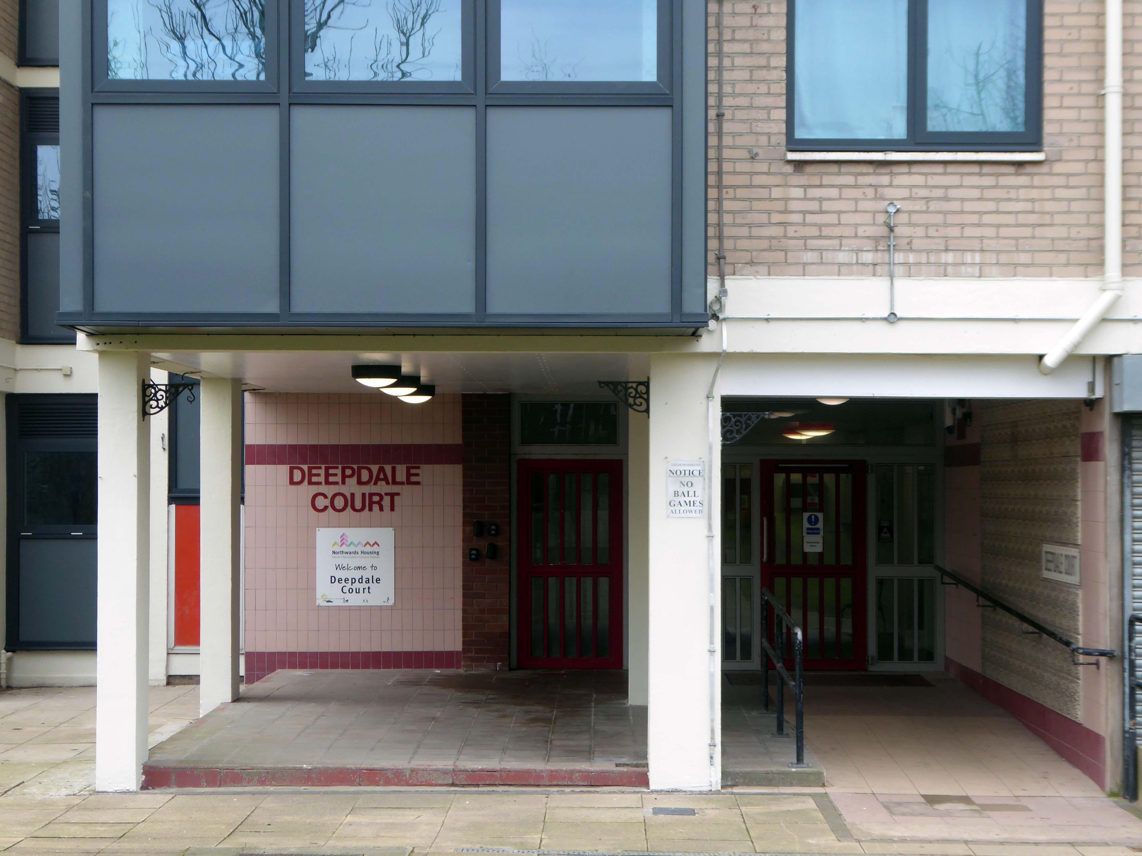
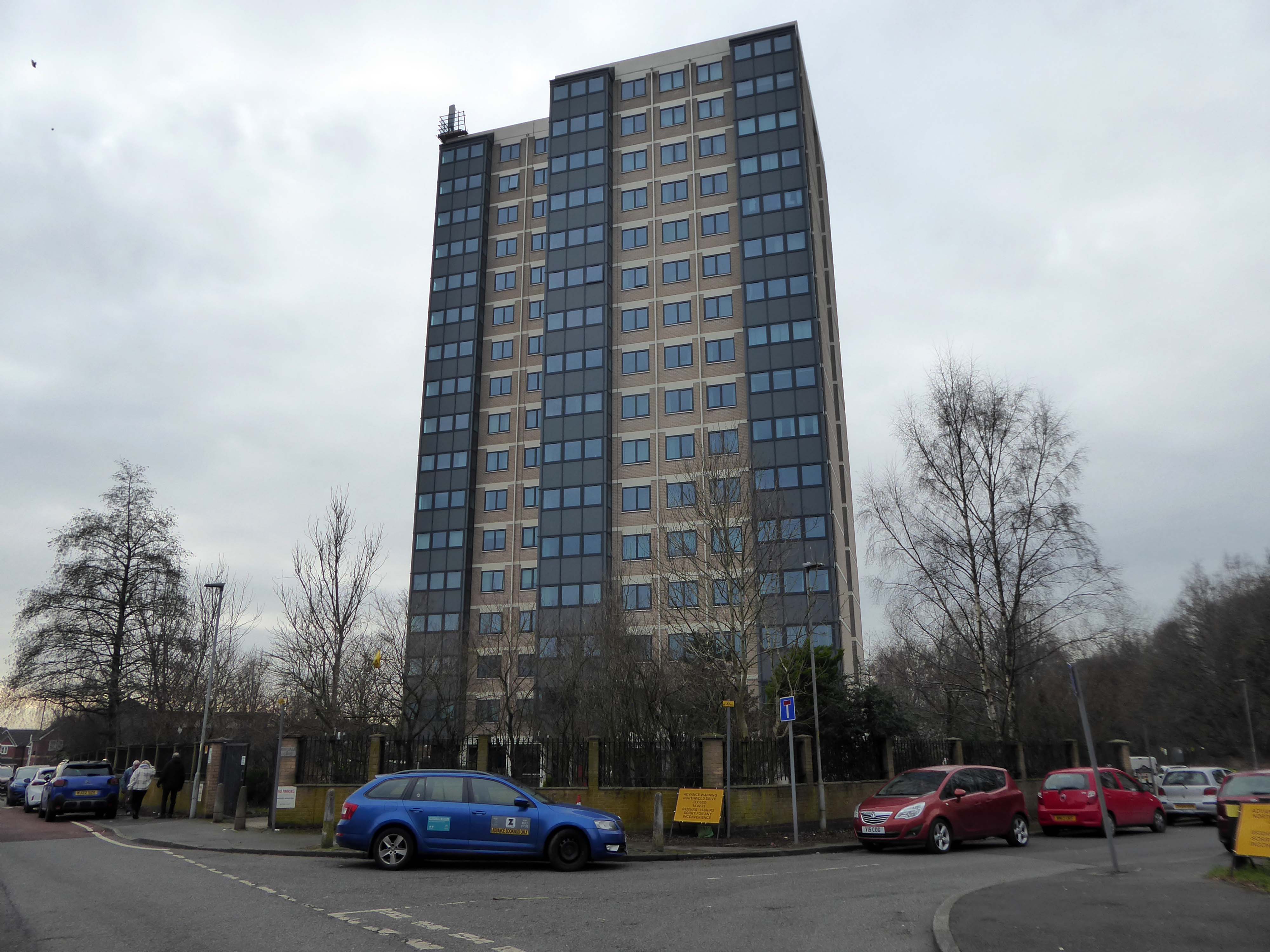
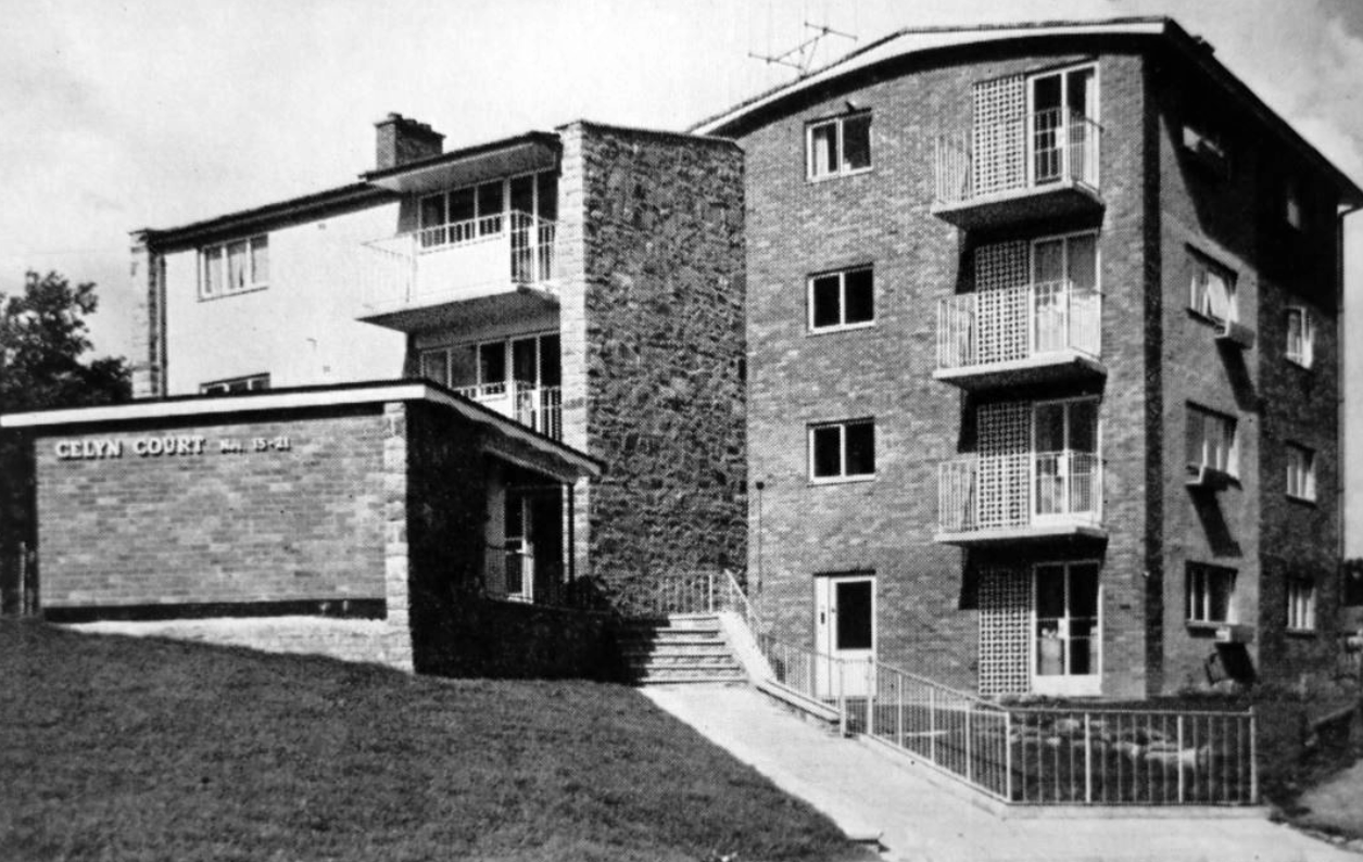
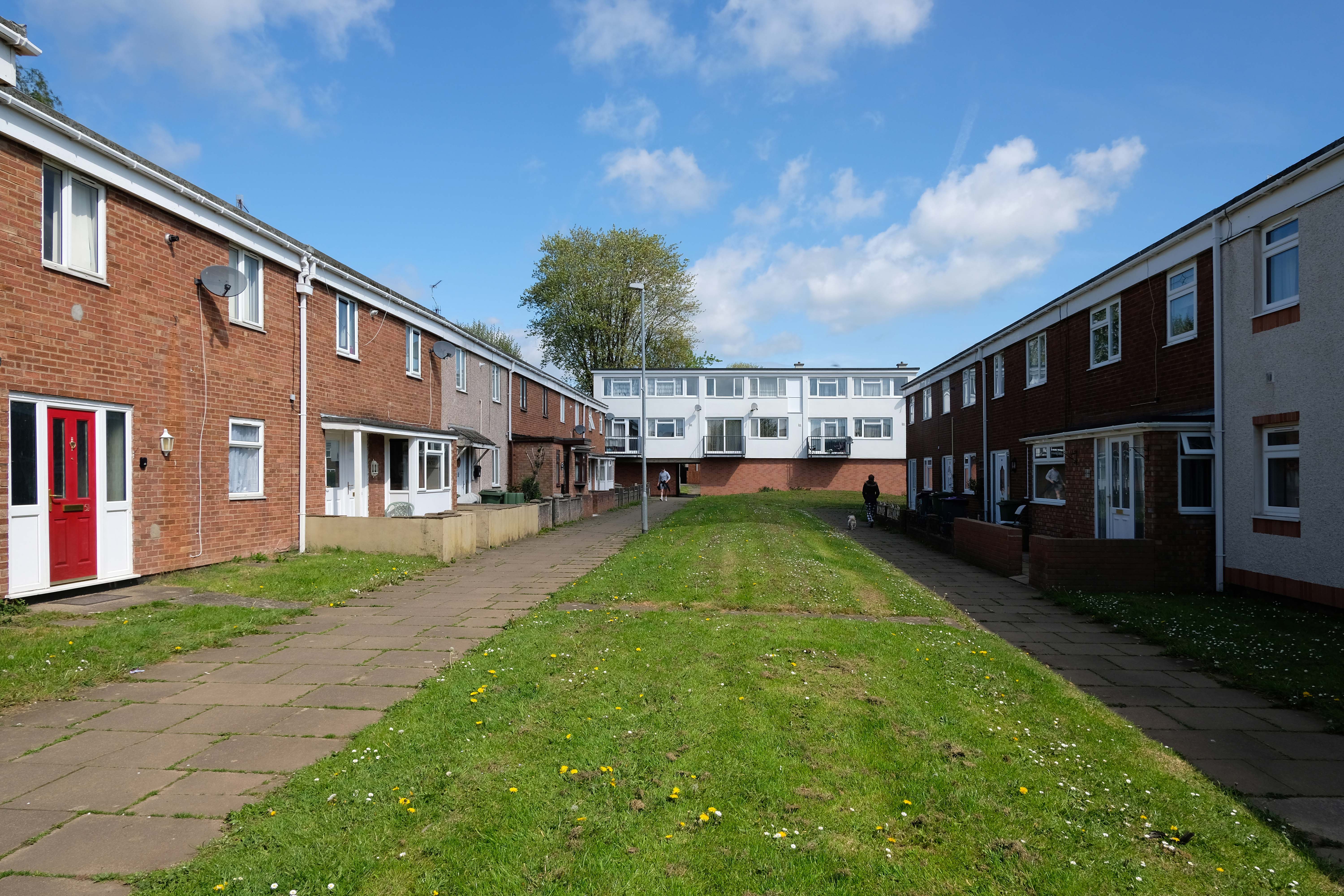
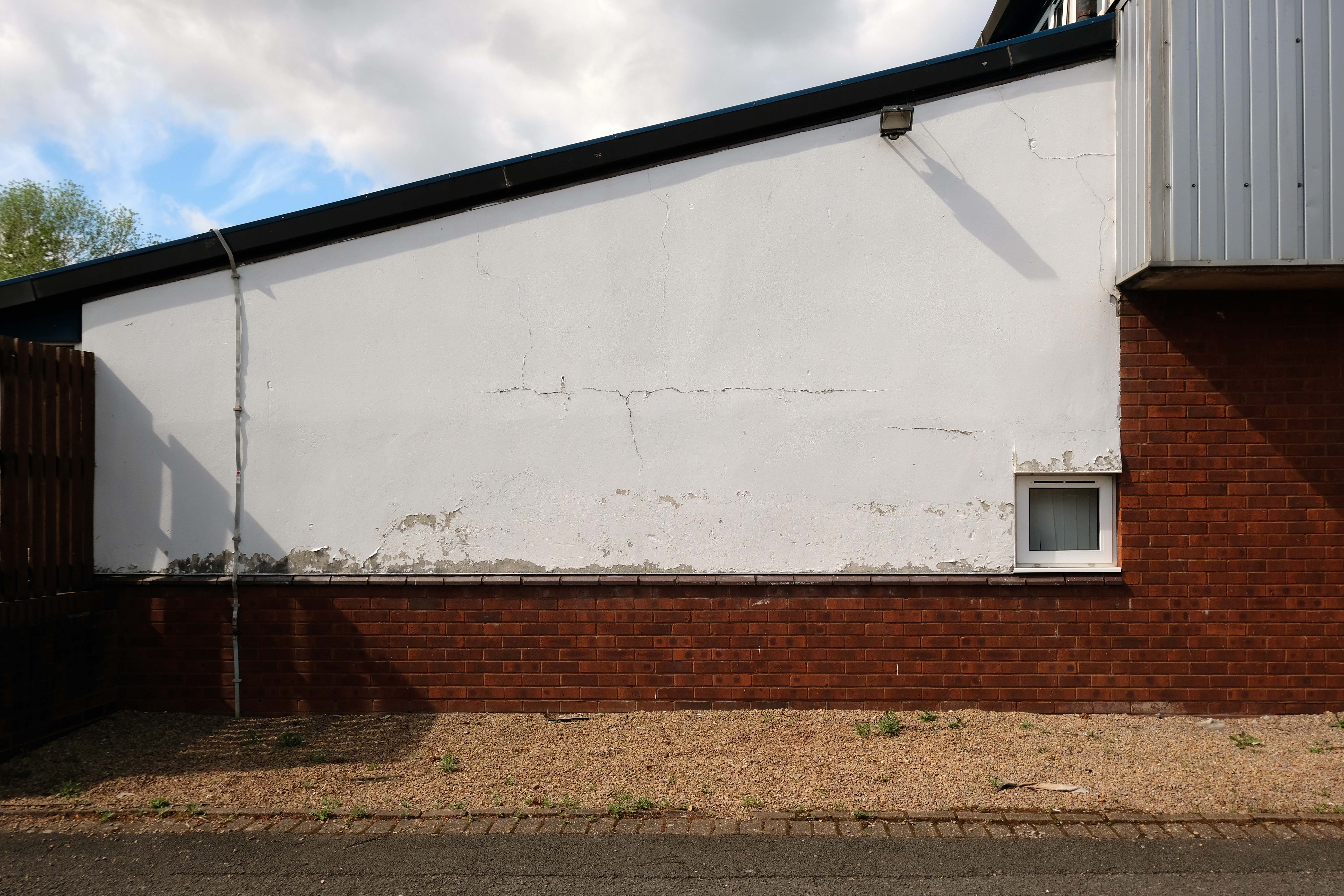
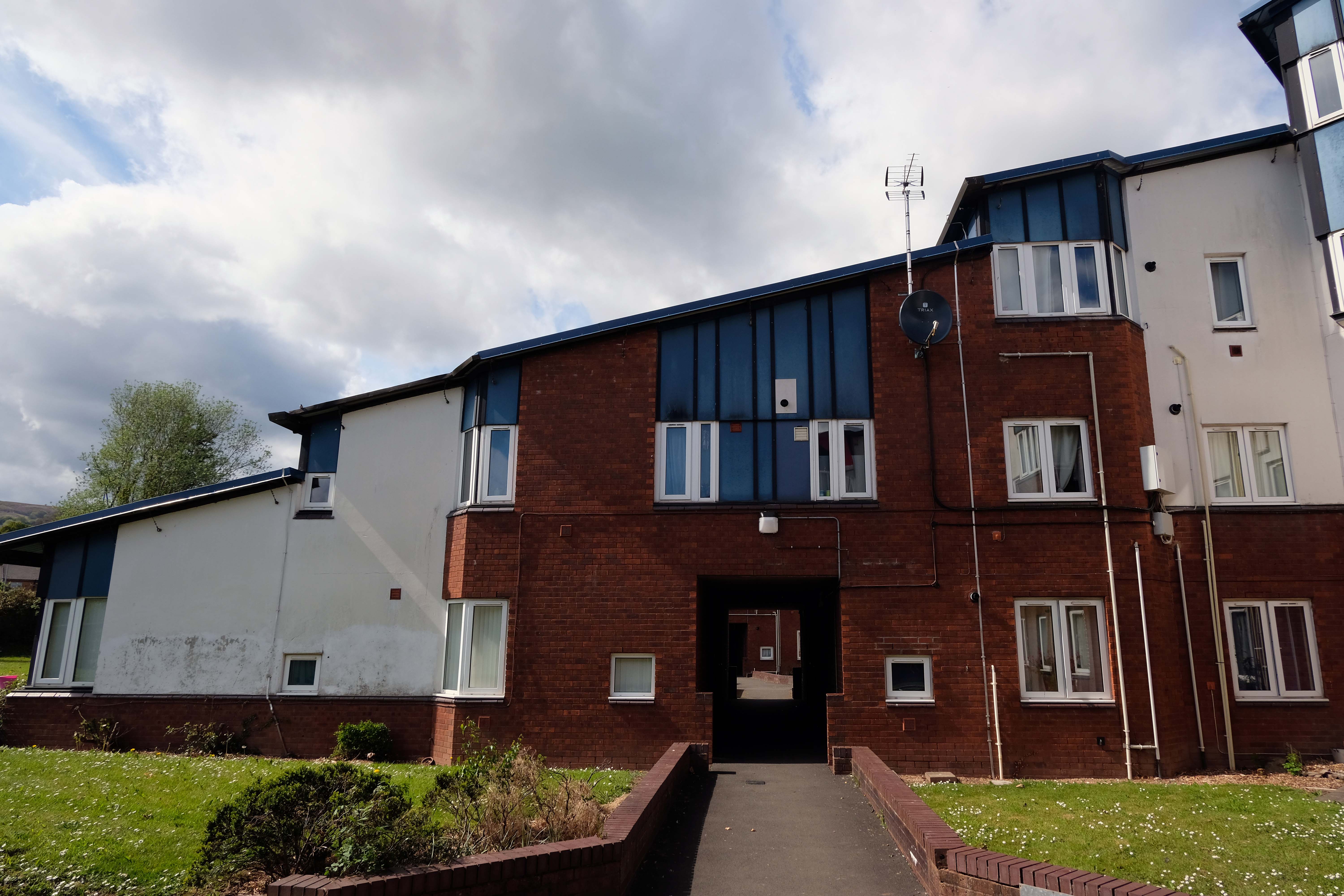
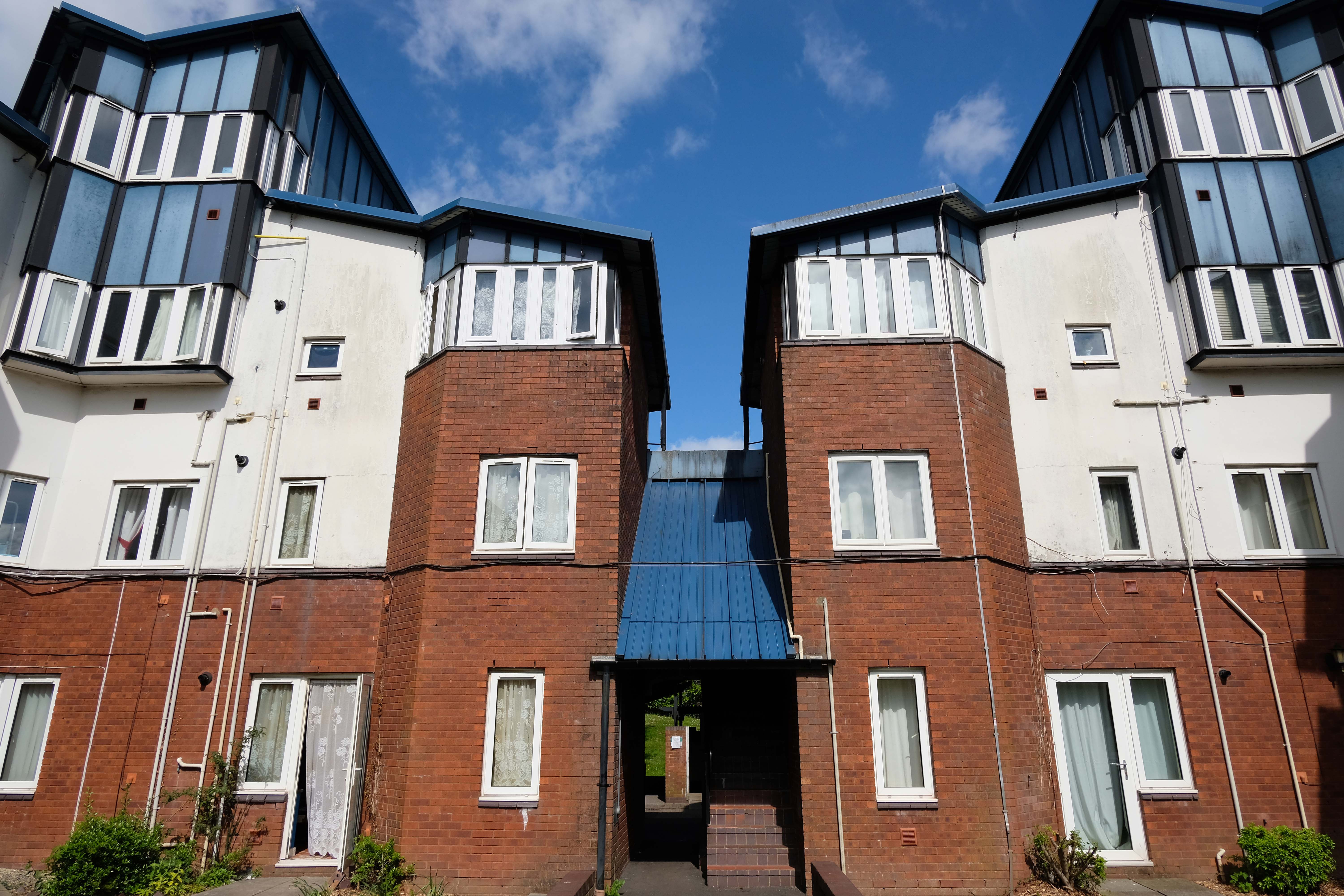
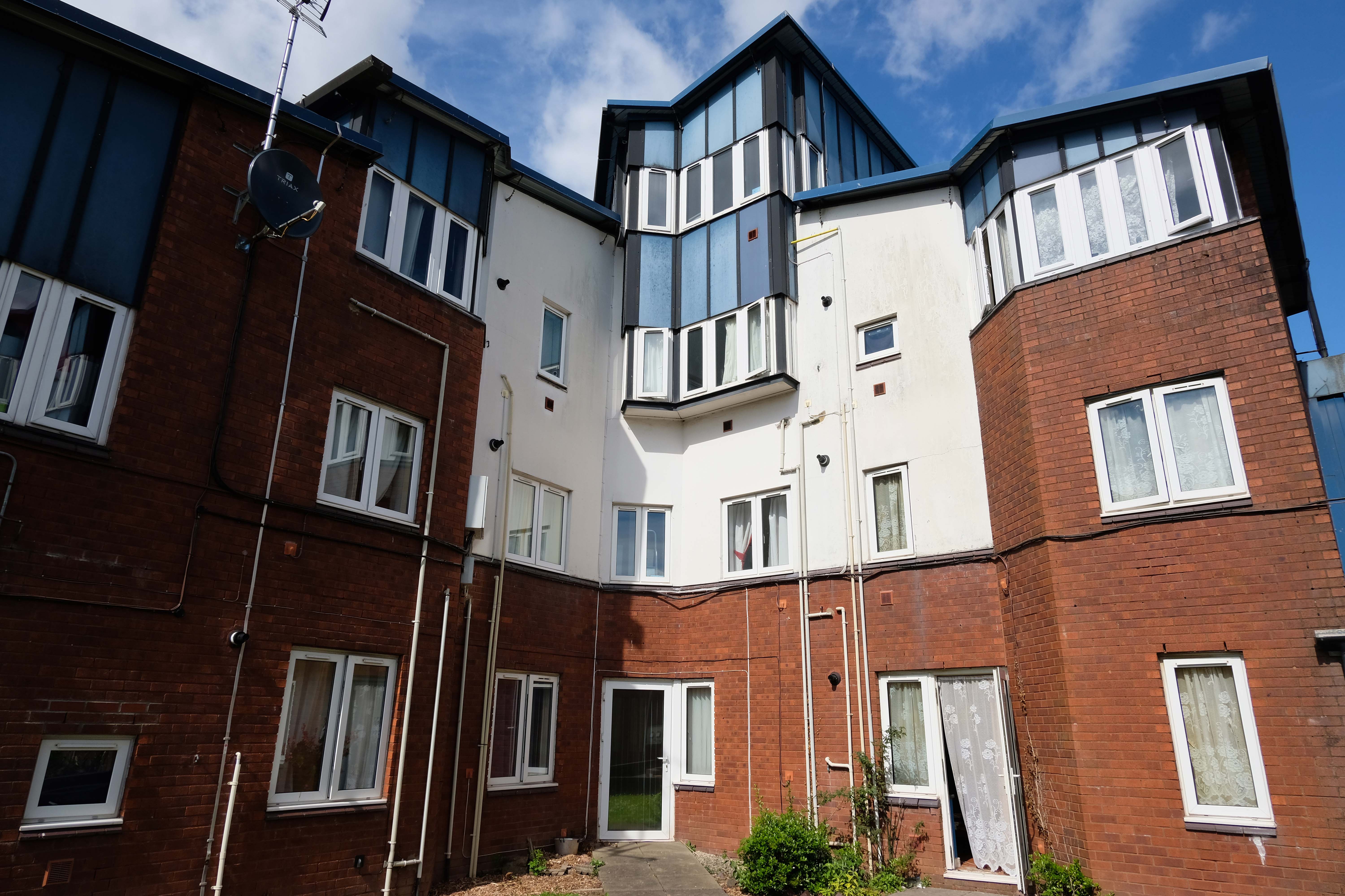
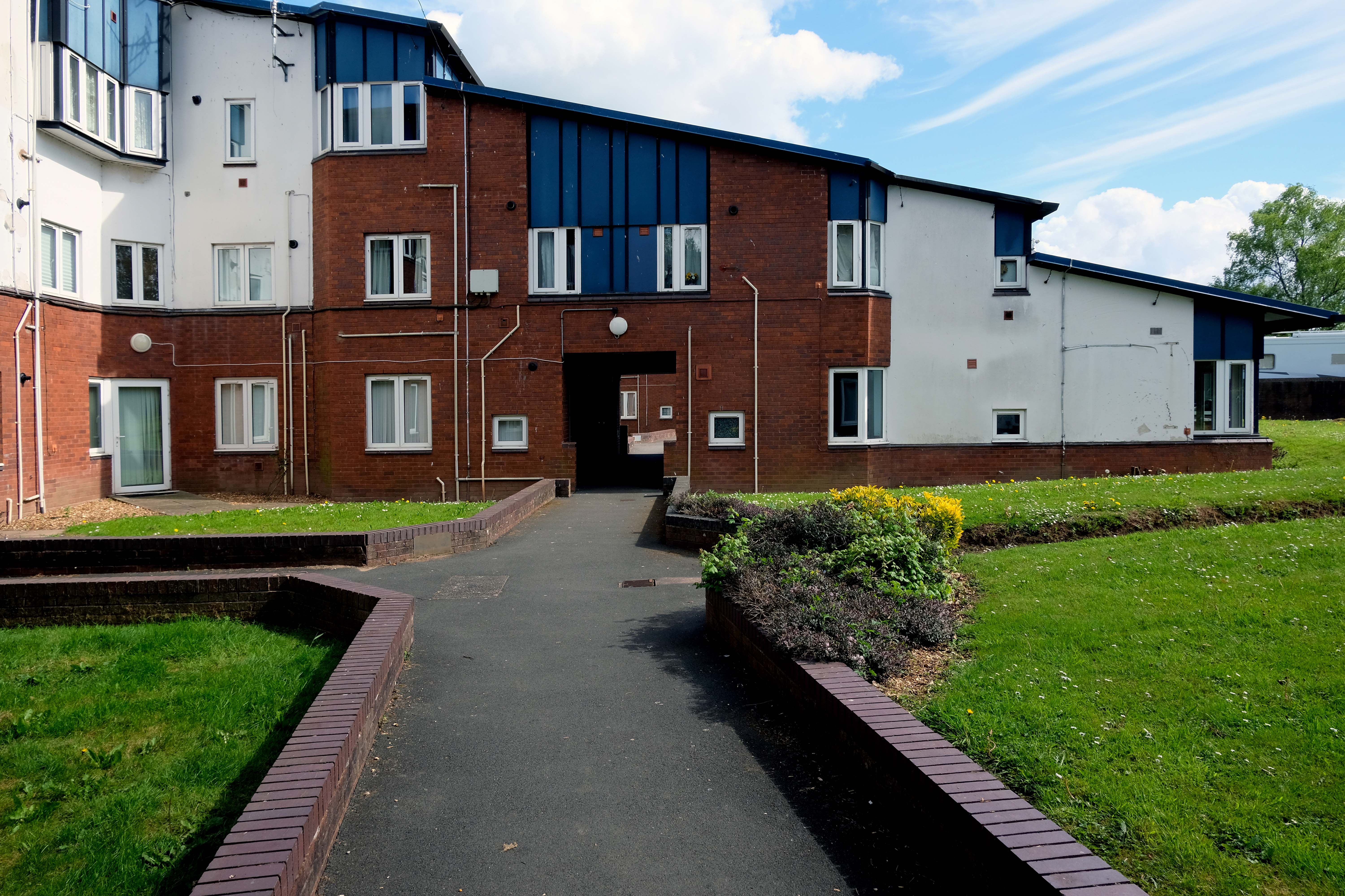
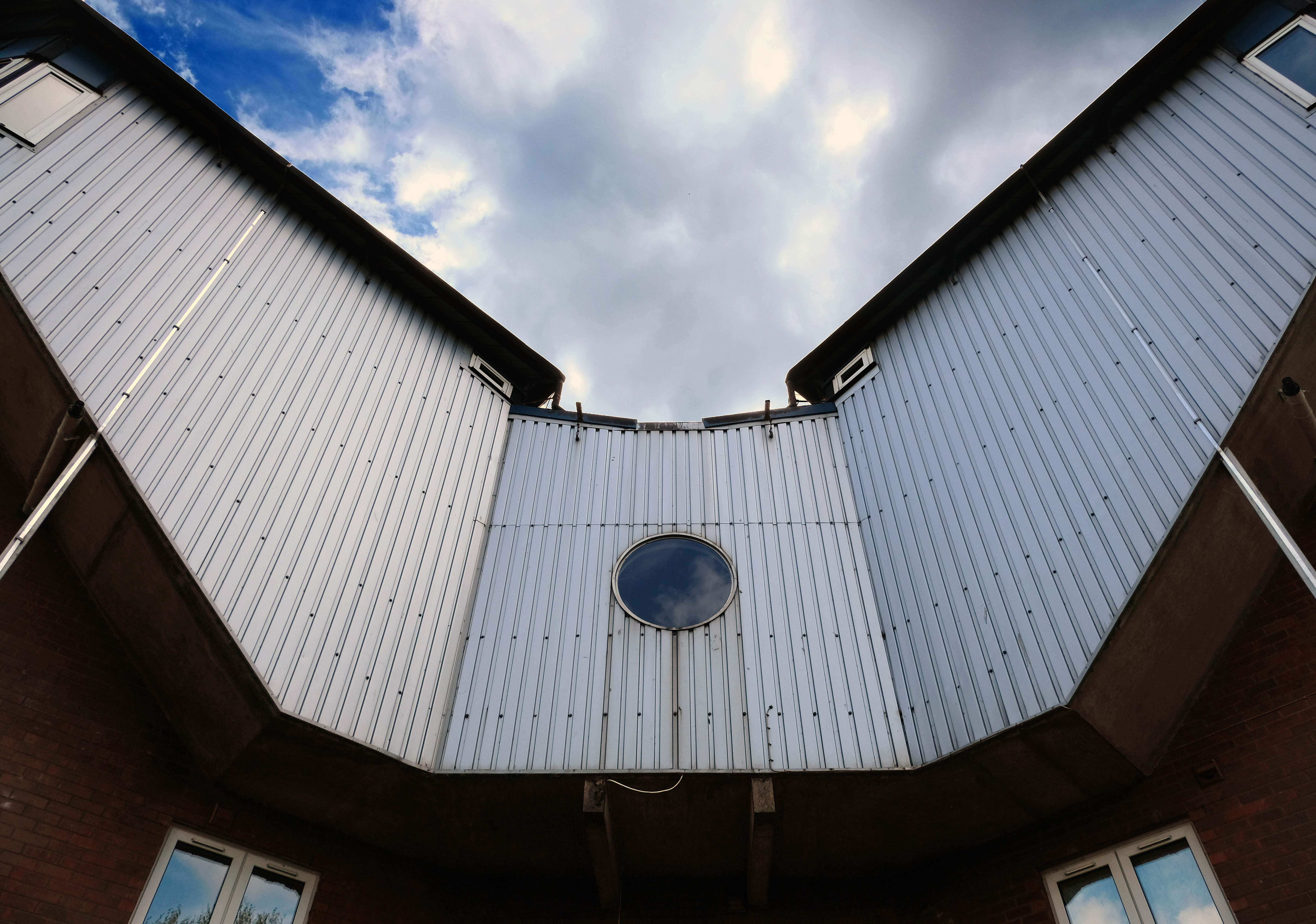
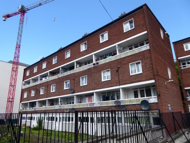
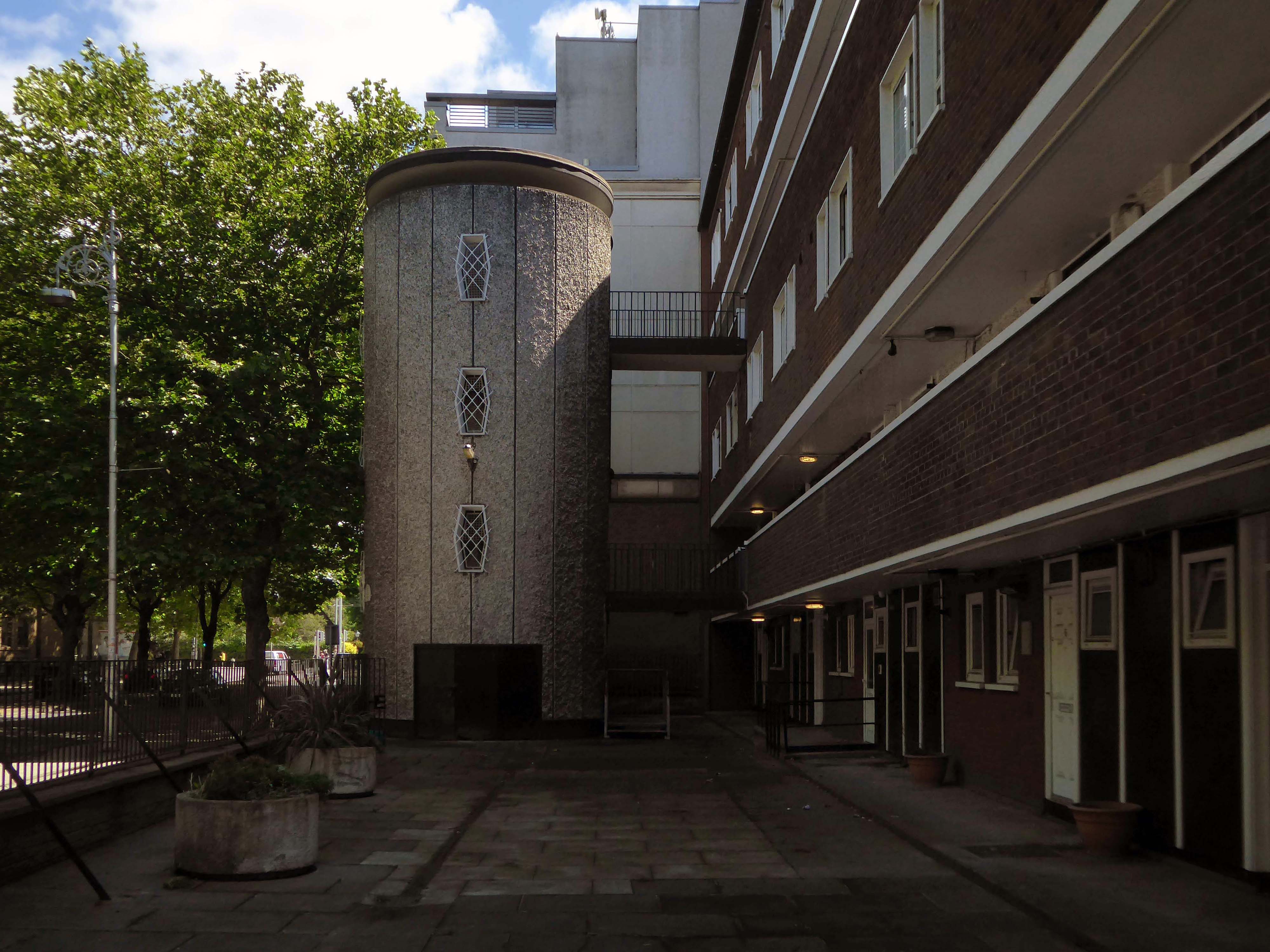
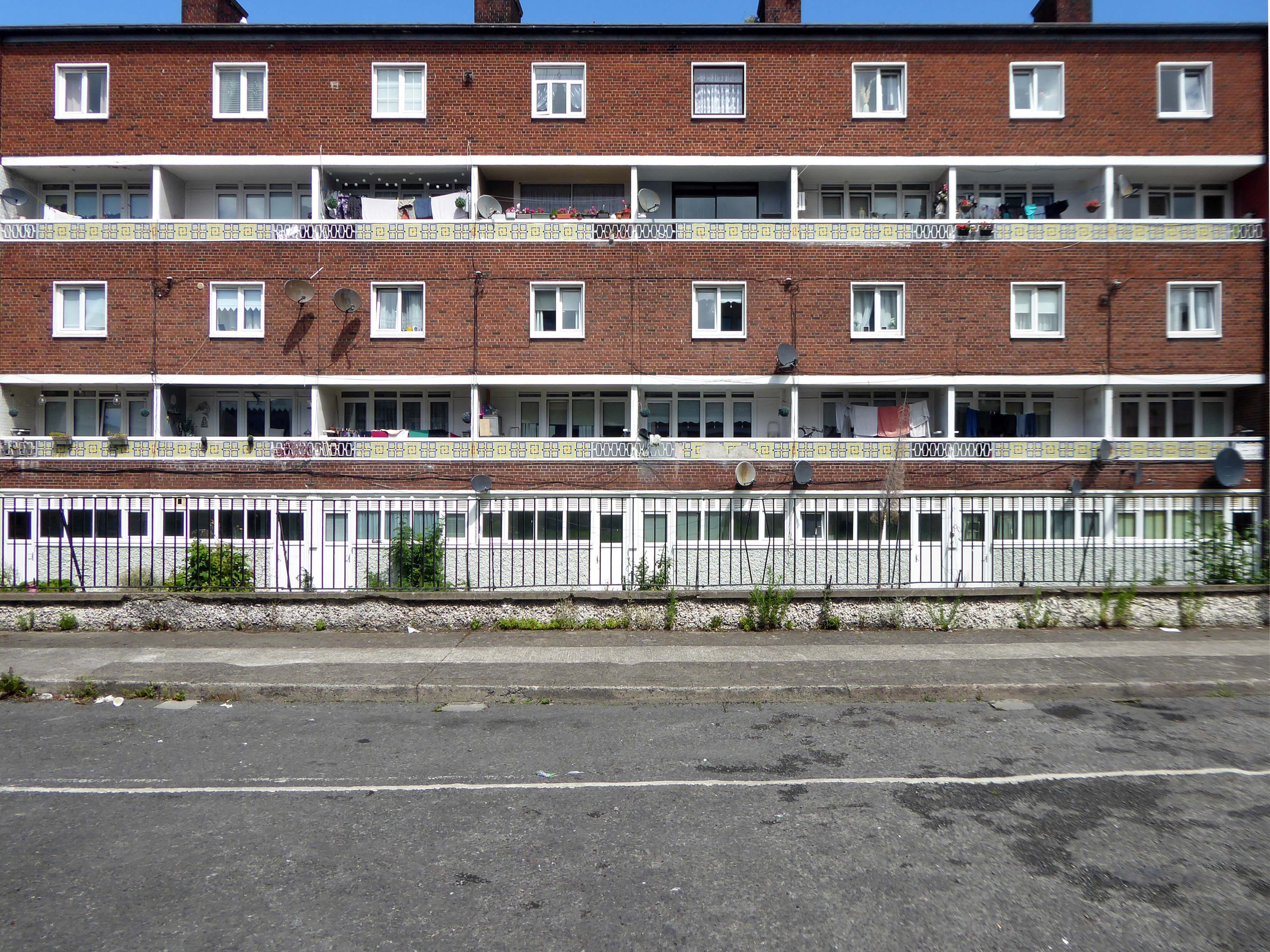
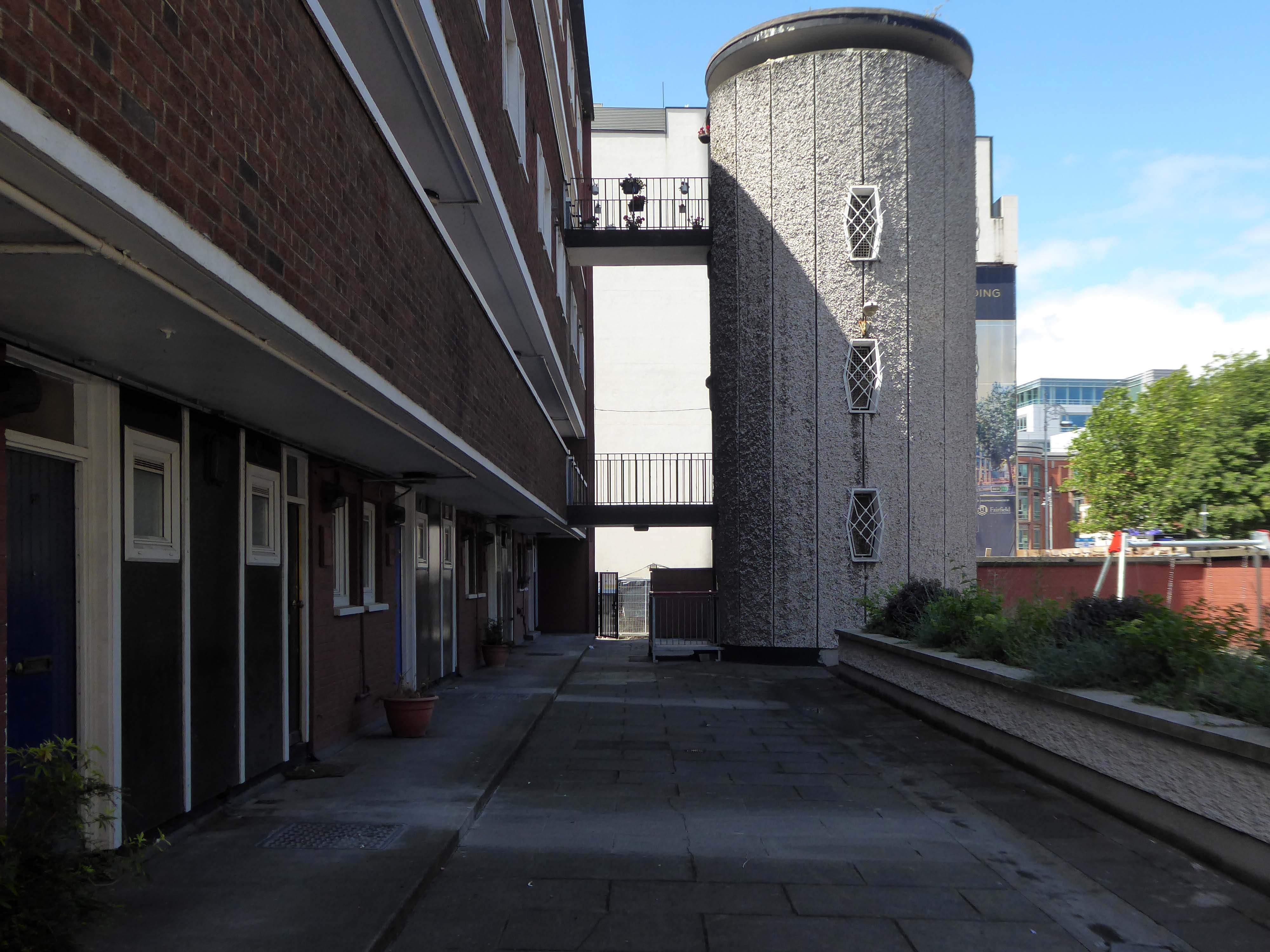
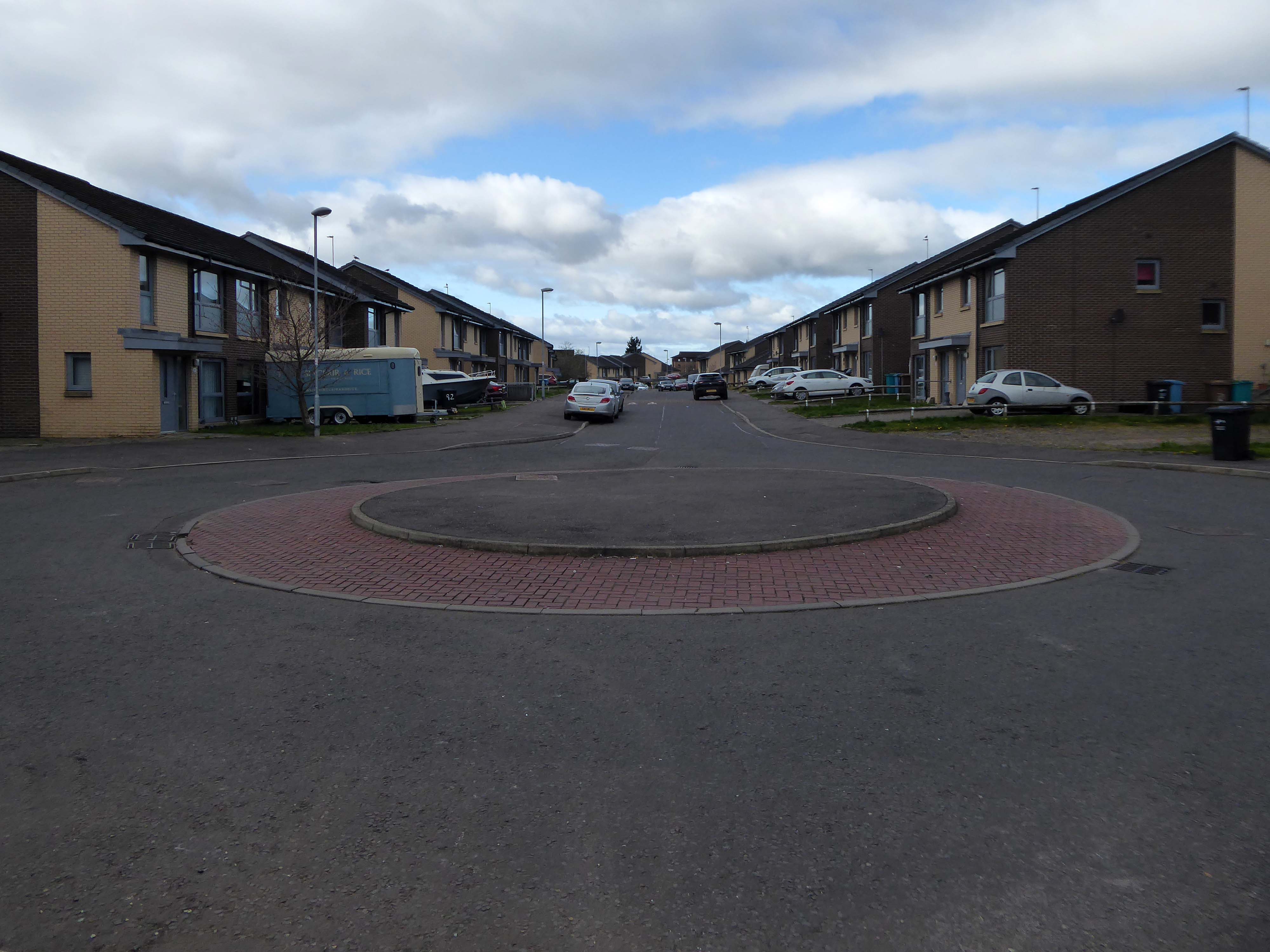
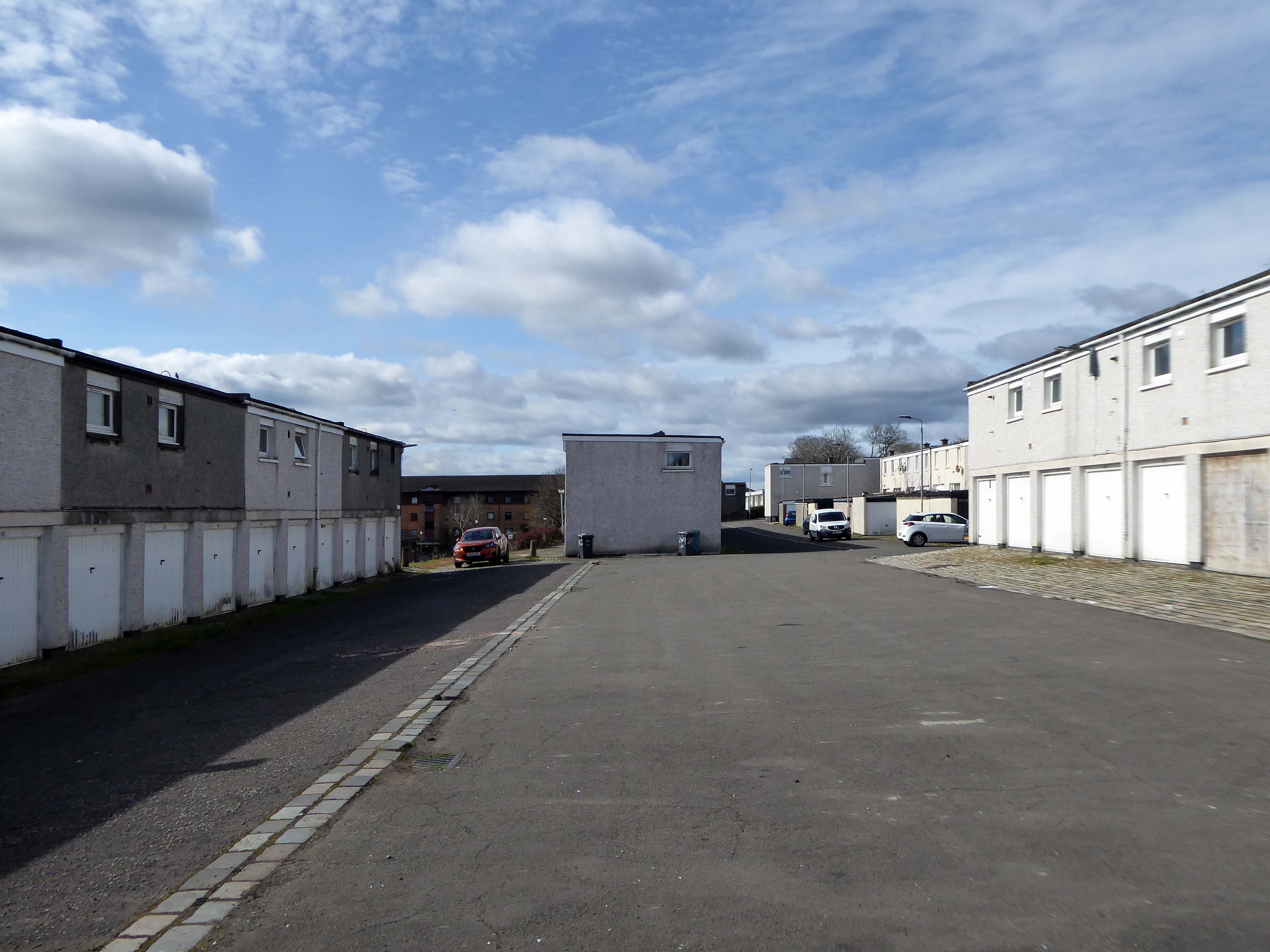
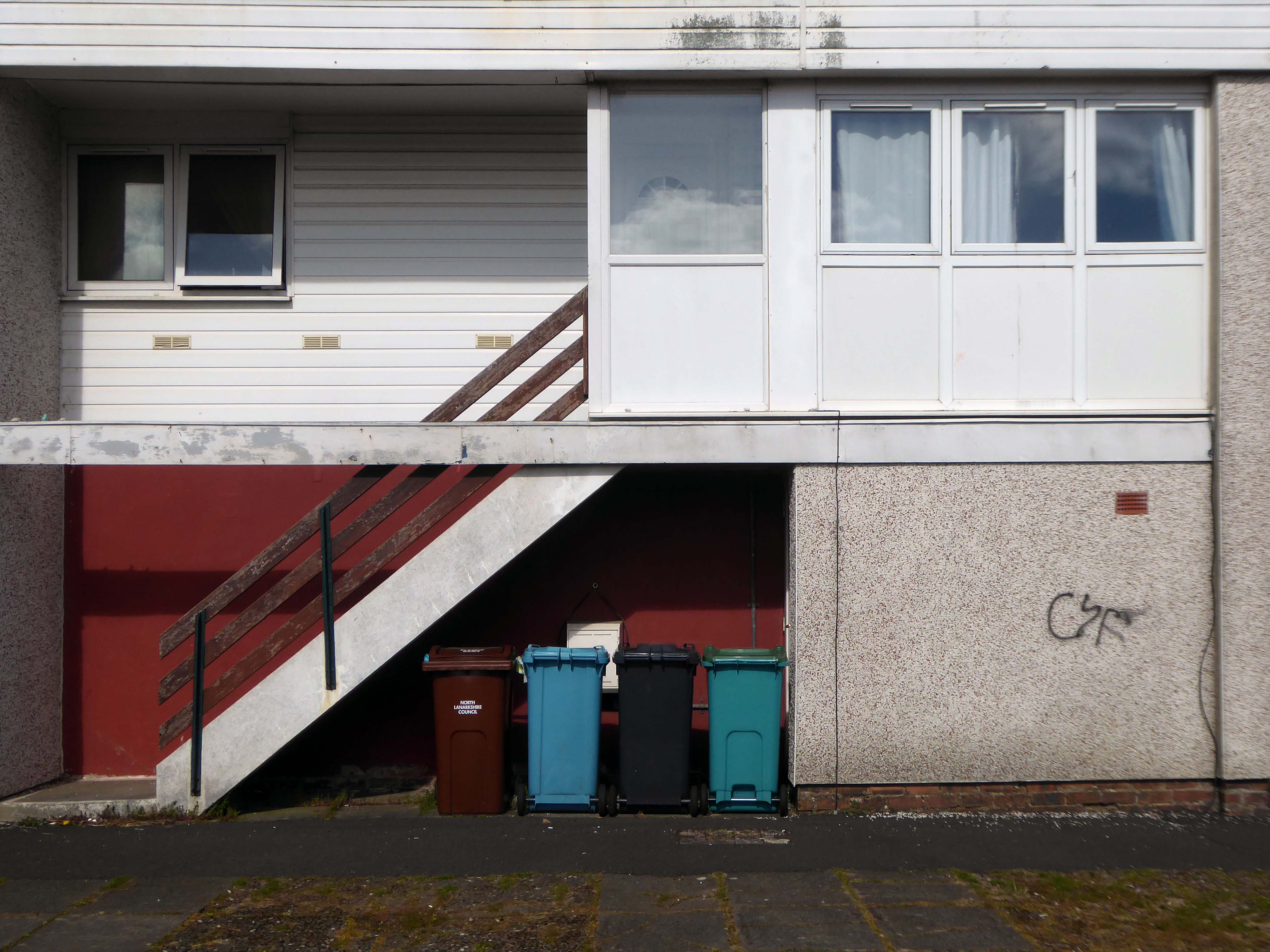
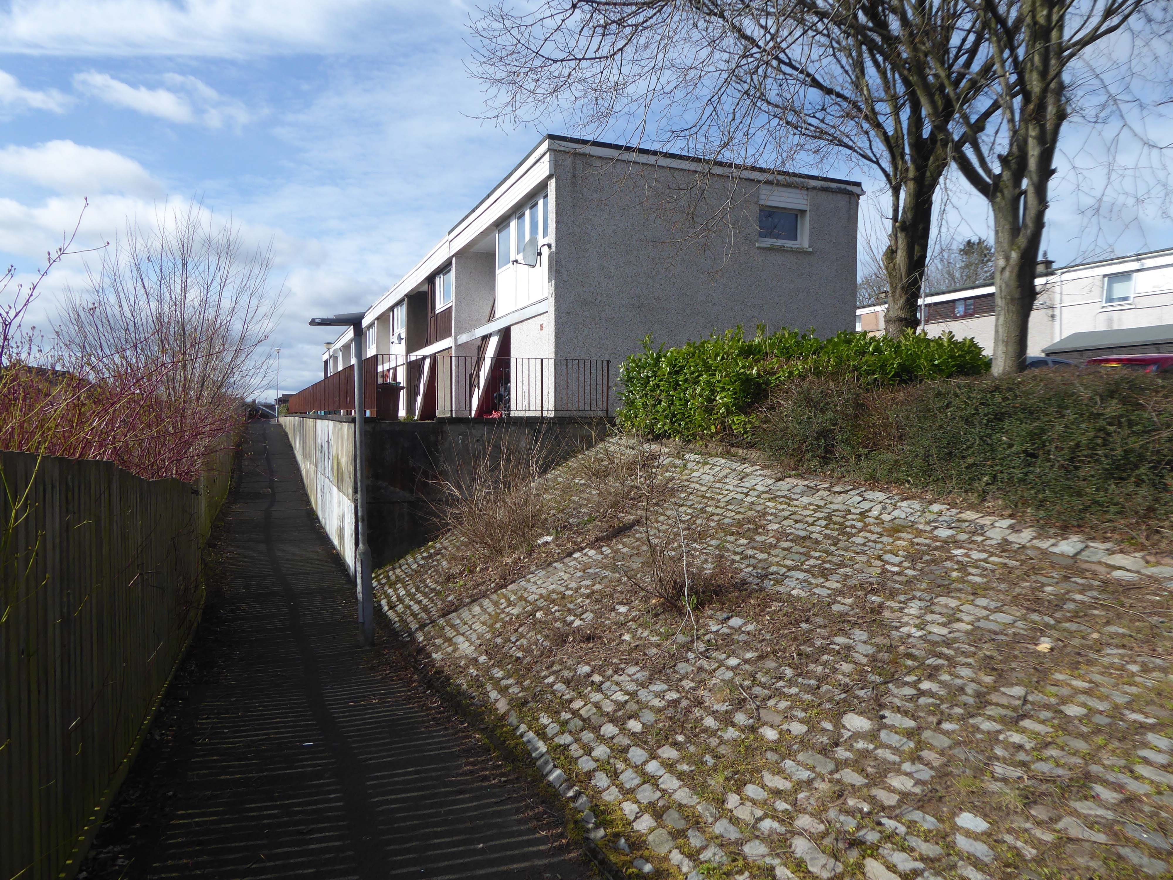
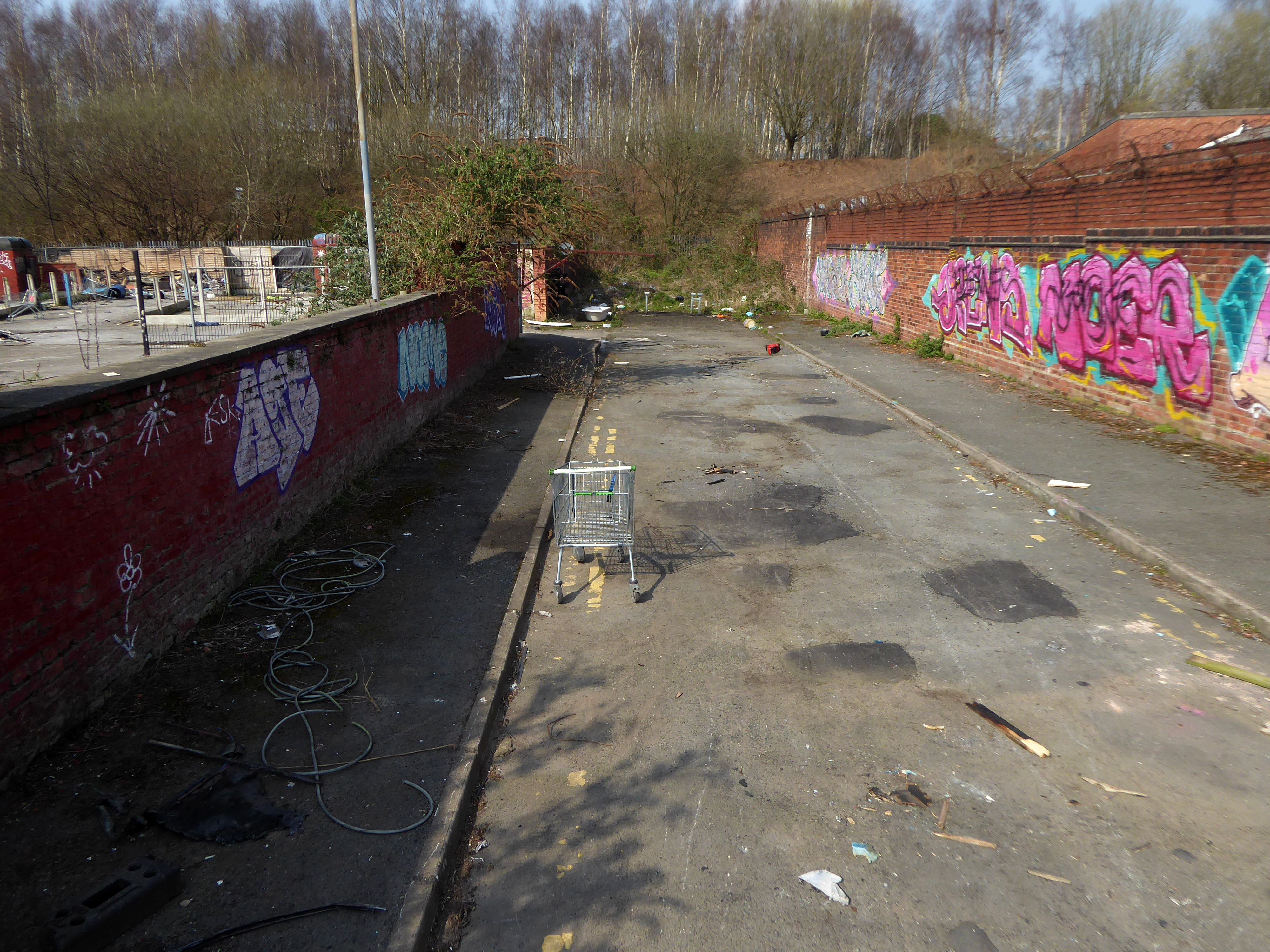
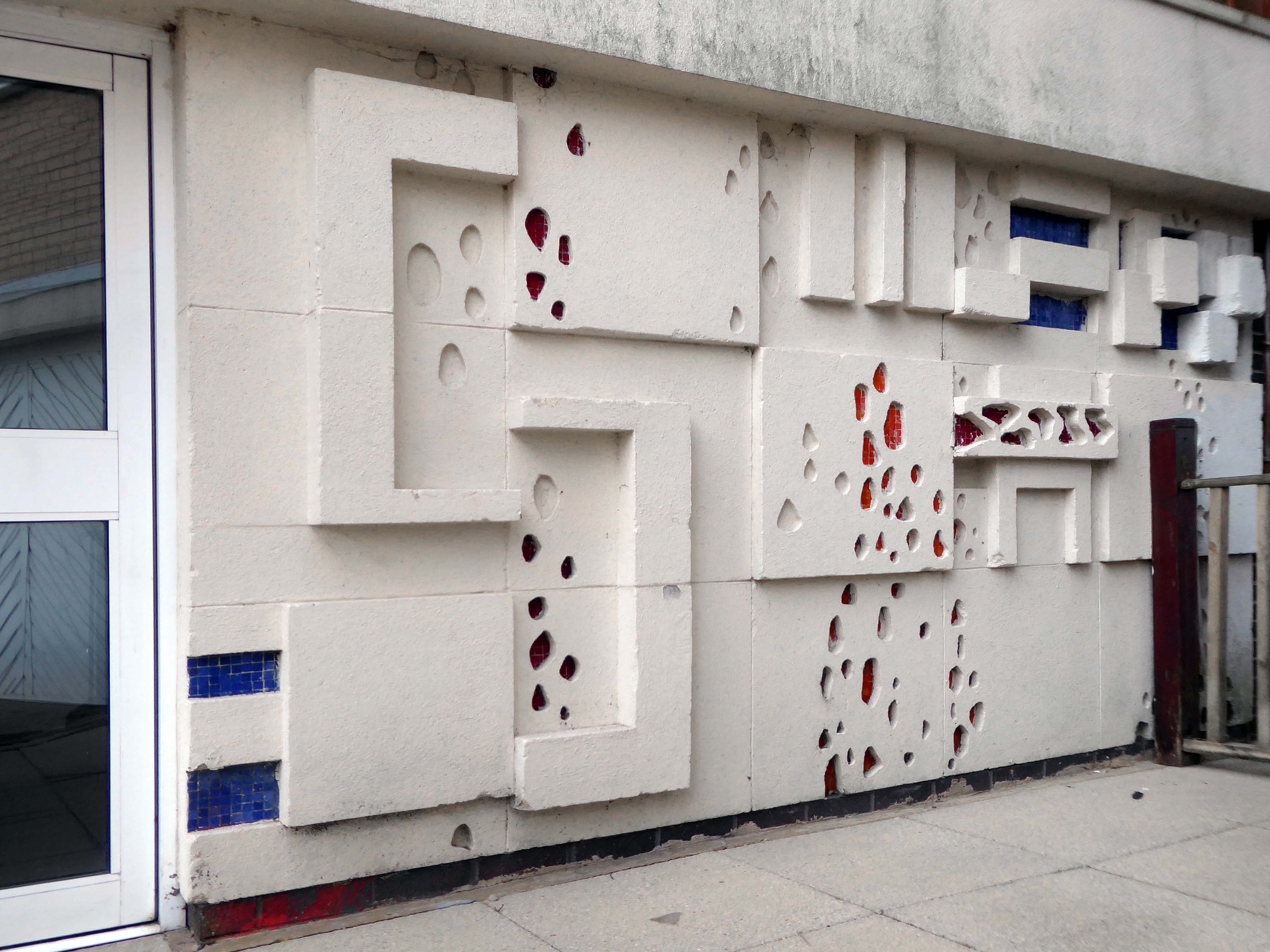
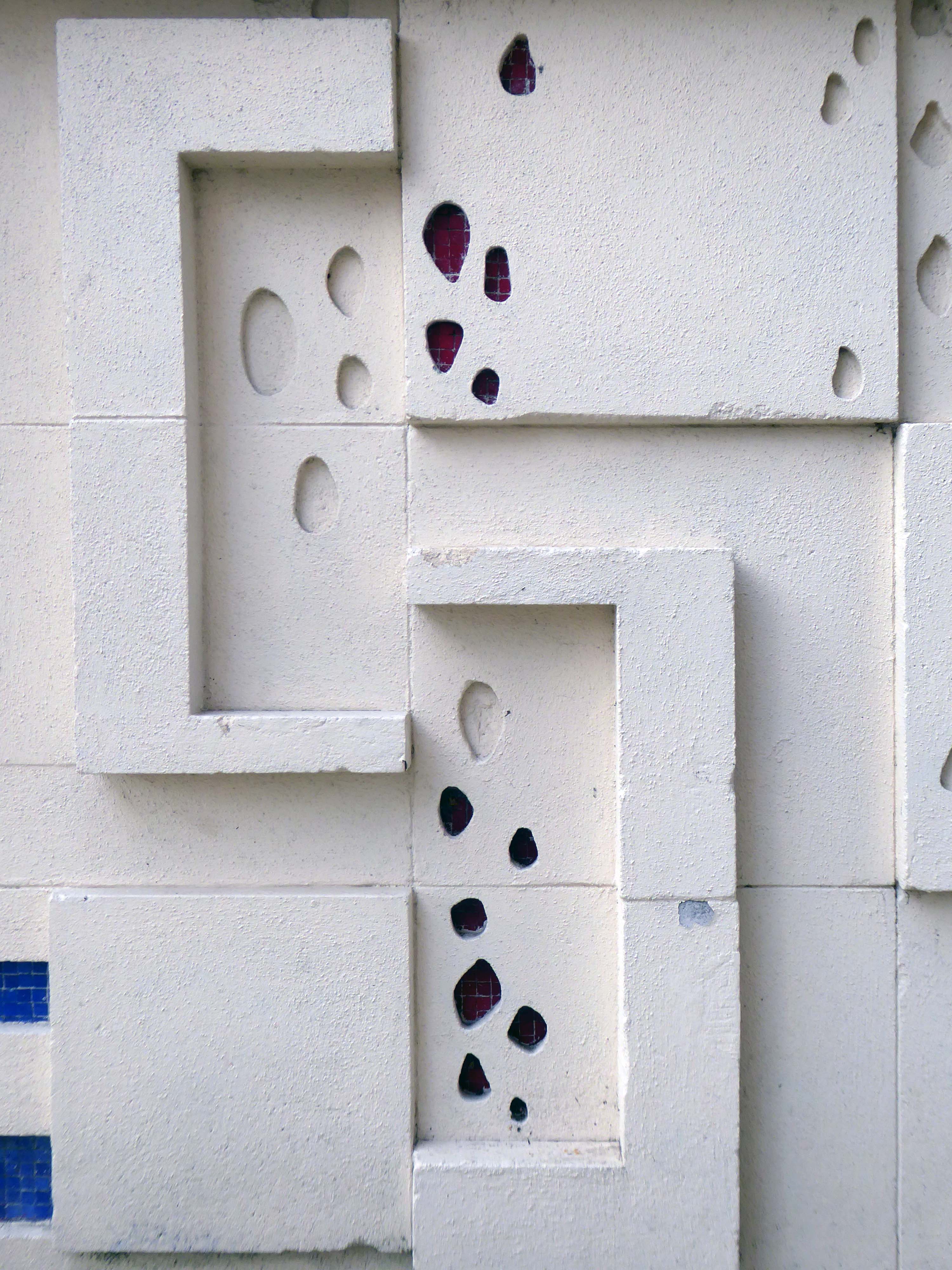
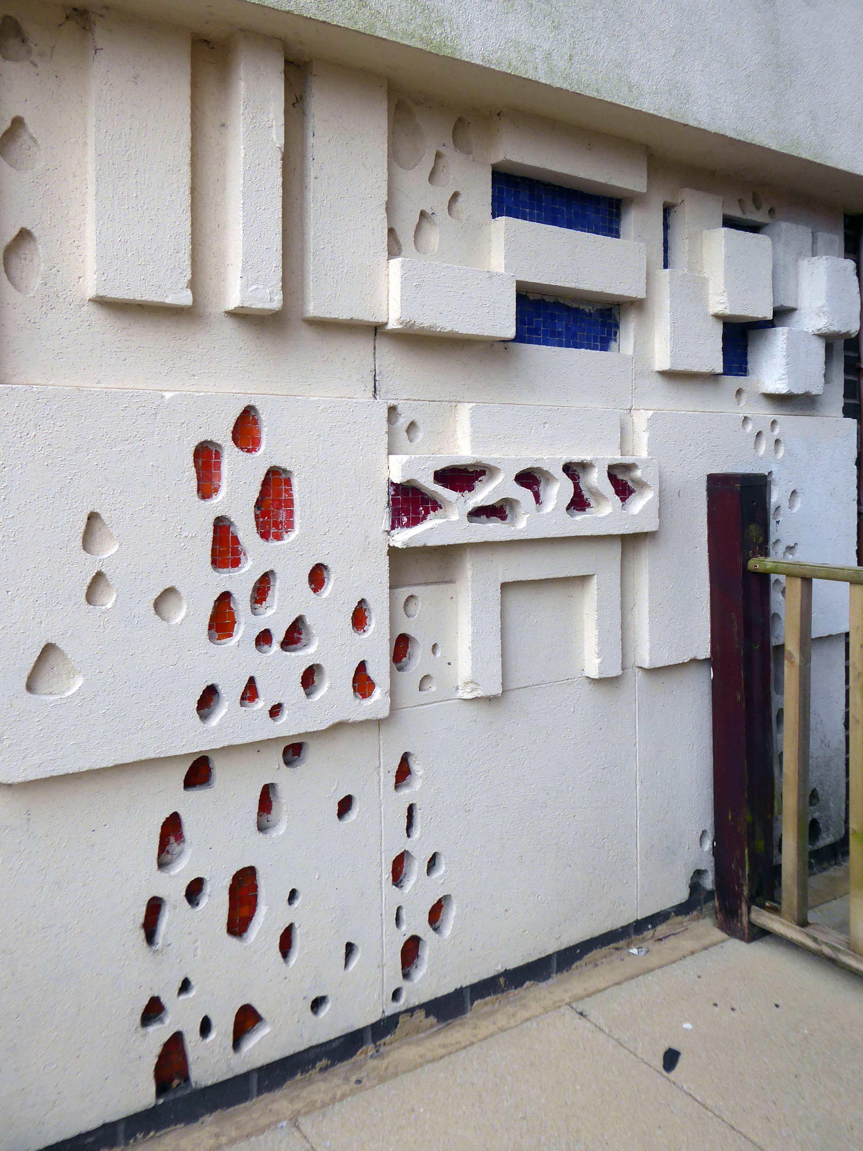
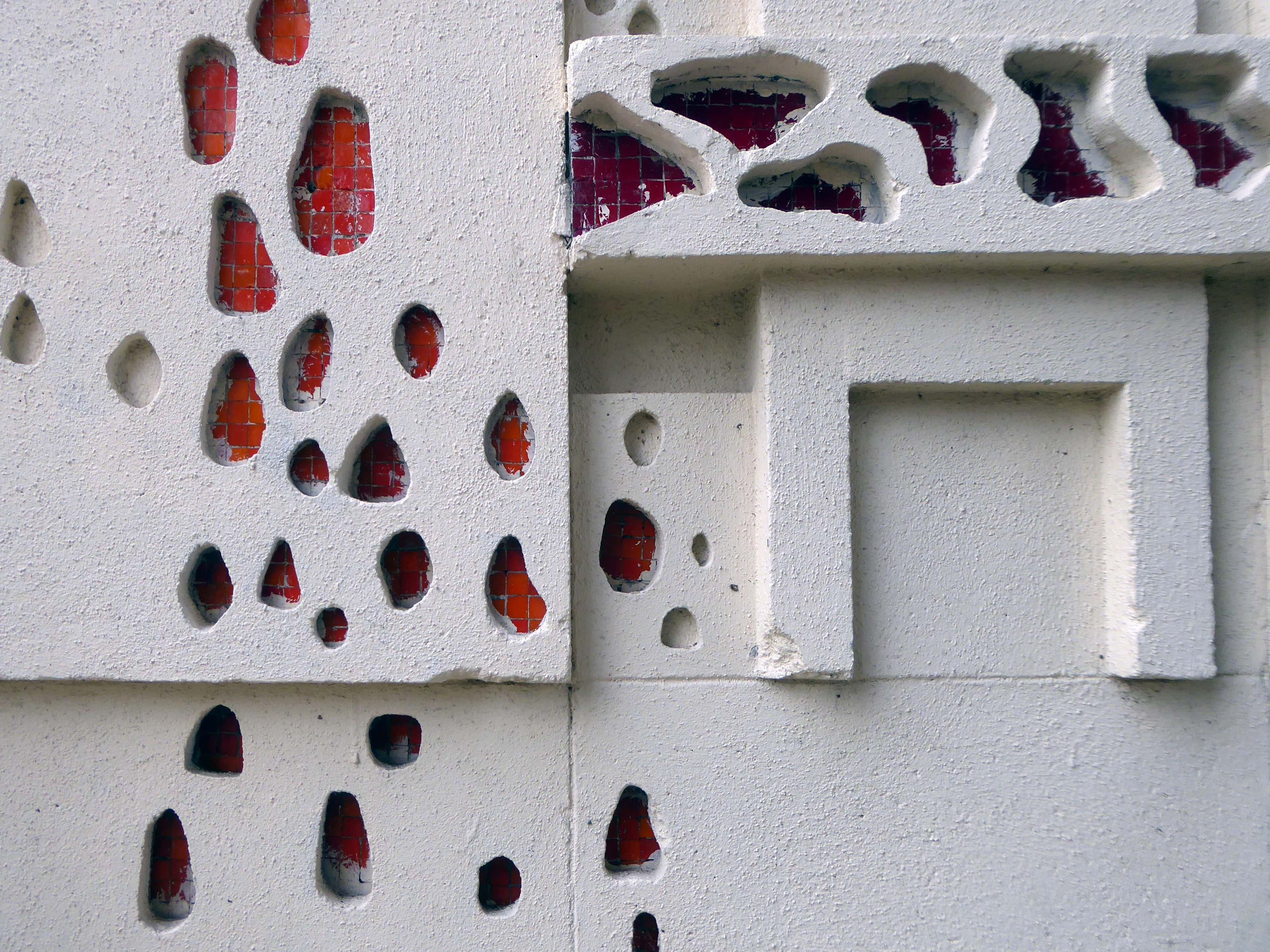
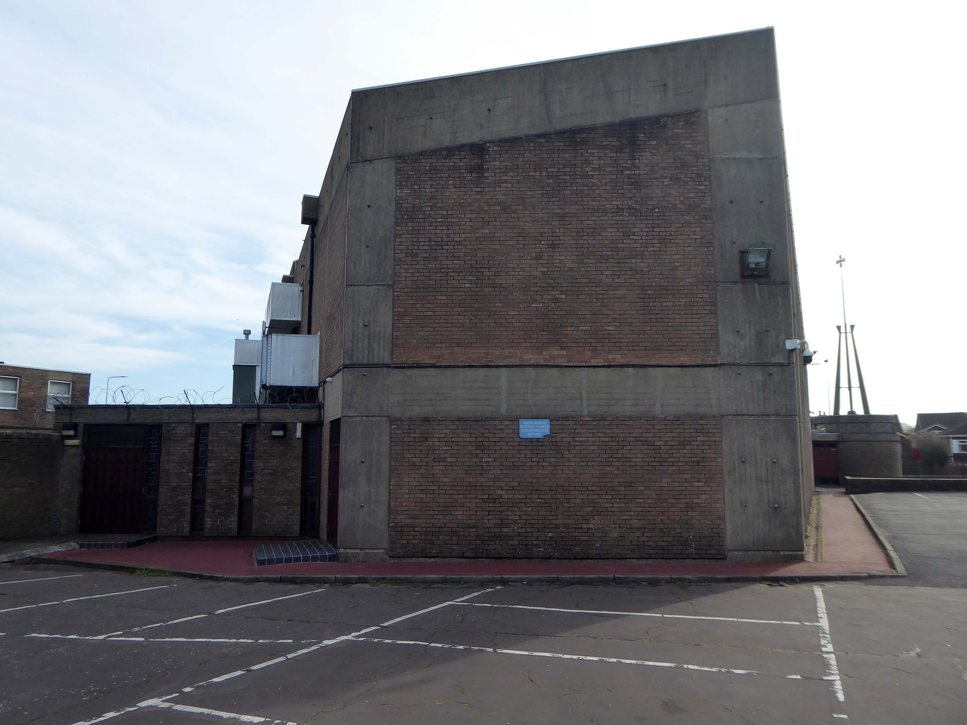
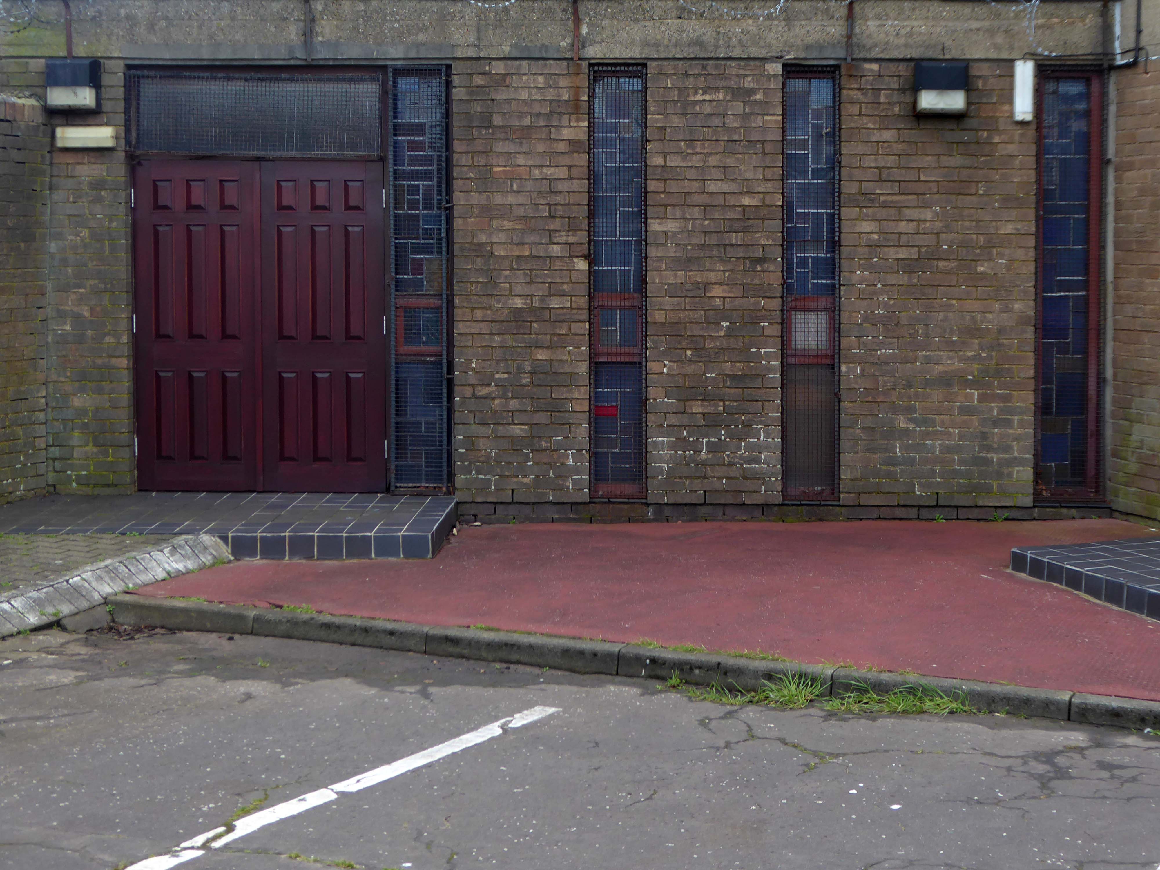
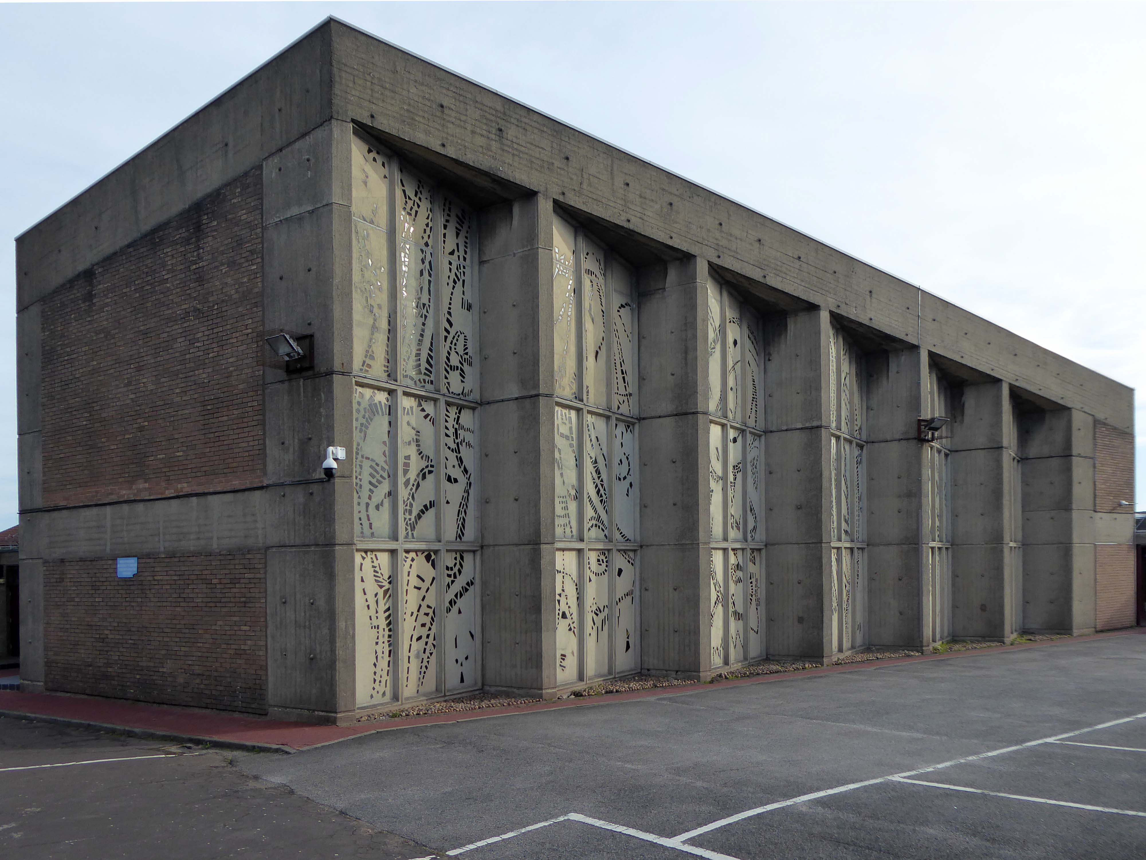
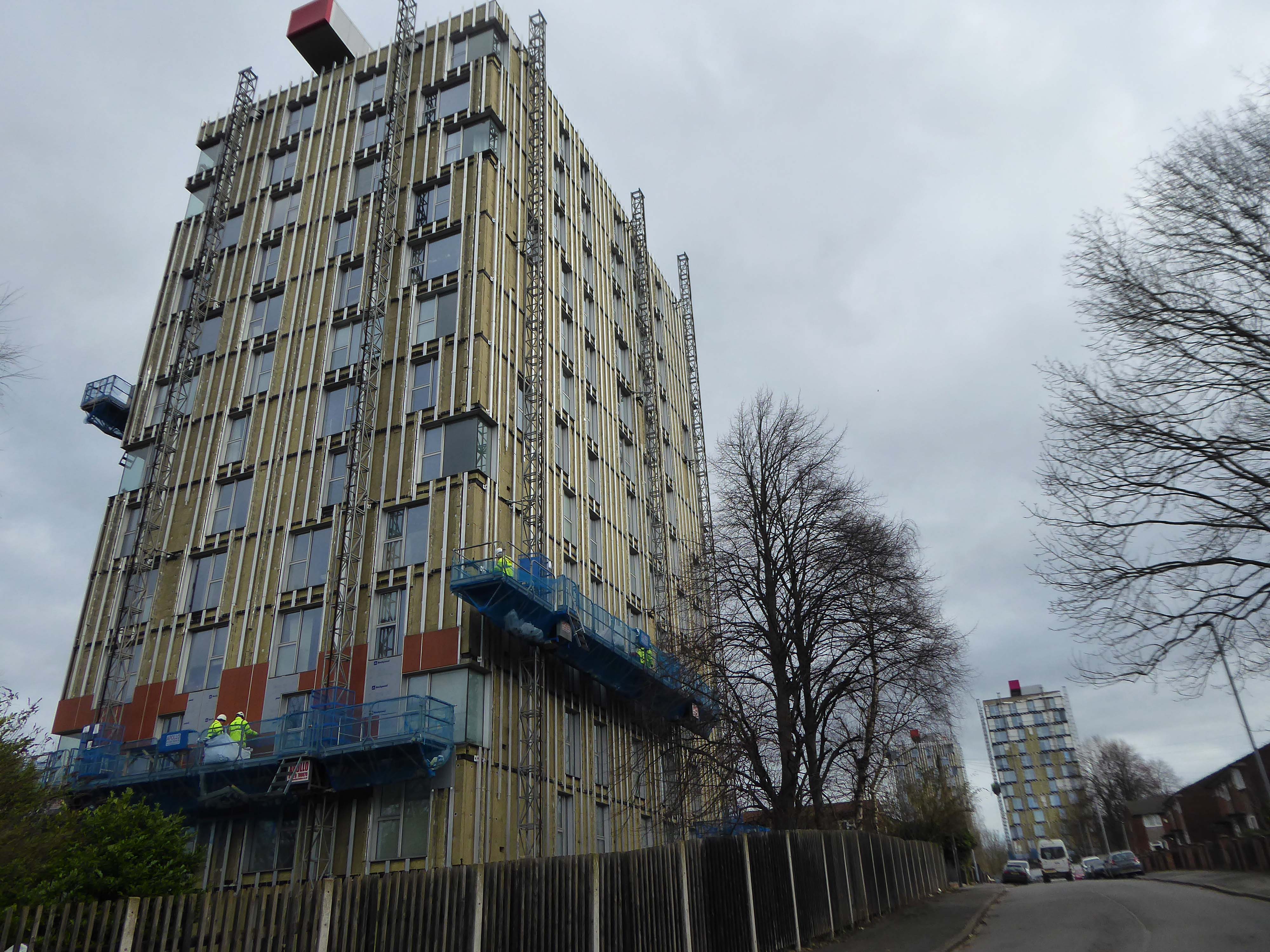
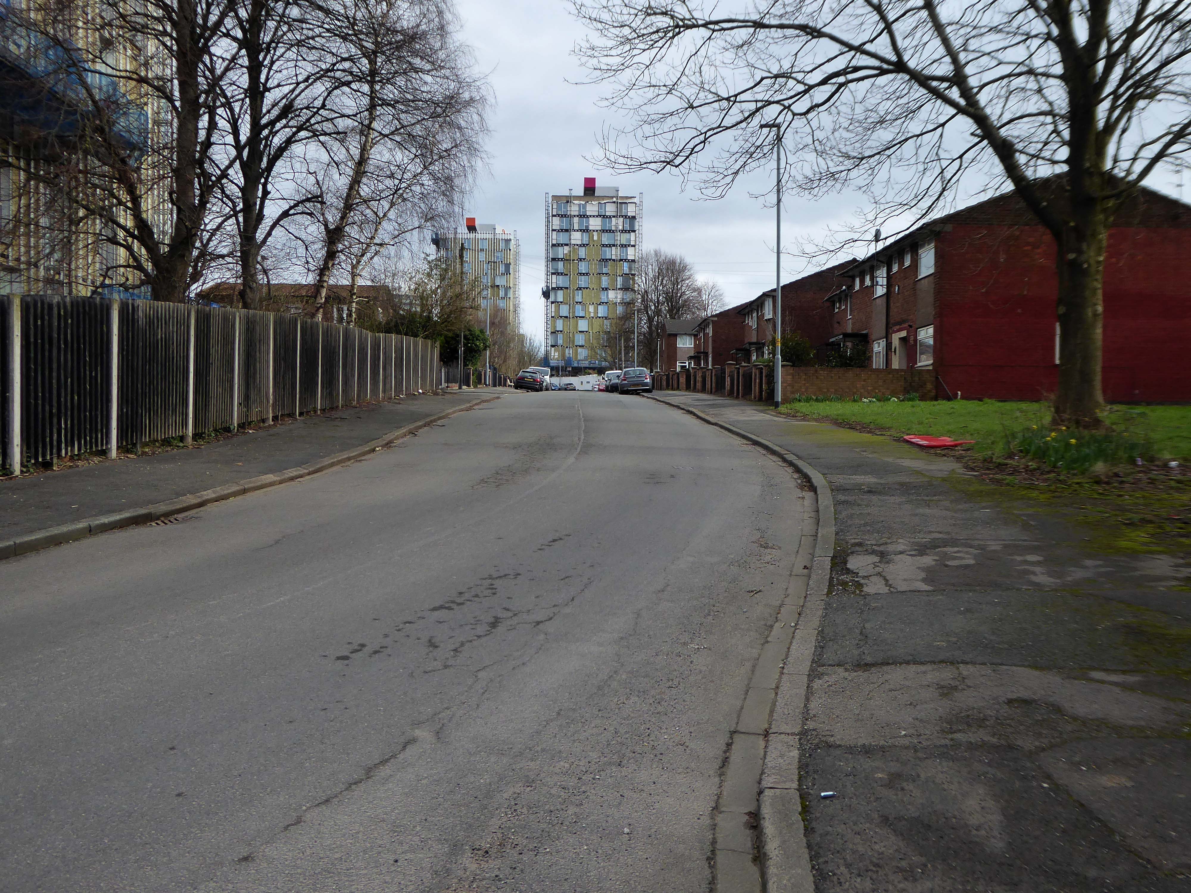
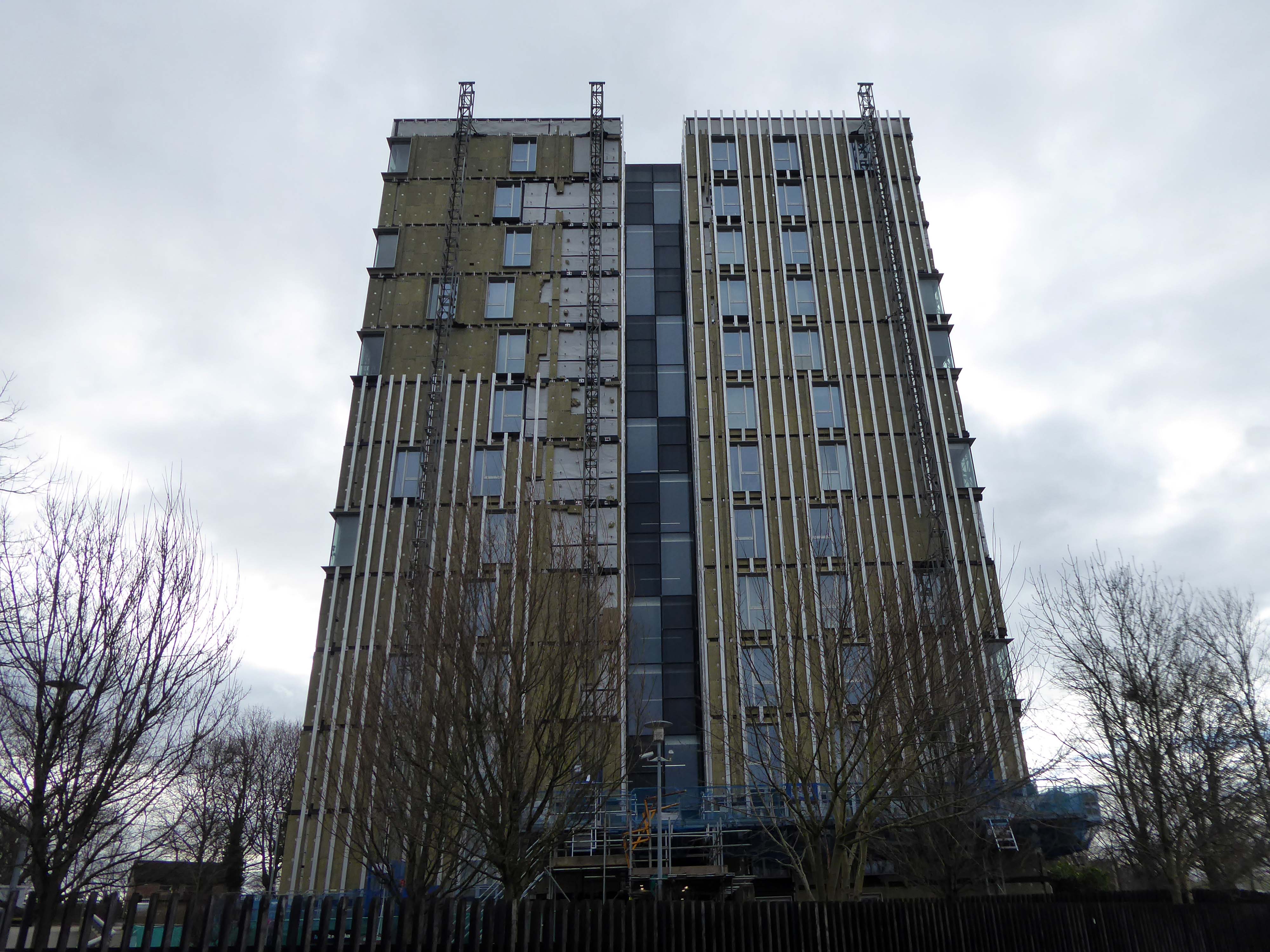
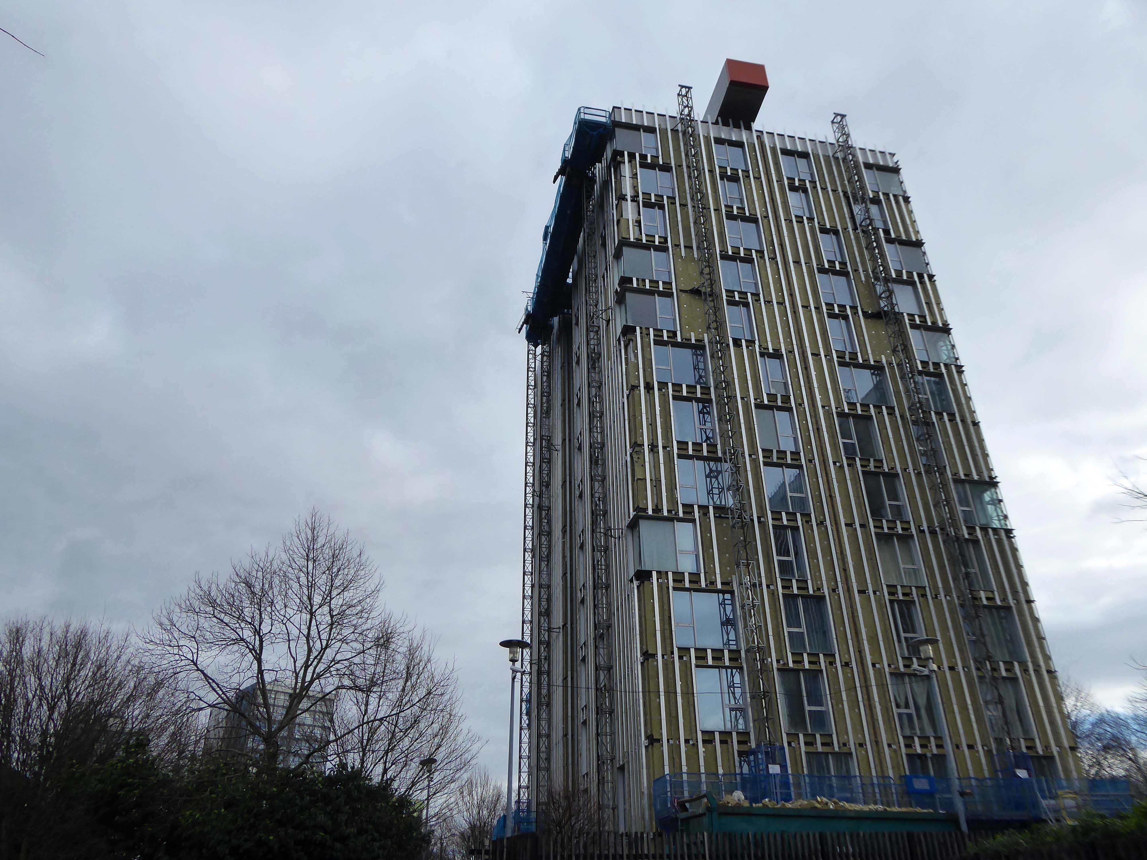
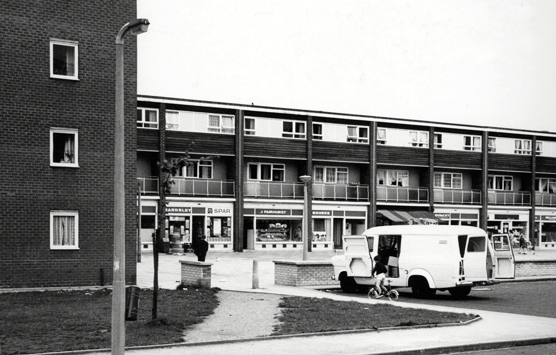
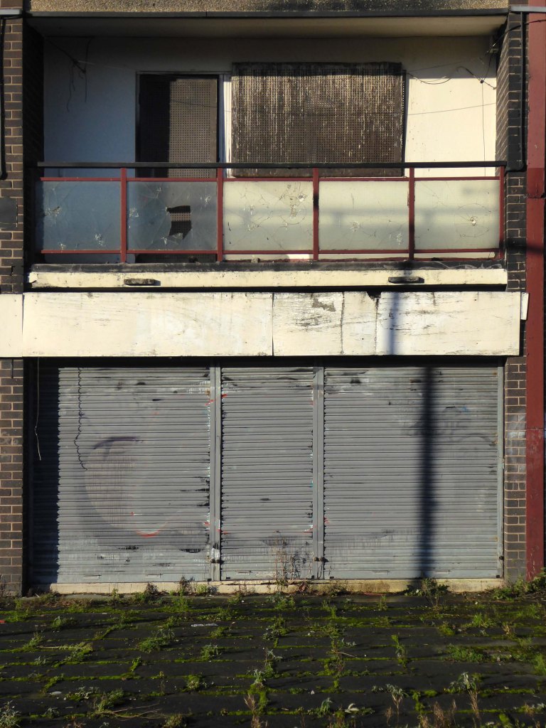
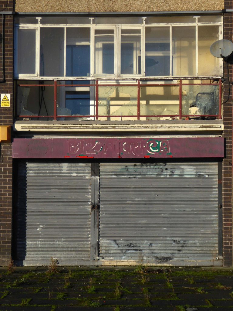
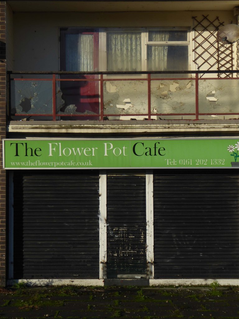
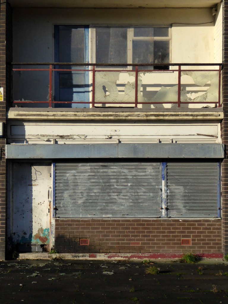
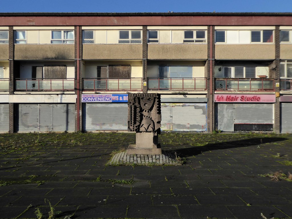
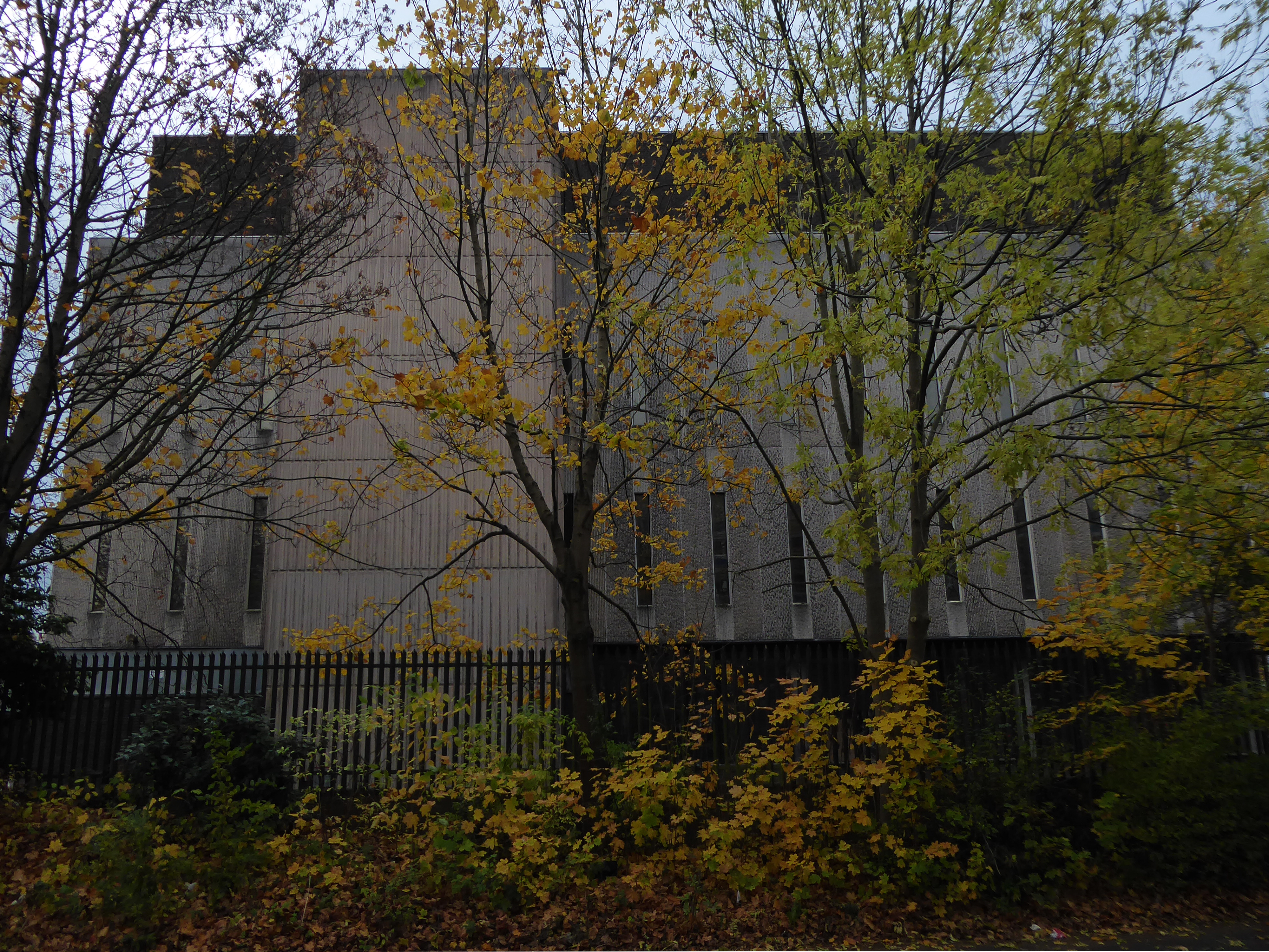
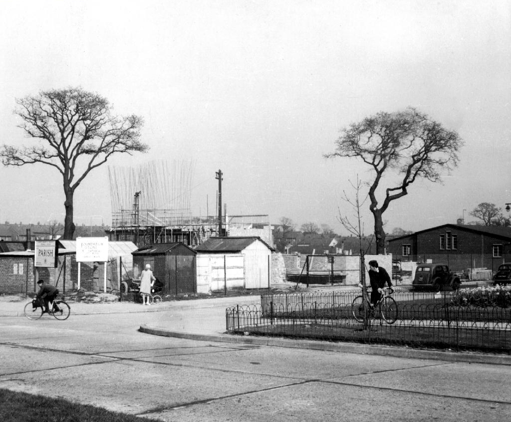
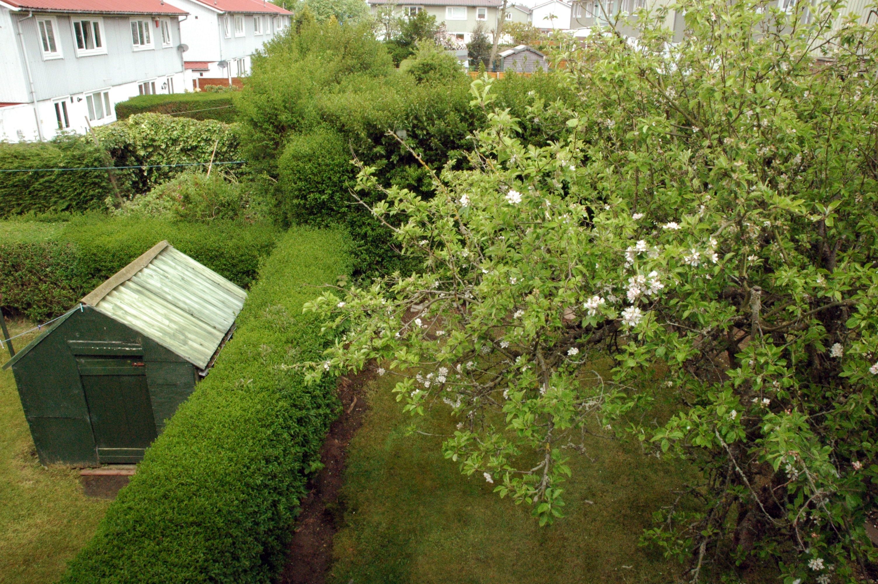
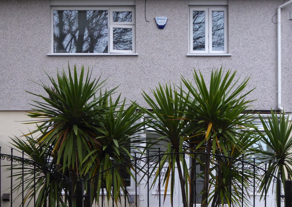
Onwards to Eastford Square.
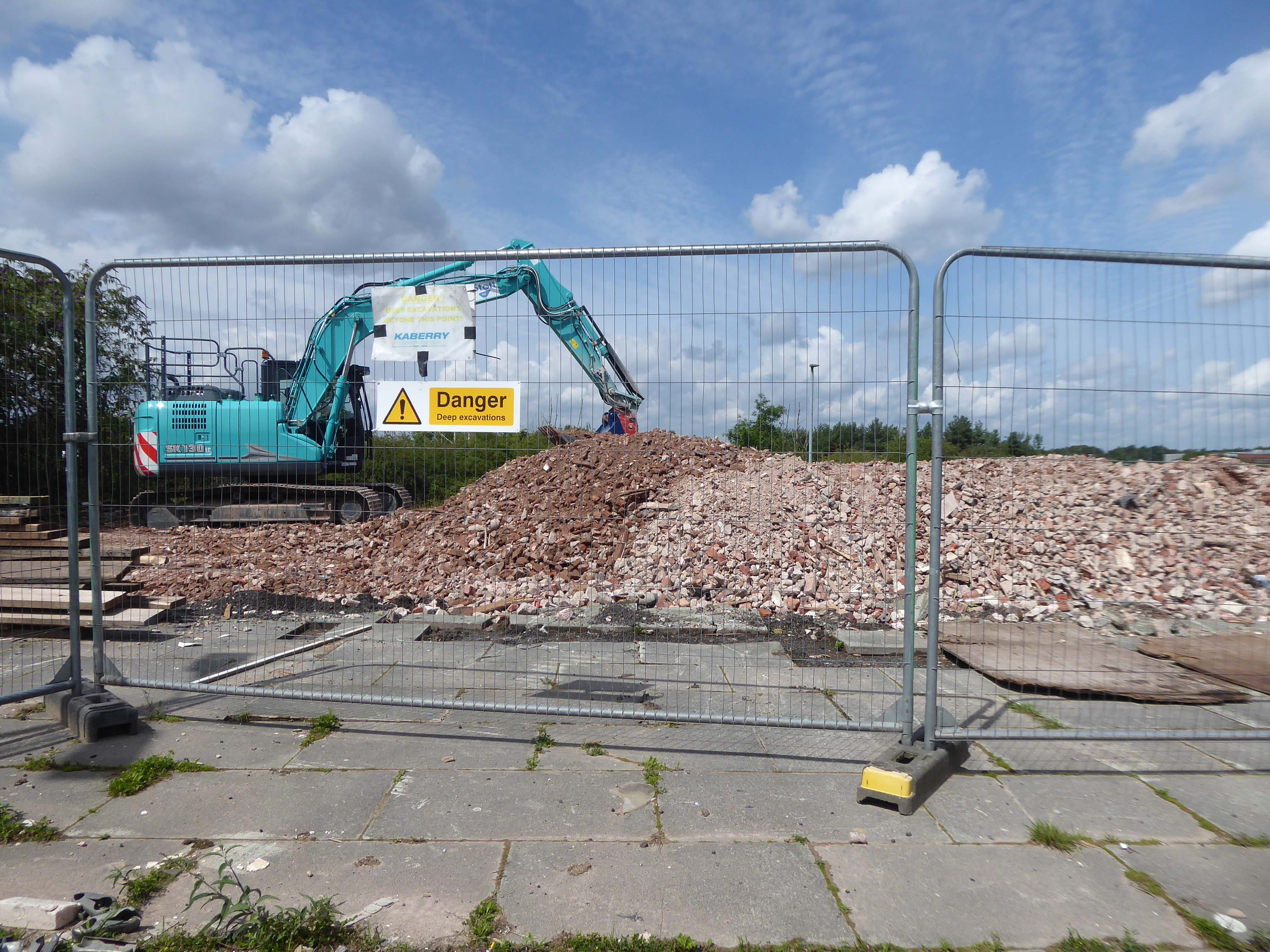
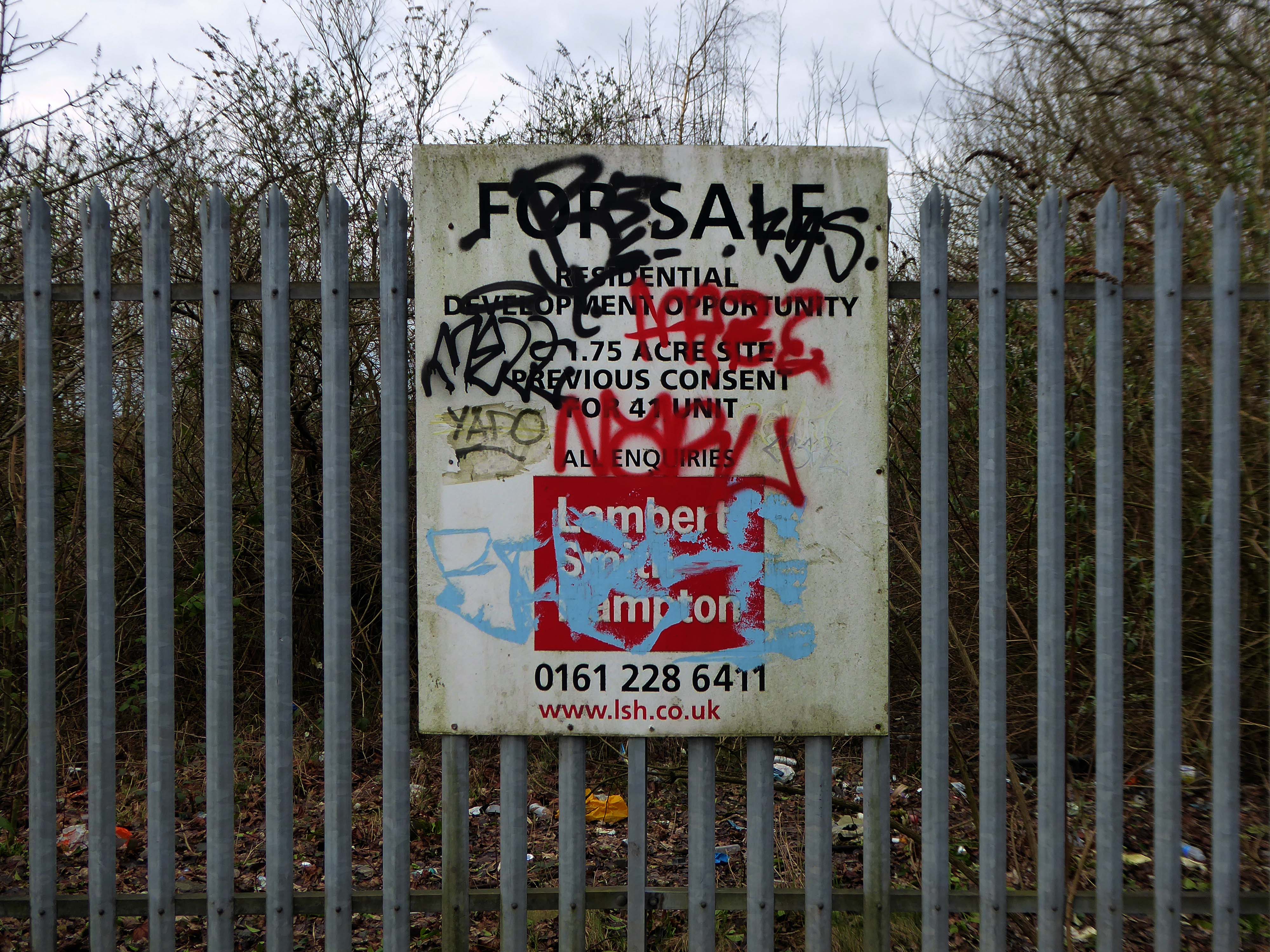
The shops and maisonettes are due to be demolished any day now – no longer to gaze open-eyed upon the former quarry of Sandhills.
Around the front the diggers have been a digging – digging up around the base of the totem.
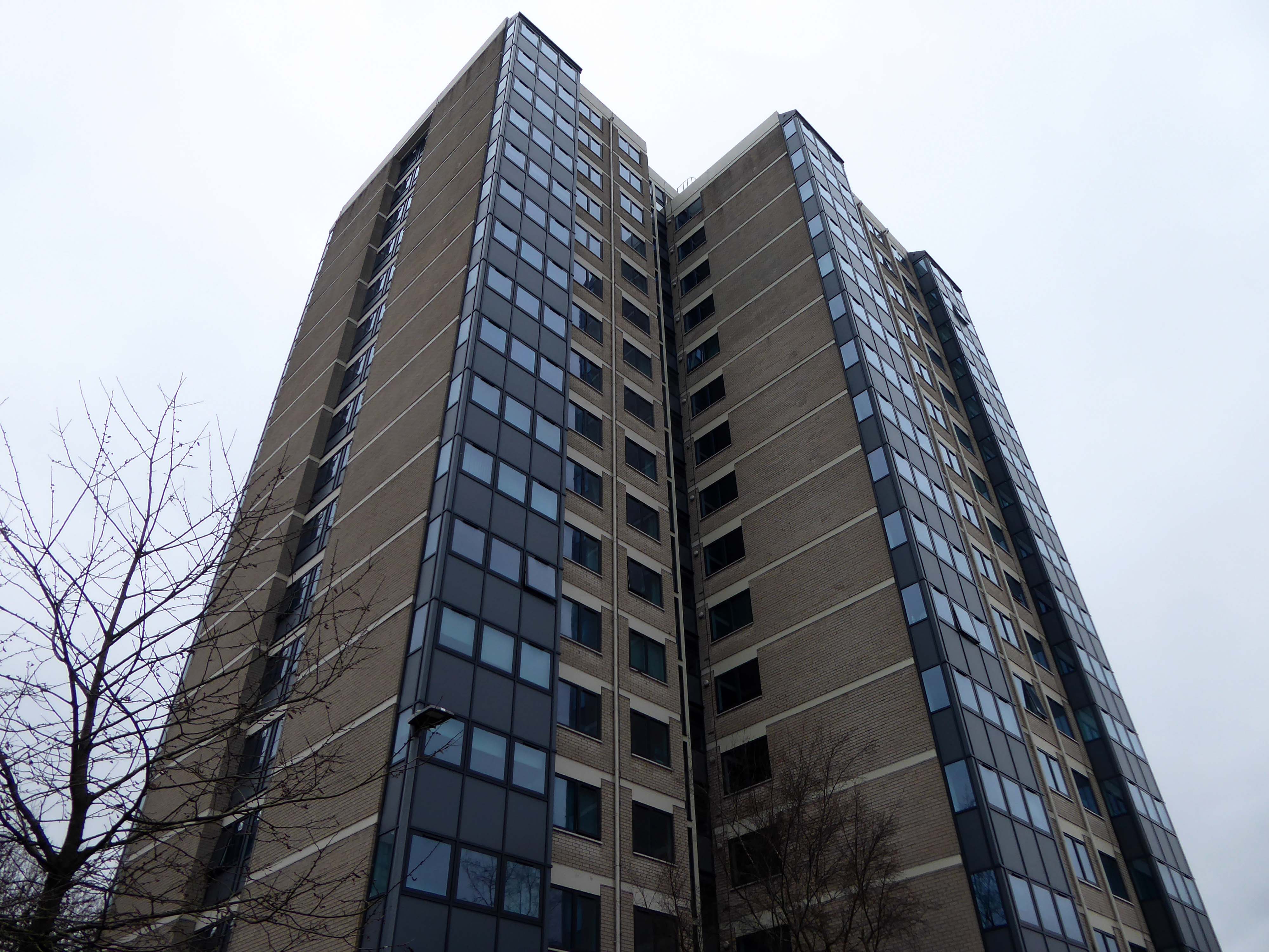
The work is to be re-sited by the nearby tower blocks.
The end is nigh.
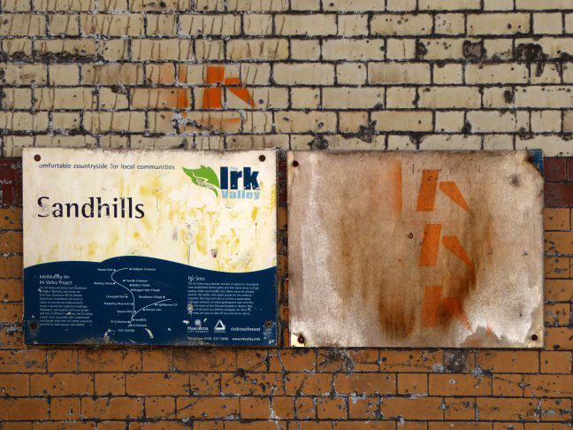
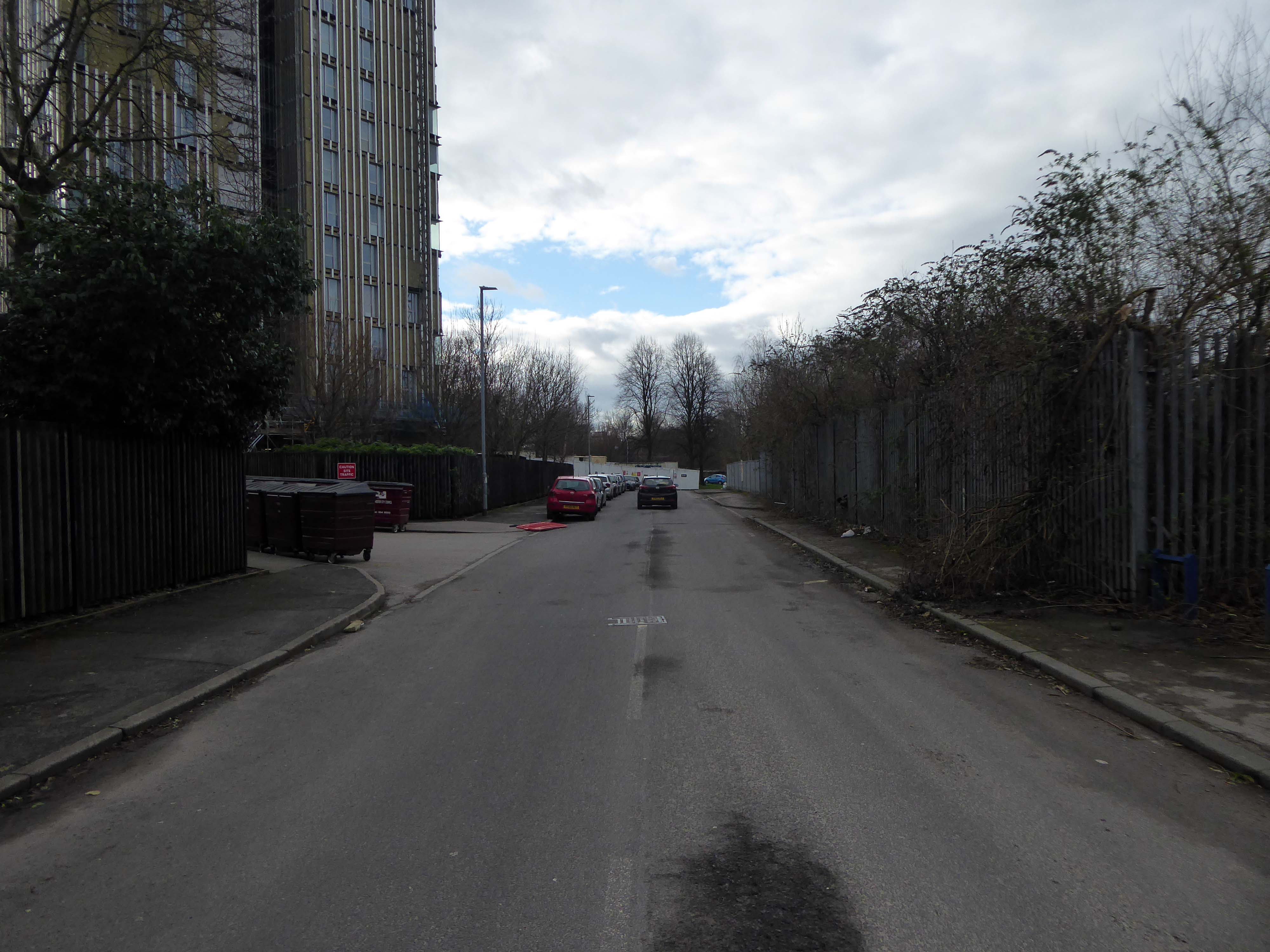
Heading now for Collyhurst Road and the Irk Valley – seen here in 1960.
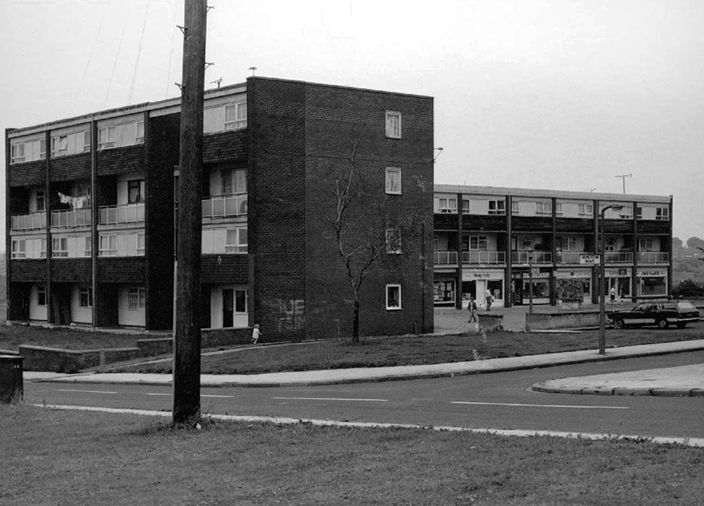
Looking back on the Square and the Dalton Street flats – Humphries, Dalton, Roach, Vauxhall and Moss Brook Courts under construction.
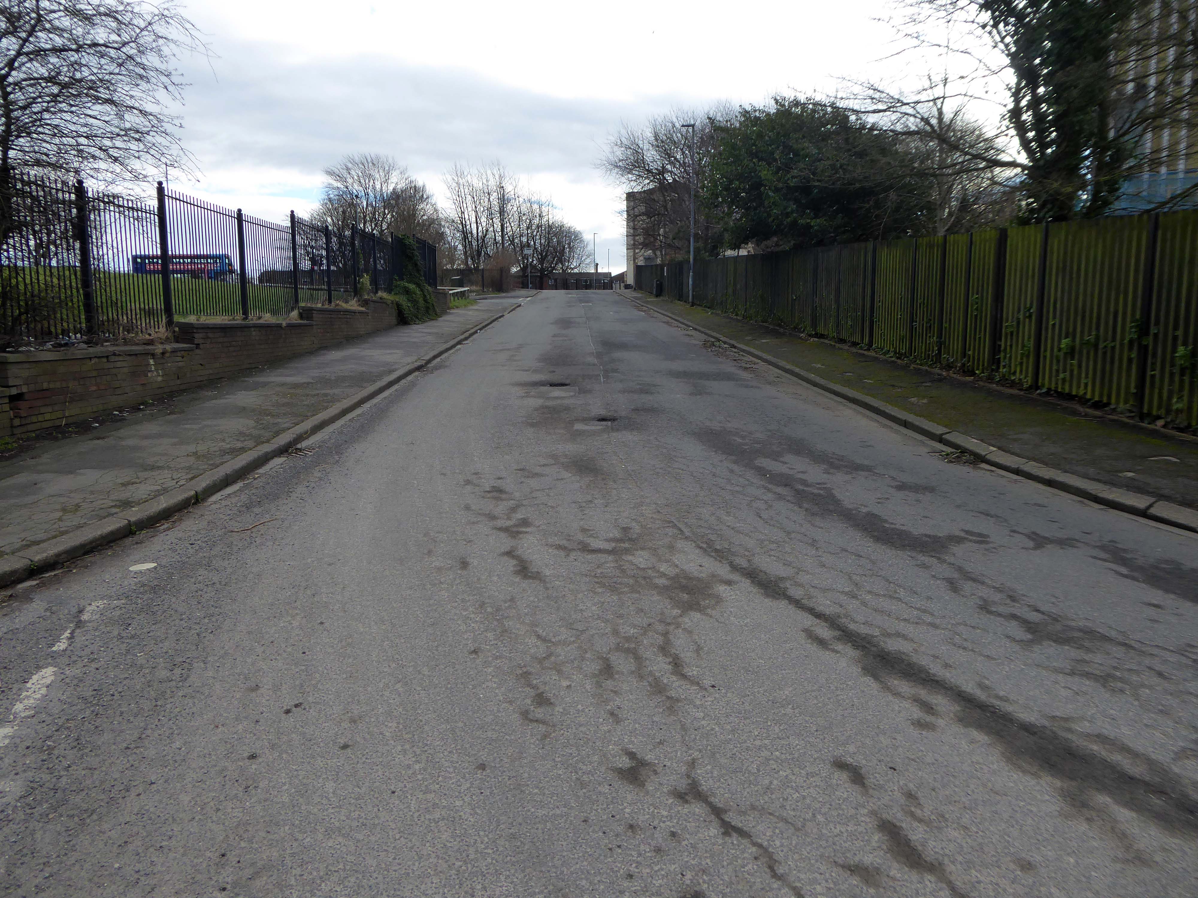
Vauxhall Street now but a shadow of its former self – the last traces of industry long gone.
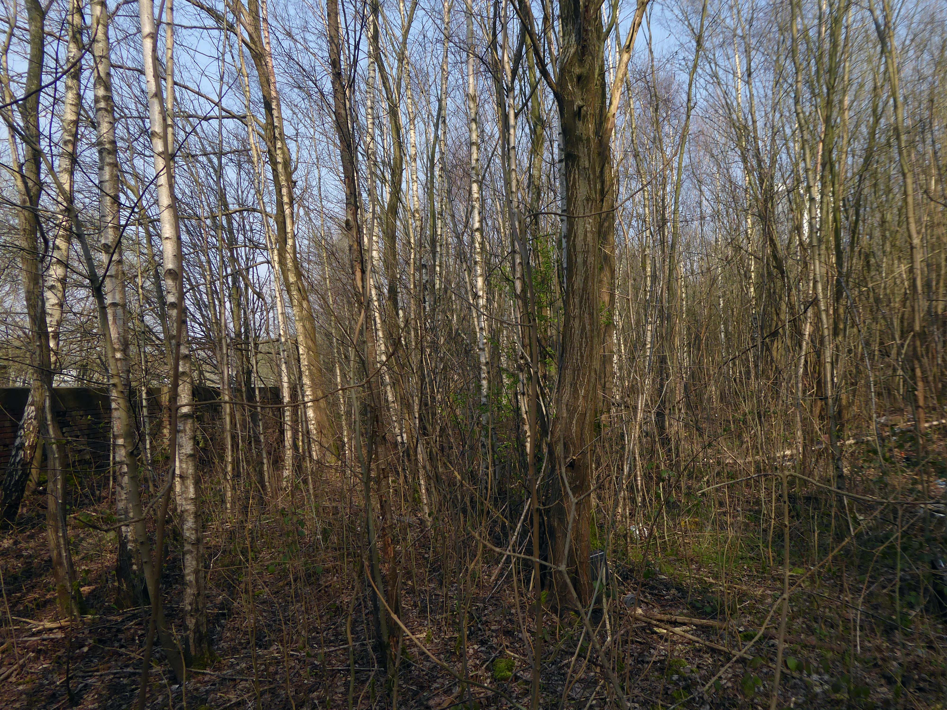
Reclaimed over time by trees and dense underbrush.
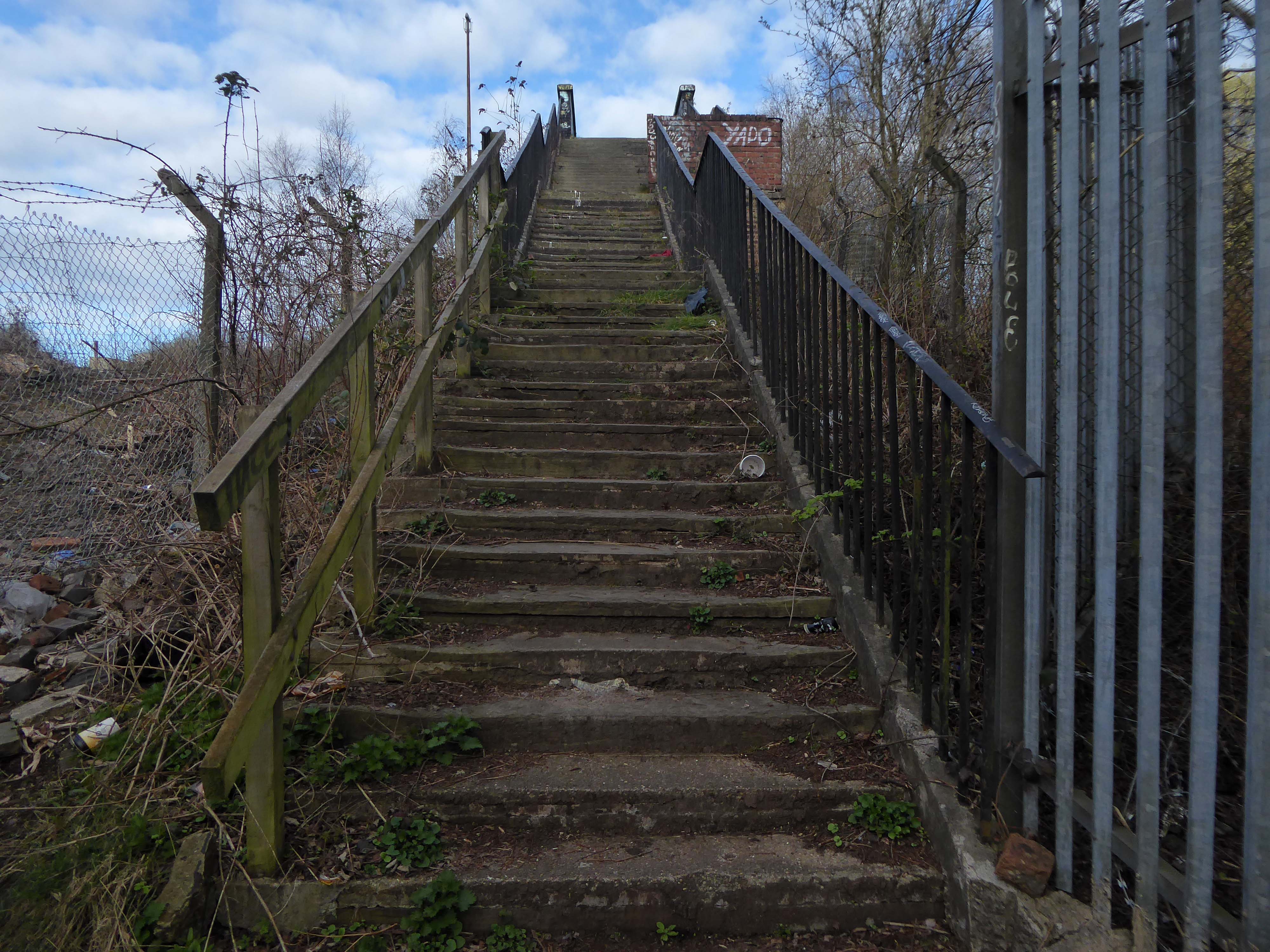
Crossing Collyhurst Road and up and over the railway via Barney’s Steps also known as the Lowry Steps.
LS Lowry
By the late 1950’s the whole of this area which we called Barney’s Tip became a refuse tip for Manchester City Council.
The area is in the process of being reconfigured as a delightful country park.
The investment will also help develop an initial phase of the planned City River Park incorporating St Catherine’s Wood as part of a network of public open space, including improvements along the River Irk and works to improve flood resilience, unlocking the potential of the Irk Valley that will characterise the wider Northern Gateway project.
The first phase of the City River Park will begin work to transform former railway architecture to develop the new Viaduct Linear Park north of Victoria Train Station, new stepped public realm space – Red Bank Terraces, along with new green space by the River Irk and the key improvements to St Catherine’s Wood.
Collingham Street is lined with trucks, trailers, stalls and mobile homes.
But there’s nothing temporary about this Cheetham Hill neighbourhood; most residents have lived here for years and many plan to spend the rest of their lives here.
Founded more than forty years ago, it was created by the Showman’s Guild of Great Britain – and it’s reserved exclusively for fairground workers both retired and current.
Built on Queens Road tip, a former rubbish dump, and rented out by Manchester Council, many of the 52 homes belong to older retired showmen or families for whom an itinerant lifestyle has become more challenging.
It’s a close-knit community with a unique shared history.
Though not without its own particular issues it would seem, according to the MEN.
The licensing out of hours team has received noise complaints relating to the premises which was found to be open beyond permitted hours when visited. Officers also identified breaches of the Health Act during inspections in which people were seen smoking shisha pipes in an enclosed extension at the back.
We will leave the Flamingo be and head back into town – but not without giving a nod to this confusing collision between this self-made scrapyard-man chic gate and the ever changing skyline of overheated urban regeneration.
The new creation has come: The old has gone, the new is here!
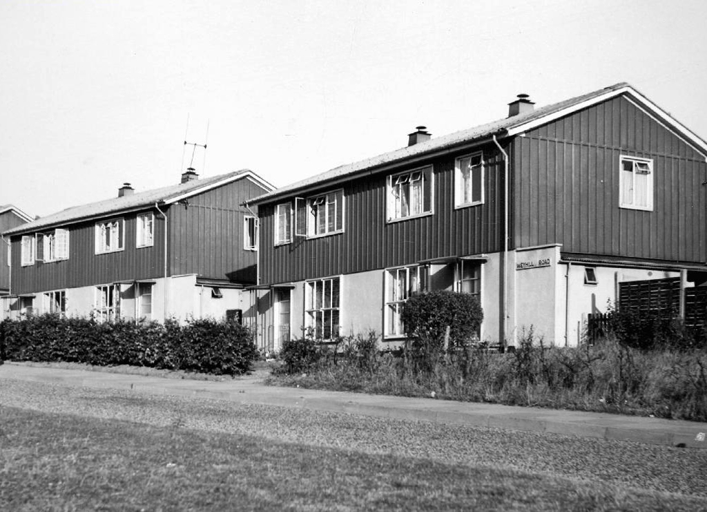
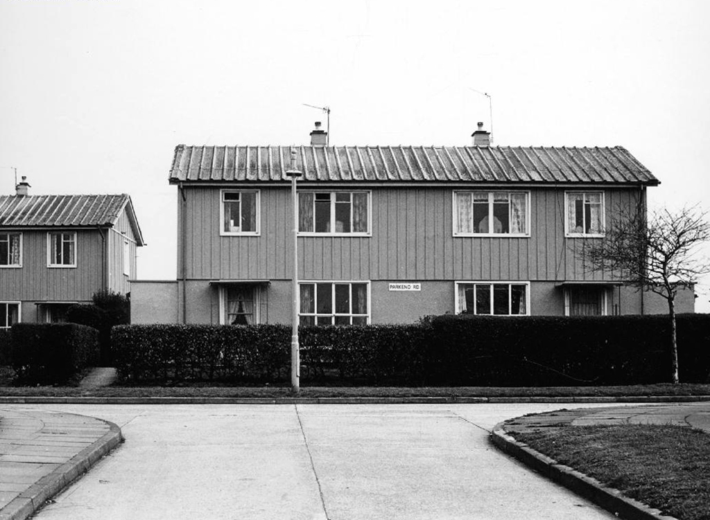
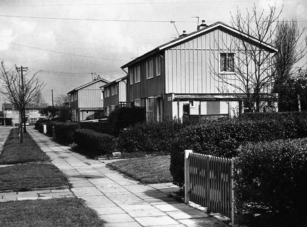
Manchester City Council agreed to use the Phoenixmodel for their prefab estates.
A total of 43,206 Phoenix prefabs were built across the country, each one designed by the John Laing Group.
The Phoenix, designed by Laing and built by themselves as well as partners McAlpine and Henry Boot, looked much like an AIROH with a central front door. It was a two-bedroom in-situ preform design with steel frame, asbestos clad walls and an innovative roof of tubular steel poles with steel panels attached. Like all designs, it came pre-painted in magnolia, with green highlights on frames and skirting.
Phoenix prefabs cost £1,200 each constructed onsite, while the specially insulated version designed for use on the Isle of Lewis in the Hebrides cost £2,000.
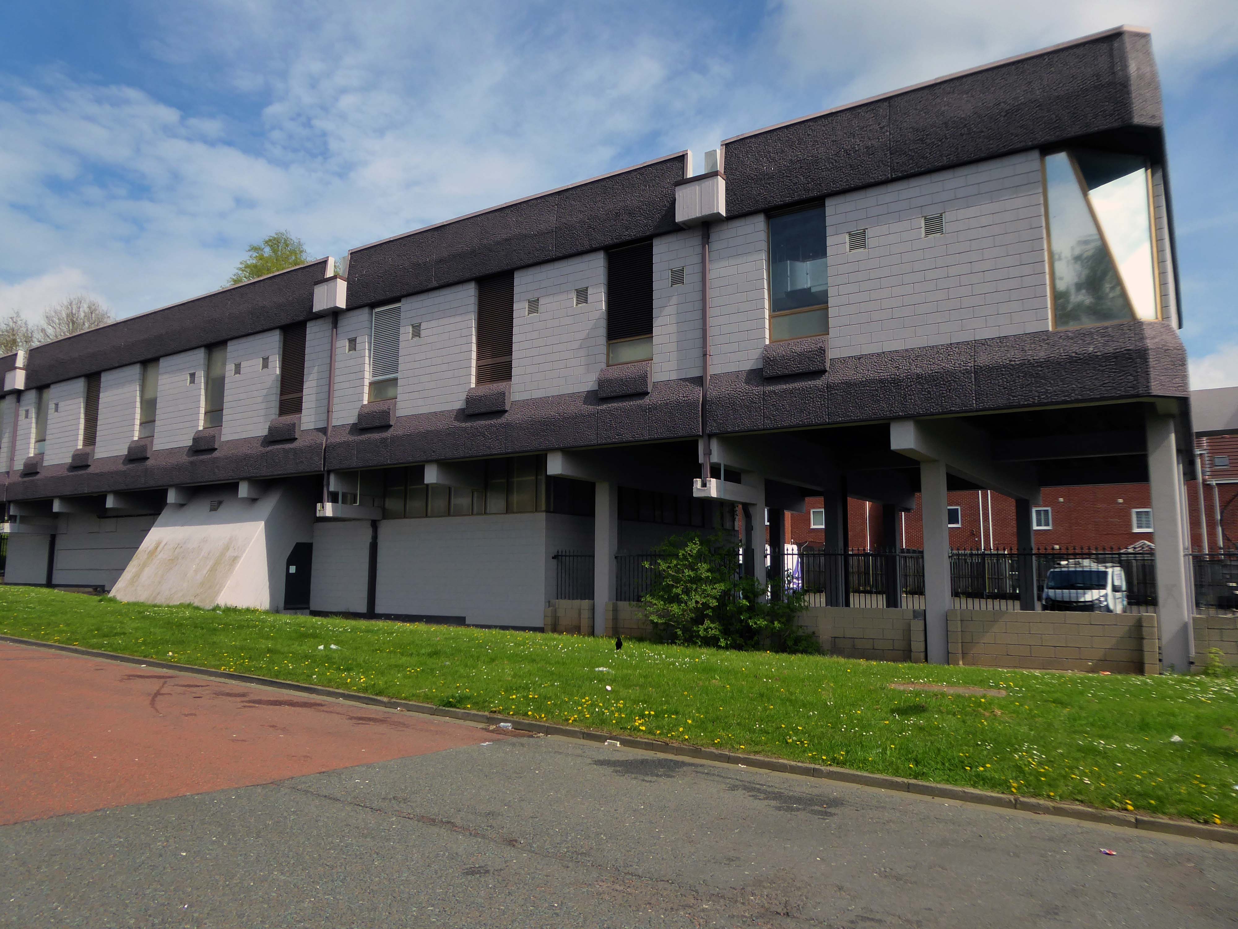
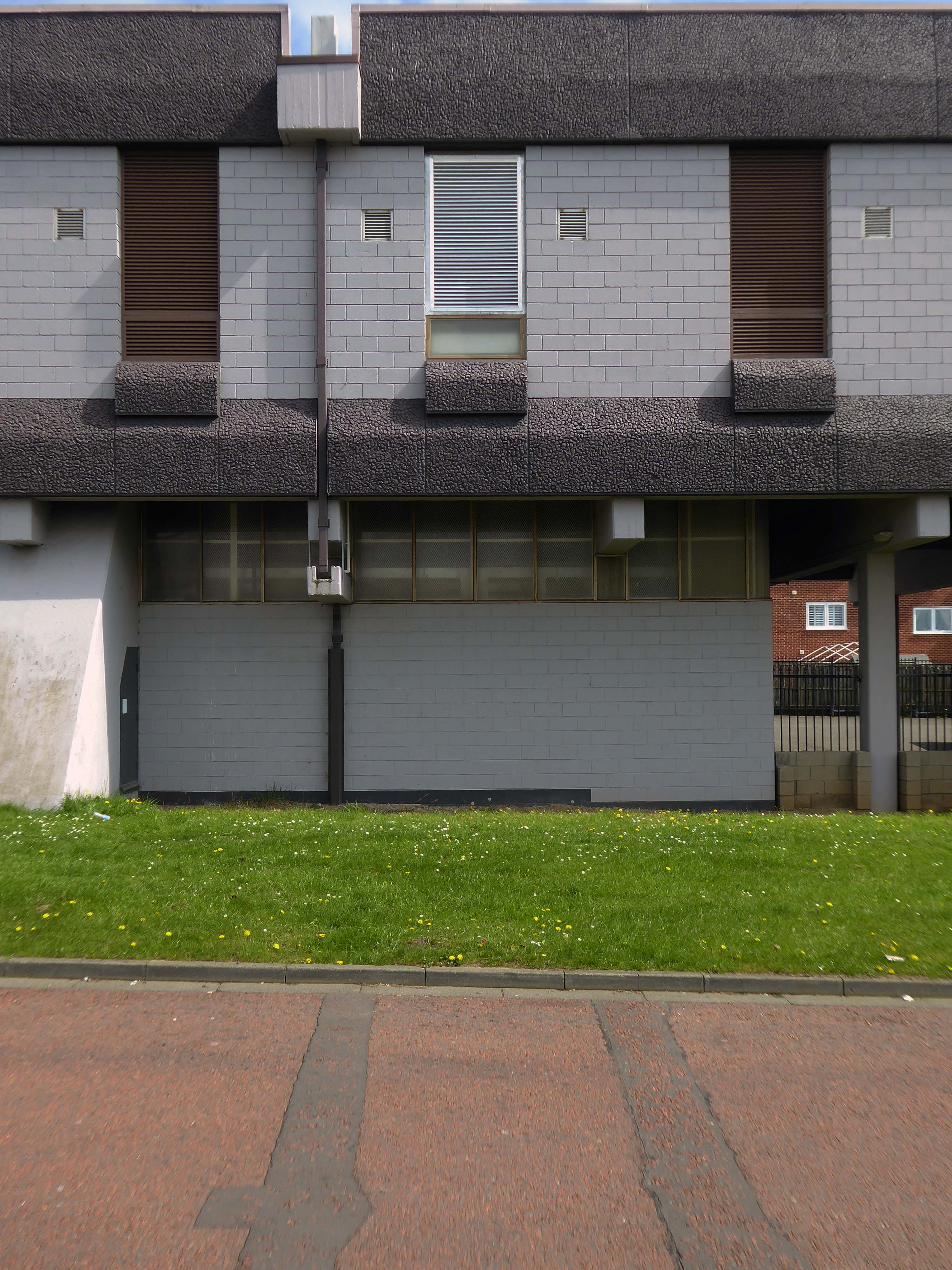
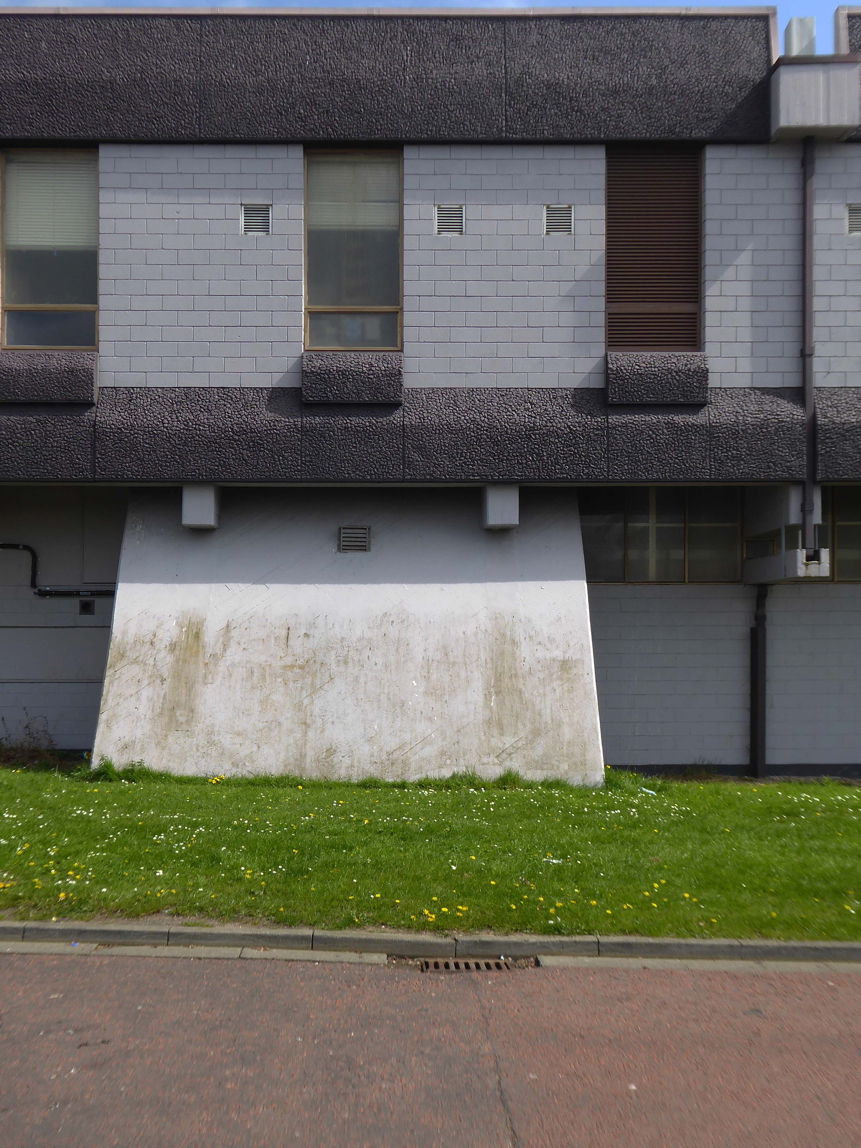
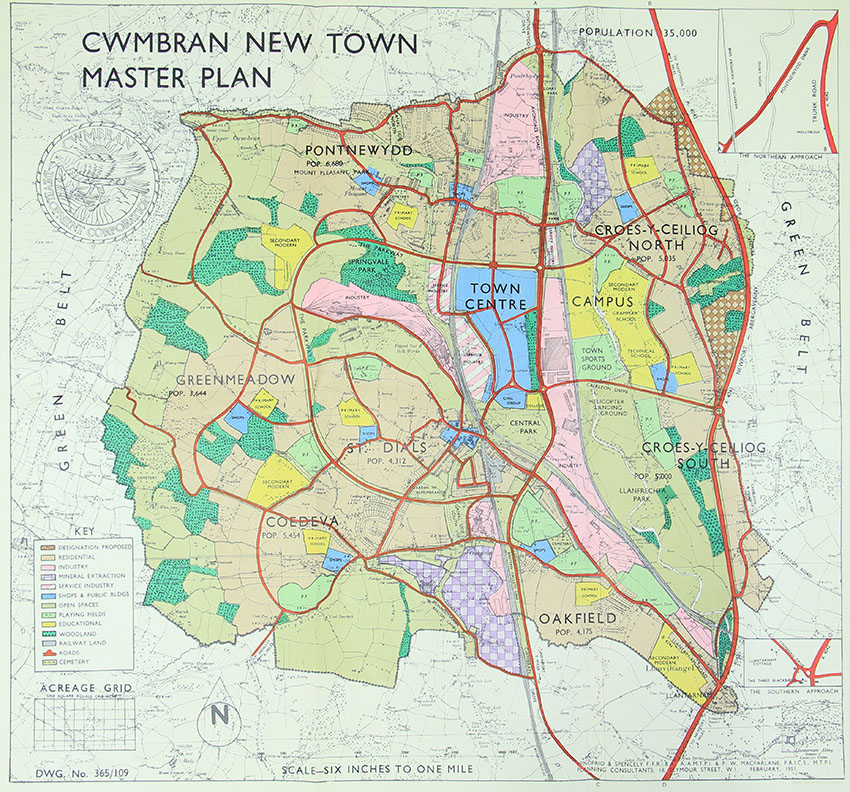
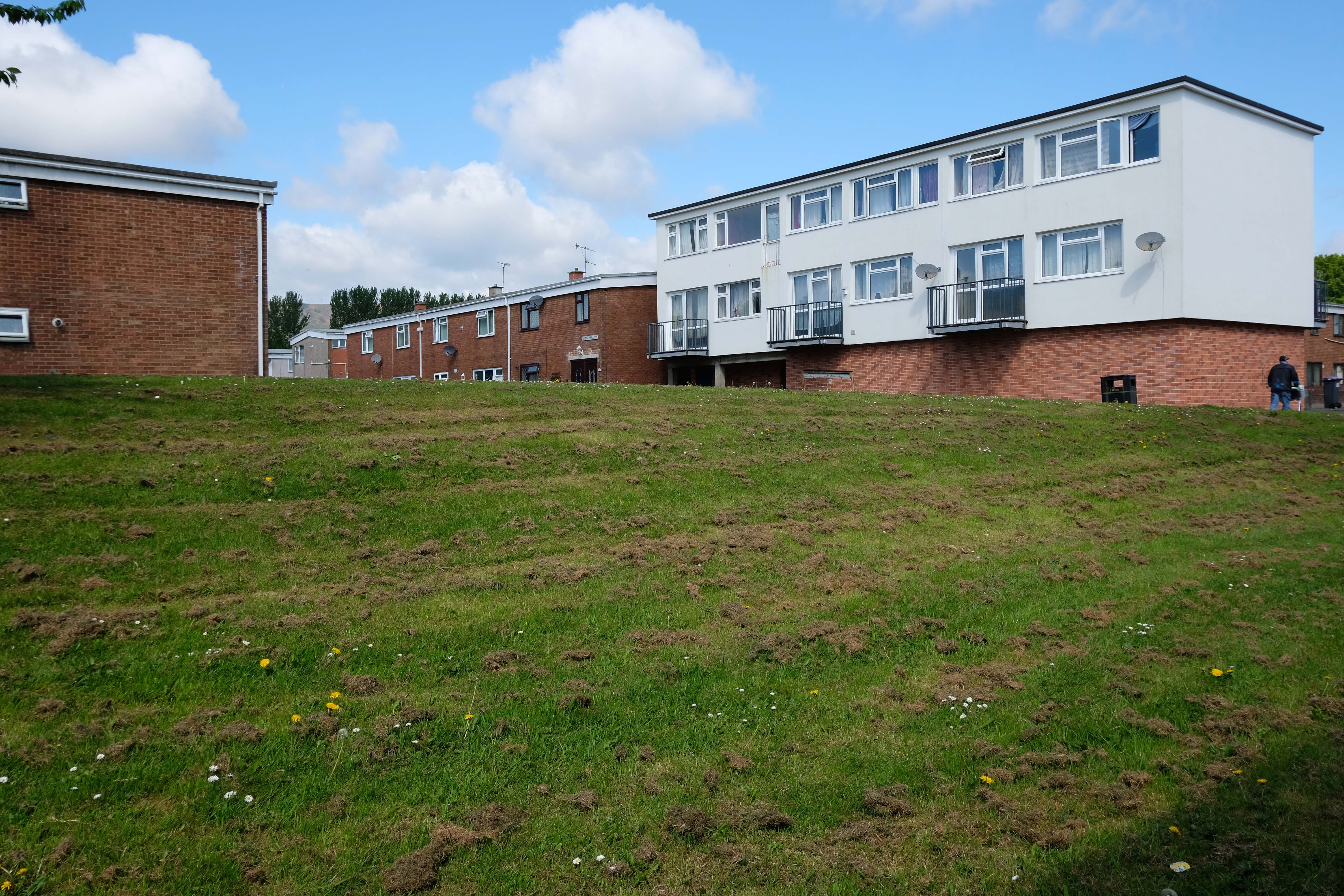
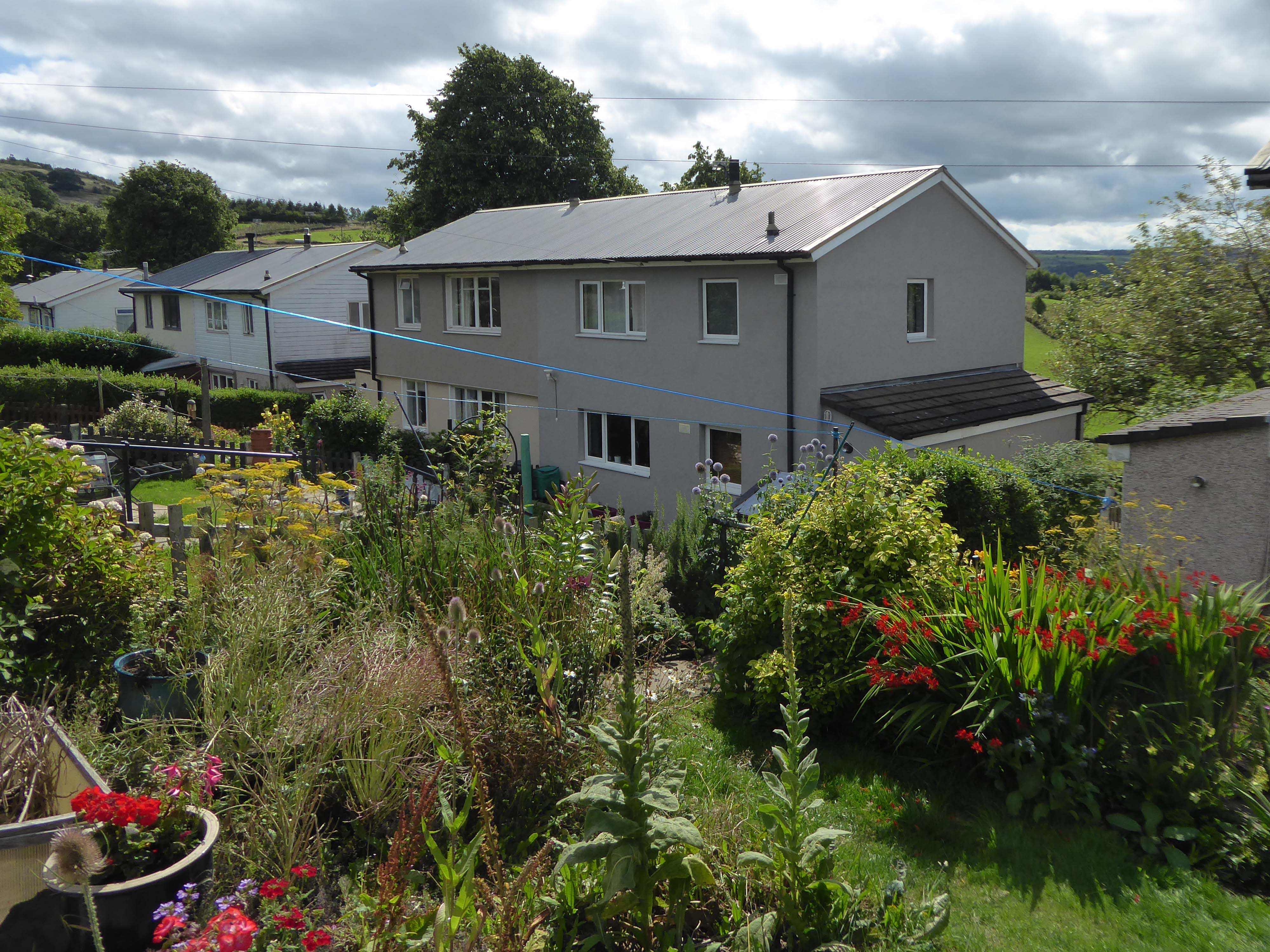
Cwmbran was founded in 1949 as a new town, to provide new employment opportunities in the south eastern portion of the South Wales Coalfield, but the area has a long history.
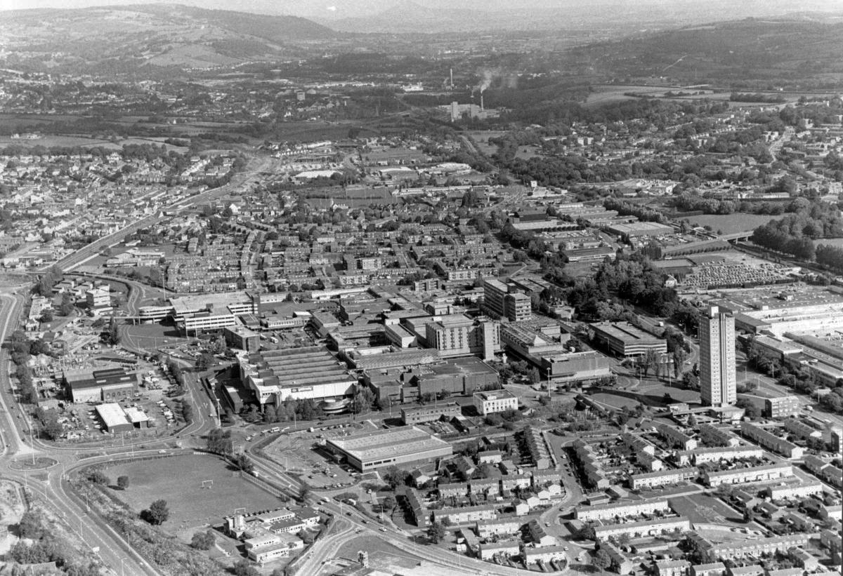
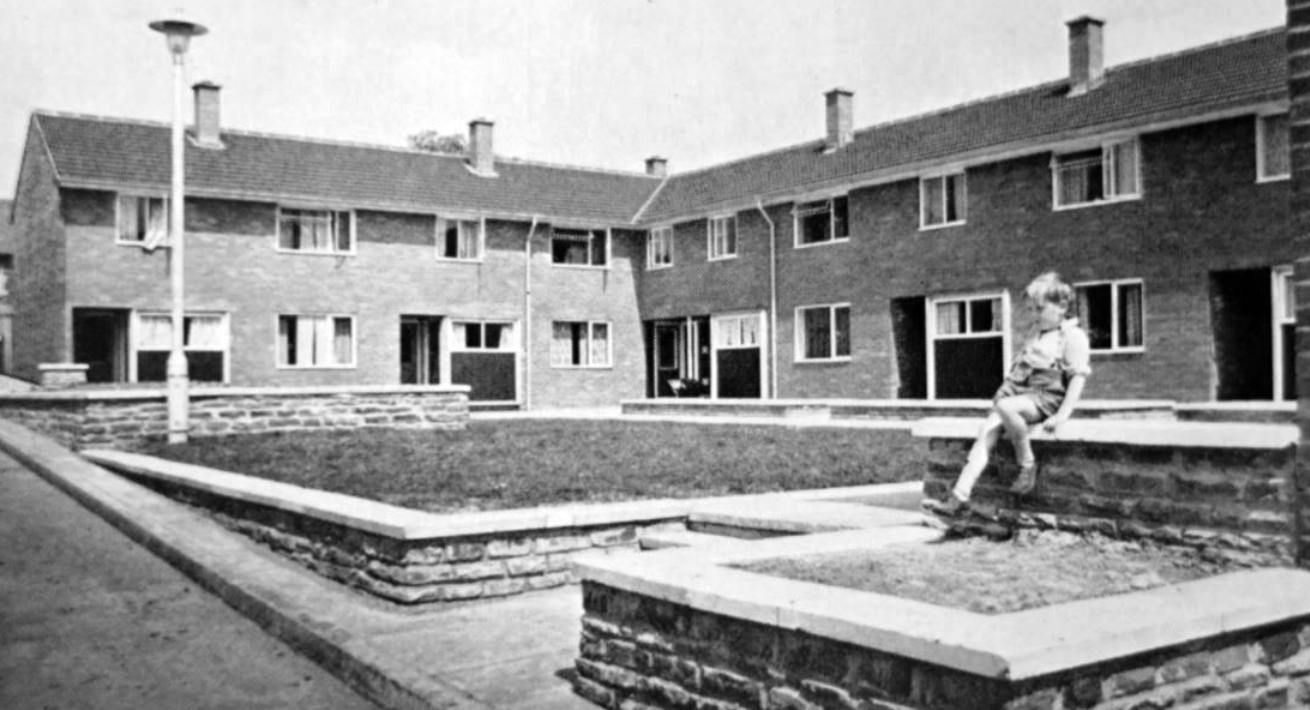
We shall now explore the housing framed by the railway and shopping centre.
From Cleeve Barr’sPublic Authority Housing – published in 1958.
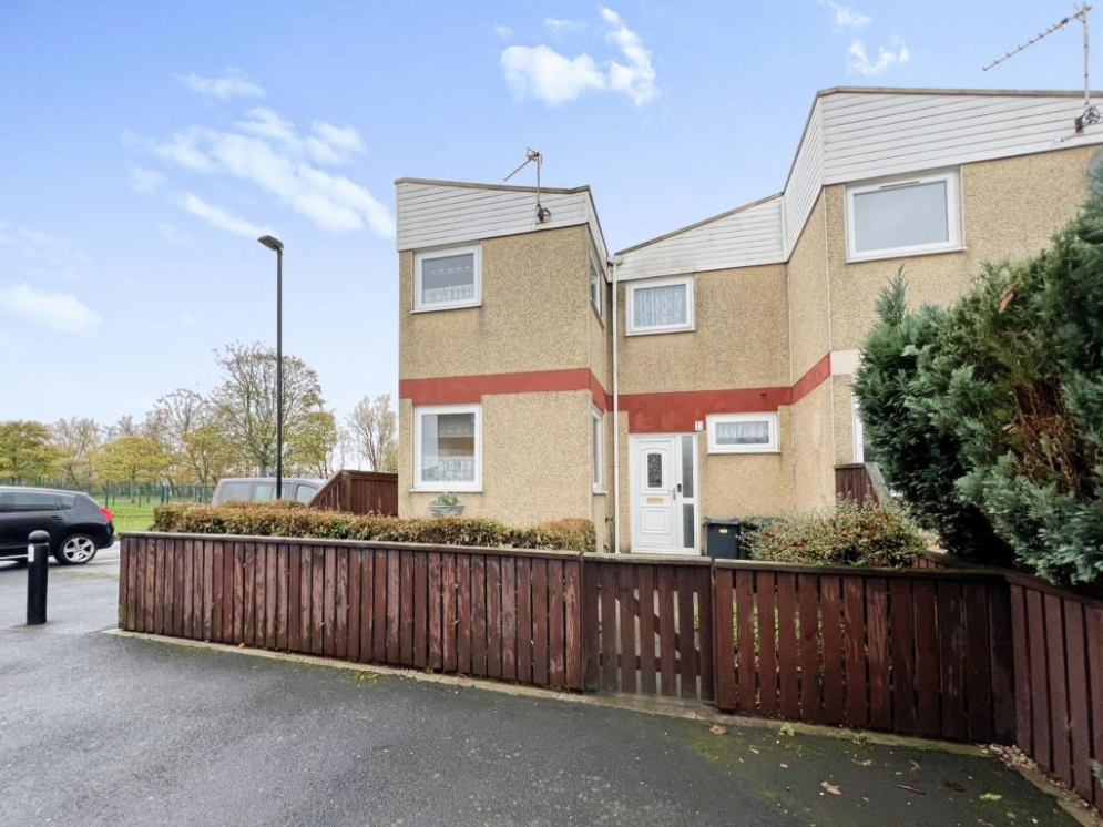
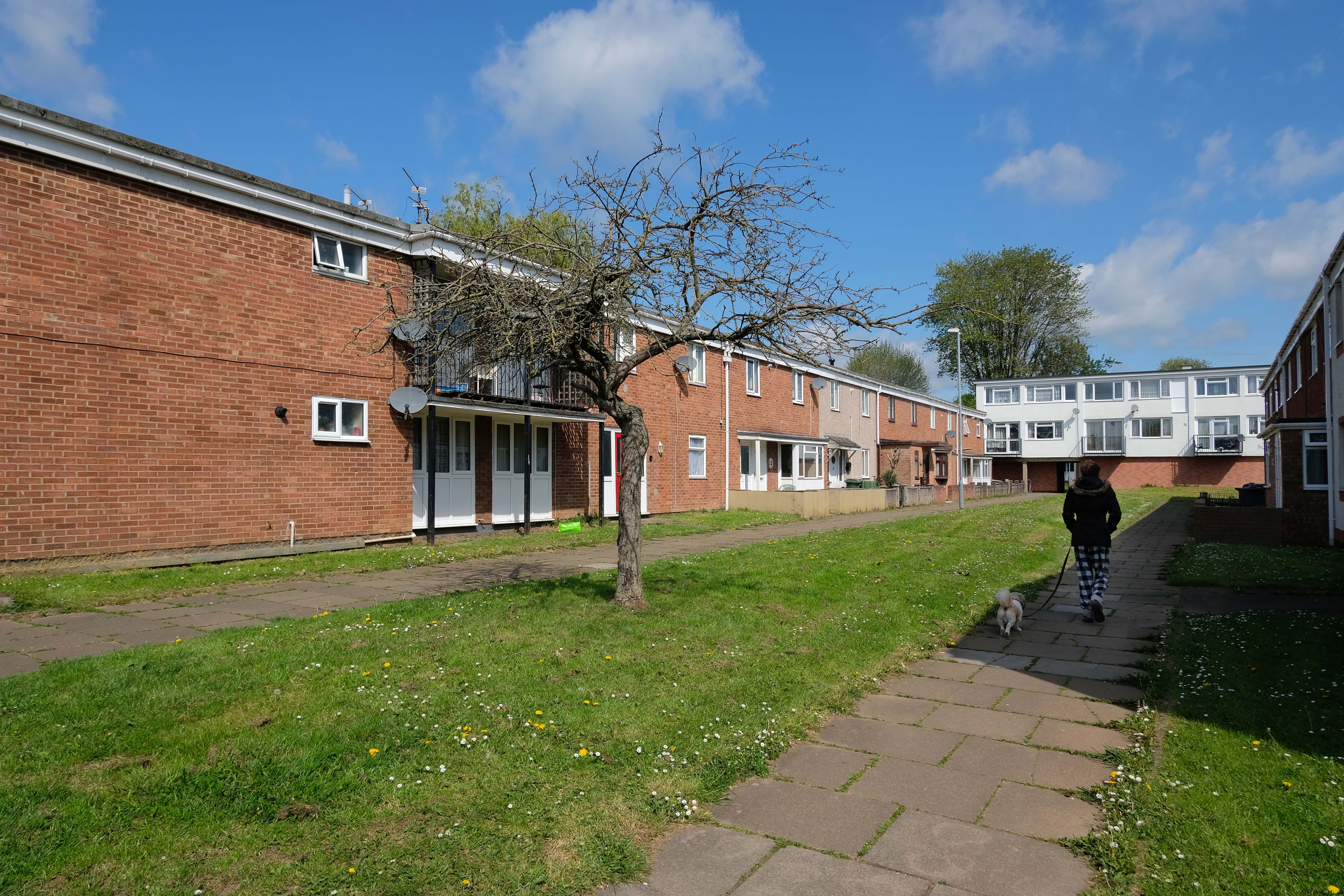
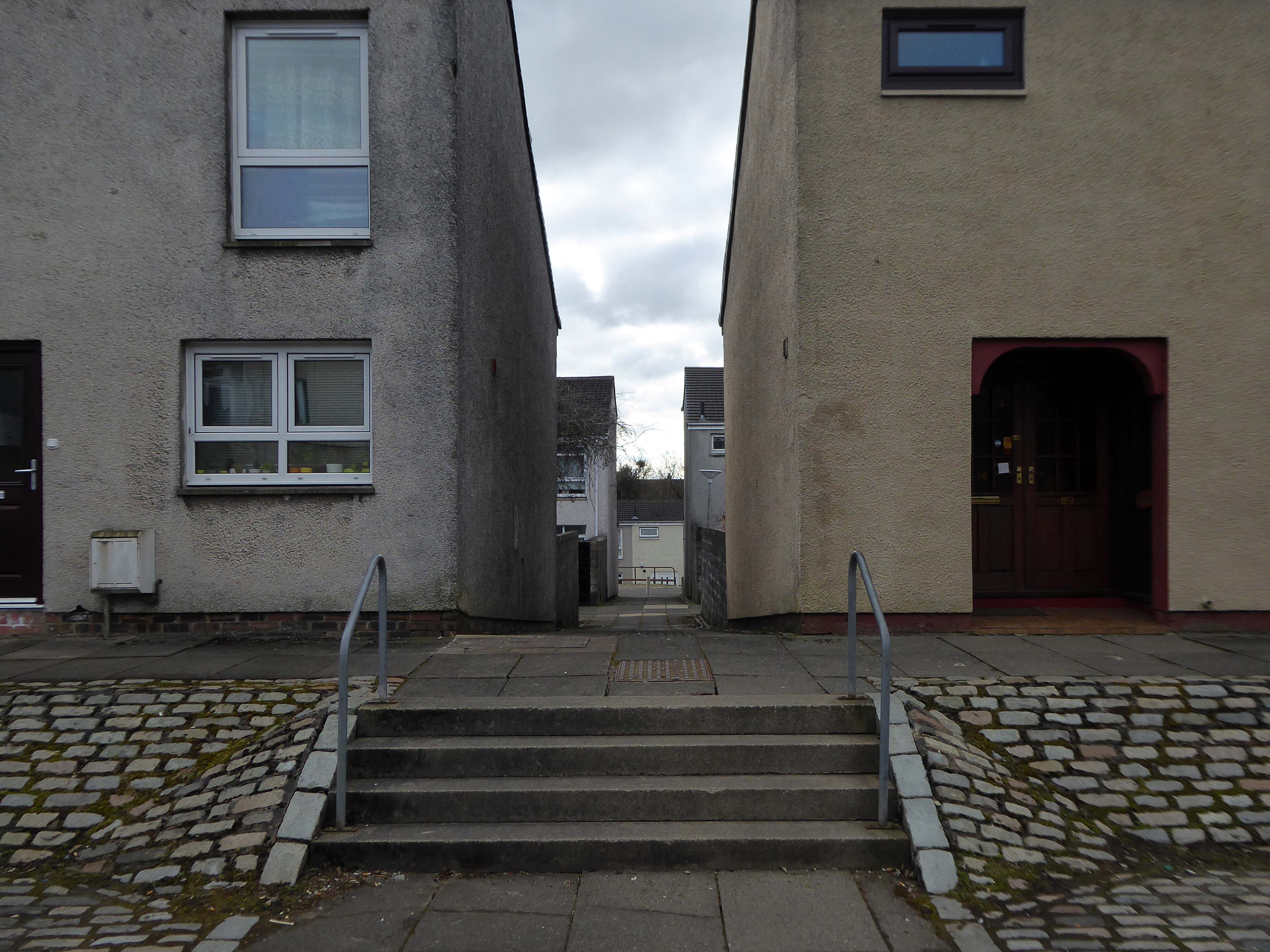
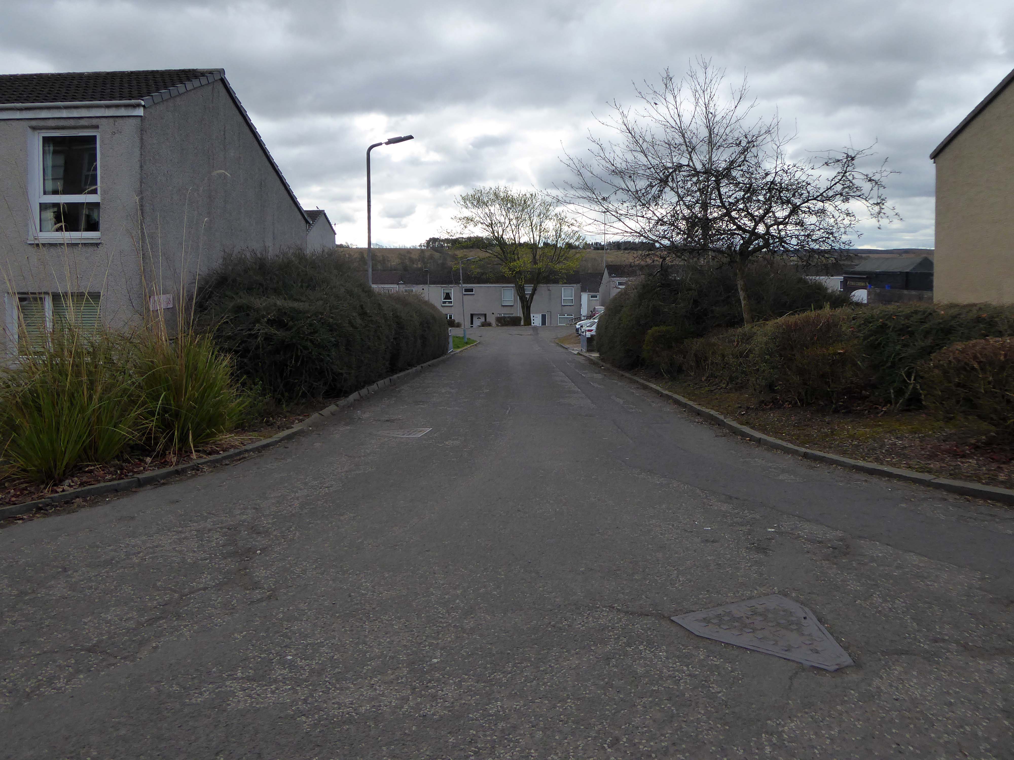
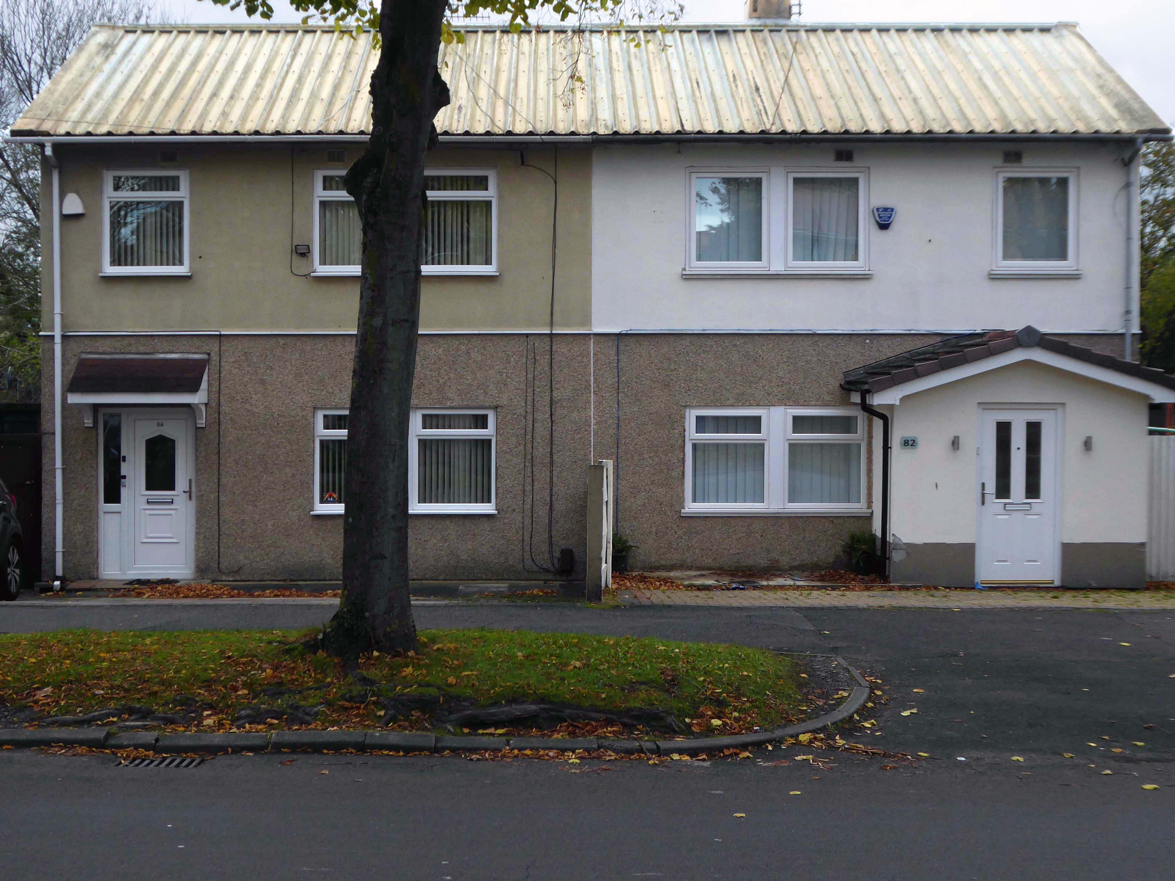
A mix of pedestrianised terraces and low rise blocks, set in a loose grid of roads and rolling, tree-lined, grassed areas.
Over time there has been the addition of uPVC and the revisionist intrusion of the ahistorical carriage lamp.
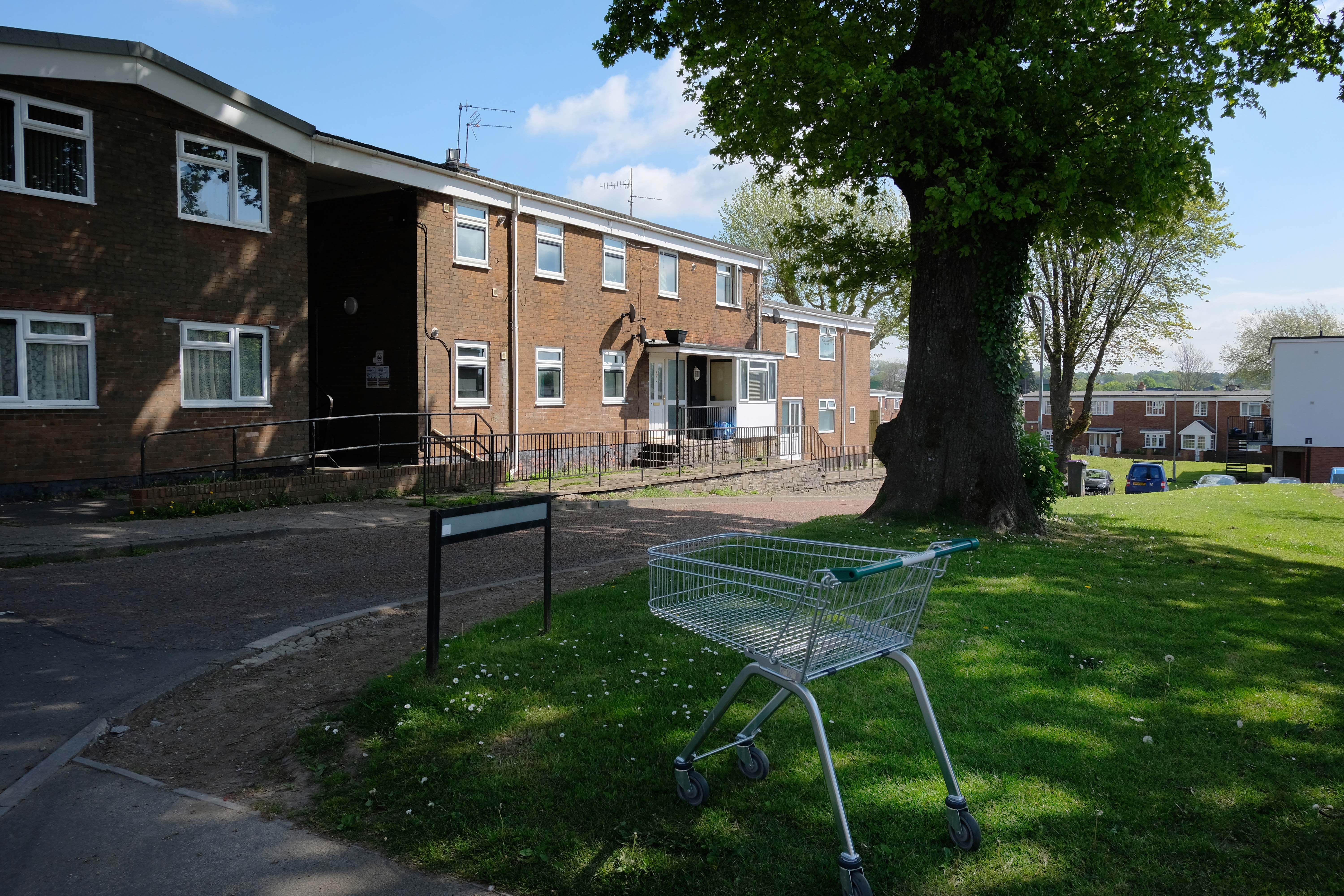
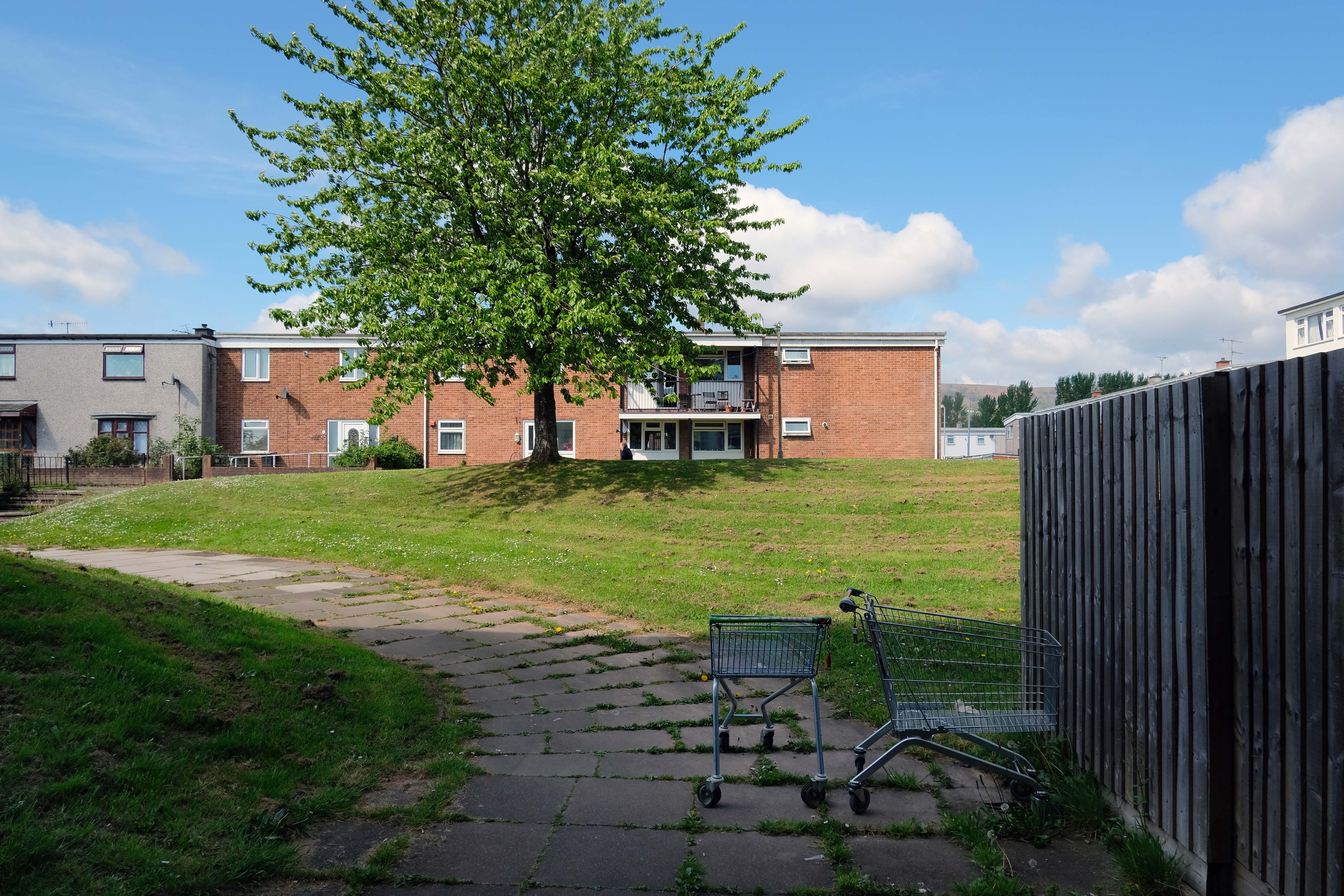
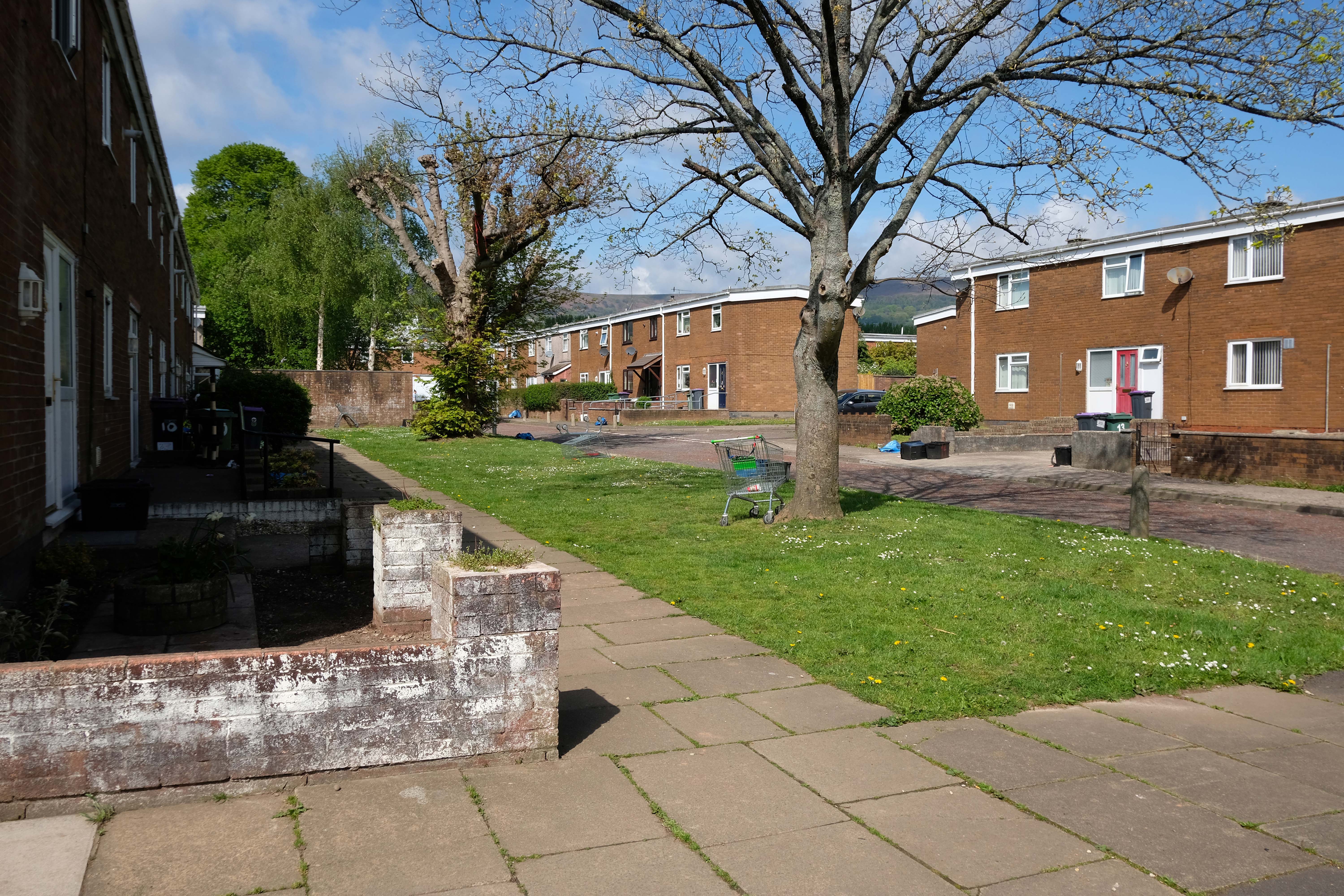
Incidentally an area with more al fresco shopping trolleys than I had ever seen, I assume that the big Asda, located within walking distance of the homes, to be the progenitor of such a notable proliferation.
It remains, generally speaking a well kept lived in area – let’s take a look.
Taliesin (/ˌtælˈiɛsɪn/ tal-YES-in, Welsh: [talˈjɛsɪn]; fl. 6th century AD) was an early Brittonic poet of Sub-Roman Britain whose work has possibly survived in a Middle Welsh manuscript, the Book of Taliesin.
Taliesin is the home, studio, and 800-acre agricultural estate of Frank Lloyd Wright. Wright built Taliesin on his favorite boyhood hill, in the Wisconsin River valley homesteaded by his Welsh grandparents. He named it Taliesin in honor of the Welsh bard whose name means Shining Brow, reflecting his belief that the crown of the hill was reserved for nature, and that buildings should be constructed at the brow of the hill.
It is also a name commonly found on many of the common place dwellings of the Principality.
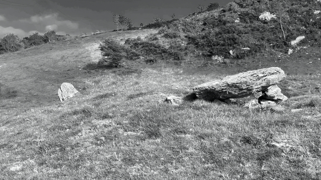
Tre-Taliesin is a village in Ceredigion nine miles south of Machynlleth.
The village is known for the Bedd Taliesin, a hilltop Bronze Age tumulus which is traditionally regarded as the site for the grave of the Welsh bard, Taliesin. It is listed as a Historic Monument. It is a round-kerb cairn with a cist about 2m long. The capstone has fallen; the side stone slabs are more or less in their original positions.
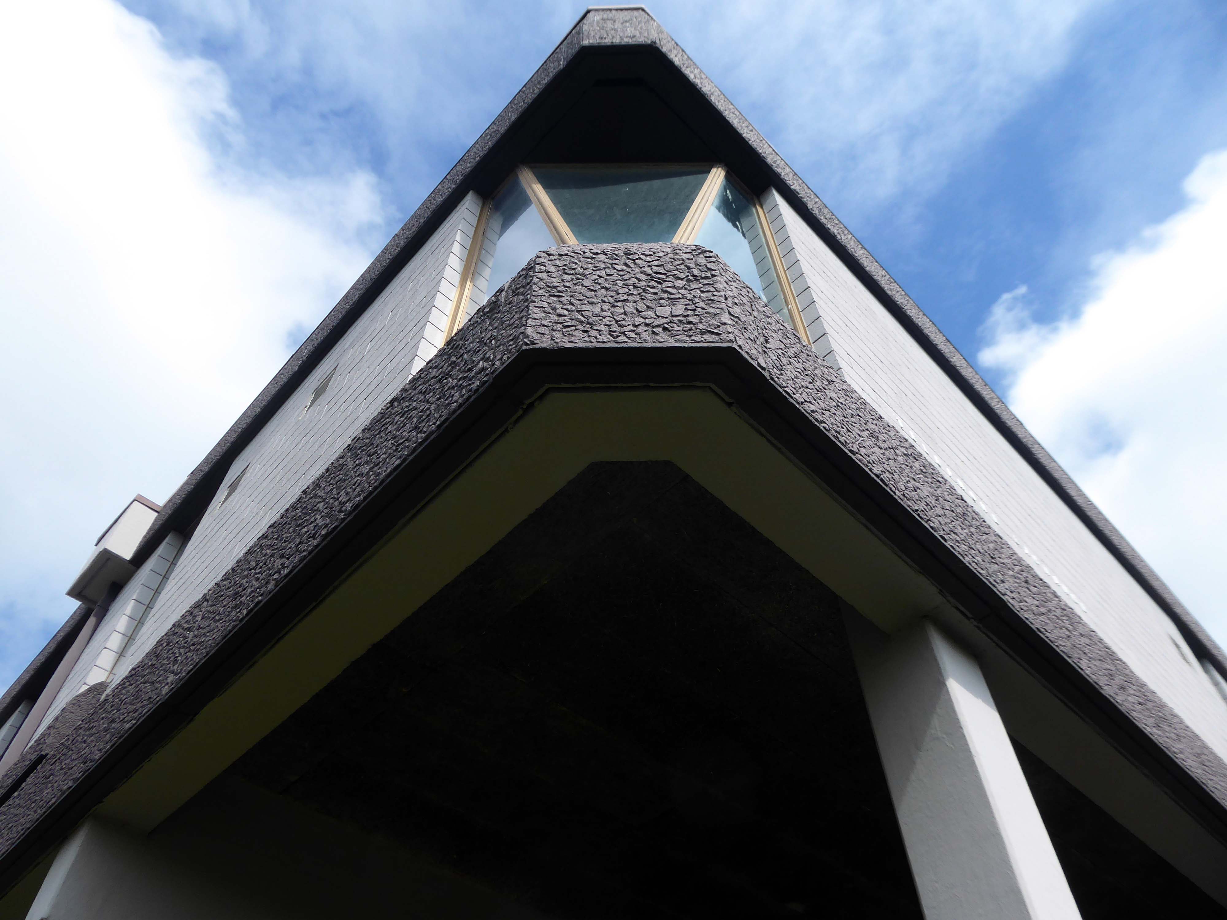
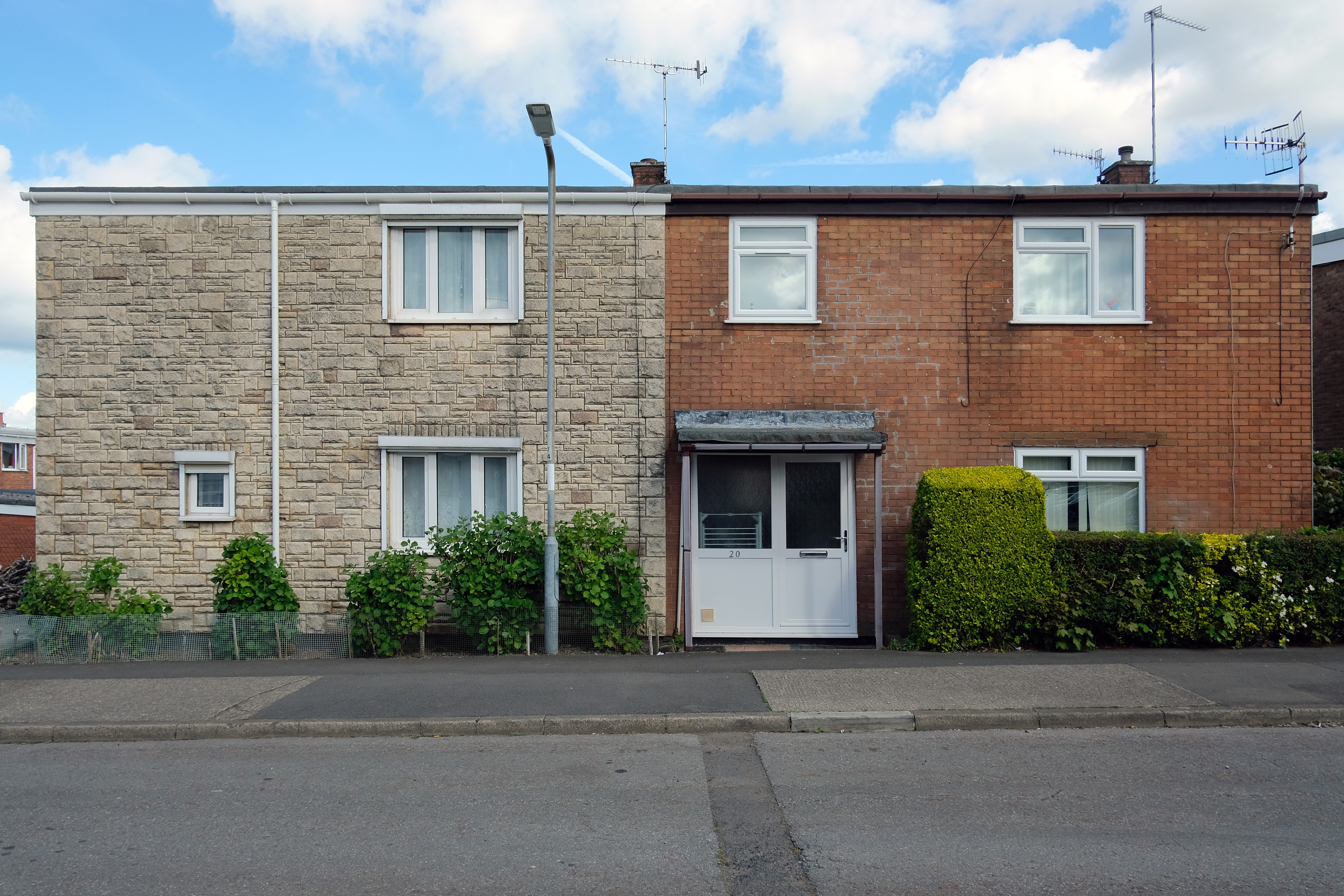
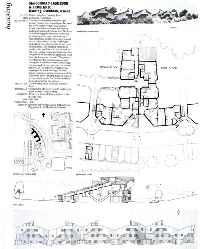
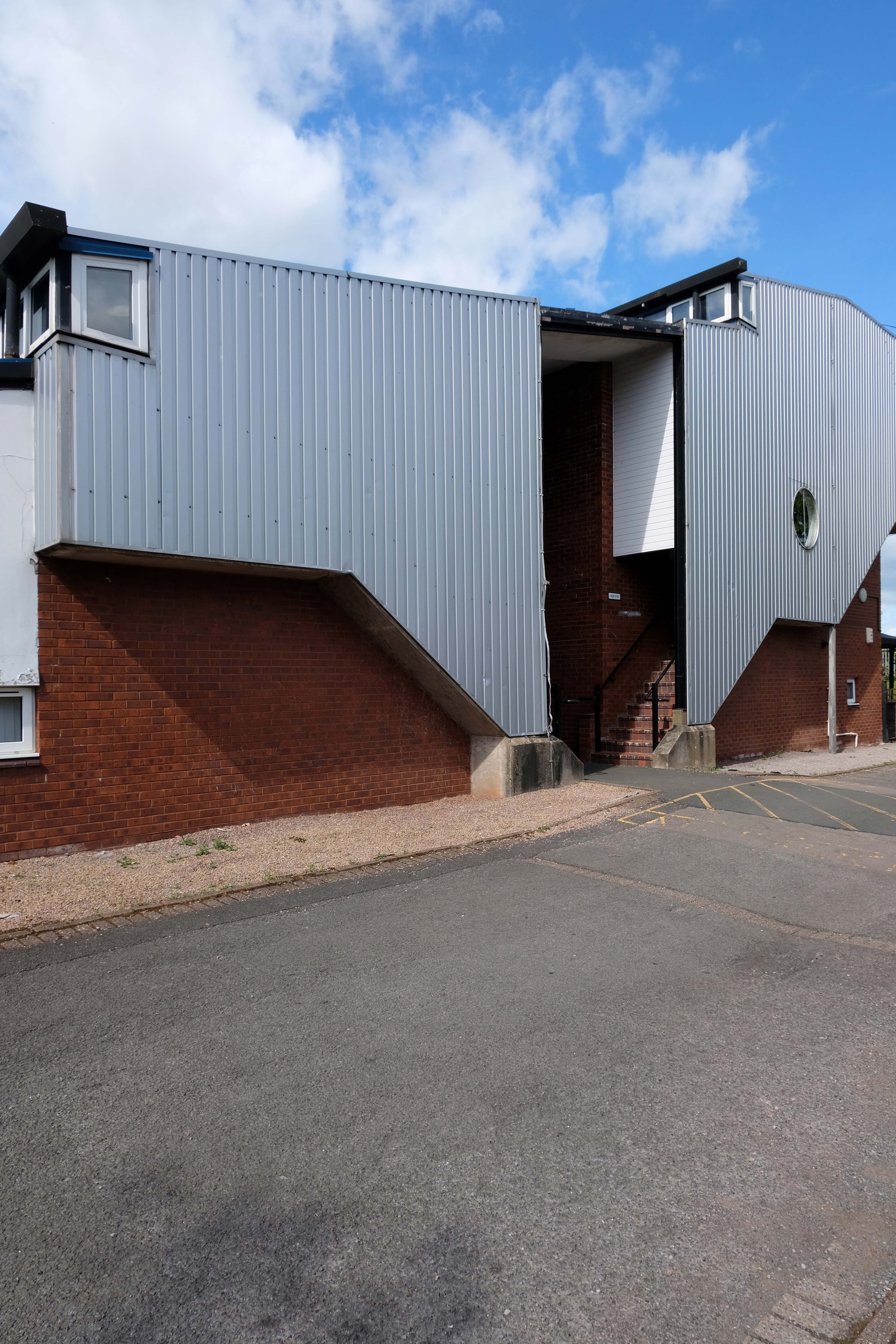
Which brings us to Taliesin Cwmbran a group of 58 flats located at the northern end of a road named Forgeside.
This development is something of an anomaly, breaking the mould of the conventional New Town housing which surrounds it.
Broadly Postmodern – with passing references to half timbered buildings, yet with more contemporary cladding. A wandering profile and angular roofline which echoes Hollywood Medievalism, paired with a fortress like enclosure of space and scaled down passageways.
So far no architectural attribution – any clues anyone?
Lately I have been frequenting bad houses Places no respectable man would be seen I hate myself for my weakness My past sickens me I tell myself I will not go Even as I drive there
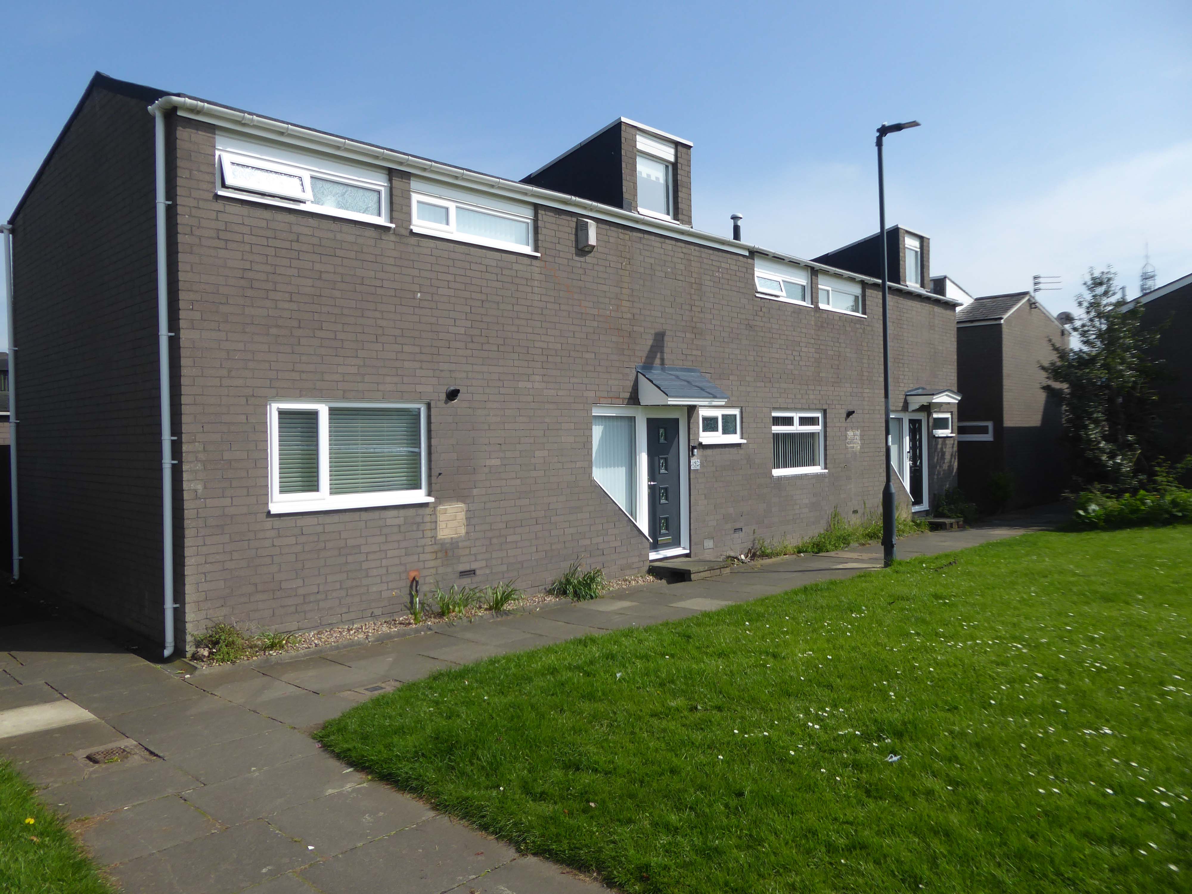
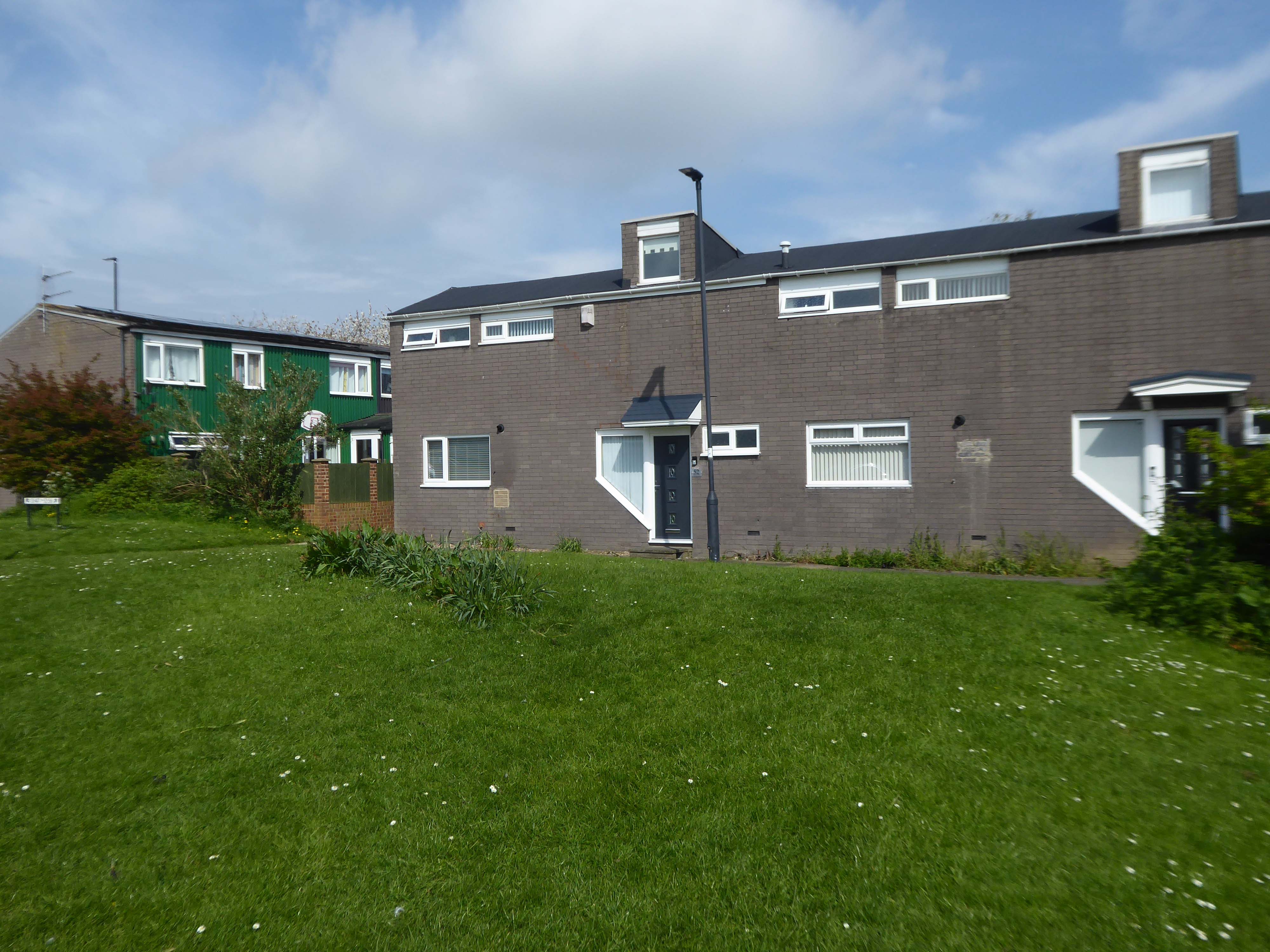
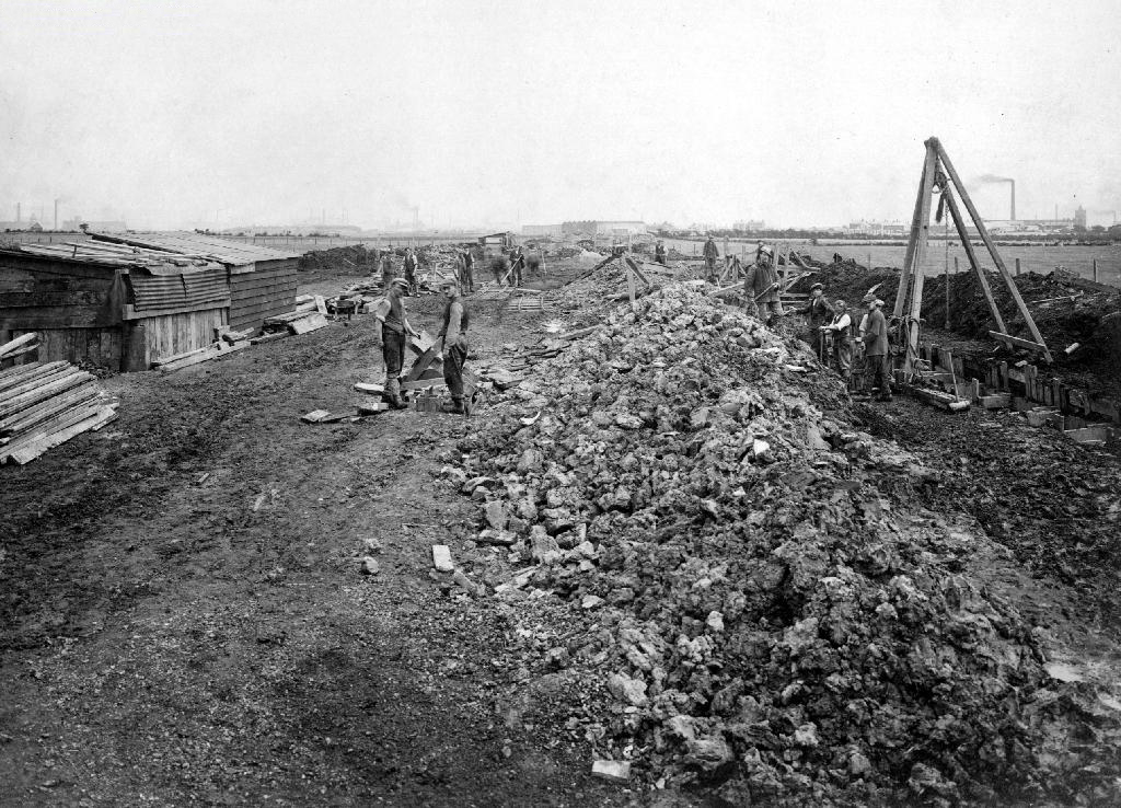
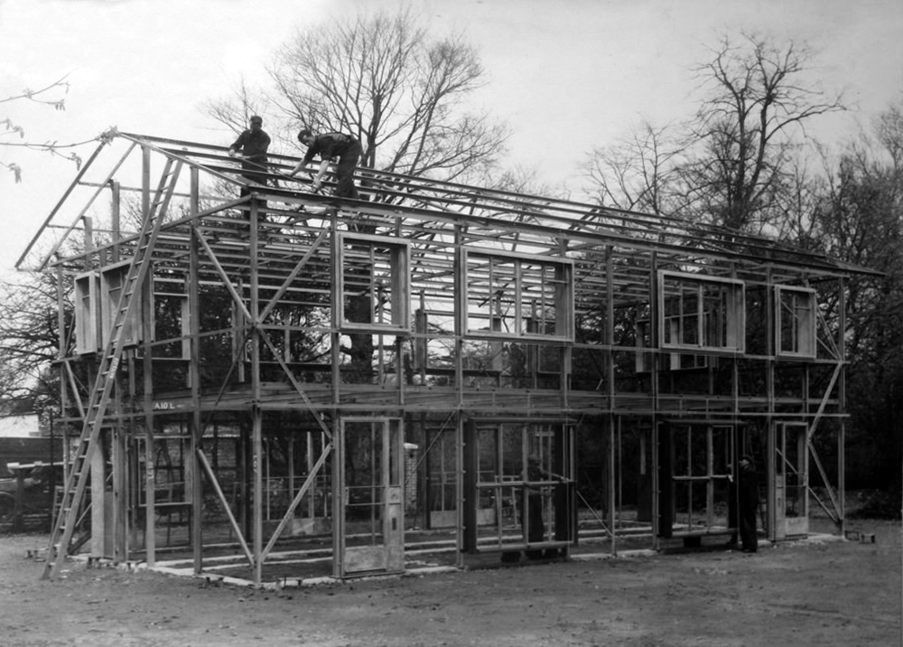
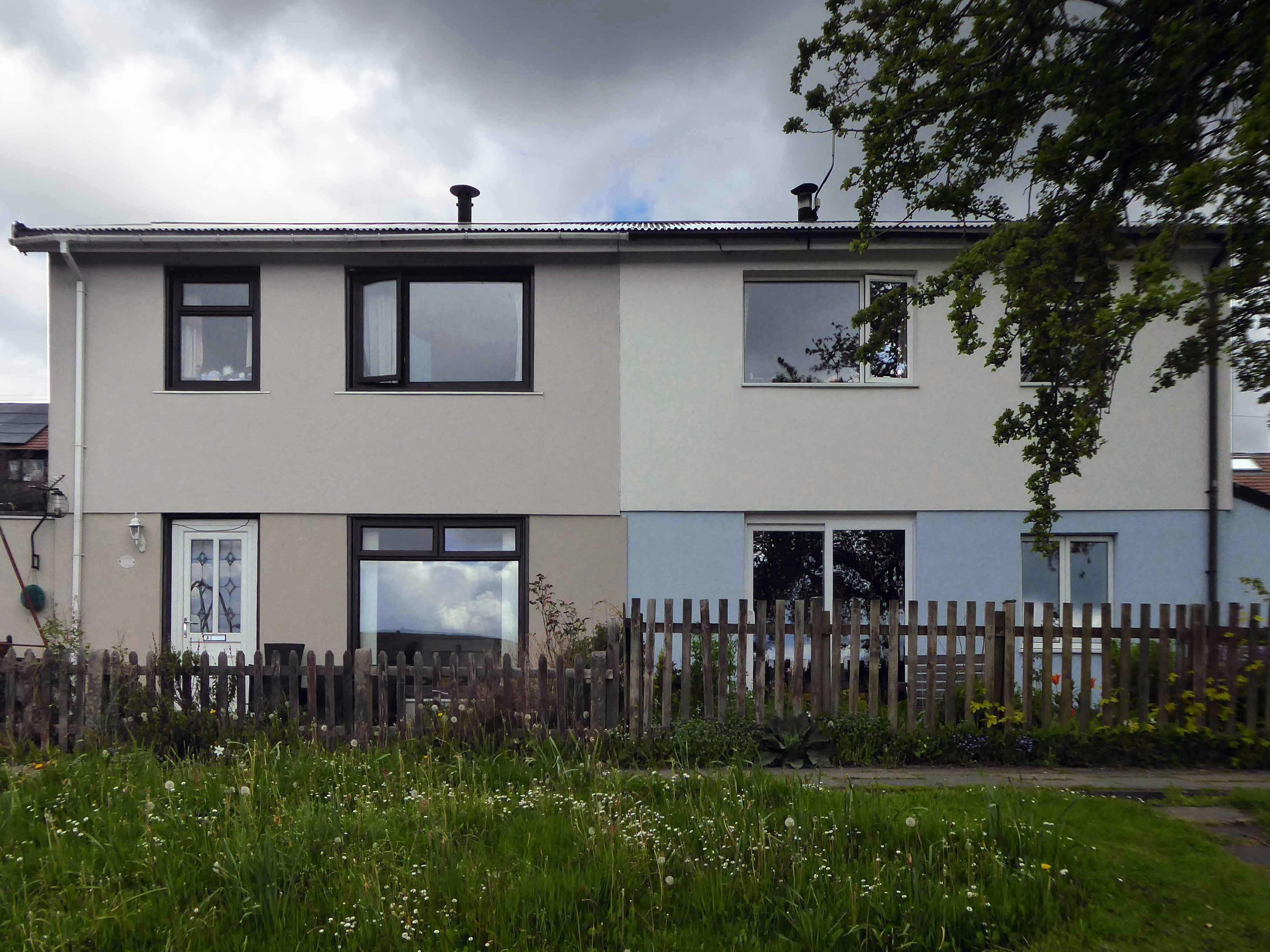
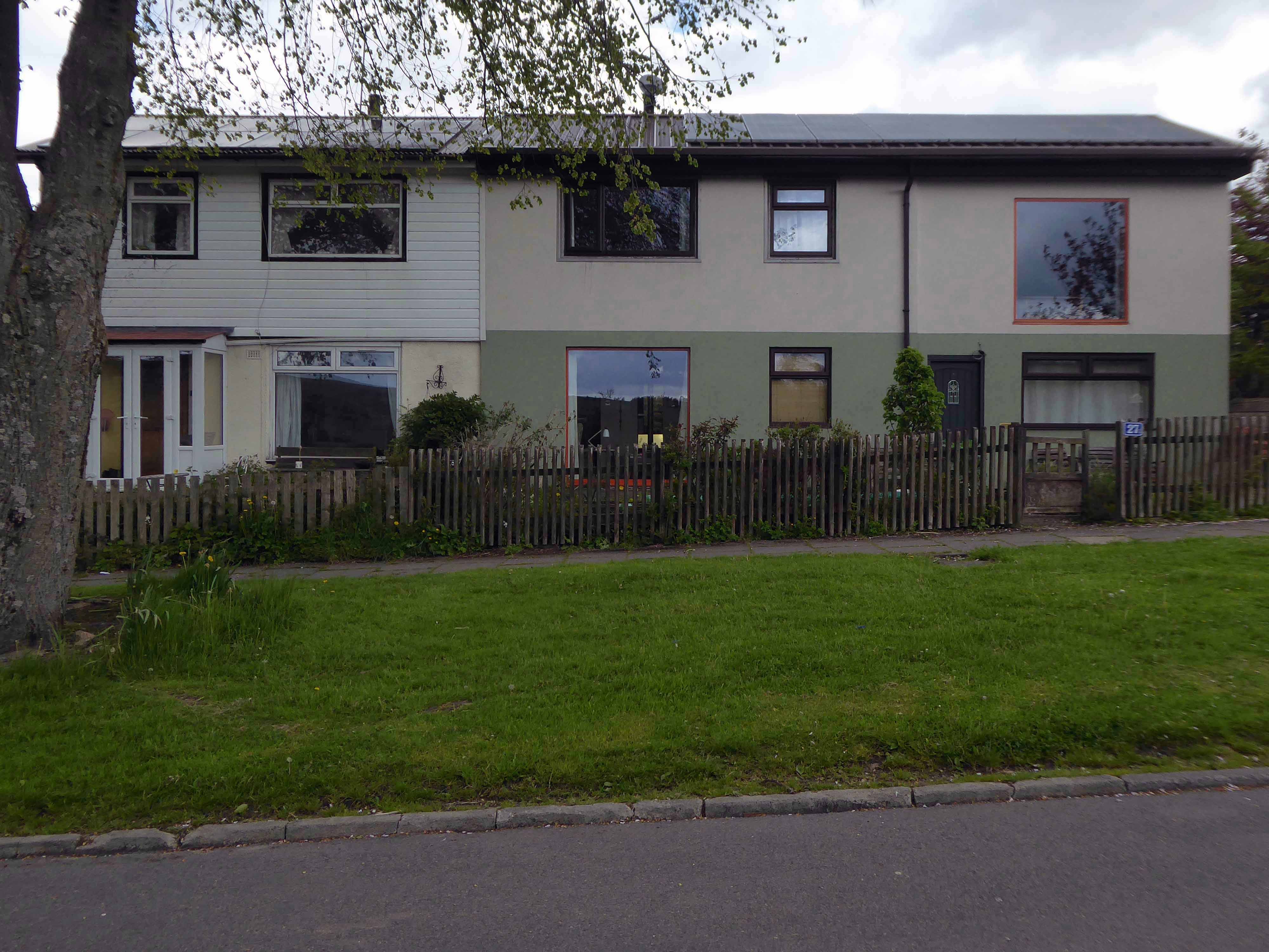
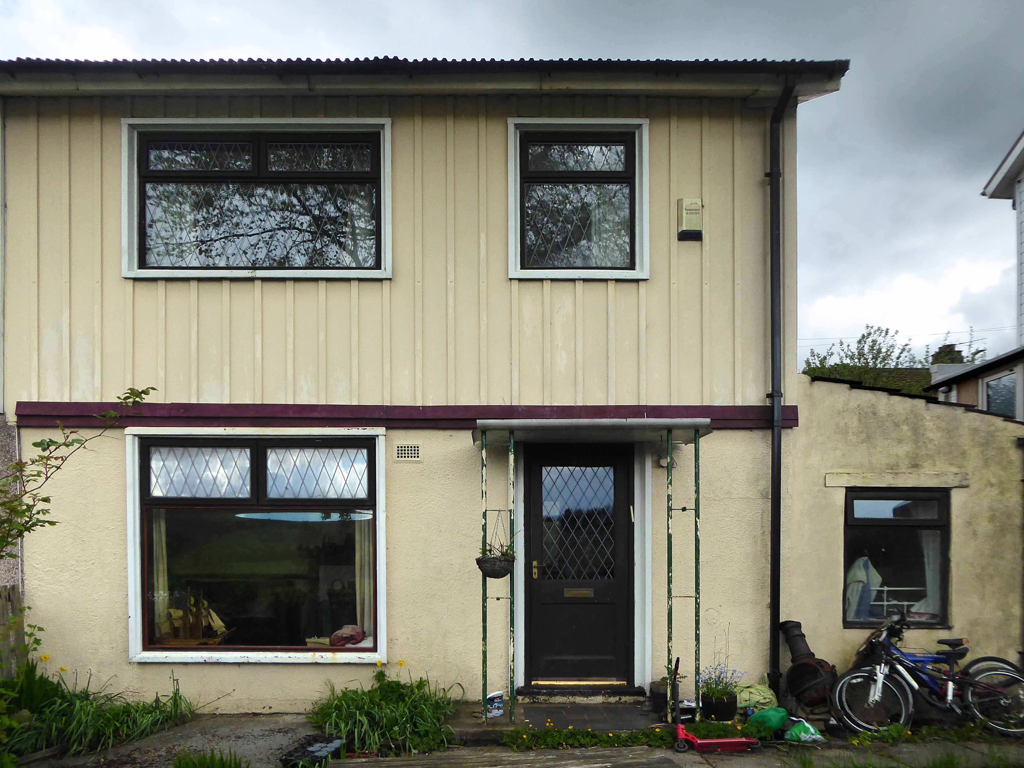
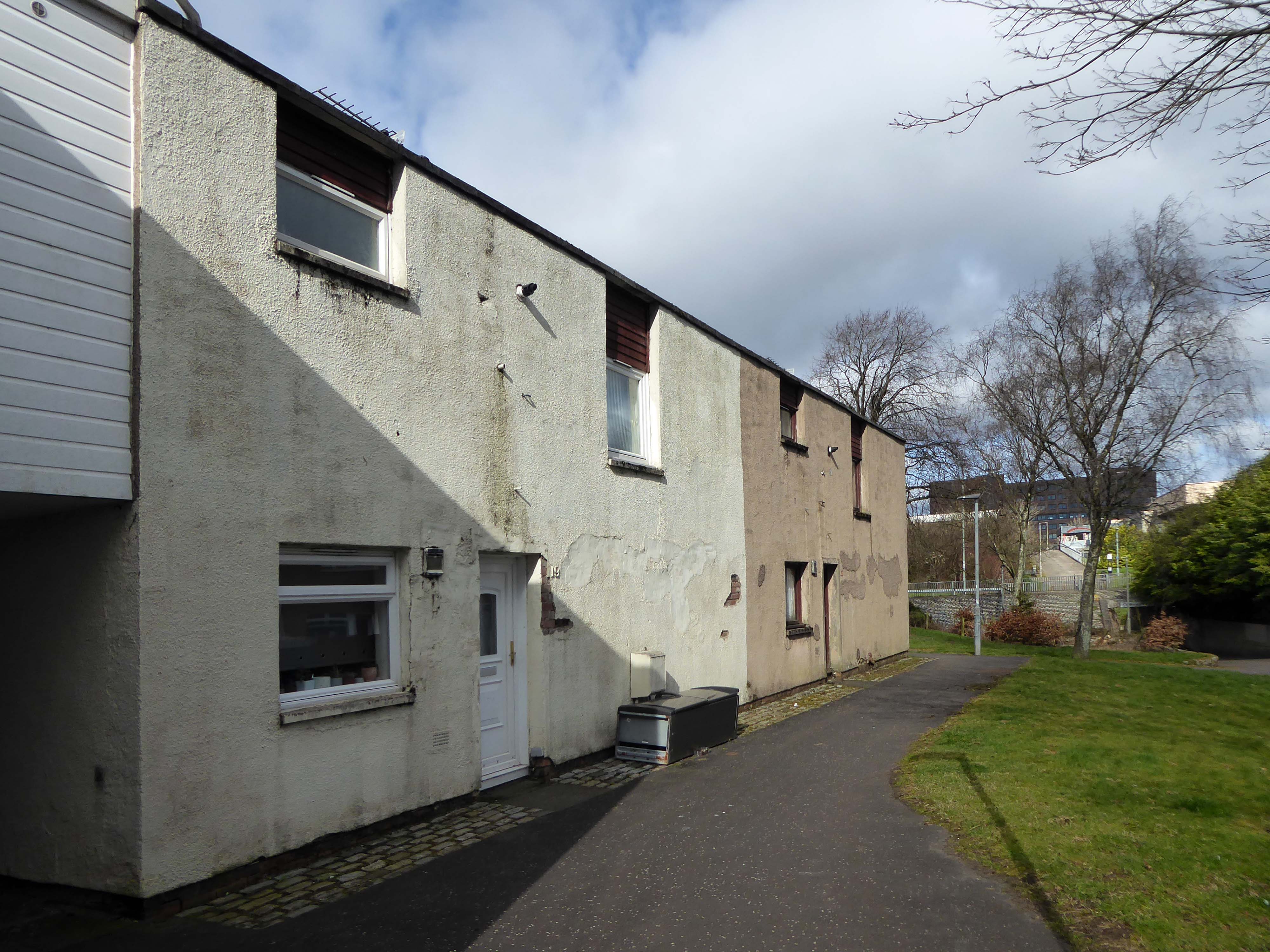
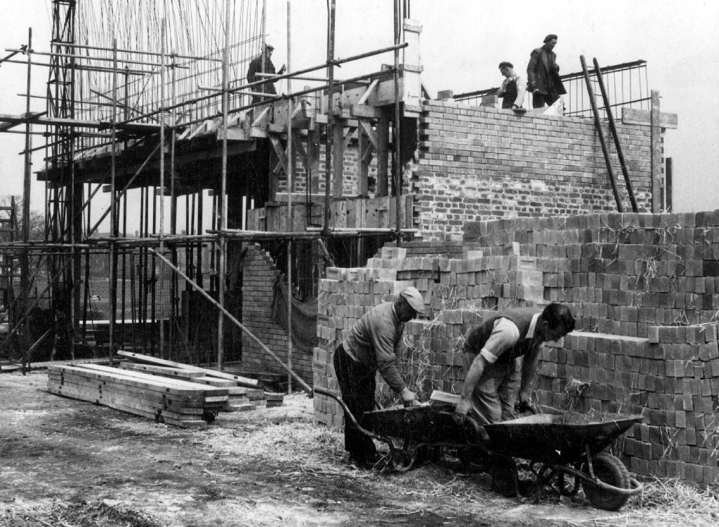
The Second World War brought an even greater demand for the rapid construction of new dwellings. In addition to the need to rebuild homes damaged as a result of the war, the Government had other objectives that were set out in a white paper in 1945, to provide a separate dwelling for any family who wanted one and to complete the slum clearance programme started before the war. After the Second World War there was a surplus of steel and aluminium production, and an industry in need of diversification. These factors drove the move towards the use of prefabrication, as aresult many new varieties of concrete, timber framed and steel framed systems emerged. Whilst most systems were intended to provide permanent or long-term housing a few were intended only as emergency or temporary solutions.
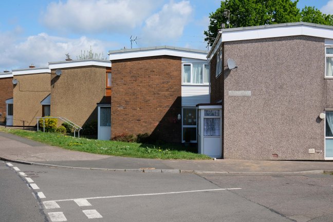
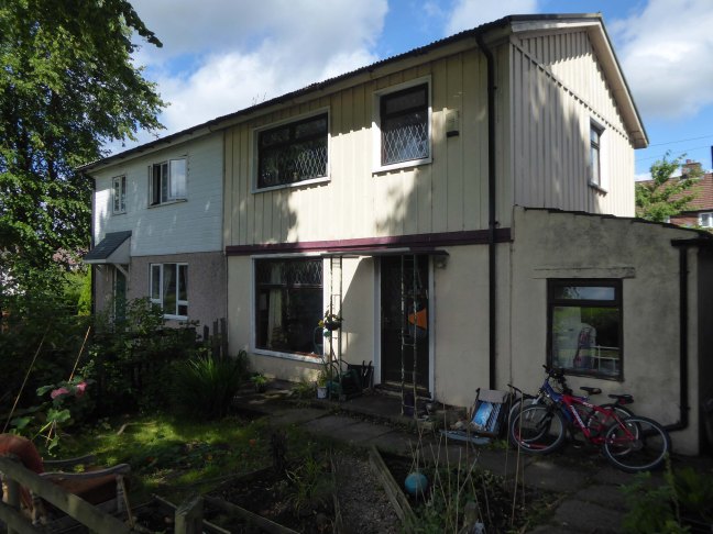
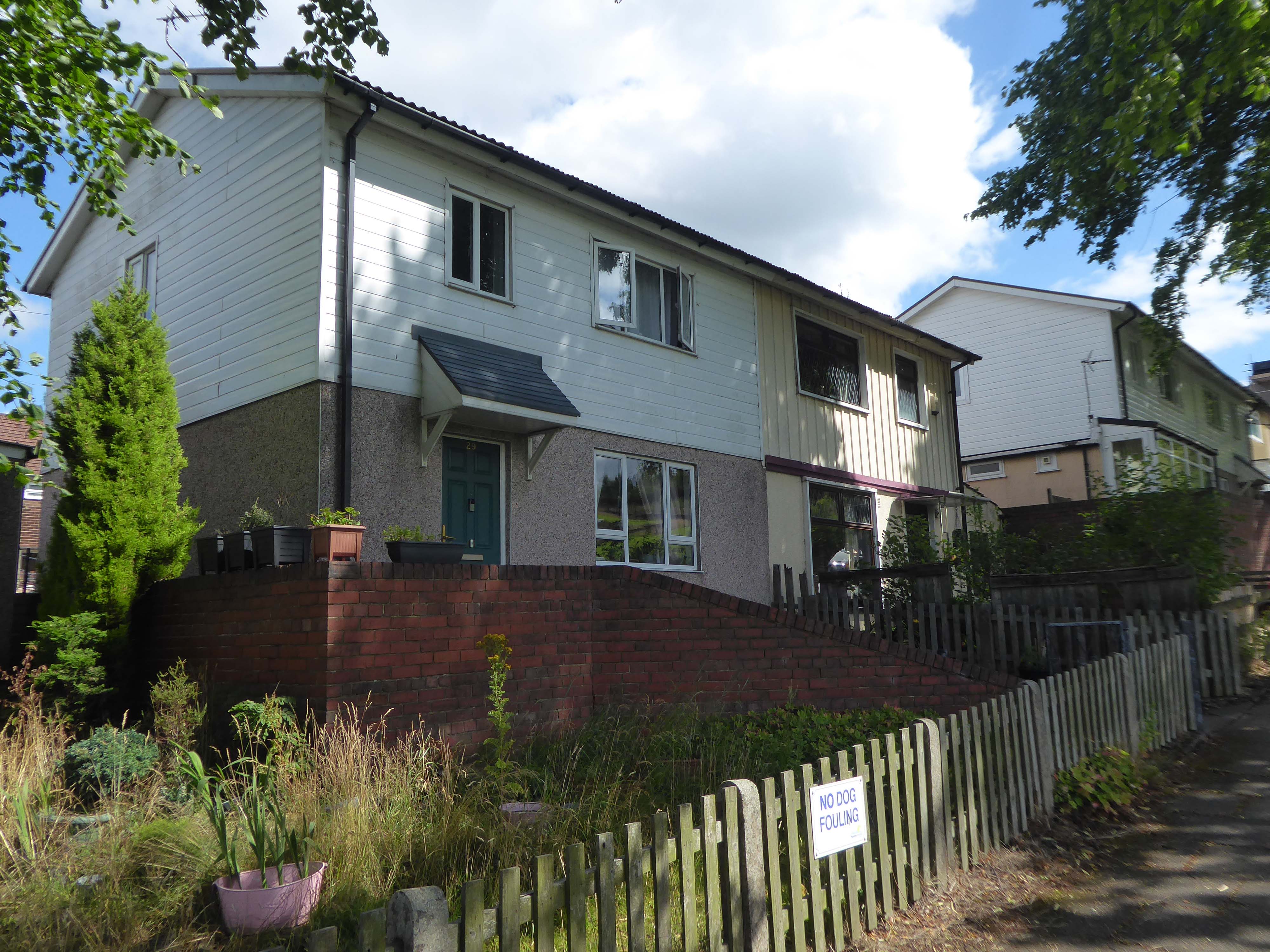
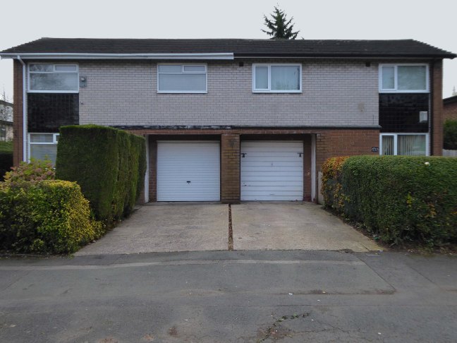
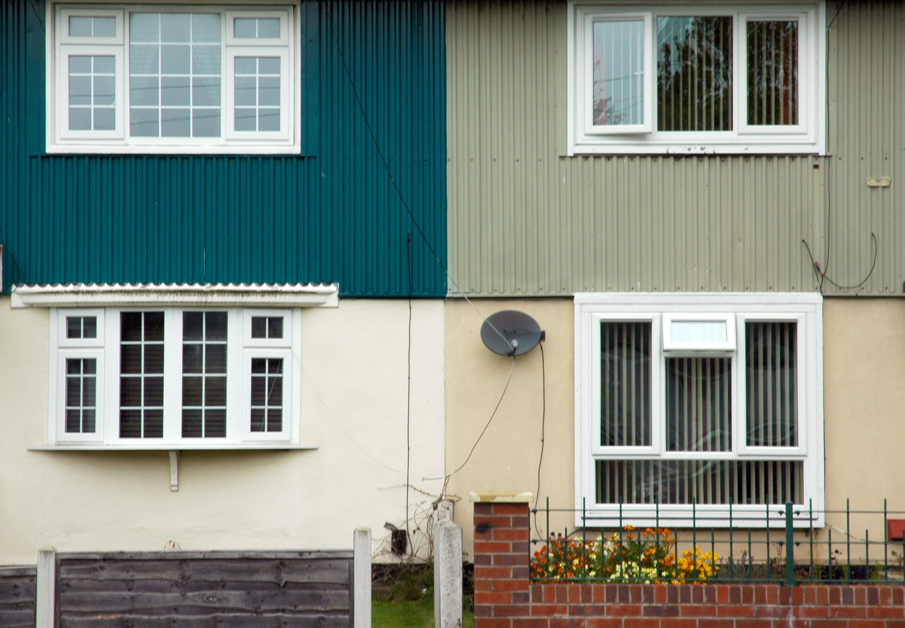
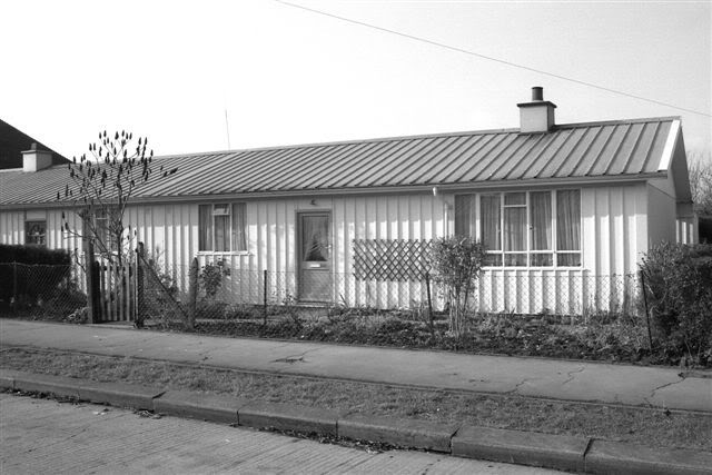
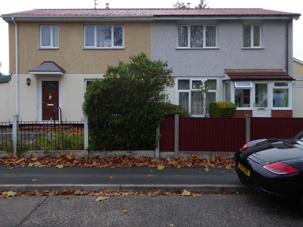
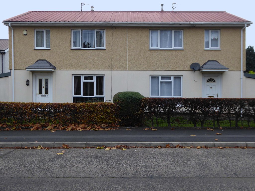
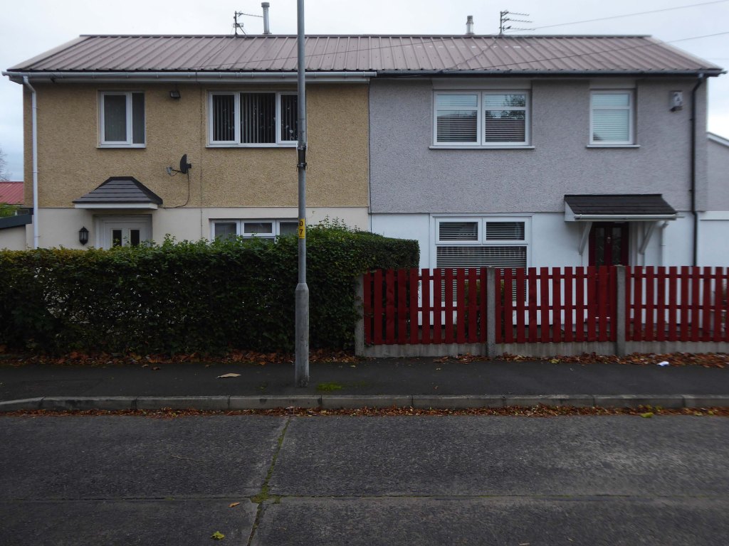
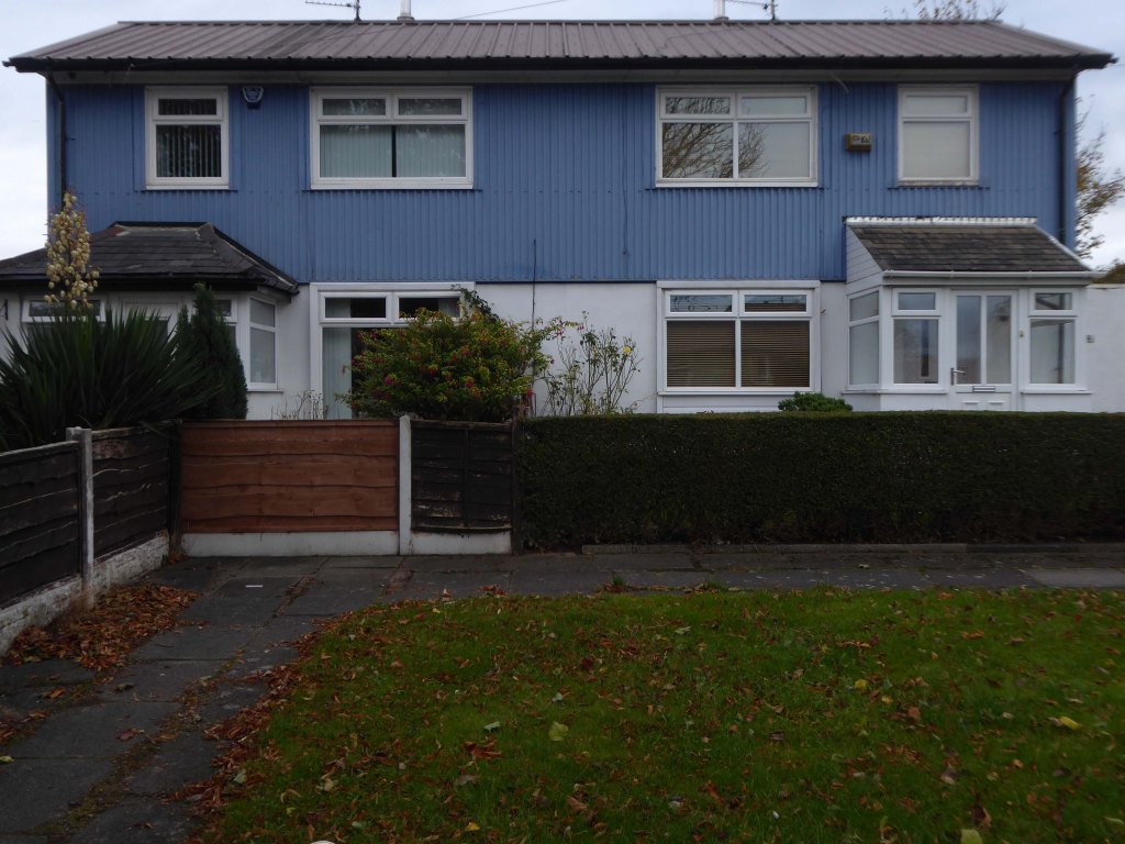
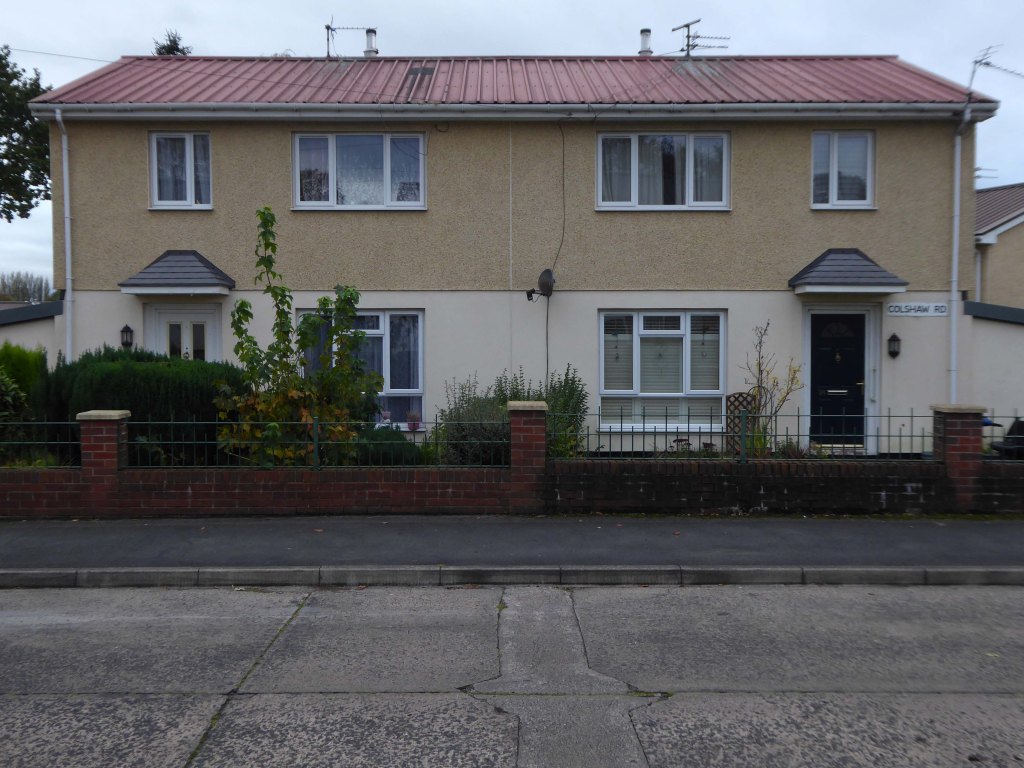
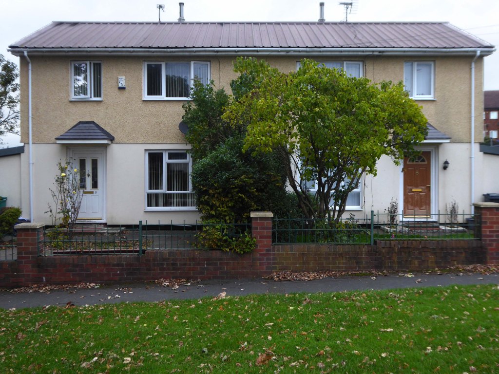
The homes on Wadsworth Lane are BISF Type A1 – designed by architect Frederick Gibberd and engineer Donovan Lee.
Manufactured by British Iron & Steel Federation and British Steel Homes Ltd.
Over 34,000 three-bedroom semi-detached houses and 1048 terraced houses were erected across England, Scotland and Wales.
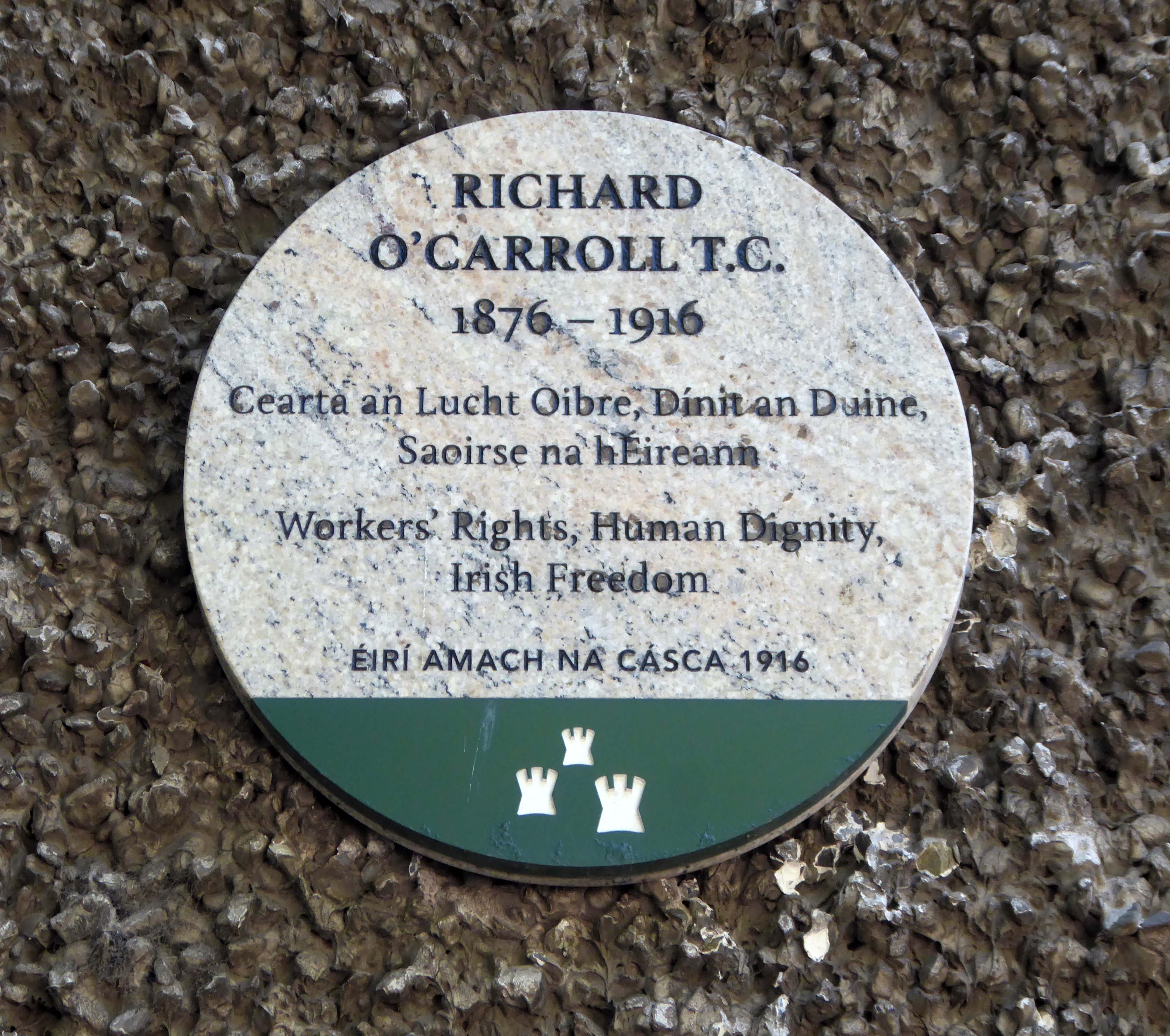
A truemartyr for the love of his Country and its people, and a true Working Class Hero!
Cllr O’Carroll deserves to be recognised by the State and the People of Ireland for his work with the Labour Party, TheAncient Guild of Brick & Stonelayers Trade Union and most importantly for his contribution to the Freedom of Ireland.
‘Bhí sé dílis dá thír is dá chineál’
‘He loved his country and served his kind’
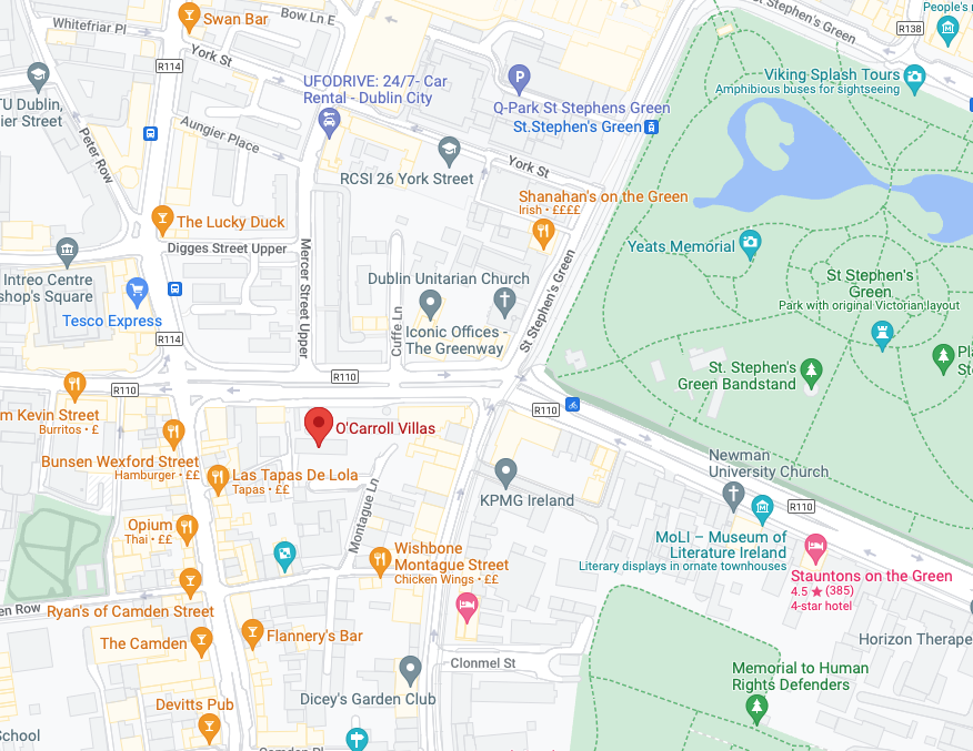
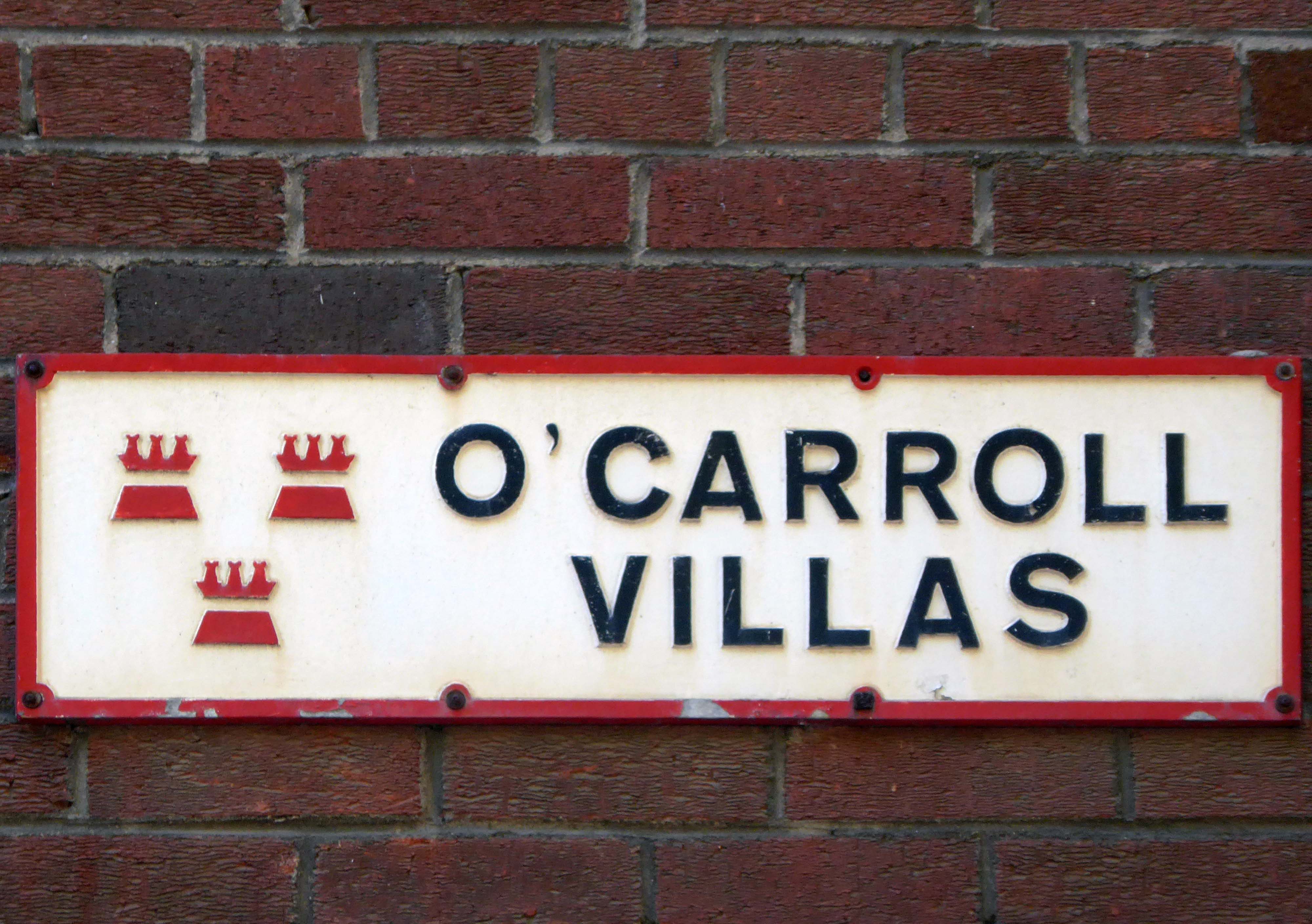
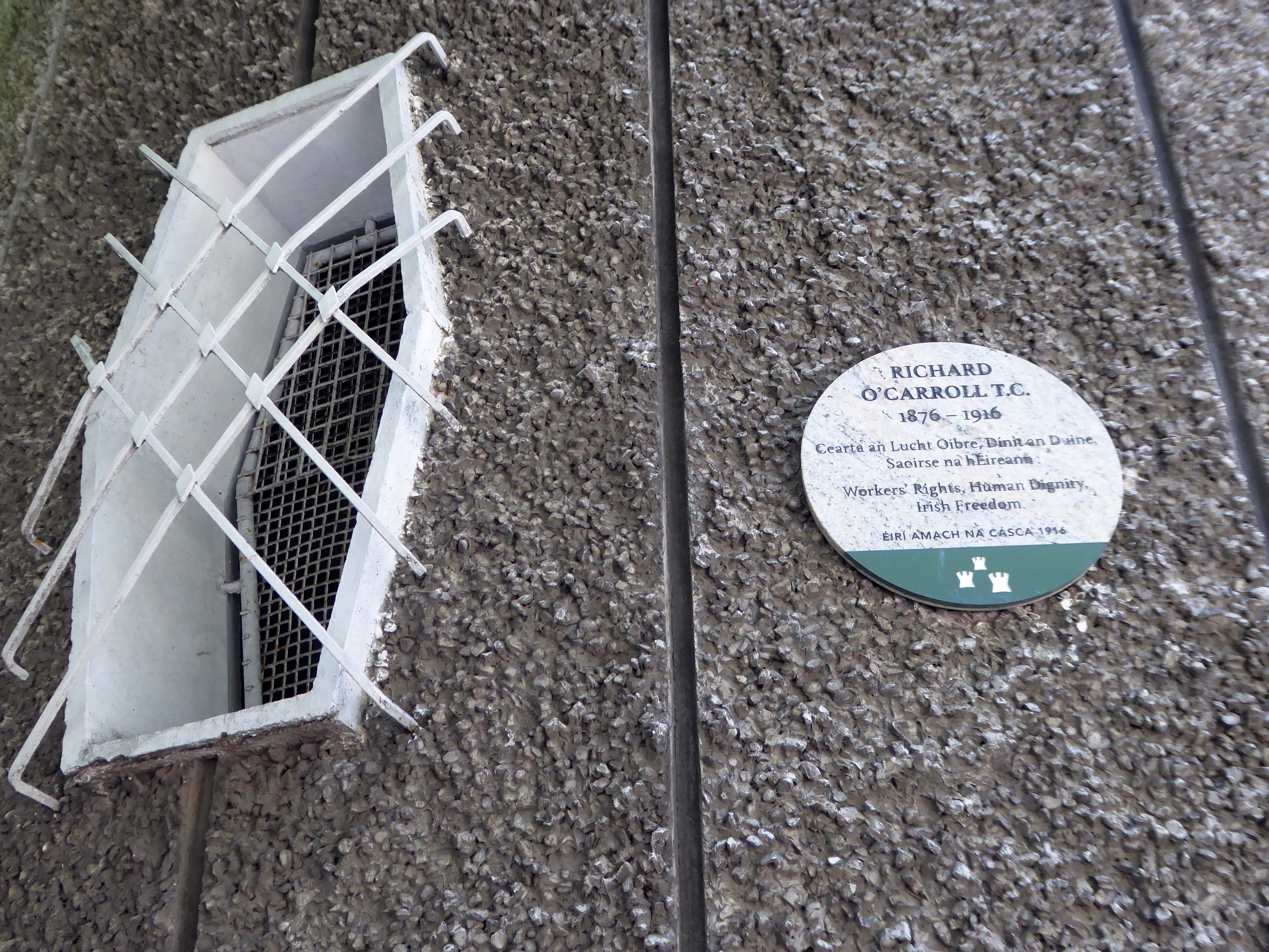
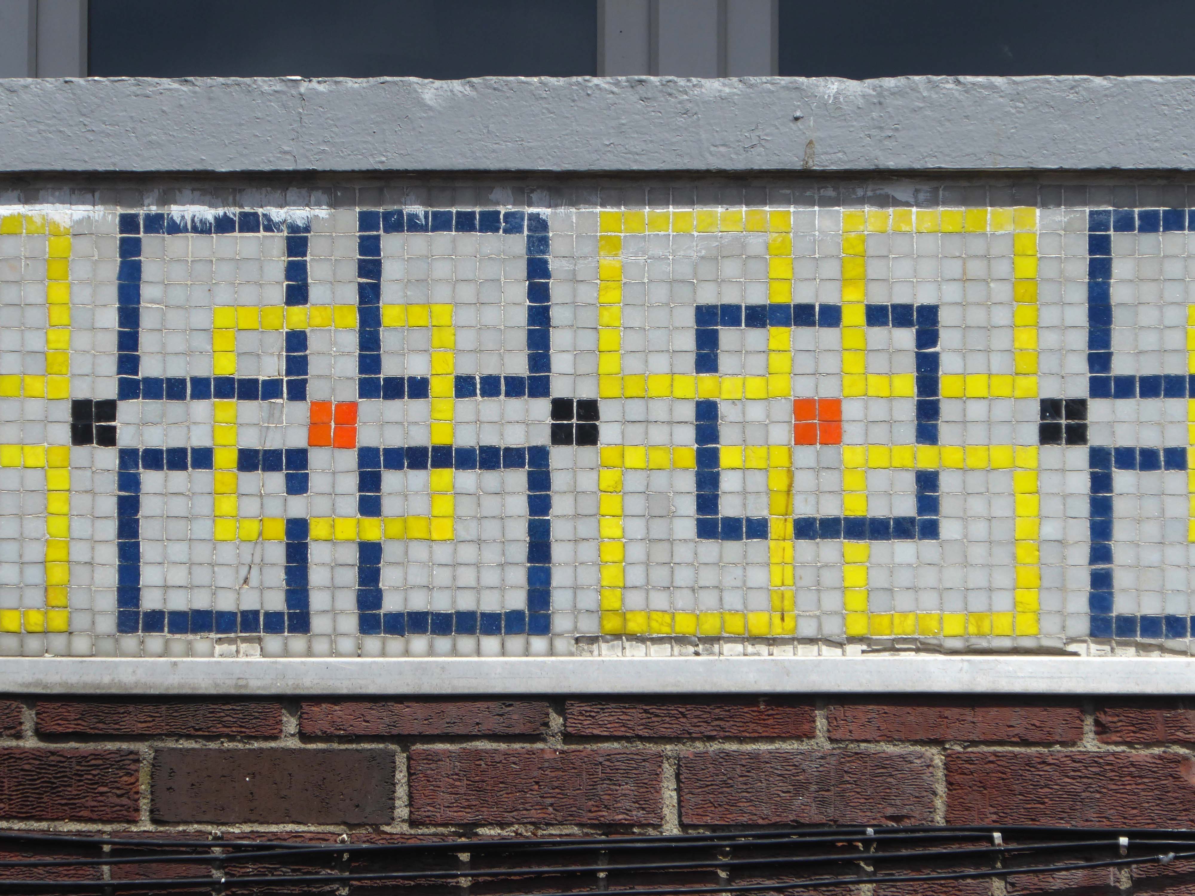
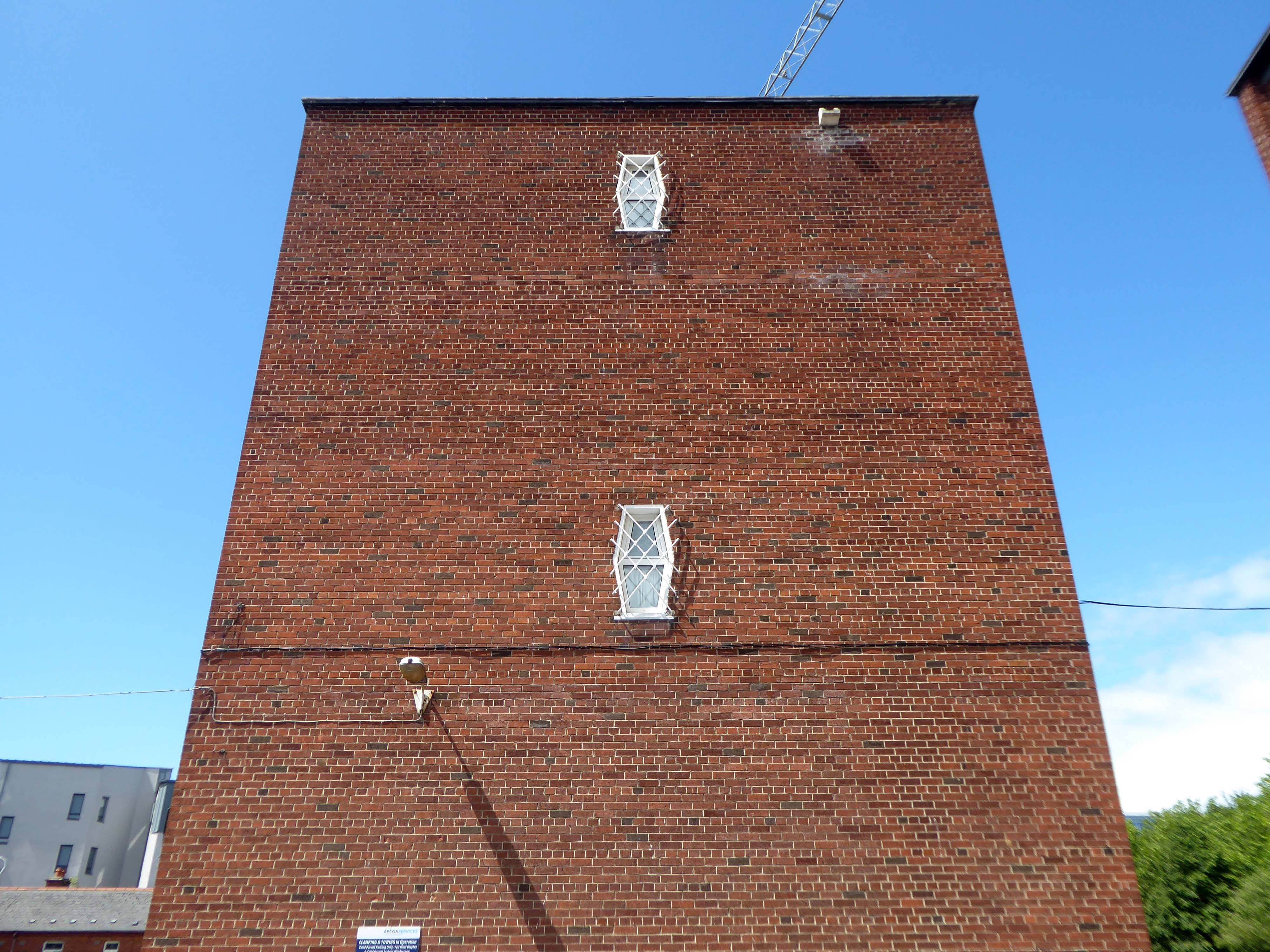
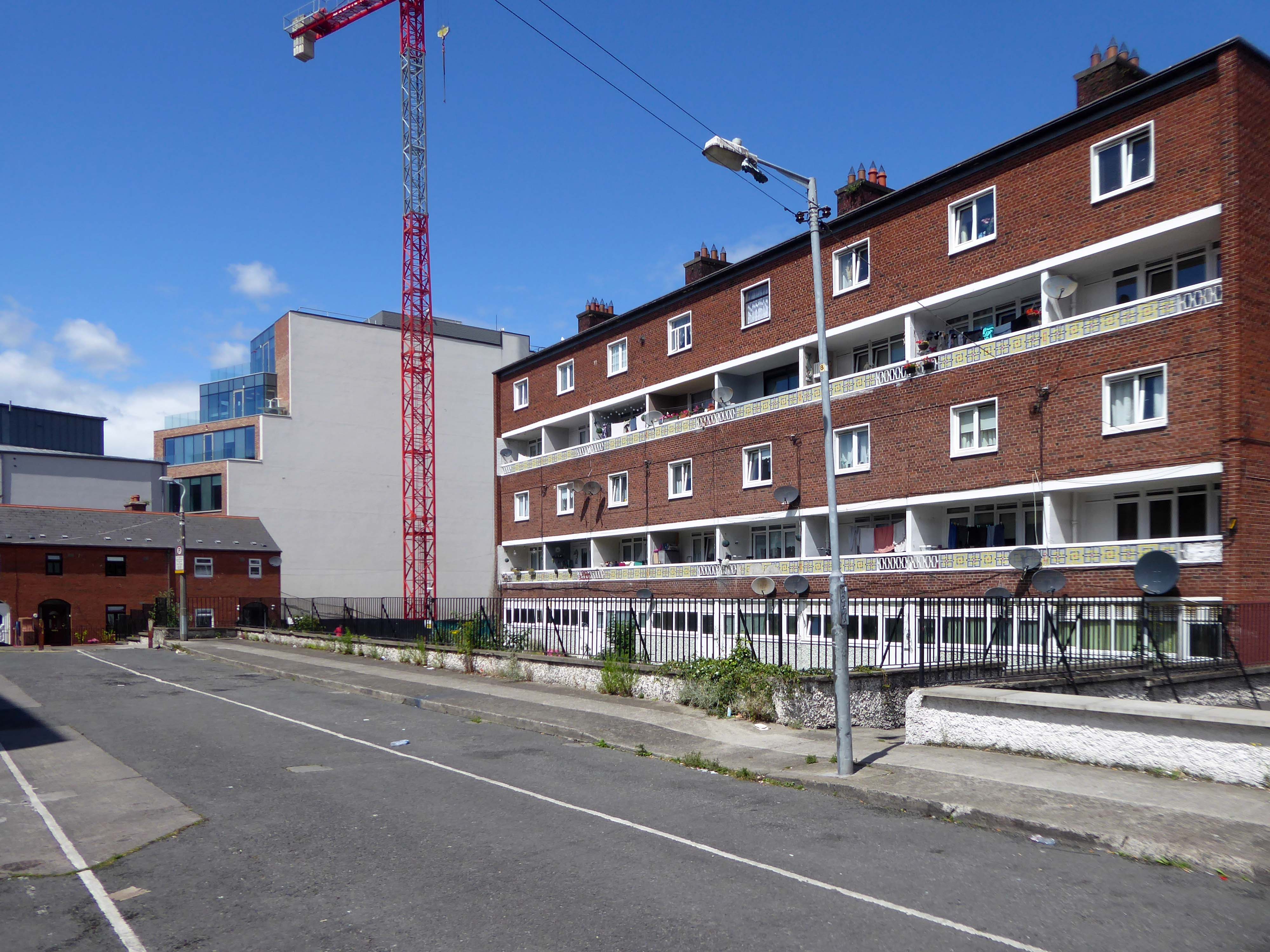
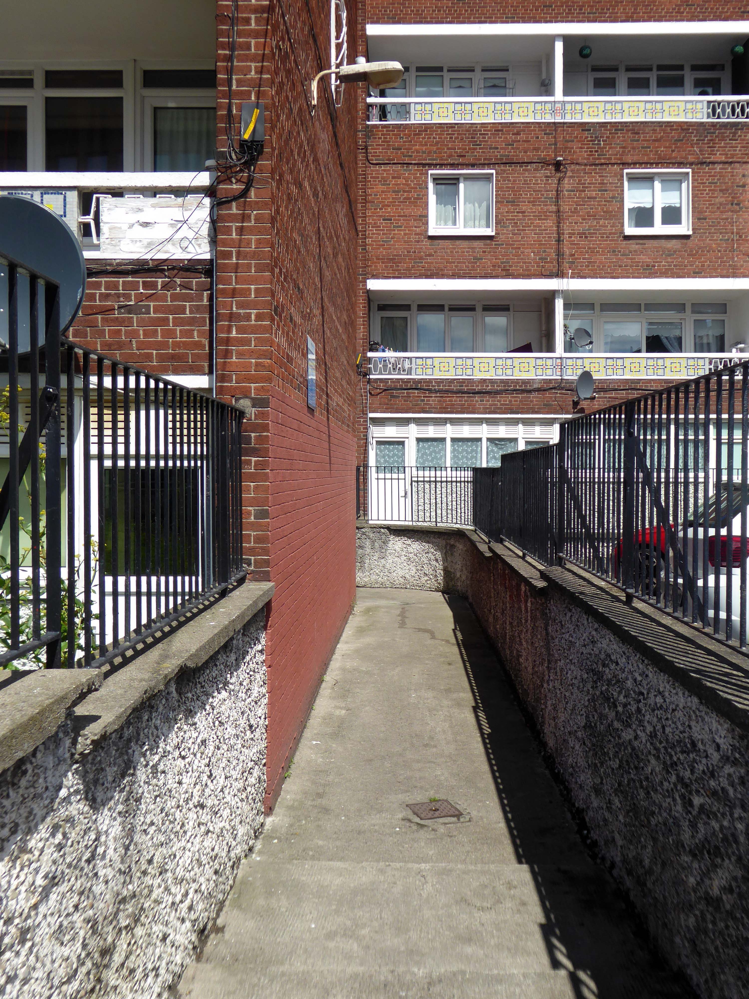
I came upon these two slab blocks of flats whilst walking the streets of Dublin – this service tower acts as a memorial to his life and achievements.
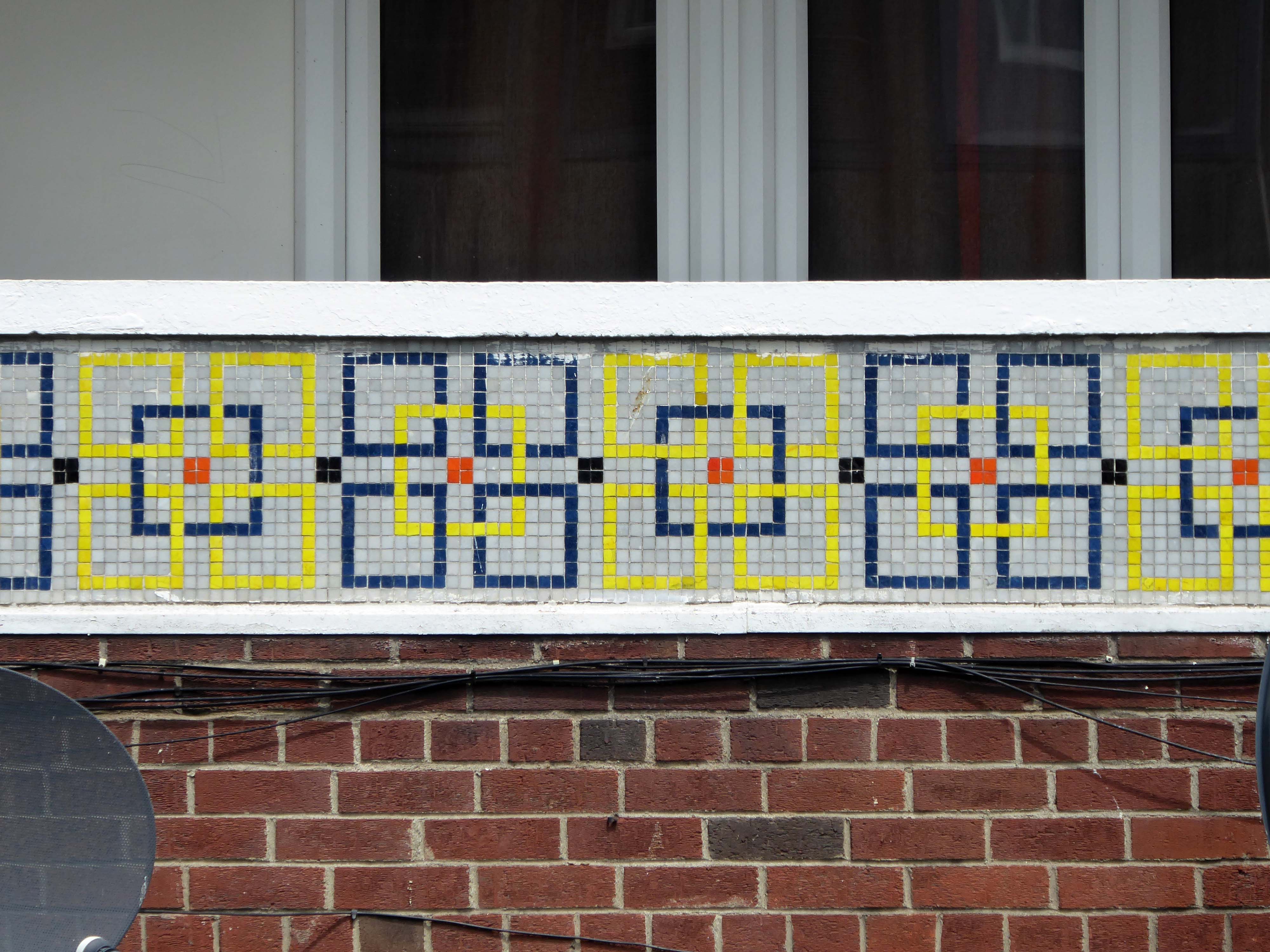
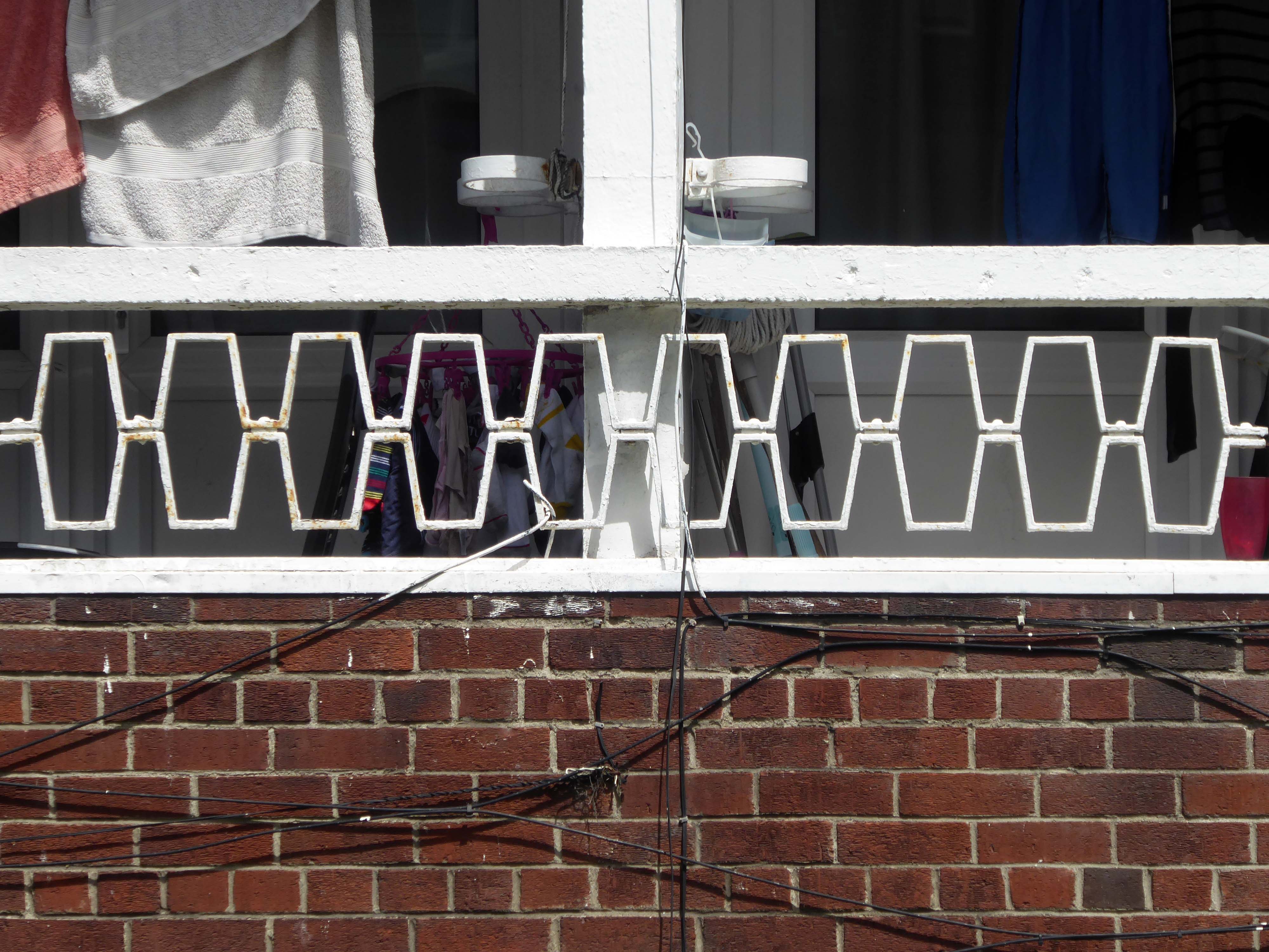
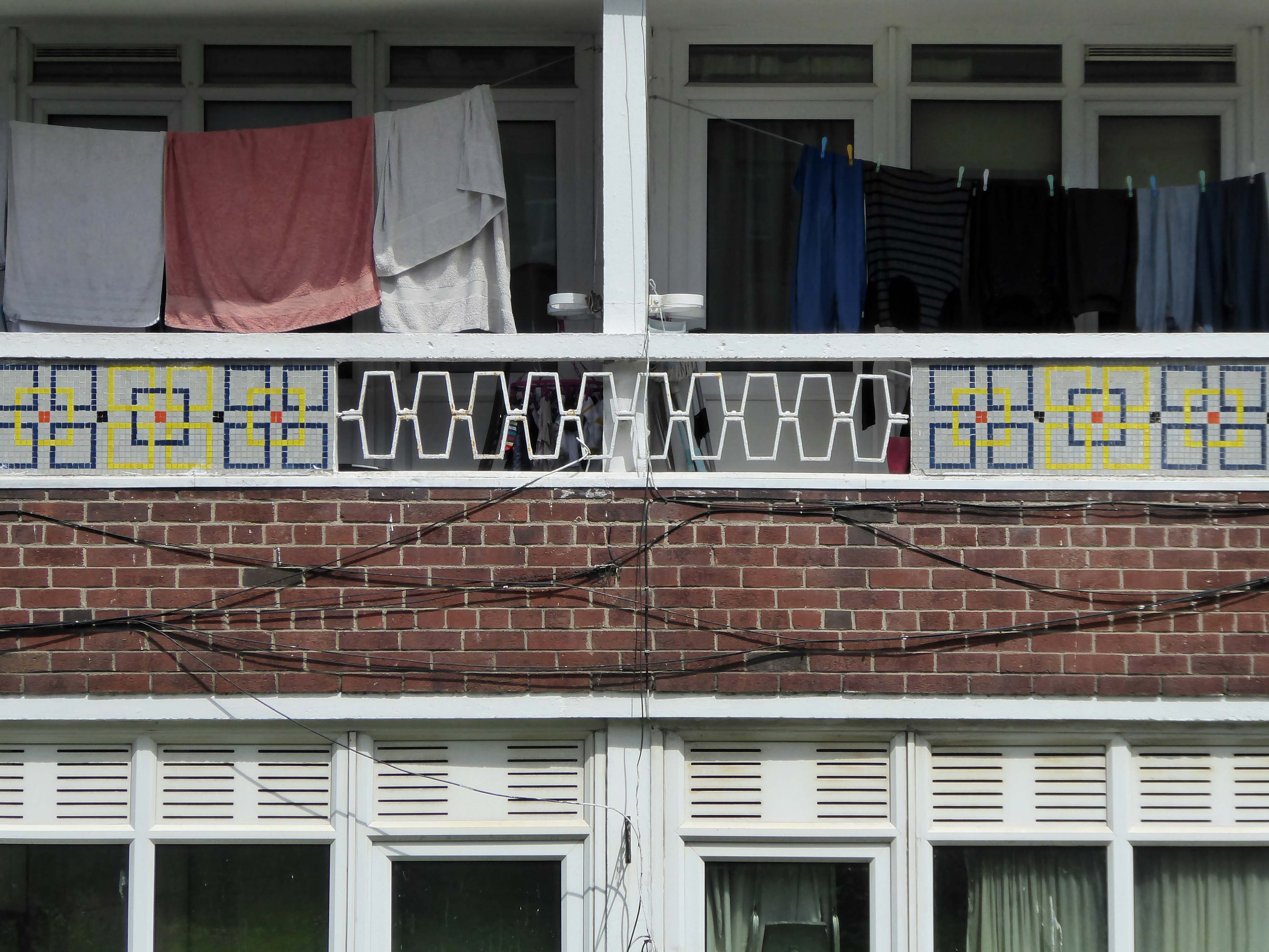
I was stopped in my tracks when I chanced upon the enchanting mosaics, wrought iron railings and walkups, I stayed a while to take a look around.
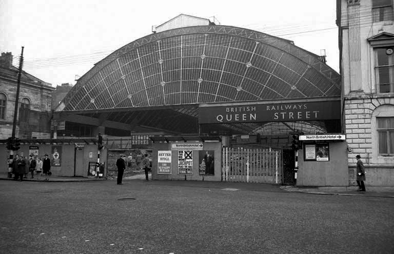
Sunday morning in Glasgow, I caught the first train out from Queen Street Station.
In October 2017, a £120 million project began on bringing the station up to modern standards, demolishing many of the 1960s buildings and replacing them with a new station concourse, which was completed in 2021.
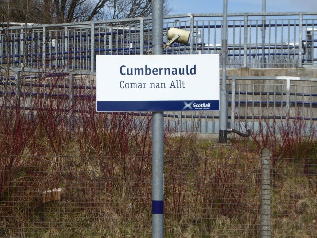
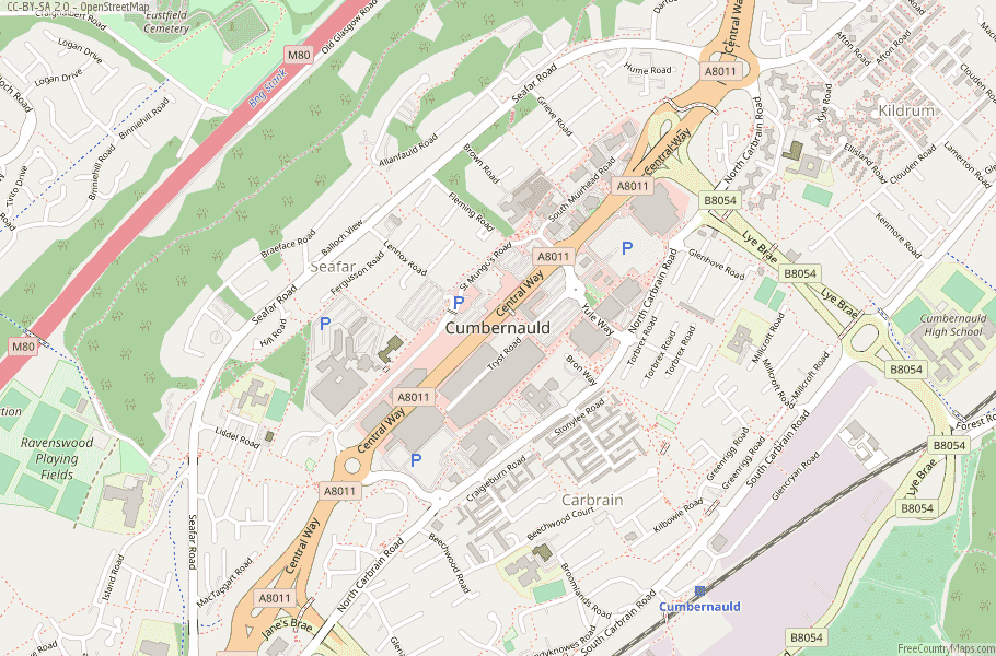
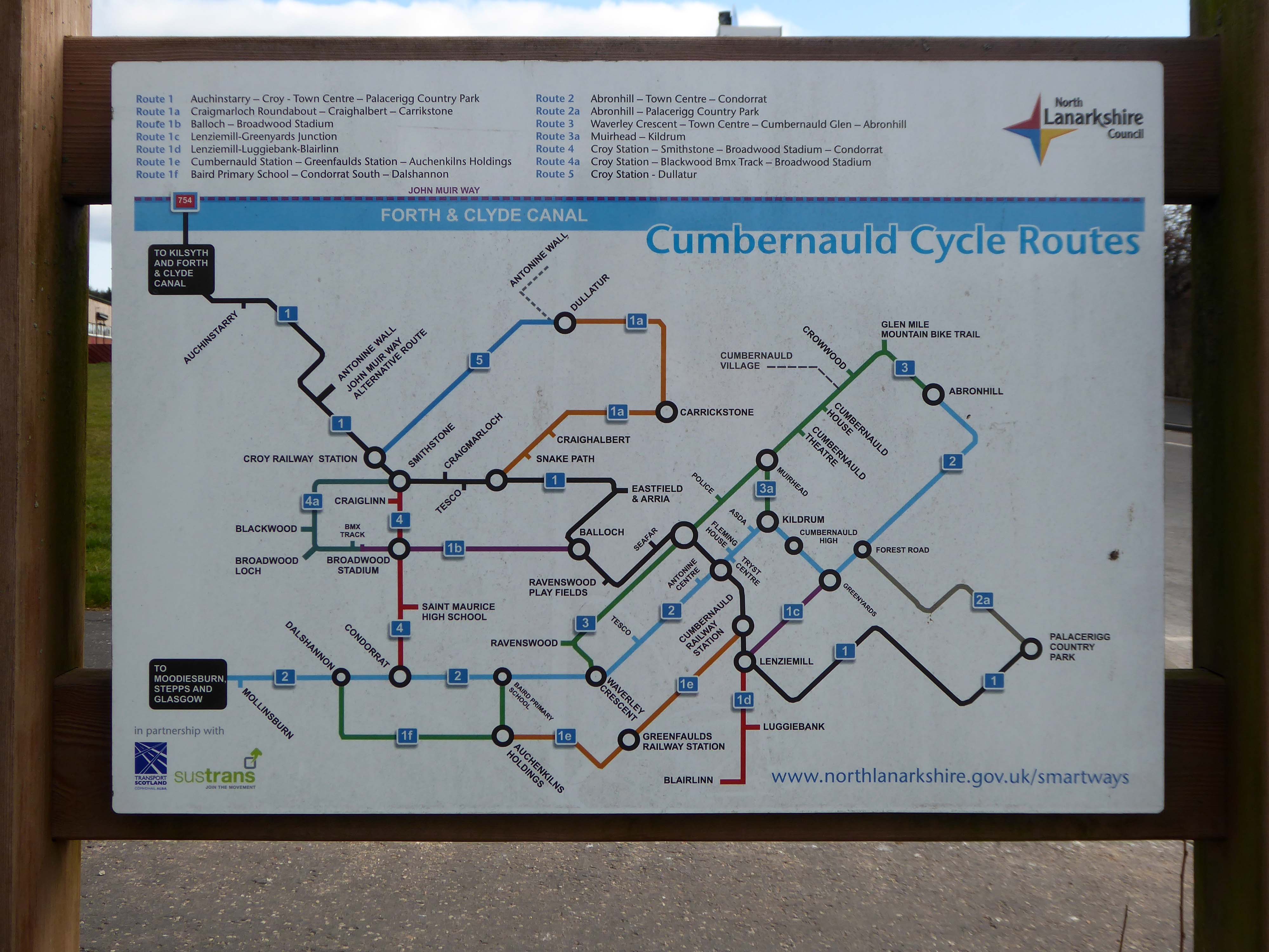
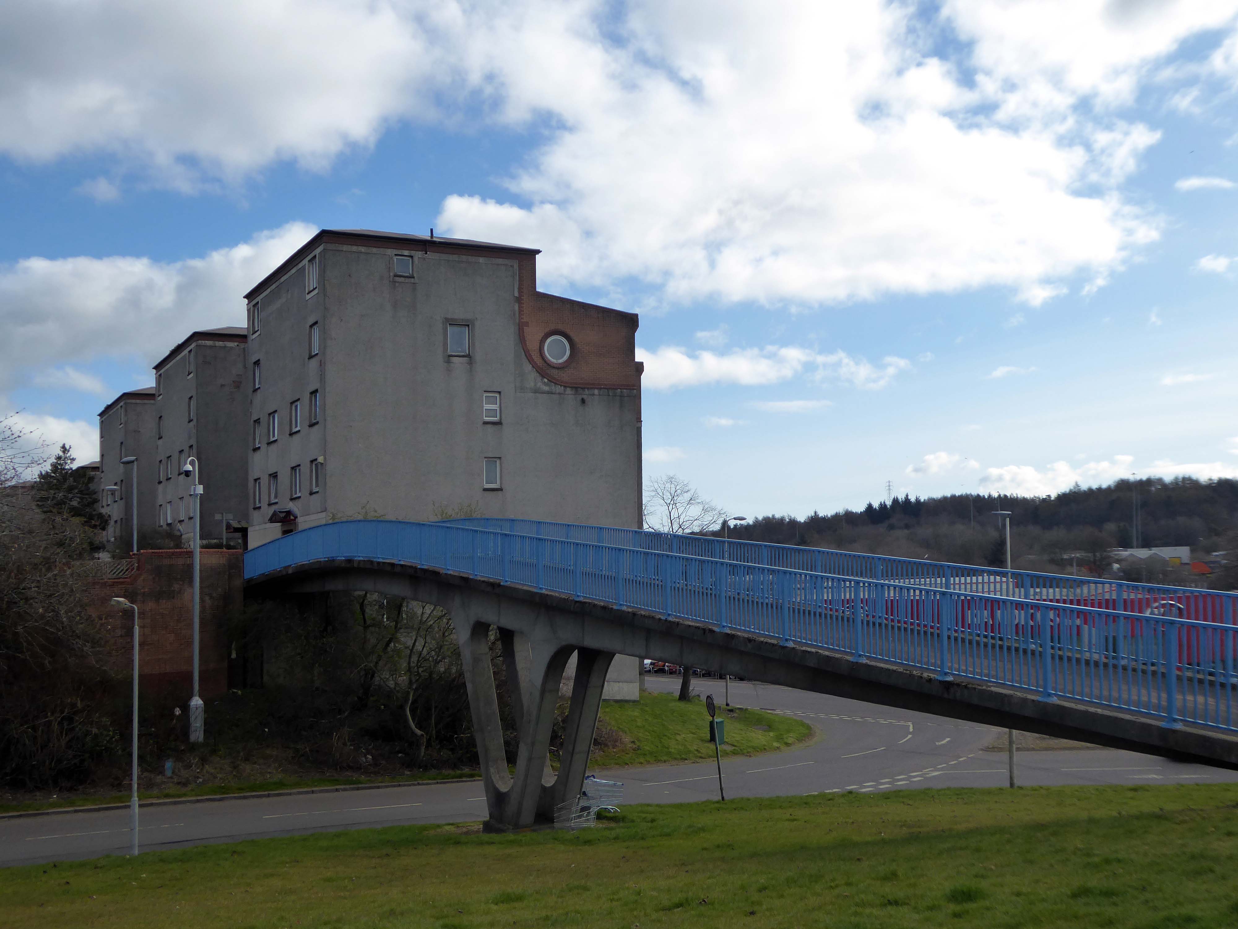
I arrived in Cumbernauld and walked toward the Central Way and back again.
Cumbernauld was designated as a new town in December 1955, part of a plan, under the New Towns Act 1946, to move 550,000 people out of Glasgow and into new towns to solve the city’s overcrowding. Construction of its town centre began under contractors Duncan Logan, chief architect Leslie Hugh Wilson and architect Geoffrey Copcutt – until 1962 and 1963, and later Dudley Roberts Leaker, Philip Aitken and Neil Dadge.
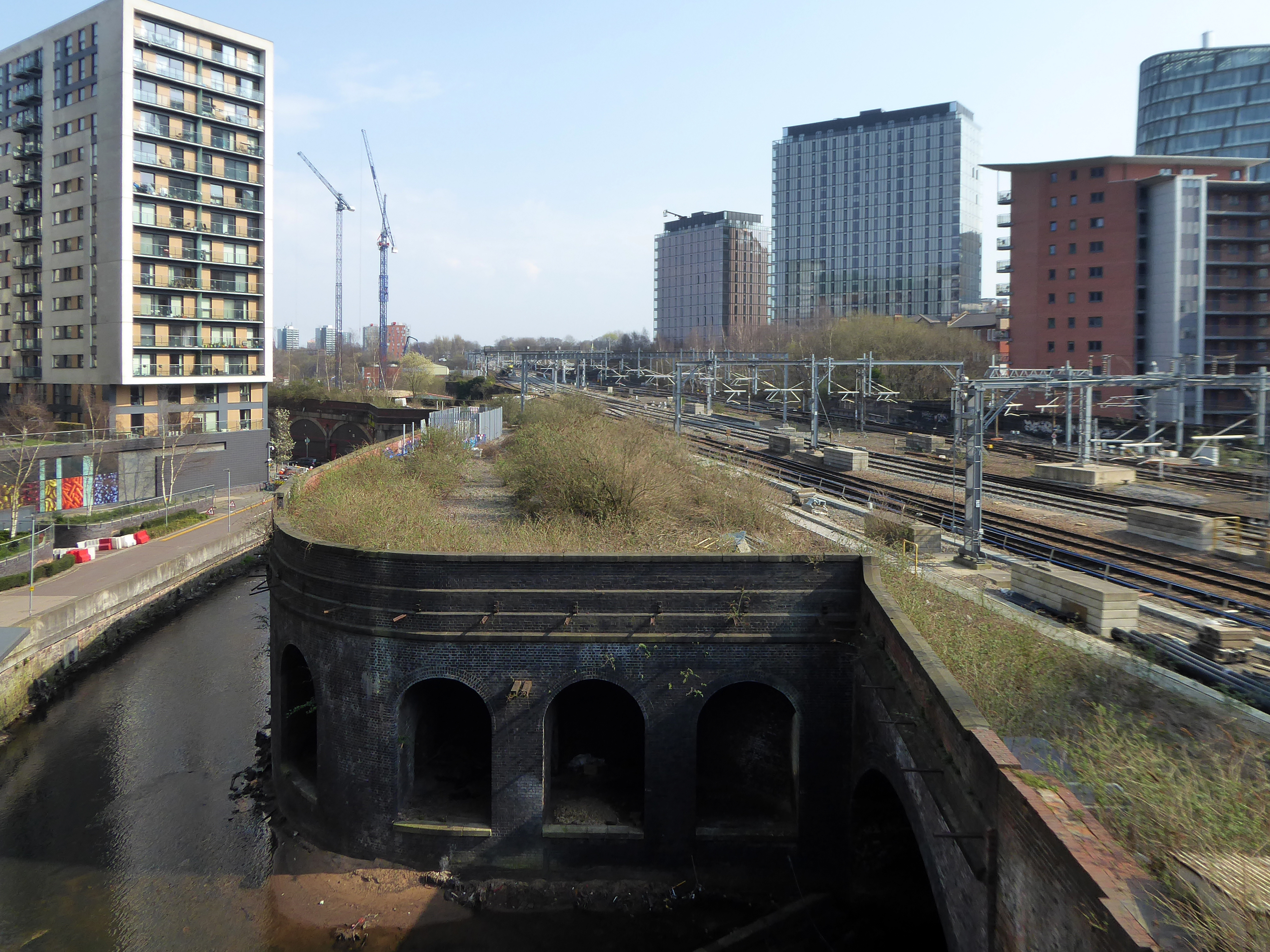
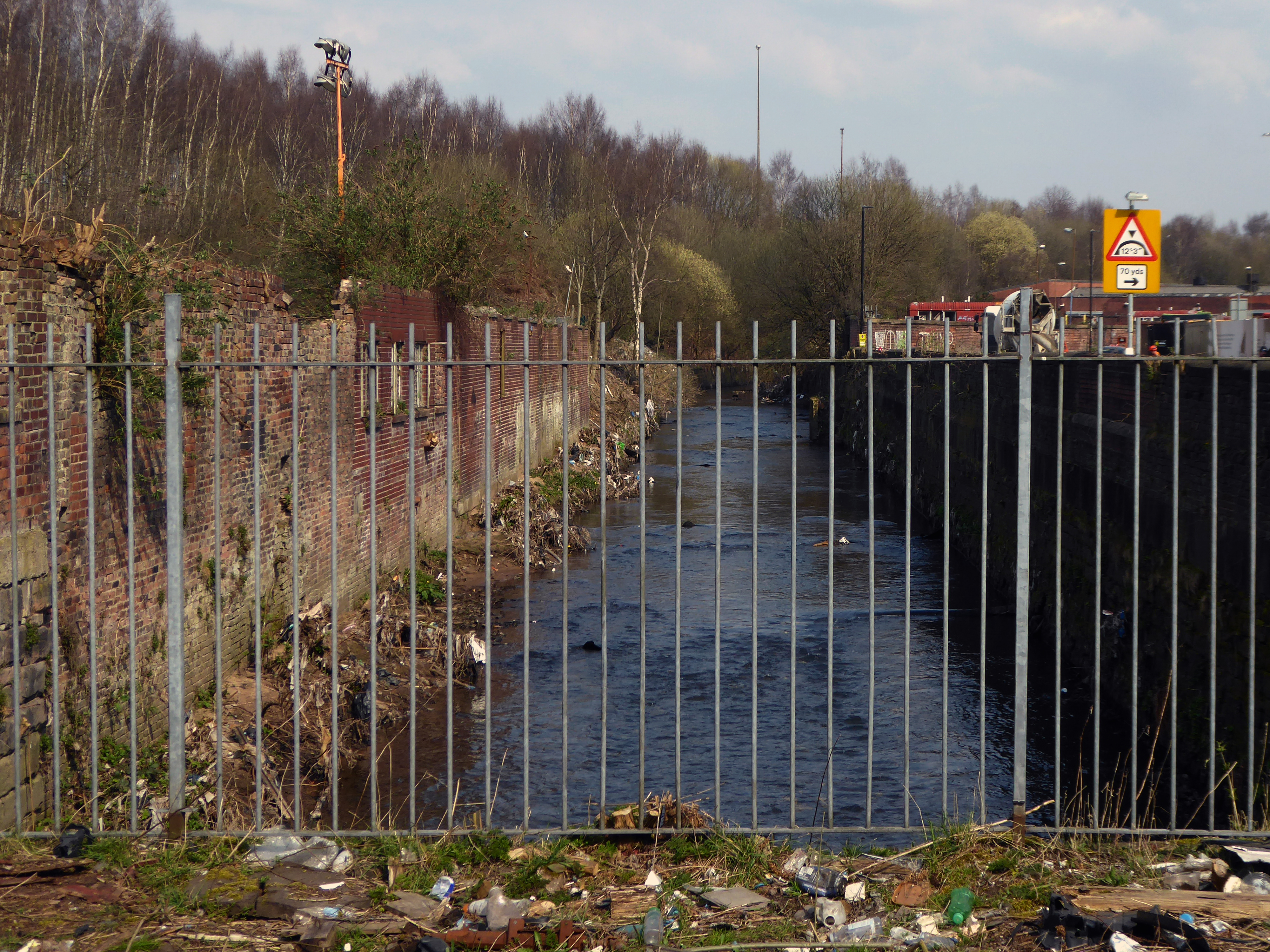
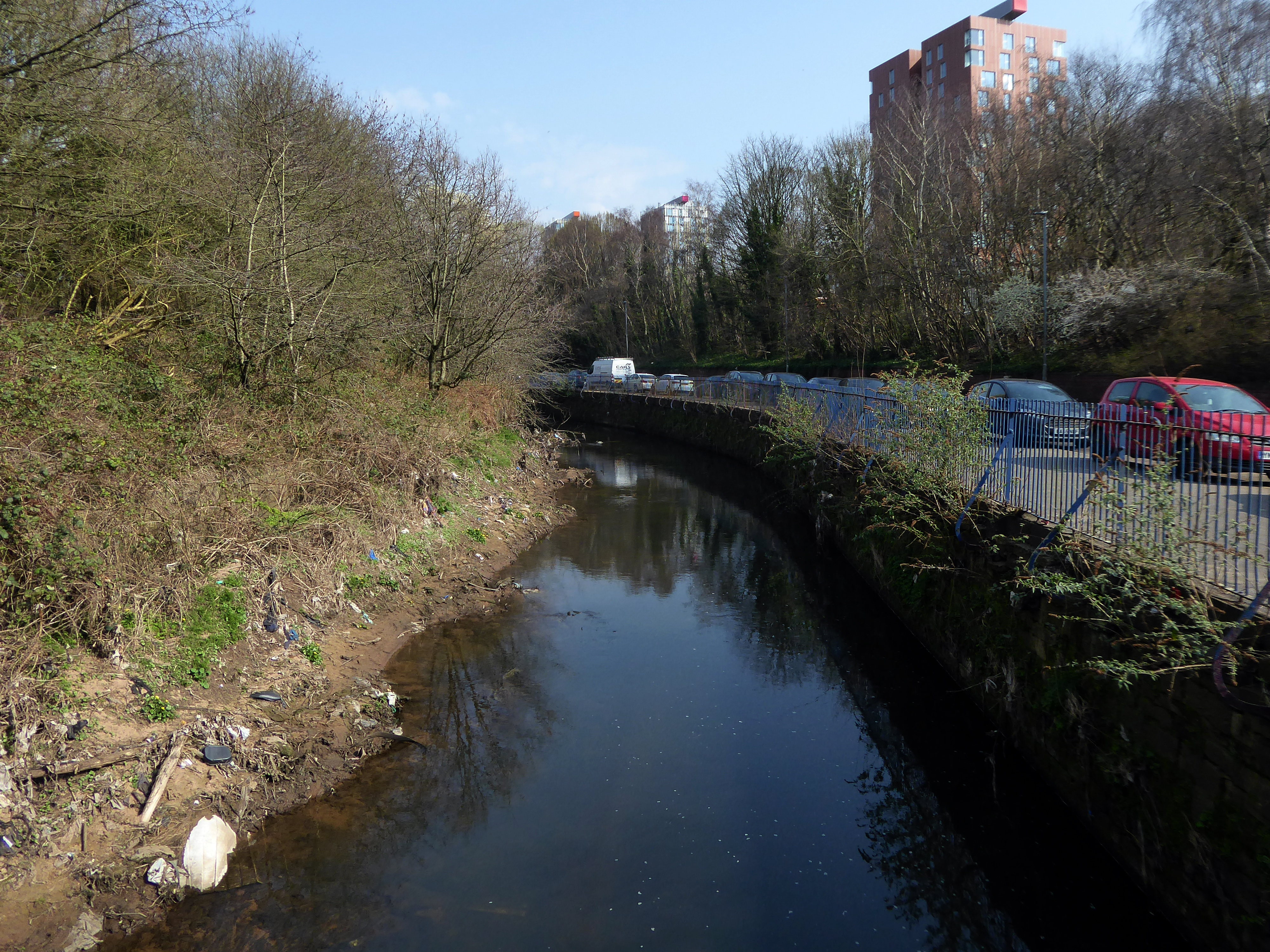
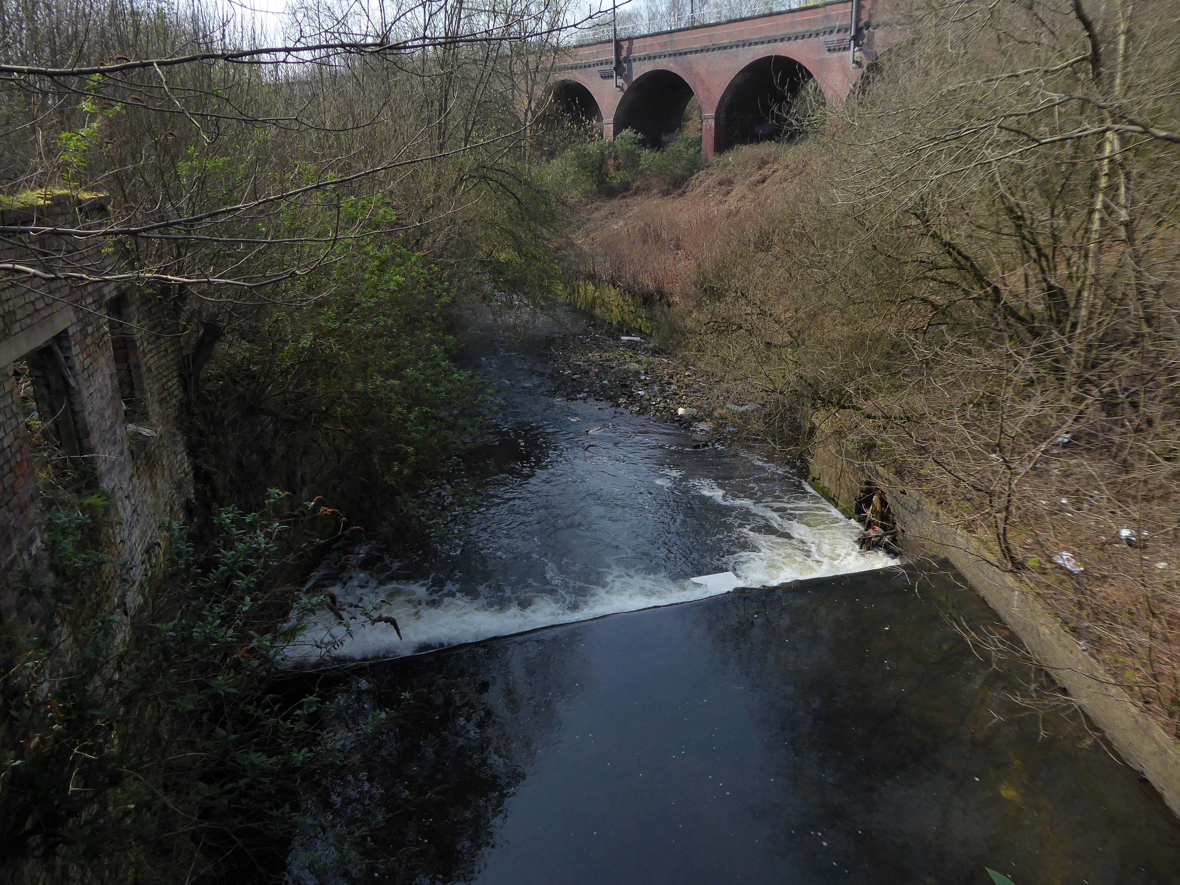
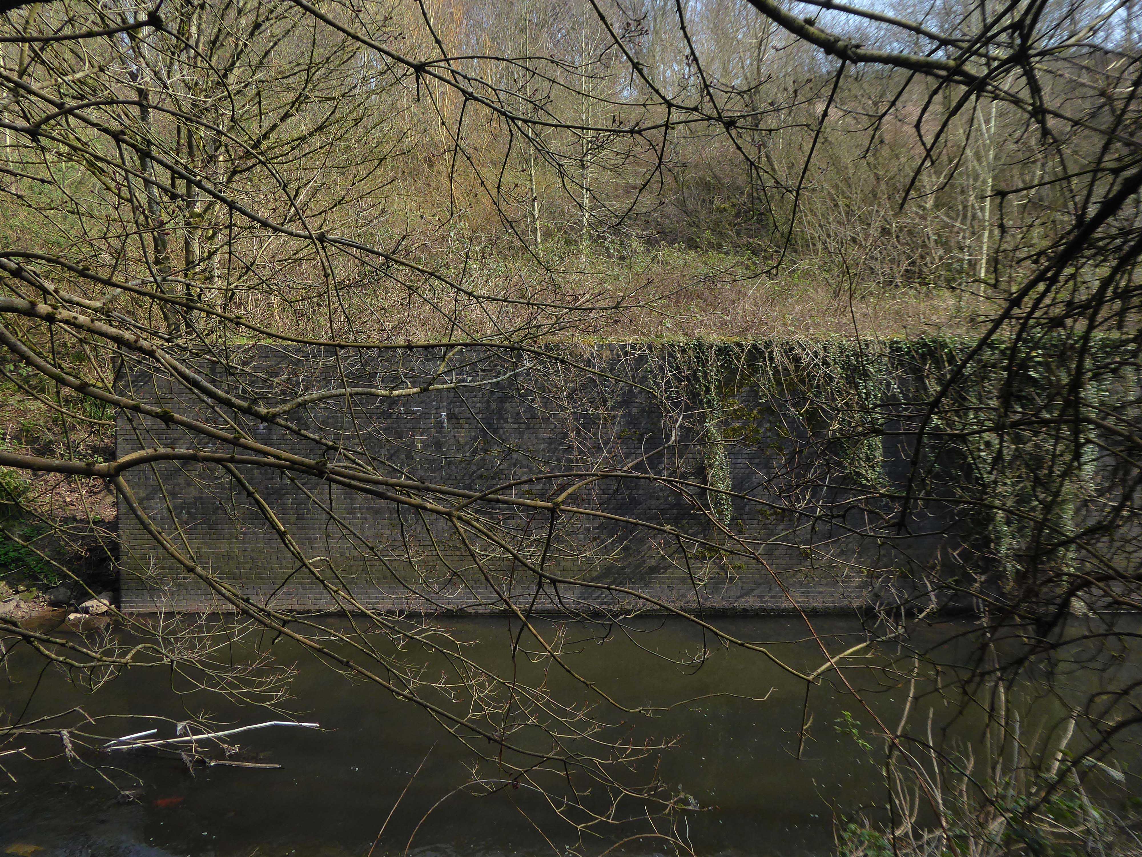
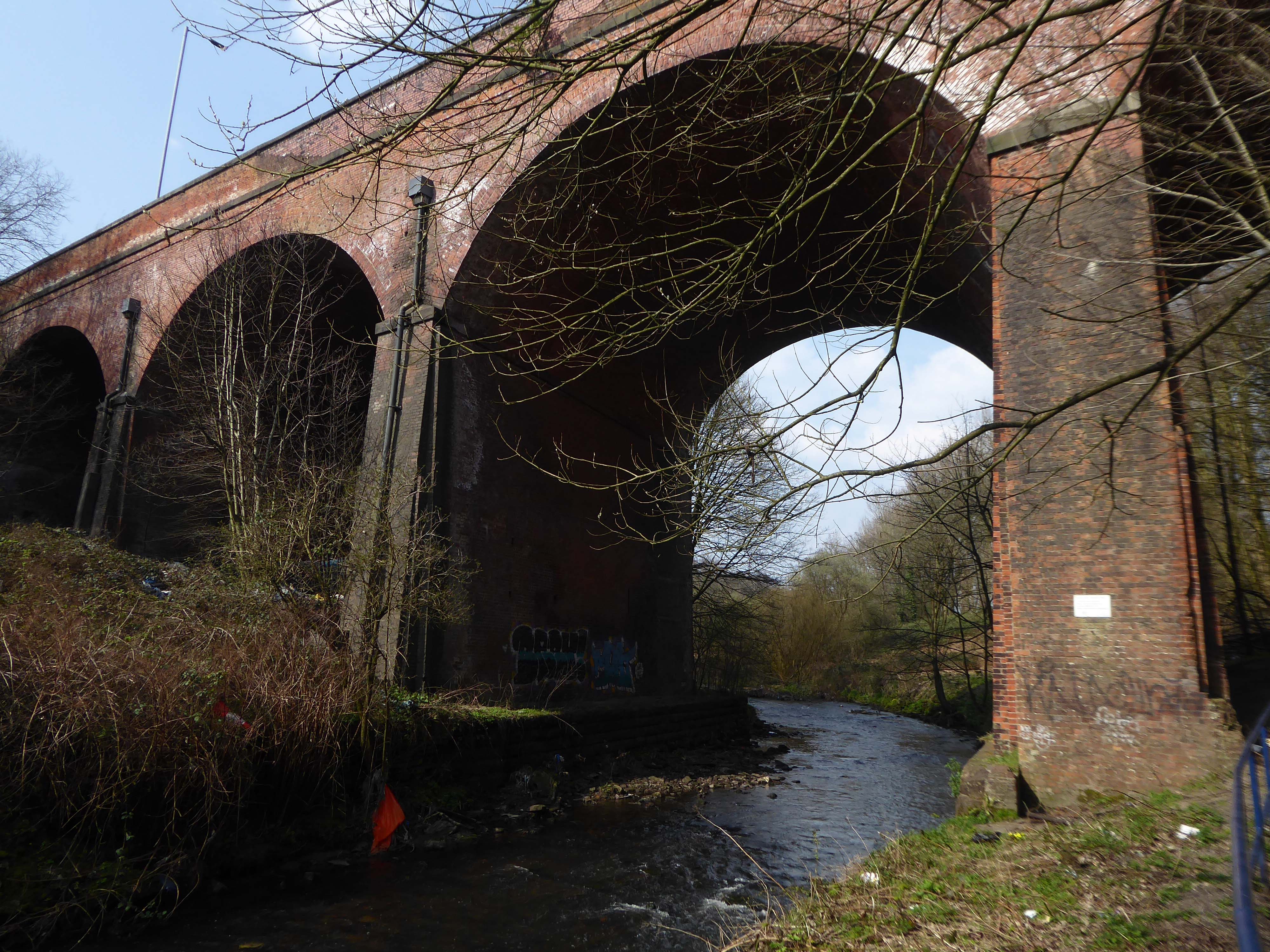
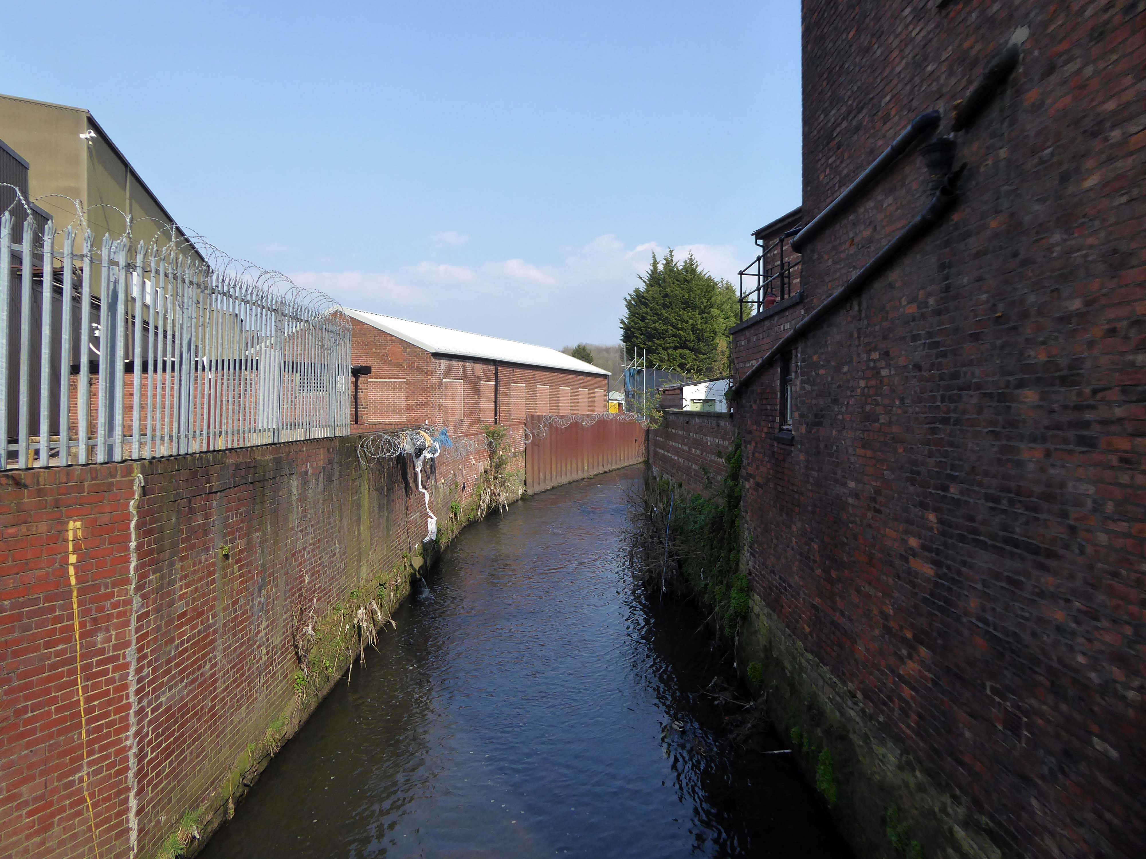
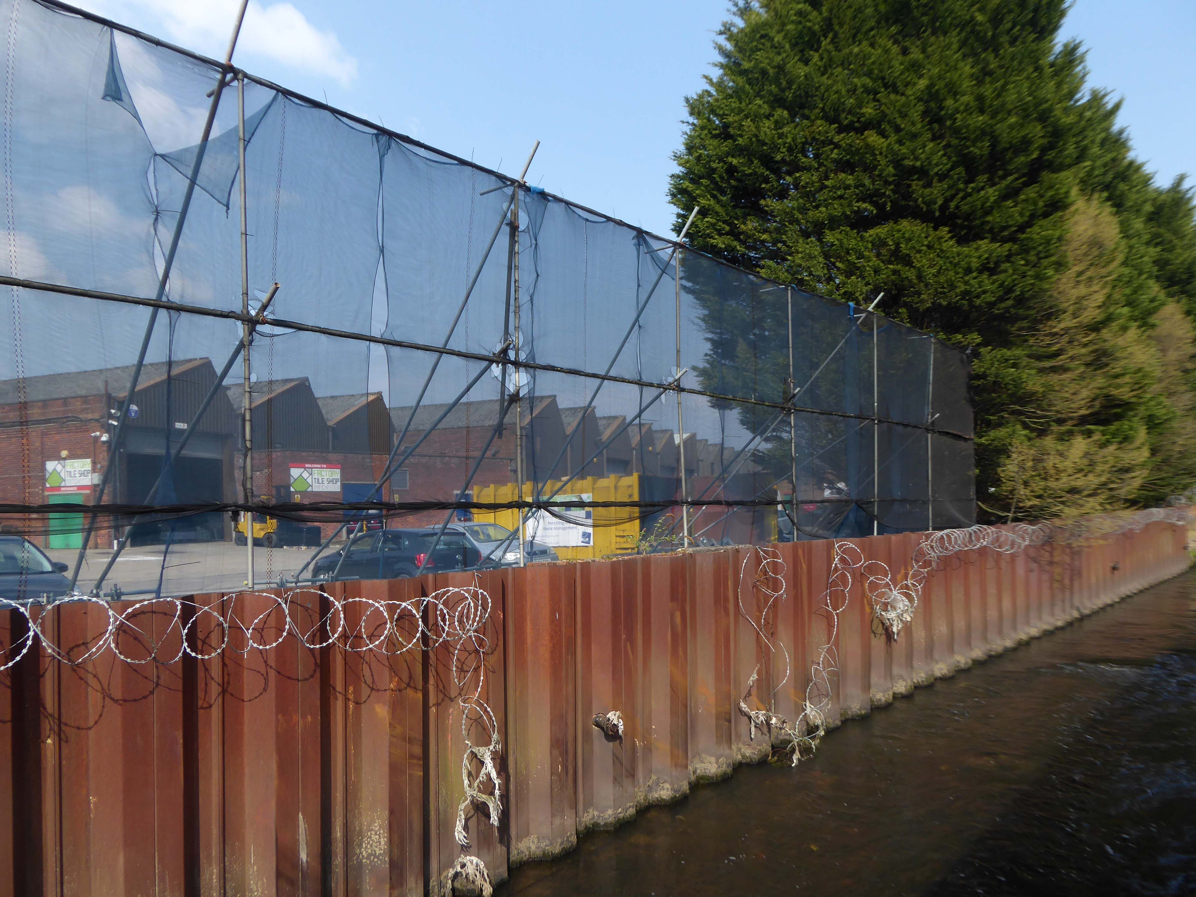
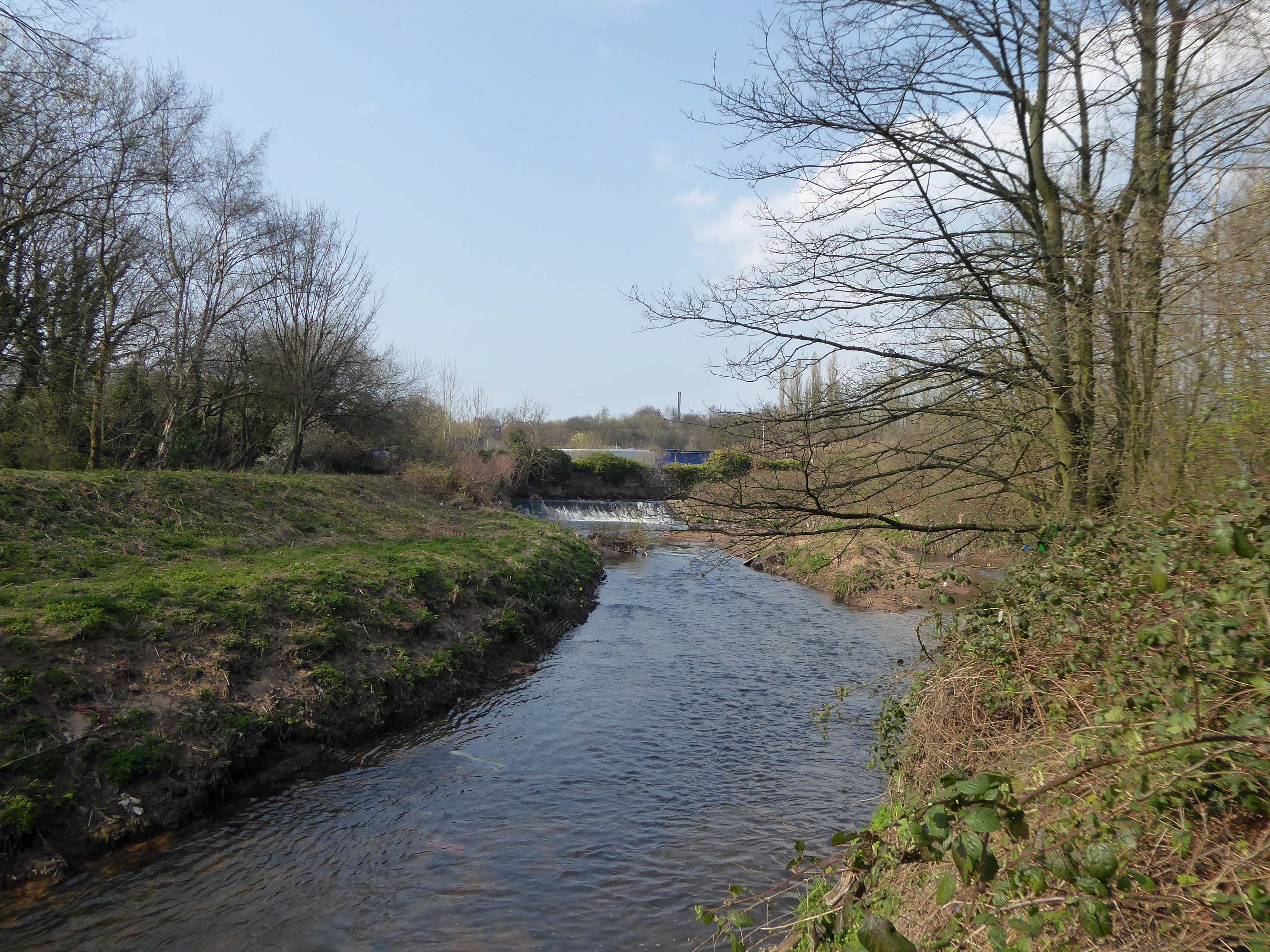
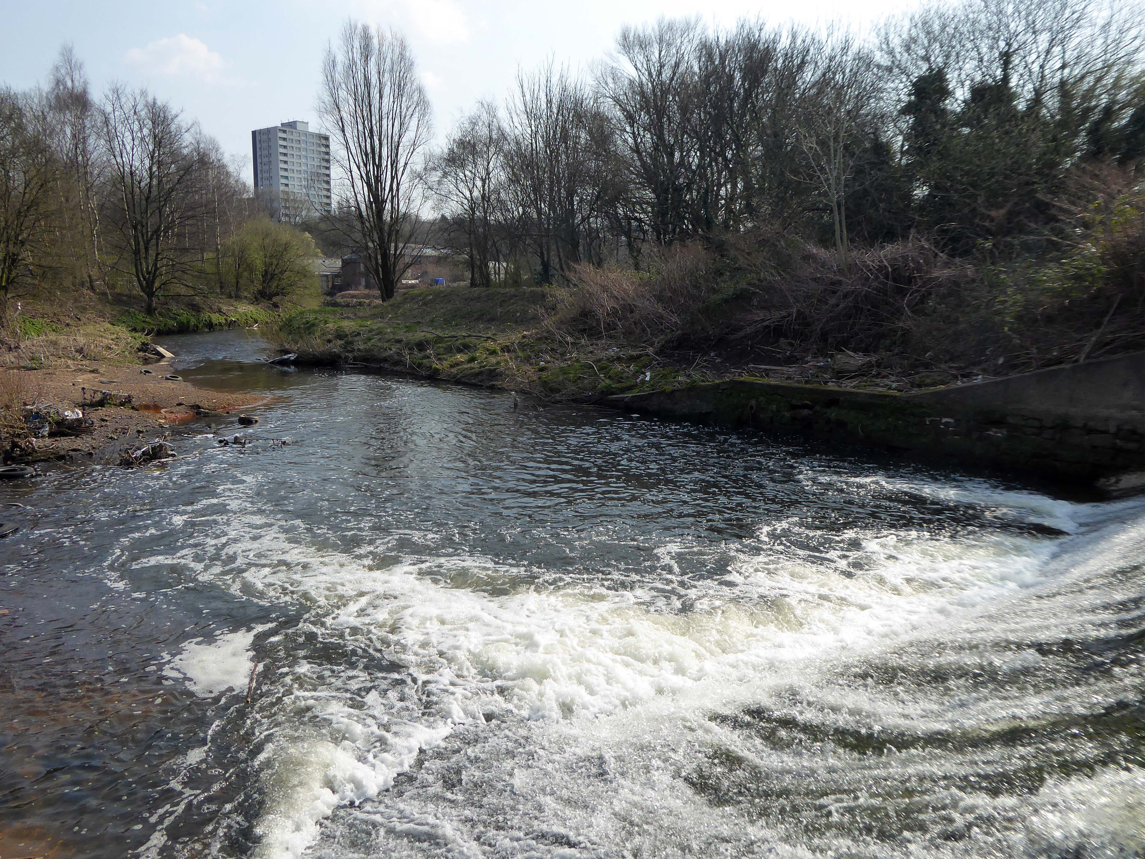
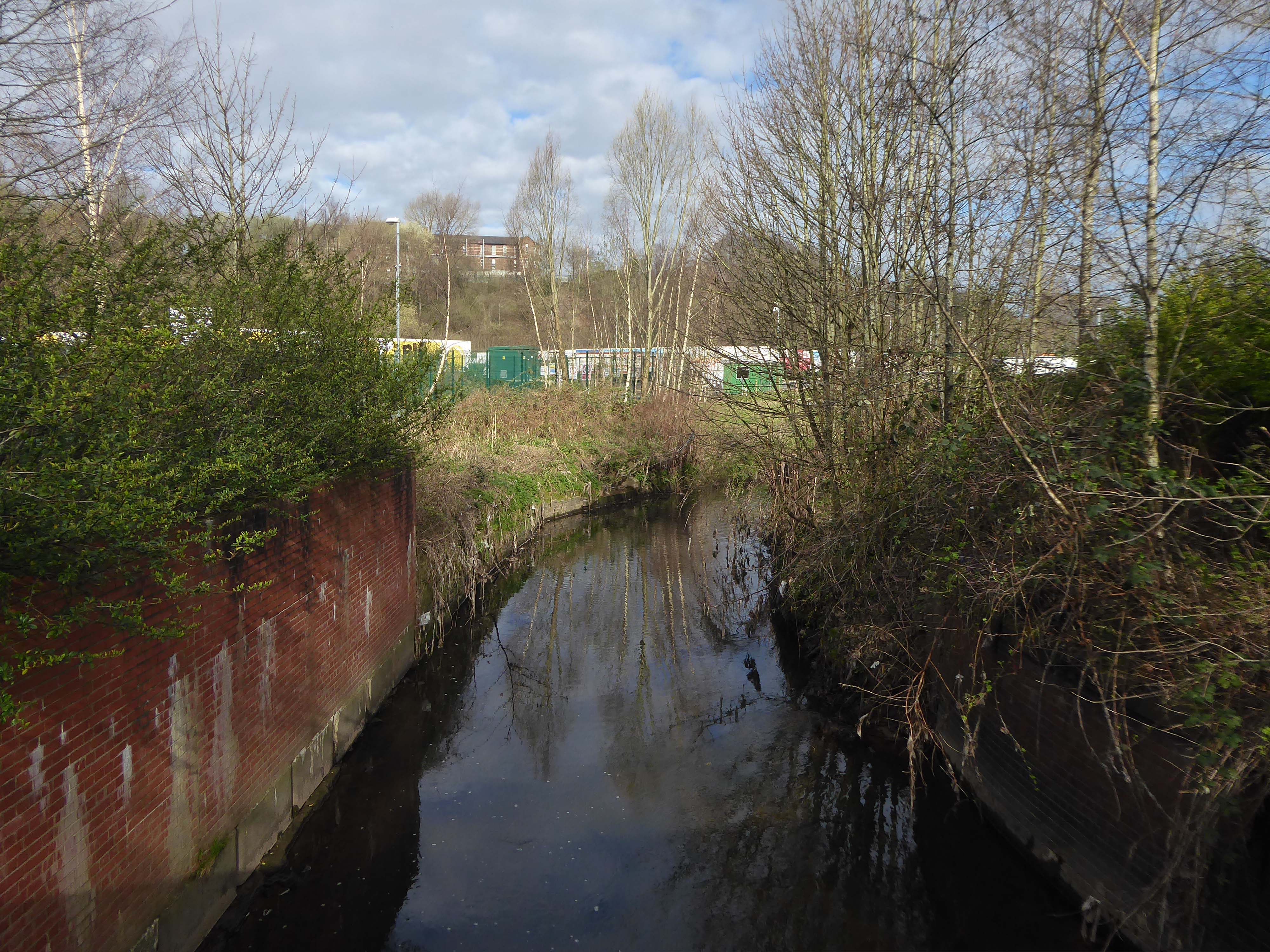
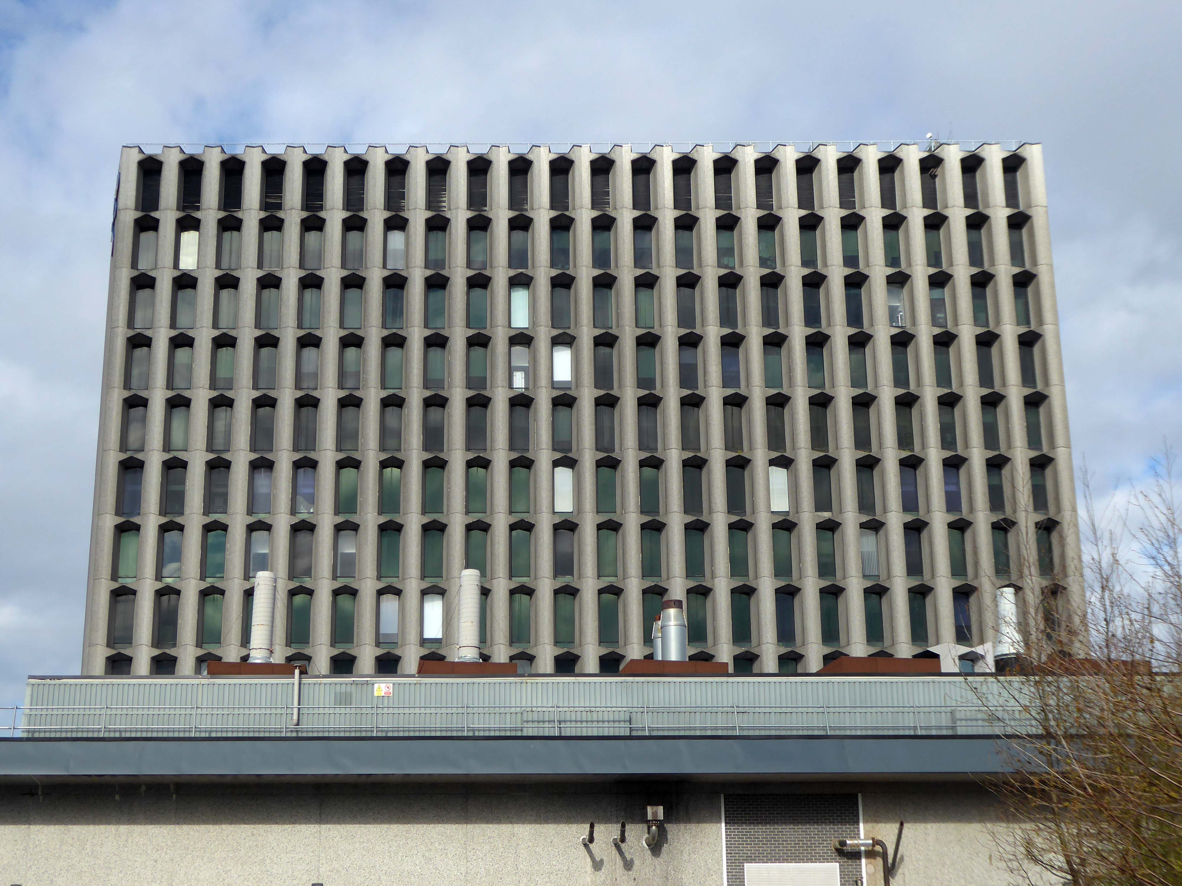
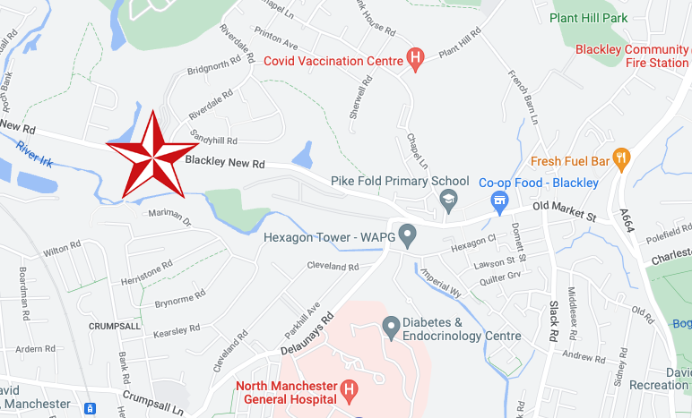
The first leg of a journey to the source of the River Irk beginning behind Victoria, finishing by the Hexagon Towerin Blackley.
The Irk’s name is of obscure etymology, but may be Brittonic in origin and related to the Welsh word iwrch, meaning roebuck
In medieval times, there was a mill by the Irk at which the tenants of the manor ground their corn and its fisheries were controlled by the lord of the manor. In the 16th century, throwing carrion and other offensive matter into the Irk was forbidden. Water for Manchester was drawn from the river before the Industrial Revolution. A bridge over the Irk was recorded in 1381. The river was noted for destructive floods. In 1480, the burgesses of Manchester described the highway between Manchester and Collyhurst which – the water of Irk had worn out. In 1816, of seven bridges over the Irk, six were liable to be flooded after heavy rain but the seventh, the Ducie Bridge completed in 1814 was above flood levels.
According to The New Gazetteer of Lancashire the Irk had – more mill seats upon it than any other stream of its length in the Kingdom and – the eels in this river were formerly remarkable for their fatness, which was attributed to the grease and oils expressed by the mills from the woollen cloths and mixed with the waters.
However, by the start of the 20th century the Irk Valley betweenCrumpsall and Blackley had been left a neglected river – not only the blackest but the most sluggish of all rivers.
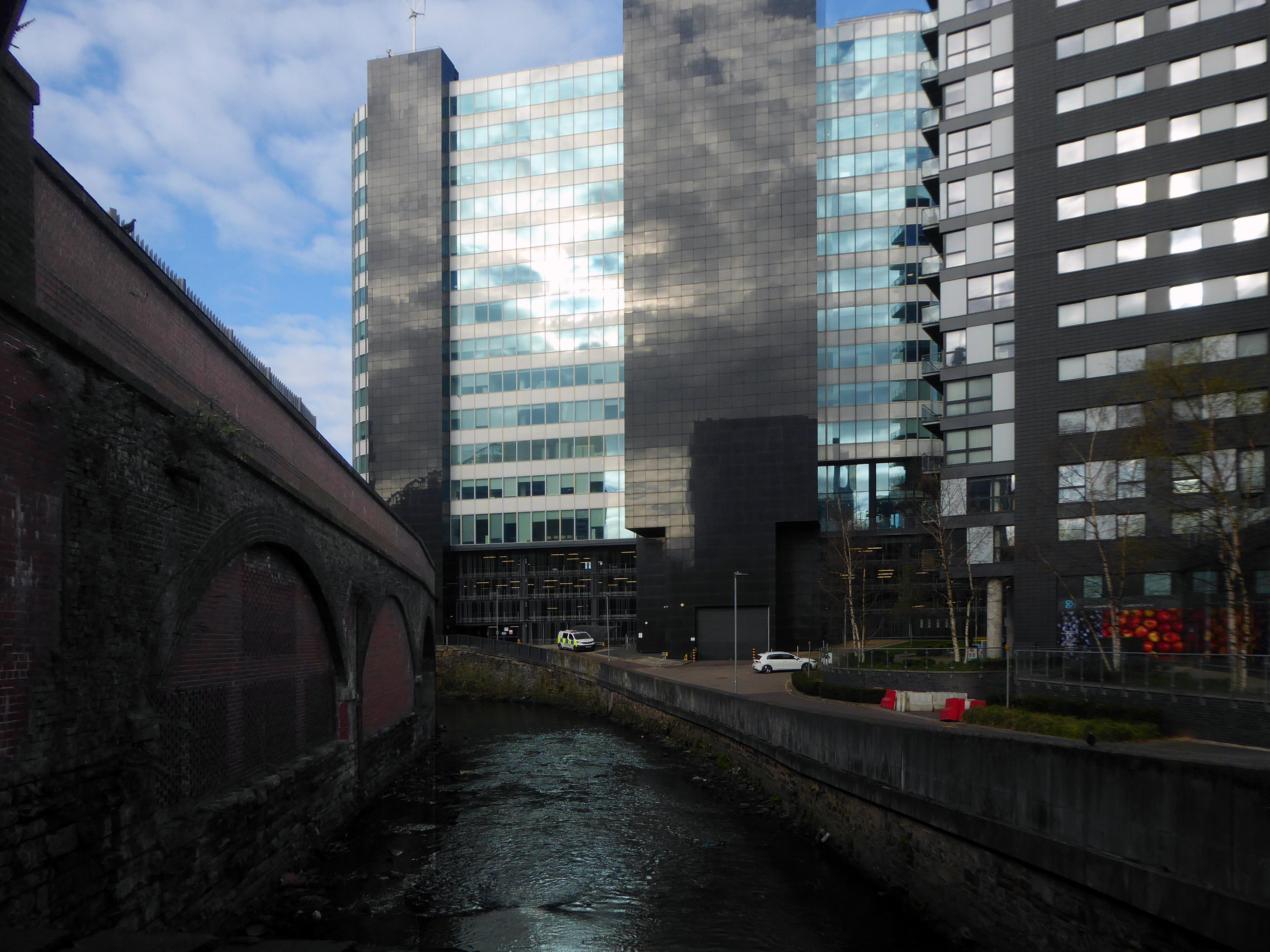
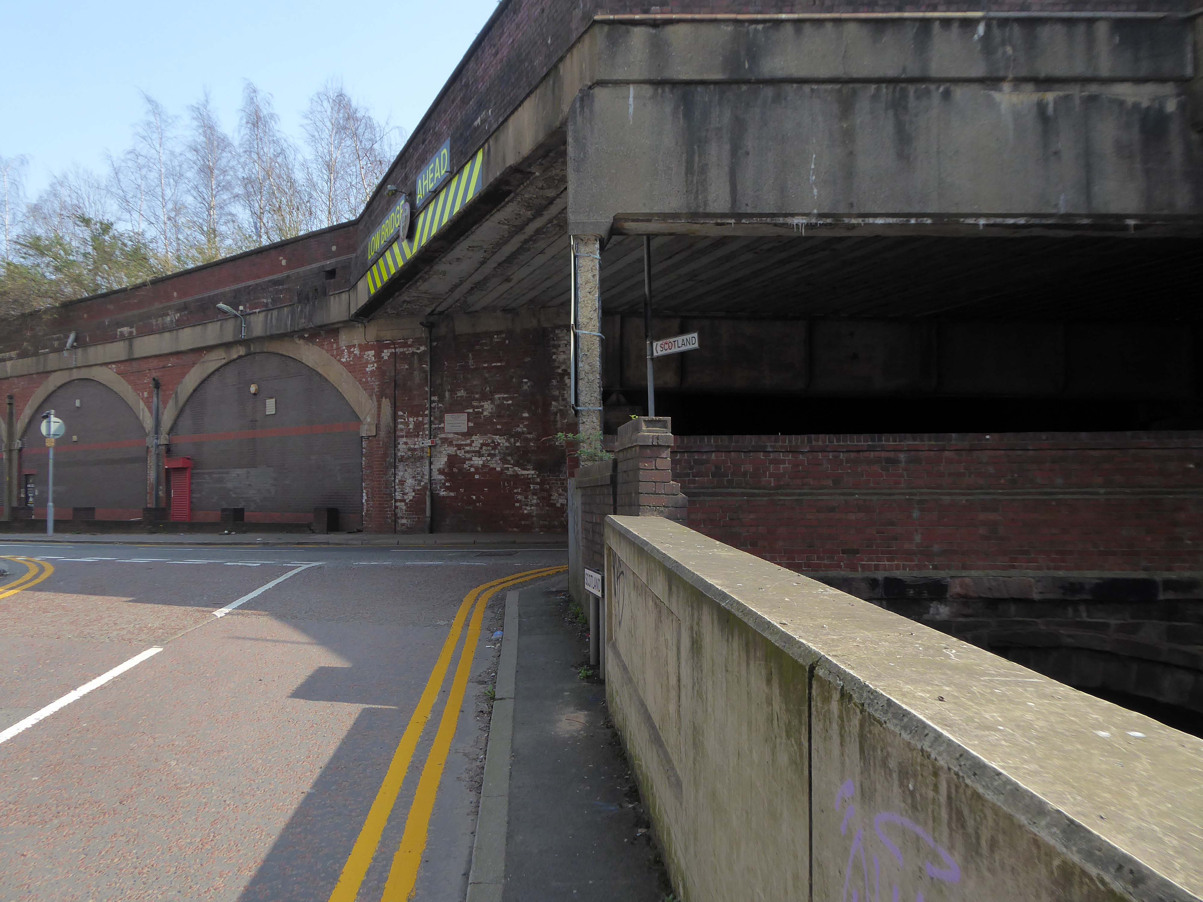
The river emerges from beneath the city into an area named Scotland – a remnant of Manchester’s links with the Jacobite Rebellion.
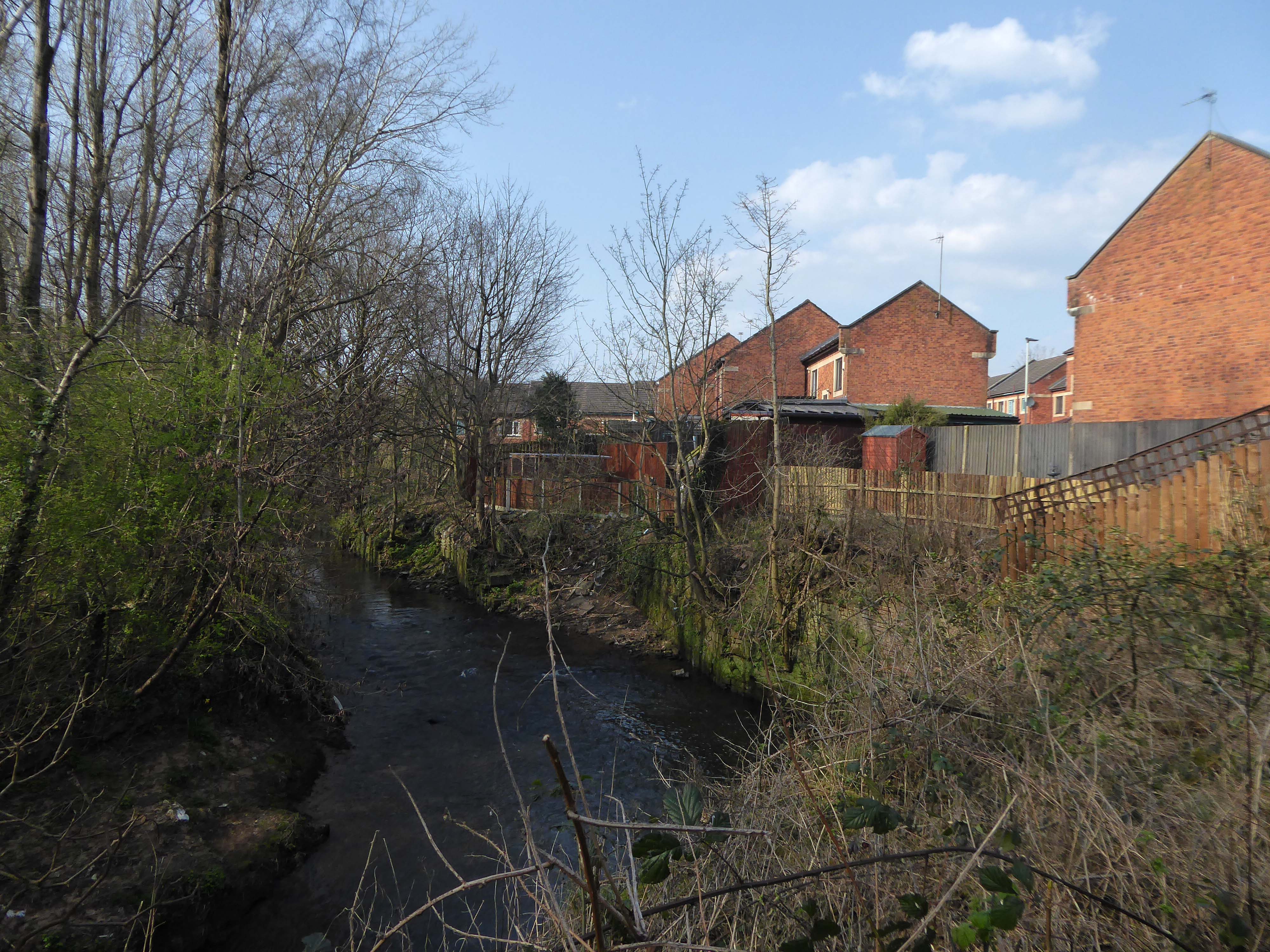
To the left were the squalid Victorian homes of Red Bank – currently presenting as the Green Quarter.
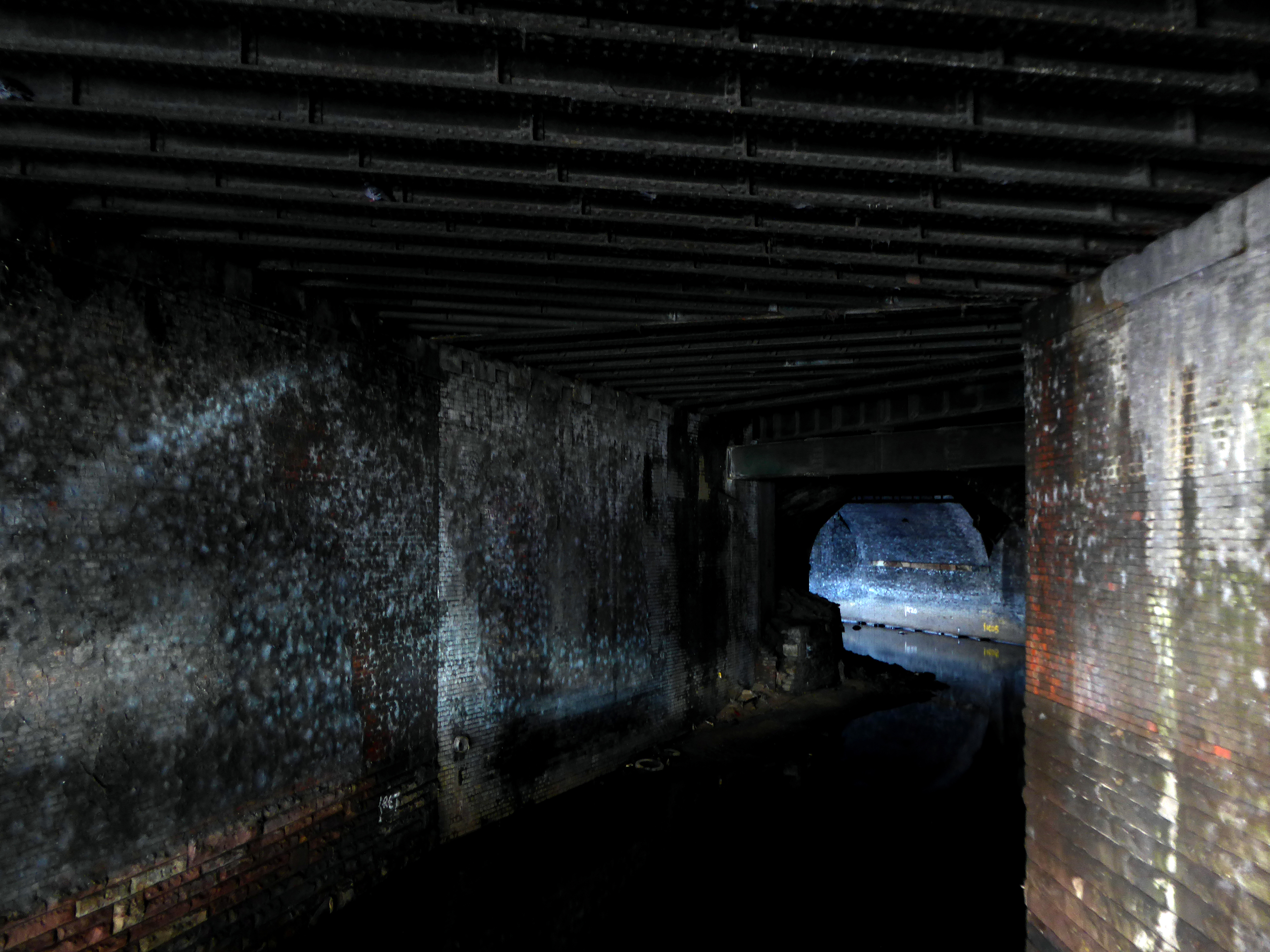
The river briefly becomes subterranean again.
This is a river with an ignominious history – famously damned by émigré Friedrich Engels.
At the bottom flows, or rather stagnates, the Irk, a narrow, coal-black, foul-smelling stream, full of debris and refuse, which it deposits on the shallower right bank.
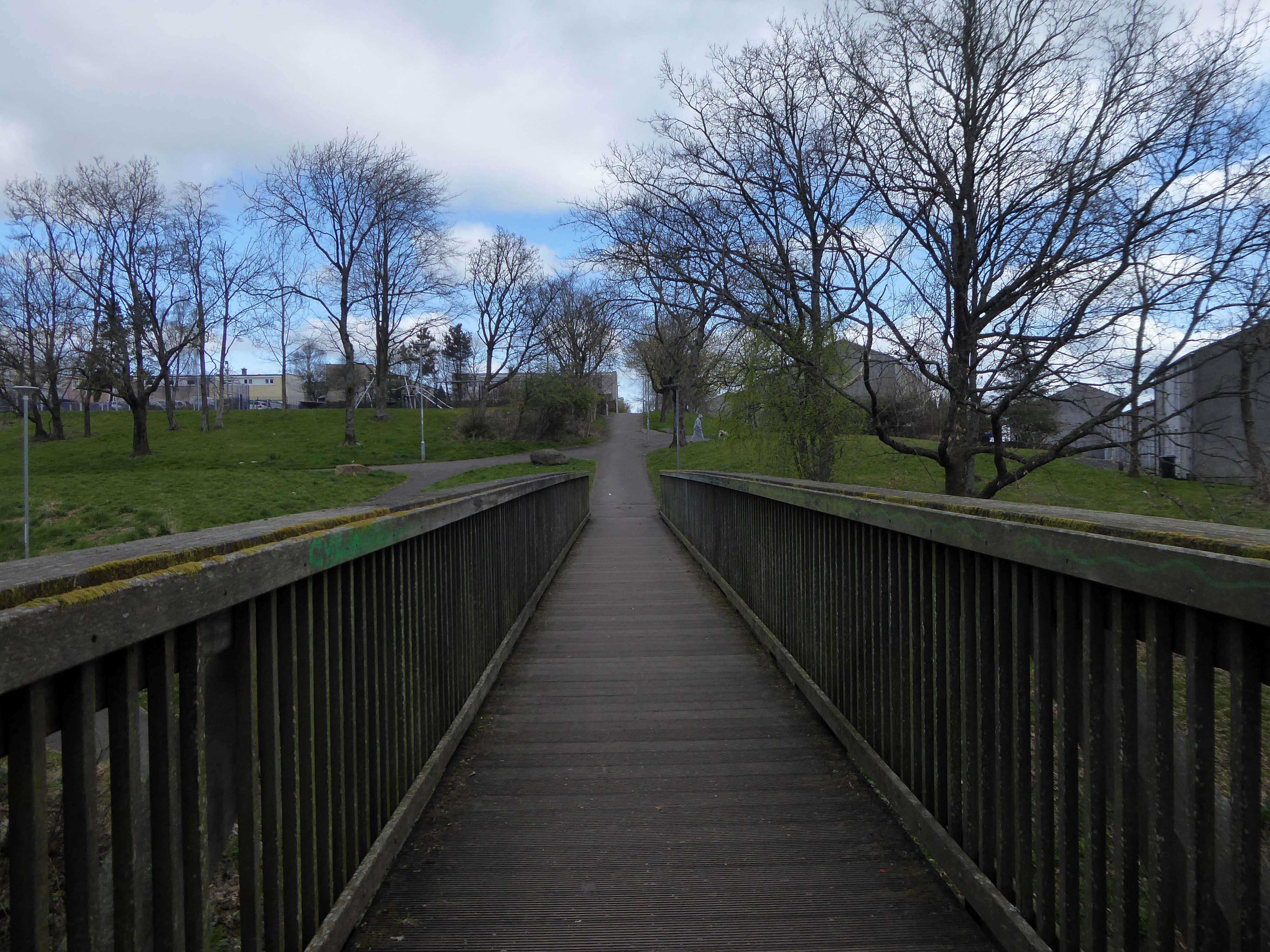
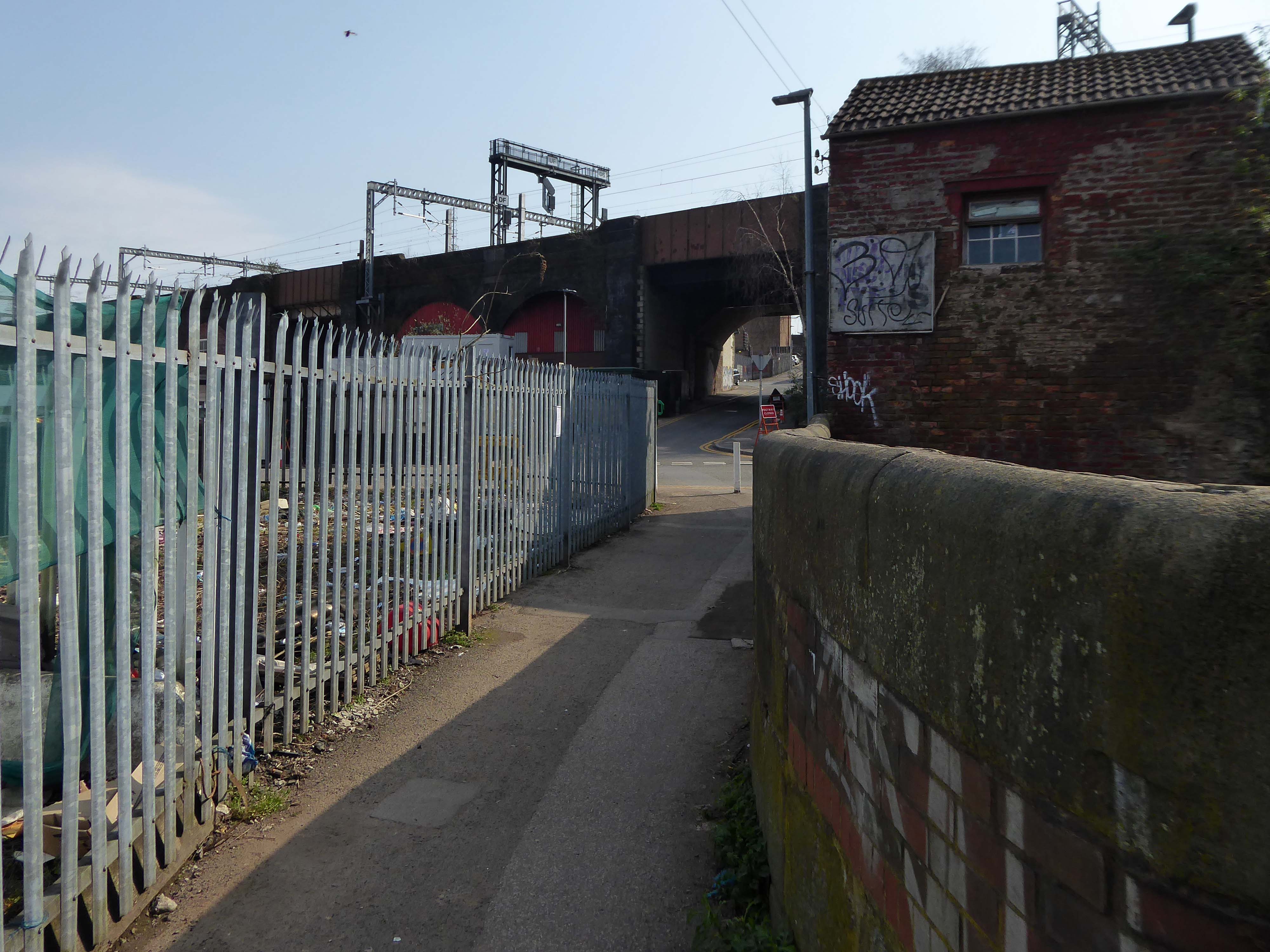
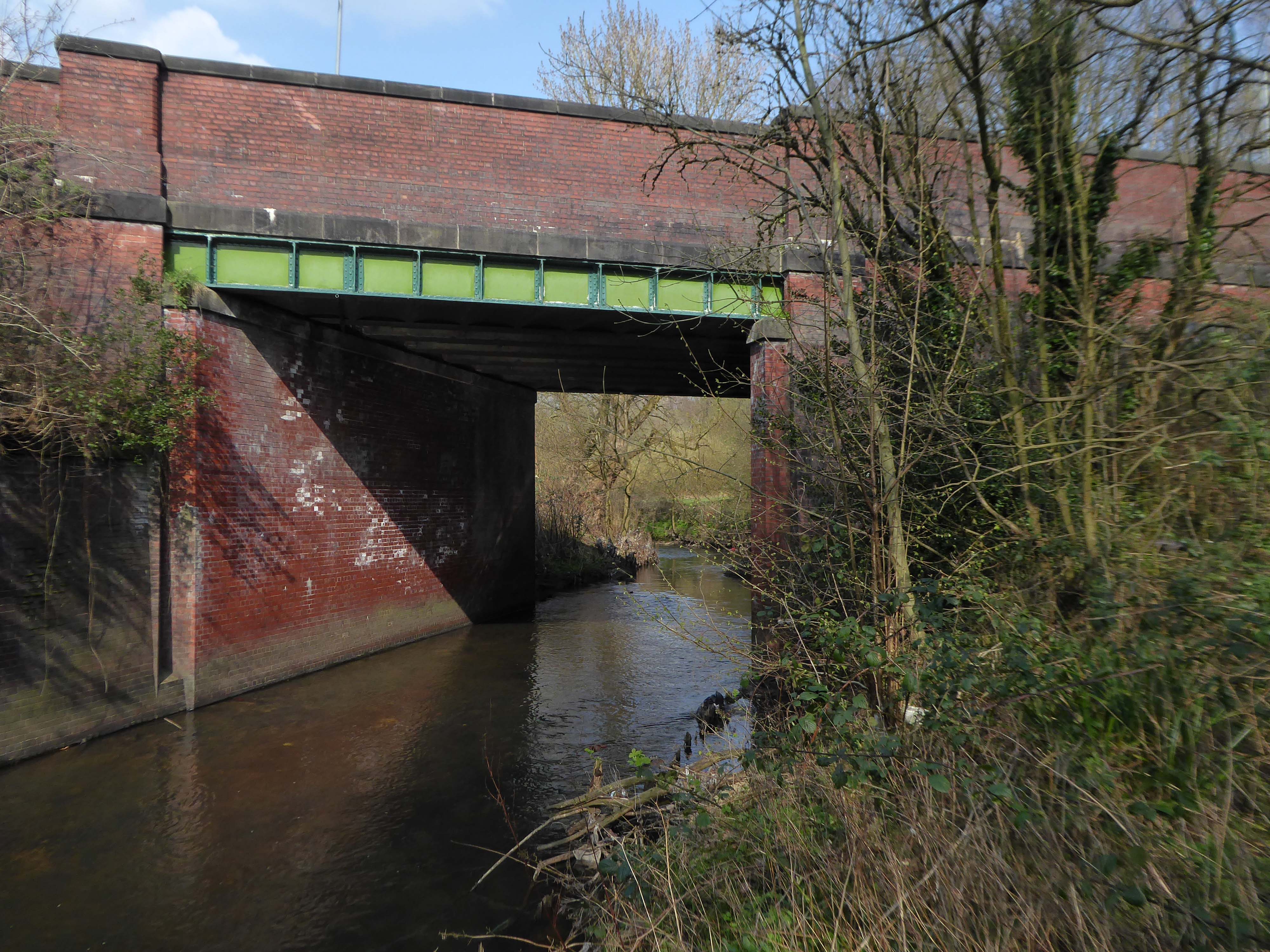
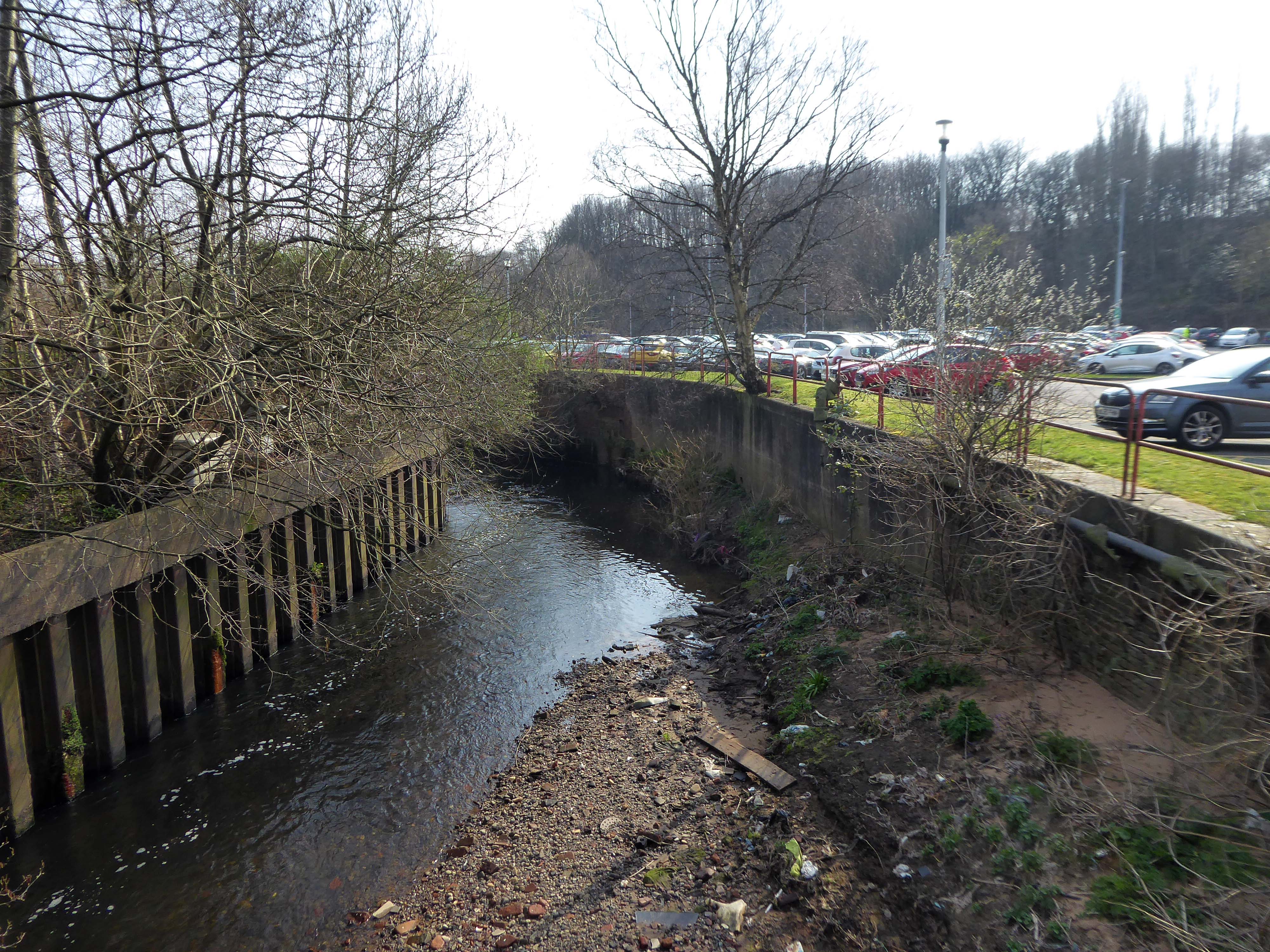
Spanning the defunct railway workings, affording a view of the brightly blooming city centre.
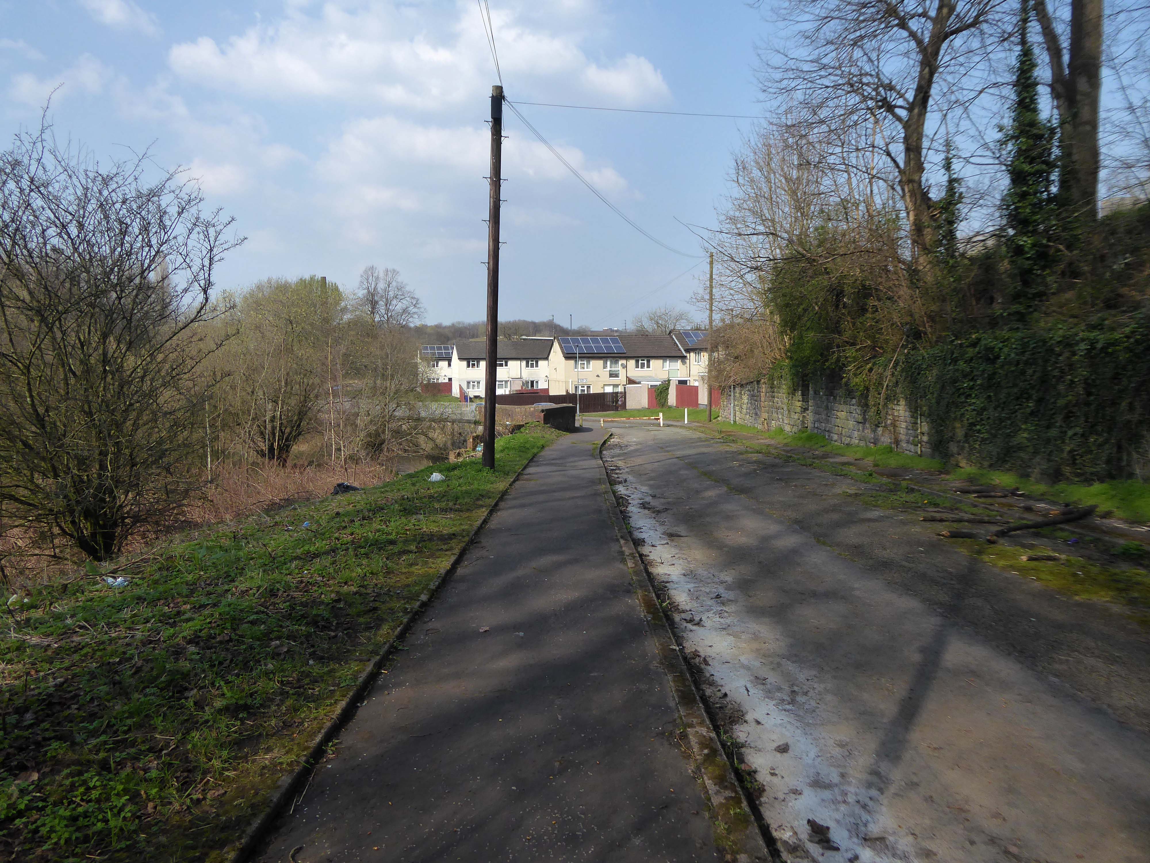
Leaving Collyhurst Road, we journey along Smedley Road.
Seen here in 1934.
Passing beneath Queens Road – Queens Park to the right.
Queen’s Park was one of Britain’s first municipal parks created in 1846. The park was originally arranged around Hendham Hall, home of the Houghton family however this was demolished in 1884.
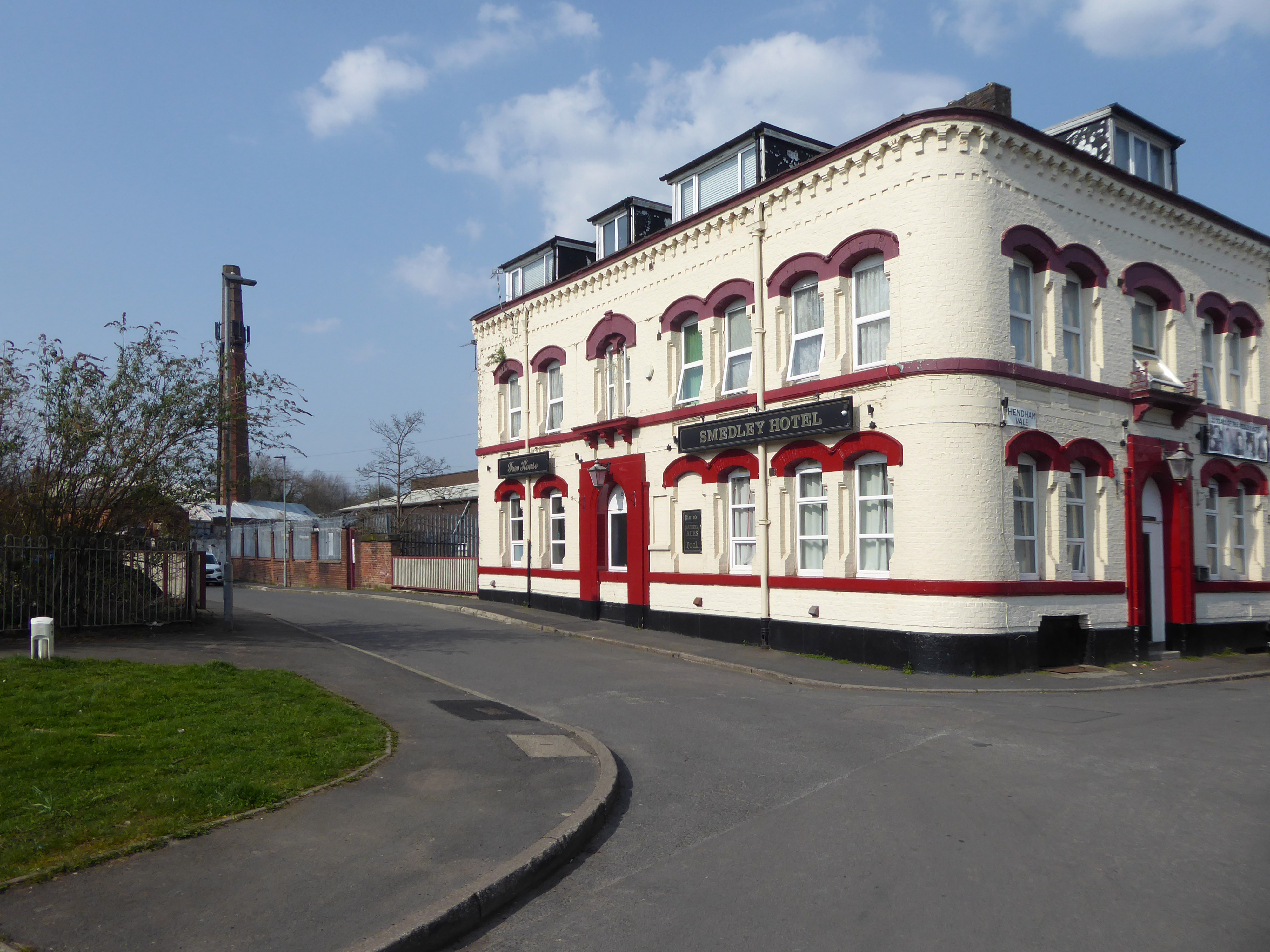
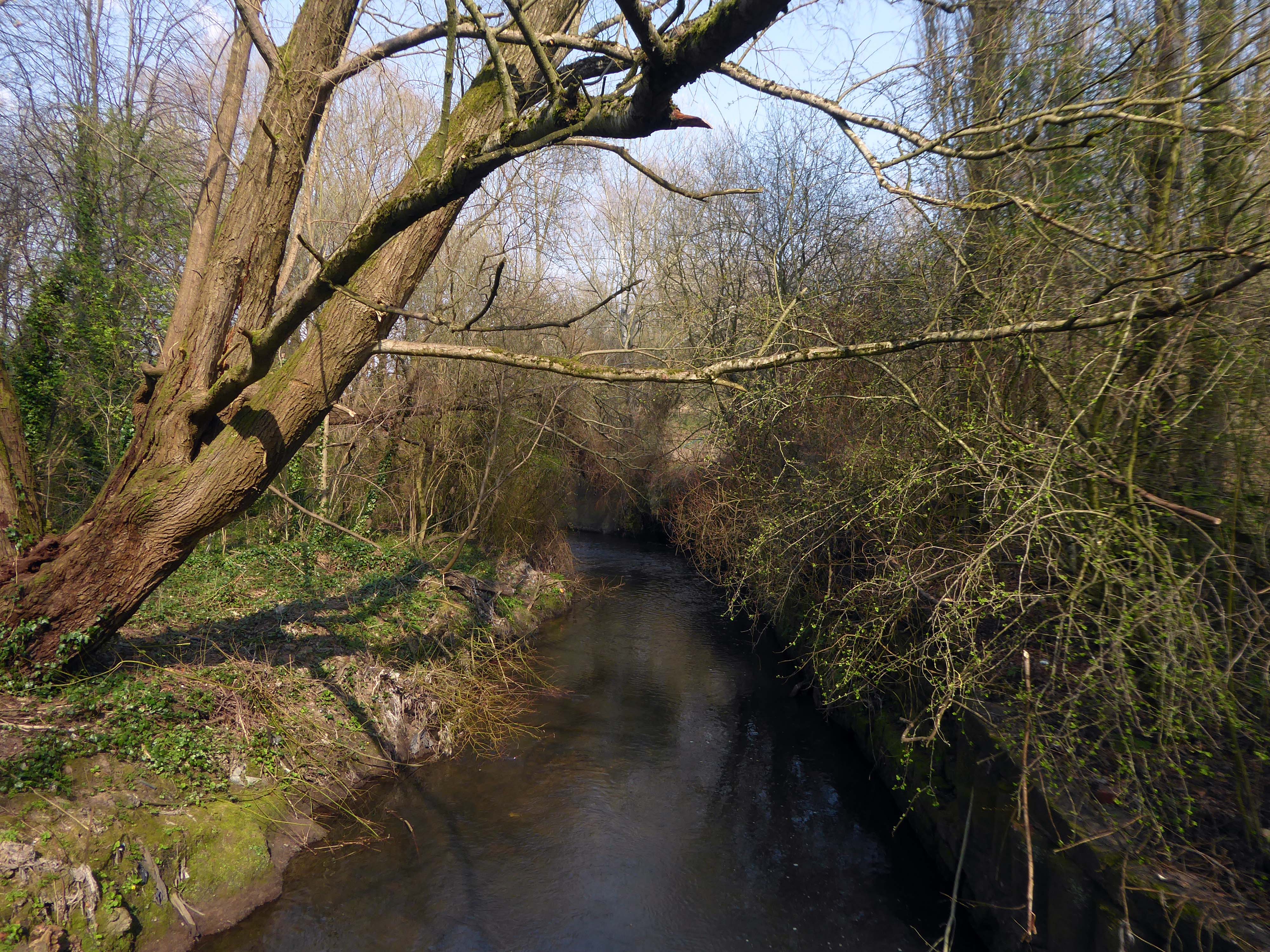
Dropping down to Hendham Vale.
To the right is the Smedley Hotel.
The Smedley Hotel is a very large pub that is hidden away on a quiet back street.Once inside there were a few different rooms and I had a drink in the bar which was fairly large and seemed in need of some attention. The pub still had its old Chesters signs outside and there were three real ales on the bar. I had a drink of Chesters bitter and this was a very nice drink the other beers were Chesters mild and Boddington’s bitter.
I thought this pub would be long gone but it is still standing and I think open for business.
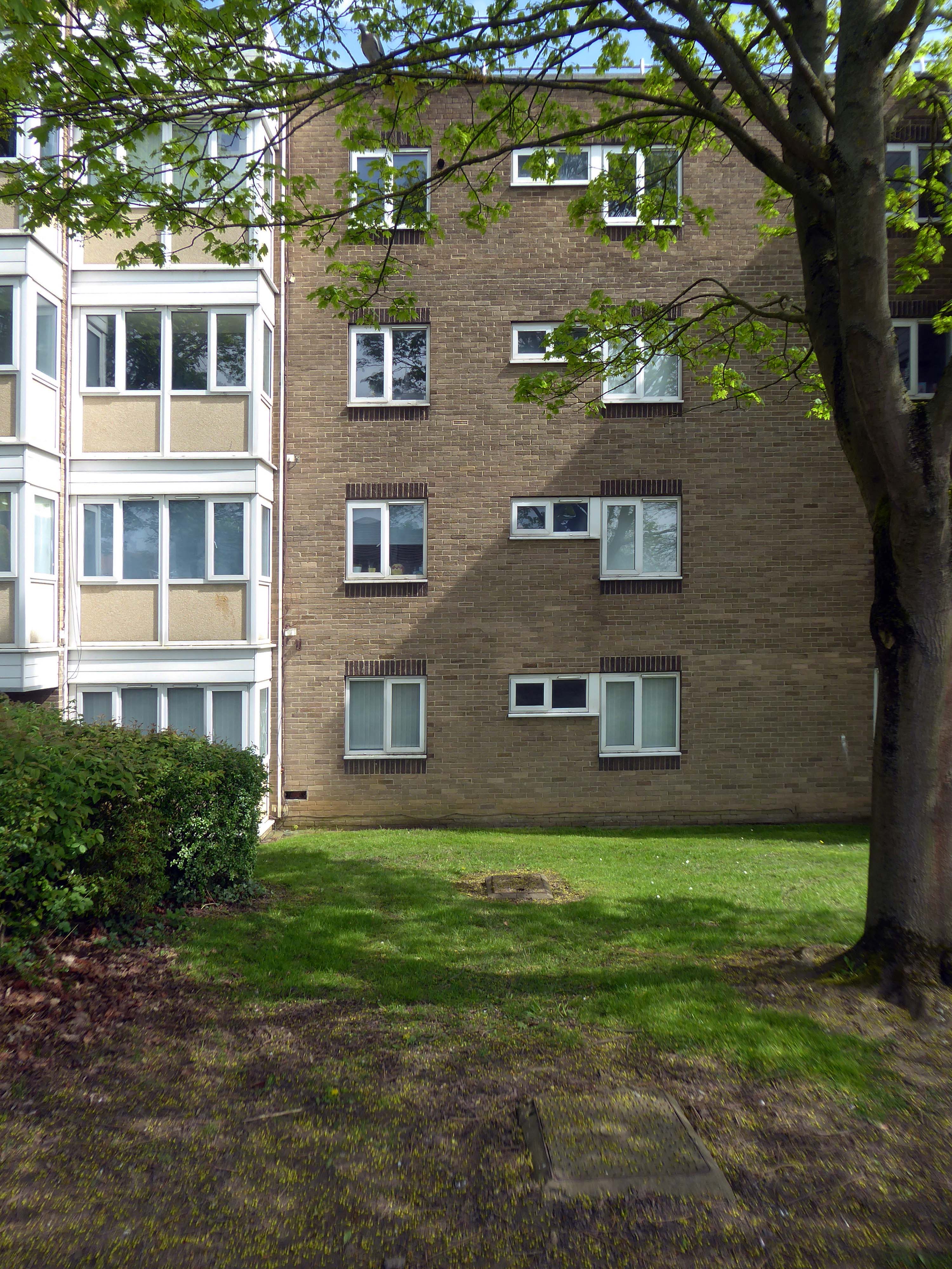
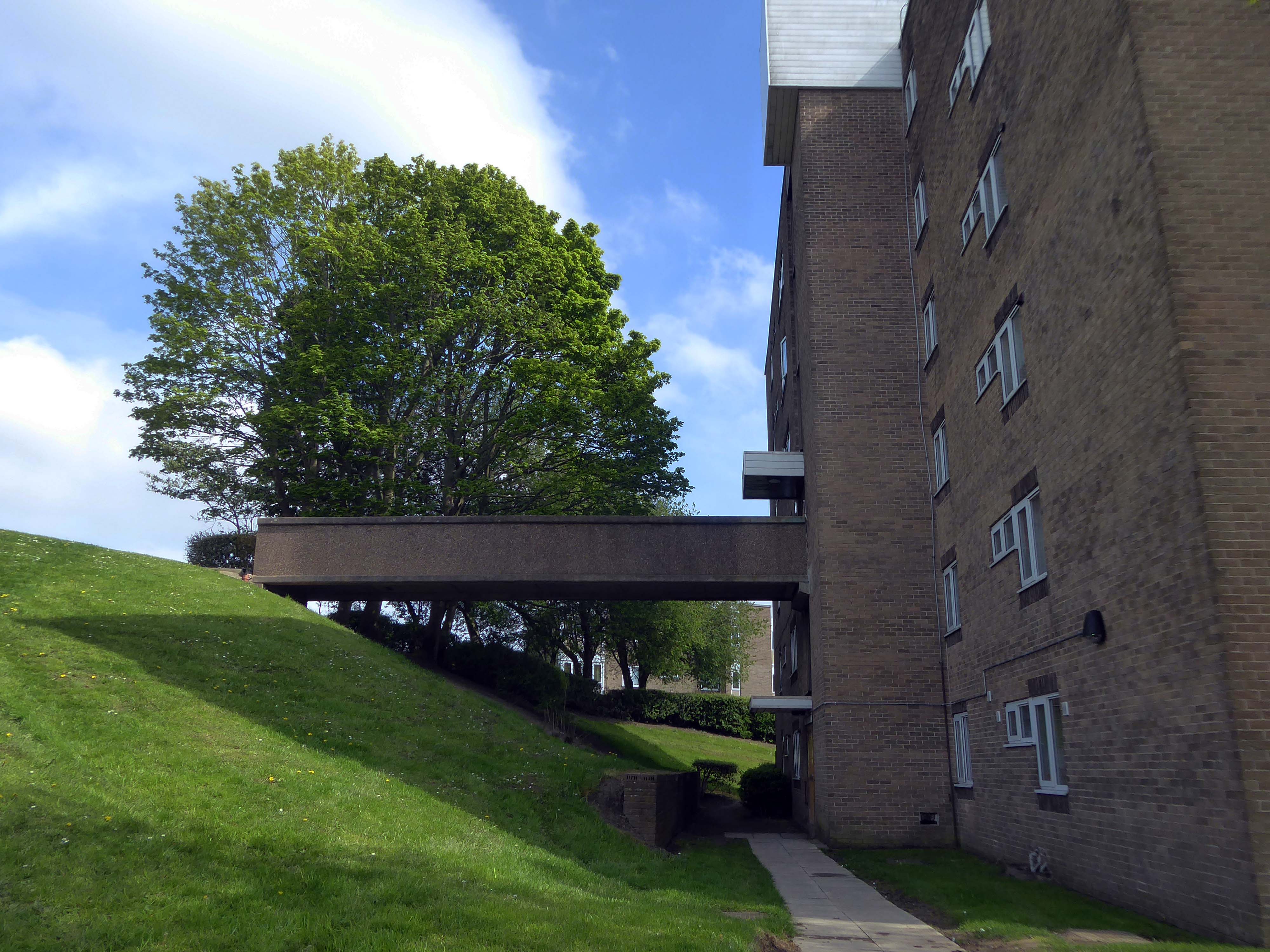
Lost to the world are the Manchester Moderne flats of Kennet House overlooking the Irk Valley on Smedley Lane.
Hendham Way becomes a pedestrianised lane.
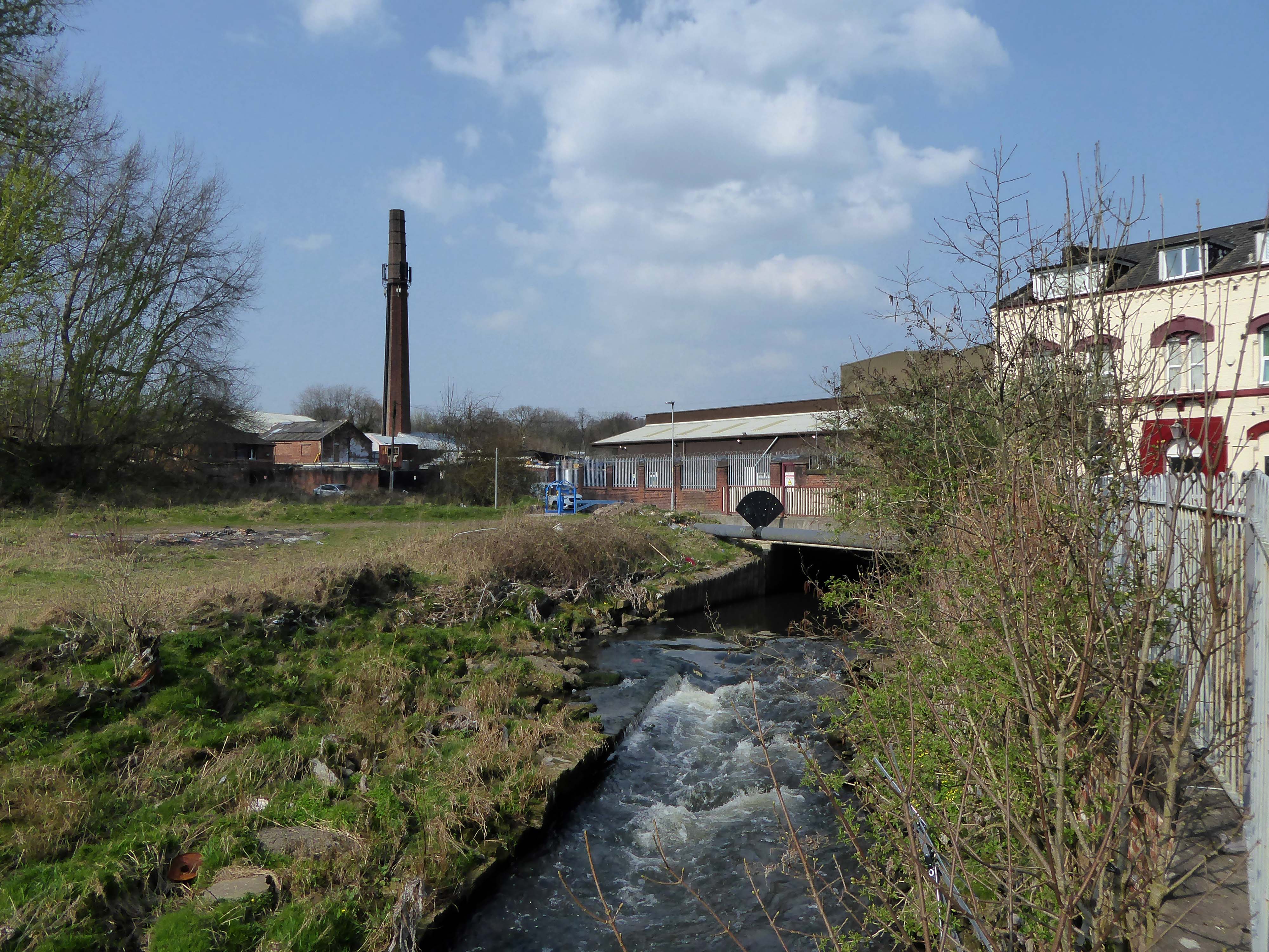
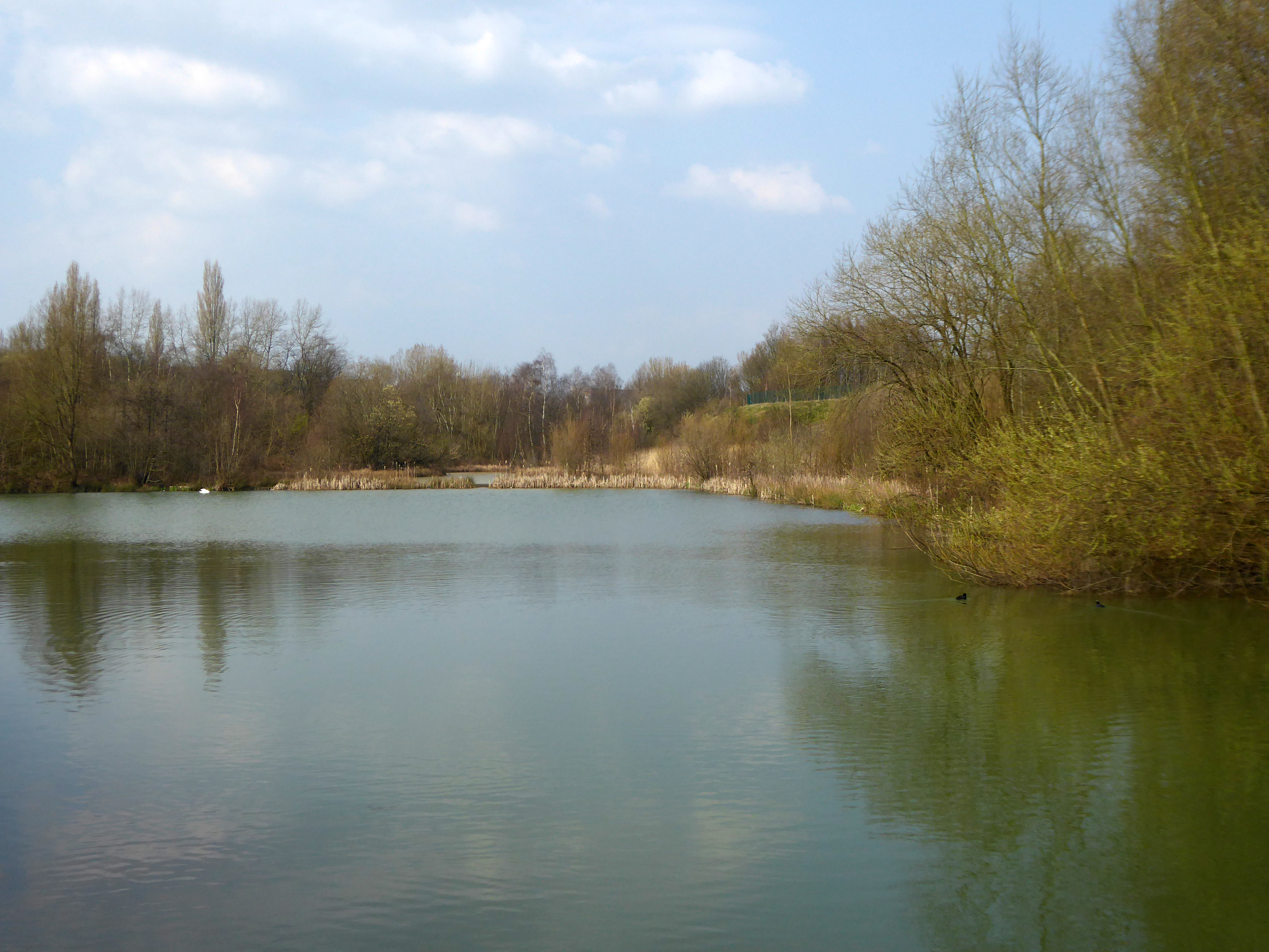
Taking the road up and then down, returning to the river, and following the wrong path – alongside the Hapurhey Reservoir and Ponds.
A remnant of the industrial era the reservoirs and ponds, once used by the factories as a source of water, have over the year become a thriving habitat which supports a substantial amount of wildlife.
Then cutting back and regaining the correct path.Finally arriving at the Hexagon Tower.
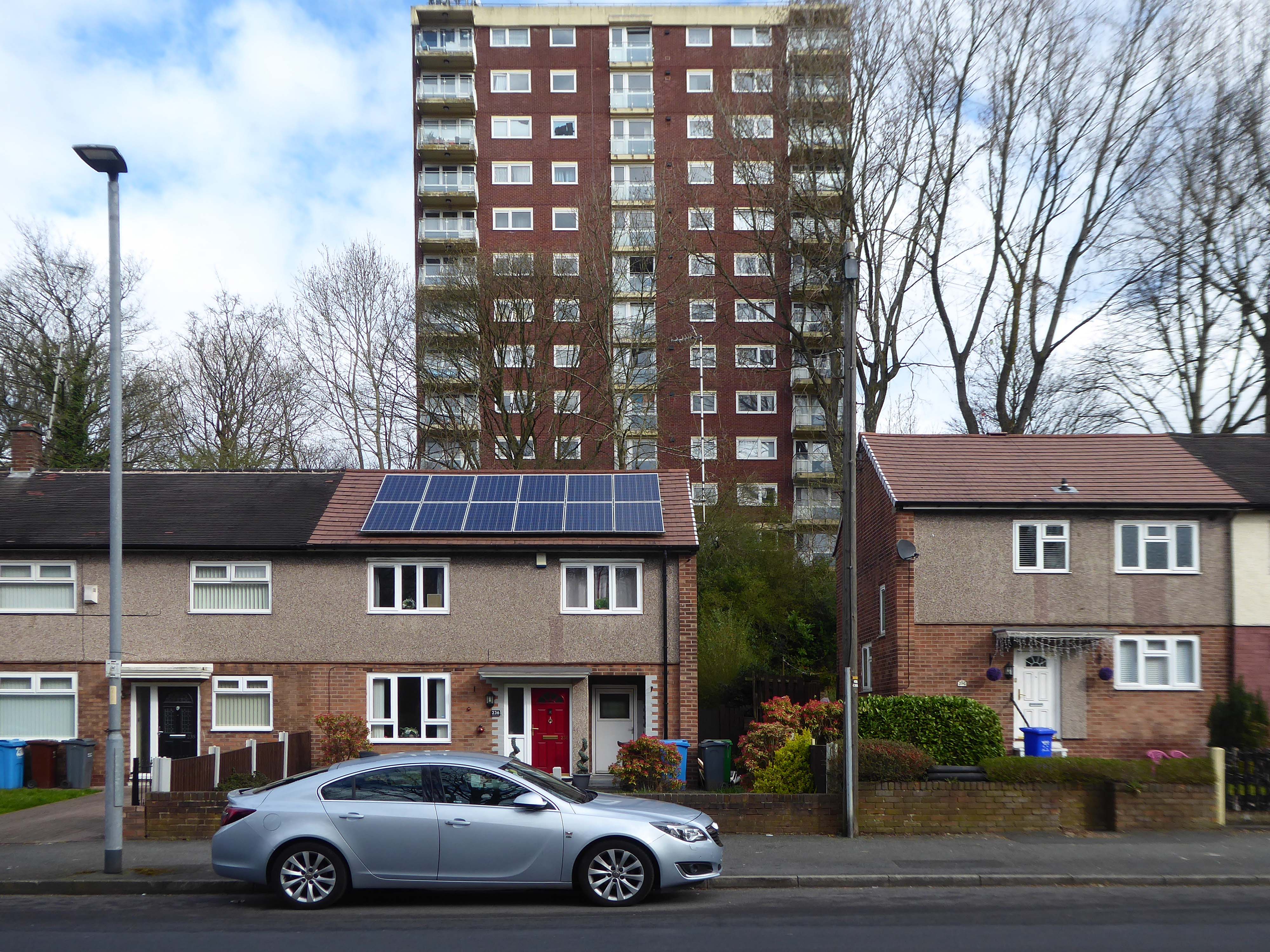
The flats had acquired a stereotypical bad reputation.
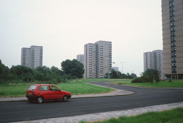
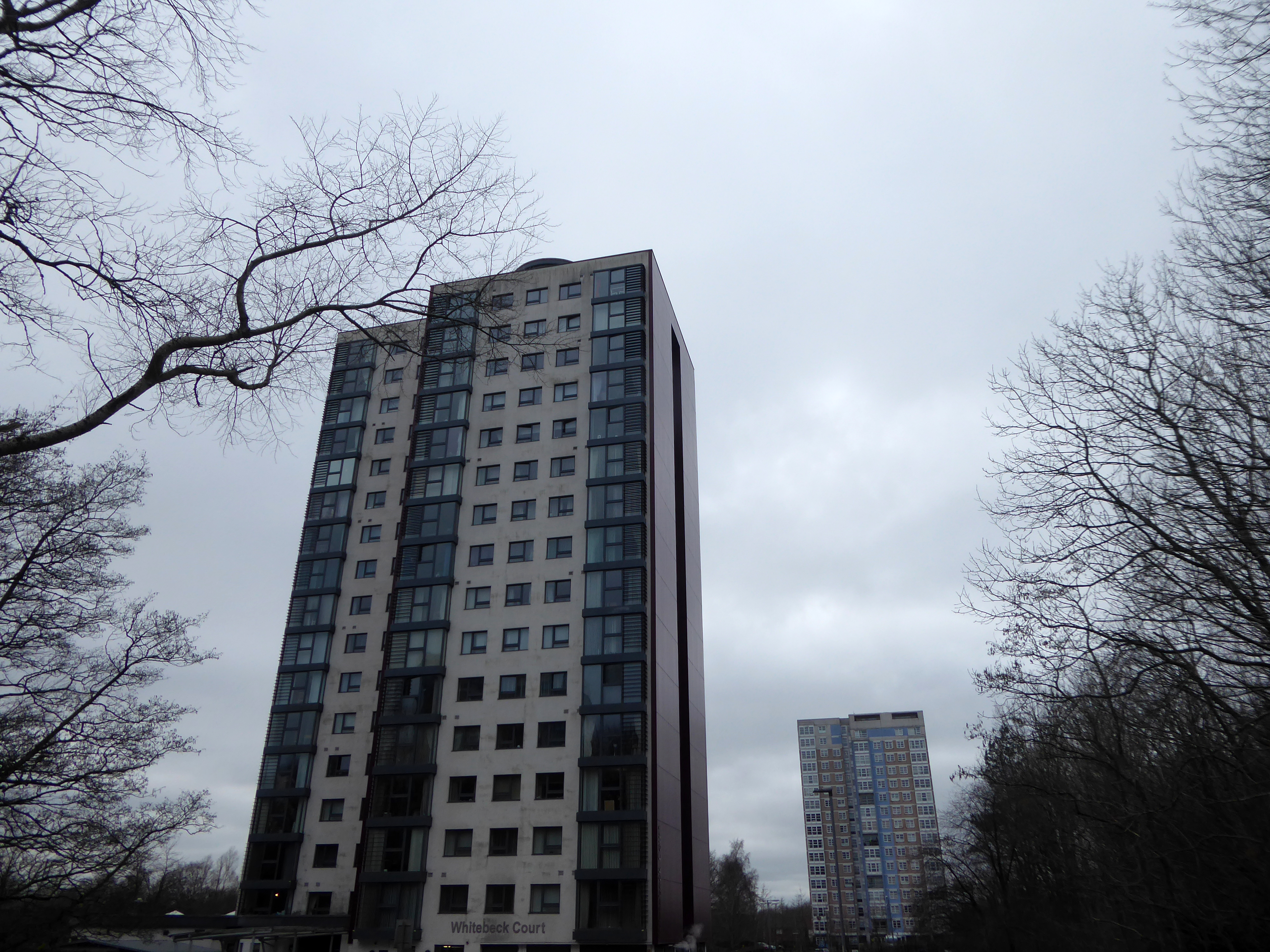
Blight flats will soon be high-rise des-res.
Residents on a blighted Blackley estate have been told of plans to deal with the mostly unoccupied high-rise flats that are seen as the cause of the problem.
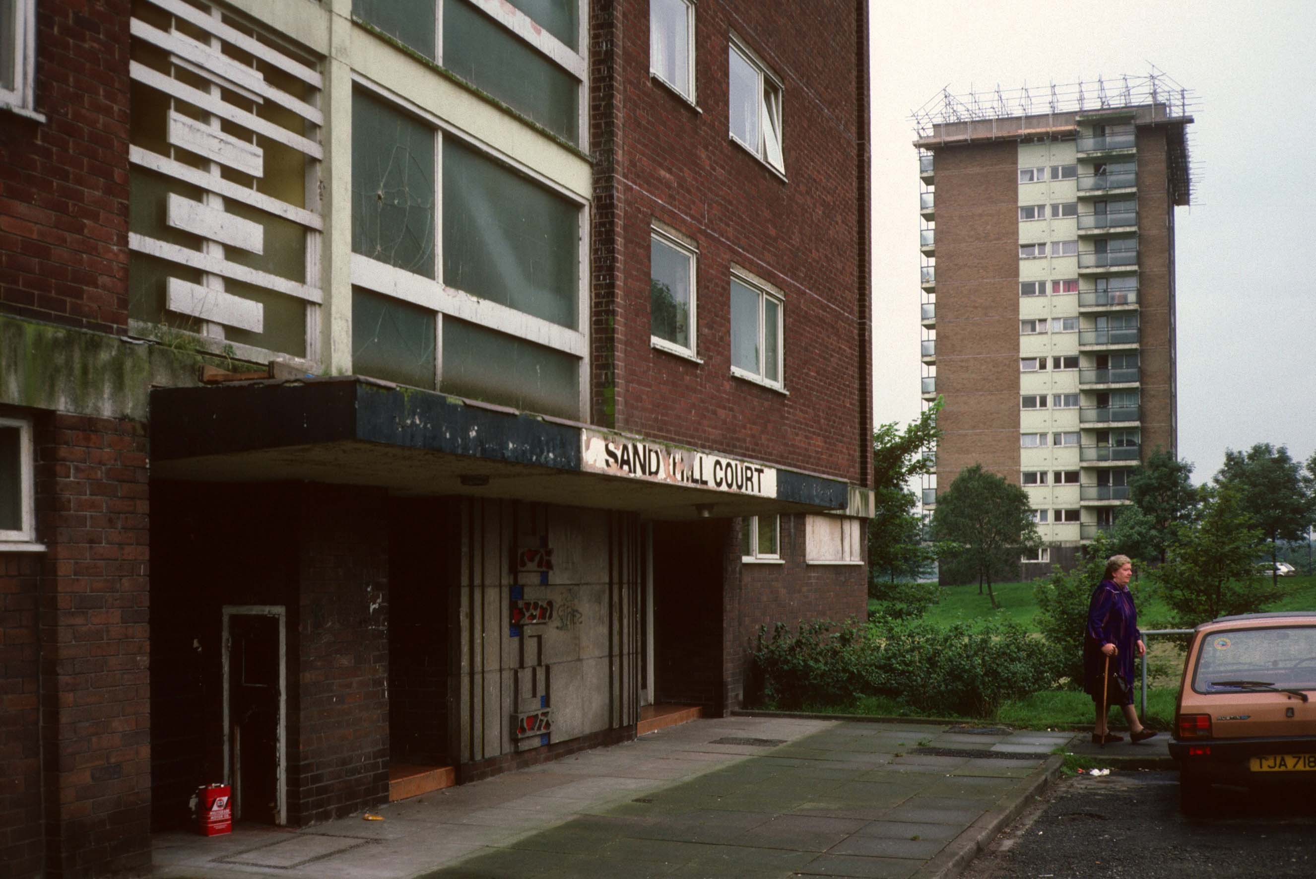
I entered via the vehicular access – in order to view the four remaining reliefs.
The Lakeside Rise blocks now form part of a private gated community and are accessed from Blackley New Road.
The original blocks and their locations are as follows:
Ashenhurst Court Now Lakeside 1 Heaton Court Now Lakeside 2 Wilton Court Now Lakeside 3 Blackley Court Now Lakeside 4
Bracknell Court demolished – was on the corner of Riverdale Road and Bridgenorth Road adjacent to Heaton Court Riverdale Court demolished – was on Riverdale Road opposite Bantry Avenue.
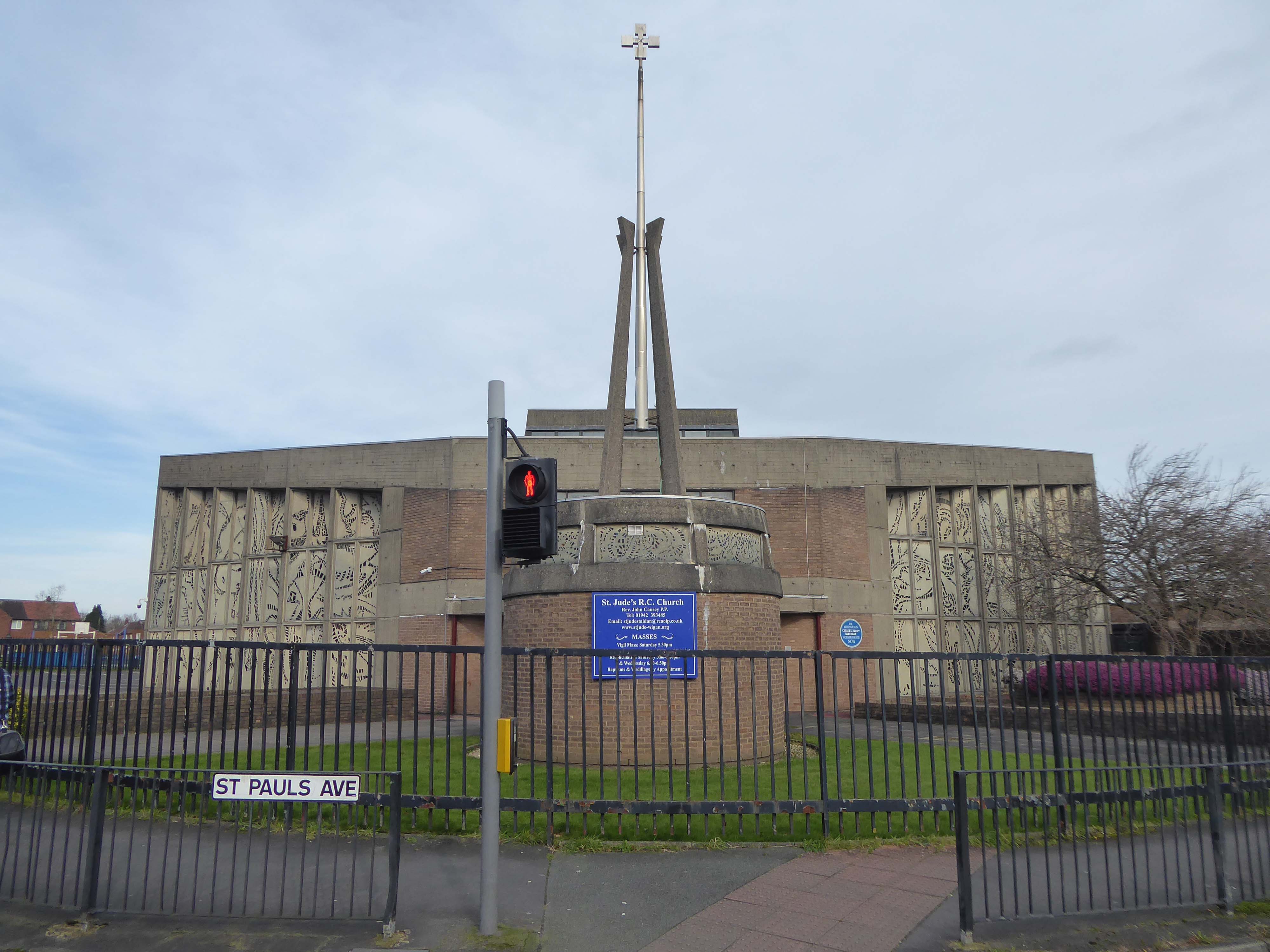
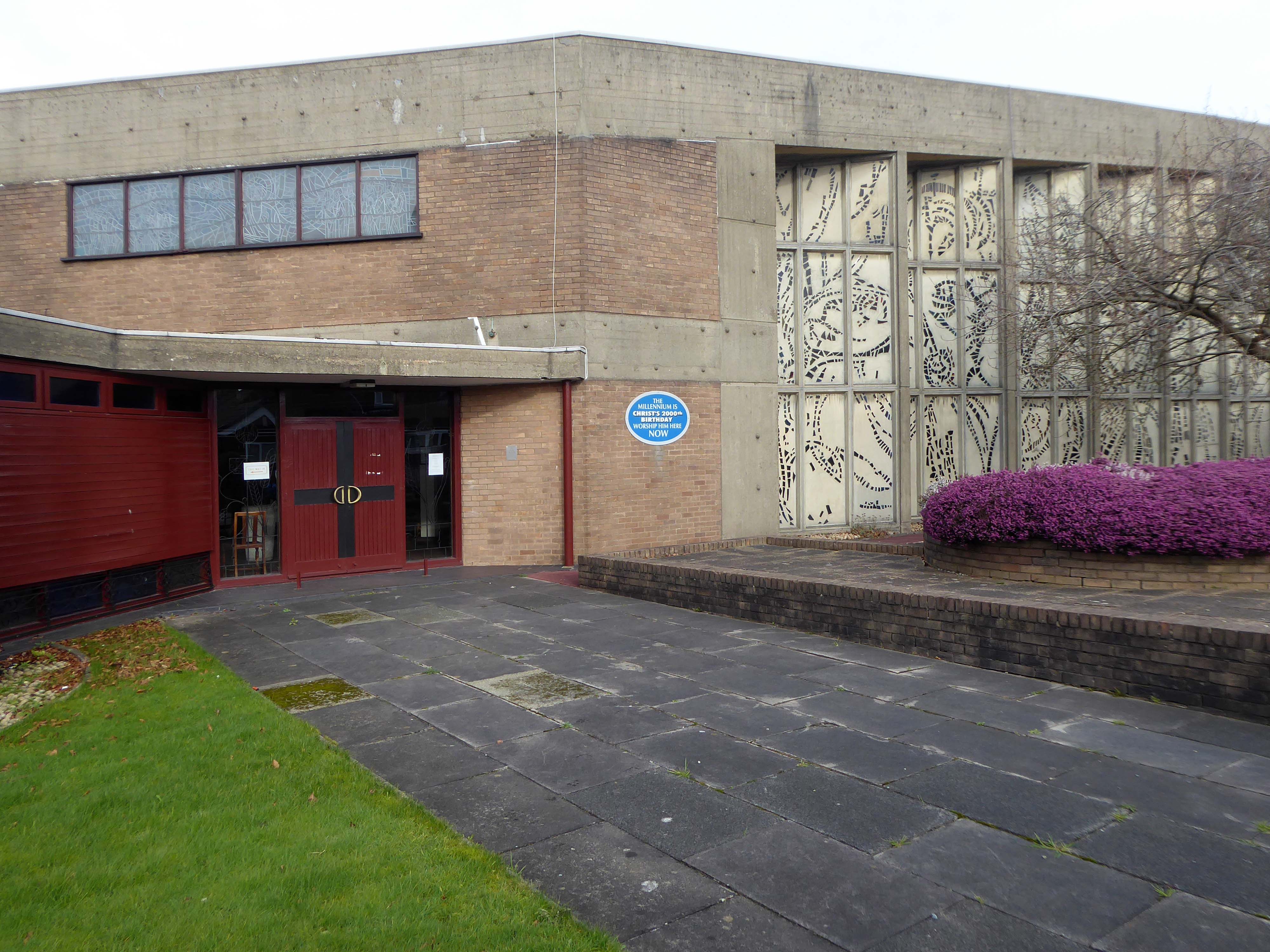
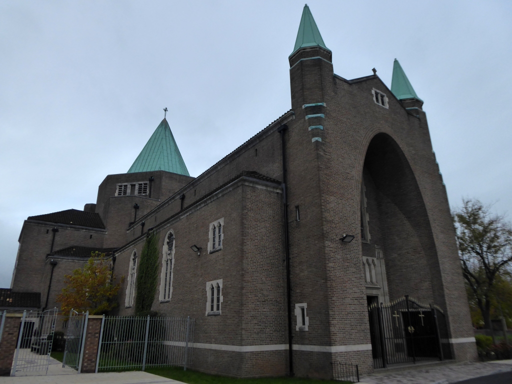
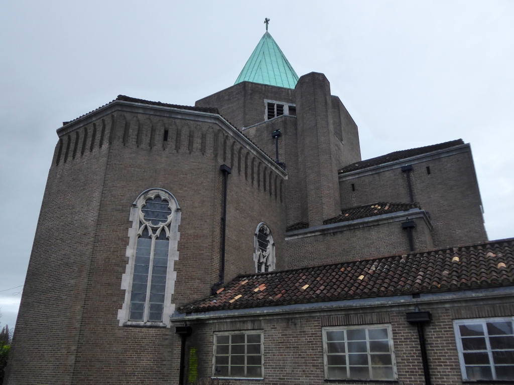
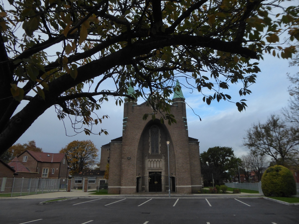
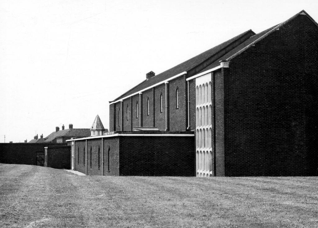
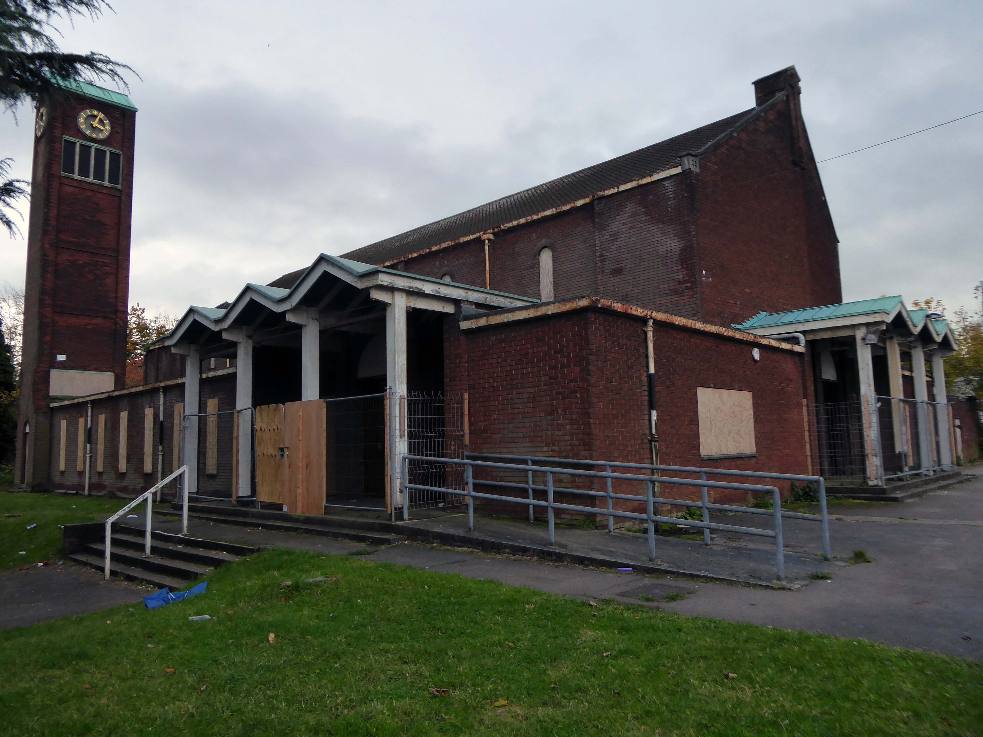
St. Jude’s Church Poolstock Lane/St Paul’s Avenue Wigan WN3 5JE
Following the demolition of many working class homes in central Wigan in the early-to-mid 20th century there was a migration to new council estates on the outskirts of the town including new developments in the Poolstock and Worsley Mesnes localities. In order to cater to the Catholic inhabitants of the new estates Father Richard Tobin of St Joseph’s parish in Wigan, established a chapel of ease – described as a wooden hut, on St Paul’s Avenue in 1959.
In 1962 Tobin wrote to the Archbishop of Liverpool George Andrew Beck with his proposals for a new, permanent church, suggesting that the church should be dedicated either to St Jude or Our Lady of the Assumption.
Beck replied on 15 March:
My dear Father Tobin, Many thanks for your letter. I like your suggestion of St. Jude as a patron of the new church. We already have a parish in honour of The Assumption but none, so far as I know, to St. Jude. I assume that you do not intend to suggest by this title that Wigan is a hopeless case!
The Liverpool architects L A G Prichard & Sons were engaged and work began in the summer of 1963. Subsidence caused by coal mining in the area necessitated reinforced foundations and the final cost was over £100,000. The foundation stone was laid by Archbishop Beck in December 1964 and the church was opened for worship in July 1965.
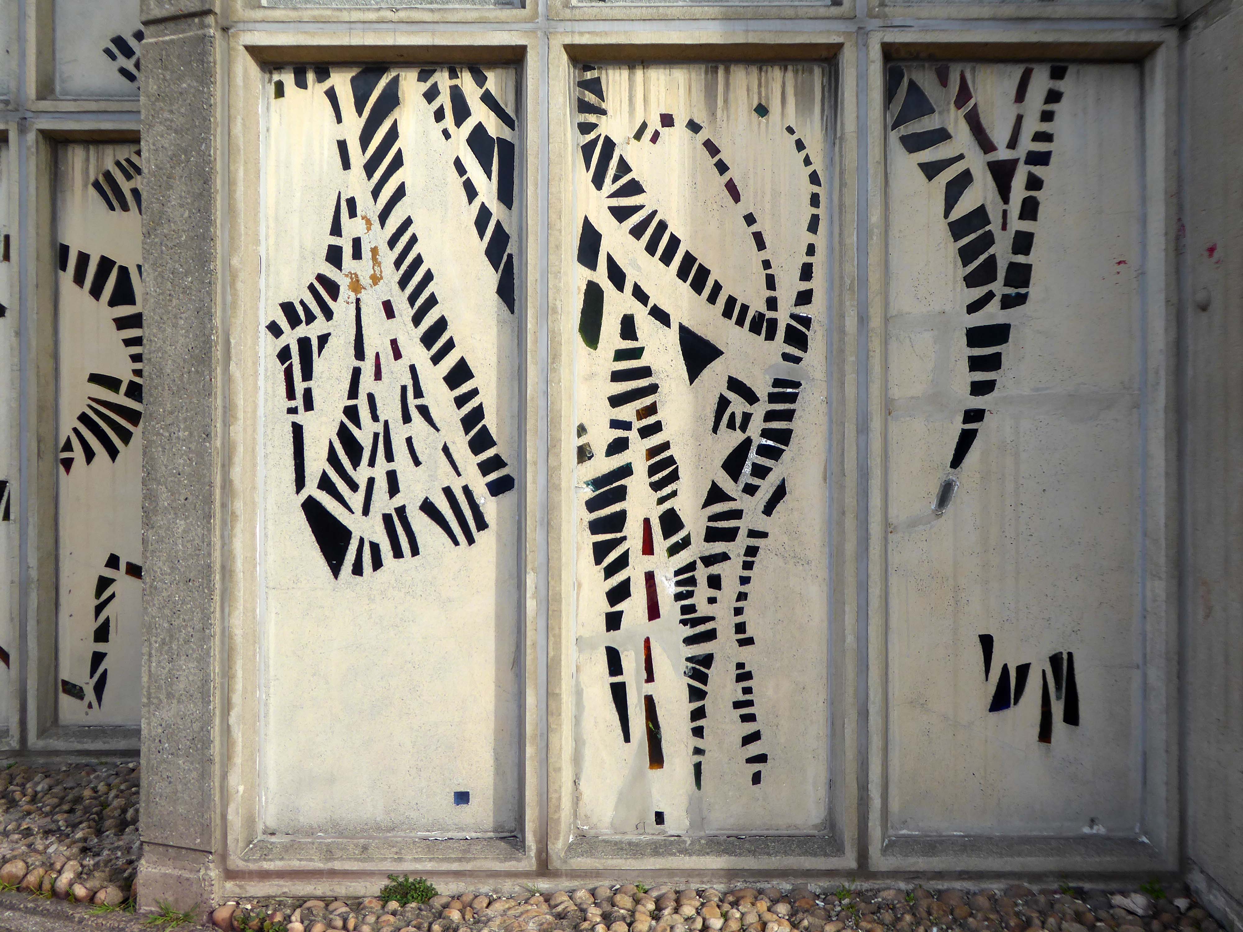
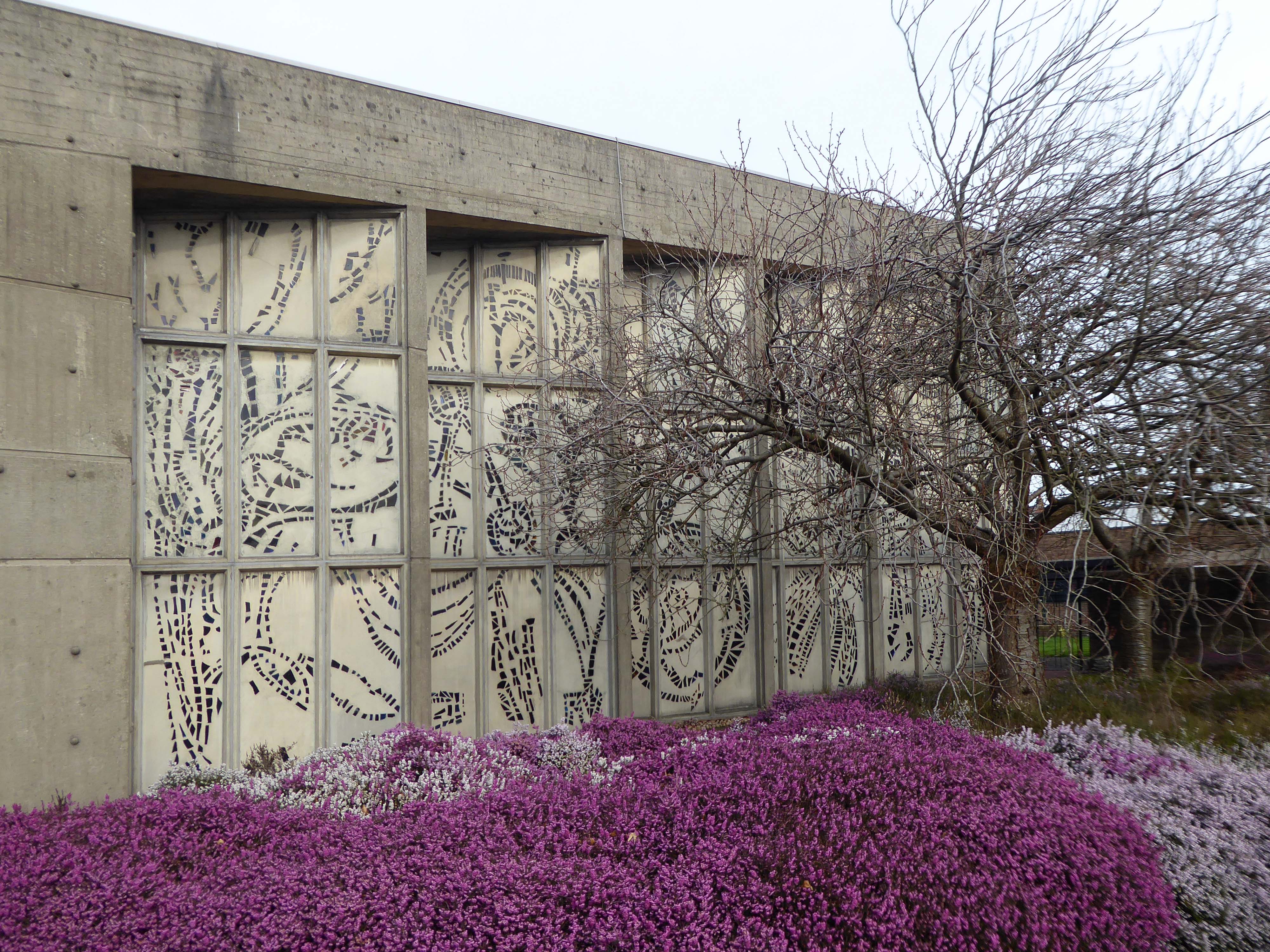
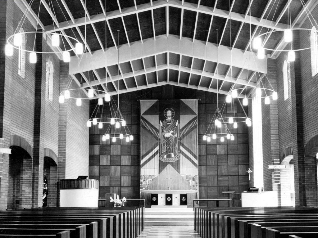
The most remarkable feature of the church is the dalle de verre stained glass on the walls of the nave, designed by Robin Riley, made by Verriers de St Jobain in France and fitted by glaziers J O’Neill and Sons.
Sadly Robin Riley died this year, aged 90, my thanks to his former student Keith Hamlett for the information.
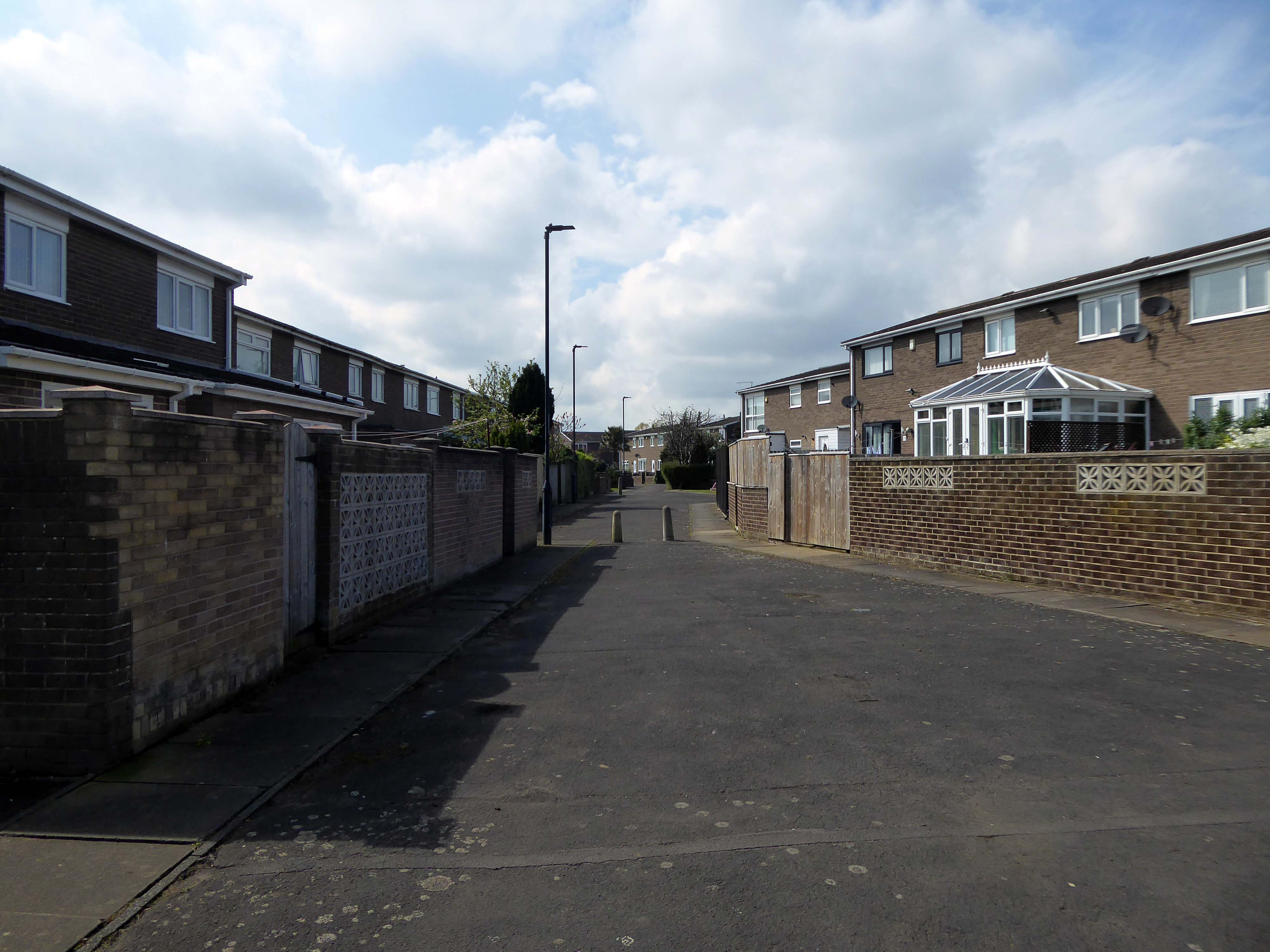
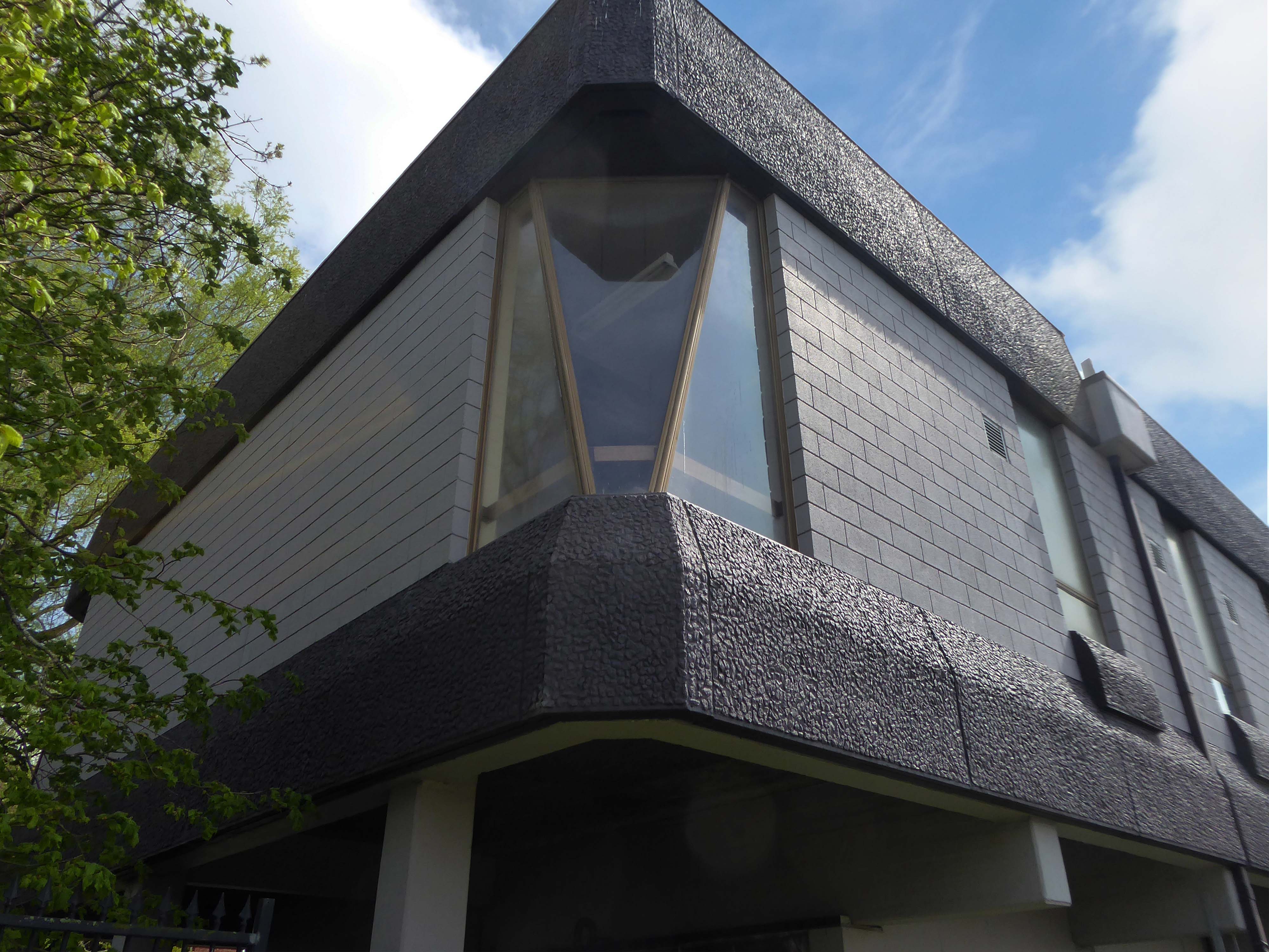
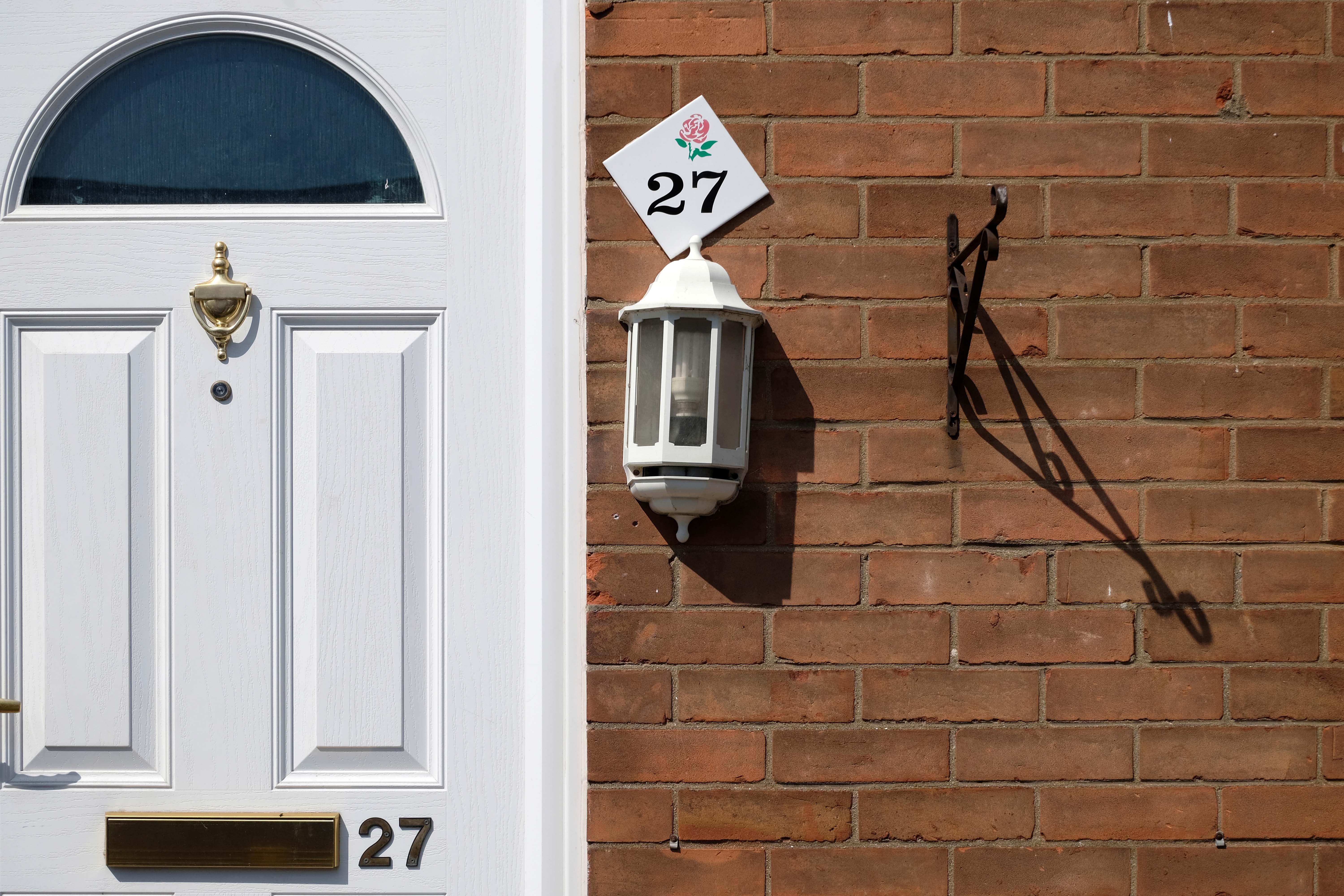
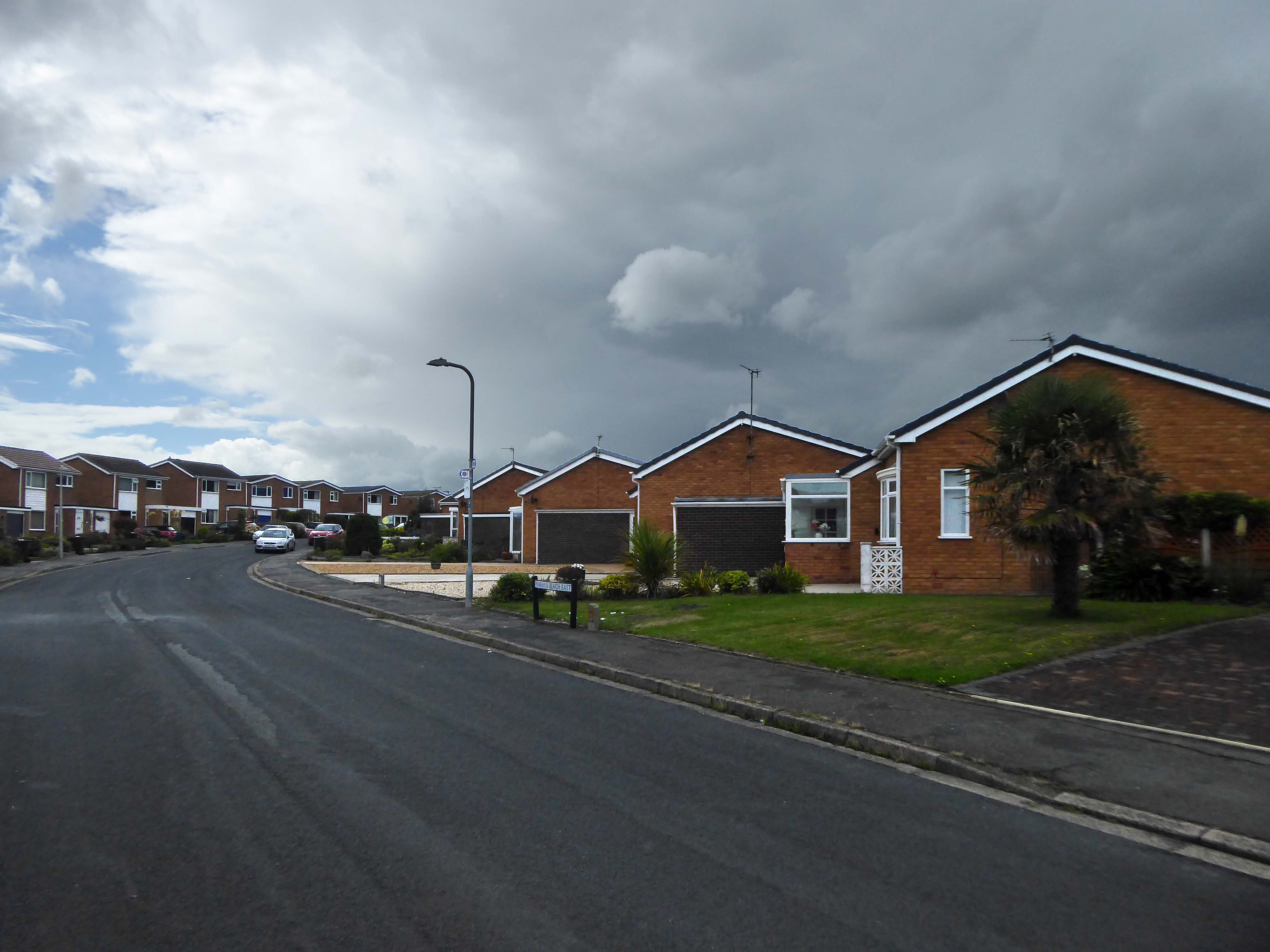
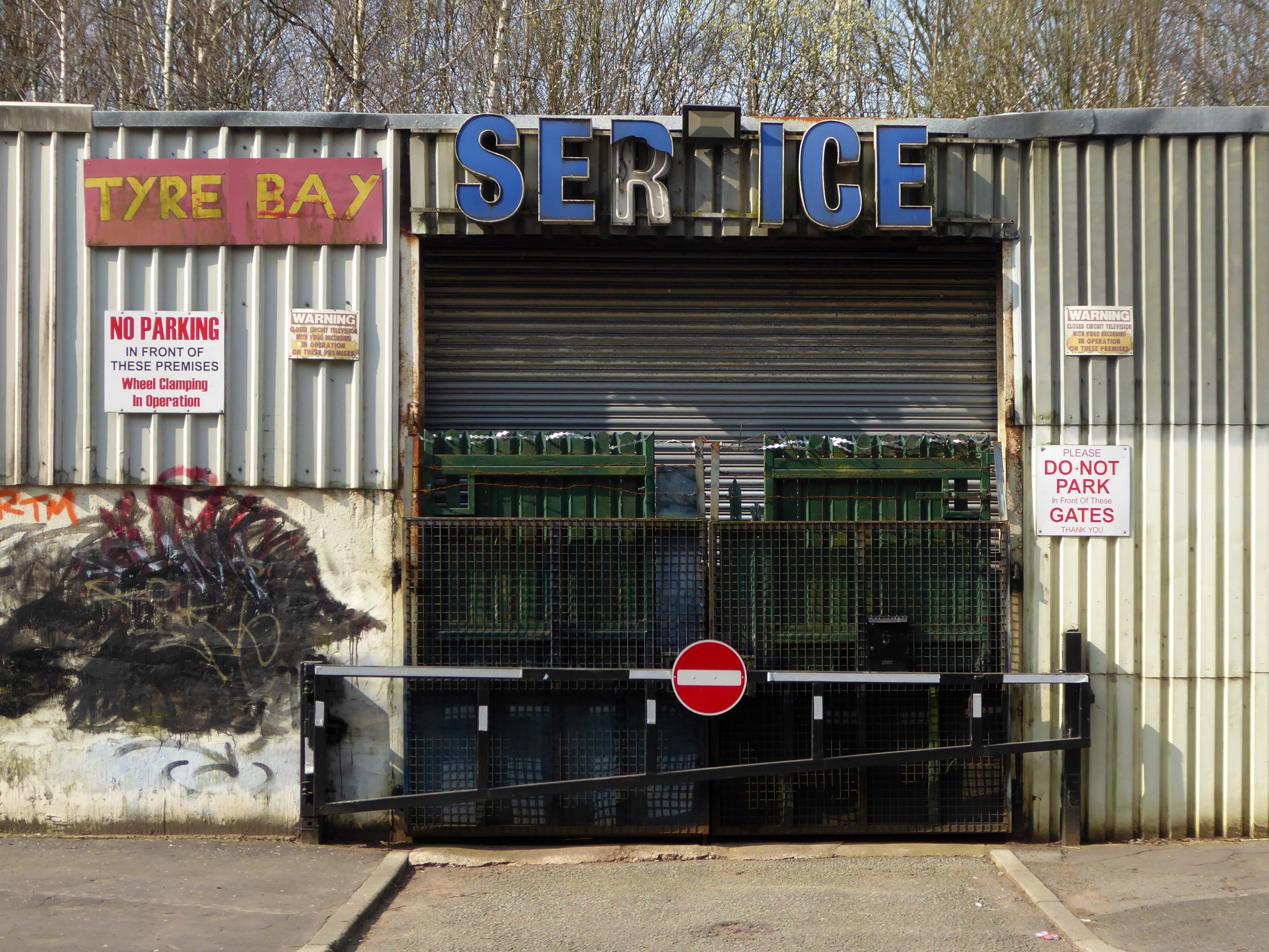
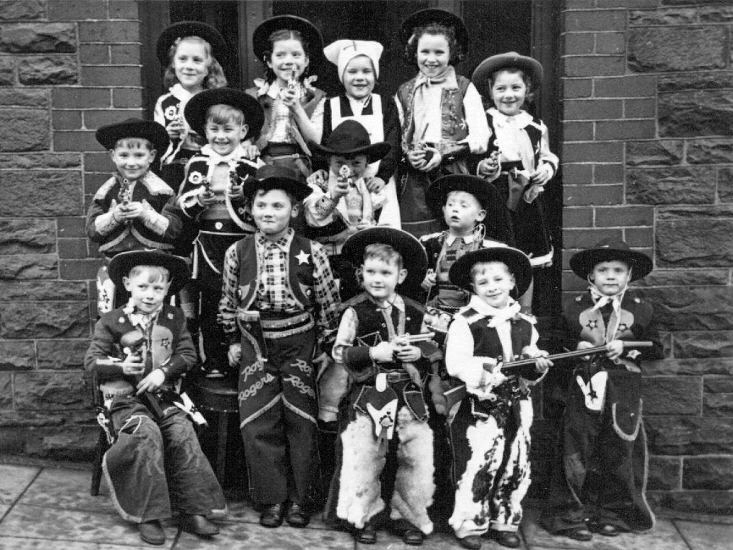
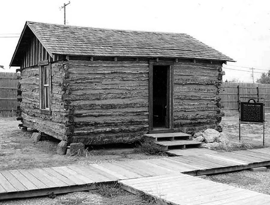
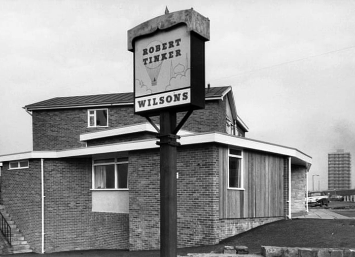
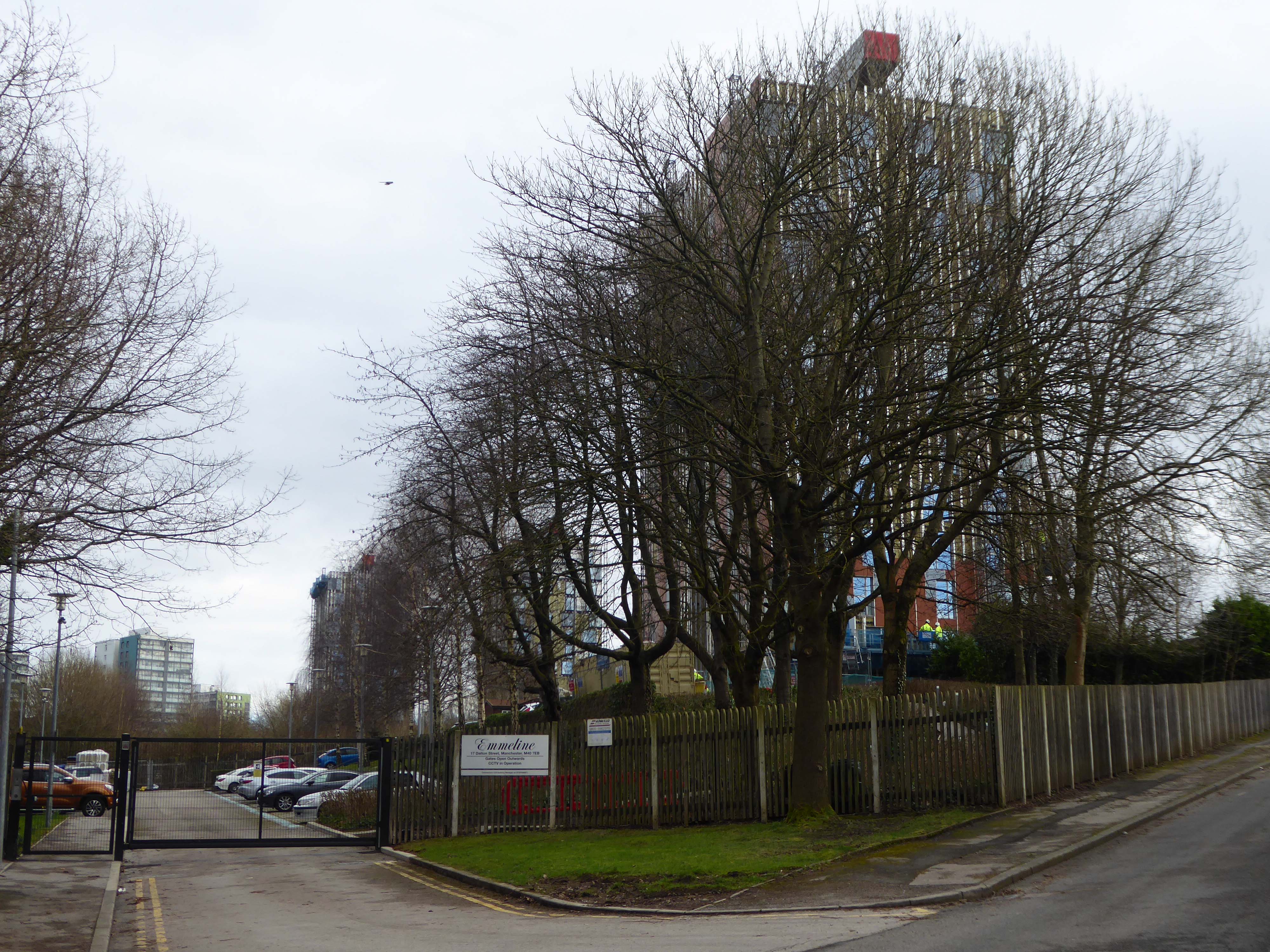
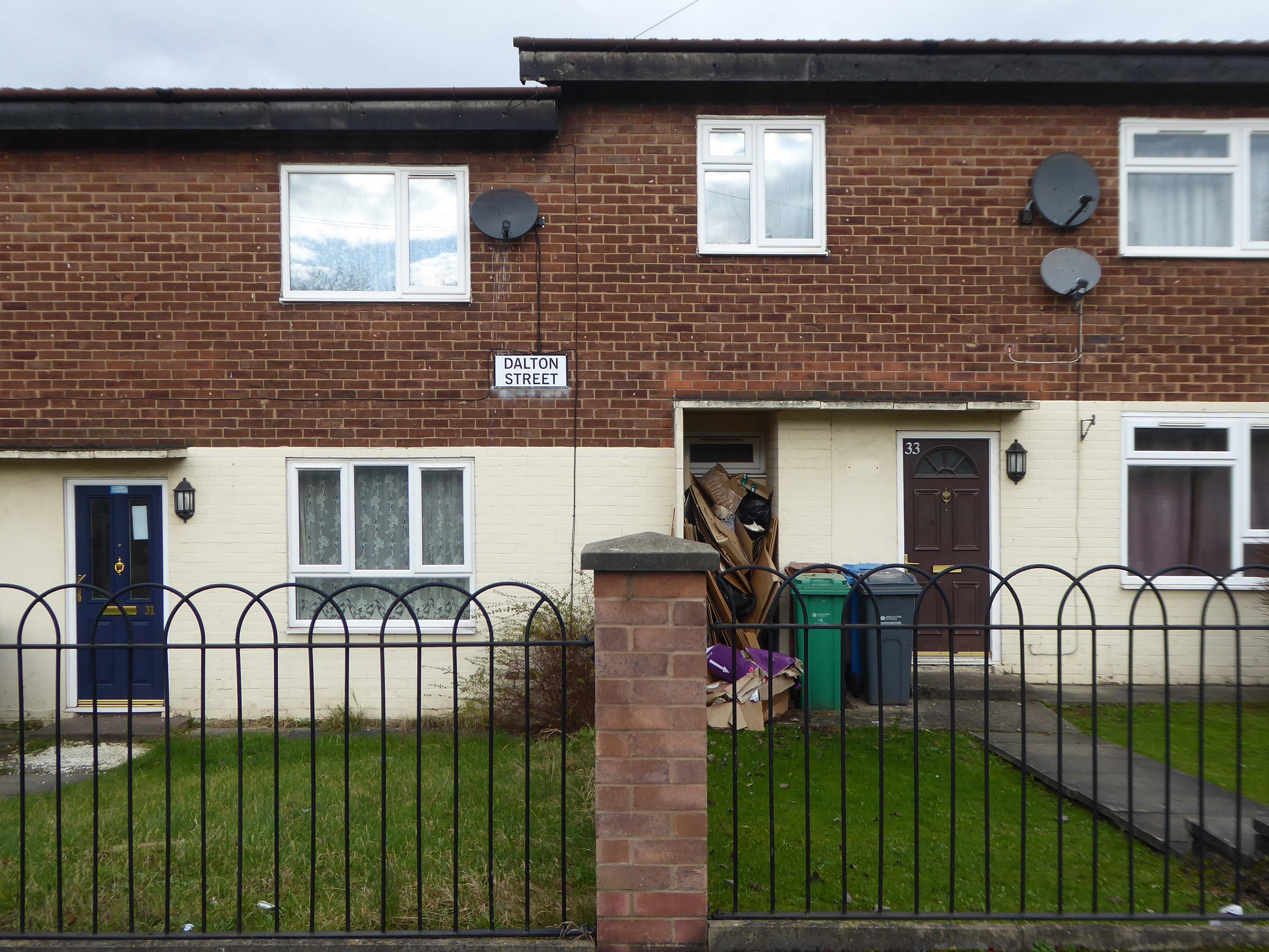
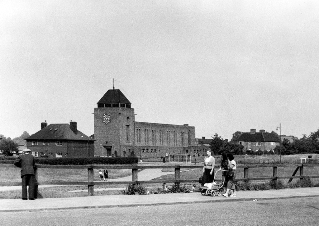
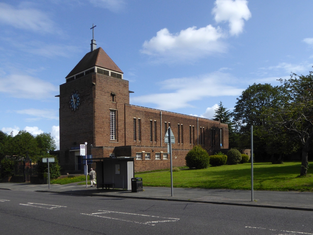
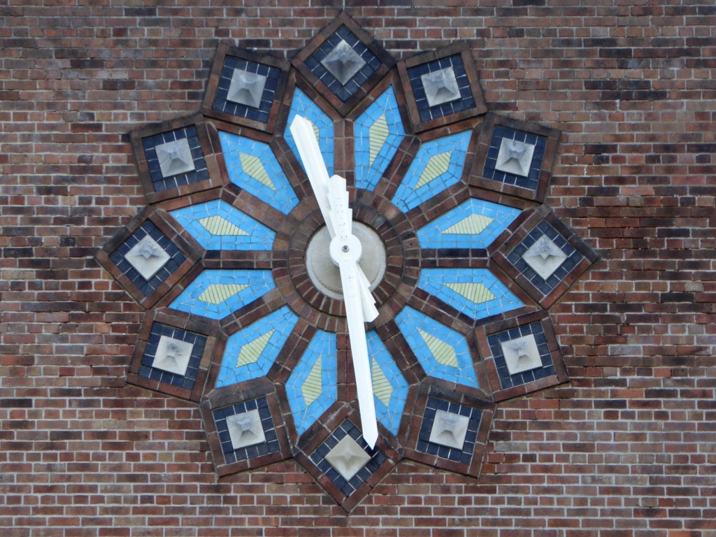
Now I’m going east to Dalton Street, home to the Collyhurst cowboy.
Photograph: Dennis Hussey
This is an illusion within an illusion, twice removed.
The Hollywood recreation, recreated on the rough ground of post war Britain.
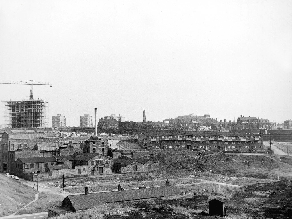
In 1960 the area was a dense network of streets, industry and homes – demolished during the period of slum clearance.
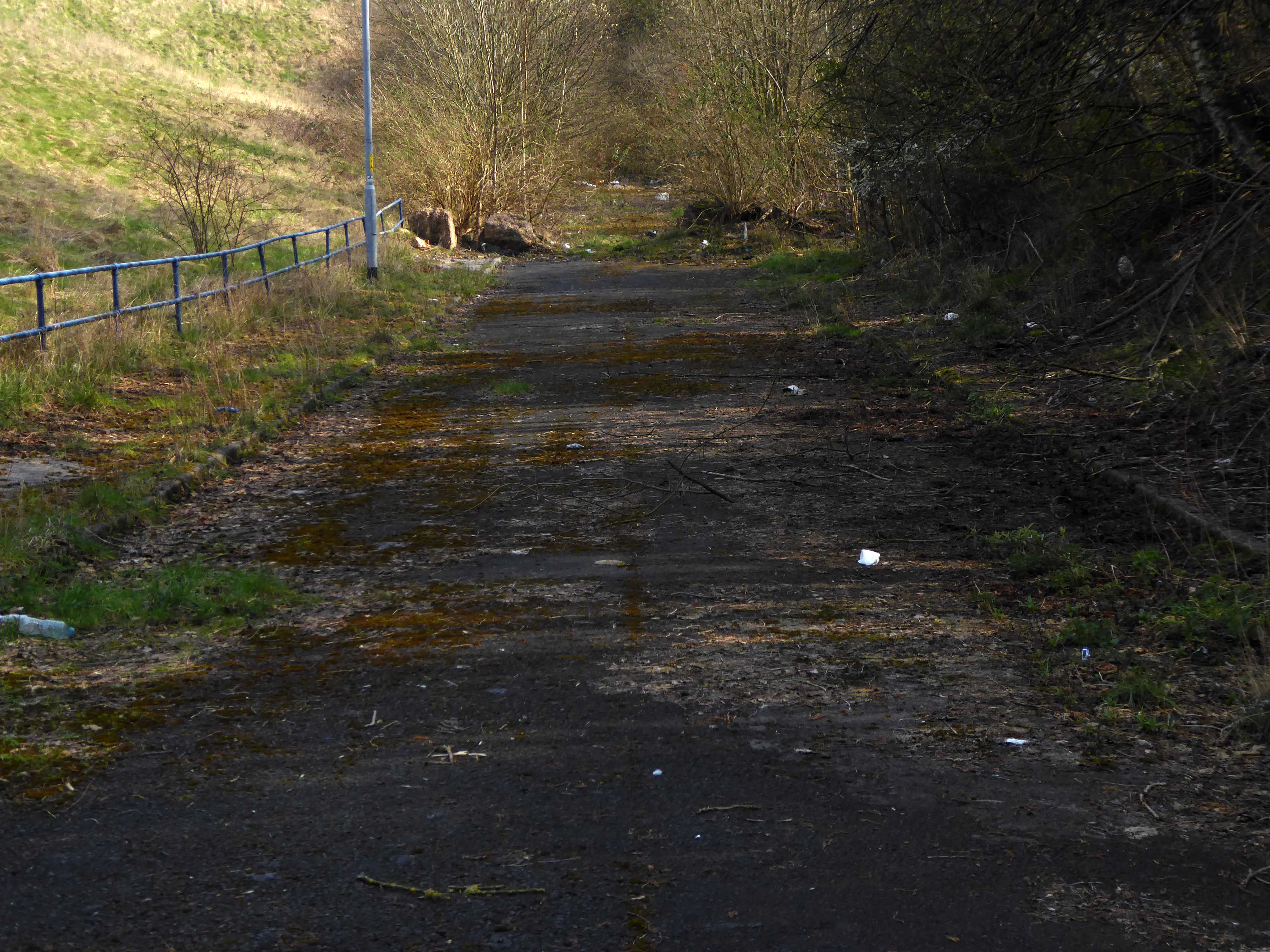
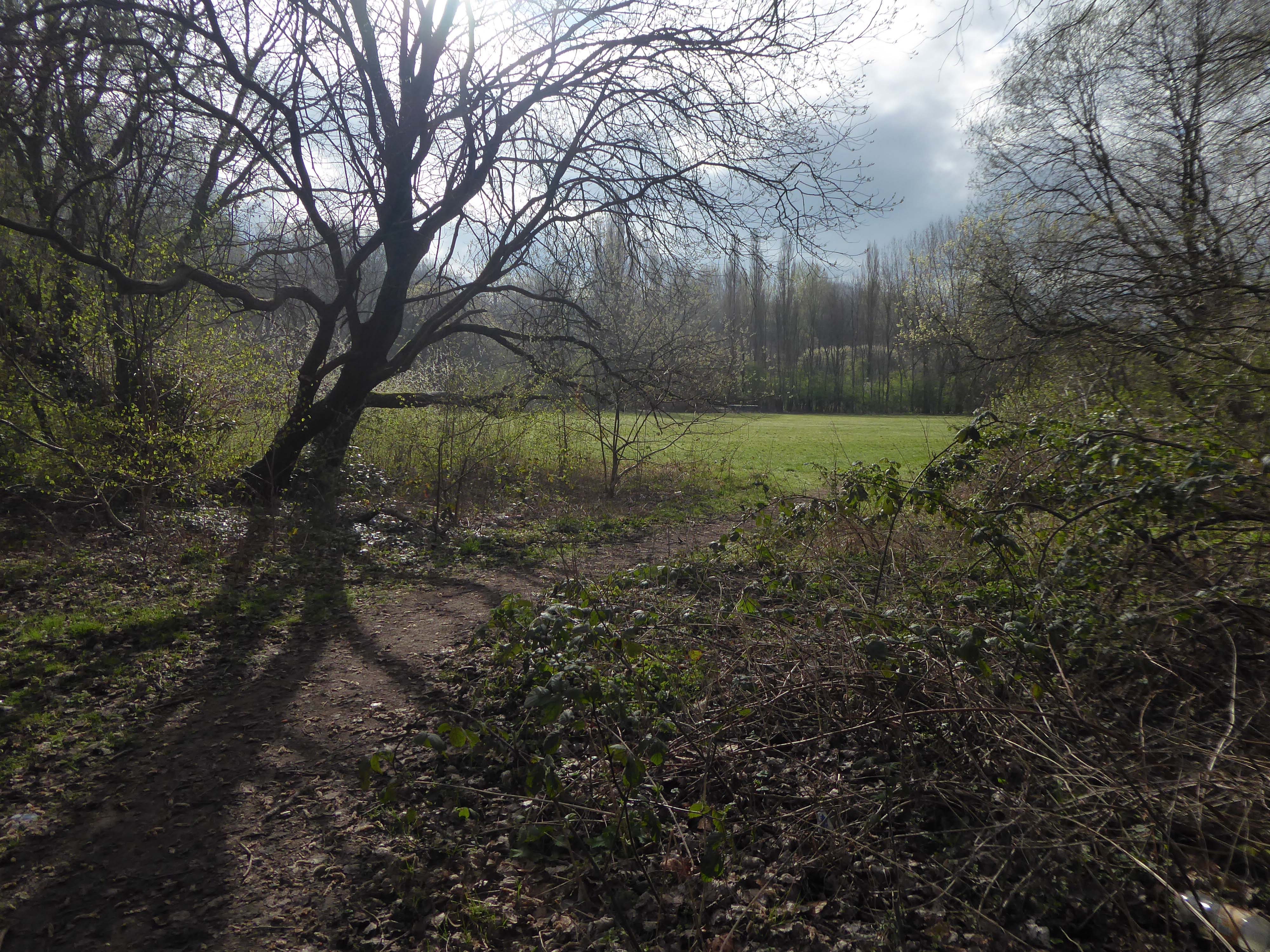
Escaping the dark, dank Irk Valley onwards and upwards to Rochdale Road.
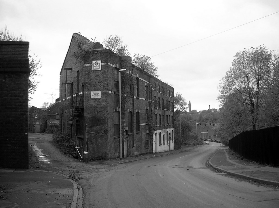
The Dalton Works Arnac factory survived until 2008
Photograph: Mikey
The tight maze of Burton Street and beyond, reduced to rubble.
Dalton Street was not home to the Dalton Gang, they lived here in Oklahoma
It was home to imaginary gangs, committing imaginary crimes, in an imaginary Manchester, in ITV’s Prime Suspect Five.
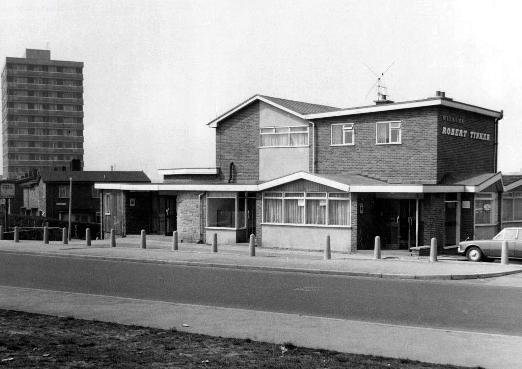
Kangol capped criminals doing business outside the Robert Tinker on the corner of the very real Dalton and Almond Streets.
The Robert Tinker was an estate pub in a run down area of Collyhurst. The pub looked pretty grim from the outside, but it was smarter than I expected inside, I had a drink in the lounge which was carpeted and comfortable. This was a Banks’s tied house and there were two real ales on the bar, I had a drink of Banks’s bitter and this was a decent drink, the other beer was Banks’s mild. This pub closed about two years after my visit and looked derelict, it has now been demolished.
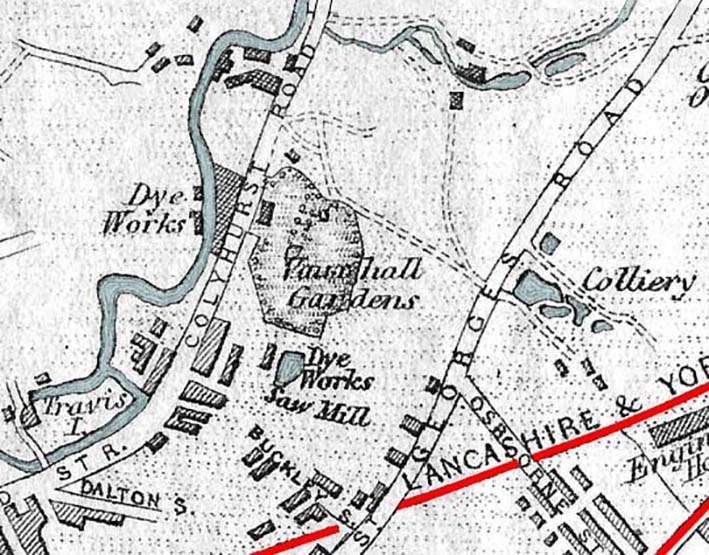
Robert Tinker was the owner of the Vauxhall Gardens, a Victorian pleasure venue.
At the openingthere was a special attraction, a giant cucumber which had been grown in the gardens reaching a length of seven feet and eight inches and a large and beautiful balloon was to be liberated at 9pm
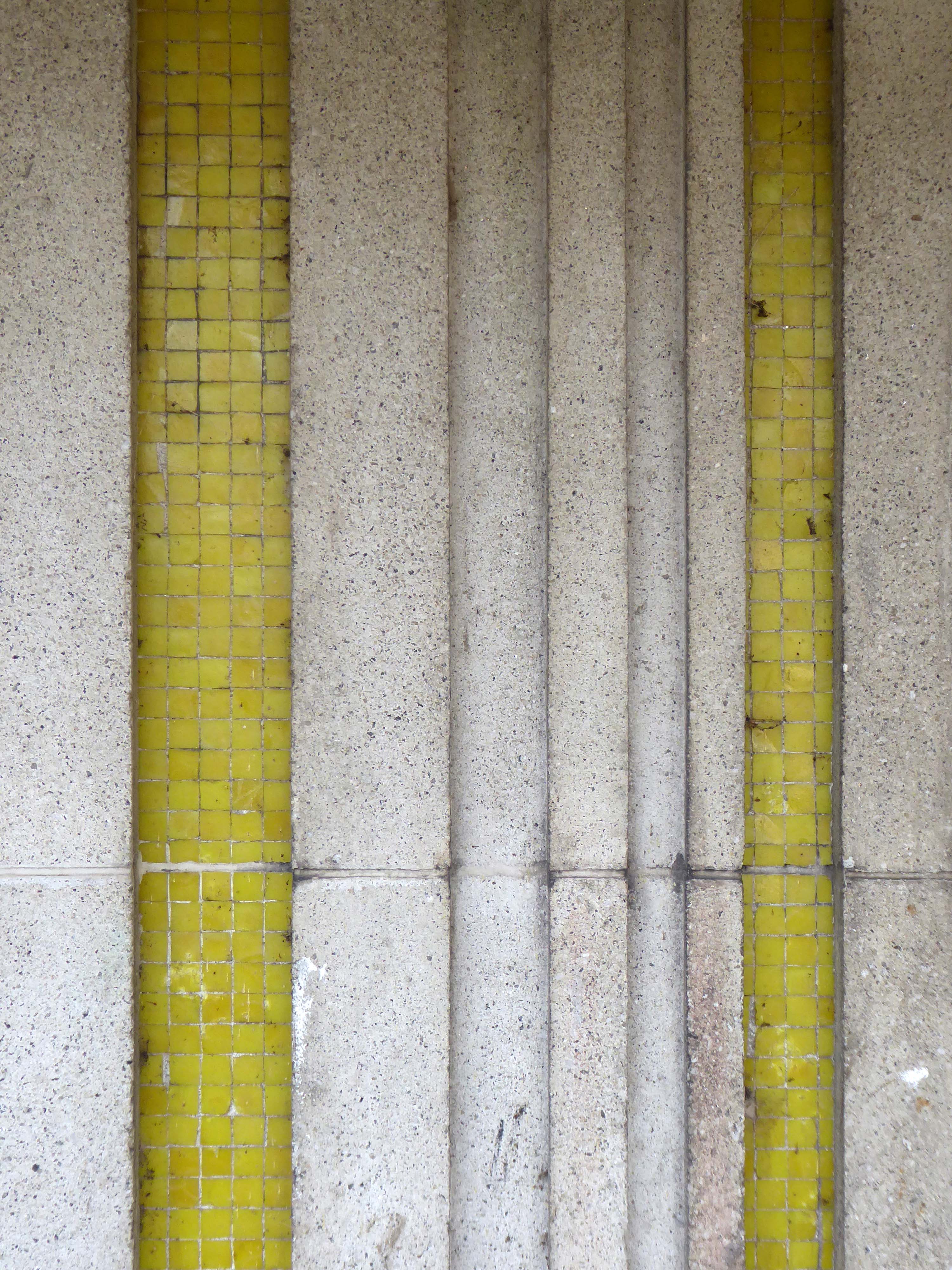
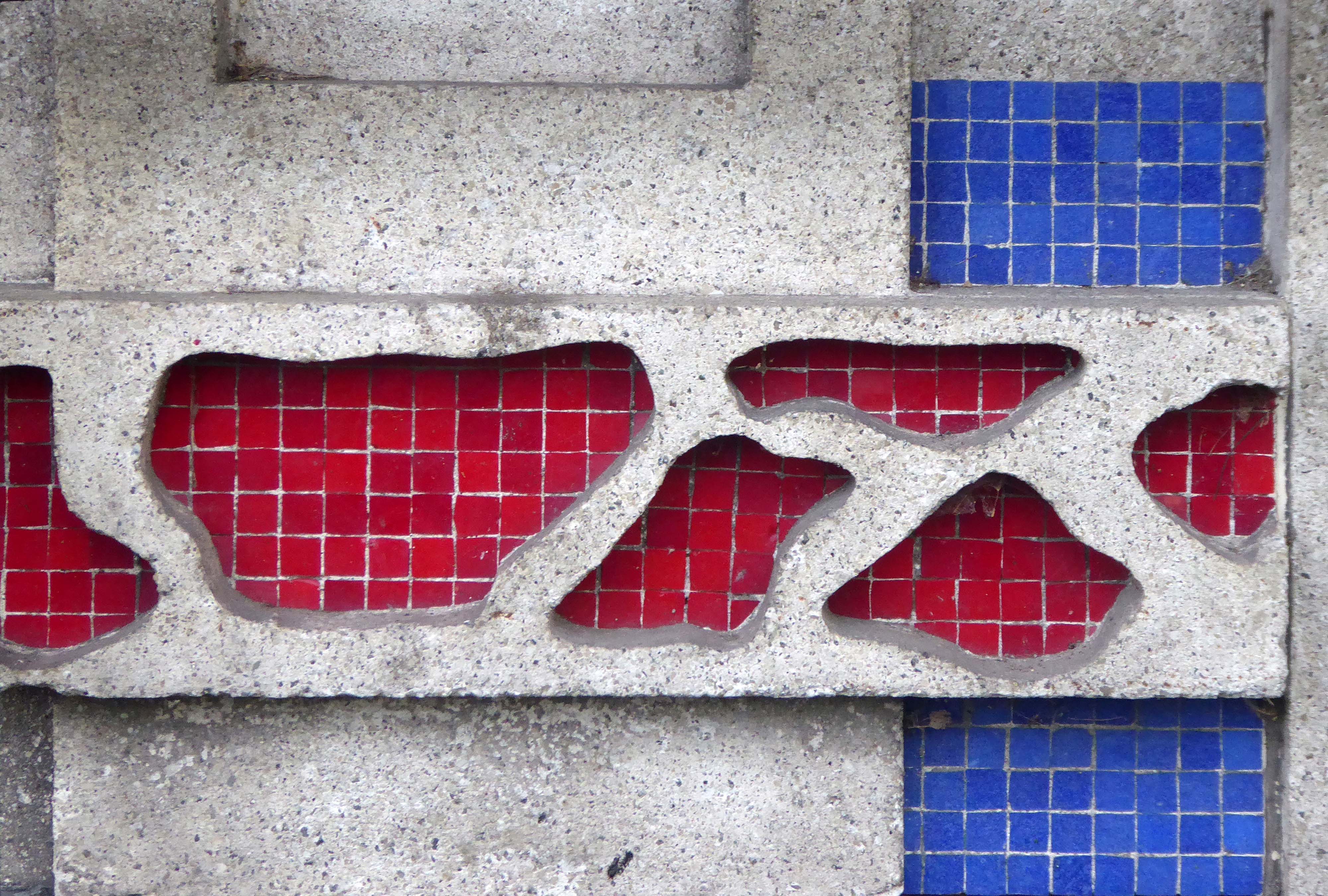
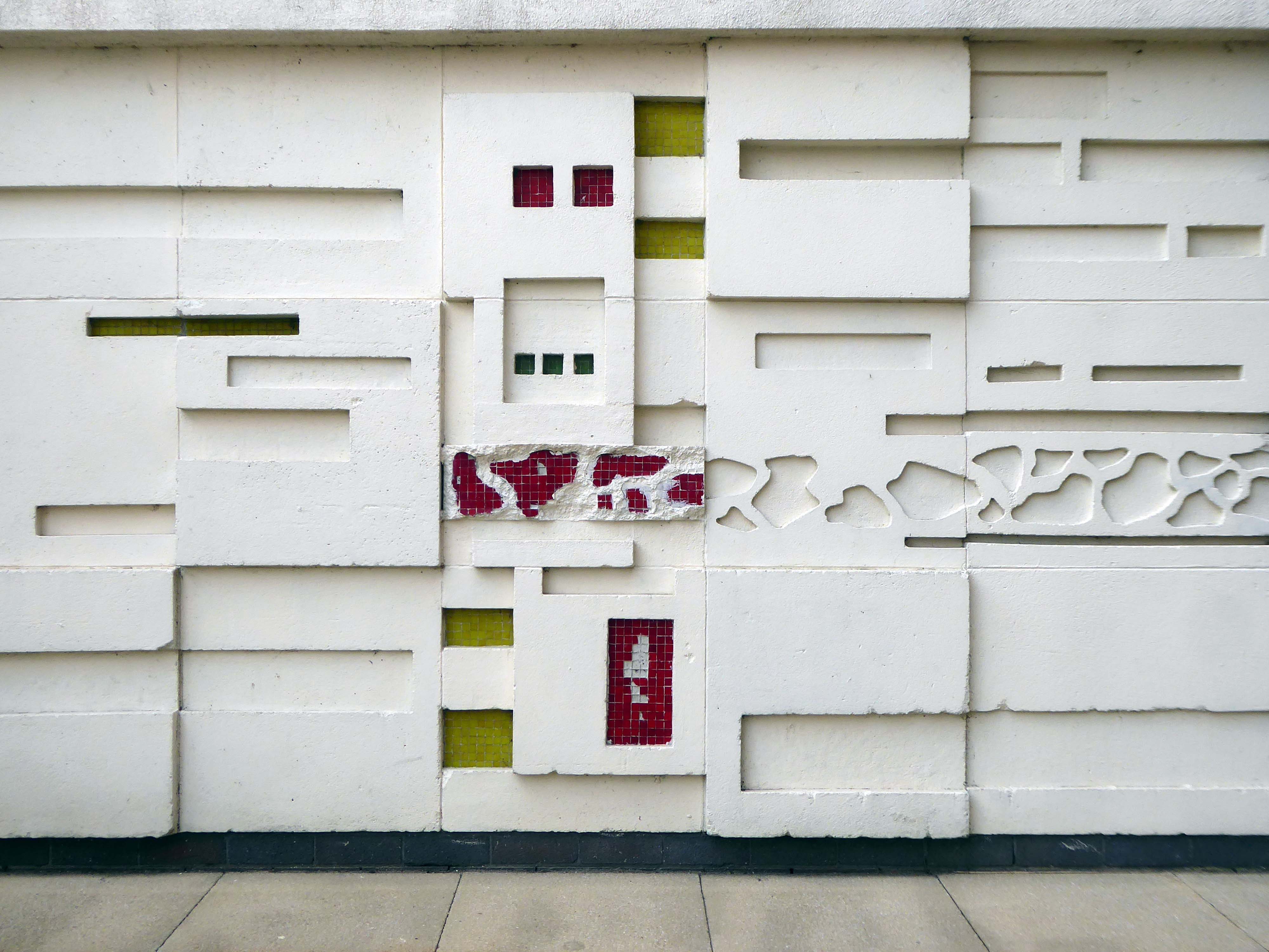
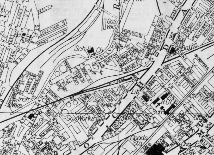
Much of the red sandstone used for building in Manchester and the surrounding area, including stone for the Roman fort at Castlefield, St Ann’s Church in the city centre, Manchester Cathedral and the original buildings of Chetham’s Hospital, came from Collyhurst Quarry. Geologists use the term Collyhurst Sandstone for this type of soft red sandstone, which occurs in North West England
Tinker died in 1836 and gradually his gardens were whittled away, the subsoil was sold to iron moulders who cherished its certain properties and before long the trees were chopped down and houses were being built on the former site.
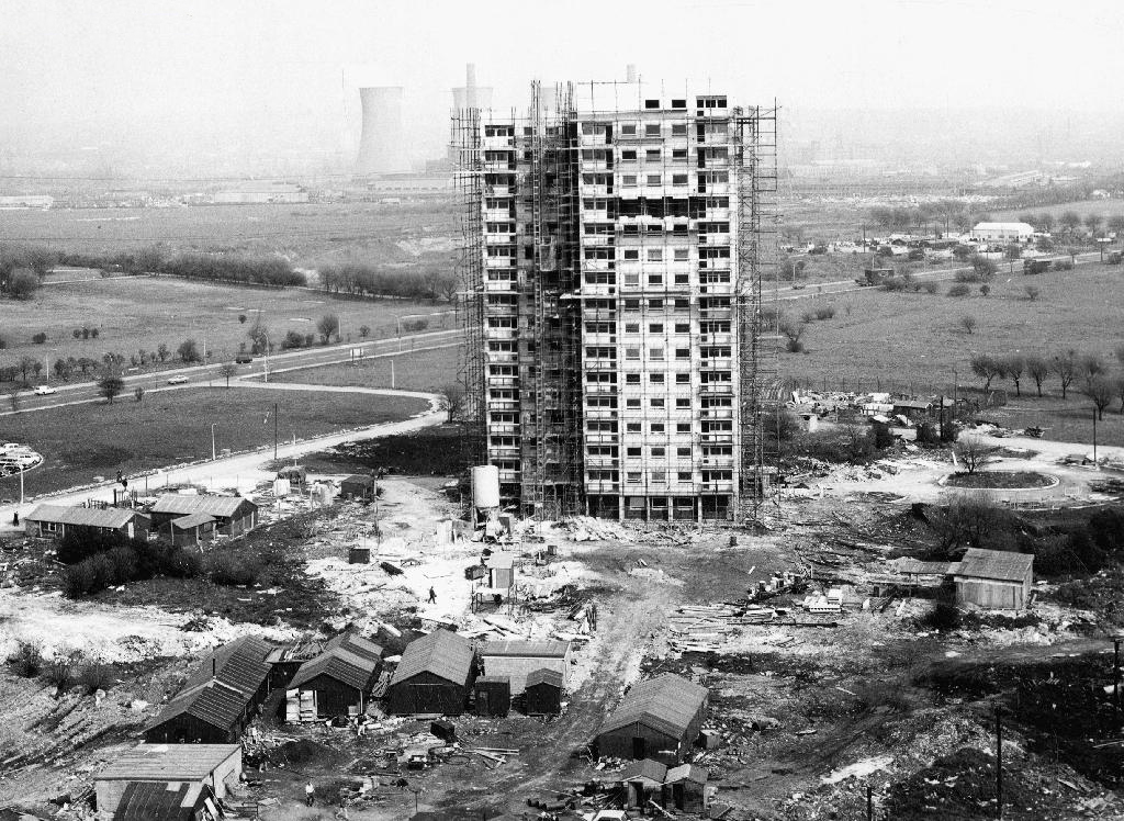
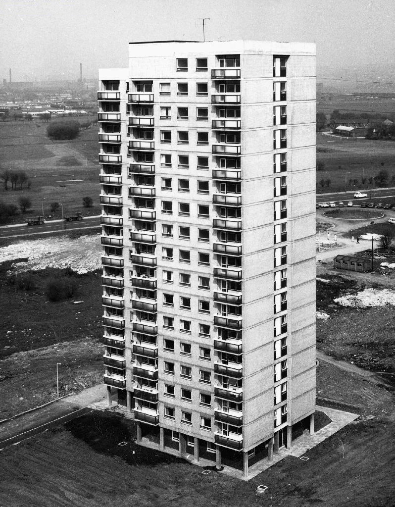
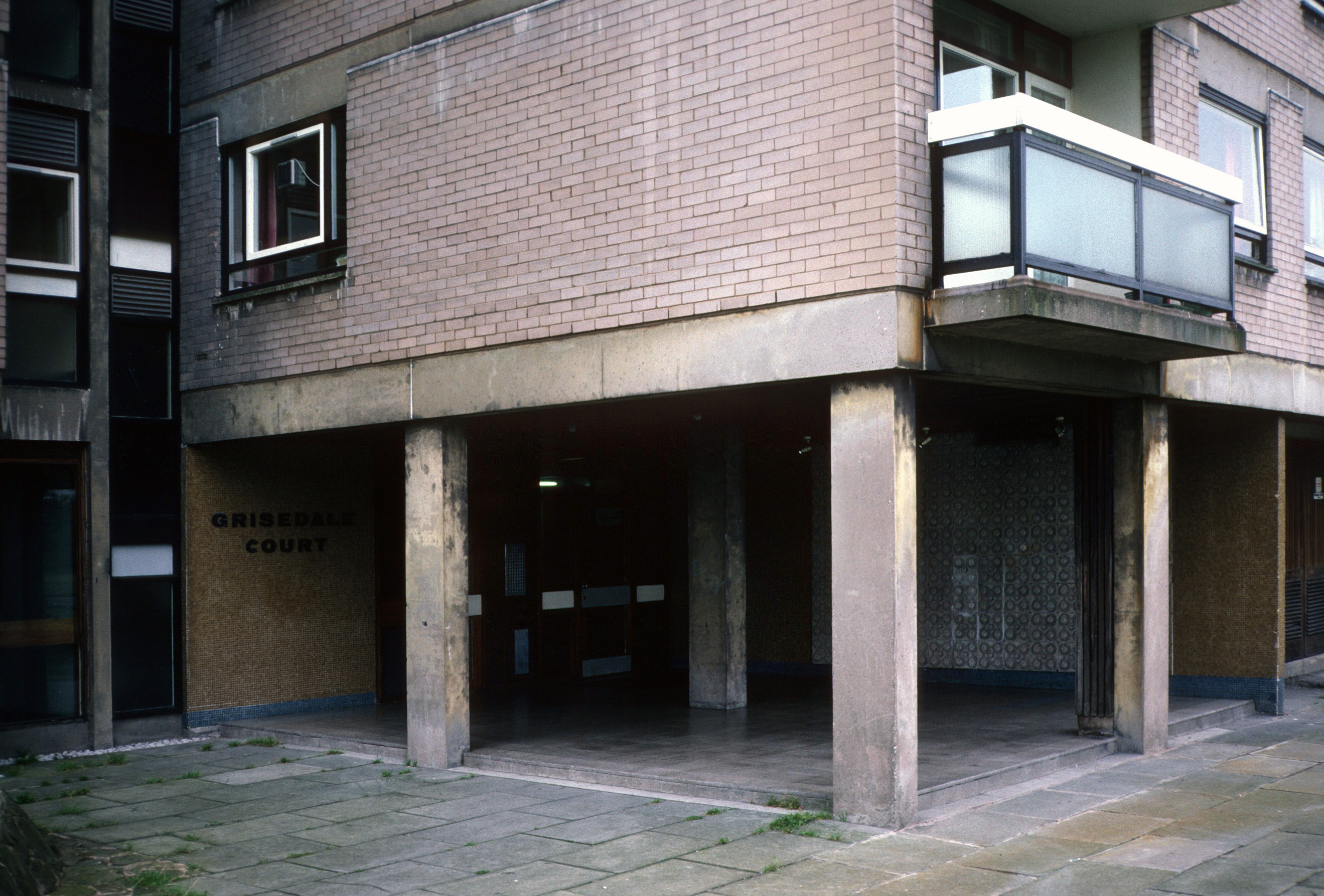
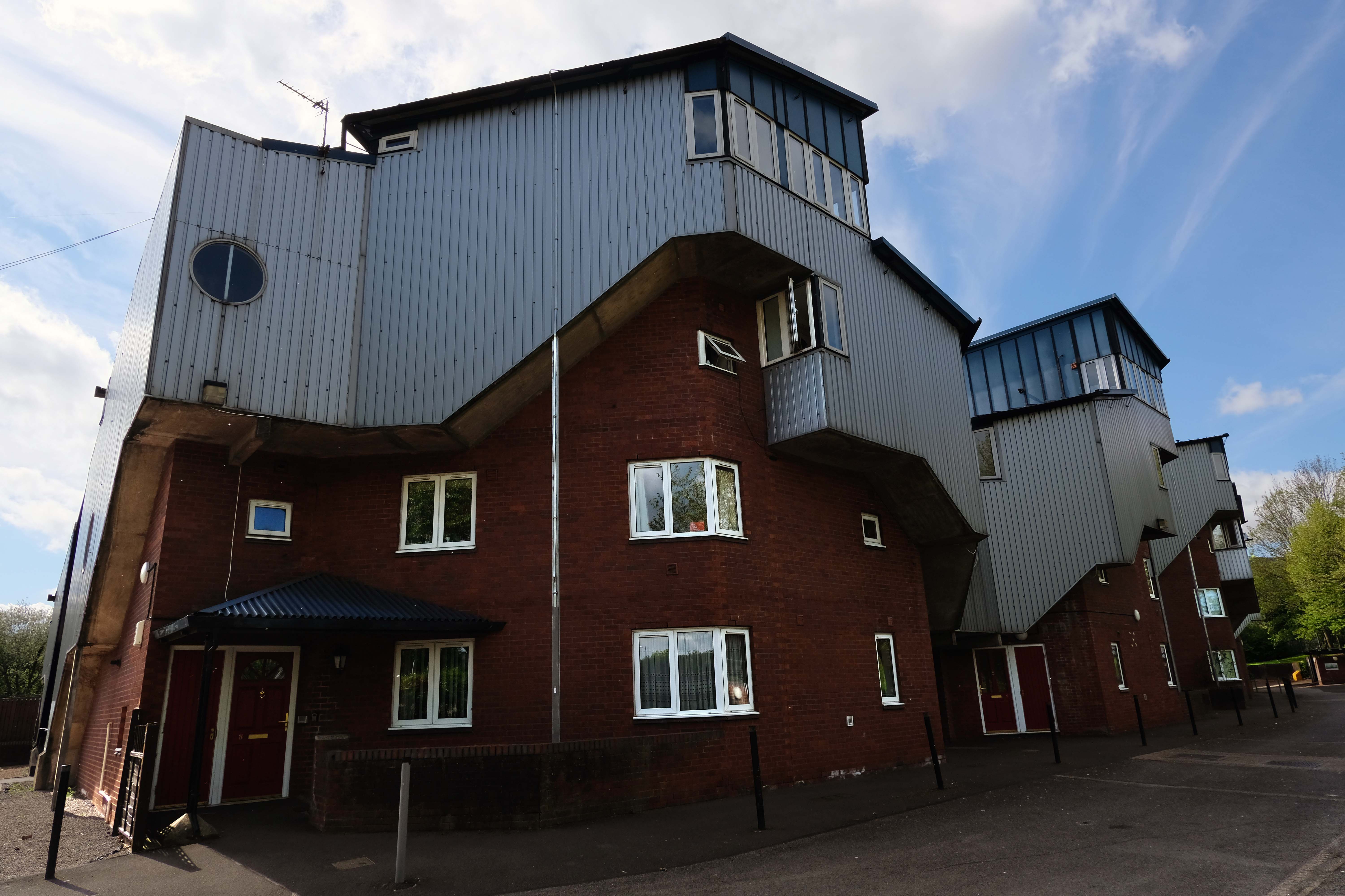
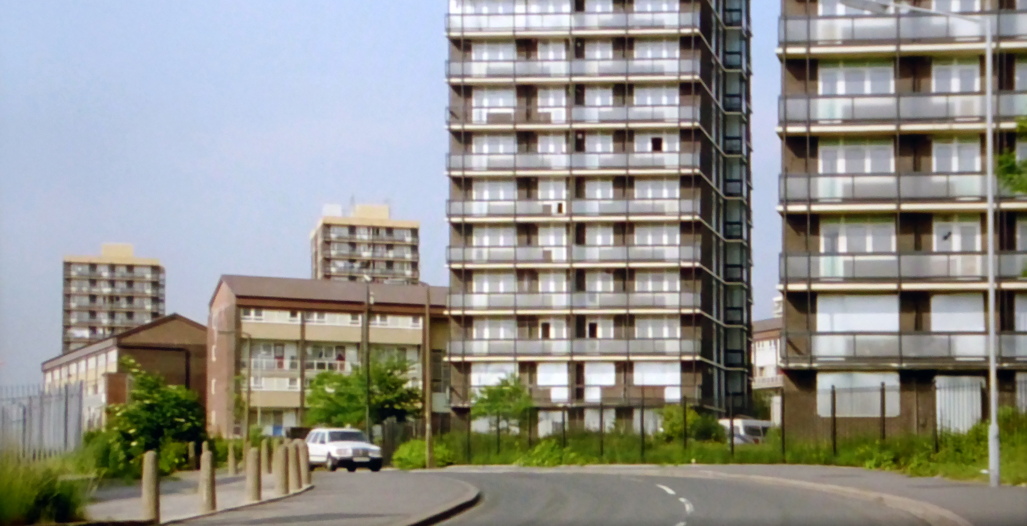
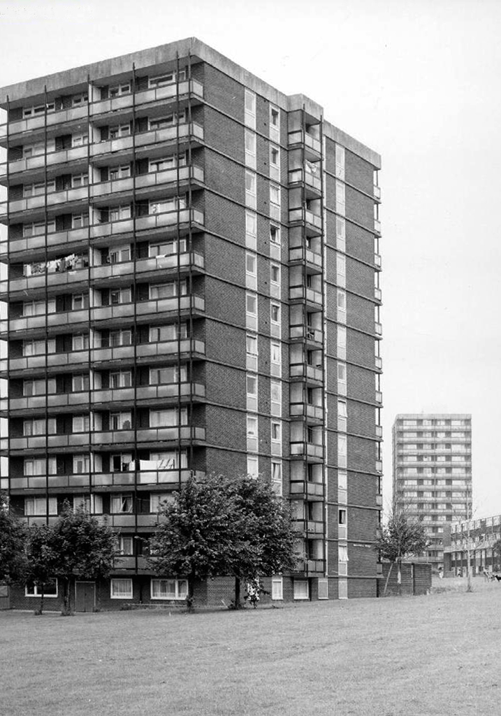
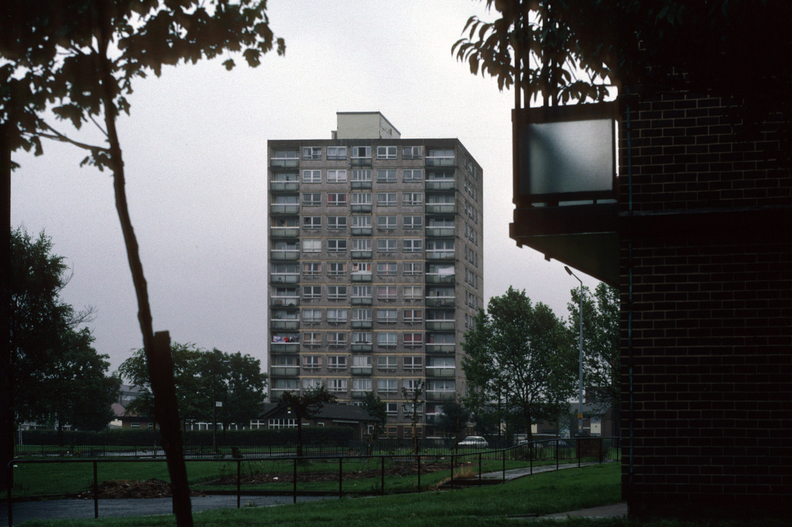
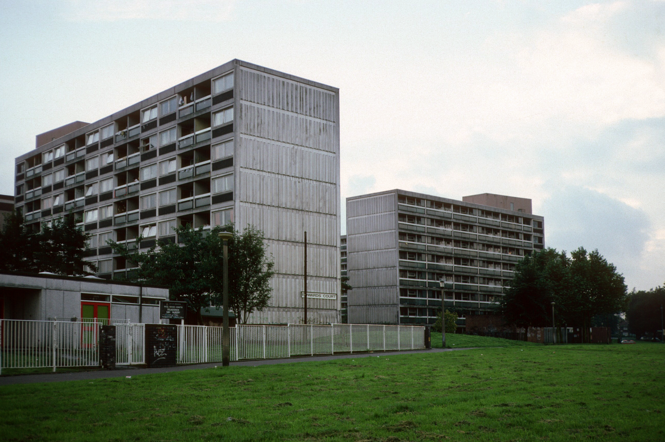
Those houses are in their turn whittled away, replaced in the 1960’s with fashionable tower blocks.
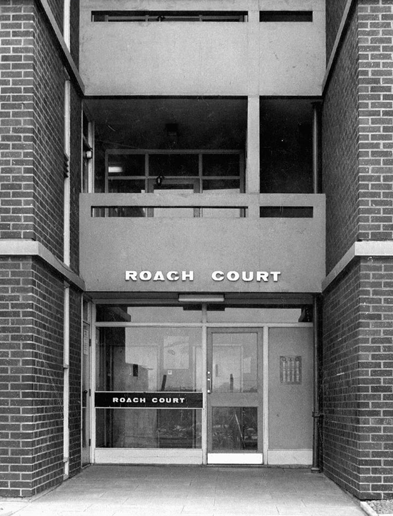
Architects: J Austen Bent 1965
In total five thirteen storey blocks – Humphries, Dalton, Roach, Vauxhall and Moss Brook Courts
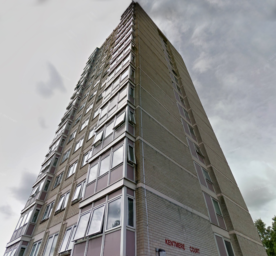
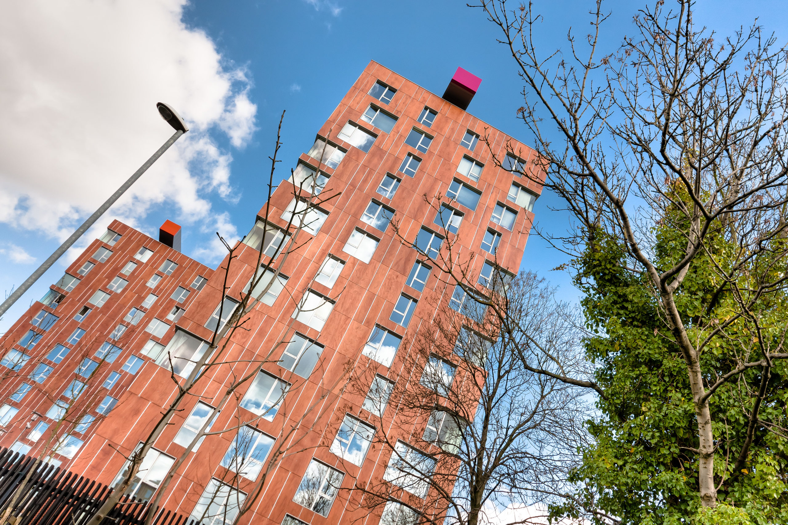
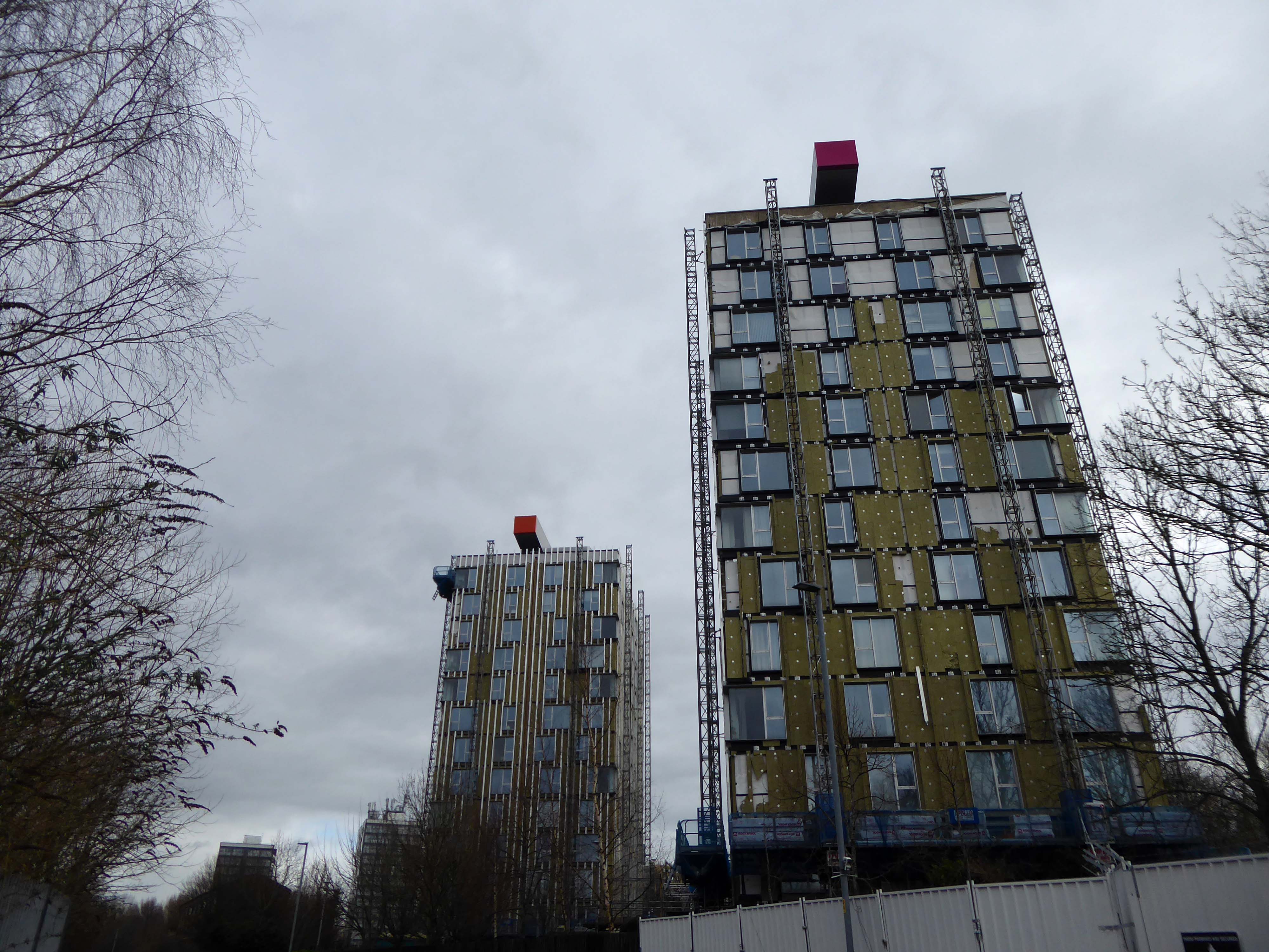
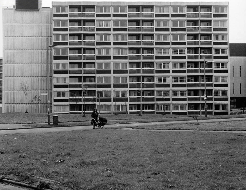
Subsequently purchased by Urban Splash and refurbished:
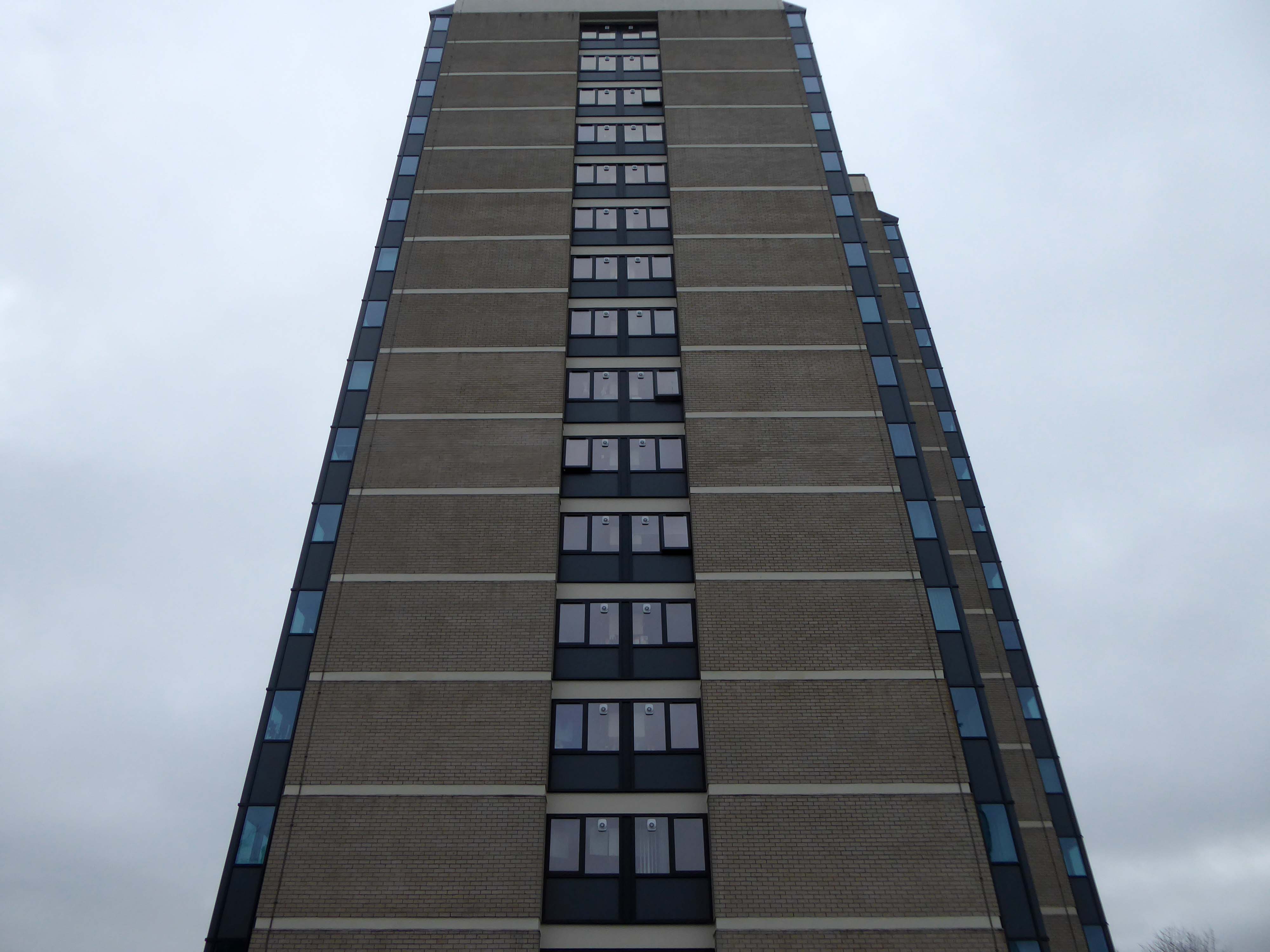
Designed by Union North Architects, the names for the Three Towers were decided in a public competition and the winning names were Emmeline, Christabel and Sylvia – naming the towers after the Pankhurst sisters and their mother.
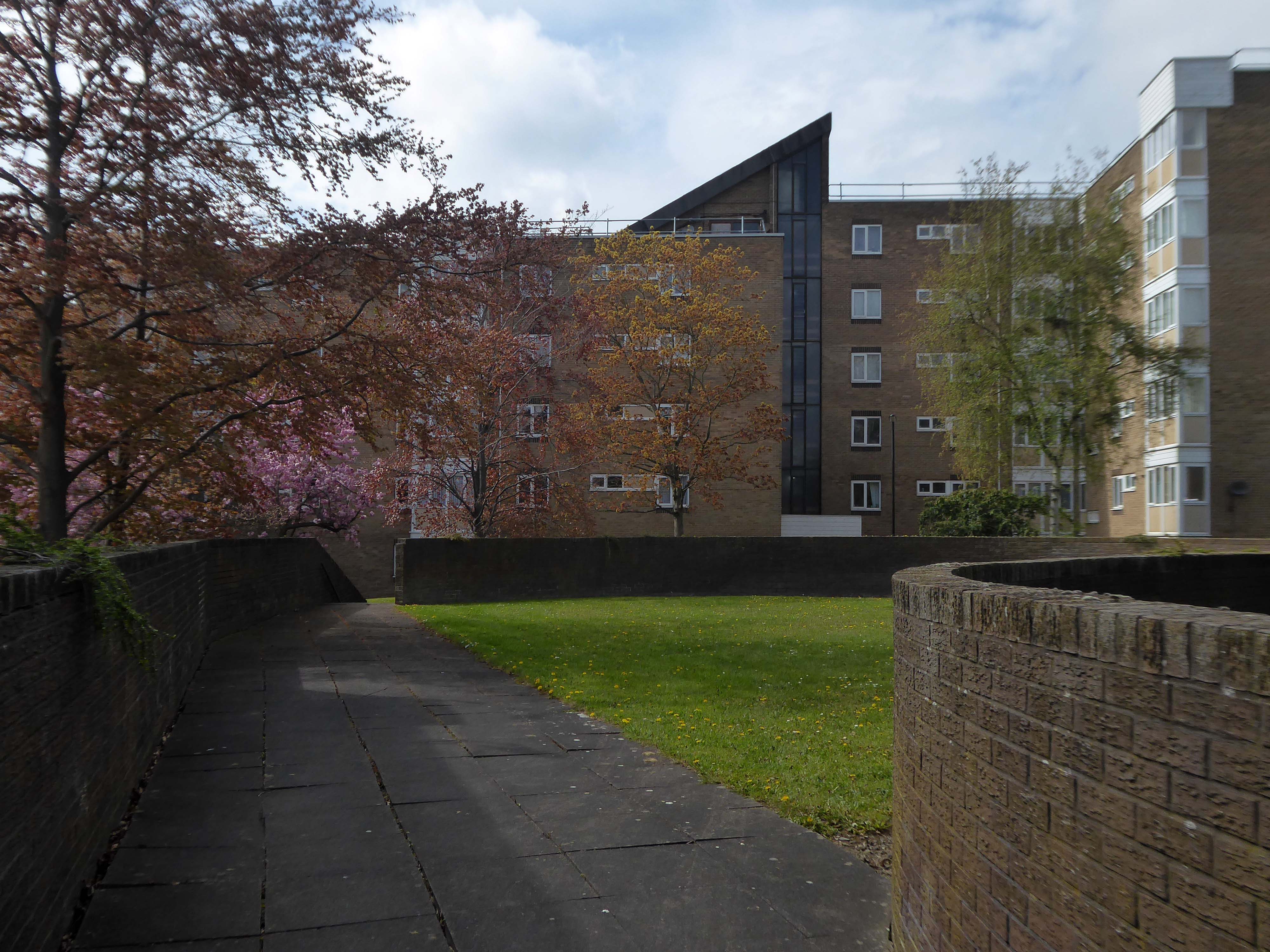
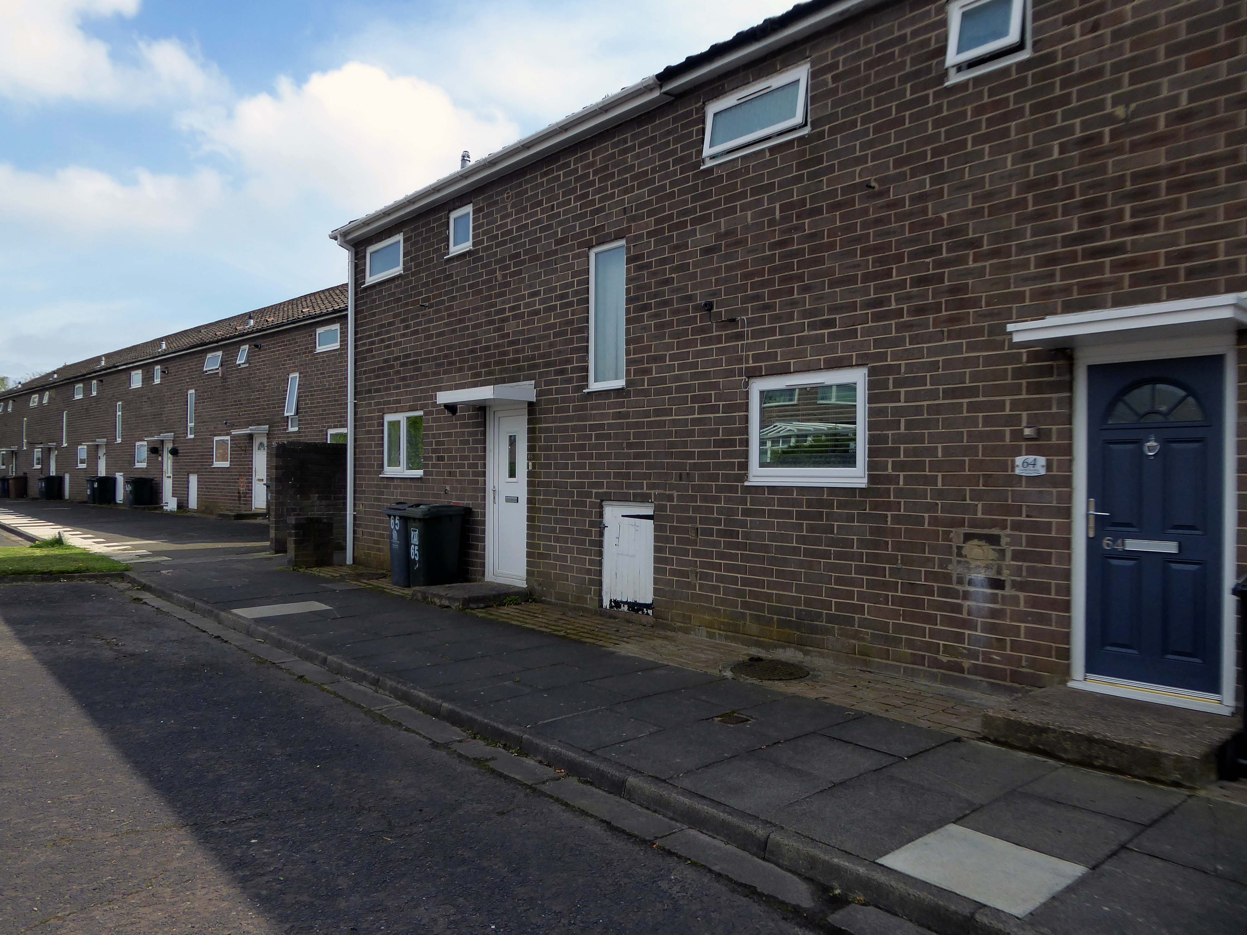
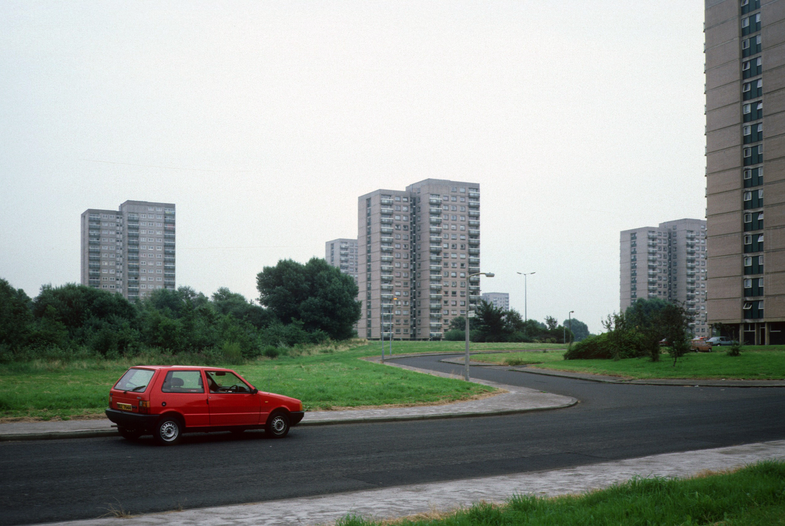
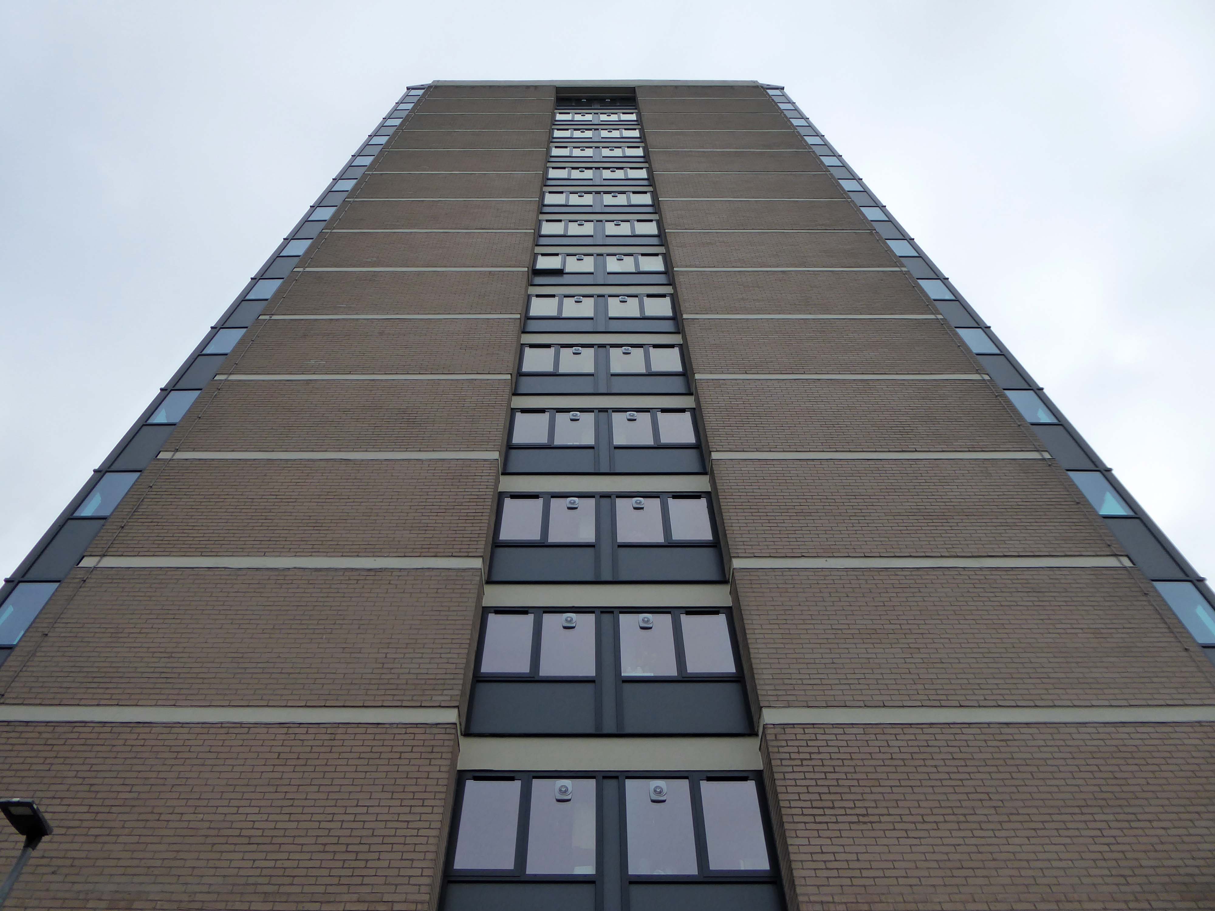
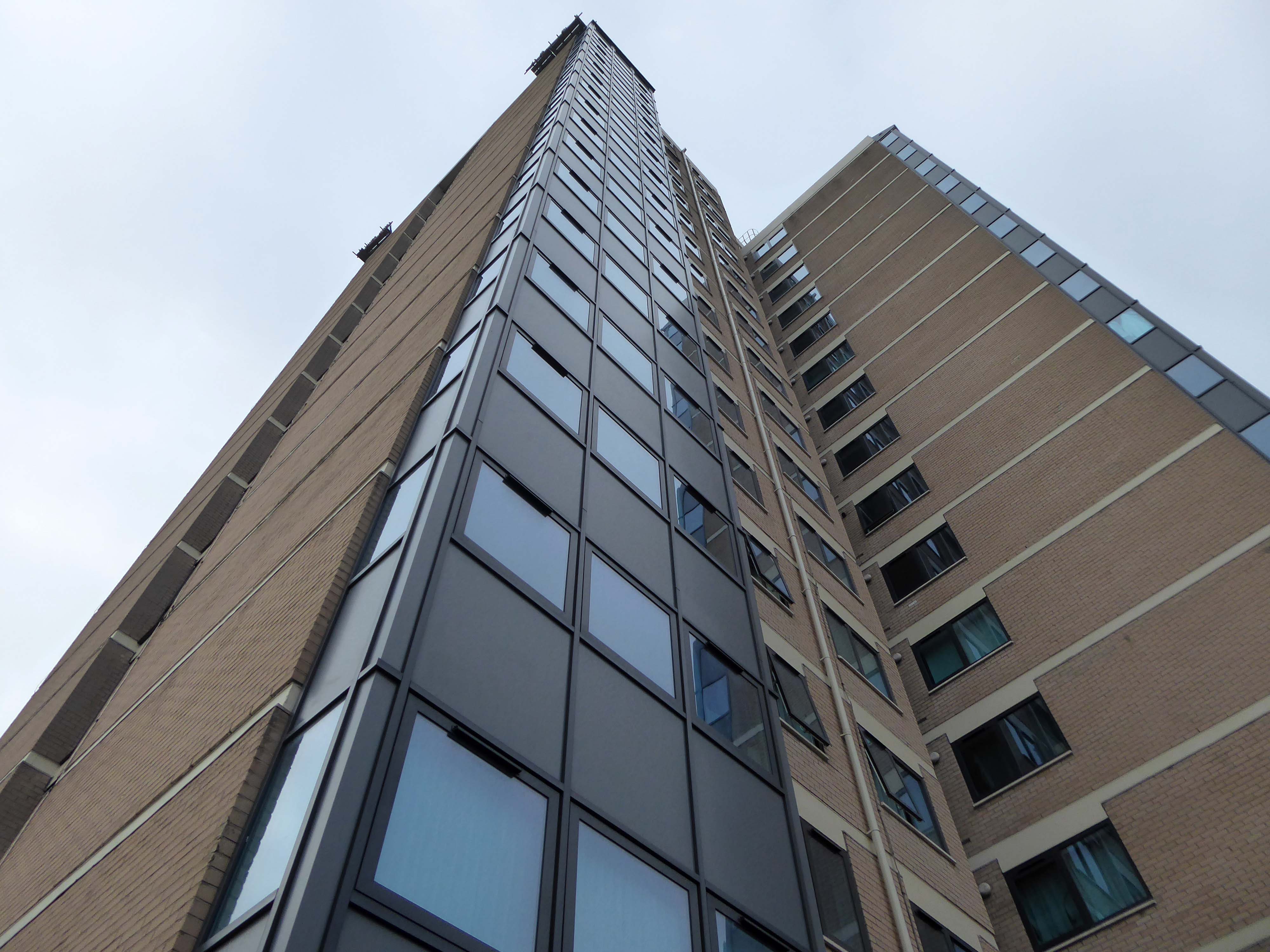
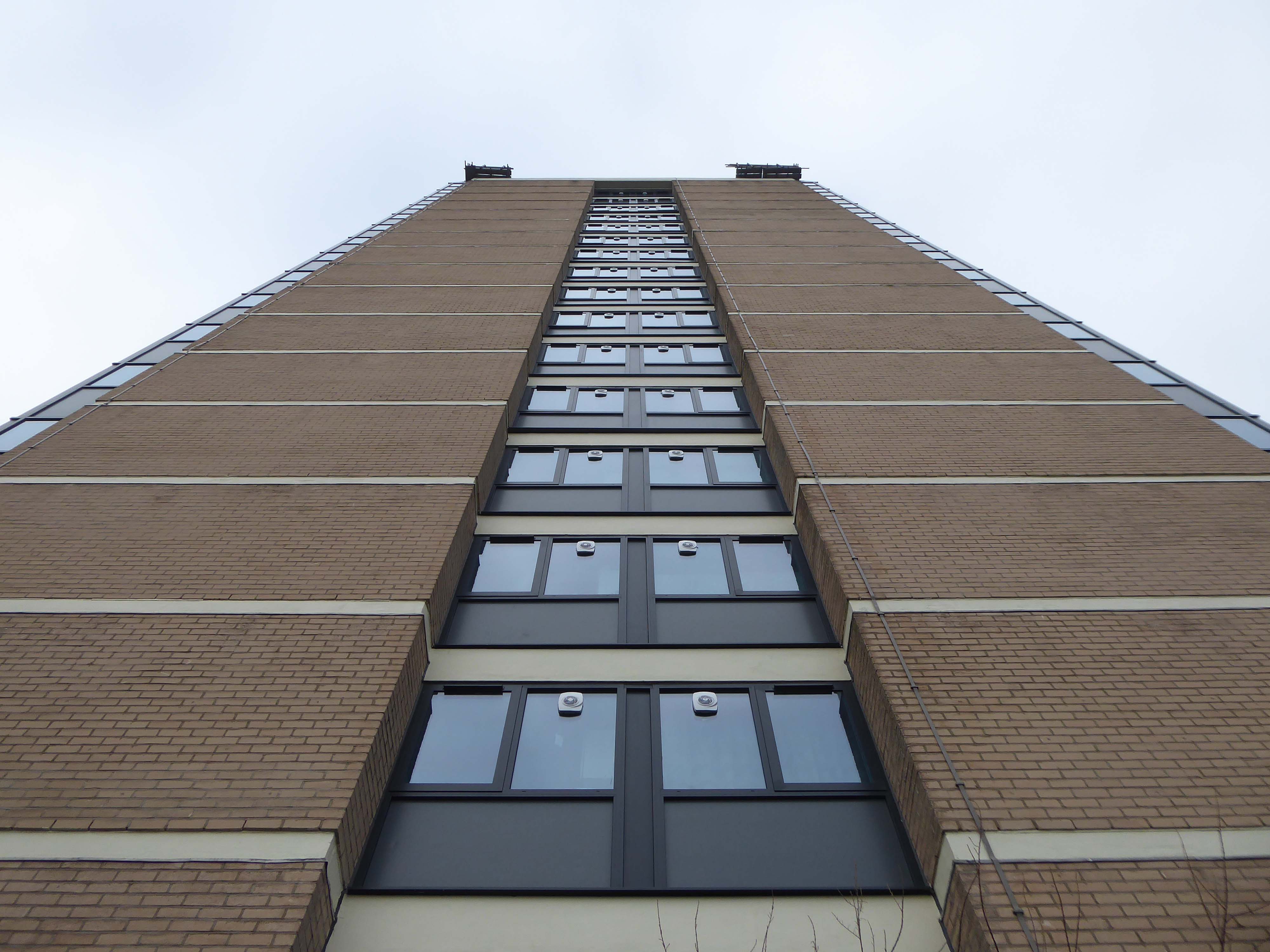
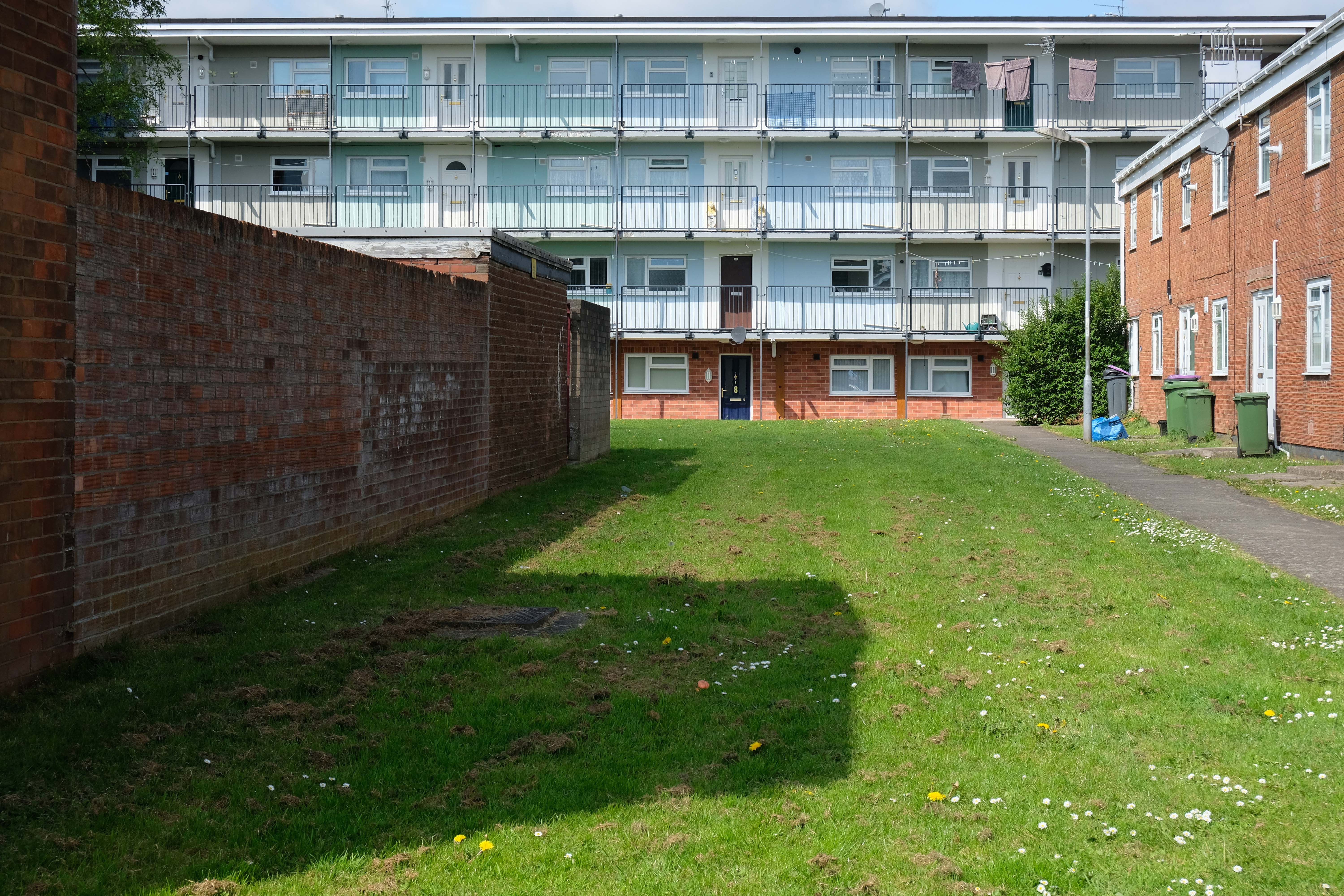
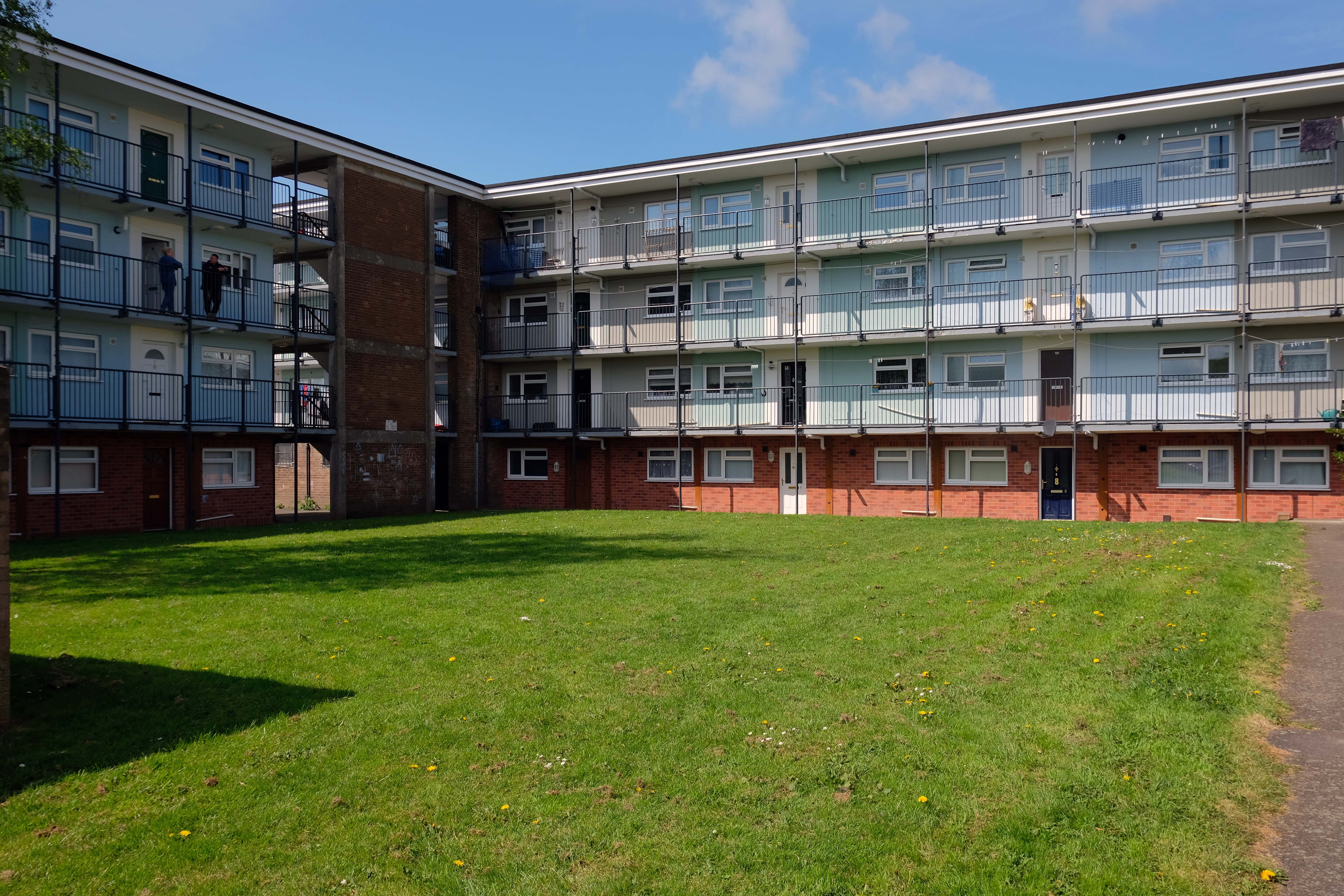
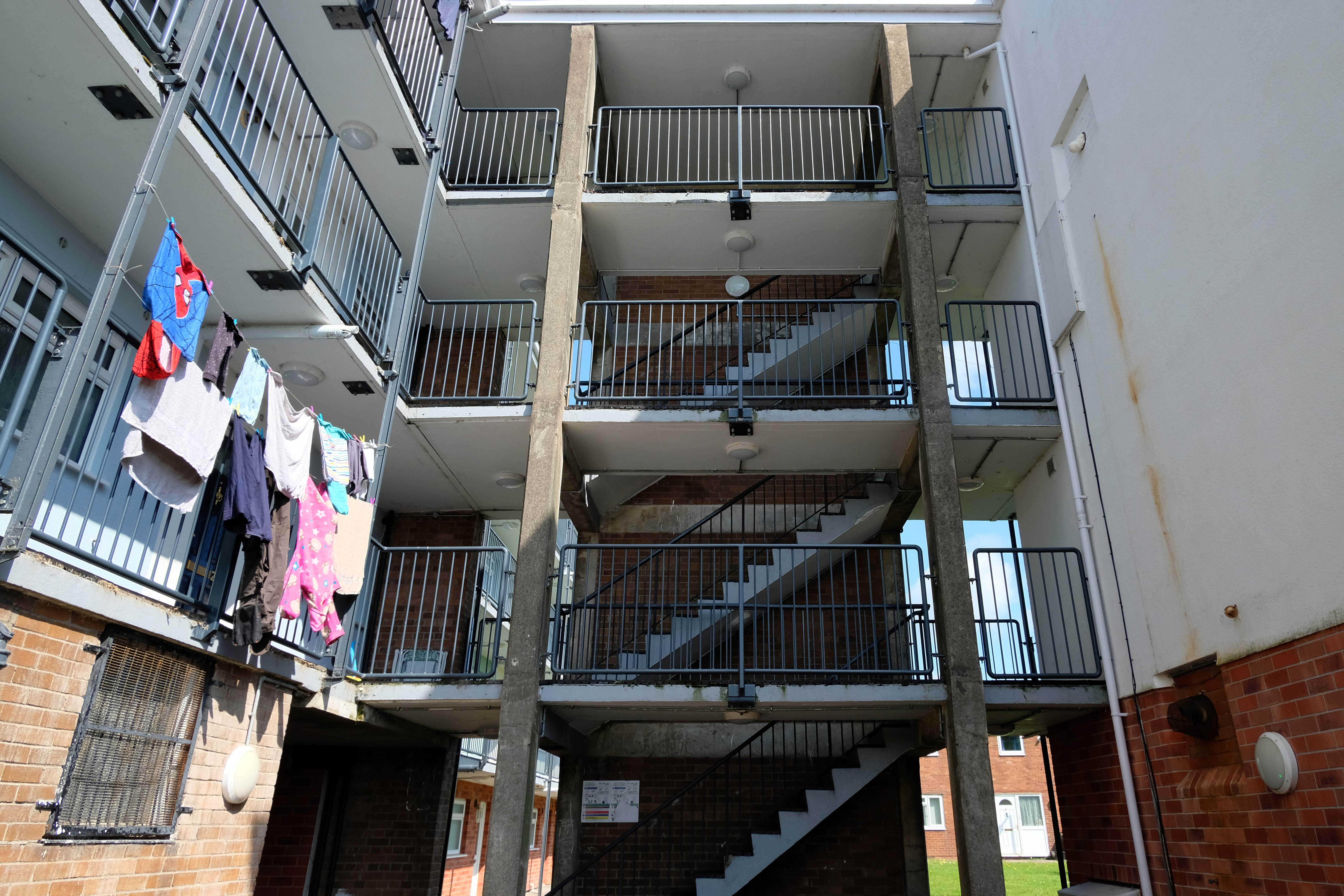
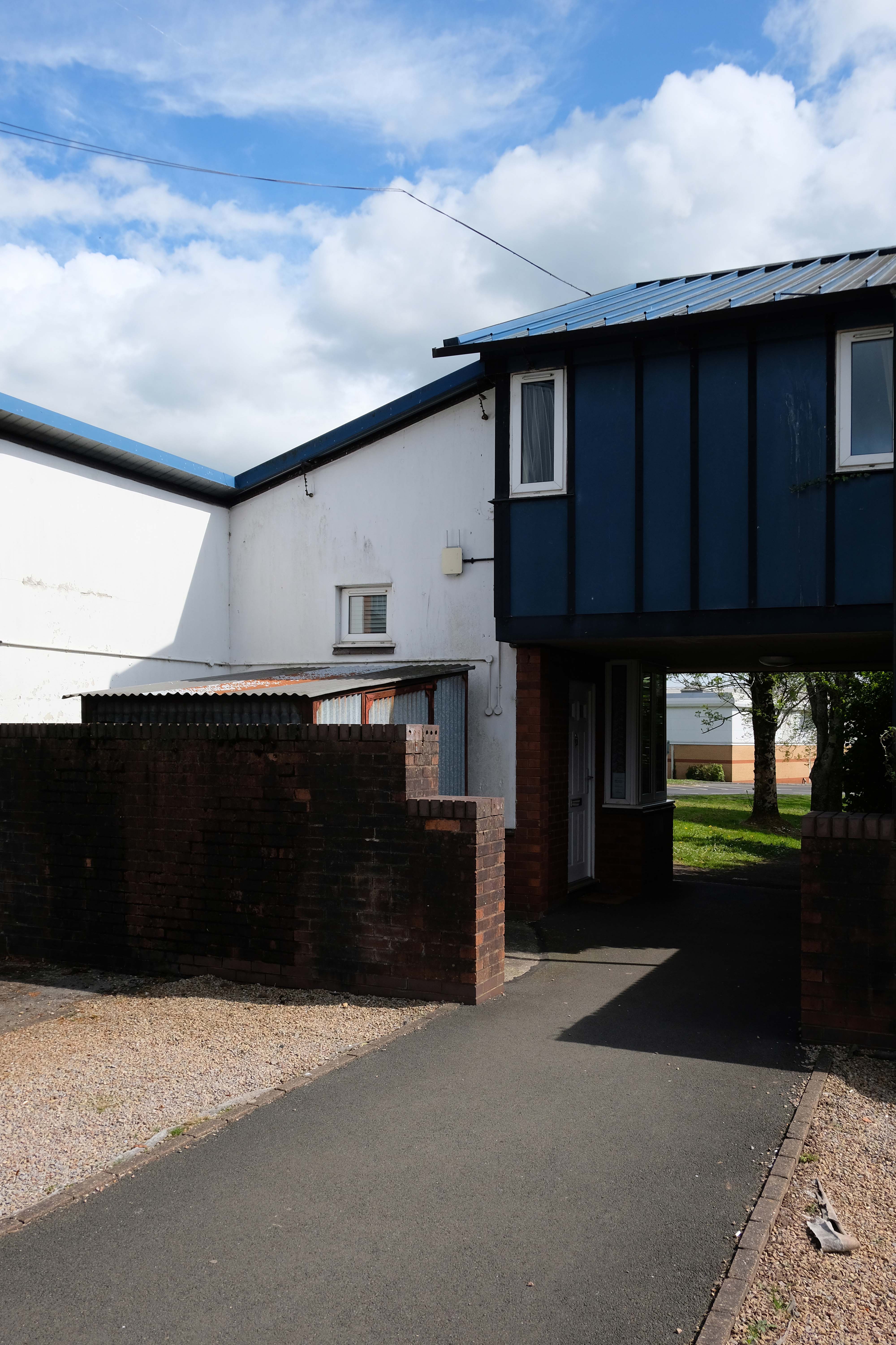
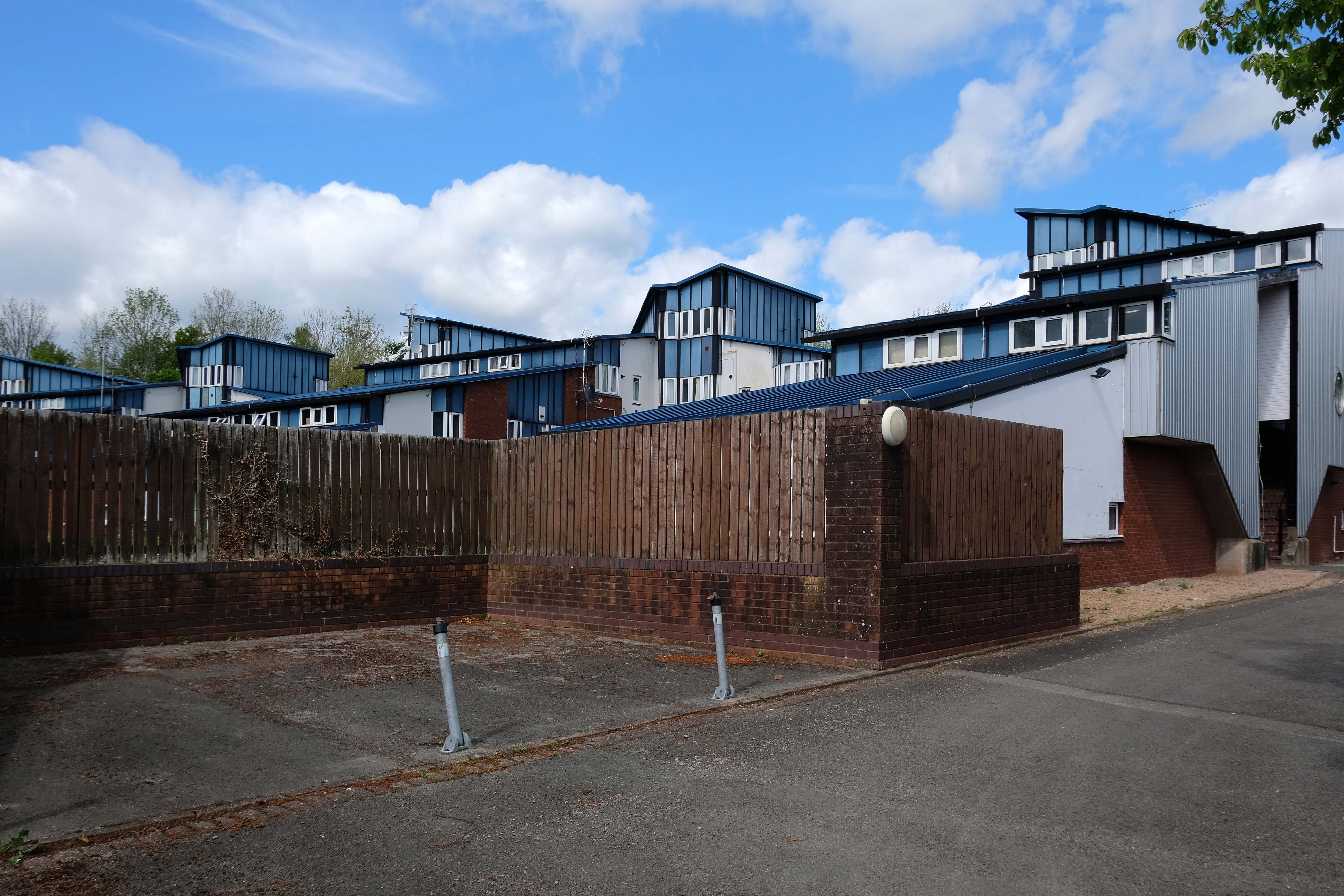
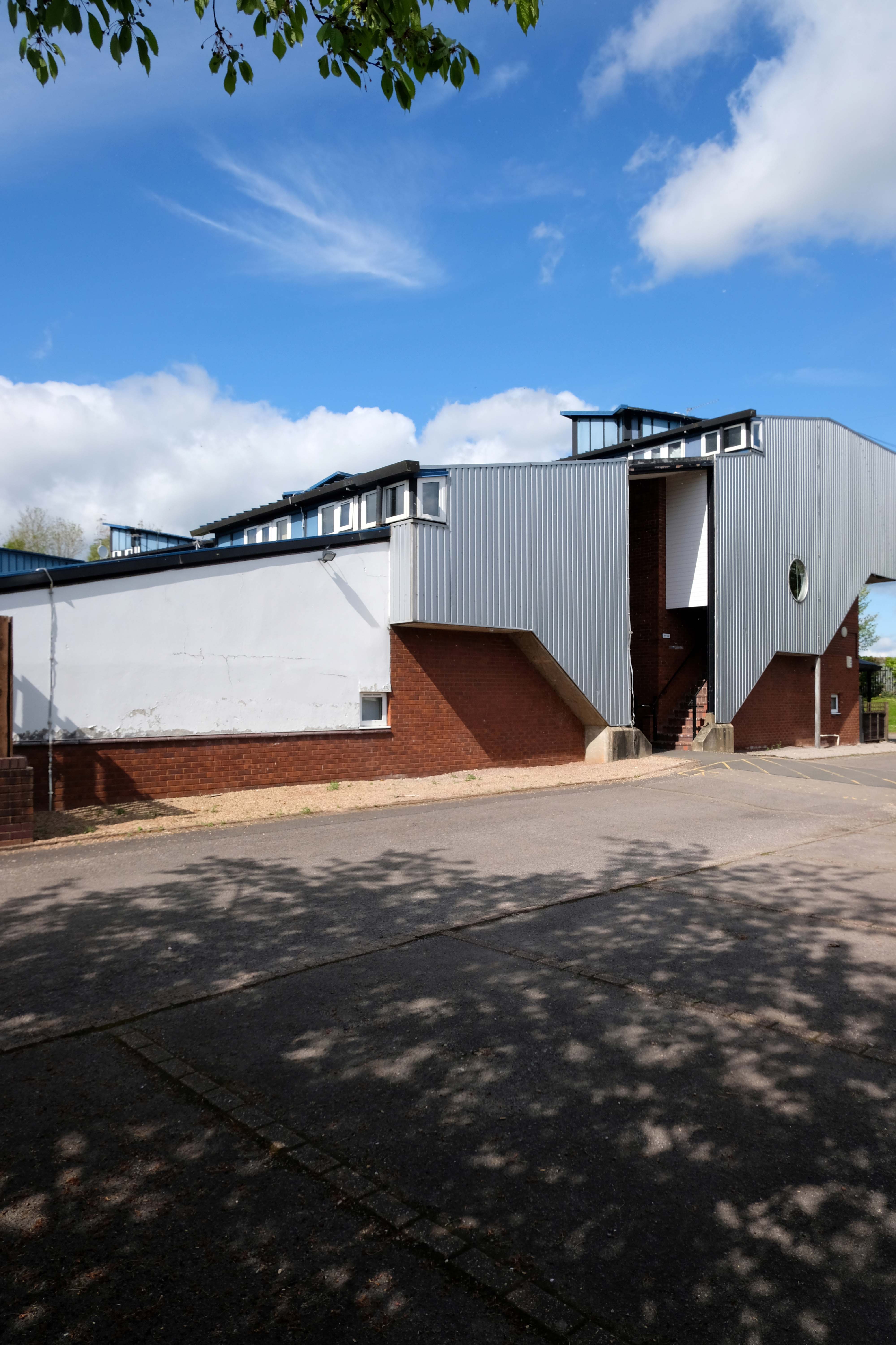
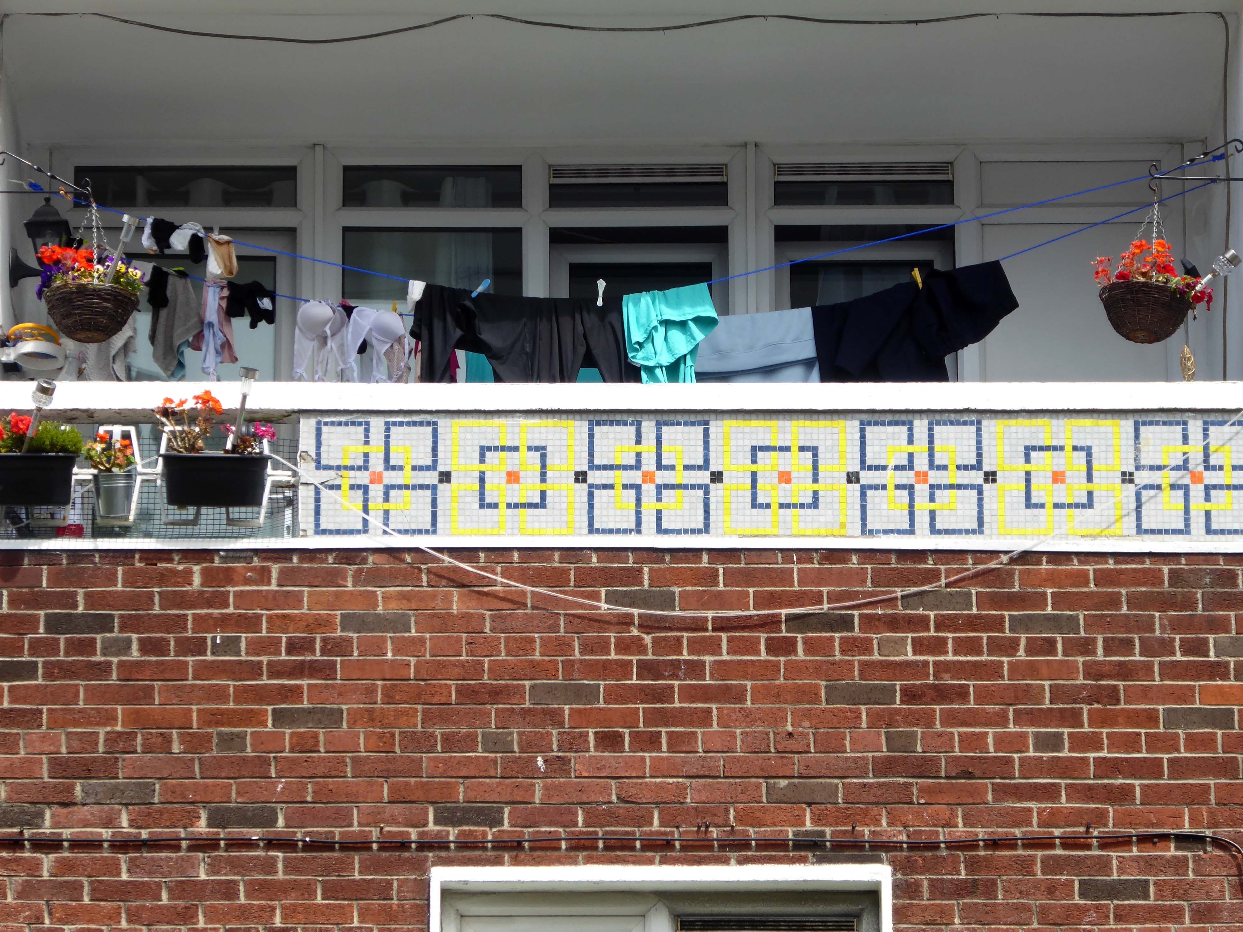
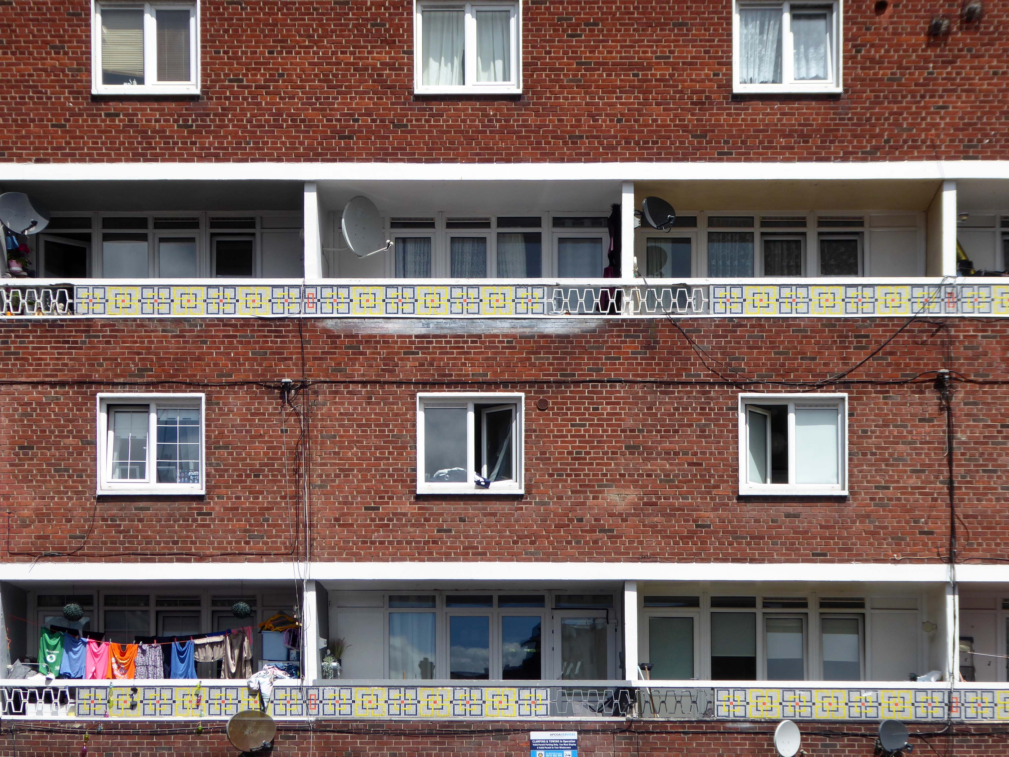
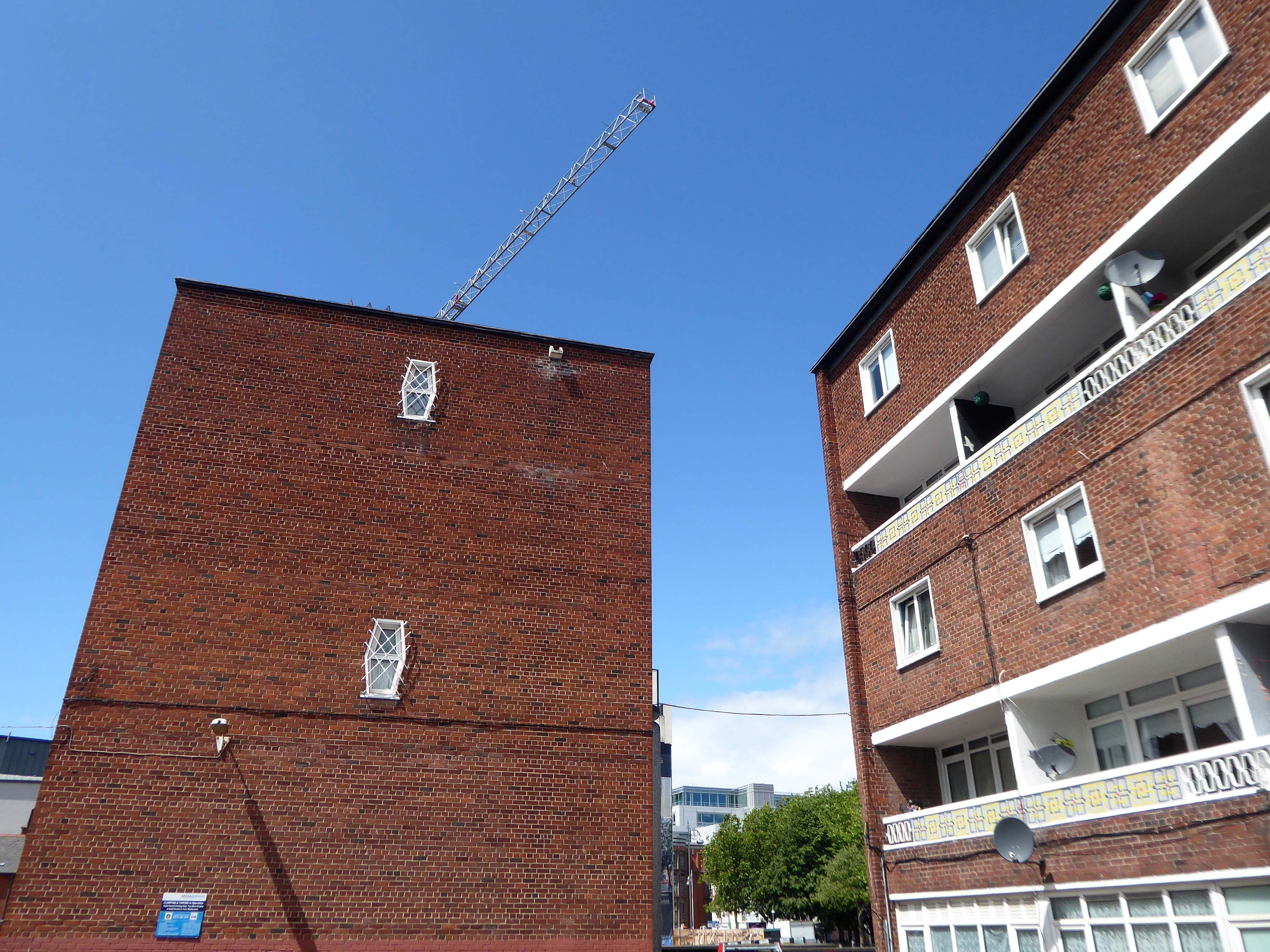
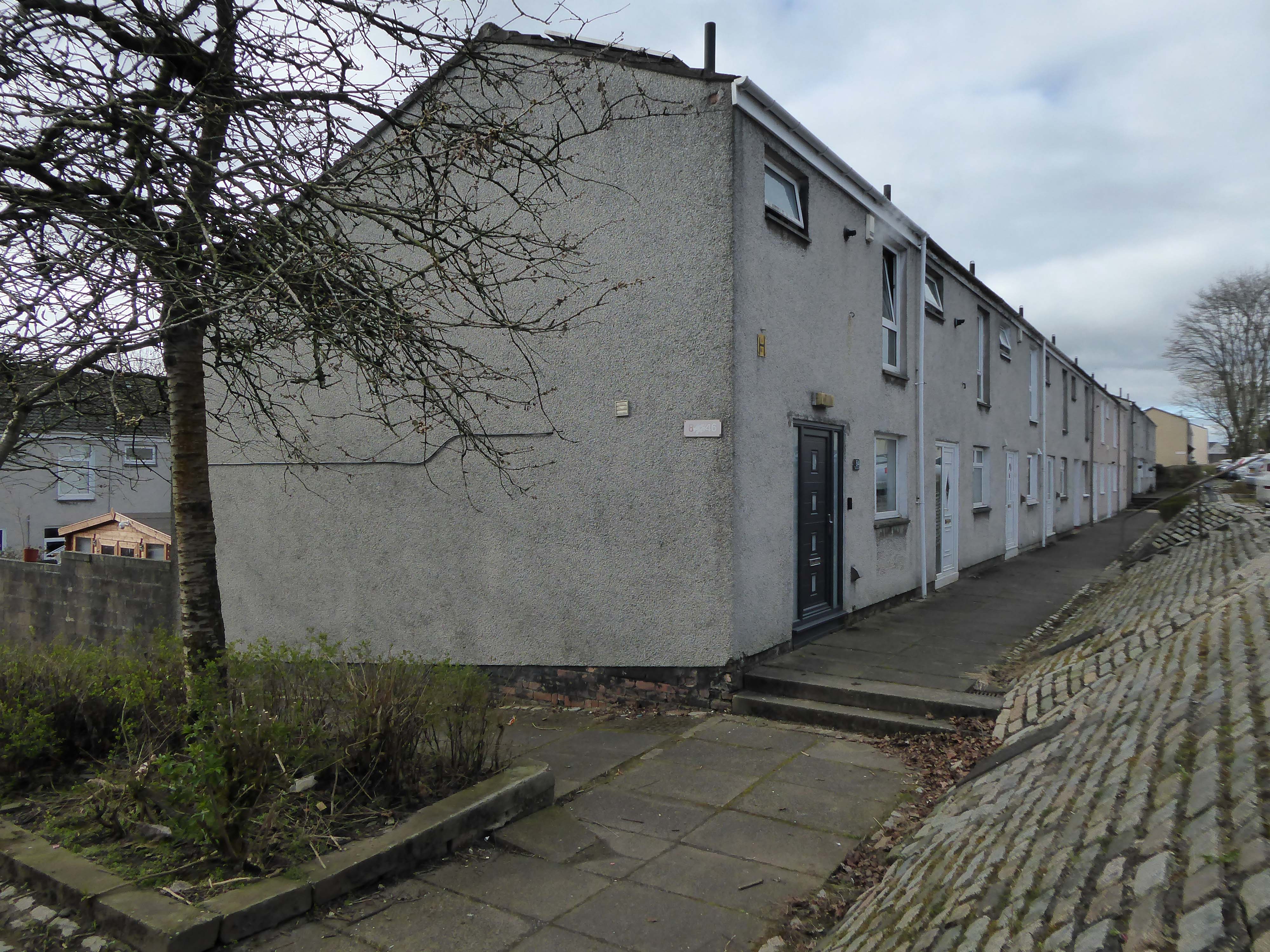
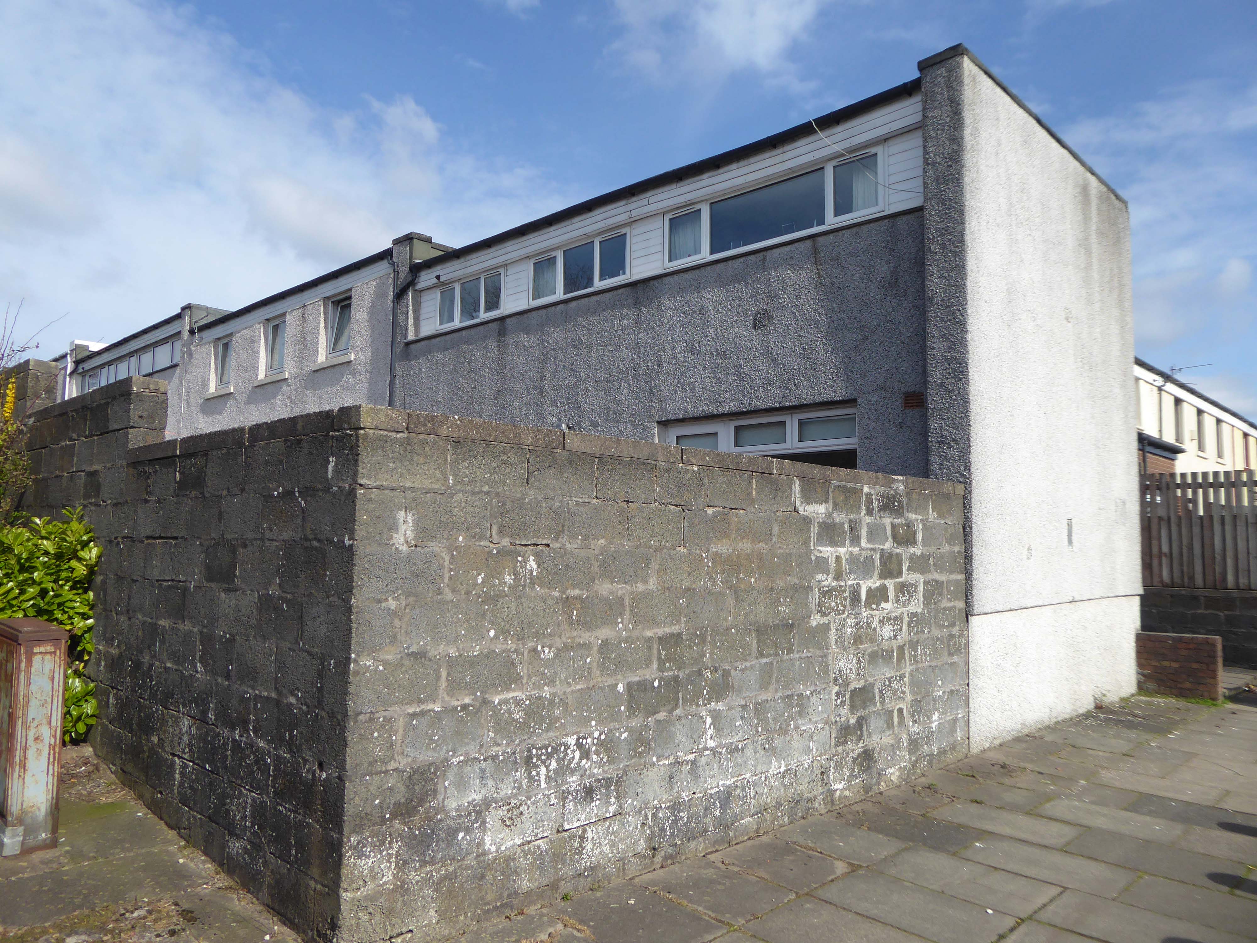
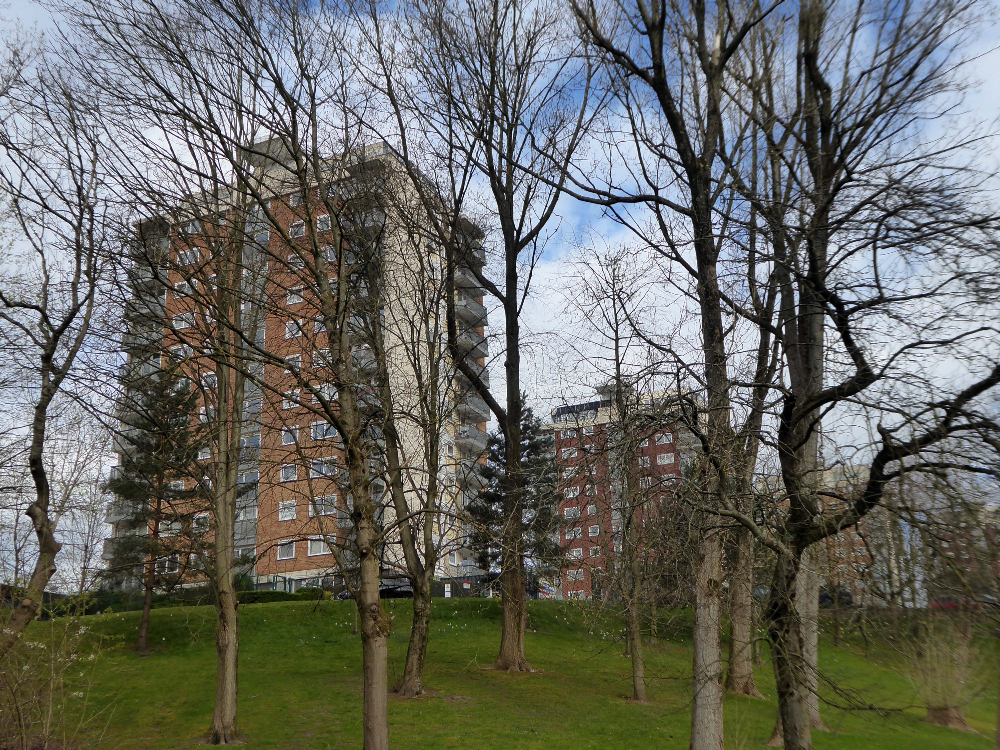
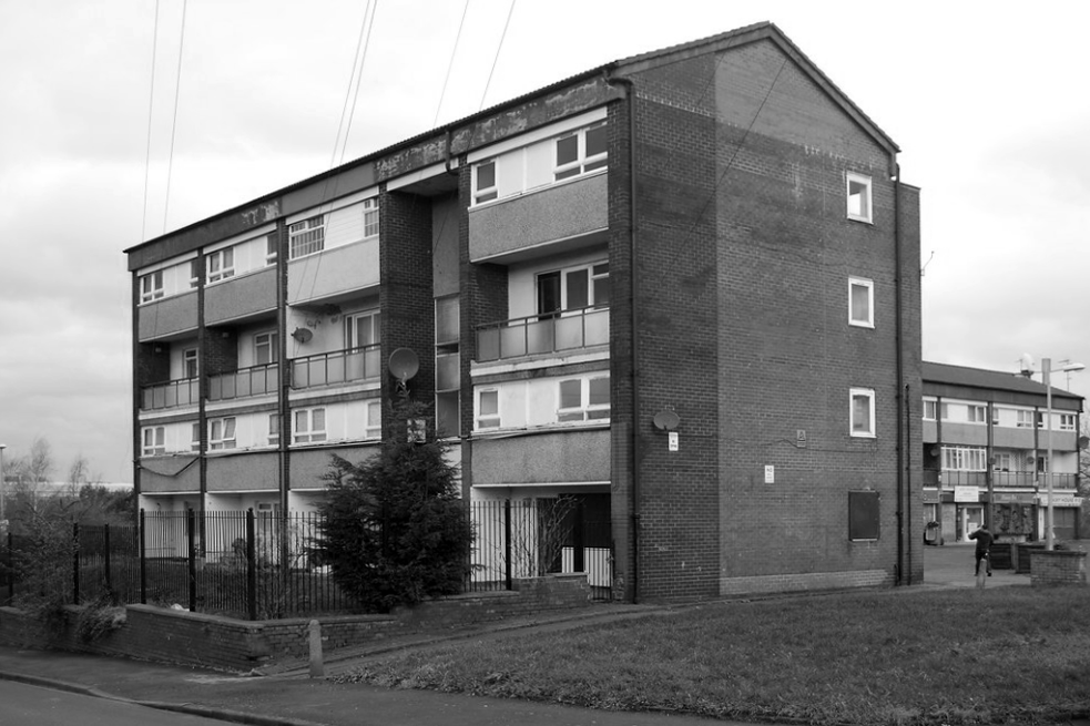
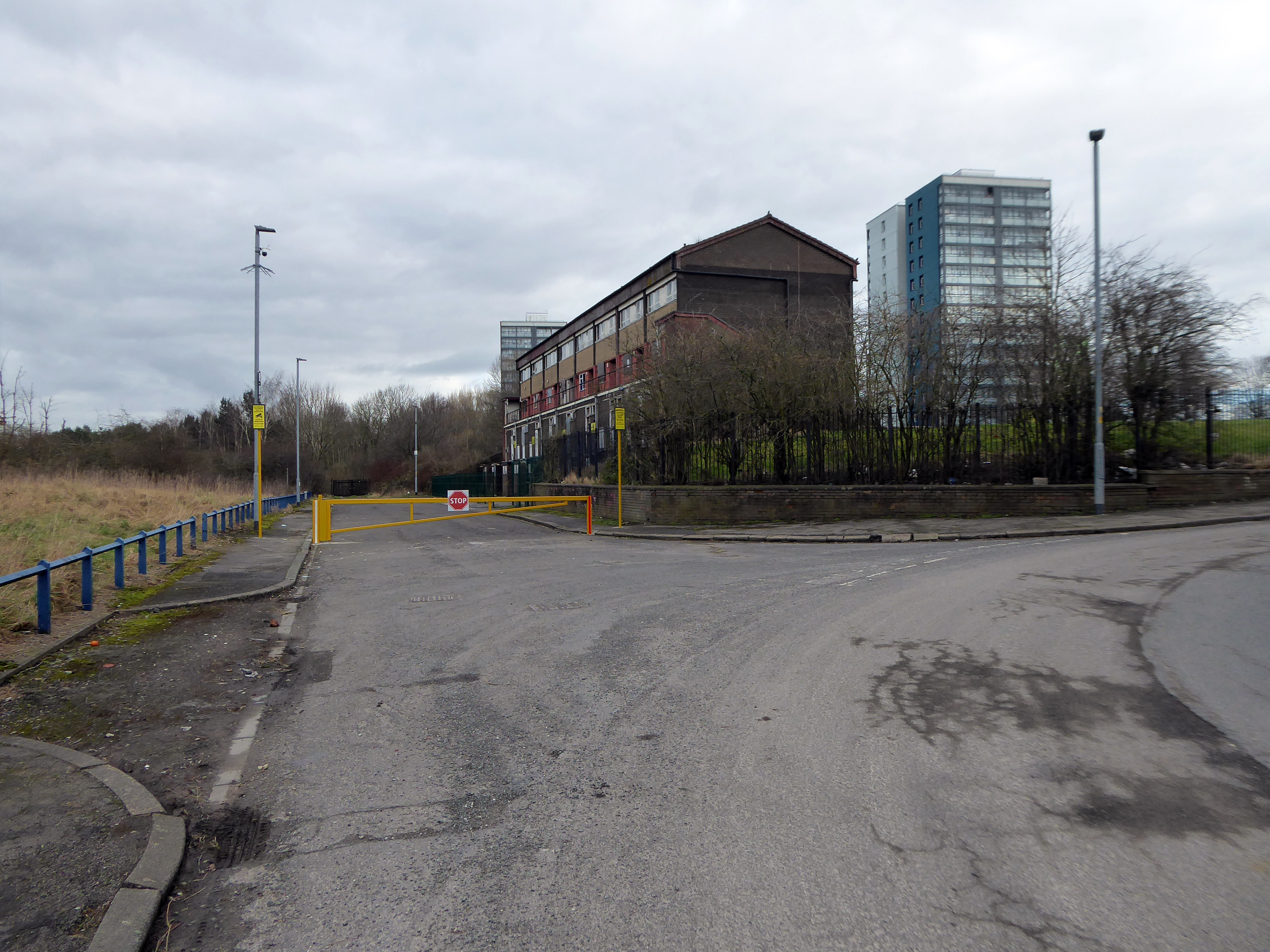
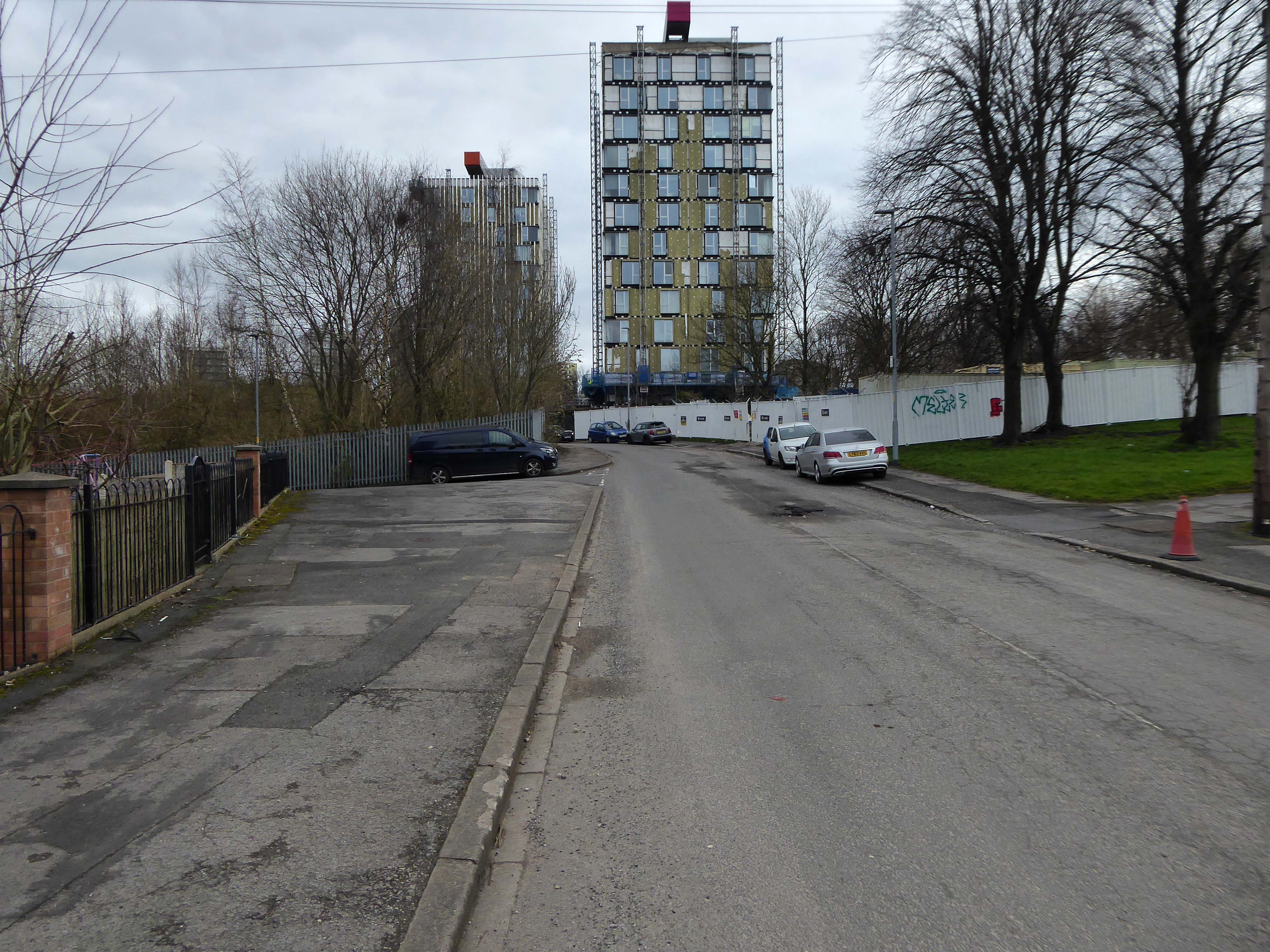
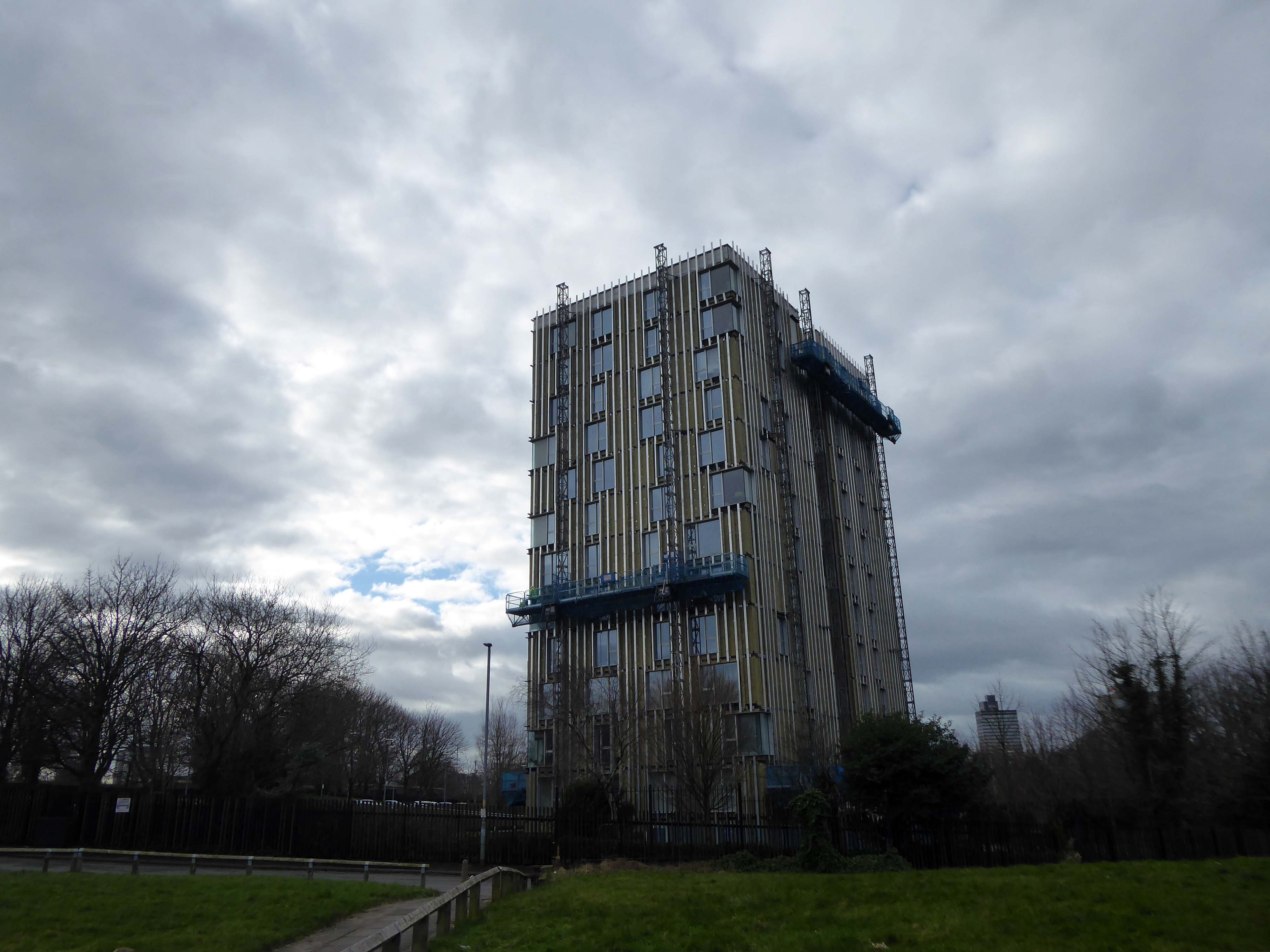
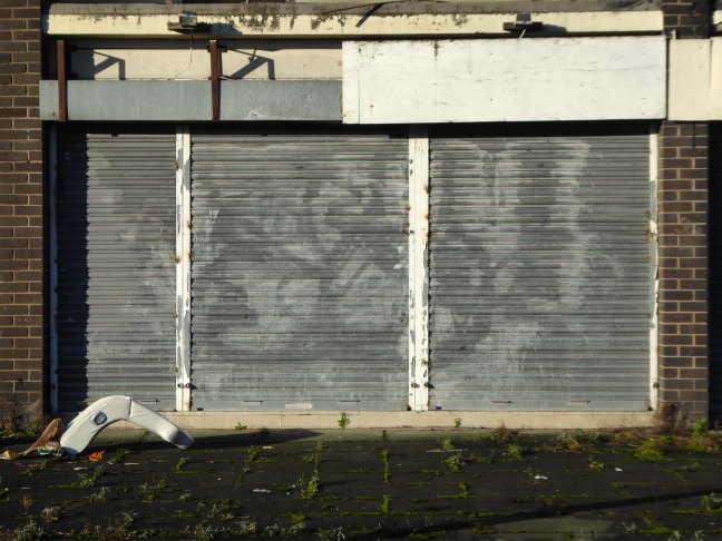
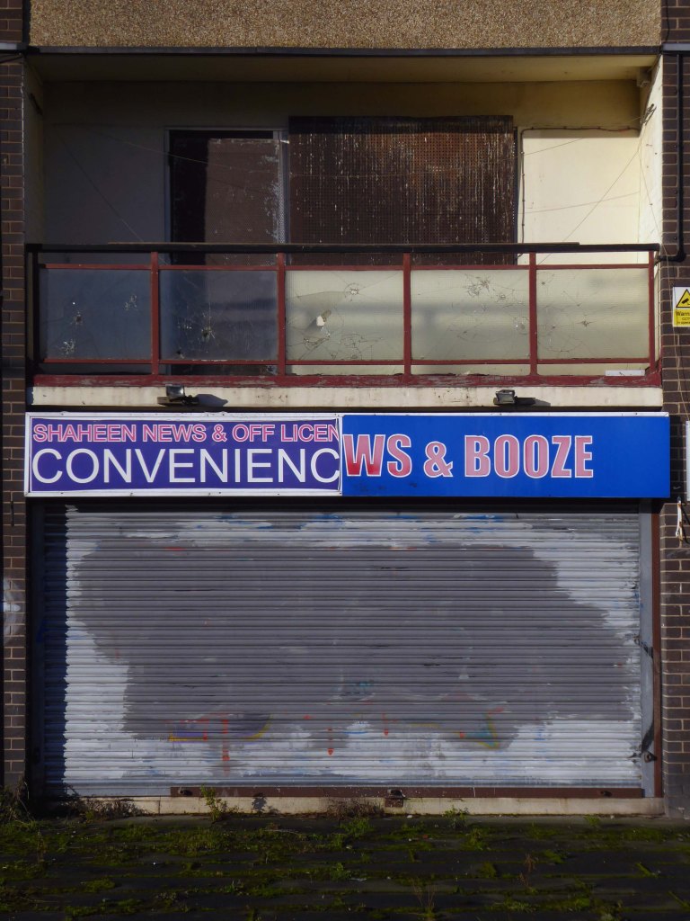
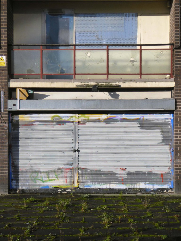
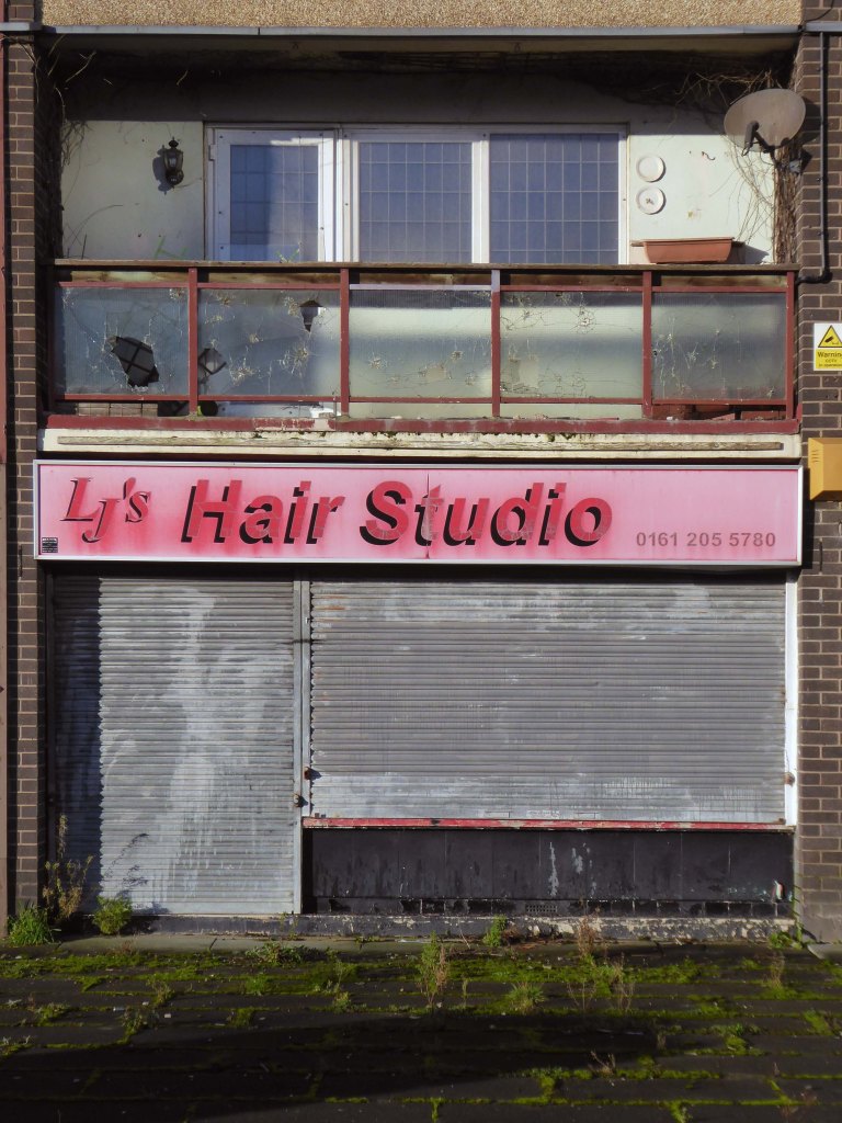
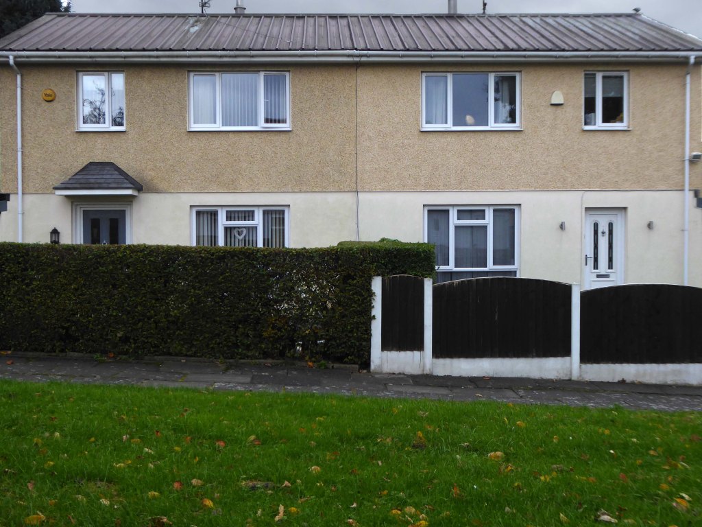
The remains of the remaining Eastford Square homes tinned up and secured awaiting who knows what.
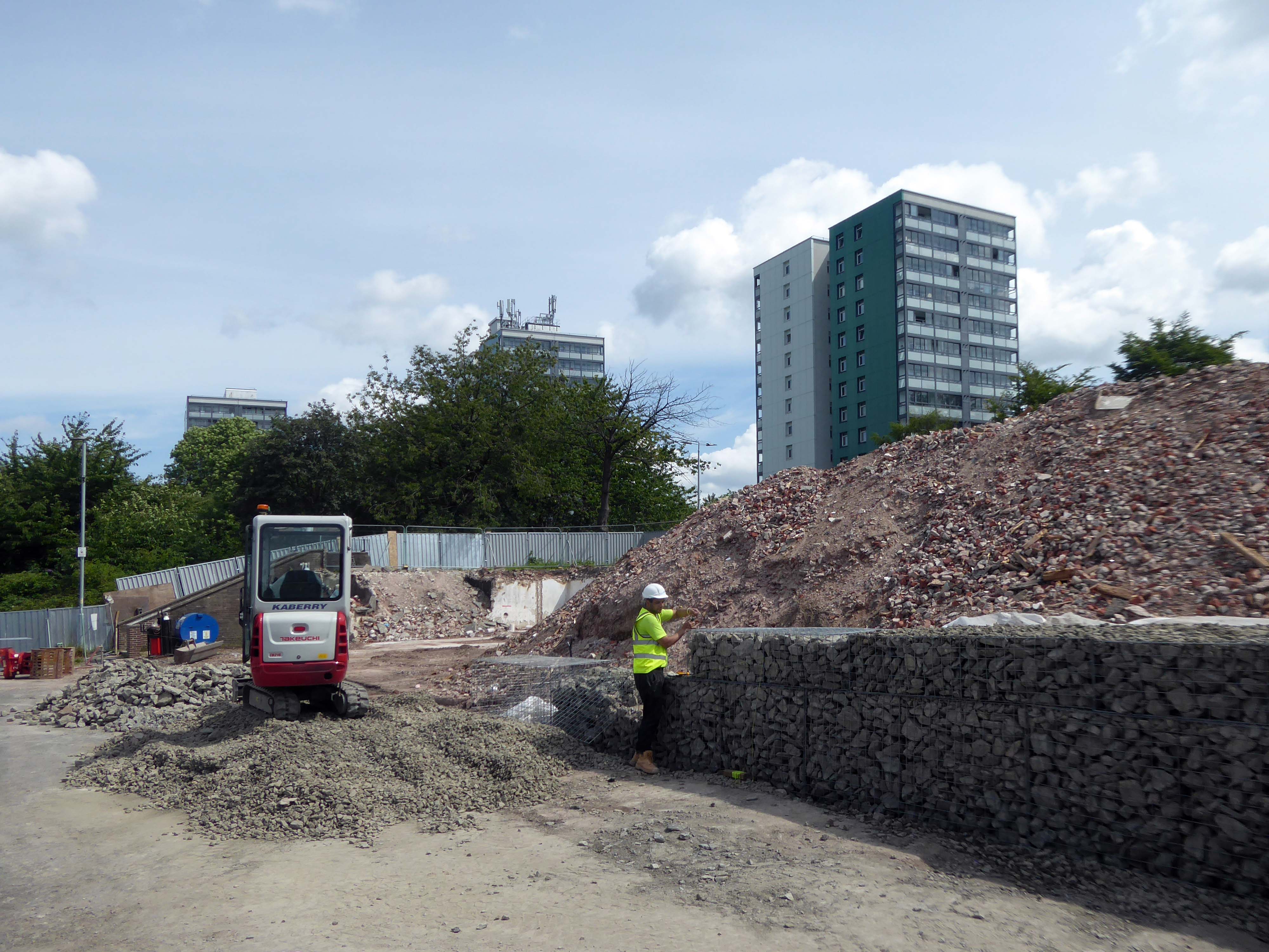
So let’s take a short walk, see how things stand.
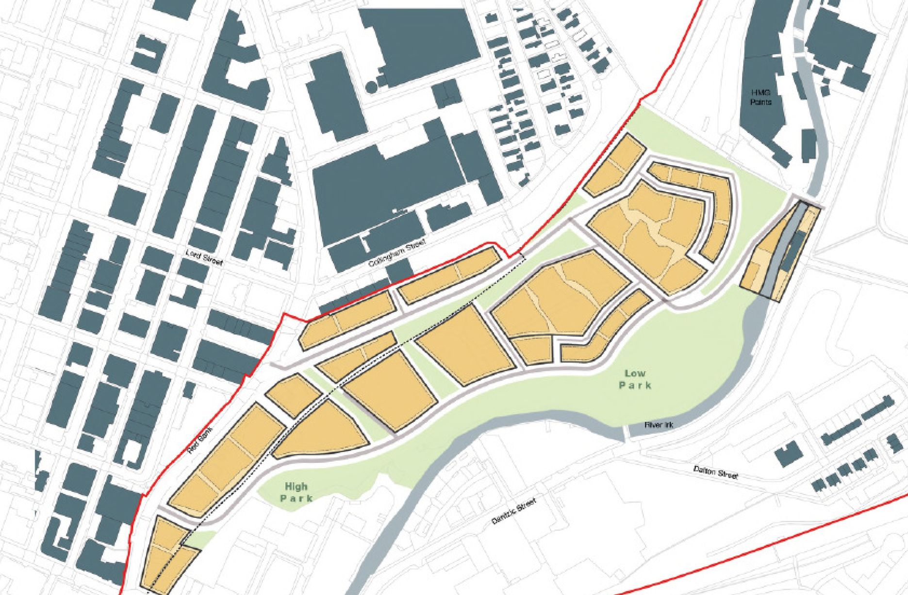
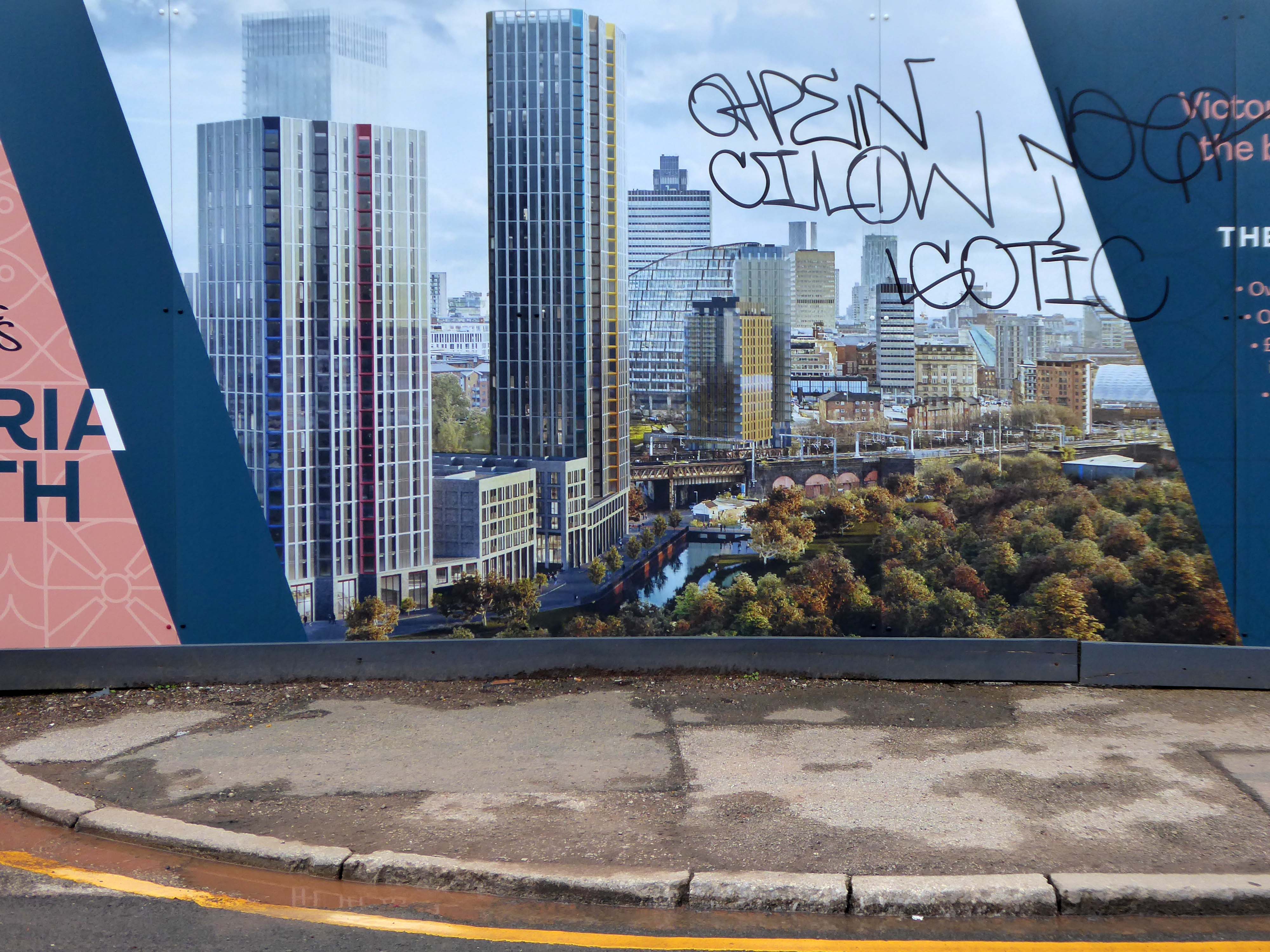
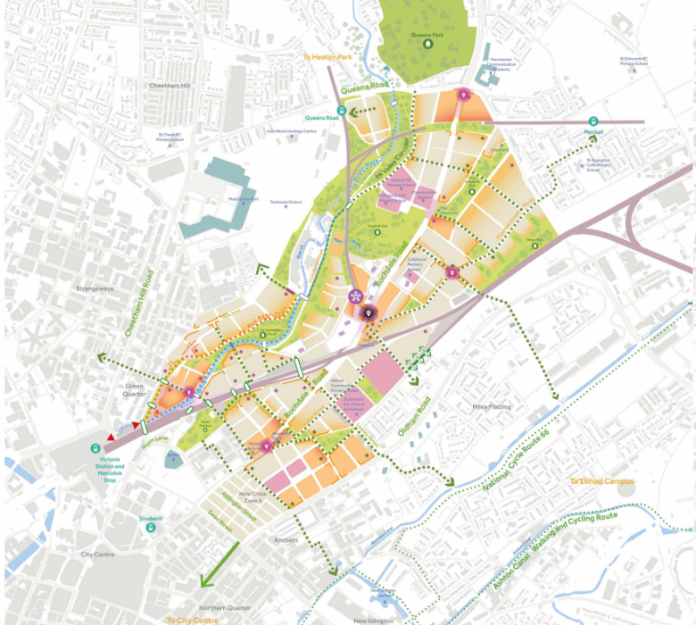
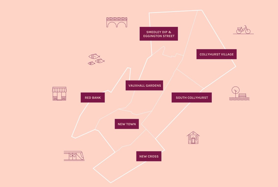
The area now forms the core of the latest municipal Masterplan – Victoria North.
Victoria North is a joint venture programme between Manchester City Council and developer Far East Consortium.
An internationally recognised developer, FEC specialises in residential led mixed-use developments and hotels, along with its casino and car park operations throughout mainland Europe.
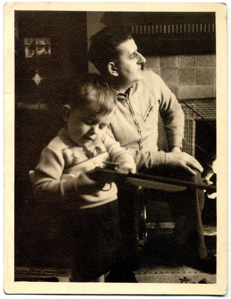
The cowboys are now long gone – or are they?
When I was a cowboy out on the Western Plain Well, I made a half a million Working hard on the bridle reins
Come a cow-cow yicky come a cow-cow yicky, Harpurhey
The report argues that the Northern Gateway should offer mixed, affordable and age appropriate housing and amenities. An equitable development plan should be developed, through community-led engagement, to ensure that the benefits of regeneration are shared amongst new and existing residents.
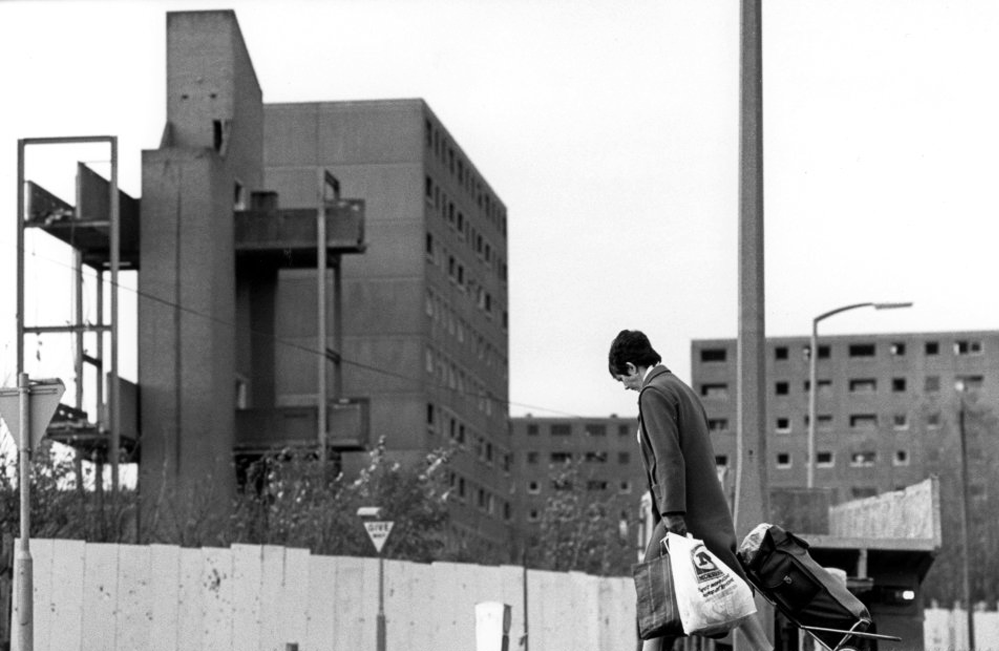
As of 2021 there is inaction and stasis
Collyhurst was described as a ‘forgotten place’ by some residents who felt that there had been insufficient investment in local housing and amenities.
The Northern Gateway remains a hidden portal to who knows where.
Detailed proposals for a second scheme to be delivered within neighbouring South Collyhurst, one of the seven neighbourhoods to be developed as part of the overall Framework, are expected later this year.
Far East Consortium and Manchester City Council’s 390-acre masterplan will now be known as Victoria North, a move that aims to “create a sense of place”, according to Gavin Taylor, regional general manager at FEC in Manchester.
The Northern Gateway has served us well as a name as we shaped plans for the area’s regeneration. But as we begin to bring forward development this year, it’s the right time to start creating a sense of place for what will be a significant new district in Manchester, as well as an identity that people can engage with.
Sir Richard Leese, leader of Manchester City Council, said:
We are at the beginning of an incredibly exciting phase of history for this part of Manchester and with some eagerness to see how this potential unfolds.
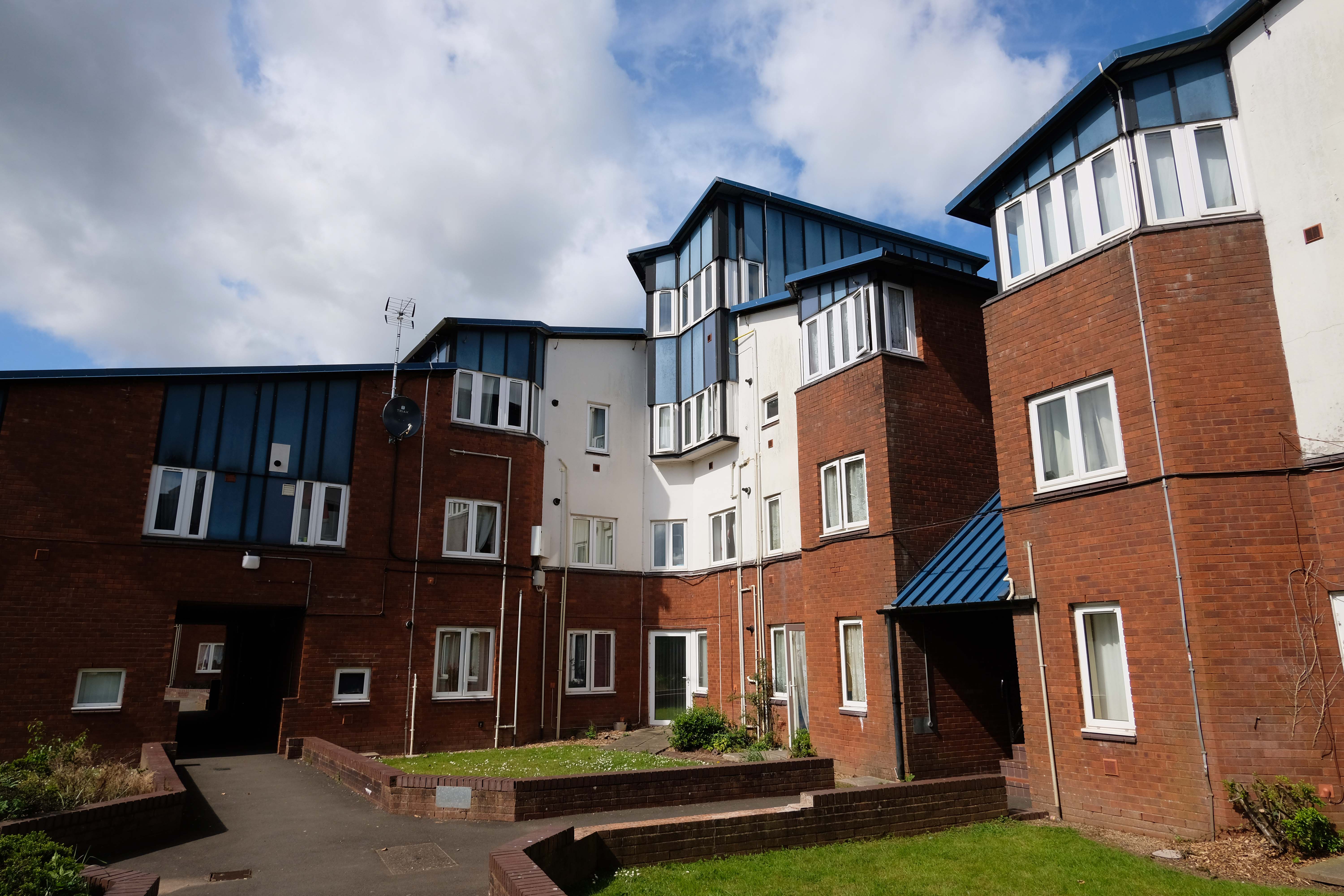
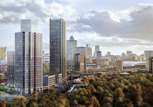
Victoria Riverside, a 634- home development marks the first stage of the regeneration project with the first apartments hitting the market.
The three towers – Park View, City View and Crown View, are based within the Red Bank neighbourhood.
Red Bank has been described as:
A unique landscape and river setting making the neighbourhood perfect for a residential-led, high-density development – all set in a green valley.
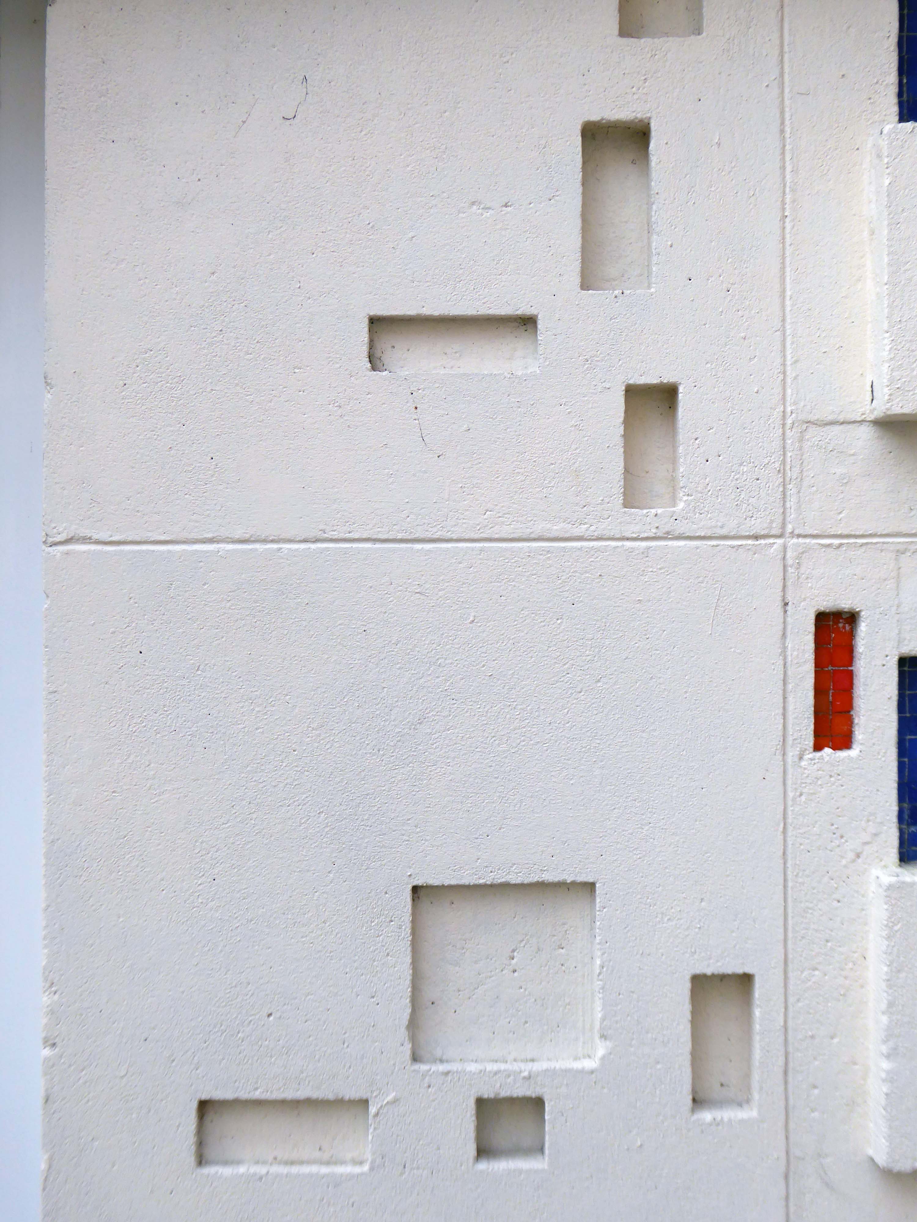
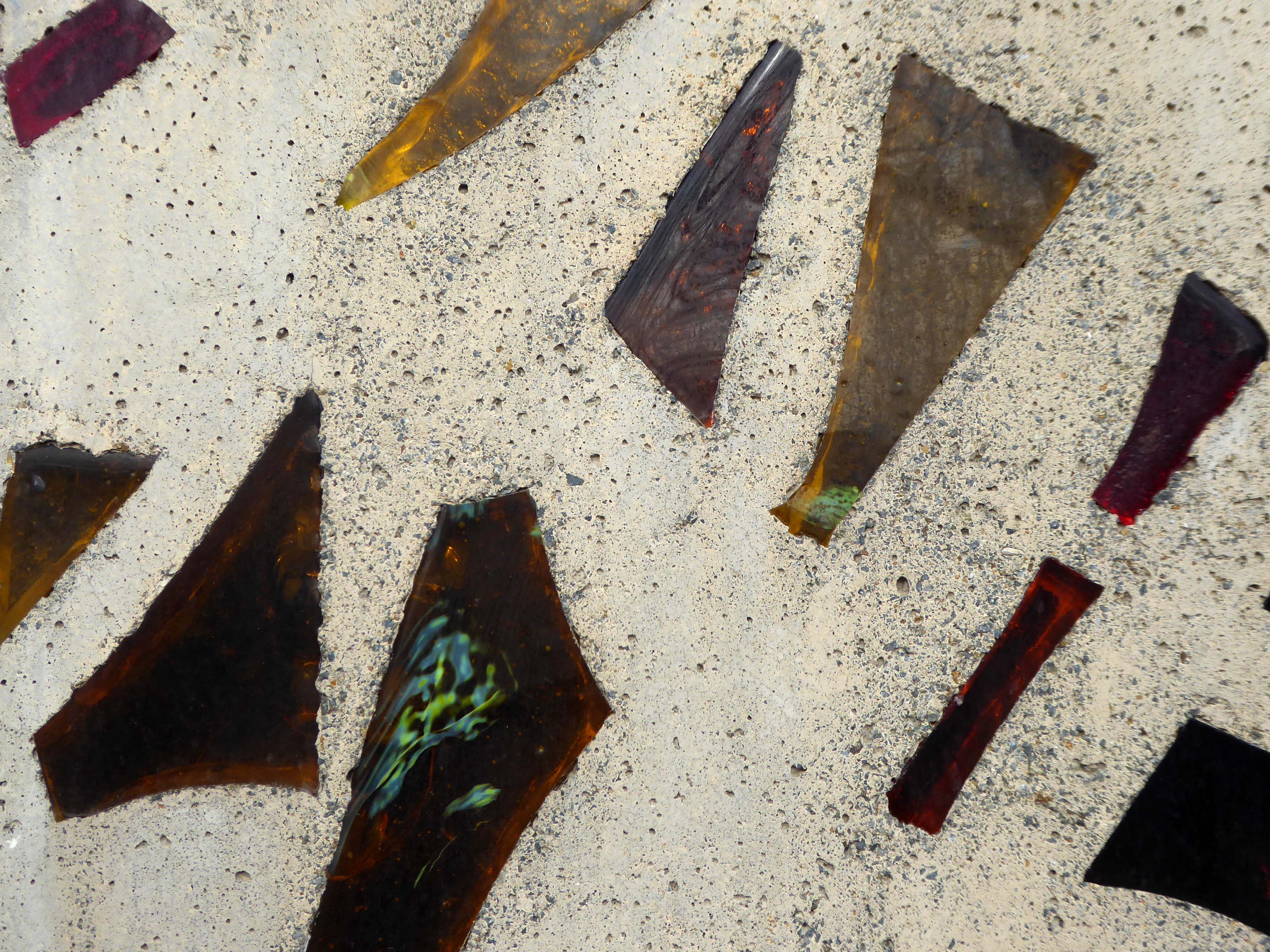
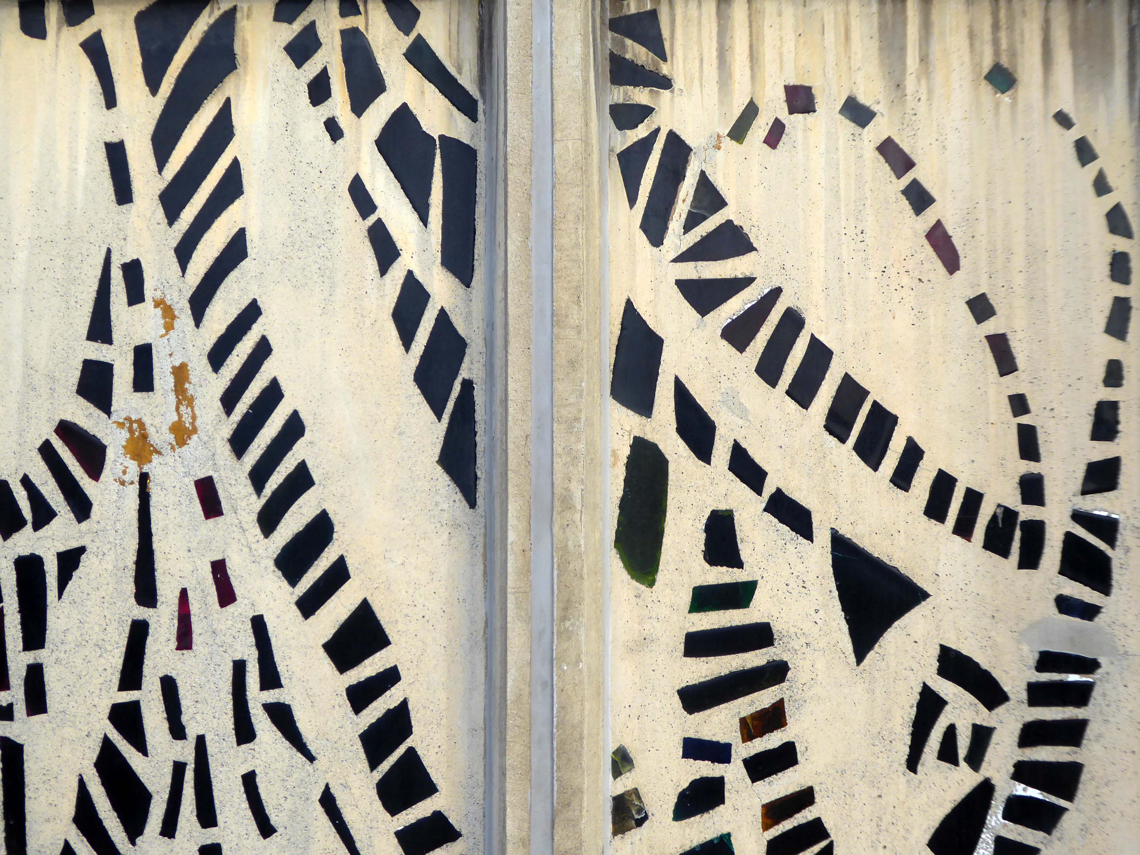
The putative William Mitchell totem continues to keep silent watch over the Square.
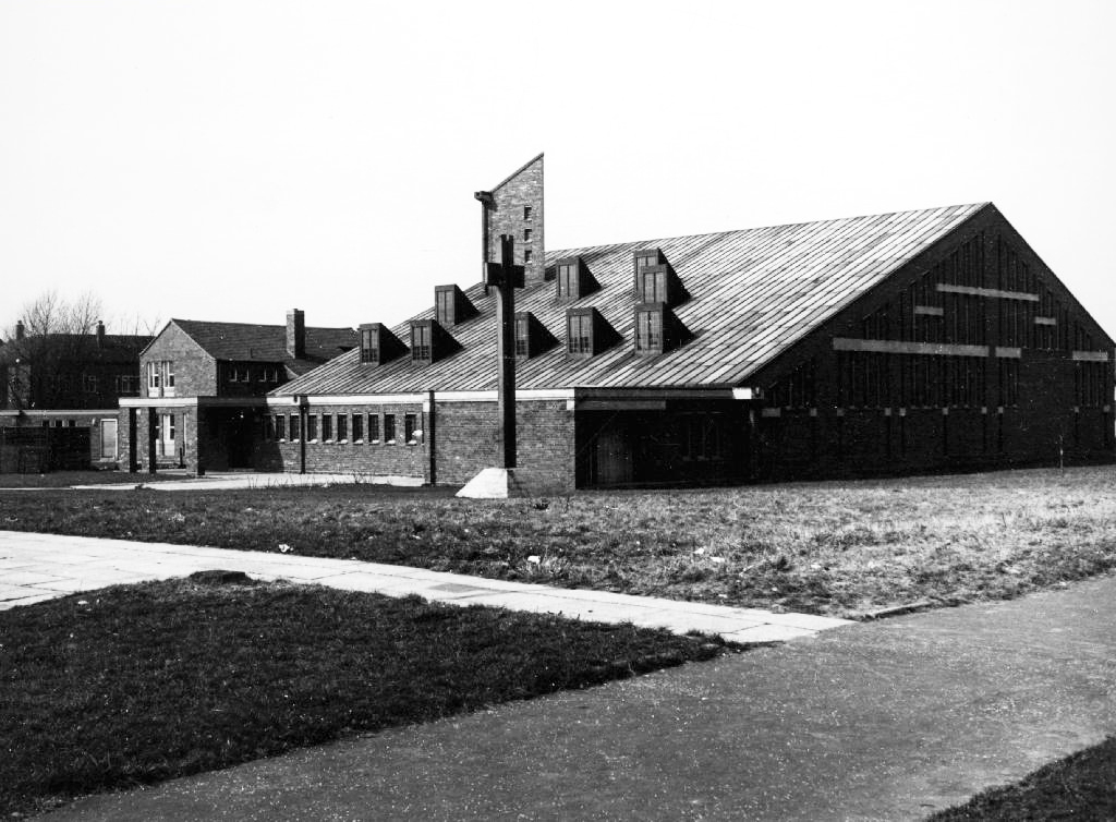
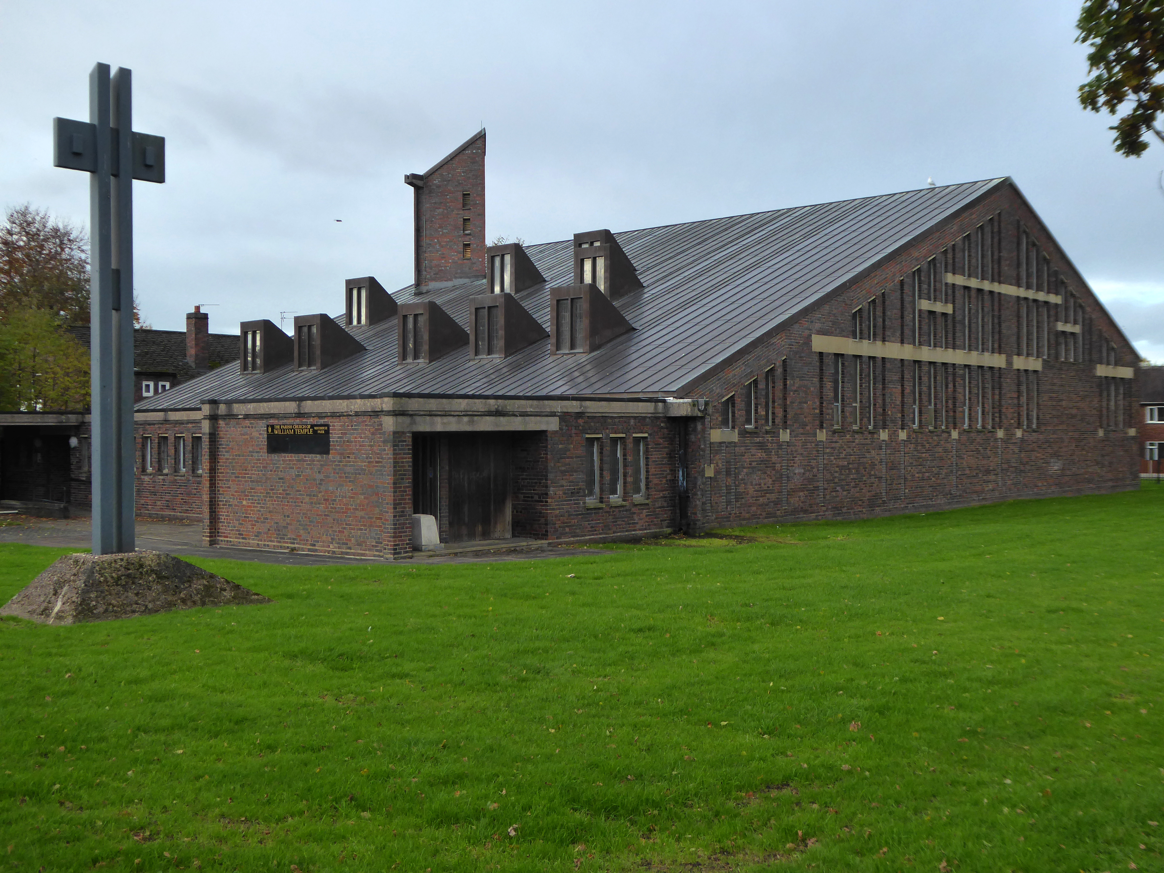
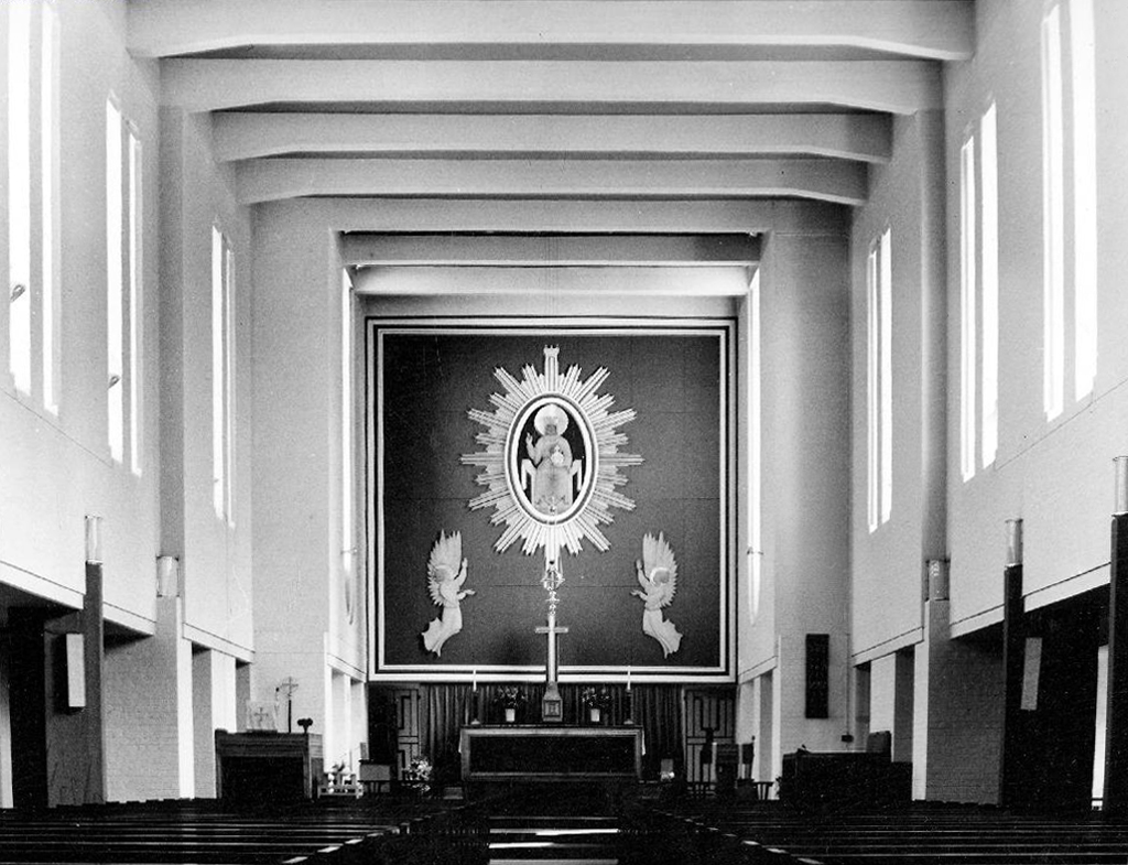
The Anglican Church of William Temple was opened in 1965 on the corner of Robinswood Road and Simonsway as the church of the Civic Centre. The mission was already well-established, having begun many years previously in Shadow Moss School Room, latterly operating in a dual-purpose building on Simonsway. The architect, George Pace, agreed with the proviso that he should not design a ‘pseudo’ building, but that it should be modern in concept. This he did and particular attention was paid to the acoustics with a view to music and drama being performed there. One of Pace’s stipulations was that, as with all the churches he designed, there must be no plaques attached to the walls commemorating the dedication of the church or in memory of anyone, for he said he built his churches to the Glory of God. The only lettered stone is on the back wall of the church and it has on it the date of the consecration and a symbol, which is Pace’s original sign for William Temple Church.
The internal supports of the church are black-painted steel girders, not romantically symbolising the industry of the area, as it is sometimes said, but because when it was discovered that the church had been built on swampy ground an extra £2,000 was needed for foundations; the wooden beams of the original design had to be changed for cheaper steel ones. There is symbolism, however, in the placing of the font between and beneath the three main weight-bearing supports of the church.
The pews have an interesting history, having been brought from derelict churches in and around Manchester.
The present lady churchwarden said:
“whenever we heard of a church being demolished we borrowed Mr. Owen’s coal cart and went off to see if we could buy any of the pews. Many times I’ve sat on the back of the wagon, in the pouring rain, with the pews, bringing them back to Wythenshawe to be stored until our church building was completed!”
Some time after the building was opened, a fire damaged some of the pews. With the insurance money all the pews were stripped and bleached, giving an element of uniformity and a bright welcoming atmosphere in the church generally. An interesting thought was voiced that as many people living in Wythenshawe now had their origins near to the centre of Manchester they may be sitting in the same pews in which their ancestors once sat.
An imposing and monumental building by Adrian Gilbert Scott.
The church has a rich, little-altered interior with strong architectural qualities and notable furnishings. The church is described as ‘one of the few real landmarks of Wythenshawe’ and ‘beautifully built’, by Hartwell, Hyde and Pevsner2004
Backtrack toSt AndrewsArchitects JCG Prestwich and Son 1960 – as seen by Comrade Yuri Gagarin 12th July 1961 – detailed here.
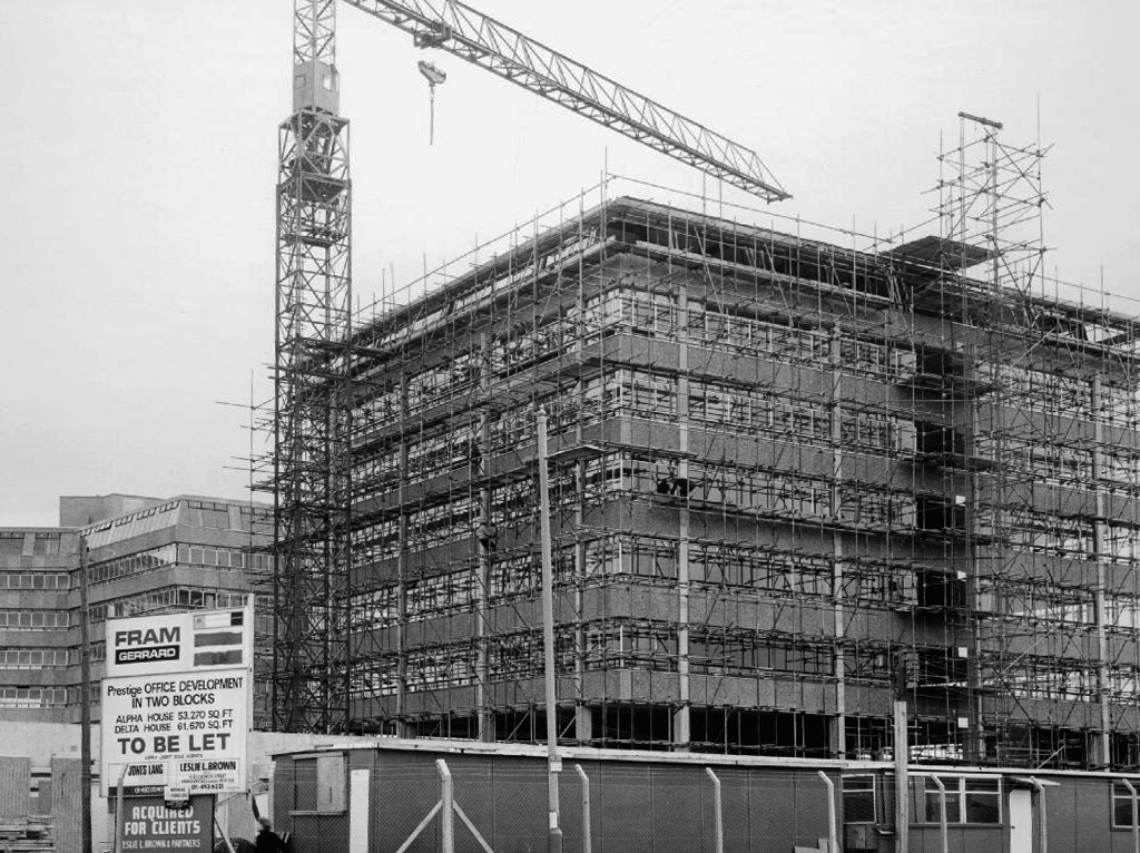
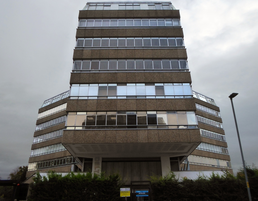
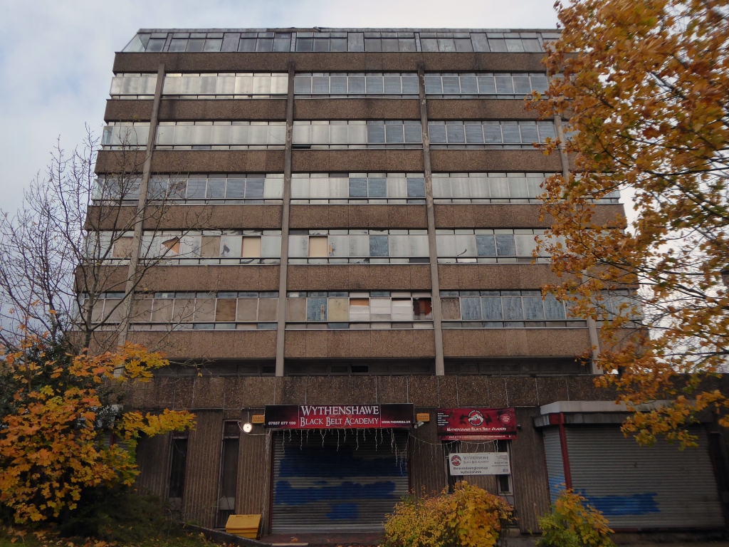
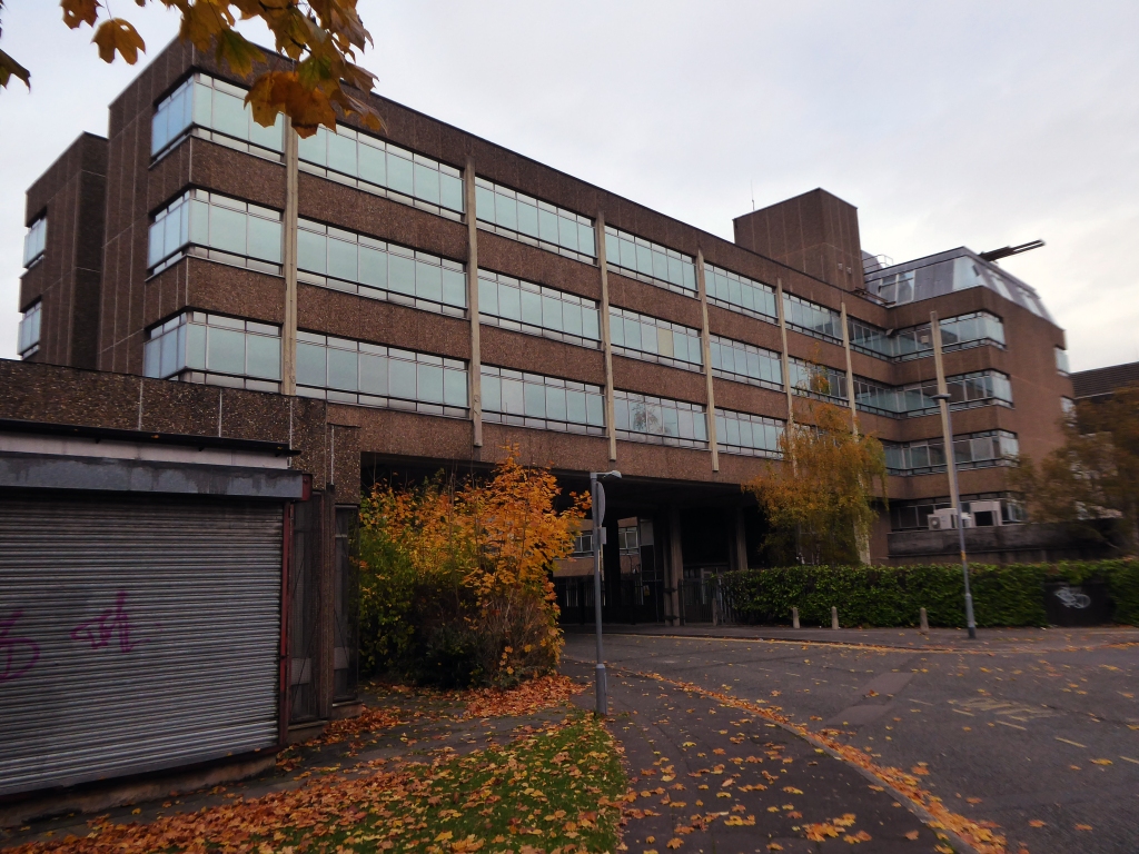
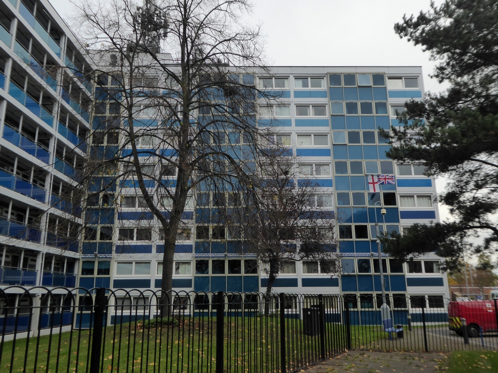
We now take a secular route around the back of the Civic Centre to look at Centron and Delta House.
Built in 1972 to encourage white collar jobs into the area, formerly occupied by Shell and the TSB, currently partially unoccupied.
Across the way the former Barclay’s Bank IT HQ by DLG Shuldham the bank’s chief architect.
Just around the corner.
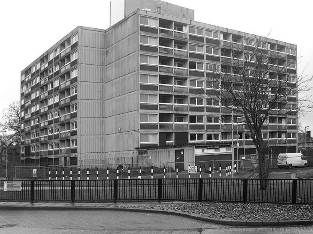
There were four eight-storey blocks of ‘Sectra’ flats that Laing built in Wythenshawe for Manchester County Borough Council, completed in 1967. The blocks were described by Laing in their monthly newsletter ‘Team Spirit’ in January 1968 as four blocks of specially designed eight-storey flats for elderly people.
Showing skeleton cladding, patterned end wall units and access balcony.
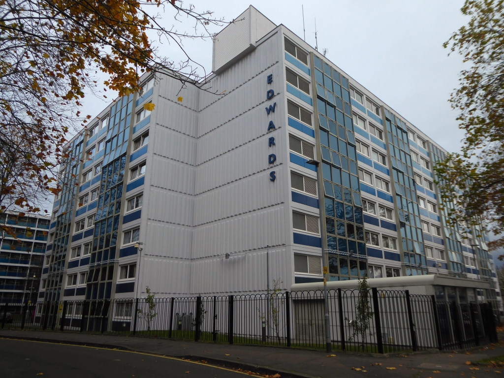
They were named Park Court, Violet Court, Birch Tree Court and Edwards Court.
Park Court and Violet Court have since been demolished to make way for retail space.
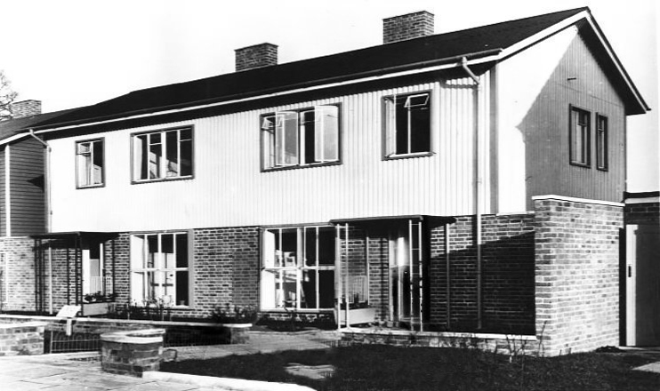
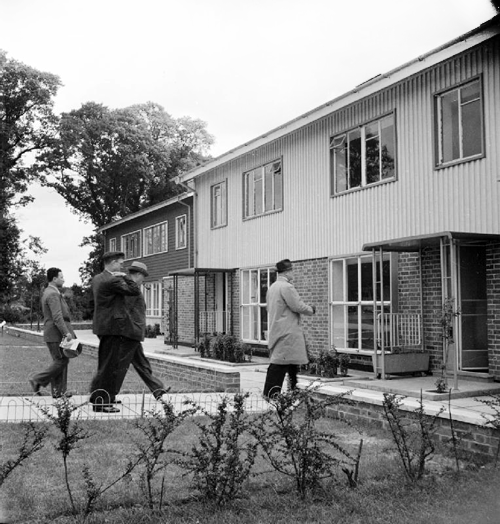
A mini-estate of impeccably kept, neat steel-framed prefabs, designed in 1946 by Frederick Gibberd. We got a tour around one, home to former Durutti Column drummer Bruce Mitchell. The space standards and architectural quality are, as Phil Griffin points out, way above those of contemporary central Manchester luxury loft living.
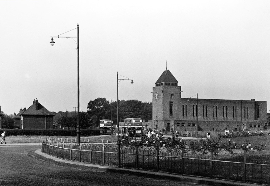
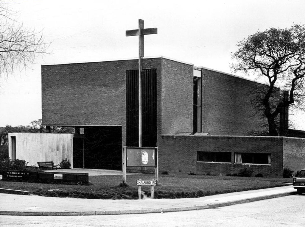
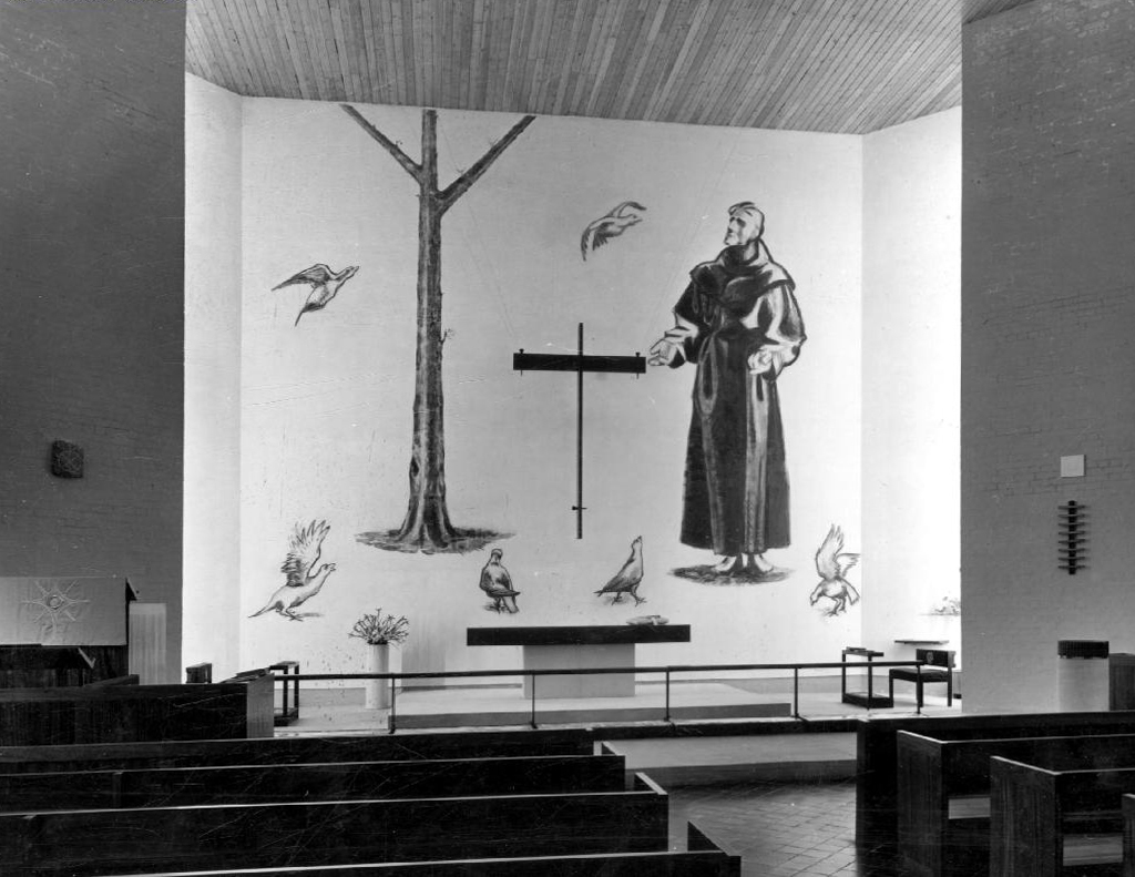
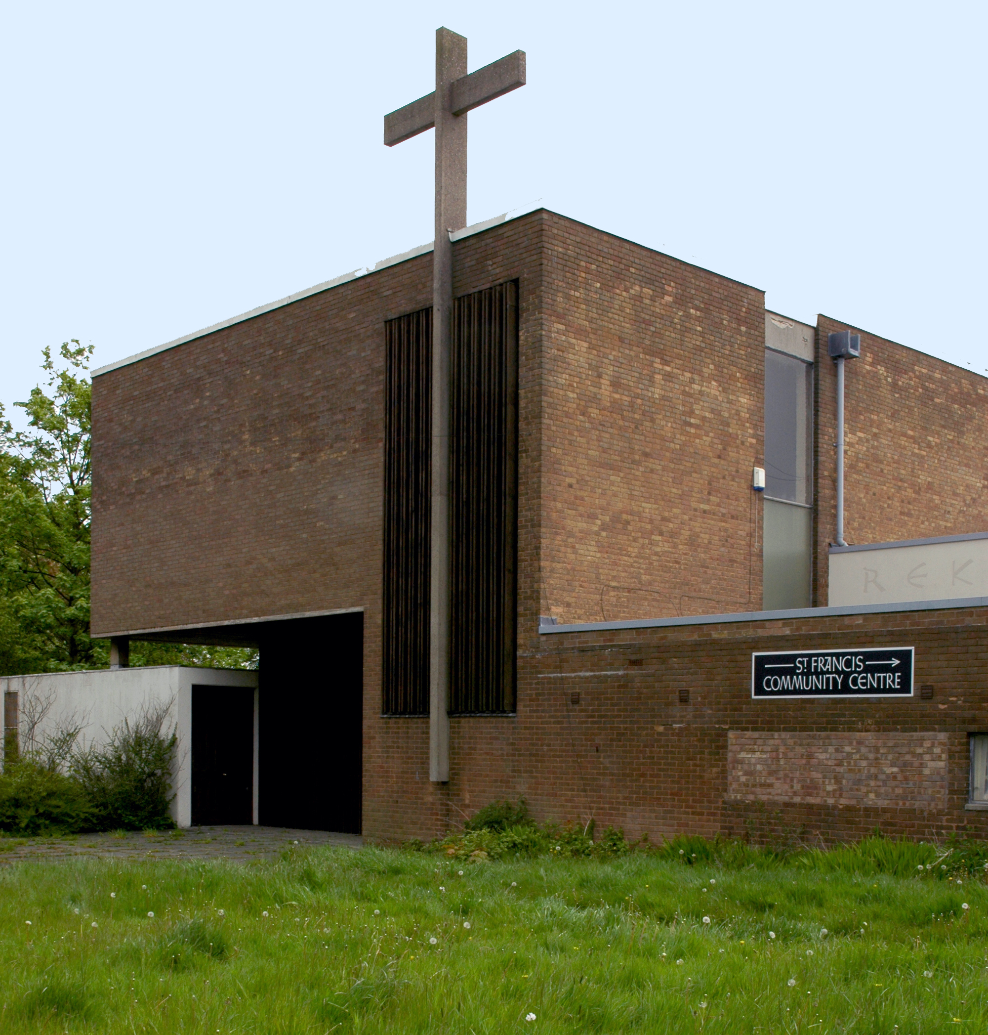
In December 1956 Basil Spence and Partners were commissioned to design St Francis Church in Wythenshawe, Greater Manchester. The project was part of a large building programme by the Manchester Diocese and was to service the new post-war housing estate at Newall Green. The site housed an existing hall that had been serving a dual-purpose as church and church hall but which reverted to use as a church hall once the new church was opened. The foundation stone was laid by Colin Skinner CBE on 23 April 1960 and the church was consecrated on 25 March 1961 by the Bishop of Manchester, W D L Greer.
The main building is predominantly brick; it is set back from the road by a landscaped courtyard that includes a brick tower and 73ft concrete cross. Another large cross rises from the front wall of the church itself making it highly visible from the surrounding neighbourhood.
The church can hold a congregation of 250. A small chapel is separated from the main church by a sliding screen and can be used independently for private prayer and mid week-services. On busy days the screen can be retracted to provide additional seating to the main church. A gallery over the entrance porch houses two organs and the choir.
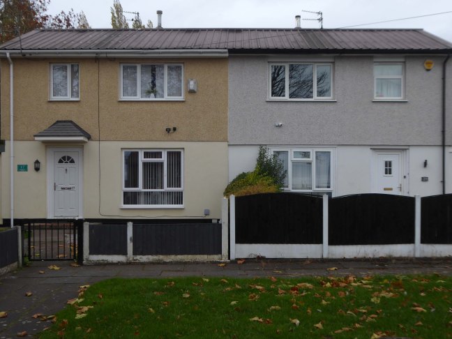
Prior to the end of WWII, the British Iron & Steel Federation worked closely with Architect Frederick Gibberd & Engineer Donovan Lee, to develop several steel framed prototype houses and flats, which could be erected quickly and efficiently with limited use of skilled labour.
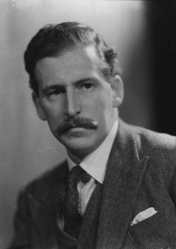
Frederick Gibberd
These prototype were duly named BISF which is a acronym of the originating sponsor, The British Iron & Steel Federation.
However, it was in fact the newly formed company, British Steel Houses Ltd, that went on to develop and manufacturer the BISF houses we see today.
Over 34,000 three-bedroom semi-detached houses and 1048 Terraced Houses were erected across England, Scotland and Wales.
The final production design incorporated rendered mesh ground floor walls and the now familiar, profiled steel sheeting panels affixed to the upper storey. The preferred roofing material was generally corrugated asbestos cement, or corrugated metal sheeting.
The frame of the prototype ‘B’ house was of the same general design as the type ‘A’ frame, but fabricated from flat light steel sections.
Northolt
The roof trusses were also of light steel sections and the roof cladding was the same as that used in the type A house. Both prototypes had been designed to accept a variety of external wall materials, including traditional brick masonry if desired.
The external steel cladding that was affixed to the upper storey of the original BISF house appears visually similar to the external cladding that was used during the production of the unrelated Hawksley BL8 temporary bungalow.
This visual similarity caused many people to wrongly assume that the BISF House was a semi-detached version of the temporary bungalow, despite the fact that the BISF House was built as a permanent dwelling.
The vast majority of BISF houses were built as two-storey semi-detached pairs. A smaller number of terraced houses were also built by replicating the standard semi-detached frame.
A number of variations relating to the layout and materials used in the construction of this house have been noted, but in all cases, the original construction, design & construction of the steel framework, remains largely as described.
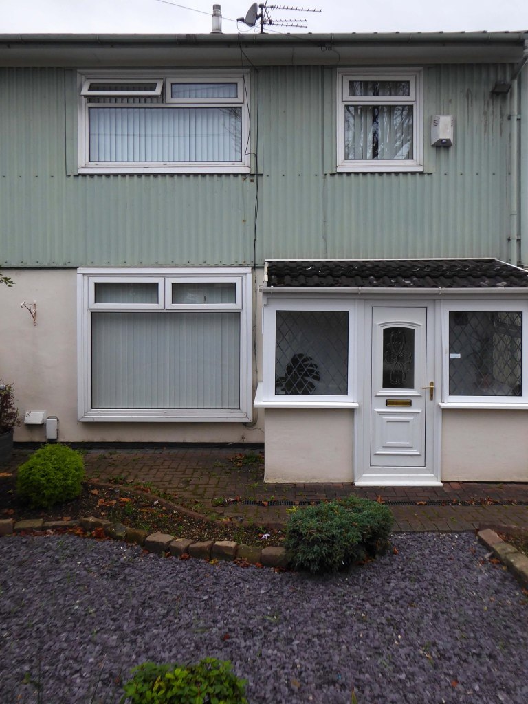
The area in Wythenshawe where the BISF houses were built, is known locally and colloquially as Tin Town.


