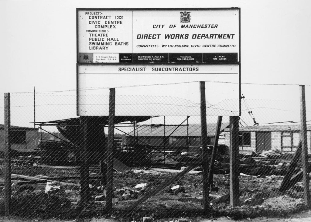
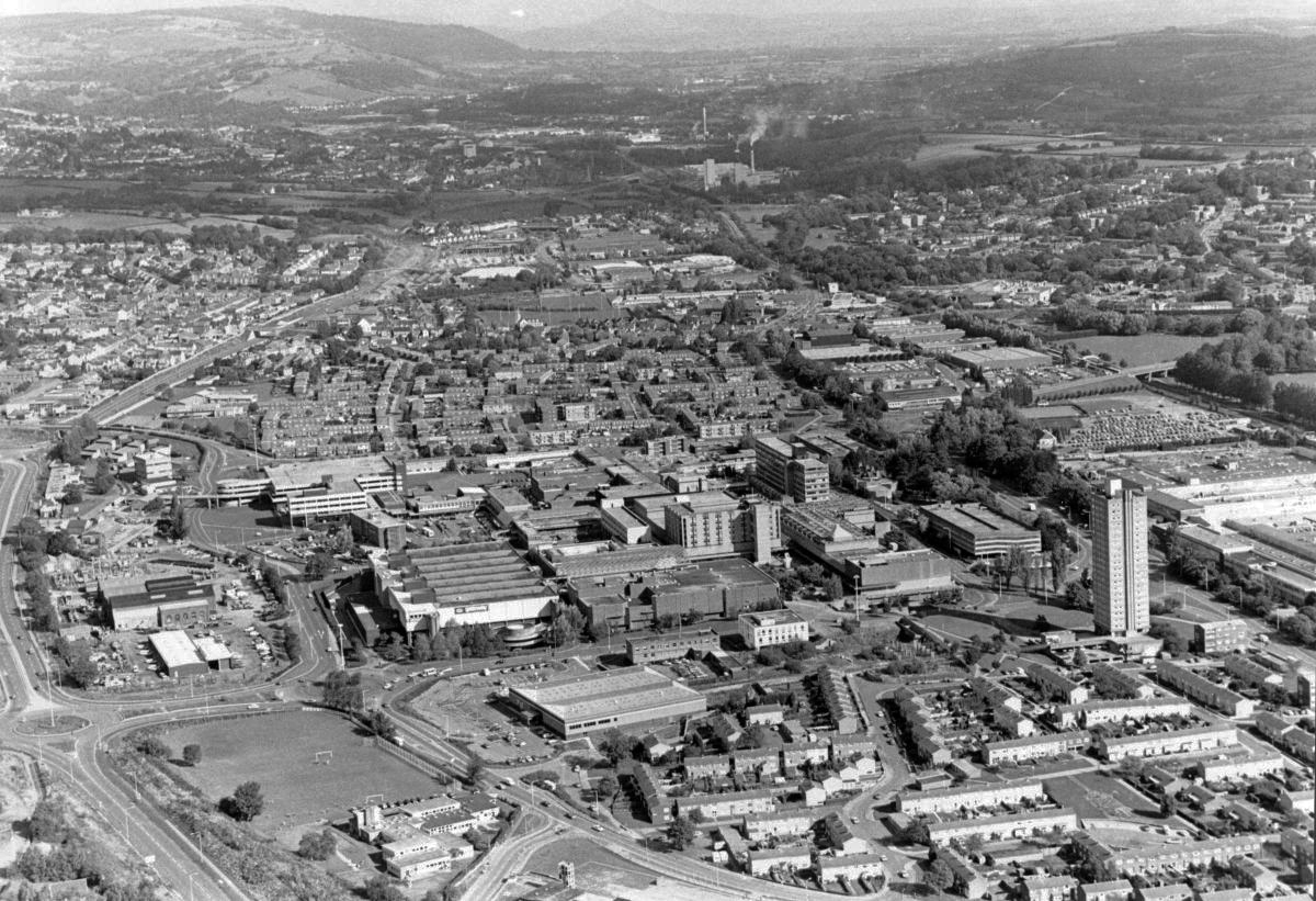
Work began in the interwar years, and continued following the hiatus of 1939-45. The shopping centre named the Civic Centre was open in 1963, the actual Civic Centre containing a swimming pool, theatre, public hall and library in 1971.
Here I am again four years later, taking a look at how it looks today.
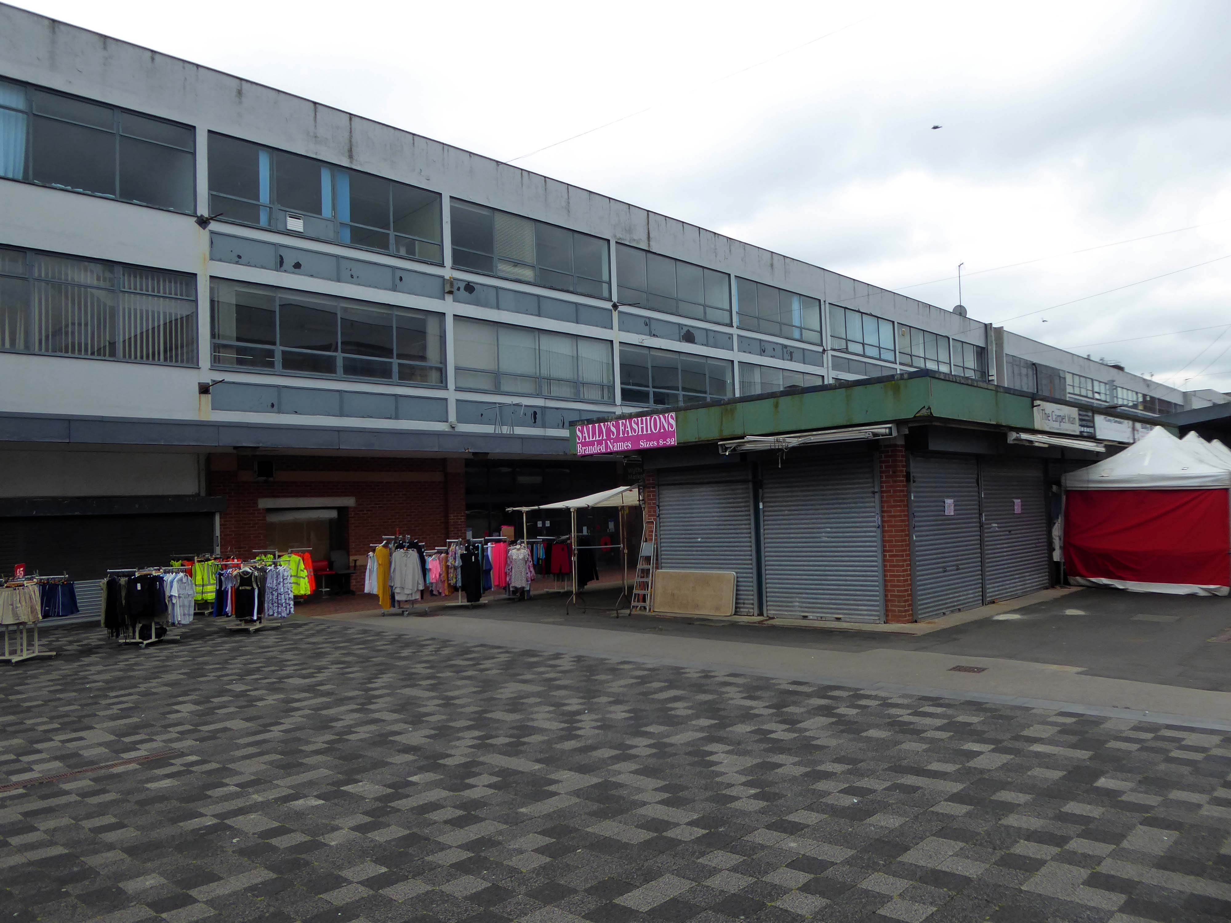
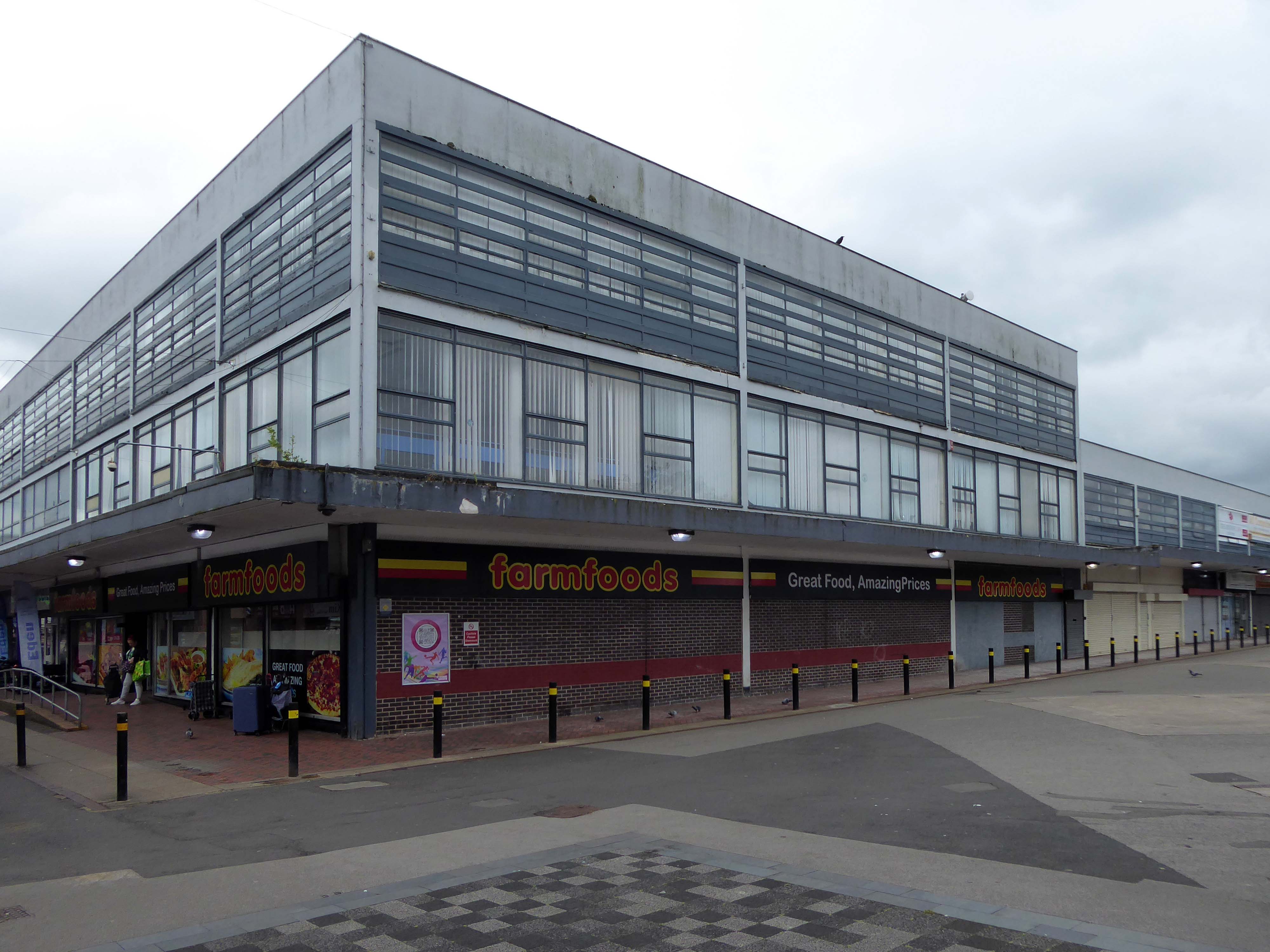
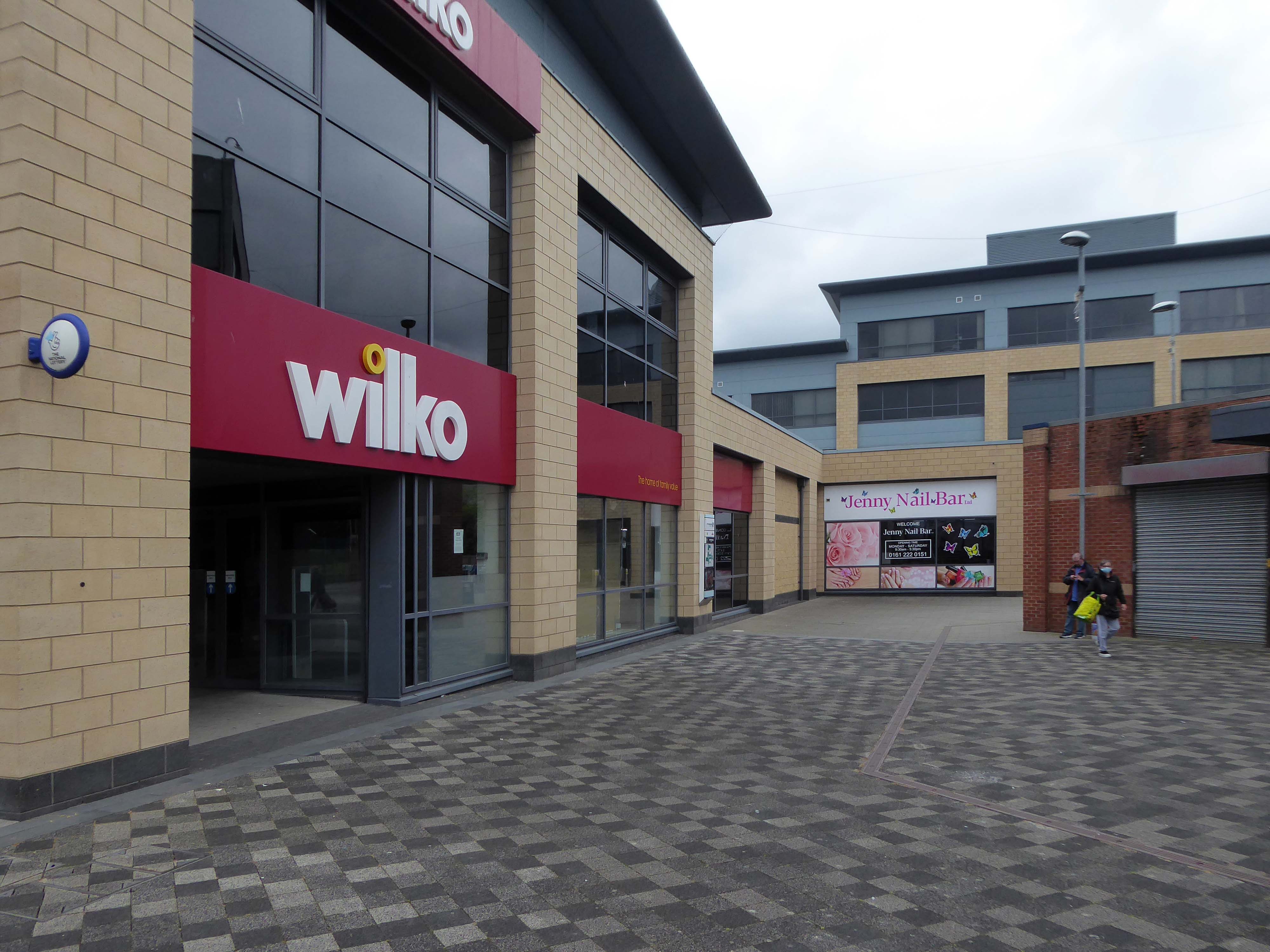
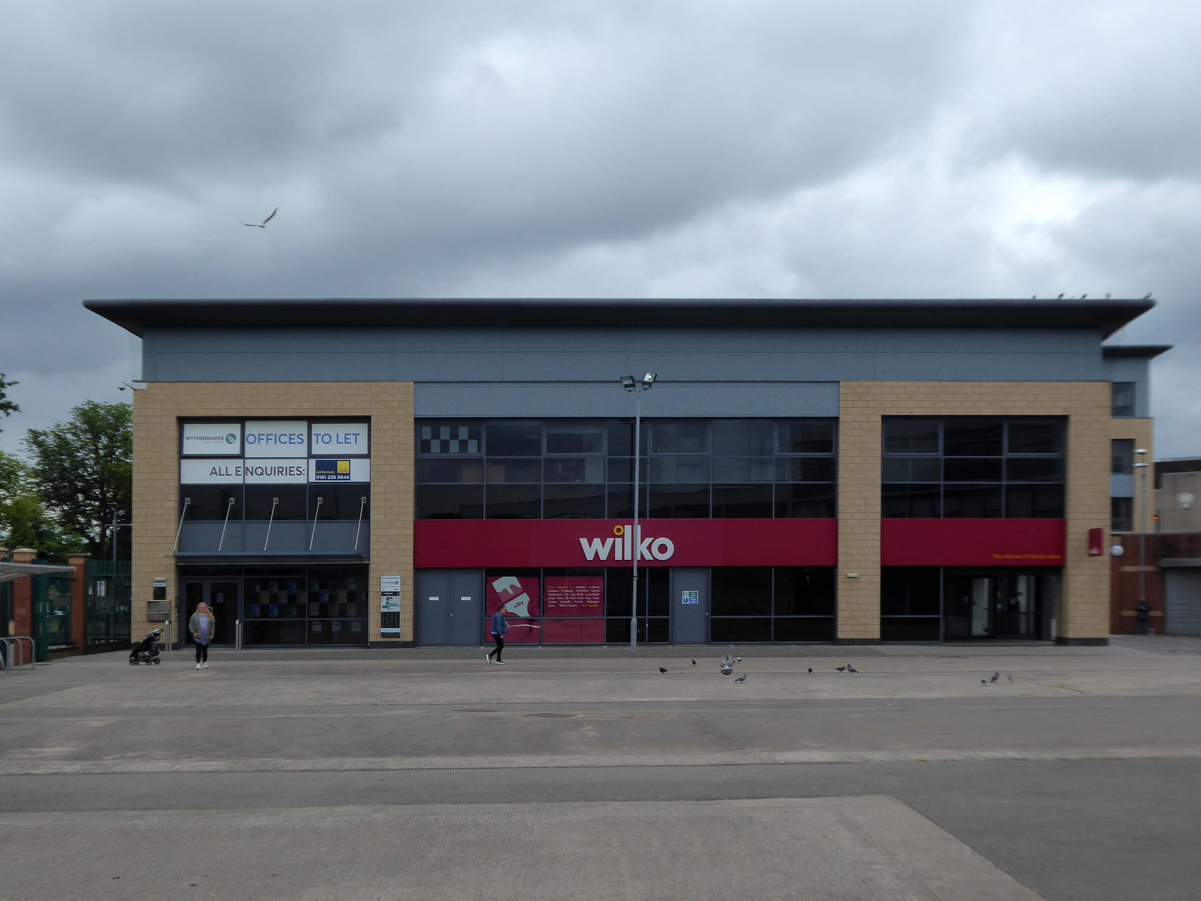
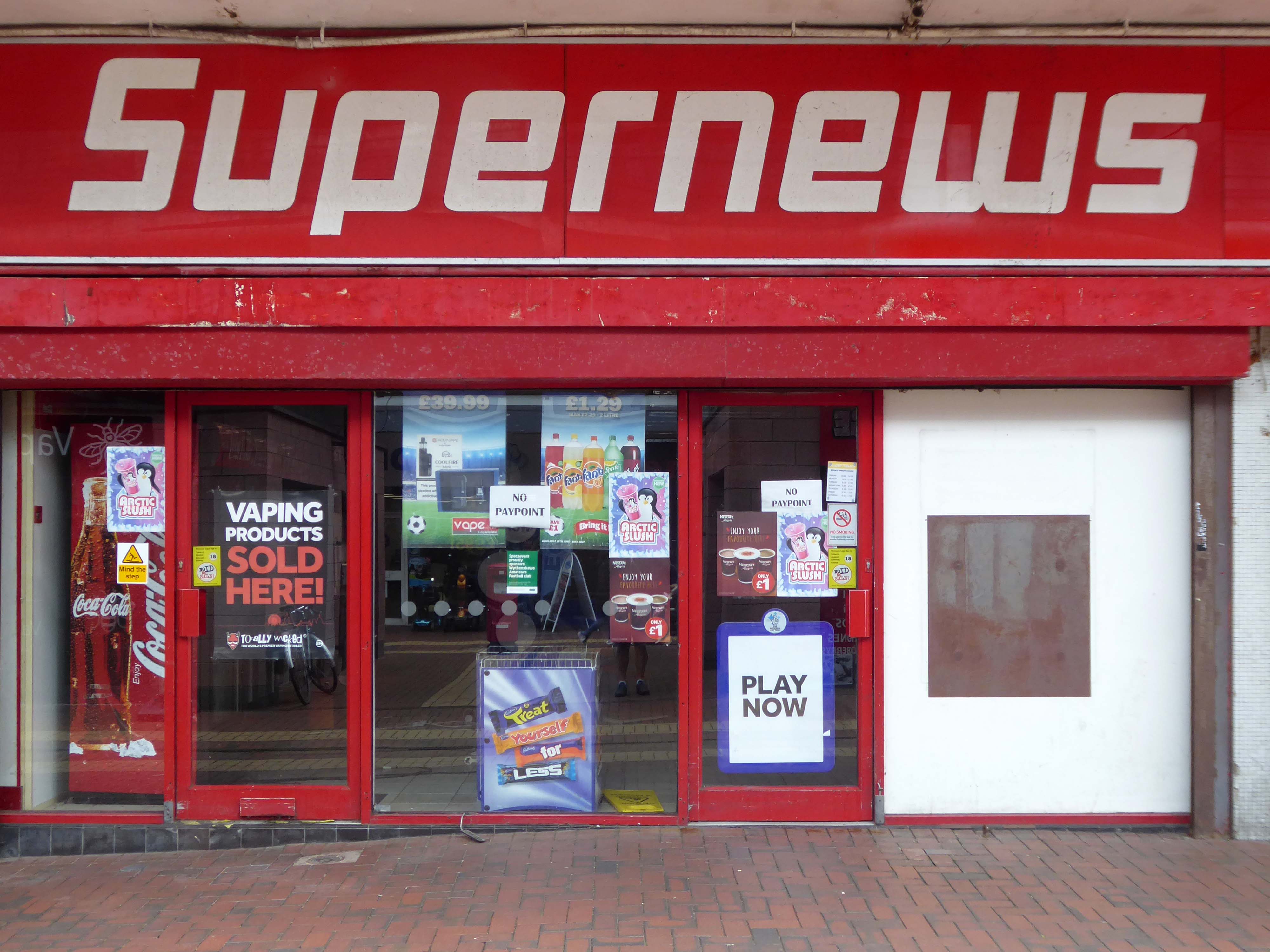
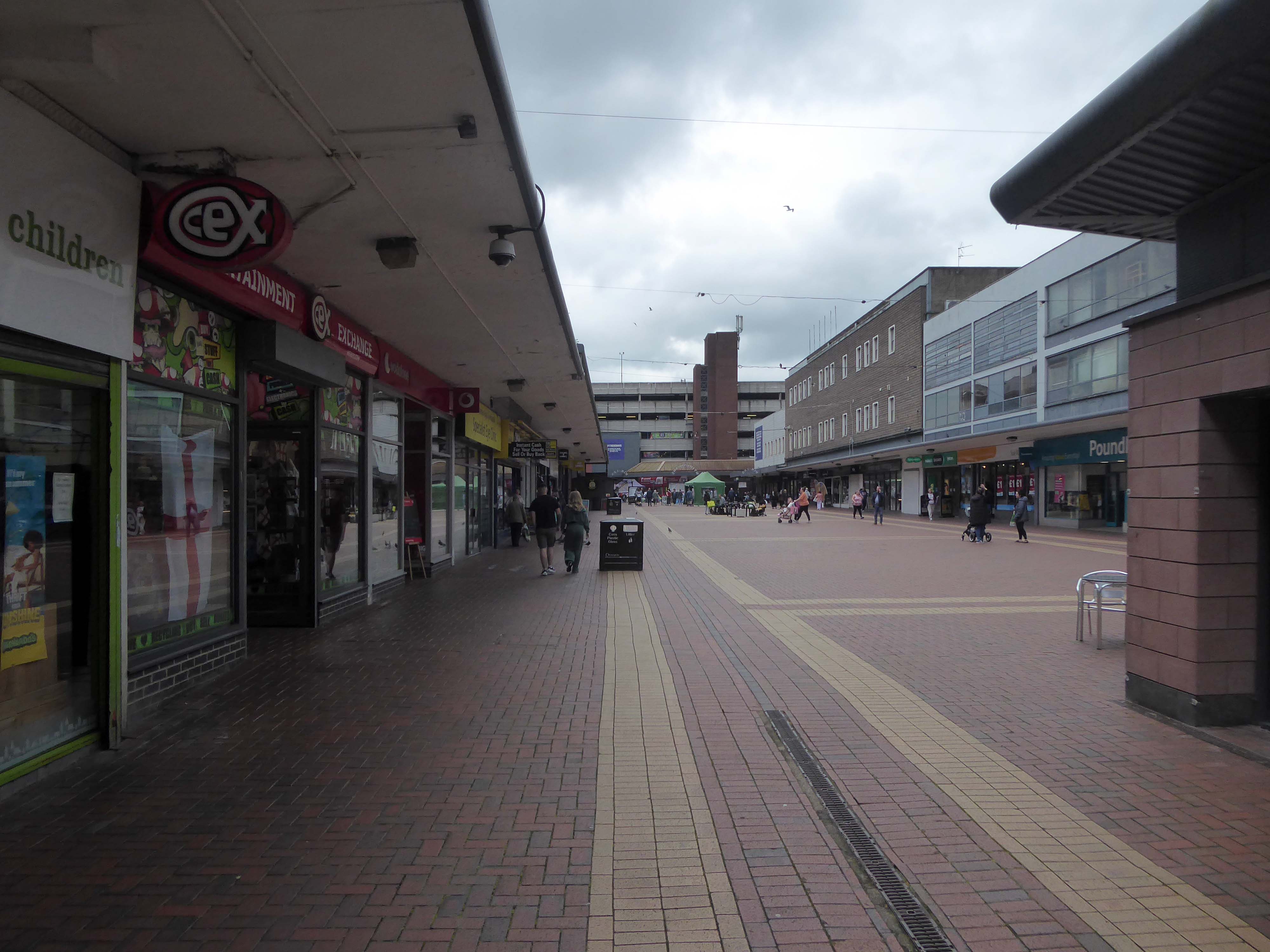
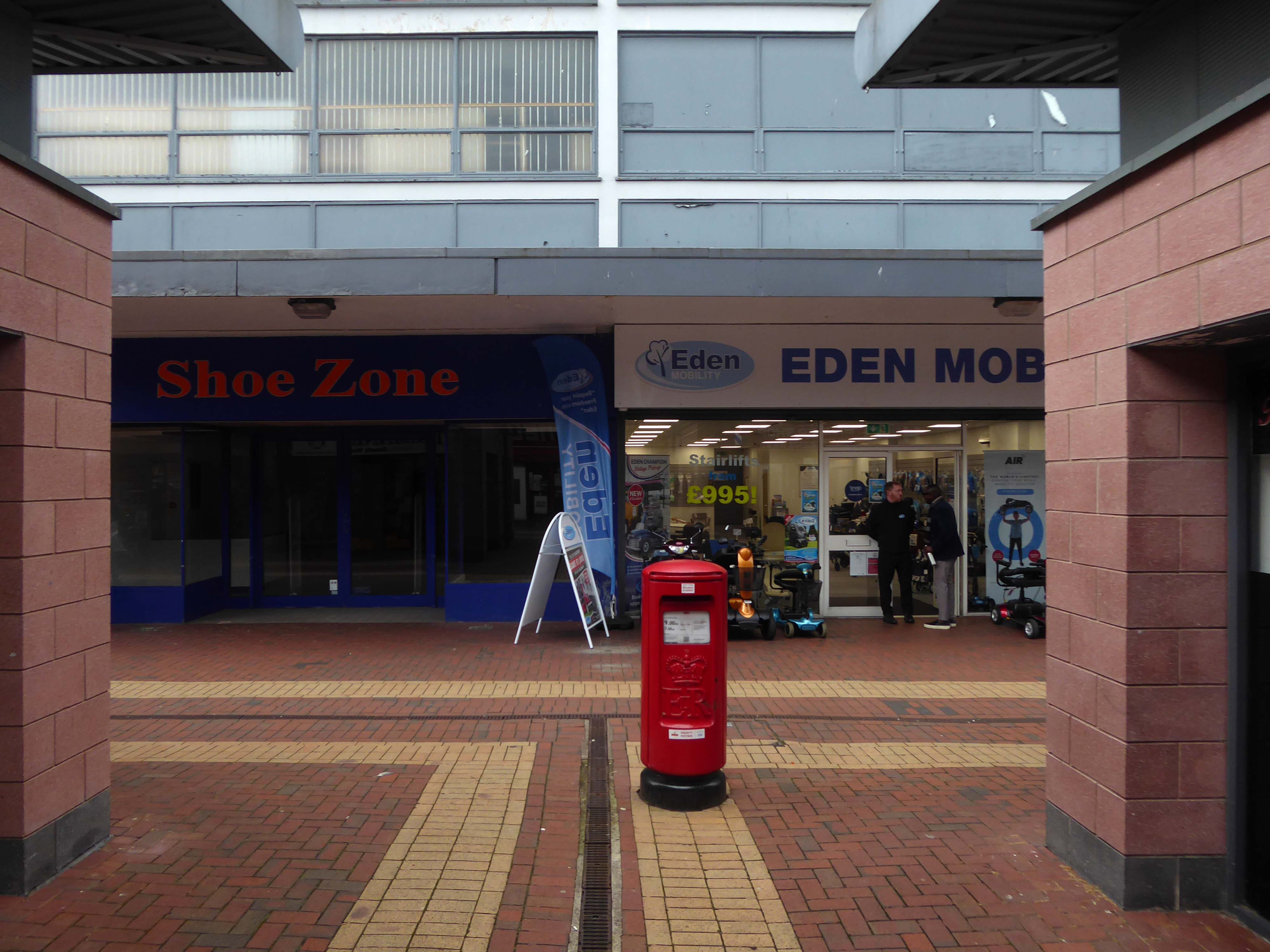
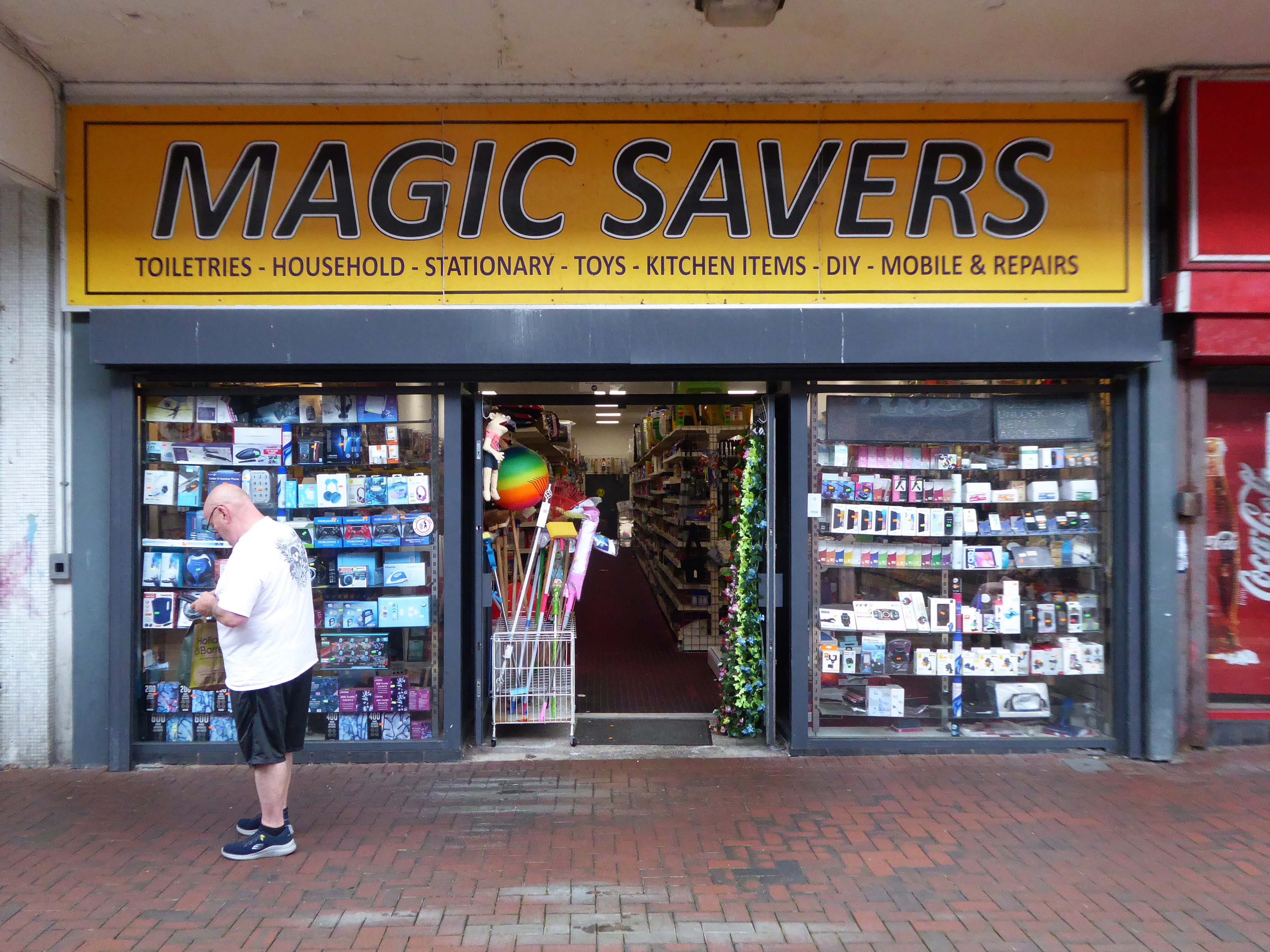
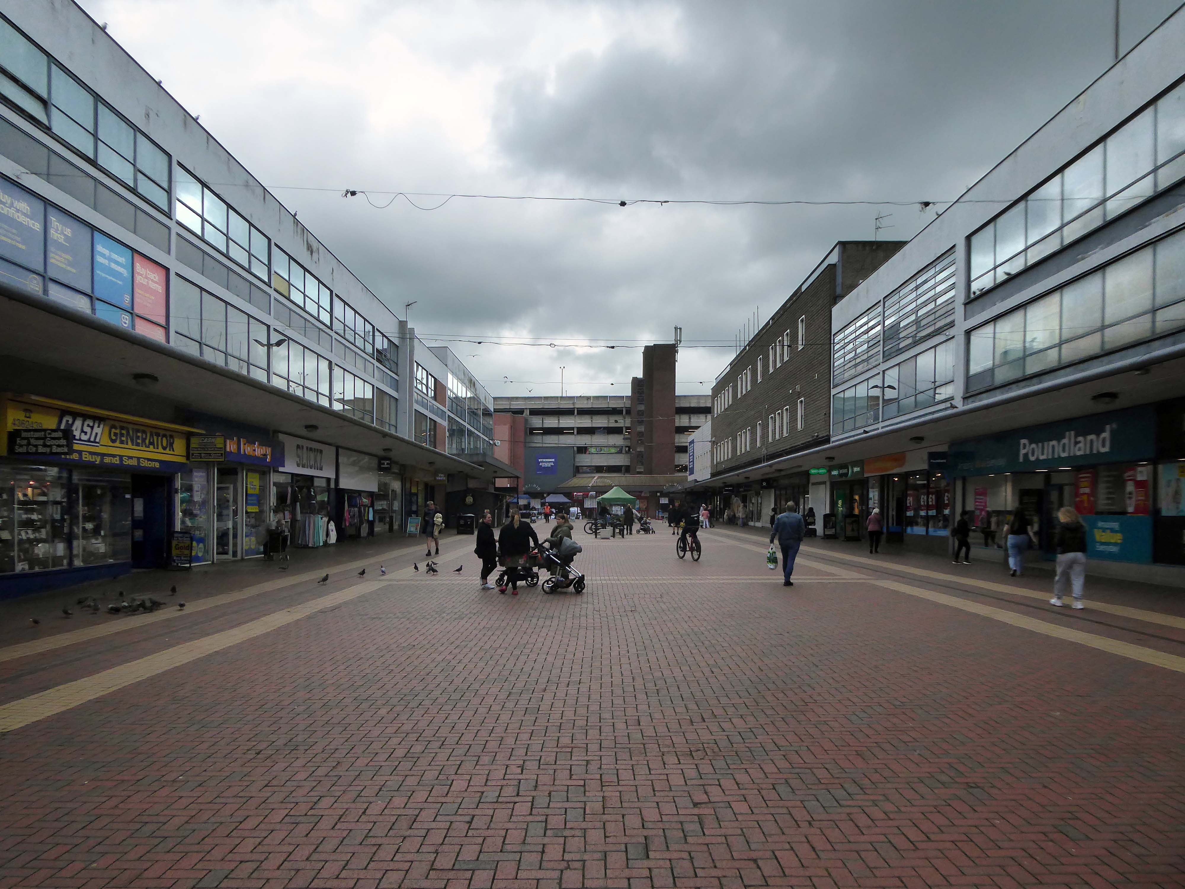
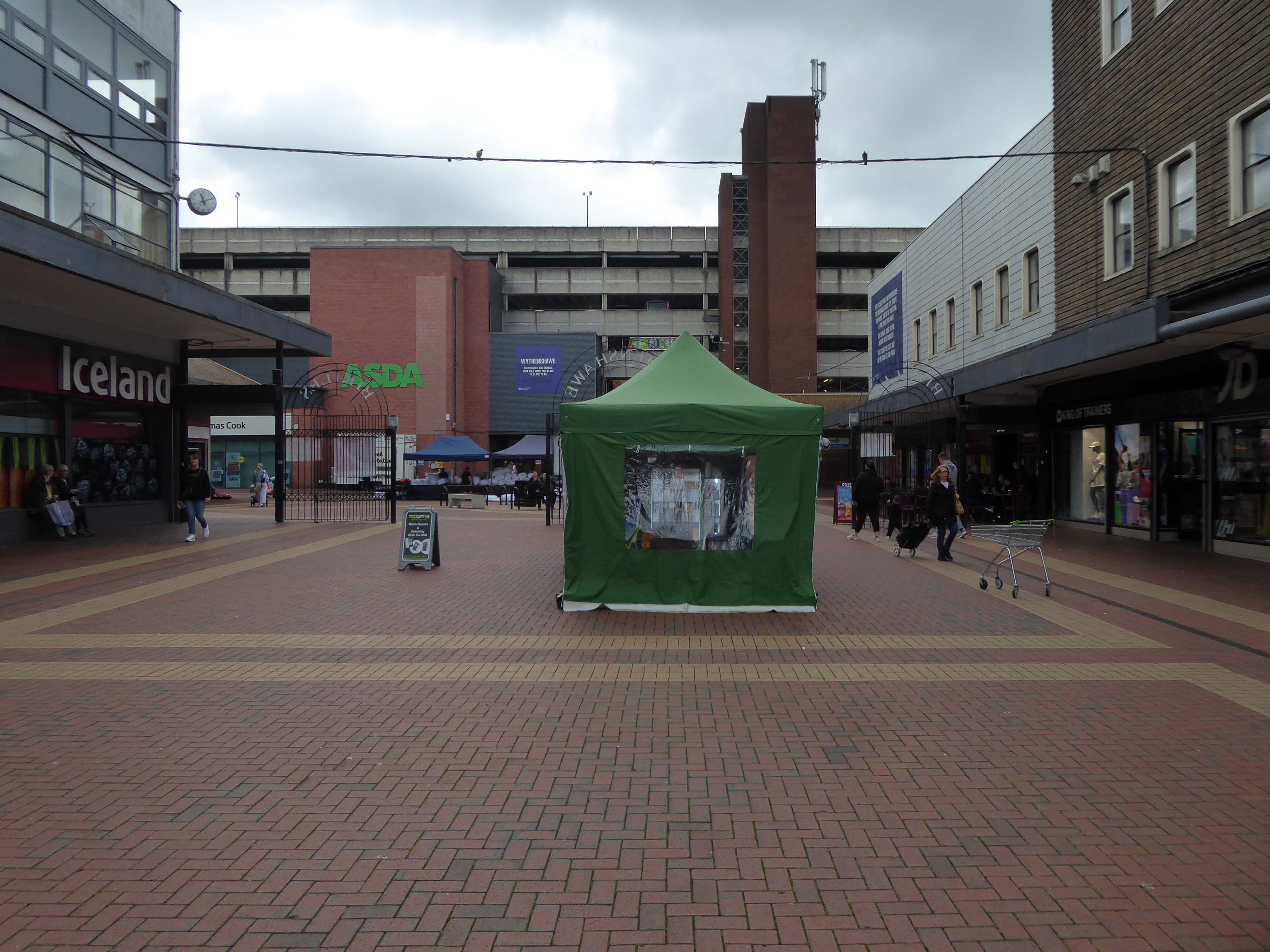
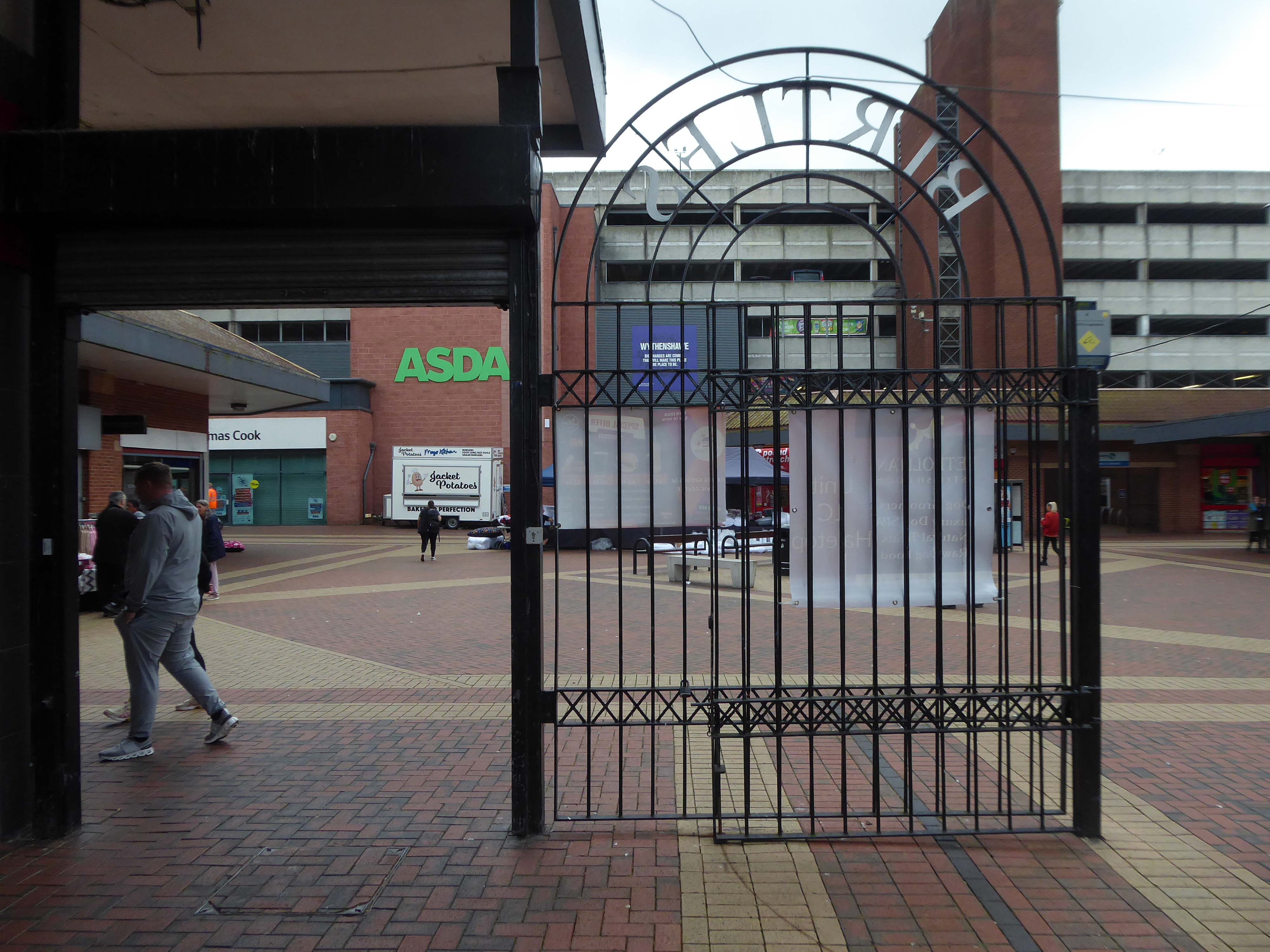
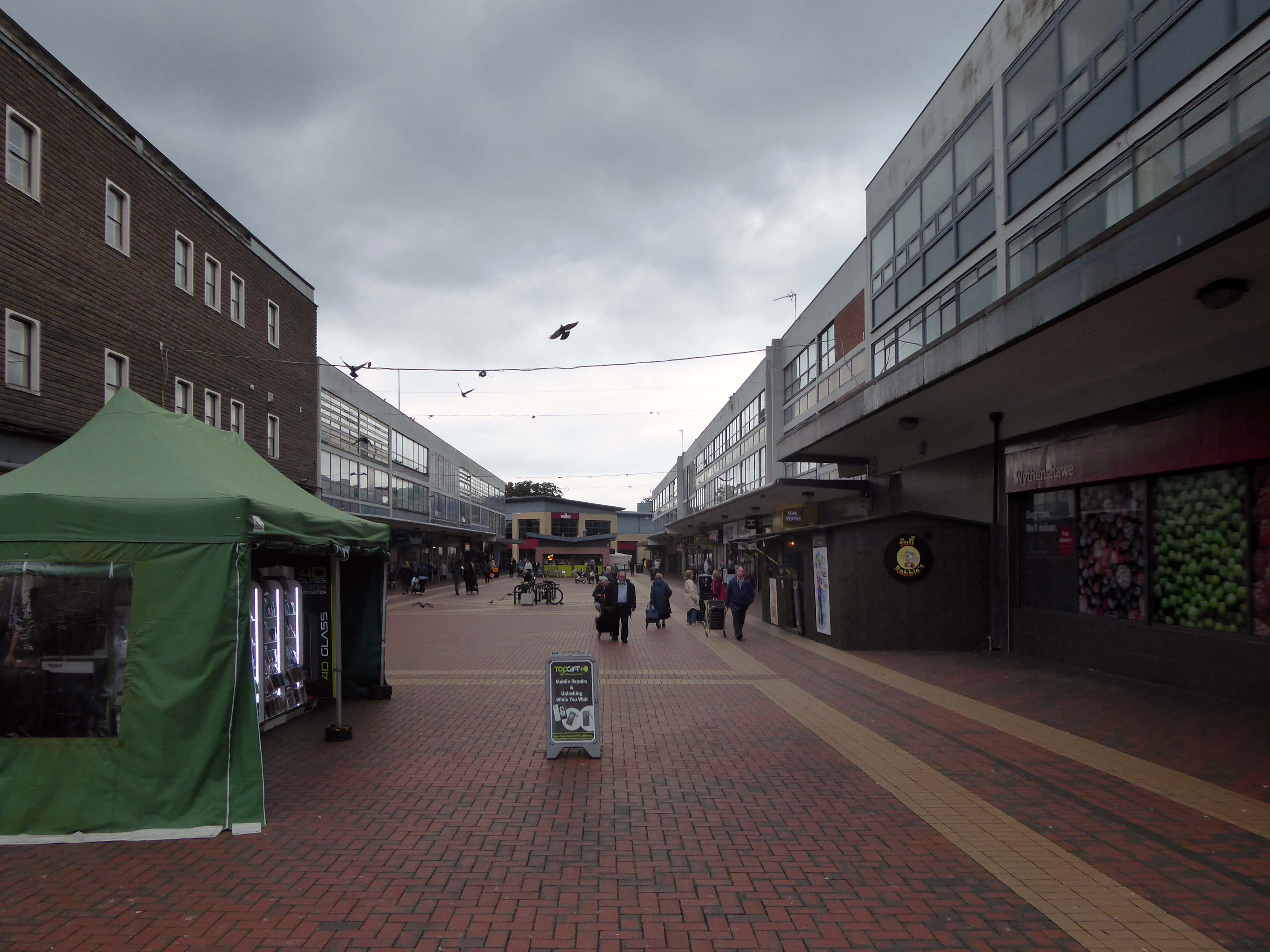
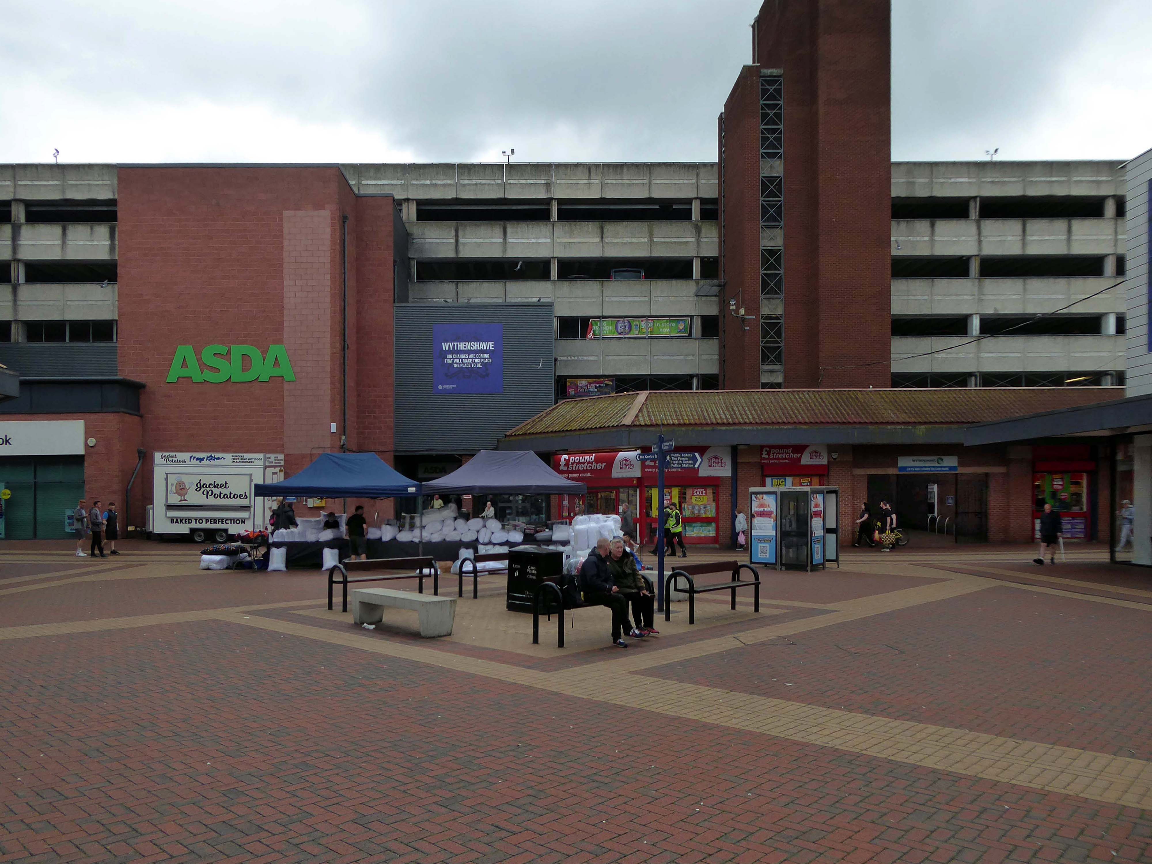
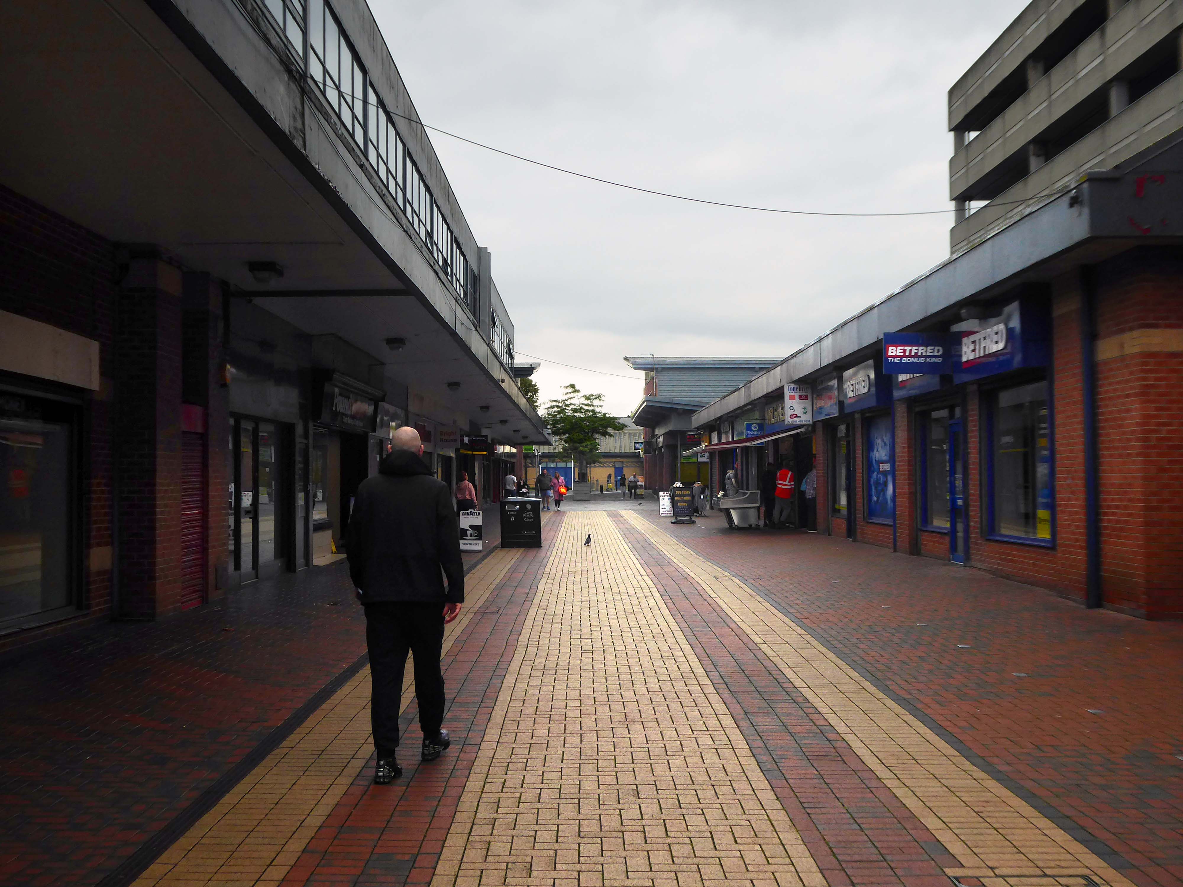
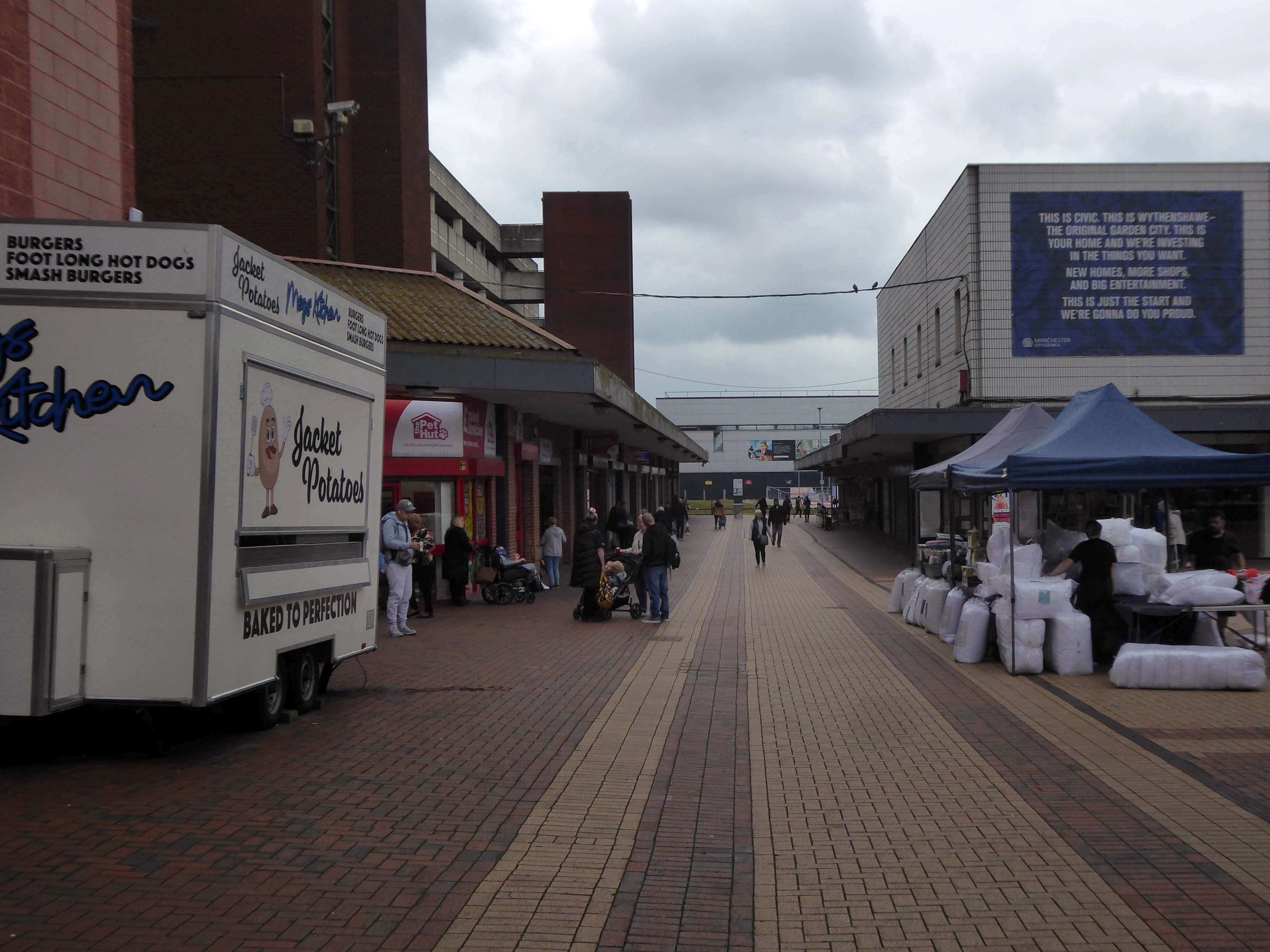
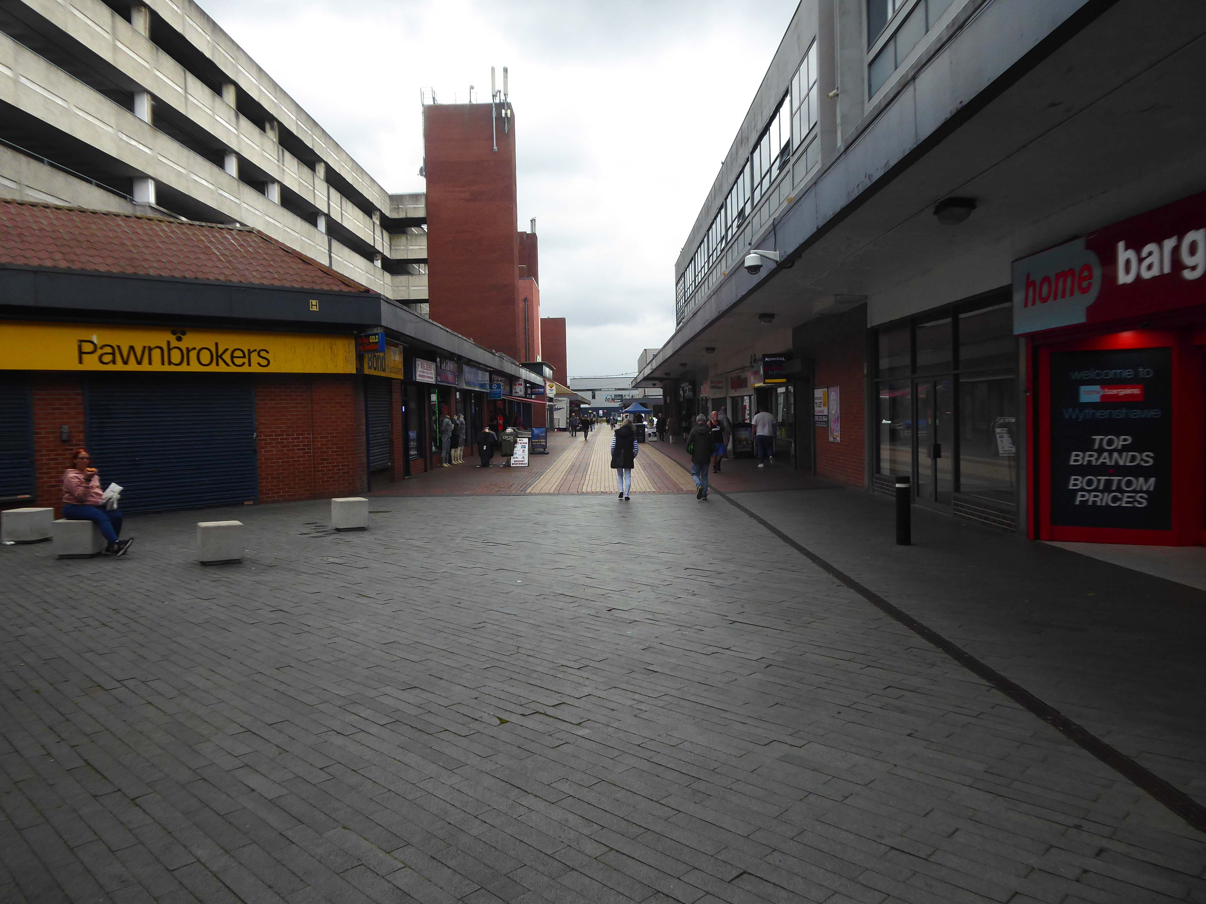
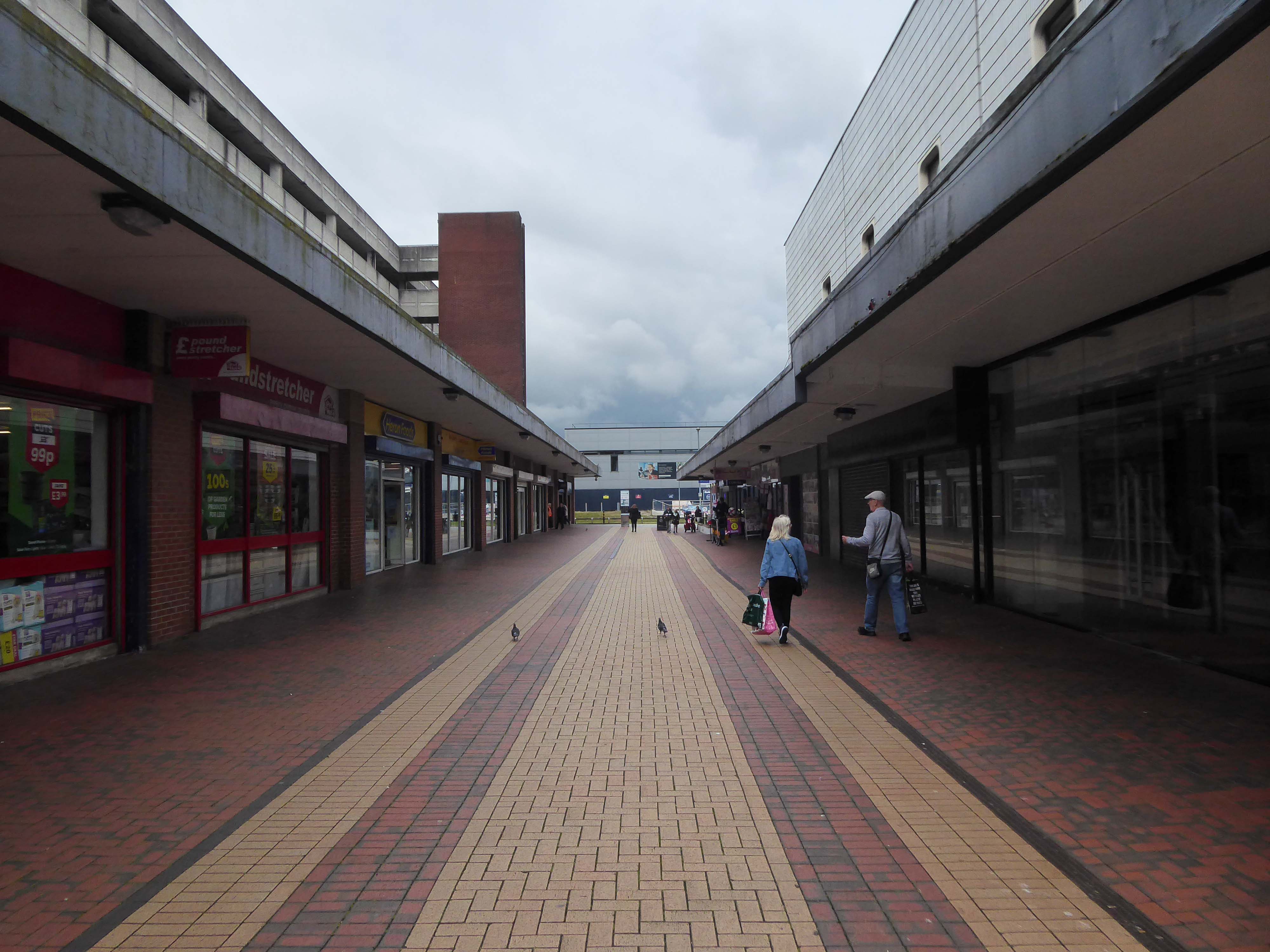
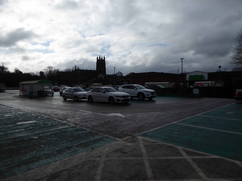
ASDA remains the anchor store, Wilko having left a Wilko sized hole in the precinct. On an overcast Friday morning there was sufficient footfall to sustain the wide variety of smaller shops and larger retail chains. As with many other towns within the central Manchester orbit, the easy proximity fills those busy trams and buses, which are leaving the area.
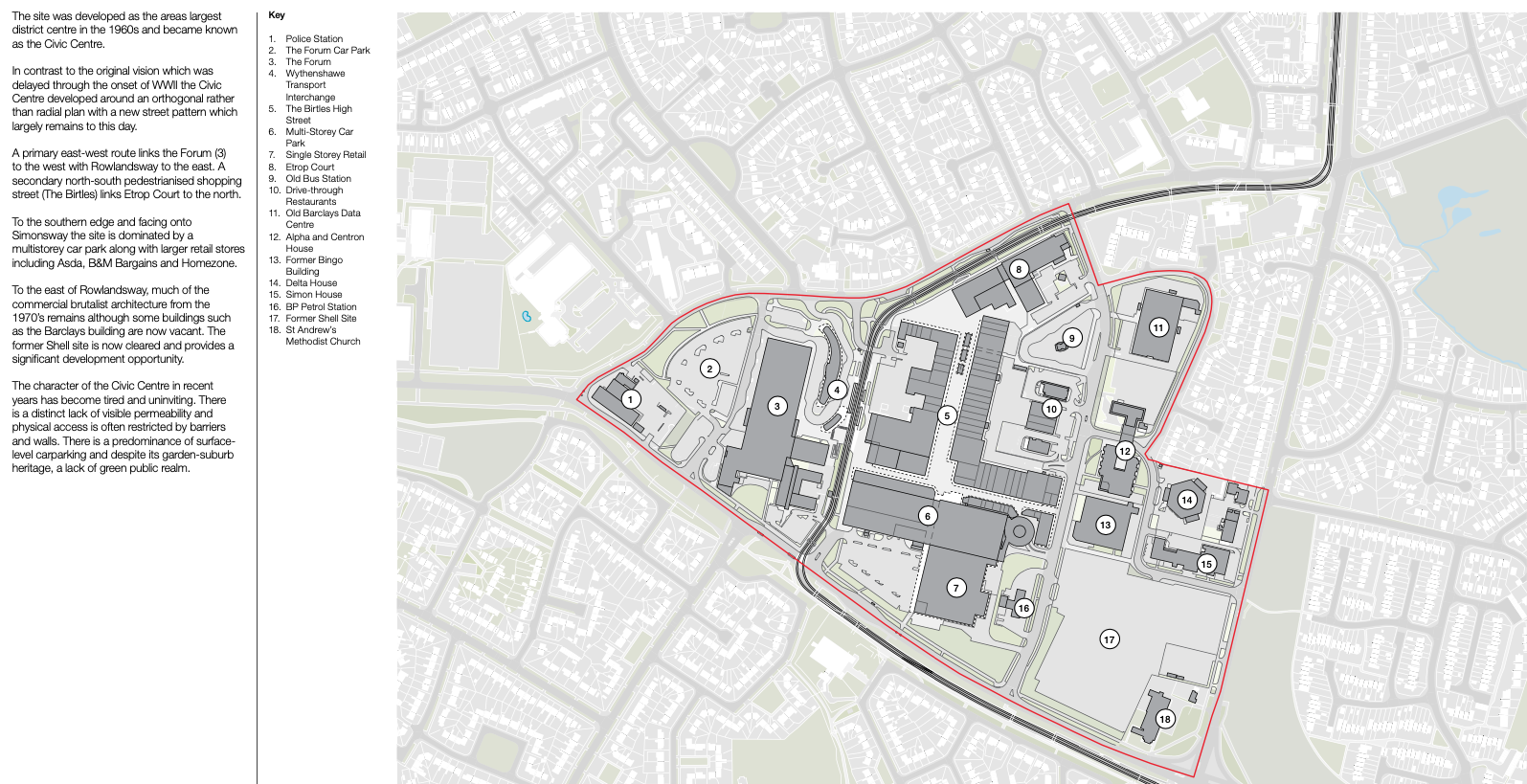
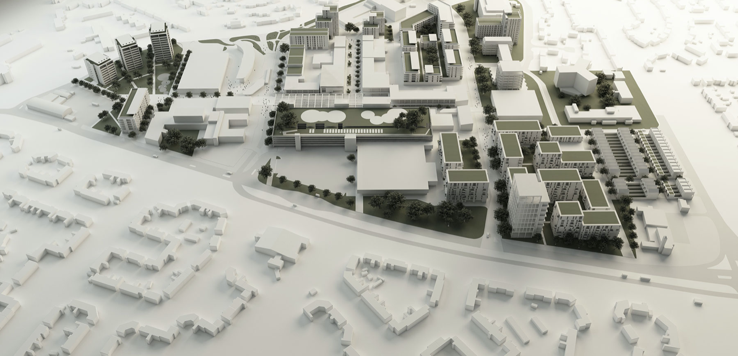
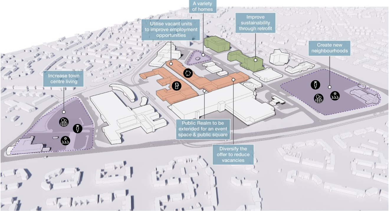
There are plans in place to regenerate the area, in the form of a Masterplan – which can be downloaded here.
Between 1991-2002 there have been some architectural changes, including new stores and office developments. Some of the interventions included significant adaptions which further increased retail into the existing buildings high street.
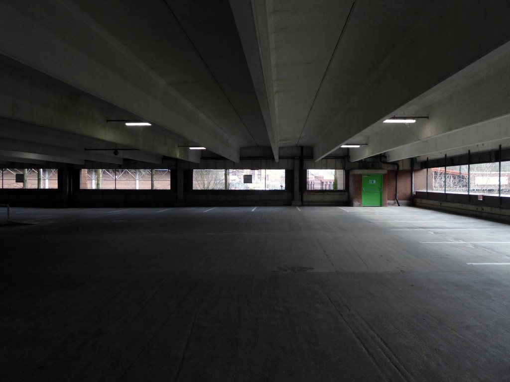
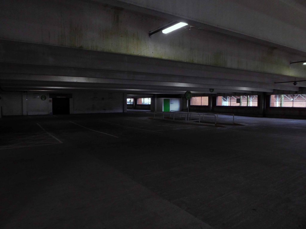
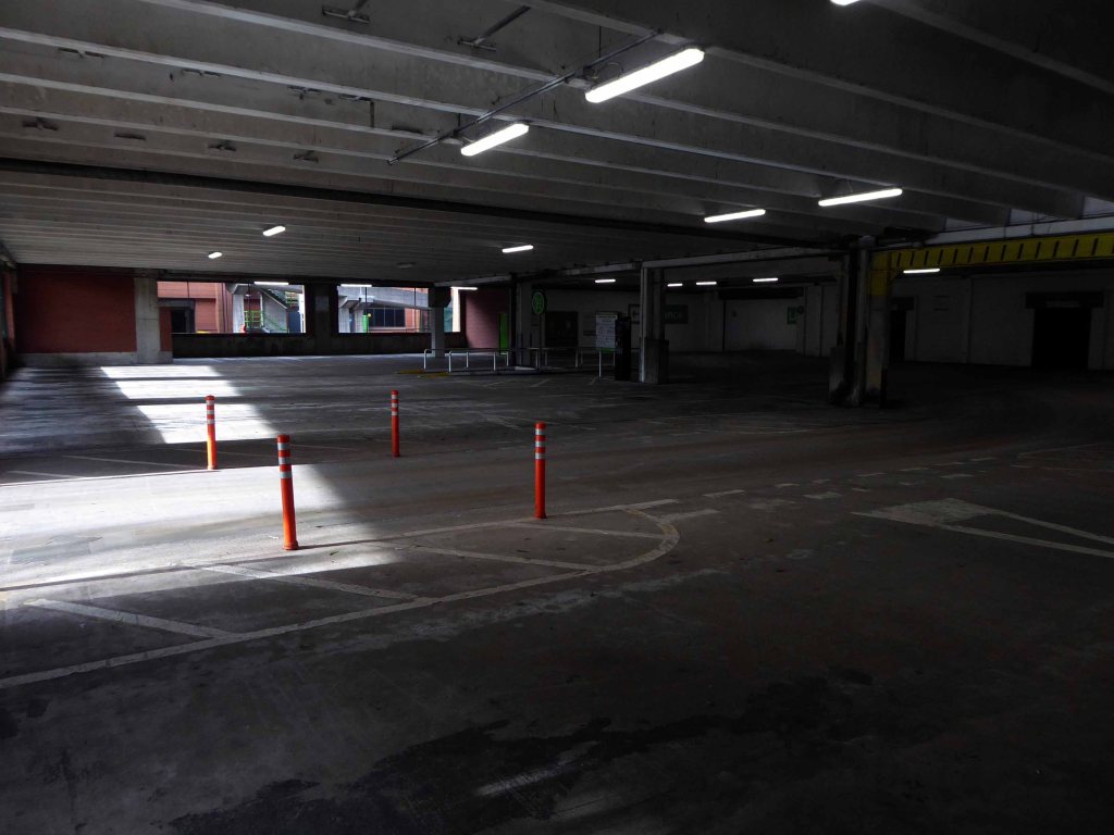
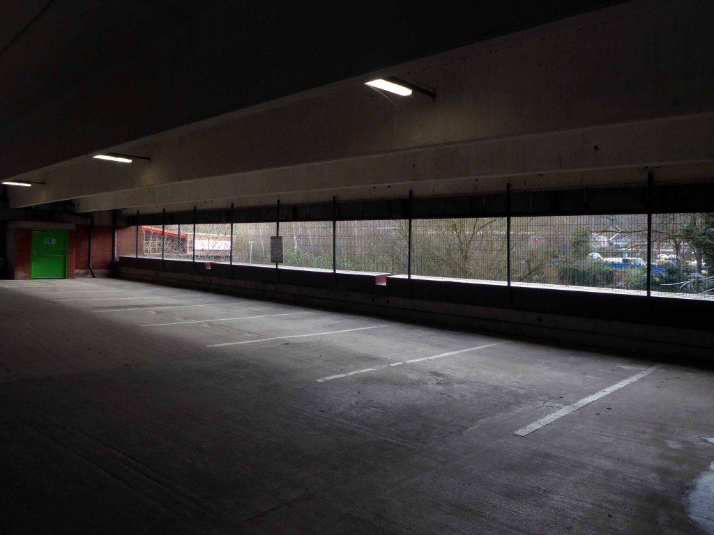
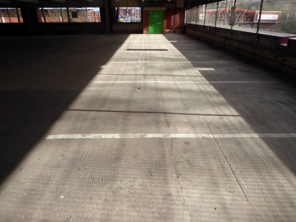
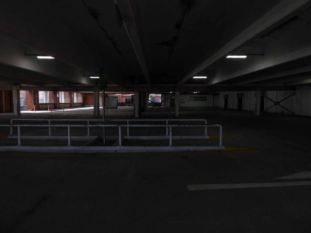
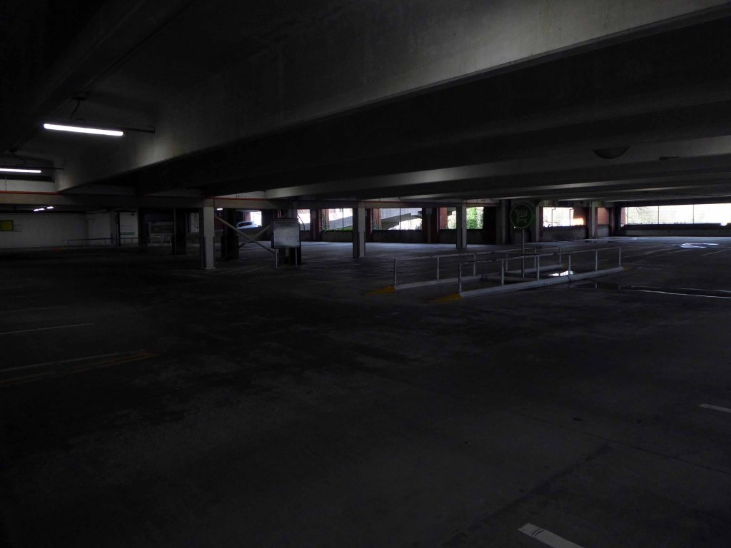
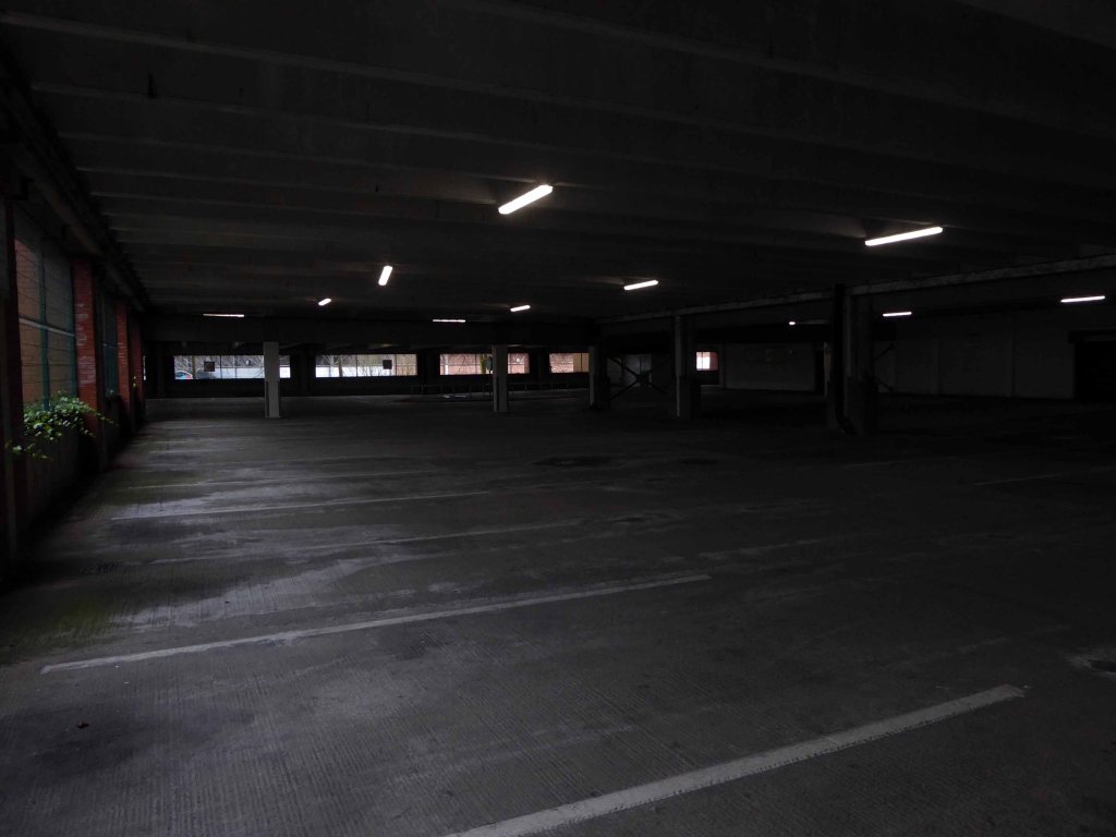
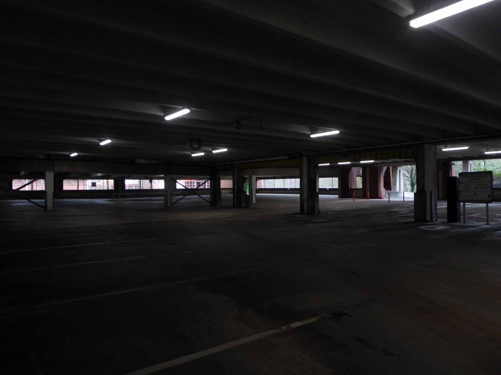
The interventions included significant adjustments to the multi-storey car park with the aim of reducing parking numbers whilst providing additional lettable space. Further Transport Hub Arrival commercial development was created to the north of the site with the construction of Etrop Court, despite there being significant commercial vacancy across other parts of the estate.
Whilst there has been significant incremental intervention, the character of the area has not fundamentally changed from its founding concept. However the cumulative impact of the various changes have had a negative impact on the functionality and suitability of place, so much so that the centre is in many ways no longer fit- for purpose.
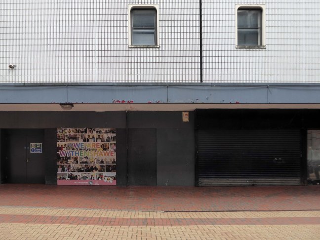
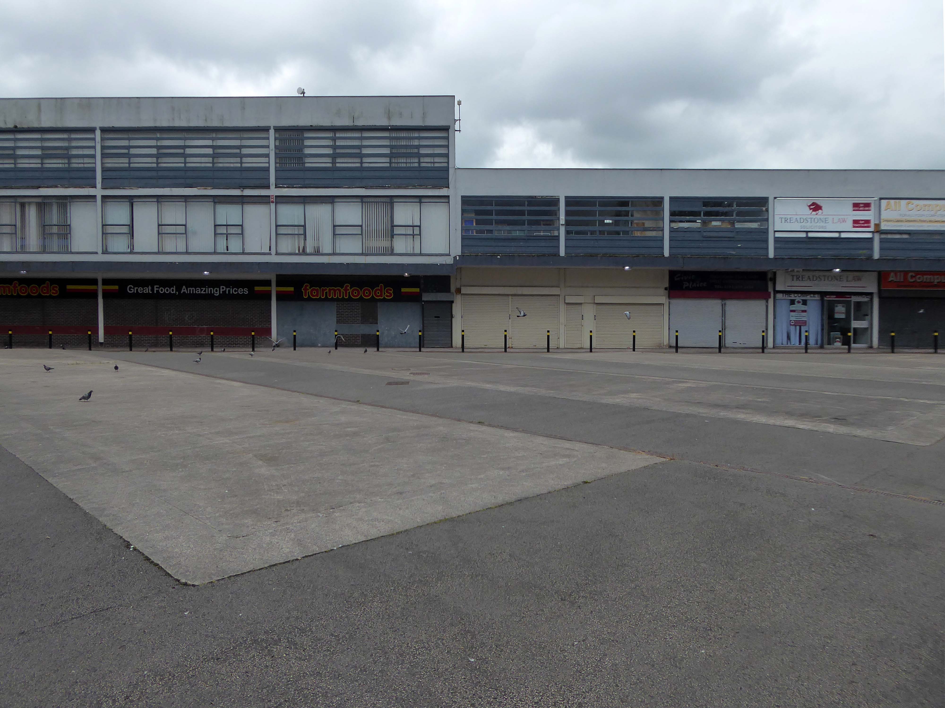
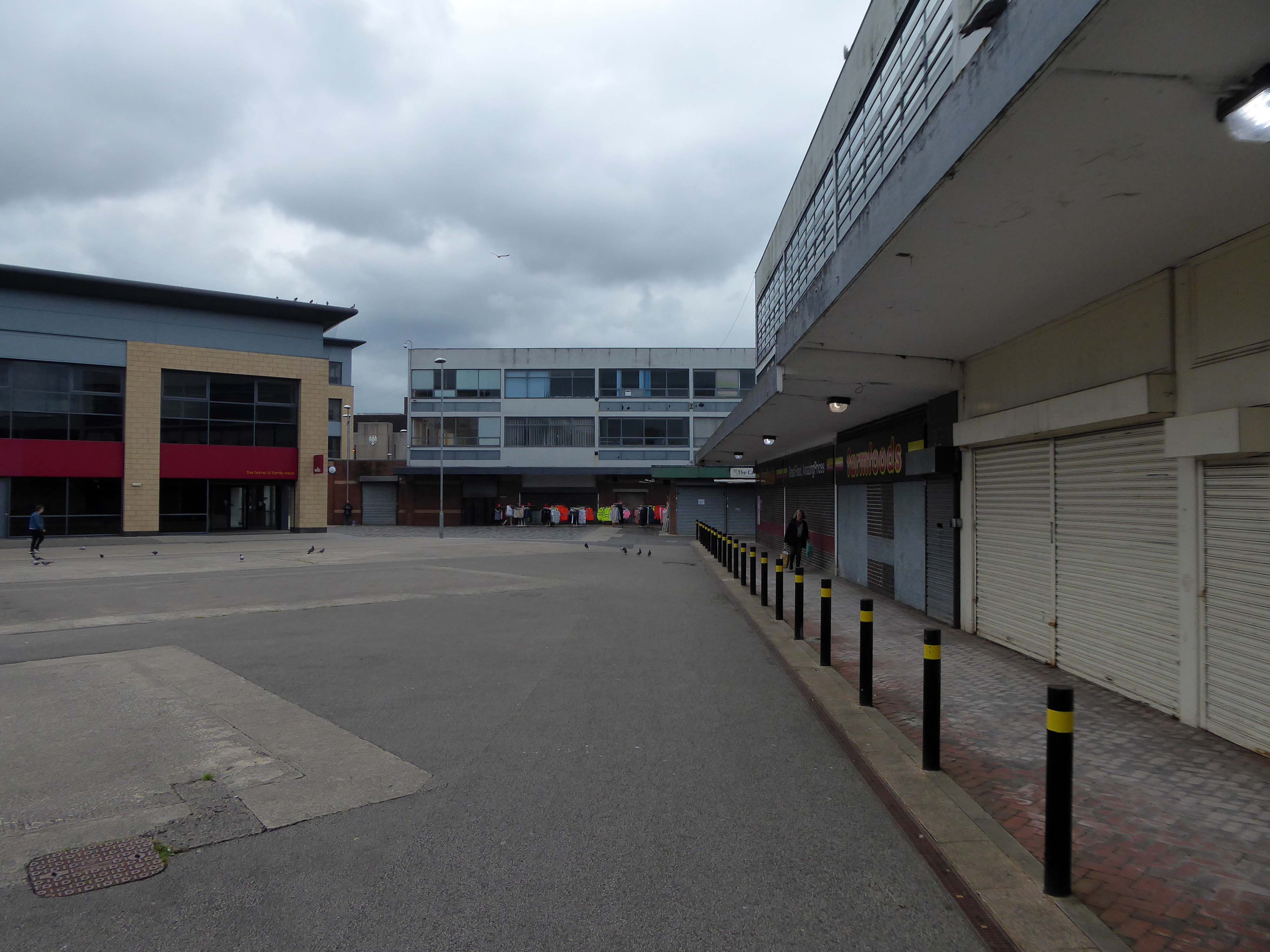
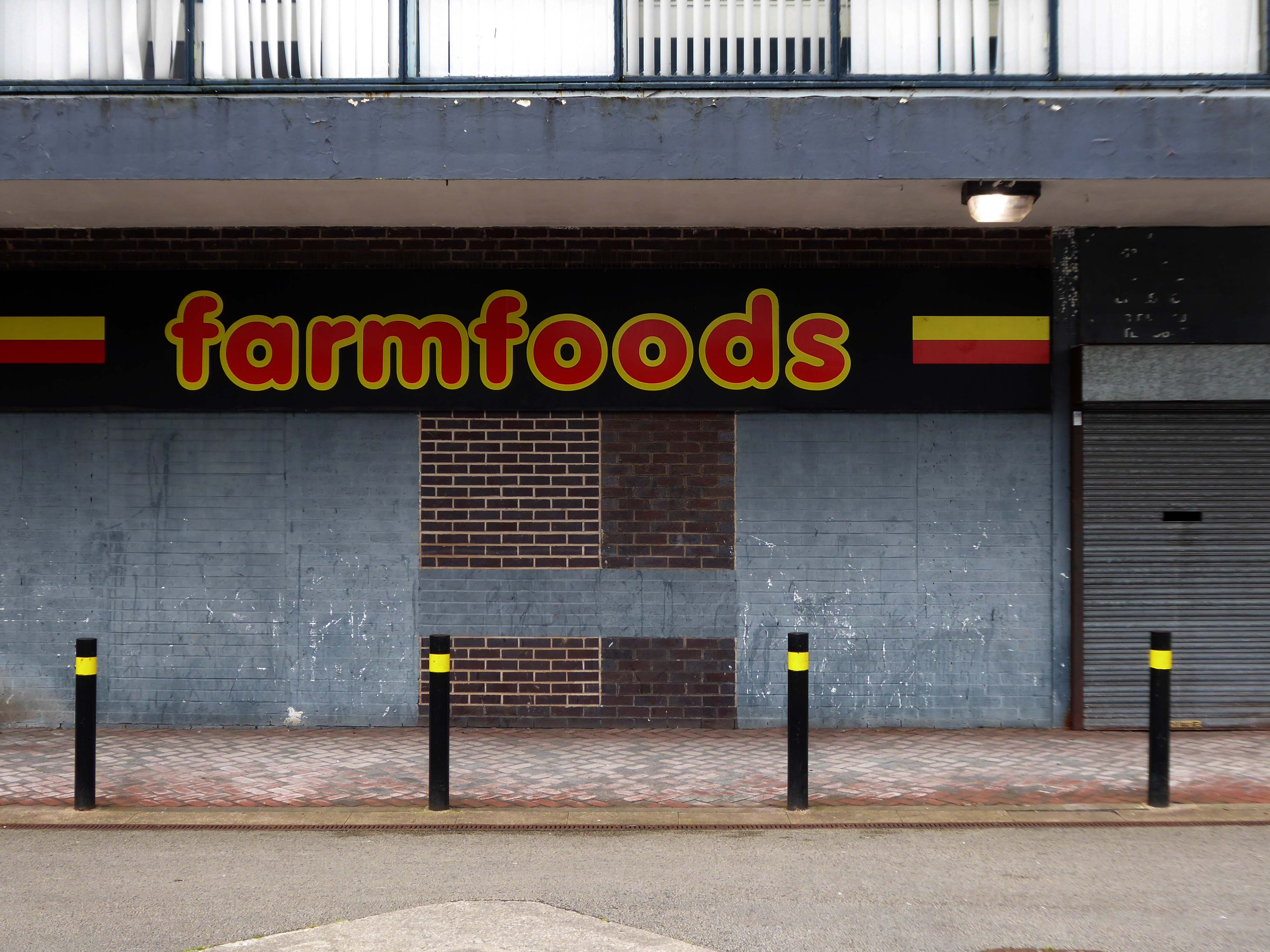
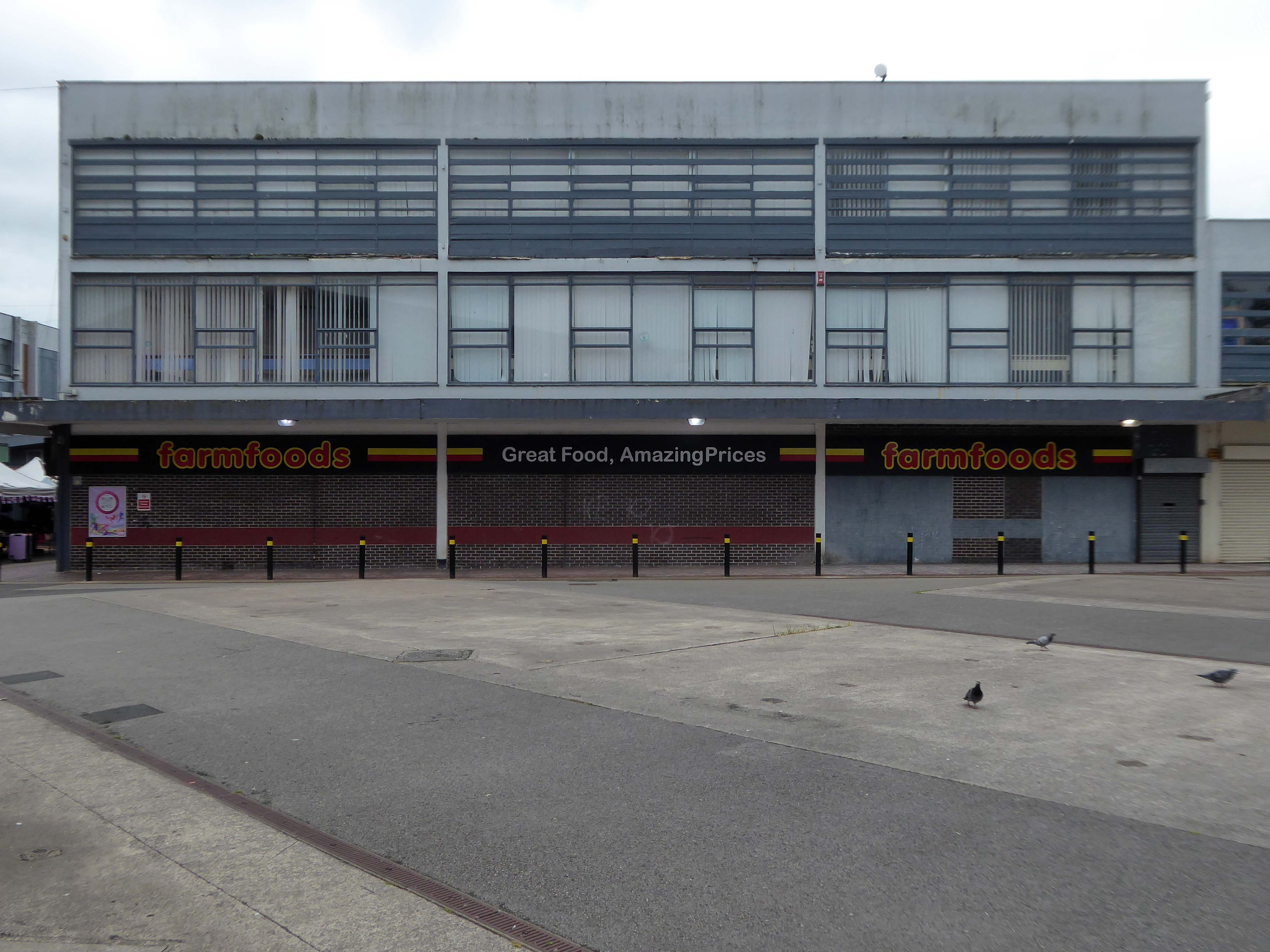
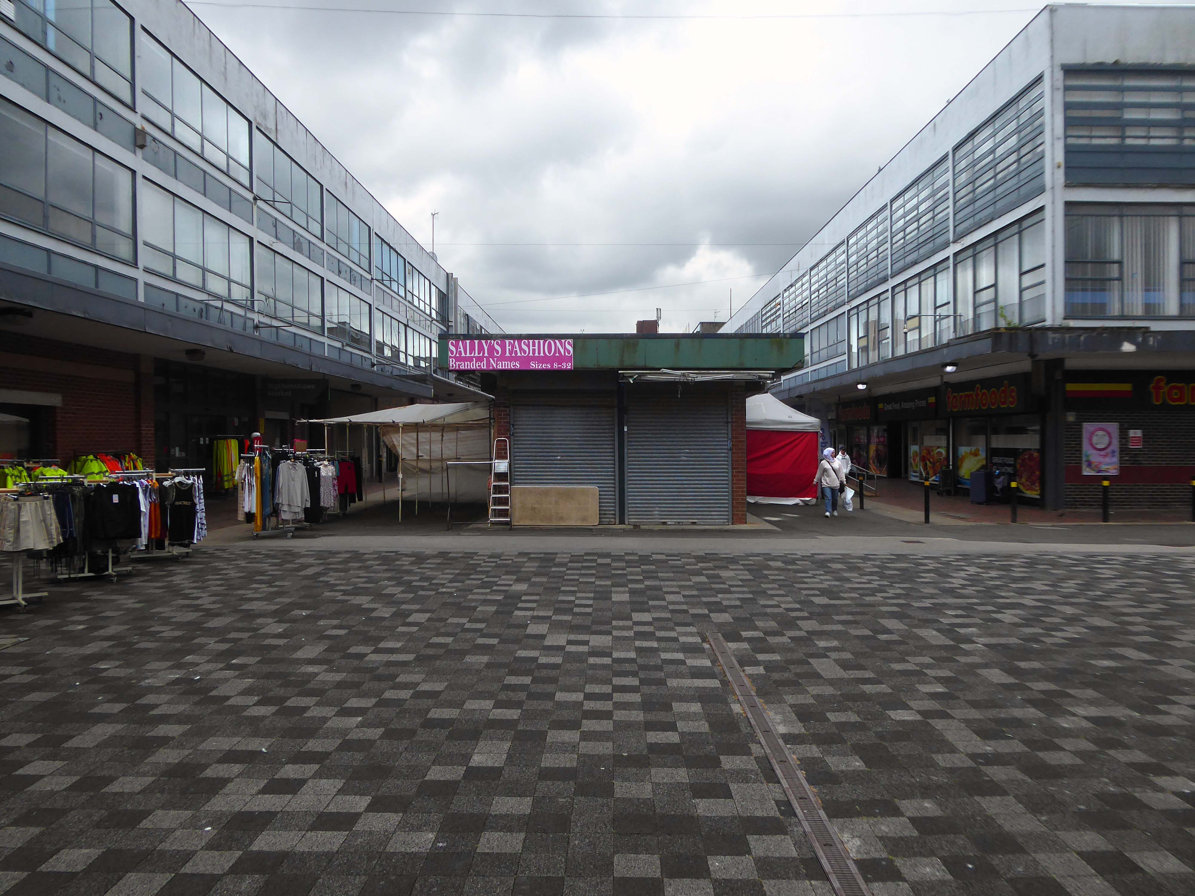
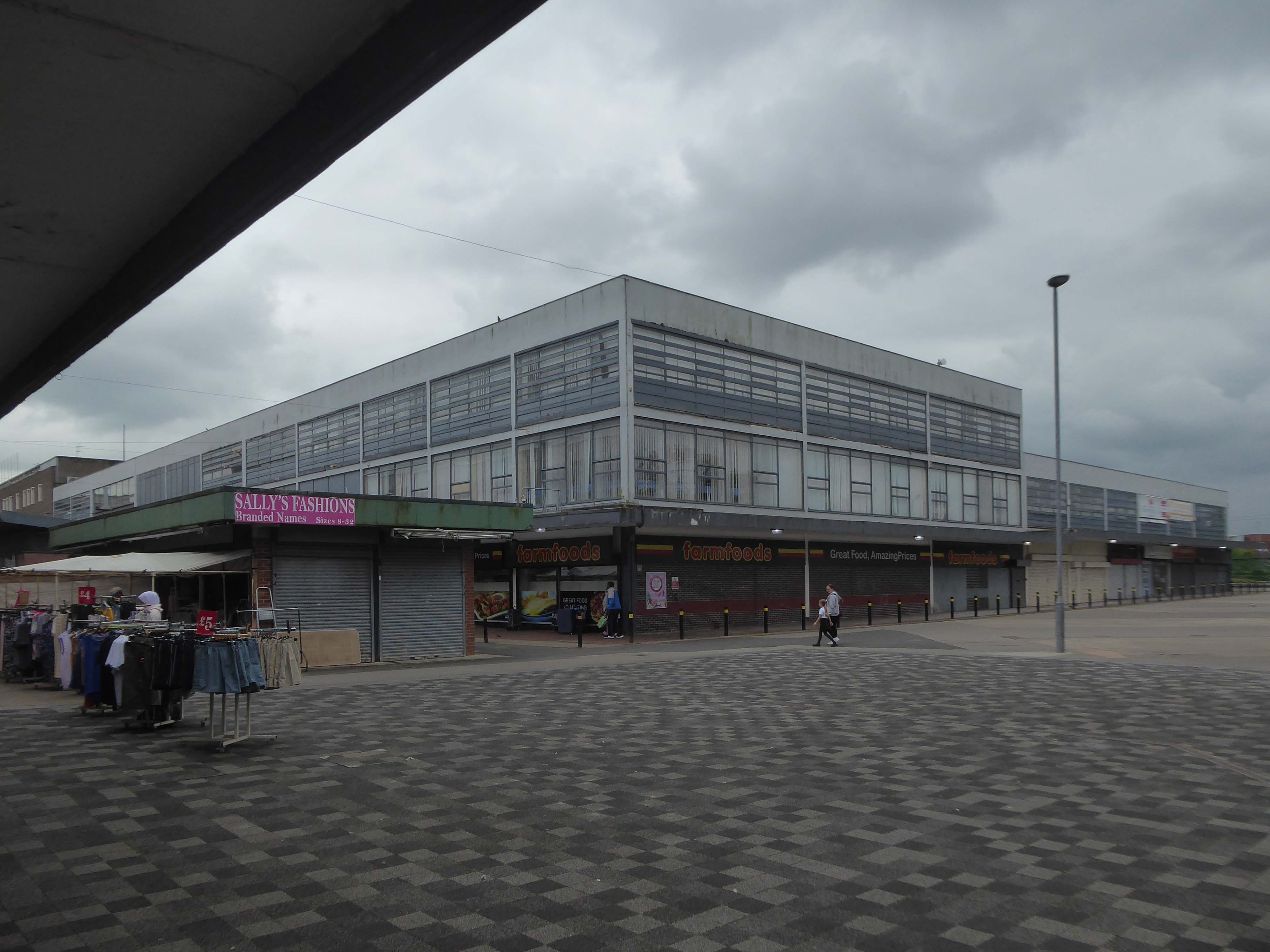
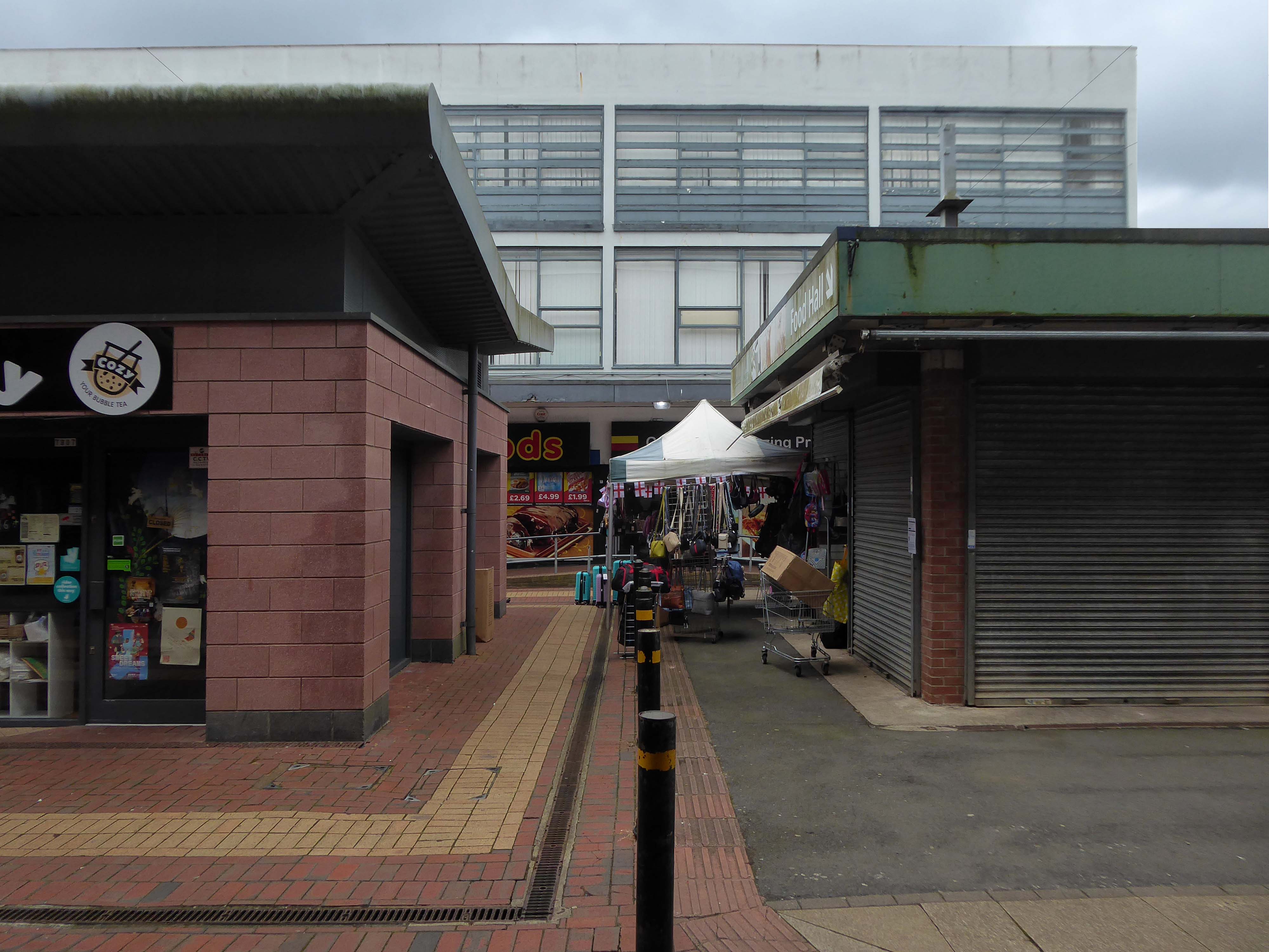
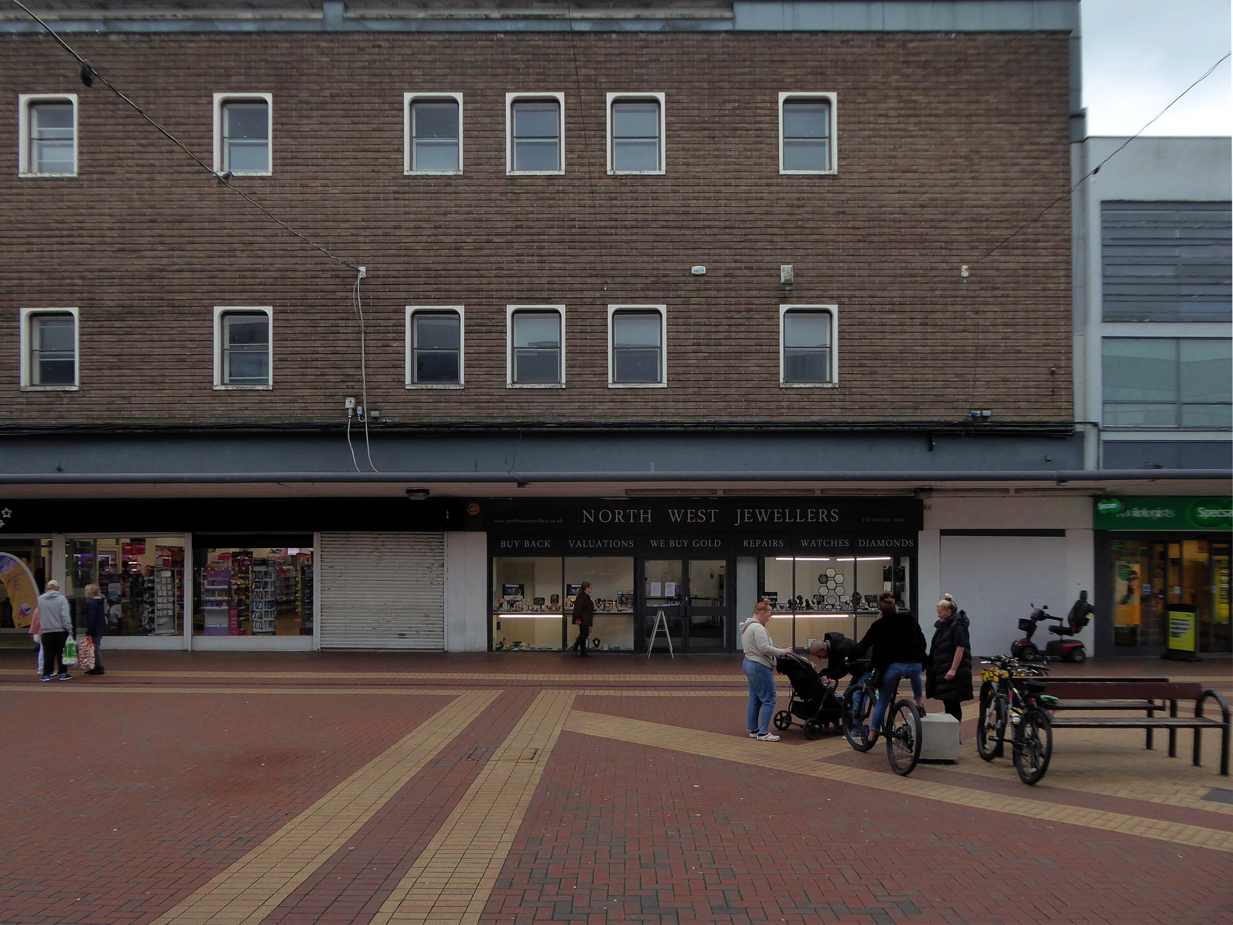
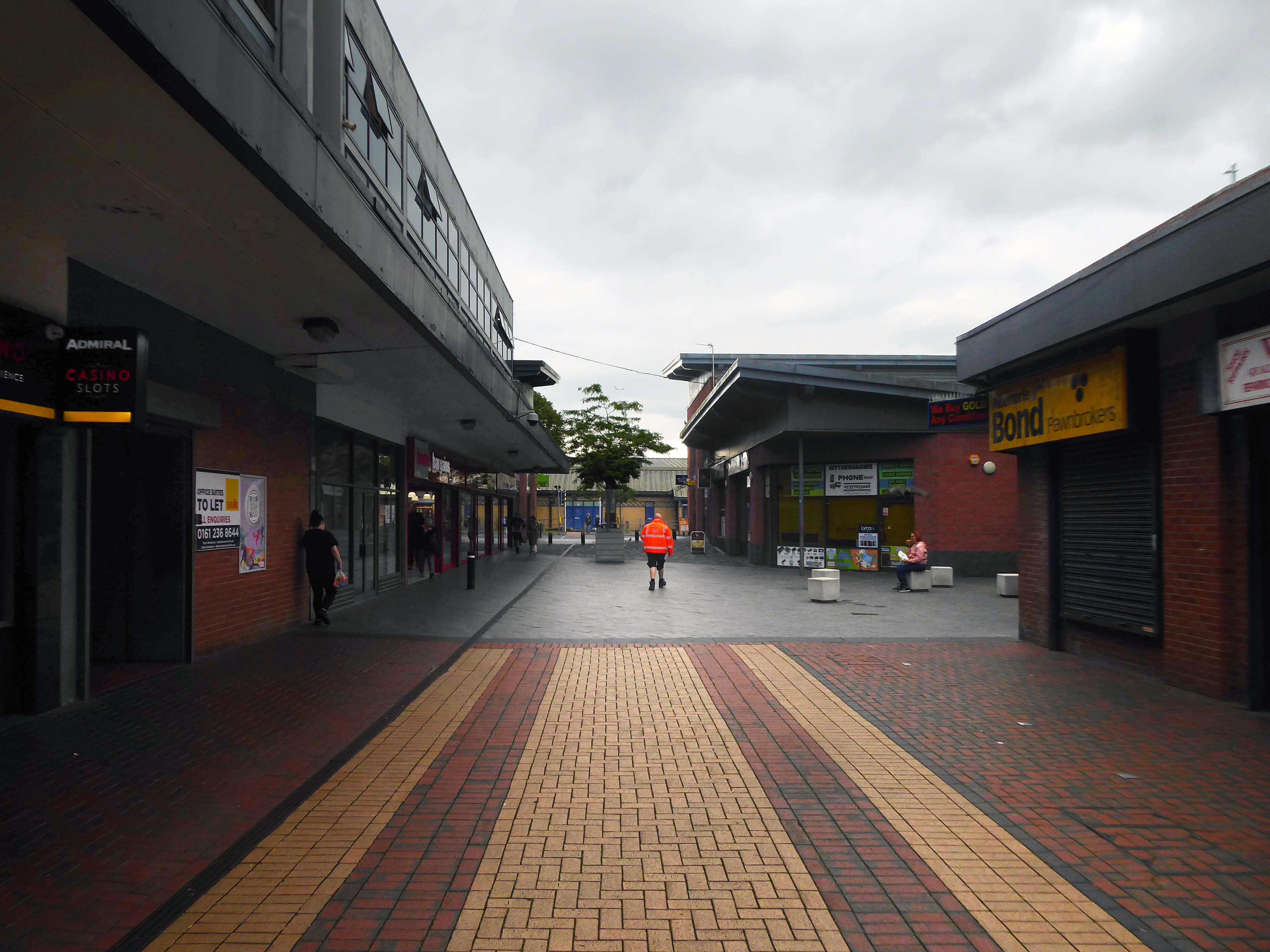
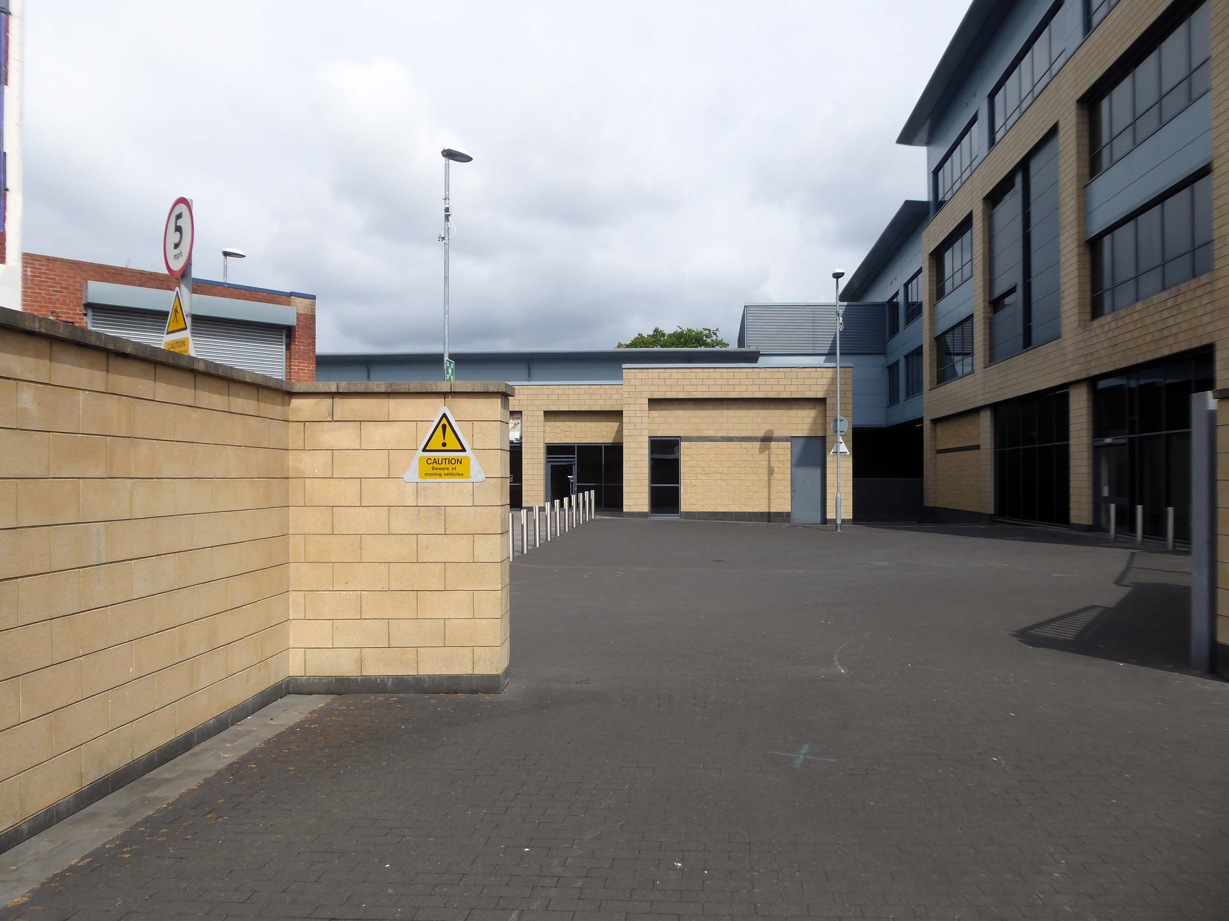
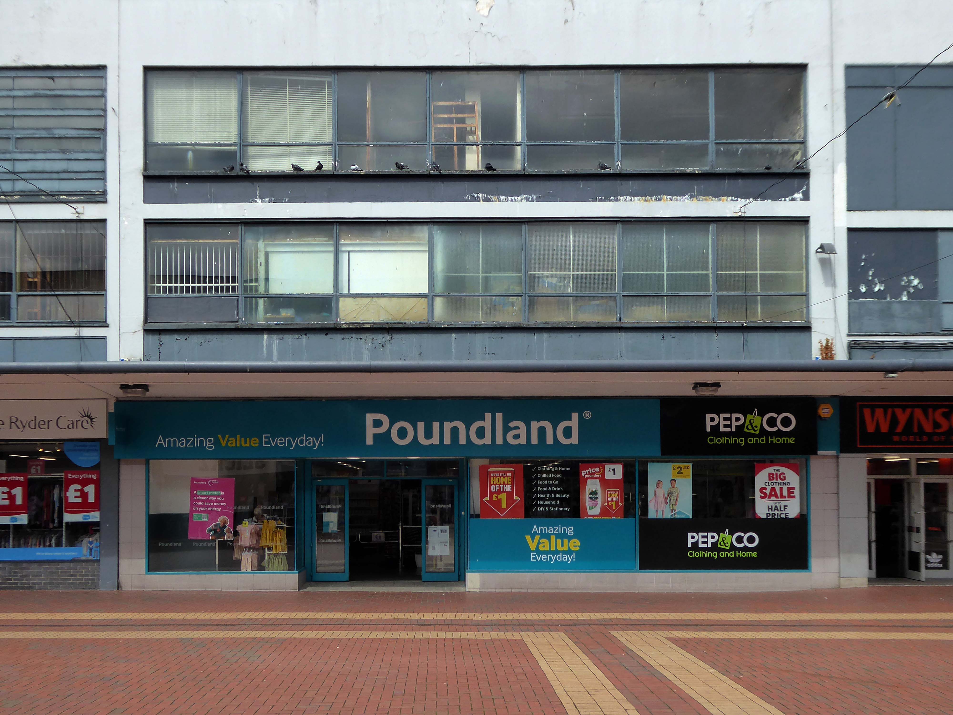
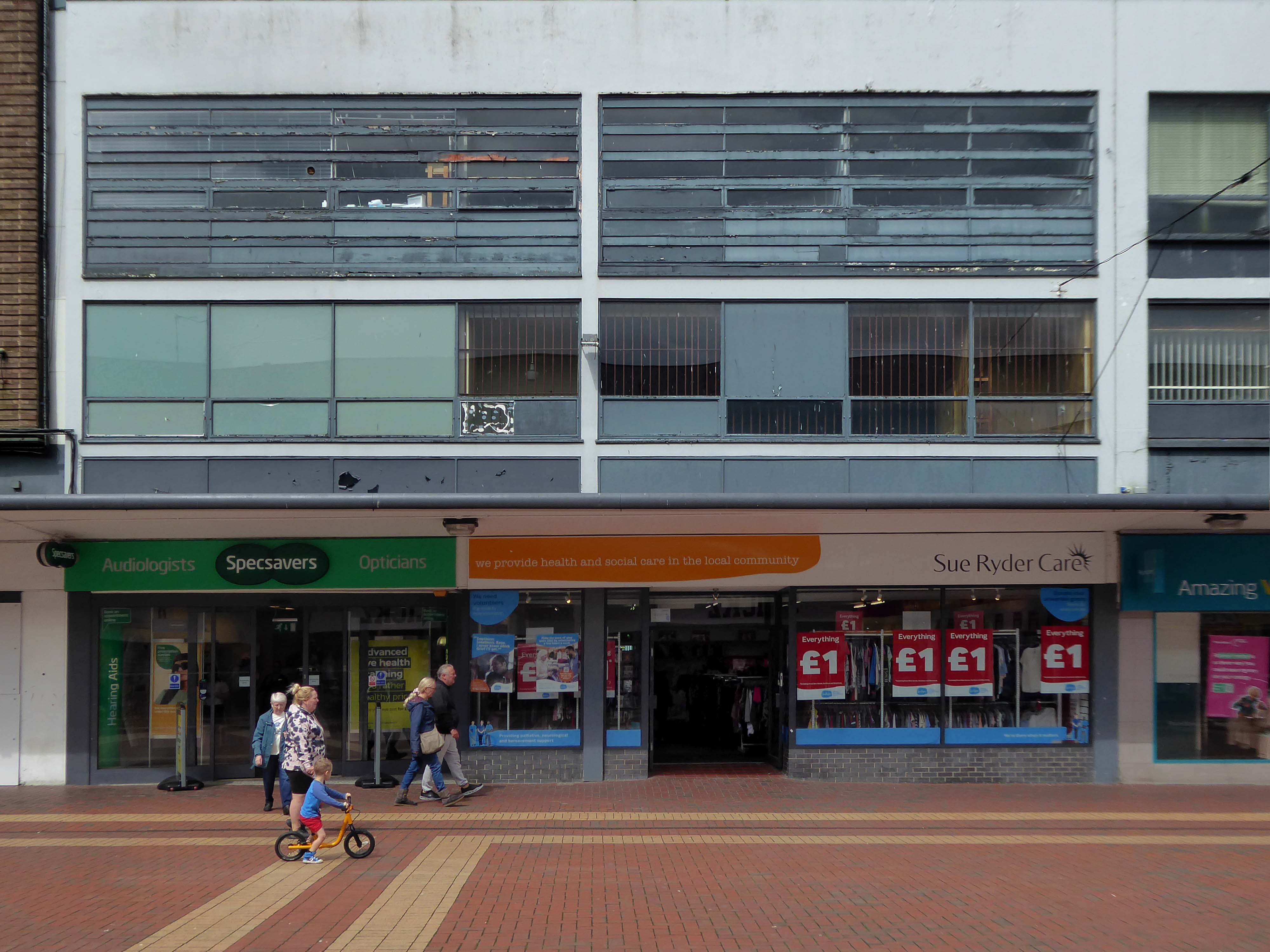
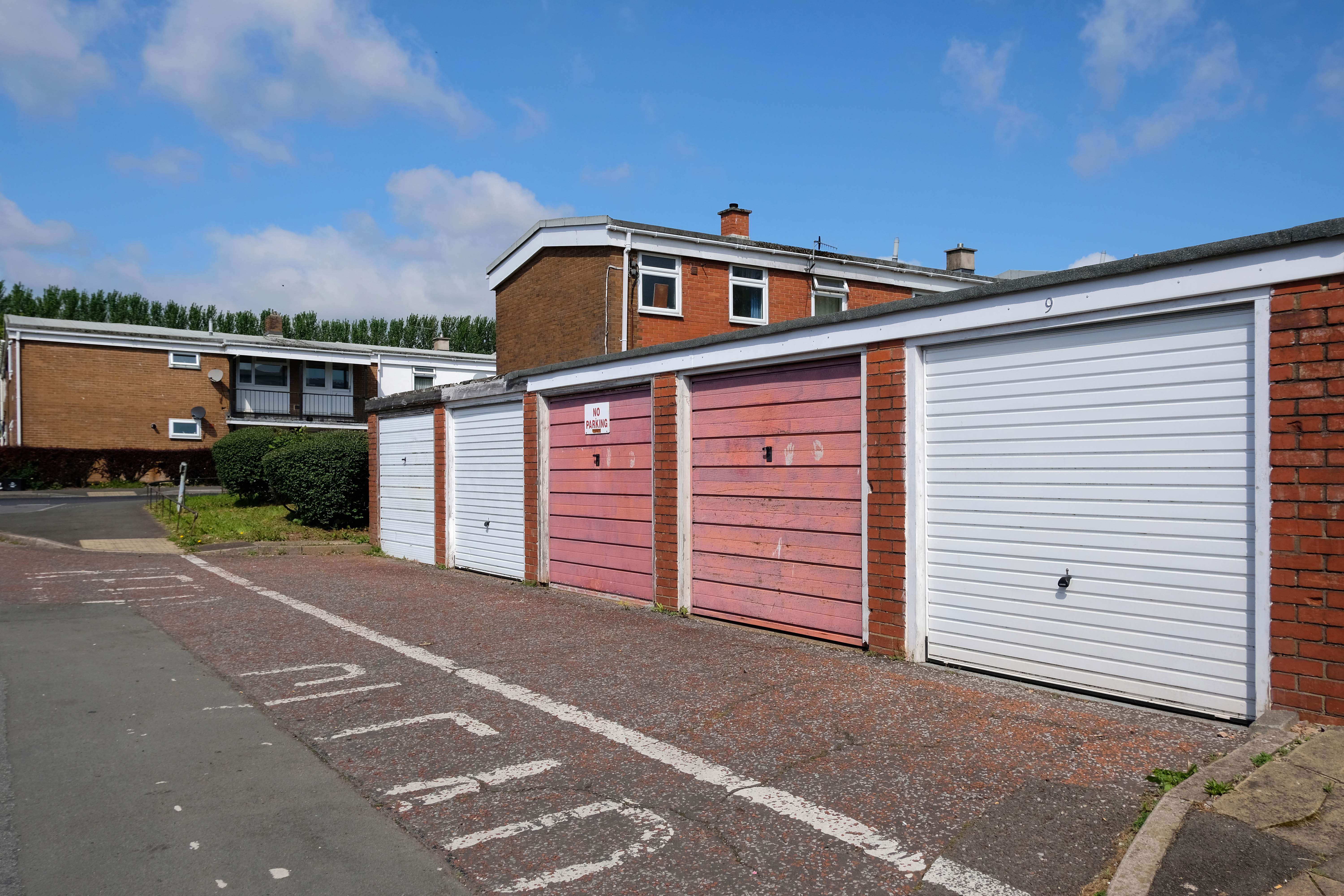
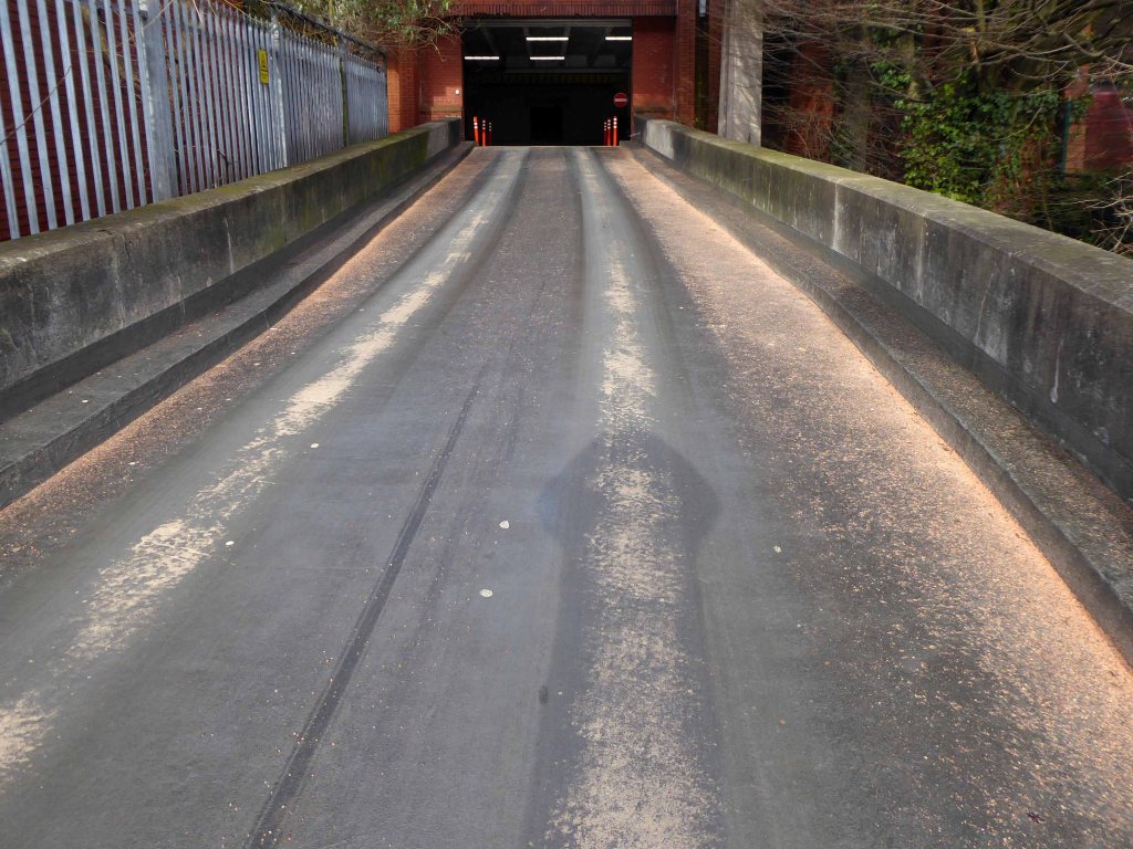
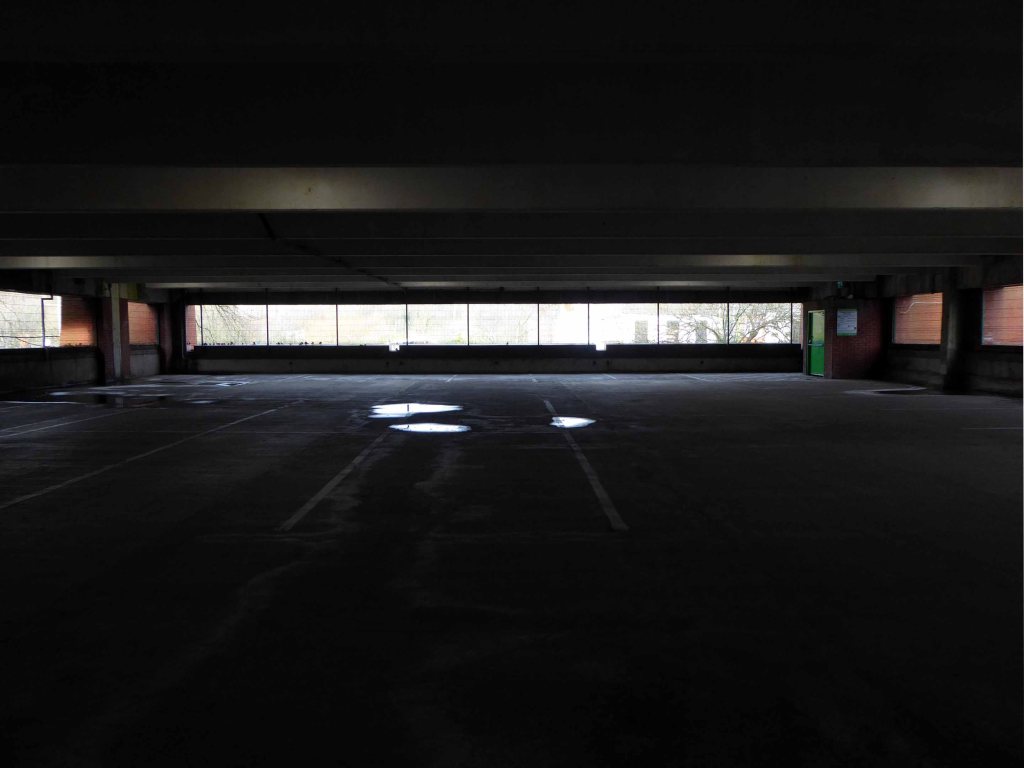
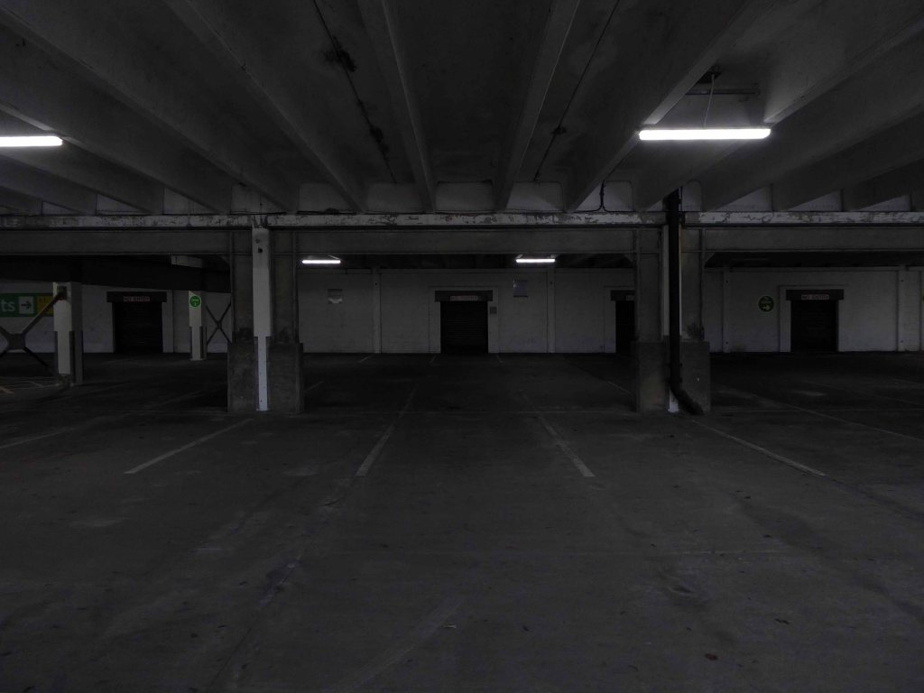
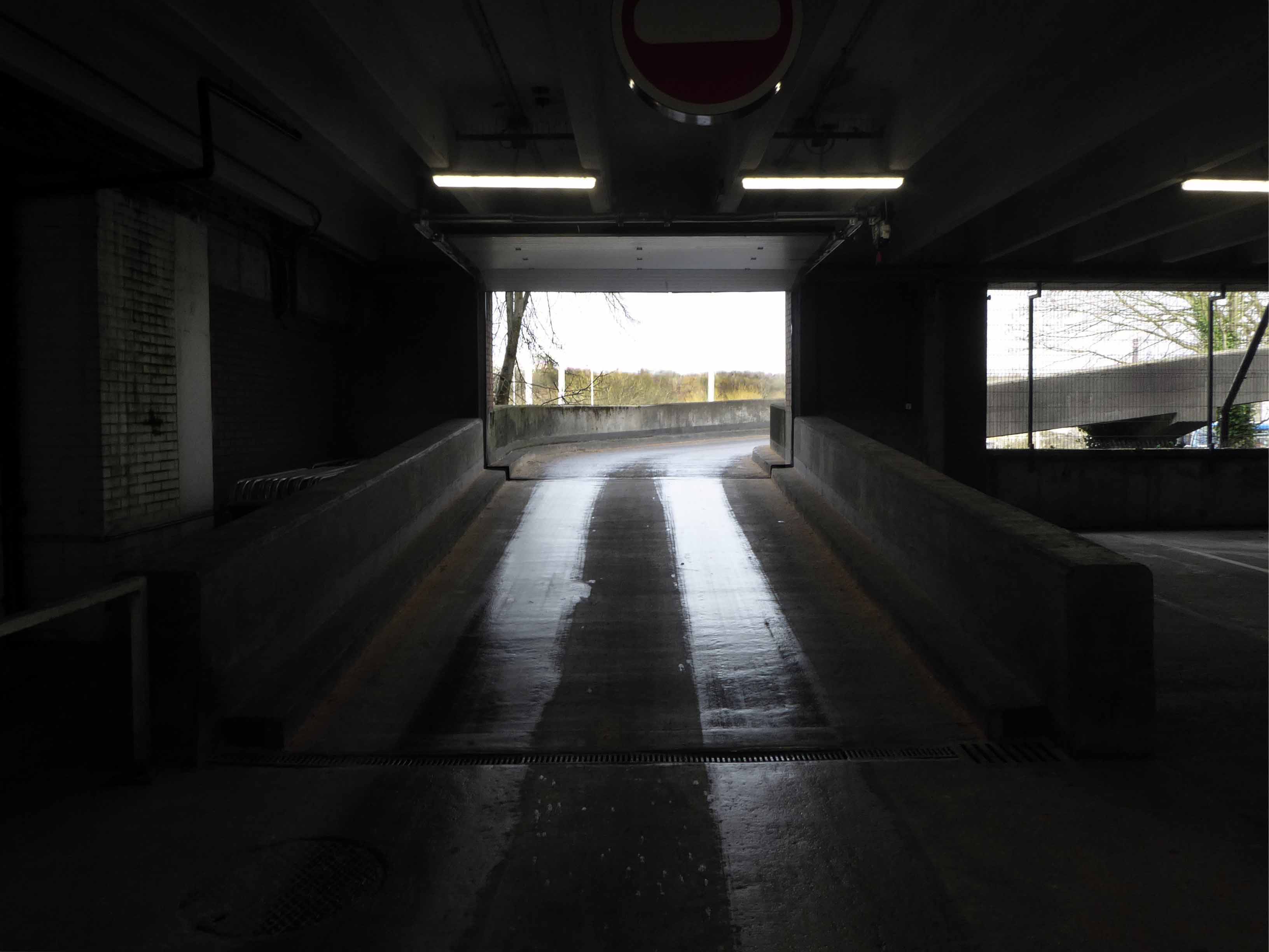
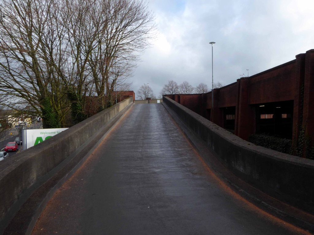
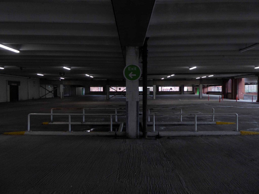
The site today is surrounded by surface car parks, with a total of around 2,500 car parking spaces, 1,700 of which are contained within the multi-storey car park. Many of the retail units, the upper floor office spaces along the Birtles and Hale Top, and buildings to the east are vacant.
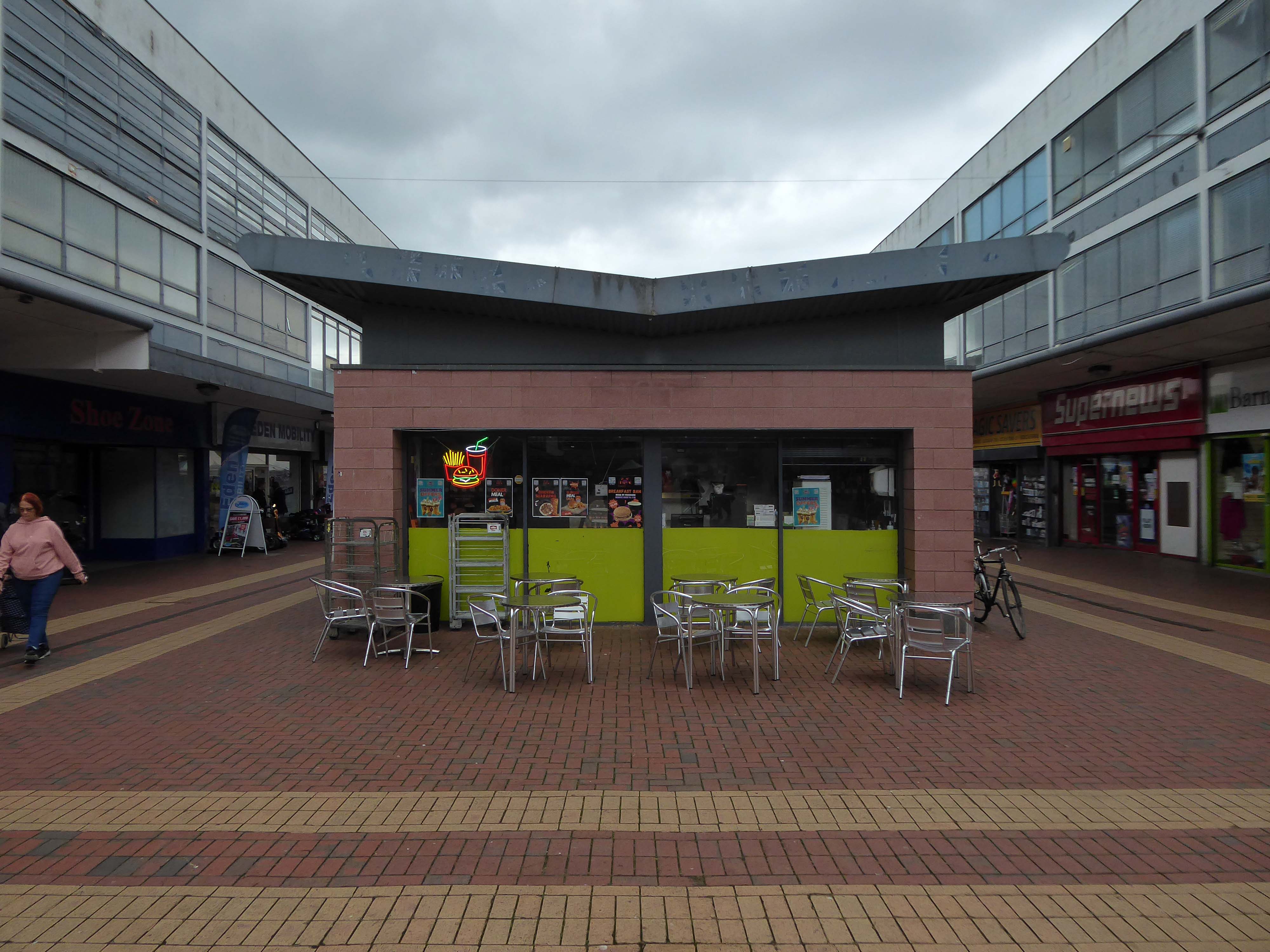
Typically, the levels of vacancy are consistent with the changing demands of the high street, where typically modern and successful retail centres are now more diversified and focussed on creating a visitor or destination-based experience. In this sense, we anticipate a need to diversify the high street and to promote a smaller more concentrated retail core, whilst supplementing the offer with more meanwhile and permanent uses and activities based on culture, food and creative workplace.
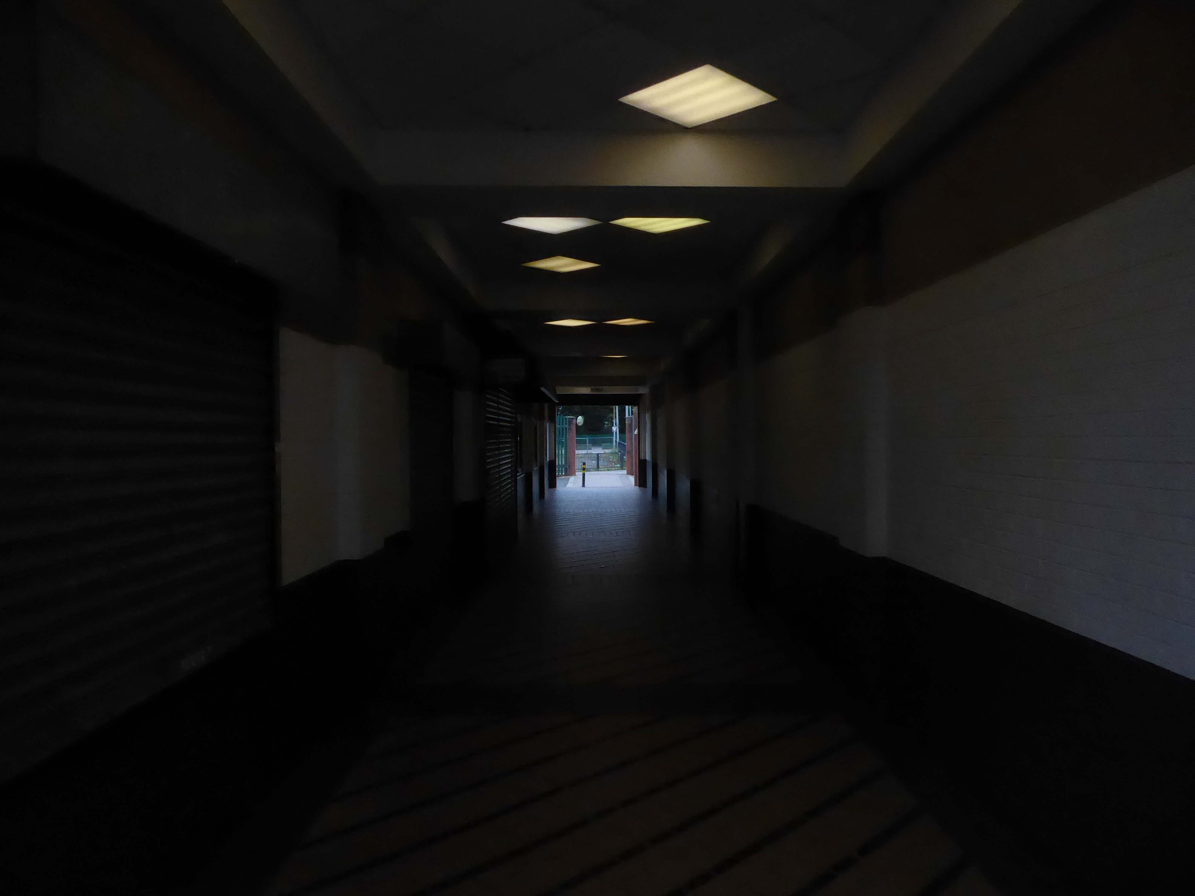
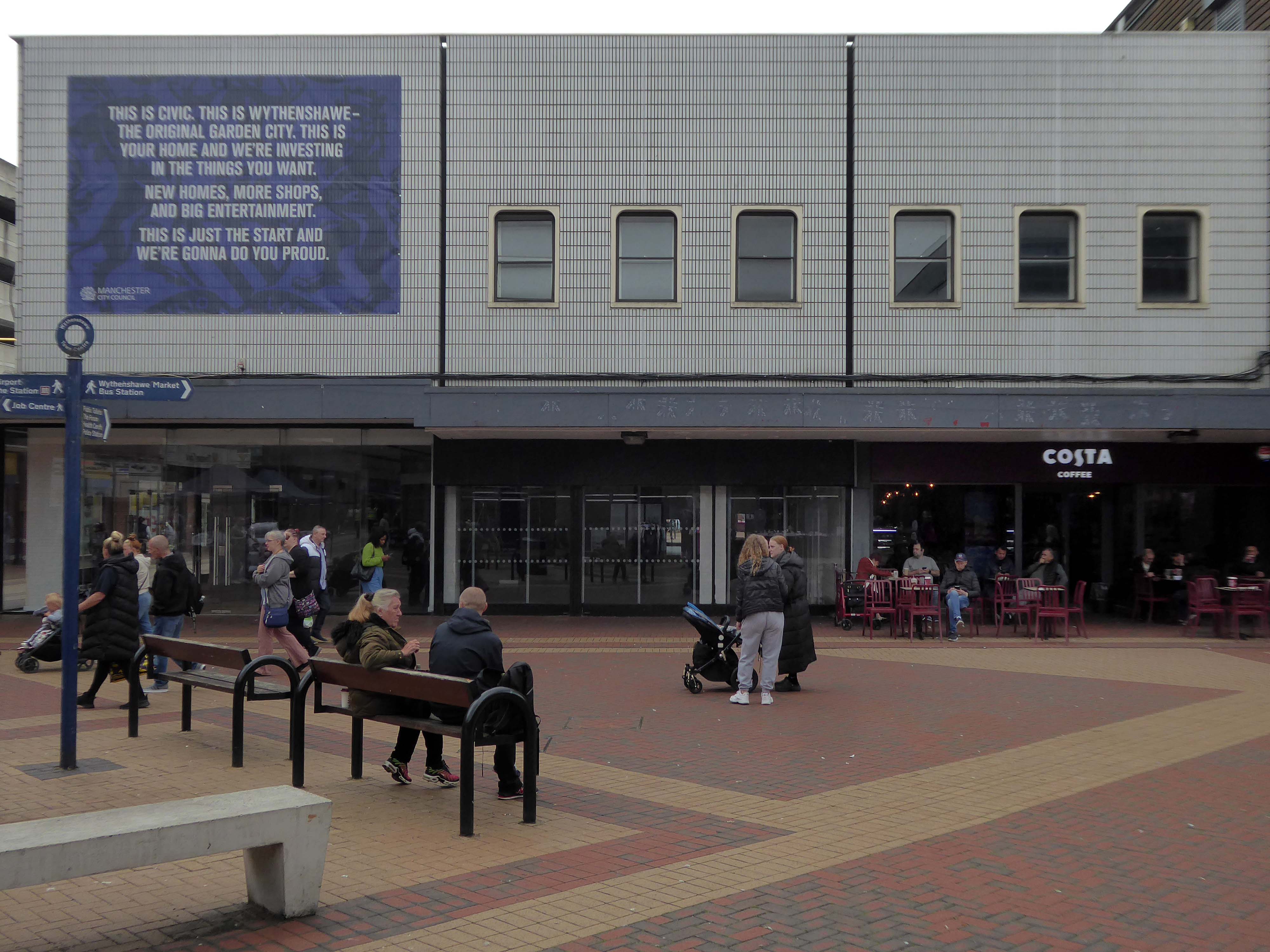
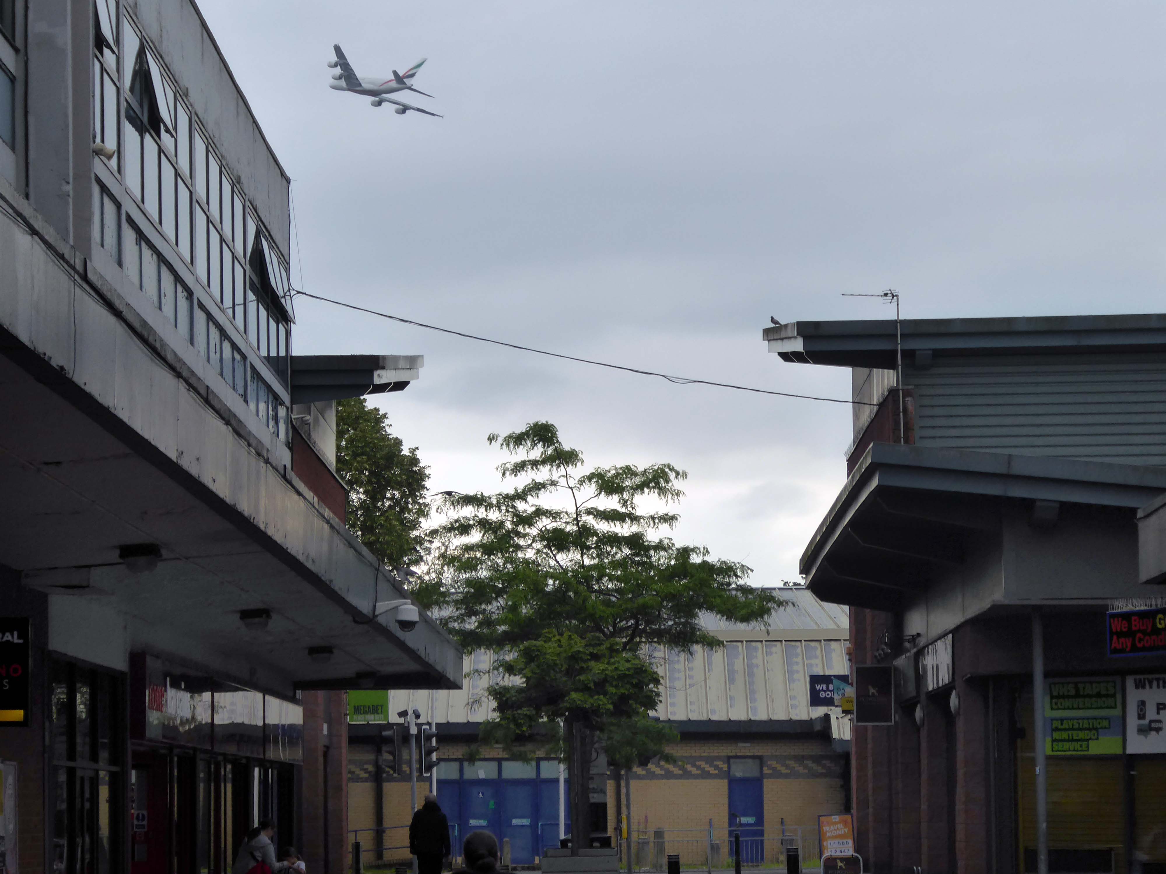
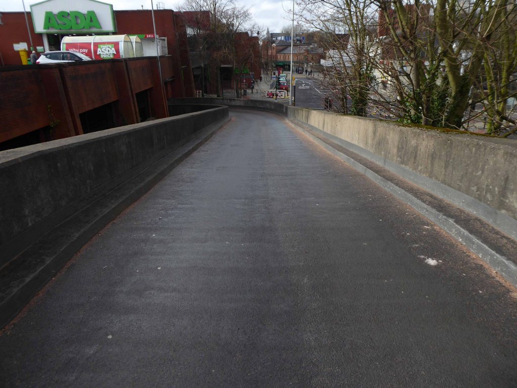
The gateway to the Civic Centre on arrival from the Transport Interchange is very poor. Access to the high street isn’t obvious and the route through to the high street isn’t clear. Much of the site is surrounded by fencing, barrier and gates and whilst they are open during the day, they are locked at night to prevent vandalism. This barricaded aesthetic does nothing to promote an easily accessible and family friendly environment as well as preventing any opportunity to promote a much needed night- time economy.
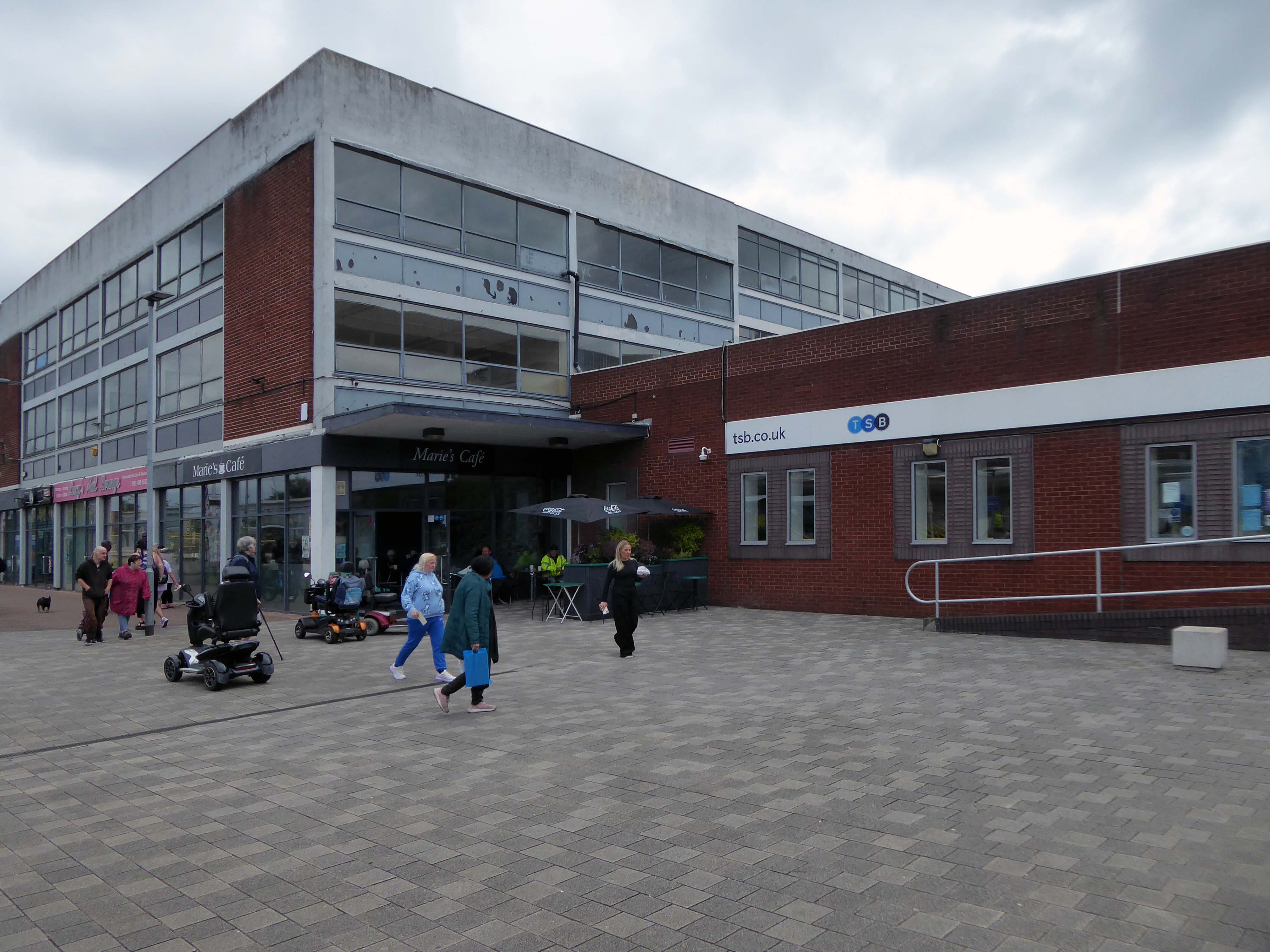
Currently, the Civic Centre appears to only cater for those with a need to visit for a particular purpose, rather than capitalising on an opportunity to create a place to visit and dwell.
The A5103 is a major thoroughfare running south from Piccadilly Gardens in Manchester city centre to the M56 in Northenden. The road is two-lane dual carriageway with a few grade-separated junctions. It is used by many as a link to the airport and to the motorway network south.
The road starts at Piccadilly Gardens where it meets the A6. It heads along Portland Street – at one time it ran along the parallel Mosley Street, past fast-food outlets and off-licences and then meets the A34 Oxford Street. It multiplexes with that road north for 200 yards into St Peter’s Square and then turns left into Lower Mosley Street, initially alongside the tramlines and then past the former Manchester Central station, now a conference centre with the same name. The road becomes Albion Street and goes over the Bridgewater Canal and under the railway line east of Deansgate station. The road then meets the A57(M) Mancunian Way at a roundabout interchange. This is where most of the traffic joins and leaves.
The road is now 2×2 dual carriageway with the name Princess Road. It passes under the Hulme Arch, a grade-separated junction with the A5067, with an unusually large central reservation. This is presumably because of the proposed plans from the 1960s of a motorway. However, after passing under the junction, there are innumerate sets of traffic lights, with the B5219, the A6010 and the A5145, as well as many other unsigned roads. There are also many speed cameras set at 30 mph.
The road picks up pace as we exit the sprawl of South Manchester and the road becomes Princess Parkway, with a 50 mph speed limit. We cross the River Mersey and almost immediately hit the M60 at J5.
Except for the Manchester City Centre section – which was numbered A5068, this road did not exist on classification in 1922. Princess Road was built in 1932 to serve the new southwestern suburbs; initially it ran between the B5219 and A560 and was numbered B5290, with the road later extended north into the A5068 on the southern edge of the city centre and renumbered A5103.
The northern extension through Hulme initially followed previously existing roads, so followed a zigzag route. As part of the road’s upgrade and the reconstruction of Hulme in the 1970s the road was straightened and the original route can no longer be seen. The A5068 was severed around this time with the construction of the A57(M) and the A5103 took on its city-centre section, taking it to the A6.
Starting at traffic lights on the A665 the road heads northeastwards, initially with the Metrolink on the left and a factory building on the right. The road then bears right at traffic lights marking the first section of on-street running for the trams, which lasts until just before a bridge over the River Medlock, after which the road passes to the south of the Sportcity complex whilst the tram line runs through the middle.
The A6010 is crossed at traffic lights, after which we see the tram lines on the left once more. We go over the Ashton Canal, then the tram lines at grade before bearing to the right to pass Clayton Park before another section of on-street running for the Metrolink begins, which continues for some distance. Just after crossing the Manchester city limit there is a set of traffic lights, after which the road becomes D2 for a short distance to allow a tram stop – Edge Lane, to be located in the central reservation. The tram leaves the road to the right for the next stop – Cemetery Road, and the stop in Droylsden town centre is once again in the central reservation. In all three cases the street running recommences after the stop.
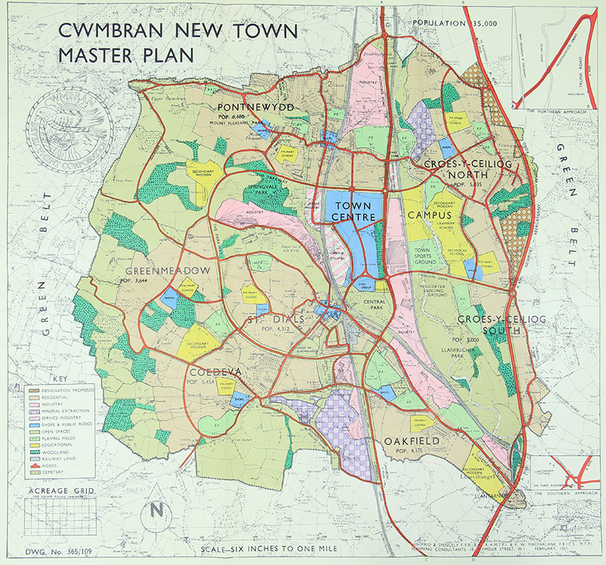
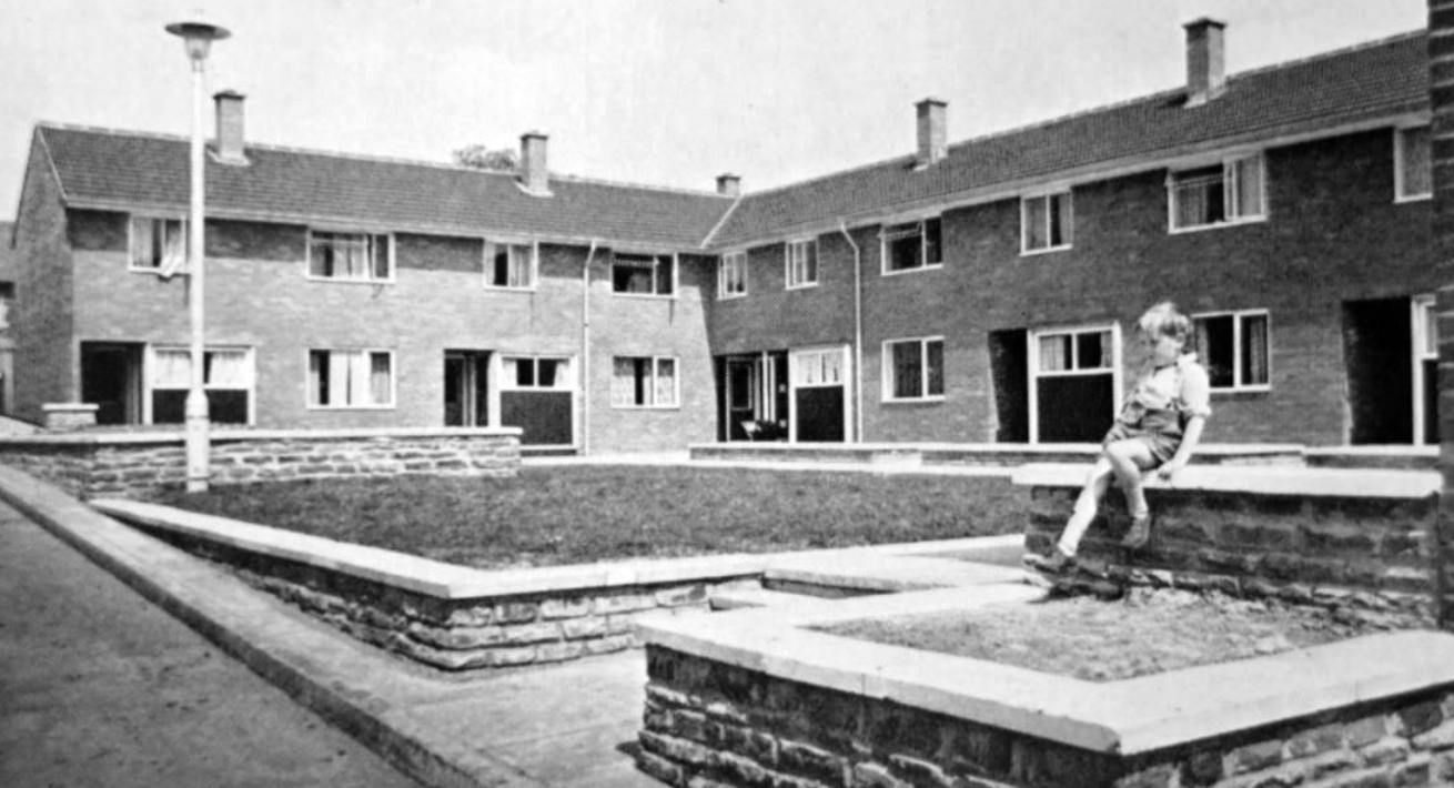
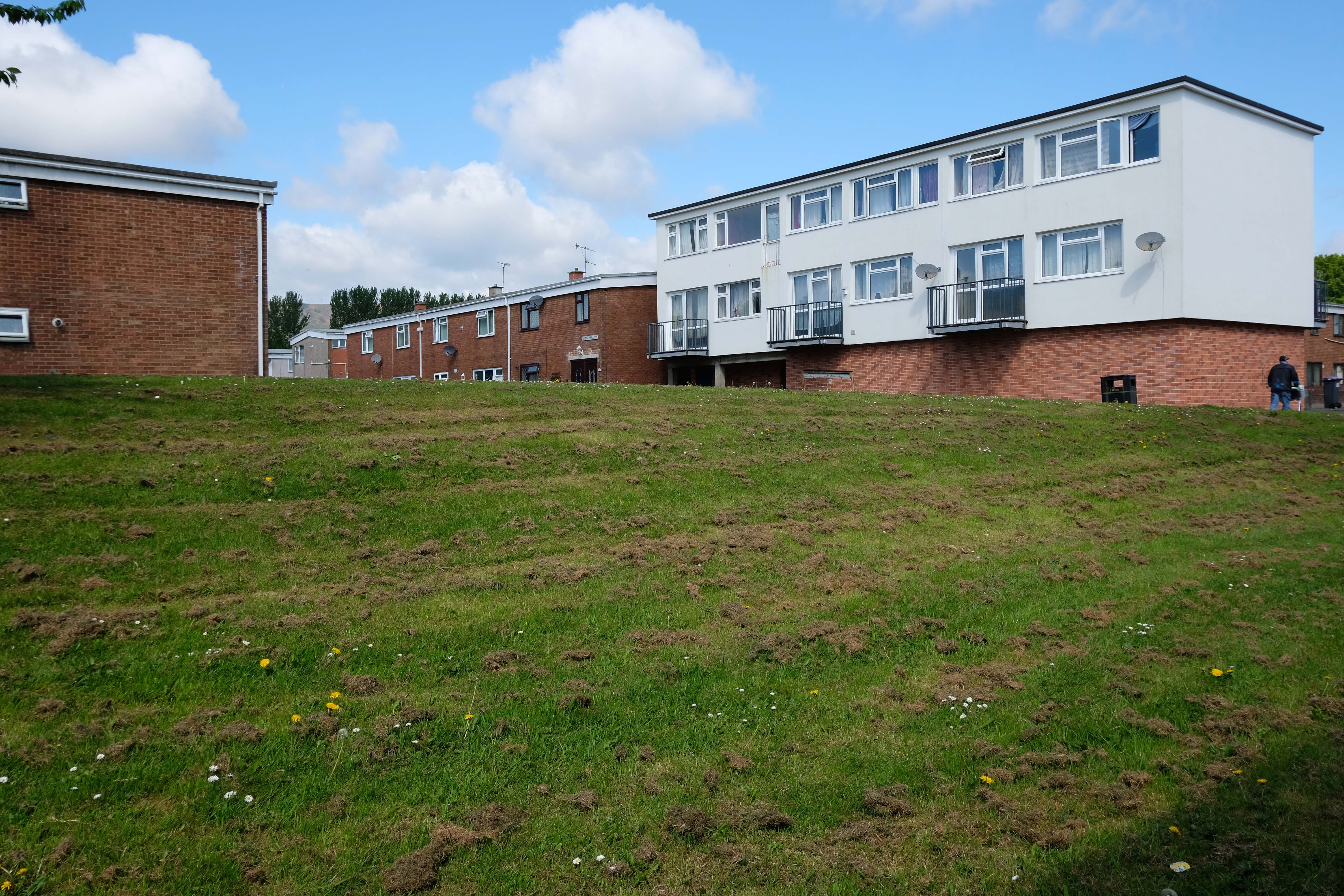
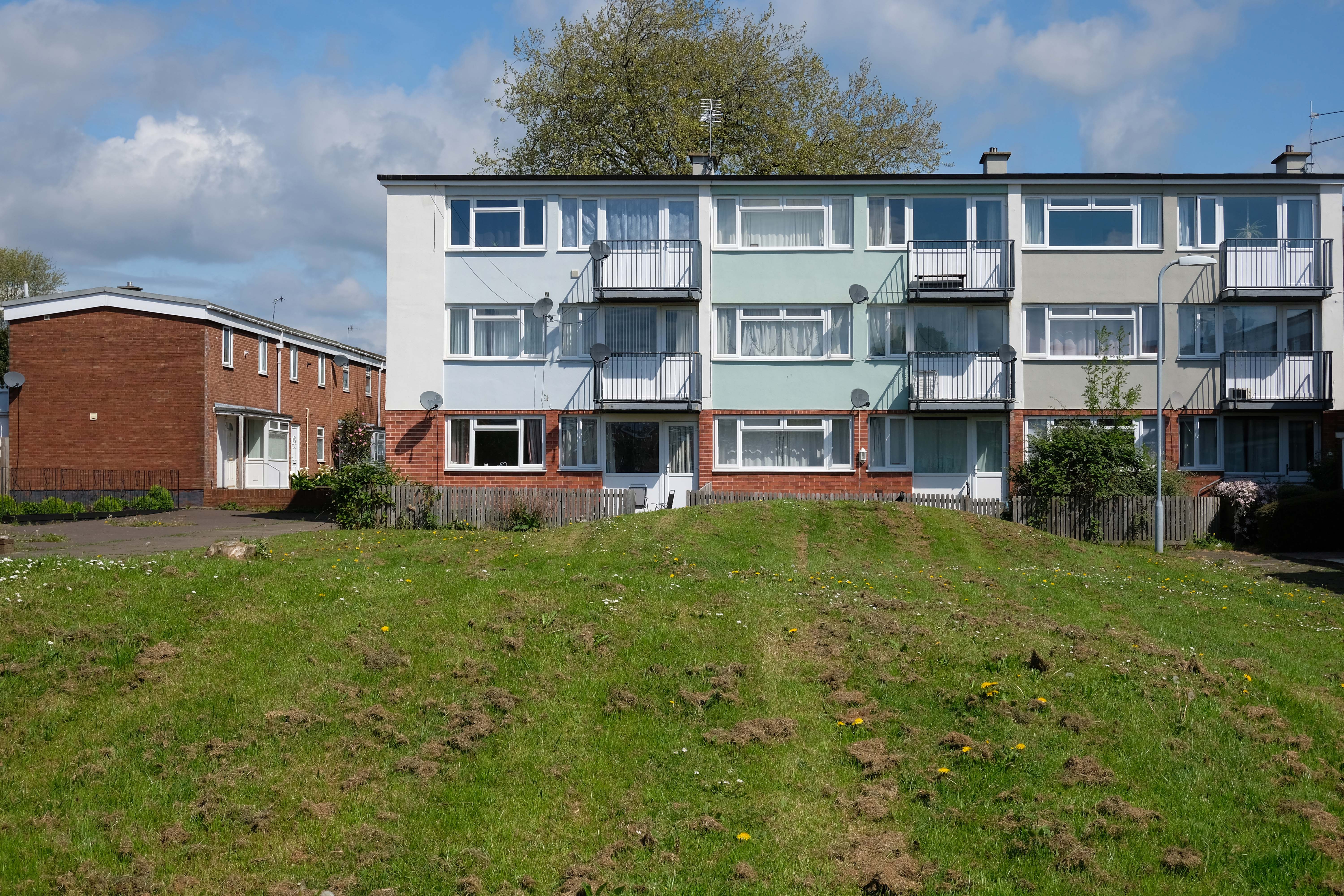
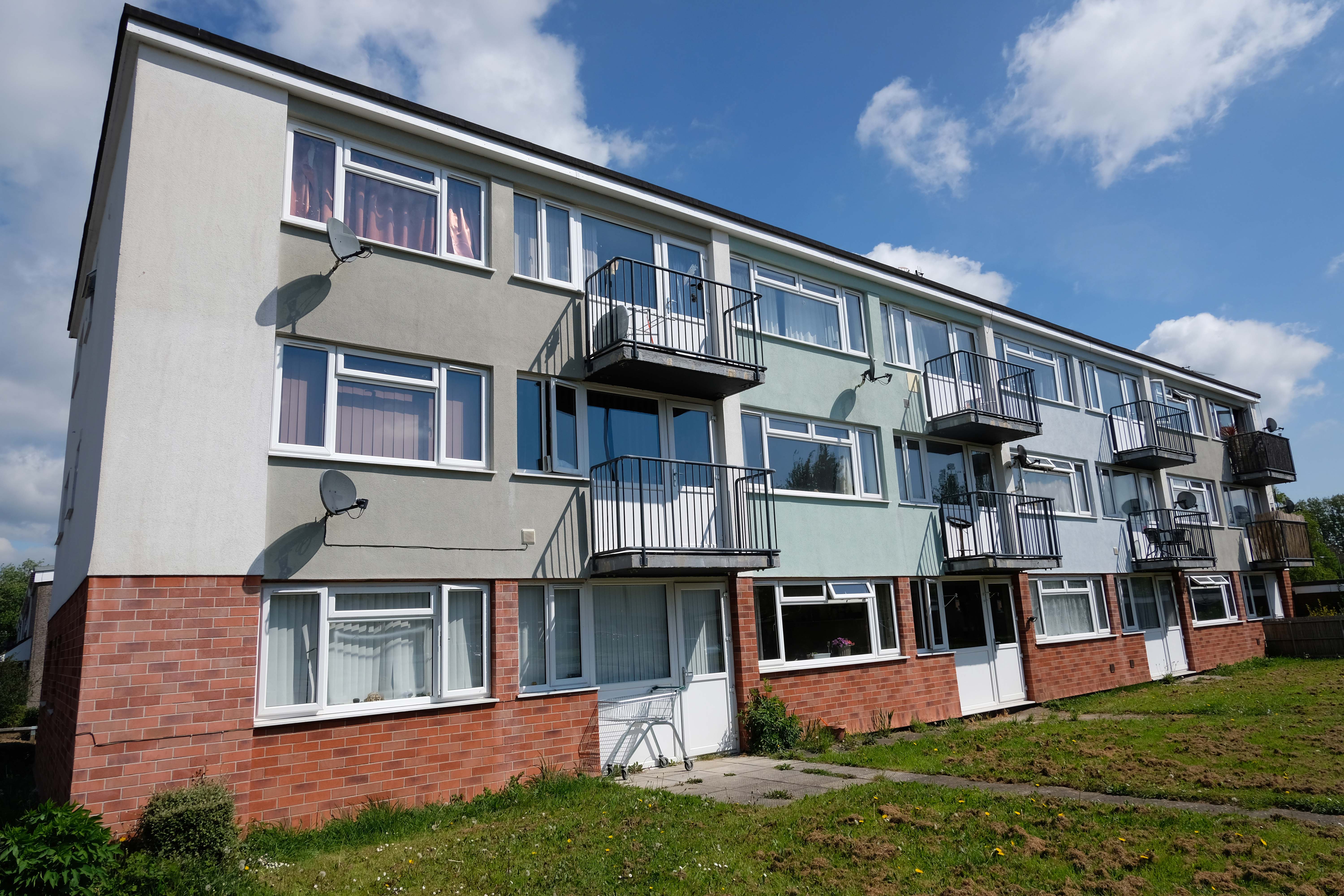
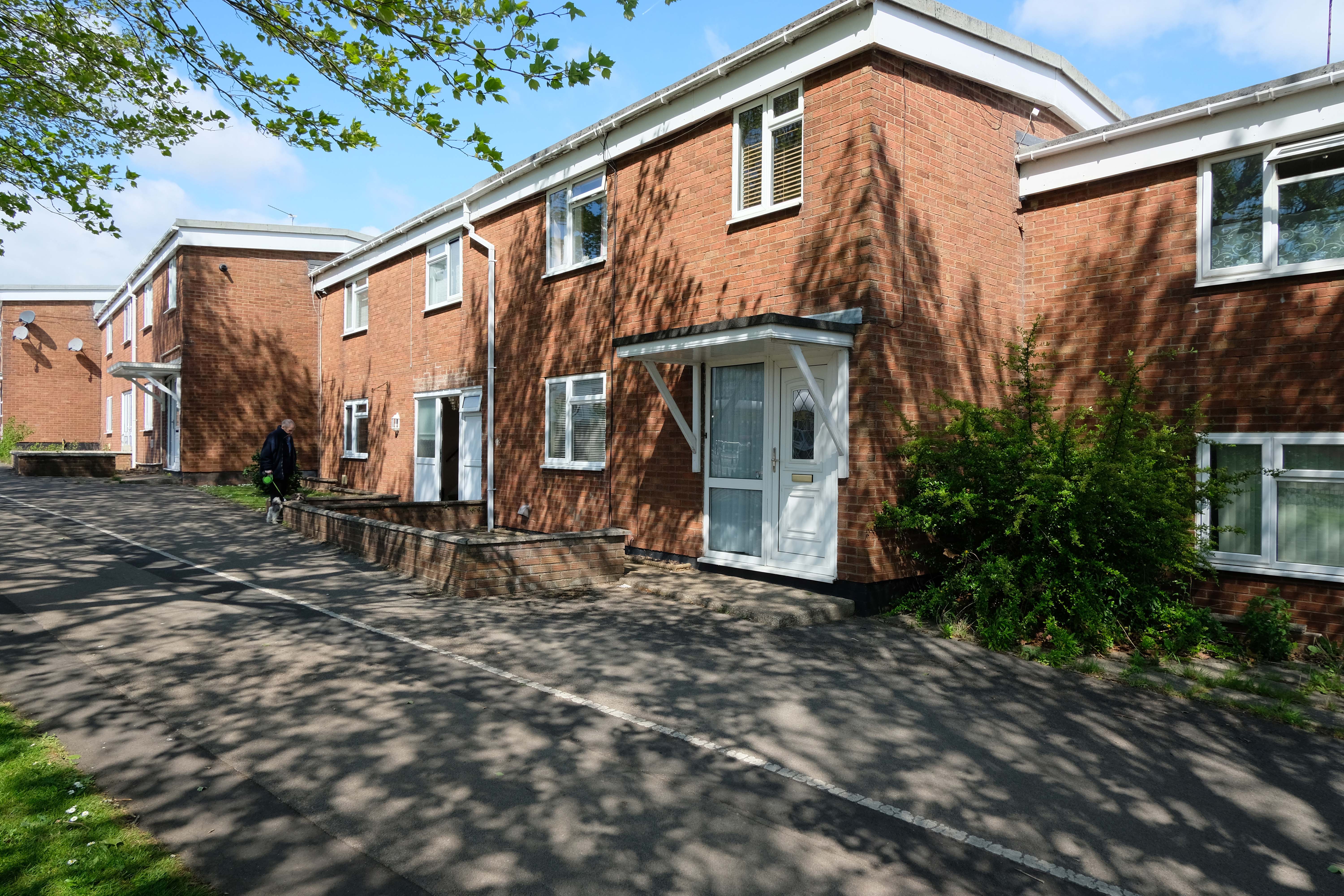
Cwmbran was founded in 1949 as a new town, to provide new employment opportunities in the south eastern portion of the South Wales Coalfield, but the area has a long history.
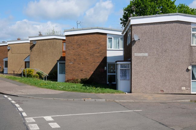
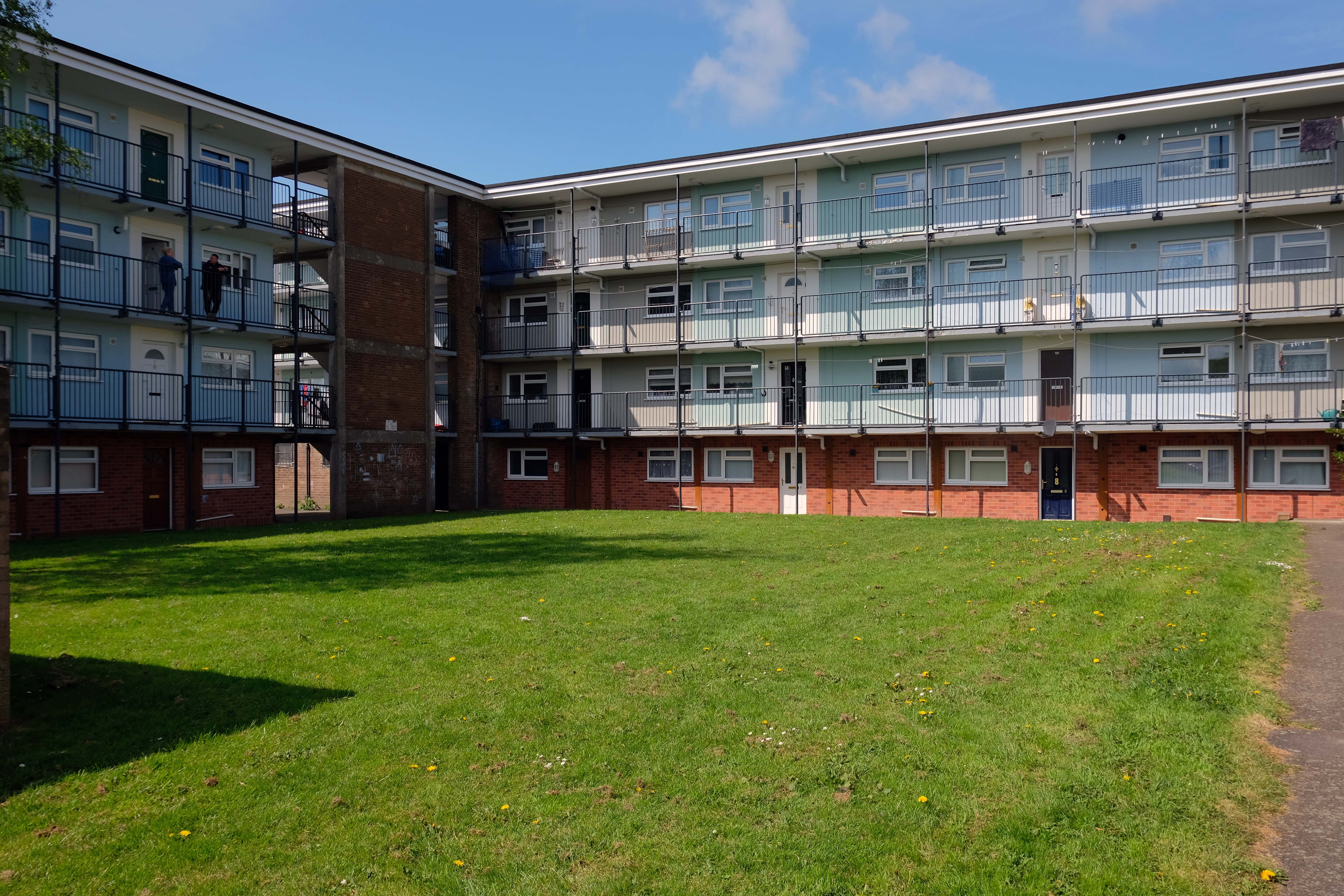
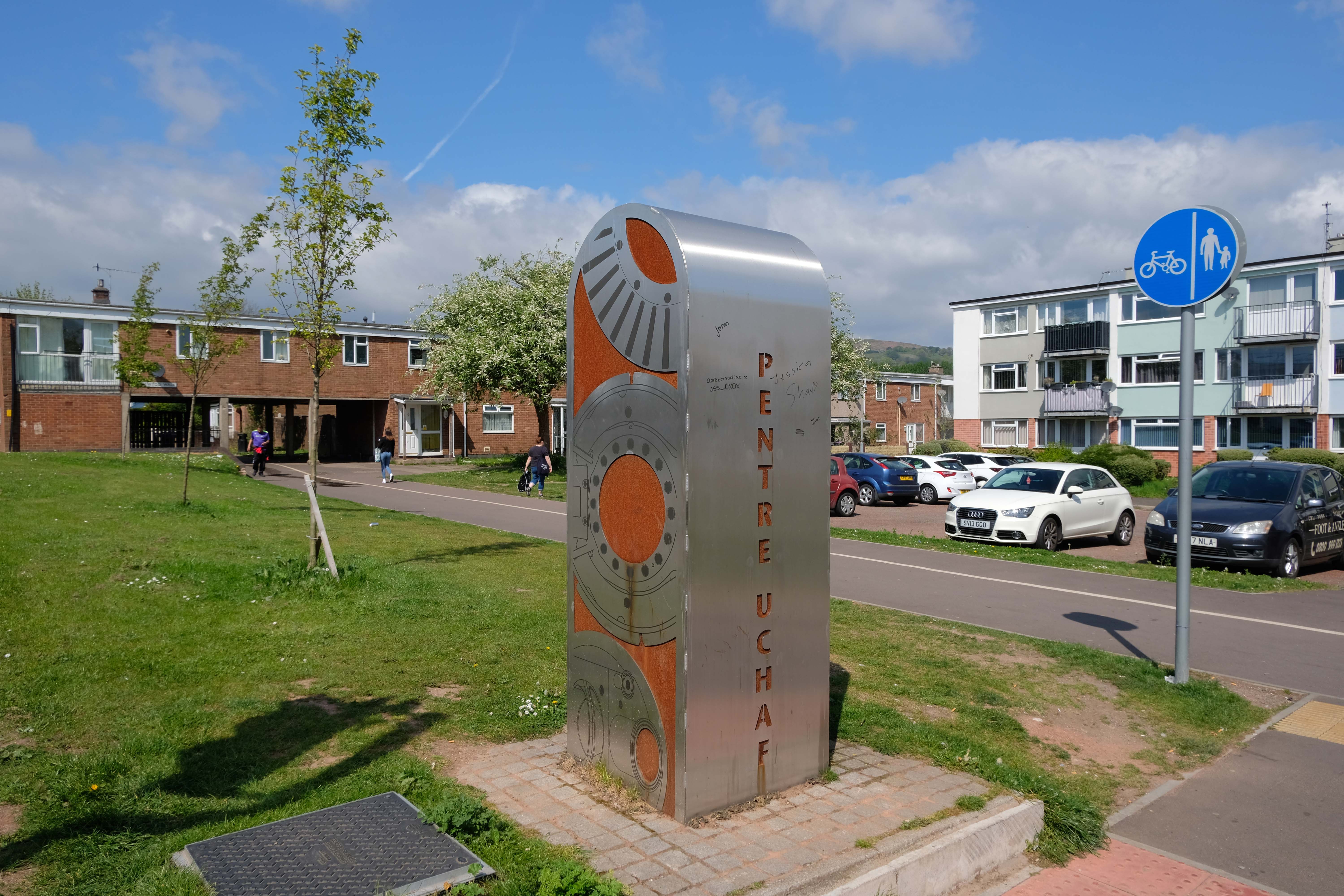
We shall now explore the housing framed by the railway and shopping centre.
From Cleeve Barr’sPublic Authority Housing – published in 1958.
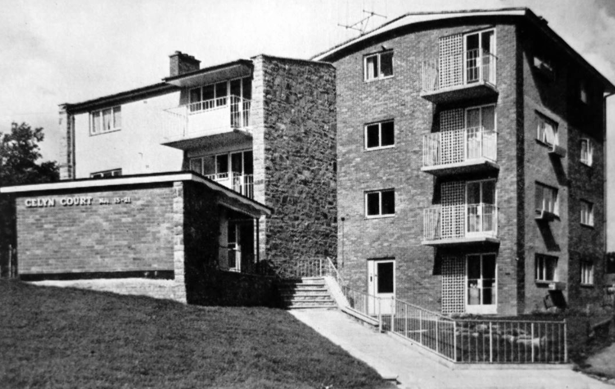
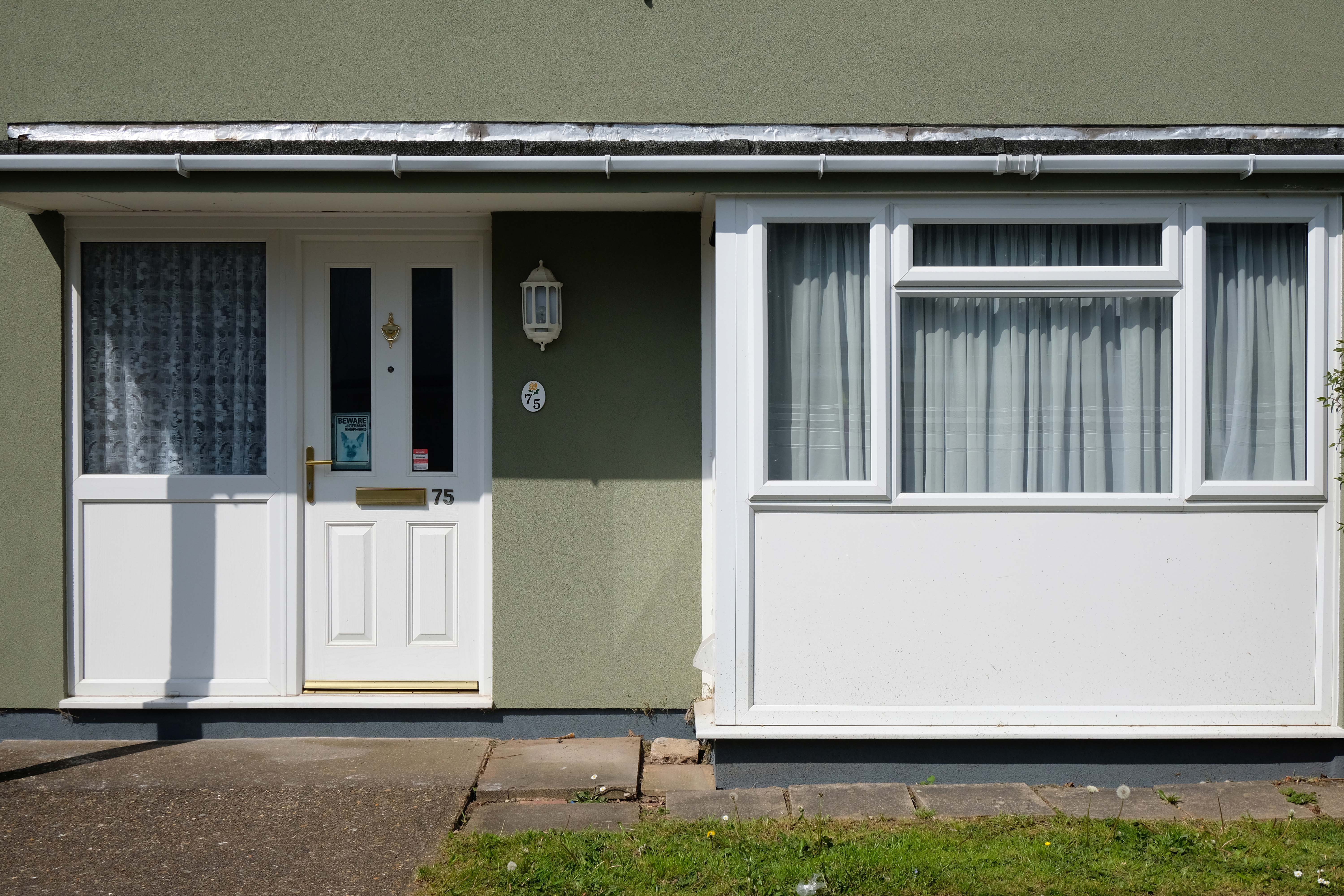
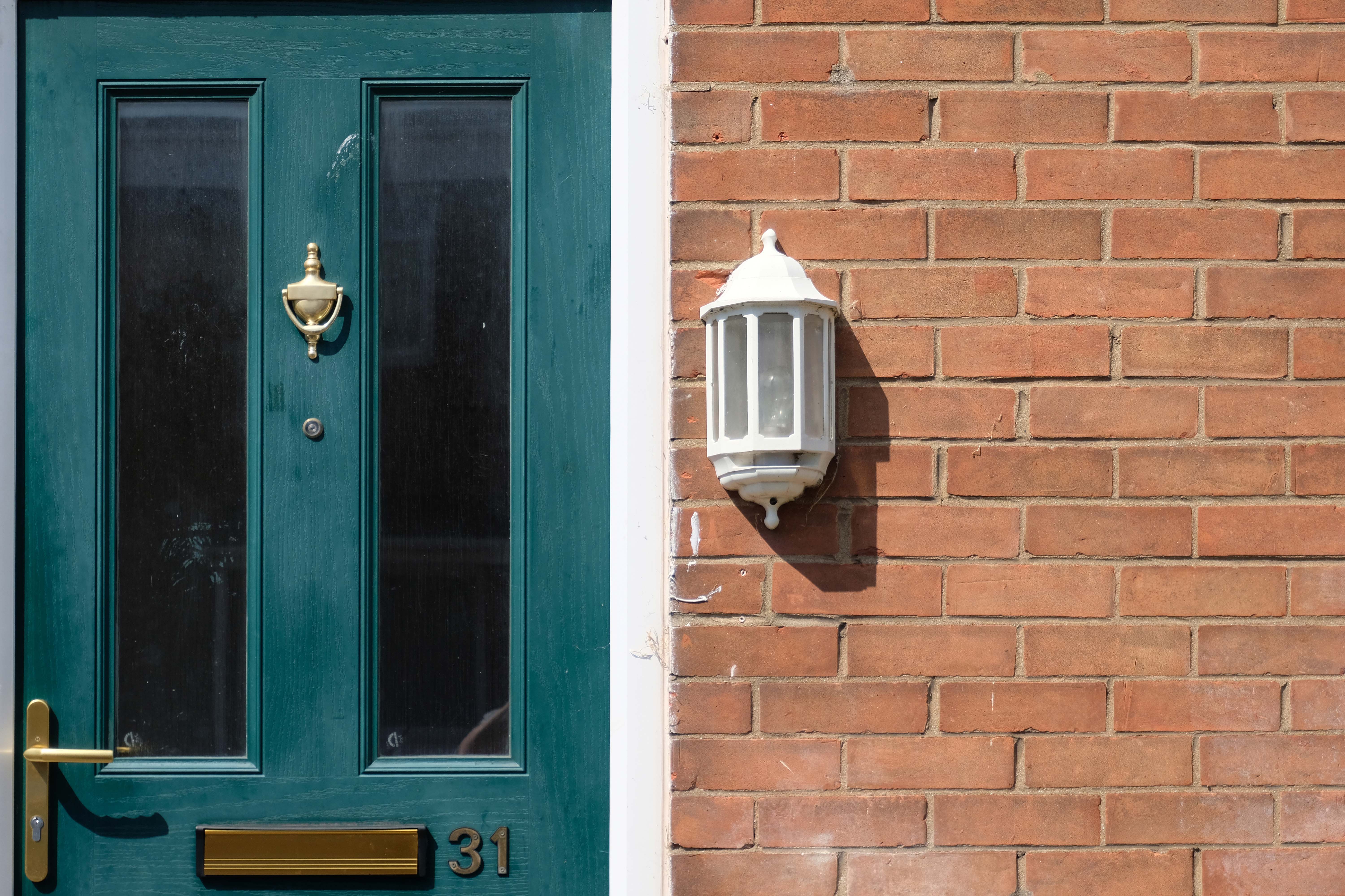
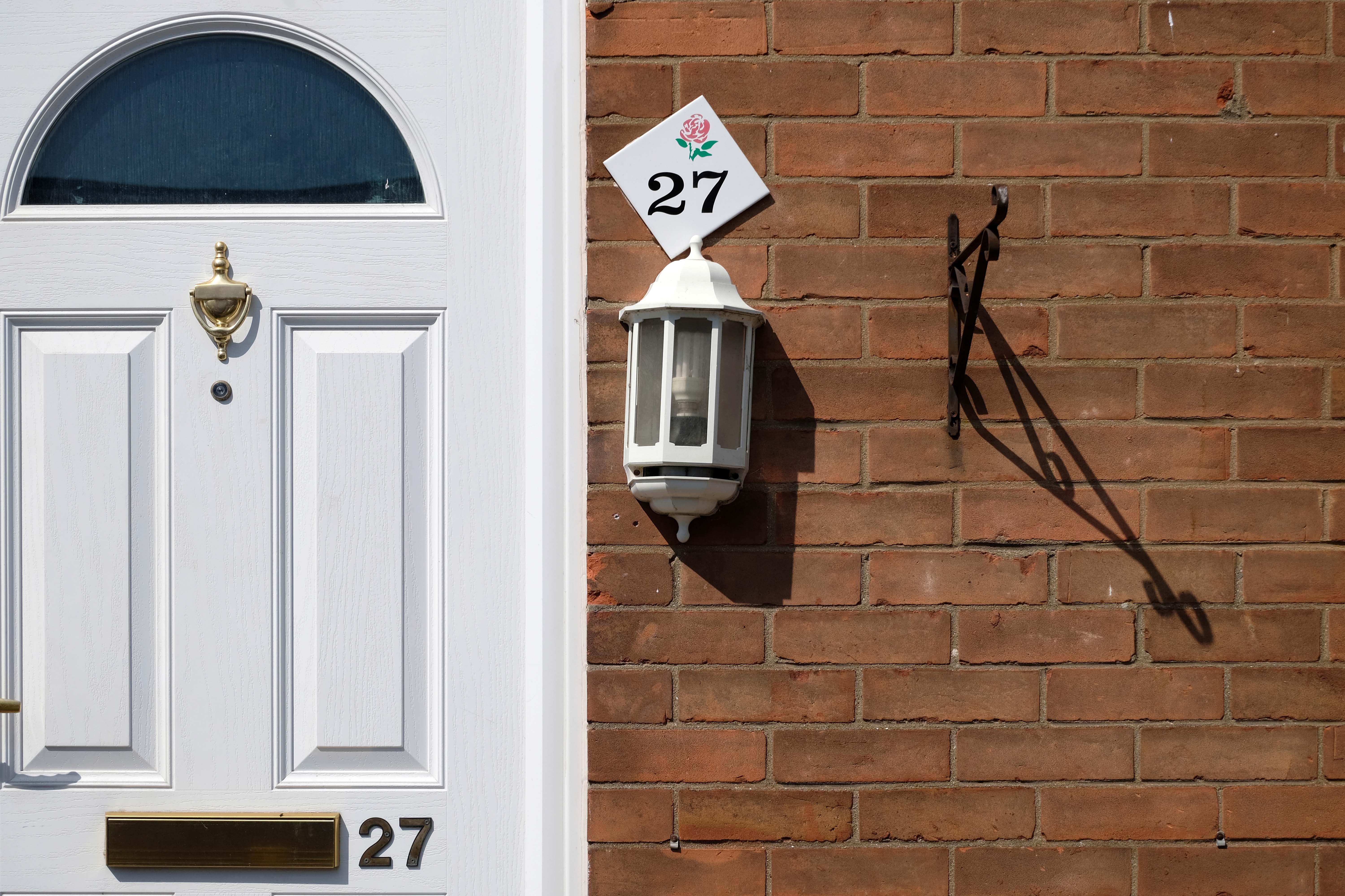
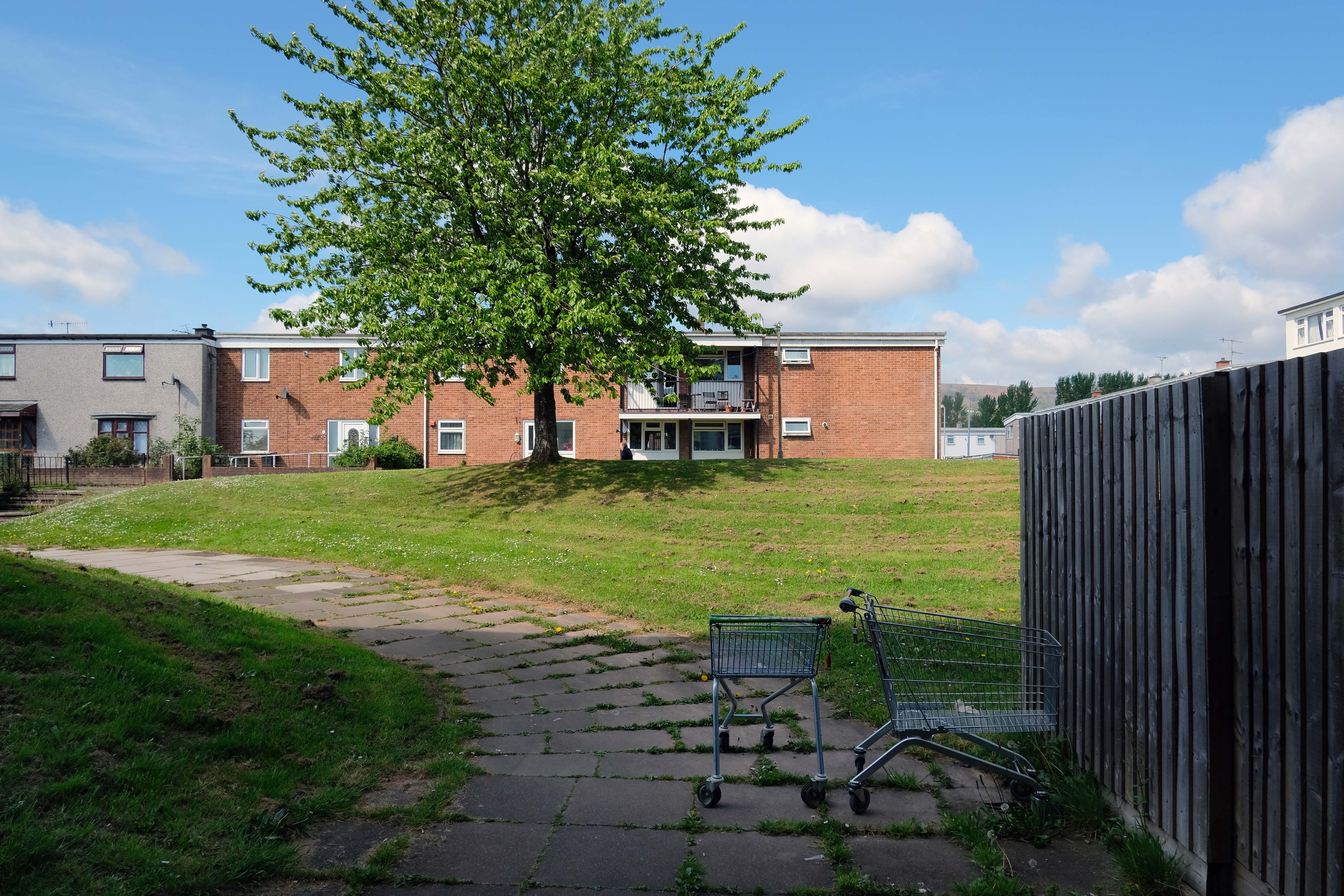
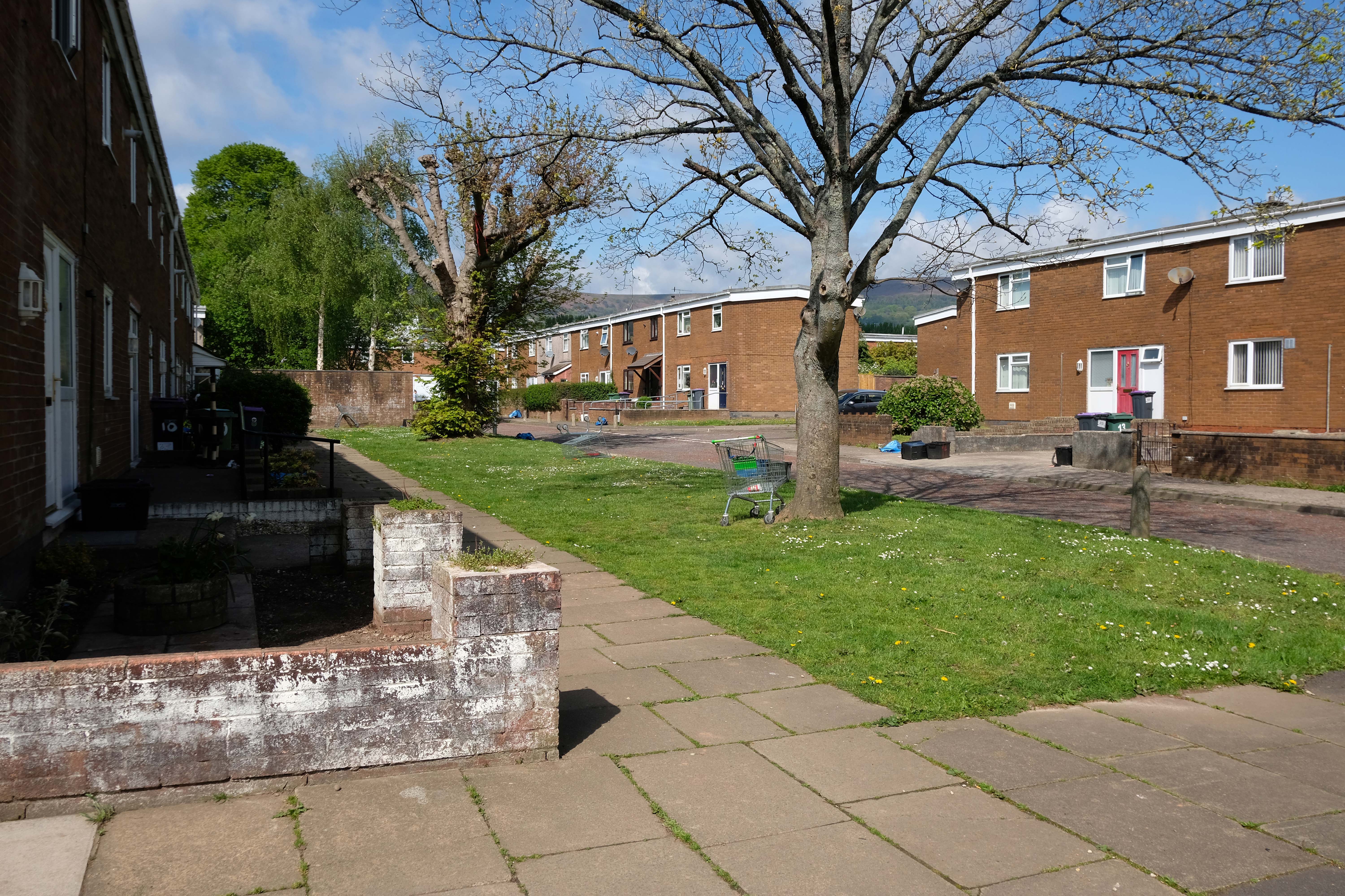
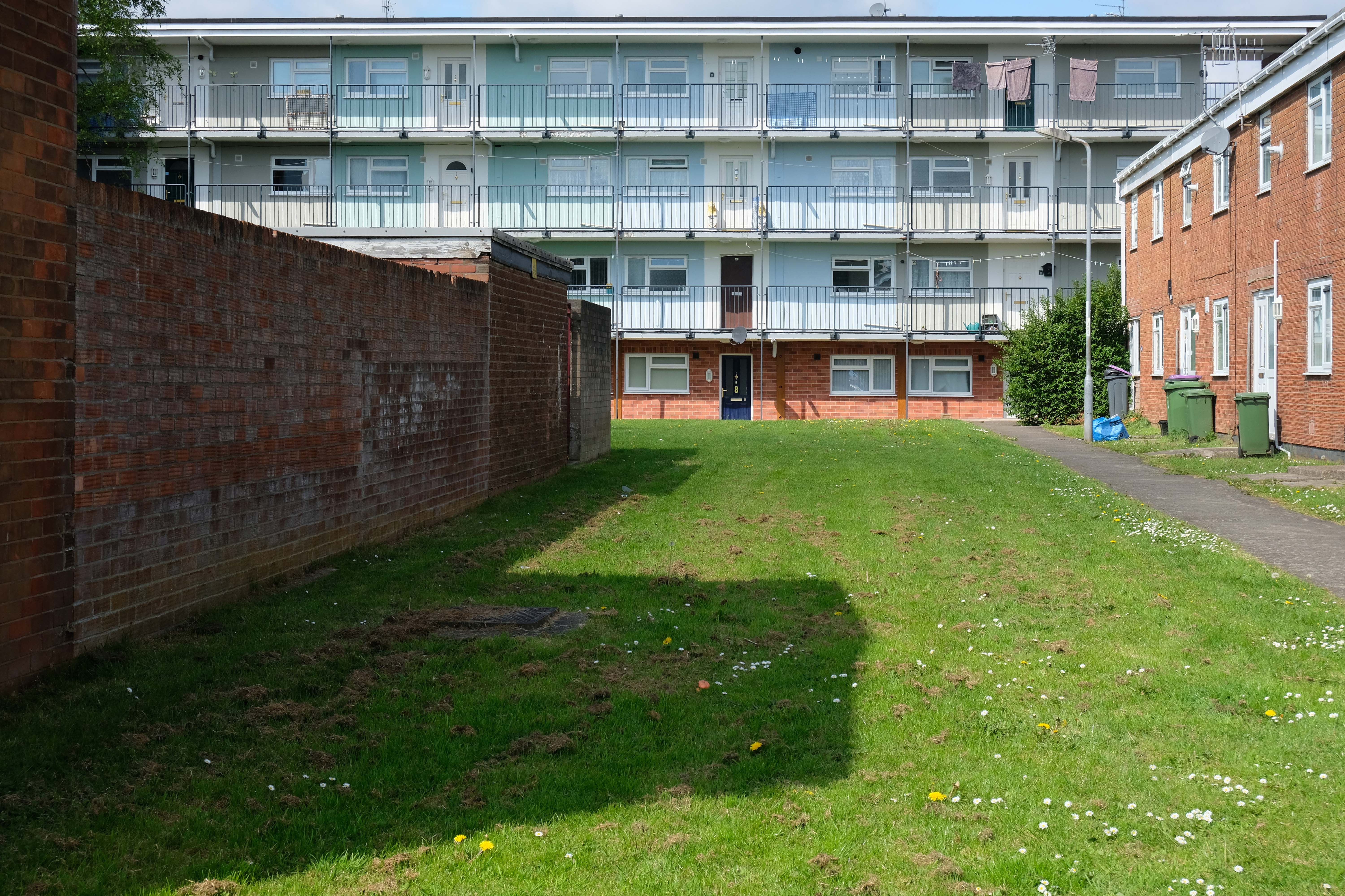
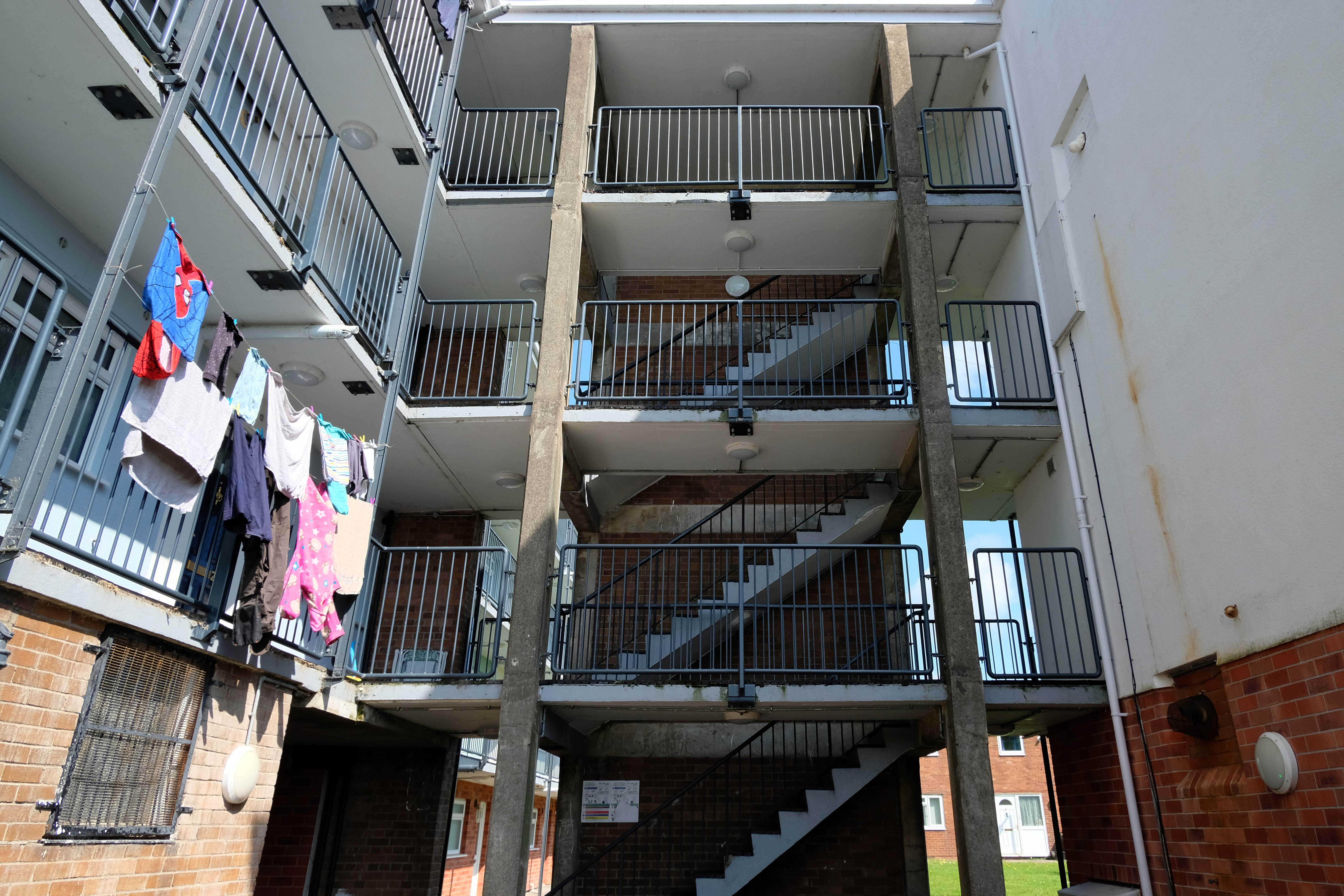
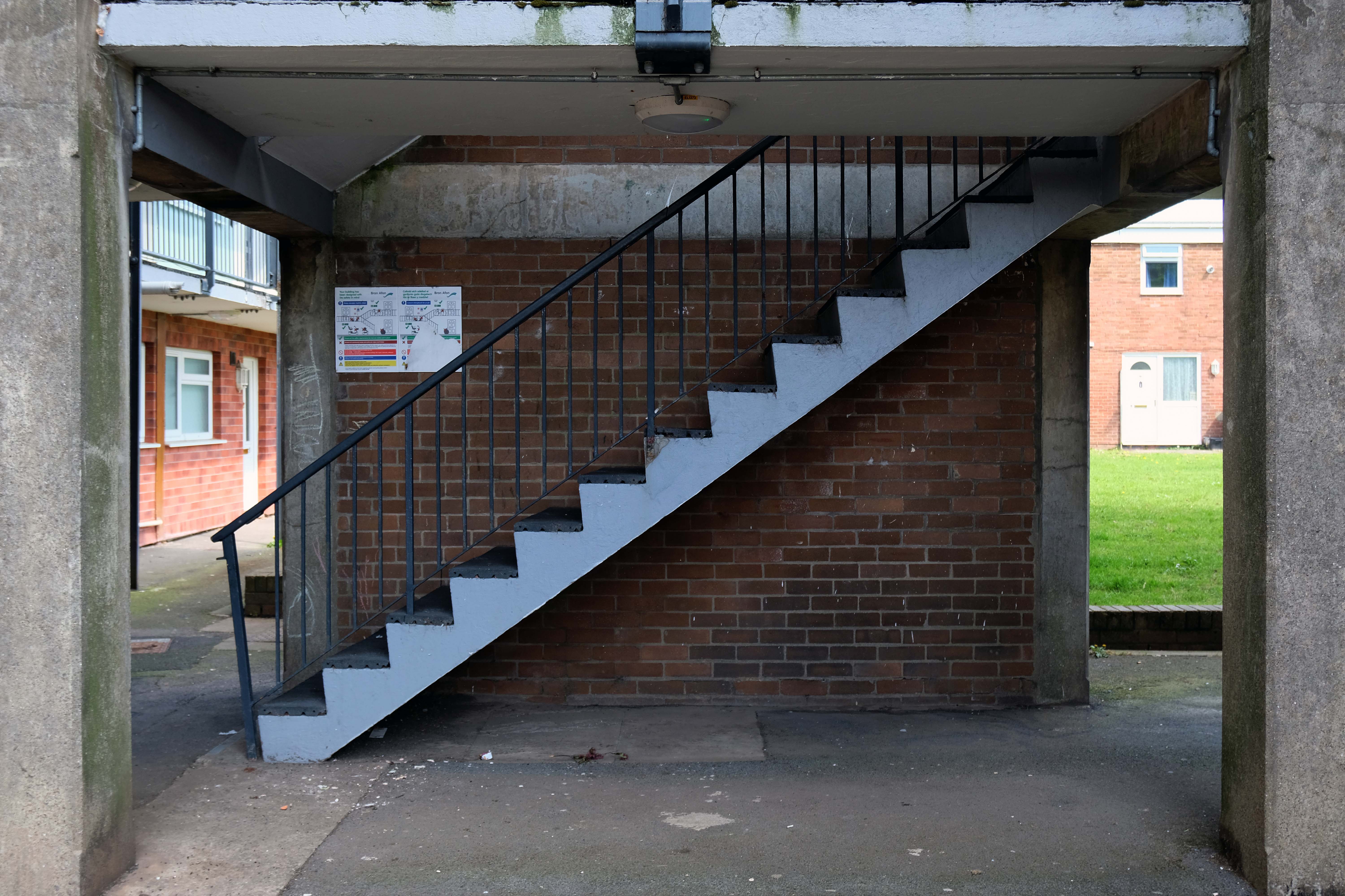
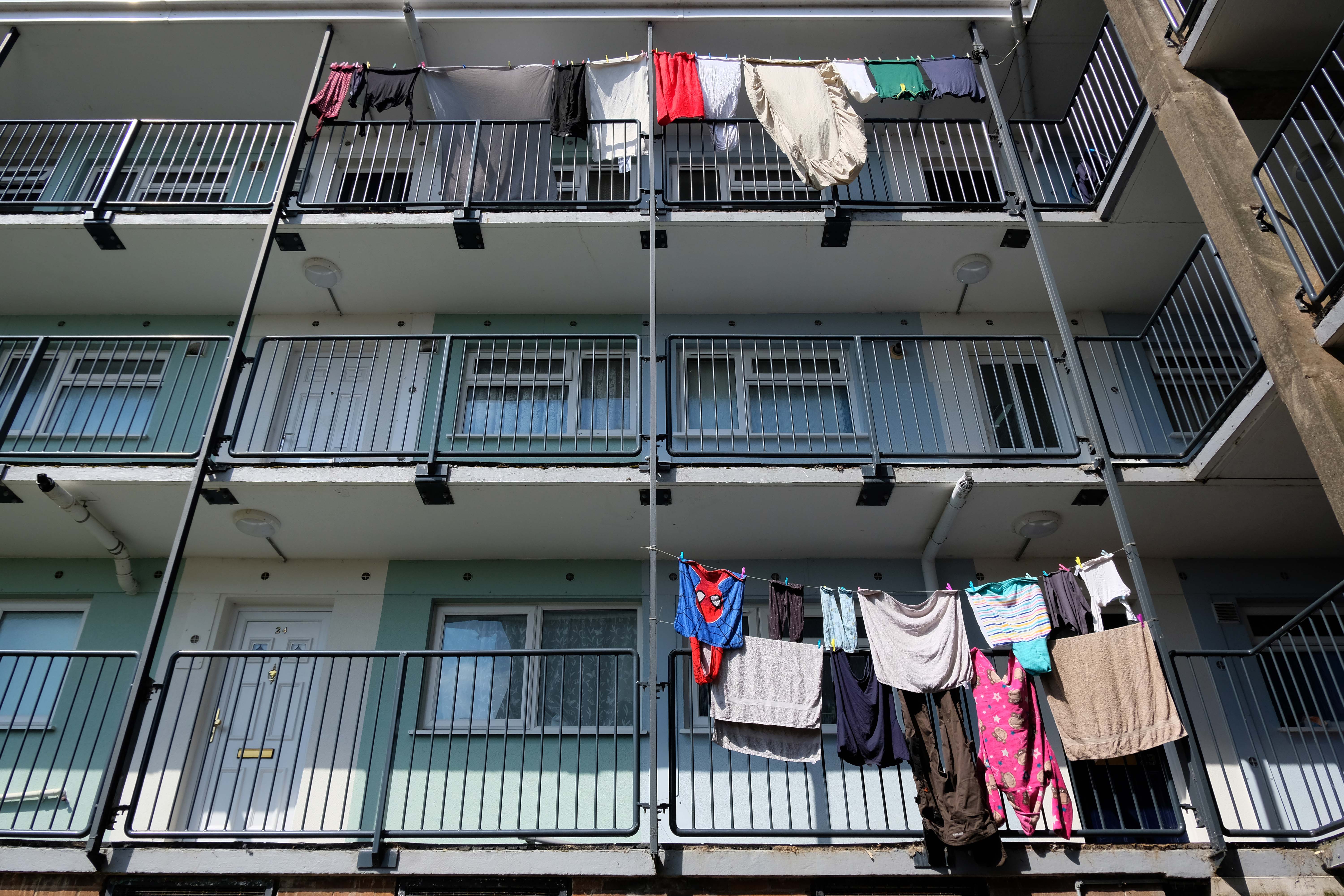
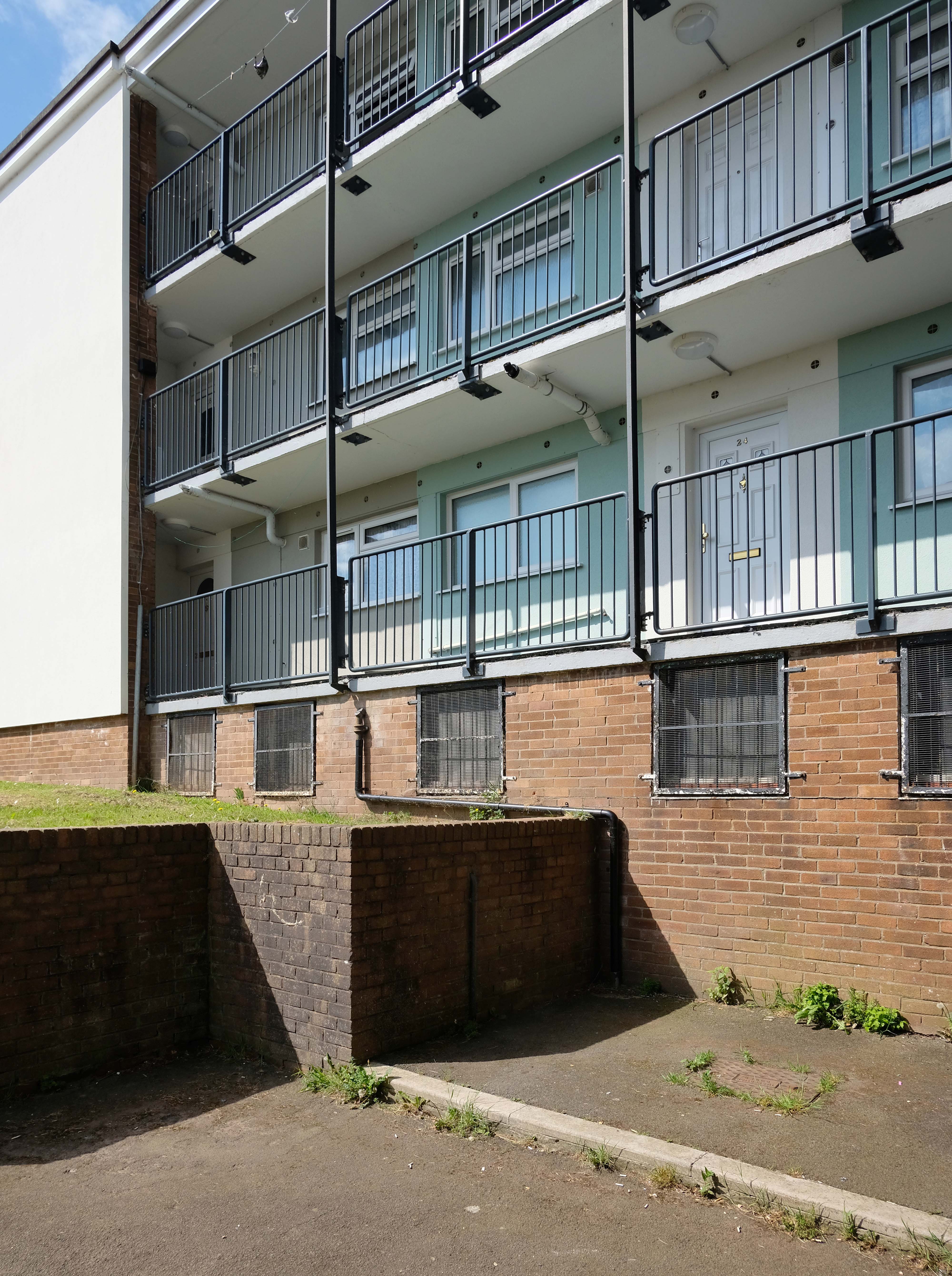
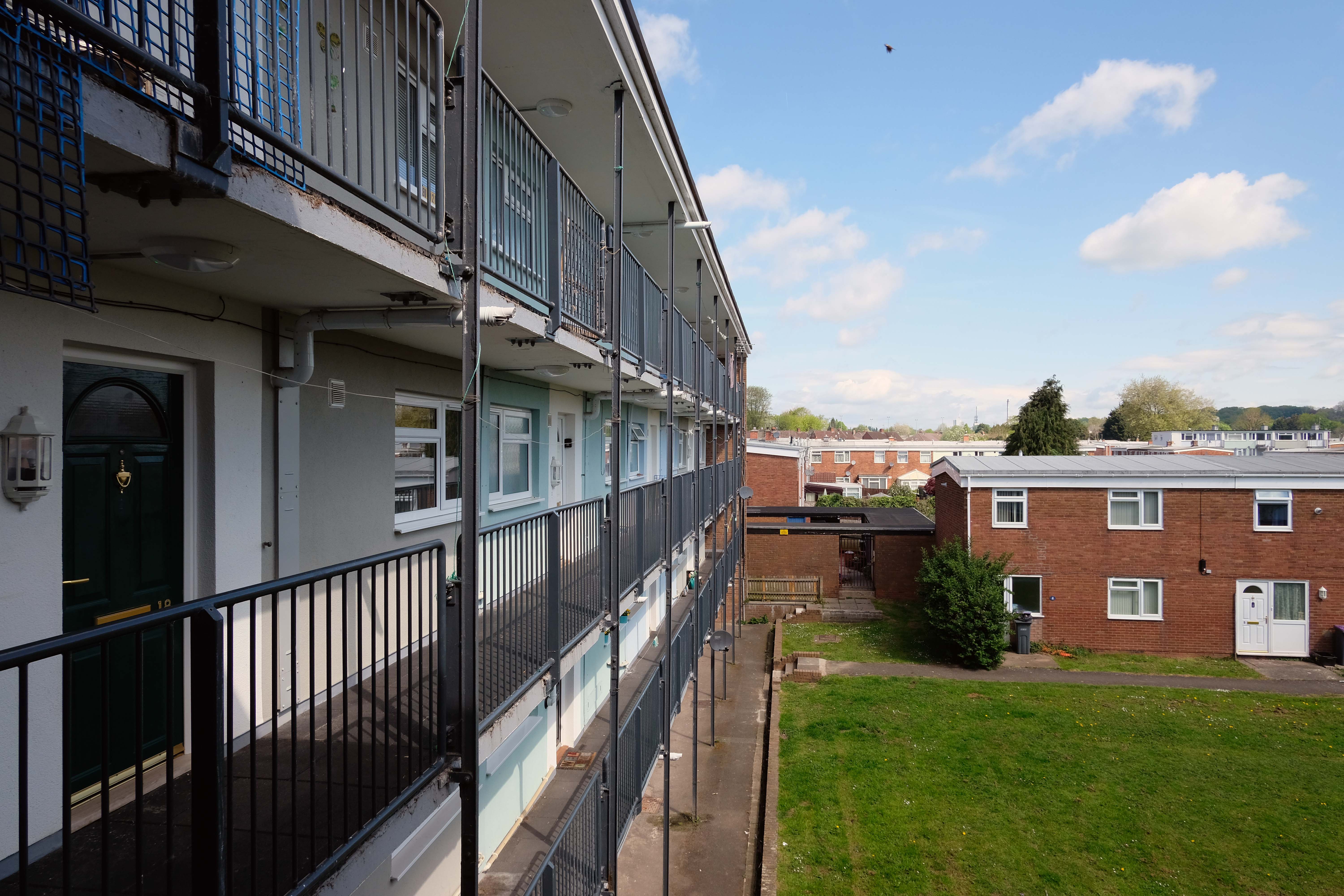
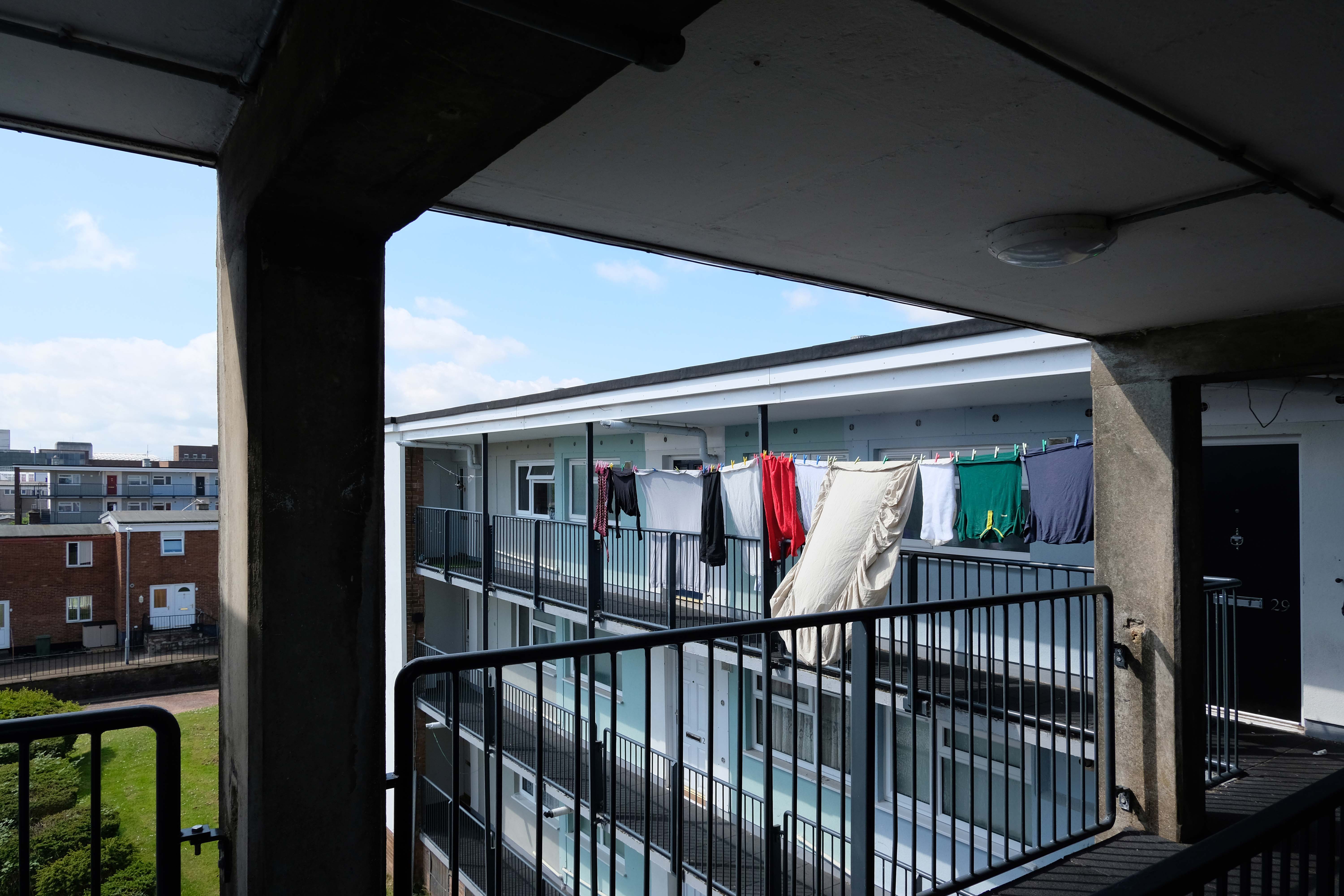
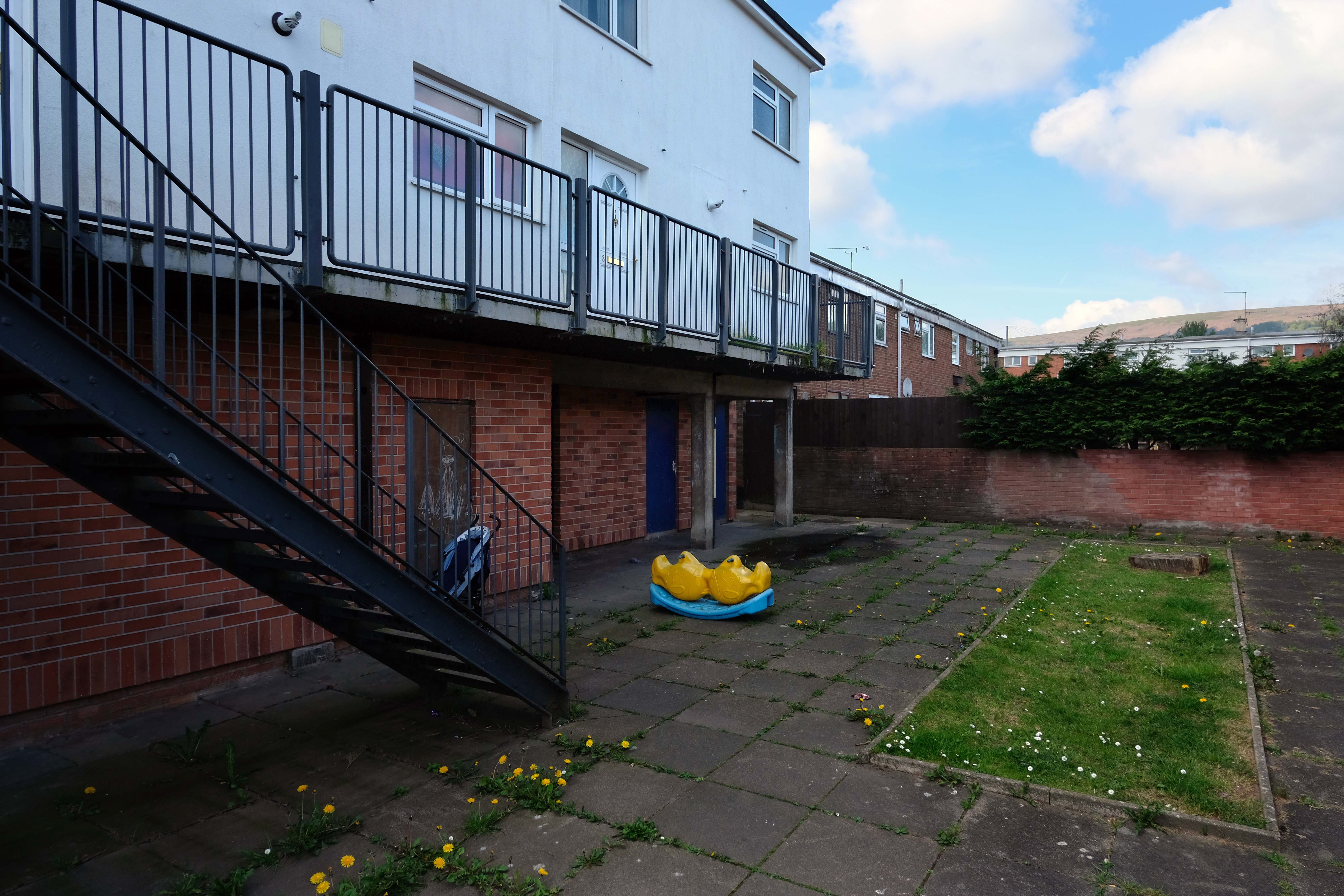
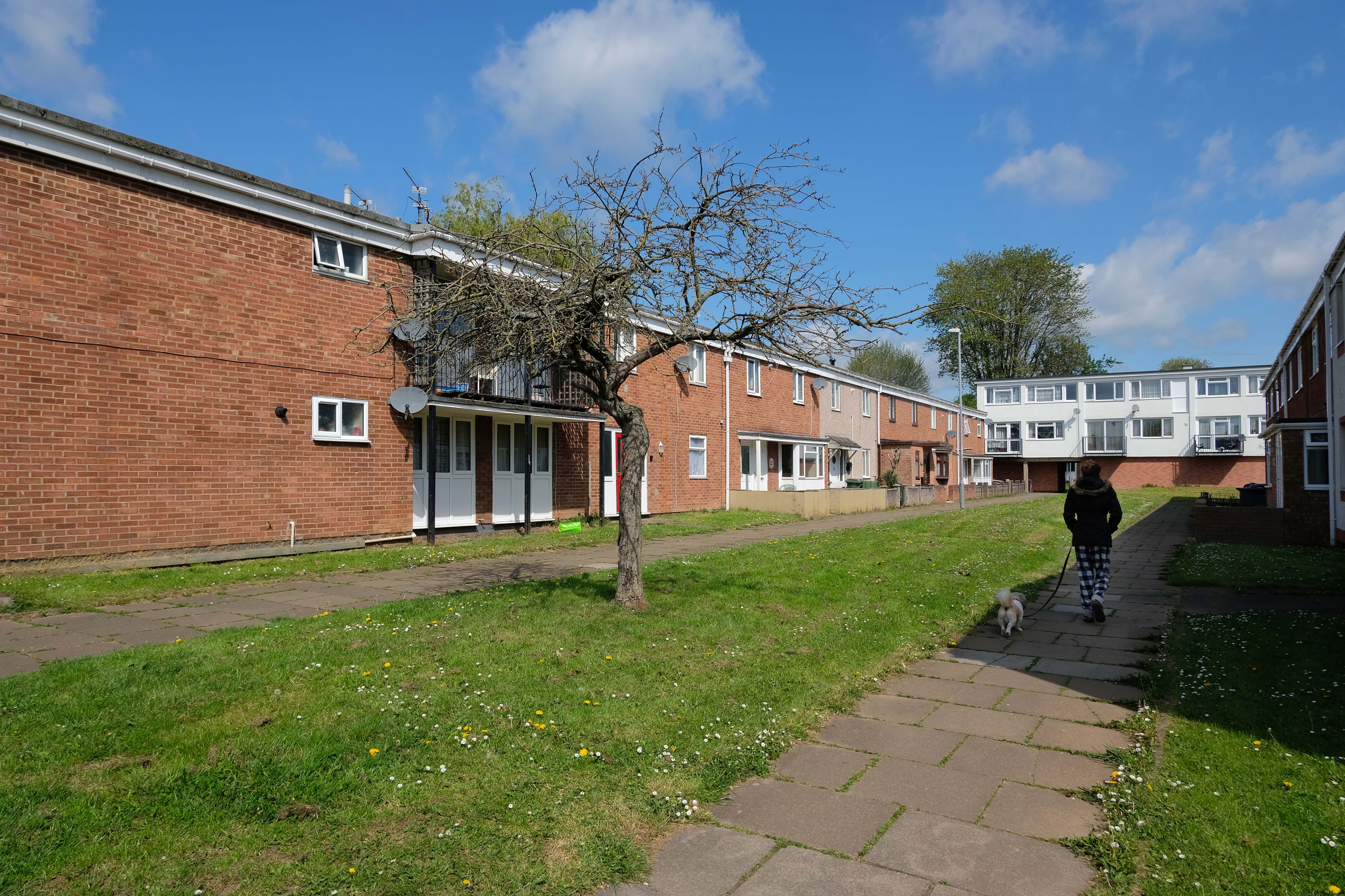
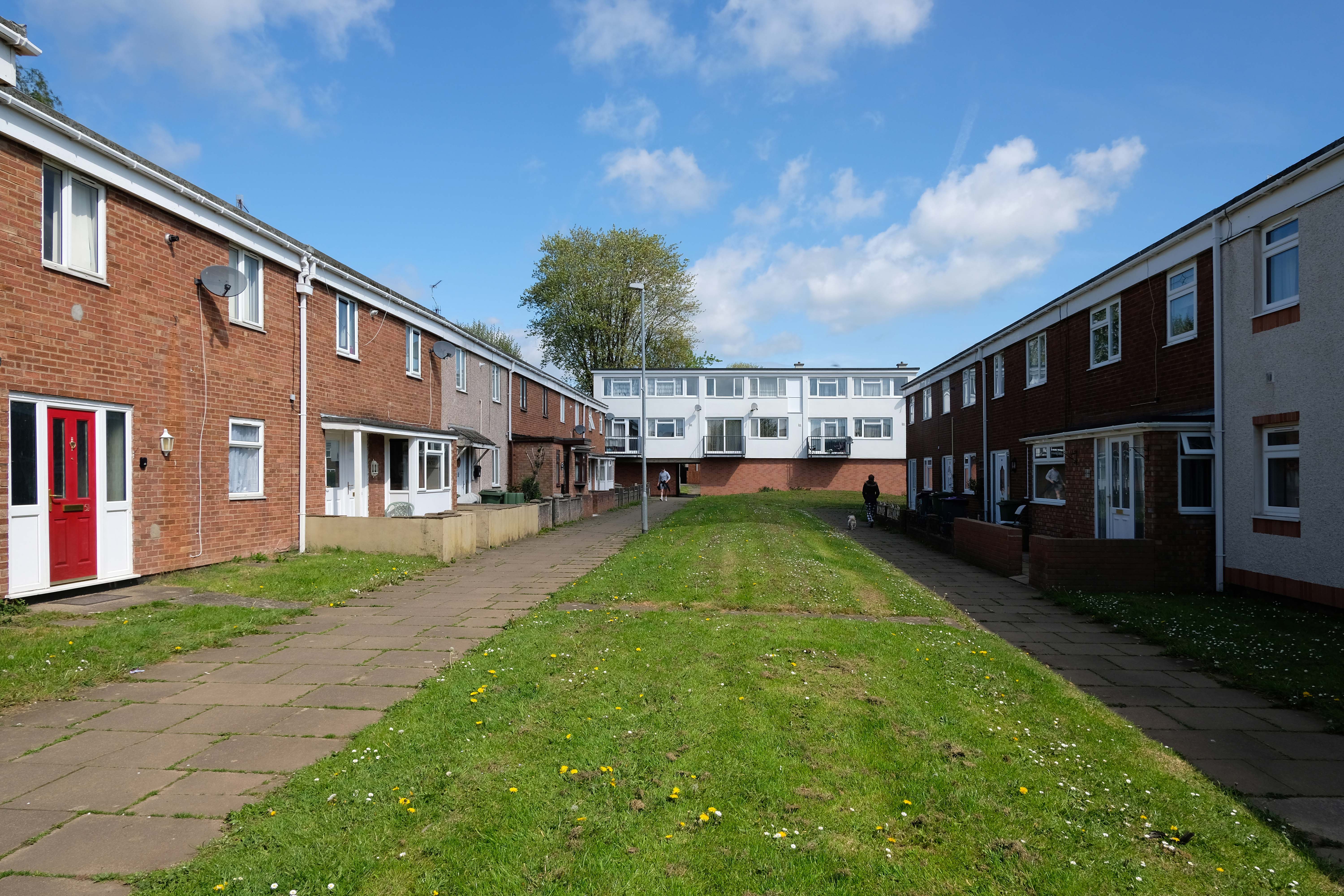
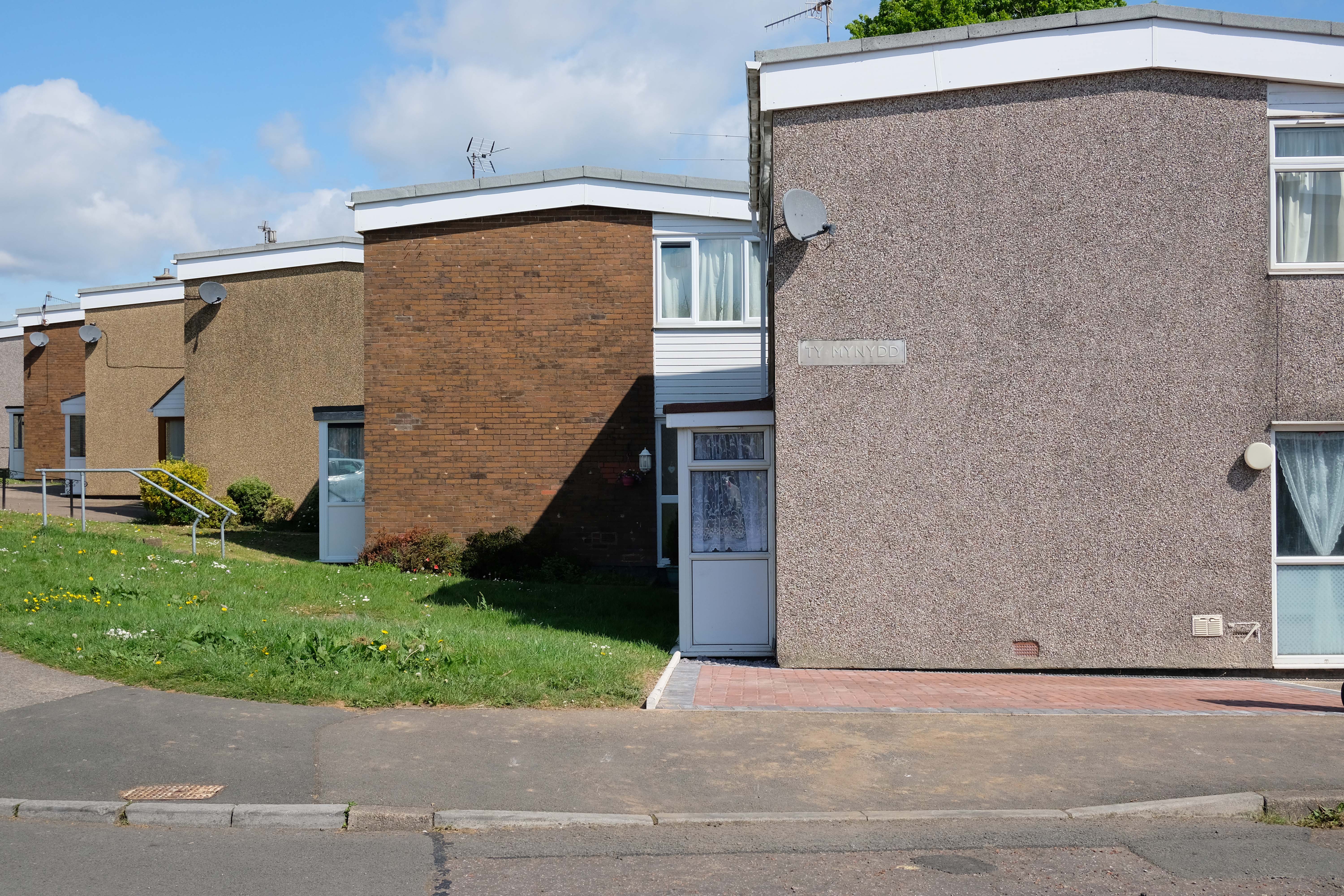
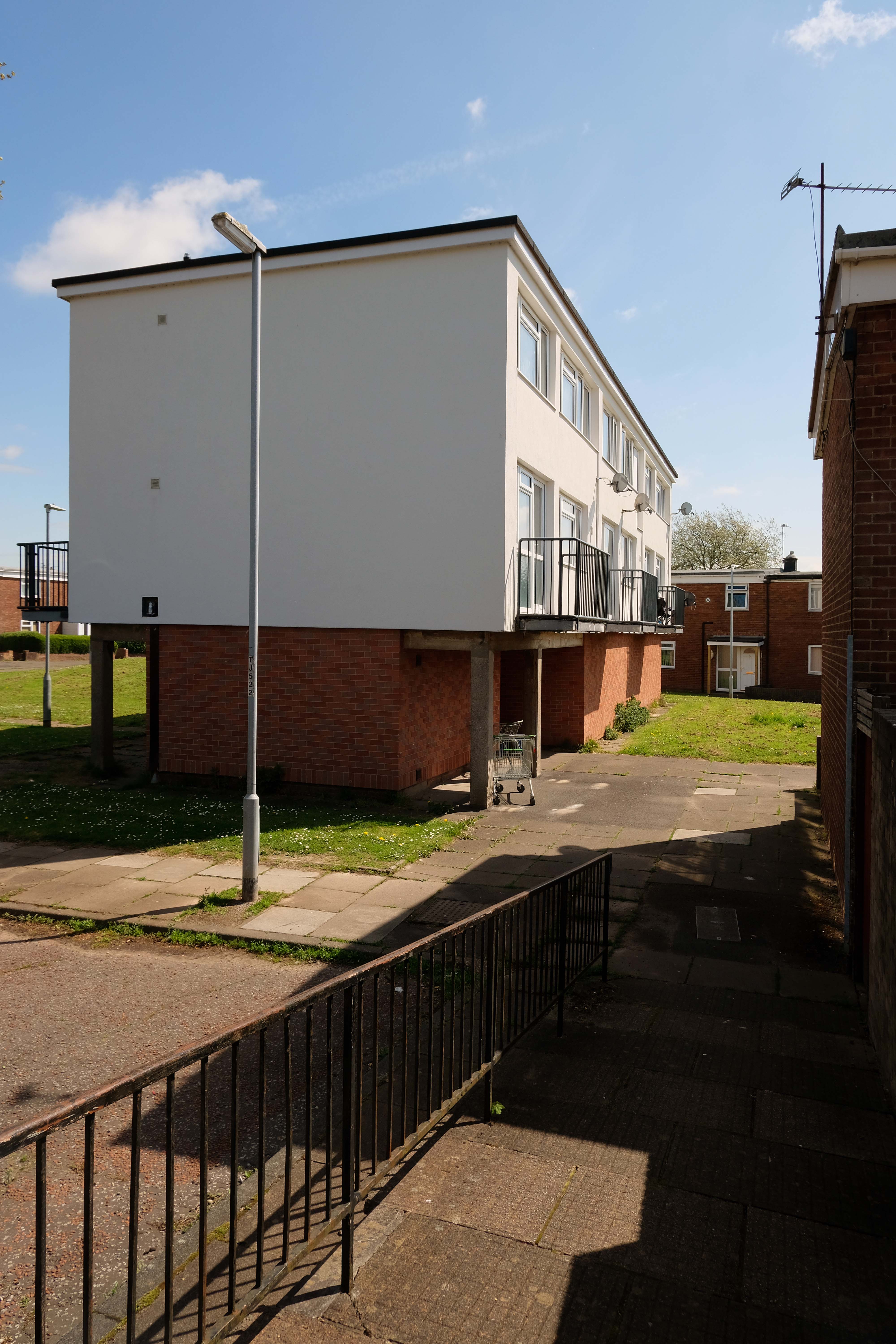
A mix of pedestrianised terraces and low rise blocks, set in a loose grid of roads and rolling, tree-lined, grassed areas.
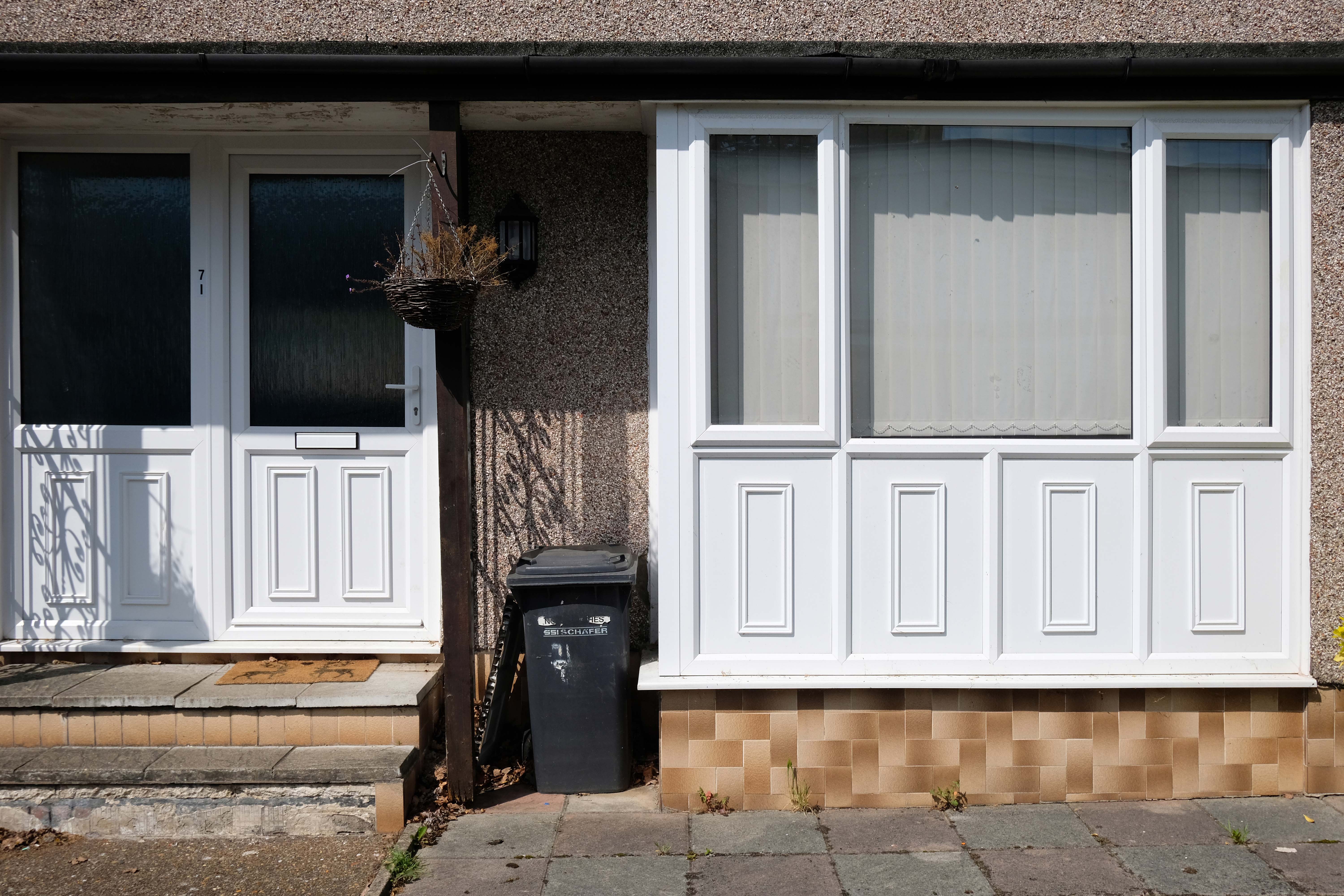
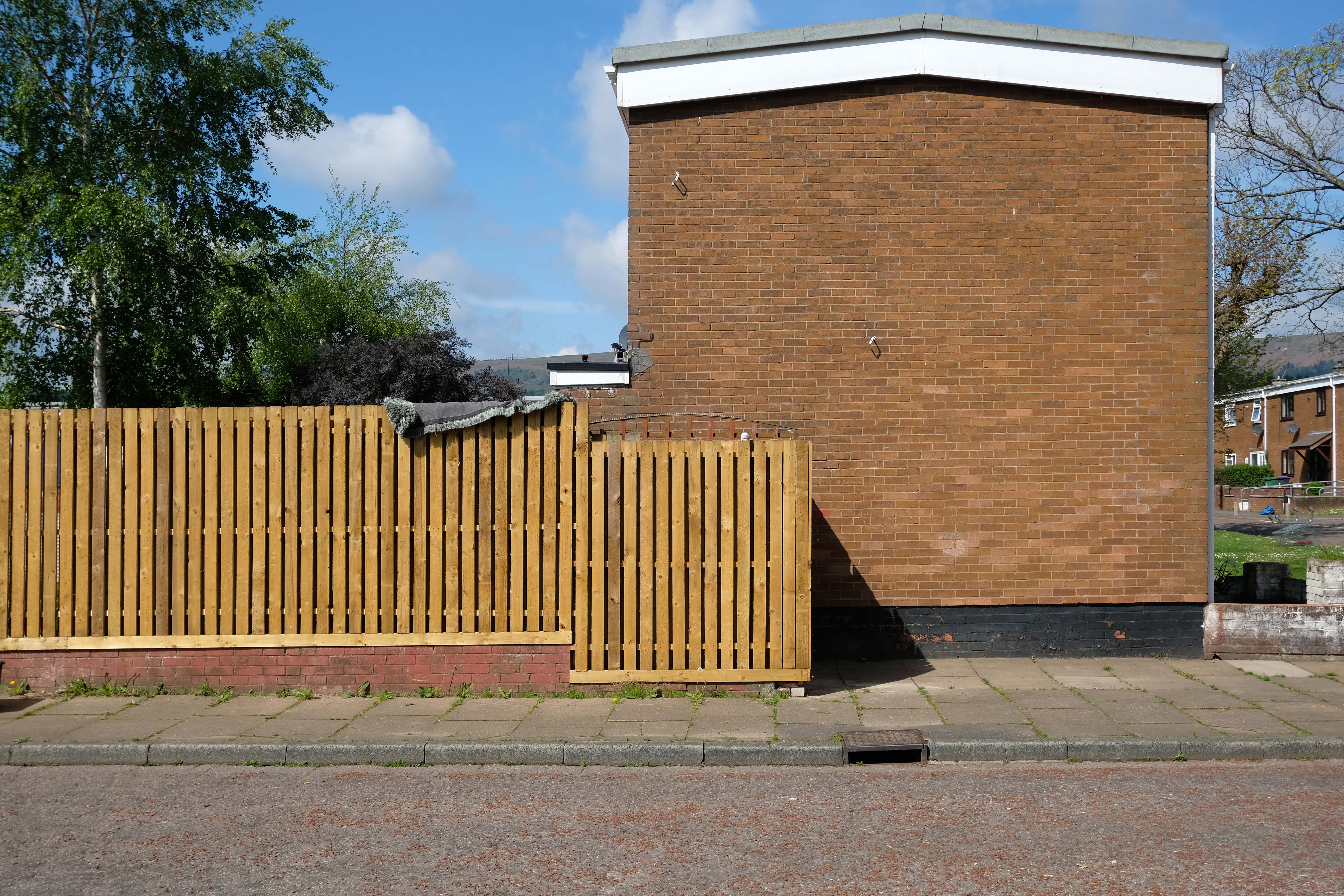
Over time there has been the addition of uPVC and the revisionist intrusion of the ahistorical carriage lamp.
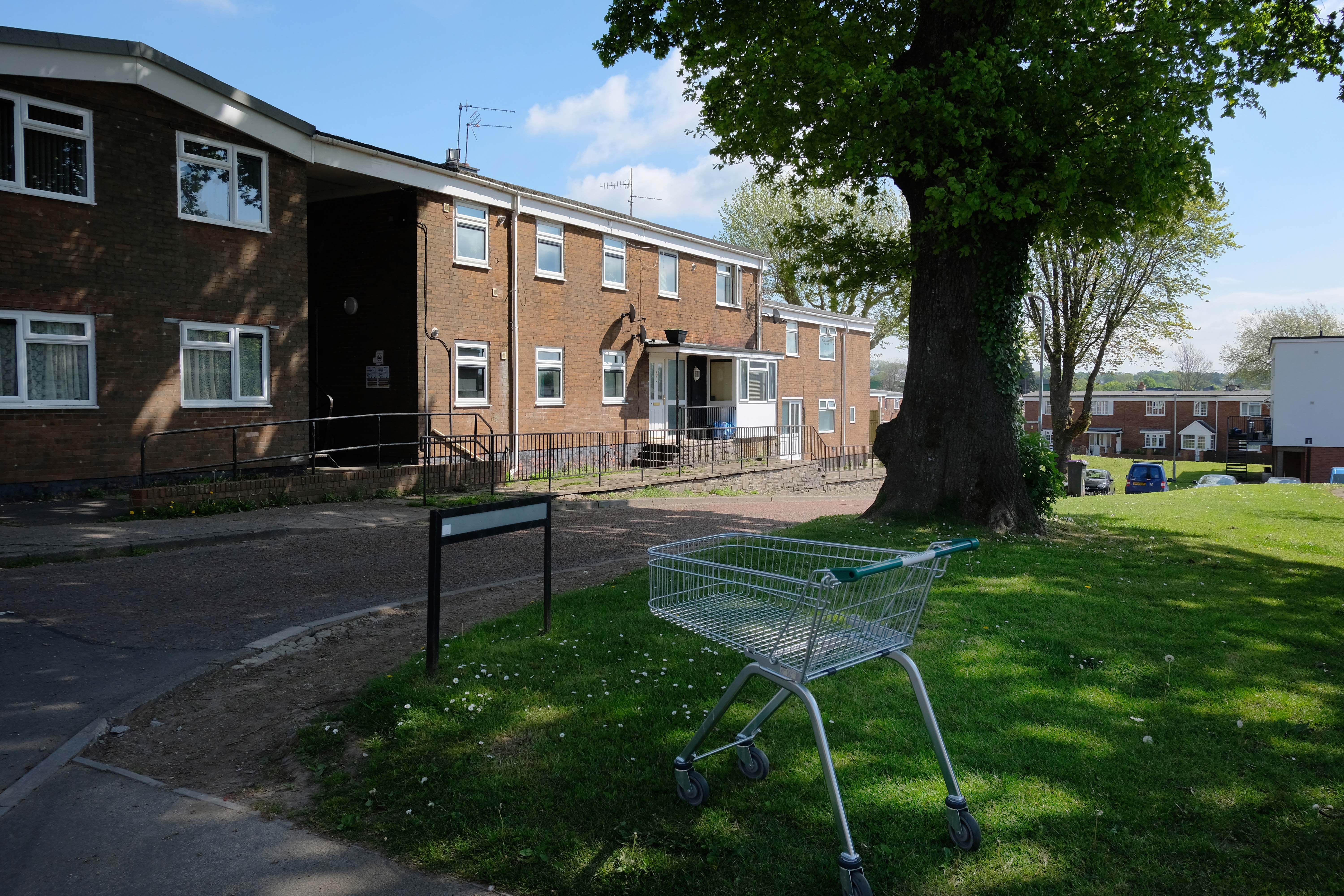
Incidentally an area with more al fresco shopping trolleys than I had ever seen, I assume that the big Asda, located within walking distance of the homes, to be the progenitor of such a notable proliferation.
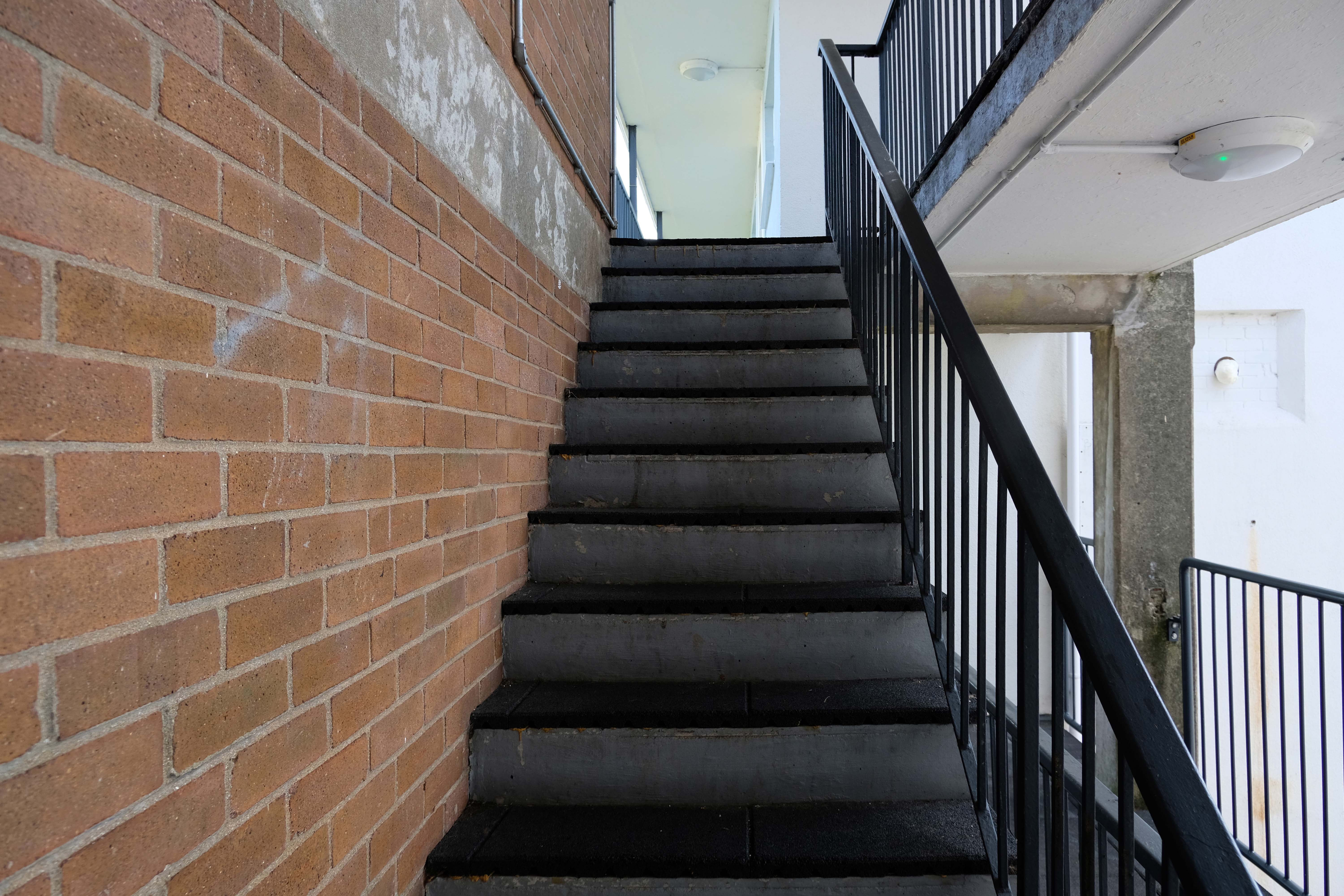
It remains, generally speaking a well kept lived in area – let’s take a look.
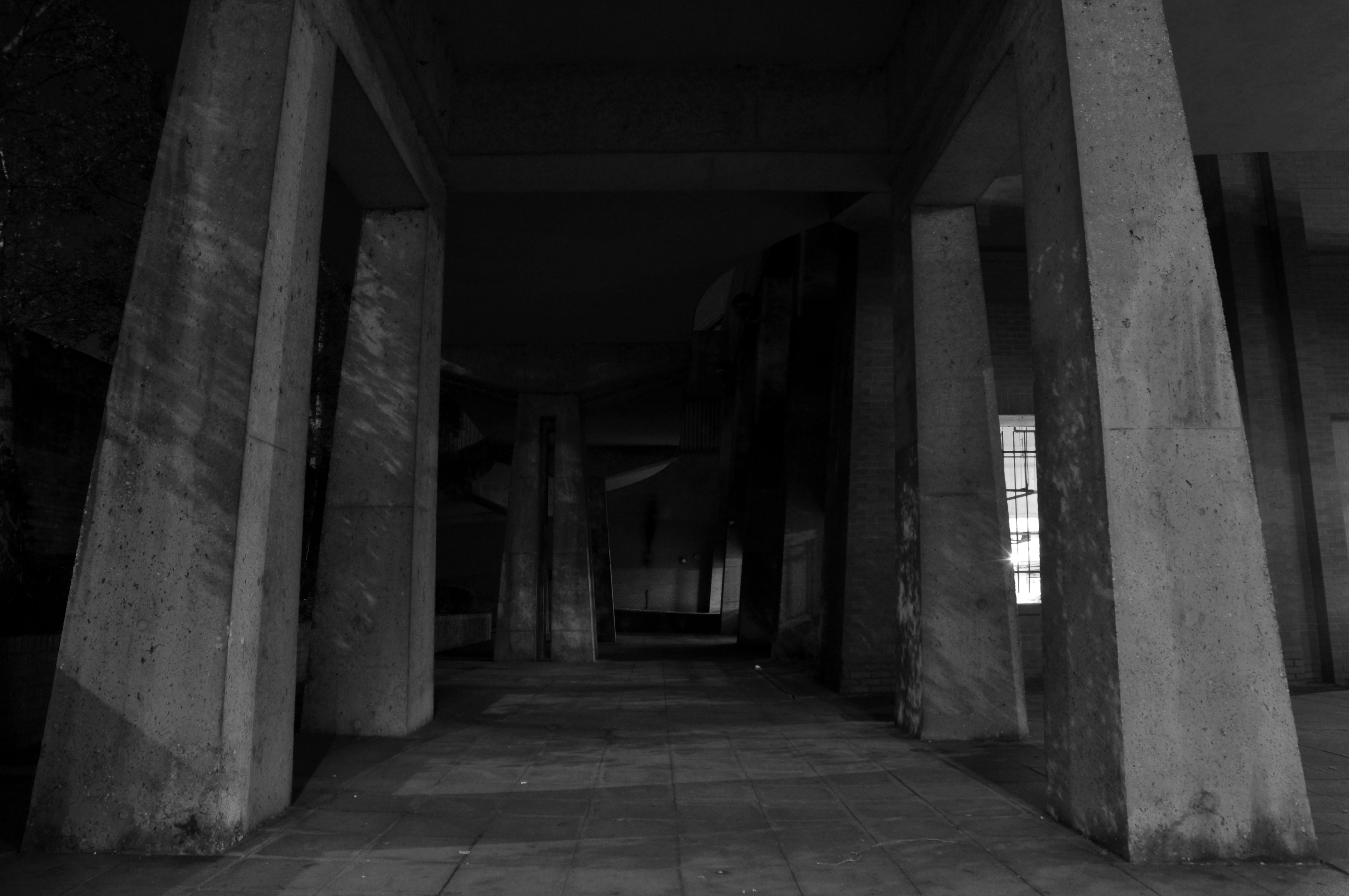
It’s addictive passing the no access signs, onwards into the abyss.
He hated all this, and somehow he couldn’t get away.
Joseph Conrad – Heart of Darkness
Asda Stores Ltd is a British supermarket chain. It is headquartered in Leeds. The company was founded in 1949 when the Asquith family merged their retail business with the Associated Dairies company of Yorkshire.
It was listed on the London Stock Exchange until 1999 when it was acquired by Walmart for £6.7 billion.
In February 2021, EG Group – led by the Issa brothers and TDR Capital, acquired Asda.
The company was fined £850,000 in 2006 for offering 340 staff at a Dartford depot a pay rise in return for giving up a union collective bargaining agreement. Poor relations continued as Asda management attempted to introduce new rights and working practices shortly thereafter at another centre in Washington, Tyne and Wear.
Let’s hope that the new owners having been ruled against in an equal pay dispute, attempt to forge better labour relations.
In March 2021 the employees won a Supreme Court ruling upholding an earlier court ruling permitting the action, and enabling employment tribunal action to decide equal value claims.
Asda stated: This ruling relates to one stage of a complex case that is likely to take several years to reach a conclusion.
The claim could lead to about £500 million of compensation to lower paid employees.
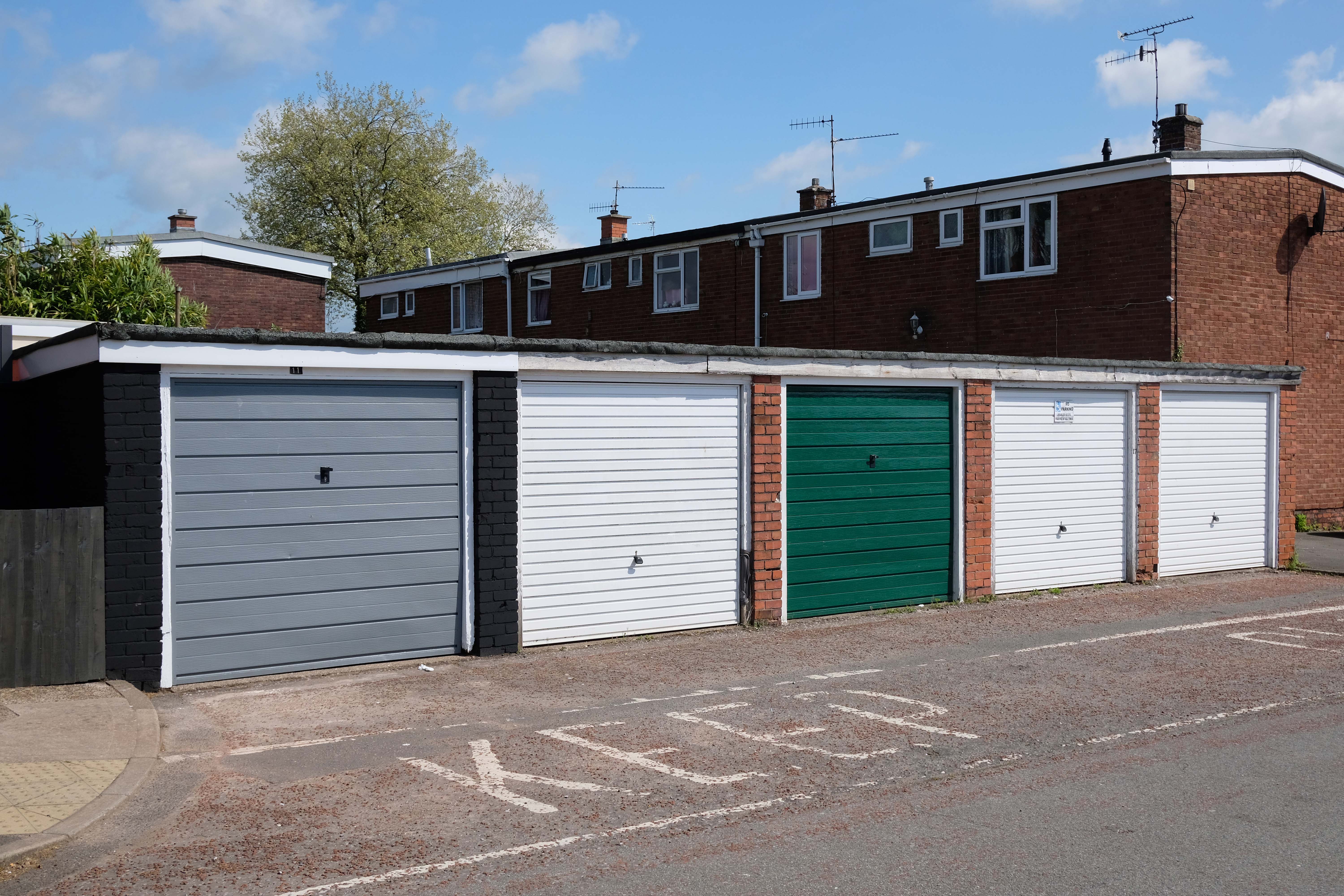
All that aside, let’s have a look at what the car park is like.