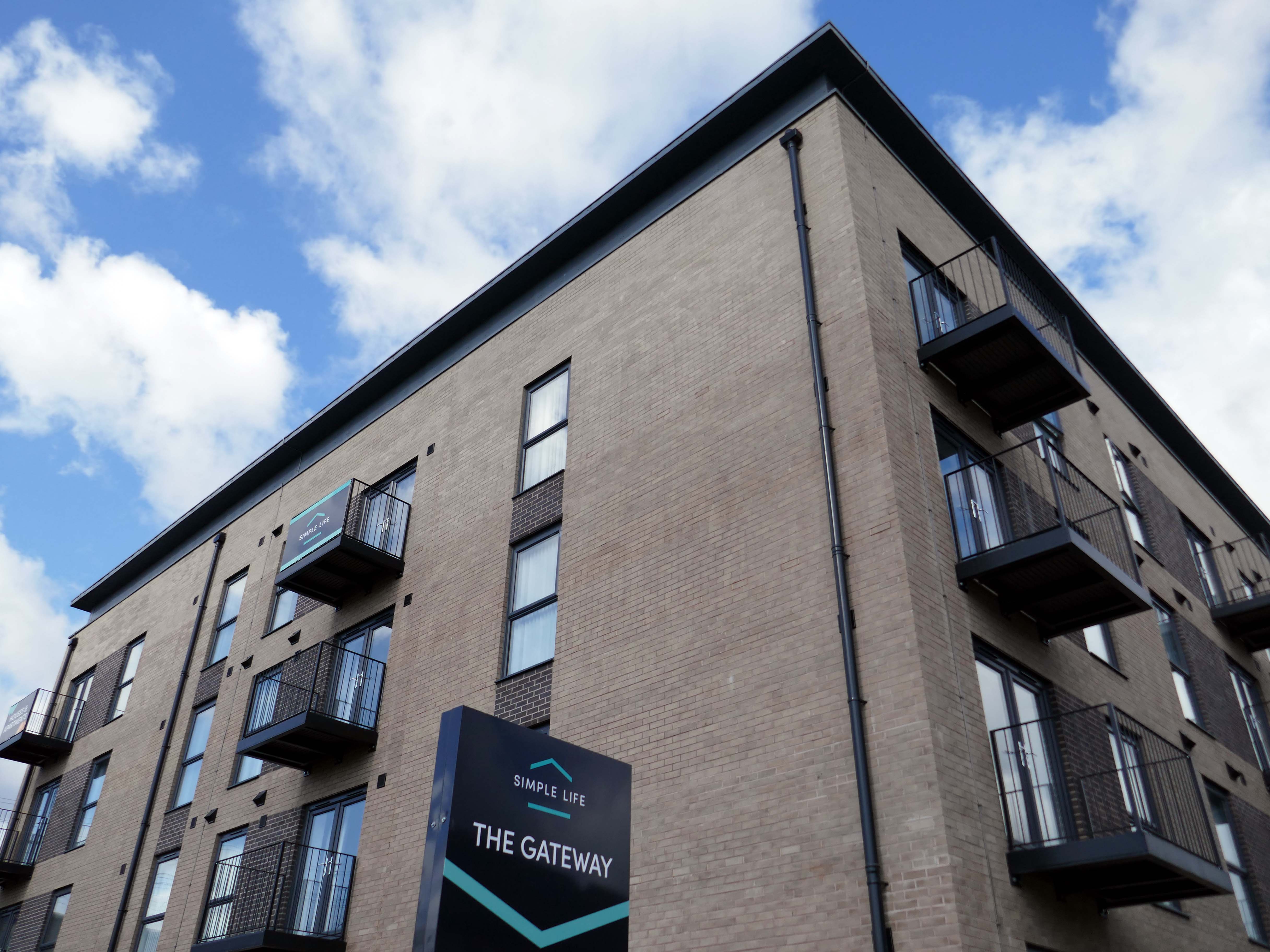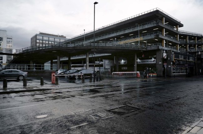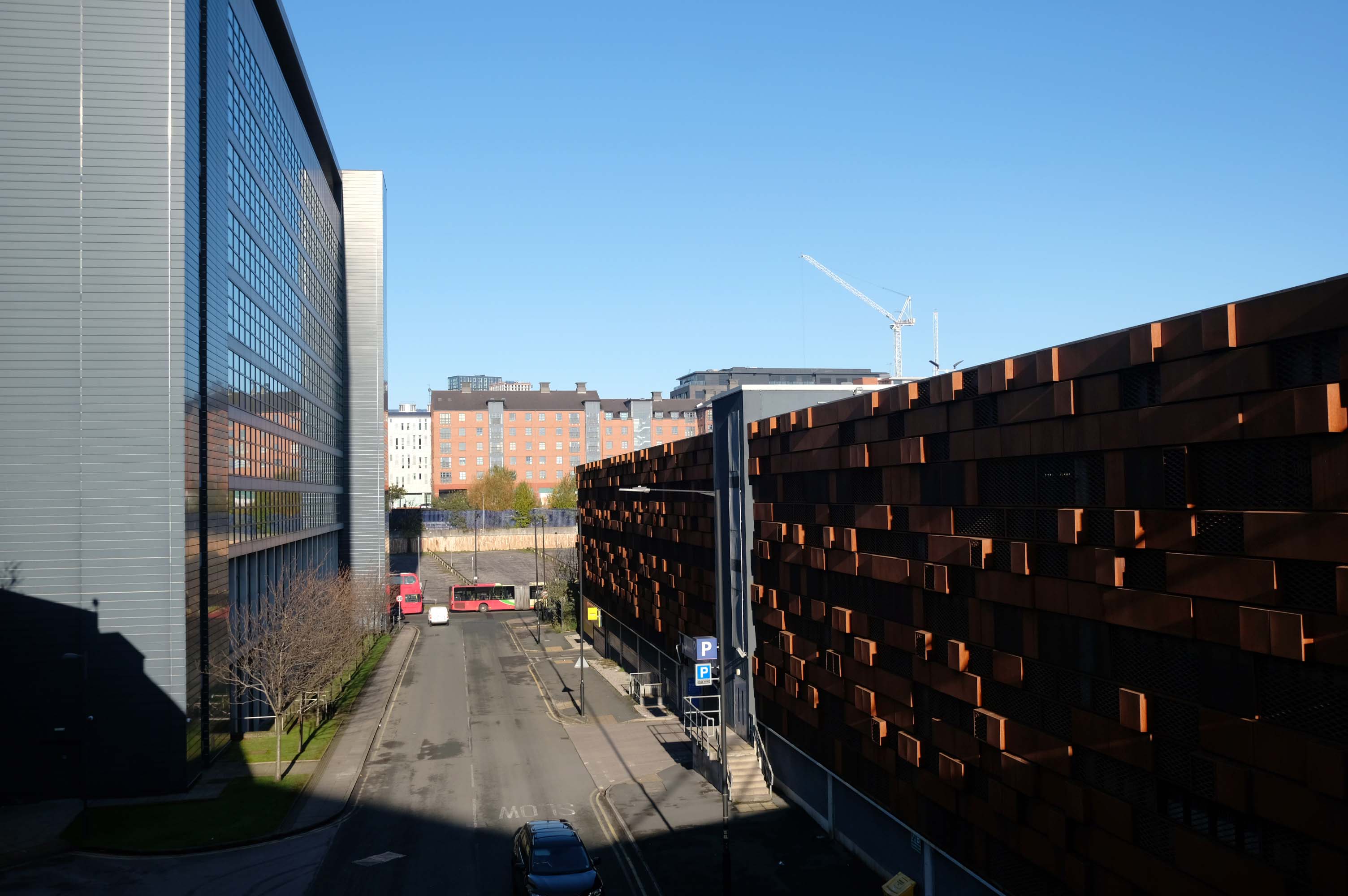
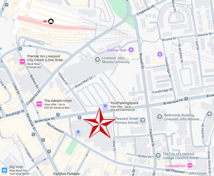
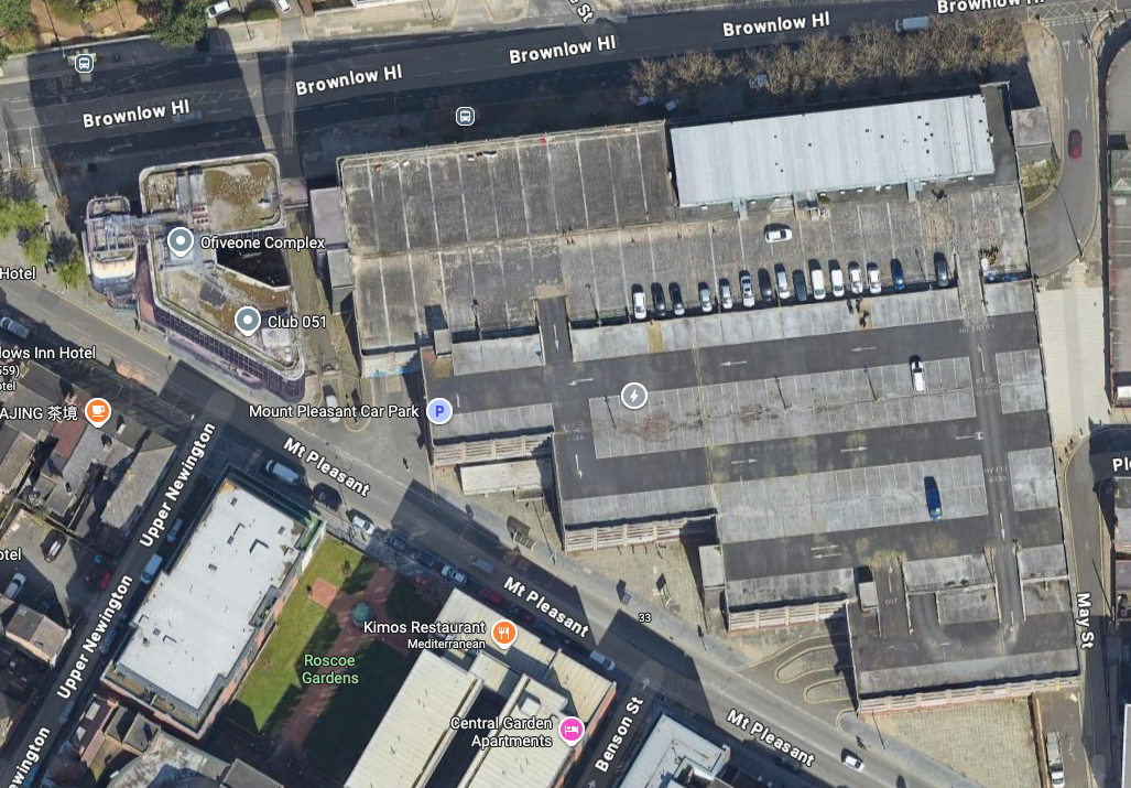
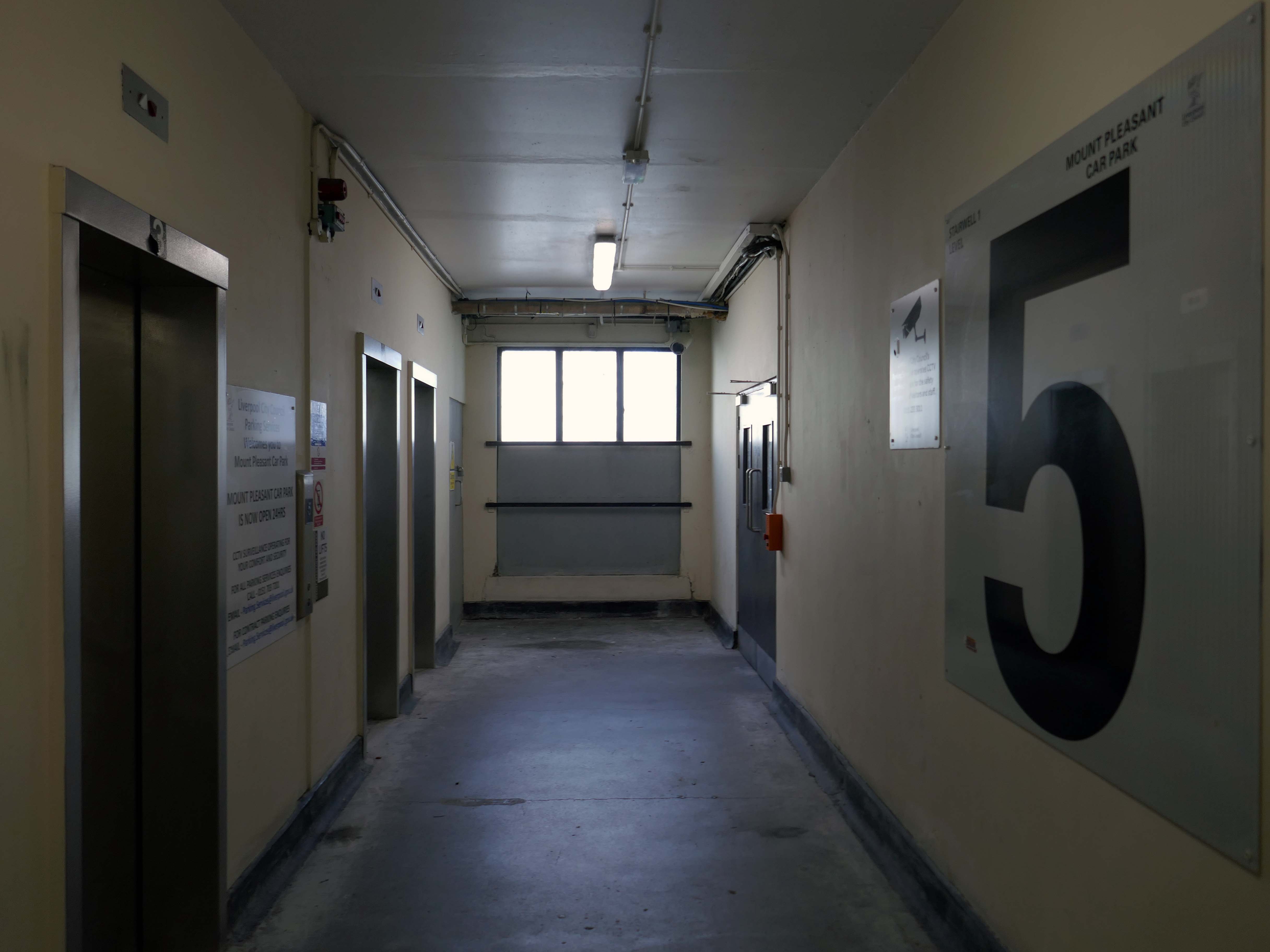
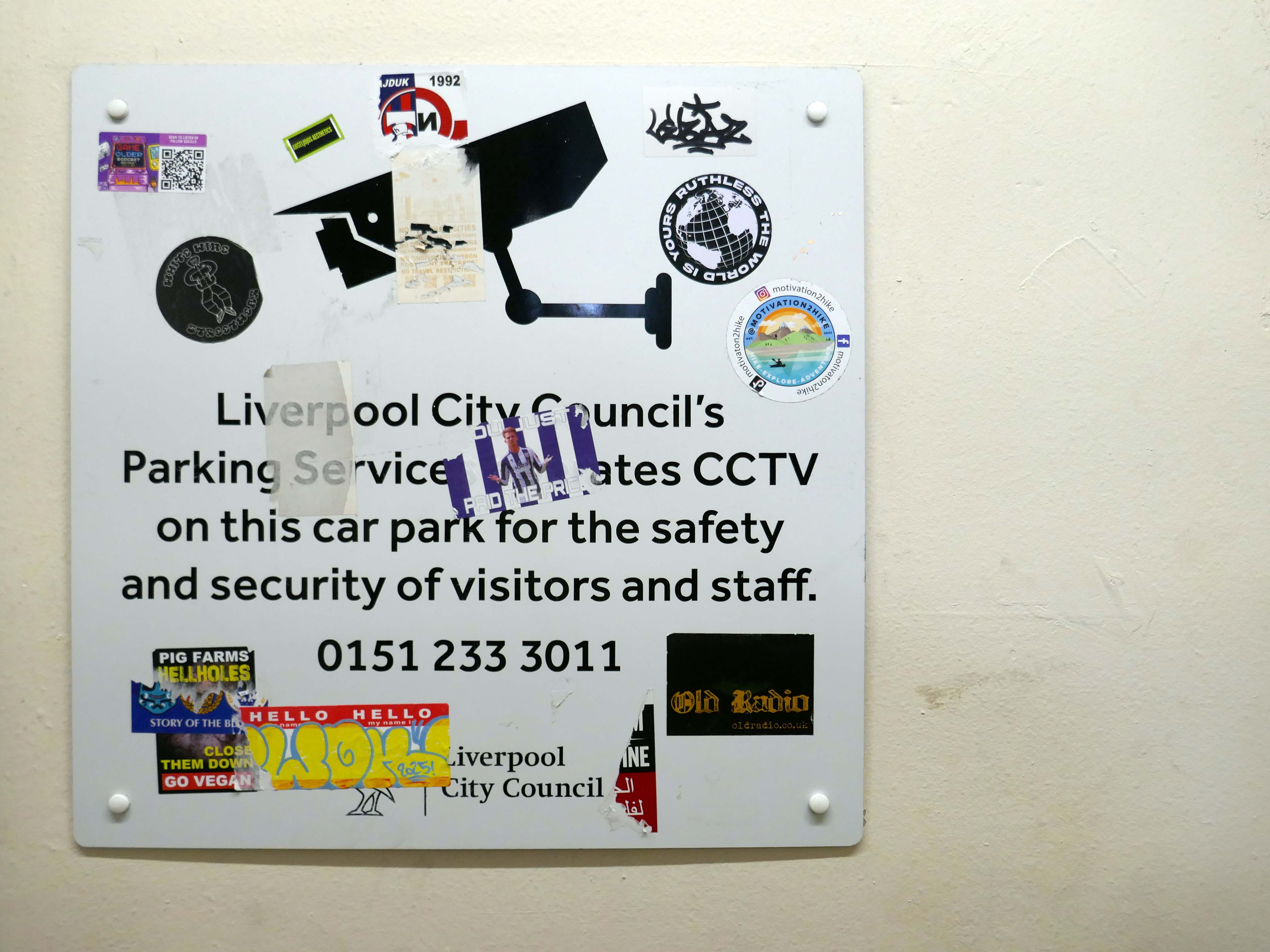
38 Mount Pleasant Liverpool L3 5TB
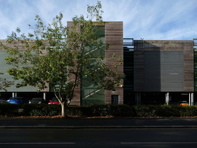
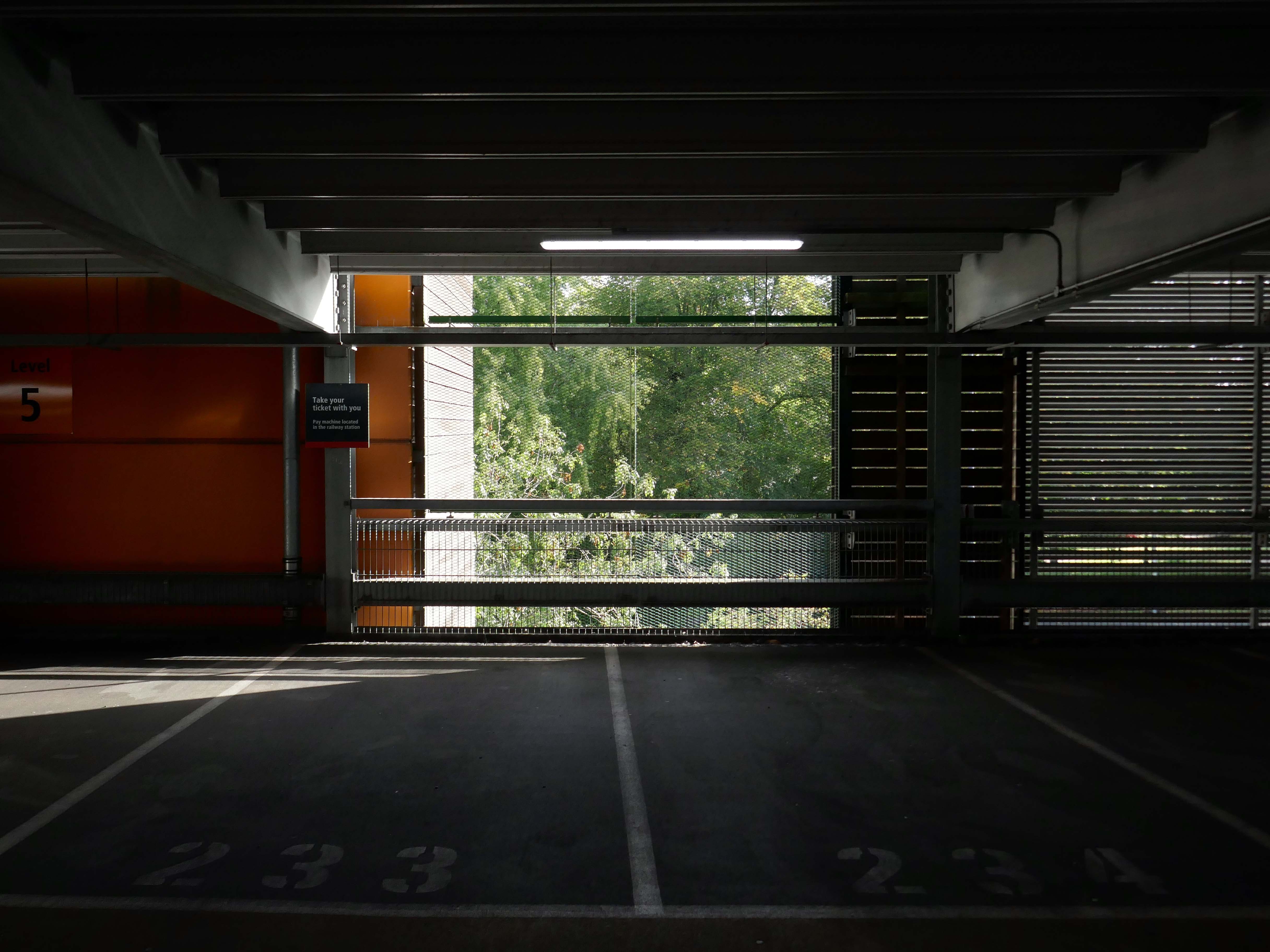
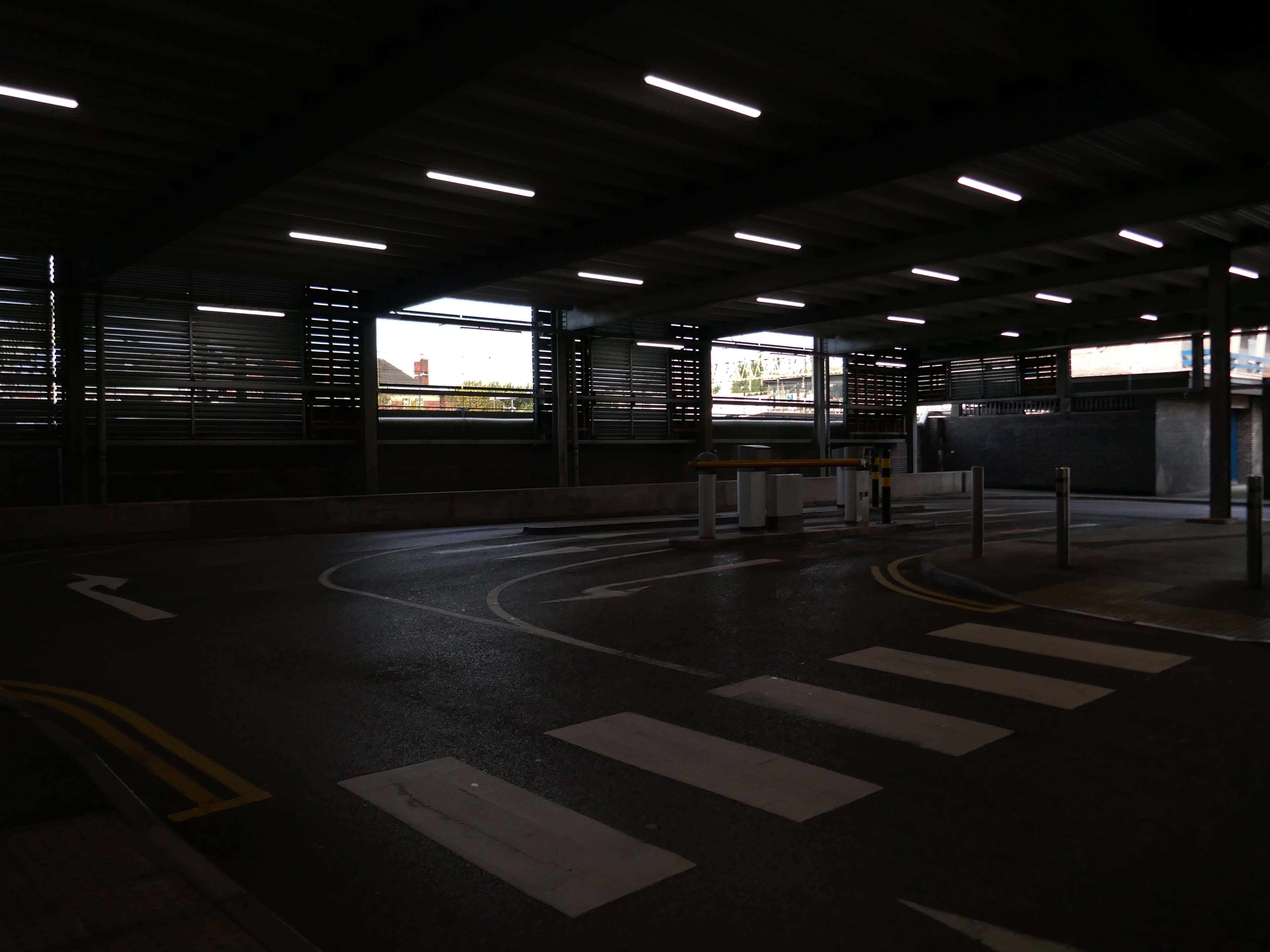
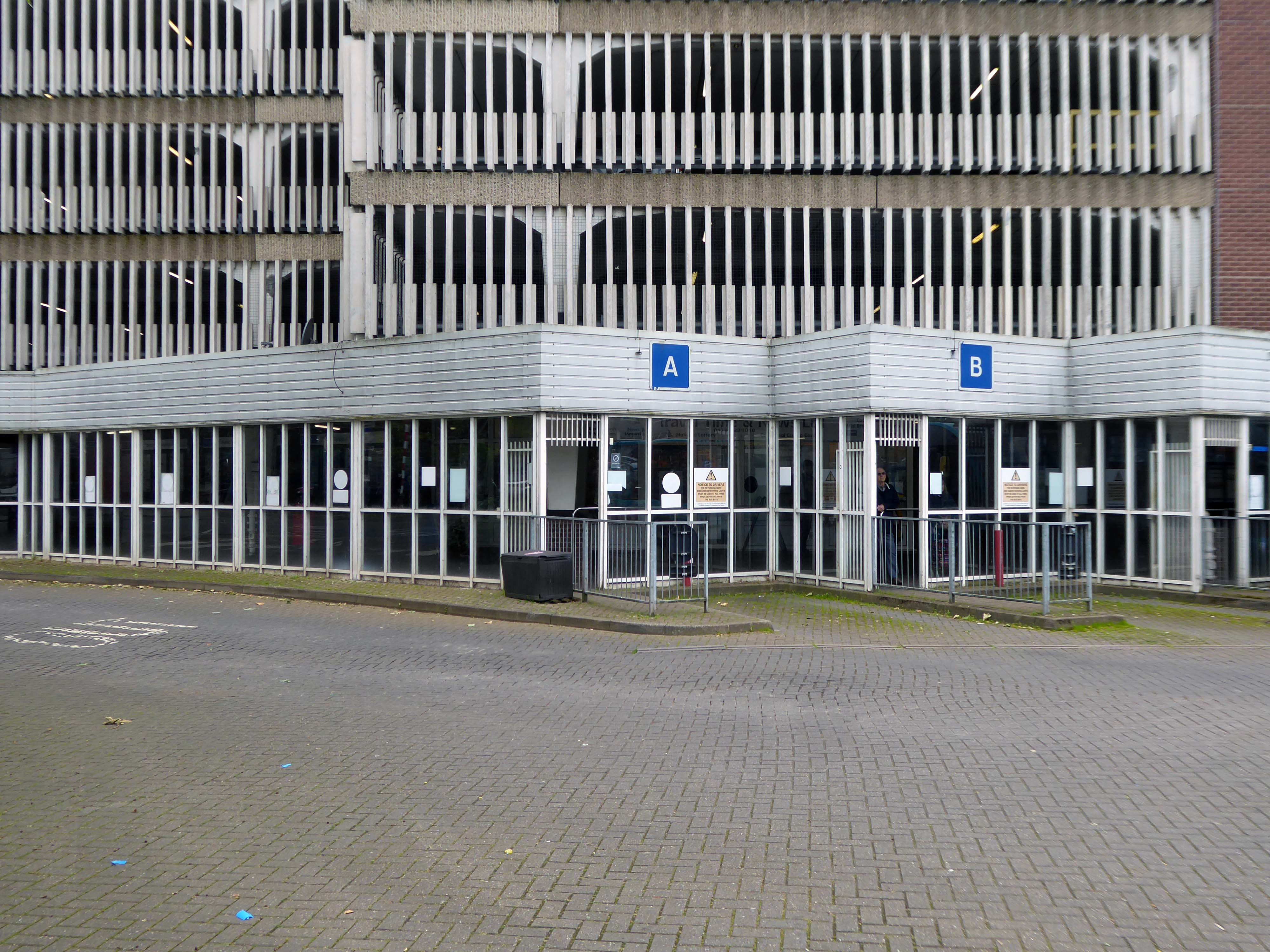
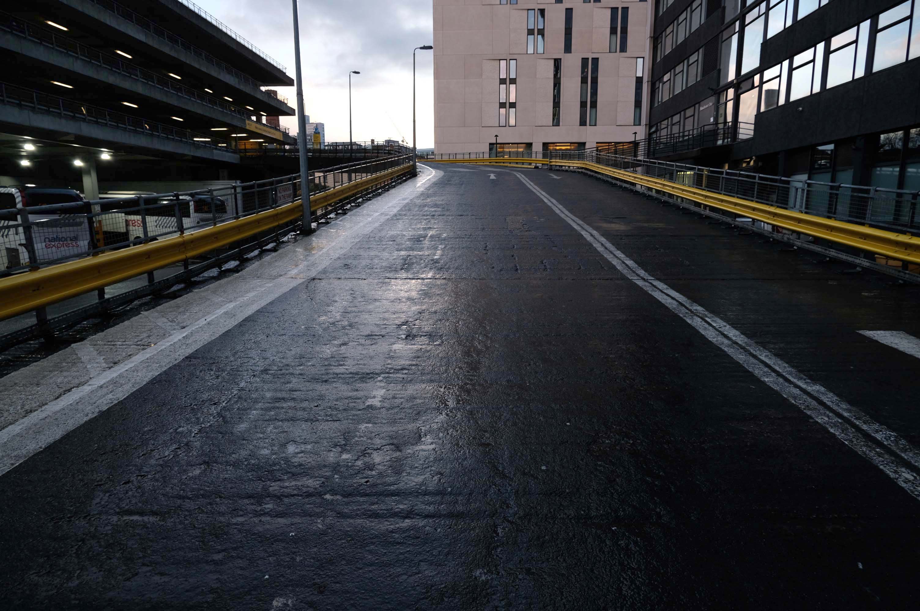
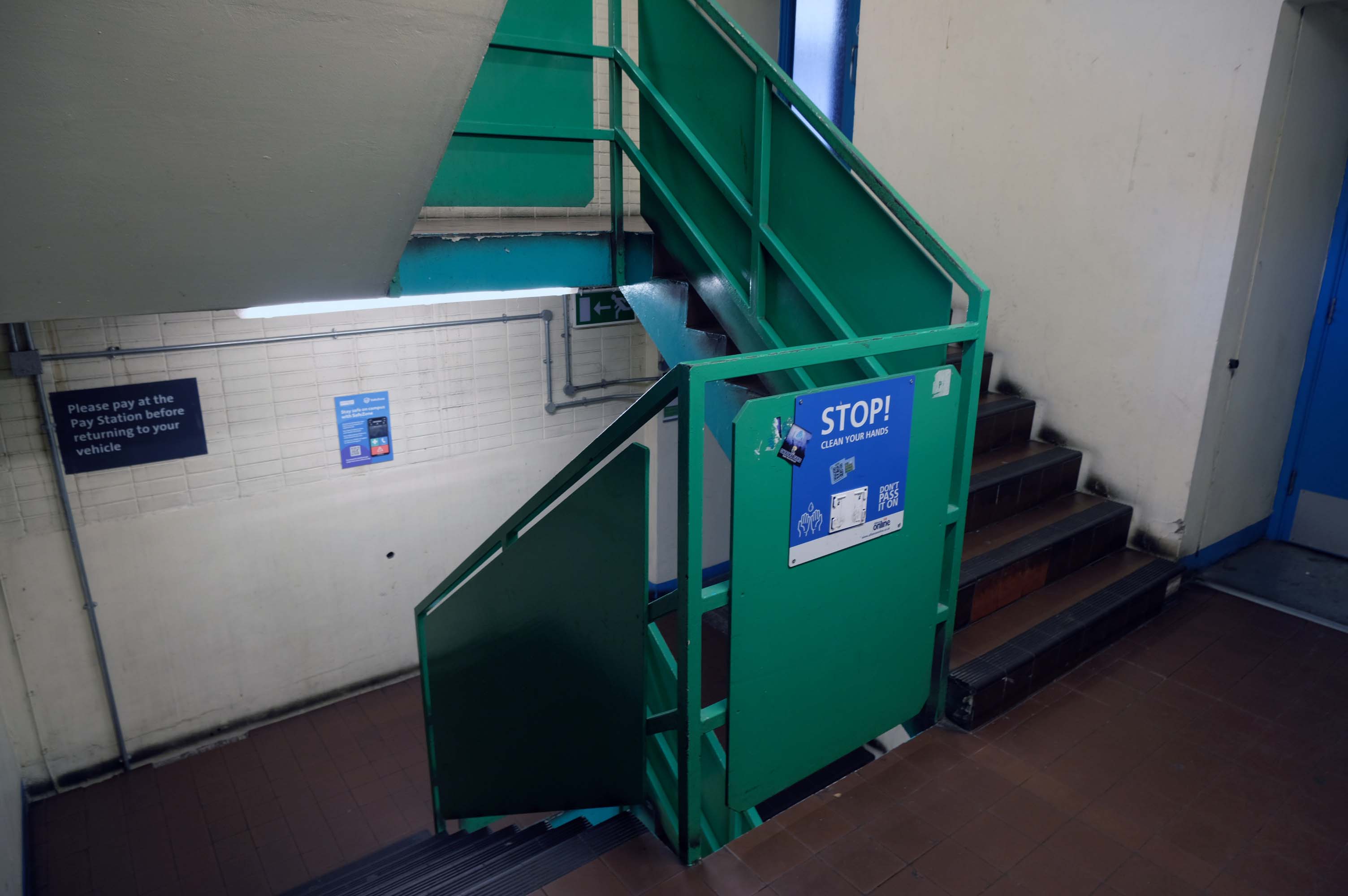
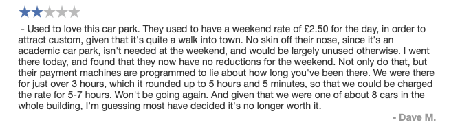
Excellent price – max £4 for whole day. Awkward to exit on foot, it needs more signage, but worth a bit of faffing around for the very reasonable cost. Really easy to pay by phone, although it costs an extra 20p to do this. As other have said, it closes at 8pm, but great for daytime adventures!
2017
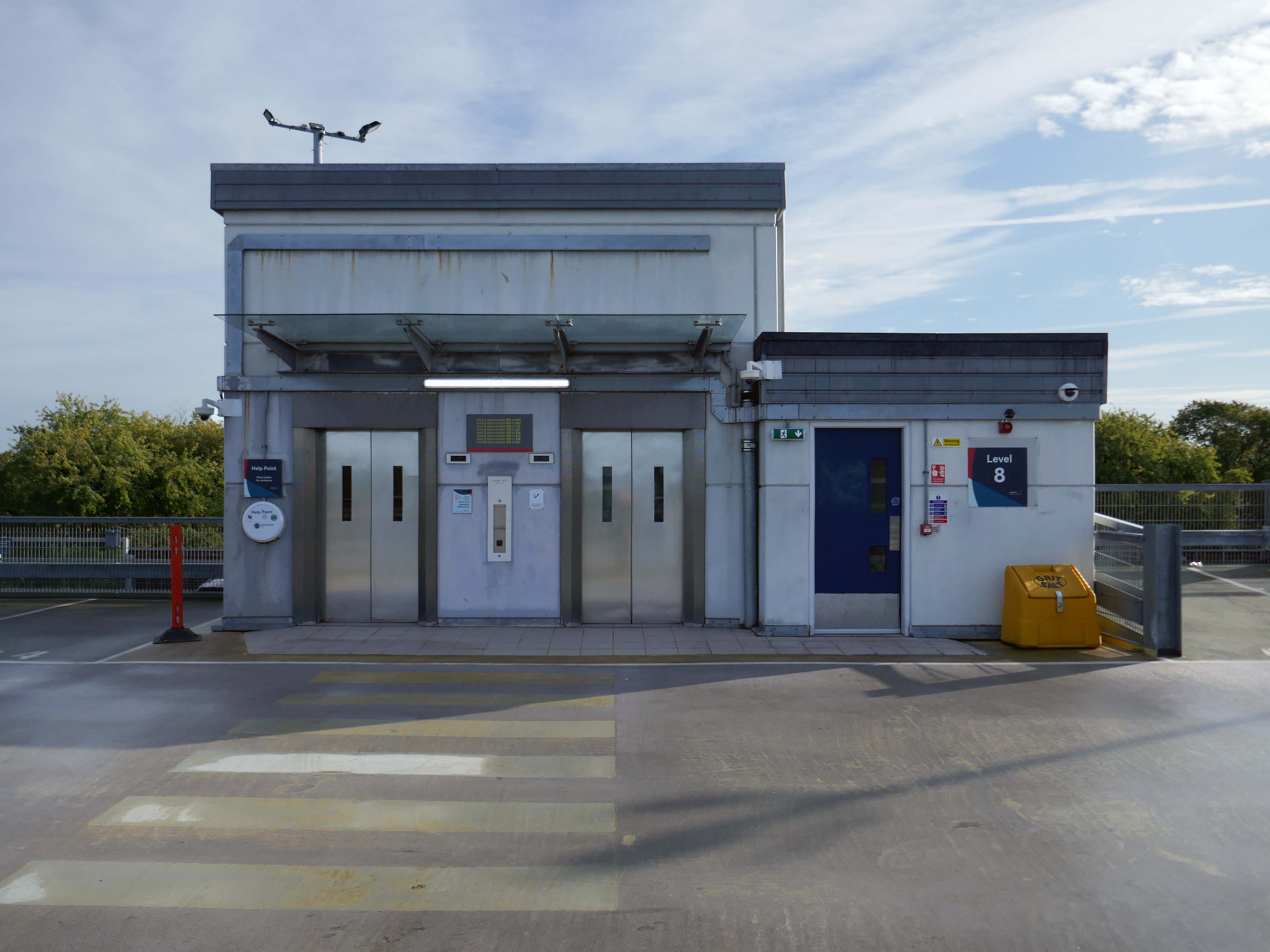
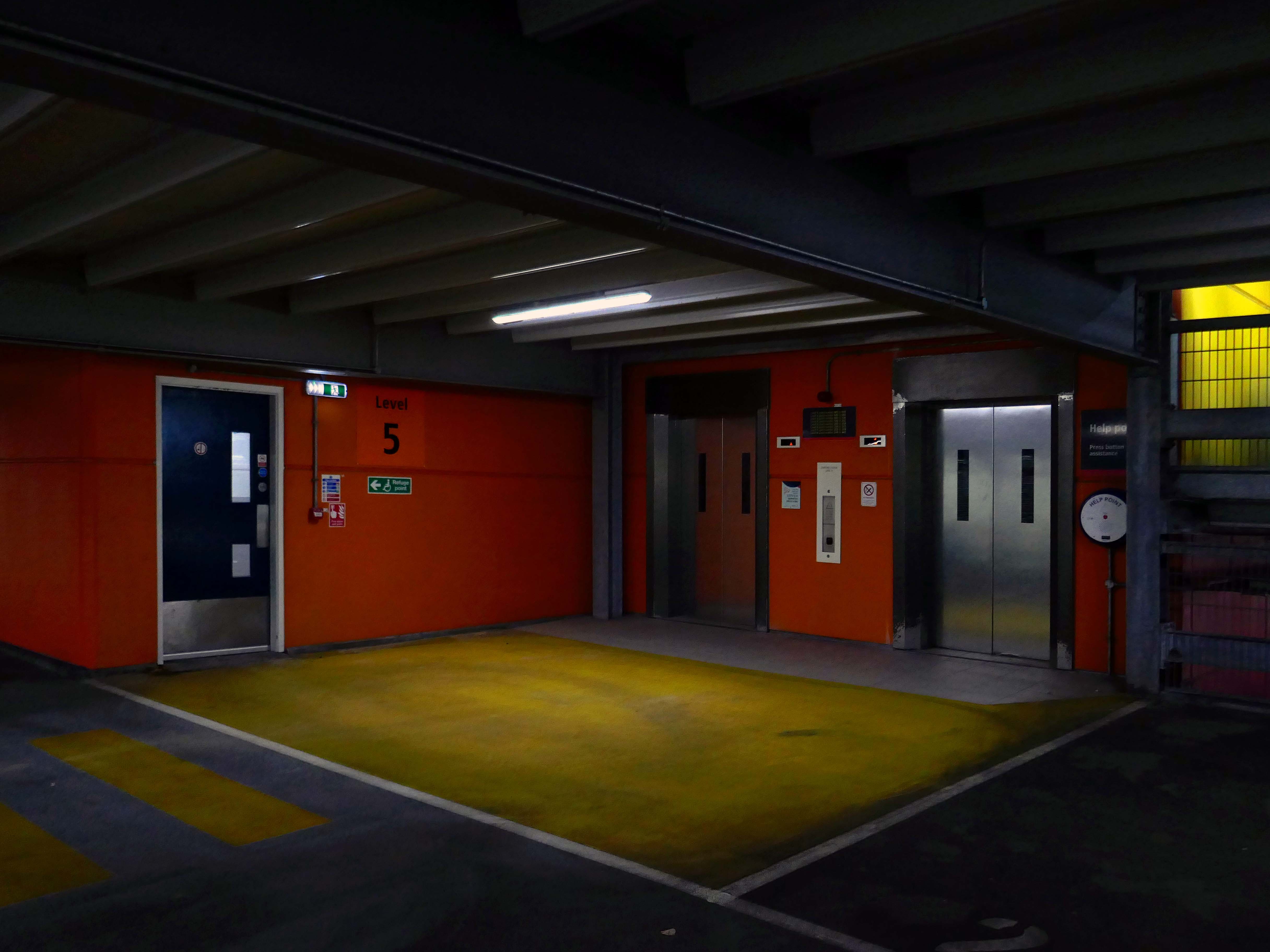
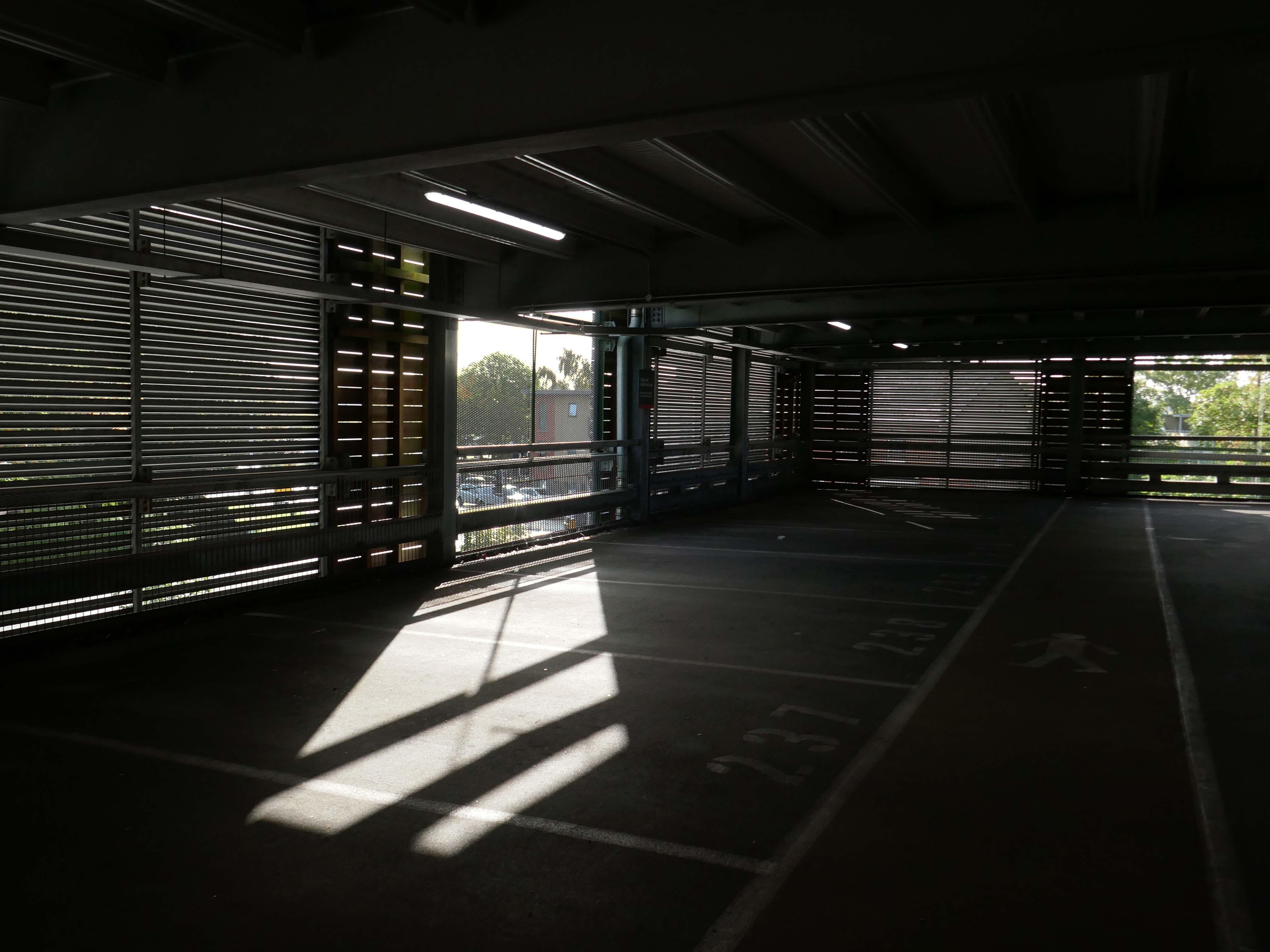
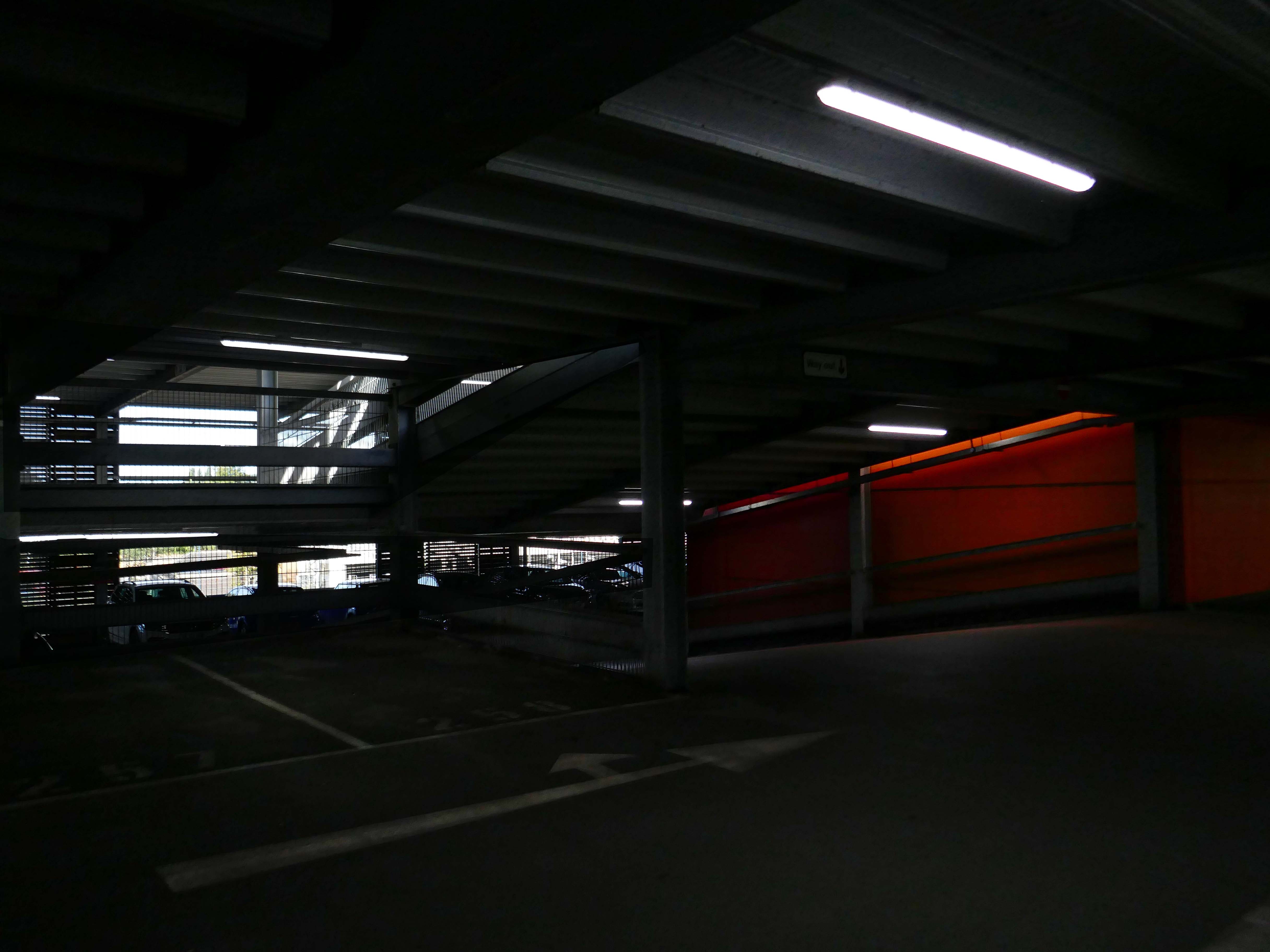
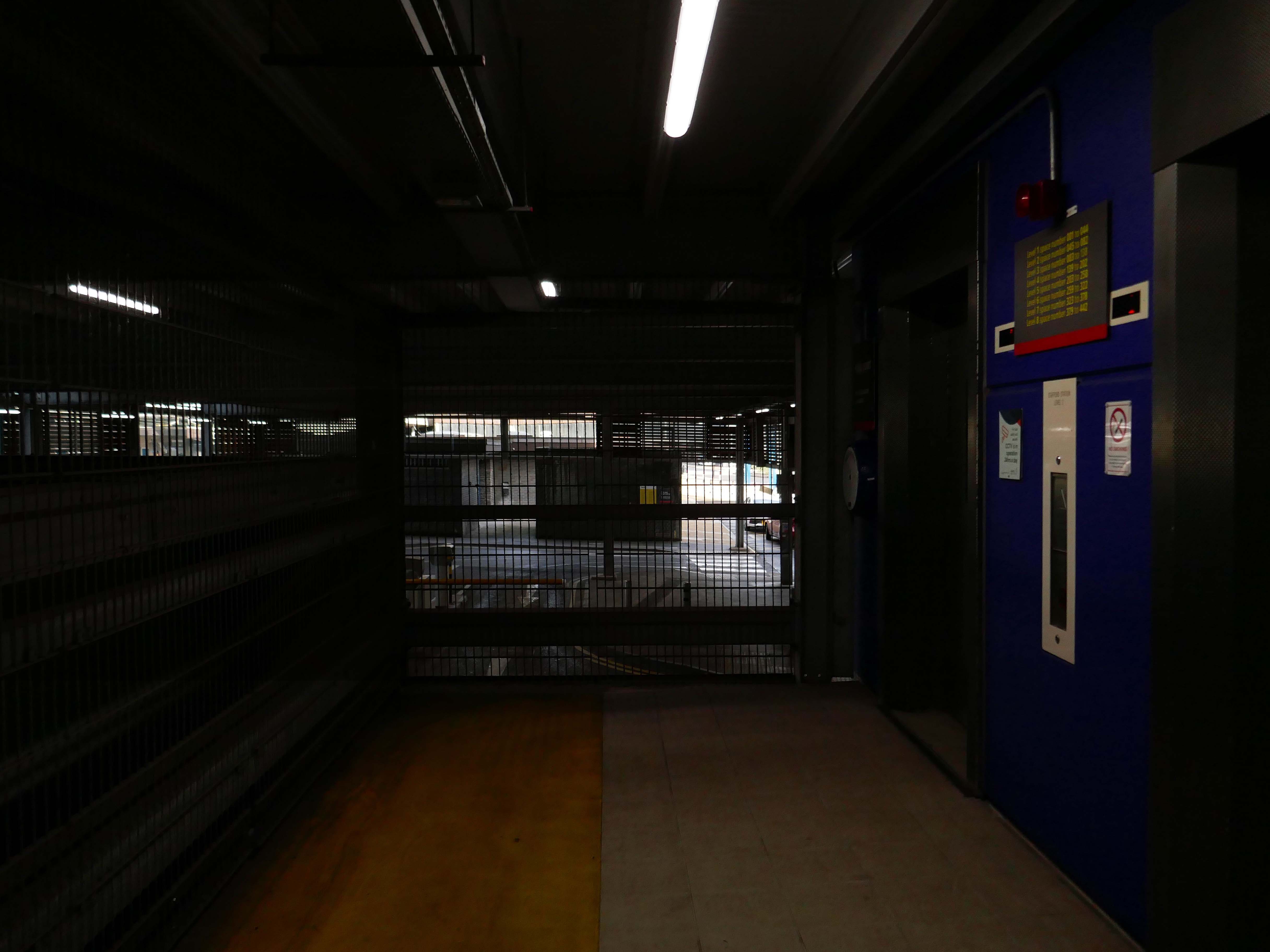
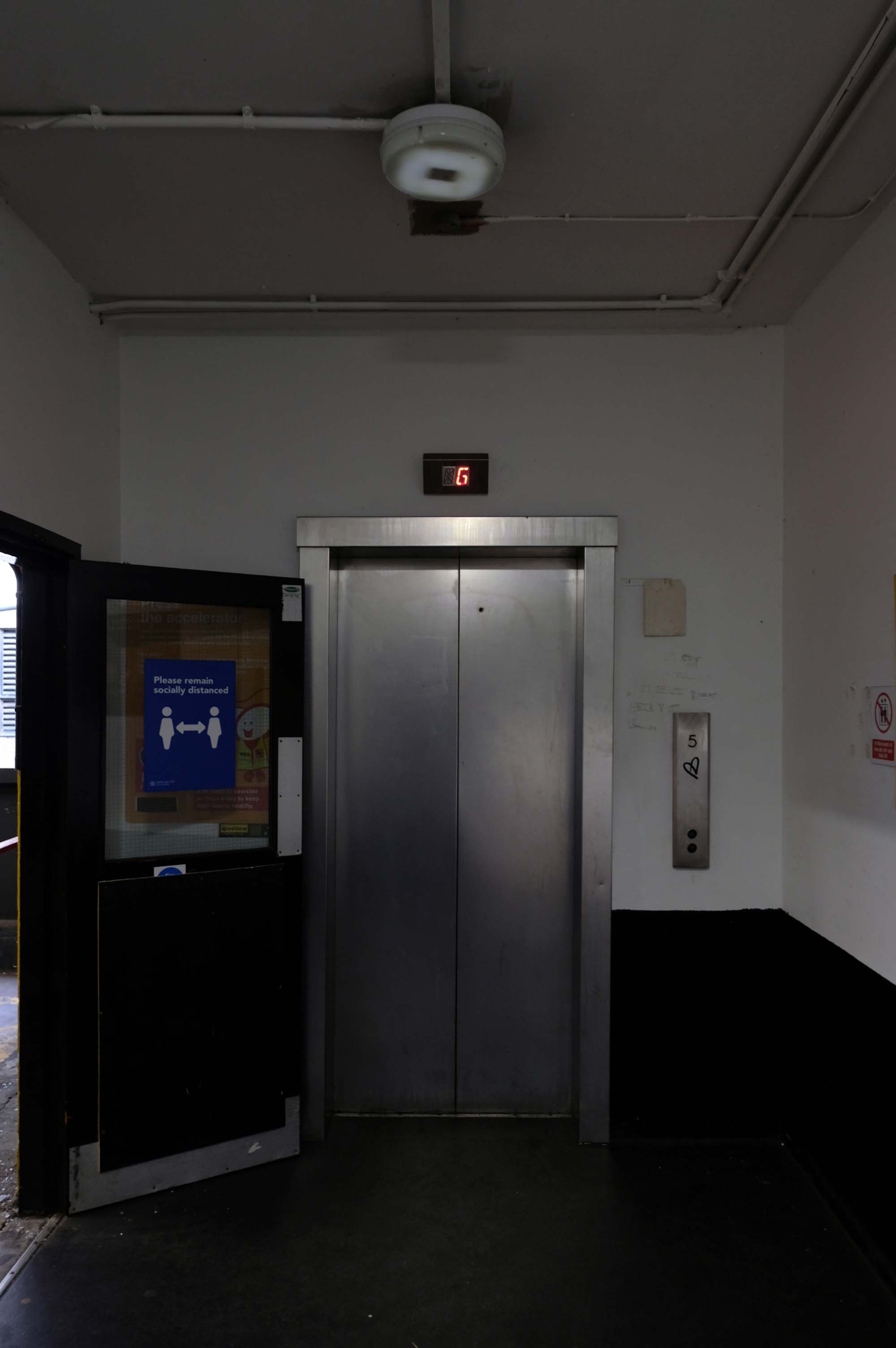
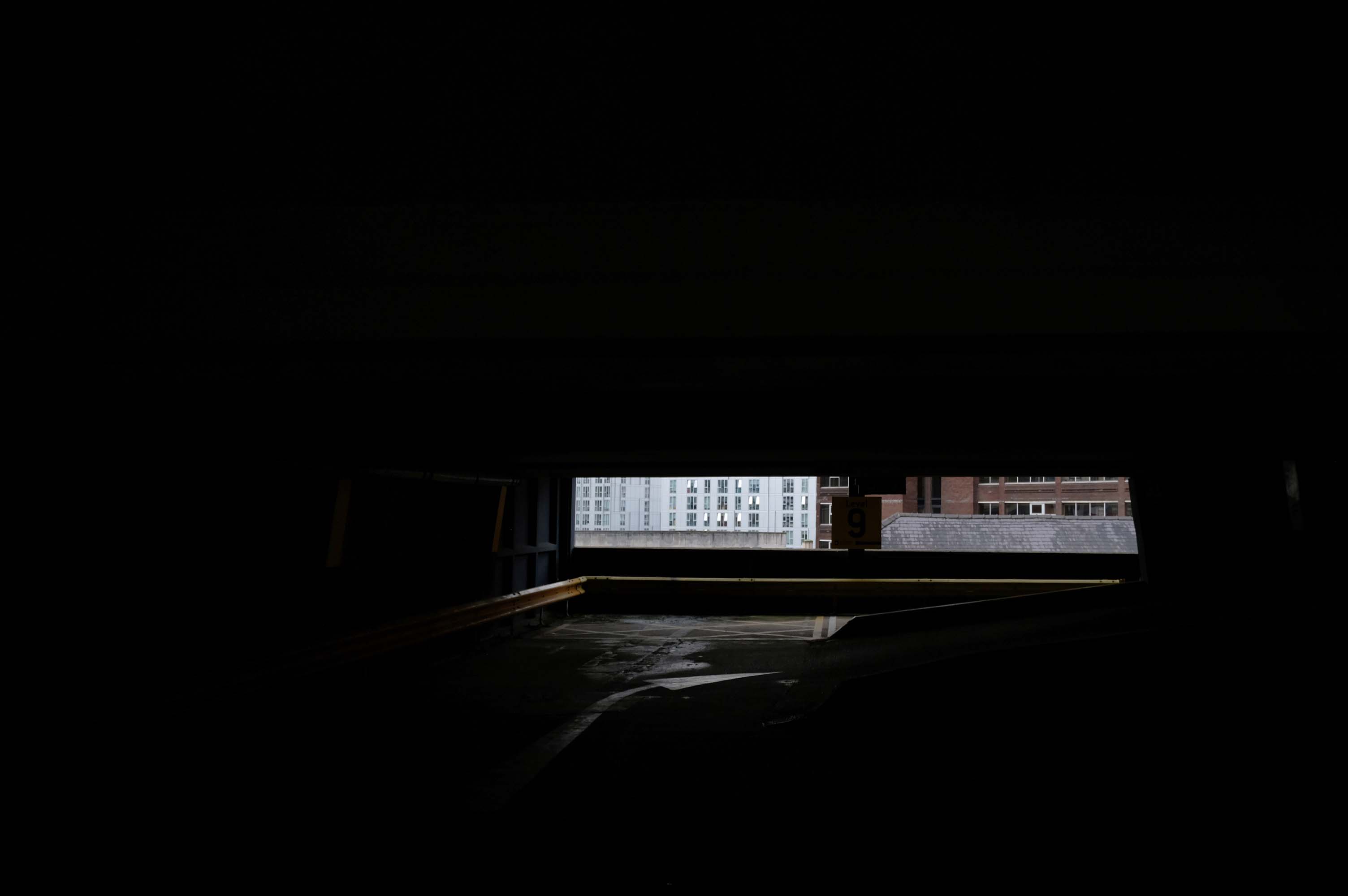
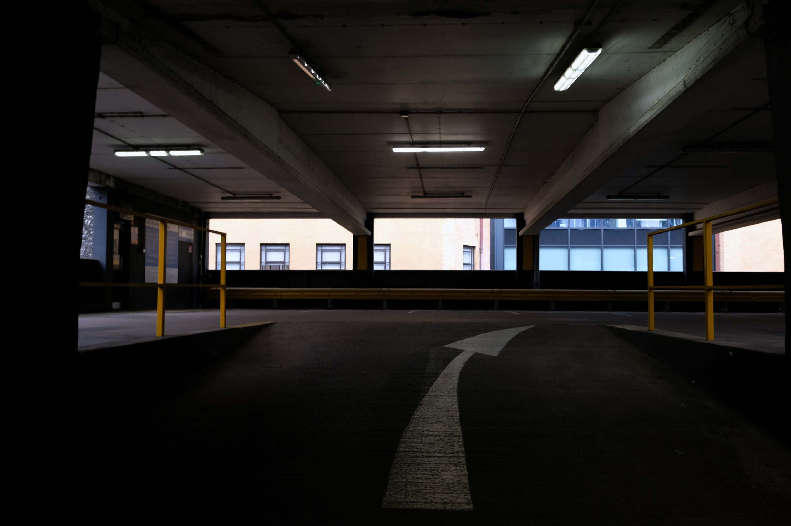
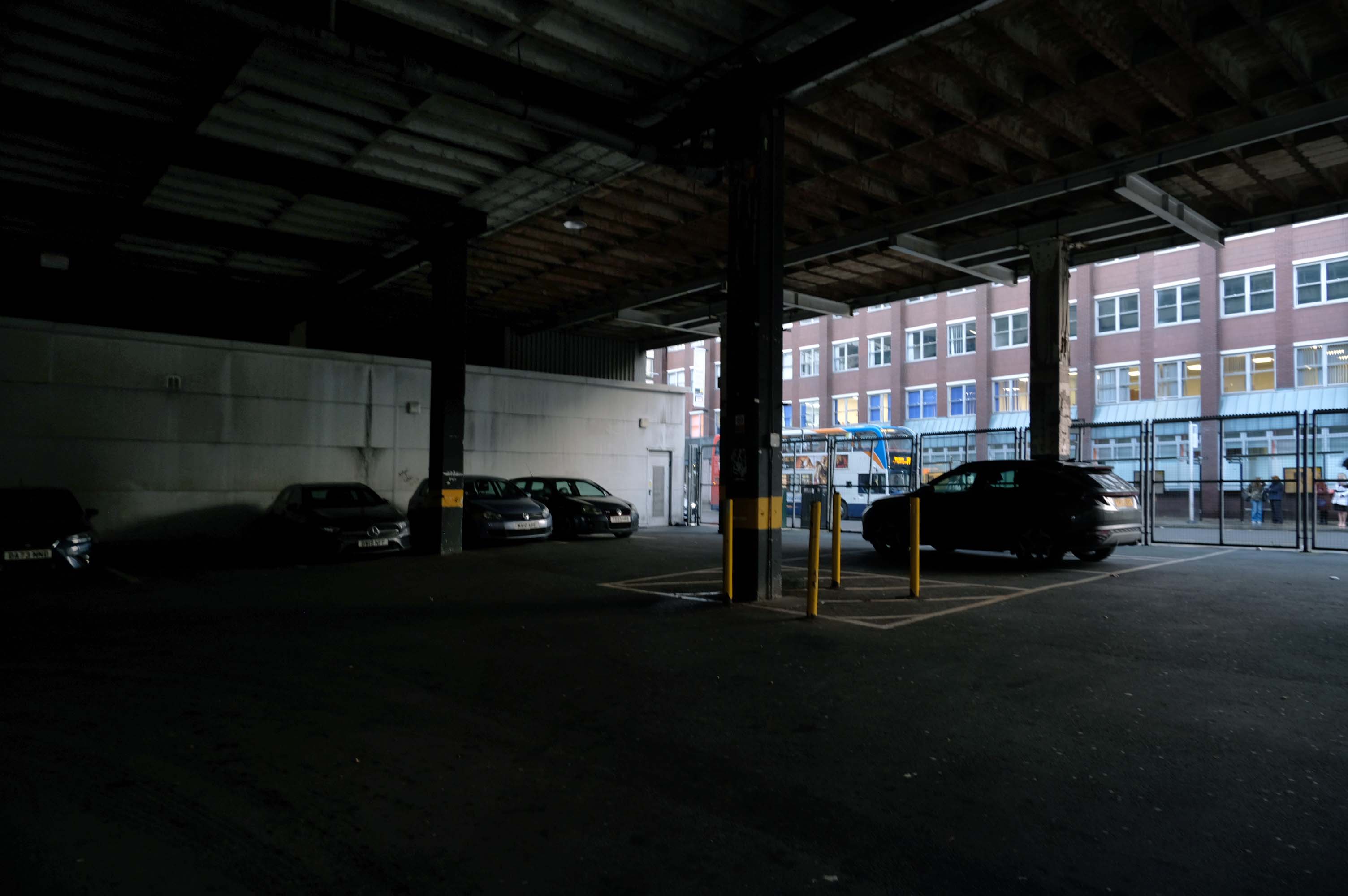
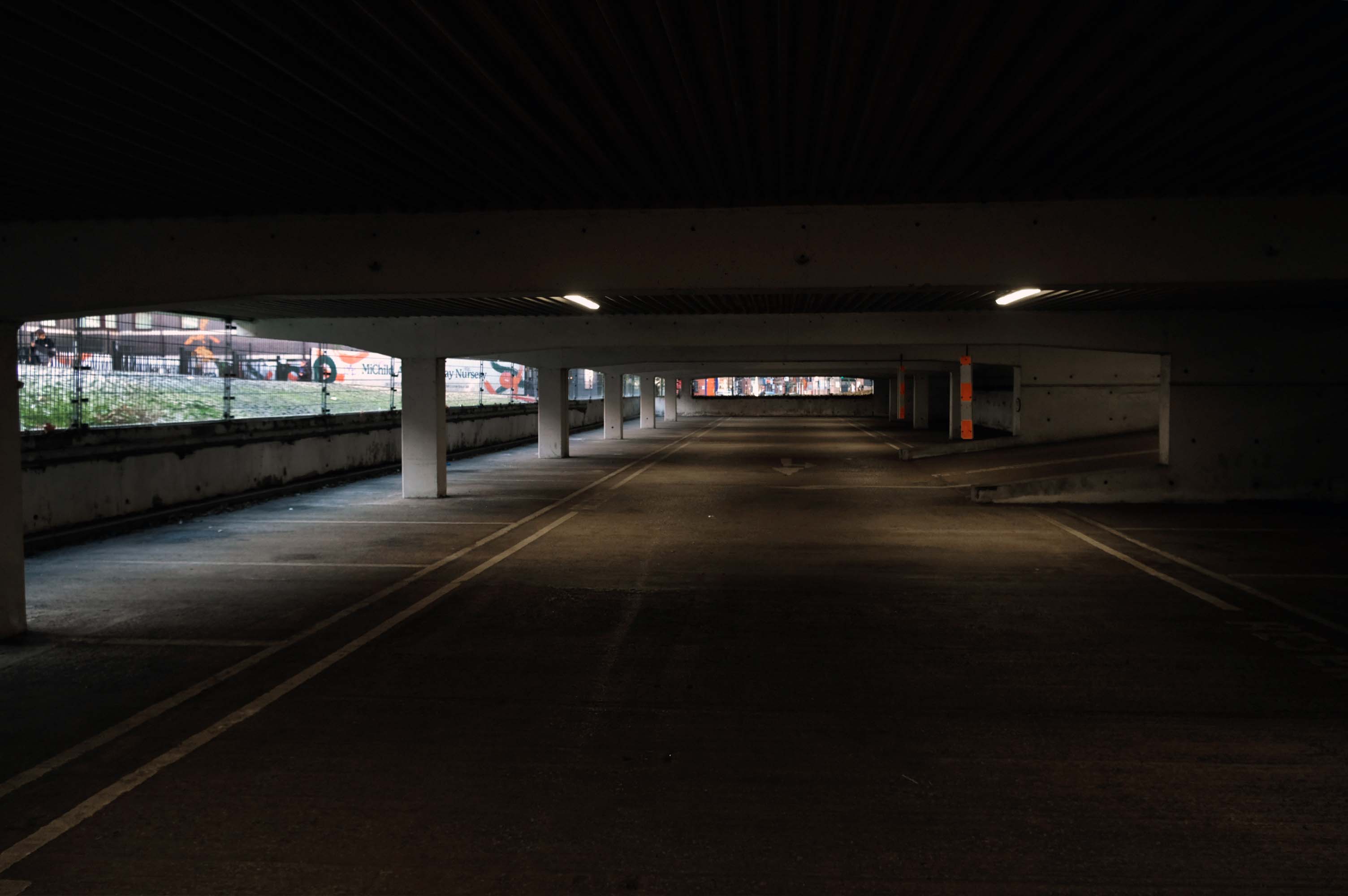
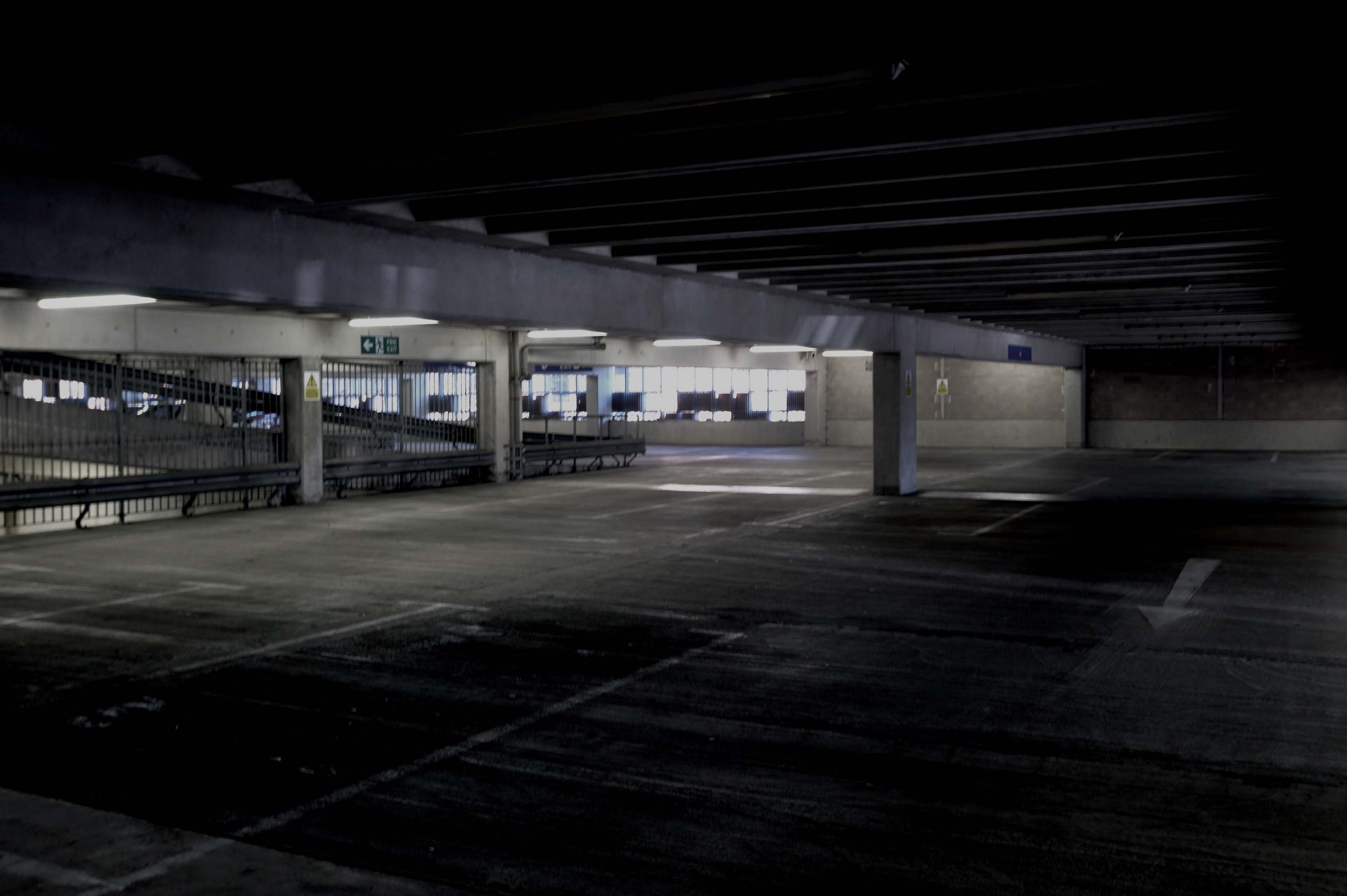
Open 24 hours, no lifts but cheap. Always managed to find a space.
2023
Parkopedia
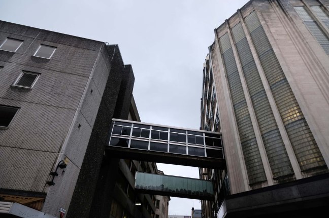
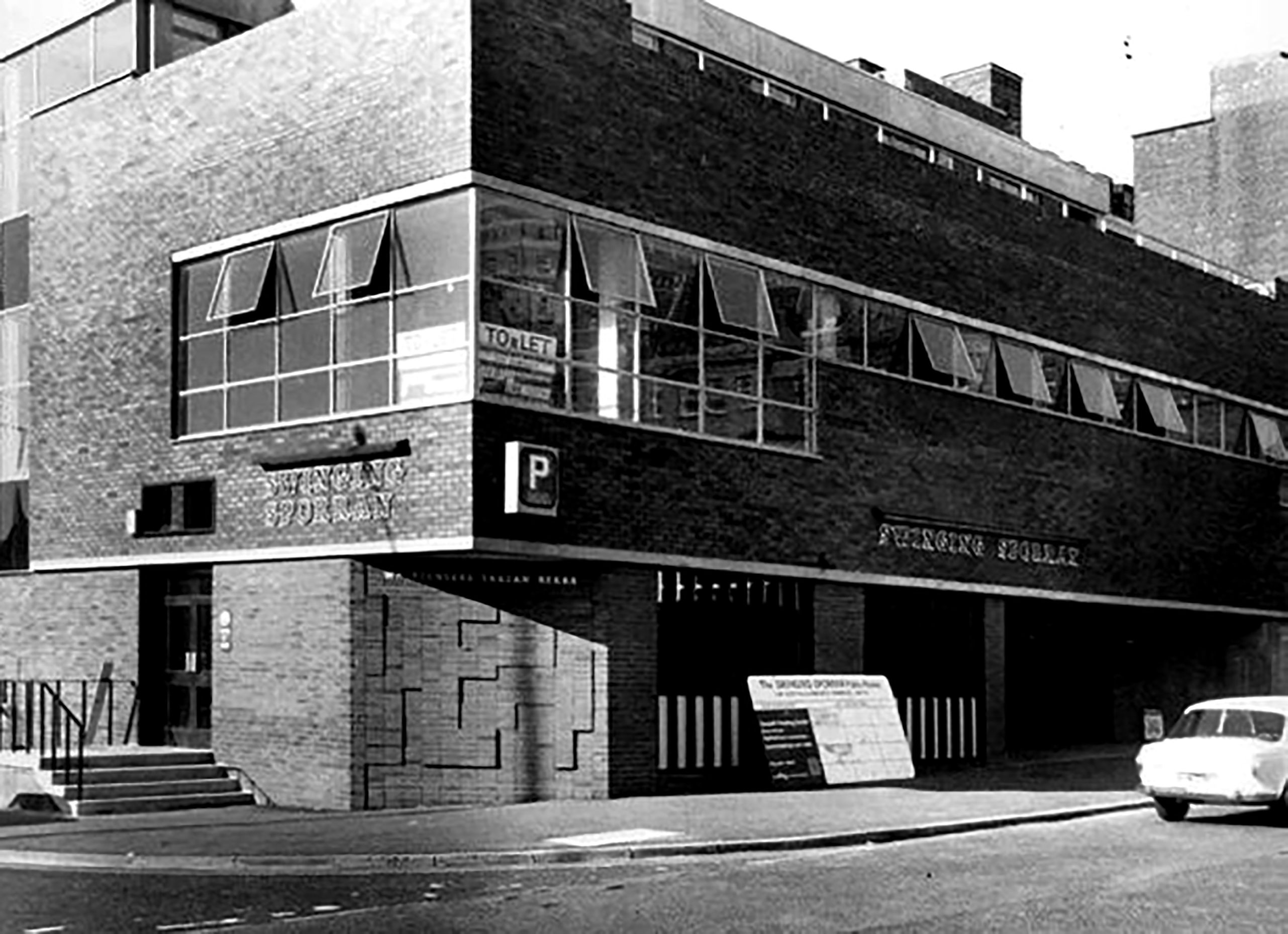
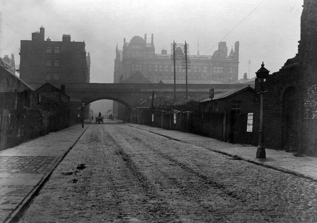
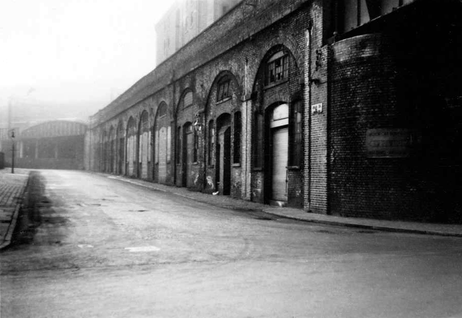
Crosville buses DVG279 and ENL826 head out of Liverpool past the multi-storey car park and AUEW offices in Mount Pleasant.
One of Liverpool’s traditional “Freddie Boswell” street sweepers is going down the hill with his dustcart.
Photo 1985 Chris Palmer

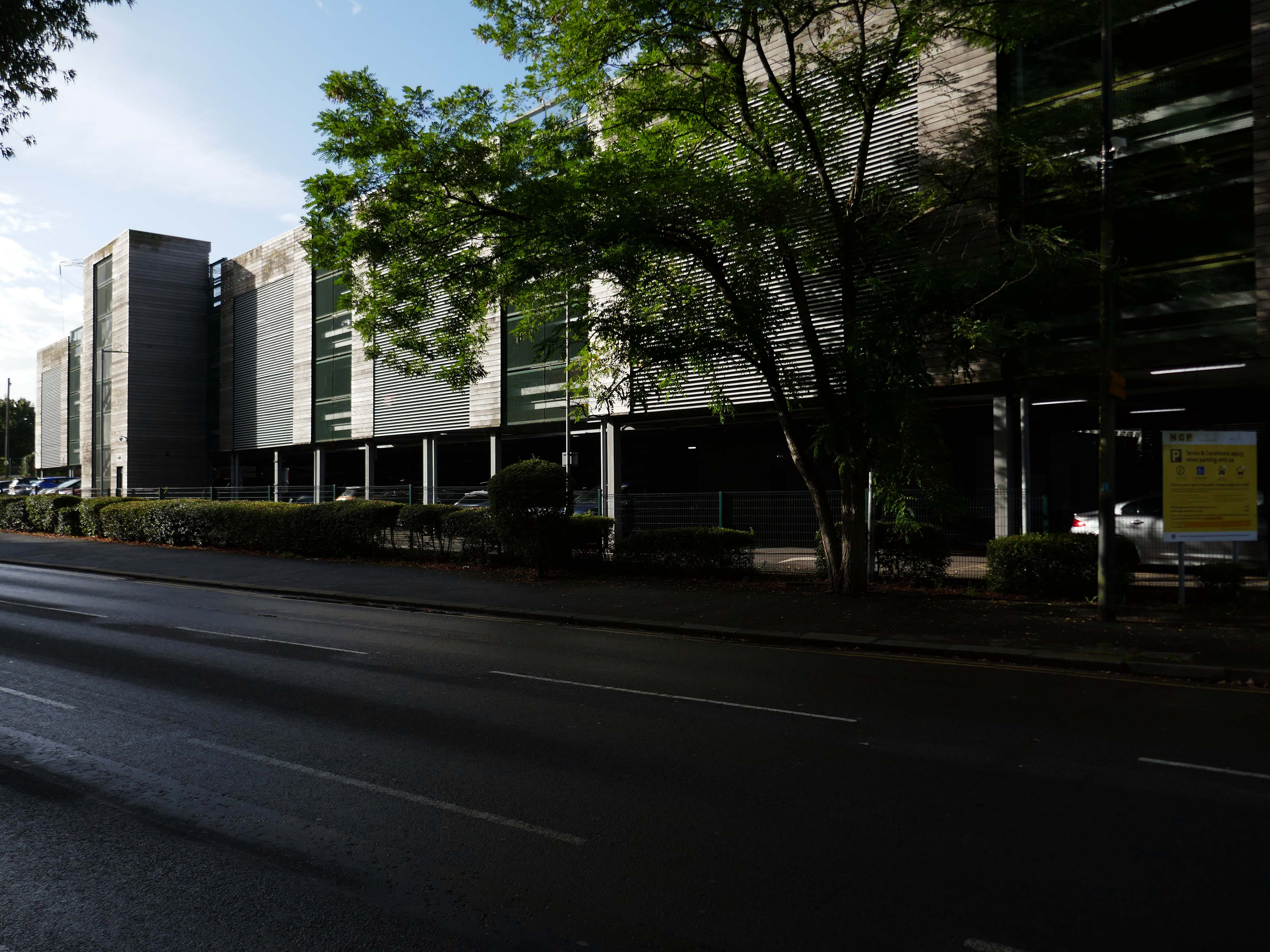
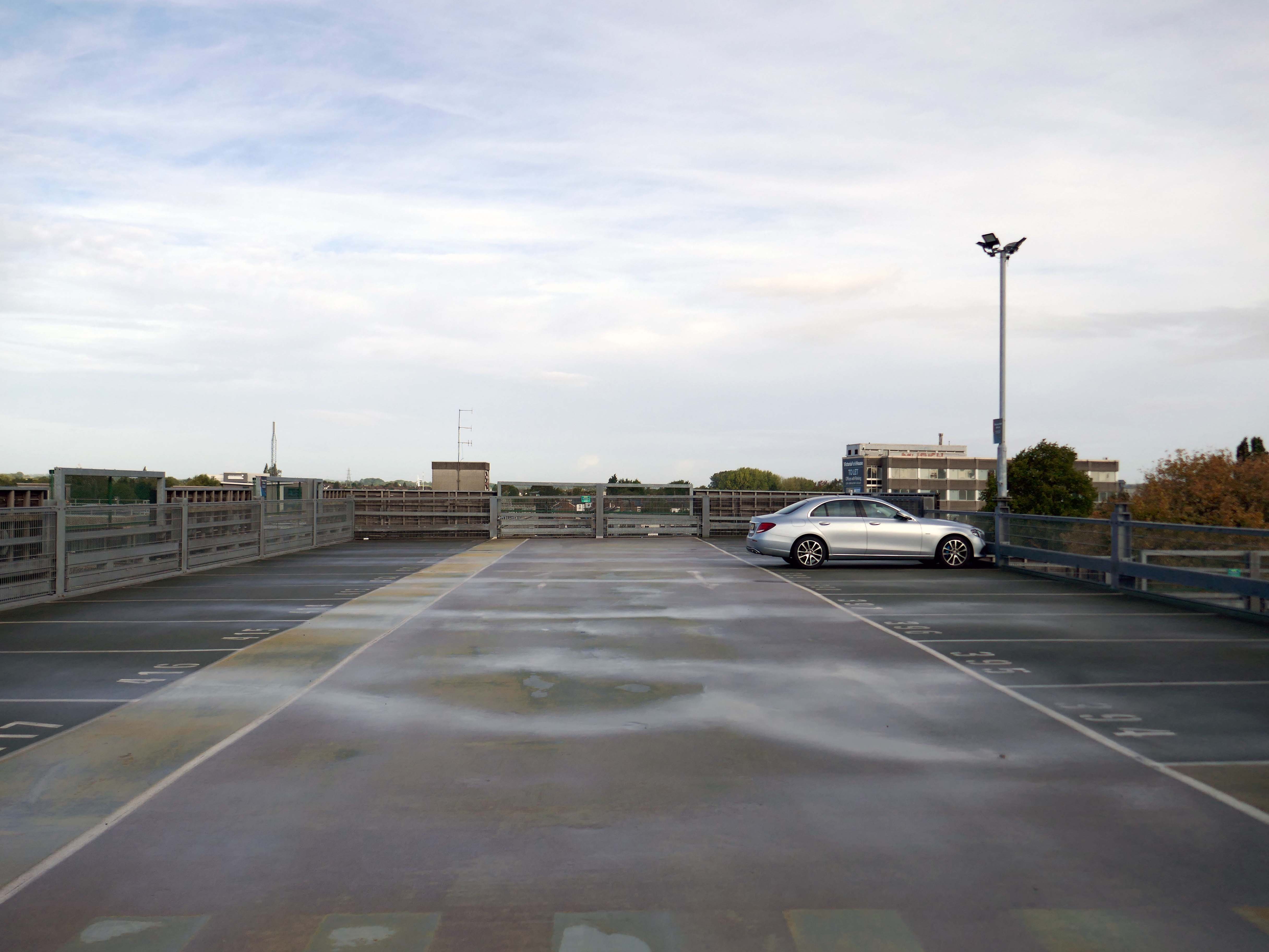
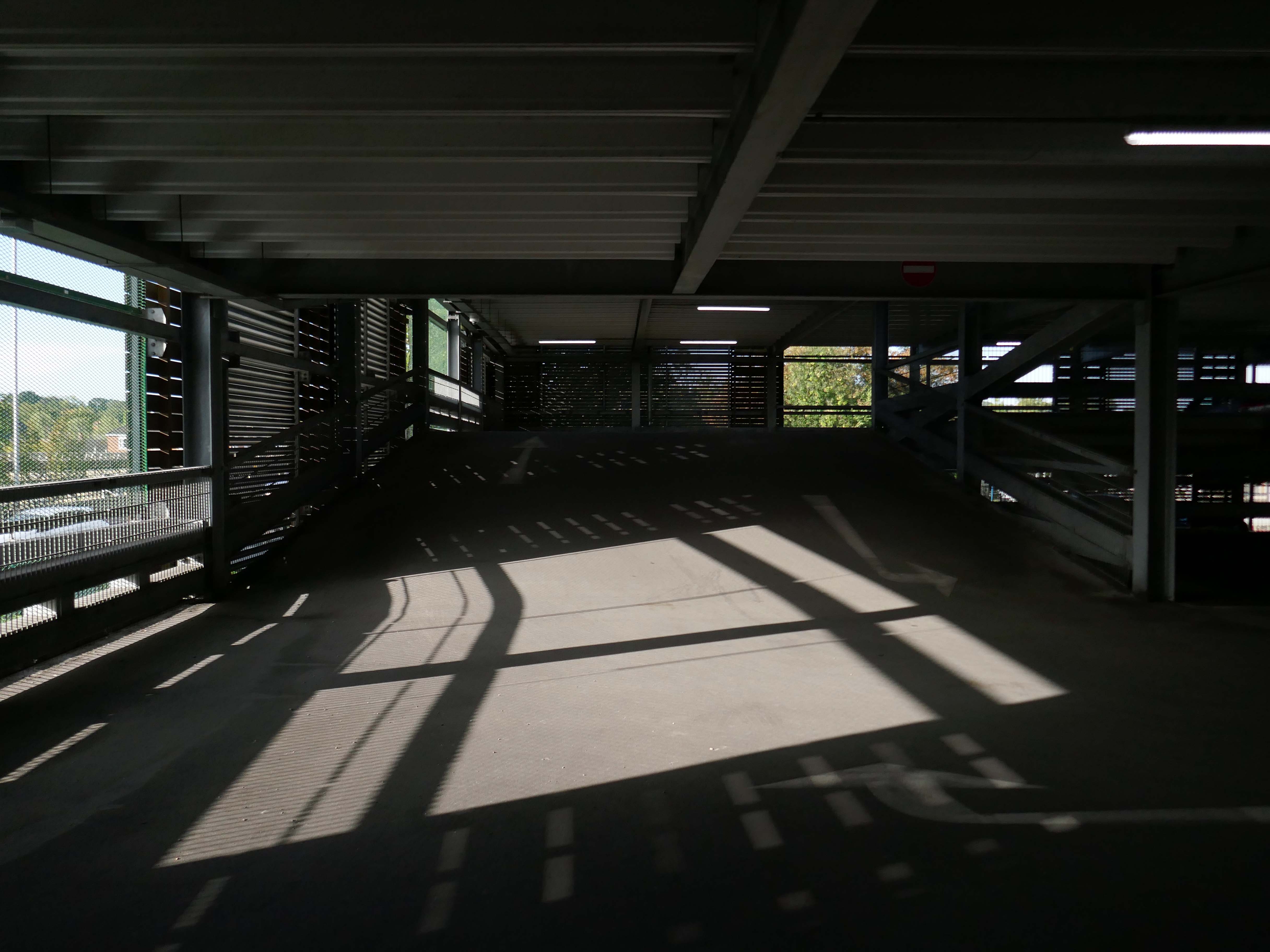
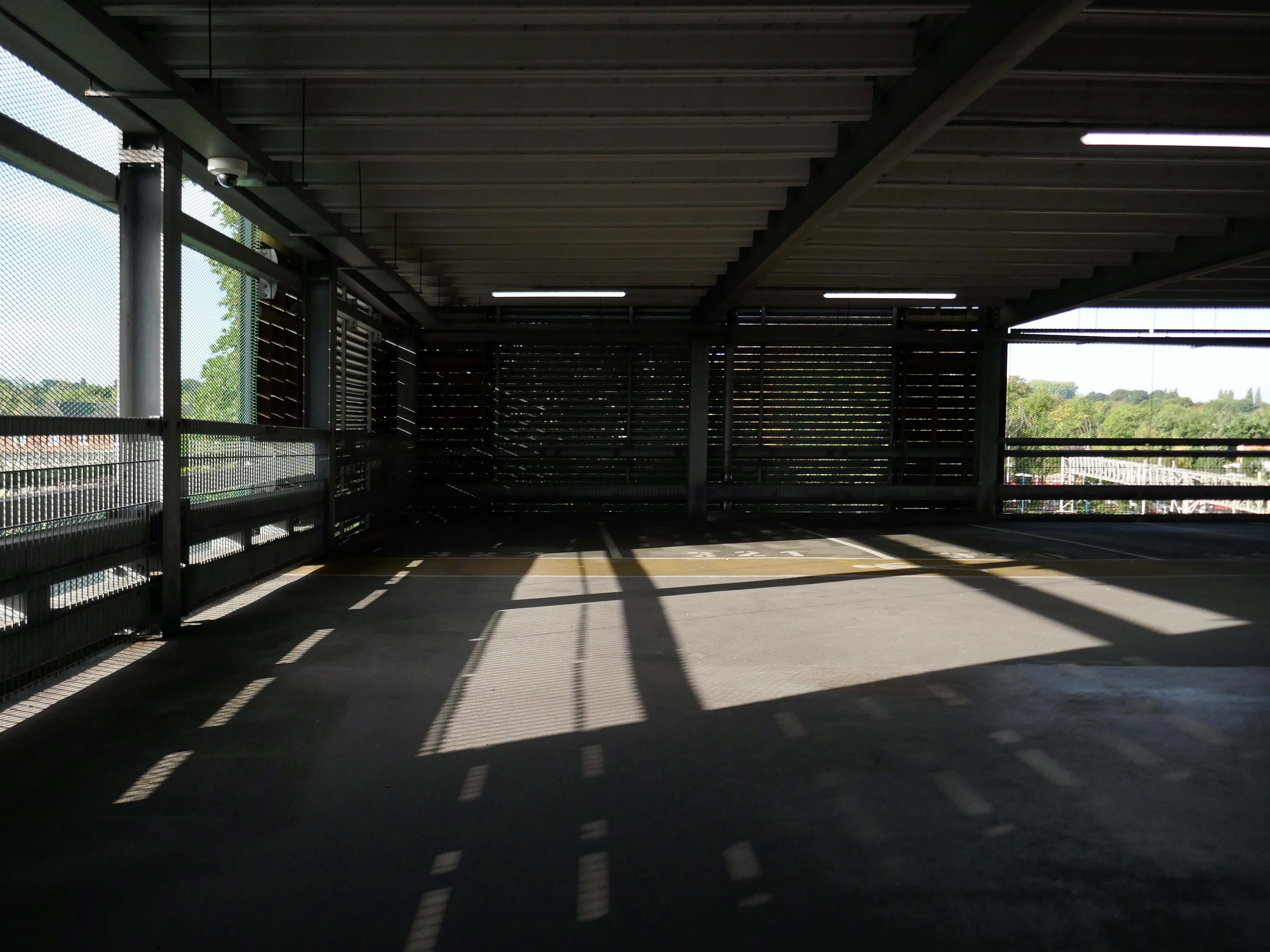
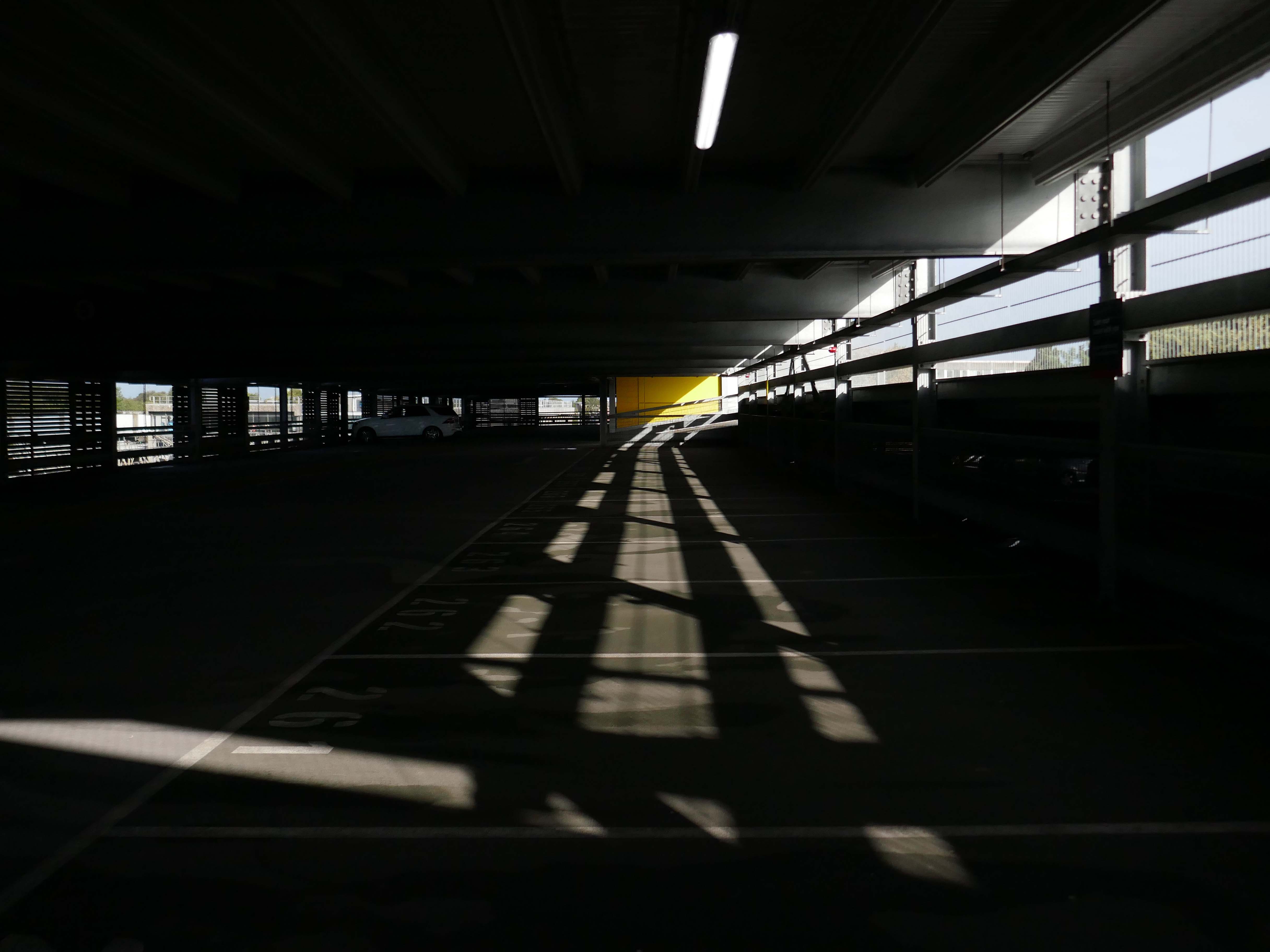
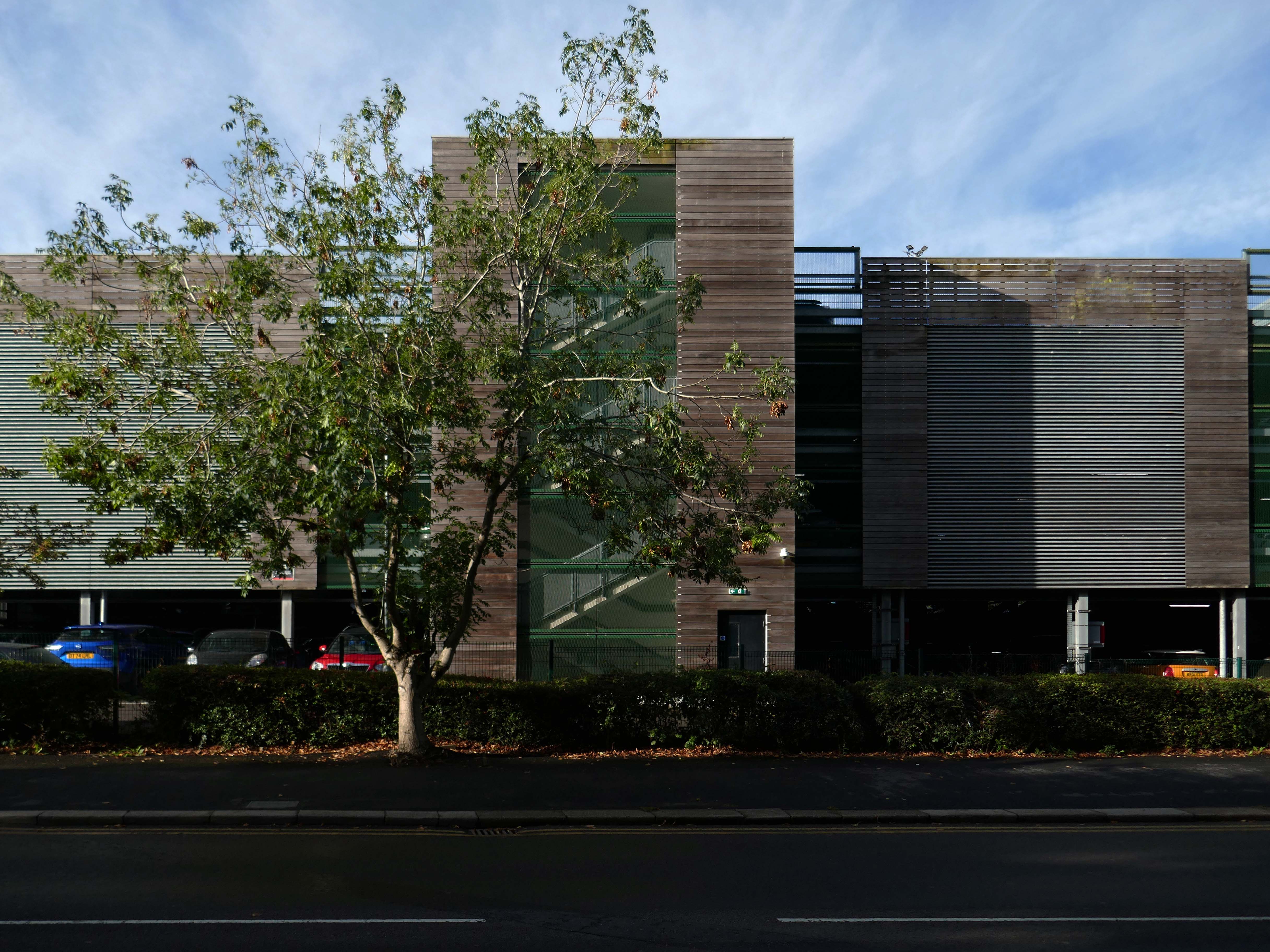
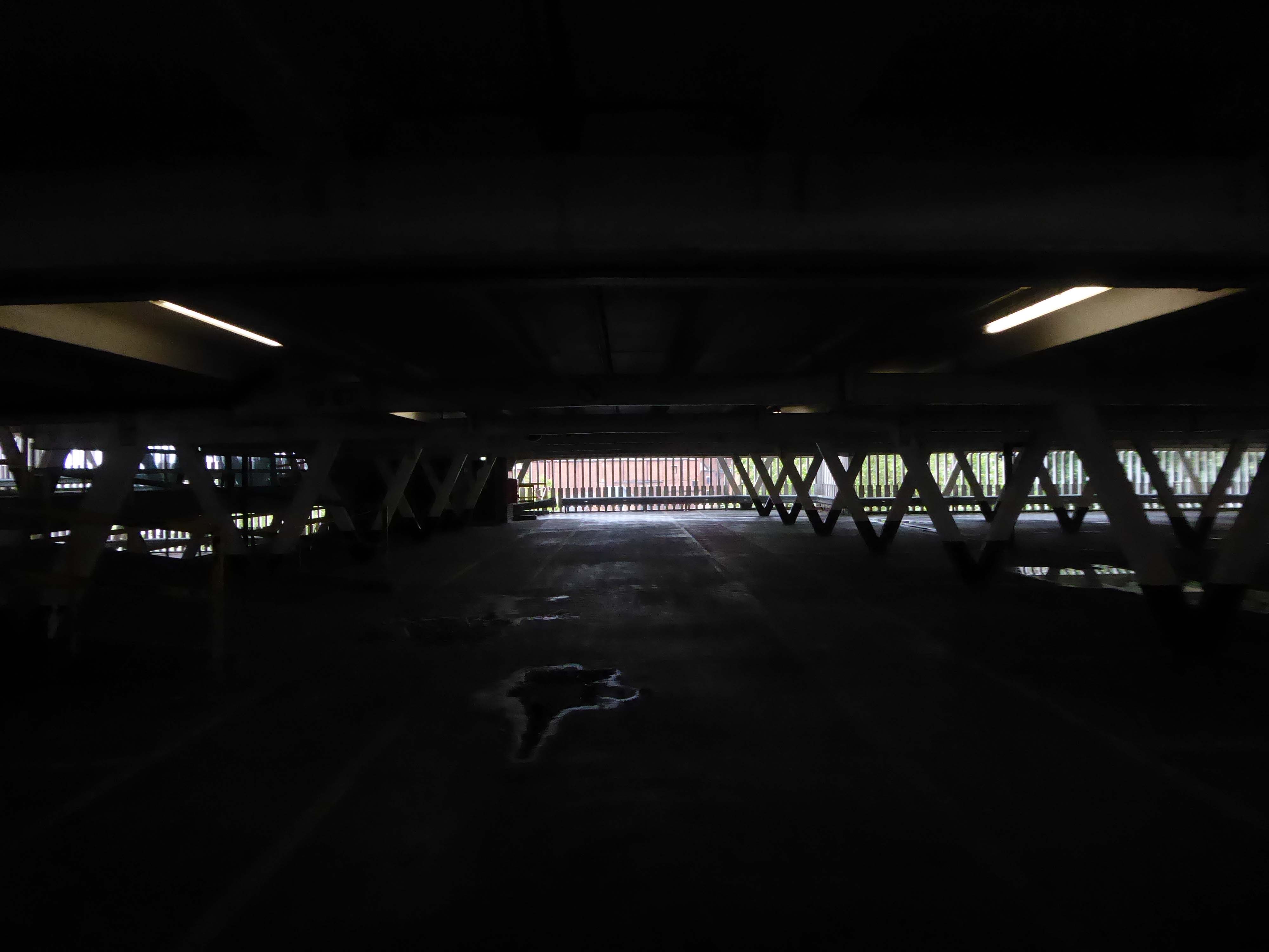
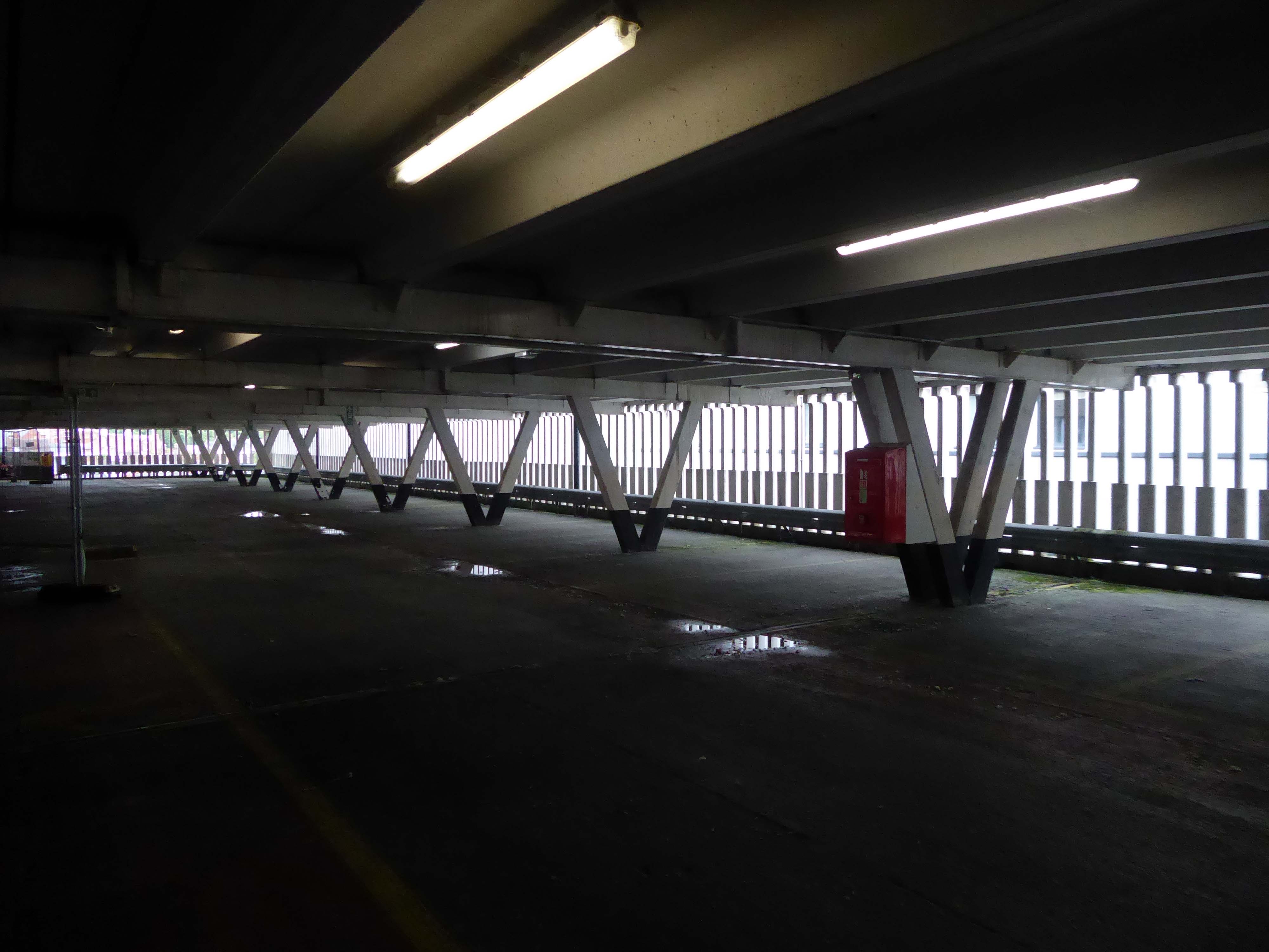
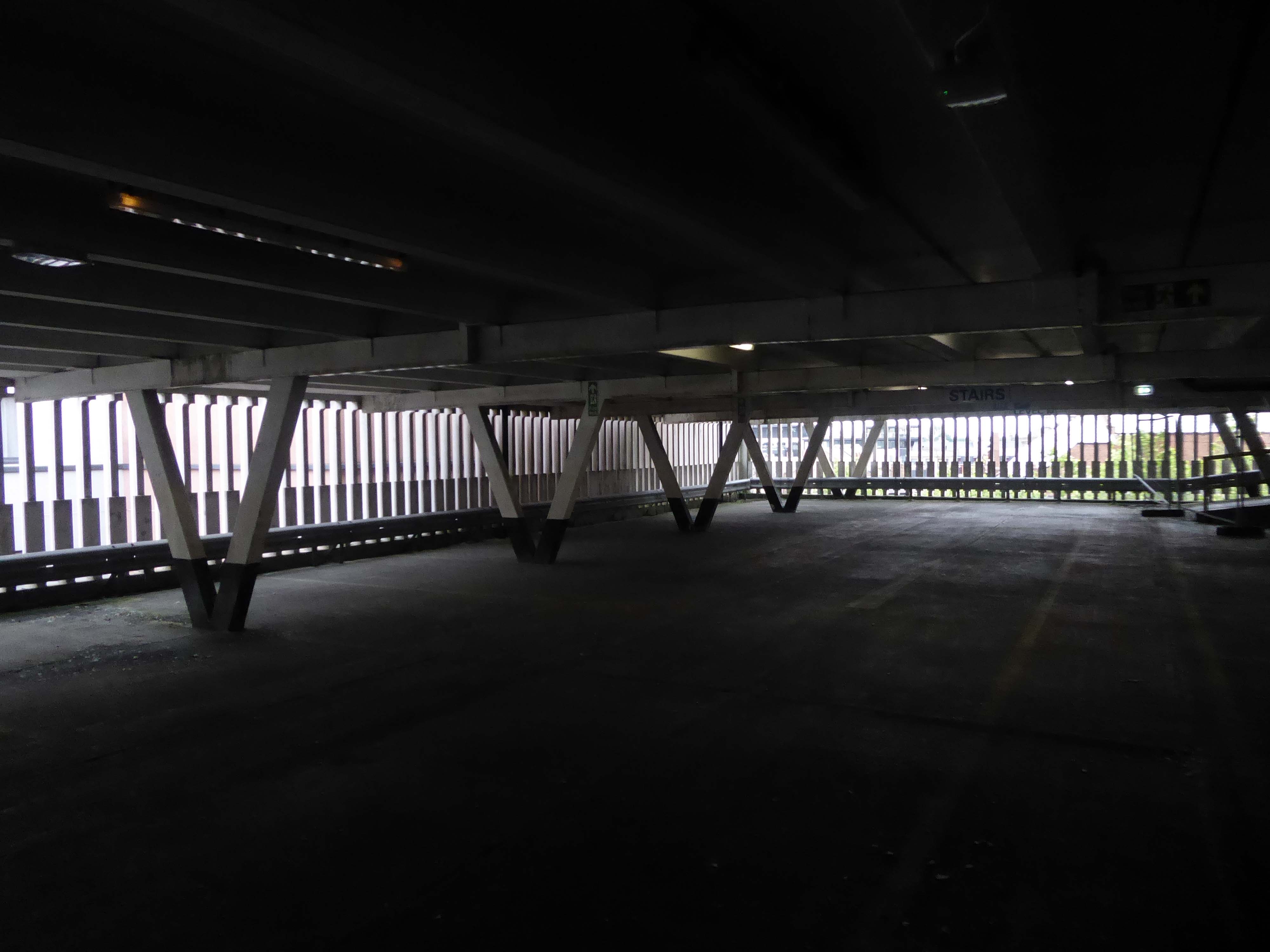
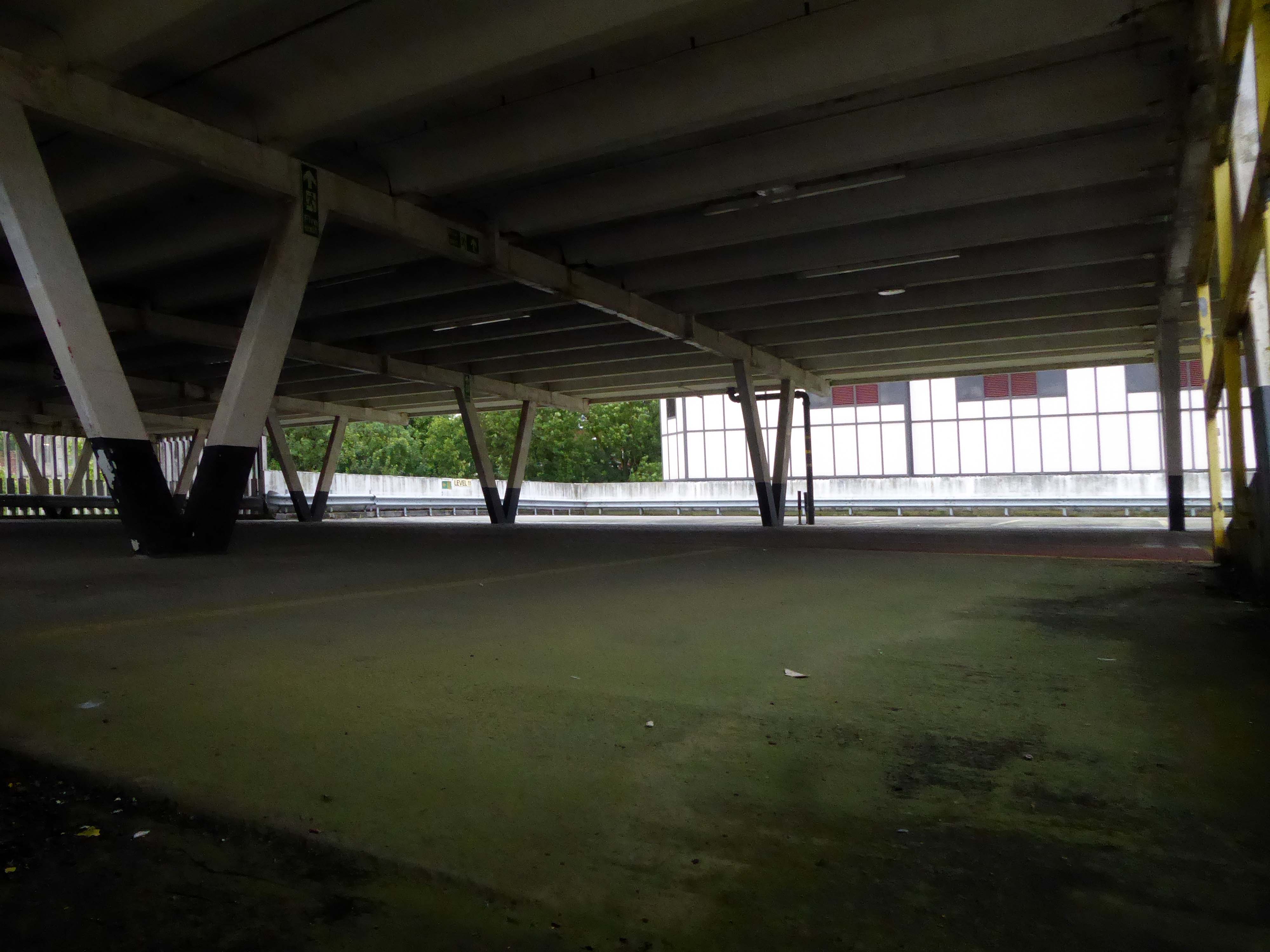
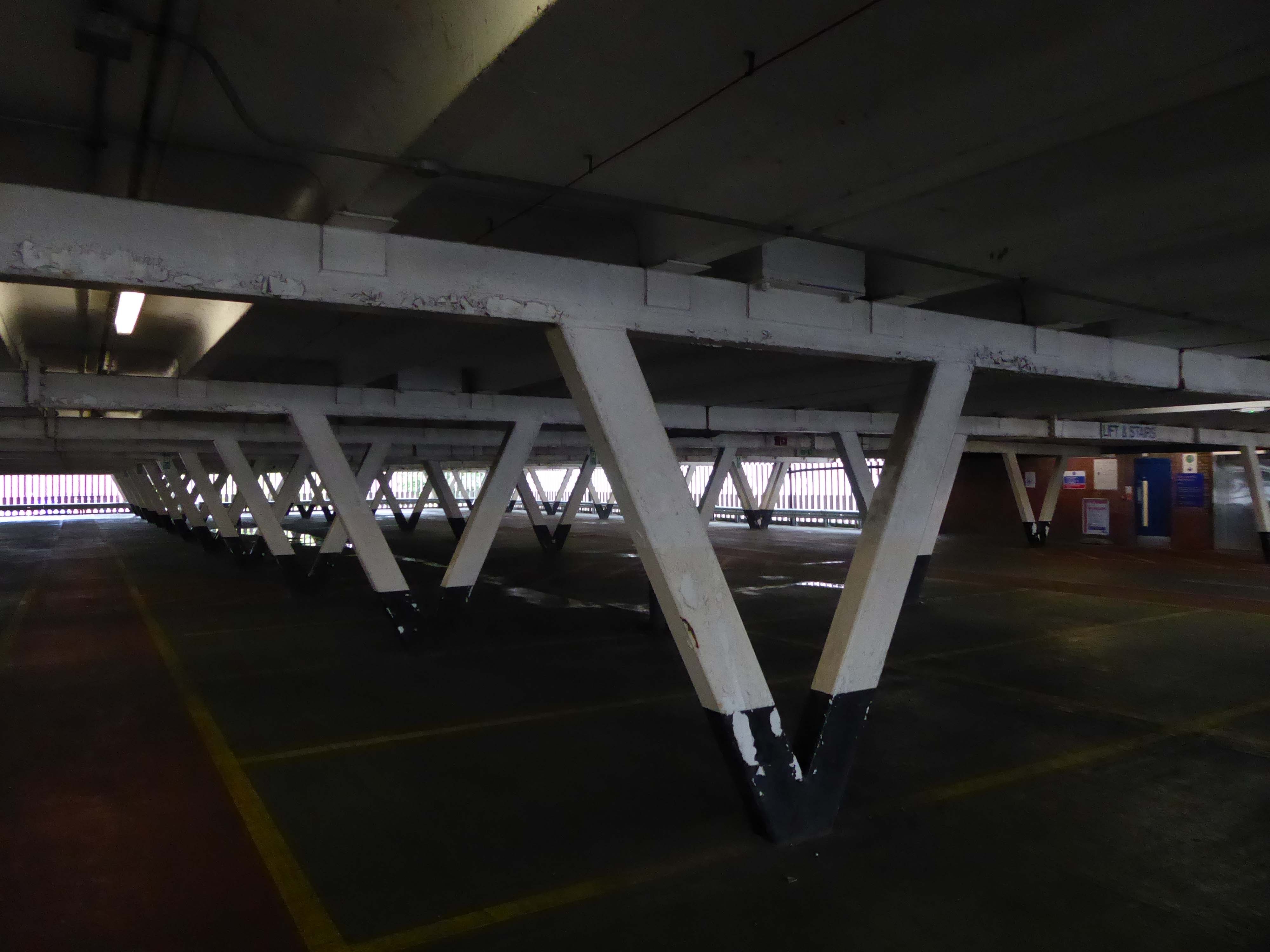
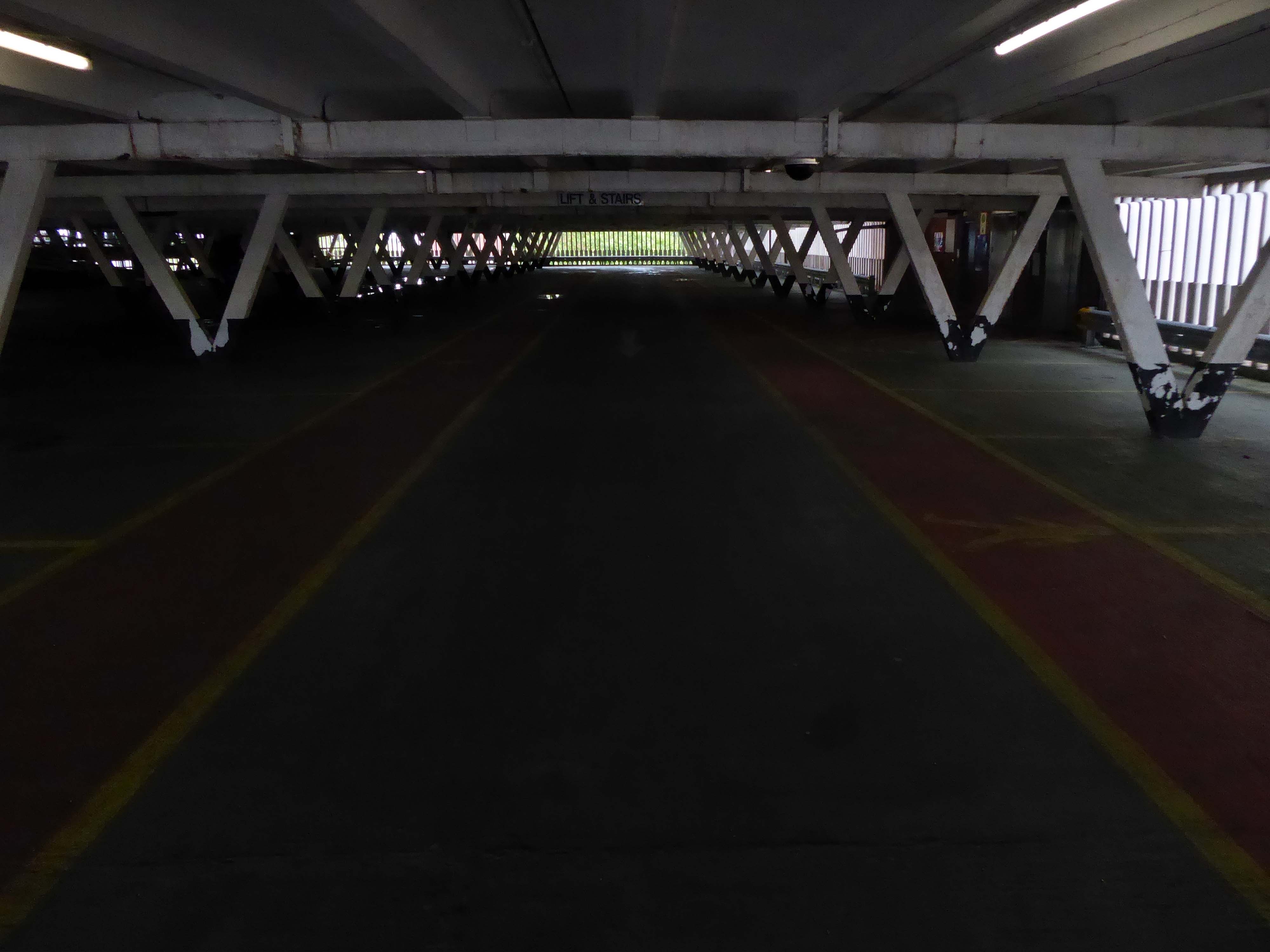
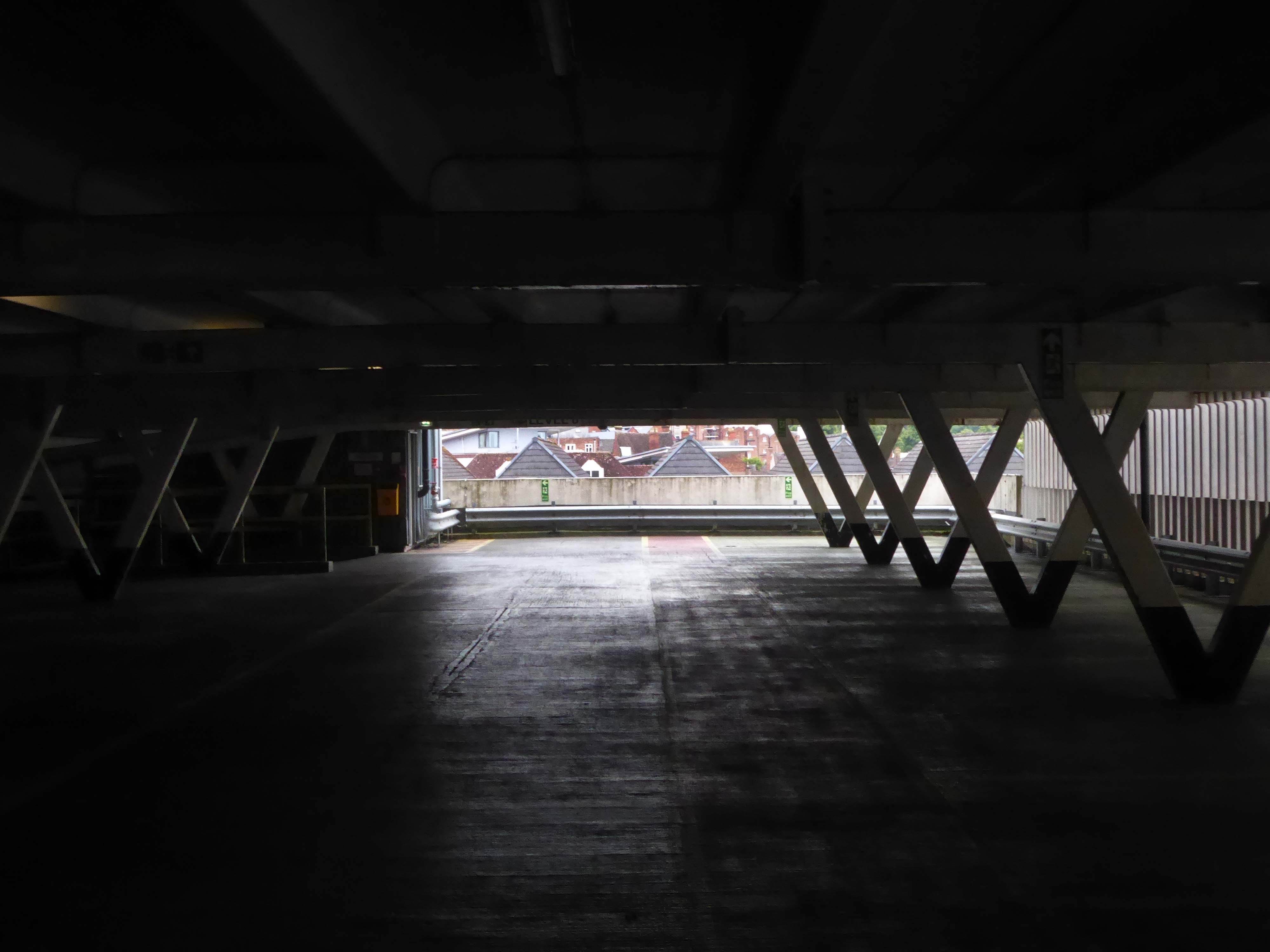
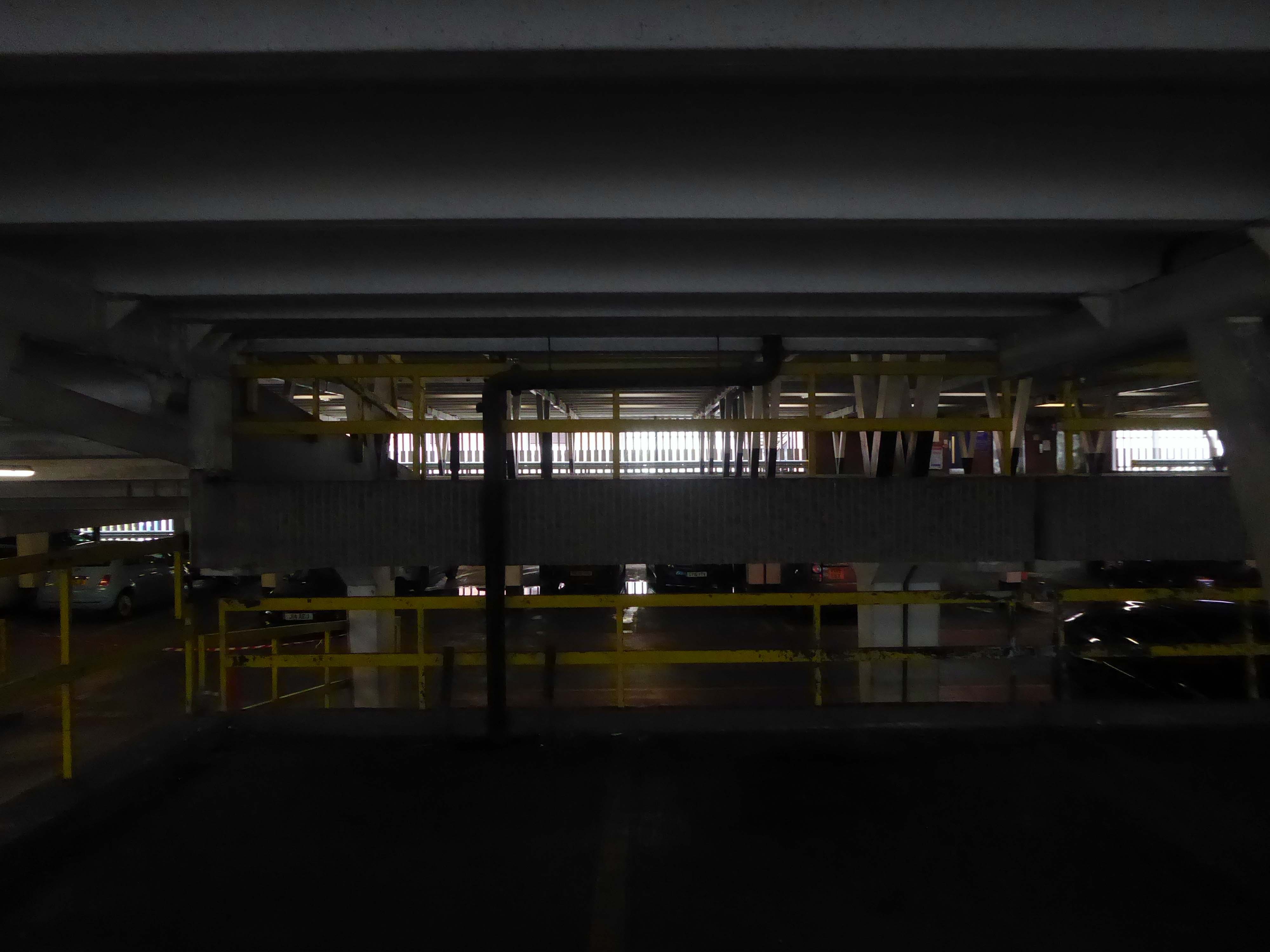
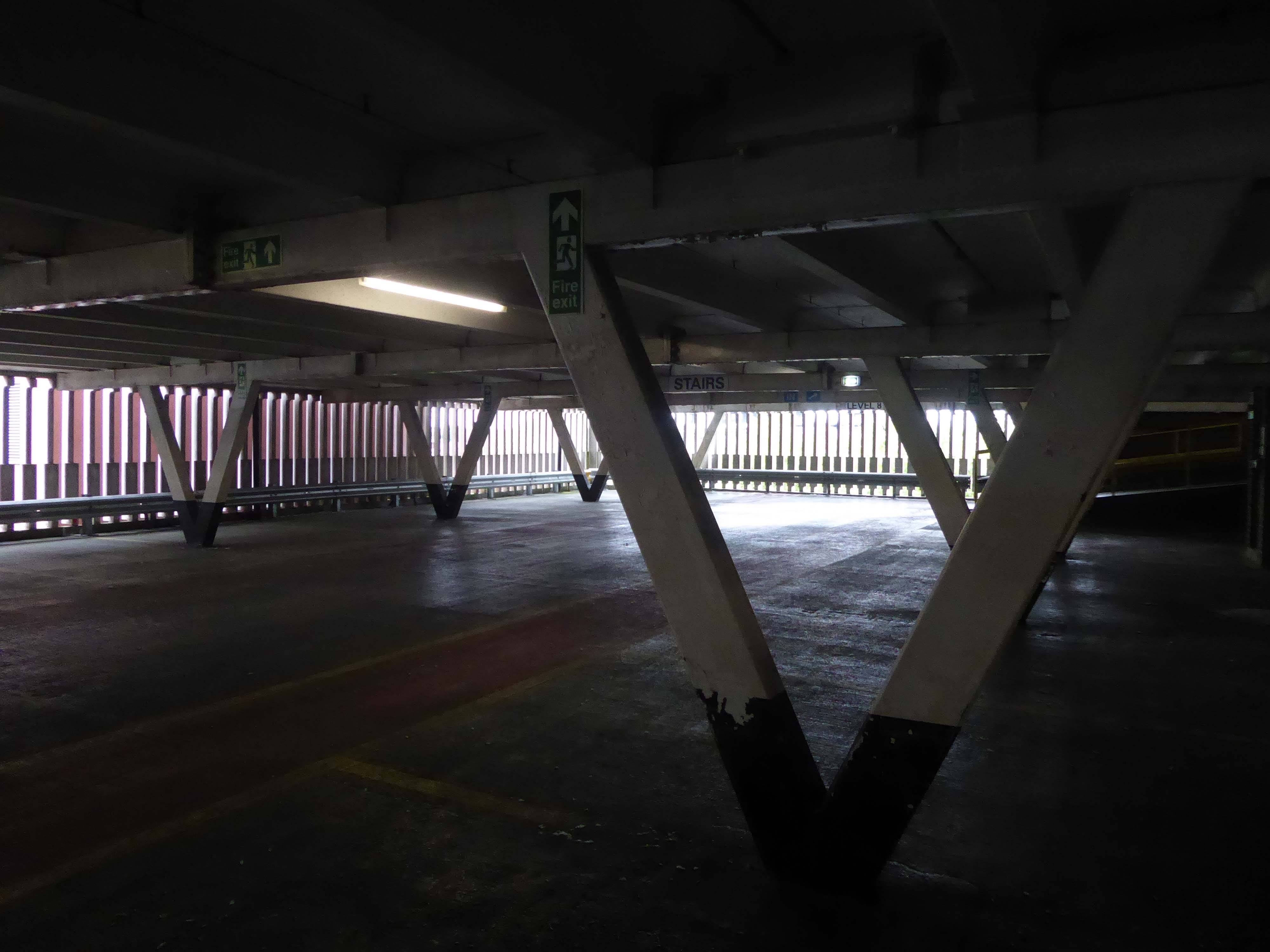
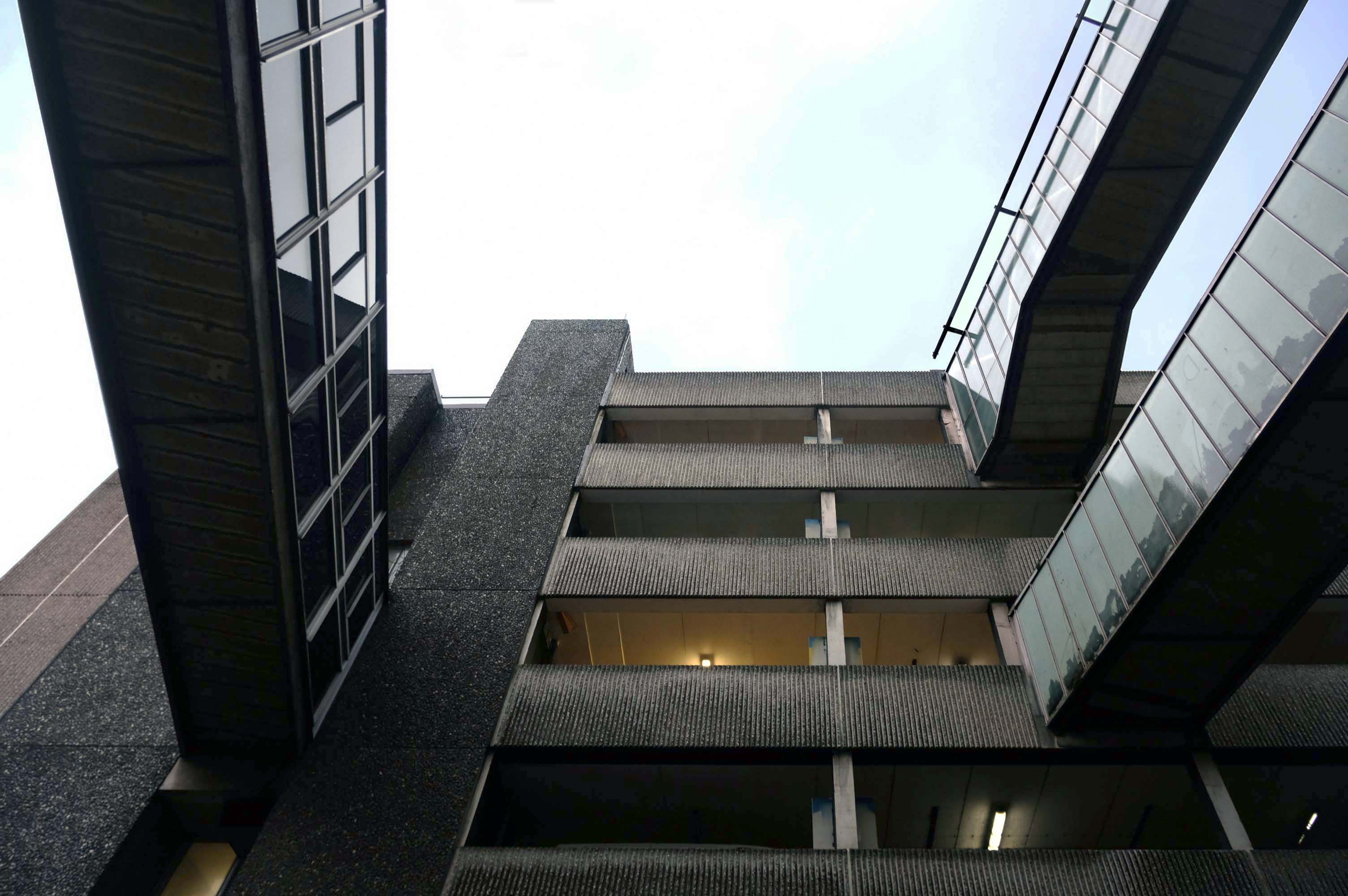
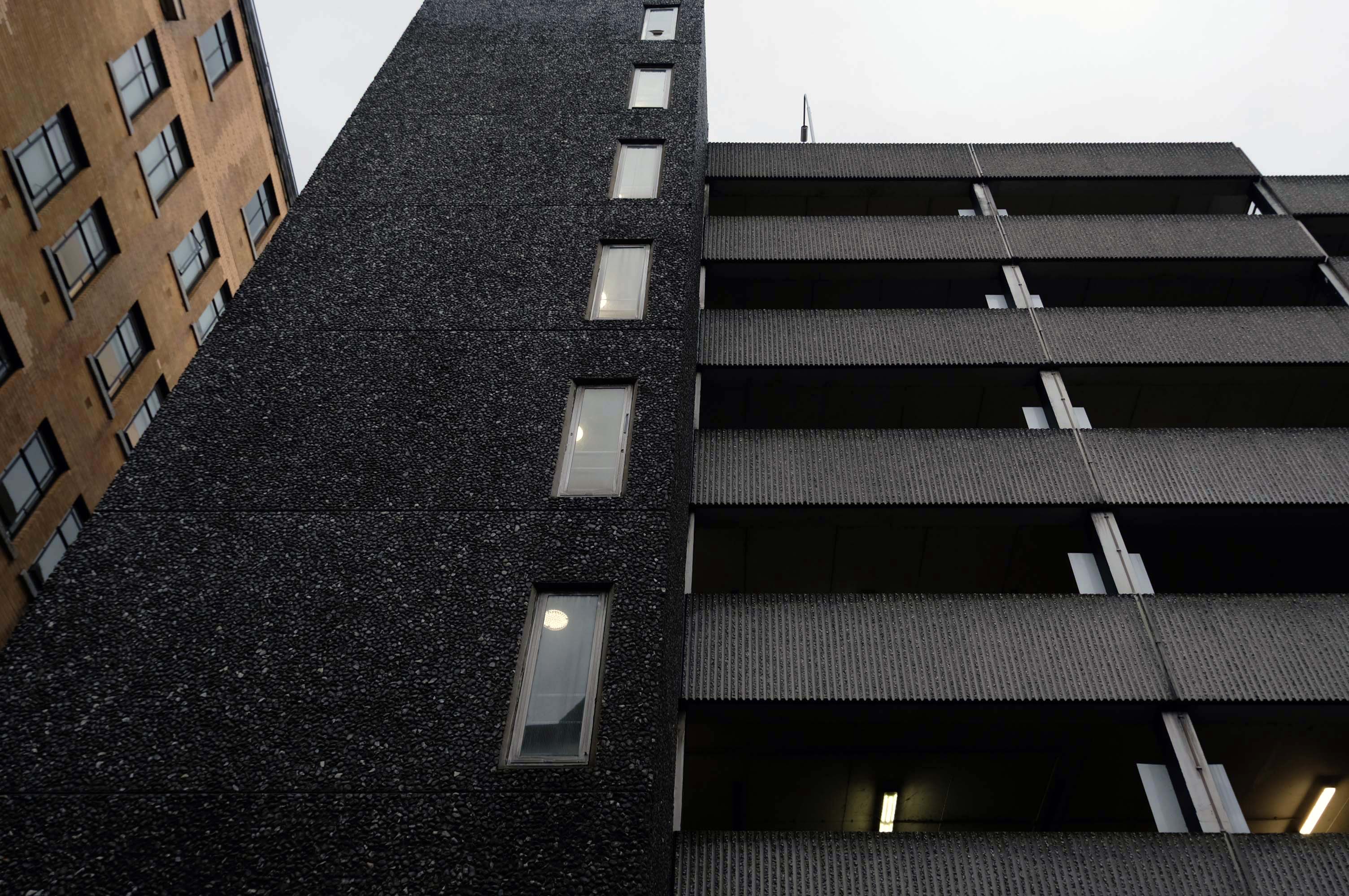
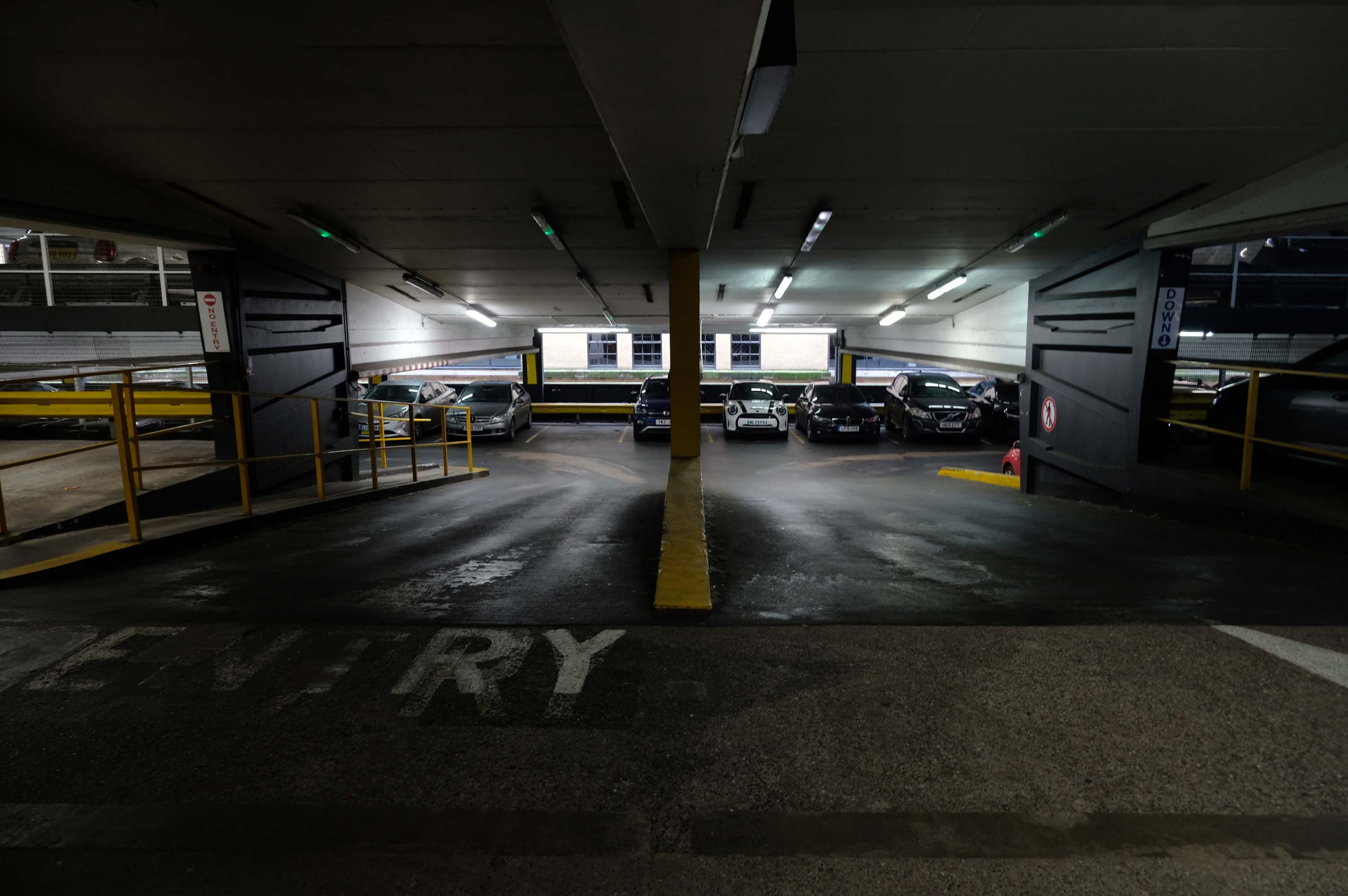
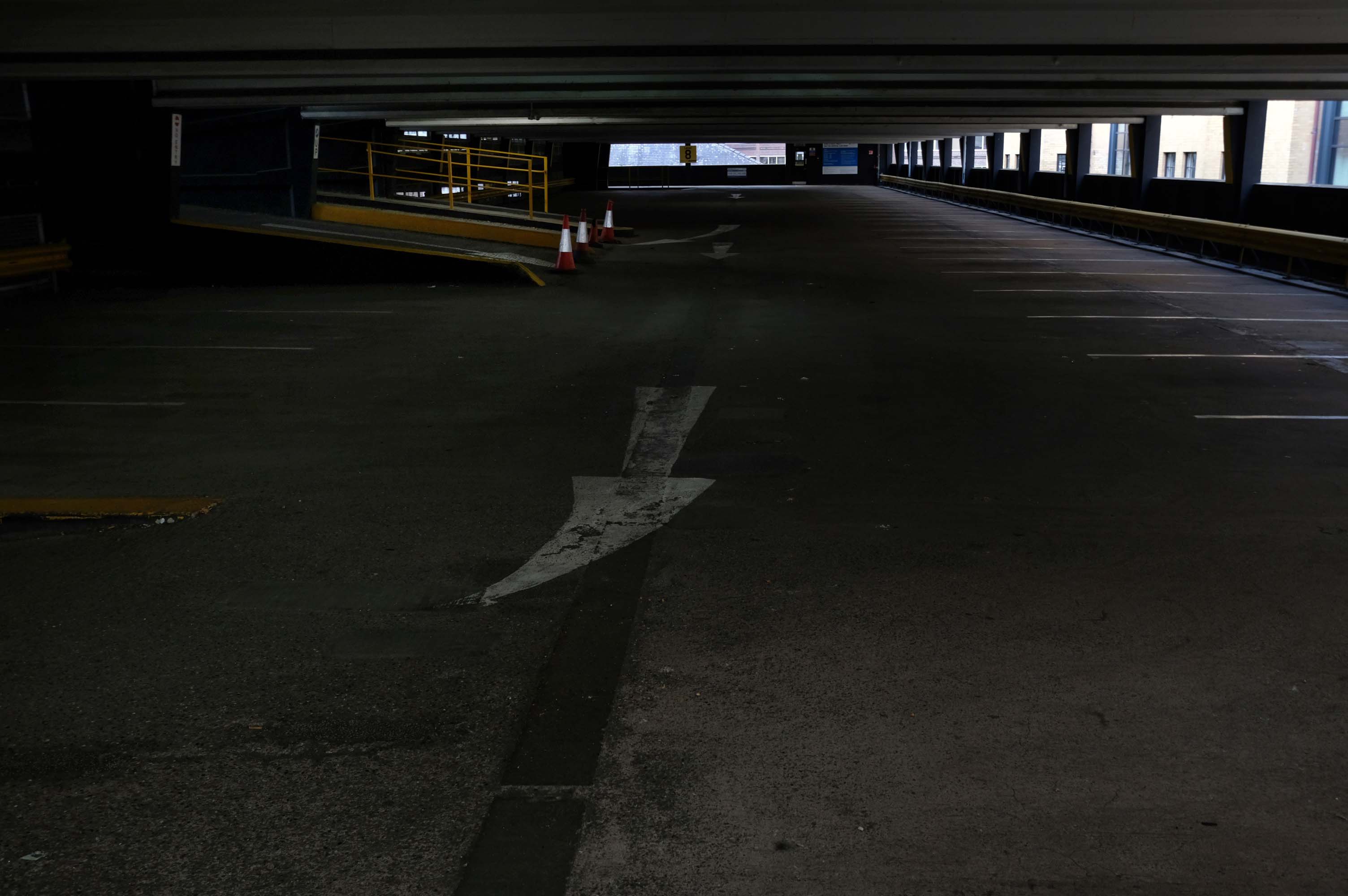
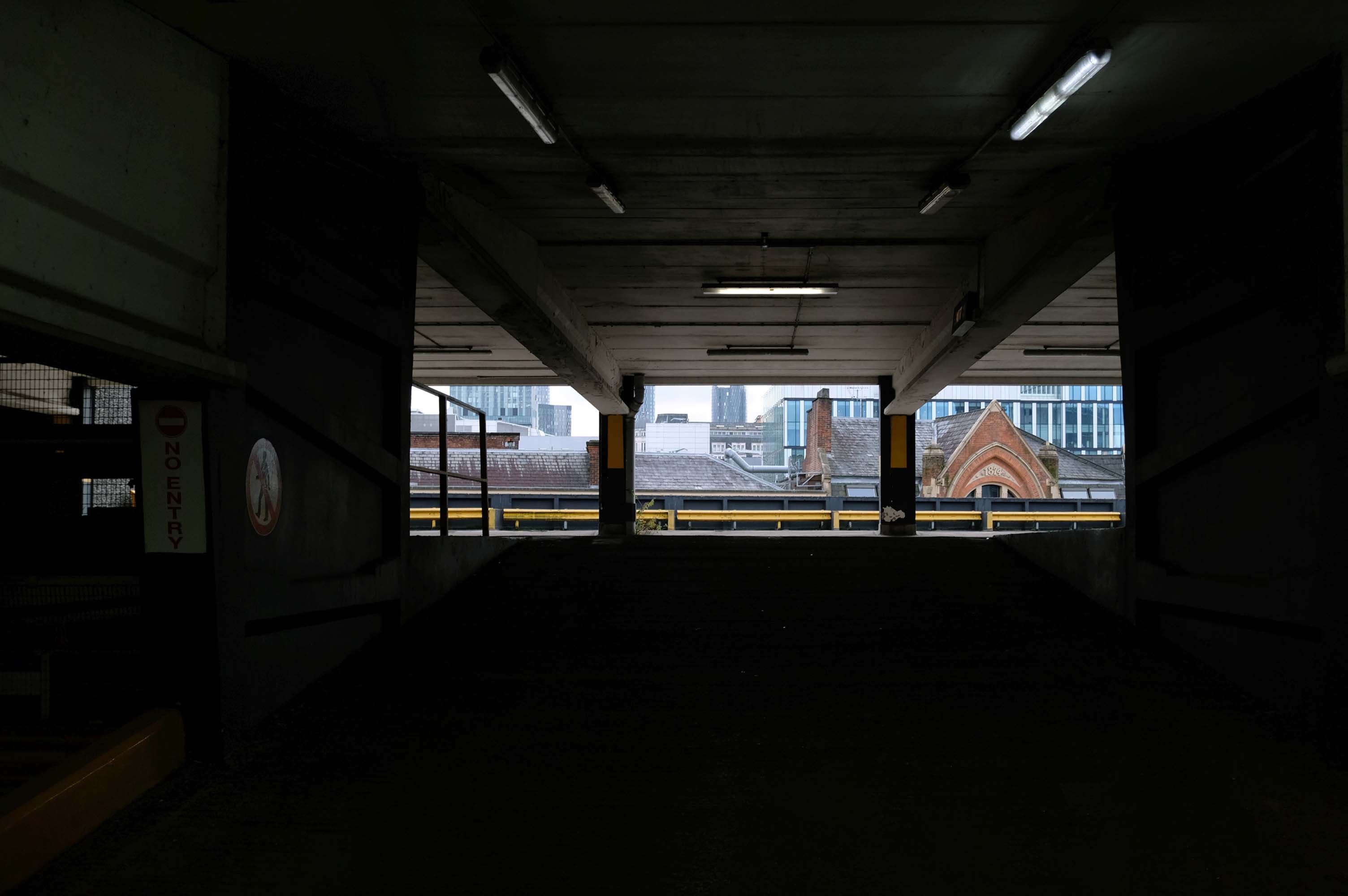
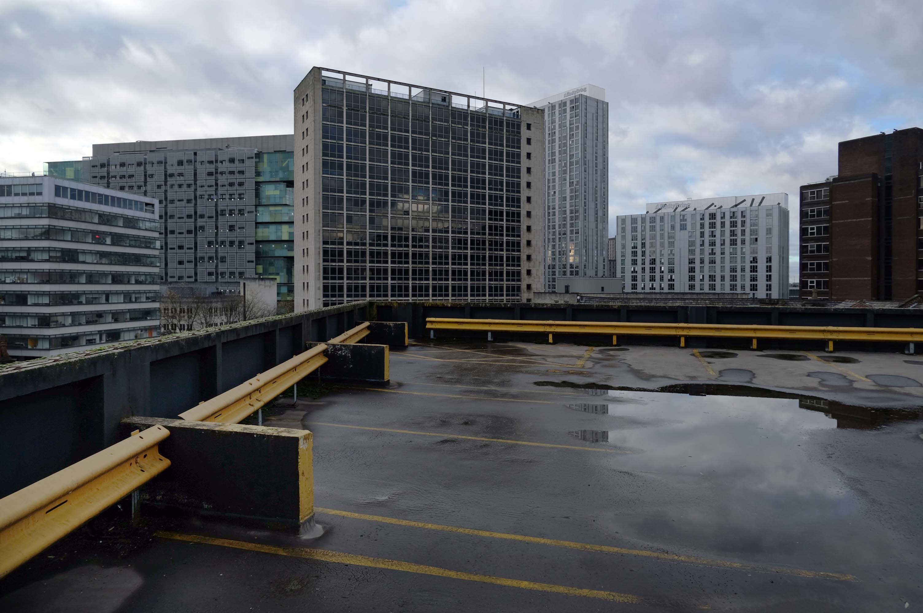
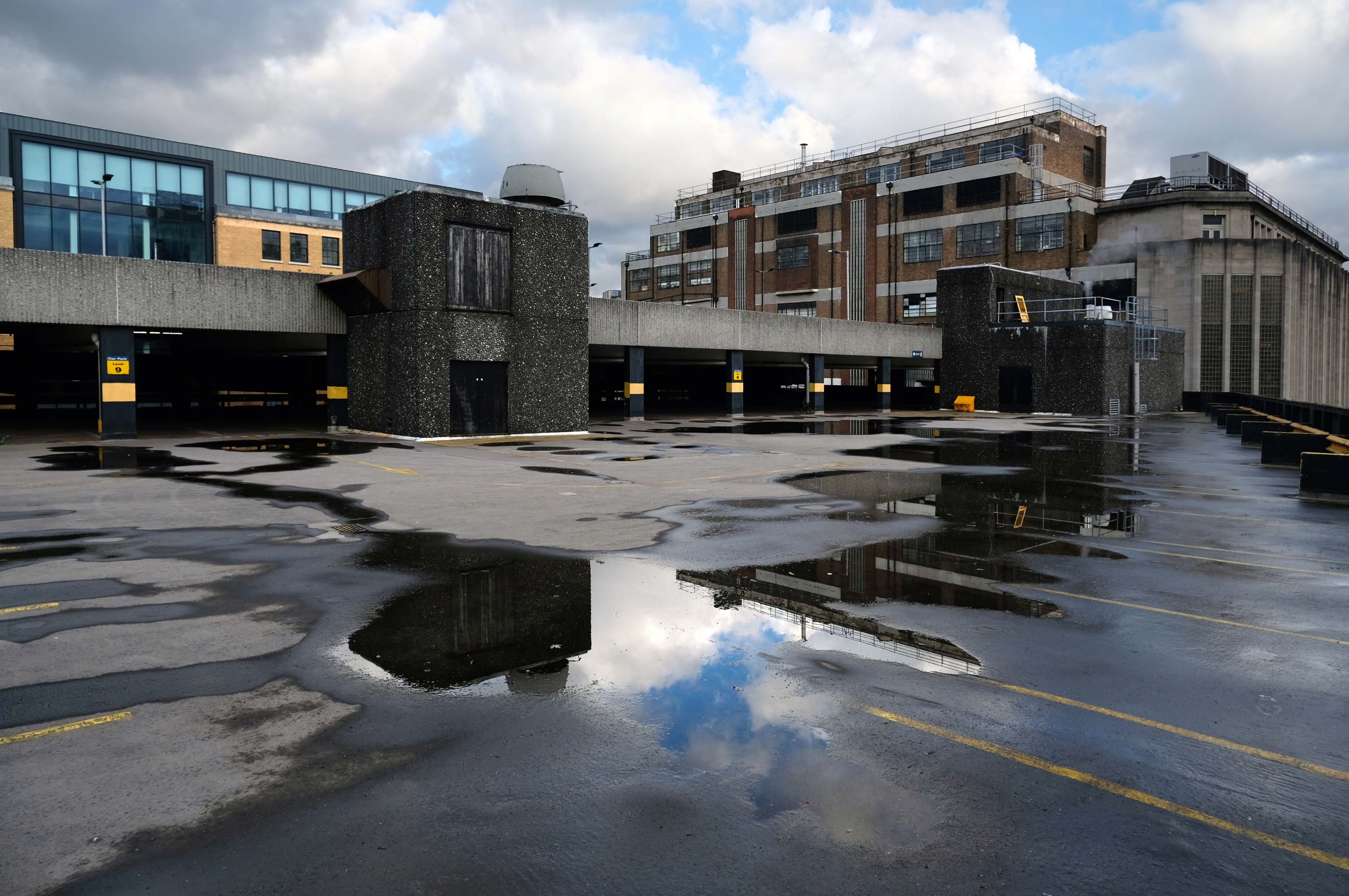
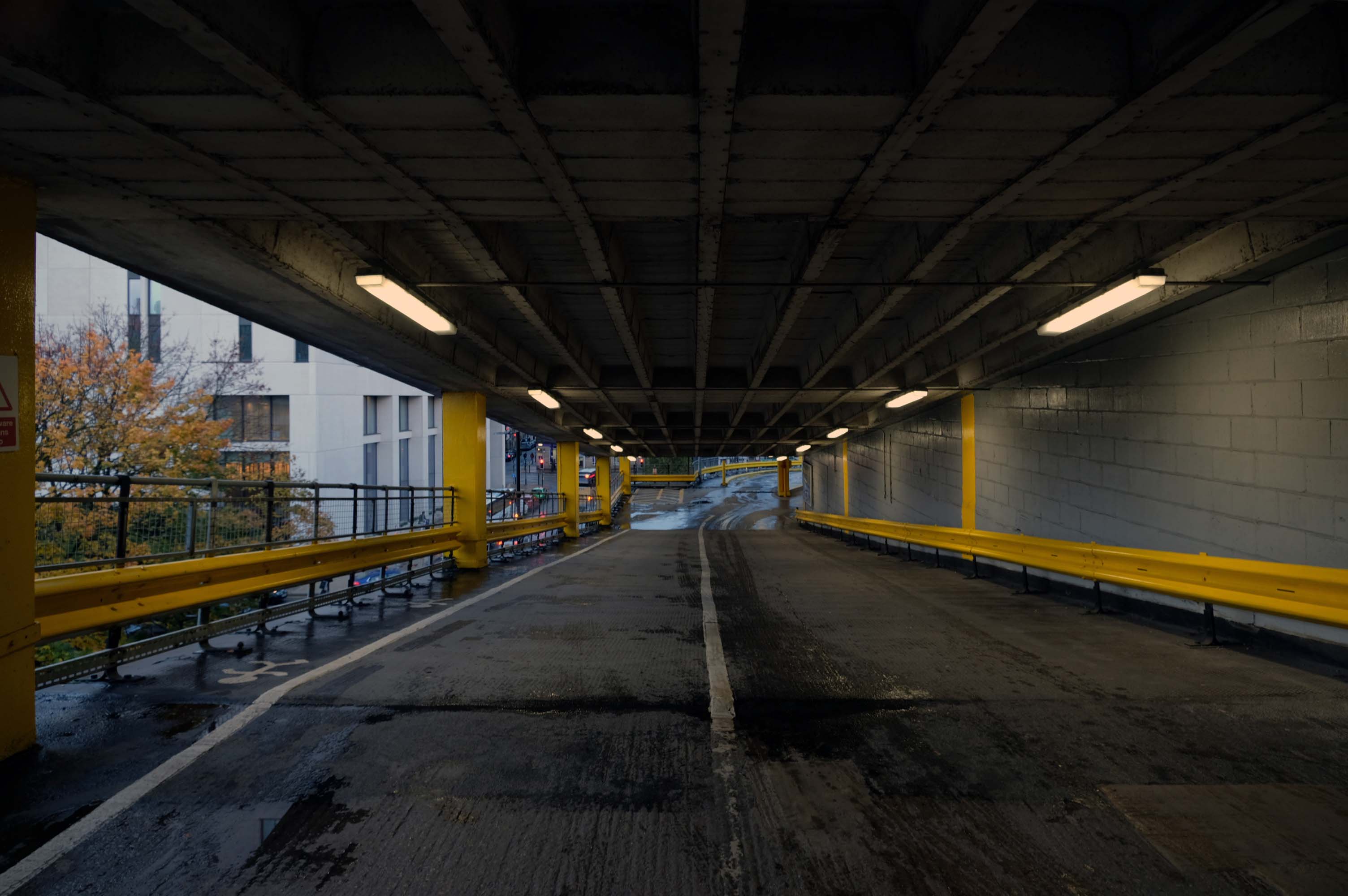
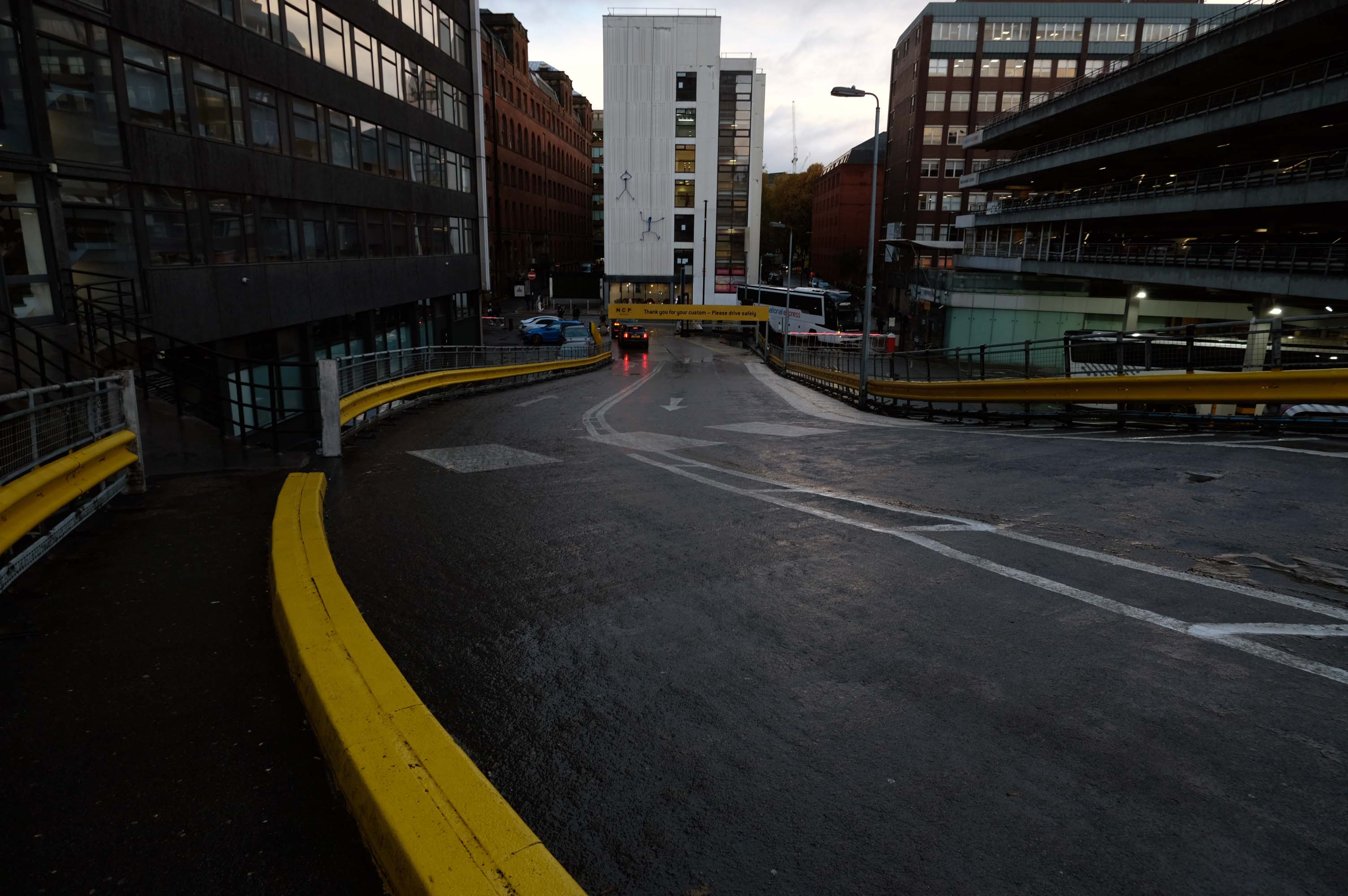
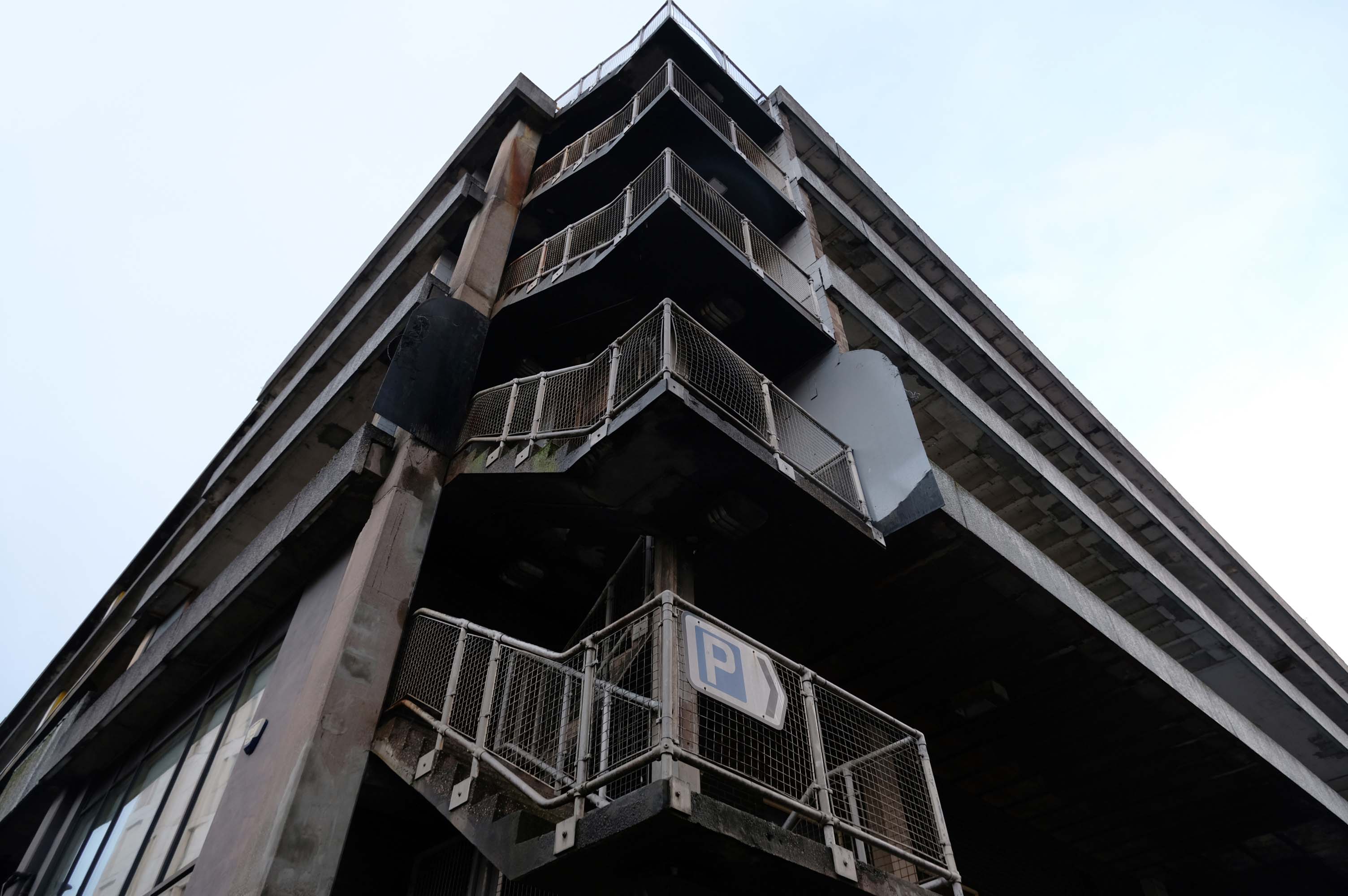
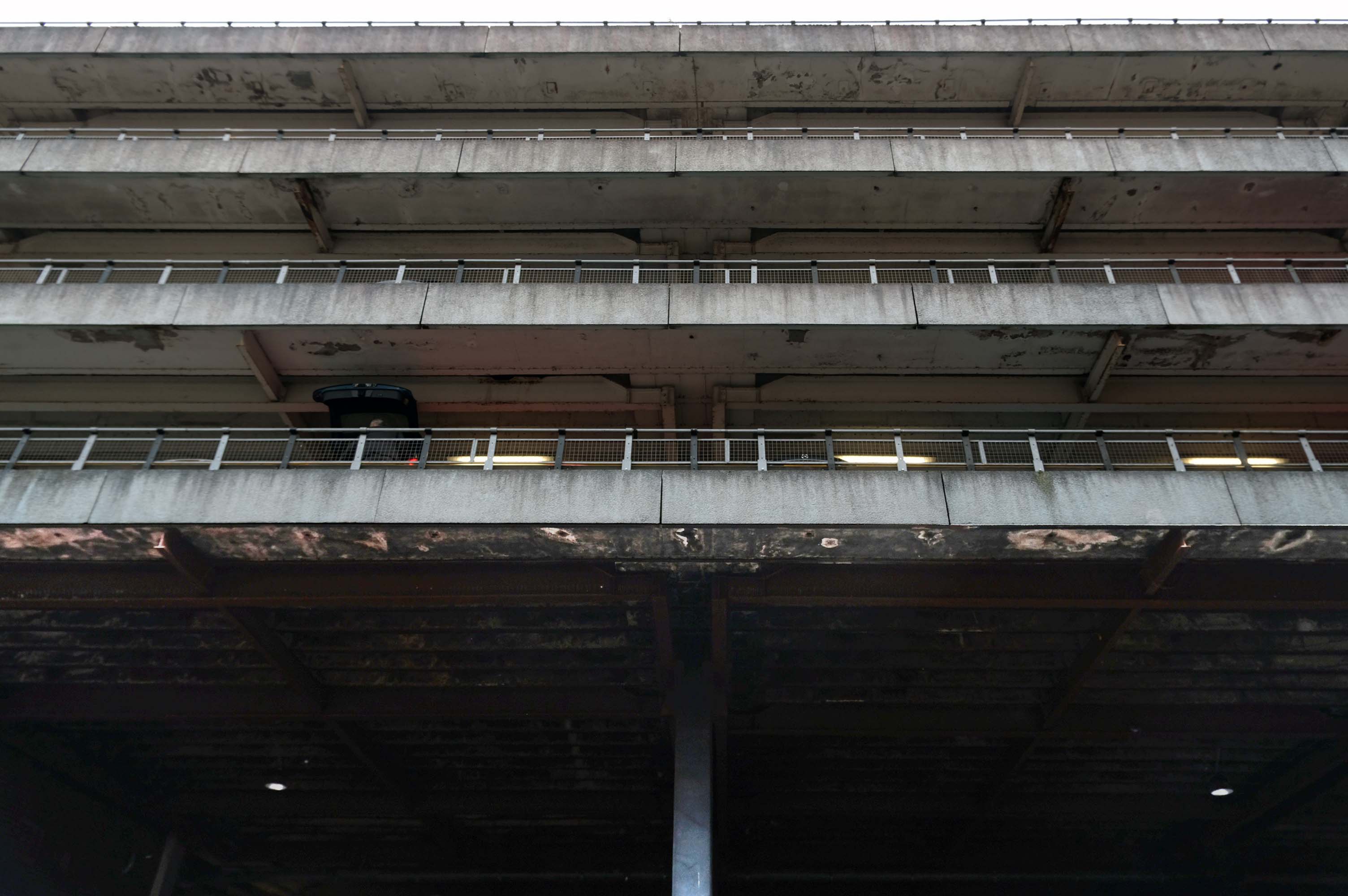
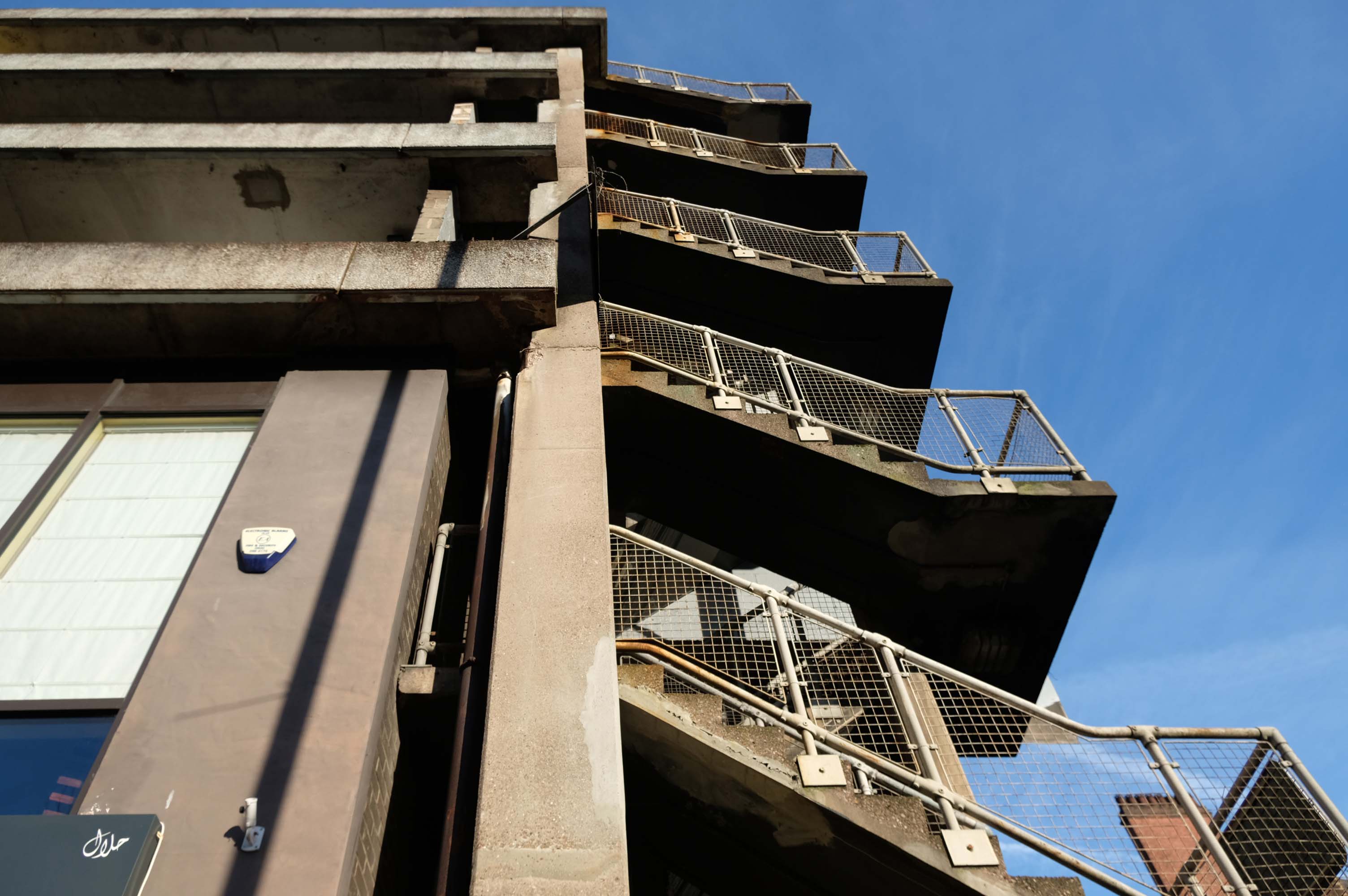
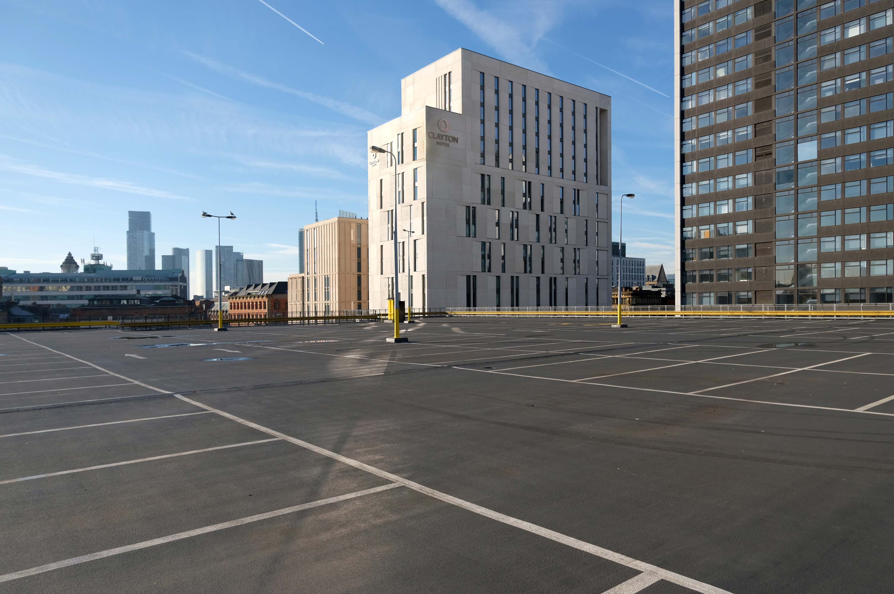
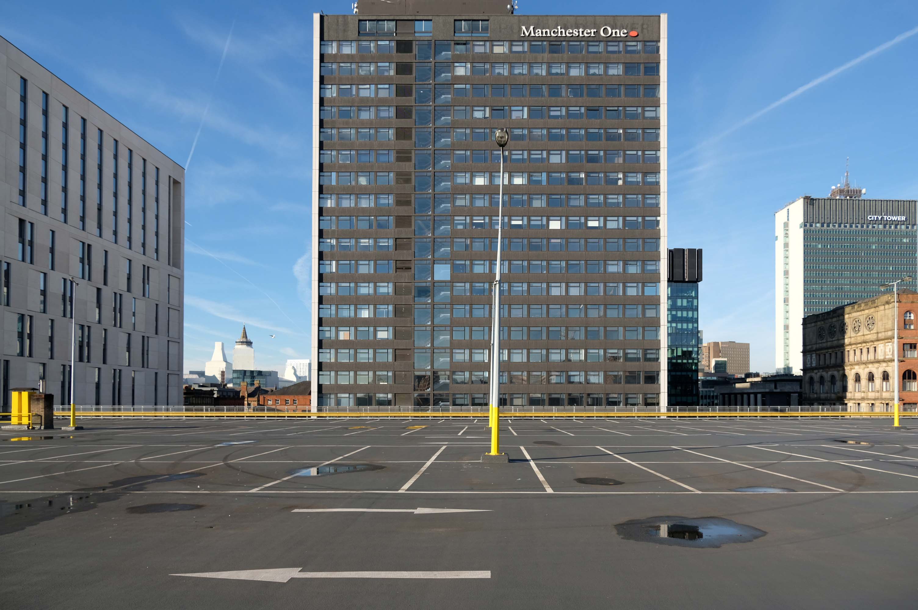
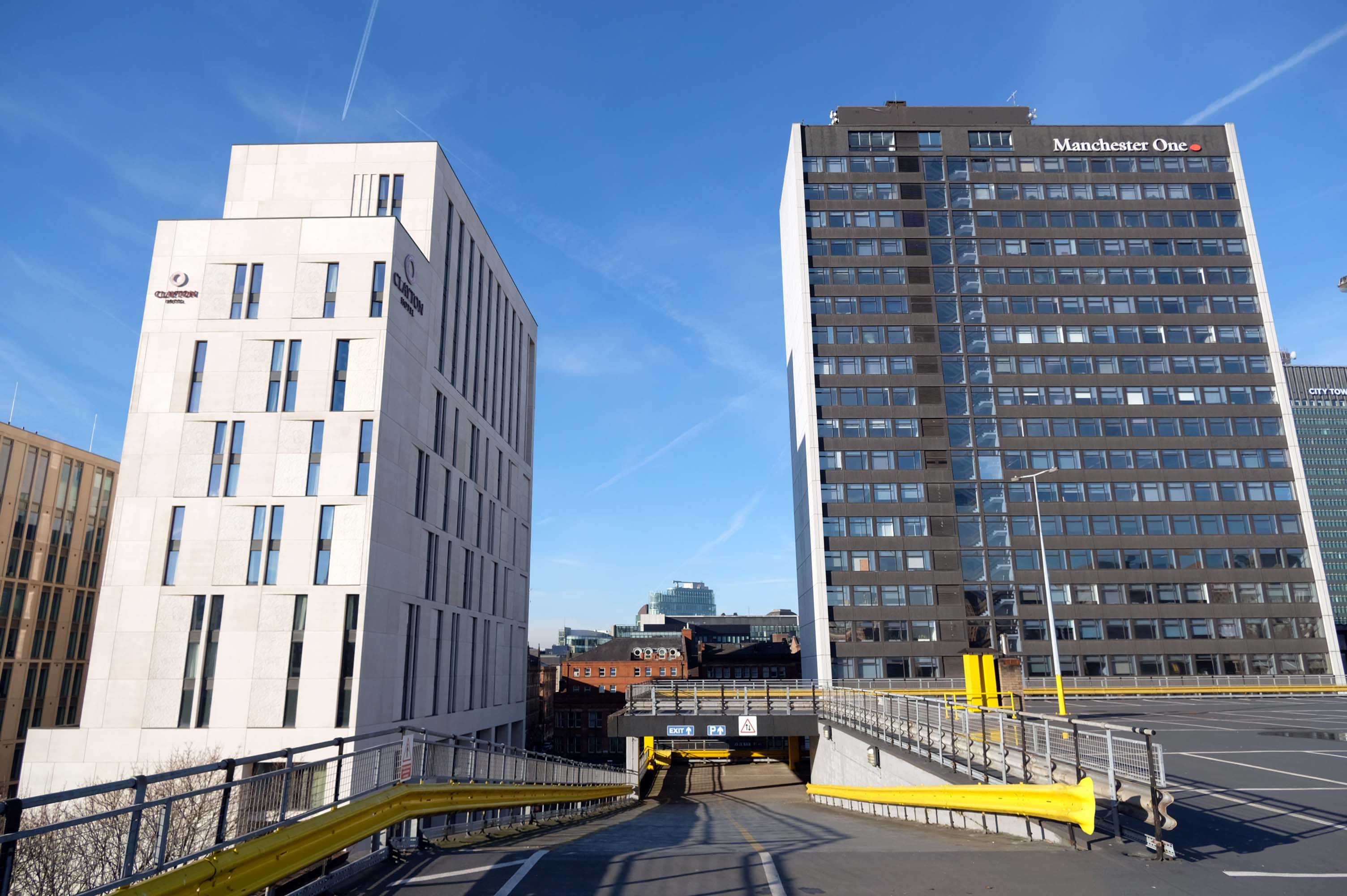
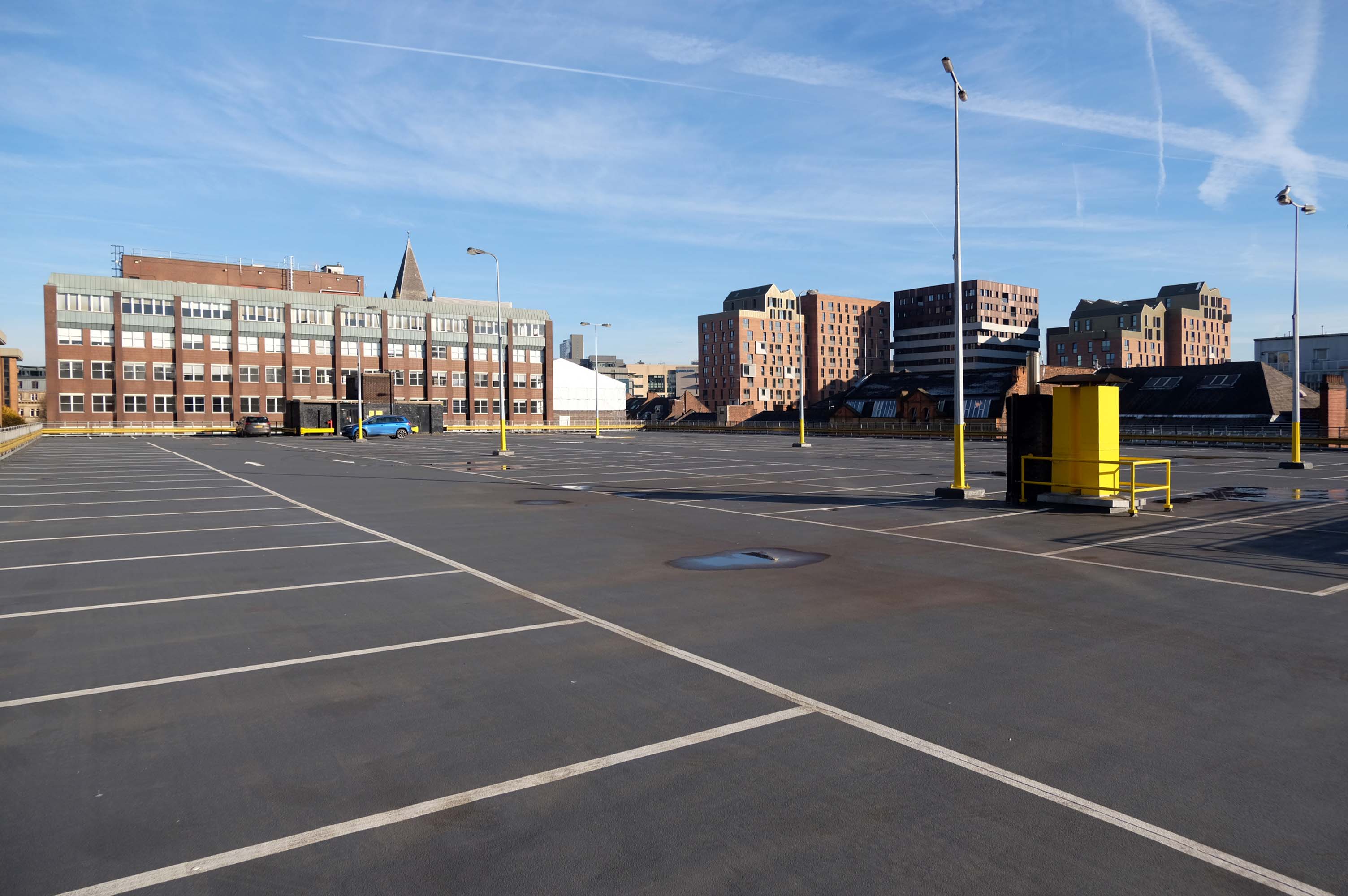
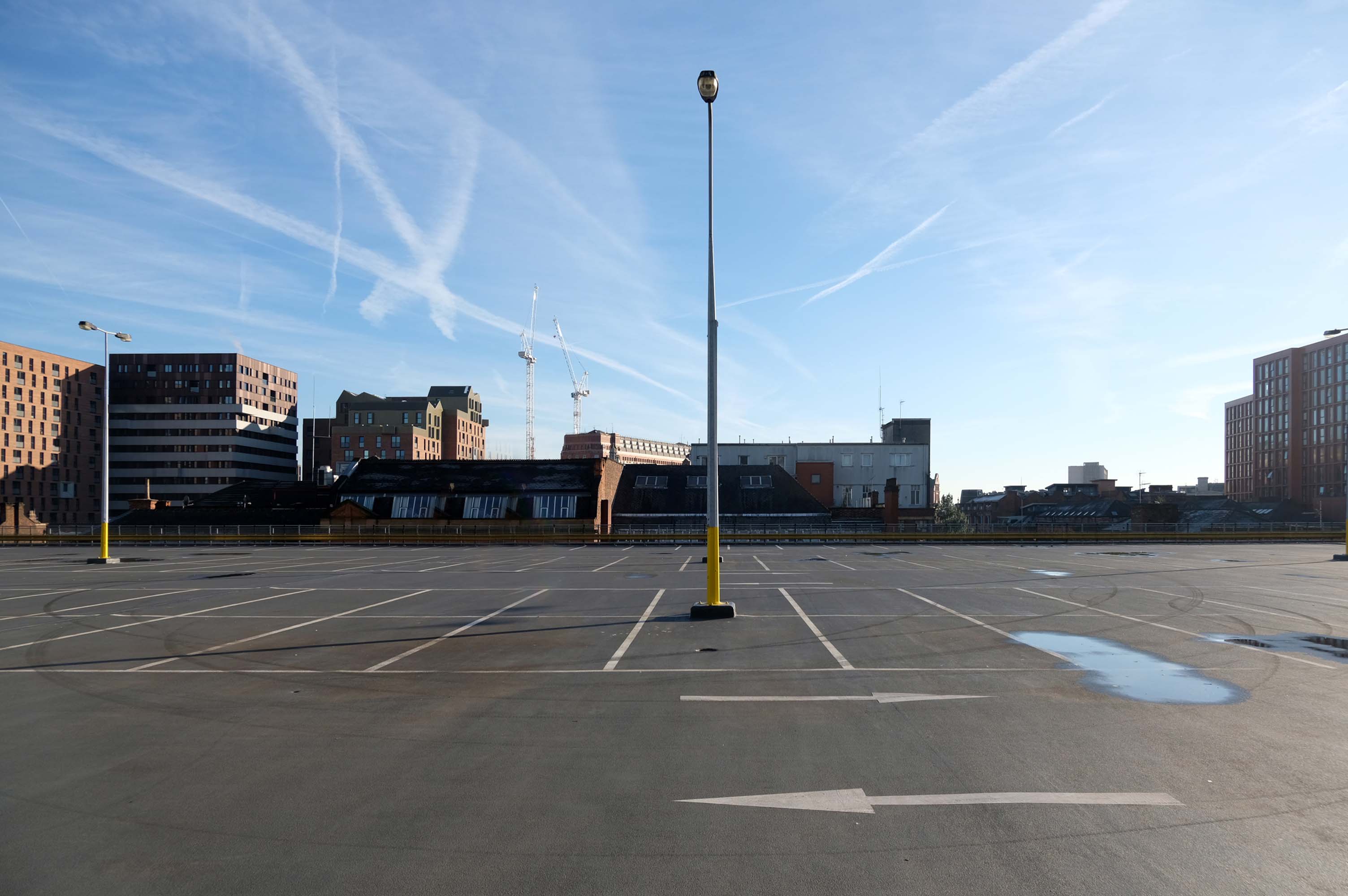
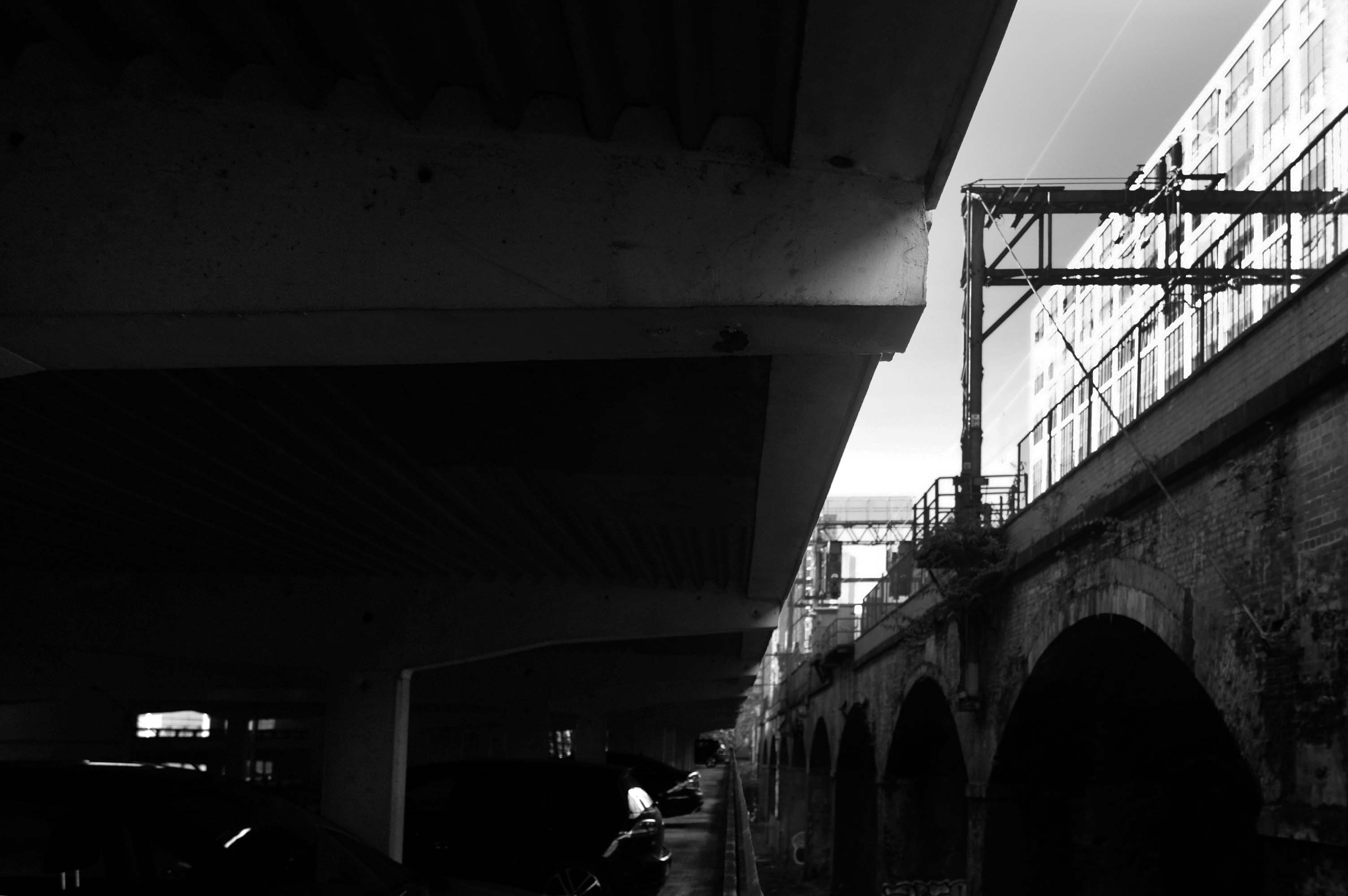
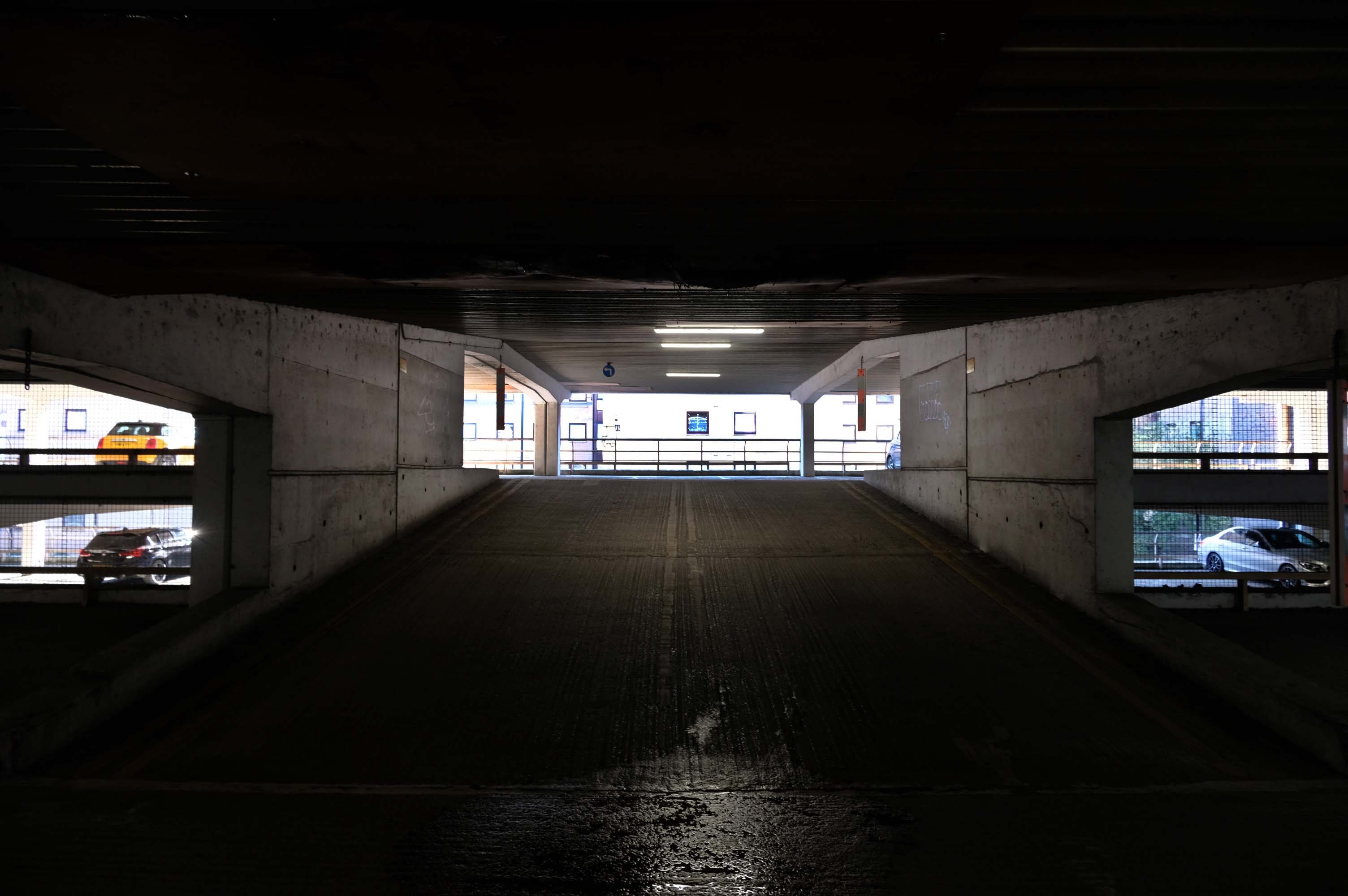
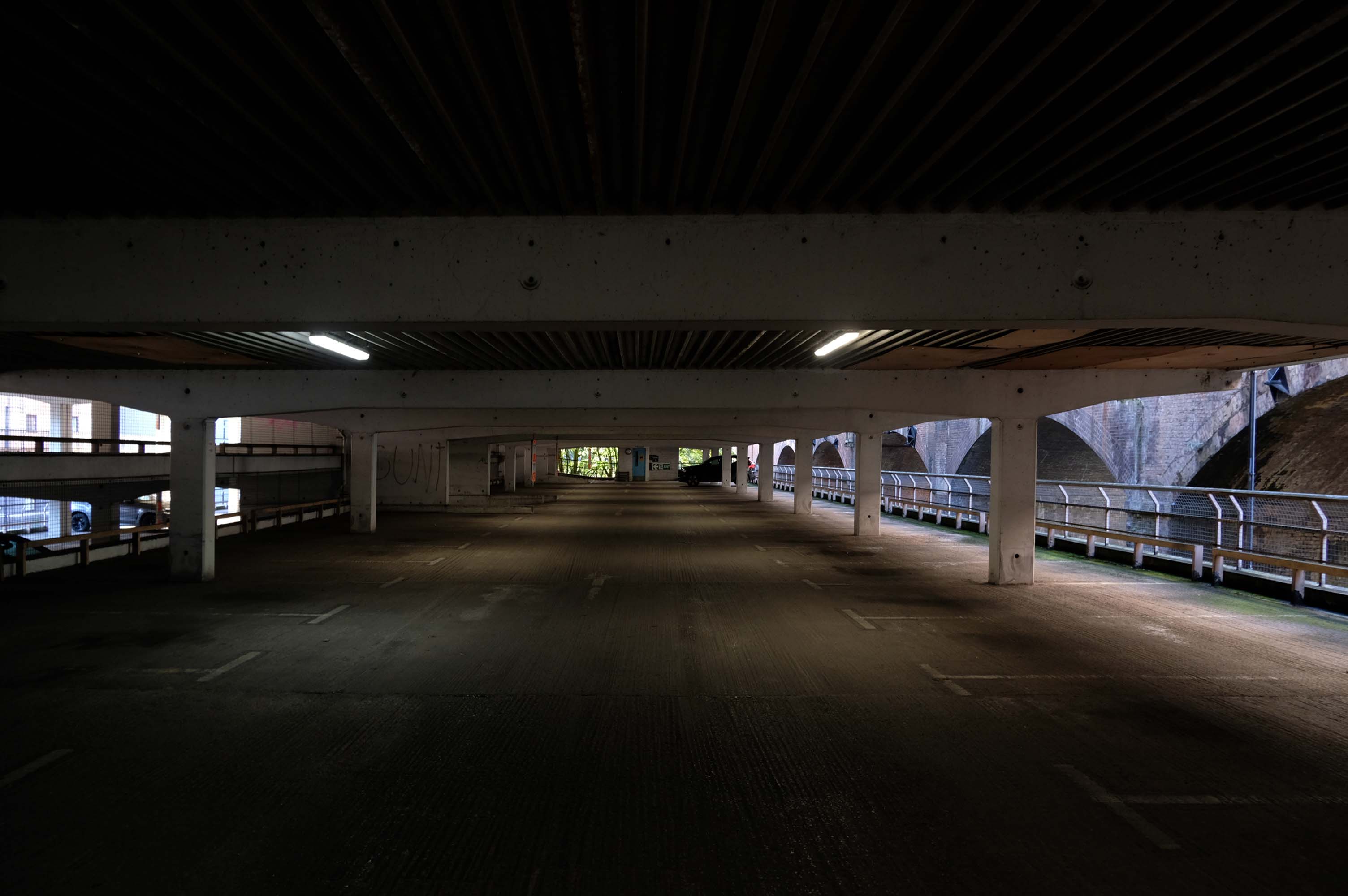
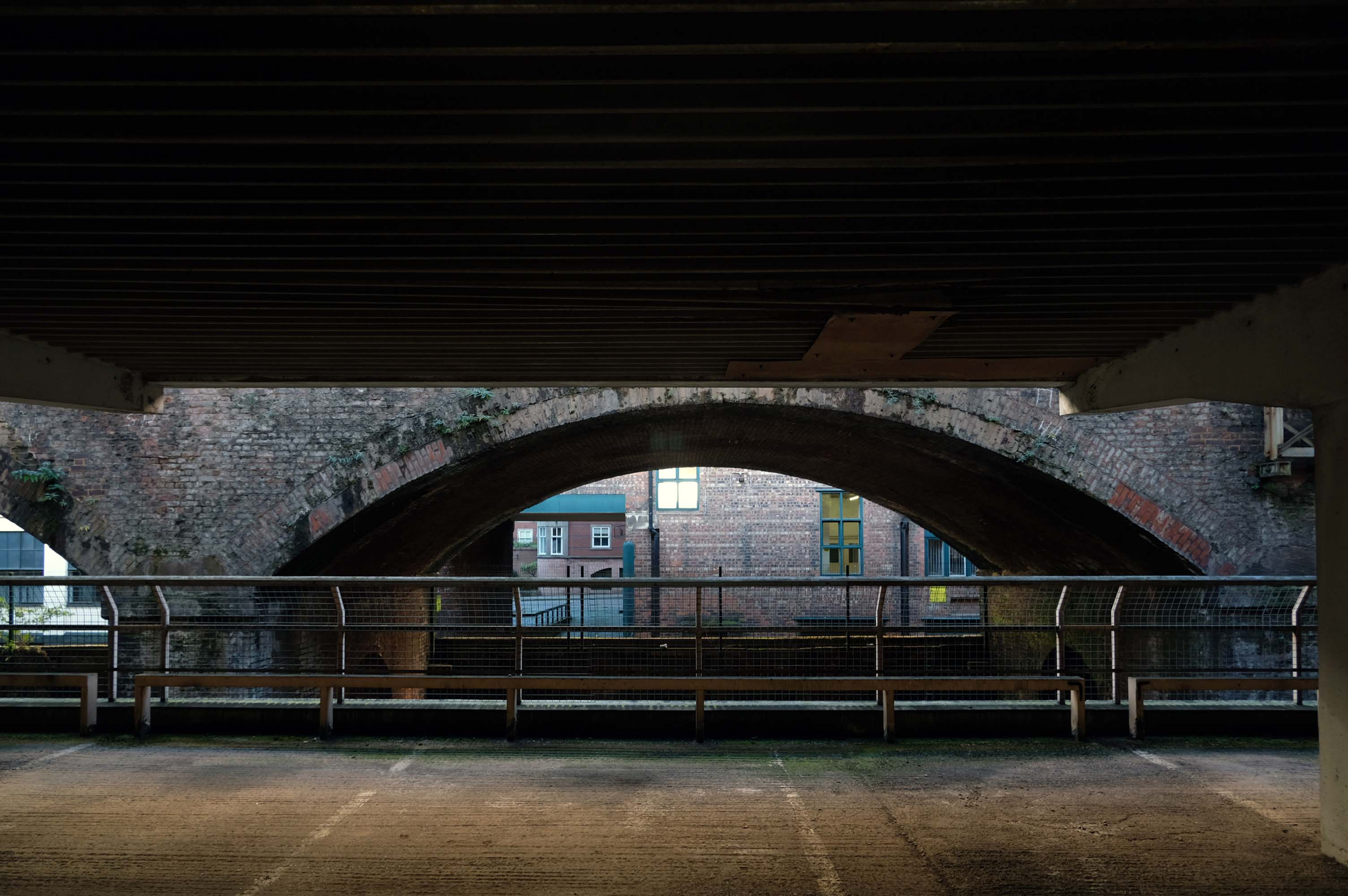
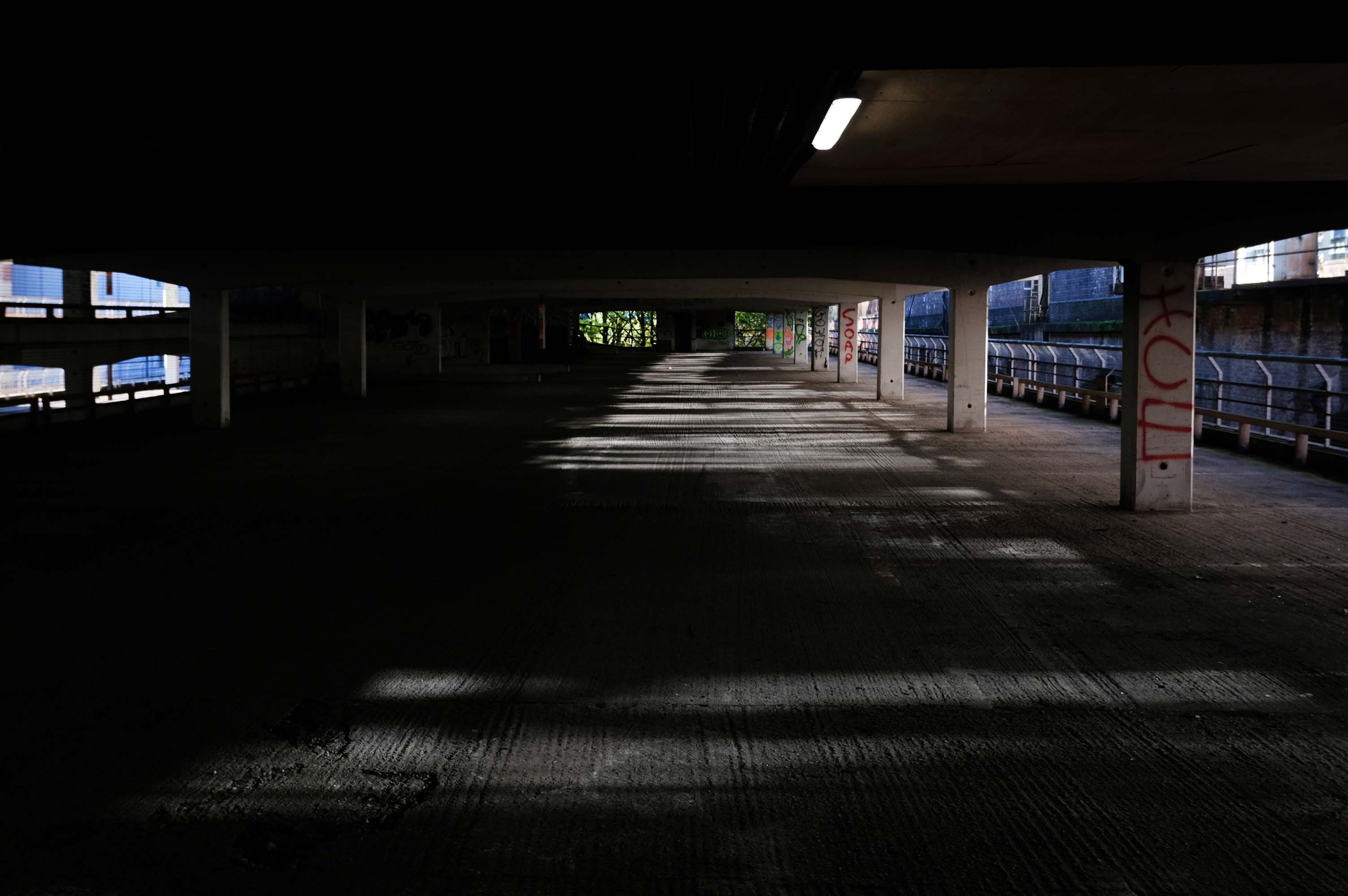
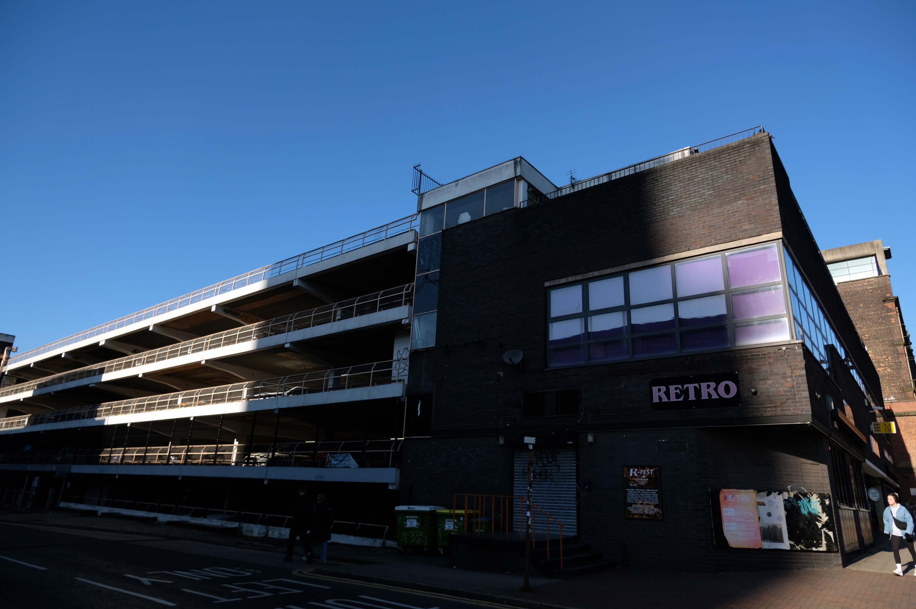
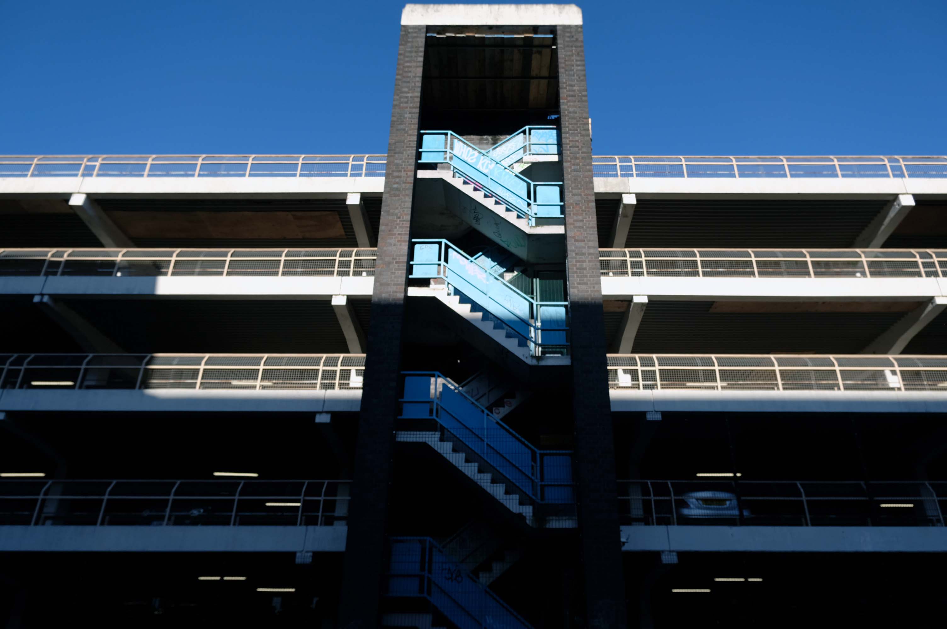
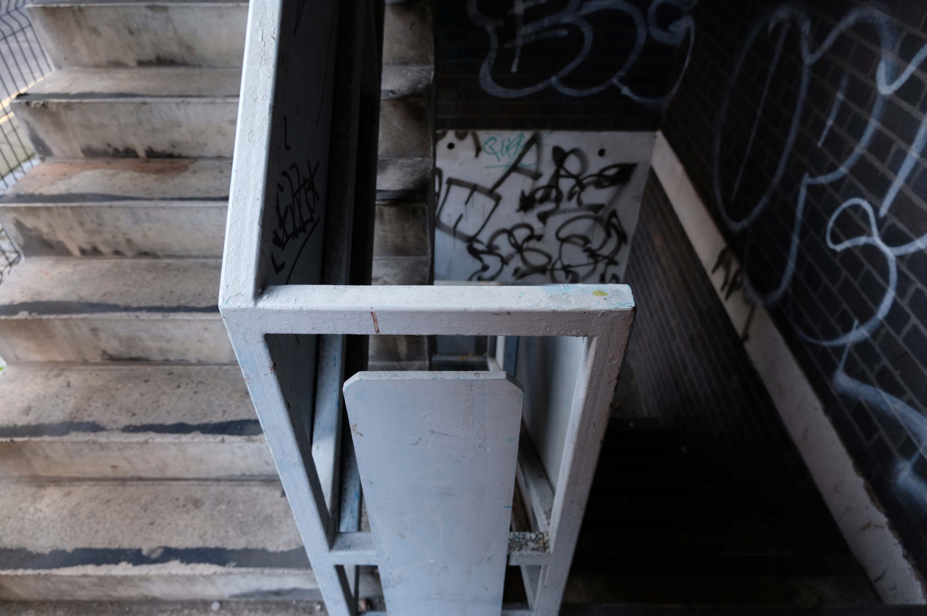
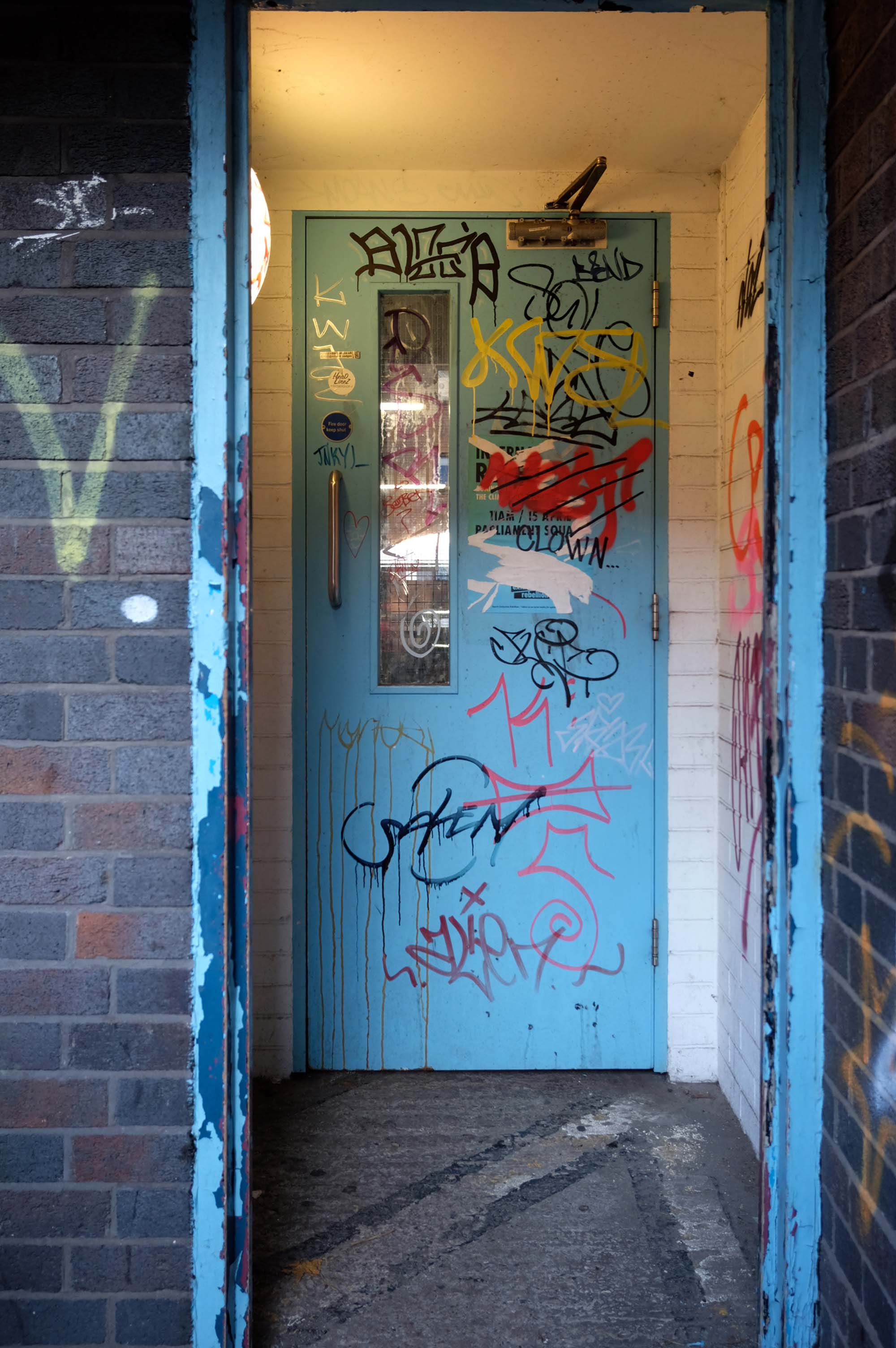
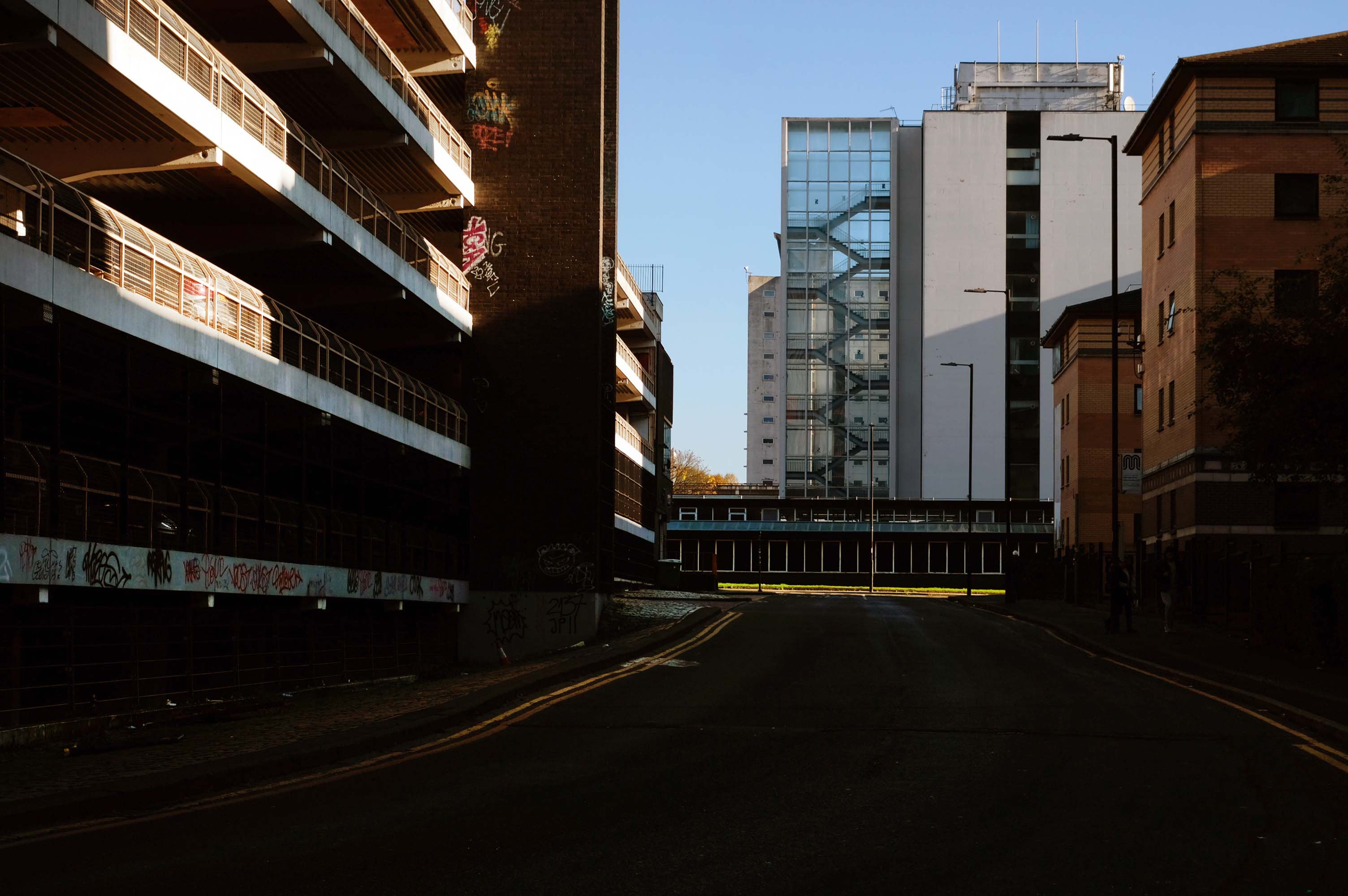
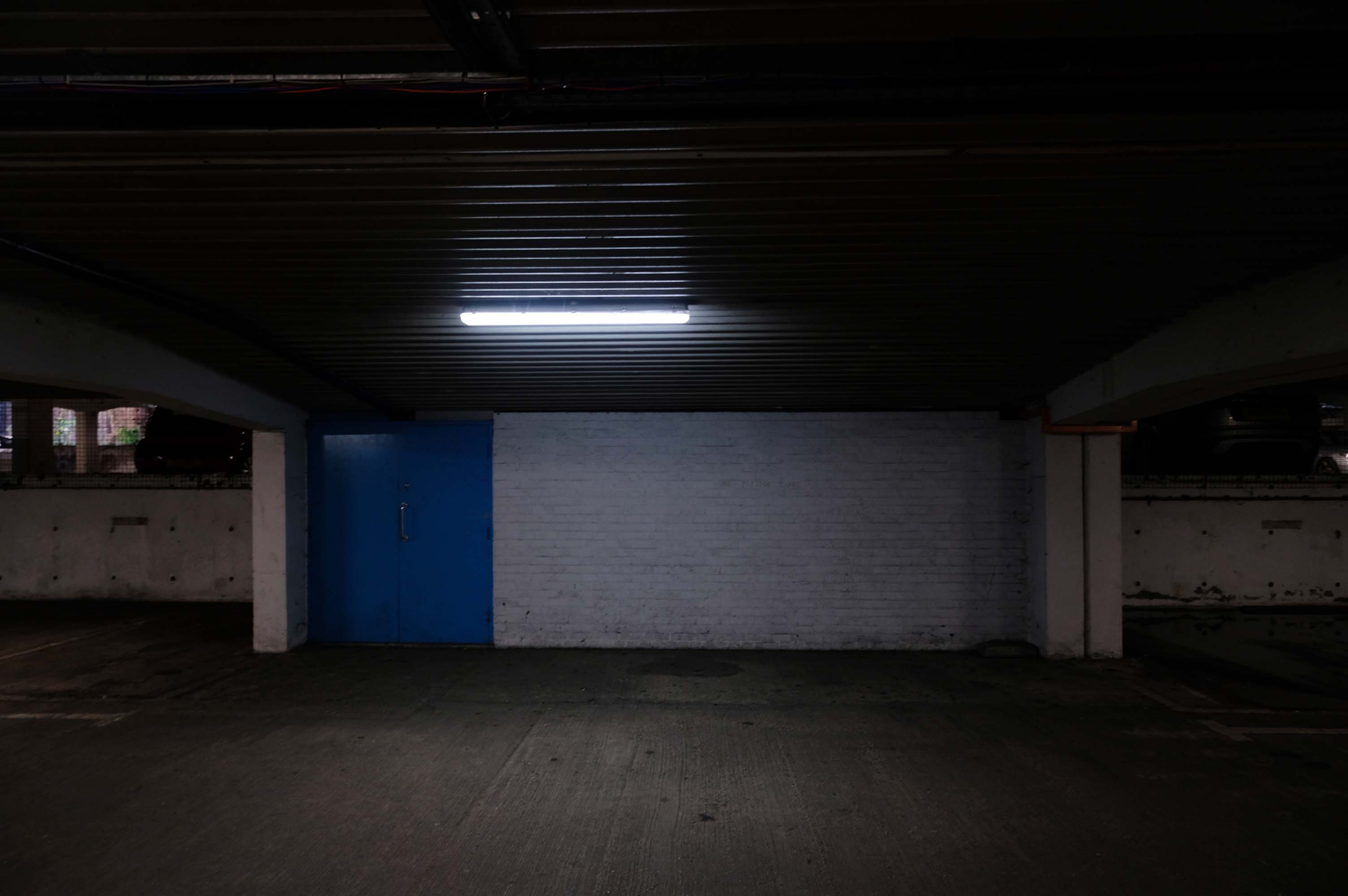
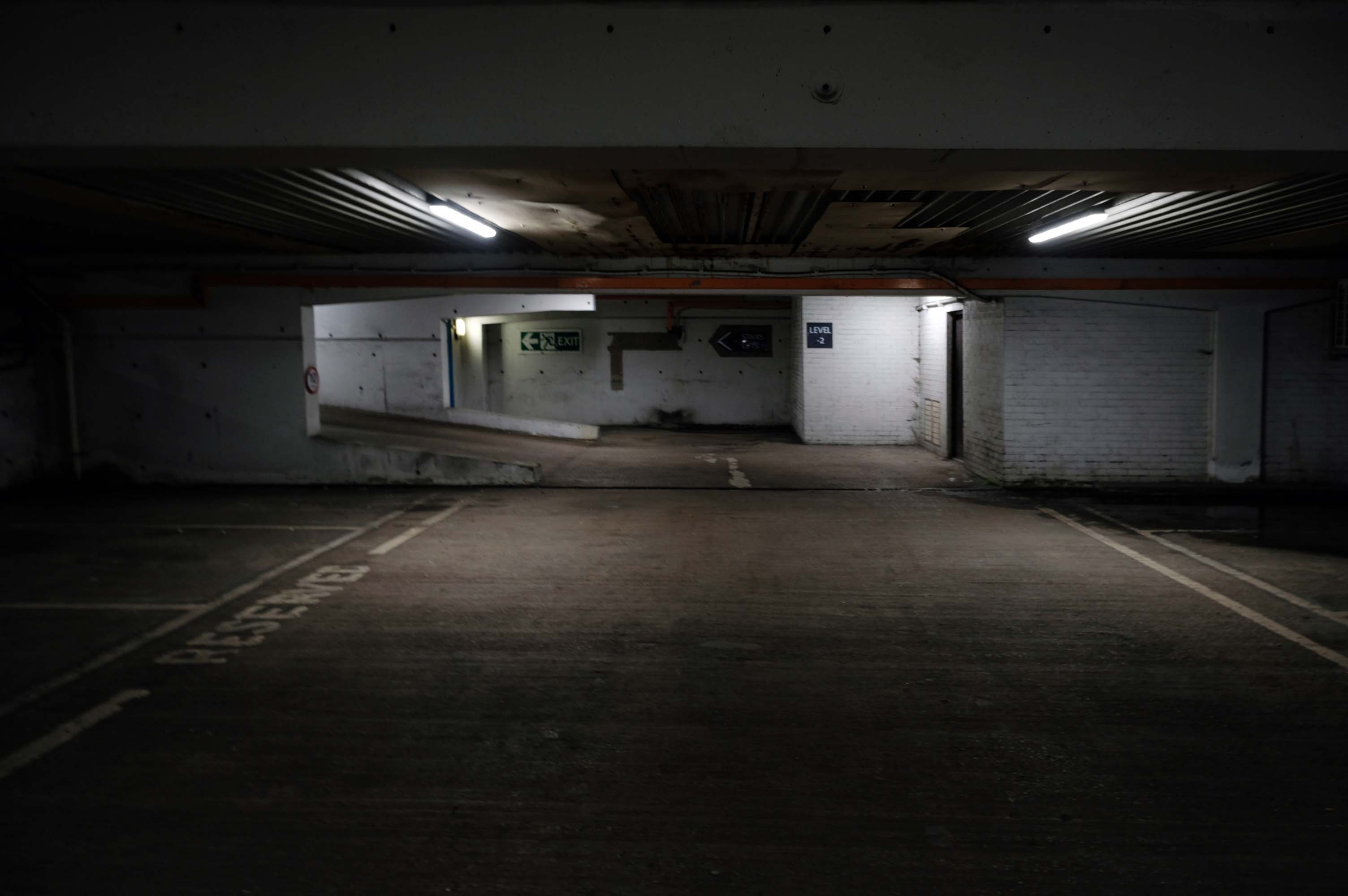
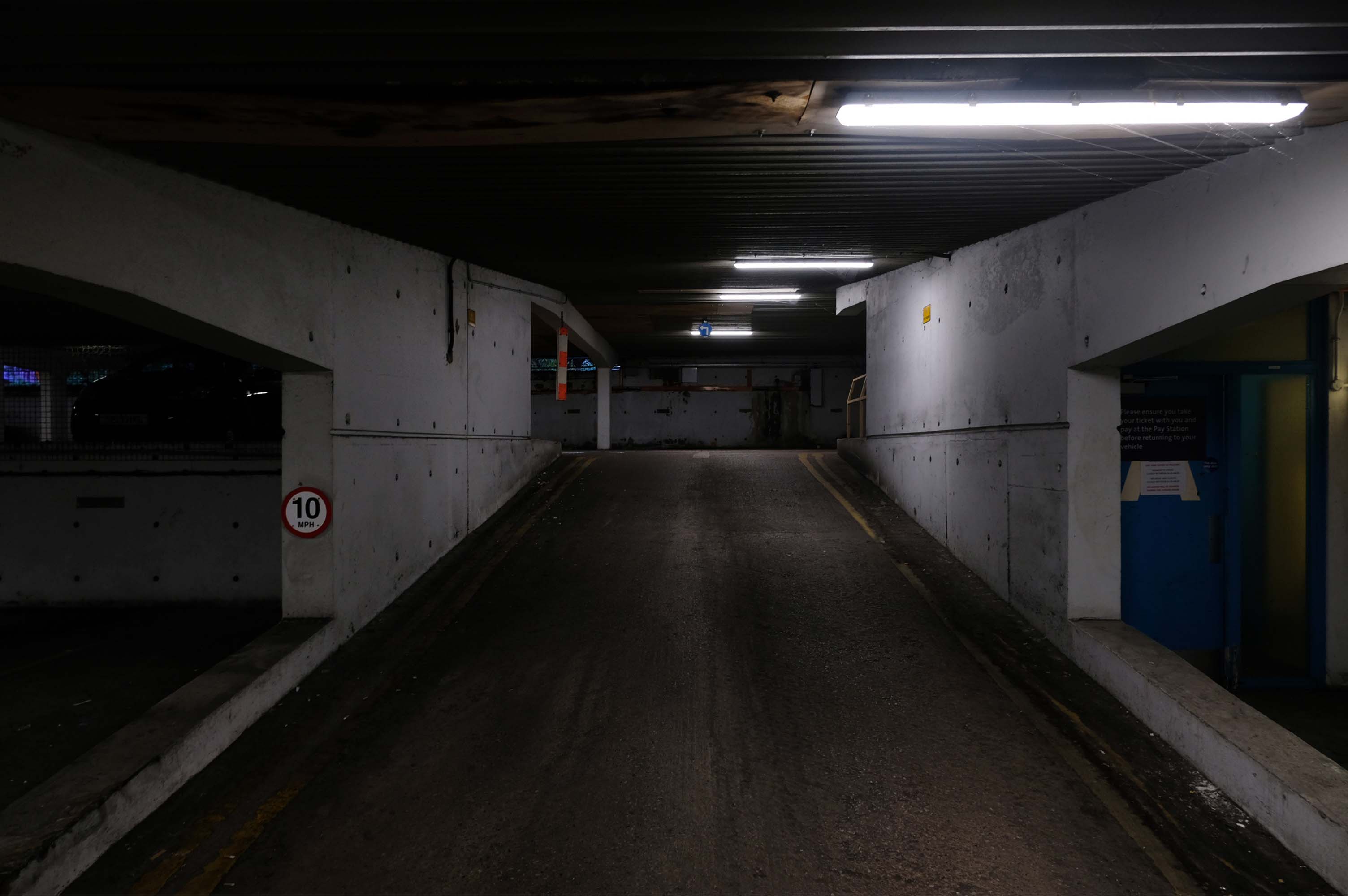
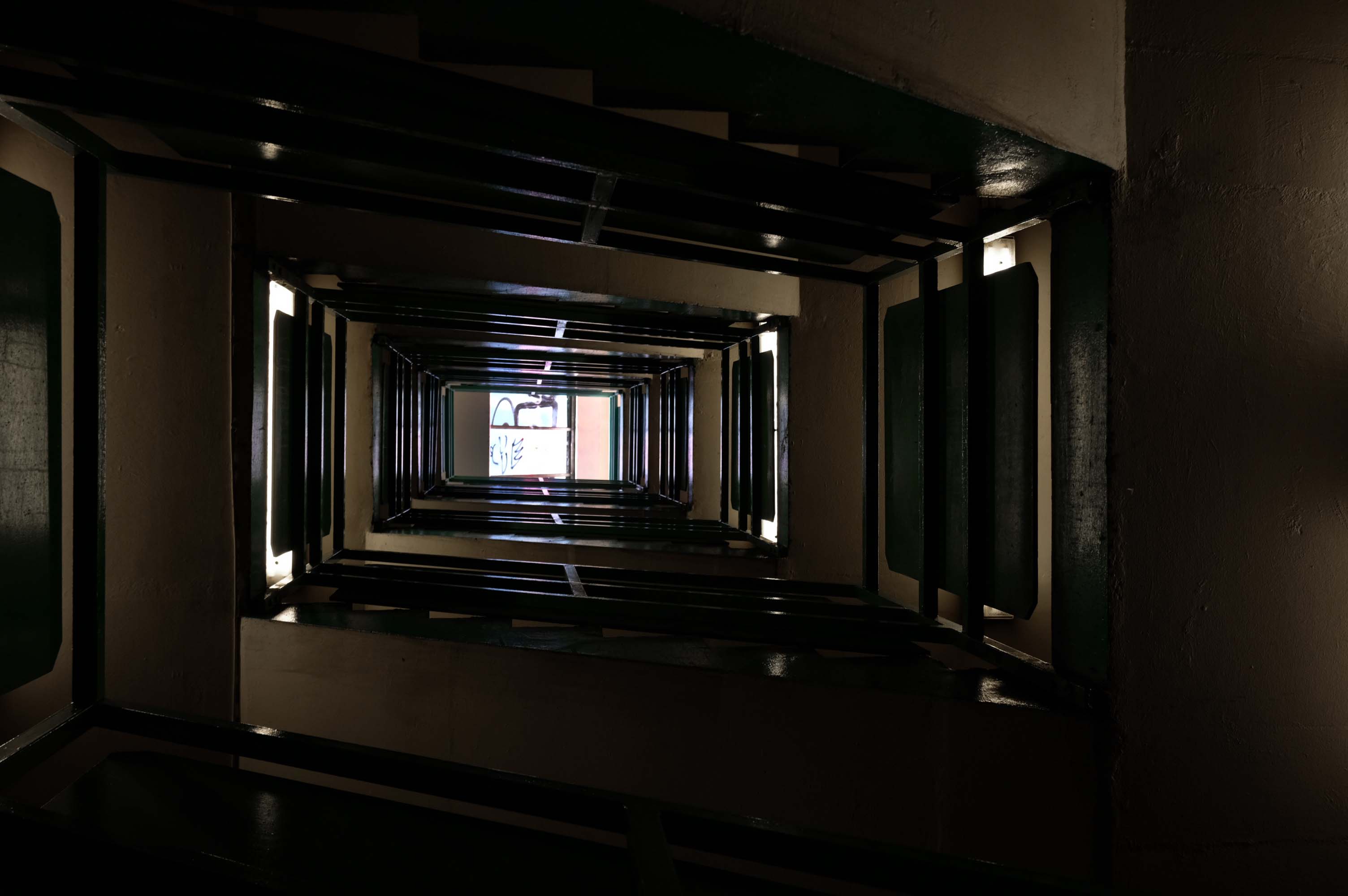
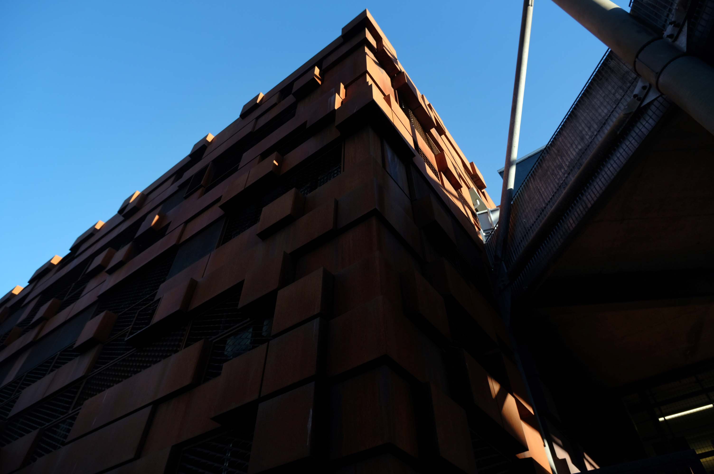
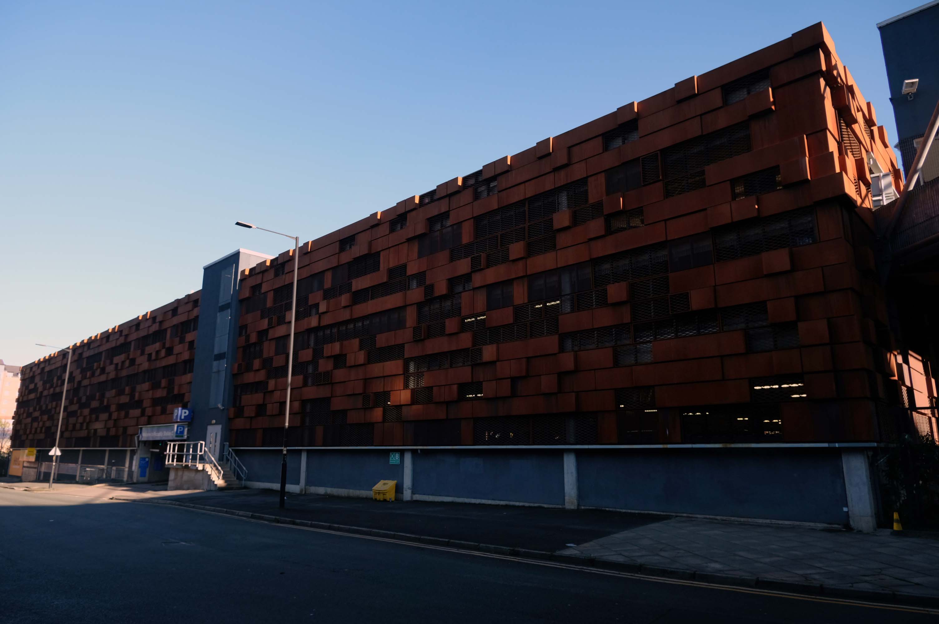
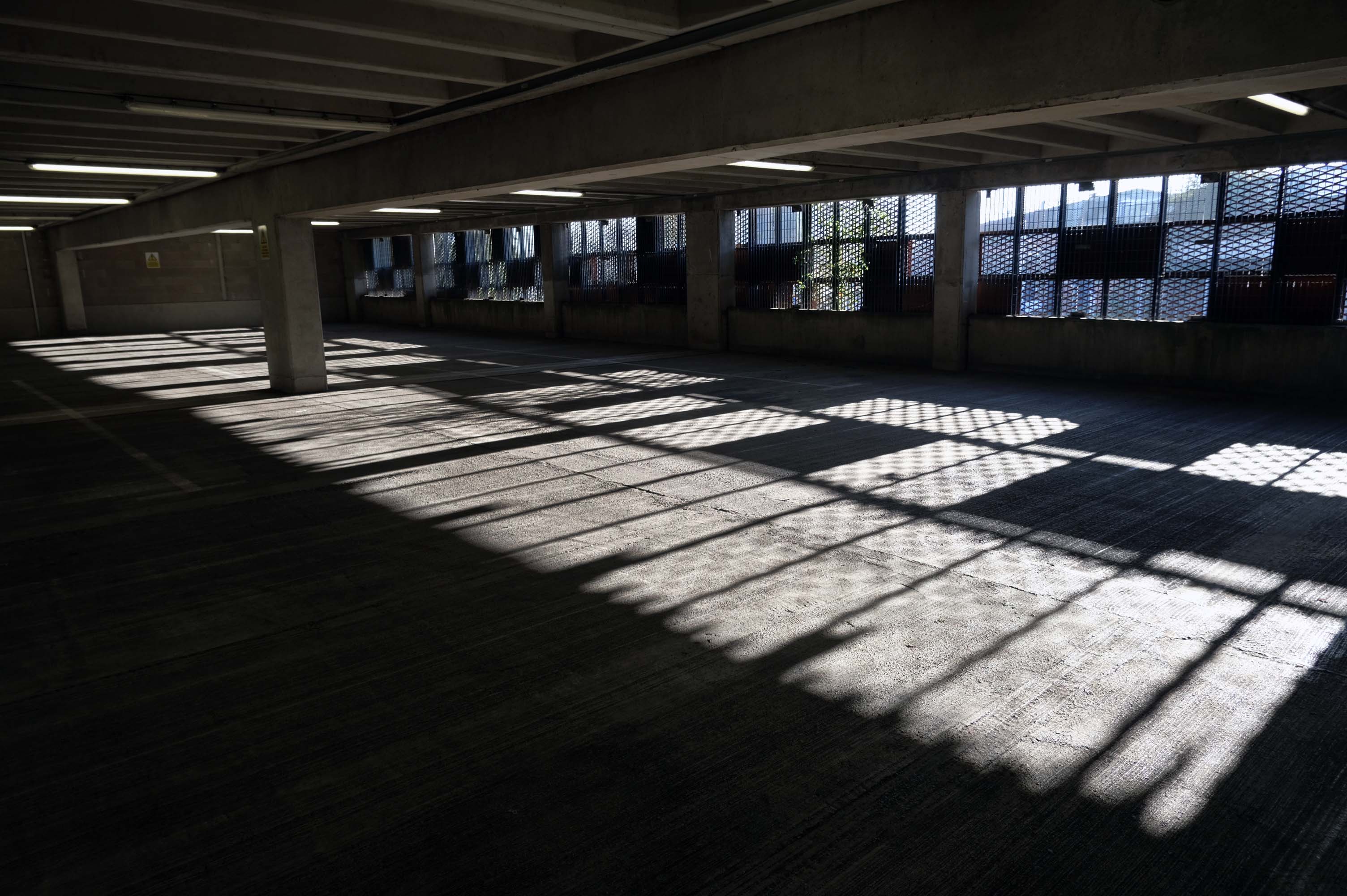
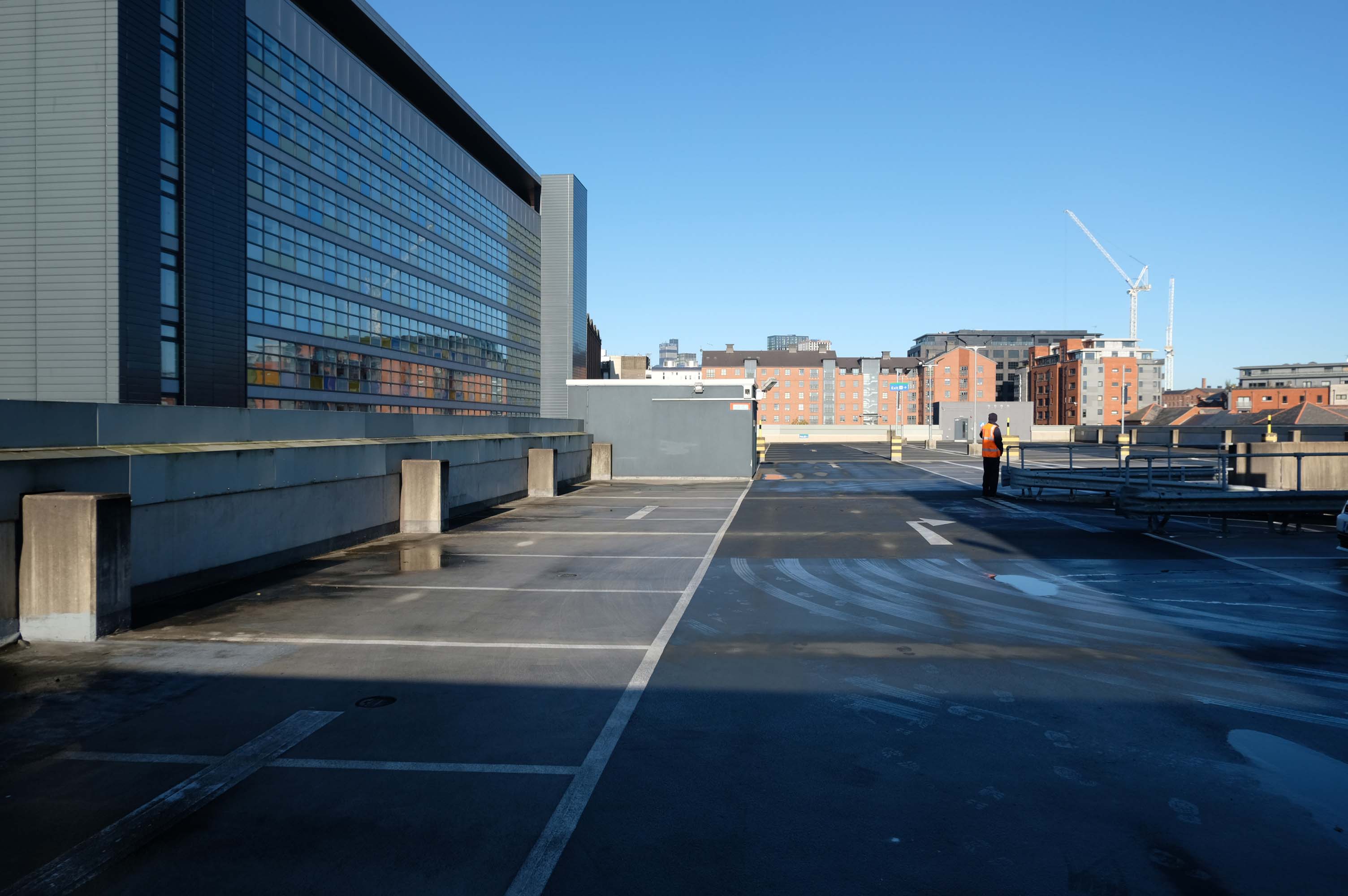
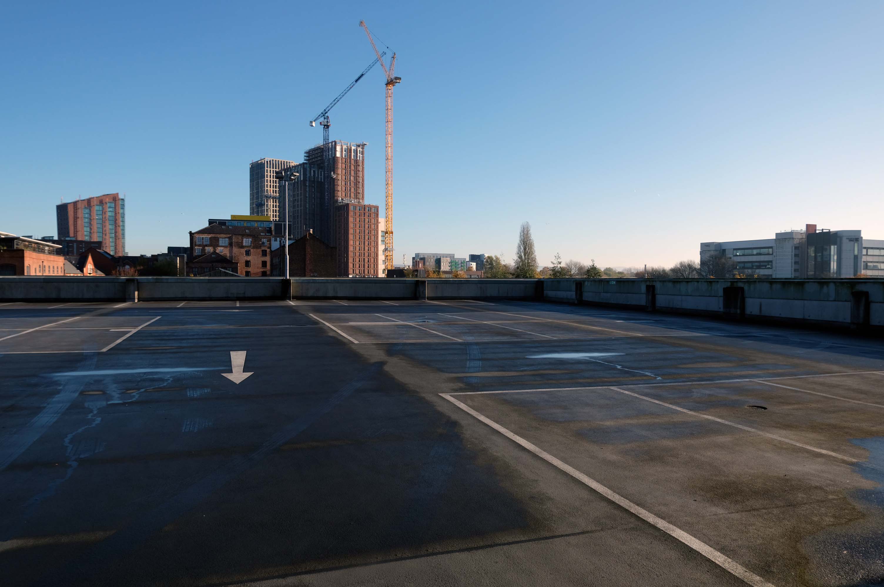
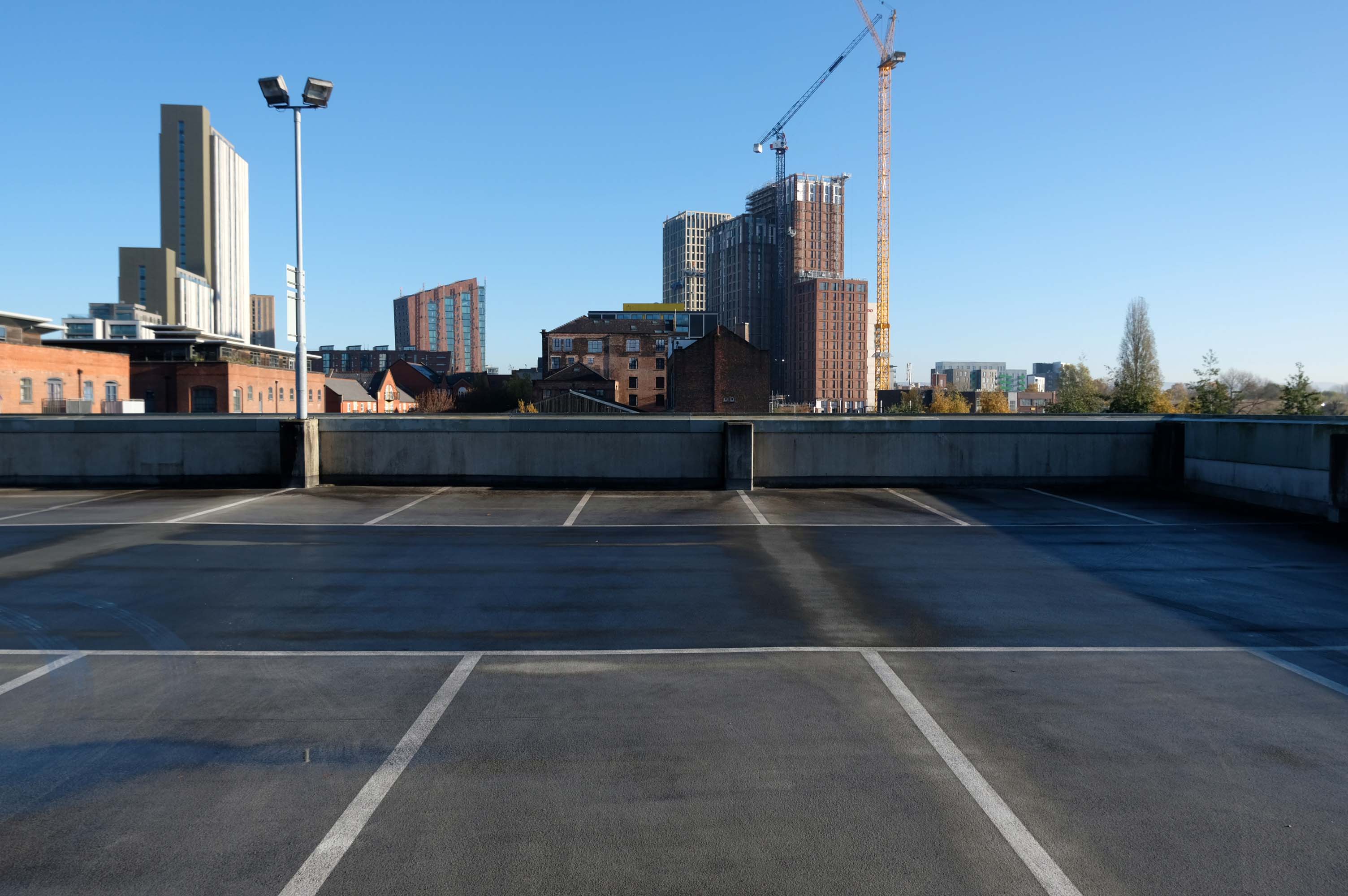
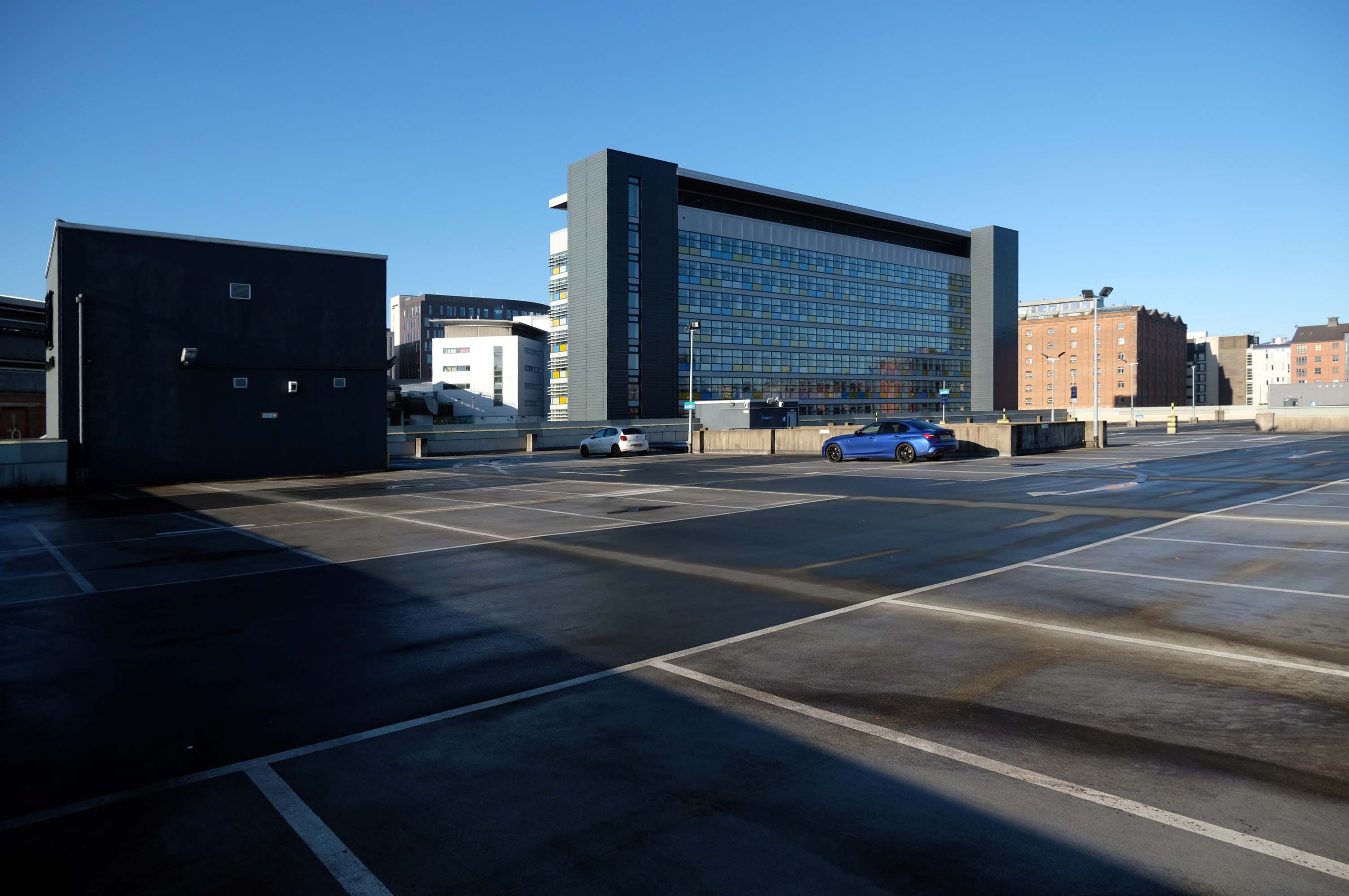
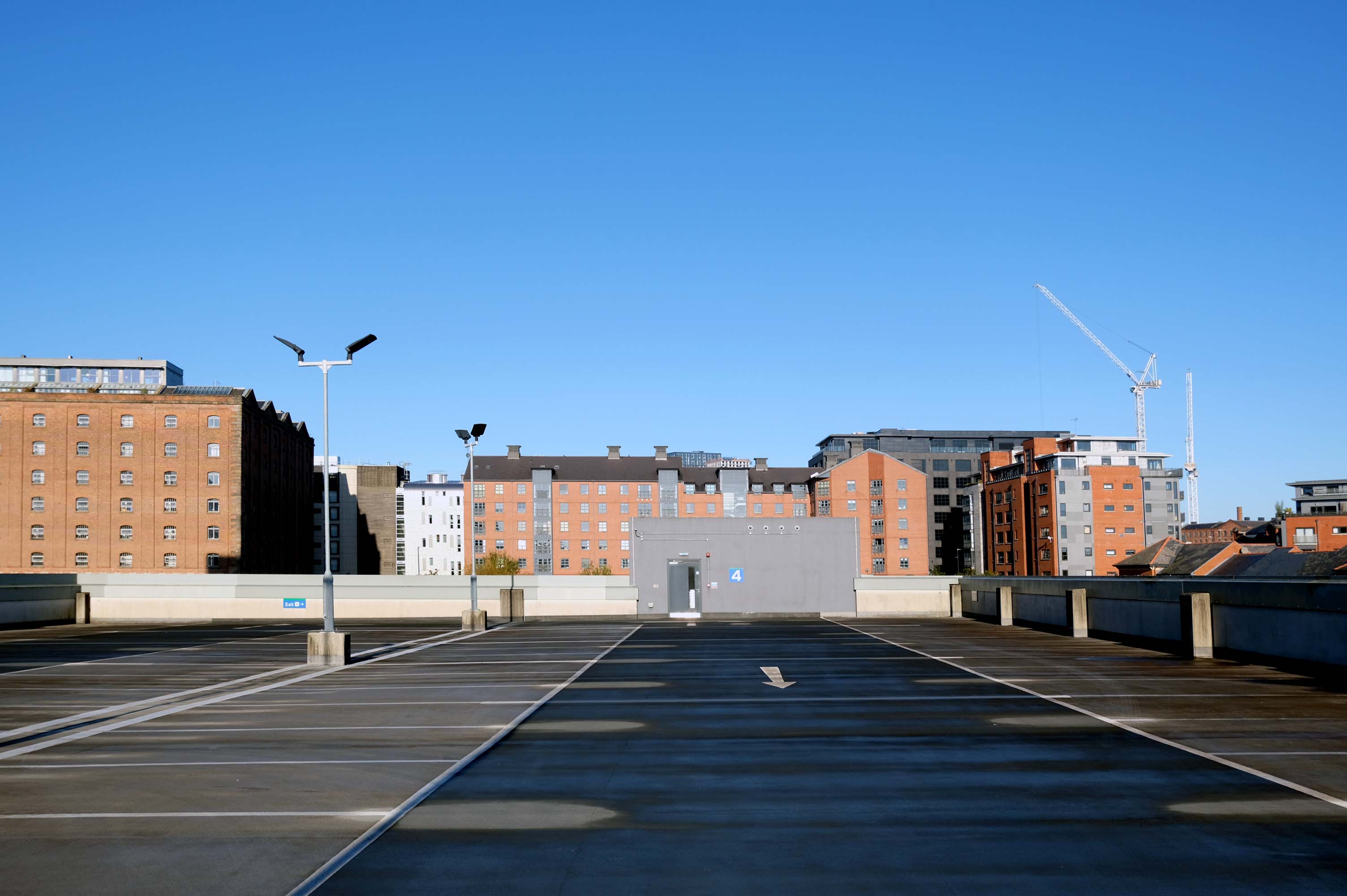
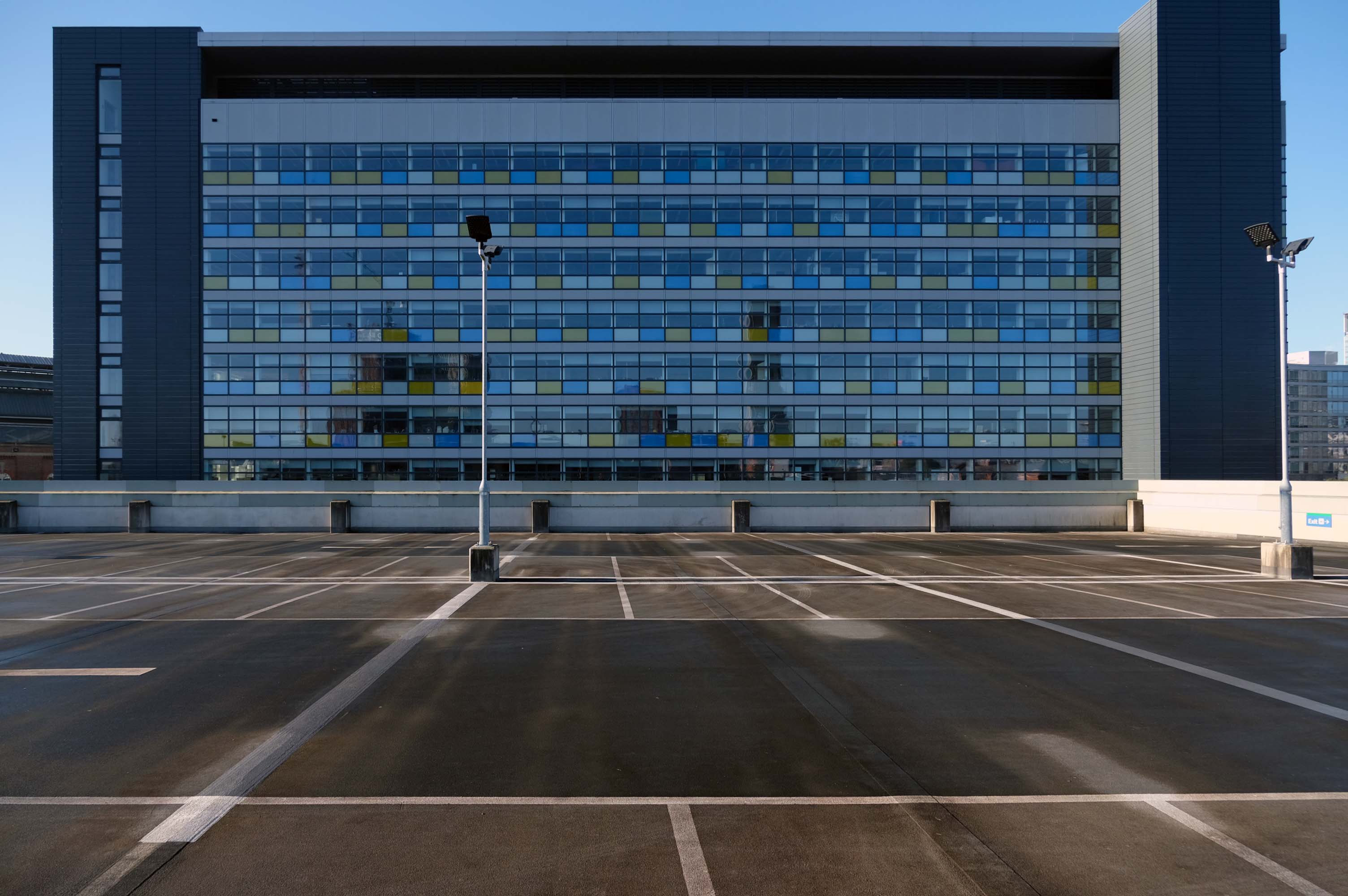
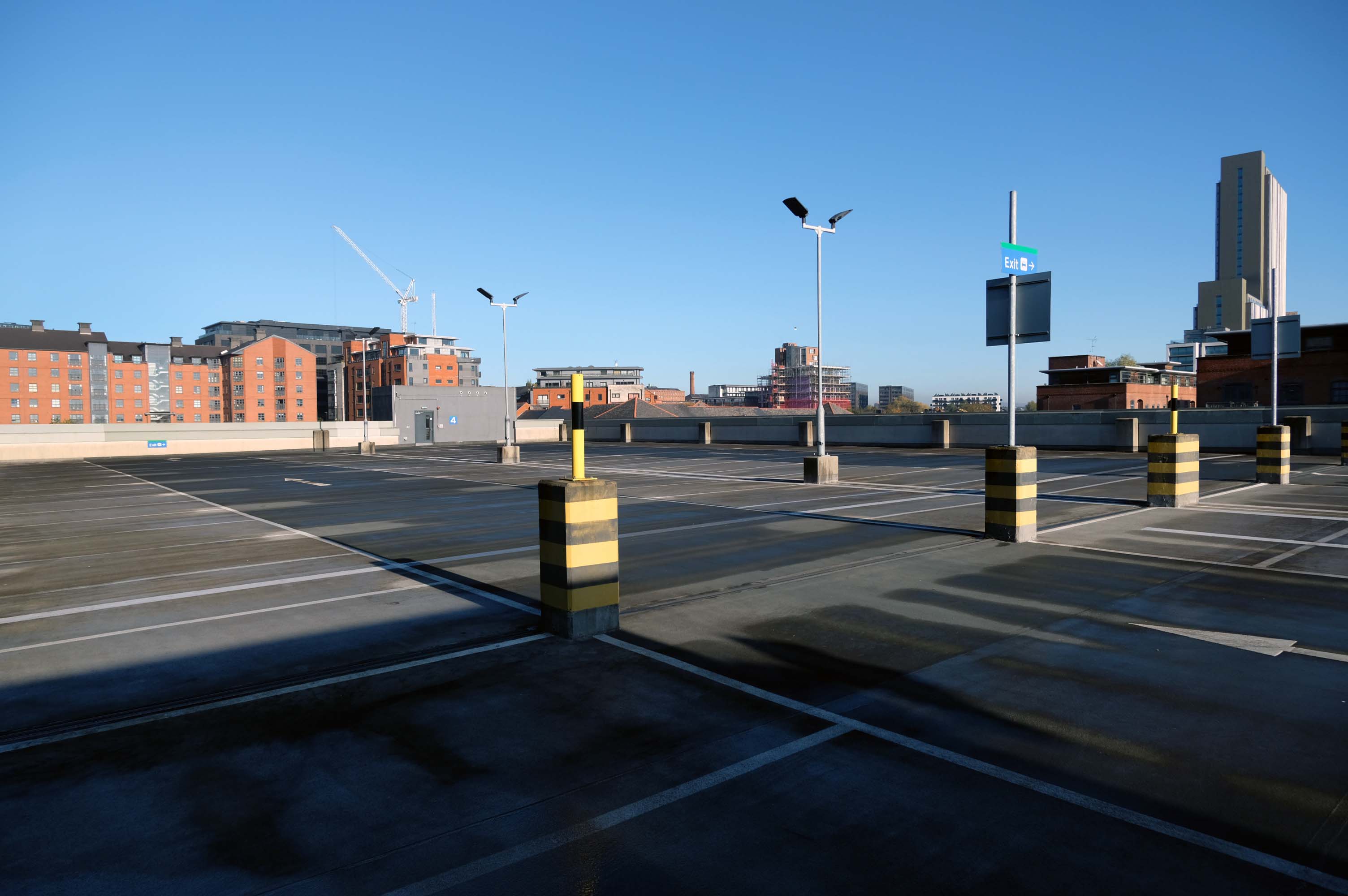
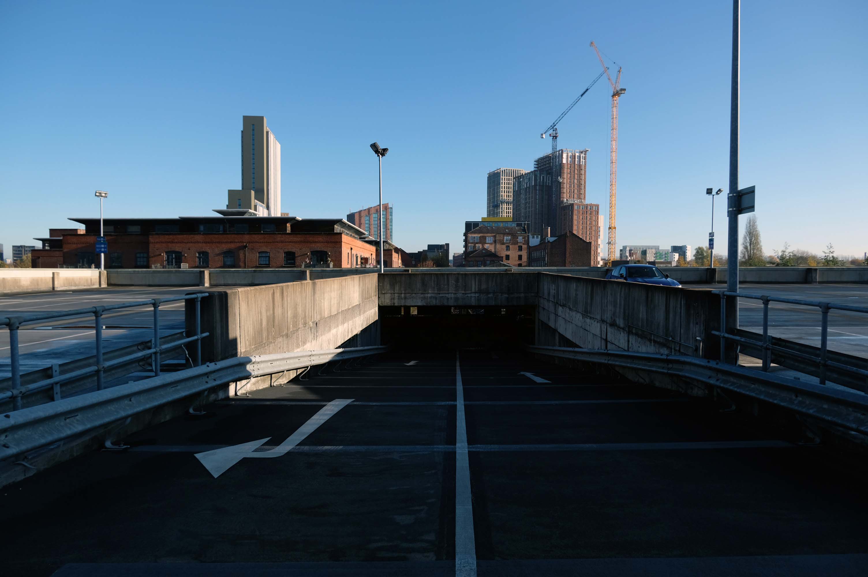
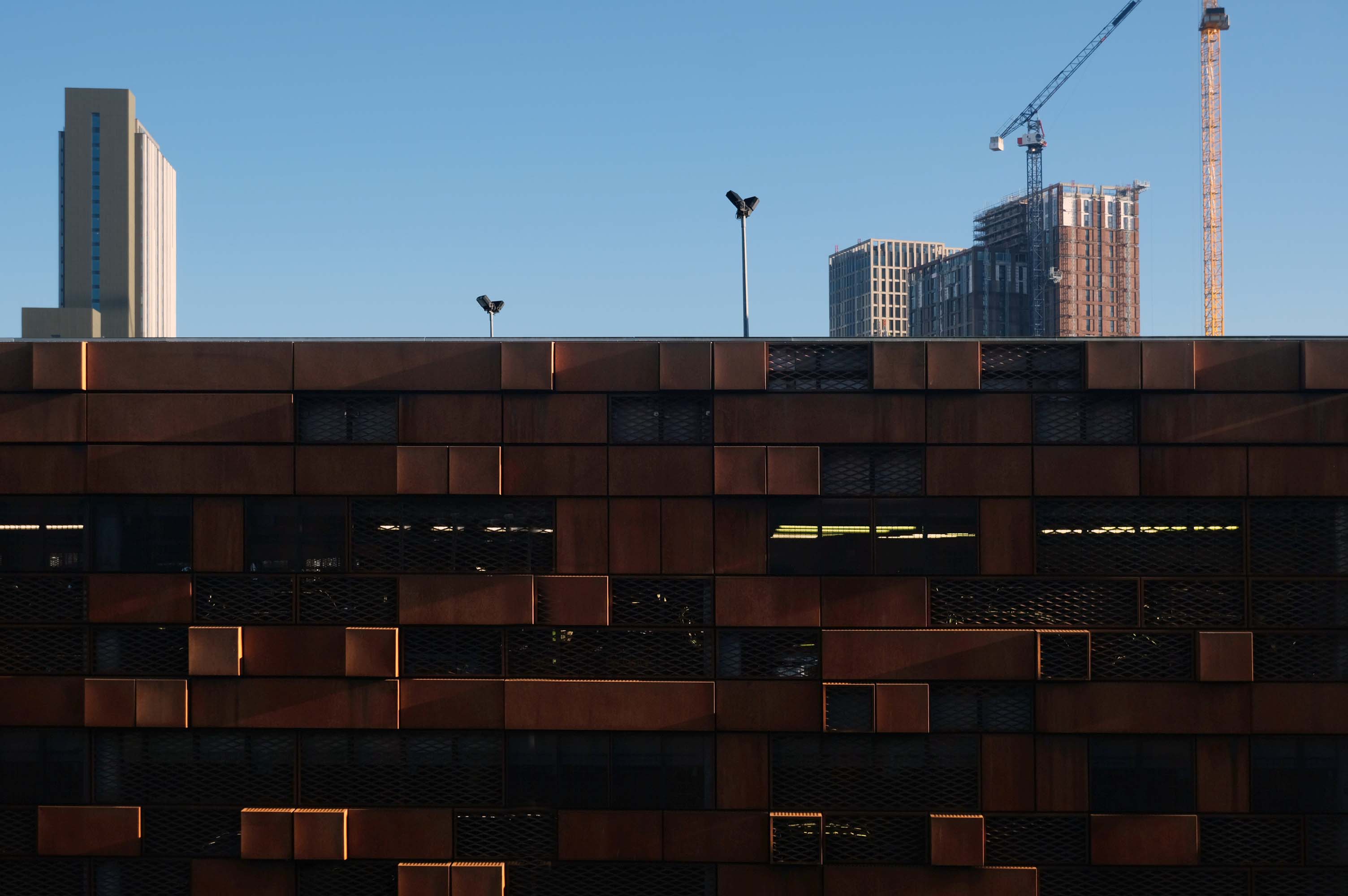
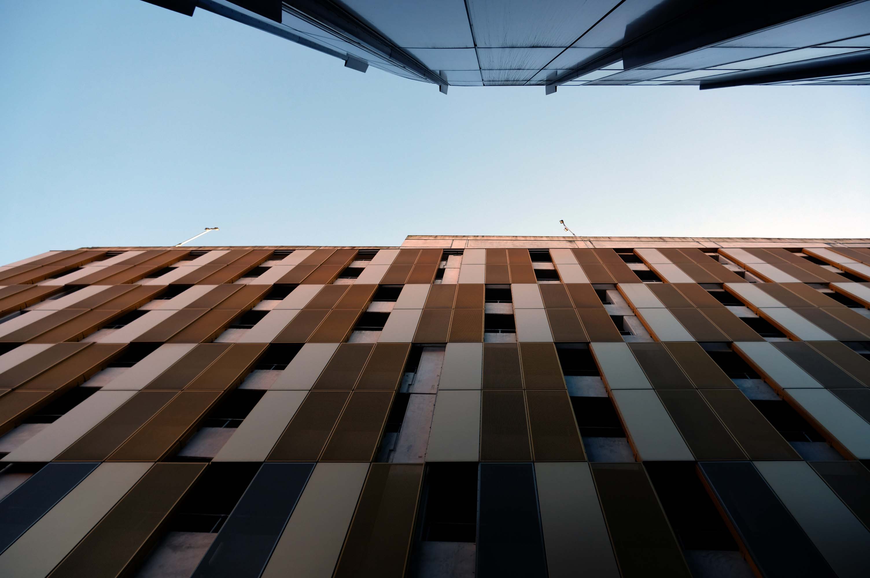
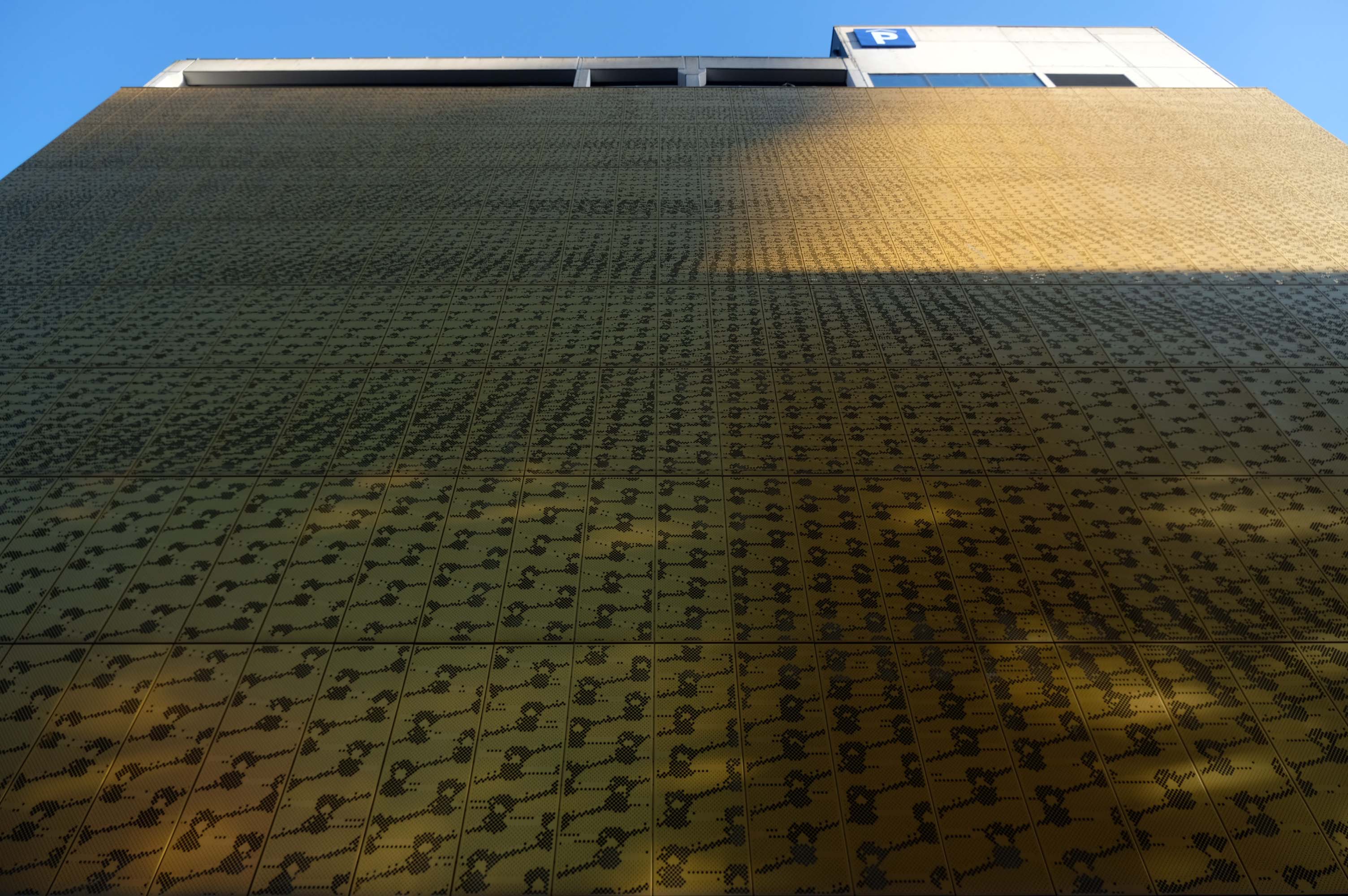
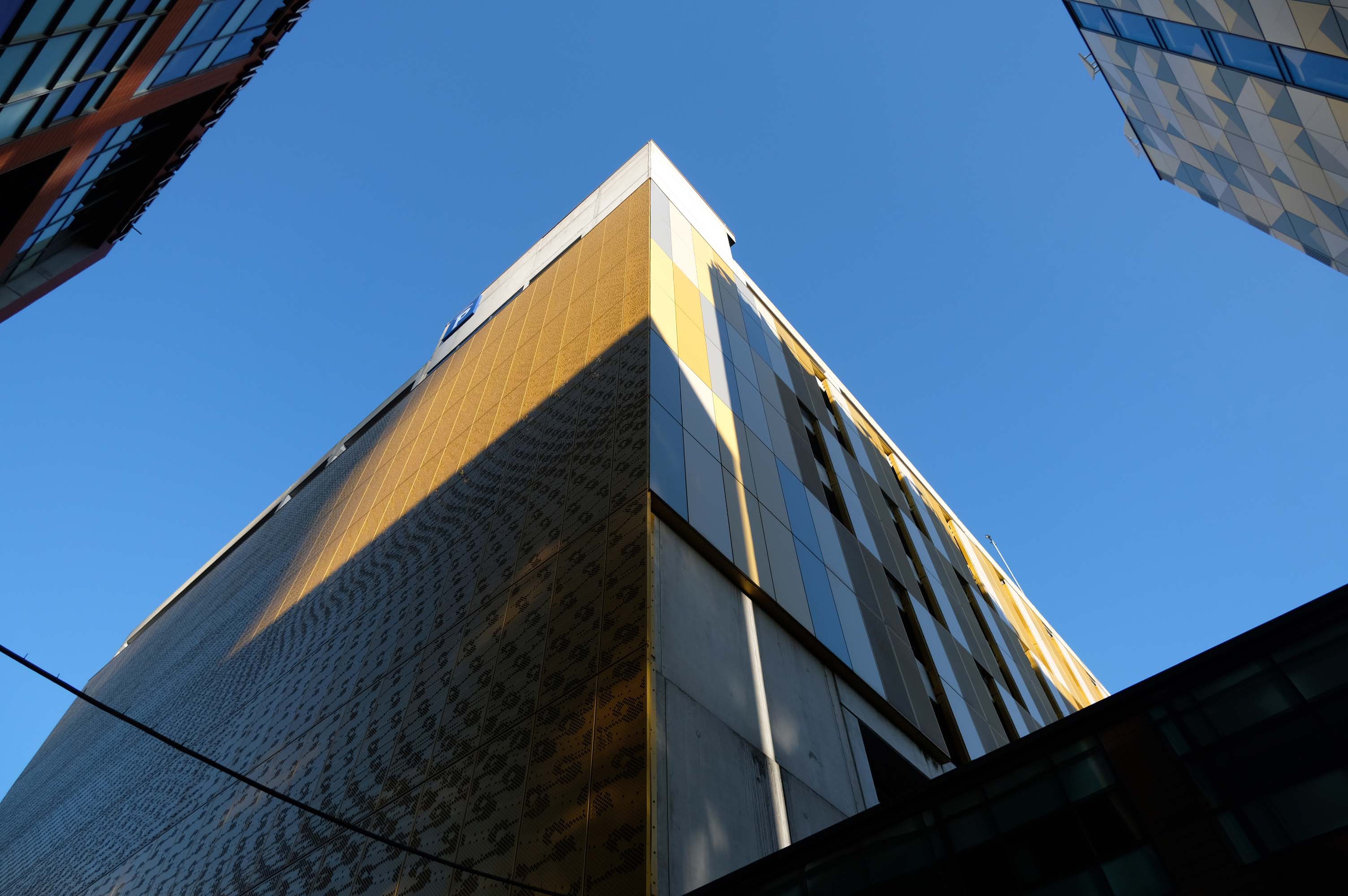
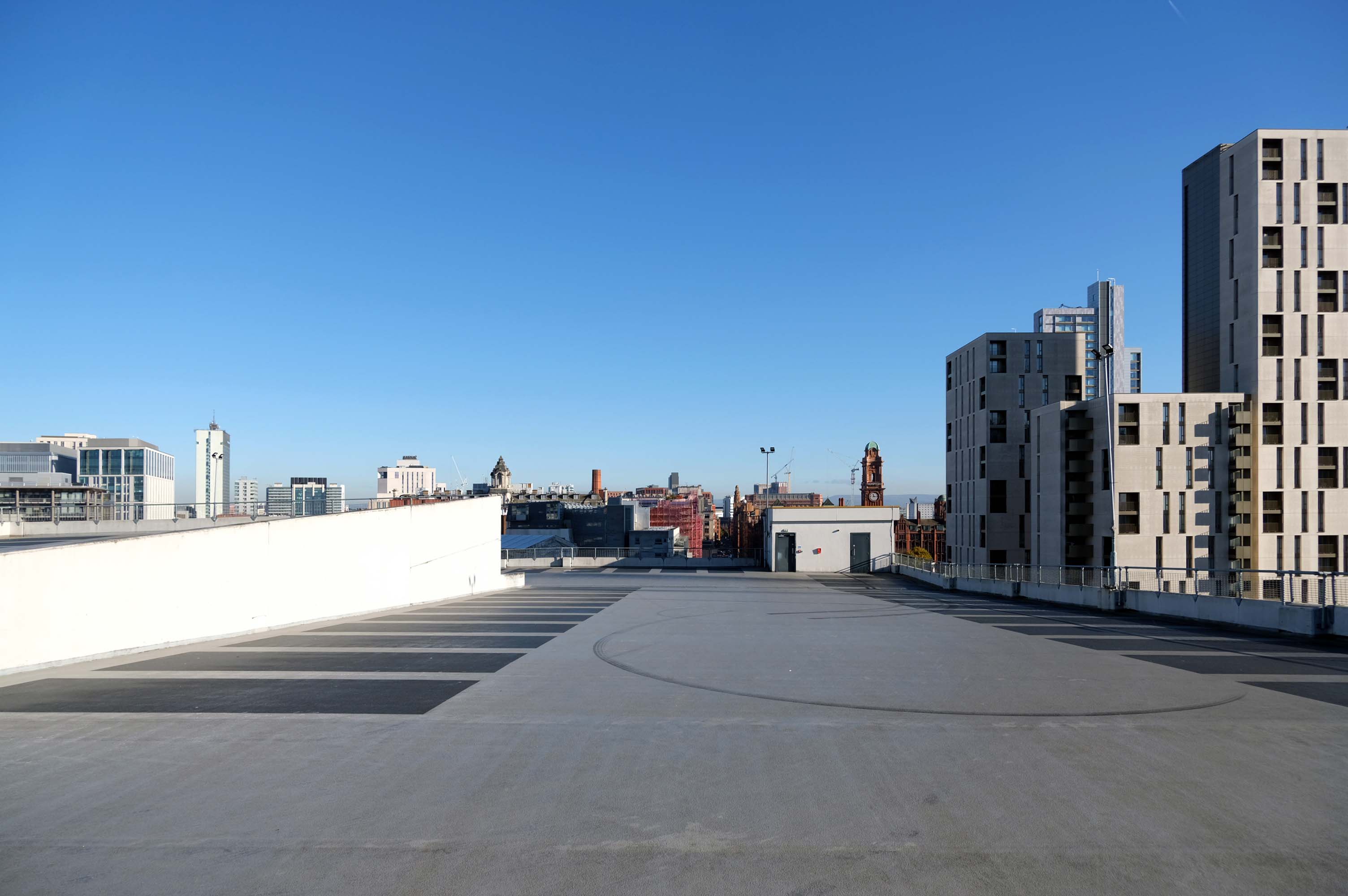
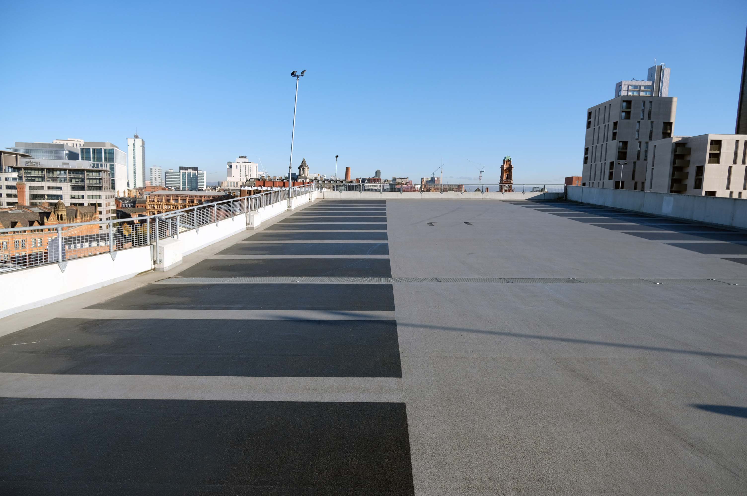
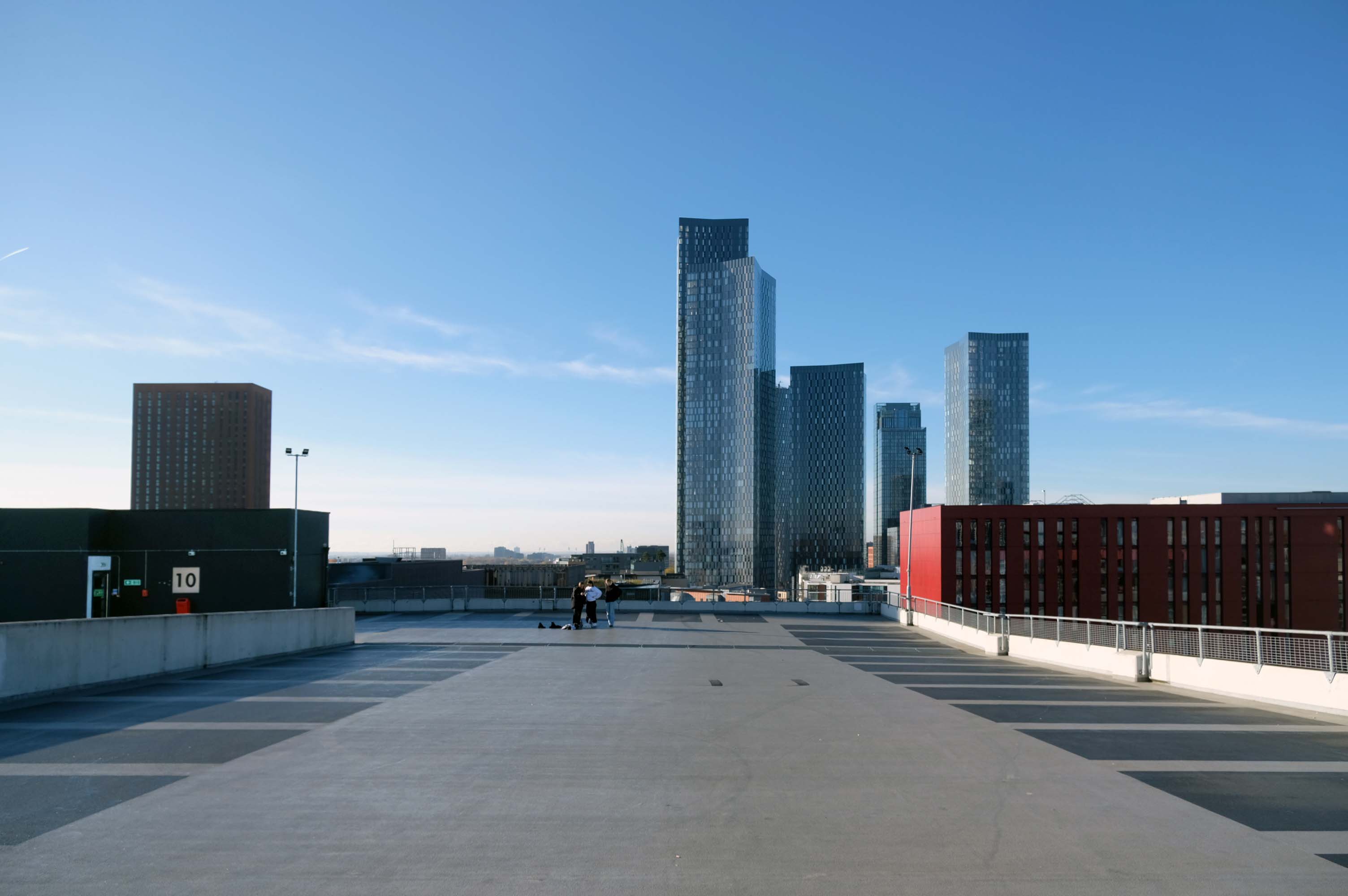
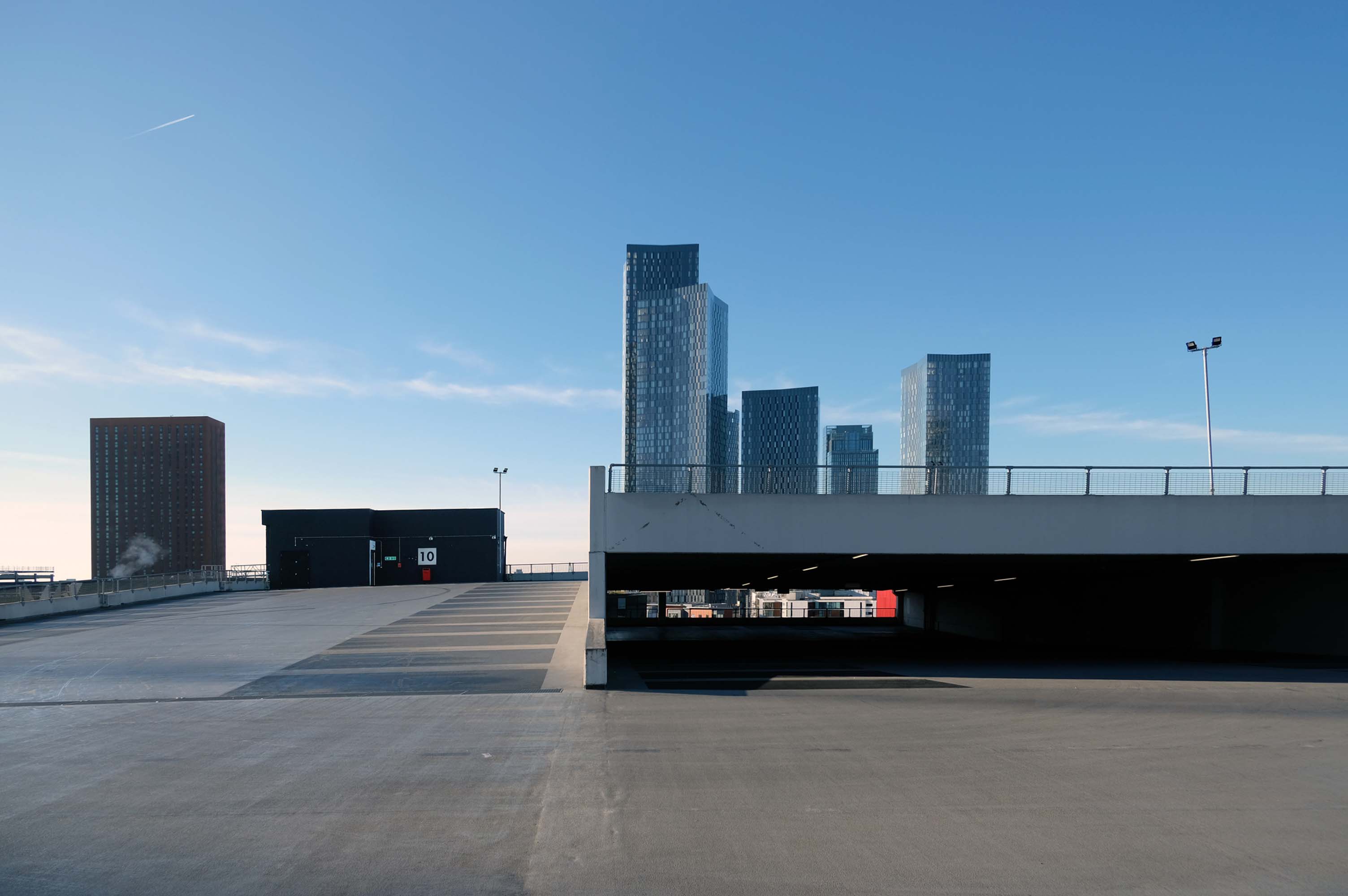
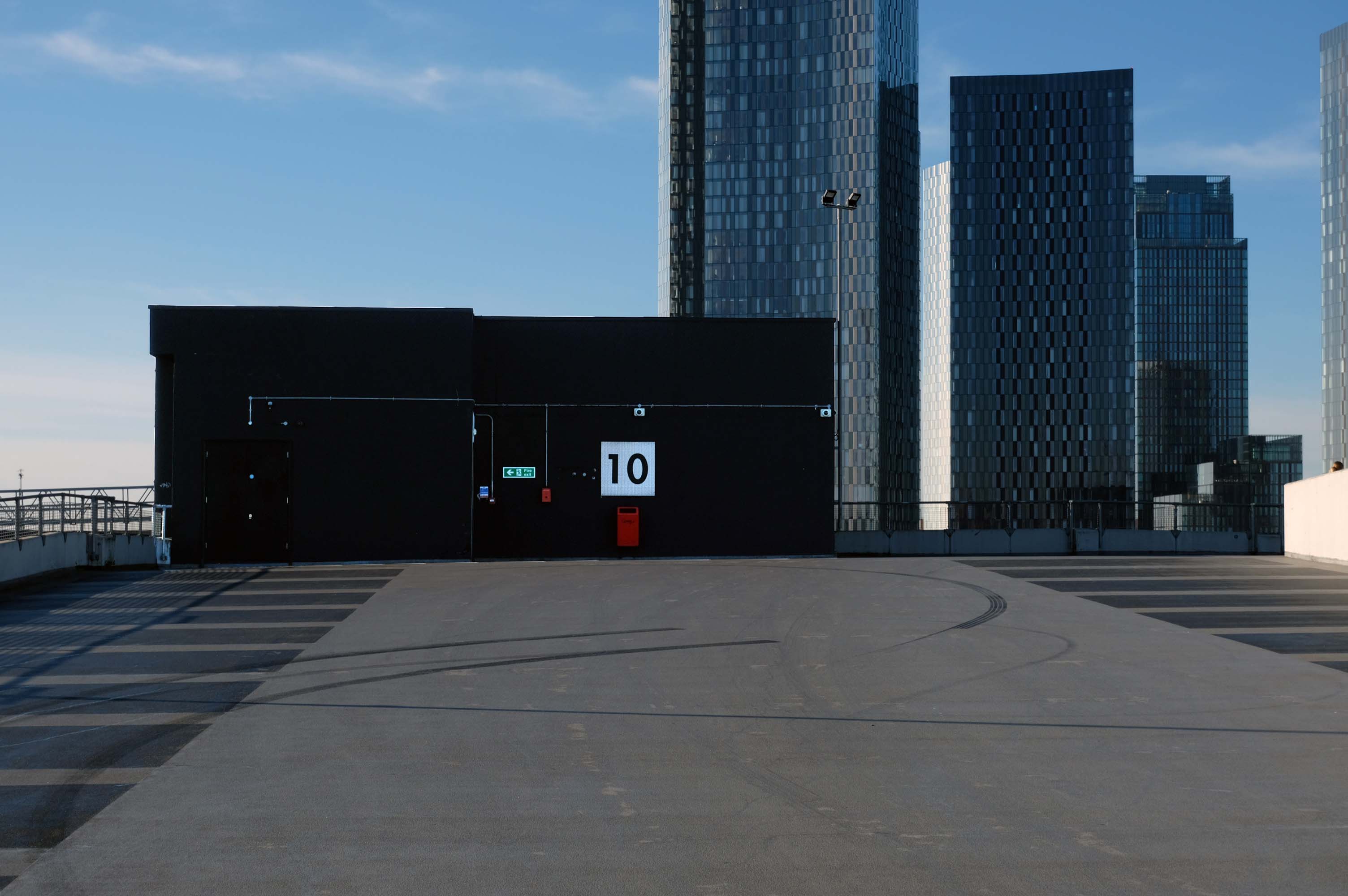
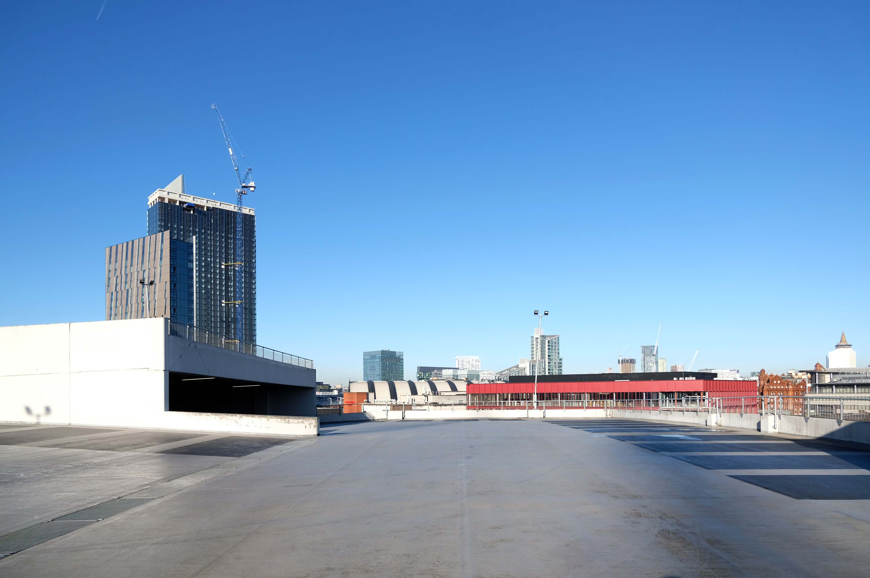
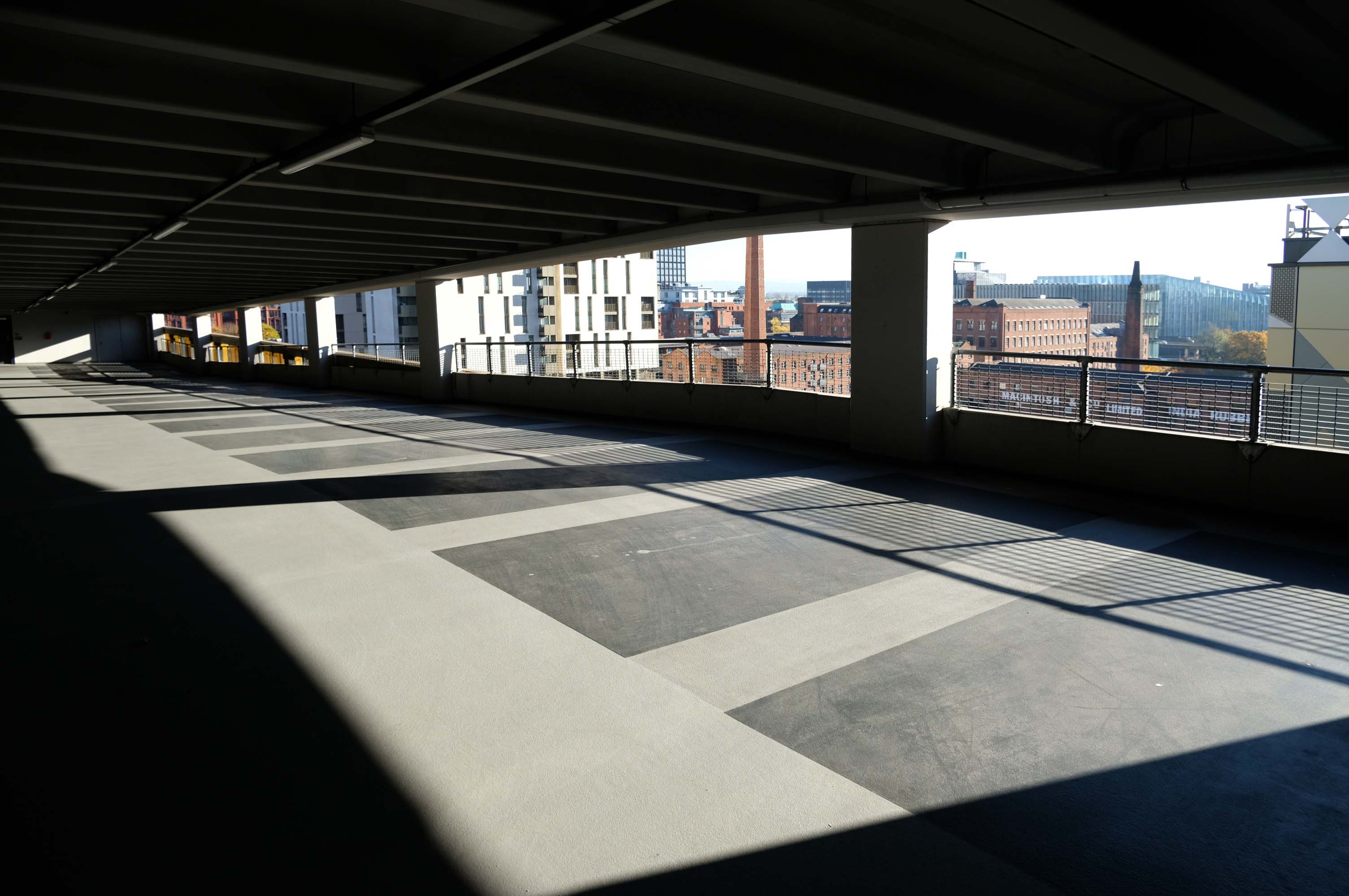
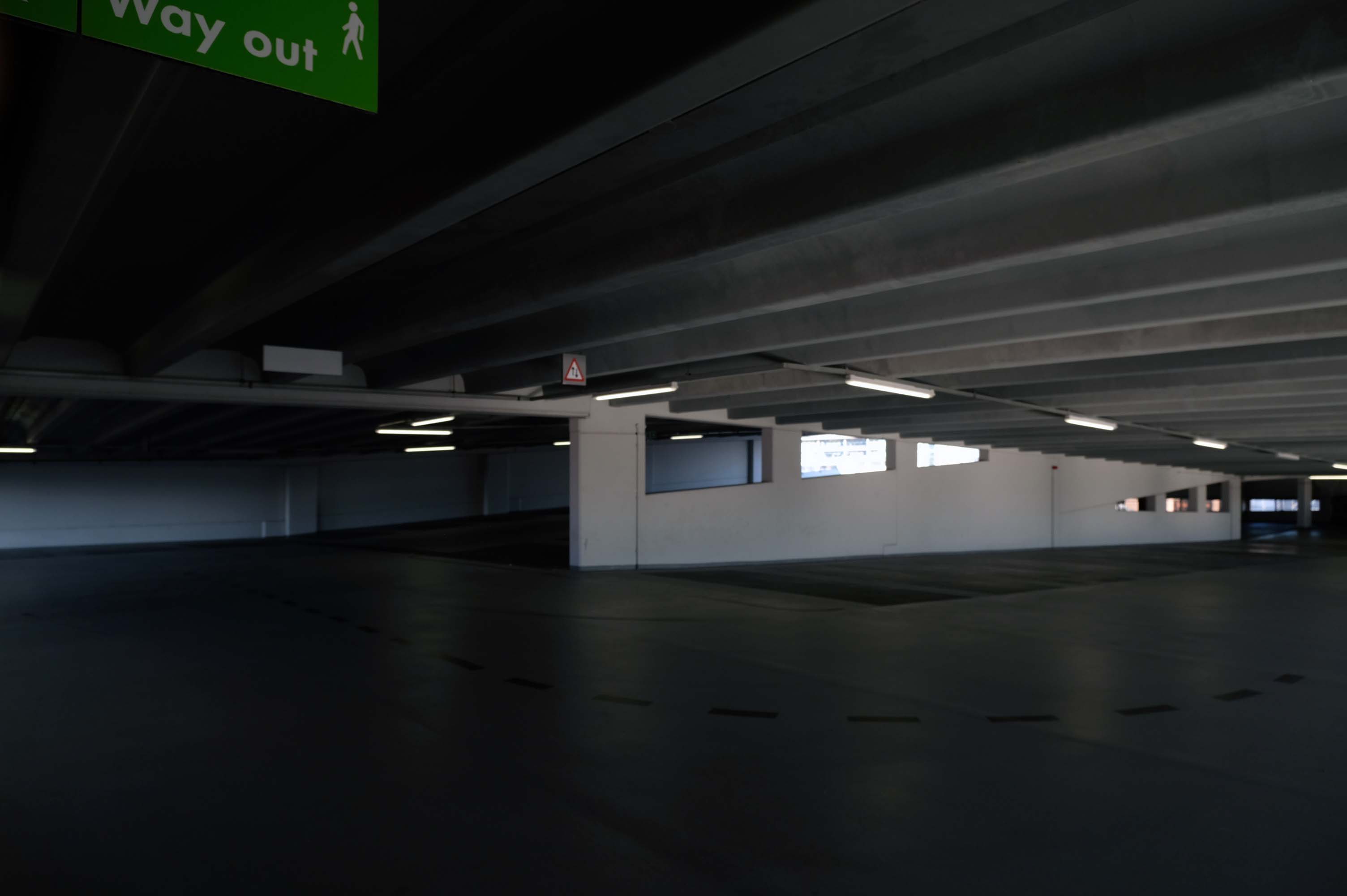
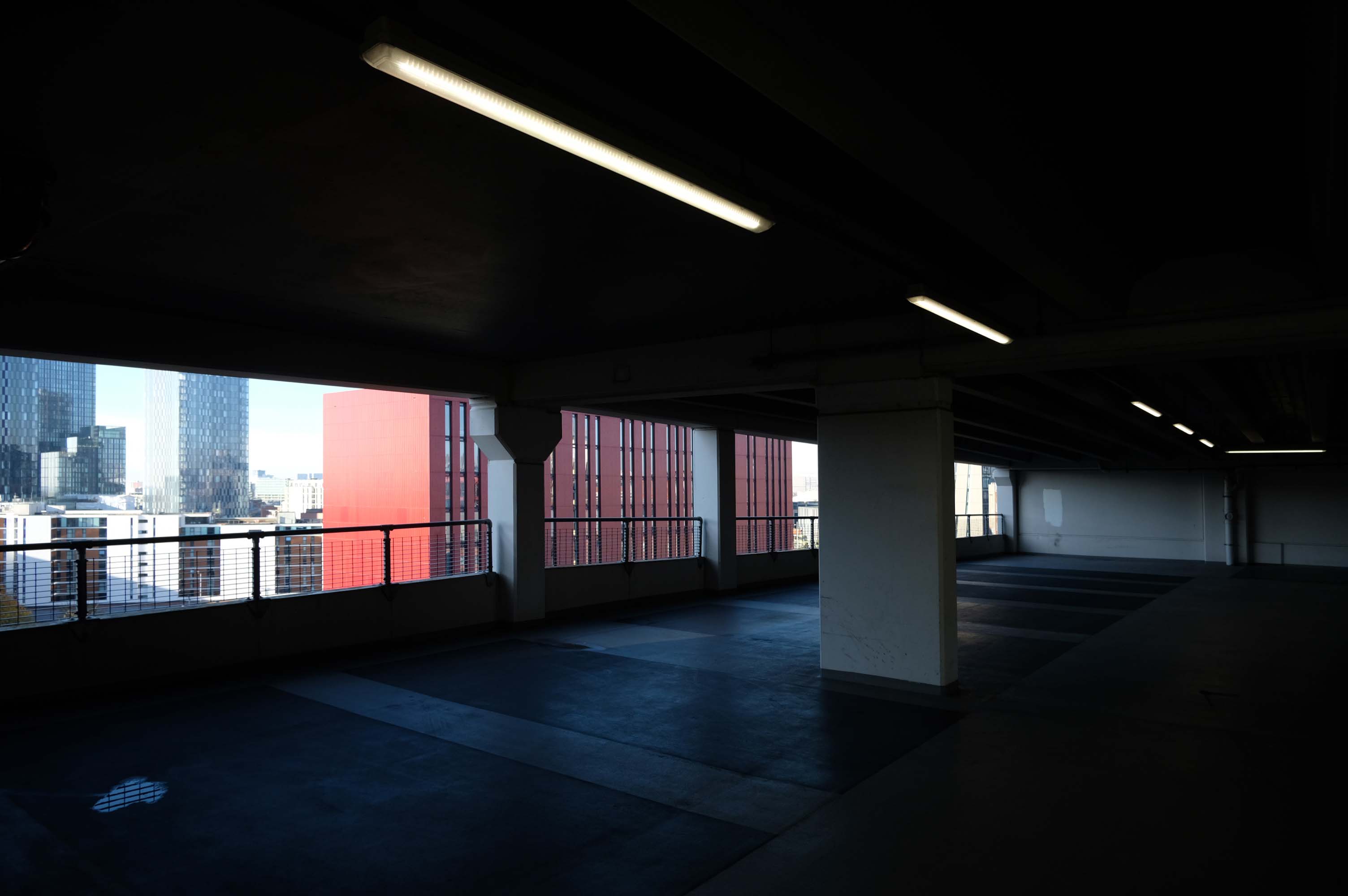
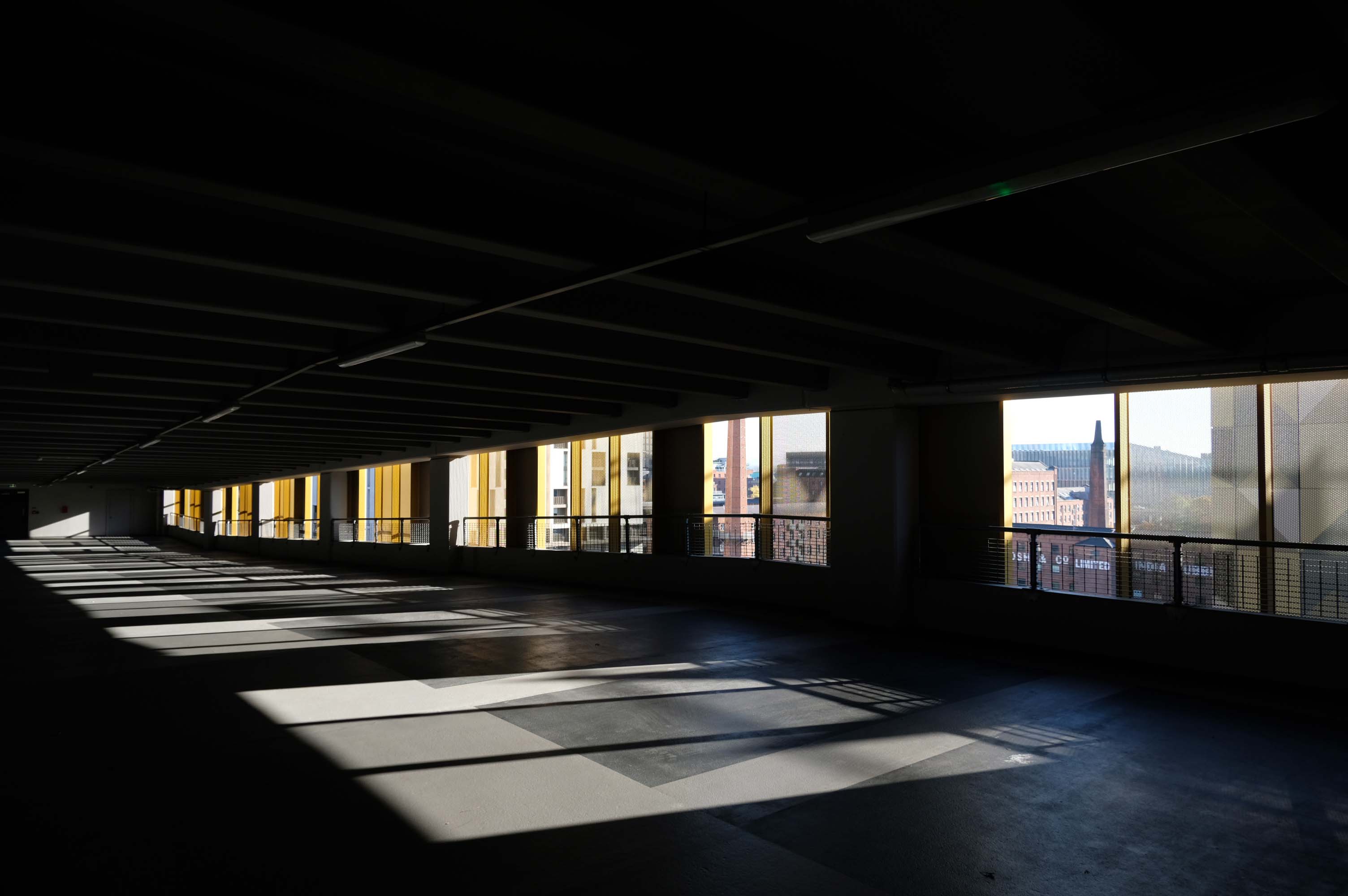
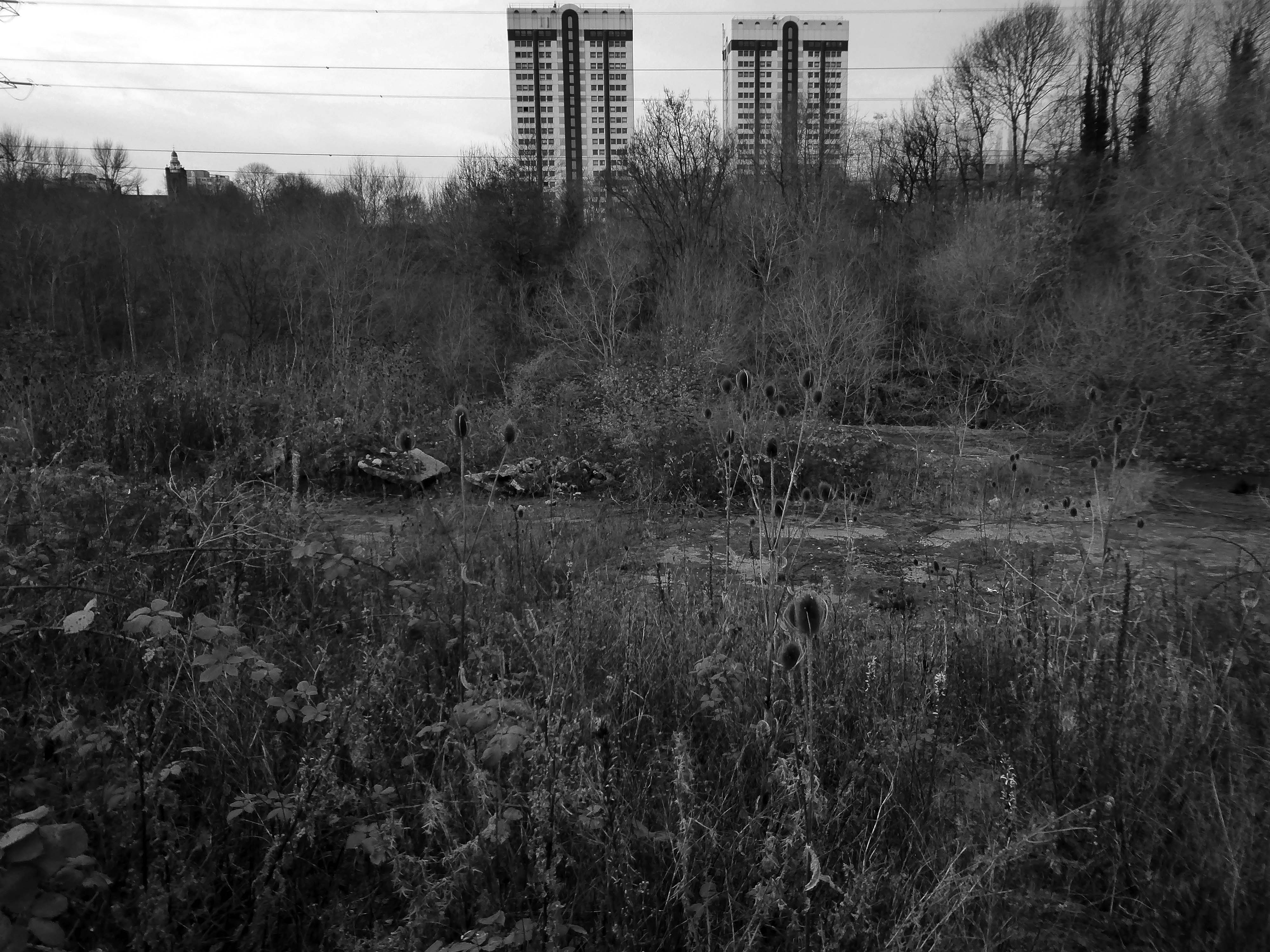
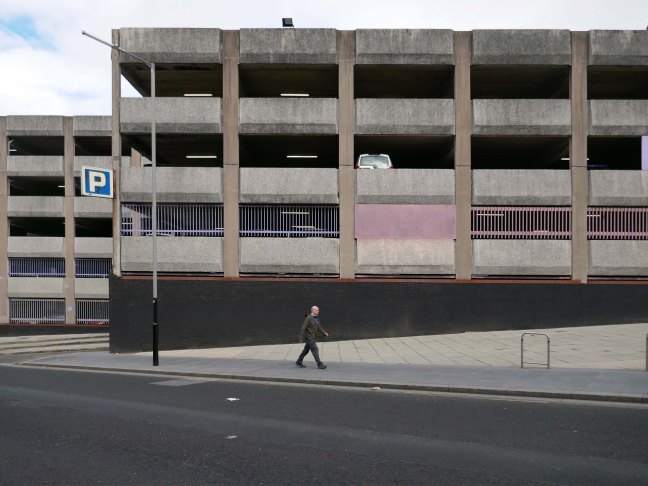
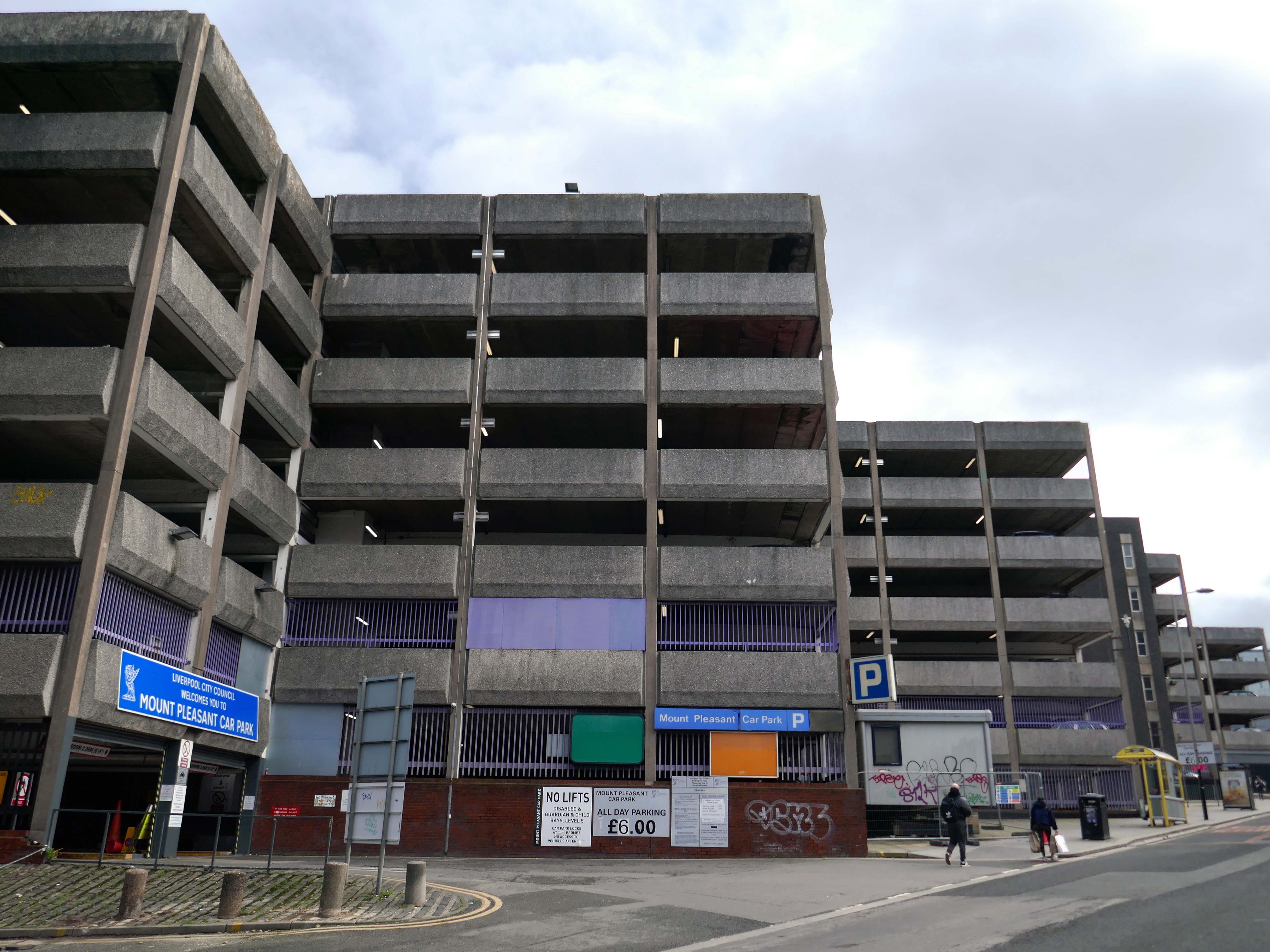
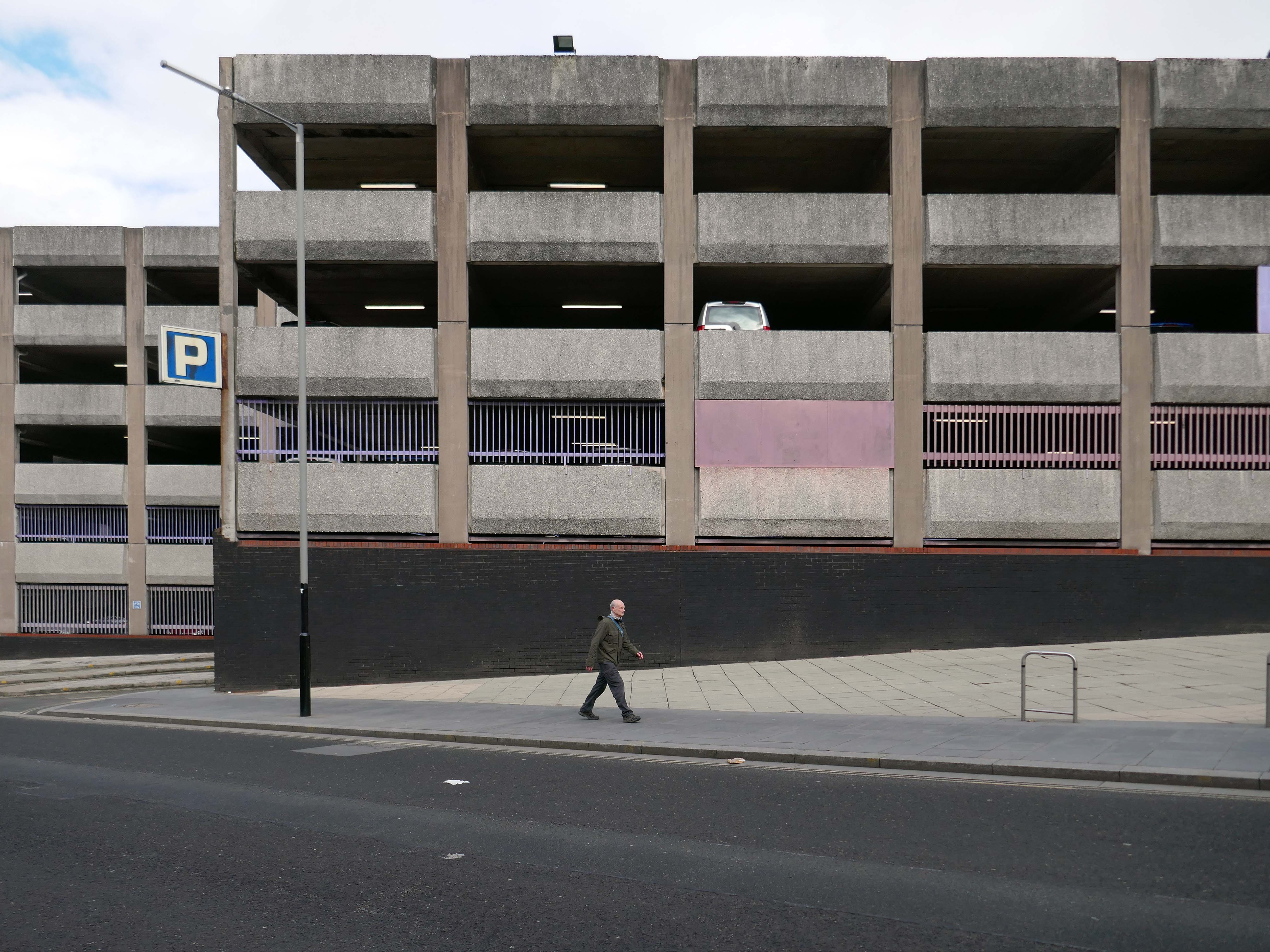
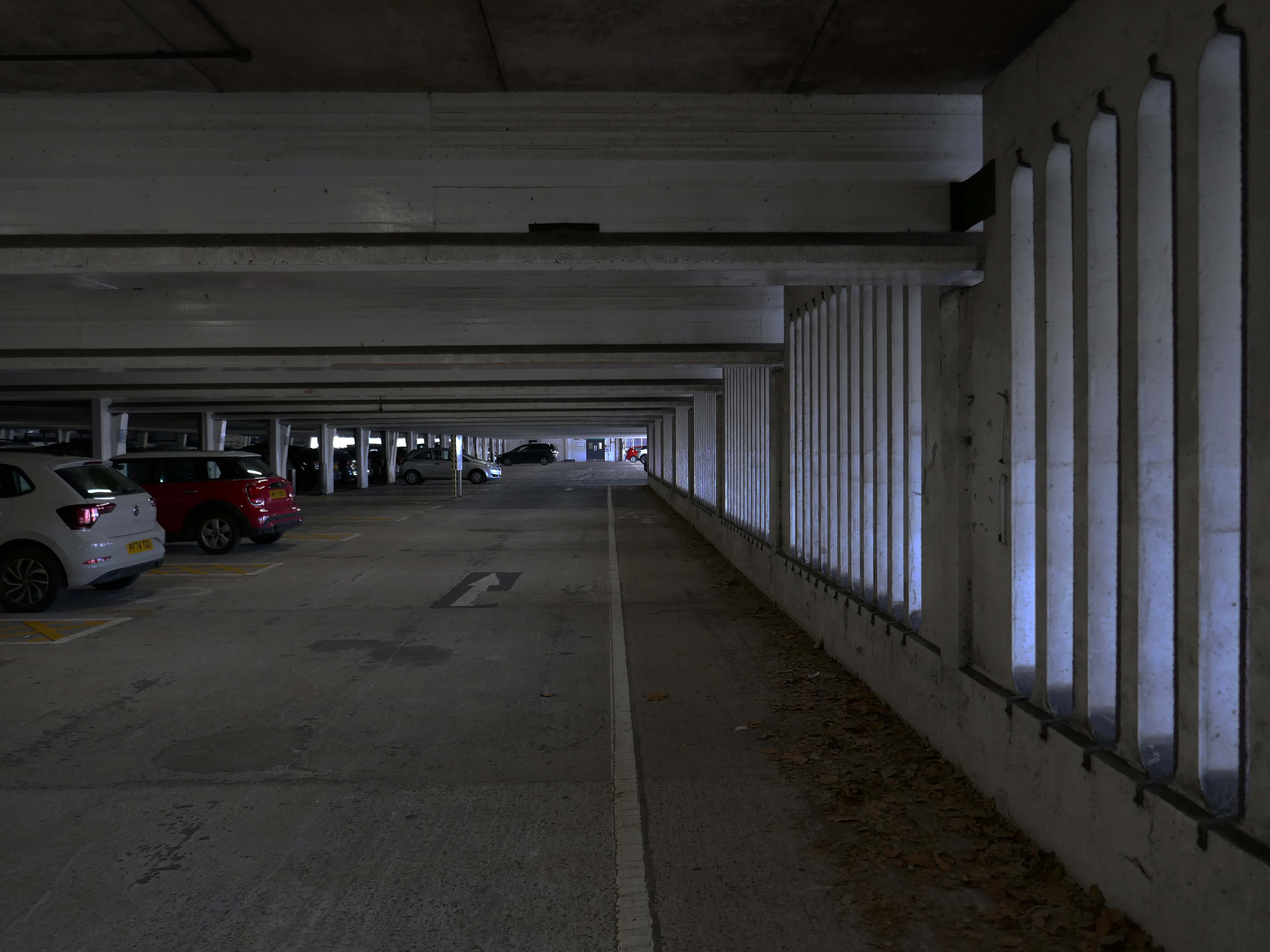
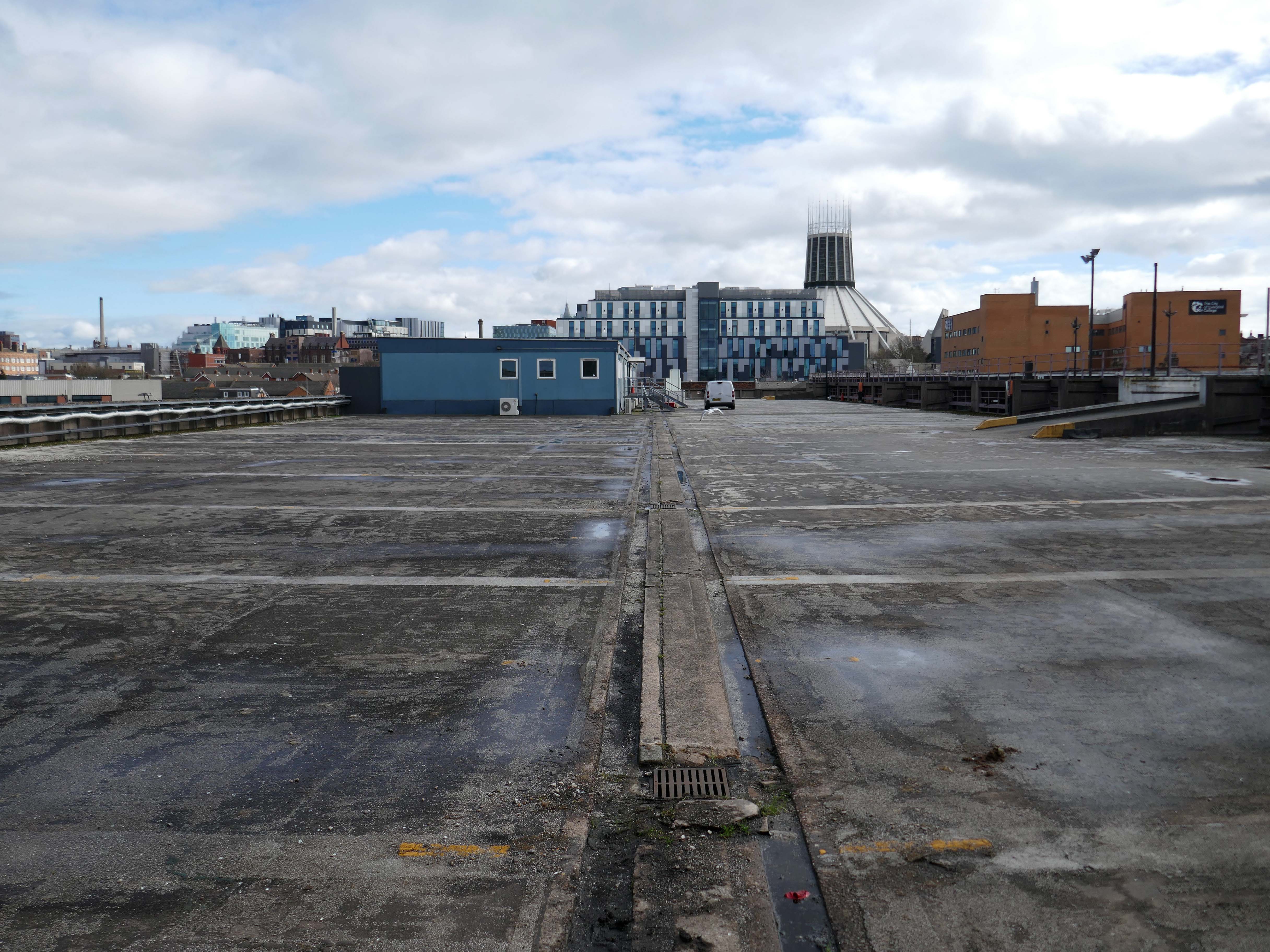
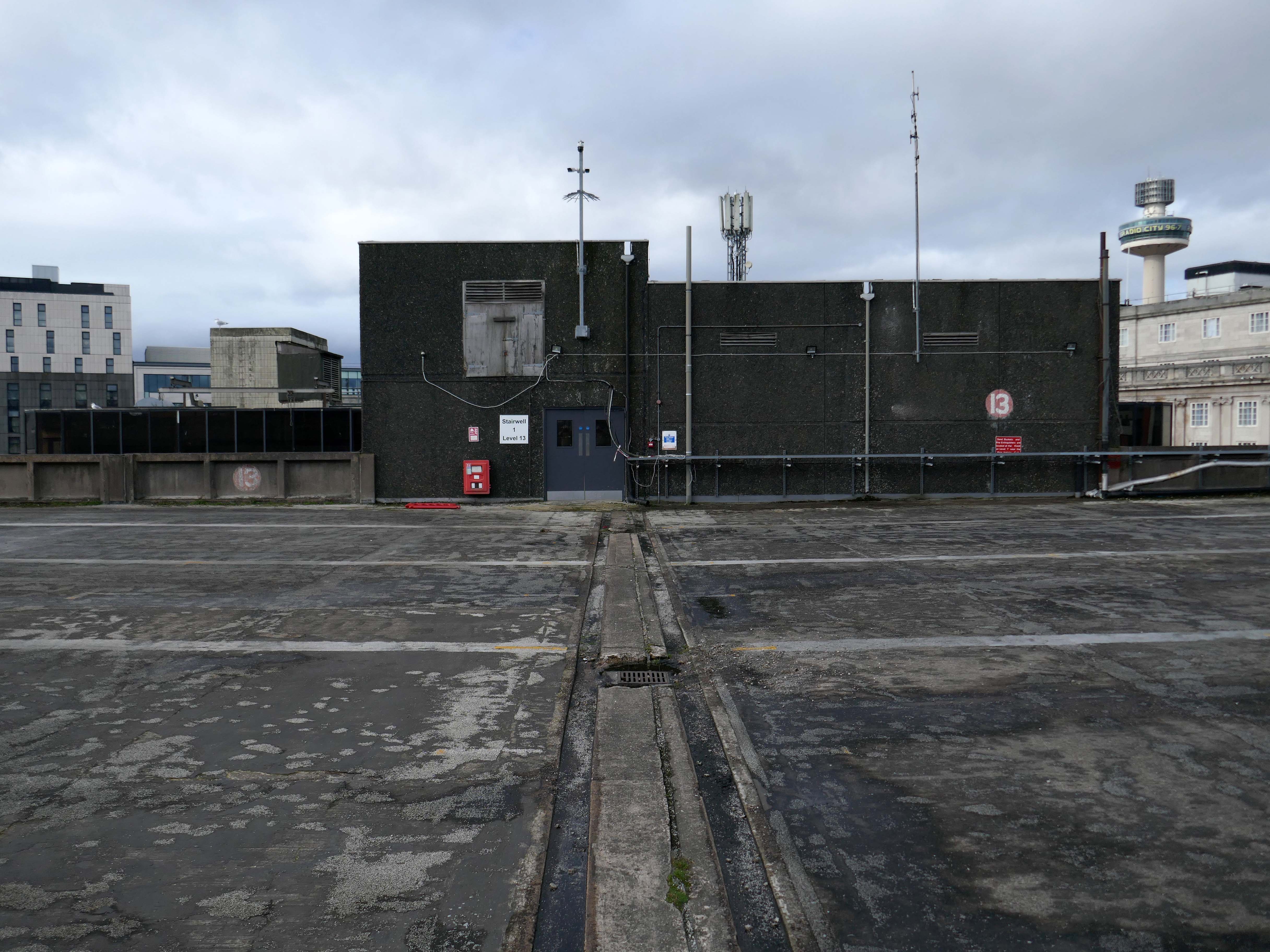
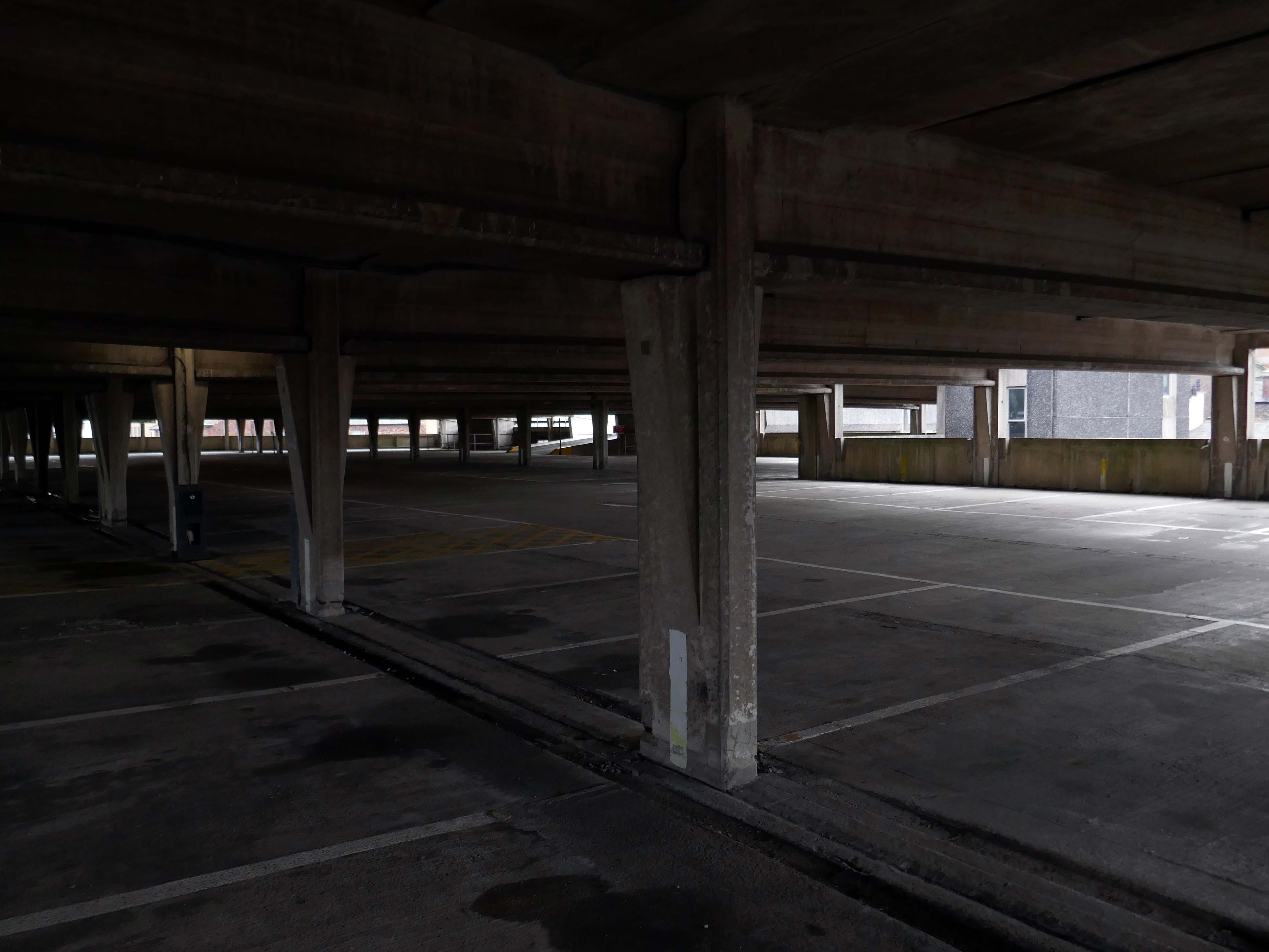
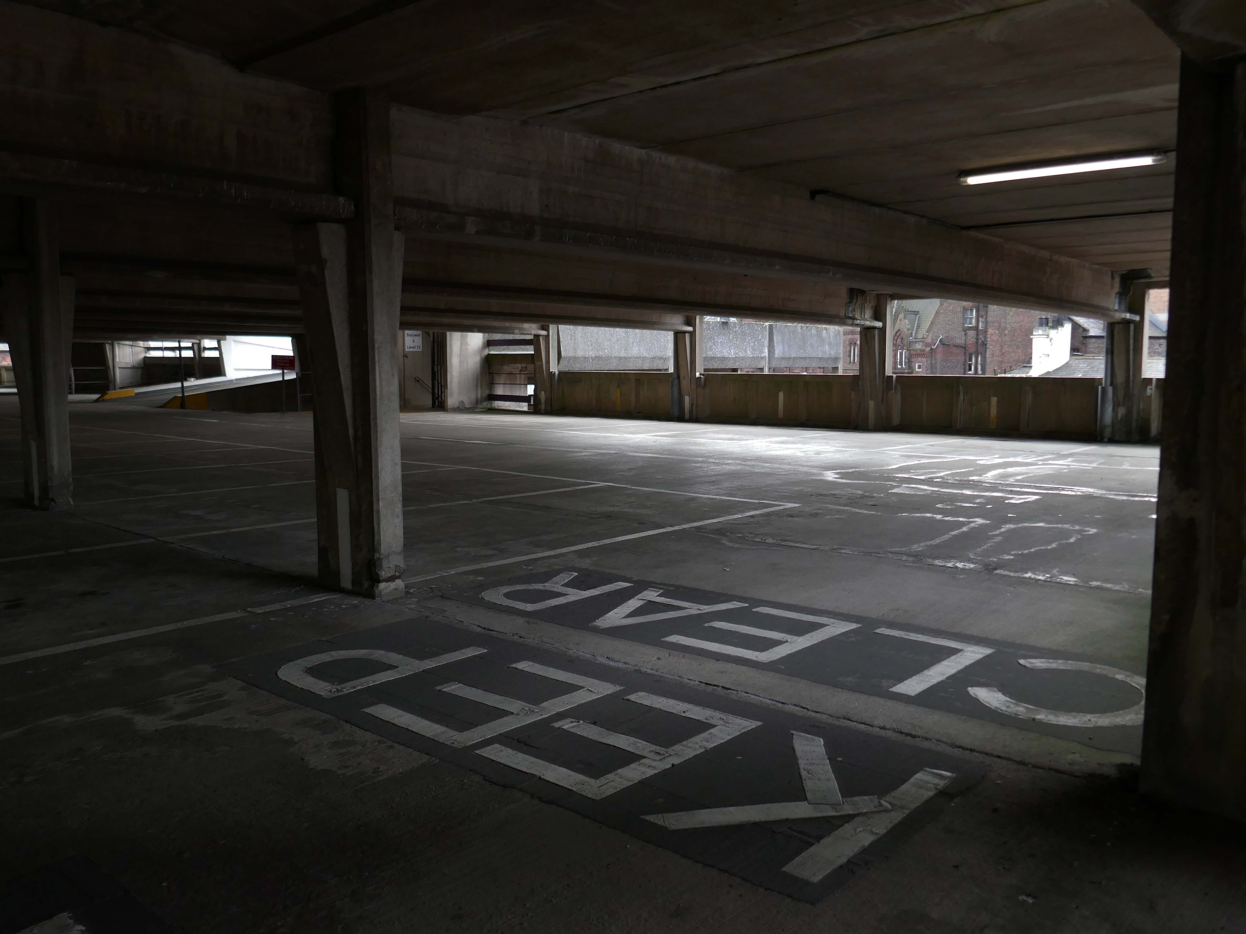
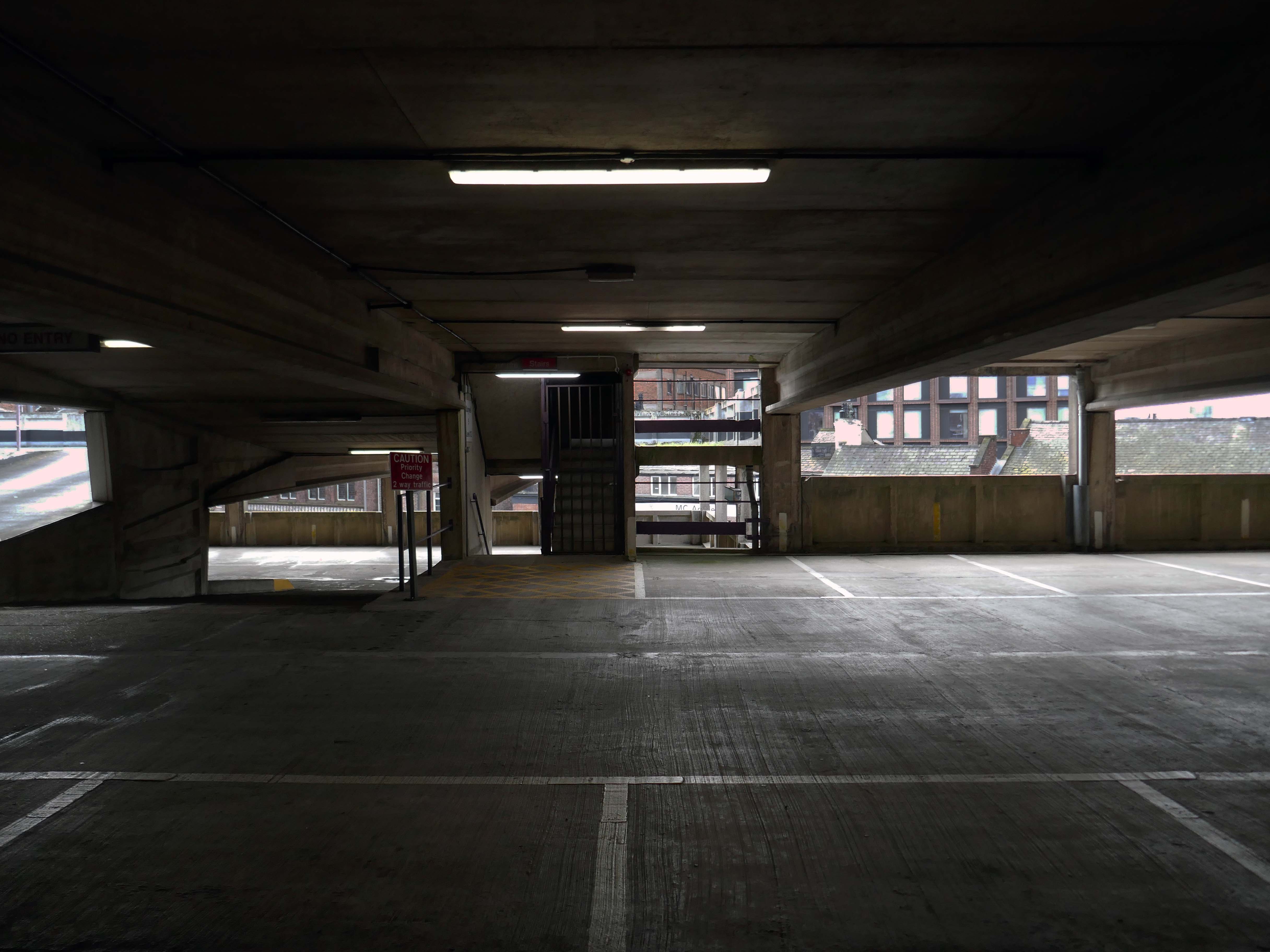
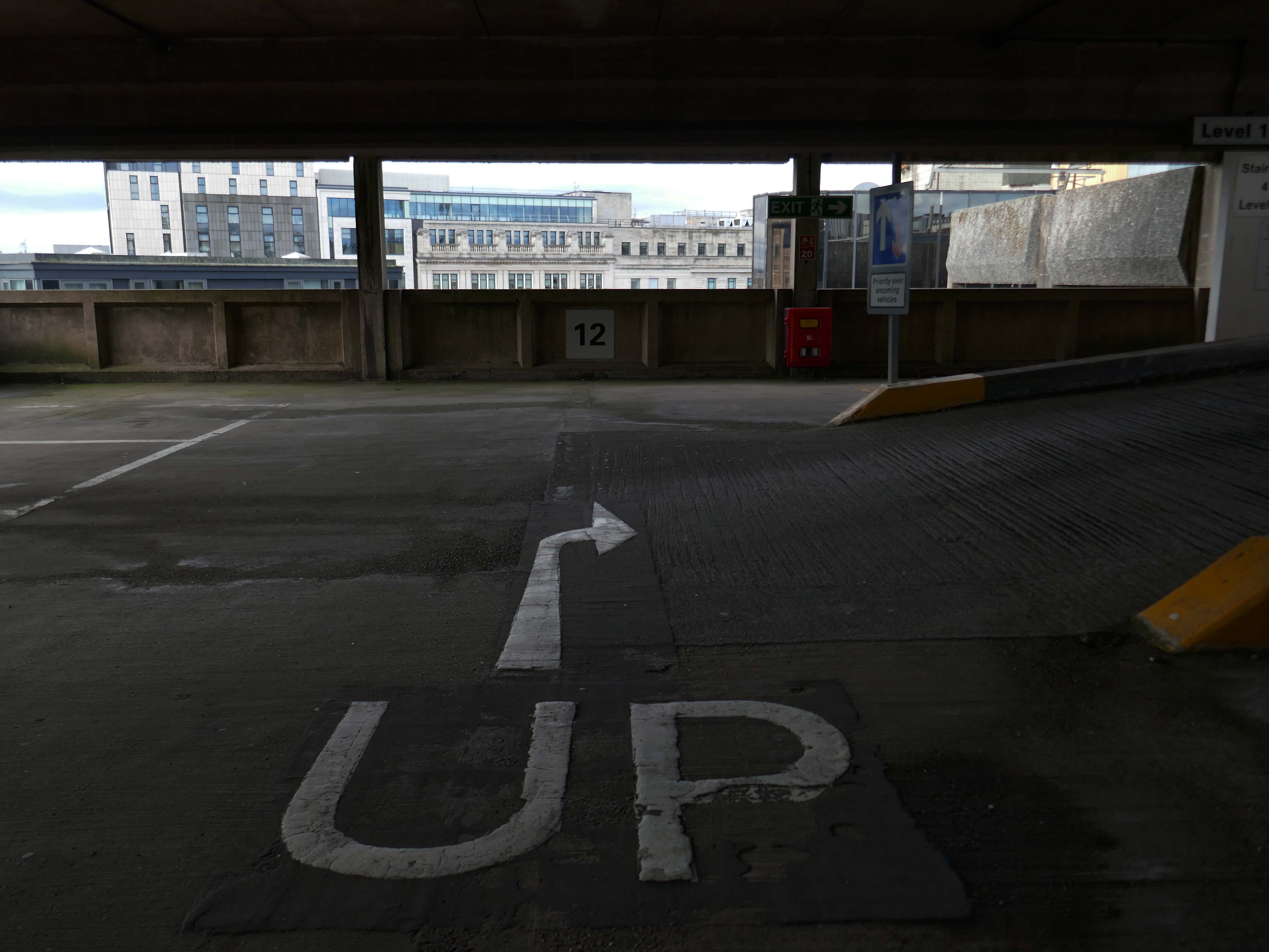
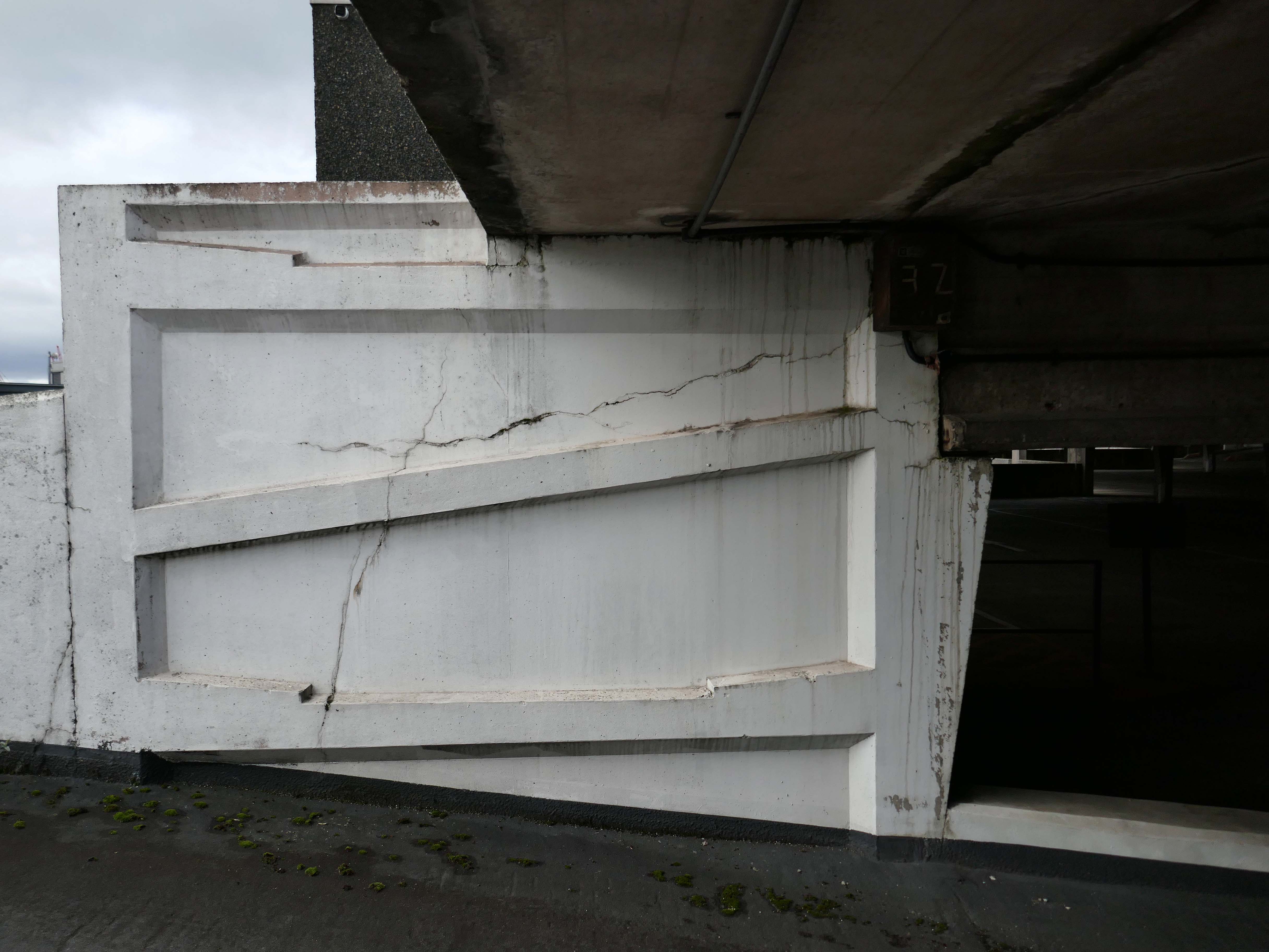
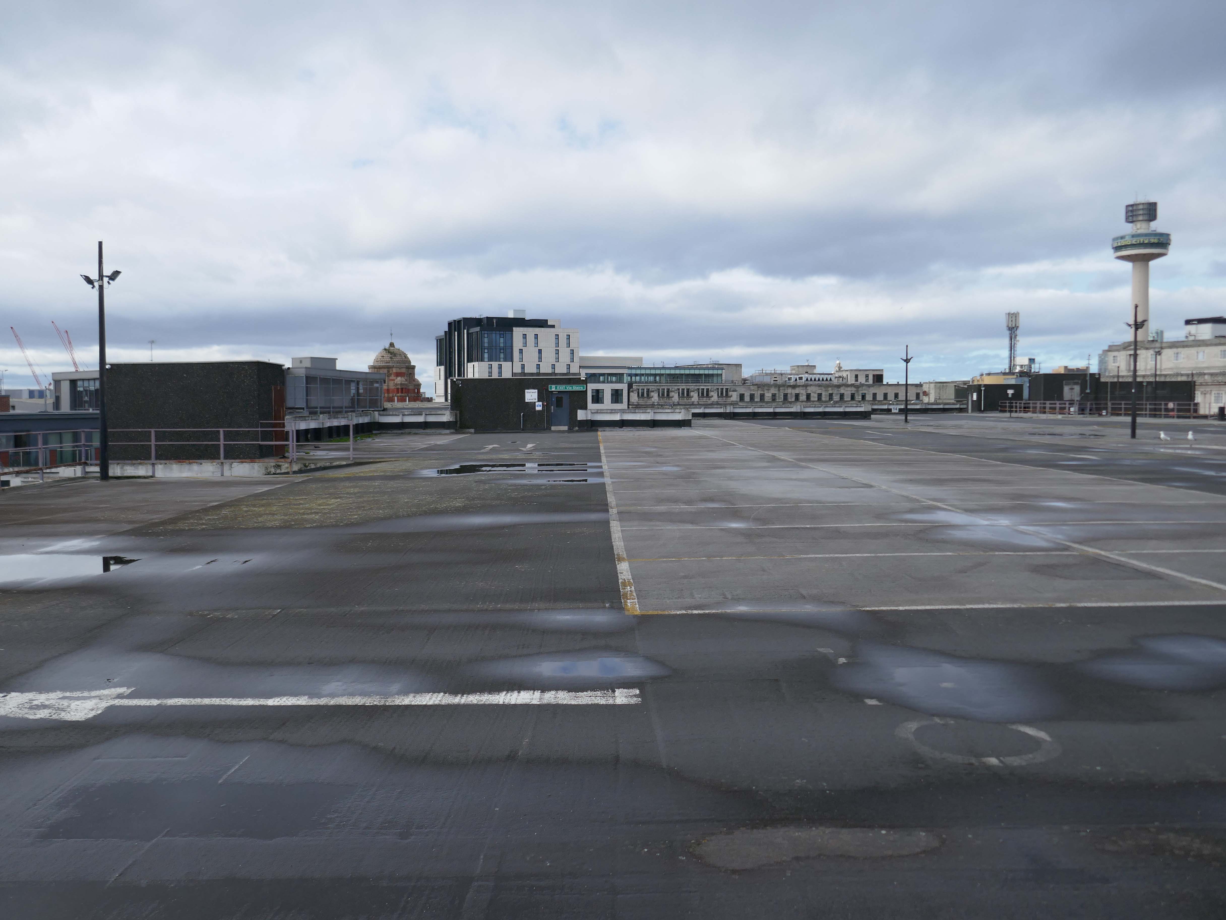
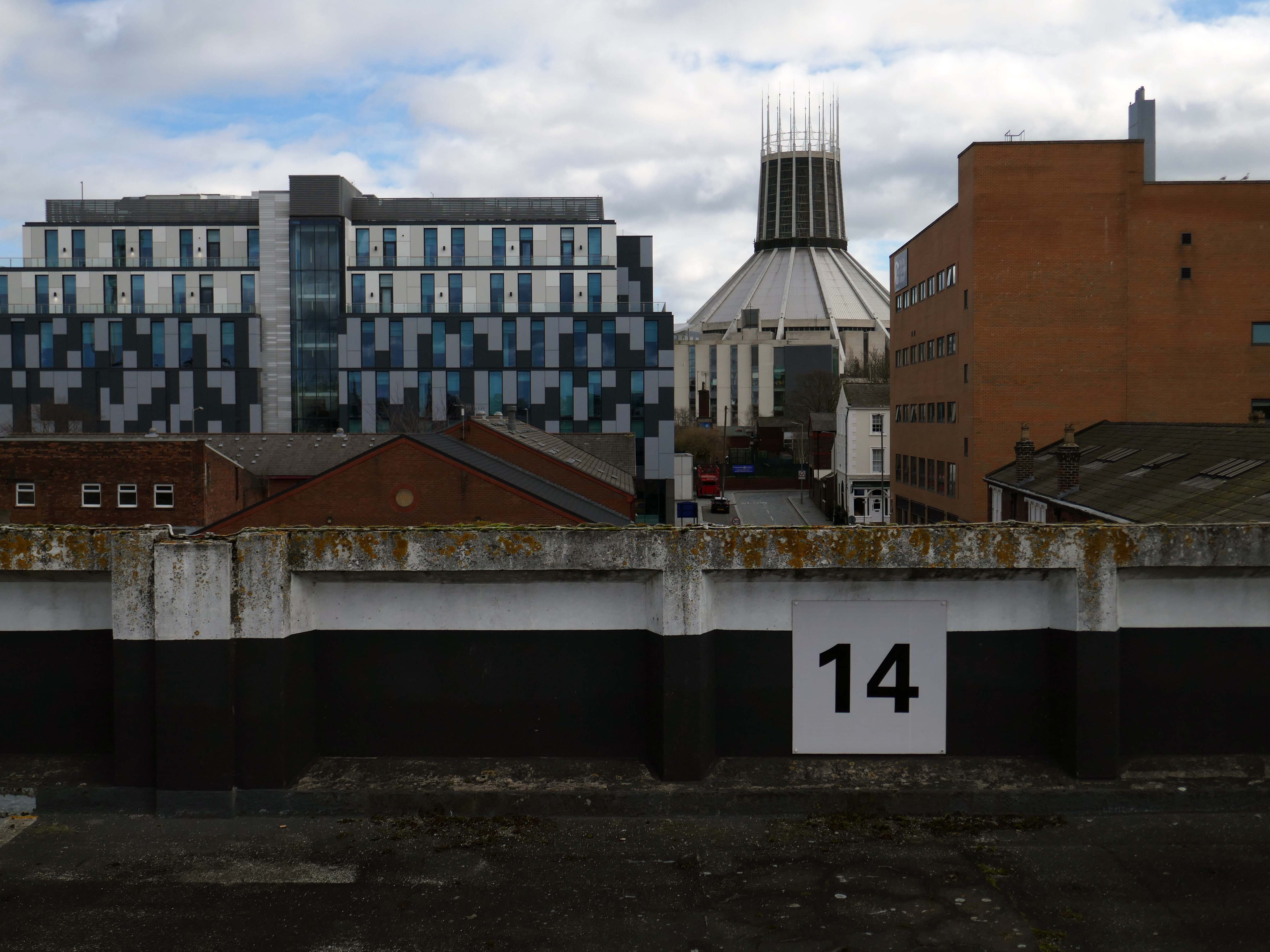
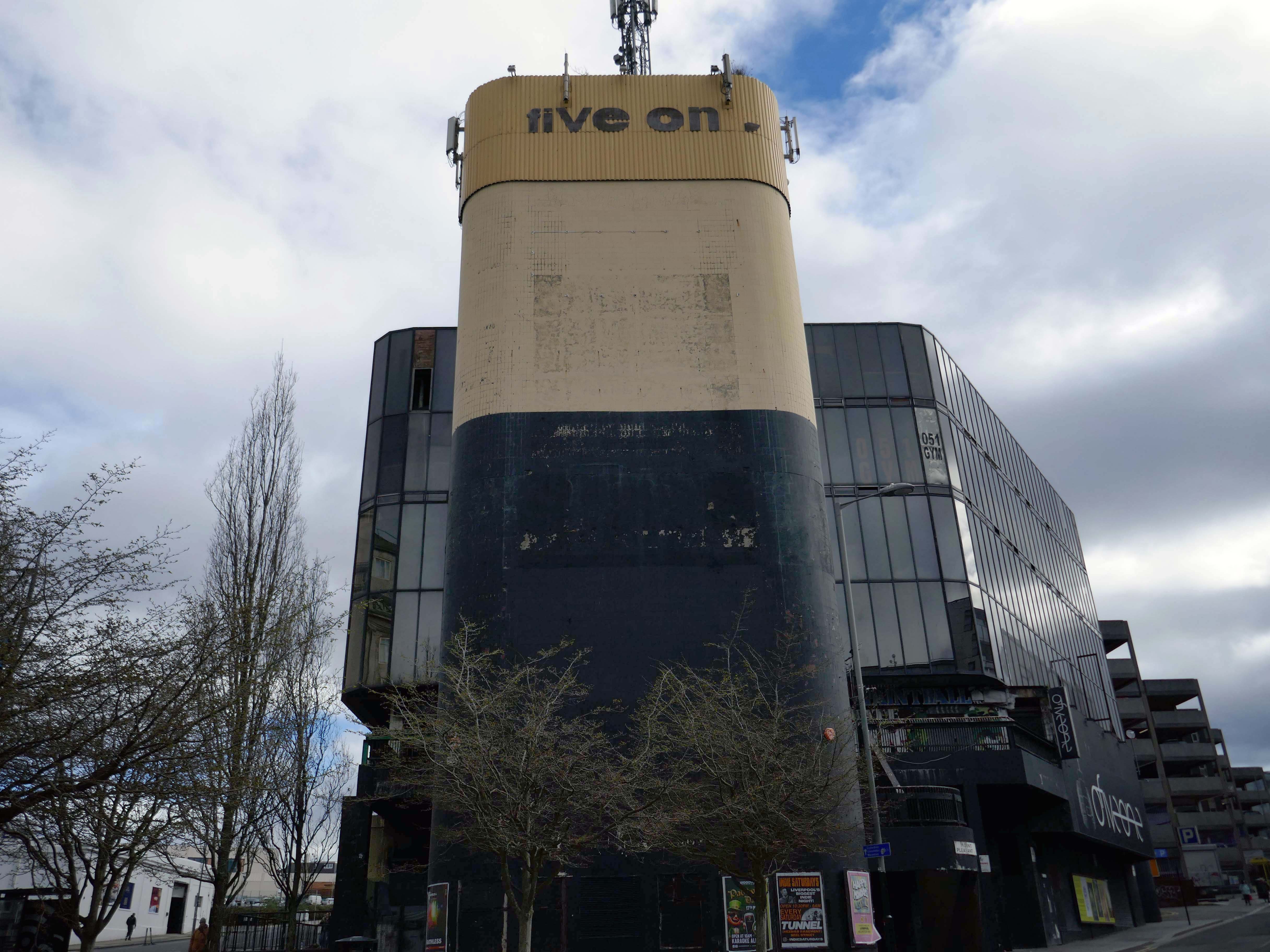
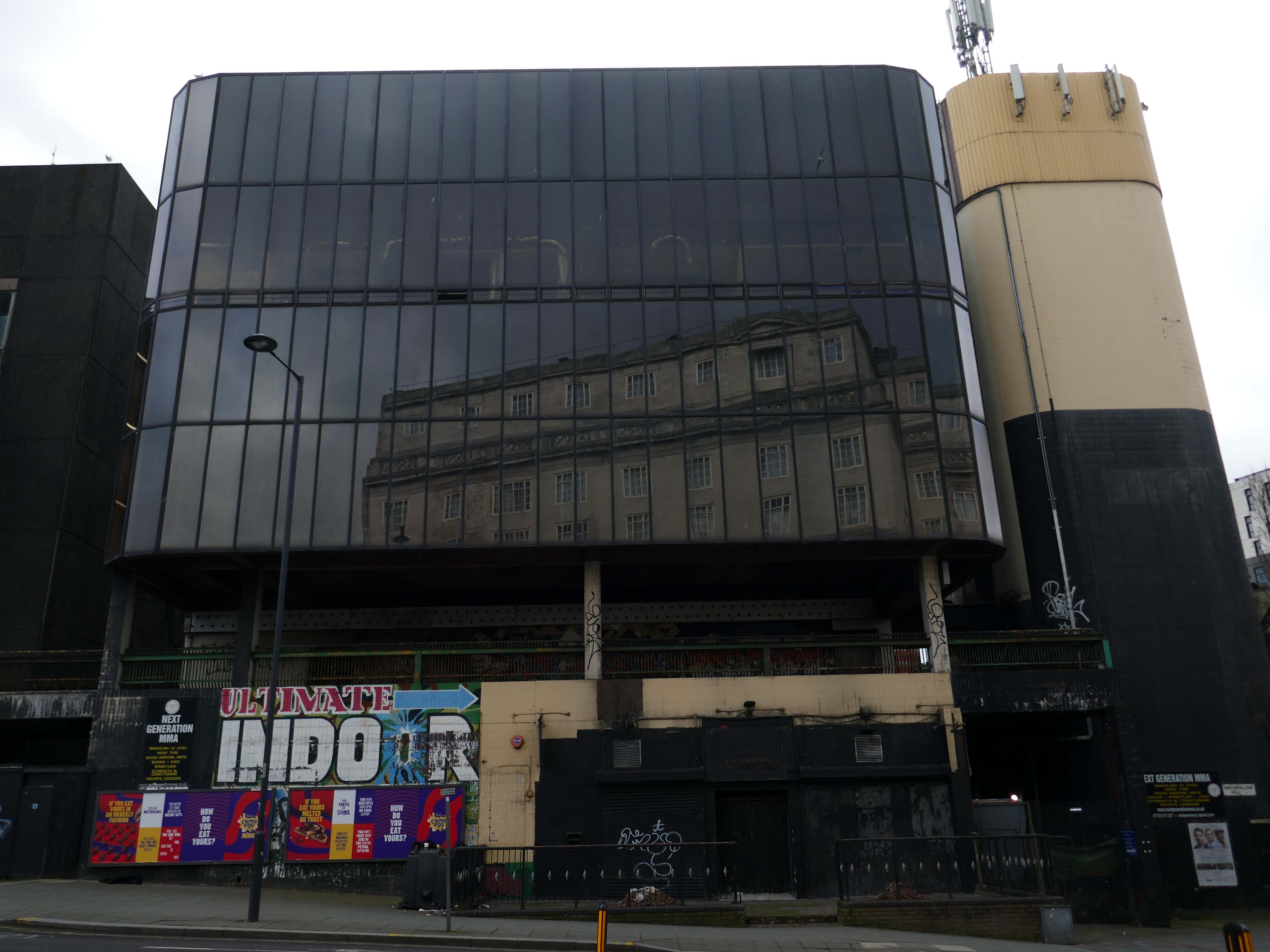
On my way somewhere else, took a left off Lime Street to walk around and about this monumental concrete car park.
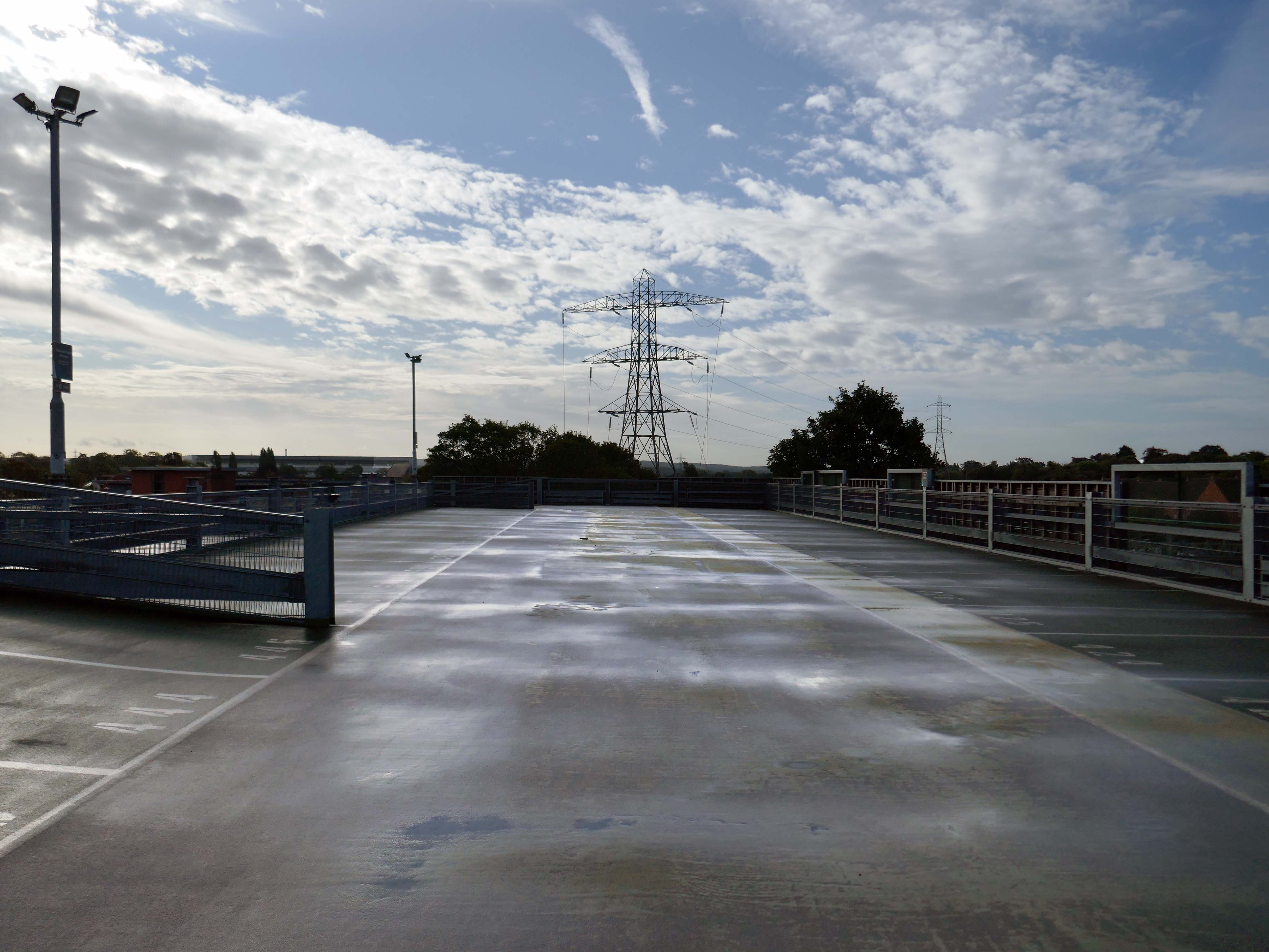
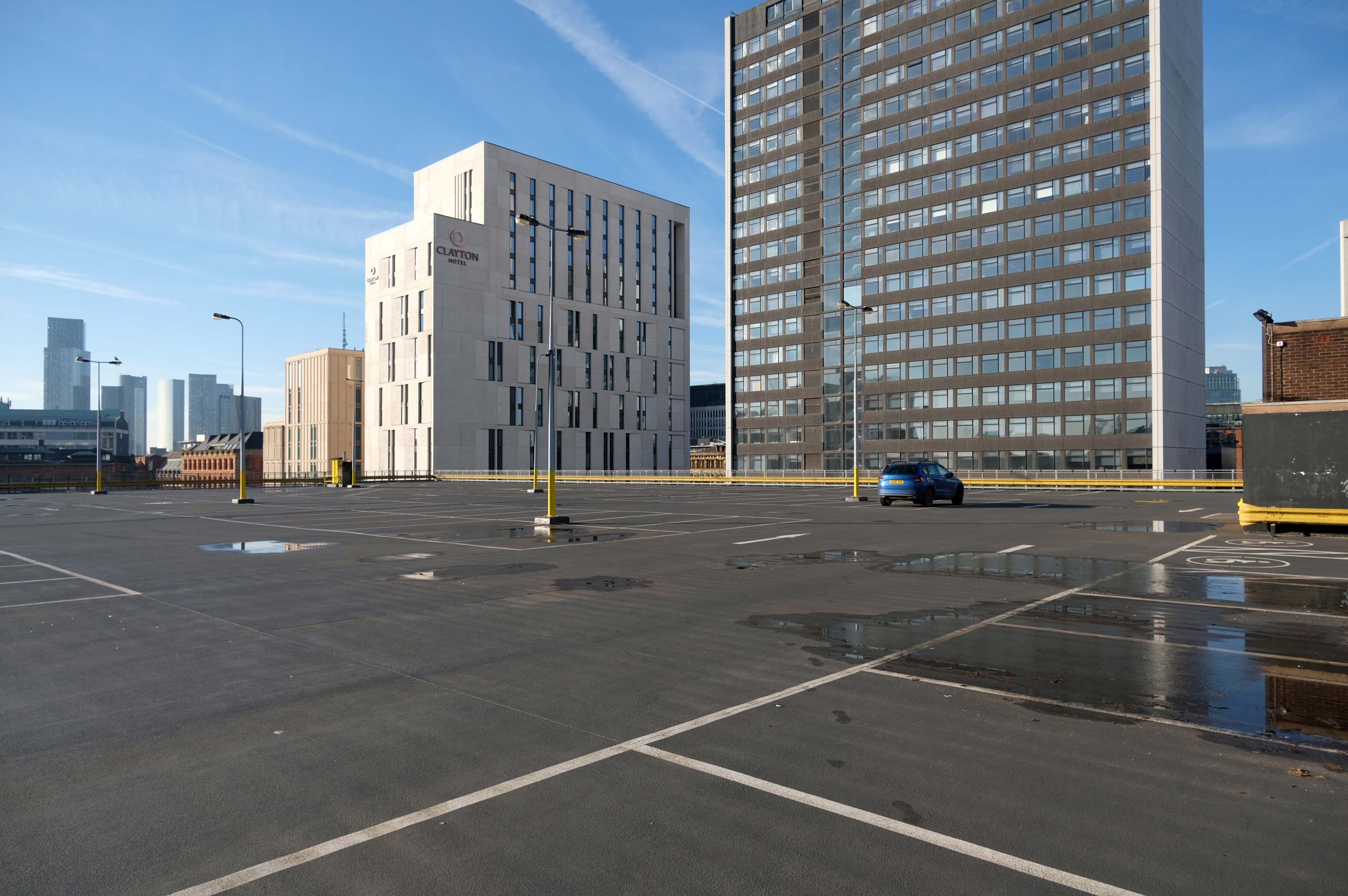
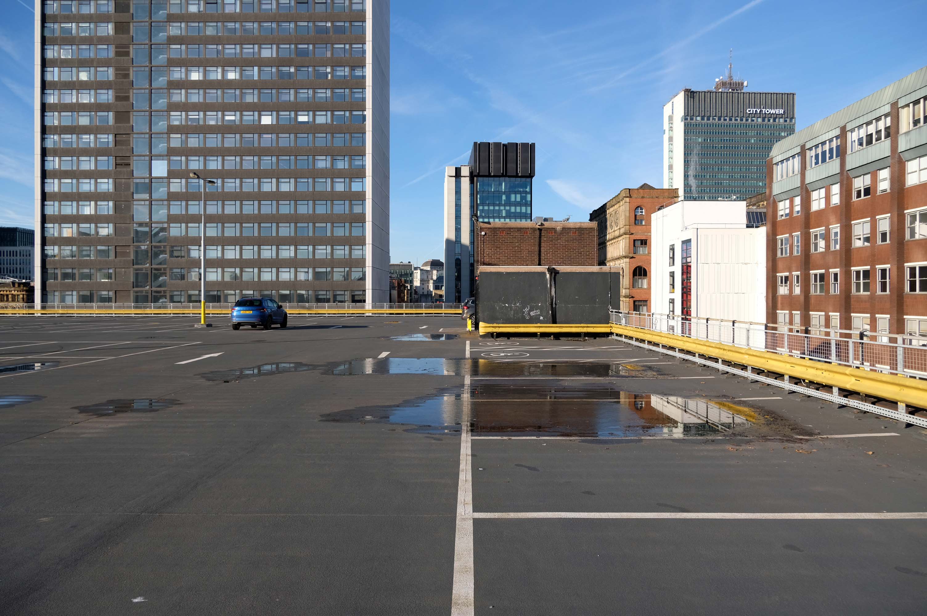
I was on my way to see Ed Ruscha amongst other things.
I think he would have admired the view.
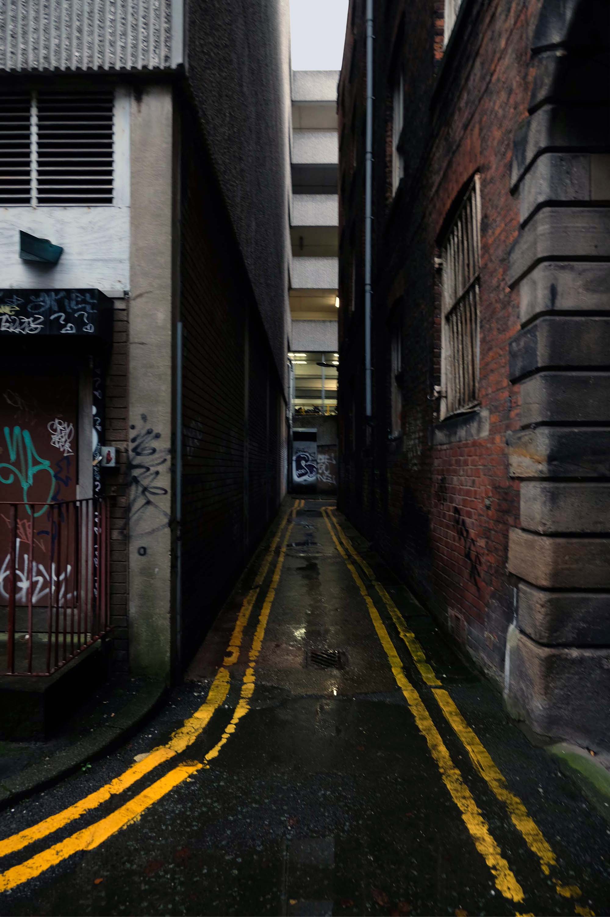
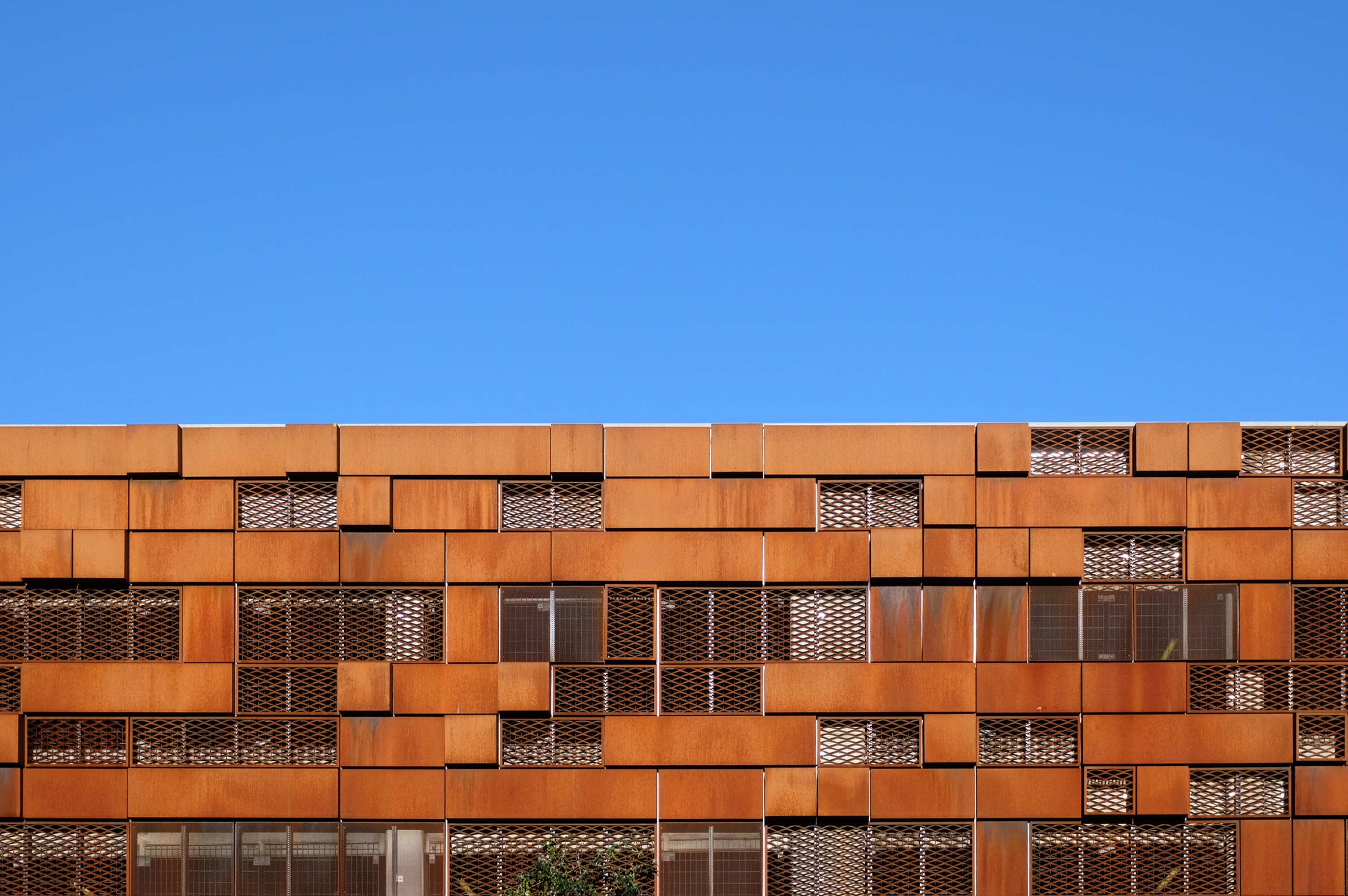
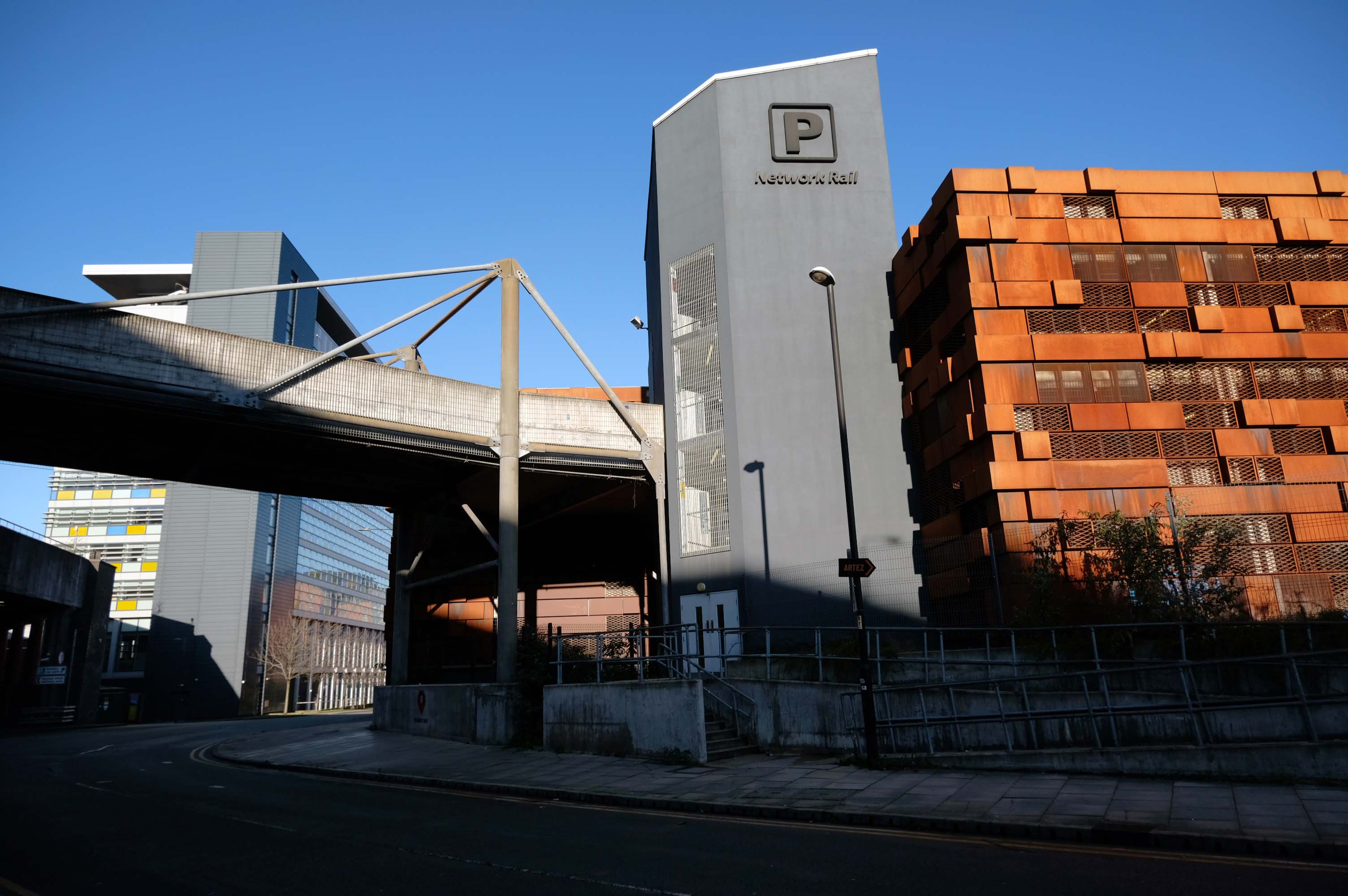
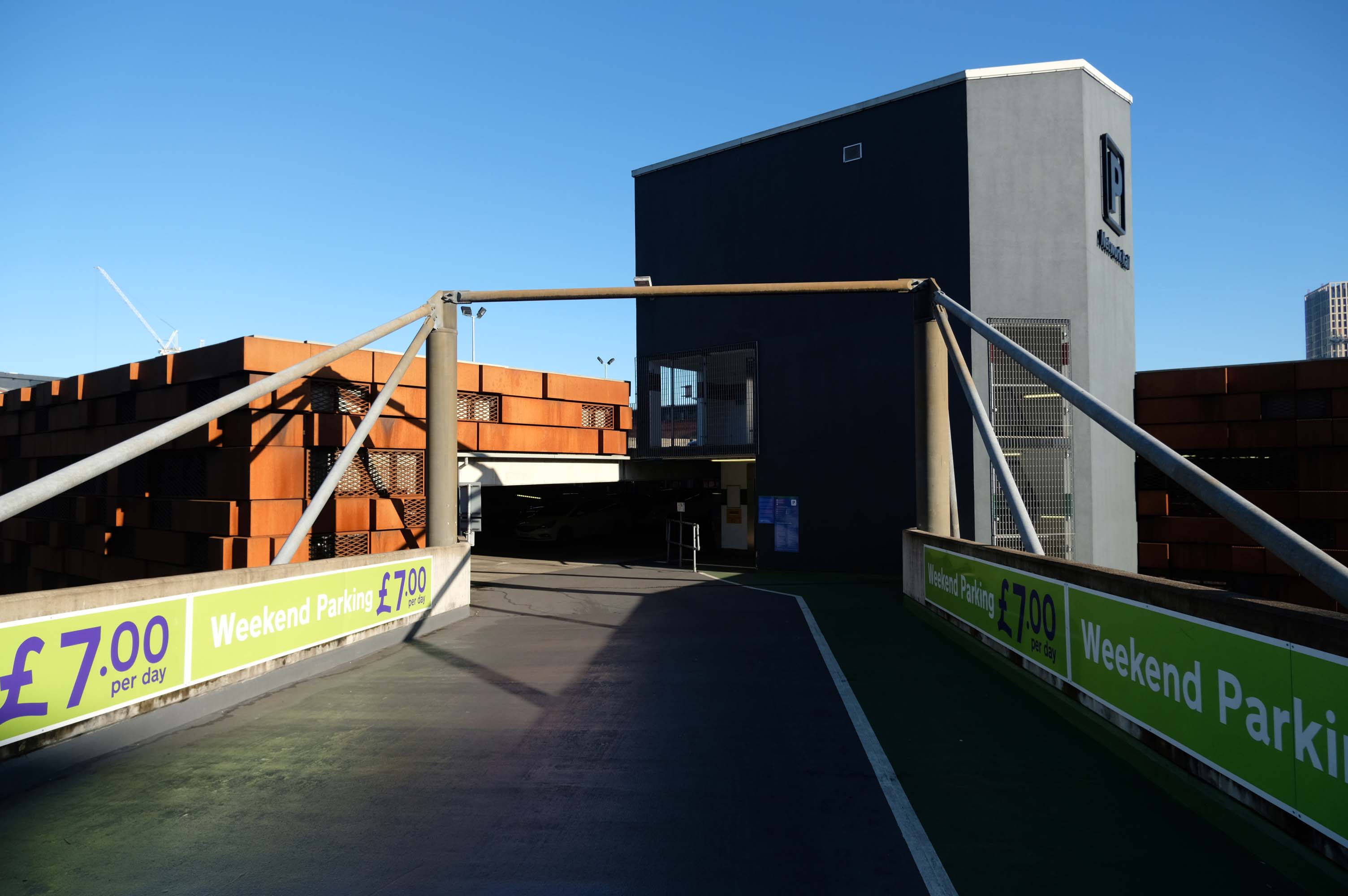
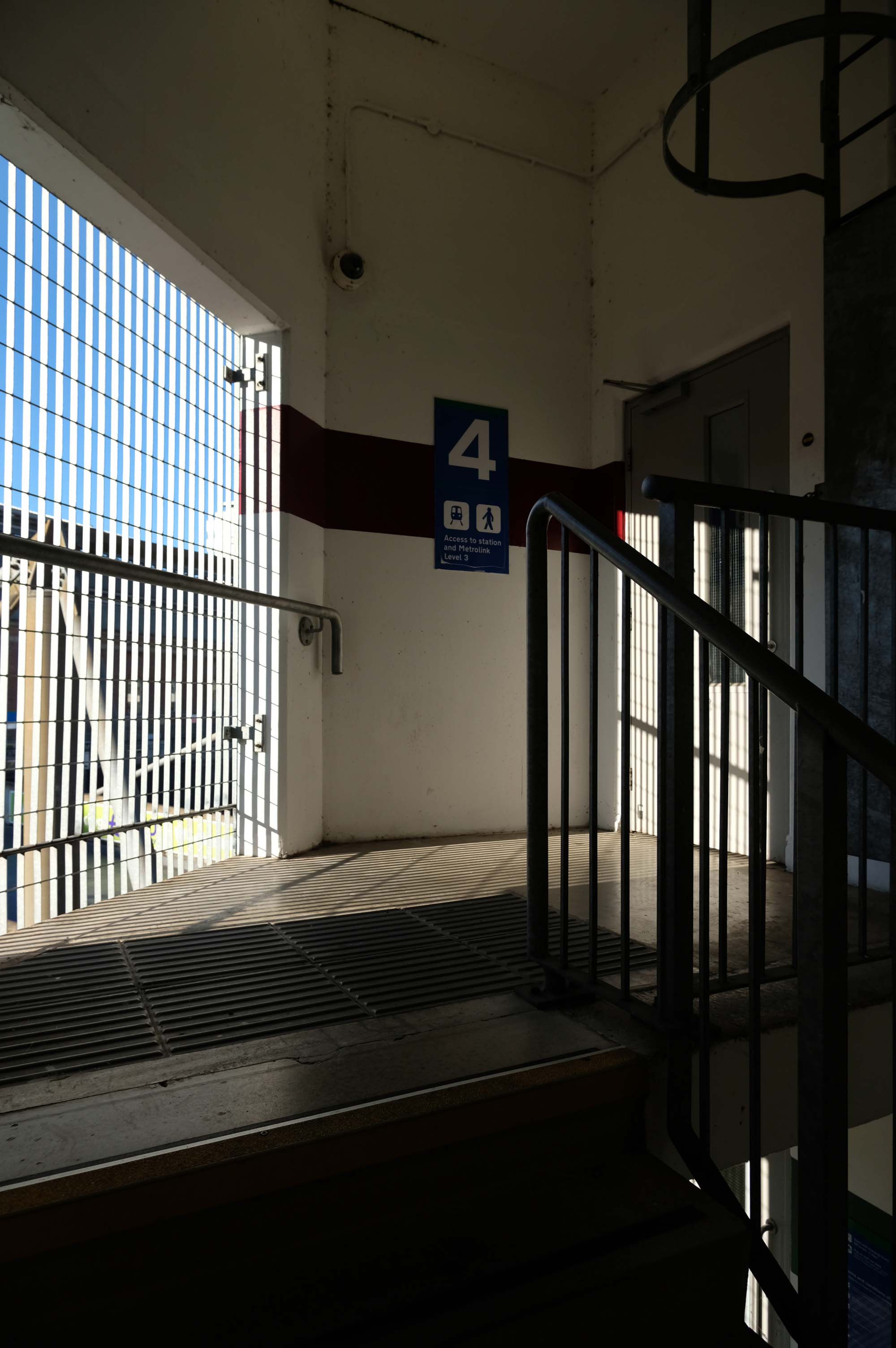
No fancy cladding and a limited pedestrian access, should you happen to be sans auto.
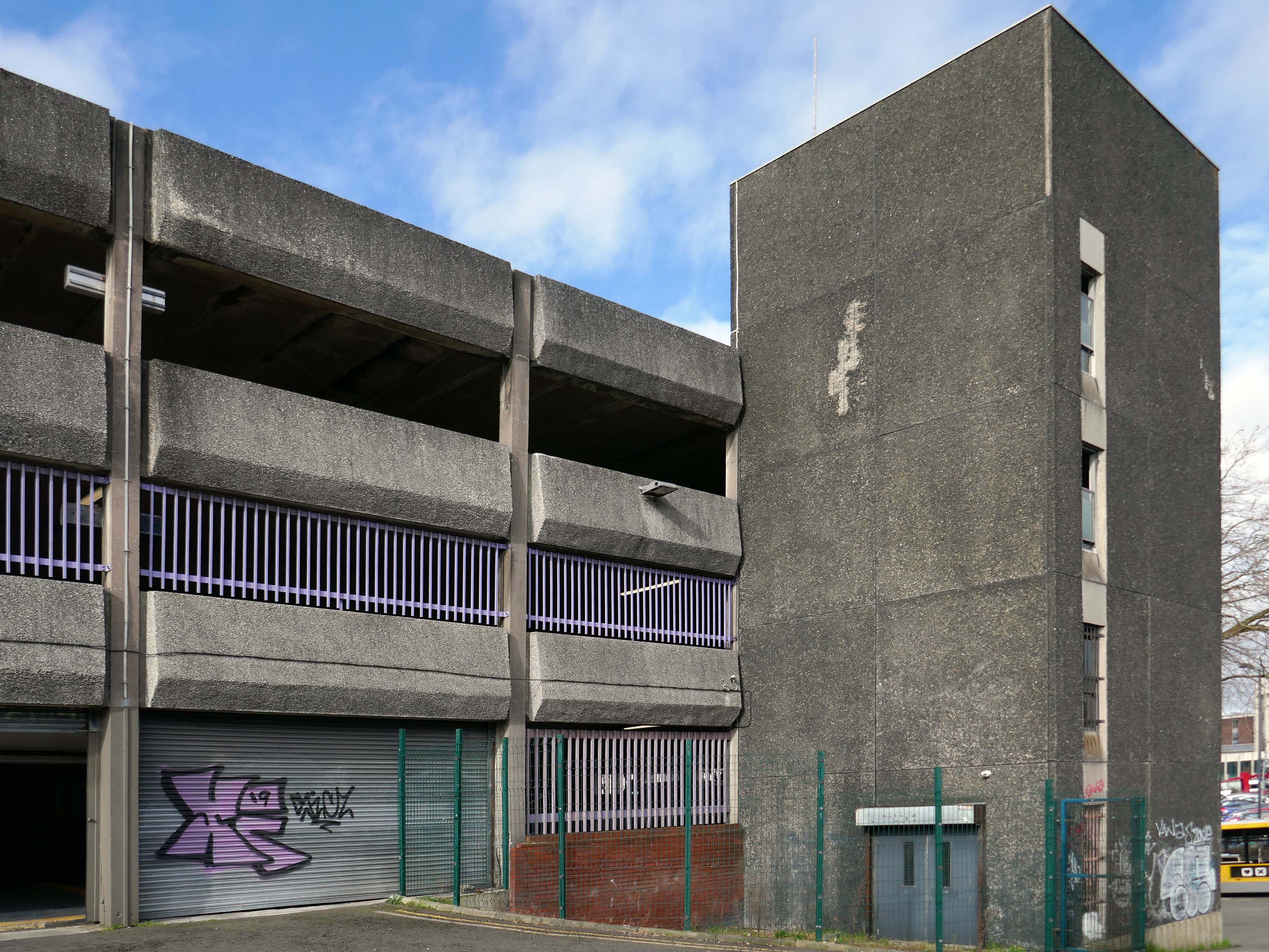
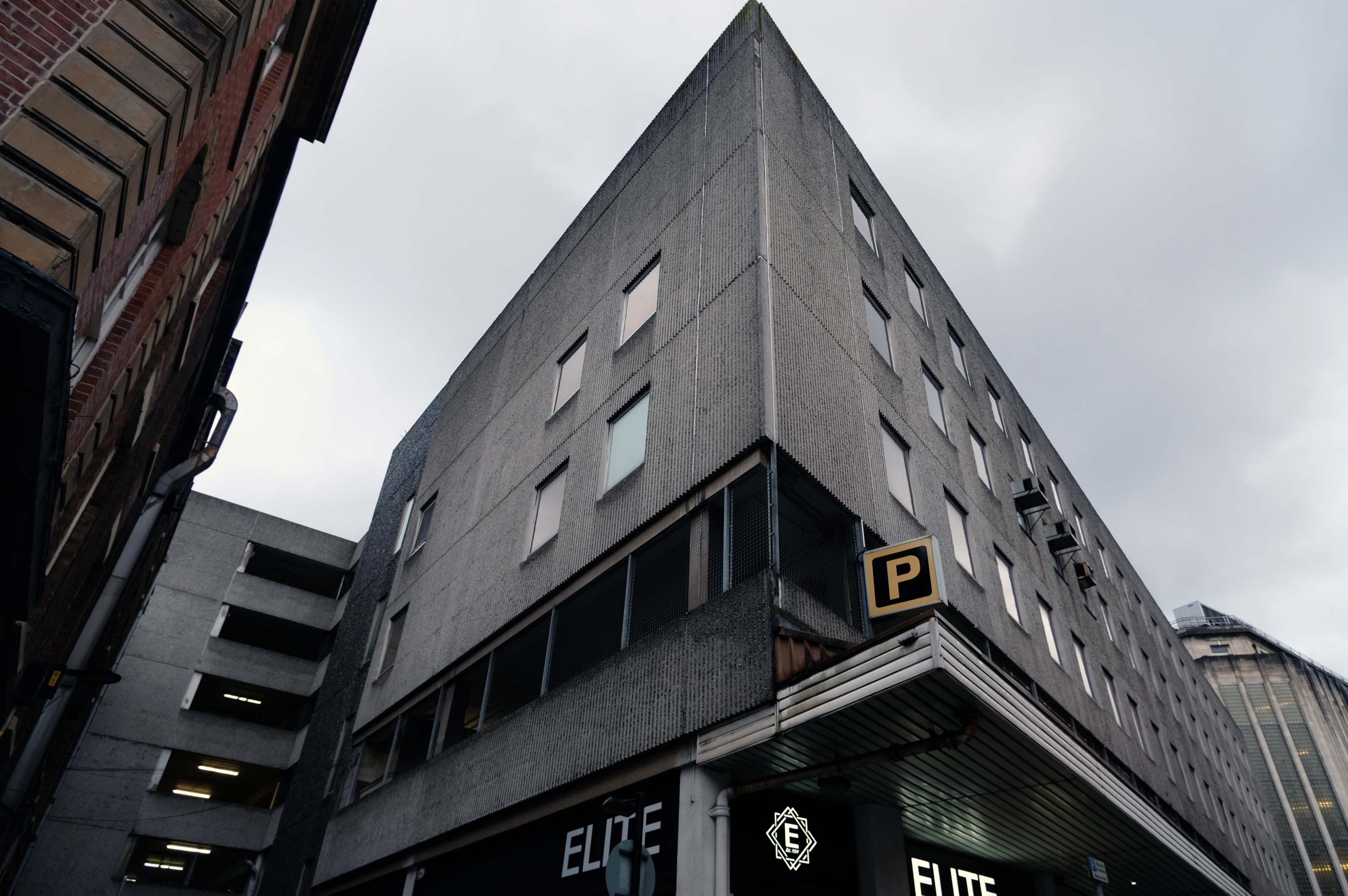
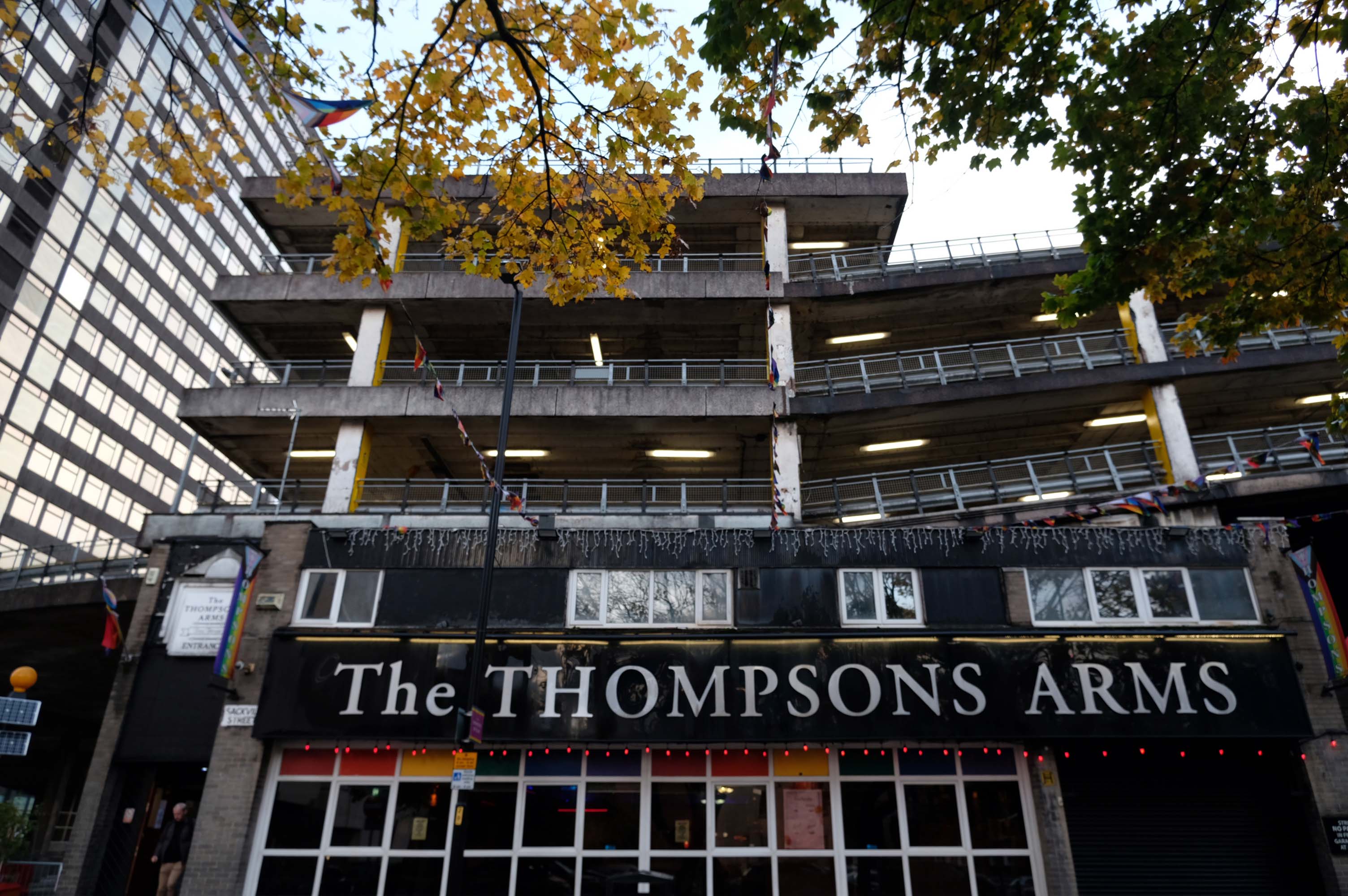
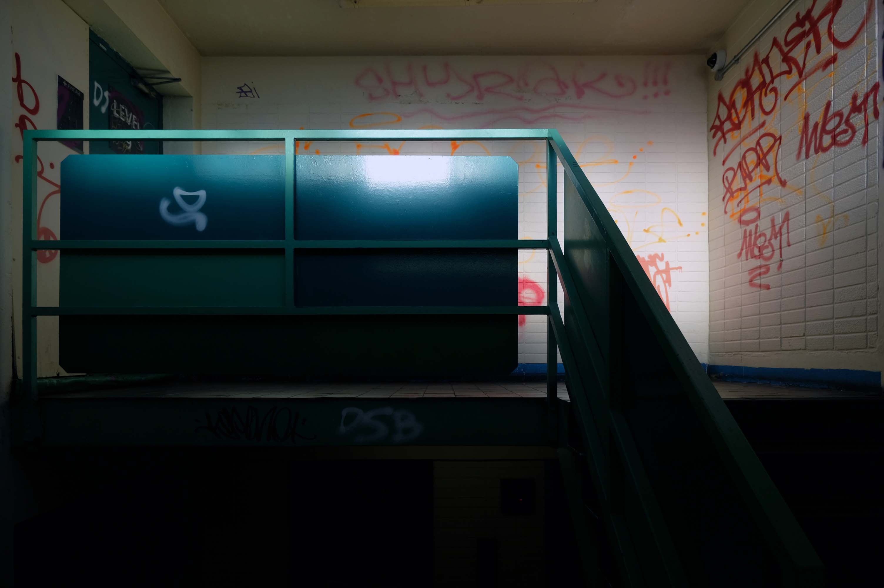
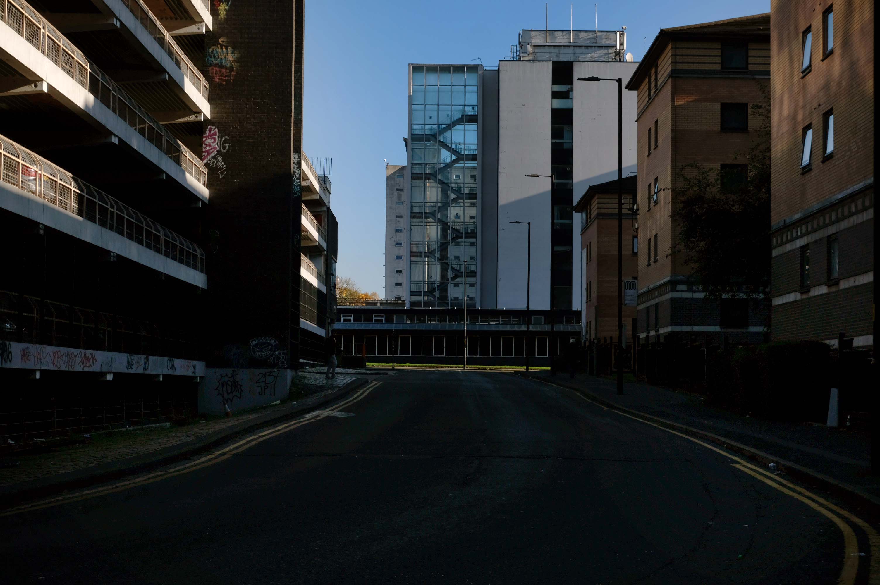
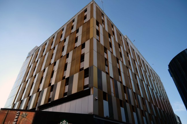
Attached to the car park is the 051 Complex – made for the Liverpool dialling code.
Club 051, ofiveone, The 05’…
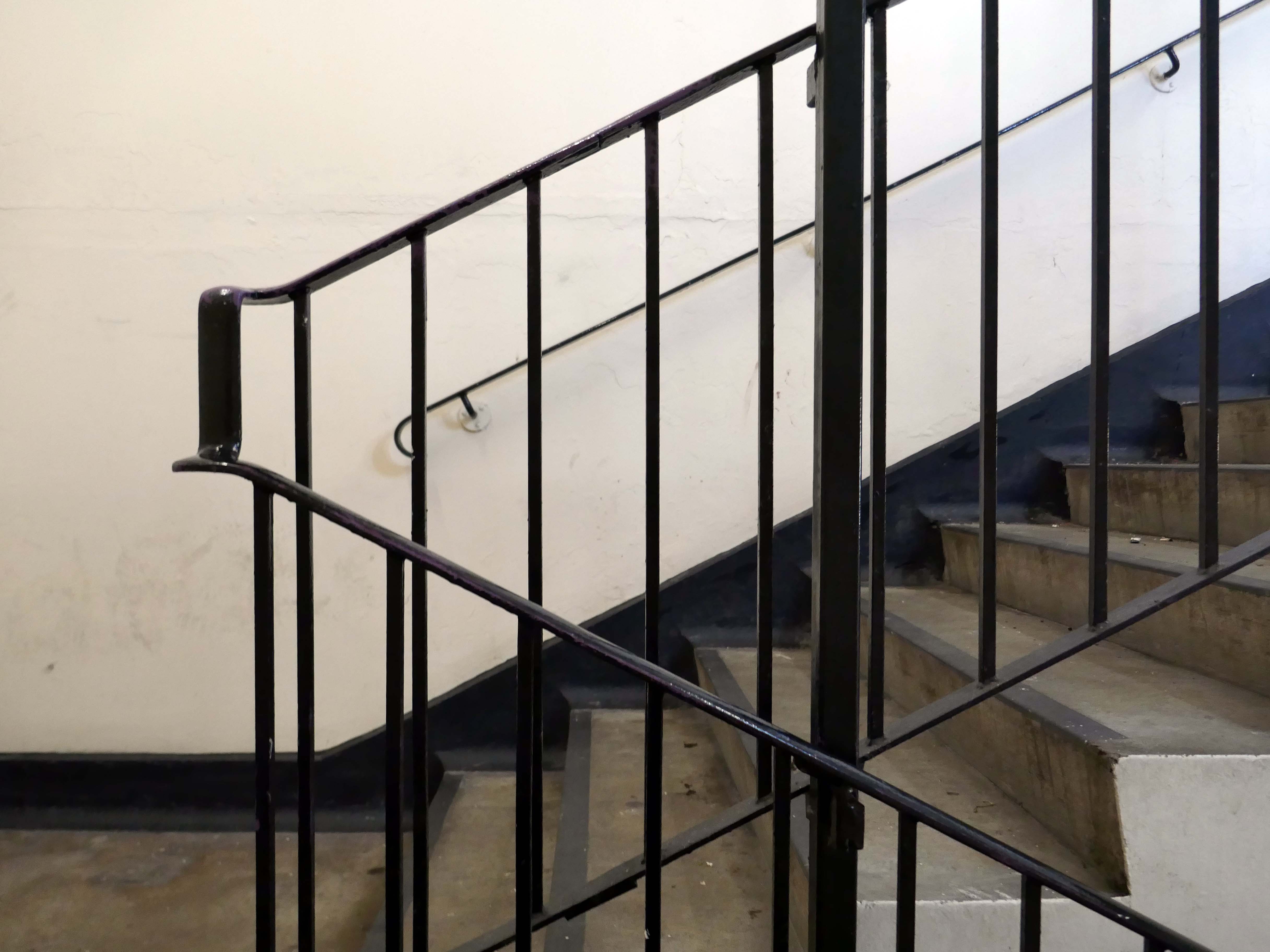
Whatever you wish to call it, this iconic venue has touched the hearts of literally hundreds of thousands of clubbers spanning its illustrious history. Those infamous stairs down to the dance floor are truly part of clubbing folklore for those who have walked them, and now because of a team of people who dared to dream, you can once again enjoy the spine chilling ofiveone experience!
Because dreams can come true
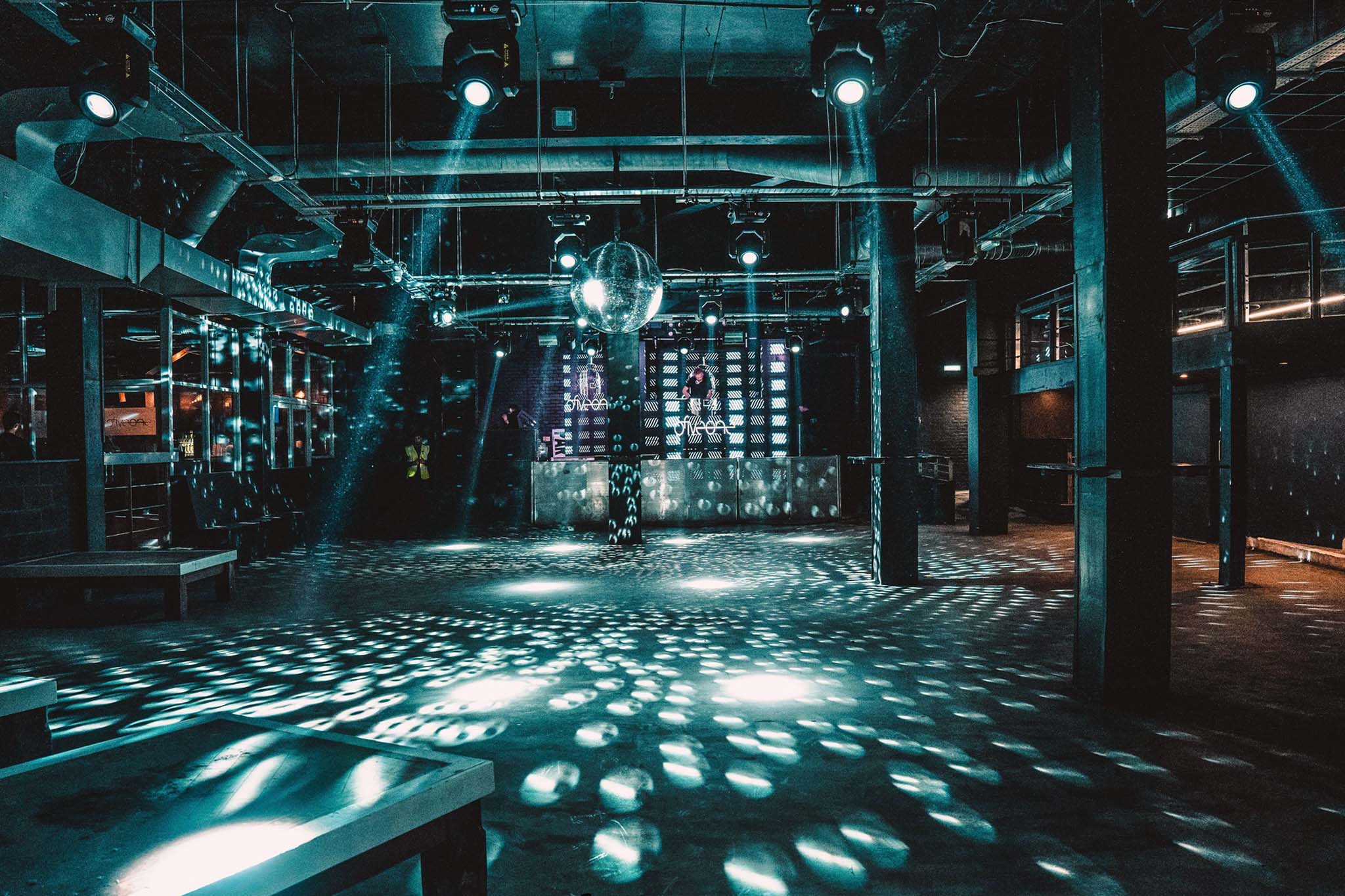
Are You 051 Enough?