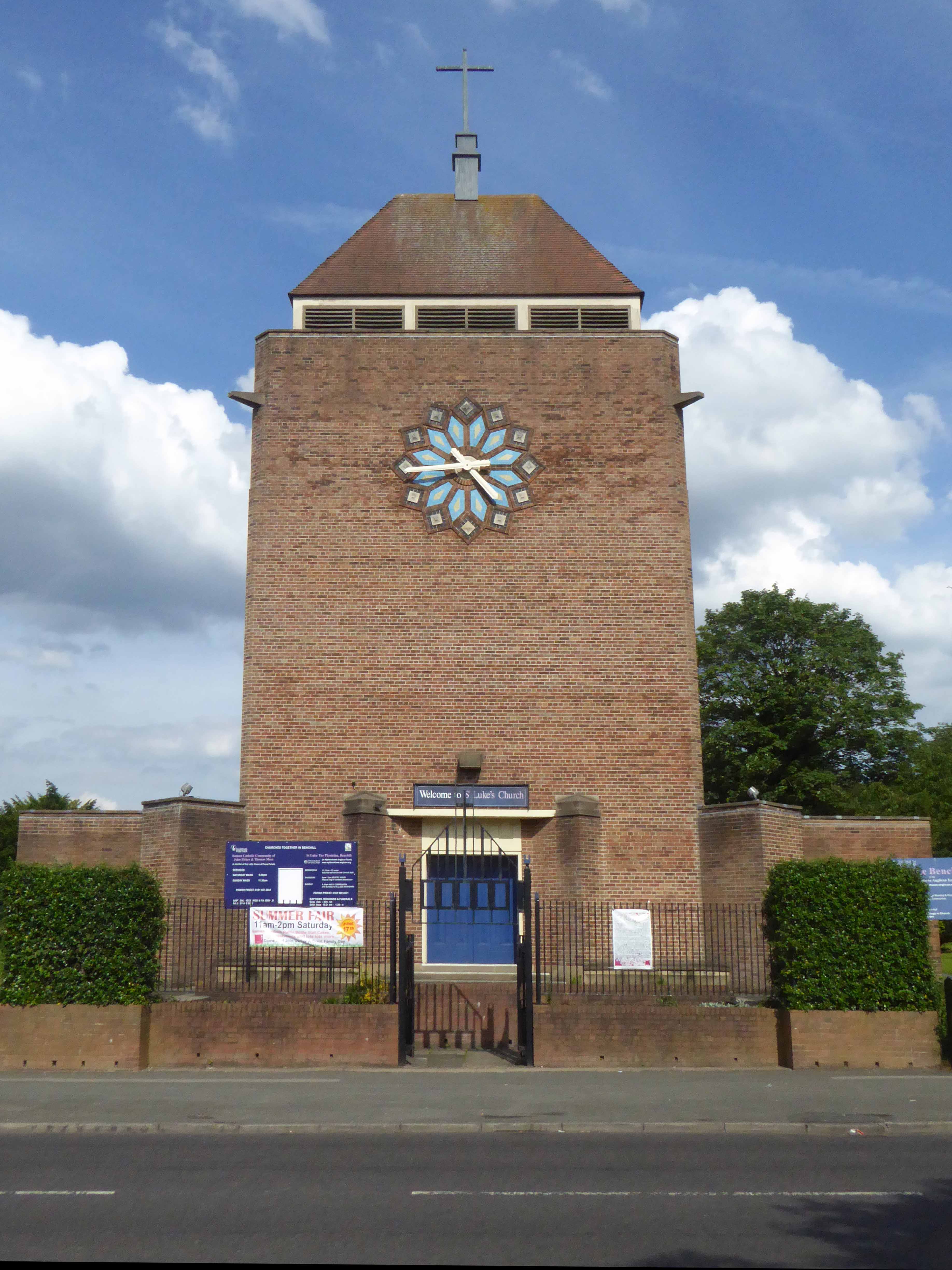

The Happy Prospect, 50 Coronation Square, Reading RG30 3QN
I came here by chance researching Manchester’s Estate Pubs for my blog when up pops The Happy Prospect – what a pleasant surprise!
Having never really visited Reading, this is very much a virtual cut and paste journey through time and space – so apologies in advance for any unforeseen errors.
So let’s see how we got here:
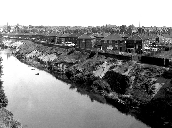
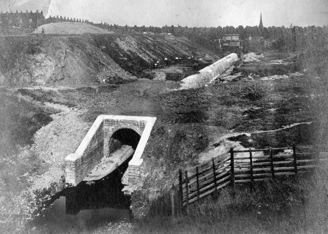
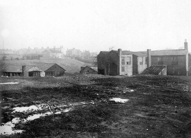
The area was sparsely populated until after the Second World War, though excavations have revealed evidence of Paleolithic and Iron Age activity in Southcote, as well as Roman and Saxon habitation. By the time William the Conqueror undertook the Domesday Survey in 1086, Southcote was sufficiently established to warrant a Lord of the Manor, who at that time was William de Braose. From the 16th century onwards, Southcote Manor was owned by the Blagrave family, who sold the manor house in the 1920s. The area was subsequently developed into housing: much of the land changed from agricultural to residential.

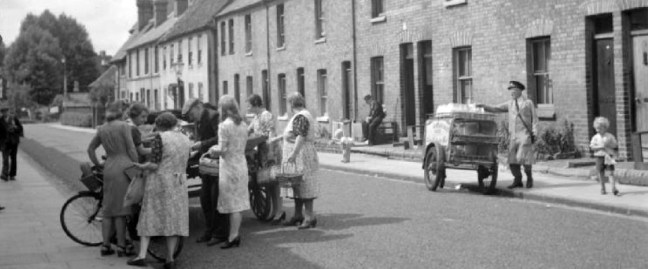
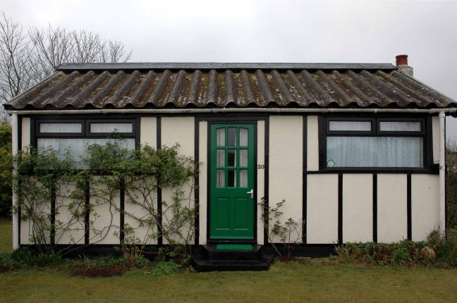
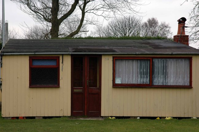
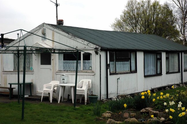
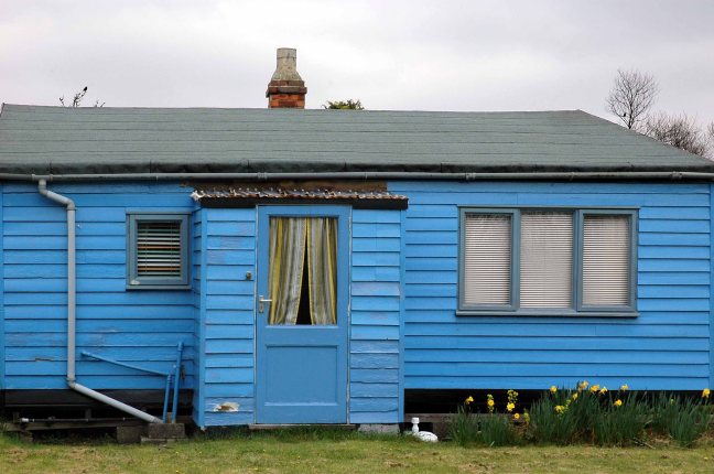
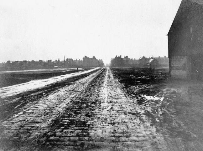
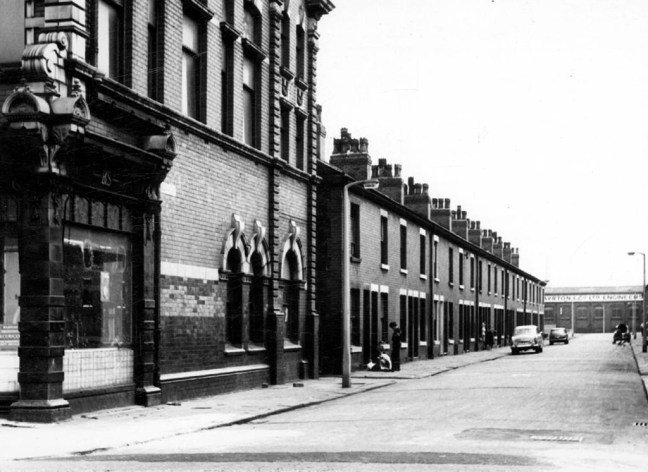
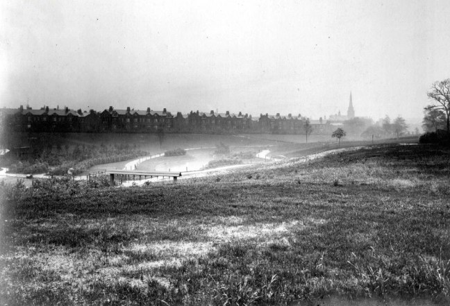
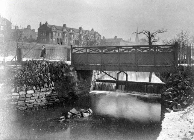
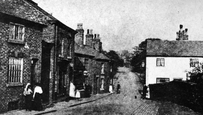
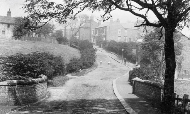
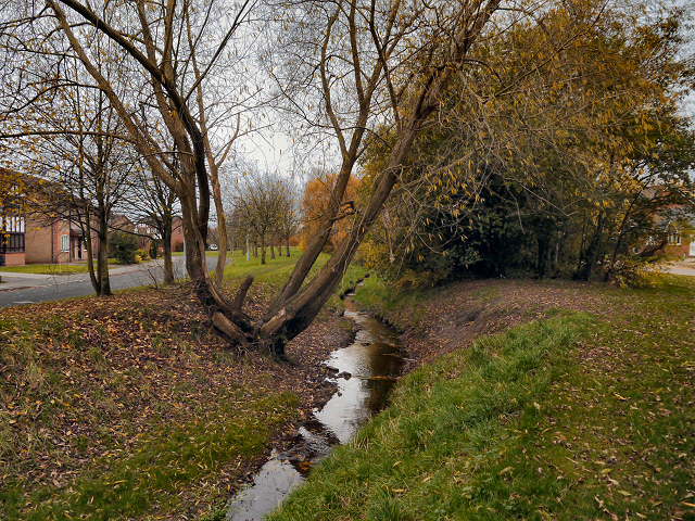
Bucolic scenes of small intimate streets and agrarian activity.
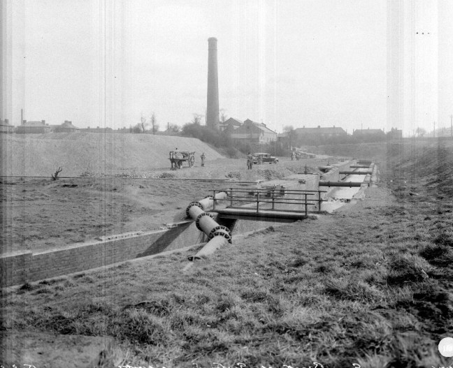
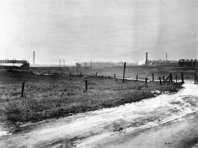
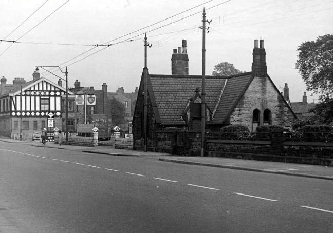
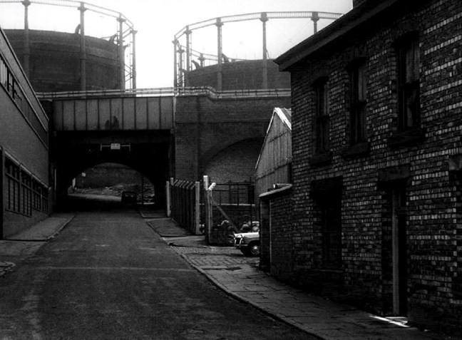
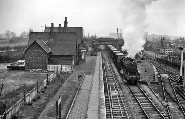
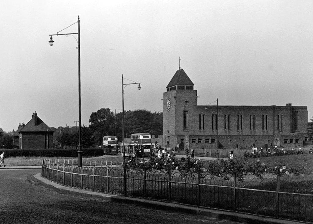
By the advent of World War II, Southcote had begun to experience urban sprawl from Reading and the land bordering the Great Western Railway had begun to be used for housing. Following the war, Denton’s Field on the Bath Road in Southcote was used for celebratory events; Battle of Britain commemorative fêtes were held in September 1949 and 1950, and featured a performance by three Alsatians – Rocky, Lindy and Irma to recognise their work in the war.
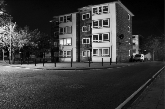
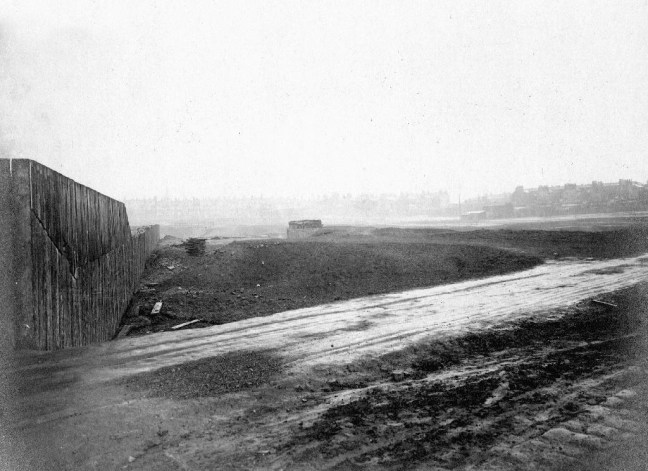
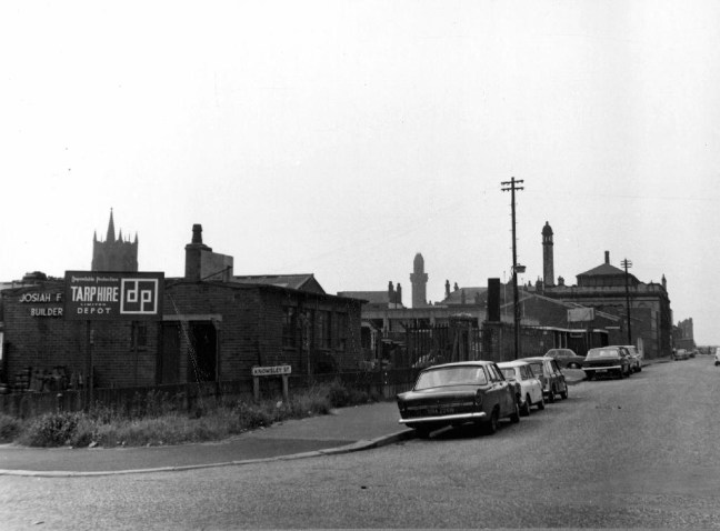
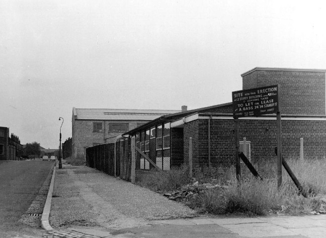
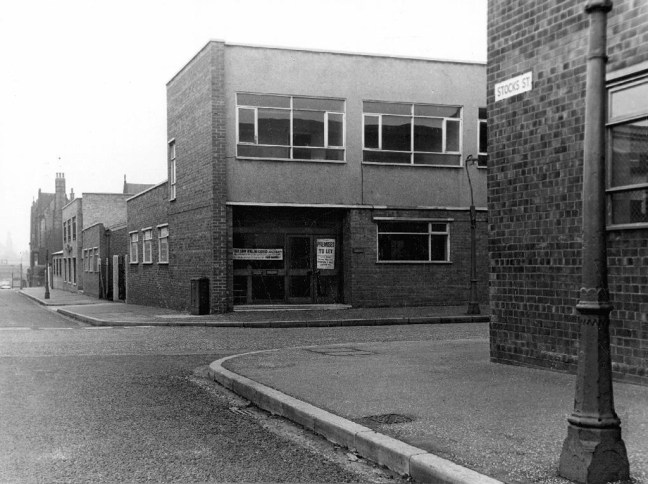
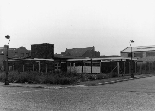
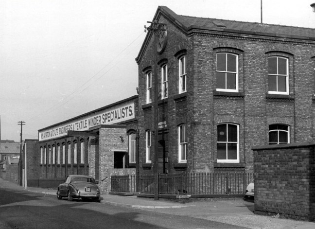
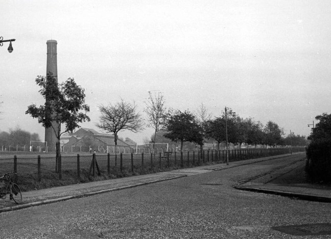
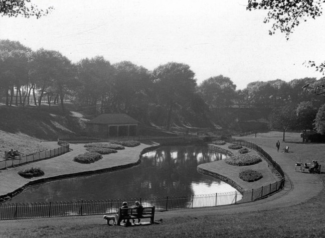
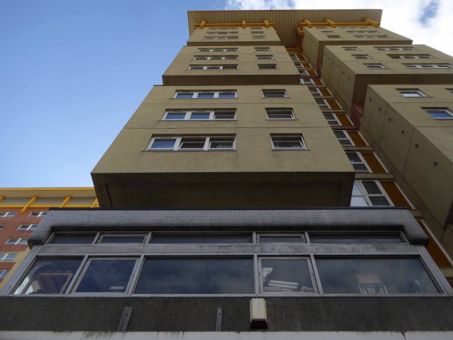
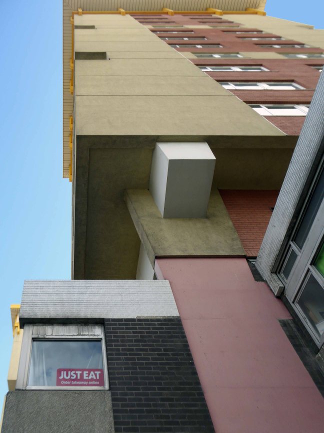
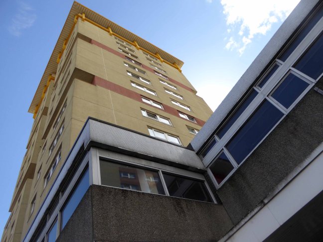
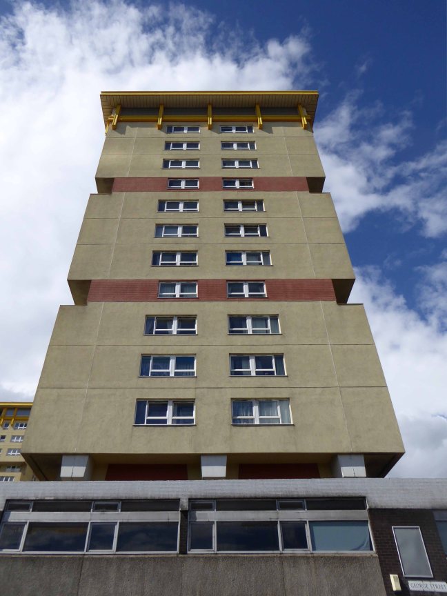
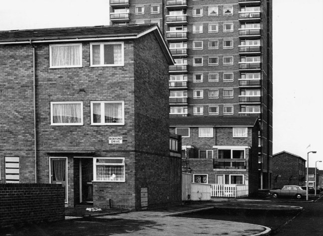
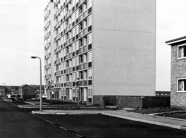
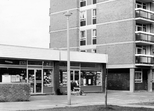
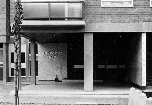
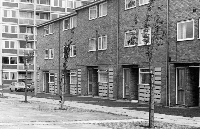
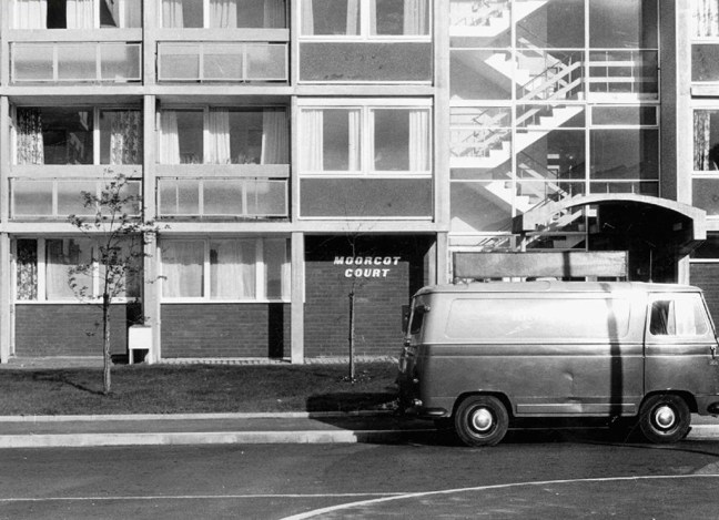
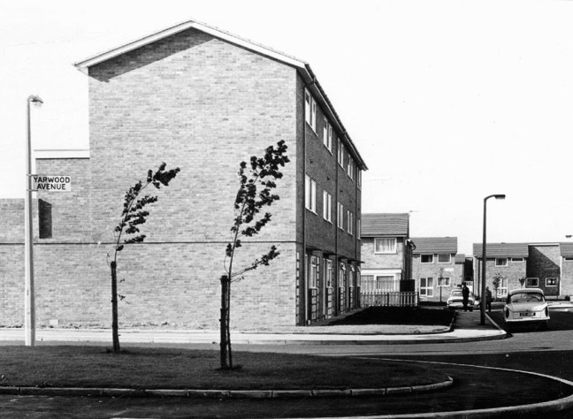
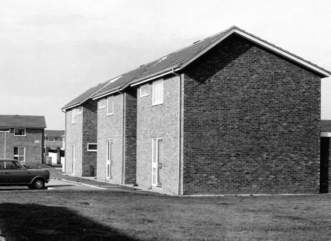
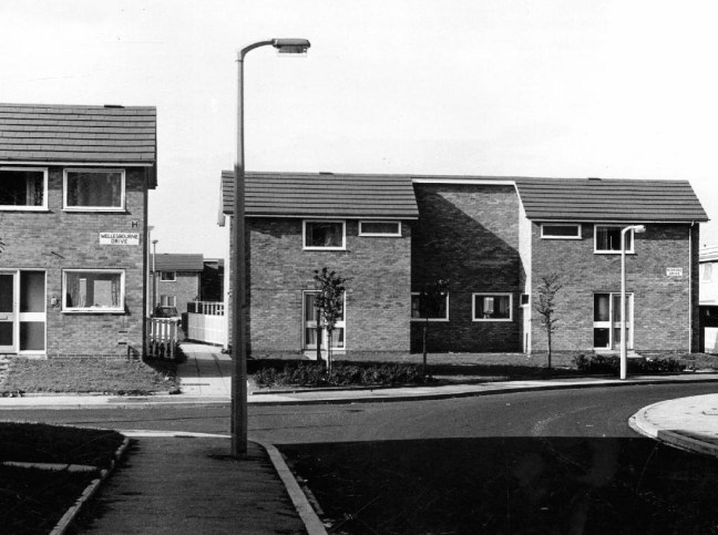
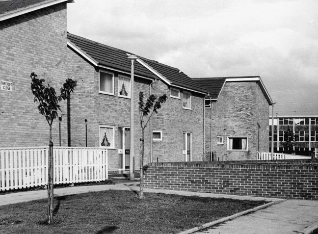
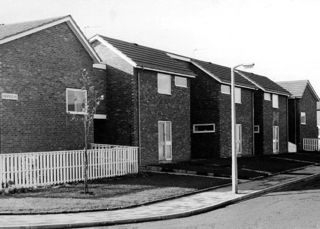
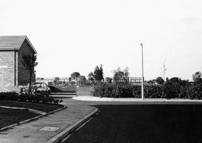
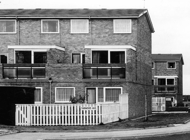
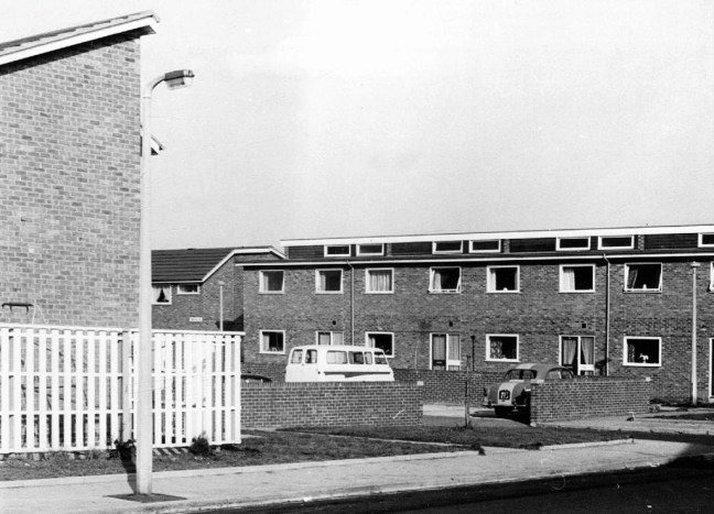
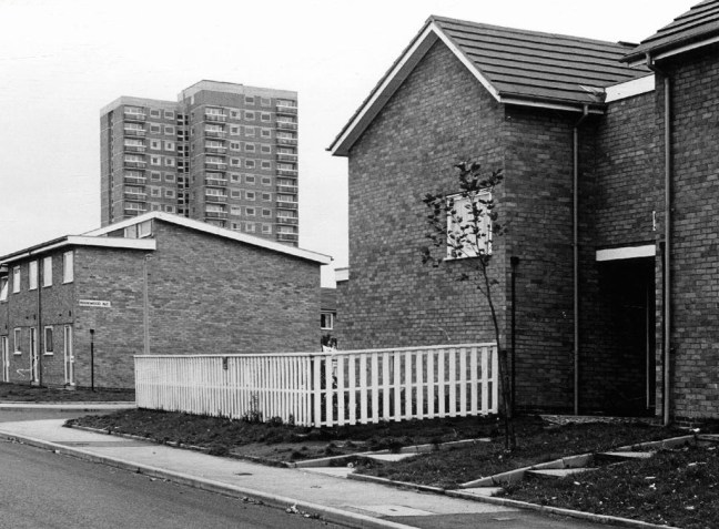
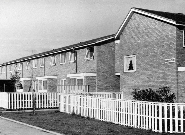
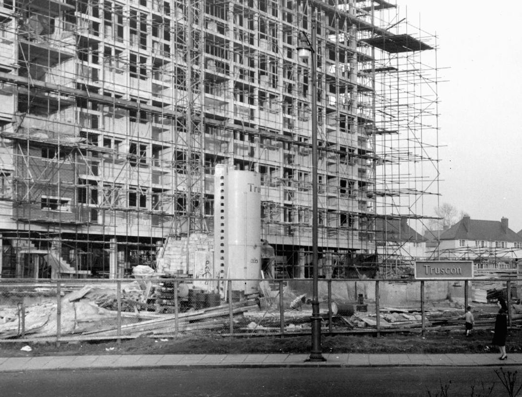
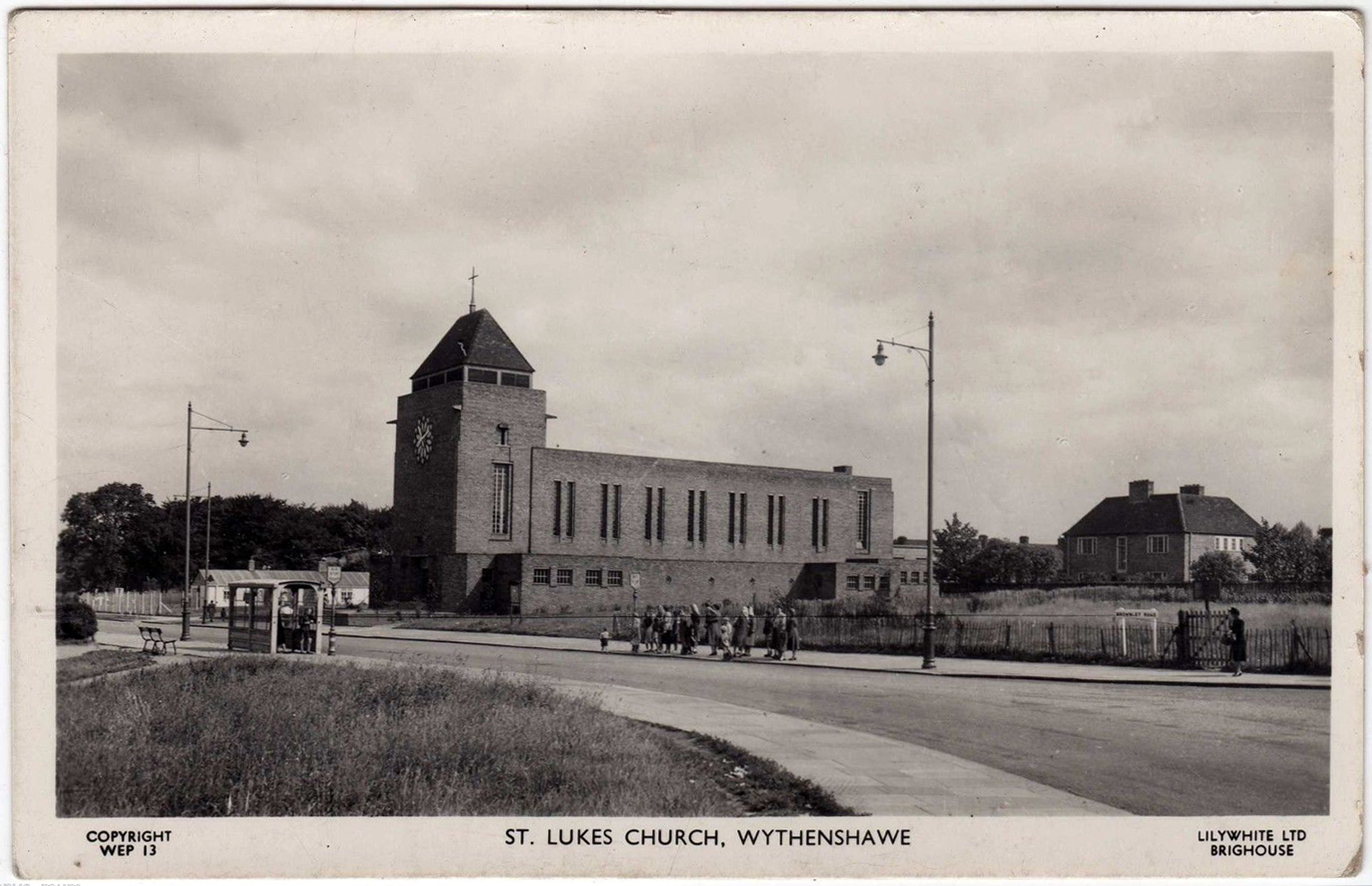
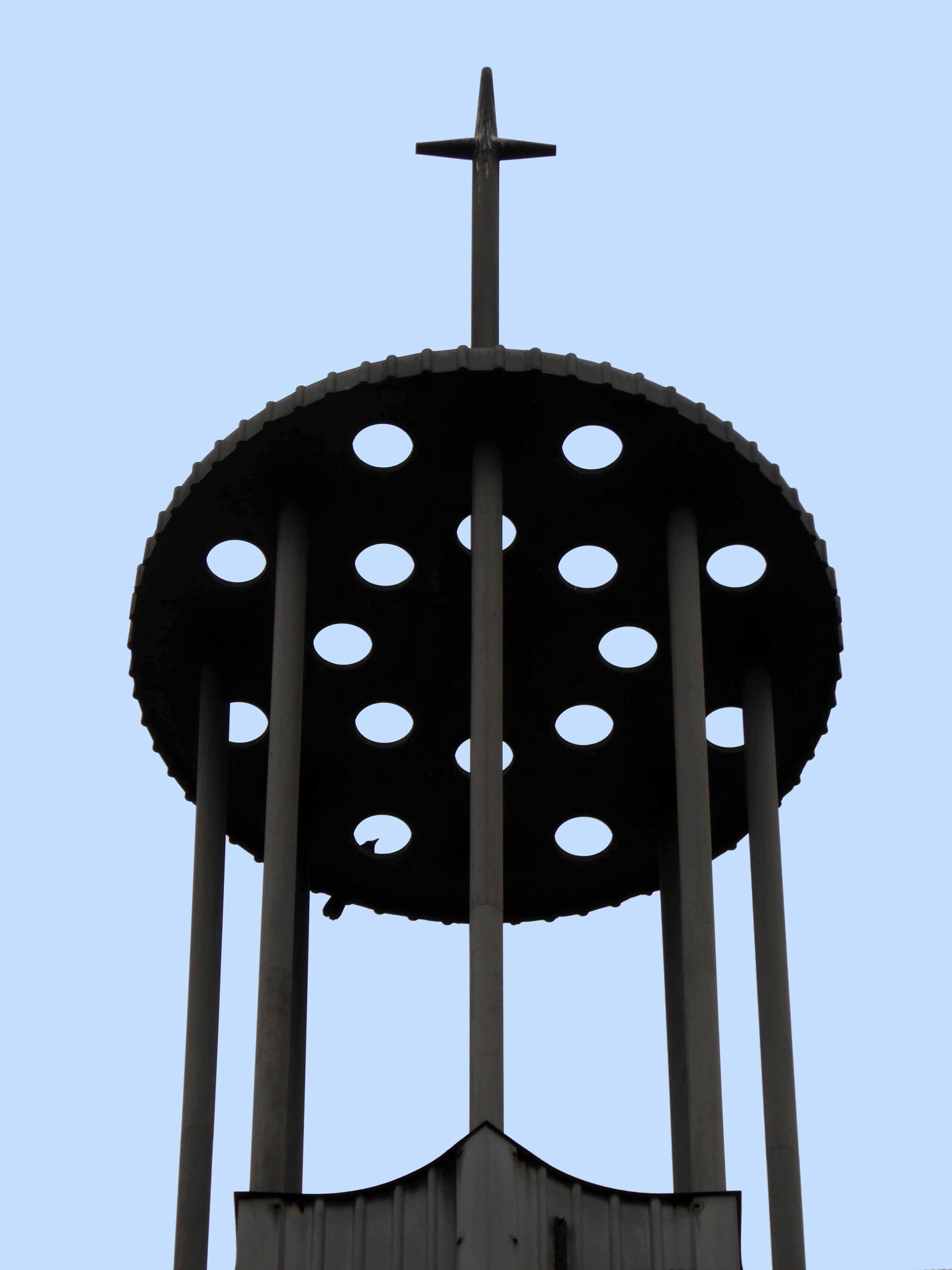
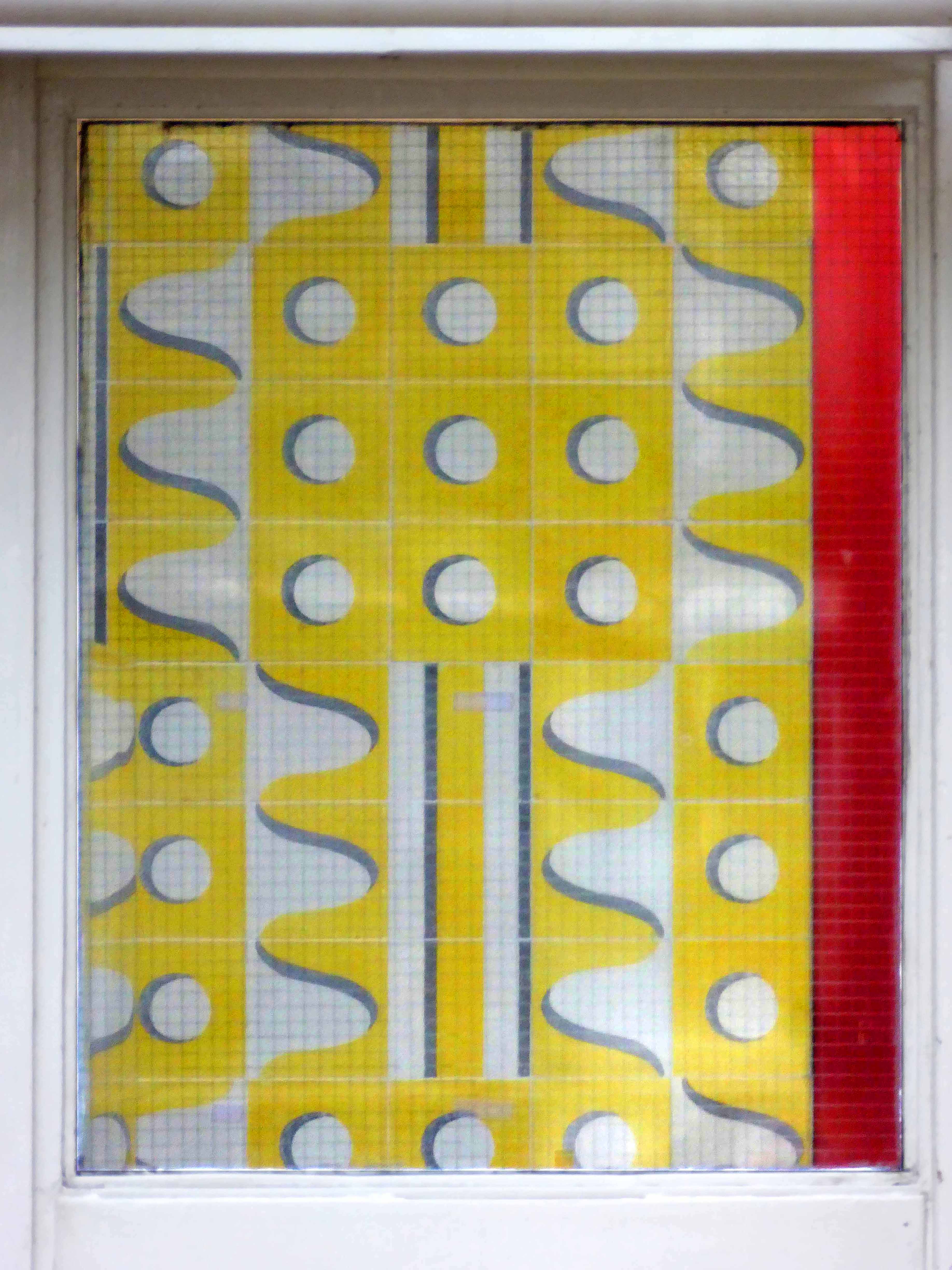
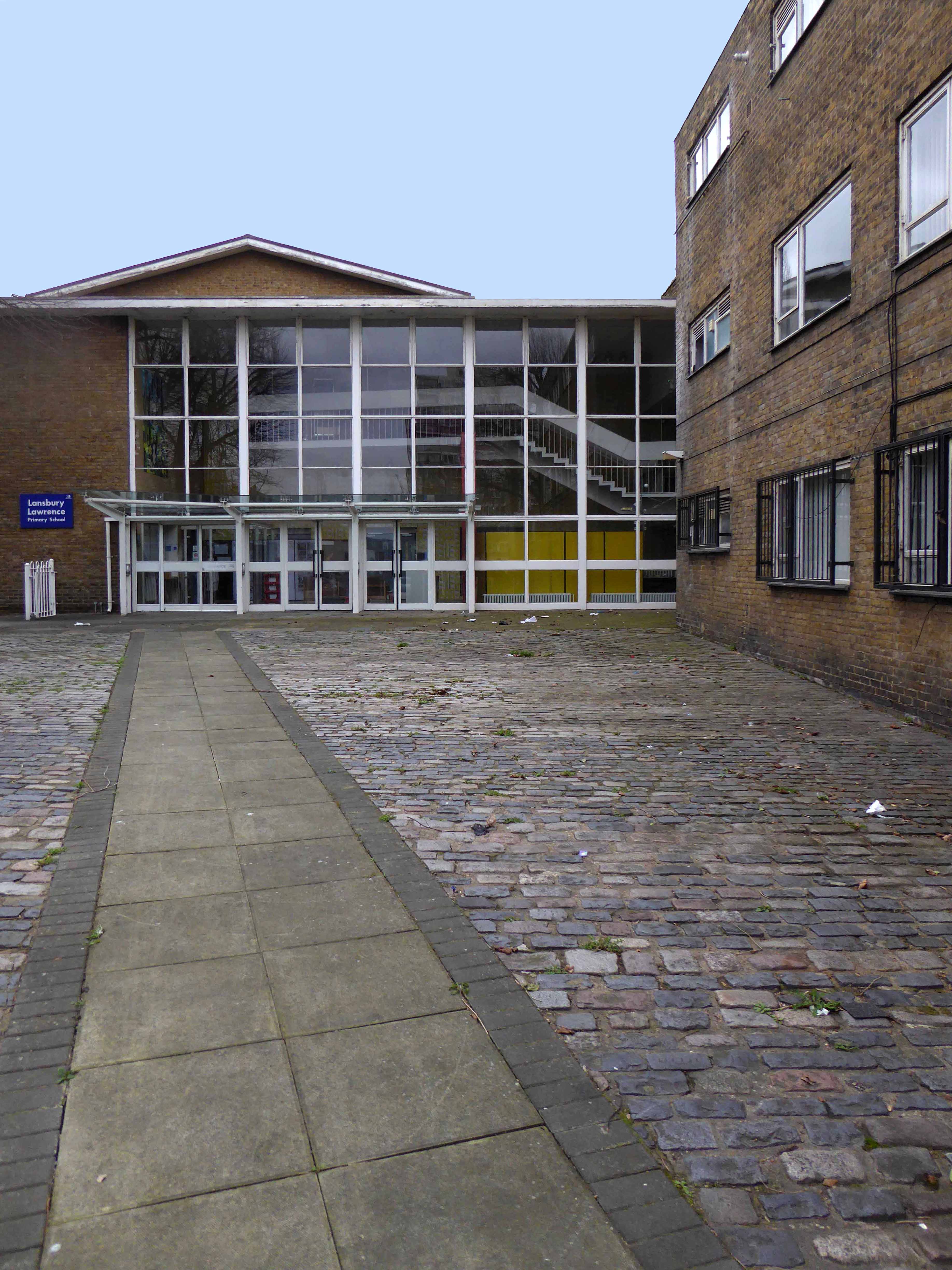
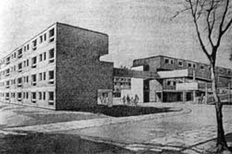
Dragged into the ferment of Mid-Century Modernism with the development of new housing, churches and schools.
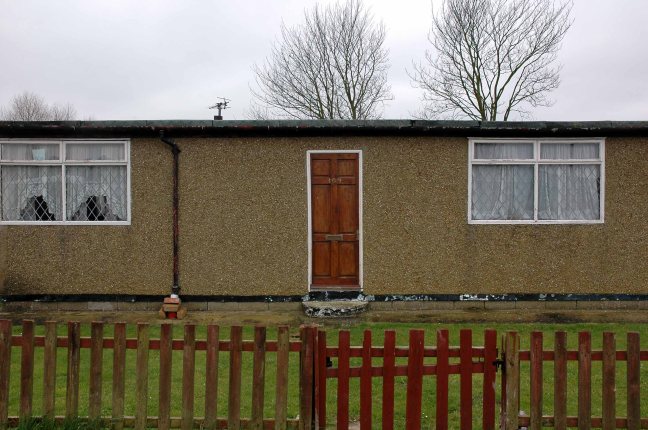
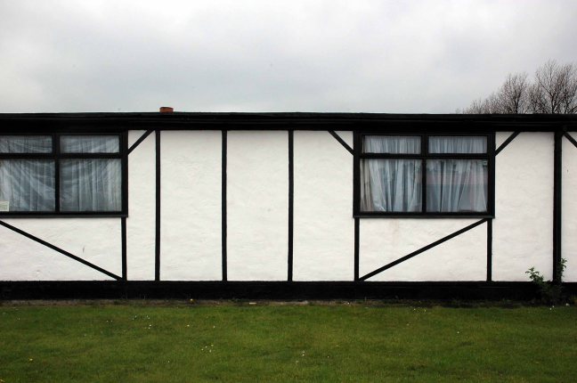
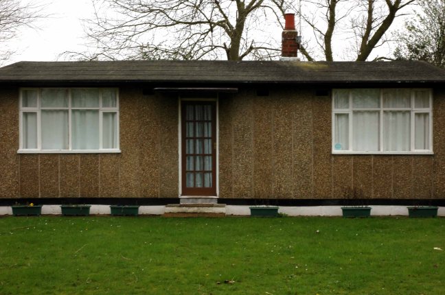
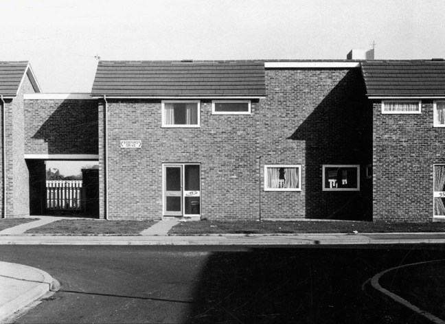
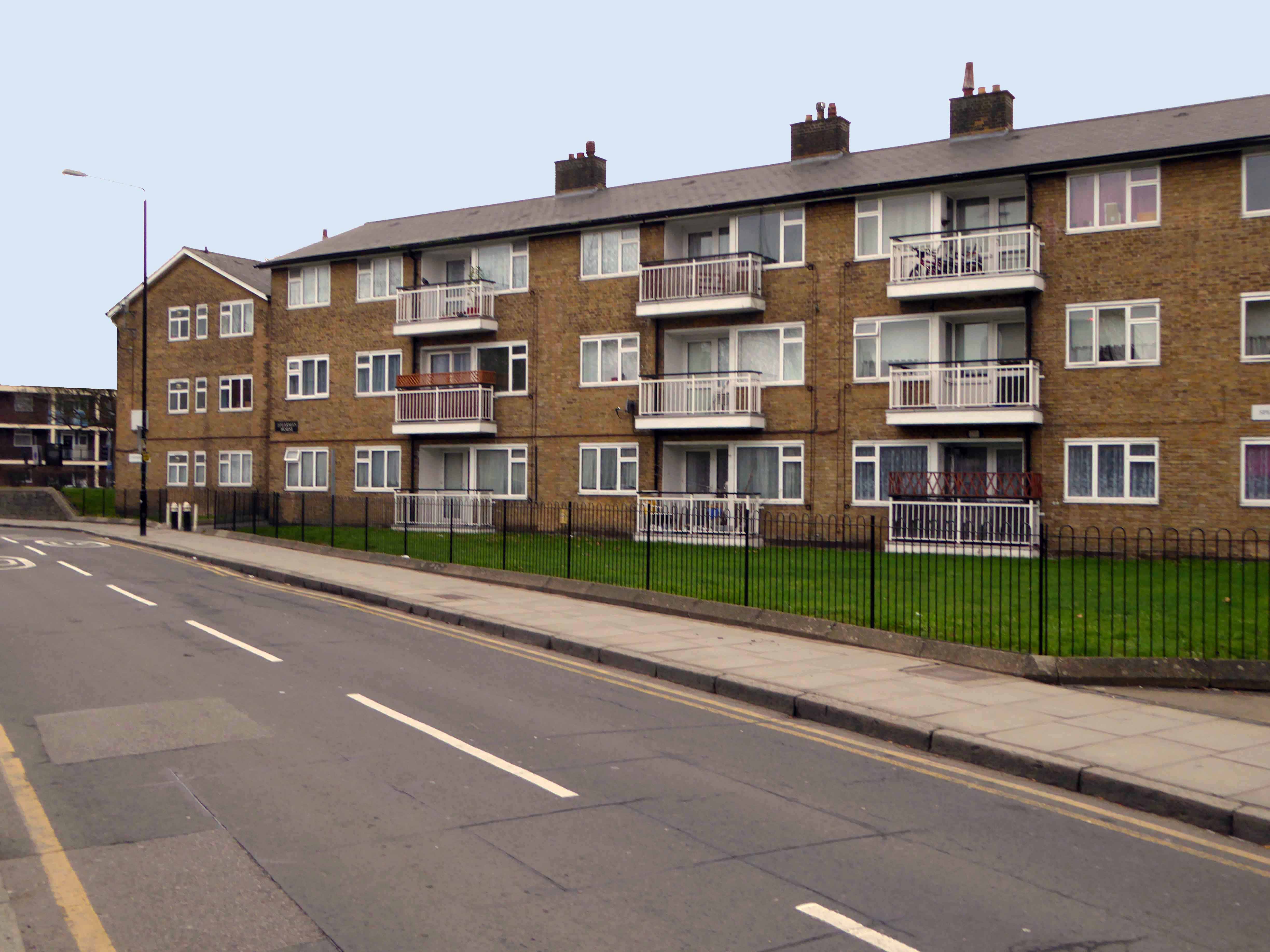
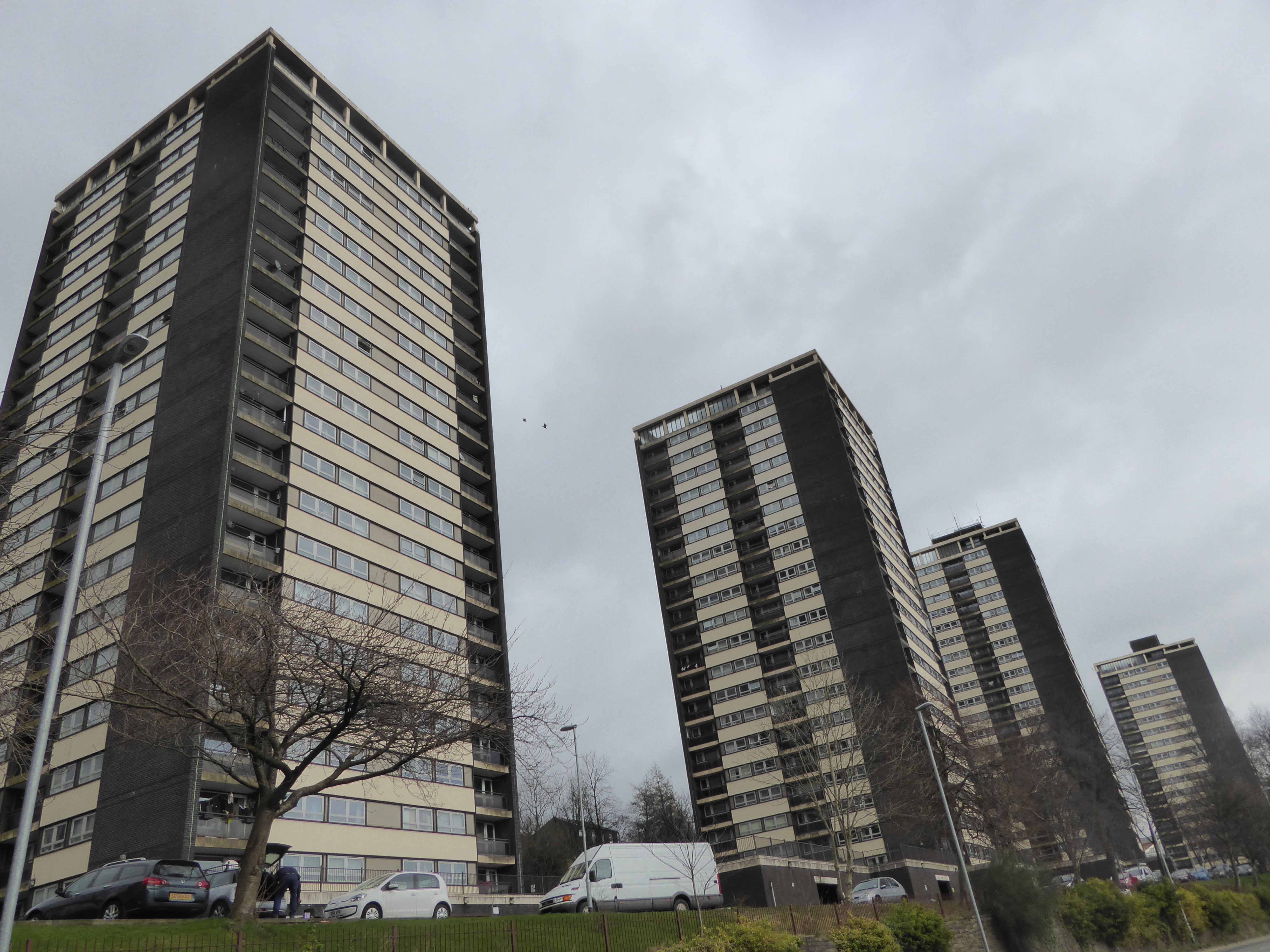
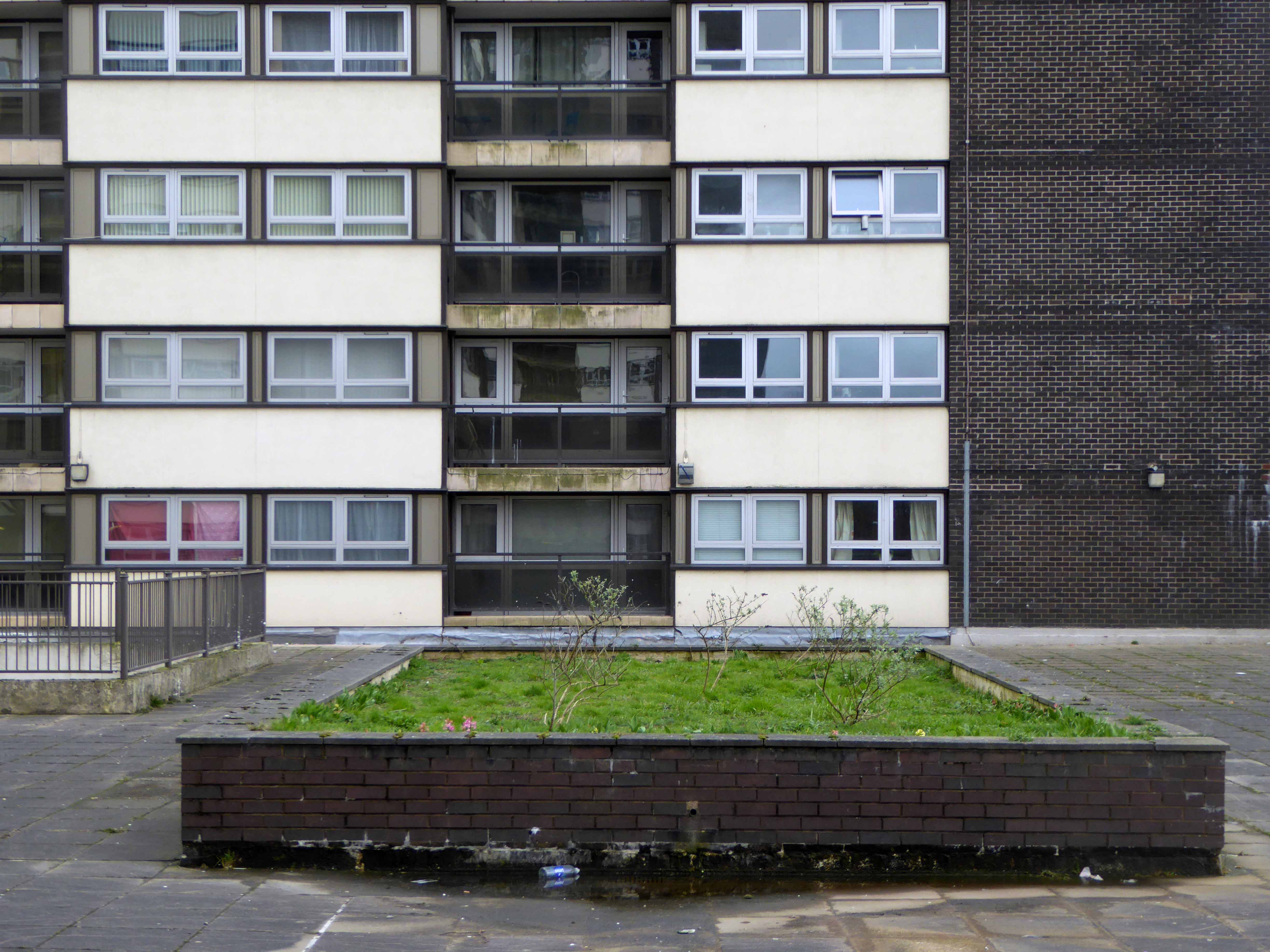
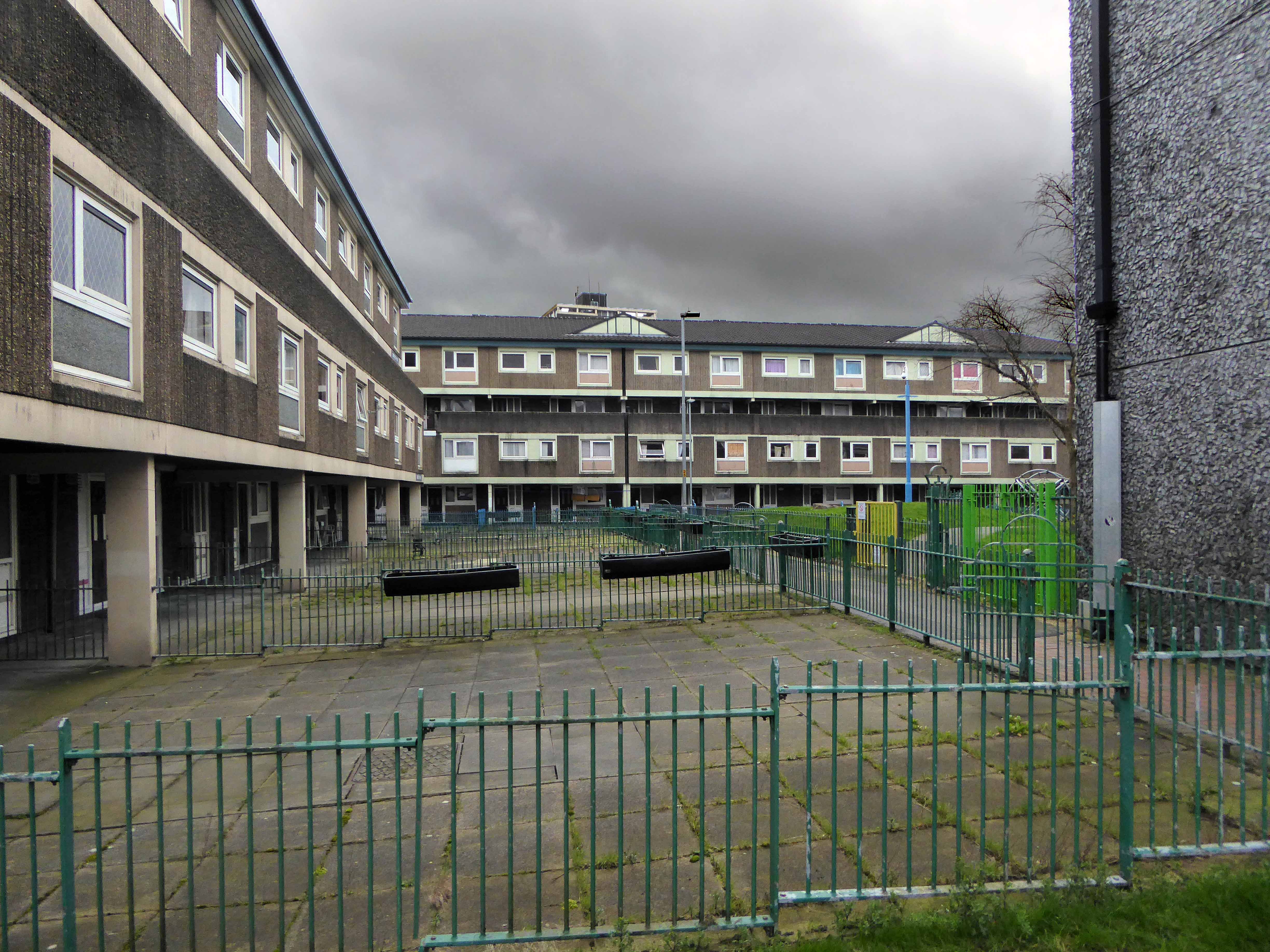
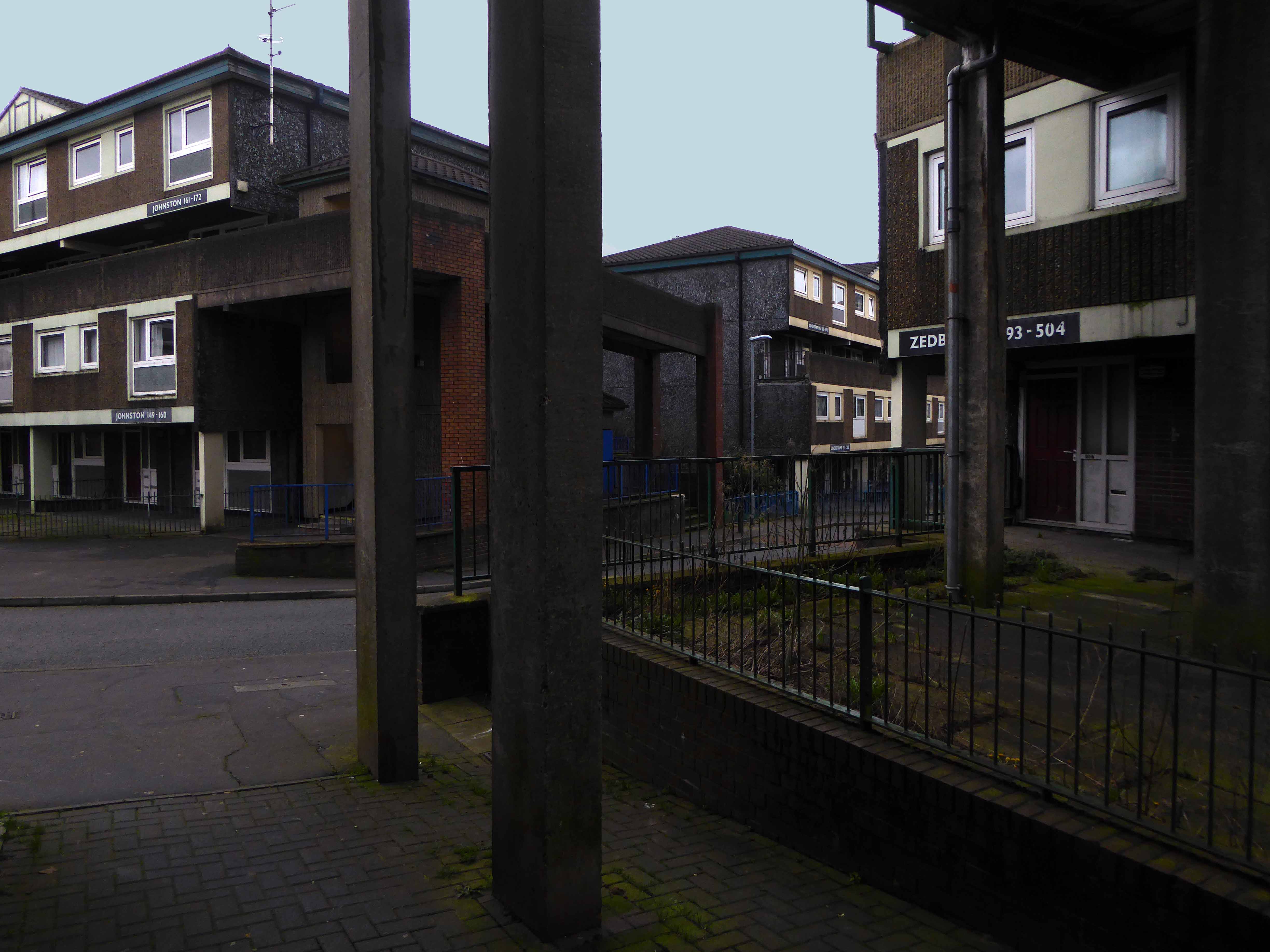
In the 1950s, a huge building project centred around Coronation Square, named for the 1953 Coronation of Queen Elizabeth II – with hundreds of council houses built to satisfy post-war demand. The residents of many of these had moved from houses in central and East Reading that fell short of sanitation requirements of the Public Health Act 1875, these were compulsorily purchased and later demolished.


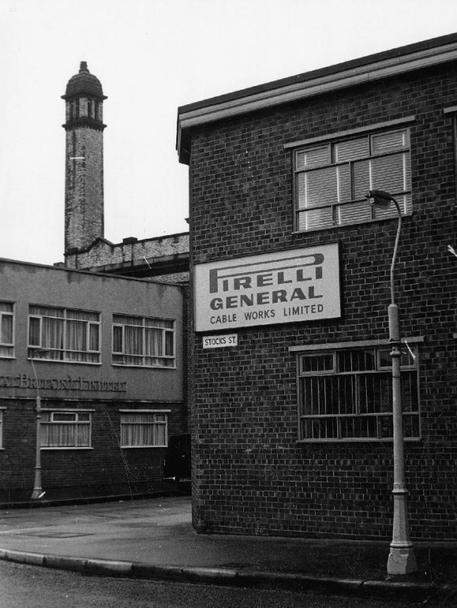
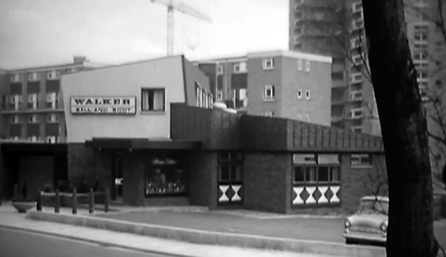
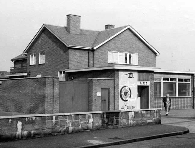
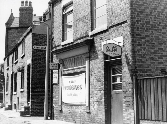
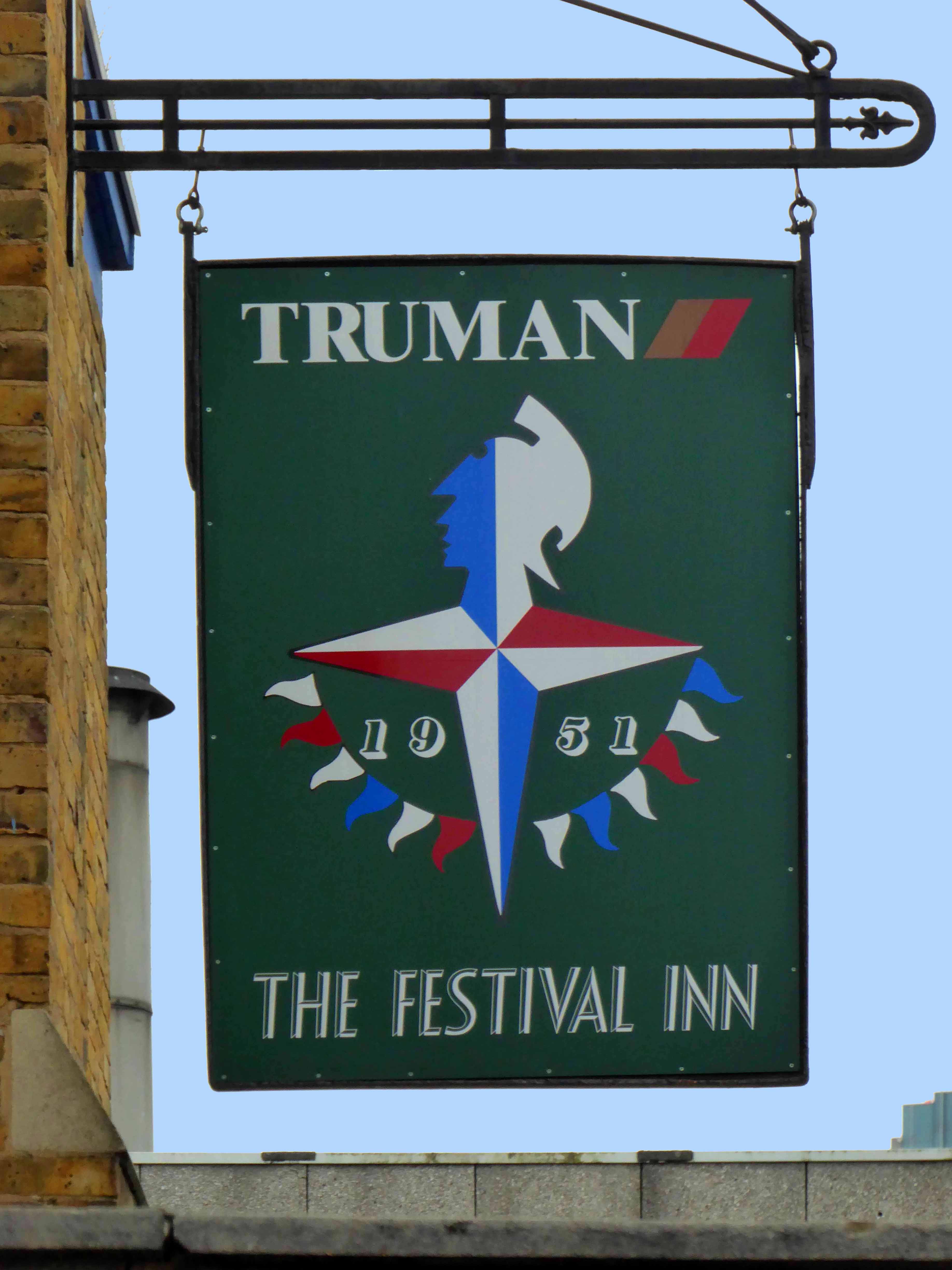
All that was missing was a pub – and so happily the local brewery Simonds built The Happy Prospect.

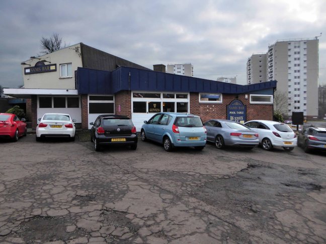
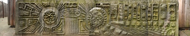
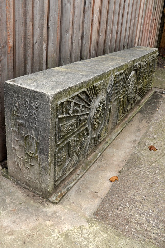
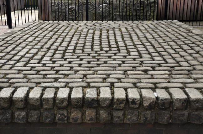
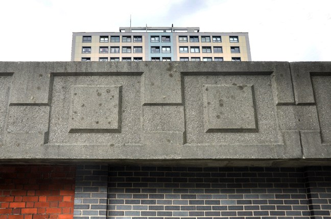
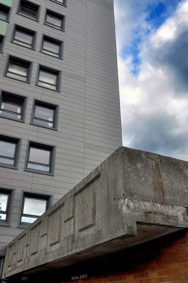
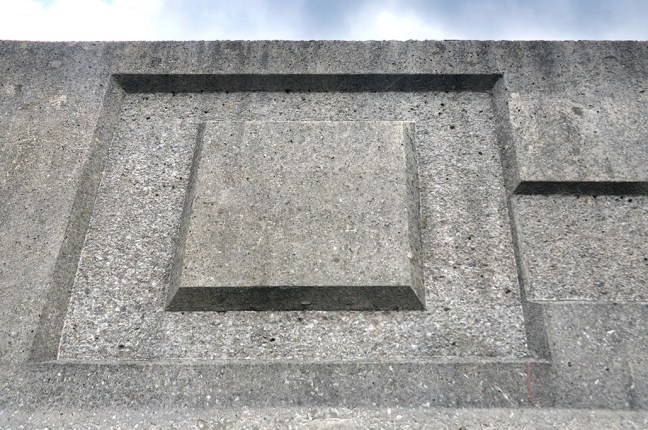
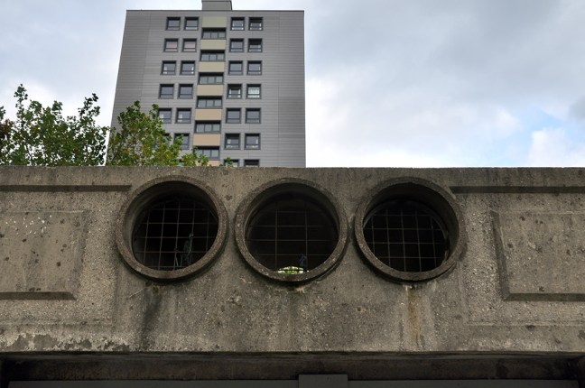
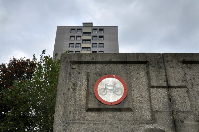
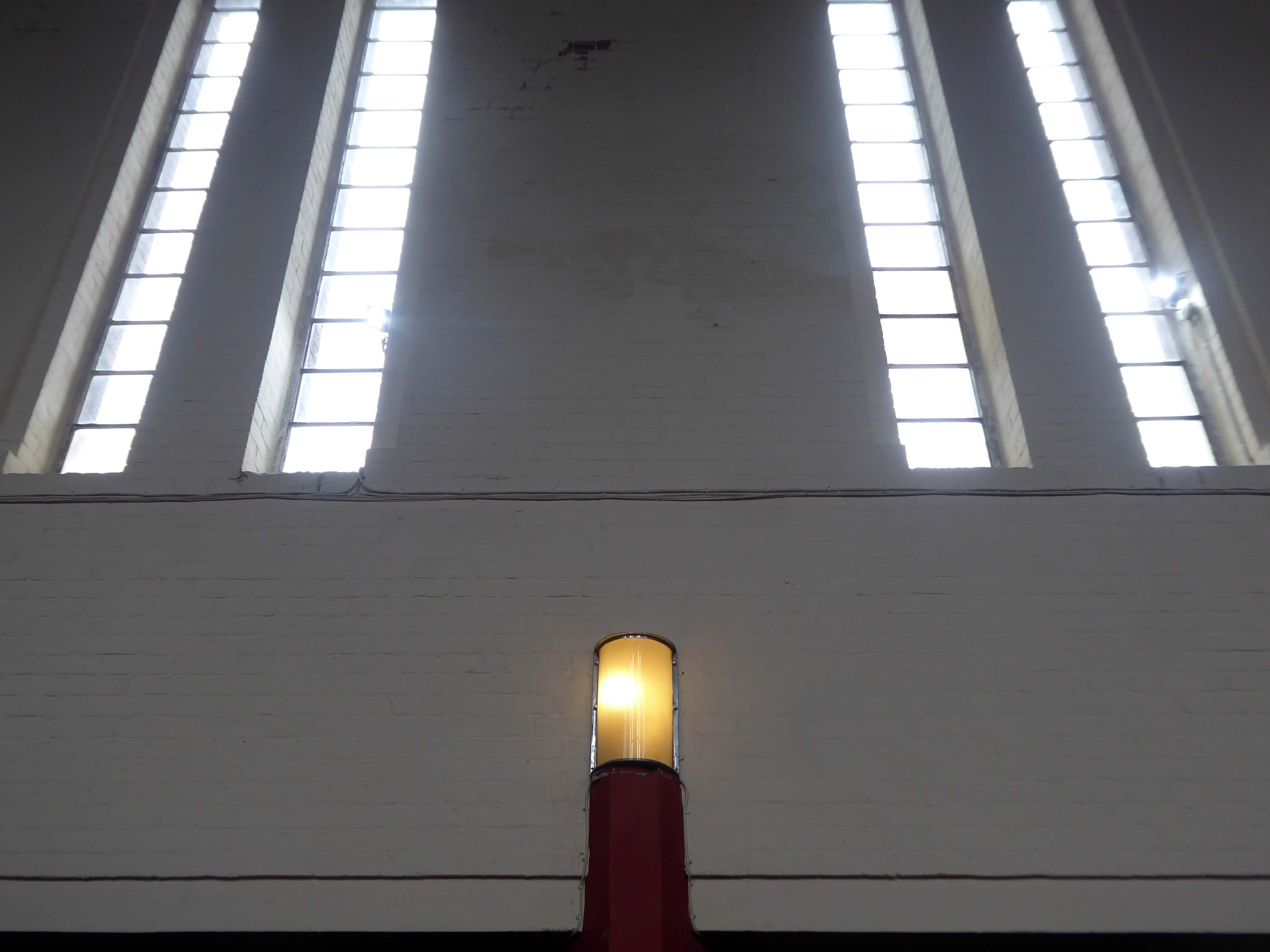
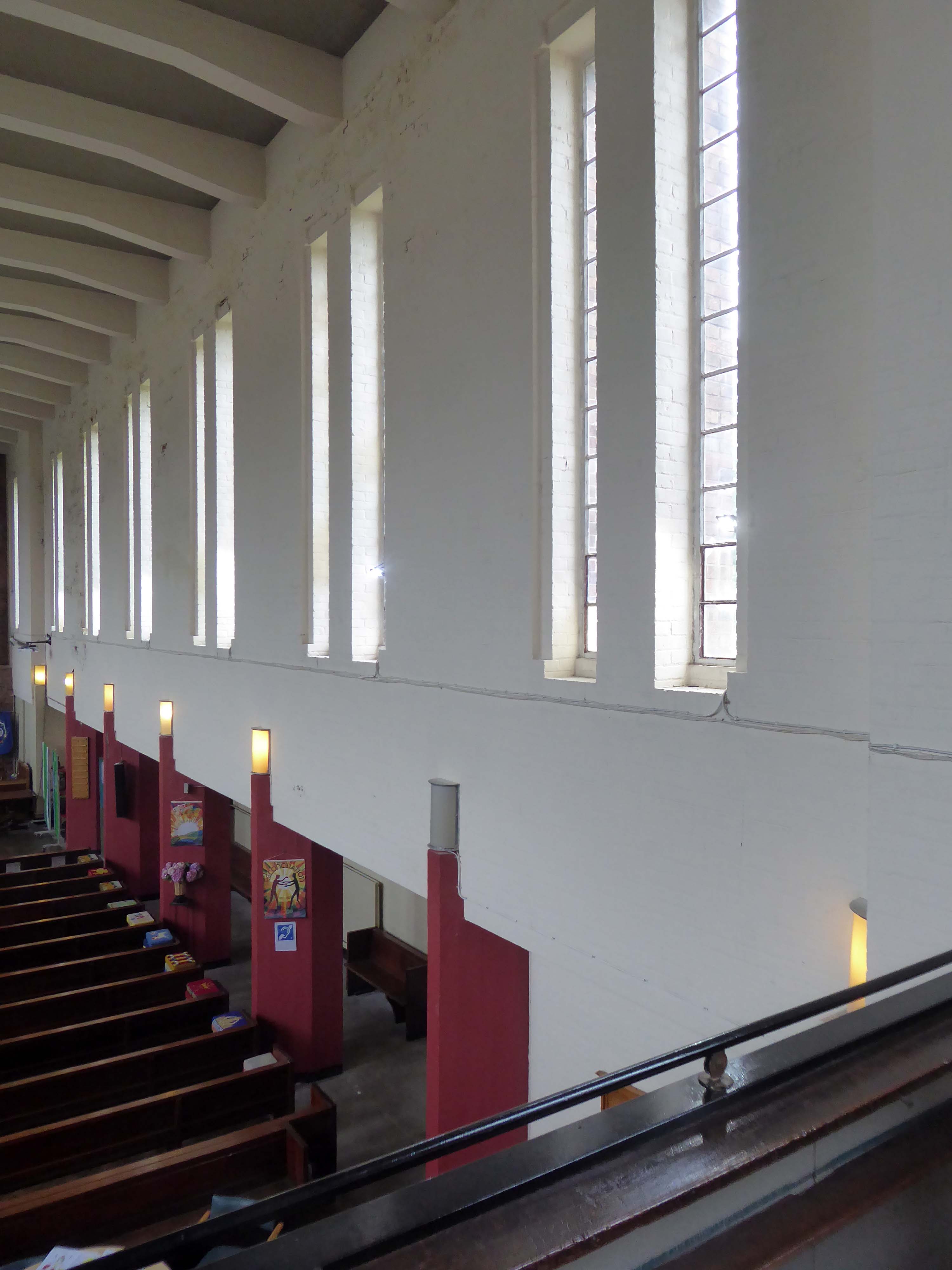
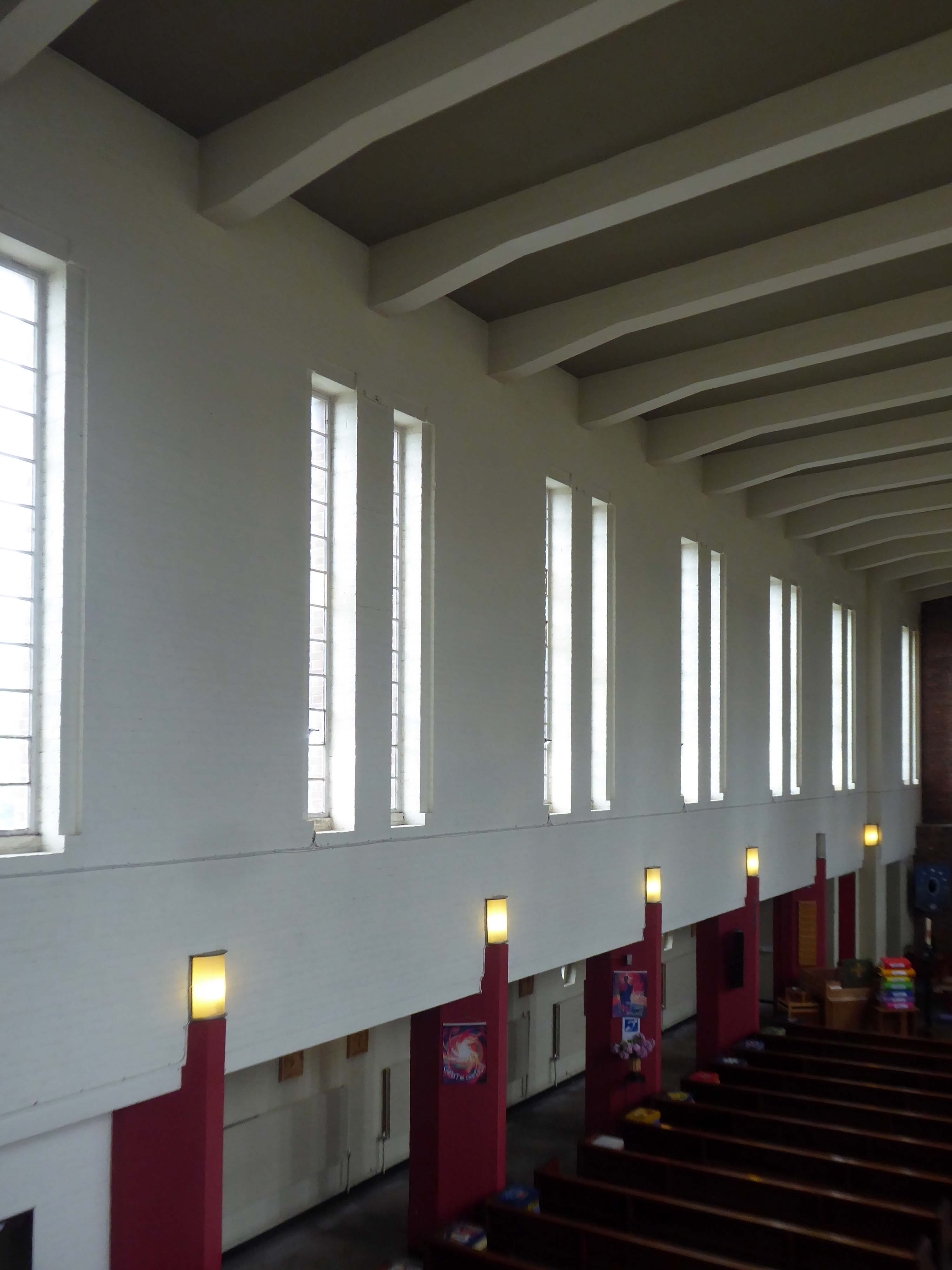
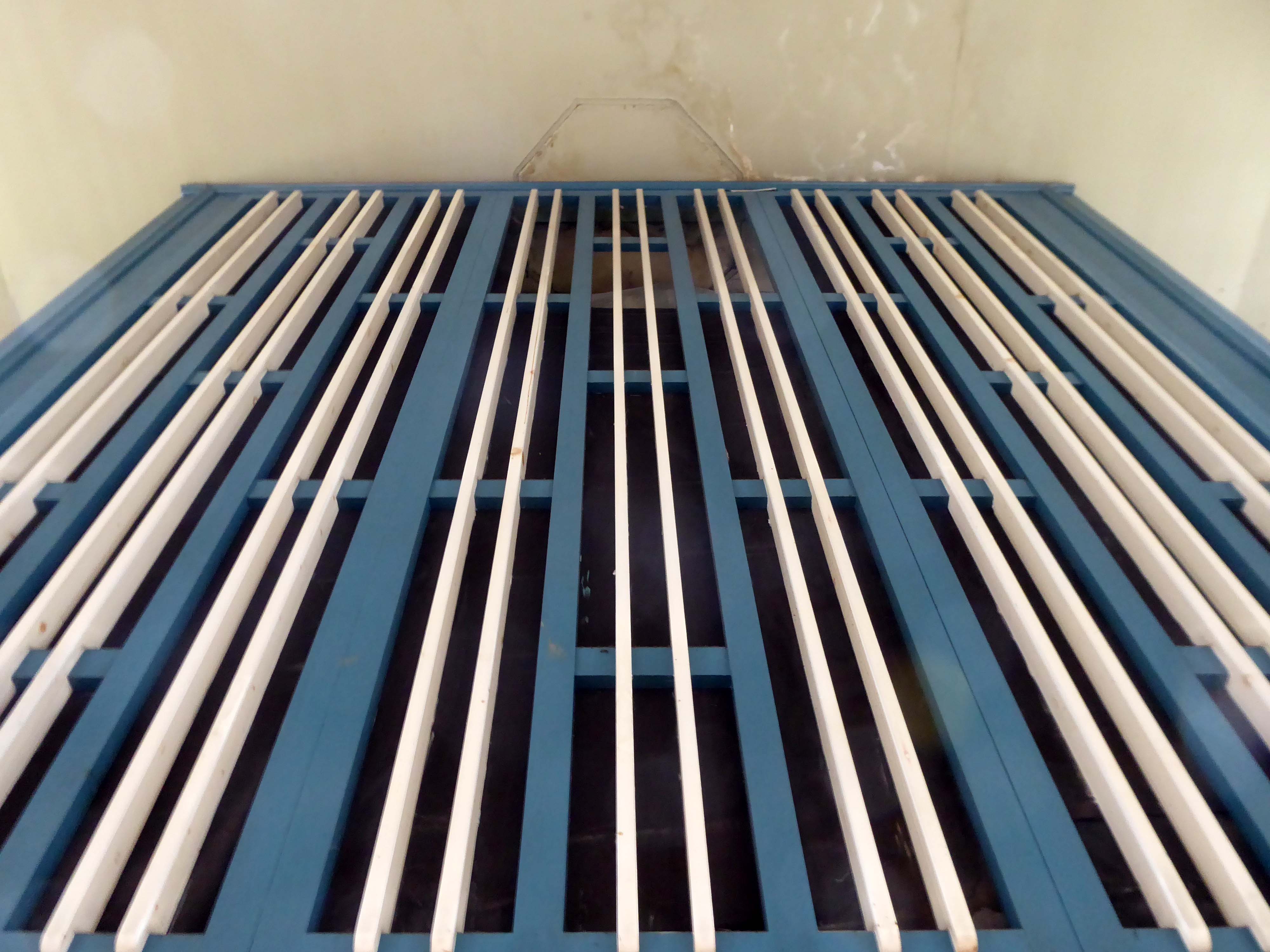
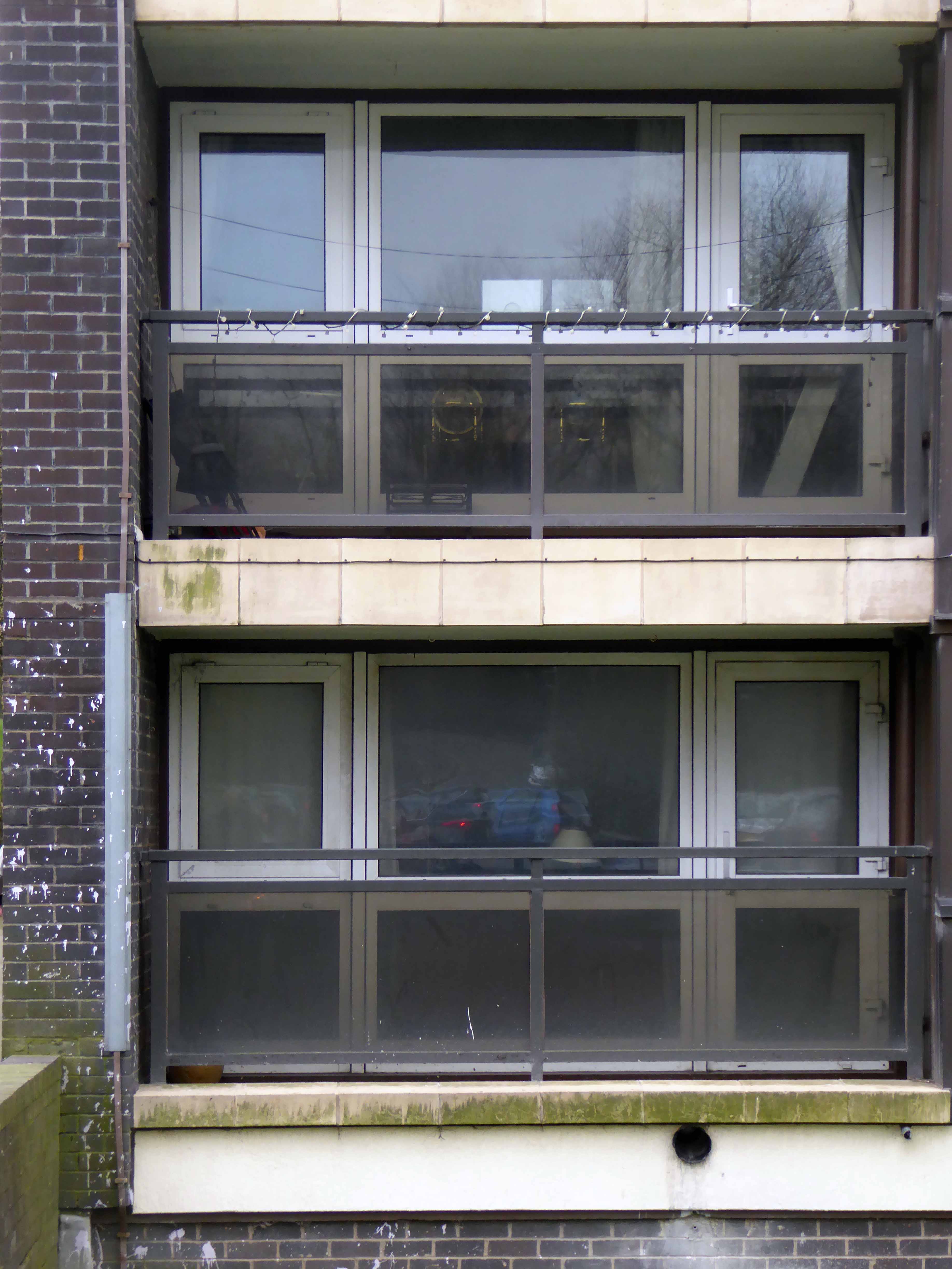
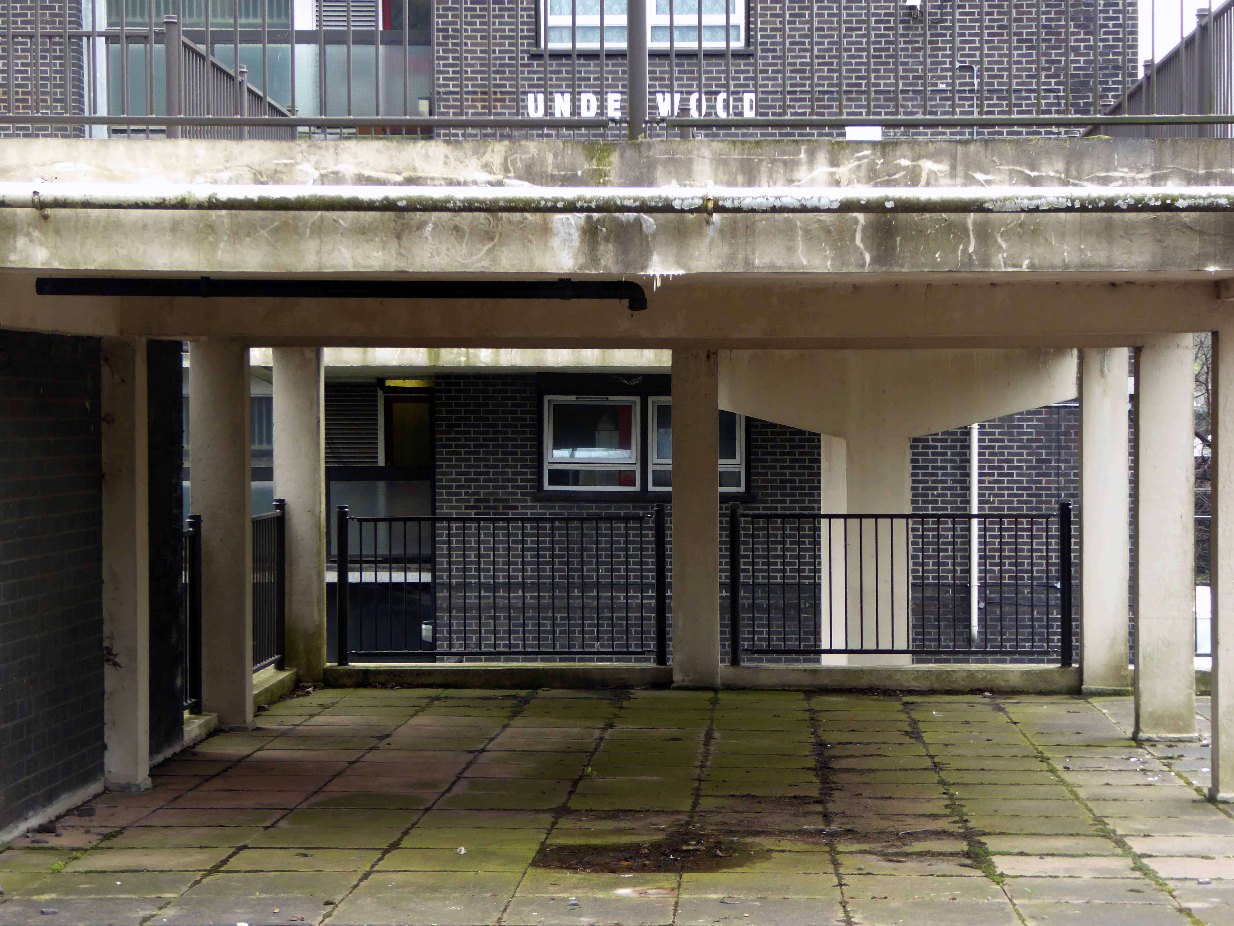
Architecturally very much in the à la mode manner of the Modernist estate pub, plain well-lit brick, tile and concrete volumes, replete with a low perimeter wall and ample car parking space.
Thanks to Boak&Bailey for the background info.

Opening in October 1958 – this photograph was taken for the Berkshire Chronicle but was not published.
Archival material from Reading Museums.
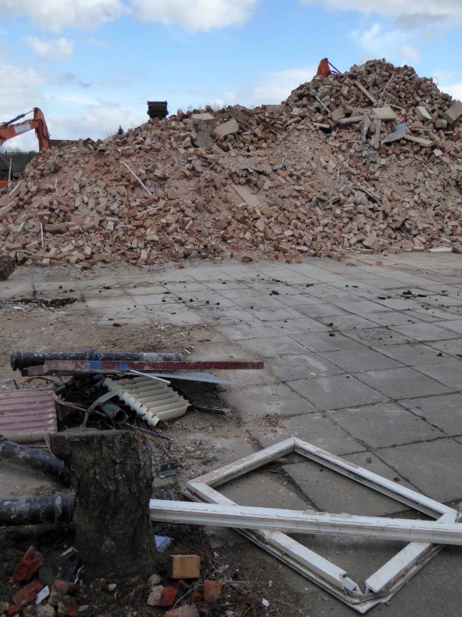
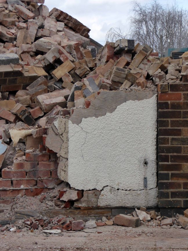
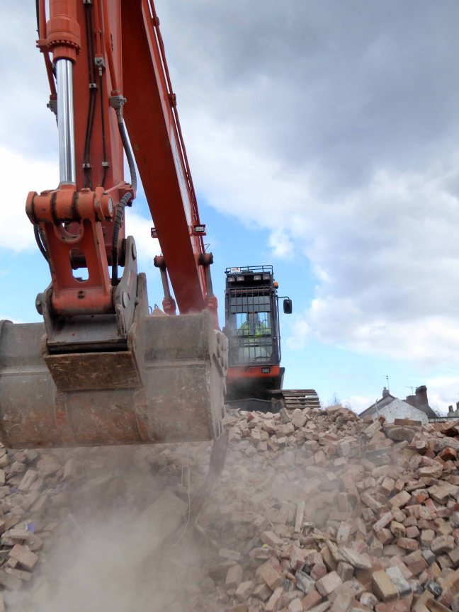
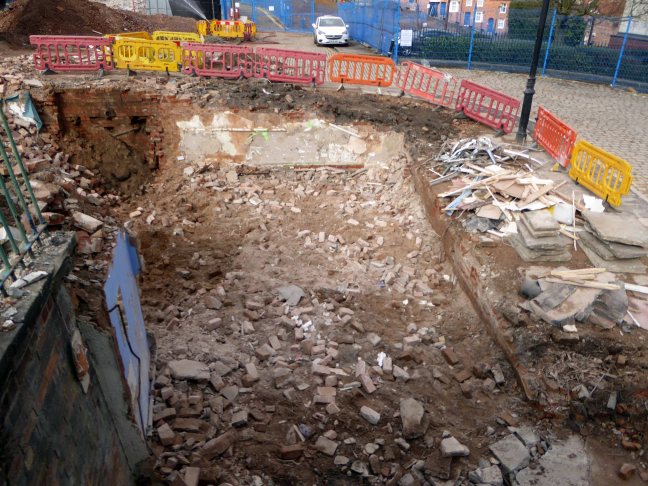
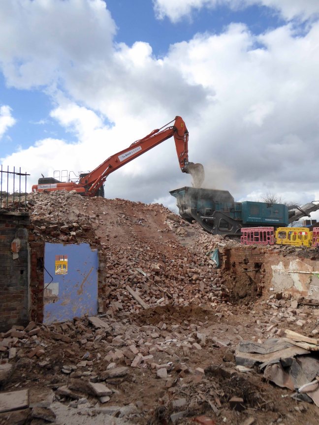
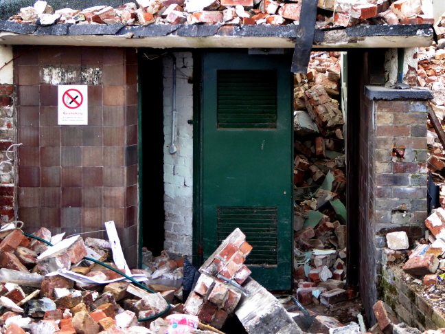
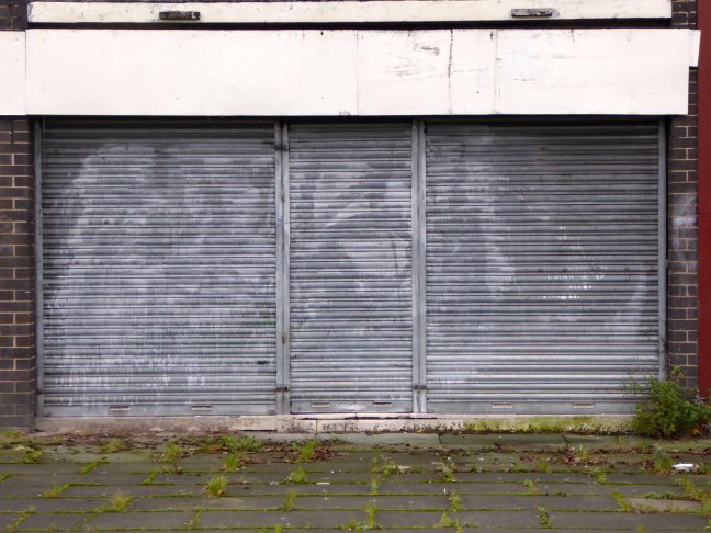
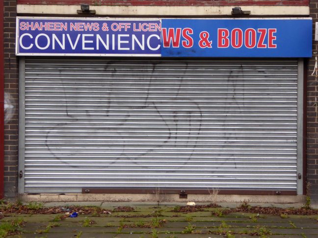
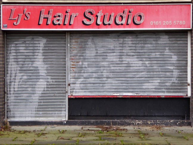
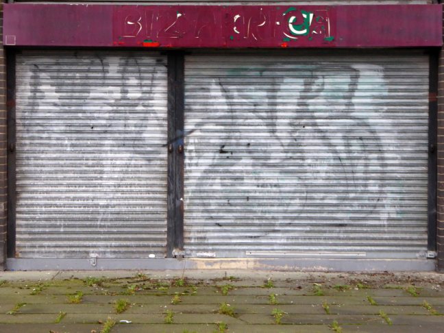
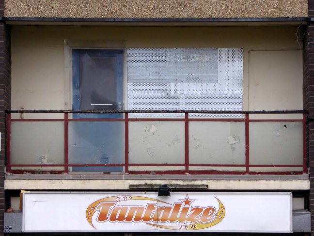
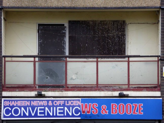
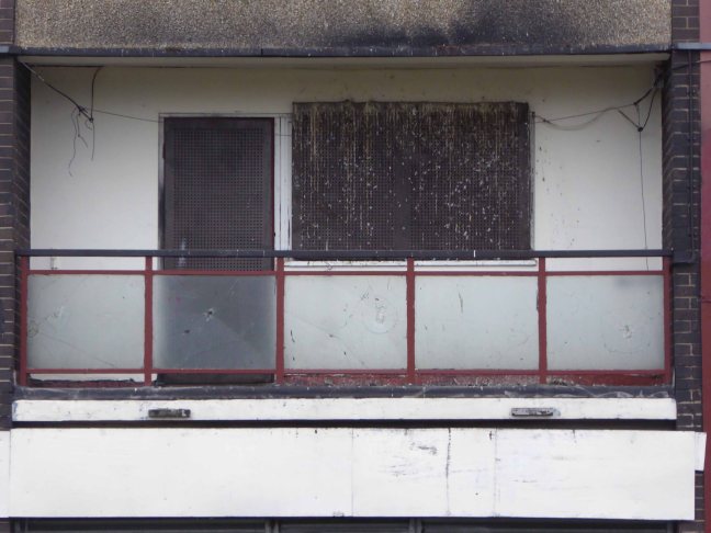
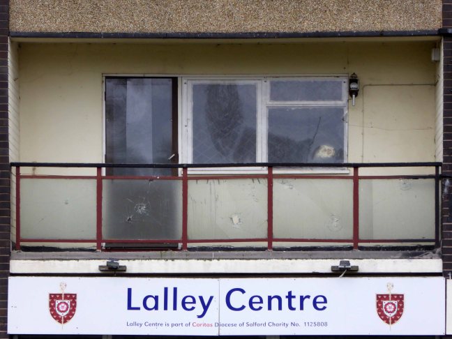
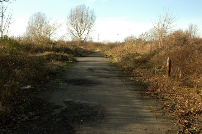
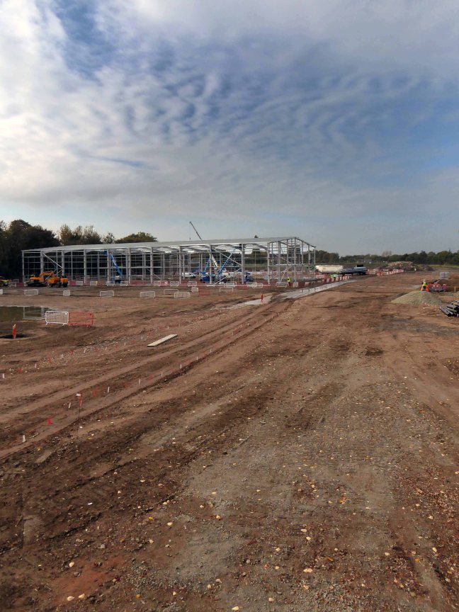
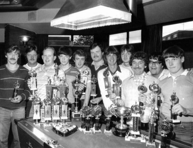
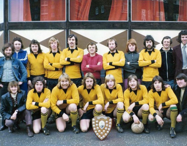
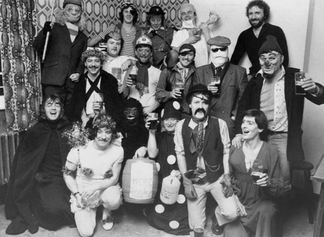
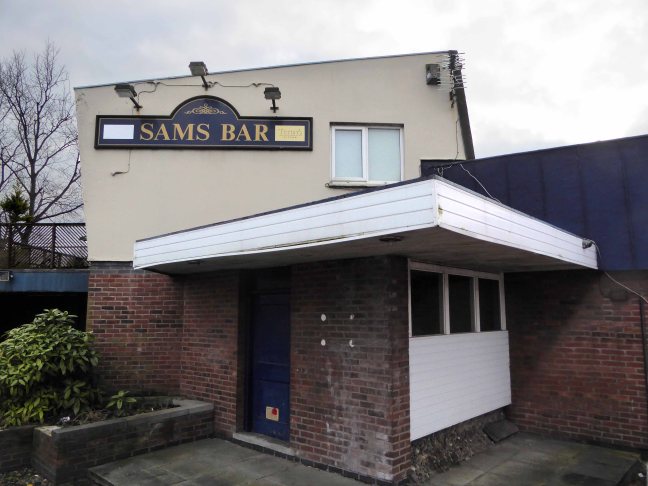
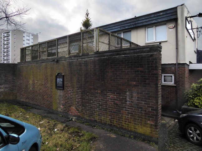
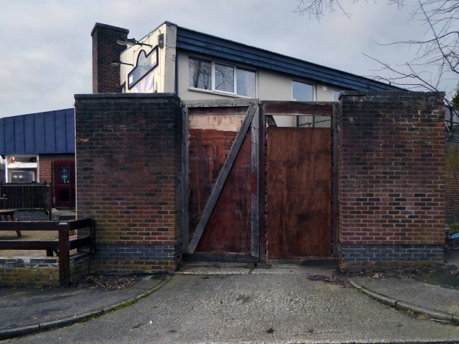
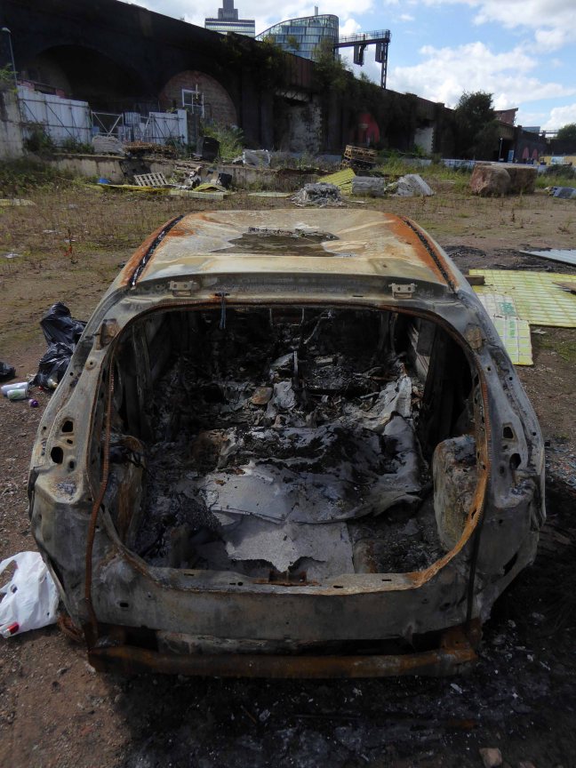
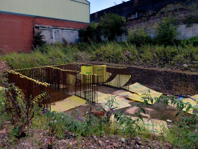
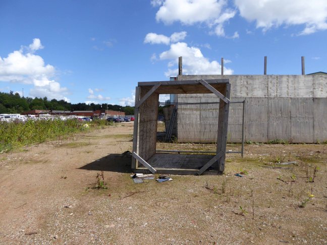
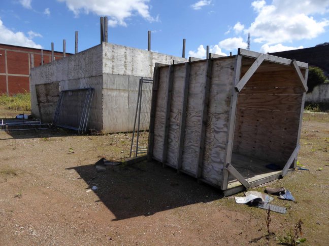
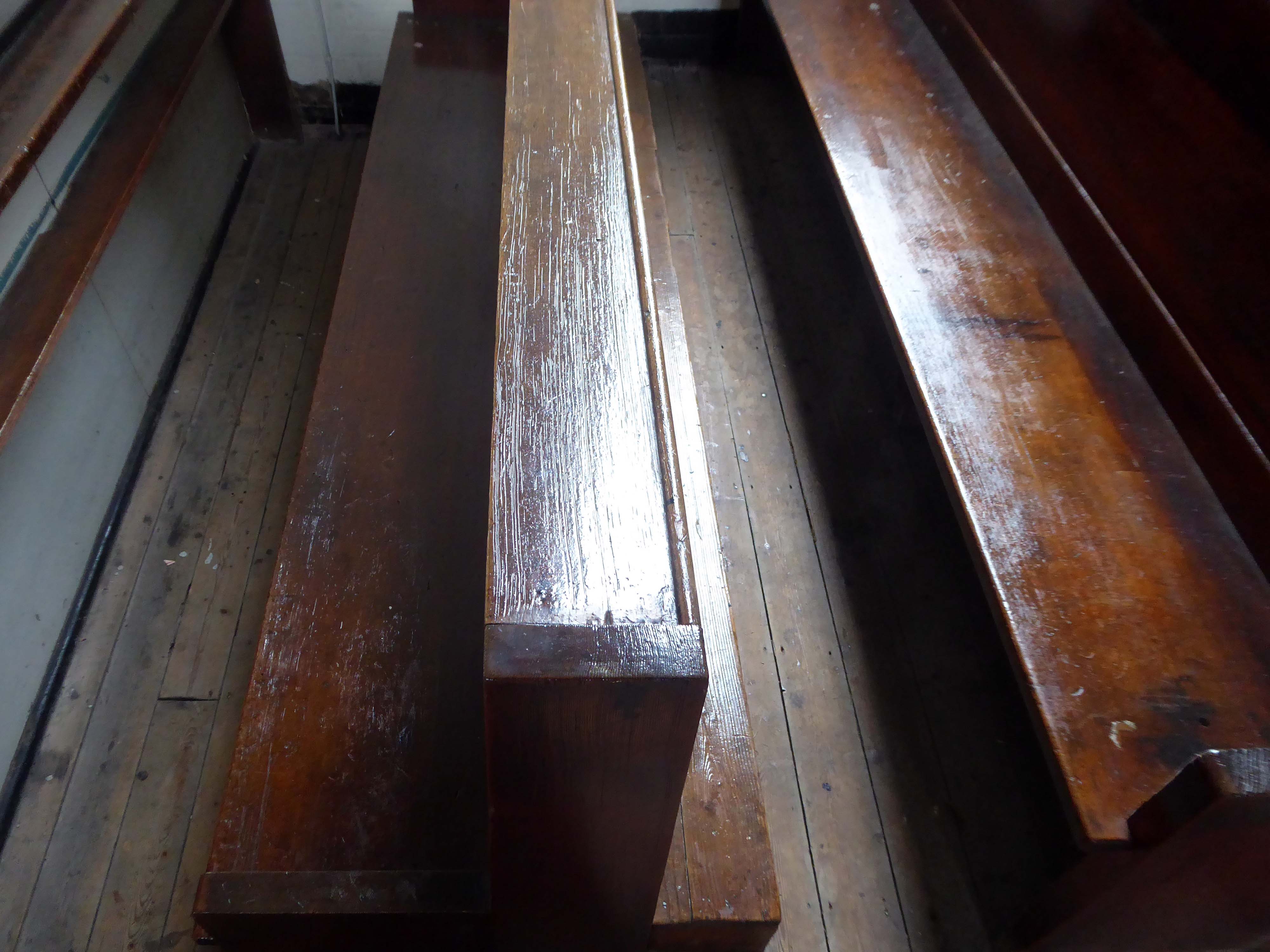
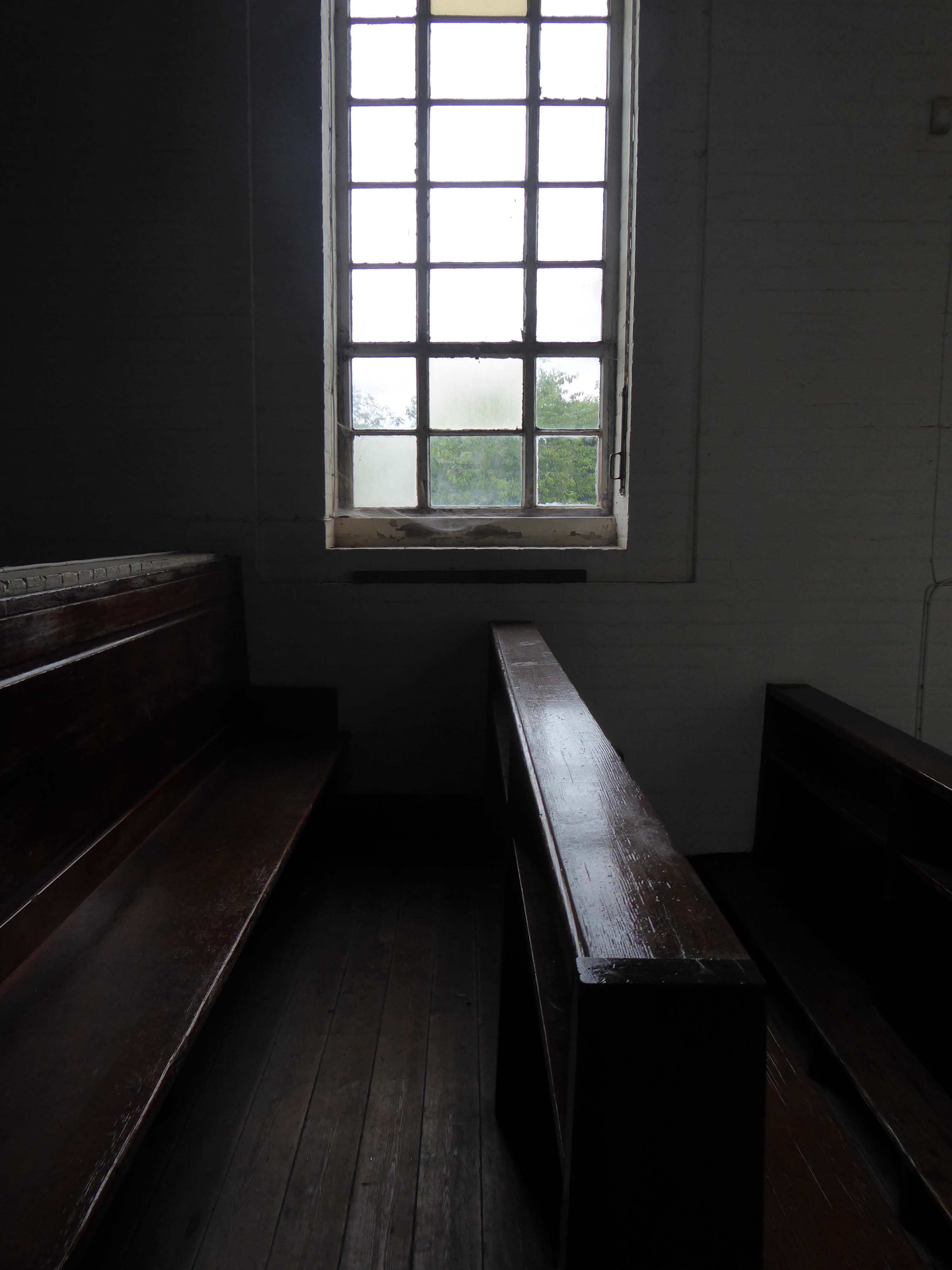
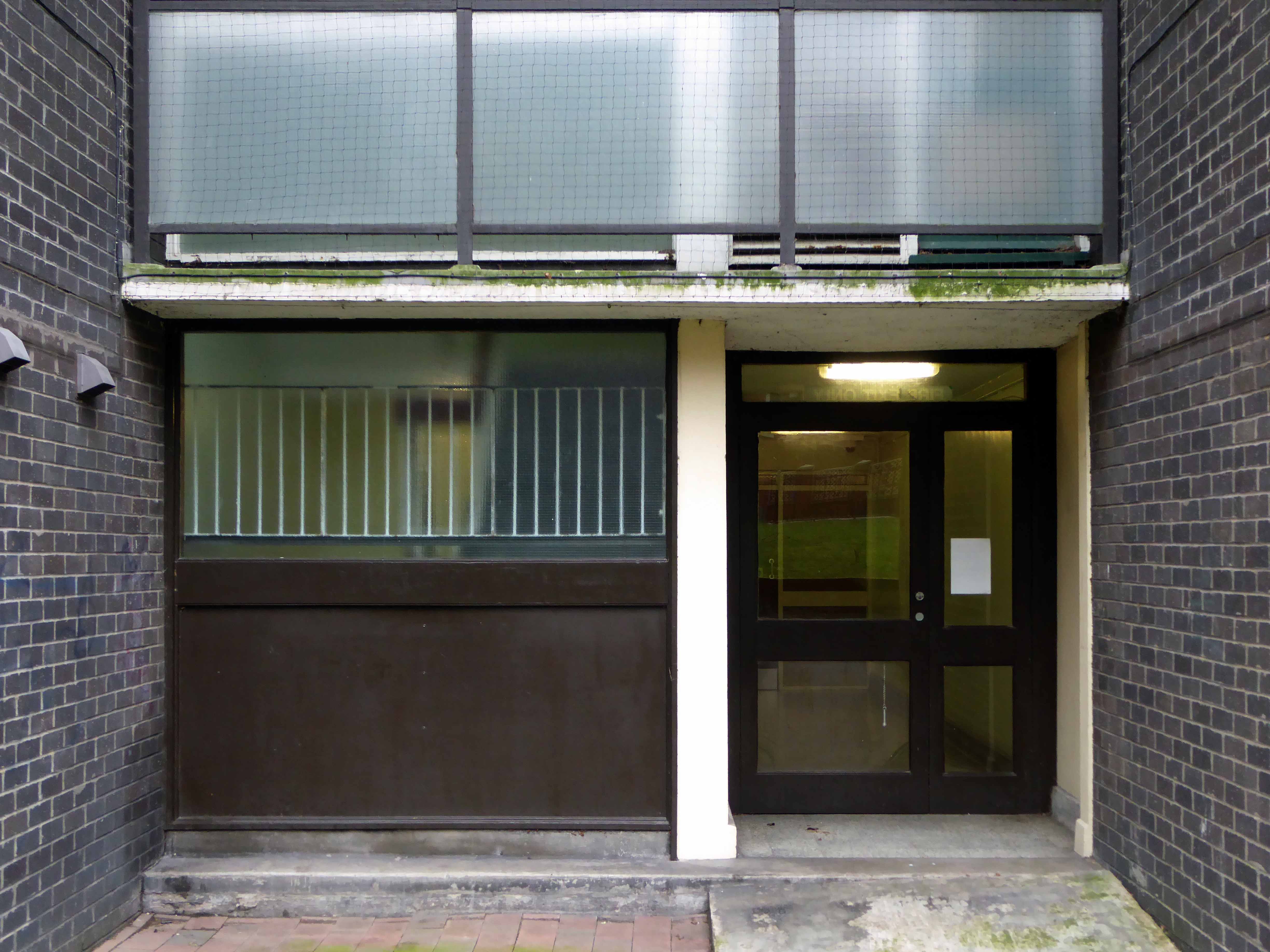
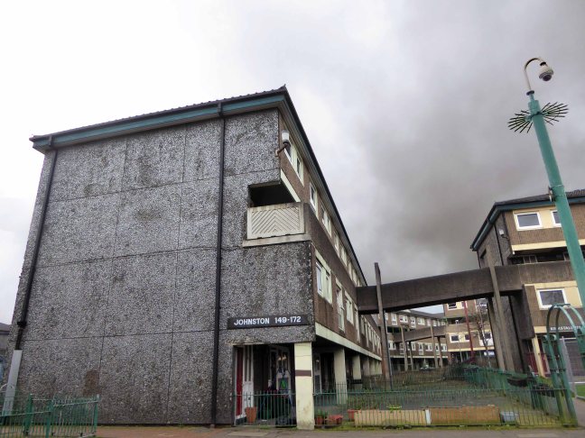
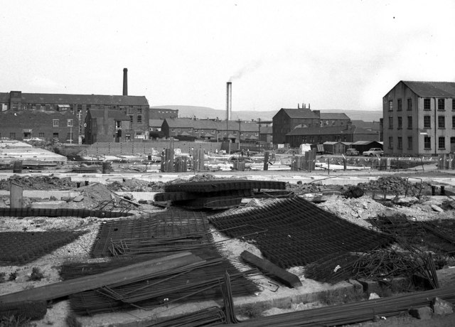
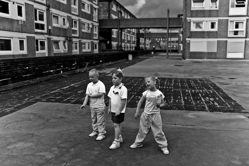
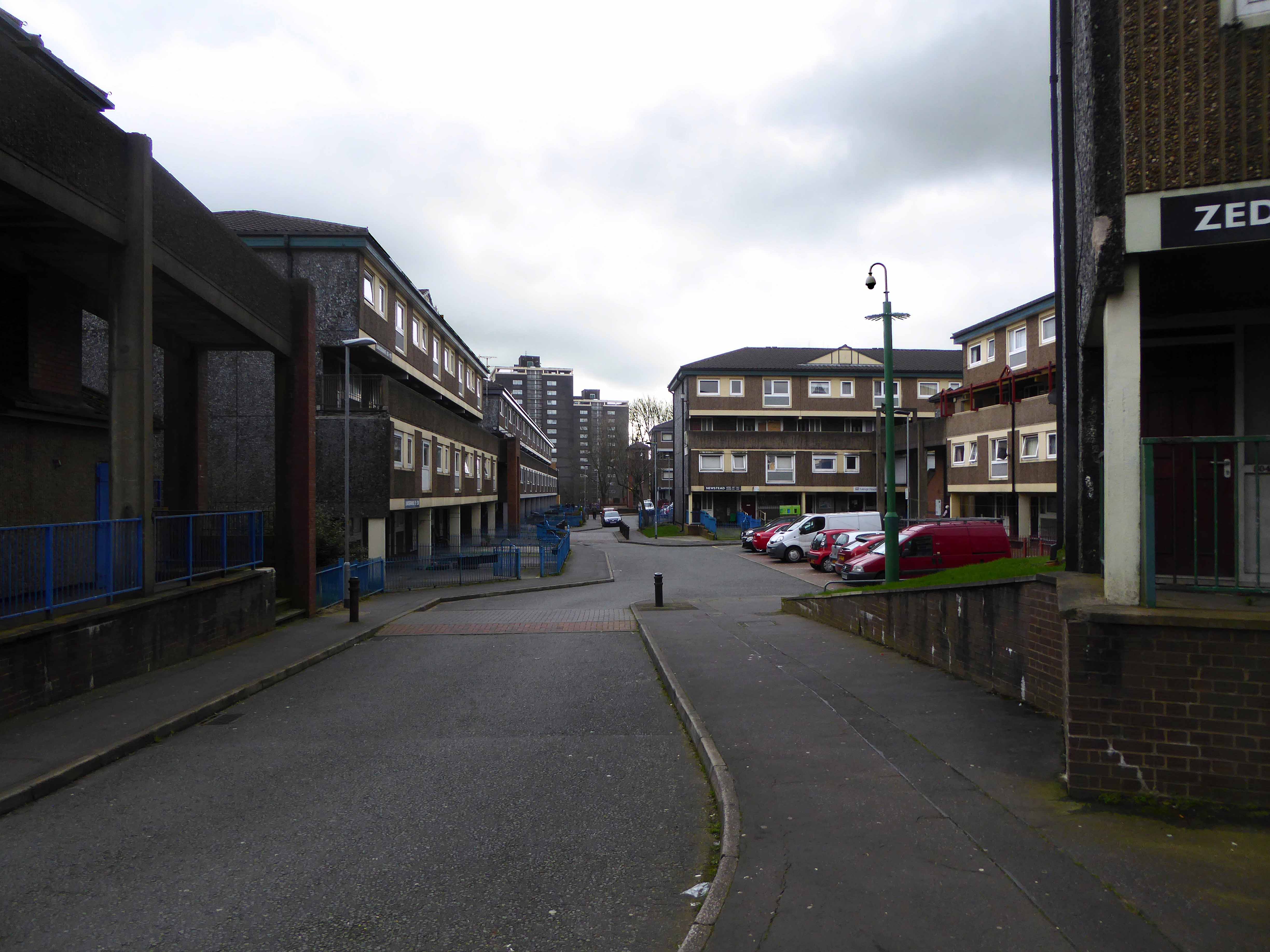
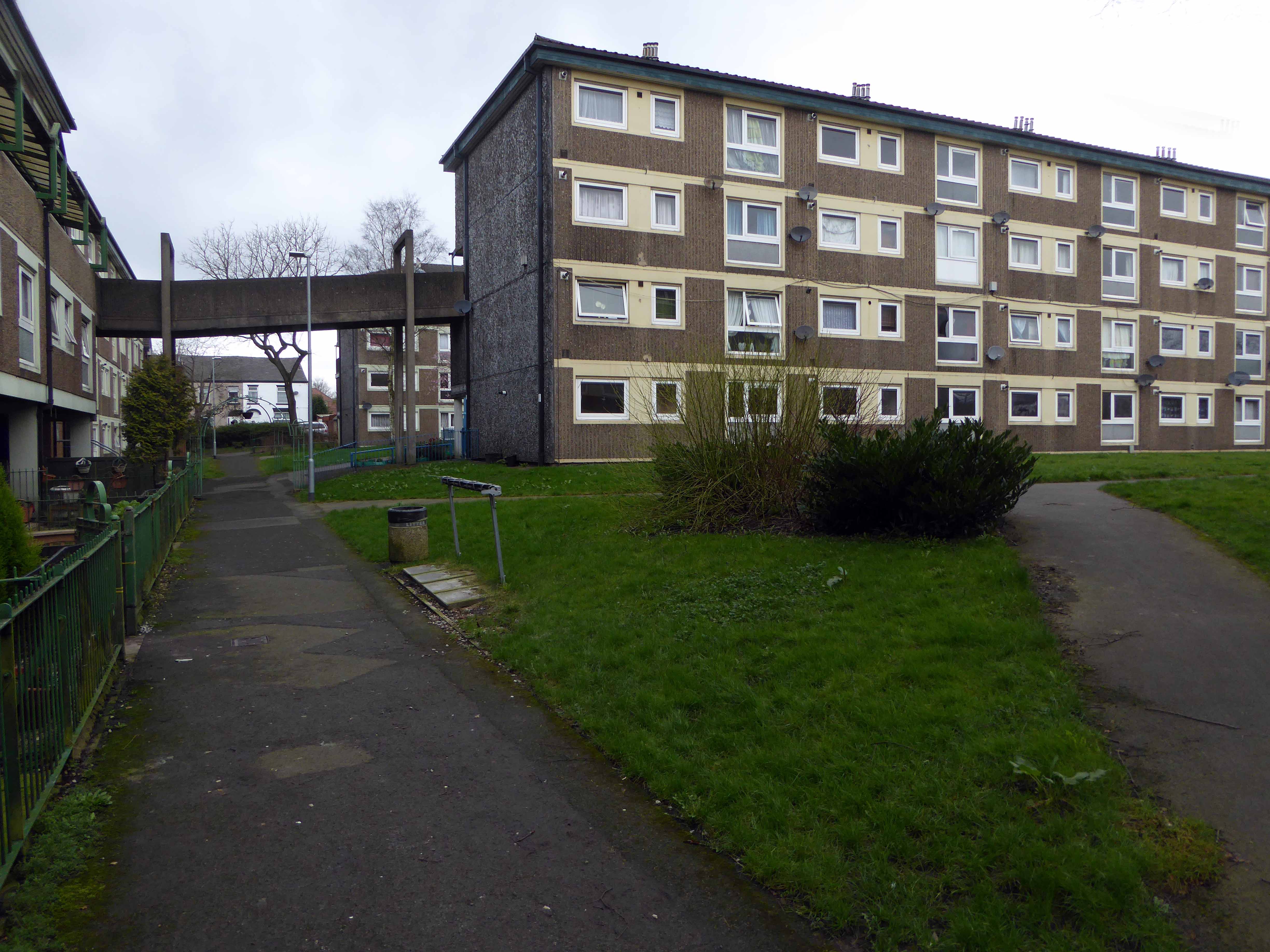
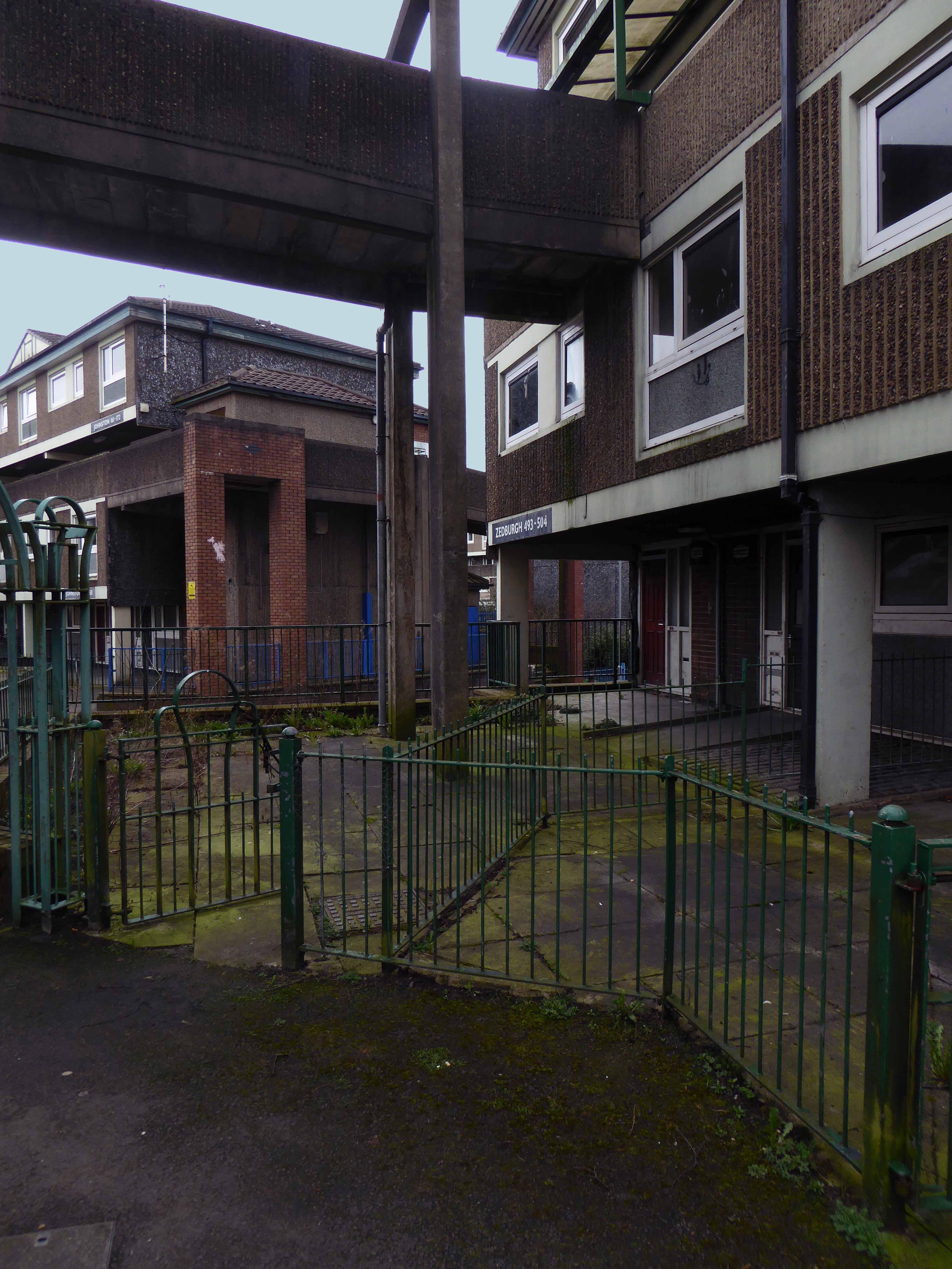
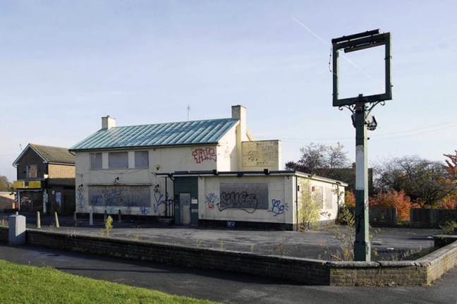
And so for many years the pub prospered – sadly along with so many others of its ilk, the pressures and constraints of social change and economic decline forced closure and demolition despite the protestations of the local community, who fought for its life.
Beverley Doyle, who lives in Southcote, said: “We don’t see the old people anymore because there’s nowhere for them to meet up.They used to be able to come here and play cribbage and cards.There was also Christmas parties and kids’ parties so people could get together and we need something like that again. It was a good pub and we want it back to how it was.”
Campaigner Bobbie Richardson said: “Once you get this place boarded up you wonder what’s going to be next in the community. It starts to look run down and we want to let the owners know Southcote is not a ghetto.”
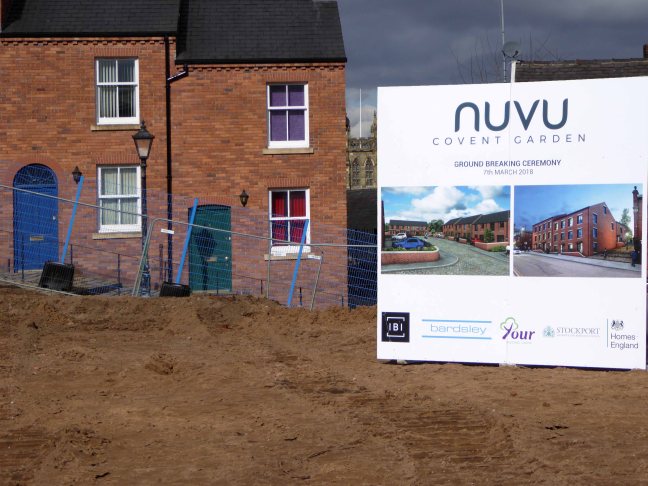
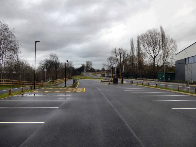
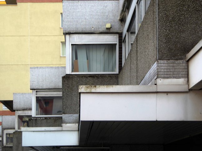
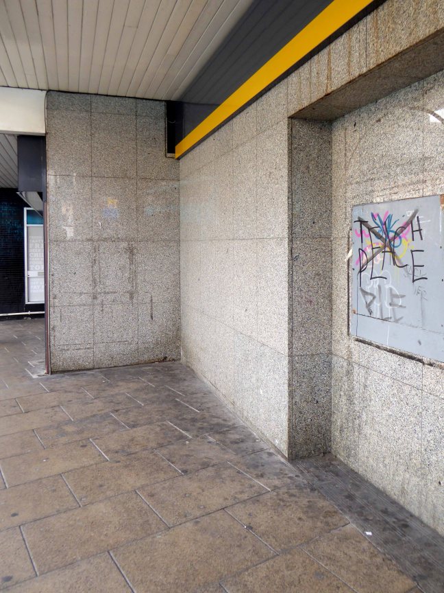
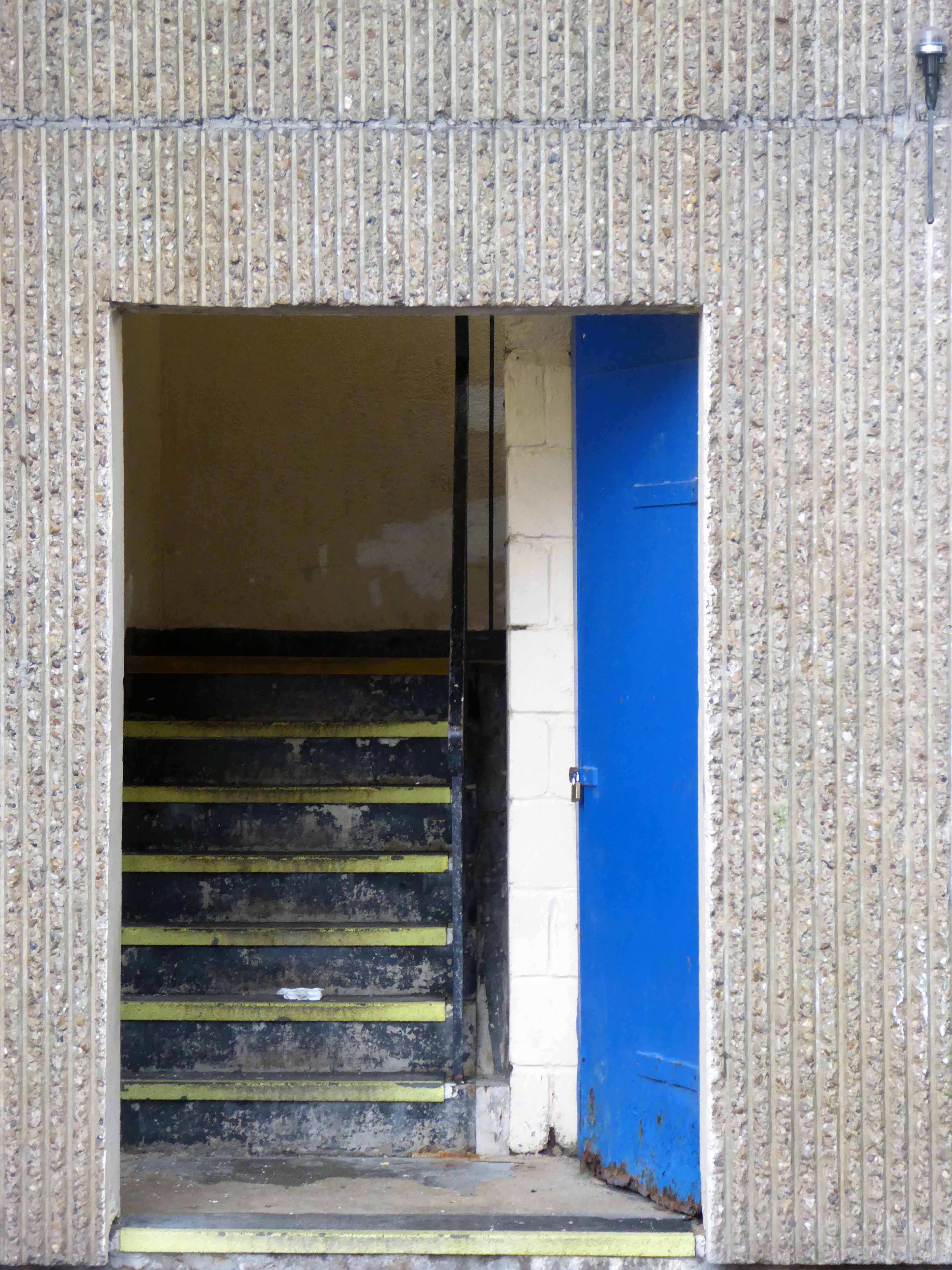
Inevitably a once fine social asset is no more.


![photo[1]](https://modernmooch.com/wp-content/uploads/2018/05/photo1.jpg?w=648)