
Having photographed the arterial roads of Manchester in 2014, I have resolved to return to the task in 2024.
Some things seem to have changed, some things seem to have stayed the same.


Having photographed the arterial roads of Manchester in 2014, I have resolved to return to the task in 2024.
Some things seem to have changed, some things seem to have stayed the same.


The A6 is Britain’s fourth longest road. Its route varies greatly from the lower lands of the South East, though the Peak District, right though the heart of Manchester city centre, then onwards towards Preston. It then goes though the historic city of Lancaster before skirting the Eastern fringe of the Lake District before ending in Carlisle, bang on the start of the A7.
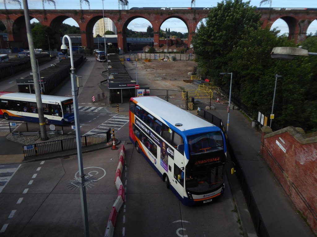
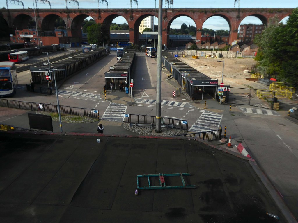
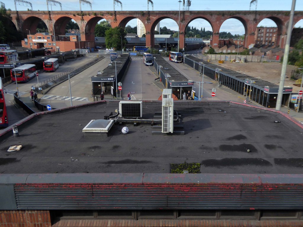
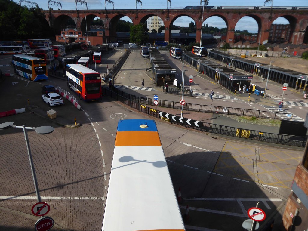
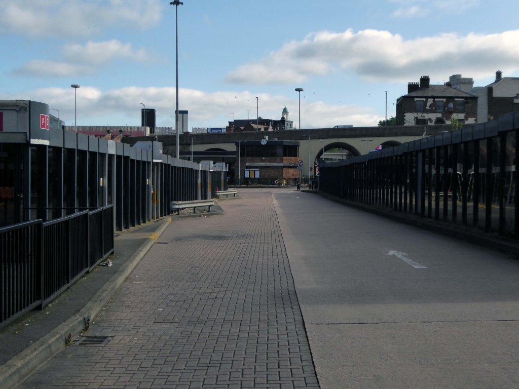
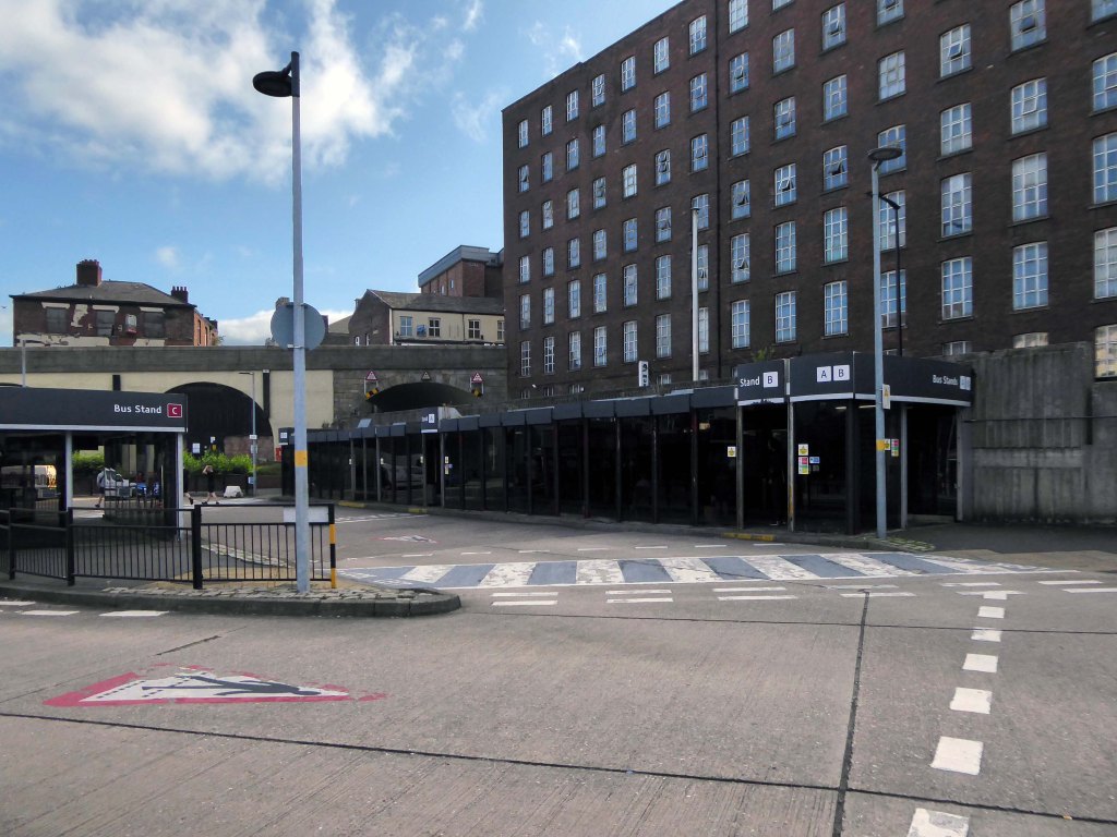
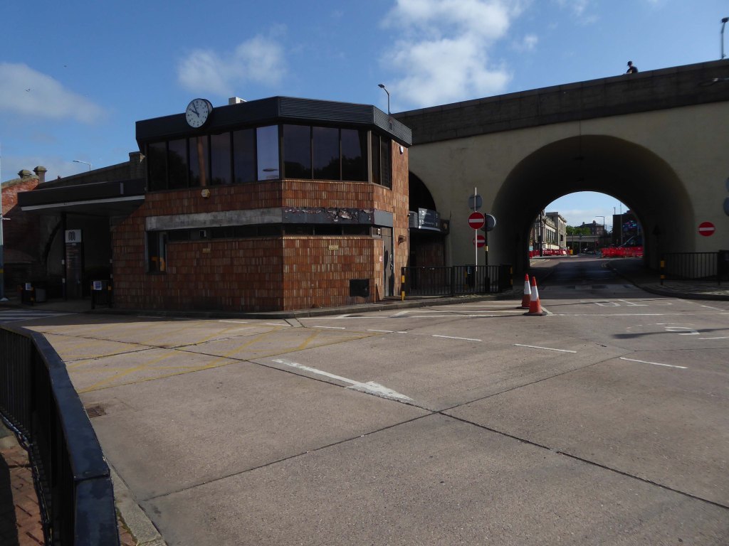
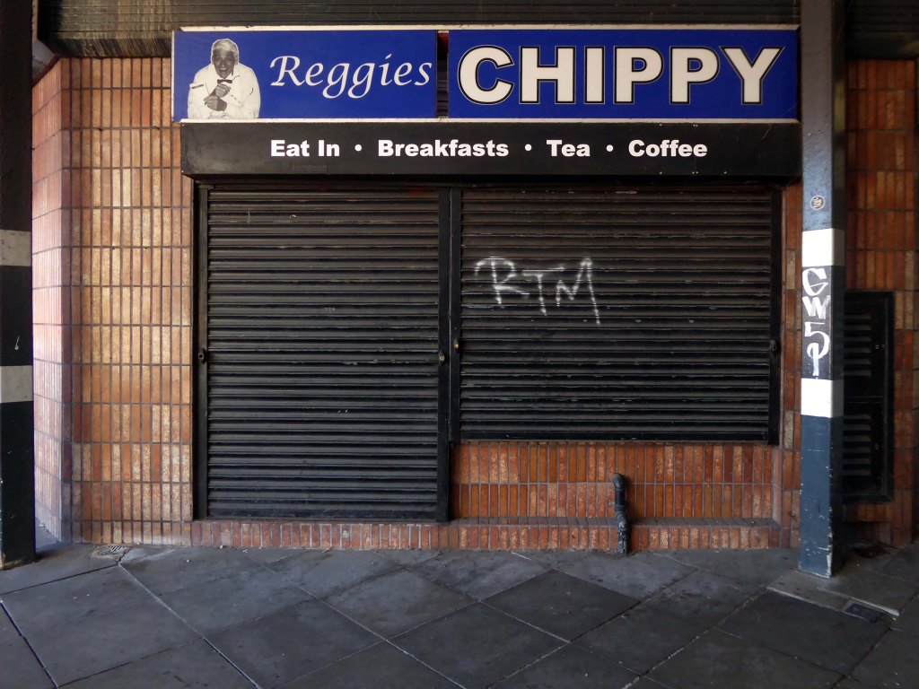
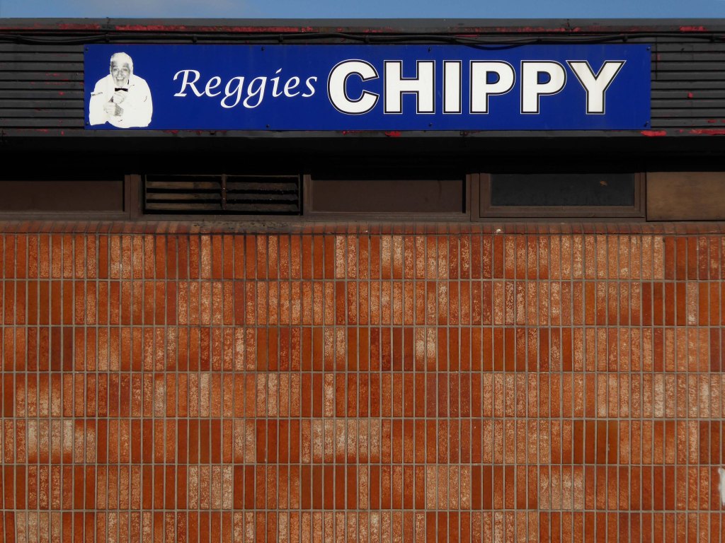
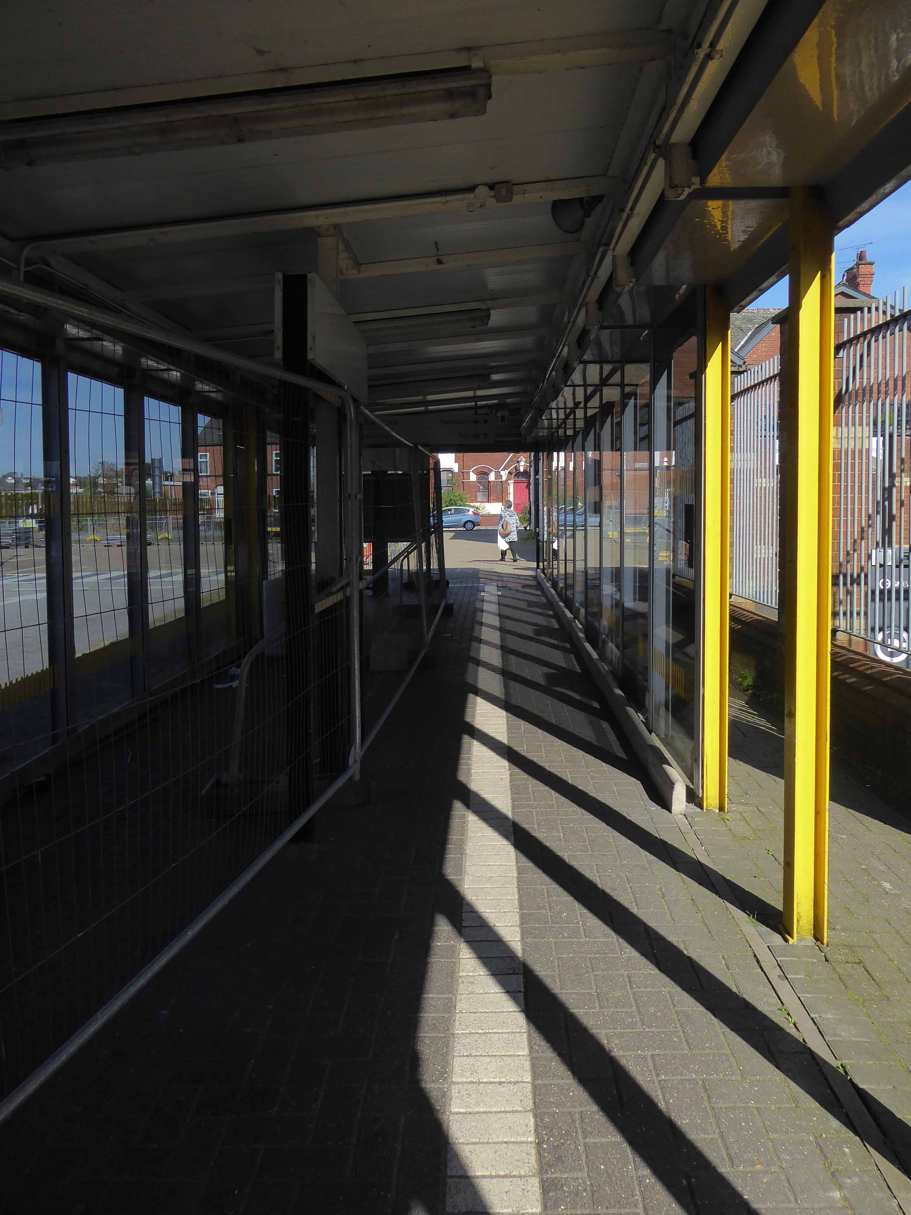
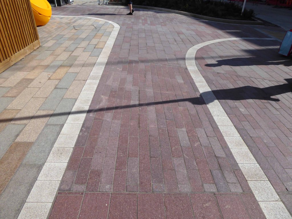
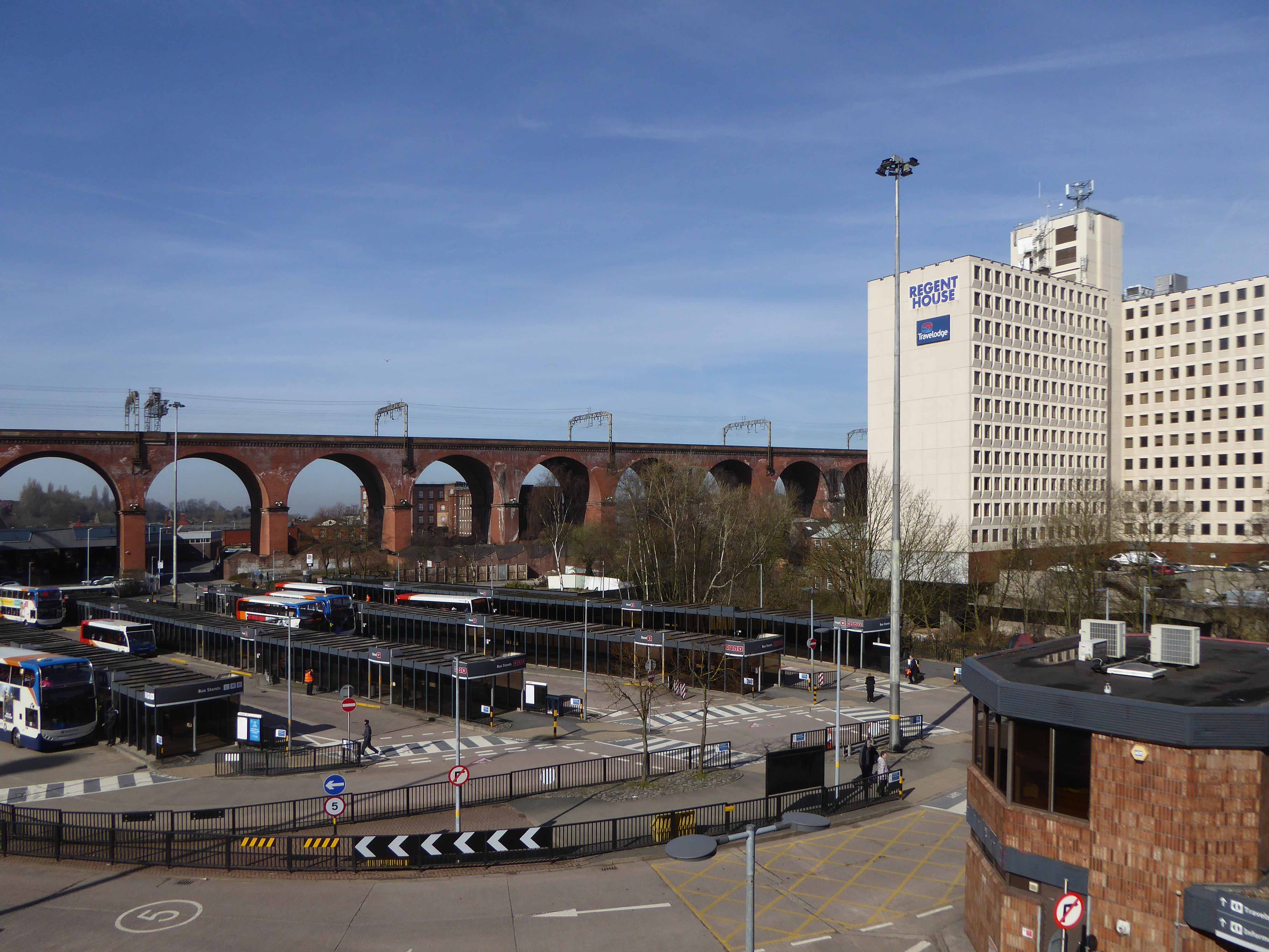
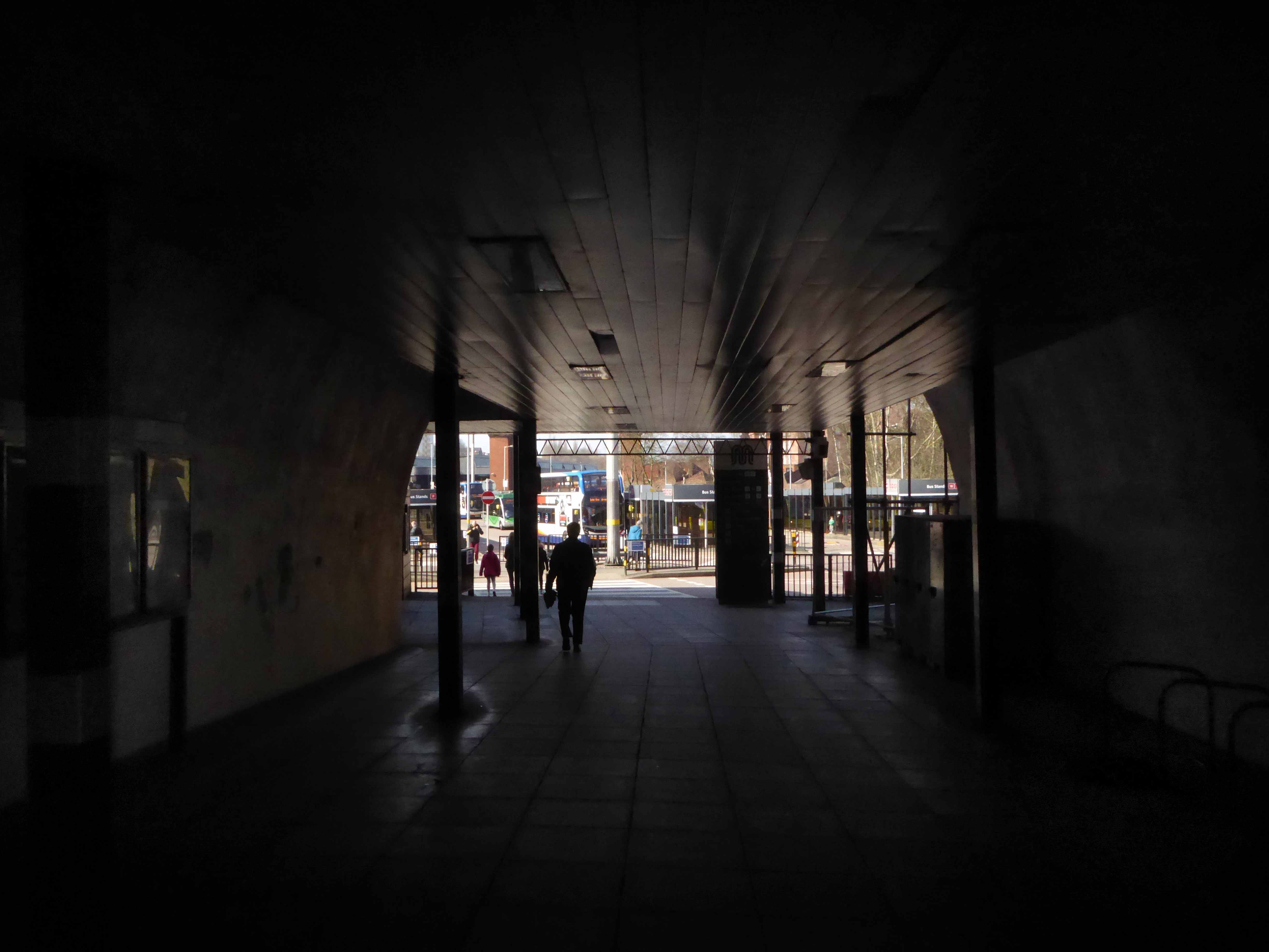
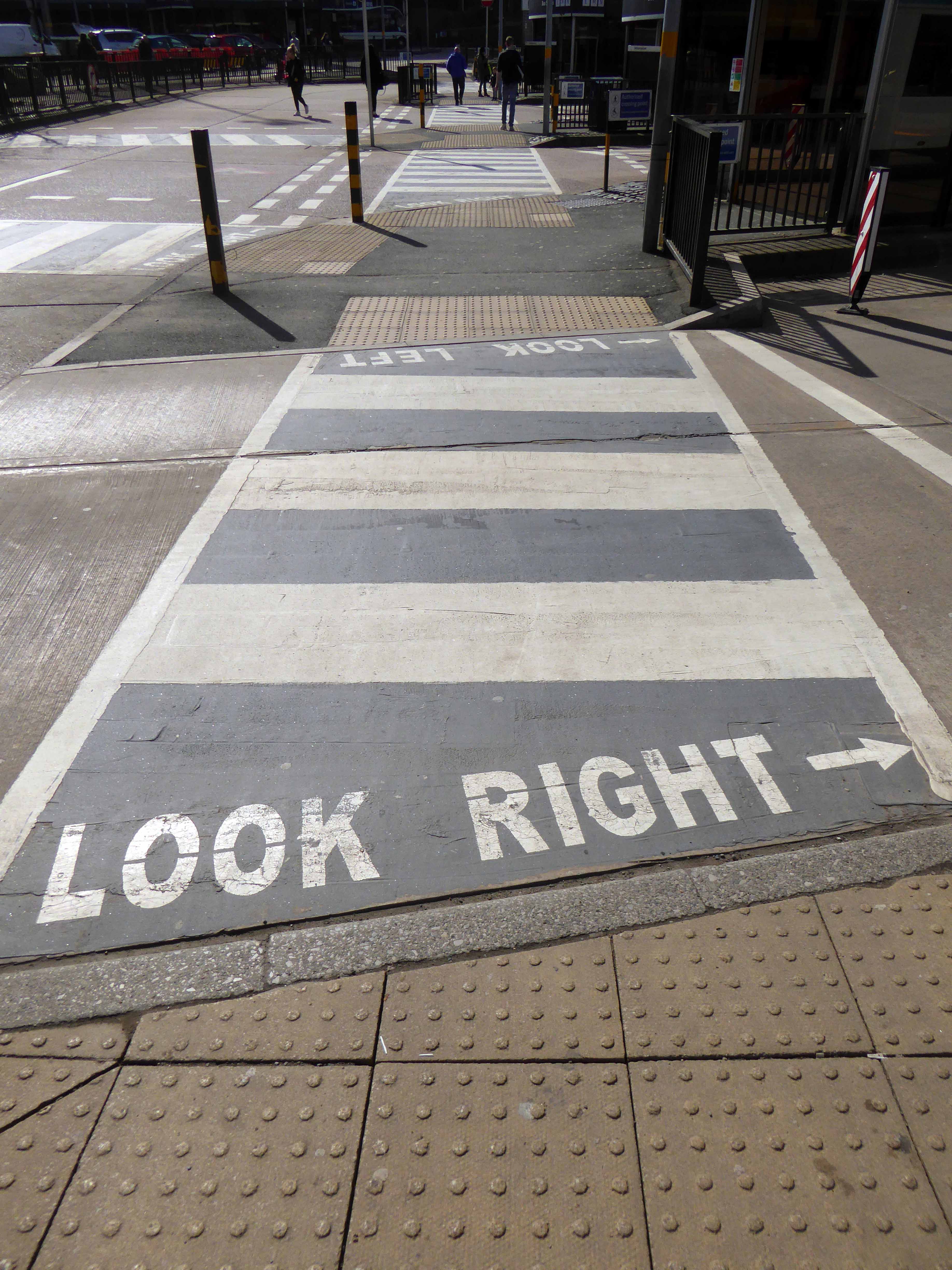
North from Stockport towards Manchester, the A6 was a wide, four lane road, but still 30 mph, which usually flowed pretty well. According to Mudge, it looks like it has now been massacred by bus lanes and red paint. Shame. We meet the A57 from the east, just south of the city centre, and multiplex until we reach Mancunian Way, the A57 heading off as a short urban motorway, the A6 heading into the city centre via London Road/Piccadily, where it loses its number and vanishes. It would have gone straight down Piccadily/Market Street to meet Deansgate, and then across the River Irwell into Salford, and up Chapel Street, where the number reappears. Market Street has been pedestrianised for years, so the A6 has long ceased to be a through route.
In 2014, having taken early retirement from teaching photography, I embarked on a series of walks along the arterial roads of Manchester.


See also Bury New Road and Cheetham Hill Road and Rochdale Road and Oldham Road and Ashton New Road and Ashton Old Road and Hyde Road.


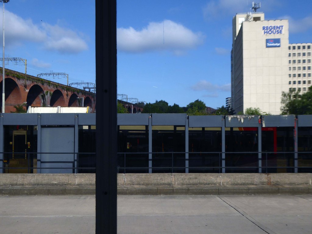
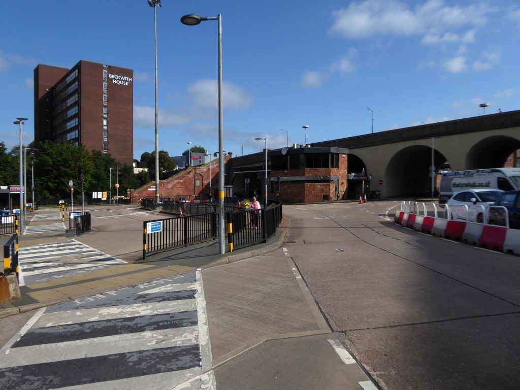
The road now begins slightly further south than it used to. Instead of starting on Fairfield Street in Manchester city centre, it begins immediately as the Mancunian Way ends, which at this point is the unsigned A635(M). The motorway flows directly into our route. There’s a TOTSO right at a set of lights, and we pick up the old alignment, which now starts as the B6469.
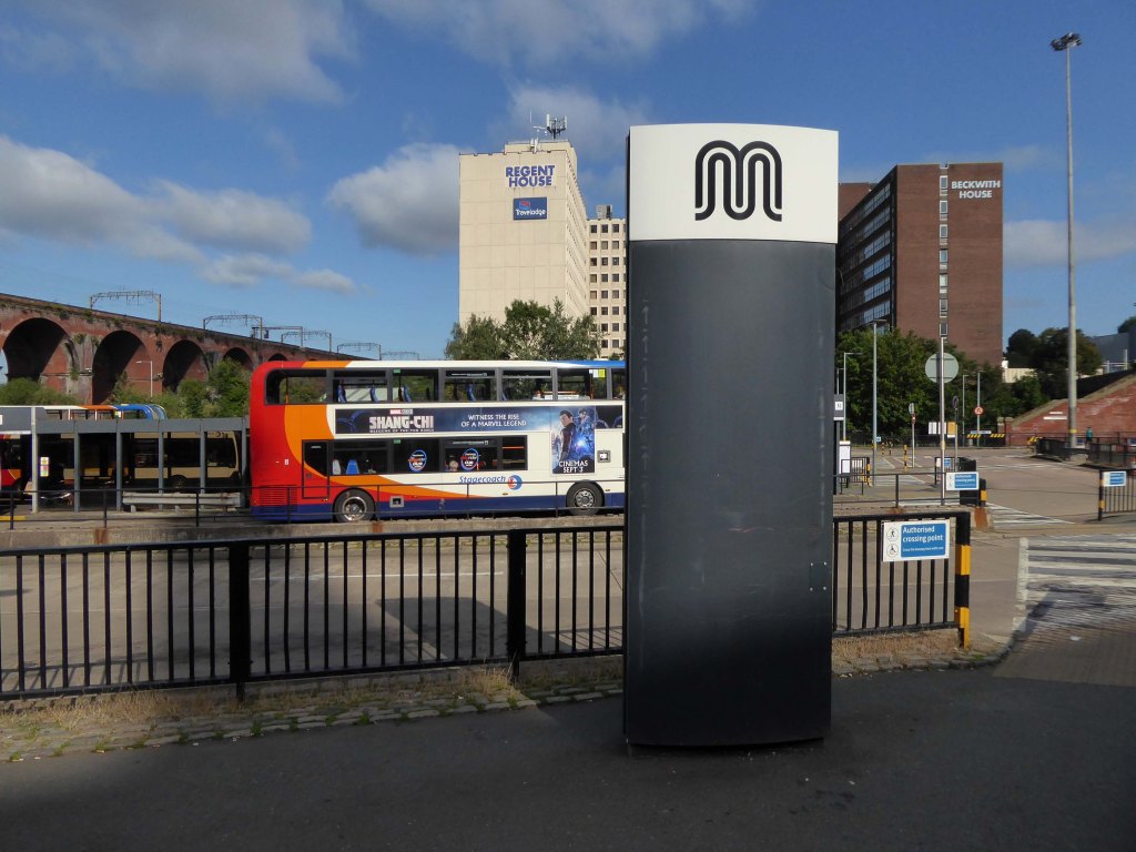
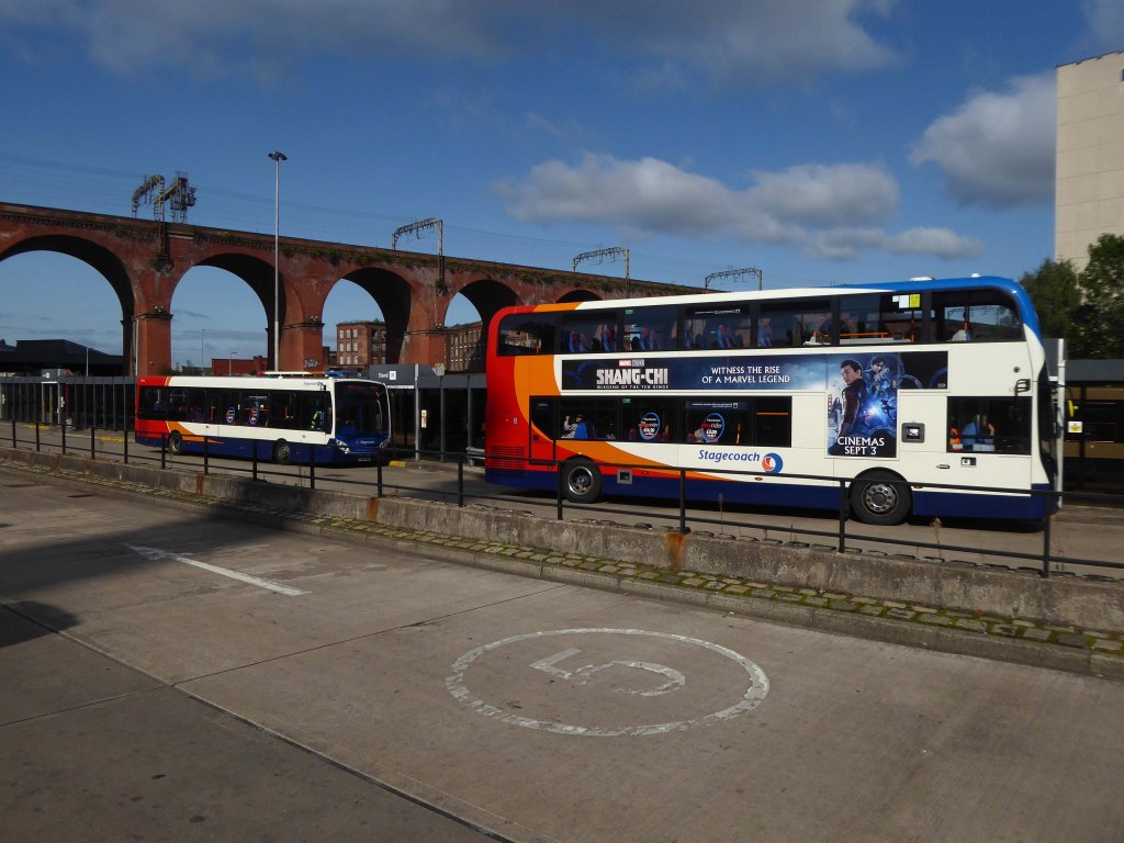
We can see the new City of Manchester Stadium on the left, site of the 2002 Commonwealth Games and now home to Manchester City FC. The road switches between S2 and S4 as it passes through the rather run-down urban areas of Ardwick and Gorton. A short one-way system at a triangular-shaped junction with the A662 leads onto a wider stretch as we near the M60 junction. This area is set to see significant industrial growth, with whole swathes of land either side of the now D3 road cleared and ready for development.
In 2014, having taken early retirement from teaching photography, I embarked on a series of walks along the arterial roads of Manchester.


See also Bury New Road and Cheetham Hill Road and Rochdale Road and Oldham Road and Ashton New Road


Starting at traffic lights on the A665 the road heads northeastwards, initially with the Metrolink on the left and a factory building on the right. The road then bears right at traffic lights marking the first section of on-street running for the trams, which lasts until just before a bridge over the River Medlock, after which the road passes to the south of the Sportcity complex whilst the tram line runs through the middle.
The A6010 is crossed at traffic lights, after which we see the tram lines on the left once more. We go over the Ashton Canal, then the tram lines at grade before bearing to the right to pass Clayton Park before another section of on-street running for the Metrolink begins, which continues for some distance. Just after crossing the Manchester city limit there is a set of traffic lights, after which the road becomes D2 for a short distance to allow a tram stop – Edge Lane, to be located in the central reservation. The tram leaves the road to the right for the next stop – Cemetery Road, and the stop in Droylsden town centre is once again in the central reservation. In all three cases the street running recommences after the stop.
In 2014, having taken early retirement from teaching photography, I embarked on a series of walks along the arterial roads of Manchester.


See also Bury New Road and Cheetham Hill Road and Rochdale Road and Oldham Road.


Cheetham Hill Road is part of the designated A665. Cheetham Hill Road starts at the junction of the A6042 Corporation Street and the A665 Miller Street. It crosses the culverted River Irk to the east of Victoria Station. At its junction with New Bridge Street, it turns north-northeast and is straight for 1 km, to the A6010 Queen’s Road . This stretch was called York Street until about 1900. Cheetham Hill Road leads from here to the community of Cheetham Hill, where at Bourget Street and Crescent Road – formerly Sandy Lane, Cheetham Hill Road becomes Bury Old Road.
In 2014, having taken early retirement from teaching photography, I embarked on a series of walks along the arterial roads of Manchester.


See also Bury New Road.
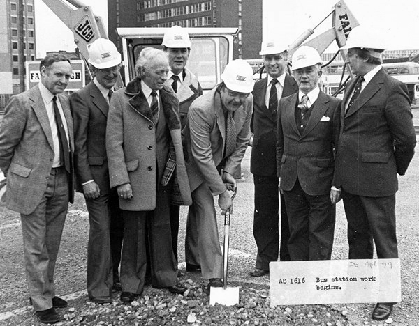
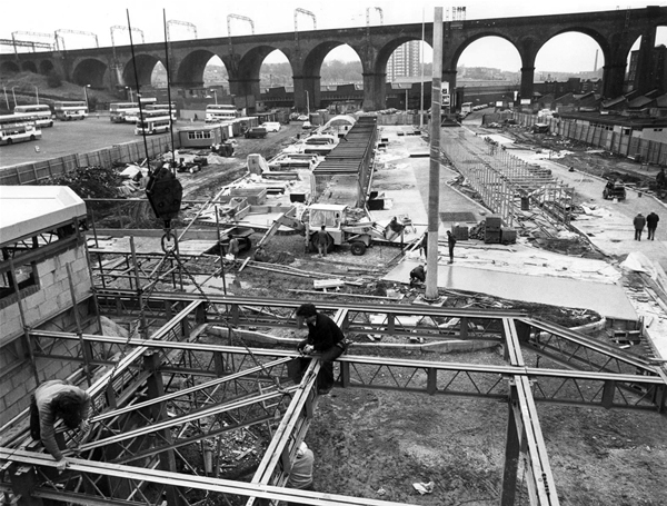
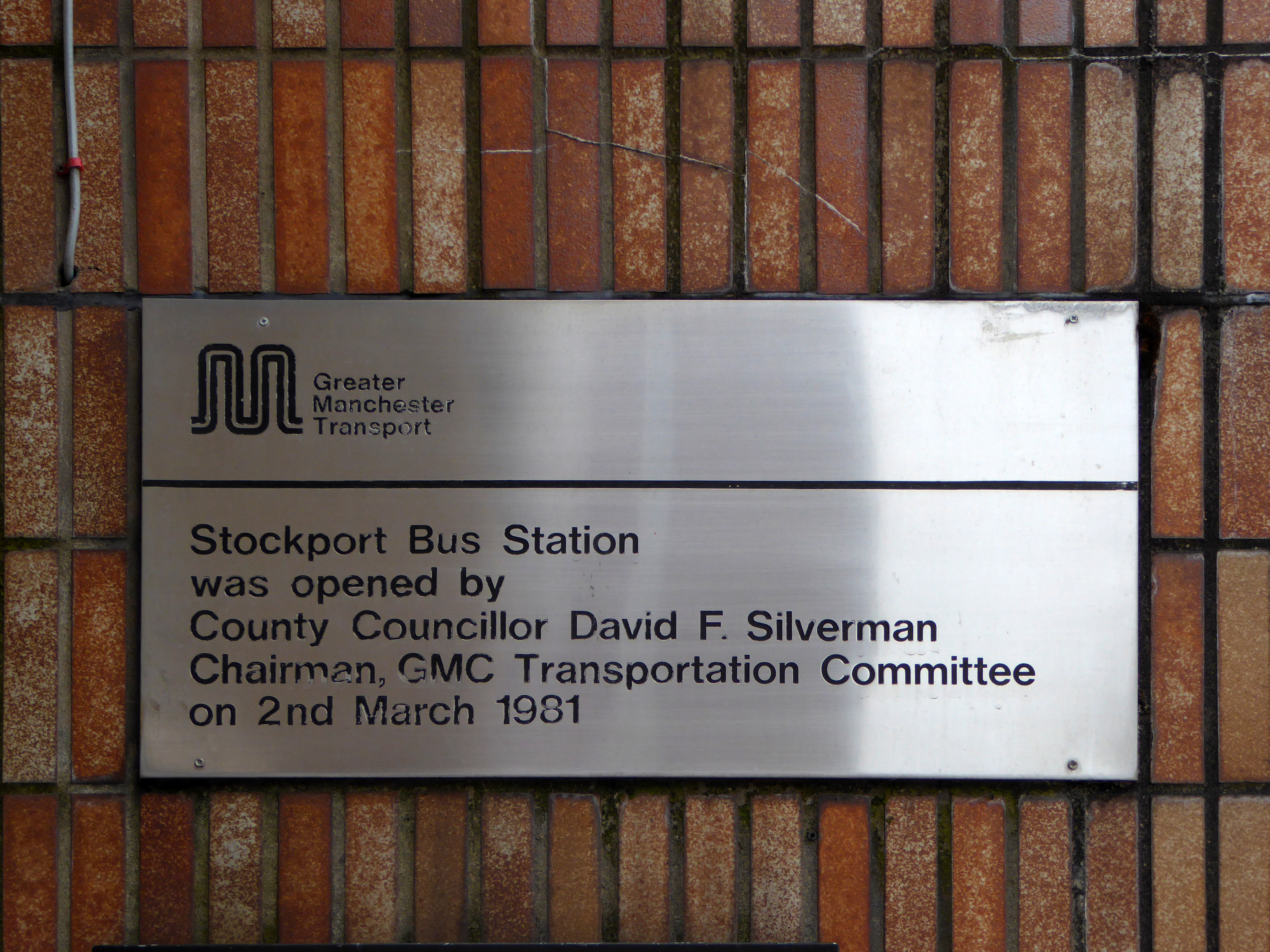
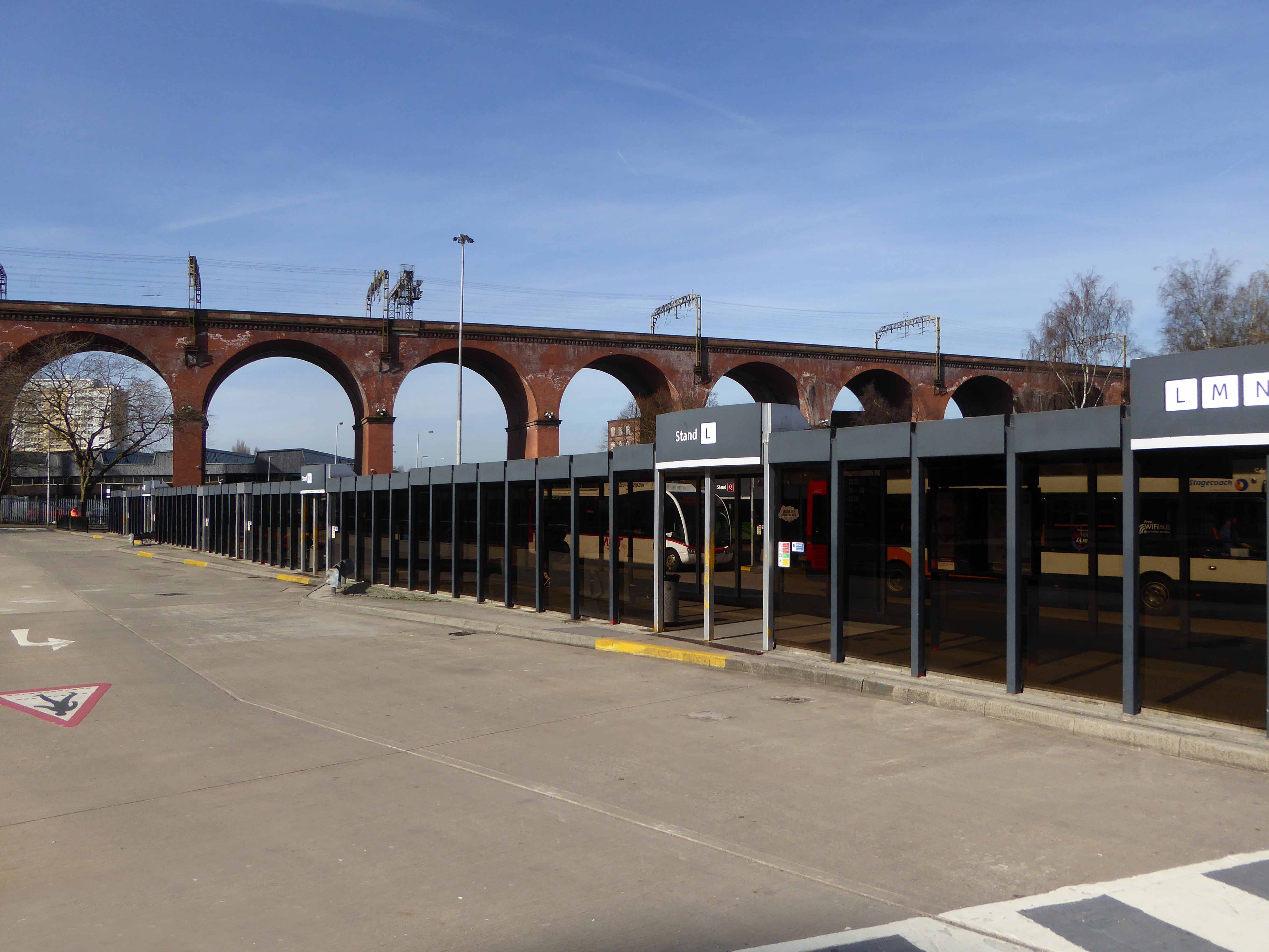
April 1979 work begins.
Opening on March 2nd 1982.
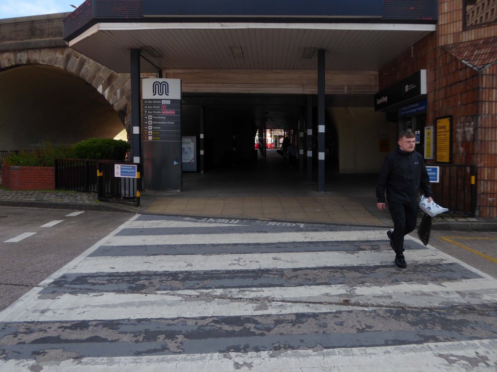
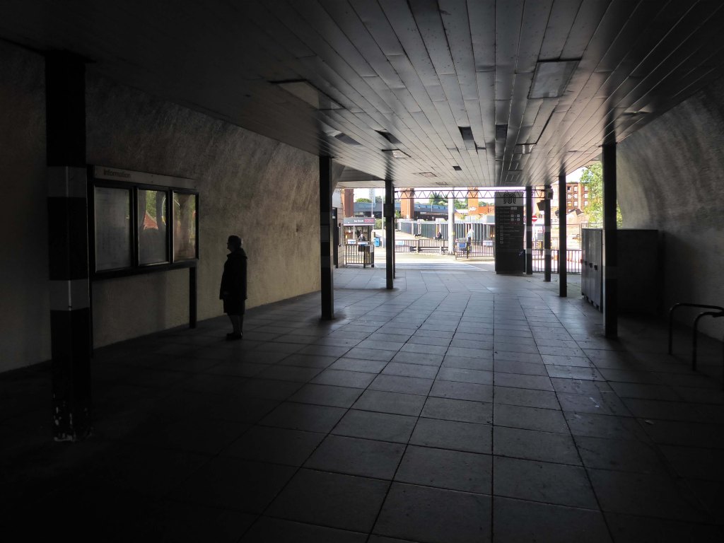
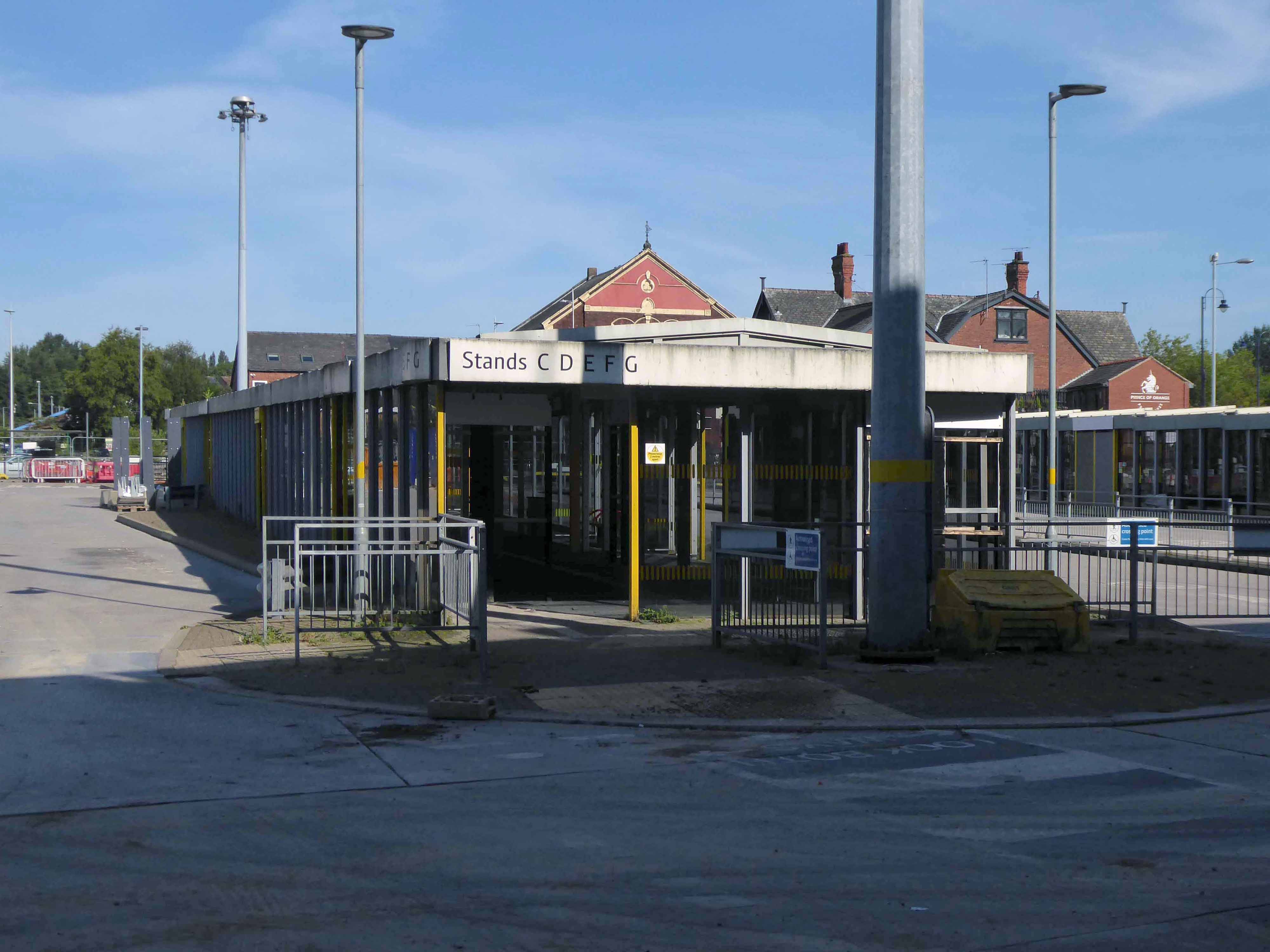
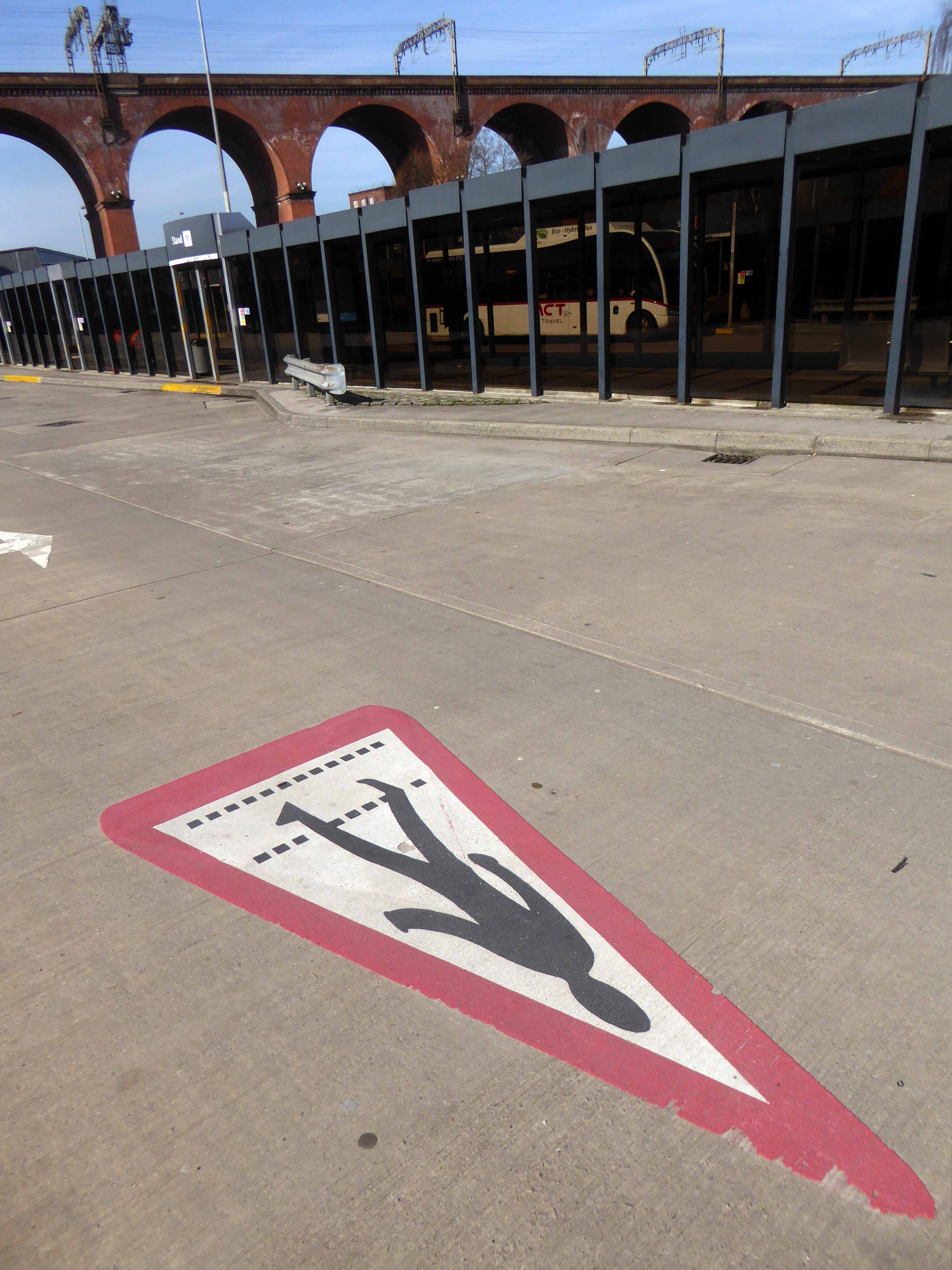
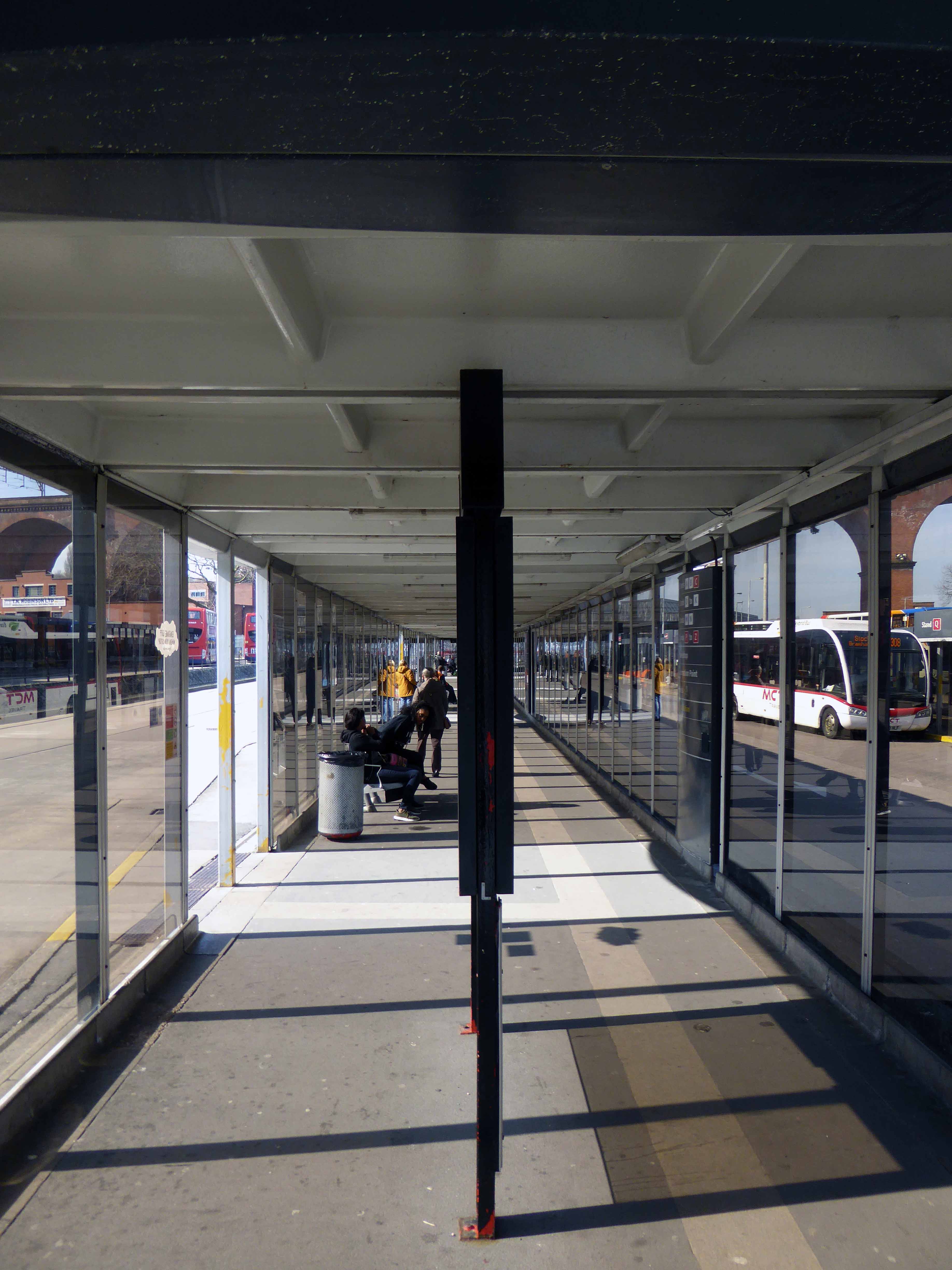
I have been in in and out of here for some forty odd years, writing of its history and recording its decline.
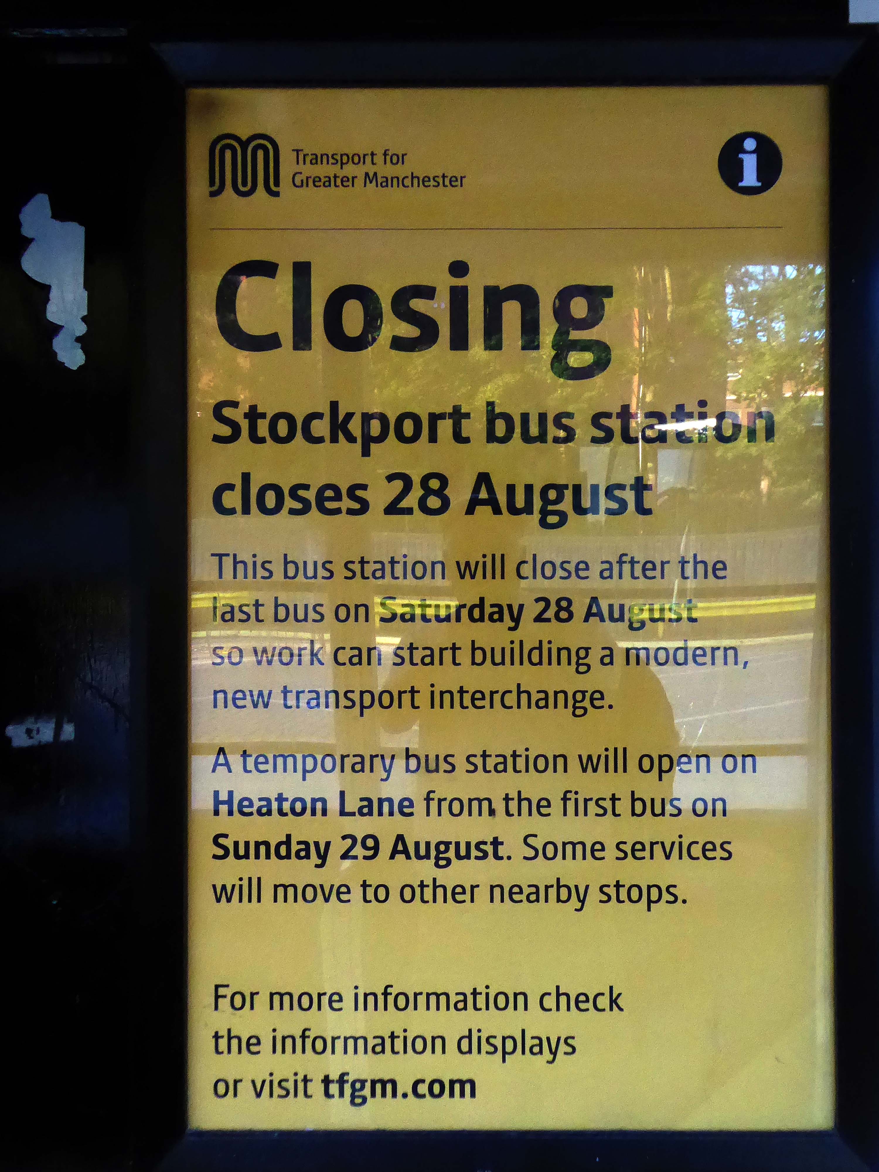
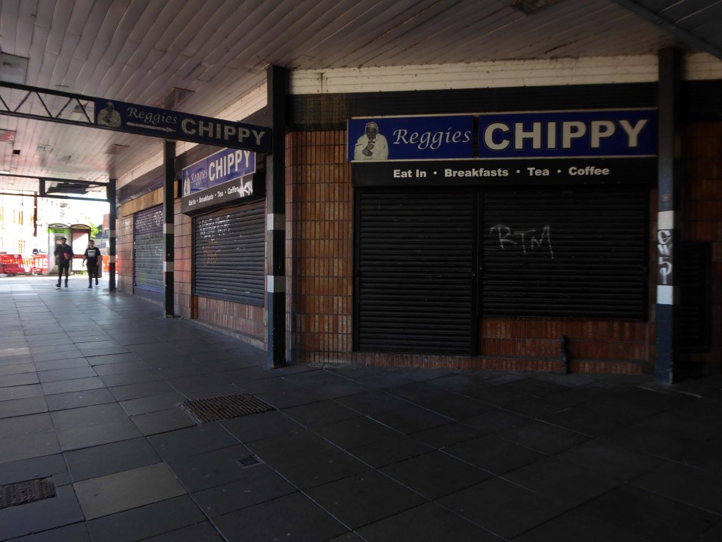
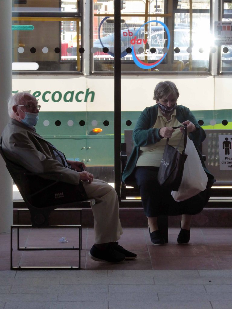
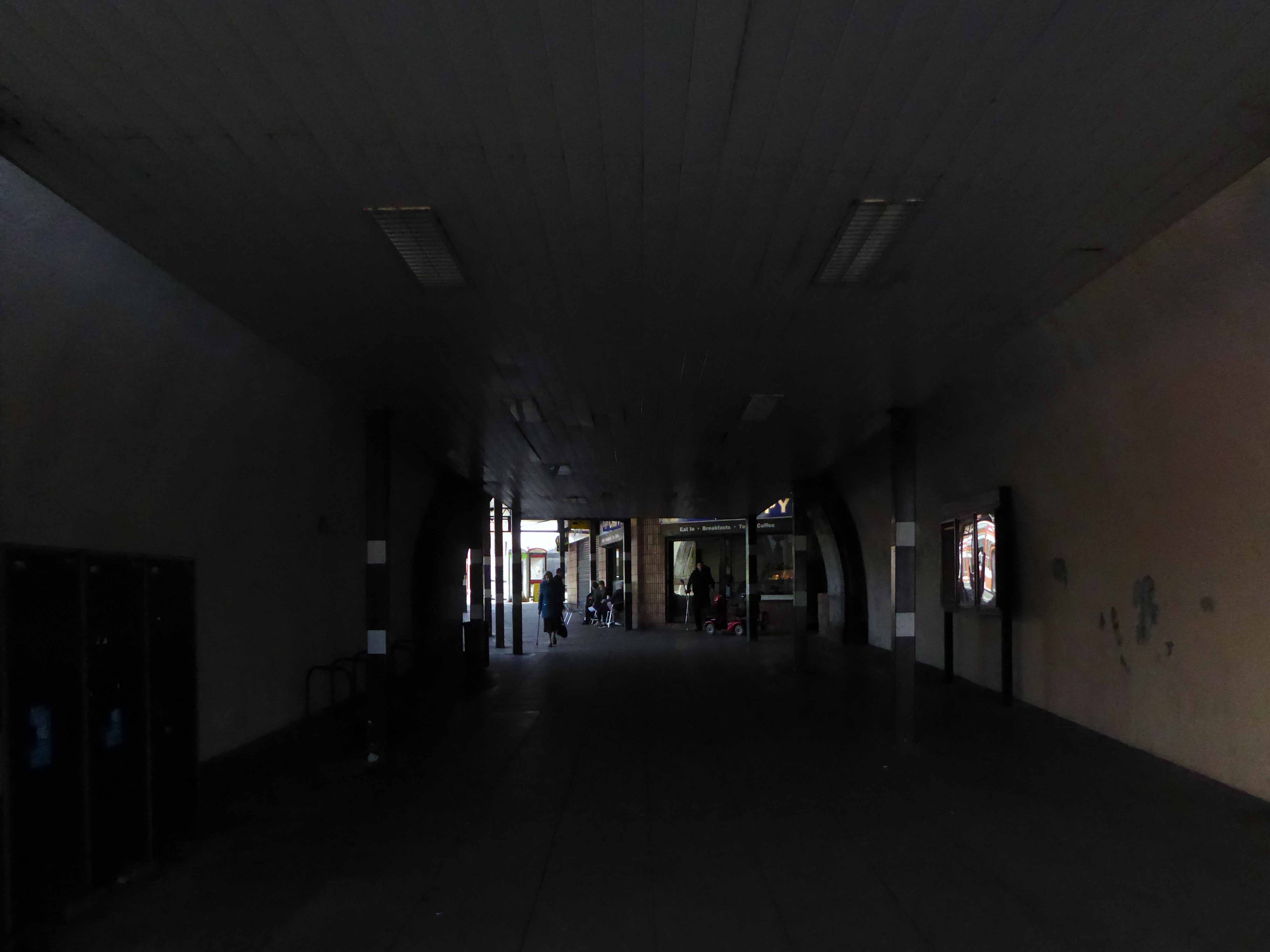
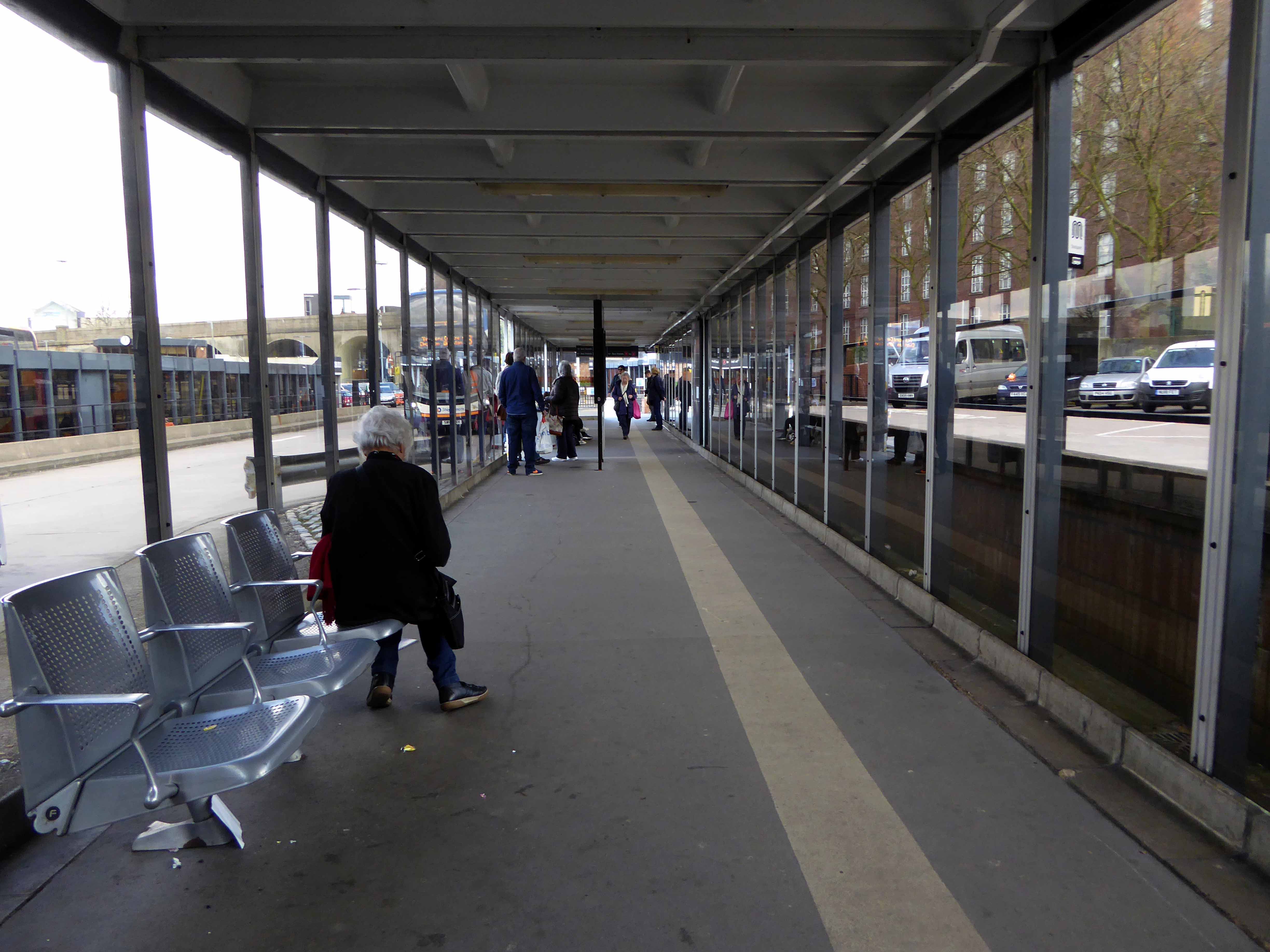
No more cold damp shelters, no more cavernous and grimy public conveniences, no more chips and shop.
Bye bus station.
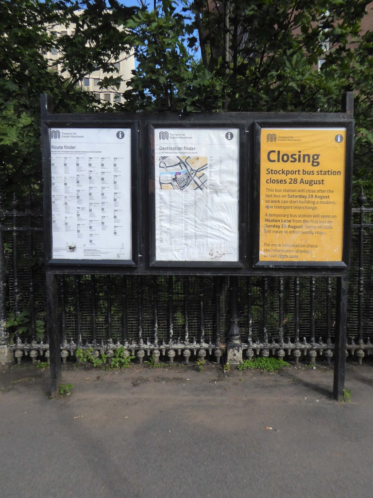
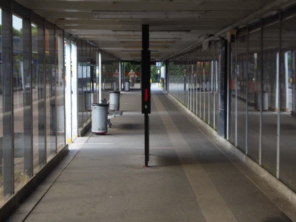
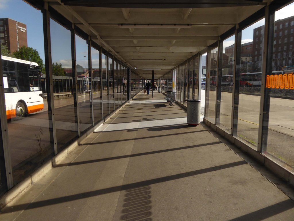
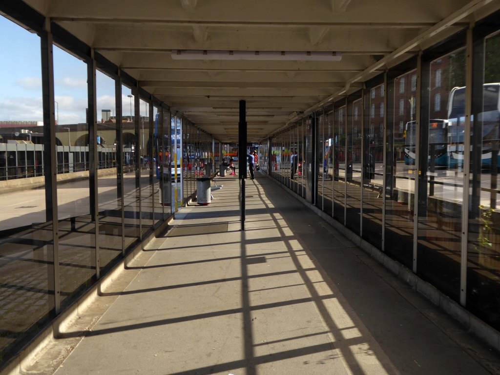

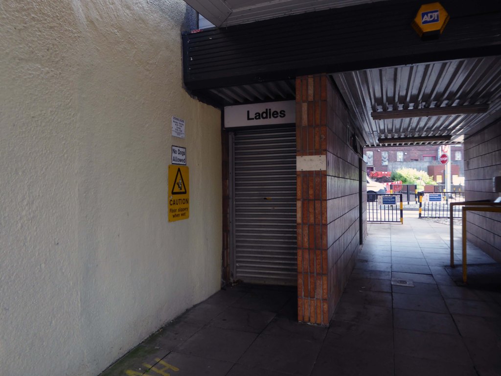
We have already said goodbye to all the previous incarnations.
And eagerly awaited the rebirth.
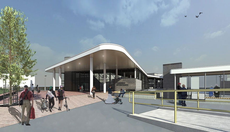
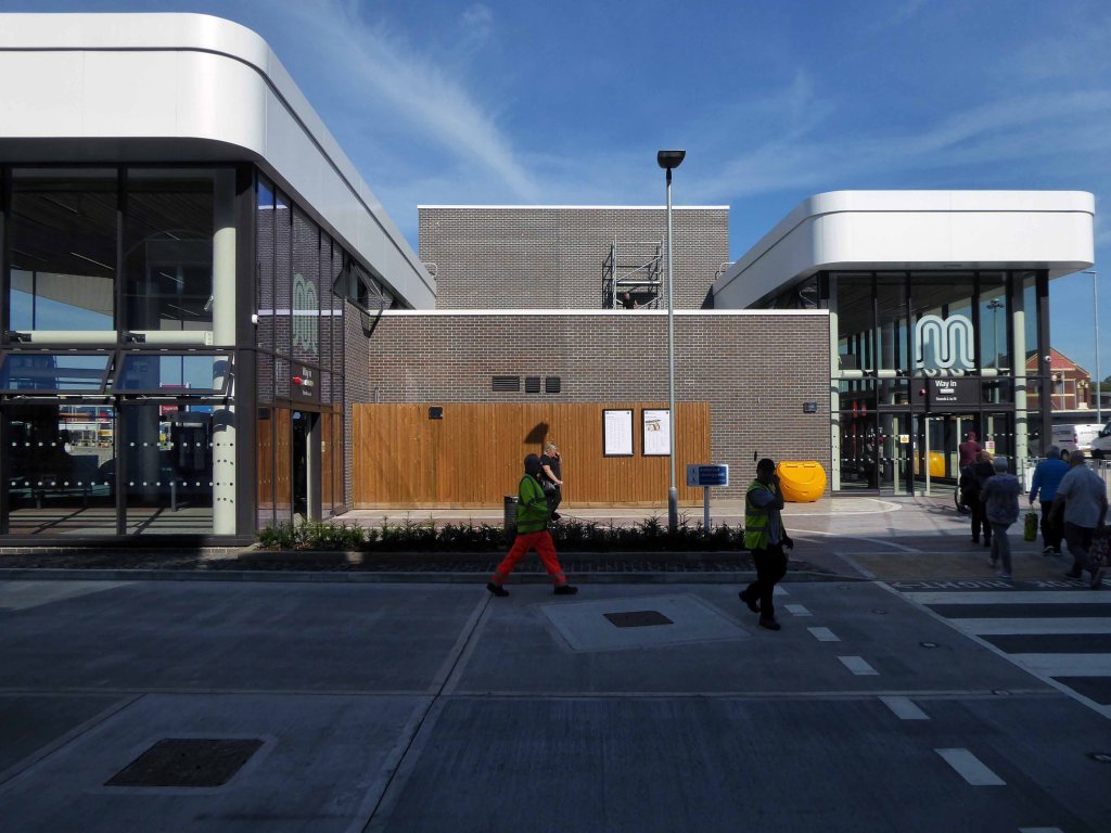
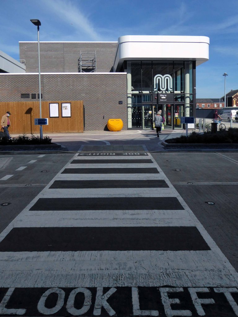
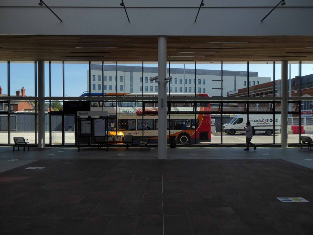
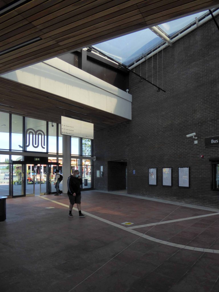
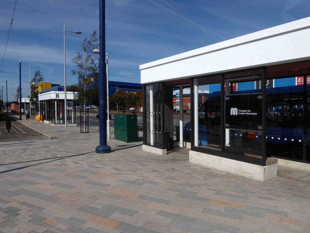
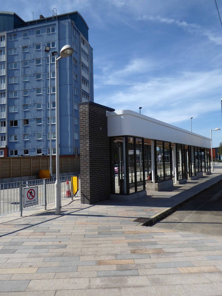
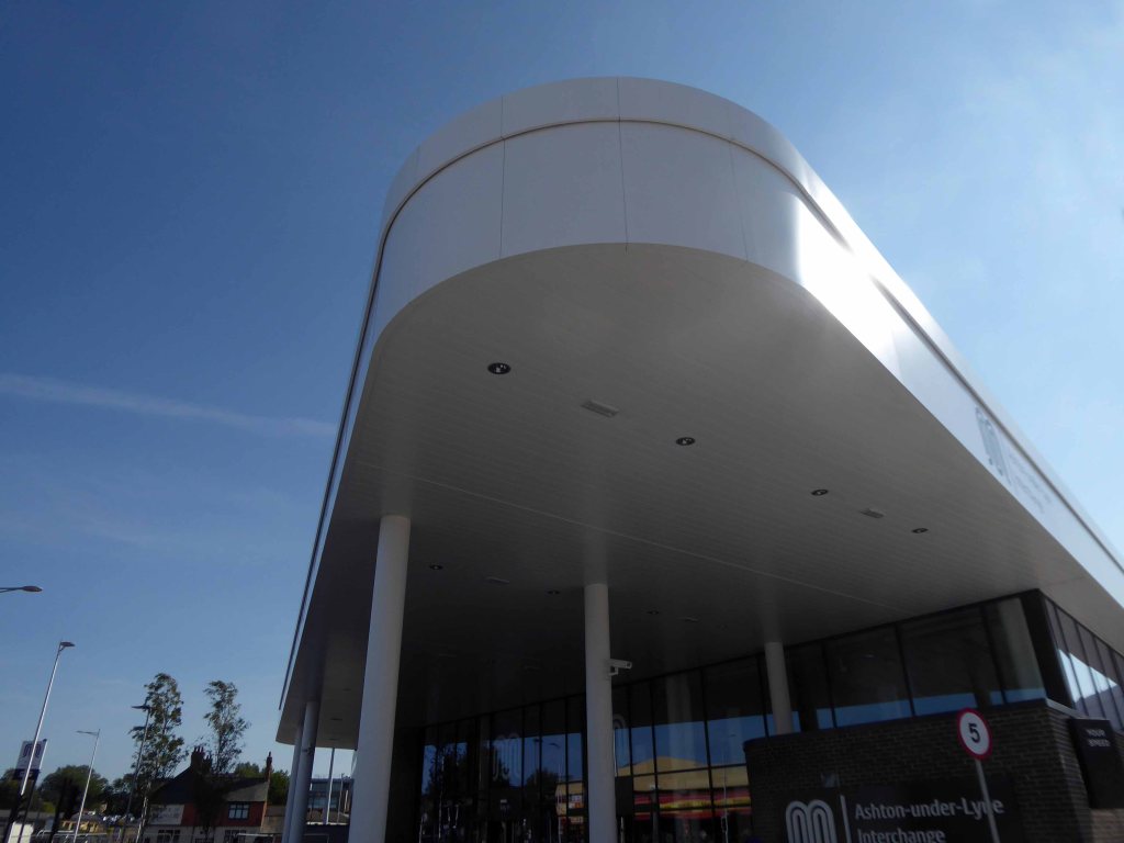
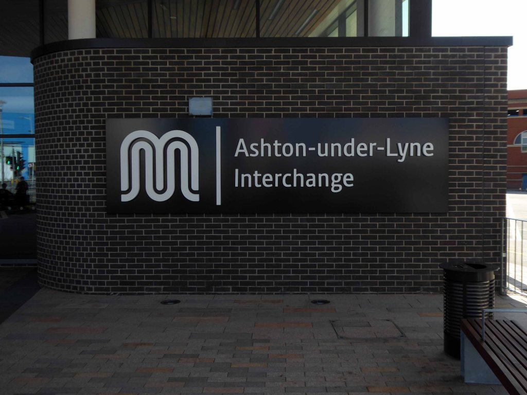
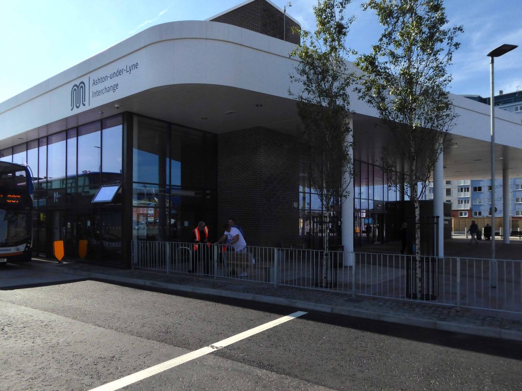
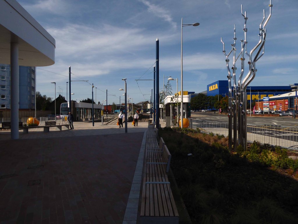
This time as an interchange, where bus, tram and train converge – the most modern of modern ideas.
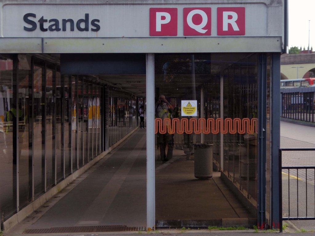
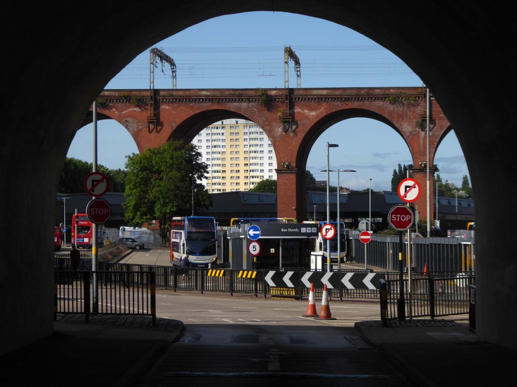
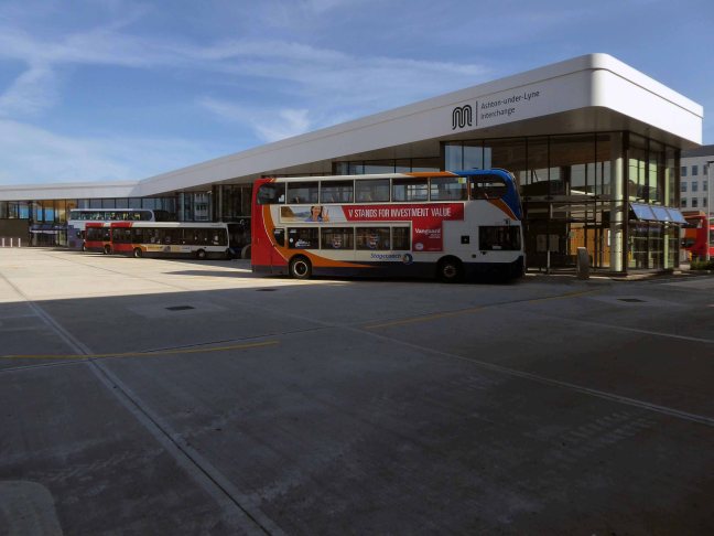
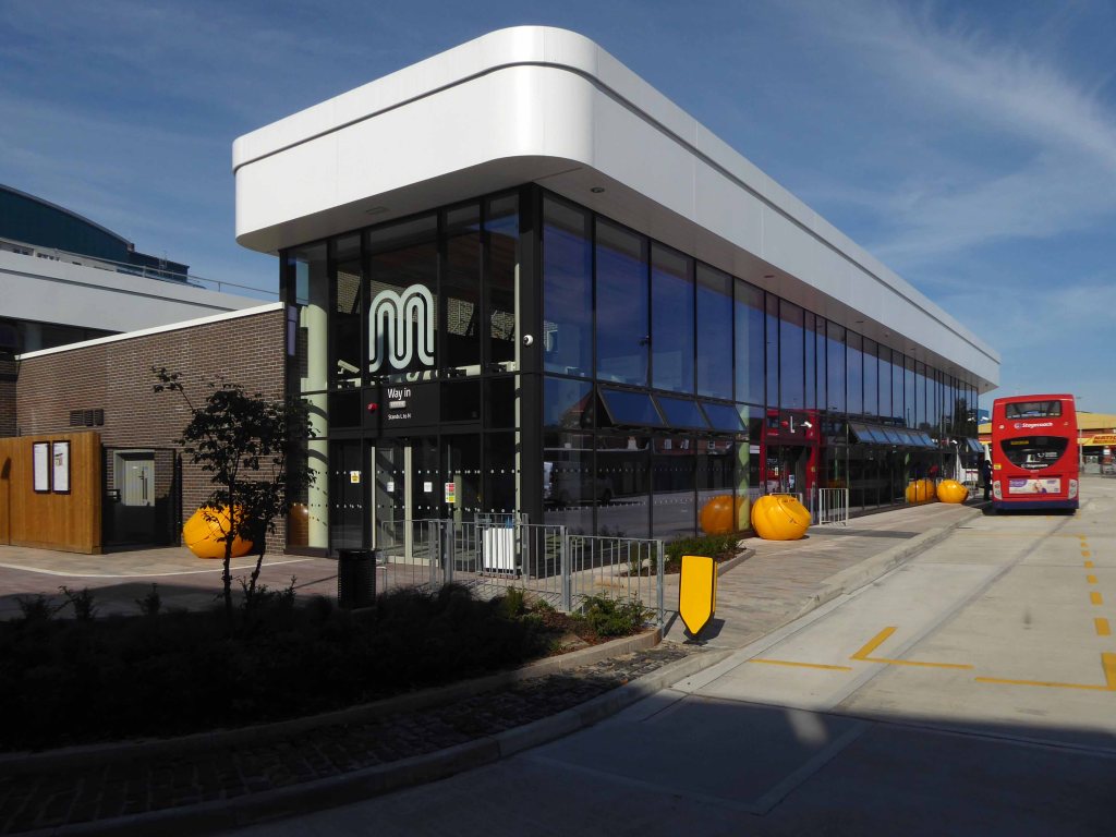
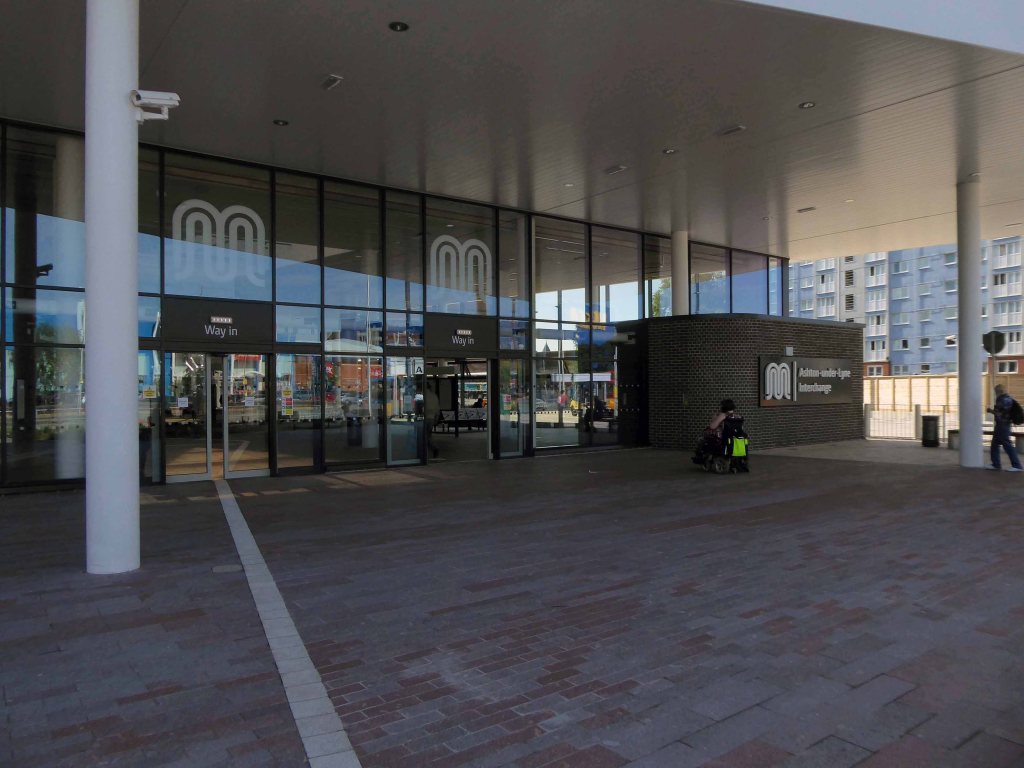
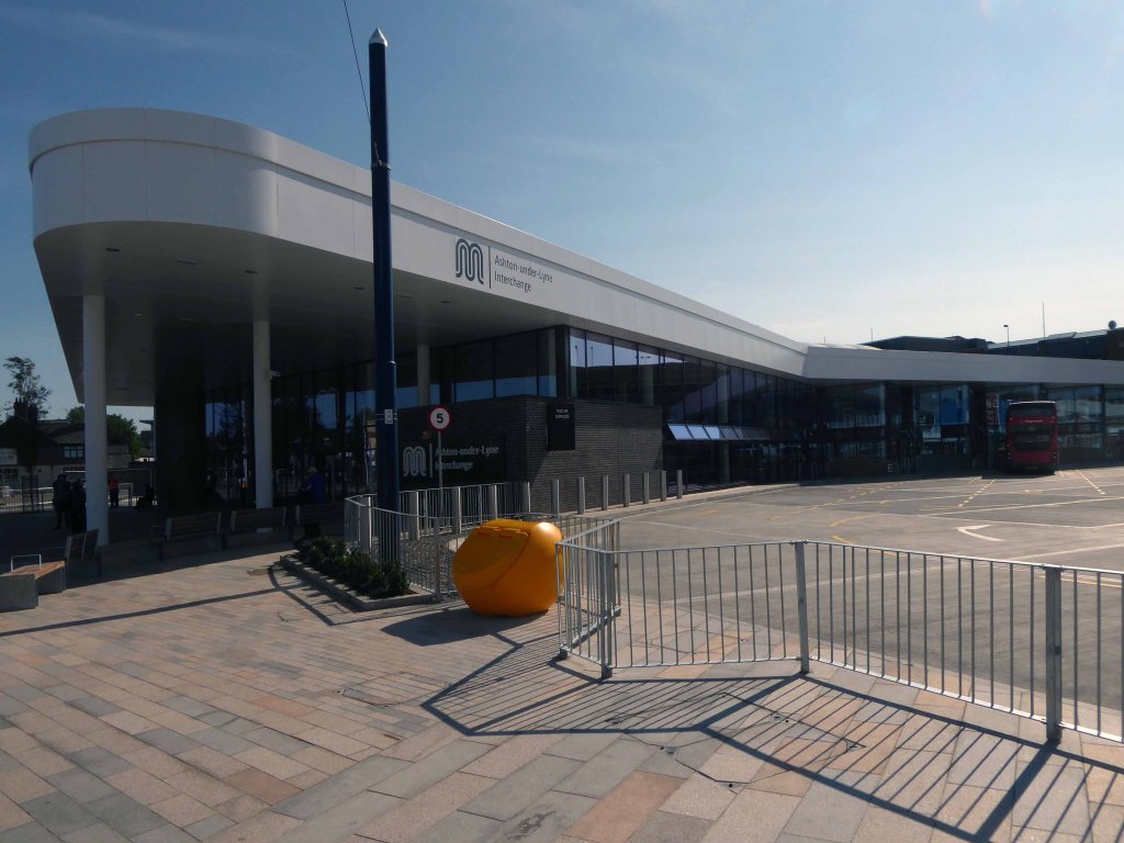
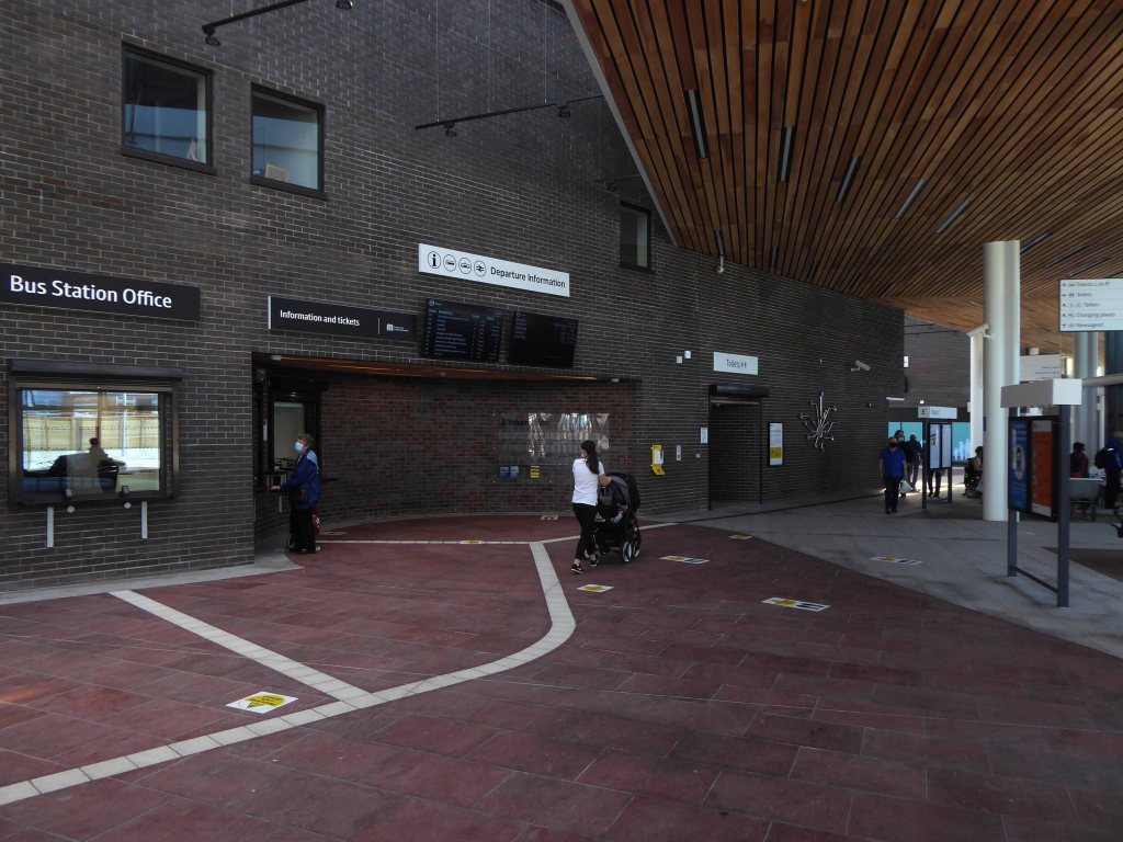
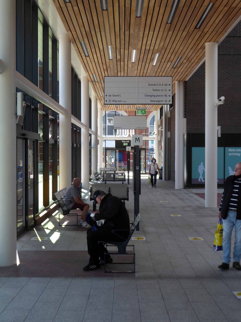
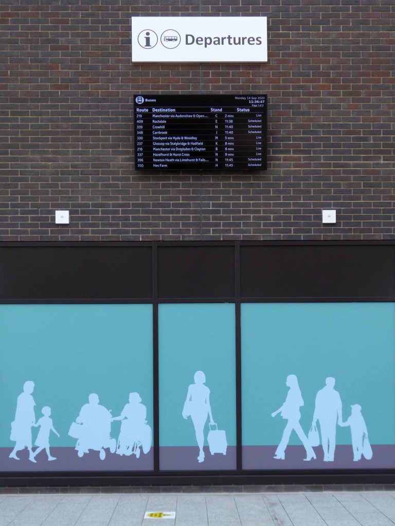
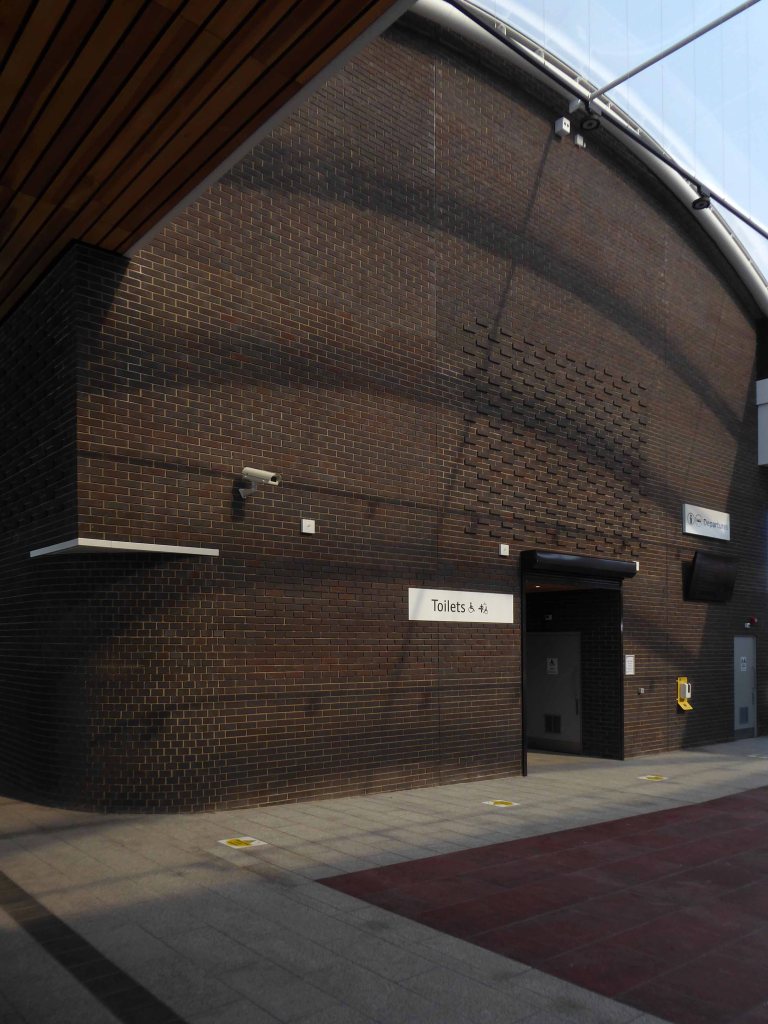
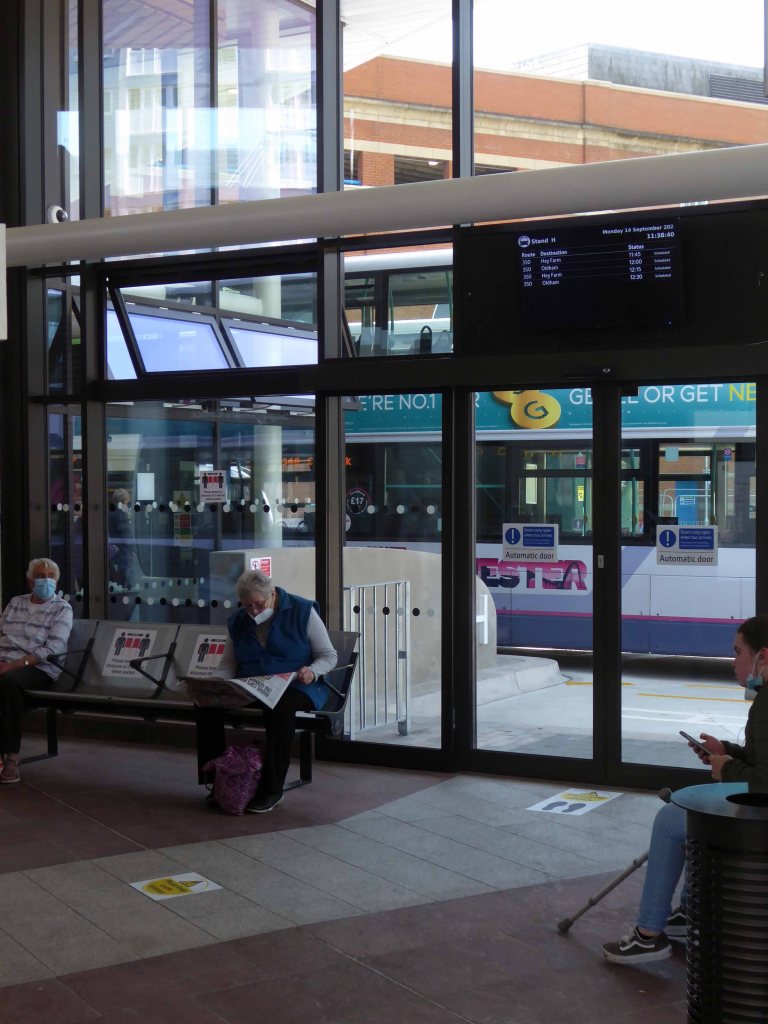
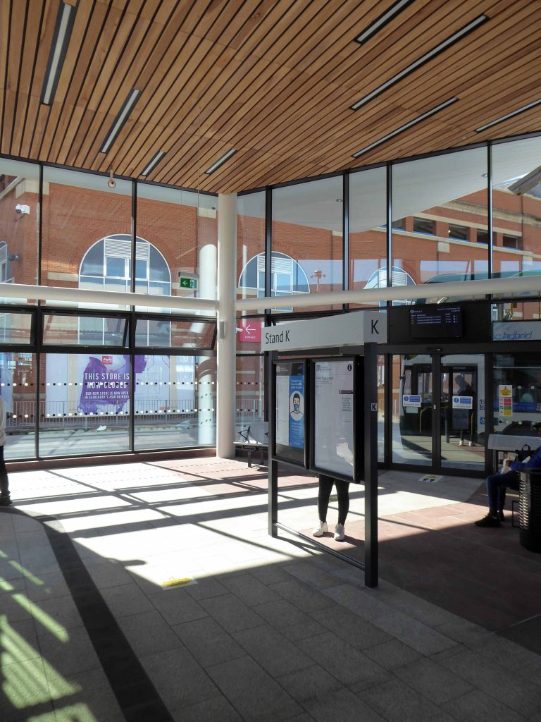
The brand-new Ashton-under-Lyne Interchange is now open, providing passengers with much-improved facilities and a modern, accessible gateway to the town.
The Interchange supports the economic growth of the town and helps people to get to and from their places of work as well as Ashton’s great shops, markets, restaurants and bars in a modern, safe and welcoming environment.
The Interchange has been developed by Transport for Greater Manchester in partnership with Tameside Council and funded with support from central government’s Local Growth Deal programme.
The building contractor was VINCI Construction UK.
Architects were Austin Smith Lord

I managed to get there, just before I wasn’t supposed to get there.
So goodbye to all this:
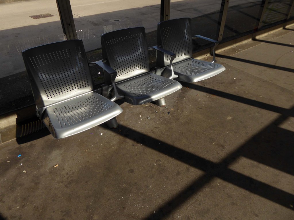
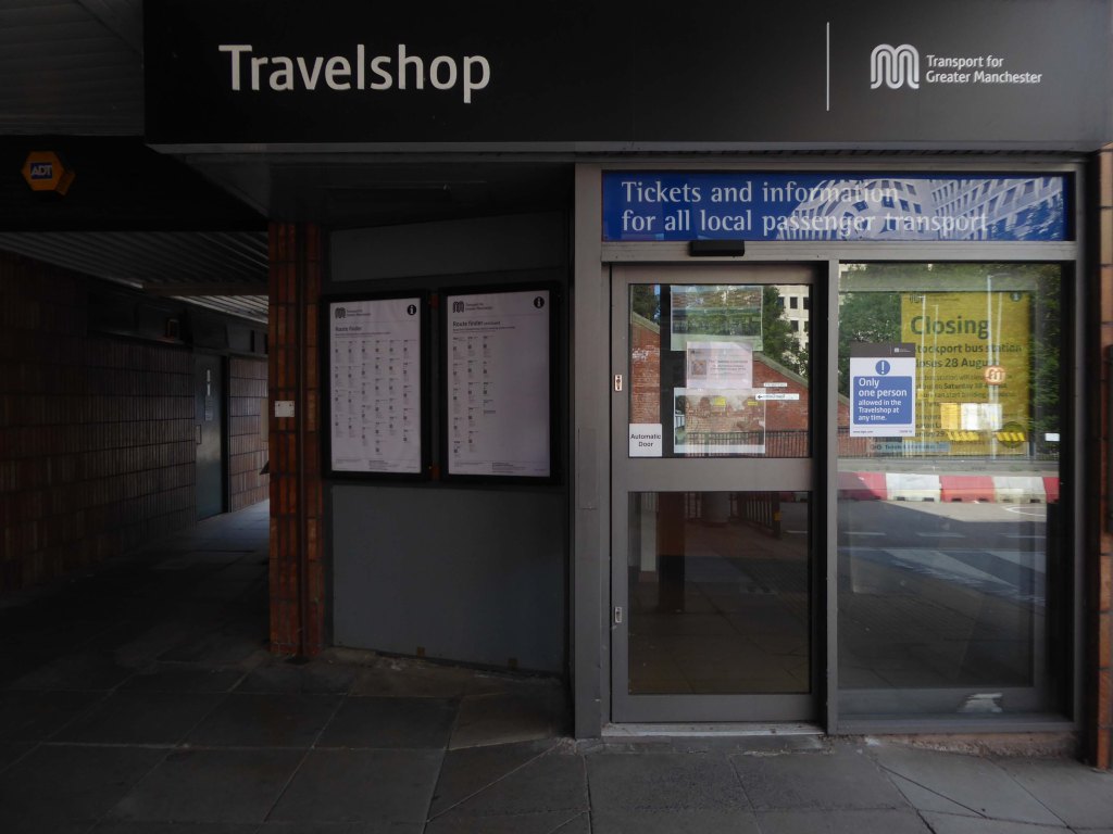
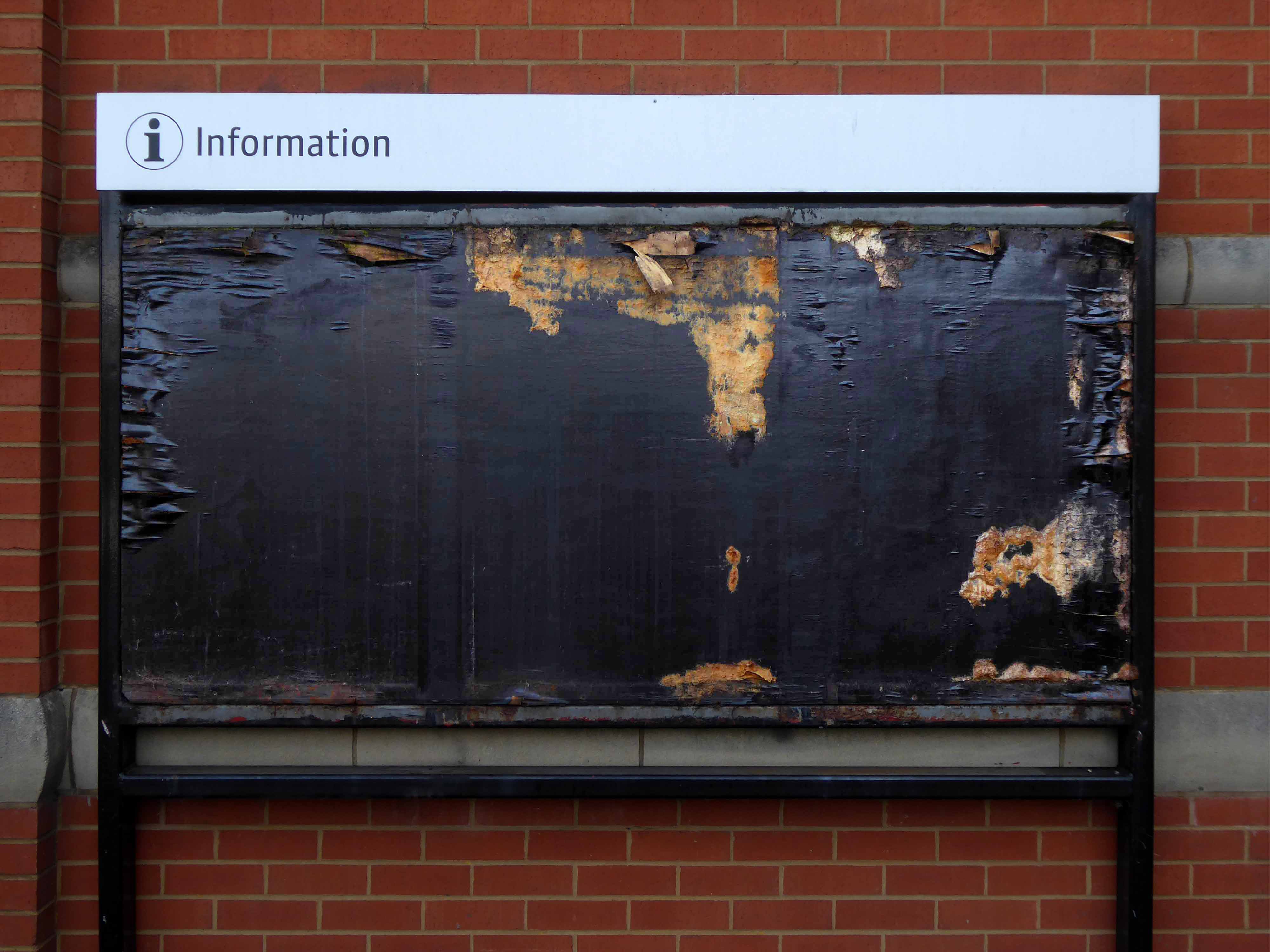
No more exposed pedestrian crossings, draughty shelters orange Ms, and analogue information boards.
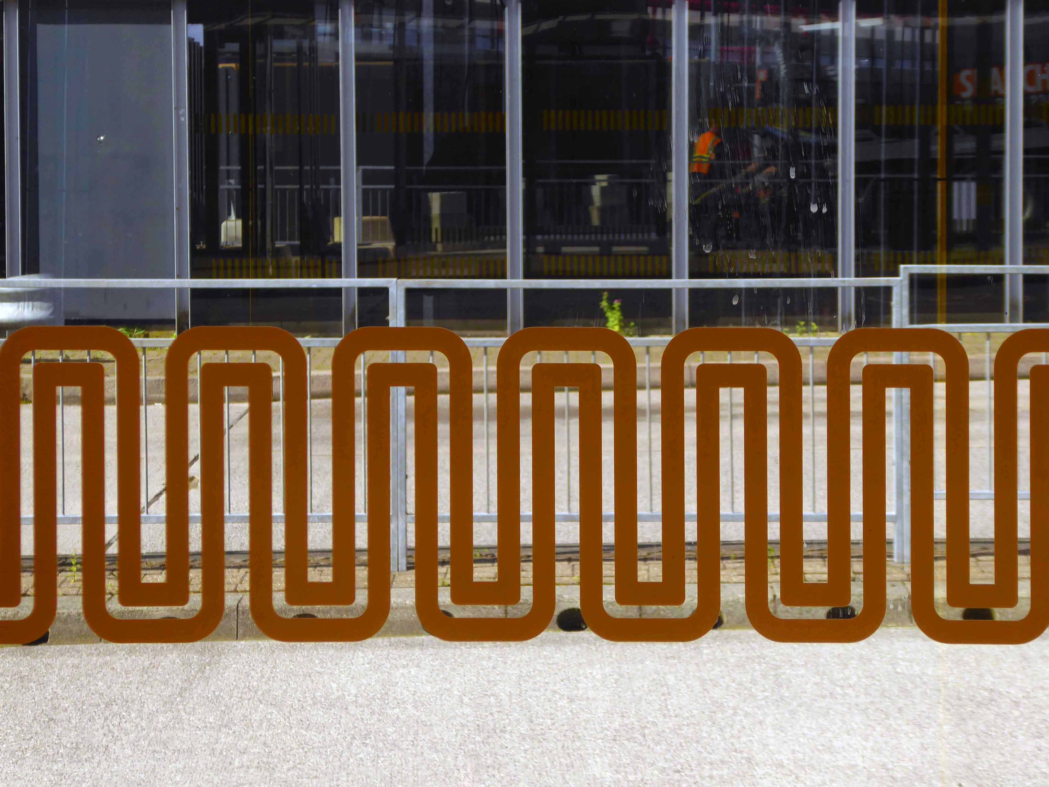
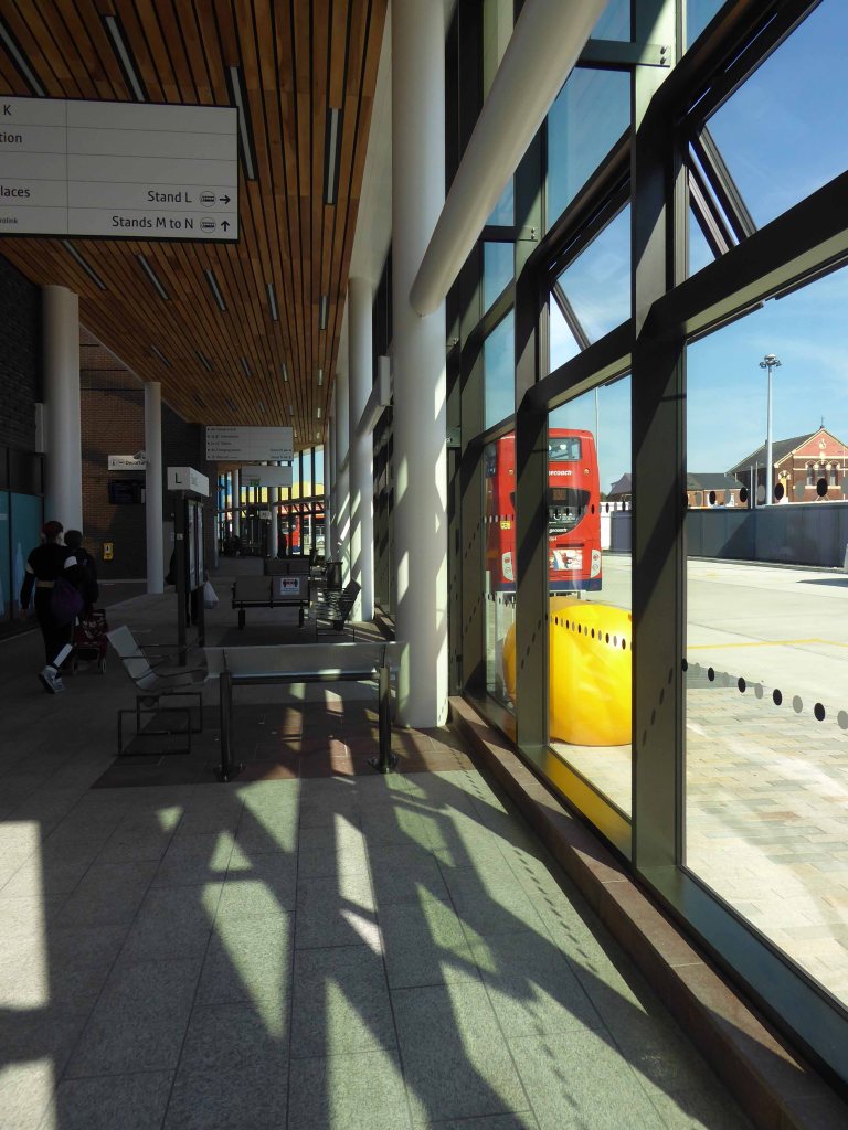
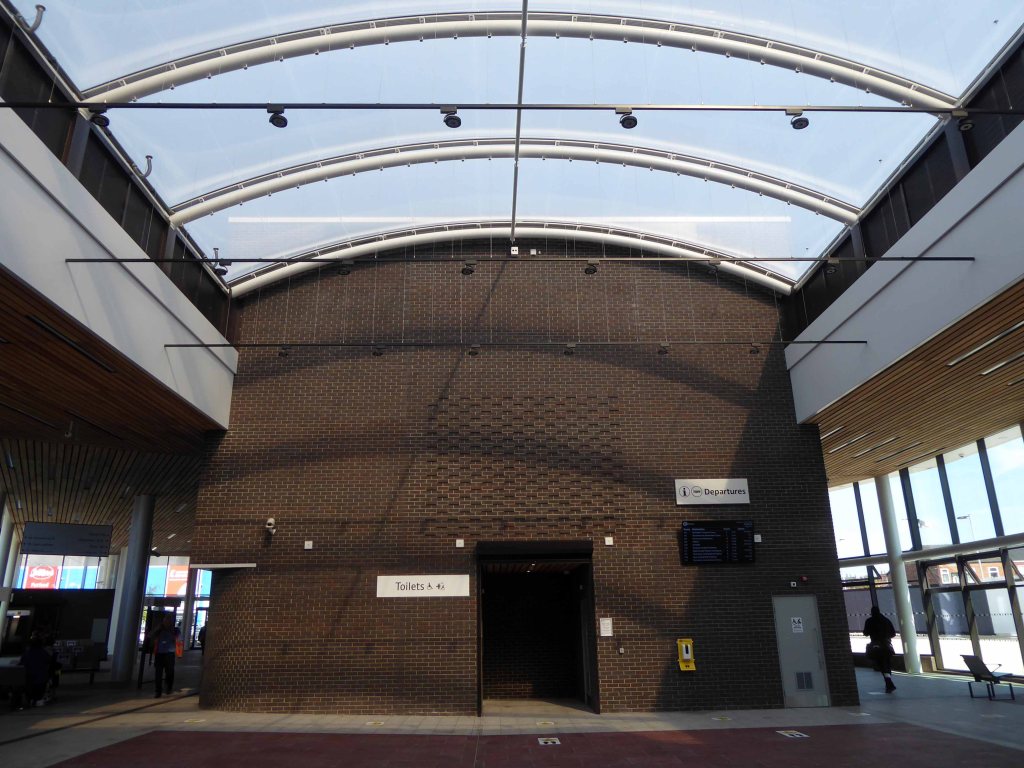
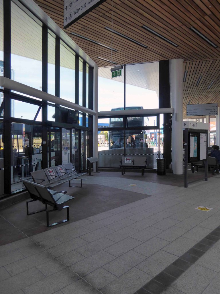
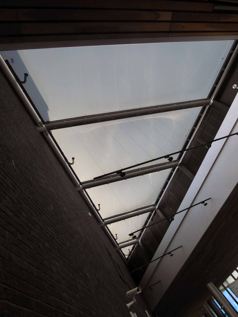
It’s an integrated, enclosed, digitally connected, well-lit, secure unit.
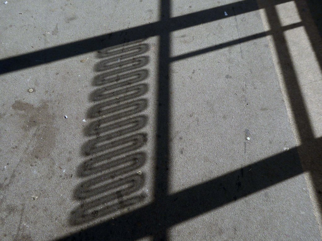
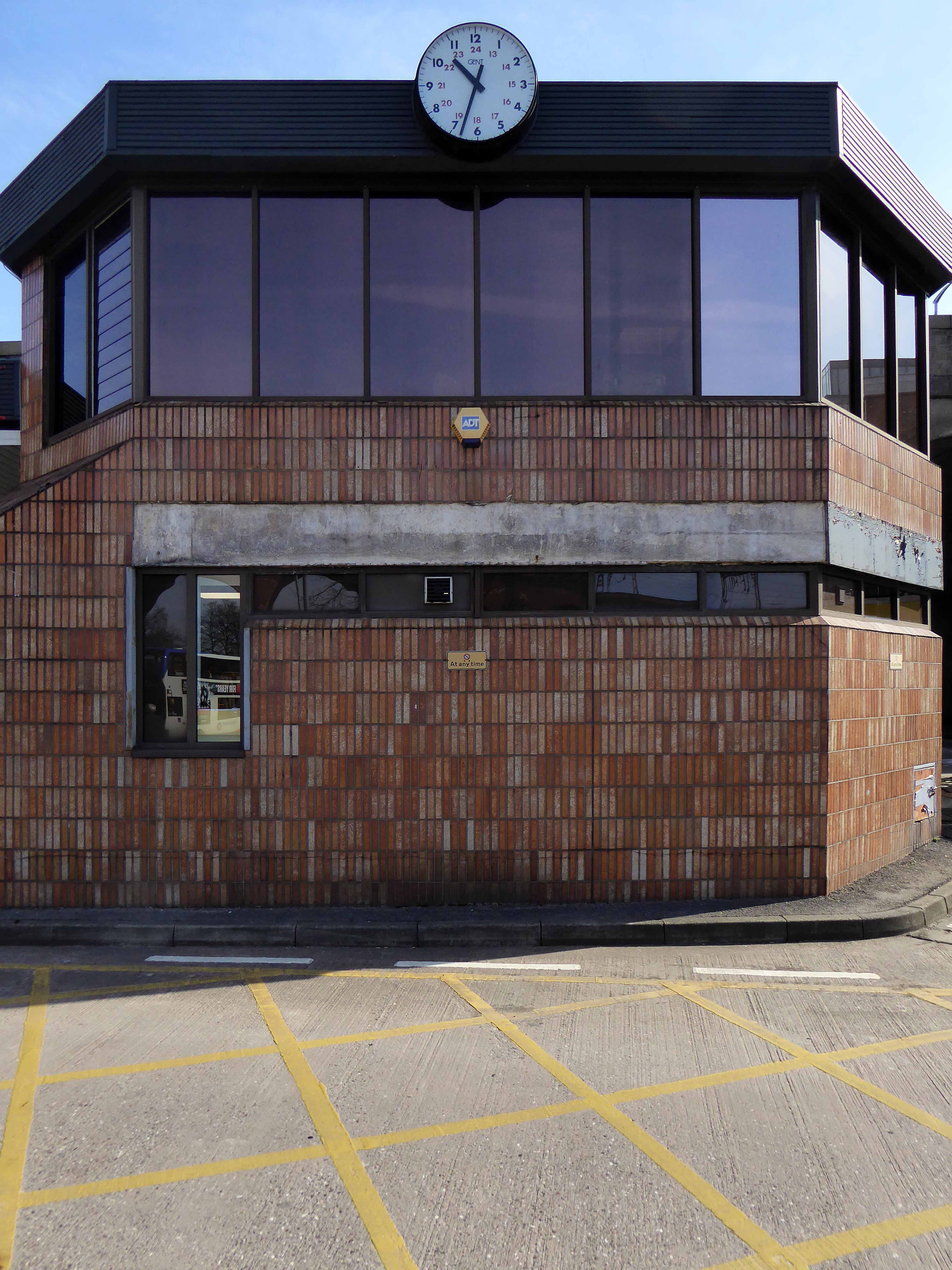
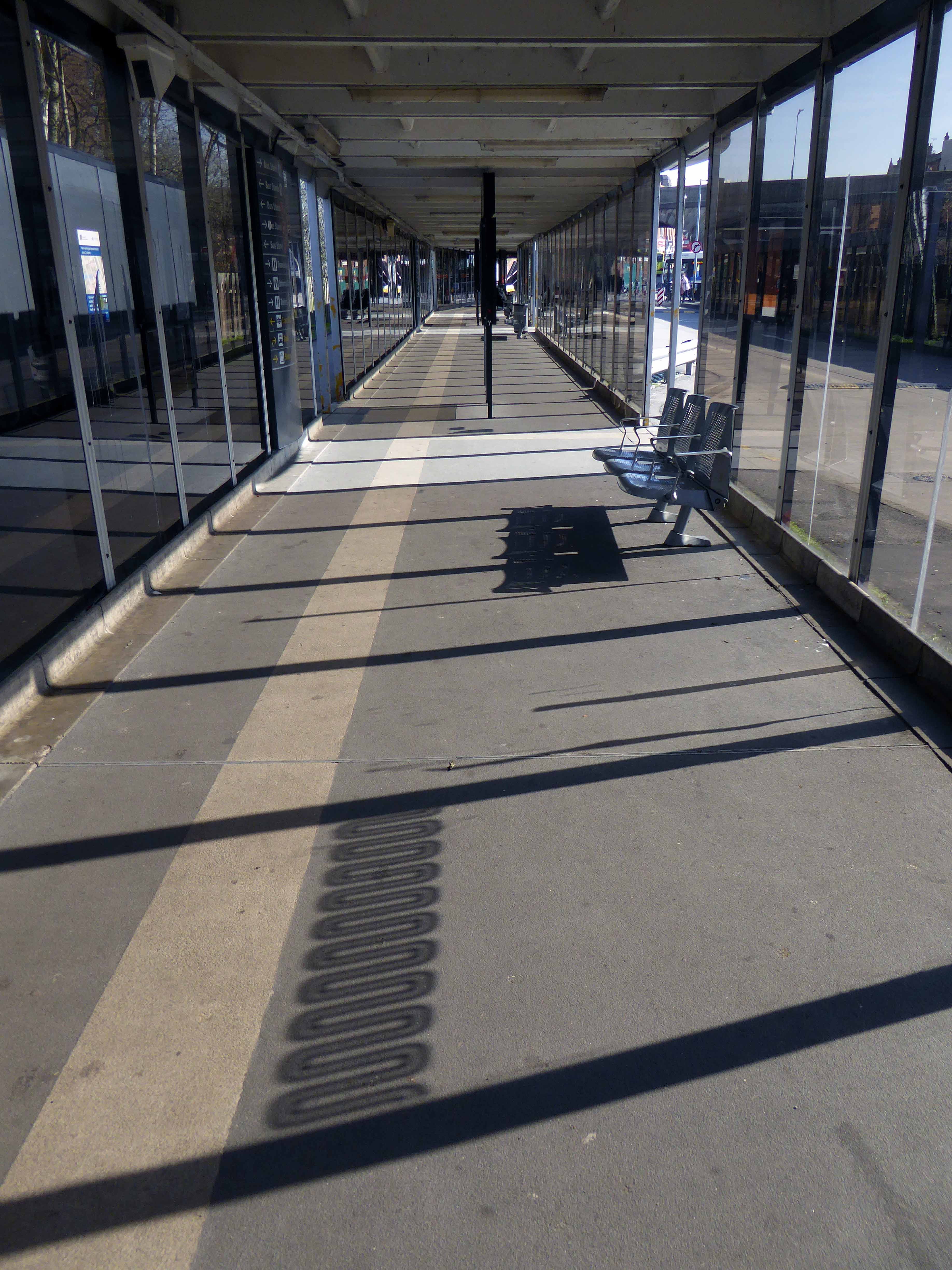
I found it to be light, bright and well-used; a fine mix of glass, steel, brick, concrete and timber.
Spacious, commodious and clearly signed.
Linked to the shopping precinct.

It’s almost finished – I hope that everyone is happy?
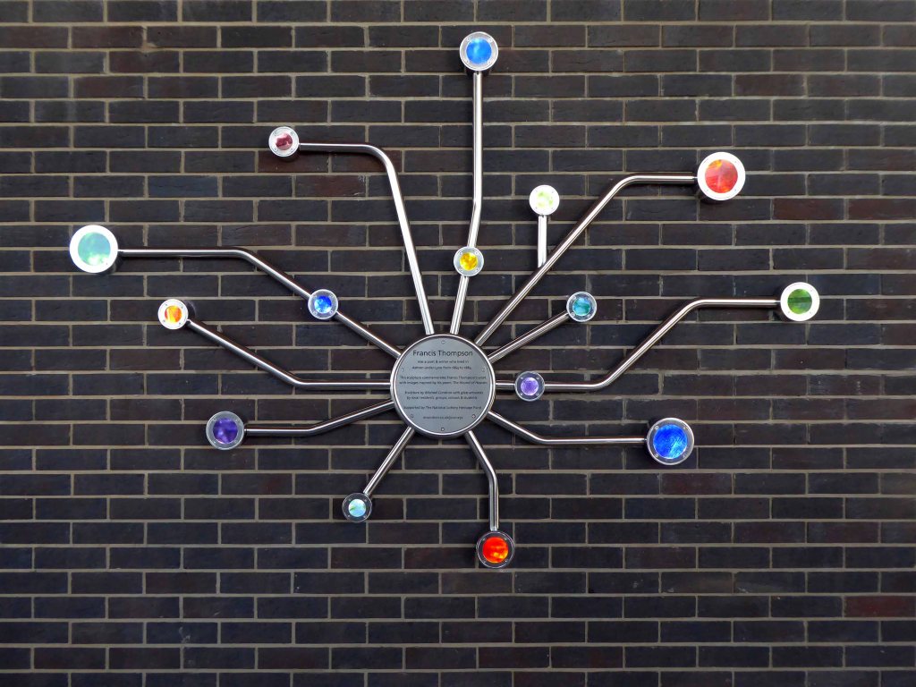
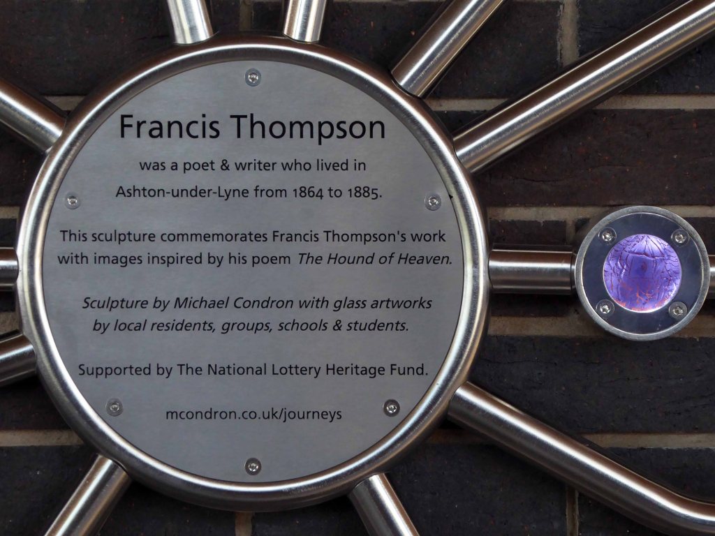
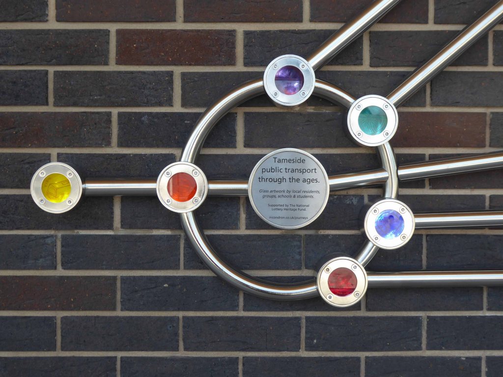
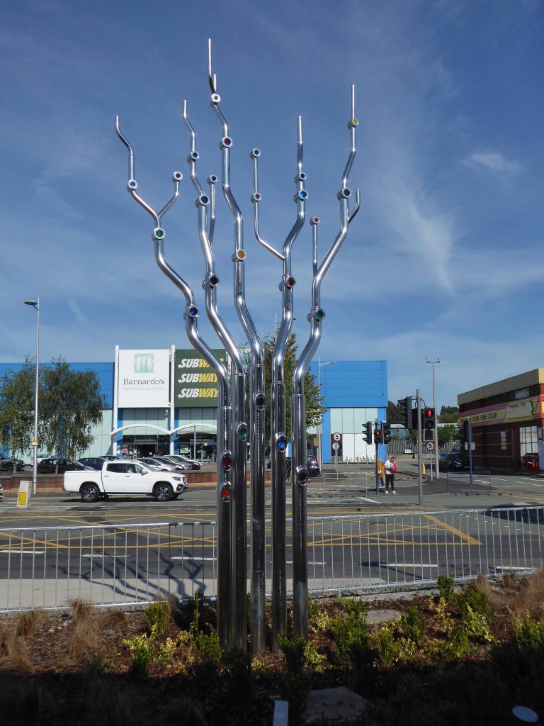
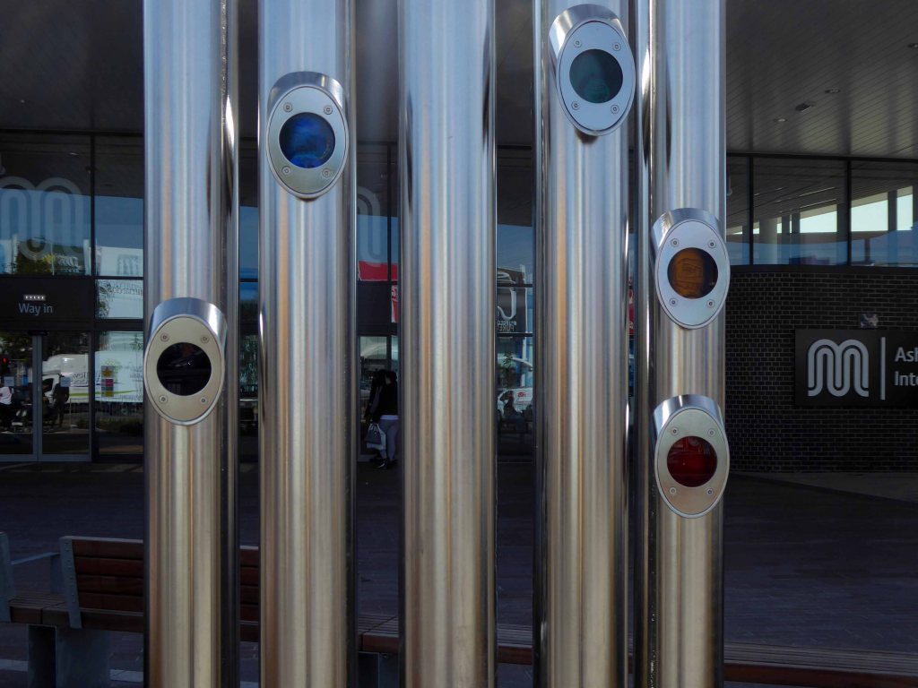
They even found Lottery Heritage monies to fund public art.
The work of Michael Condron and a host of local collaborators.

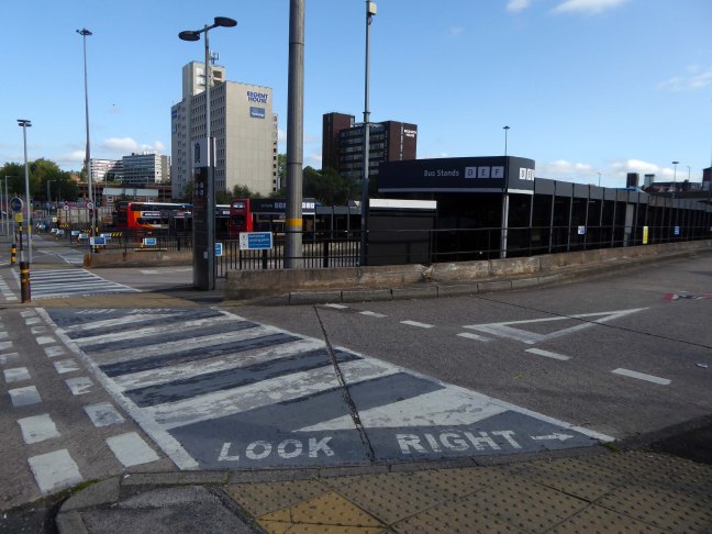
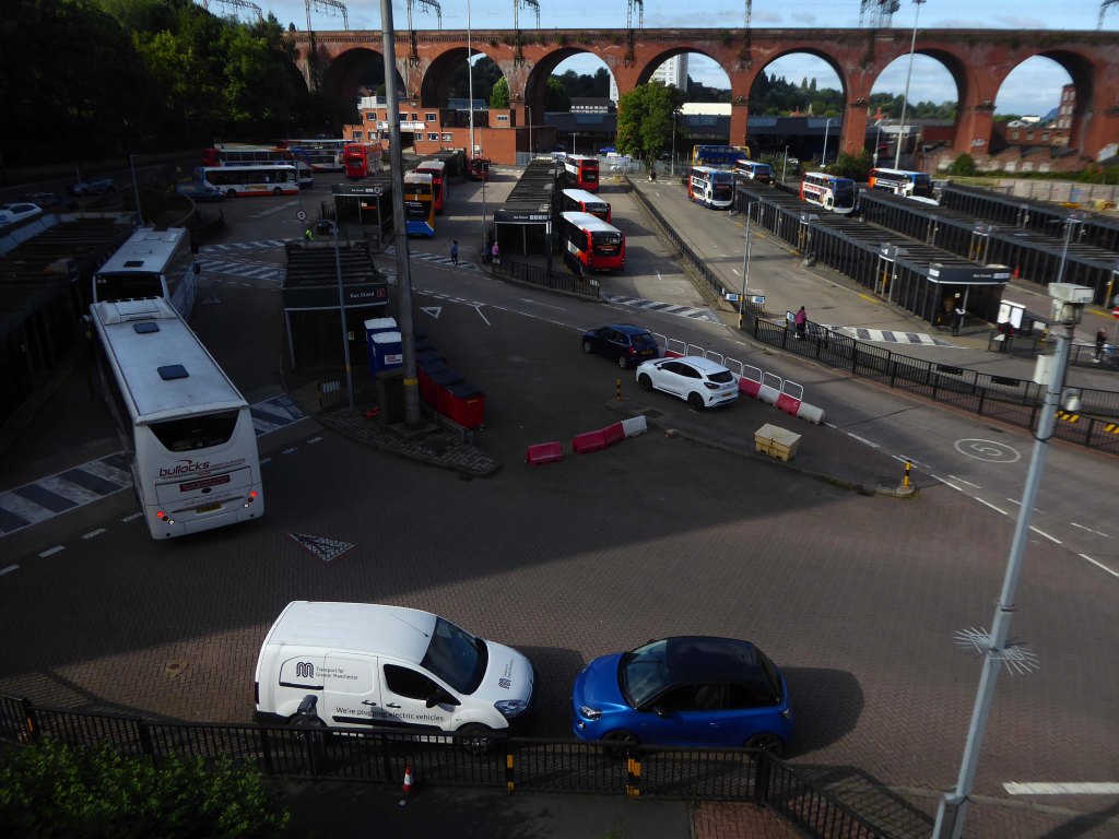
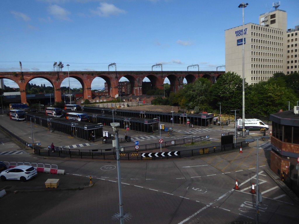
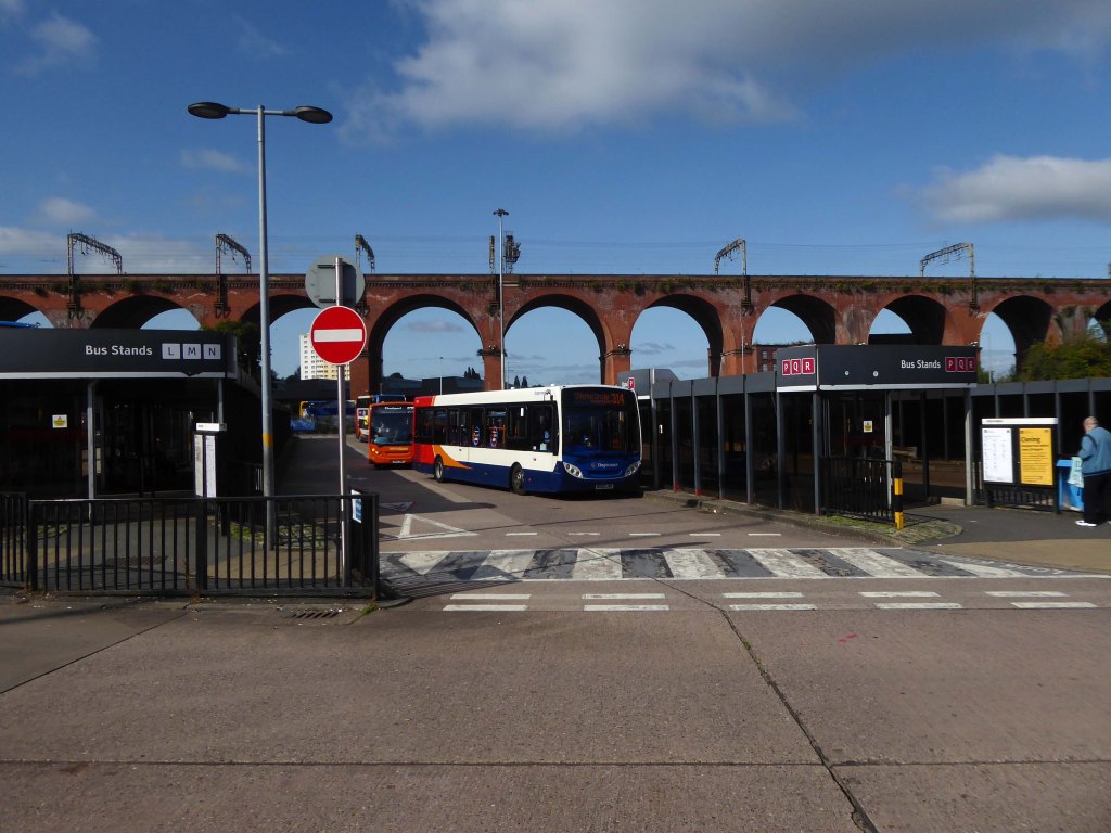
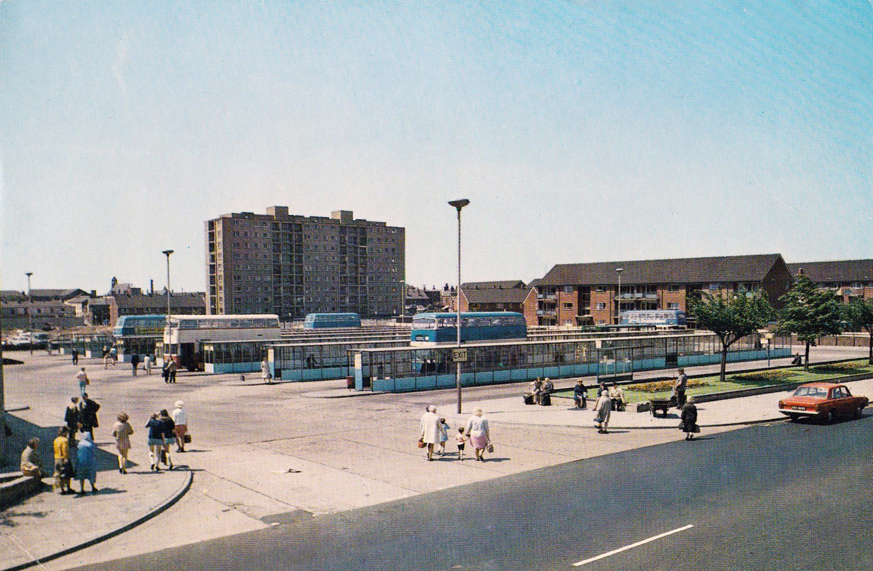
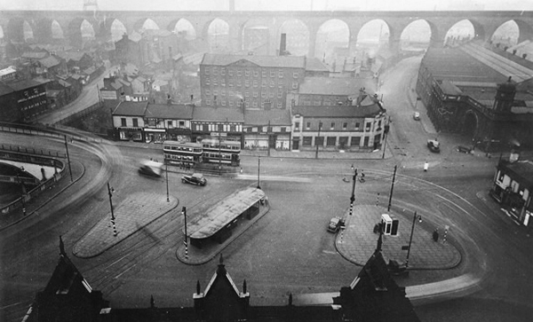
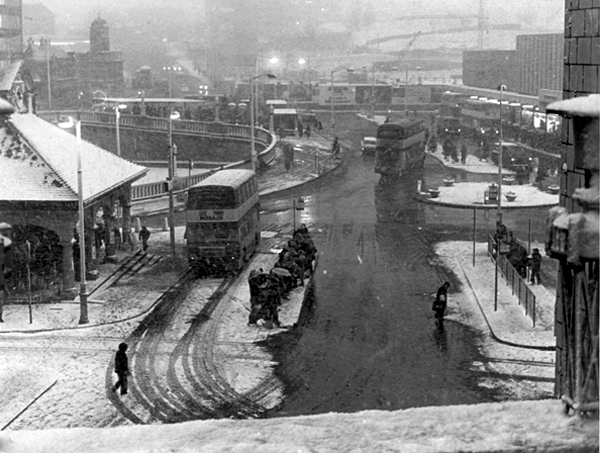
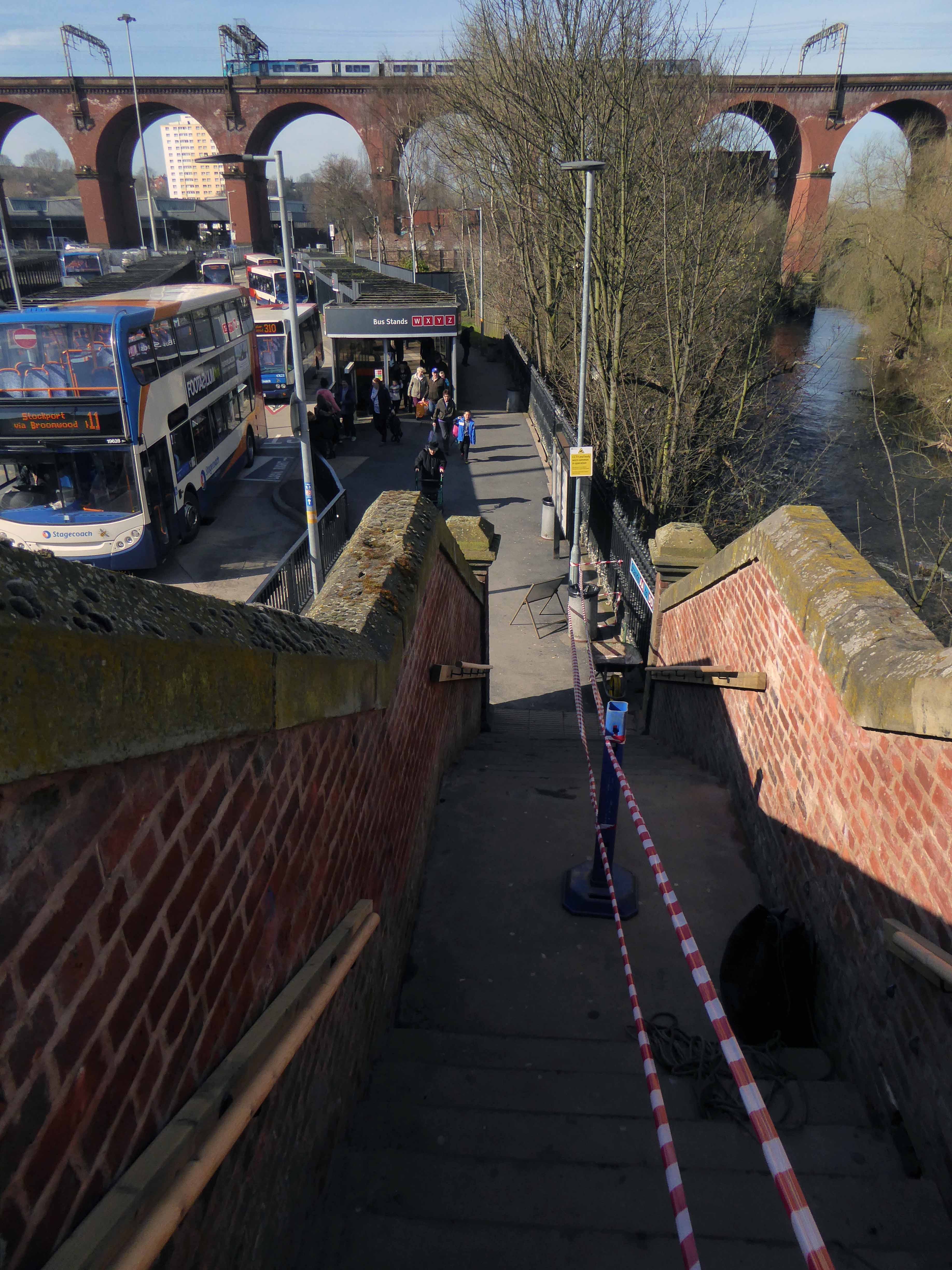
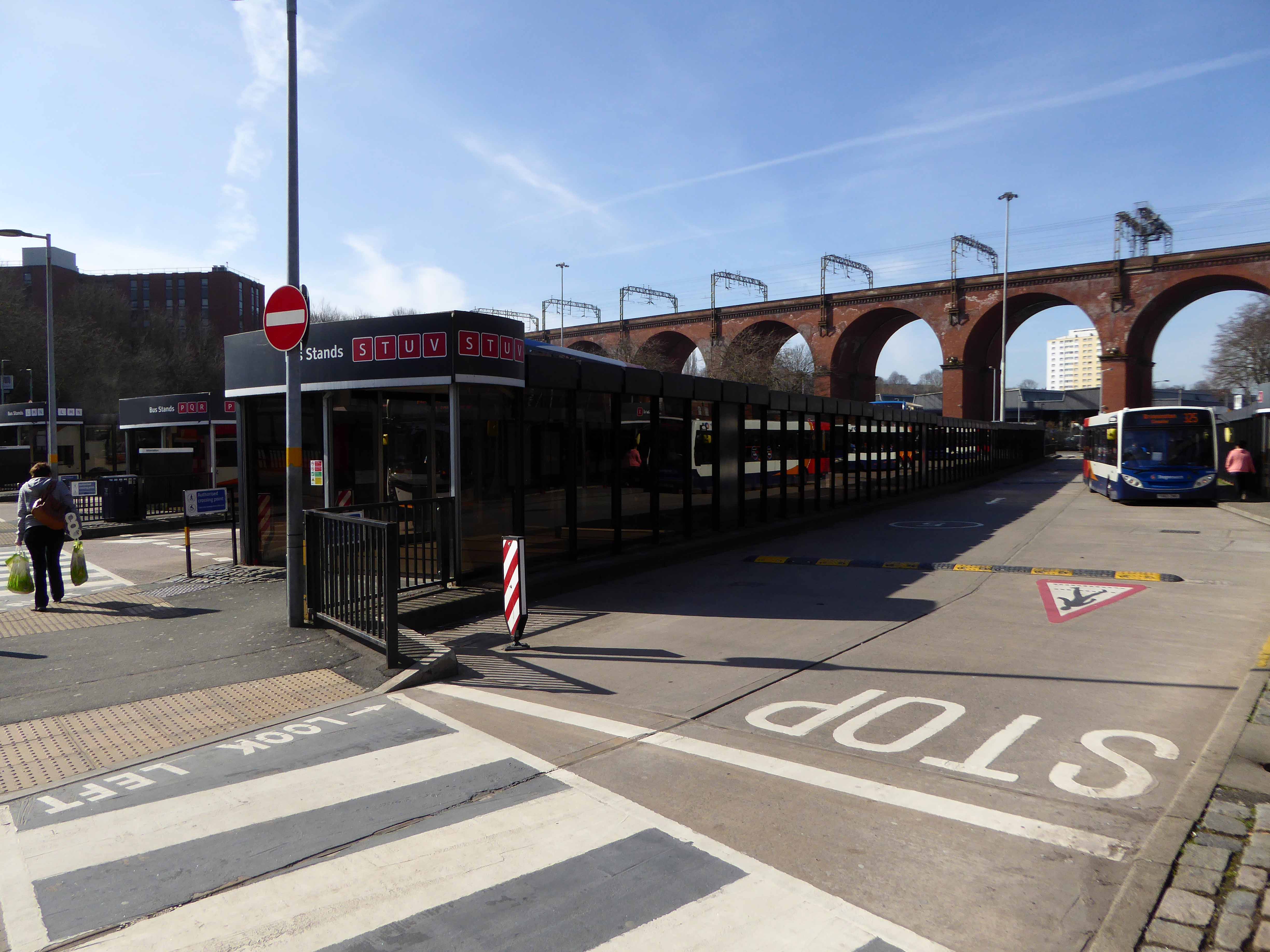
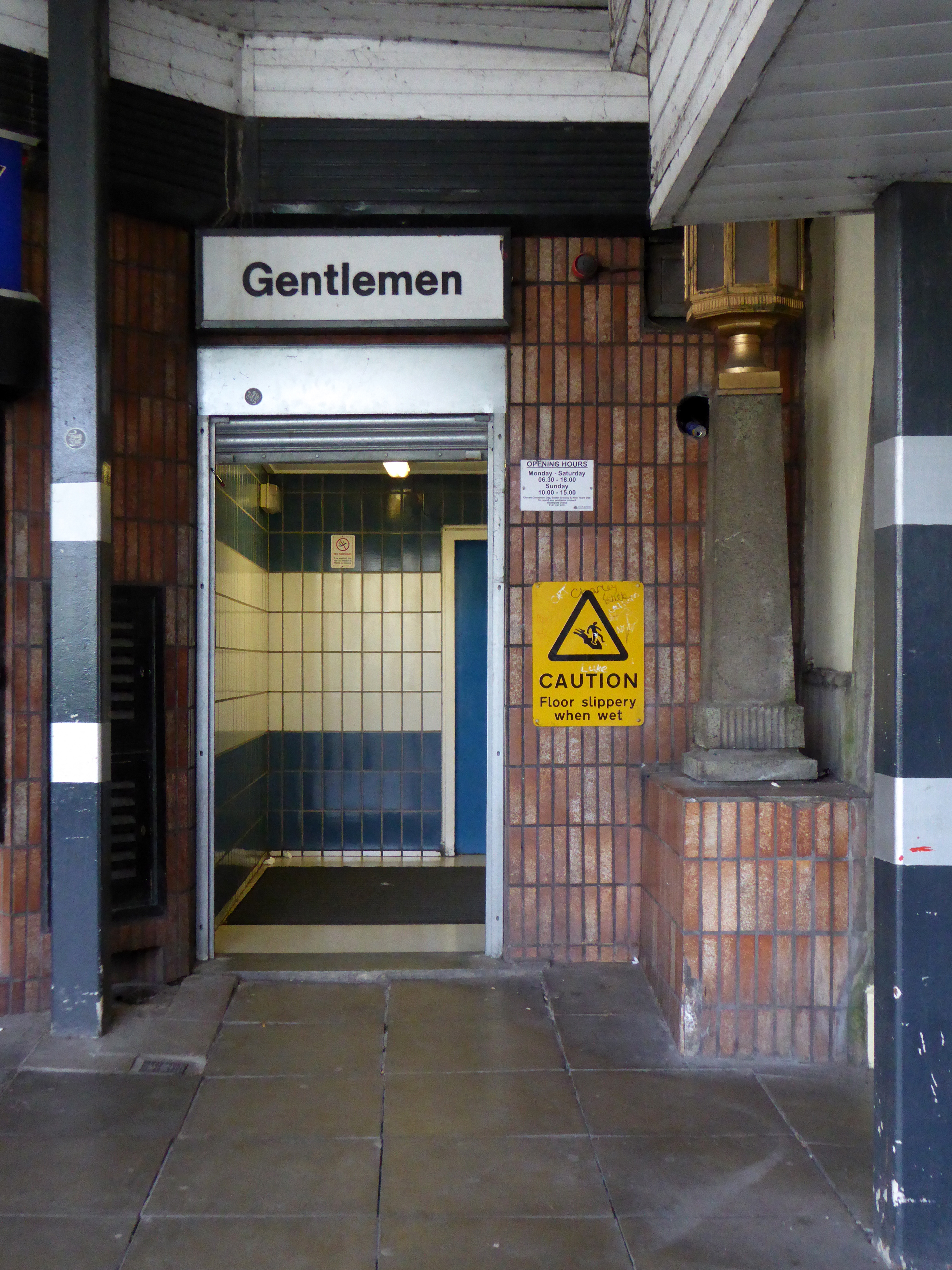
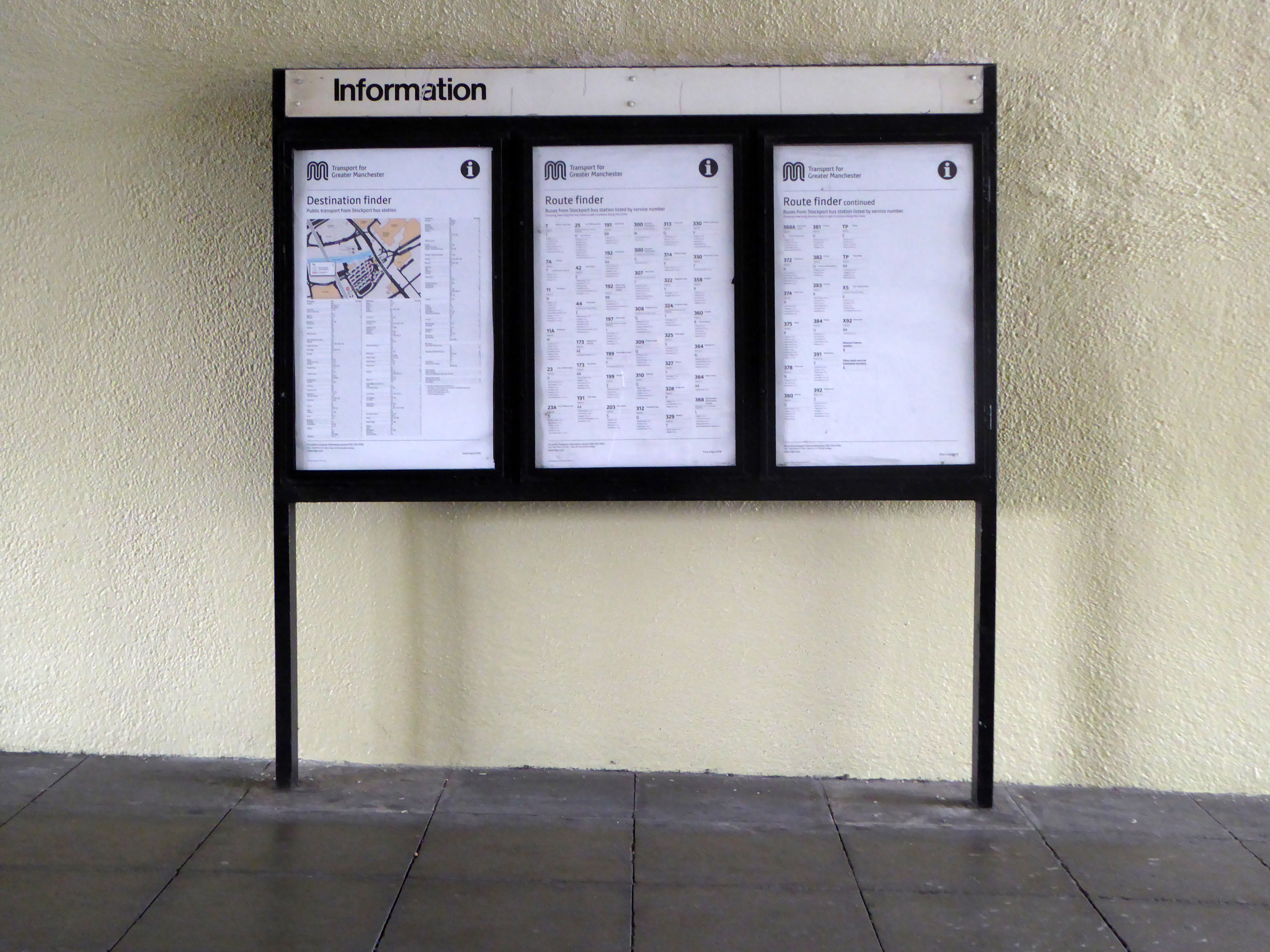
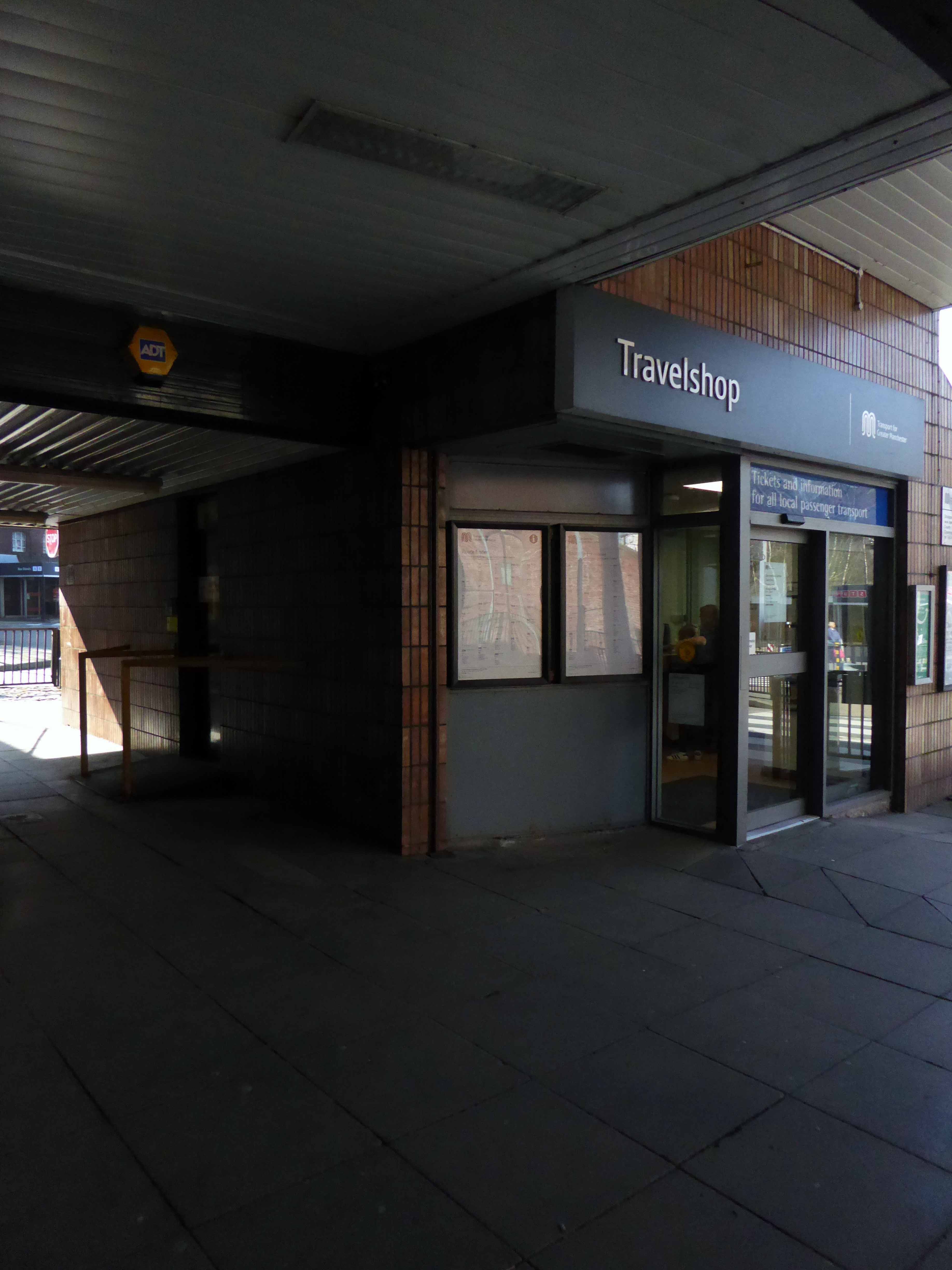
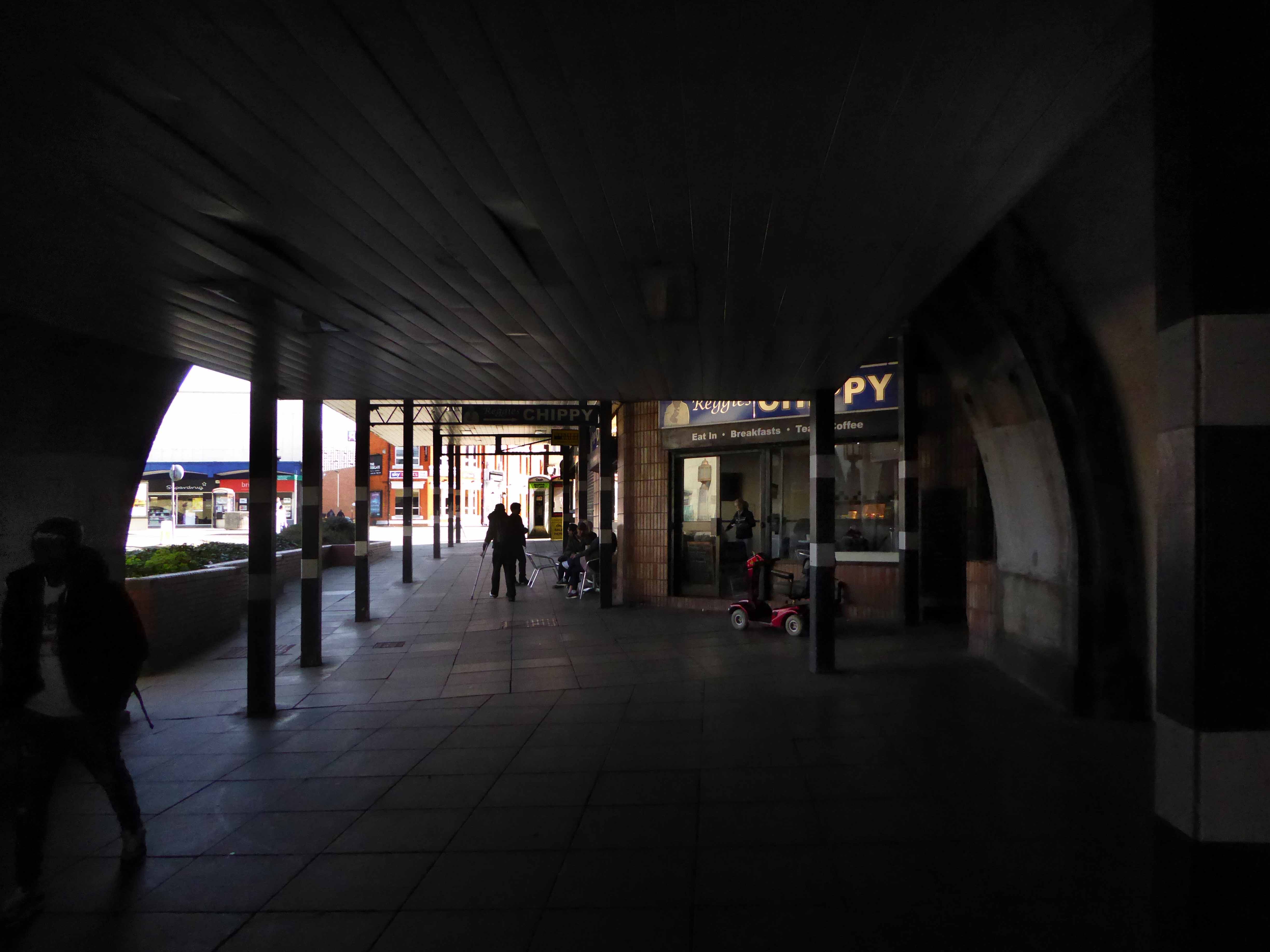
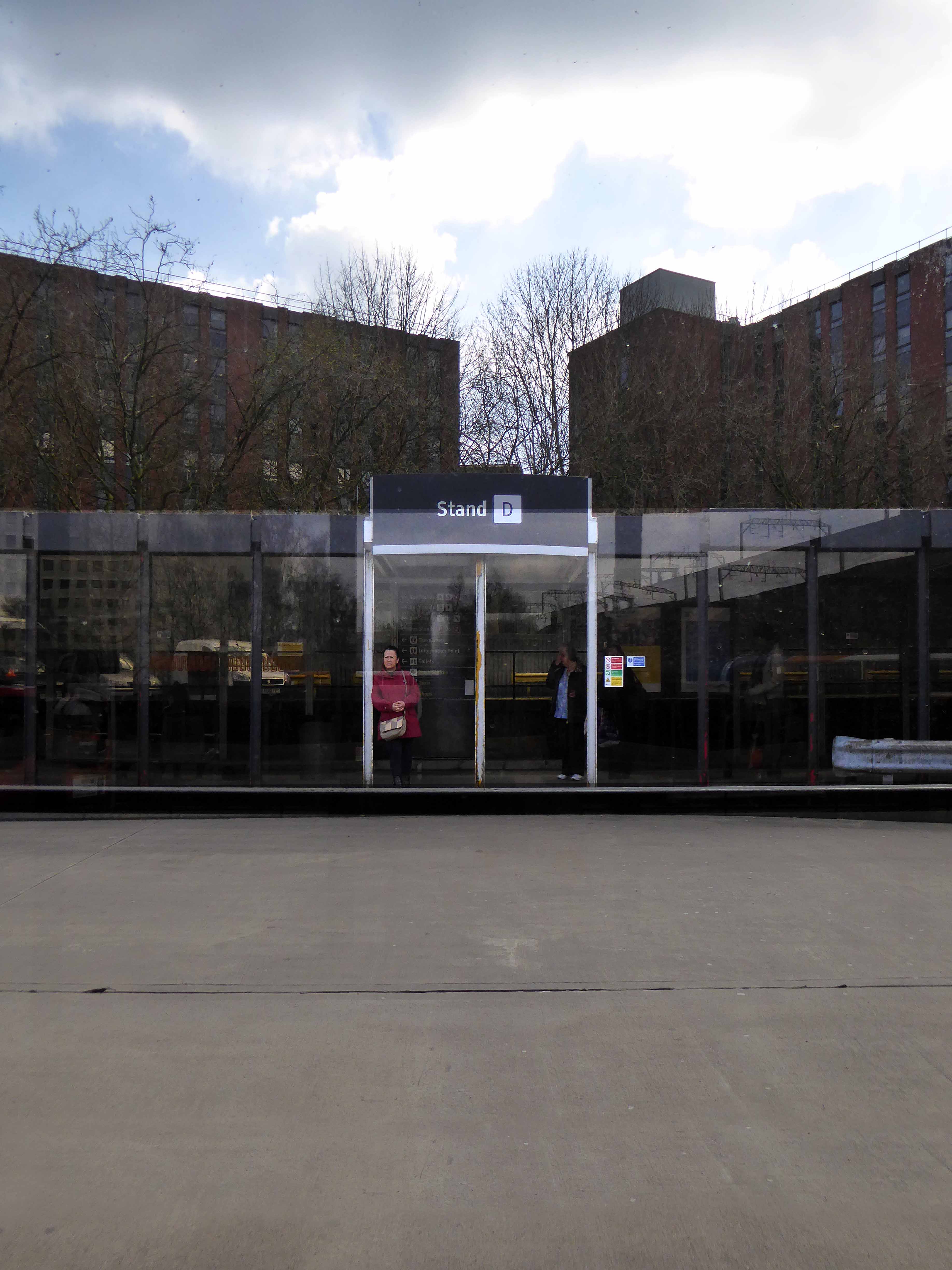
From the early part of the Twentieth Century trams and then buses stopped and started in Mersey Square, affording limited succour, space or shelter for the weary traveller.
View from the Fire Station Tower.
View from the Plaza Steps.
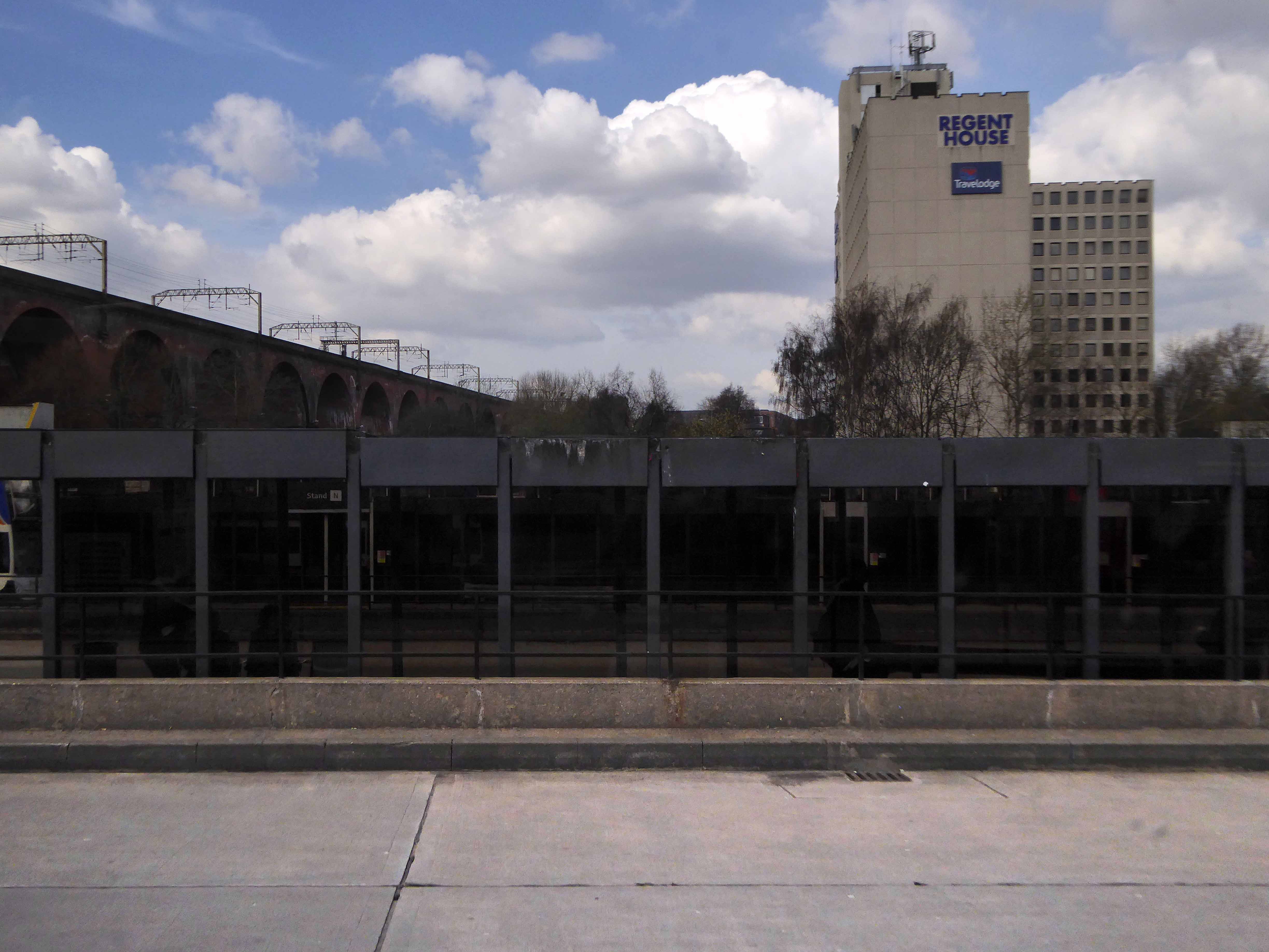
The land where the bus station currently stands was then owned and used by North Western Buses – a rather large and uncultivated plot.
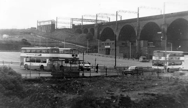
Work began in April 1979 on a brand new bus station, the first stage finally opening on March 2nd 1982.

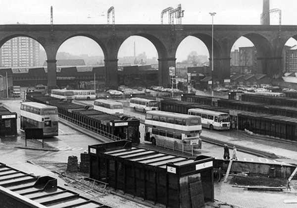
Slowly emerging from the rough ground – a series of glass and steel boxes worthy of that master of minimalism Ludwig Mies van der Rohe, a Neue Nationalgalerie in miniature.

Photographs from Stockport Image Archive
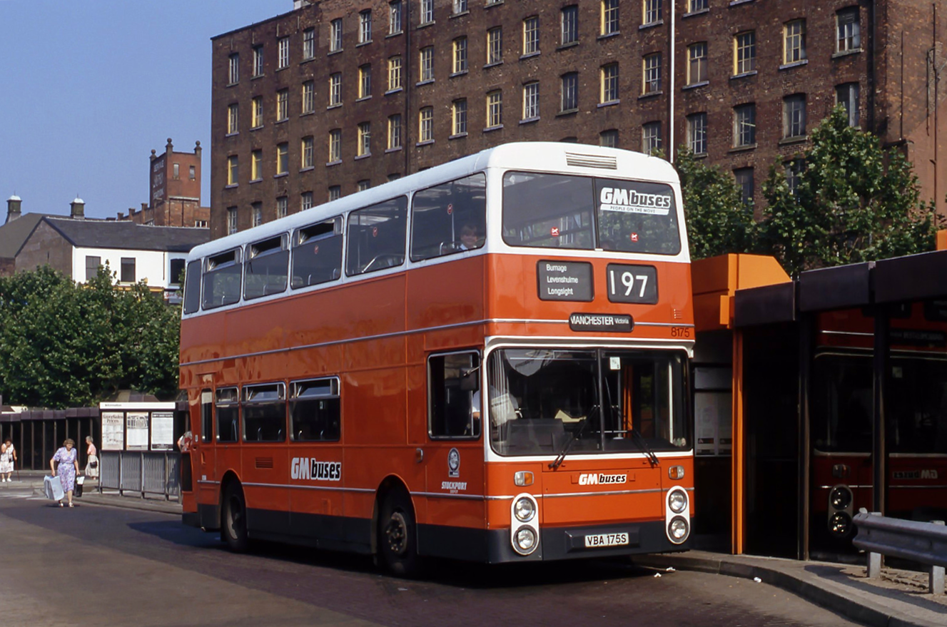
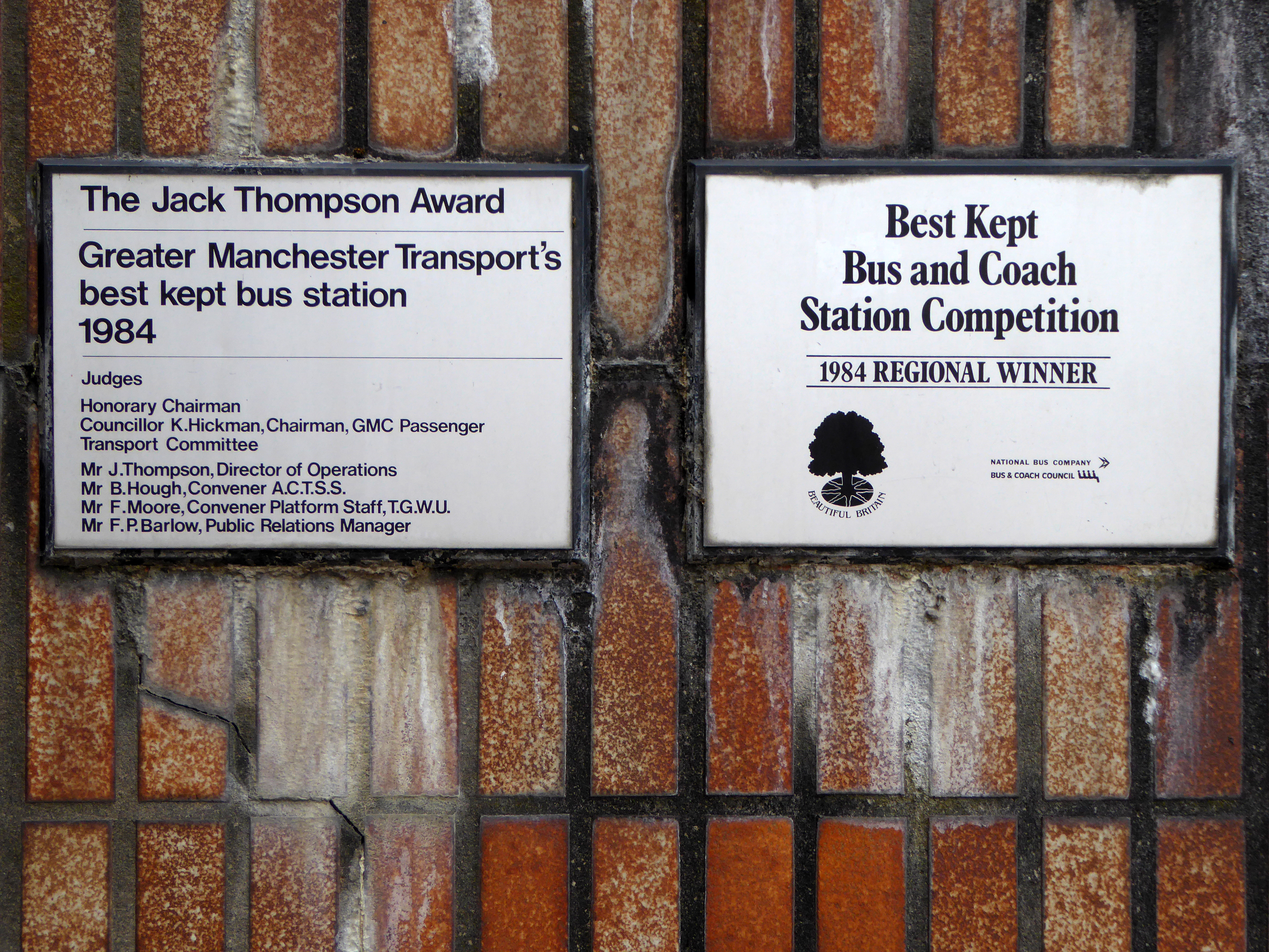
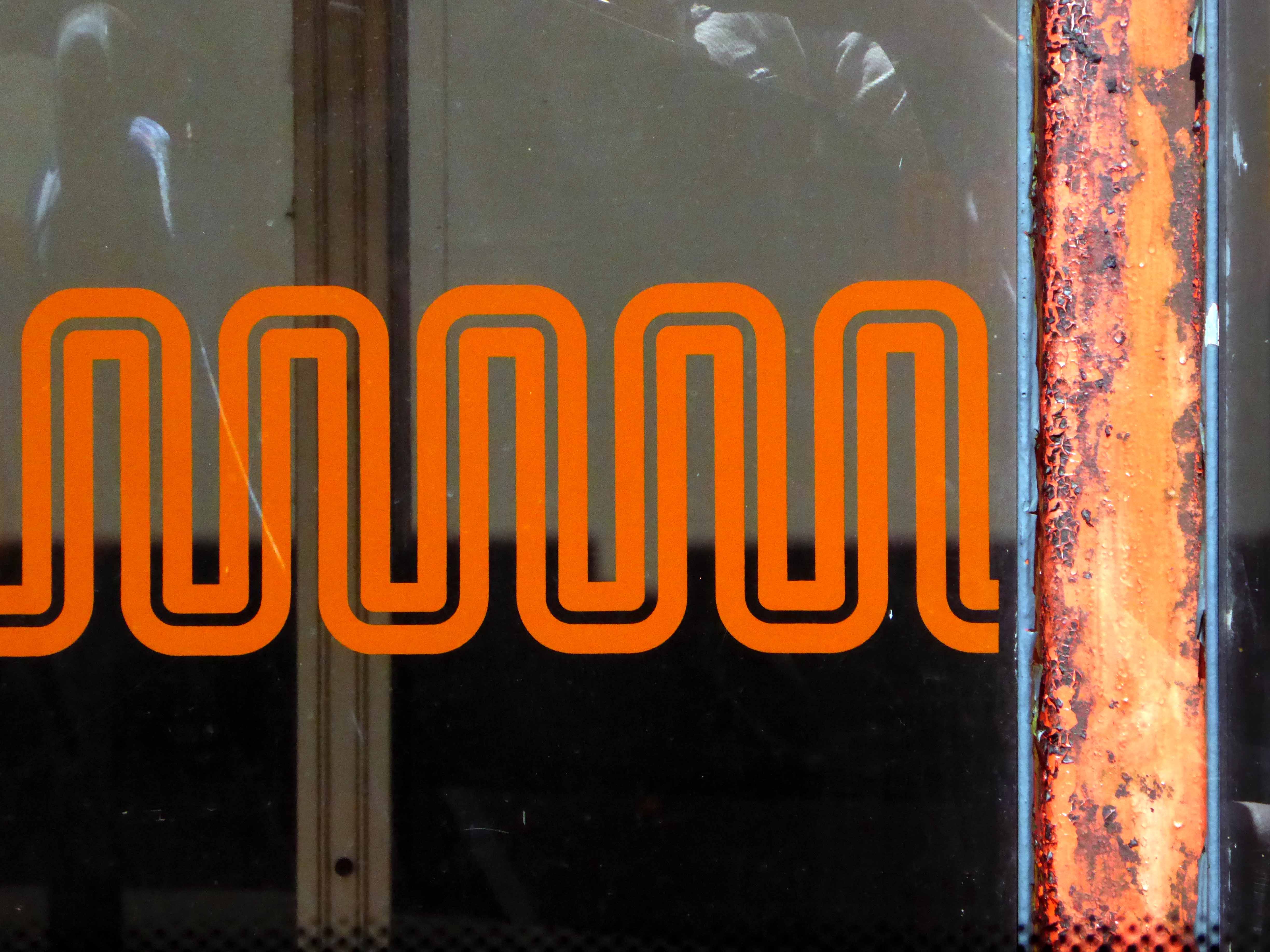
It has stood and withstood the winds of change and perfidious public transport policy, the privatisation of the service, snatched greedily from local authority control.
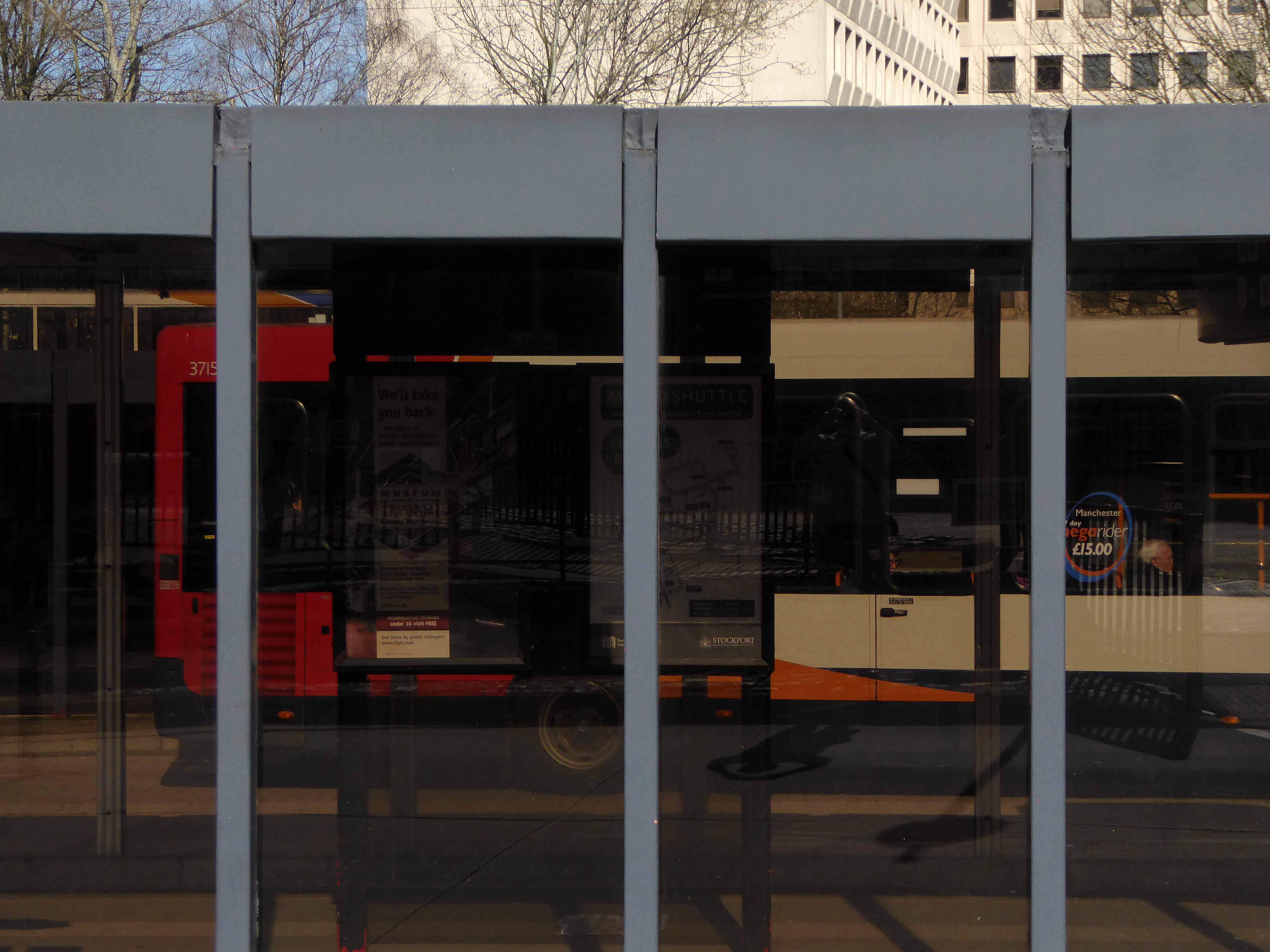
Passengers have met and parted, whilst buses of every hue and stripe have departed from these draughty boxes.
Photograph from Victory Guy
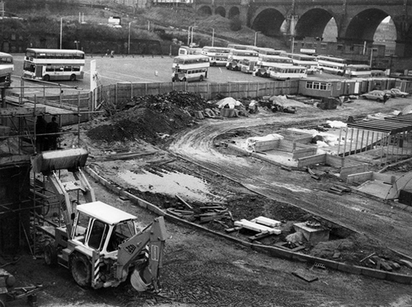
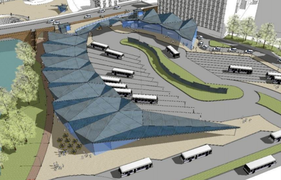
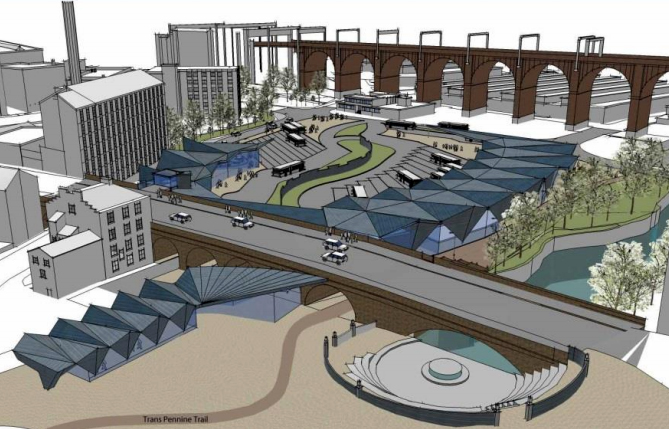
There are now plans for imminent demolition and rebuilding – shaping a transport hub fit for the Twenty First Century – Space Age forms for a brave new world.
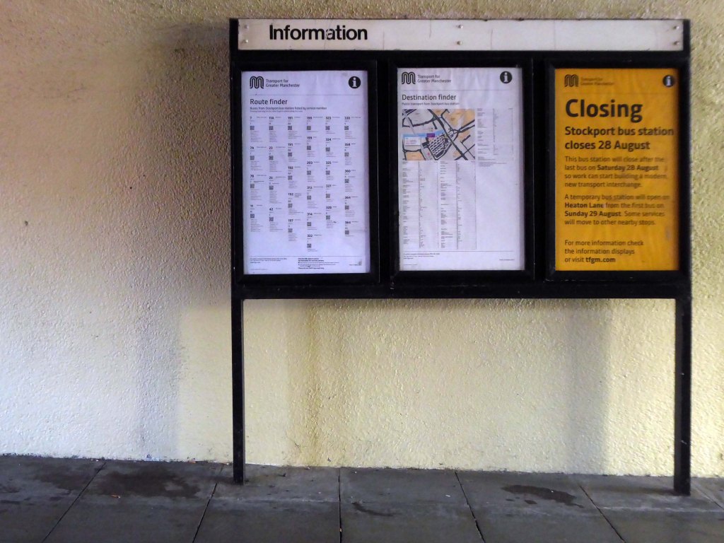
A new £42m transport interchange in Stockport town centre has taken a step forward after the local council agreed key measures to back the project.
April 9th 2017 here is my photographic record of the Bus Station, I’ve been, gone and come back again countless times through the years.


I have been here before, adoring the full range of Hasting’s sea front shelters.
They form an integral part of the general scheme designed and overseen by The Concrete King Sidney Little.
On my most recent visit the most distant shelter was receiving a wash and brush up, a brand new coat of paint or two, restored to bright red and white shipshape order, this land locked delight looked ready to set sail across the adjacent Channel to who knows where.
Offering a somewhat occluded view of blue skies and faraway shores, the bus stops here and goes on forever and forever.


