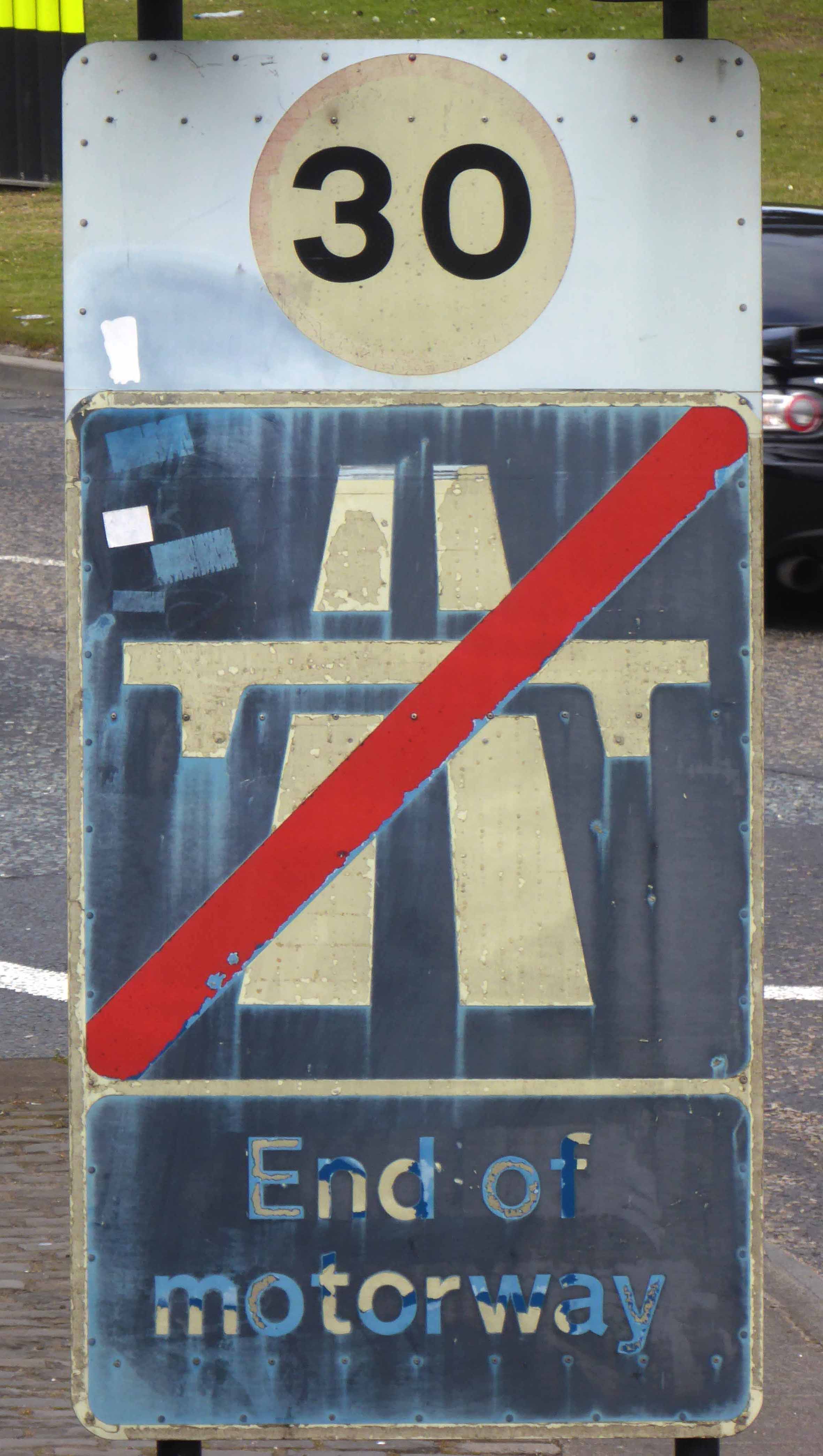
Baguley is derived from the Old English words Bagca, badger, and Leah, wood.
Historically in Cheshire, Baguley is mentioned in the Domesday Book of 1086, it was incorporated into Manchester in 1931.
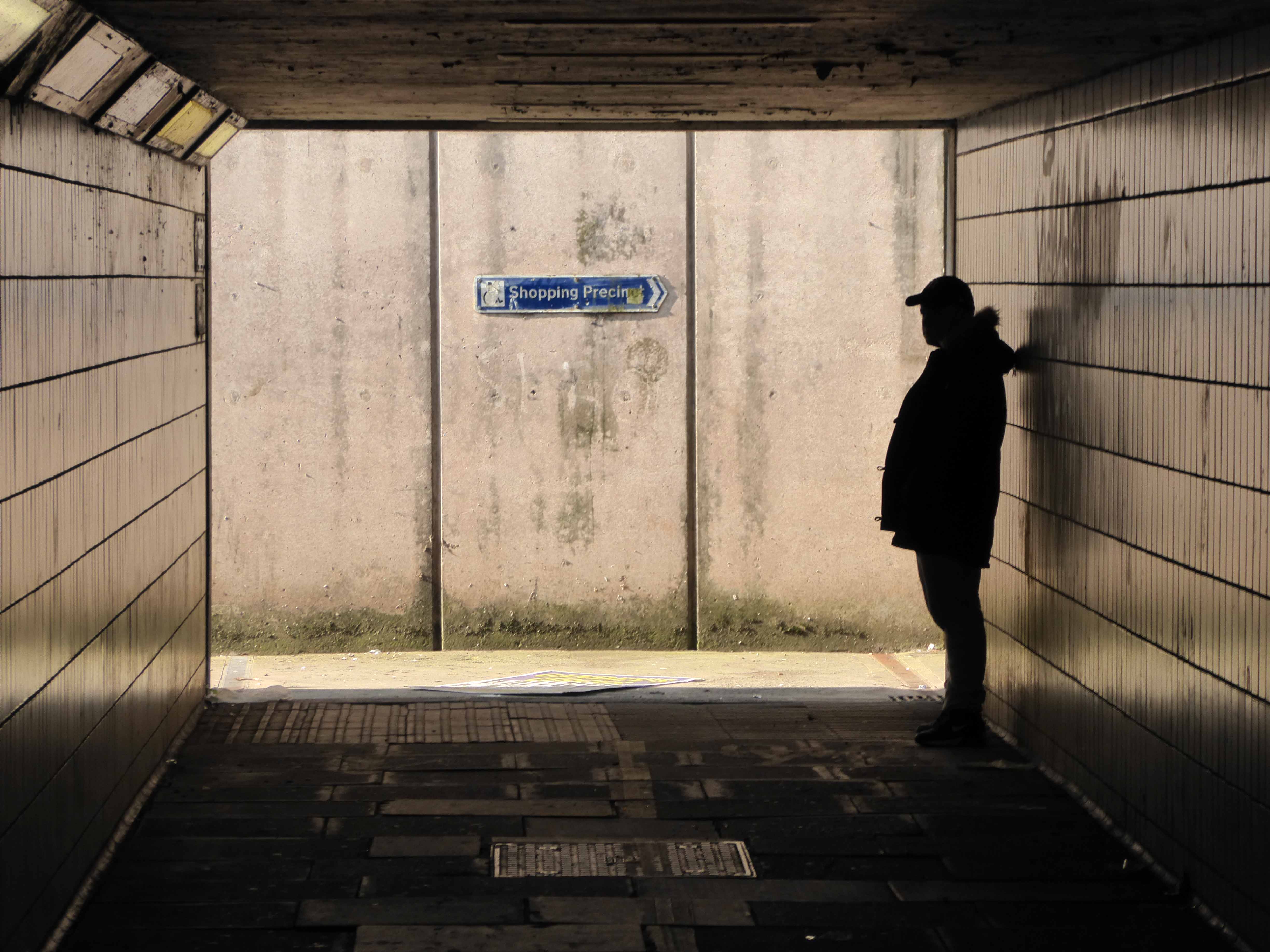
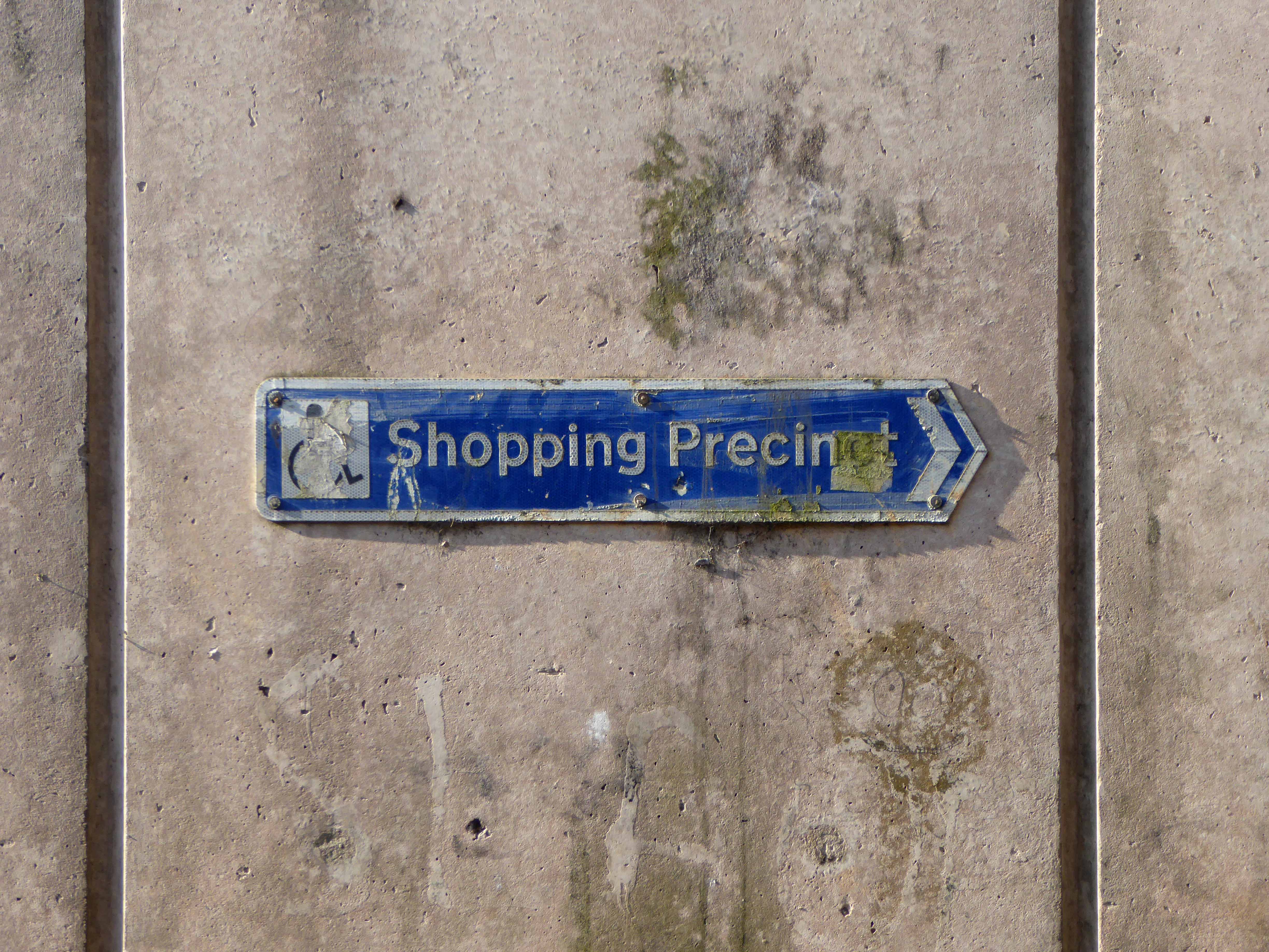
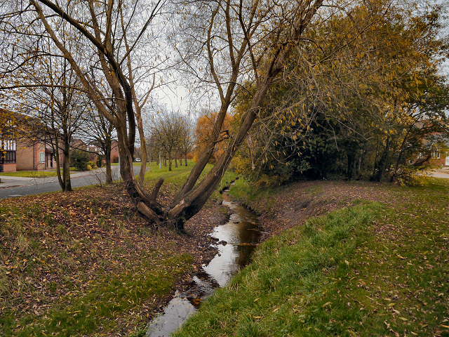
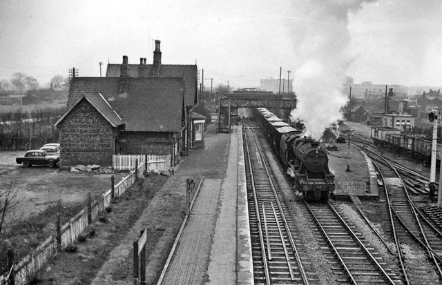
It has a Brook though babble heard I none, it had a Station now long gone.
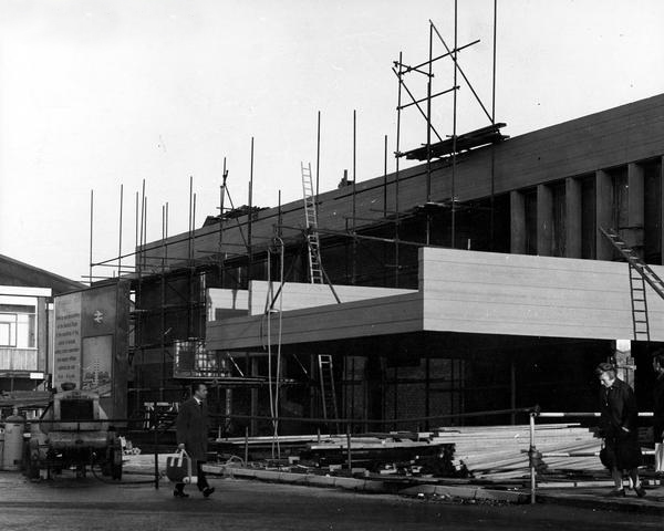
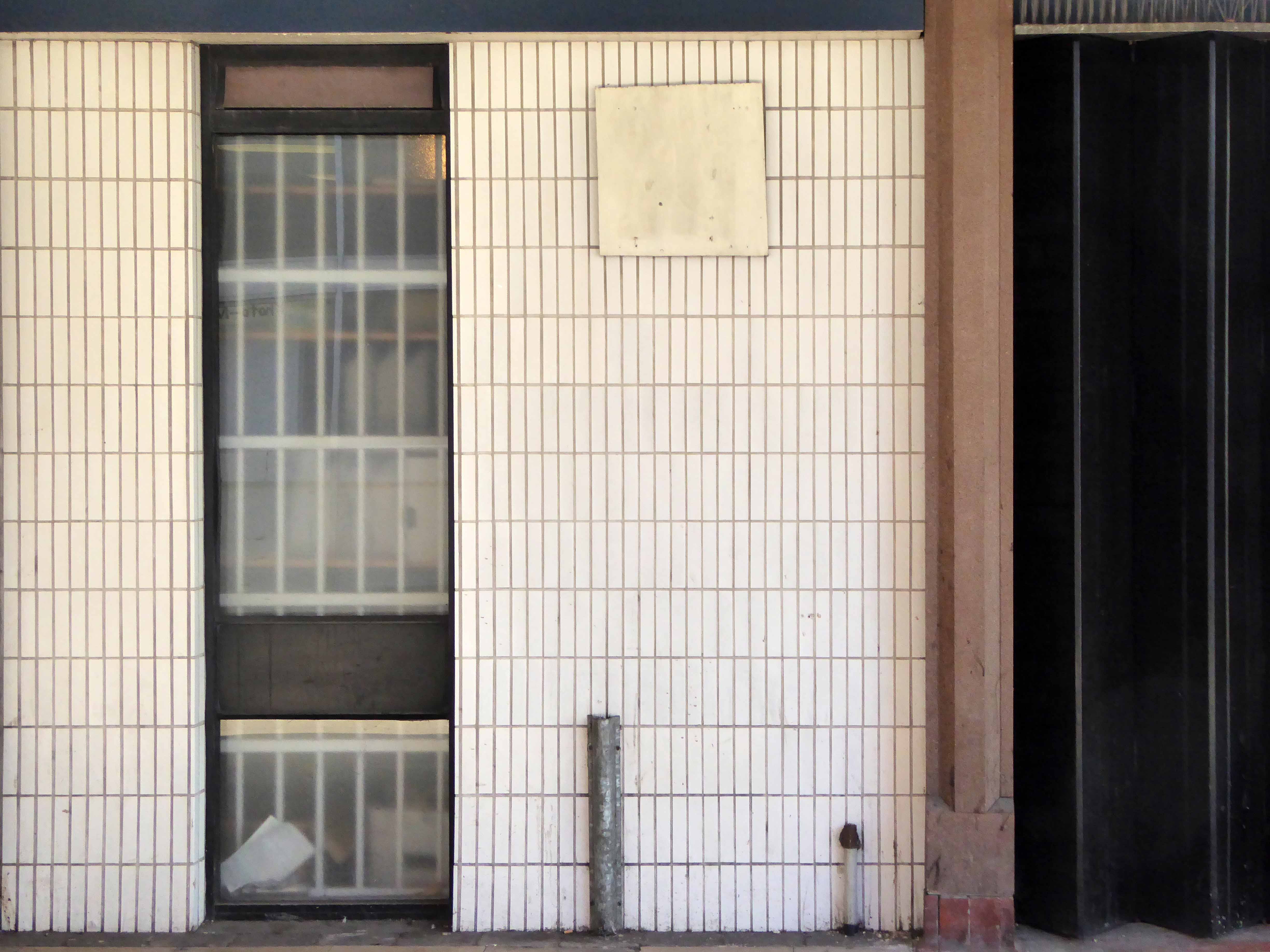
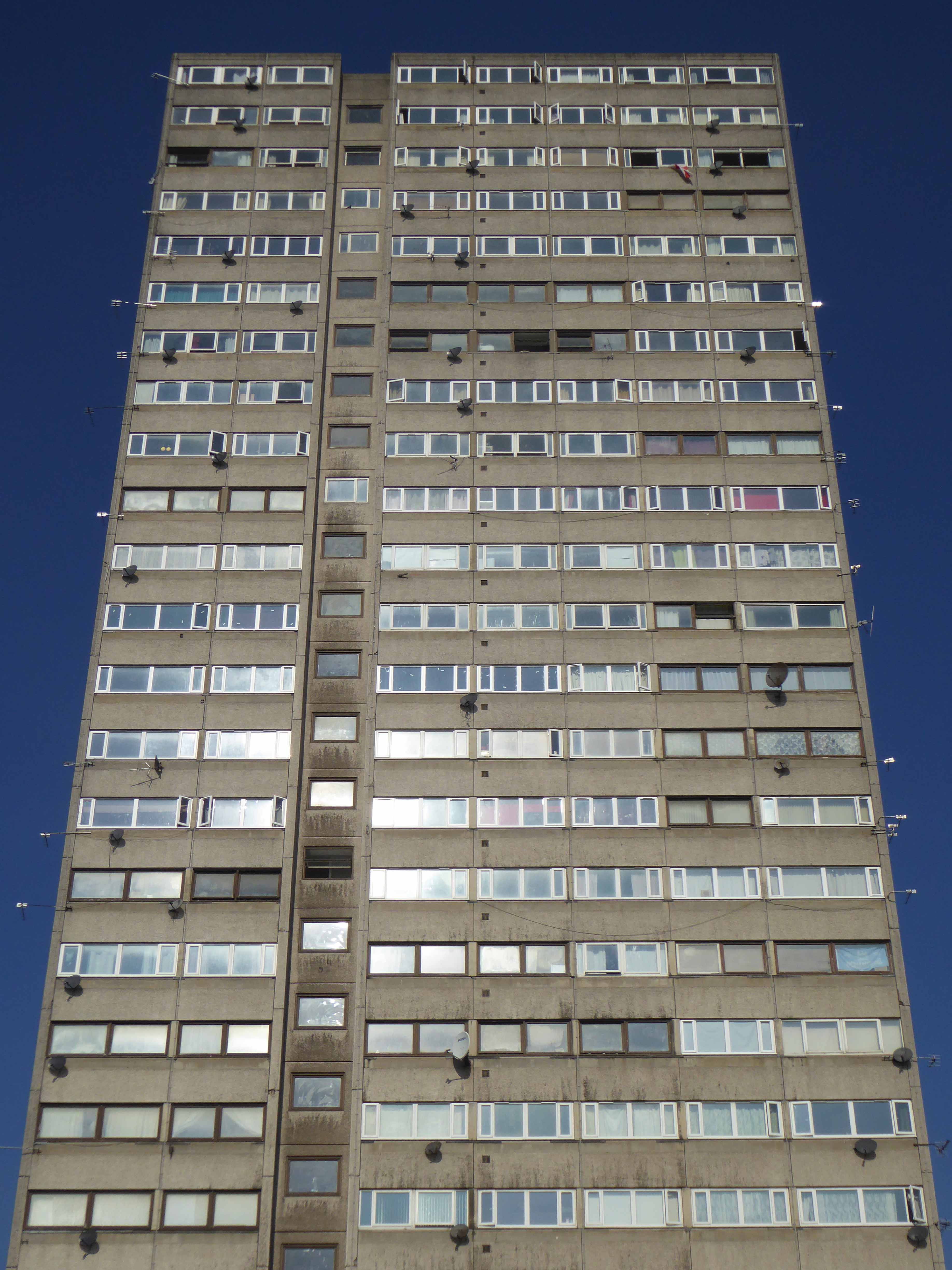
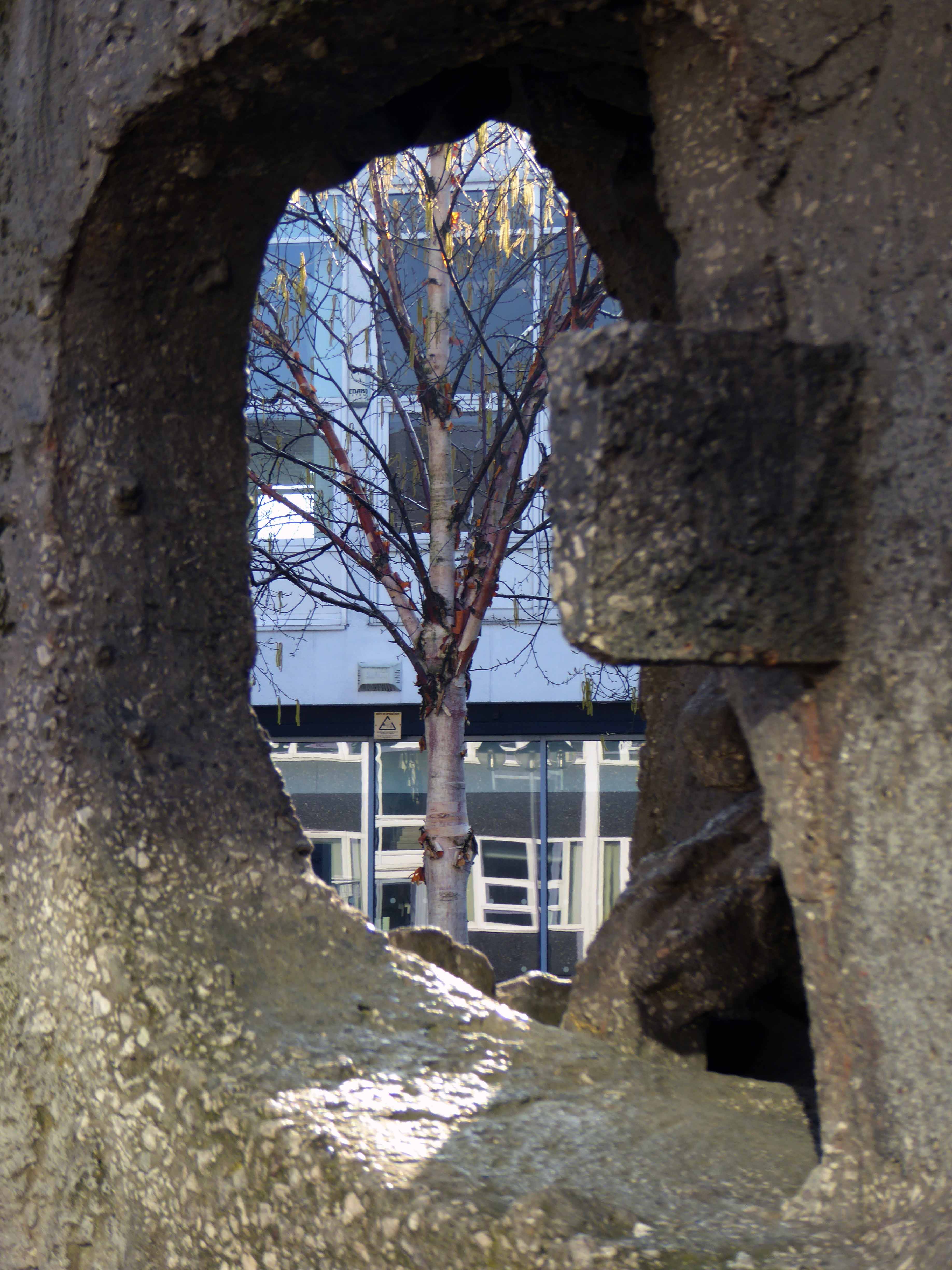
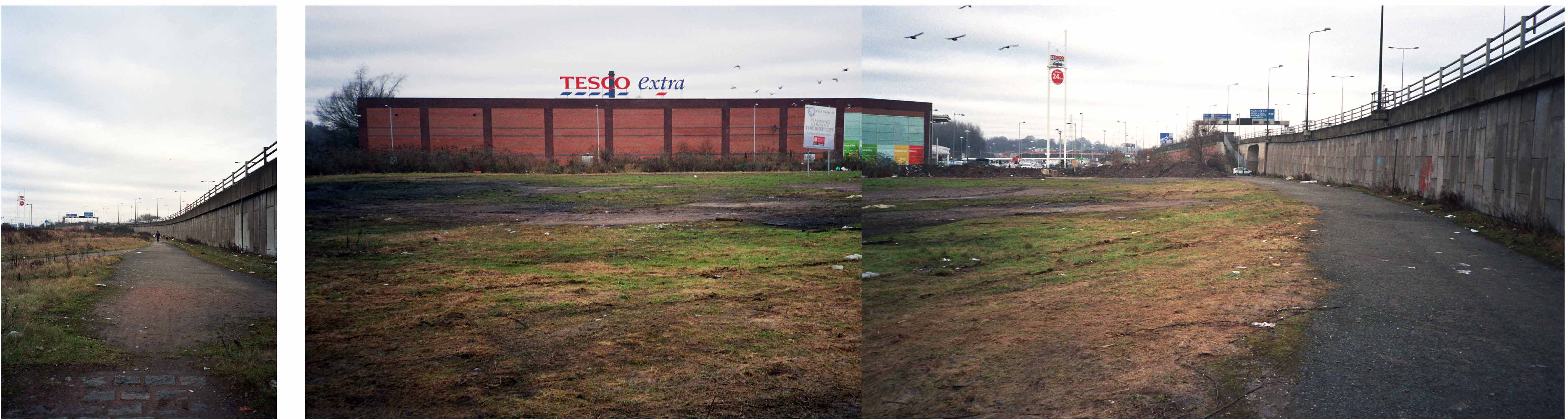
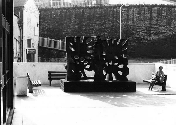
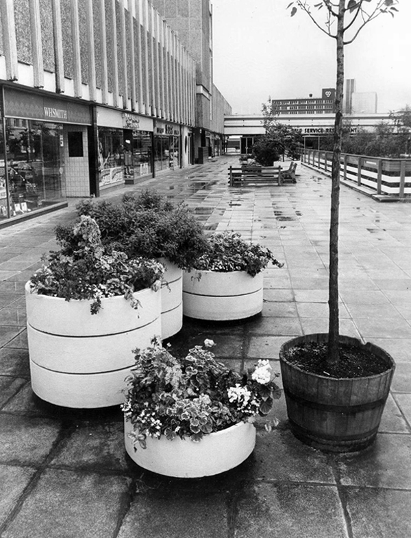
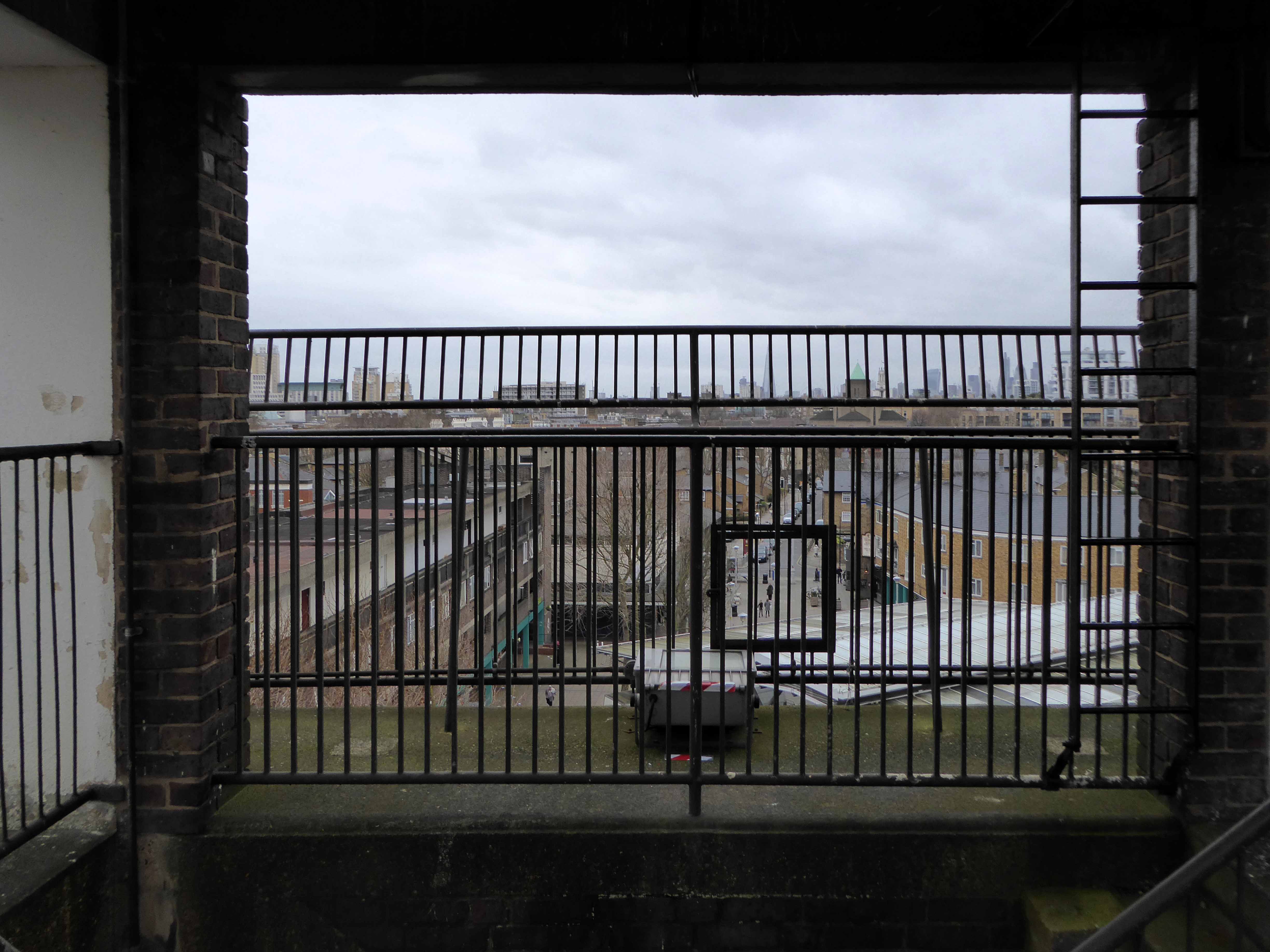
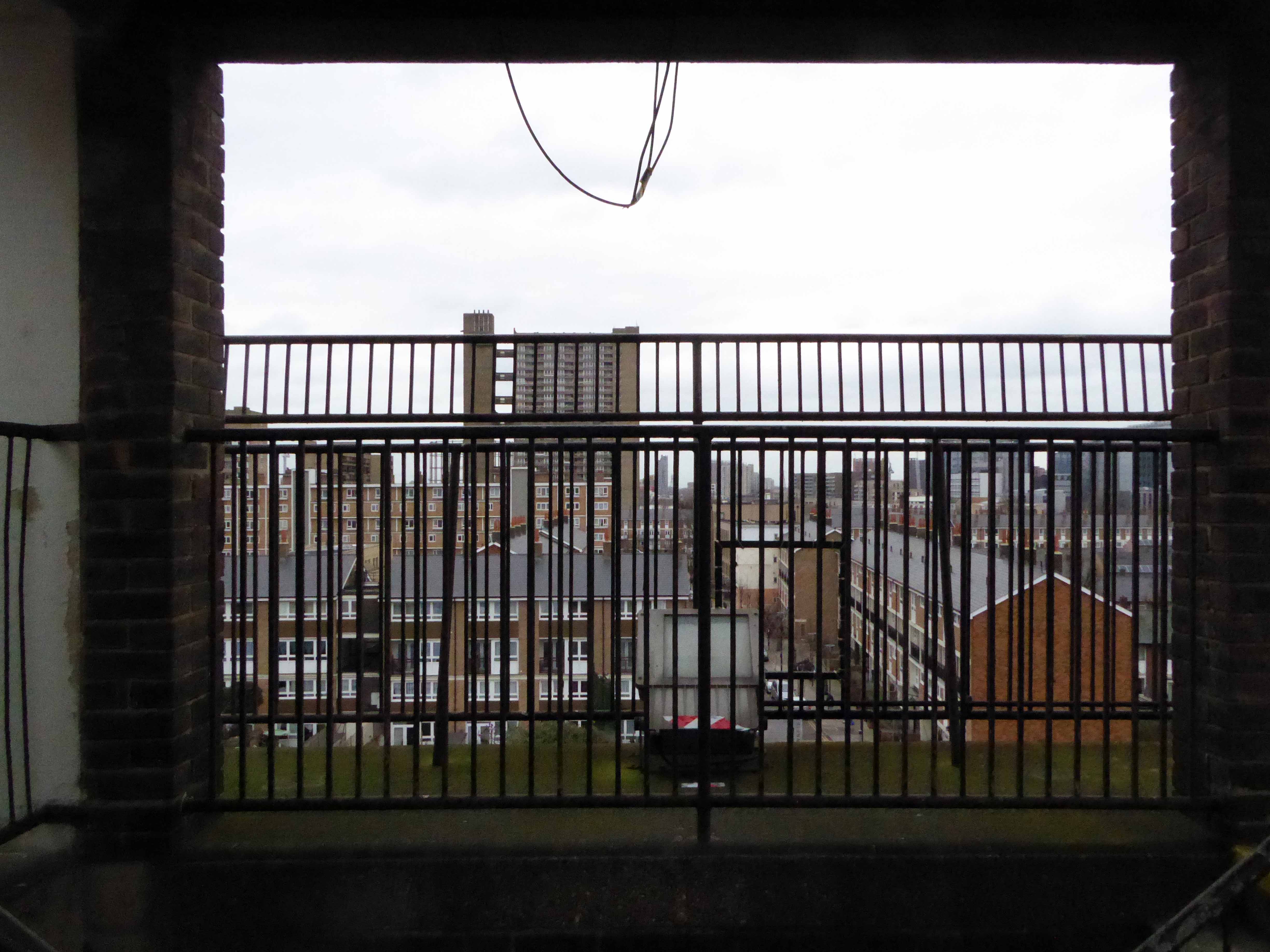
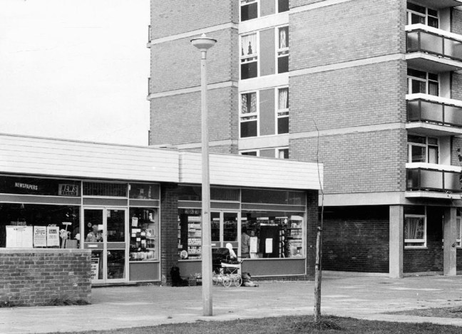
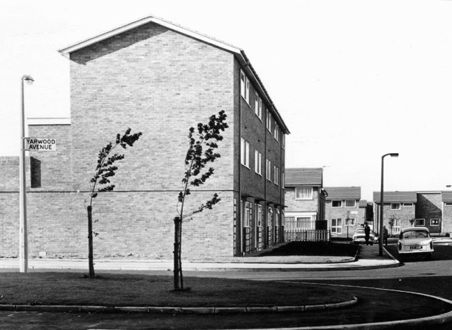
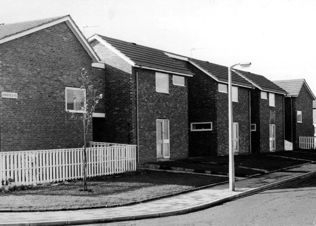
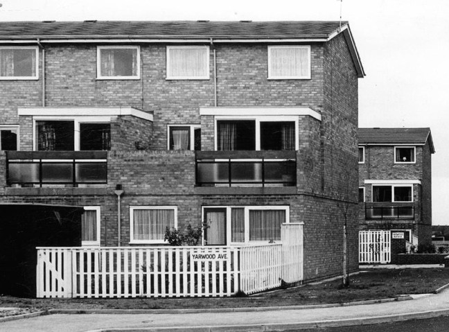
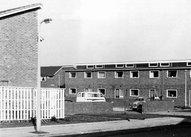
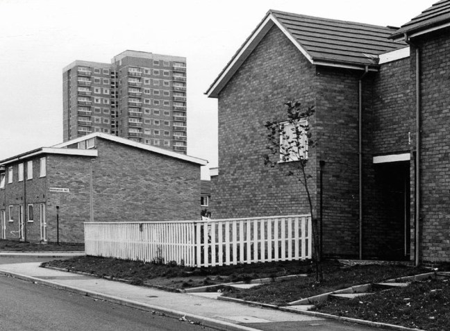
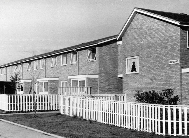
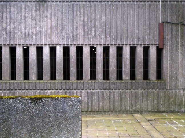
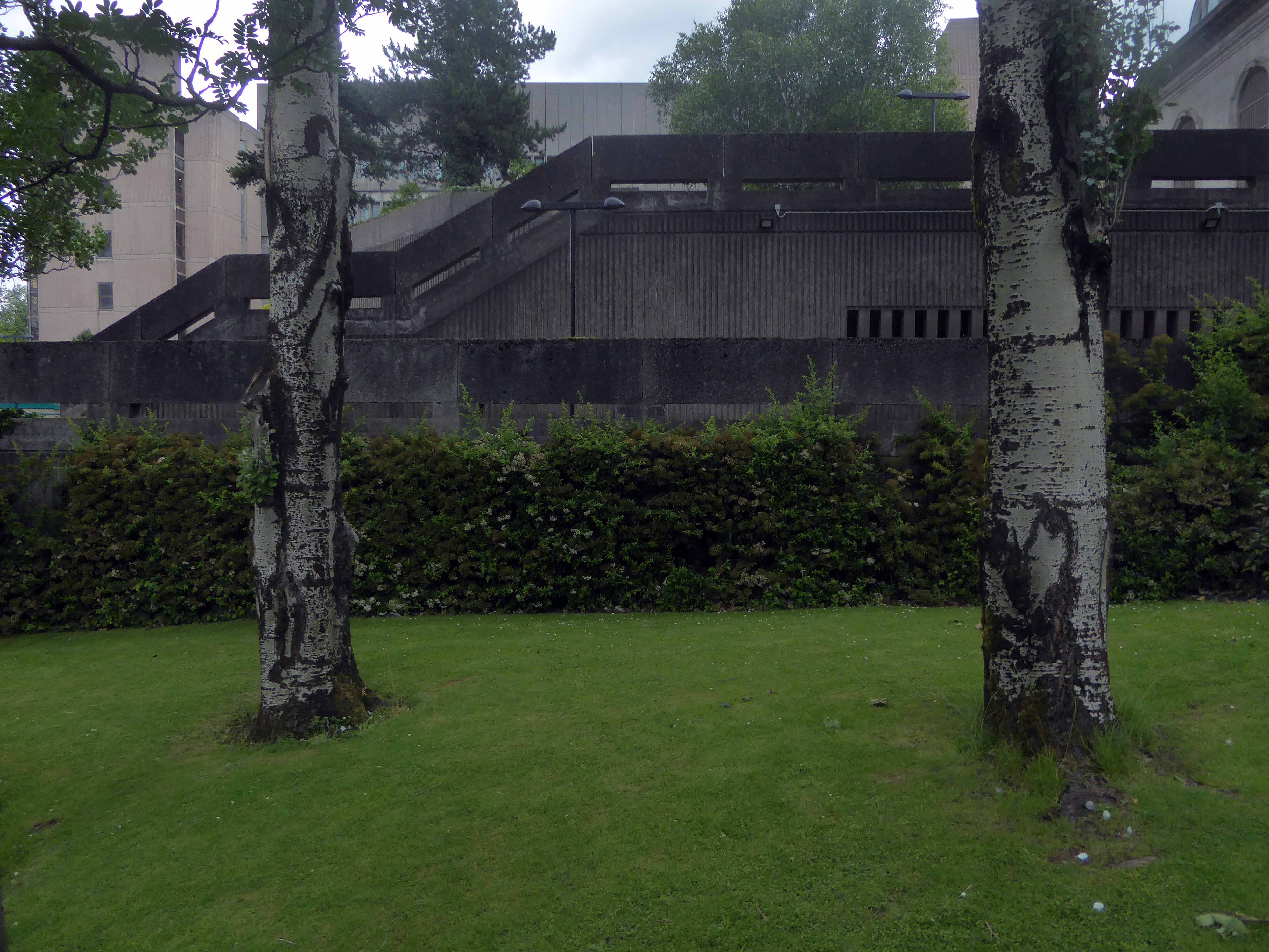
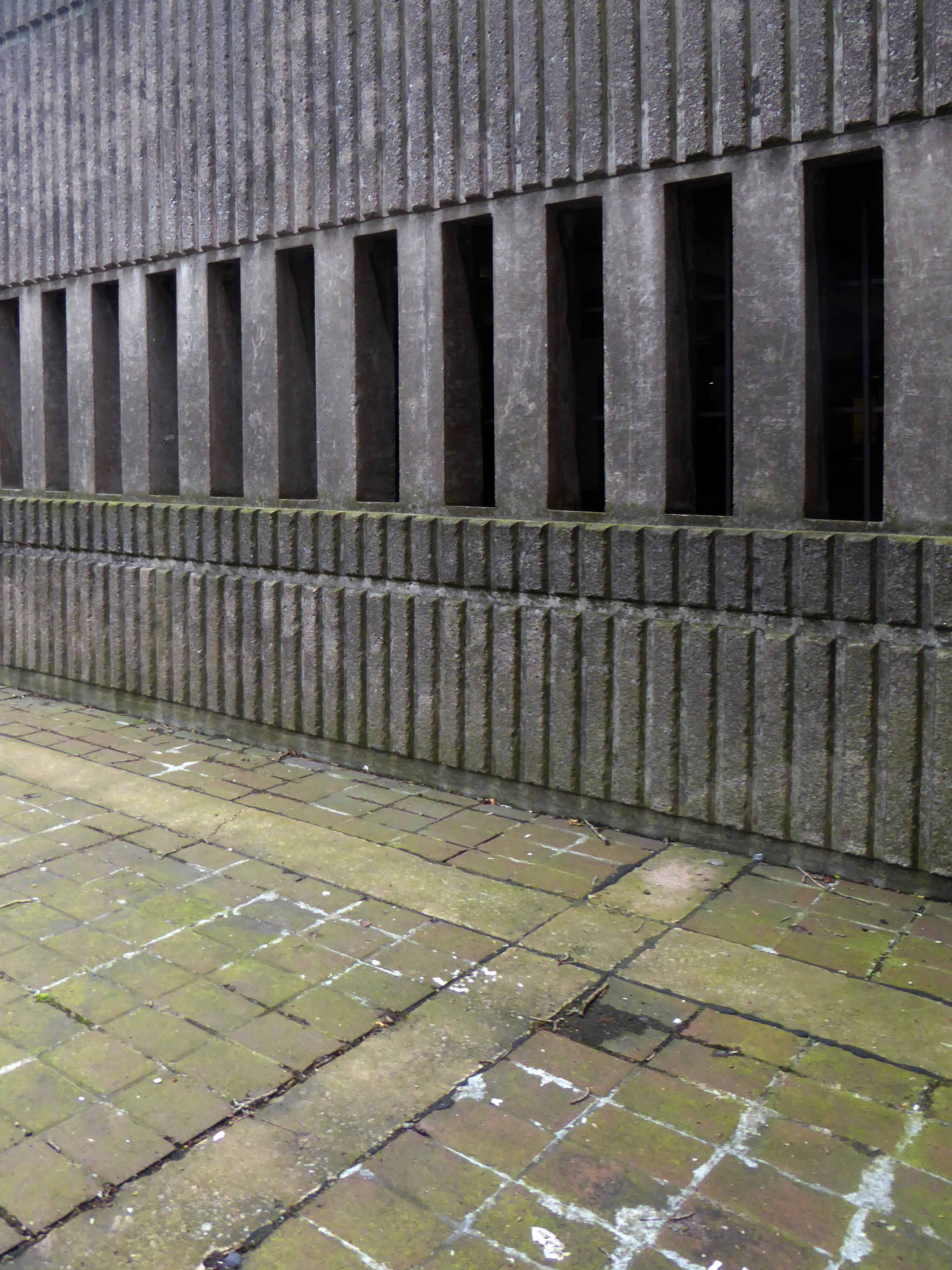
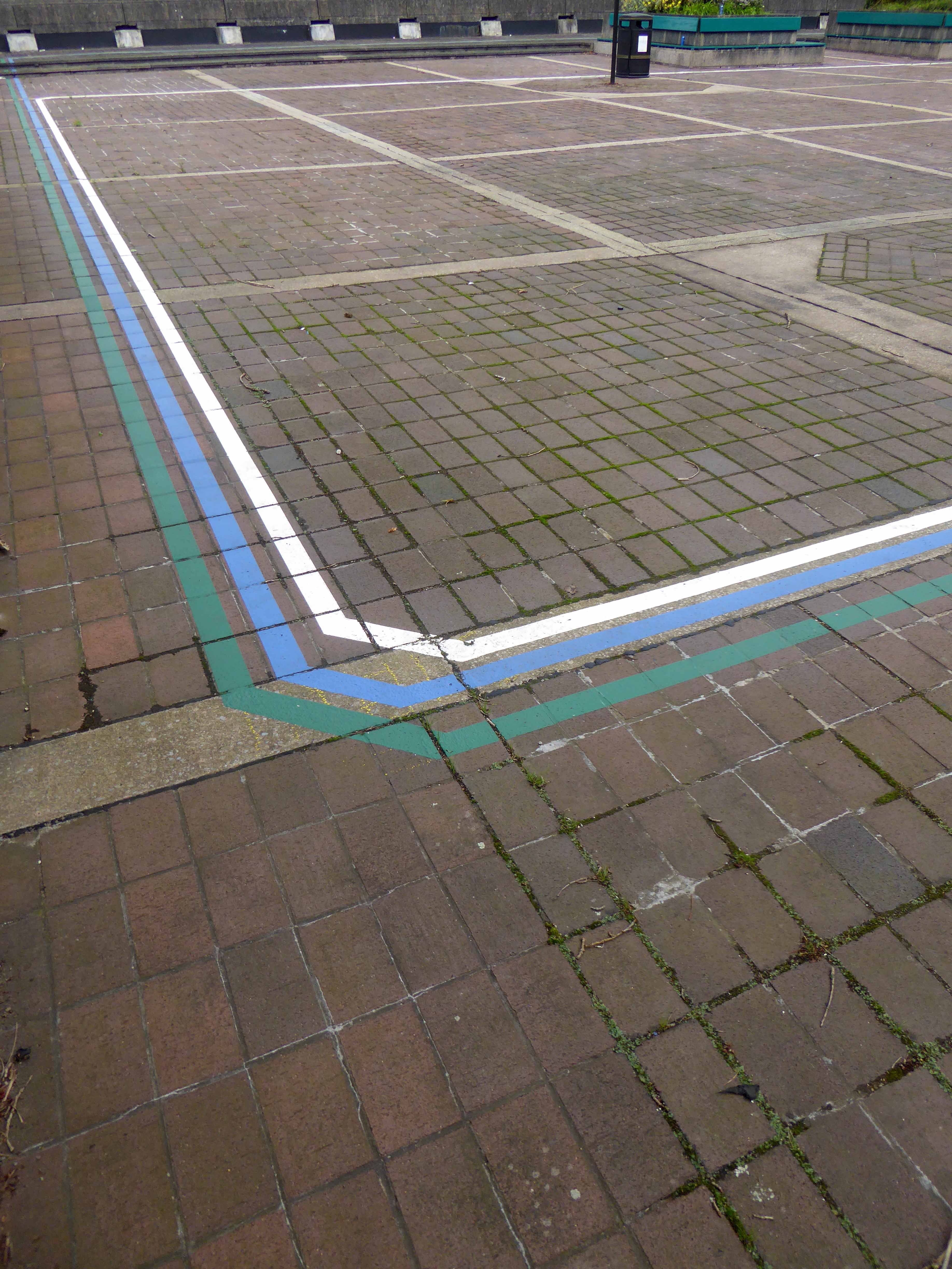
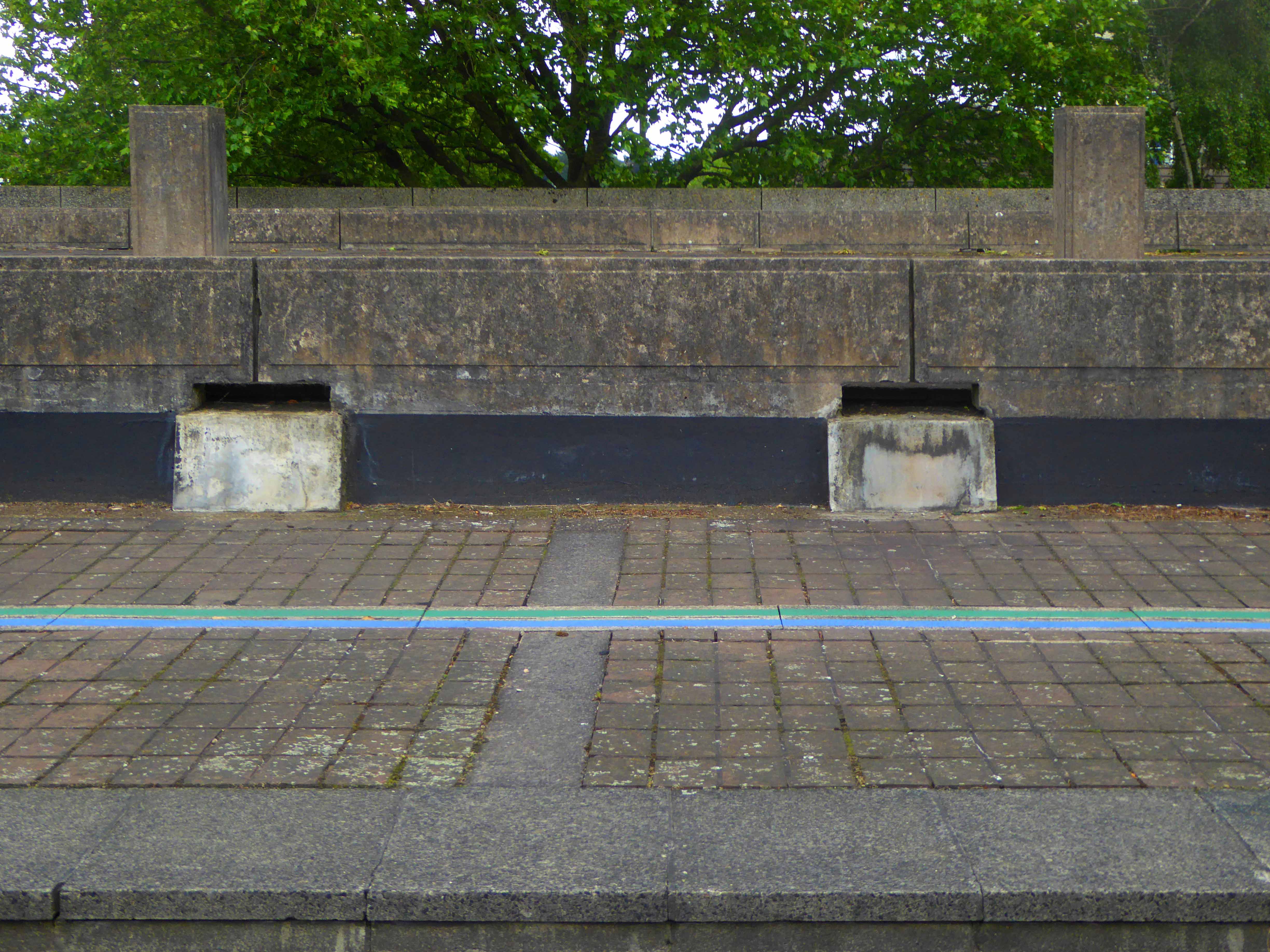
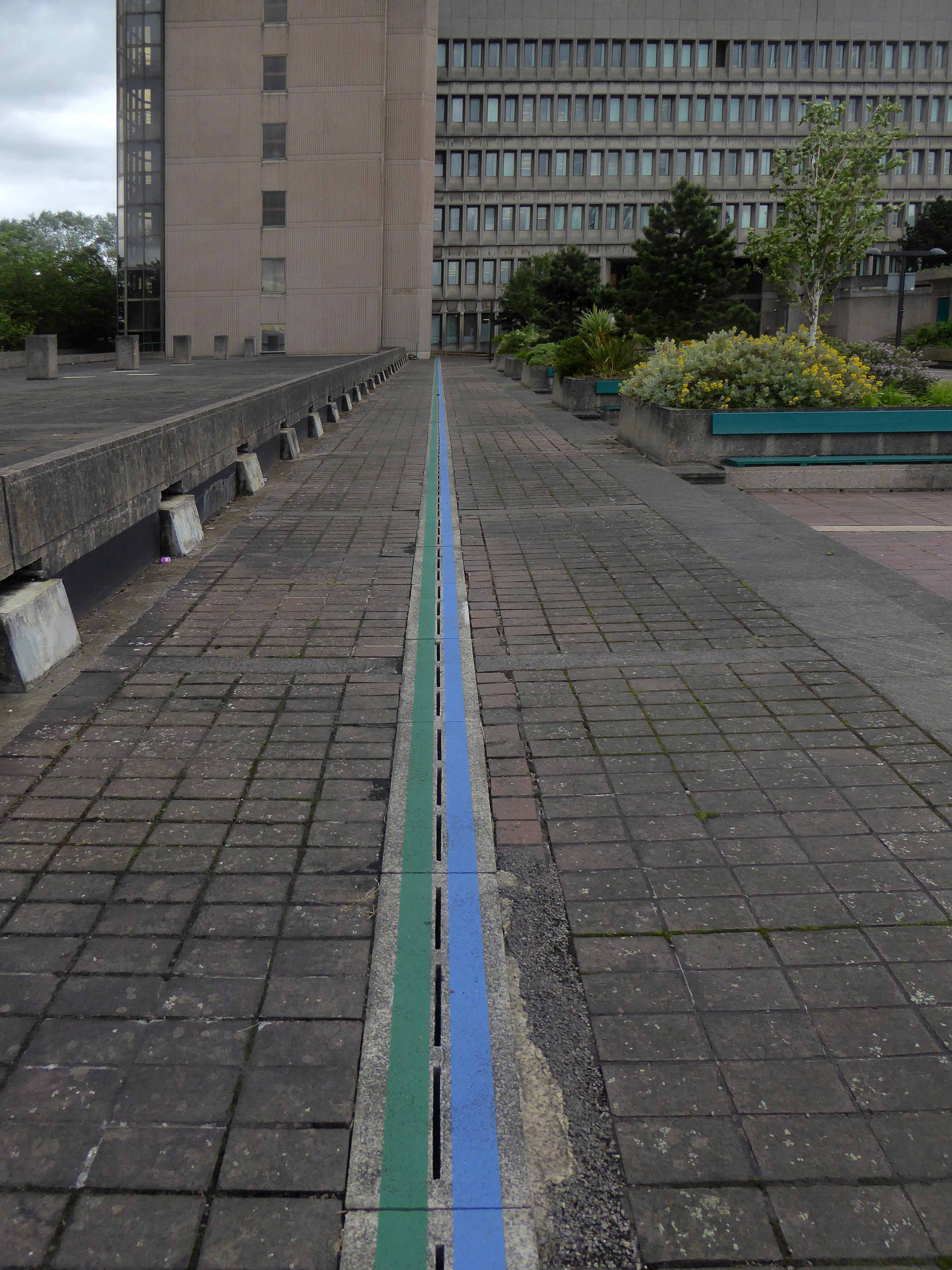
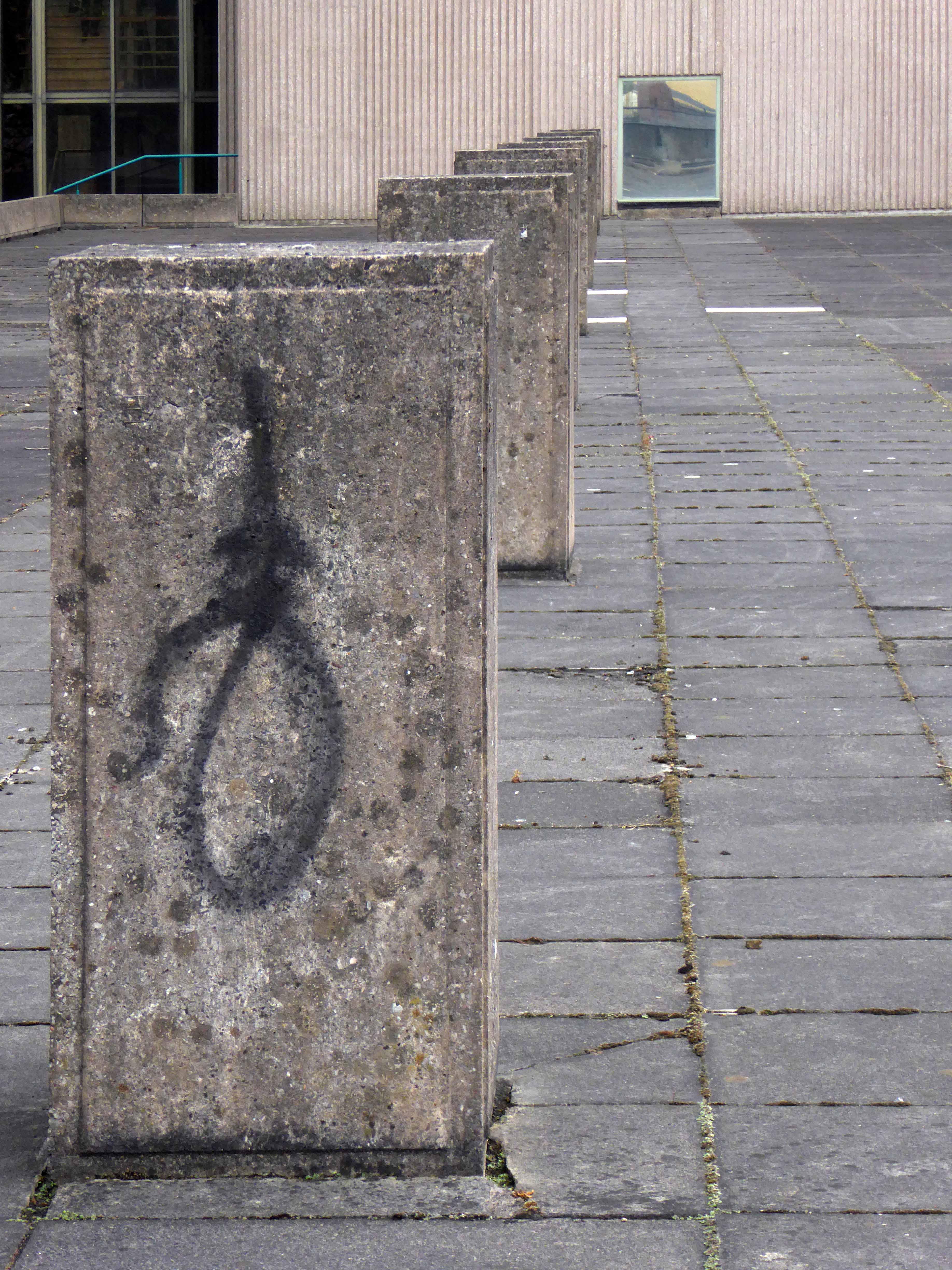
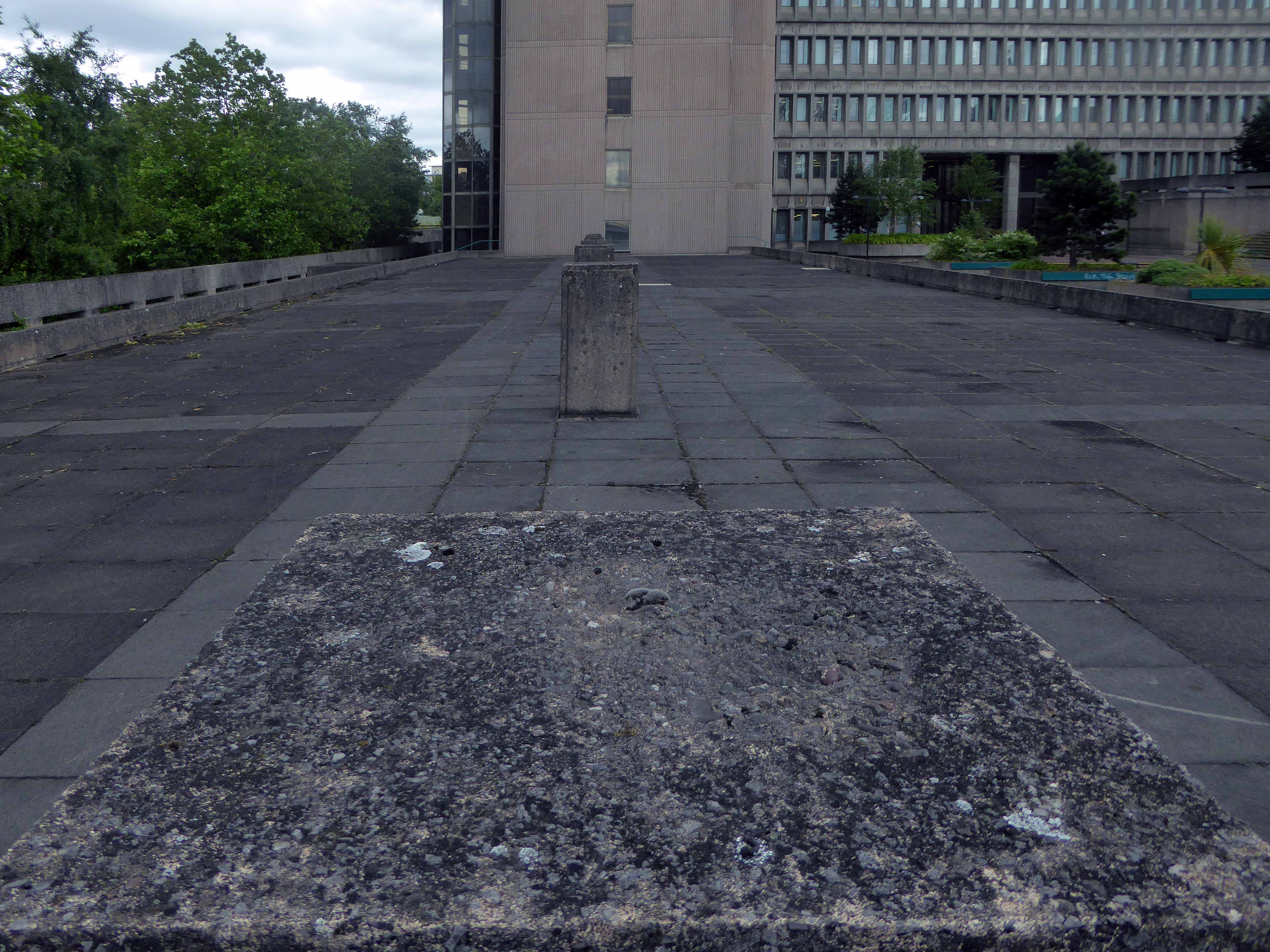
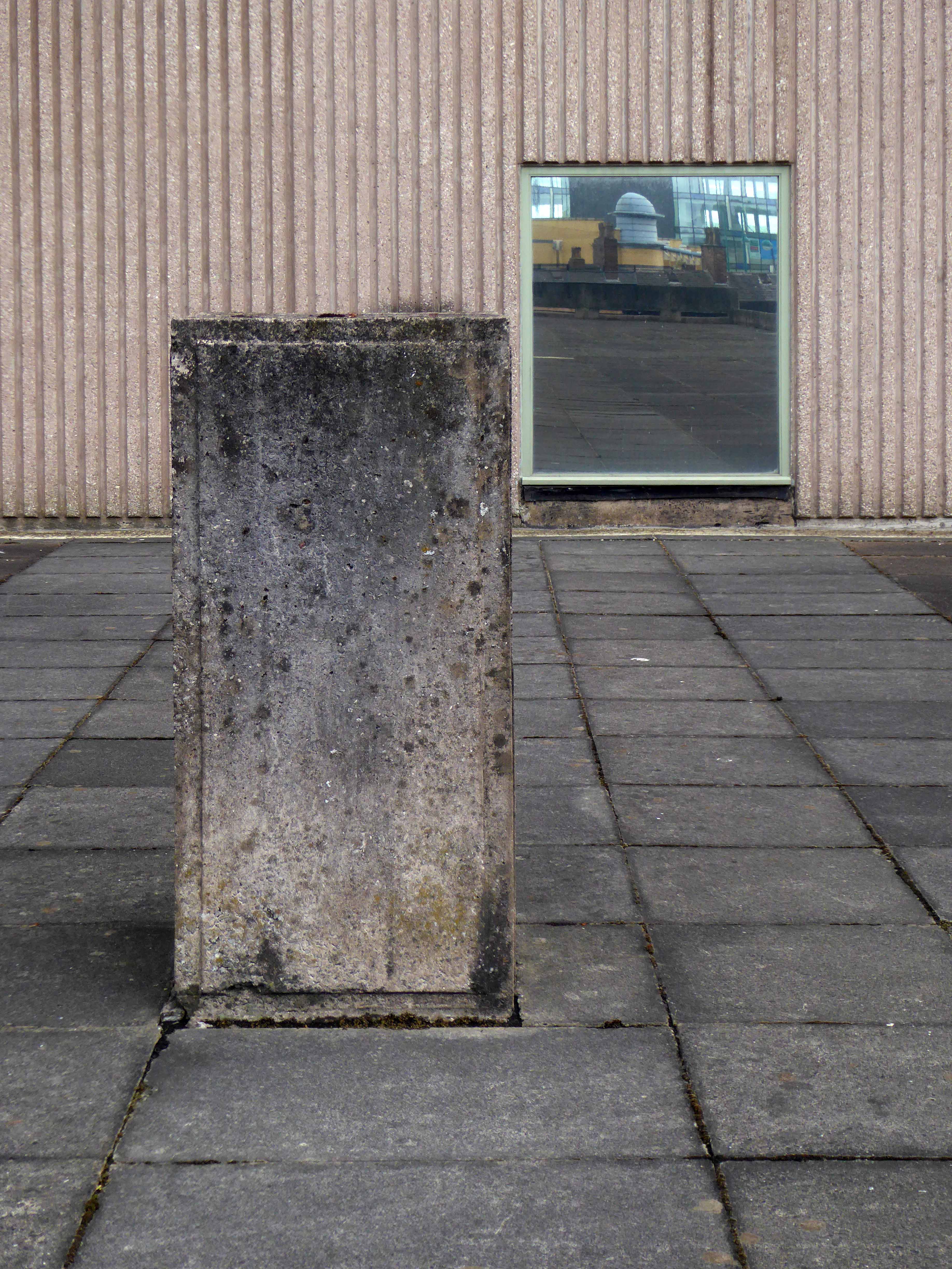
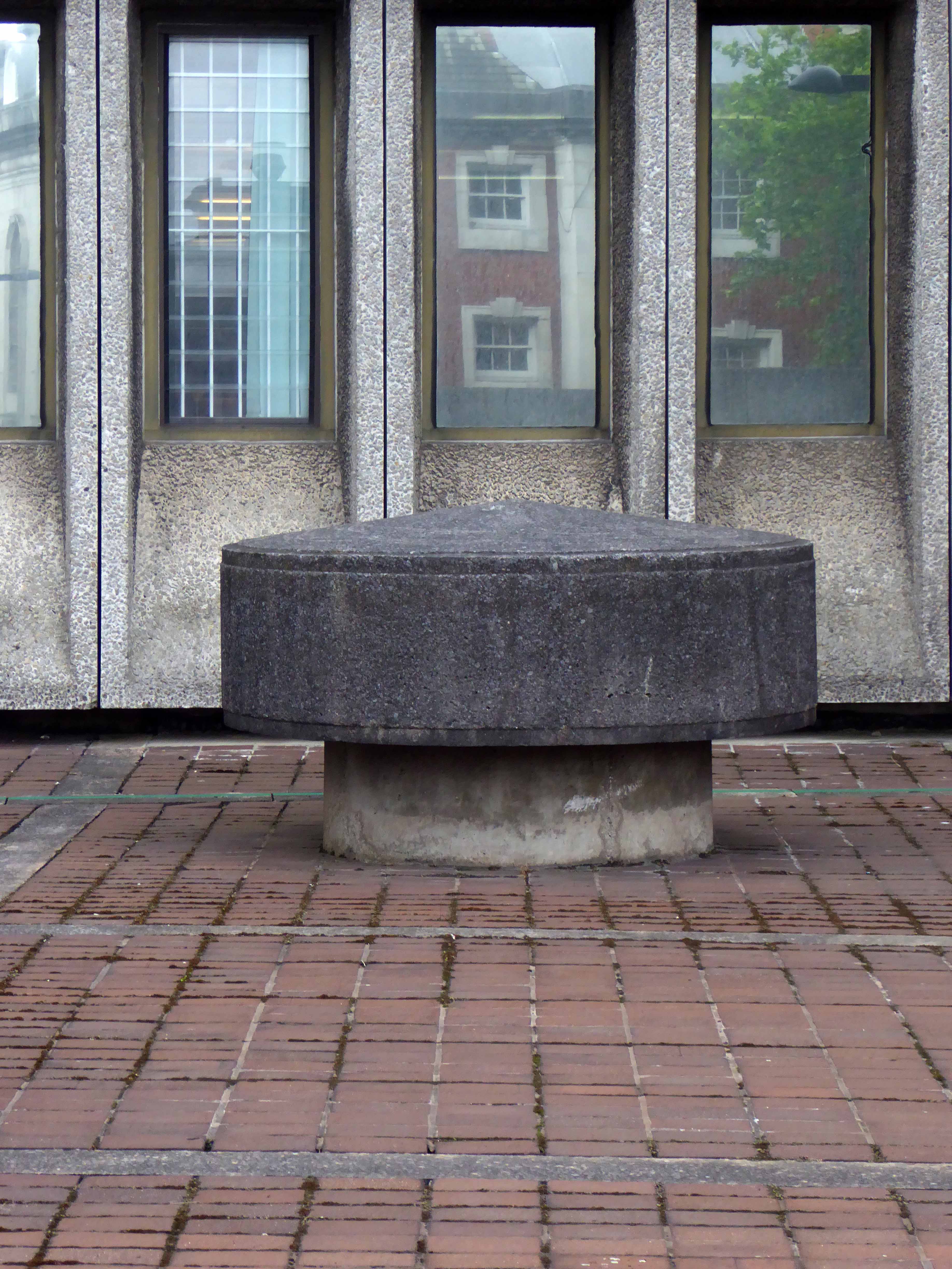
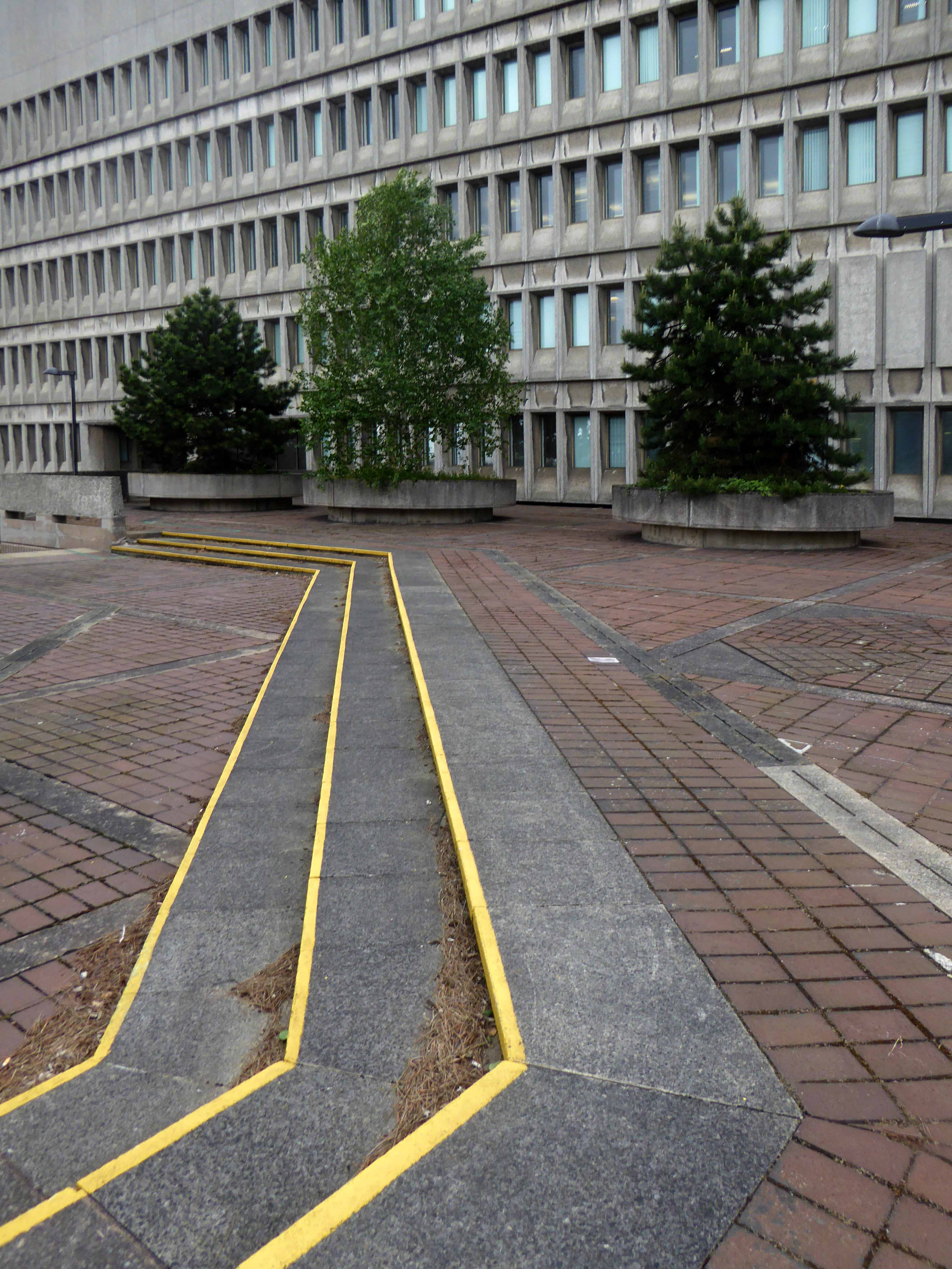
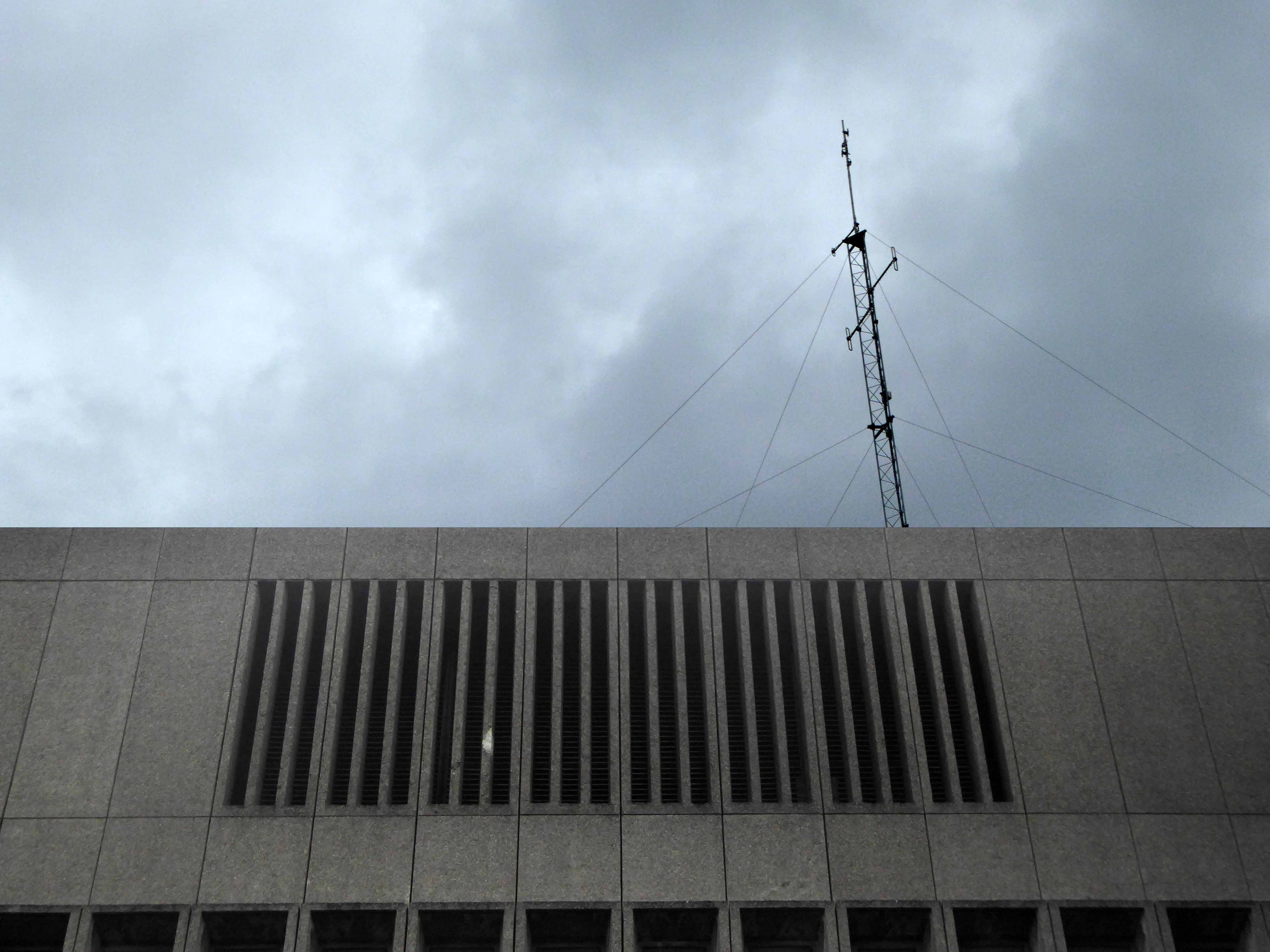
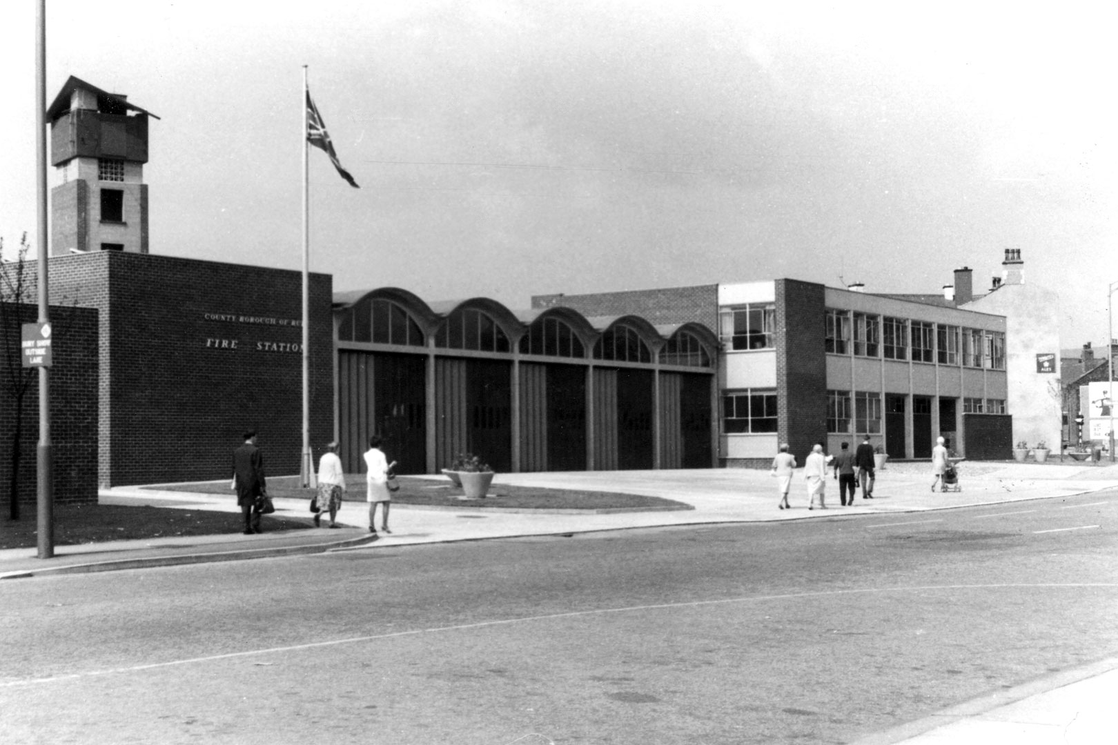
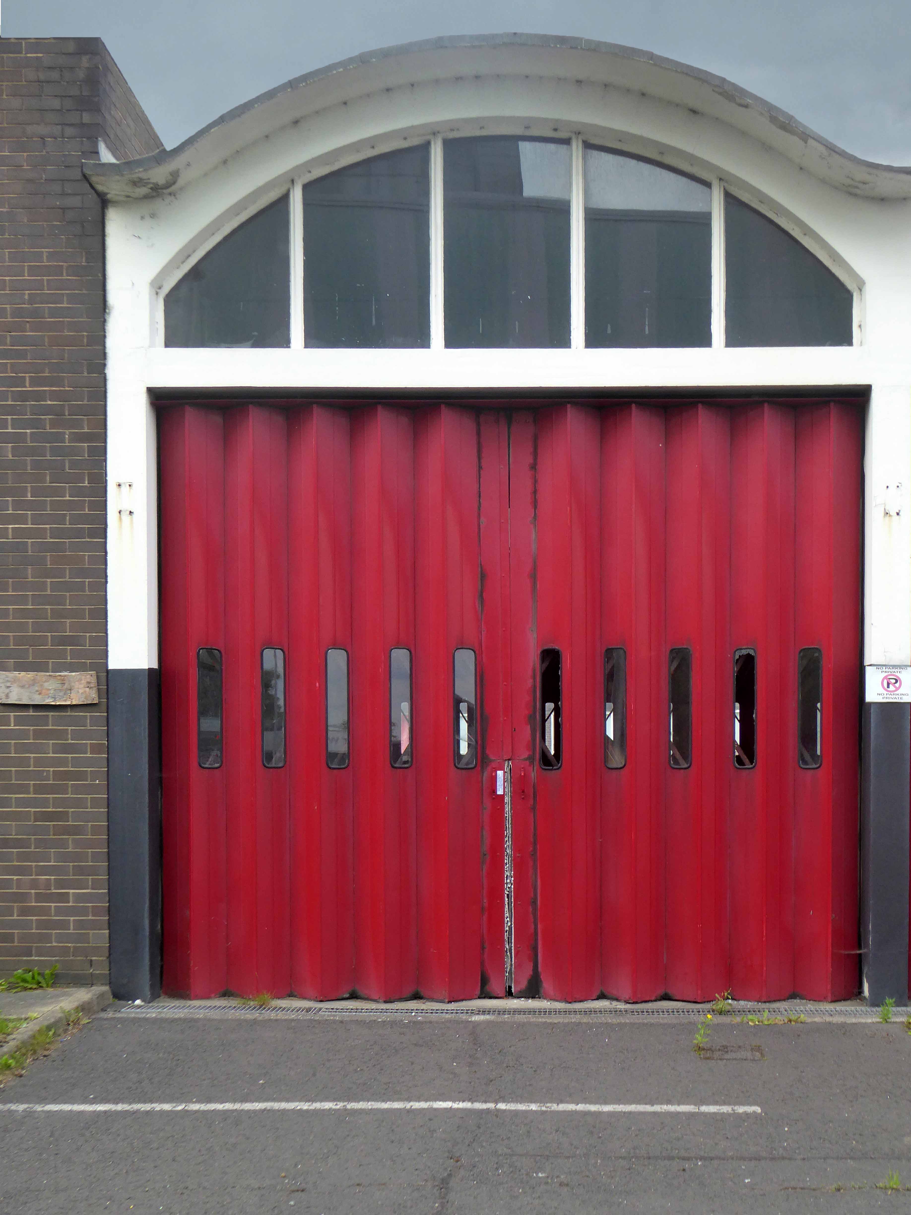
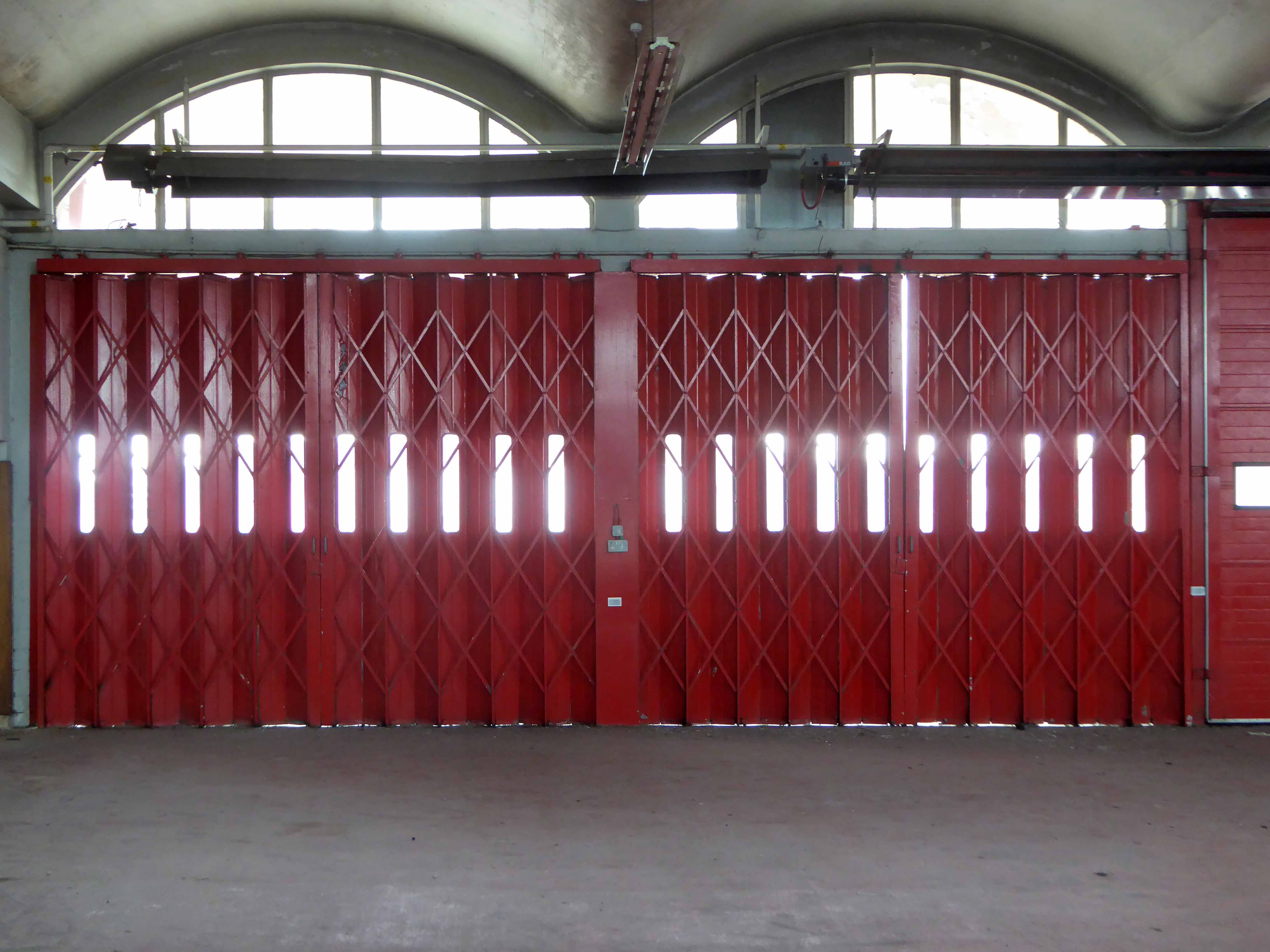
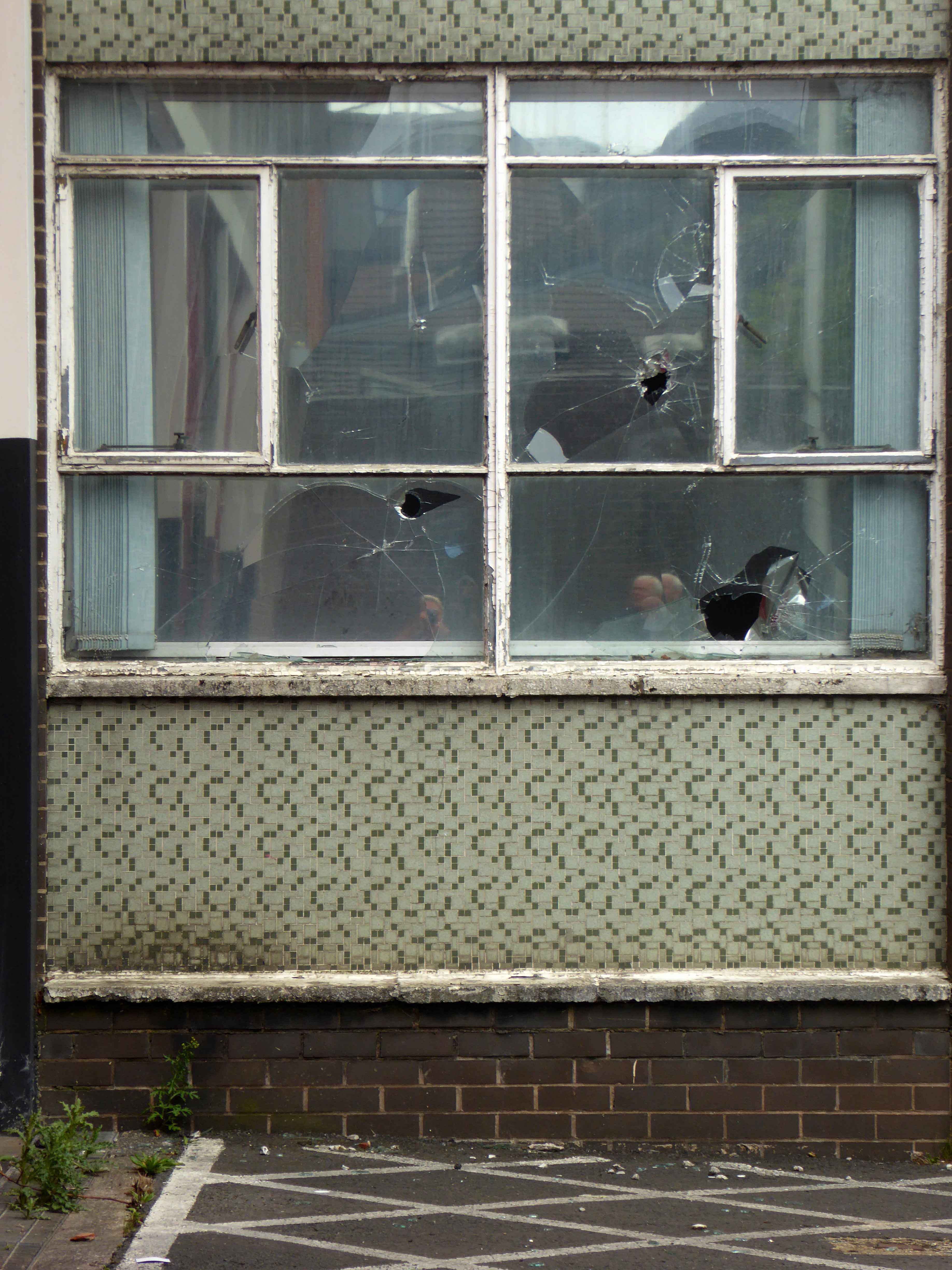
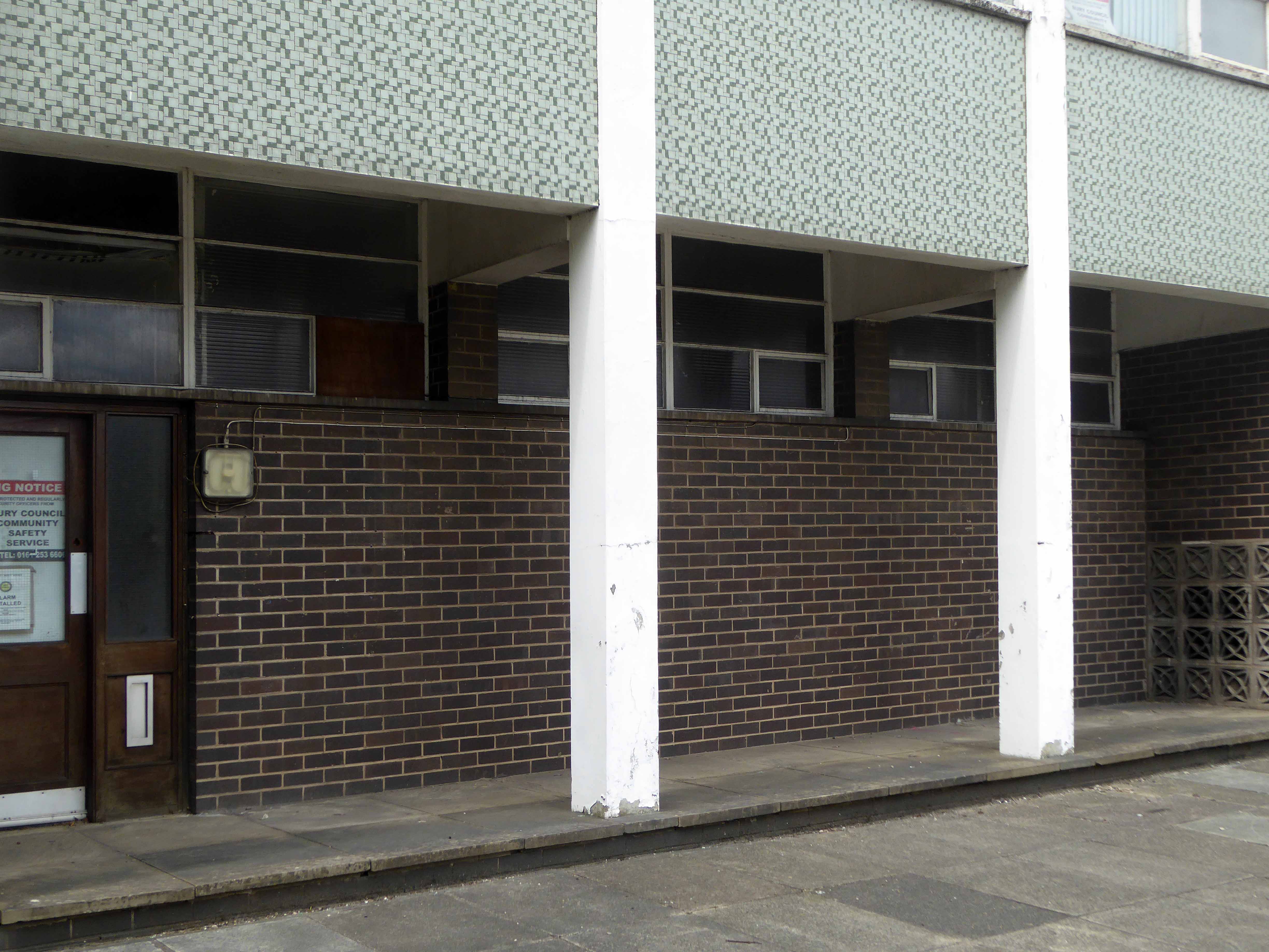
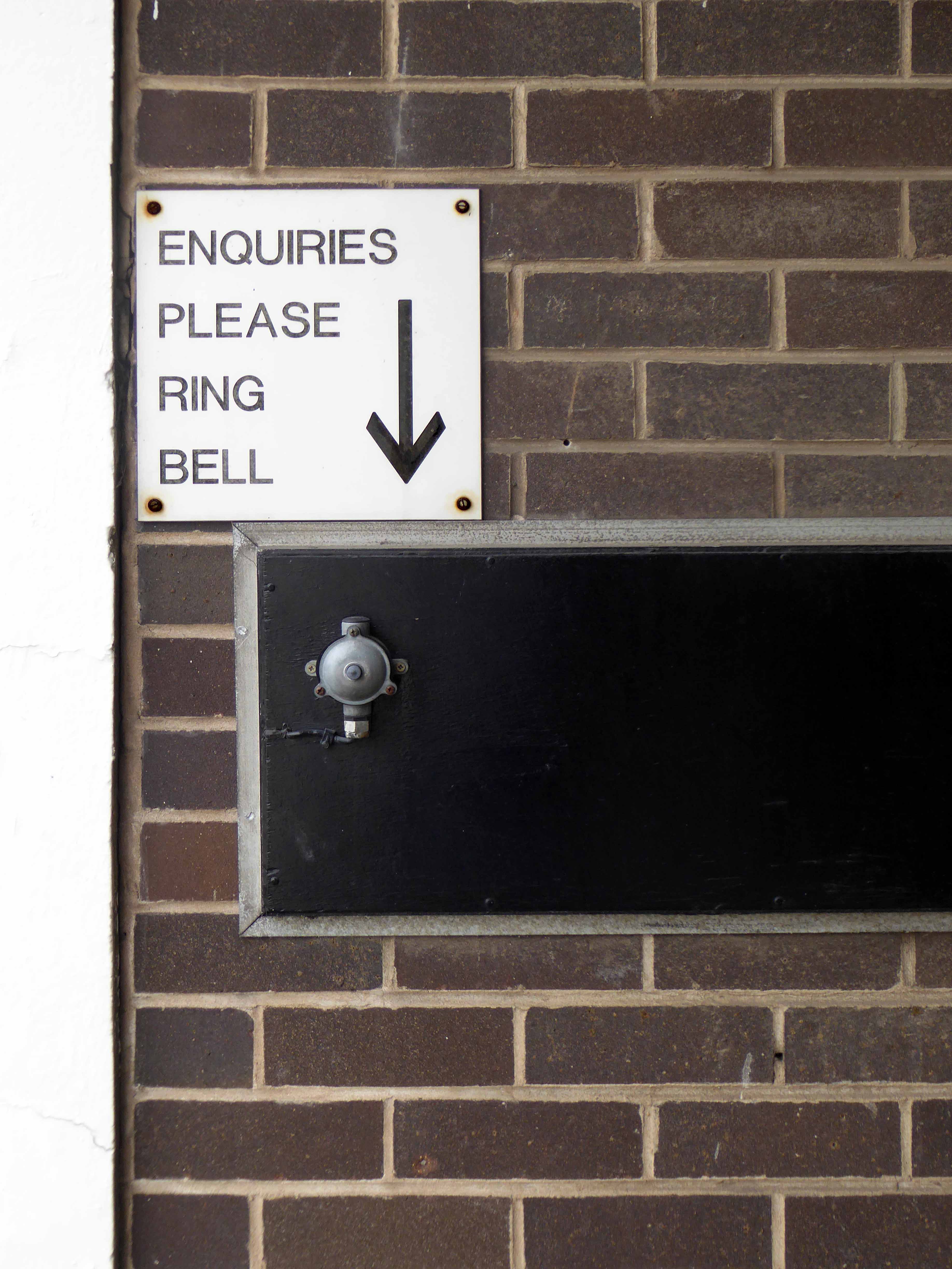
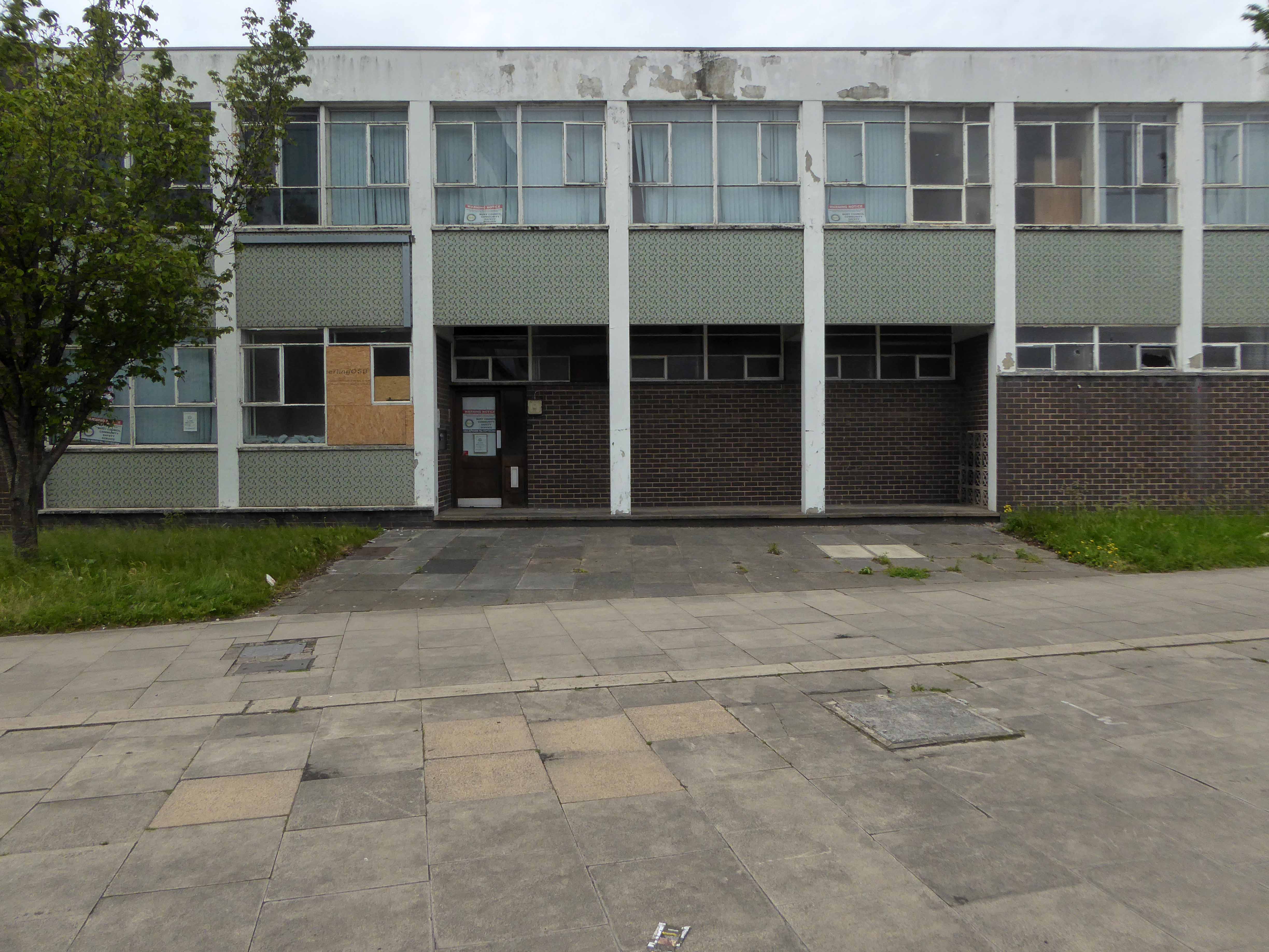
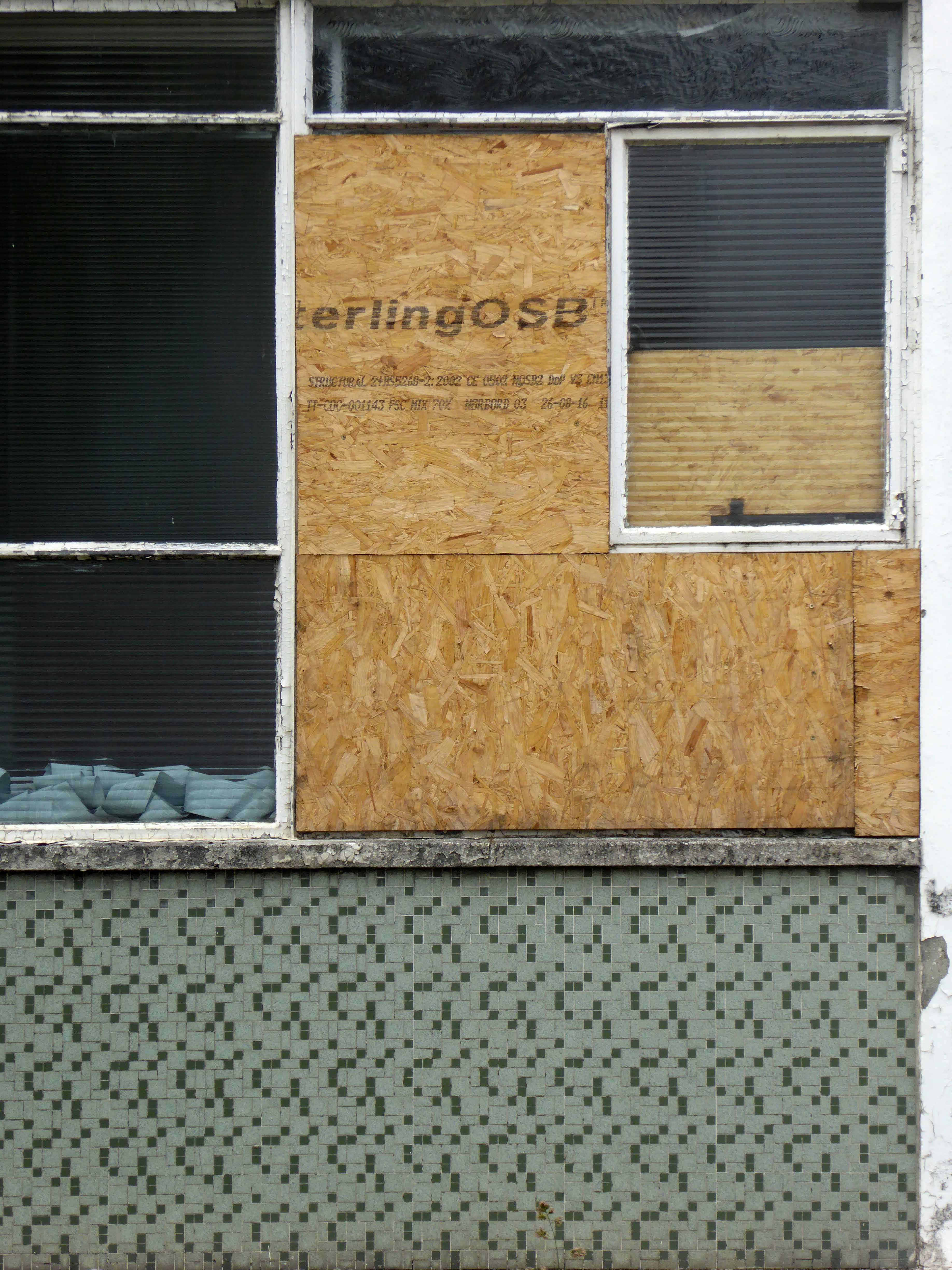
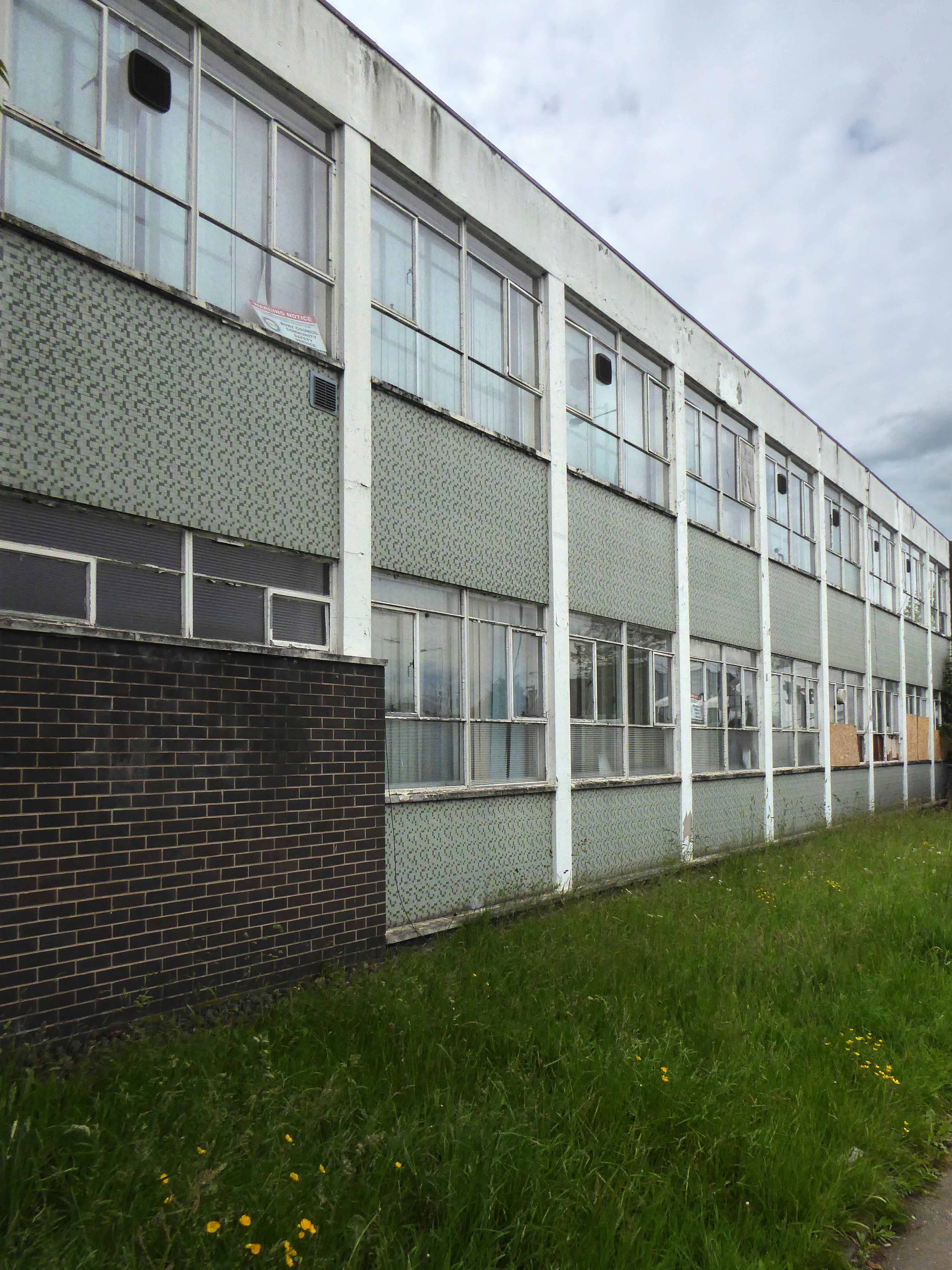
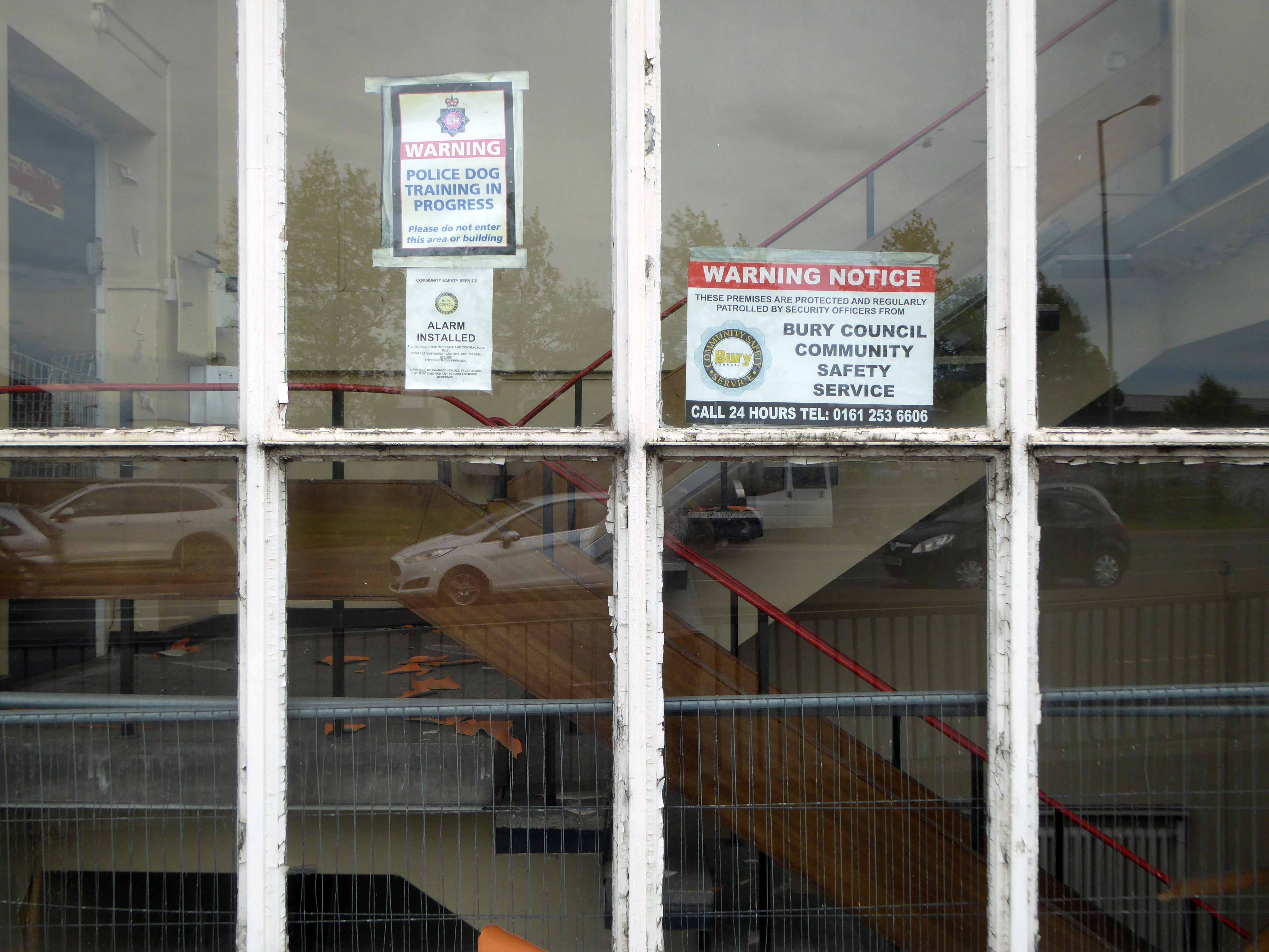
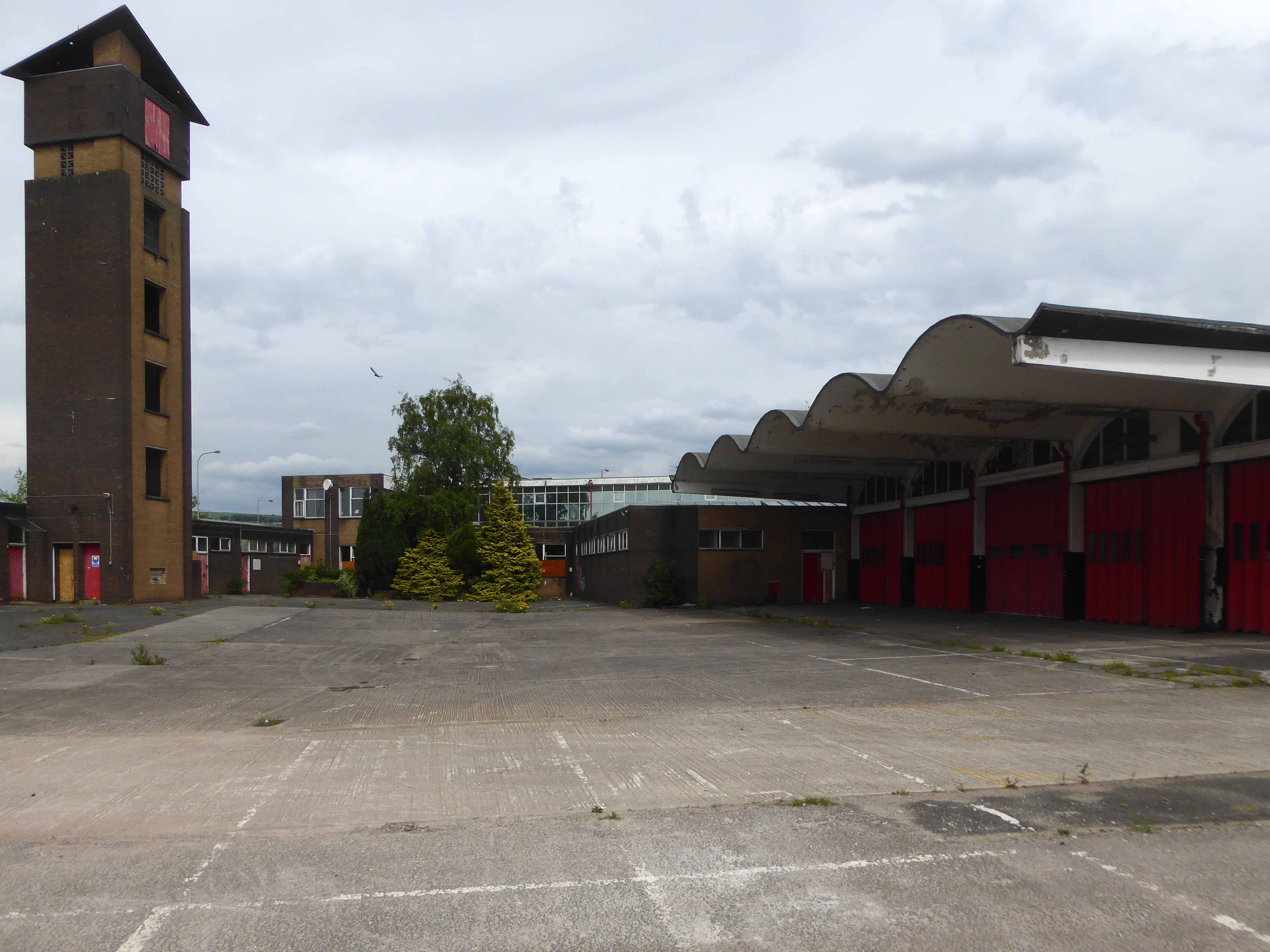
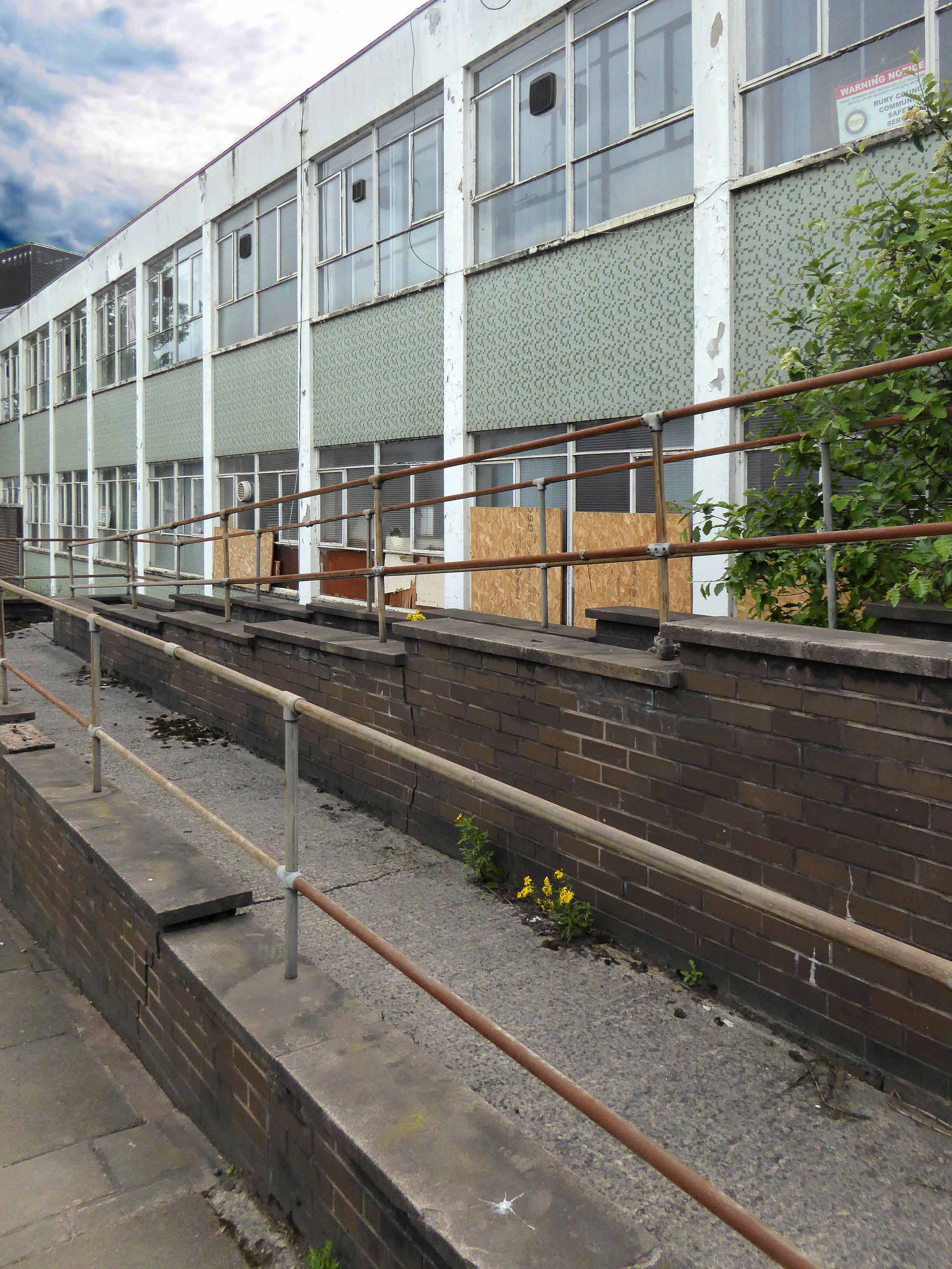
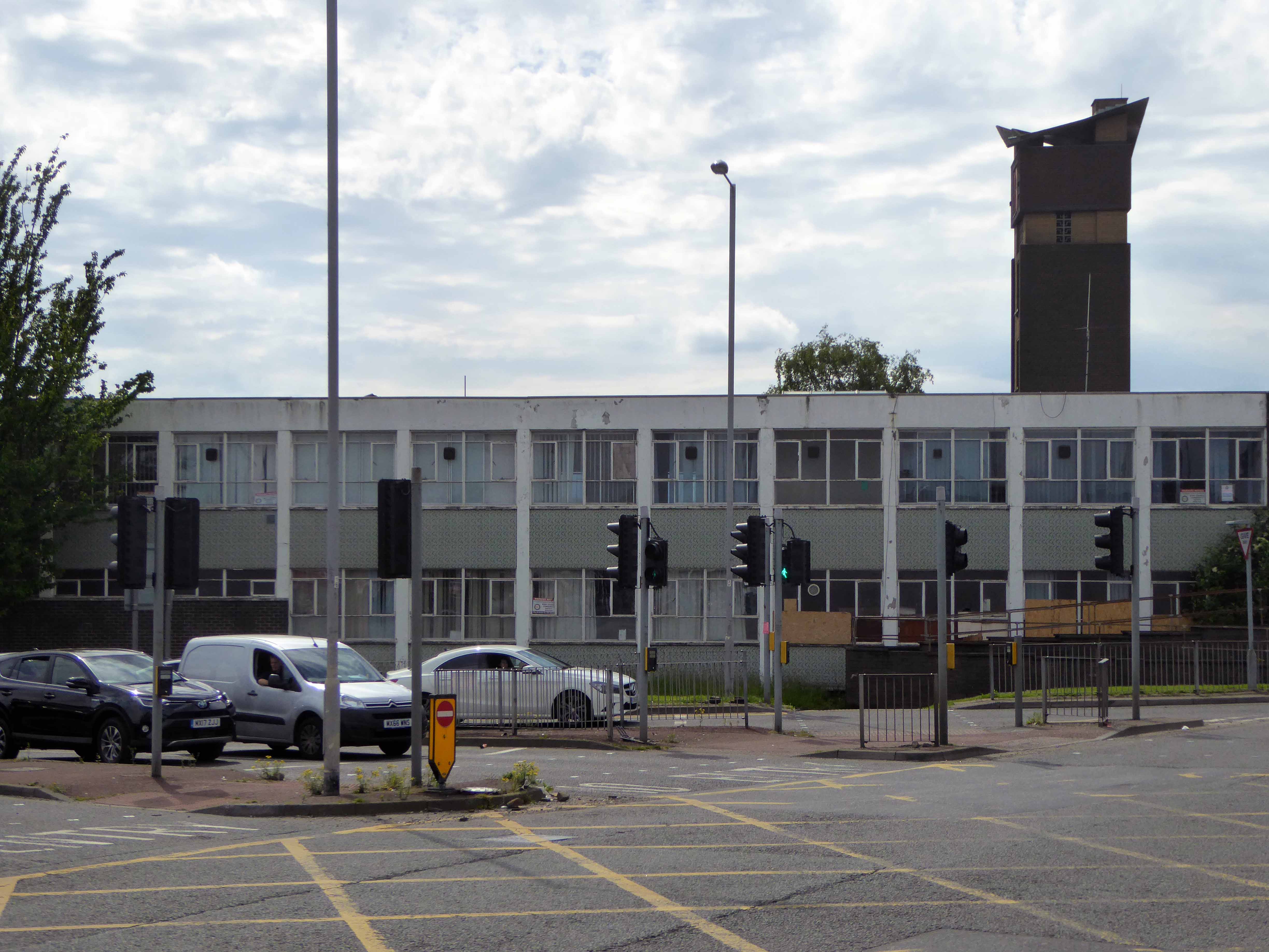
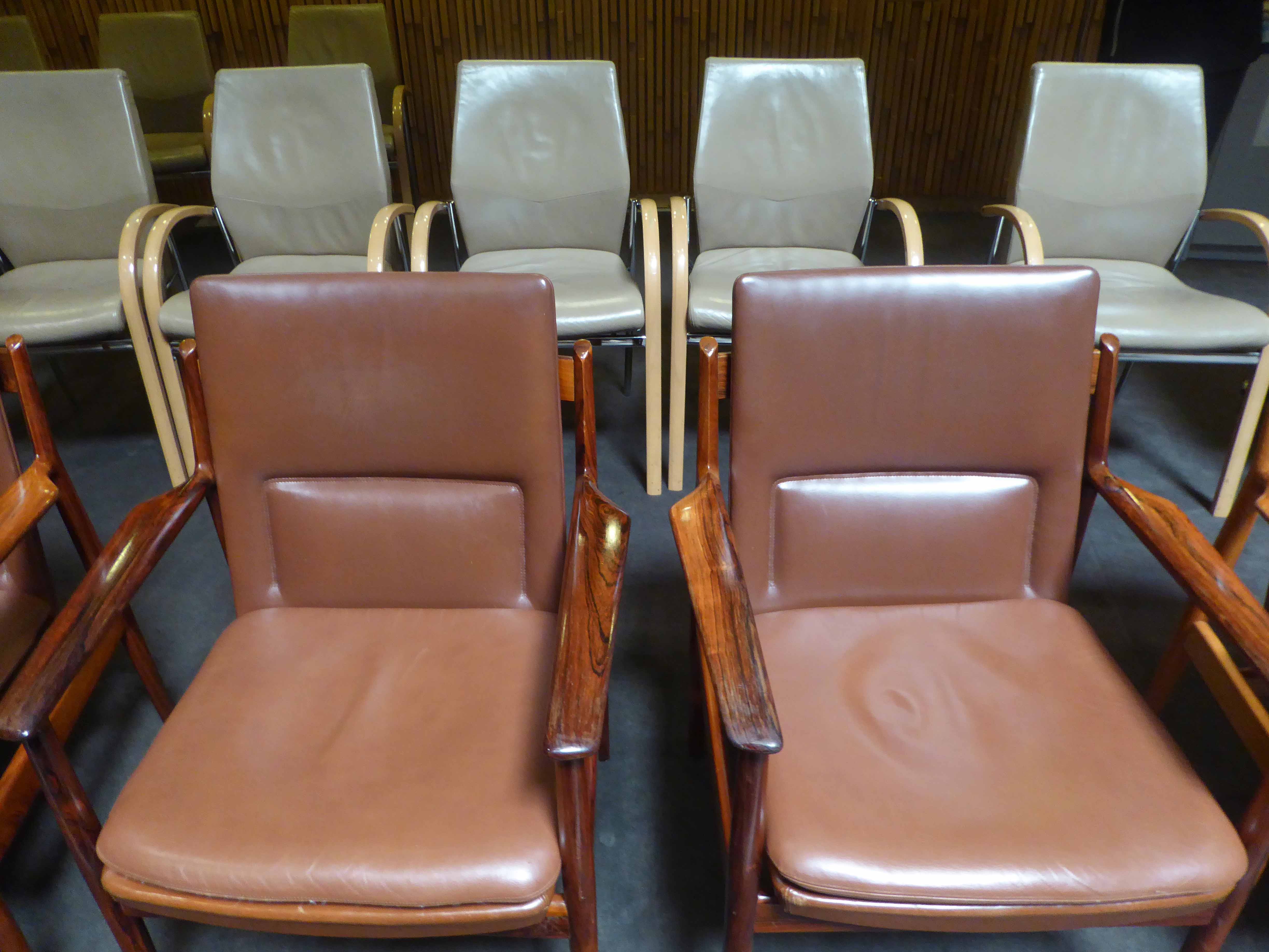
I idled by on my bike to snap the homes around Bideford Drive, which I dutifully did. My curiosity suitably aroused I perused the Manchester Local Image Archive, in search of clues. Planned in 1969 complete in 1971 main contractor Laing architects the City Office.
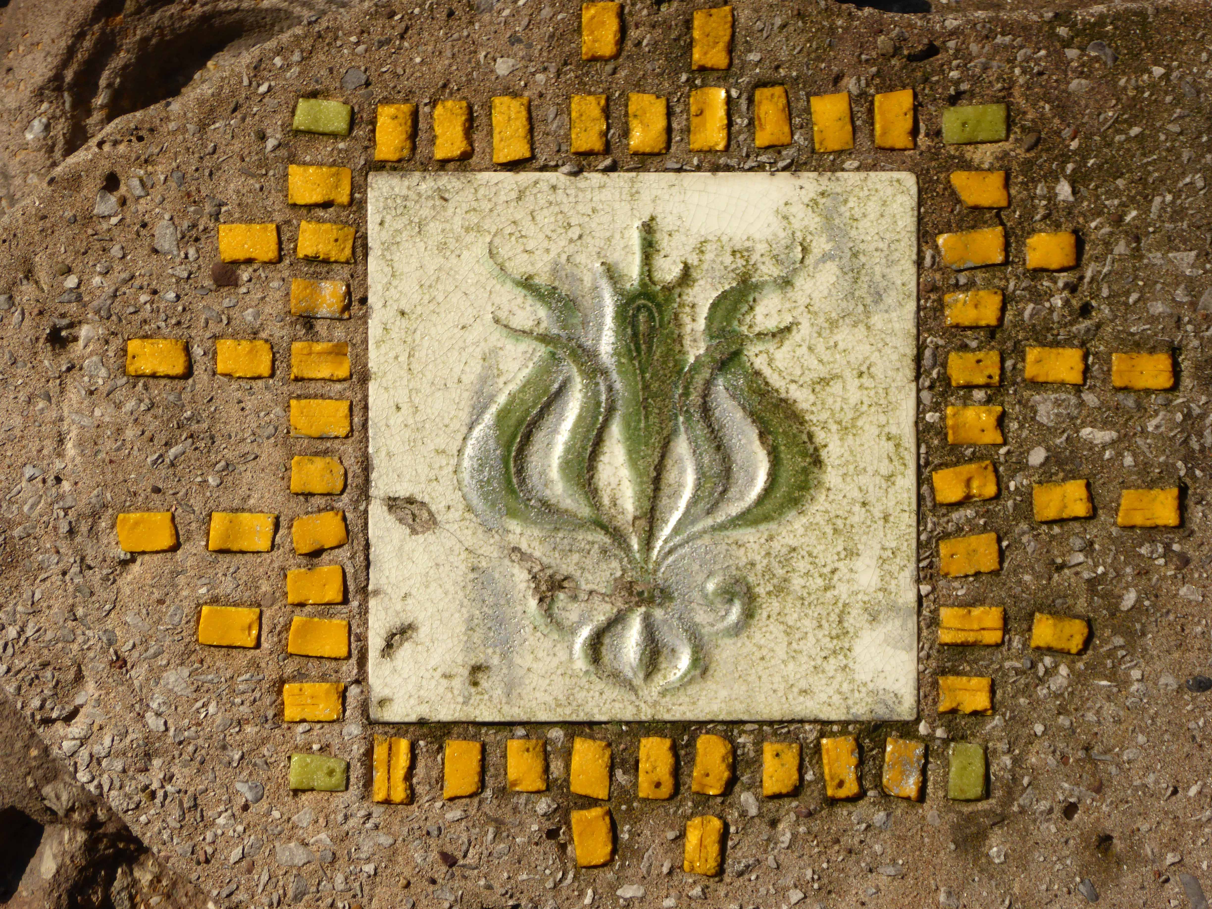
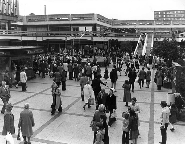
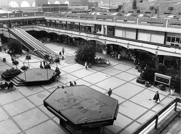
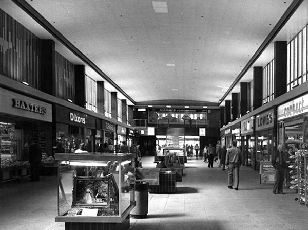
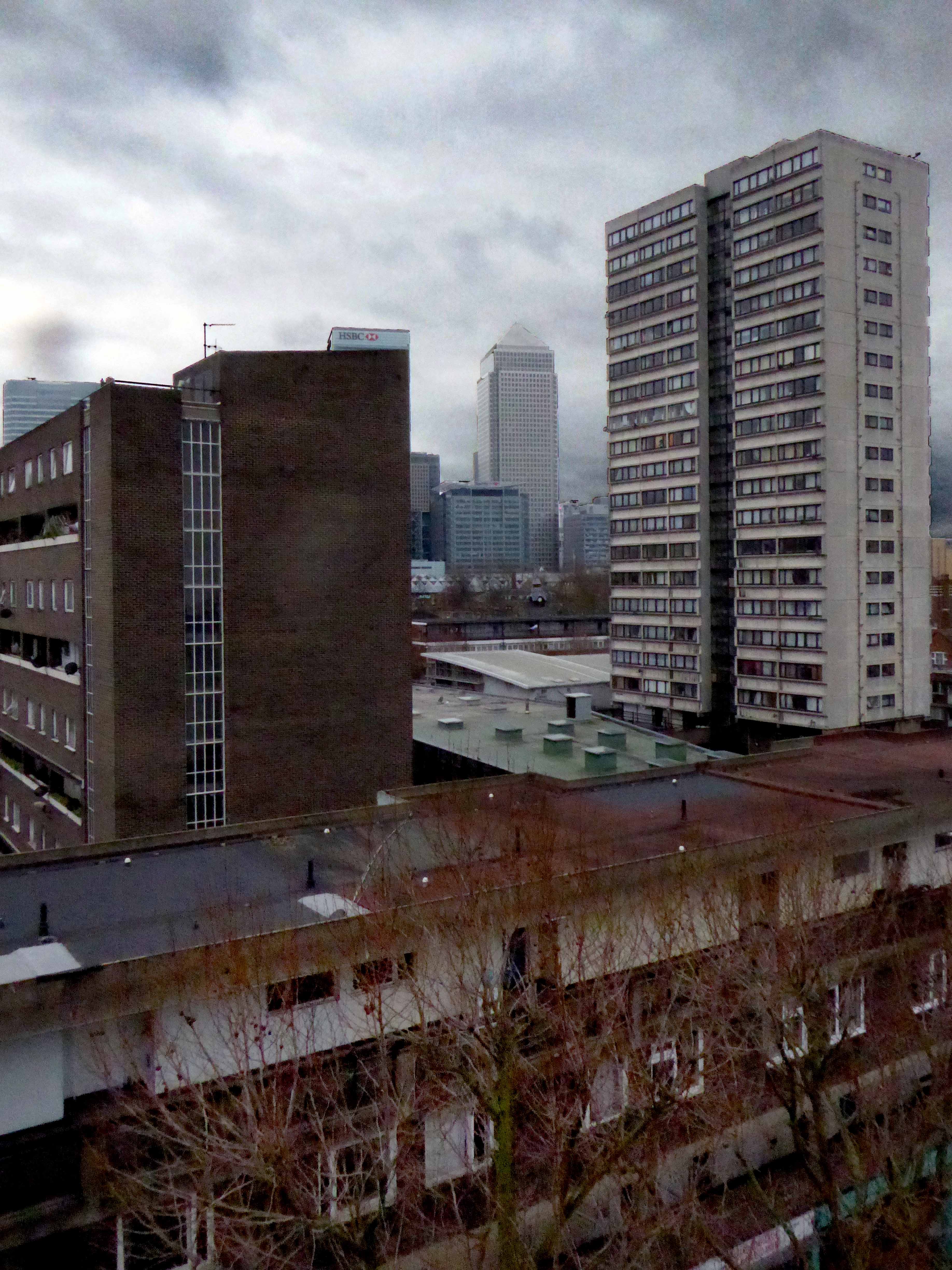
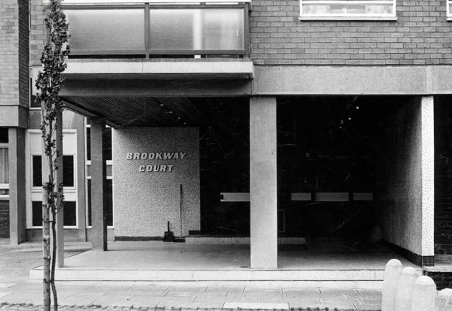
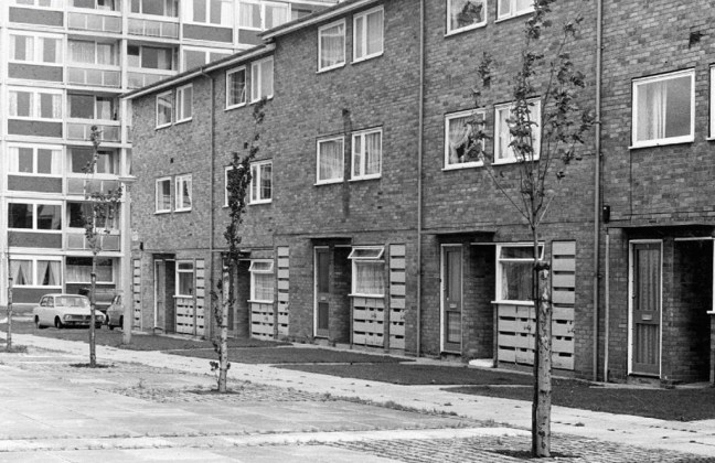
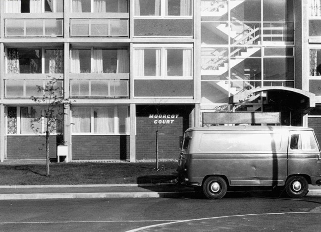
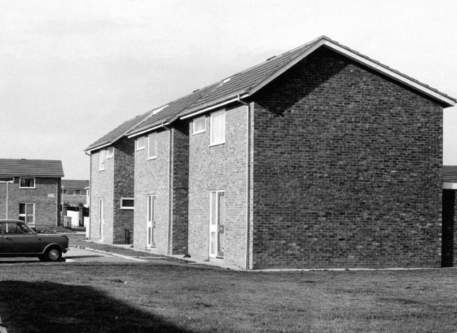
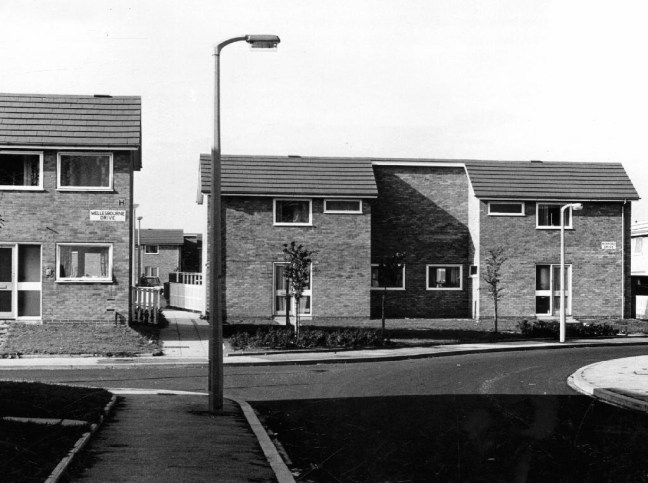
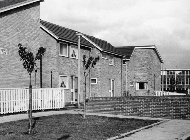
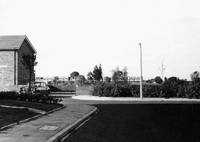
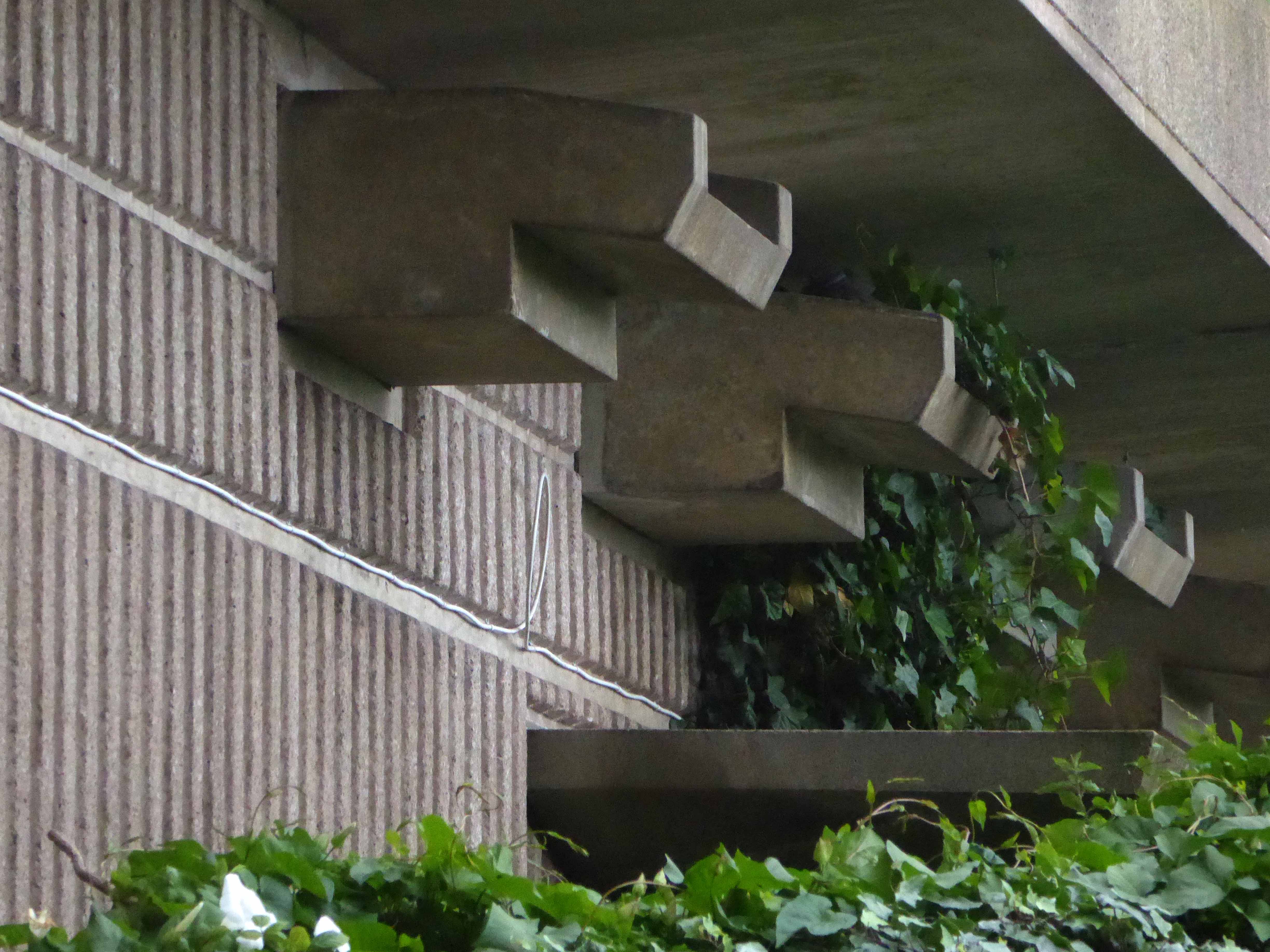
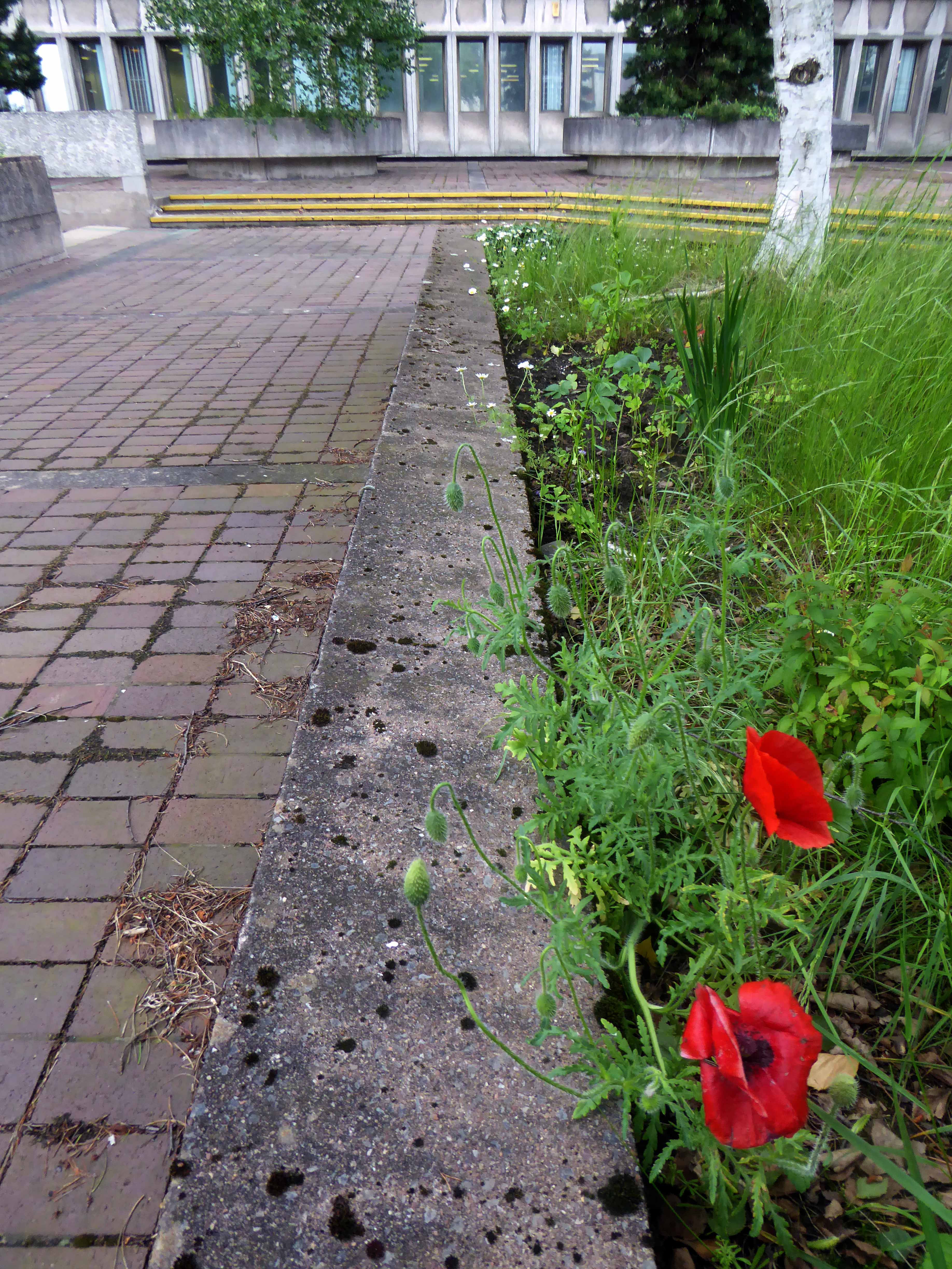
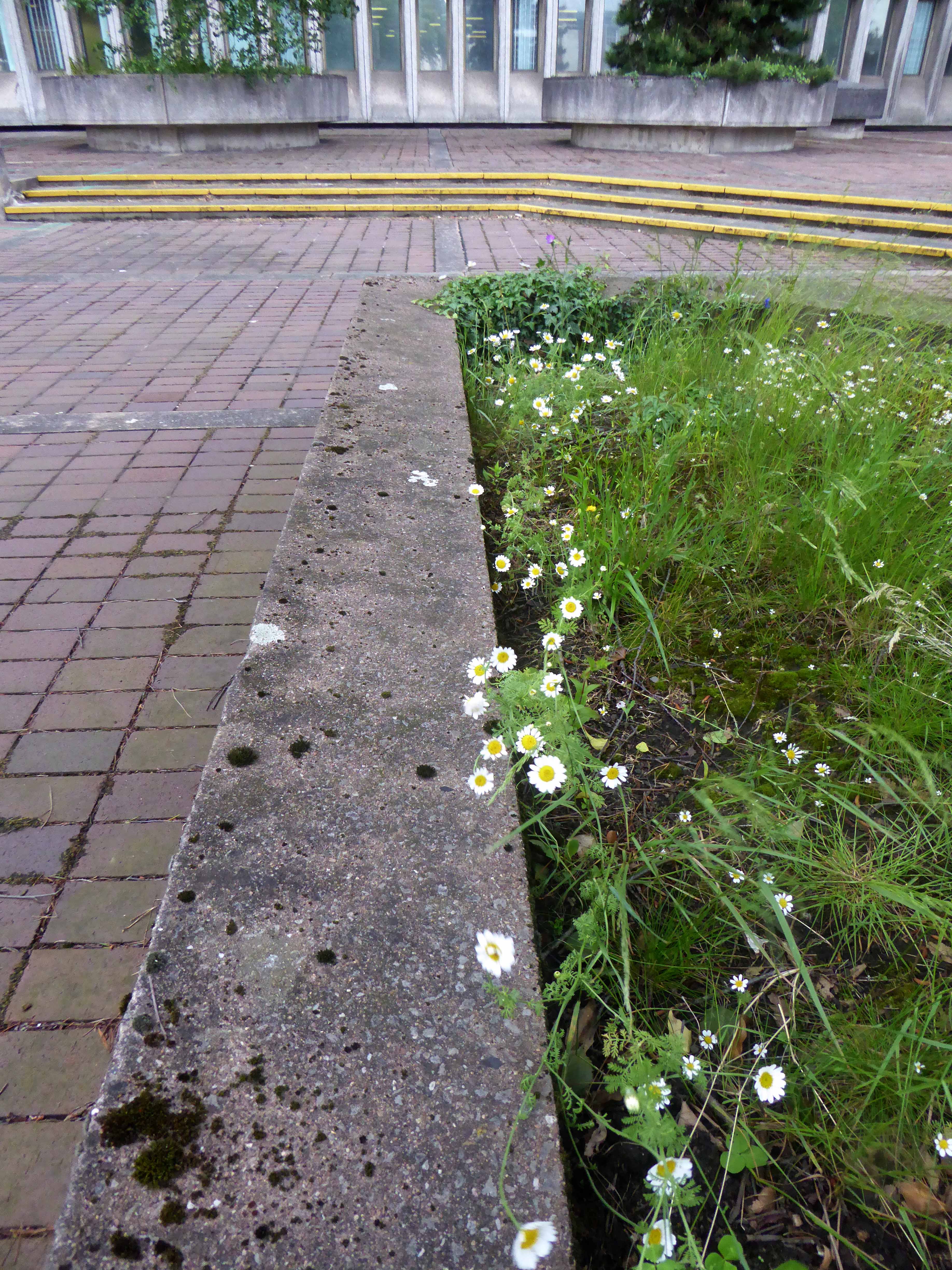
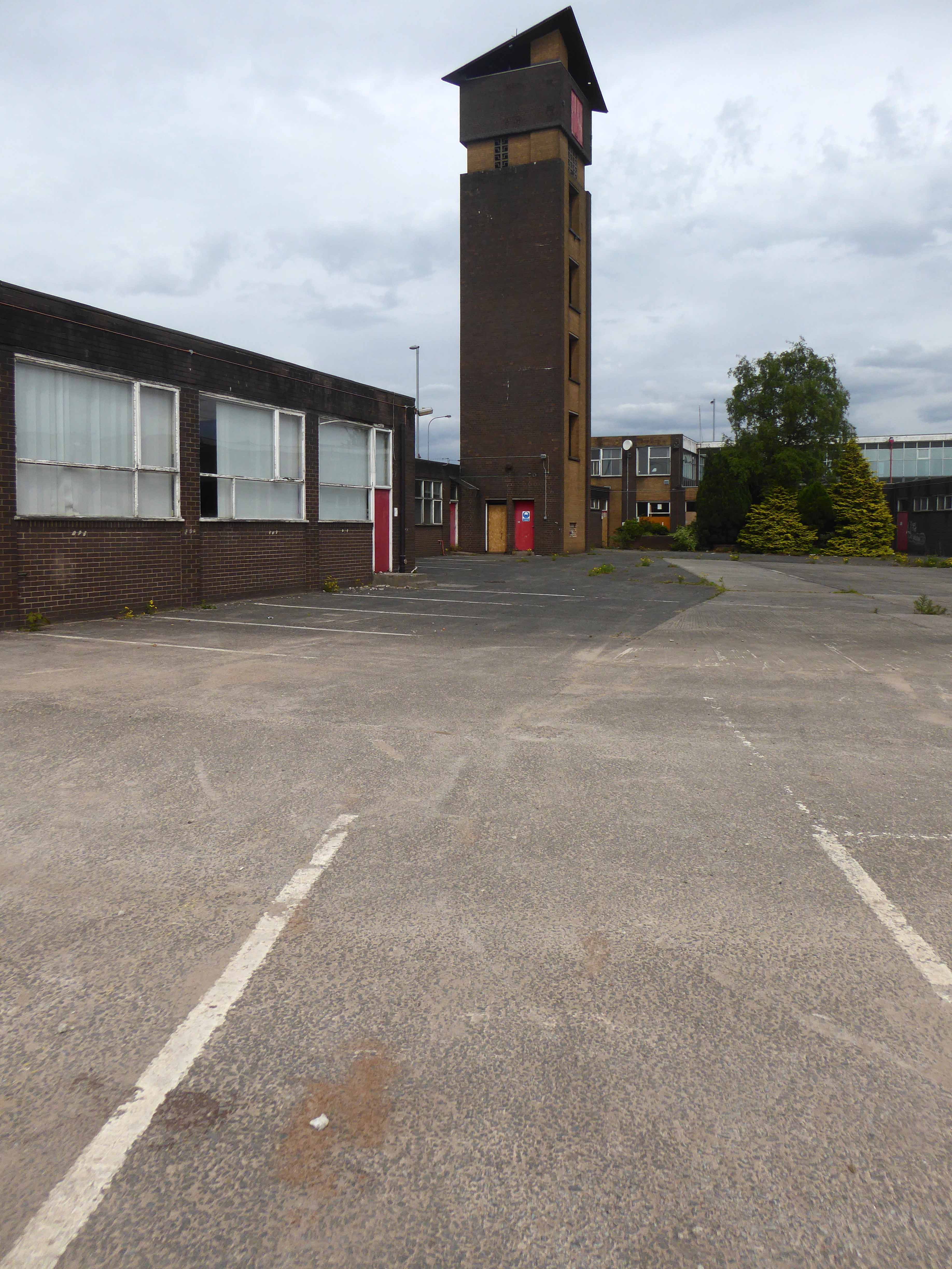
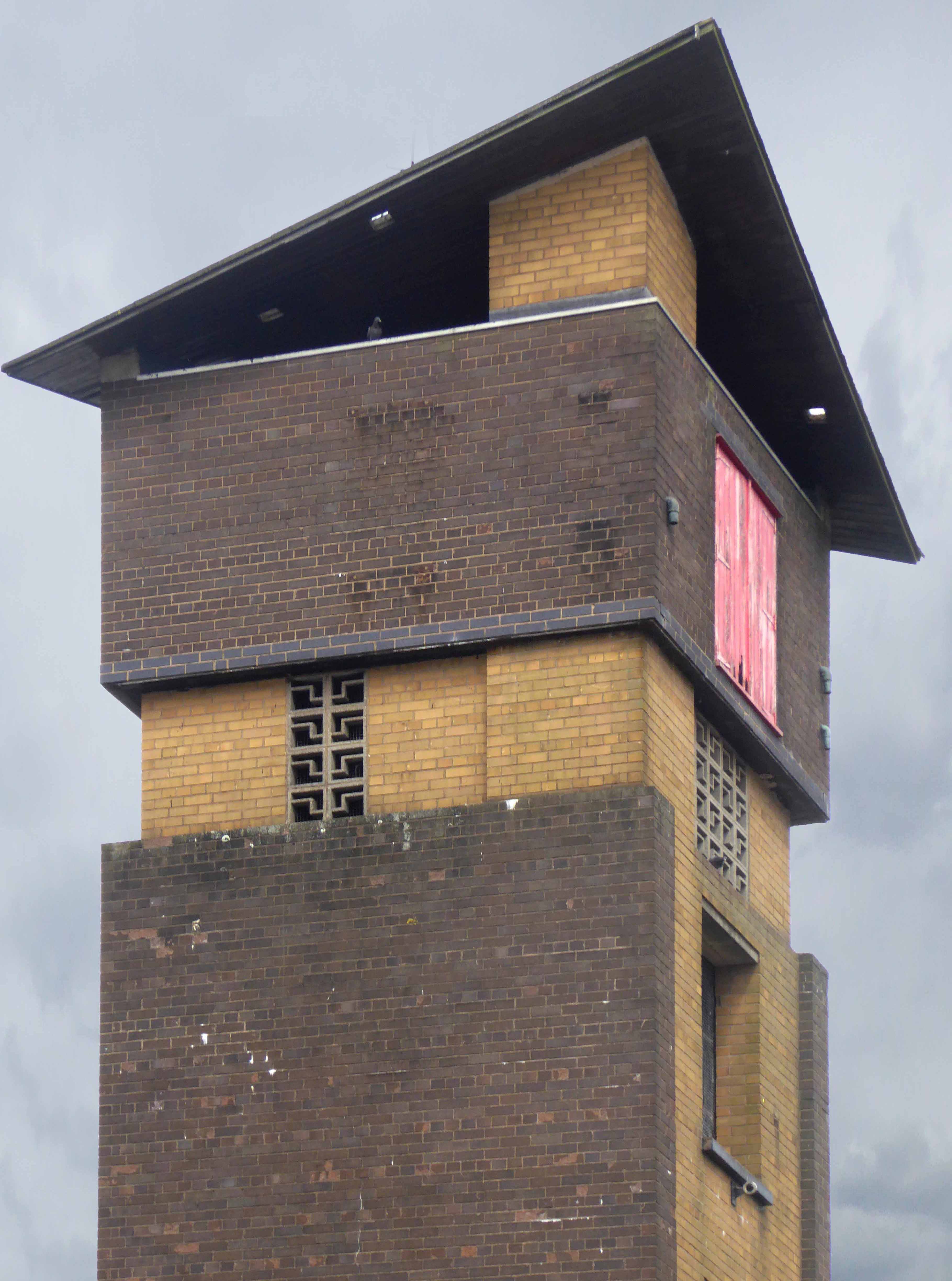
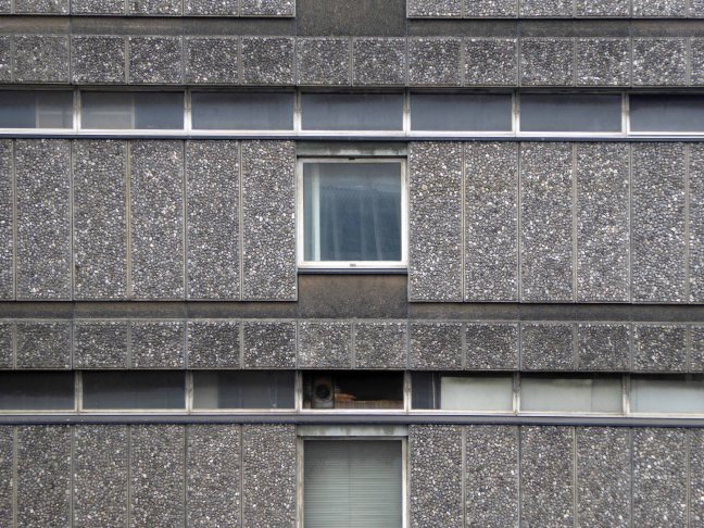
A rich mix of scale and typology, two differentiated blocks, tower and slab, short rows of compact terraces, open spaces, shops, car parking and limited planting. The interlocking geometries, paths and walkways make it an intriguing and entertaining estate, full of small surprises and ideas – these pictures are of 1971.
There is a sharply attenuated and clean feel in the air, optimism on a largely overcast day, a totality – planned integration – homes and architecture of distinction.
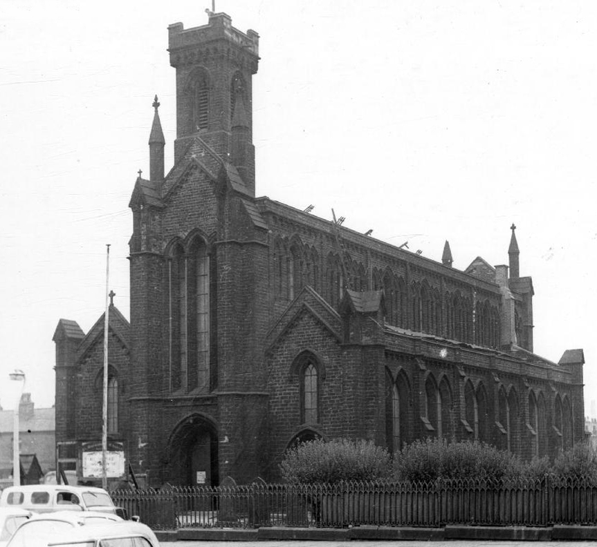
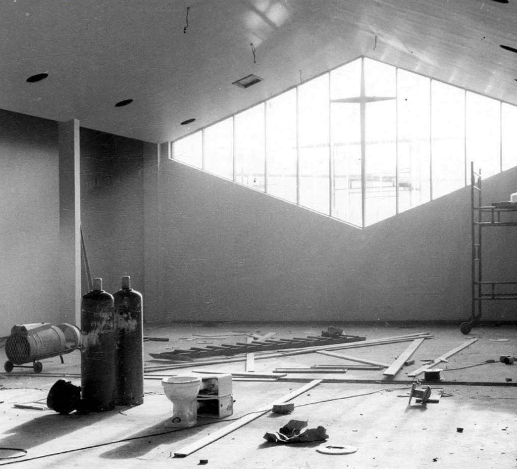
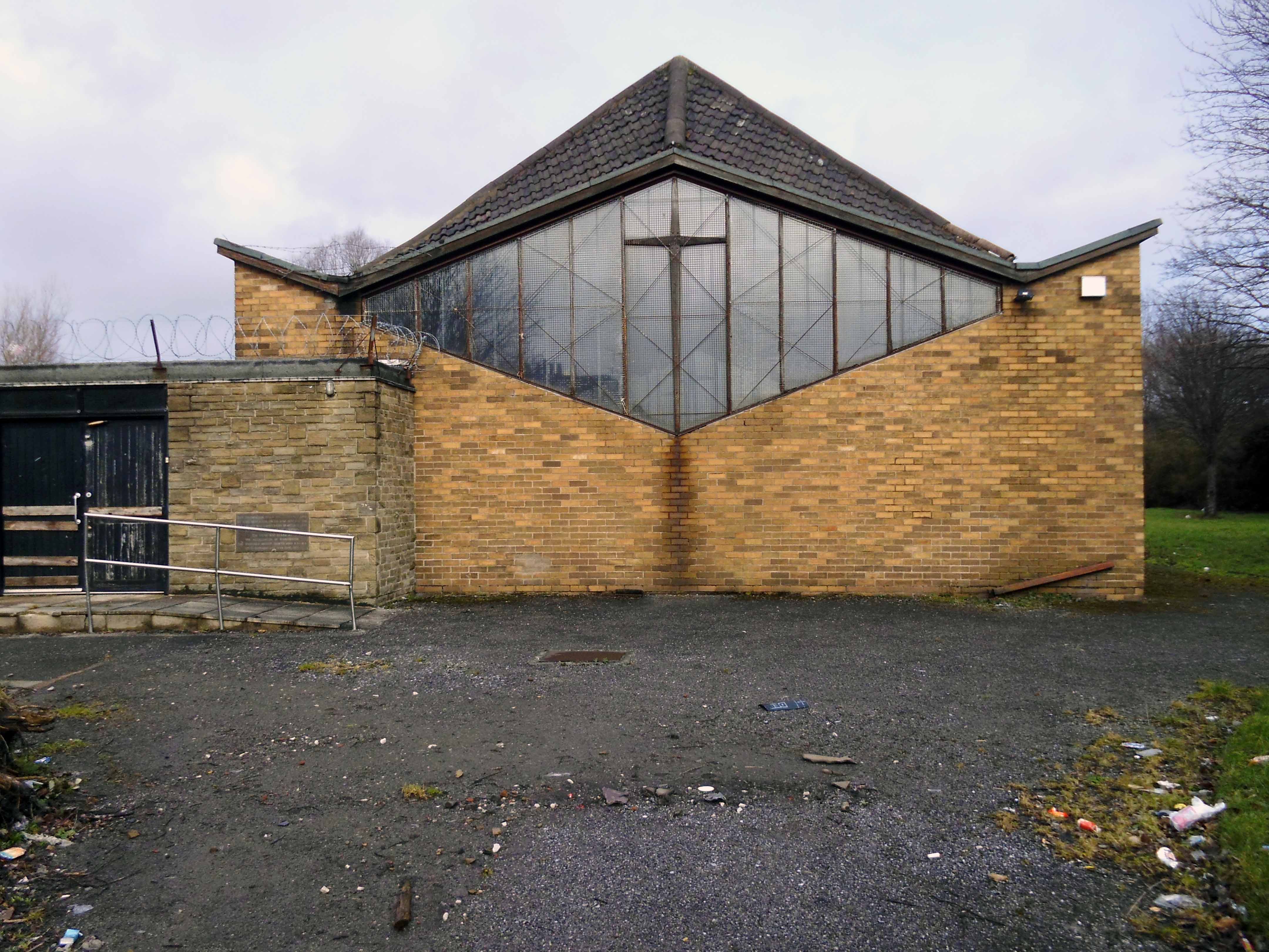
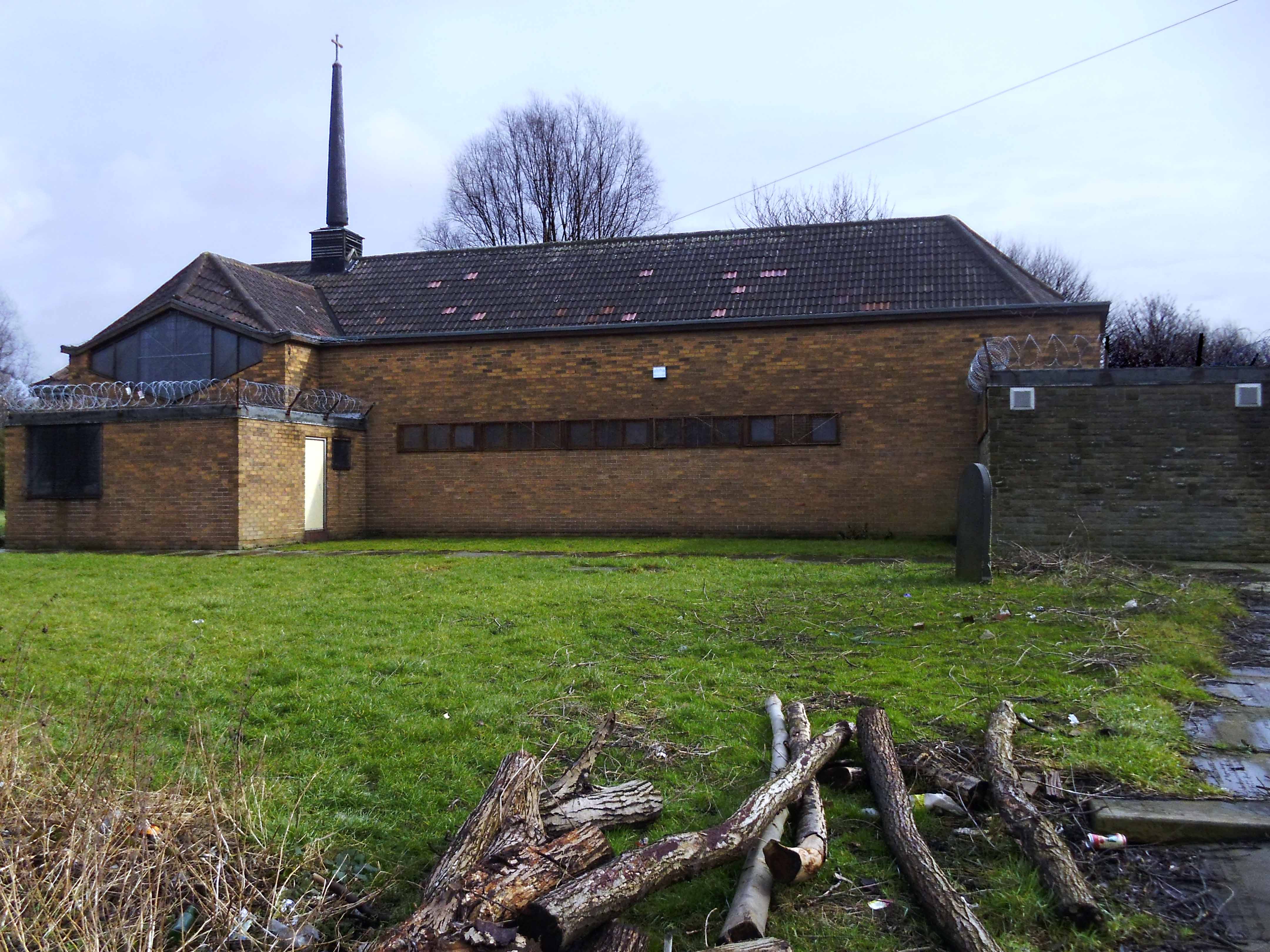
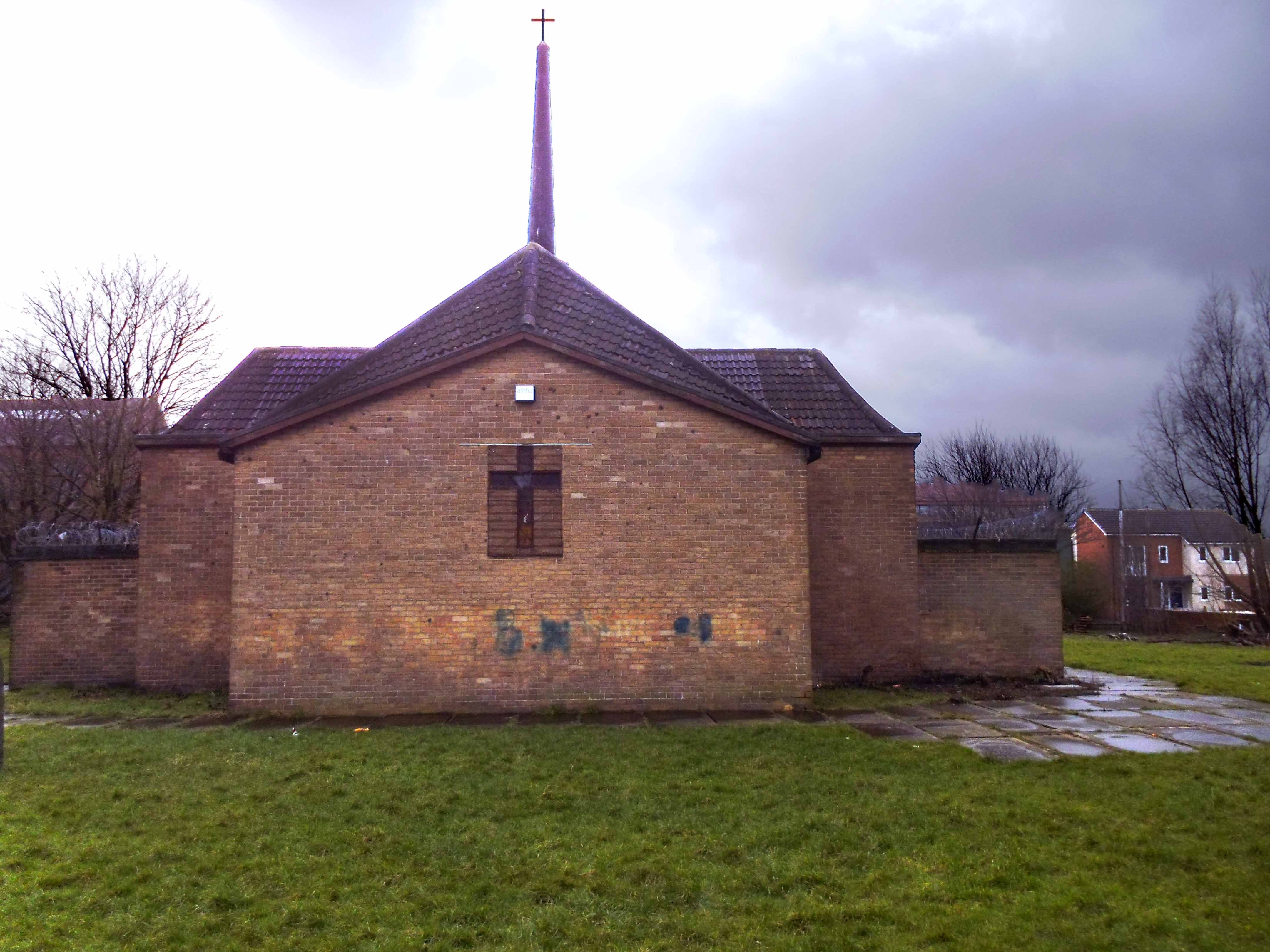
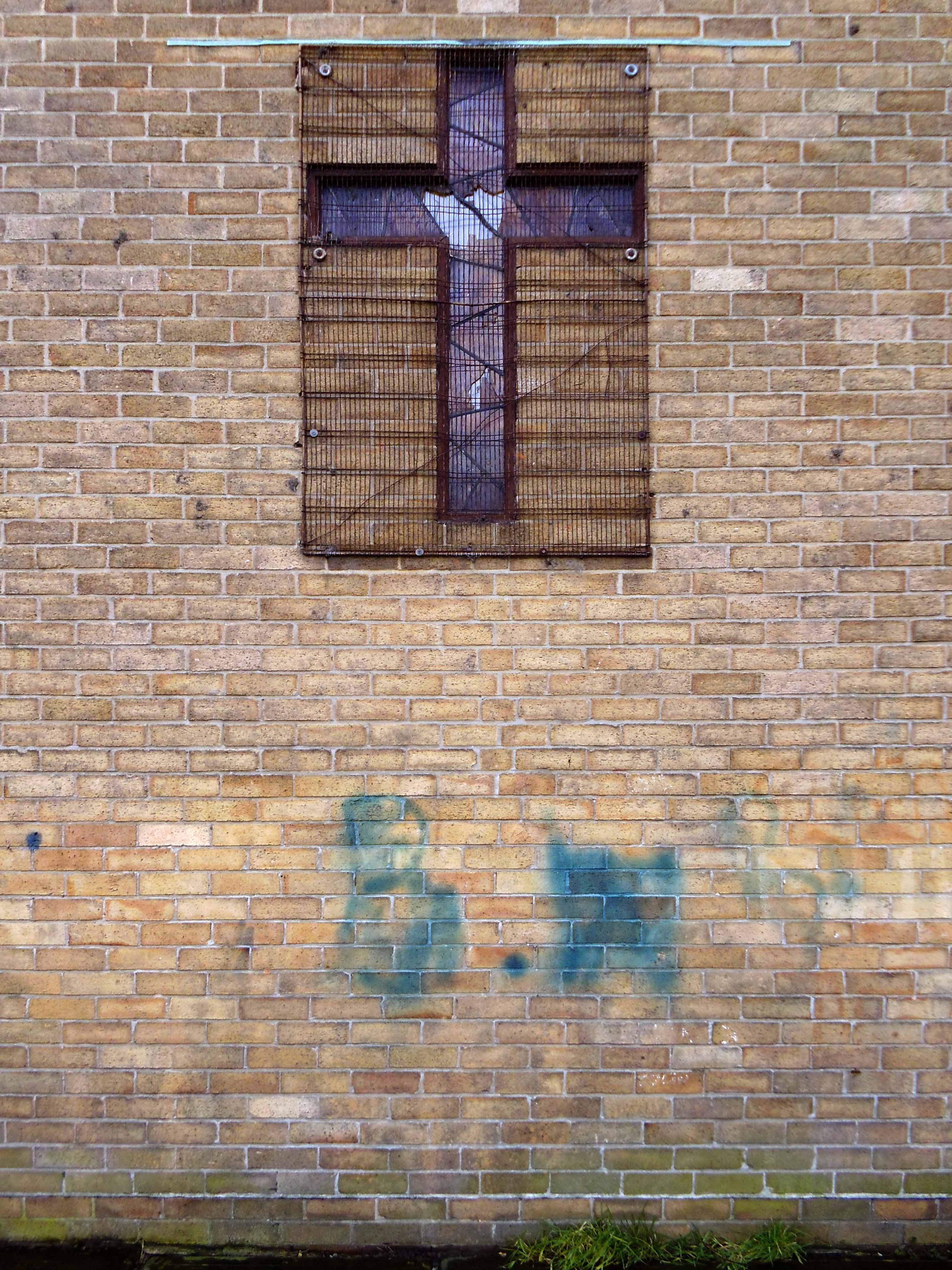
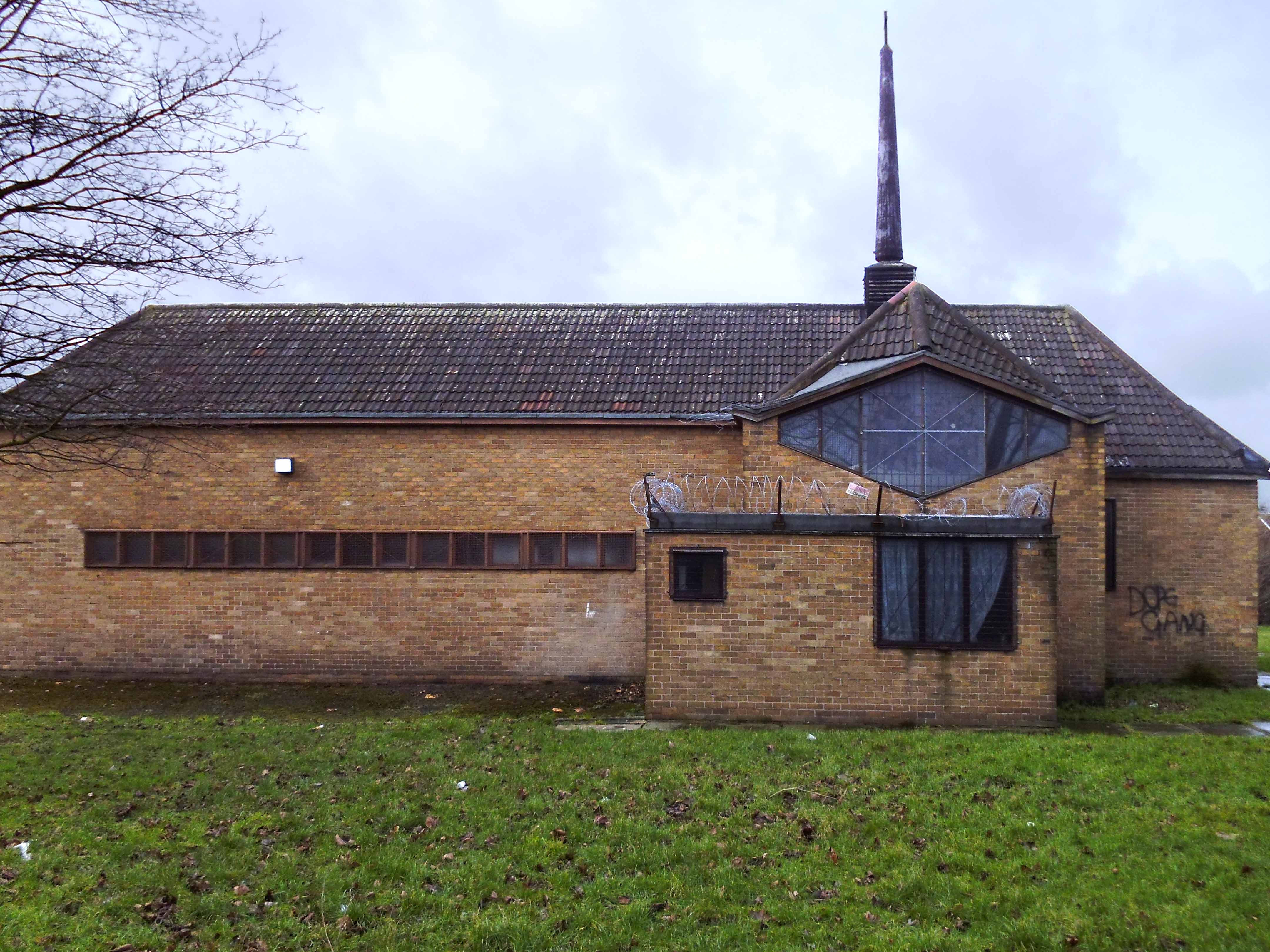
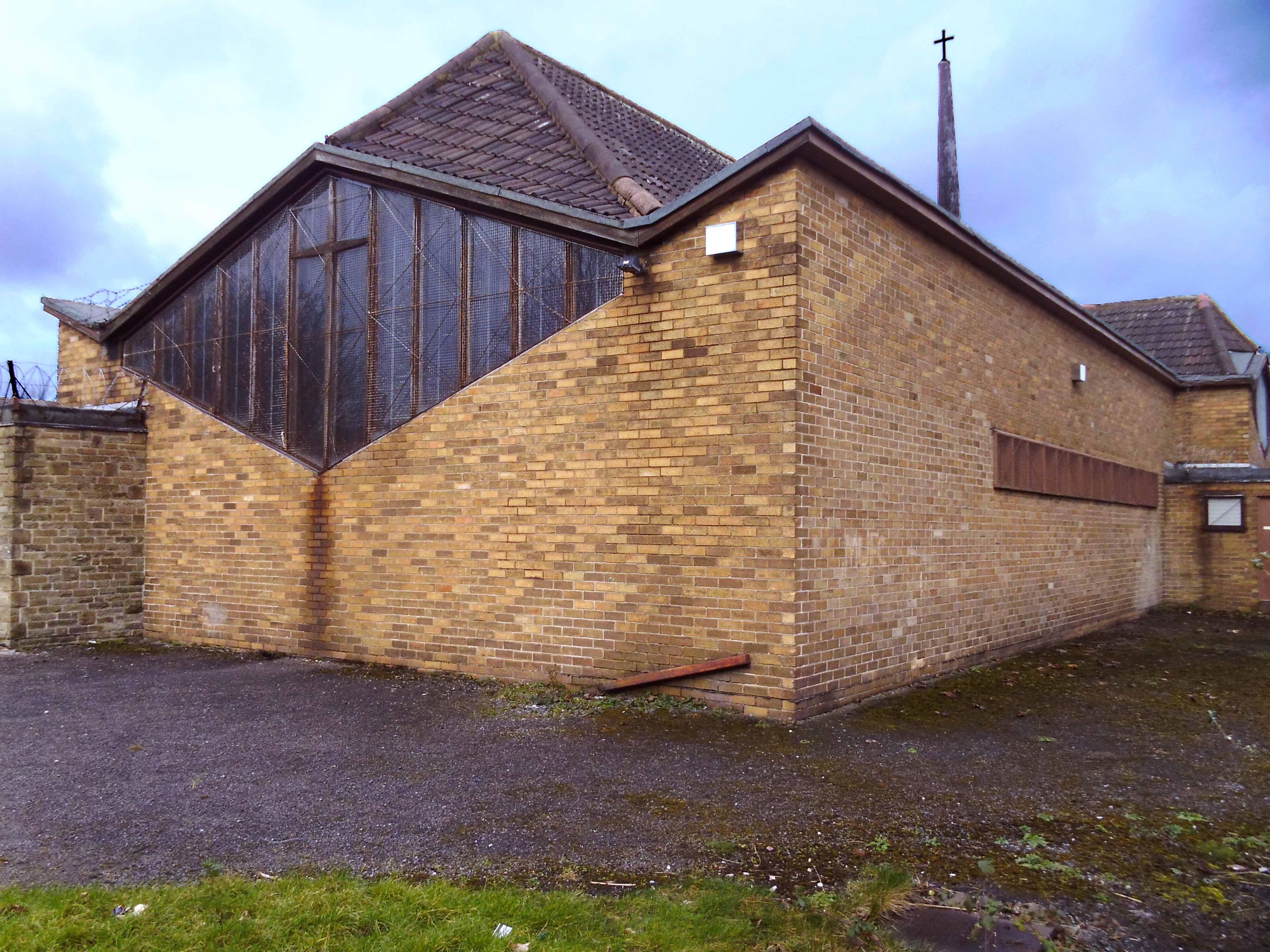
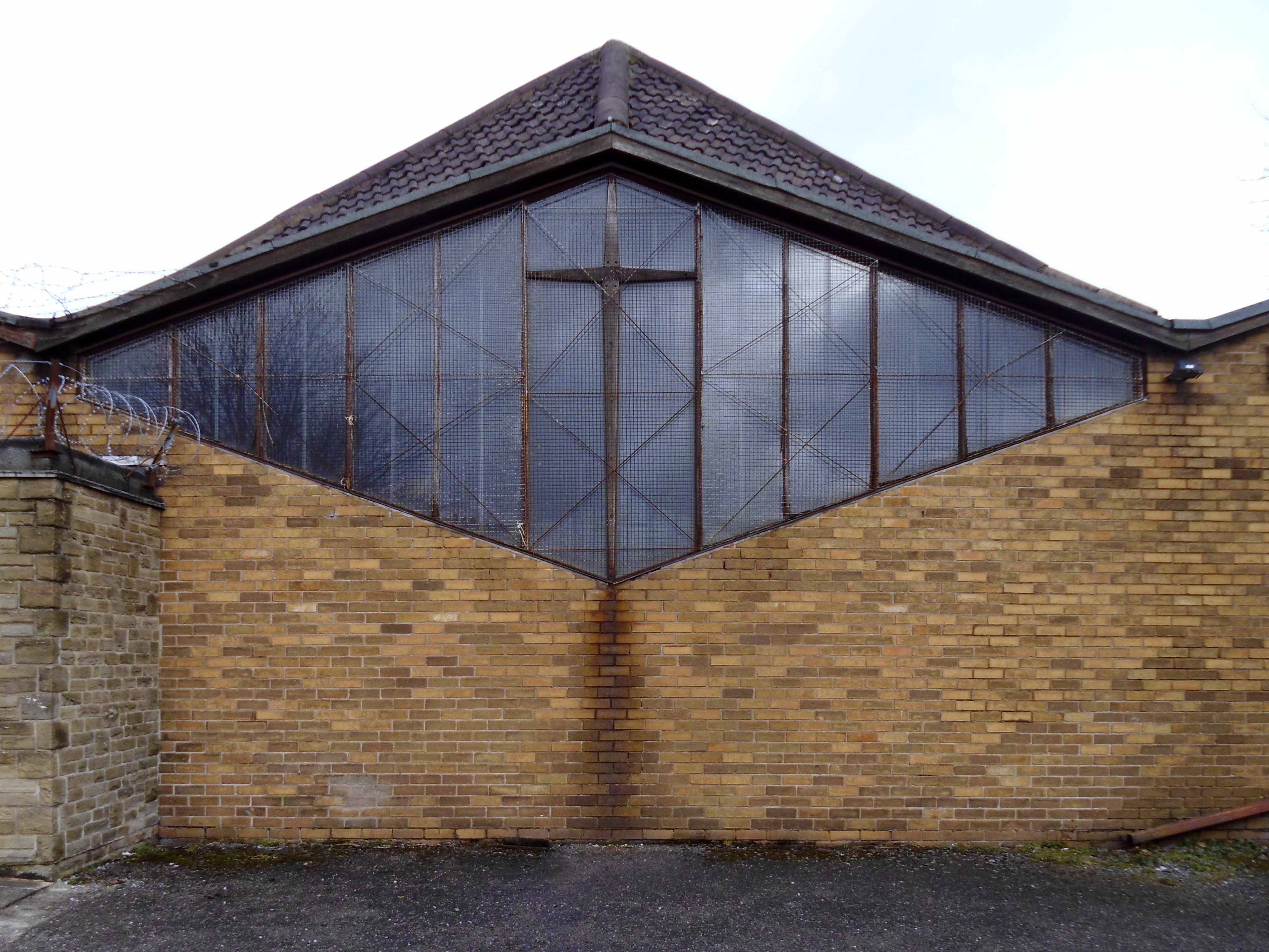
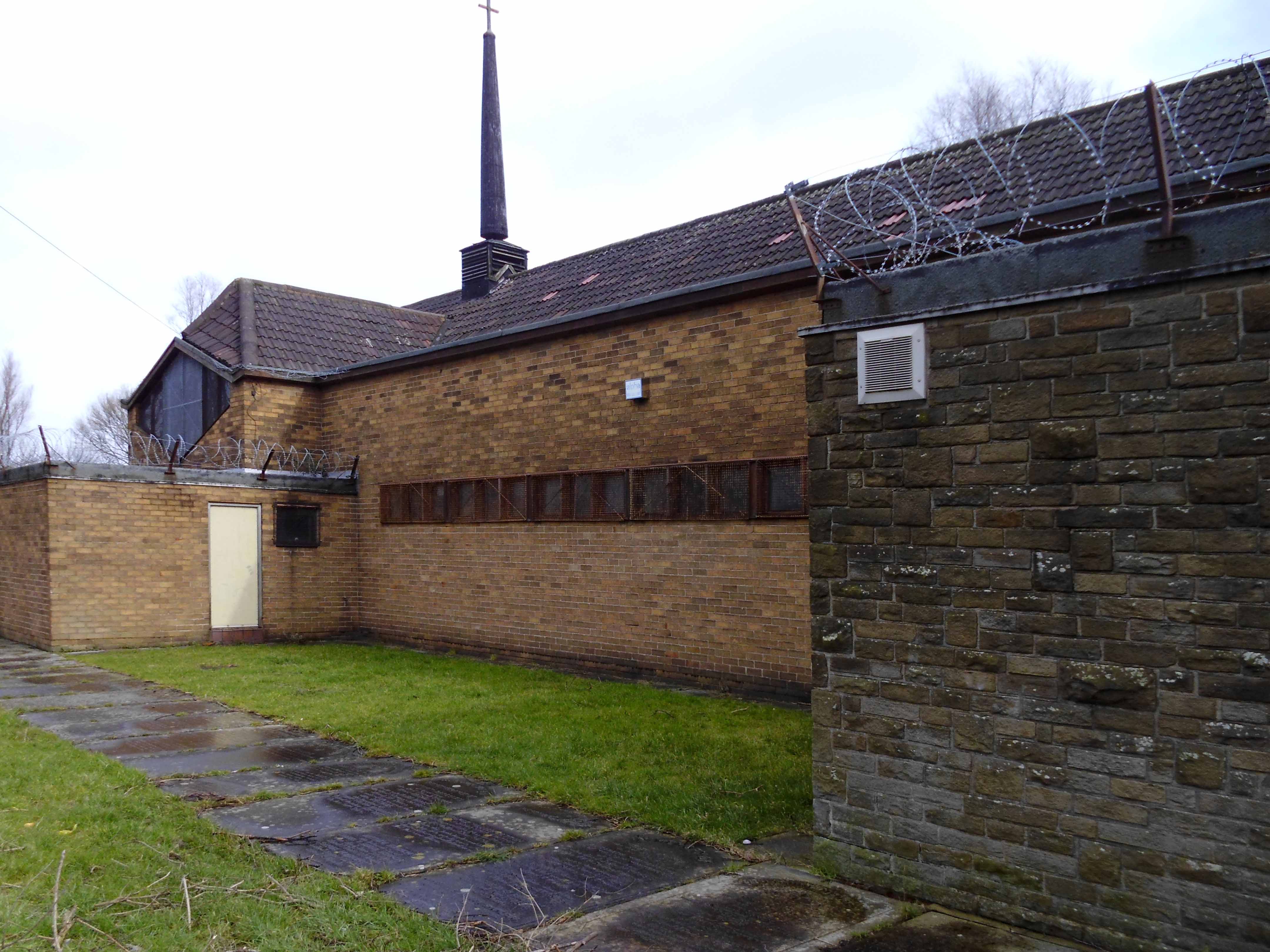
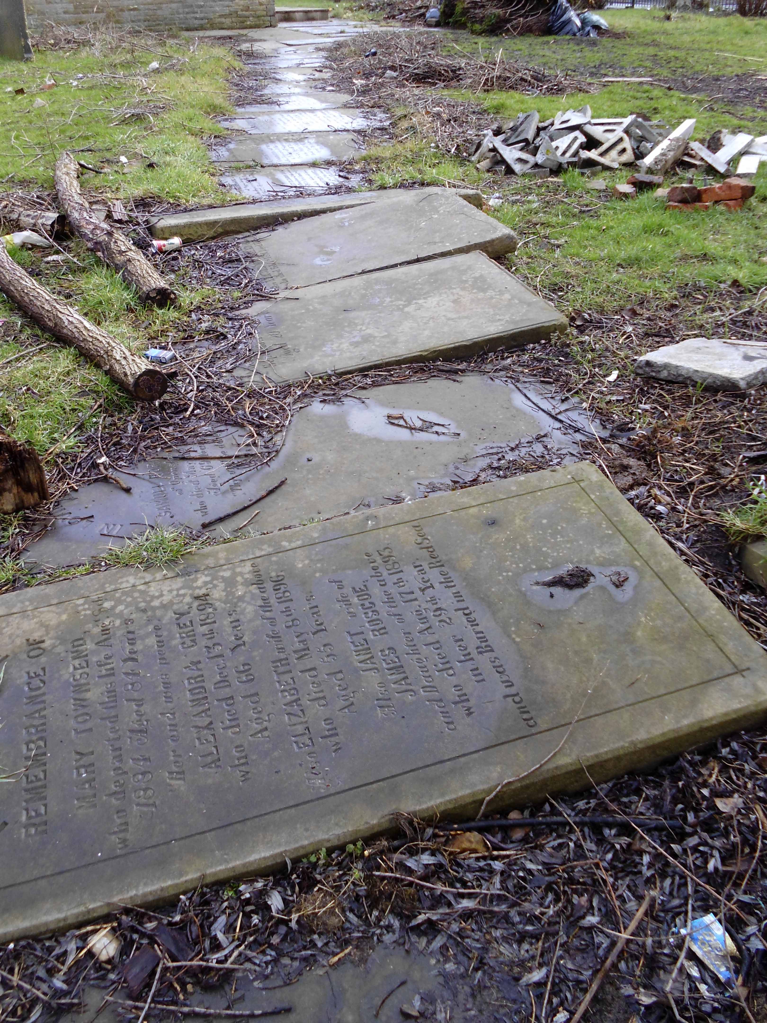
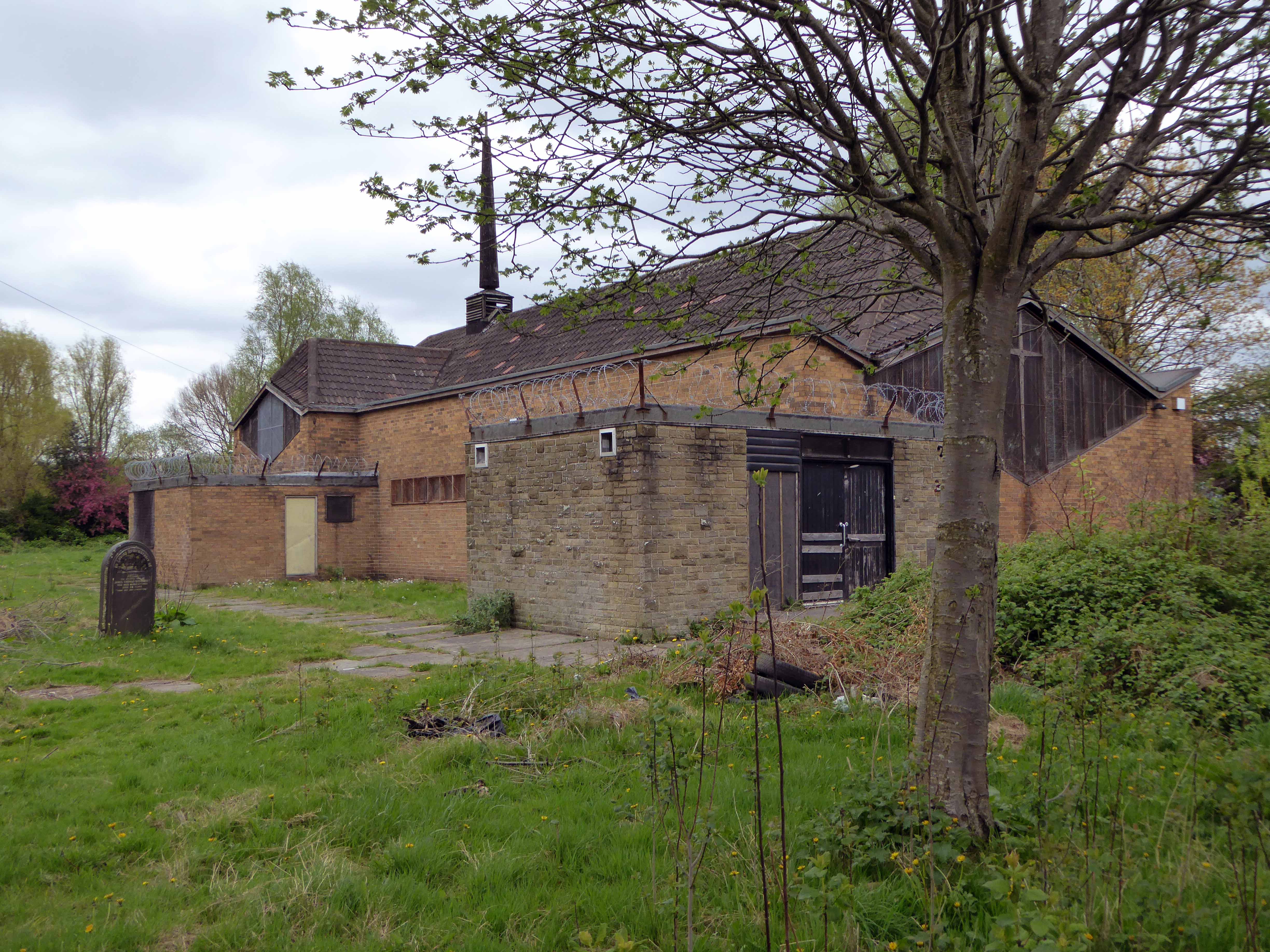
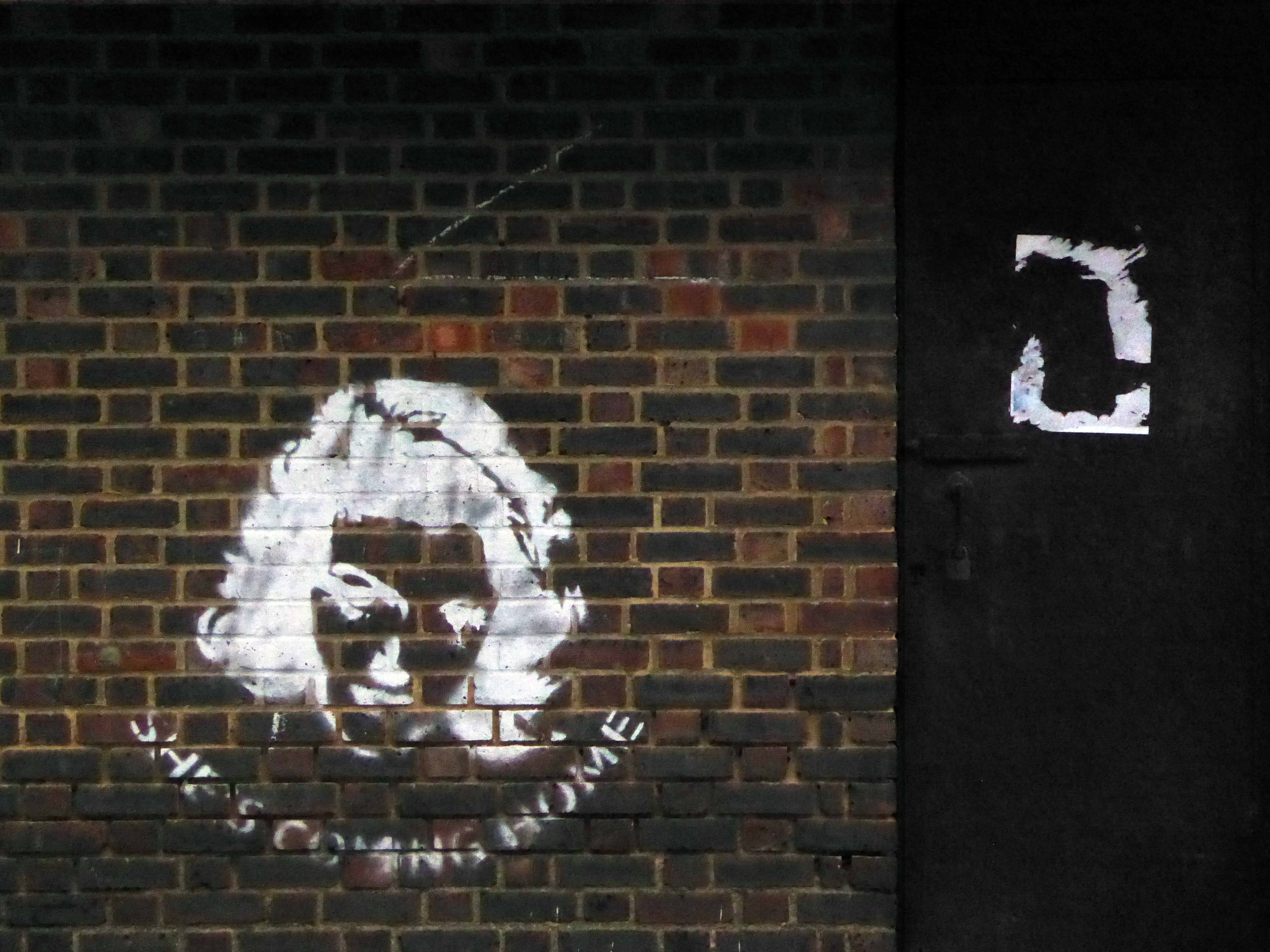
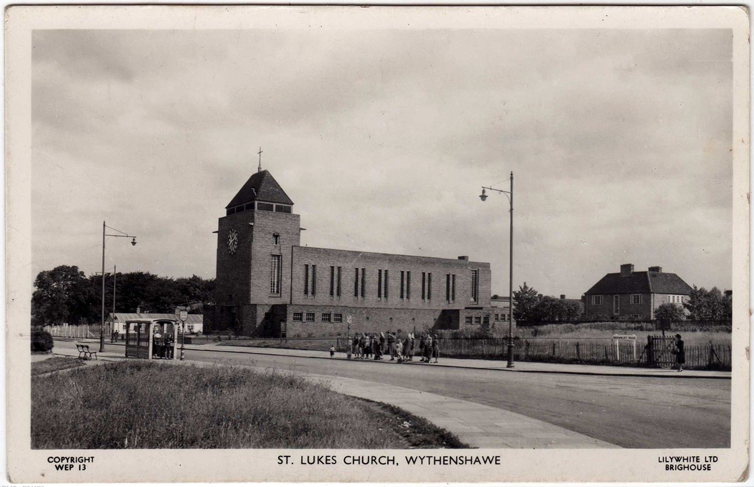
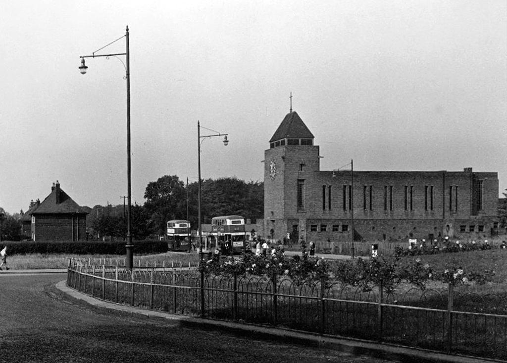
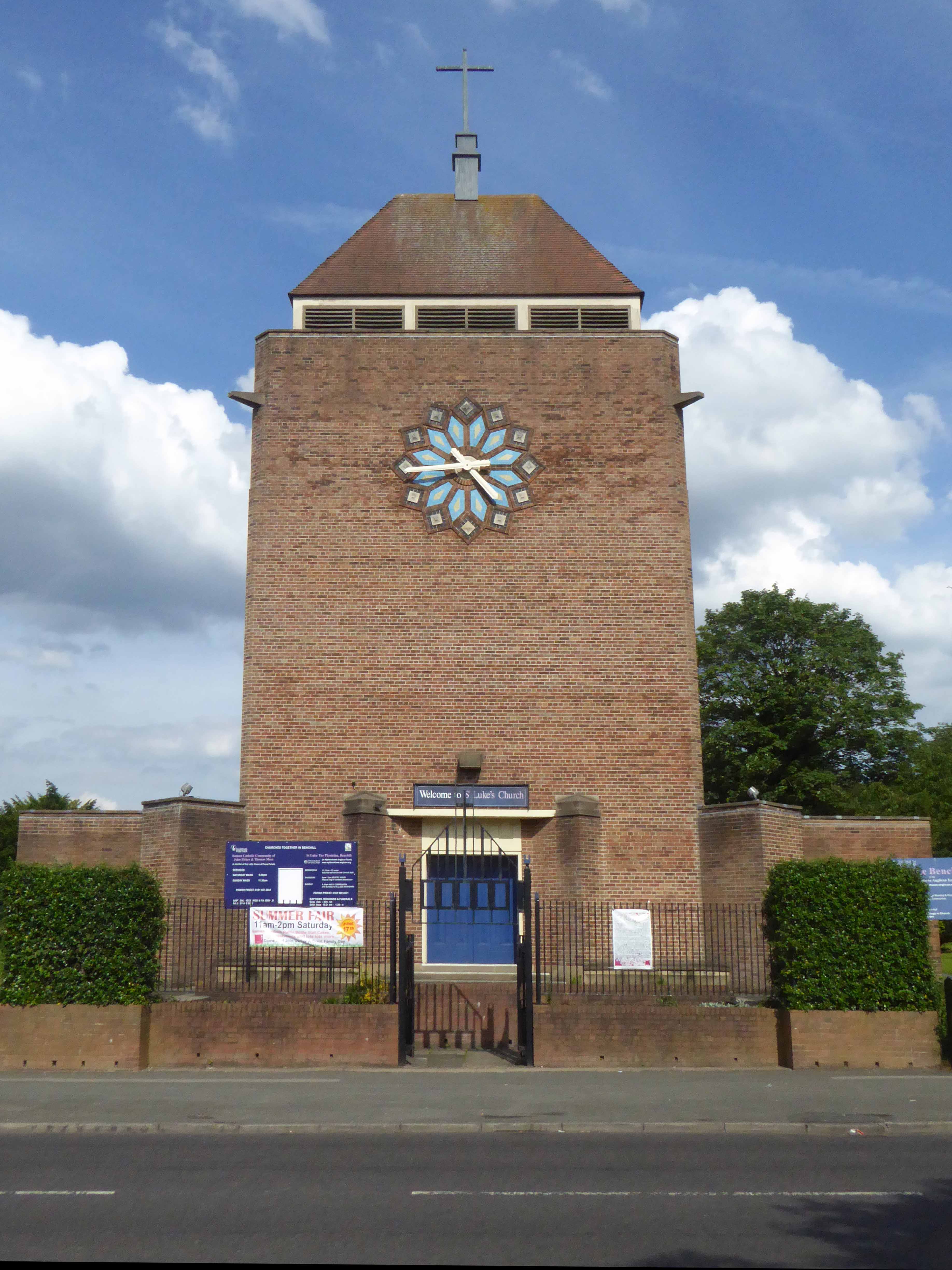
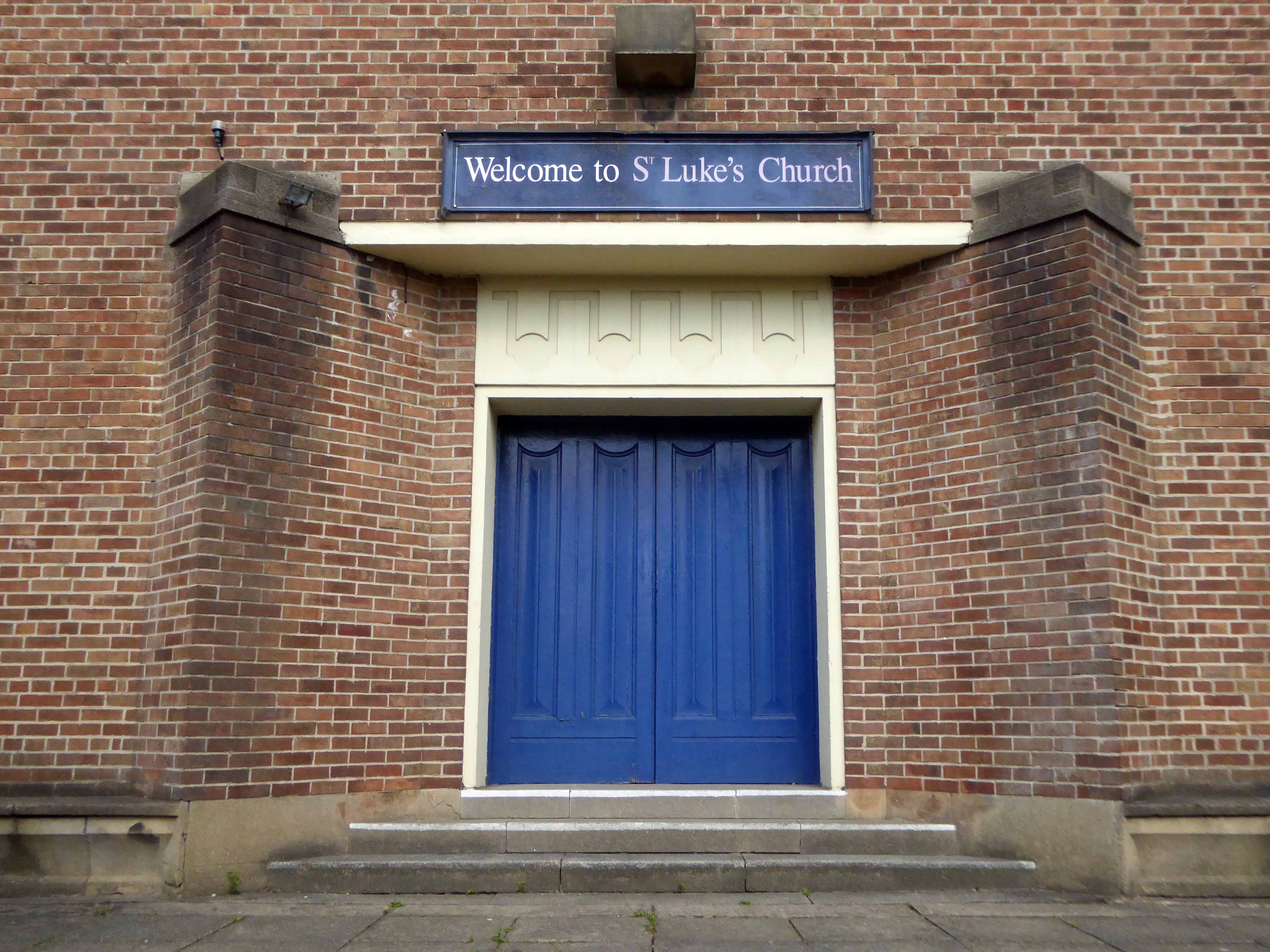
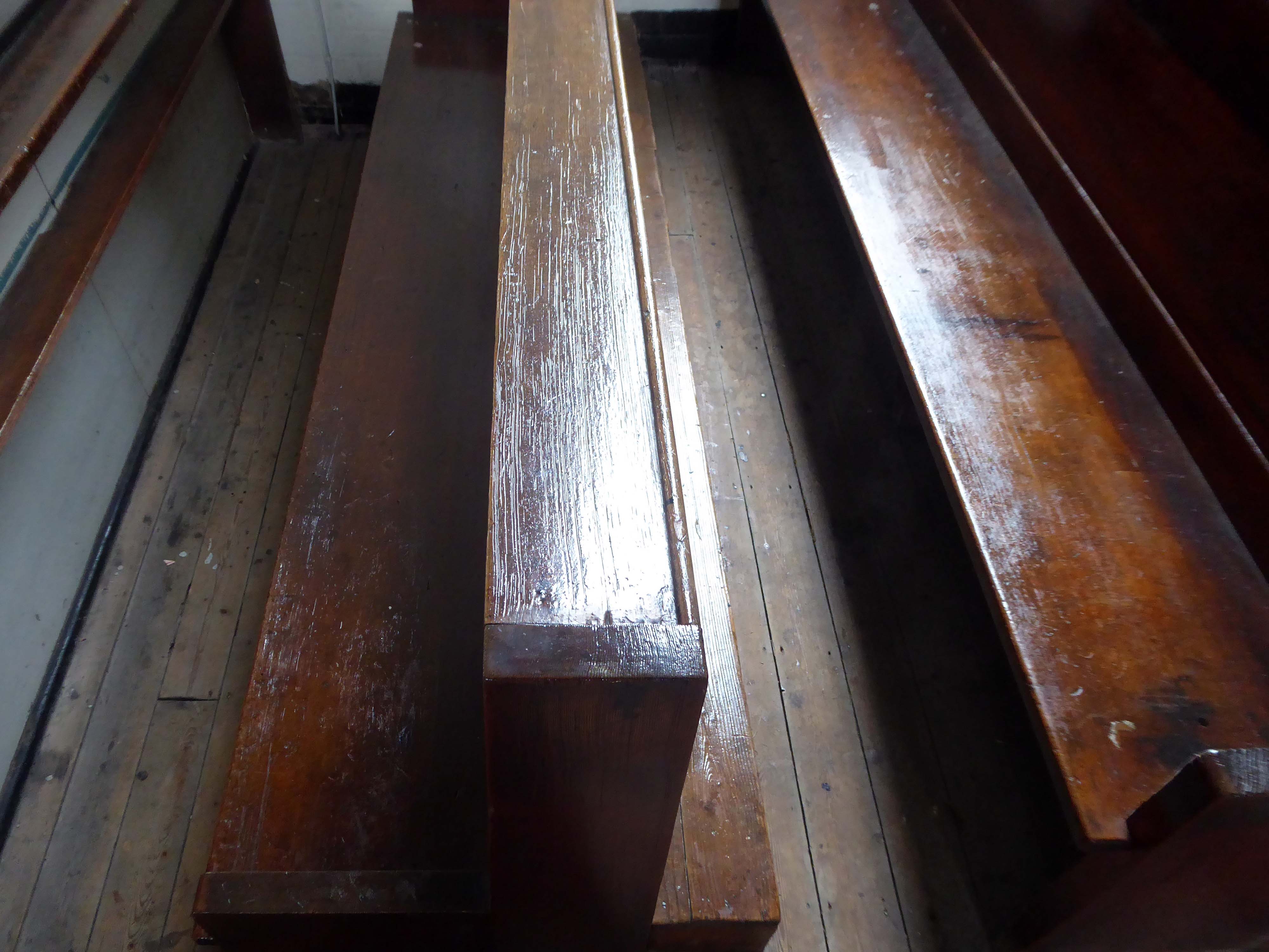
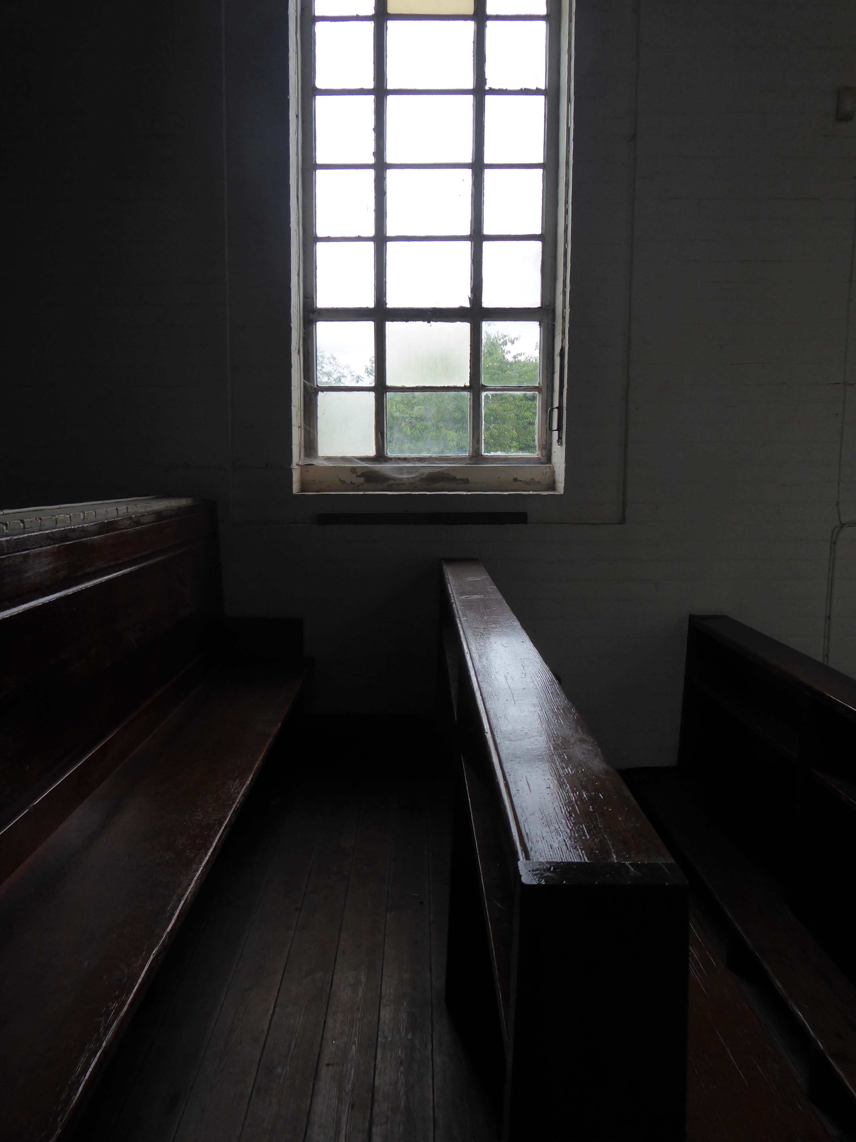
Cycling around Wythenshawe one sunny day yesterday, in search of friends old and new, I found myself beside myself, beside St Luke’s.
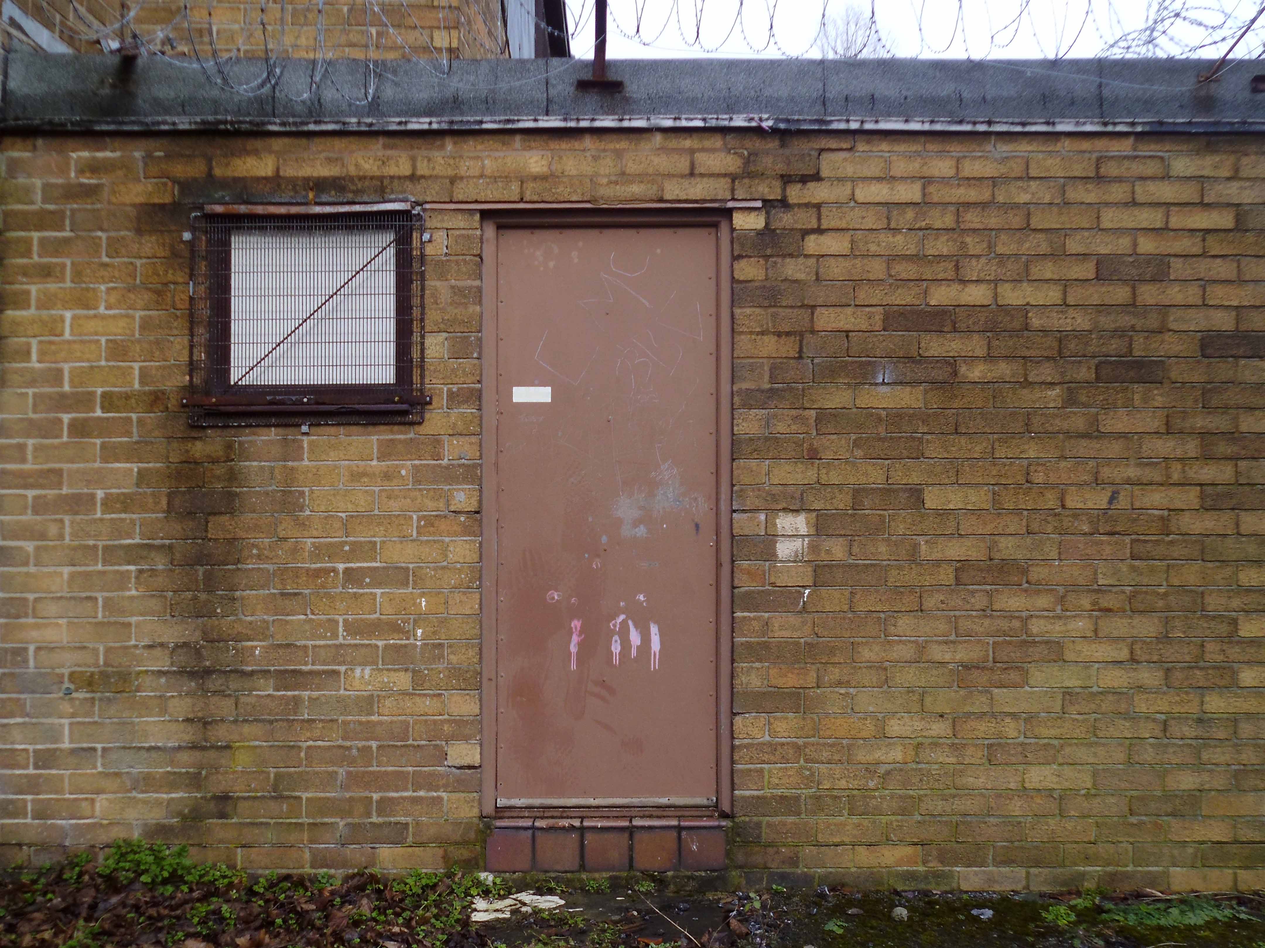
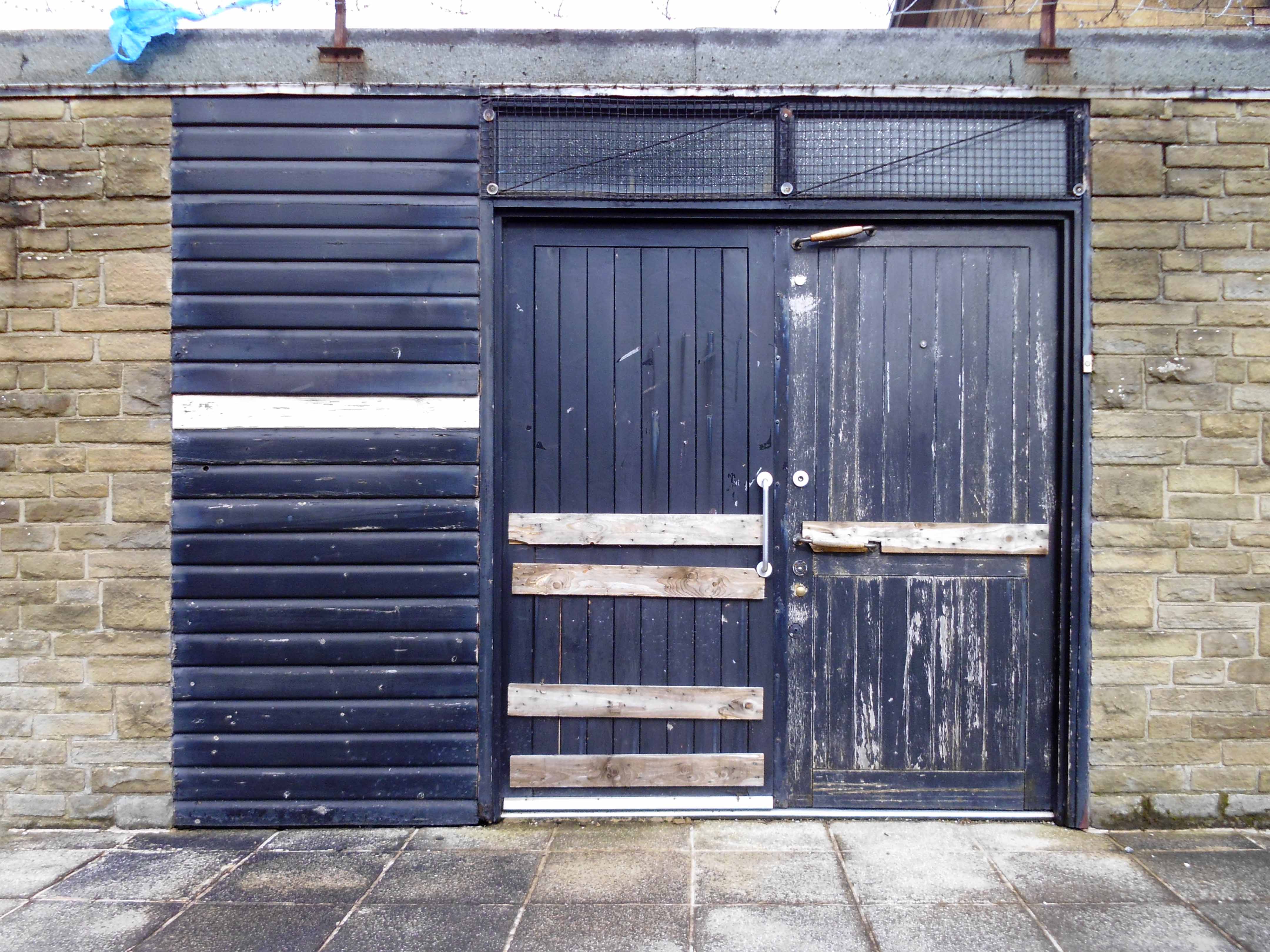
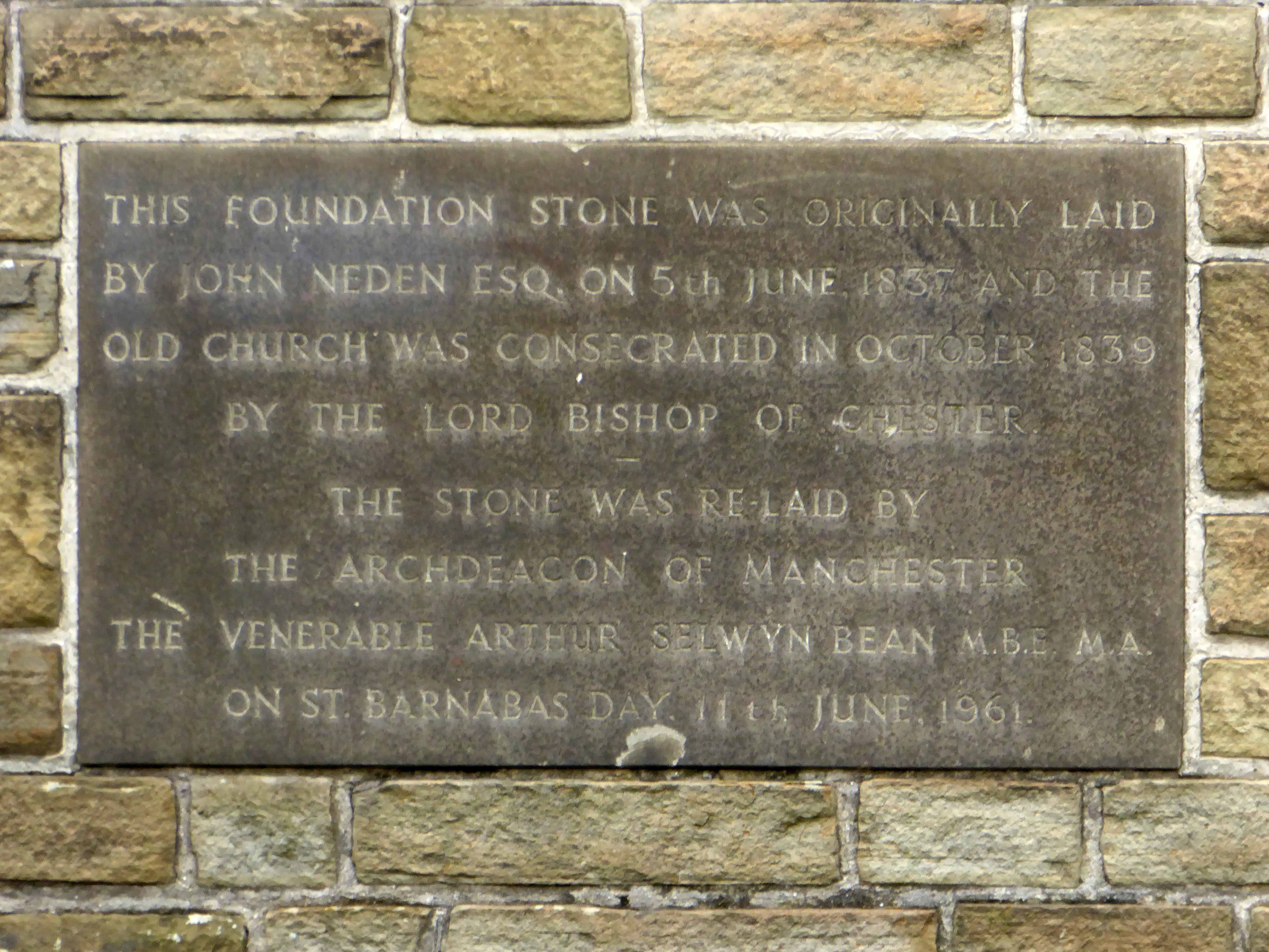
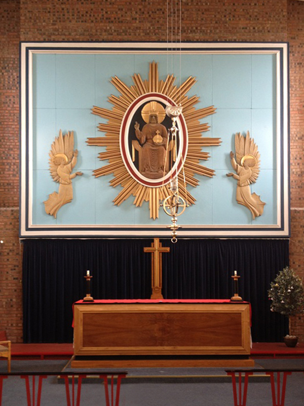
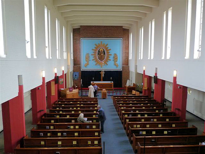
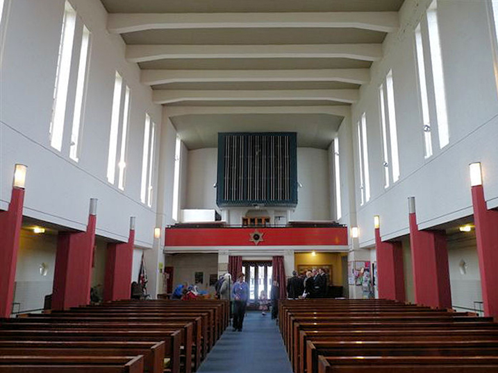
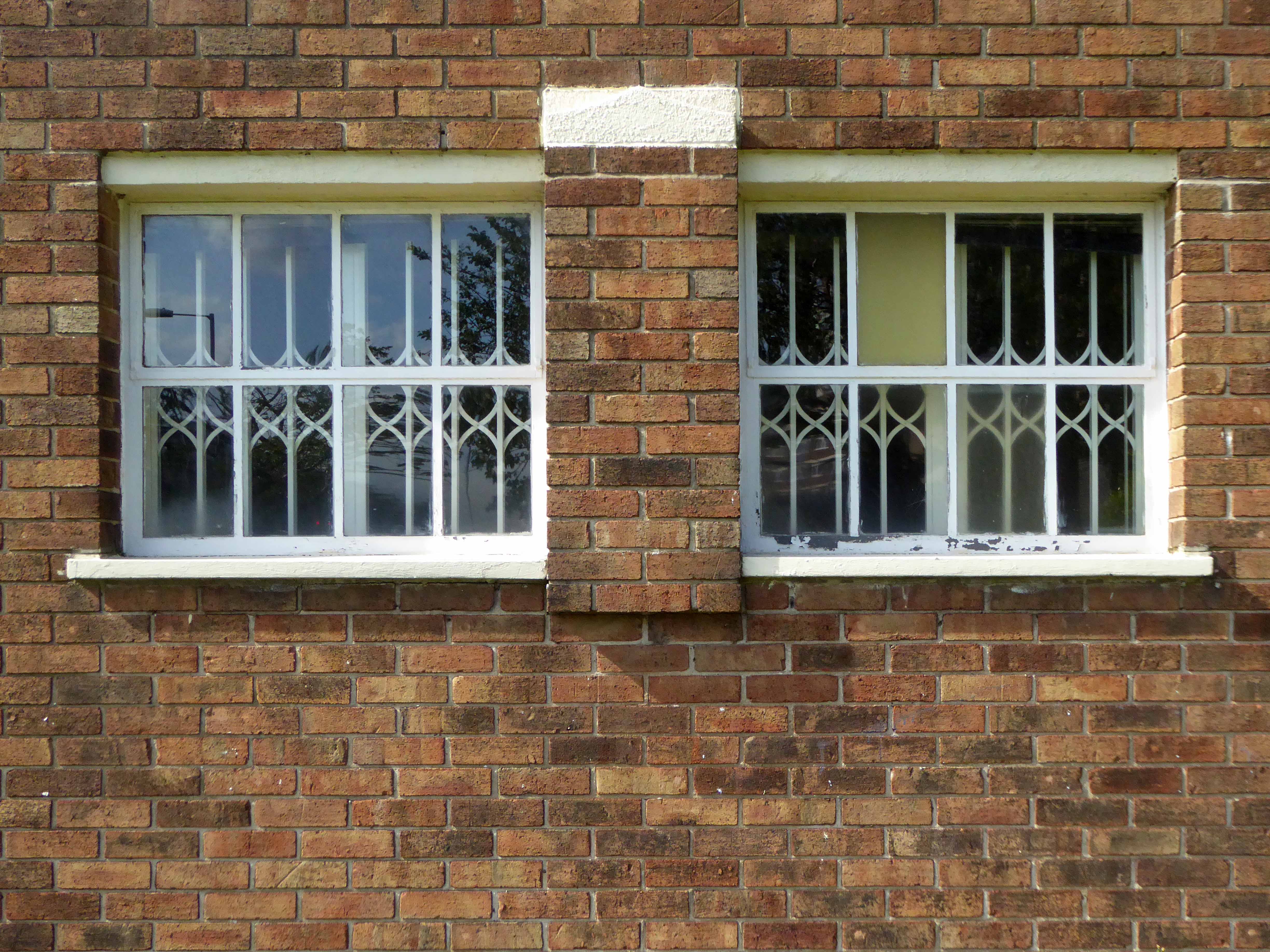
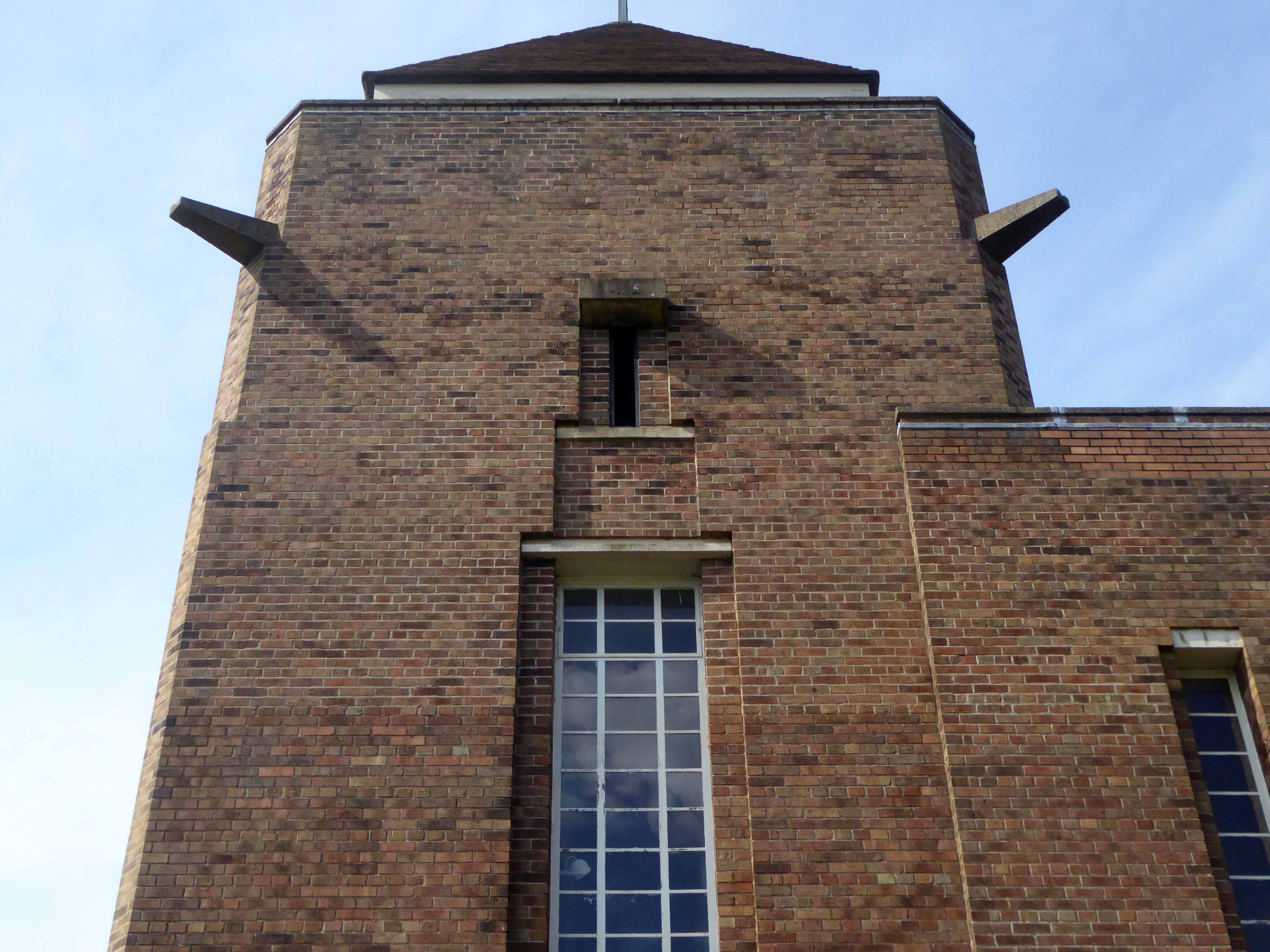
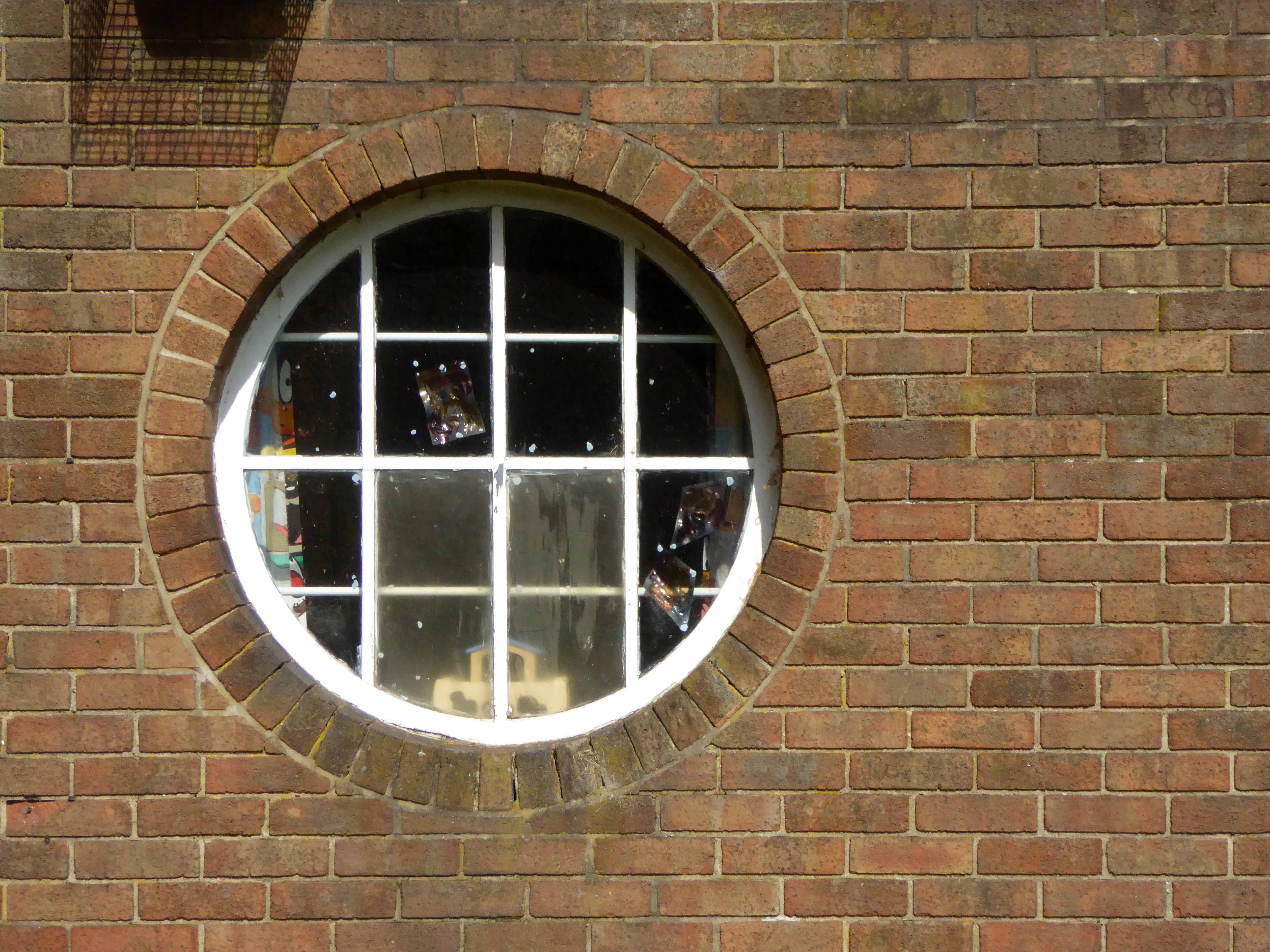
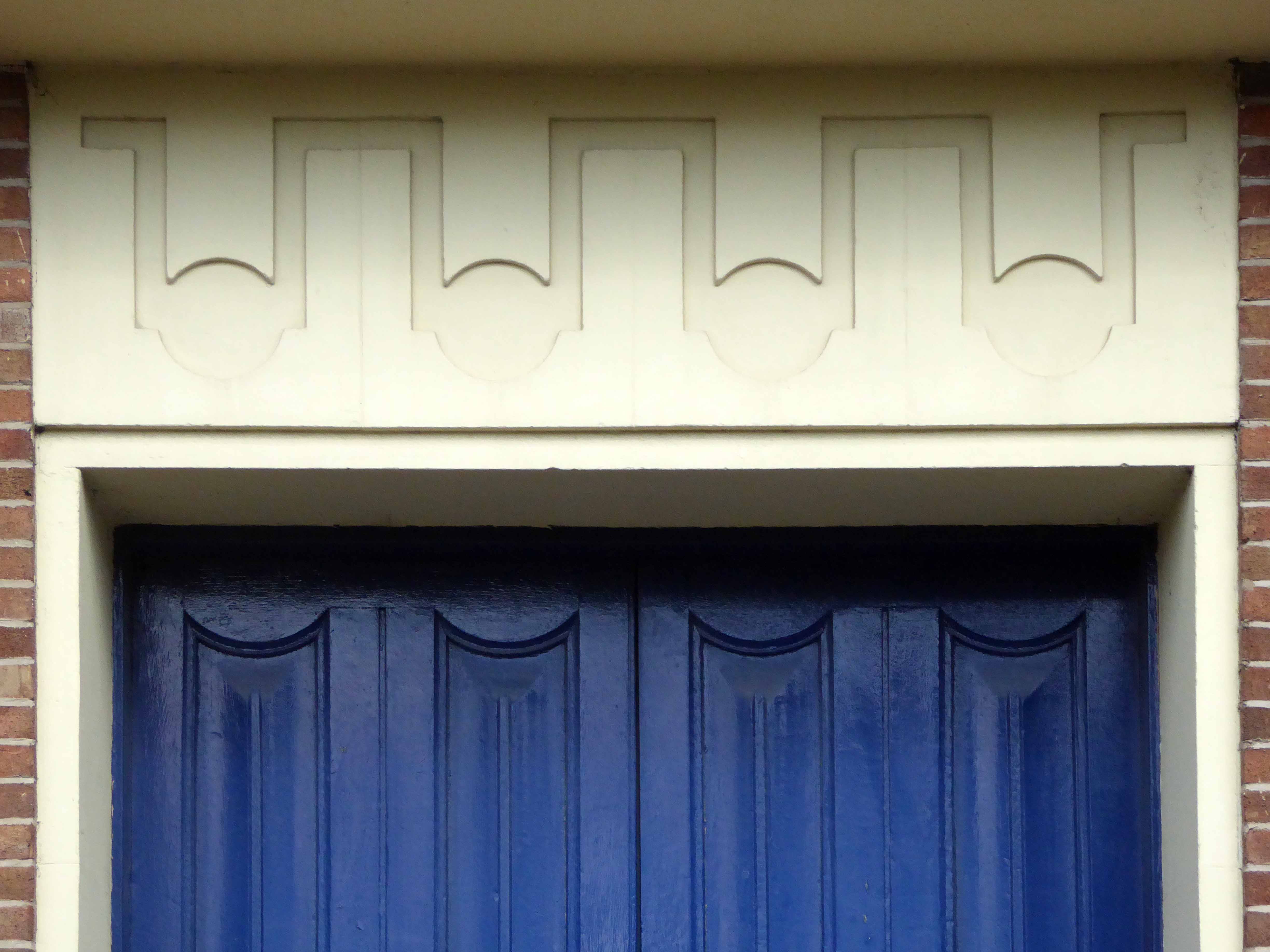
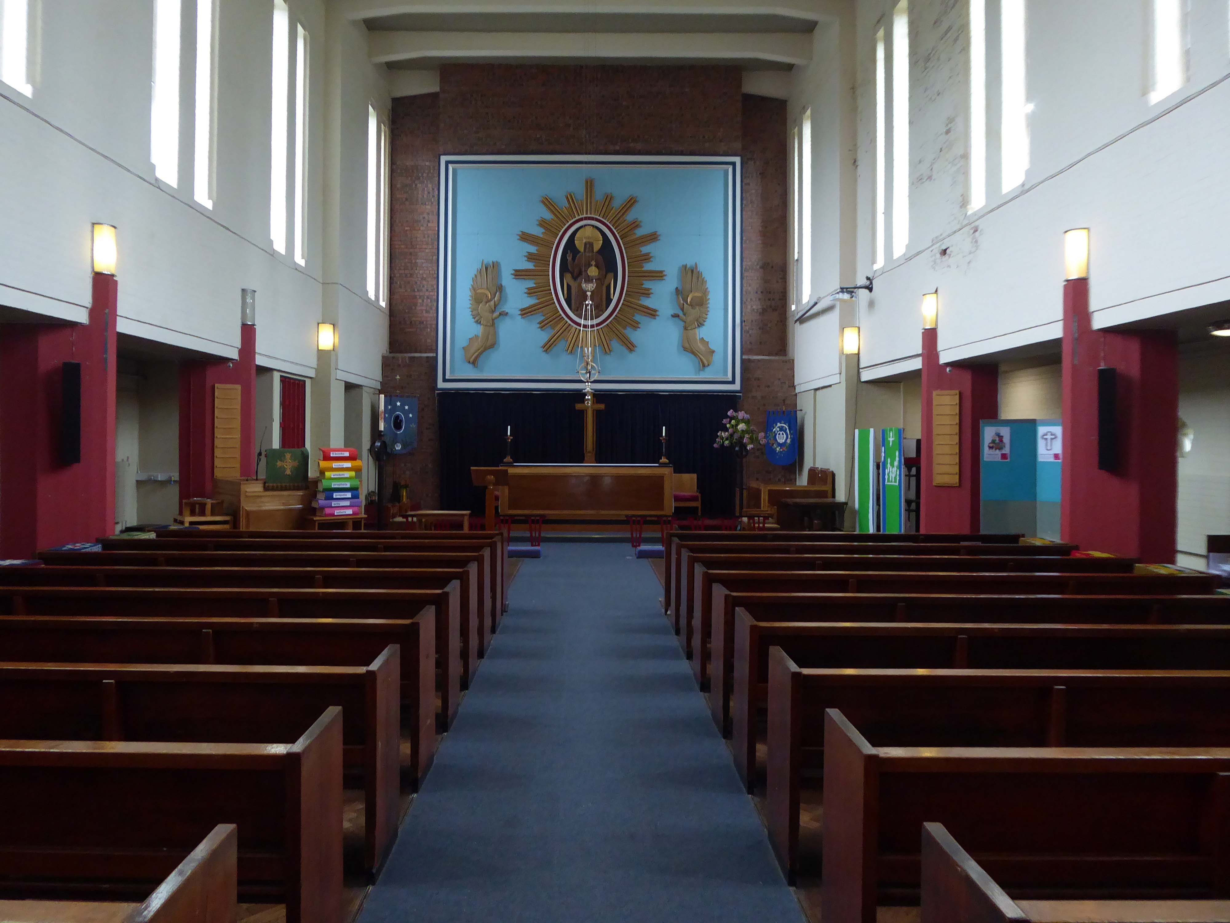
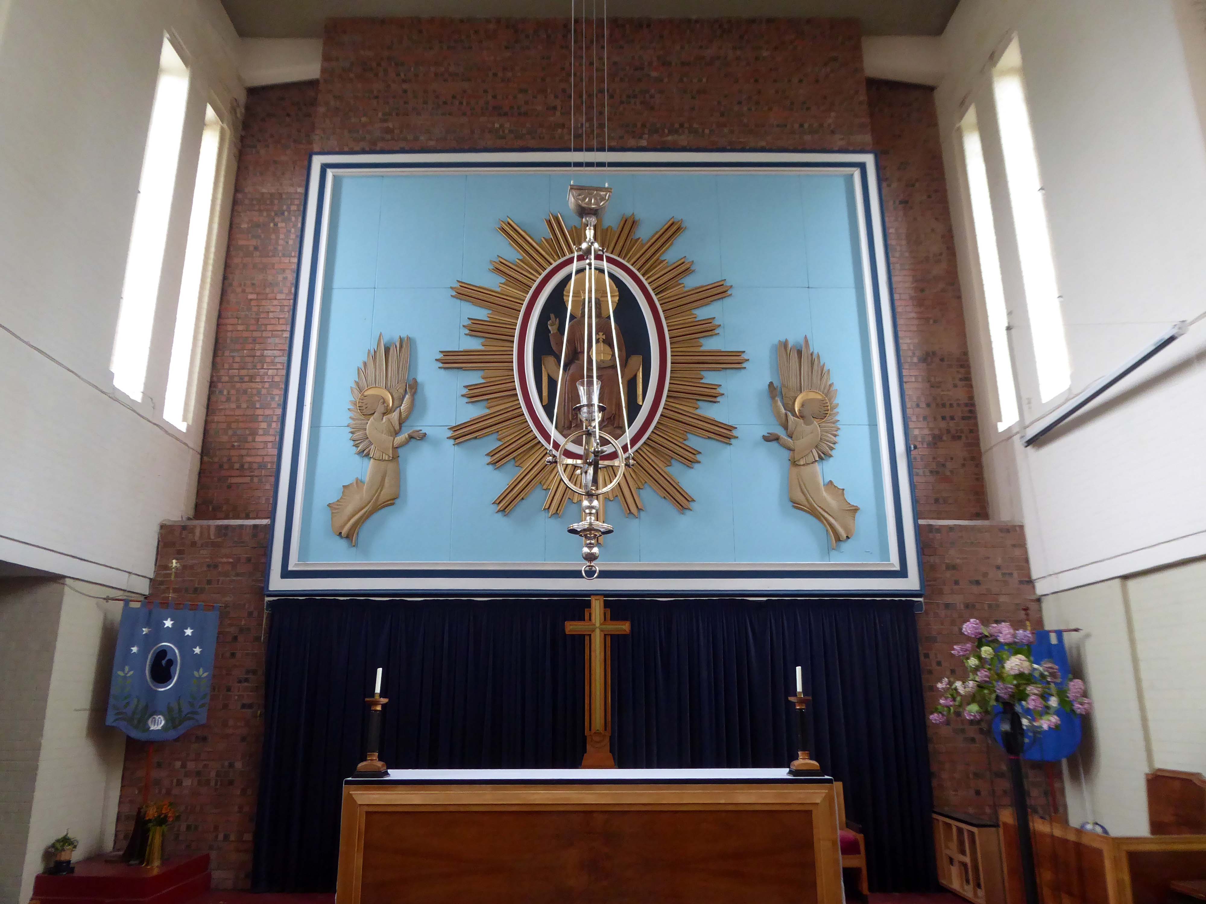
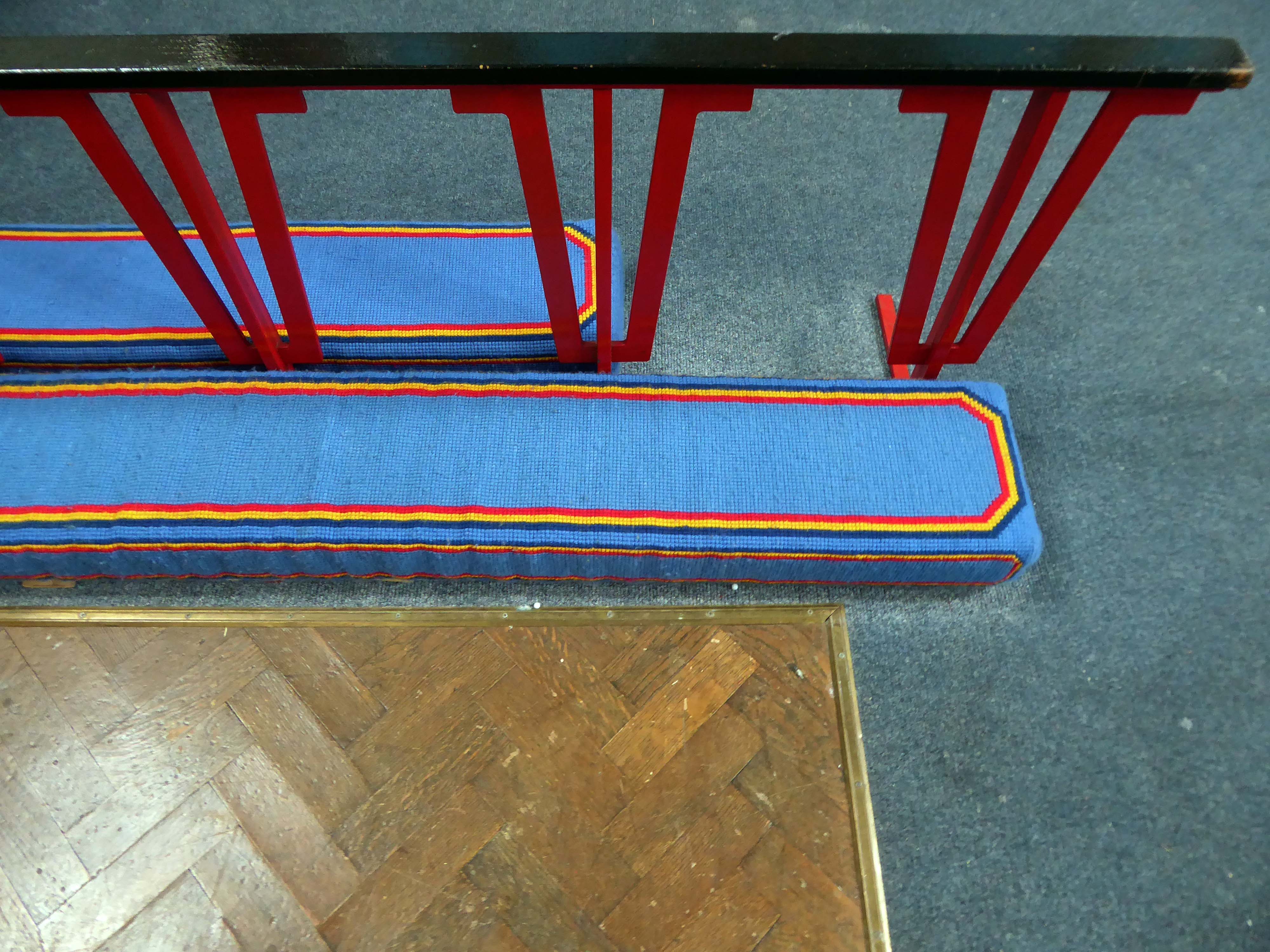
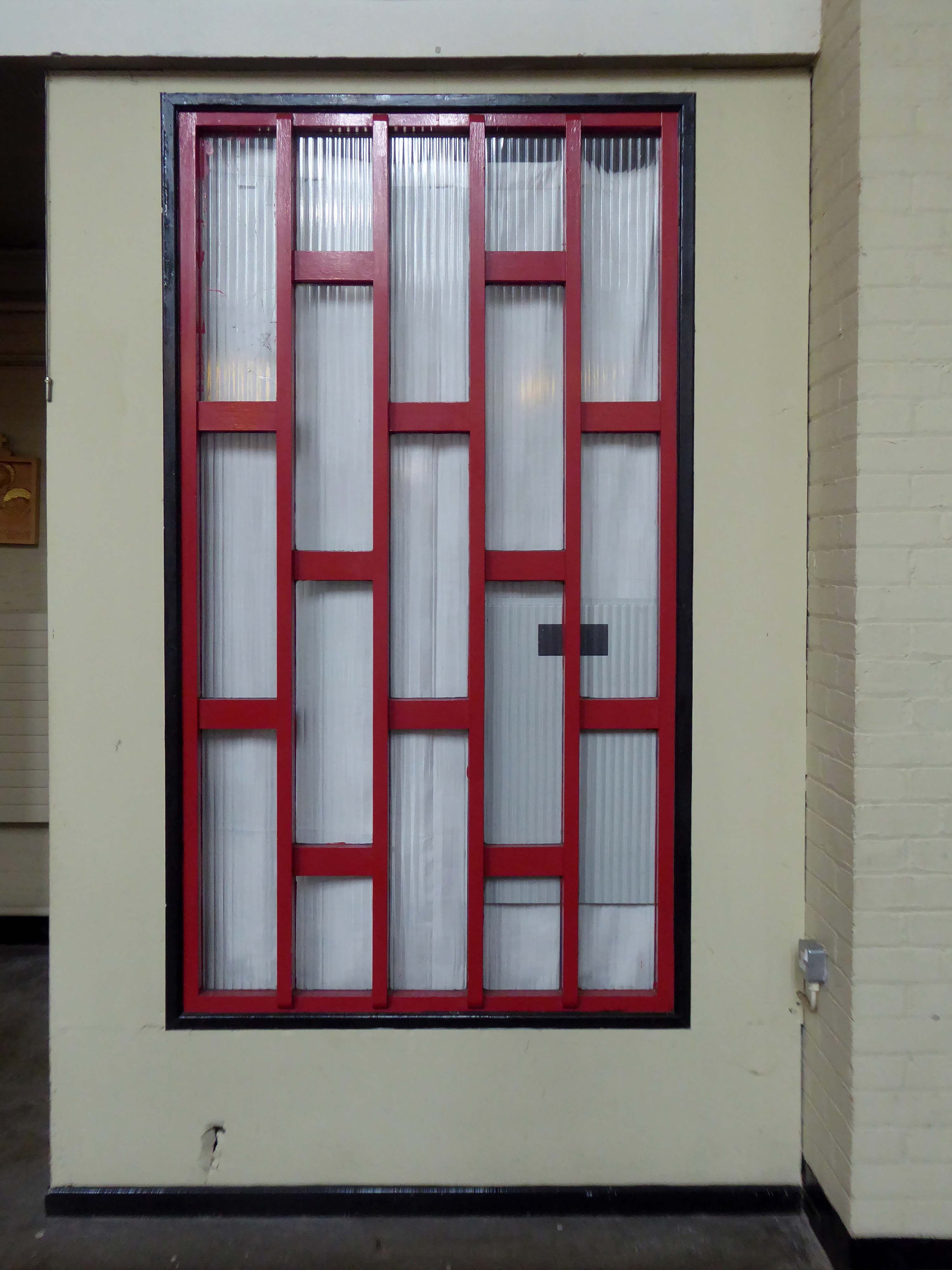
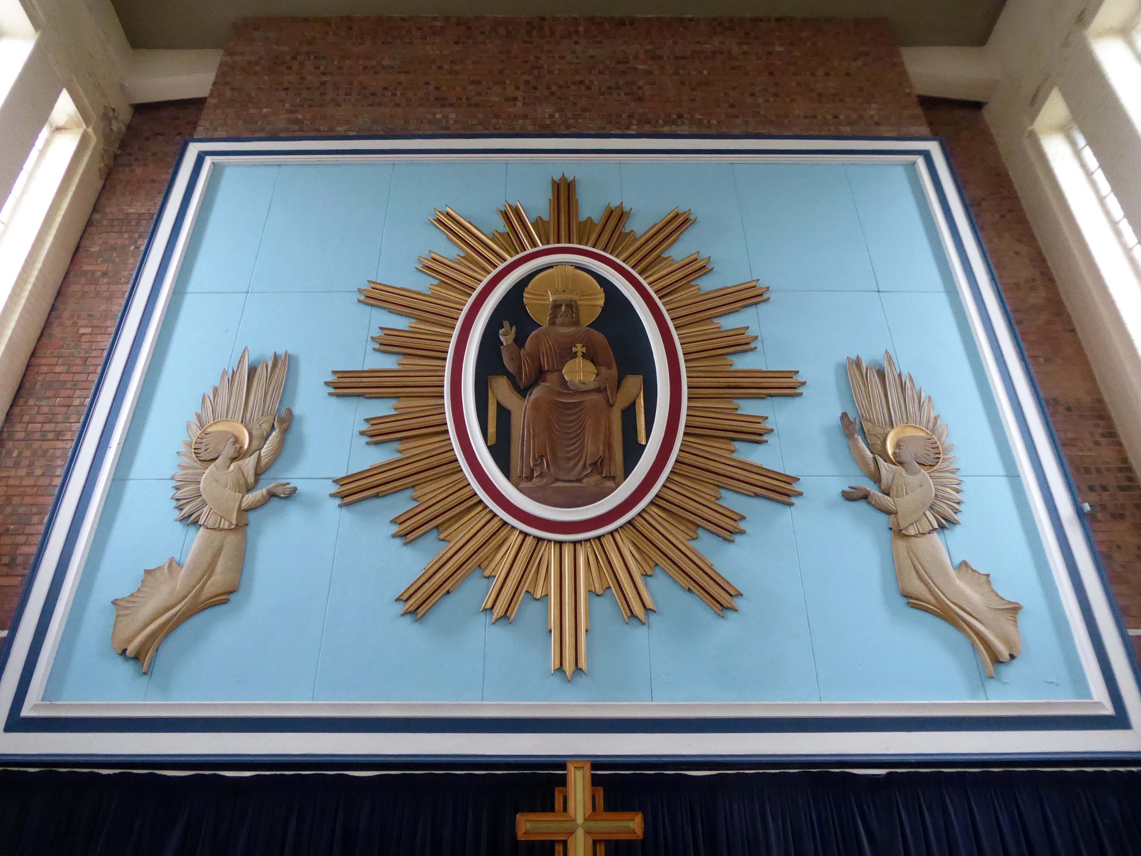
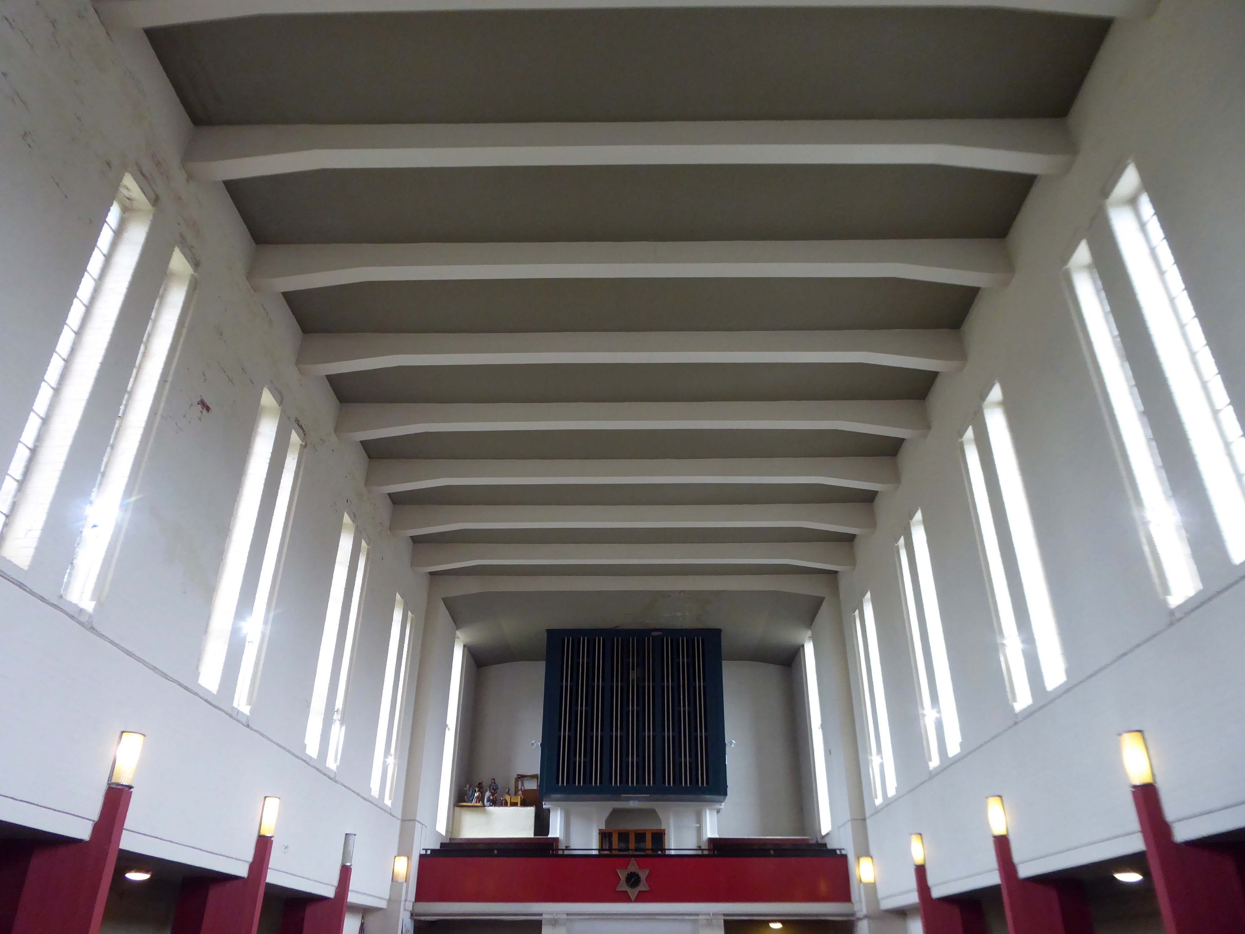
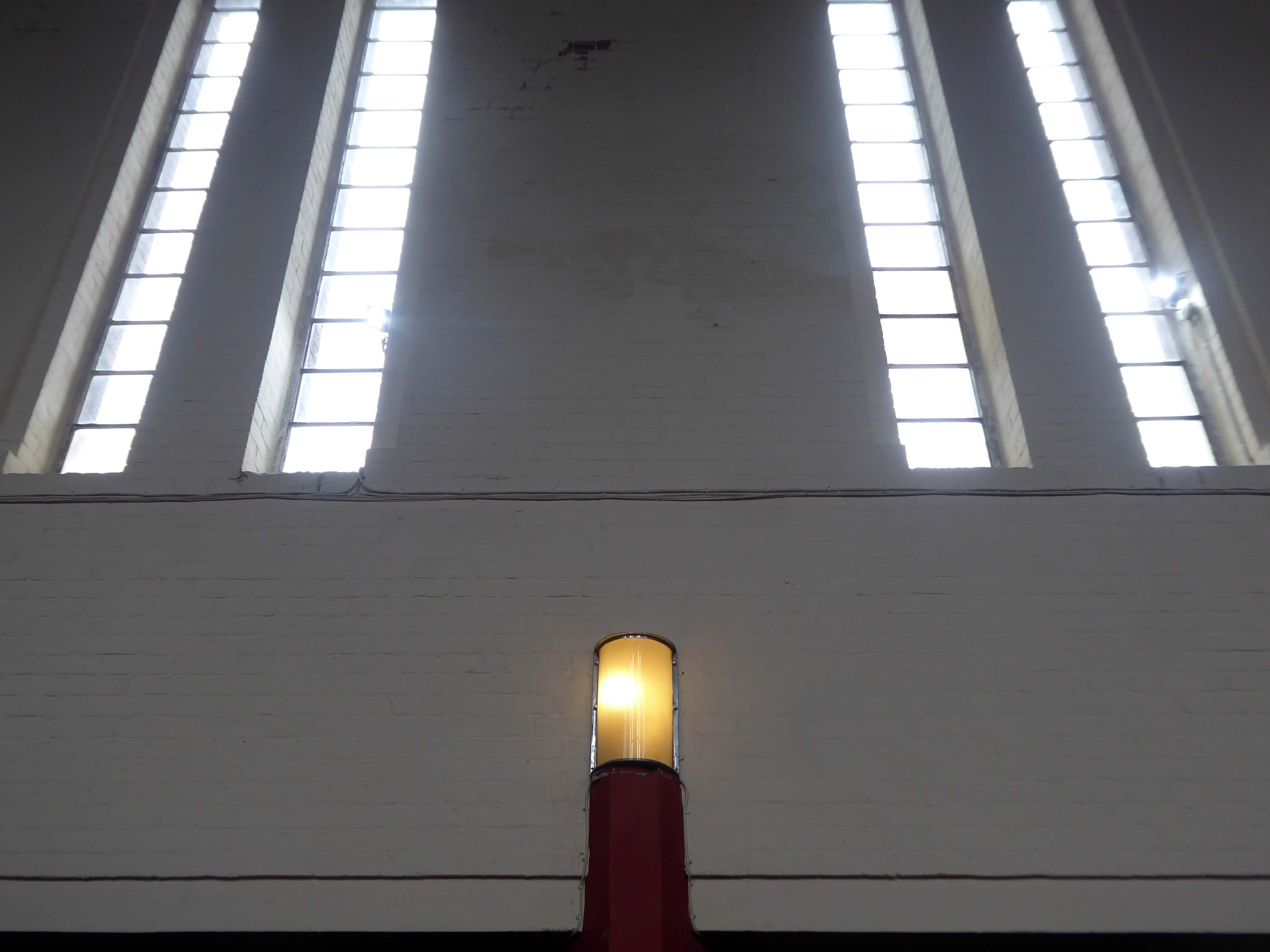
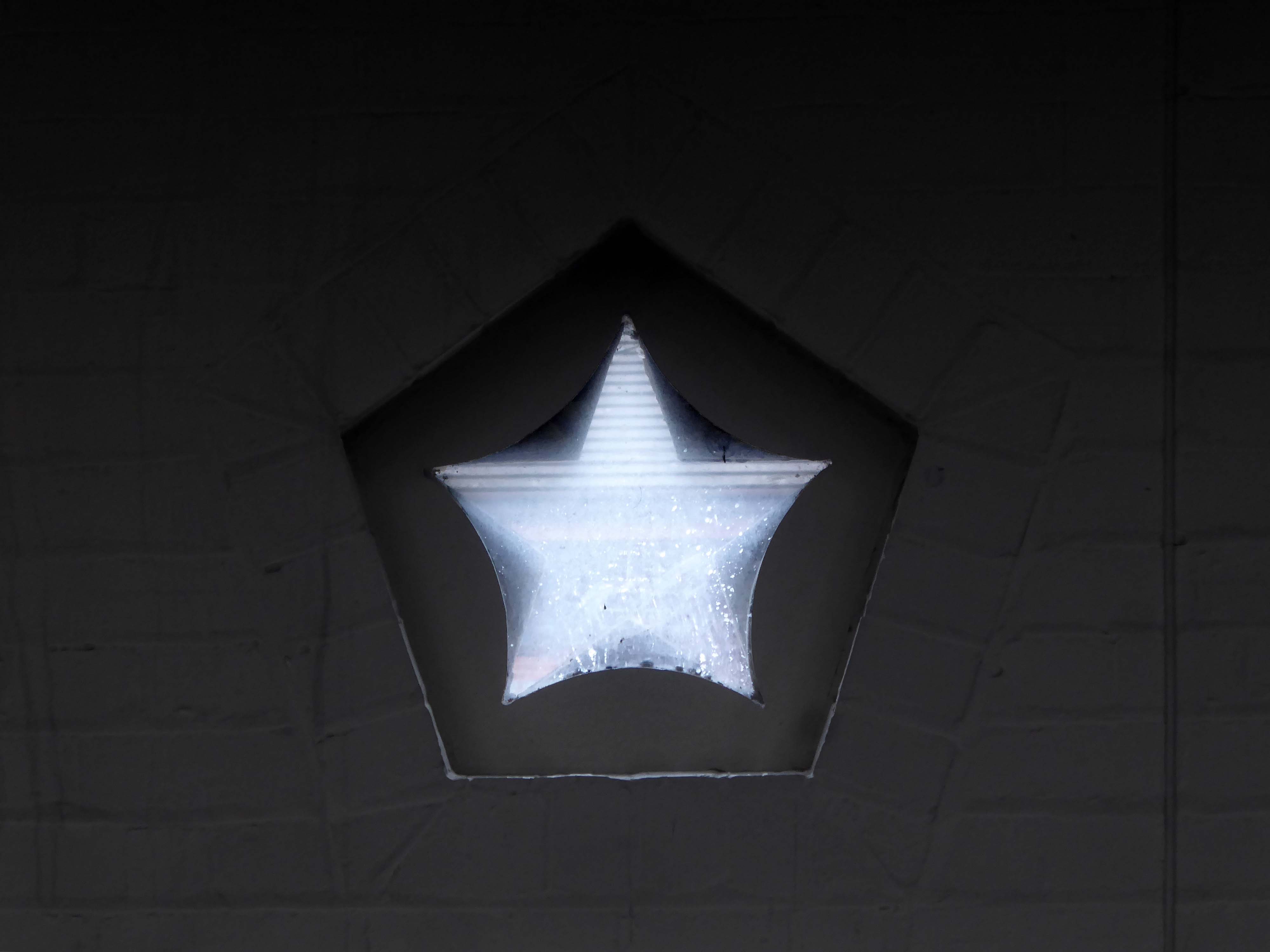
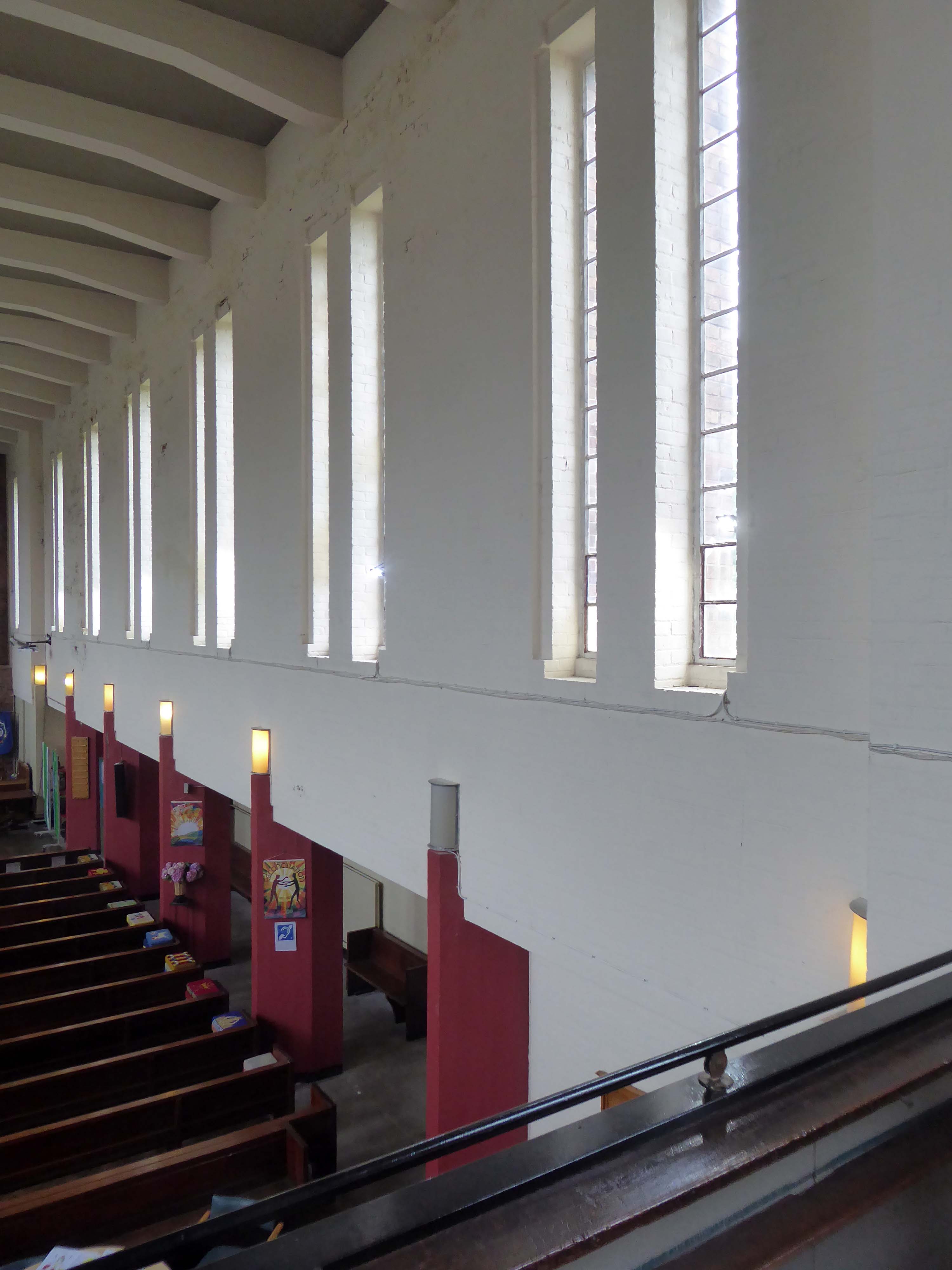
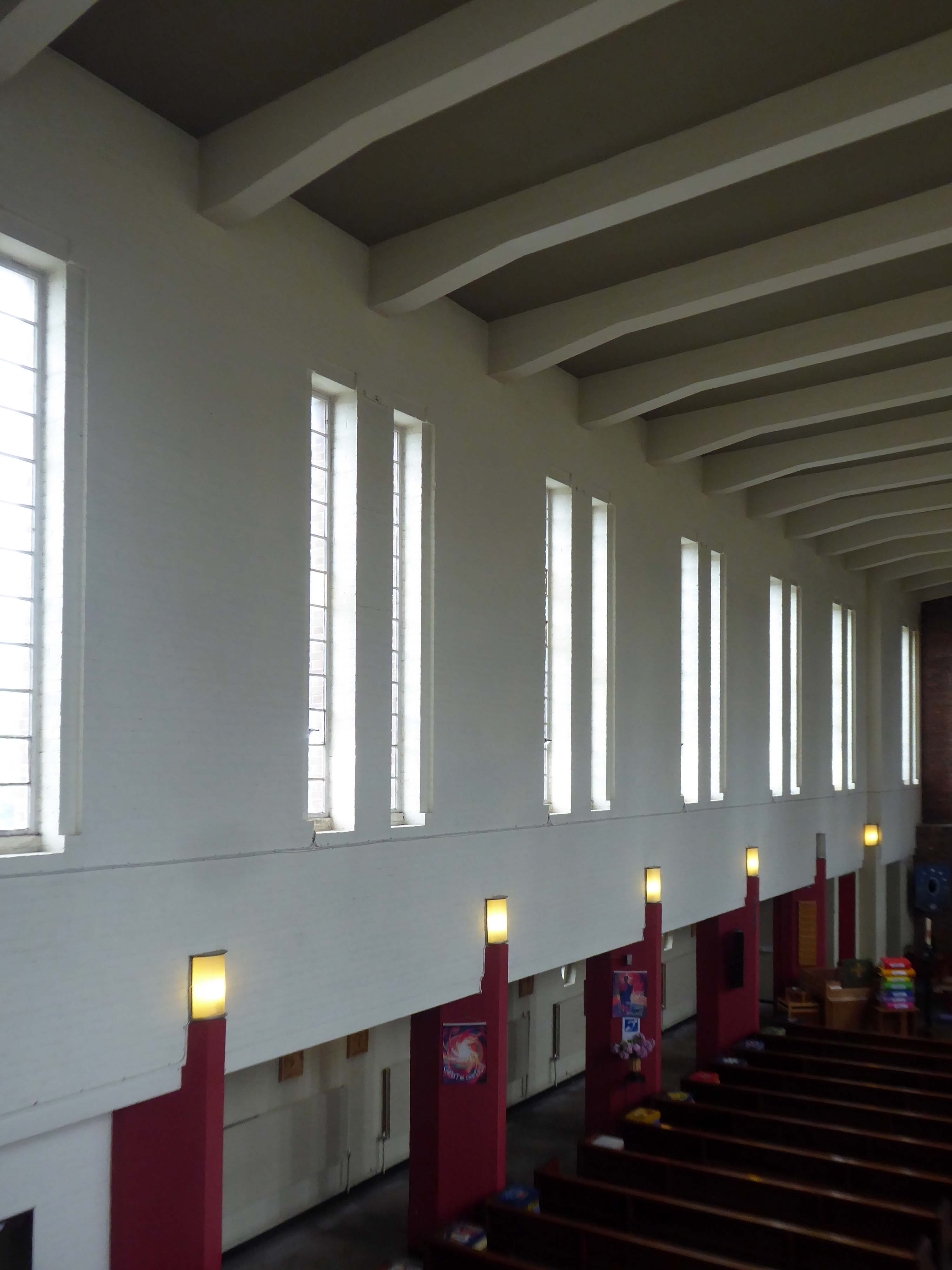
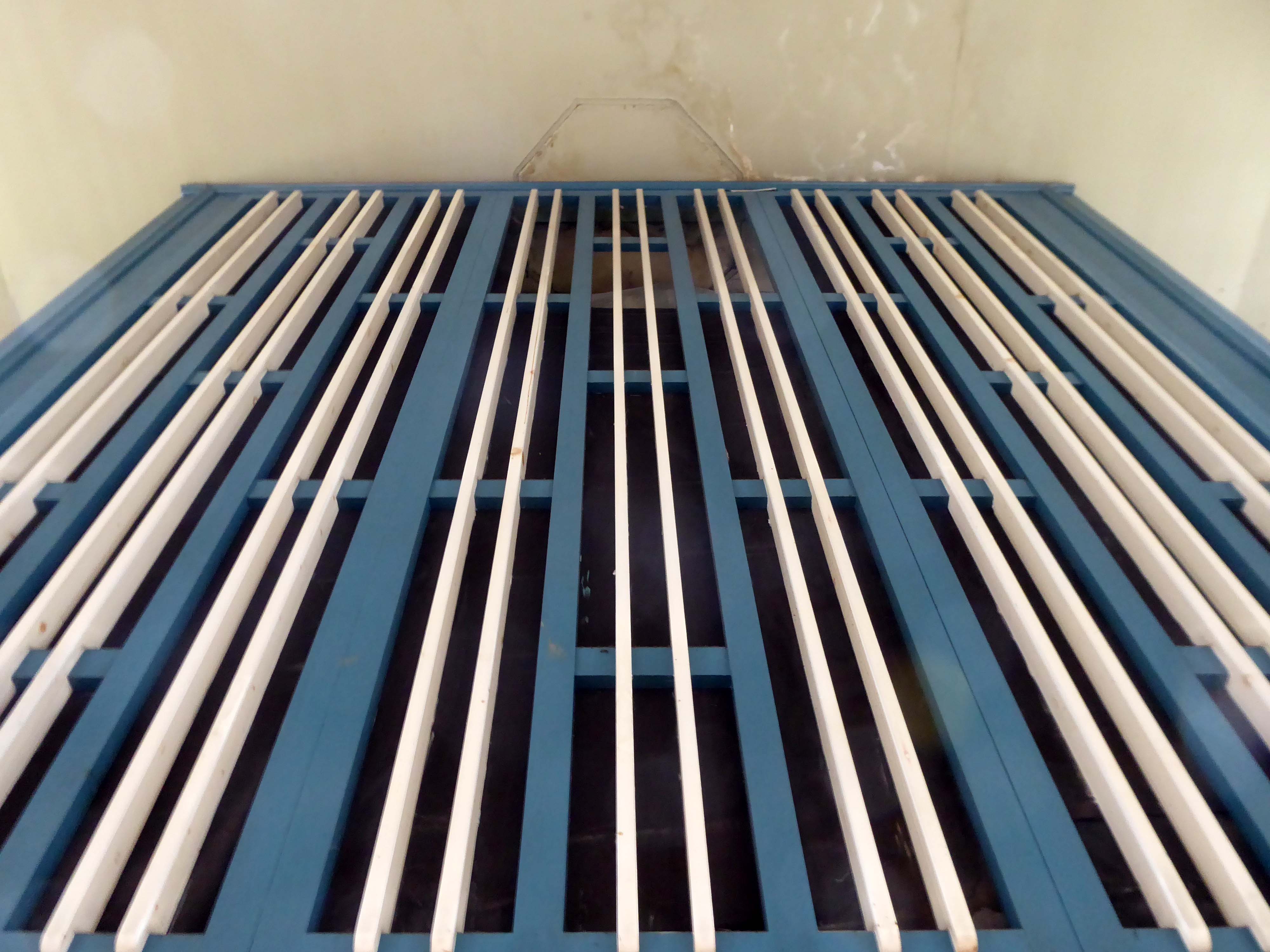
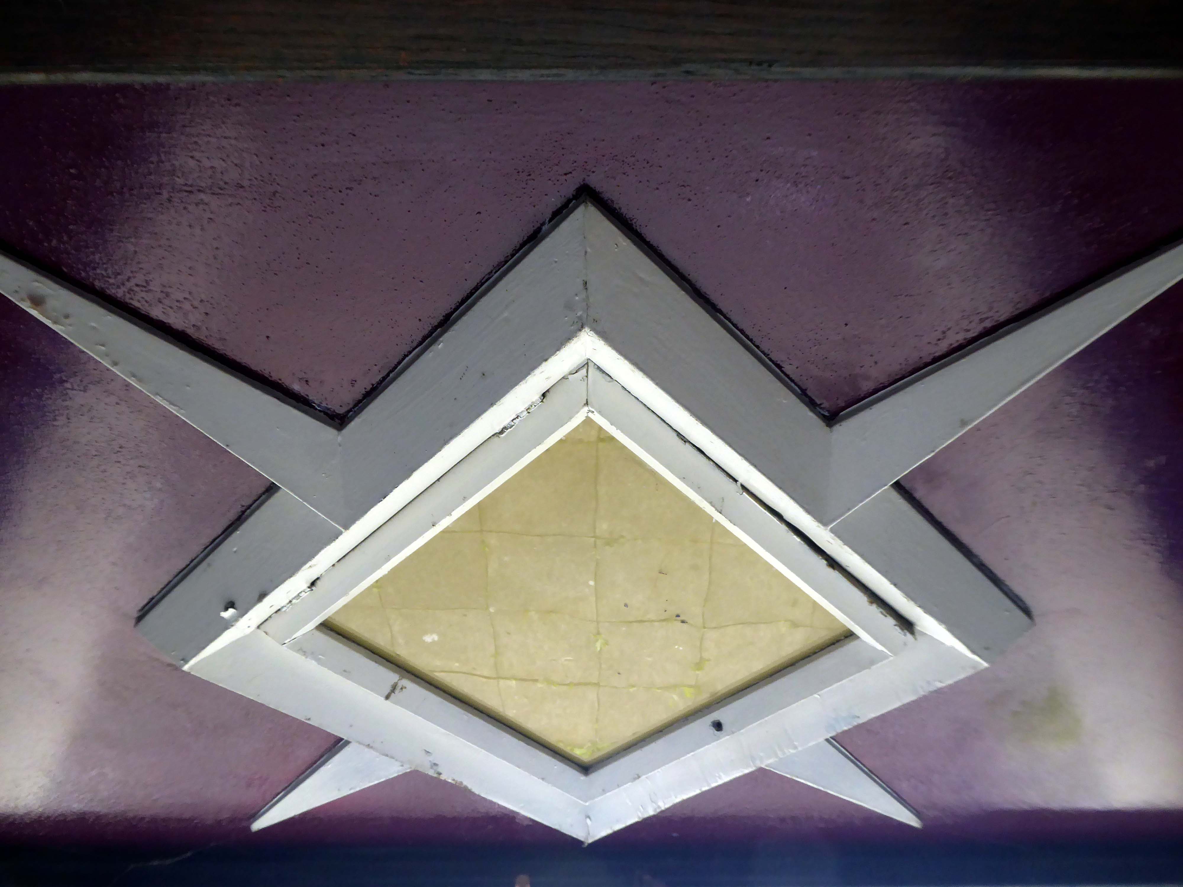
1938-9 by Taylor and Young. Light brown brick in English garden wall bond (roof concealed). Modern functionalist style. Nave with west tower, north and south aisles with porches and side offices, short chancel. Rectangular tower to same width as nave, with short triangular buttresses flanking a square-headed doorway, plain wall except for very large geometrical-floral clock, parapet and very low set-back louvre stage with steeply-pitched hipped roof. Flat-roofed aisles have projected triangular west ends flanking tower, a projected porch at each end of north aisle and corresponding projected offices to south aisle, and very small star-shaped windows with pentagonal surrounds. Nave has 7 pairs of tall square-headed lancets. Short one-bay chancel has concrete cross in place of east window. Interior: basilican character, with low passage-aisles, chamfered piers terminating with lights, flat concrete-beamed ceiling; side-lit chancel with relief figures of angels.
Those are the facts – the fabulous thing is the clock, a playful lesson in geometry, surface and colour, and it keeps time as well.
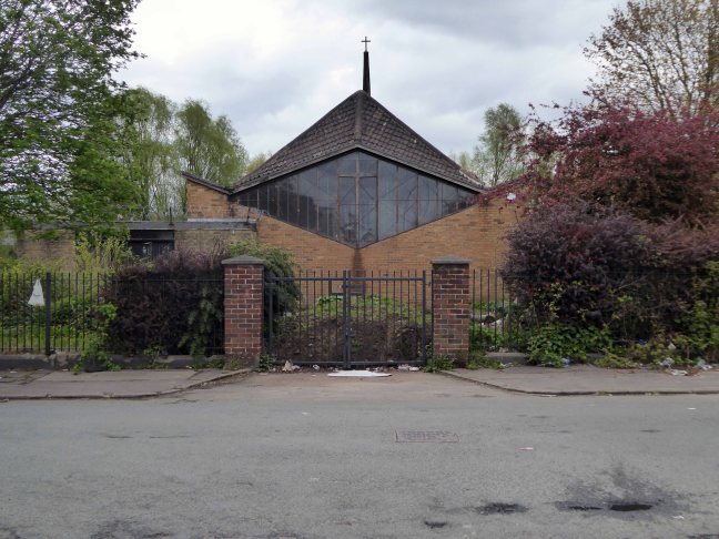
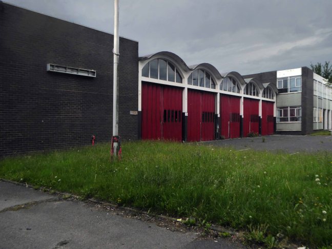
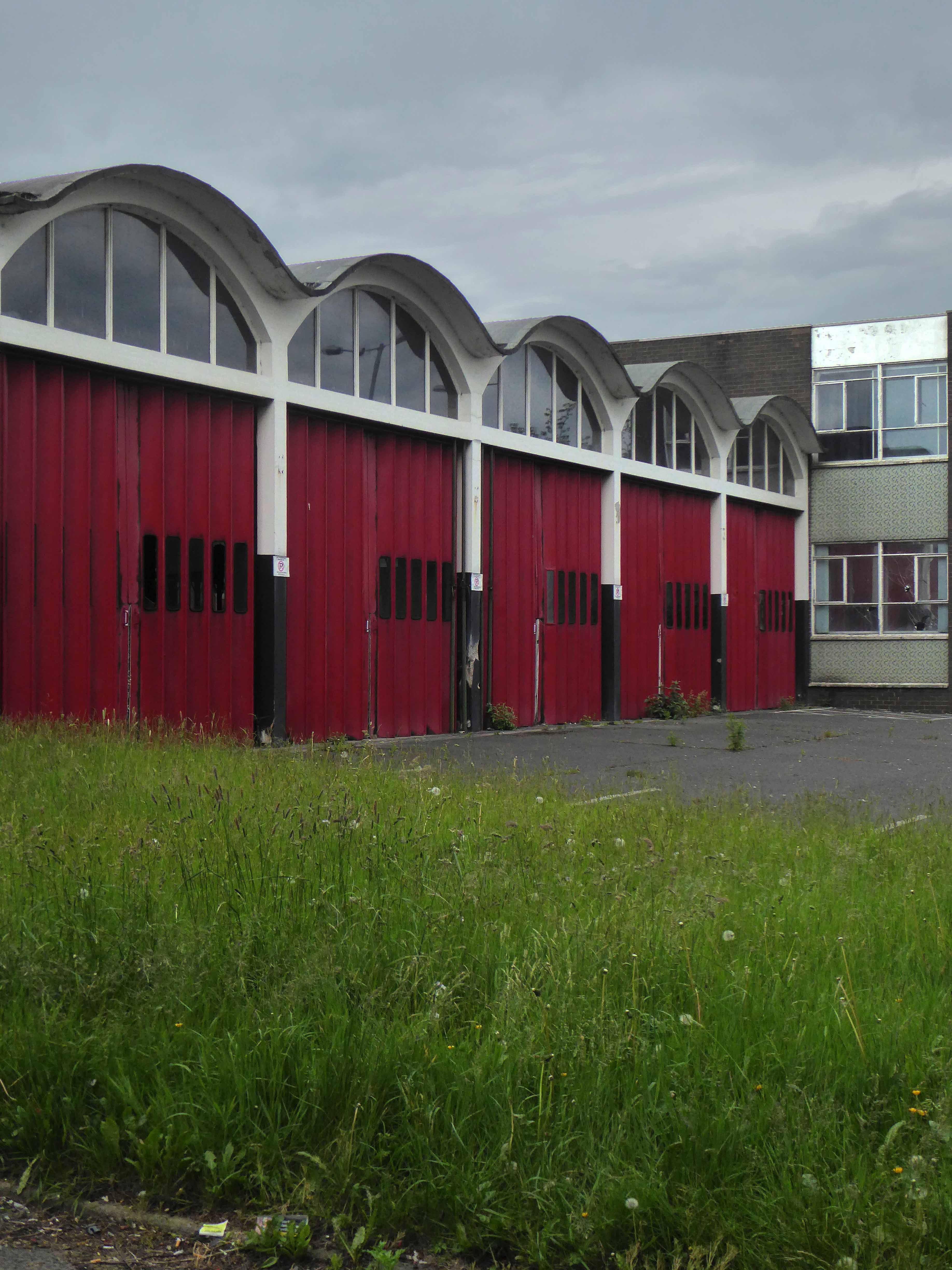
Wythenshawe is awash with modern churches and this pale brick giant is hard to miss dominating the Brownley Road junction, built to serve the then ever expanding housing estate to the south west of Manchester.
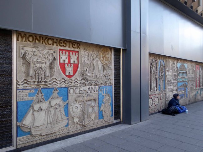
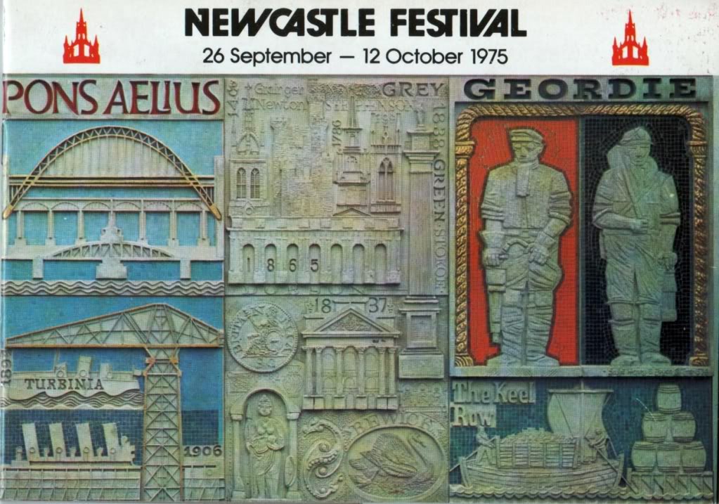
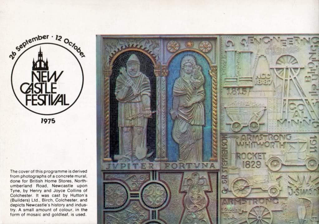
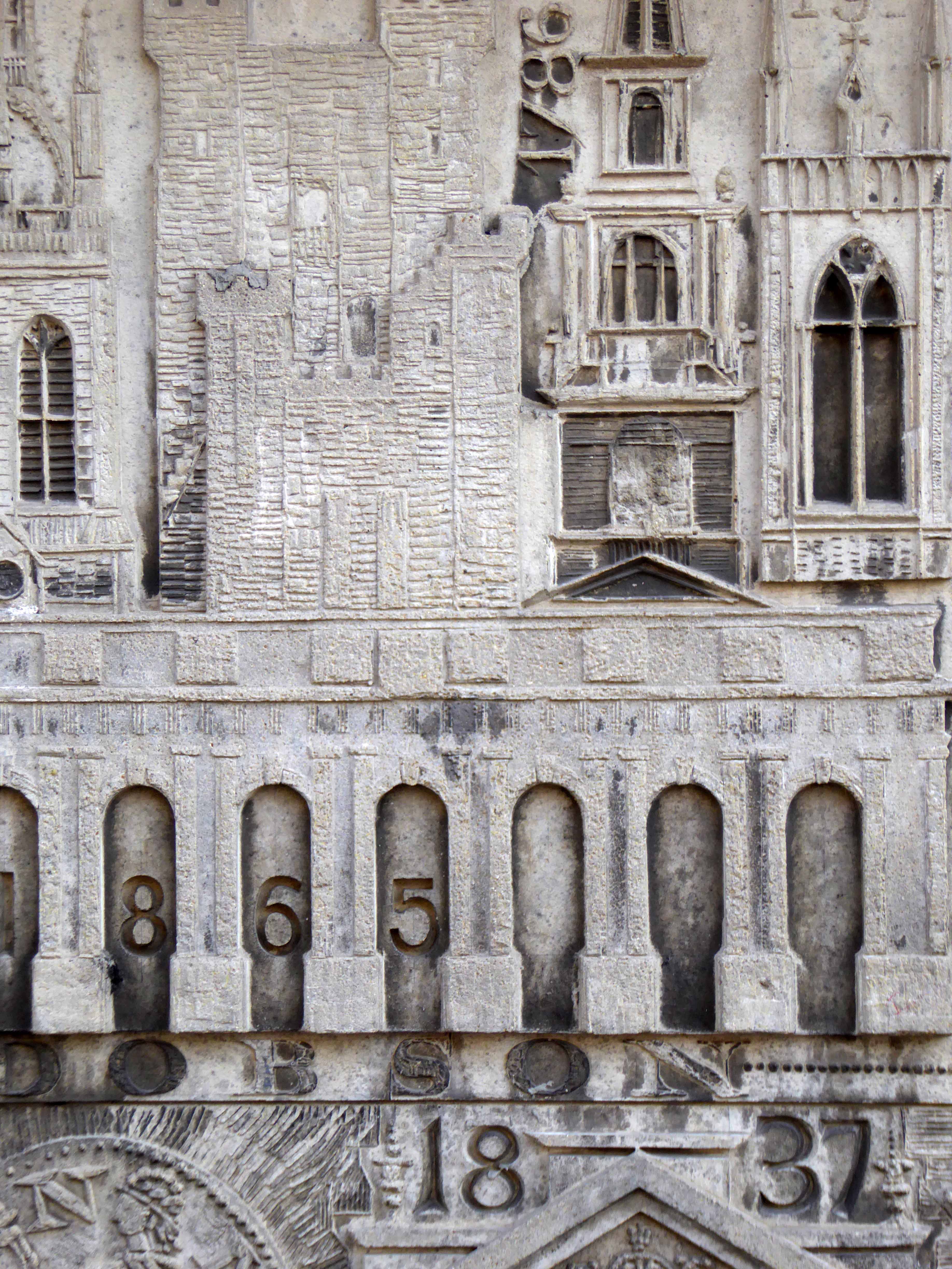
We here in Stockport have our own BHS murals, happily so does Newcastle.
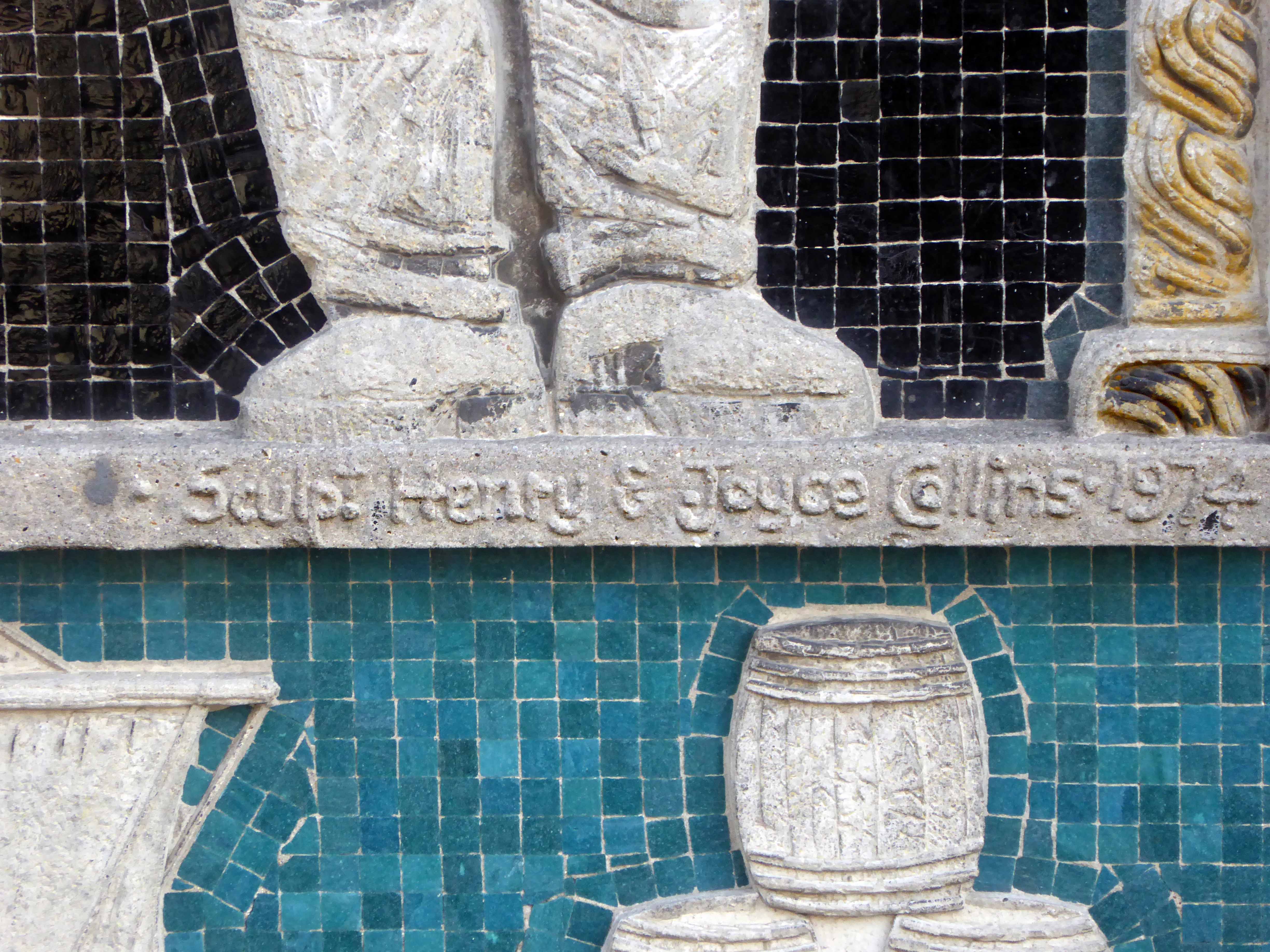
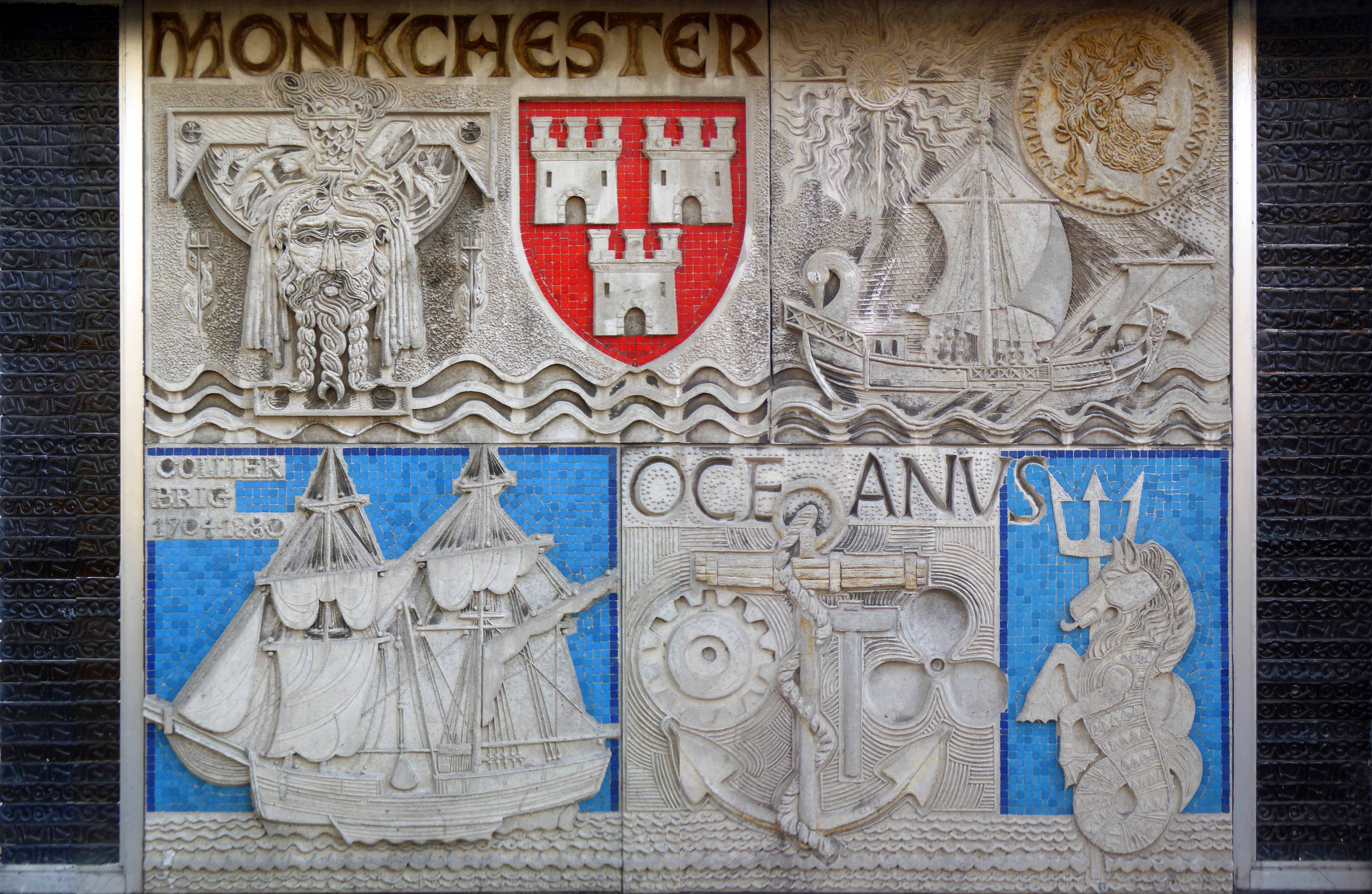
The work of acclaimed artists Joyce Pallot and Henry Collins, they worked on a large number of murals and exhibition designs for amongst others, Jamestown Festival, USA; Brussels Exhibition; Expo 70; Japan; Shell Centre; GPO Tower, London; Grosvenor House, London; Ind Coope Ltd; Philips Business Systems; Sainsburys; British Home Stores; Cwmbran Arts Trust; Essex County Council and IBM, London.
They never worked on the site itself, but used a regular contractor Hutton’s Builders Ltd Colchester, who cast the concrete in panels around four feet square. There are two relief panels, depicting events in the history of Newcastle. Highly stylised, the relief is moulded to a depth of 5cm and features some charming Geordie characters.
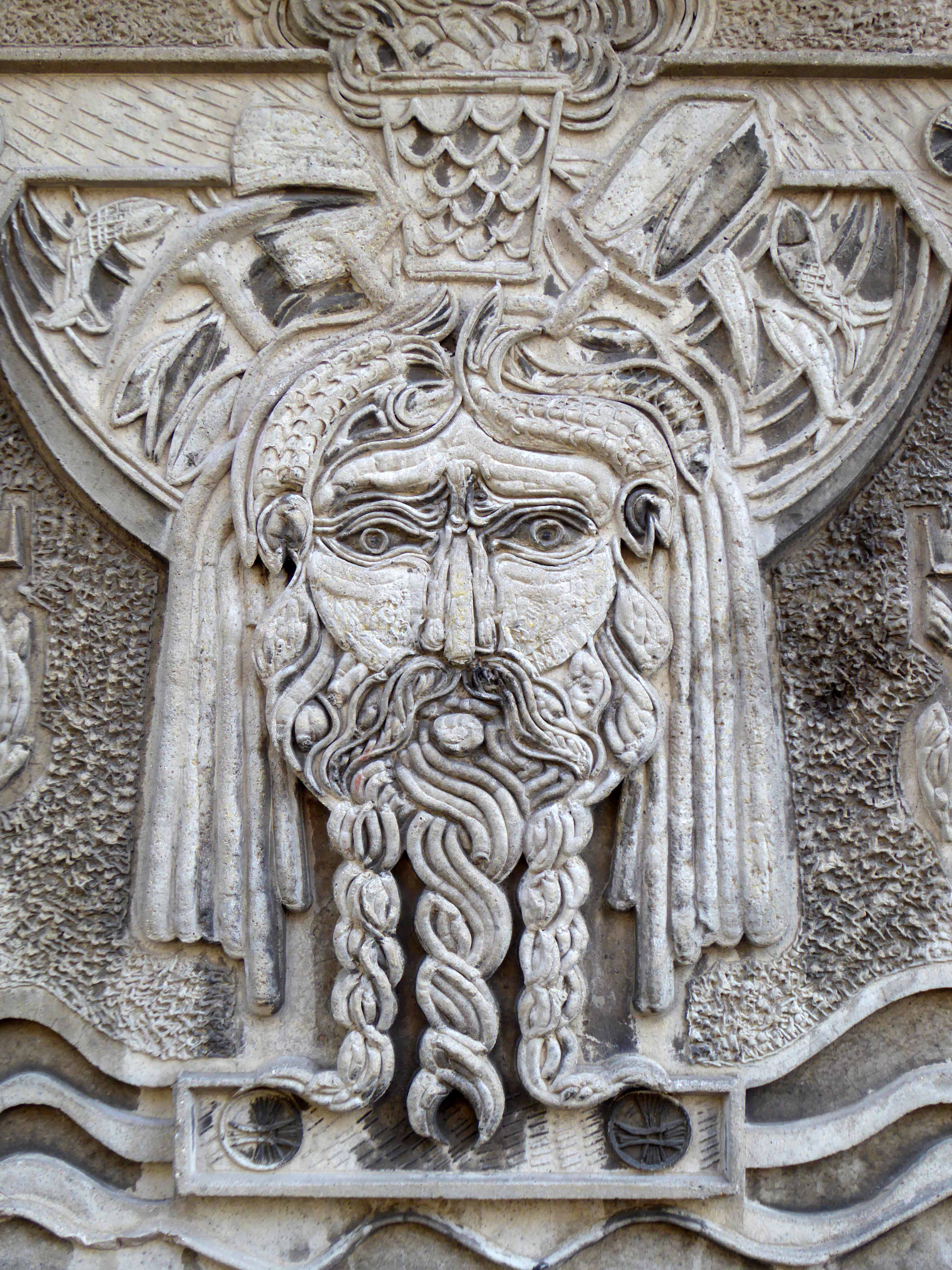
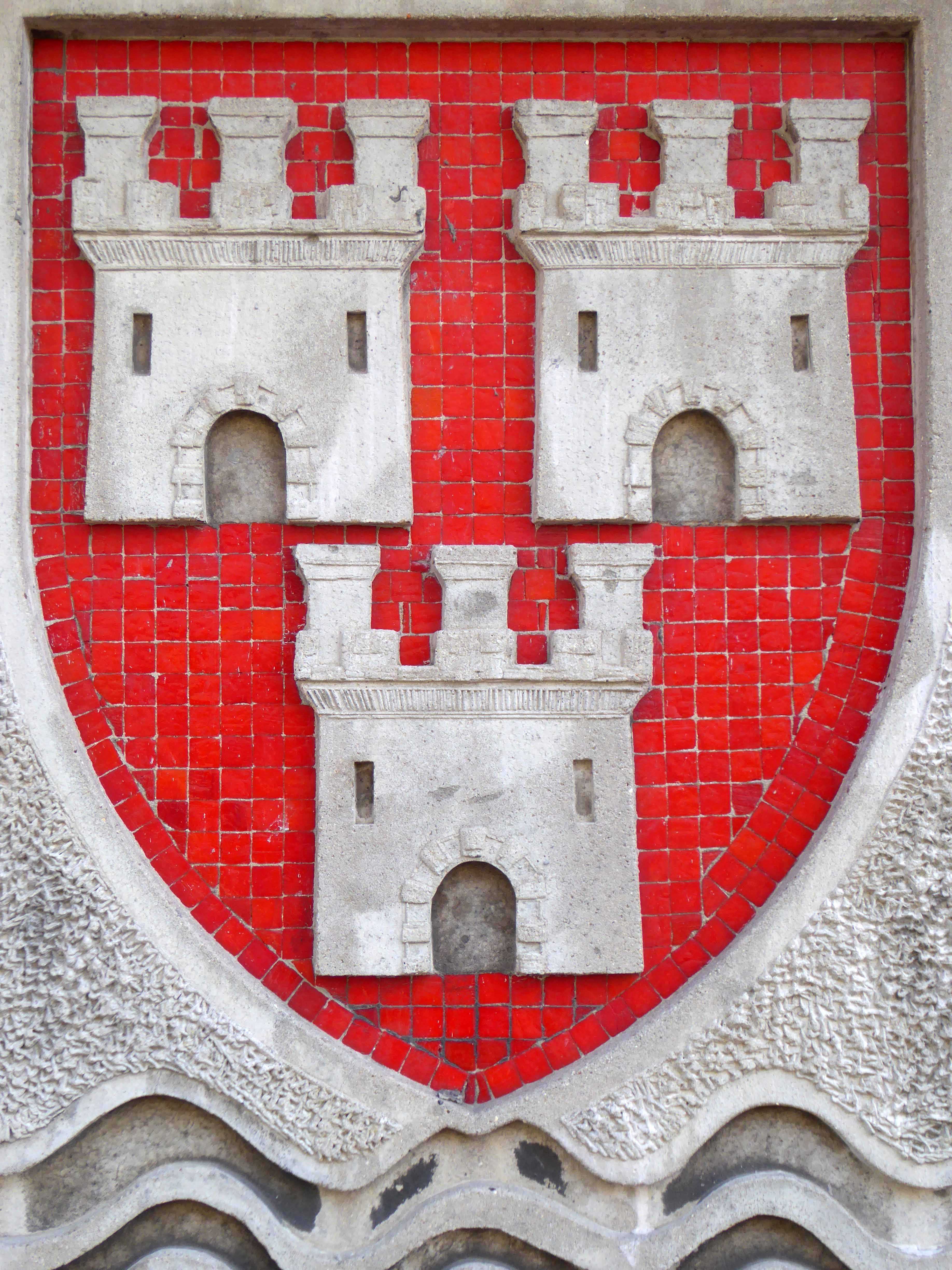
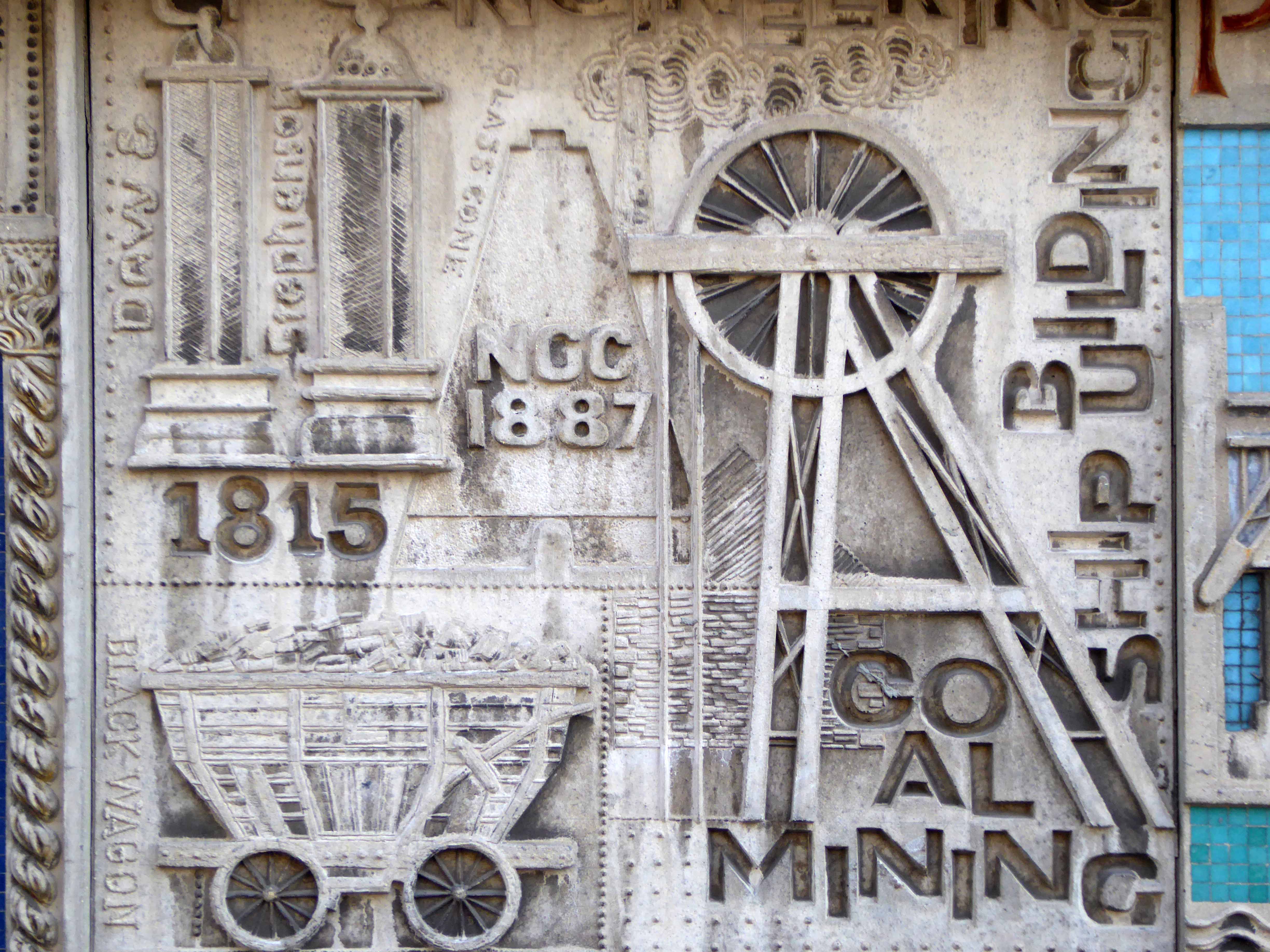
The left panel contains the following inscriptions and images Monkchester with Roman head and Newcastle coat of arms. Roman ship and golden coin. Collier Brig 1704-1880 with ship. Oceanus with anchor and seahorse with trident. The right panel contains the following inscriptions and images: Jupiter Fortuna with two figures. Engineering; Davy and Stephenson; coal mining ship building with images of same. G & R Stephenson; Armstrong Whitworth; Rocket 1829 with image of first steam engine. Armstrong 12 Pounder RA with image of gun. 1878 J.Swan Pons Aelius with bridges depicted below. Turbinia and image of ship. Various churches with names carved about including Grainger Dobson 1865; 1838 Green Stokoe; Bewick with a swan; a figure and Brigantia. Final section on far right has Geordie over two figures, then the Keel Row with a loading boat at the bottom.
The building was originally developed by C&A and it is thought that funding for the reliefs might have been provided by the store and/or Northern Arts. It became BHS which subsequently closed last year, the building is now occupied by Primark, C&A estates still own the site.
The mural illustrated the cover of the 1975 Newcastle Festival.
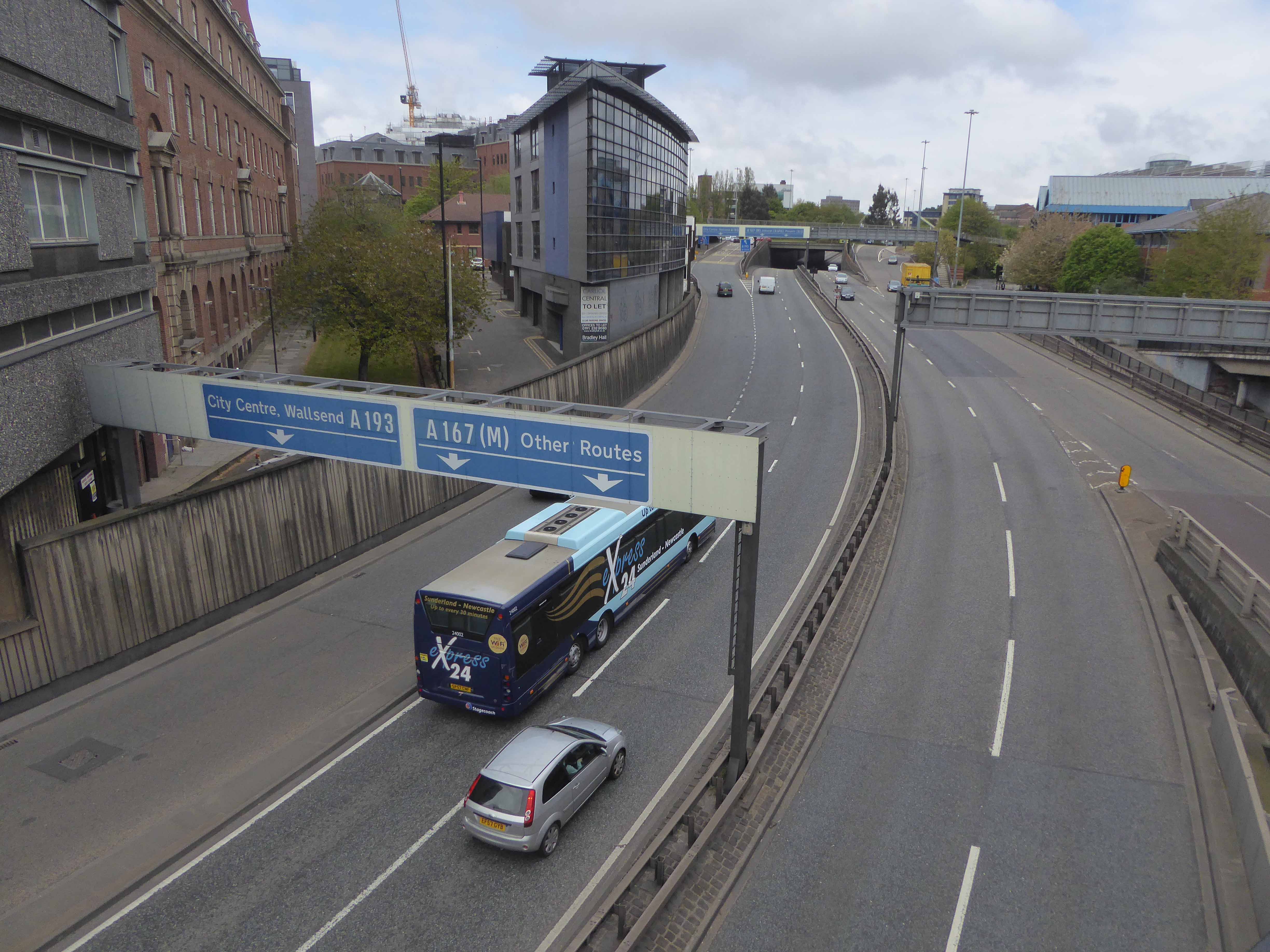
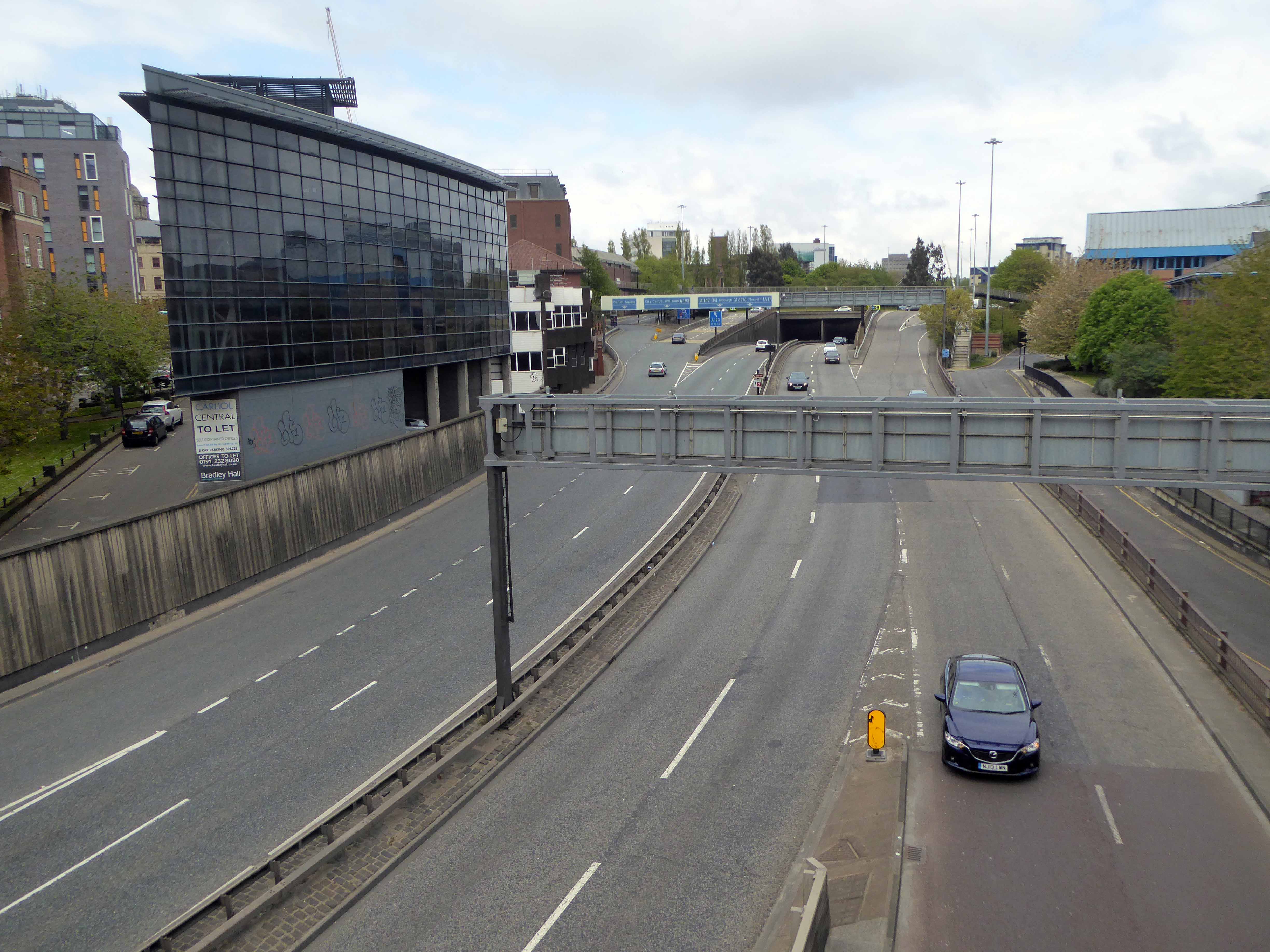
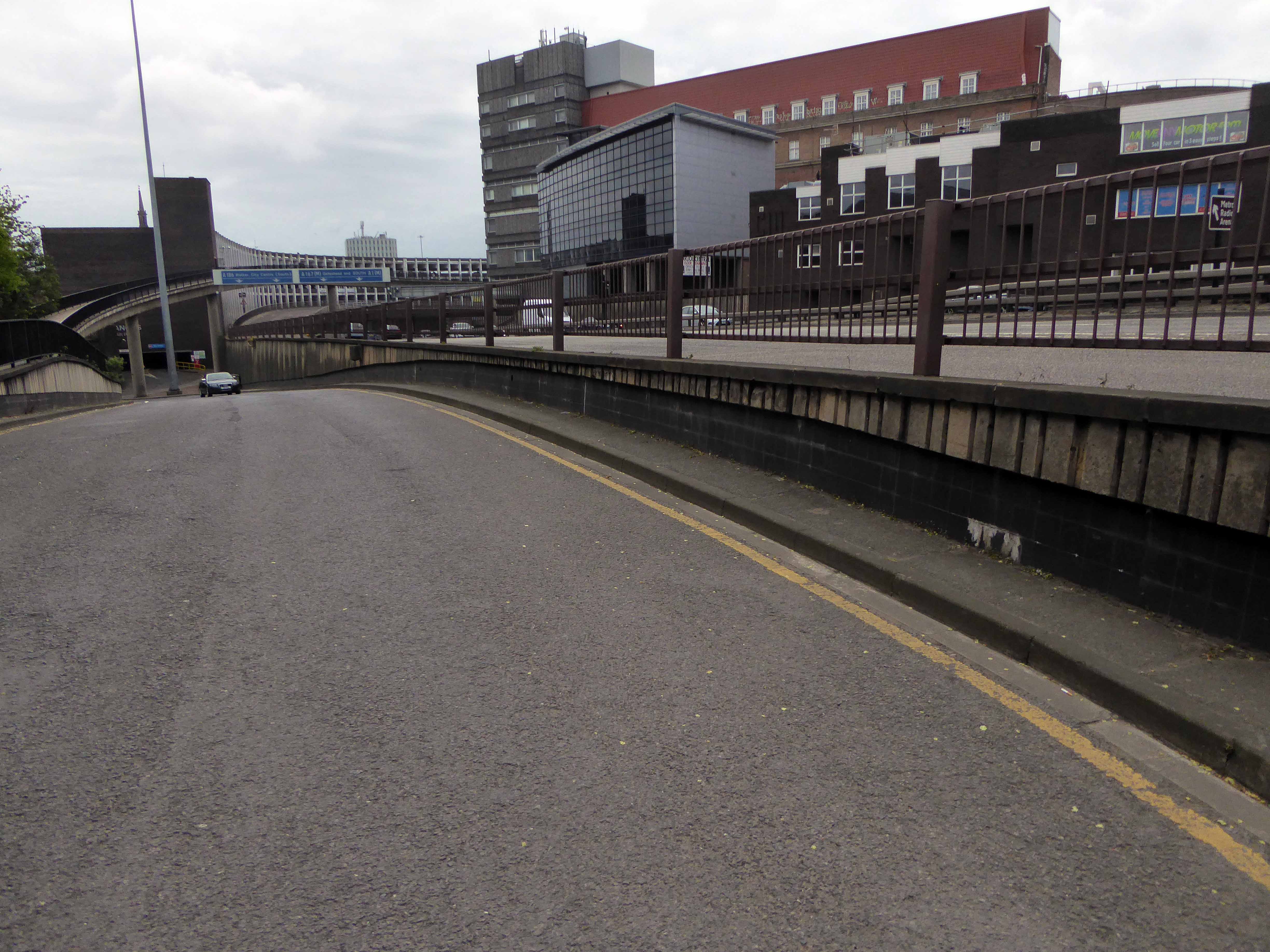
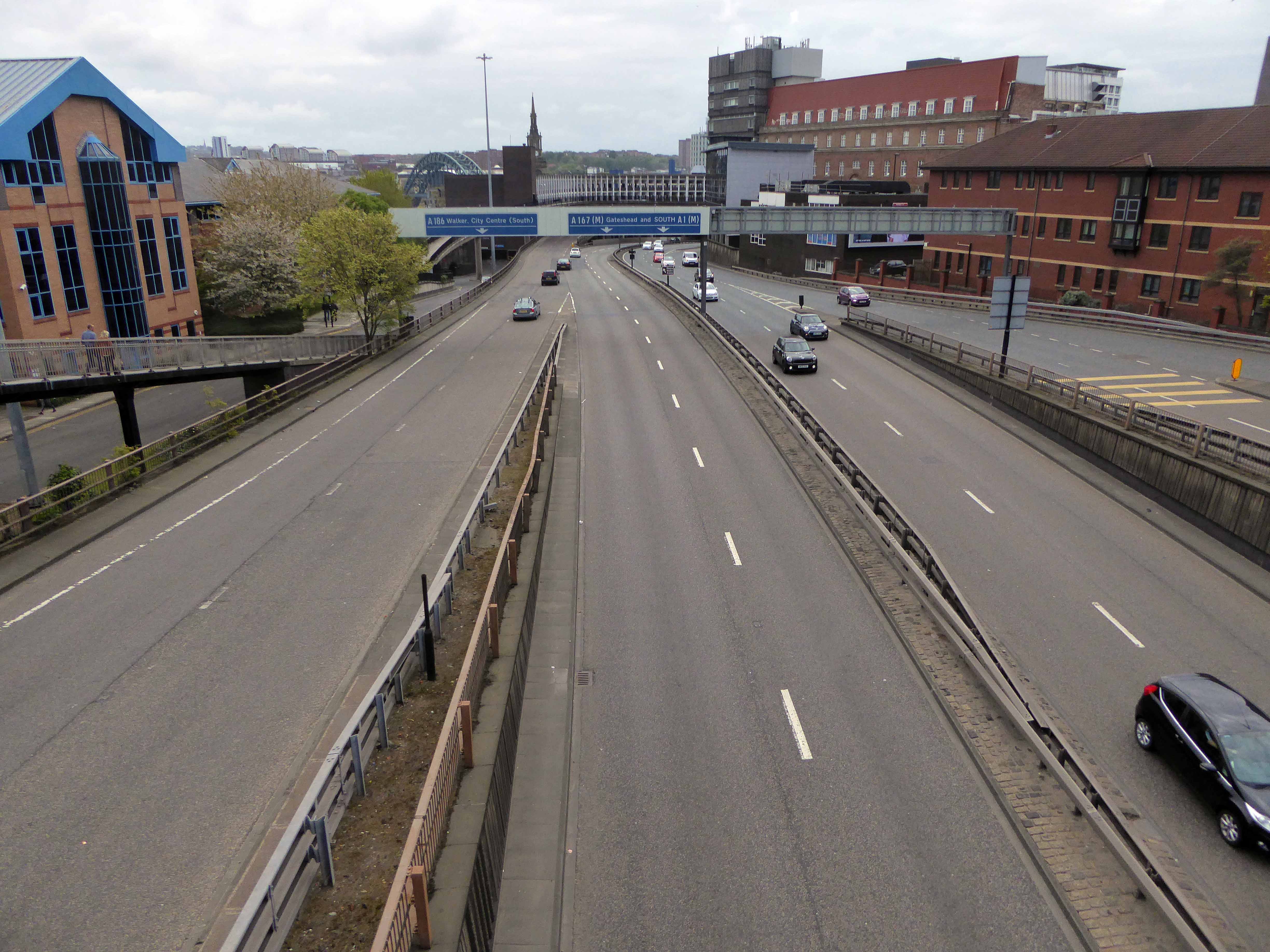
Tyneside is self evidently enamoured of elevation – they simply adore bridges, having five and another one as well. Walking driving, running trains across the mighty Tyne Valley, why they even write songs about them.
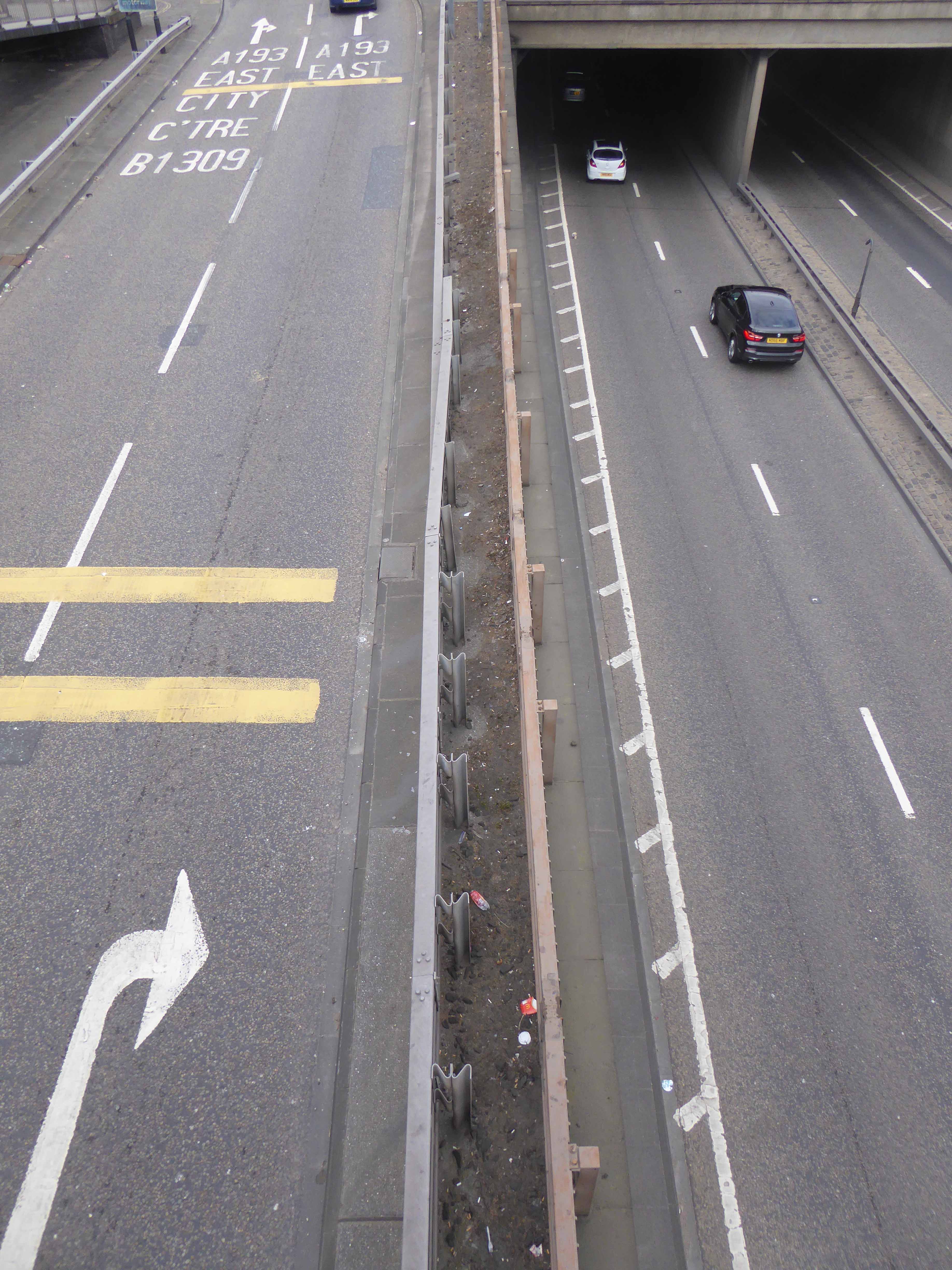
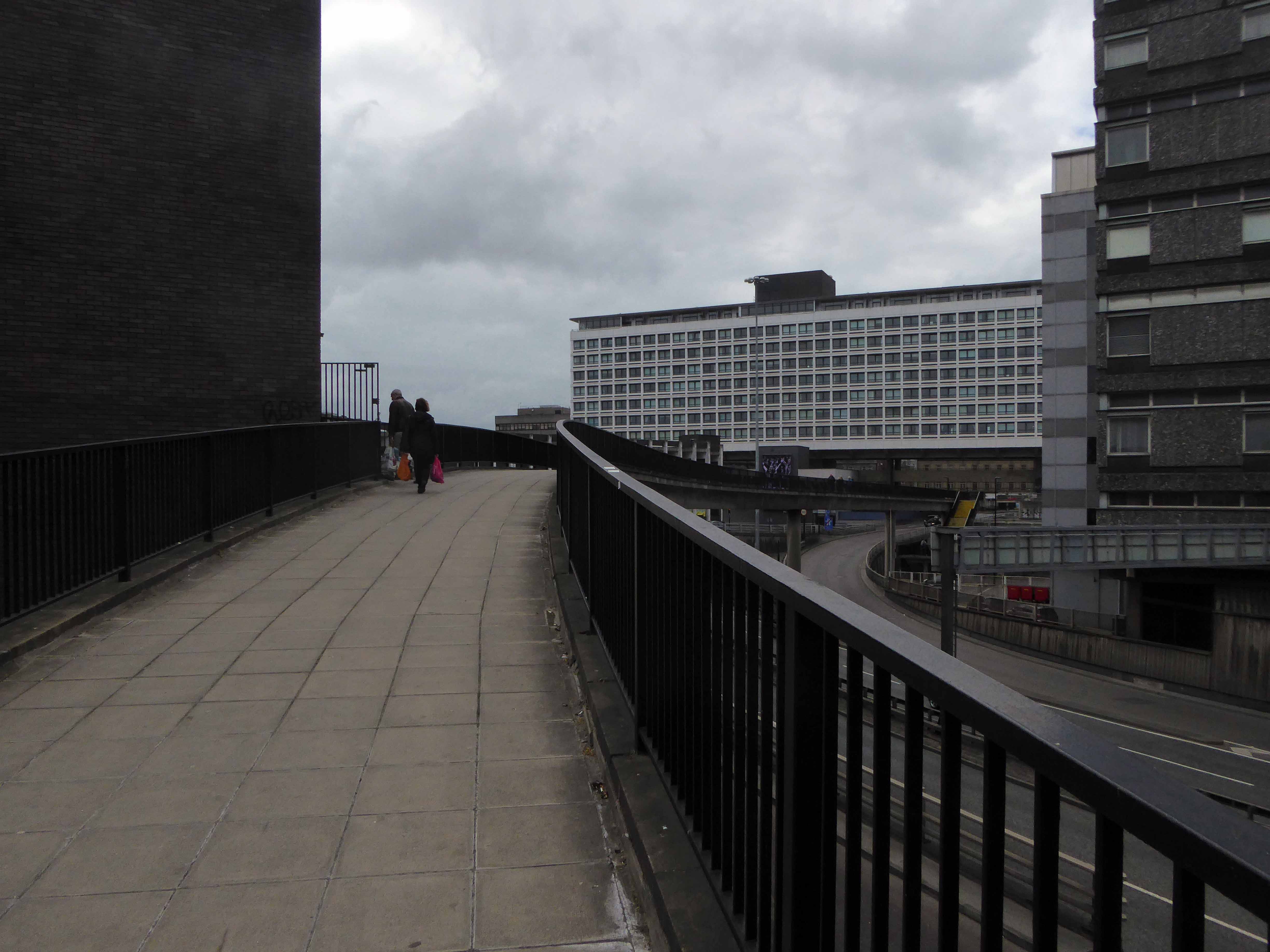
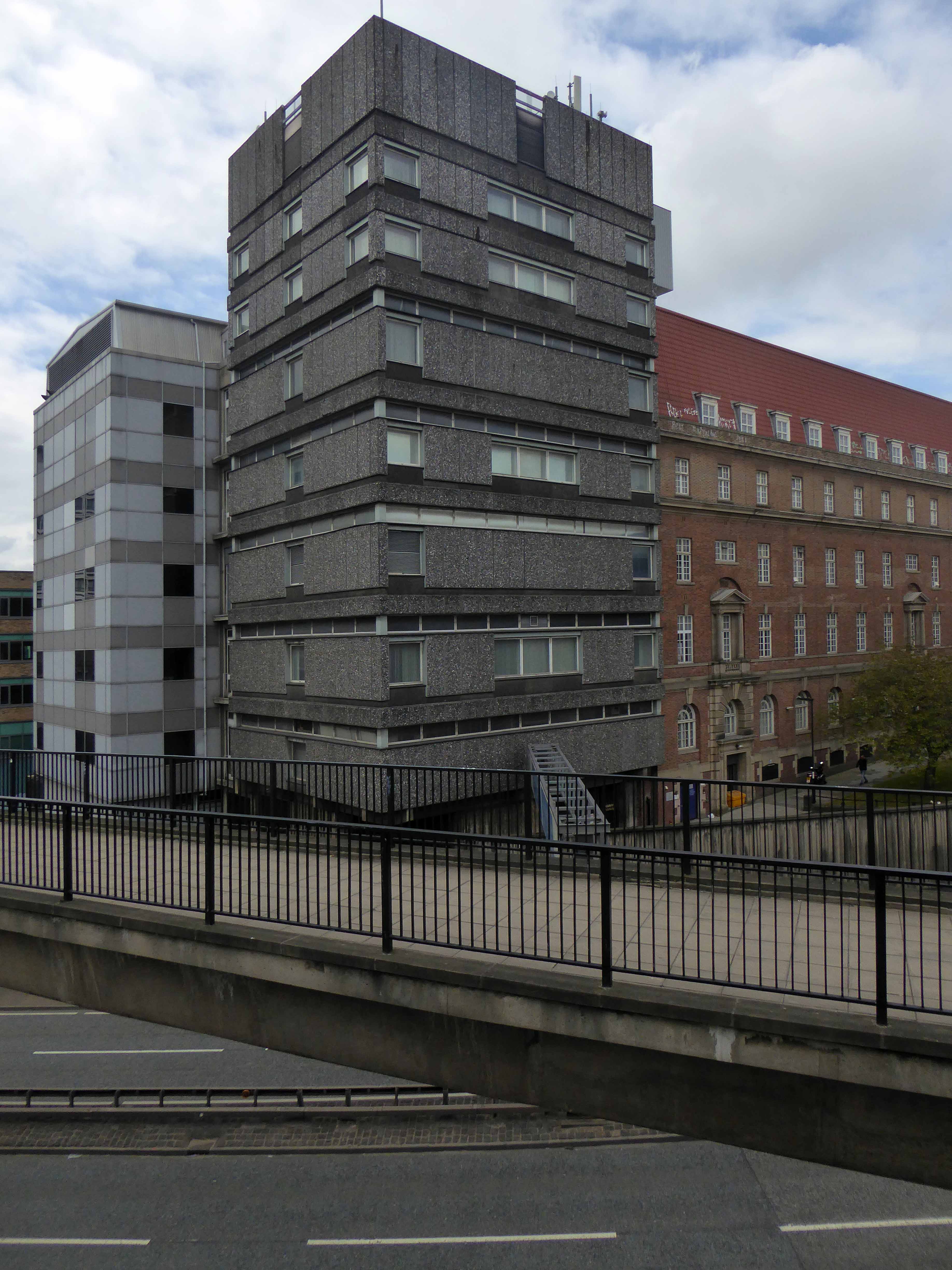
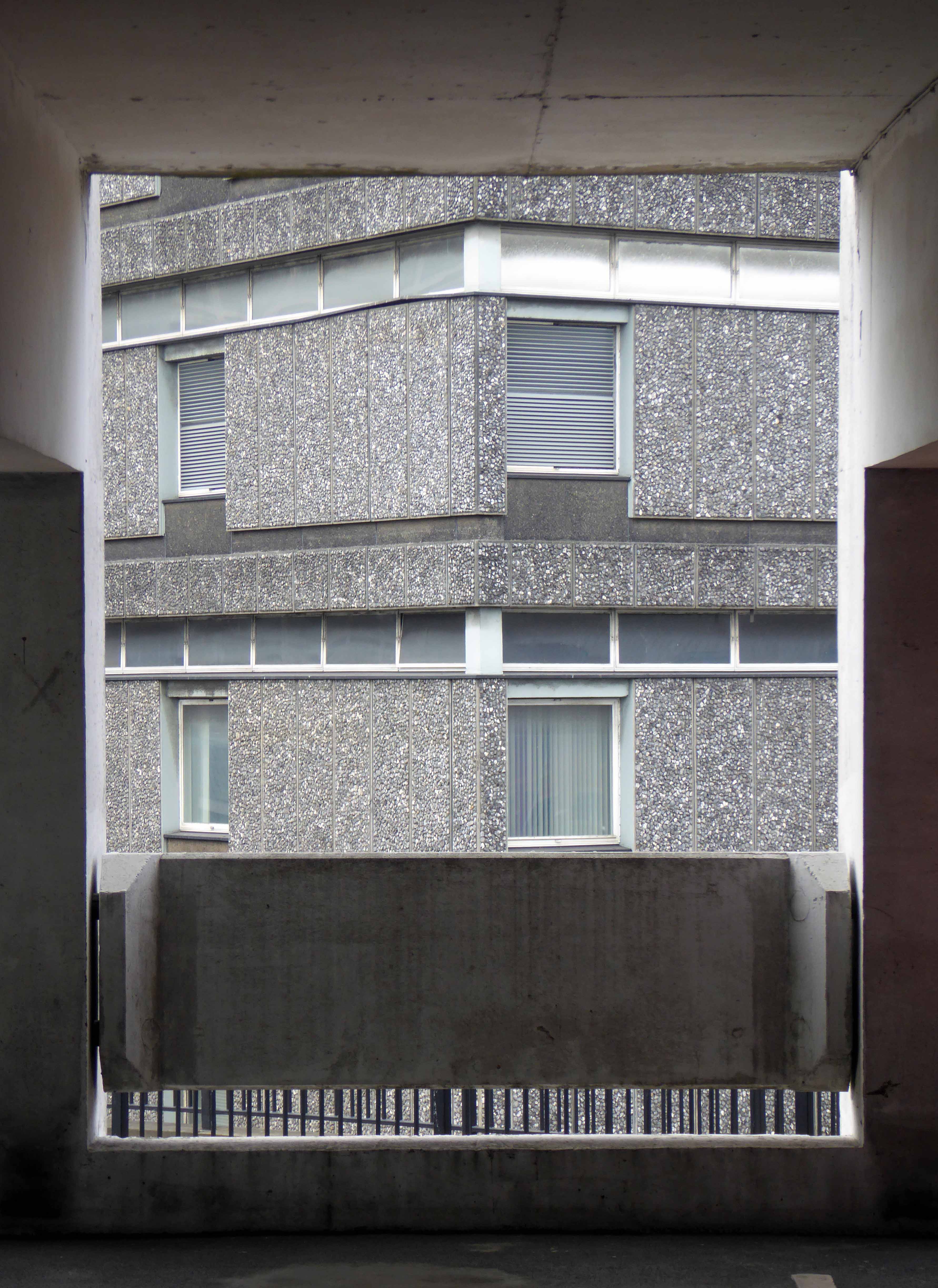
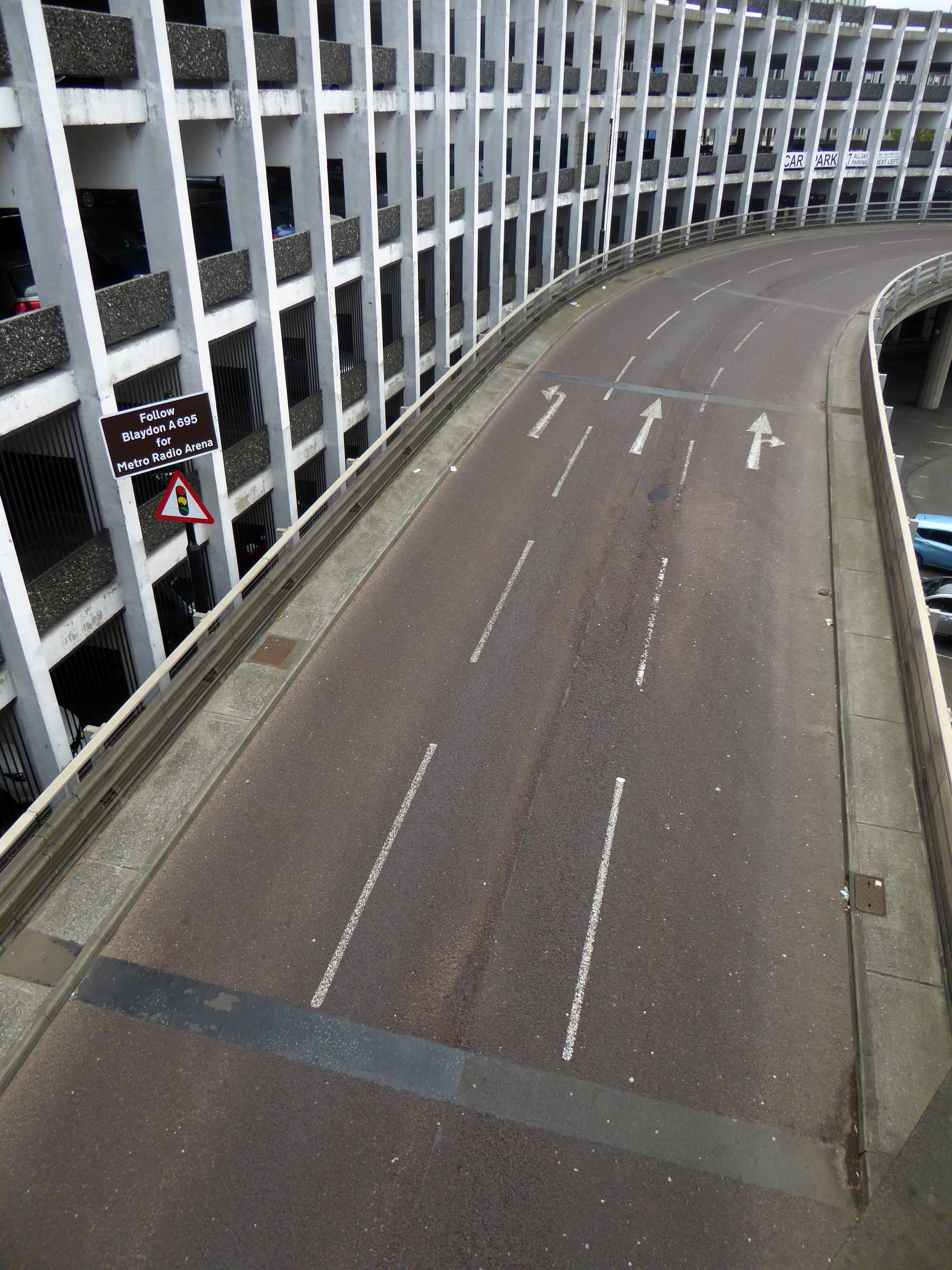
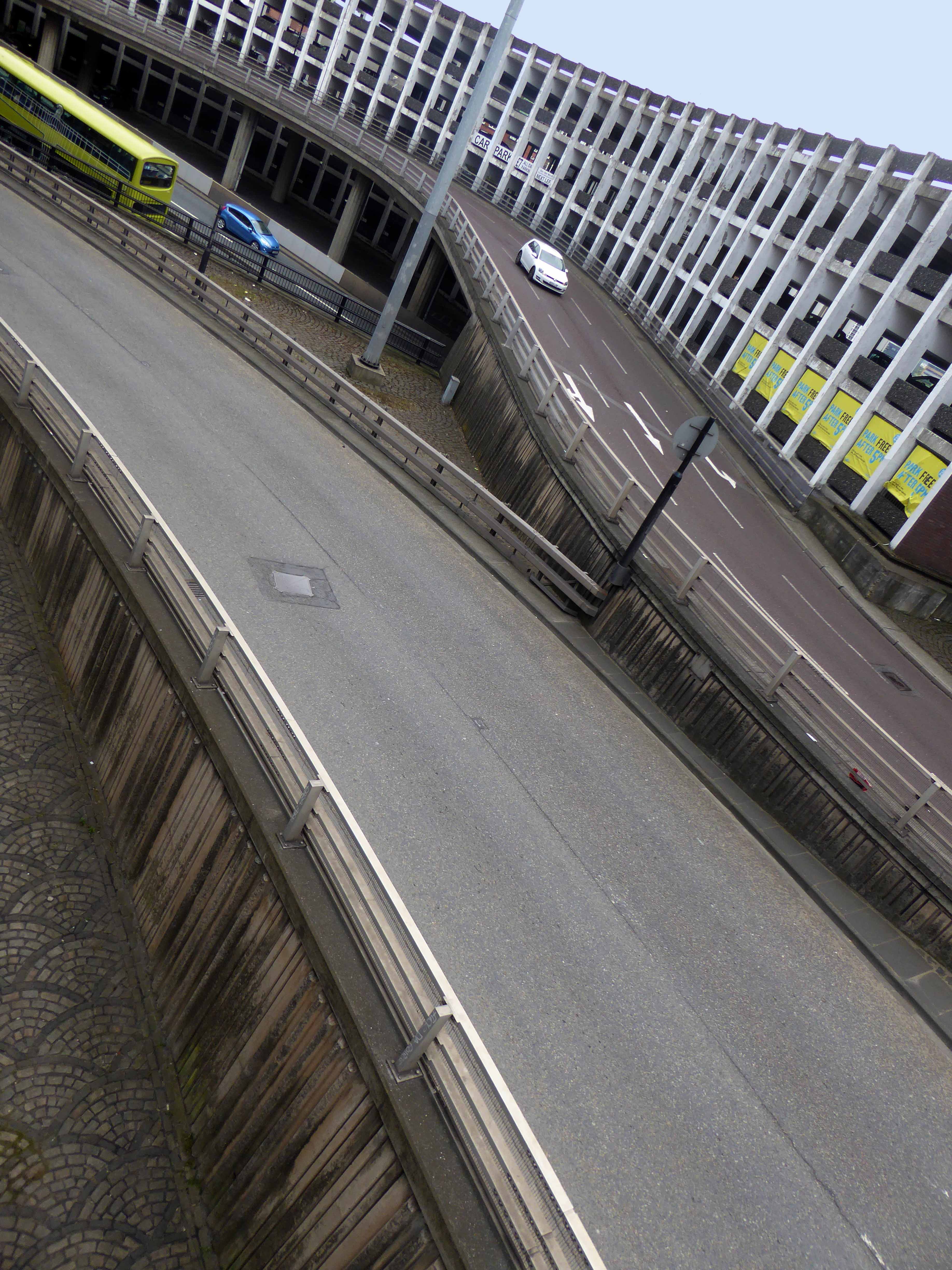
In the Swinging SixtiesT Dan Smith vowed to create a Brasilia of the North, which as good as his word he did, though sadly lacking the requisite regard for the law of the land.
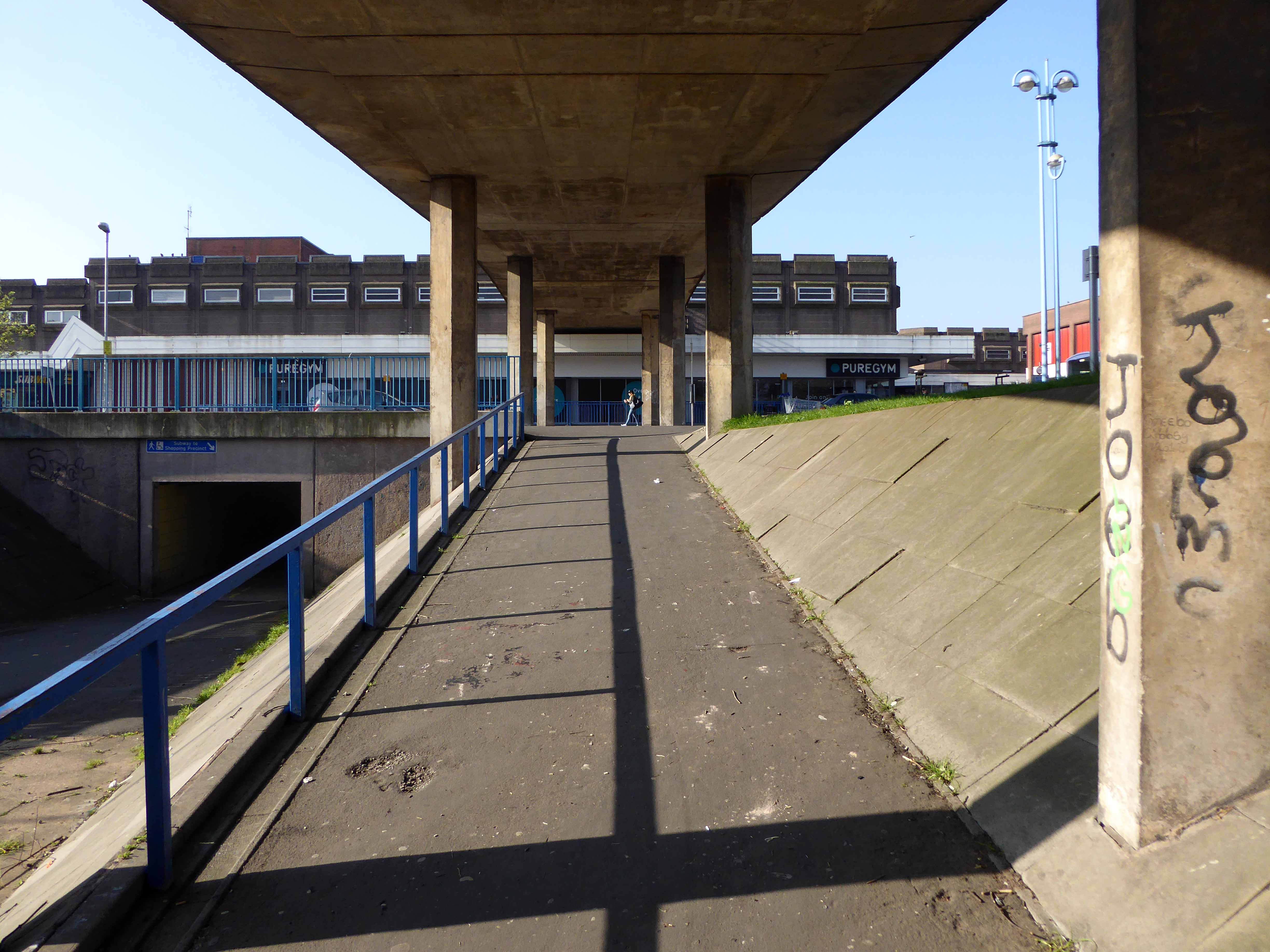
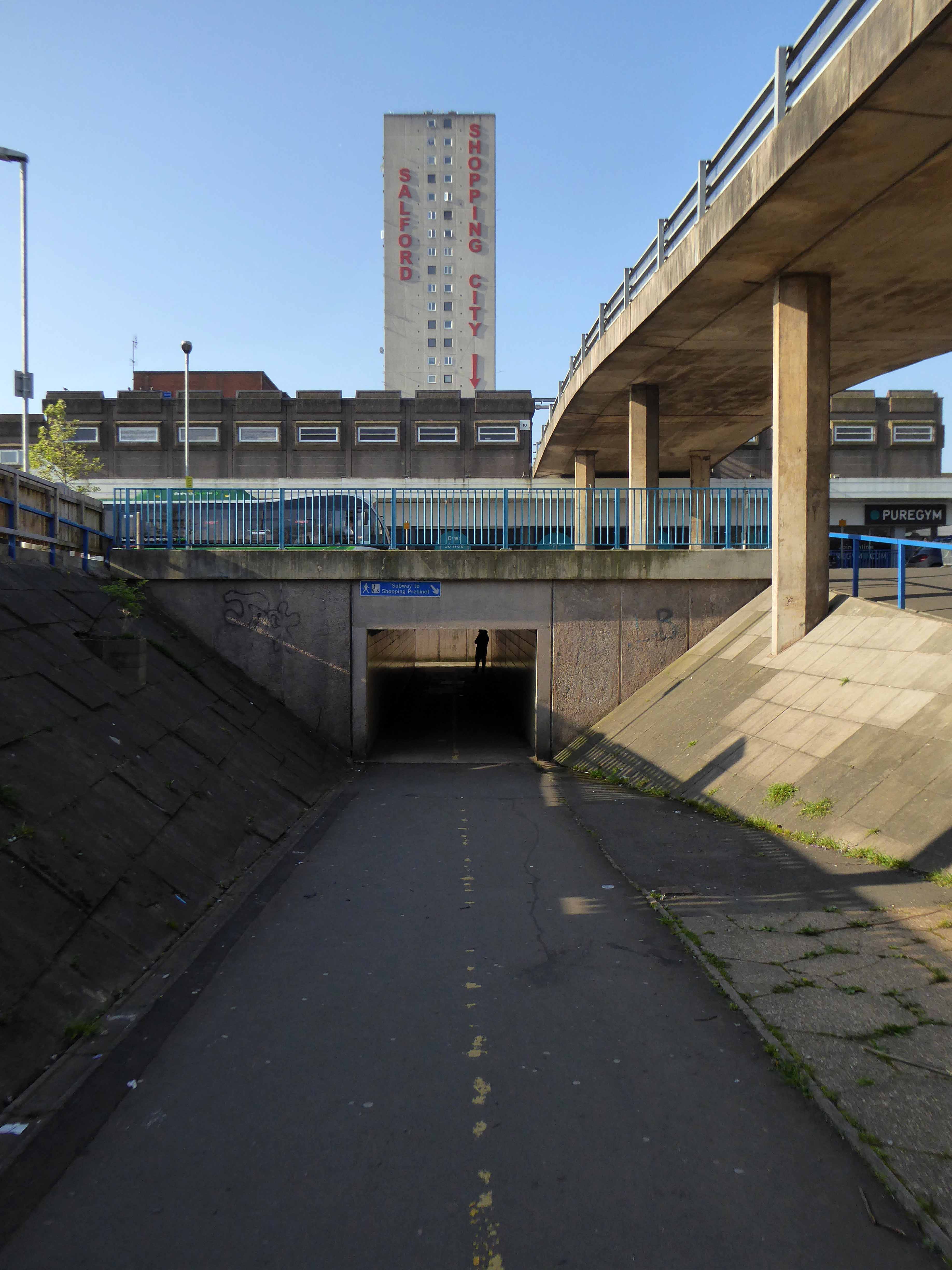
What remains is a complex interwoven structure of urban motorways, walkways, multi-storey car parks and tower blocks. To explore is to enter a world of the sublime, exhilarating and still yet mildly confusing.
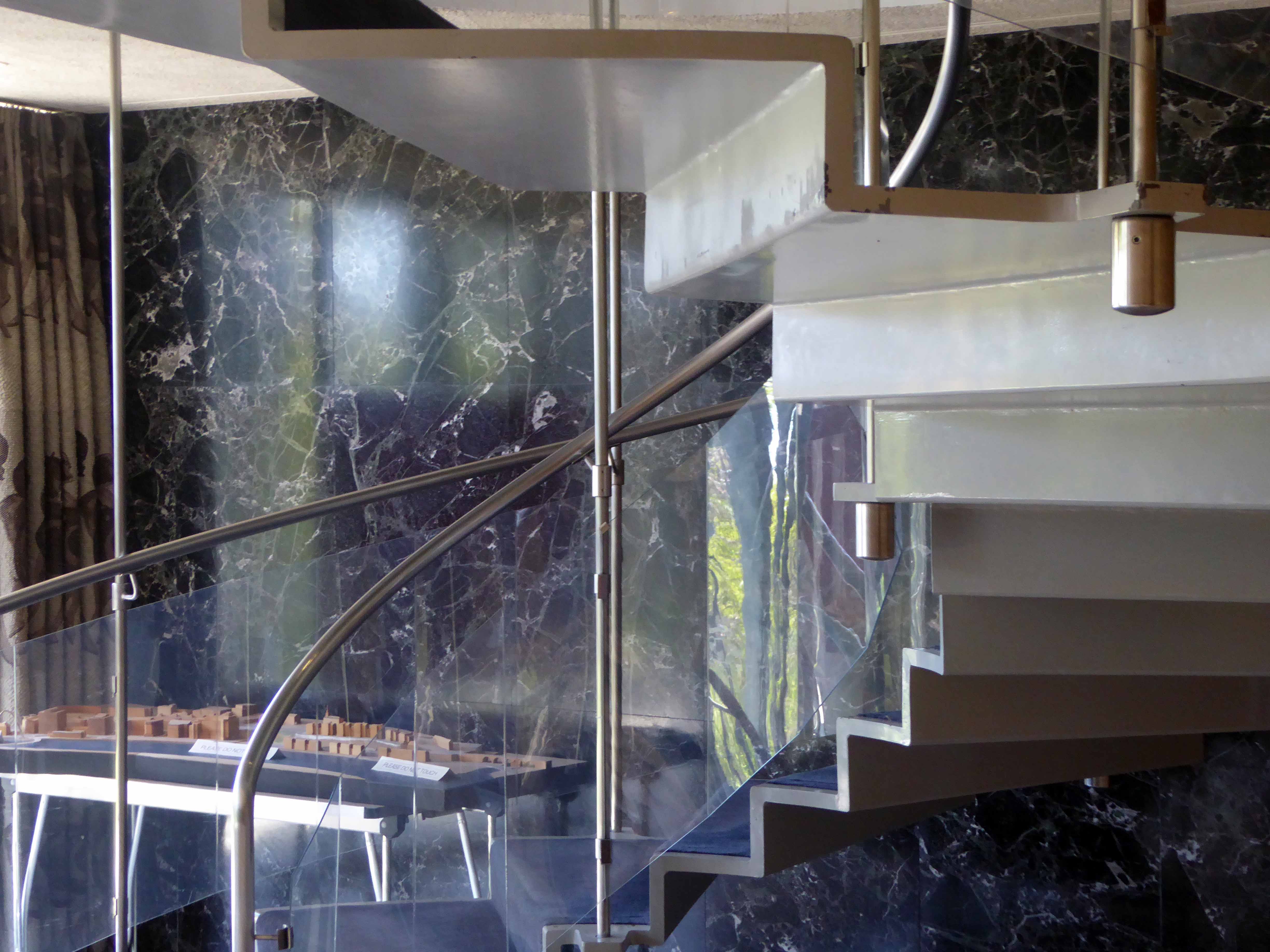
Following a path from the Grand Entrance and Council Chambers, my genial host and erudite guide Debbie took me behind the scenes into the back rooms.
Further delights unfold in this most remarkable of buildings.
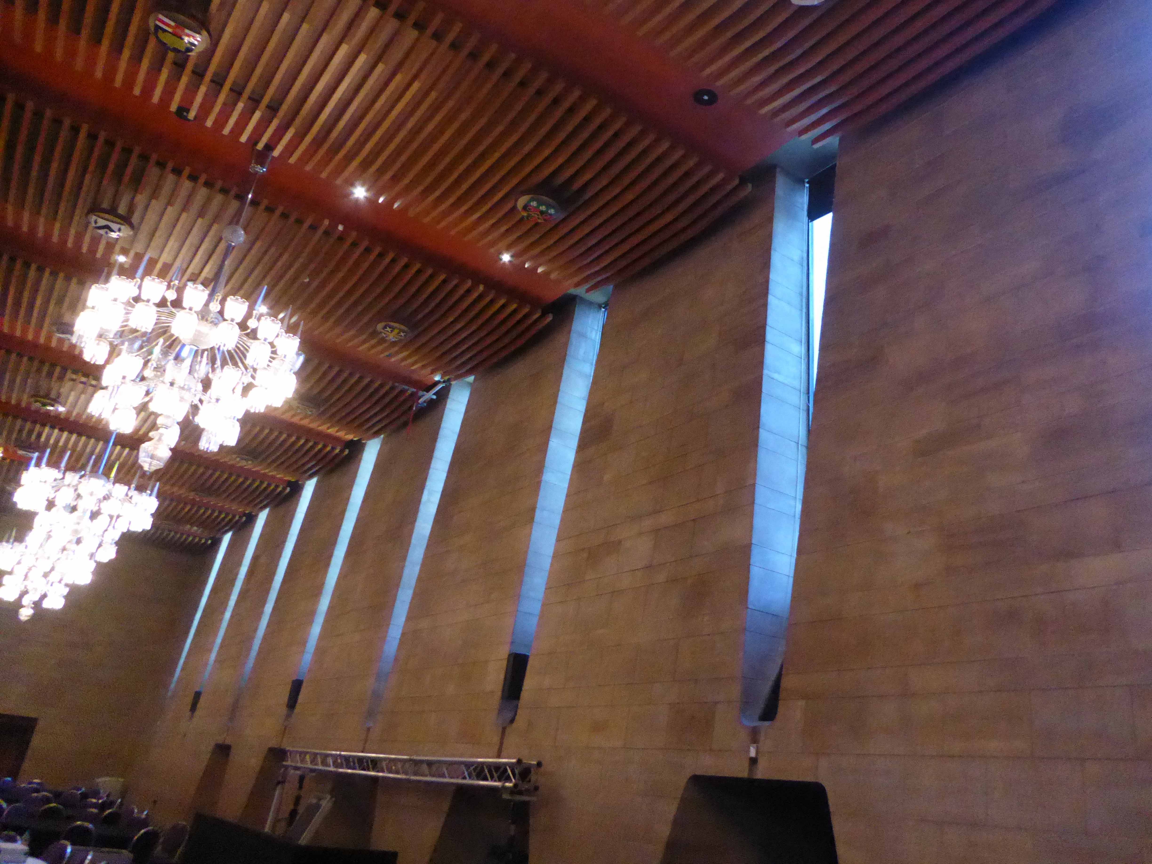
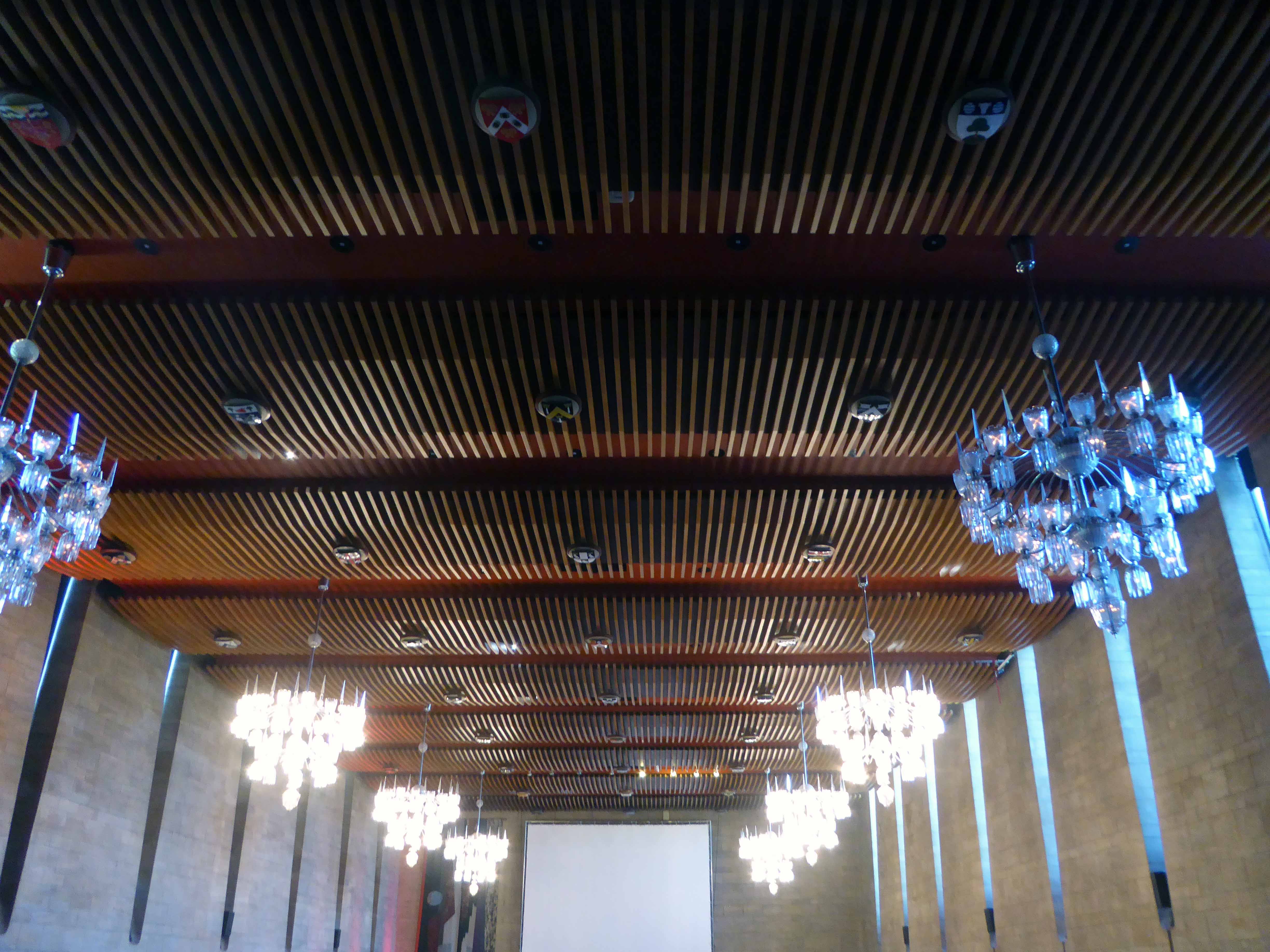
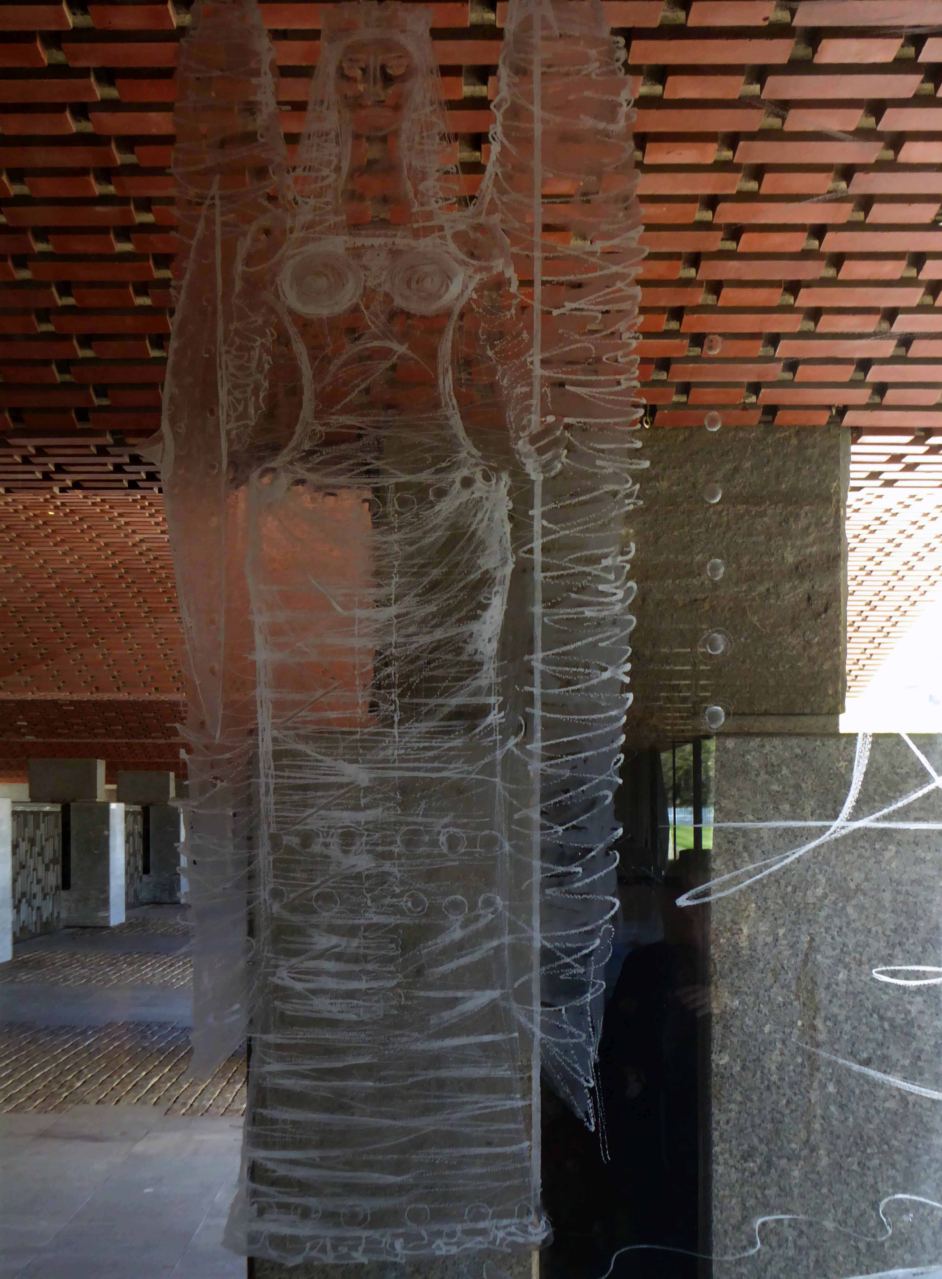
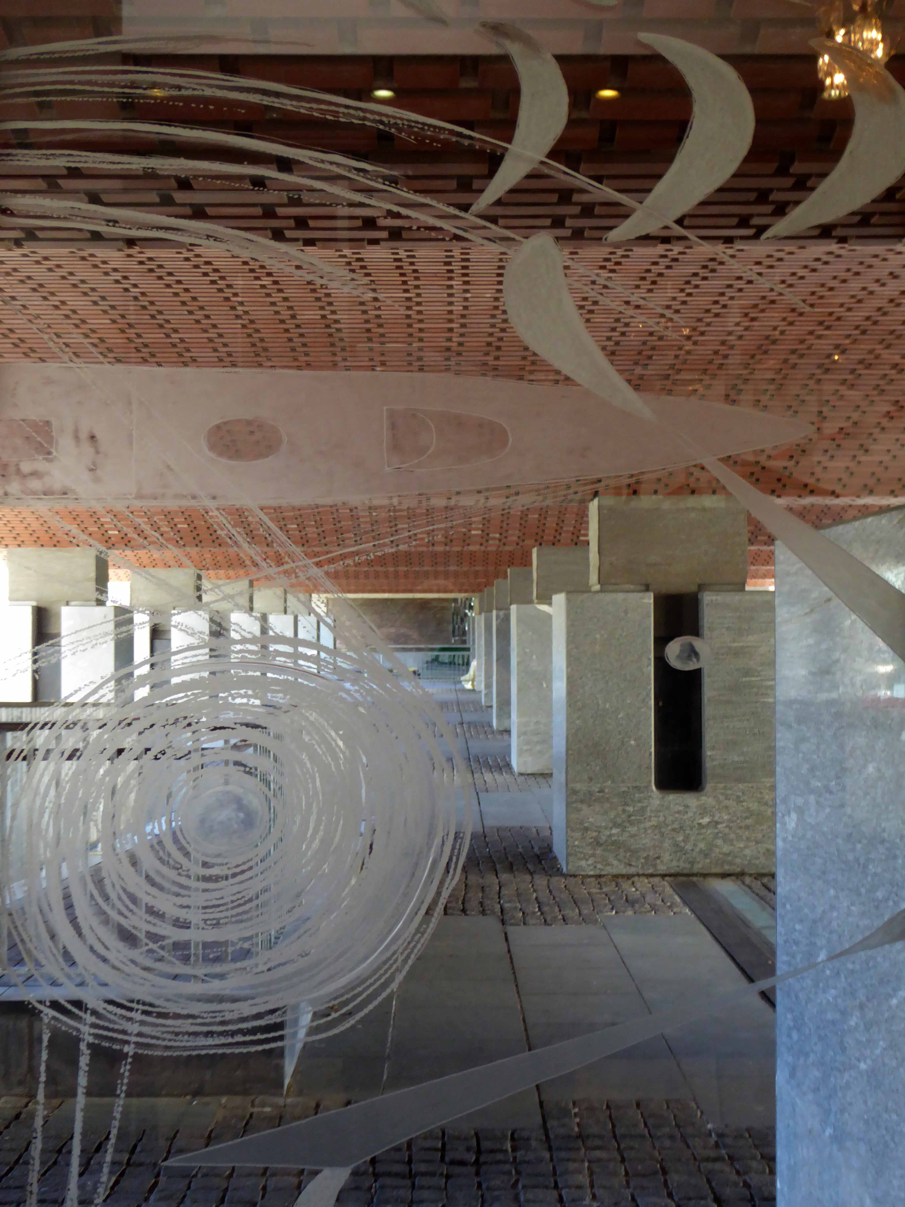
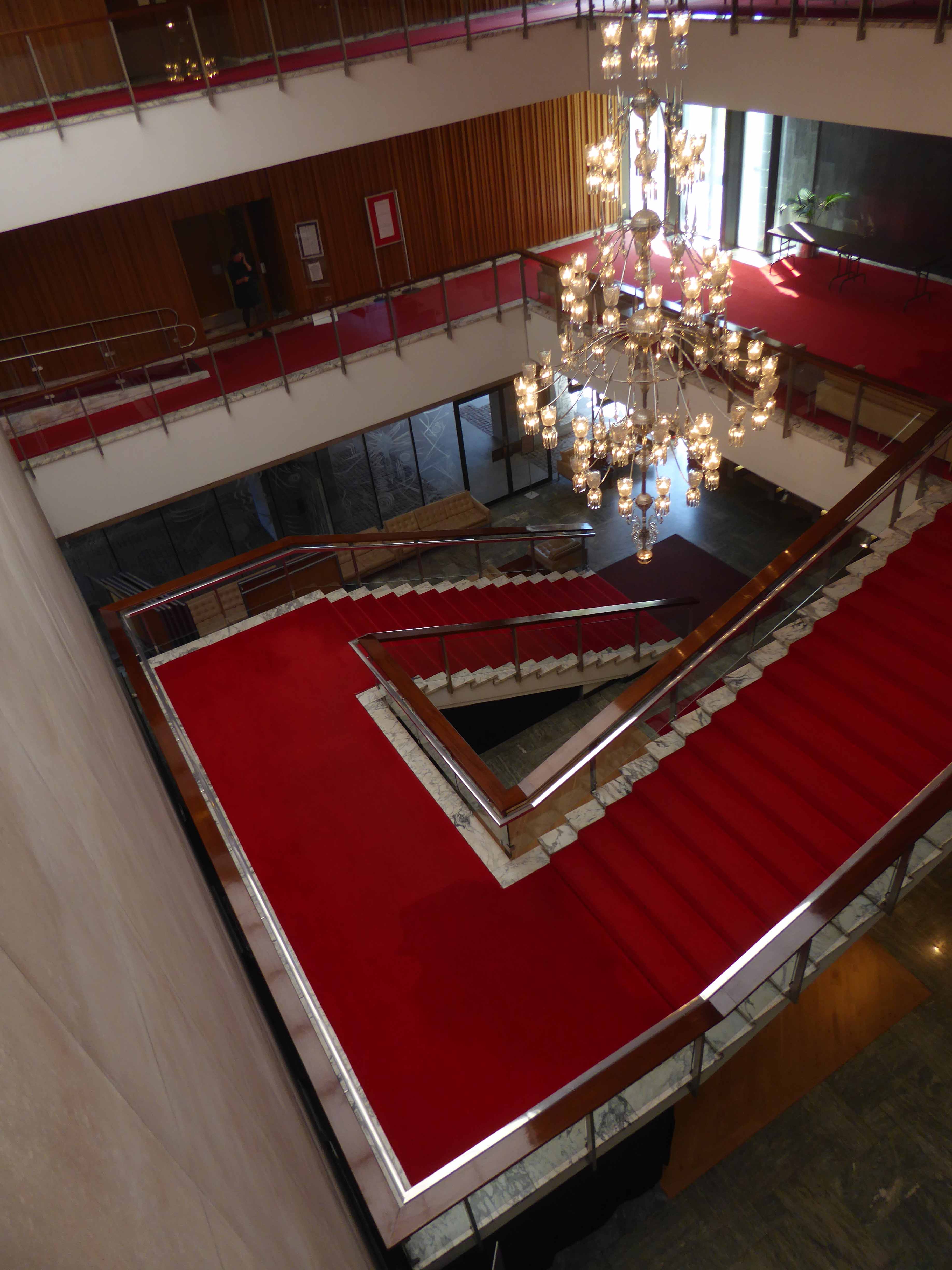
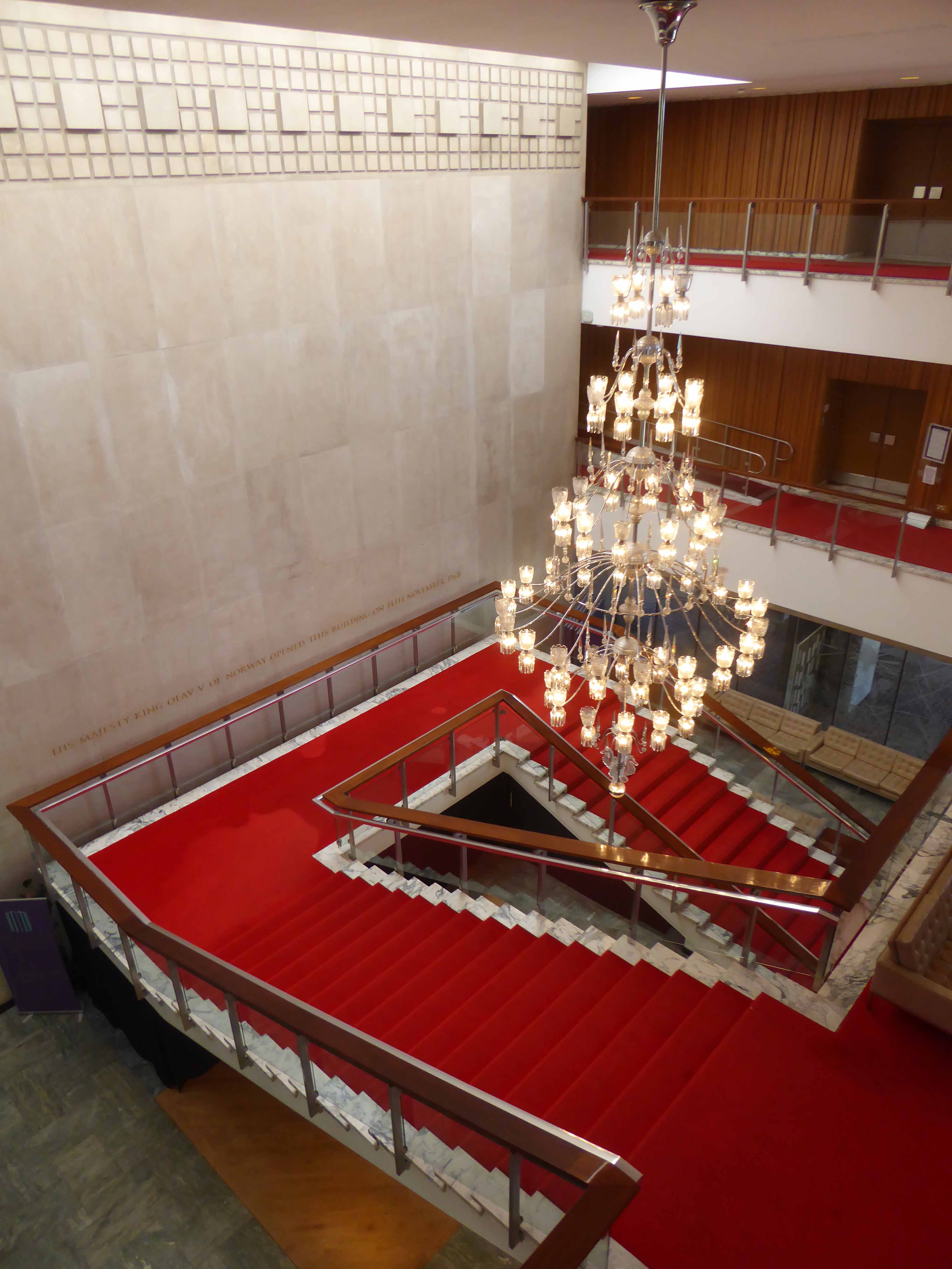
Firstly into the Banqueting Hall – beneath your feet Arabescato Marble, inset with a sprung dance floor and on the vaulted ceiling hand carved African walnut. The slightly sloping walls are of Clapham Stone, with the only double glazed arrow slit windows in the country.
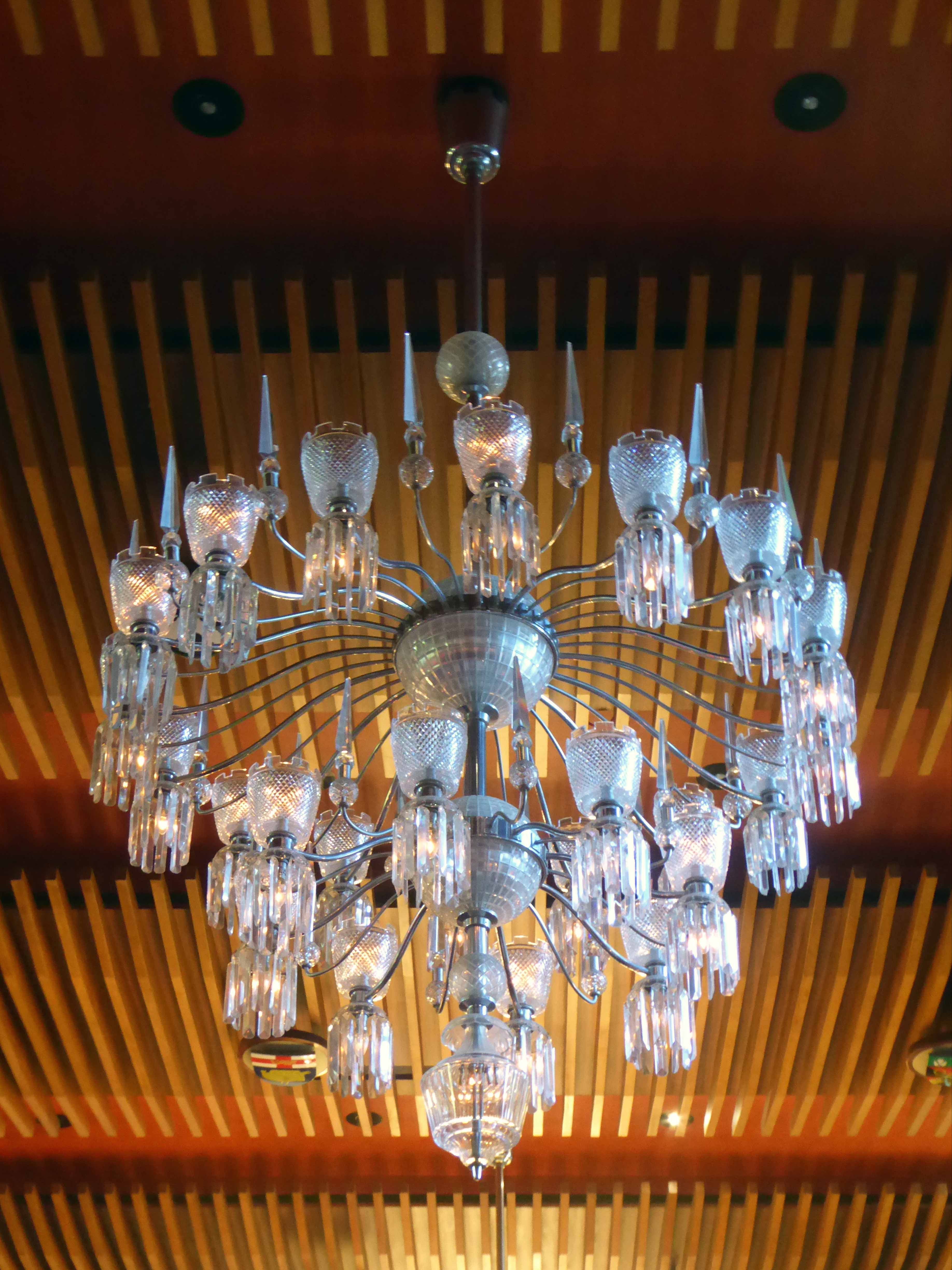
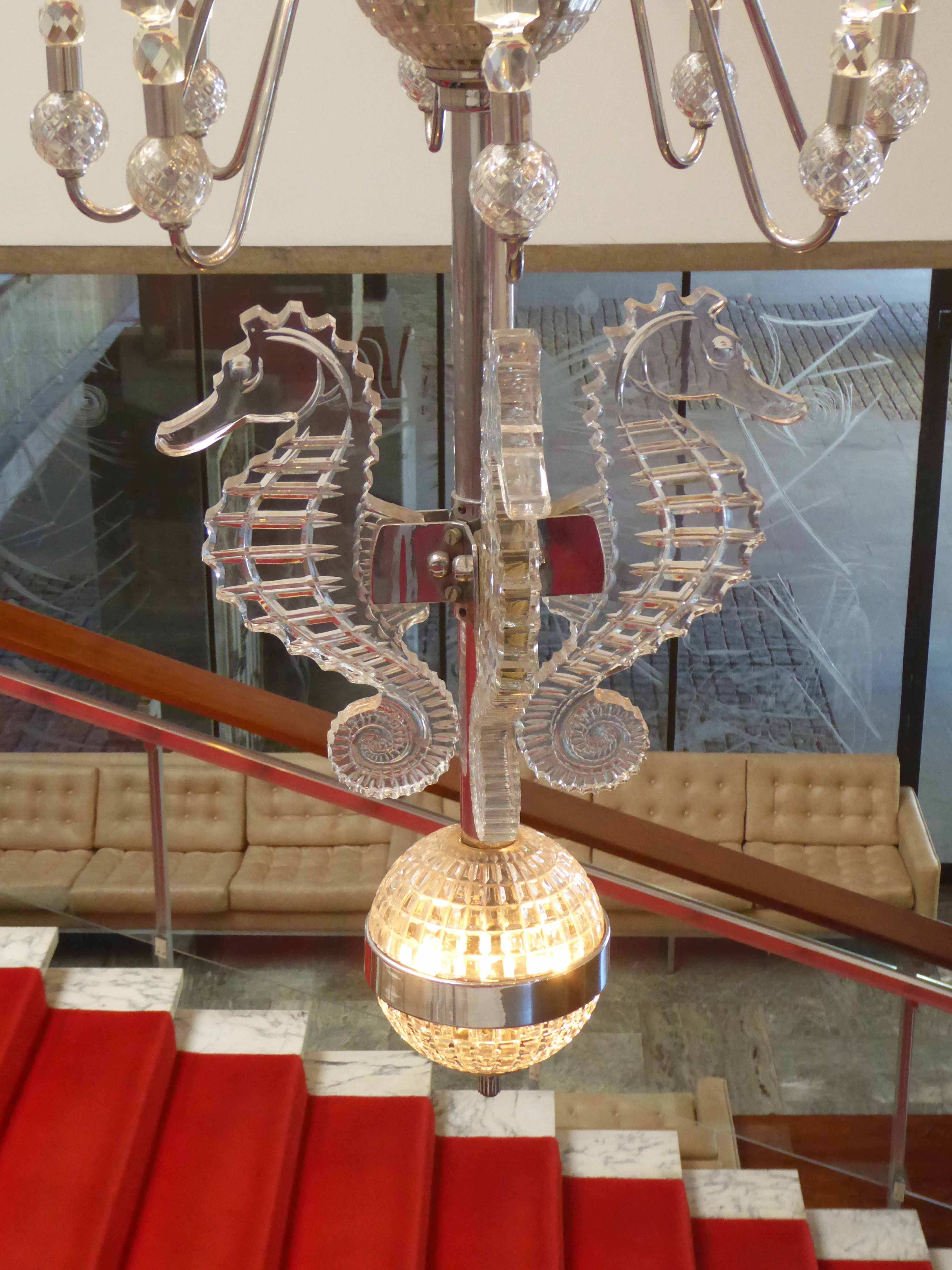
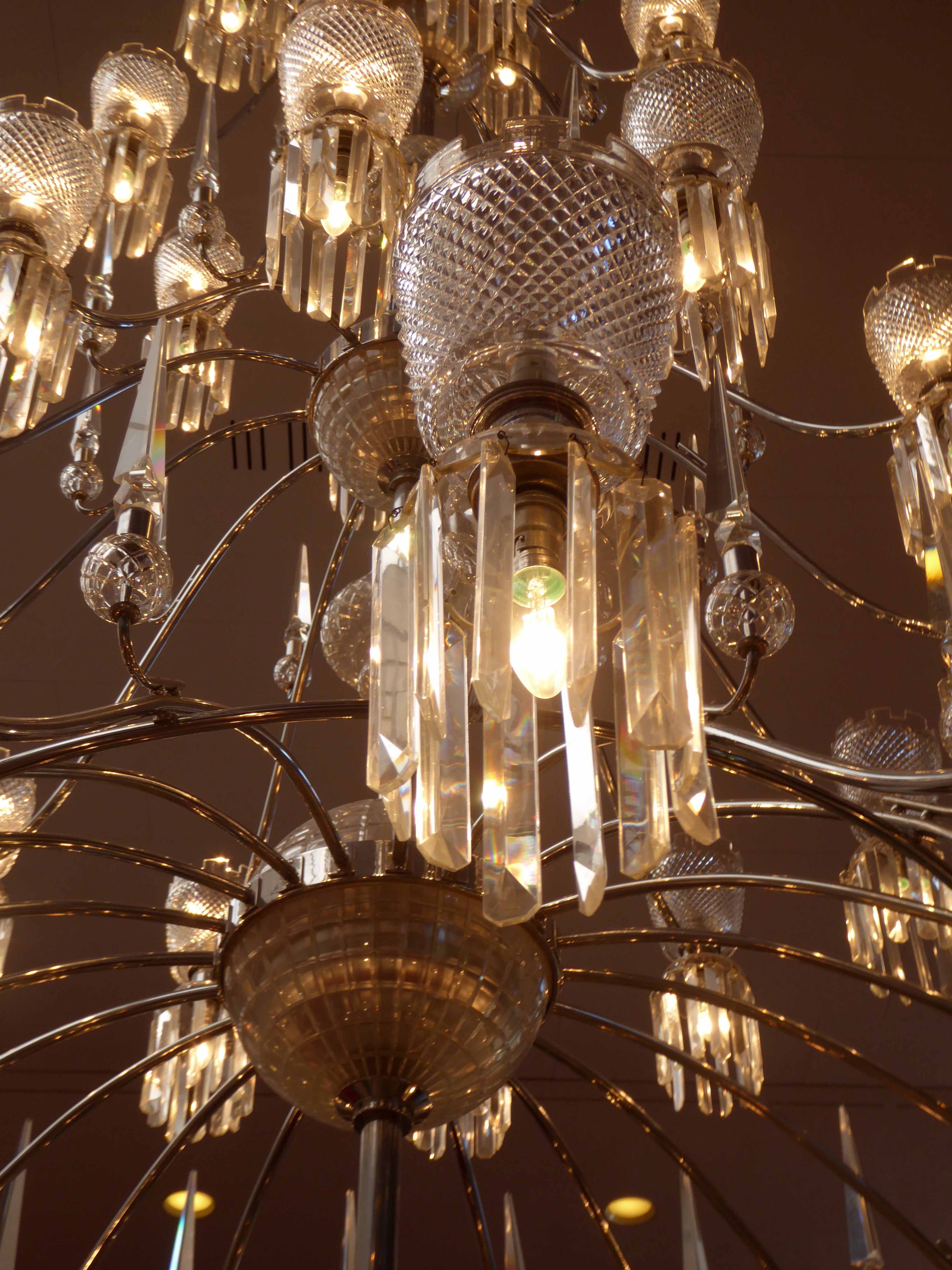
The chandeliers are hand cut crystal from Westphalia and have the Newcastle castles on the top part of the fitting.
The seahorse carpet was recently replaced, digitally designed and woven to perfectly match the original.
The facing wall is graced by a John Piper tapestry, which represents the mineral resources of the area.
Grilles by Geoffrey Clarke cover the alcoves and have an orange backlight to simulate a medieval fireplace.
The room can seat up to six hundred people and is available for hire, in regular use for a wide variety of functions.
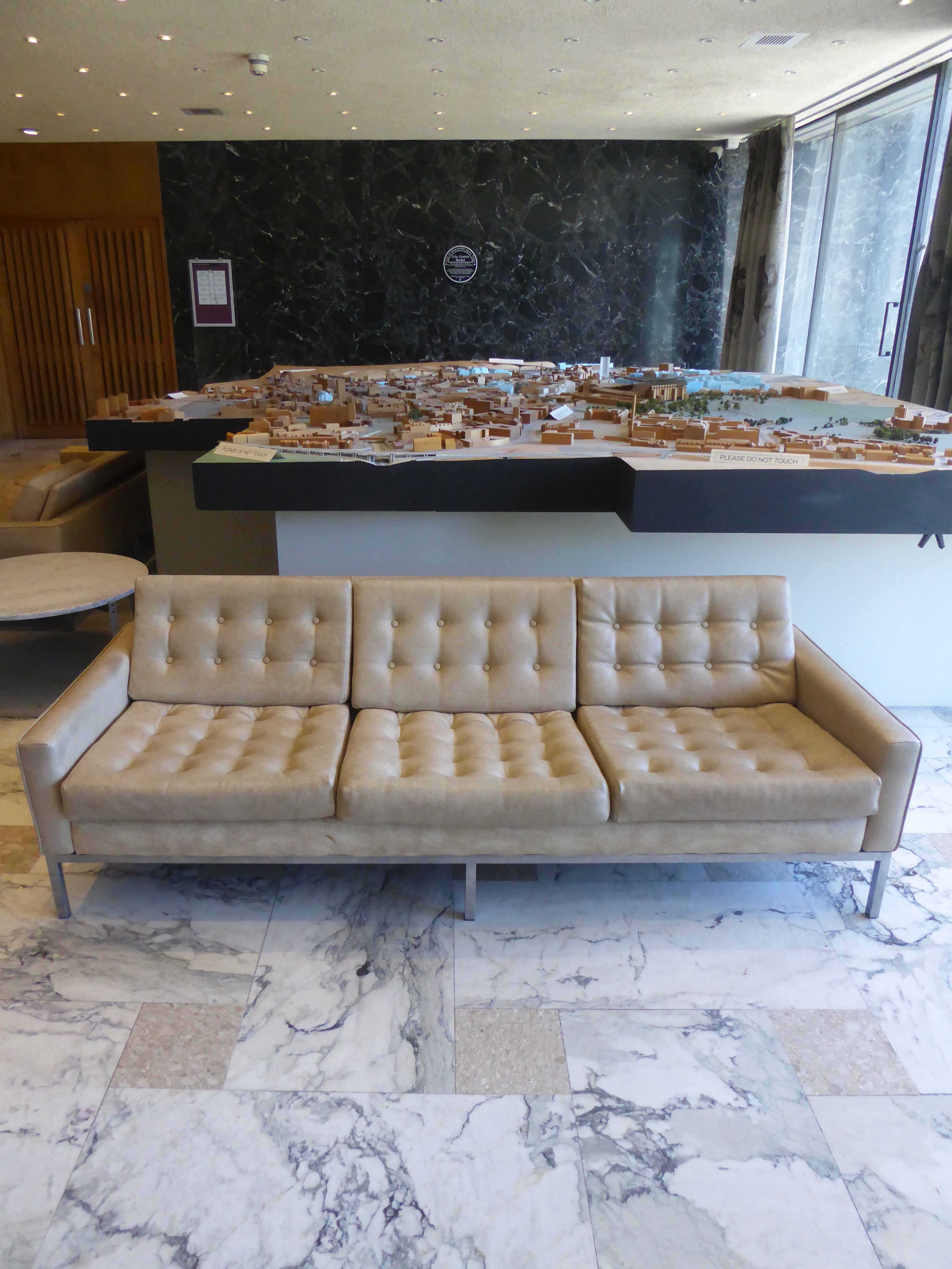
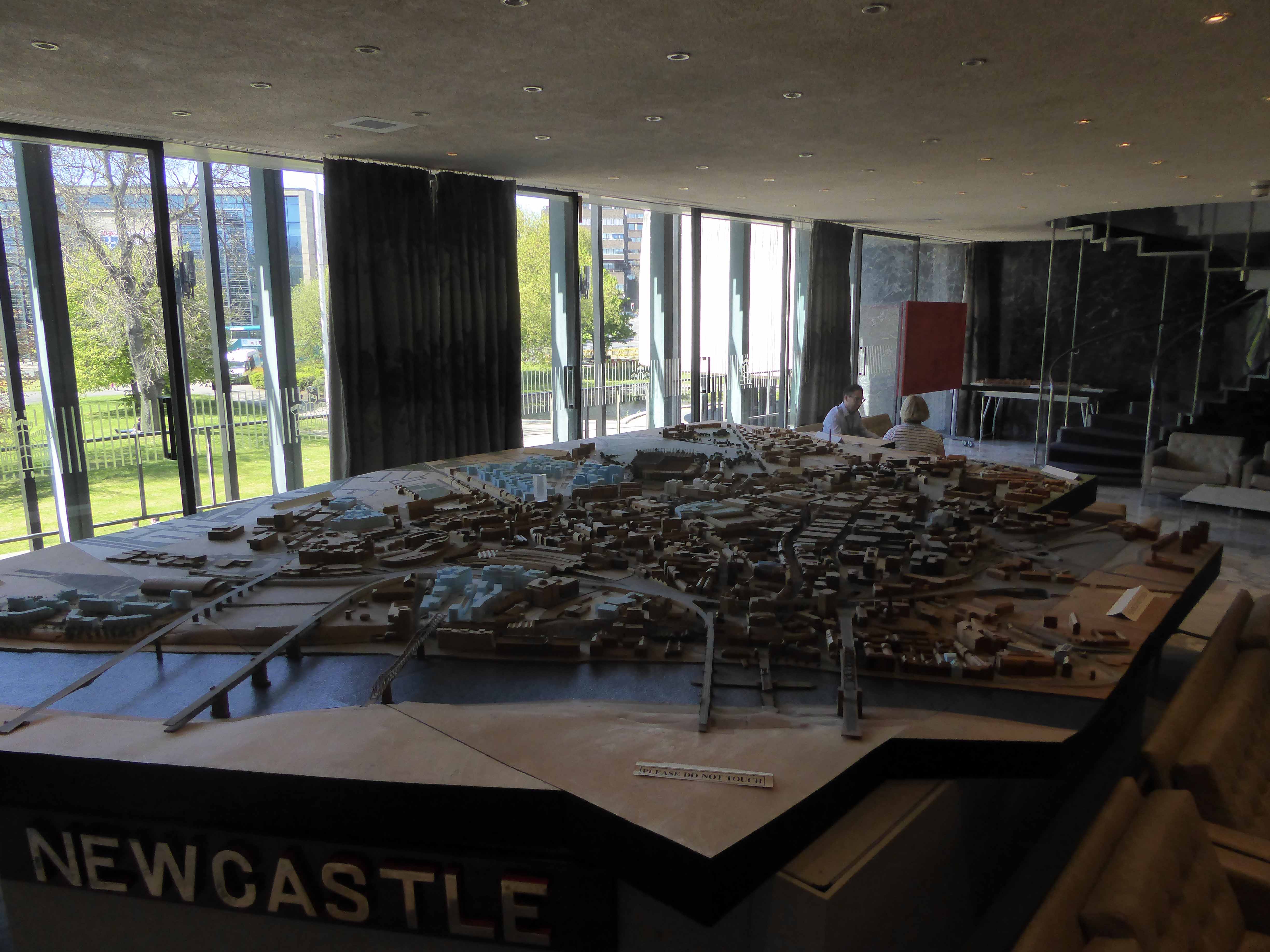
The Model Room houses a magnificent architectural replica of the city.
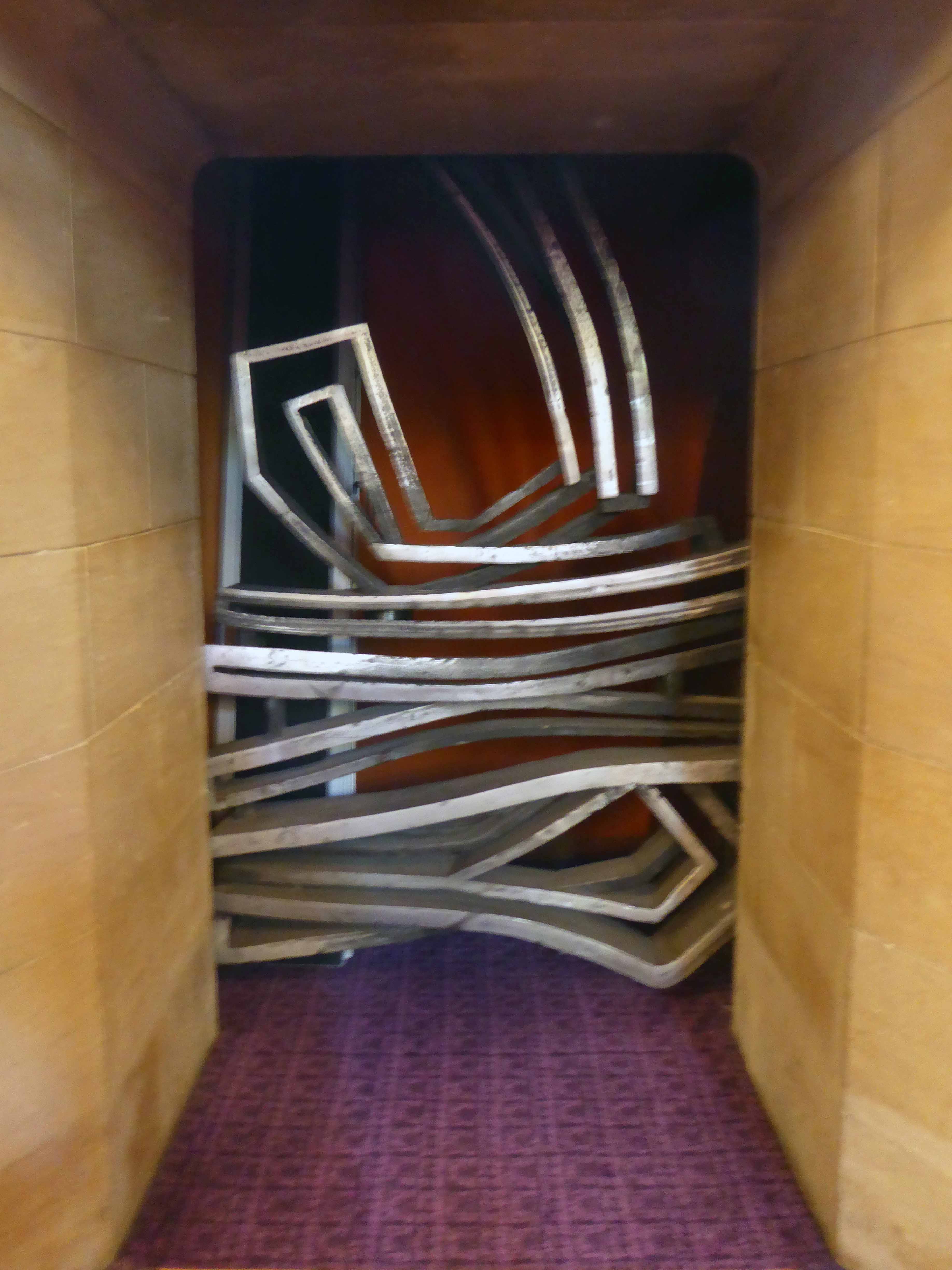
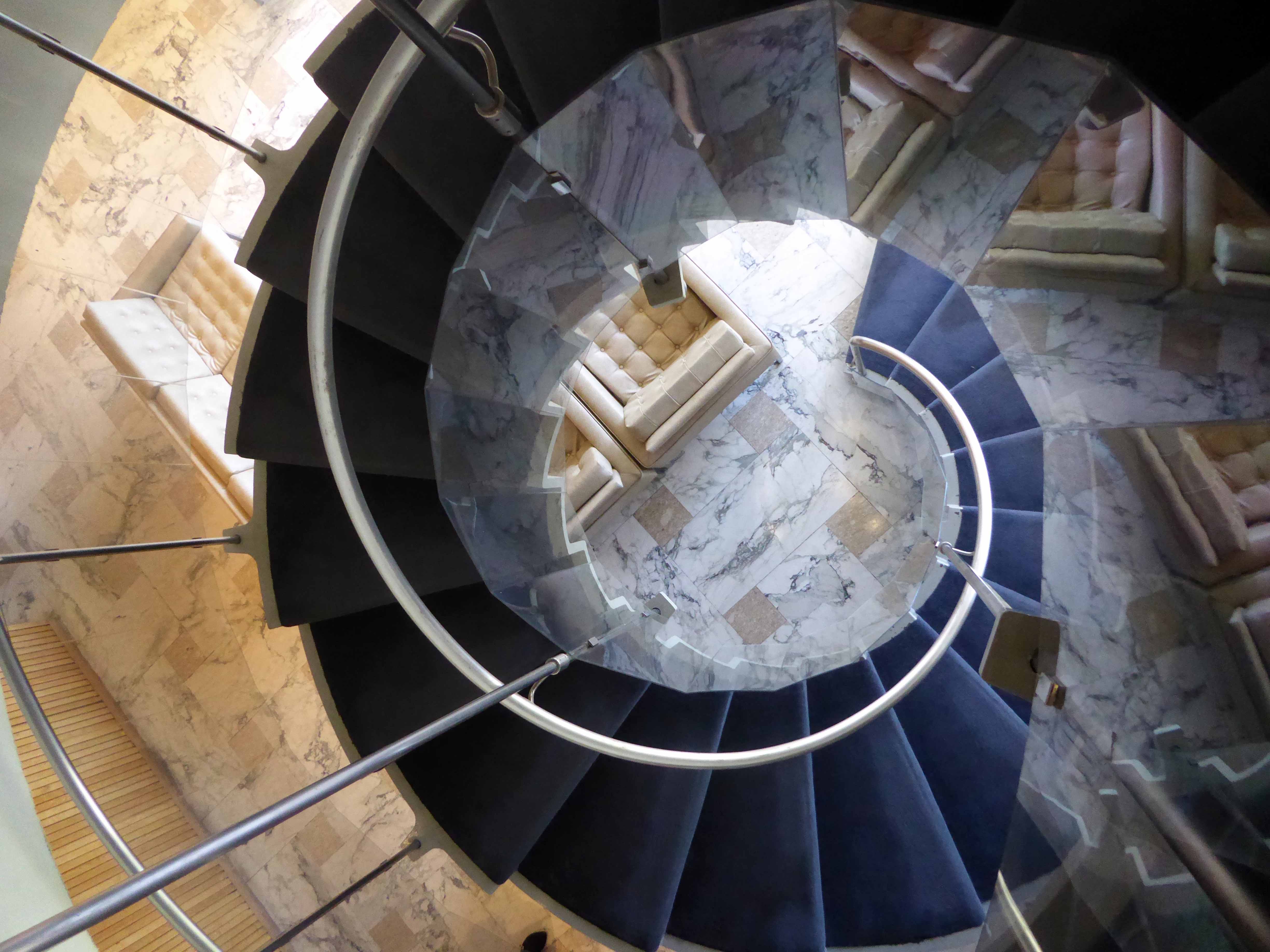
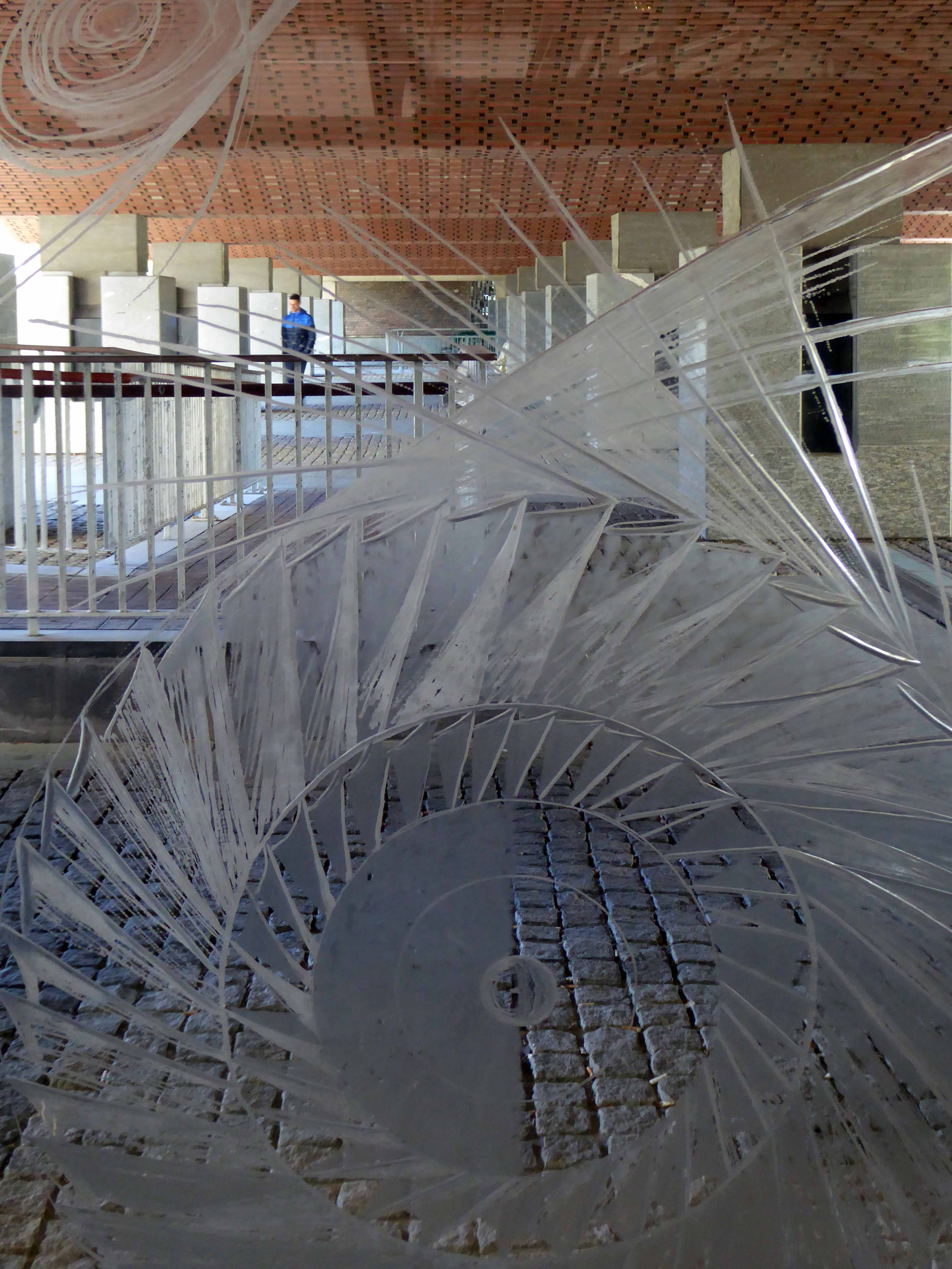
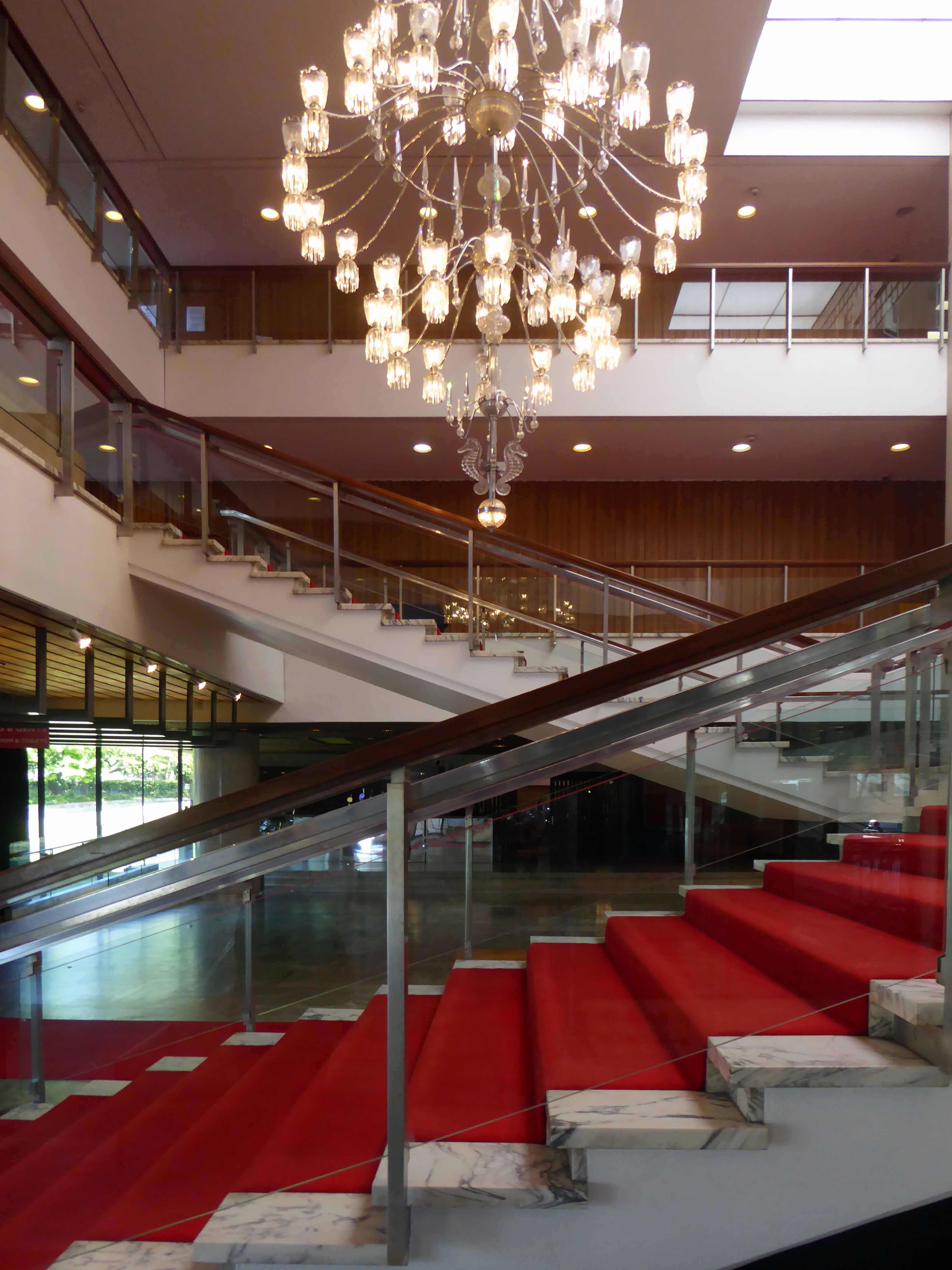
It is also blessed with a living, walking talking spiral staircase, cast in one single piece of steel, it moves with you as you ascend and descend.
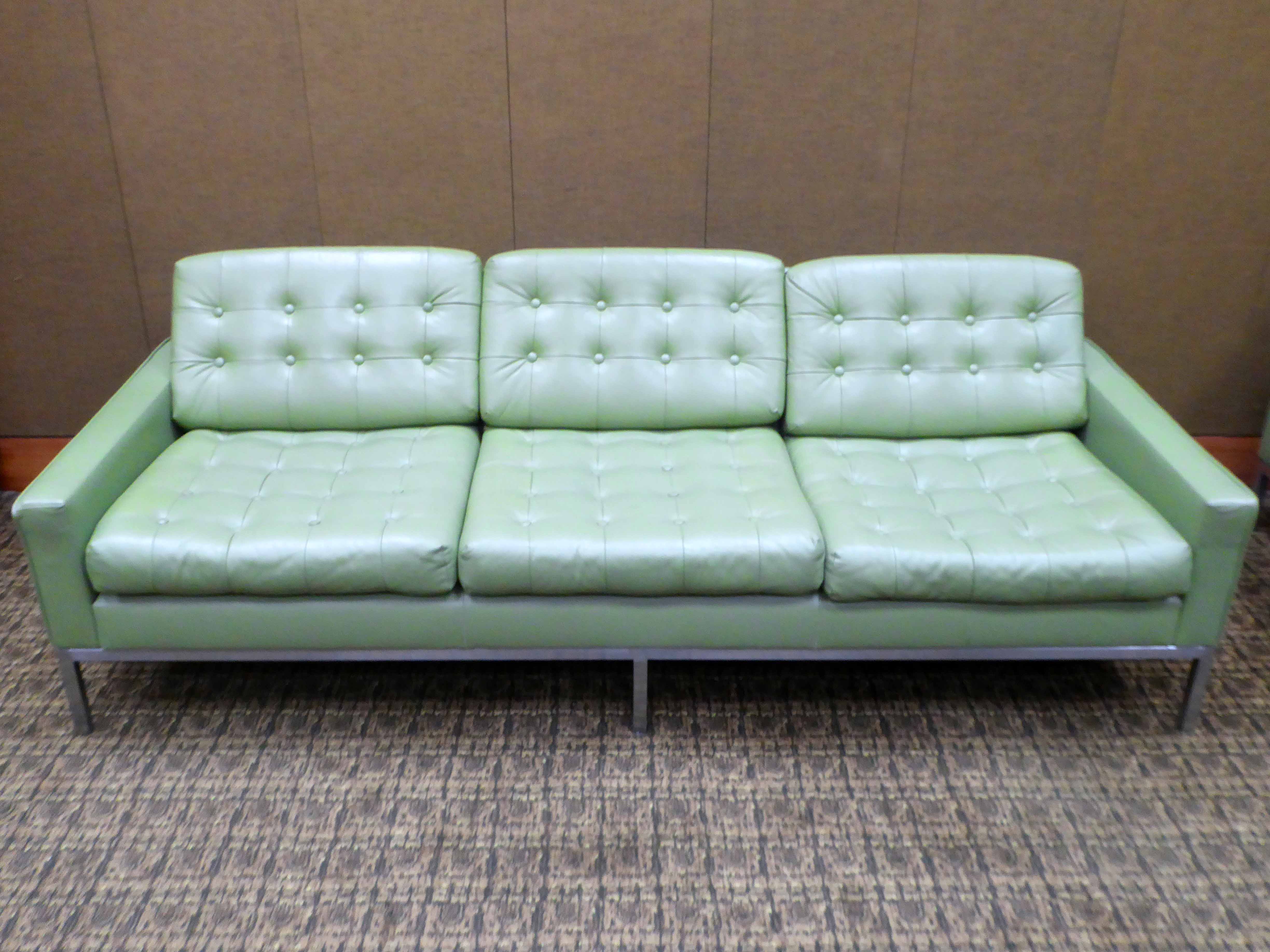
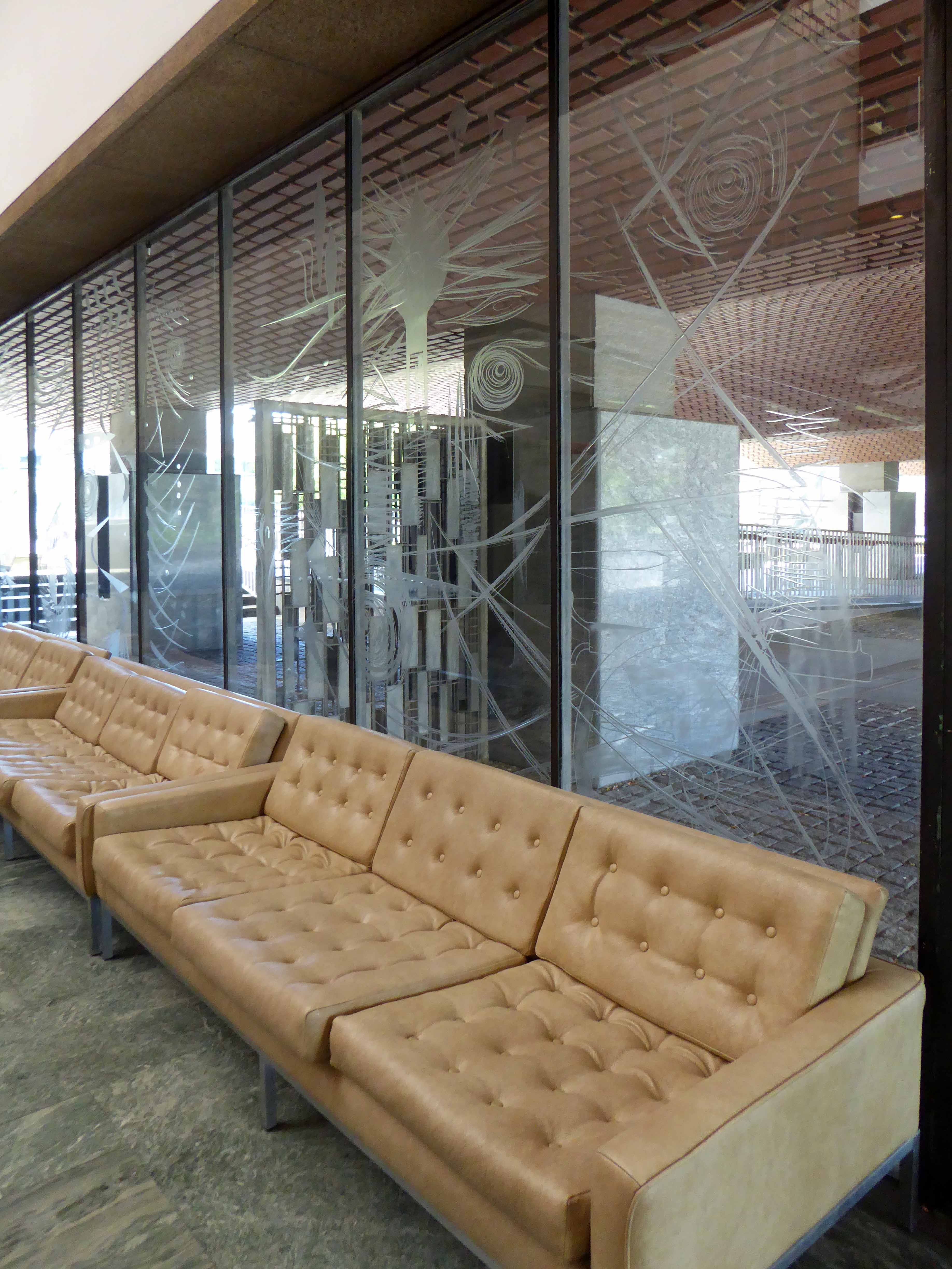
This ante room dressed with Arne Vodder furniture, walls clad in raw silk and hand carved wood, is a place green oasis, a sea of calm.
Cast Aluminium portals and reveals to Ceremonial Entrance by Geoffrey Clarke.
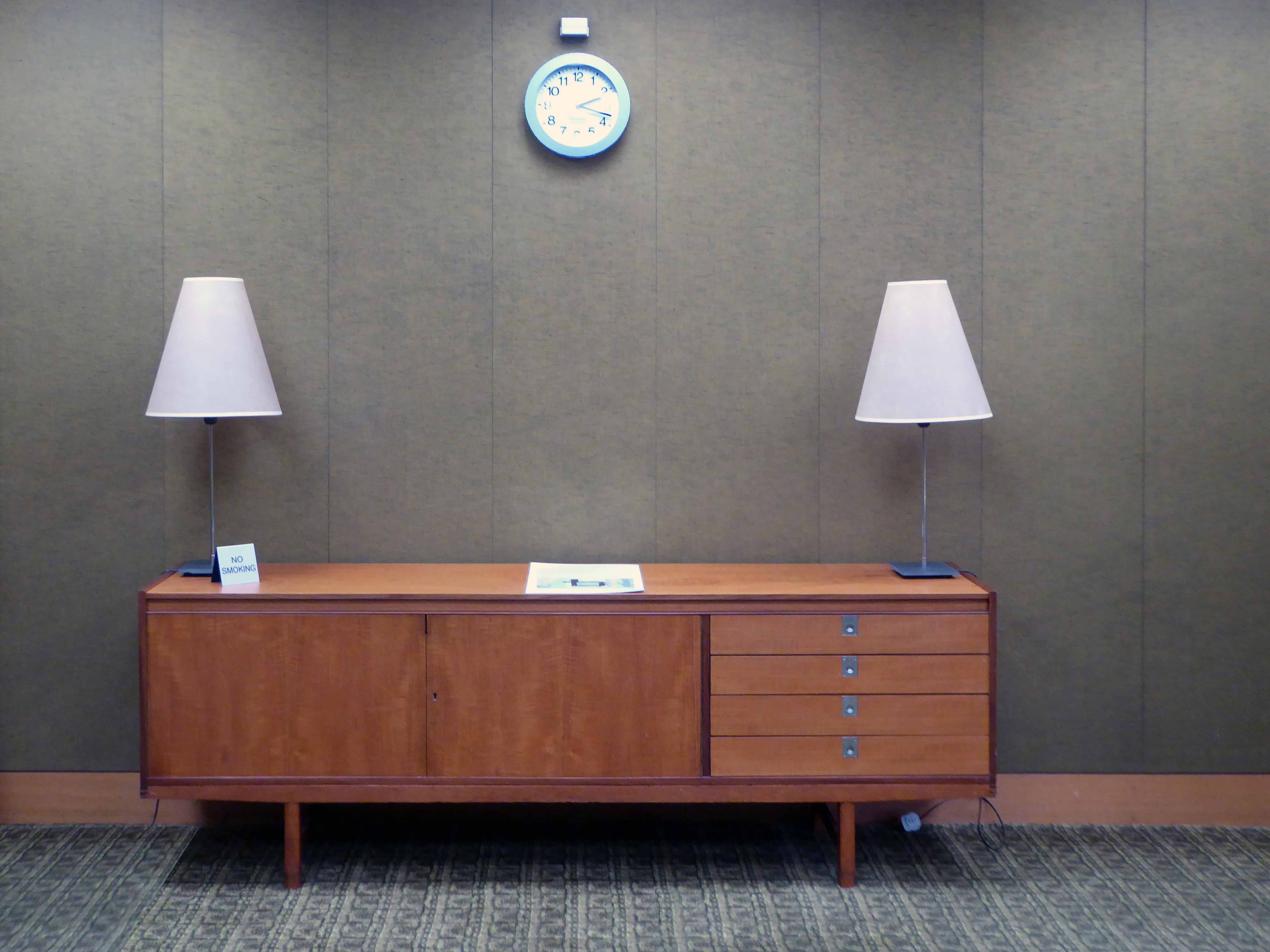
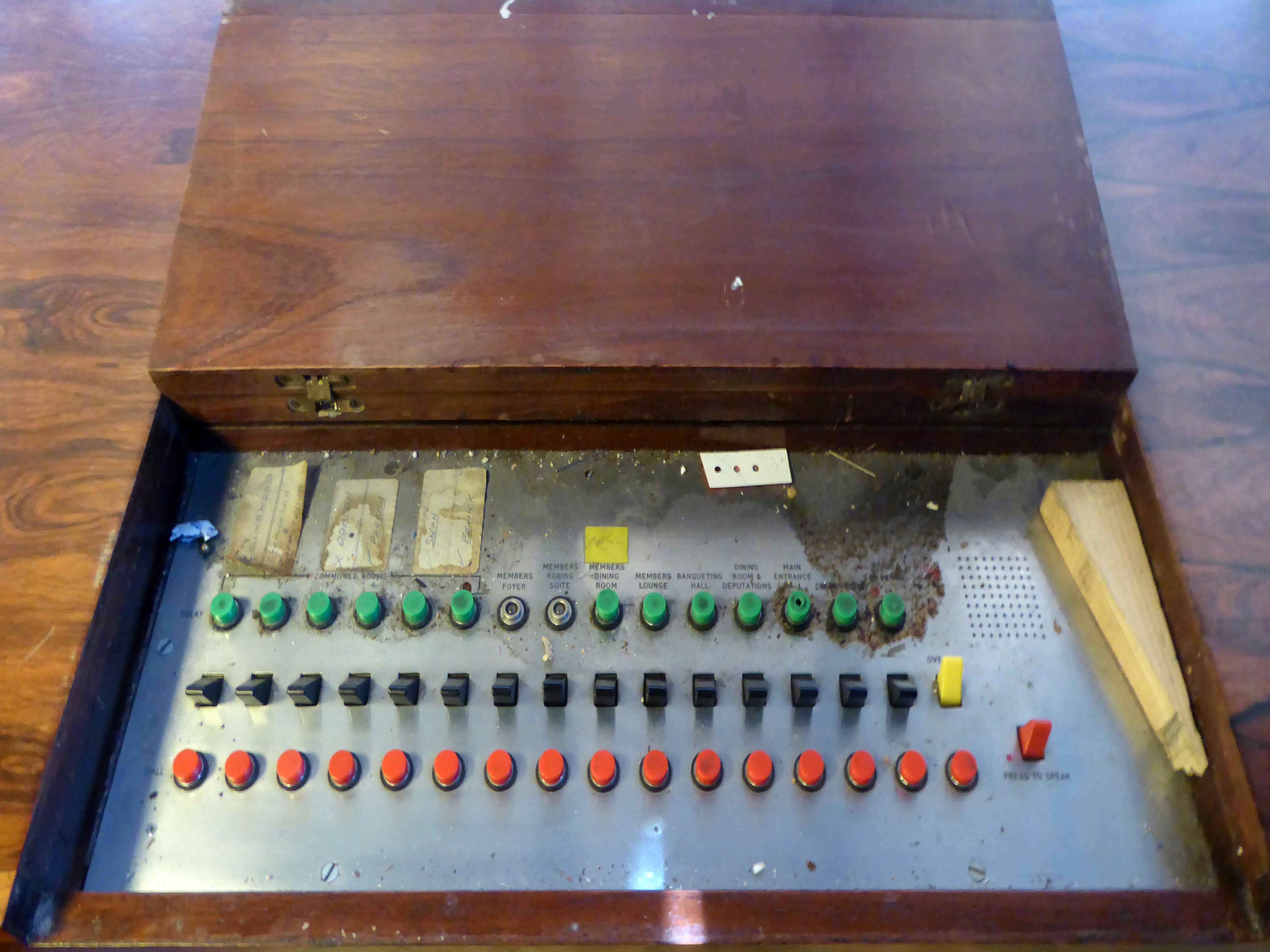
Staff on reception were once able to notify officials of the arrival of guests and dignitaries, using this right bang up to the minute electrical intercom.
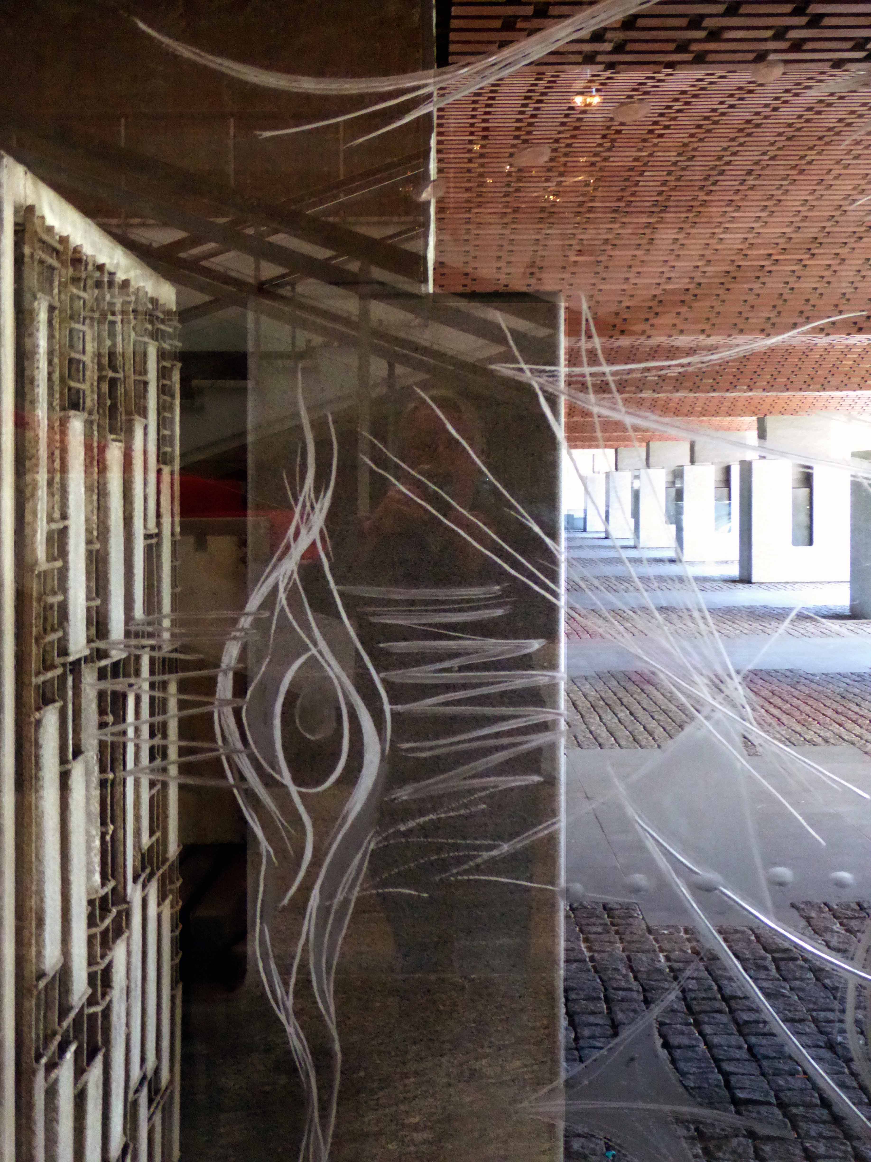
To the right is the engraved John Hutton Screen engraved glass panels depicting – the inventive genius of Tyneside’s most famous sons and daughters.
From left to right: George Stephenson the steam locomotive, Sir Charles Parson the turbine engine, Sir Joseph Swan electric light bulb, Lord Armstrong the gun.
Brigantia – Celtic Goddess of the tribe, The Three Mothers – offering fruit for fertility, Mithras – the slaying of the bull , Coventina the goddess of a well, she reclines on a water-borne leaf and below her are three intertwined figures of nymphs of streams, for in those days every self-respecting stream had its own tutelary deity. All have been found when Roman temples have been unearthed on the Roman wall.
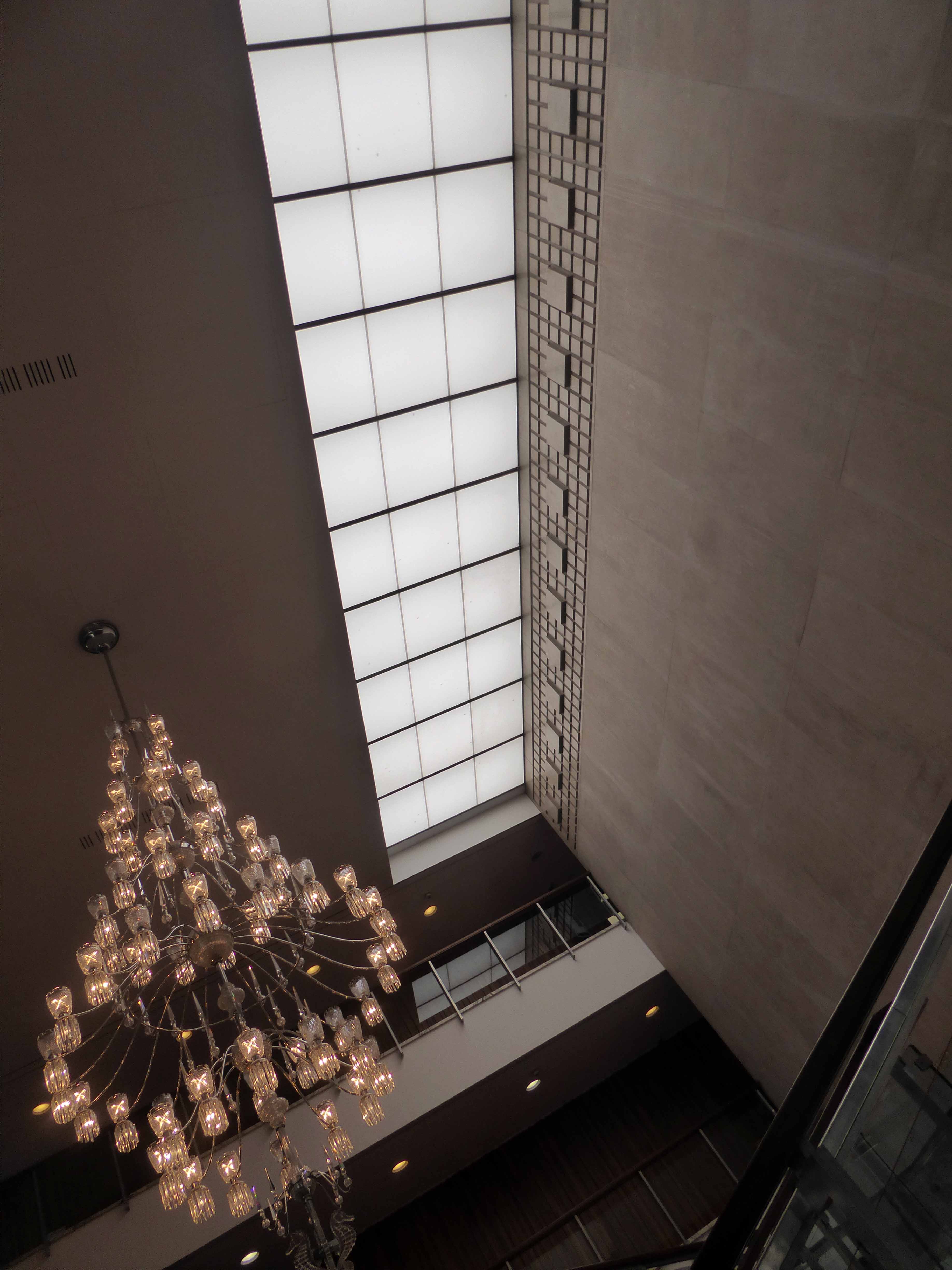
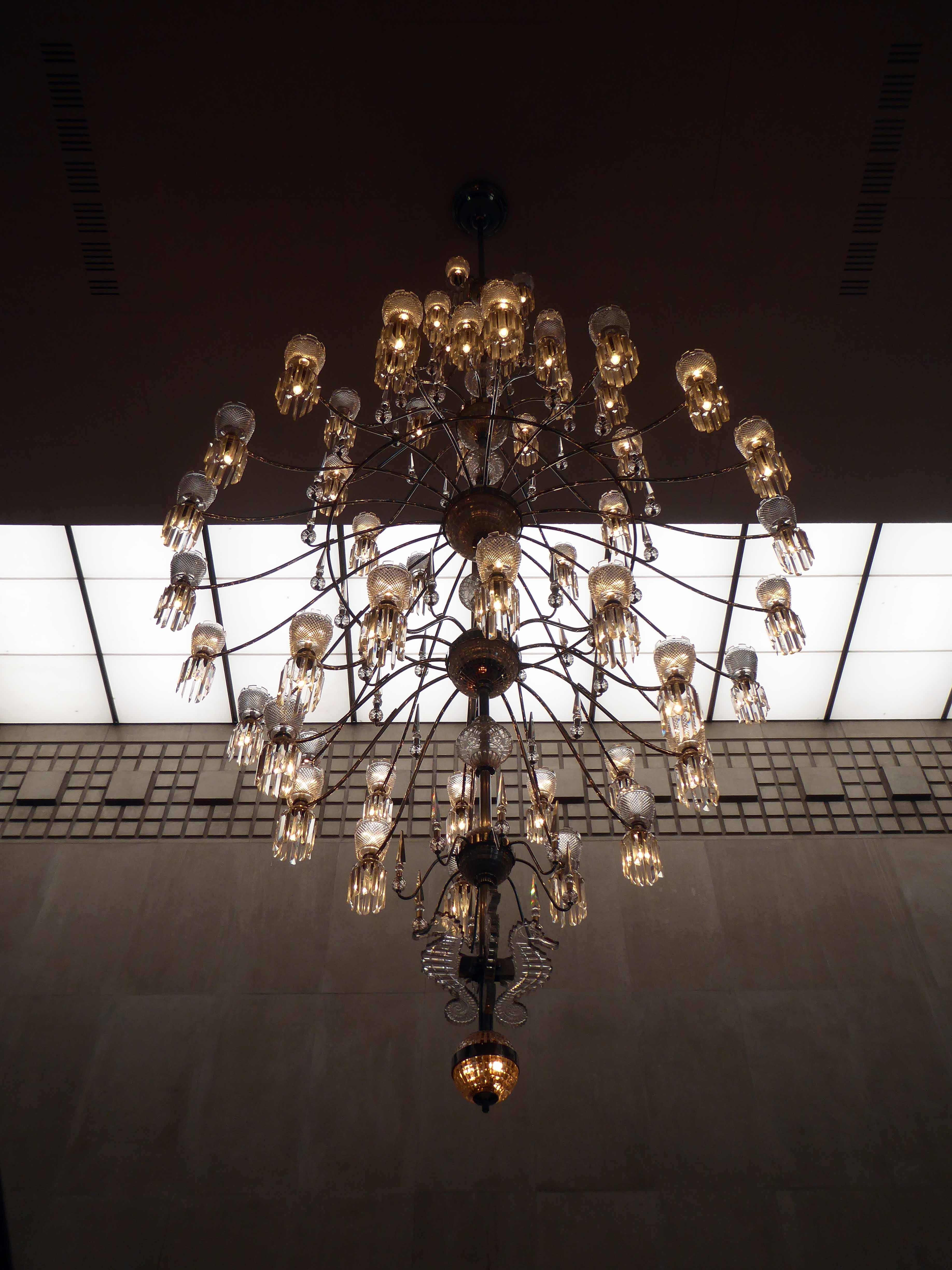
A twenty three foot high, eleven tiered chandelier of hand cut Bavarian crystal from Westphalia, hangs above your head. This chandelier was commissioned on behalf of Newcastle City for the opening of the building in 1968. It has 119 light bulbs, the crystal on the top is in the shape of a castle on the base of the chandelier are sea horses. The walls are lined with random English oak, the floor down stairs is Portuguese Verde Viana marble.
Elegant Arne Vodder designed sofas litter the entrance, this truly is a palace of delights a temple of Municipal Socialism, take your shoes off set a spell.
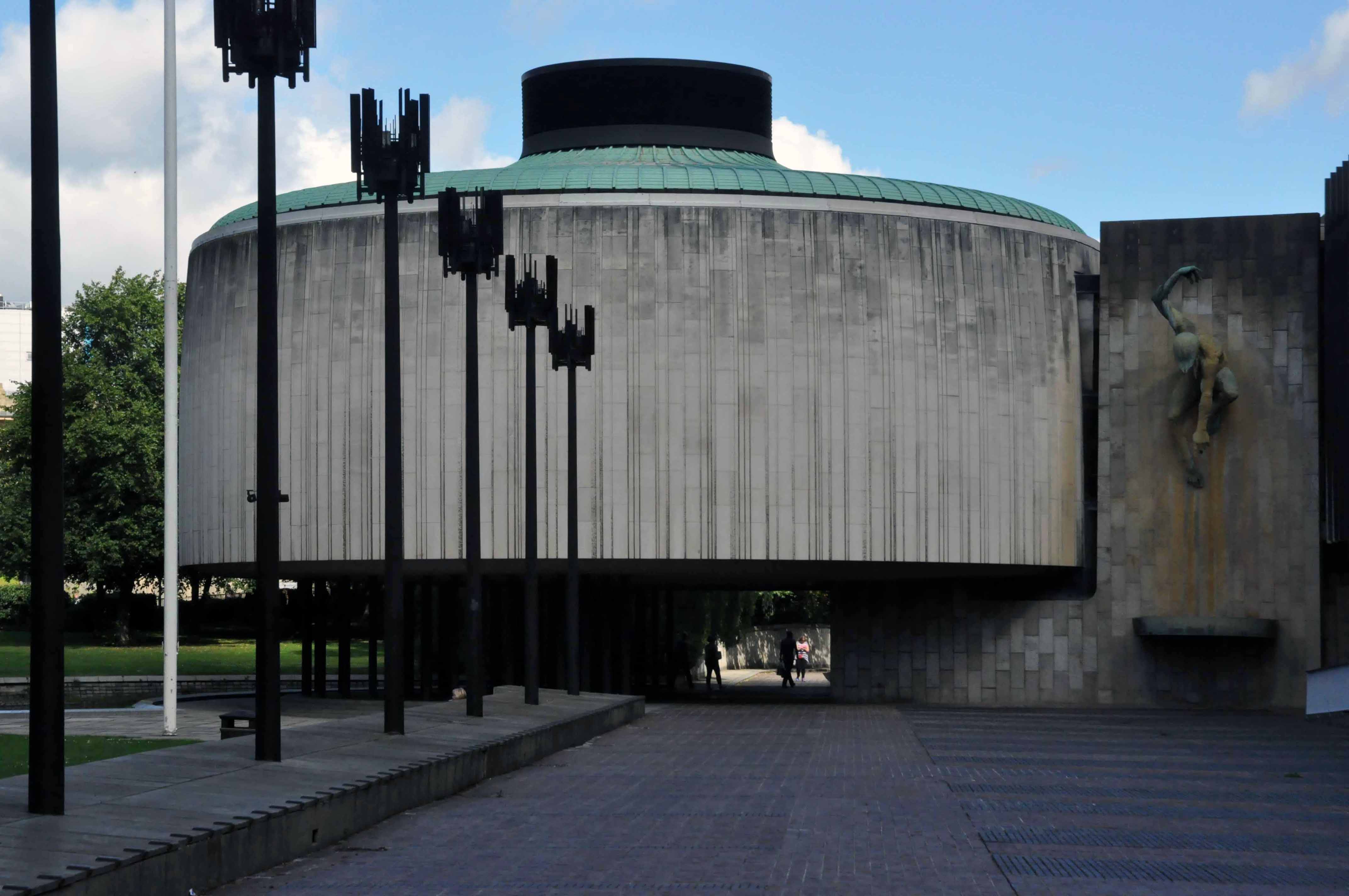
Within the exterior of architect George Kenyon’s distinguished civic drum sits the inner sanctum of the Council Chamber – my thanks to the delightful head of hospitality Debbie Harvey for providing me with the most erudite and educational tour.
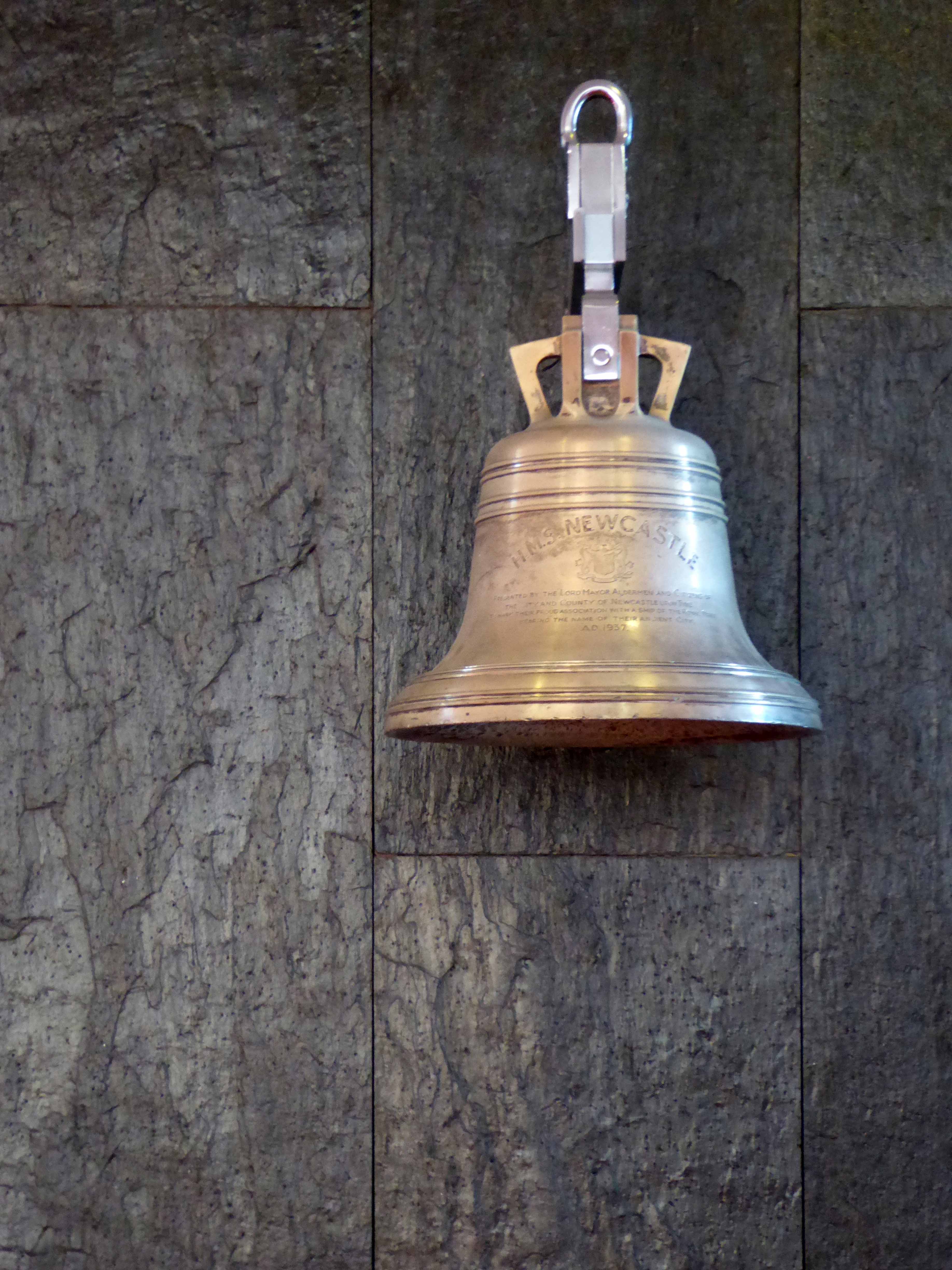
Outside the division bell, set against Danish slate, was originally to be found on the HMS Newcastle.
This silver bell is of the 10,000 ton cruiser HMS Newcastle presented to the ship by the Lord Mayor and citizens of Newcastle upon Tyne to mark her commissioning in 1937. Launched by the Duchess of Northumberland on the 23rd January 1936 at the Walker Naval Yard. In 1959 HMS Newcastle was towed from Portsmouth to Newport Monmouthshire to be broken up.
The entrance padded with soft green leather the door clad in hand carved Cedar of Lebanon.
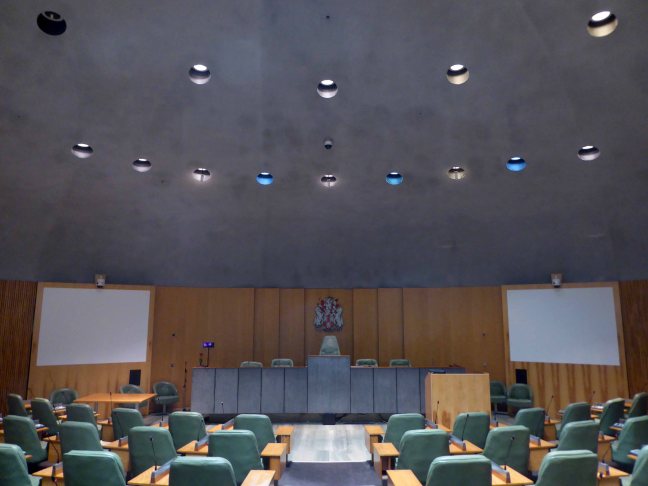
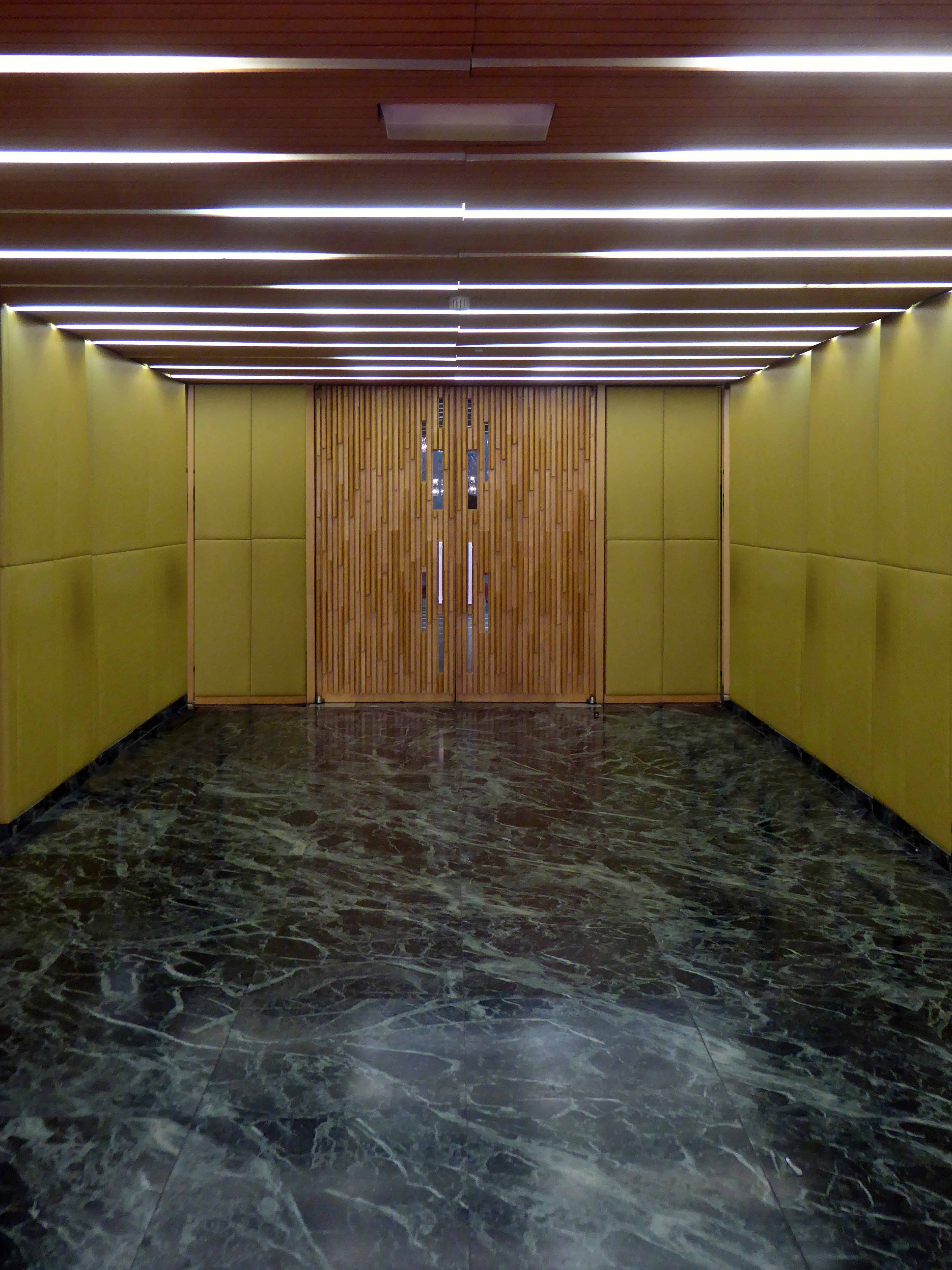
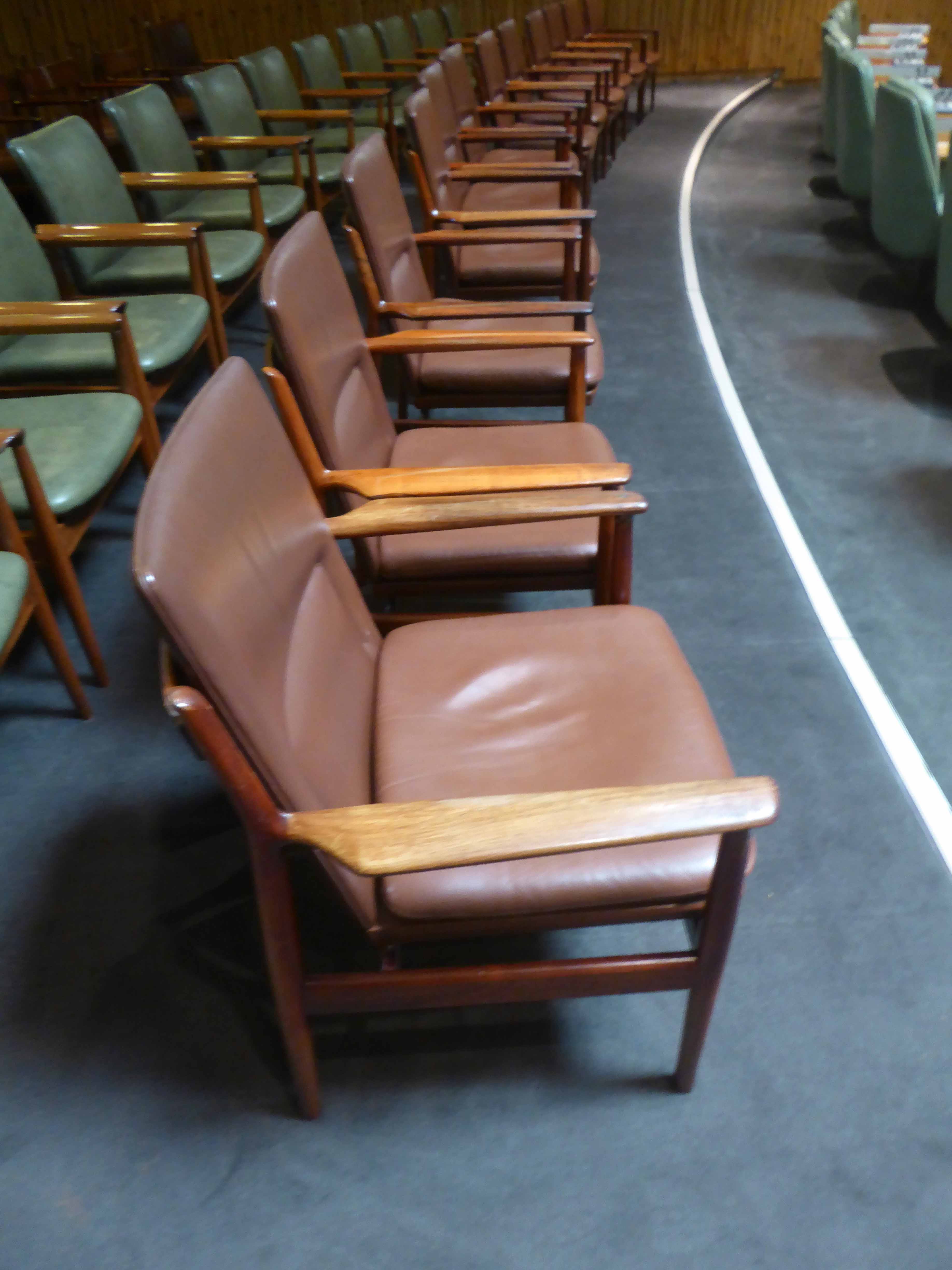
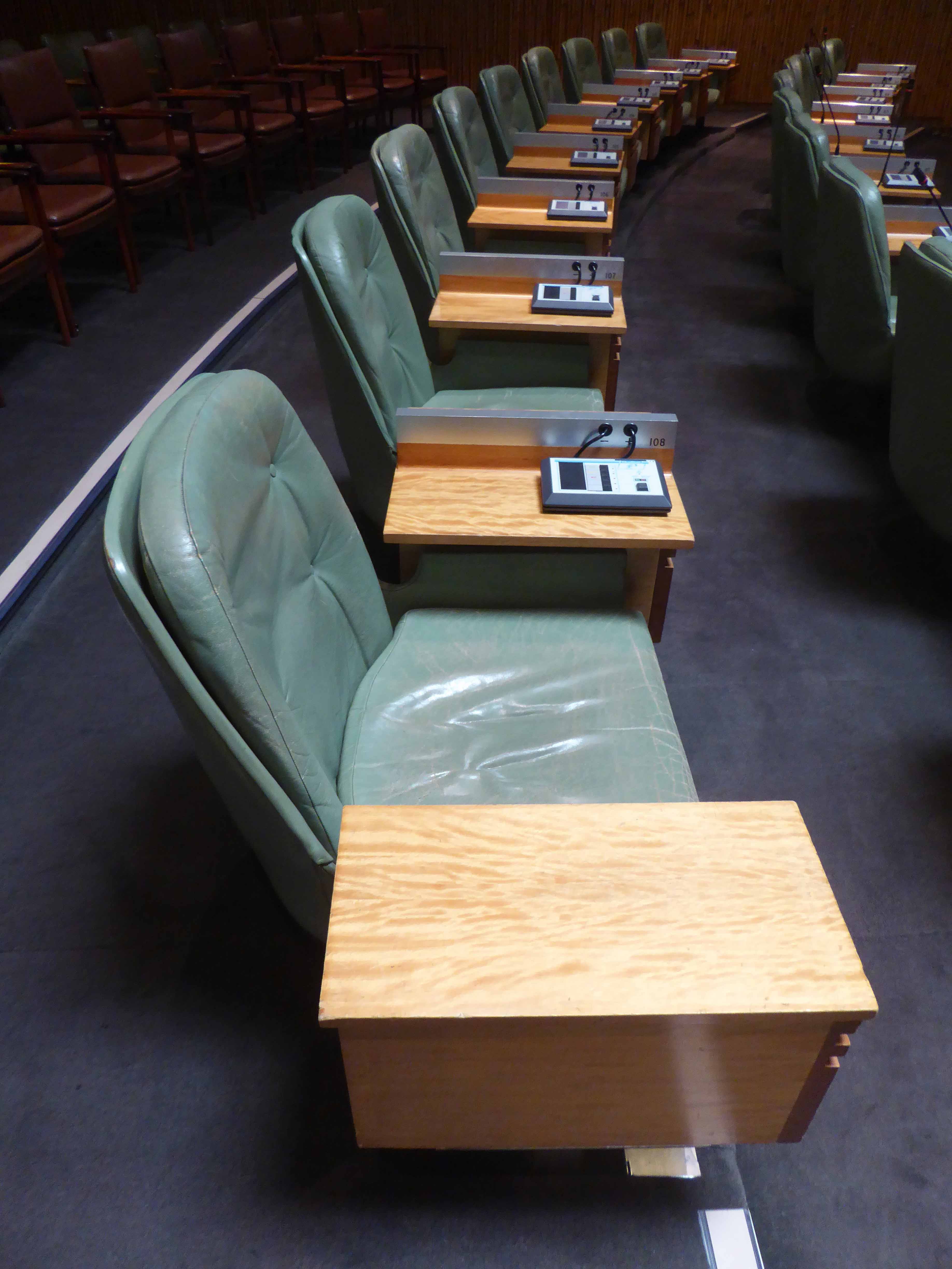
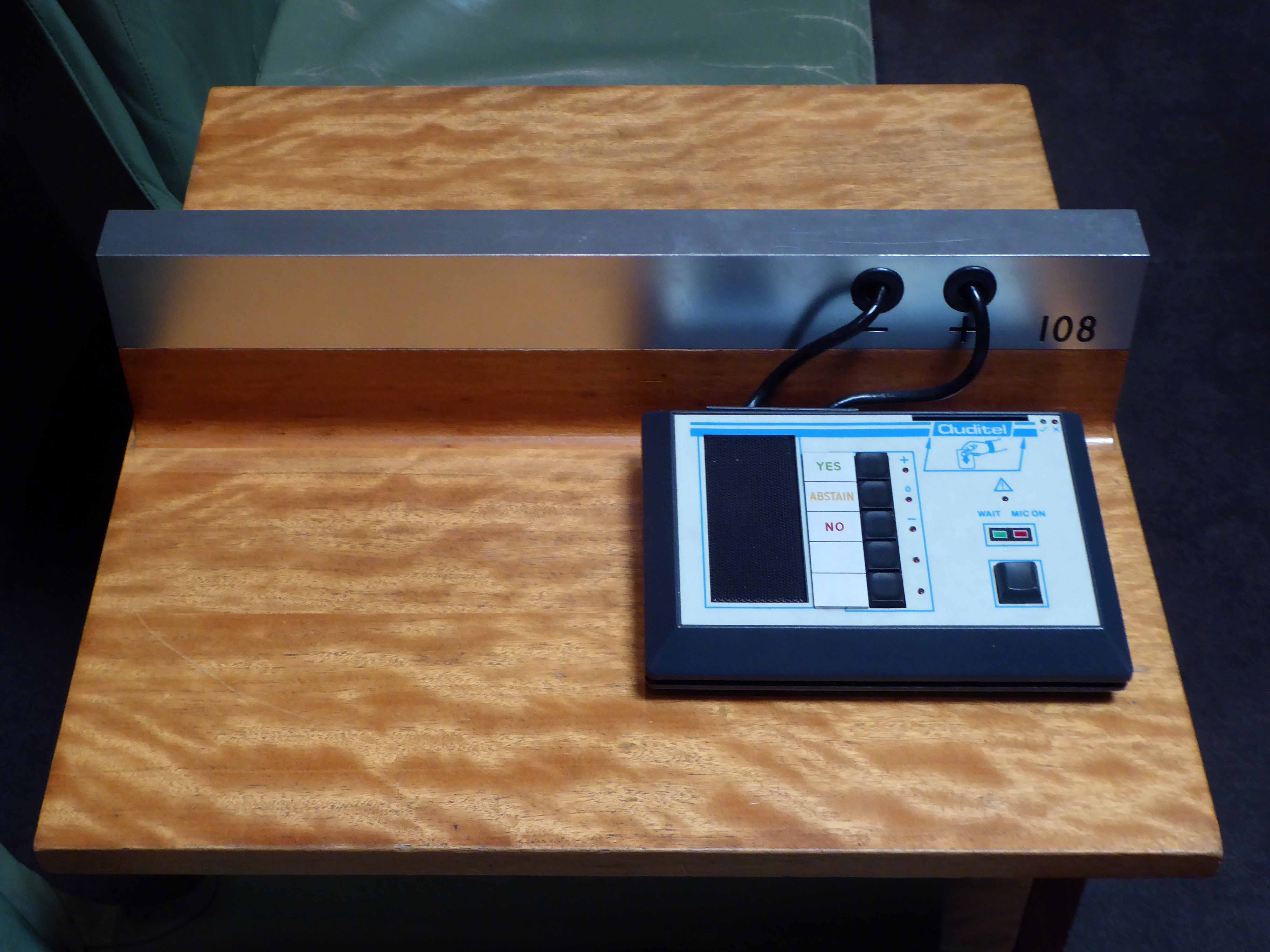
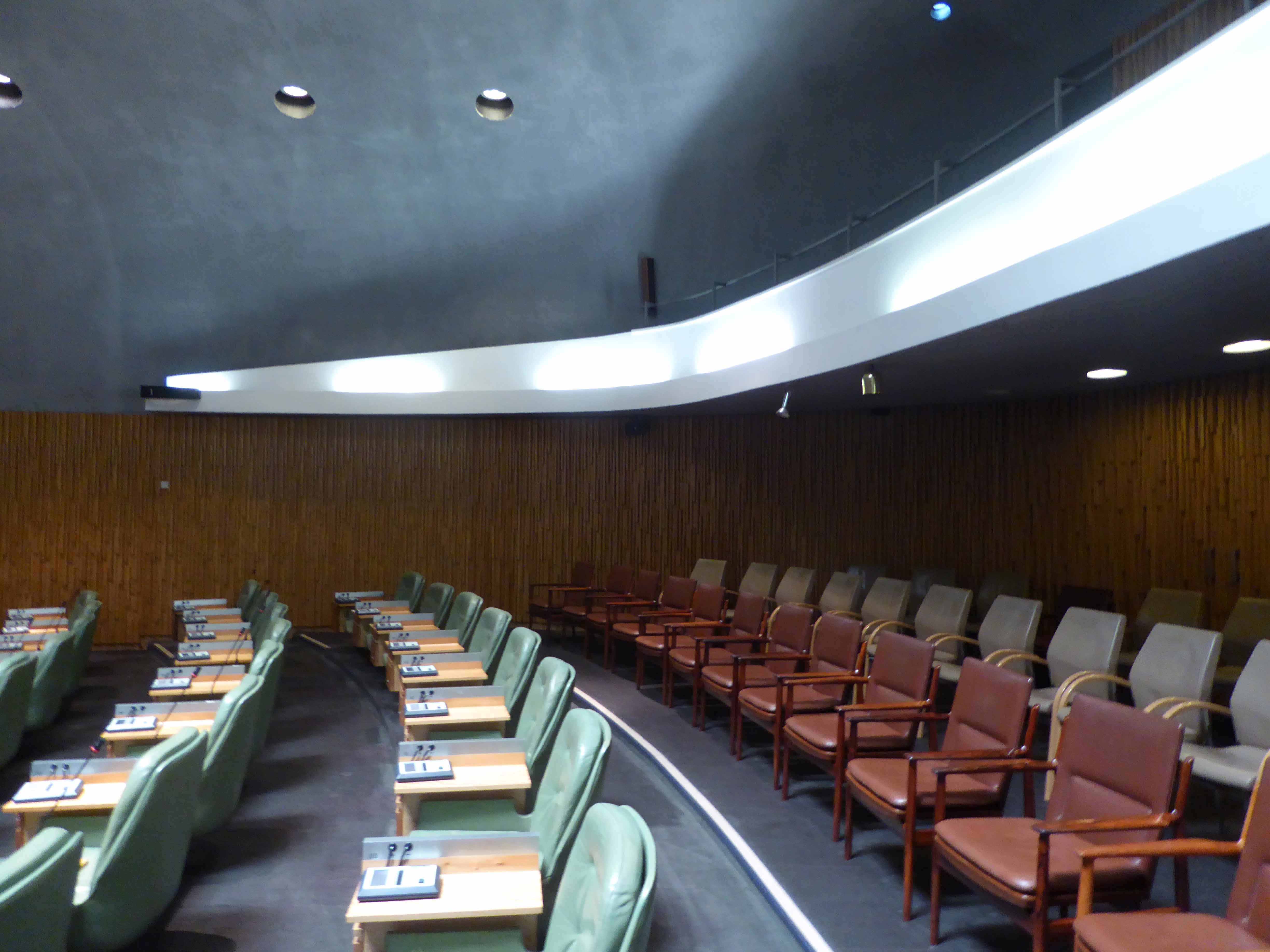
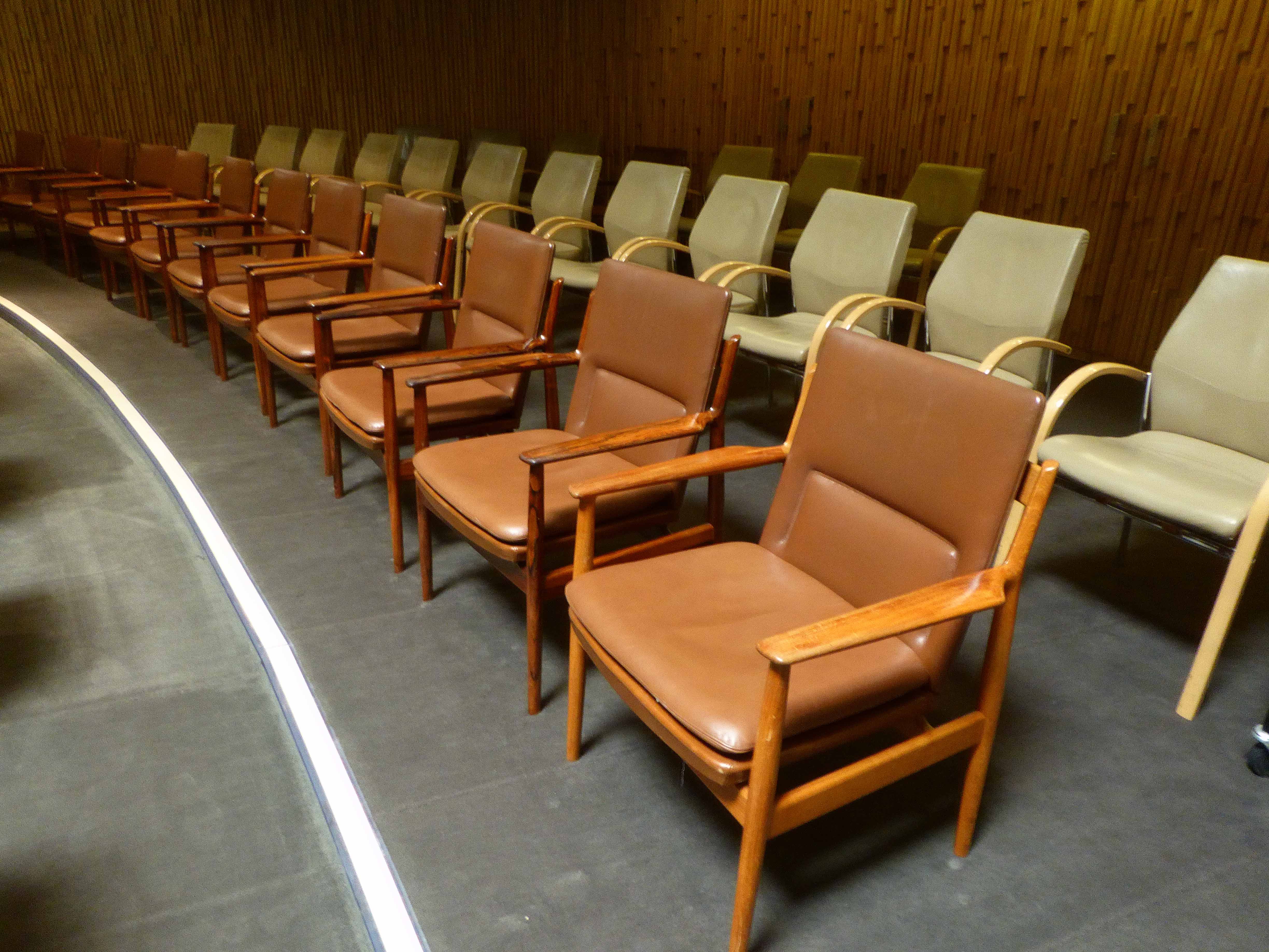
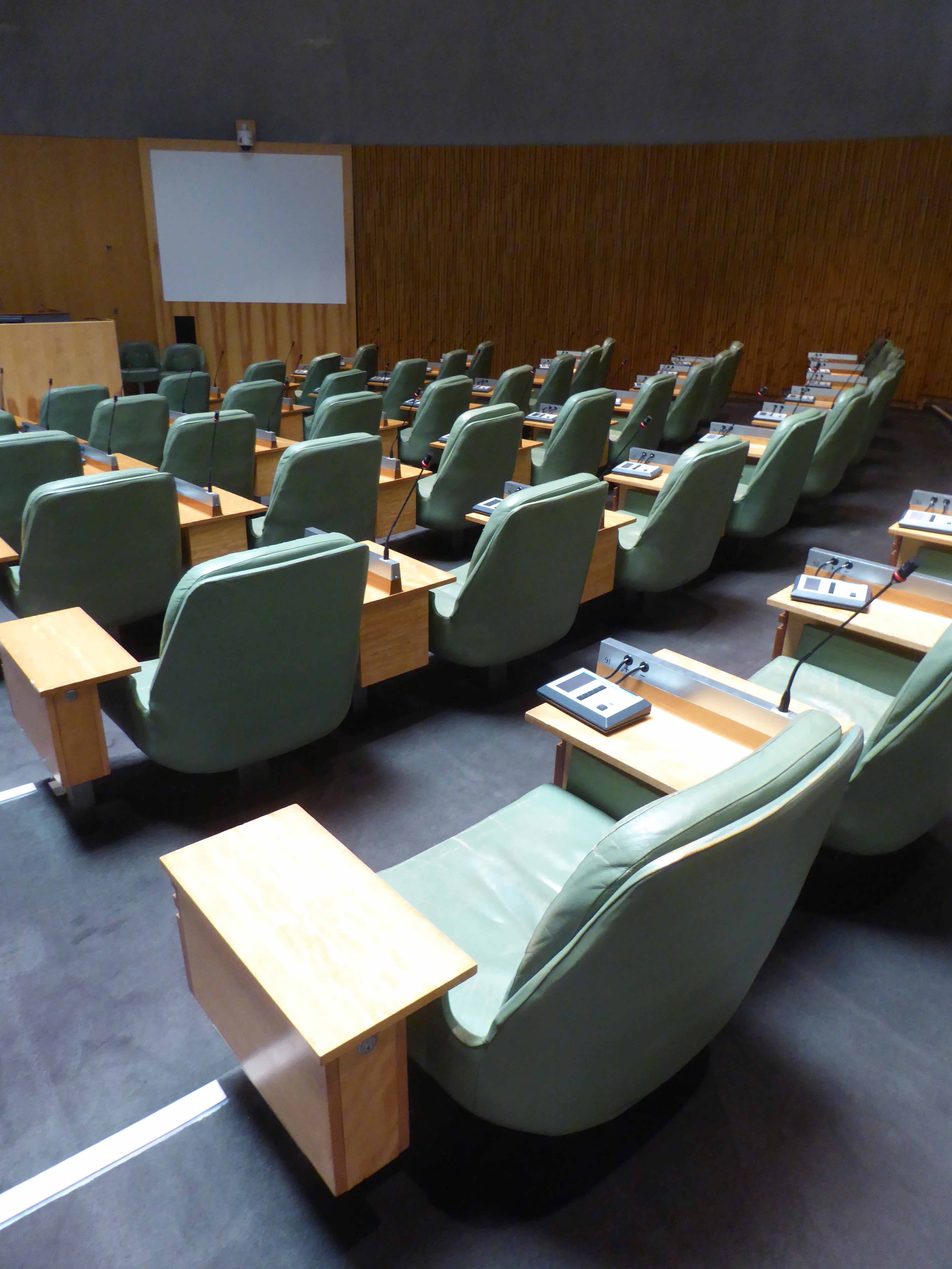
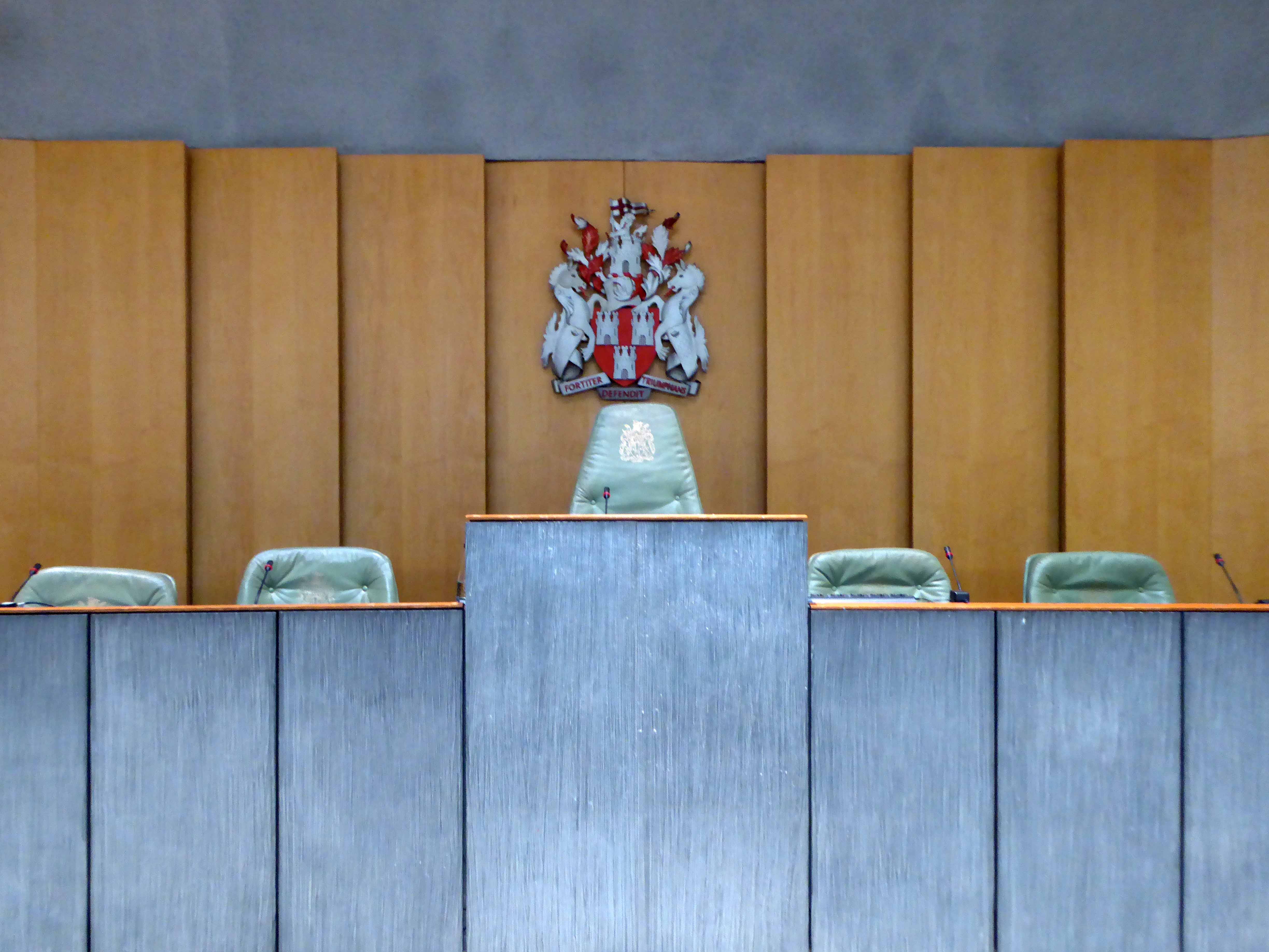
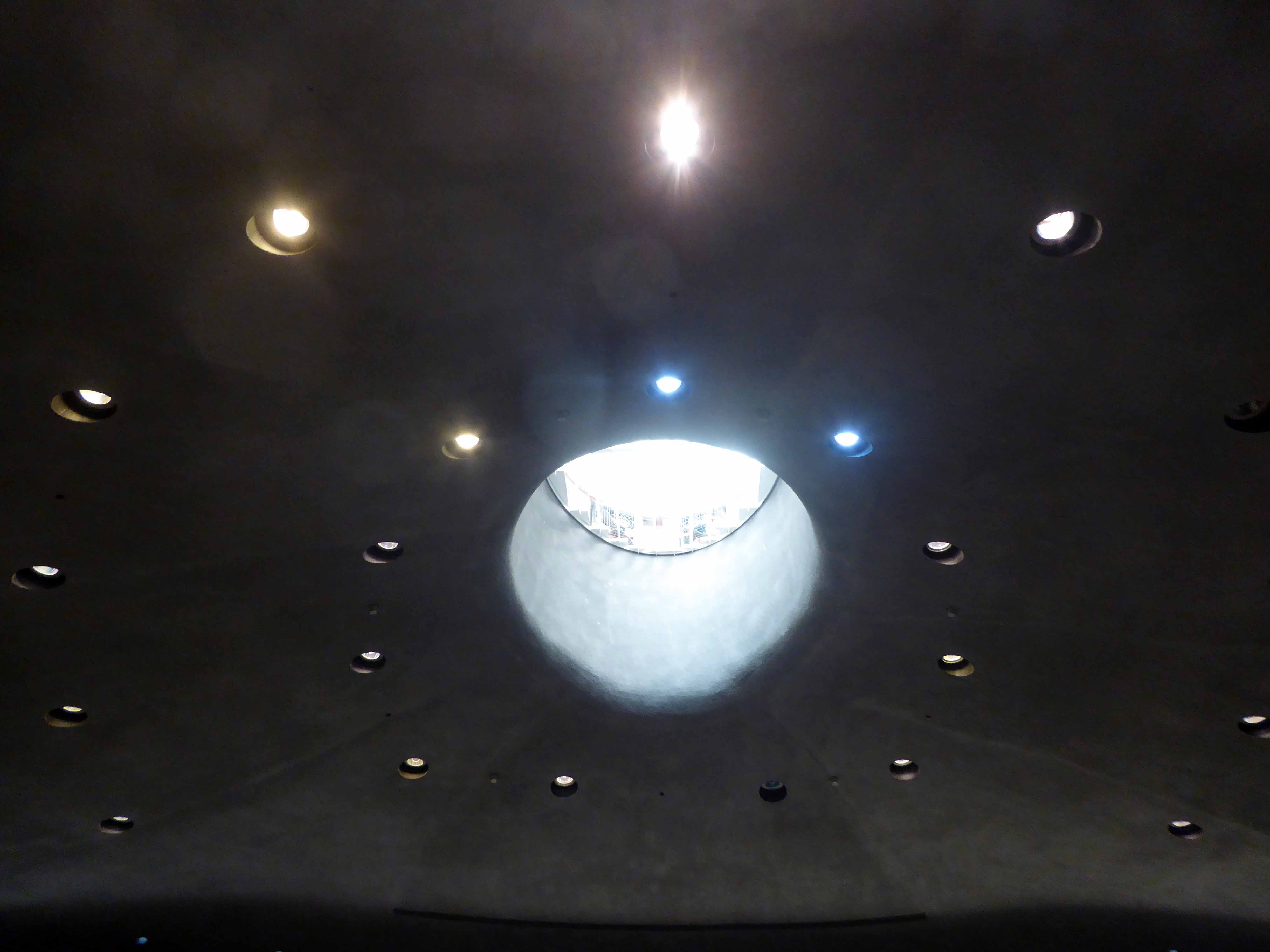
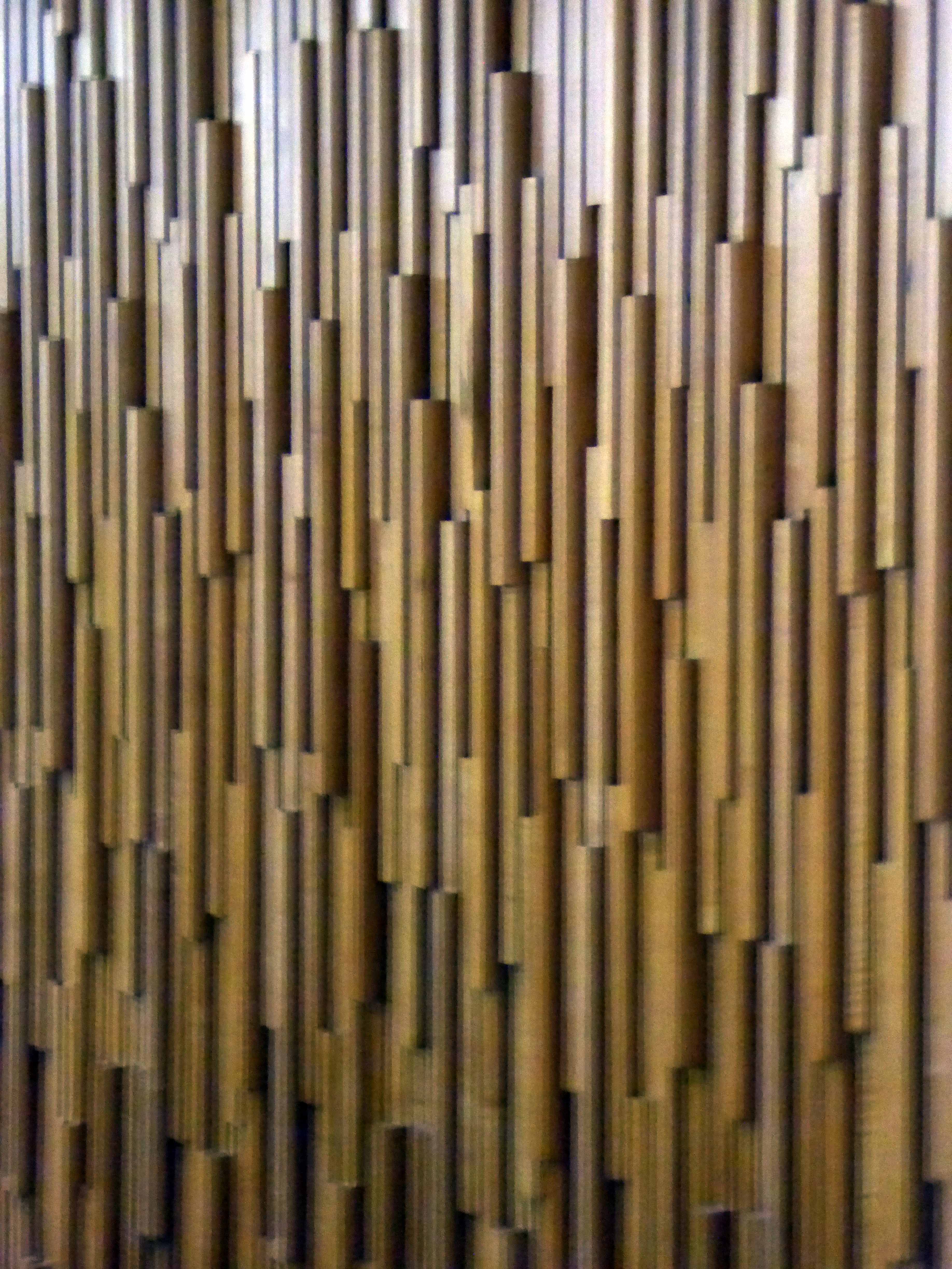
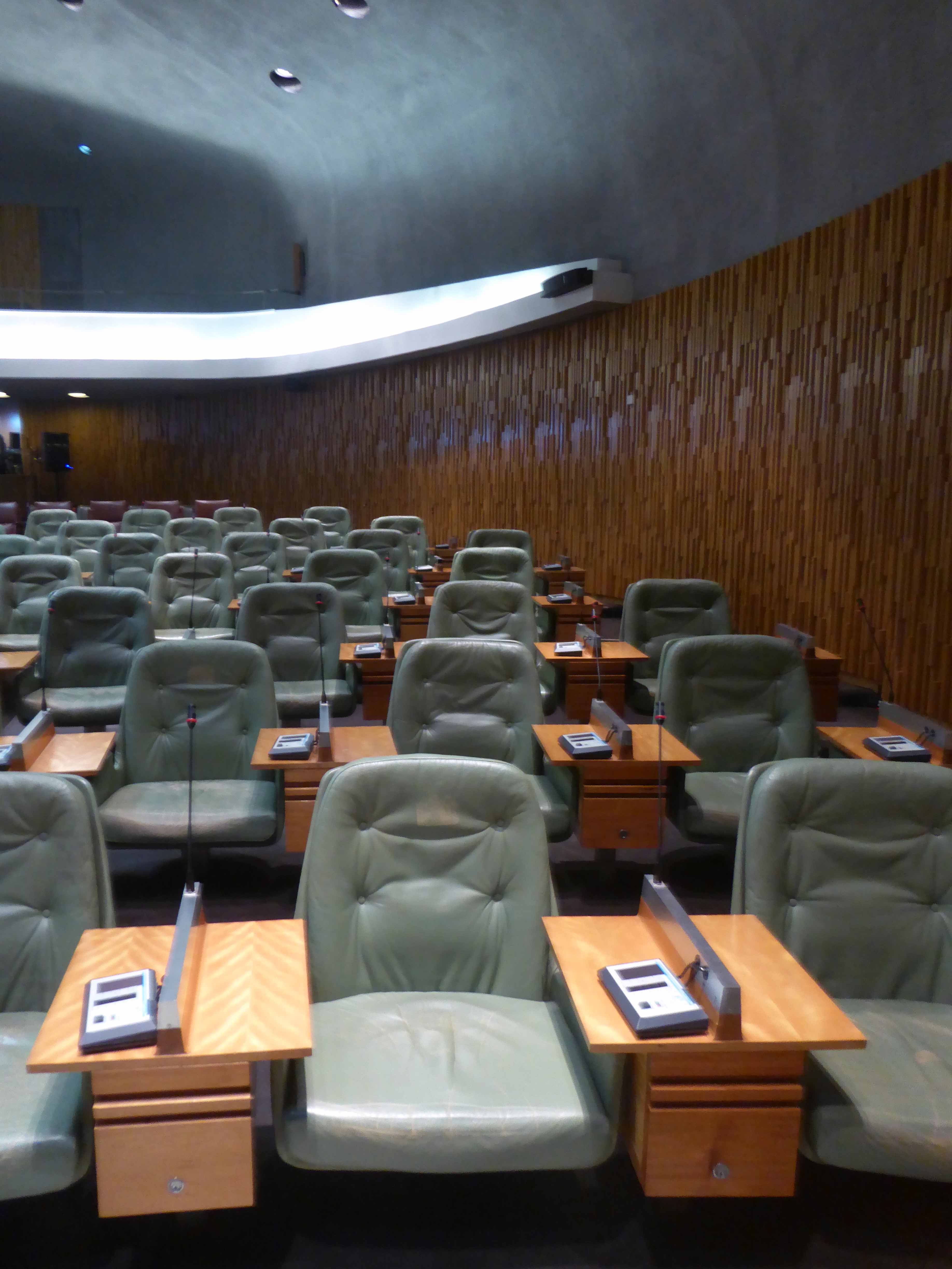
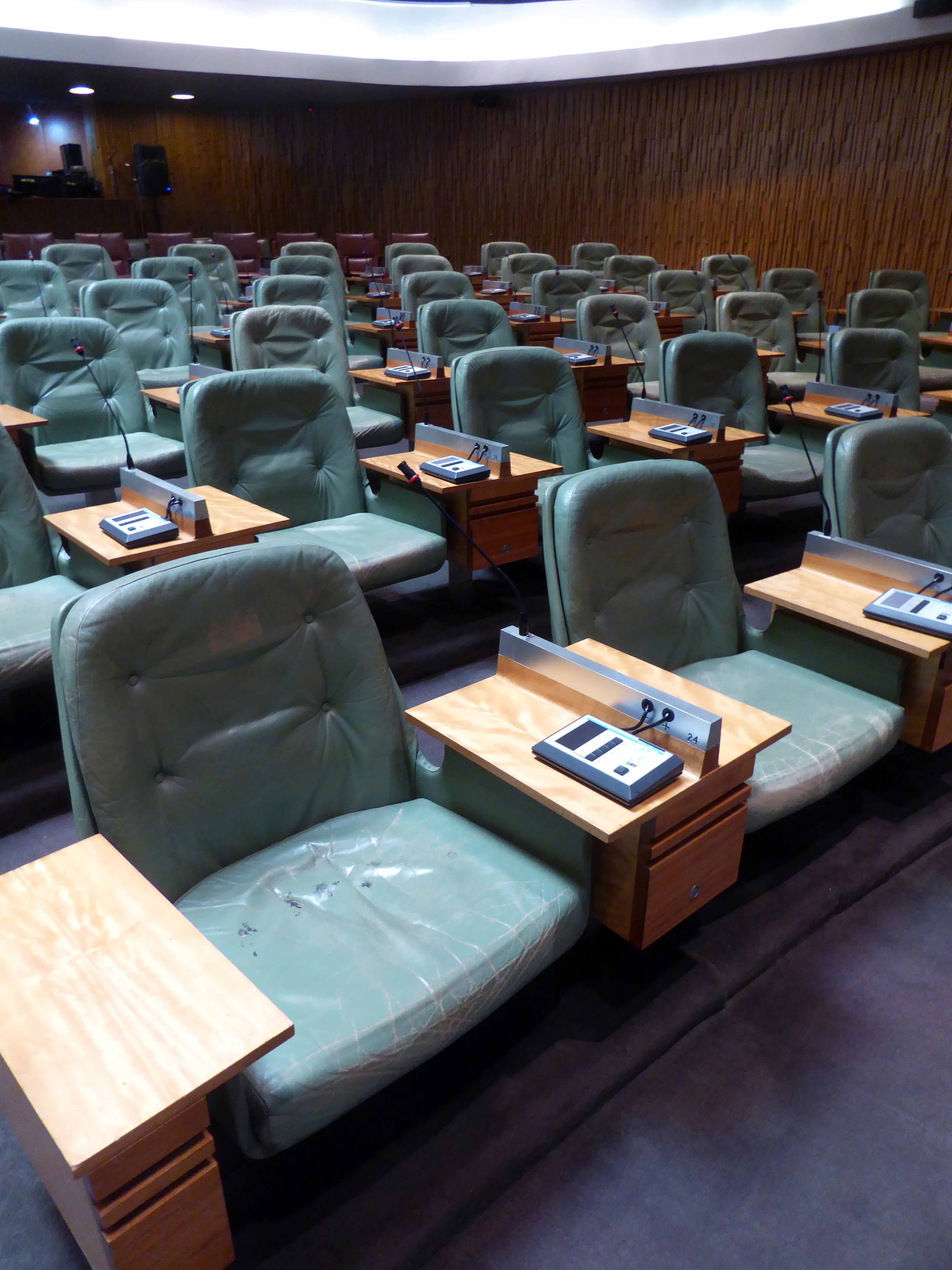
We illuminated the illuminated sign and entered – what treasures await, leather and teak furniture by acclaimed Danish designer Arne Vodder, worth thousands and thousands of pounds. Fine Swedish marble and further Cedar of Lebanon acoustic cladding, each surface of the highest quality and chosen to enhance the sound properties of the space. The councillors seated once a month on 149 leather clad seats with integral voting and microphone modules. A high grey, skylight lit domed ceiling.
This is work of the highest possible quality, a proud summation of Municipal Socialism, our friends in the North, matched with the imaginary world of the Man from Uncle.
All towns have ghosts, none more so than Scarborough.
High atop a castle topped, wind whipped promontory, lies Anne Bronte, overlooking the harbour below, wayward Whitby whalers wail, lost fisher folk seek solace.
Its walls ache with traders past, scissors that no longer snip, click-less shutters, unlettered rock and loaves that no longer rise.
Layers of sun baked, peeling paint on brick, rendered almost illegible.
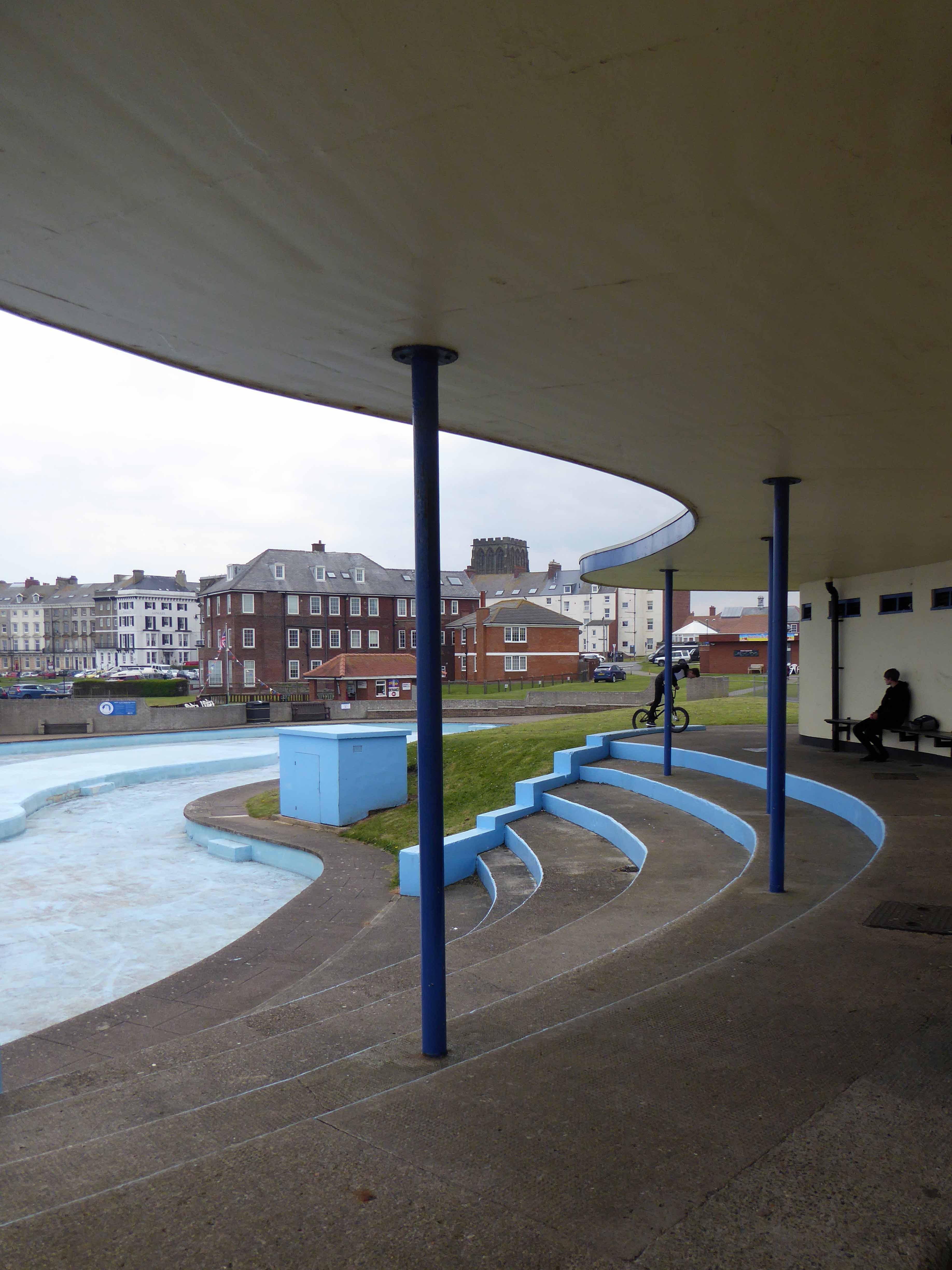
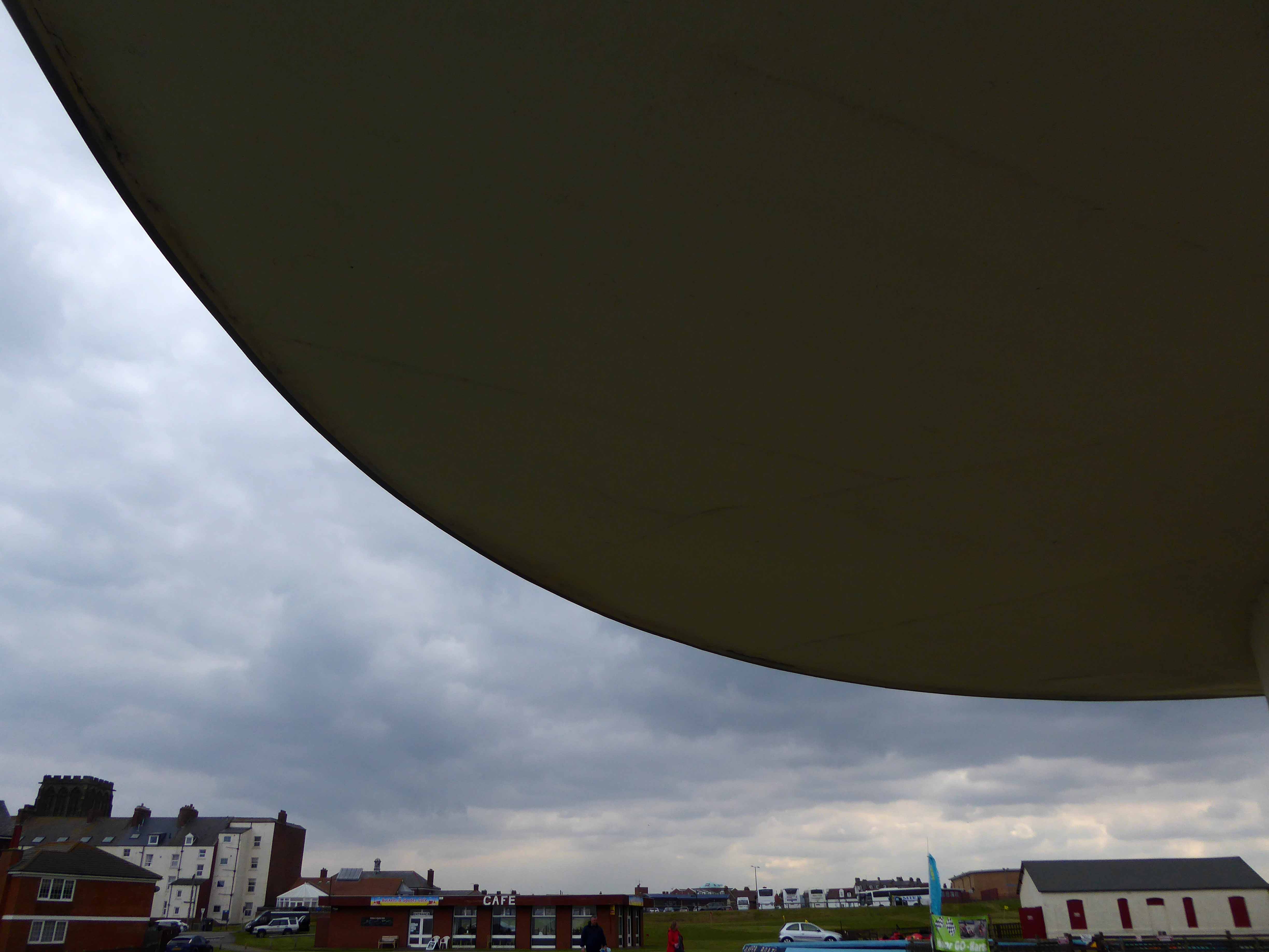
Hard by the seafront linking Foreshore, Cleveland Way and Valley Road sits a neat little tight little island, giving pedestrian access to almost everywhere – and a car park.
As with every other torus worth calling a torus, at its very centre sits the presence of absence, darkened concrete subterranean causeways, linking everything to nothing.
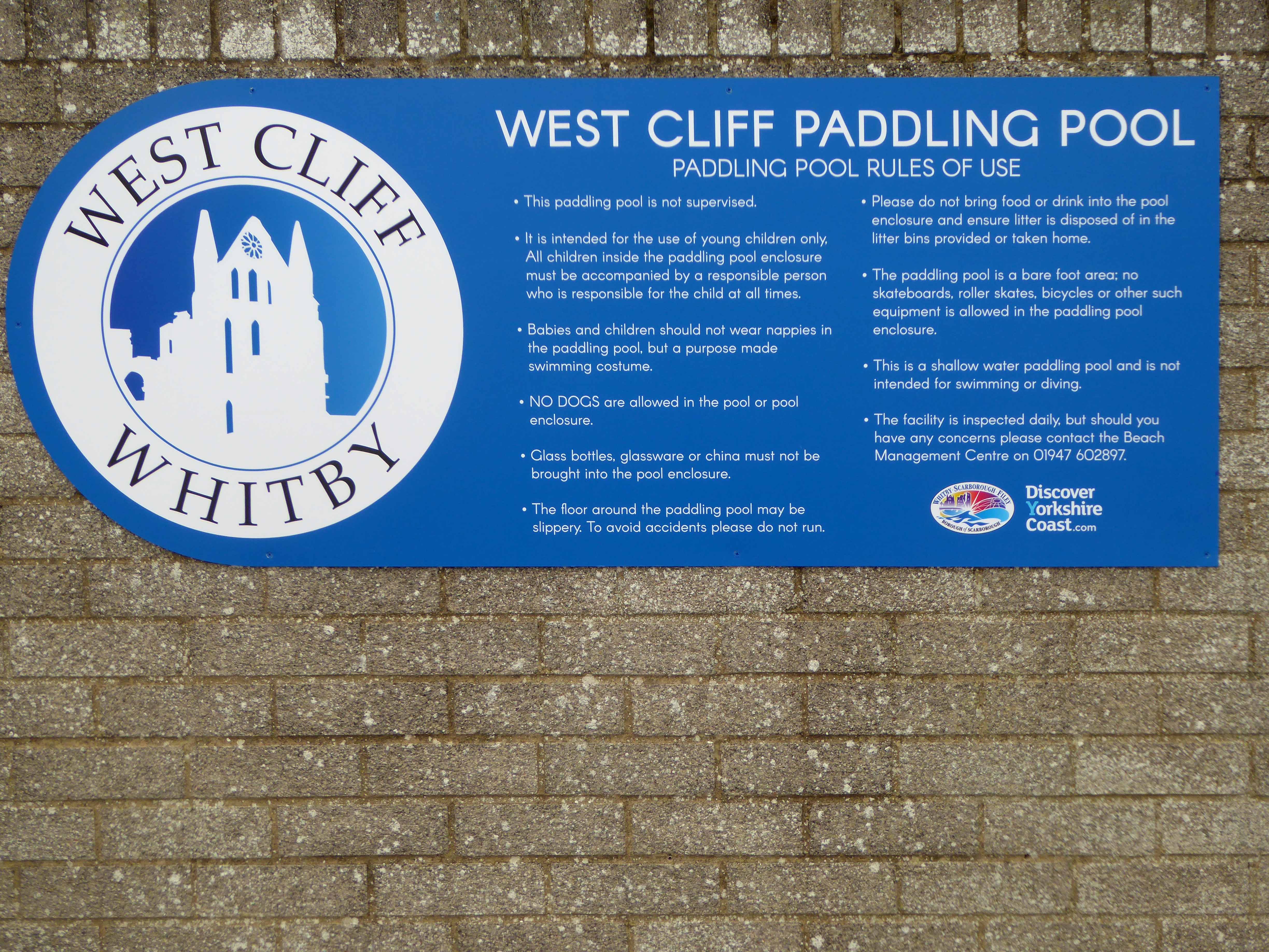
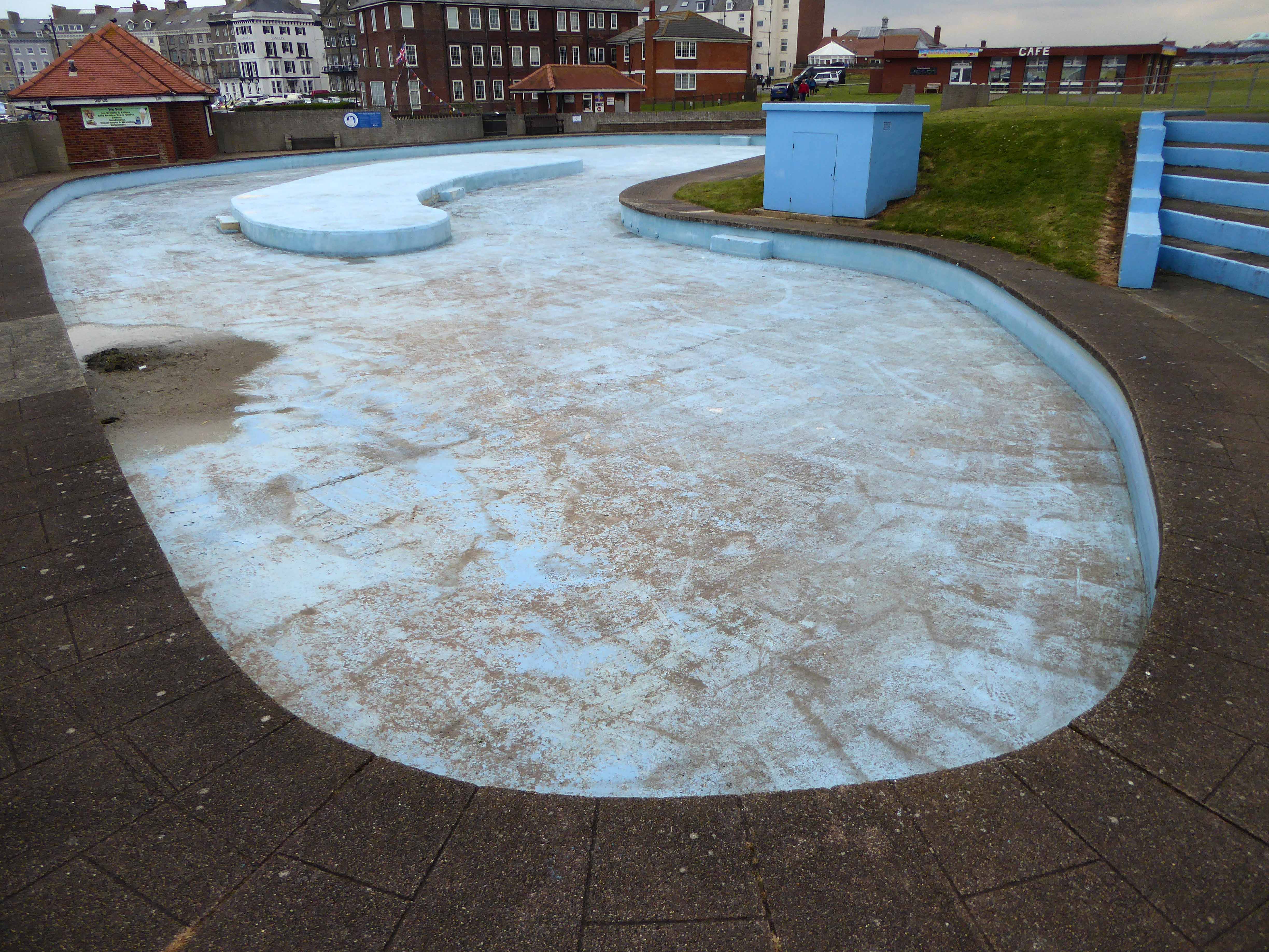
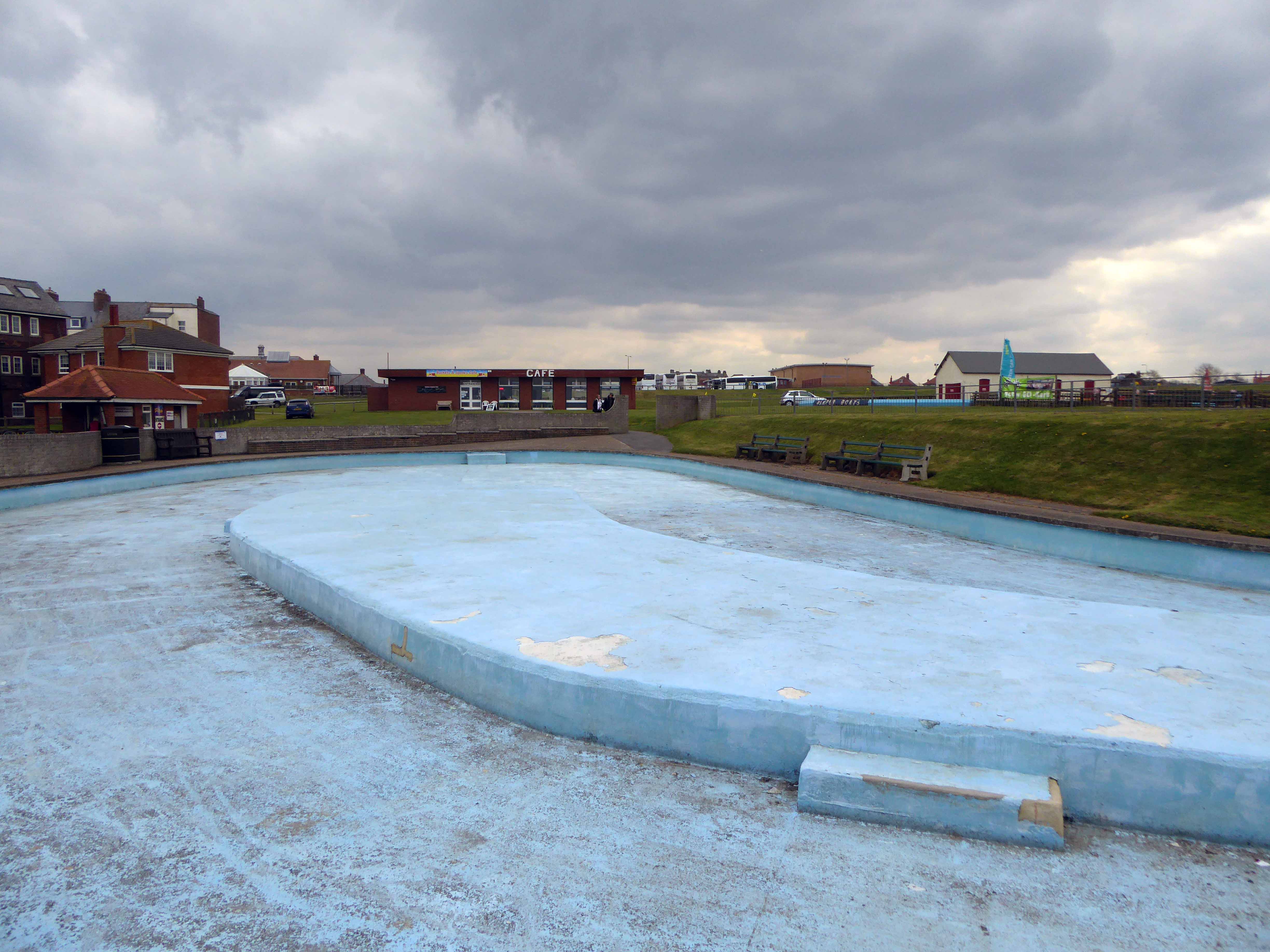
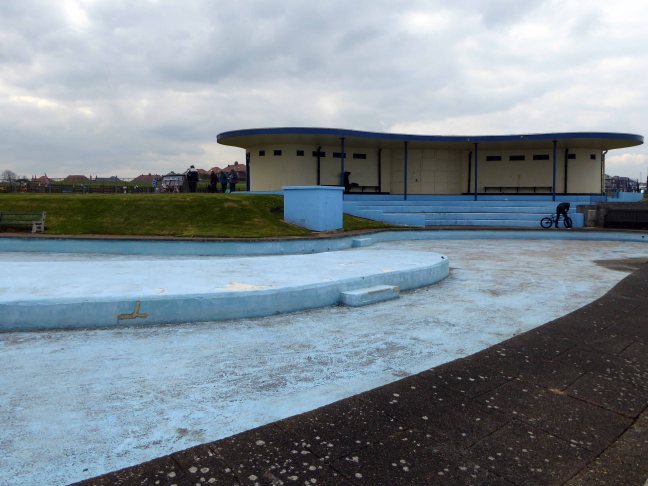
High atop West Cliff Whitby is a pale blue imitation of the deep blue North Sea below.
A TG Green Cornishware blue and cream striped pot, reimagined on the distant Yorkshire coast, in paddling pool form.
Scarborough Borough Council has resurfaced the paddling pool, re-concreted and repainted the bottom and the sides. The railings adjacent to the footpaths at Whitby Pavilion have been repaired and re-painted and seating next to the crazy golf has also been improved.
Martin Pedley, Scarborough Borough Council’s asset and risk manager said:
The council has, in conjunction with the voluntary sector, invested both time and money in continuing to revitalise the West Cliff area in preparation for the summer season and the influx of visitors to Whitby.
West Cliff councillor Joe Plant added:
The improvement works that have been done both last year and this year is most welcome. Not only the visitors will benefit, but local people also and it again shows working in partnership with the voluntary sector does make a difference.
The Big Society in action, replacing railings improving lives.
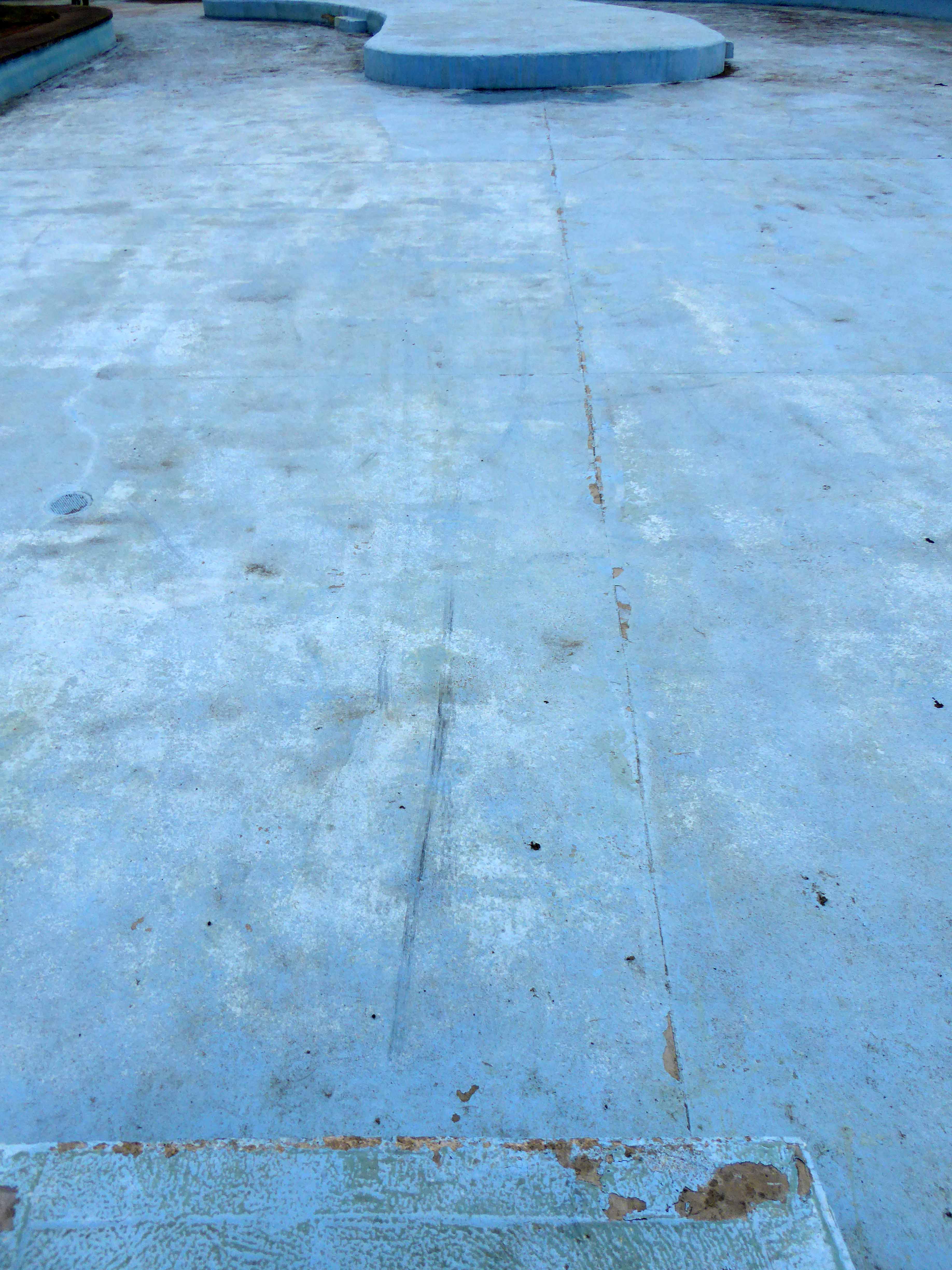
I arrived in late April the pool as yet sans d’eau, more of a pedalling pool than paddling pool as the BMX bandits invaded the space, in direct contravention of the rules and regulations.
The water when present is some twelve inches deep, clearly better suited to larking, splashing and cavorting rather than performing The Twister, a bewildering blur of twists and turns two and a half back-somersaults with two and a half twists during the 1.5 seconds between launching and entering the water at 40mph.
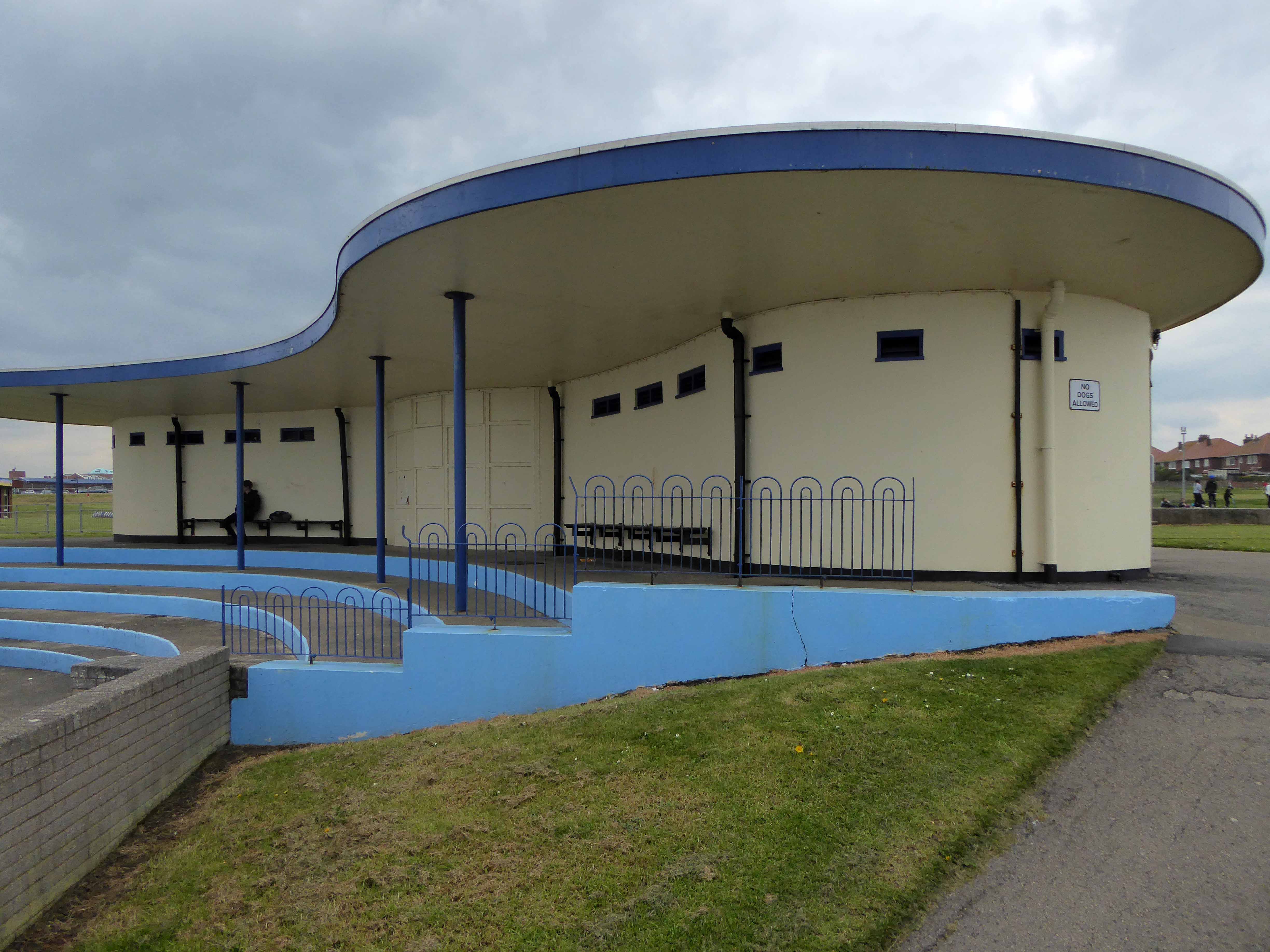
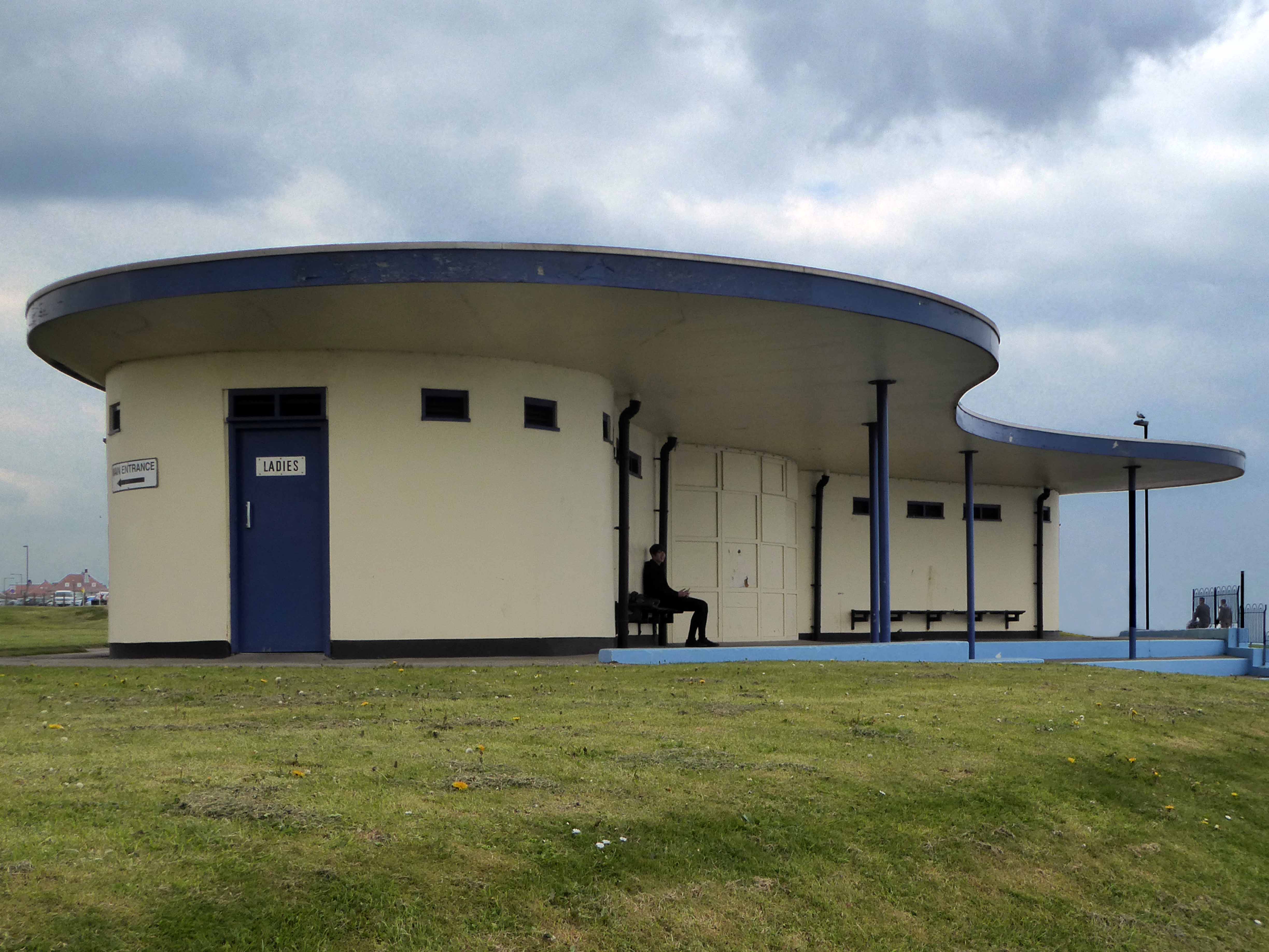
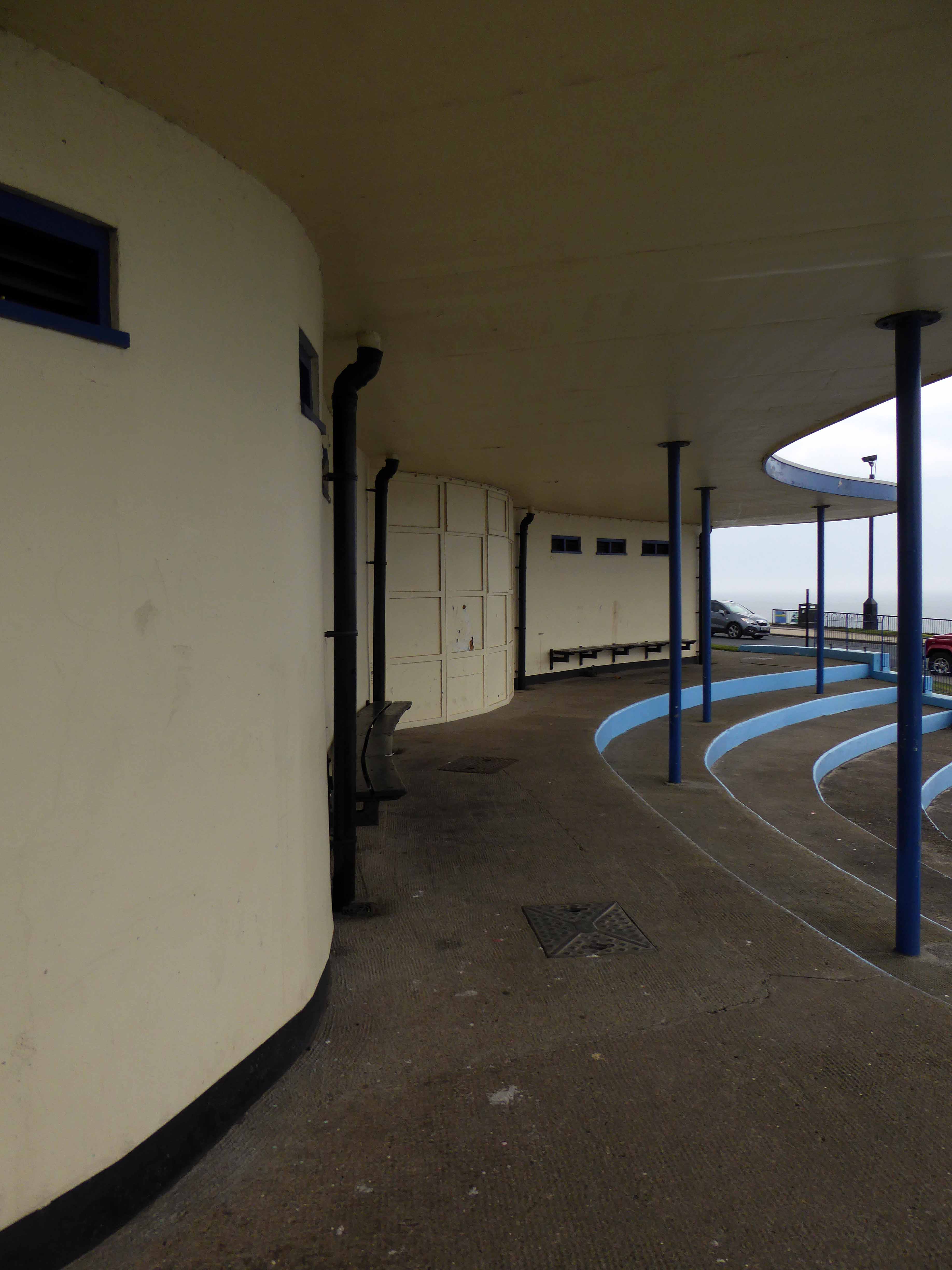
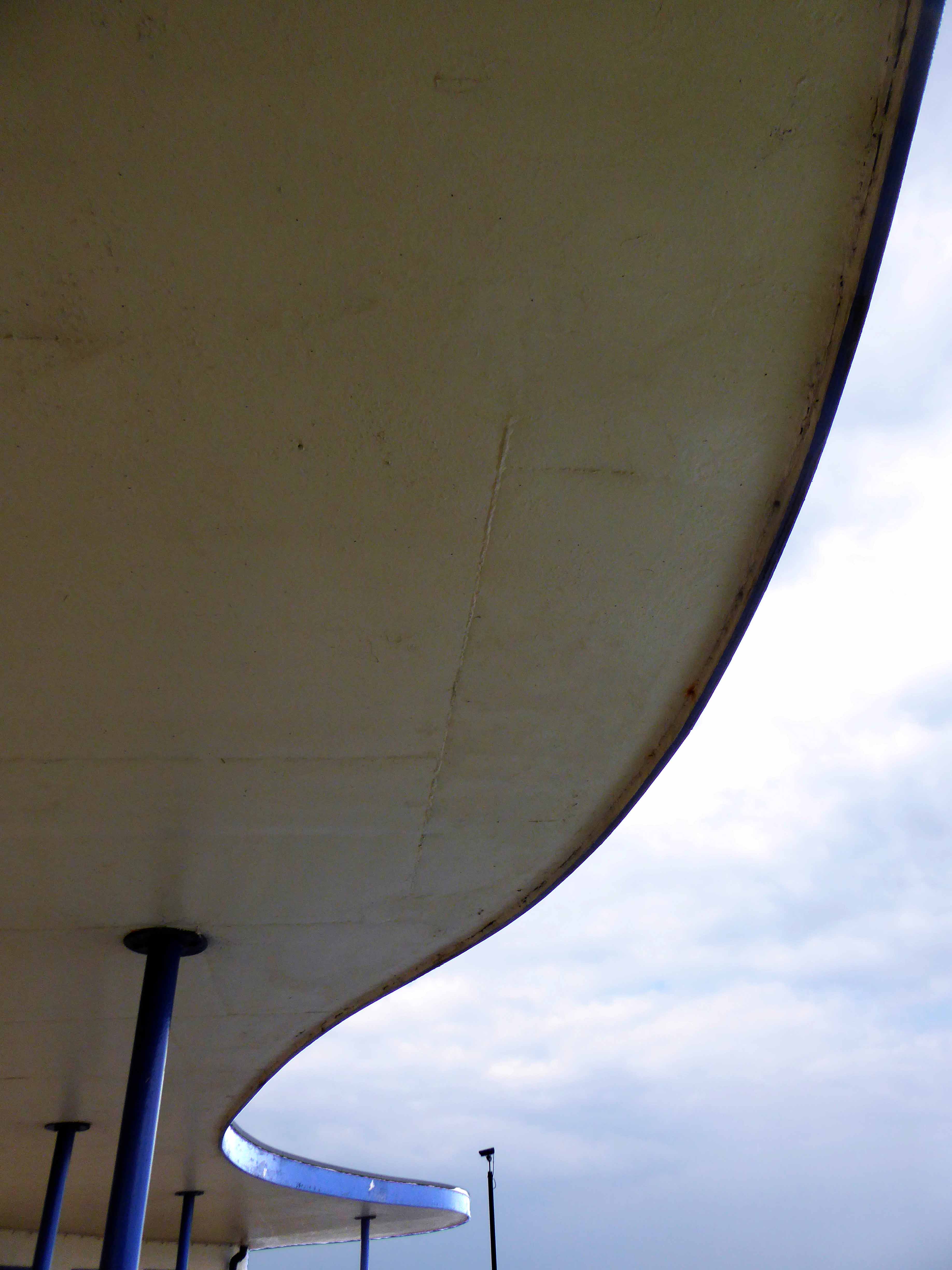
The pool is flanked to the north by a sweeping Lubetkin style, flat roofed pavilion complete with fully functioning toilet facilities.
Turn your back on the Abbey, go wild – take a wet walk on the West Cliff side.
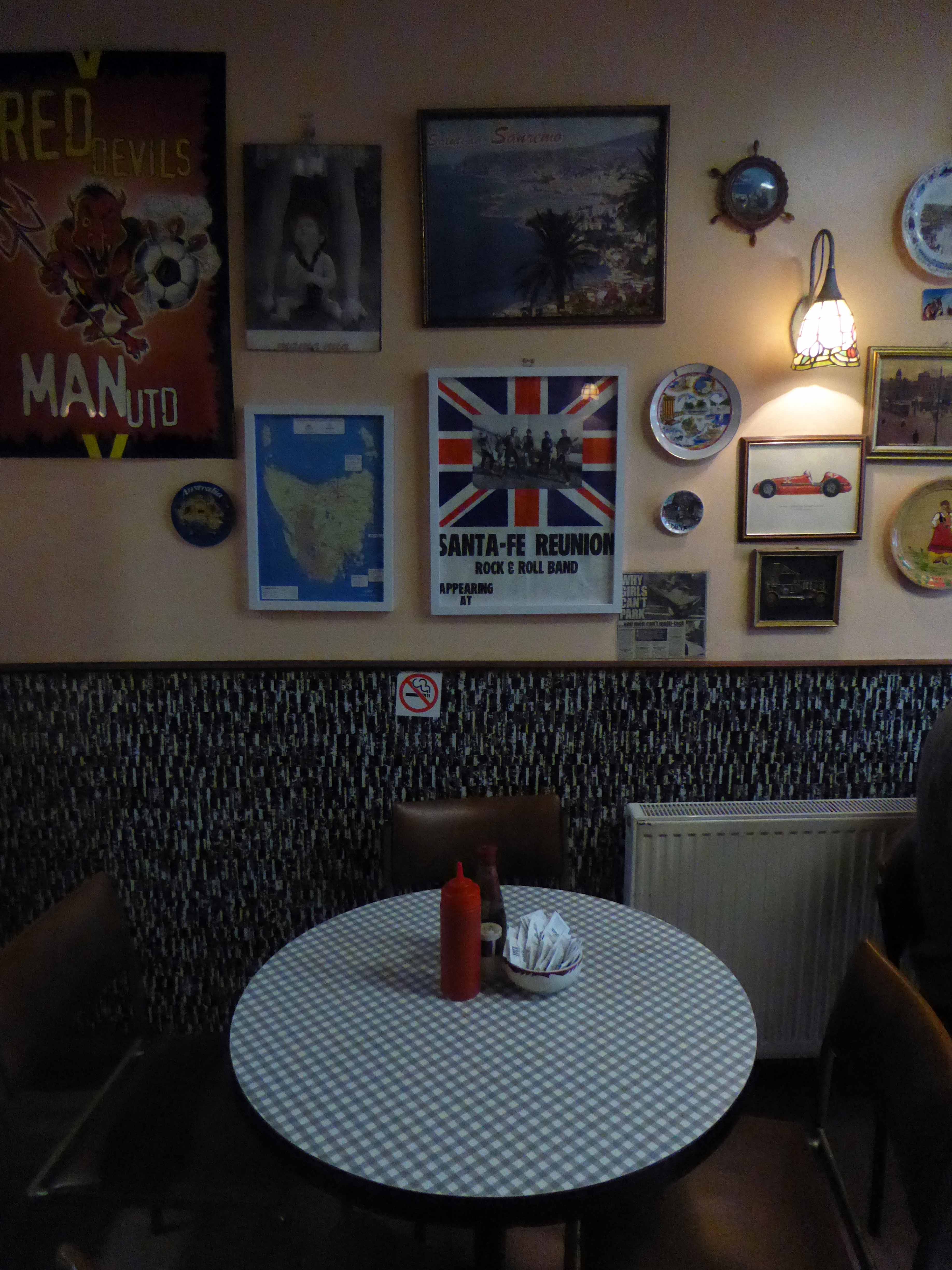
Sanremo or San Remo is a city on the Mediterranean coast of western Liguria in north-western Italy. Founded in Roman times, it has a population of 57,000, and is known as a tourist destination on the Italian Riviera. It hosts numerous cultural events, such as the Sanremo Music Festival and the Milan–San Remo cycling classic.
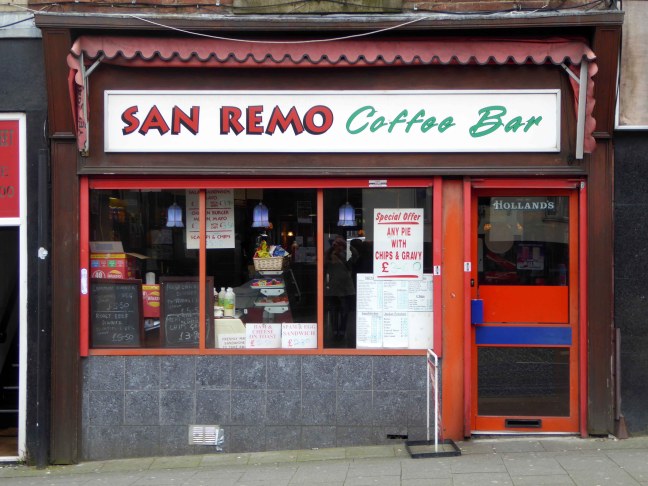
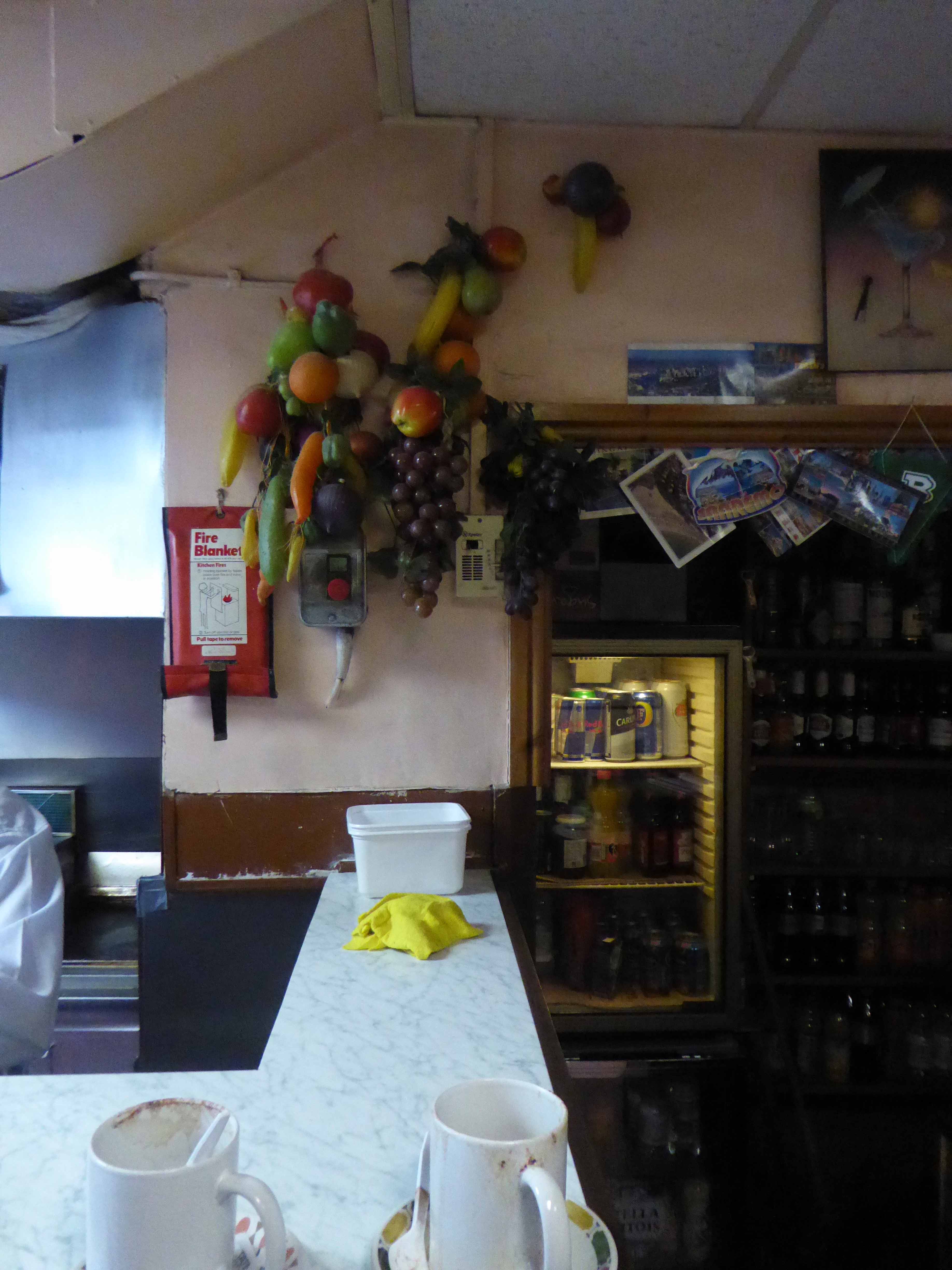
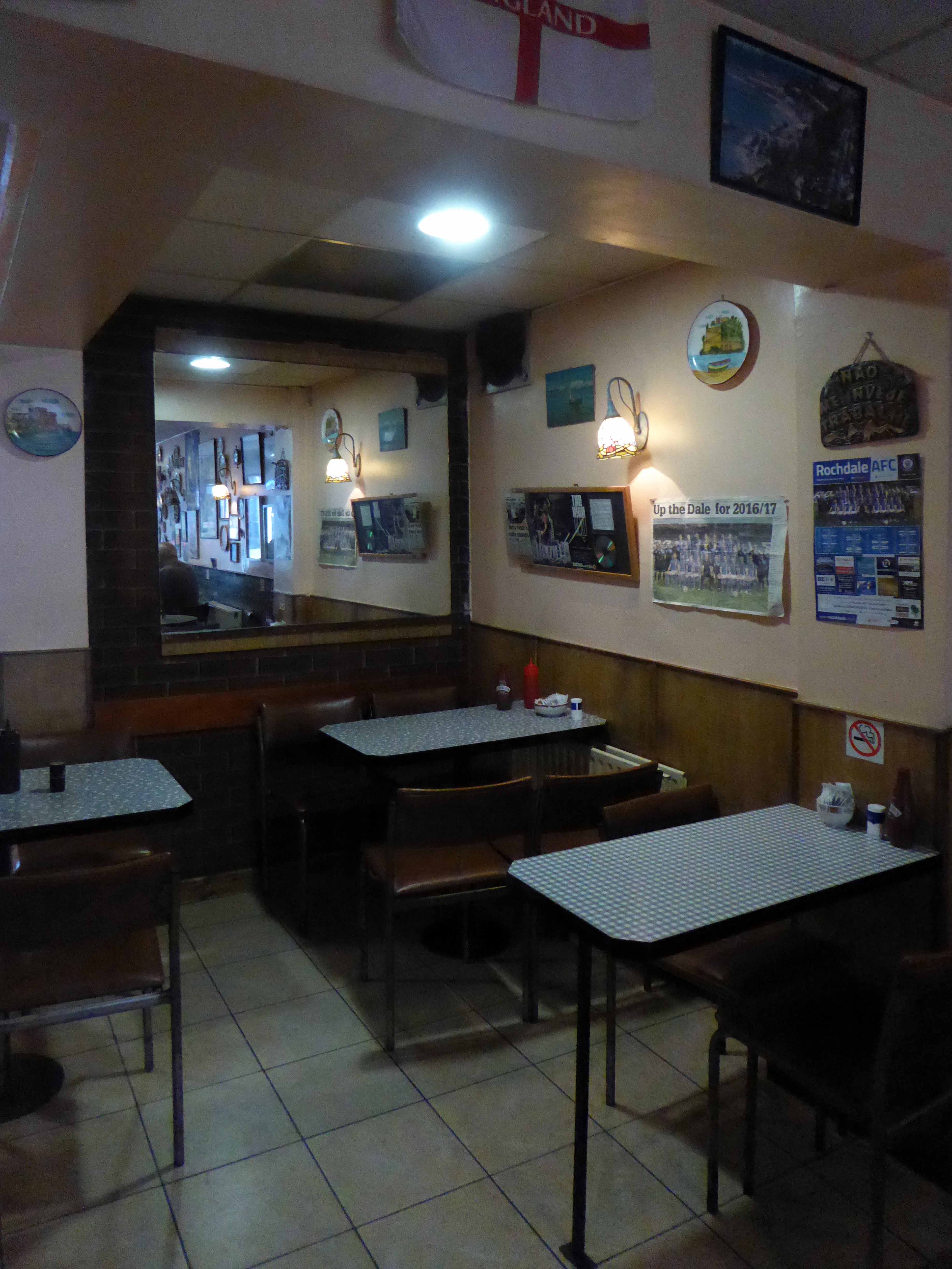
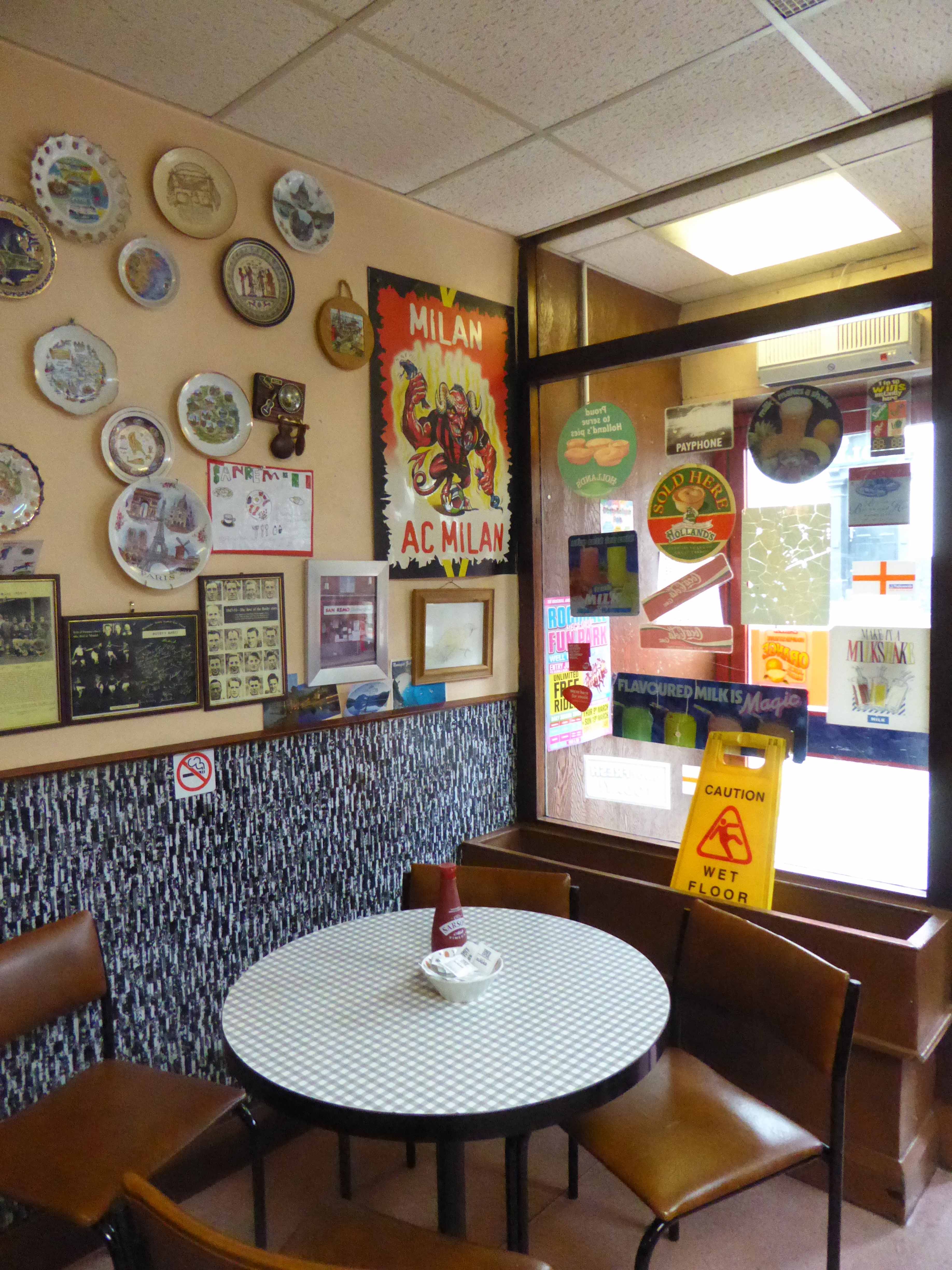
Rochdale is a market town in Greater Manchester, England, positioned at the foothills of the South Pennines on the River Roch, 5.3 miles north-northwest of Oldham, and 9.8 miles north-northeast of the city of Manchester. Rochdale is surrounded by several smaller settlements which together form the Metropolitan Borough of Rochdale, population 211,699. Rochdale is the largest settlement and administrative centre, with a total population of 107,926. Home to the Cooperative Movement, Rochdale AFC and a redundant cotton industry.
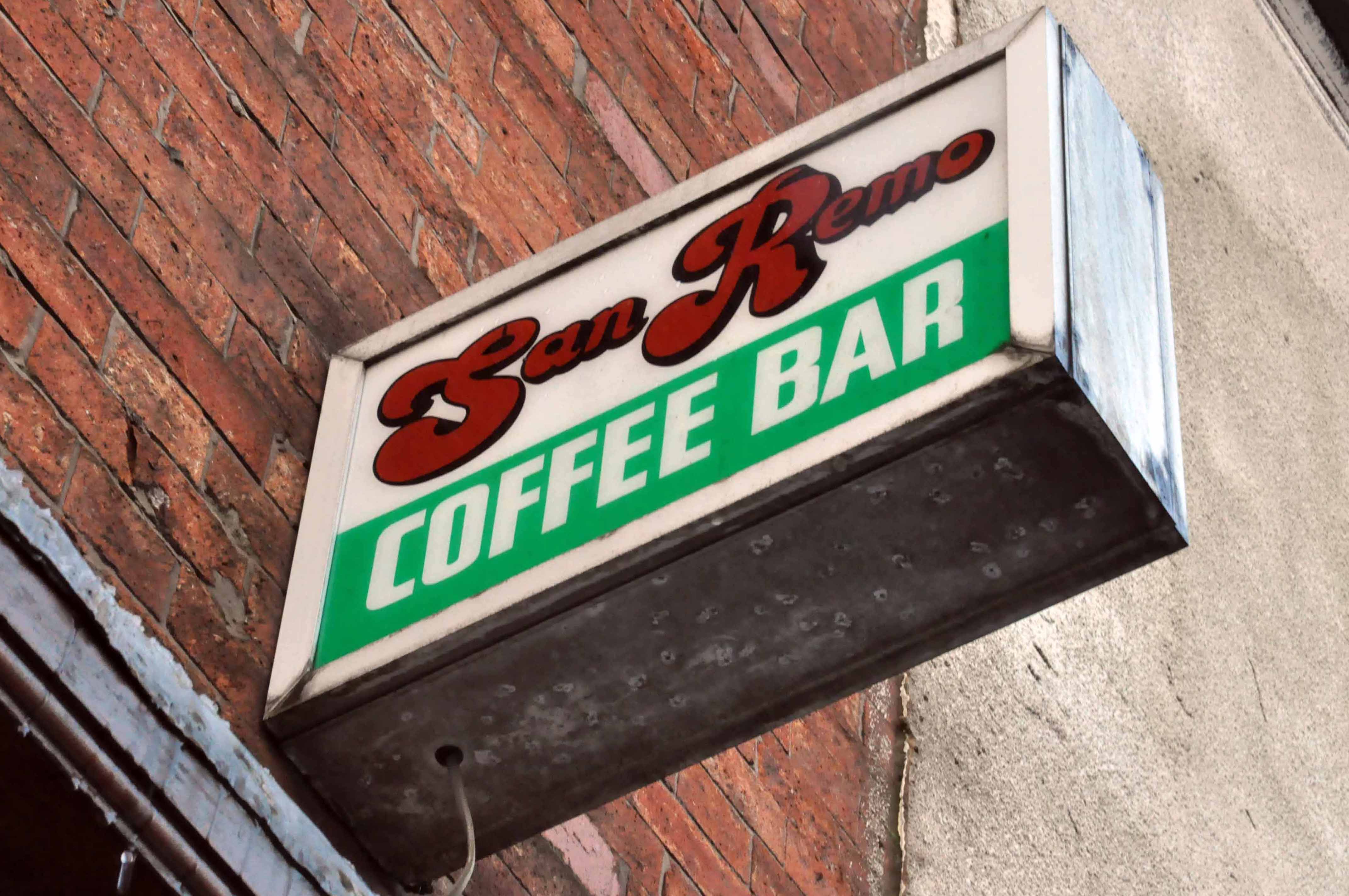
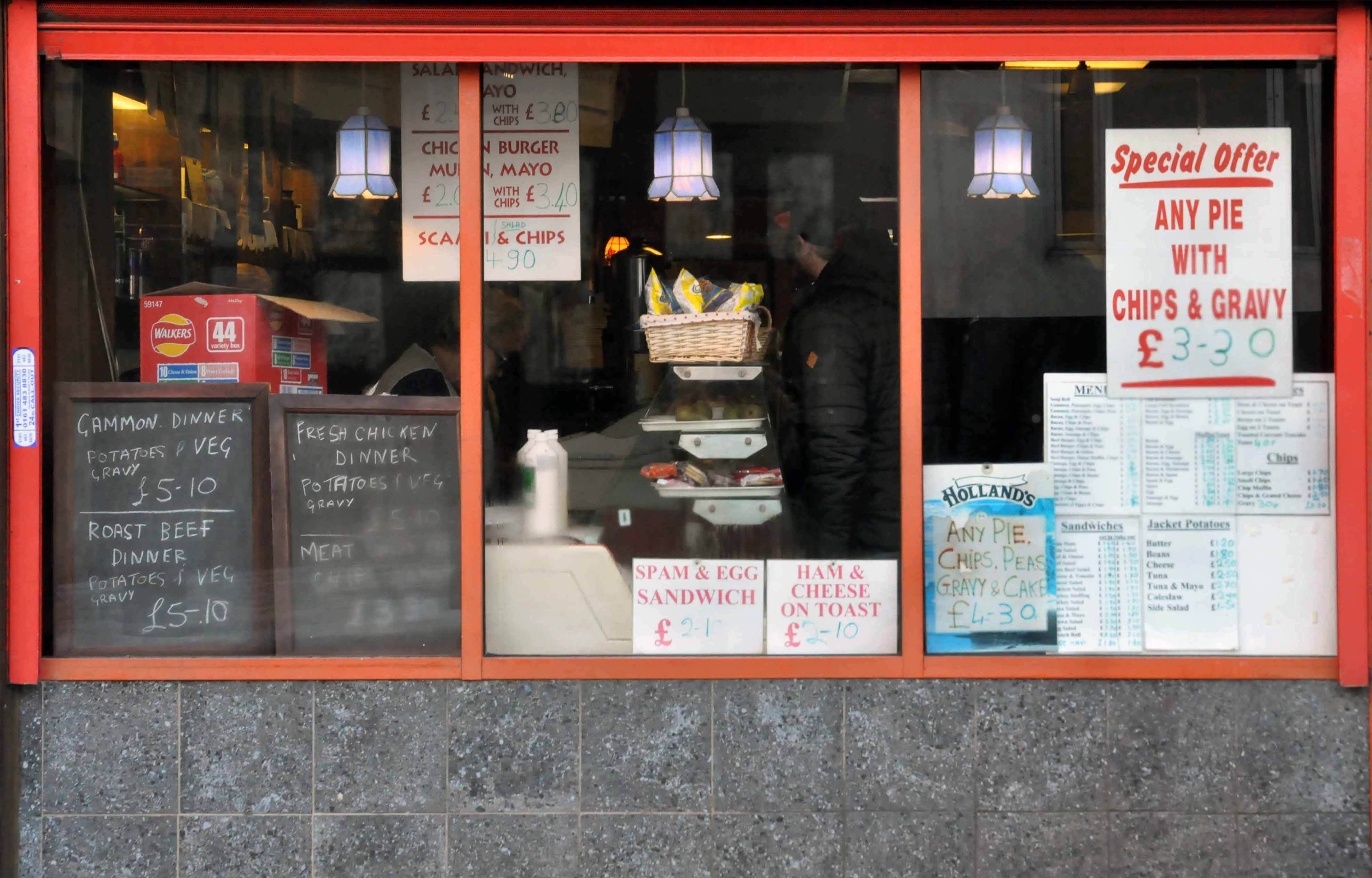
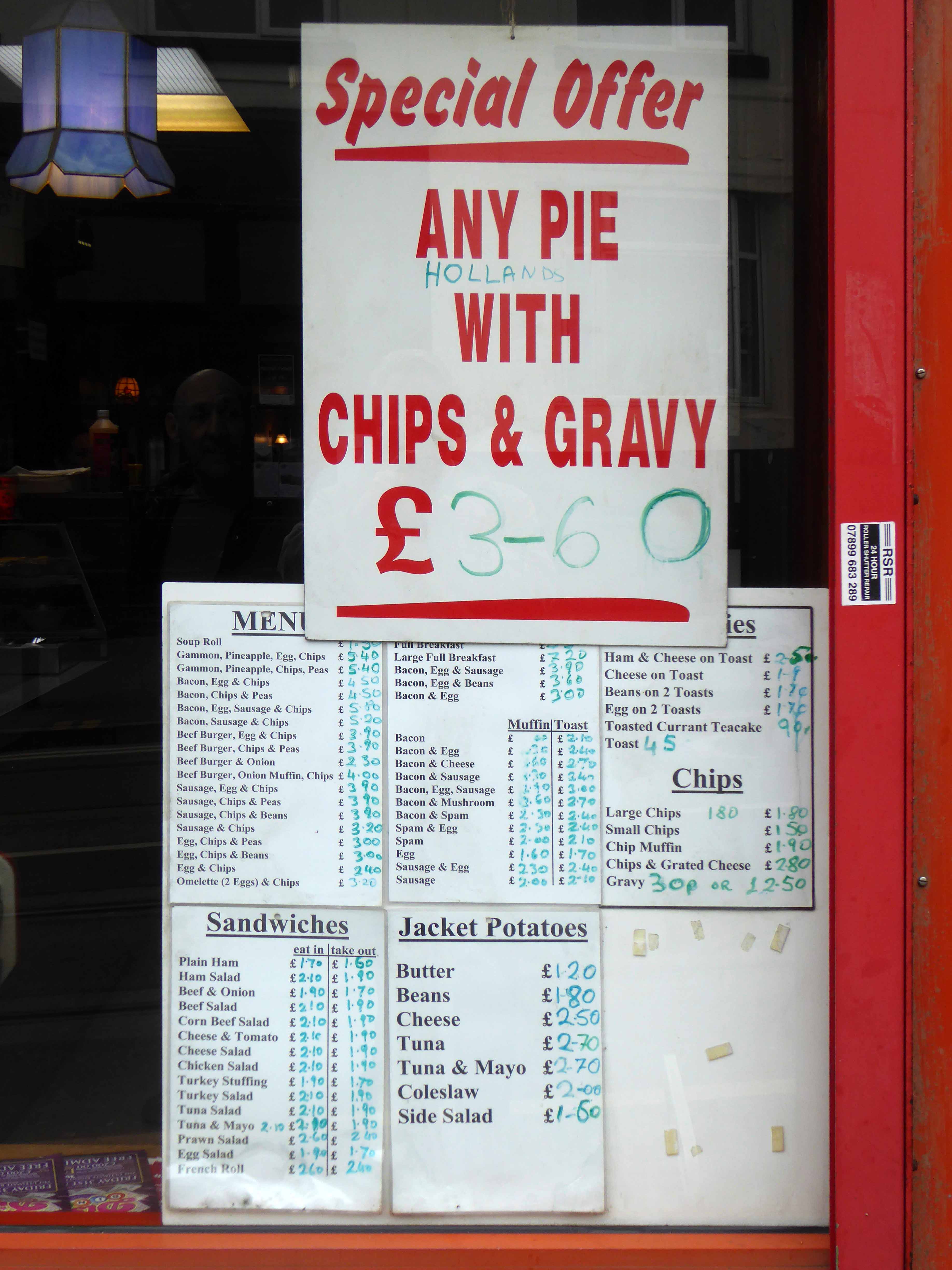
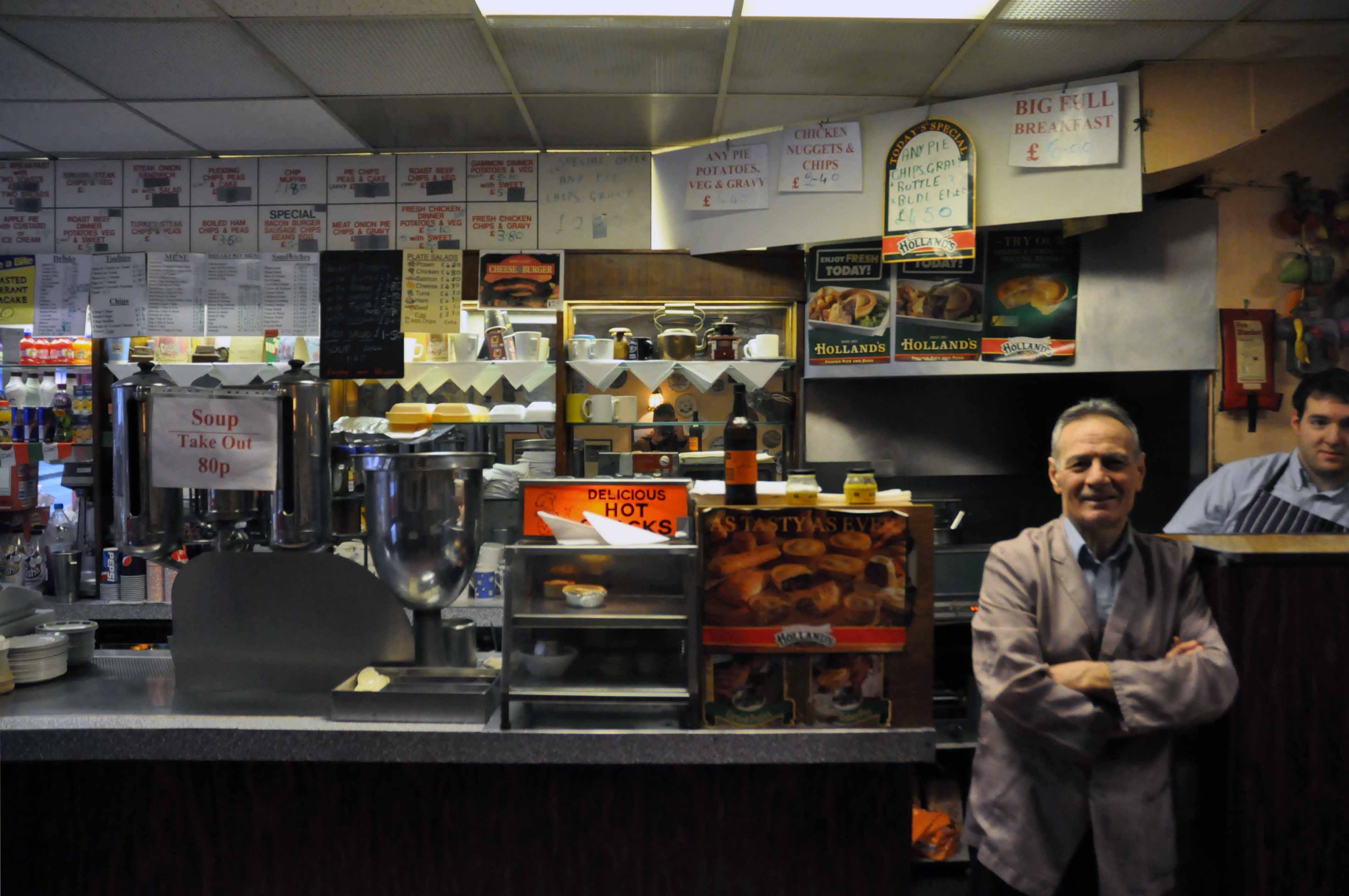
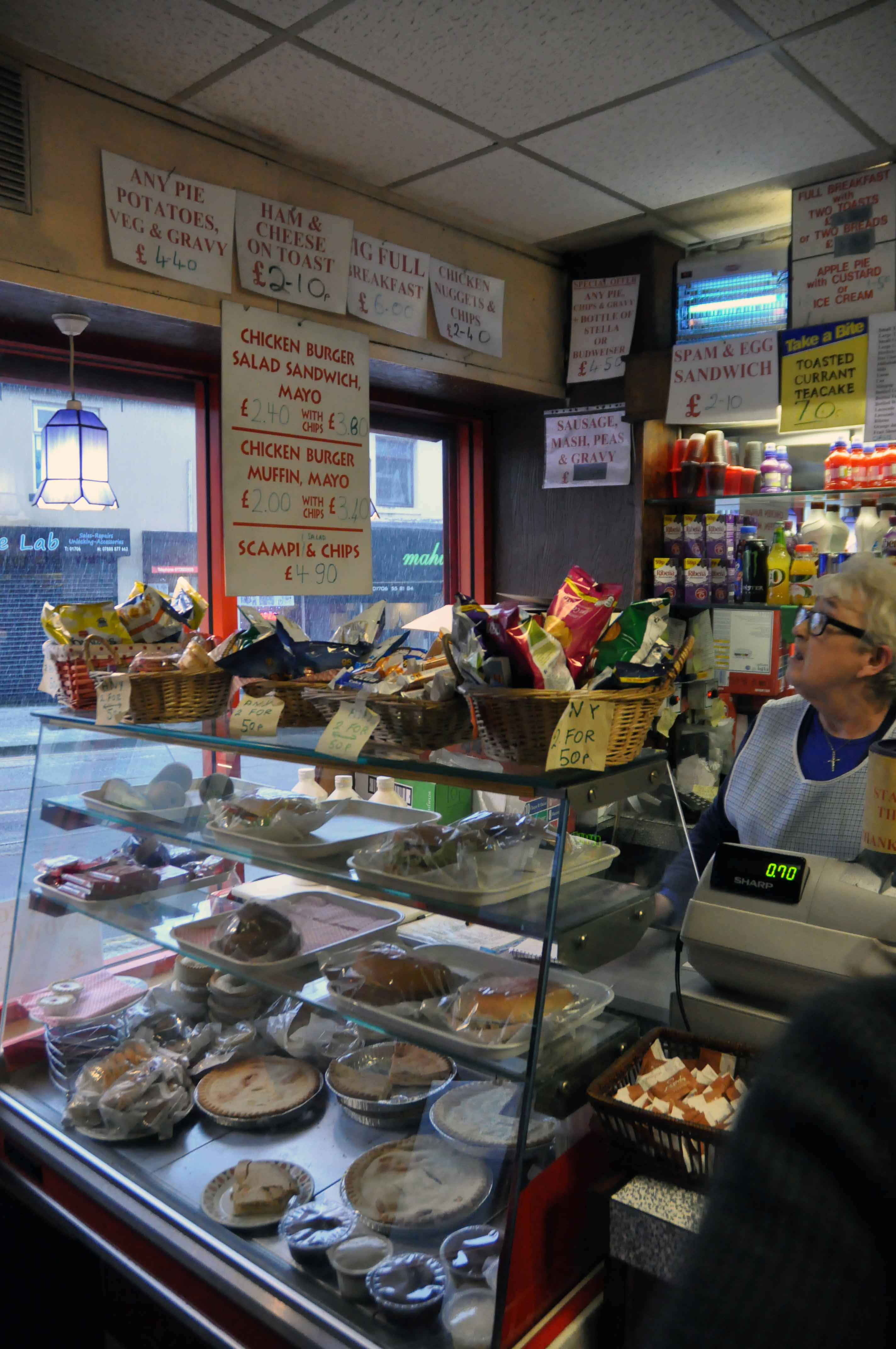
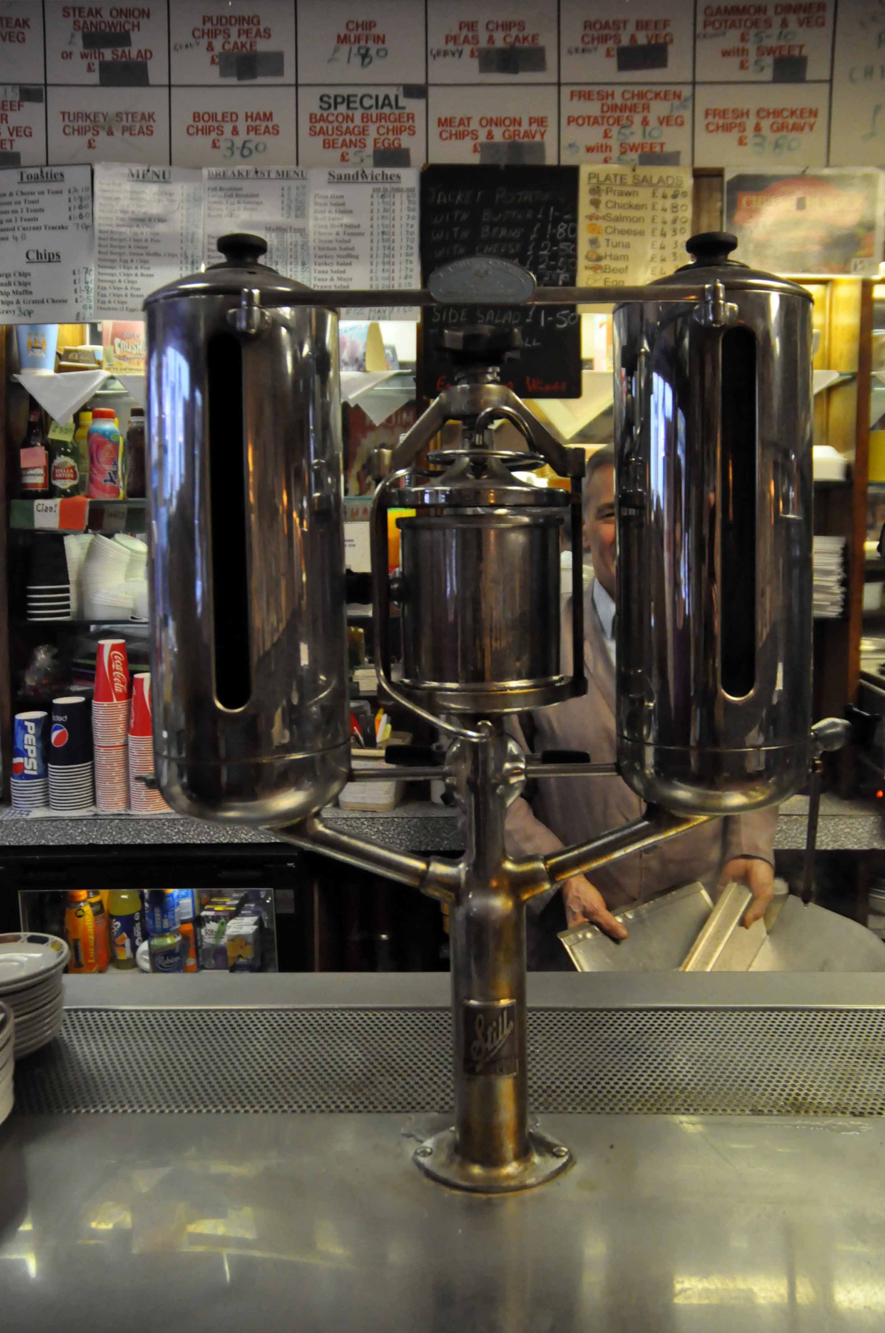
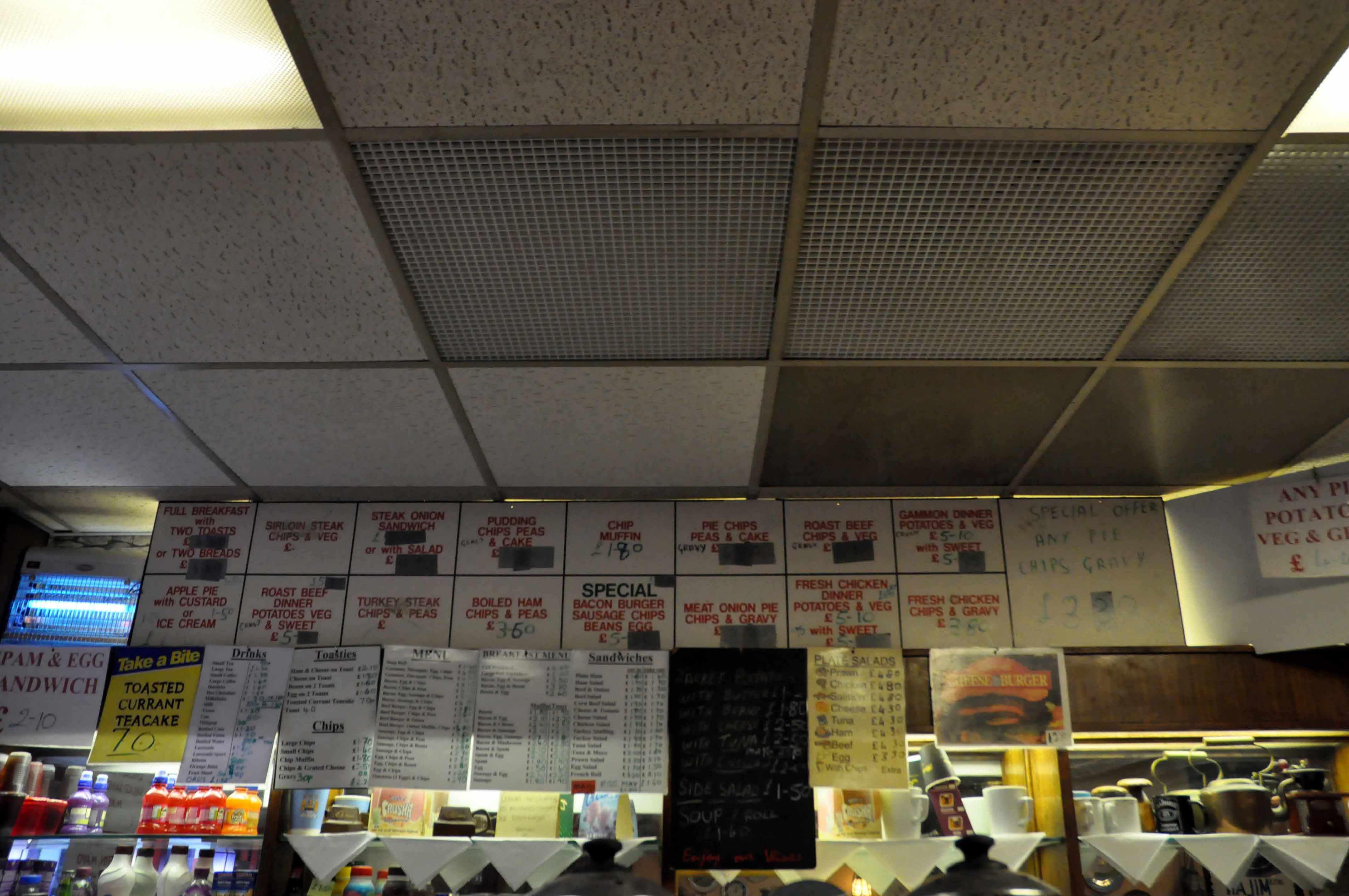
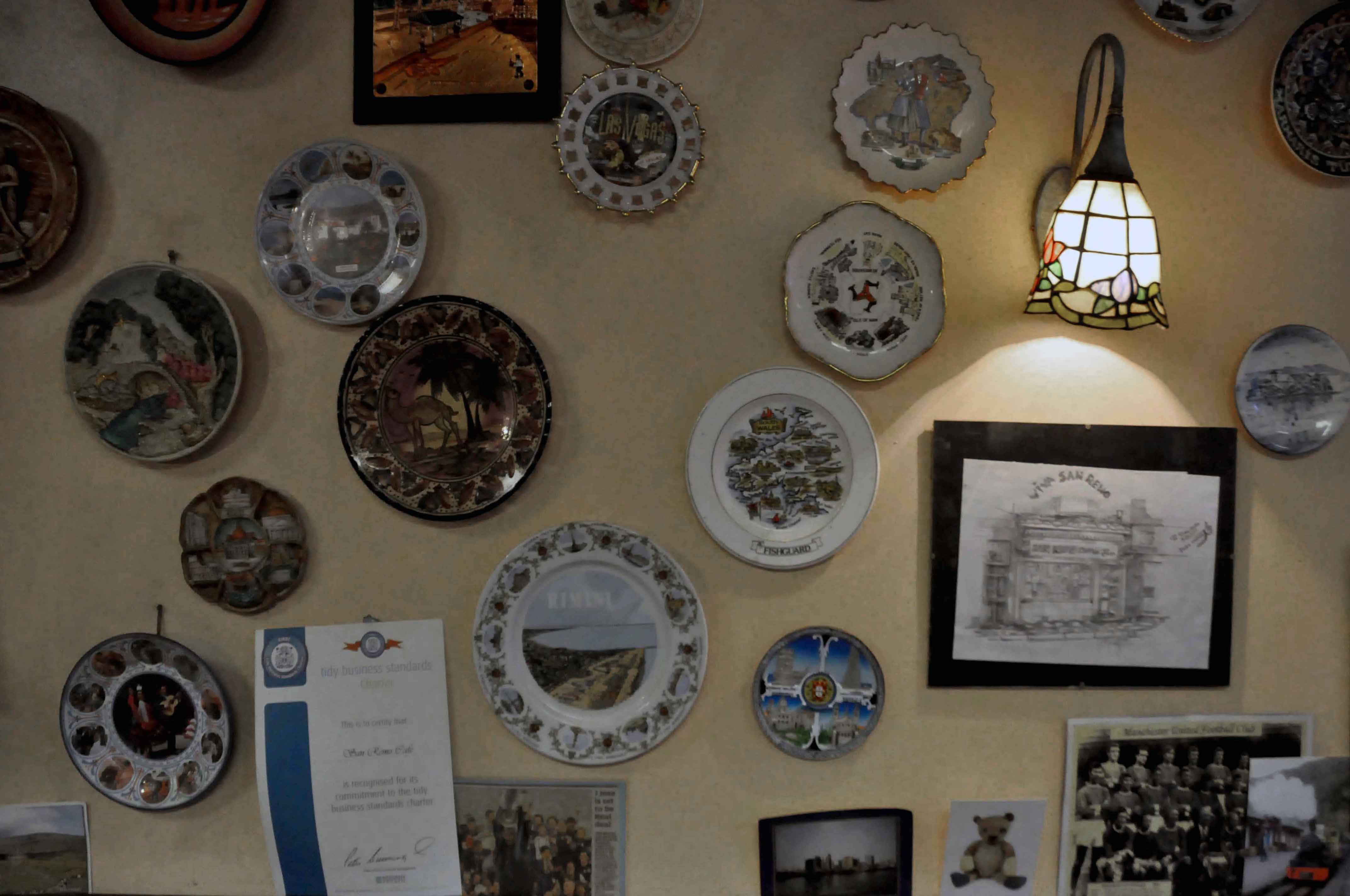
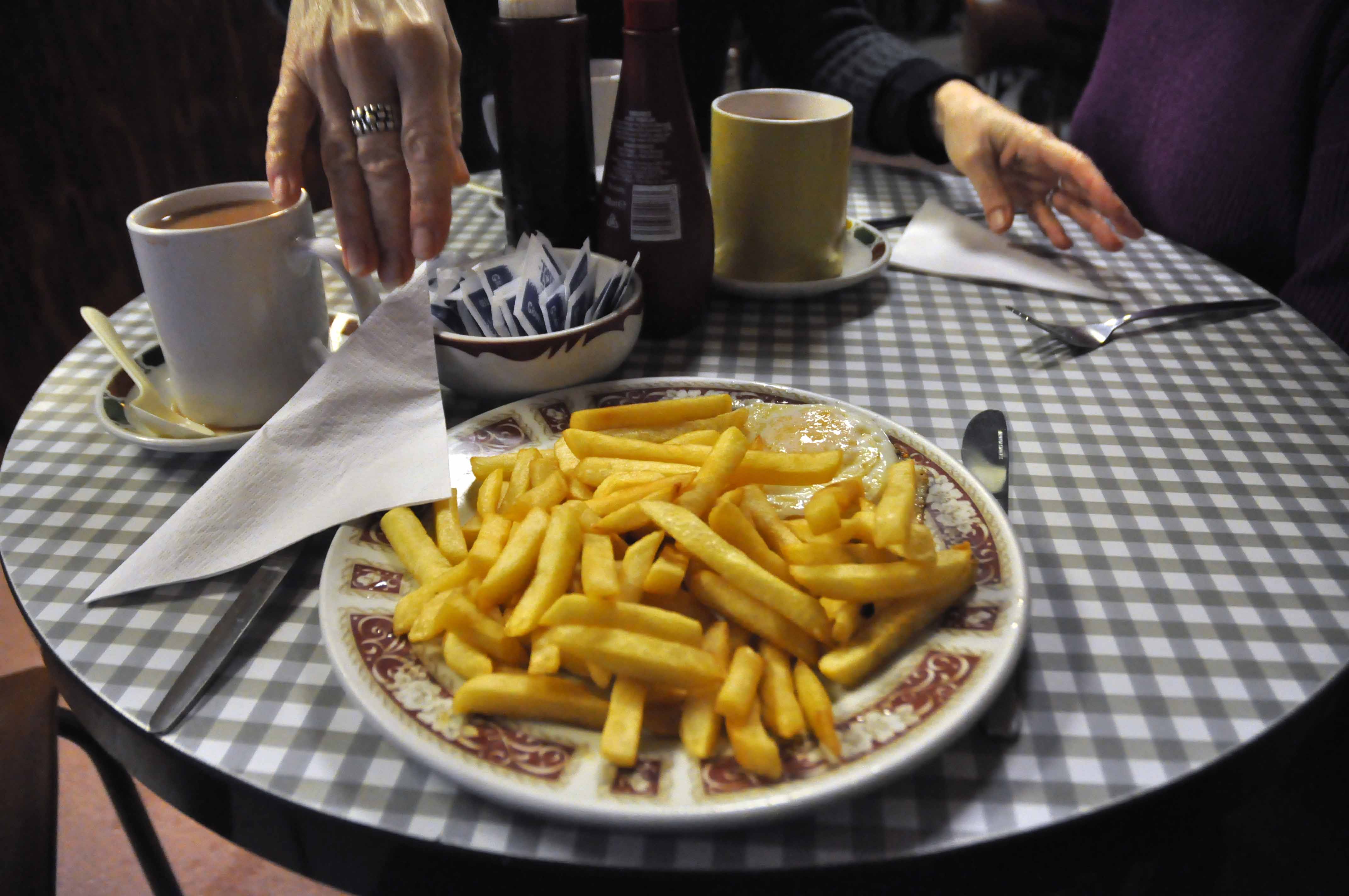
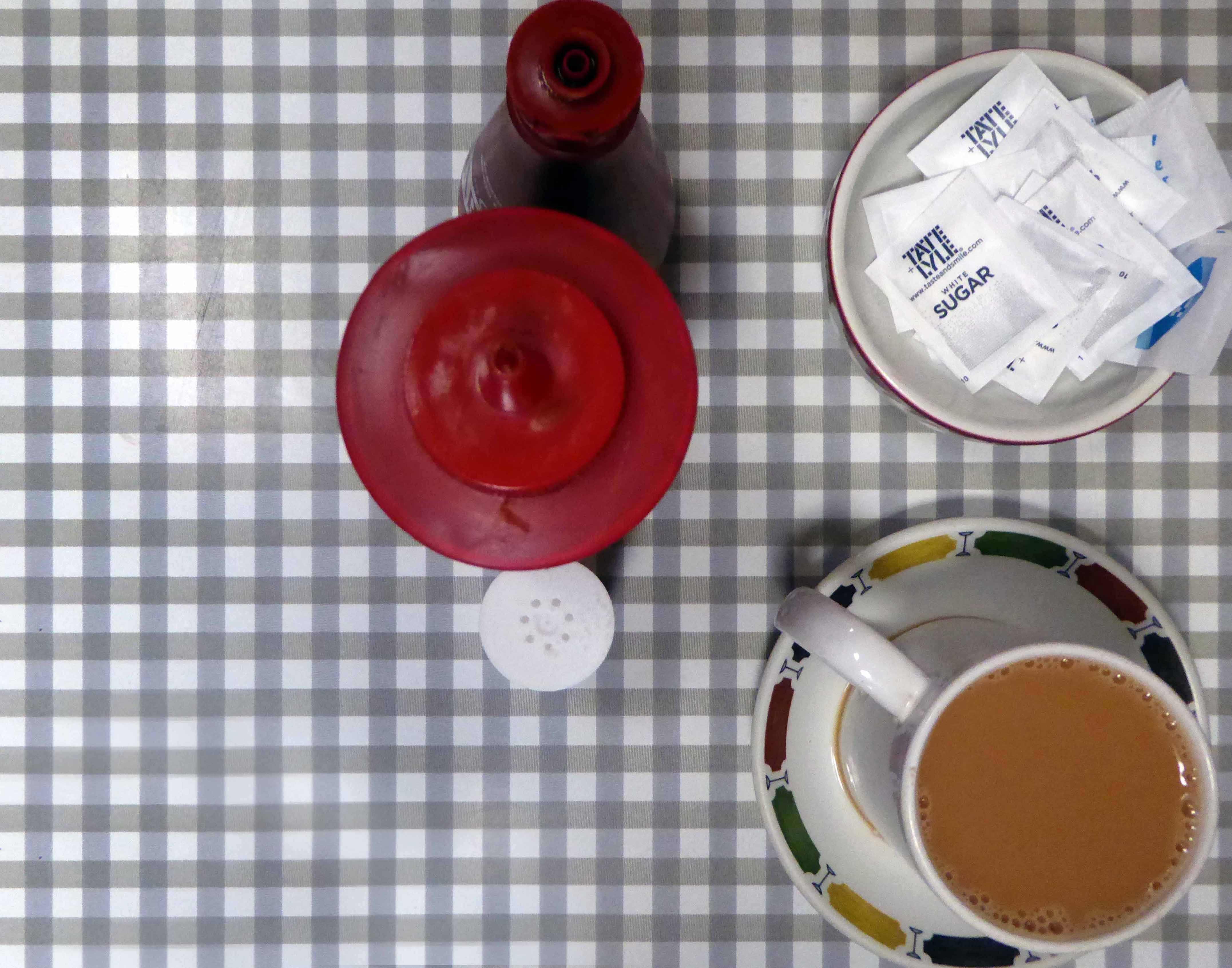
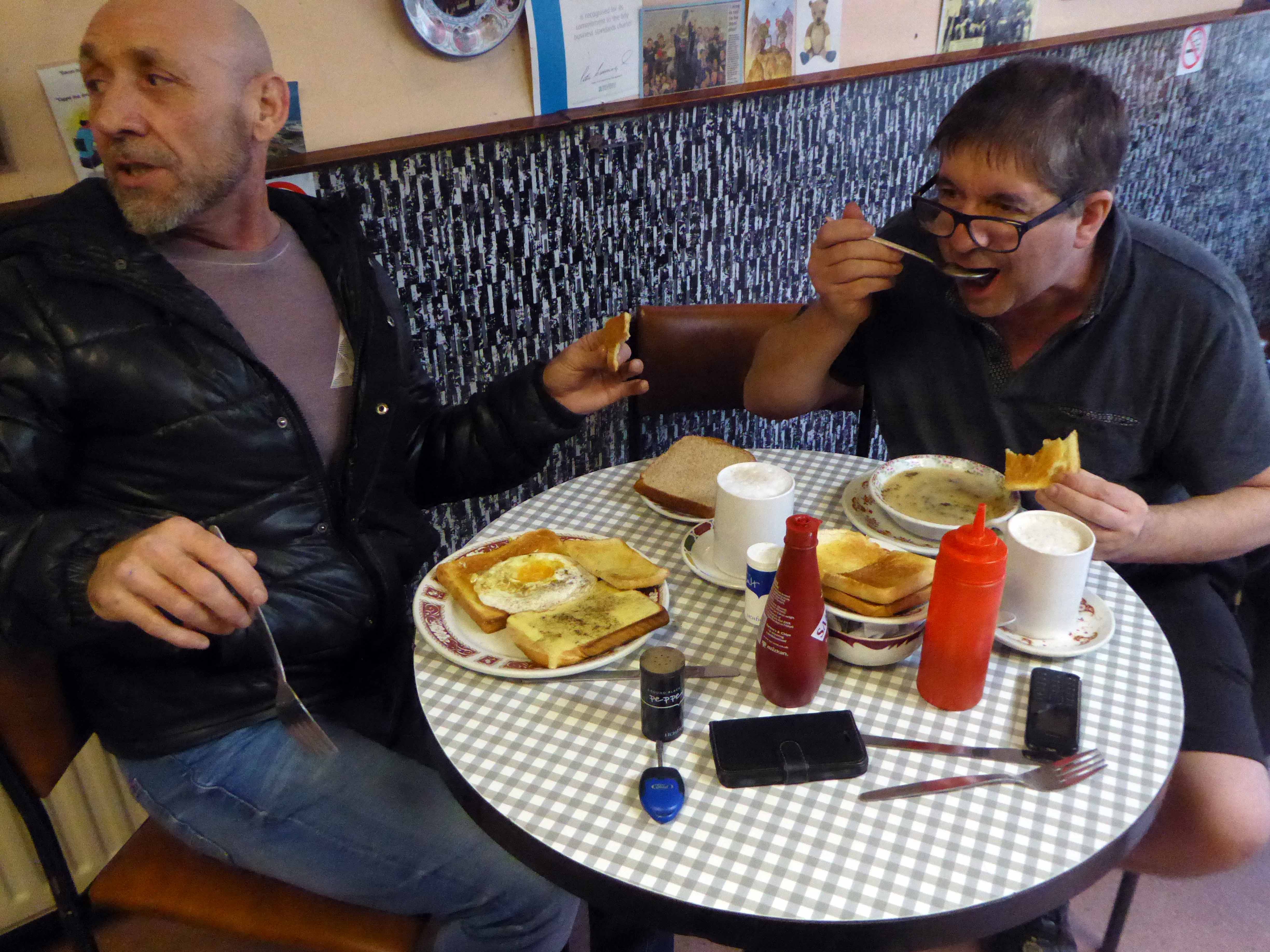
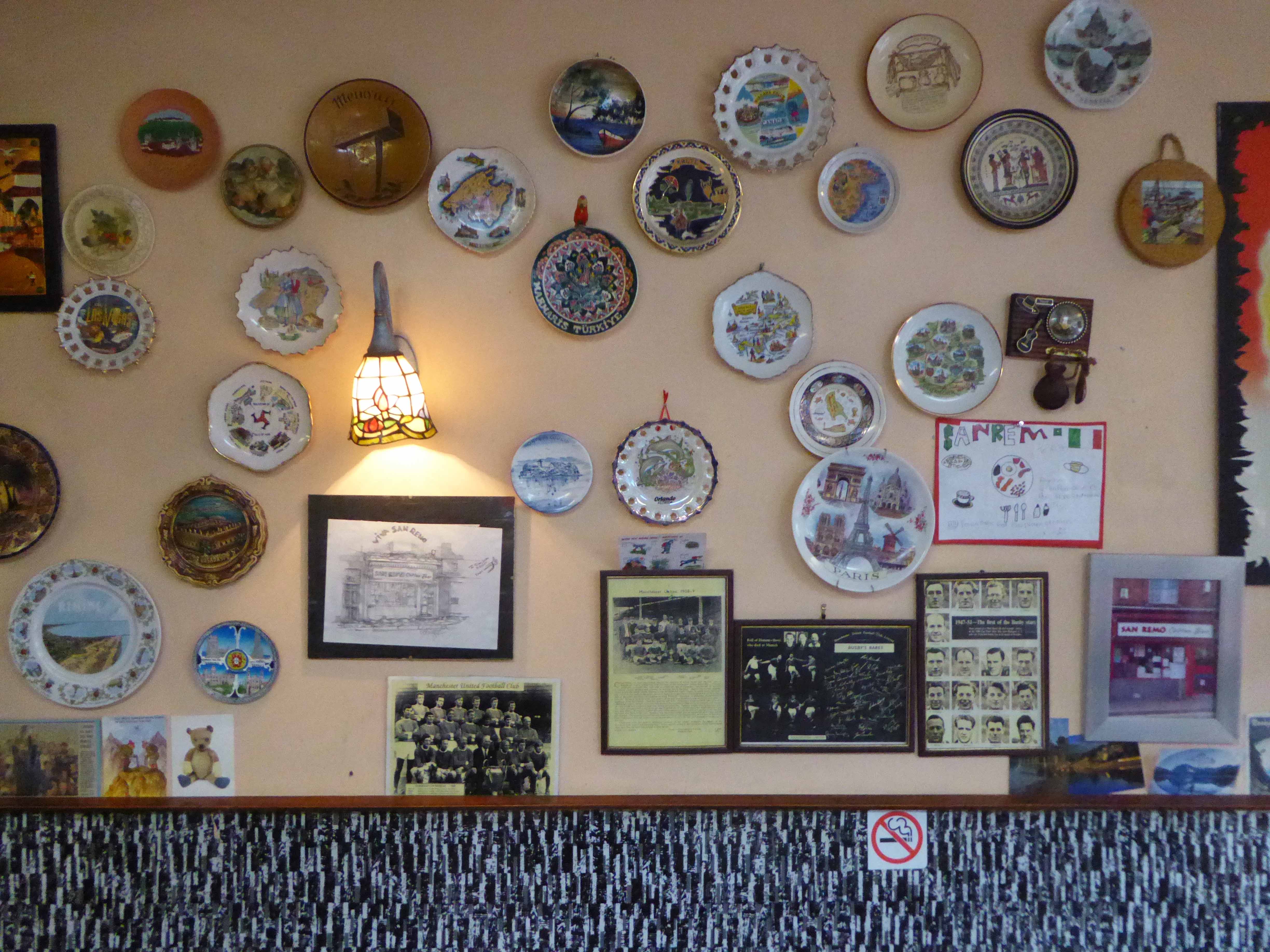
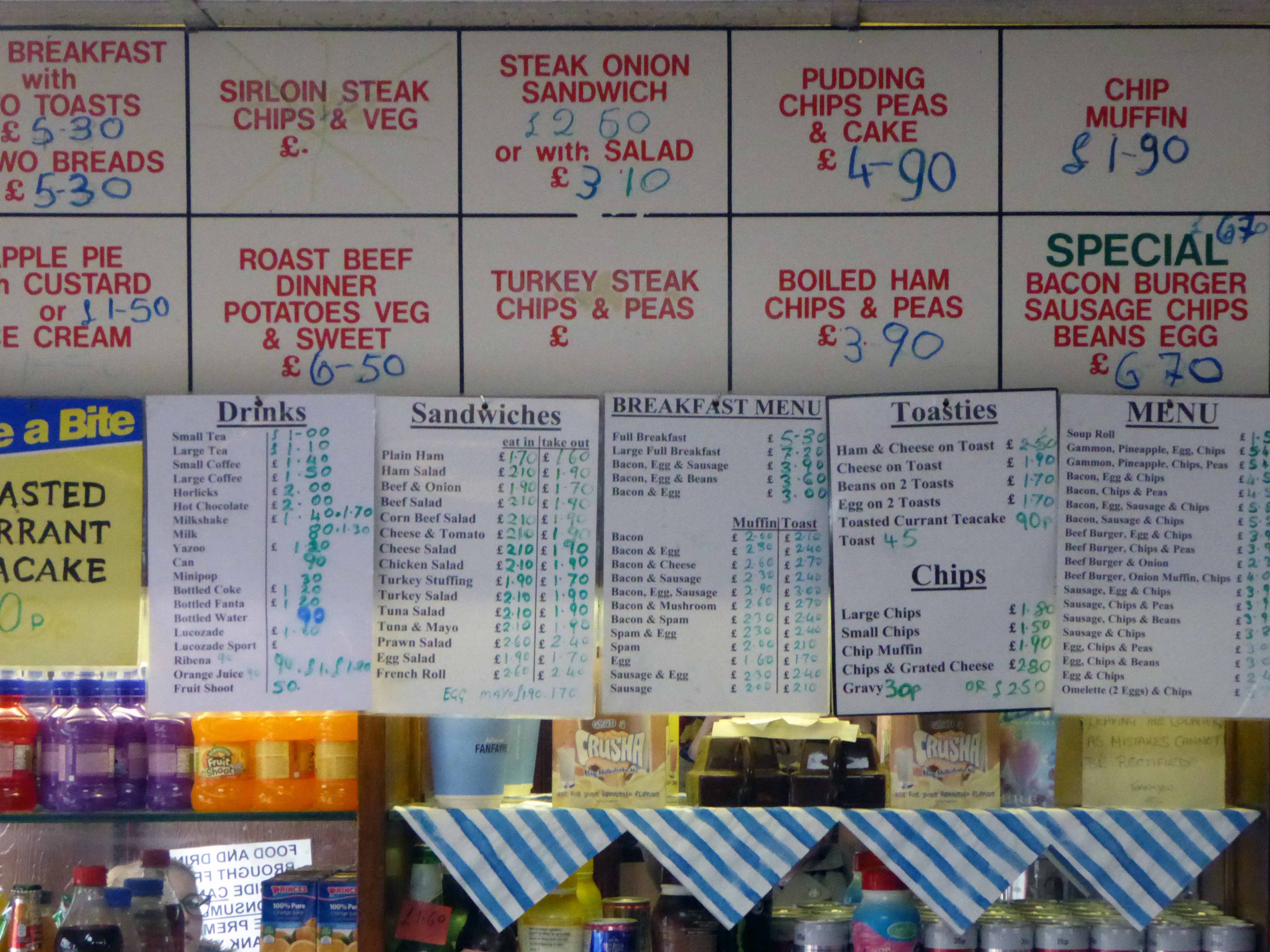
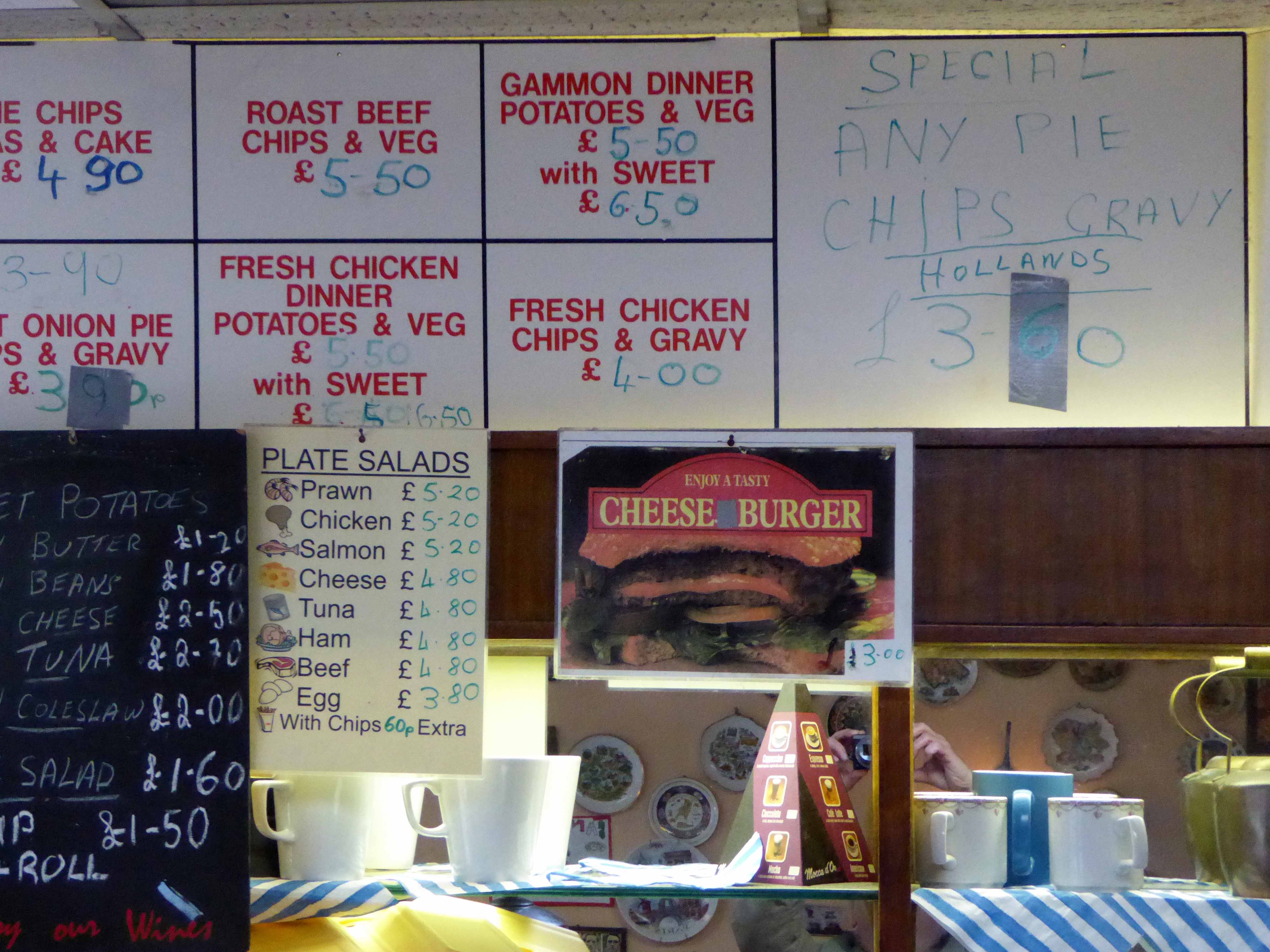
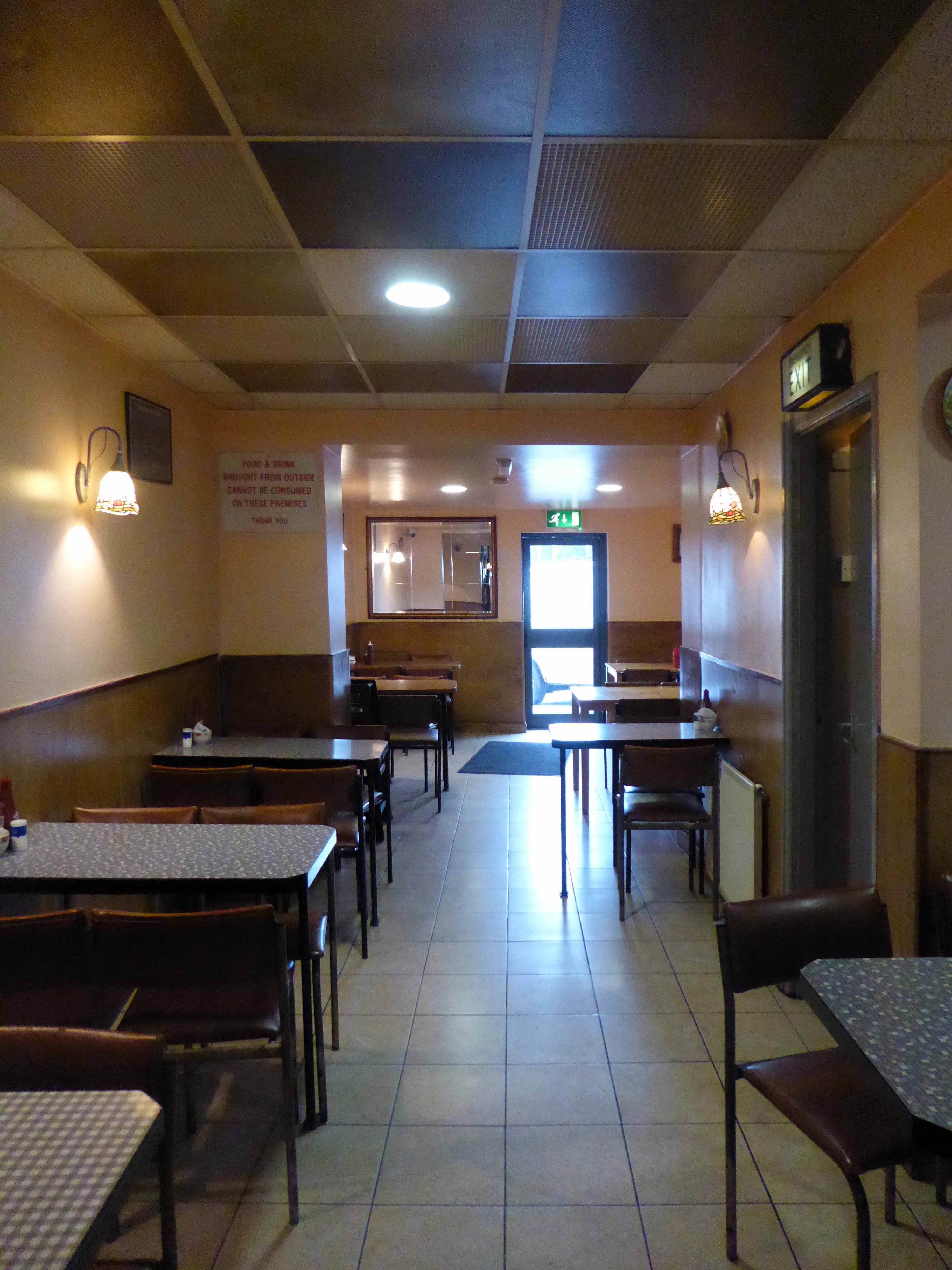
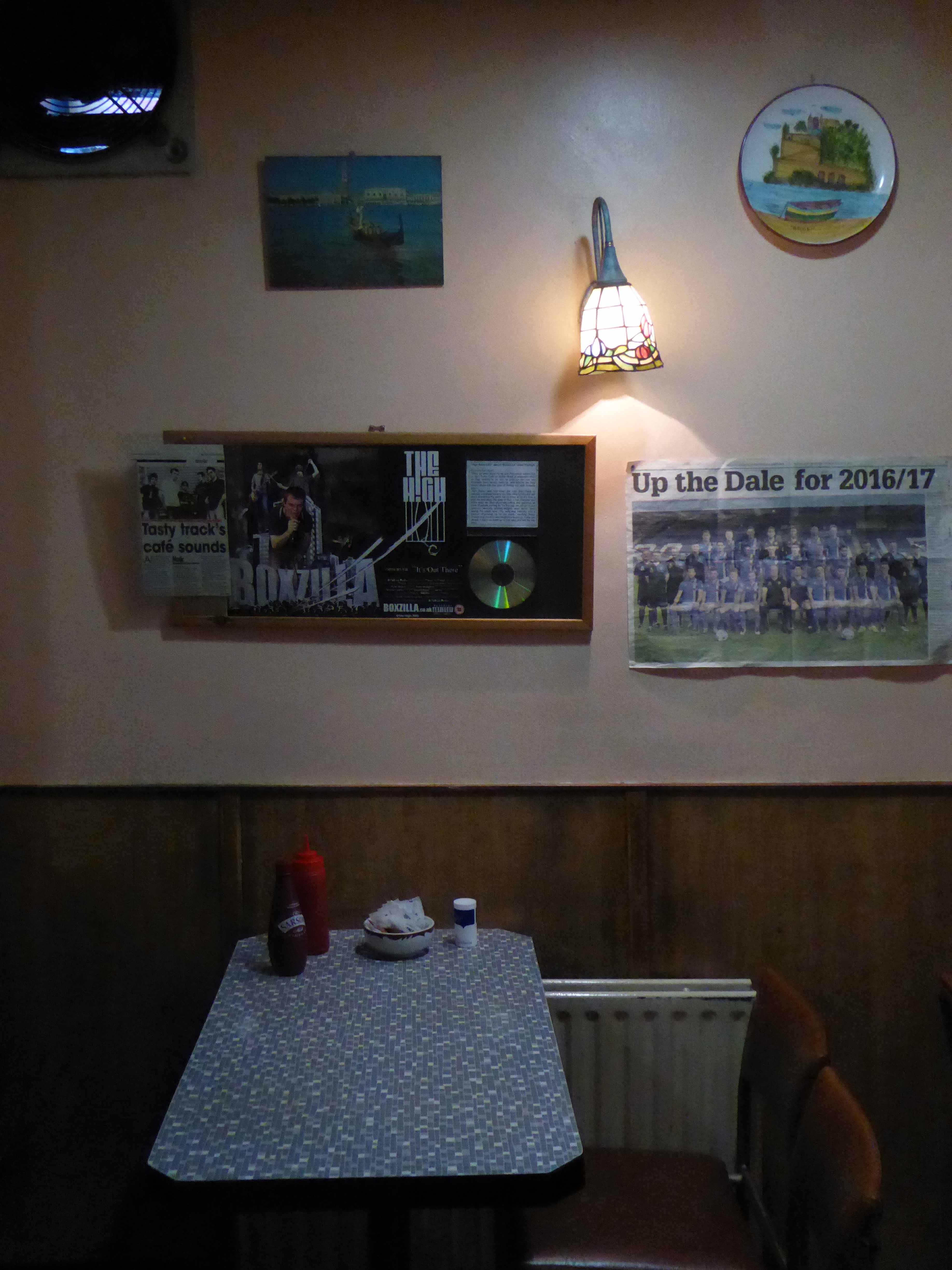
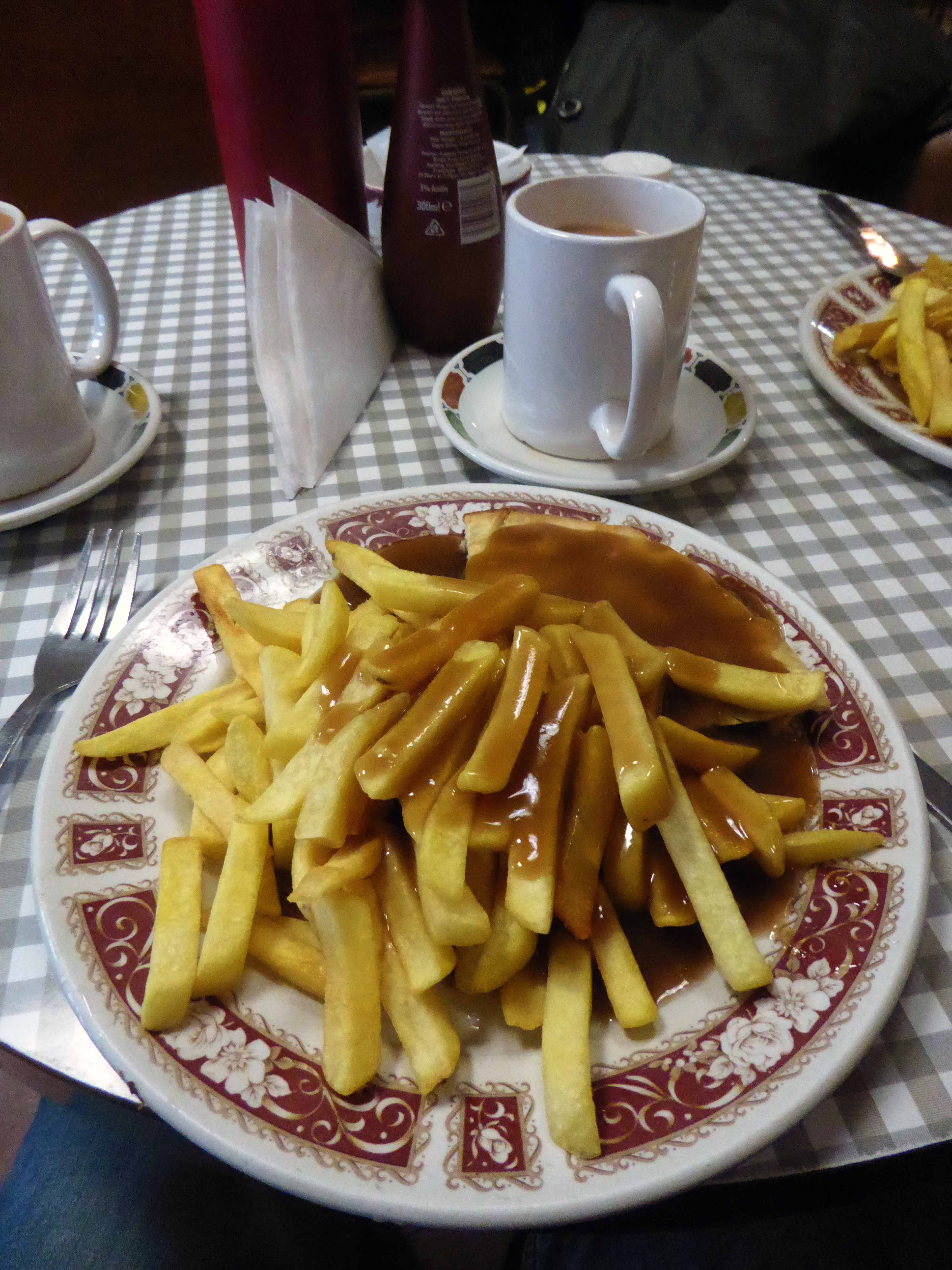
The two towns come together at 27 Drake Street, Rochdale, Lancashire OL161RX, home to a fine café and Italian born Tony and family. It has a well preserved menu that reflects industrial Lancastrian tastes rather than flavours of Liguria. It has an internal decorative order that is pure mid century a la mode – Pennine Style. Several more than several signs leave you in no doubt as to the availability of pies, pies with chips/potatoes, peas, gravy, veg – pies of all varieties, pies.
So pie, chips, peas and gravy it was, with a mug of tea – it always is.
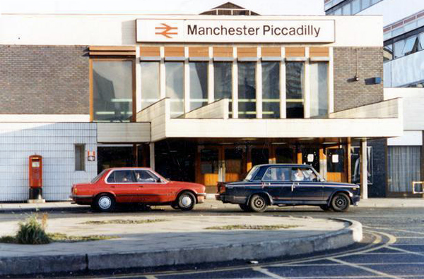
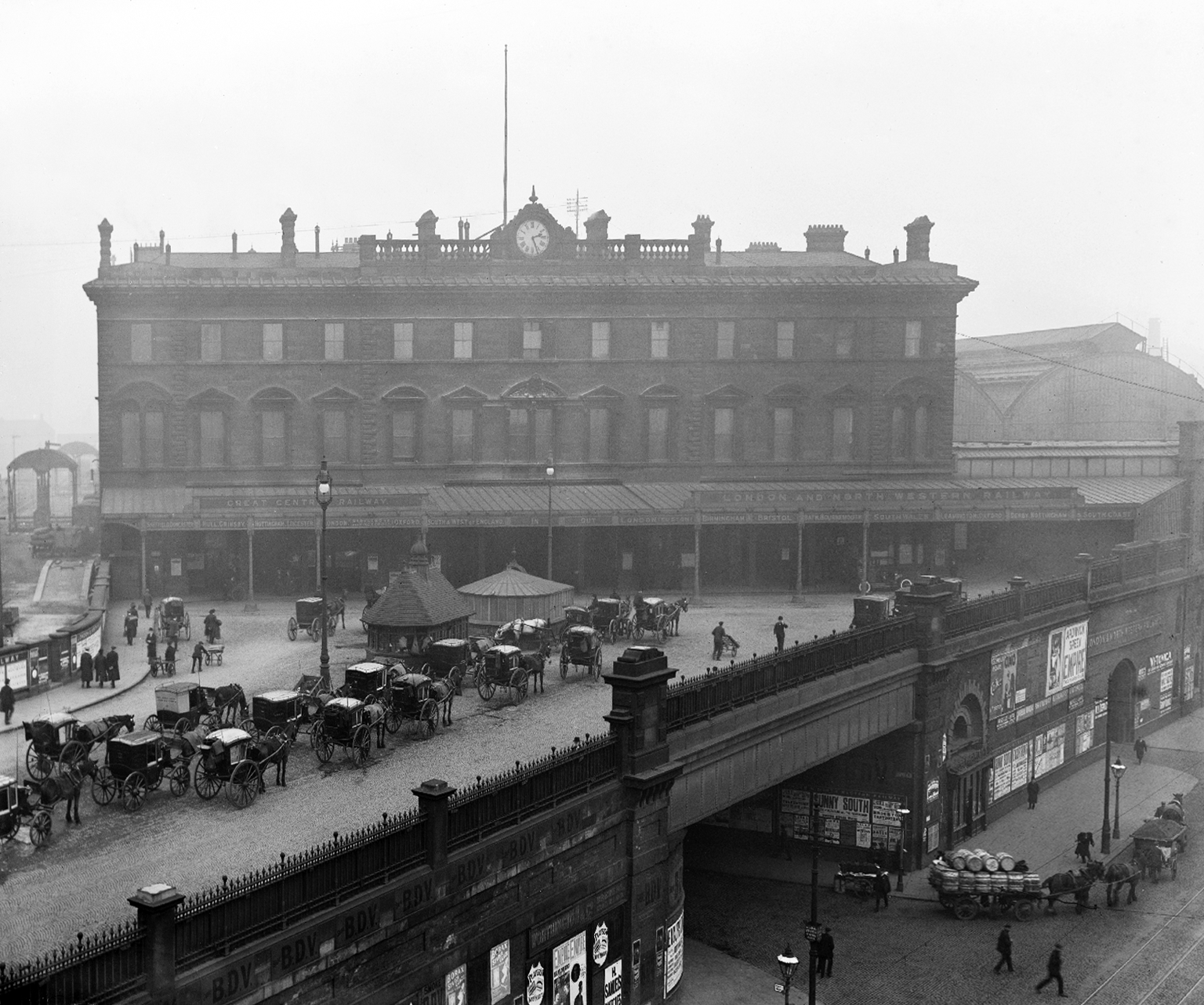
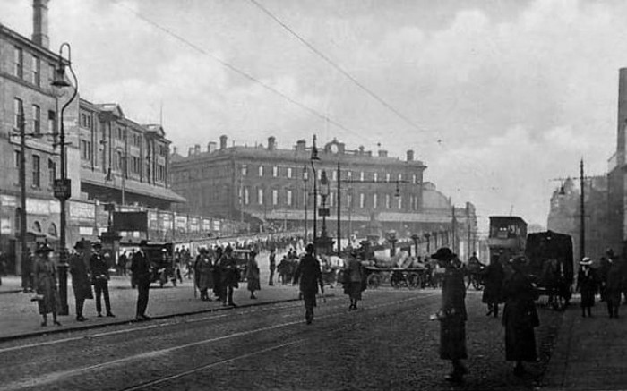
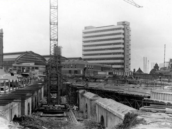
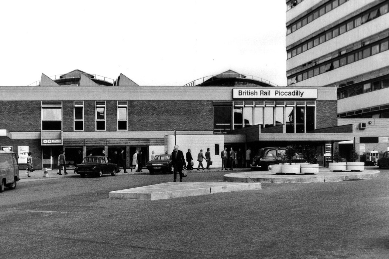
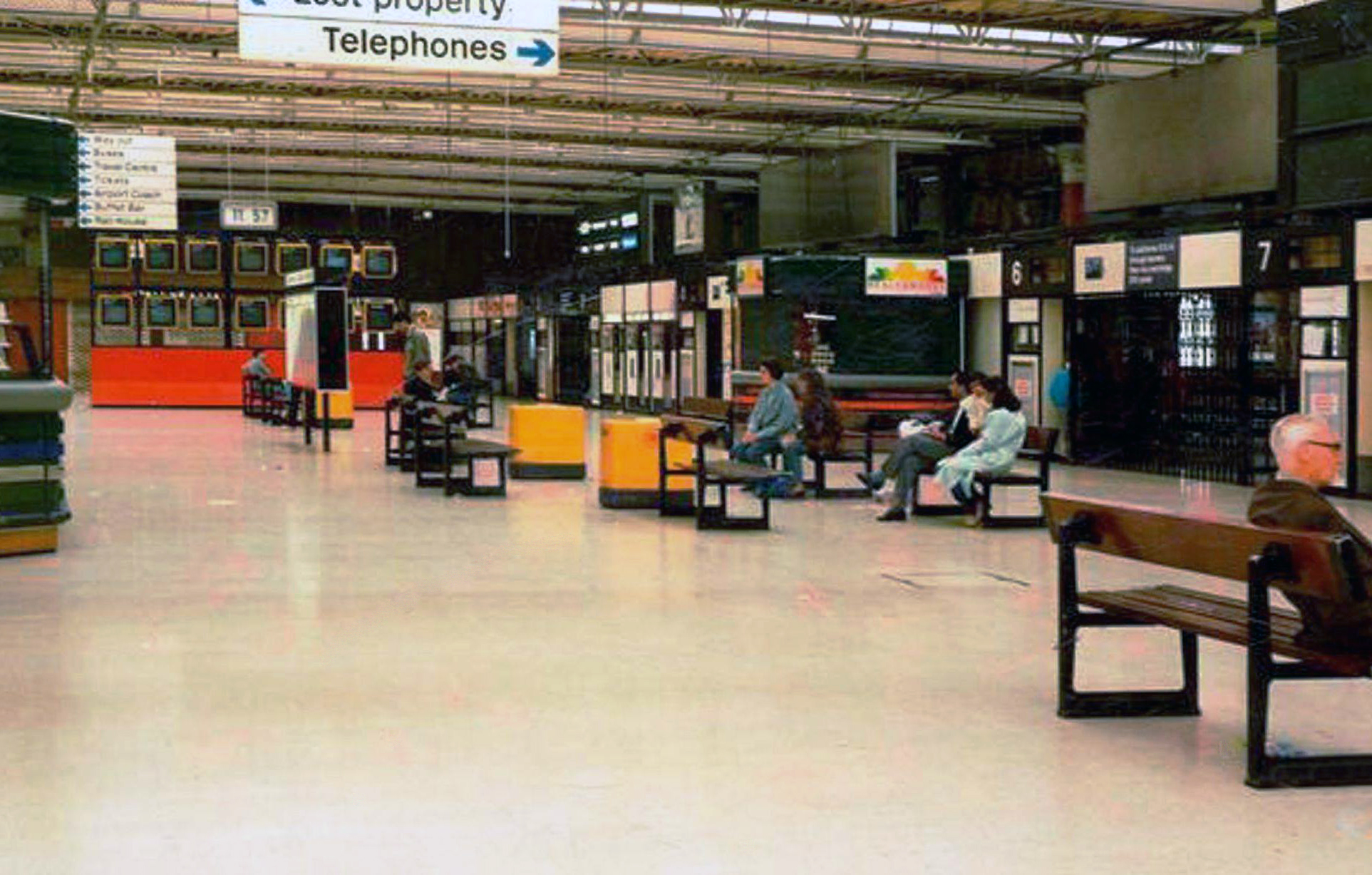
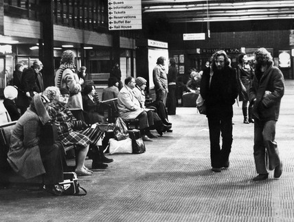
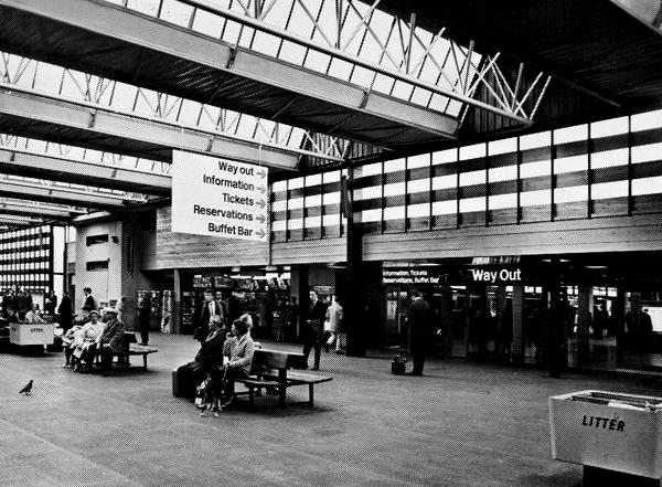
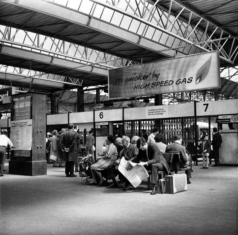
The station was originally built as Store Street Station by the Manchester and Birmingham Railway in 1842, before being renamed London Road Station in 1847. It was shared by the Sheffield, Ashton-under-Lyne & Manchester Railway and it has been rebuilt and added to a number of times, with two news spans added to the train shed roof in 1881 and island platforms added linking to Manchester Oxford Road in 1882 (replacing two old Manchester, South Junction and Altrincham Railway platforms which were built next to the station).
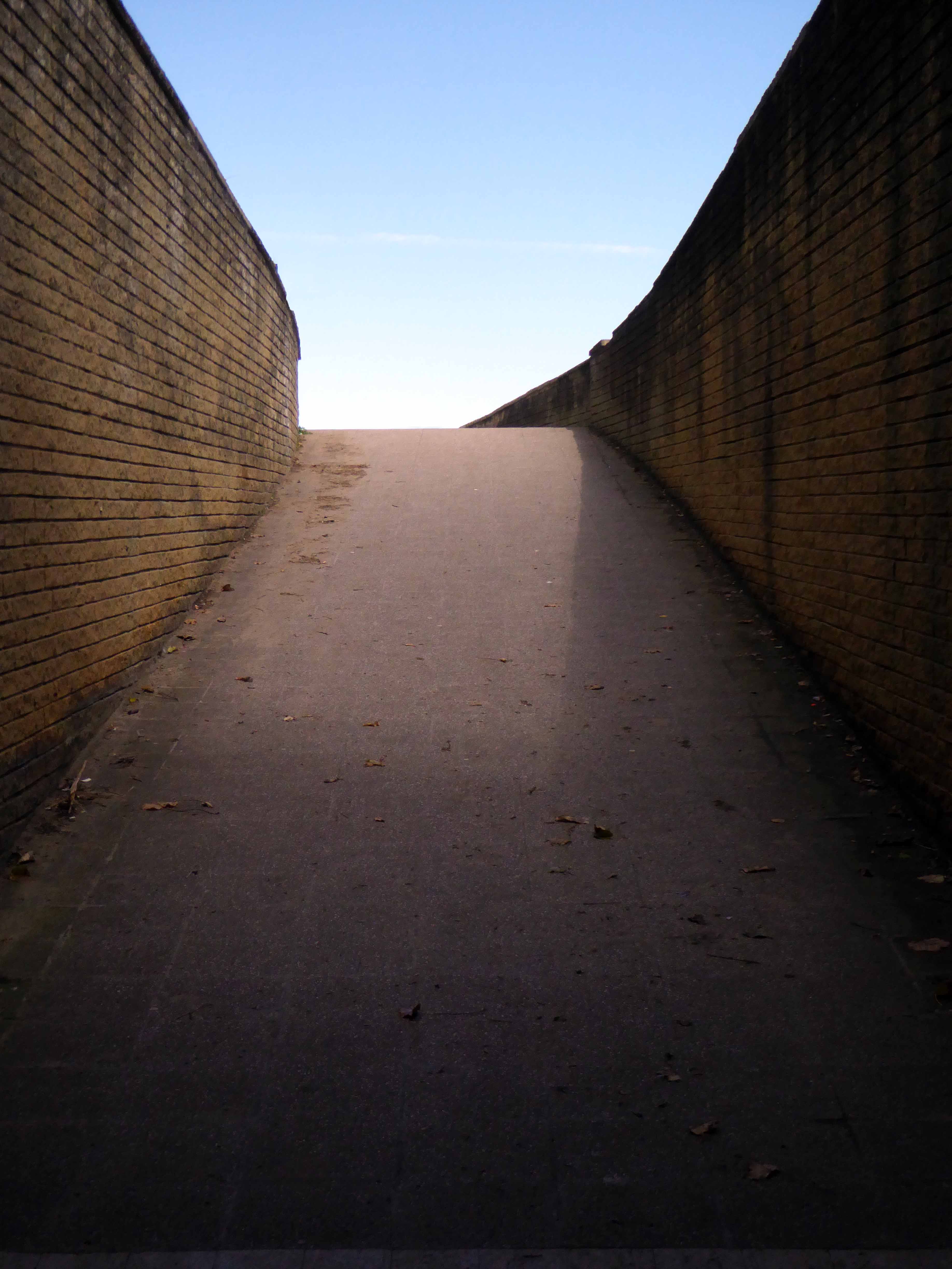
An imposing classical façade with a substantial cast iron and glass train shed, the approach sloping up to the frontage, as of necessity the line entered the city on a raised trackbed.
Initially the approach was lined with railway warehousing, subsequently demolished to make way for the redevelopments of the 1960s.
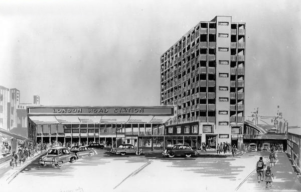
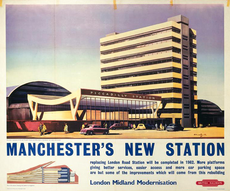
Detailed plans are made to reshape the station concourse and entrance.
Dreams are turned into reality, as near as makes no difference.
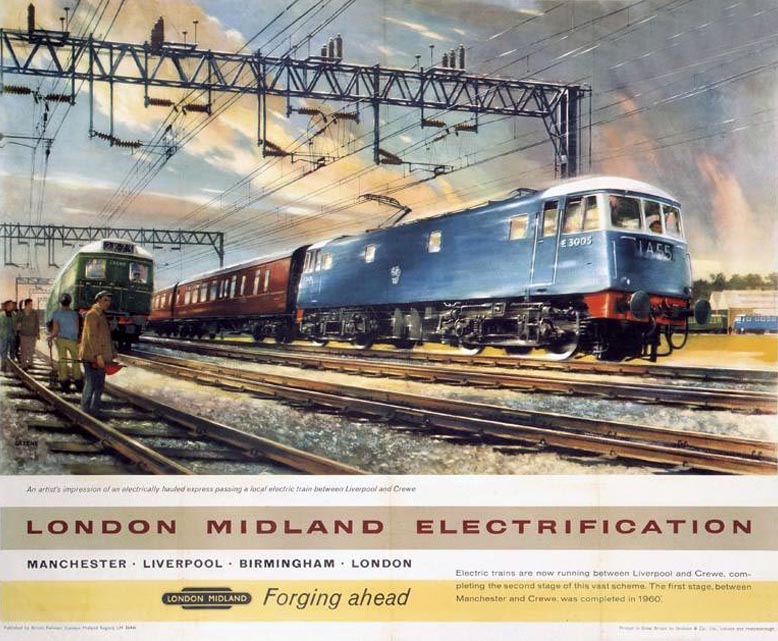
The newly electrified lines opening up the city to a world of high speed intercity travel.
The Krays it seems were deemed to be unwelcome visitors, everyone else came and went, met with equanimity and a bright new modernist vista.
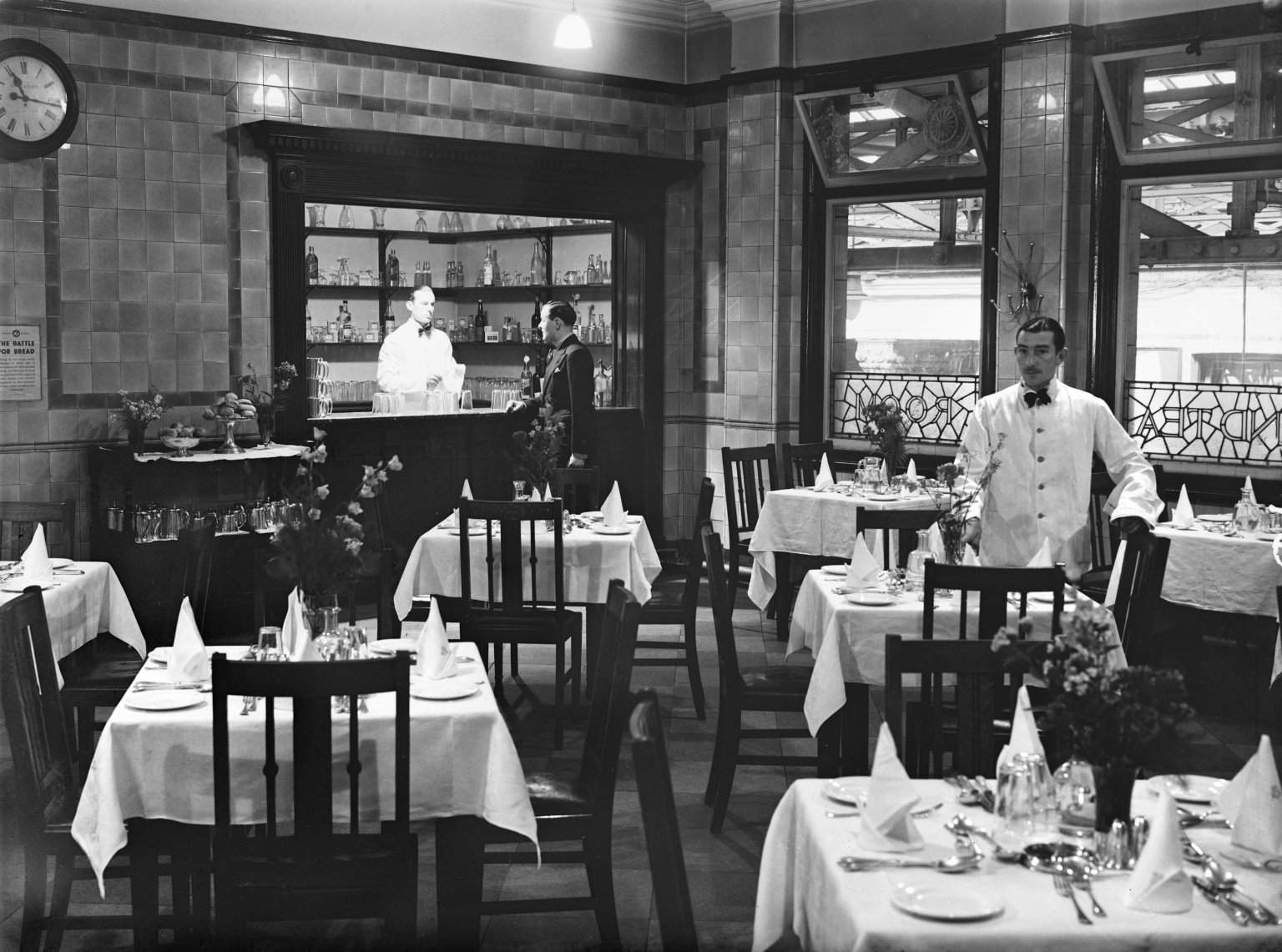
The brand new shiny buffet replaces the archaic dining rooms, as Brylcreemed, bow tied and moustachioed waiters are consigned to the scrapheap of history.
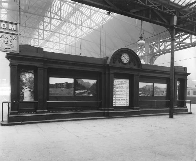
Likewise the gloomy destination boards – out with the old!
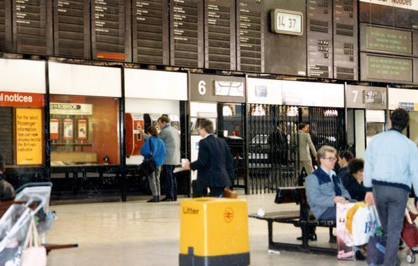
And in with the new.
We have a fully integrated modern interior to deal with the modern passengers’ every need – including crystal clear signage, seating and bins.
Stars of screen and stage are guided through with consummate ease, Margot Fonteyn and Rudolf Nureyev in his brand new baby seal skin coat arrive in 1968 to dance Swan Lake at the Palace.
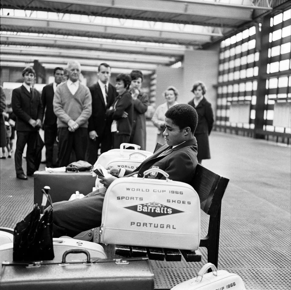
Esteemed footballer Eusebio on his travels during the 1966 World Cup.
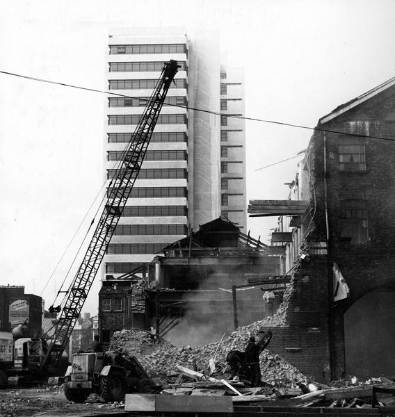
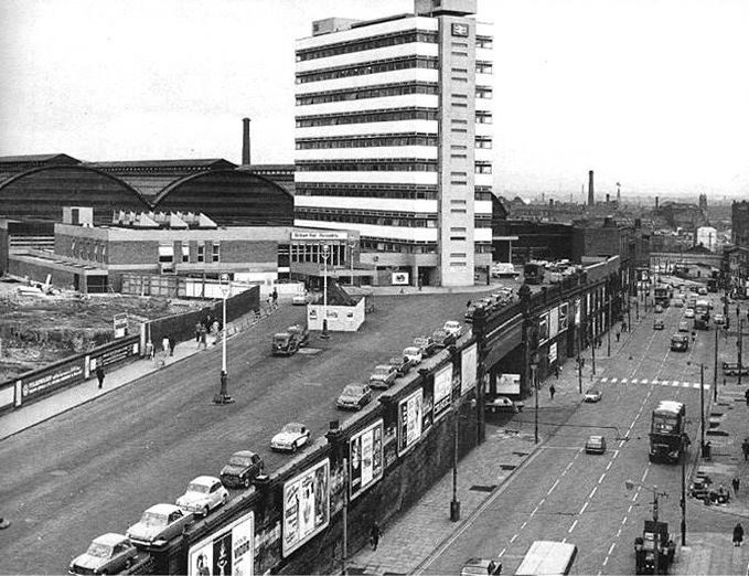
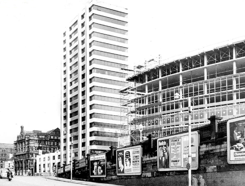
In 1969 Gateway House arrives, Richard Sieffert & Partners wavy hello and goodbye to Manchester’s premier railway station.
Piccadilly has now seen several revamps, the concourse an exercise in contemporary cluttered retail/airport chic, a 125mph Pendolino journey away from the carefully considered internal order of yesteryear.
Who knows what the future holds?
HS2 to name but one – sit back let the train take the strain.
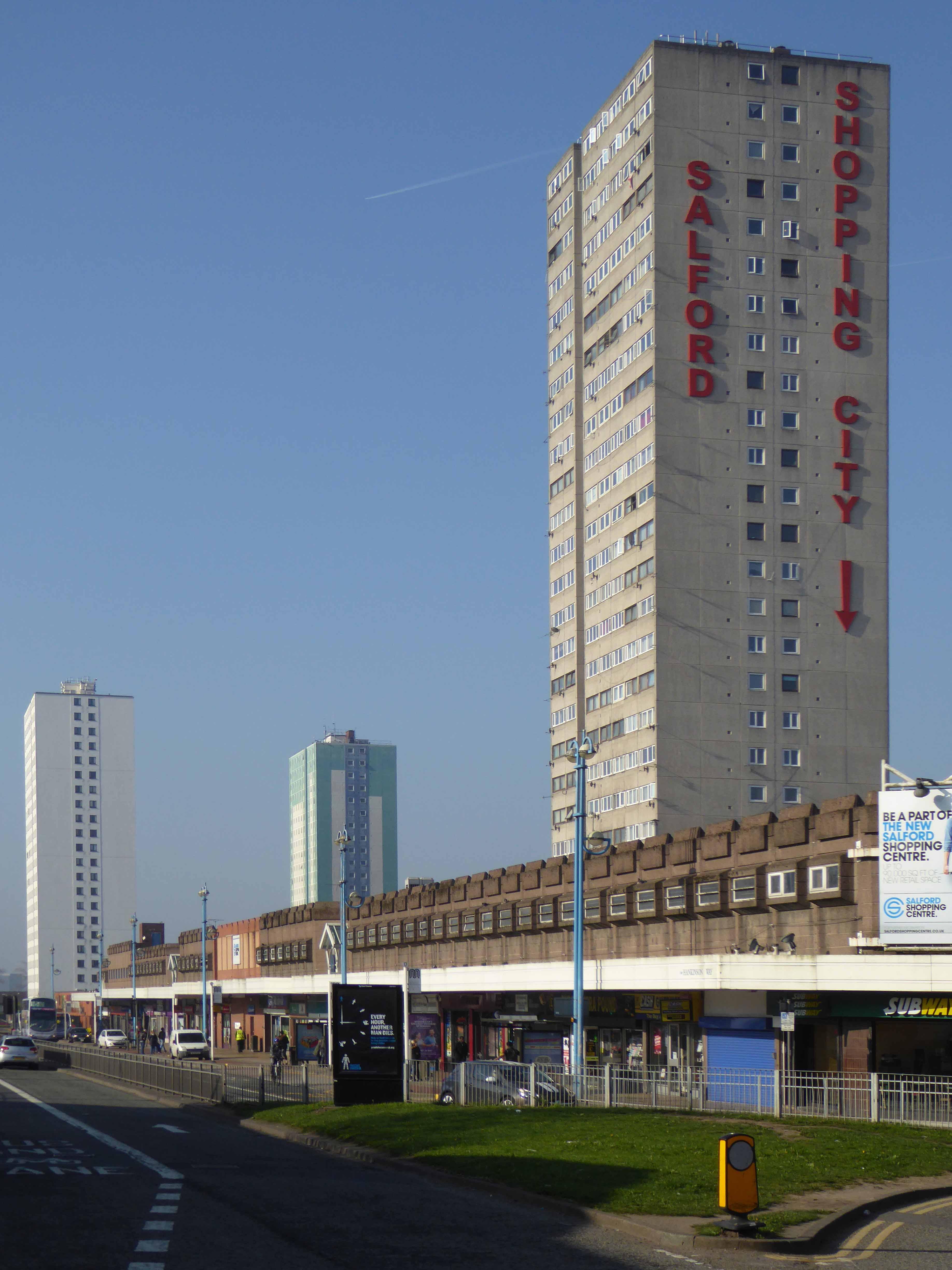
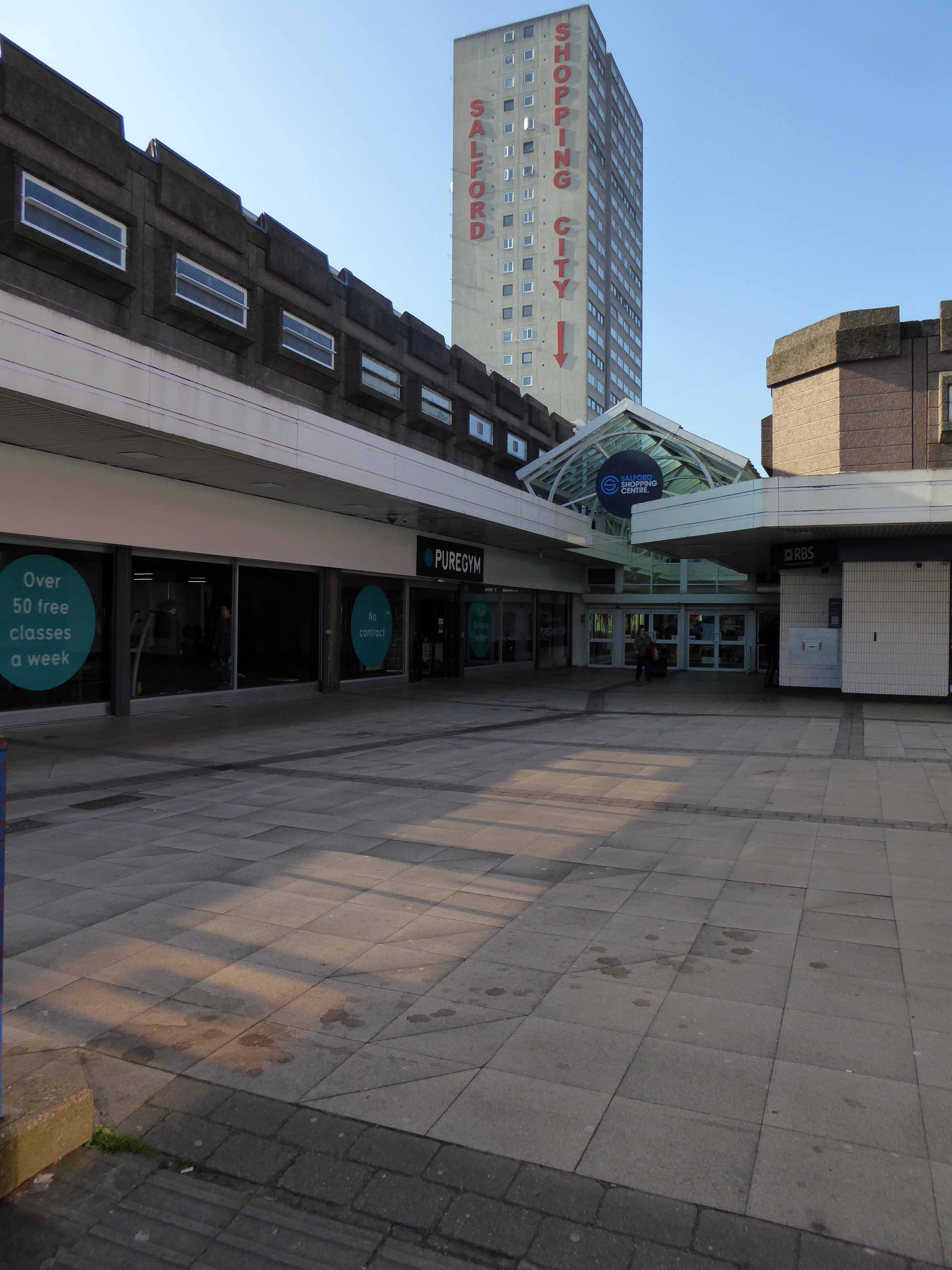
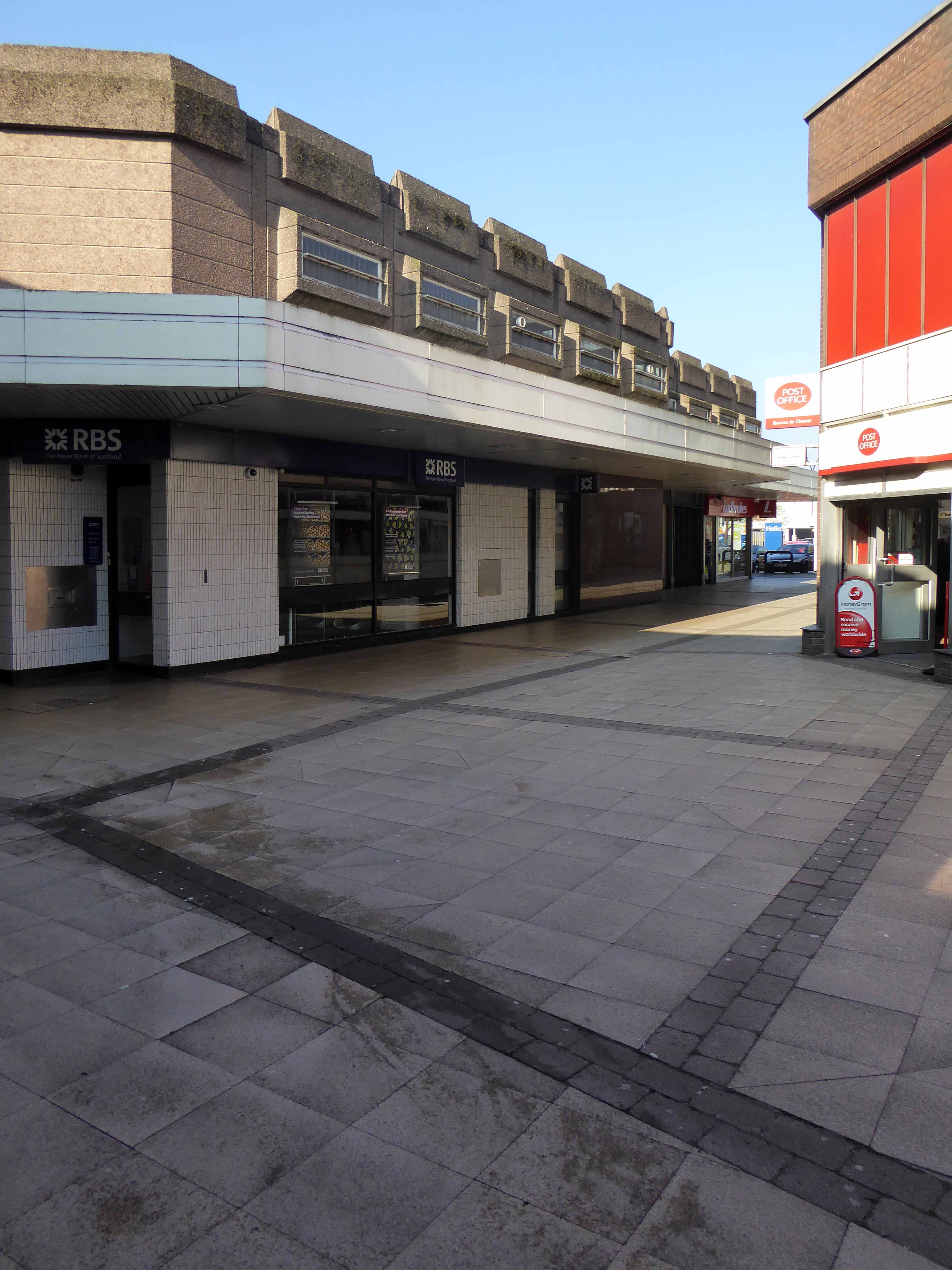
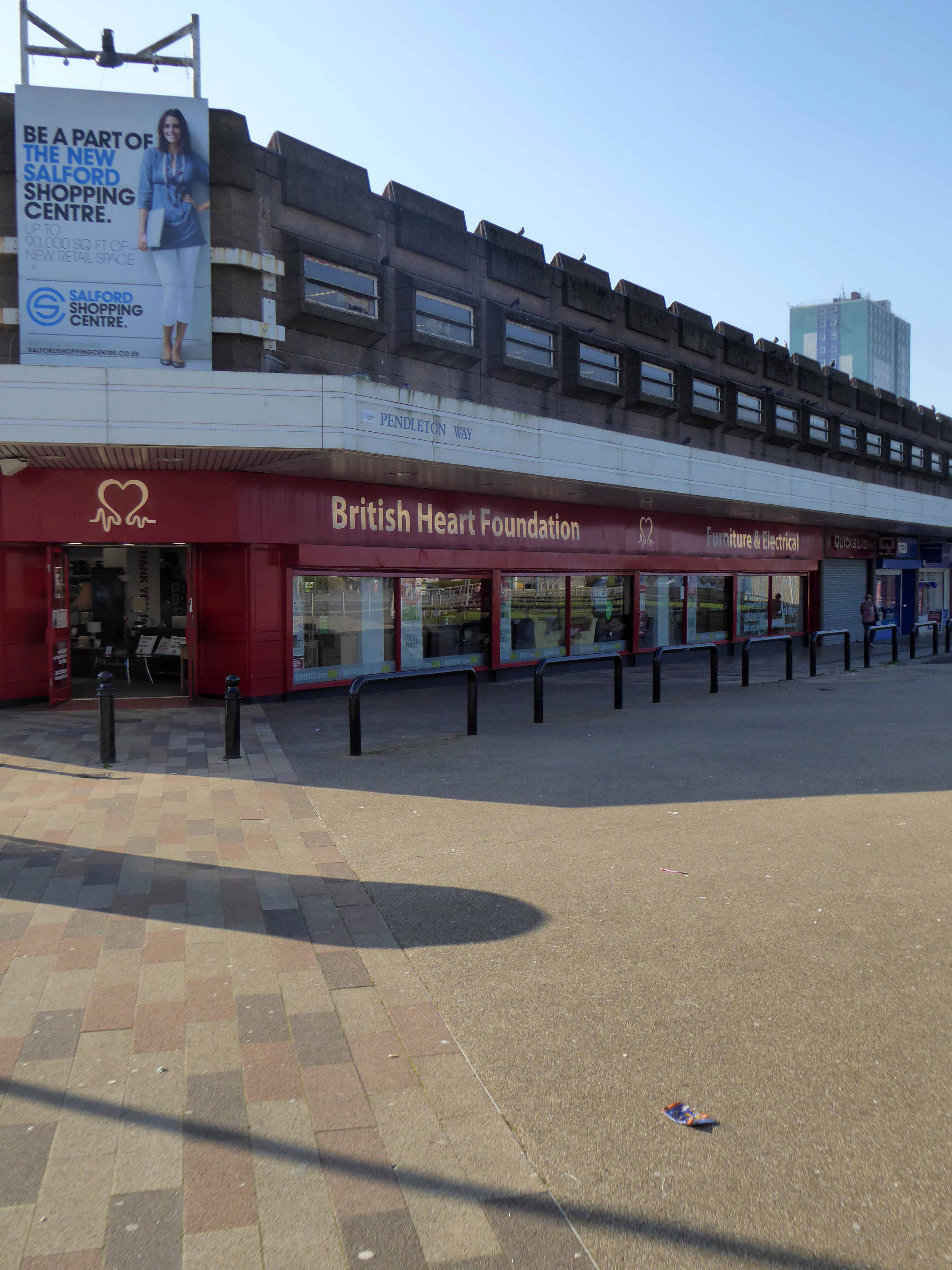
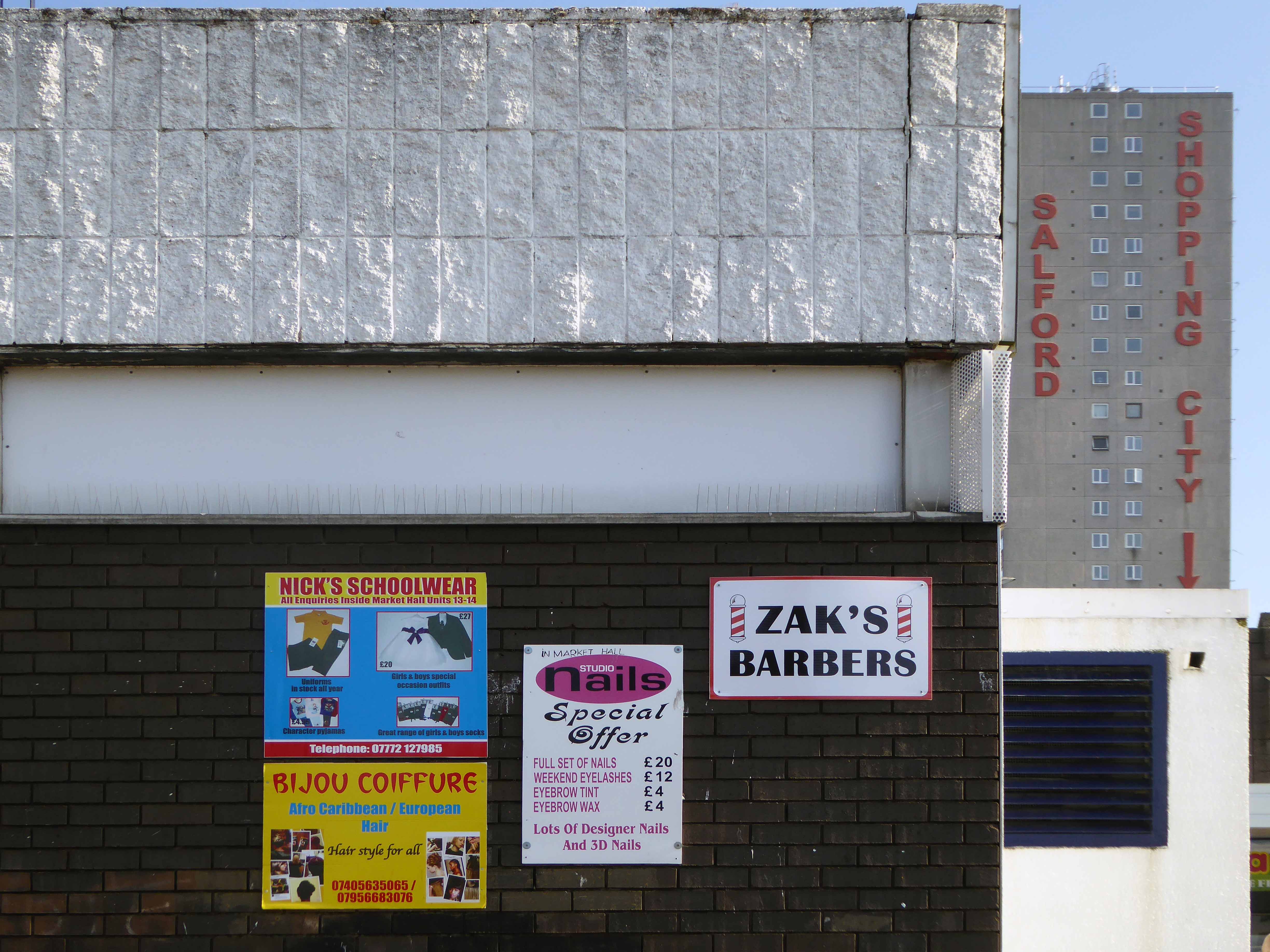
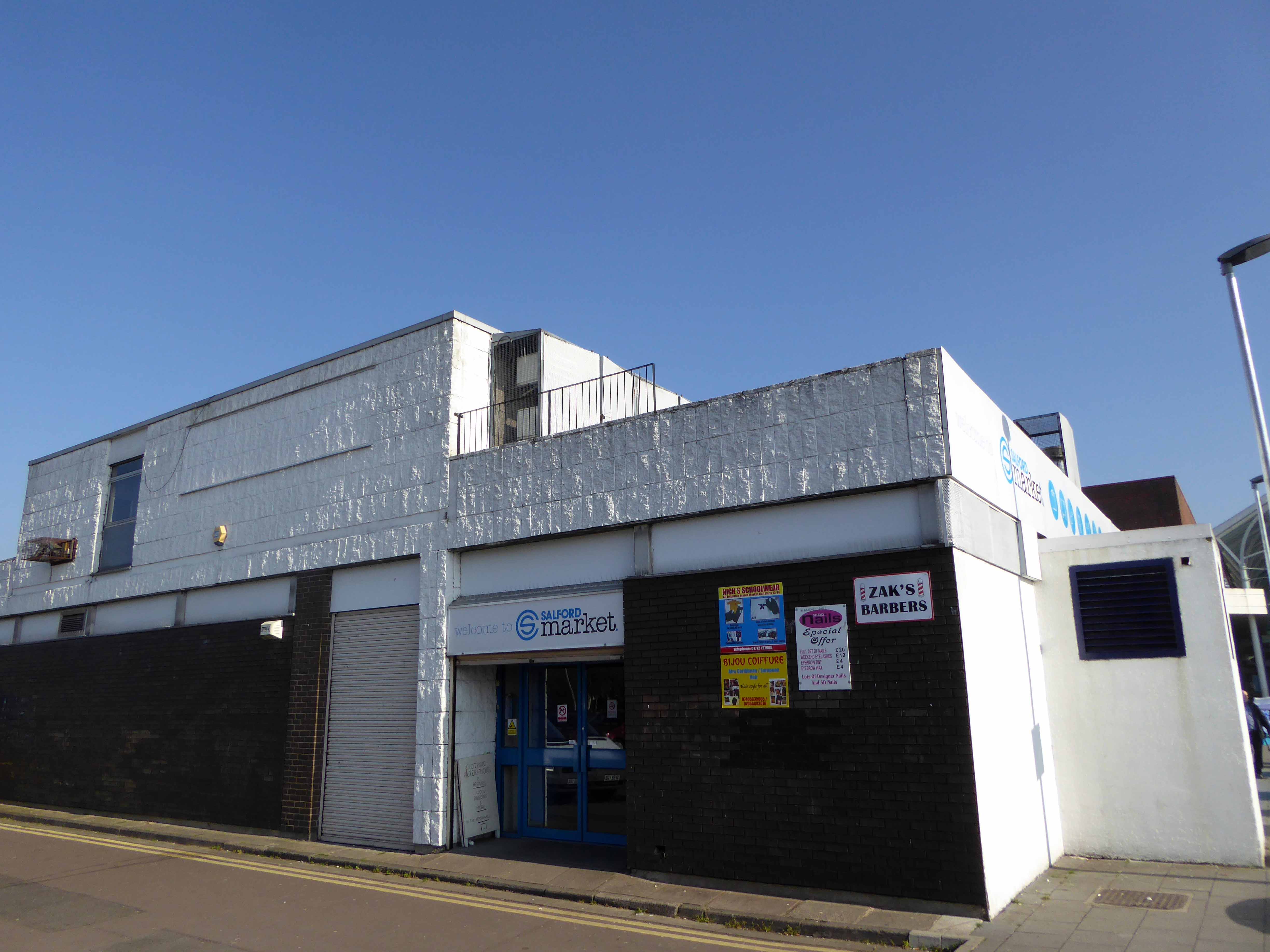
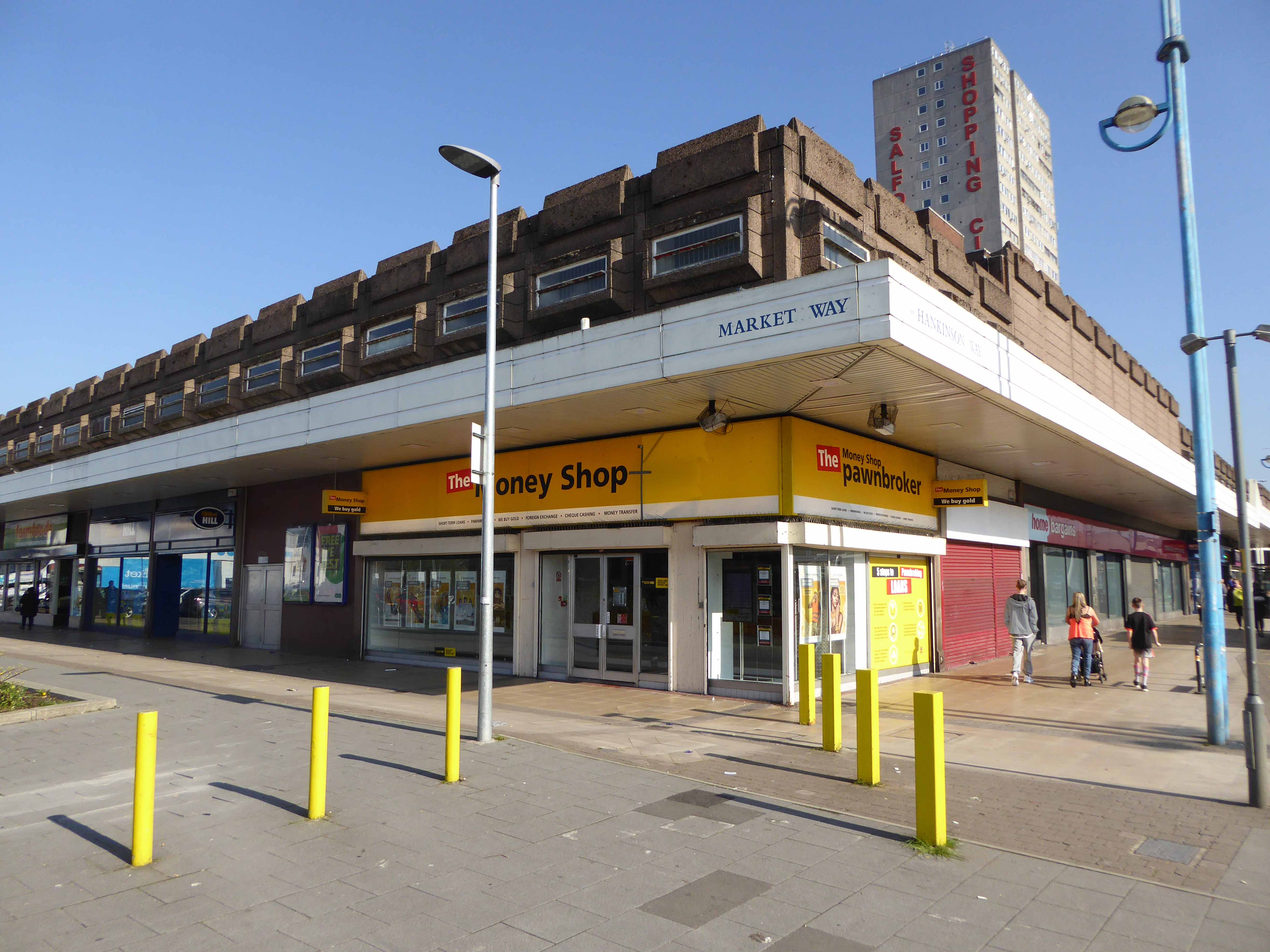
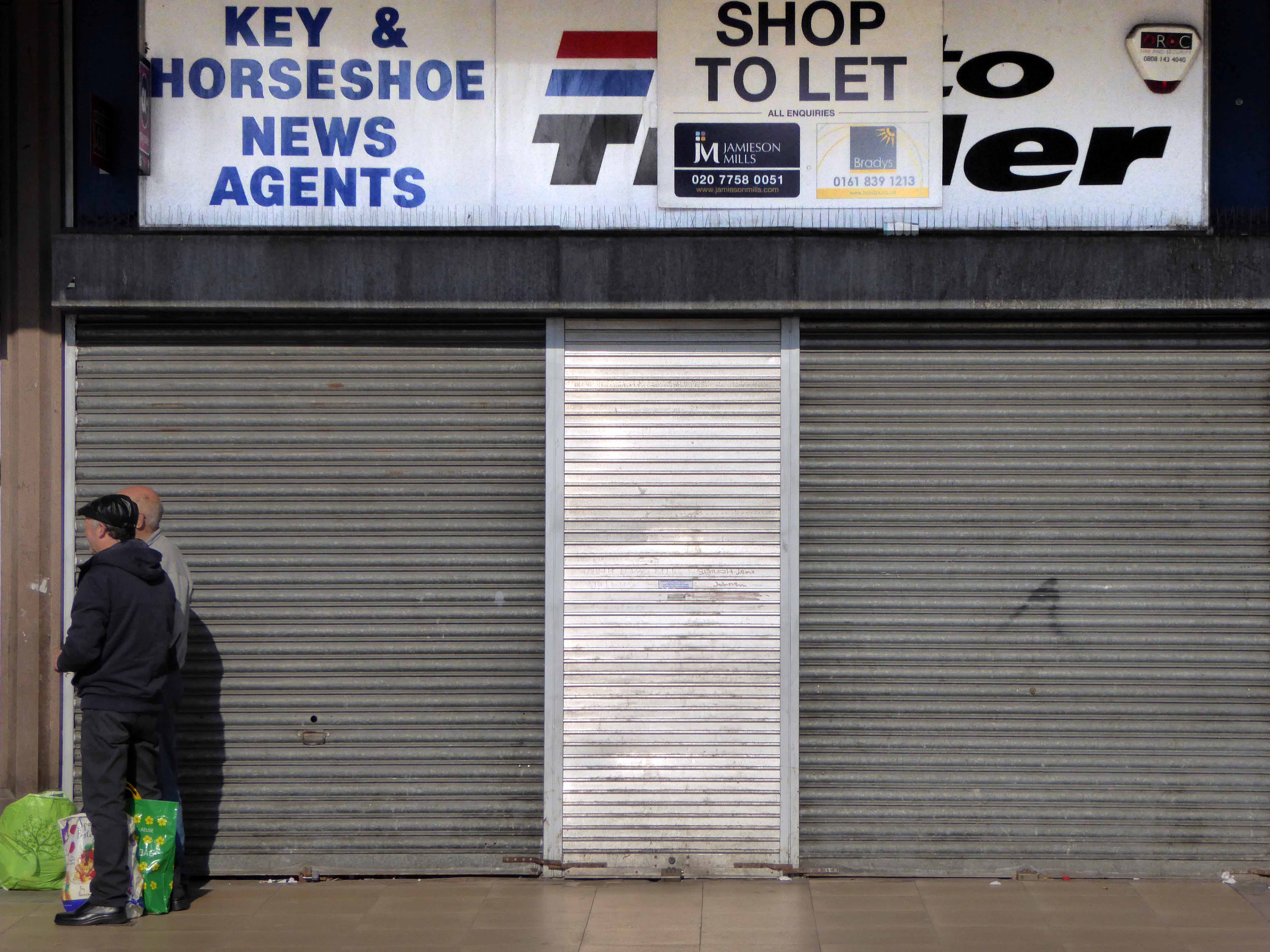
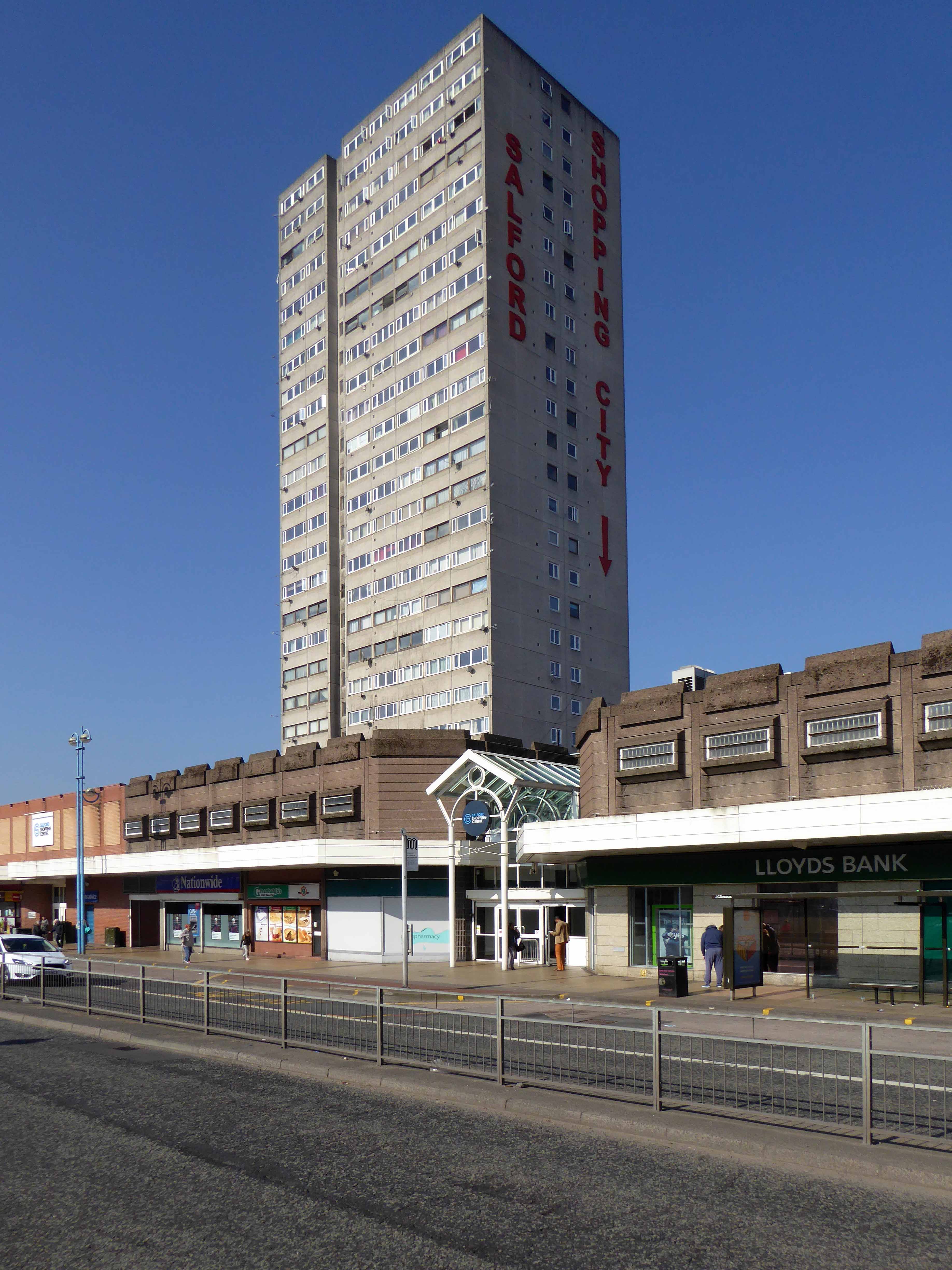
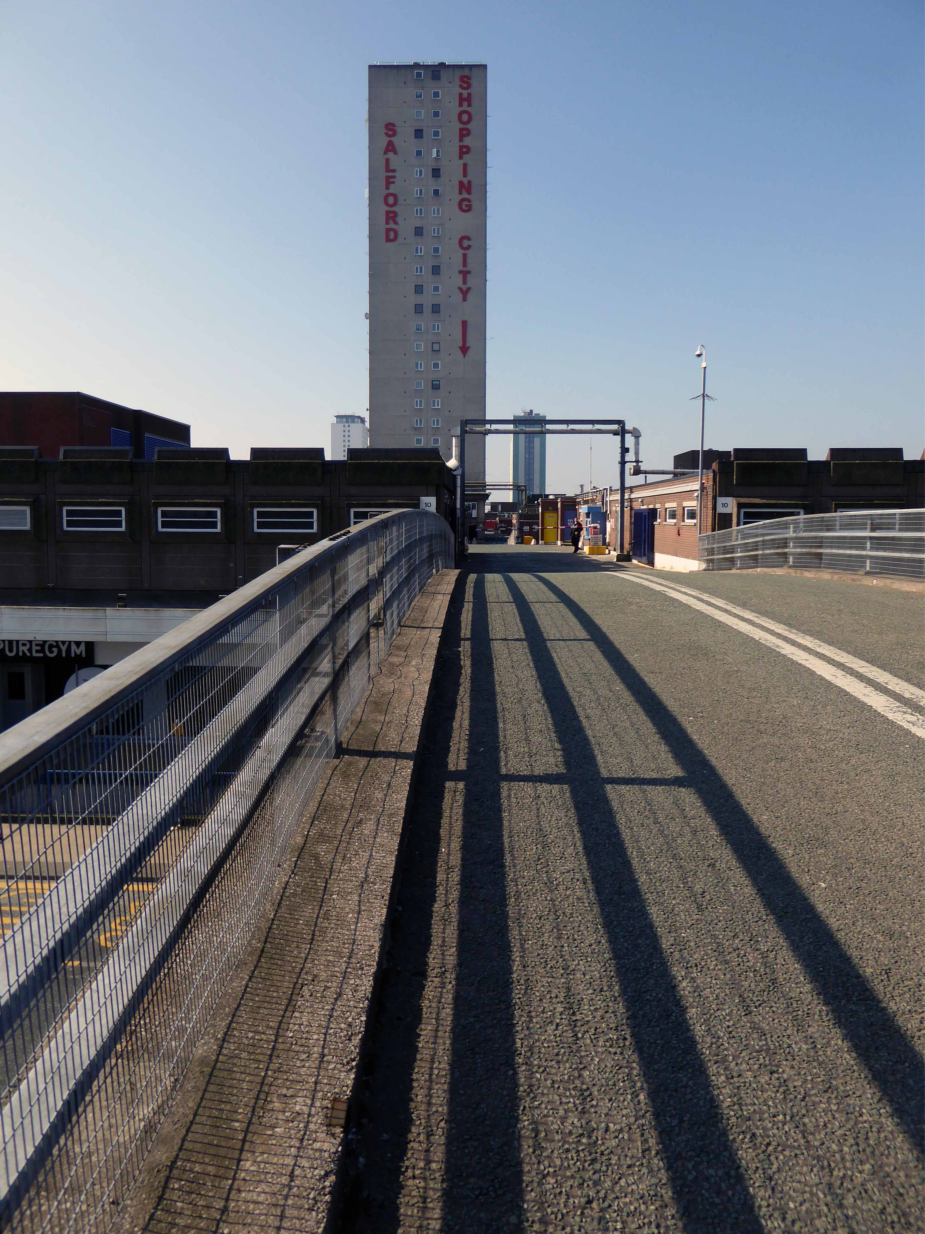
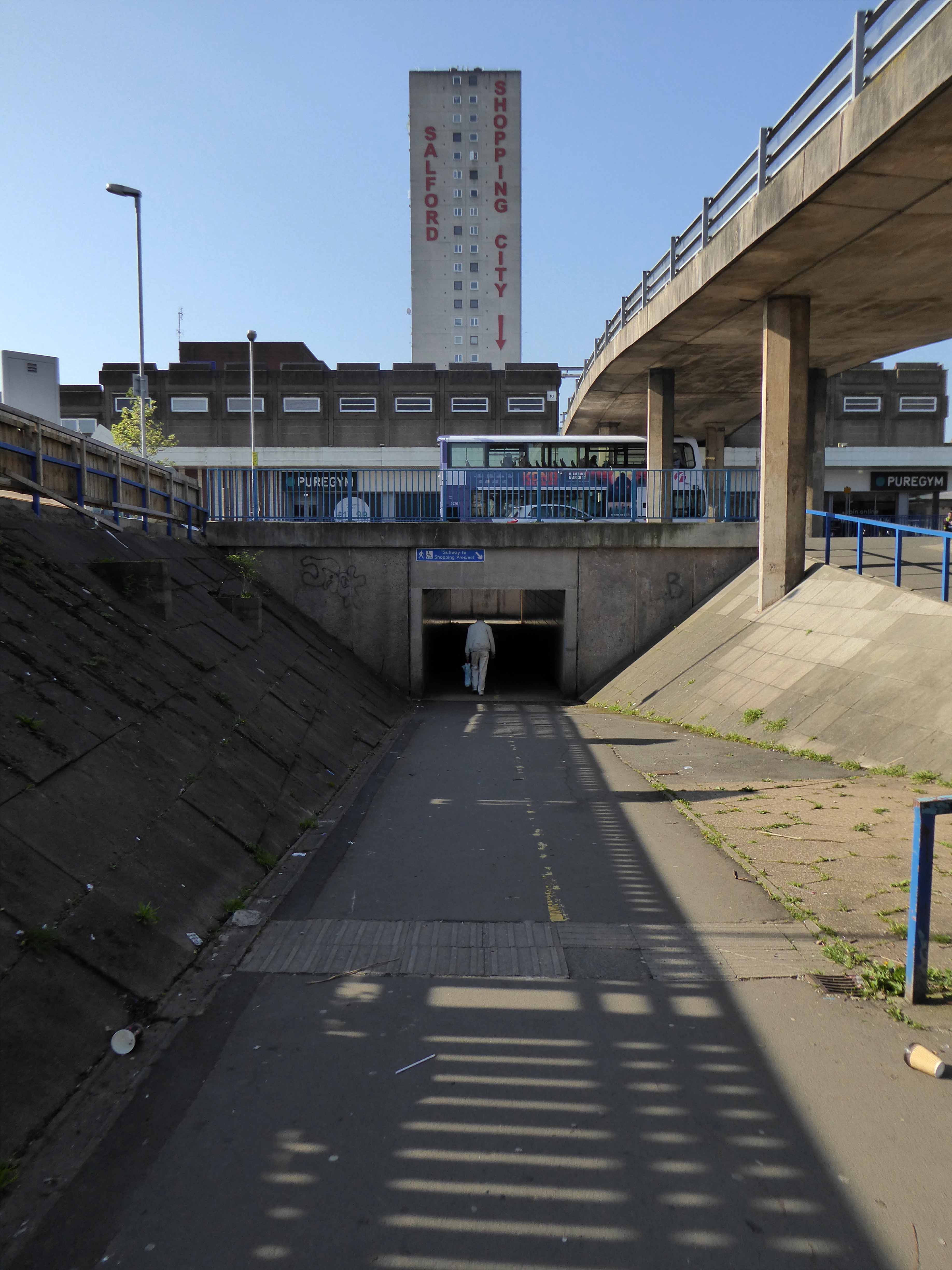
The construction of the shopping centre and surrounding areas continued and on 21 May 1970 the new Salford Market officially opened. From 1971 onwards new shops inside the precinct itself began to open.
However, due to a lack of funds and a political scandal which saw chairman Albert Jones jailed for eight months construction of Salford Precinct was halted. The site had only 95 shop units compared to the proposed 260, the hotel and two storey car park were never built.
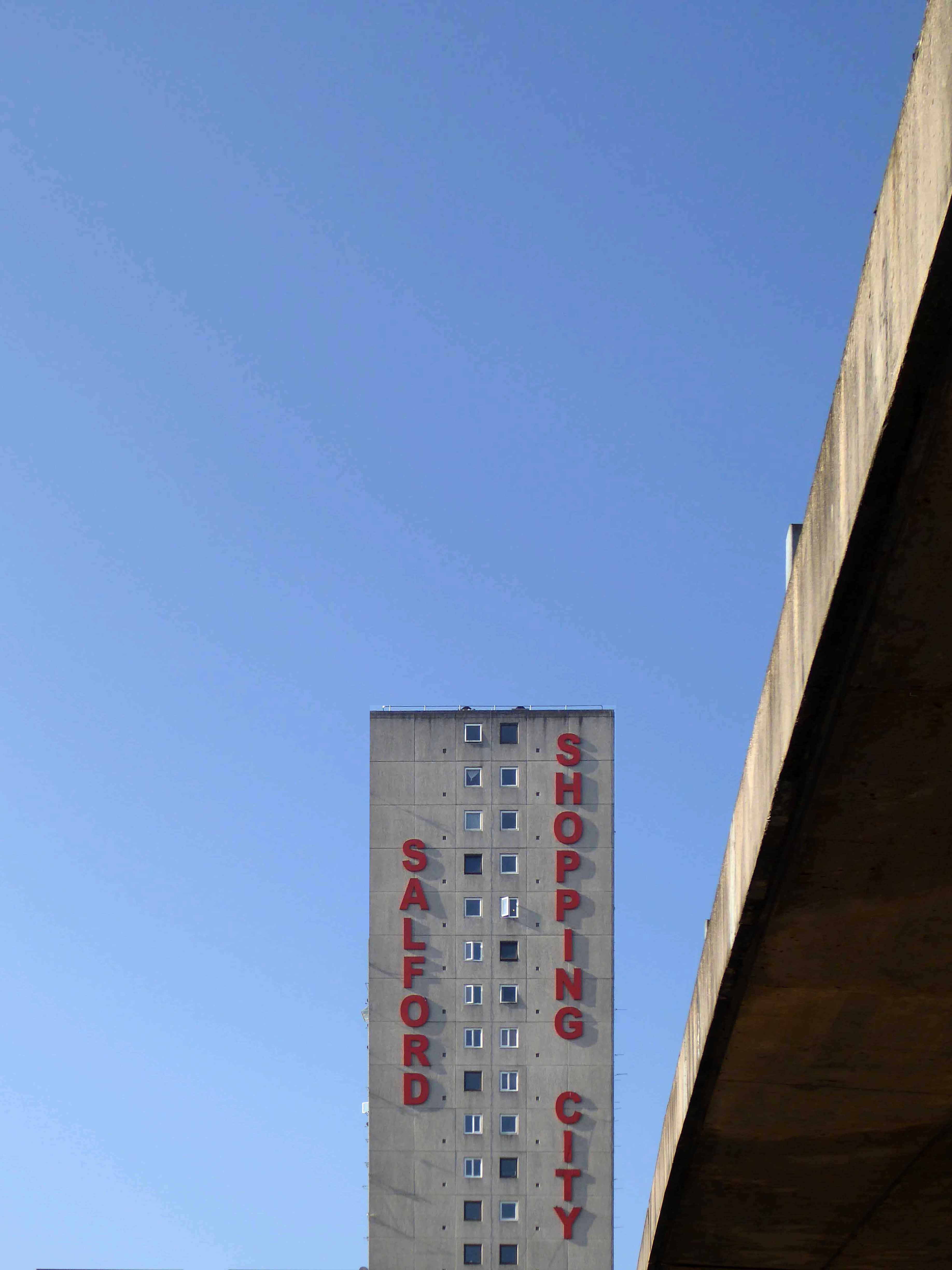
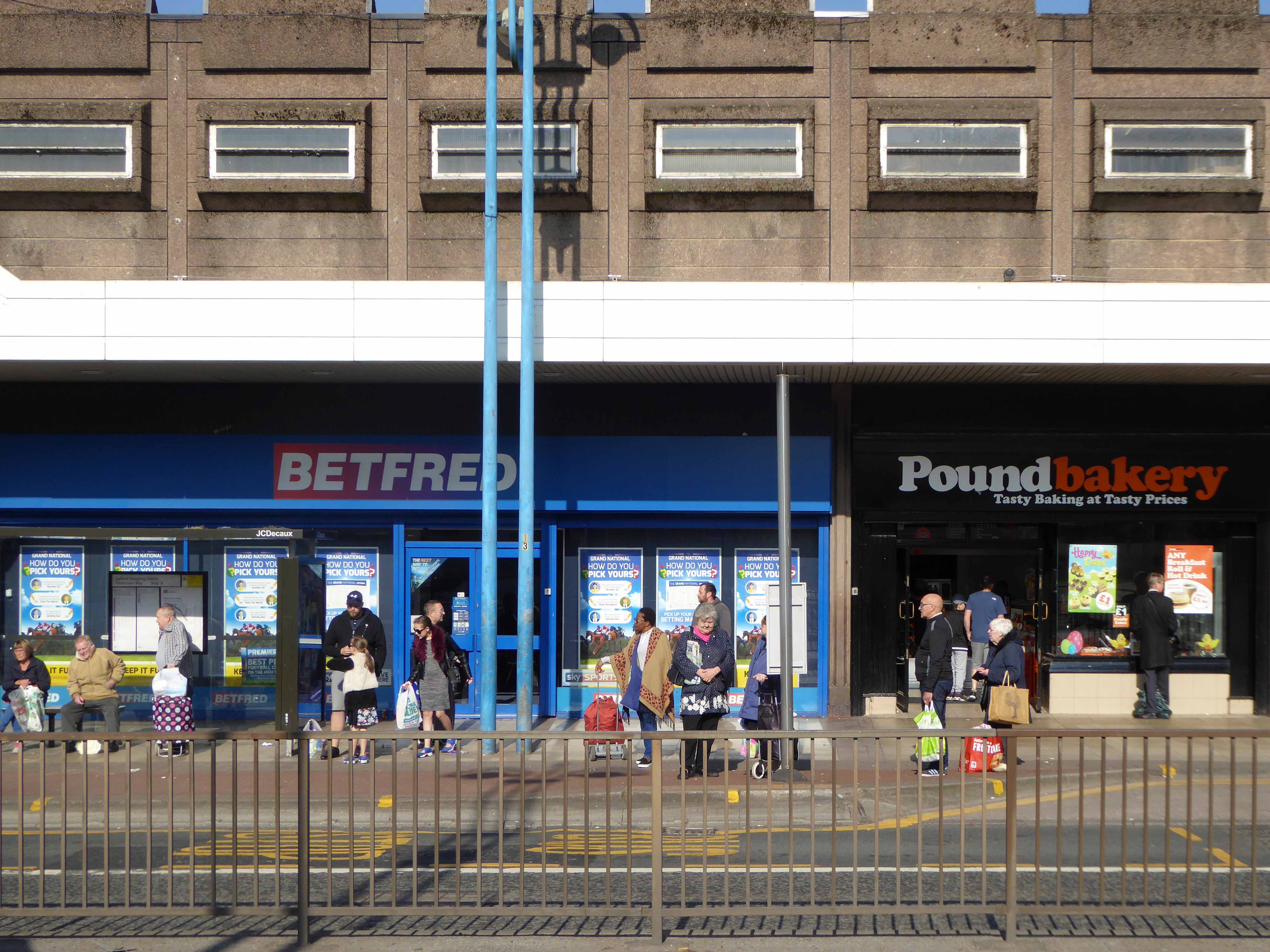
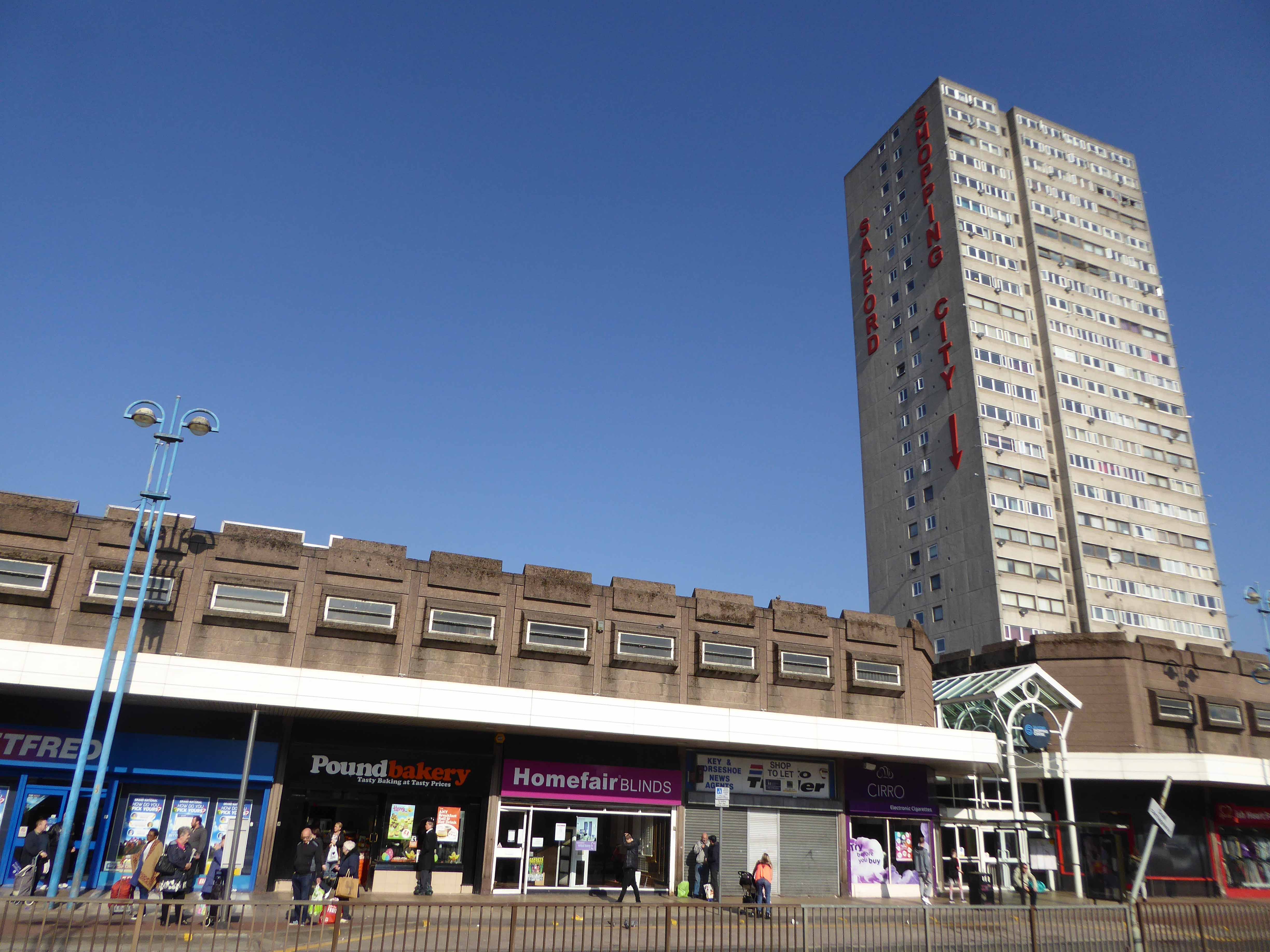
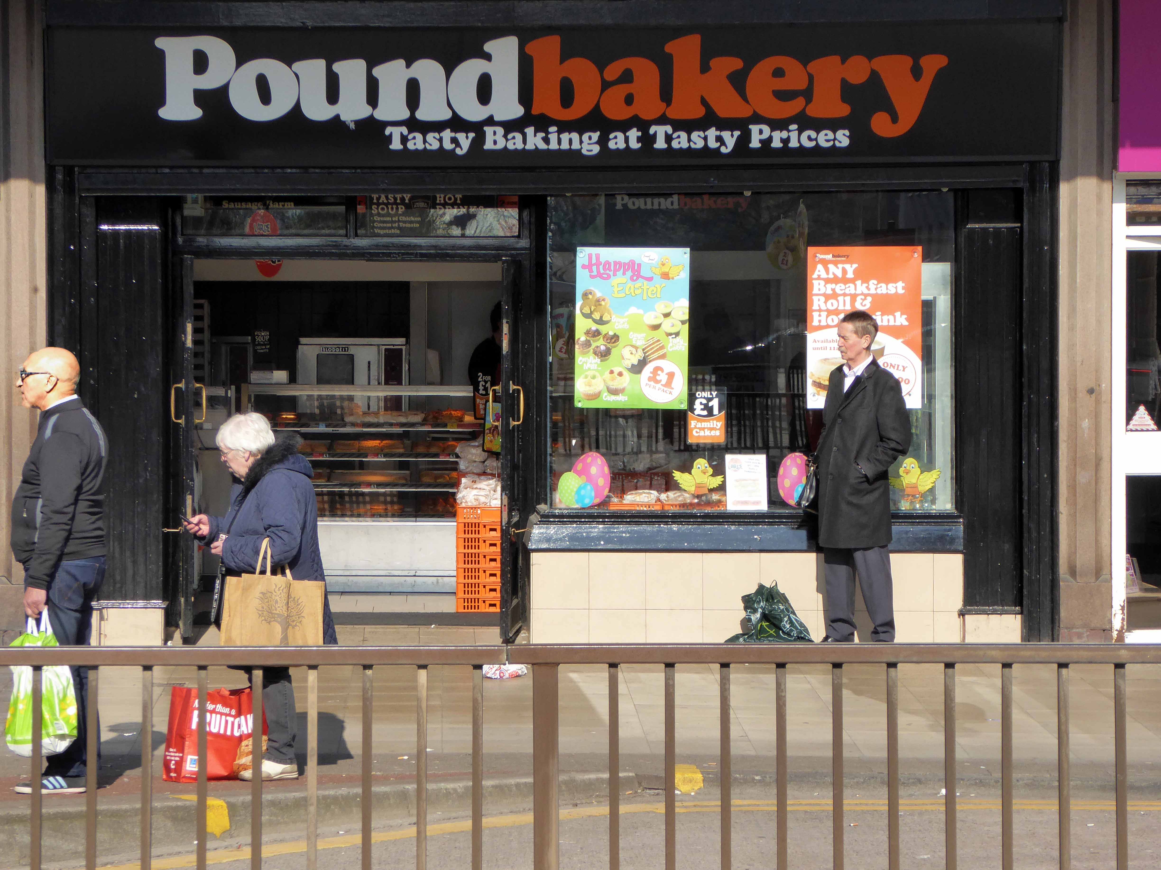
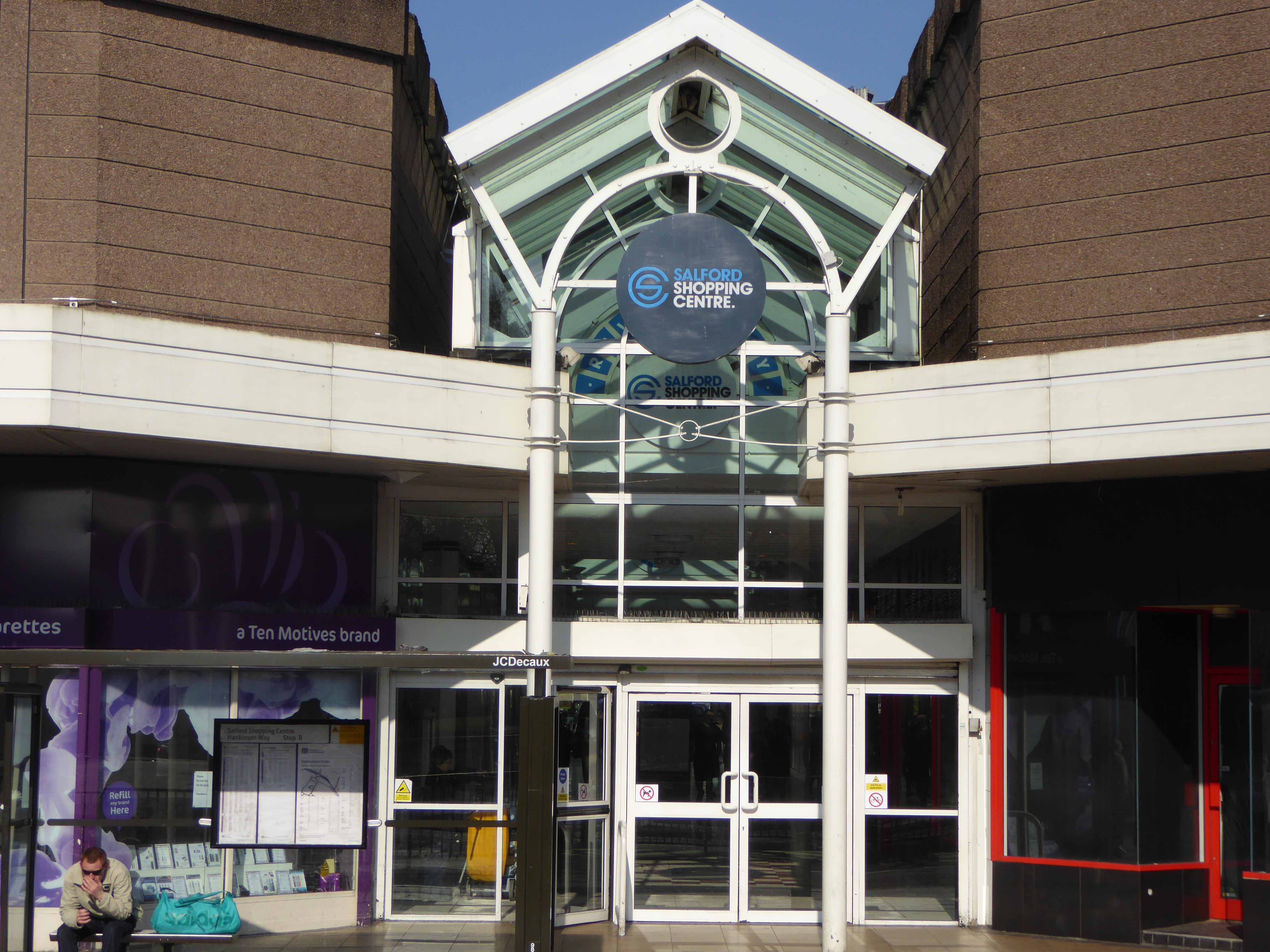
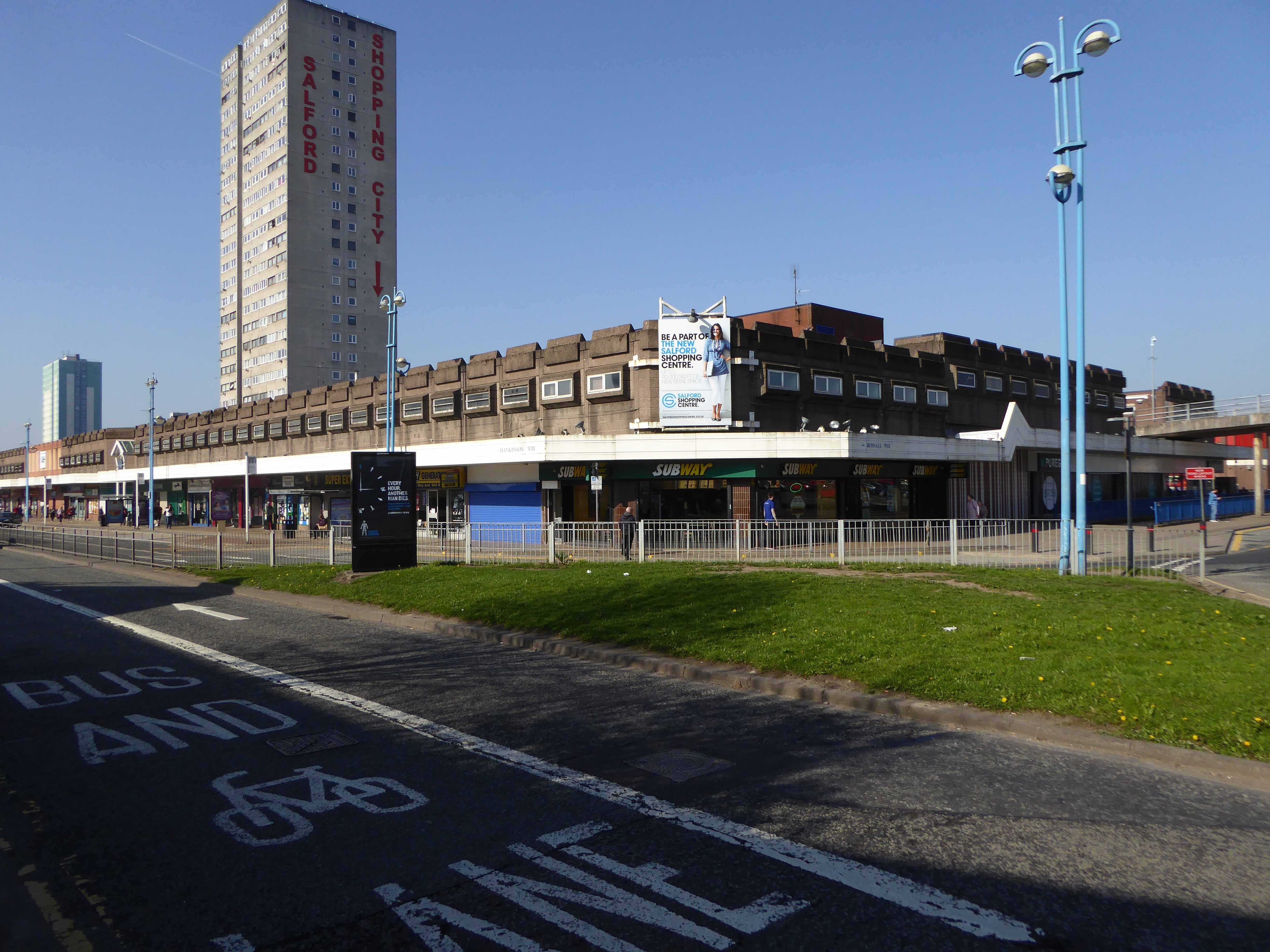
In 1991 the building was refurbished at a cost of £4 million, this included the installation of roofs across various walkways, making large swathes of the centre undercover. The shopping centre which at the time was known as Salford Precinct was renamed Salford Shopping City.
On 9 August 1994 the Manchester Evening News reported that Salford City Council was planning on selling off Salford Shopping City to raise money for local housing repairs, these plans split the ruling Labour Party council, one councillor telling the press that it would be like selling off the family silver.
In 2000 Salford Shopping City was eventually sold to a private company for £10 million in an effort to cut the council’s deficit. It was then later sold in March 2010 to Praxis Holdings for £40 million, the company stated that it wanted to invest in the precinct and link it to the new food superstore.
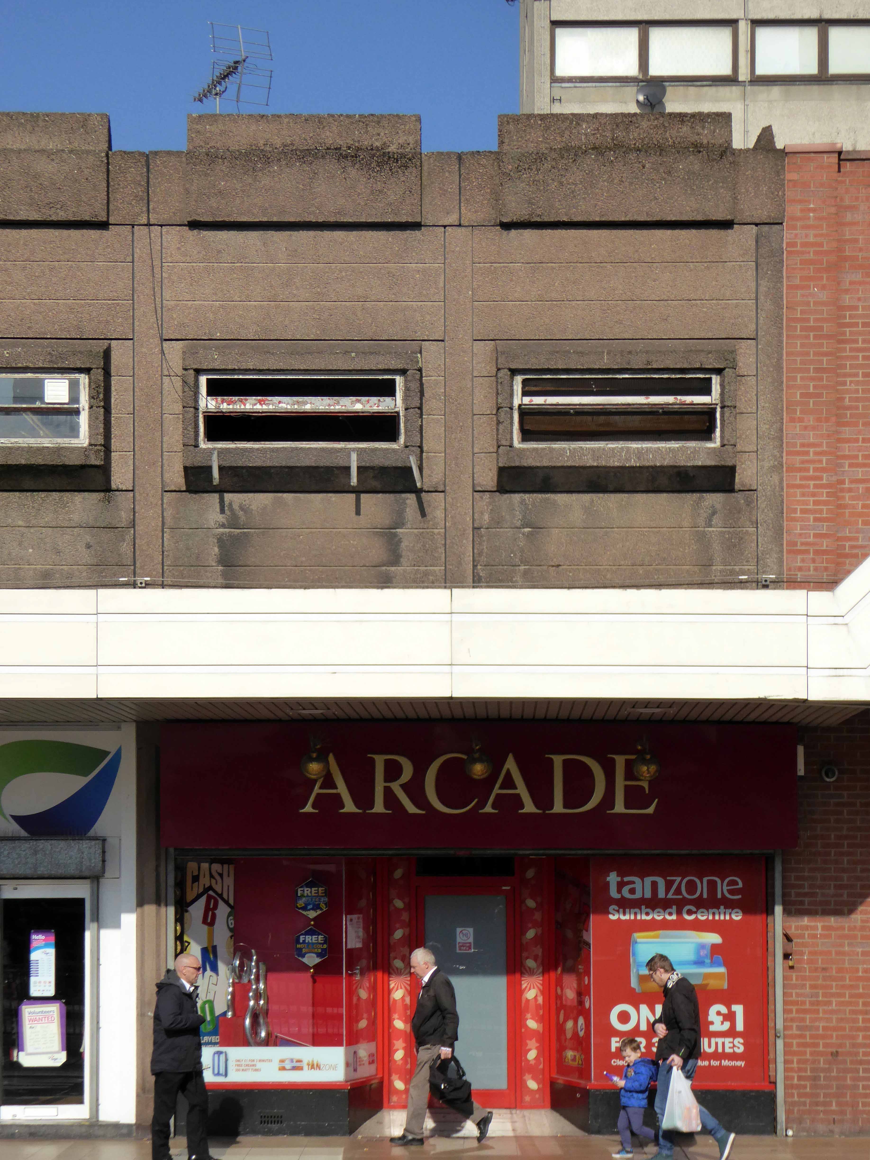
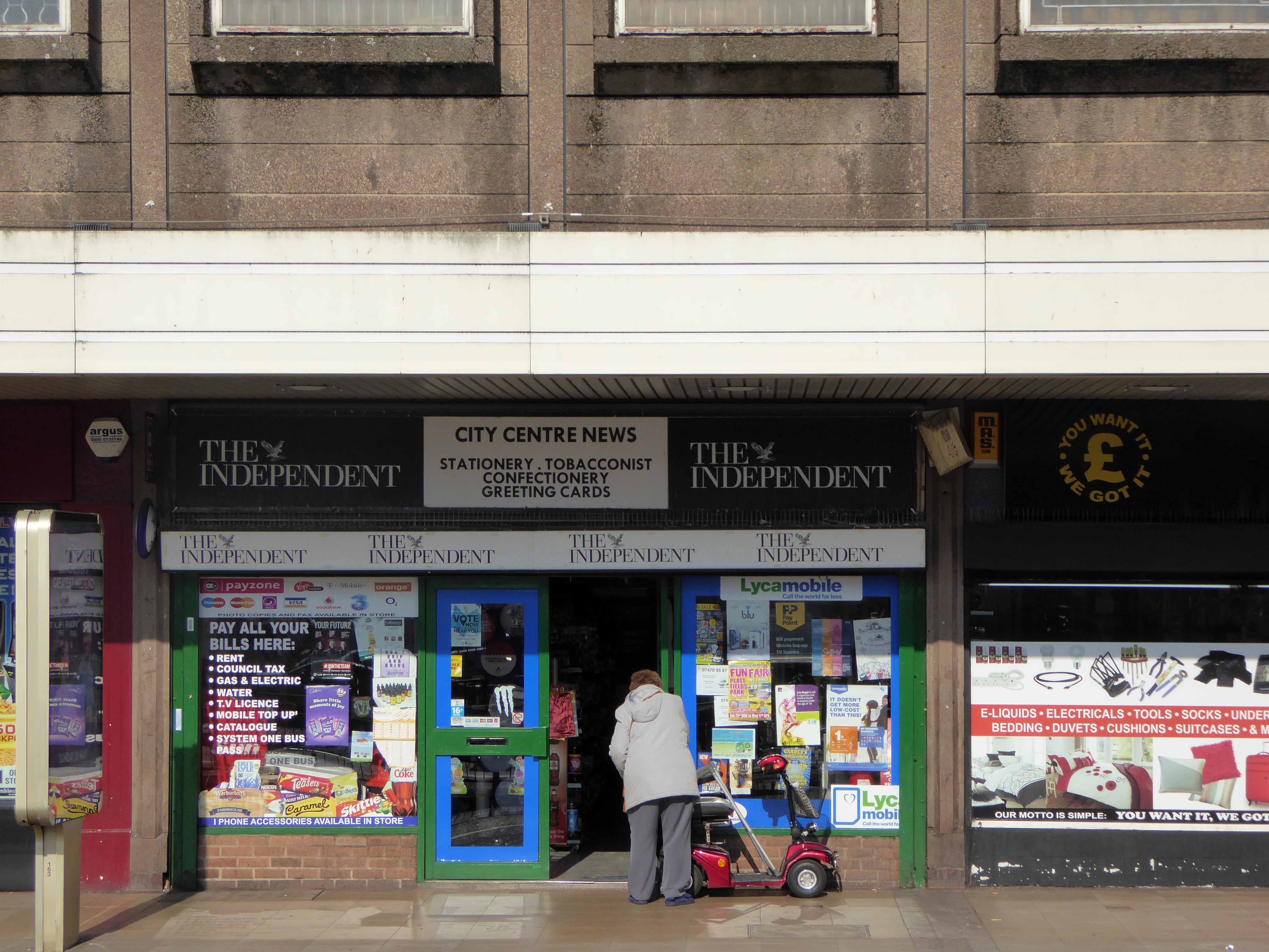
This is a tale of our times – 60s and 70s redevelopment designed and built in the rampant spirit of free enterprise and uber-buoyant consumerism, falling foul of an economic downturn, subsequent unemployment and shrinking retail spending. Property is ping-ponged between local authority and speculative developers.
Following the riots of 2011 pledges were made regarding the future of the site, plans are still afoot, as yet to be rendered corporeal. Although the area has benefitted from an influx of students and a refurbishment of housing stock, there is pressure on the prosperity of the precinct from thriving retail developments in nearby Manchester and the Trafford Centre.
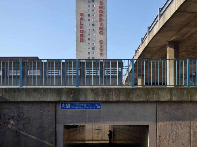
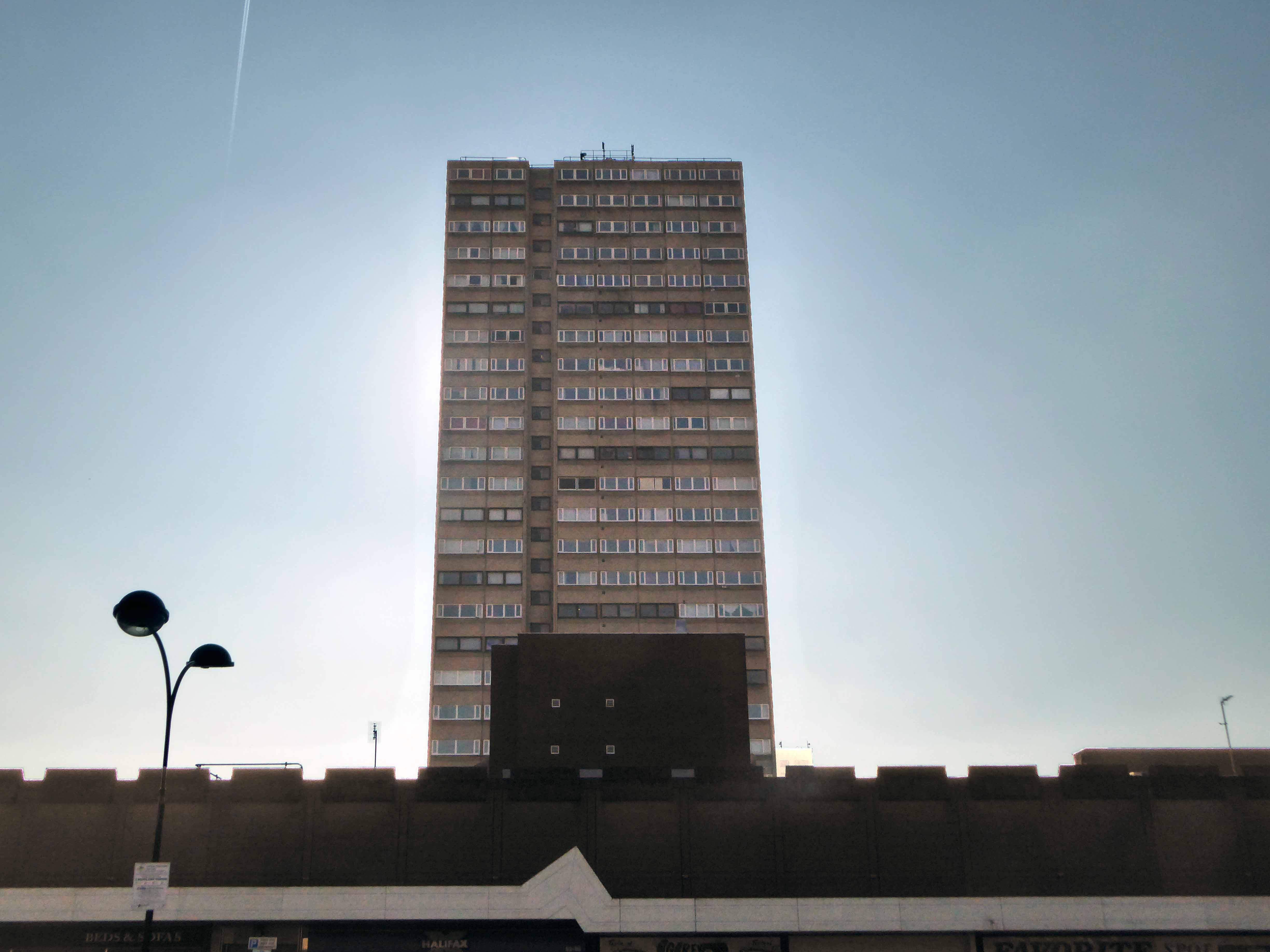
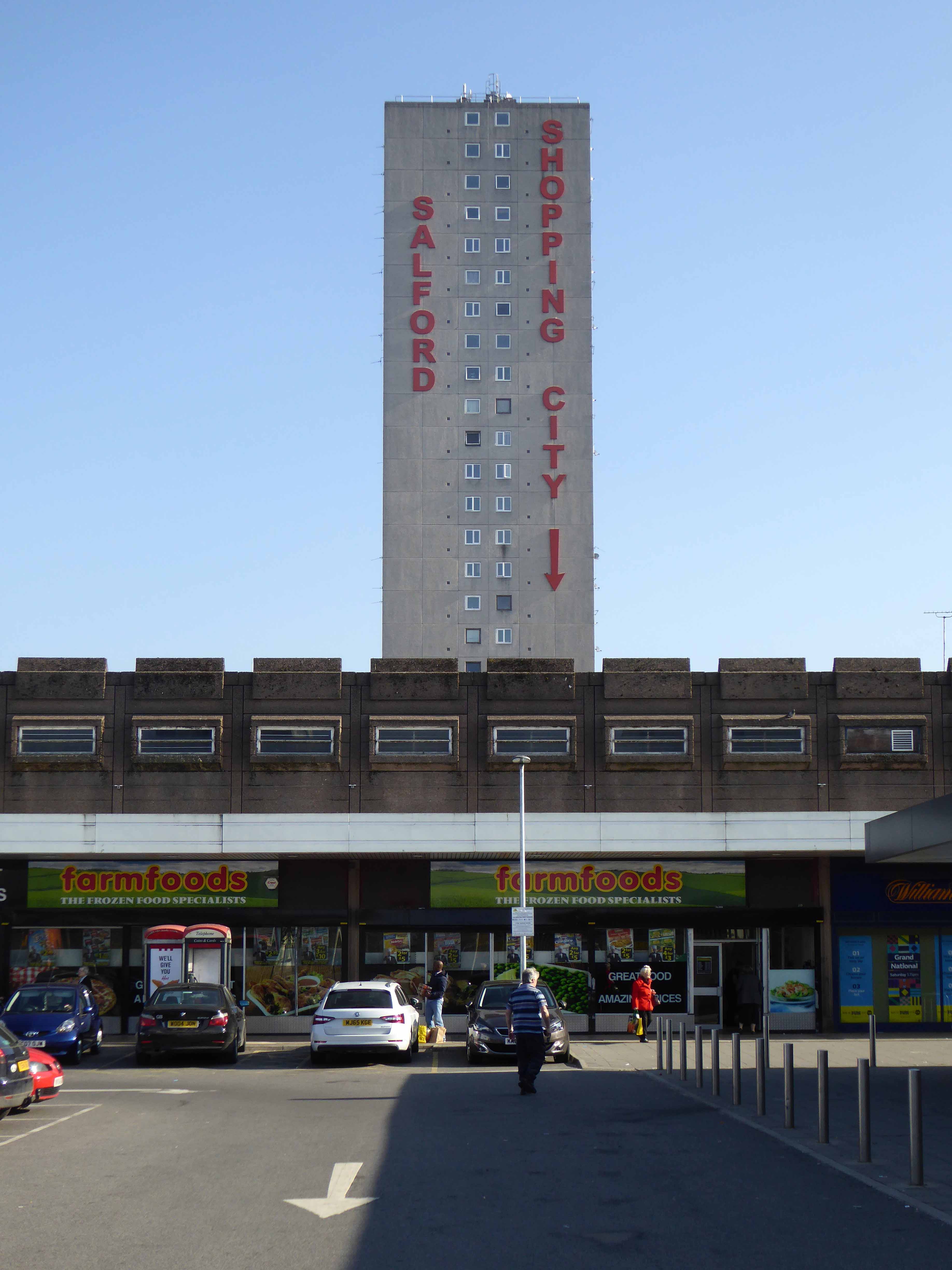
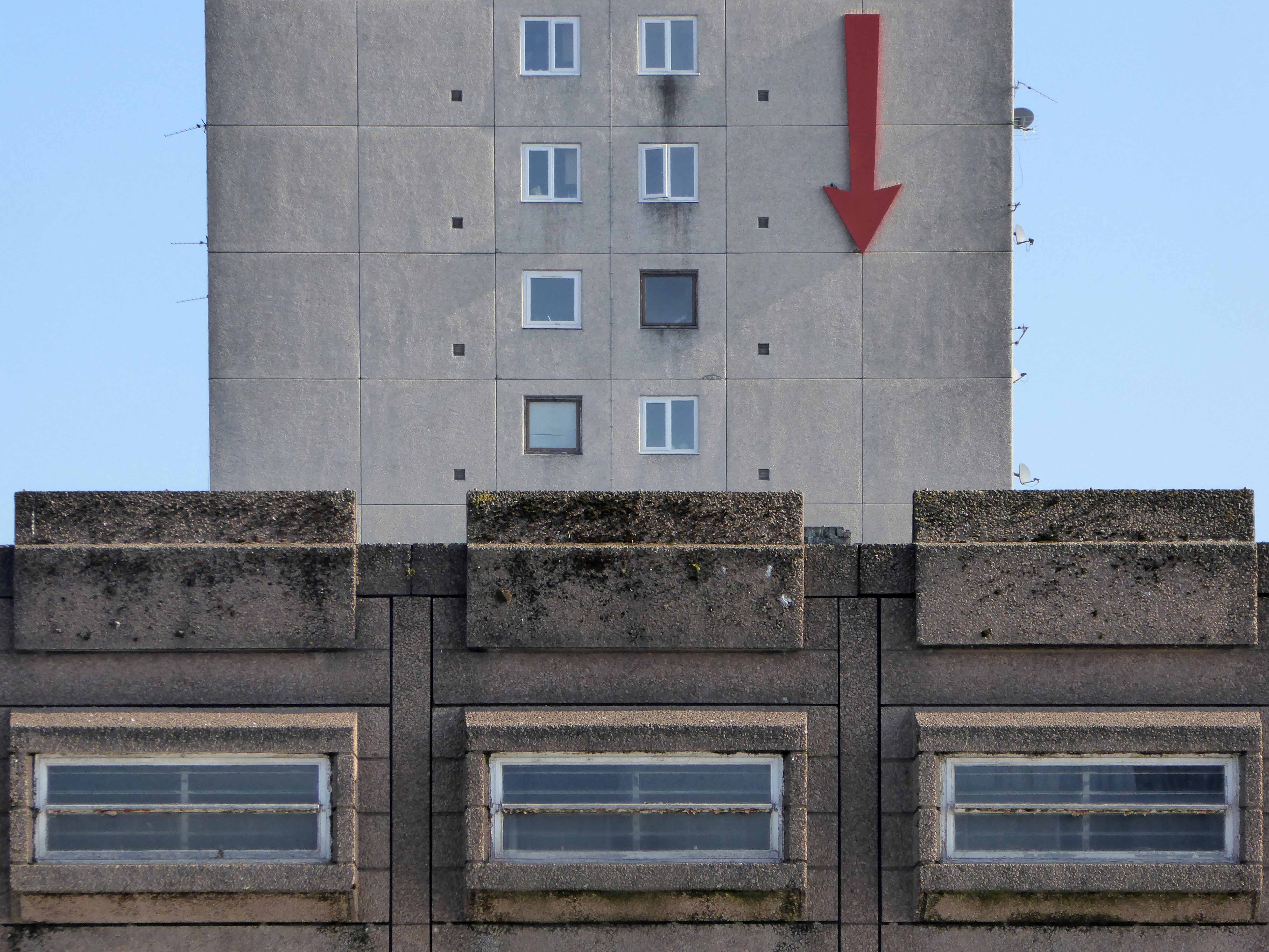
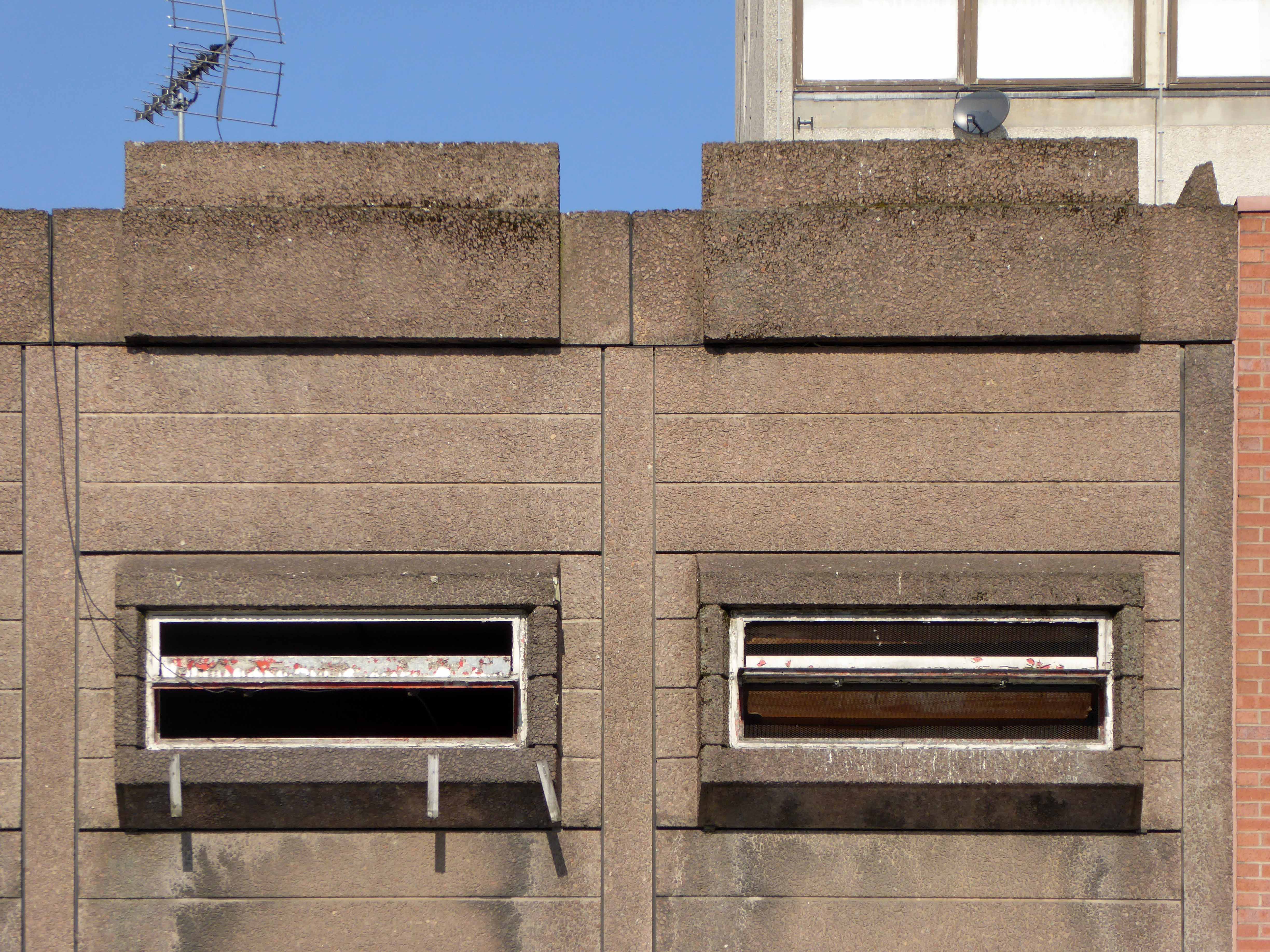
The architectural core of the site has been retained, including the 23 storey Briar Court residential tower, though diluted by more recent additions, misguided post modern detailing that threatens the integrity of full many a post war development.
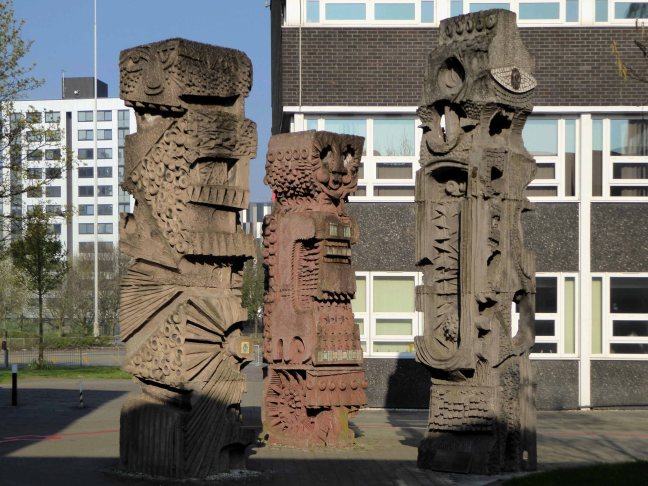
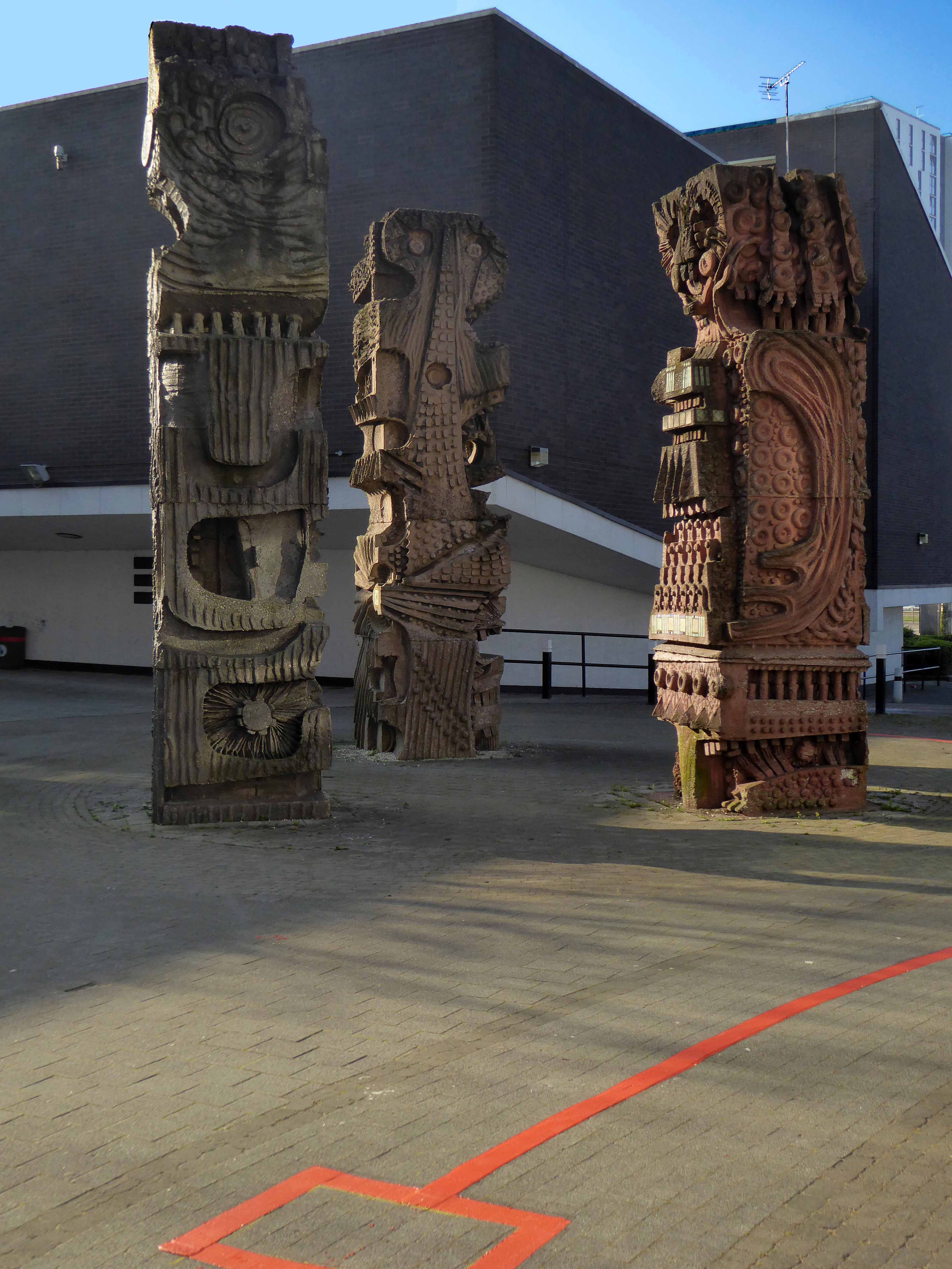
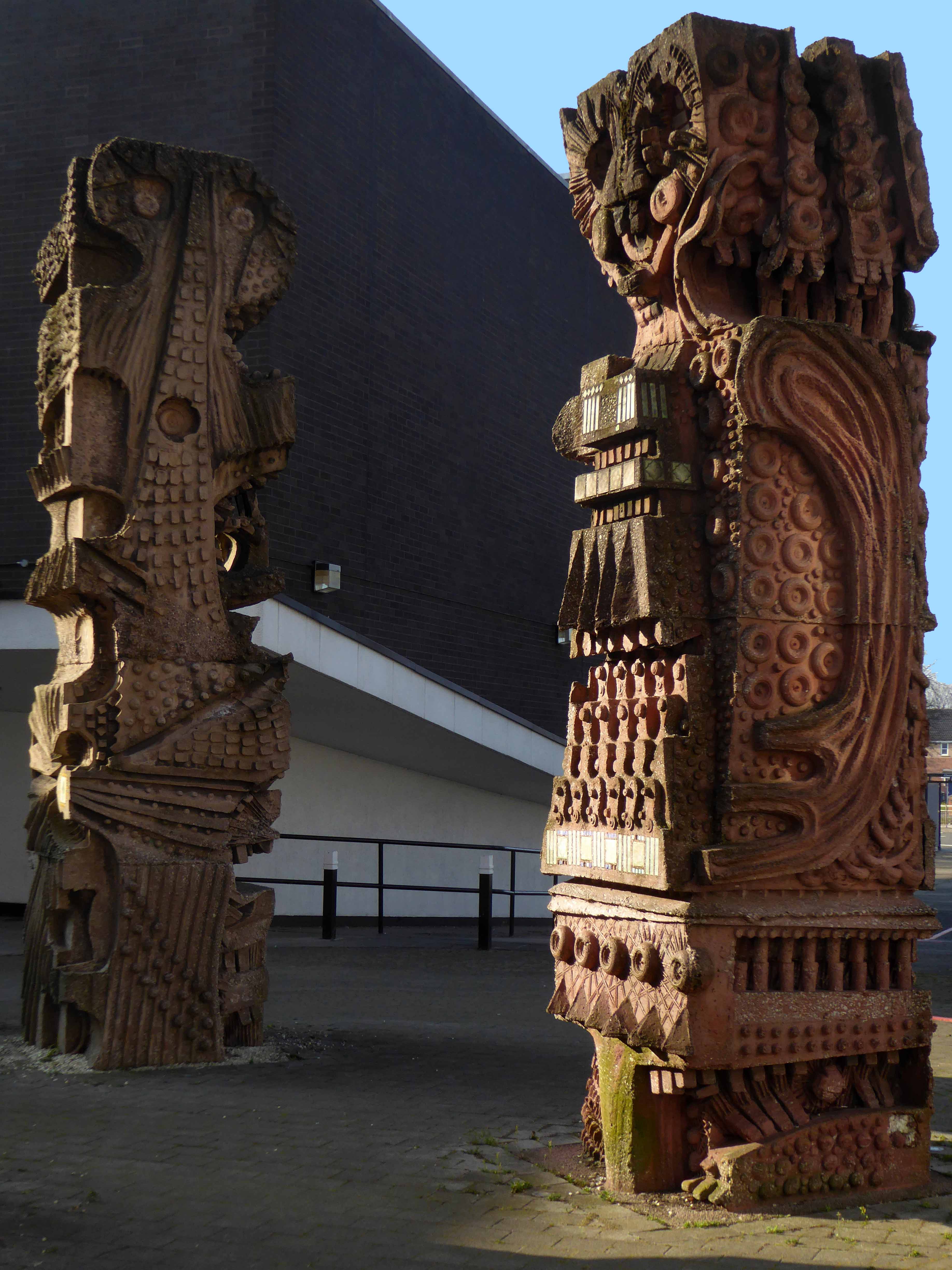
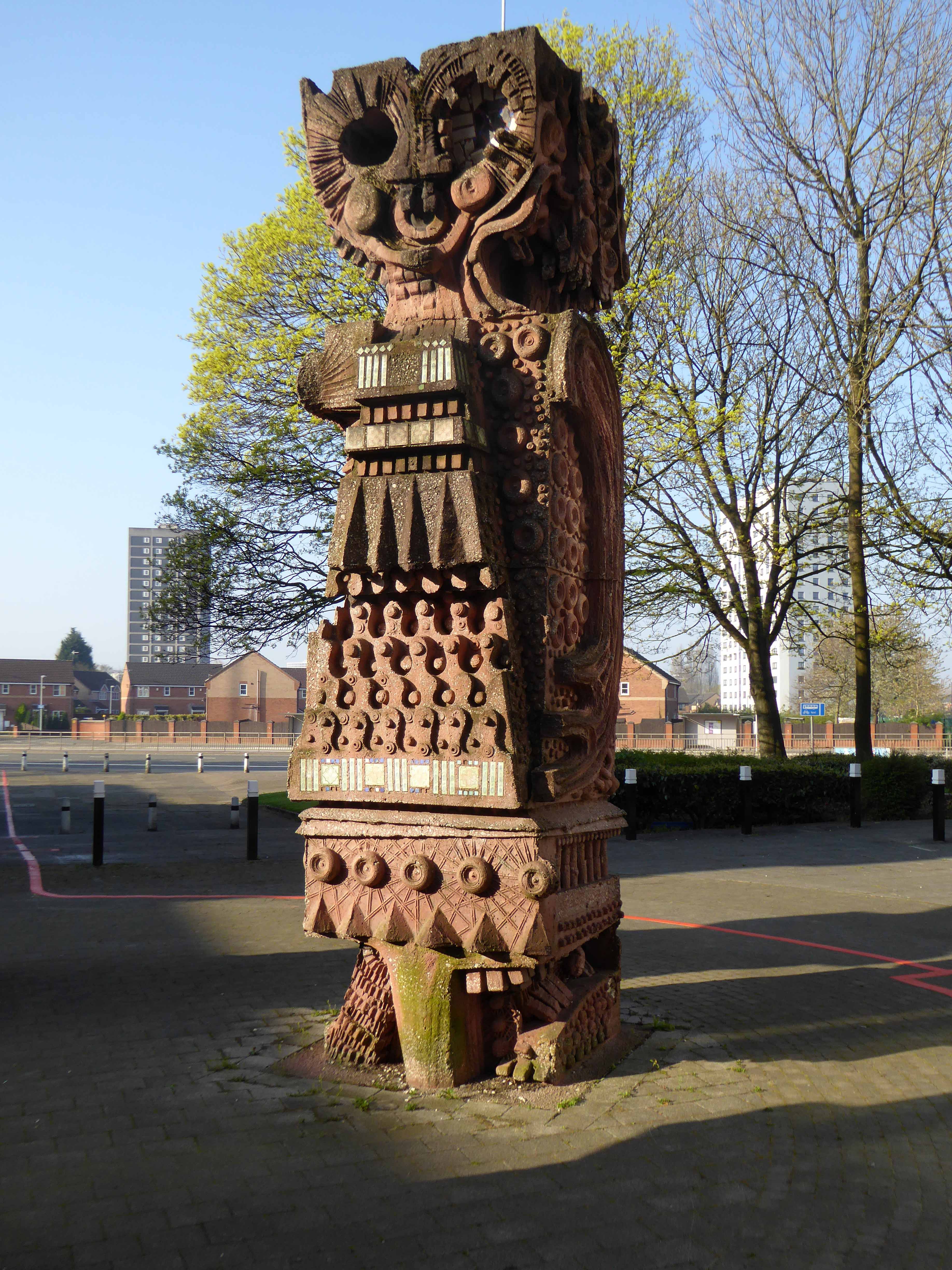
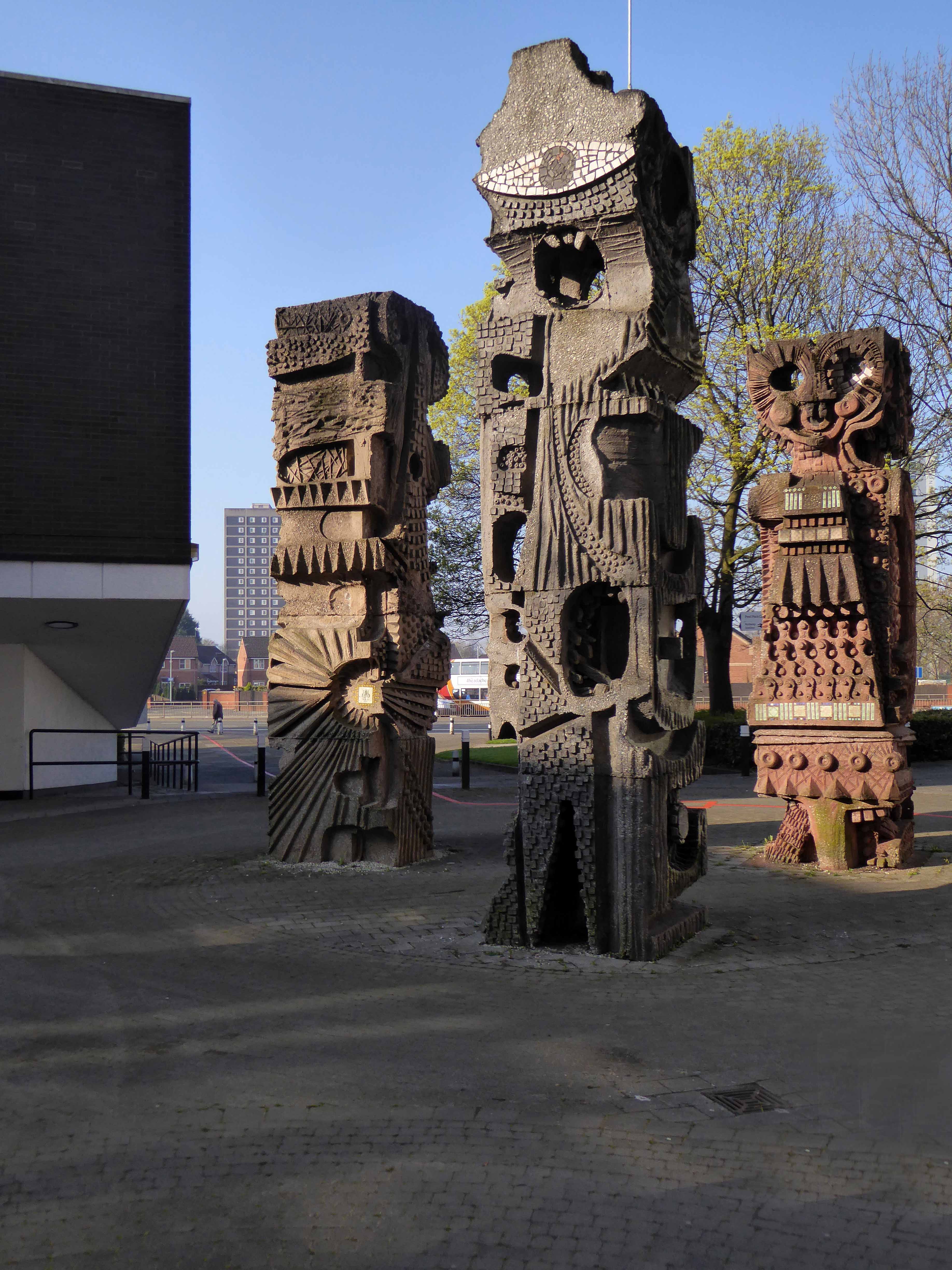
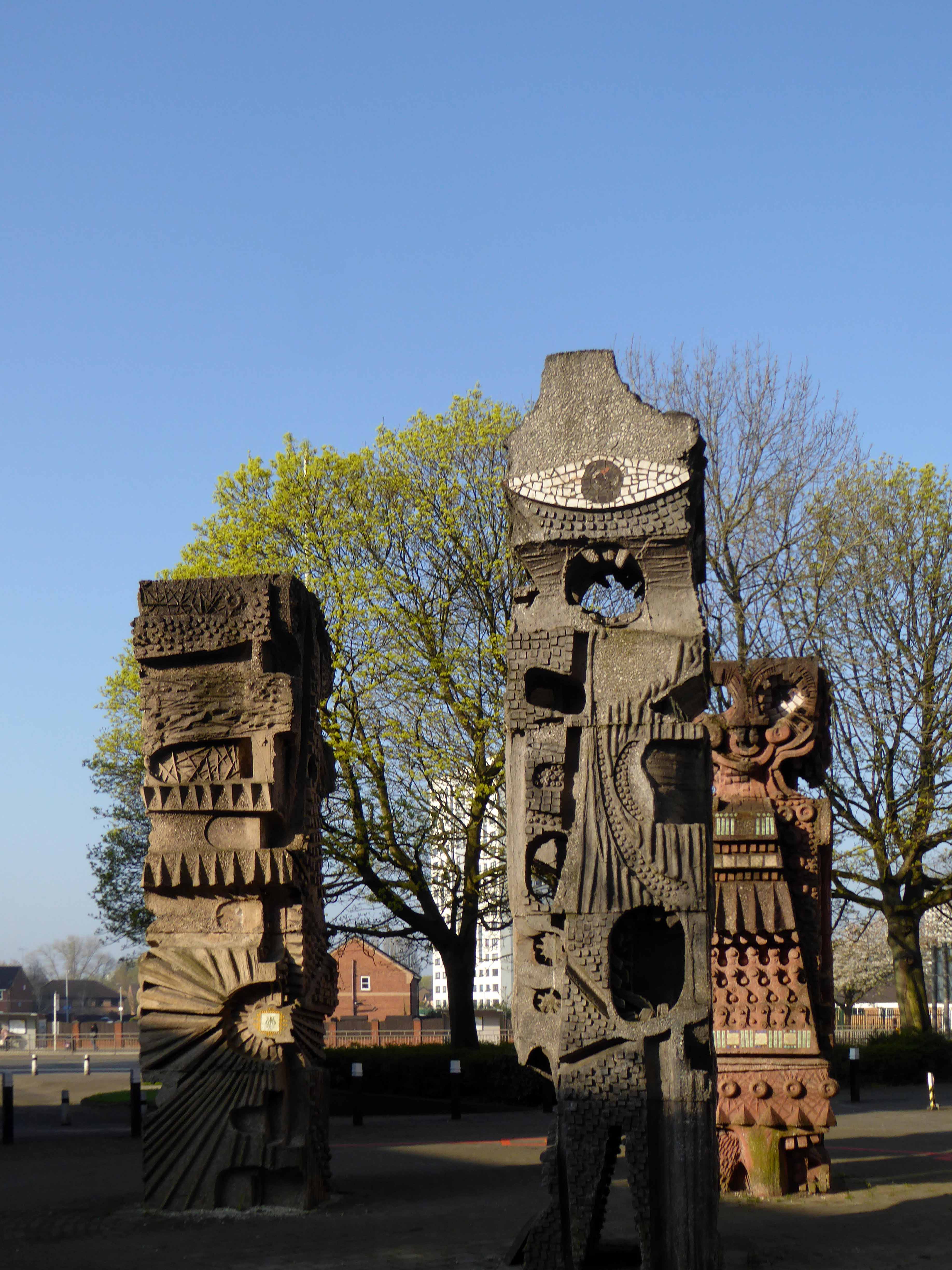
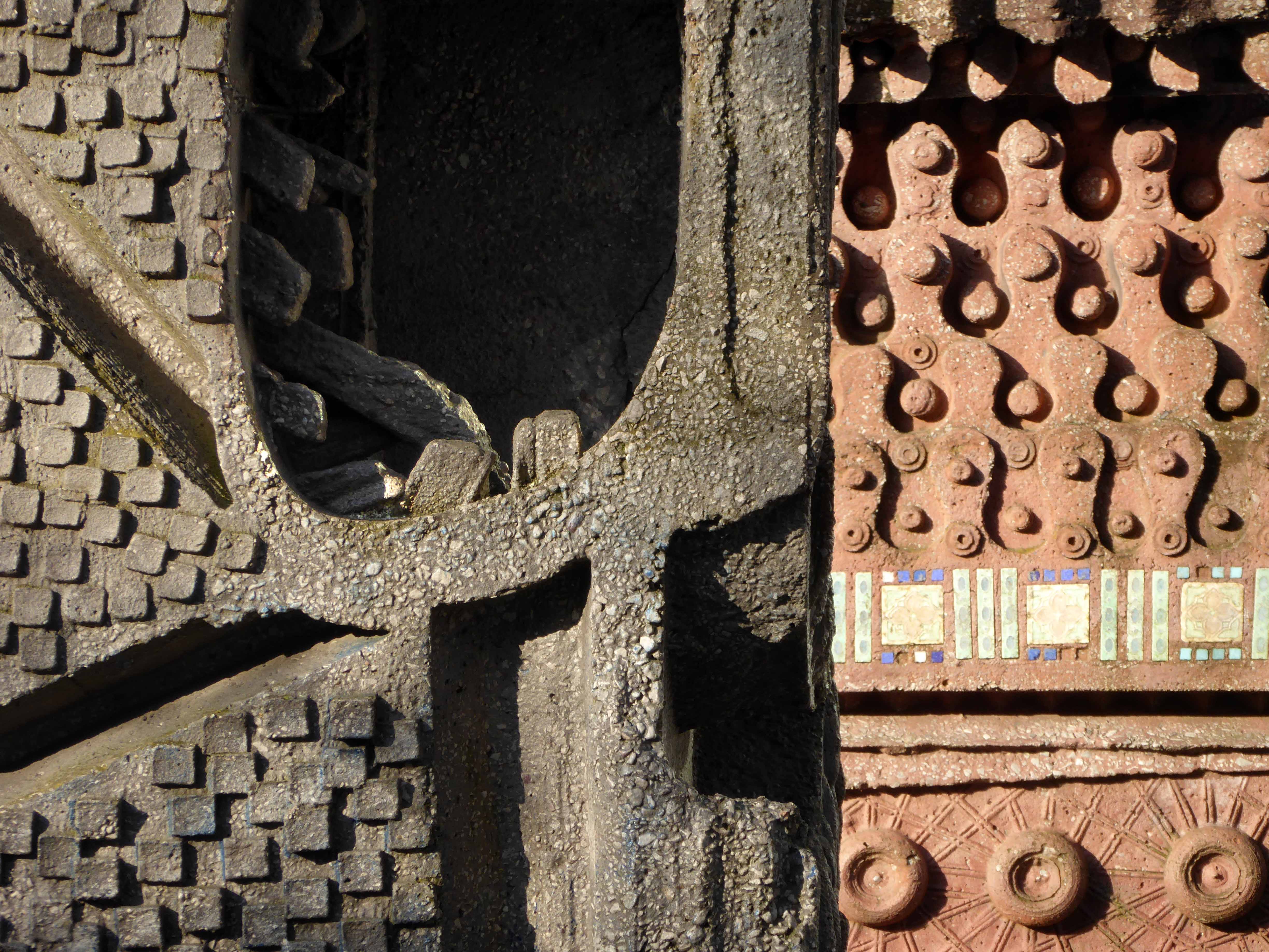
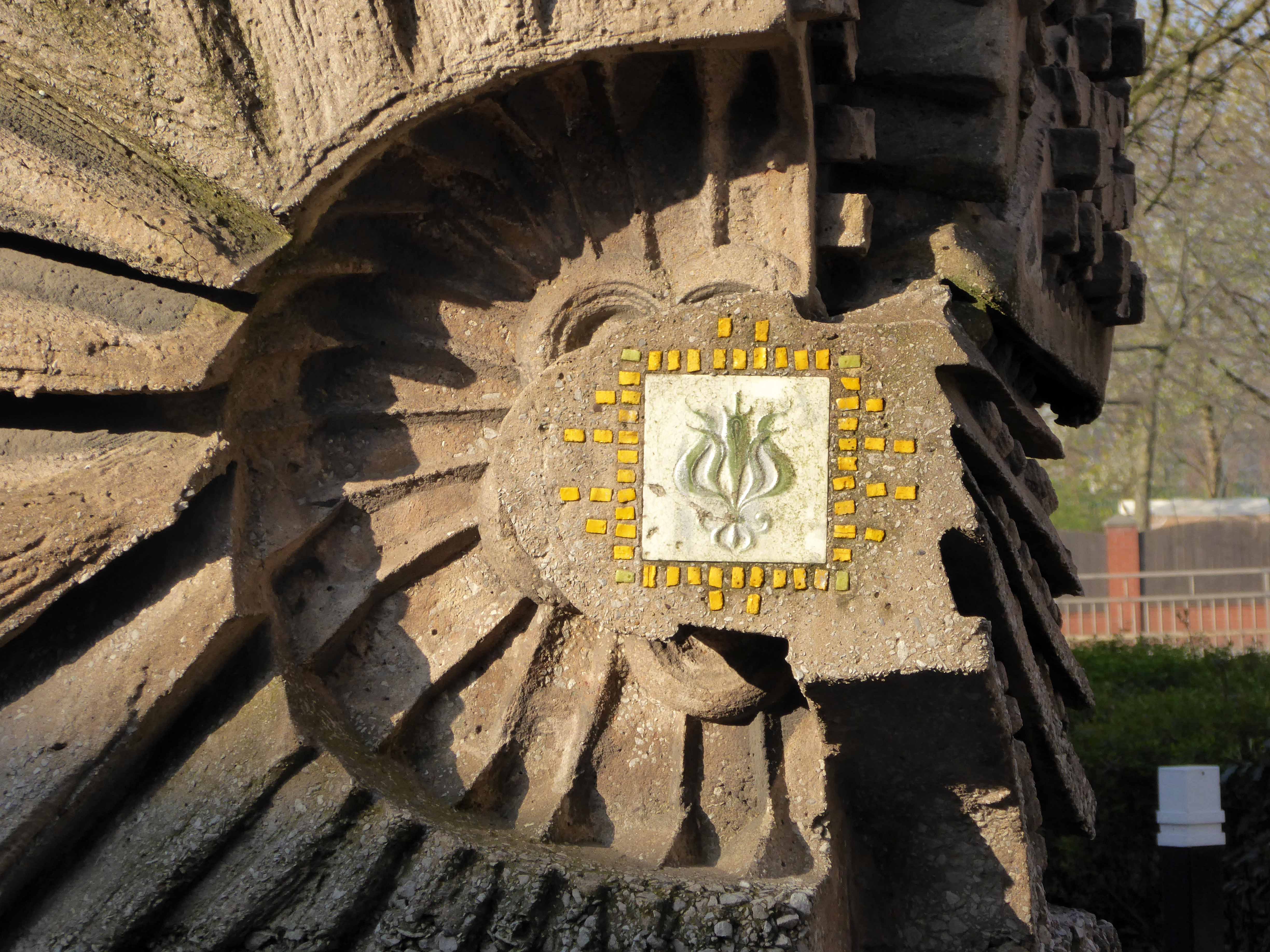
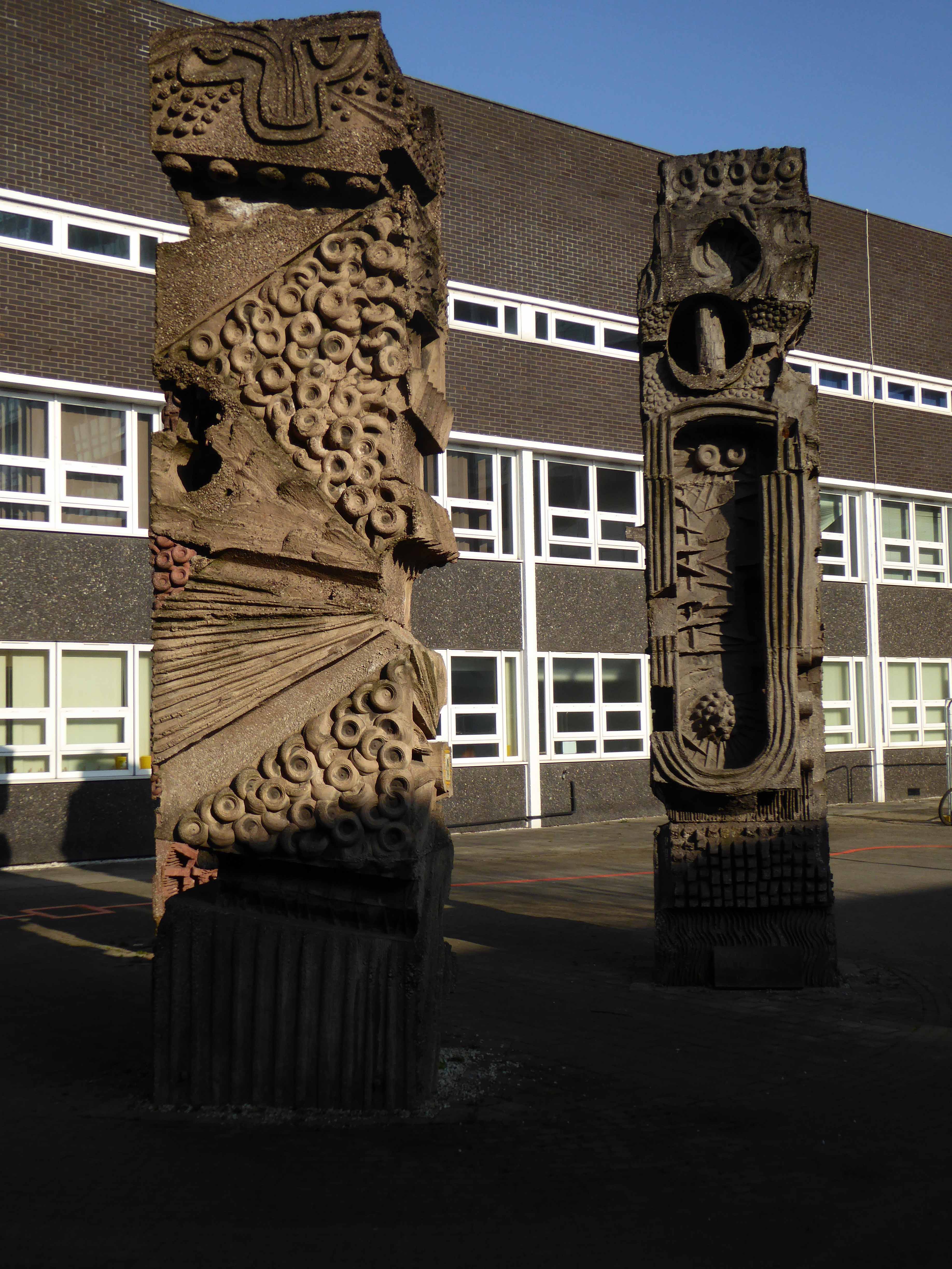
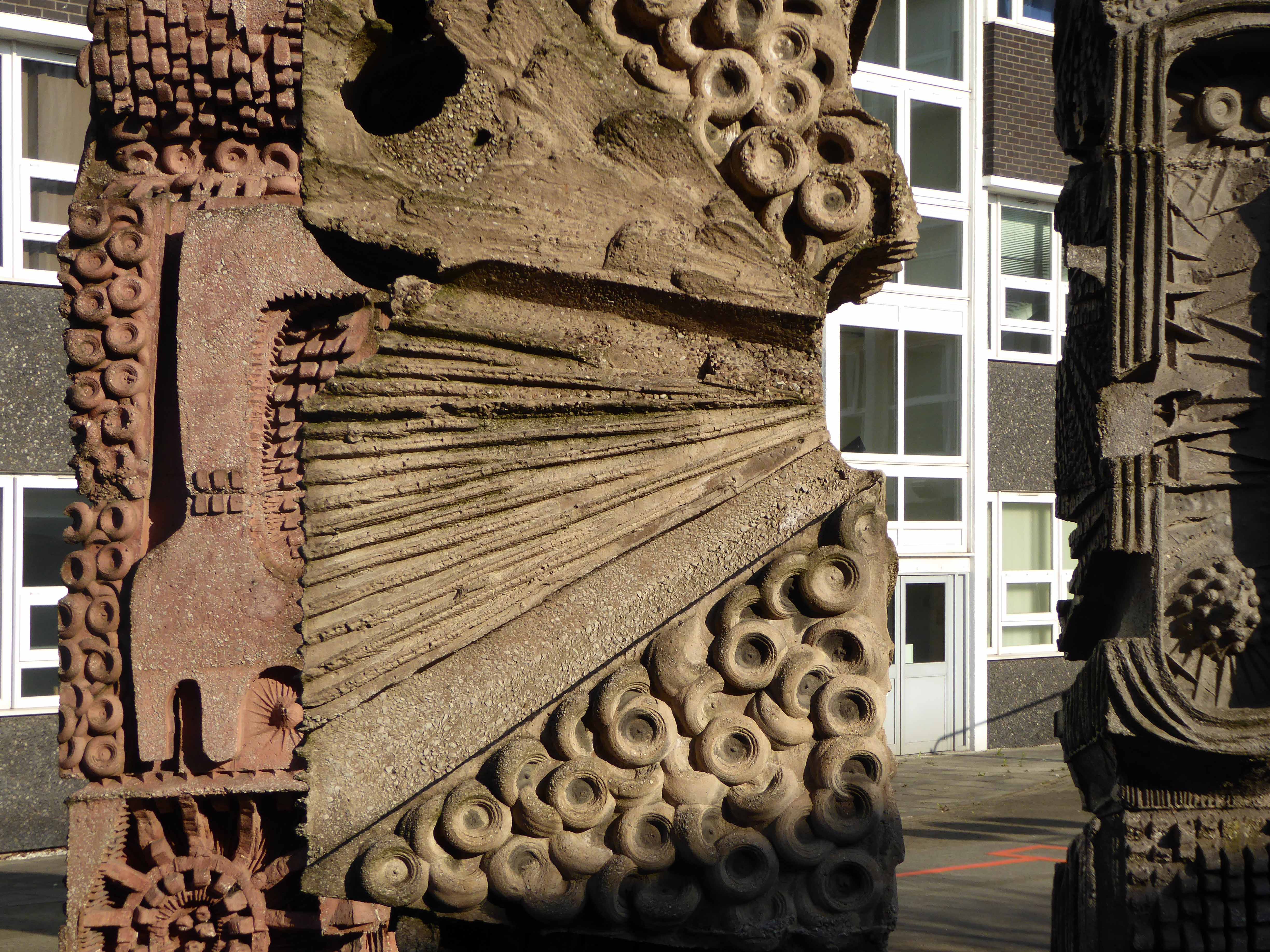
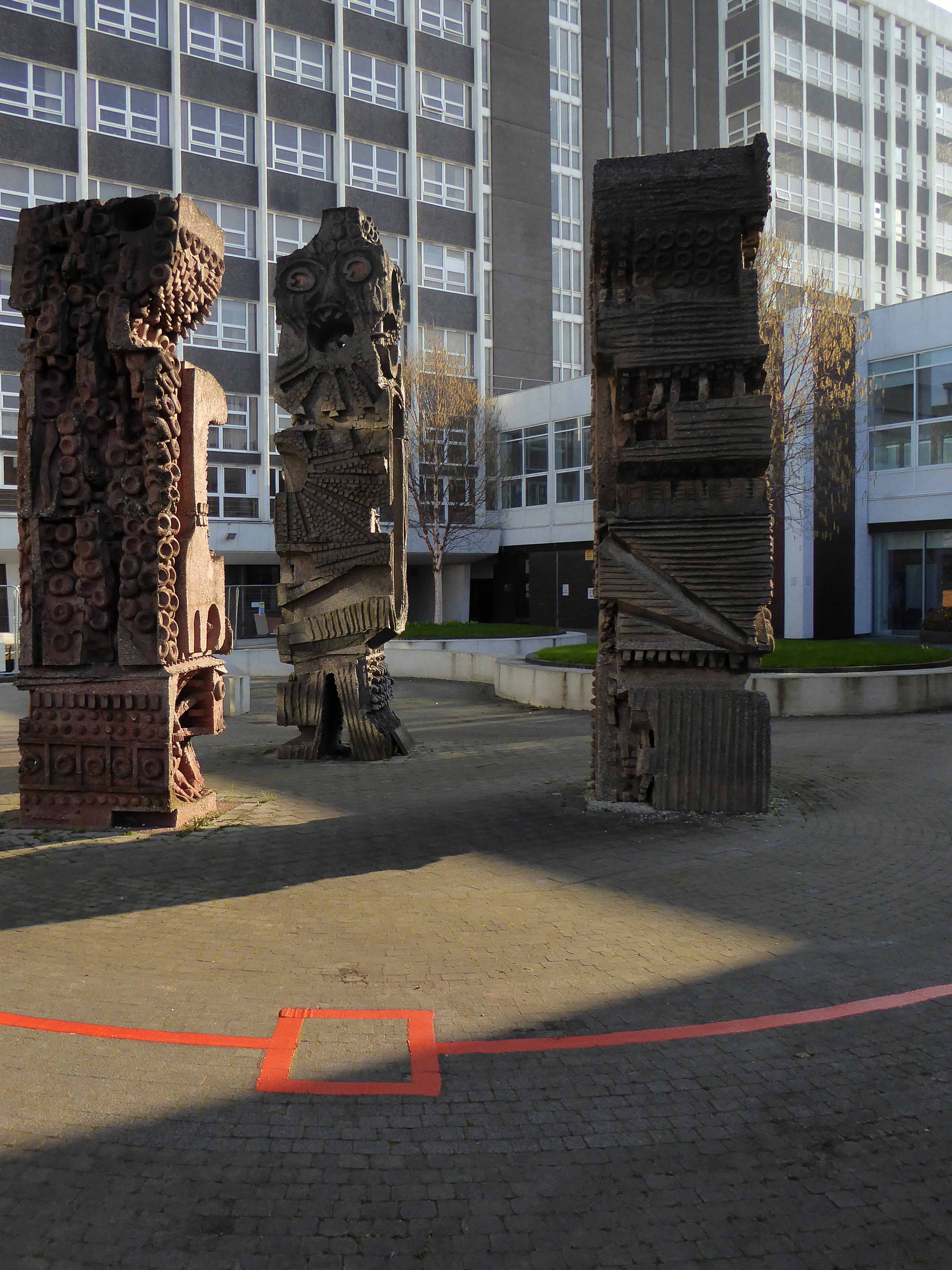
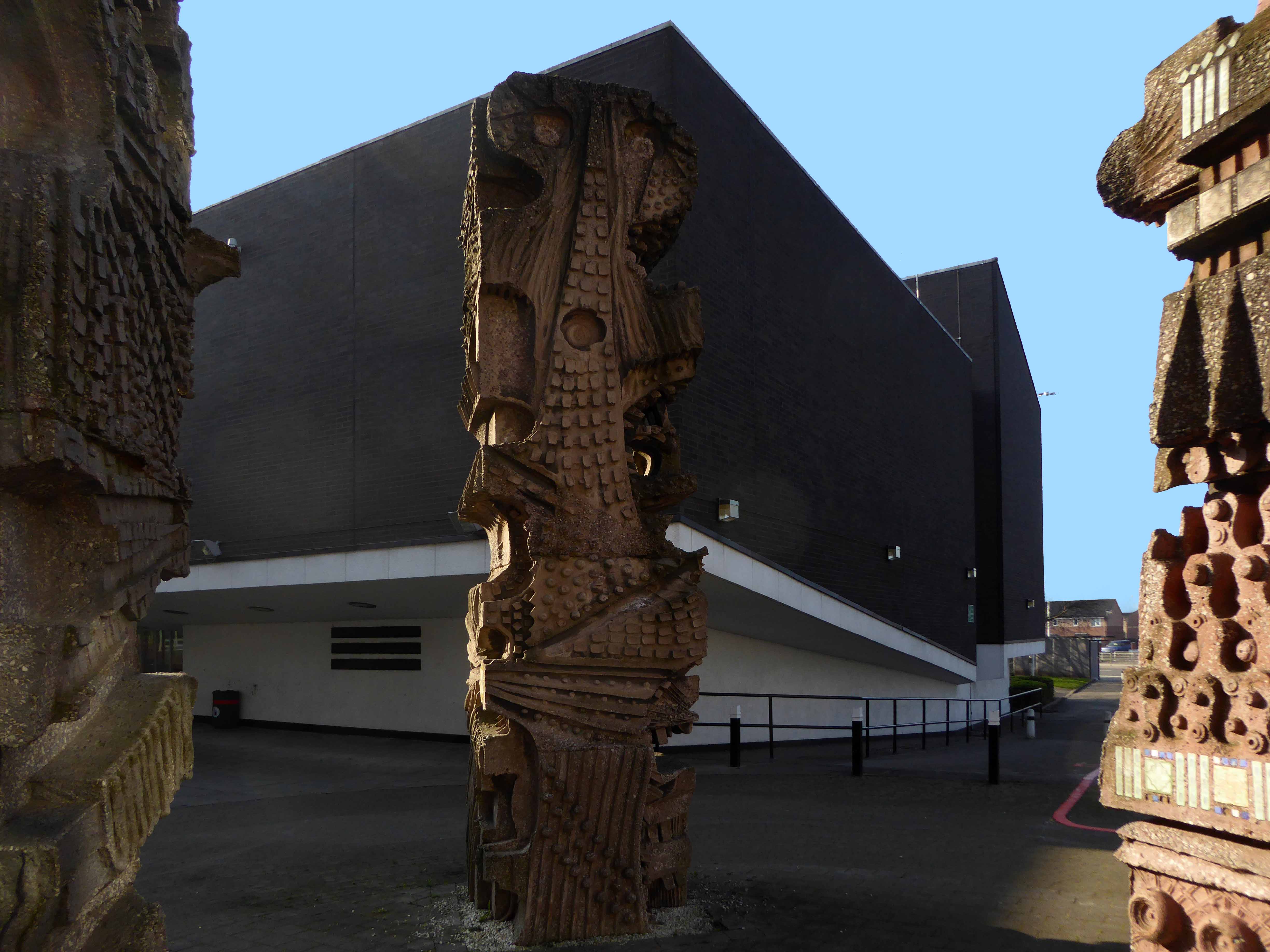
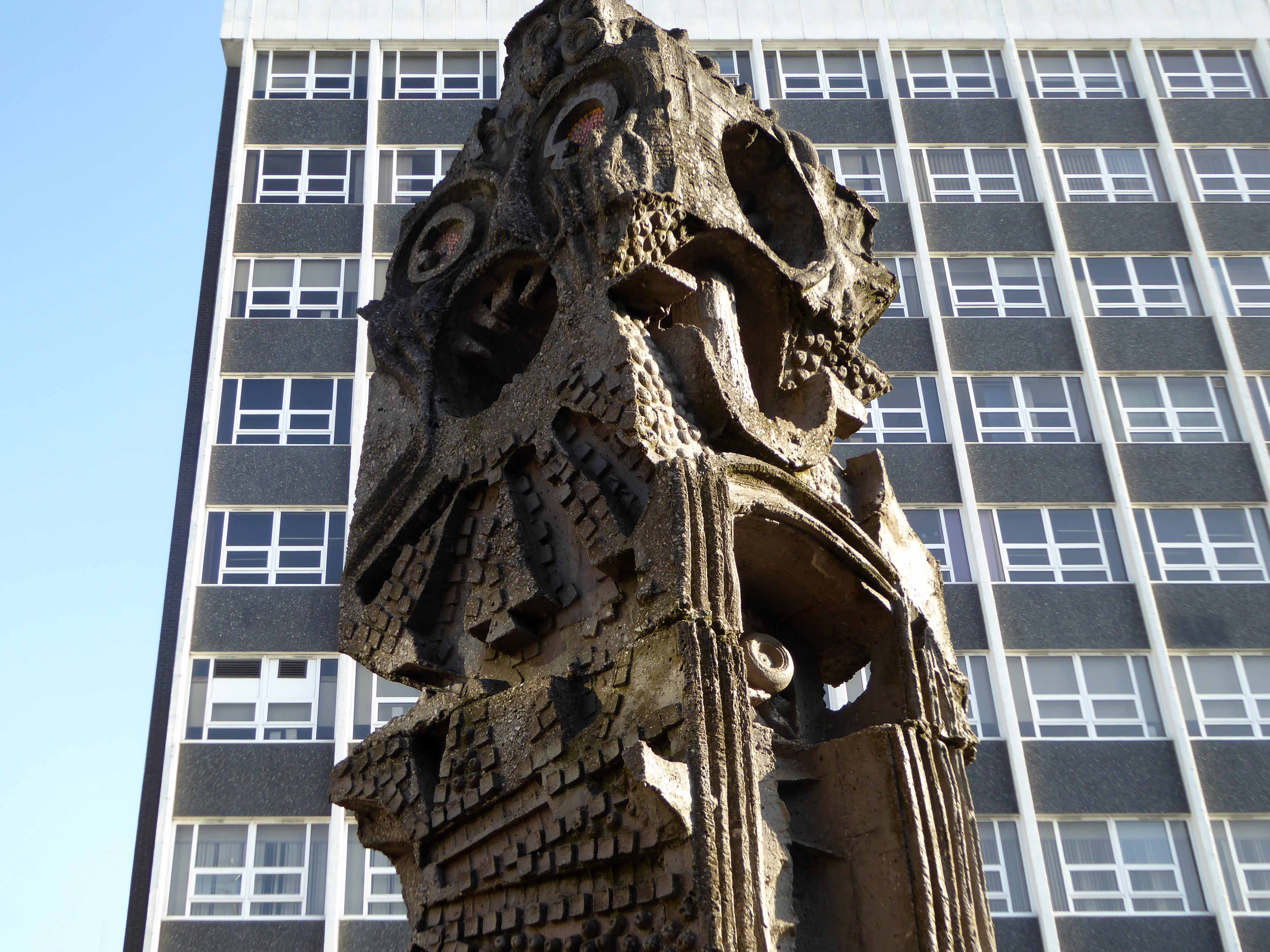
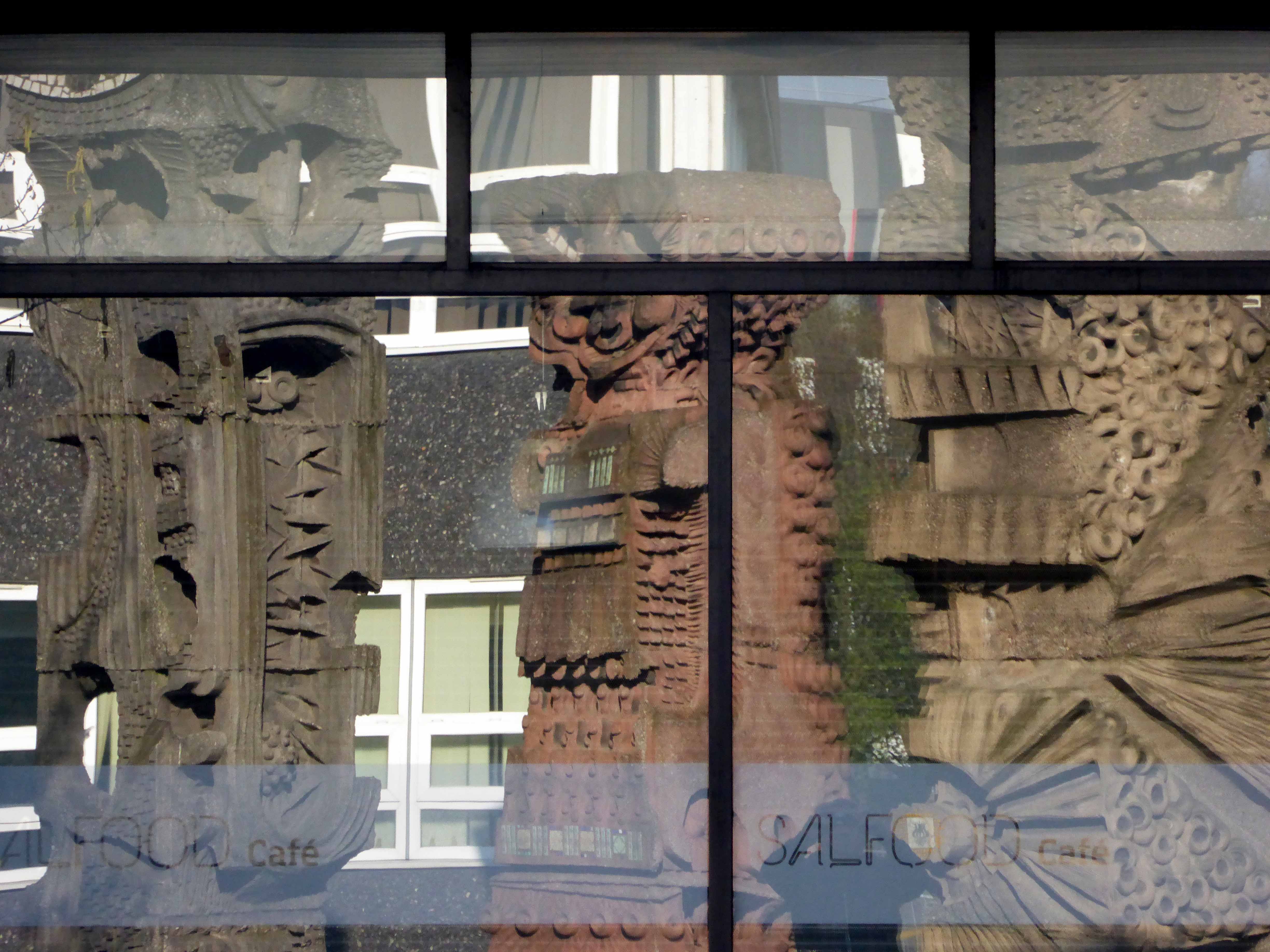
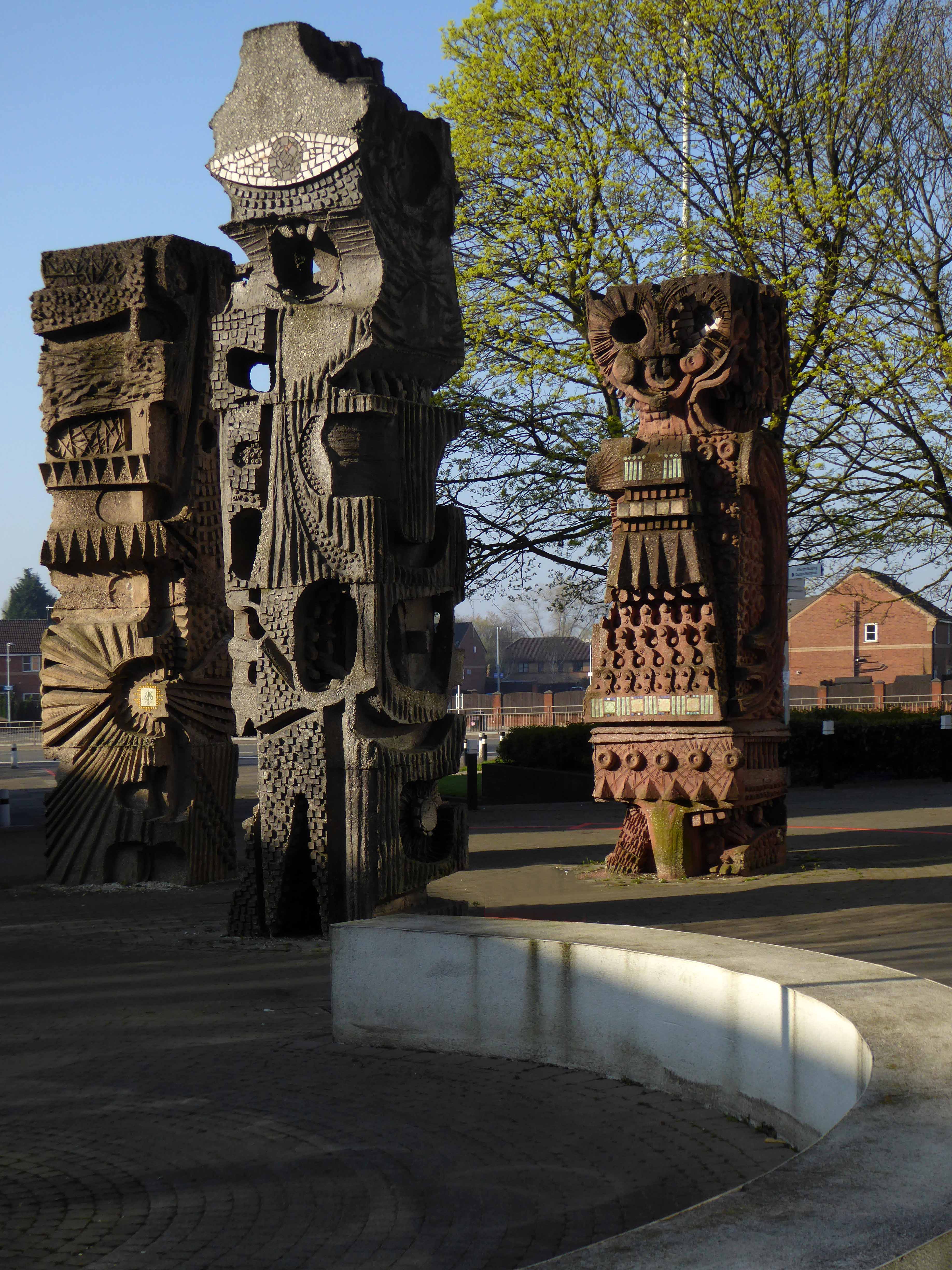
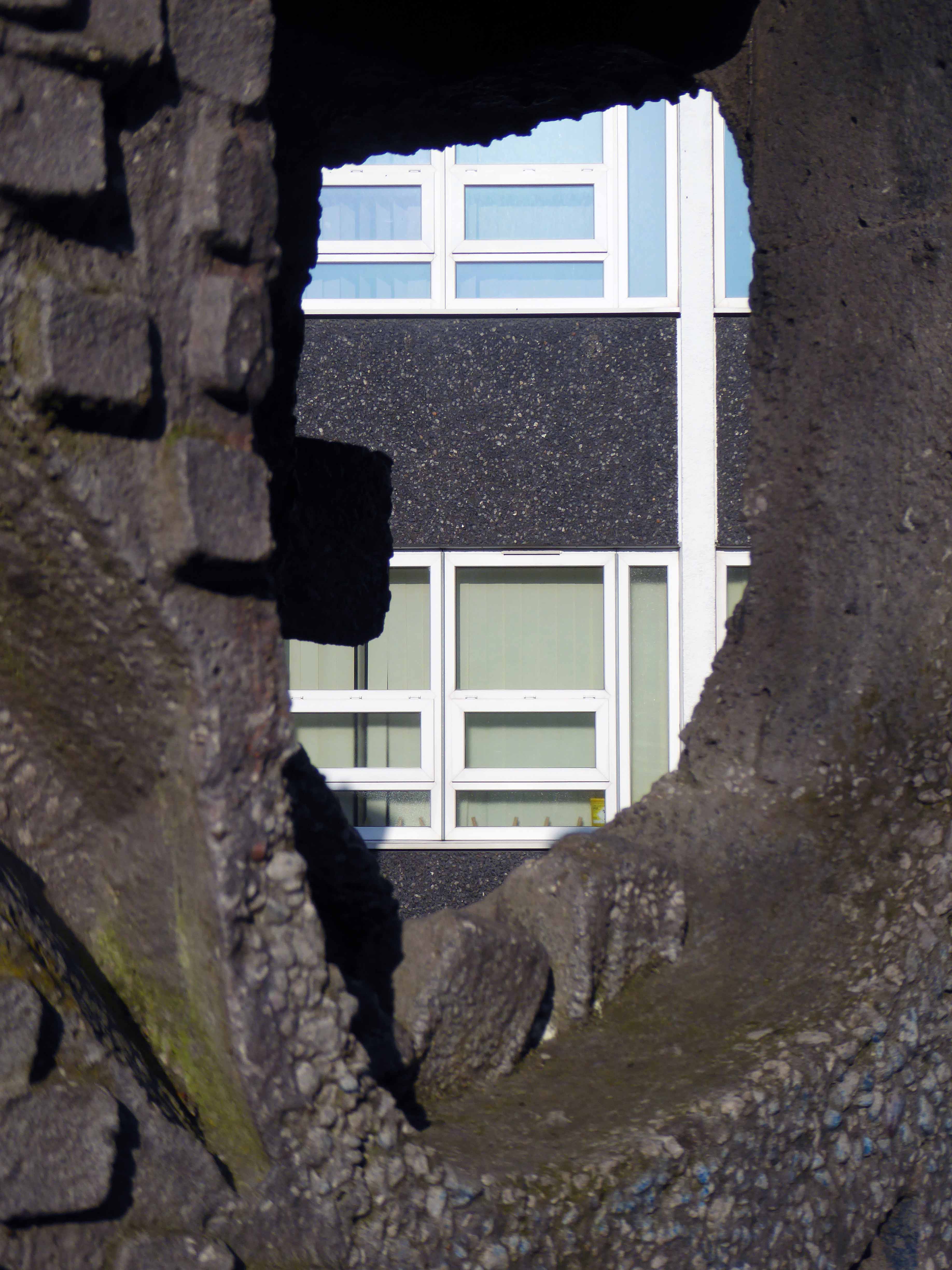
The three concrete totem sculptures of 1966 by William Mitchell, which stand in the courtyard of the Allerton Building, University of Salford, are recommended for designation at Grade II for the following principal reasons: * Historic Interest: as a good representative example of the commissioning of public artwork as an integral element of the design of new higher education colleges and universities in the post-war period, here succeeding in imbuing a distinct identity and image on an otherwise relatively plain complex.
So it seemed appropriate to cycle to Salford early one sunny Saturday morning, in an otherwise relatively plain manner in order to see the three totems.
William Mitchell was a leading public artist in the post-war period who designed many pieces of art in the public realm, working to a high artistic quality in various materials but most notably concrete, a material in which he was highly skilled, using innovative and unusual casting techniques, as seen in this sculptural group. He has a number of listed pieces to his name, both individual designs and components of larger architectural commissions by leading architects of the day.
Historic England says so, they loved them so much they listed them Grade II.
I loved them so much I listed them lovely, especially in lowish spring light, set against a clear blue sky and framed by the surrounding academic buildings.
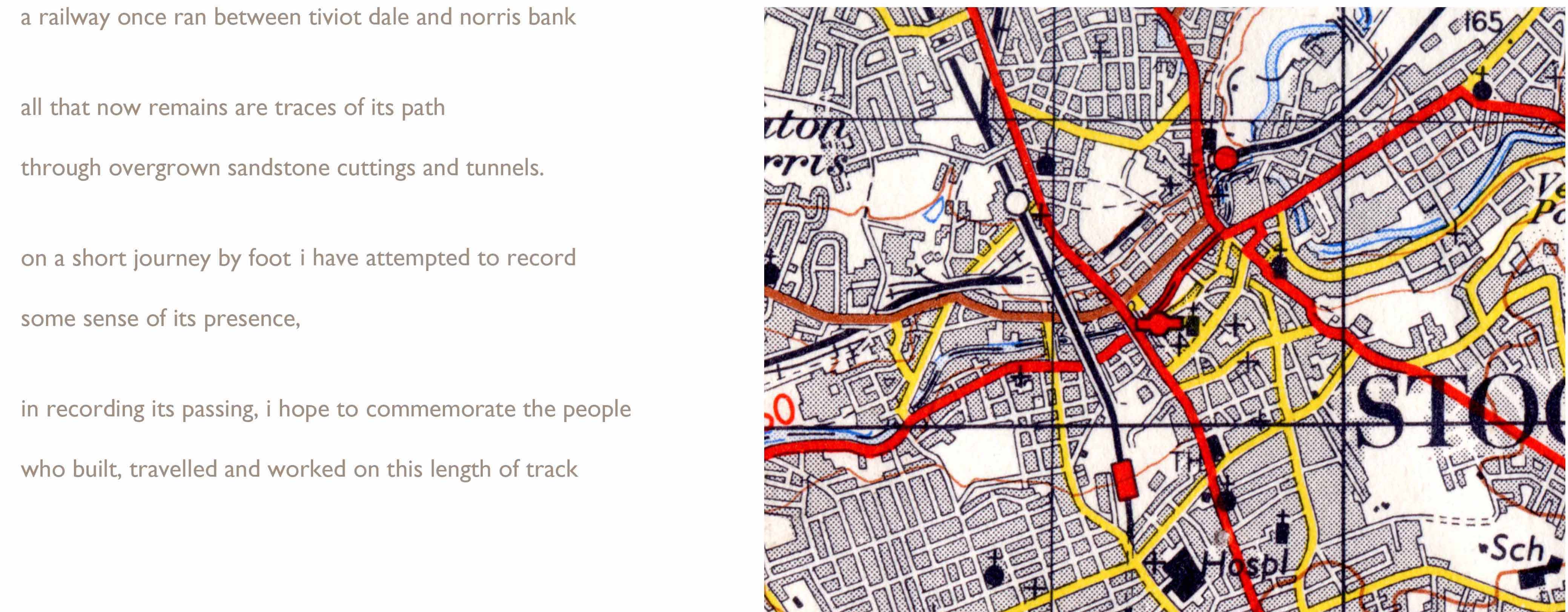
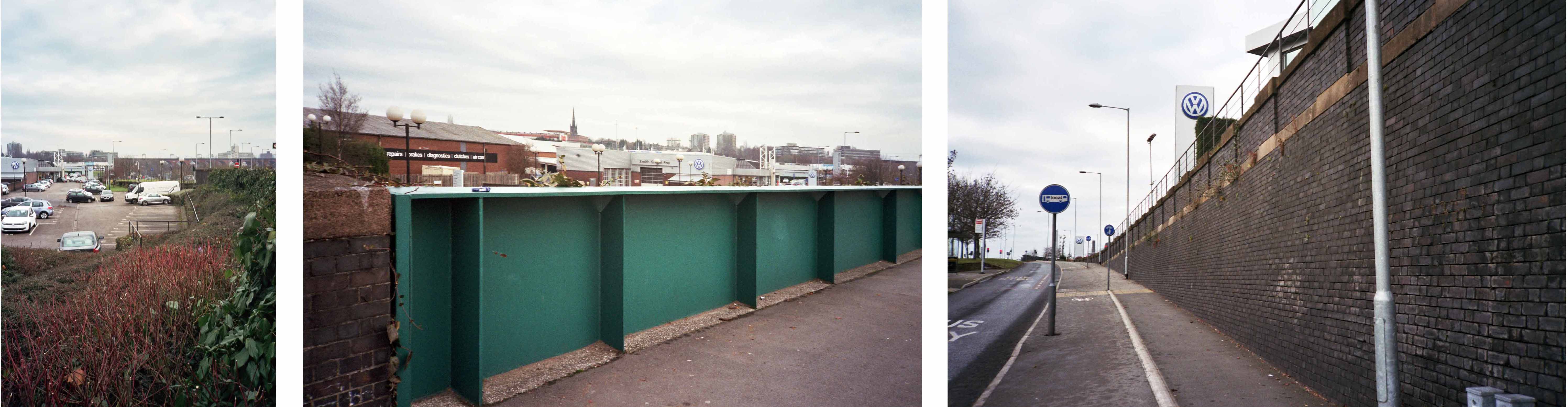
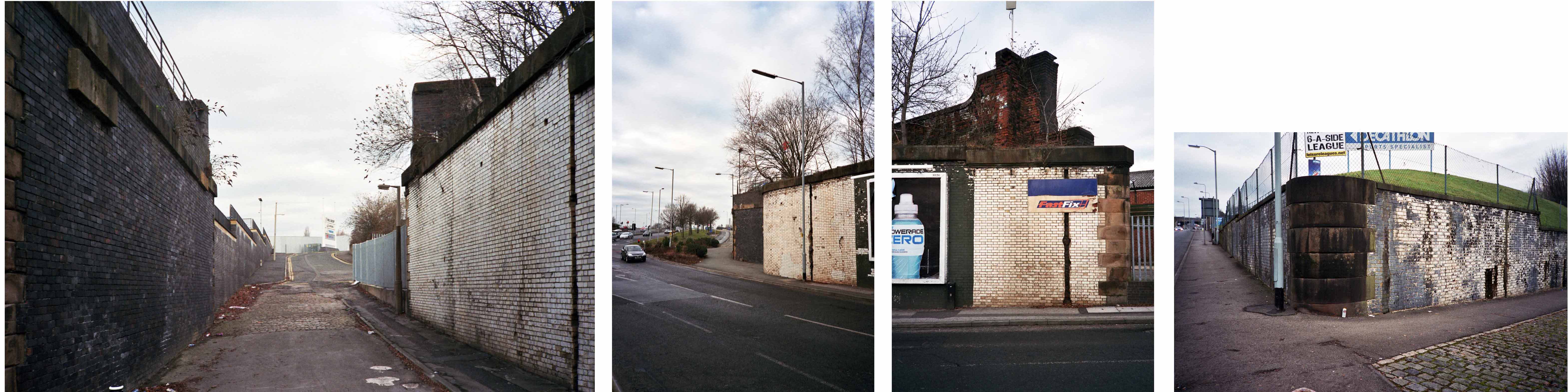
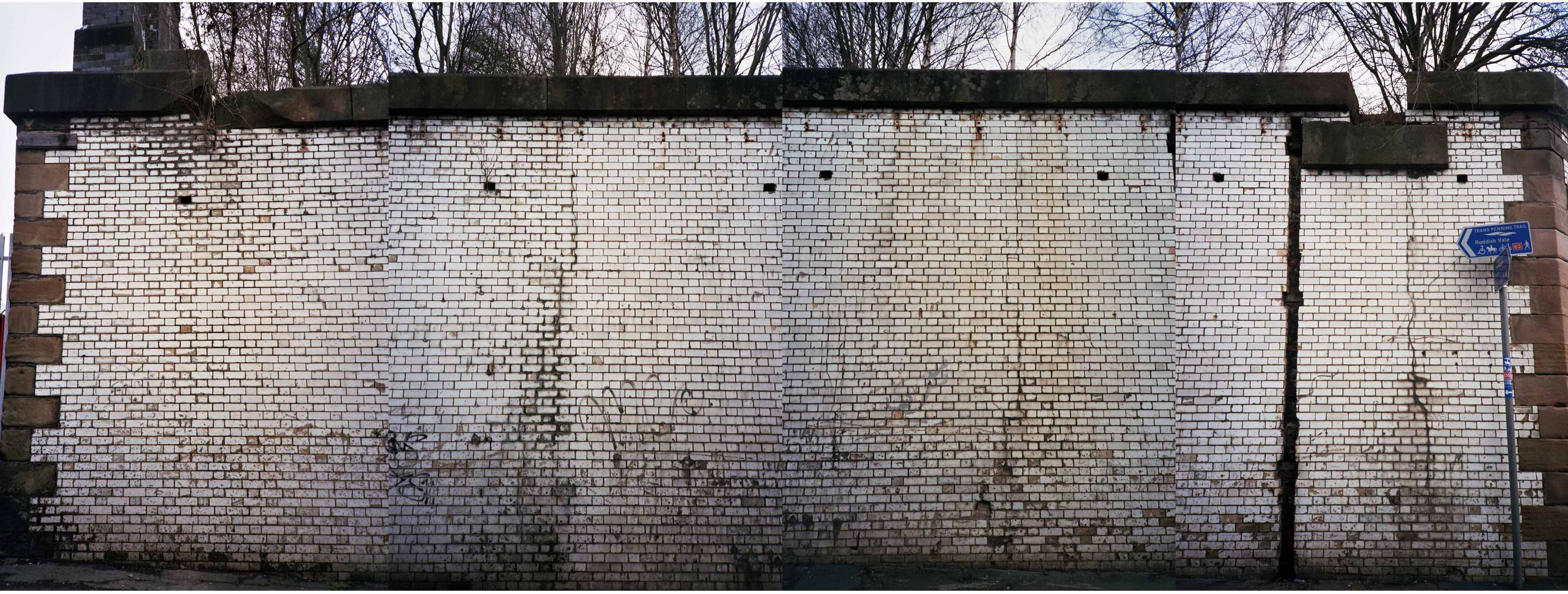
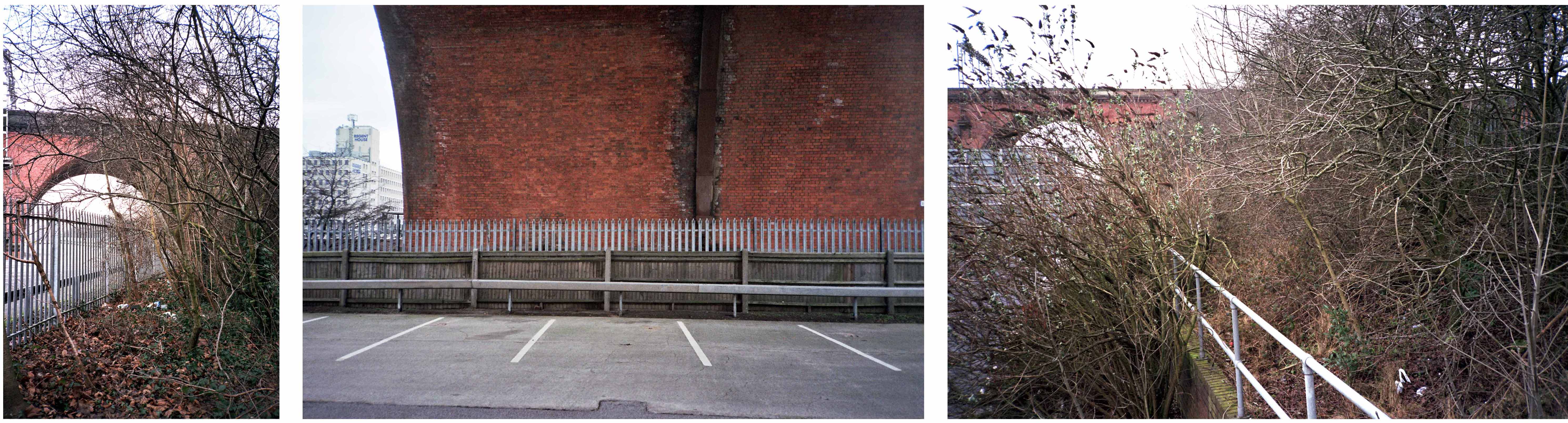
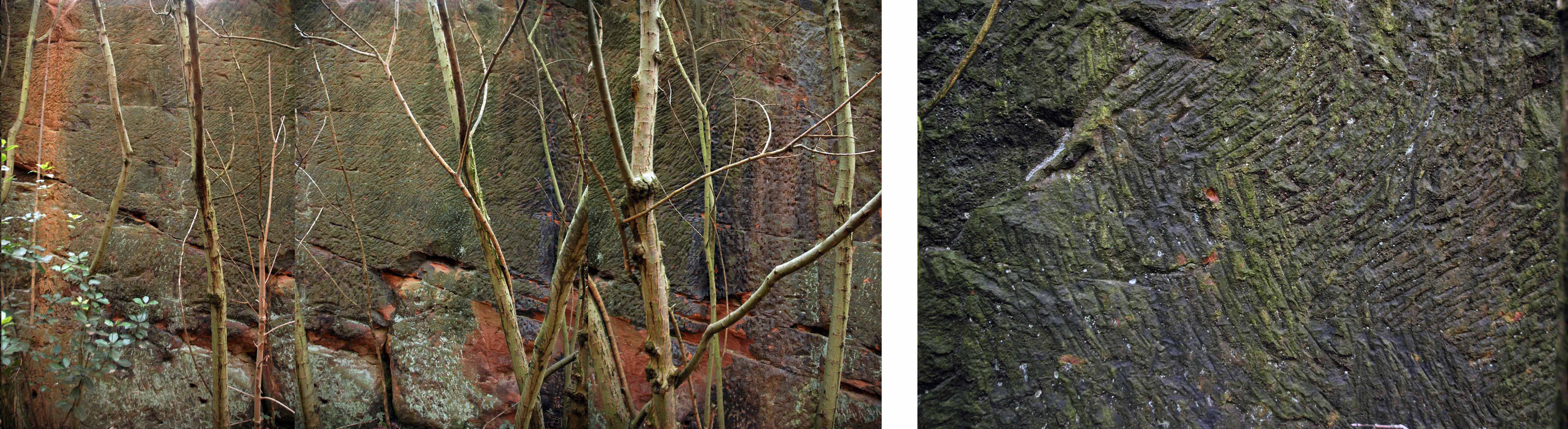
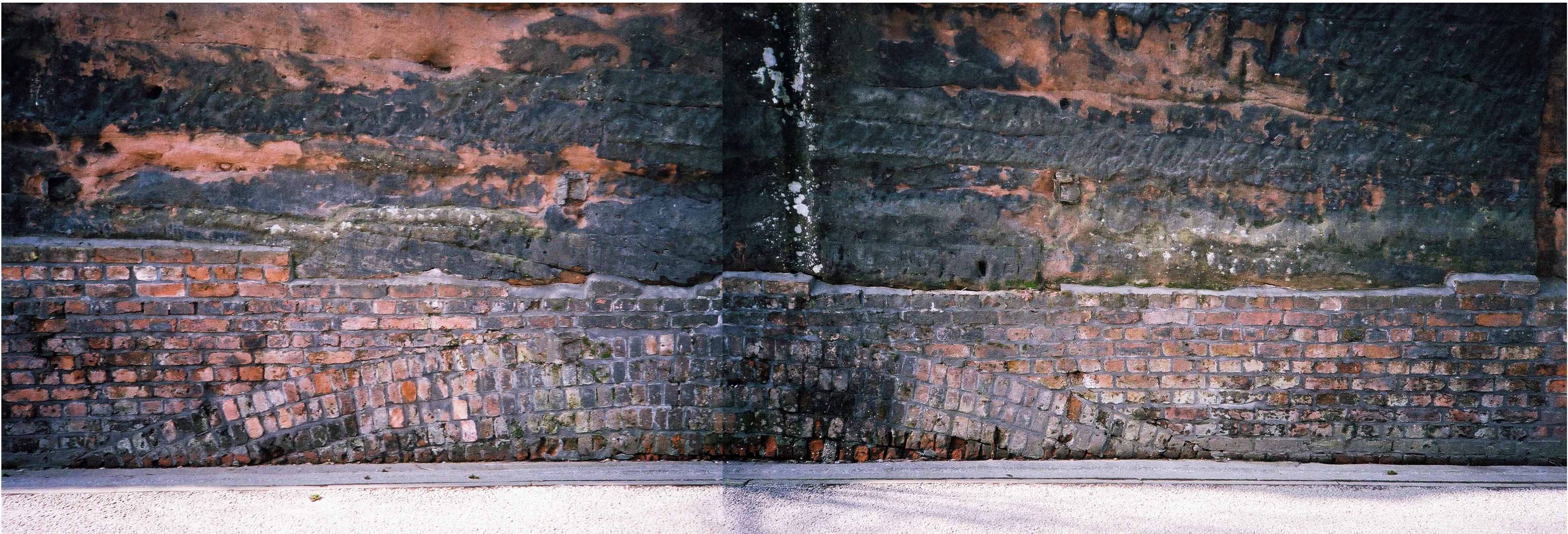
This is a journey I made as a BR Guide Bridge goods guard in the late 1970s, often with driver Eric Clough, into the George’s Road scrap yard. It was also at one time the Cheshire Lines passenger route out of Stockport Tiviot Dale Station to Liverpool, Southport, St Pancras and beyond.
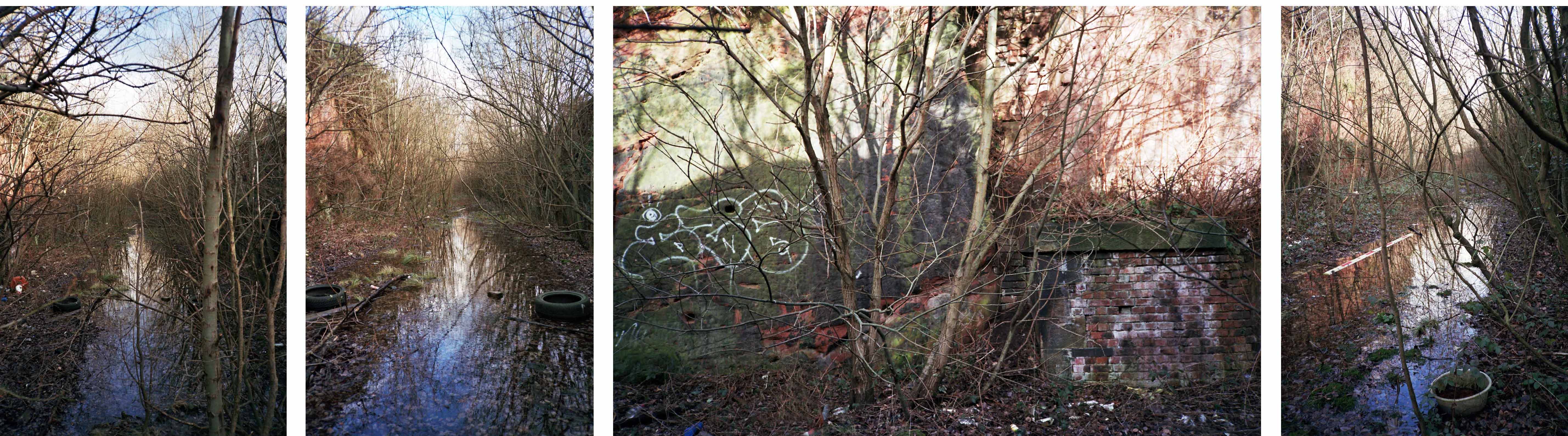
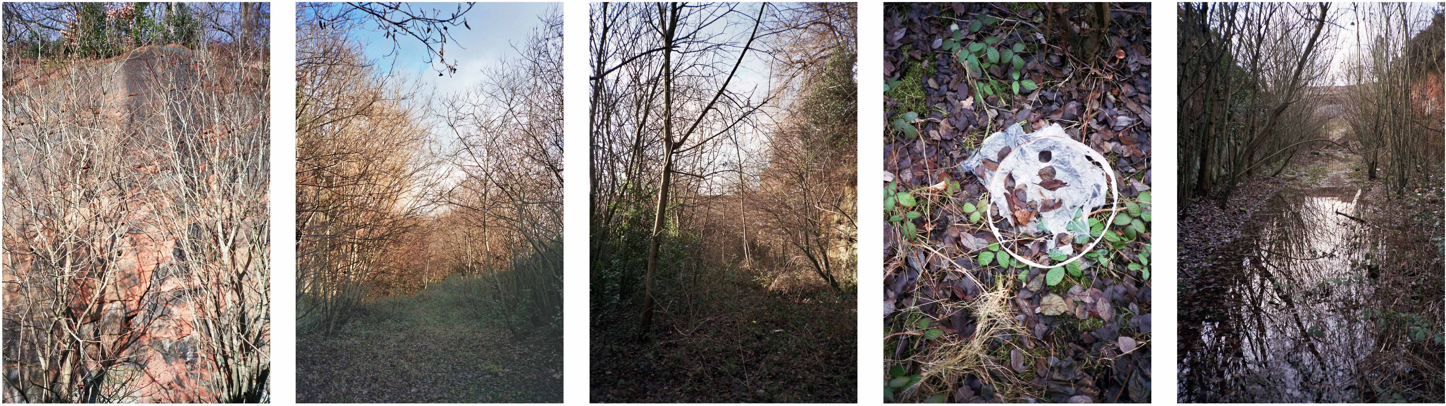
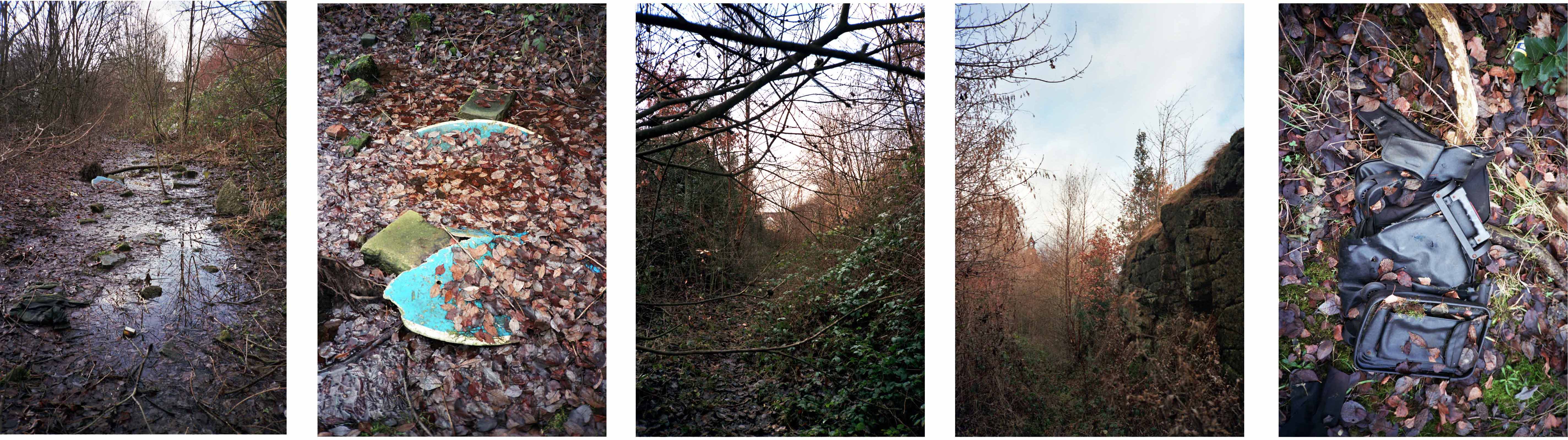
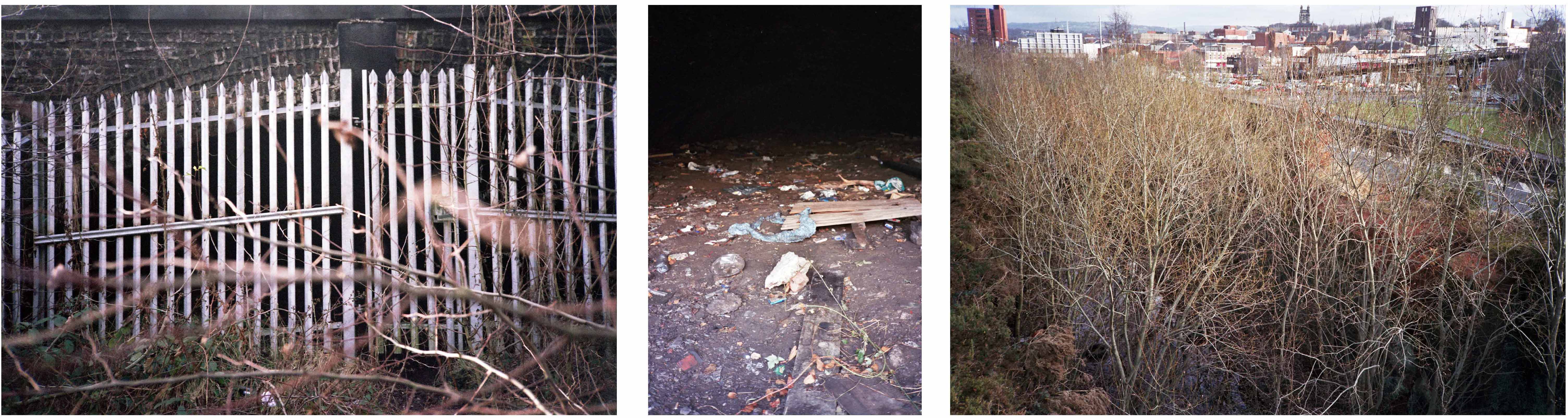
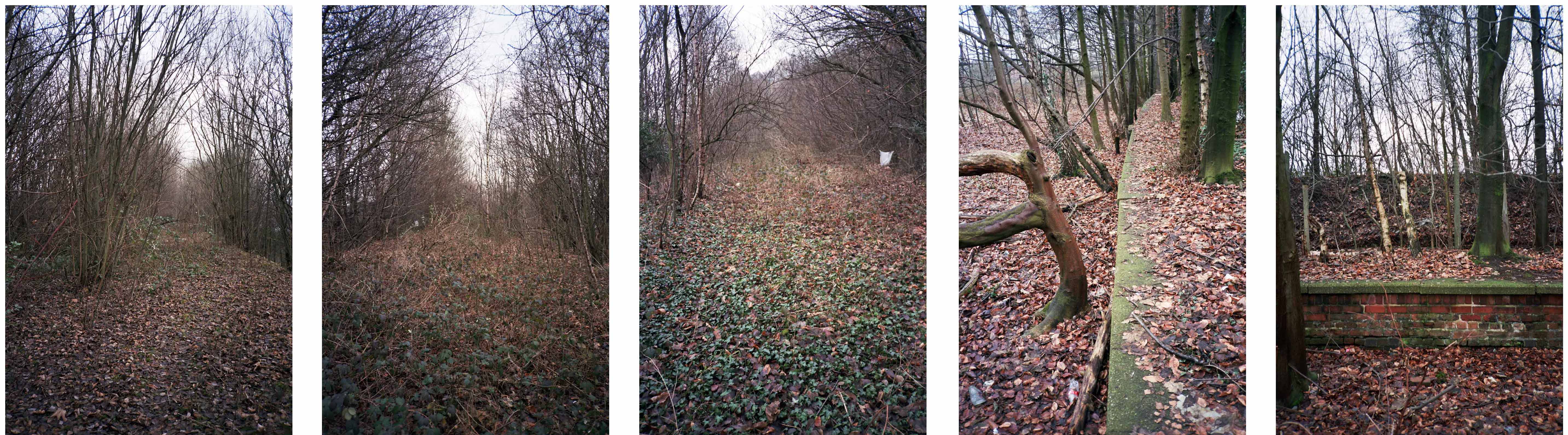
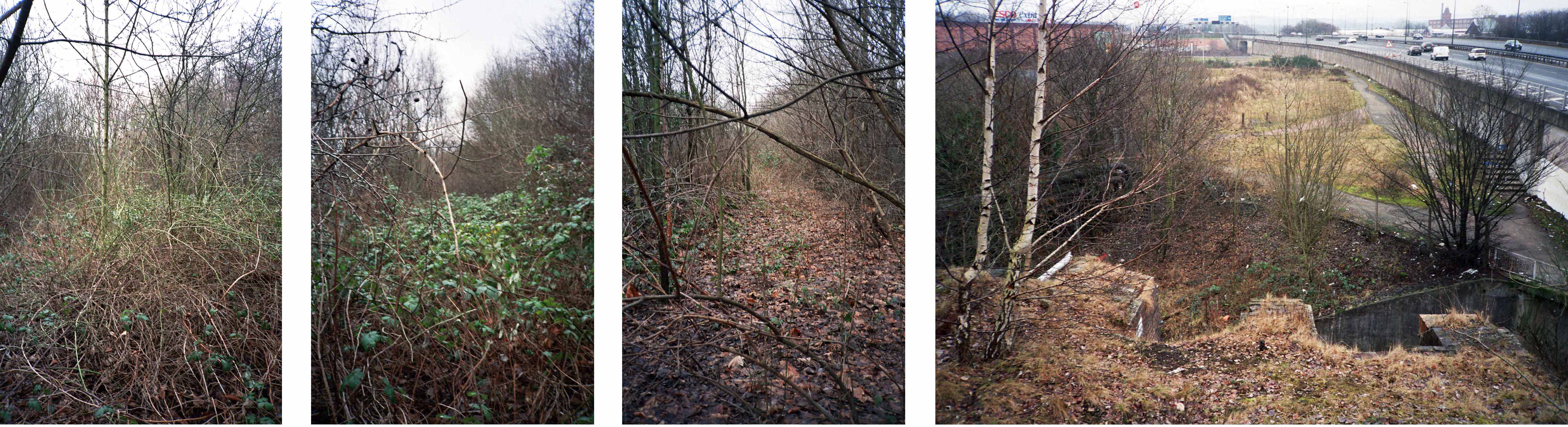
This is a journey I made on foot through bramble, puddle and scrub on a now disused line, cheek by jowl with a motorway and the passing crowd, blissfully unaware of its existence.
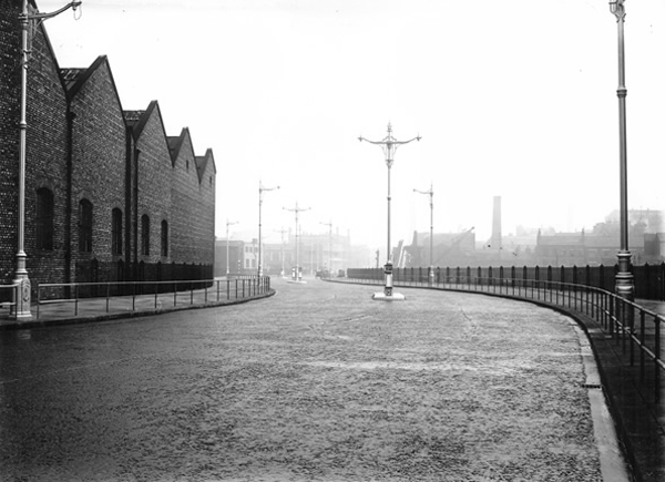
Once there was a river there, formed by the thunder of Irish Sea ice gouging a great glacial valley, bowling along boulders and millstone grit through phyllosilicate clays and sedimentary sandstone.
Then there wasn’t.
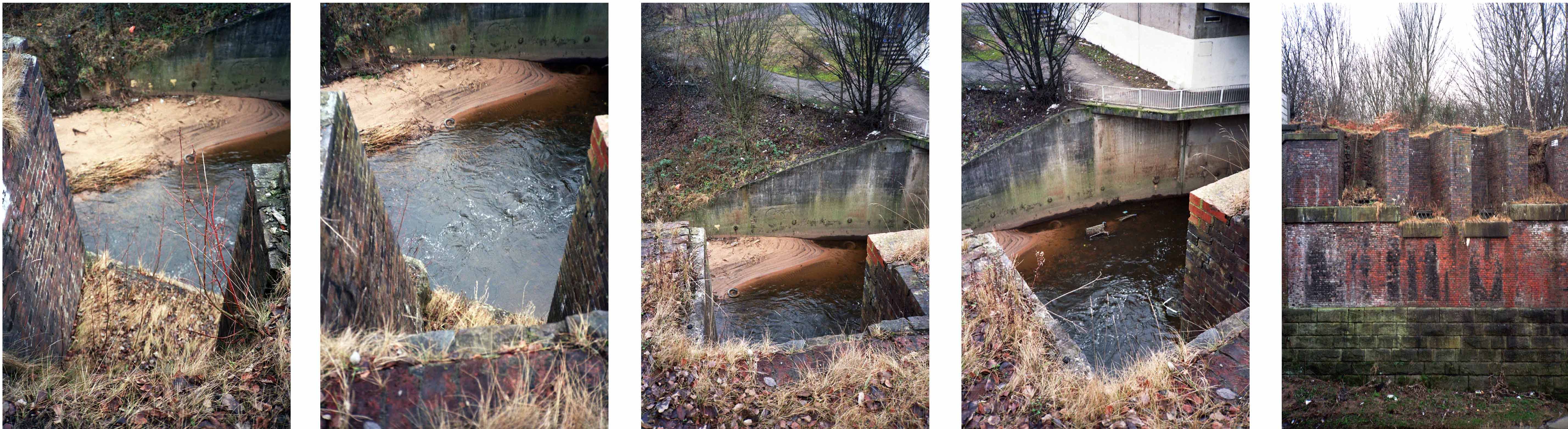
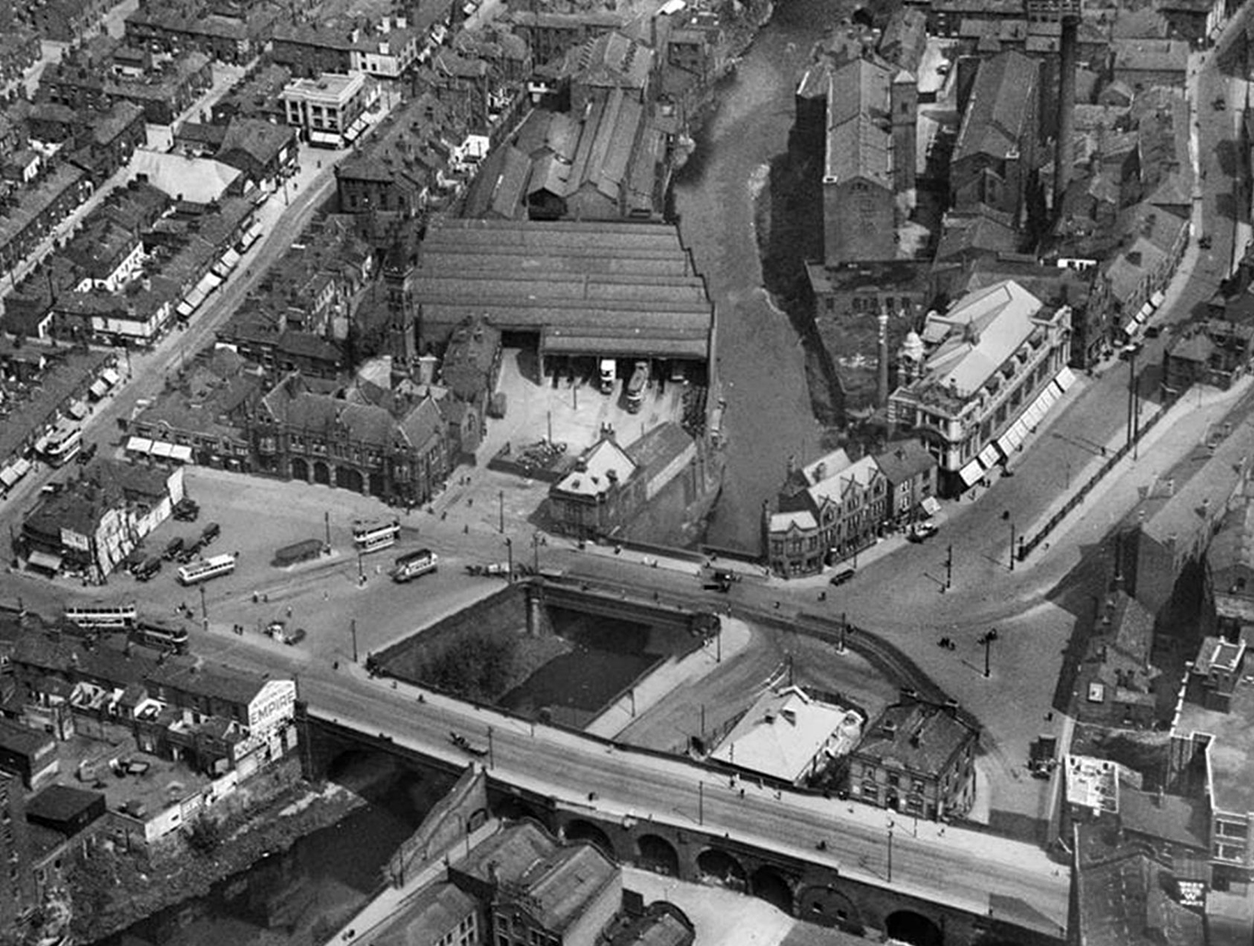
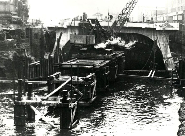
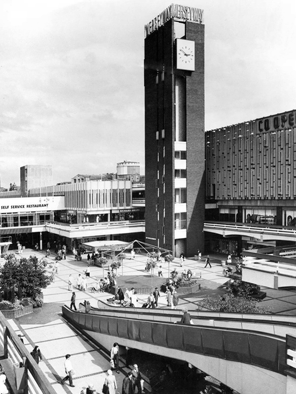
The Mersey, formed in Stockport as the Tame and Goyt conjoined, inconveniently filled with industrial grime and mire, then conveniently covered over in 1936.
Creating the thoroughly modern thoroughfare Merseyway.
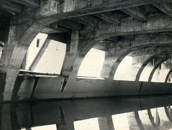
The giant concrete culvert and bridge leaving the river cowering cautiously below.
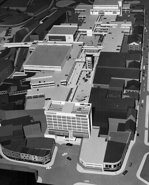
Of time and a river – little stands still and the town is whisked briskly into the late Twentieth Century with plans for a pedestrianised precinct.
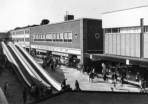
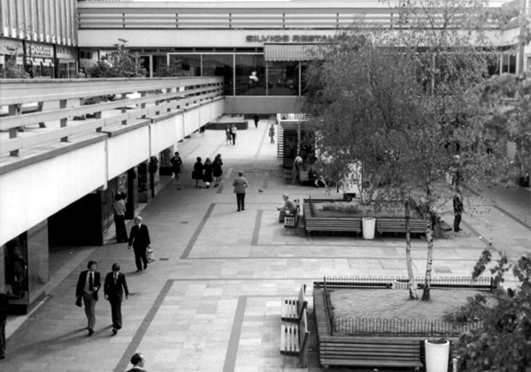
Completed and opened in 1965 the shopping precinct was concrete poetry in motion, incorporating the surrounding topography and extant architecture with grace and aplomb. Combining retail, restaurants and car parking facilities in a manner that critic Ian Nairn considered to be amongst the finest in the land.
We had travelators, integrated paving, street furniture, and lighting across several levels. A carefully considered whole, combining all that was best in modern design with style, élan and panache – along with Freeman, Hardy and Willis.
A clock tower, an Alan Boyson concrete car park screen and public art.
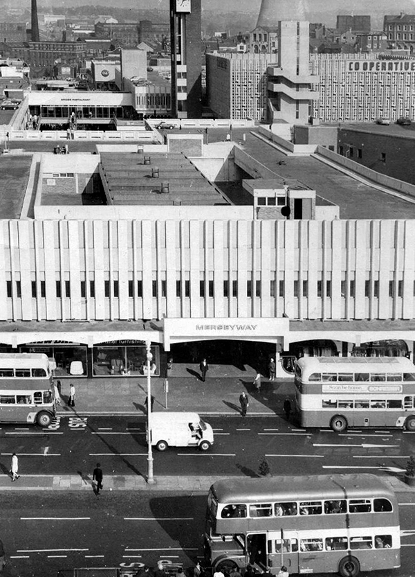
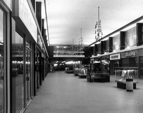
Would that it was still so, a variety of additions and subtractions have left Merseyway in architectural limbo, concrete legs akimbo across the river below, striding towards the future in a more than somewhat bewildered manner.
Yet we still continue cast our eyes upwards towards a clock that isn’t there, ride a non-existent walkway to the sky, try on an imaginary crop-top in C&A’s Clockhouse.
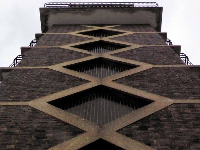
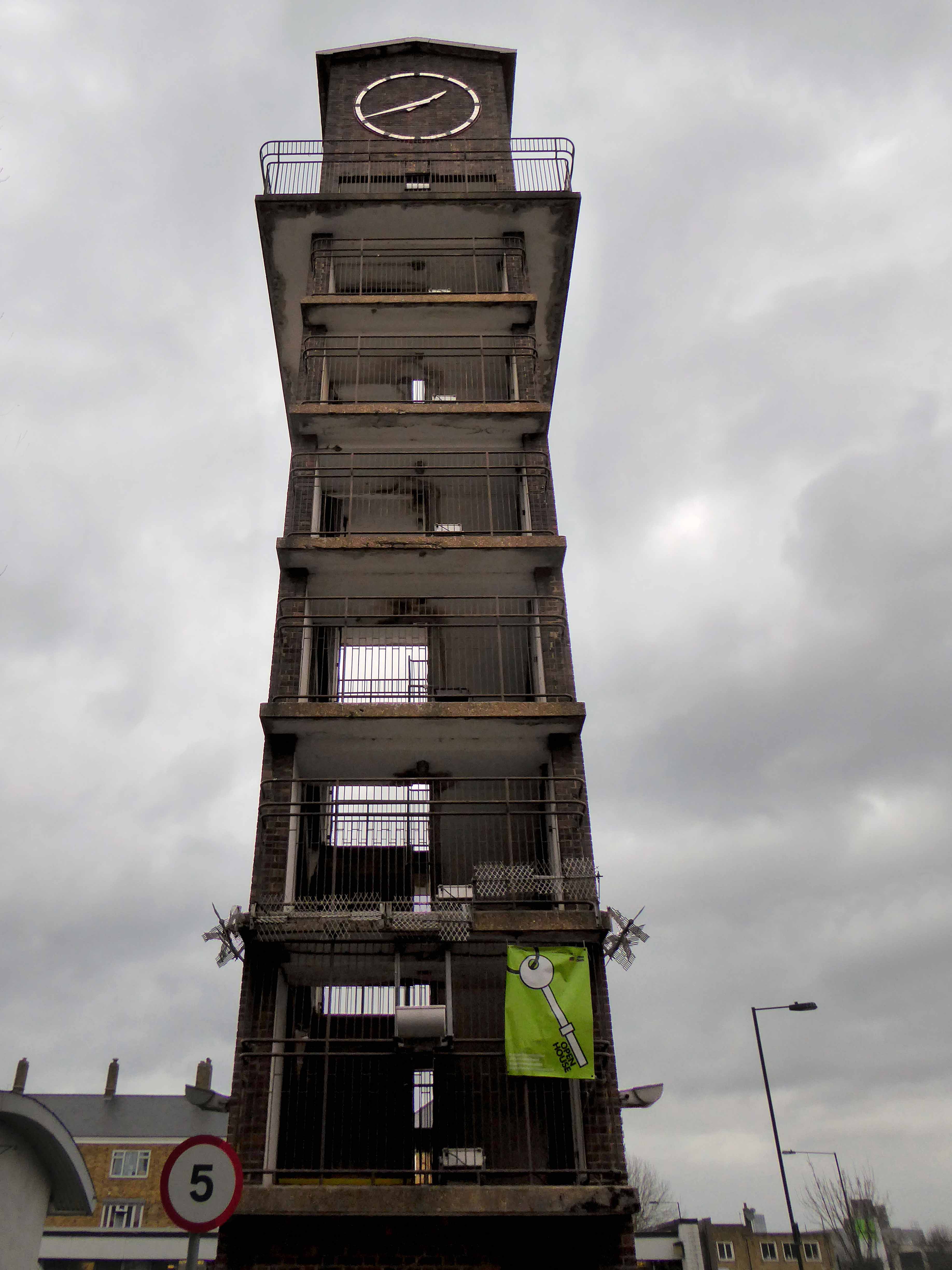
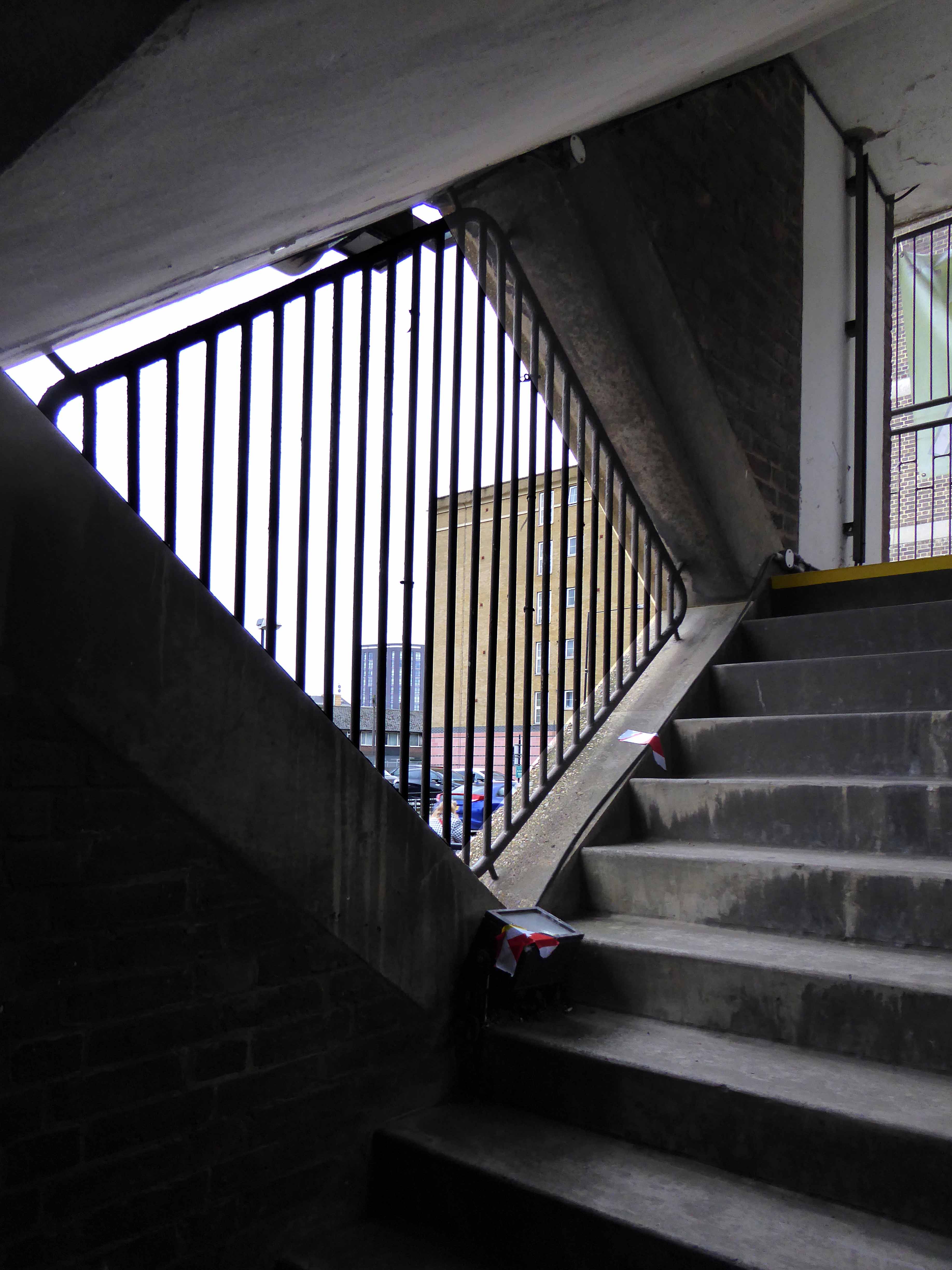
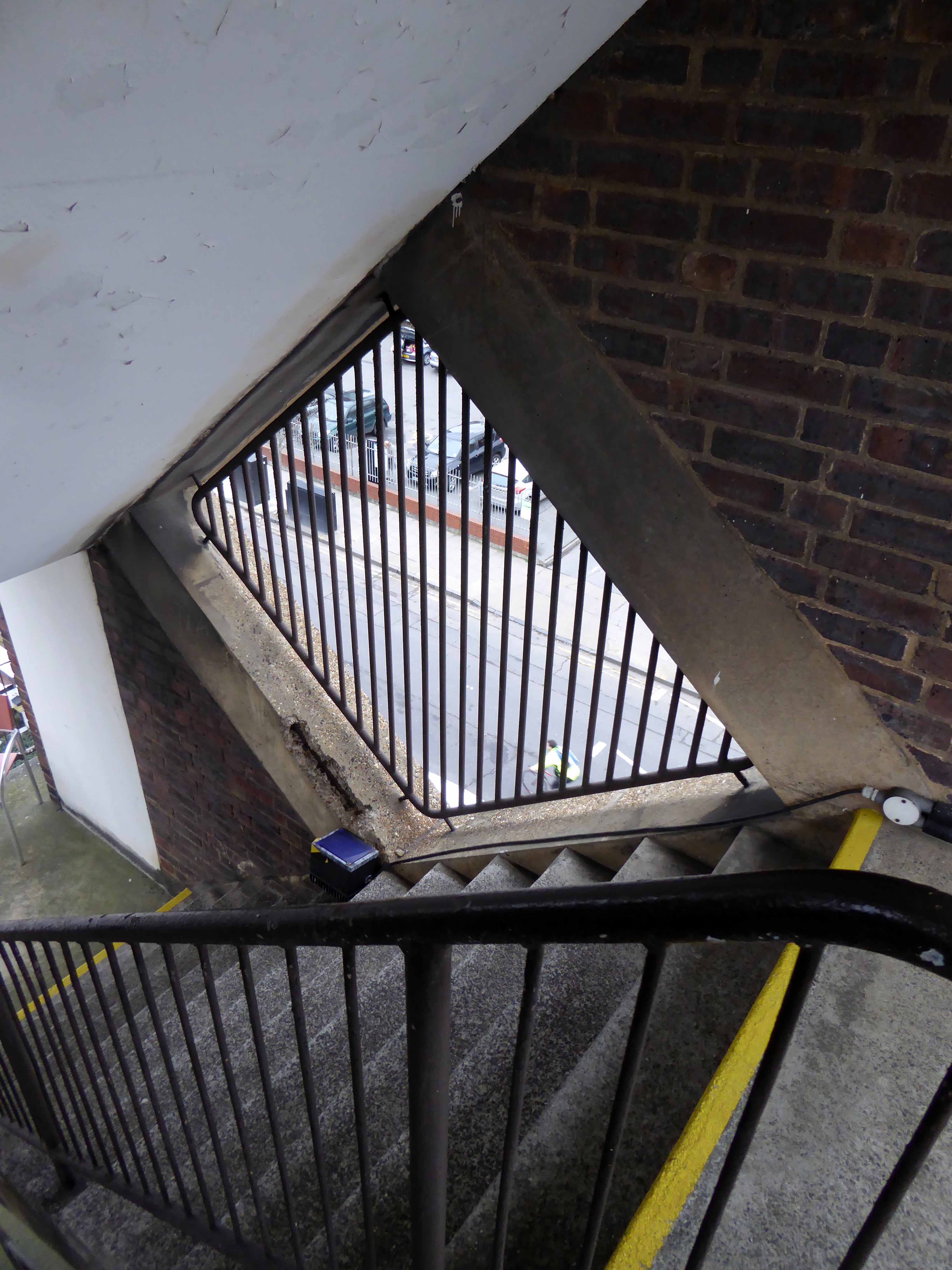
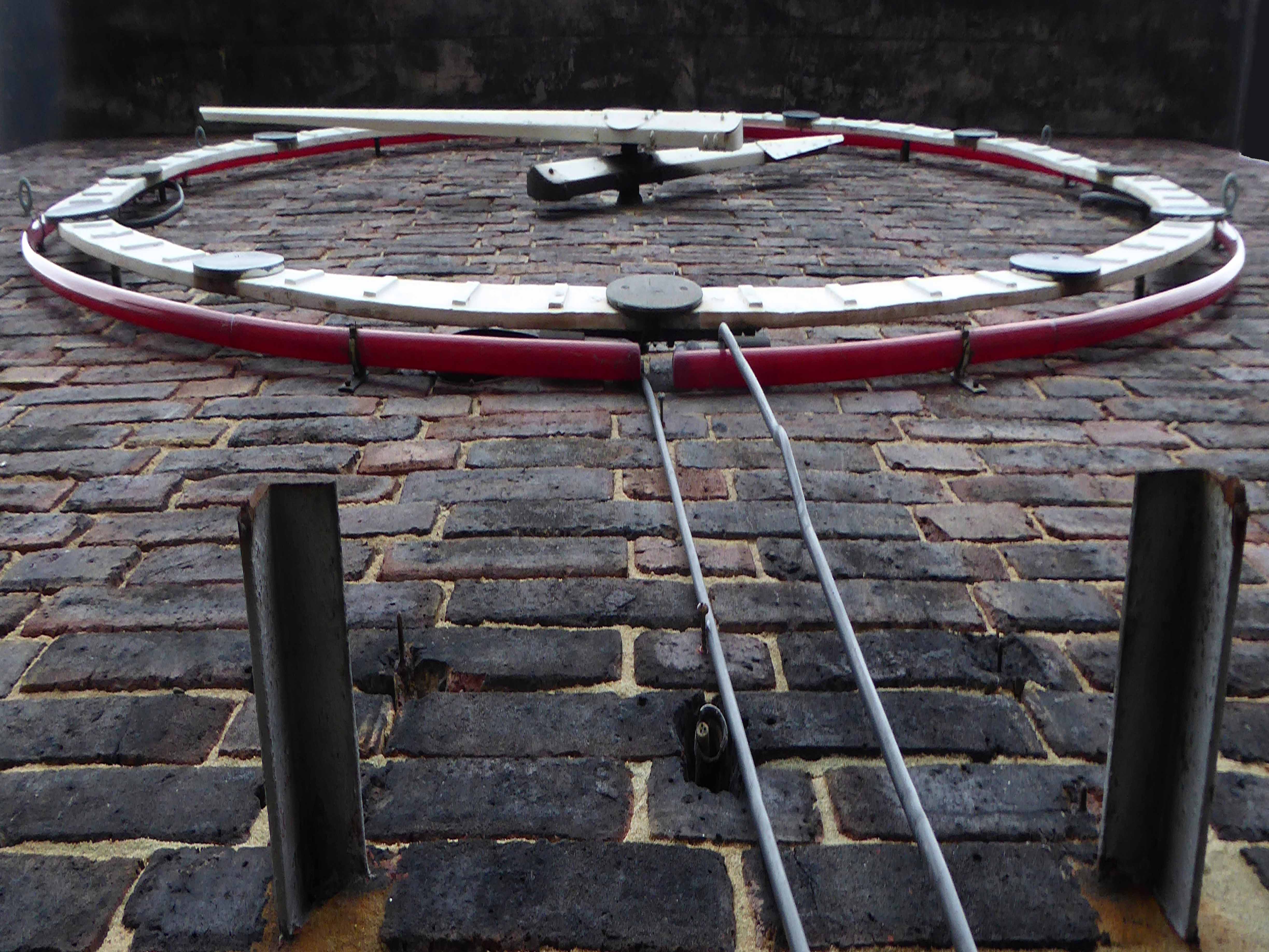
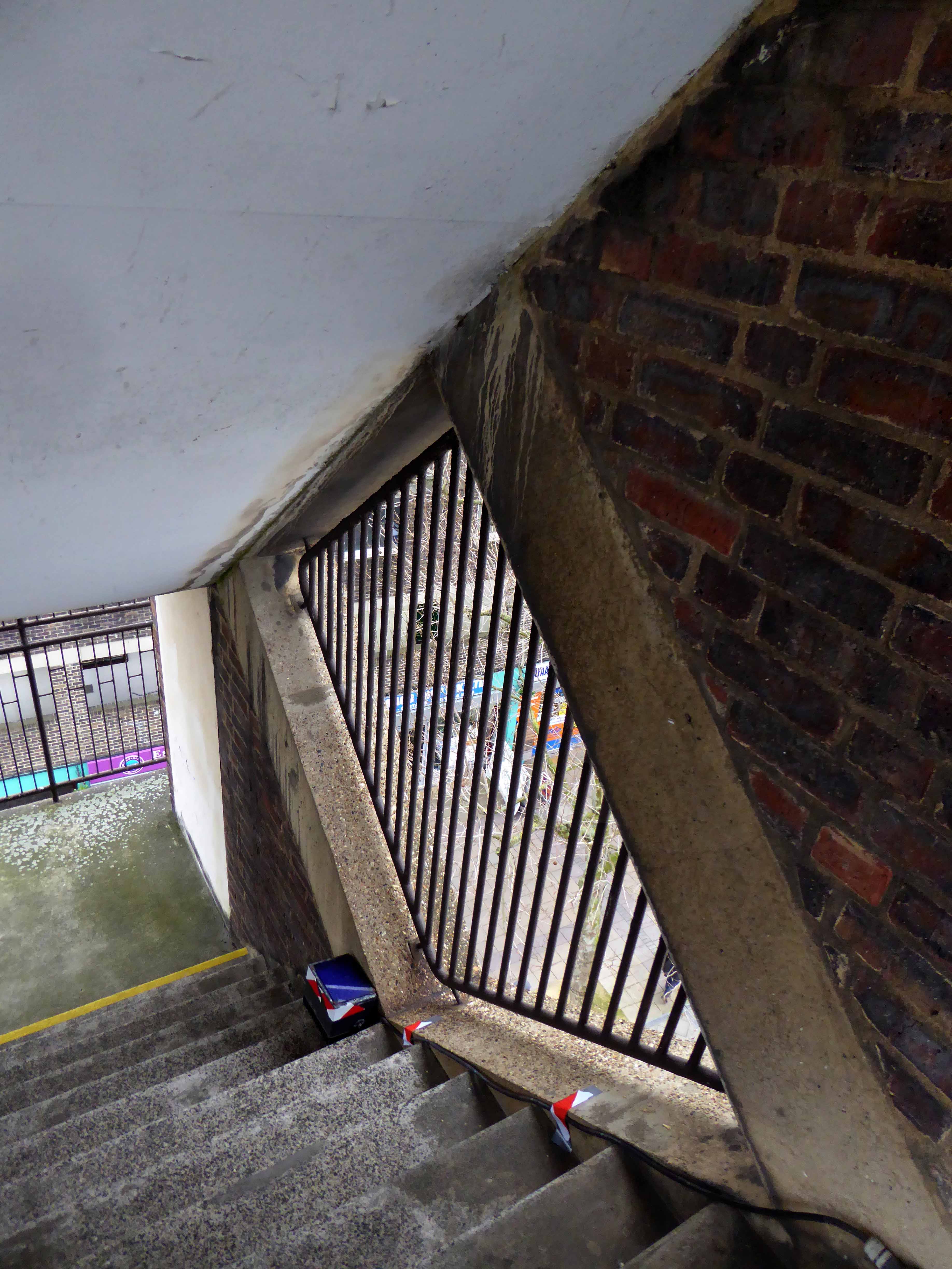
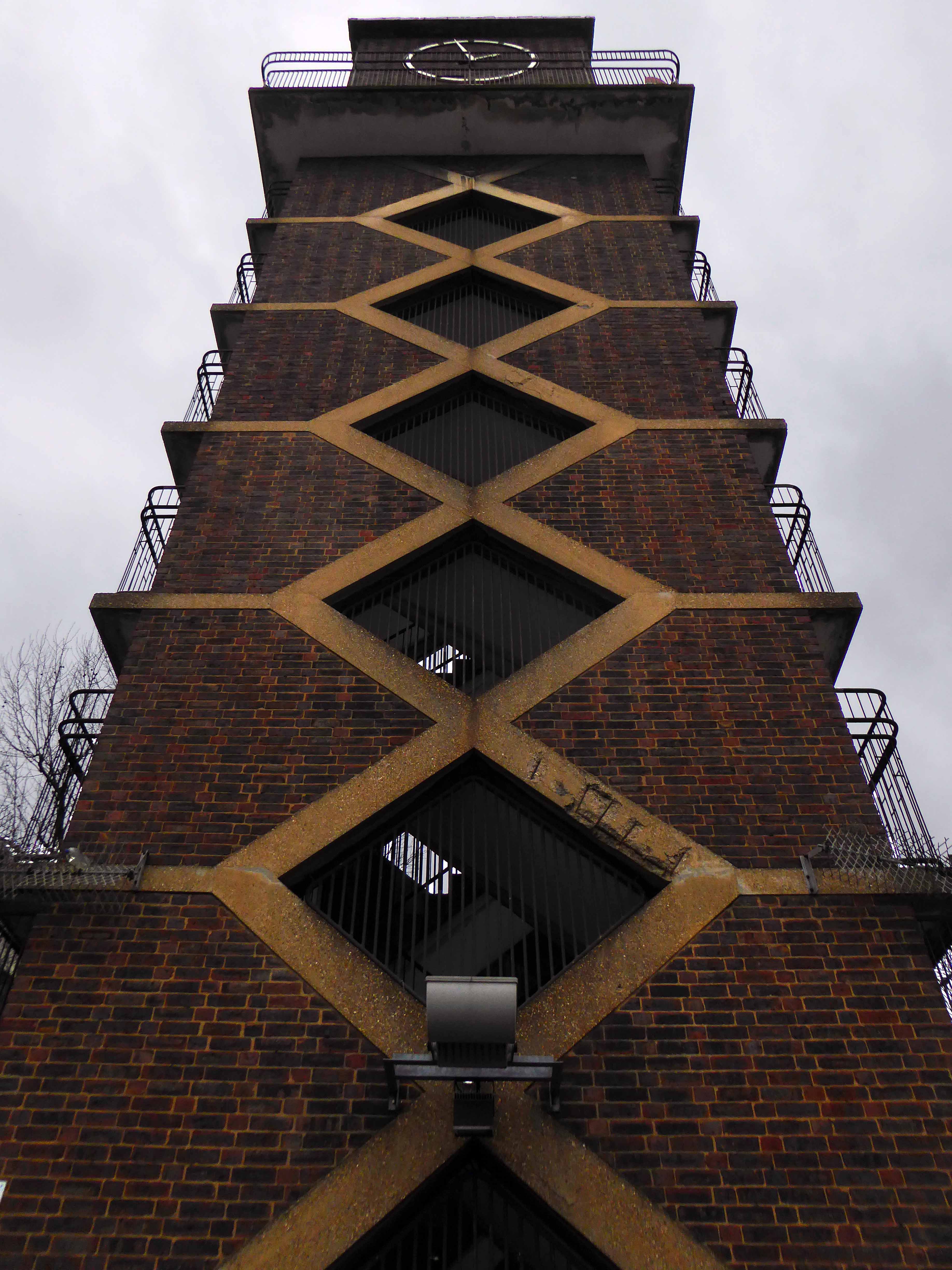
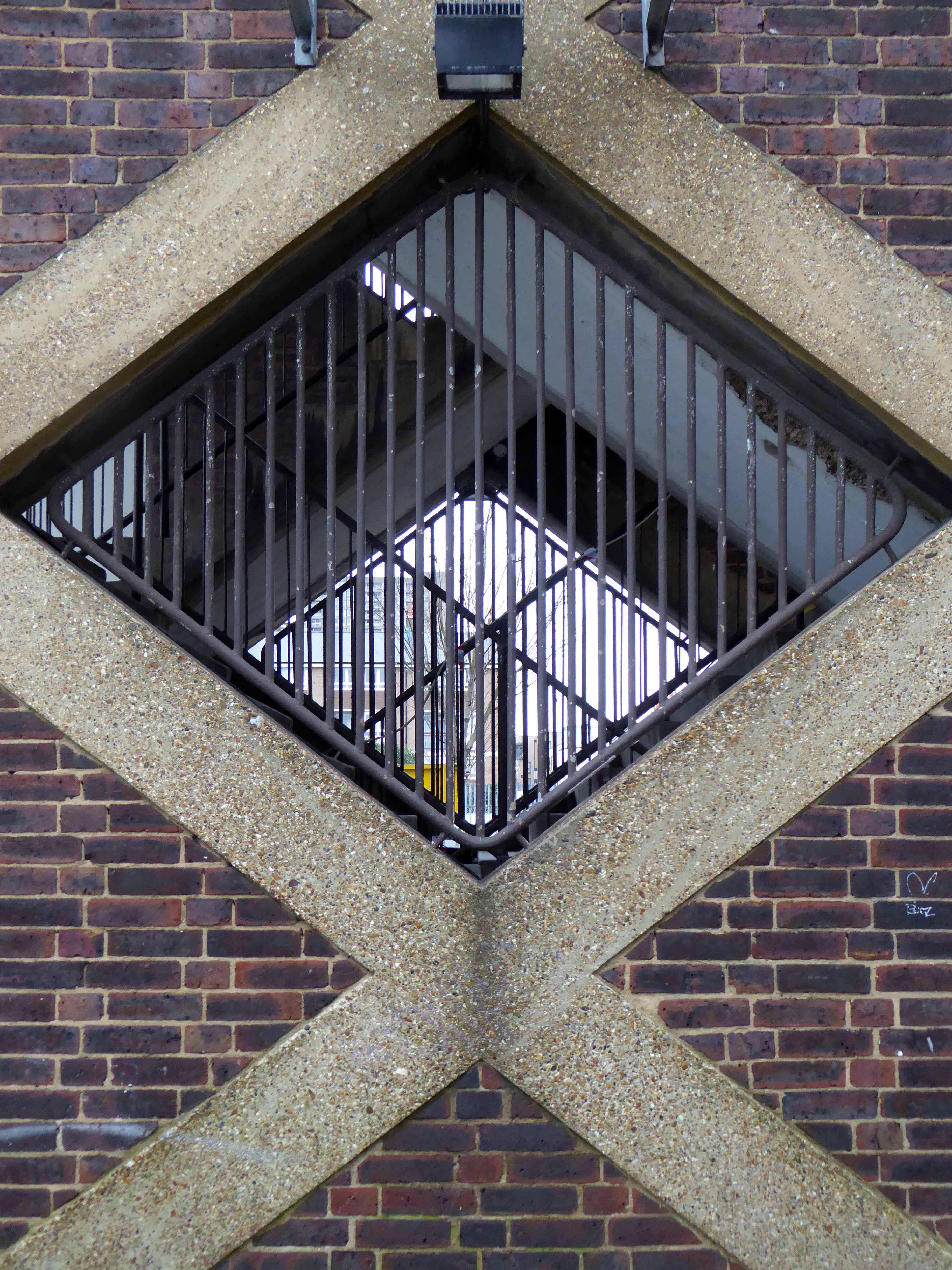
Neither wrought from purest ivory, nor containing some woe begotten, long gone, misplaced Rapunzel, but conceived as a democratic symbol of a new age of concrete, brick and steel.
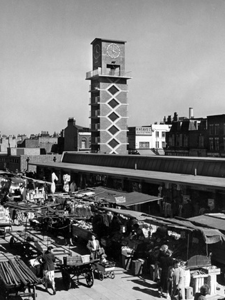
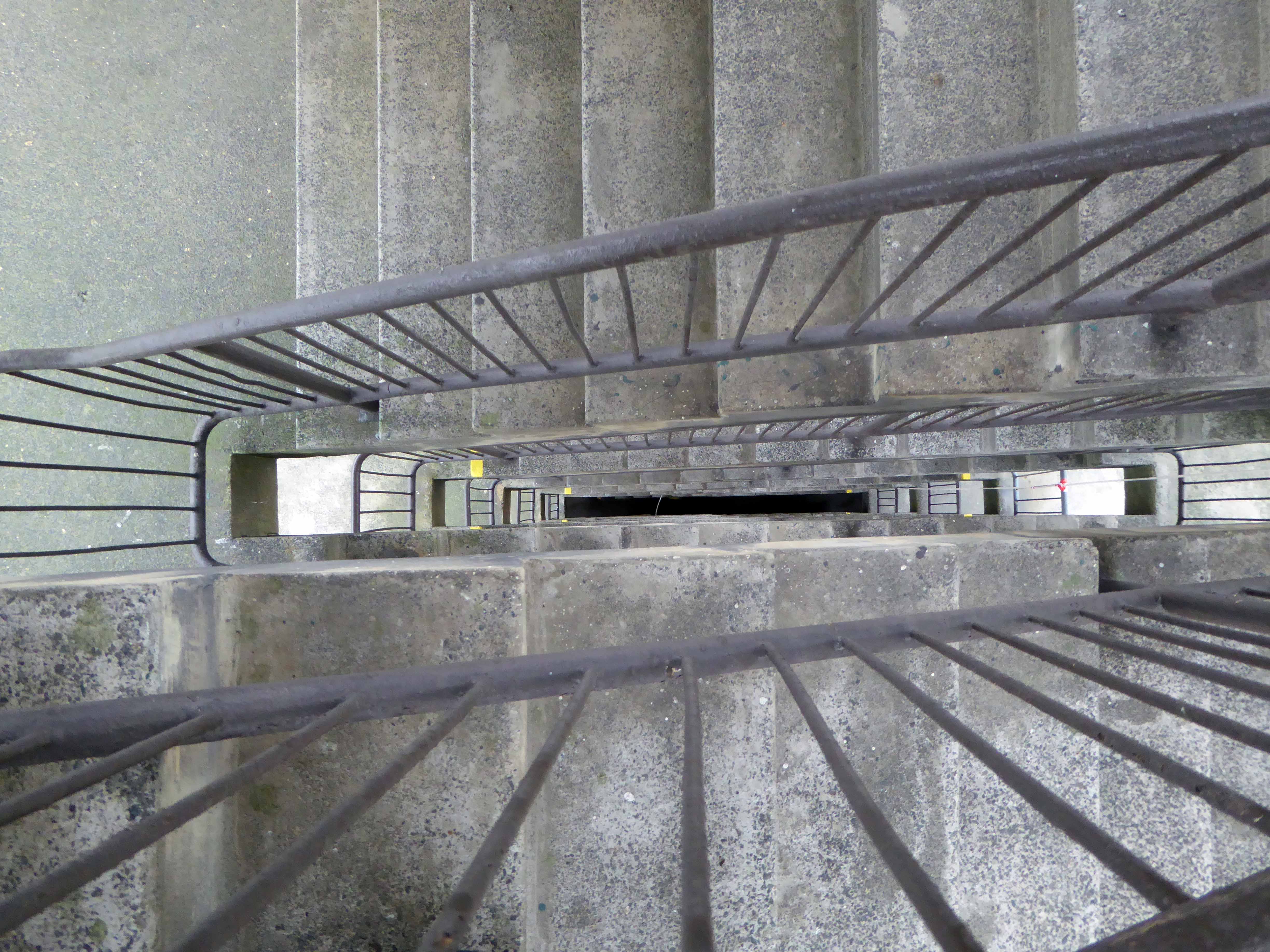
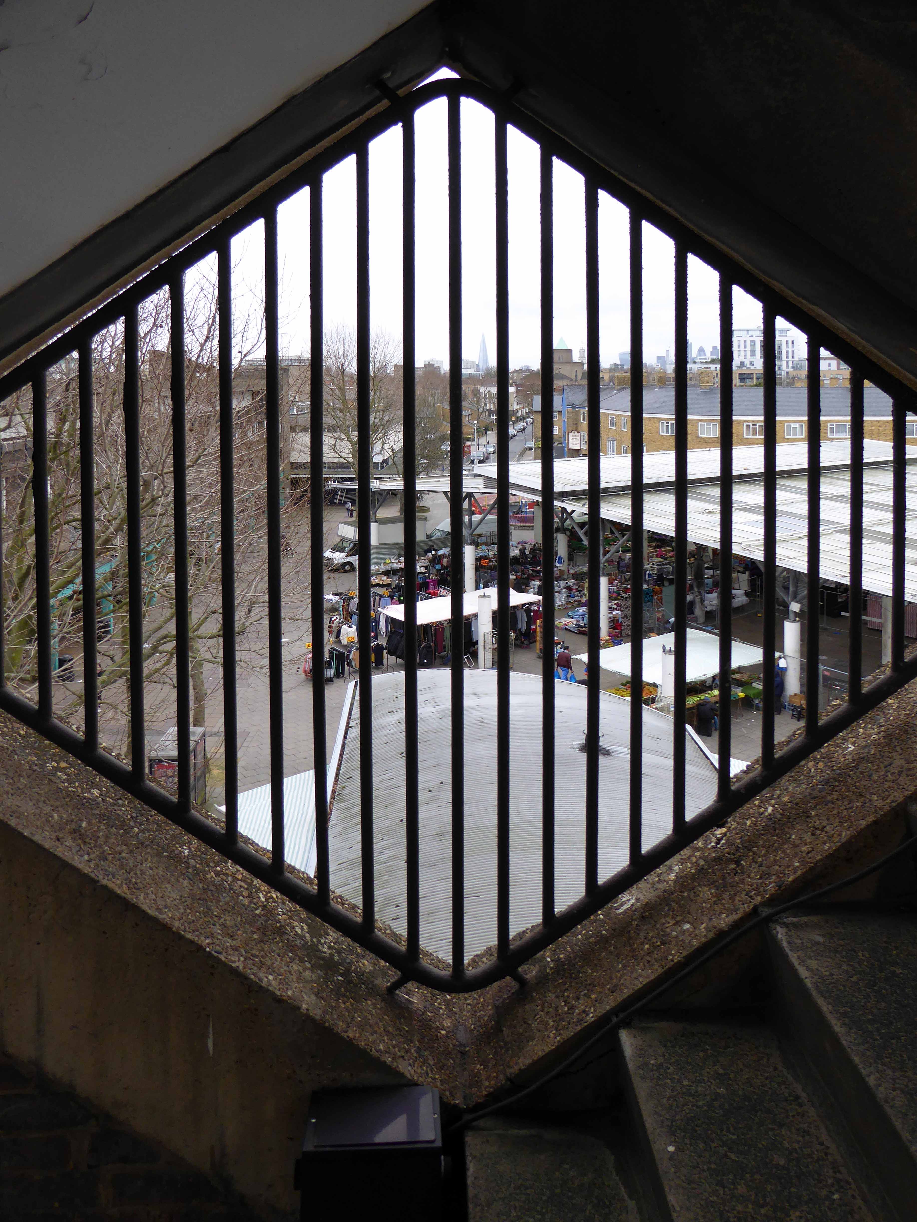
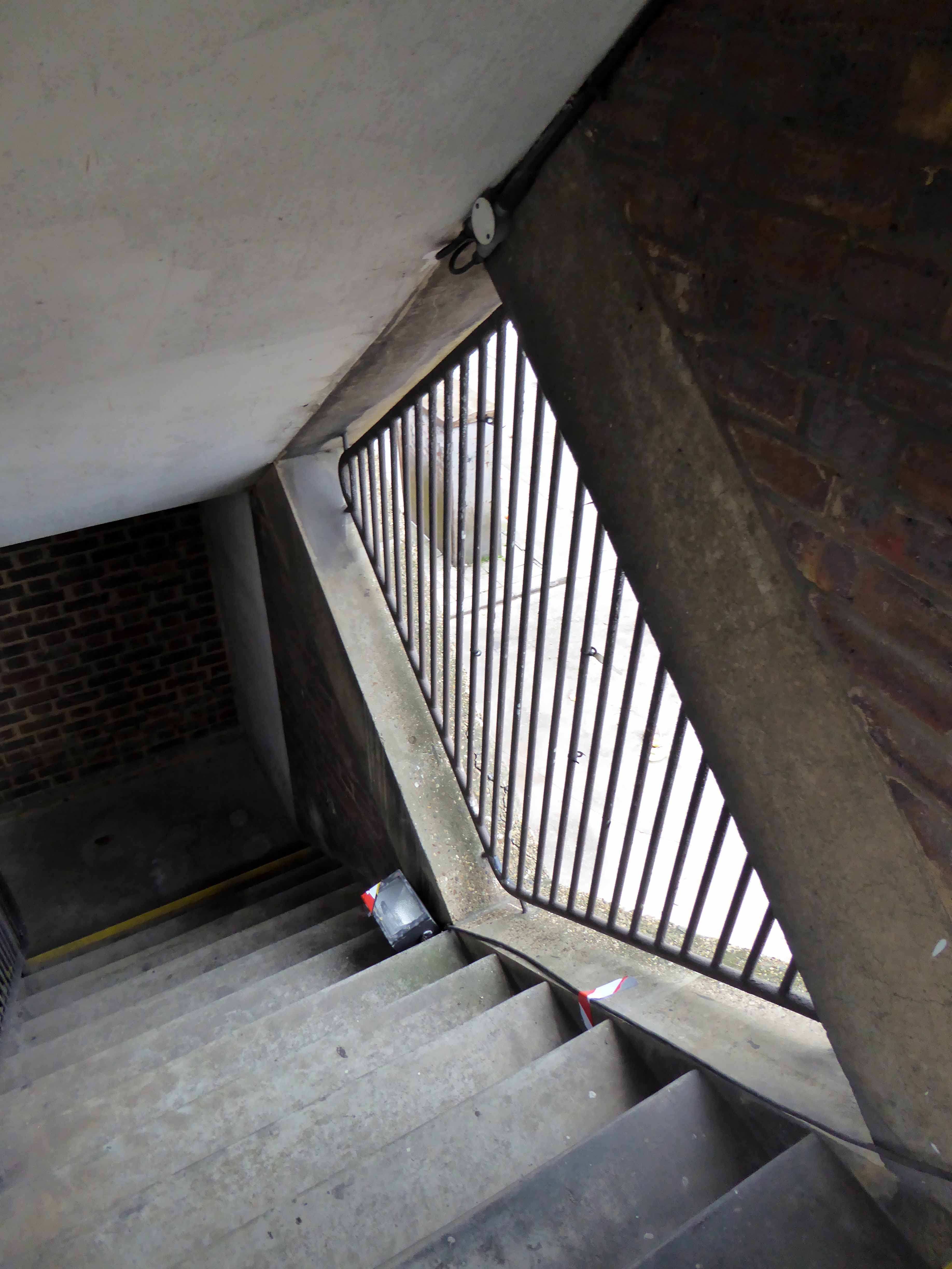
Frederick Gibberd’s almost triumphal tower interlocks zig-zag diamonds of cast concrete upwards towards a silently clicking clock, at the head of the Chrisp Street Market.
Its design has been based not solely on abstract aesthetic principles, or on the economics of commercial construction, or on the techniques of mass production, but on the social constitution of the community itself, with its diversity of human interests and human needs.
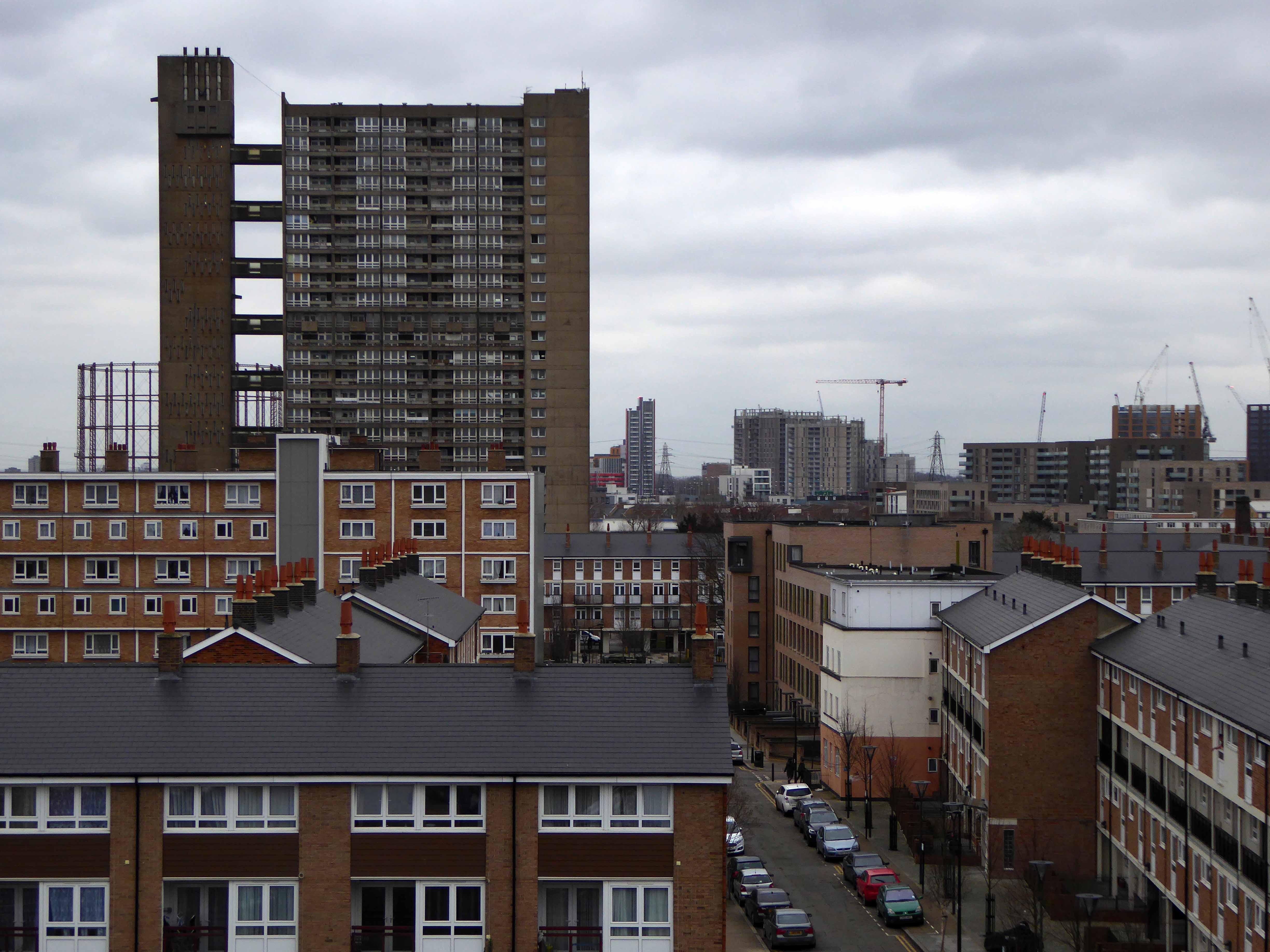
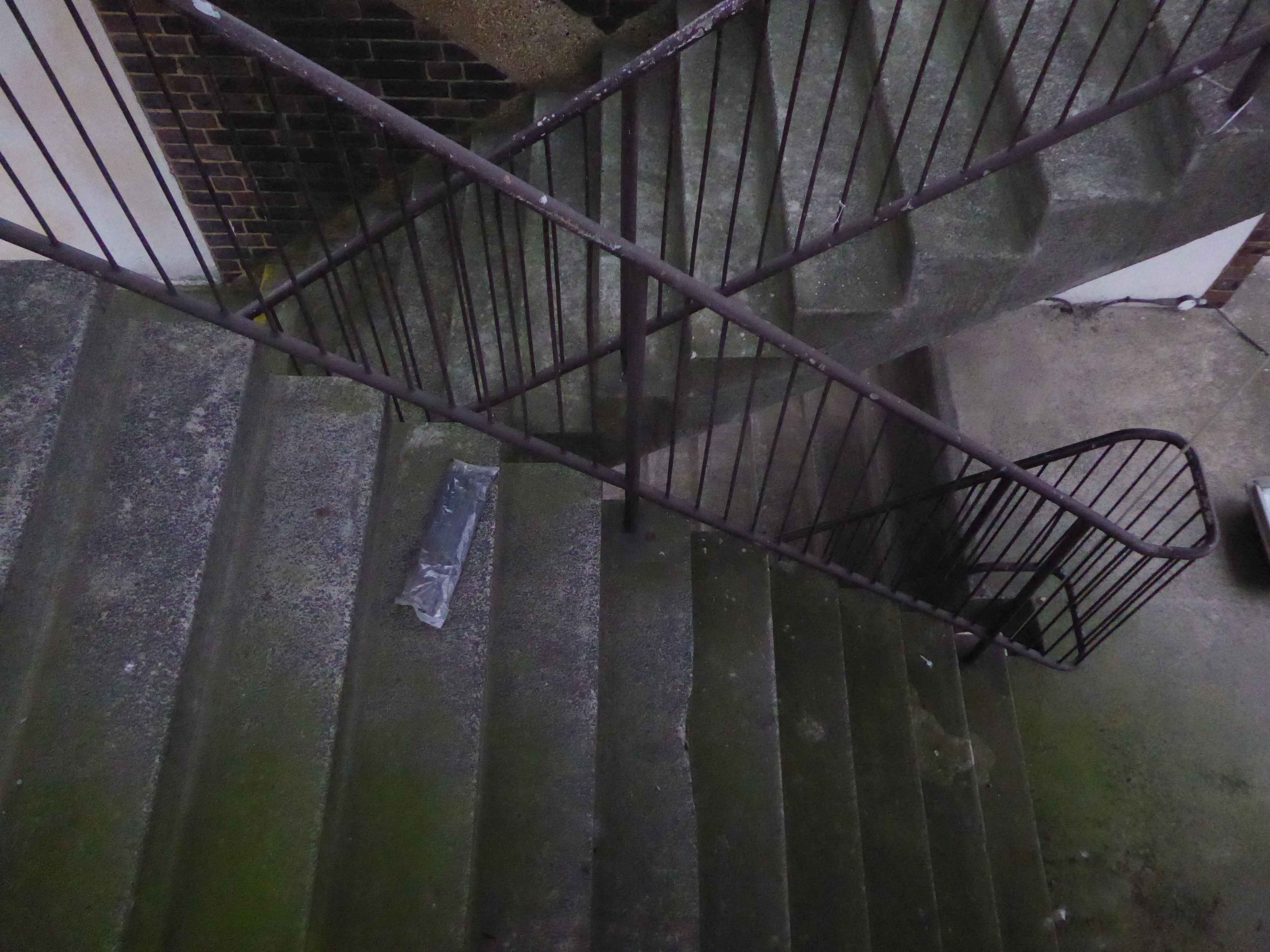
I was privileged to ascend the internal staircase, once open to the public – now reserved for high days, holidays and nosey northern interlopers. Having mildly vertiginous inclinations when so inclined, I gingerly went up in the world and leaned out to take the air and the view.


 West Cliff councillor Joe Plant added: