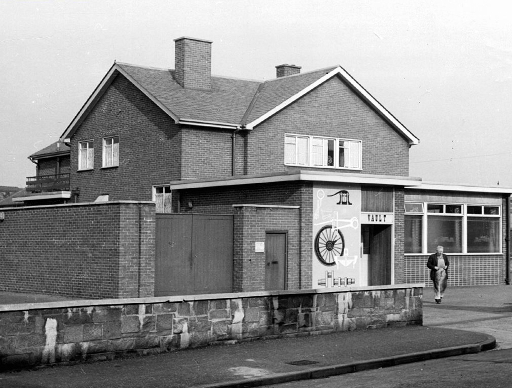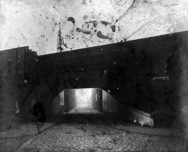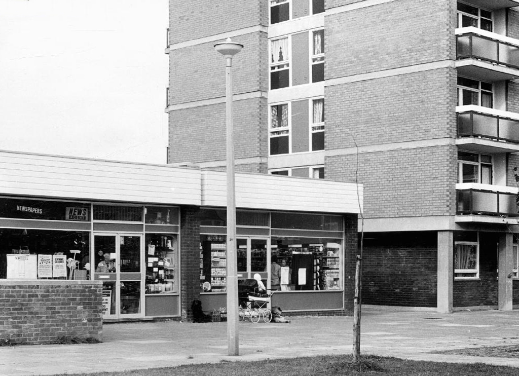
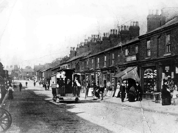
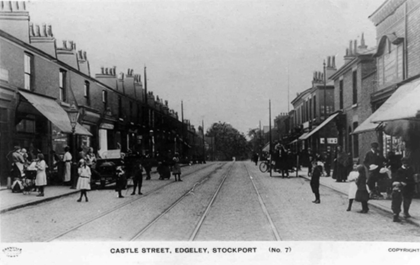
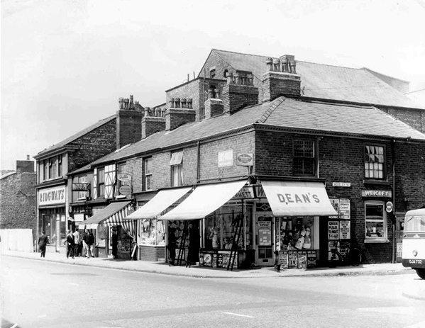
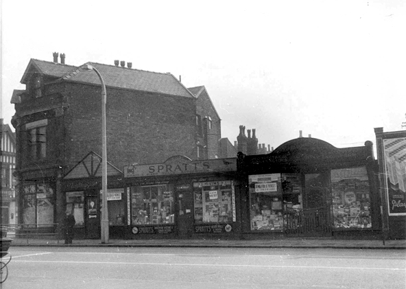
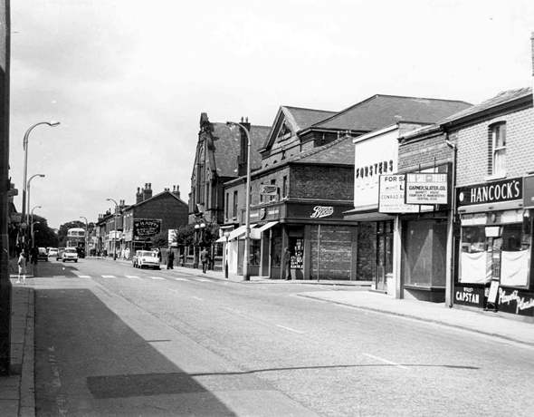
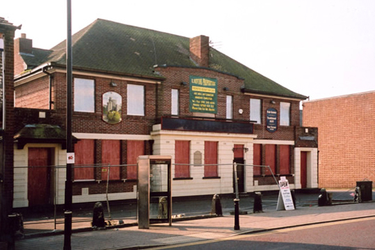
I’m a virtual visitor to the four pubs that served the population of Park Hill Estate.
I arrived late on the scene from not too distant Manchester, sadly much too late to stop and have a pint in The Parkway, Scottish Queen, Link or Earl George.
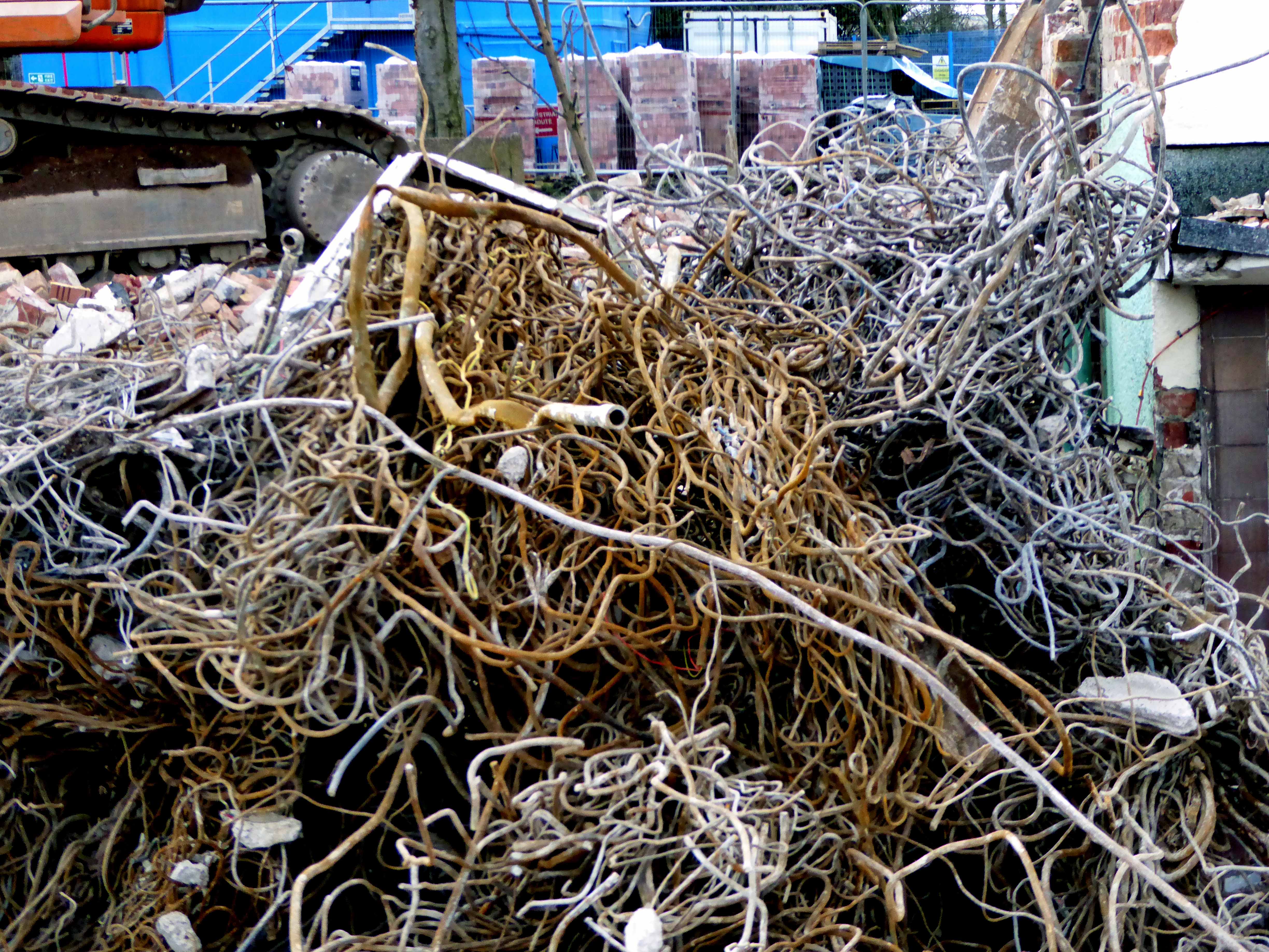
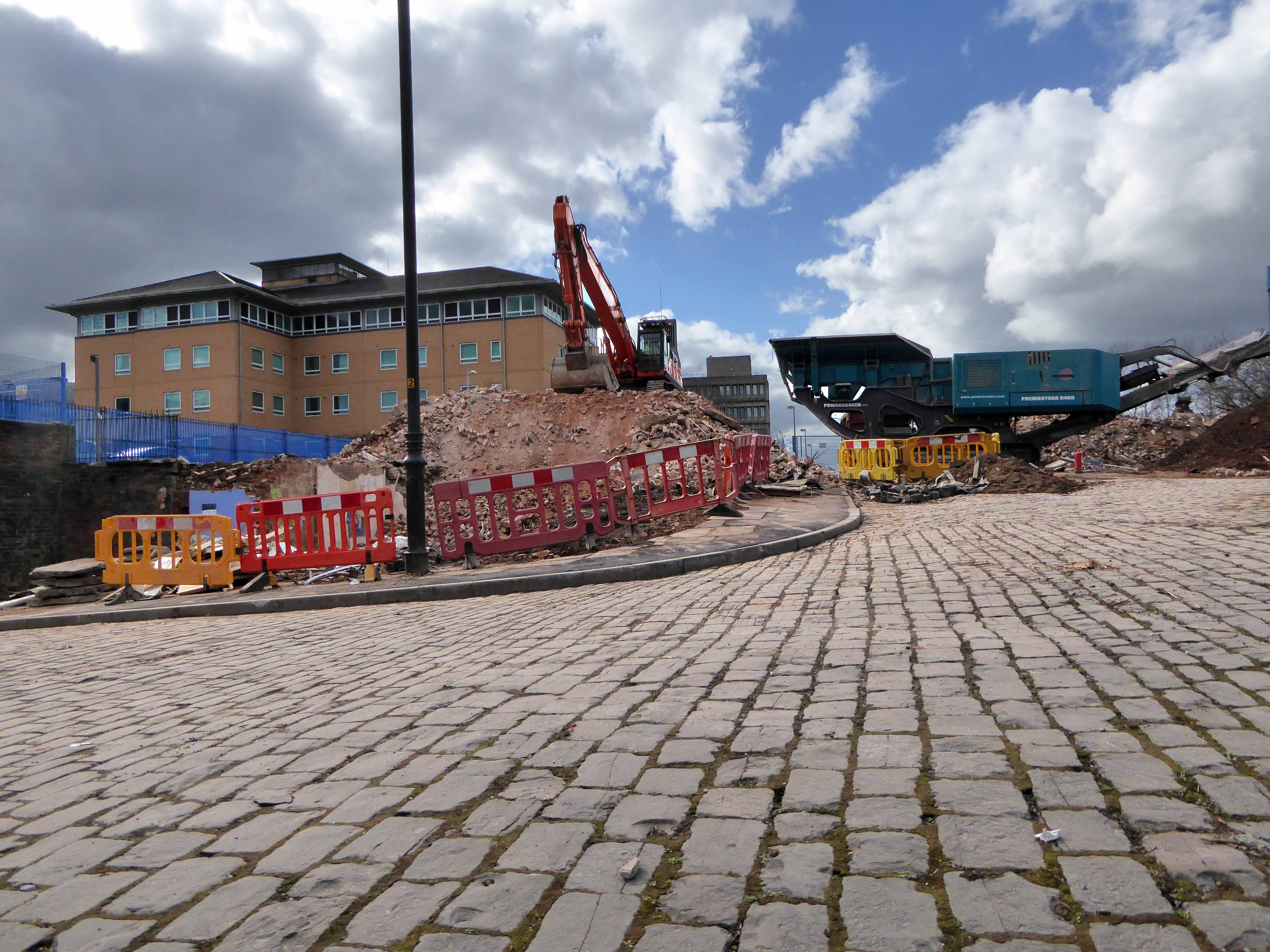
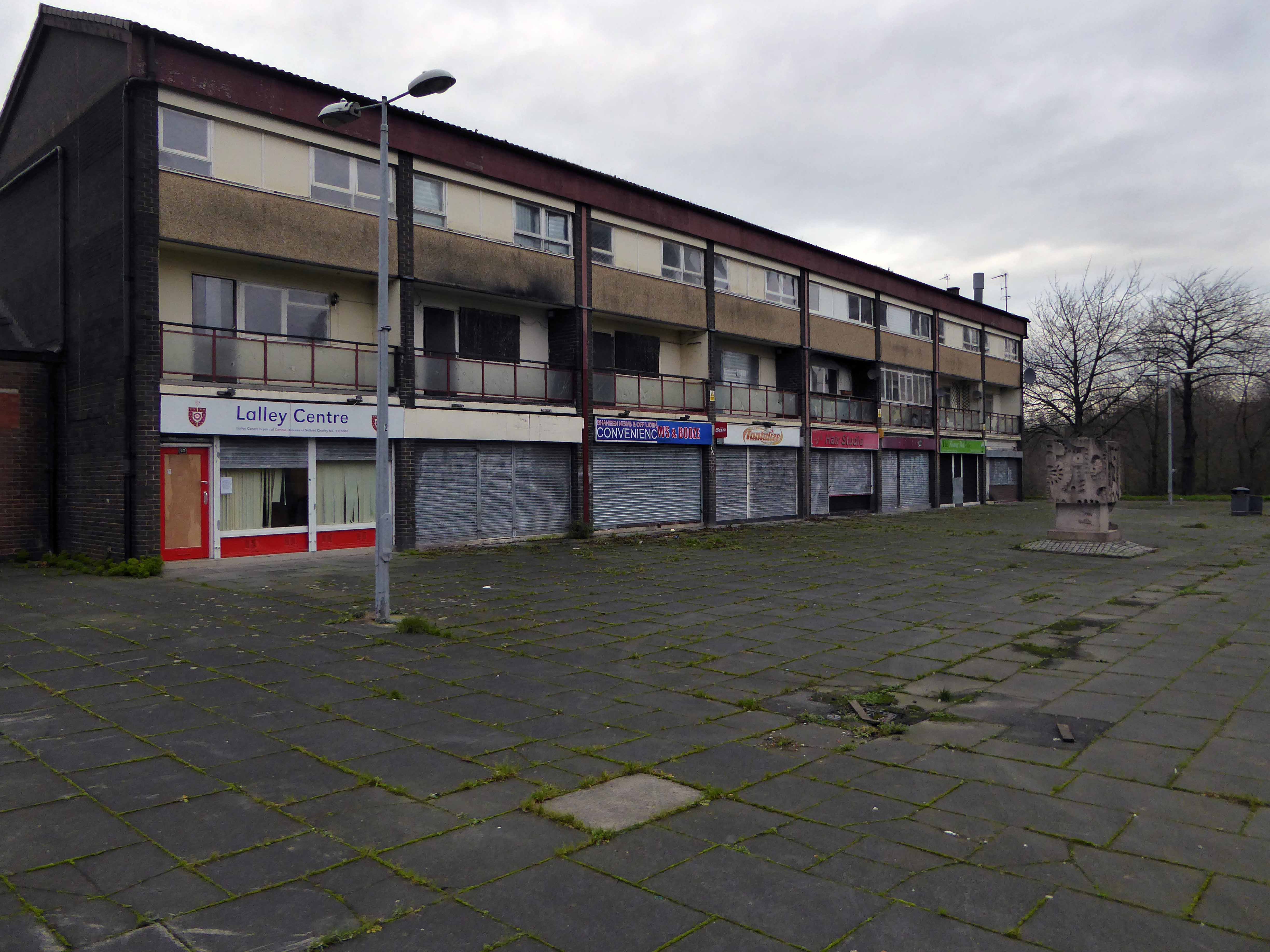
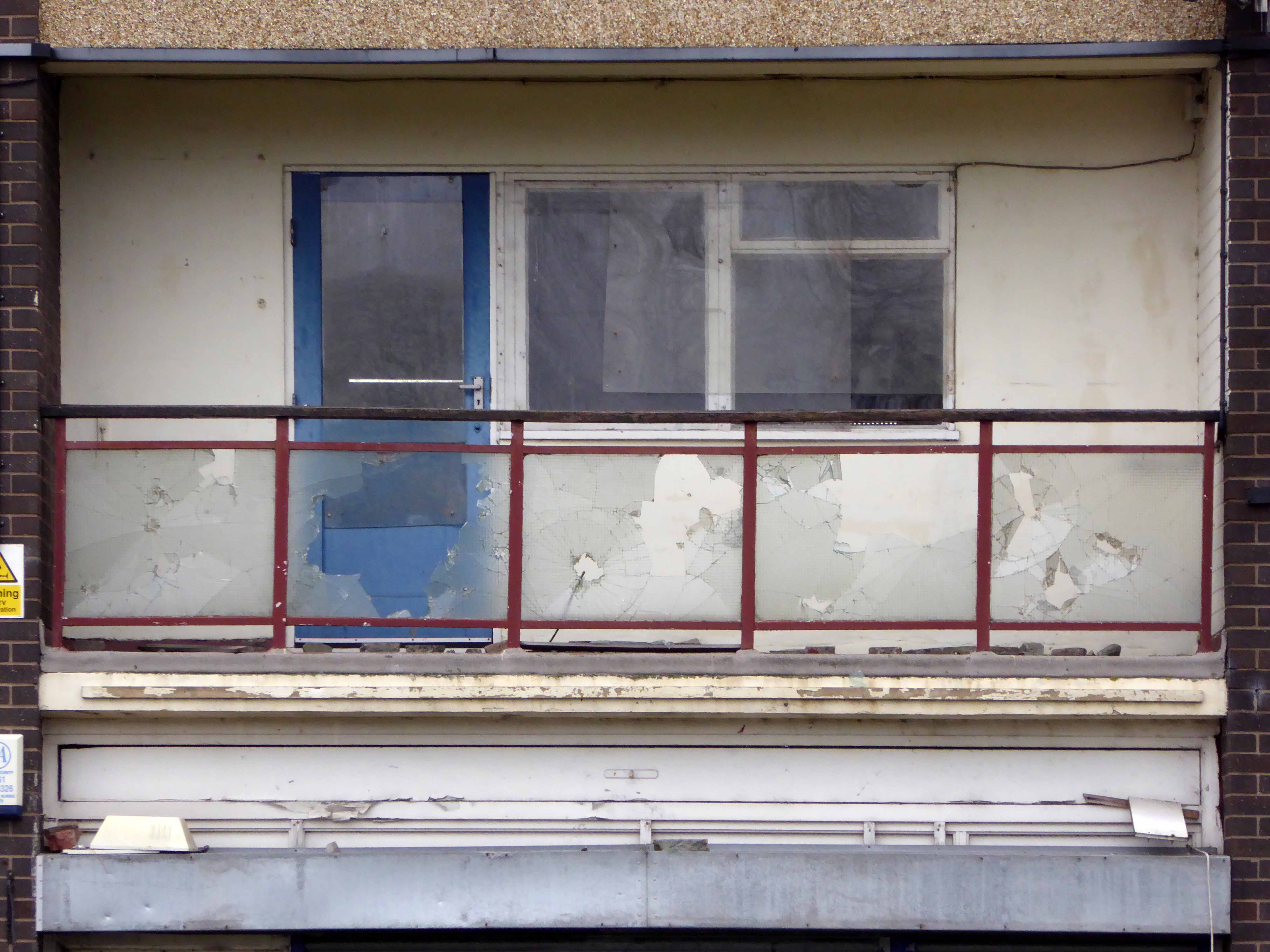
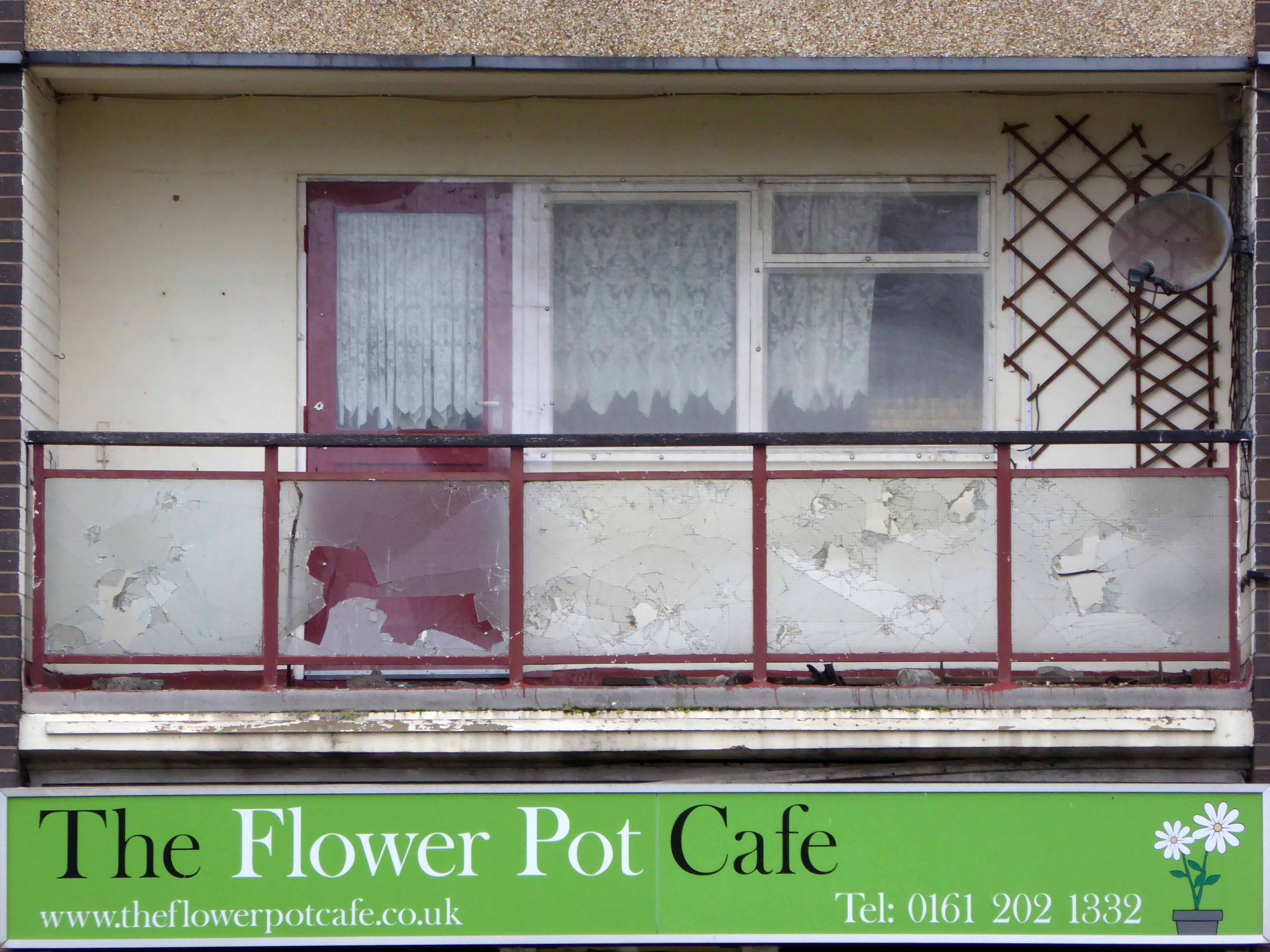
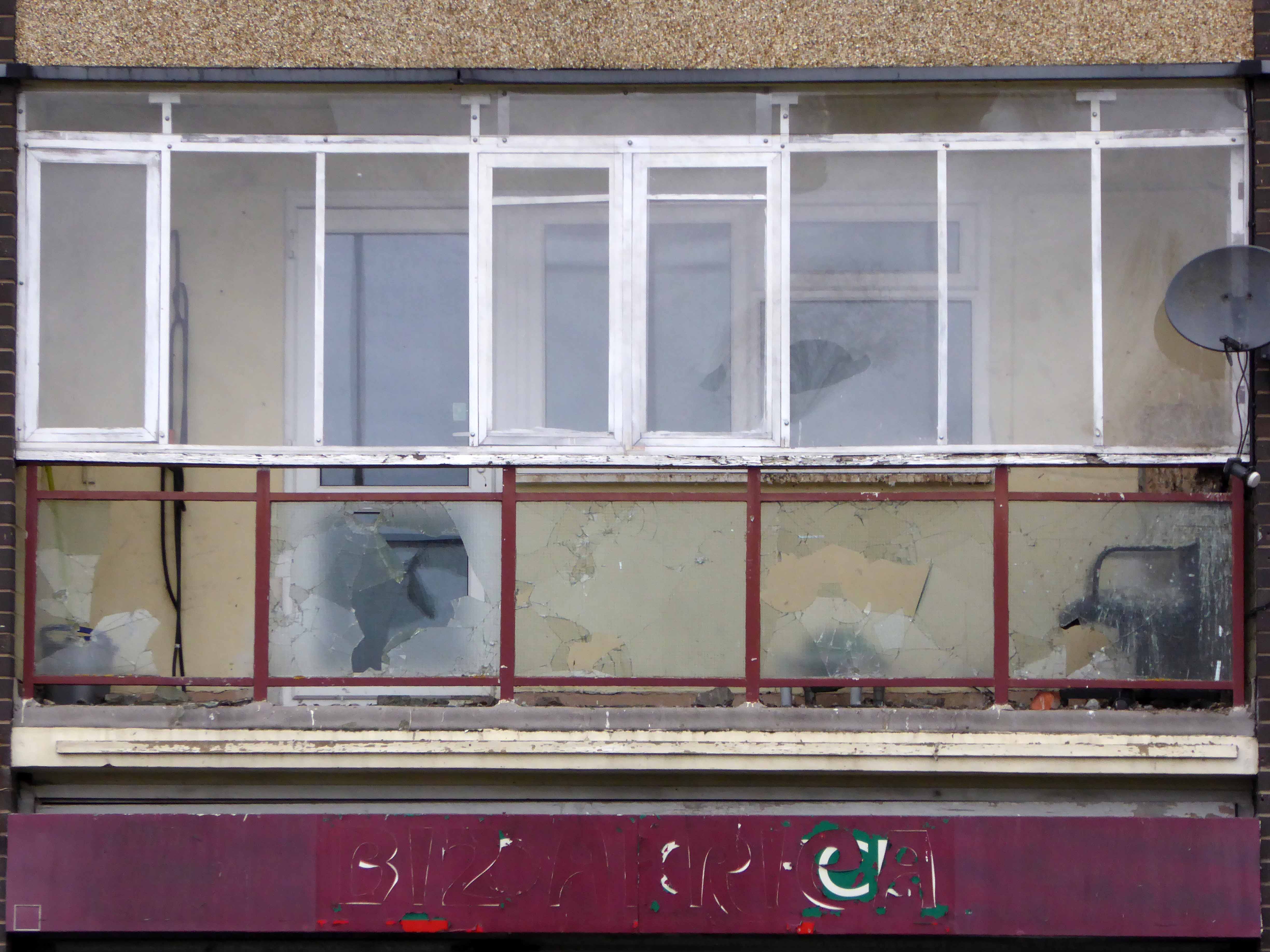
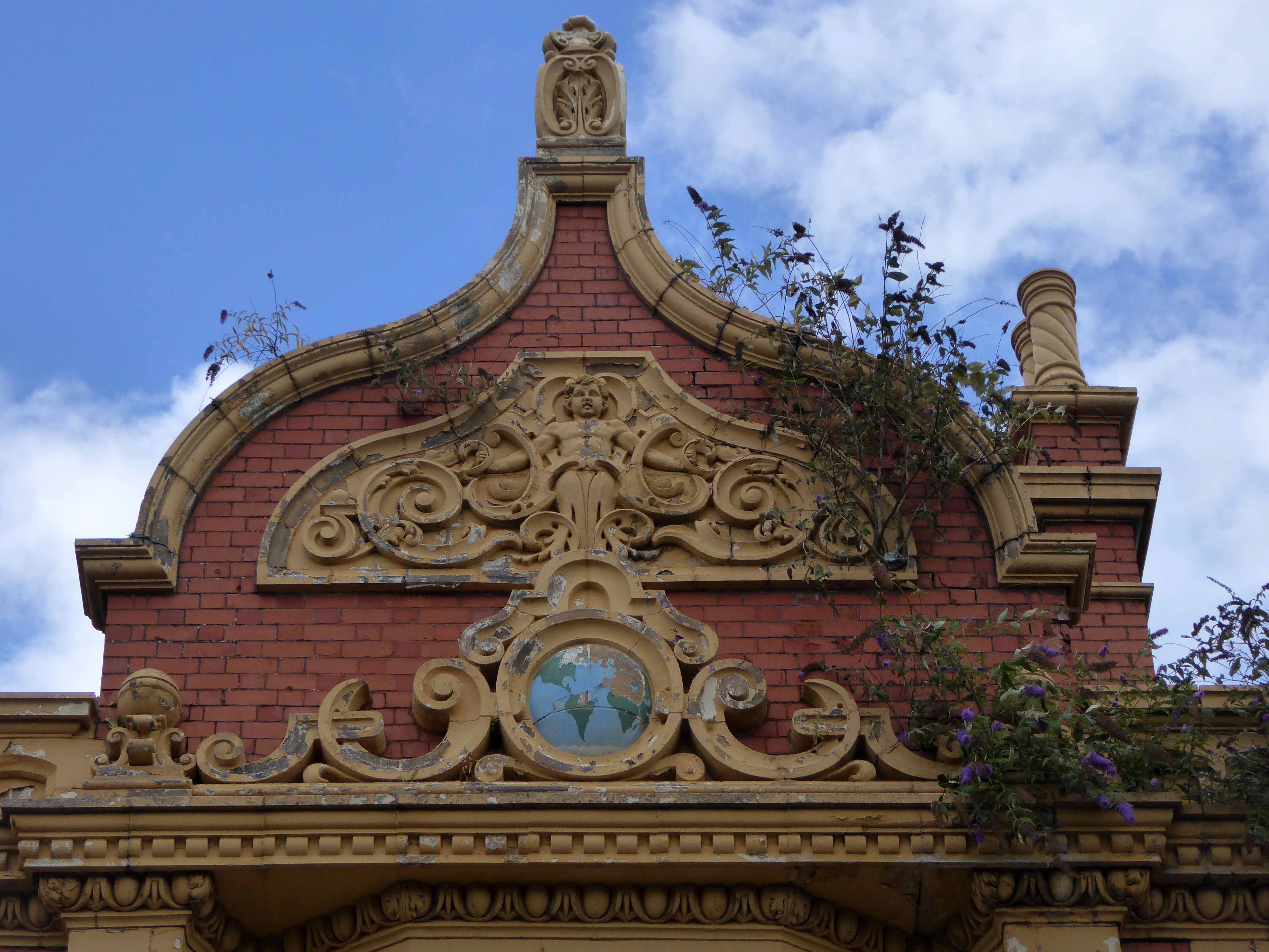
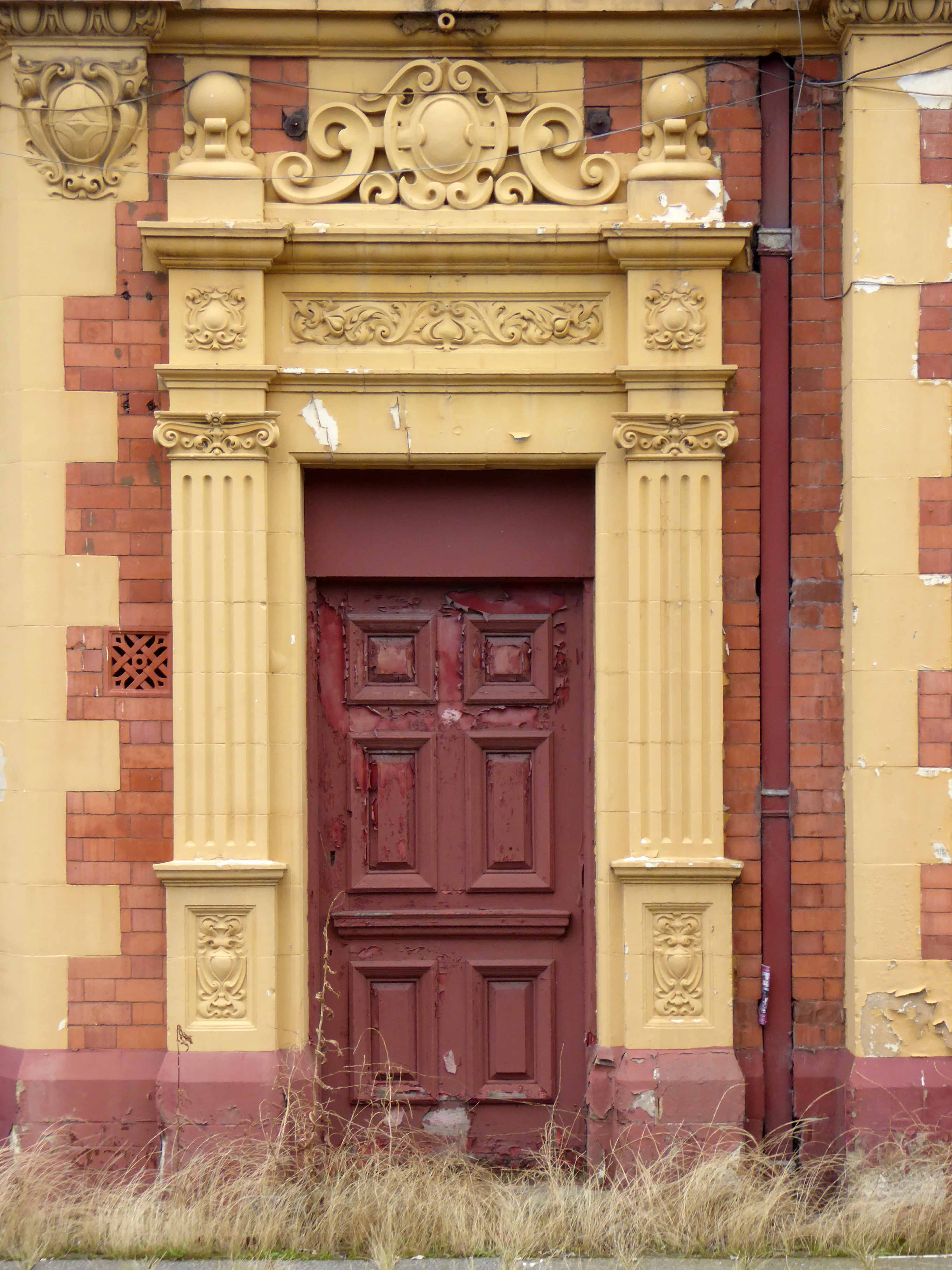
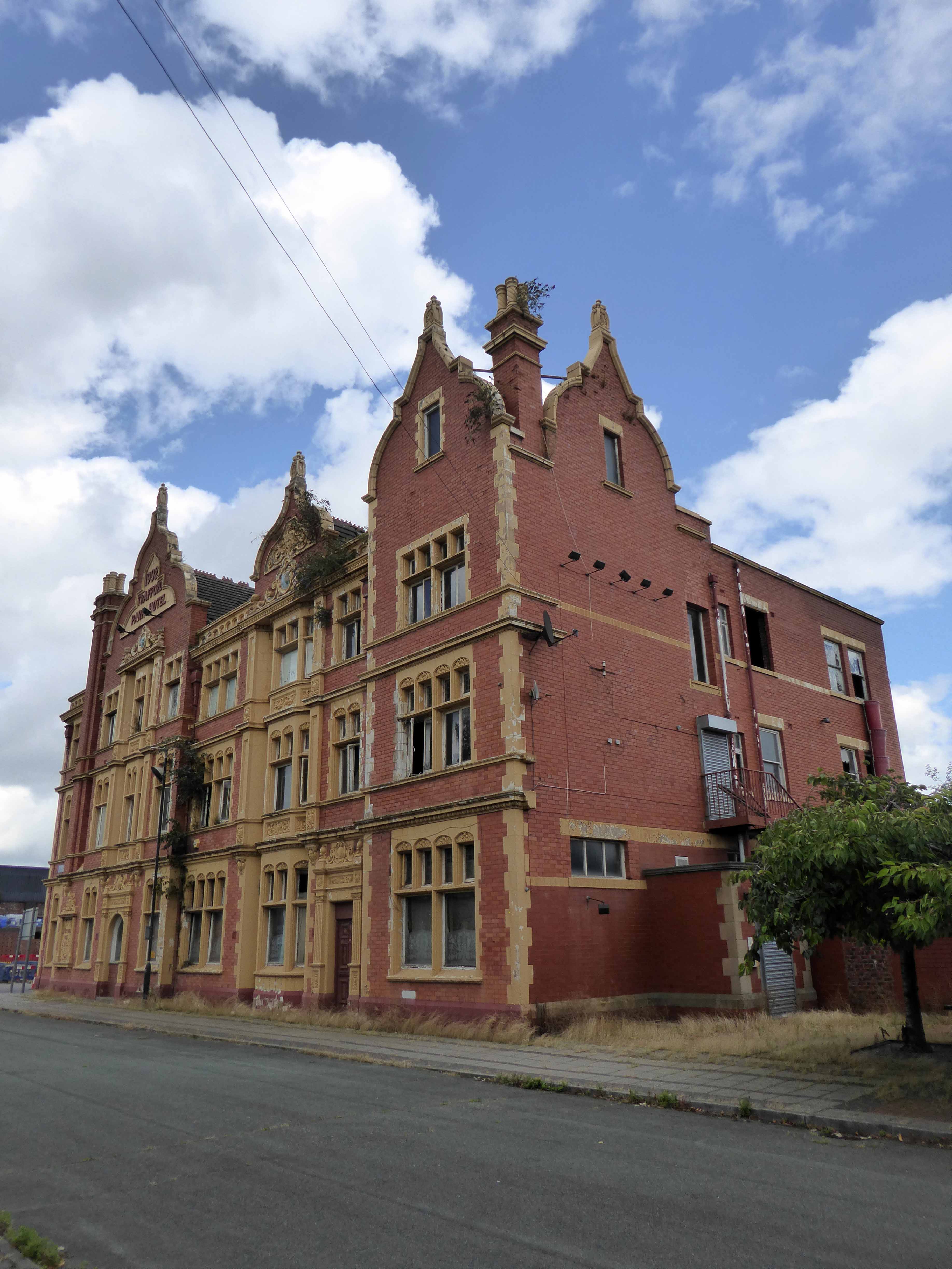
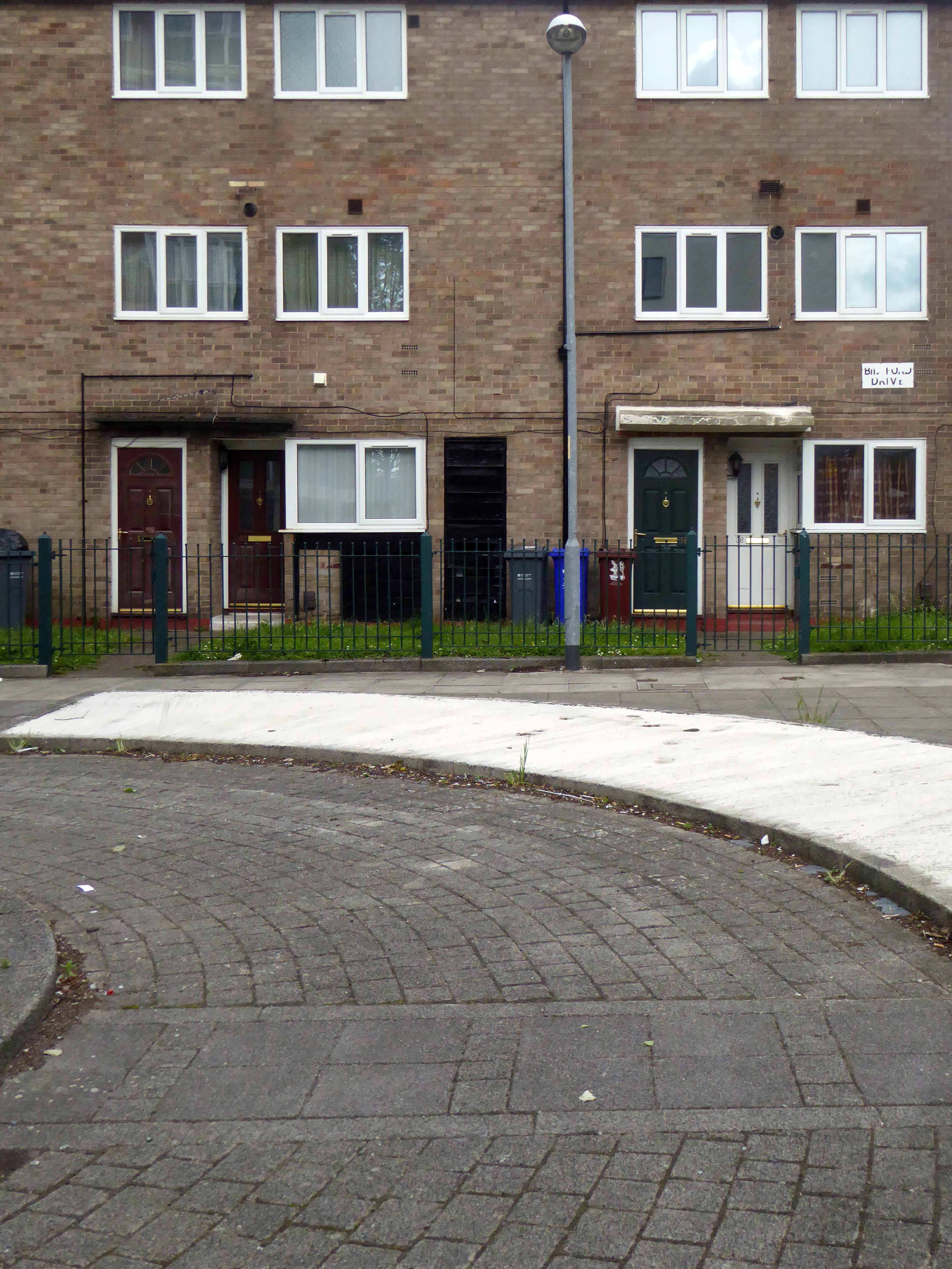
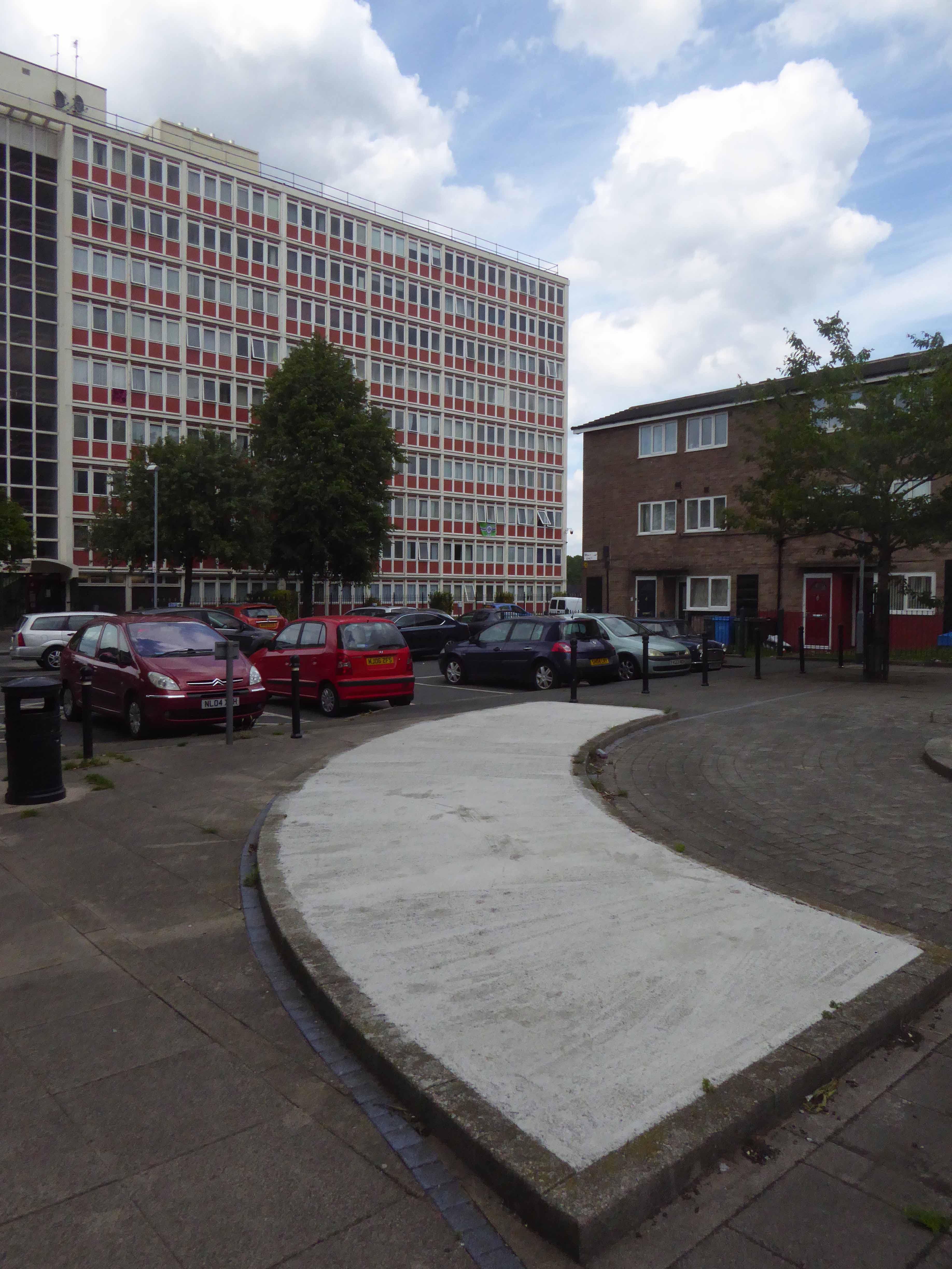
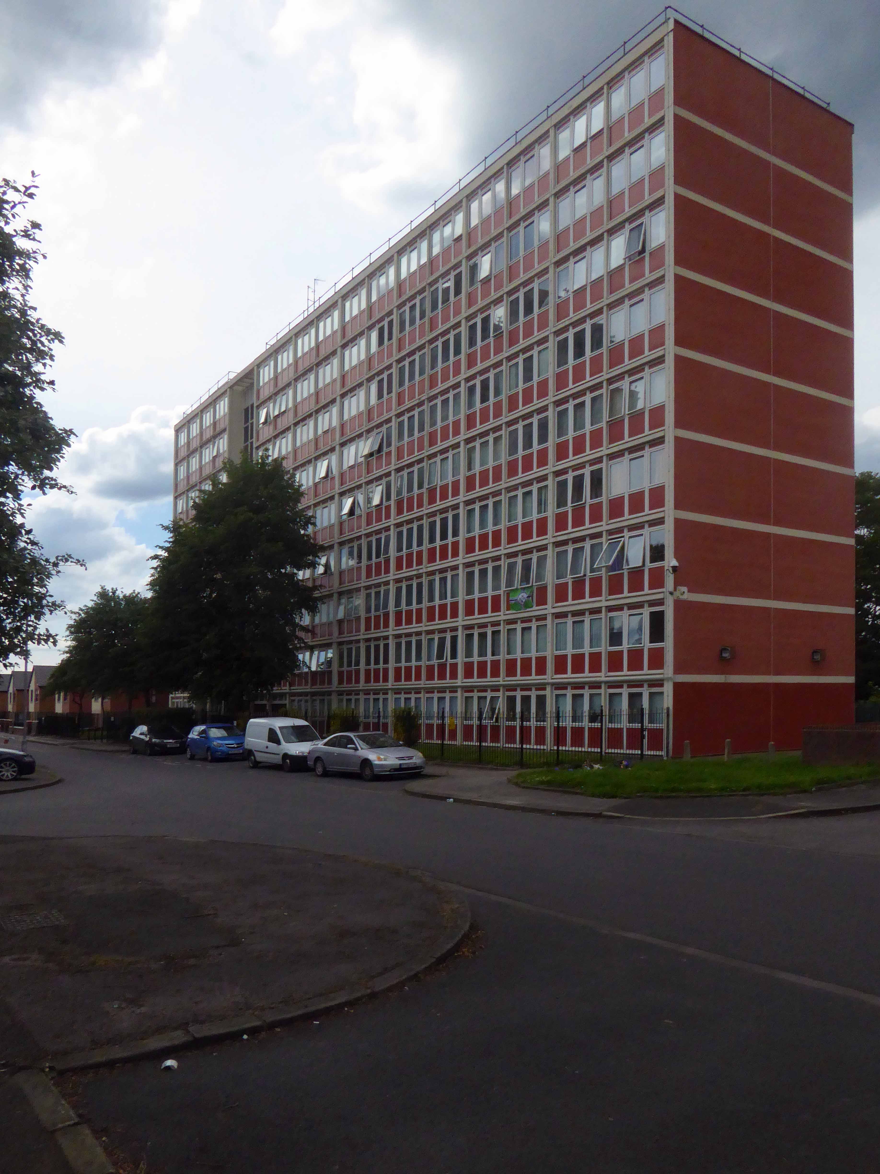
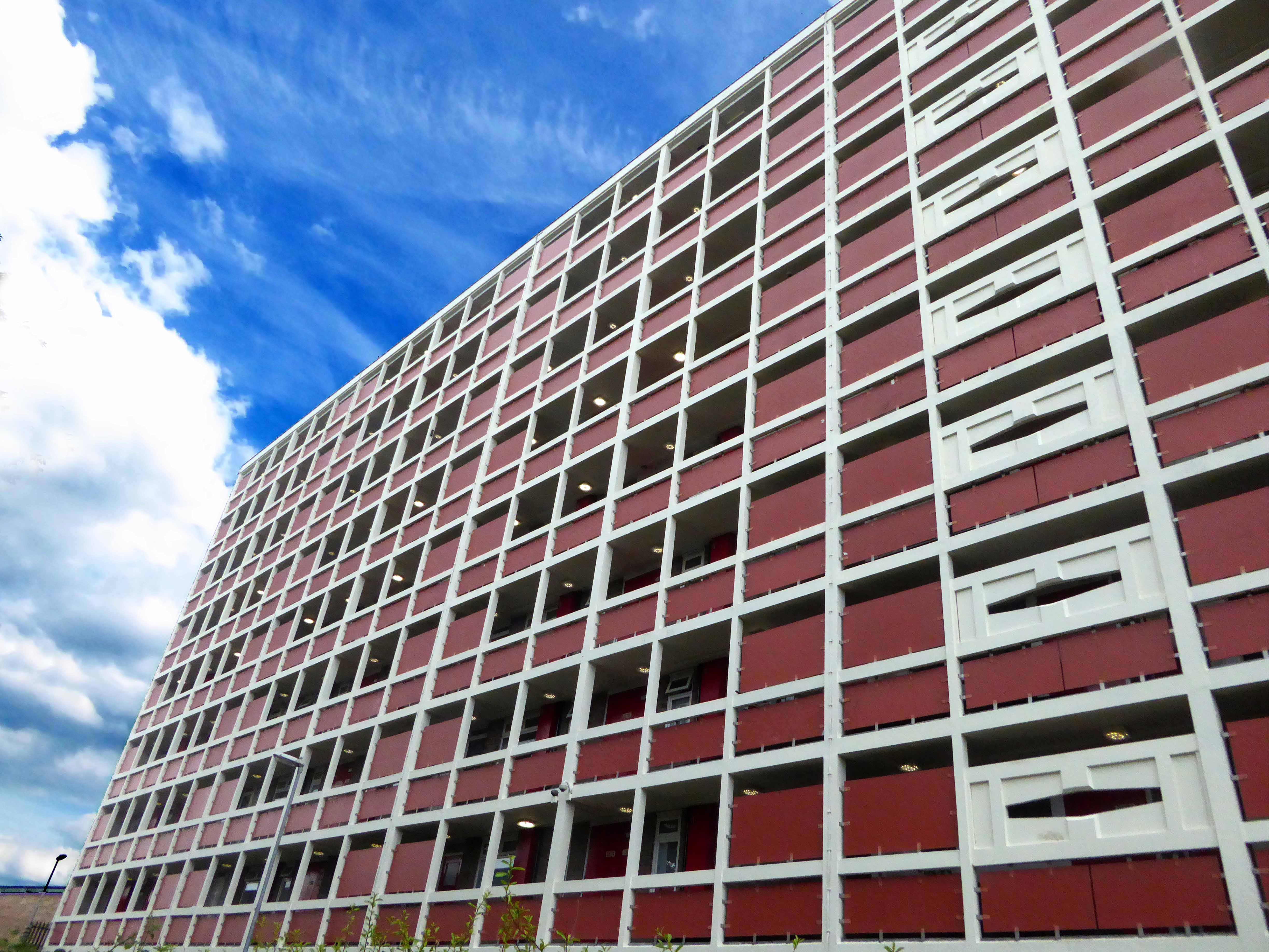
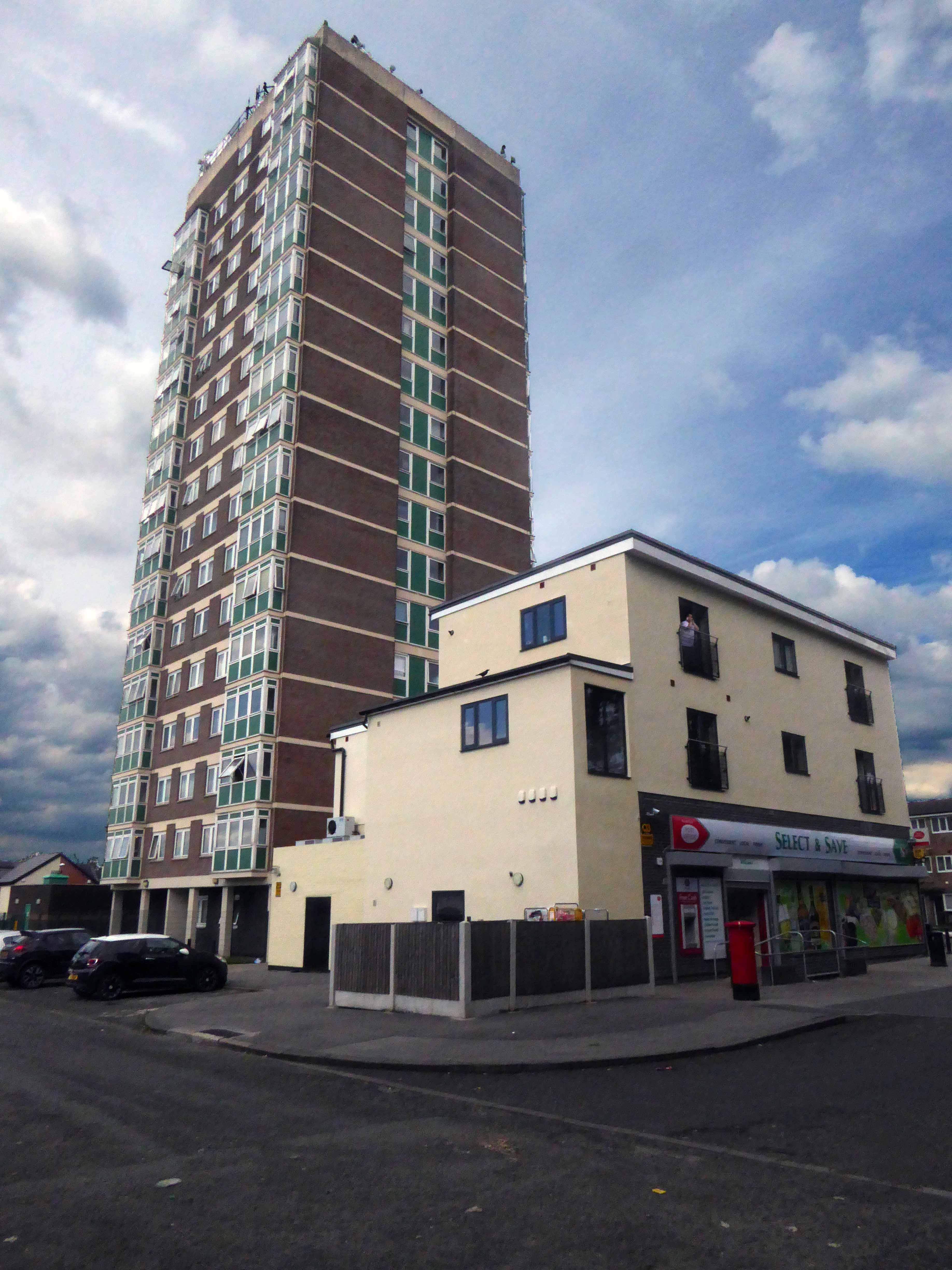
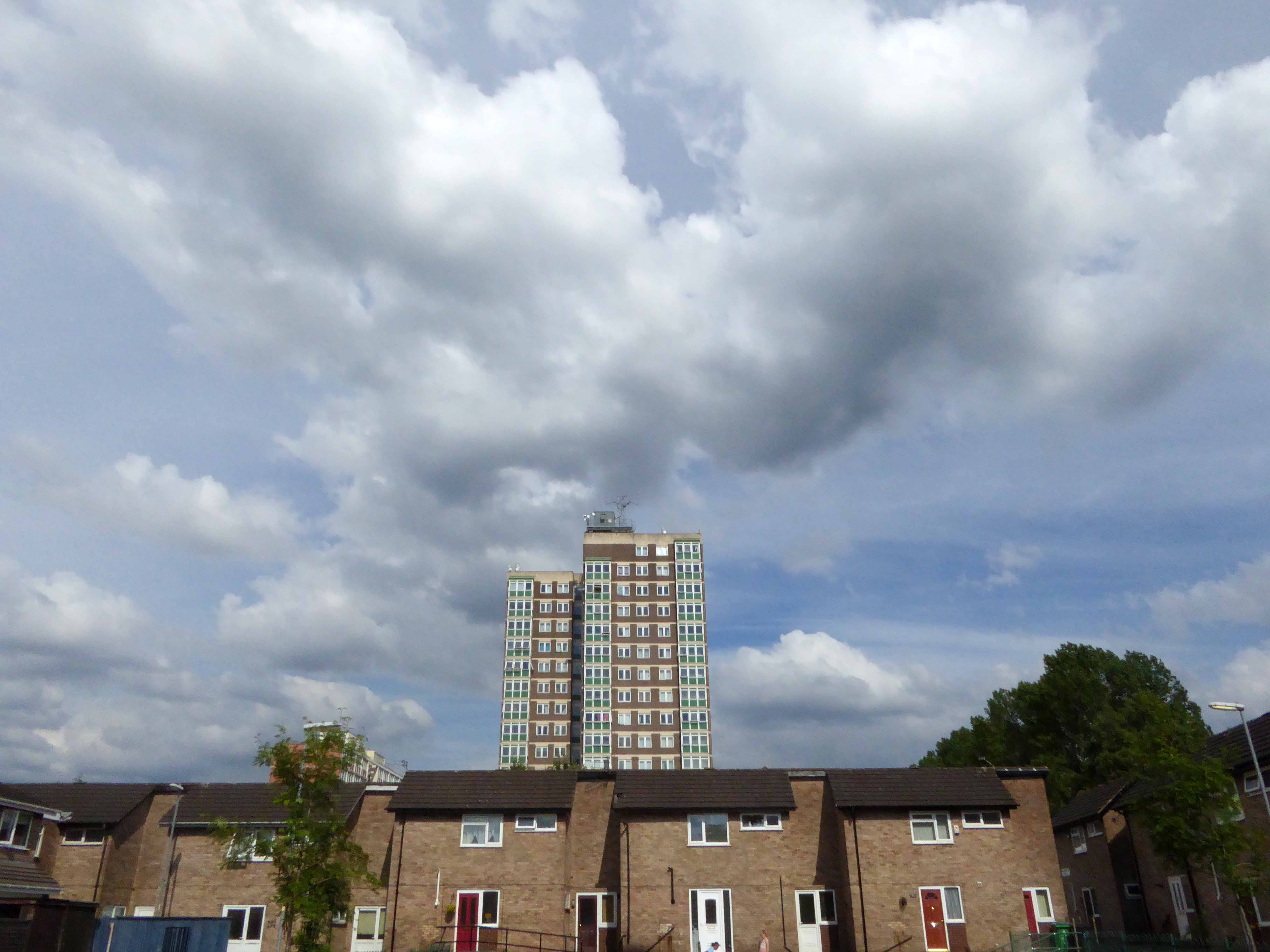
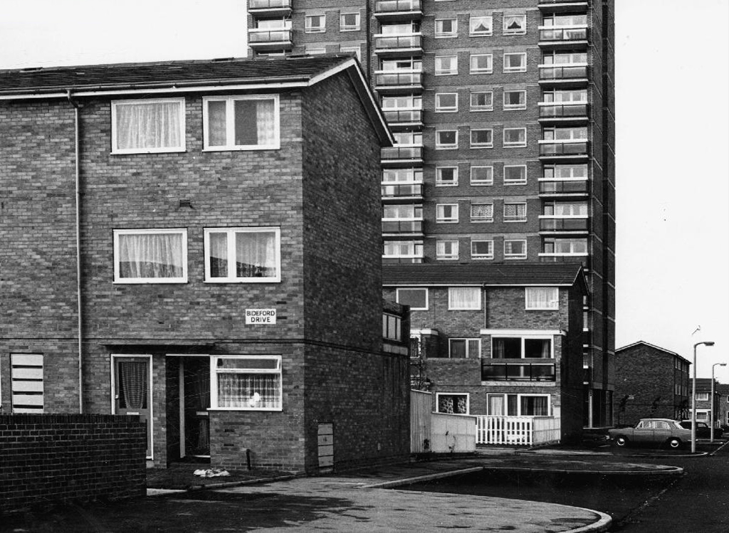
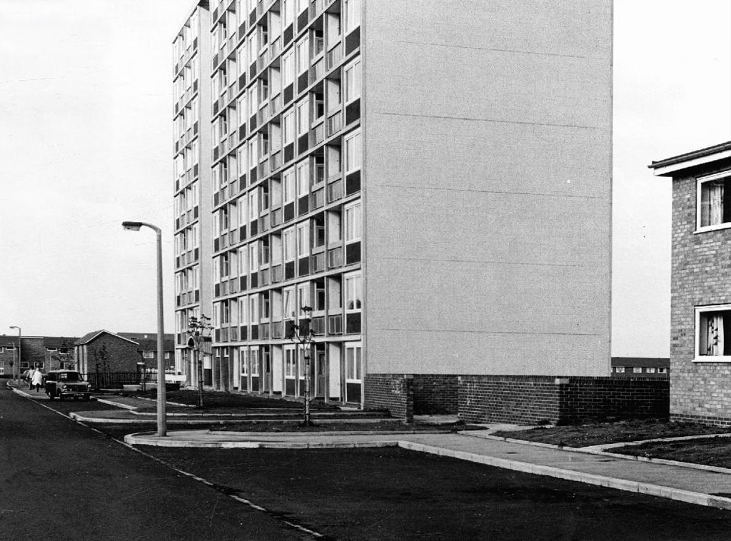
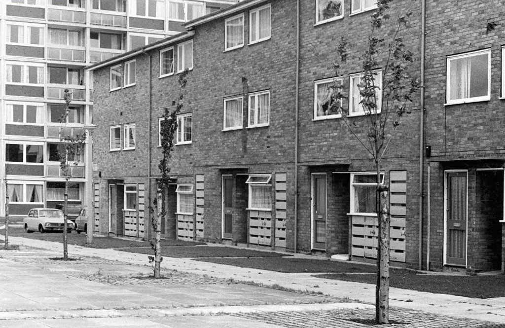
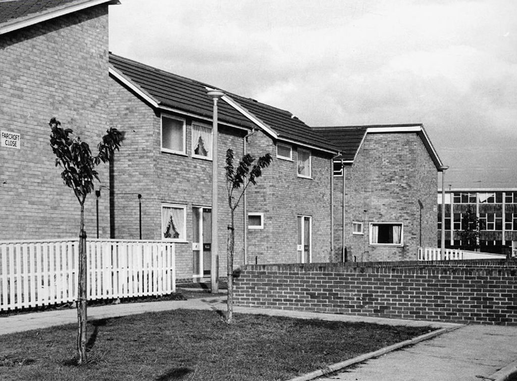
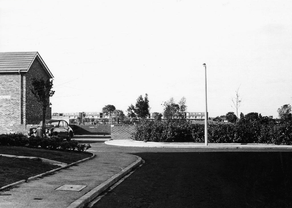
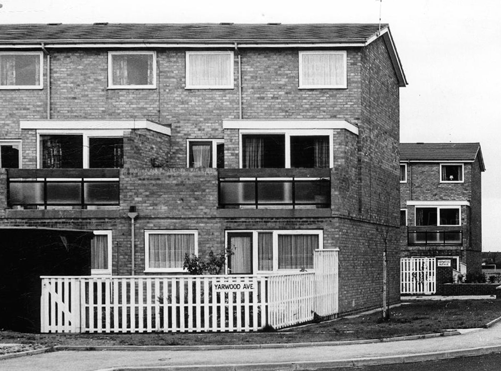
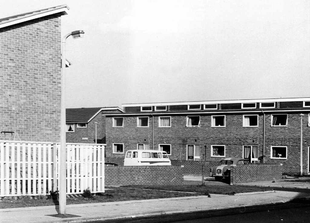
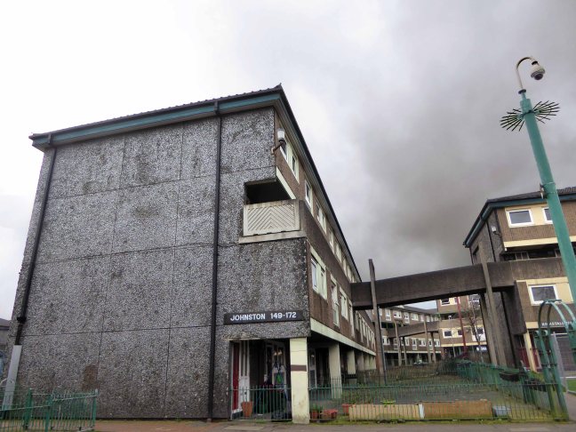
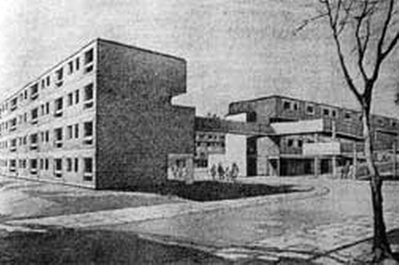
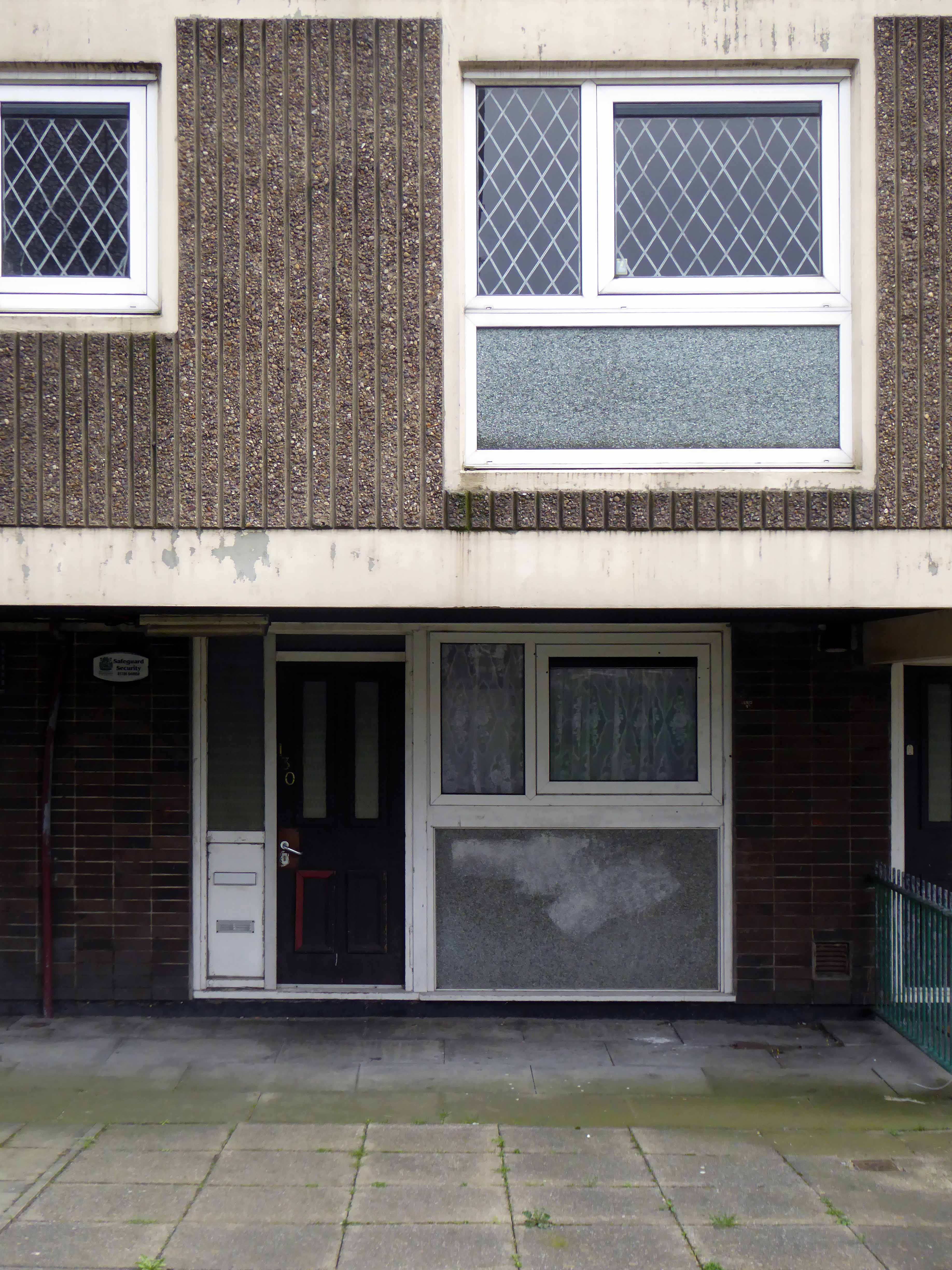
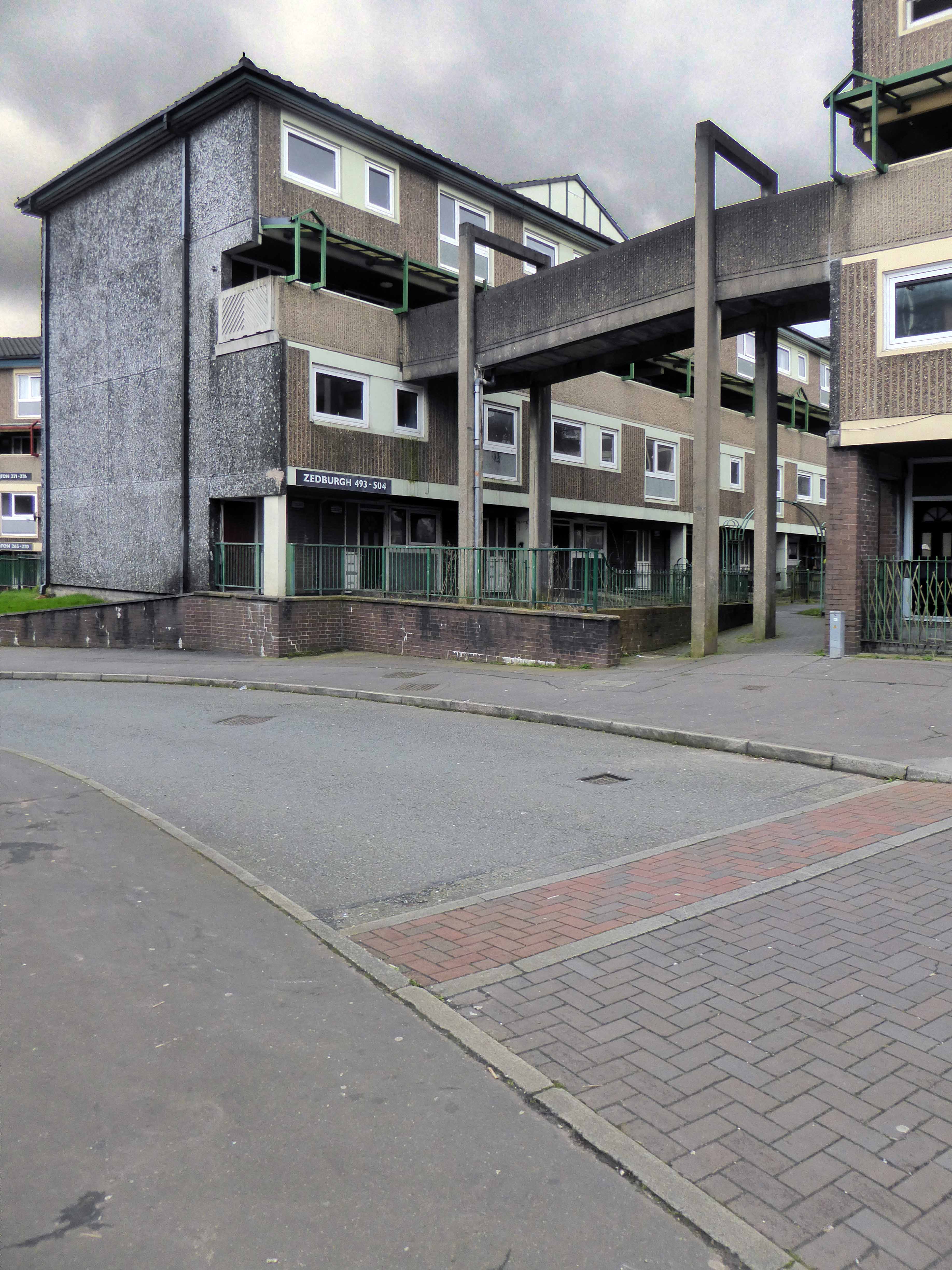
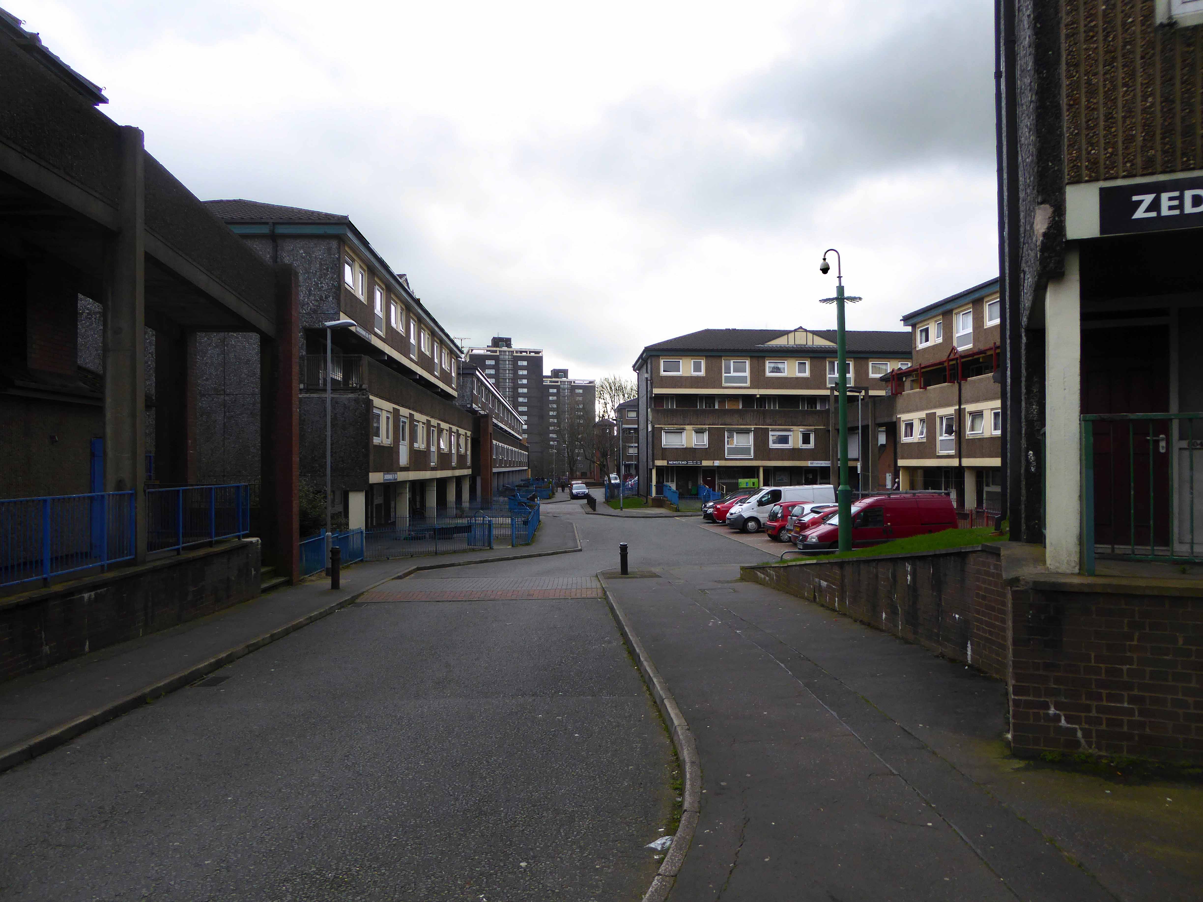
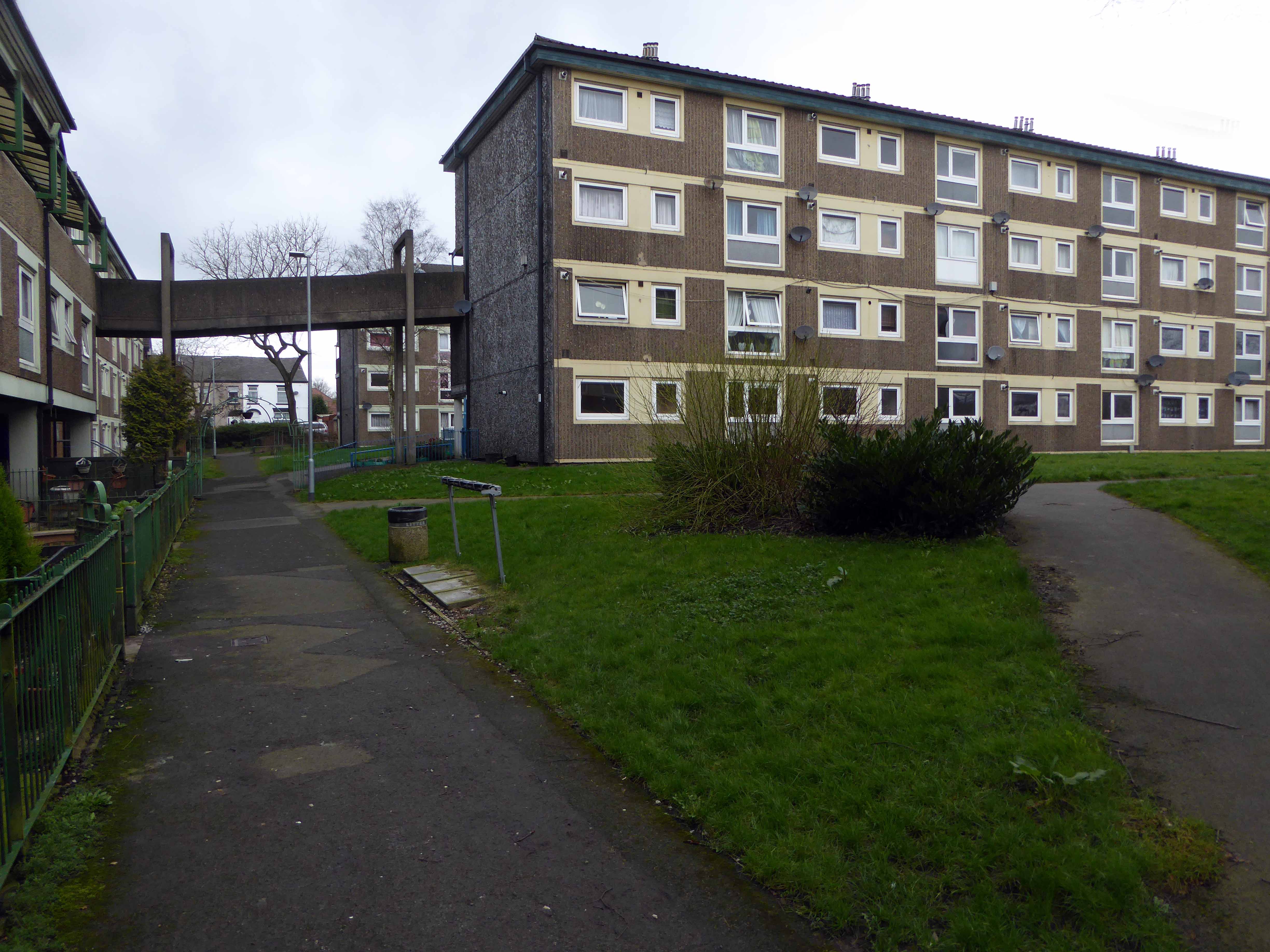
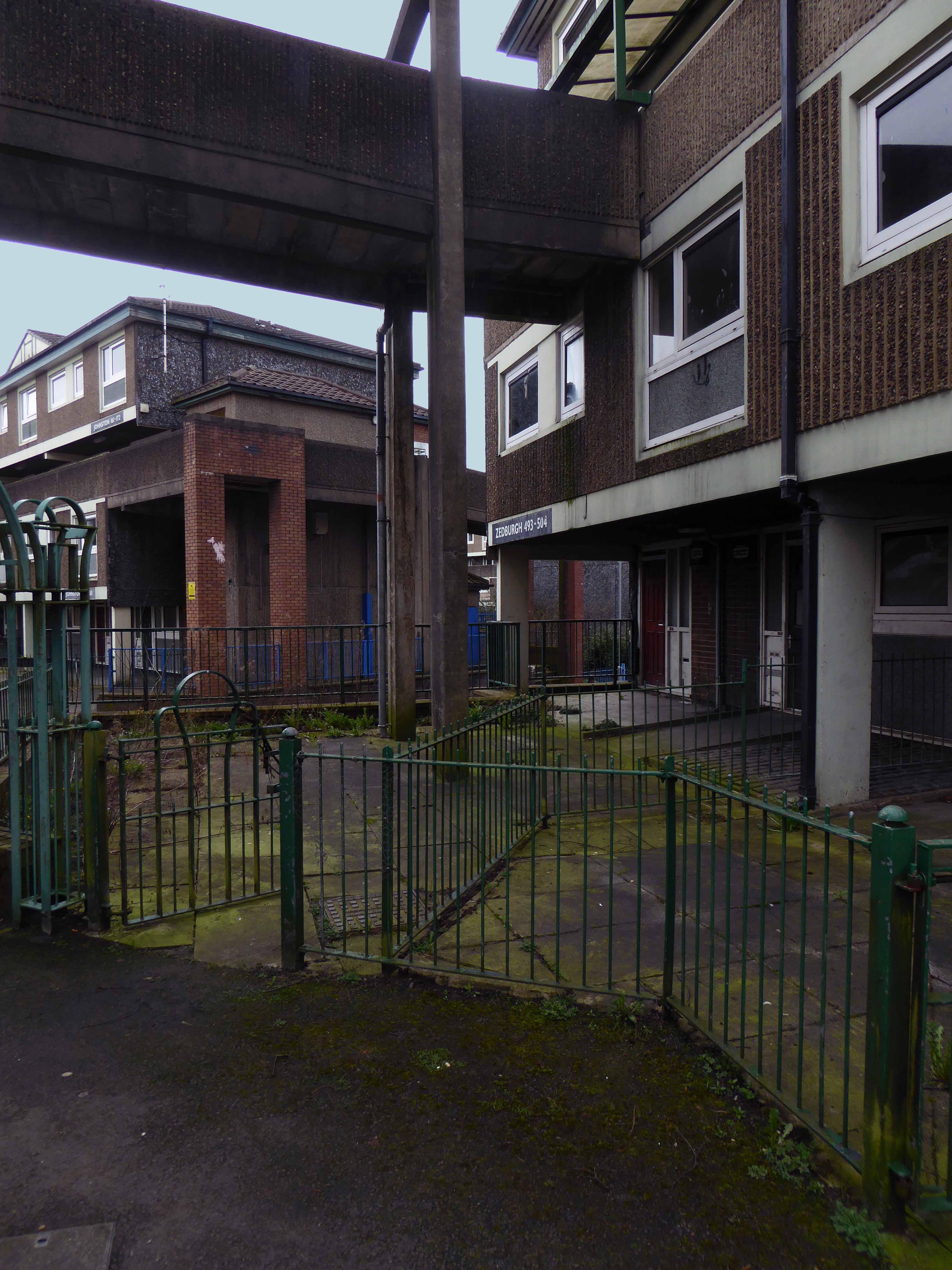
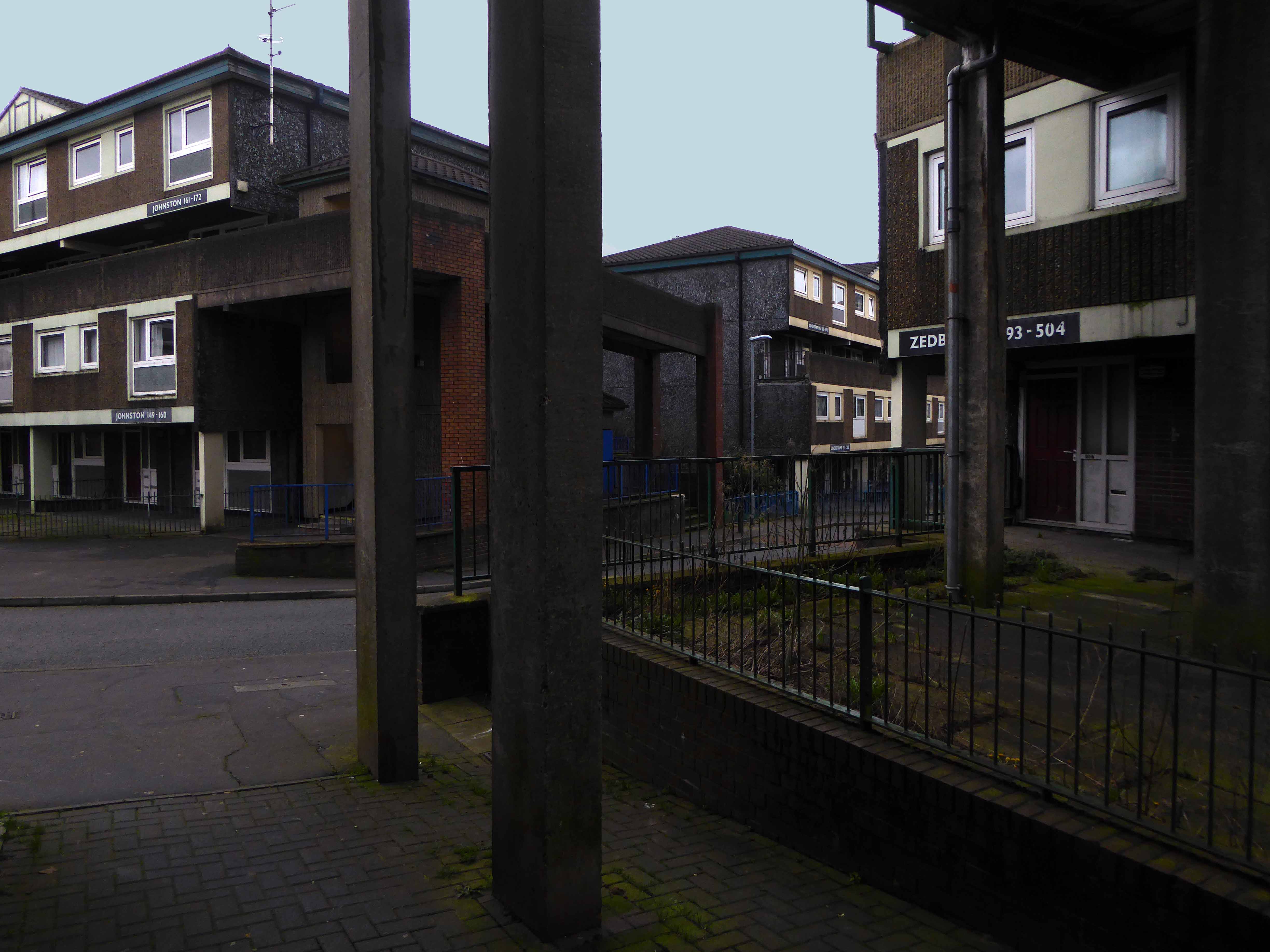
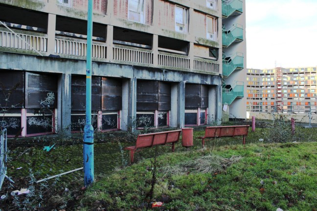
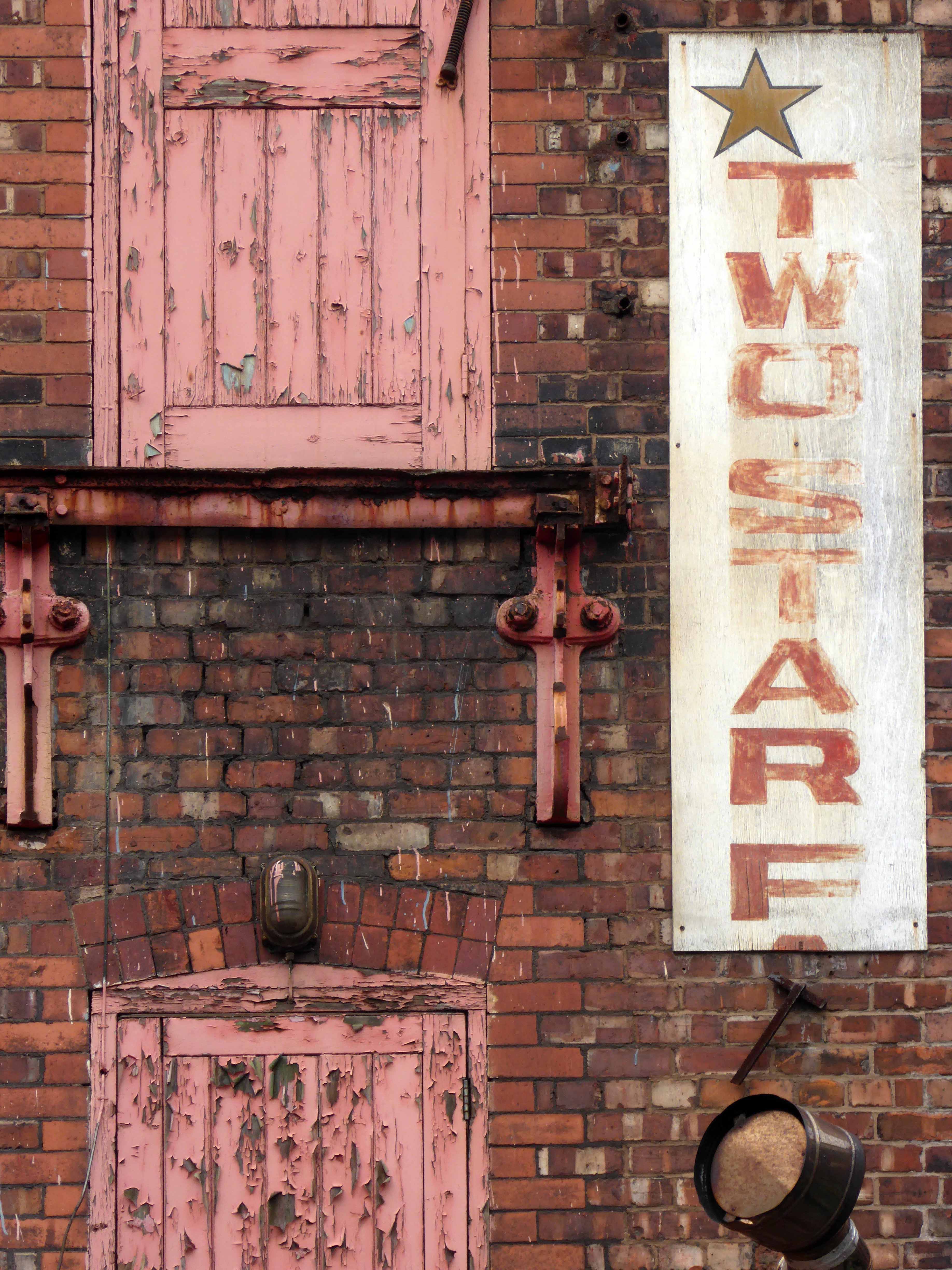
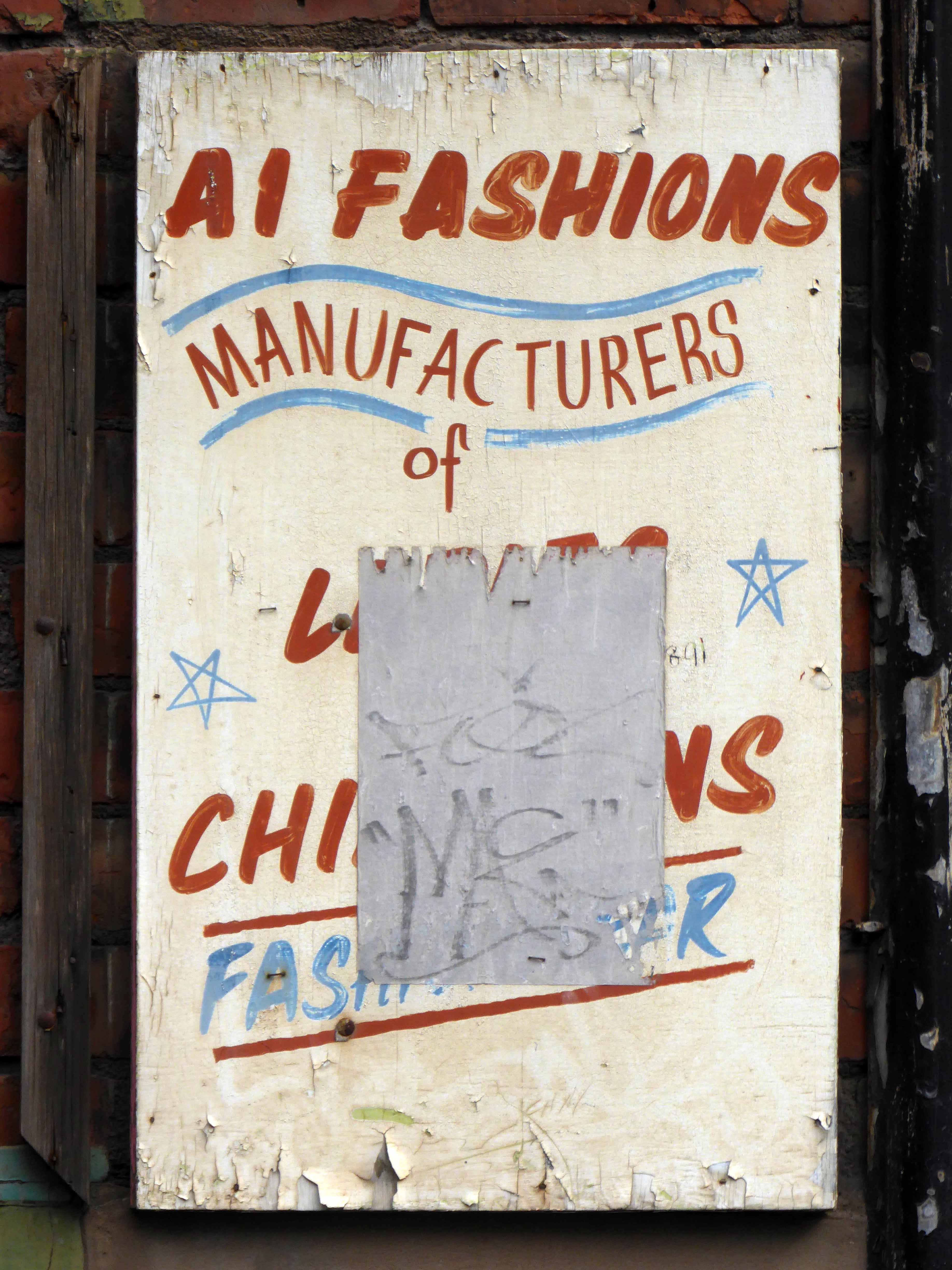
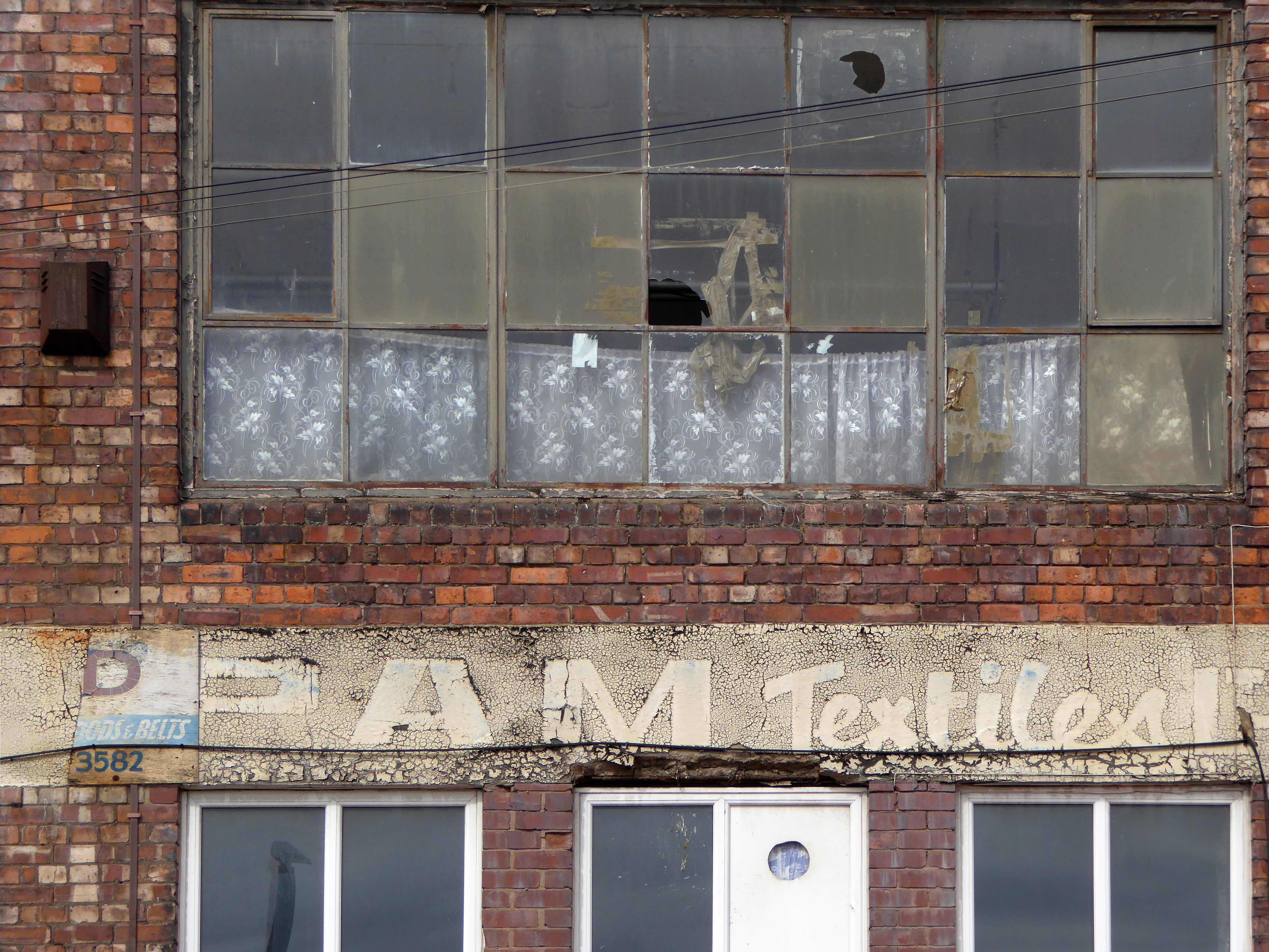
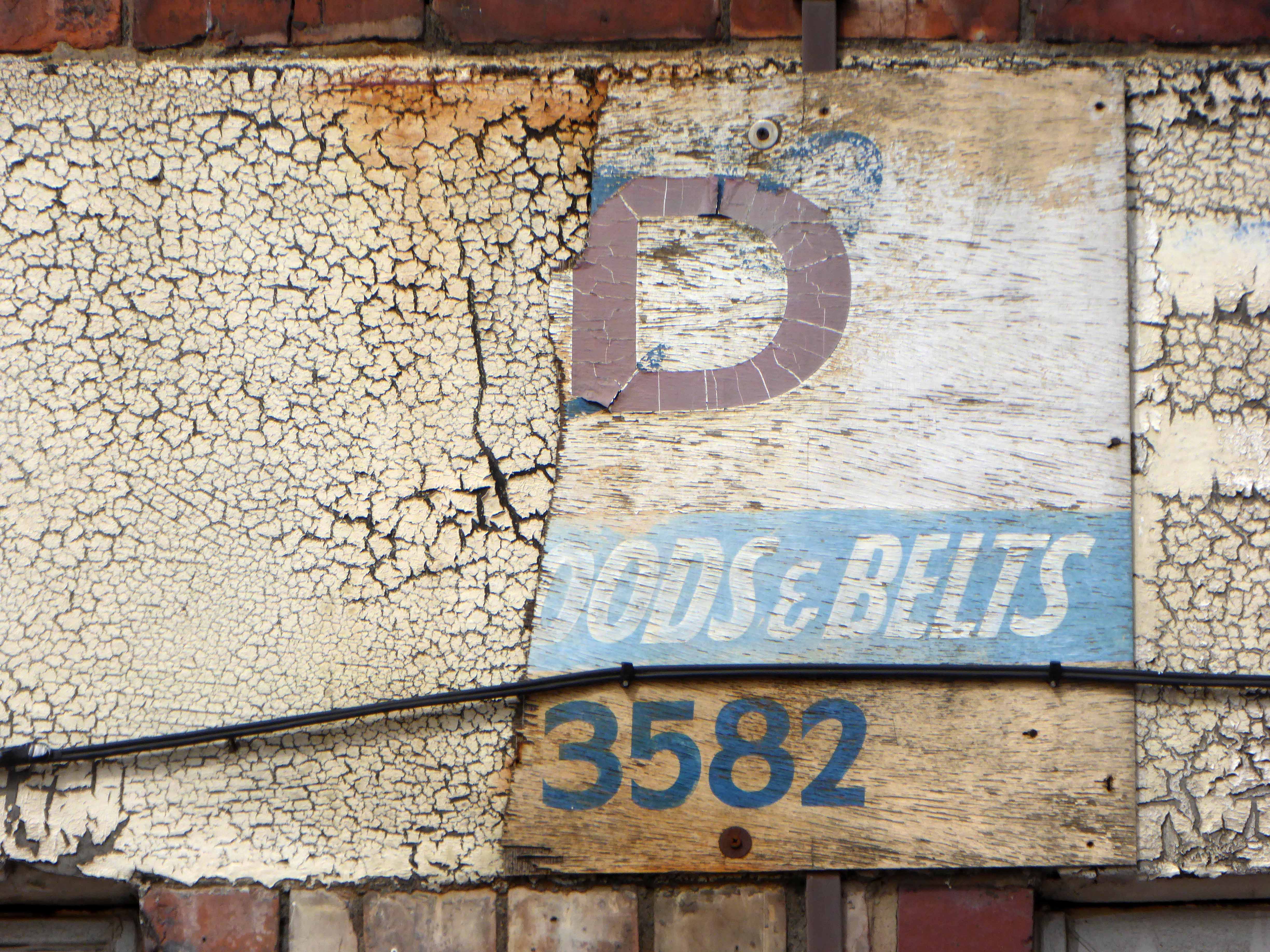
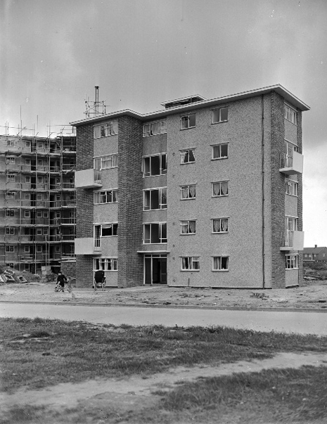
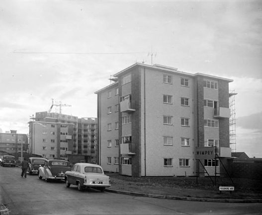
Built in the 1960s when municipal architecture spoke of optimism and innovation, the story of the estate is an oft told tale of decline and renovation.
Grade II* listed the building’s structure has prevailed, the original social structures, tenants and consequently their pubs have not.
Bewitched by the fragments which I photographed on my belated visits, I have searched the archives of Picture Sheffield, Postcard Cafe and Little Bits Of Sheffield.
Piecing together photographs and the distant reminiscences of those that lived, breathed and drank in their pubs beneath the streets in the sky.
The Link on Park Hill had some colourful characters.
If you want any info on the Link next time you are in town see the man selling fishing tackle outside Castle Market ,he is called Chris Hardy his dad ran the link in the 60’s they used to have the Sun Inn on South St before Park Hill was built, tell Chris that Alan Betty’s cousin told you about him.
I once did a job outside the Scottish Queen and had a lump of concrete thrown at me! it landed about 2m away, that made me jump!
Joe Fox used to be the landlord in the George in the 70s, didn’t stand for any messing about.
Earl Francis! Of course! That was driving me mad; I was just going to ring my mum and ask her if she could remember what it was called. I think it closed in the early 90s, at the same time as the renovations of Hyde Park Walk and Terrace – 1990/1991, if I remember correctly.
The Earl Francis was still open in 1994 – the last time I went in there, but was dying on its feet.
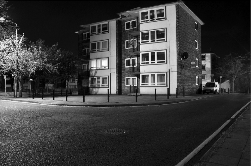
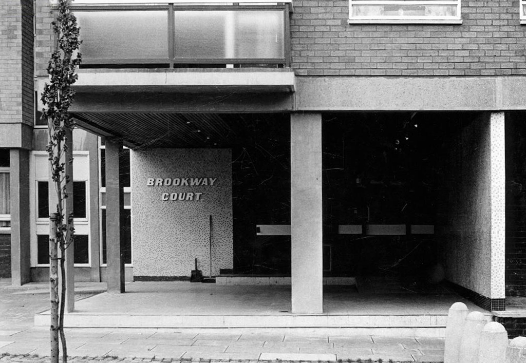
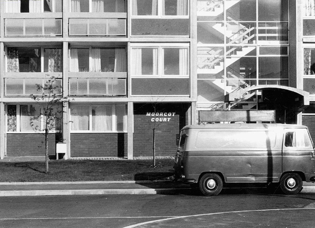
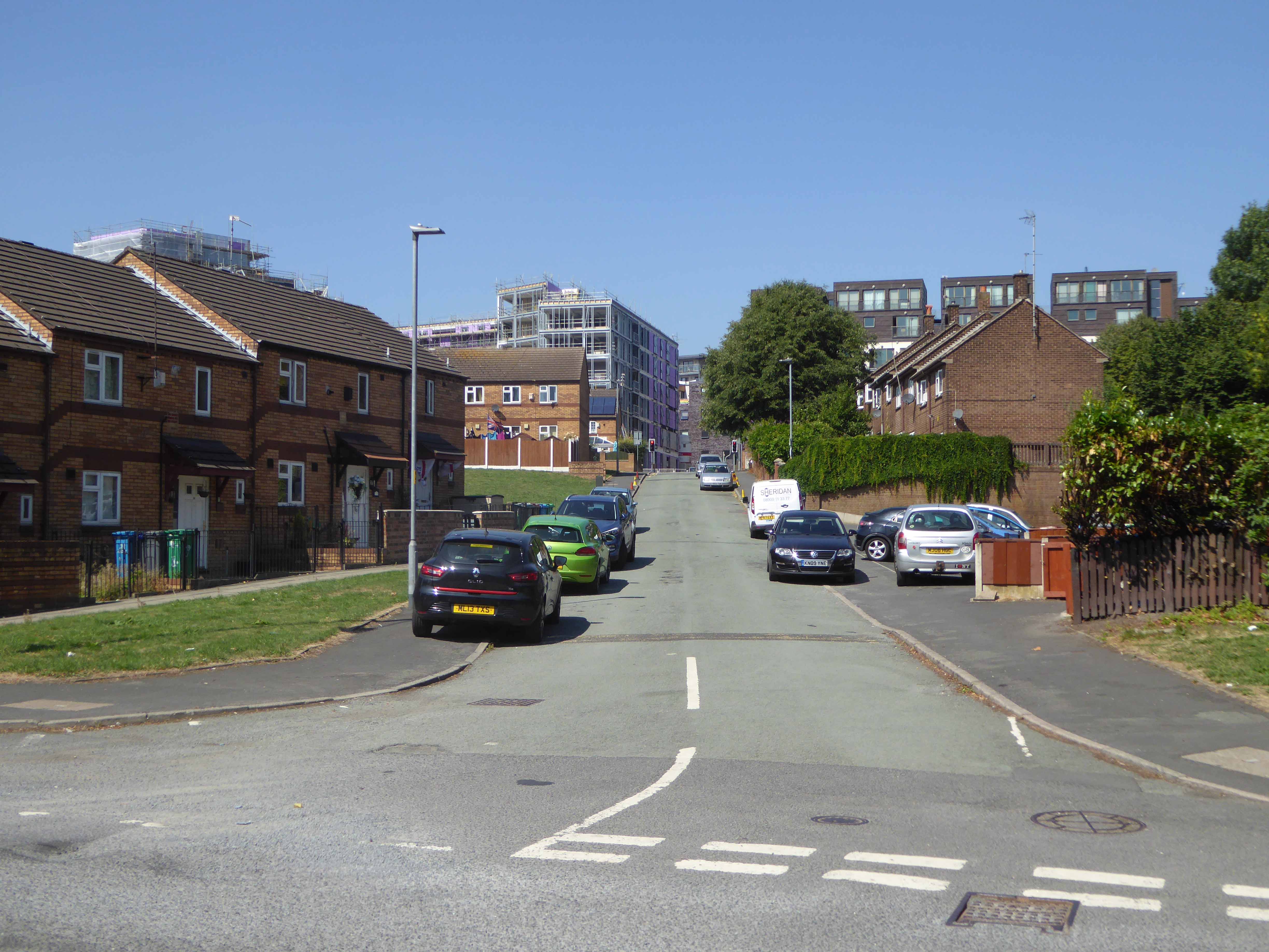
Park Hill is empty, and due to be refurbished.
It’s amazing to think that each complex had all these pubs and people actually went in them! Drove past Park Hill a few months ago at night and it didn’t look like a soul lived in them.
Not surprised the Tavern has closed down. Don’t know whether people are happy or sad about it…They looked like an absolute dive, but I’ve always wanted to go and have a look around them to see what they’re like close up!
Why is it amazing to think that?
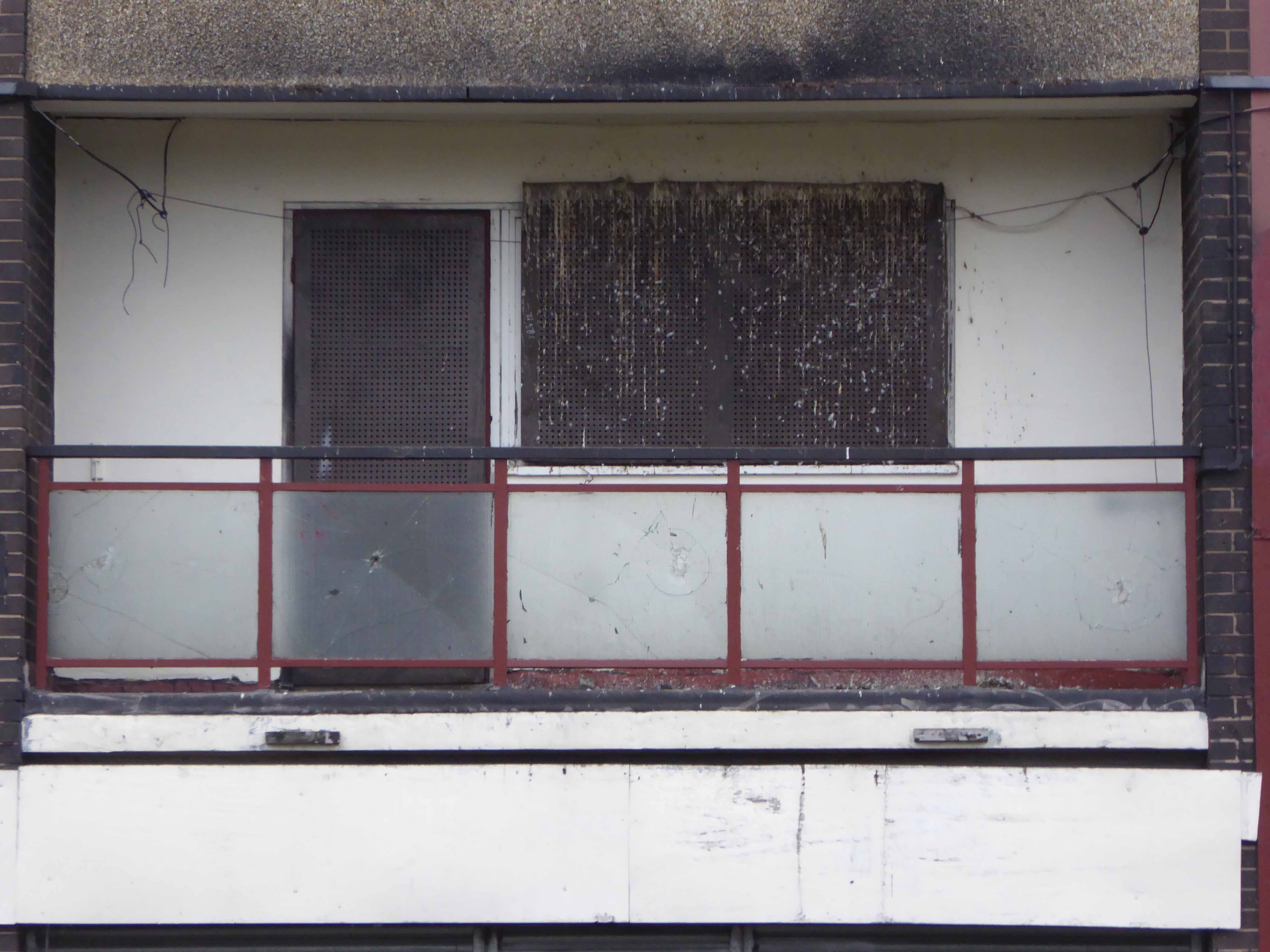
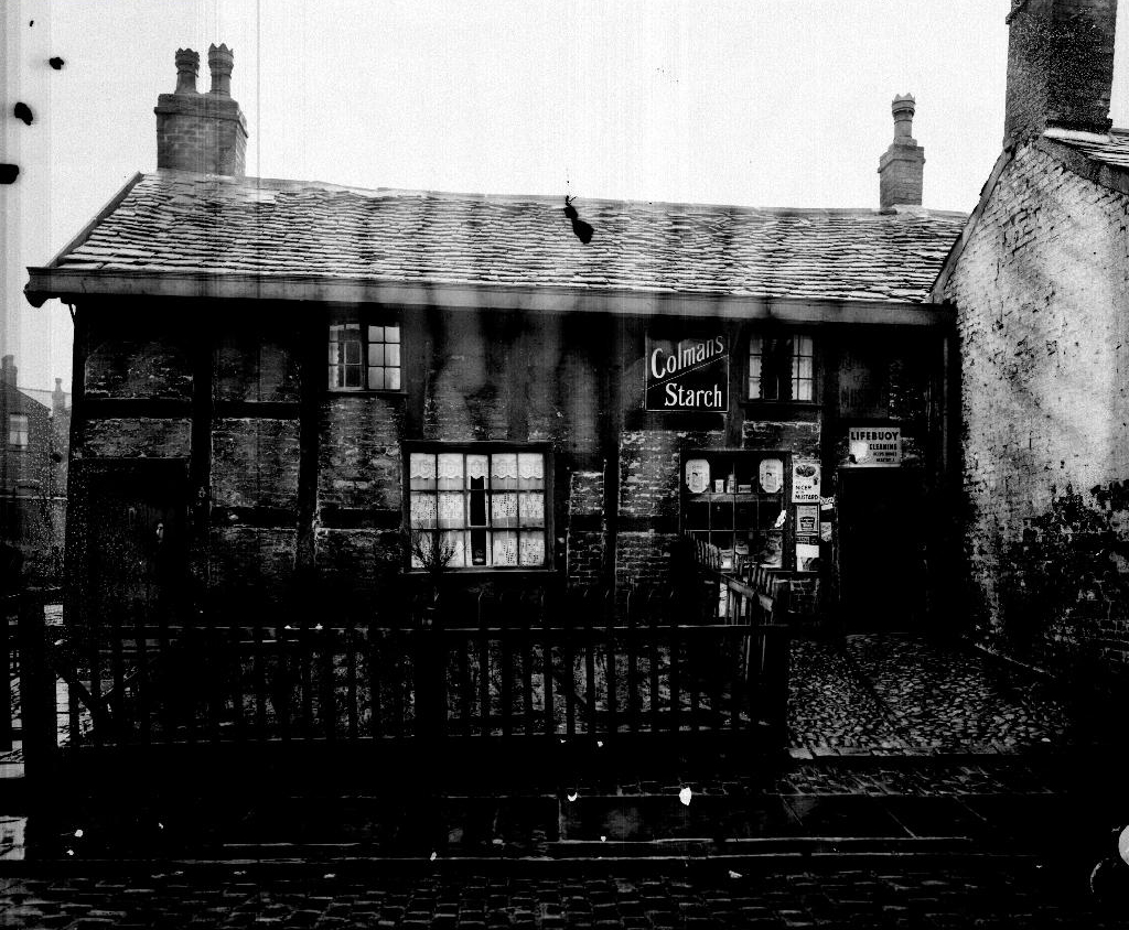
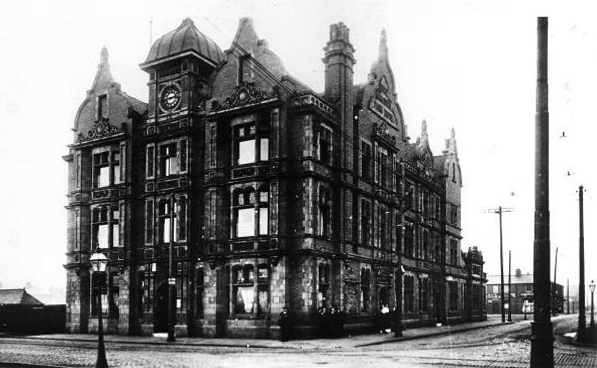
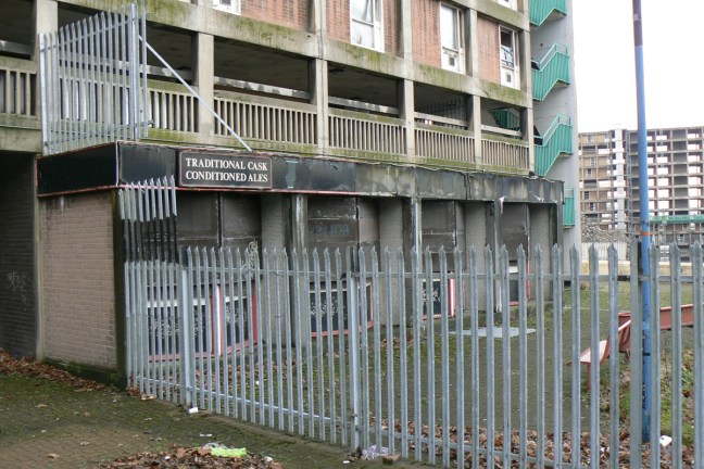
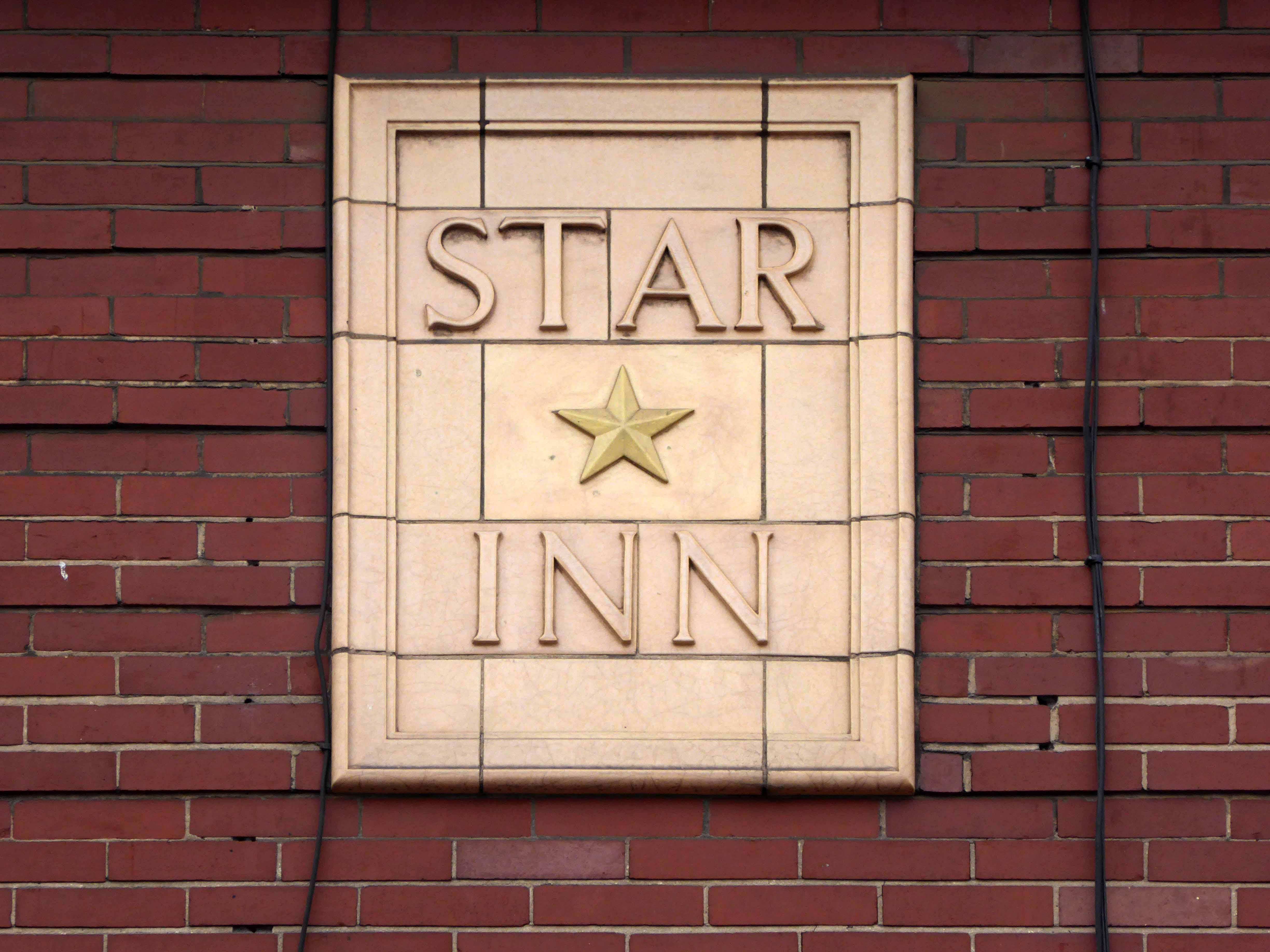
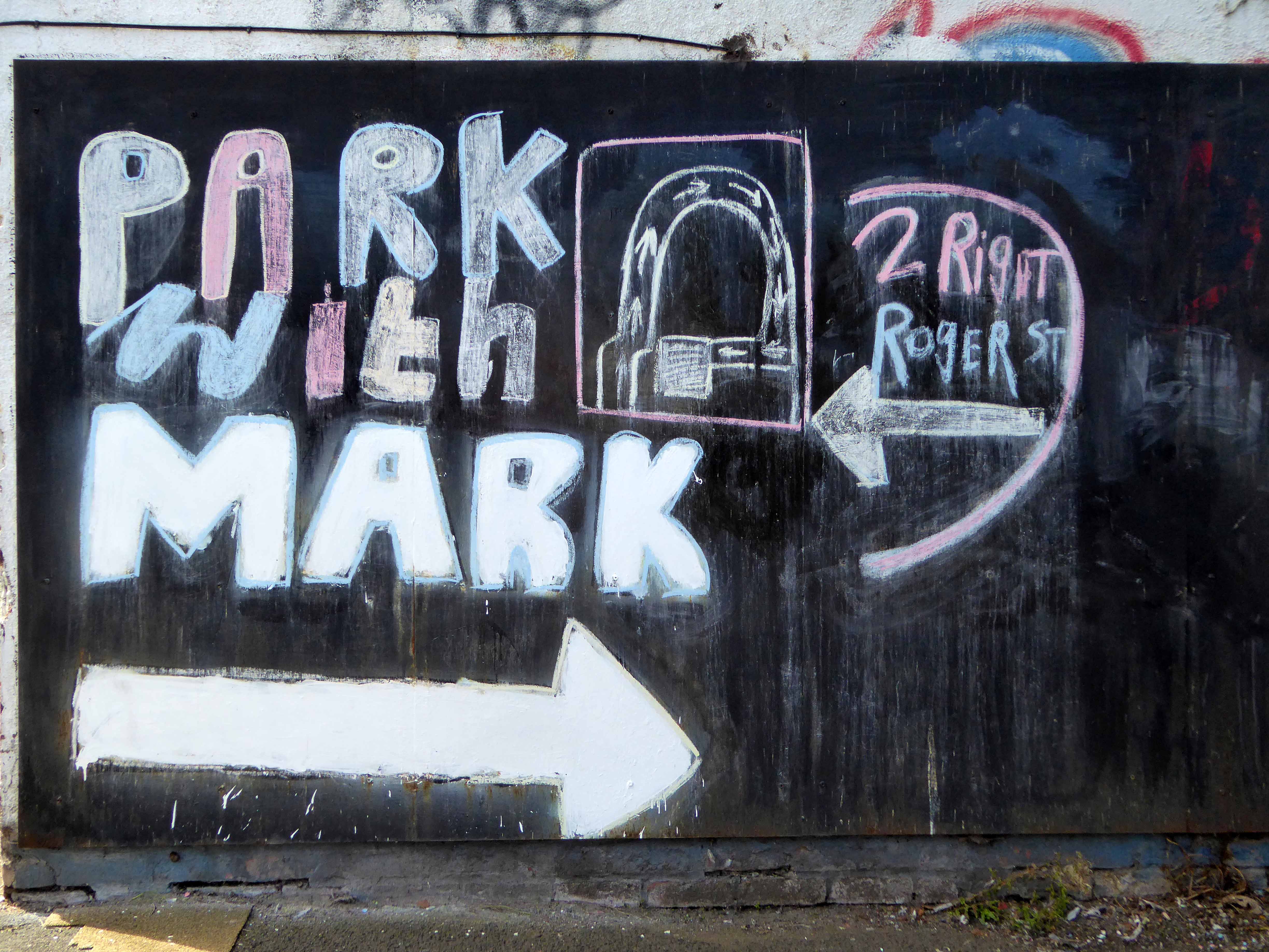
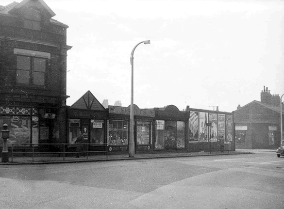
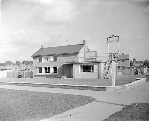
The Parkway

Picture Sheffield 1965


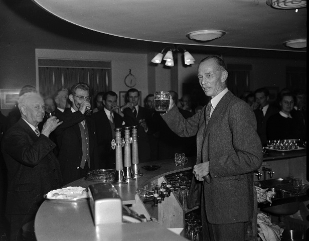
Picture Sheffield © S Cole 2011


The flats and in particular the Parkway Tavern were used in the 2014 film ’71 – which was set in Northern Ireland. So this photograph showing the bar with a packet of crisps is actually slightly misleading because the crisp bag was only a printed film prop and what looks like broken glass on the bar is fake! – Mr C


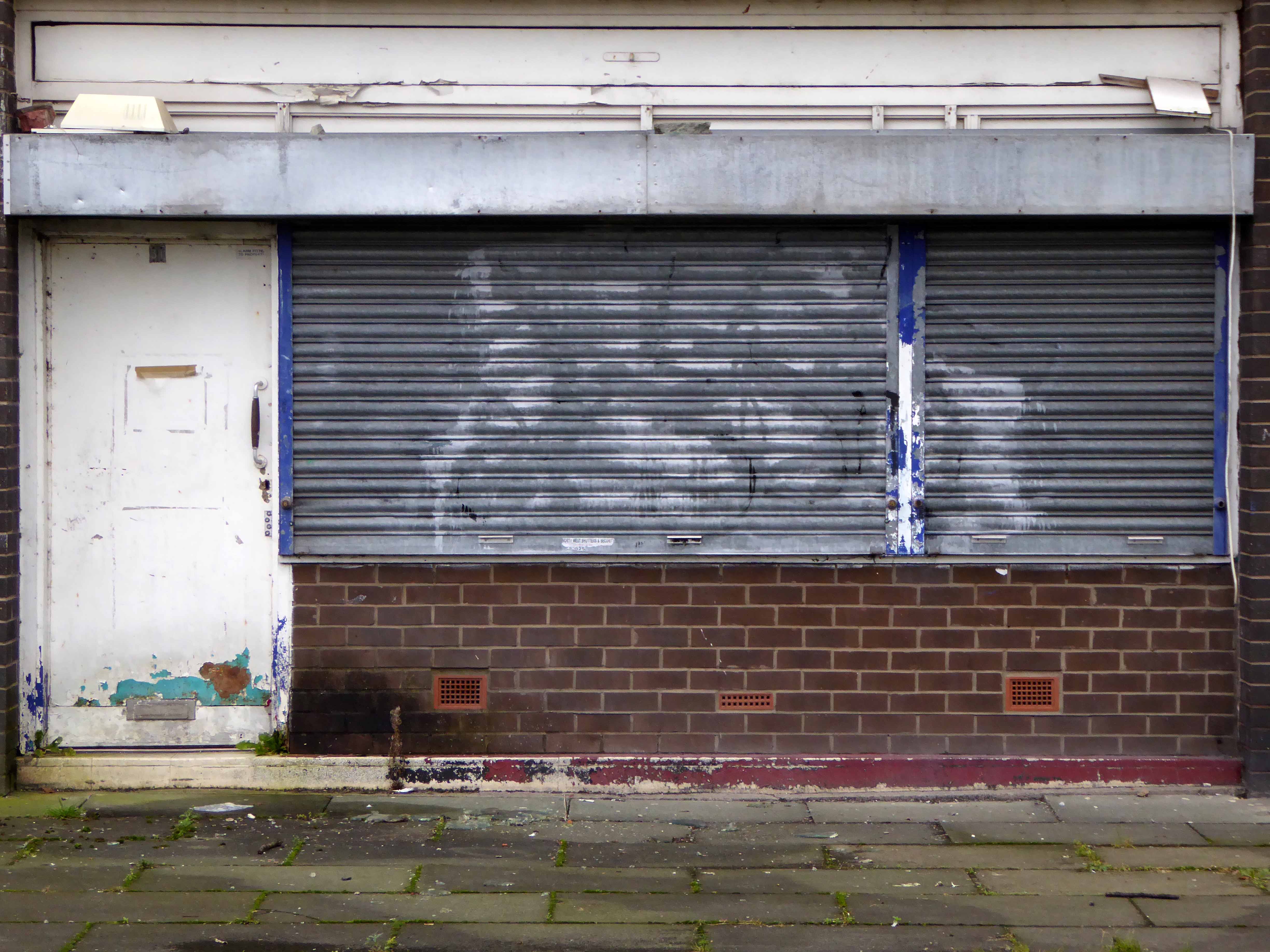
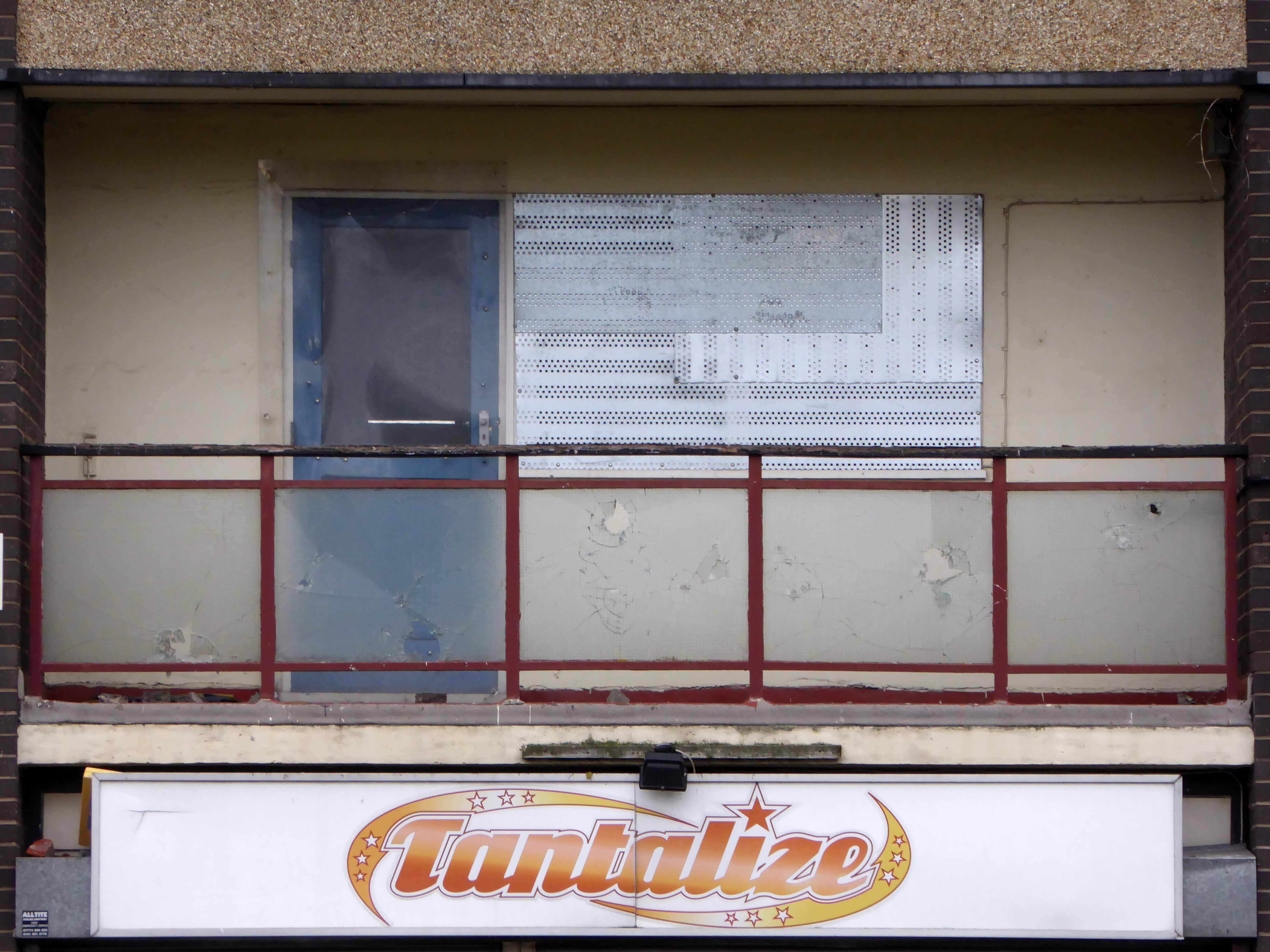
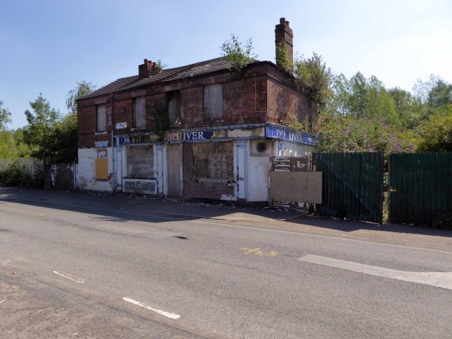
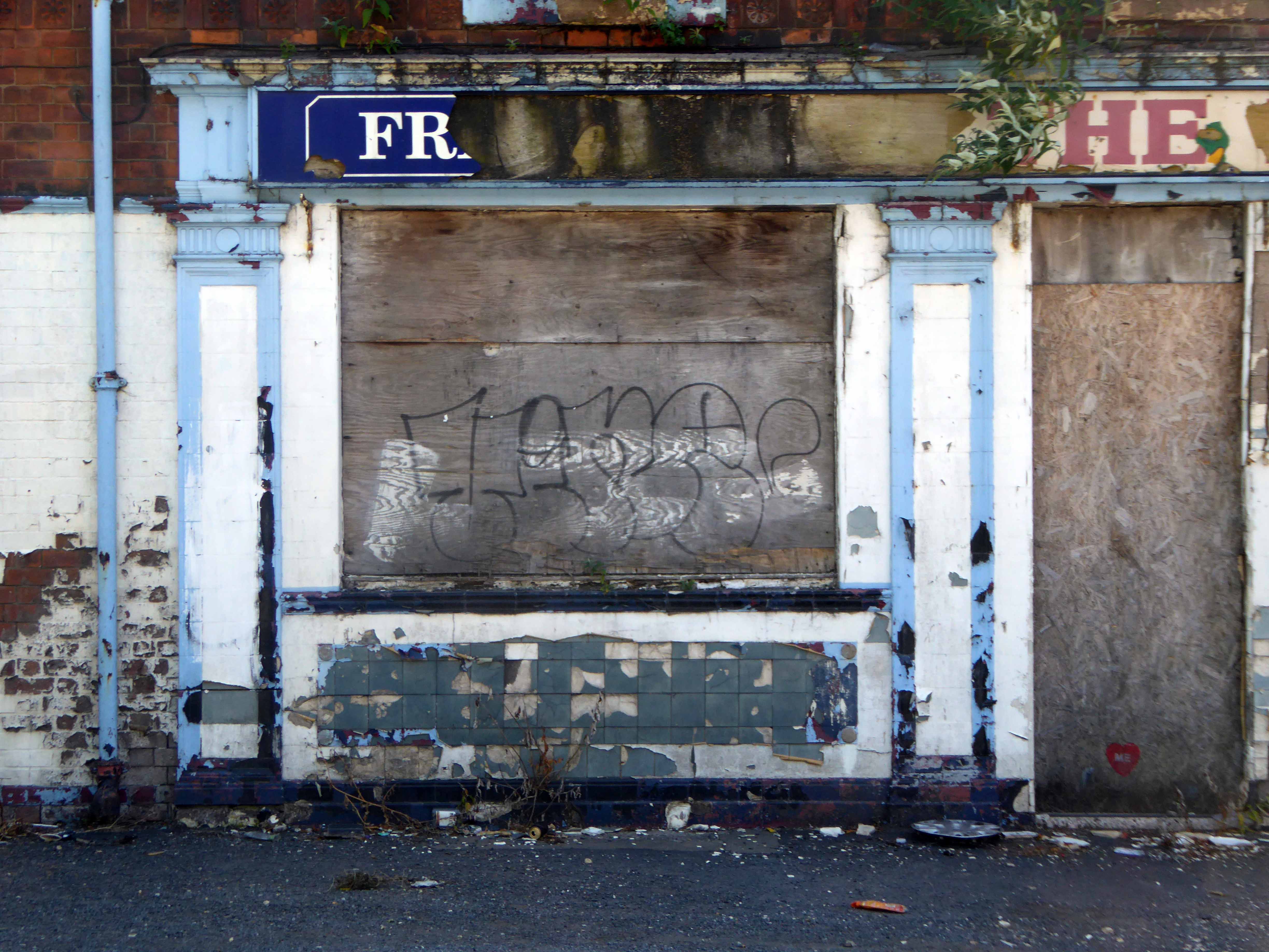
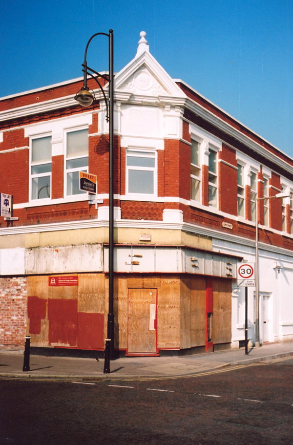
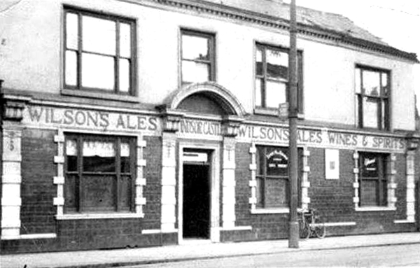
The Scottish Queen
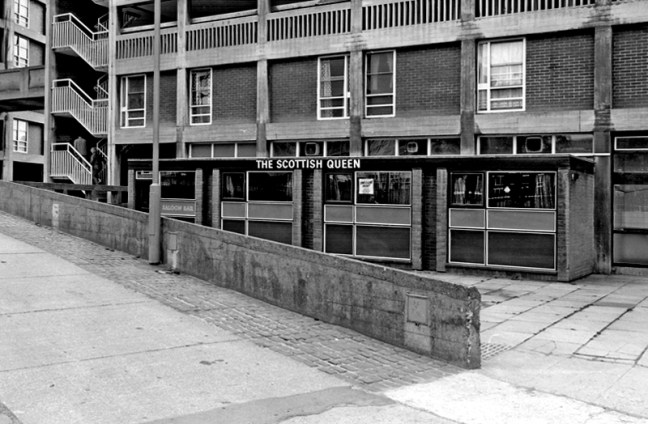

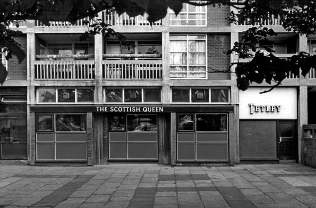

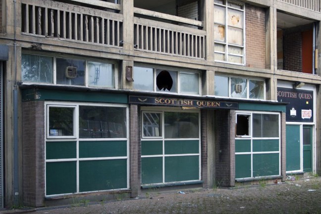
A new pub could open on the site of what was once voted Britain’s second most dangerous watering hole. The Scottish Queen at Park Hill was notorious for violence, with only the most hardy drinkers brave enough to cross its threshold.

April 2015 saw the launch of a new exhibition space in Sheffield, housed within the former Scottish Queen pub at the Brutalist icon that is the Park Hill estate. The Scottish Queen hosted a temporary programme of exhibitions, events and residencies in partnership with a range of artists and organisations from across Sheffield supported by S1 Artspace.
Possibly the second toughest art space in Britain.
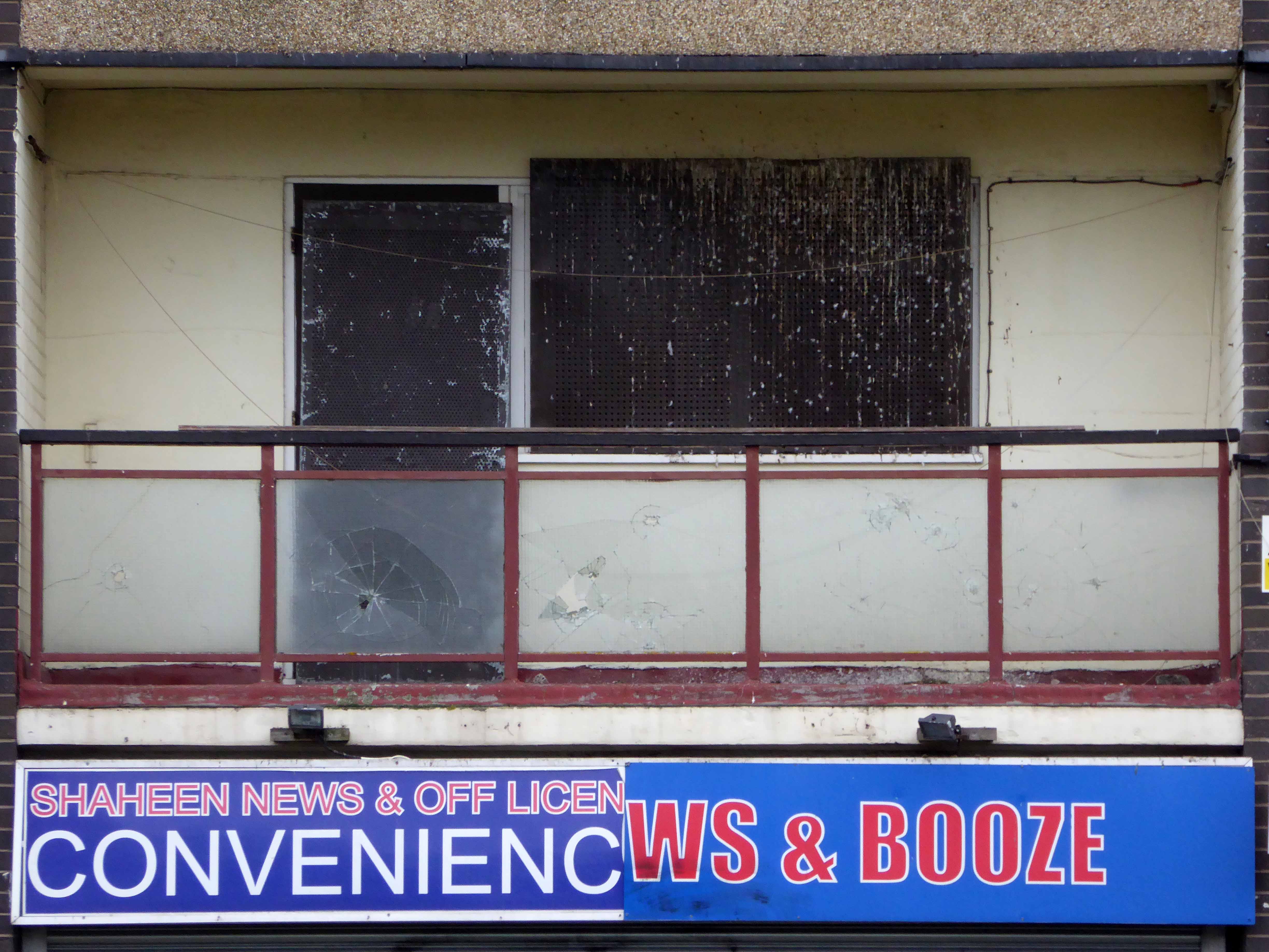
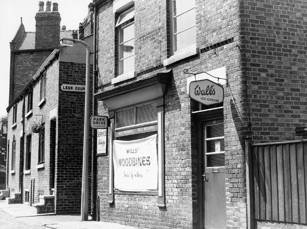
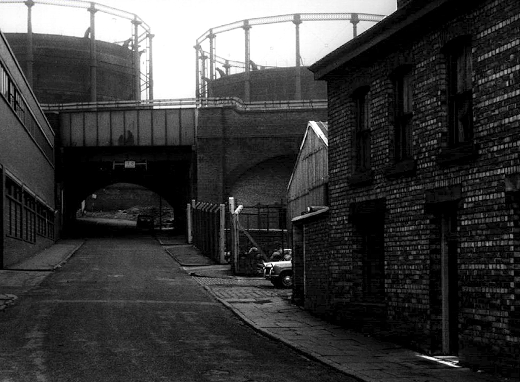
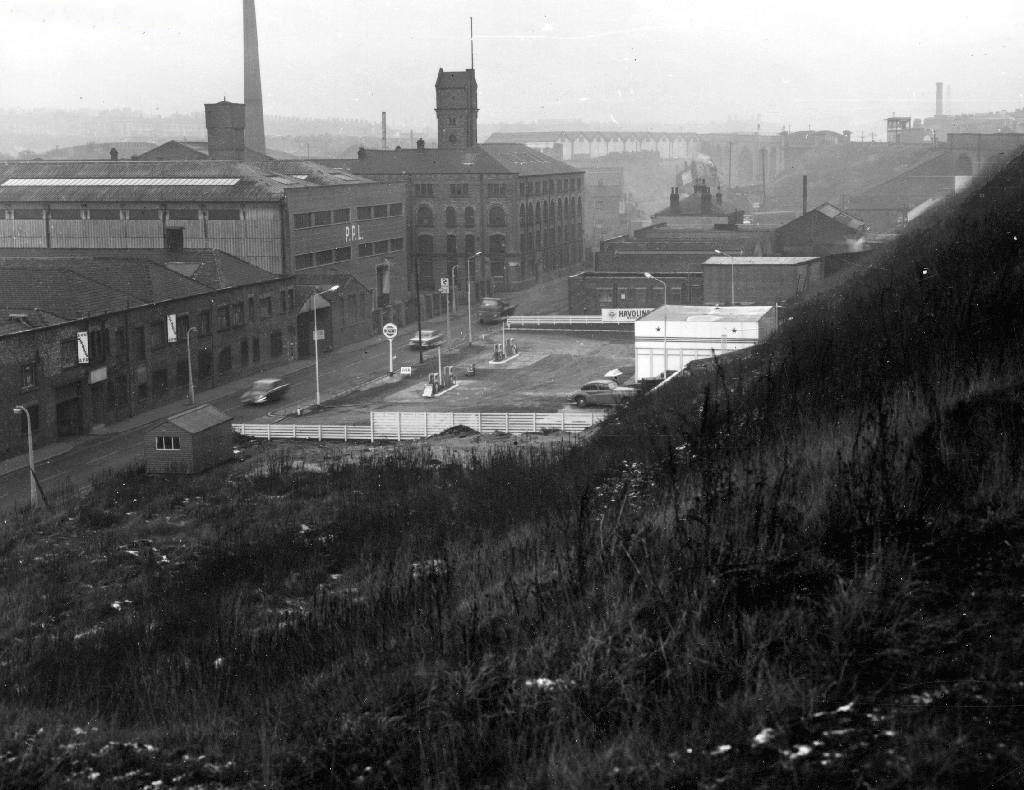
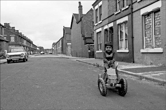
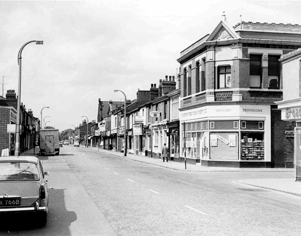
The Link


Picture Sheffield
© Matt Surgeon
Sheffield History


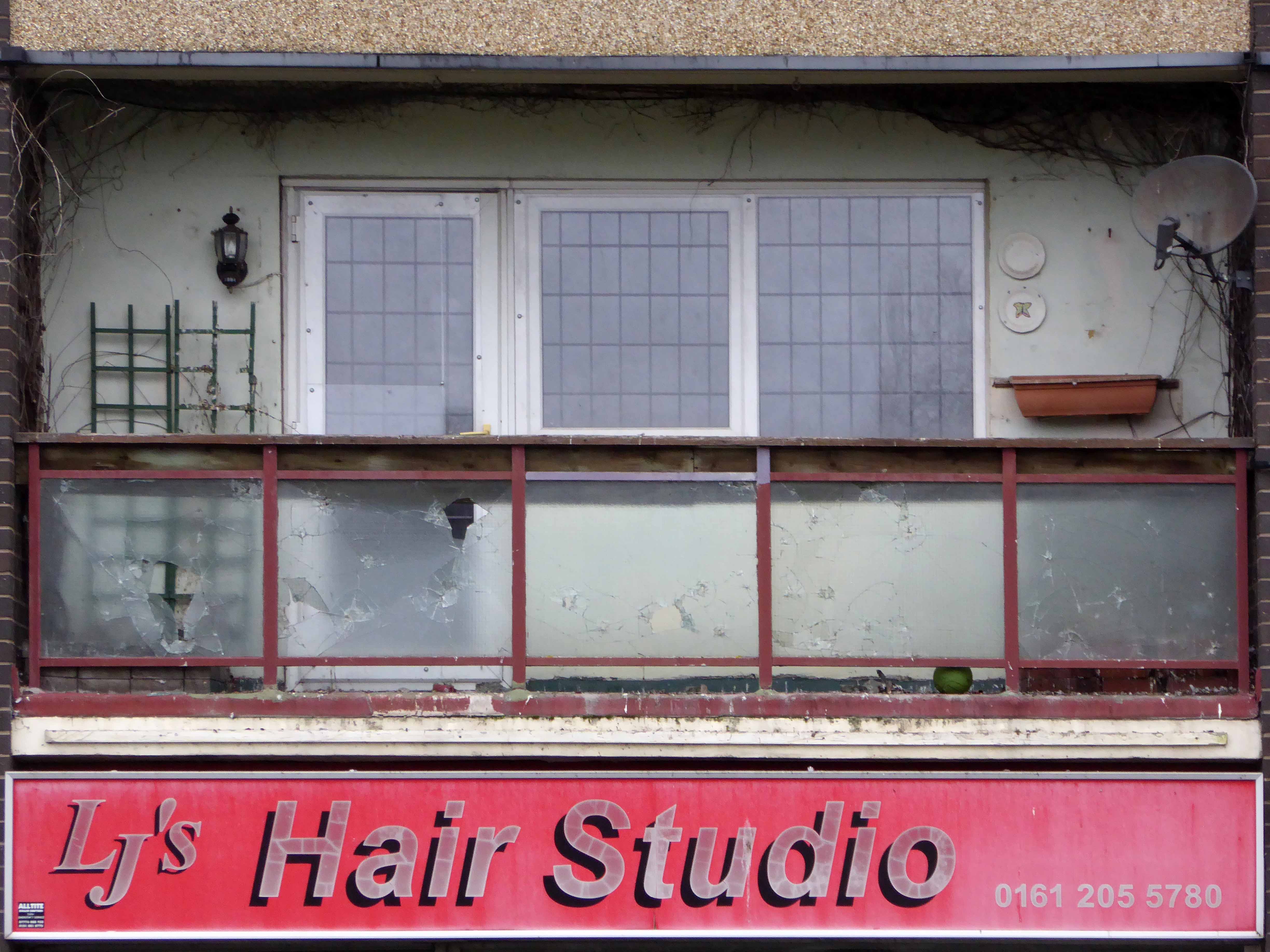
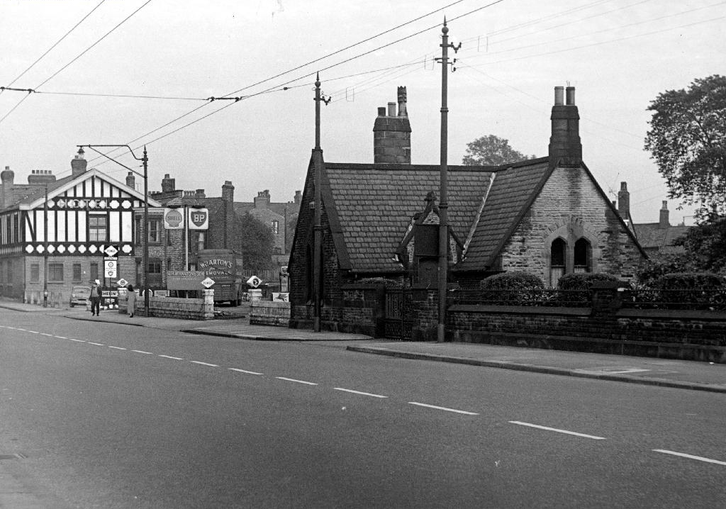
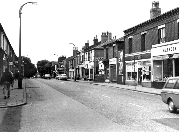
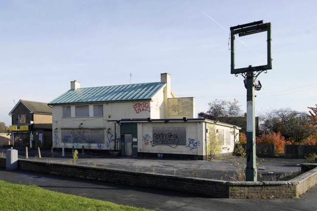
The Earl George

Picture Sheffield
In the 1960s 70s I used to go in the Link pub, I liked the Scottish Queen pub as well.
Do you think they’ll open all the pubs again when all the work is finished?


![photo[1]](https://modernmooch.com/wp-content/uploads/2018/05/photo1.jpg)