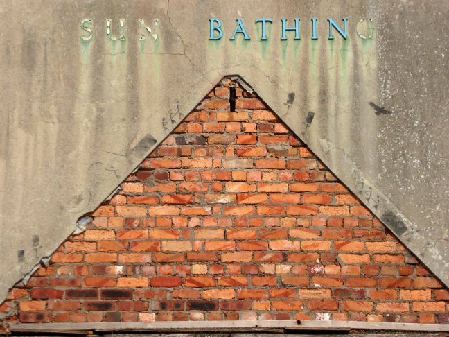
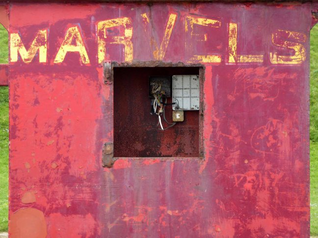
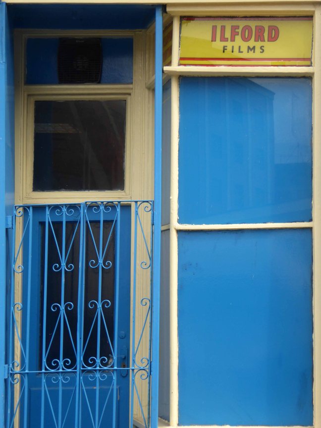
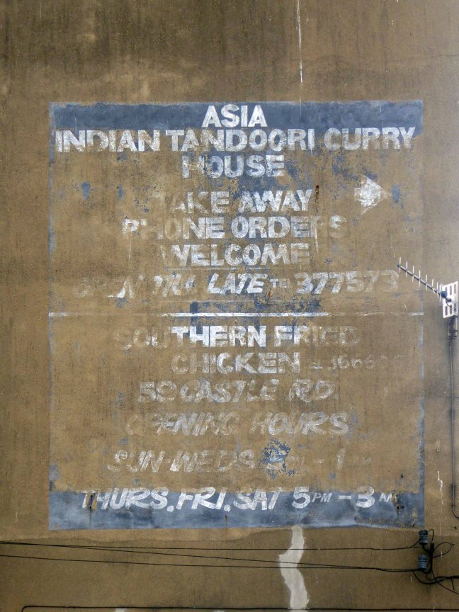
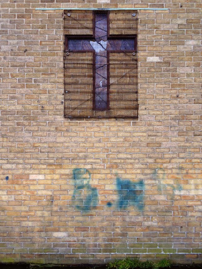
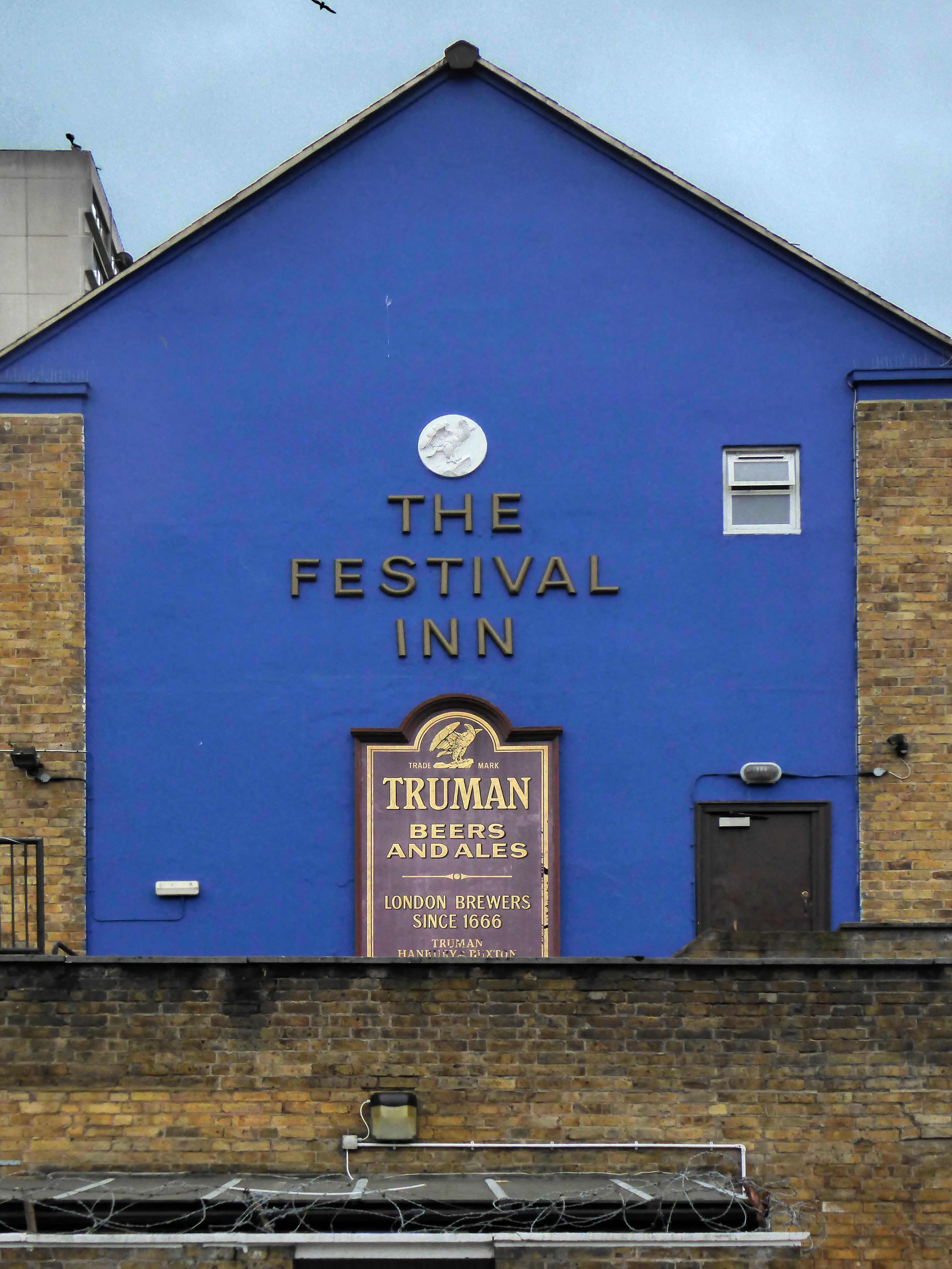
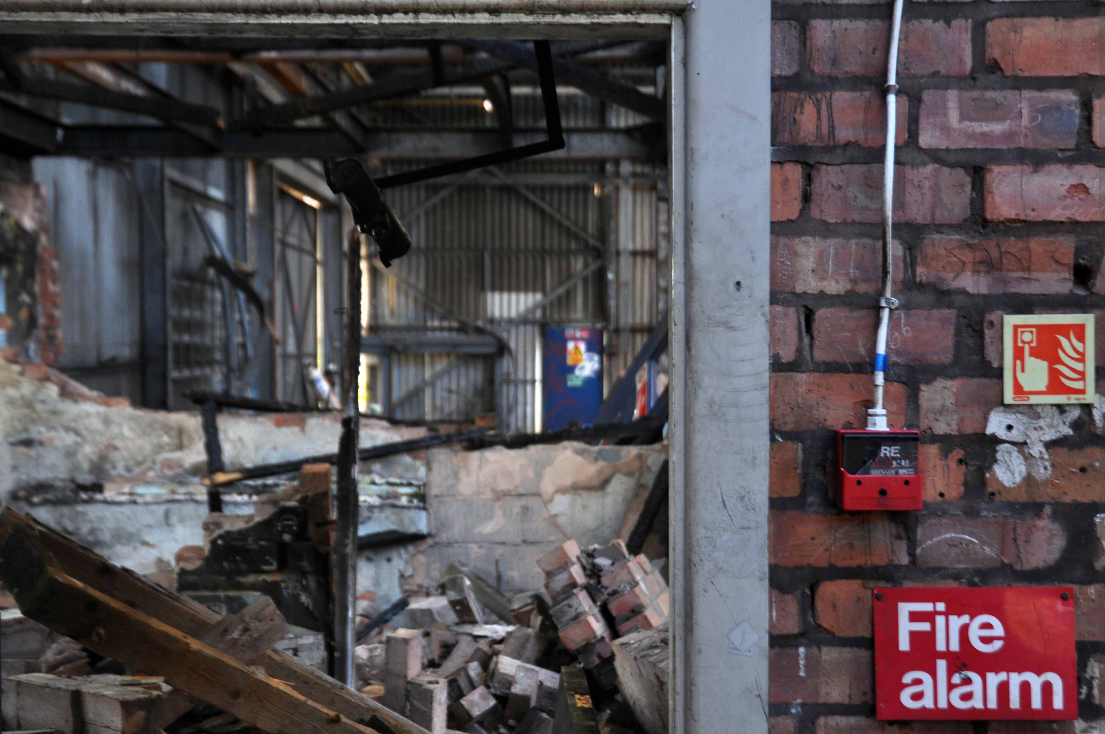
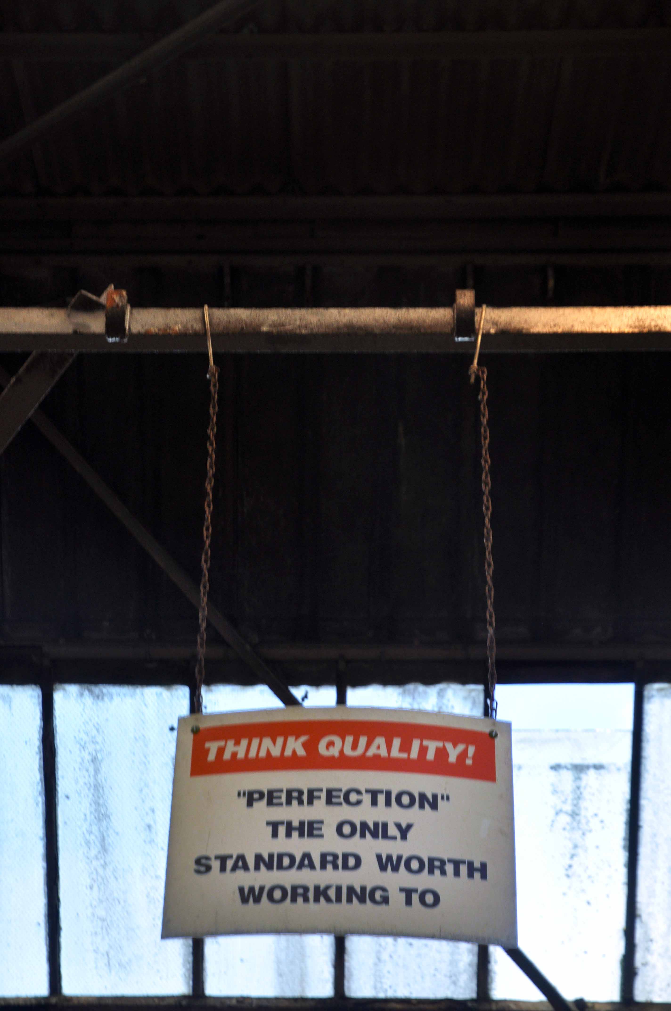
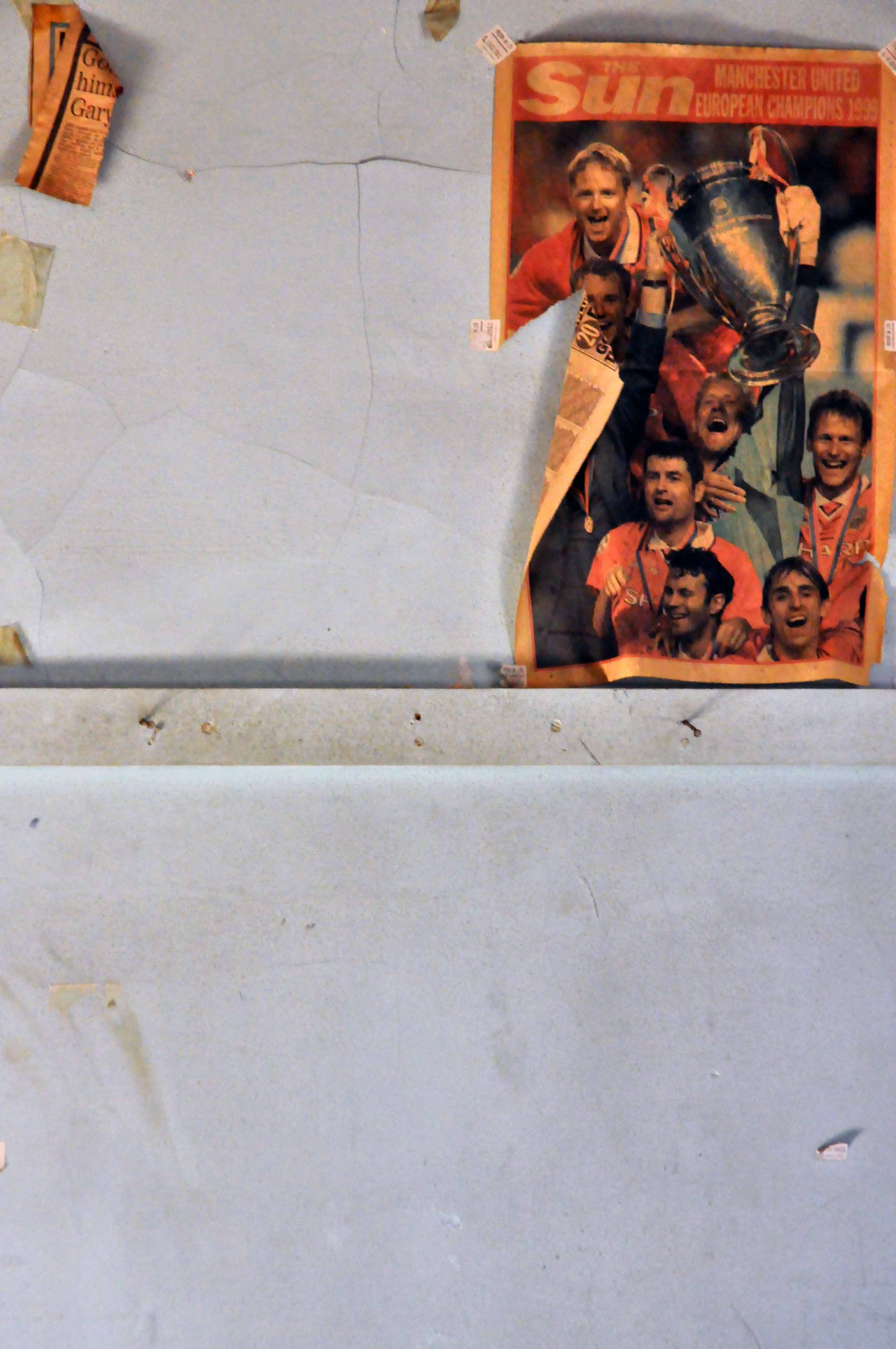
All towns have ghosts, none more so than Scarborough.
High atop a castle topped, wind whipped promontory, lies Anne Bronte, overlooking the harbour below, wayward Whitby whalers wail, lost fisher folk seek solace.
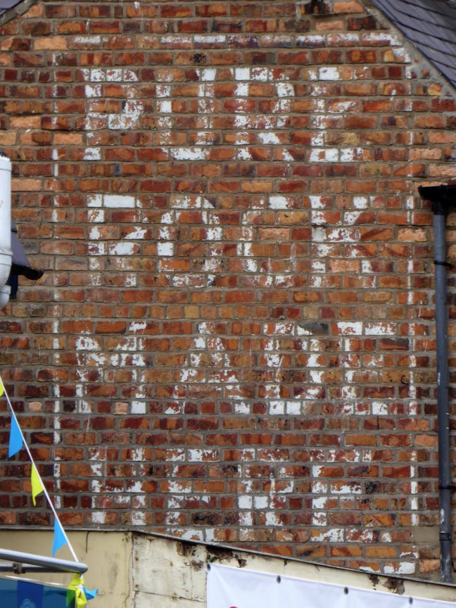
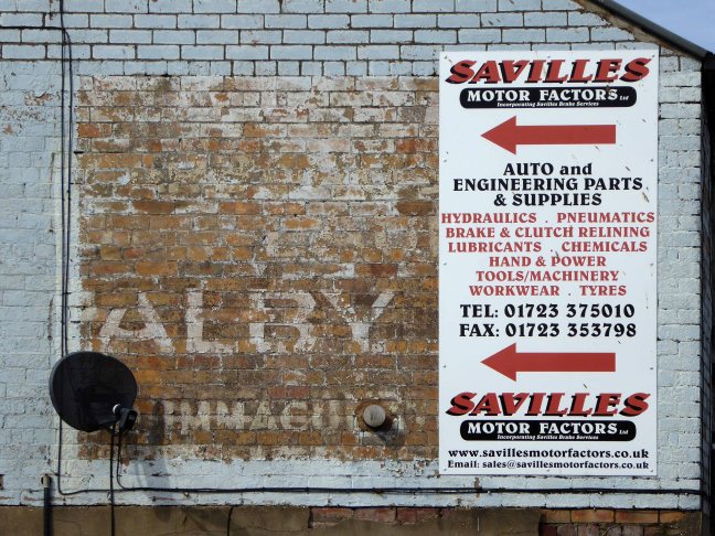
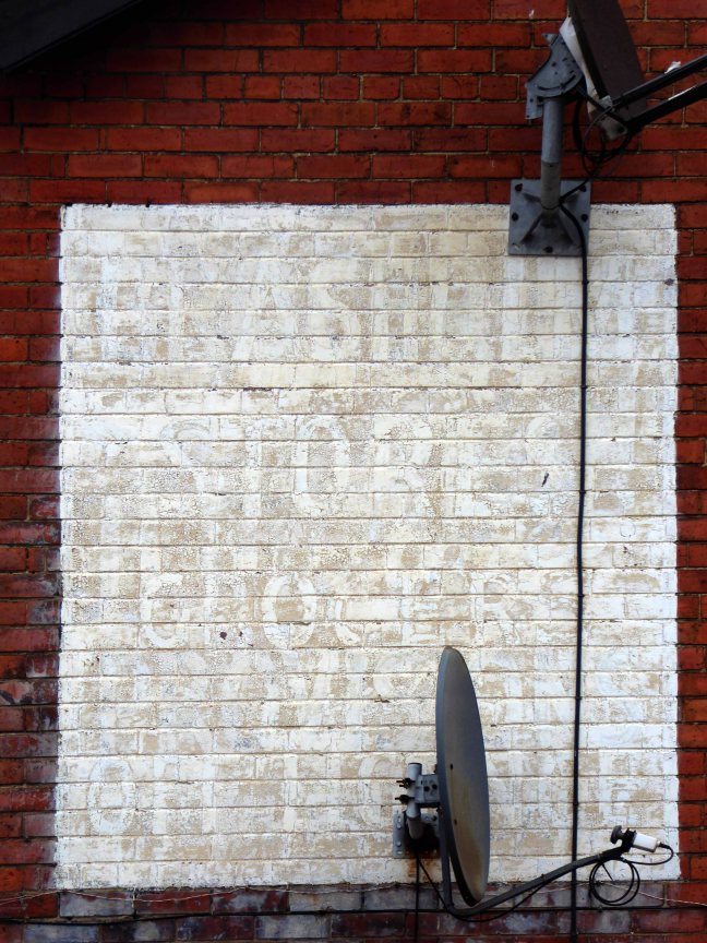
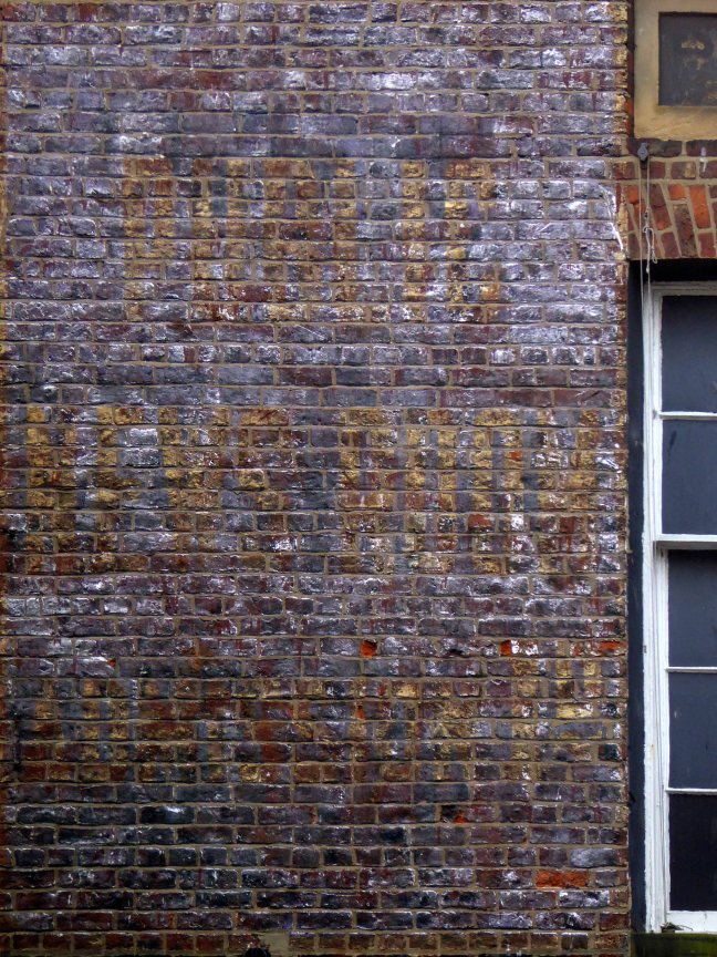
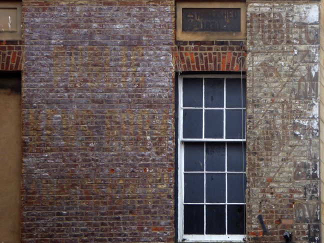
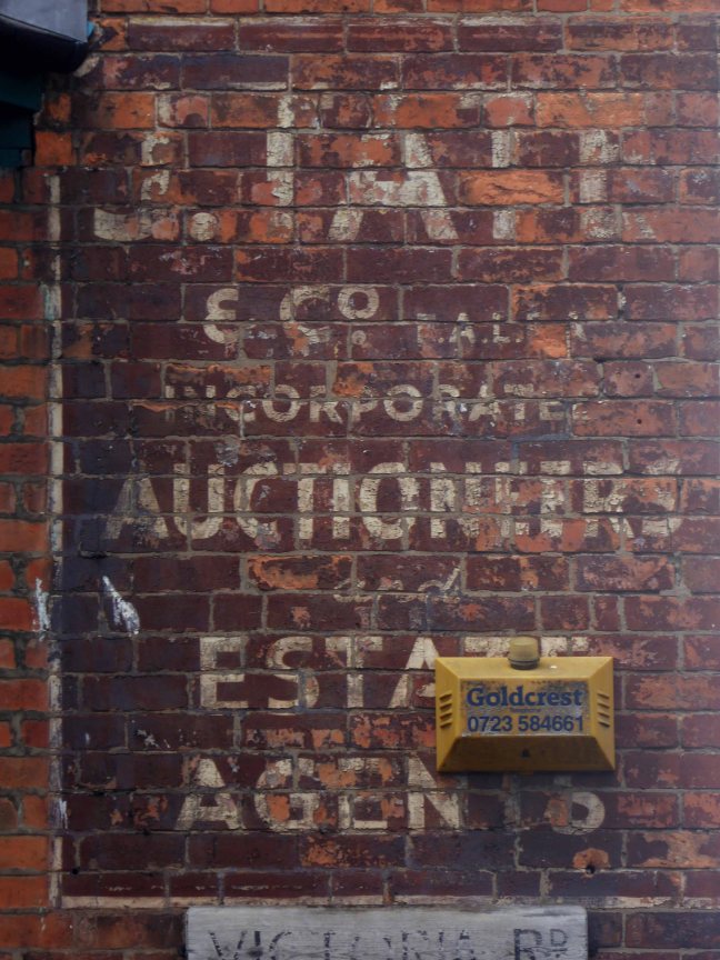
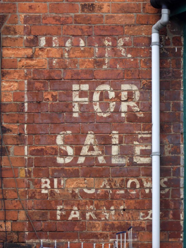
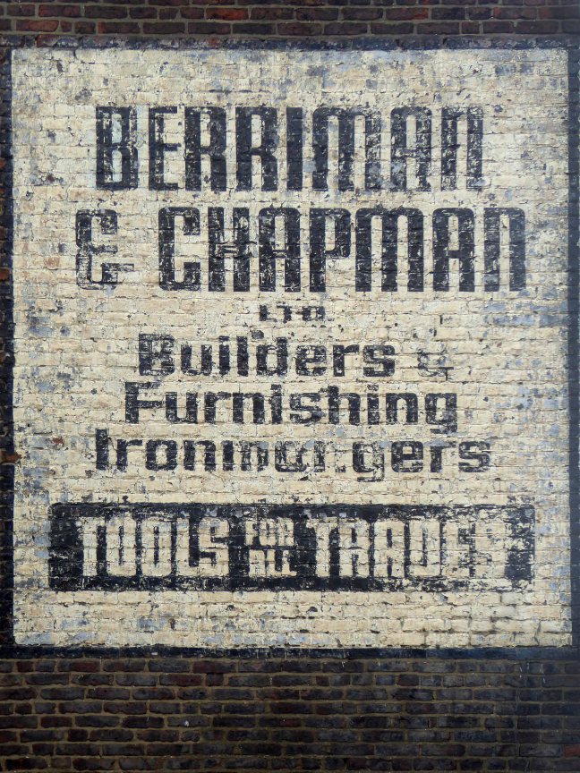
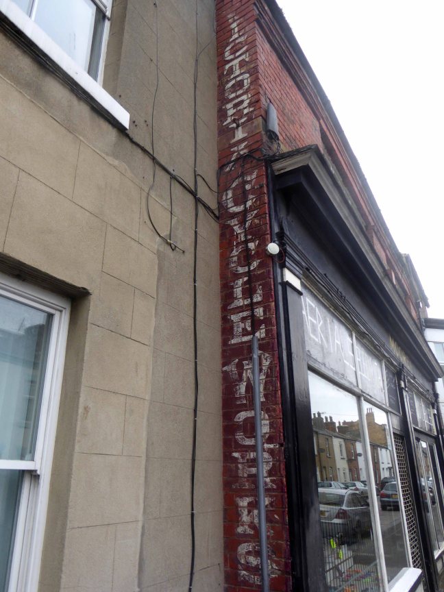
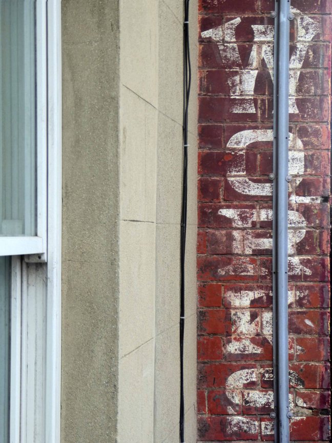
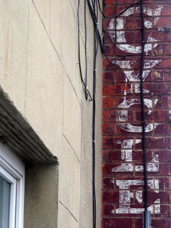
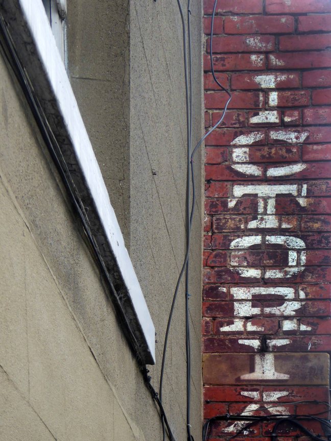
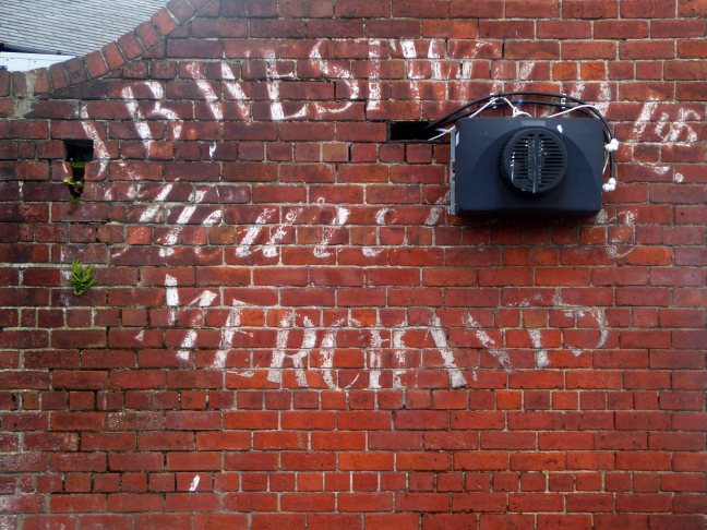
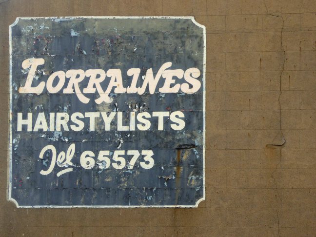
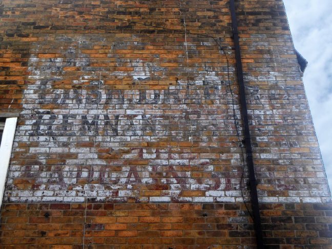
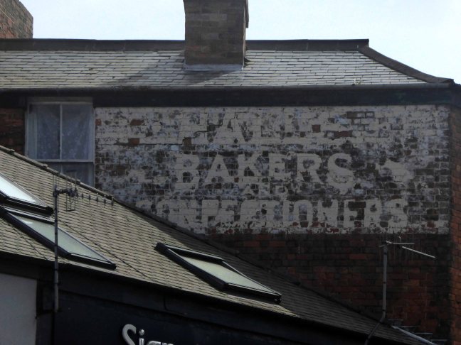
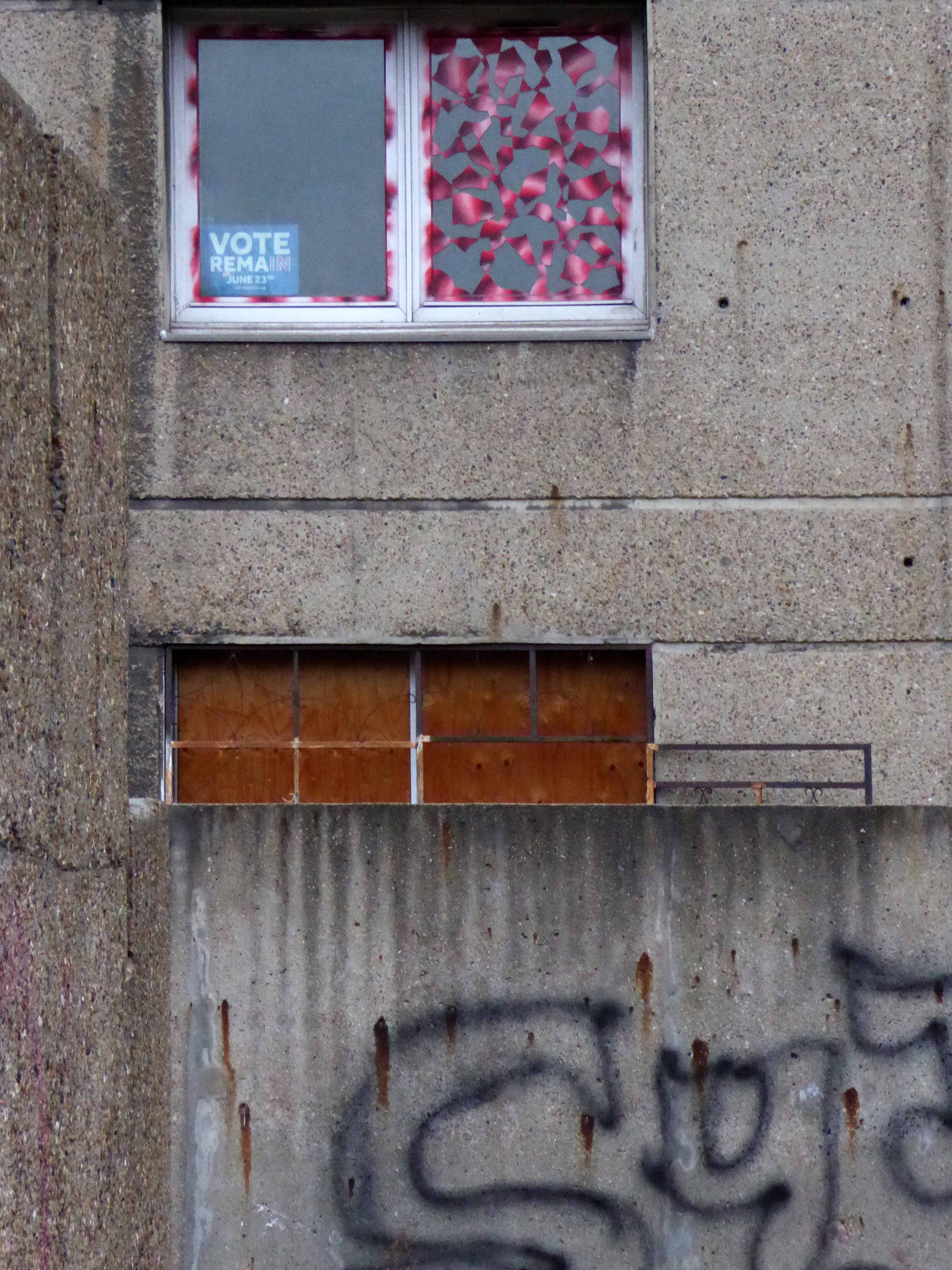
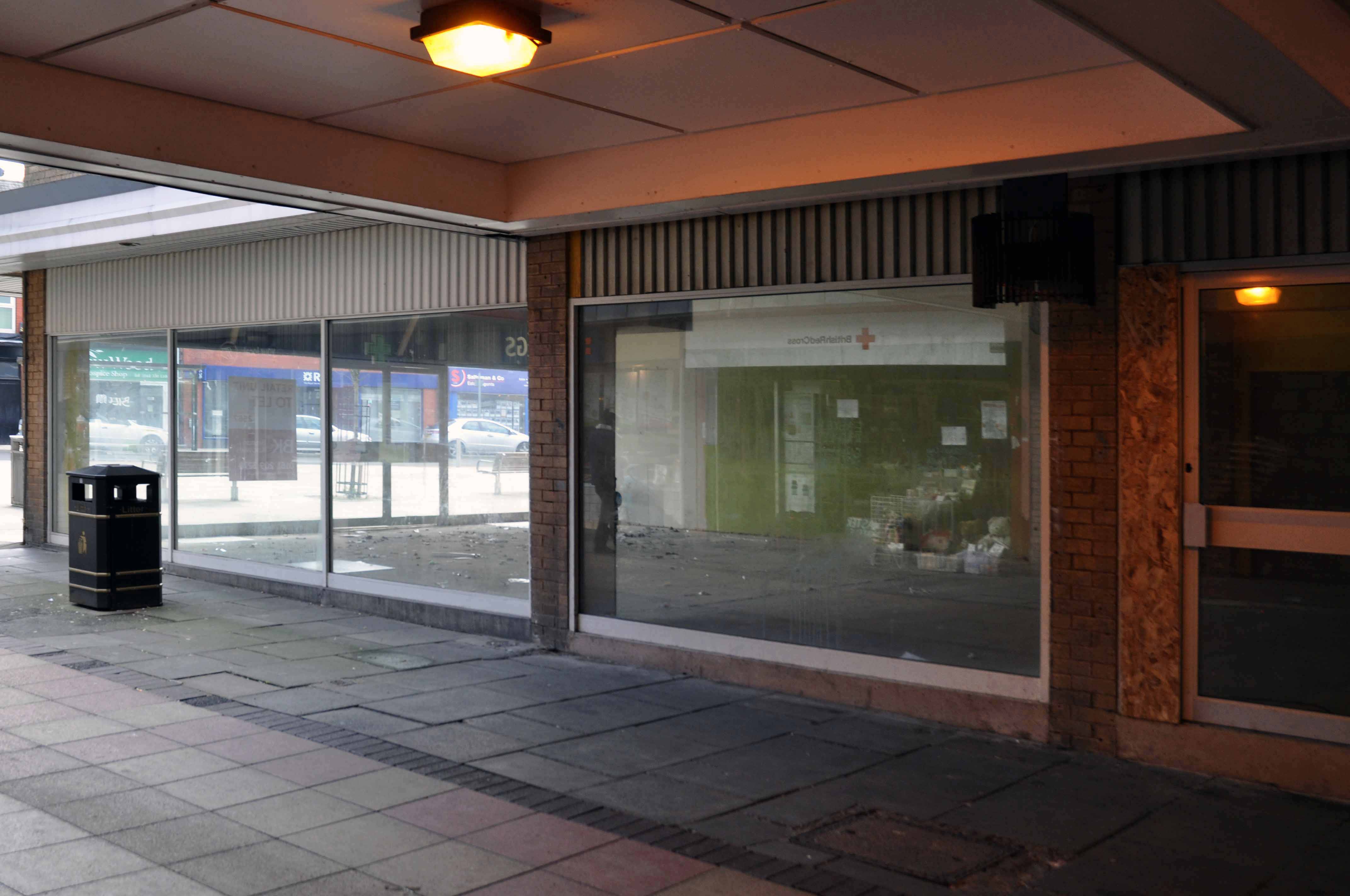
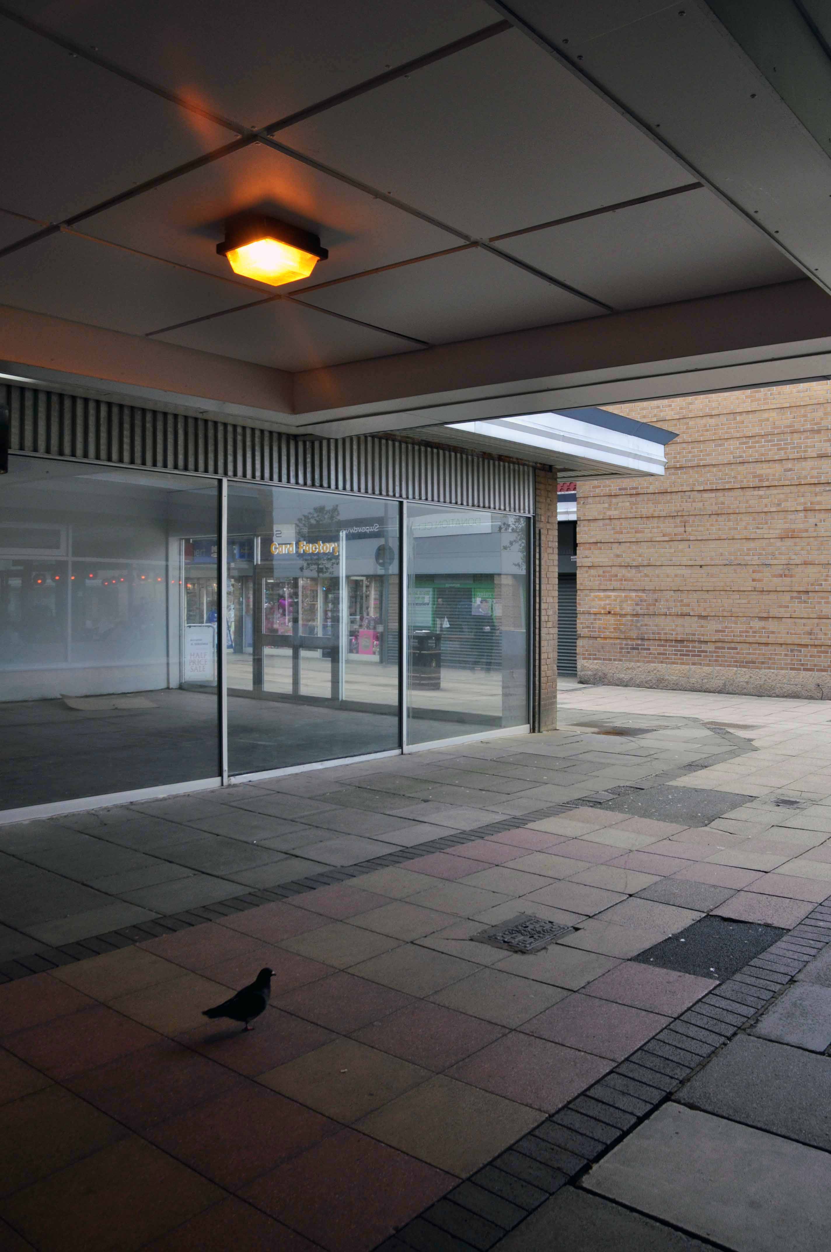
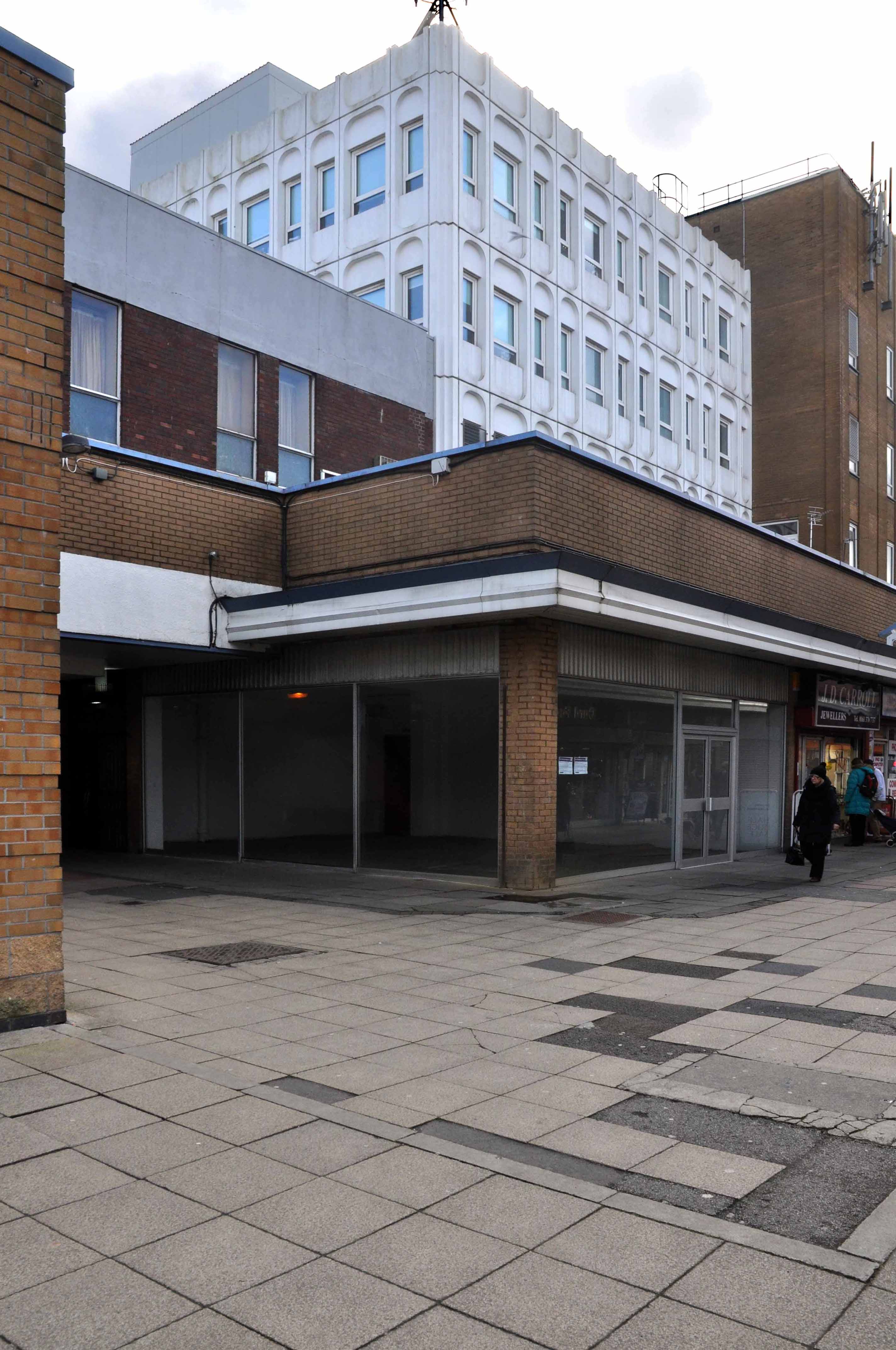
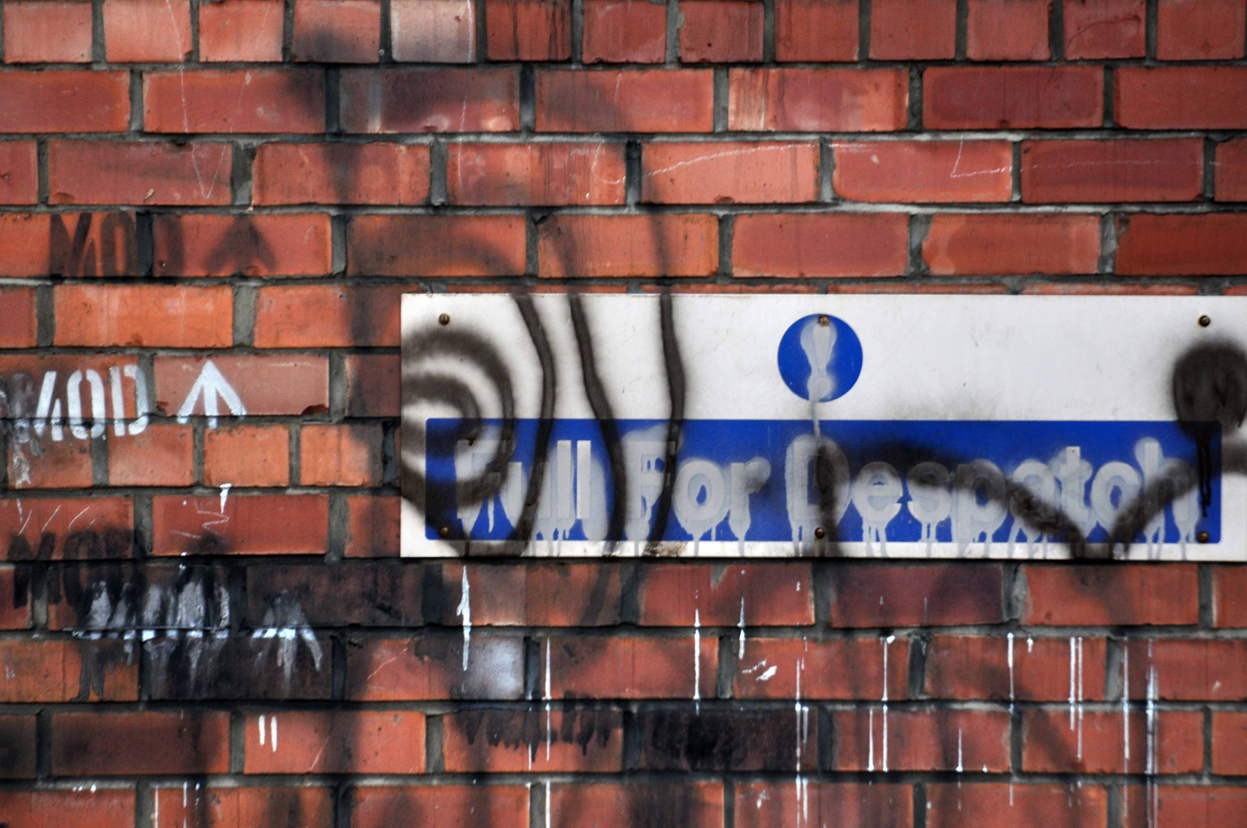
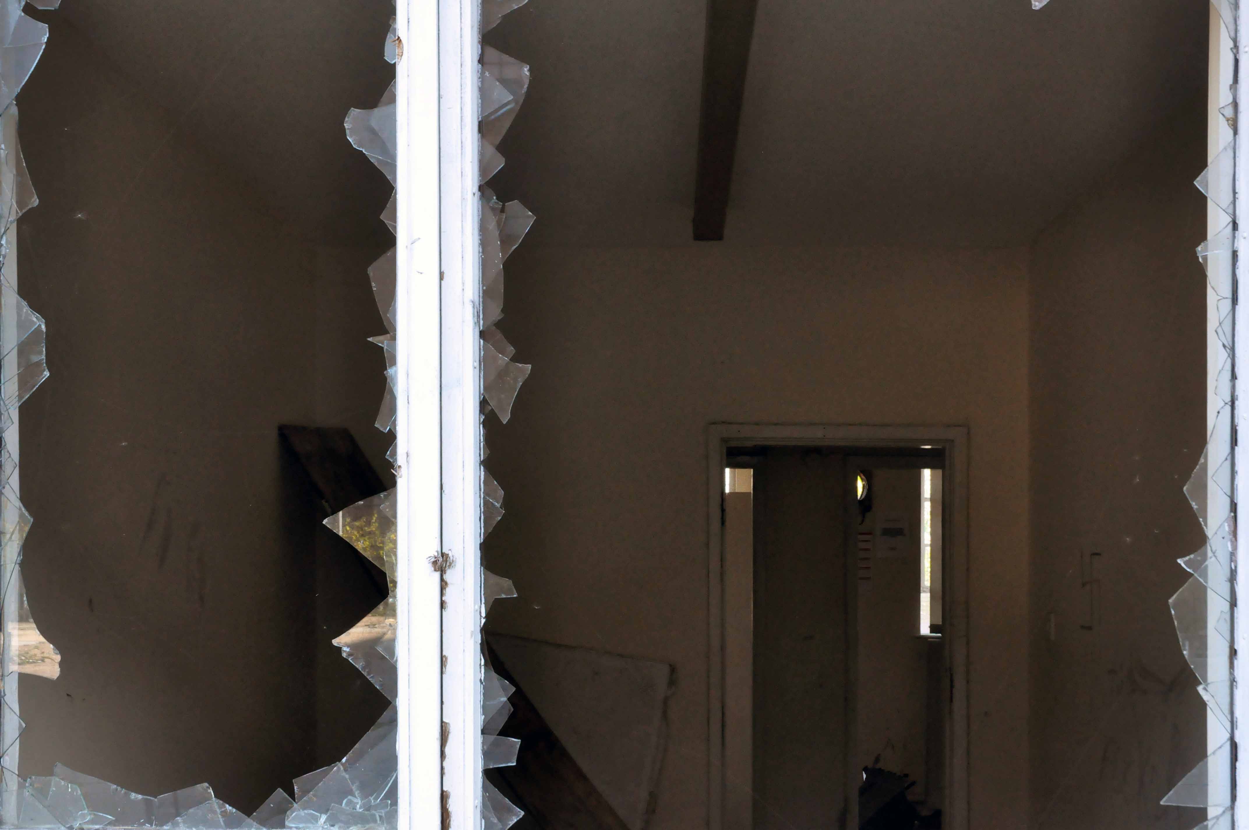
Its walls ache with traders past, scissors that no longer snip, click-less shutters, unlettered rock and loaves that no longer rise.
Layers of sun baked, peeling paint on brick, rendered almost illegible.
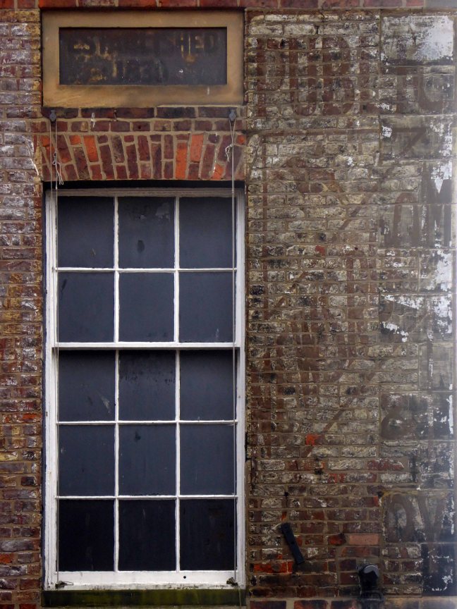
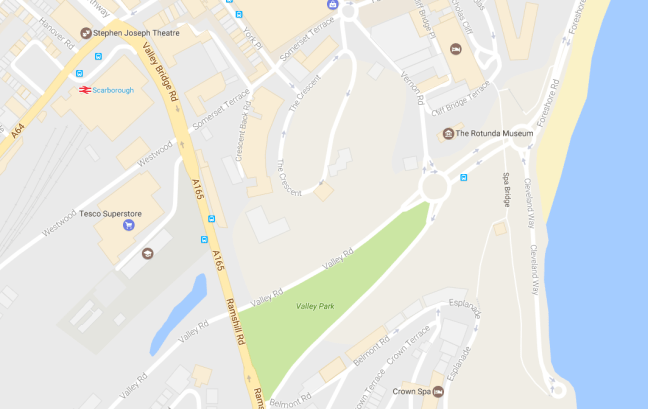
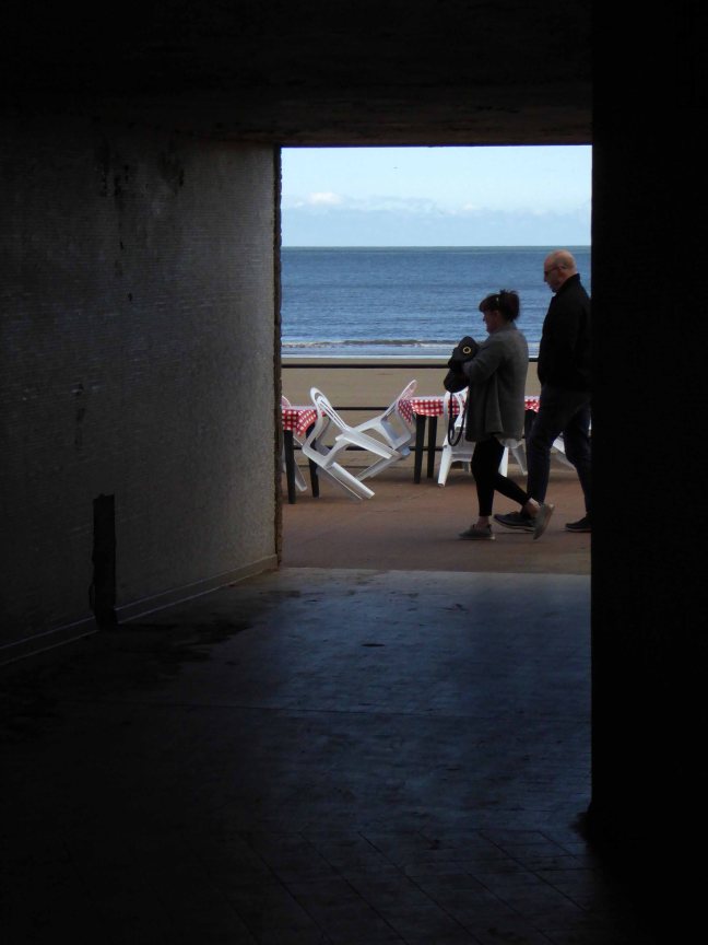
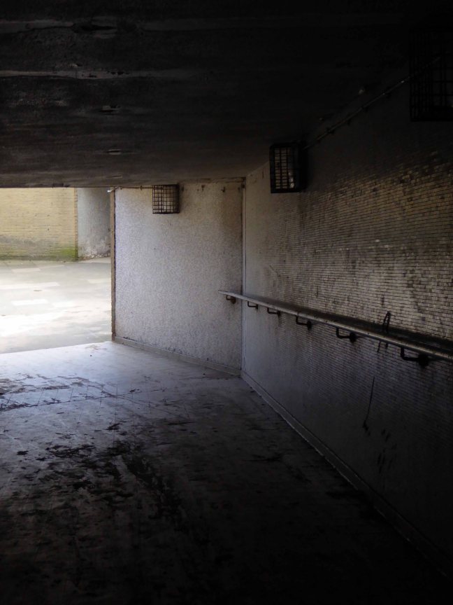
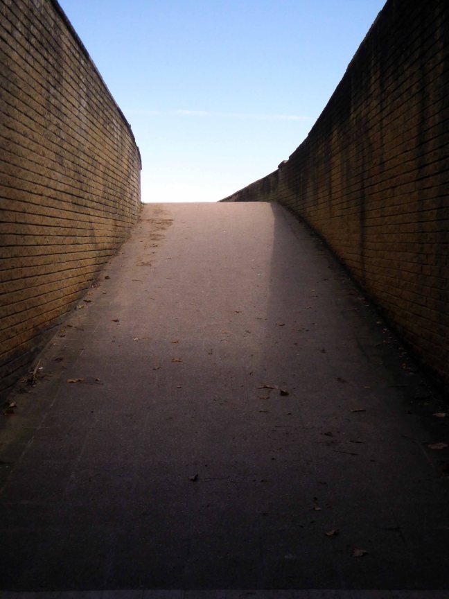
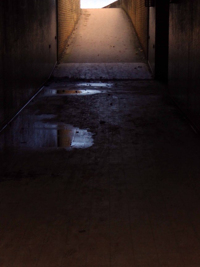
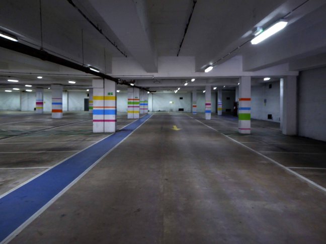
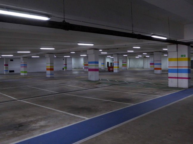
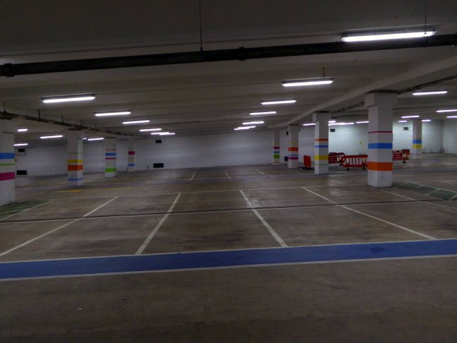
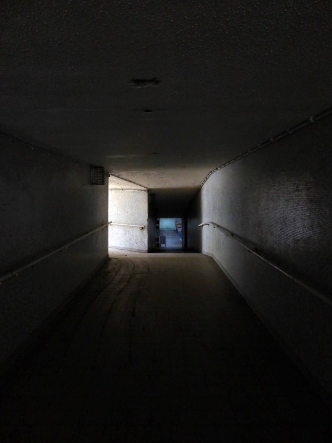
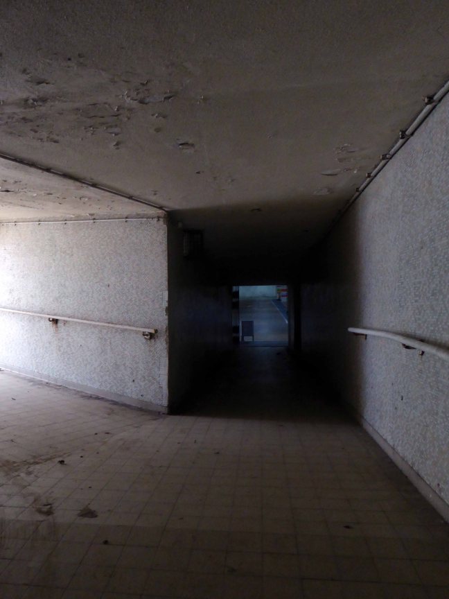
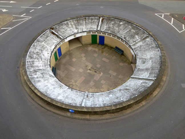
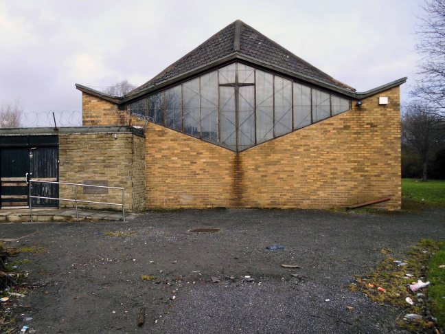
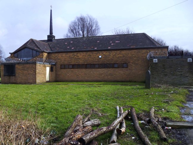
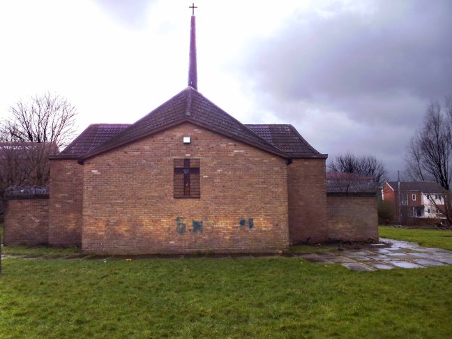
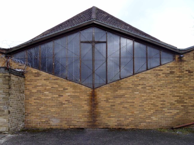
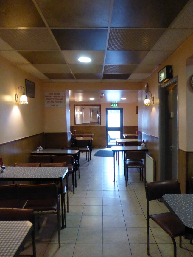
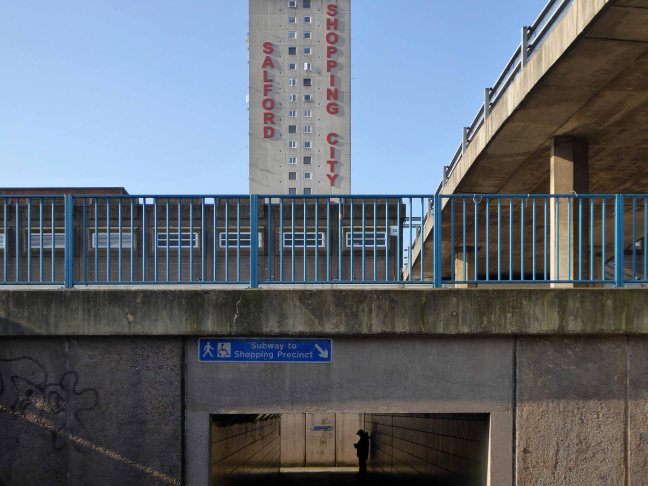
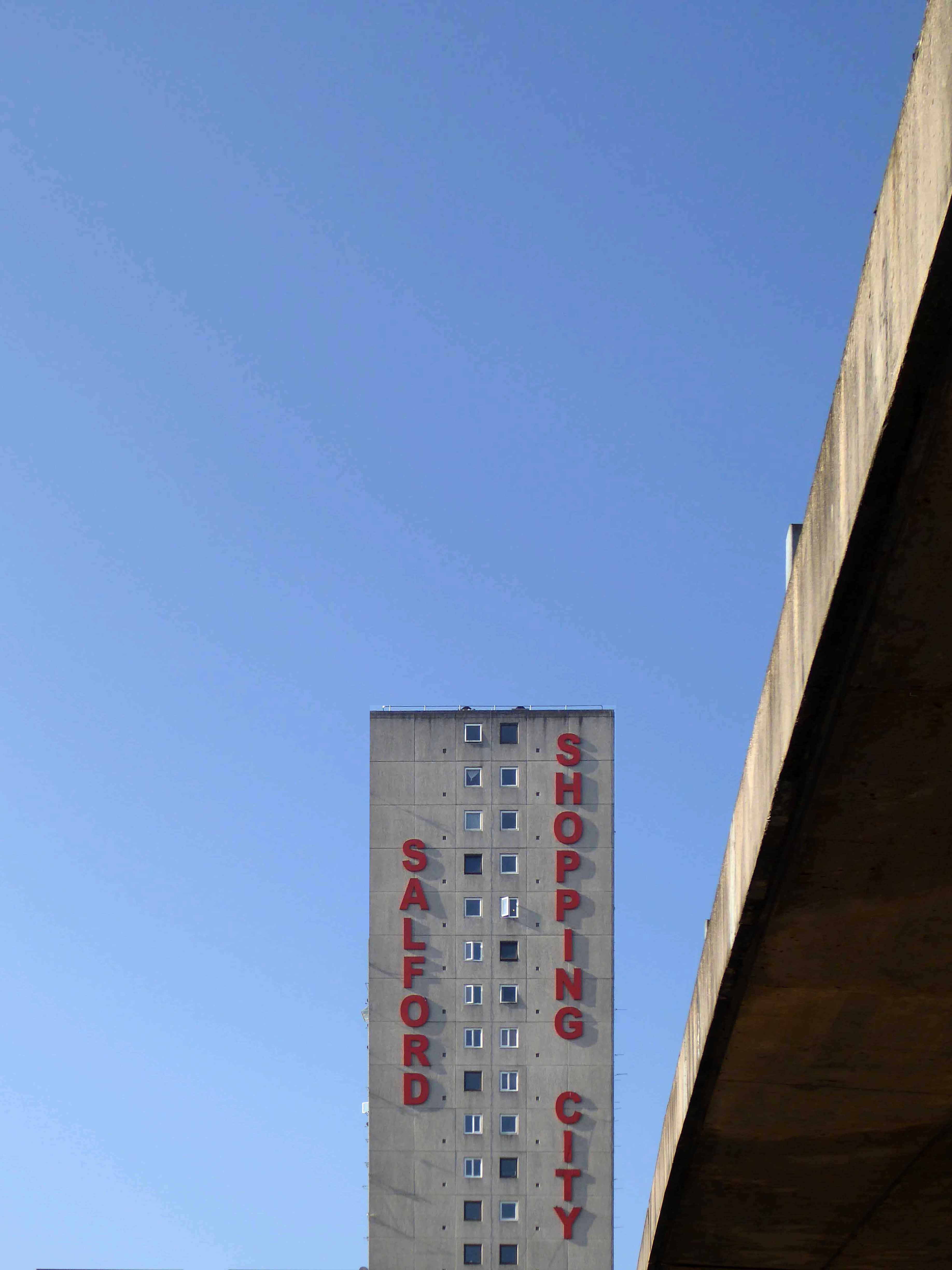
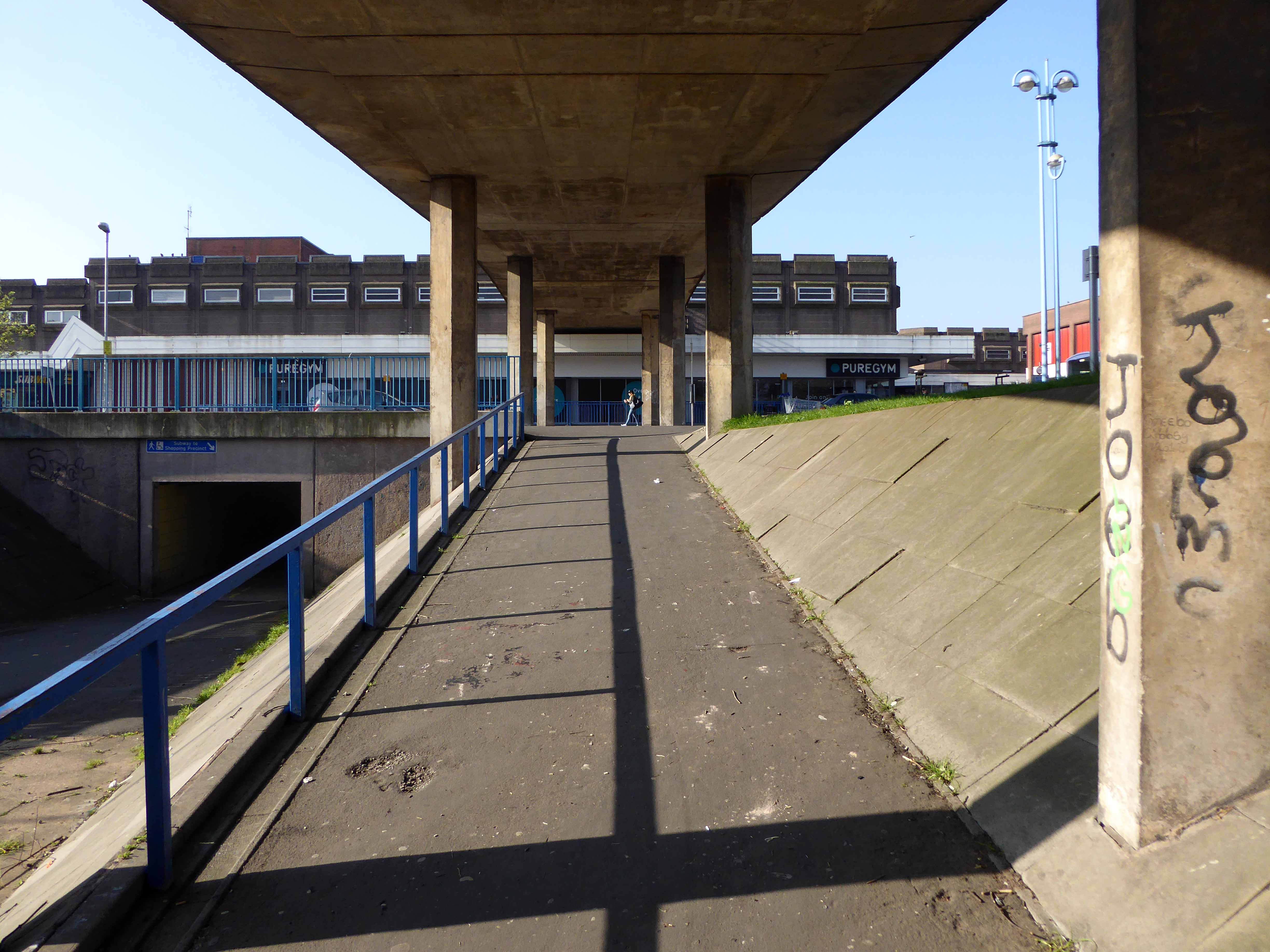
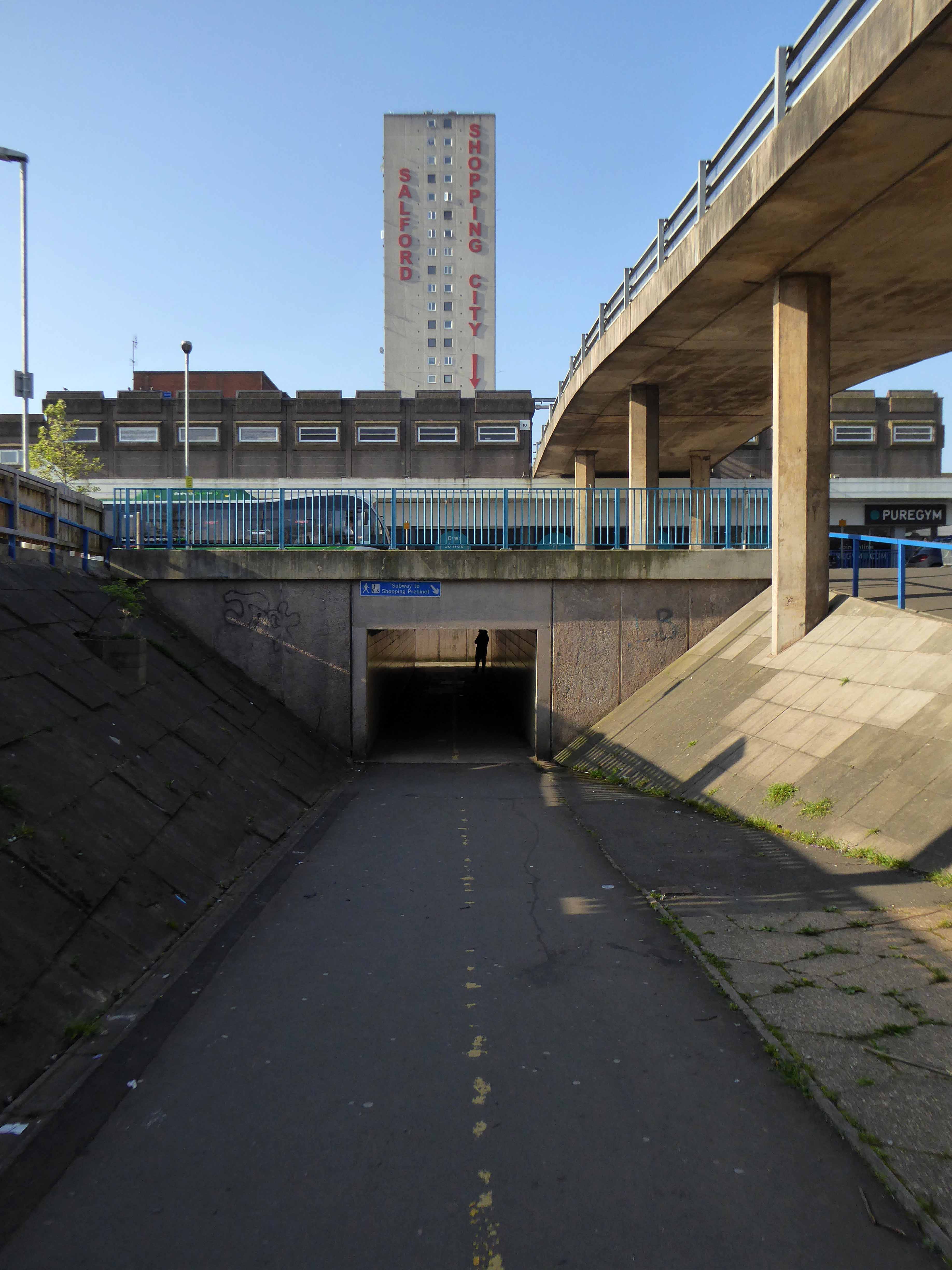
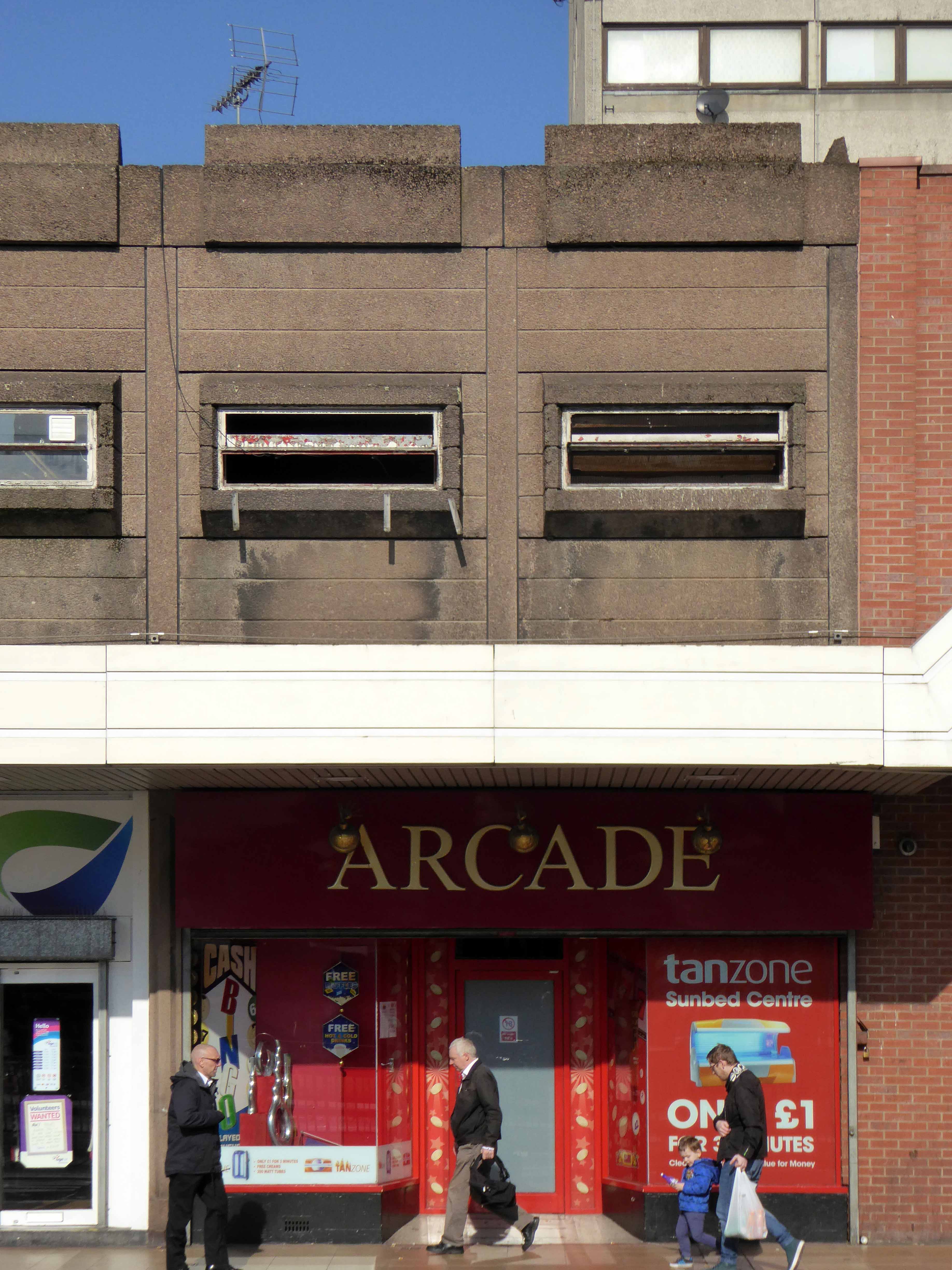
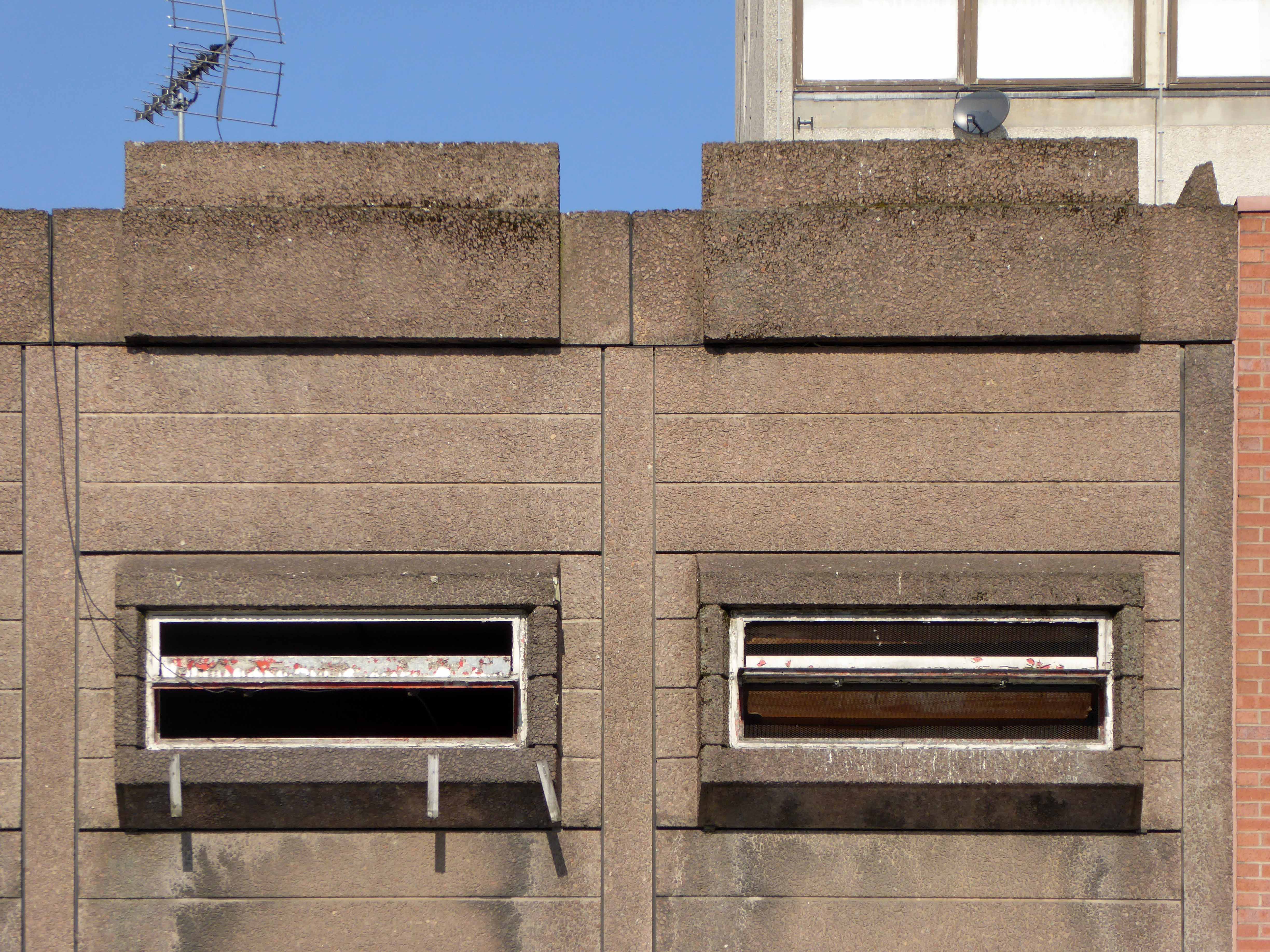
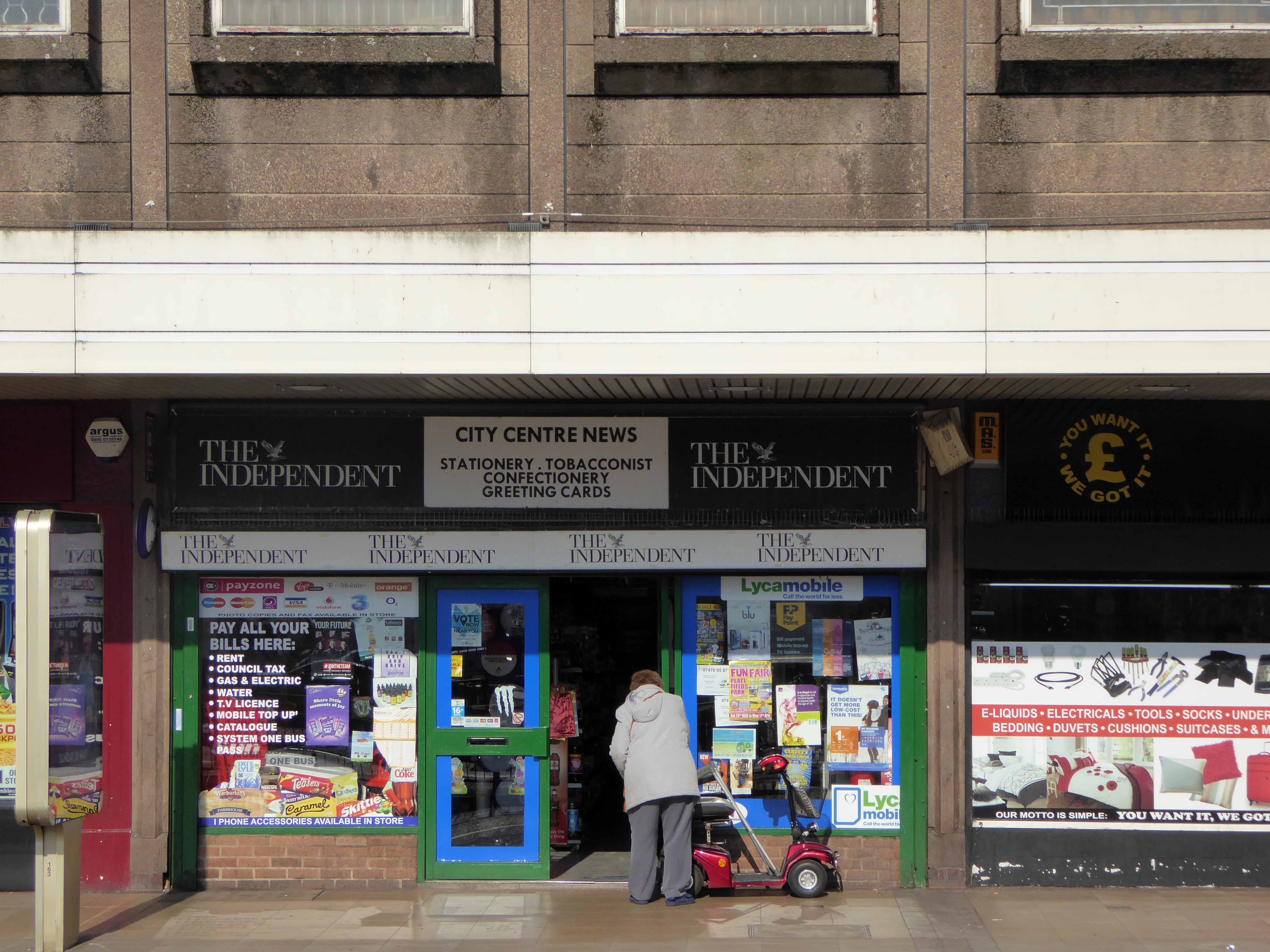
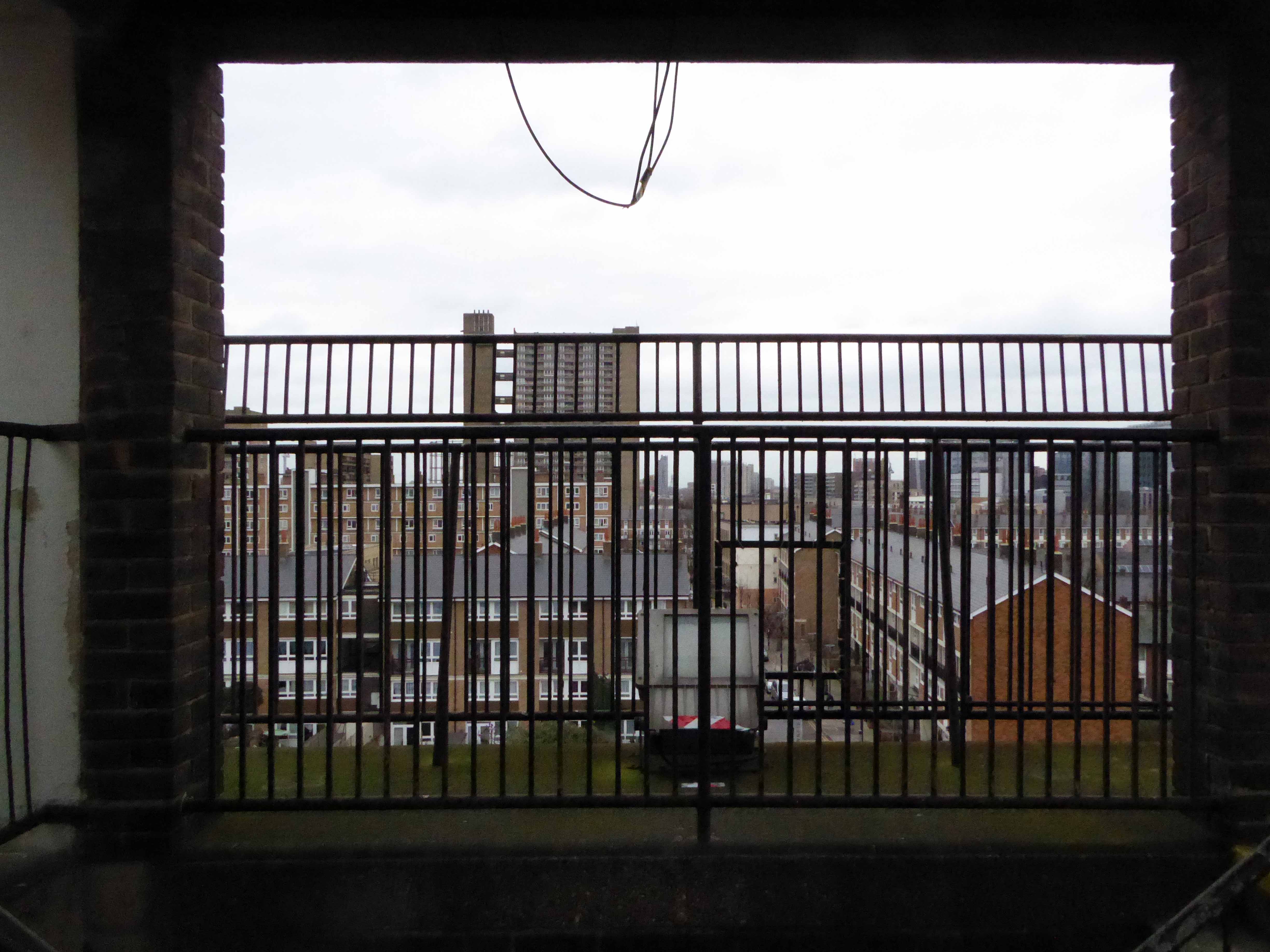
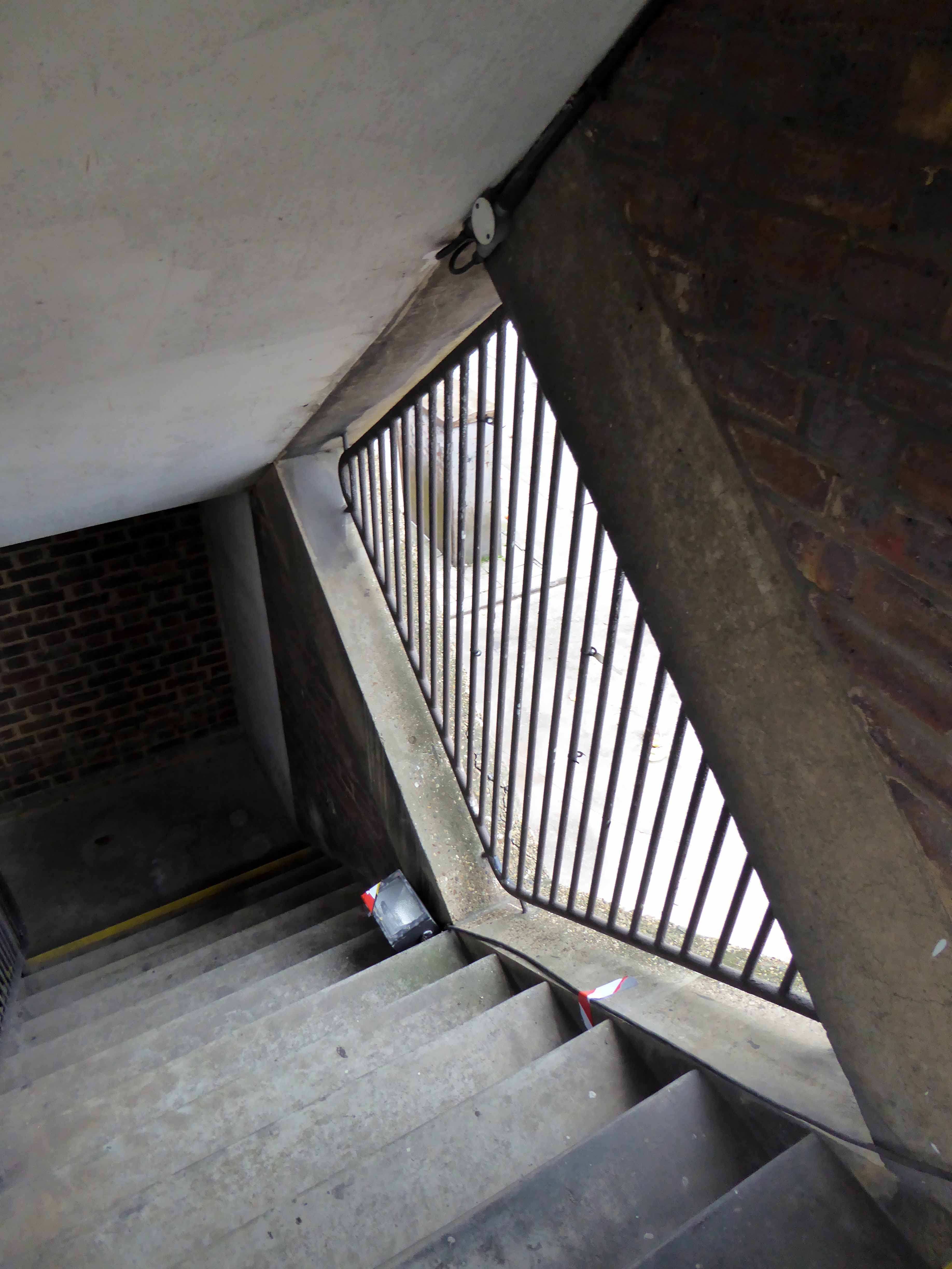
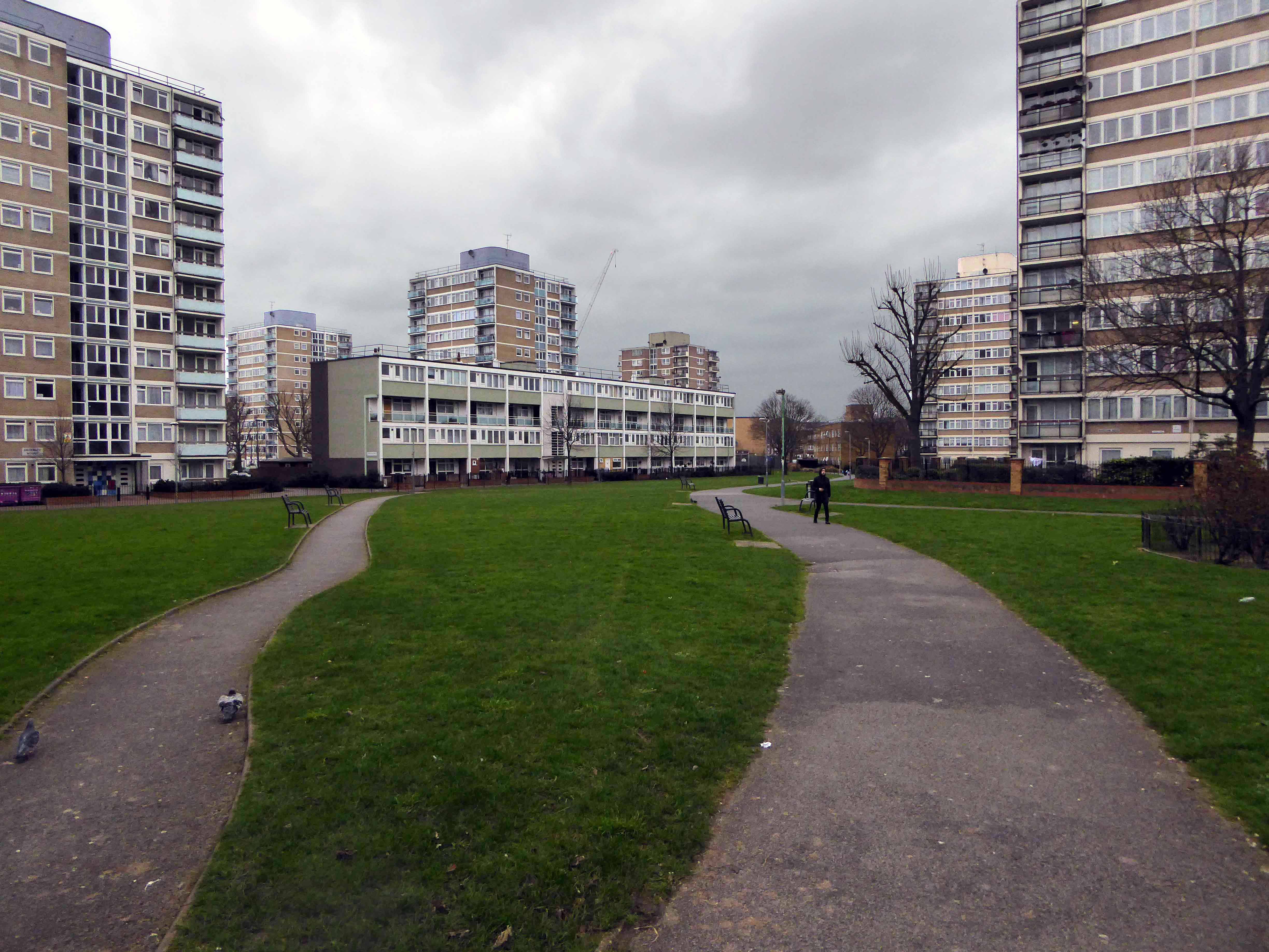
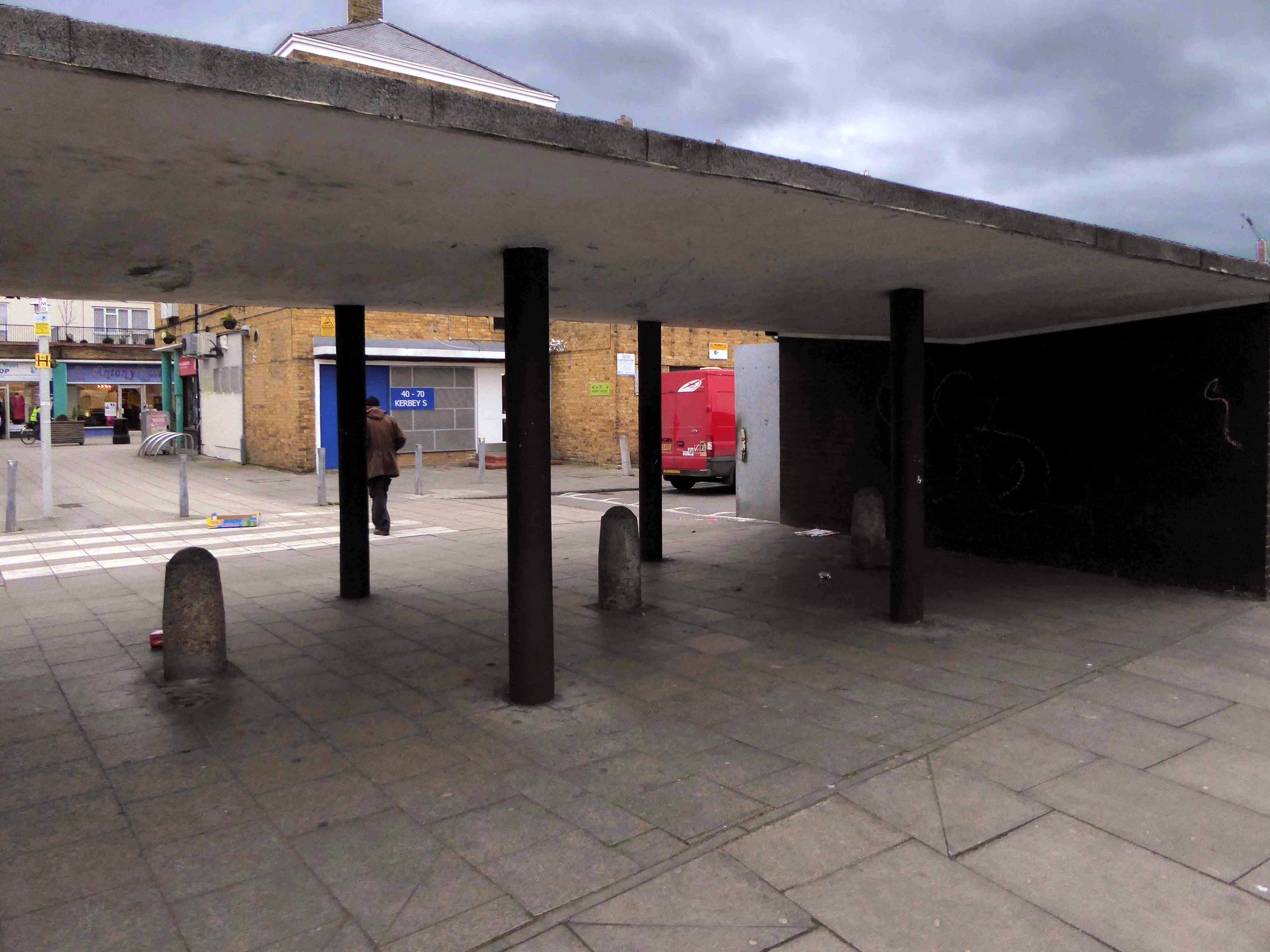
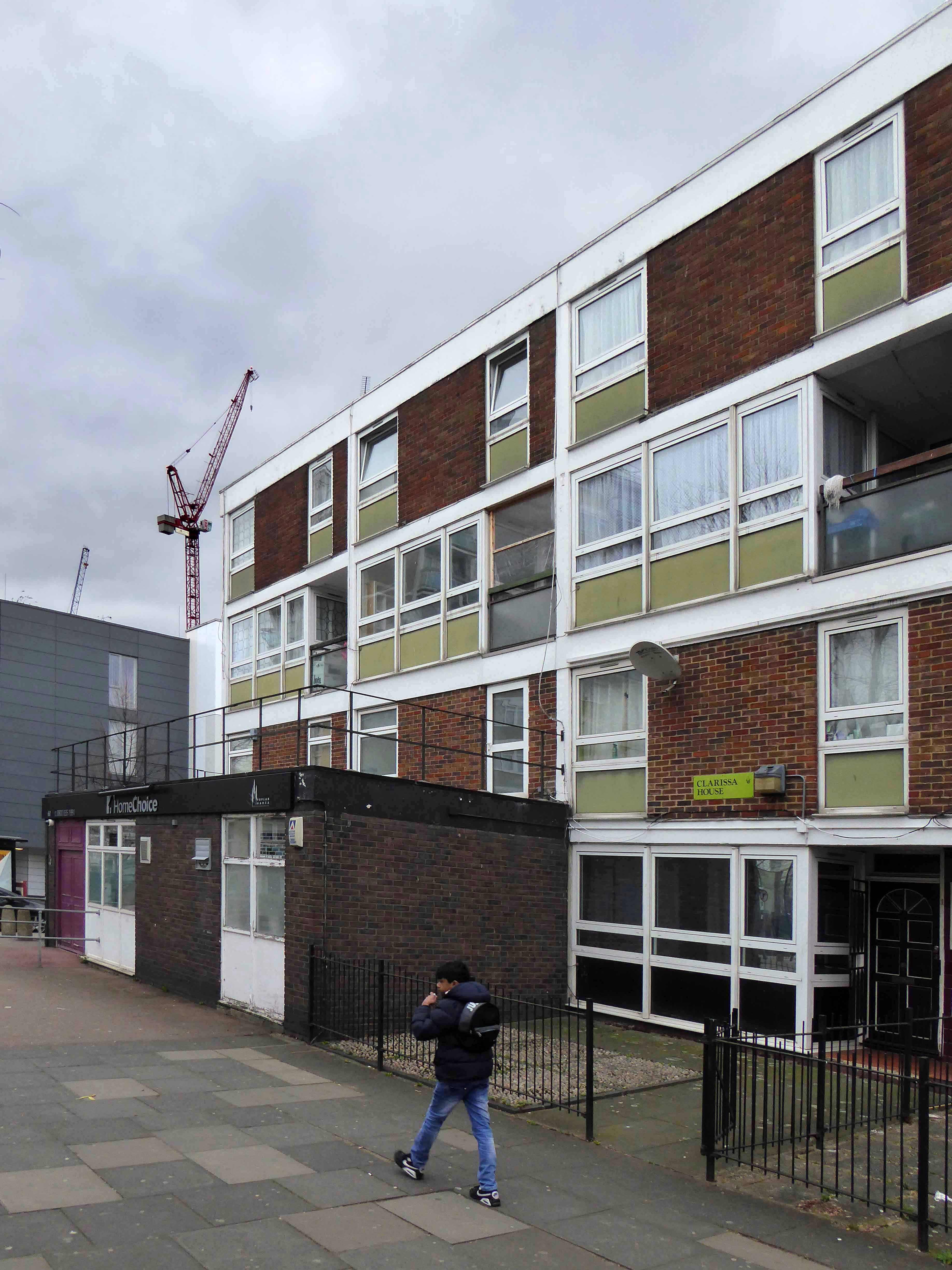
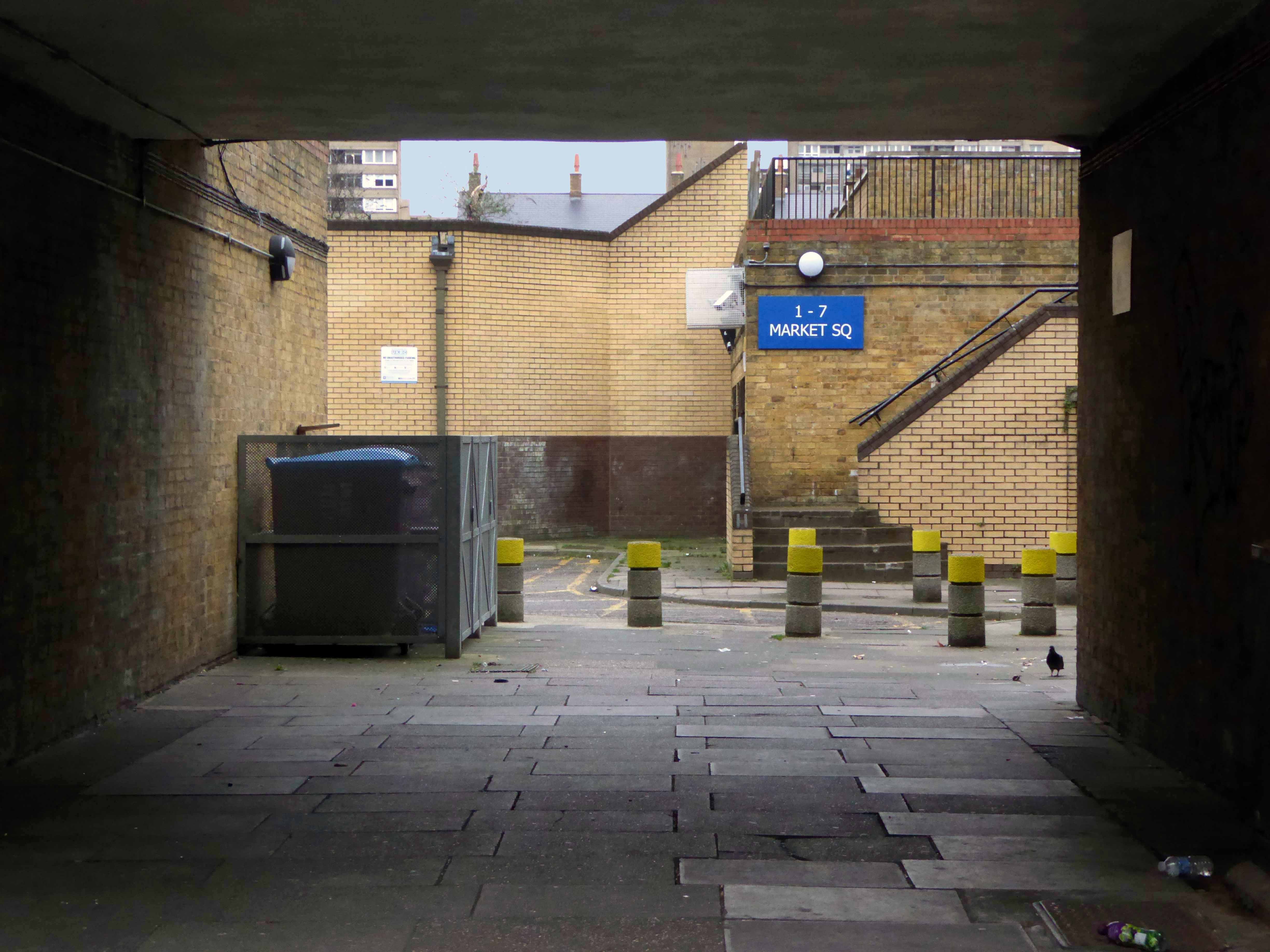
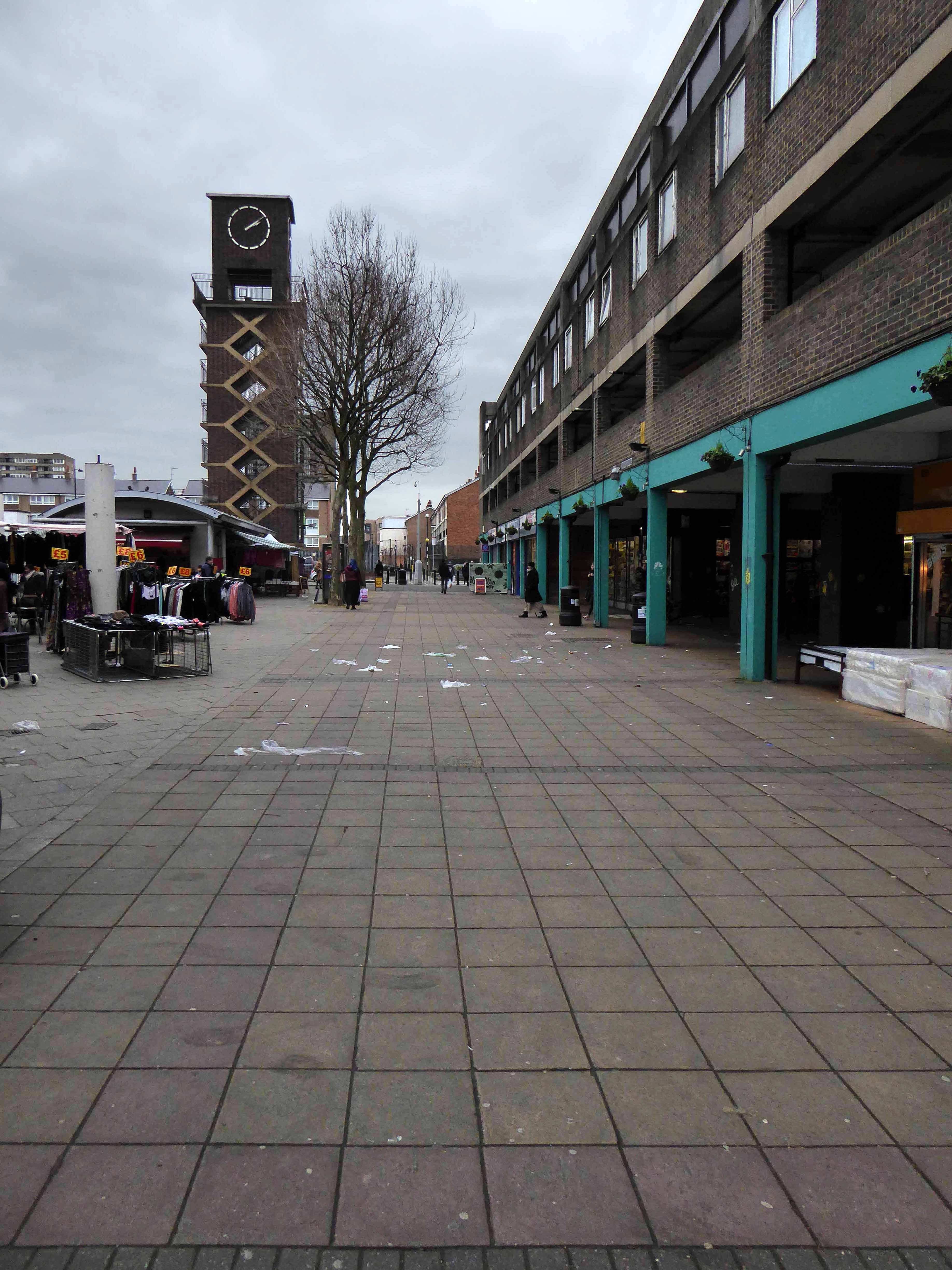
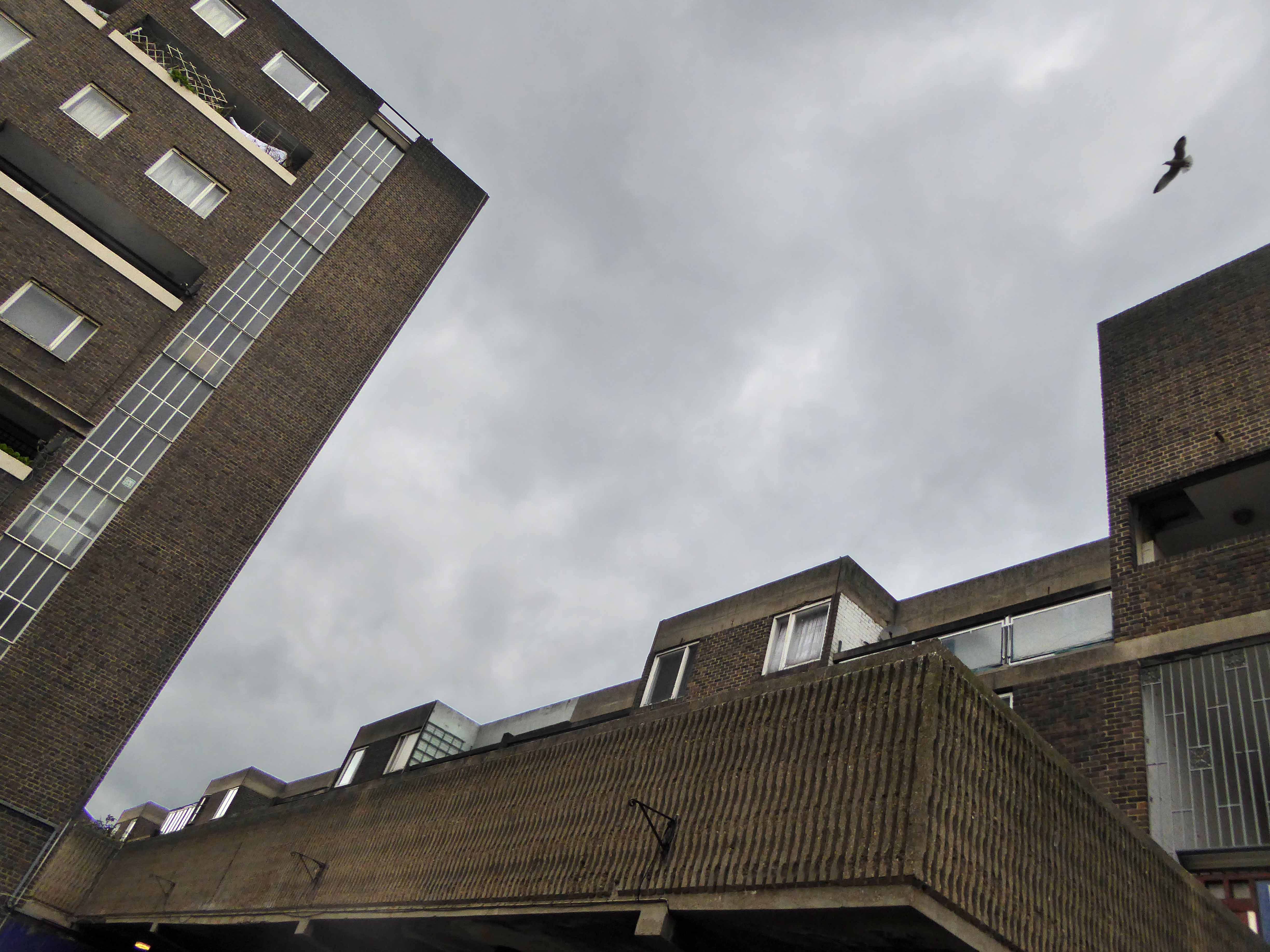
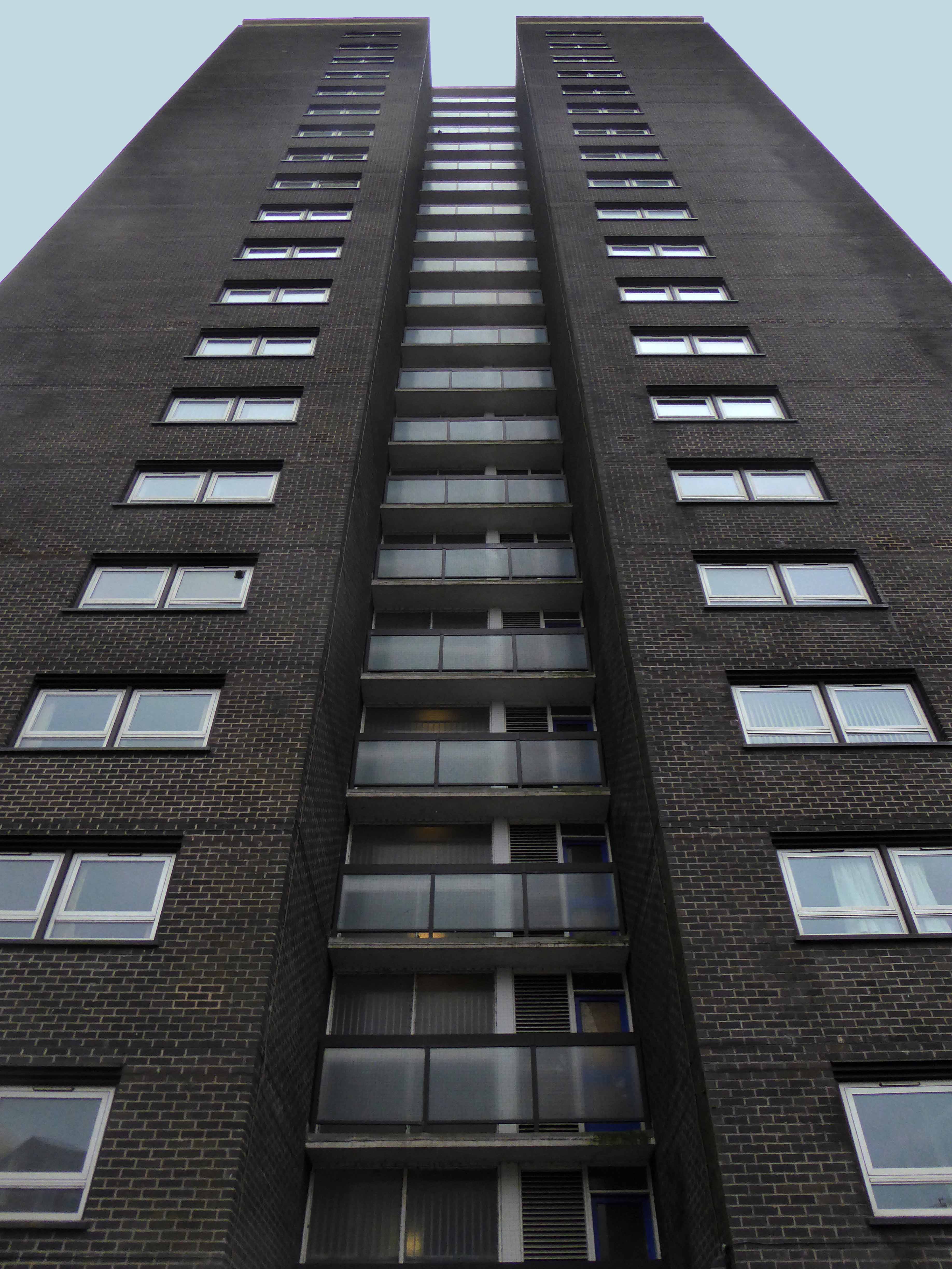
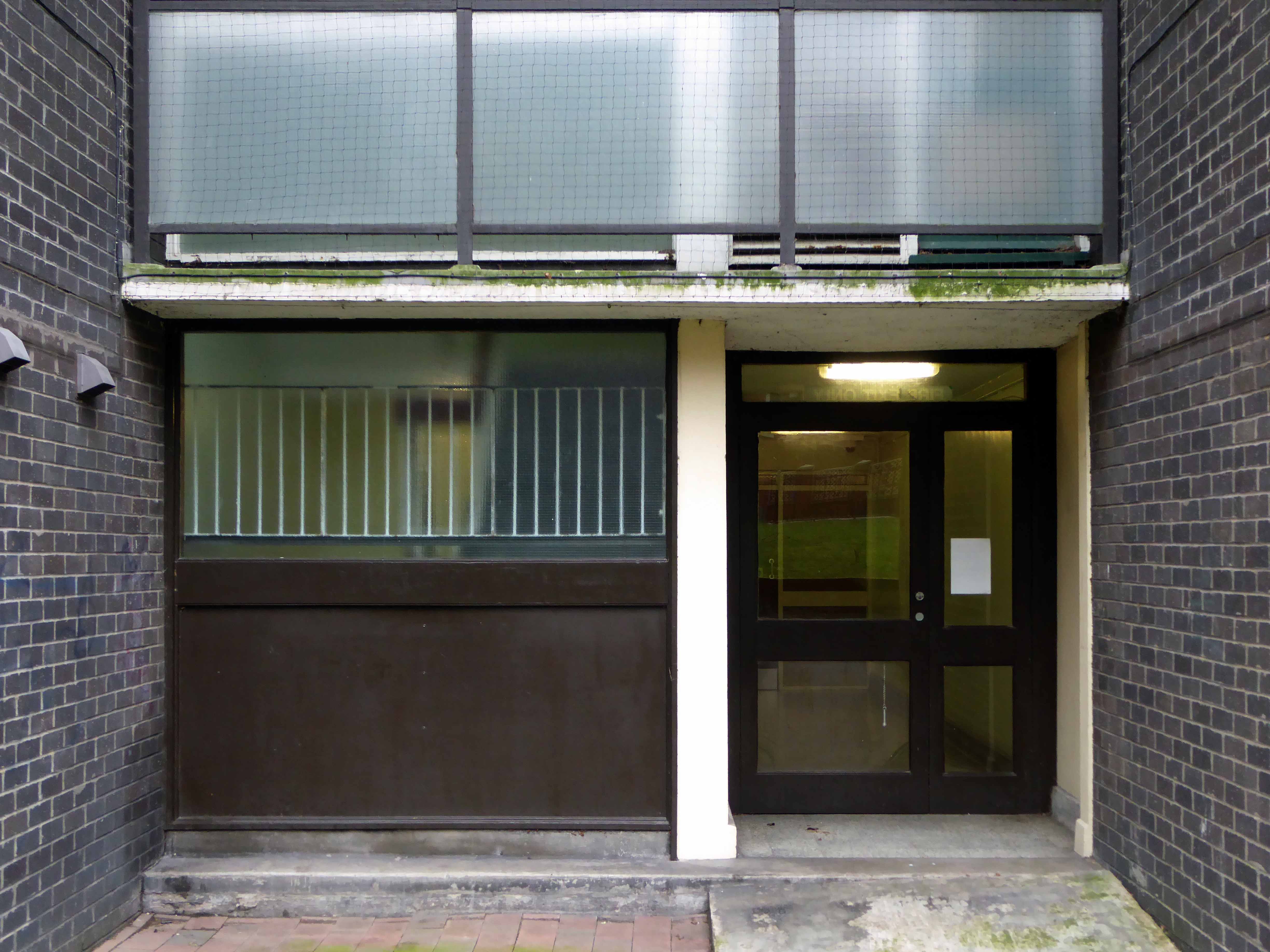
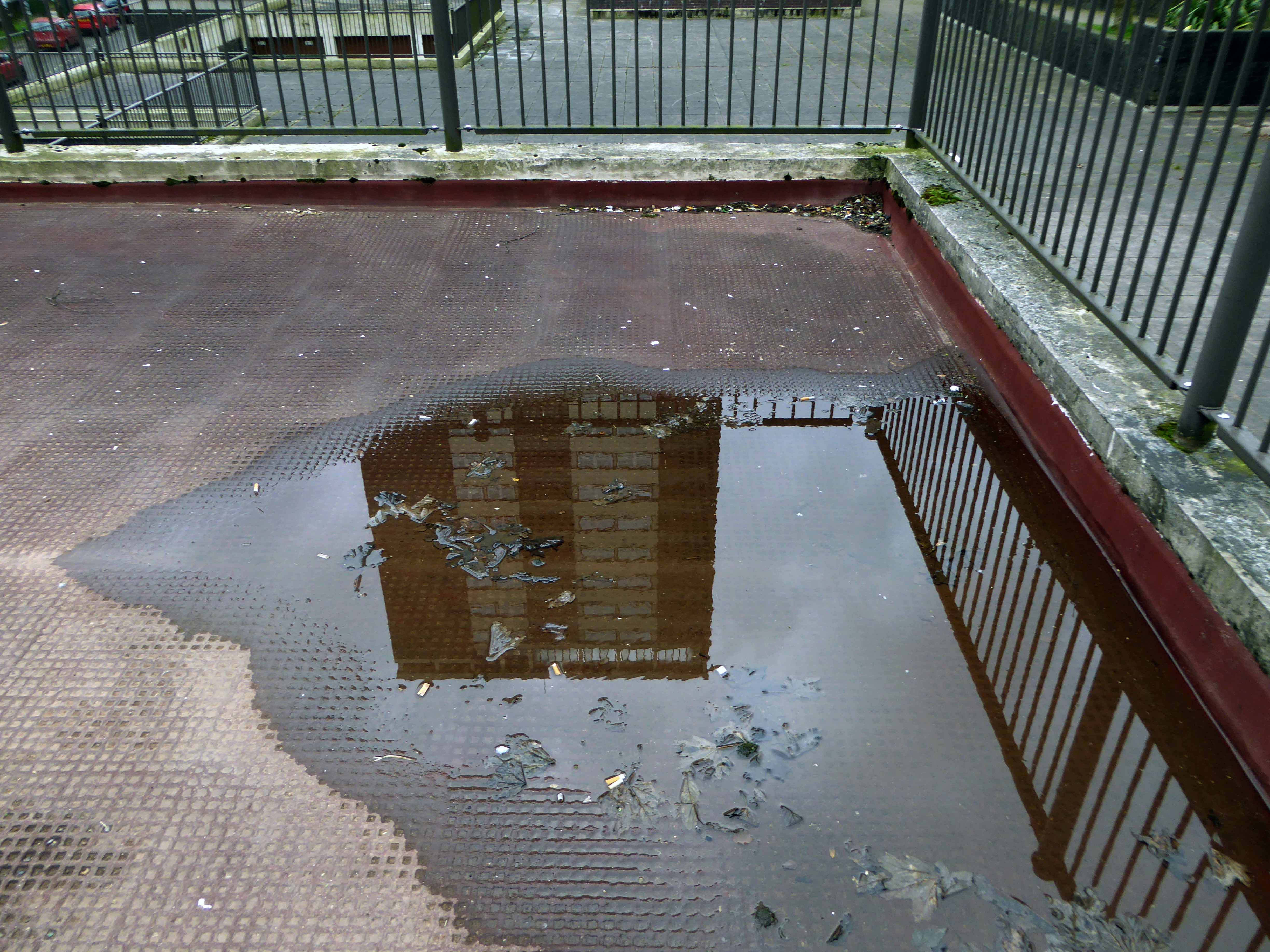
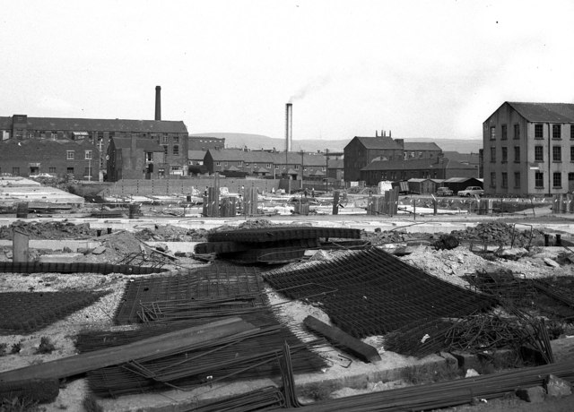
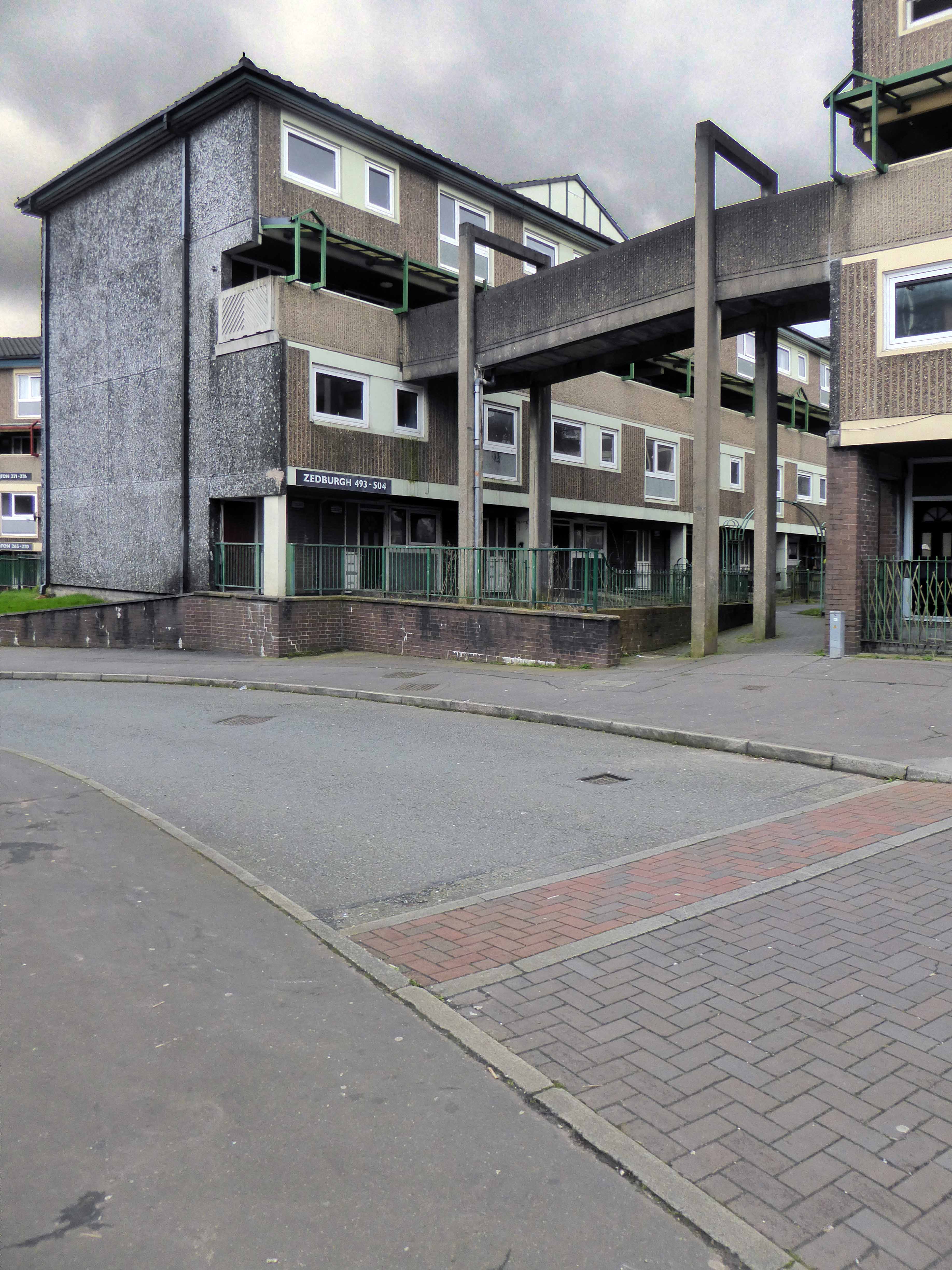
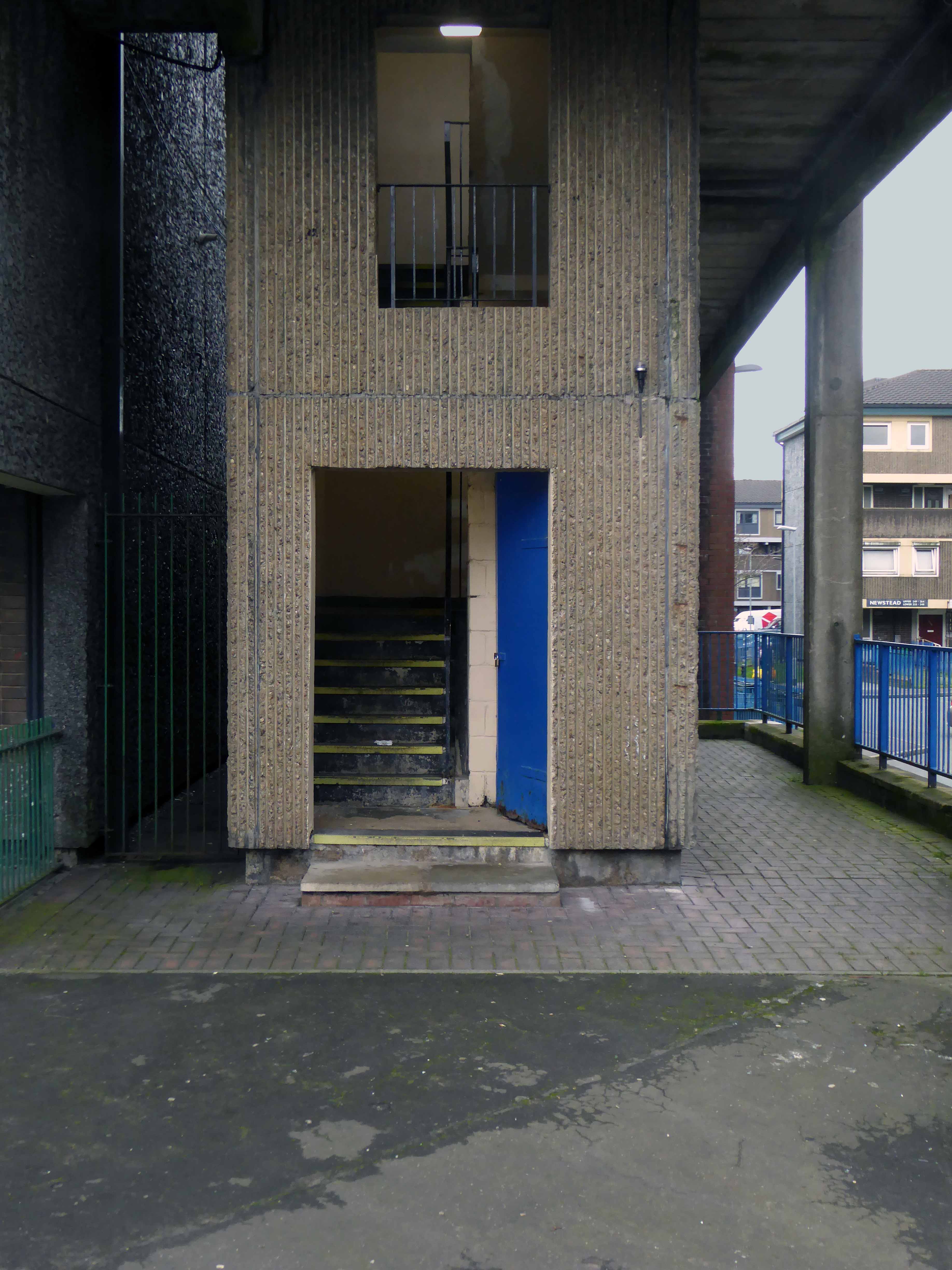
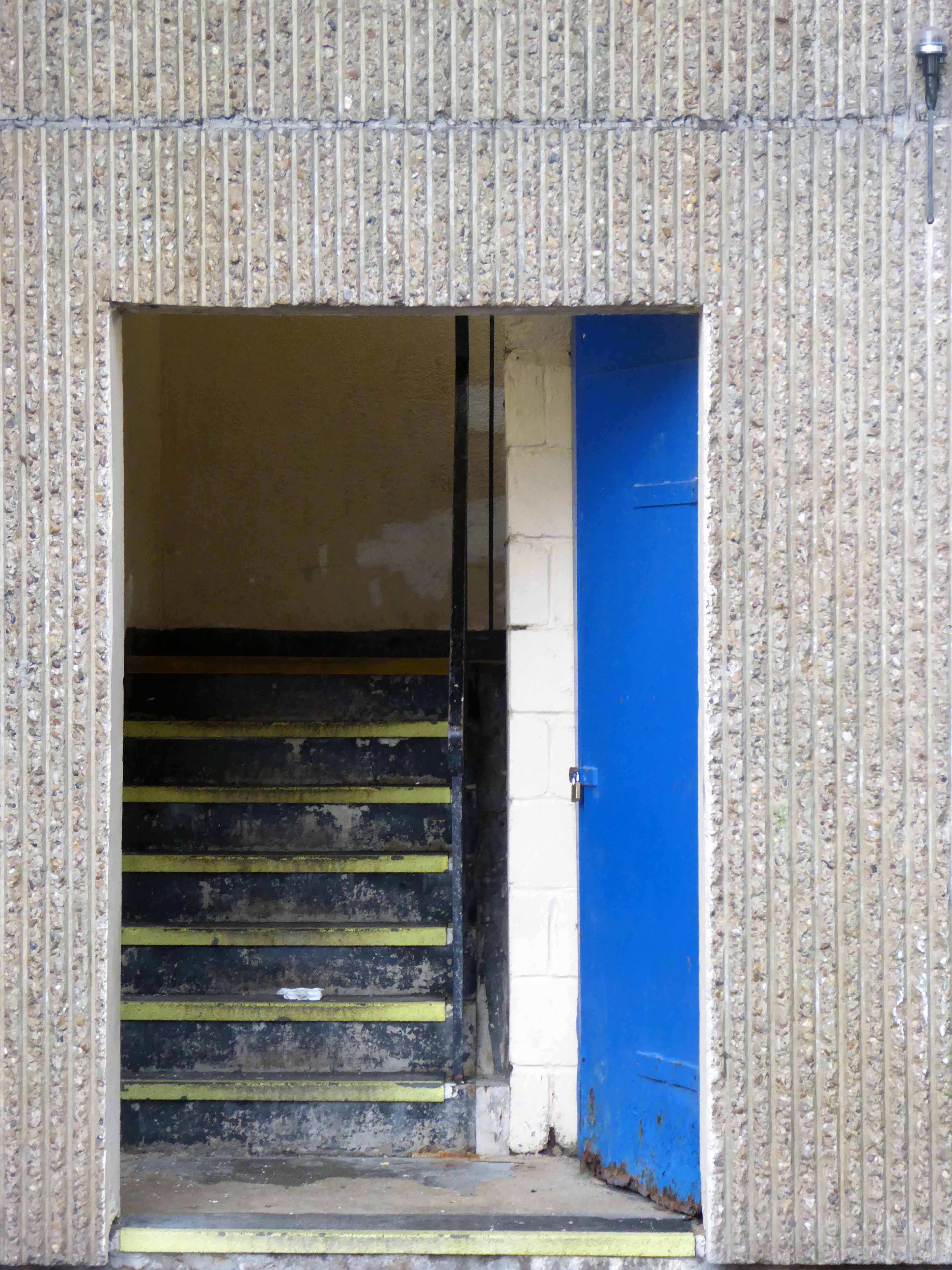
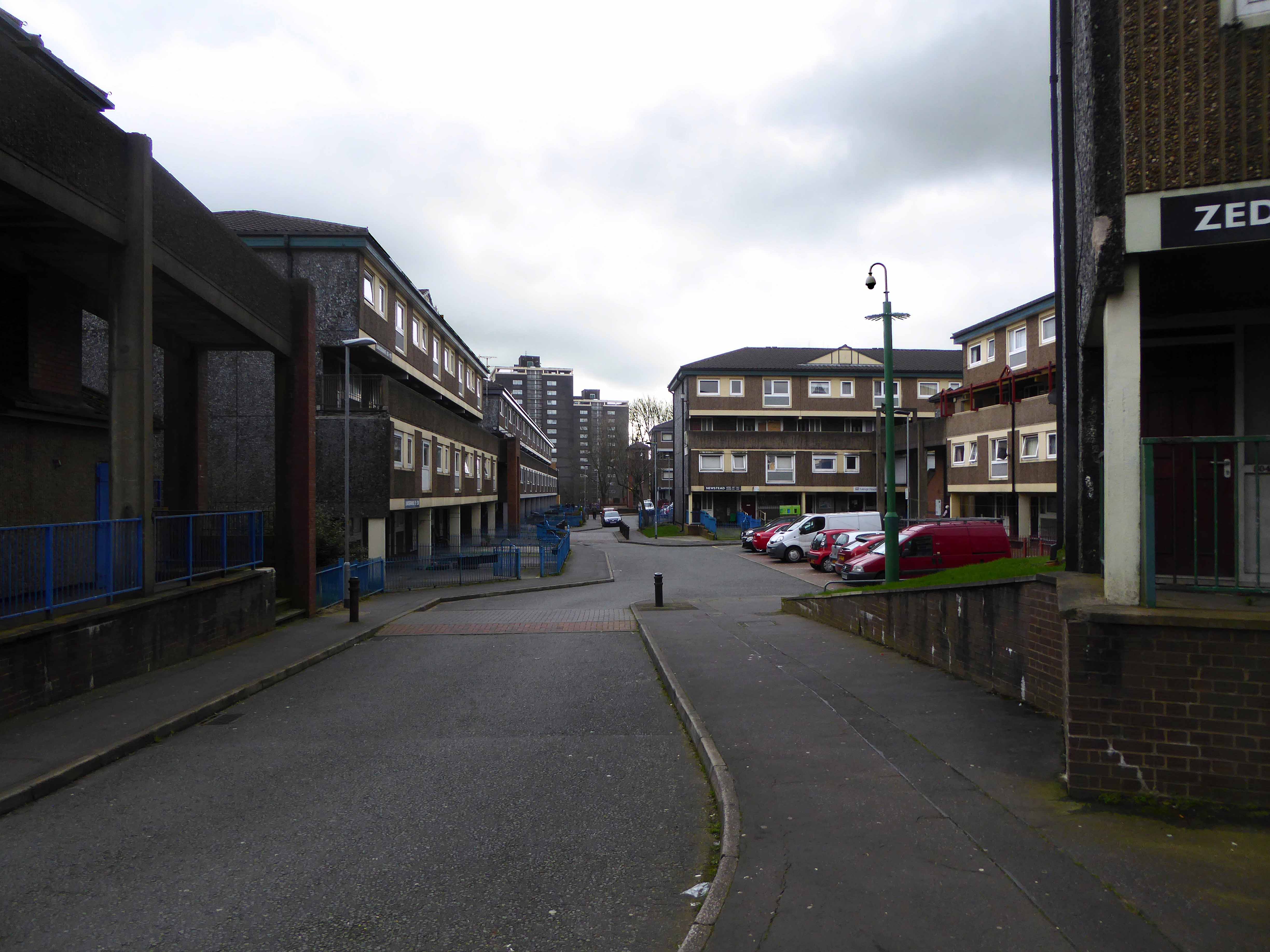
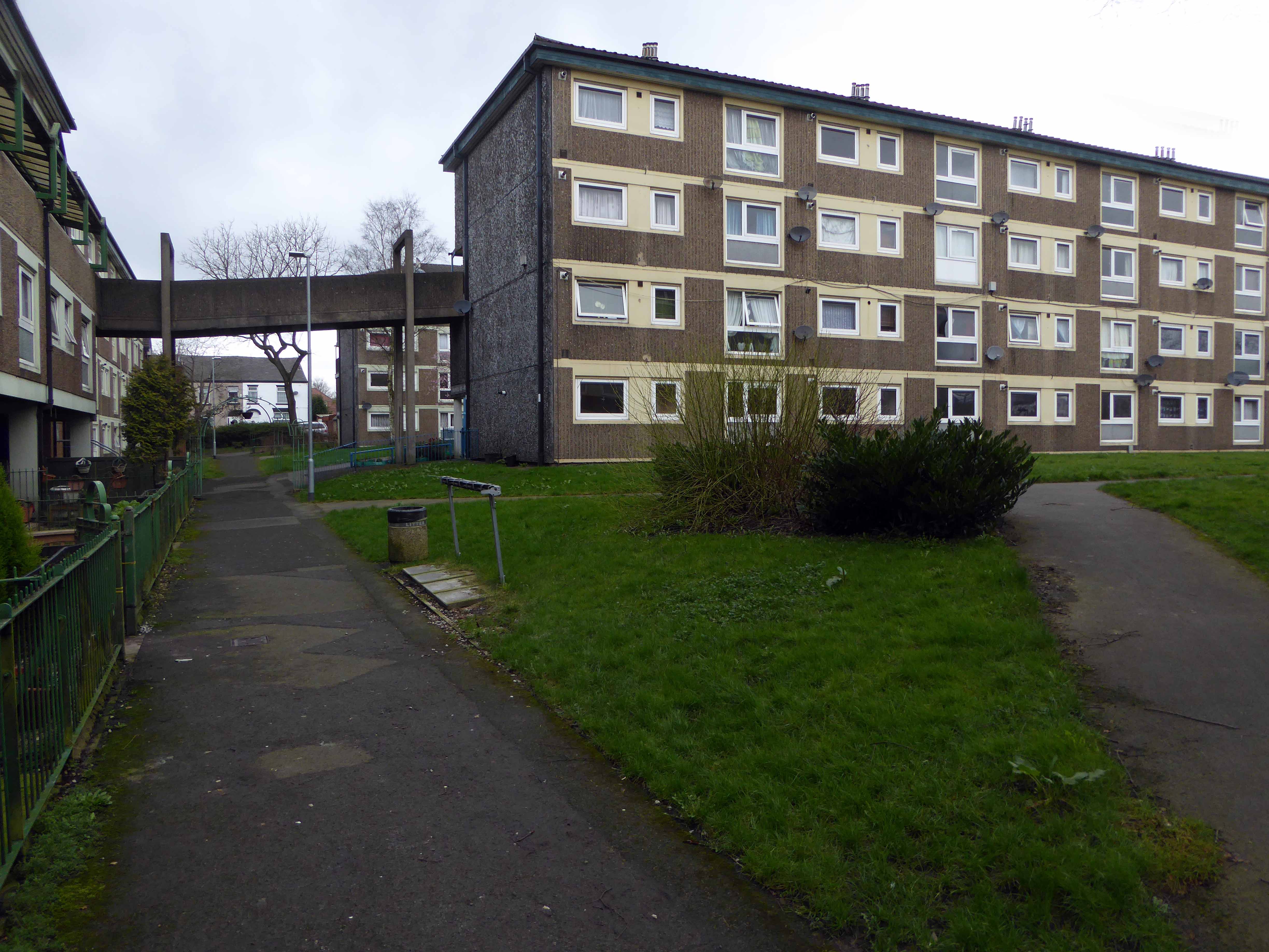
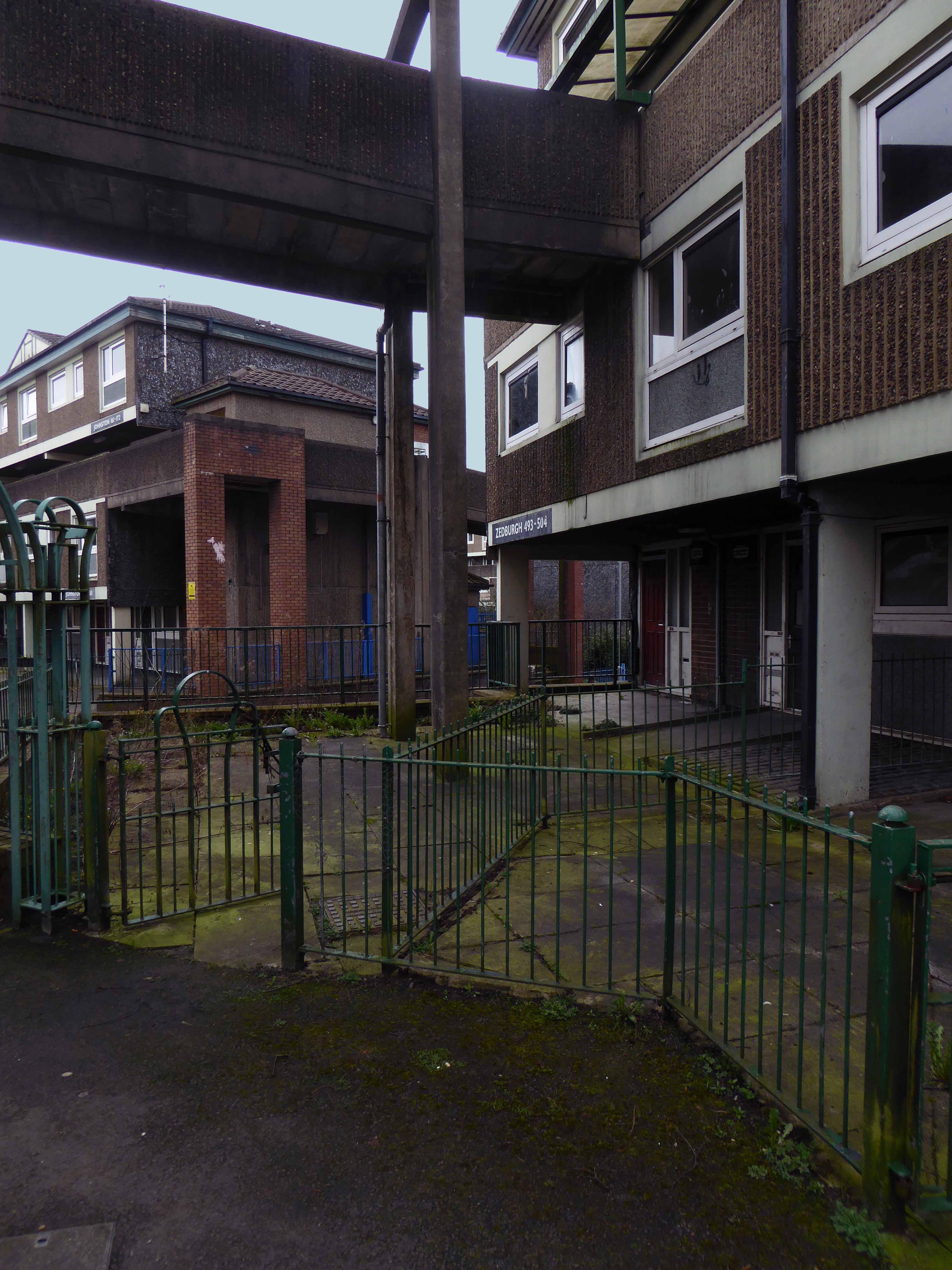
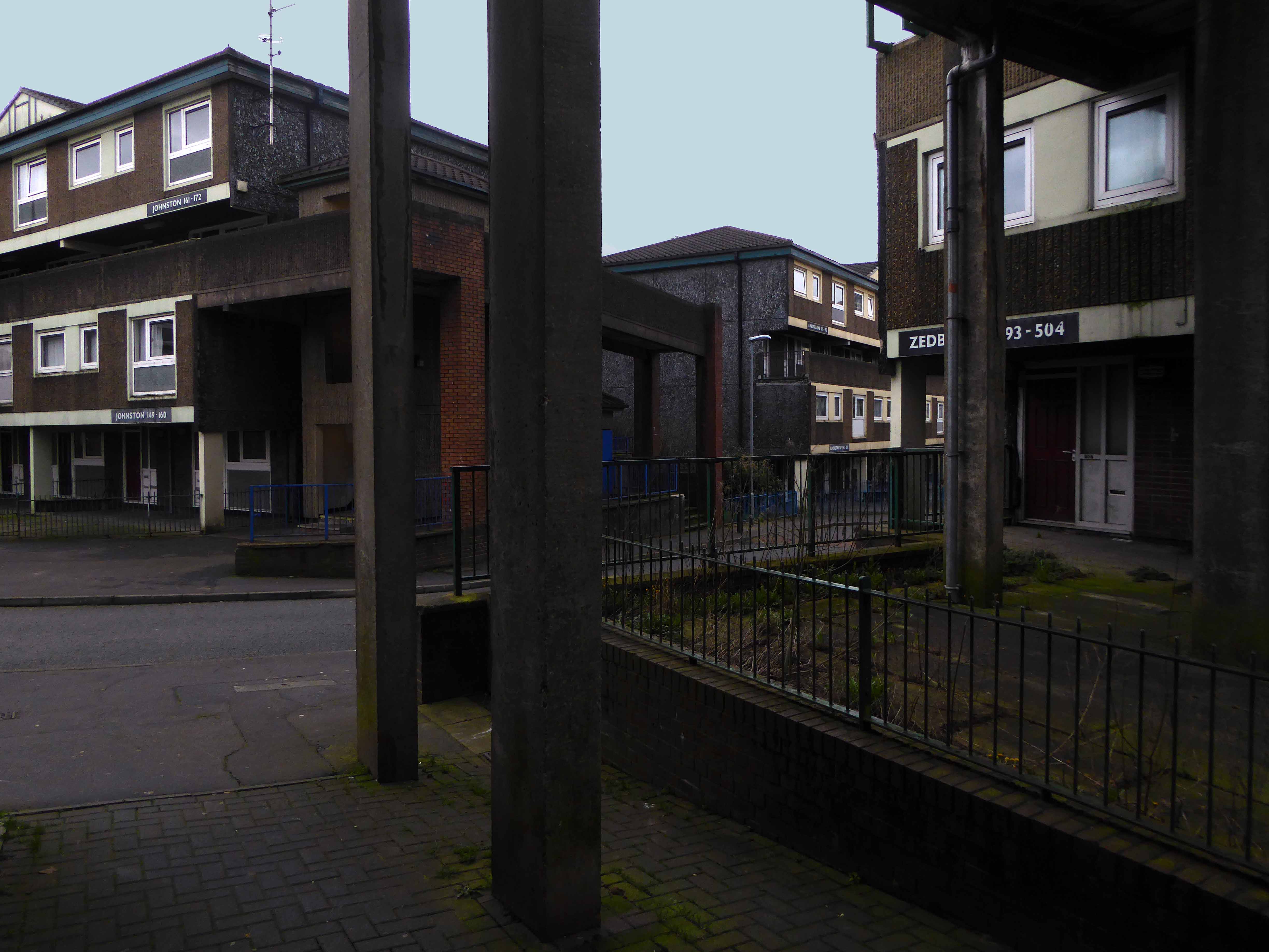
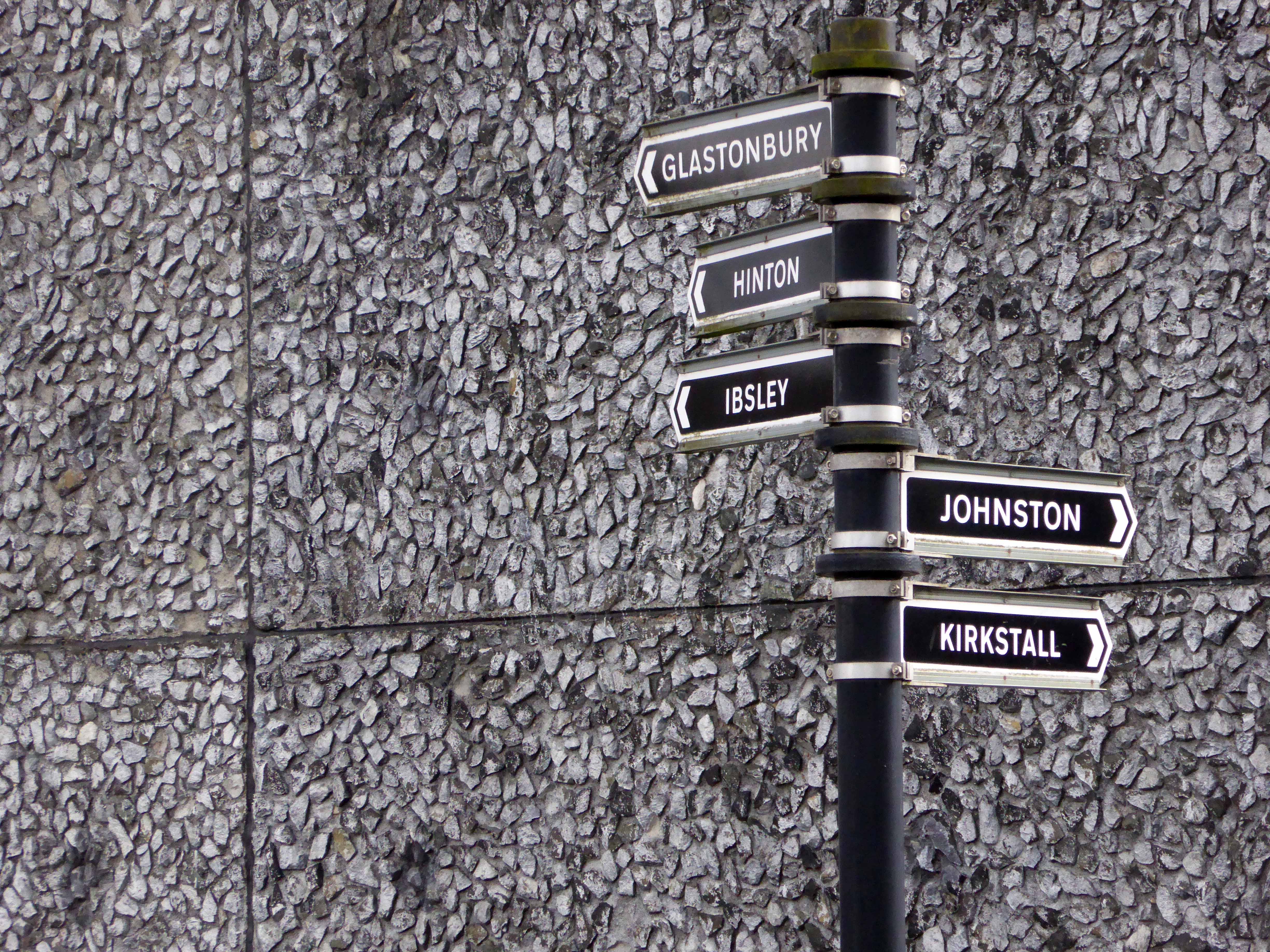
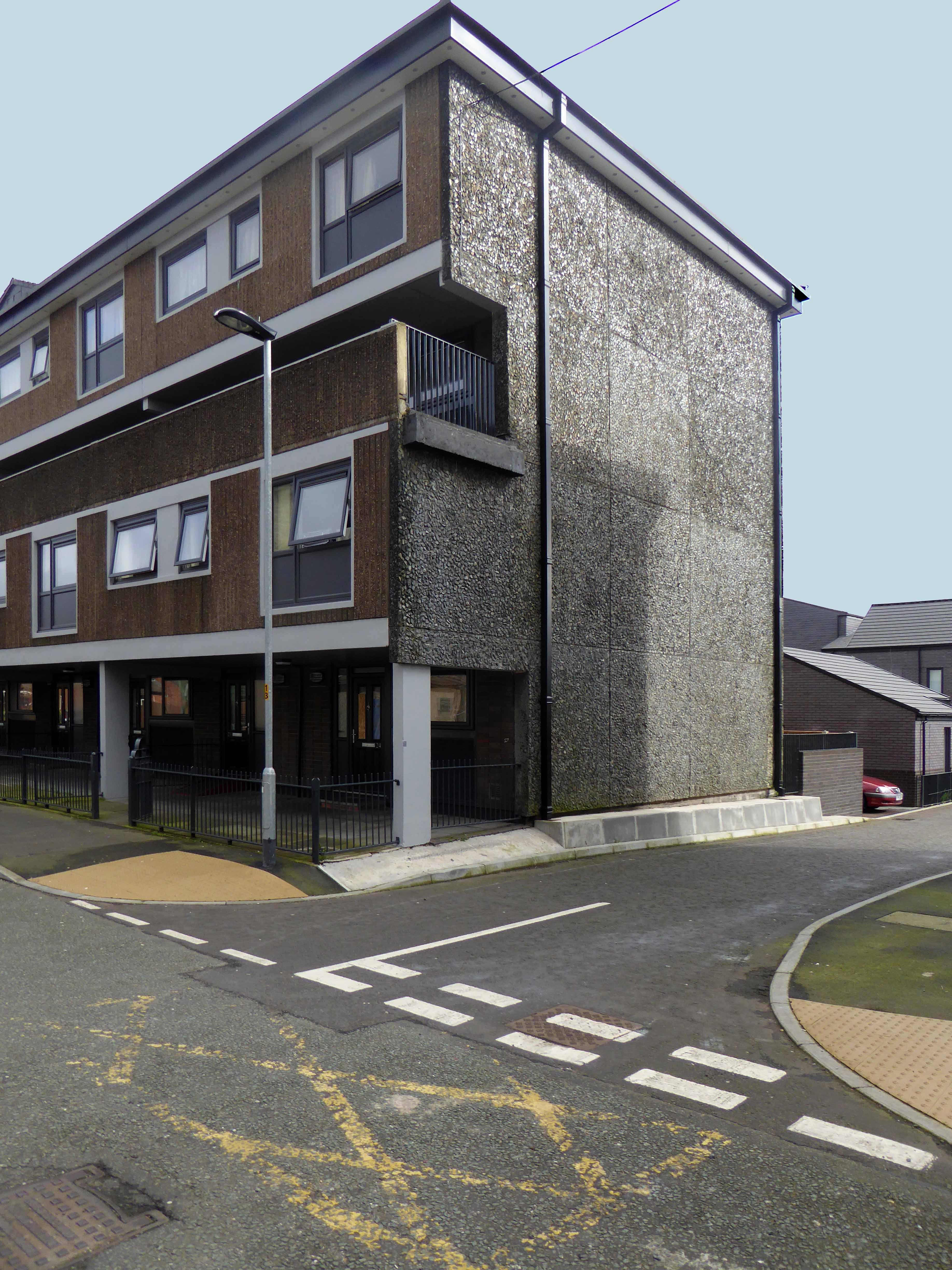
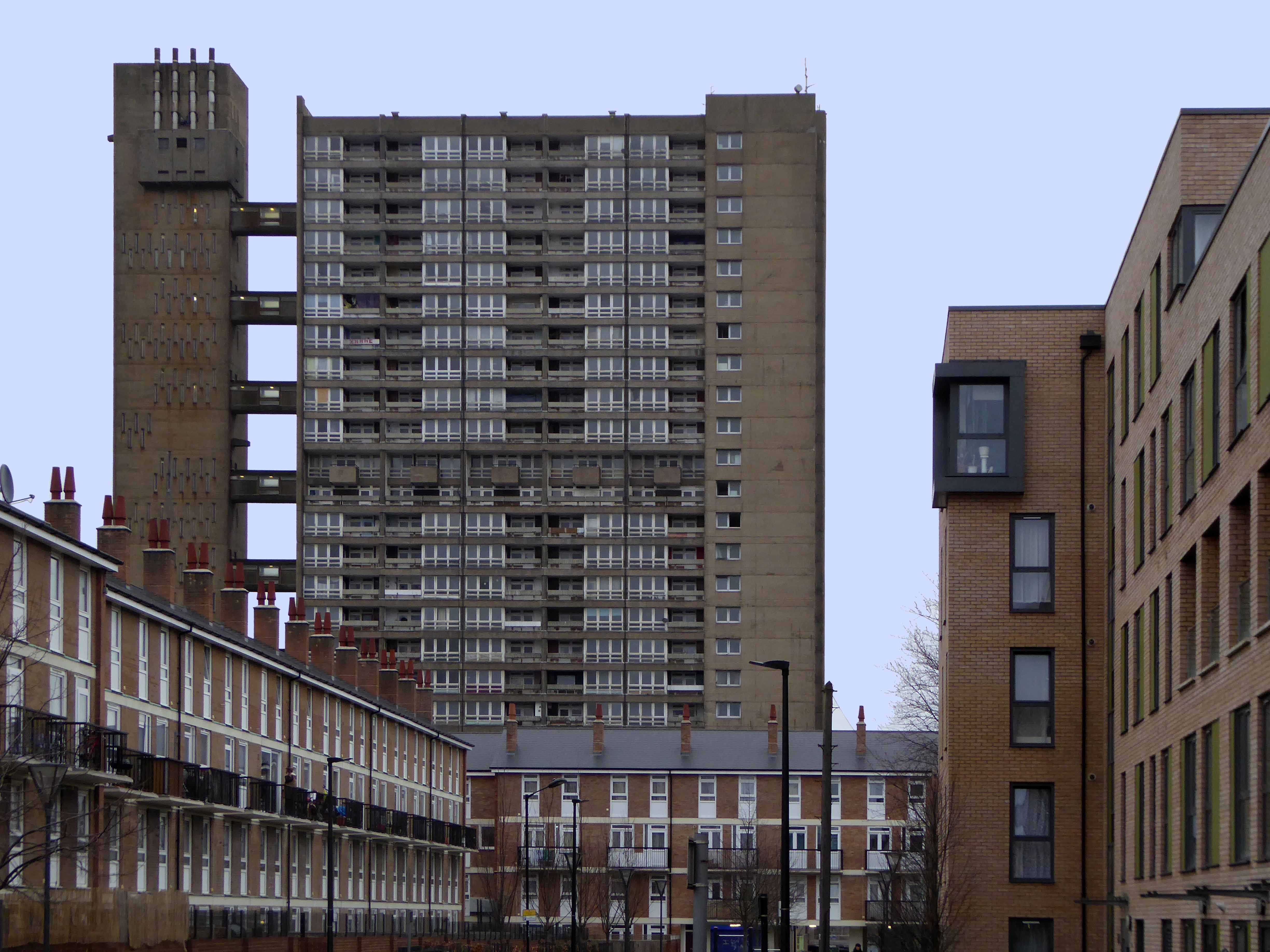
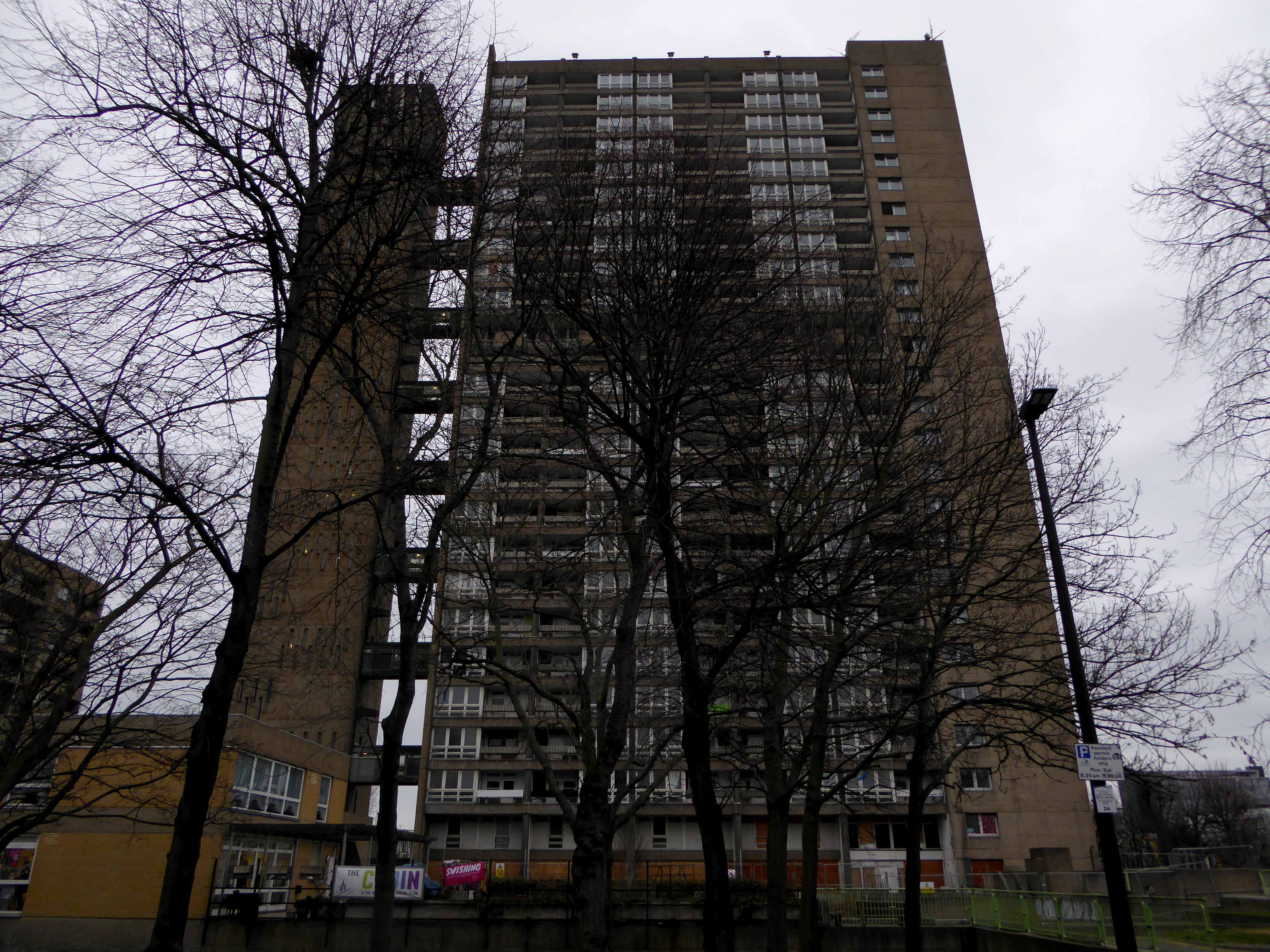
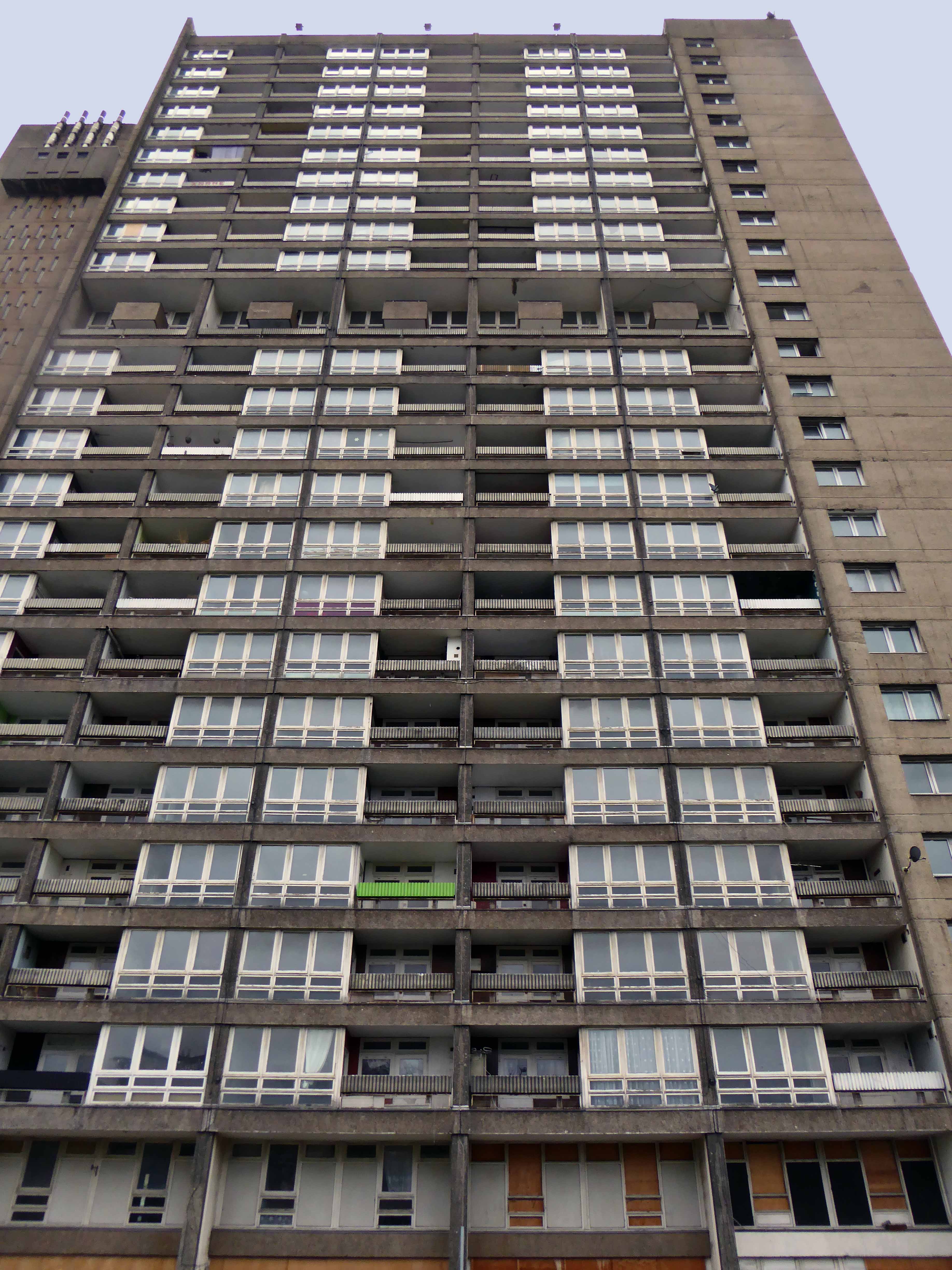
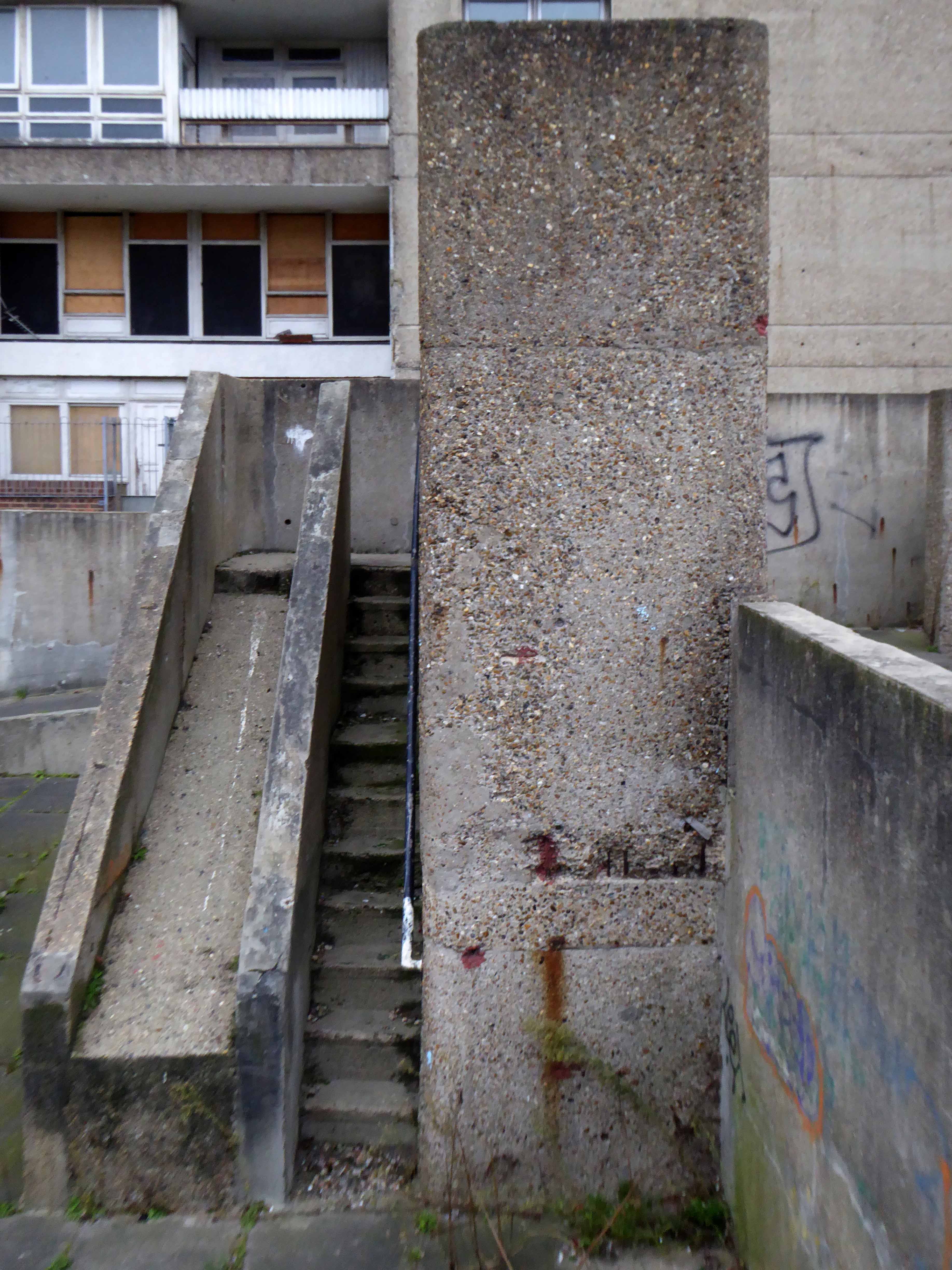
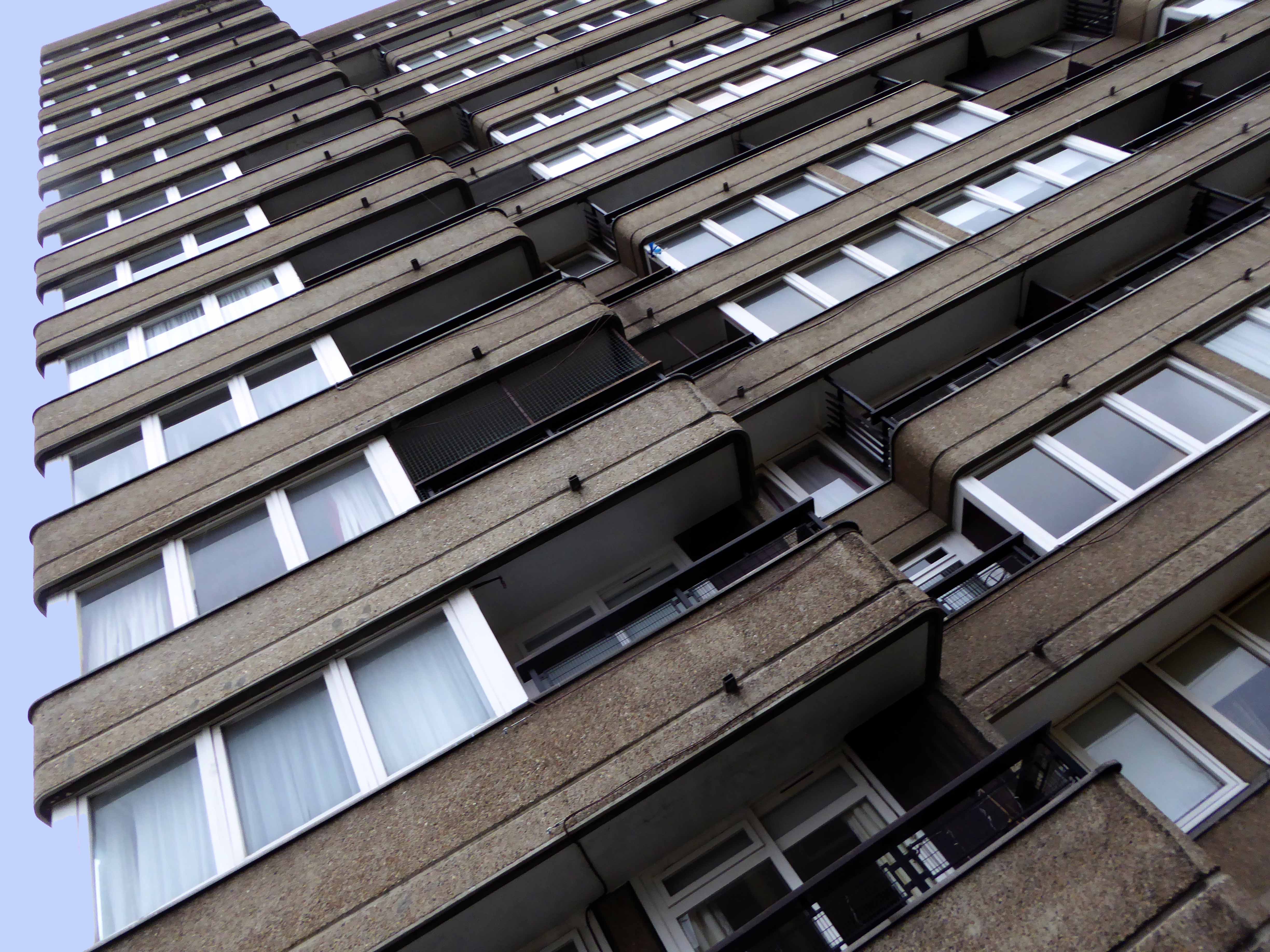
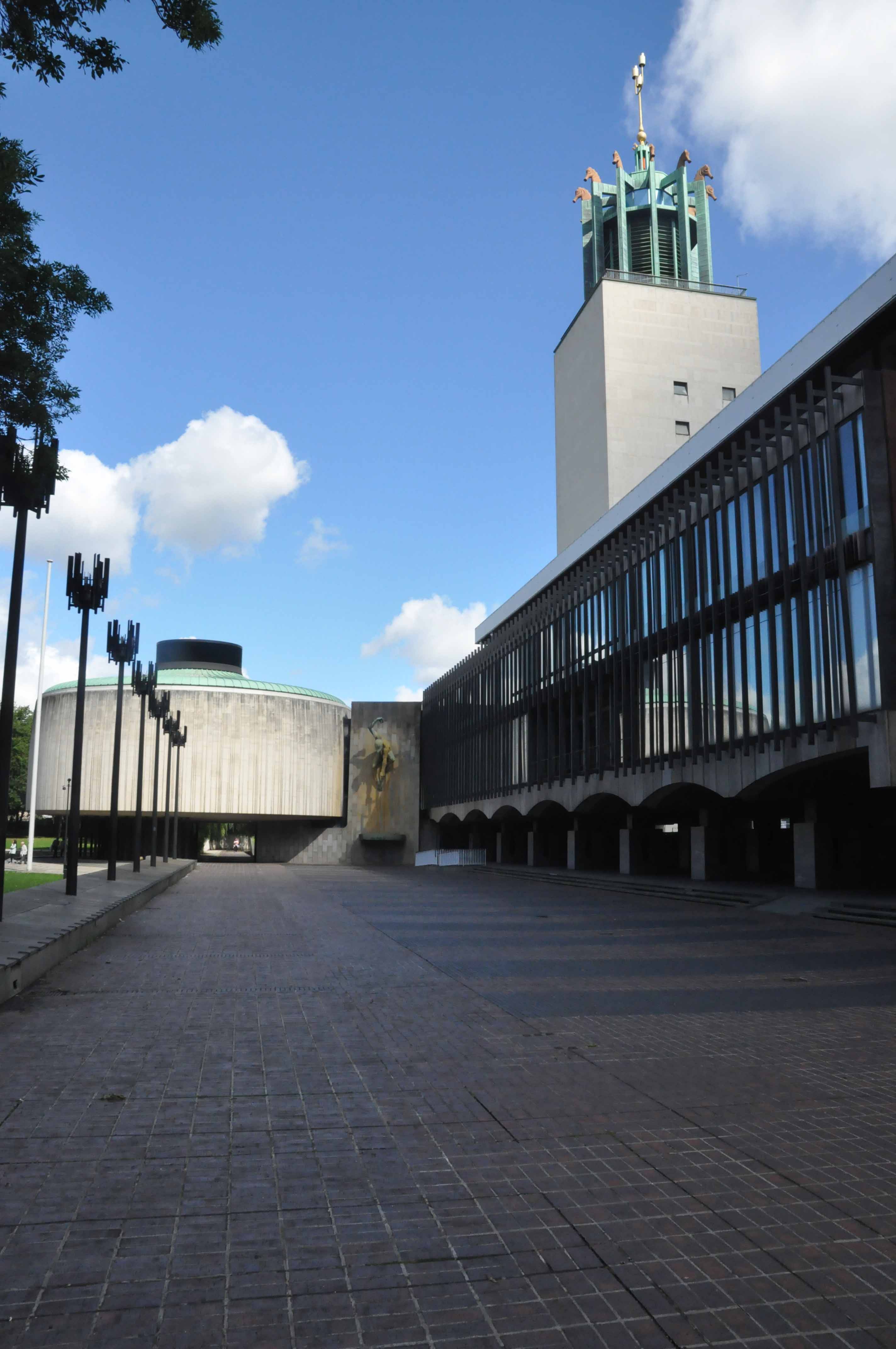
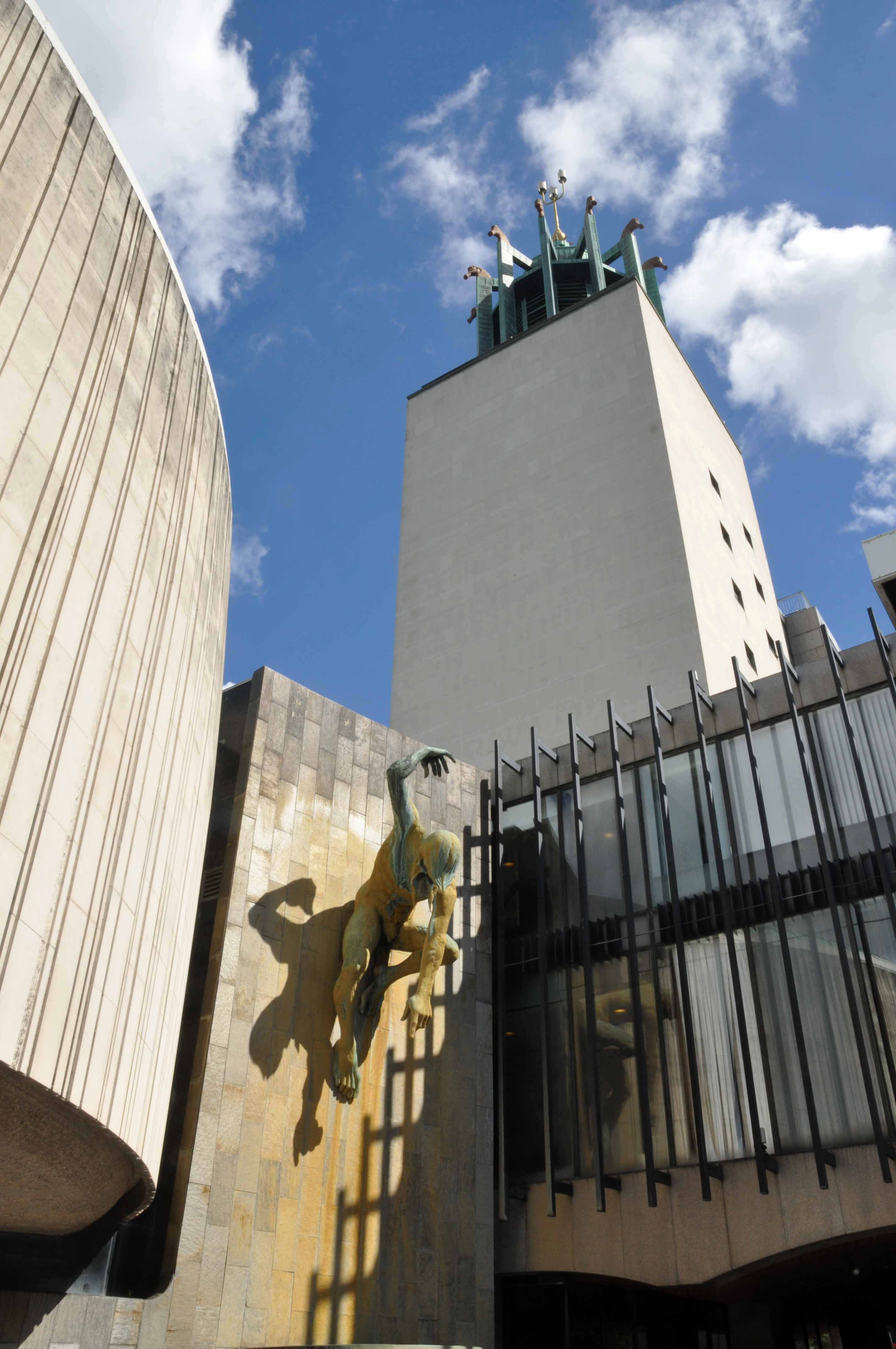
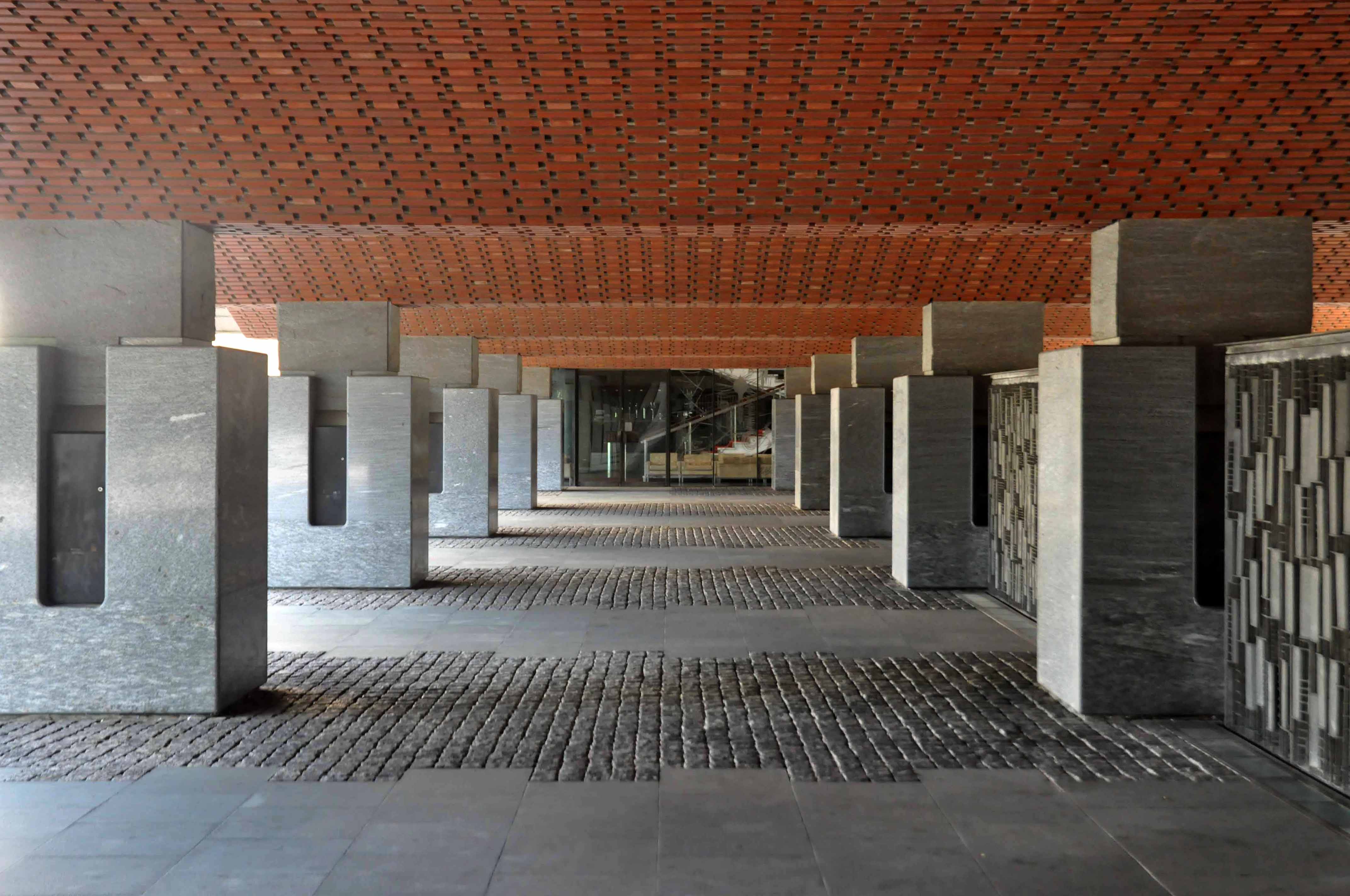
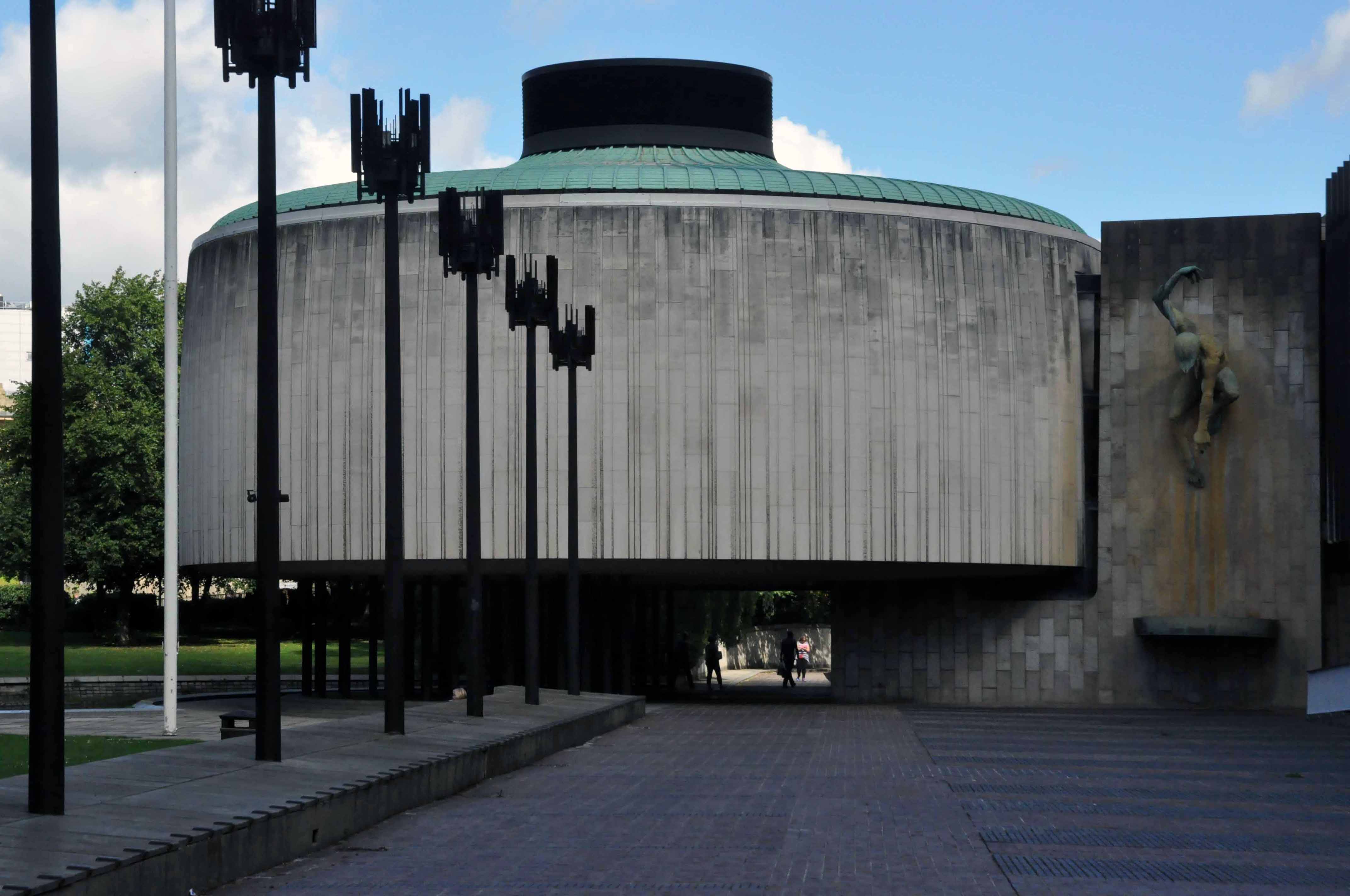
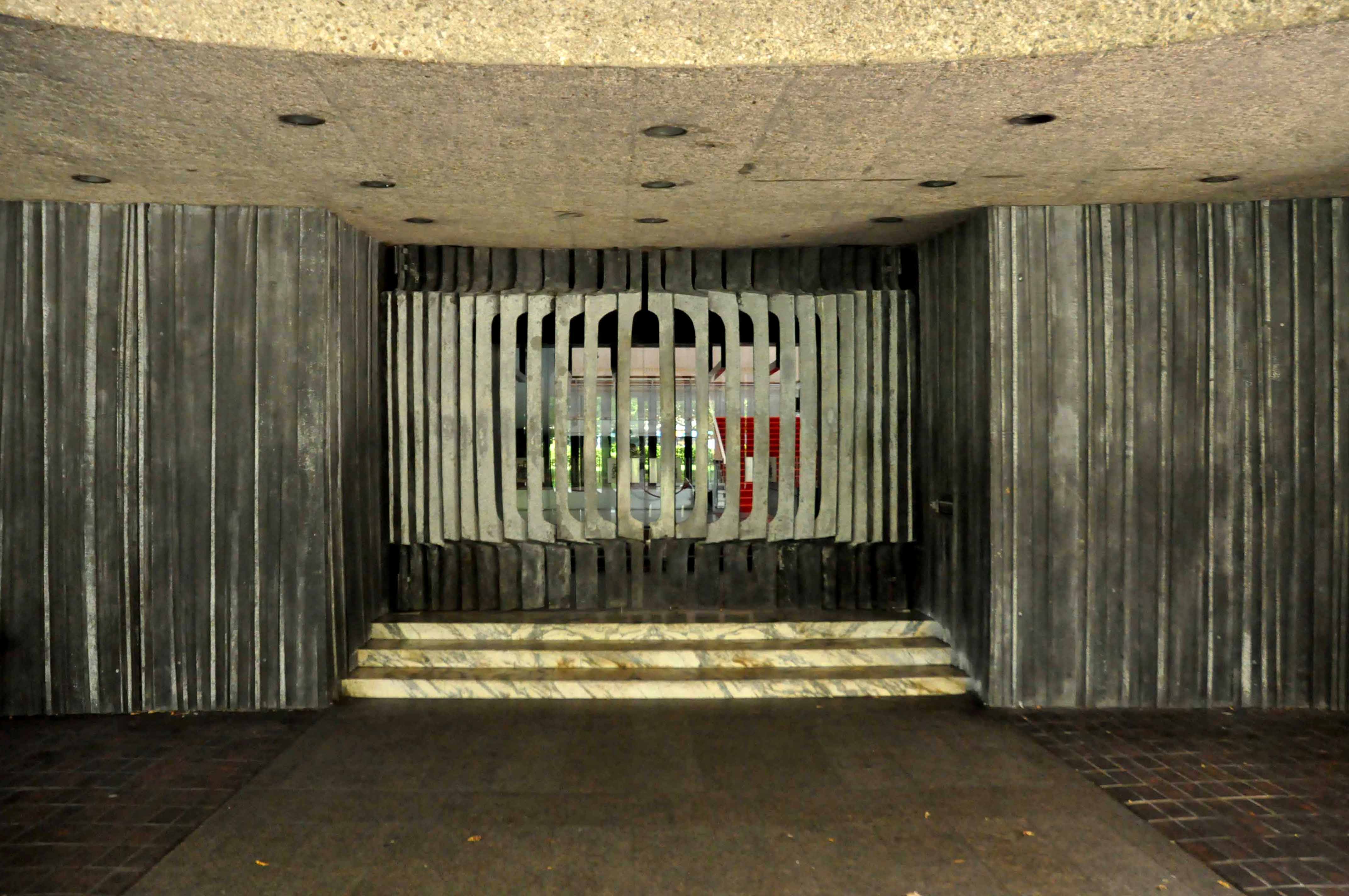
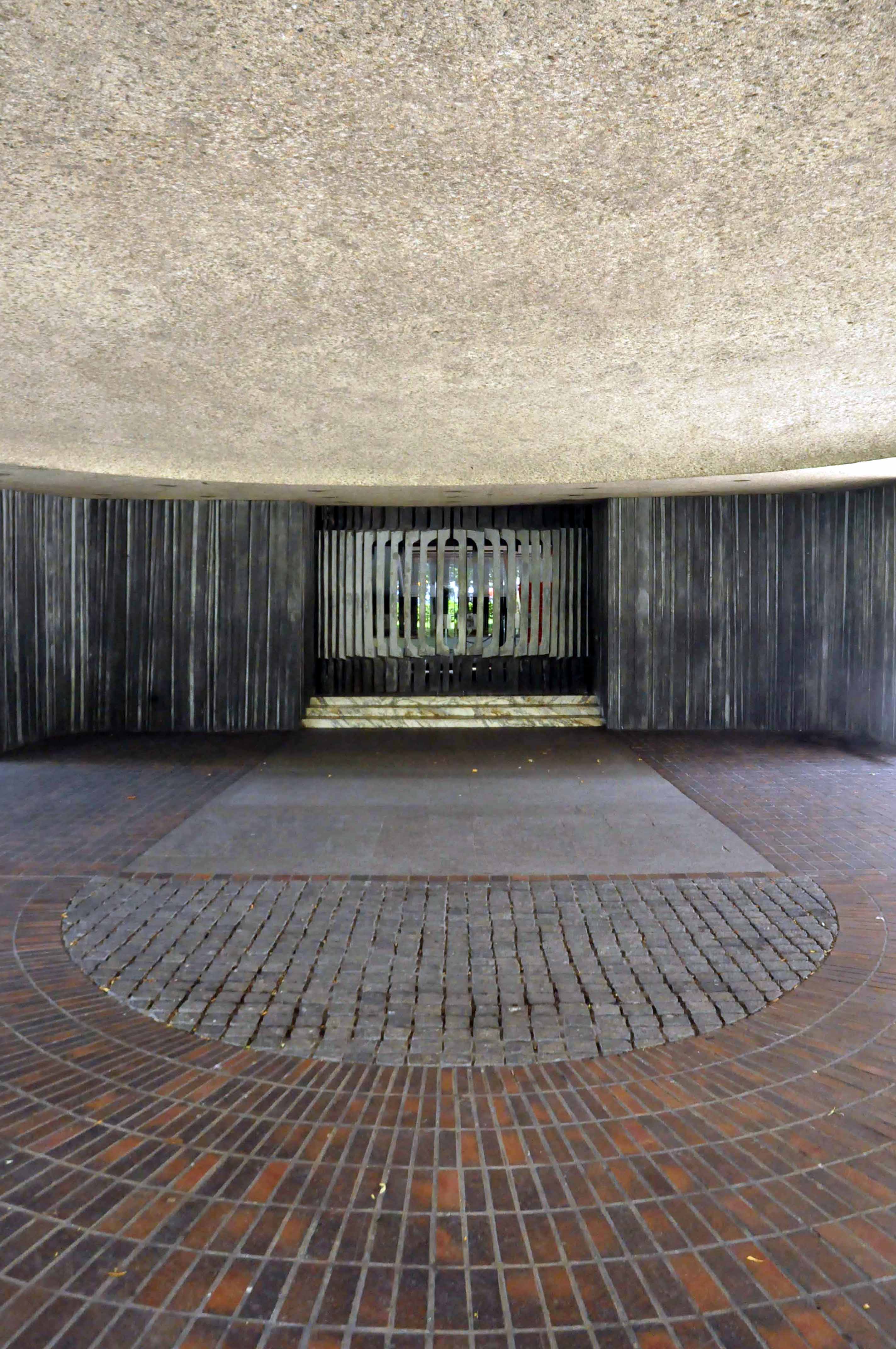
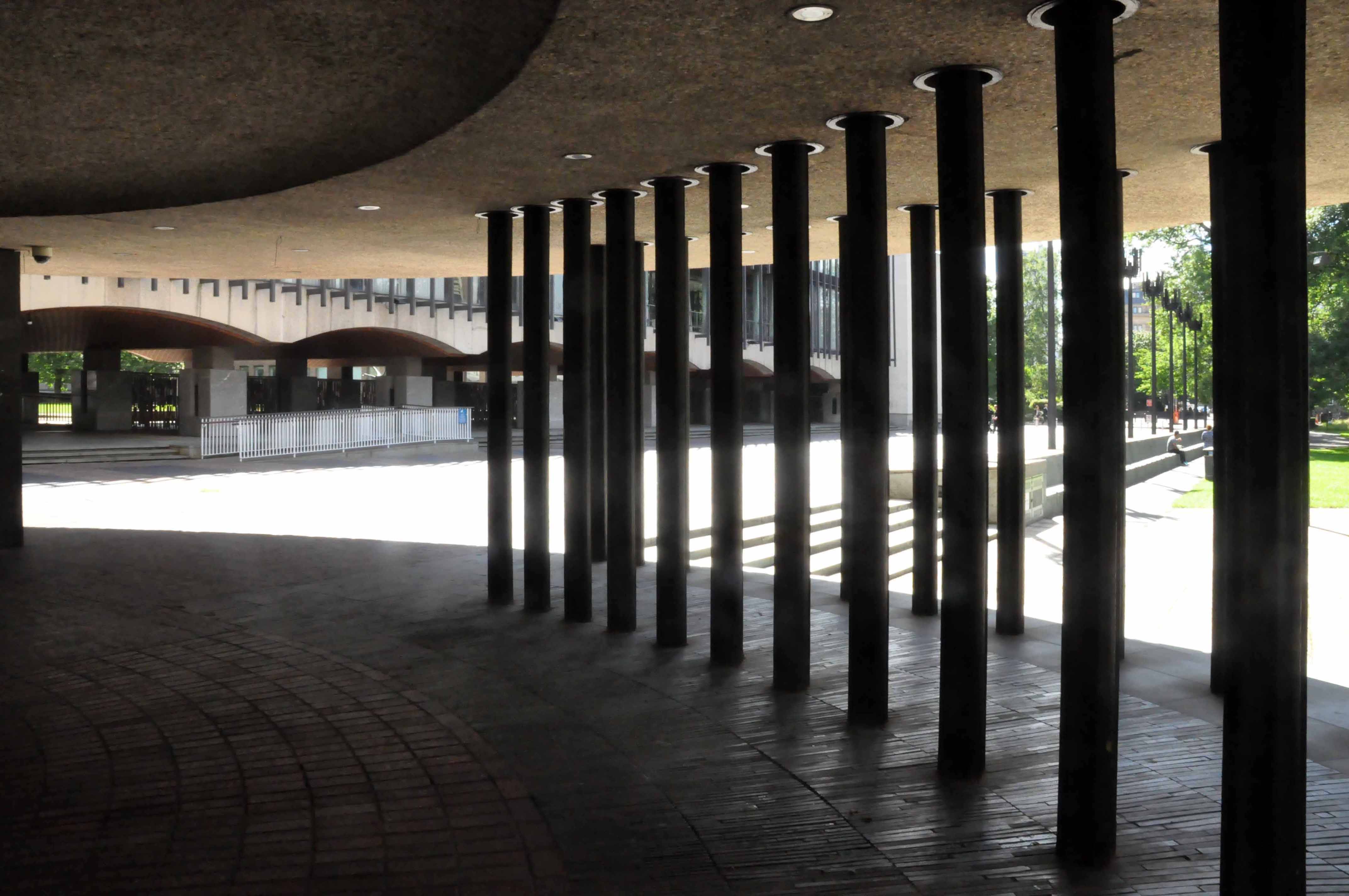
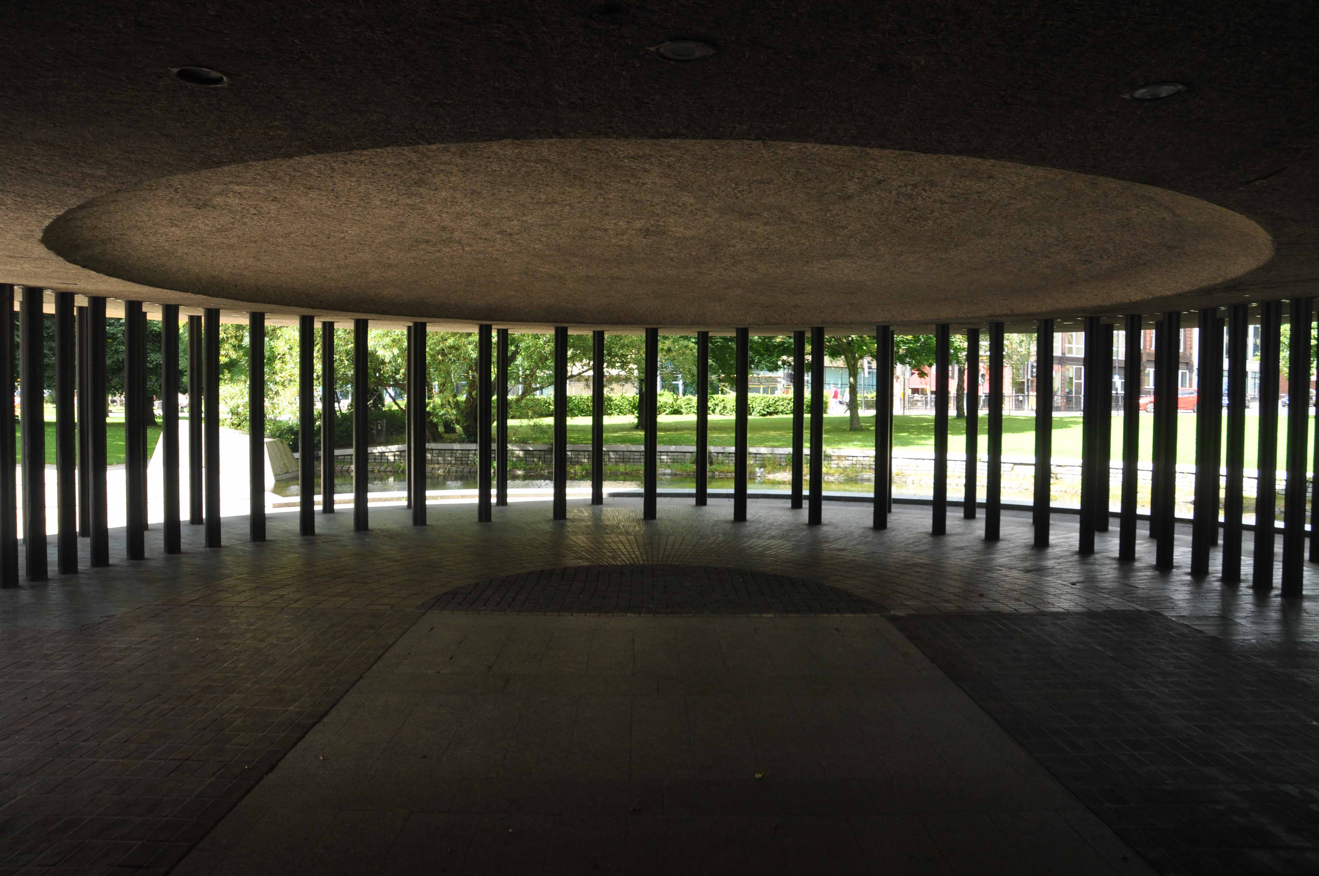
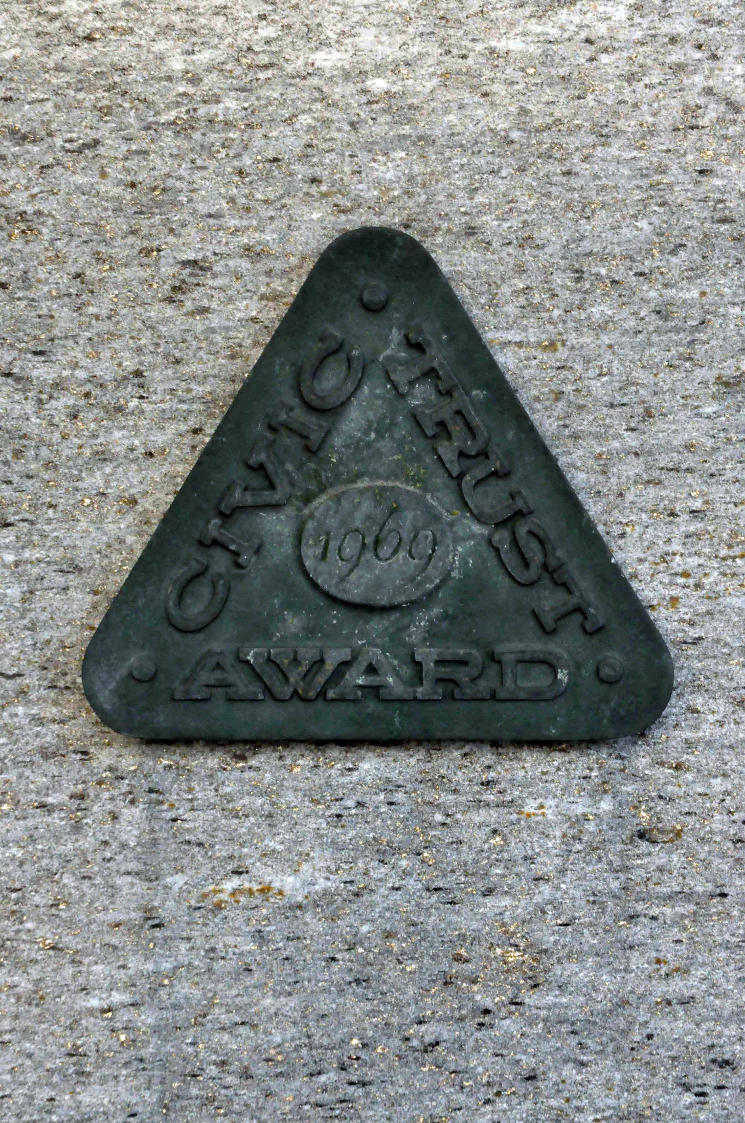
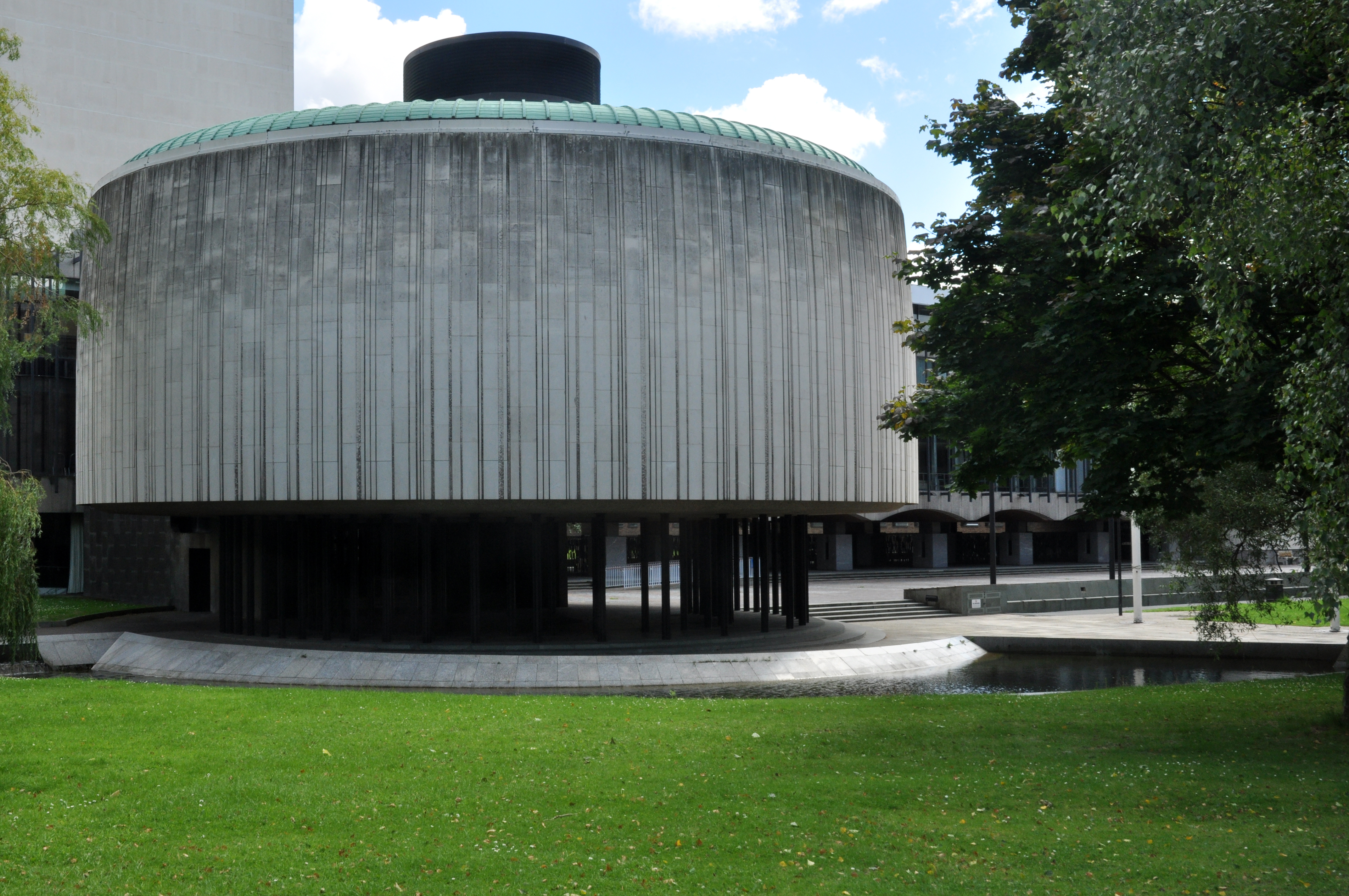
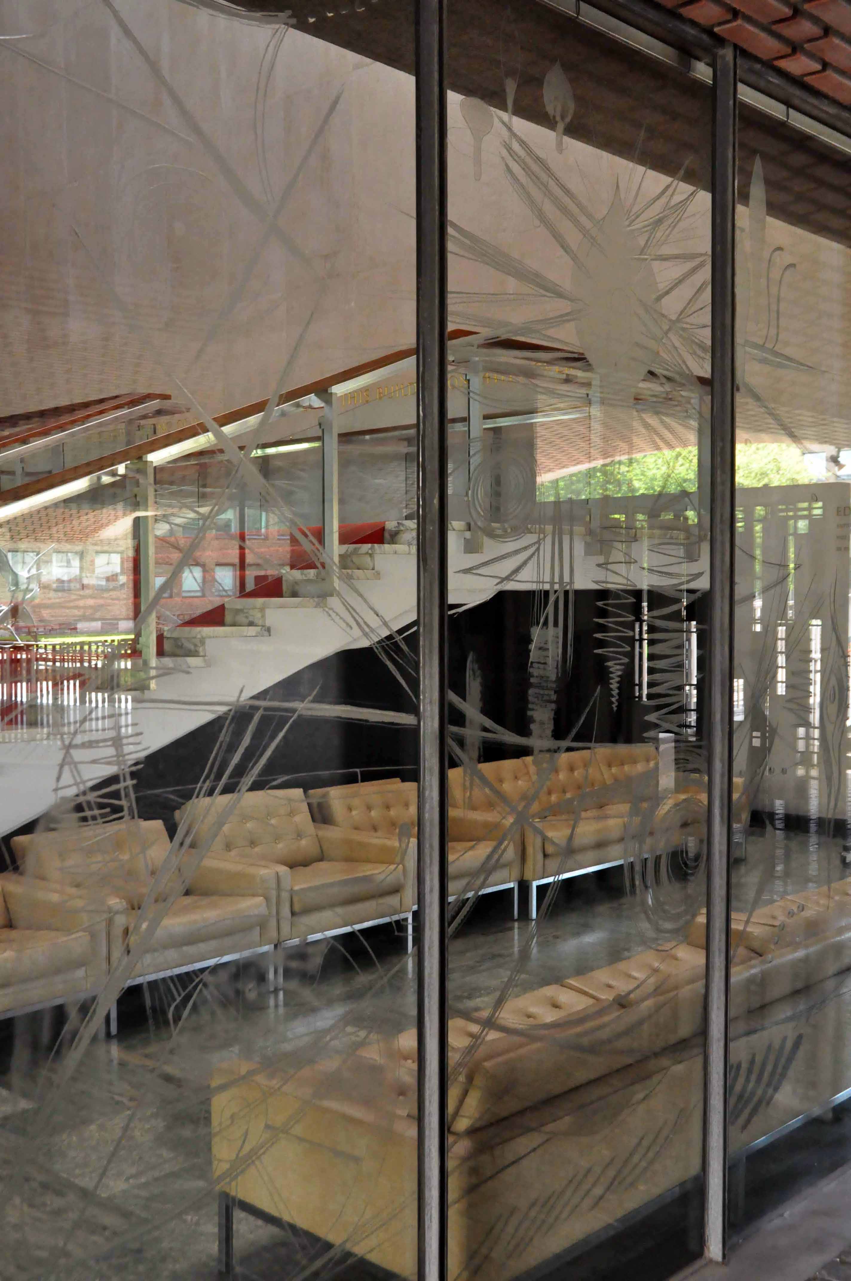
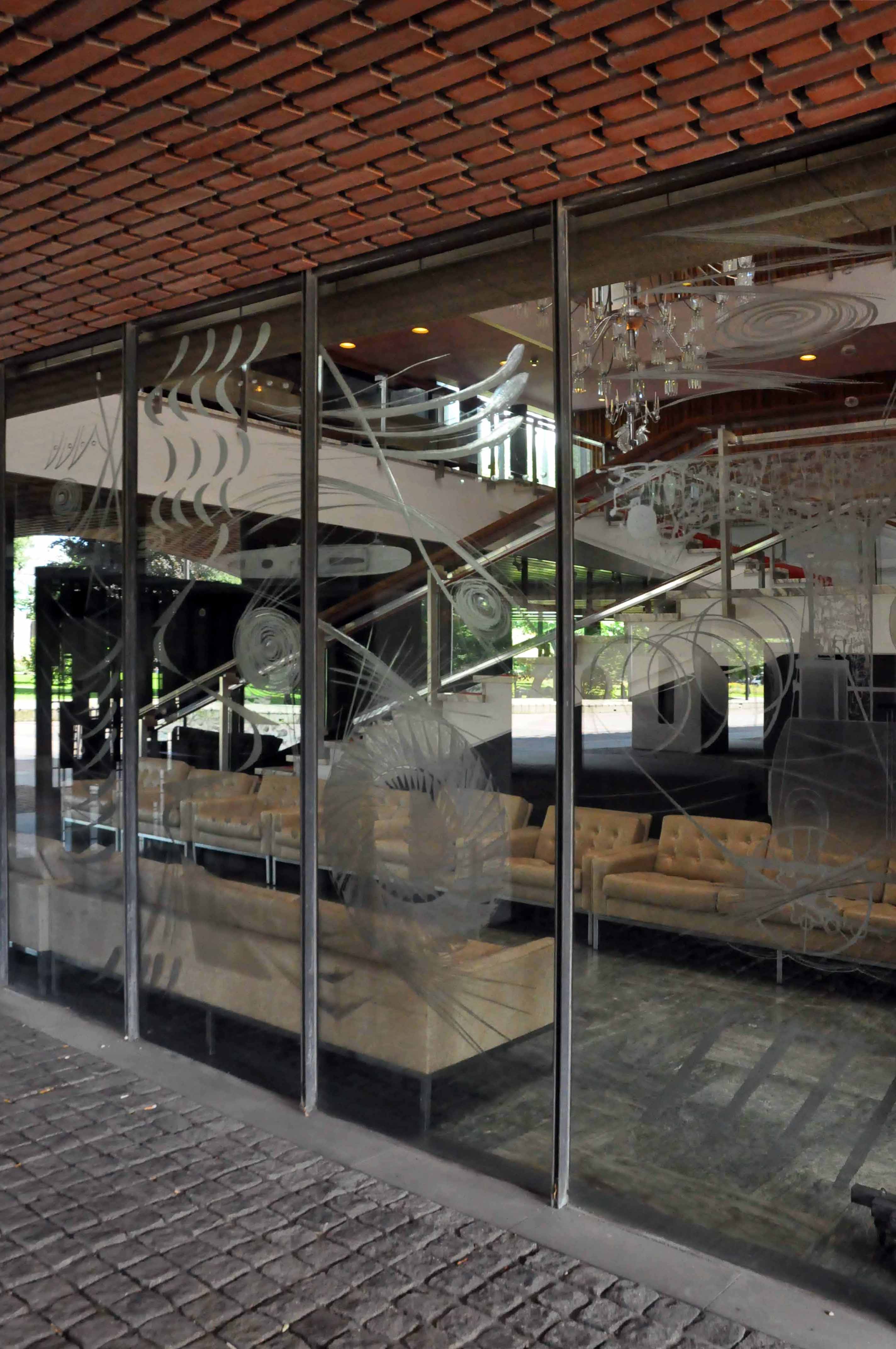
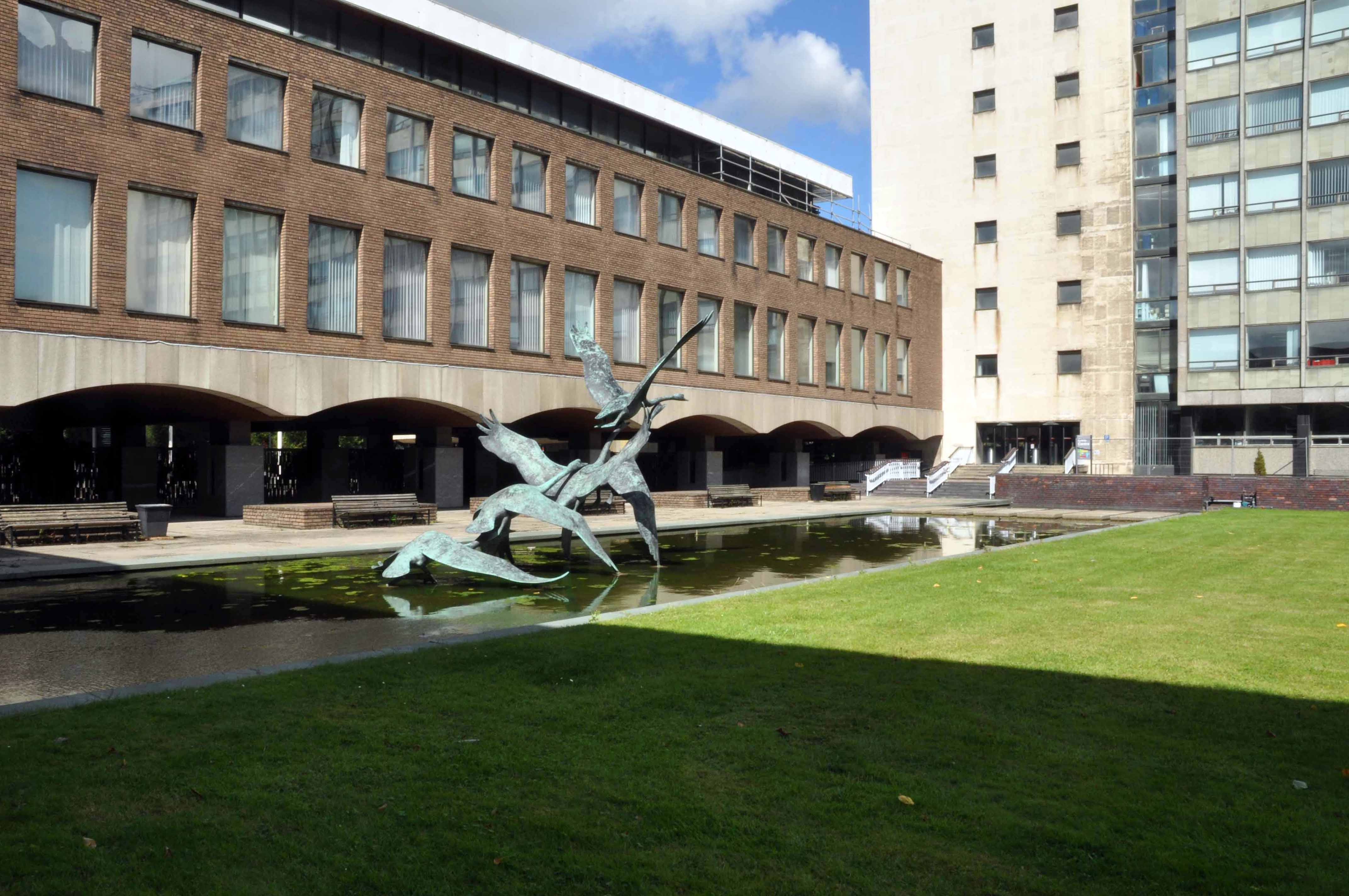
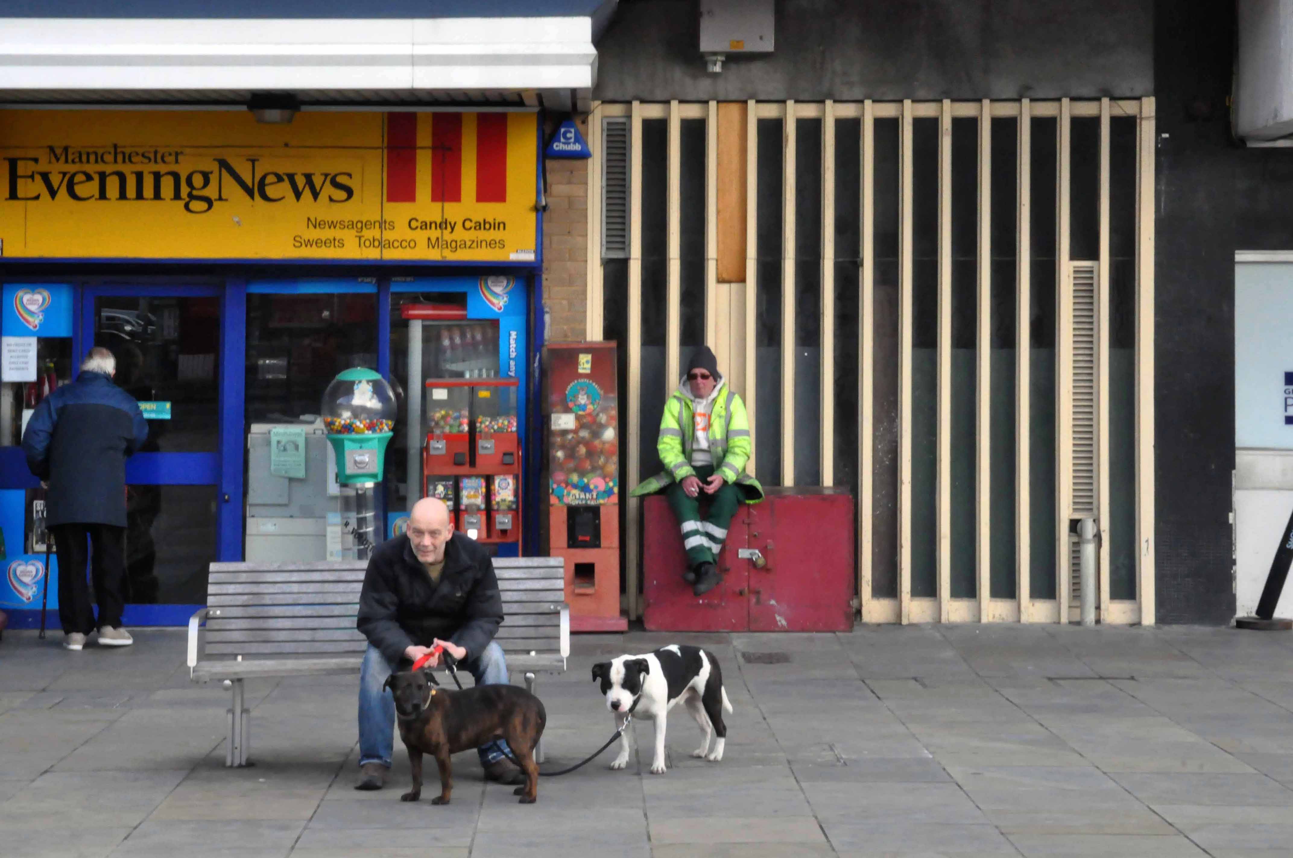
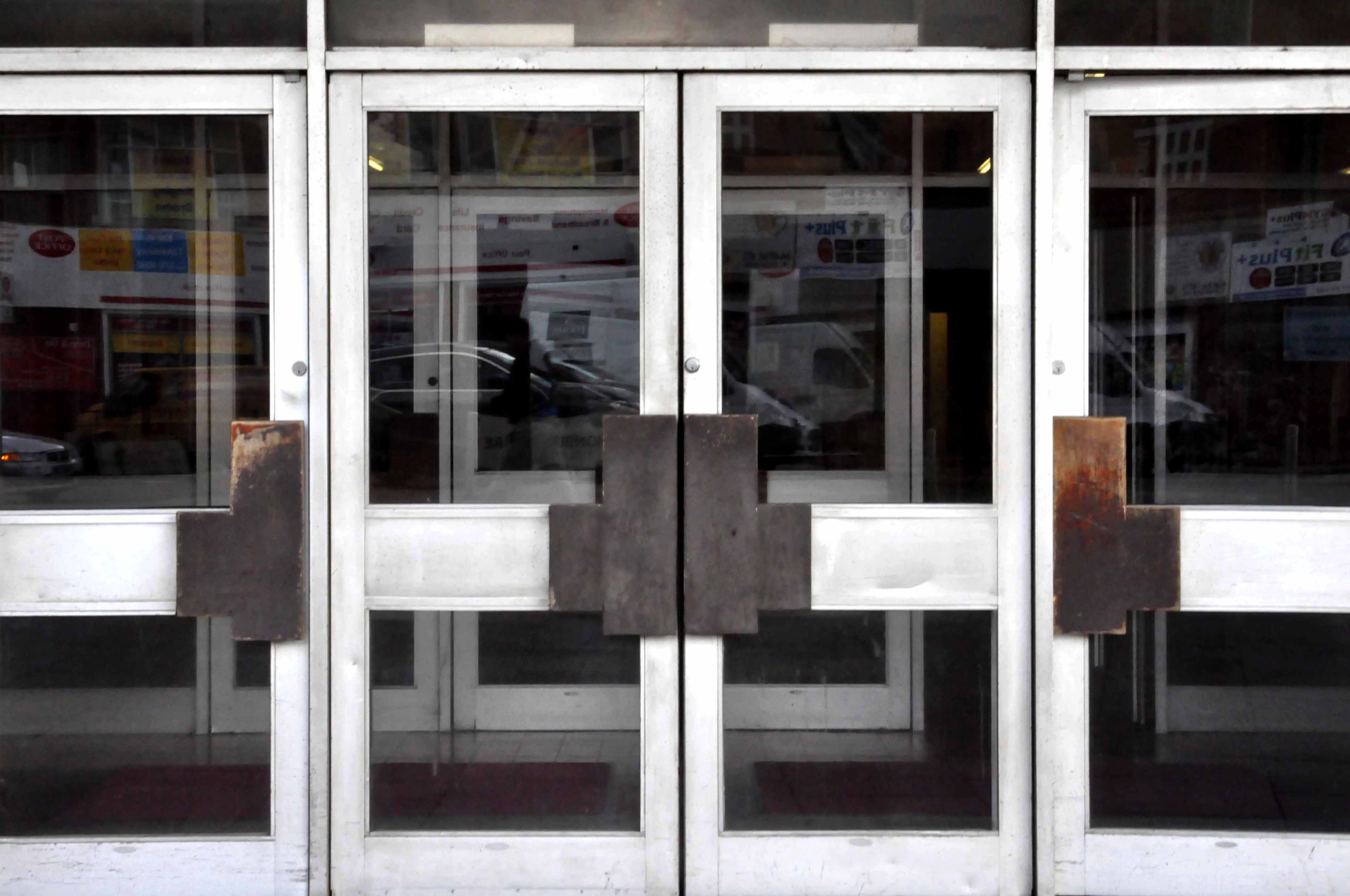
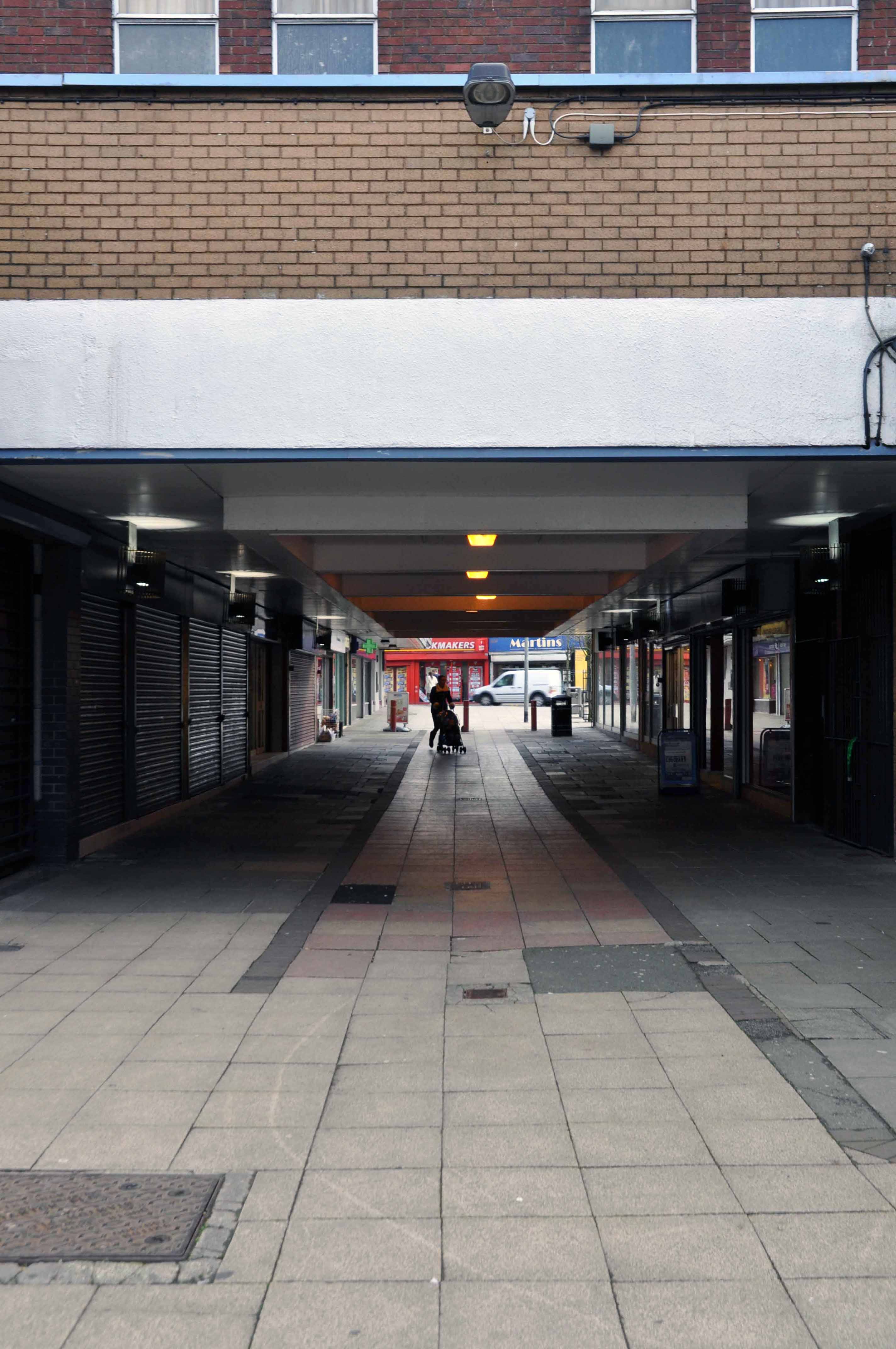
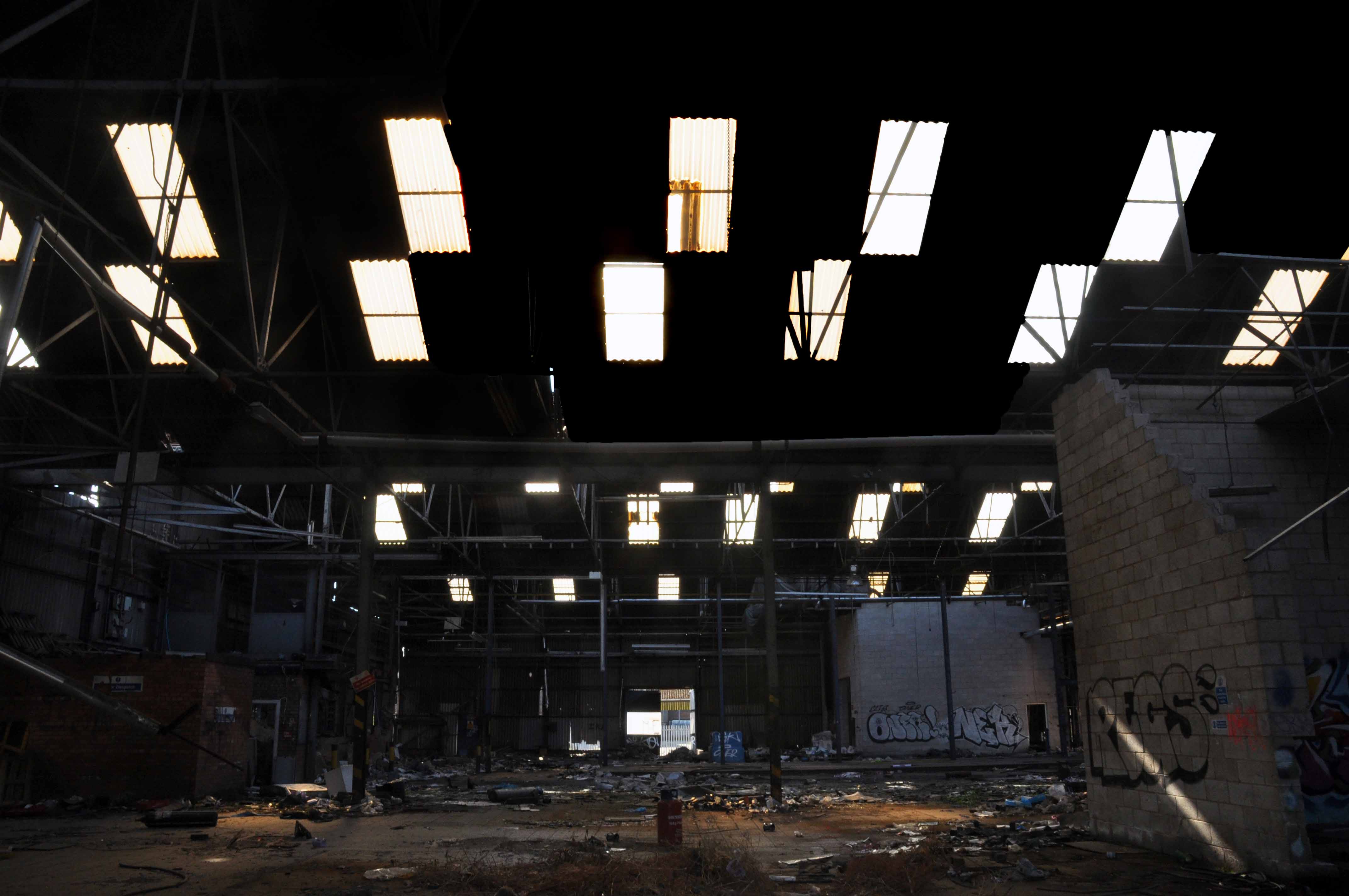
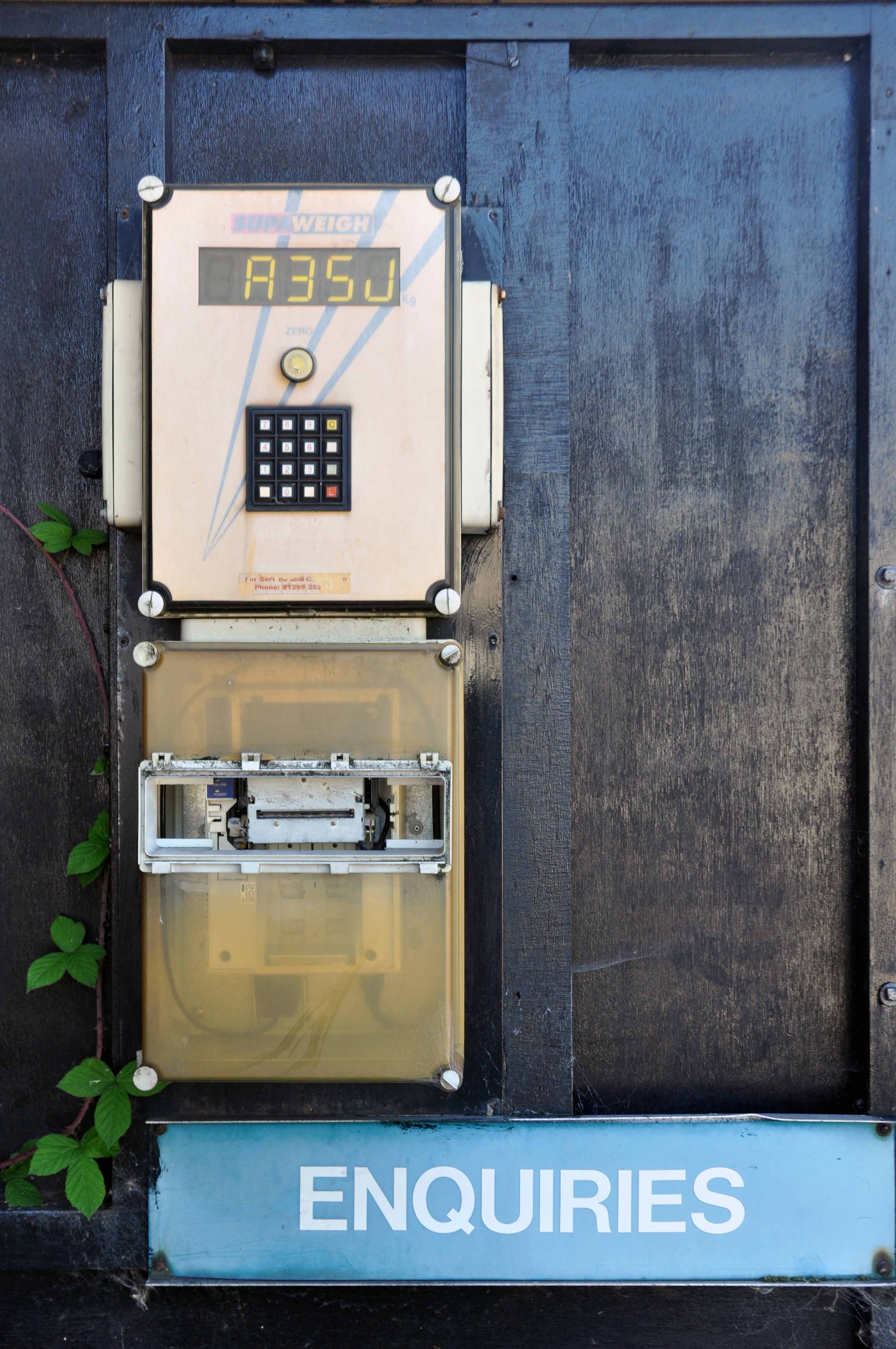
Hard by the seafront linking Foreshore, Cleveland Way and Valley Road sits a neat little tight little island, giving pedestrian access to almost everywhere – and a car park.
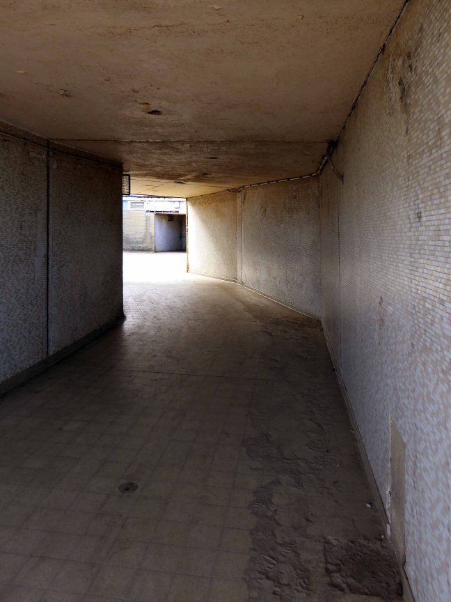
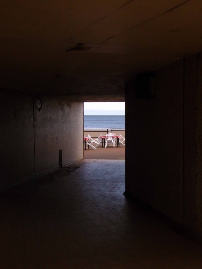
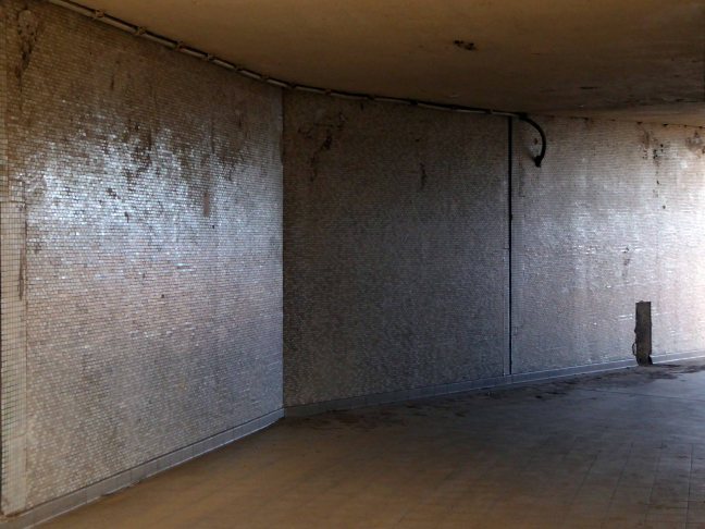
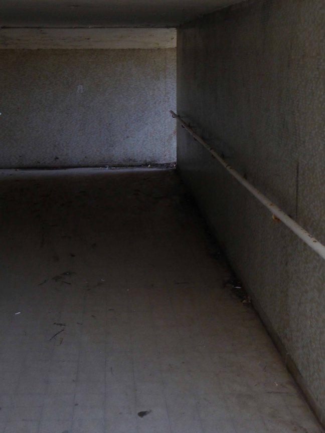
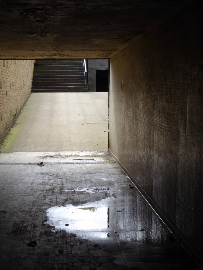
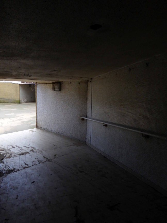
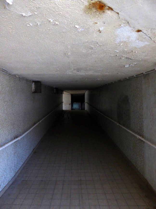
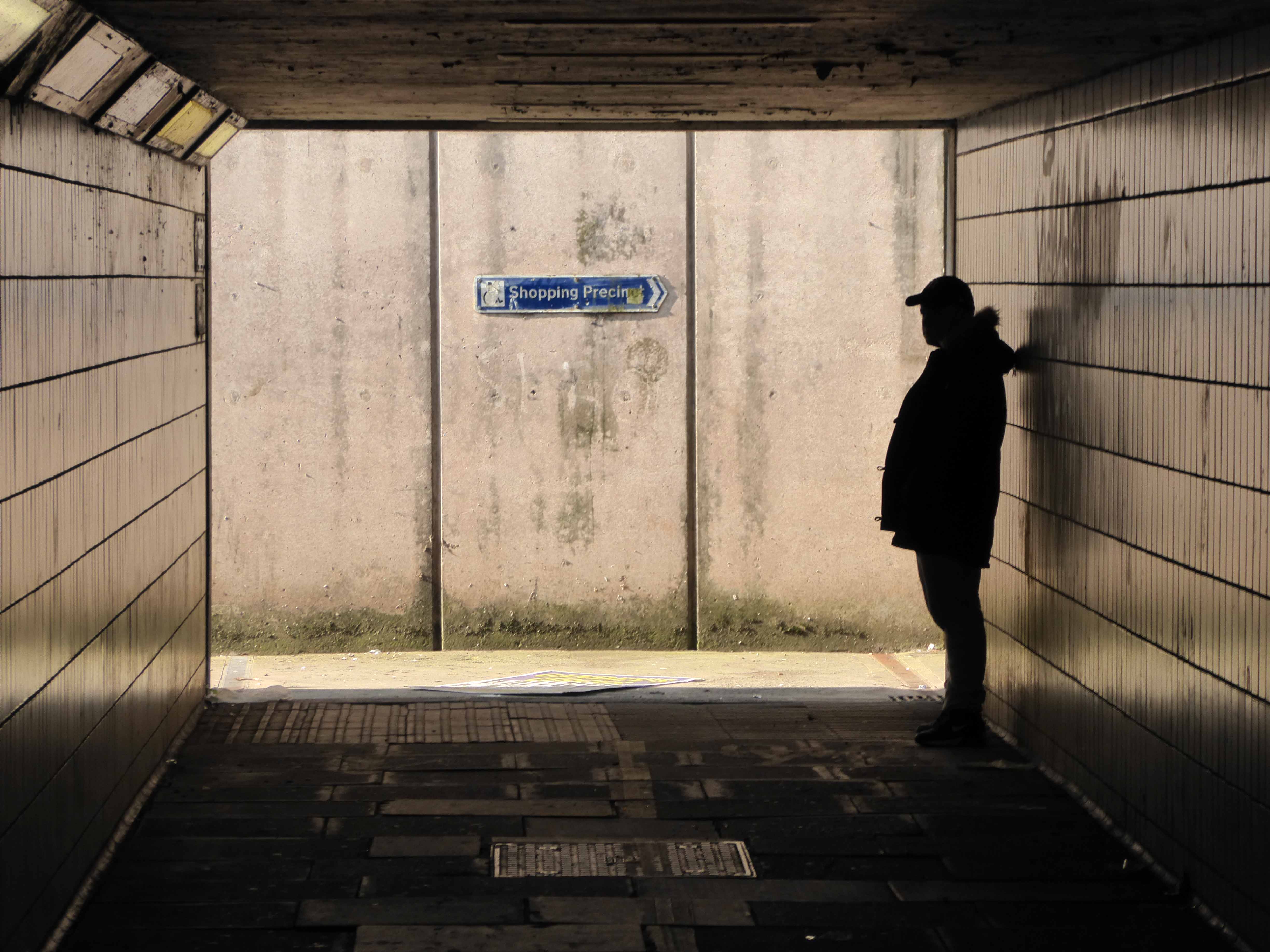
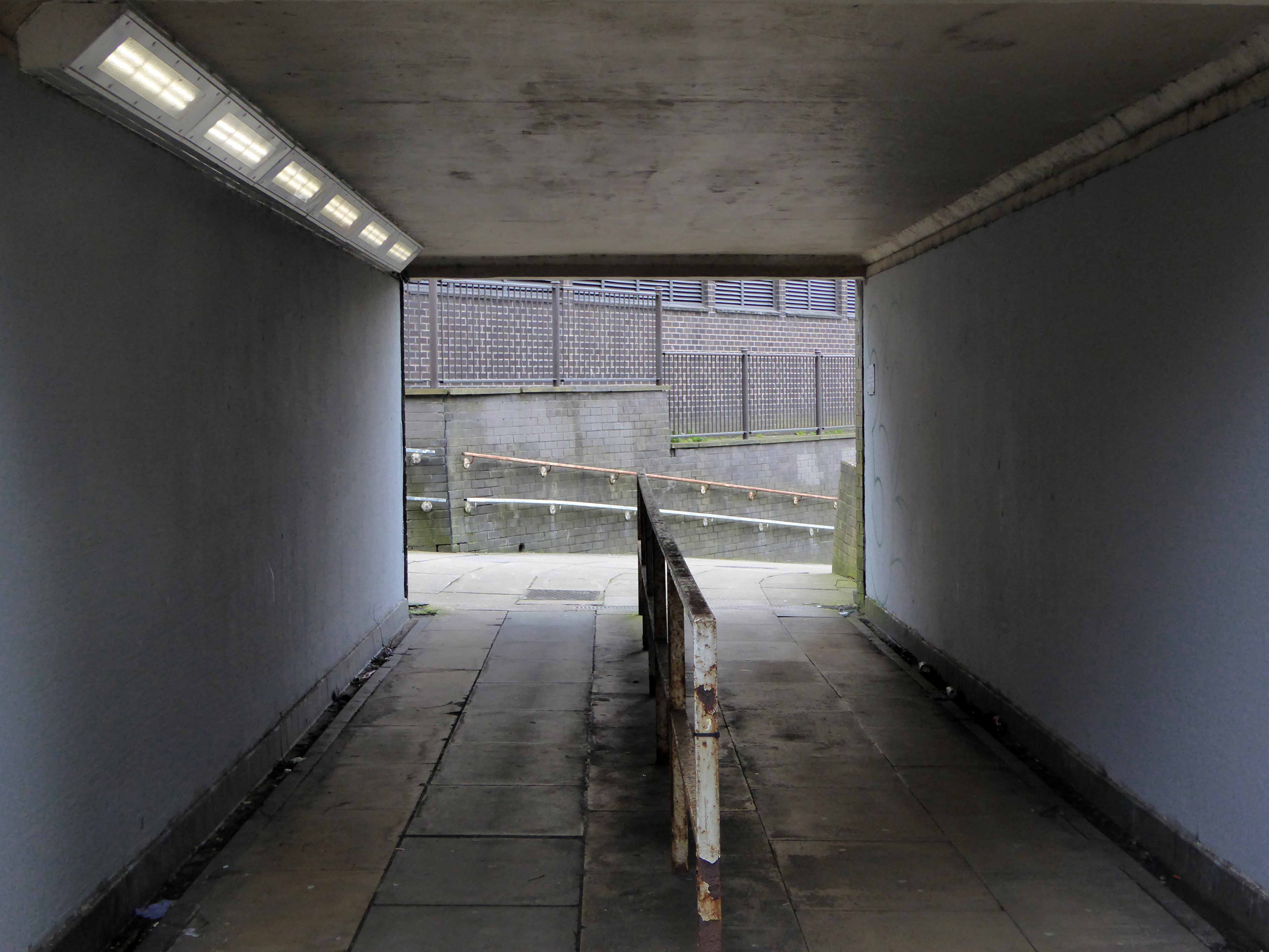
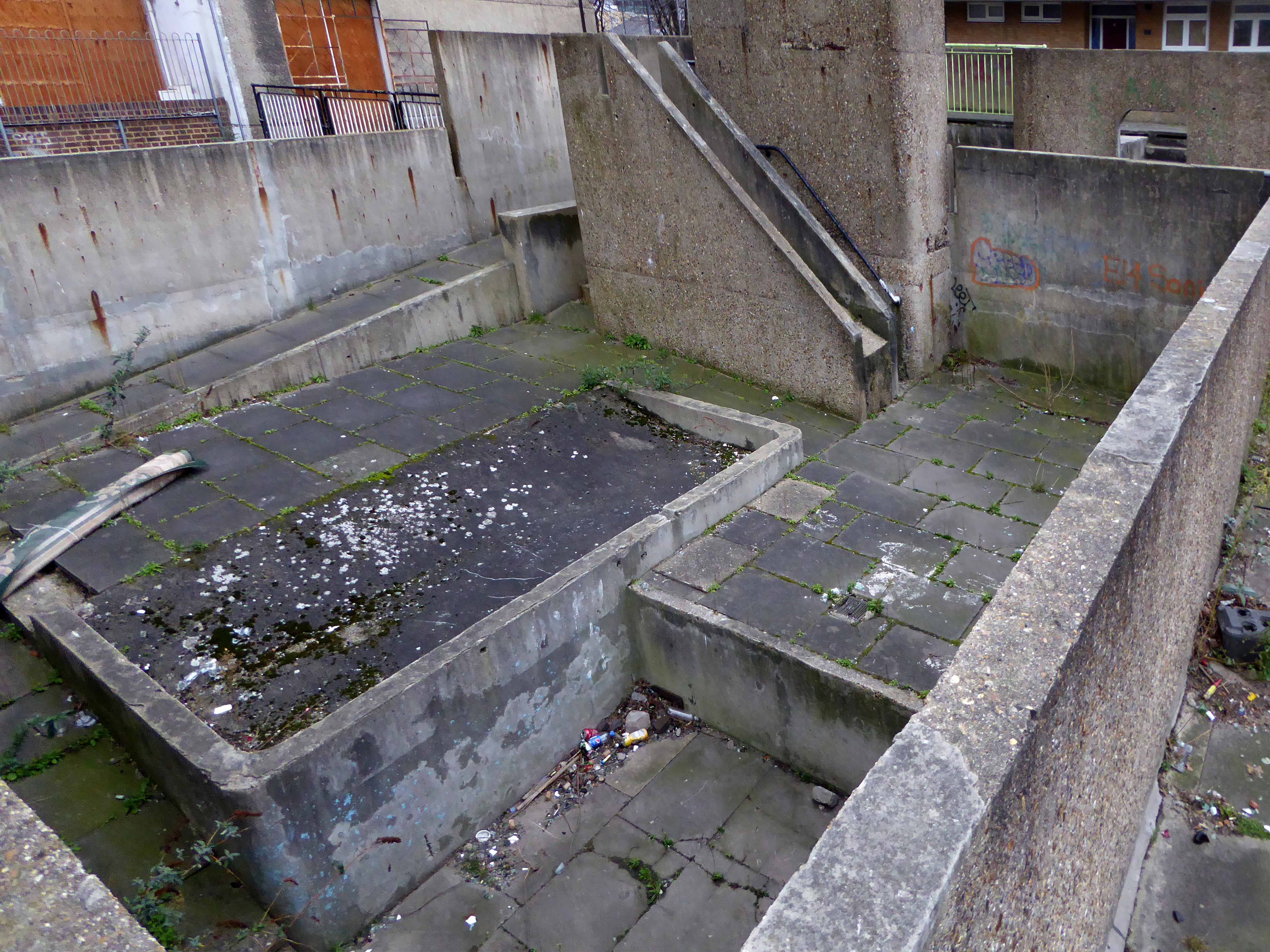
As with every other torus worth calling a torus, at its very centre sits the presence of absence, darkened concrete subterranean causeways, linking everything to nothing.
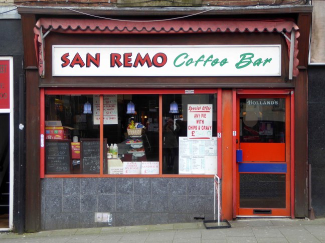
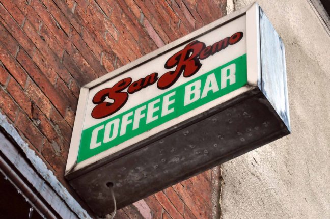
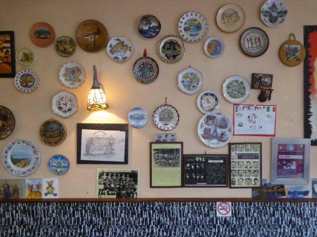
Sanremo or San Remo is a city on the Mediterranean coast of western Liguria in north-western Italy. Founded in Roman times, it has a population of 57,000, and is known as a tourist destination on the Italian Riviera. It hosts numerous cultural events, such as the Sanremo Music Festival and the Milan–San Remo cycling classic.
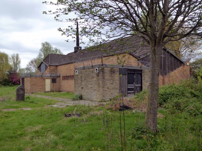
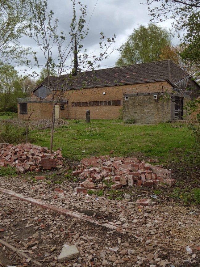
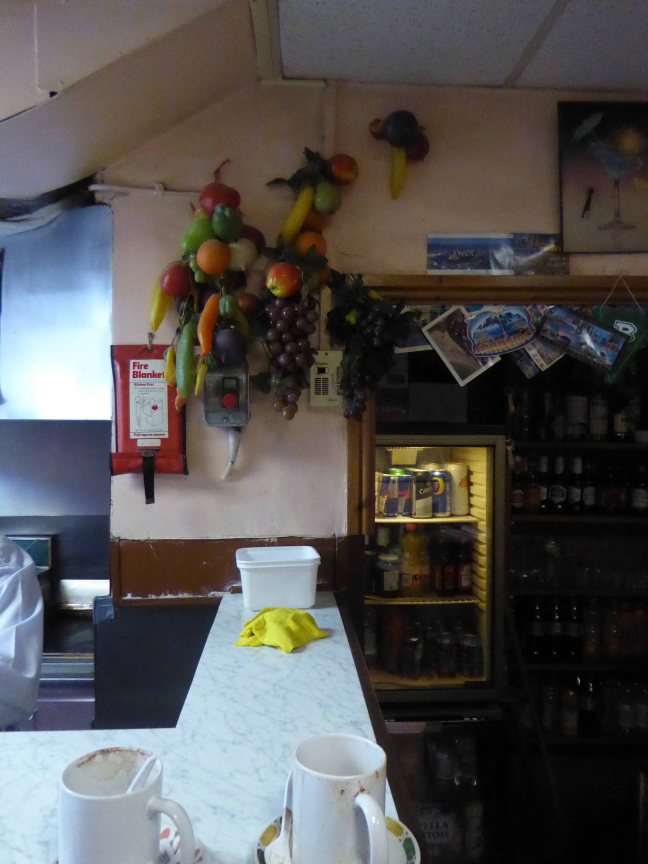
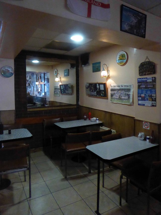
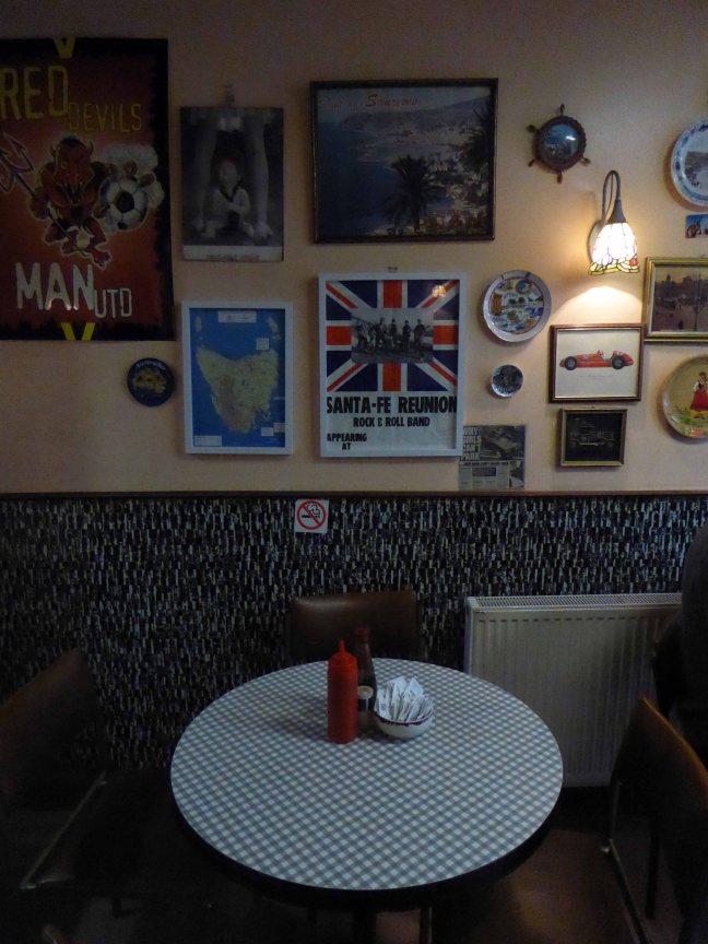
Rochdale is a market town in Greater Manchester, England, positioned at the foothills of the South Pennines on the River Roch, 5.3 miles north-northwest of Oldham, and 9.8 miles north-northeast of the city of Manchester. Rochdale is surrounded by several smaller settlements which together form the Metropolitan Borough of Rochdale, population 211,699. Rochdale is the largest settlement and administrative centre, with a total population of 107,926. Home to the Cooperative Movement, Rochdale AFC and a redundant cotton industry.
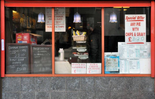
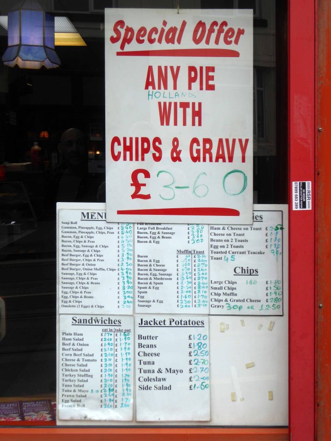
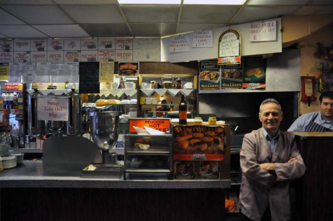
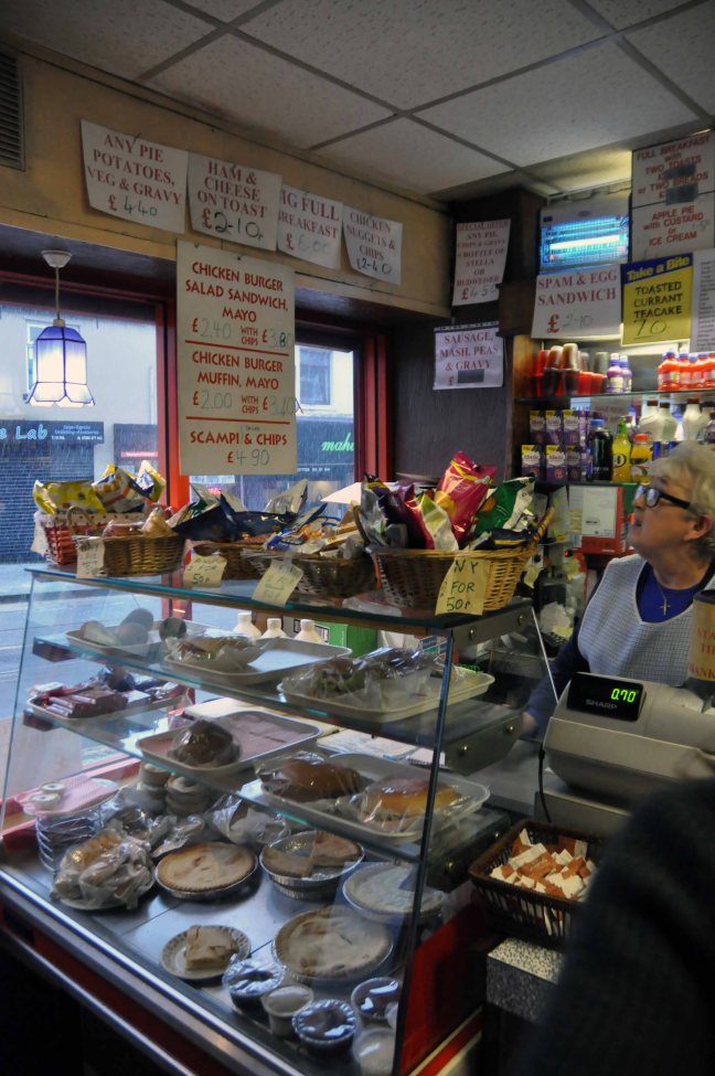
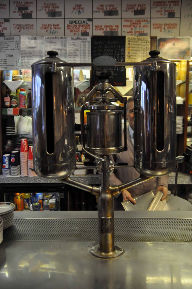
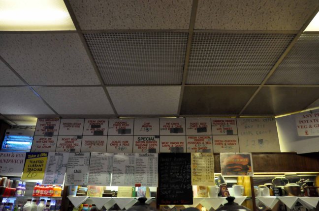
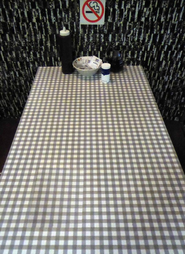
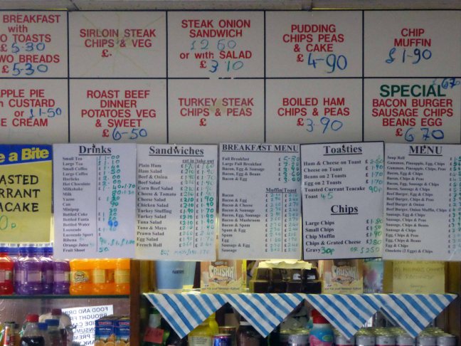
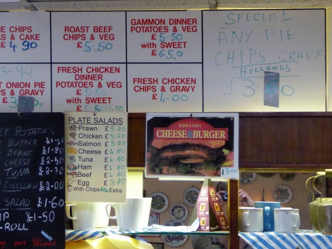
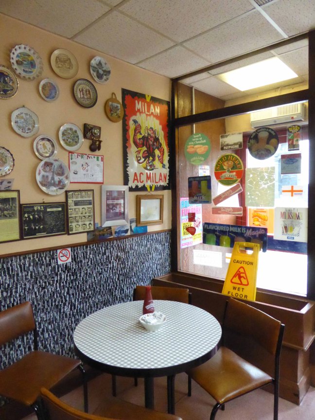
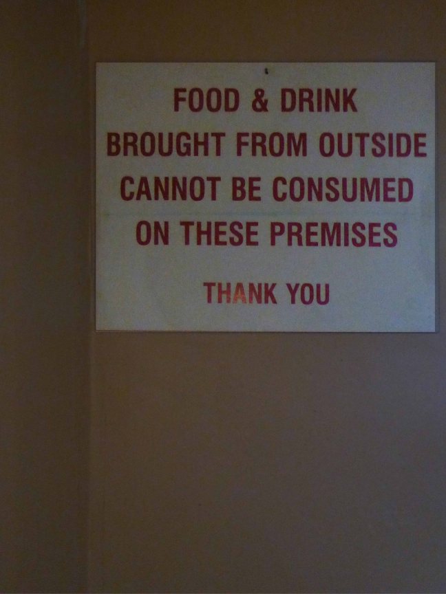
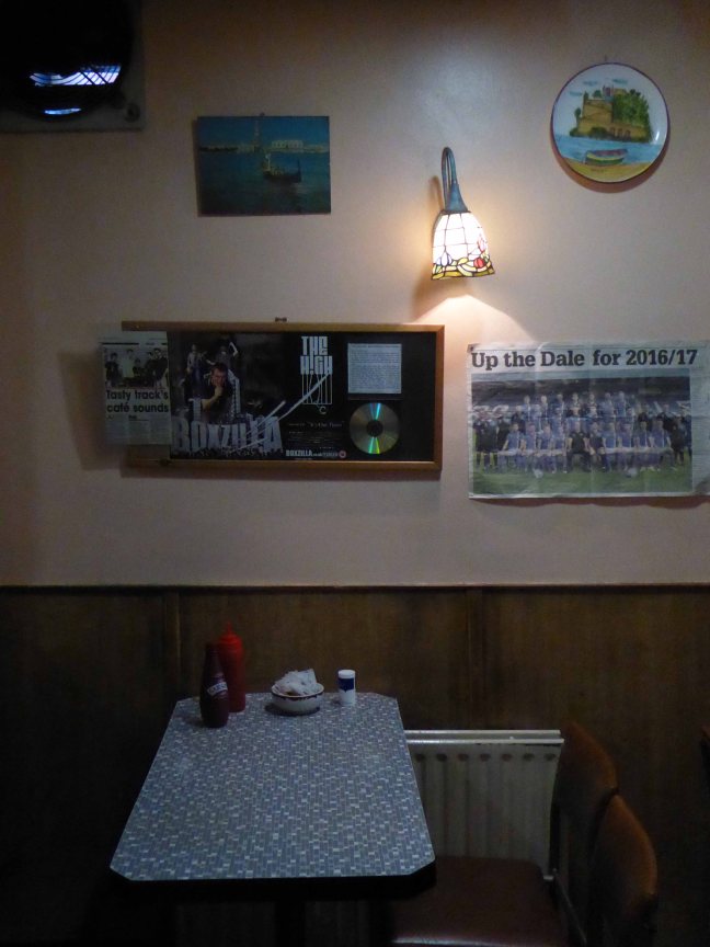
The two towns come together at 27 Drake Street, Rochdale, Lancashire OL161RX, home to a fine café and Italian born Tony and family. It has a well preserved menu that reflects industrial Lancastrian tastes rather than flavours of Liguria. It has an internal decorative order that is pure mid century a la mode – Pennine Style. Several more than several signs leave you in no doubt as to the availability of pies, pies with chips/potatoes, peas, gravy, veg – pies of all varieties, pies.
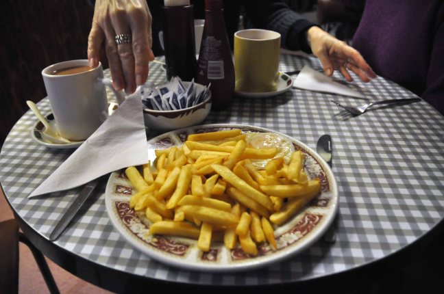
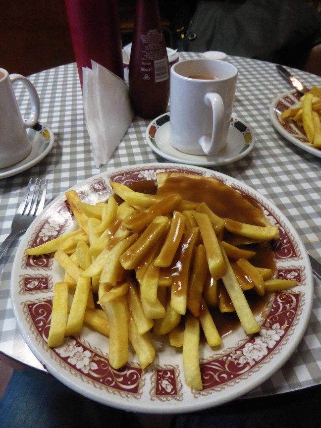
So pie, chips, peas and gravy it was, with a mug of tea – it always is.
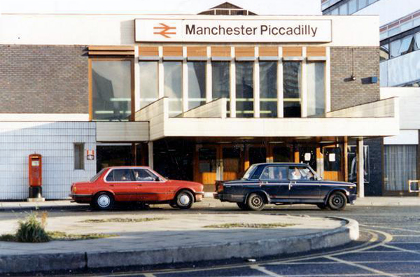
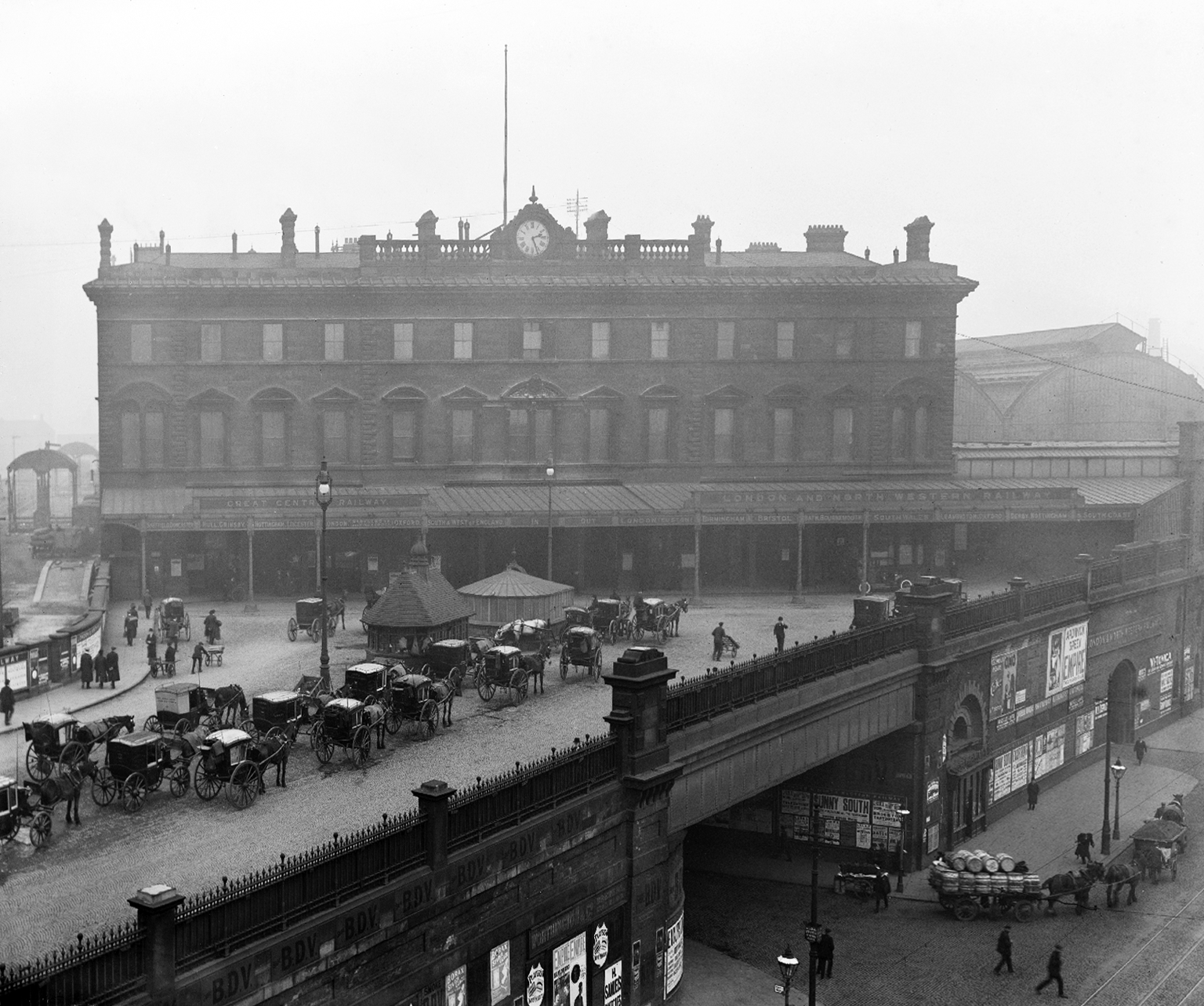
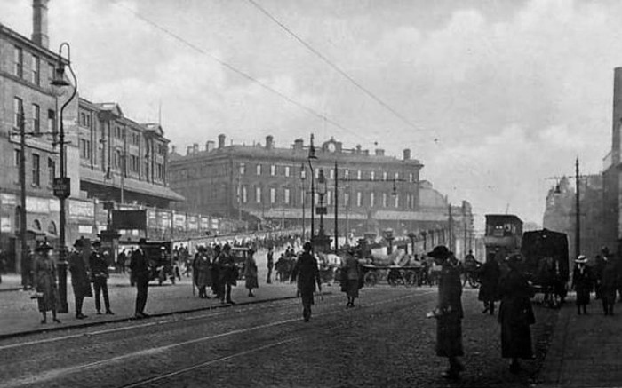
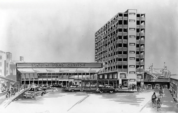
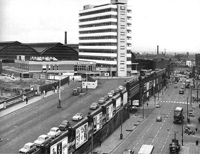
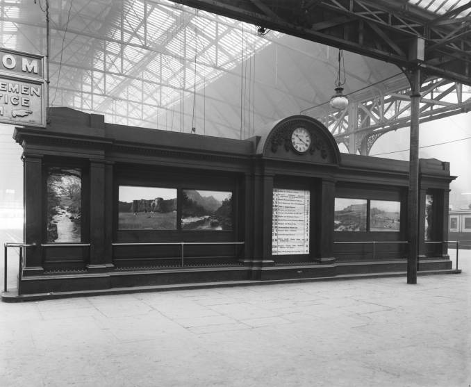
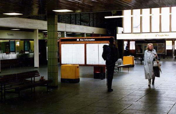
The station was originally built as Store Street Station by the Manchester and Birmingham Railway in 1842, before being renamed London Road Station in 1847. It was shared by the Sheffield, Ashton-under-Lyne & Manchester Railway and it has been rebuilt and added to a number of times, with two news spans added to the train shed roof in 1881 and island platforms added linking to Manchester Oxford Road in 1882 (replacing two old Manchester, South Junction and Altrincham Railway platforms which were built next to the station).
An imposing classical façade with a substantial cast iron and glass train shed, the approach sloping up to the frontage, as of necessity the line entered the city on a raised trackbed.
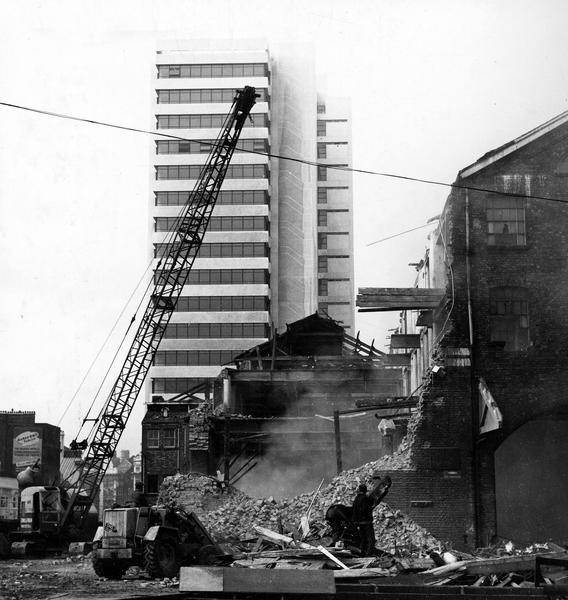
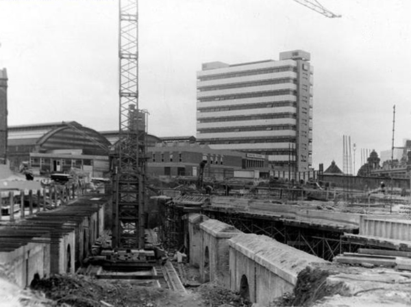
Initially the approach was lined with railway warehousing, subsequently demolished to make way for the redevelopments of the 1960s.
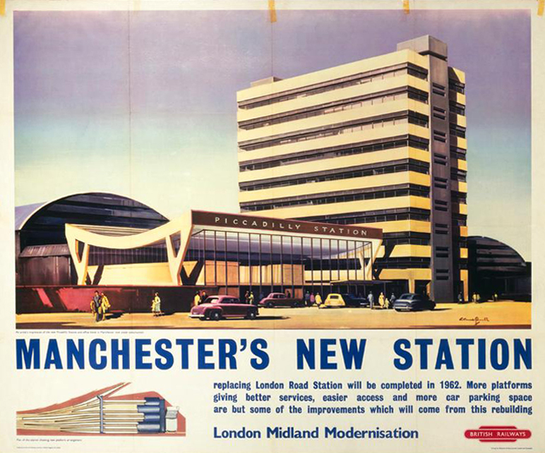
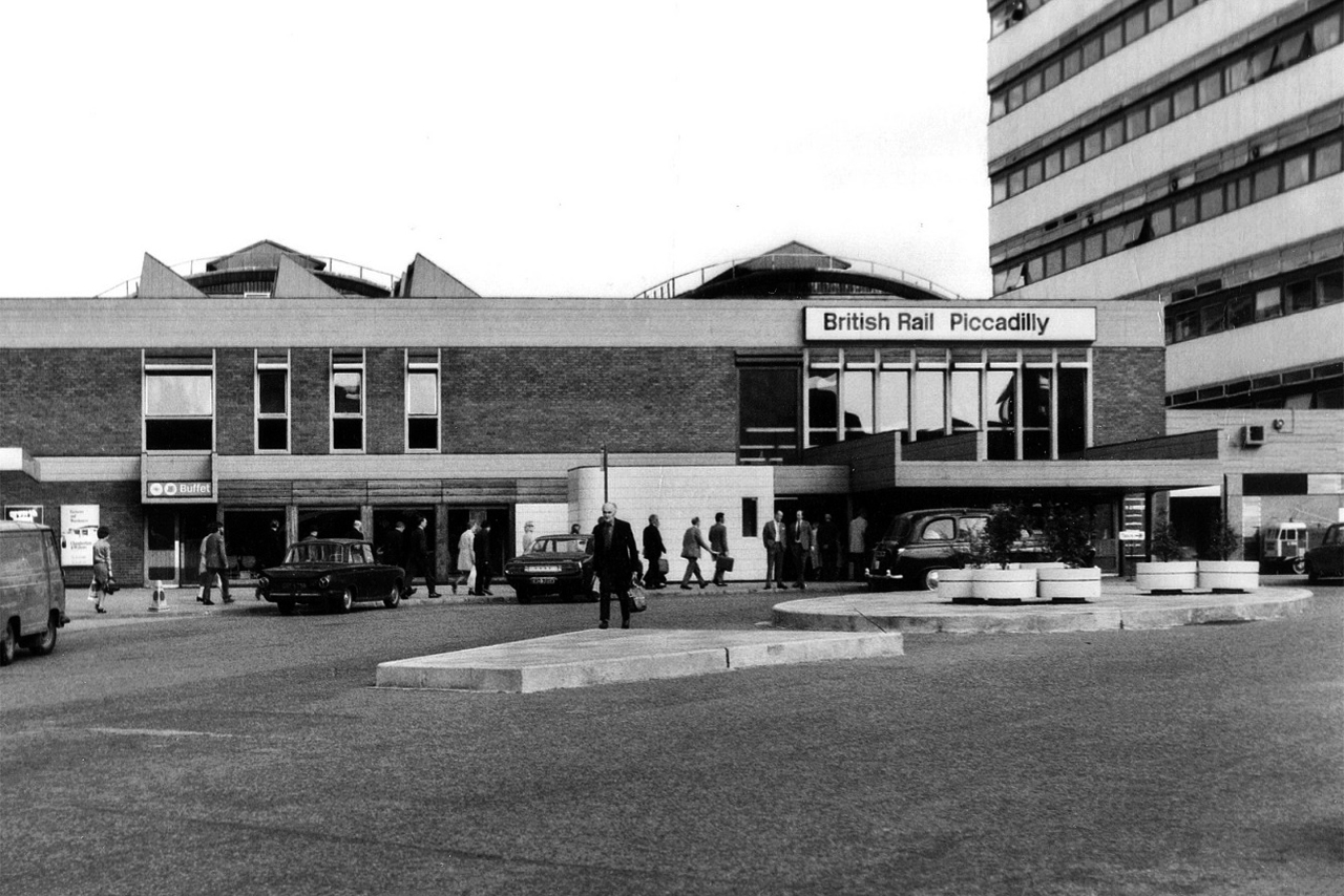
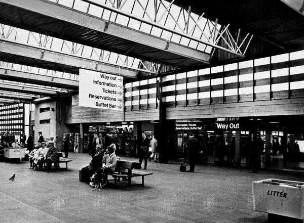
Detailed plans are made to reshape the station concourse and entrance.
Dreams are turned into reality, as near as makes no difference.
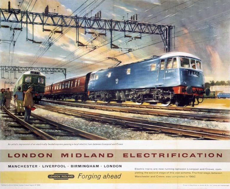
The newly electrified lines opening up the city to a world of high speed intercity travel.
The Krays it seems were deemed to be unwelcome visitors, everyone else came and went, met with equanimity and a bright new modernist vista.
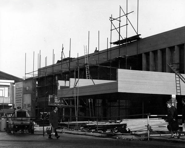
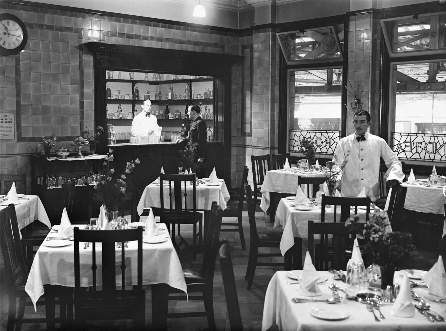
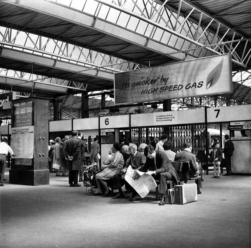
The brand new shiny buffet replaces the archaic dining rooms, as Brylcreemed, bow tied and moustachioed waiters are consigned to the scrapheap of history.
Likewise the gloomy destination boards – out with the old!
And in with the new.
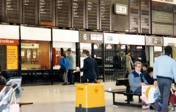
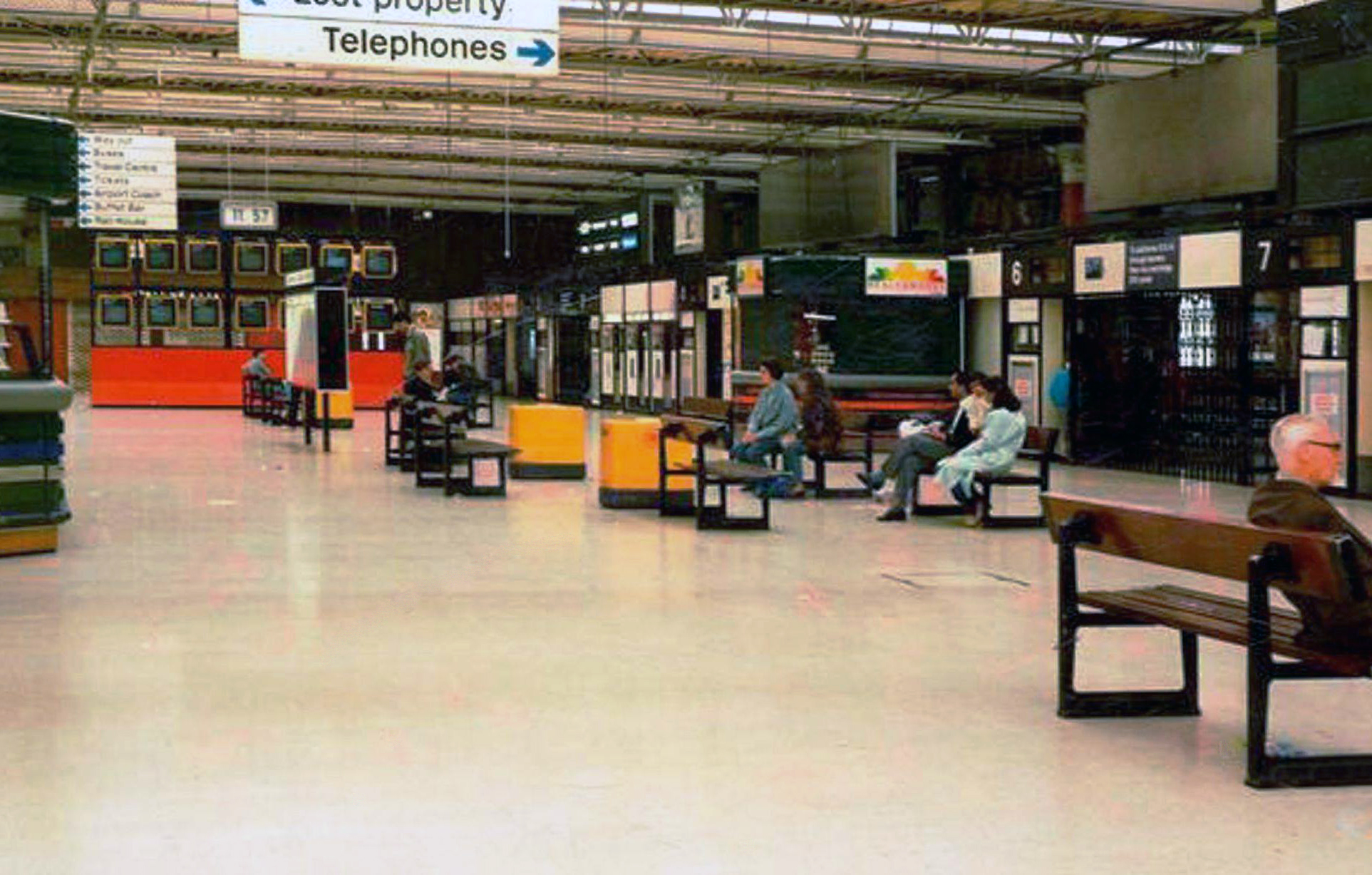
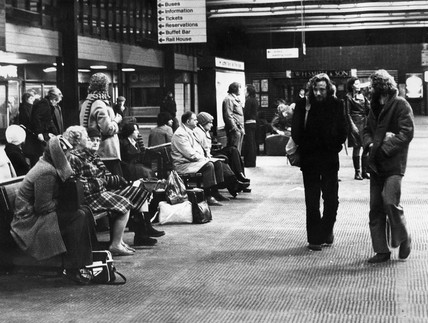
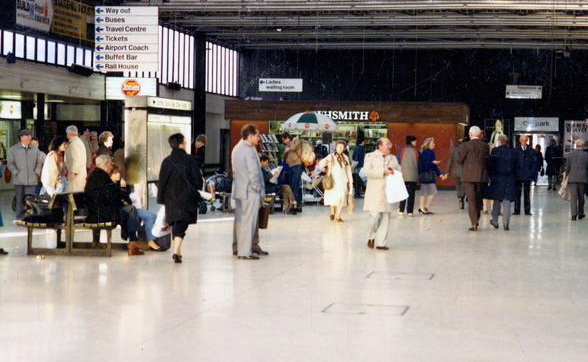
We have a fully integrated modern interior to deal with the modern passengers’ every need – including crystal clear signage, seating and bins.
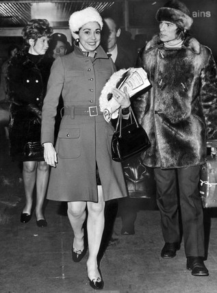
Stars of screen and stage are guided through with consummate ease, Margot Fonteyn and Rudolf Nureyev in his brand new baby seal skin coat arrive in 1968 to dance Swan Lake at the Palace.
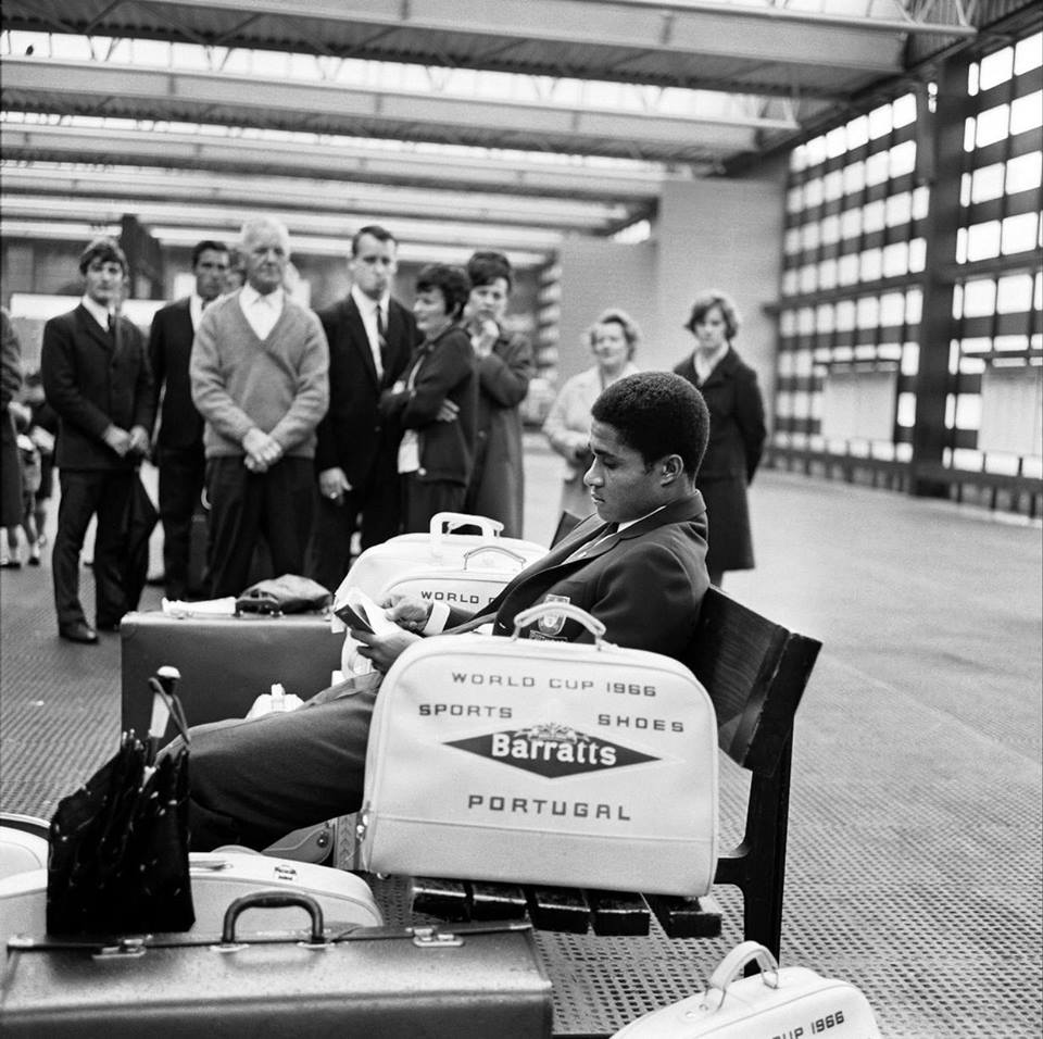
Esteemed footballer Eusebio on his travels during the 1966 World Cup.
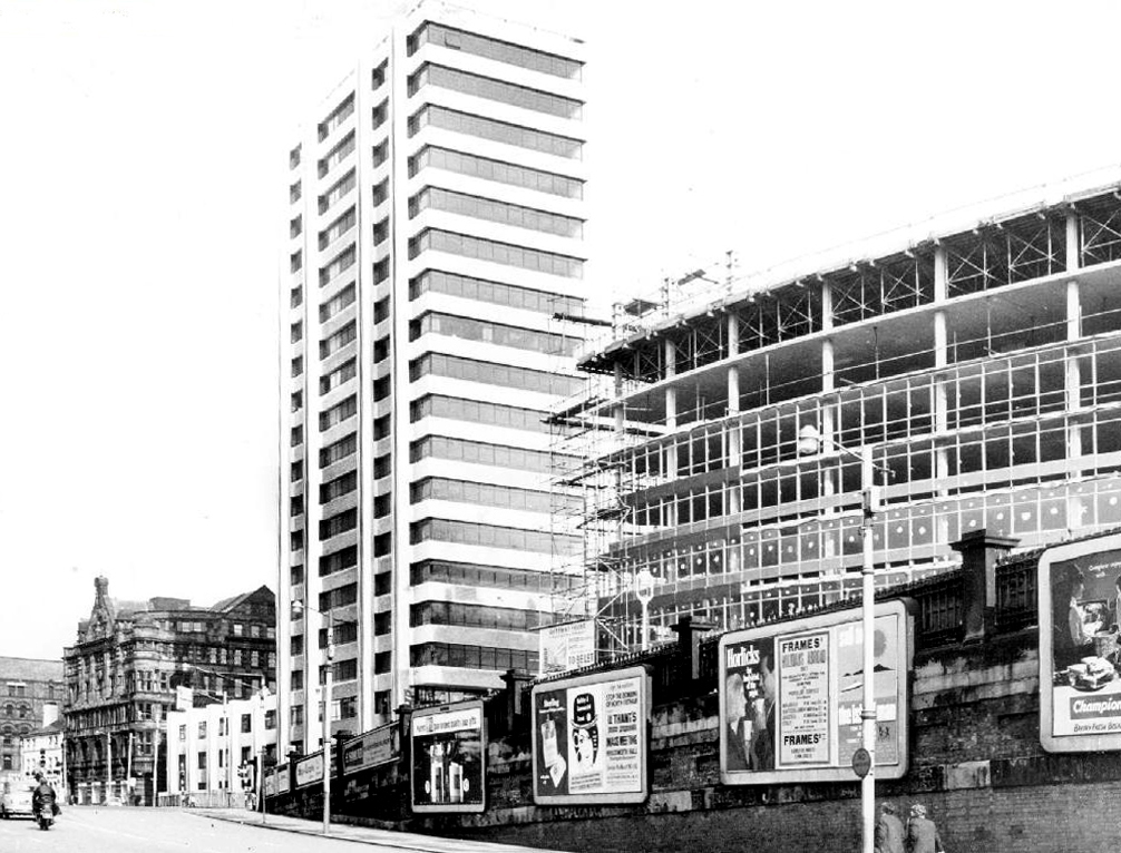
In 1969 Gateway House arrives, Richard Sieffert & Partners wavy hello and goodbye to Manchester’s premier railway station.
Piccadilly has now seen several revamps, the concourse an exercise in contemporary cluttered retail/airport chic, a 125mph Pendolino journey away from the carefully considered internal order of yesteryear.
Who knows what the future holds?
HS2 to name but one – sit back let the train take the strain.
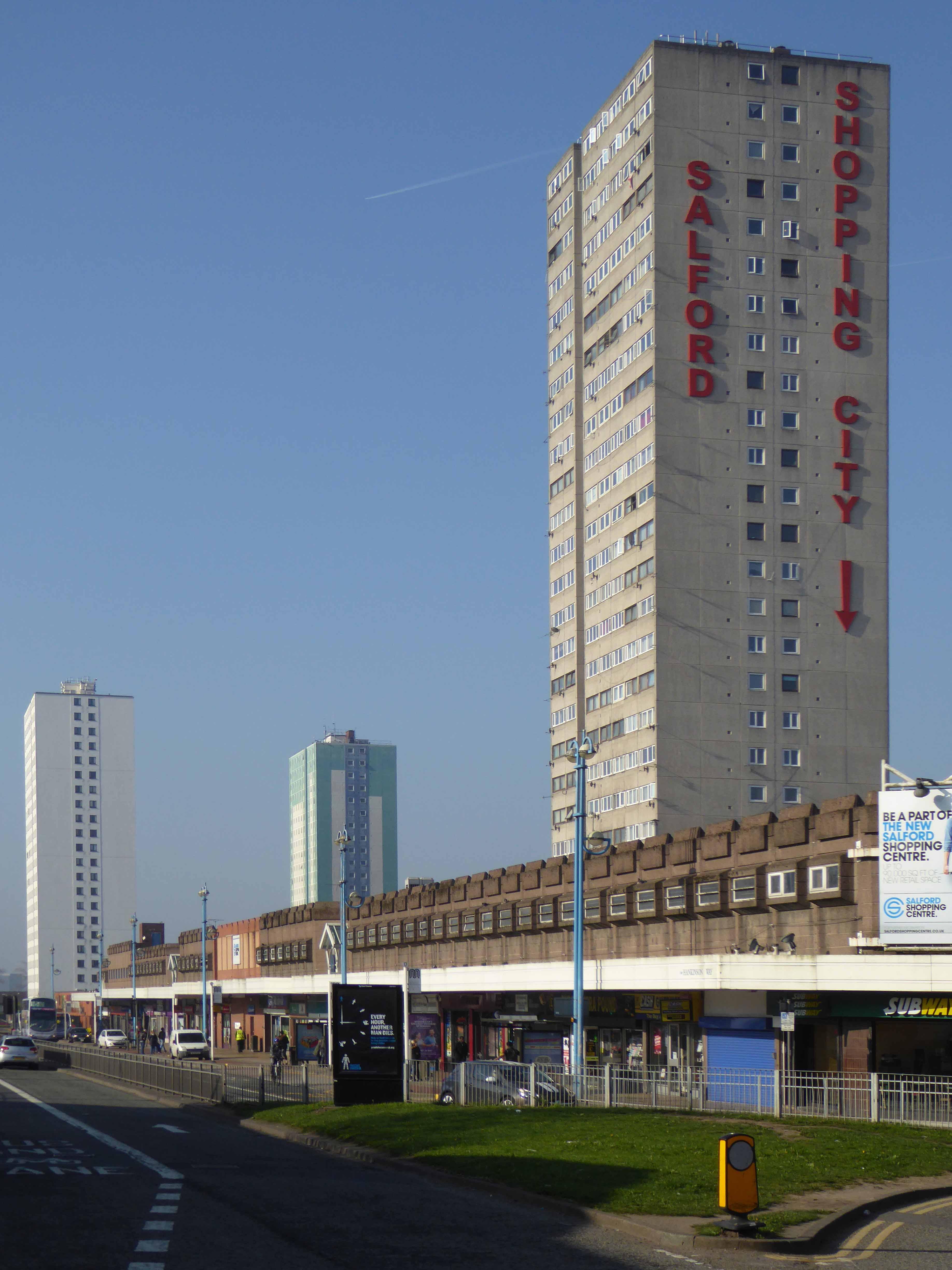
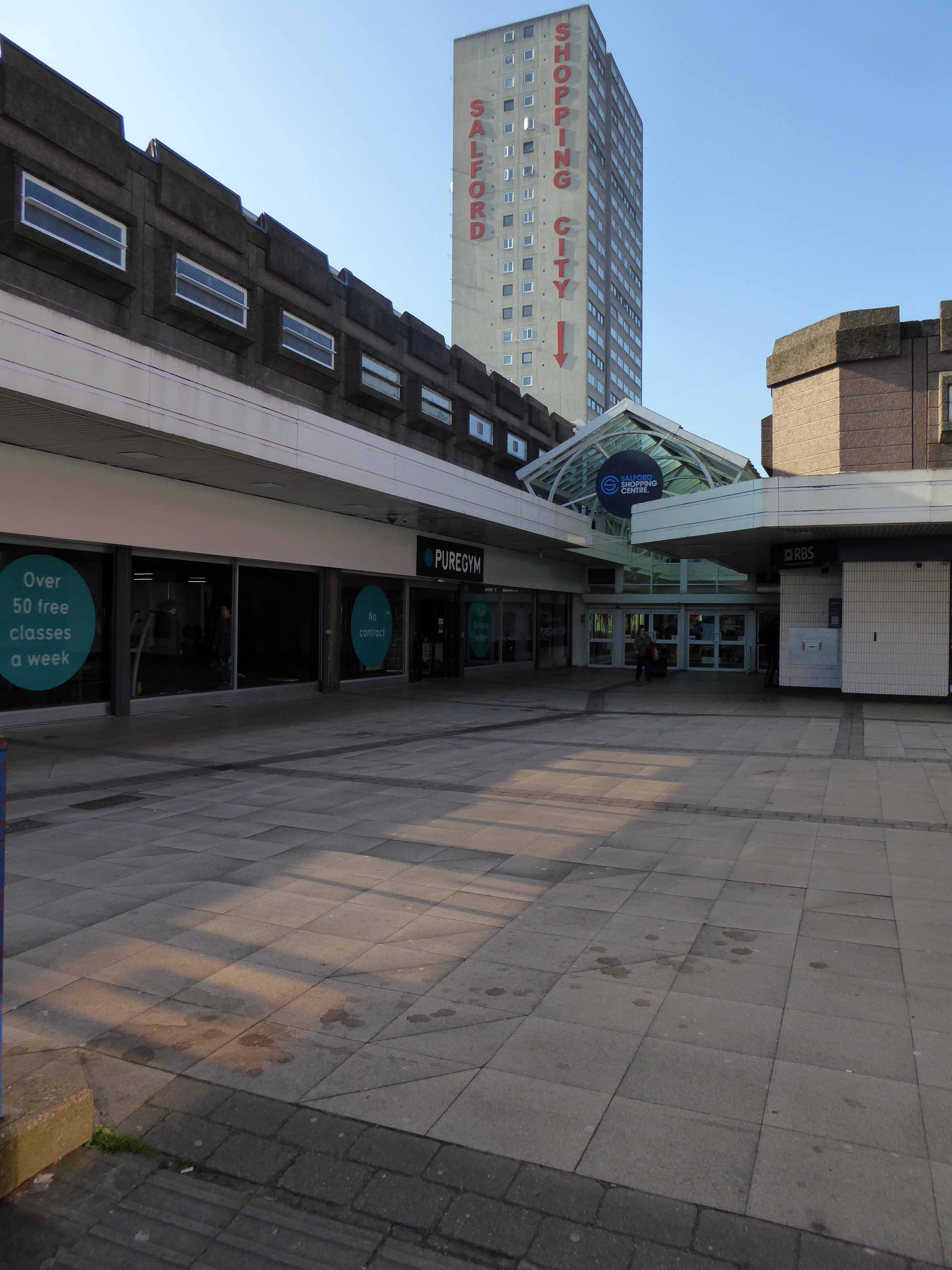
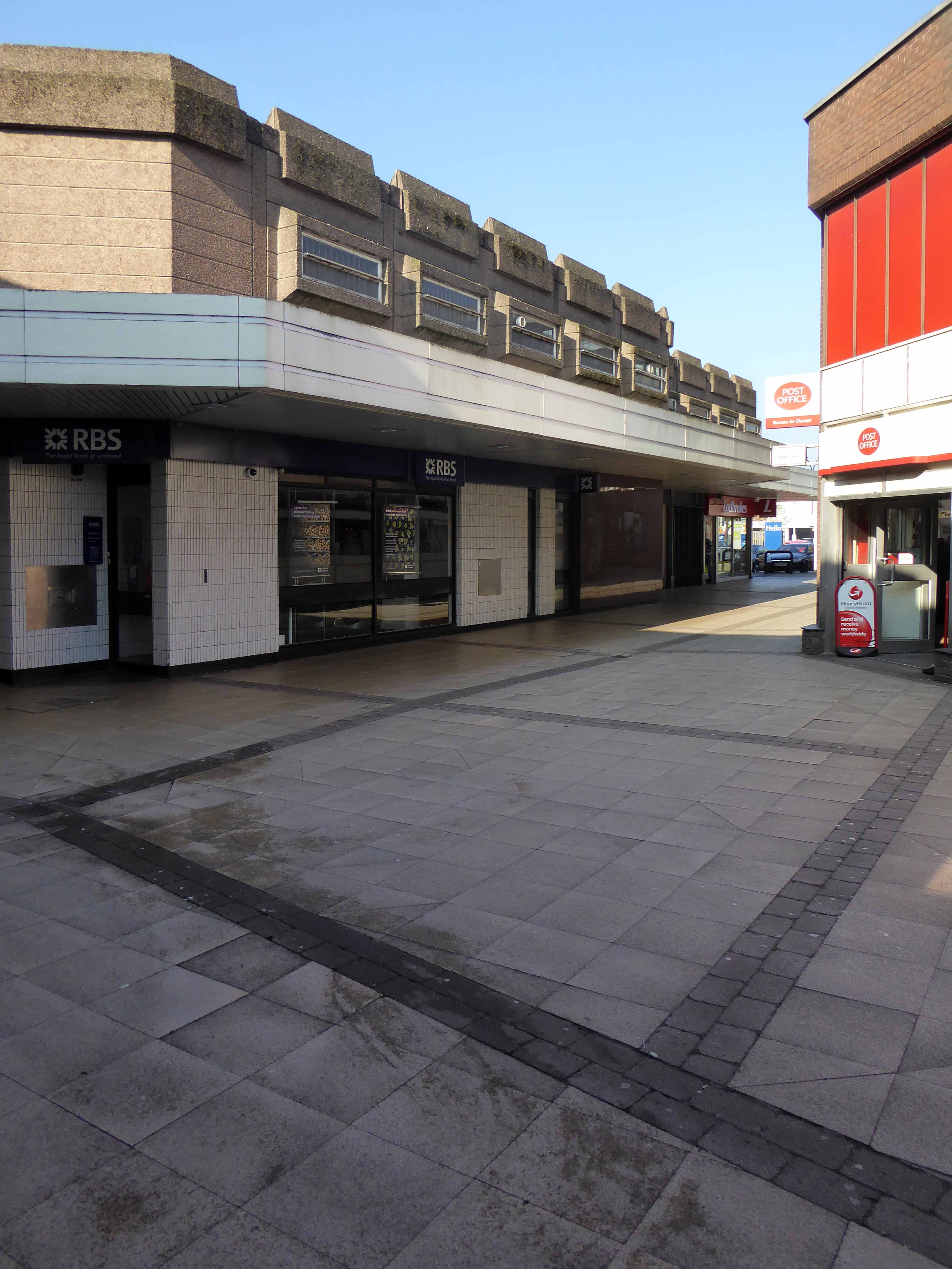
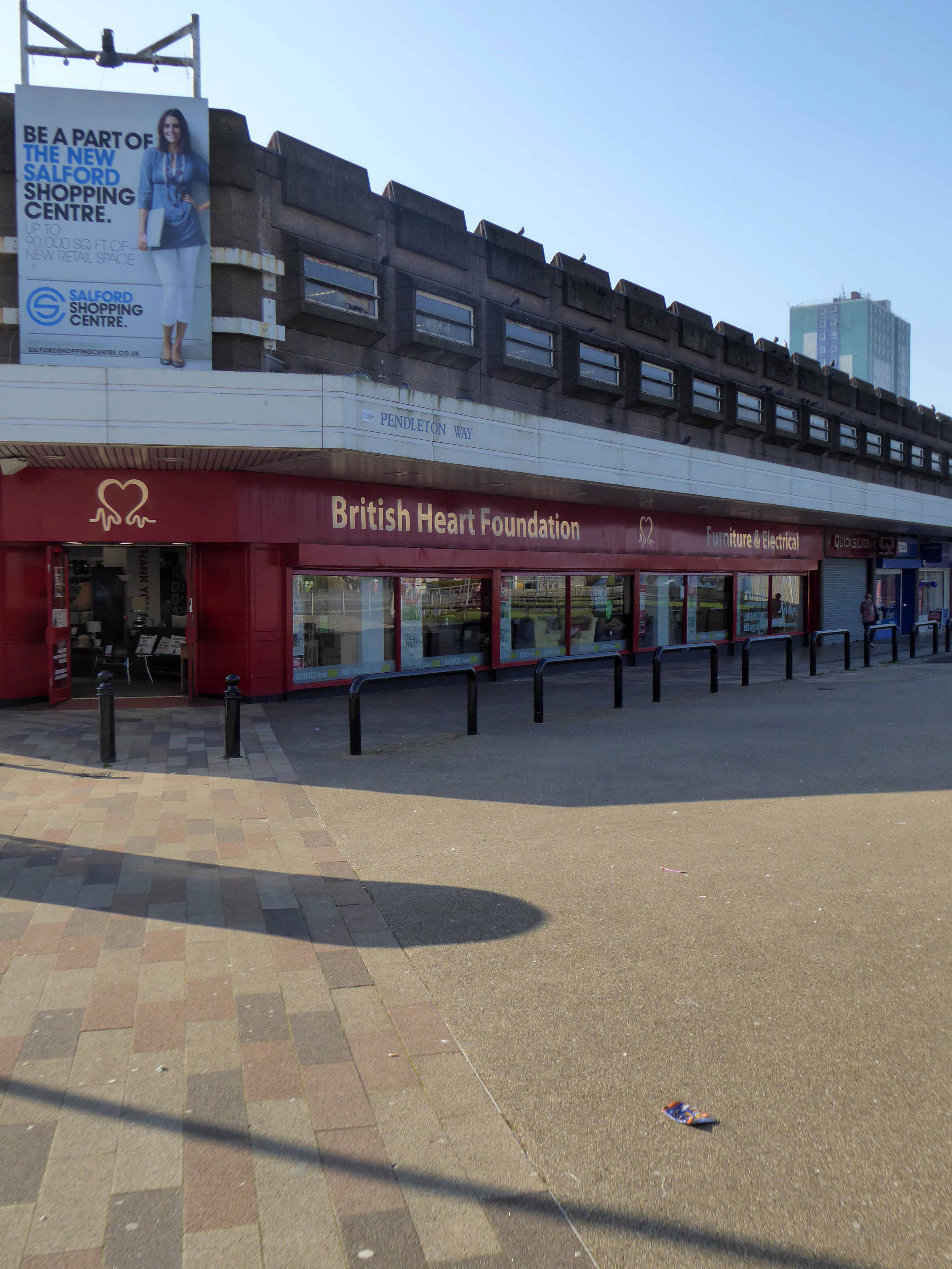
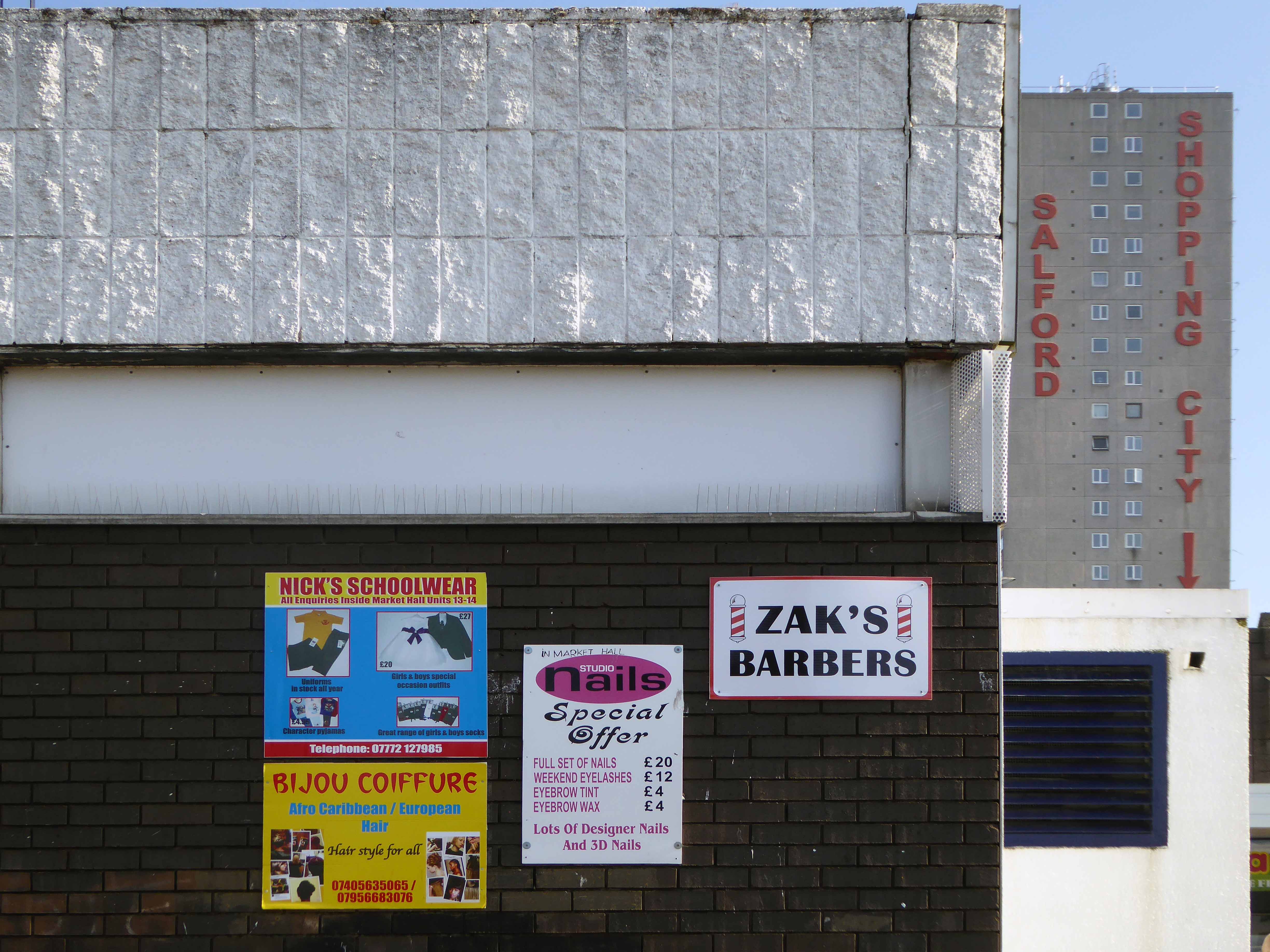
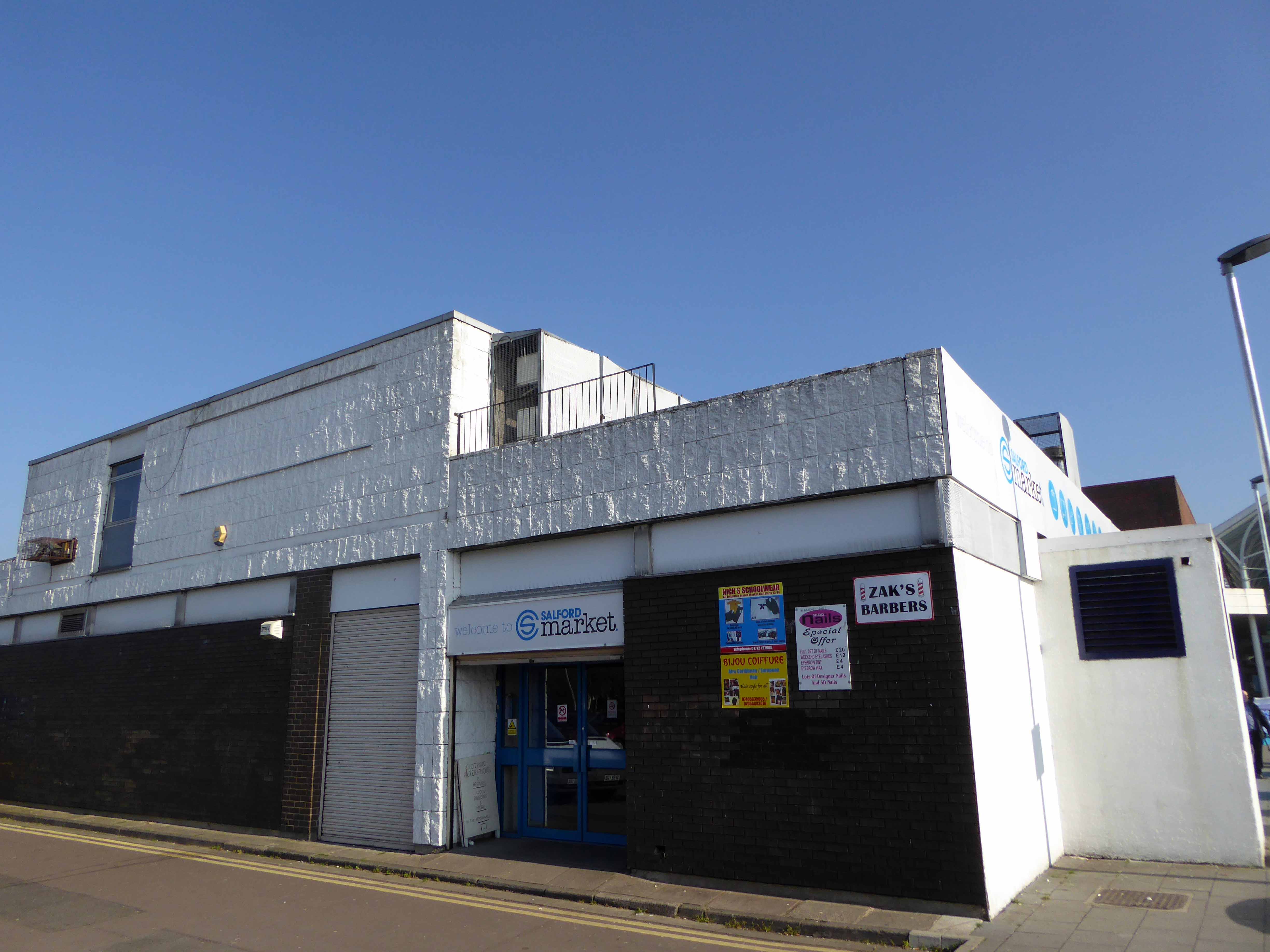
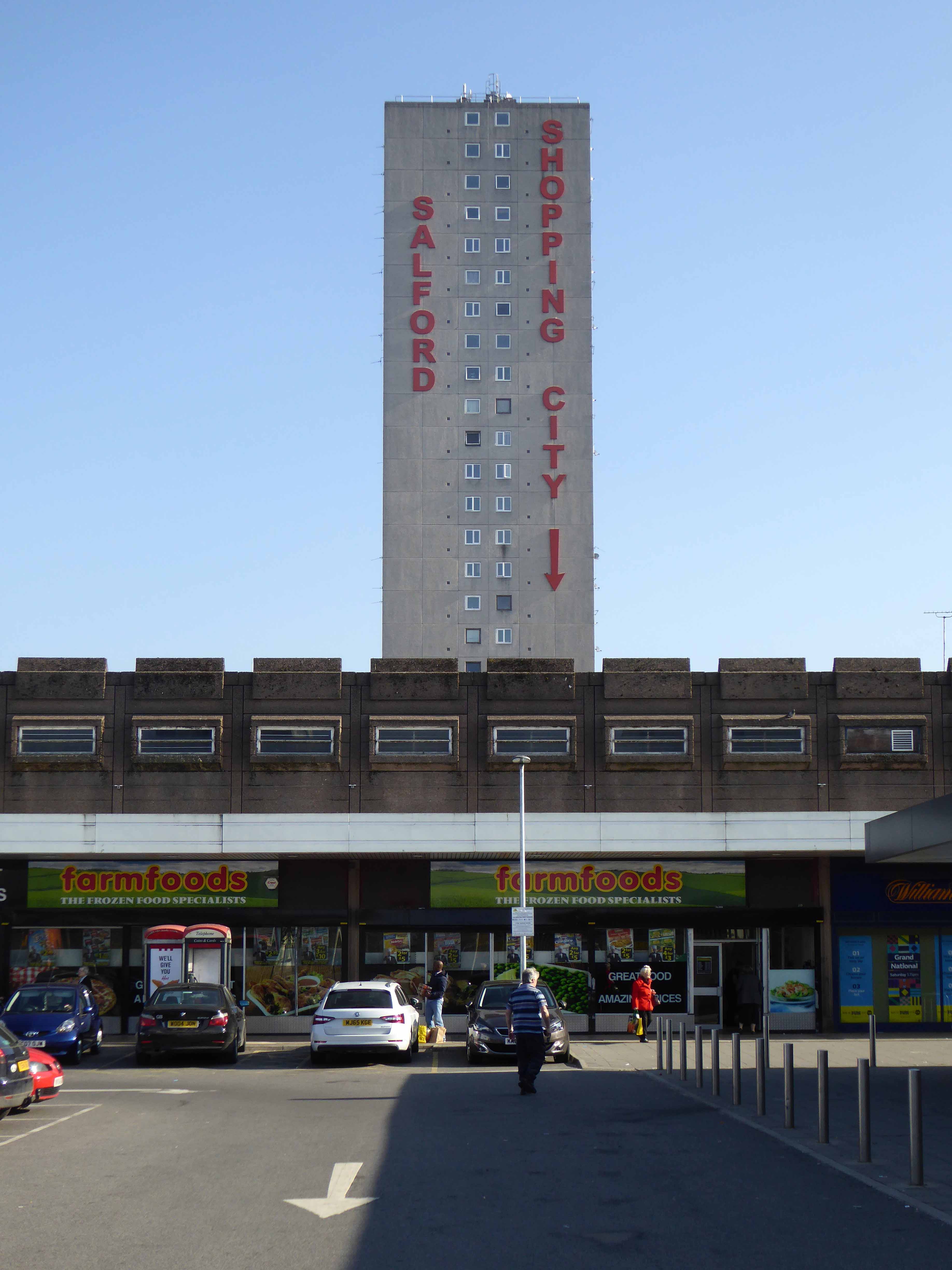
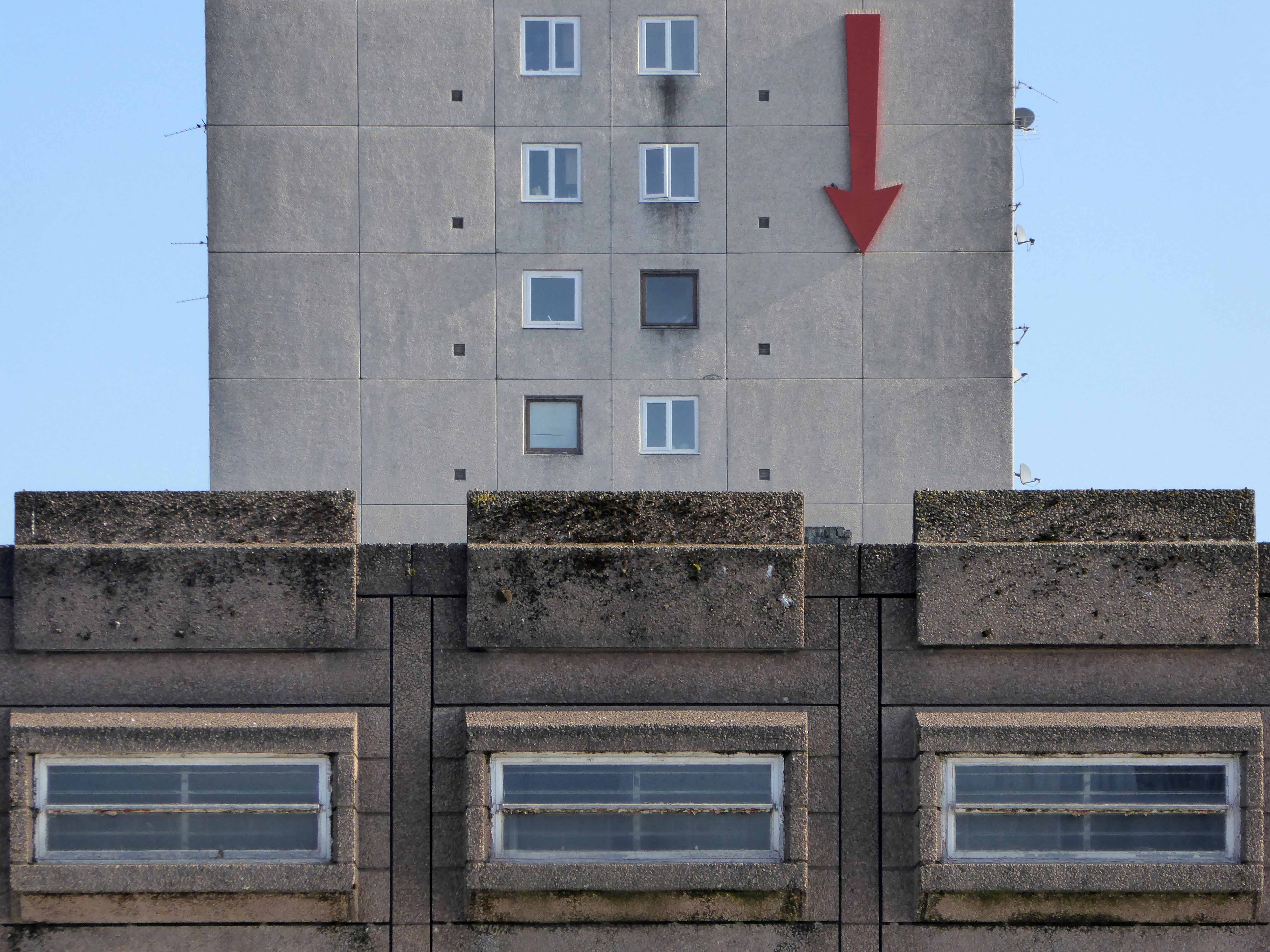
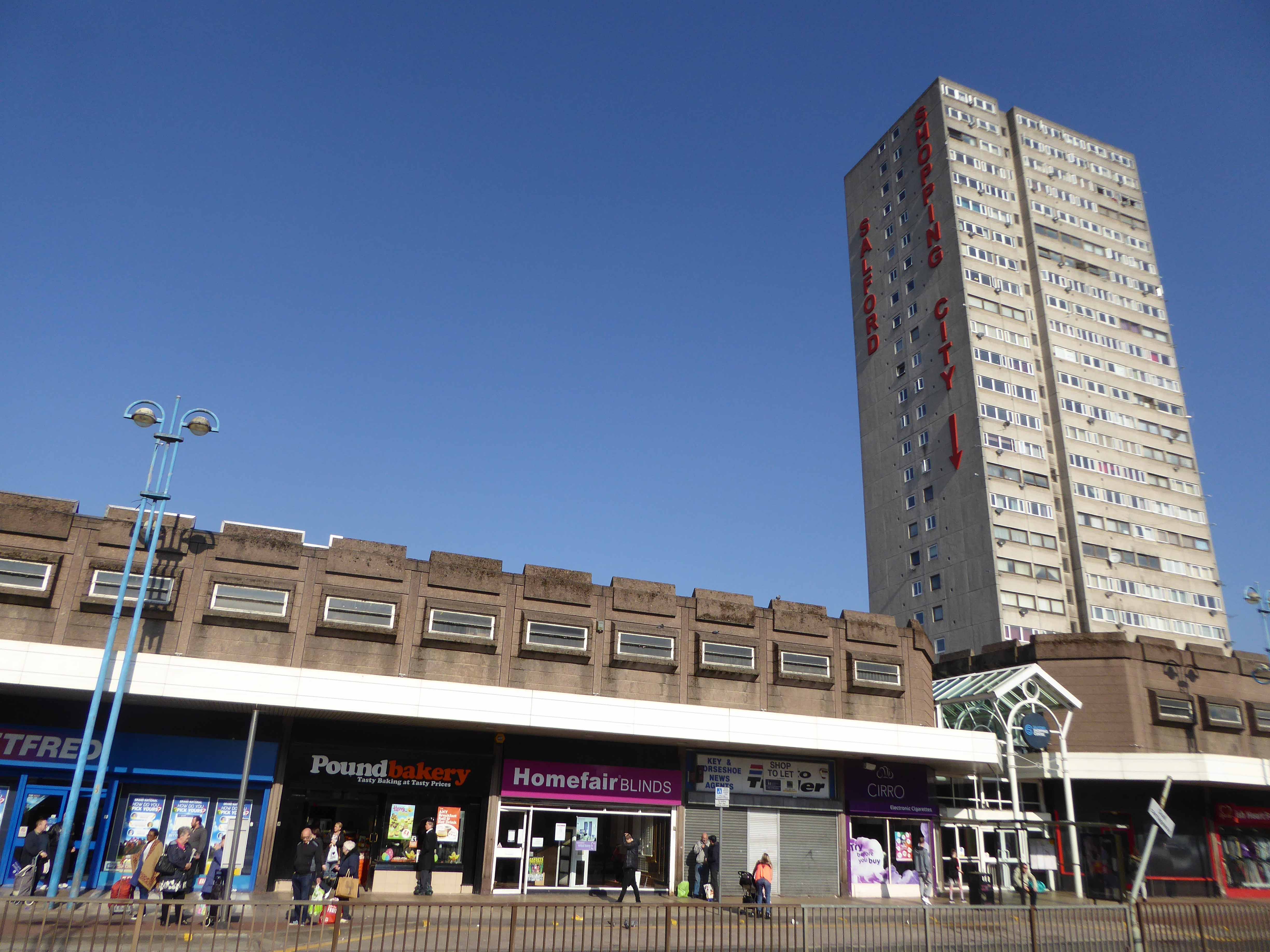
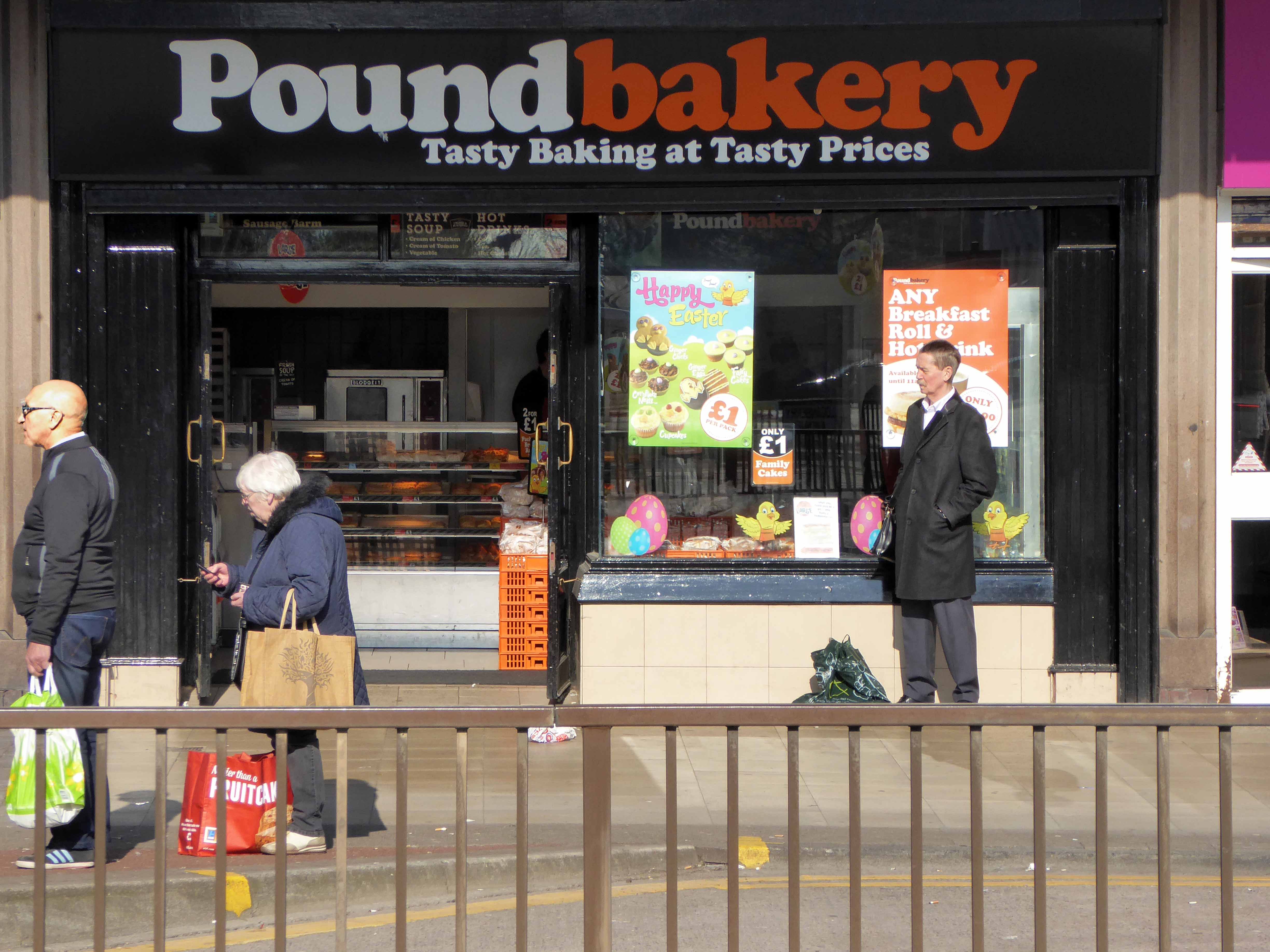
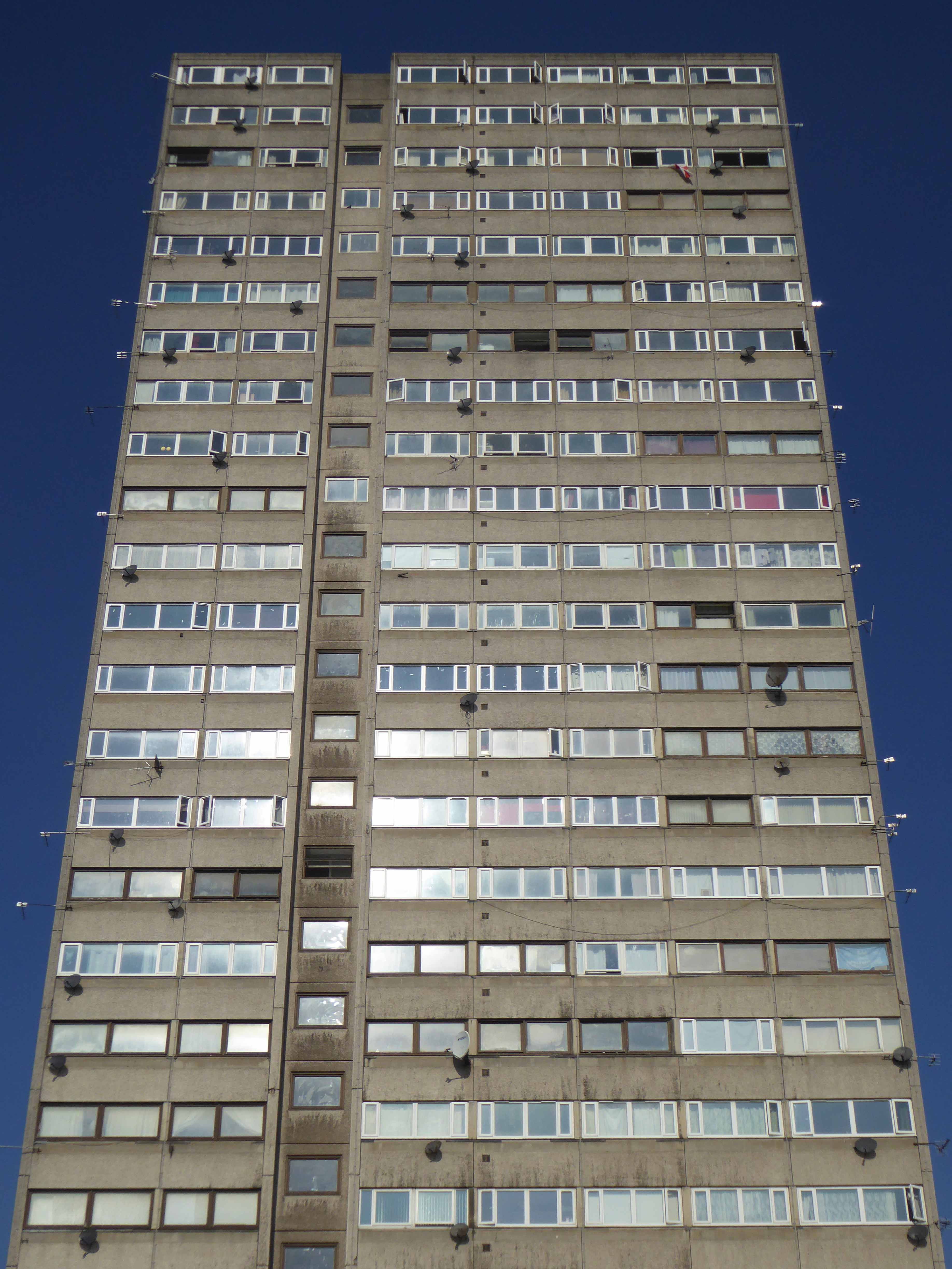
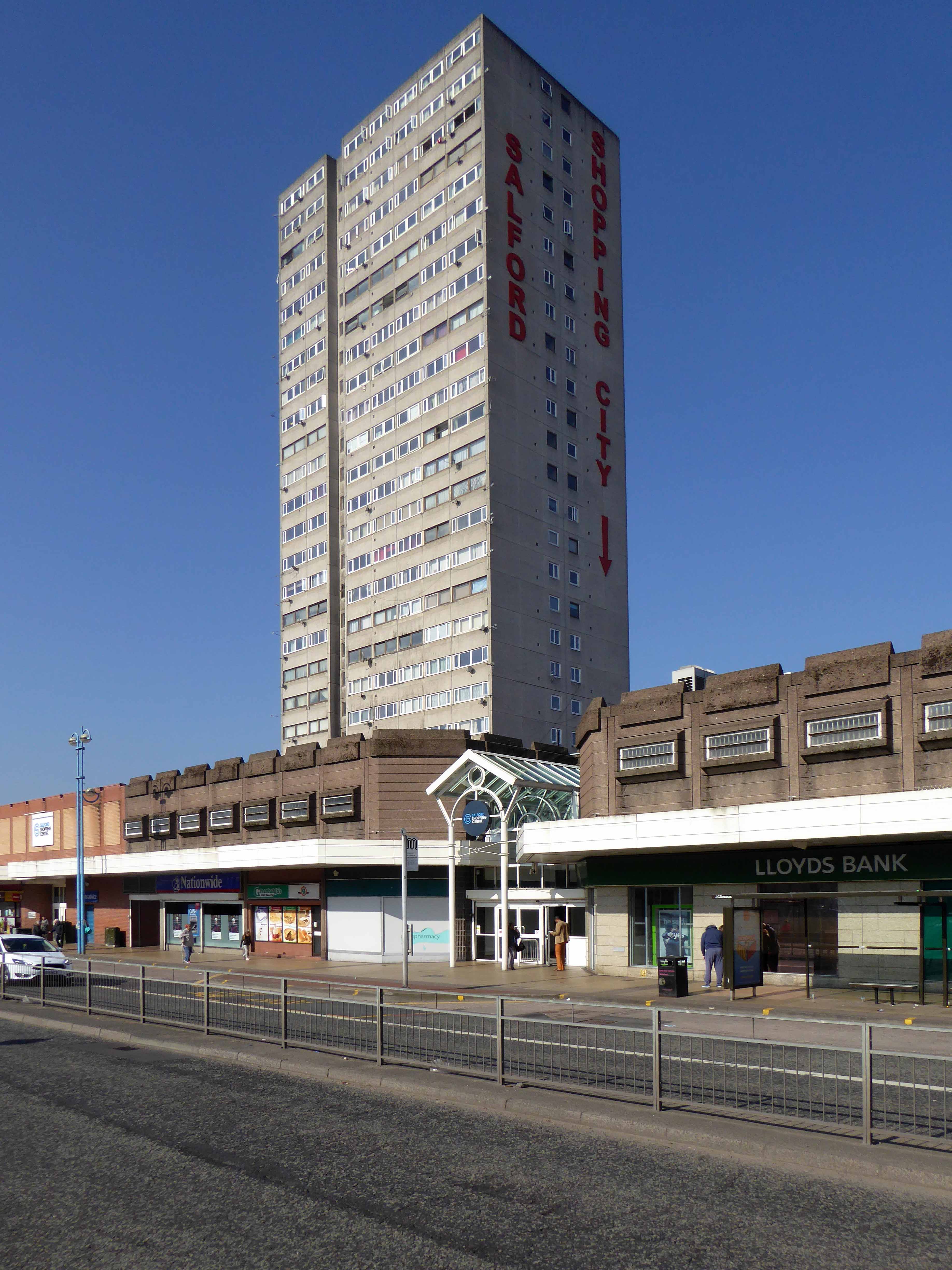
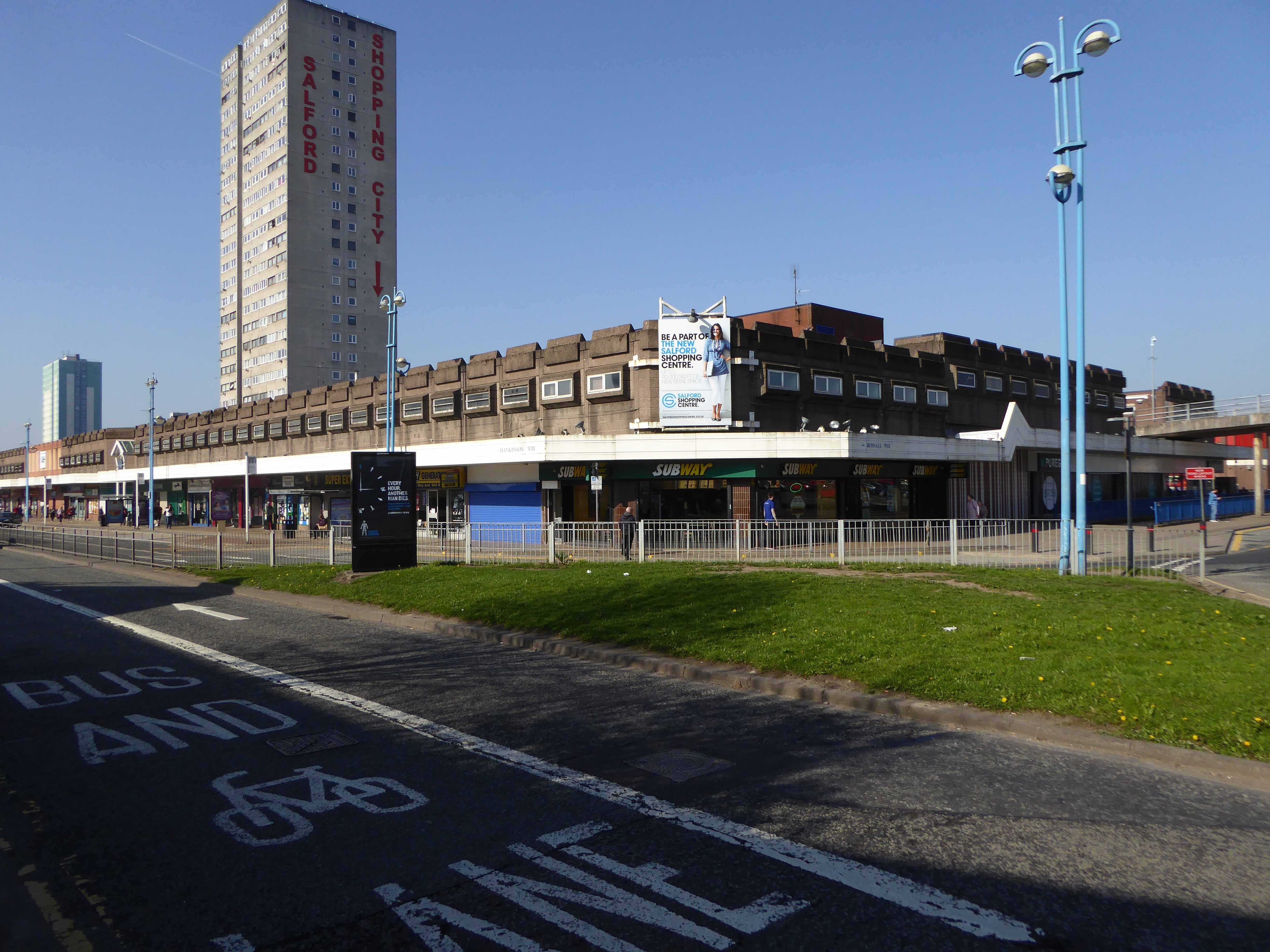
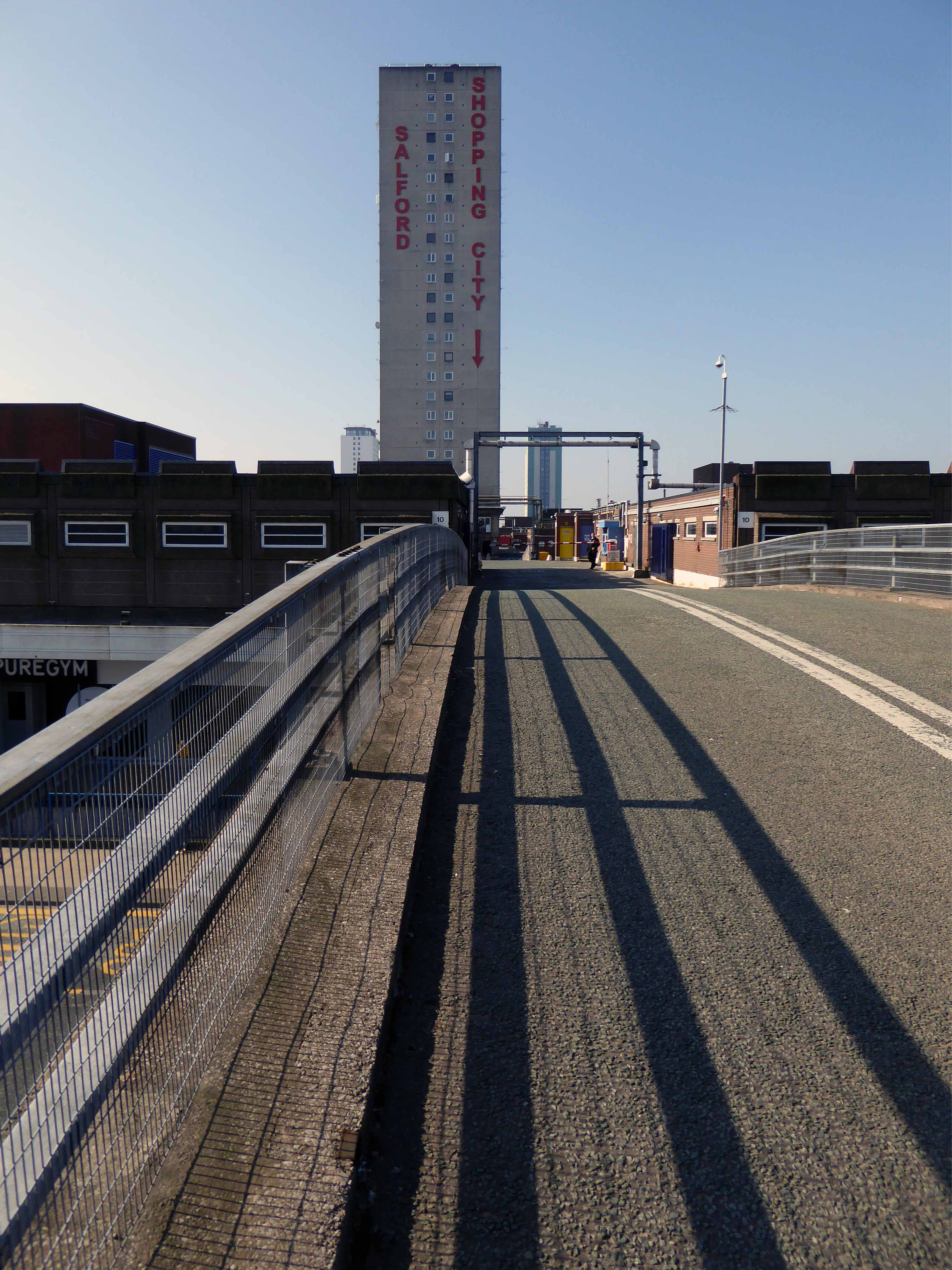
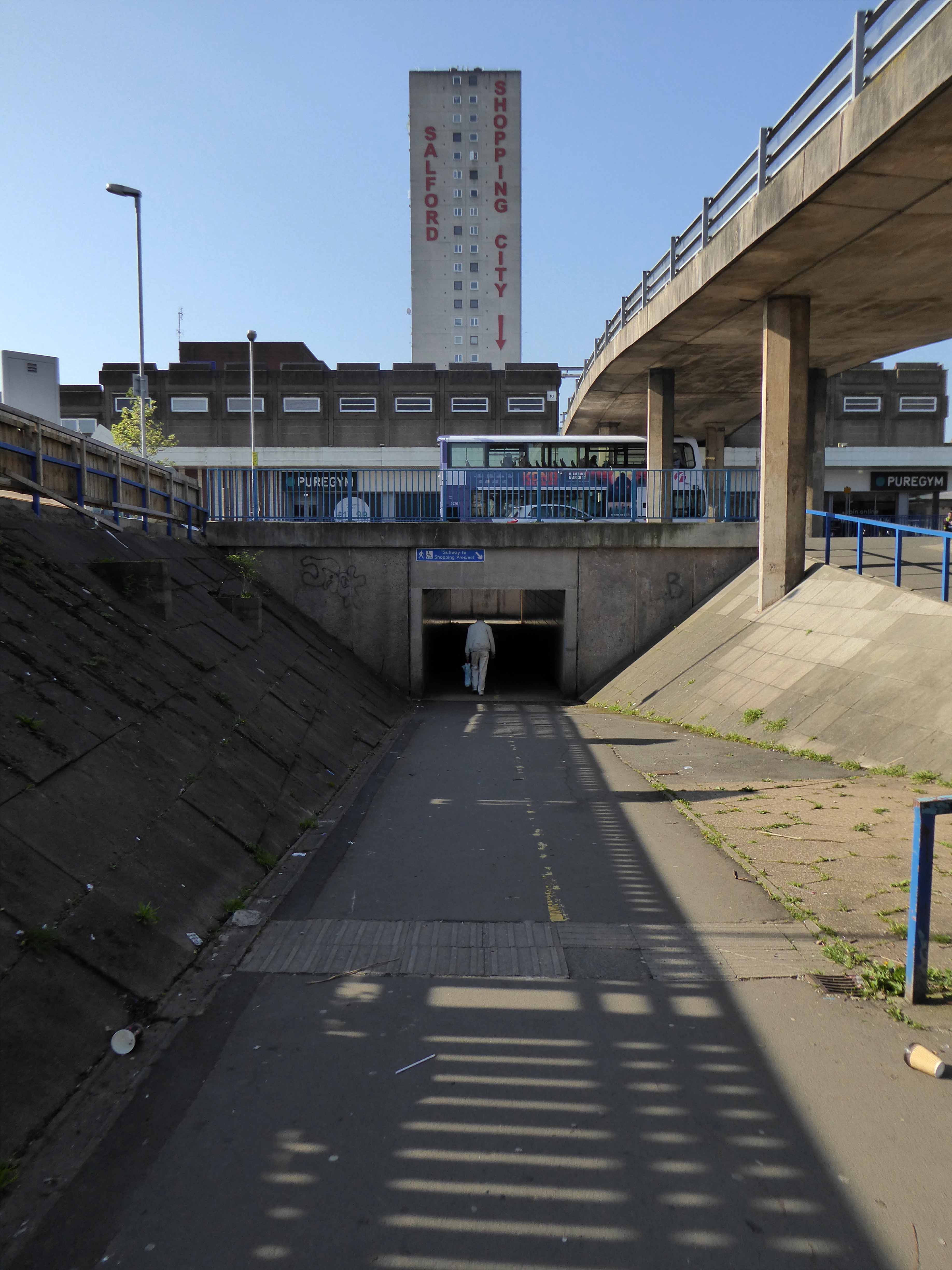
The construction of the shopping centre and surrounding areas continued and on 21 May 1970 the new Salford Market officially opened. From 1971 onwards new shops inside the precinct itself began to open.
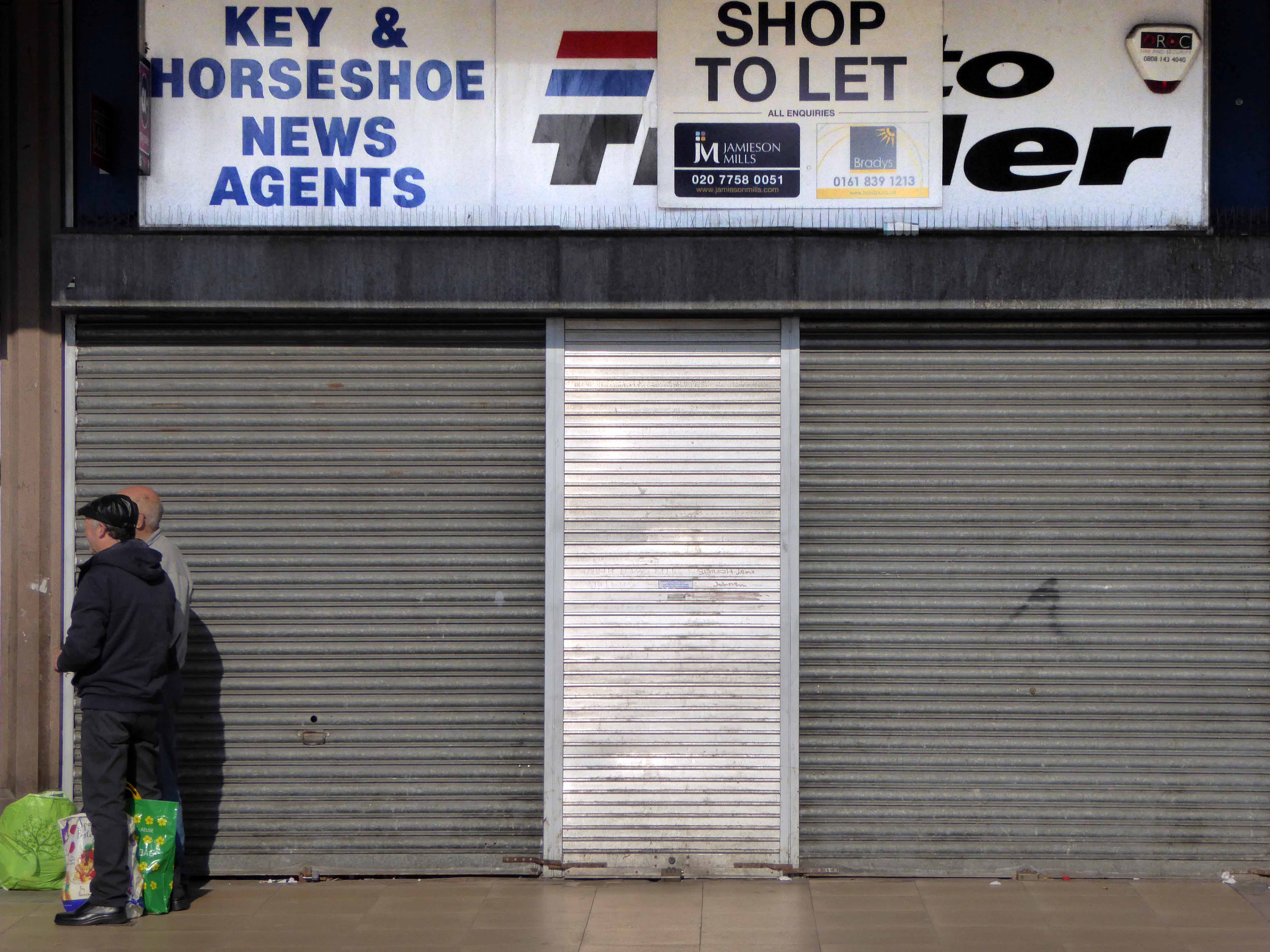
However, due to a lack of funds and a political scandal which saw chairman Albert Jones jailed for eight months construction of Salford Precinct was halted. The site had only 95 shop units compared to the proposed 260, the hotel and two storey car park were never built.
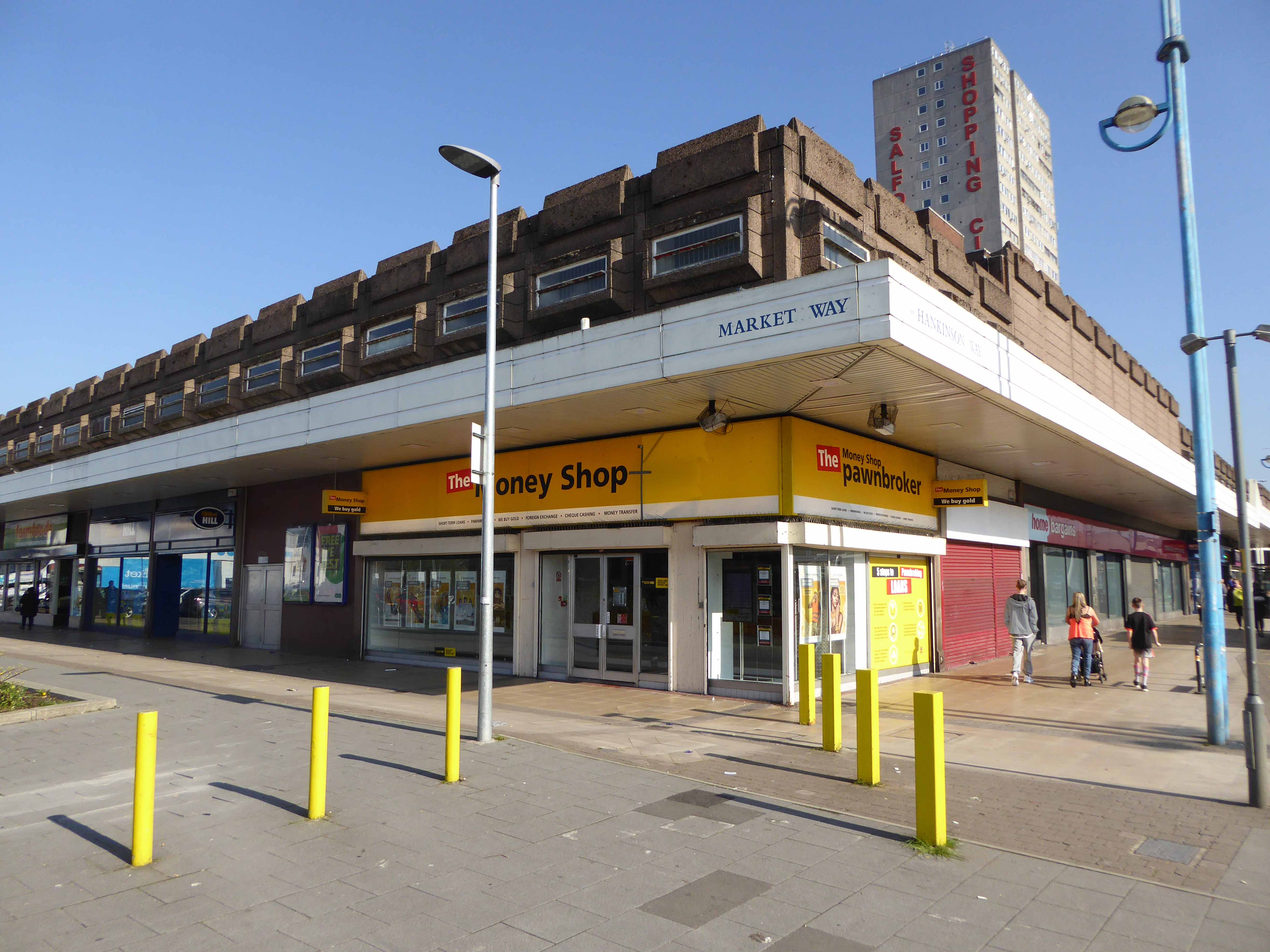
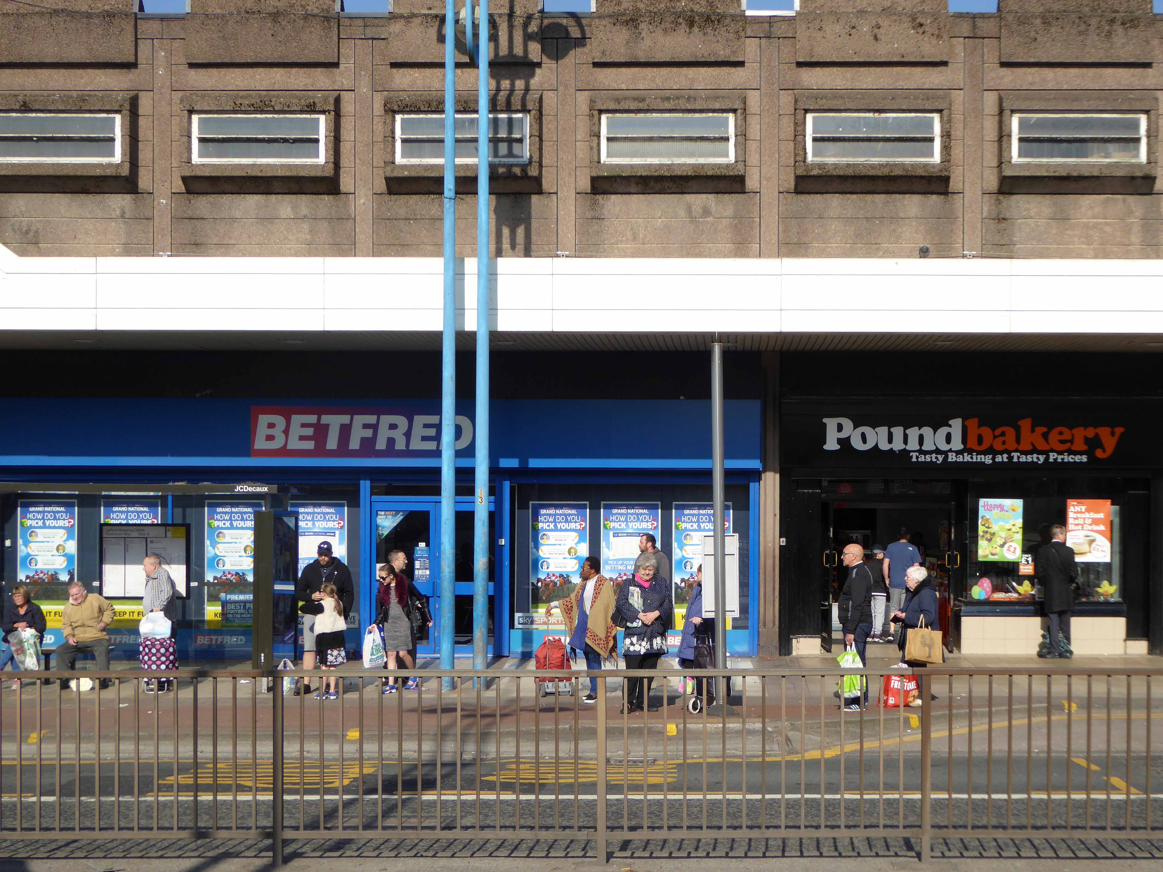
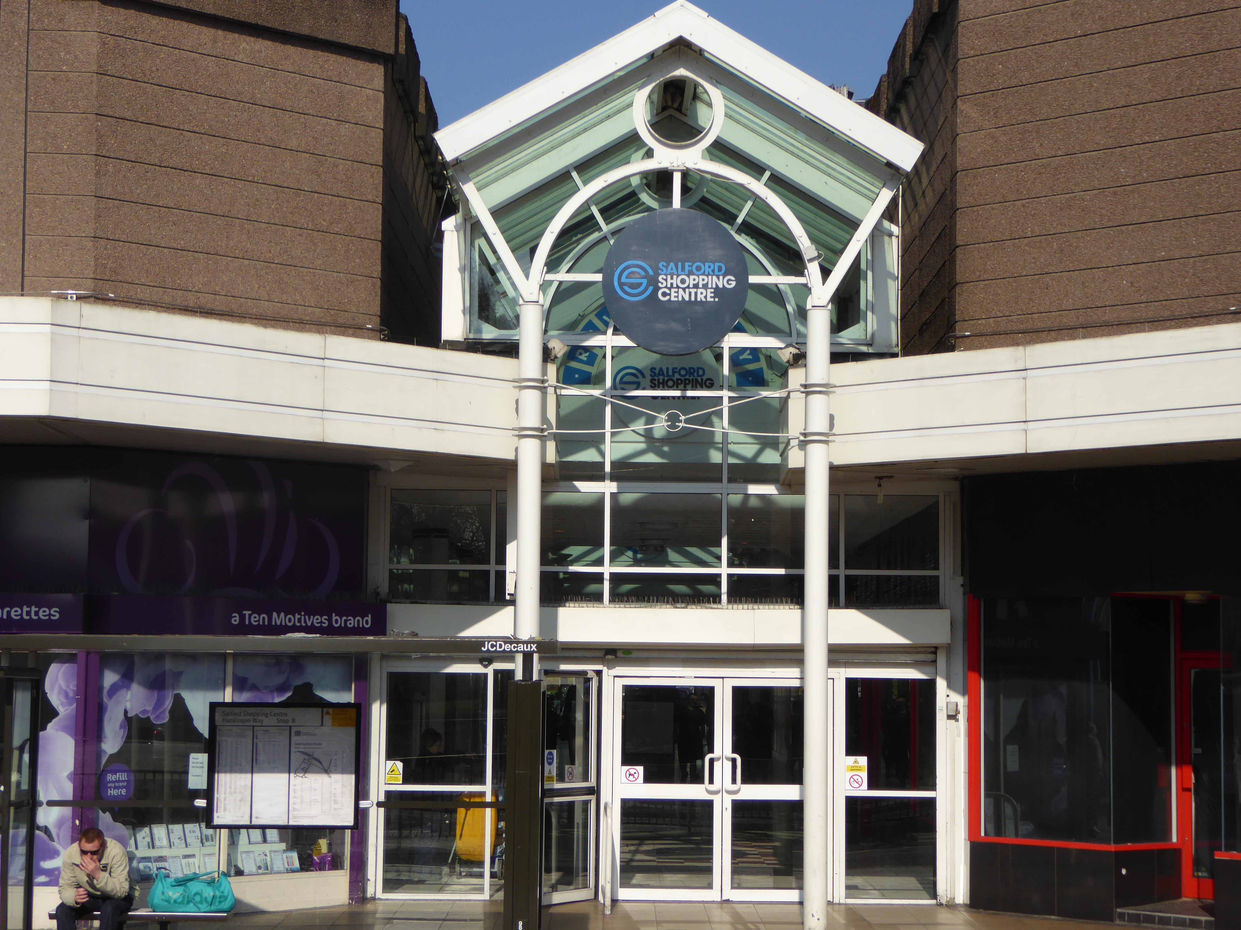
In 1991 the building was refurbished at a cost of £4 million, this included the installation of roofs across various walkways, making large swathes of the centre undercover. The shopping centre which at the time was known as Salford Precinct was renamed Salford Shopping City.
On 9 August 1994 the Manchester Evening News reported that Salford City Council was planning on selling off Salford Shopping City to raise money for local housing repairs, these plans split the ruling Labour Party council, one councillor telling the press that it would be like selling off the family silver.
In 2000 Salford Shopping City was eventually sold to a private company for £10 million in an effort to cut the council’s deficit. It was then later sold in March 2010 to Praxis Holdings for £40 million, the company stated that it wanted to invest in the precinct and link it to the new food superstore.
This is a tale of our times – 60s and 70s redevelopment designed and built in the rampant spirit of free enterprise and uber-buoyant consumerism, falling foul of an economic downturn, subsequent unemployment and shrinking retail spending. Property is ping-ponged between local authority and speculative developers.
Following the riots of 2011 pledges were made regarding the future of the site, plans are still afoot, as yet to be rendered corporeal. Although the area has benefitted from an influx of students and a refurbishment of housing stock, there is pressure on the prosperity of the precinct from thriving retail developments in nearby Manchester and the Trafford Centre.
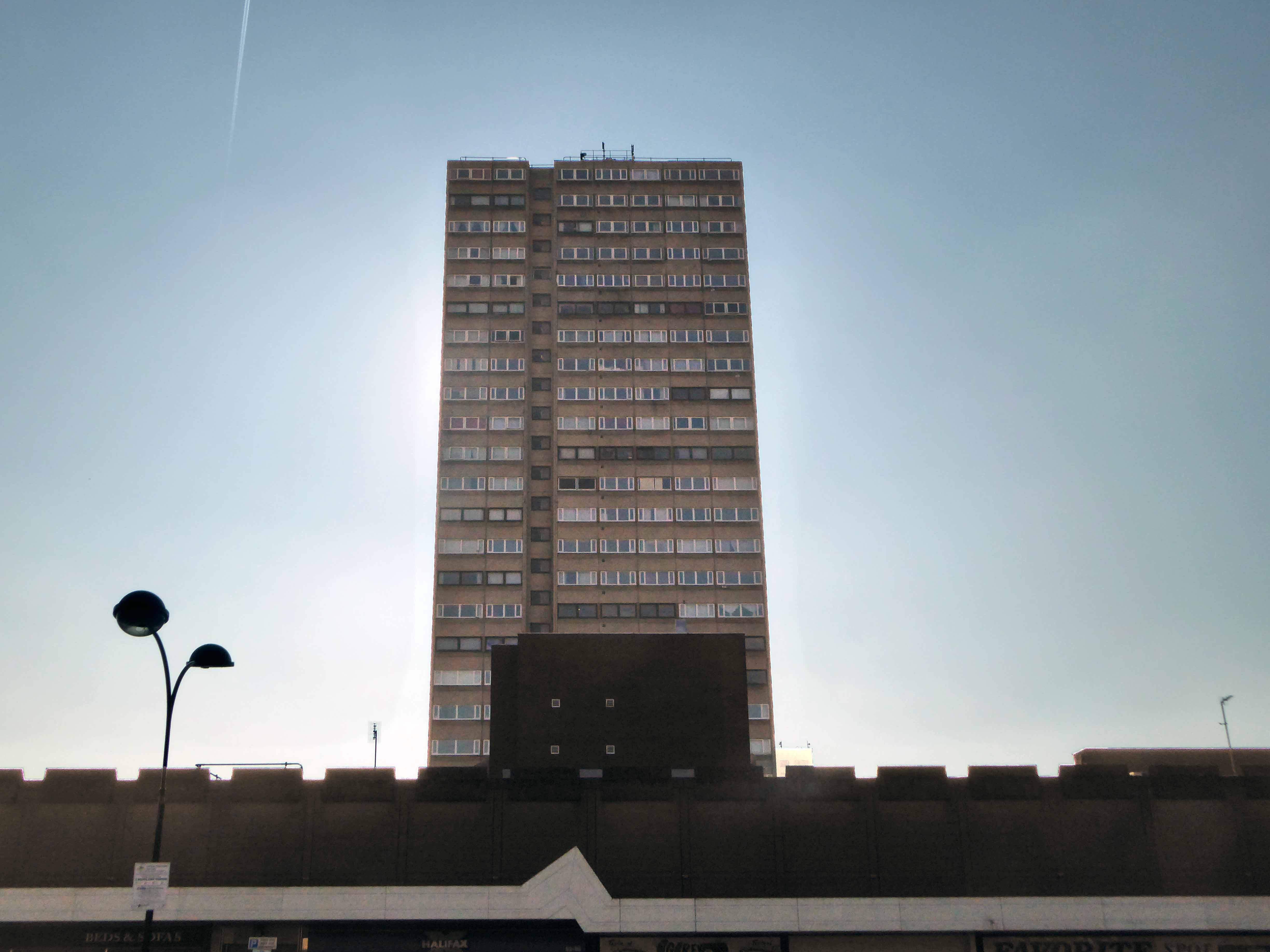
The architectural core of the site has been retained, including the 23 storey Briar Court residential tower, though diluted by more recent additions, misguided post modern detailing that threatens the integrity of full many a post war development.
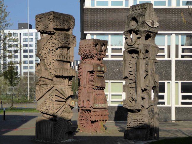
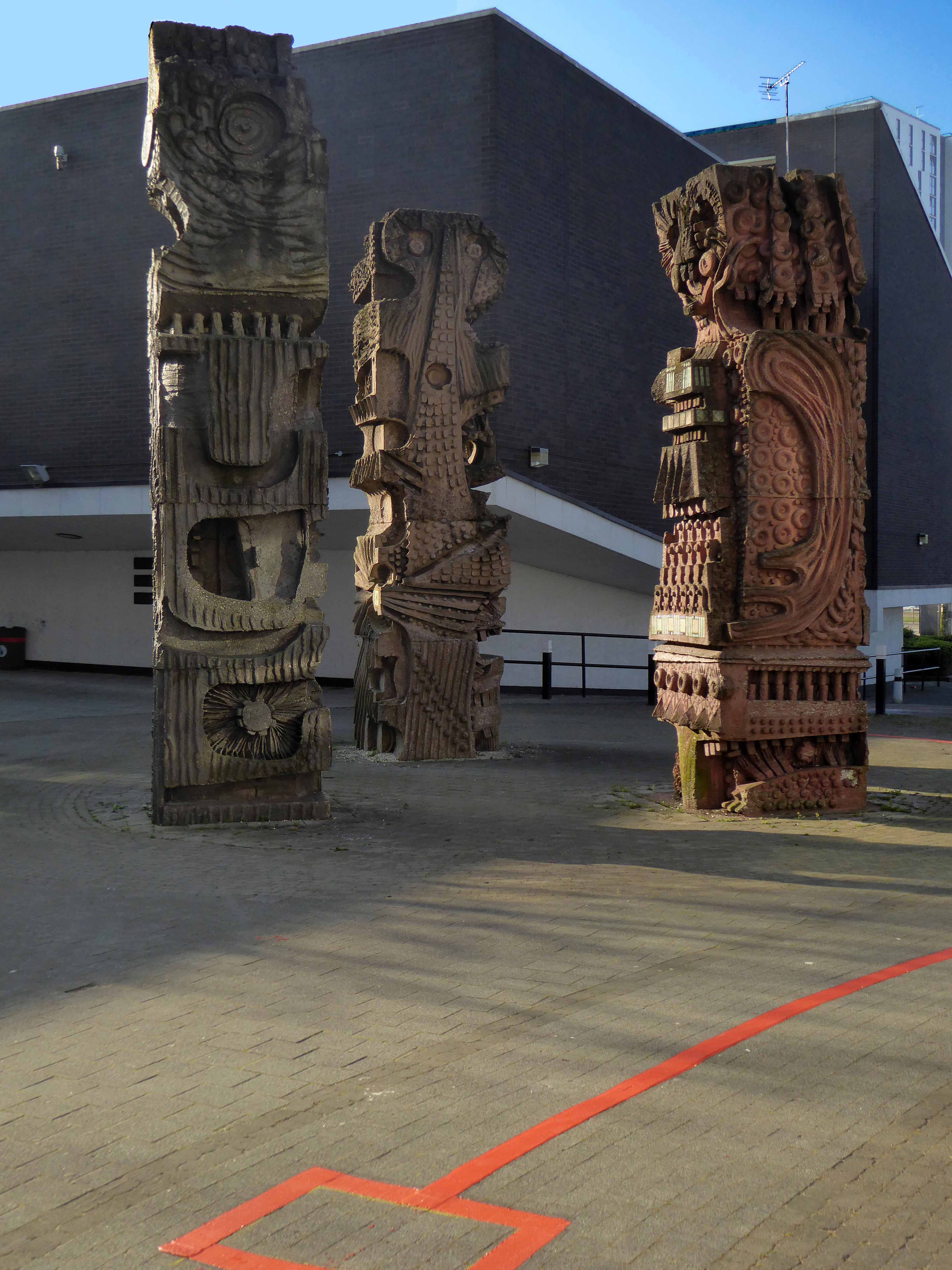
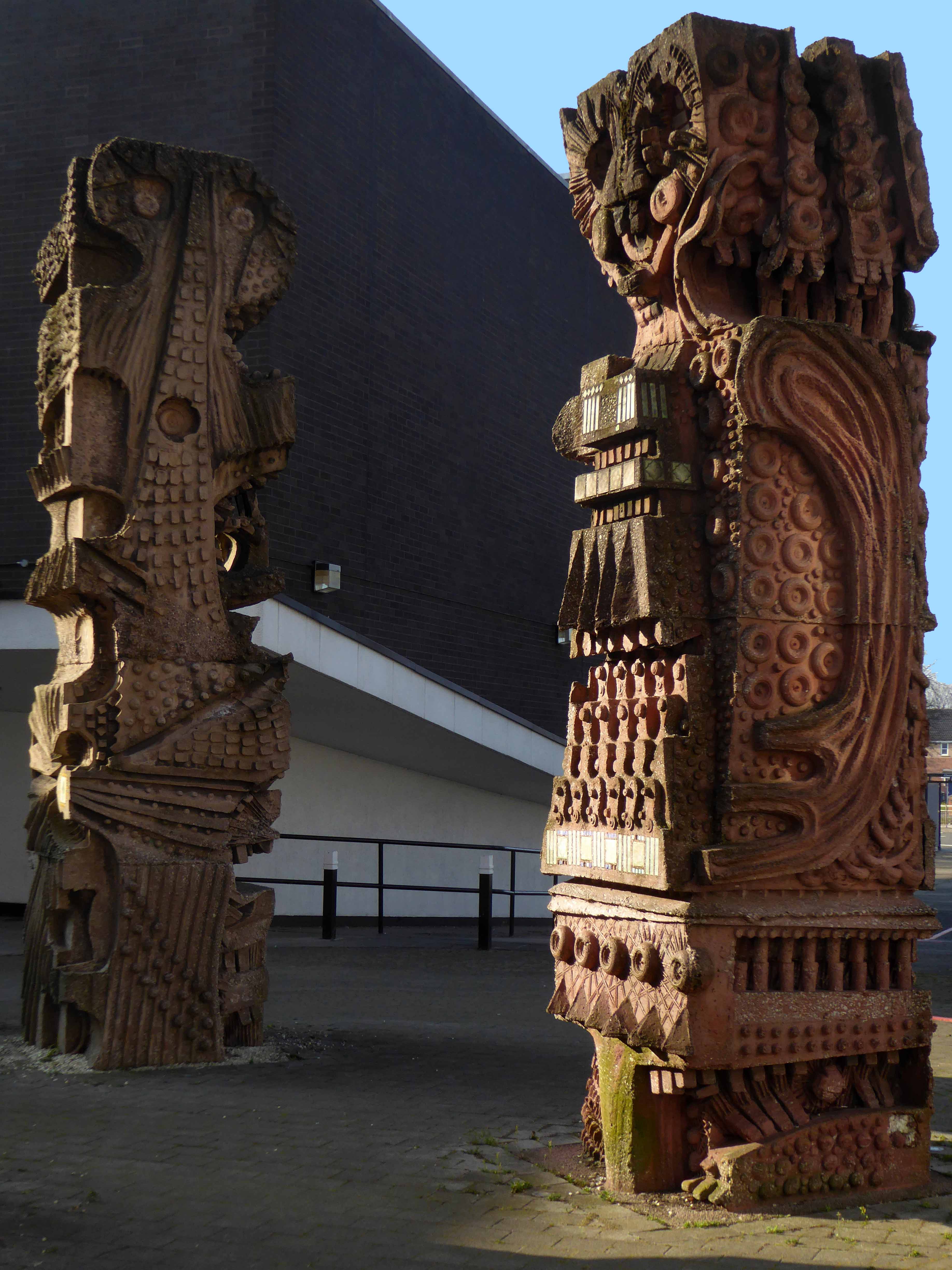
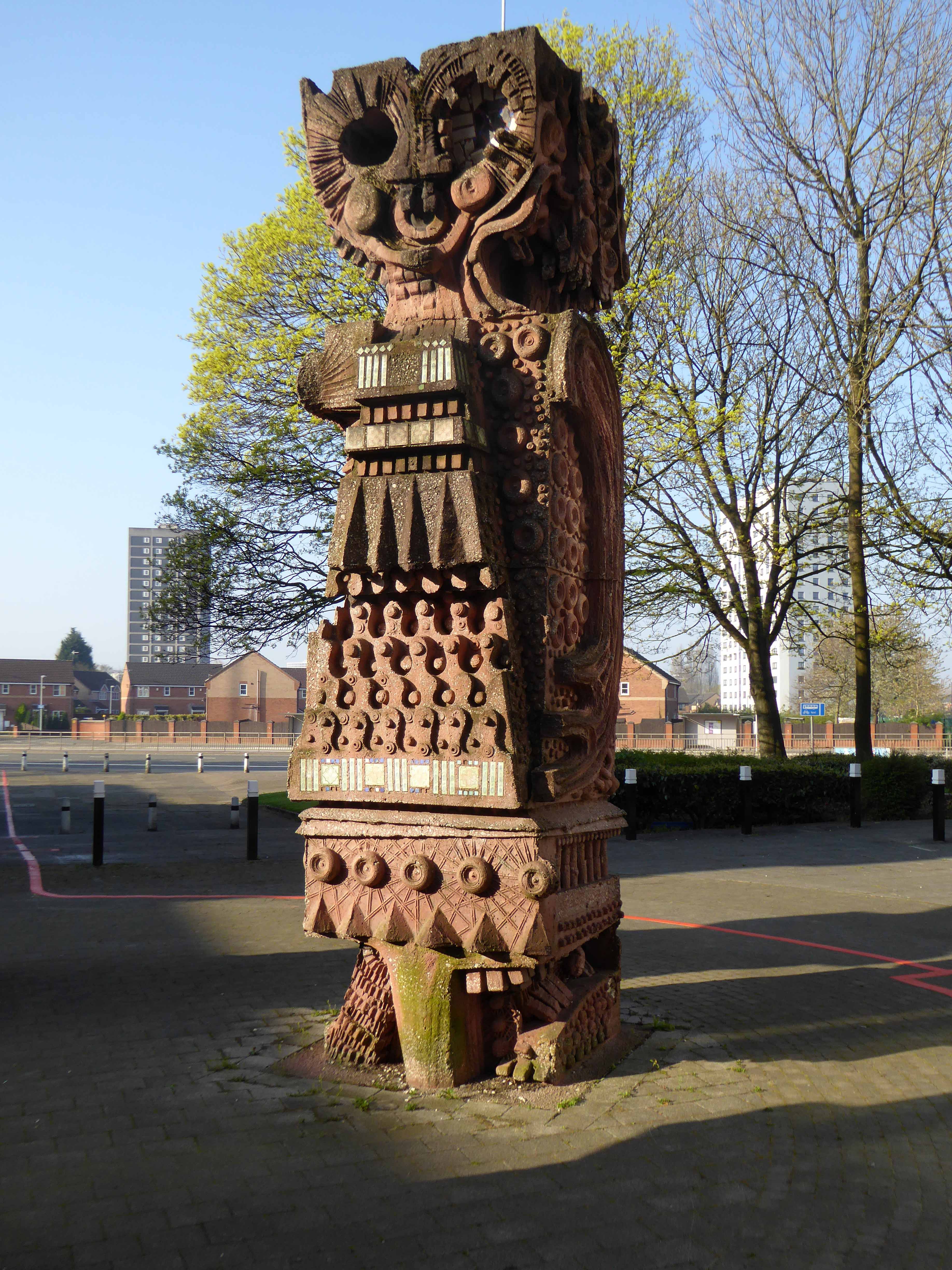
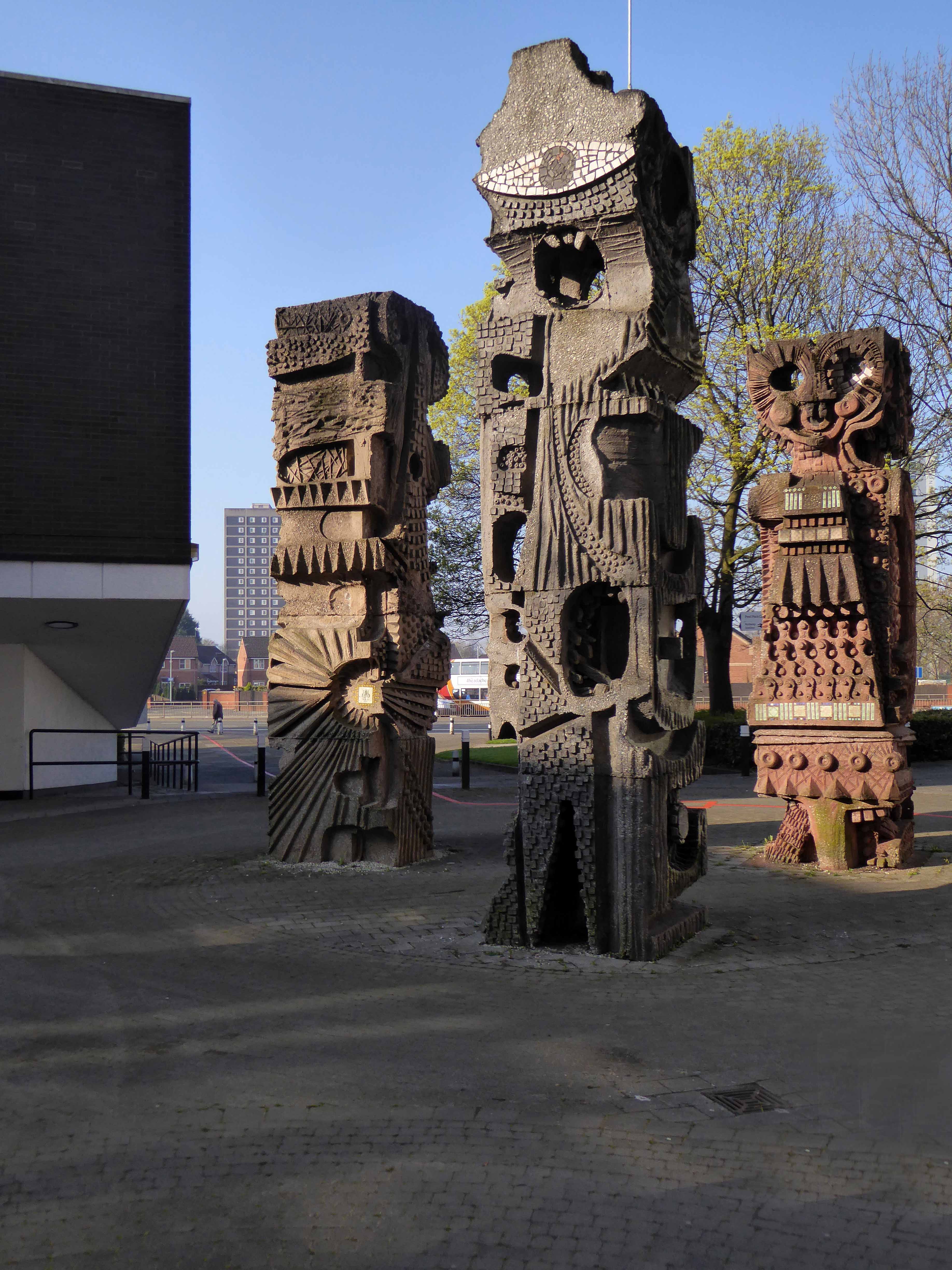
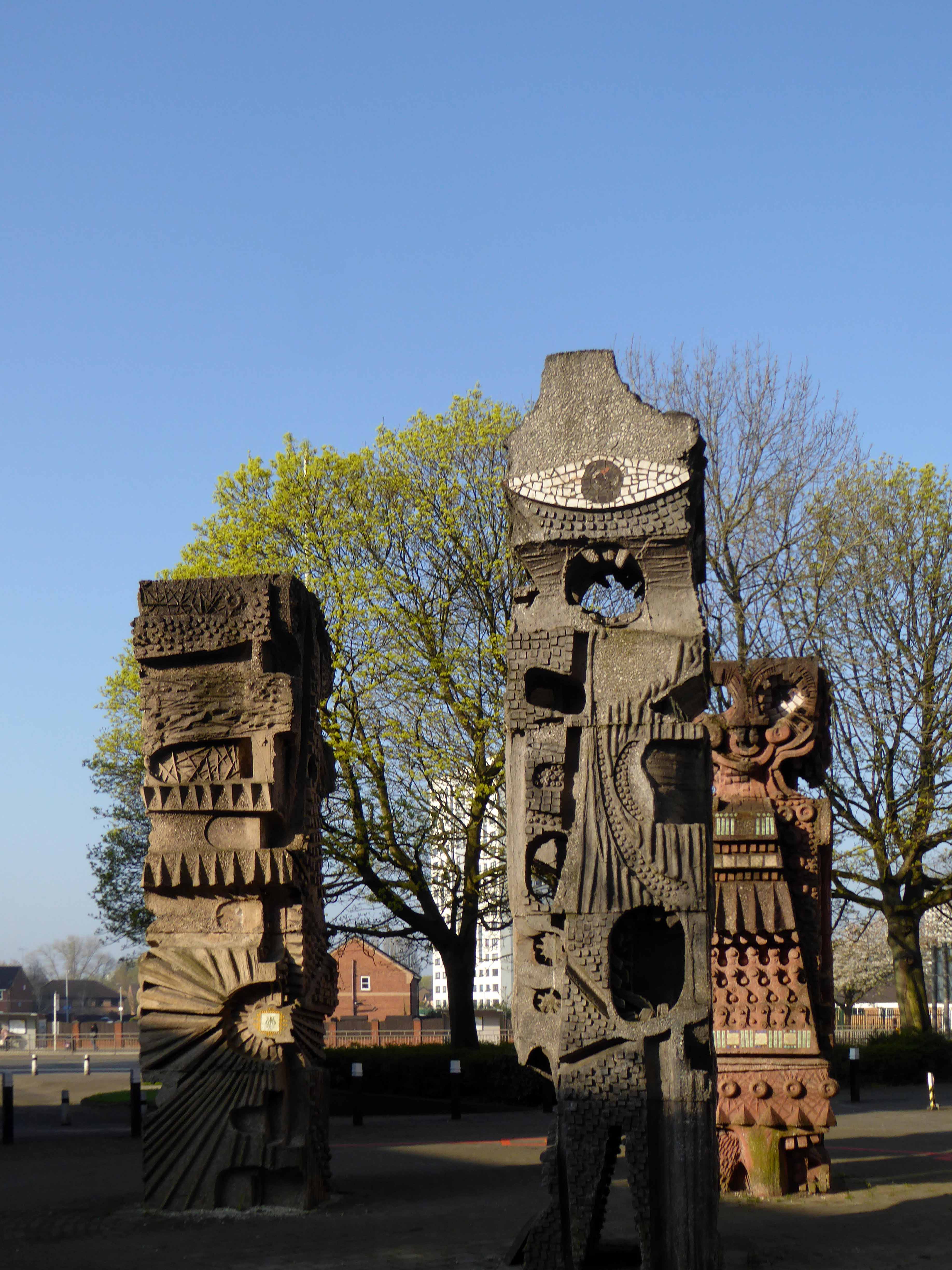
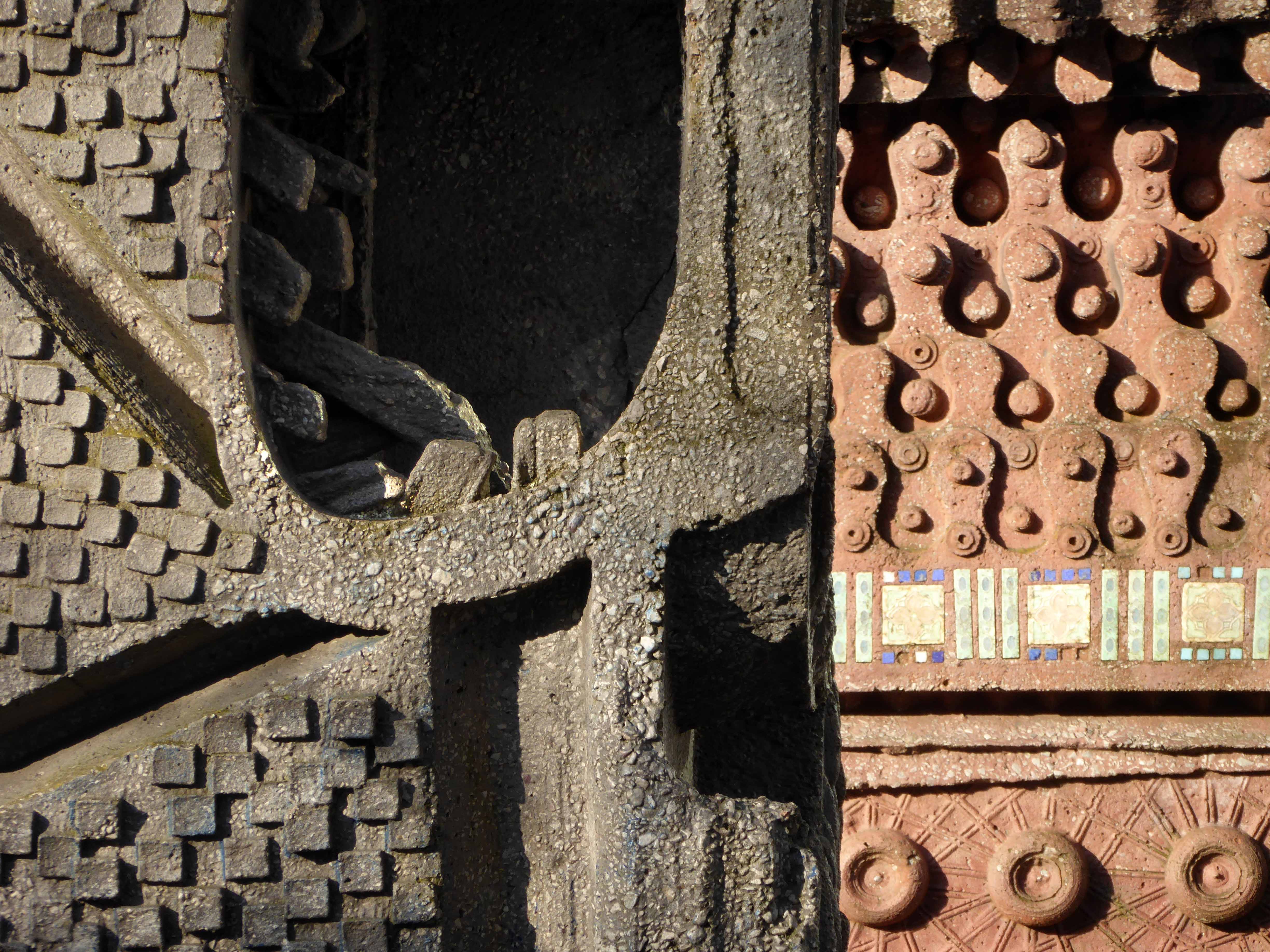
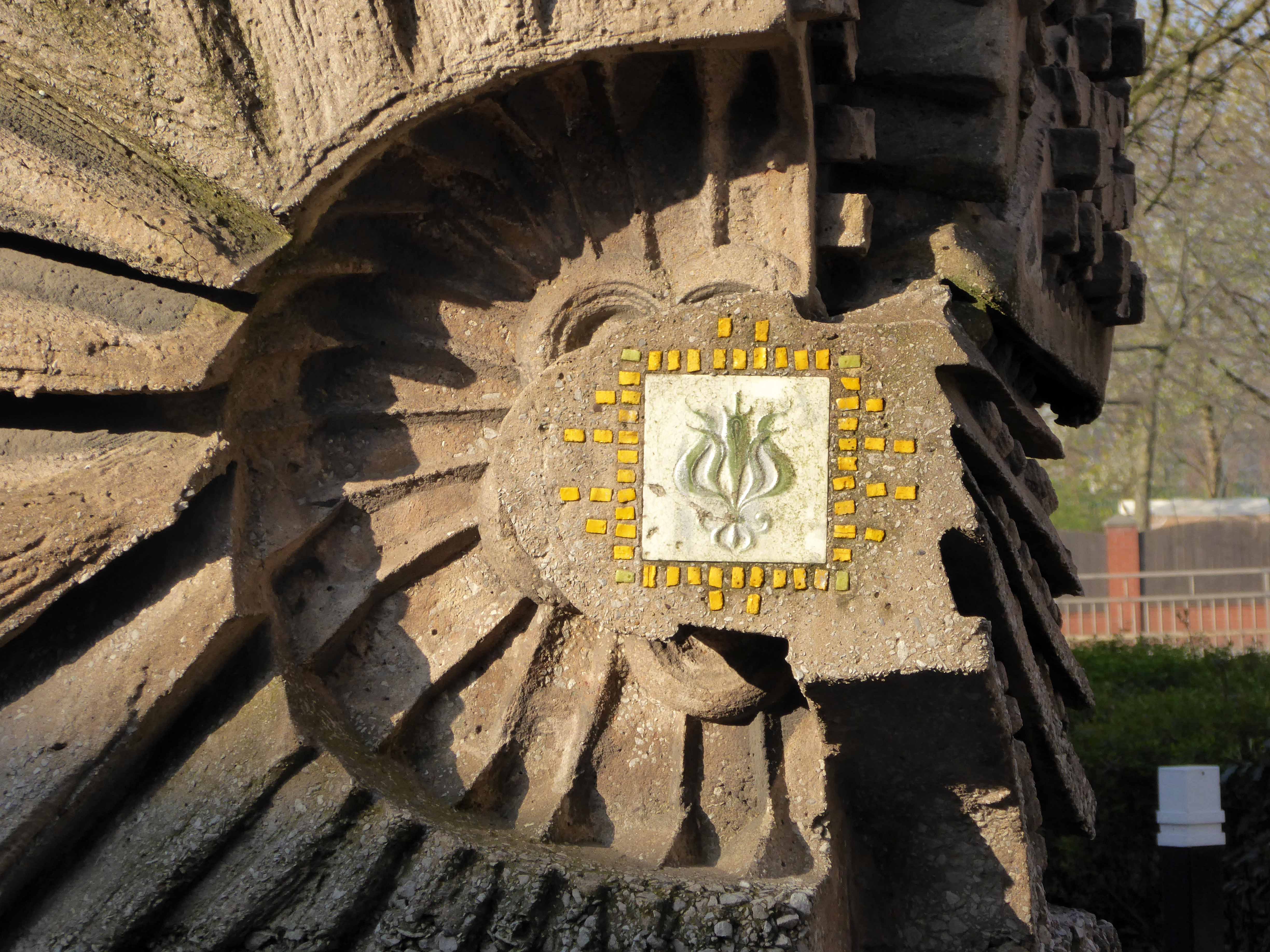
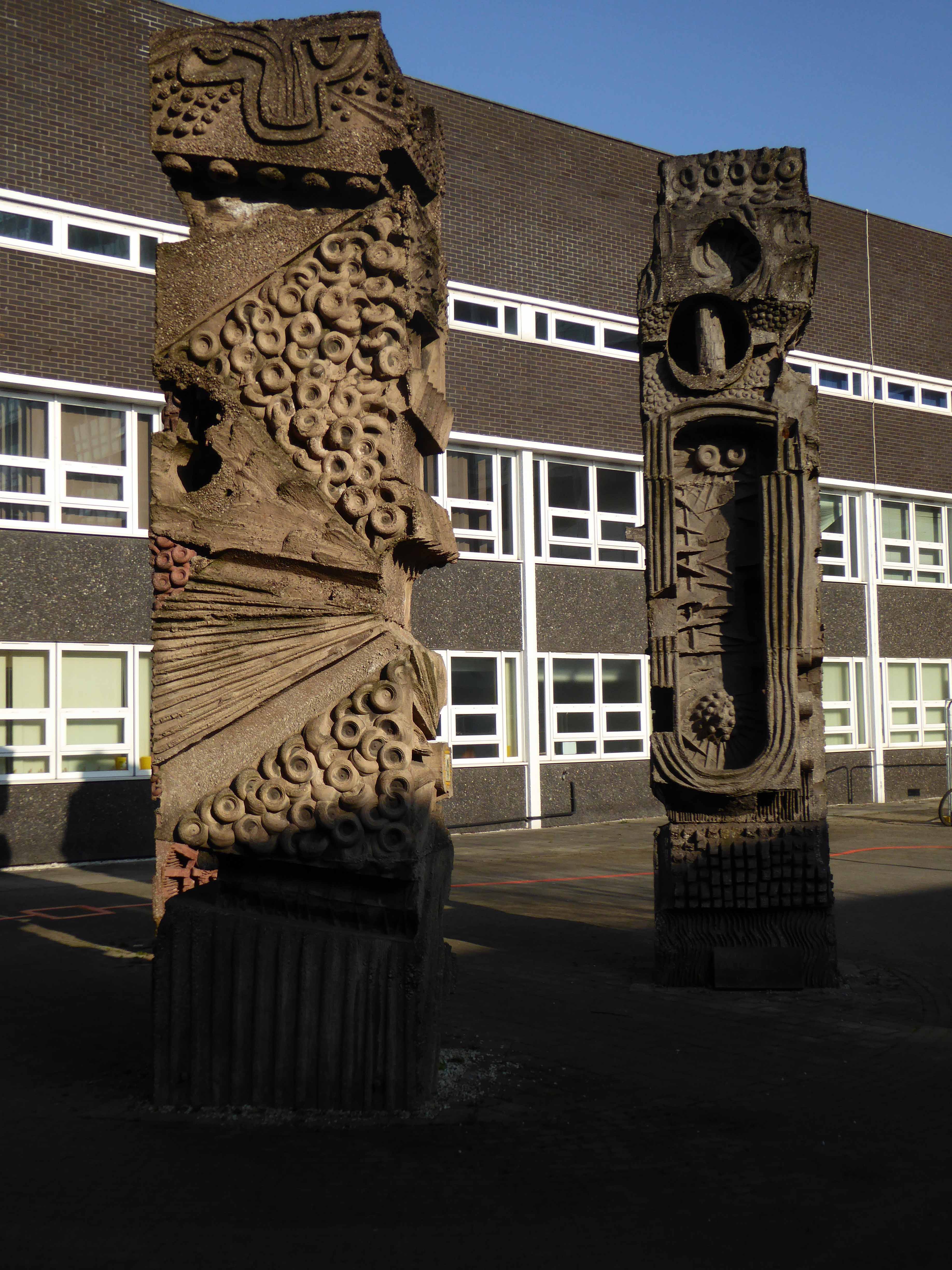
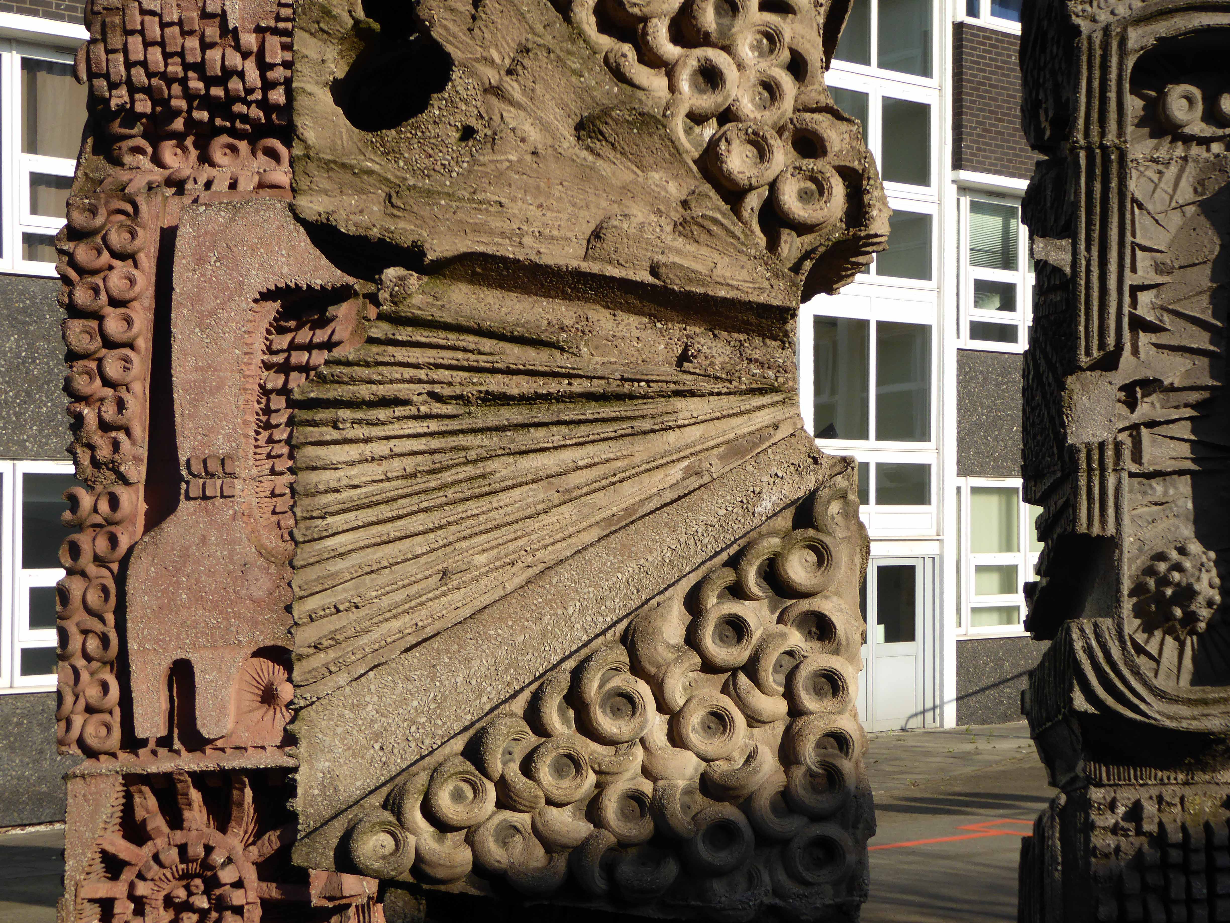
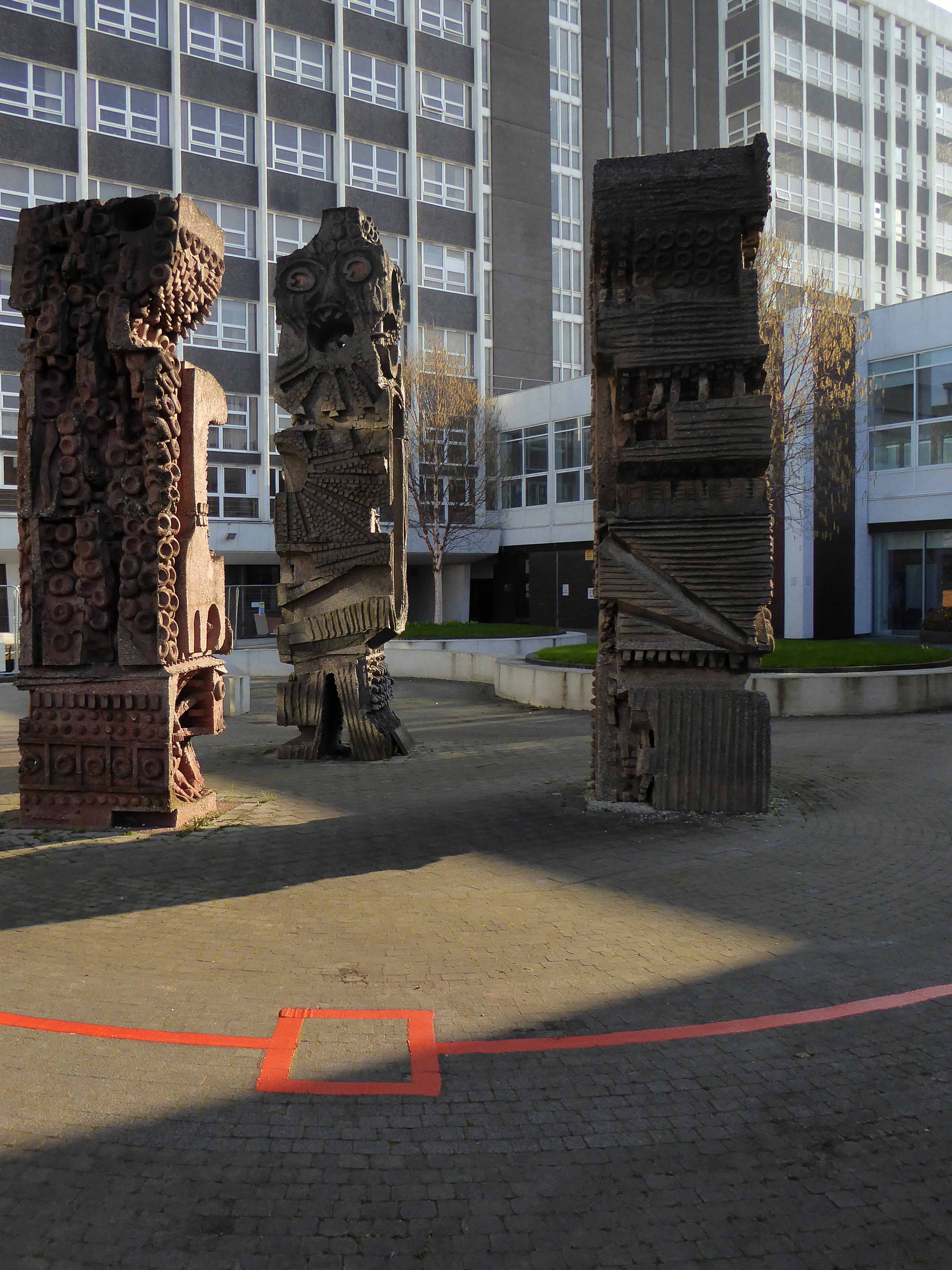
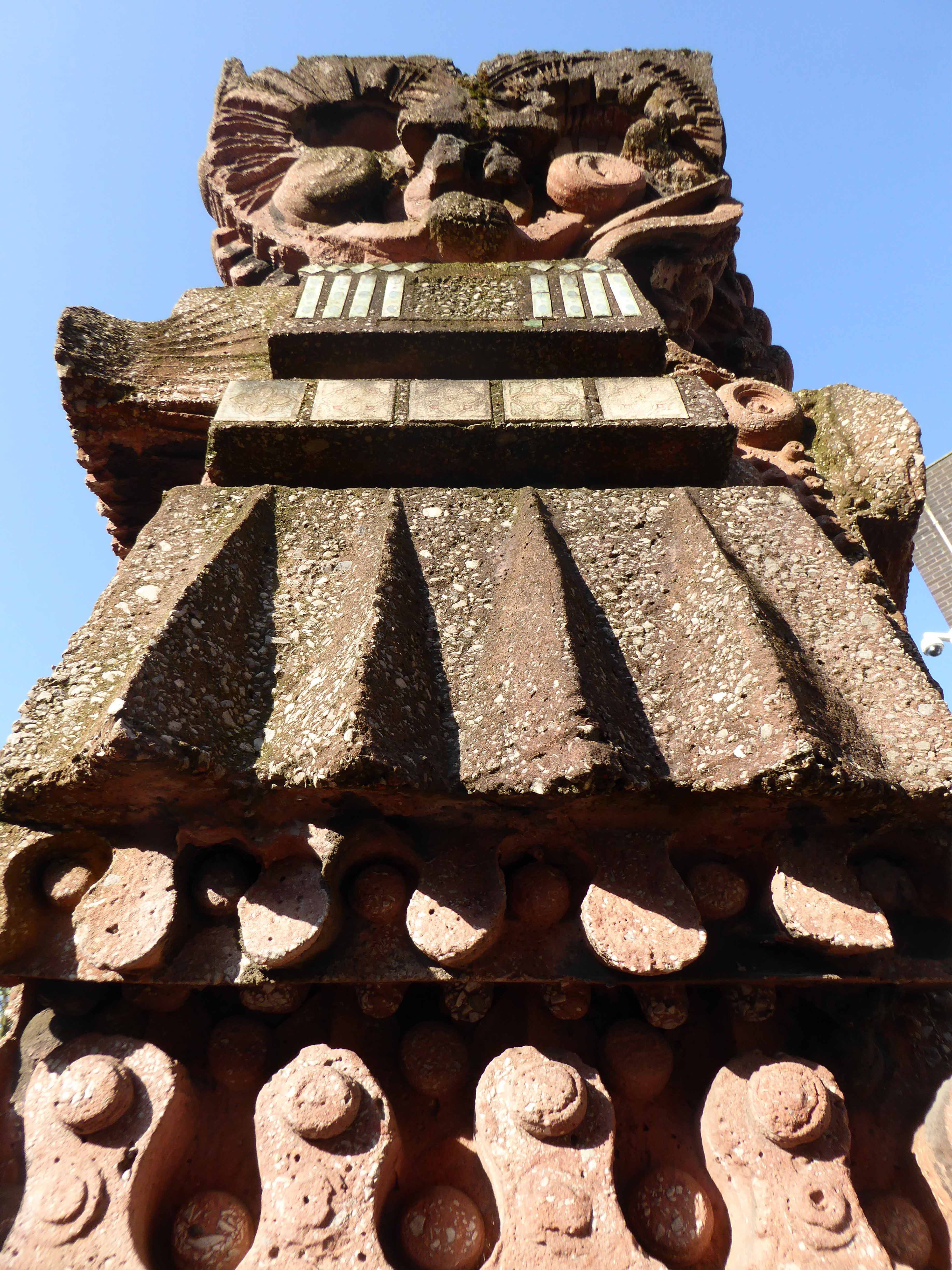
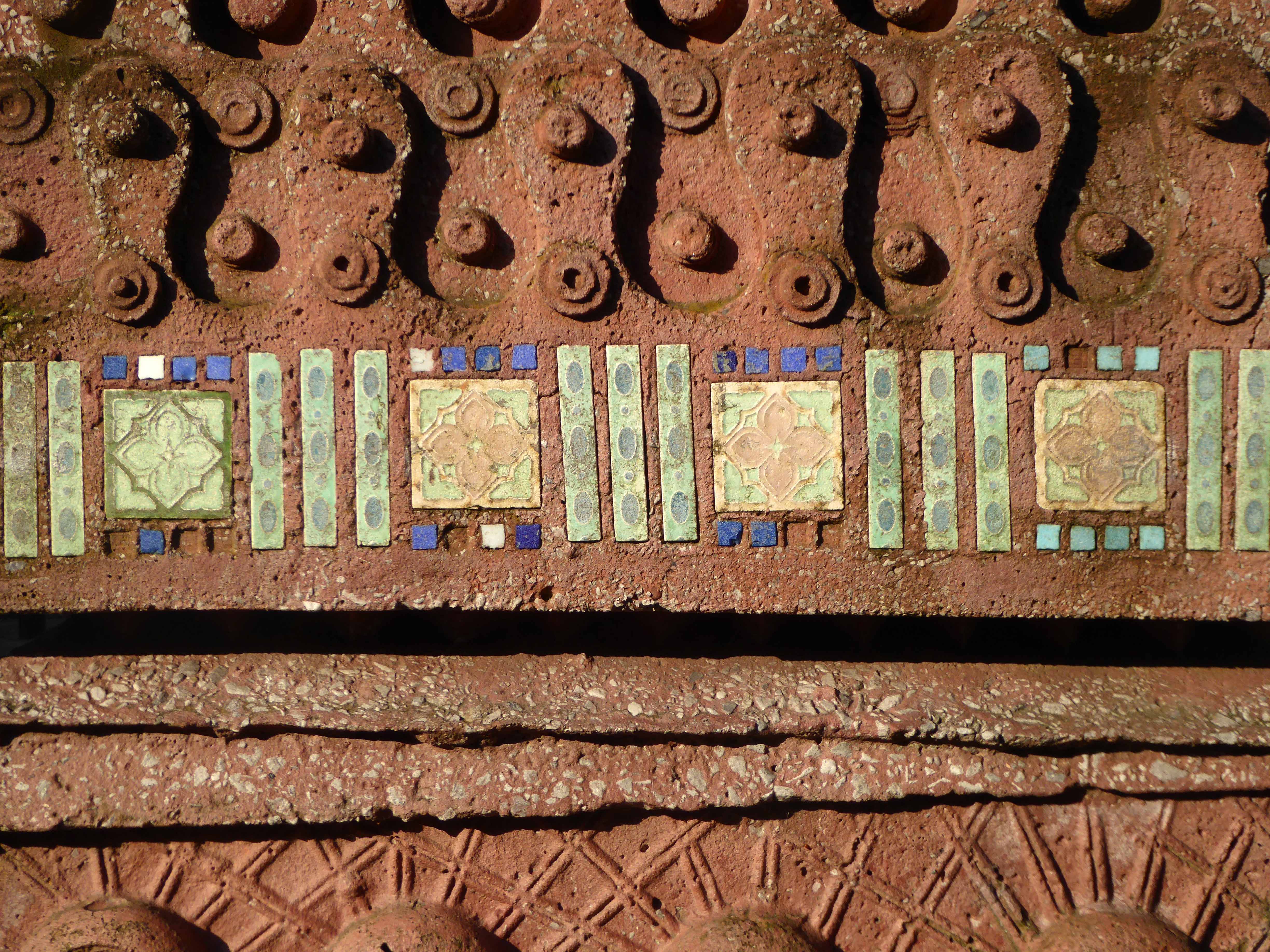
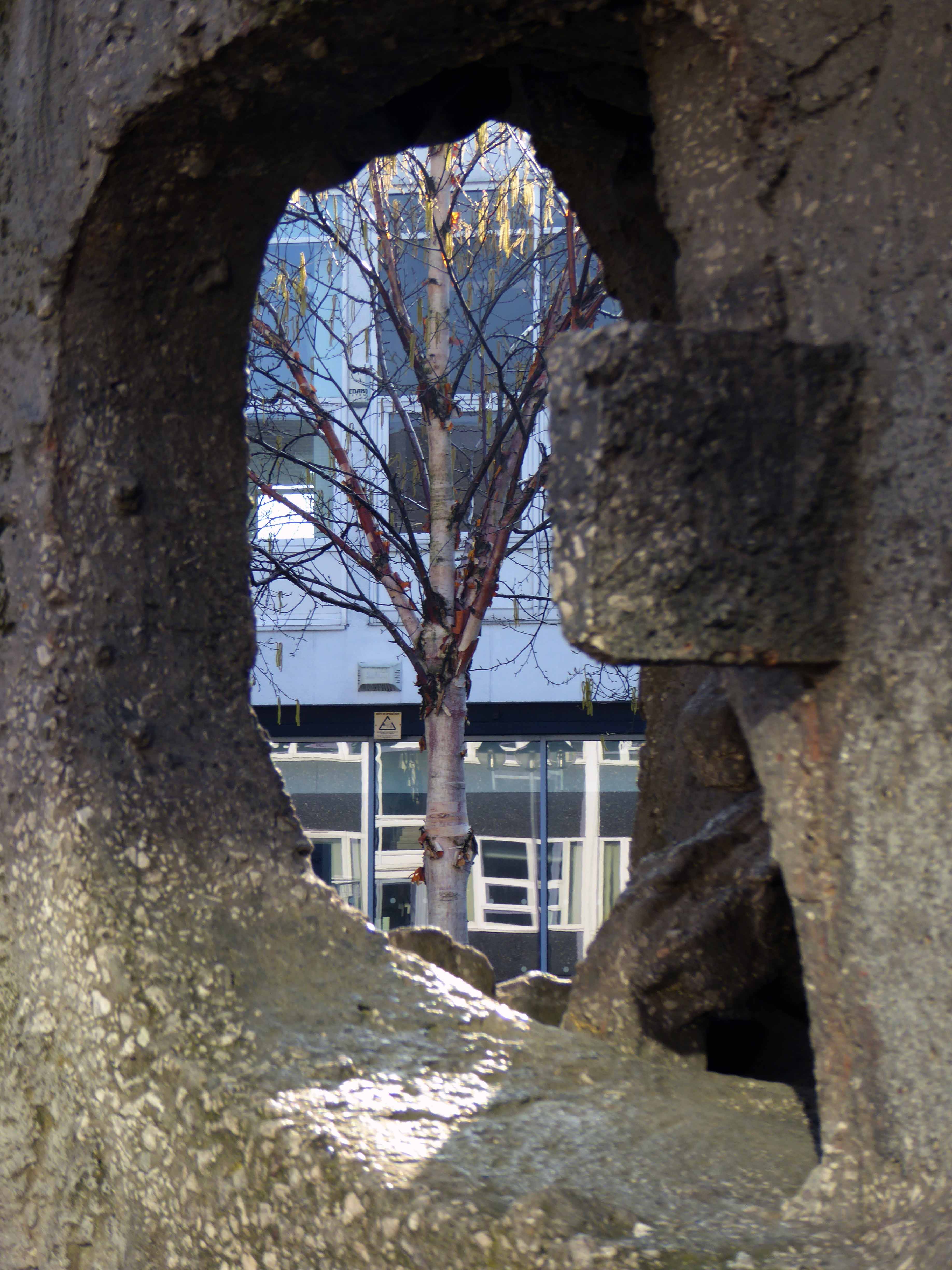
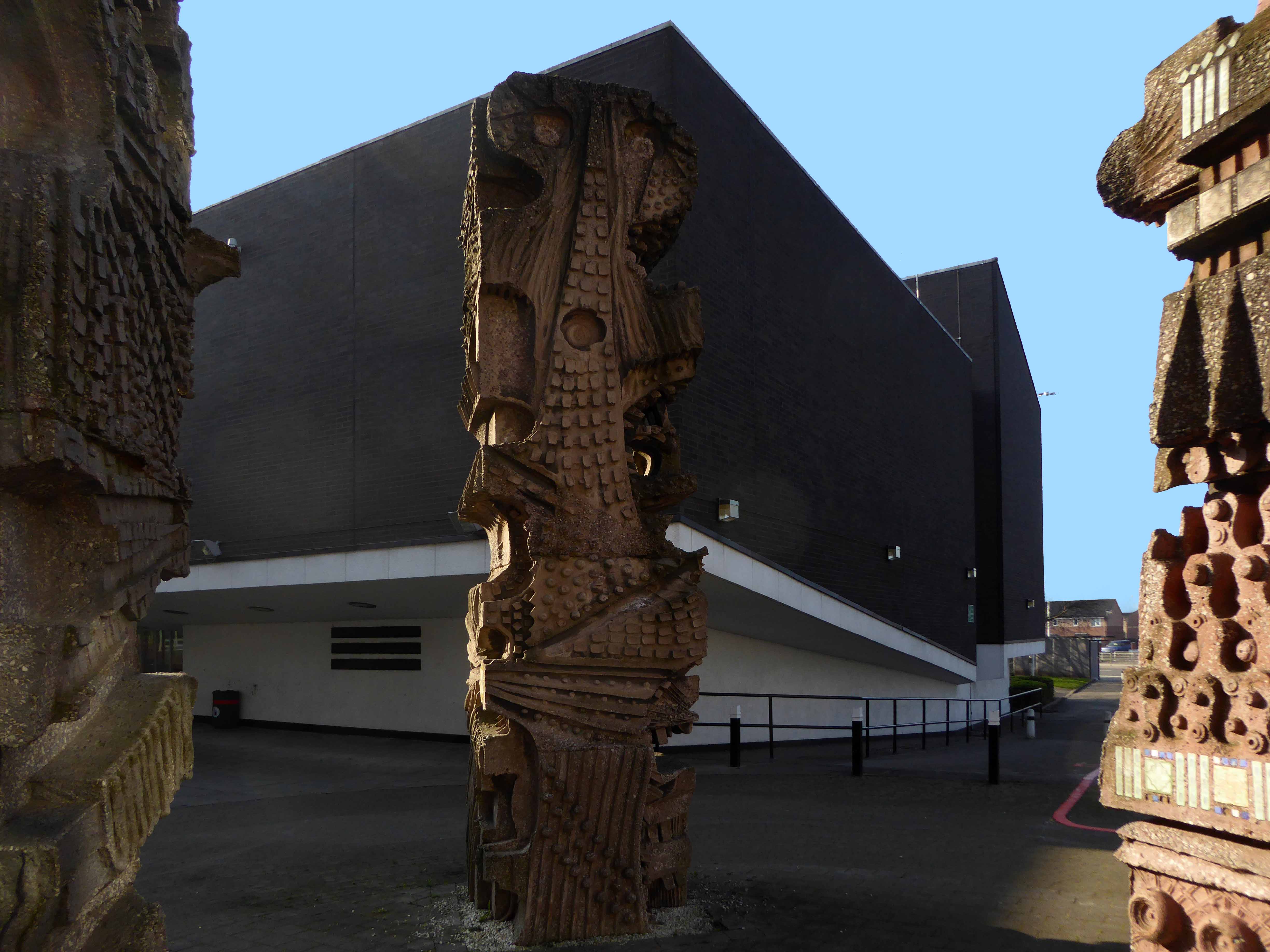
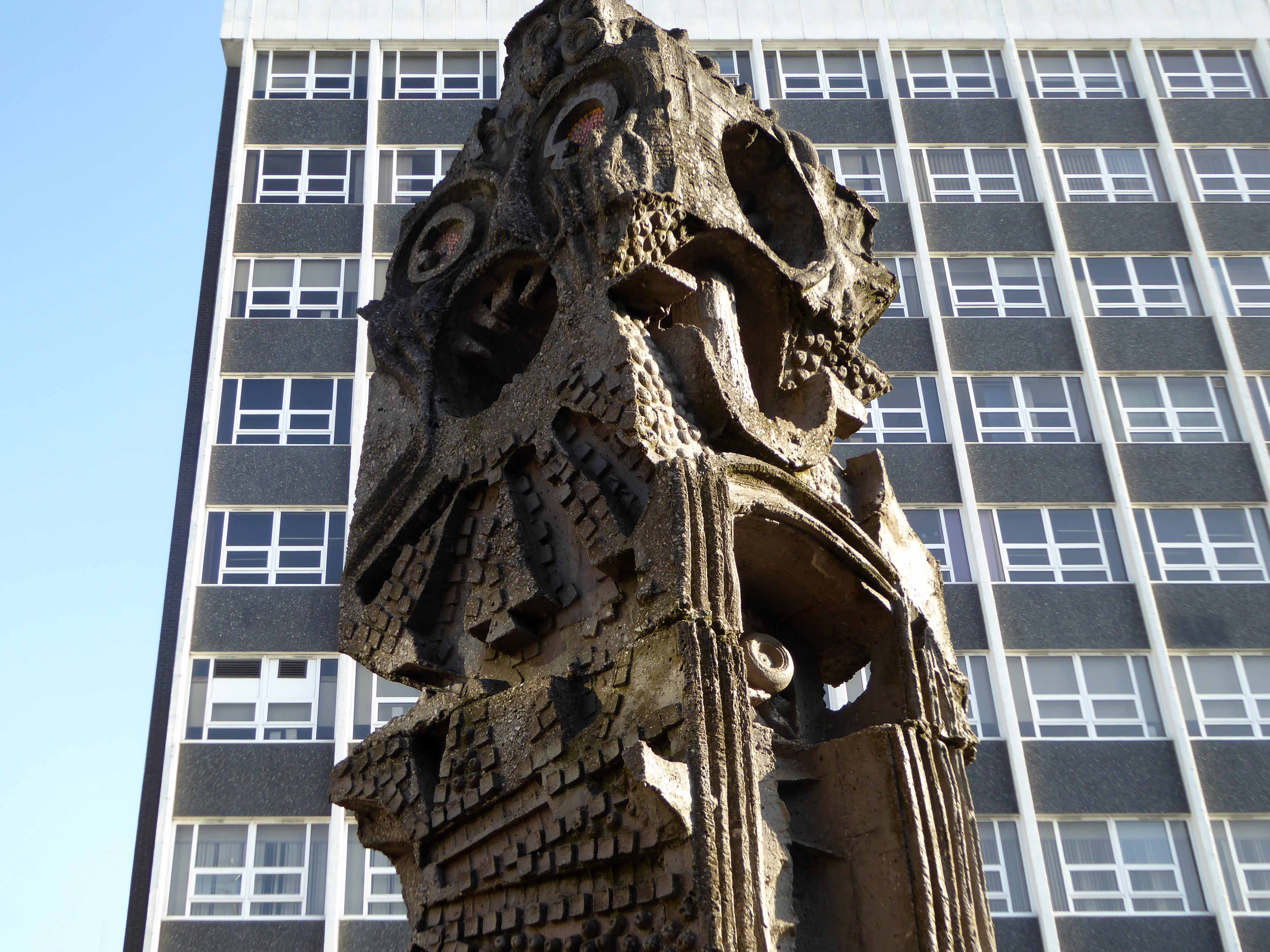
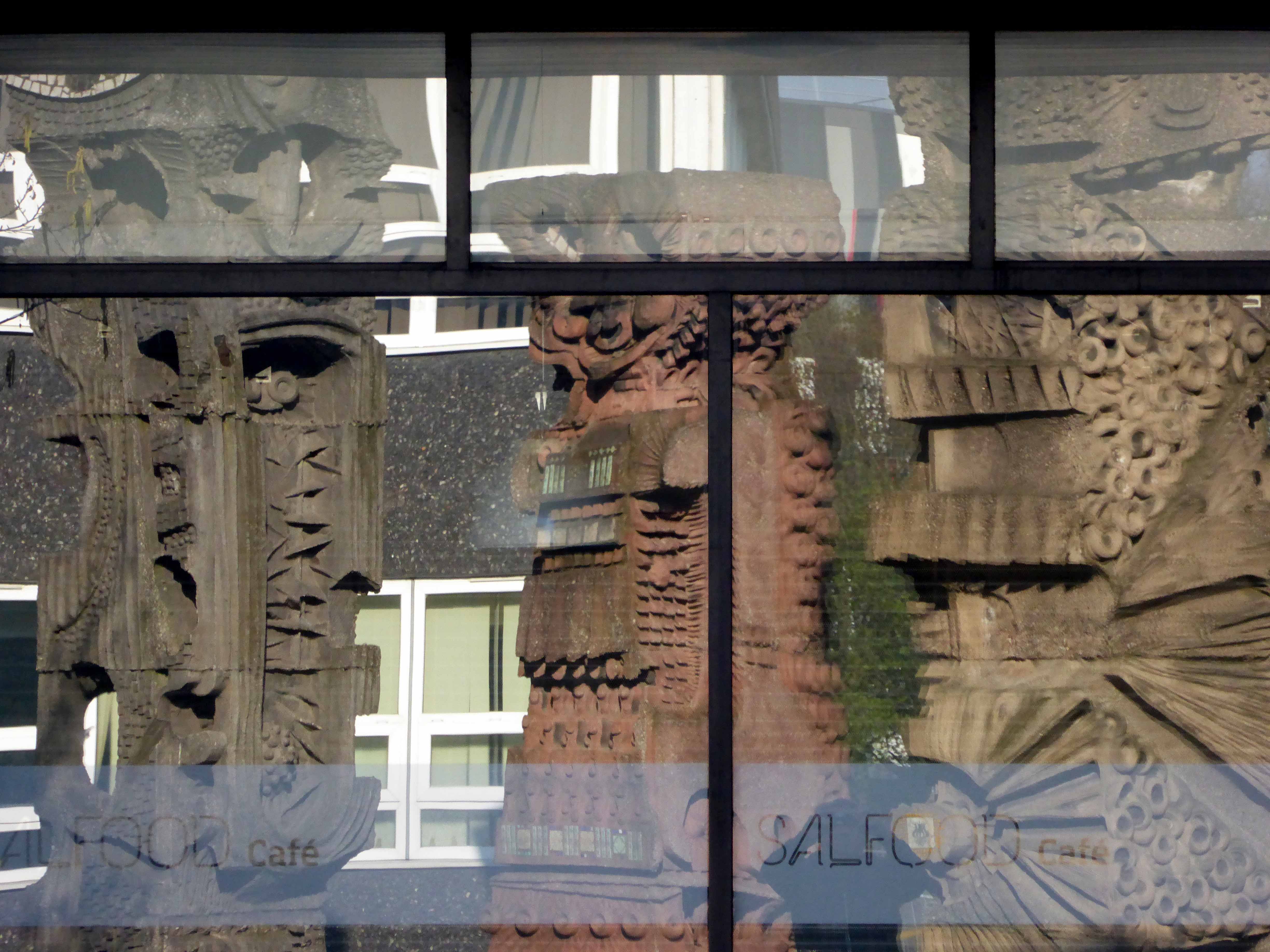
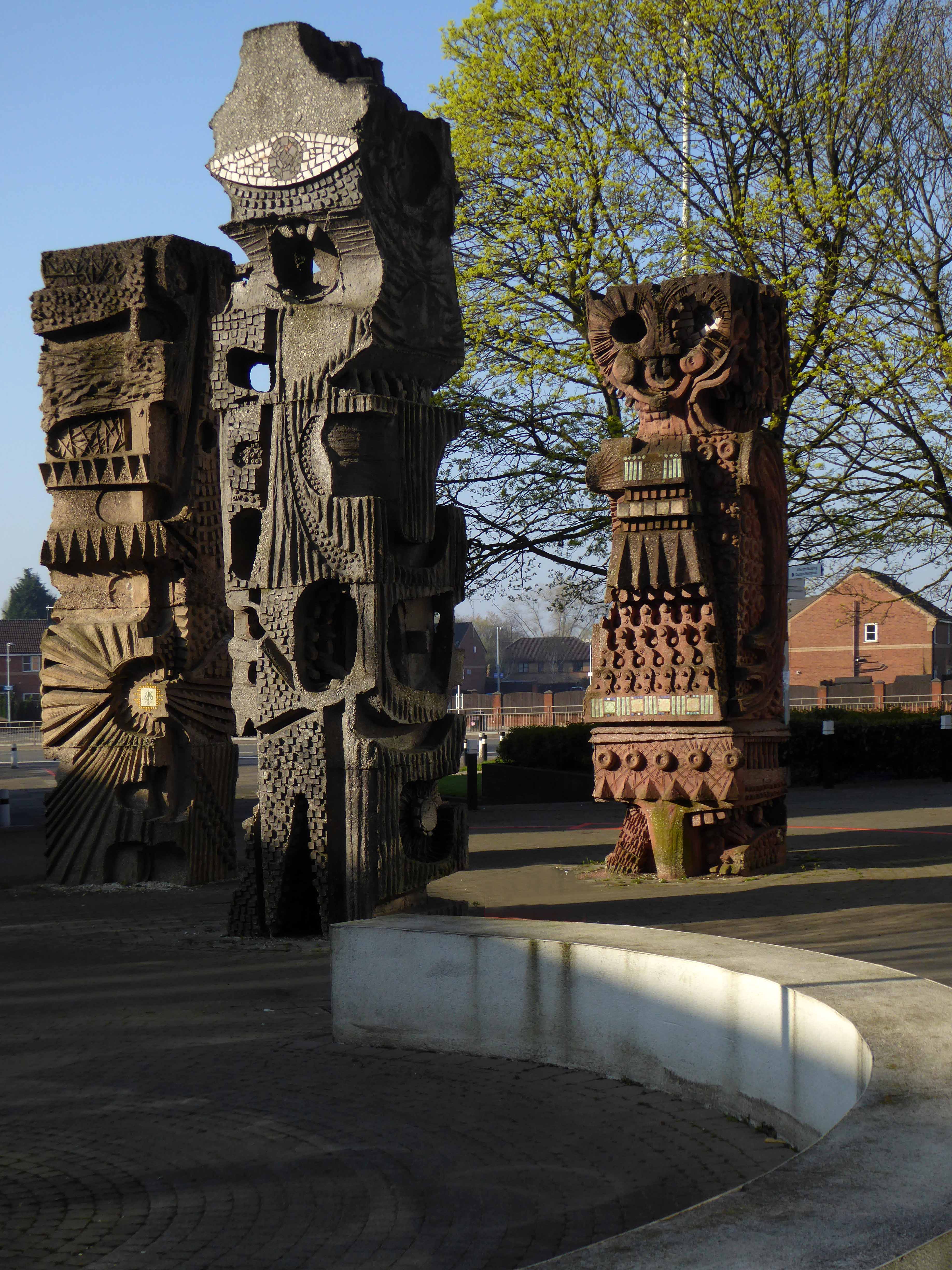
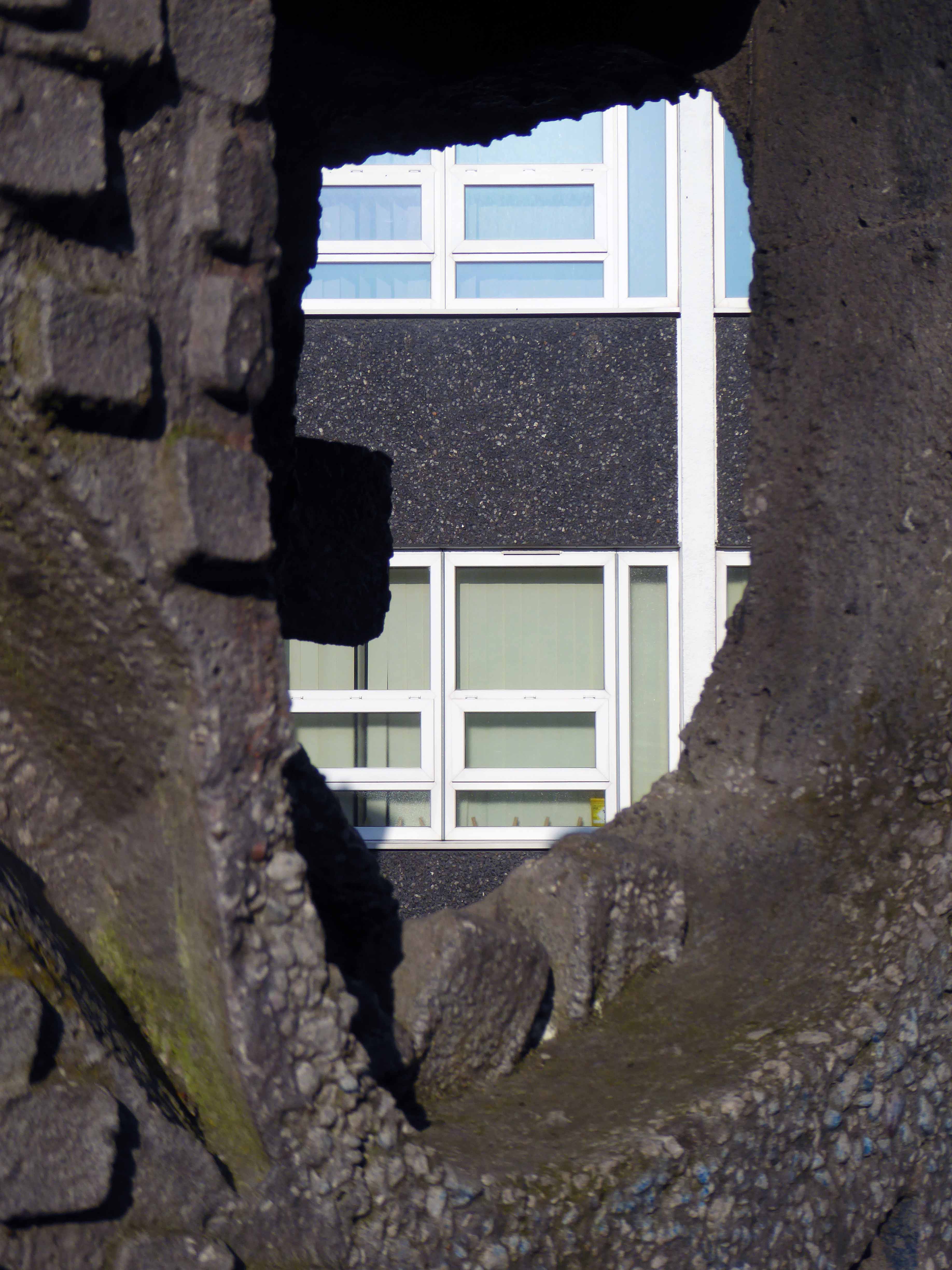
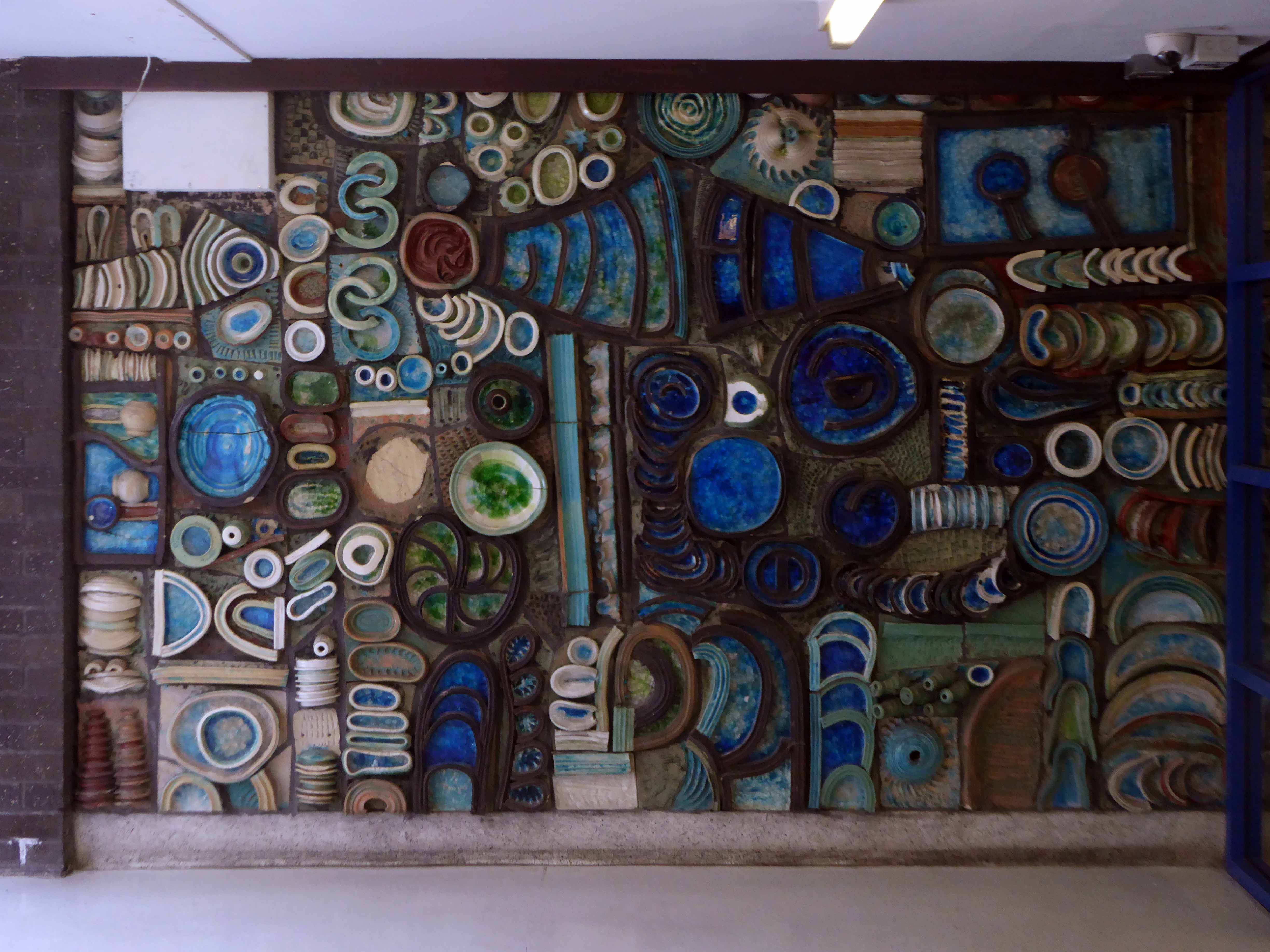
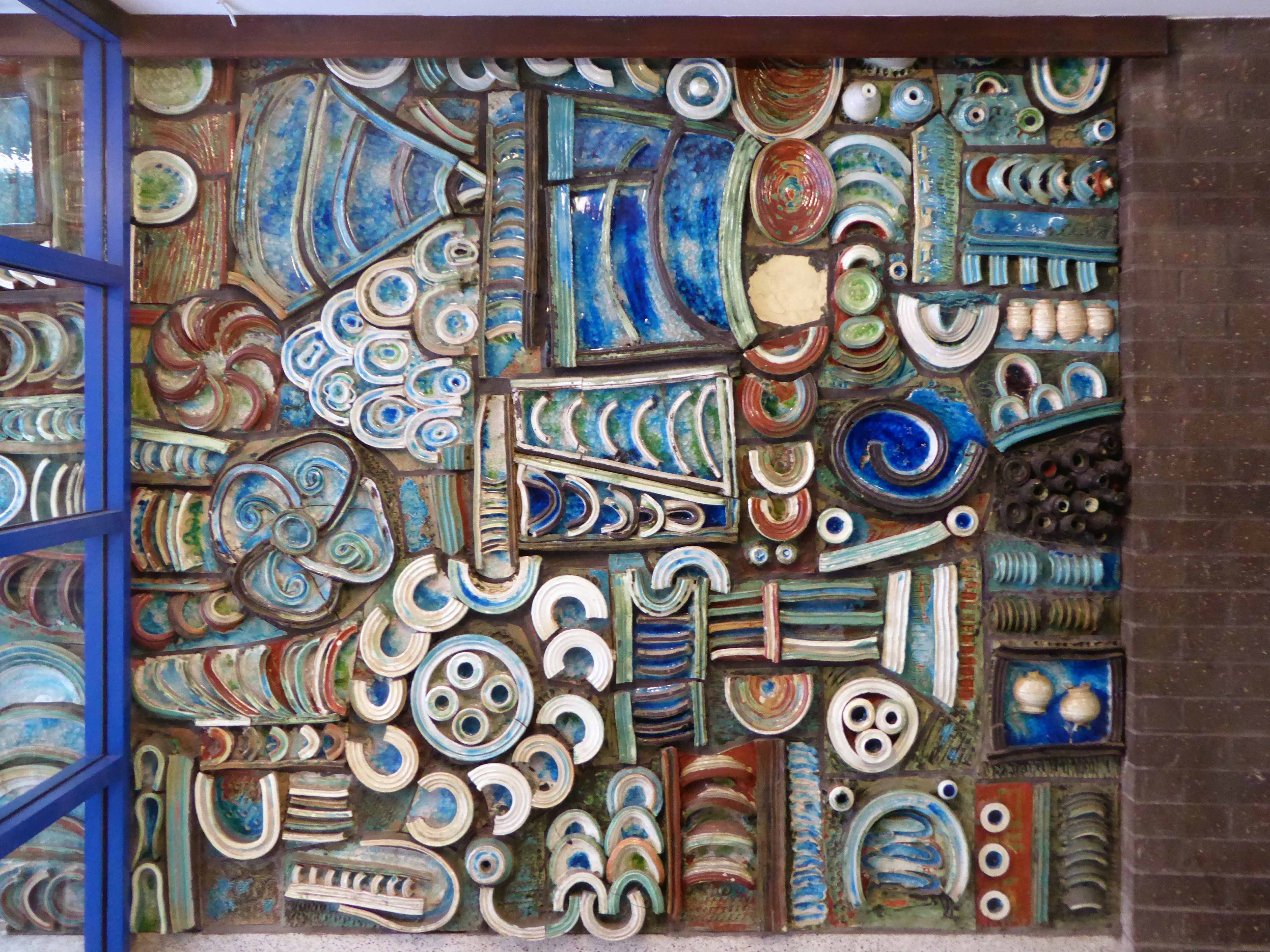
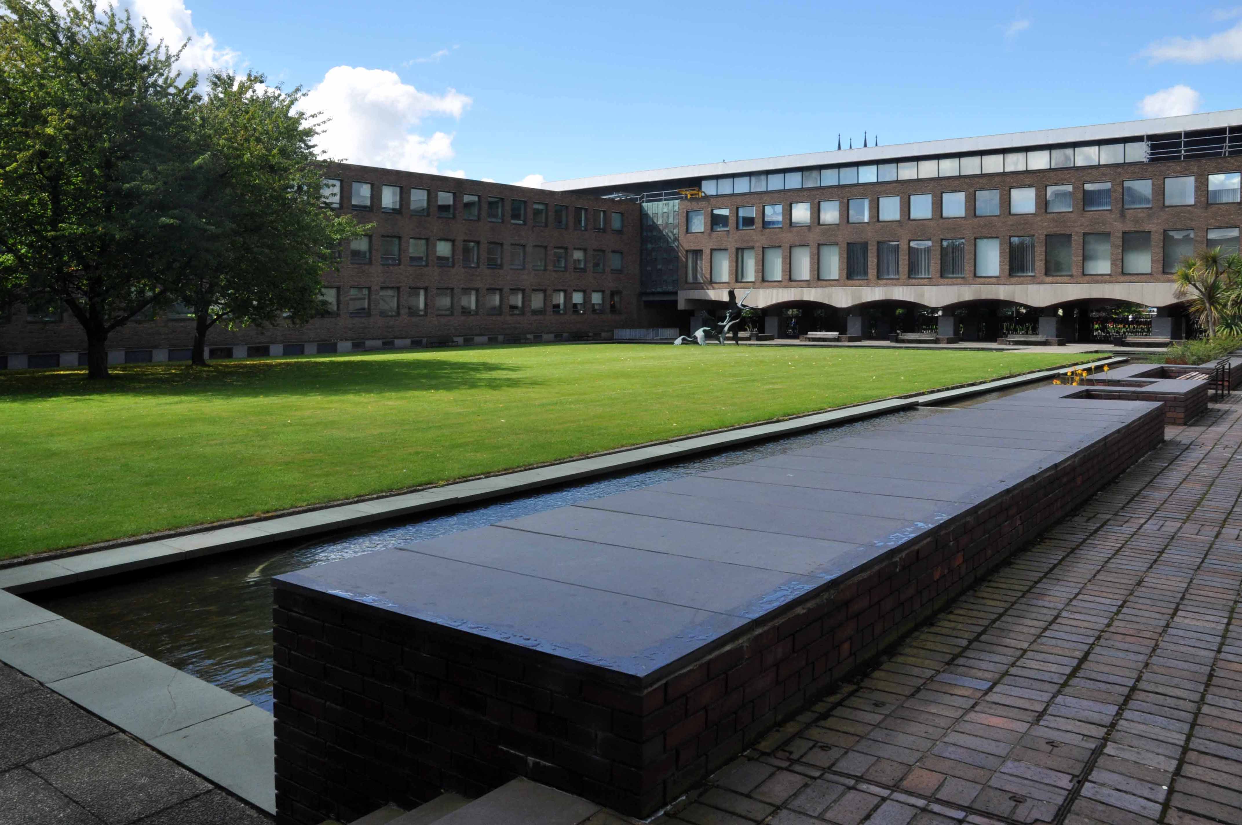
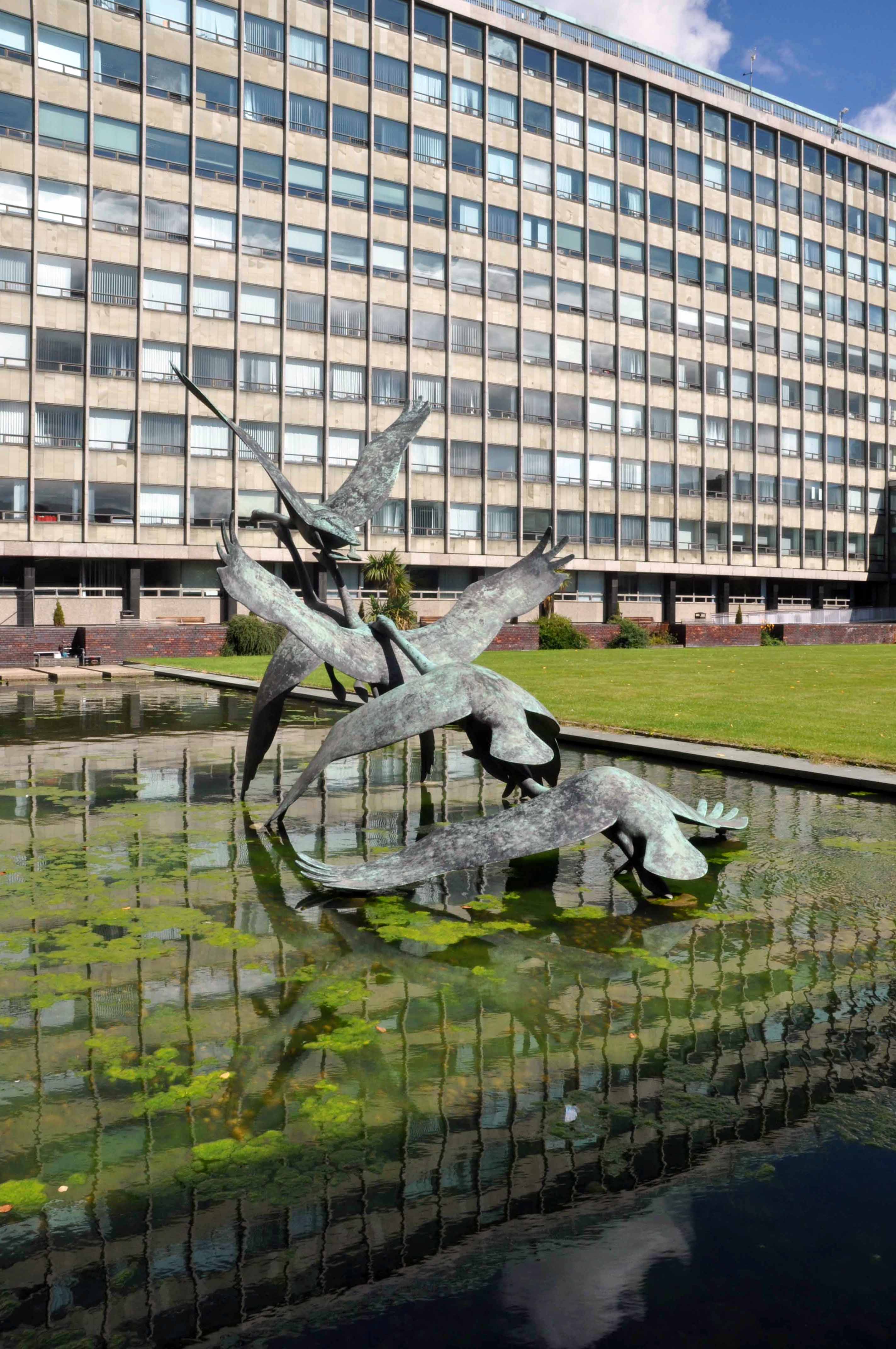
The three concrete totem sculptures of 1966 by William Mitchell, which stand in the courtyard of the Allerton Building, University of Salford, are recommended for designation at Grade II for the following principal reasons: * Historic Interest: as a good representative example of the commissioning of public artwork as an integral element of the design of new higher education colleges and universities in the post-war period, here succeeding in imbuing a distinct identity and image on an otherwise relatively plain complex.
So it seemed appropriate to cycle to Salford early one sunny Saturday morning, in an otherwise relatively plain manner in order to see the three totems.
William Mitchell was a leading public artist in the post-war period who designed many pieces of art in the public realm, working to a high artistic quality in various materials but most notably concrete, a material in which he was highly skilled, using innovative and unusual casting techniques, as seen in this sculptural group. He has a number of listed pieces to his name, both individual designs and components of larger architectural commissions by leading architects of the day.
Historic England says so, they loved them so much they listed them Grade II.
I loved them so much I listed them lovely, especially in lowish spring light, set against a clear blue sky and framed by the surrounding academic buildings.
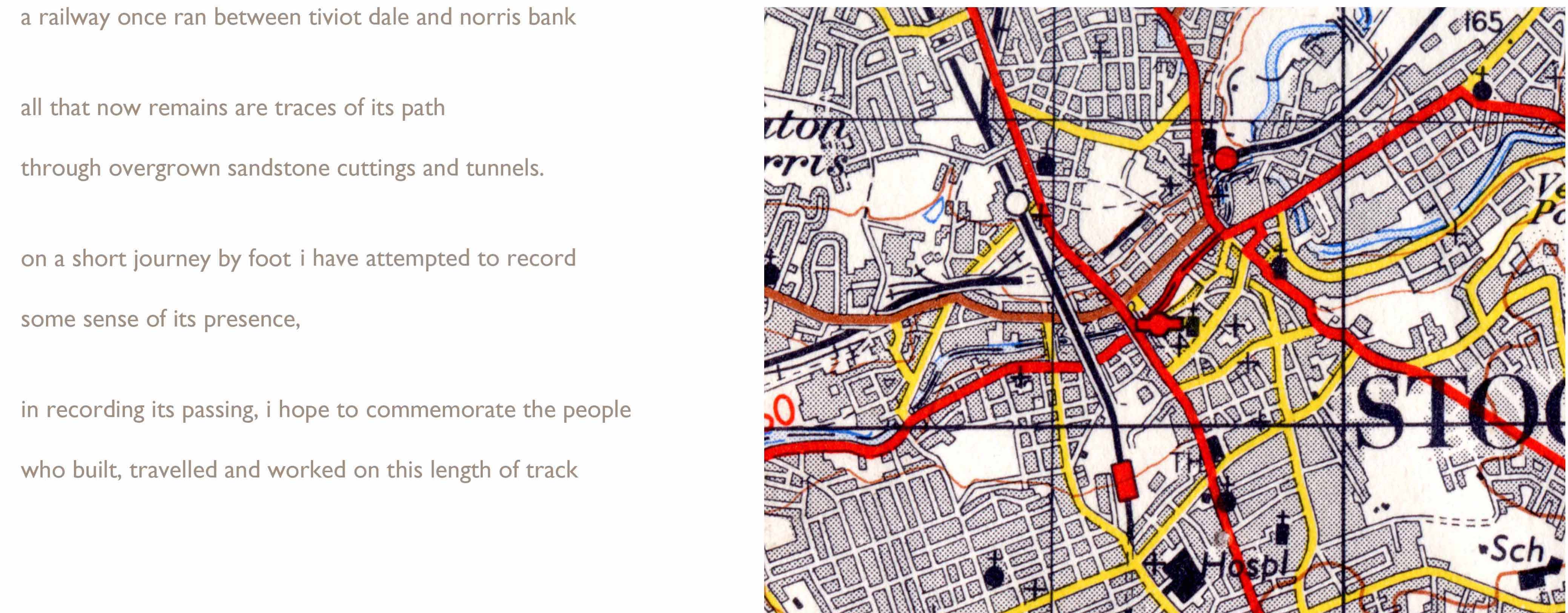
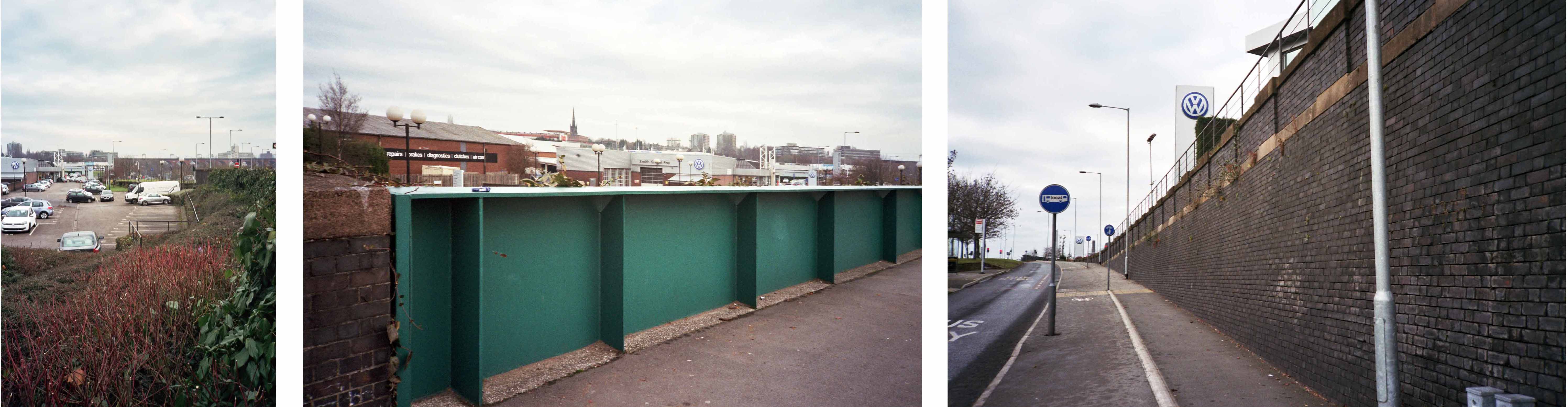
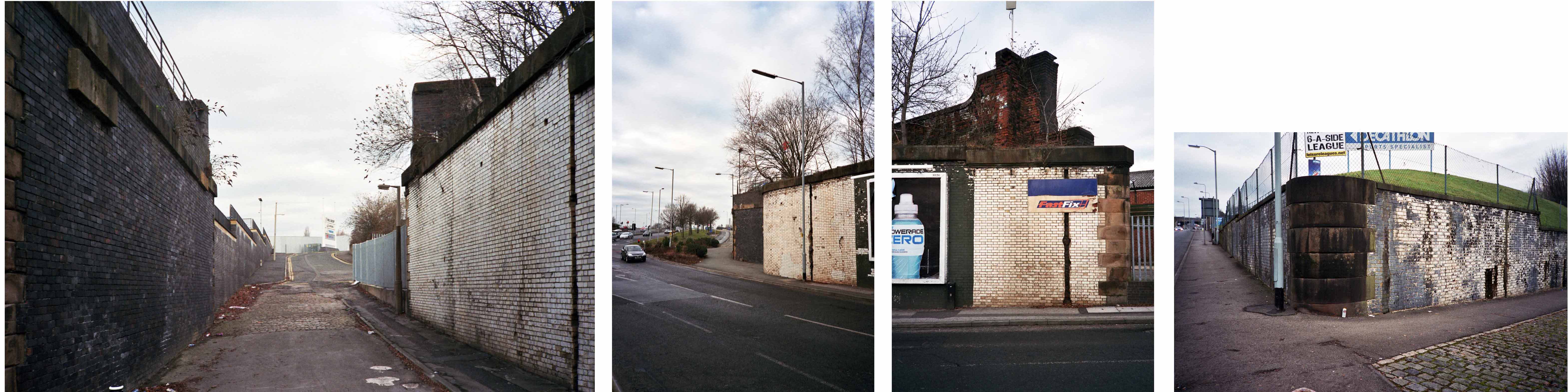
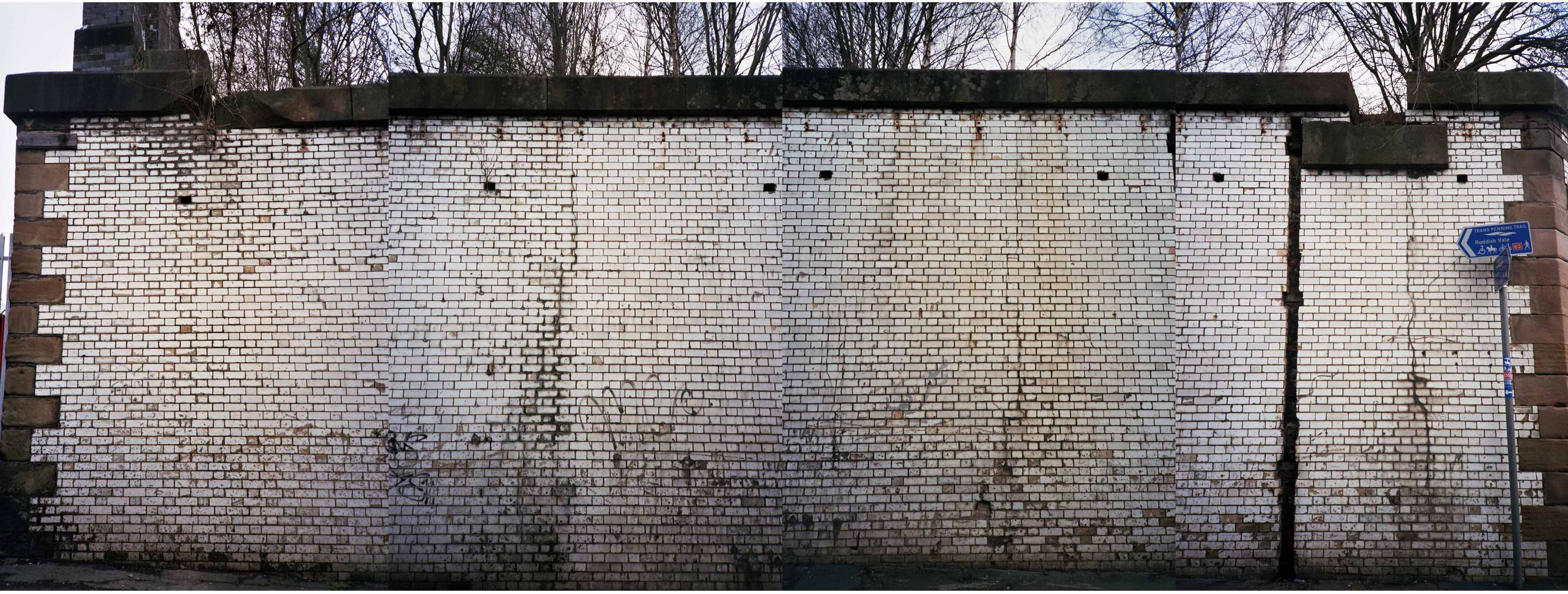
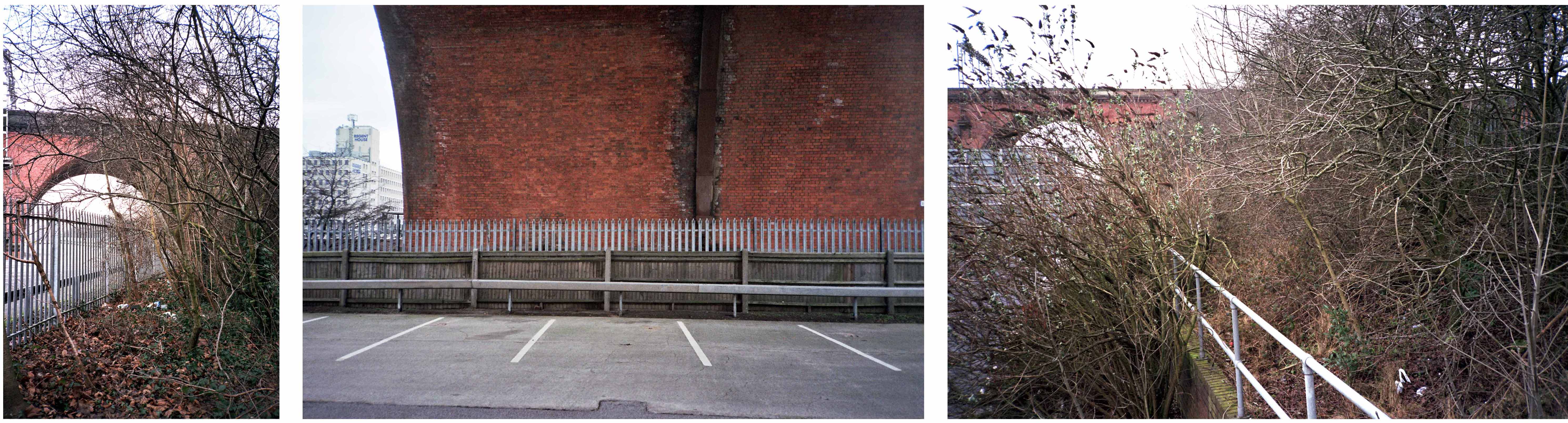
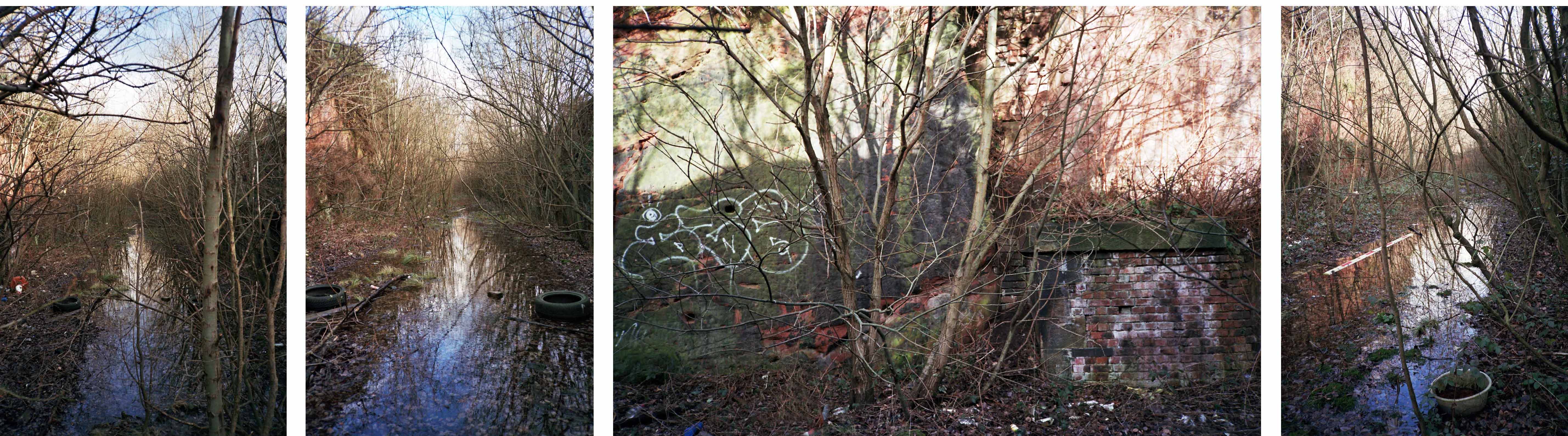
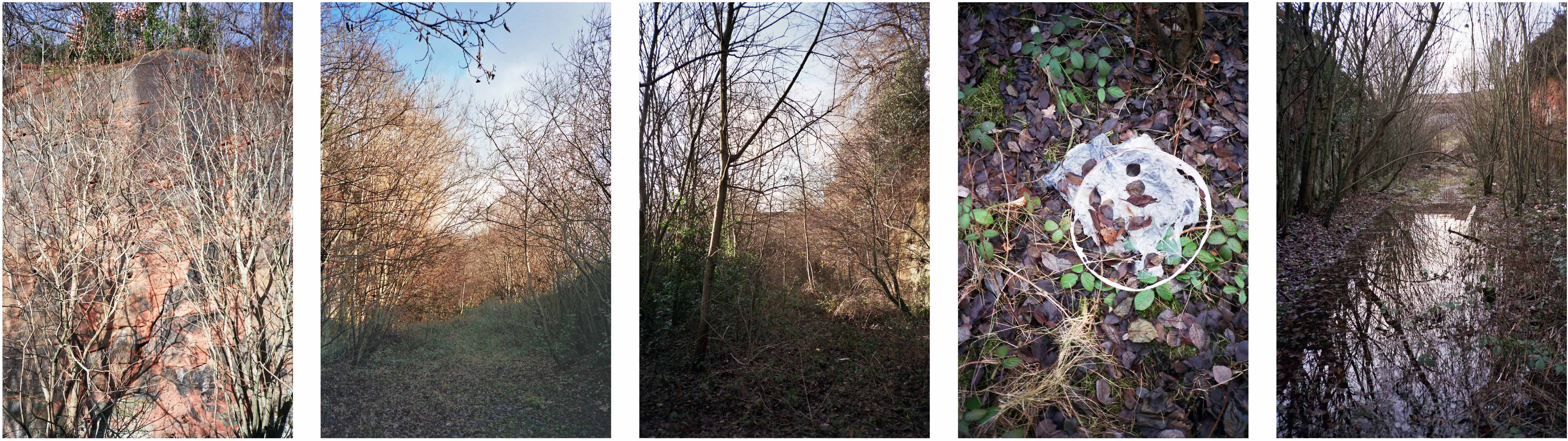
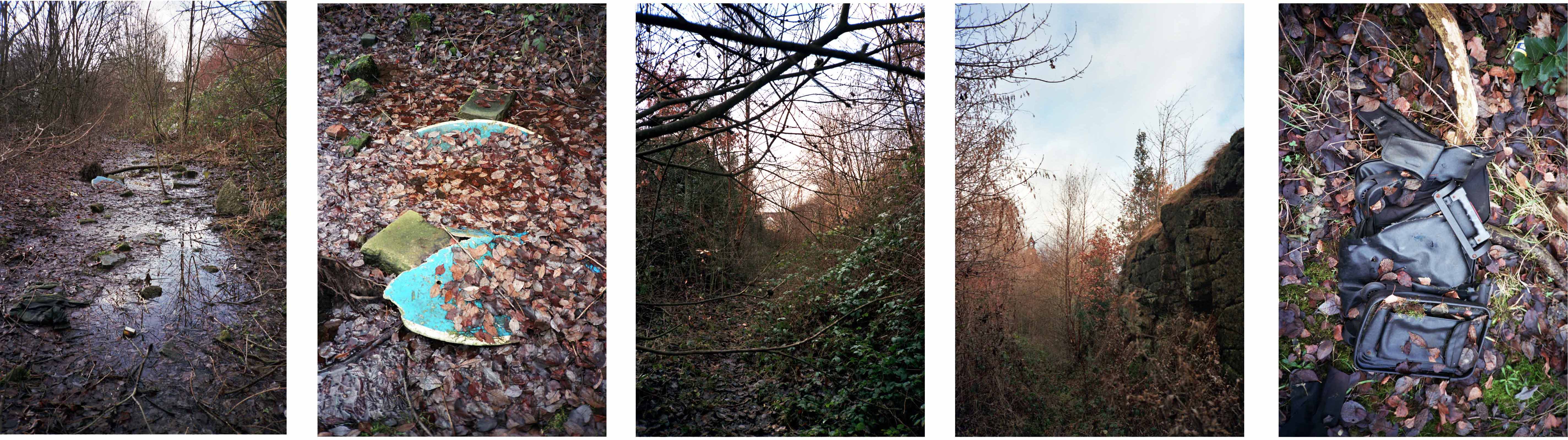
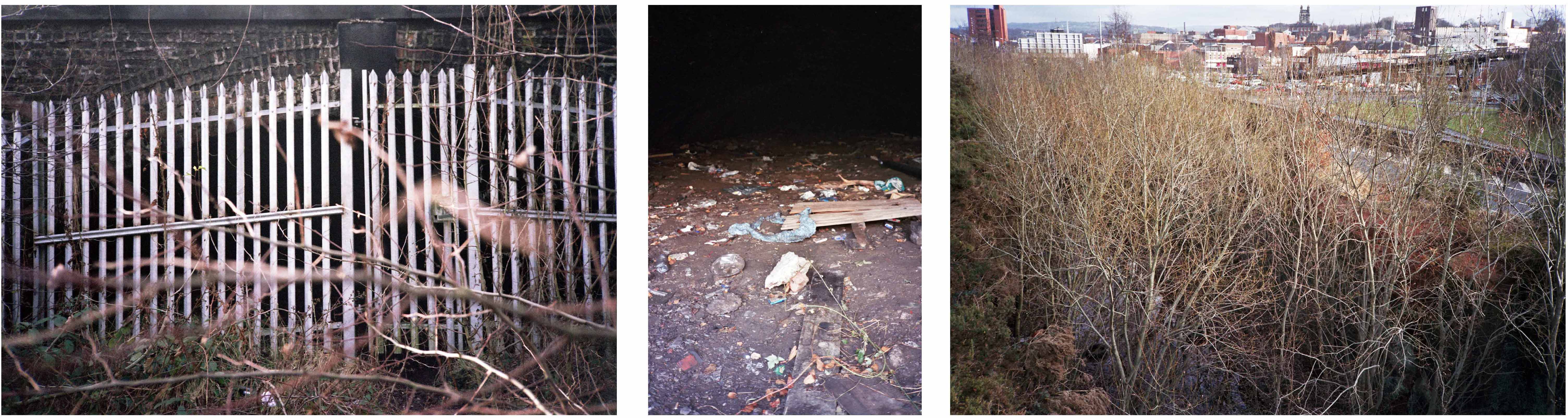
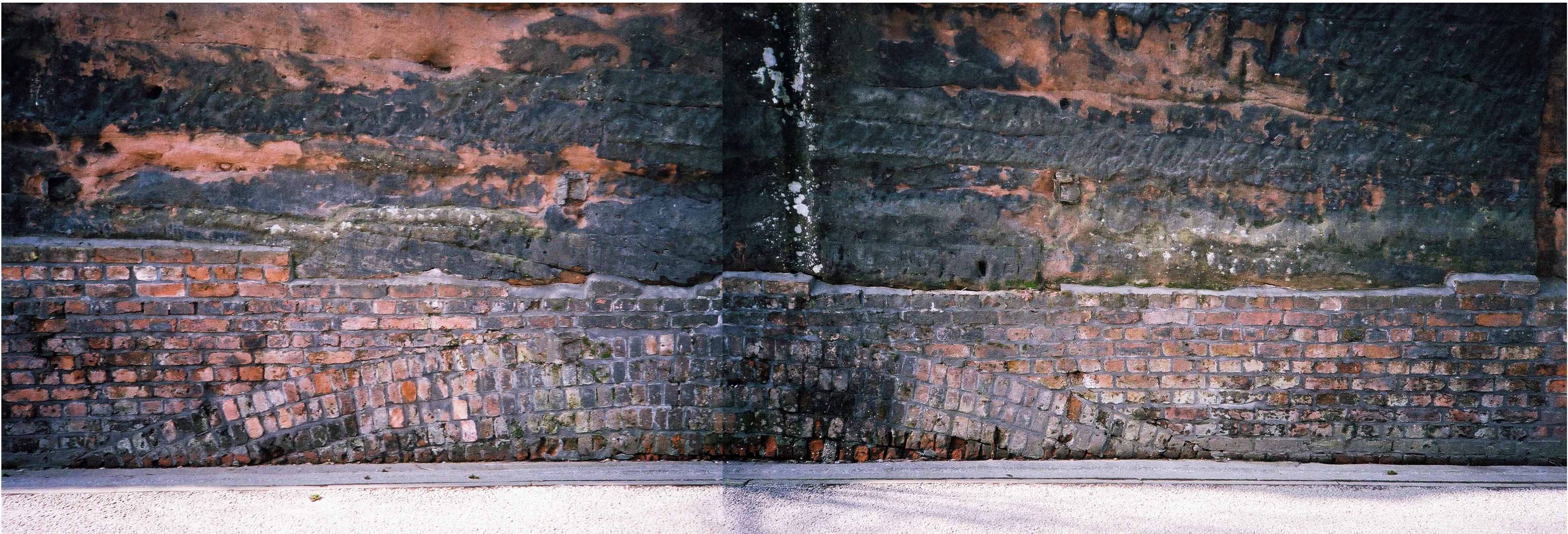
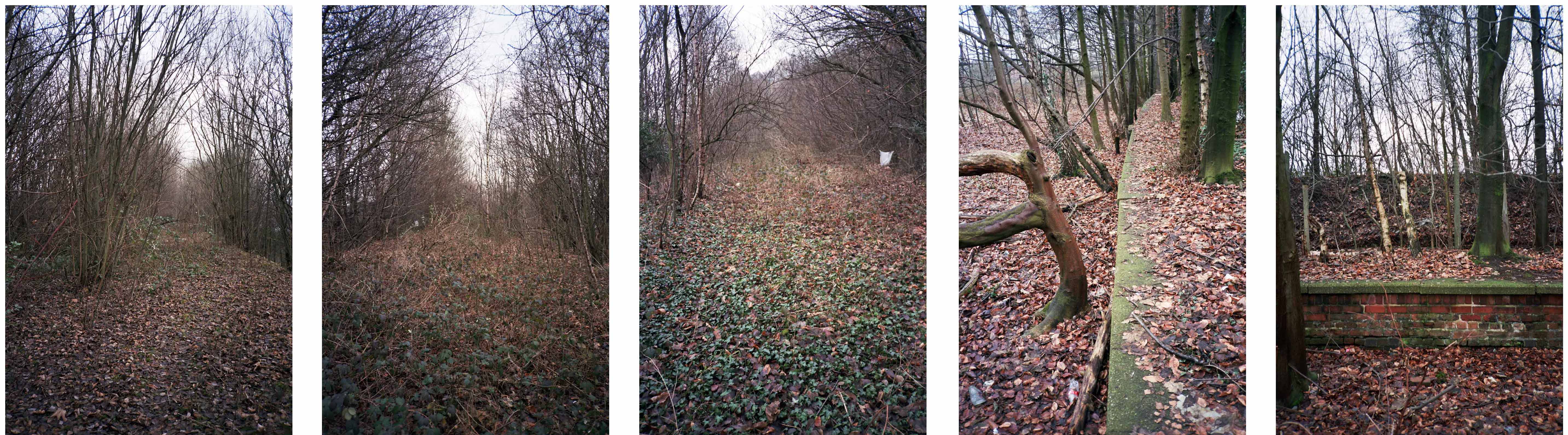
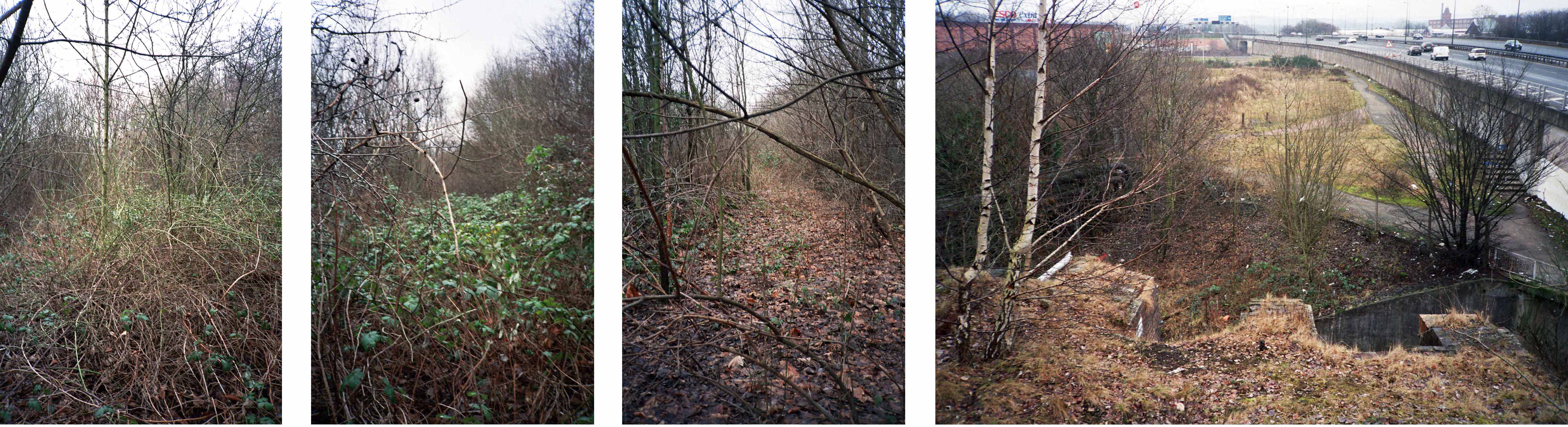
This is a journey I made as a BR Guide Bridge goods guard in the late 1970s, often with driver Eric Clough, into the George’s Road scrap yard. It was also at one time the Cheshire Lines passenger route out of Stockport Tiviot Dale Station to Liverpool, Southport, St Pancras and beyond.
This is a journey I made on foot through bramble, puddle and scrub on a now disused line, cheek by jowl with a motorway and the passing crowd, blissfully unaware of its existence.
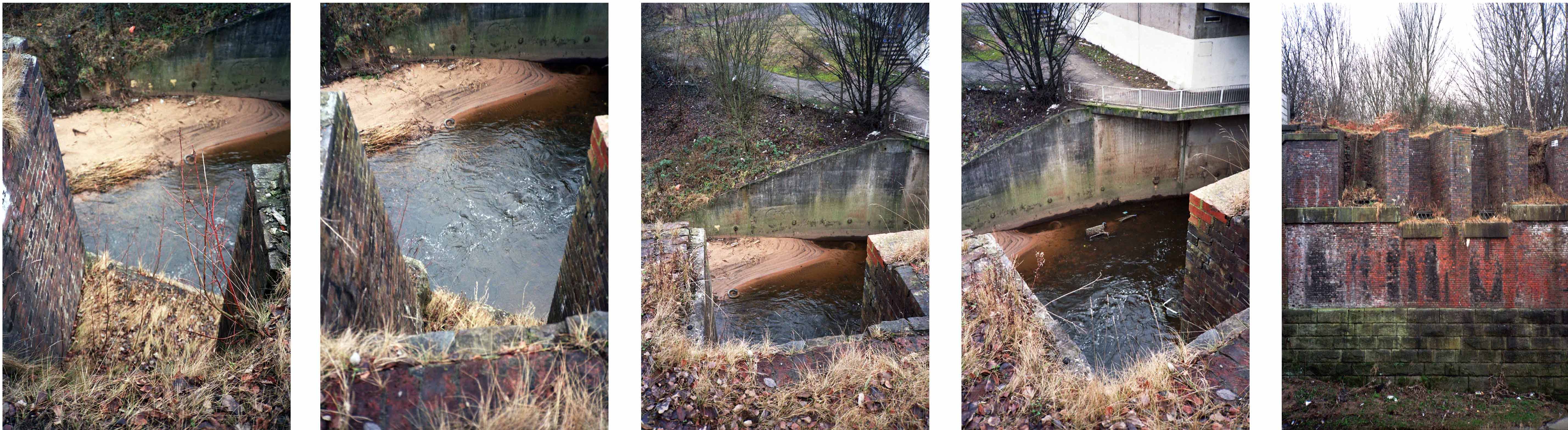
Once there was a river there, formed by the thunder of Irish Sea ice gouging a great glacial valley, bowling along boulders and millstone grit through phyllosilicate clays and sedimentary sandstone.
Then there wasn’t.
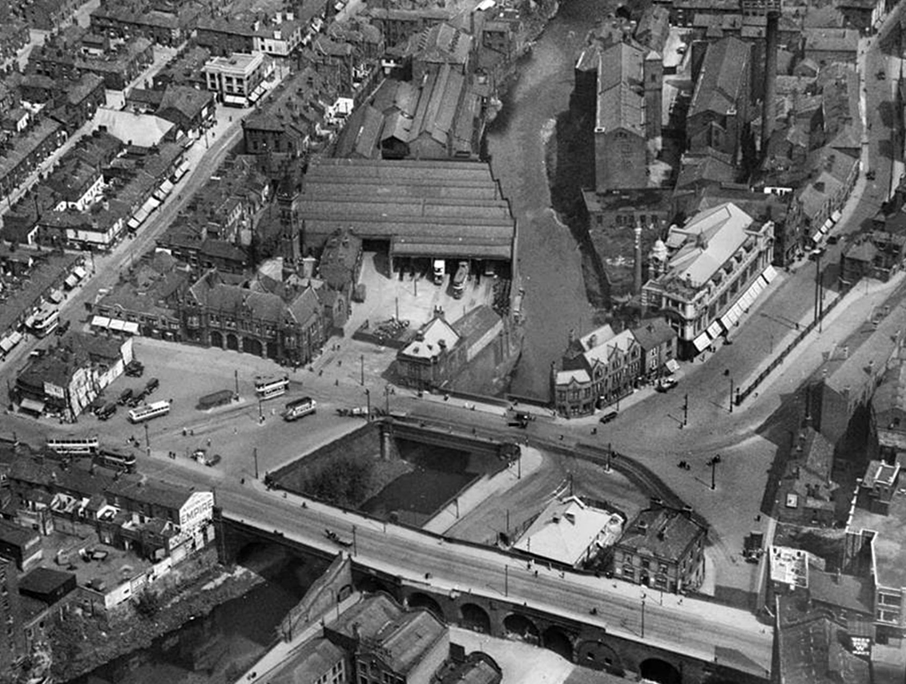
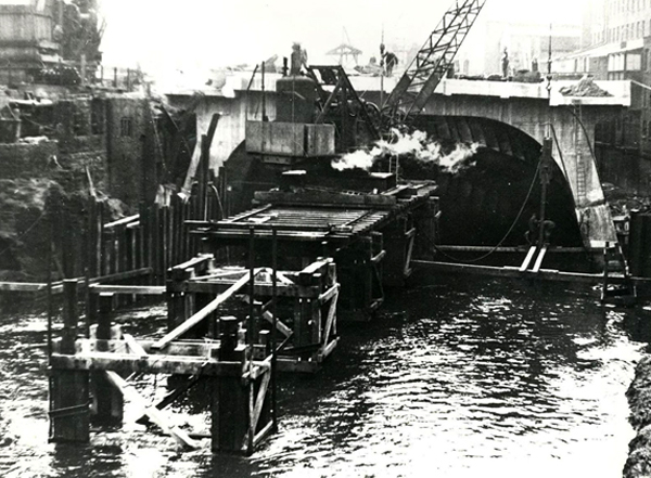
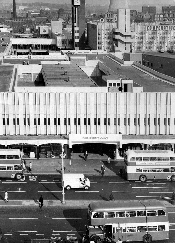
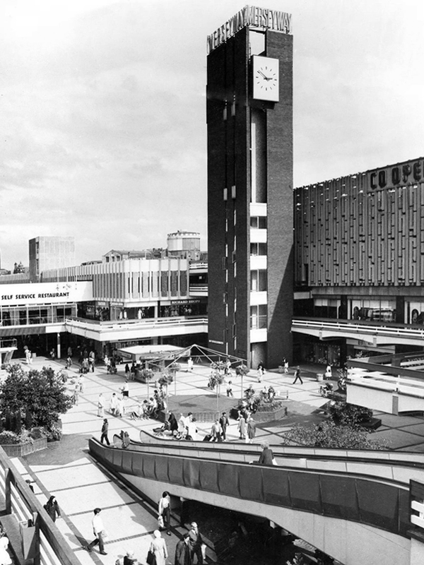
The Mersey, formed in Stockport as the Tame and Goyt conjoined, inconveniently filled with industrial grime and mire, then conveniently covered over in 1936.
Creating the thoroughly modern thoroughfare Merseyway.
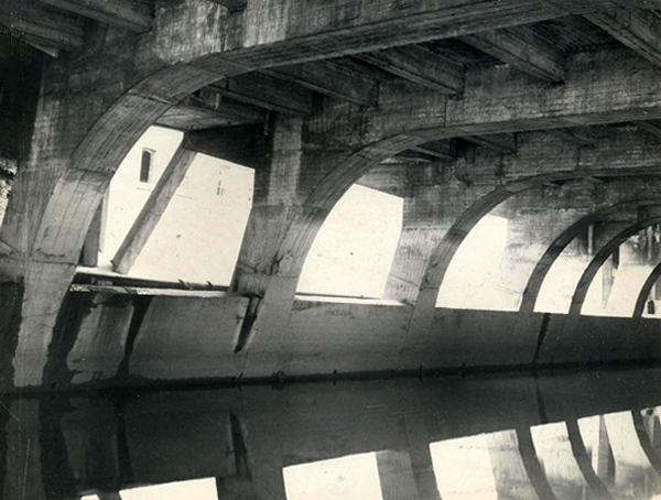
The giant concrete culvert and bridge leaving the river cowering cautiously below.
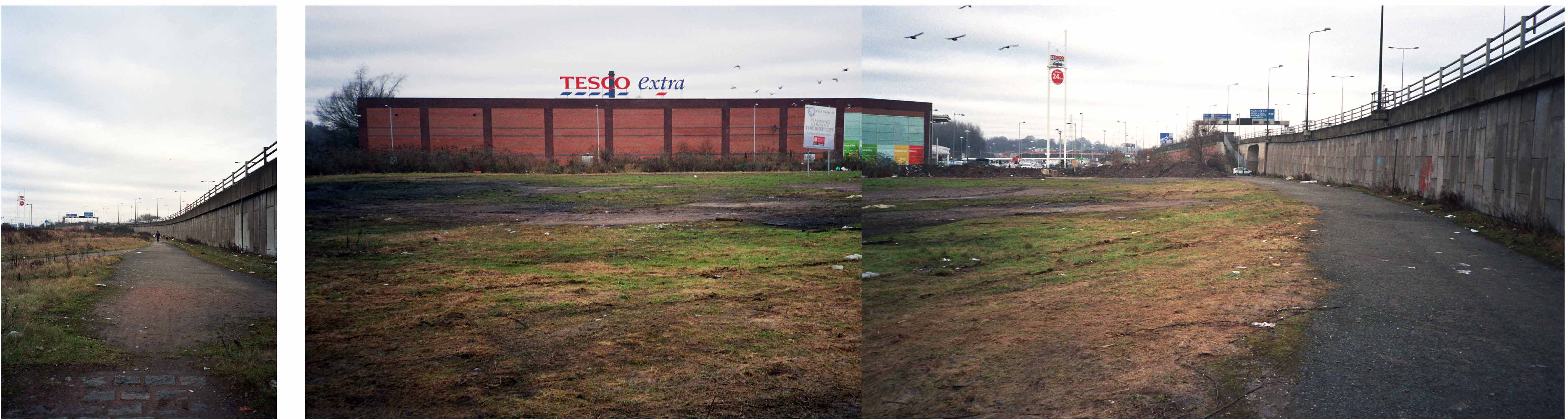
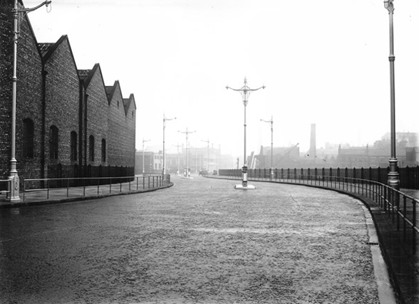
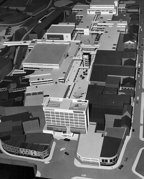
Of time and a river – little stands still and the town is whisked briskly into the late Twentieth Century with plans for a pedestrianised precinct.
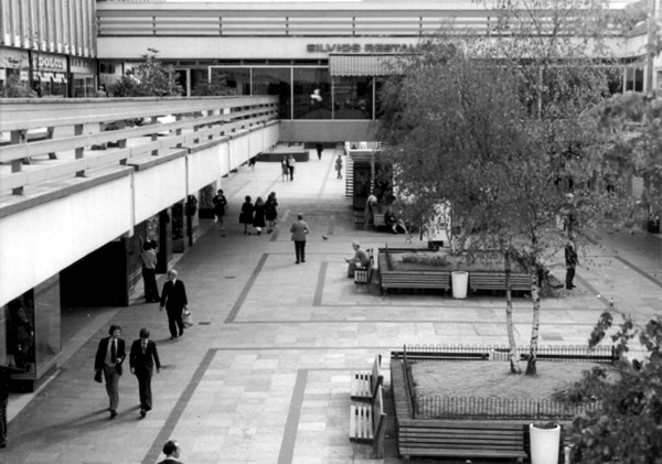
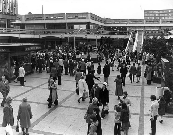
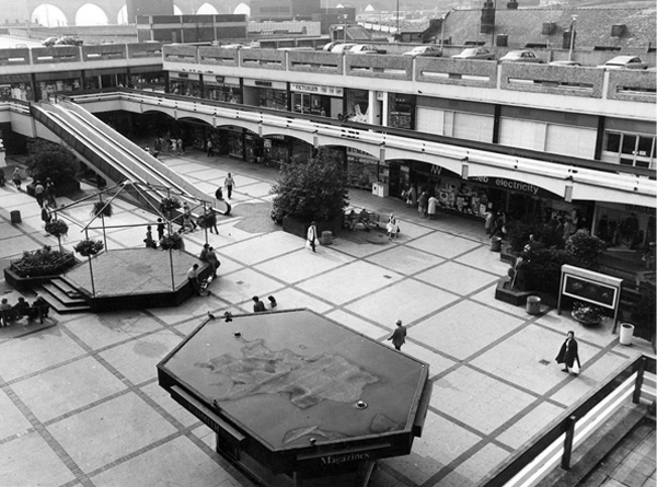
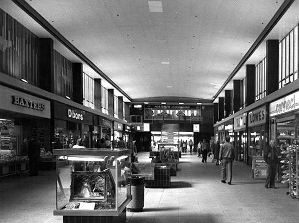
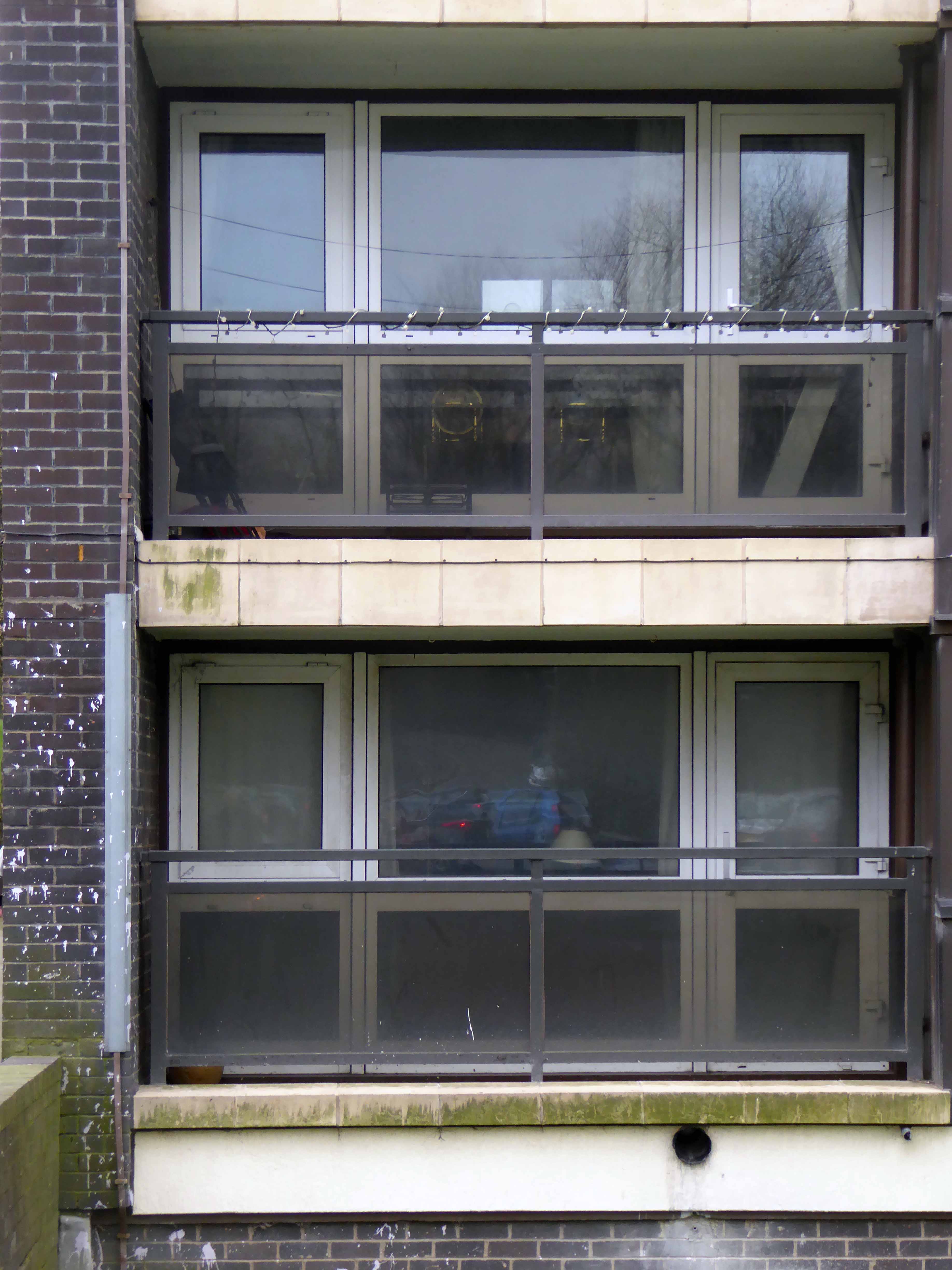
Completed and opened in 1965 the shopping precinct was concrete poetry in motion, incorporating the surrounding topography and extant architecture with grace and aplomb. Combining retail, restaurants and car parking facilities in a manner that critic Ian Nairn considered to be amongst the finest in the land.
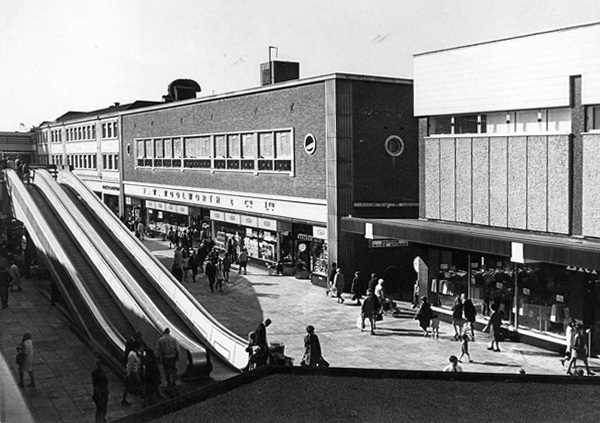
We had travelators, integrated paving, street furniture, and lighting across several levels. A carefully considered whole, combining all that was best in modern design with style, élan and panache – along with Freeman, Hardy and Willis.
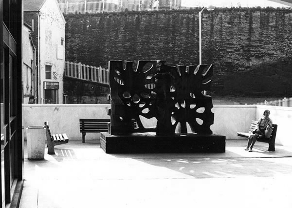
A clock tower, an Alan Boyson concrete car park screen and public art.
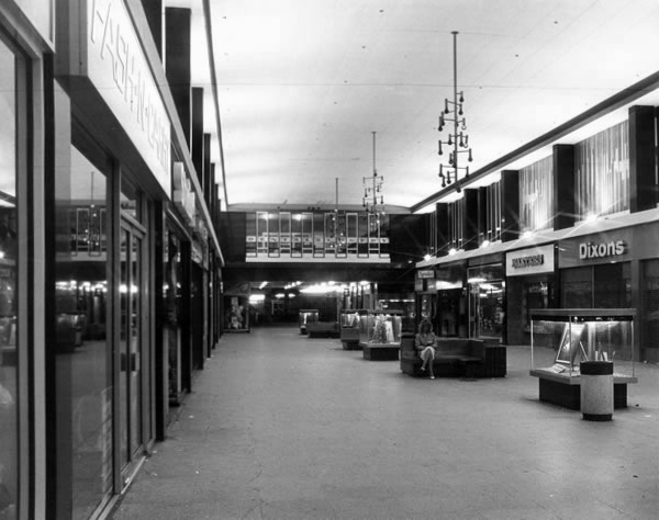
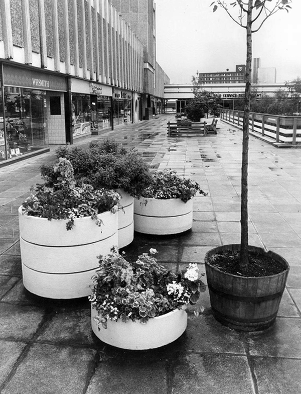
Would that it was still so, a variety of additions and subtractions have left Merseyway in architectural limbo, concrete legs akimbo across the river below, striding towards the future in a more than somewhat bewildered manner.
Yet we still continue cast our eyes upwards towards a clock that isn’t there, ride a non-existent walkway to the sky, try on an imaginary crop-top in C&A’s Clockhouse.
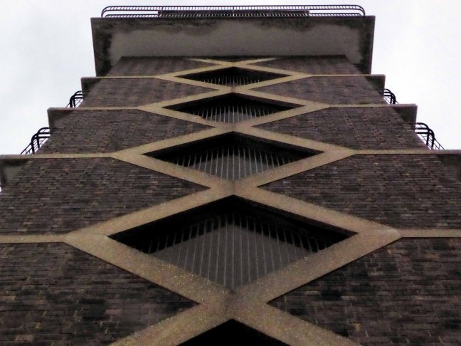
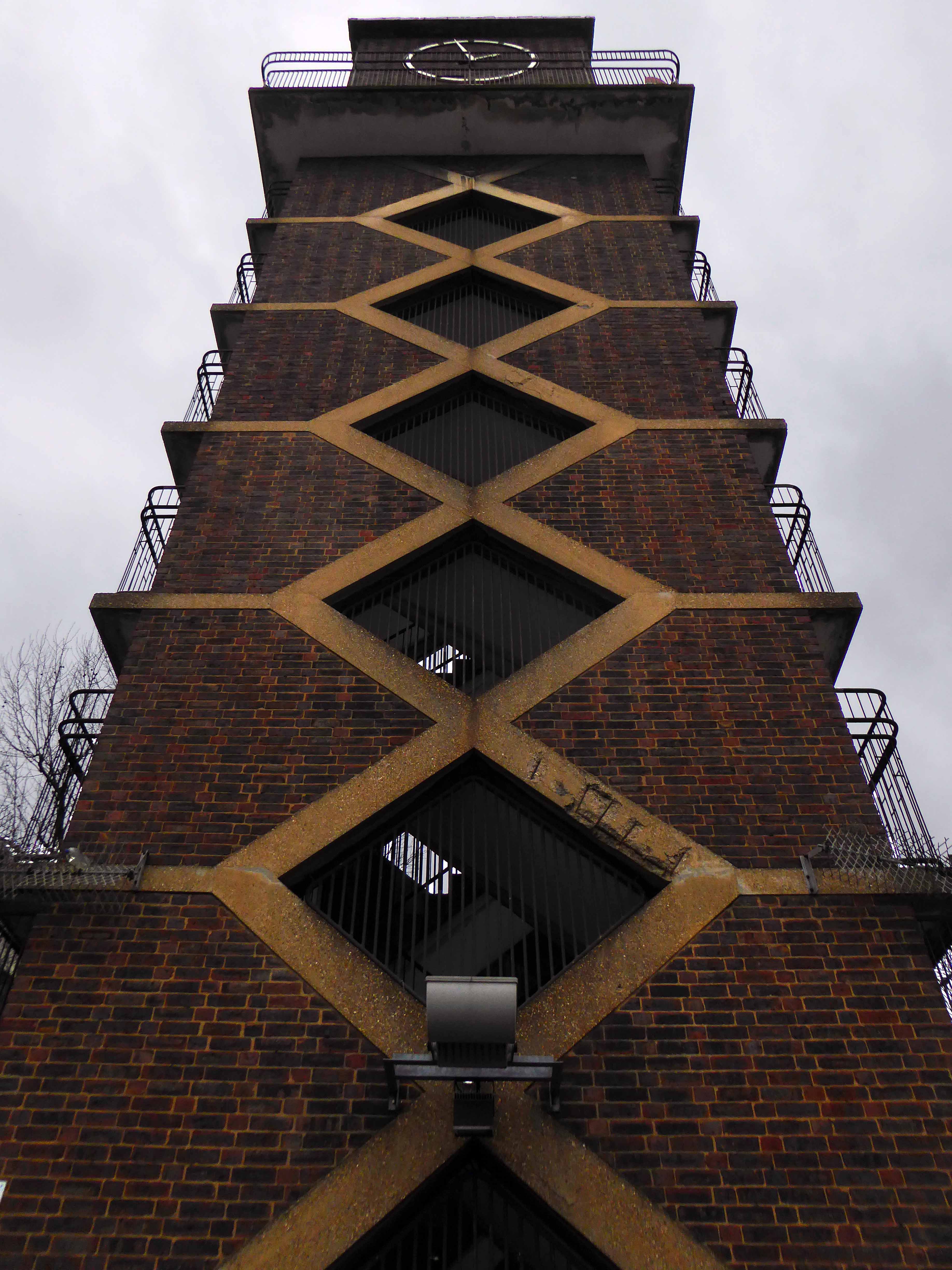
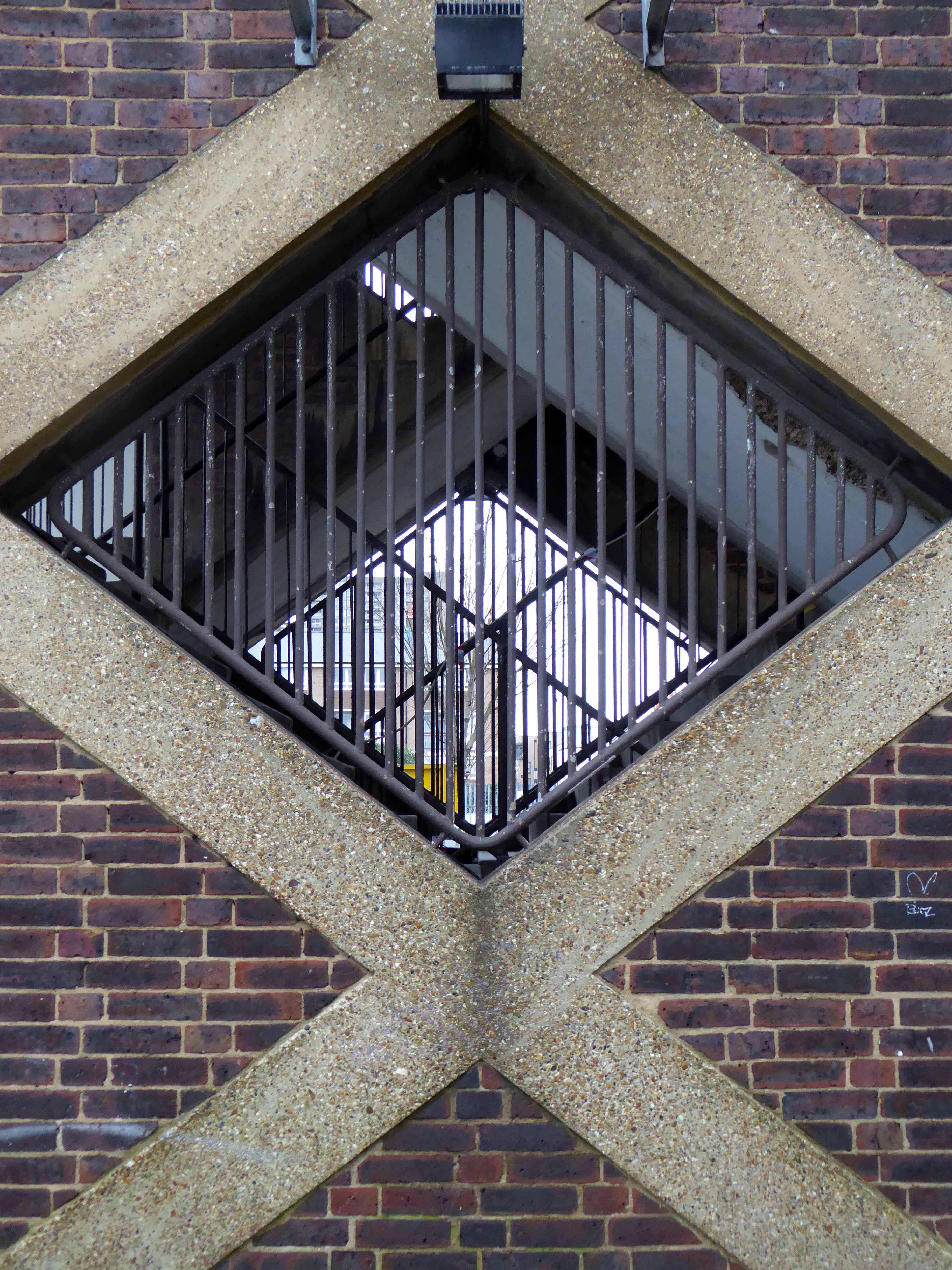
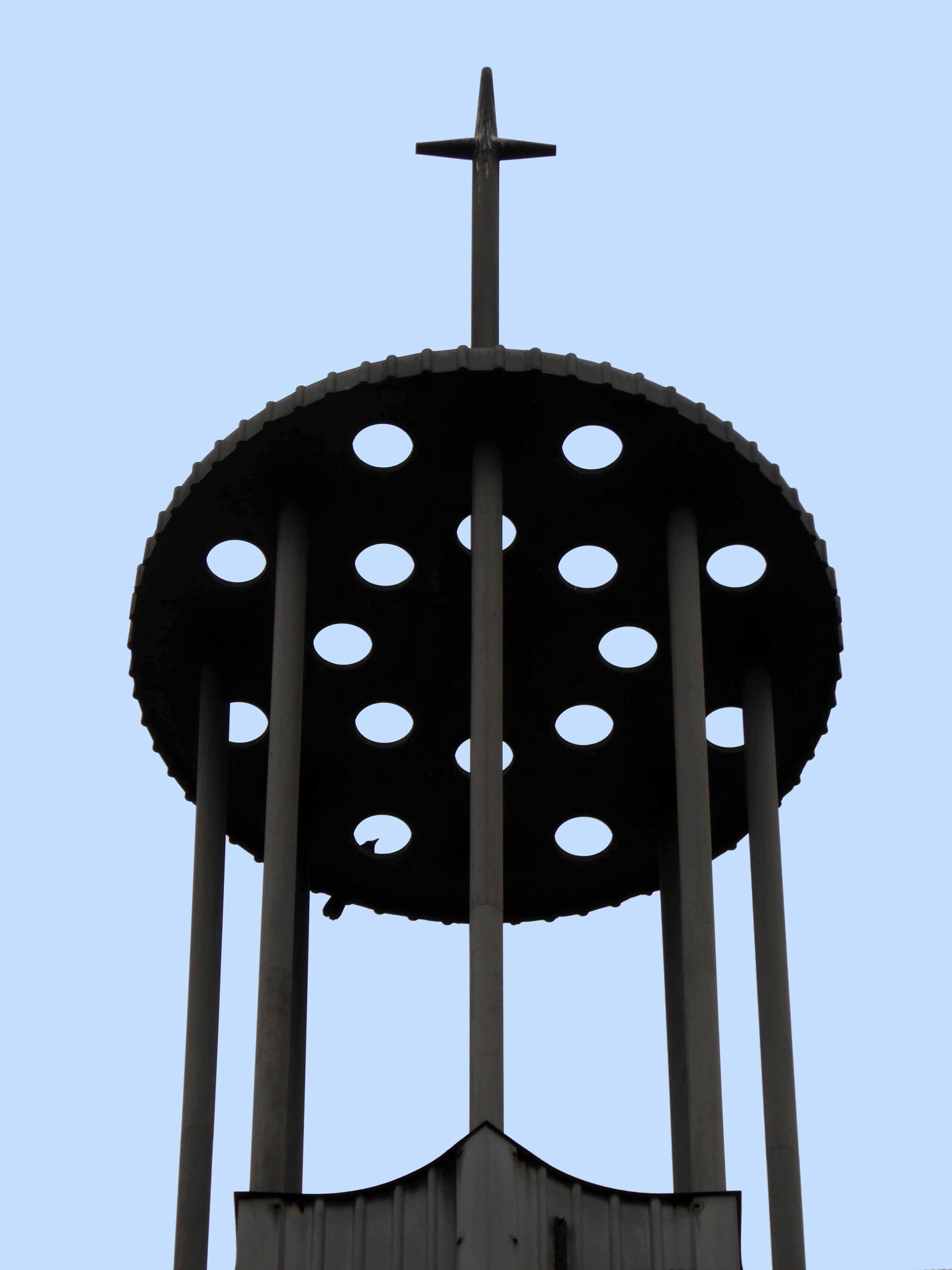
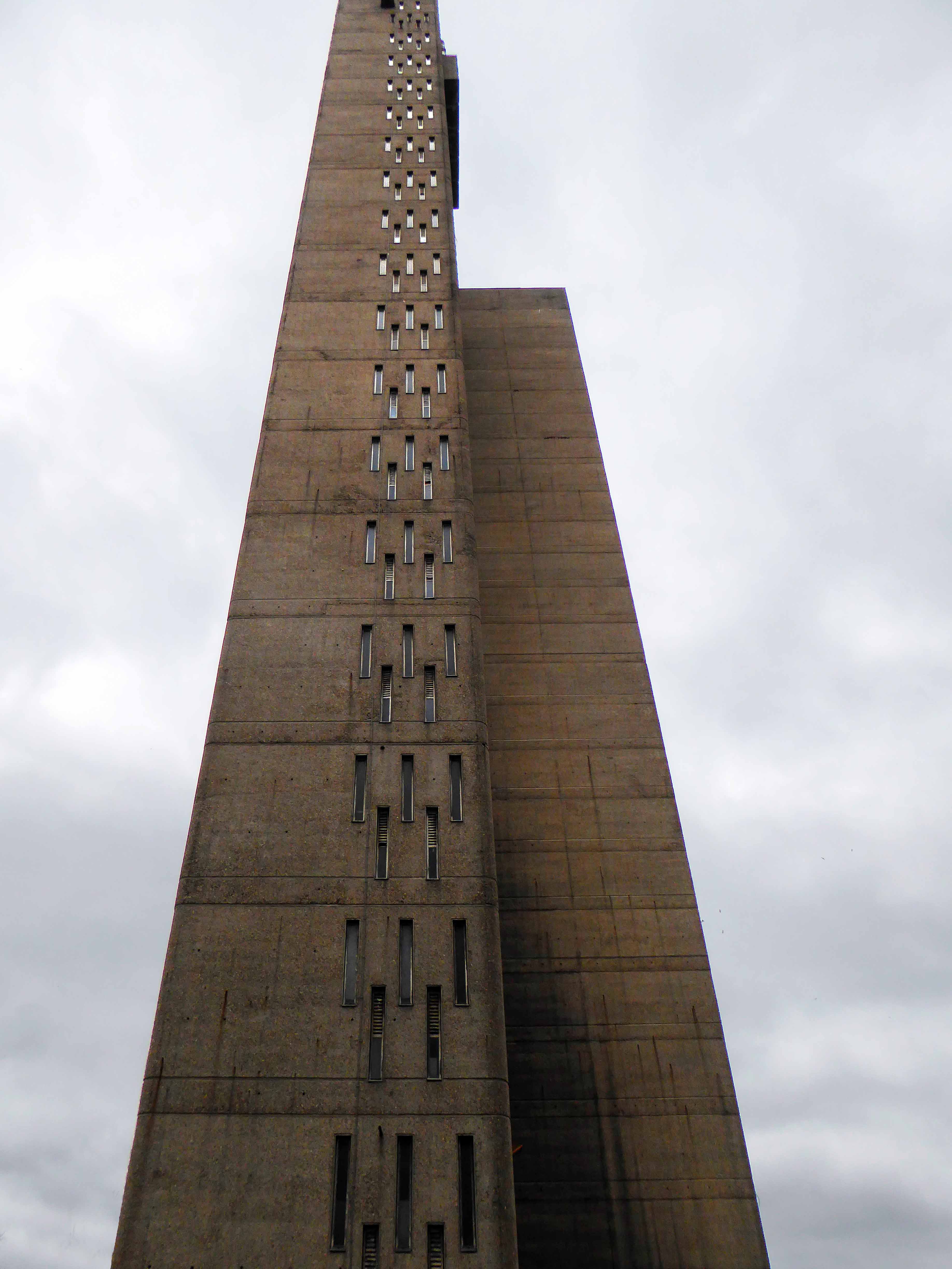
Neither wrought from purest ivory, nor containing some woe begotten, long gone, misplaced Rapunzel, but conceived as a democratic symbol of a new age of concrete, brick and steel.
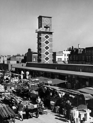
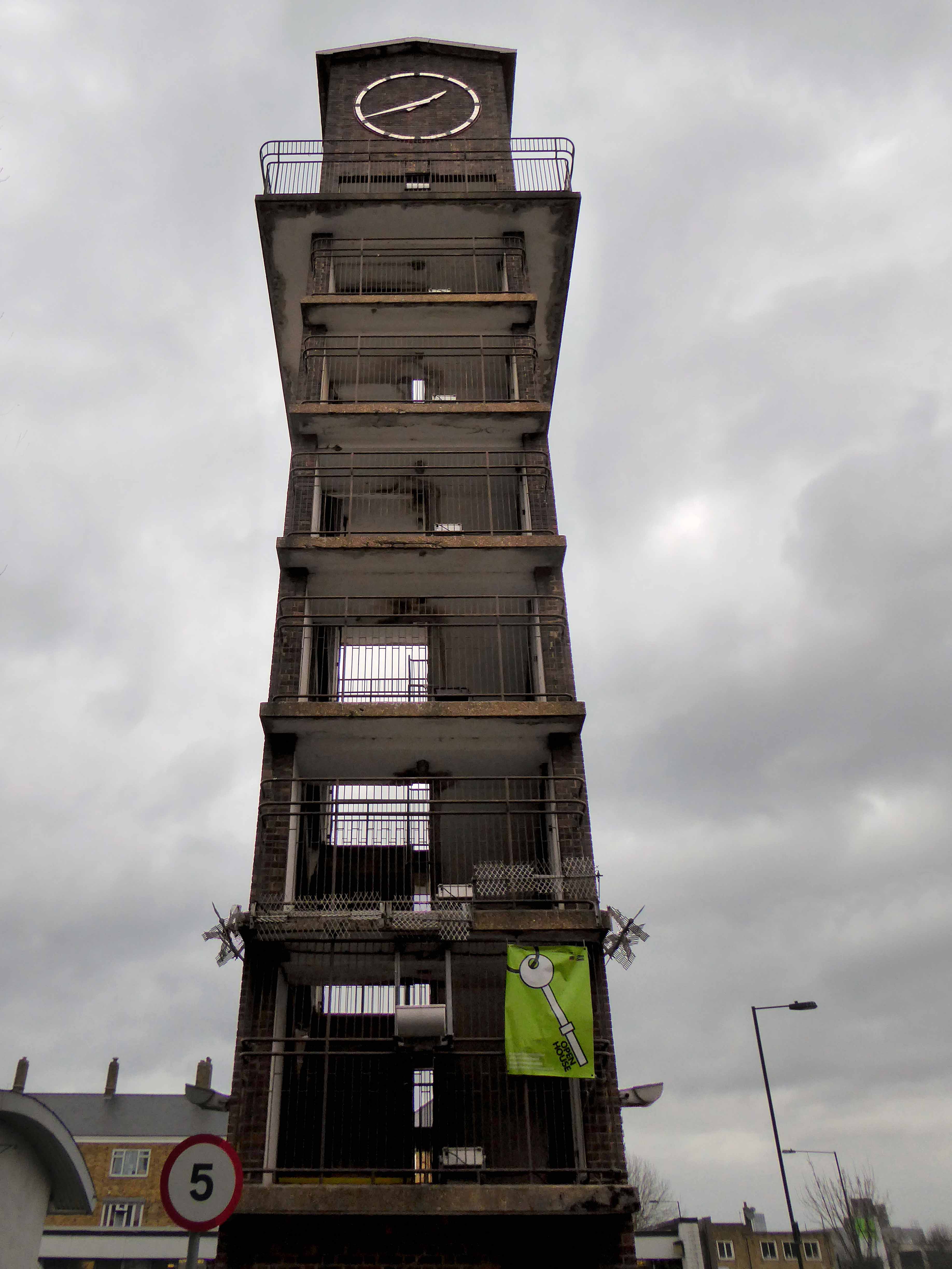
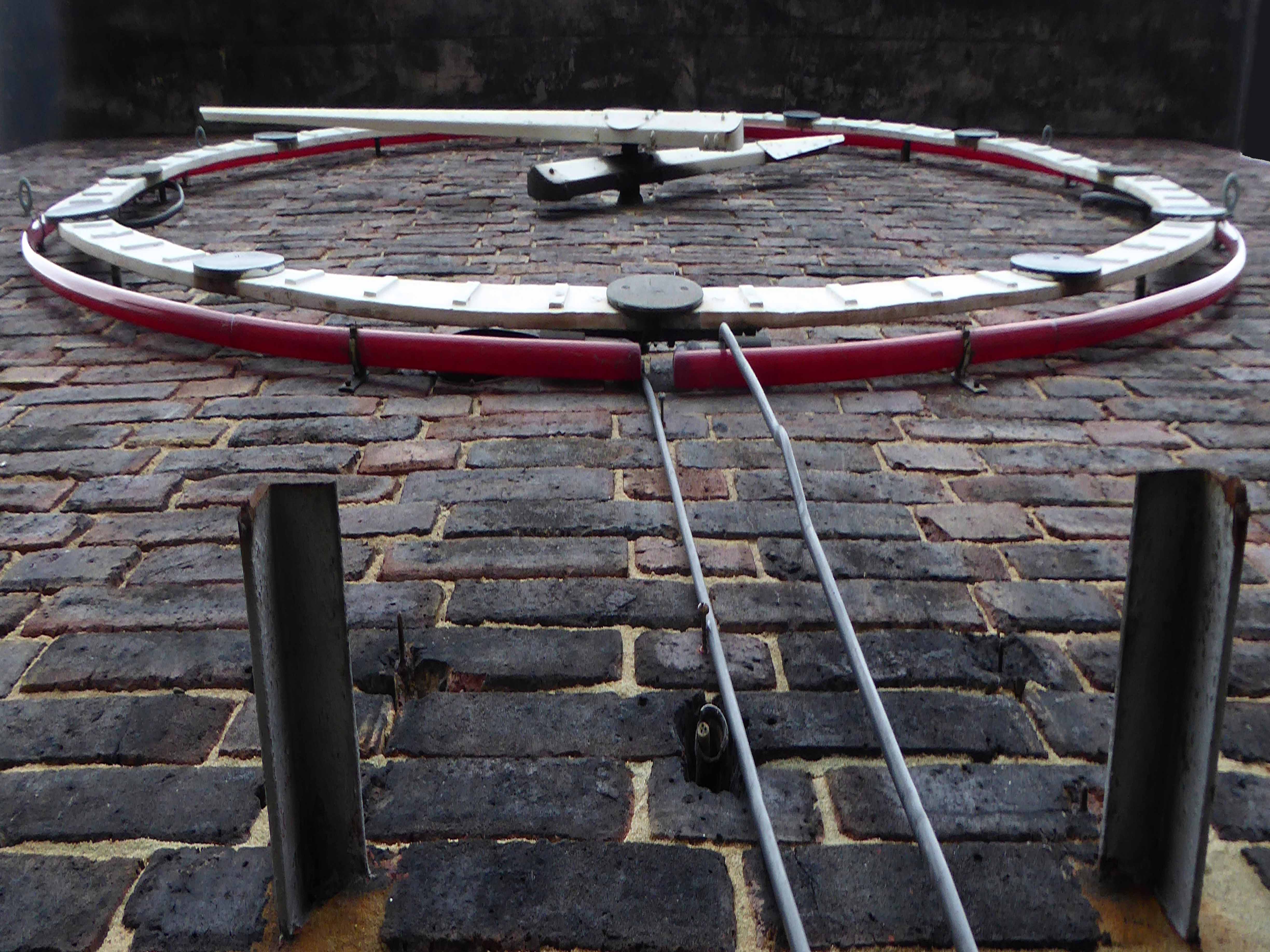
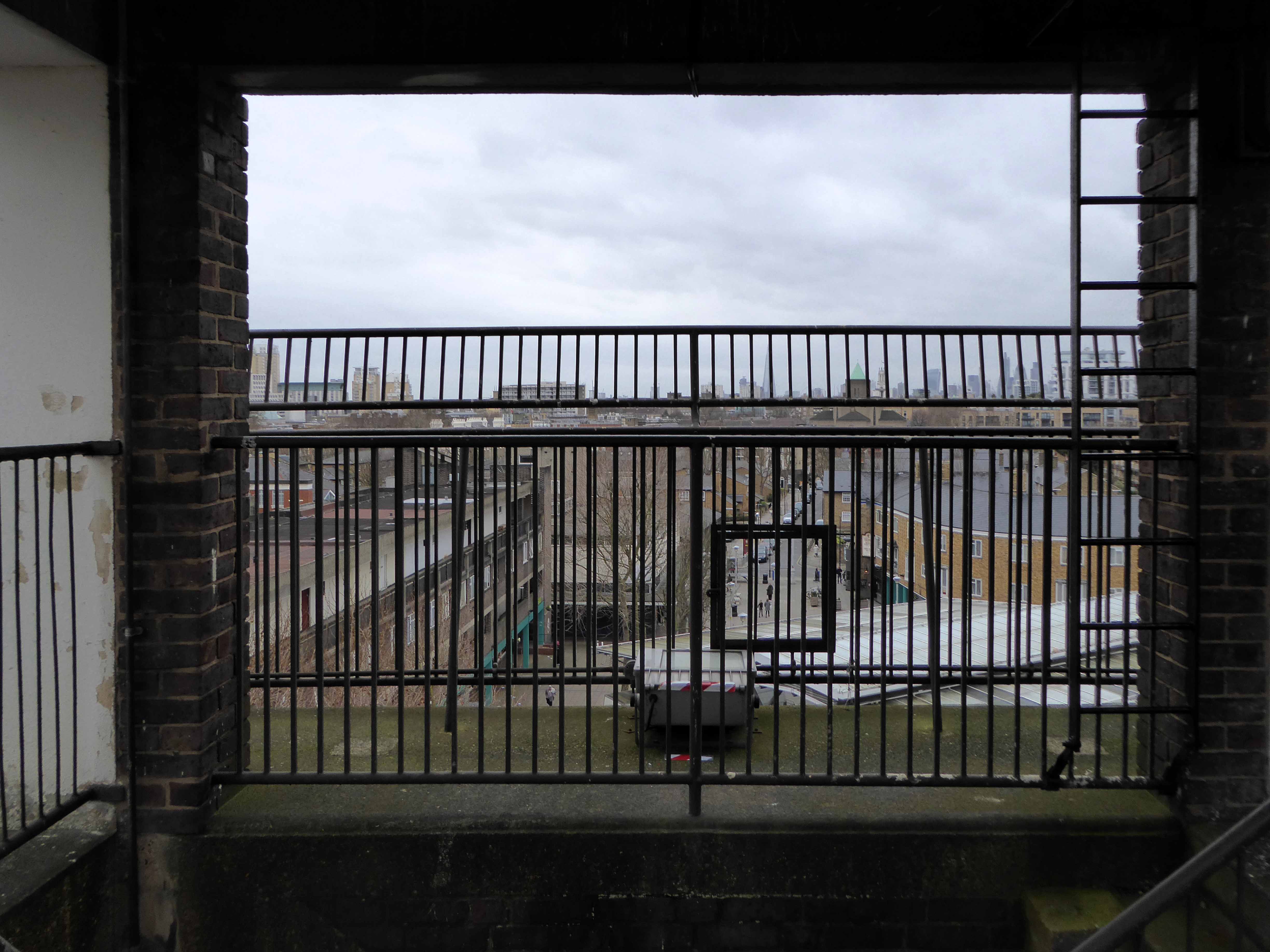
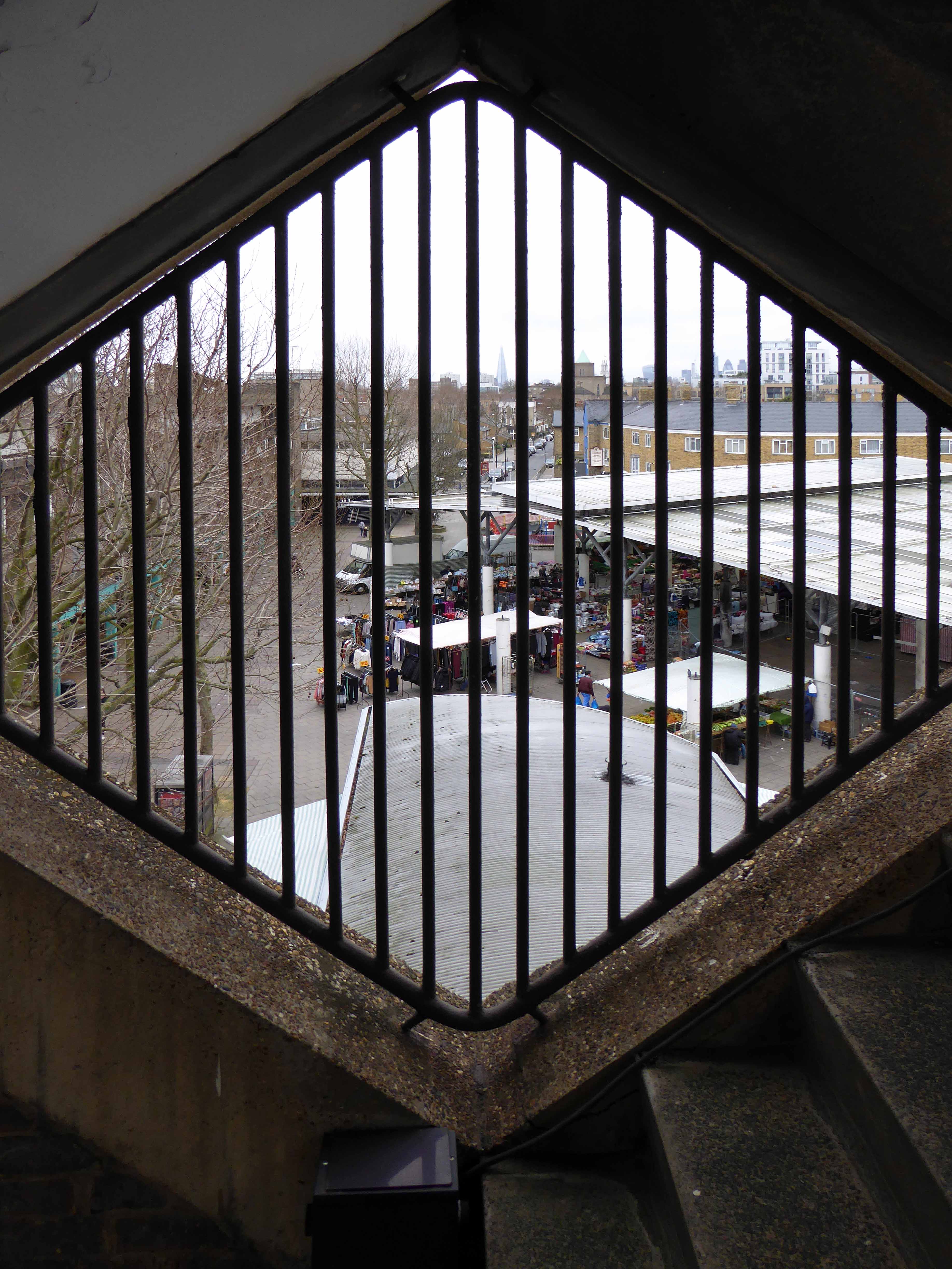
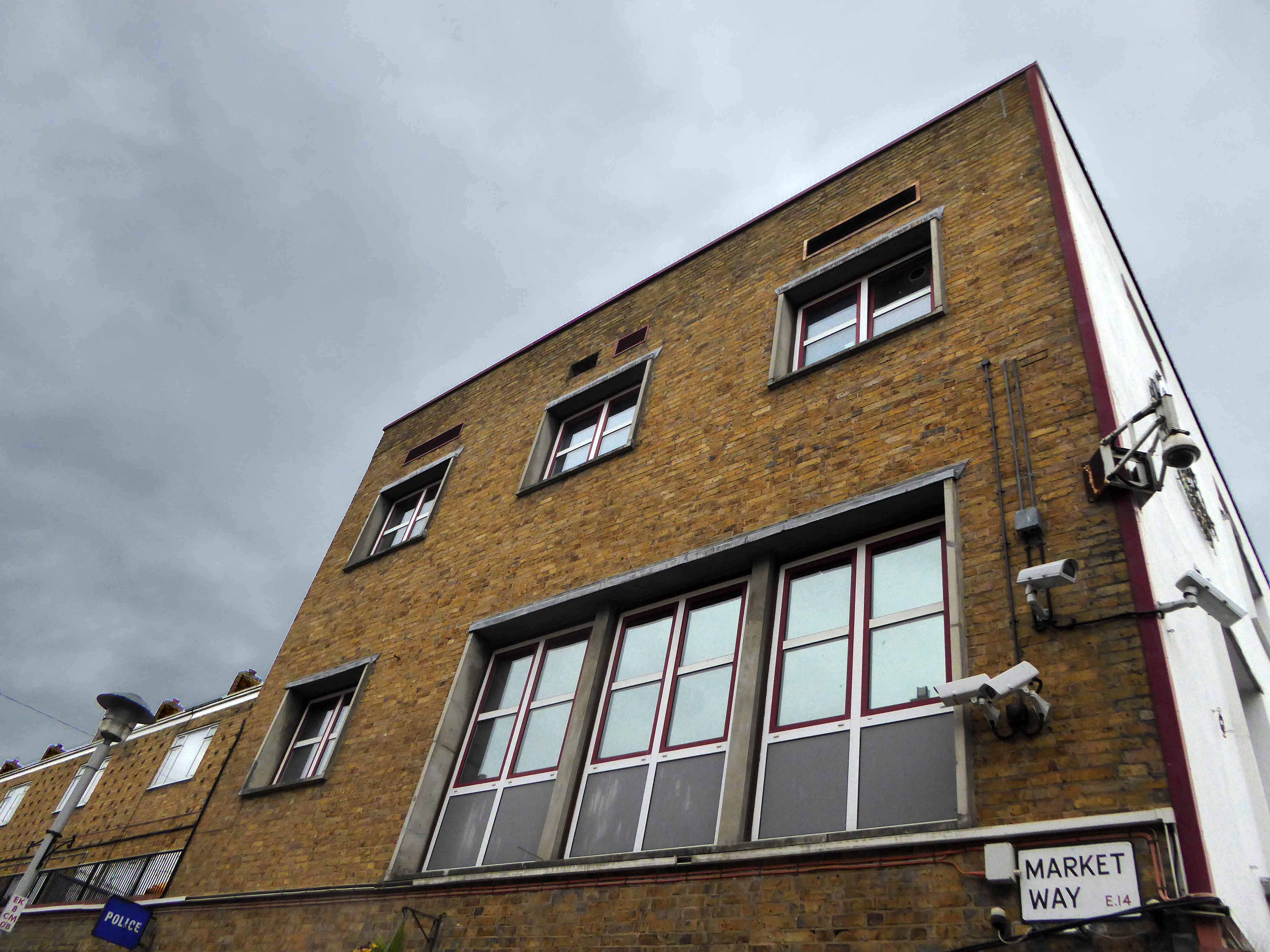
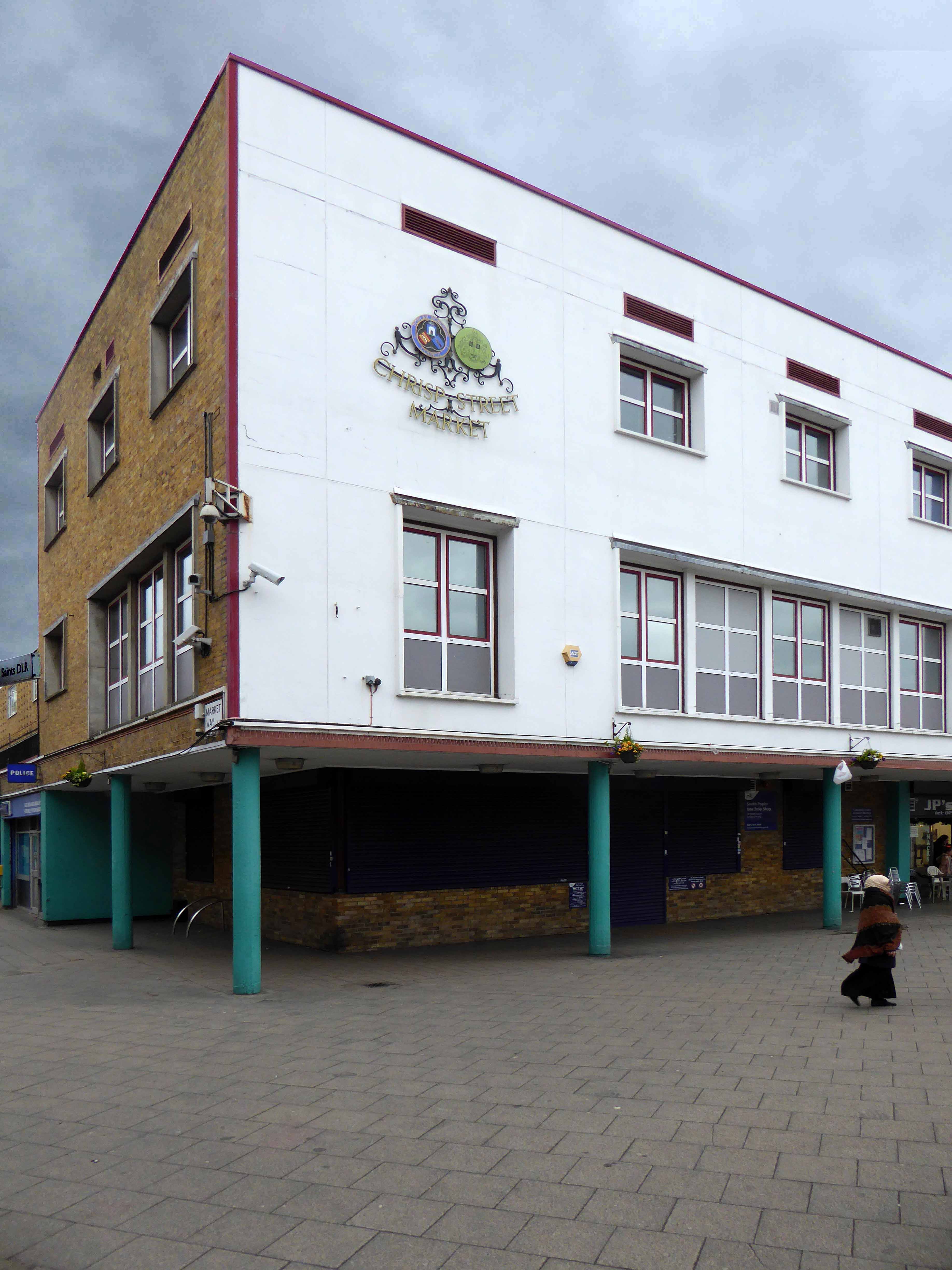
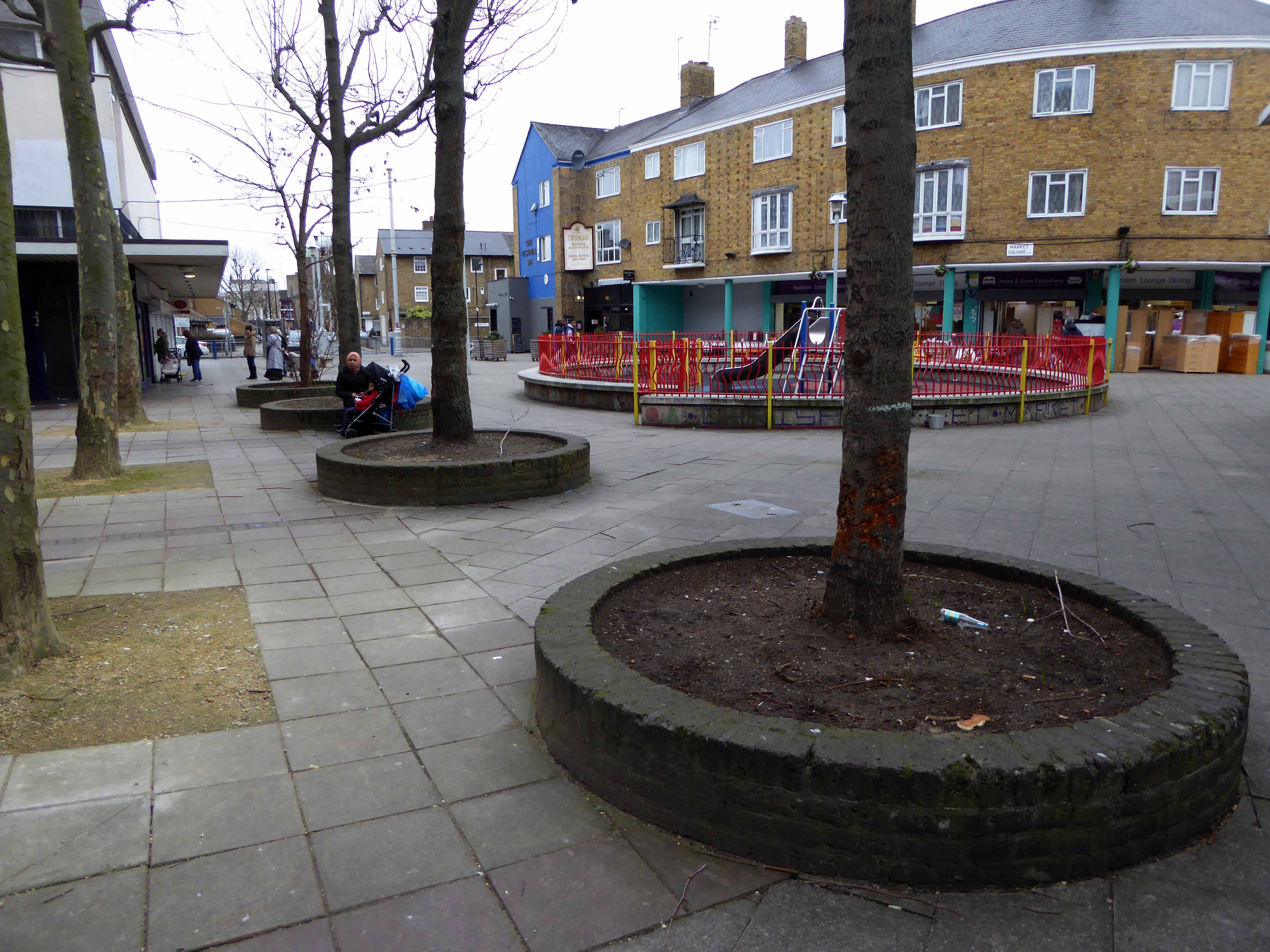
Frederick Gibberd’s almost triumphal tower interlocks zig-zag diamonds of cast concrete upwards towards a silently clicking clock, at the head of the Chrisp Street Market.
Its design has been based not solely on abstract aesthetic principles, or on the economics of commercial construction, or on the techniques of mass production, but on the social constitution of the community itself, with its diversity of human interests and human needs.
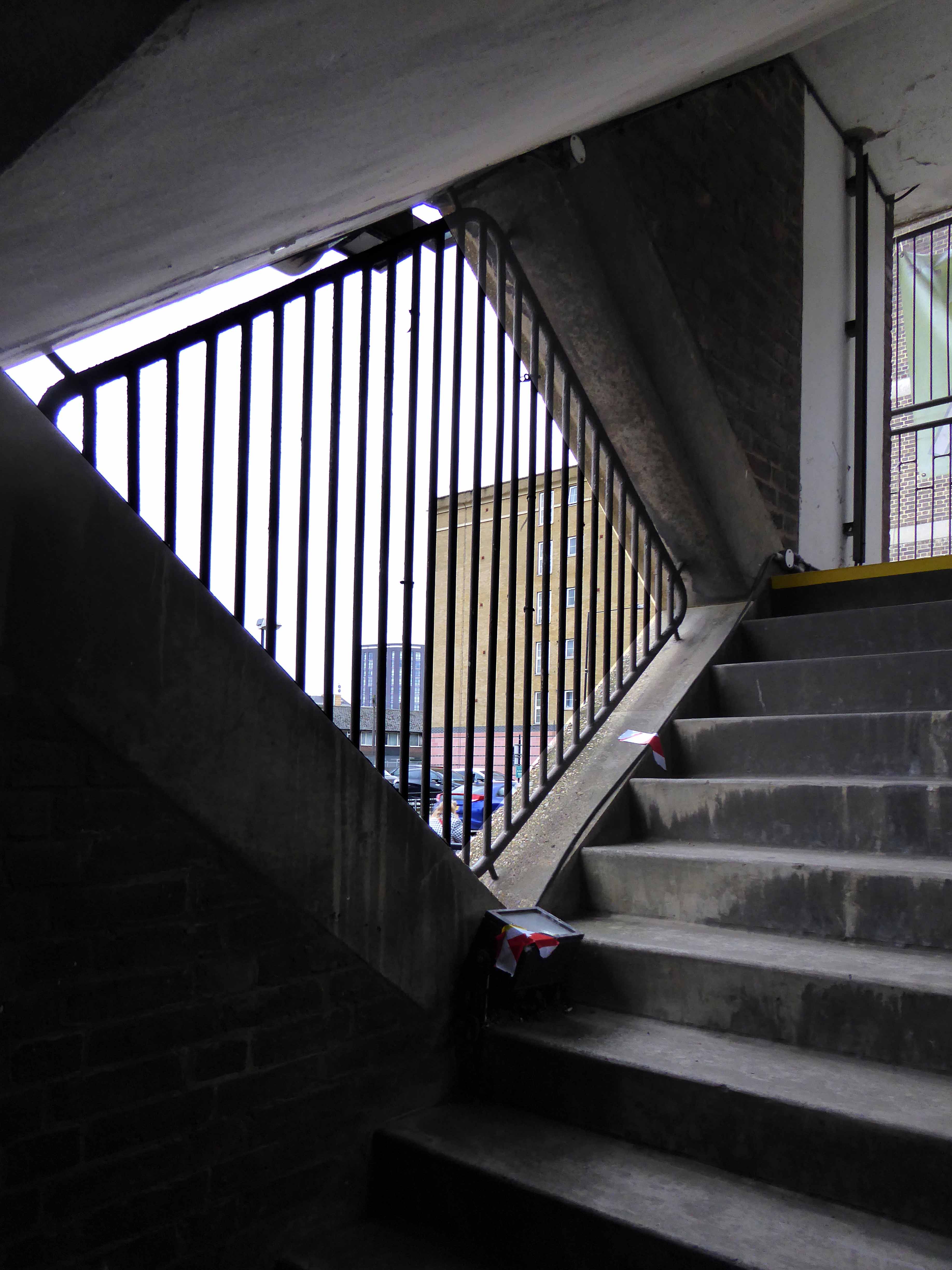
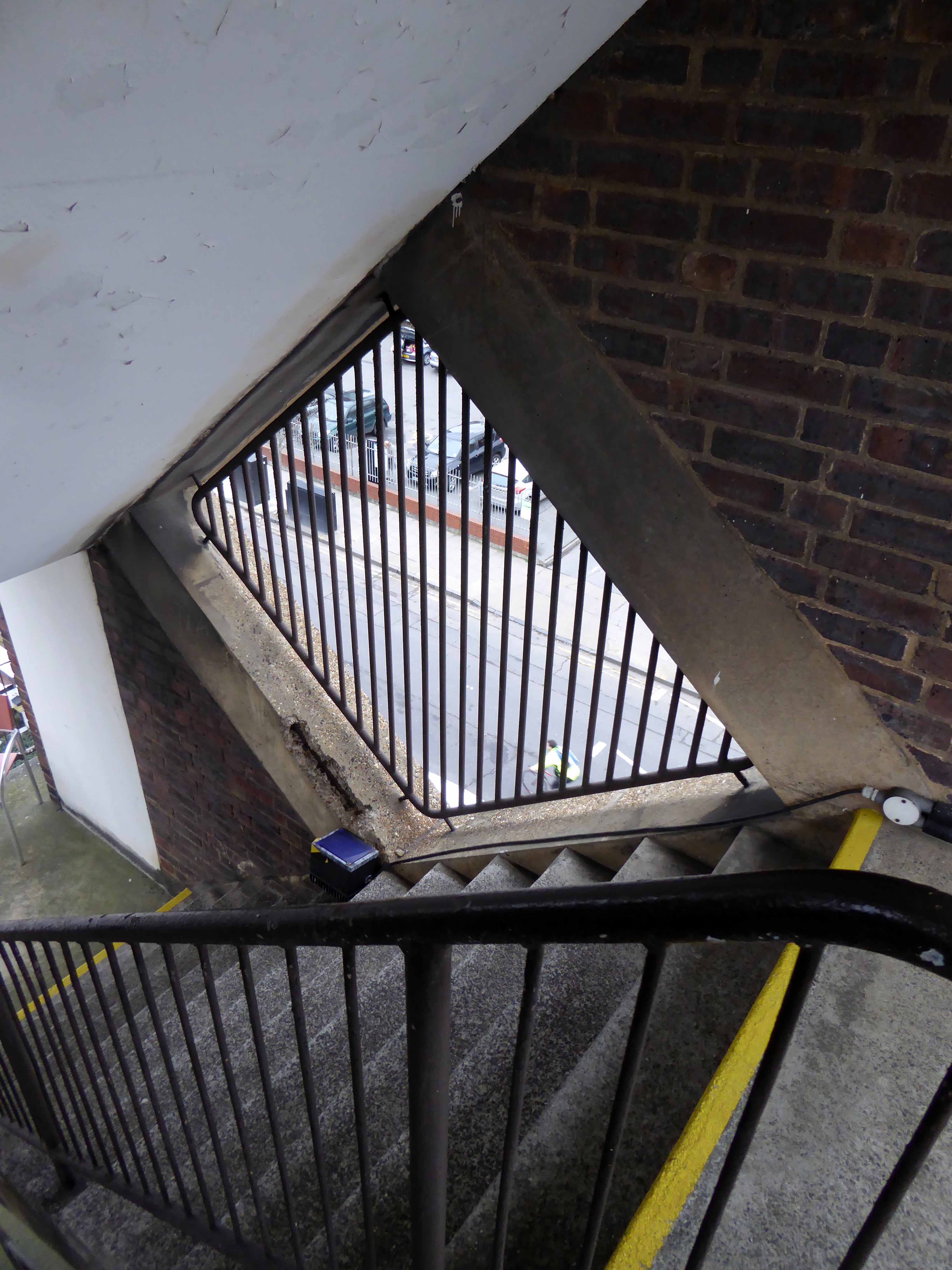
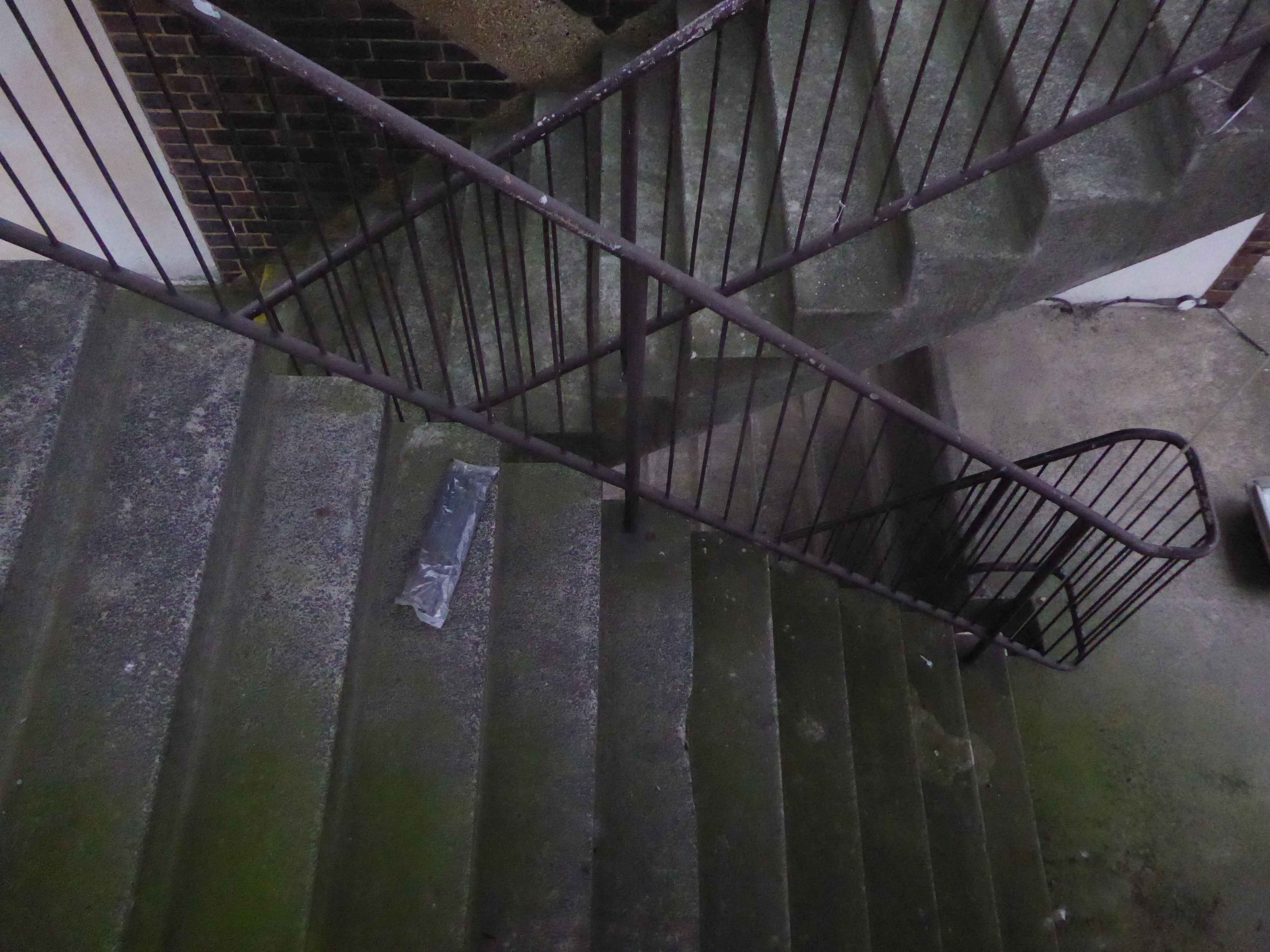
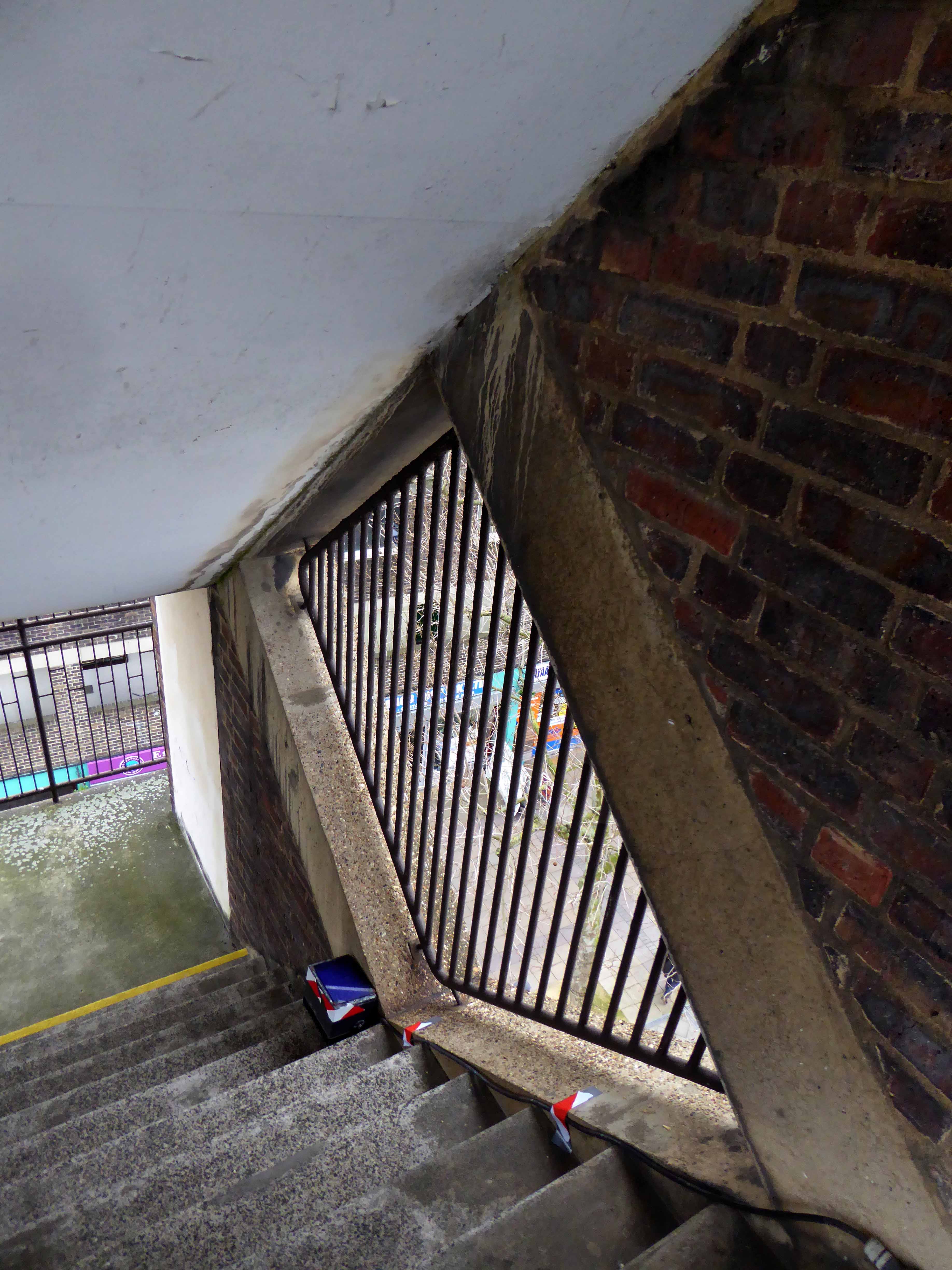
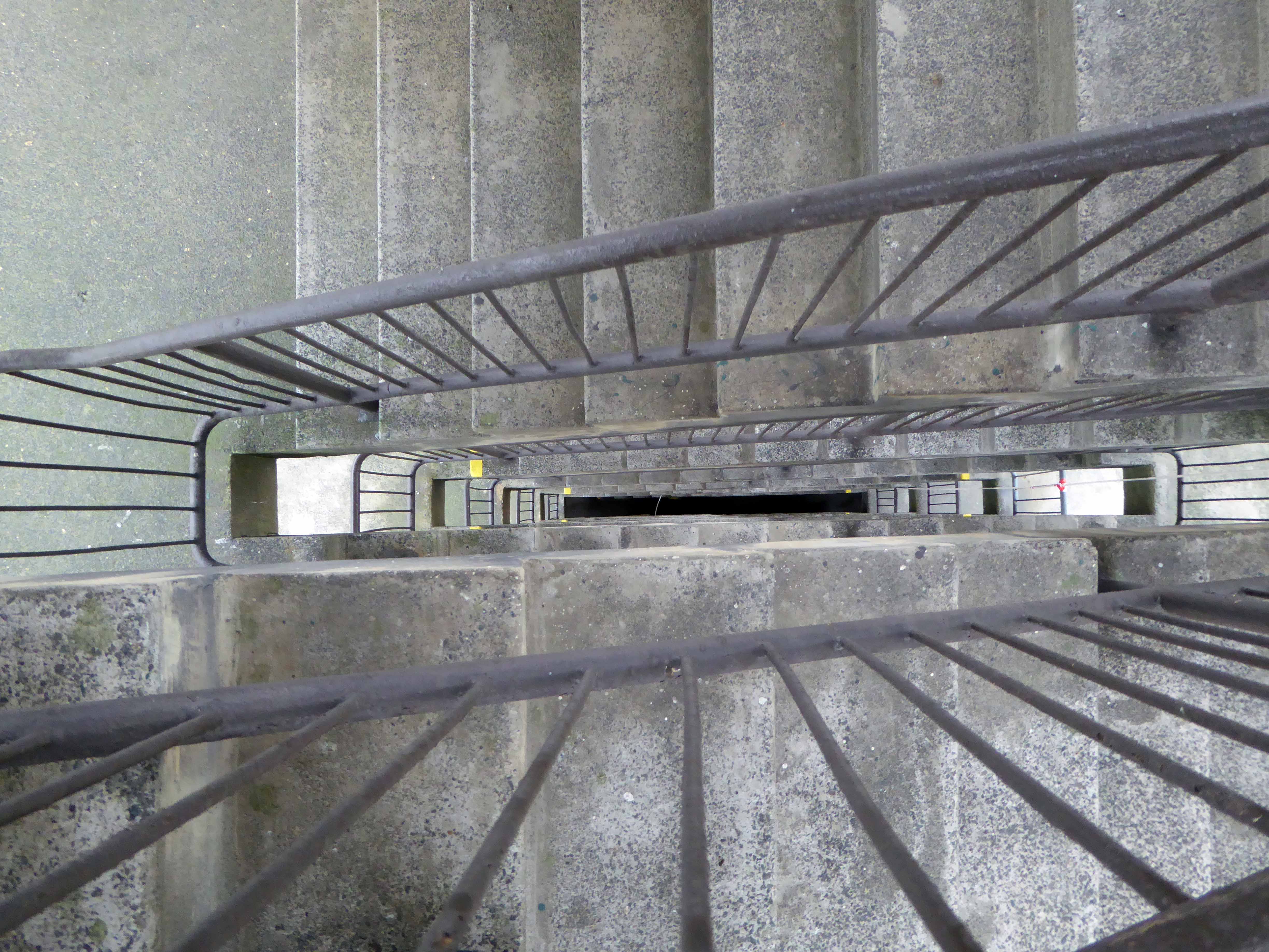
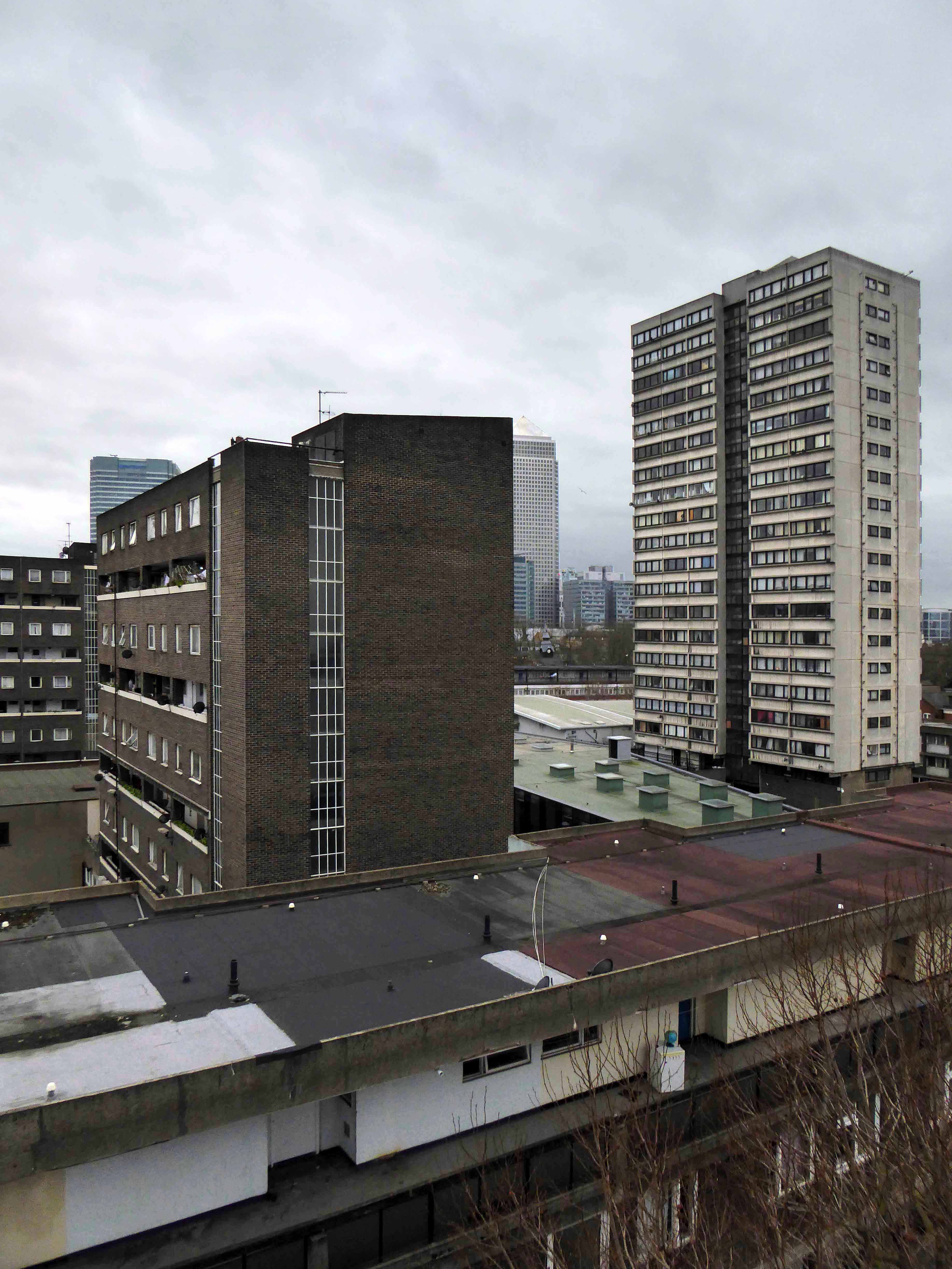
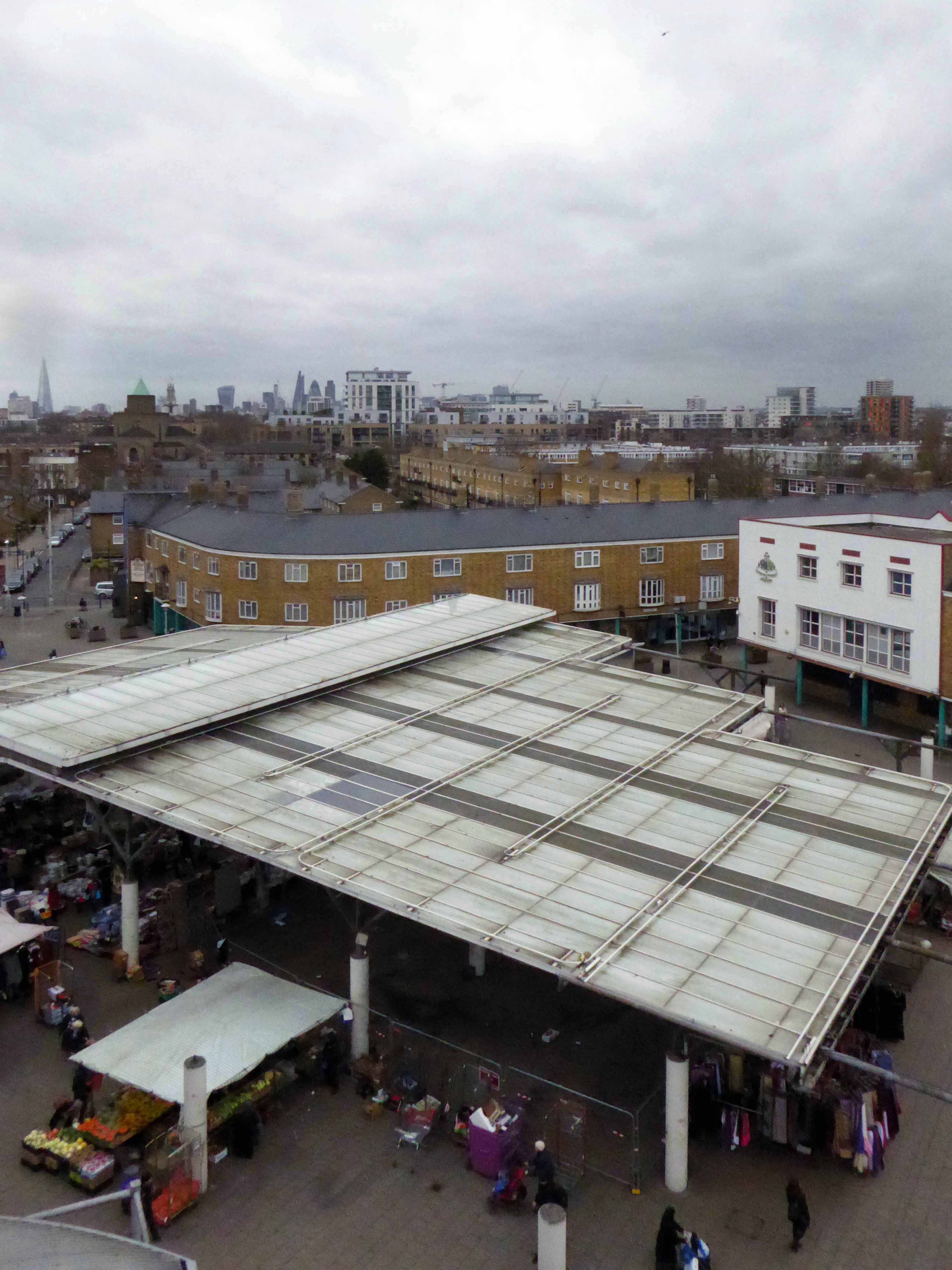
I was privileged to ascend the internal staircase, once open to the public – now reserved for high days, holidays and nosey northern interlopers. Having mildly vertiginous inclinations when so inclined, I gingerly went up in the world and leaned out to take the air and the view.
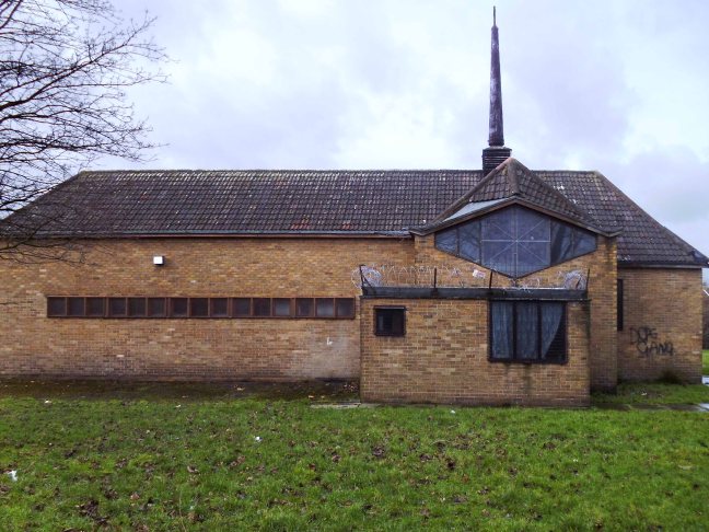
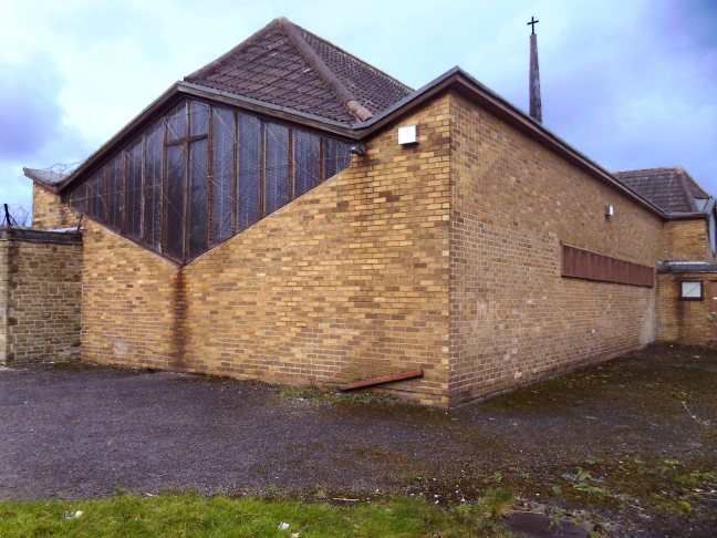
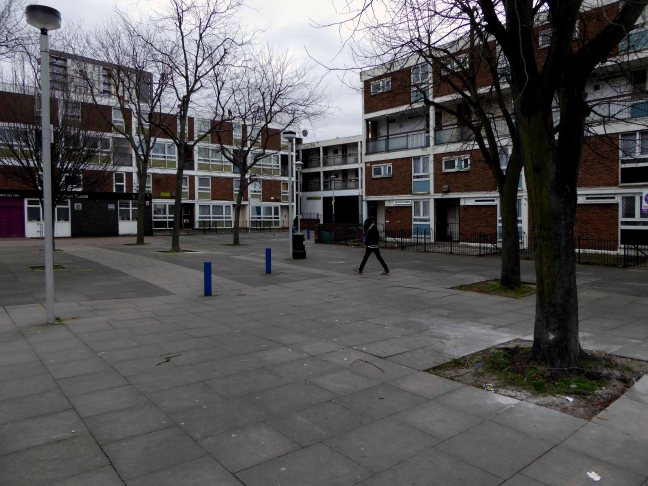
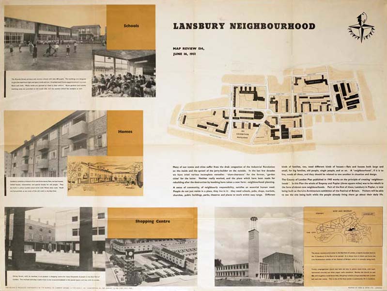
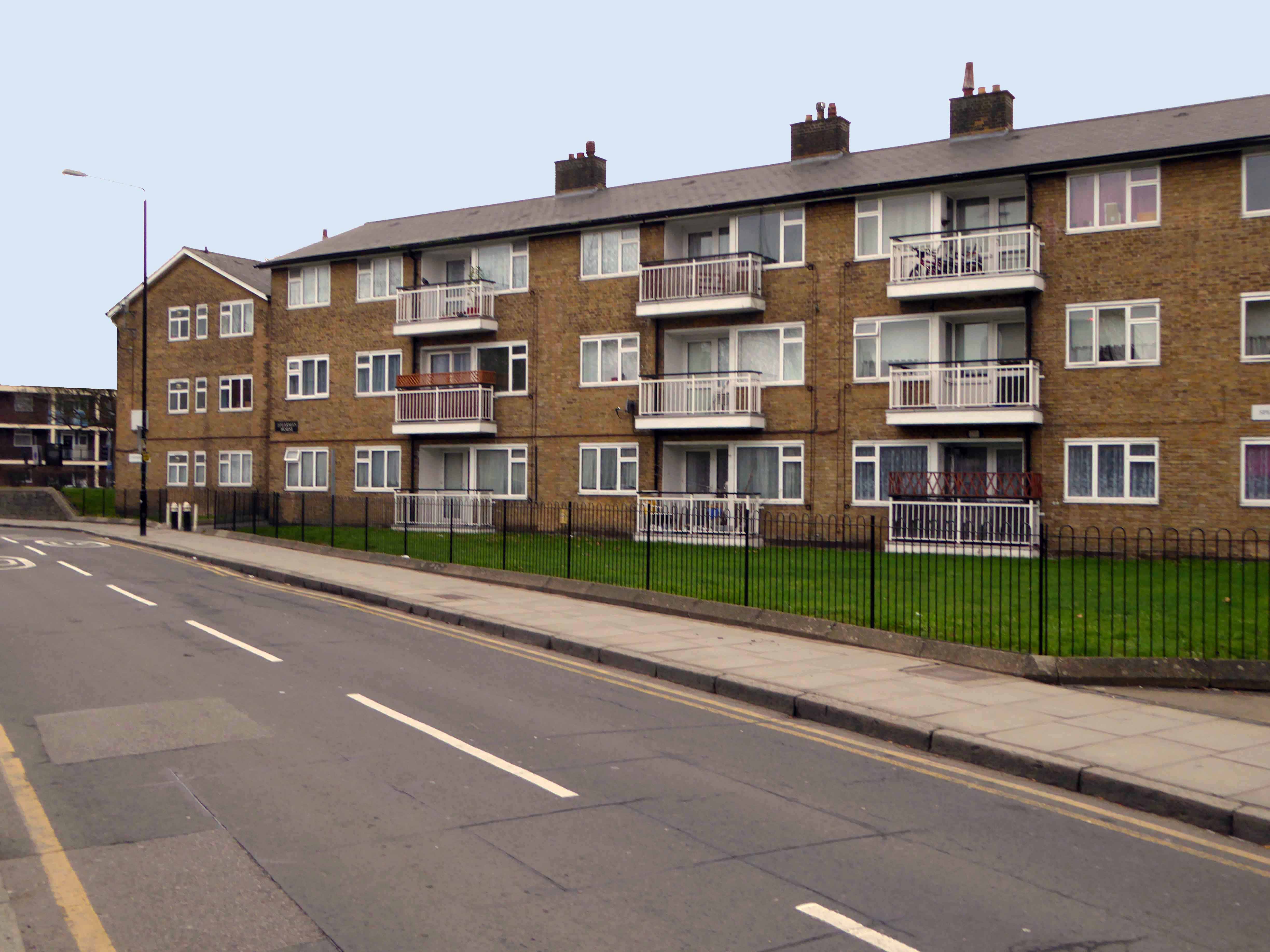
The Lansbury Estate, to the north of East India Dock Road, is the most important, largest and best-known council estate in Poplar. It demonstrates the different trends in post-war council house design and layout. The interest of the estate lies as much, if not more, in the story of its planning and construction, as in what was actually built. This is especially true of its first phase, which formed the basis of the Live Architecture Exhibition in the 1951 Festival of Britain.
Originally outlined in the 1943 plan for London, replacing the bomb damaged homes of displaced dockers, the estate has weathered well enough, though changes in demographics, the ever greater engulfing tide of gentrification and the containerisation of all ports, brings a fresh set of challenges and changes.
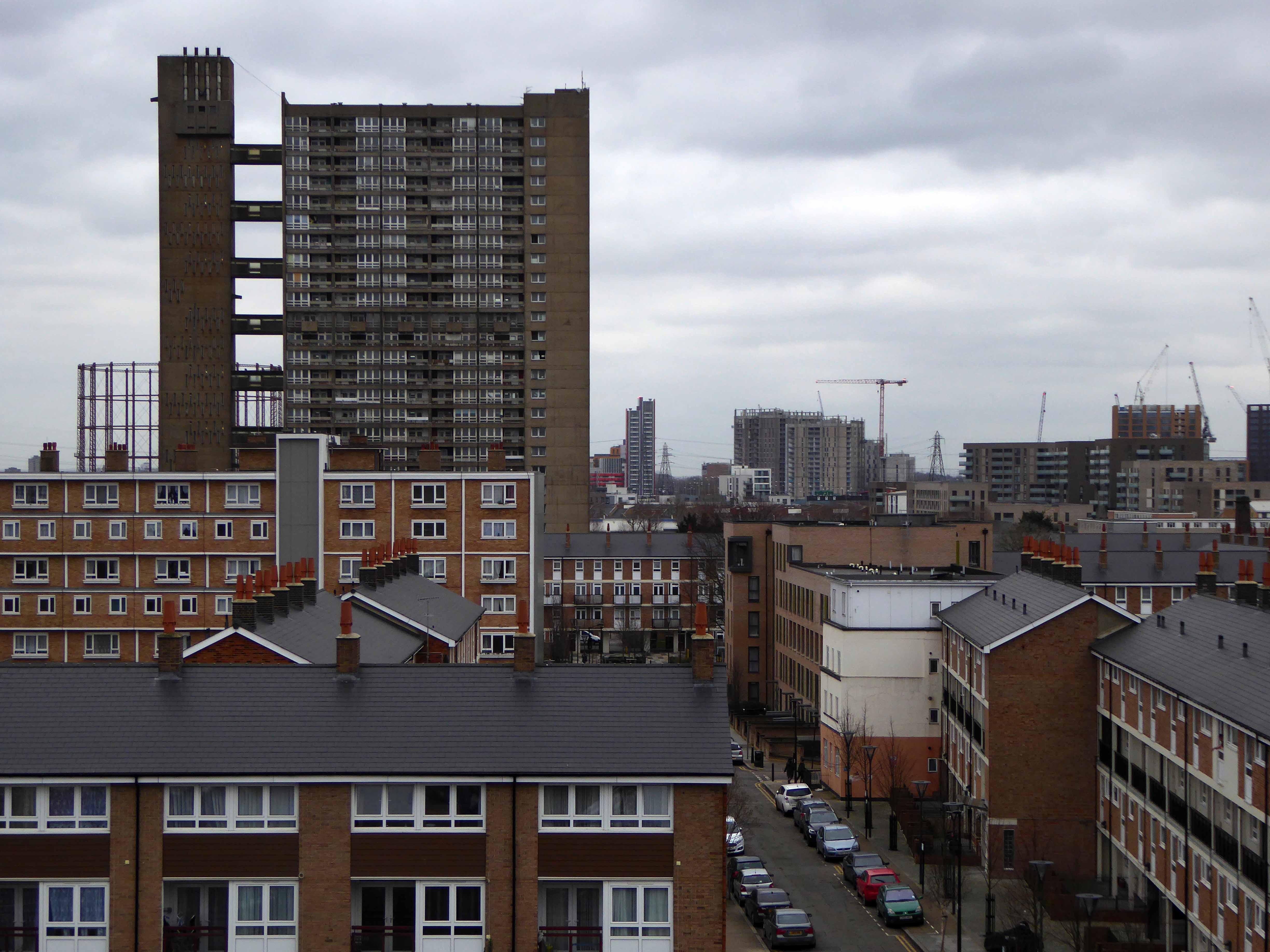
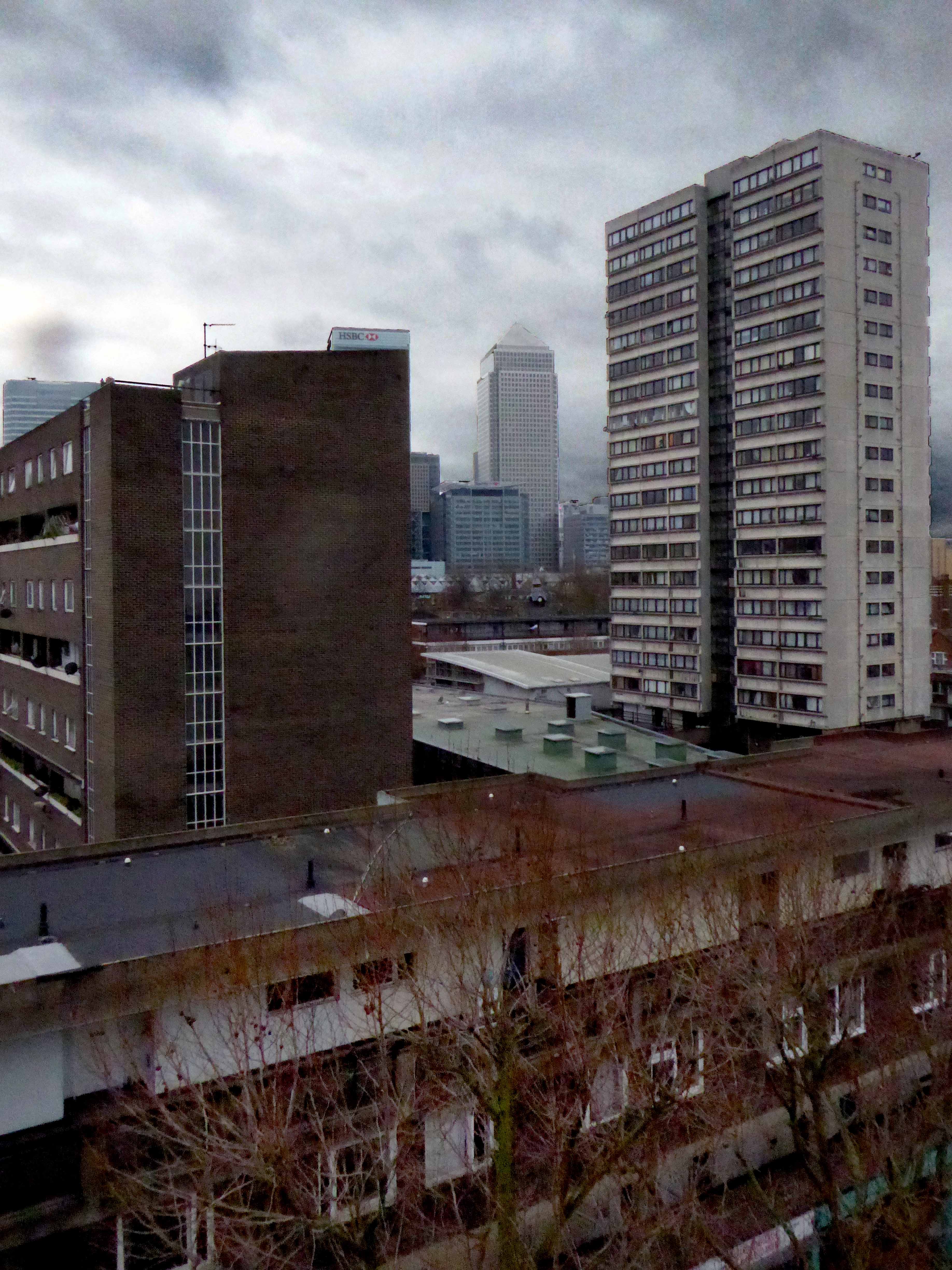
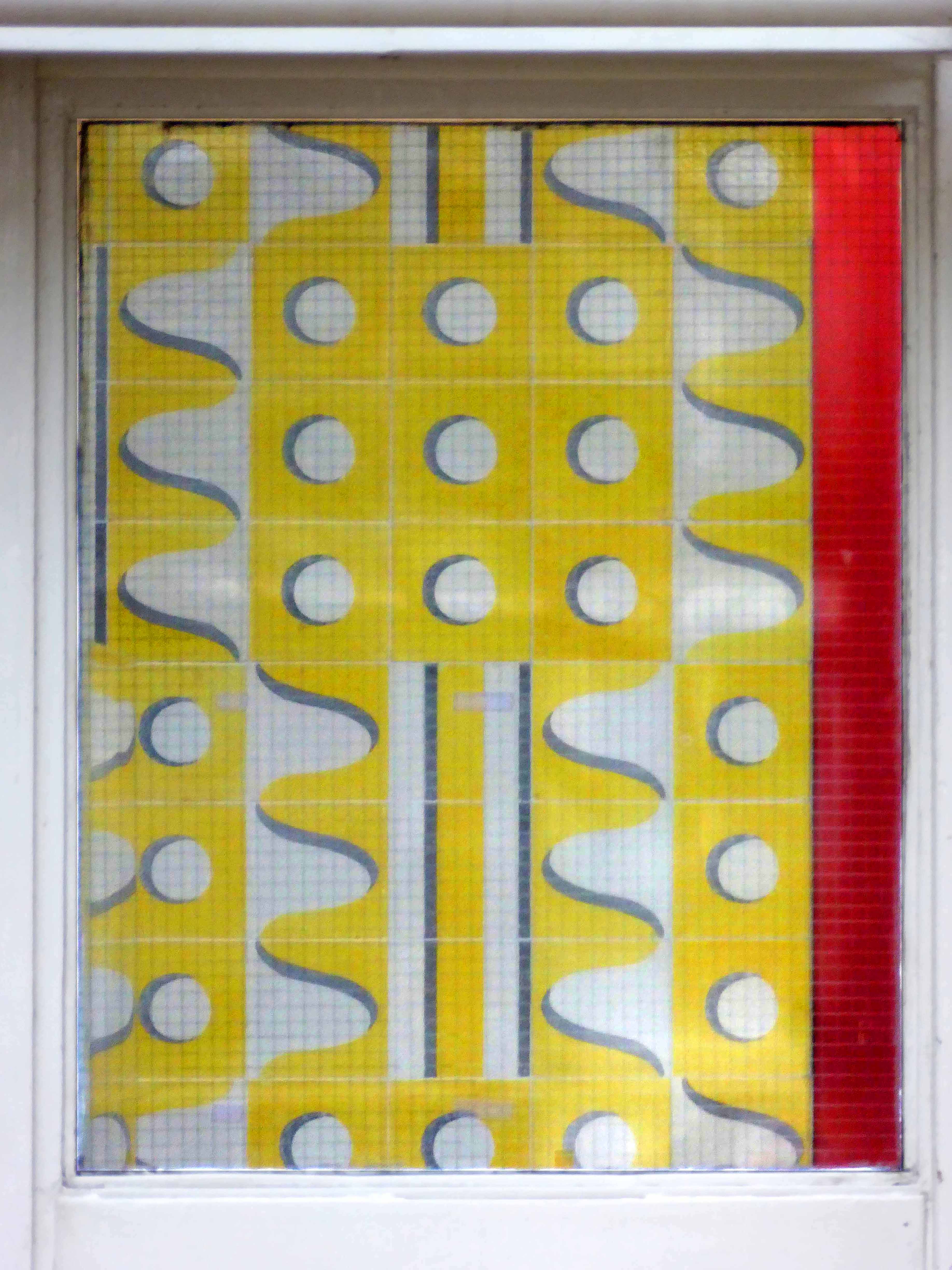
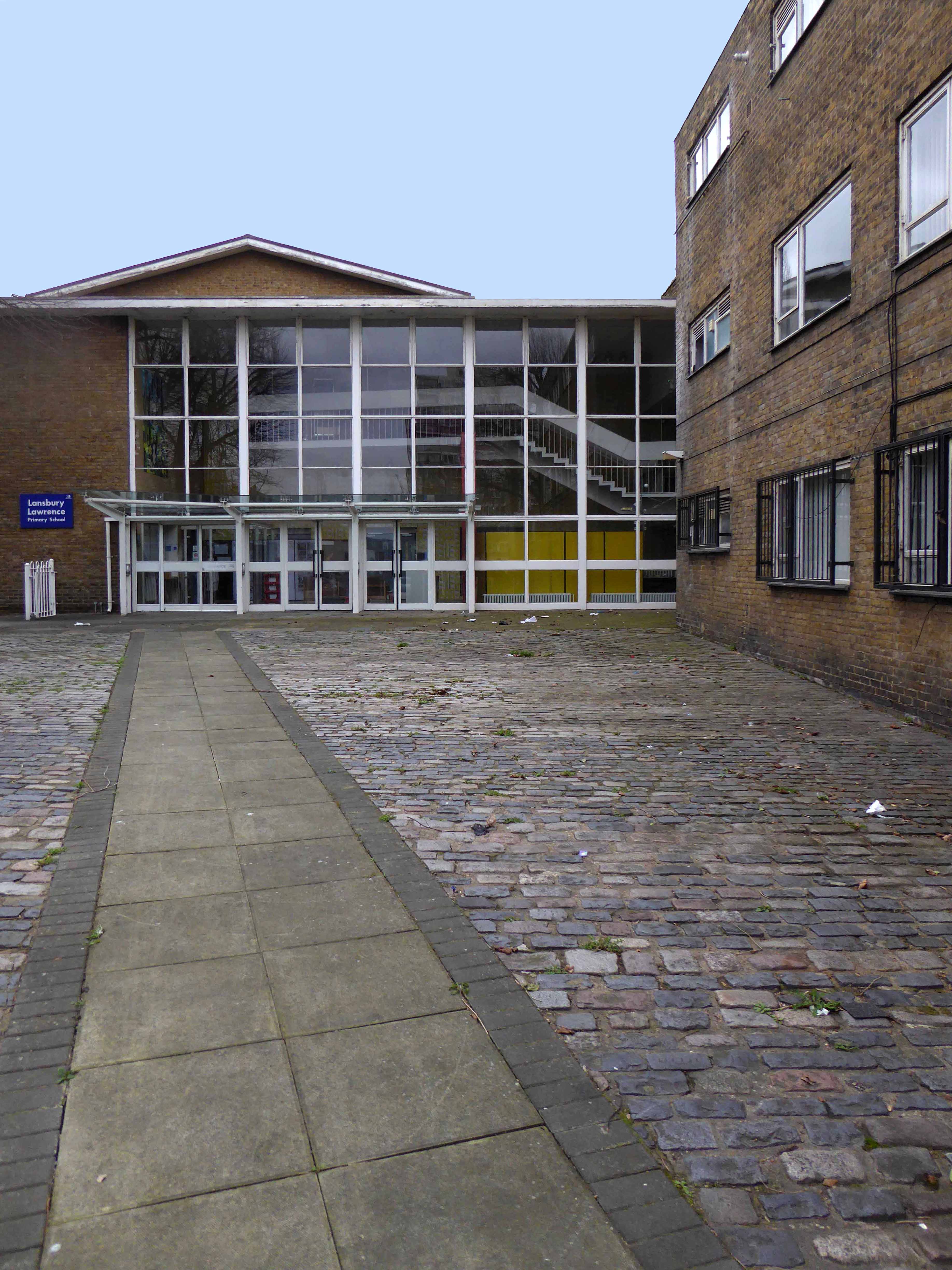
Go east – I visited the V&A Micro Museum, which has become a focus for residents’ and visitors’ memories and projections of a certain uncertain past and future. Arriving by the Docklands Light Railway, I was immediately drawn towards my destination, by the prominent Lansbury Tower, its clock patiently ticking away the time to and from 1951. Welcomed by staff and fellow travellers at the Chrisp Street Market site we began our tour at the heart of the Festival area – further details of which can be found here at Municipal Dreams.
A mix of market, shops, Festival pub, warm cream London brick terraces and low rise, later tower blocks, schools, churches and open grassed communal areas. On a cold and getting colder late winter’s day, a smattering of residents went purposefully about their business.
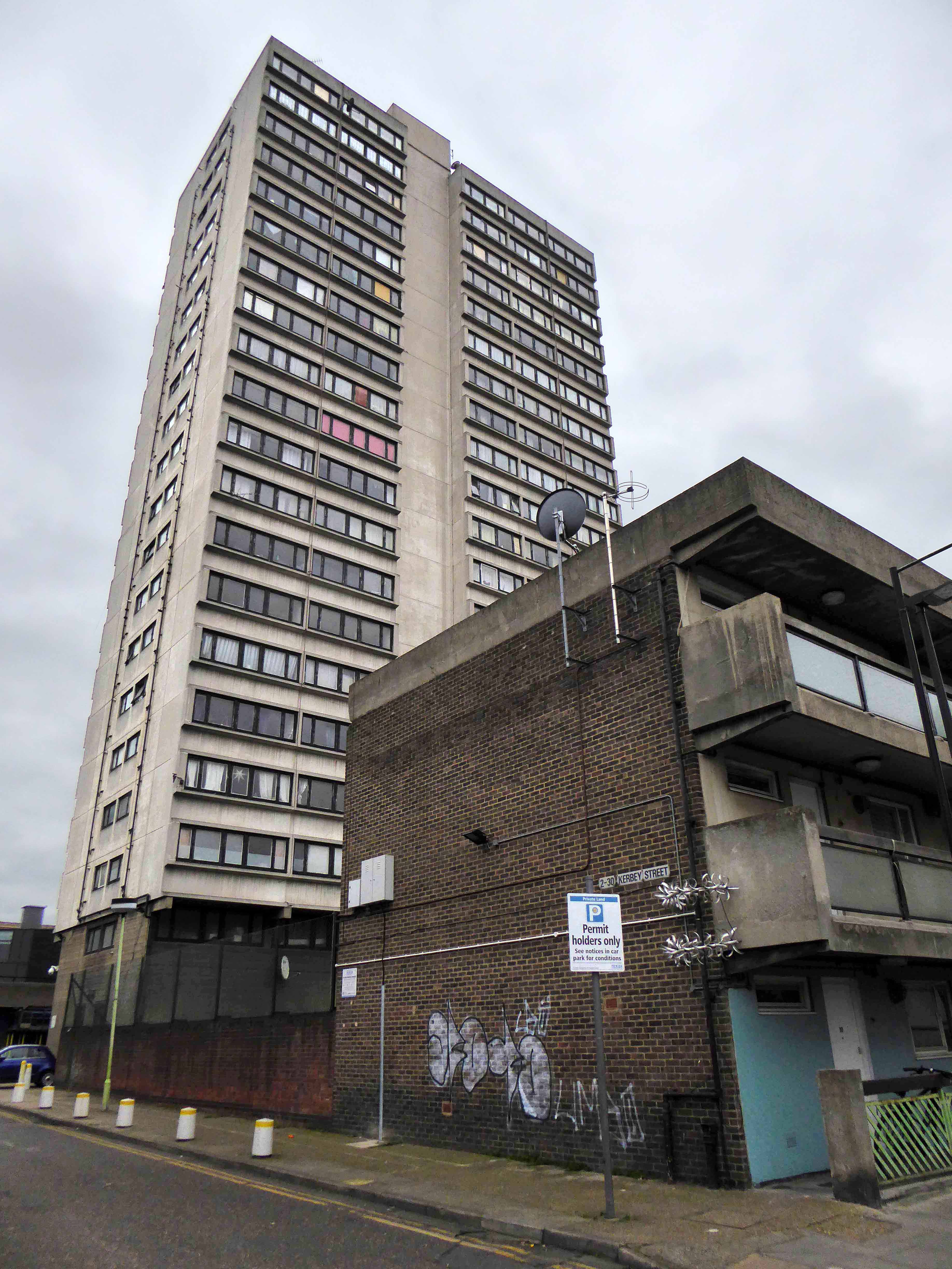
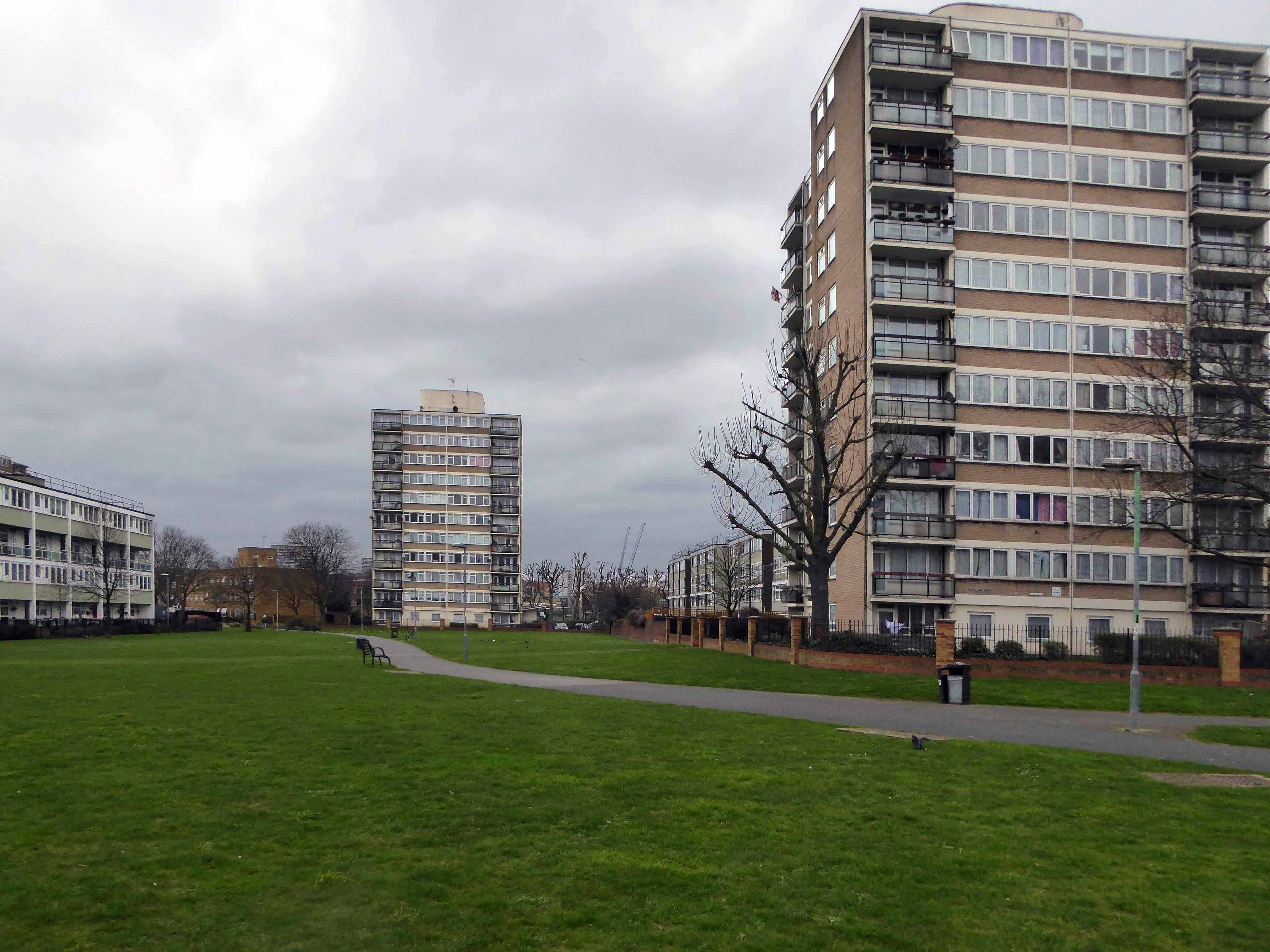
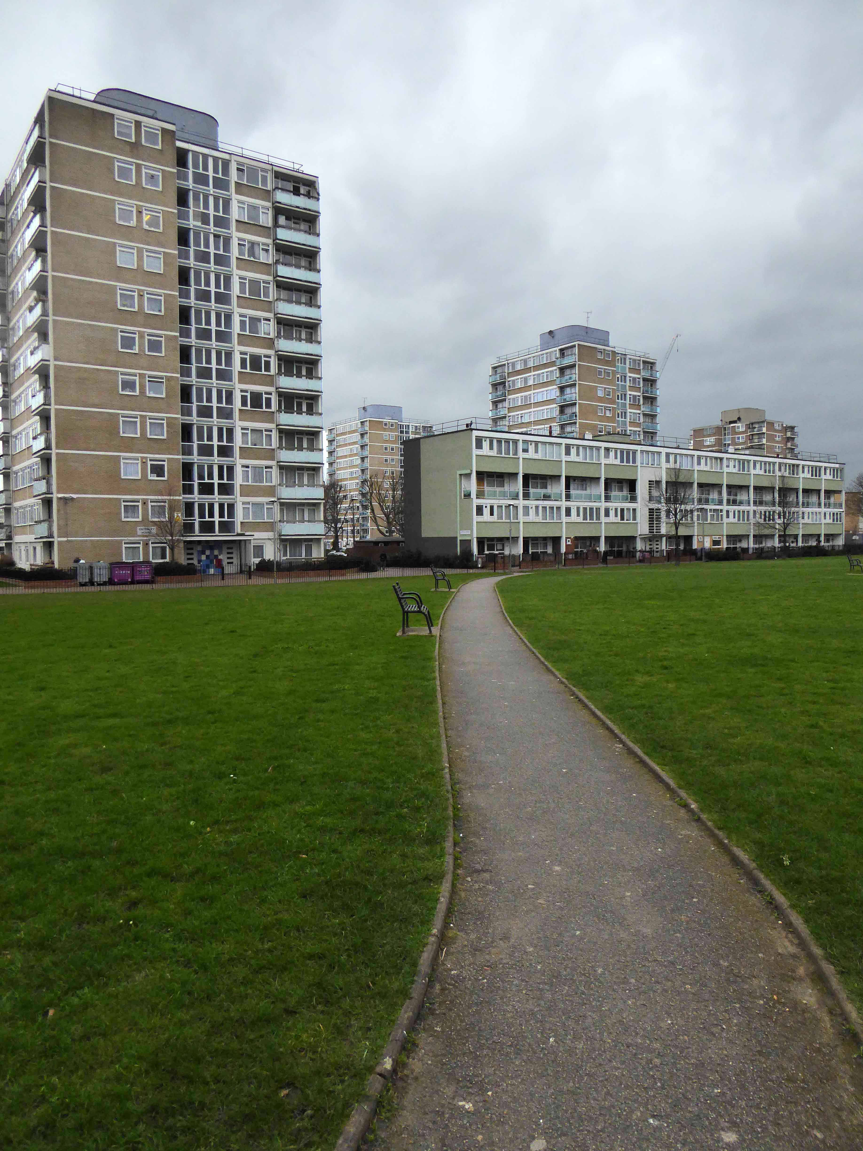
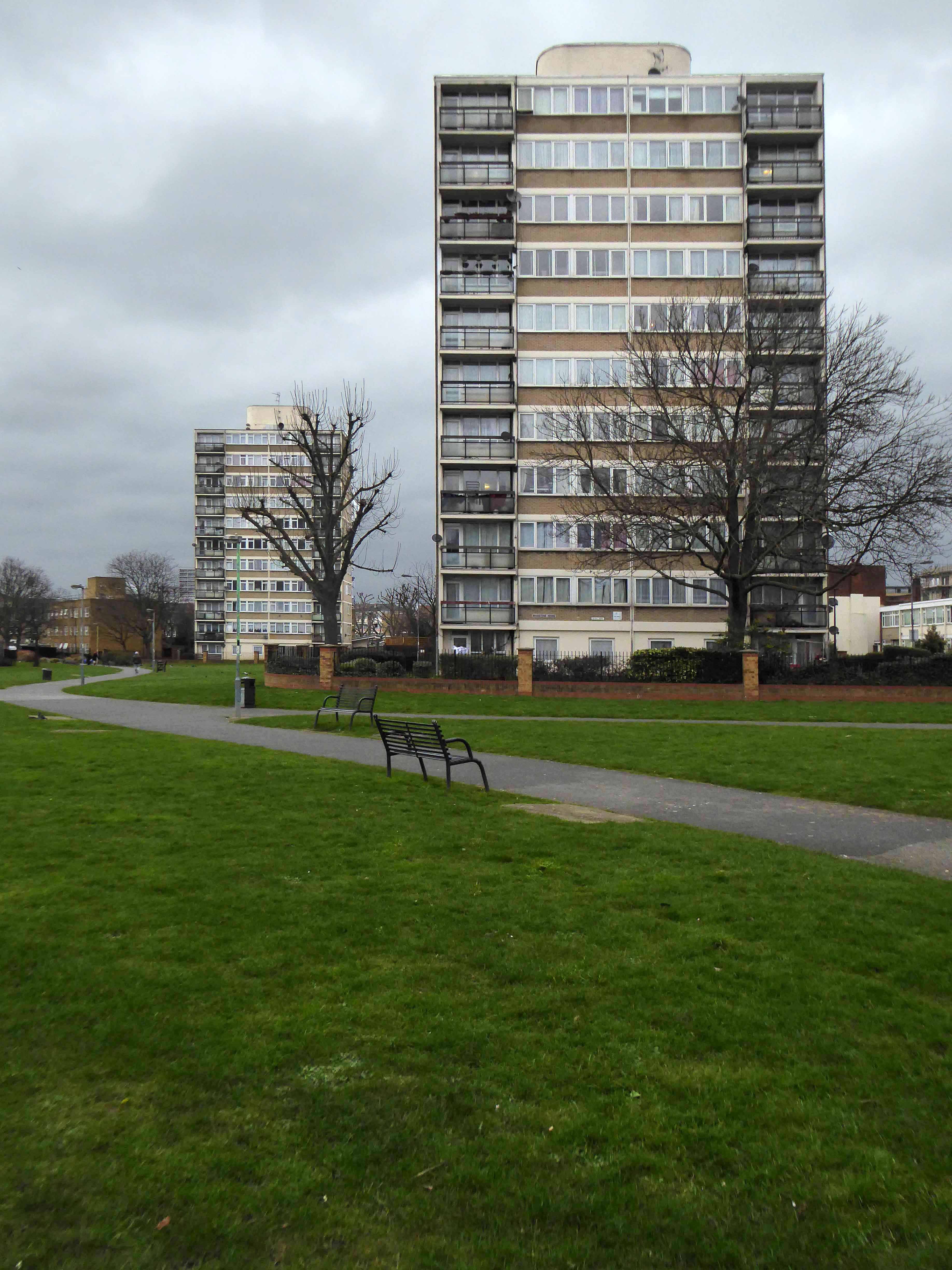
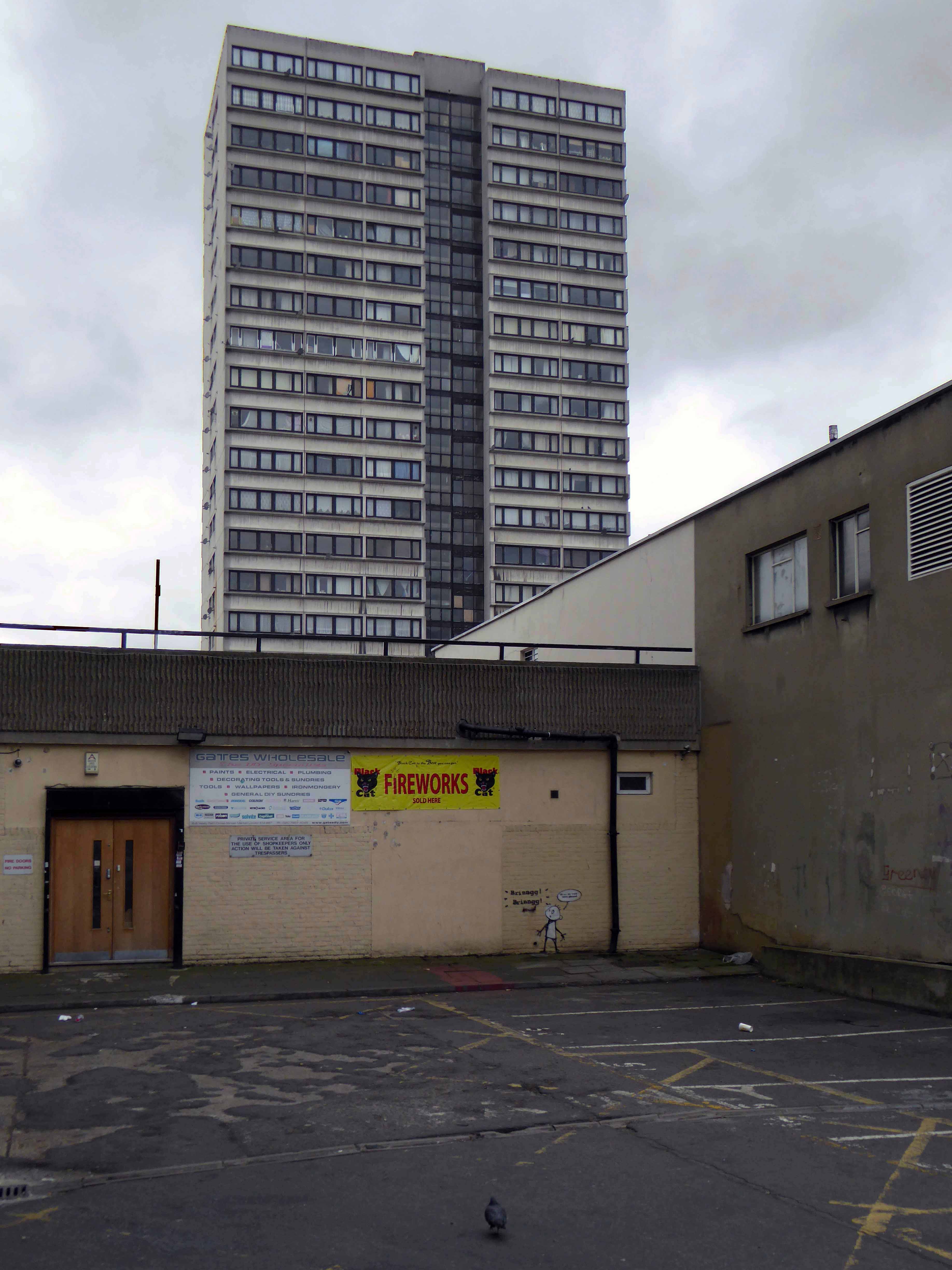
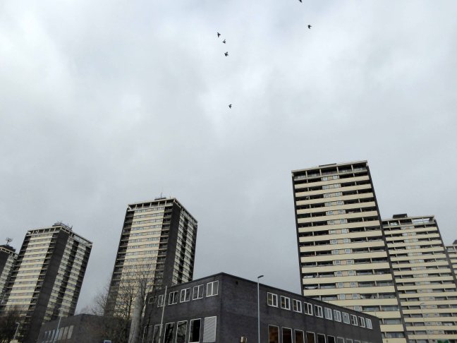
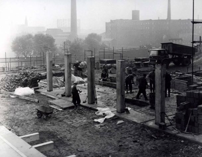
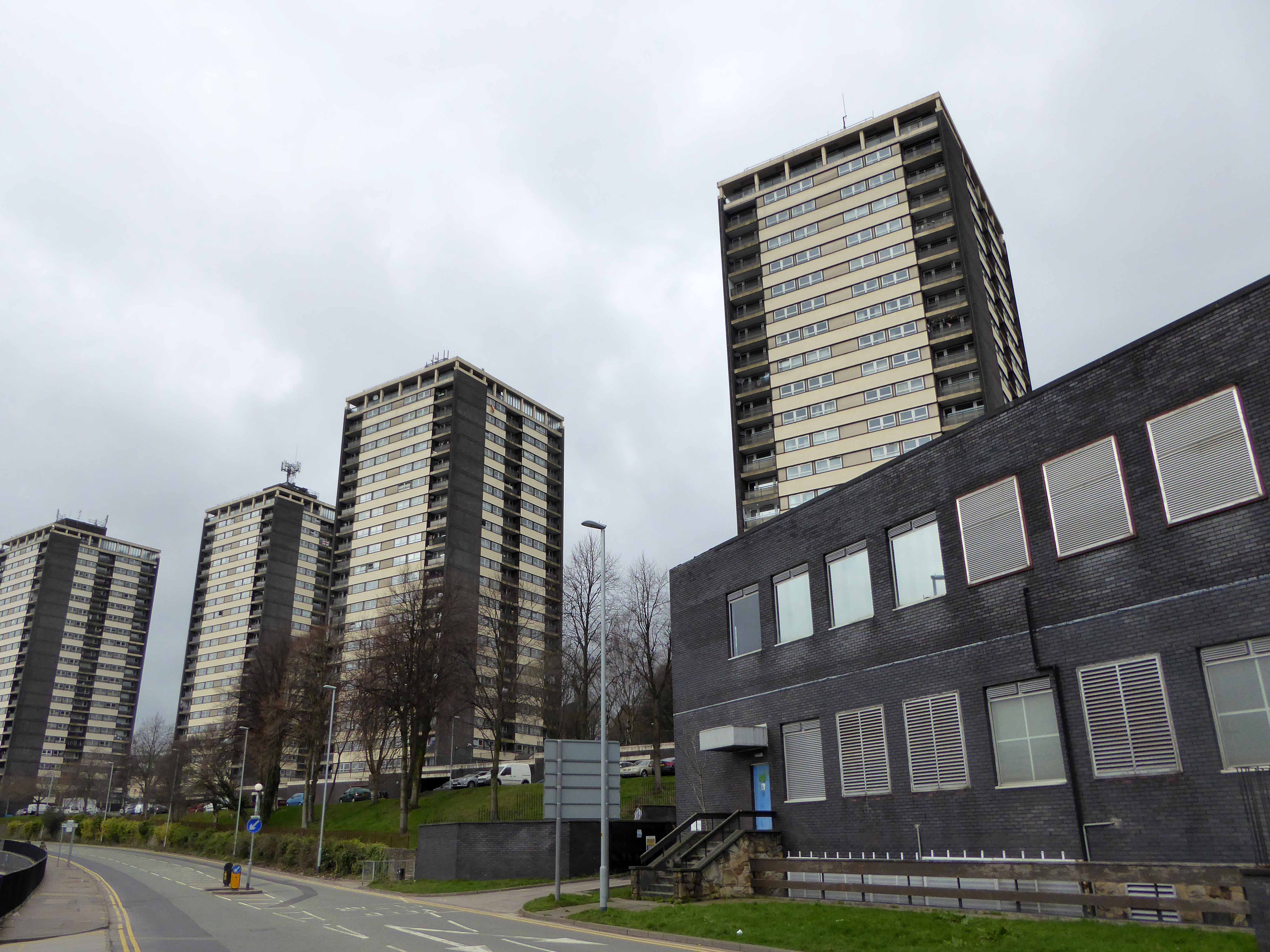
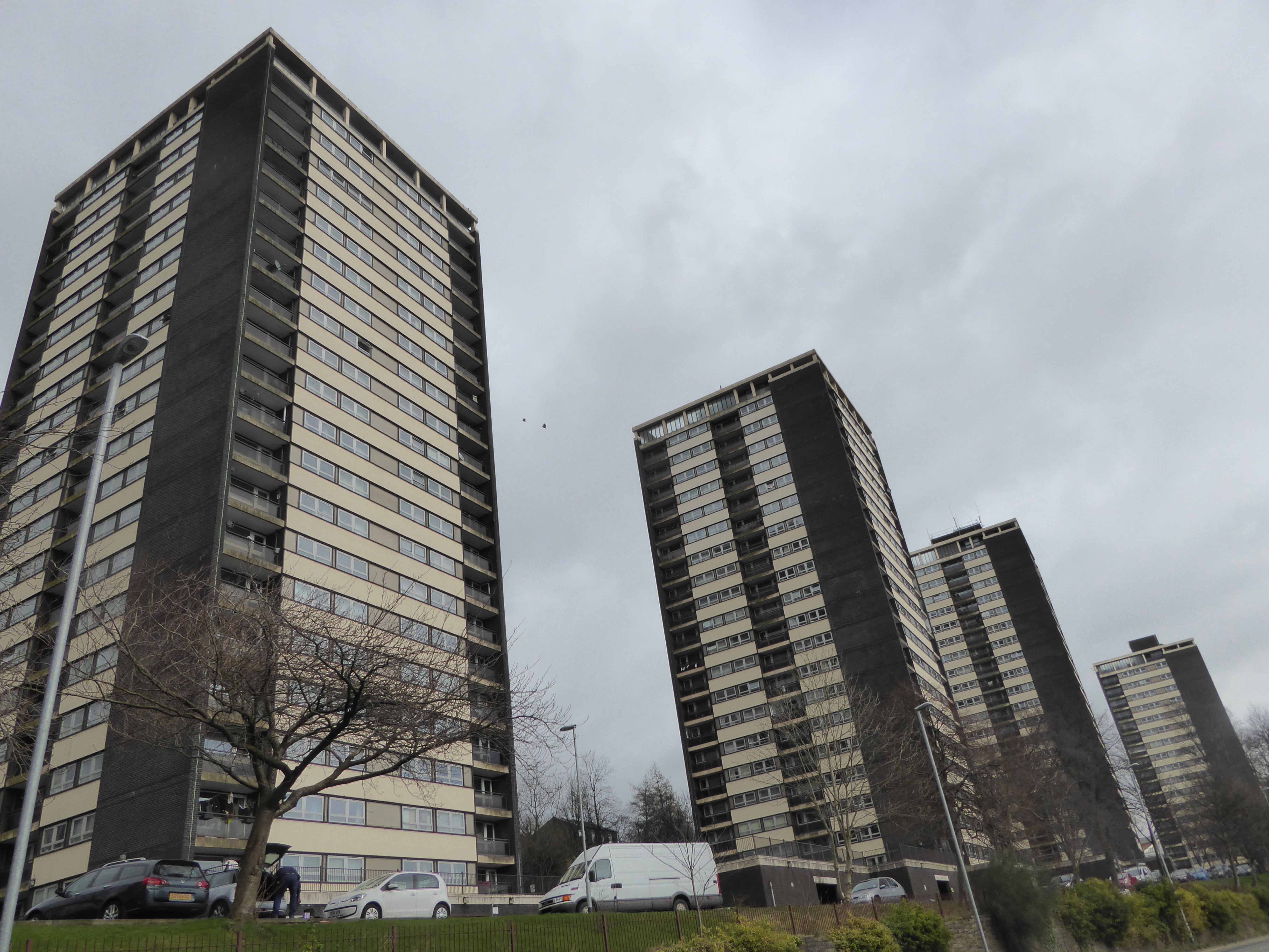
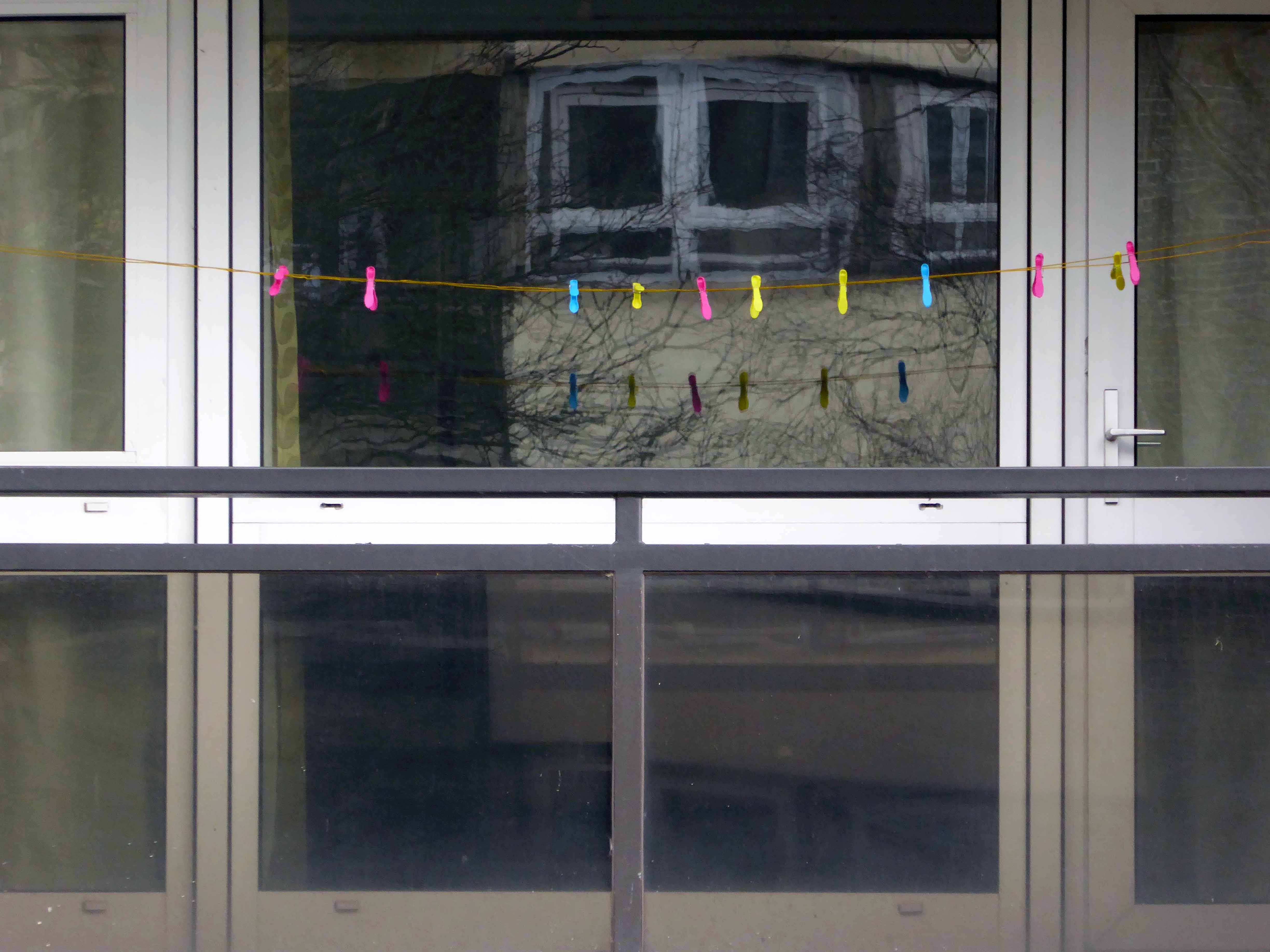
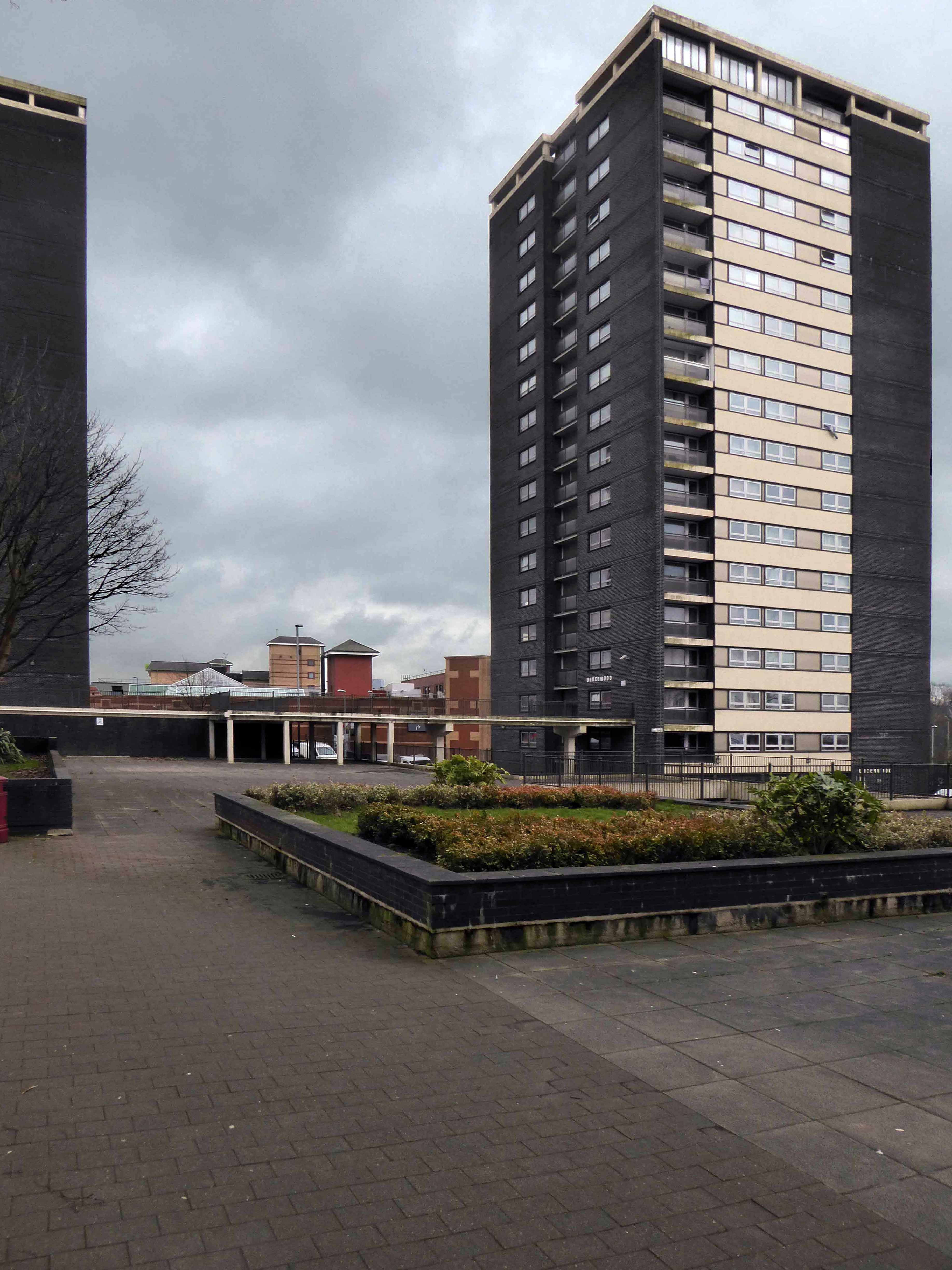
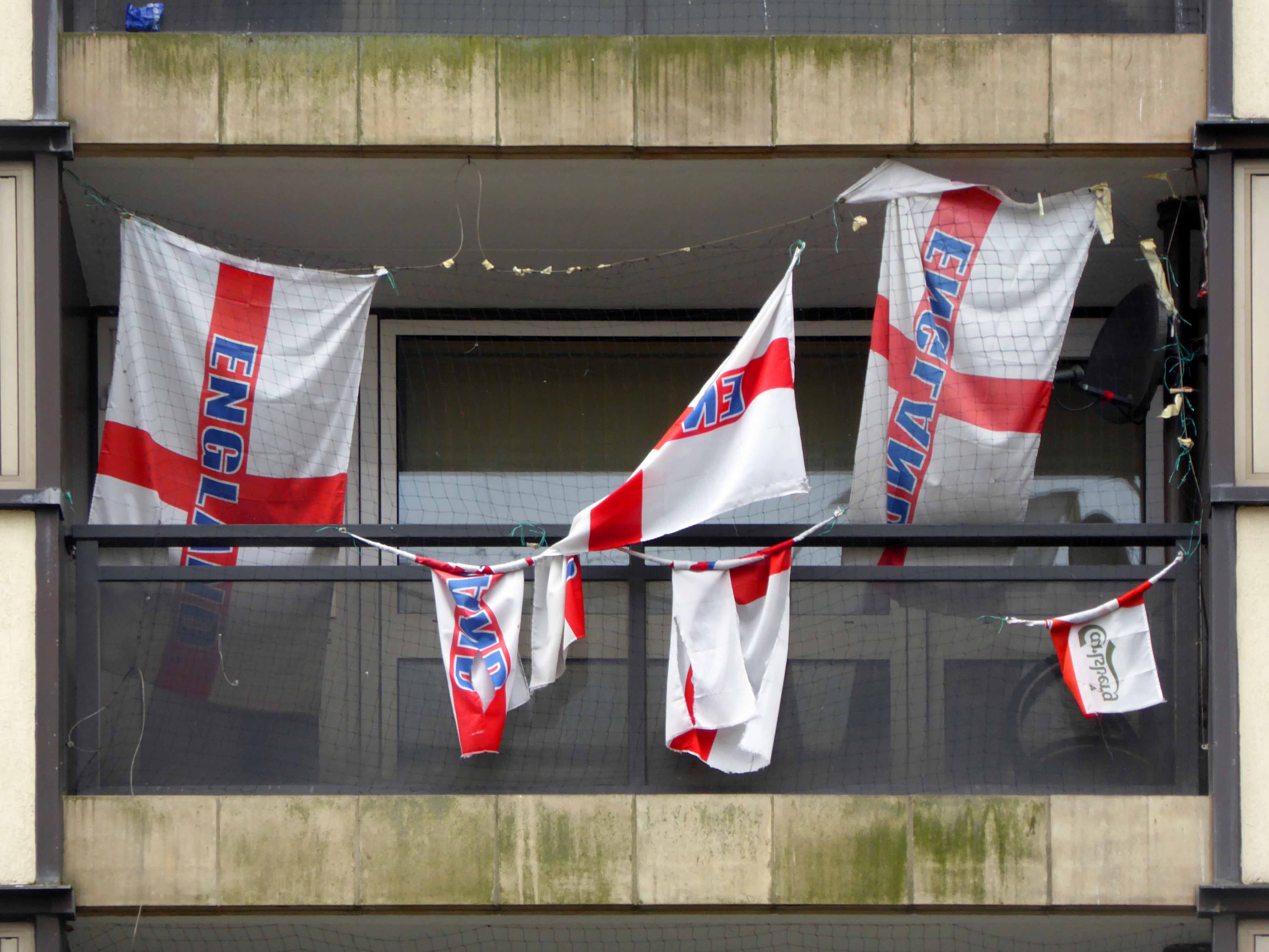
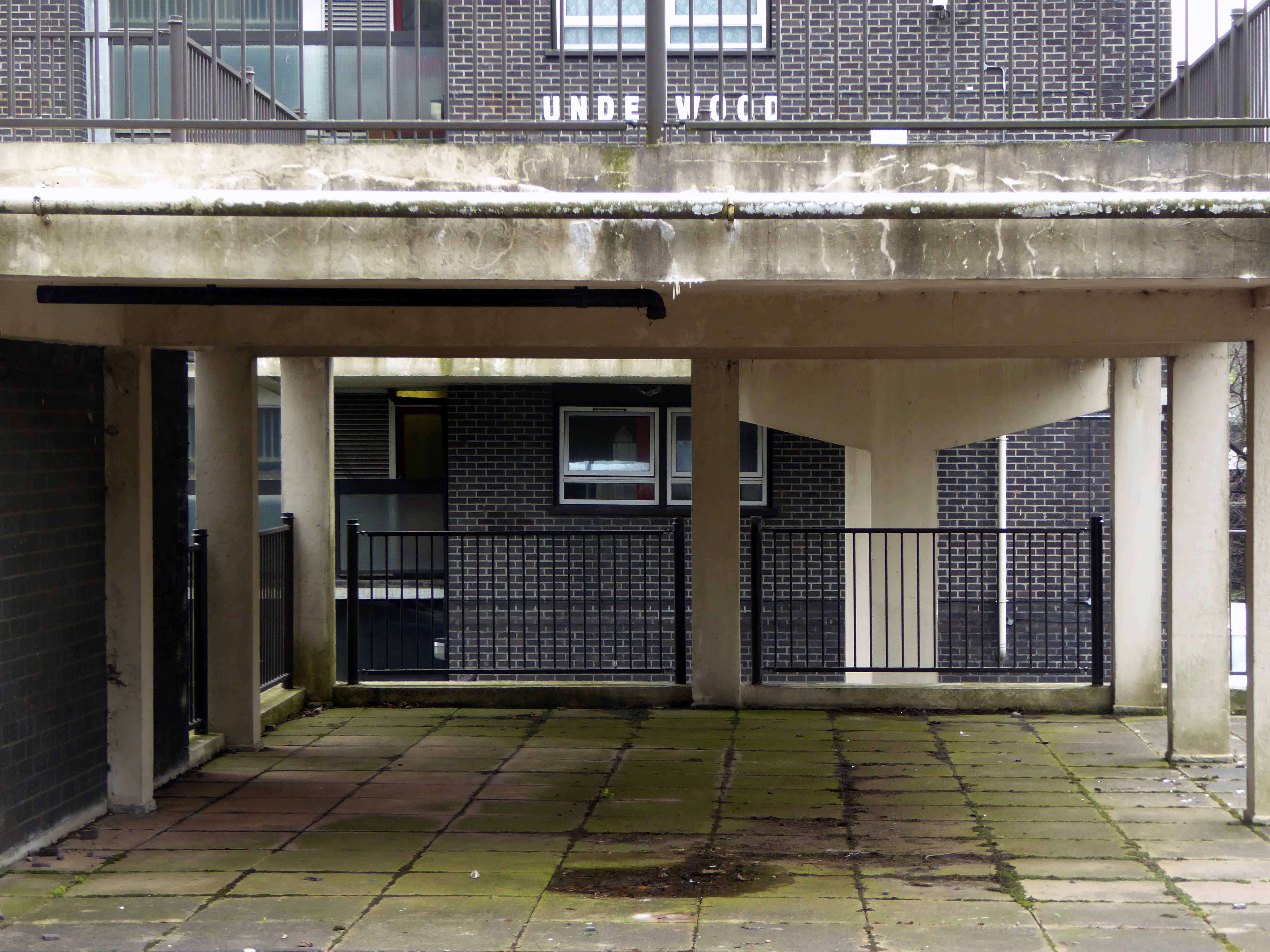
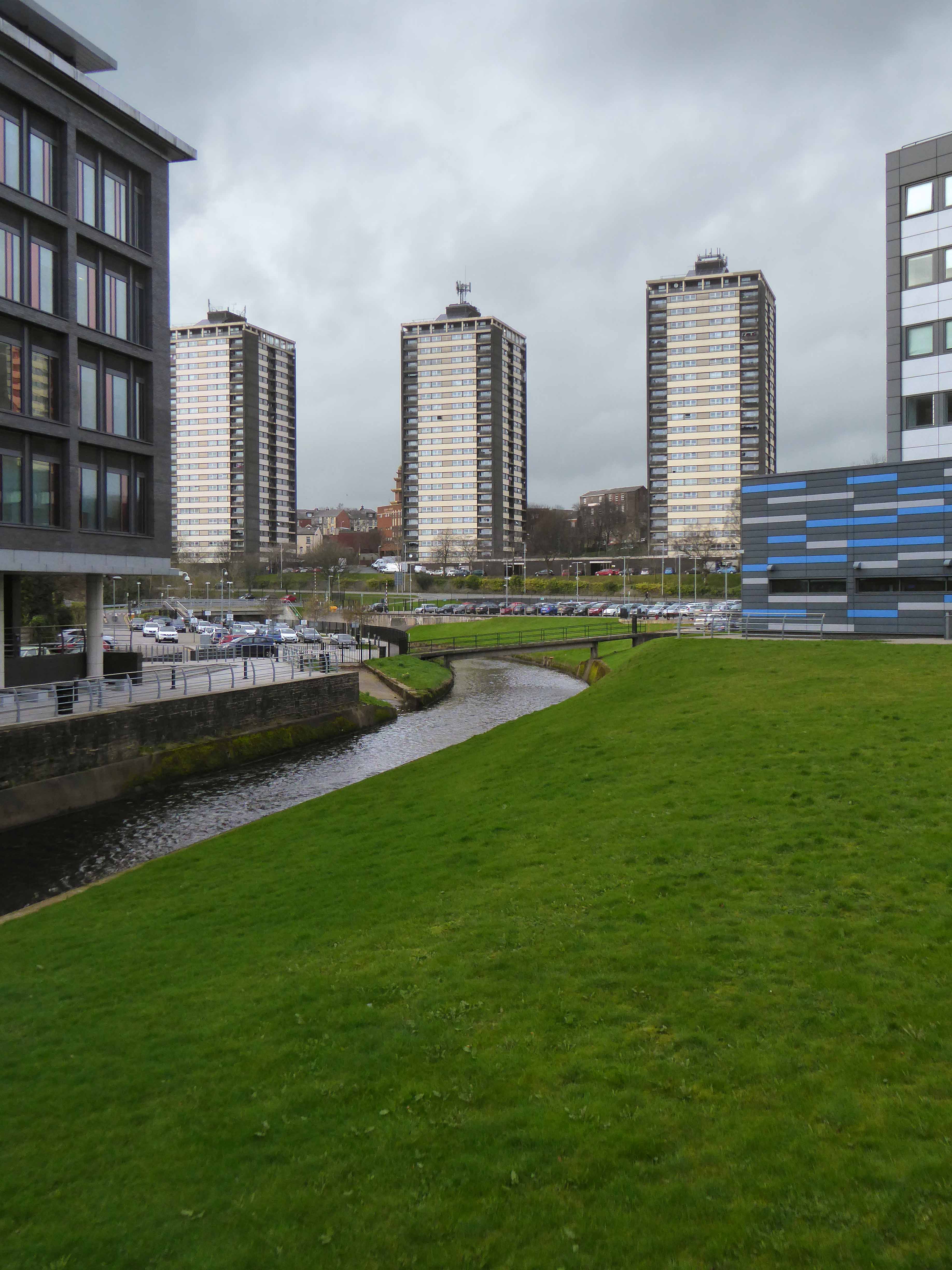
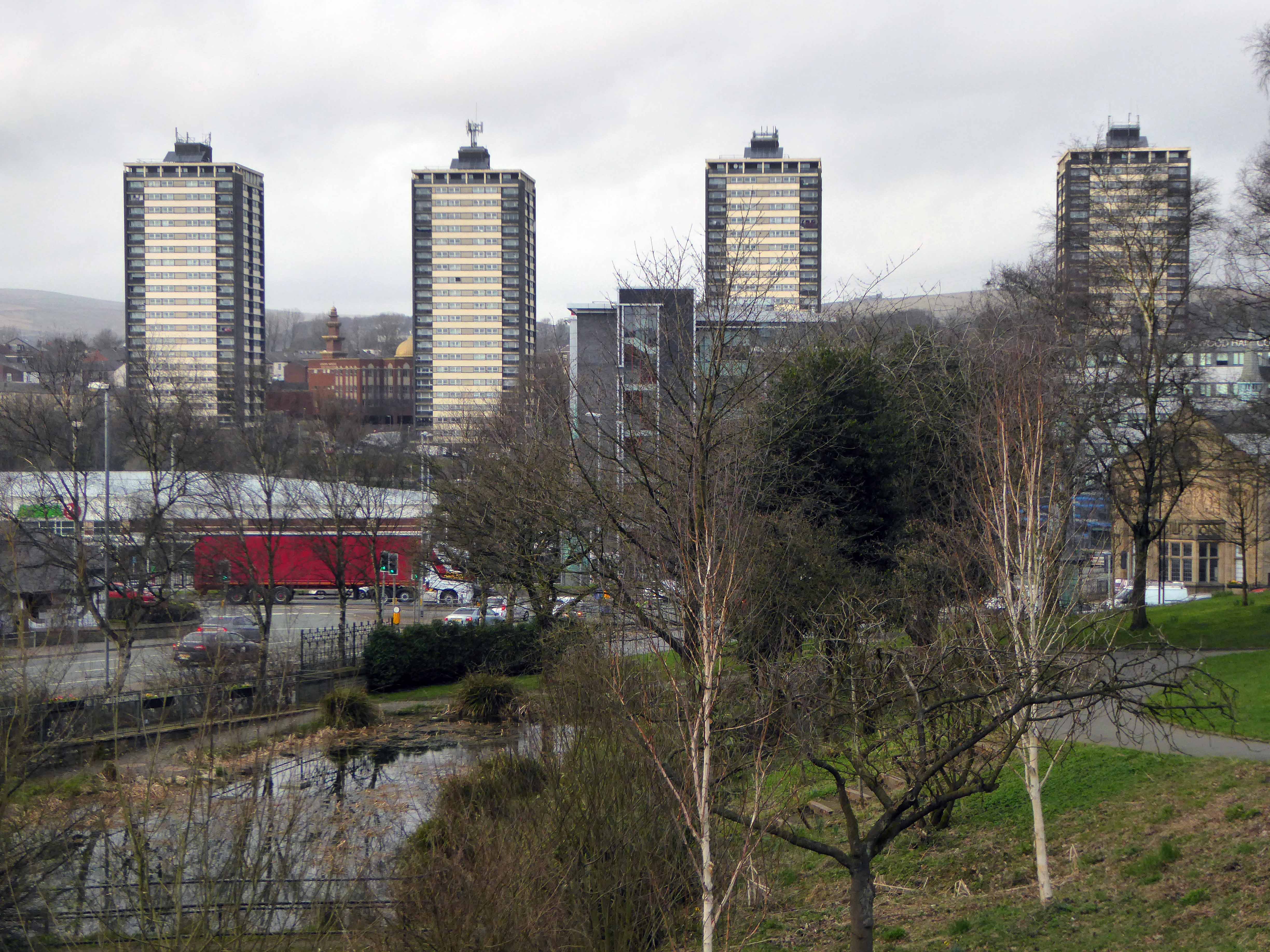
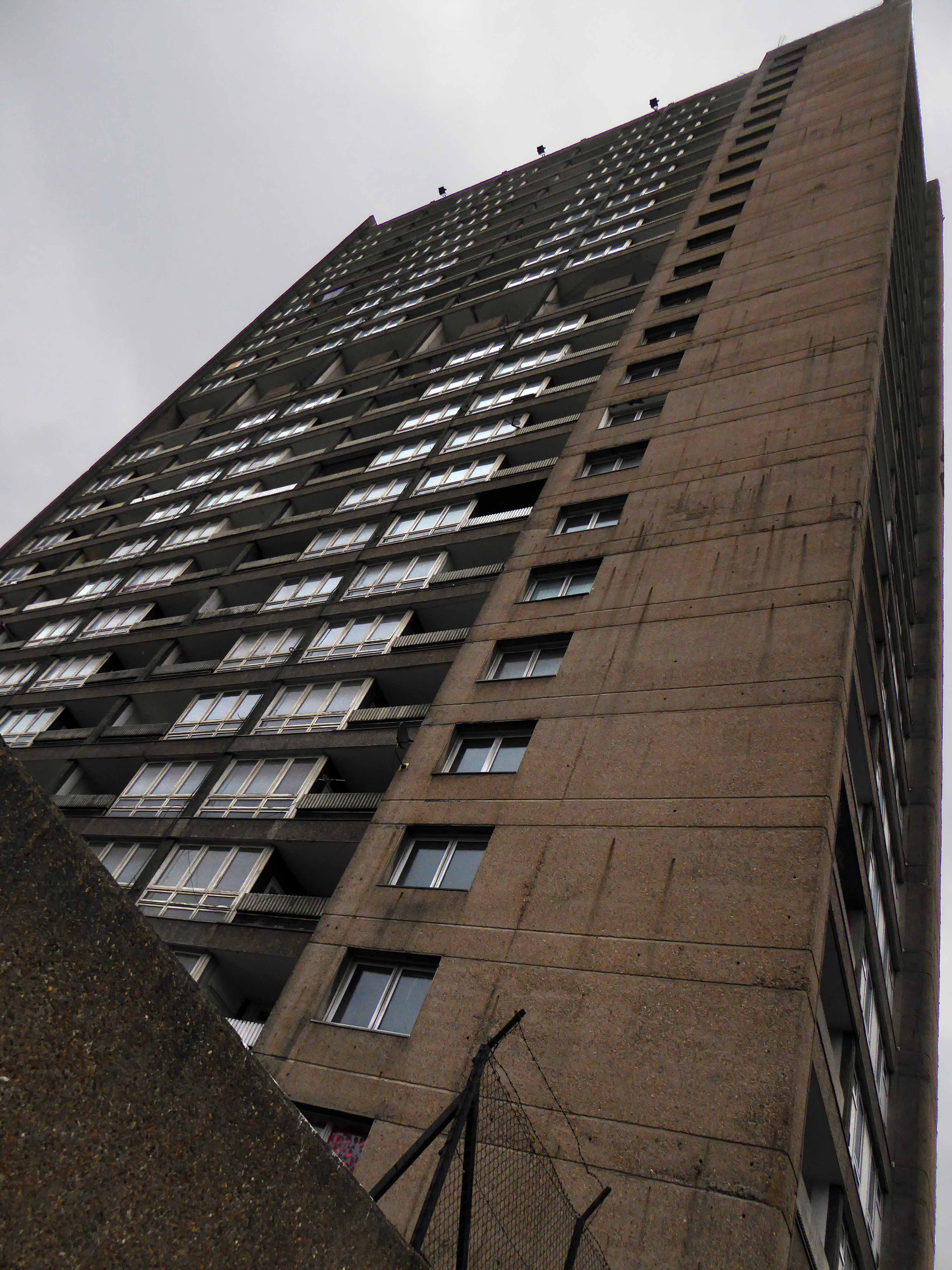
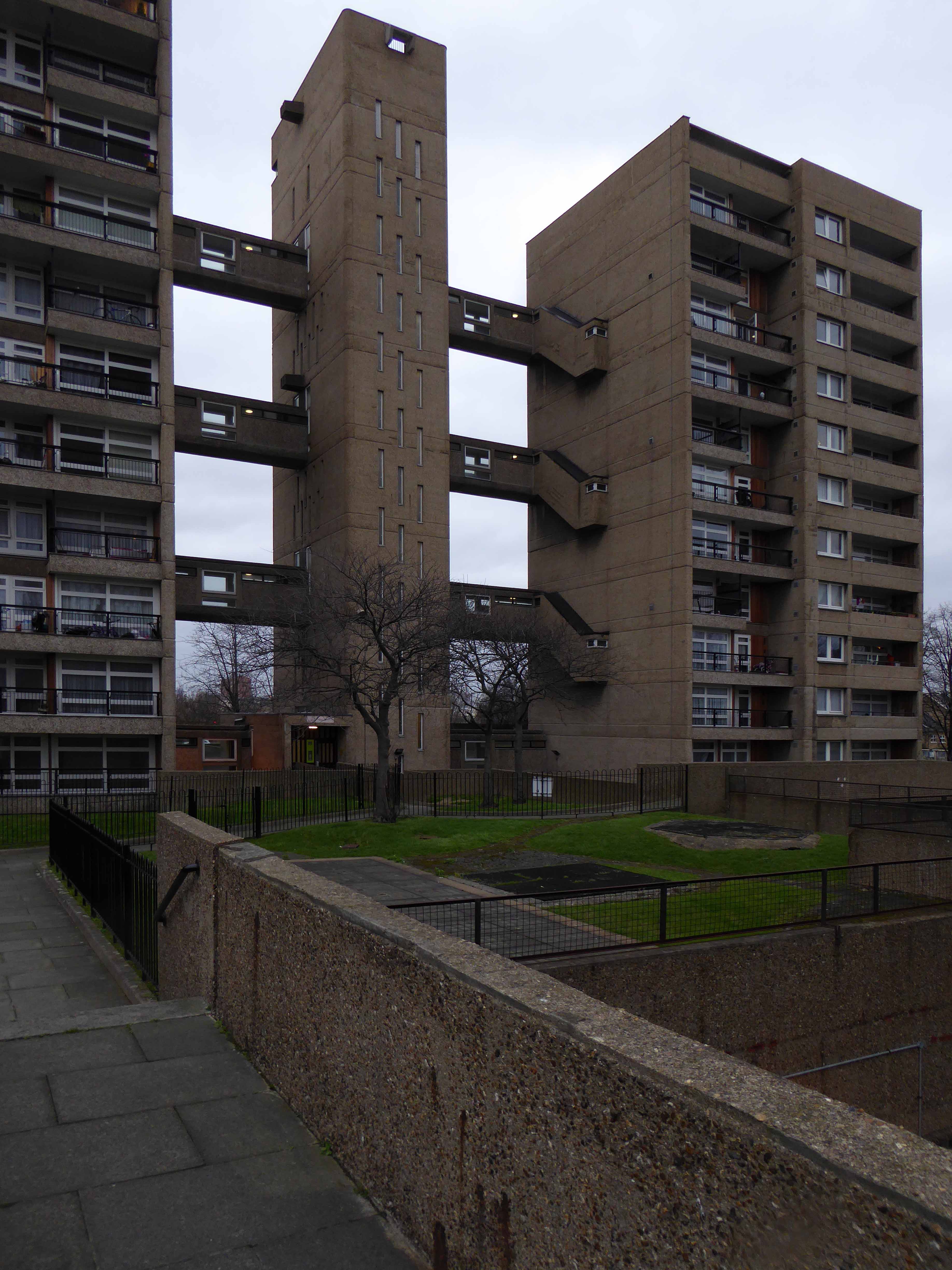
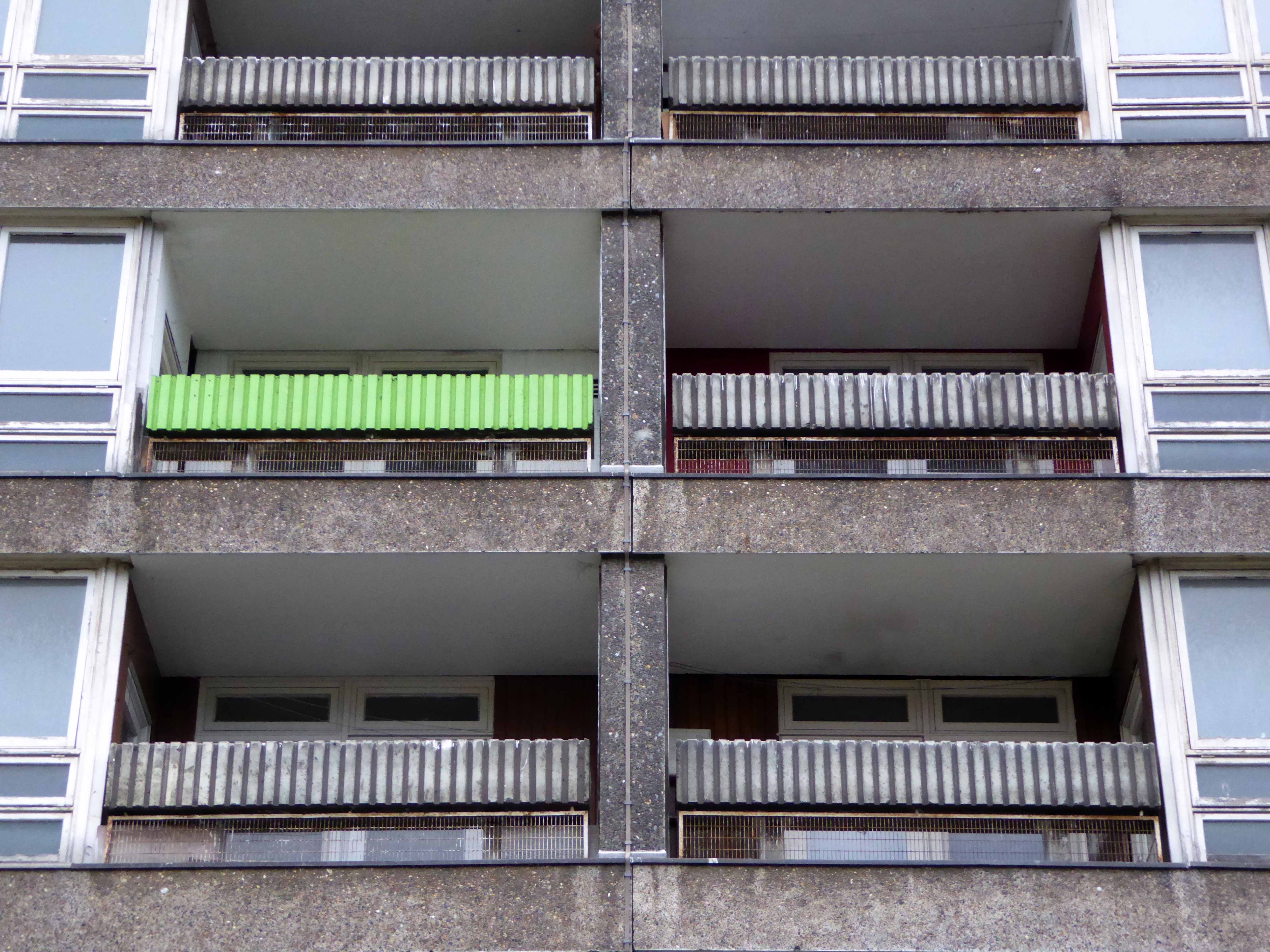
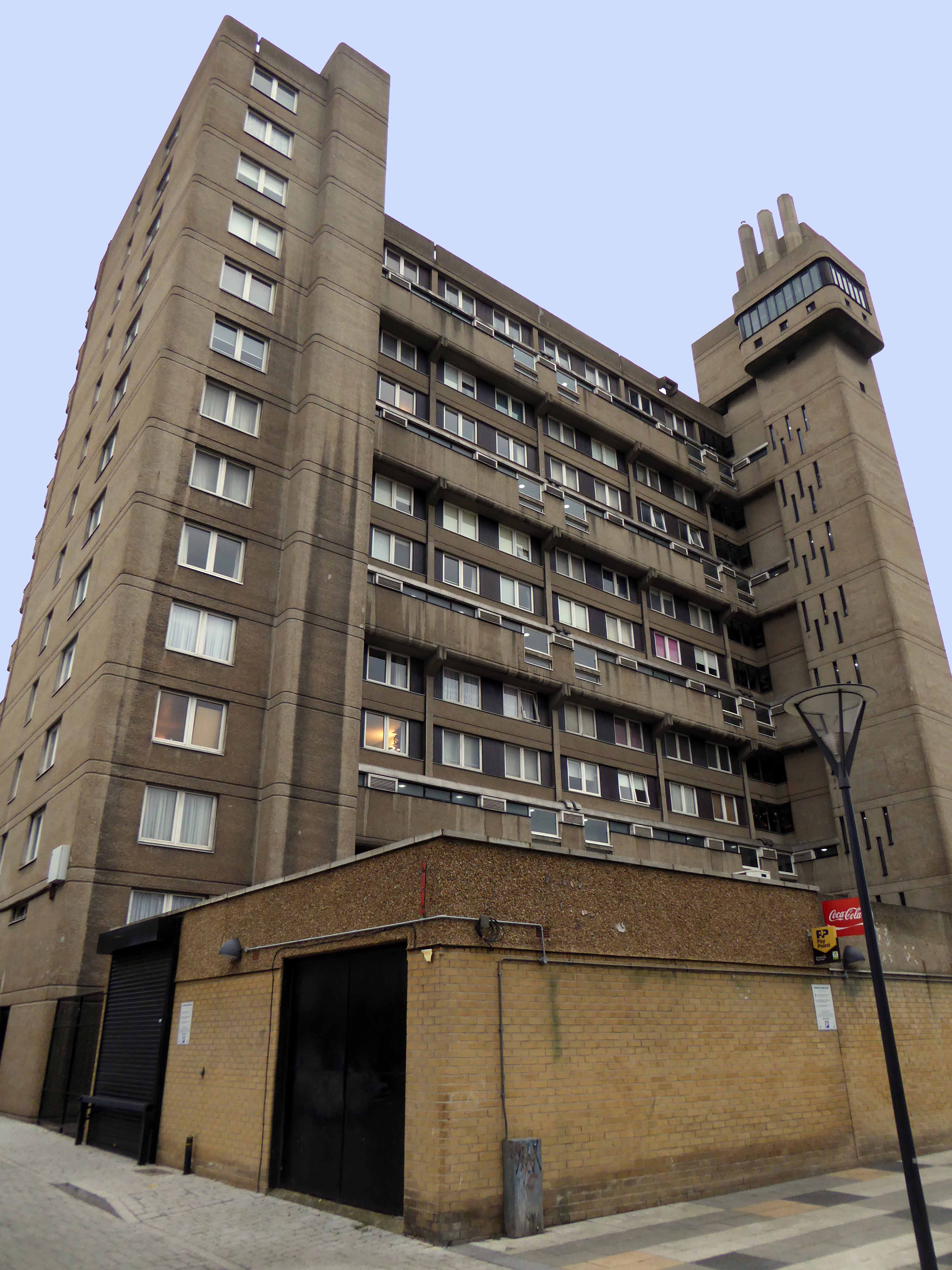
I’ve passed this way before, they’re hard to miss, seven substantial tower blocks towering over the town on College Bank.
But what goes up, may come down.
Construction in 1963
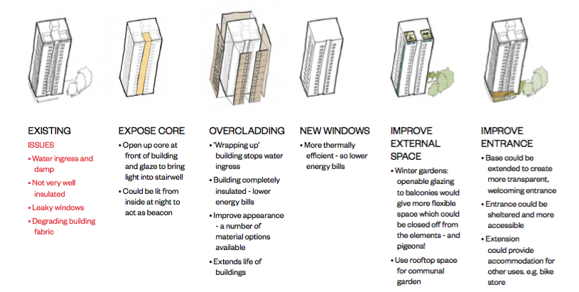
Demolition in 2017 is one suggestion – following years of poor maintenance, problems of heating and ingress, plus a whole host of other reasons outlined here.
The housing trust in consultation with residents, have produced a tentative plan.
This may or may not include the demolition of one or more blocks. On the day of my visit, the tenants I spoke with understood that the blocks faced an uncertain future, and were rightly concerned by the rumours and conjecture. The majority would prefer to stay put, having lived there for several years, raising families and building homes.
Whatever the outcome I hope that the wishes of the residents are not overwhelmed by political expedience, or the will of the developer.
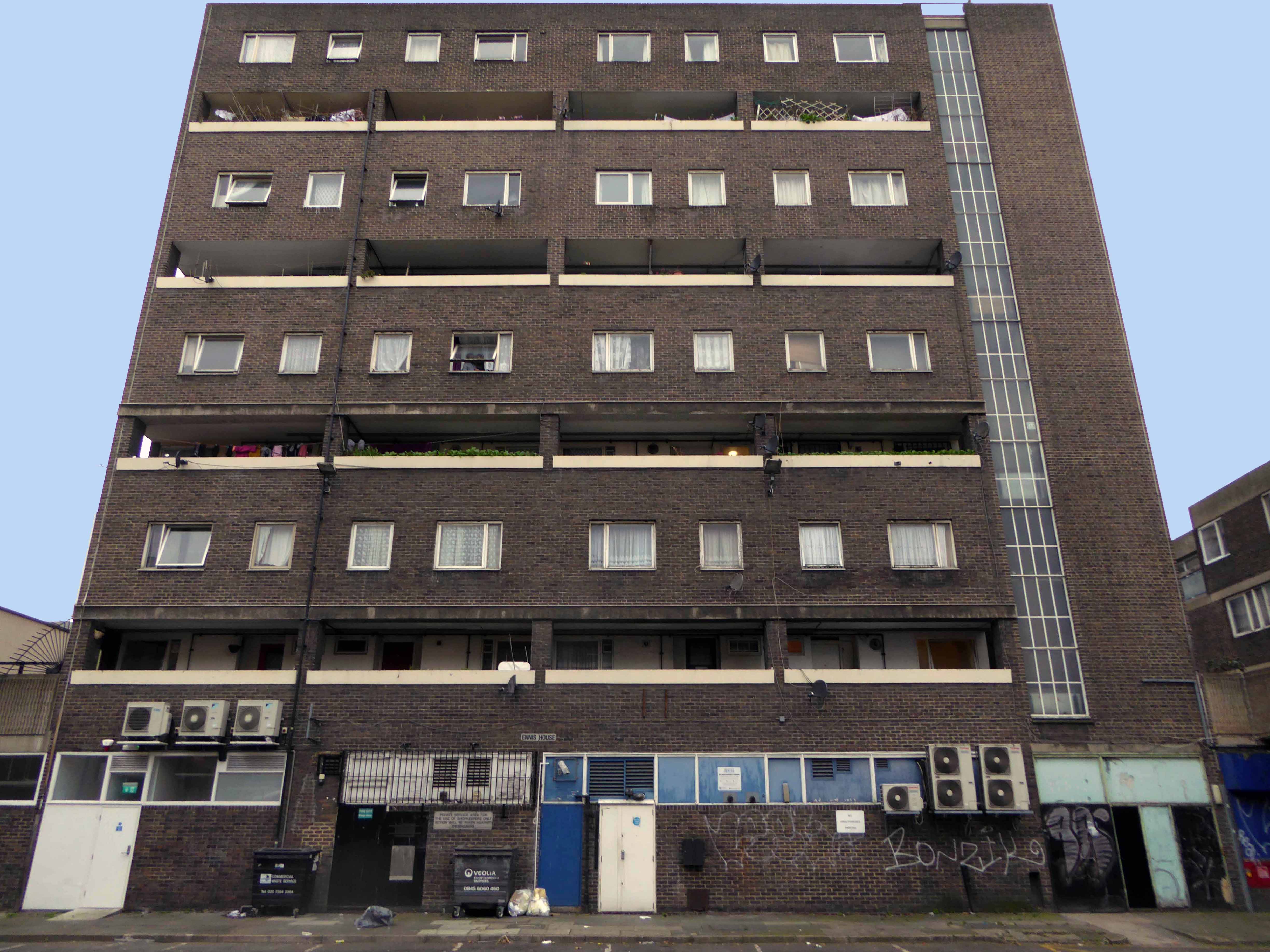
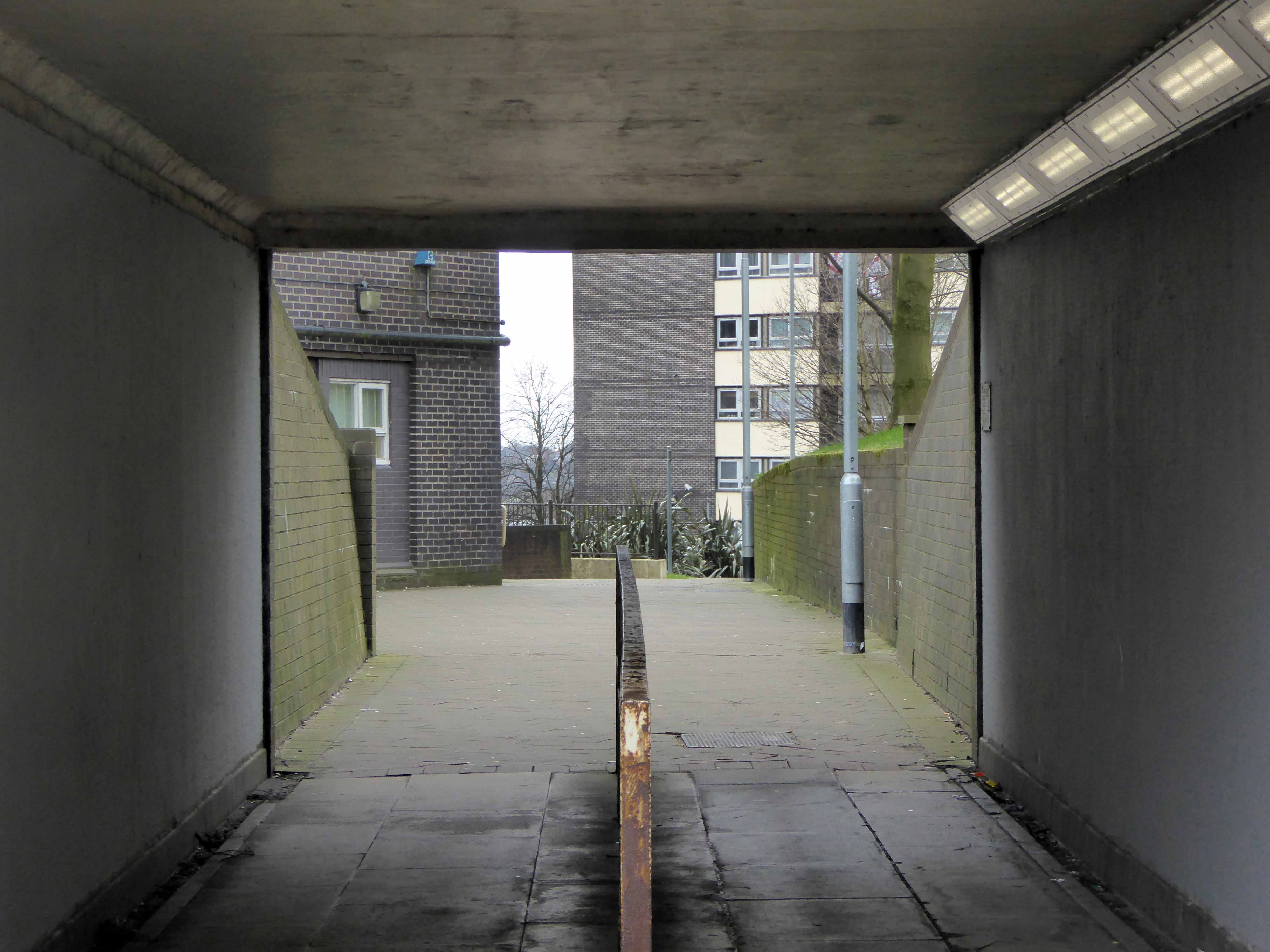
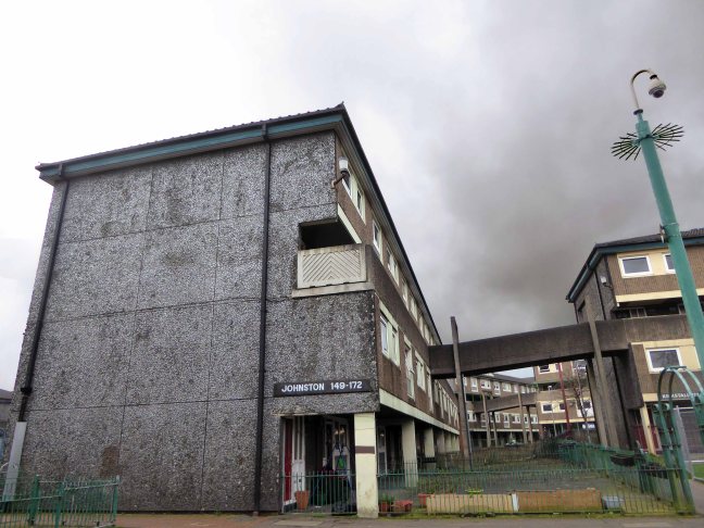
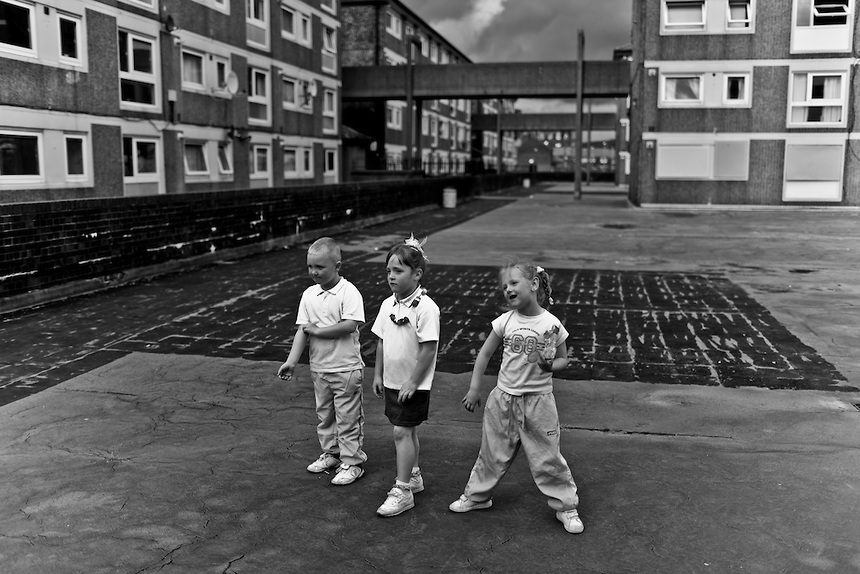
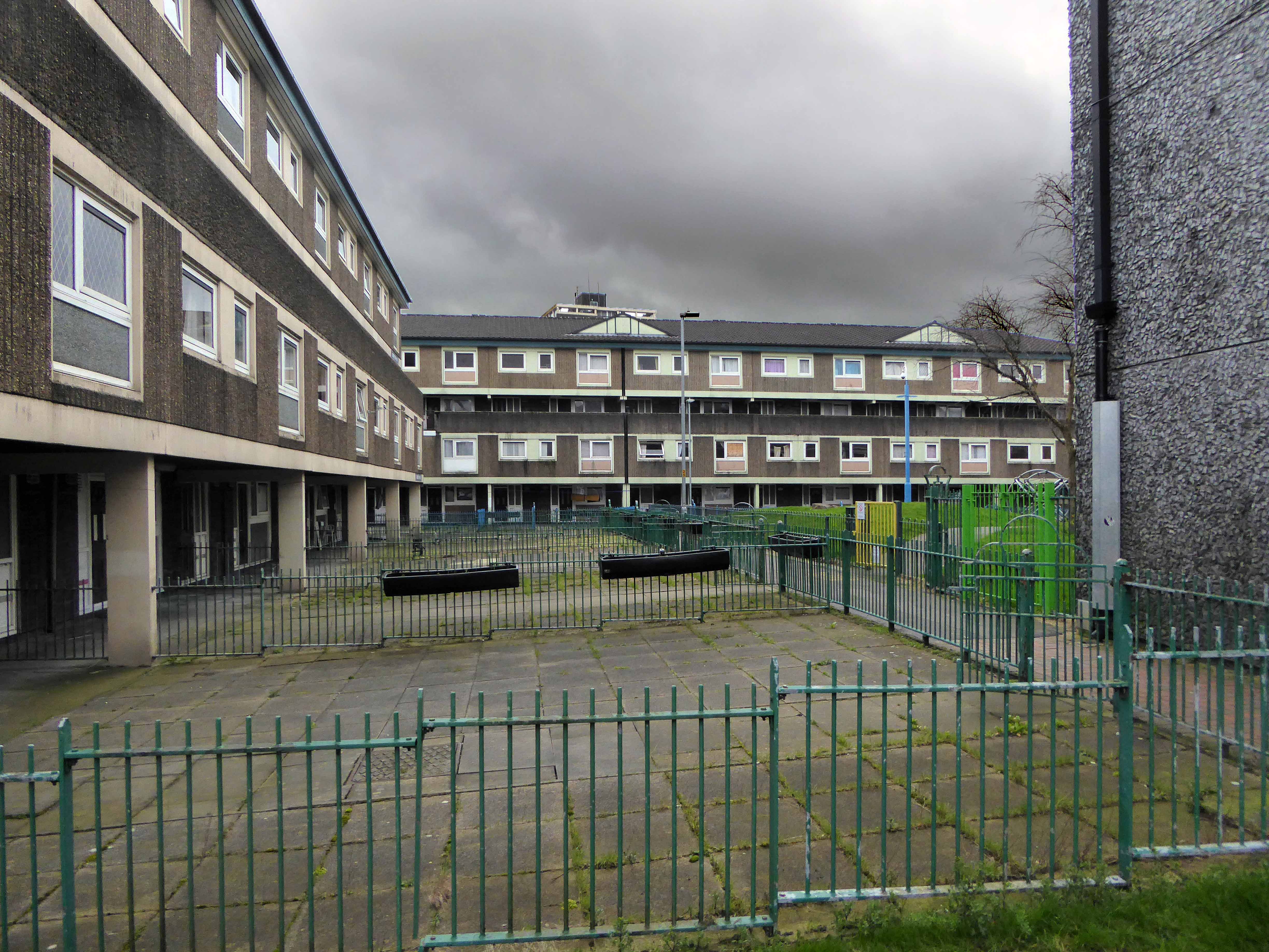
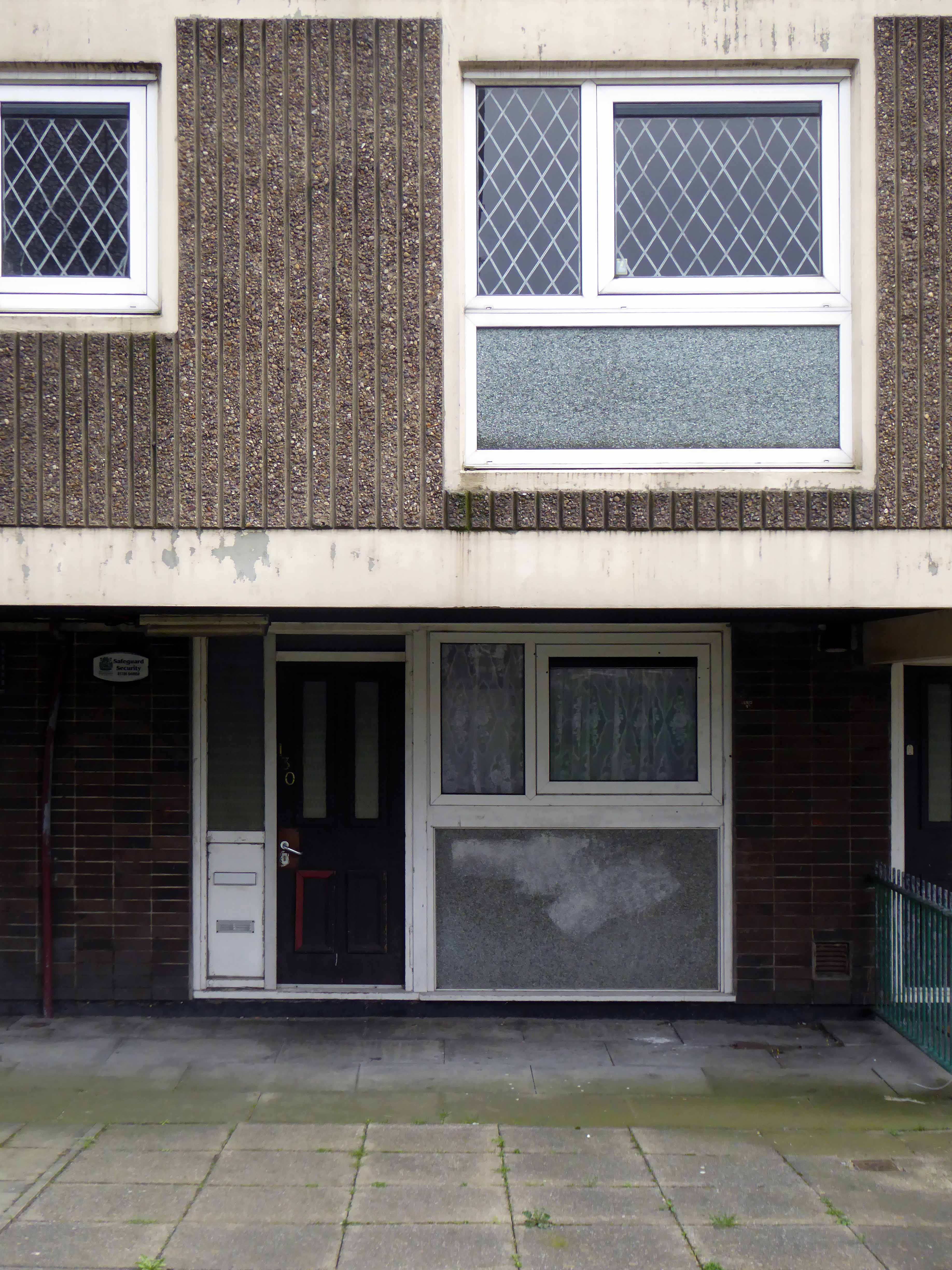
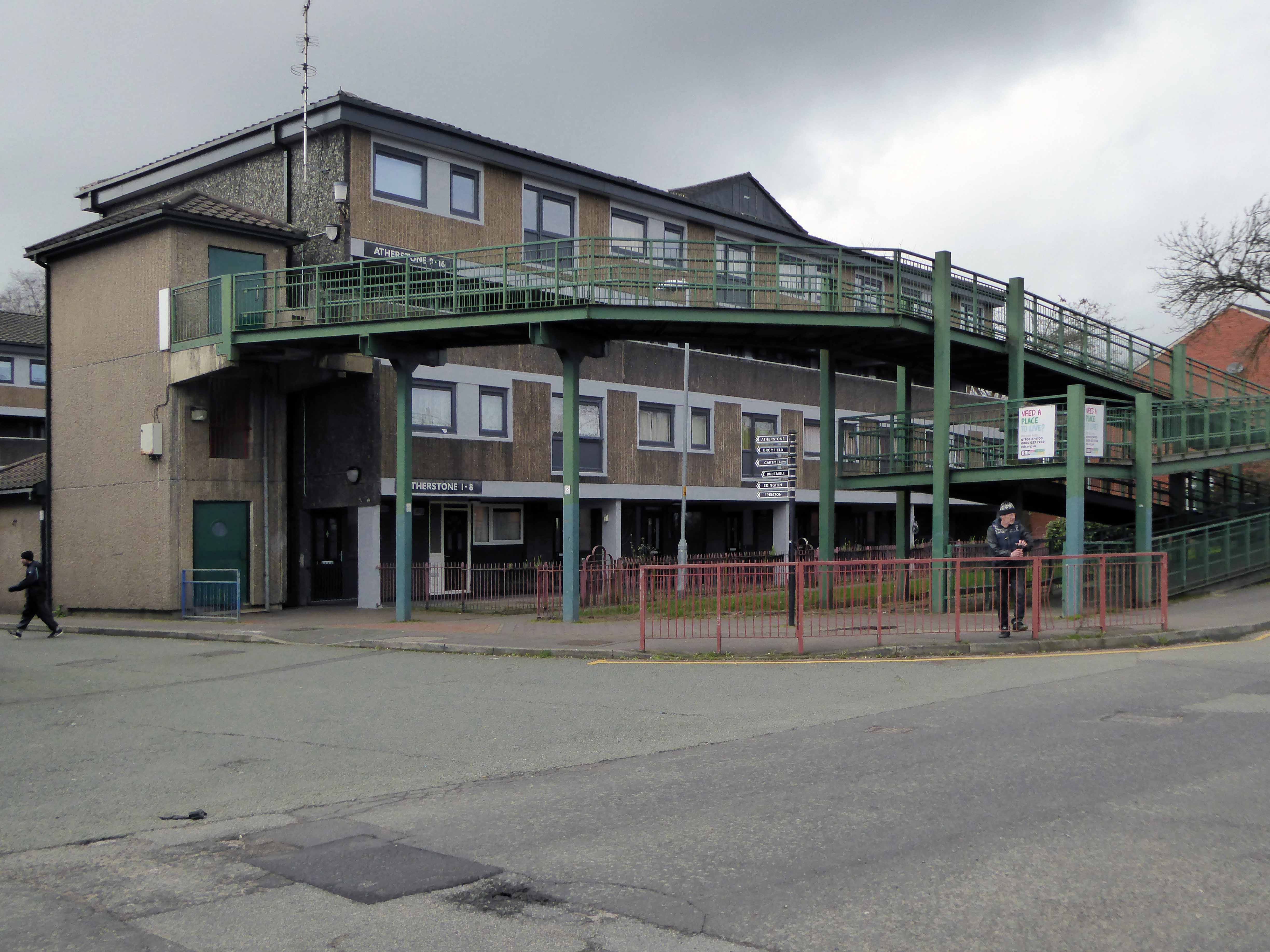
Walking between College Bank flats and St Patrick’s church you and I will almost inevitably pass through Lower Falinge.
In April 1967 Rochdale Council’s Estates Committee considered a proposal to build 750 dwellings in four-storey deck access flats in the Falinge area. By November the £1,810,000 scheme for the area bounded by Spotland Road, Hudson Street and Toad Lane was given the thumbs up.
The four-storey development was to provide 527 dwellings with deck access, ramps and overheard walkways. It was planned so people could walk from any point in the area to another without having to return to ground level. Work began in early 1968 and was completed in three stages. More recently they have been up-graded and now have pitched roofs. Freehold Flats were built in the early 1970s. Eleven of the eventual 19 blocks were occupied by August 1971.
Built at a time when full employment was a tangible reality rather than a fondly recounted folk memory, the area was buoyant and relatively prosperous.
Time, the free market, and casualised labour has not been kind to Lower Falinge and many other post-industrial estates. The Thatcherite press conveniently badges the residents as scum, scroungers and frauds, a carefully conceived sleight of hand, transferring responsibility onto those careless enough to become the victims of an uncaring economic system.
Demonising and dividing working people regardless of ethnicity, ability, sexuality or ability – the equal opportunities abuser.
A few years ago there was even a national news story about a Falinge café serving fry-ups with a can of Stella for £2.50, this was untrue.
So Lower Falinge and its like become the convenient exemplar for the inconvenience of Broken Britain, a PR device to whitewash the very dirty hands that authored its very dirty demise. Those very dirty hands that have no viable solution to a very real problem, of resolving poor peoples’ uncertain futures.
Meanwhile the journalists form a disorderly queue to file the next in line, online assessment of an awful situation devoid of resolution, short of revolution.
Transferred from local authority control to charitable trust, forever shape shifting its hard lines to a softer, home made, fluffier image as limited resources, chase limited opportunities, all around the deck access landings.
Life goes on, we live in hope or Lower Falinge.
Mishka Henner
The estate is now post-post modern, acquiring another veneer of refurbishment over the now tarnished green of the cover all, all purpose un-repurposed steel railings.
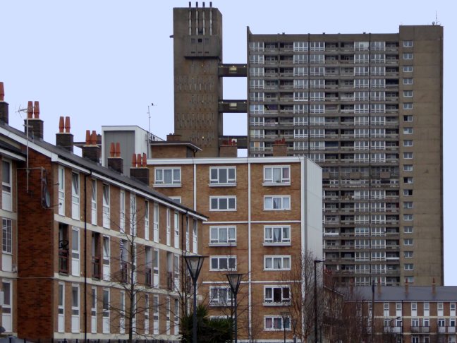
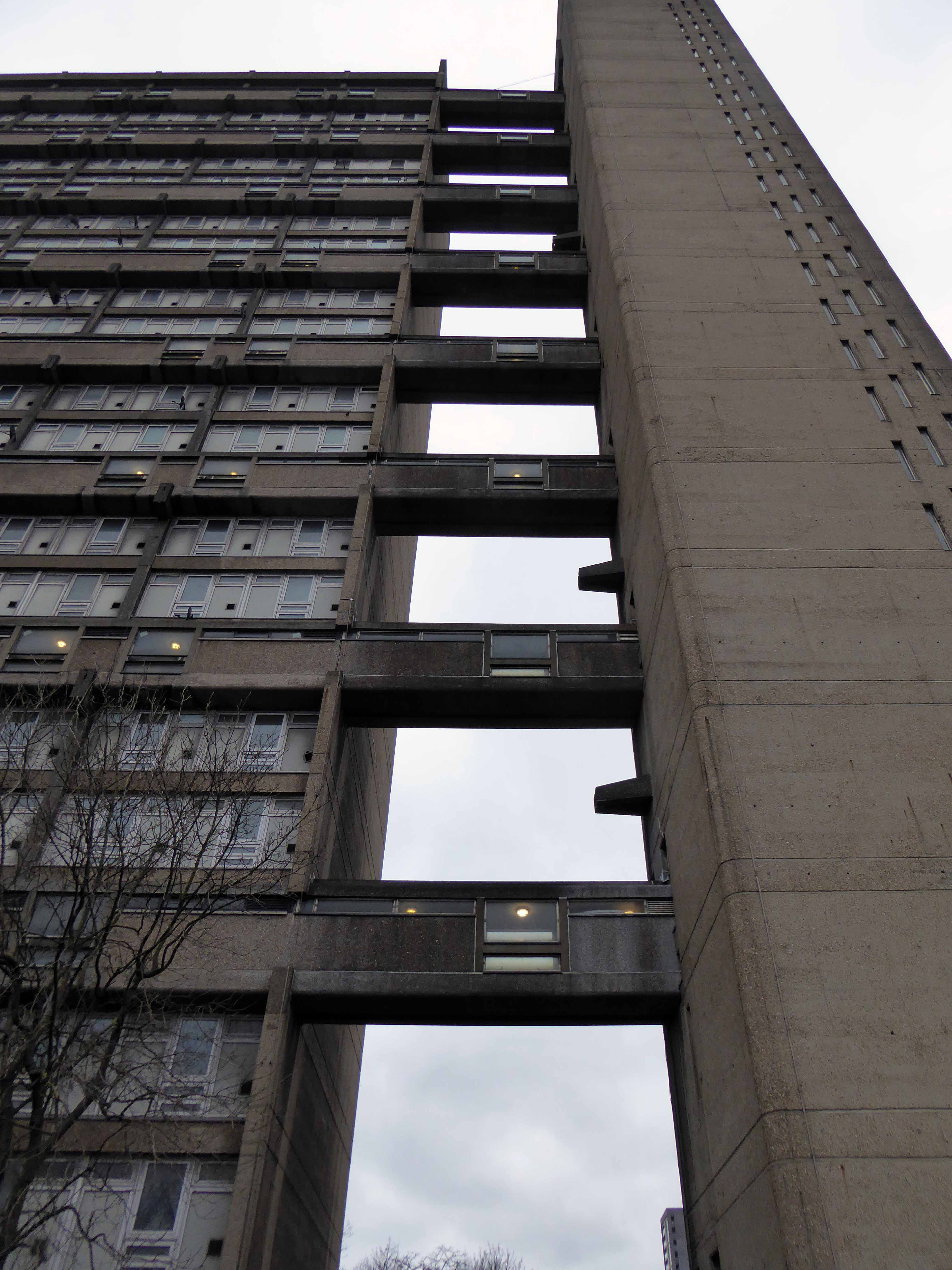
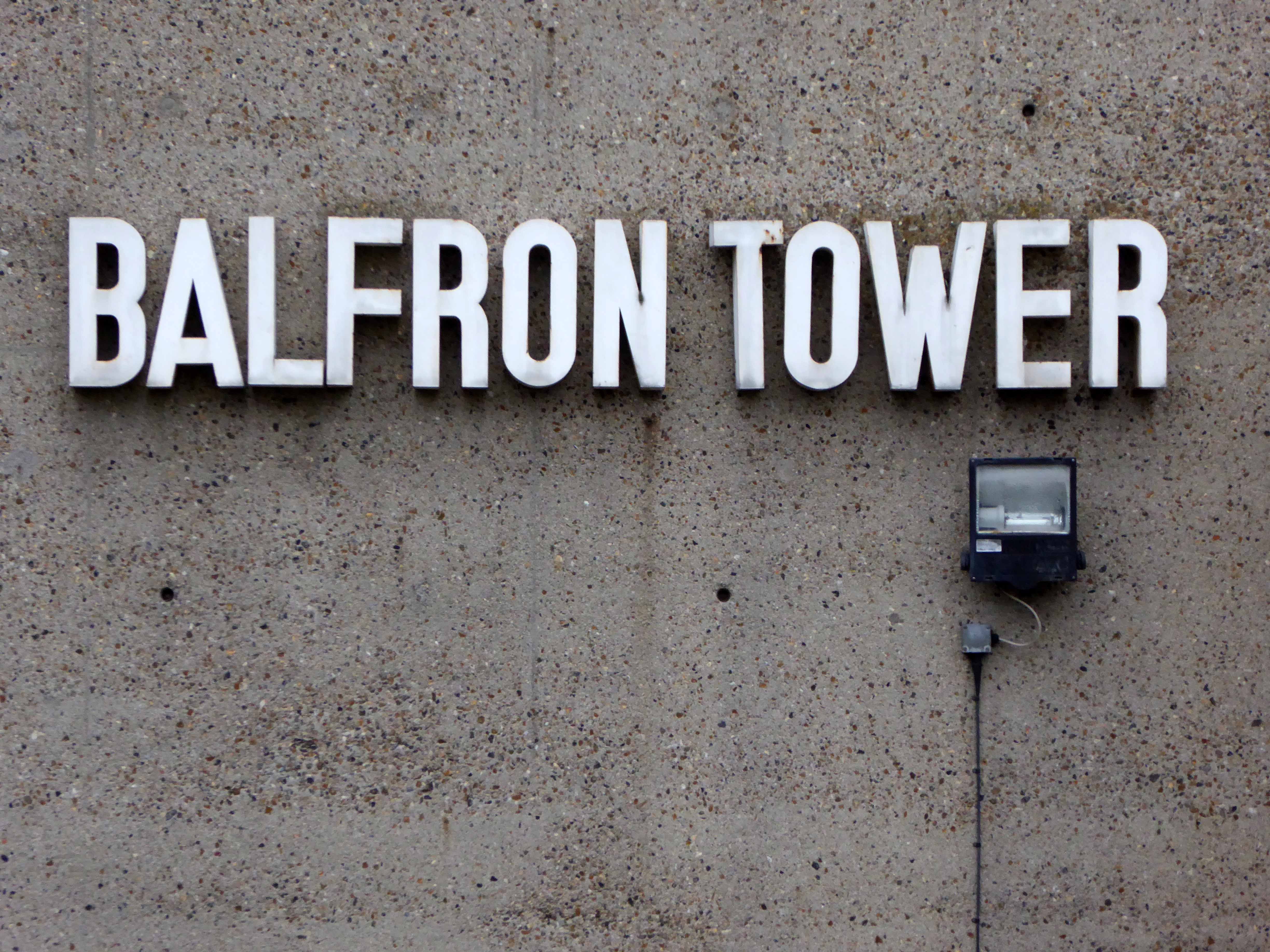
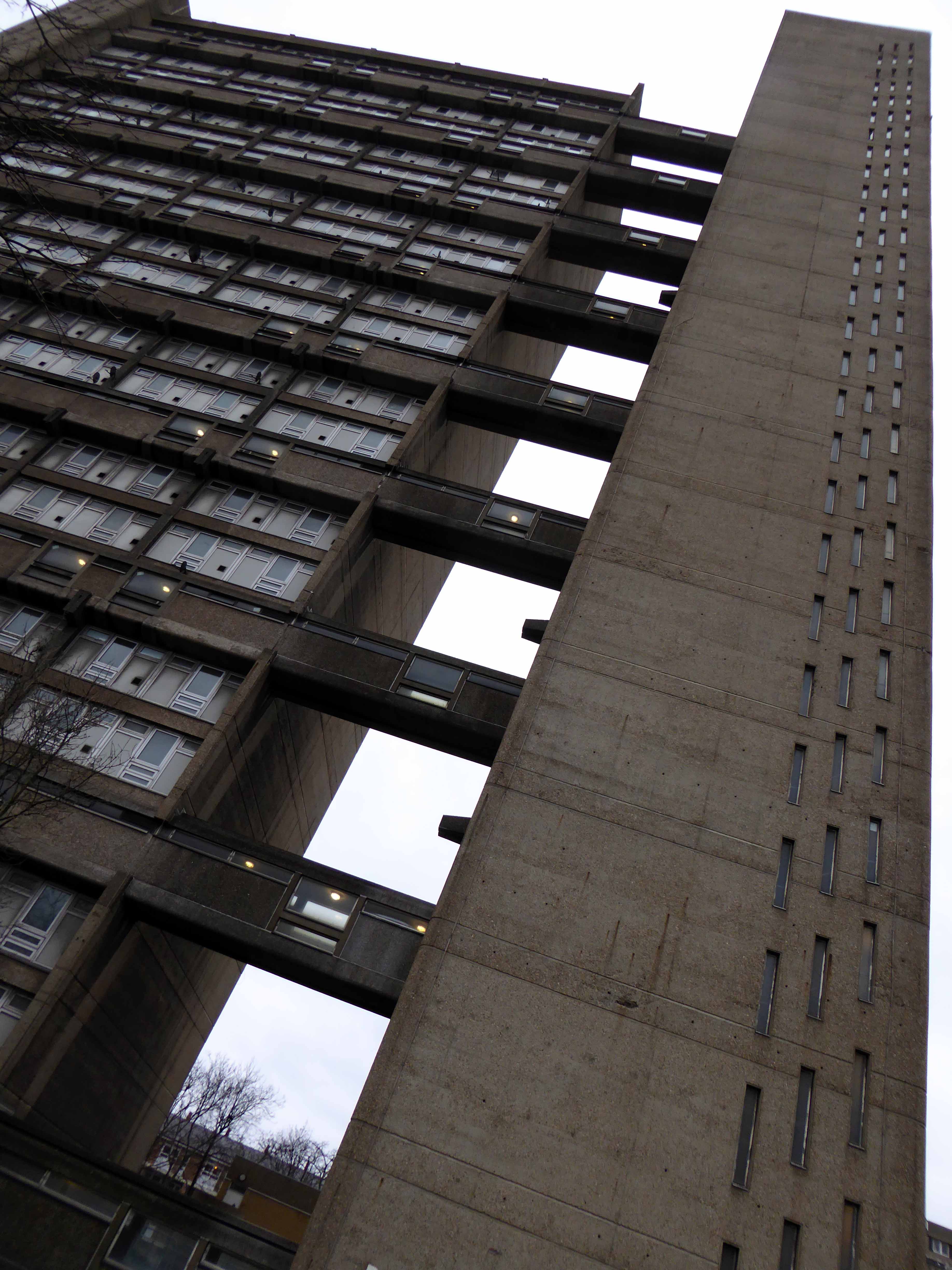
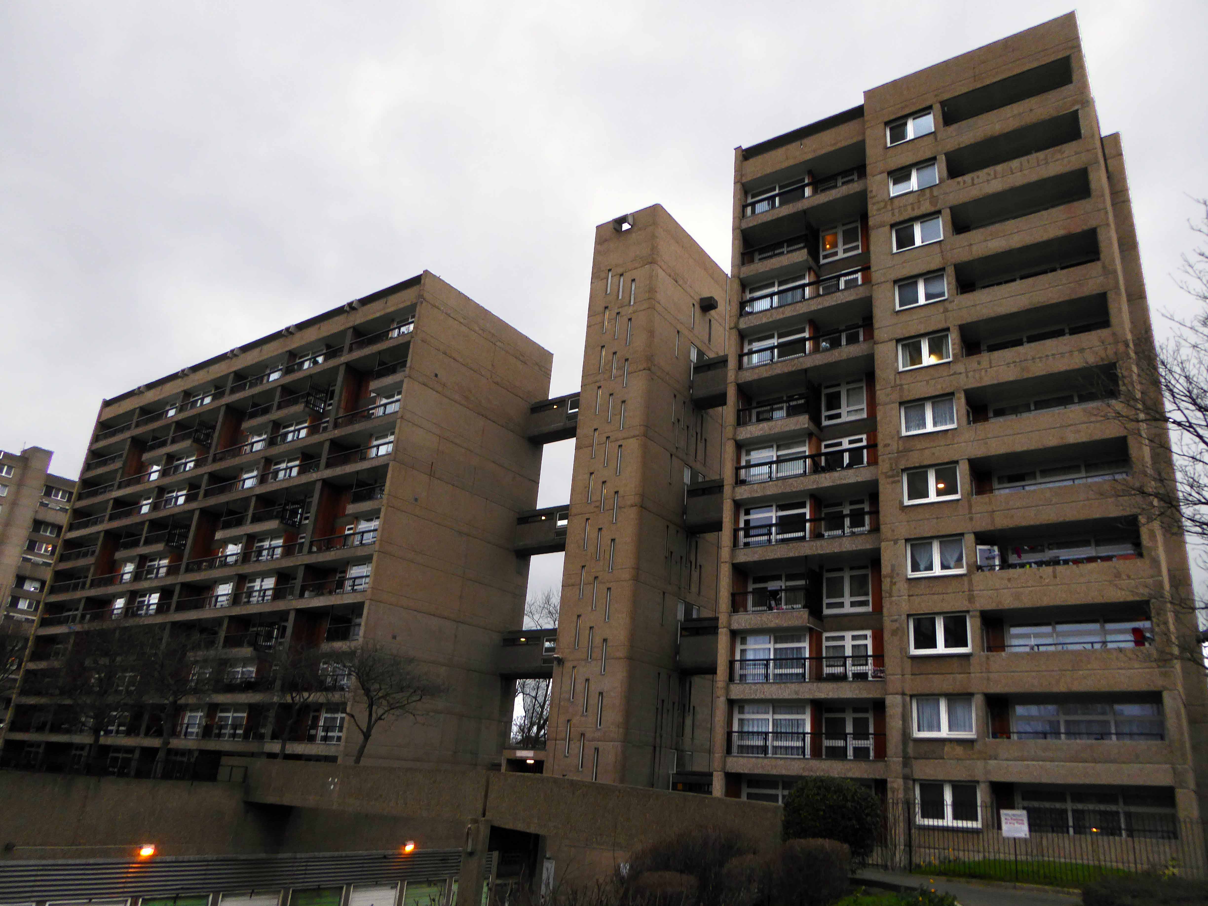
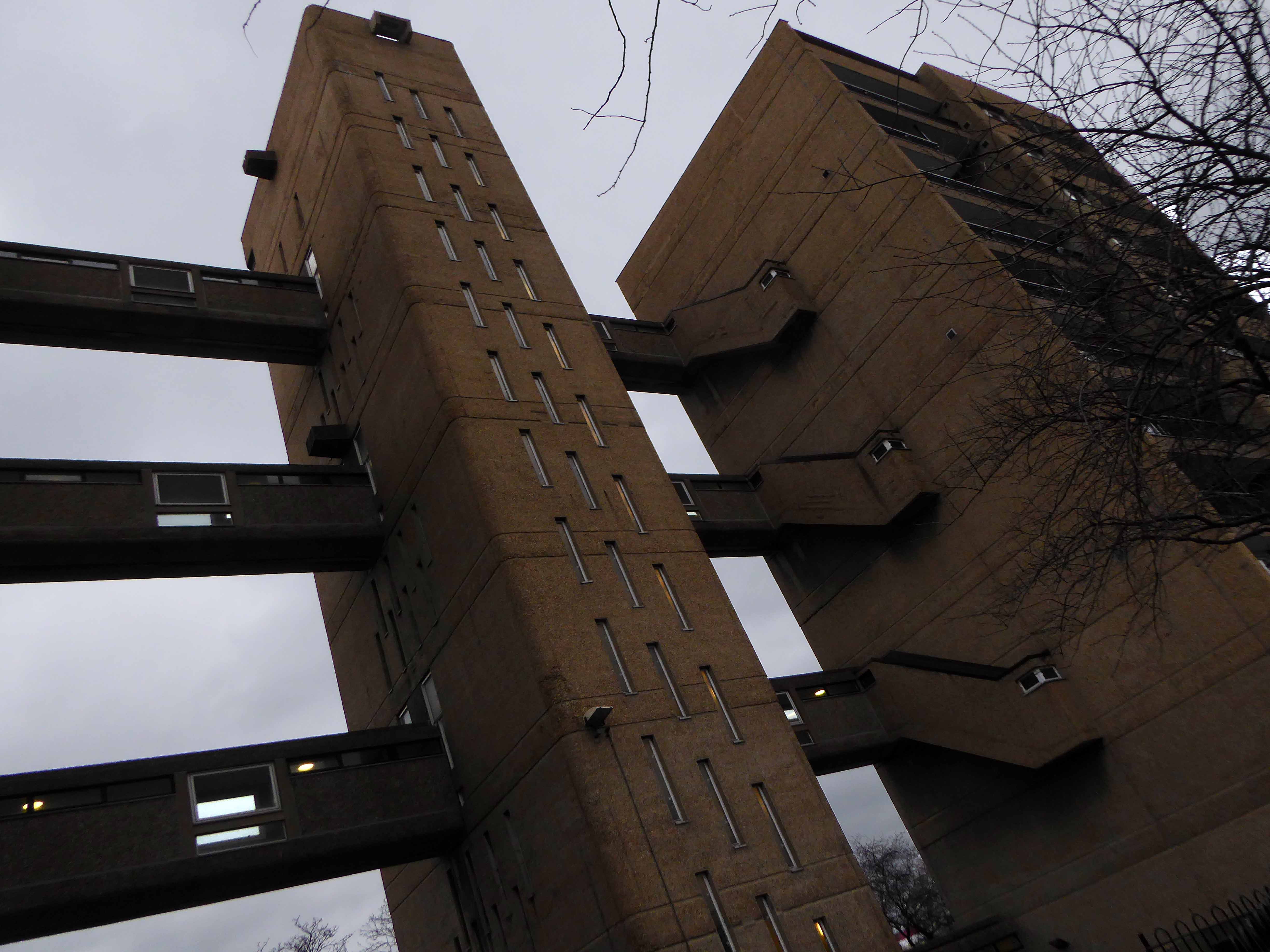
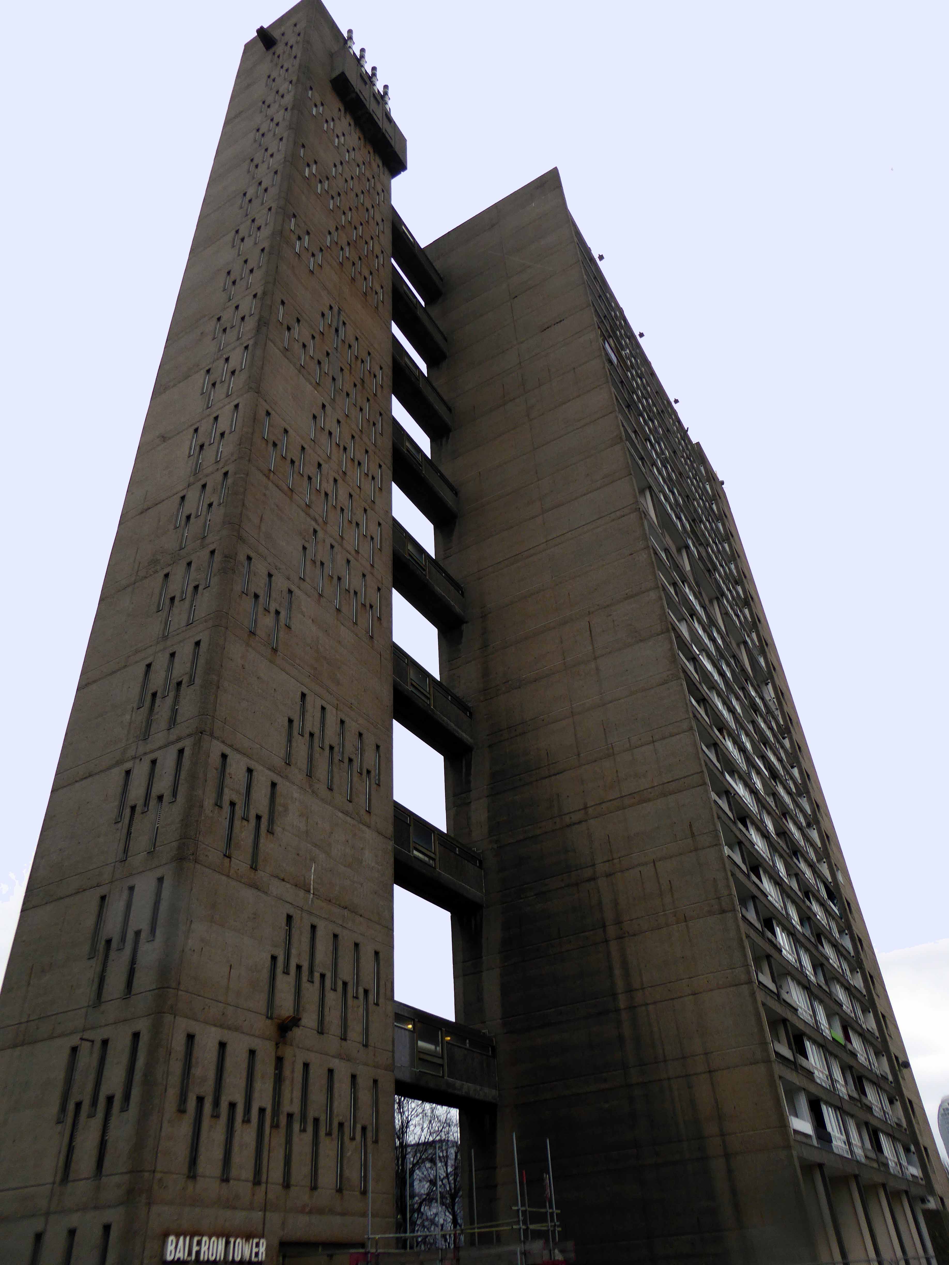
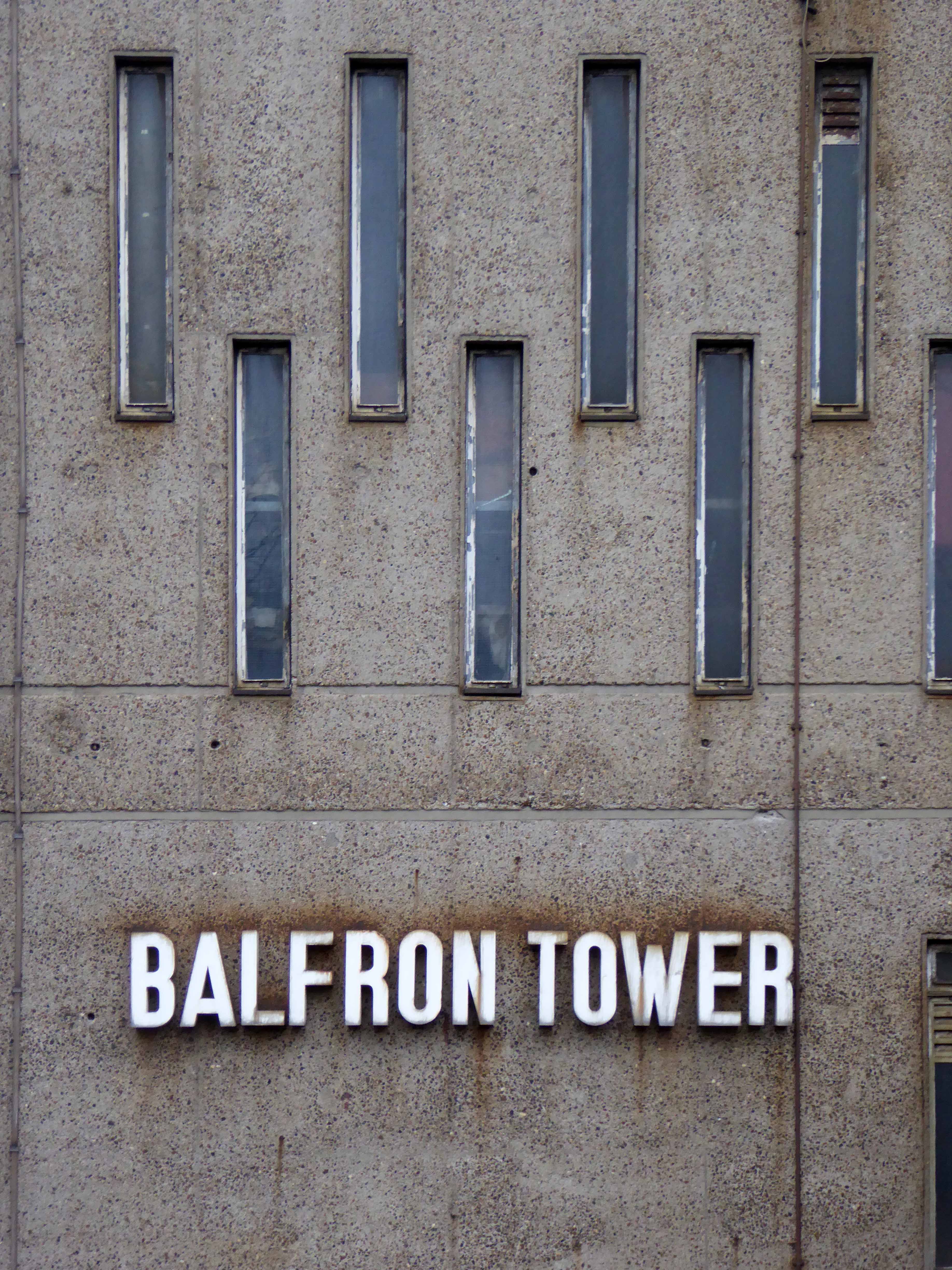
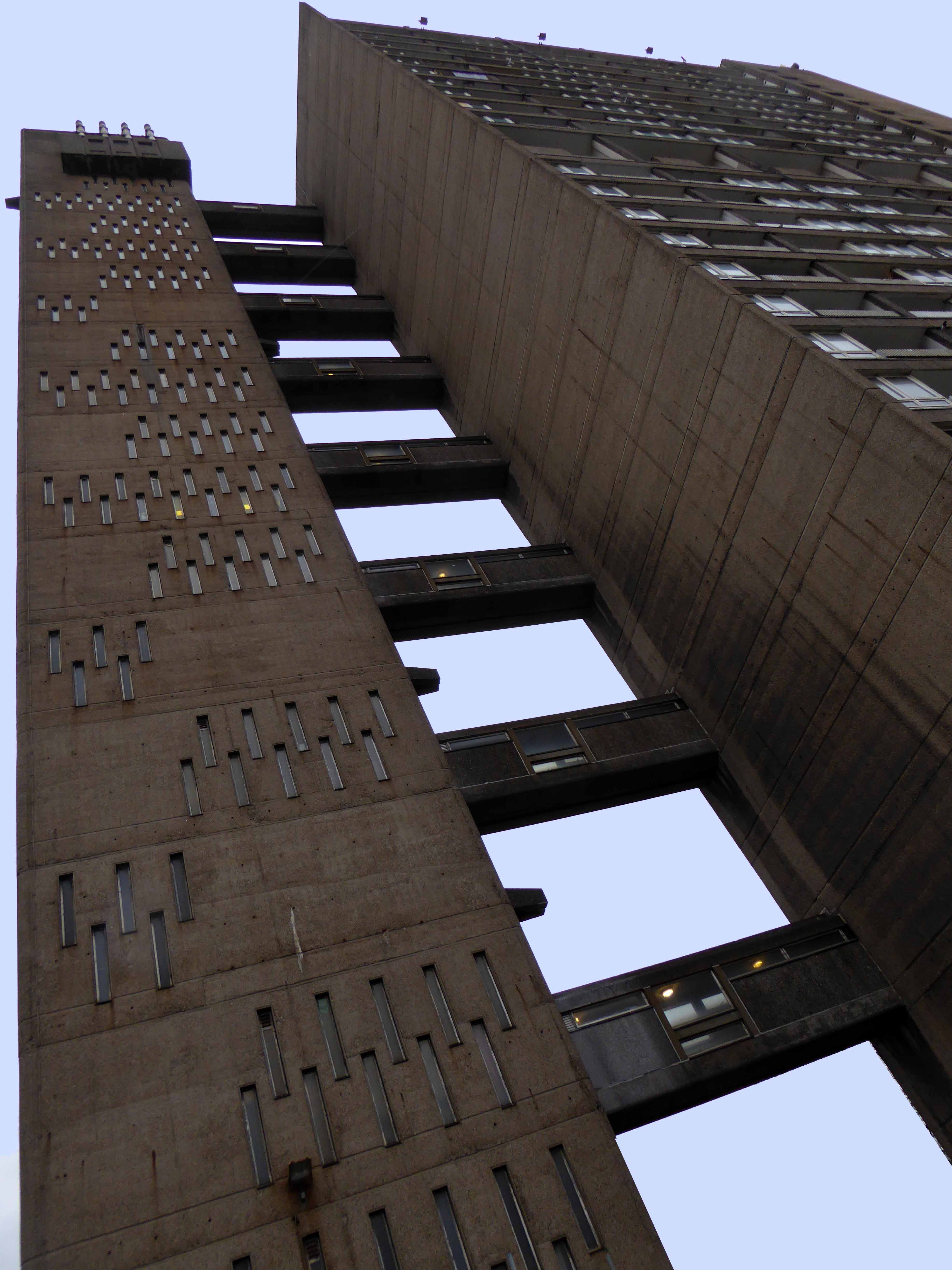
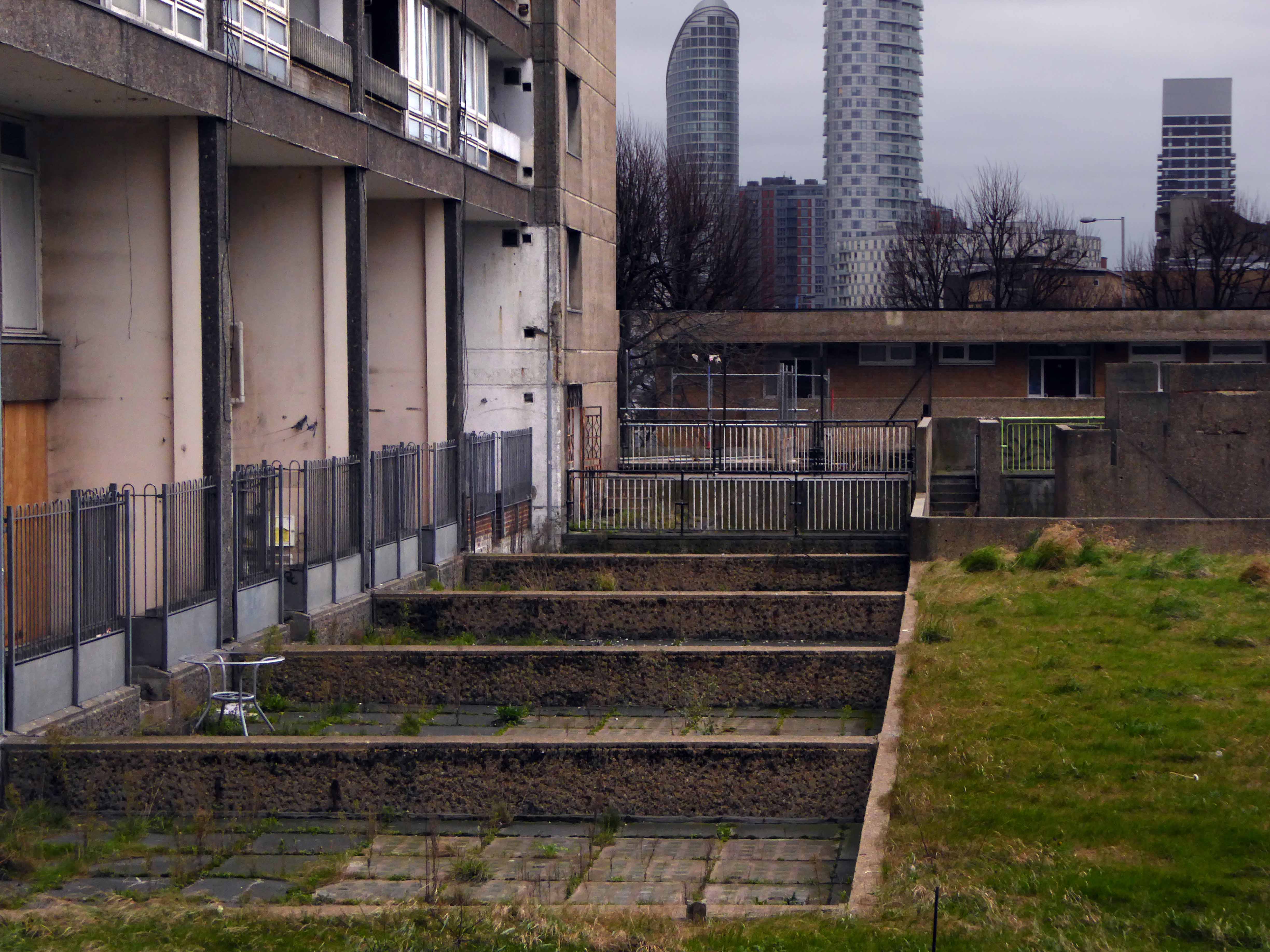
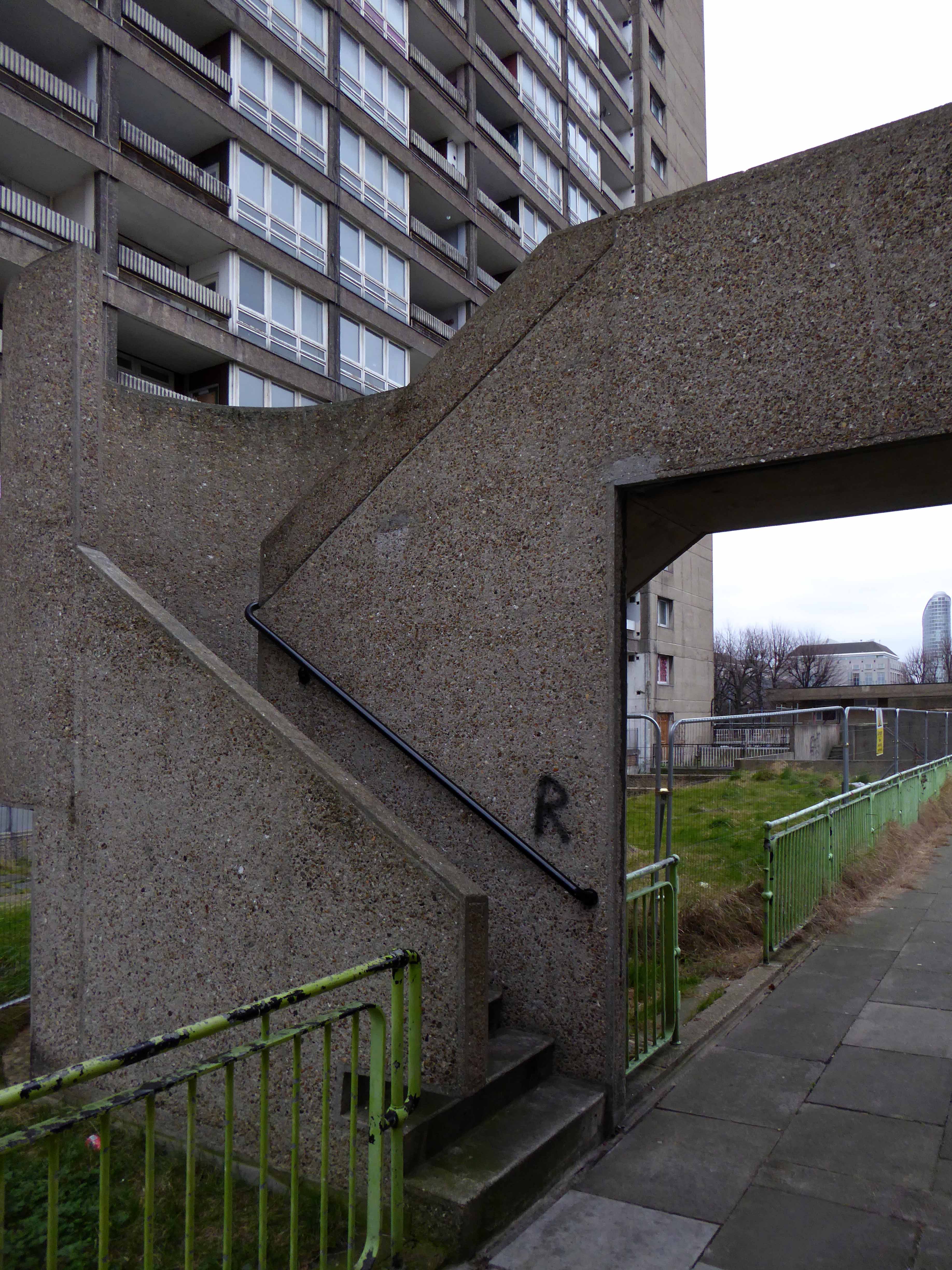
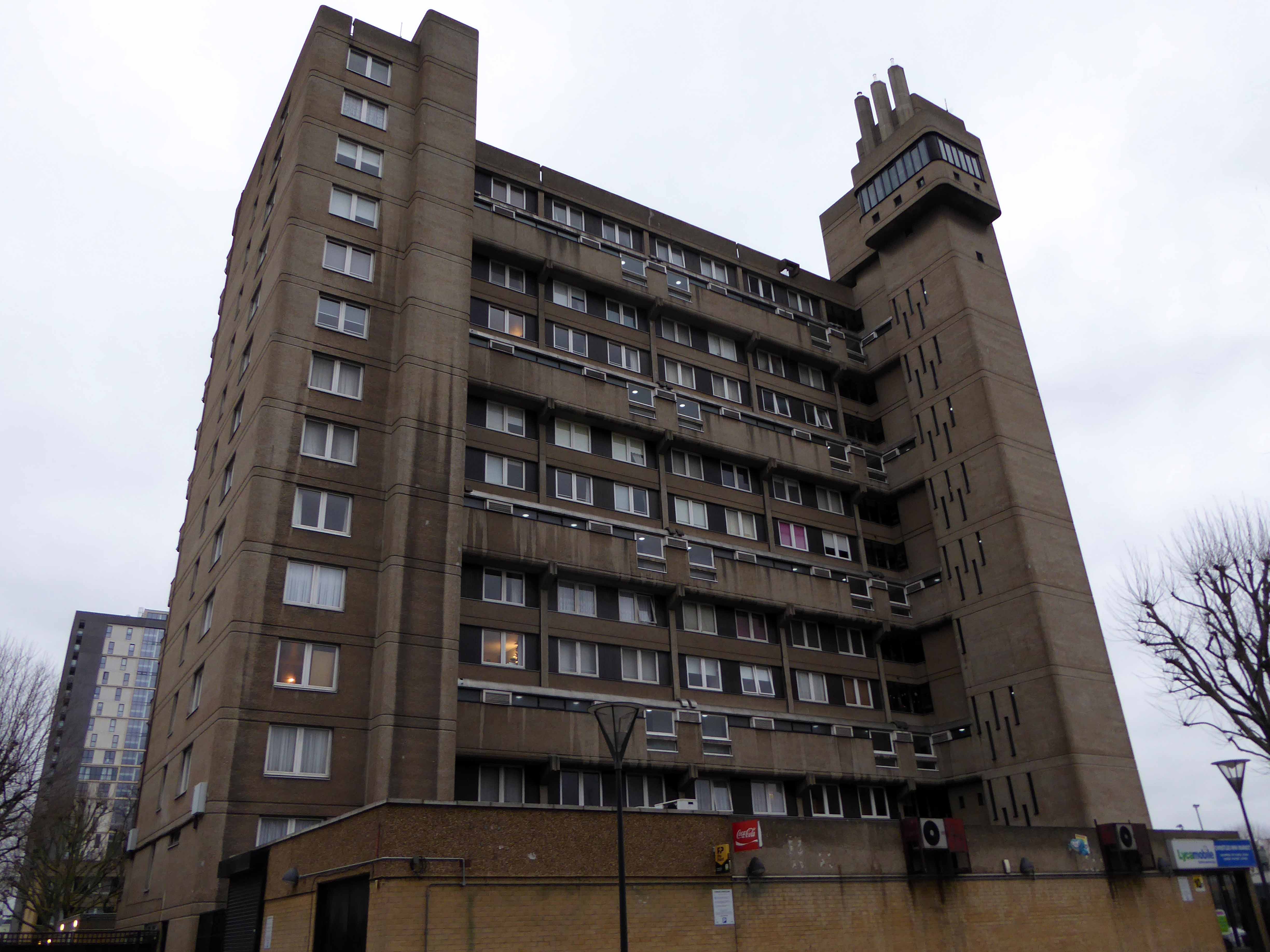
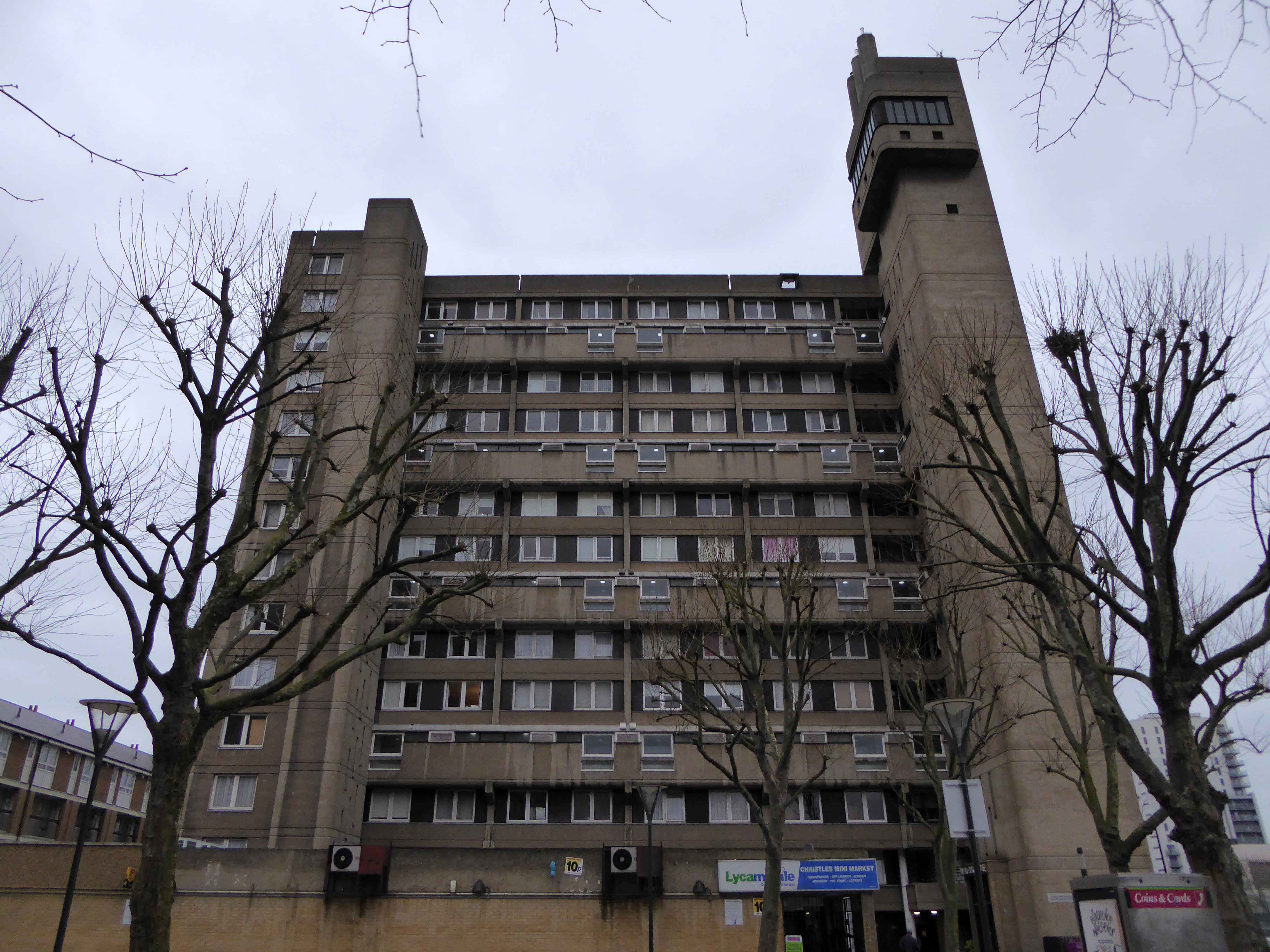
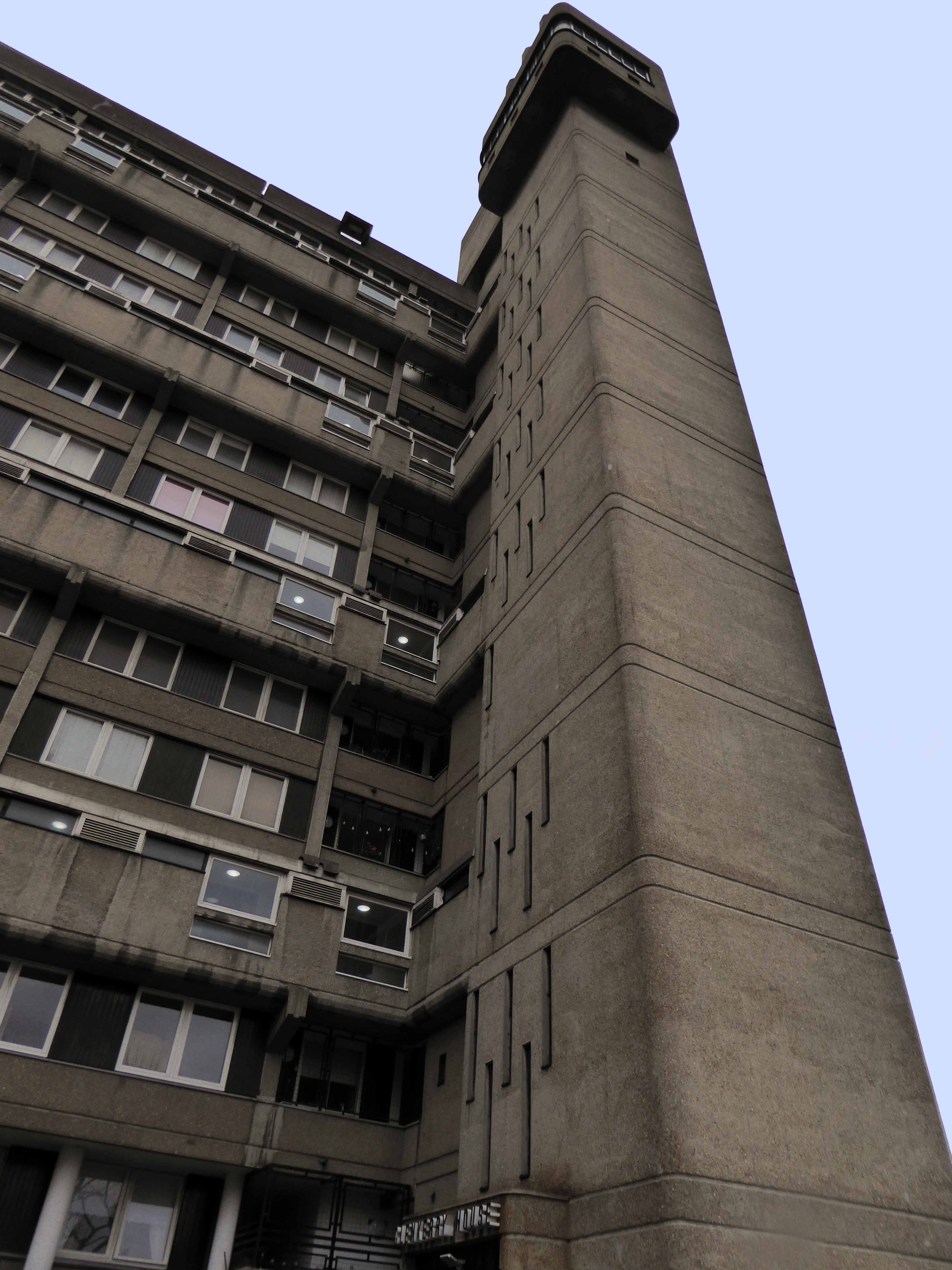
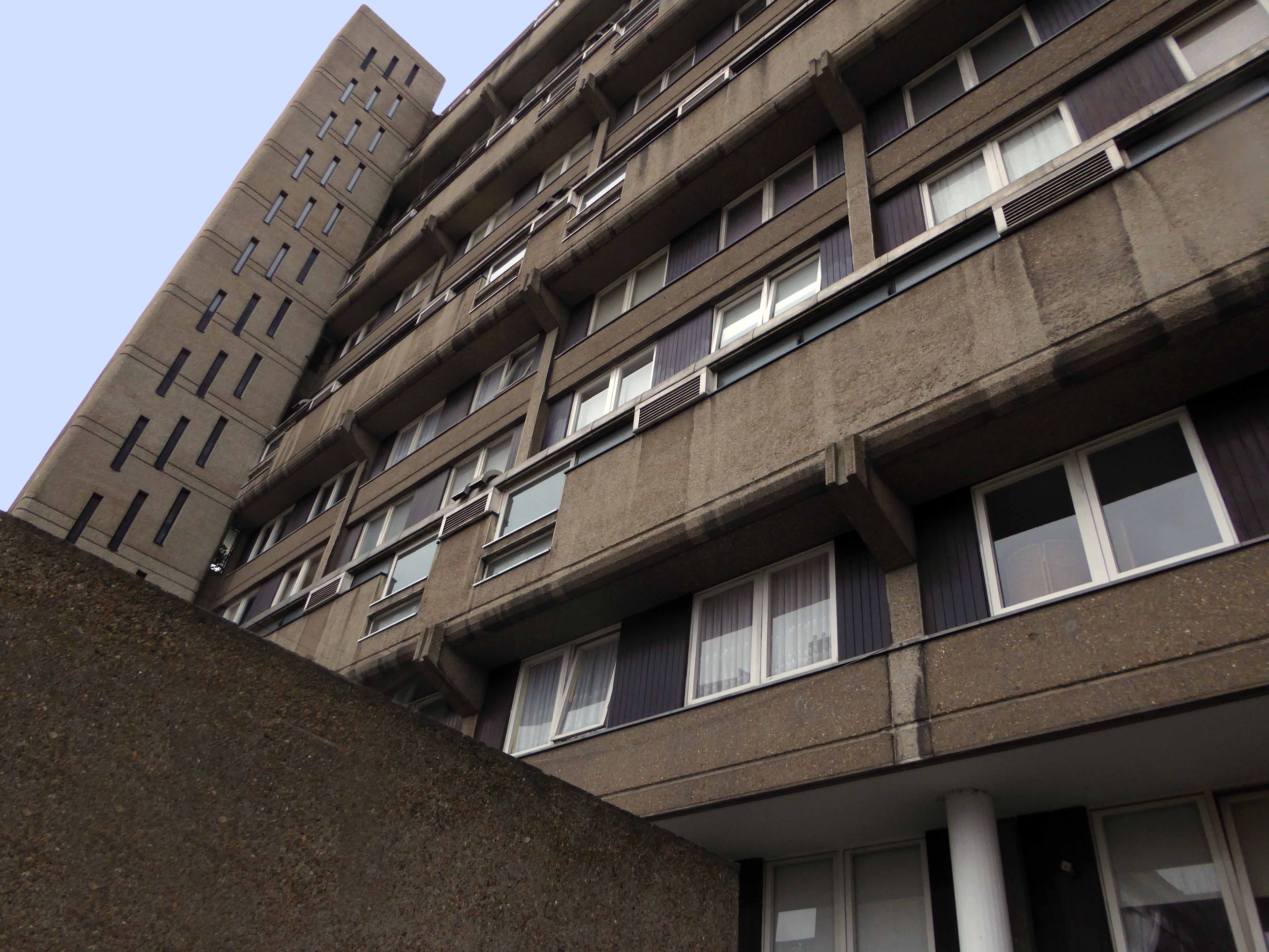
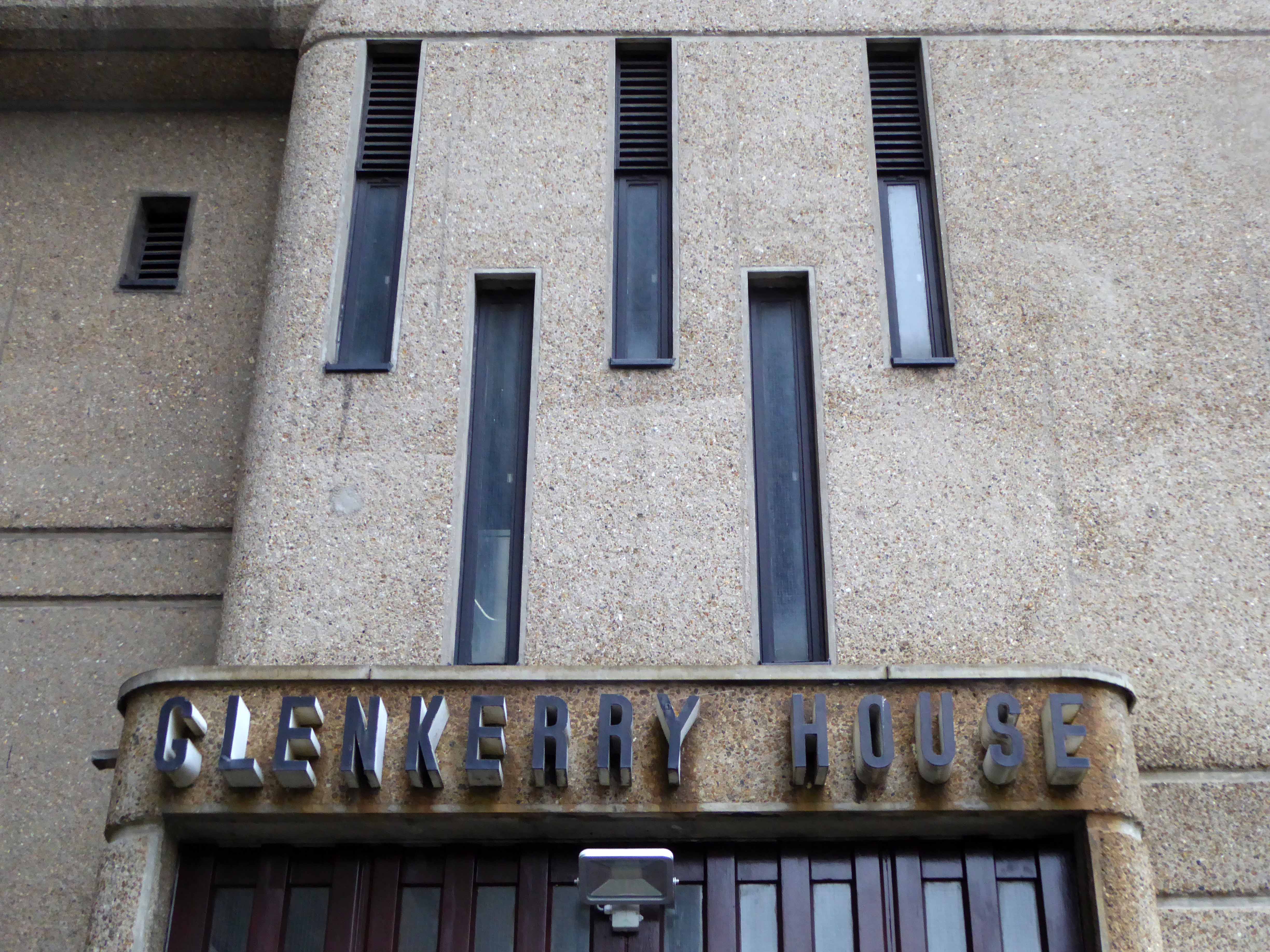
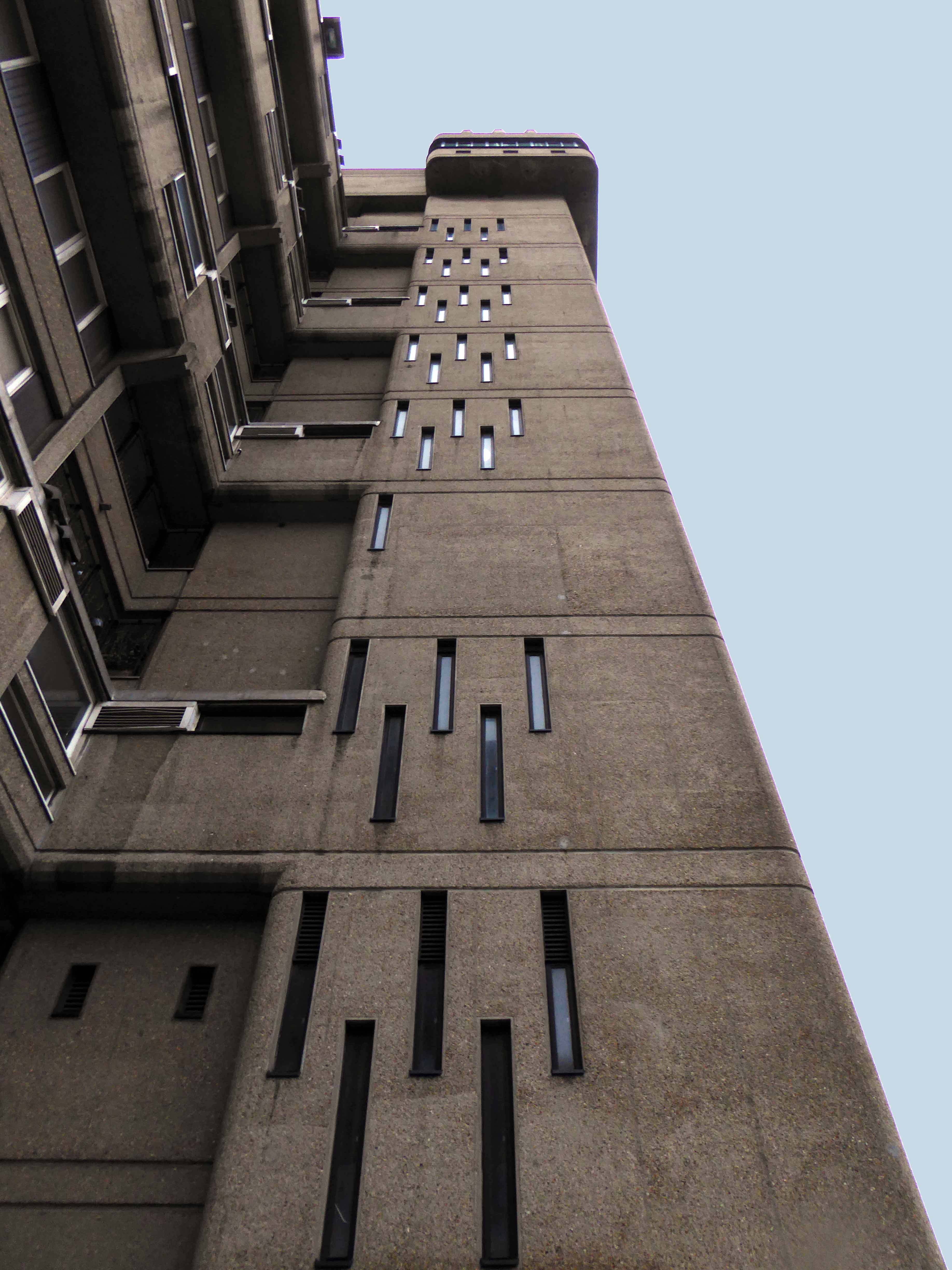
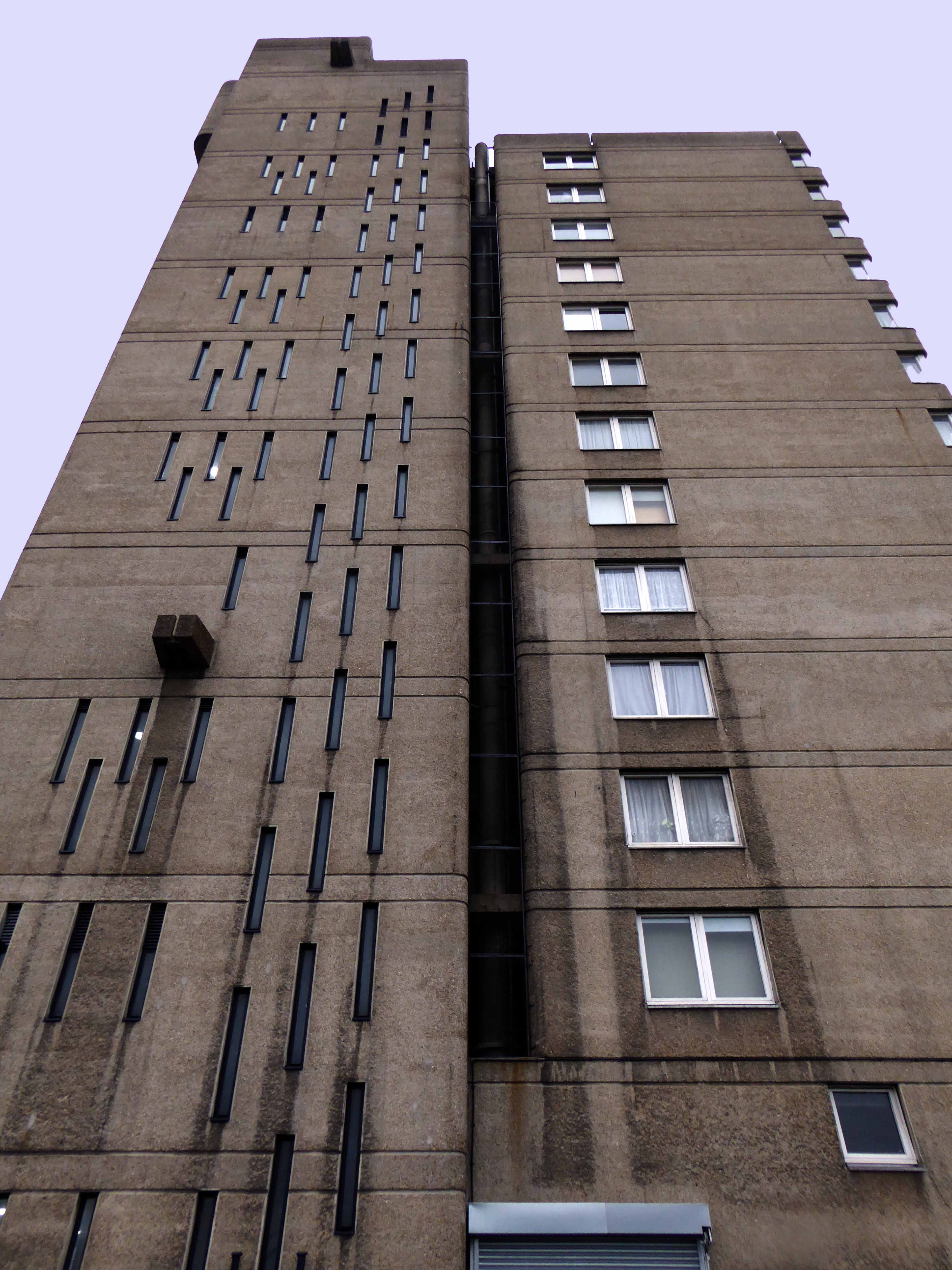
The Balfron Tower Conservation Area was designated in October 1998 around the two residential blocks designed by Ernö Goldfinger for the London County Council in the 1960s. The Conservation Area boundary protects the listed Balfron Tower and Carradale House, and other buildings in the ‘Brownfield Estate’, including Glenkerry House, a community centre, shops and associated low-rise housing development.
The 27-storey Balfron Tower is Goldfinger’s first public housing project, and a precursor to his better known Trellick Tower in North Kensington. The neighbouring Carradale House and Glenkerry House sit within the landscaped areas developed at the same time. The Brownfield Estate, also known as the East India Estate, is now recognised as a fine example of planned 1960s social housing. Considered to be exemplary examples of the post-war housing schemes, Balfron Tower and Carradale House were listed in 1998 for their cultural & architectural merit.
This was my first visit, to a key building in the short history of modernist post war housing, currently something of a sleeping giant, awaiting Prince Charming’s kiss.
What will it awake to?
Tower Hamlets are mid consultation, as evidenced in this here document.
On an overcast and ever darkening afternoon, the rain cutting in on a chill wind, set against a slate grey sky, its surfaces and volumes were ever so slightly forlorn.
There is much to be done by way of regeneration, with the attendant issues of heritage, funding, gentrification and inevitably who lives where and why?
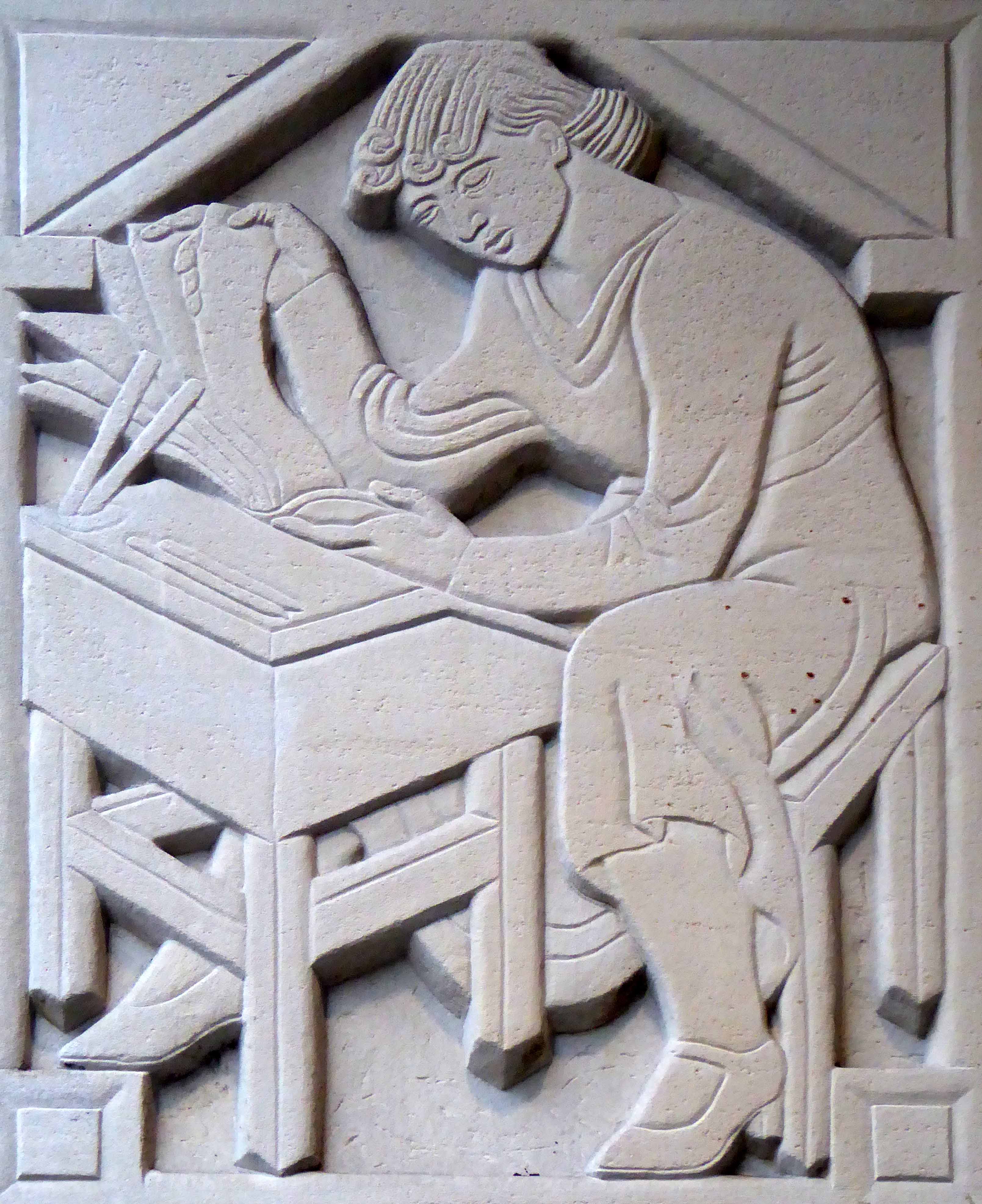
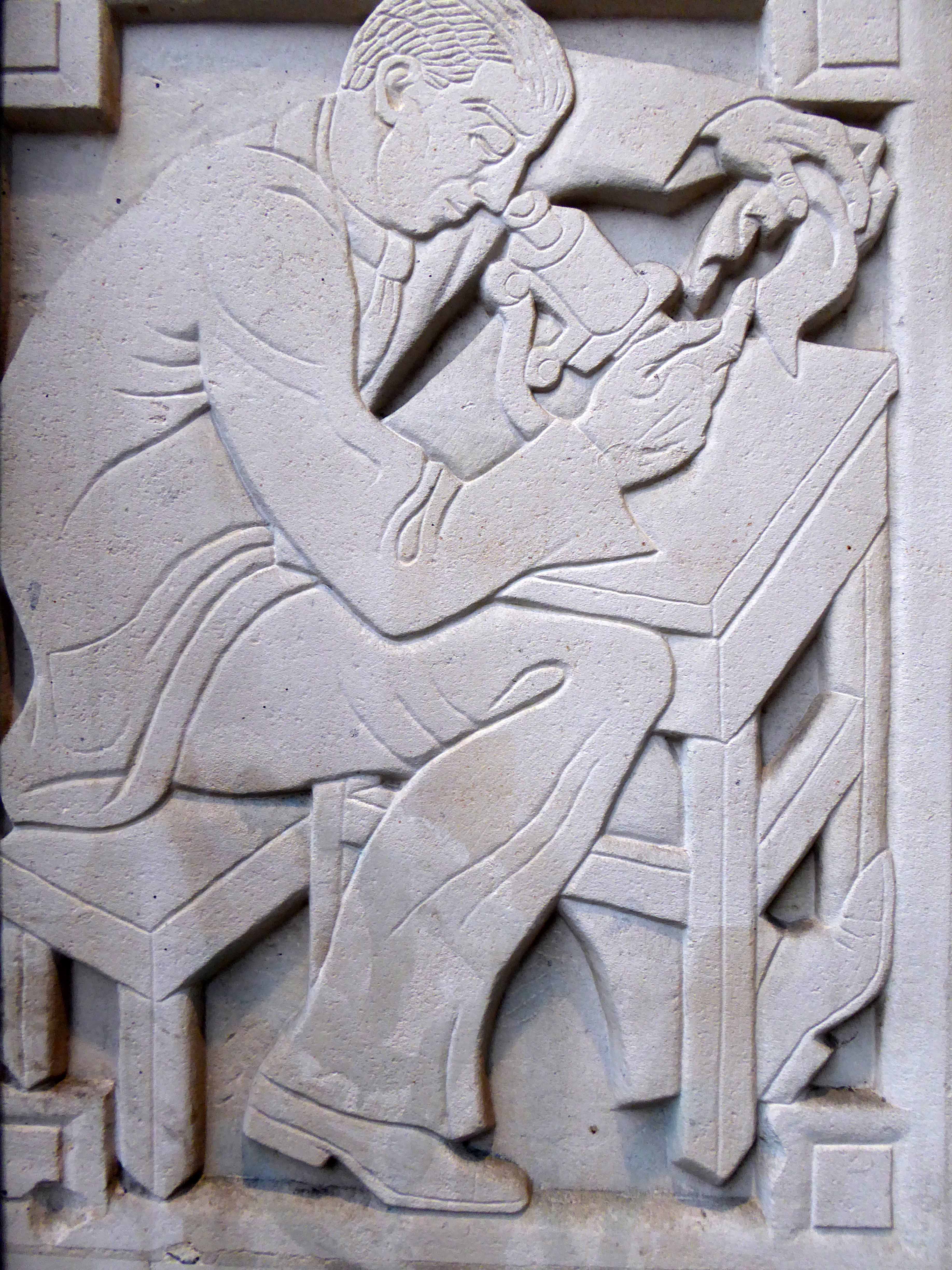
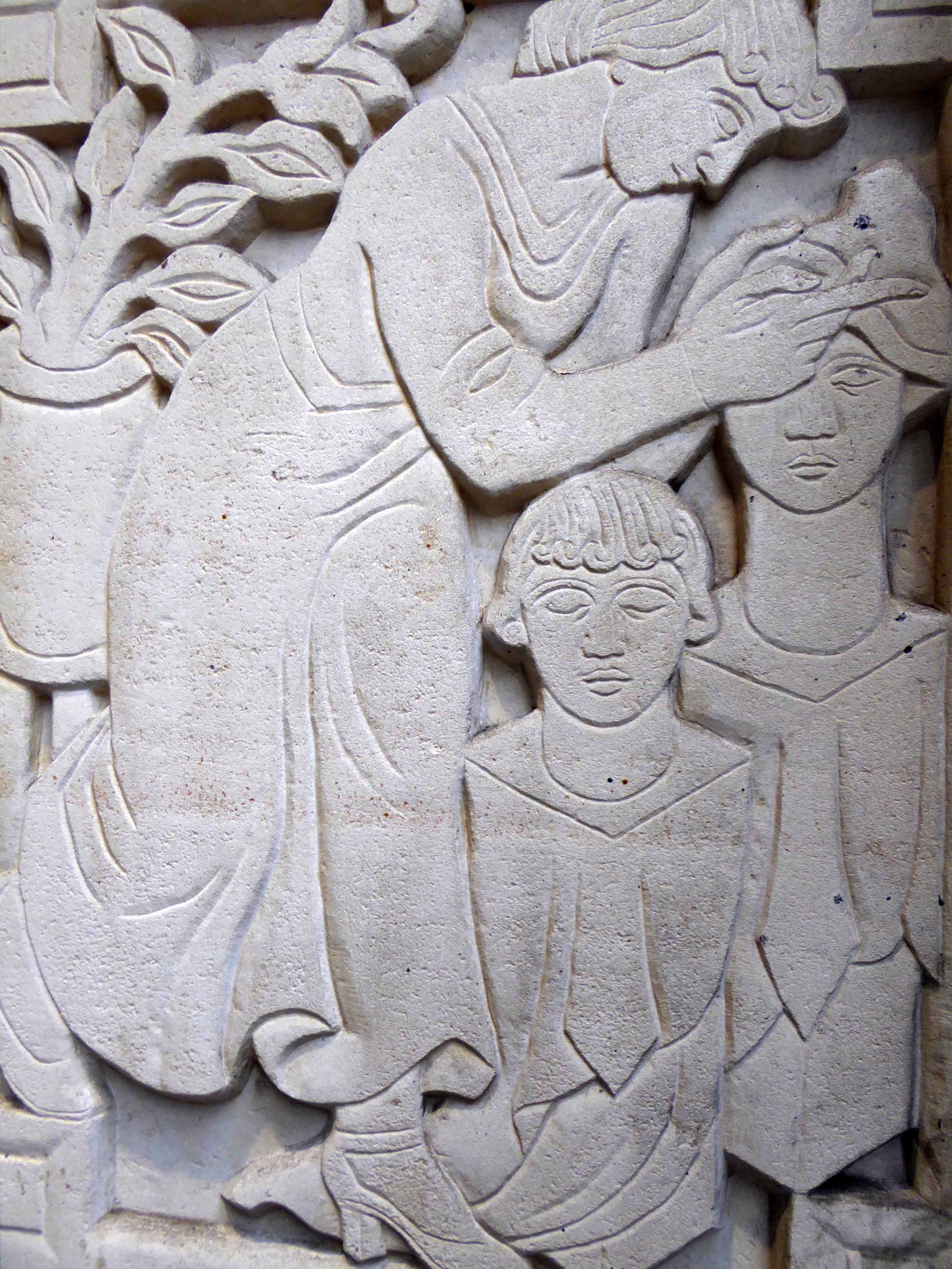
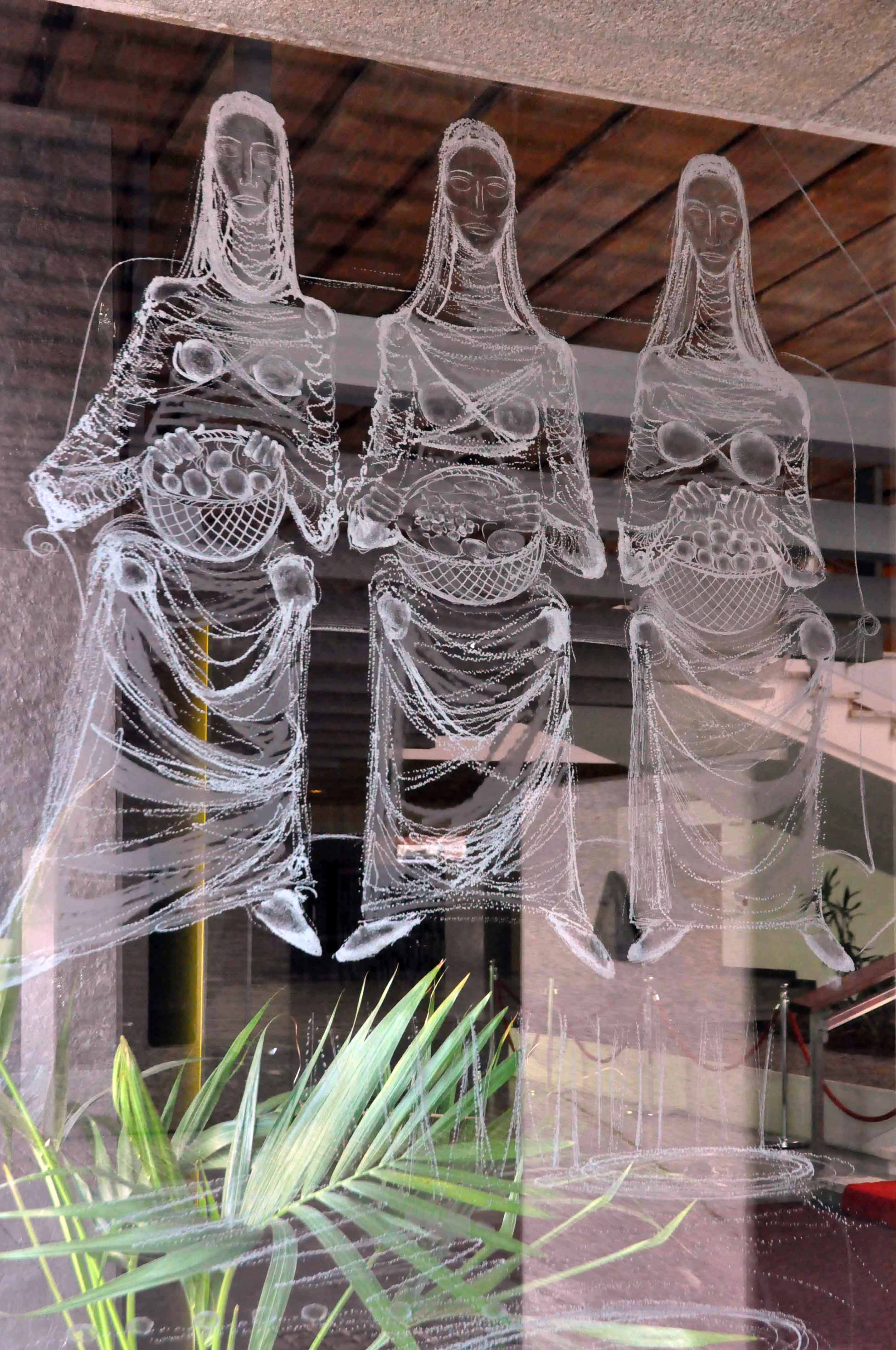
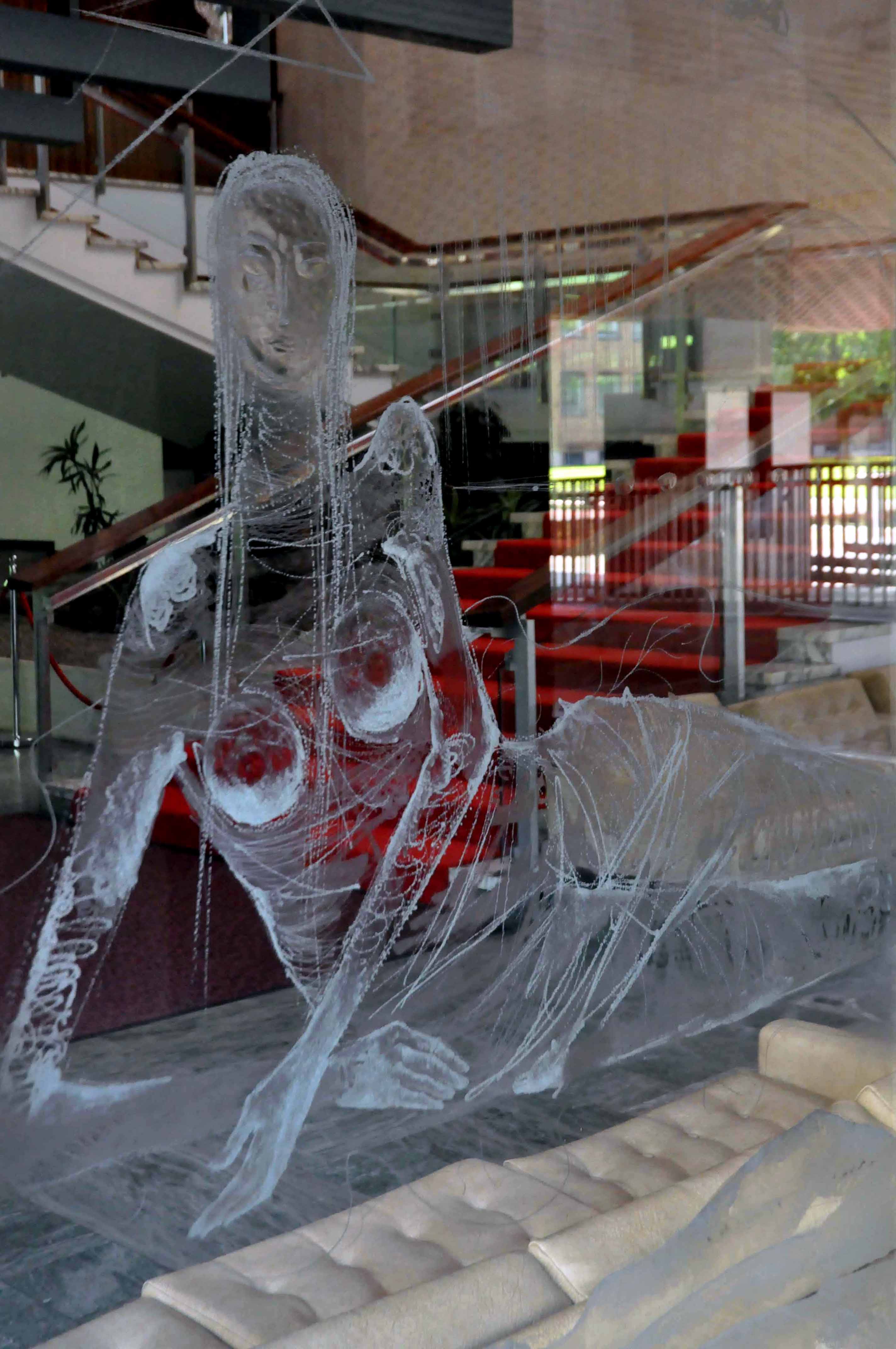
Adolfine Ryland worked as a printmaker, sculptor, painter and designer. Her practice across these different media was united by her keen-edged, modern style and inventive graphics. She had studied at Heatherley’s and at the Grosvenor School of Modern Art under printmaker Claude Flight.
Ryland’s main exhibiting venue was the Women’s International Art Club, where she showed from 1927 onwards, becoming a member from 1936 to 1954. She also undertook public commissions, and worked for London County Council designing low reliefs for a number of buildings, among them the School of Butchers and St Martin’s School of Art. Her reliefs for the art school, which still decorate the entrance, show students at work. But Ryland’s work is not always easy to identify as she sometimes signed herself ‘Koncelik’, her mother’s maiden name.
In 1987 the Michael Parkin Gallery in London held an exhibition Printmakers of the 20s and 30s and Adolfine Ryland. On show were Ryland’s paintings, drawings, prints, sculptures and designs for book jackets and posters. Amongst them were two designs advertising London Underground, which speak of an optimistic age of efficient, modern public transport to the new suburbs.
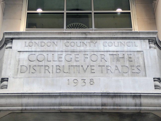
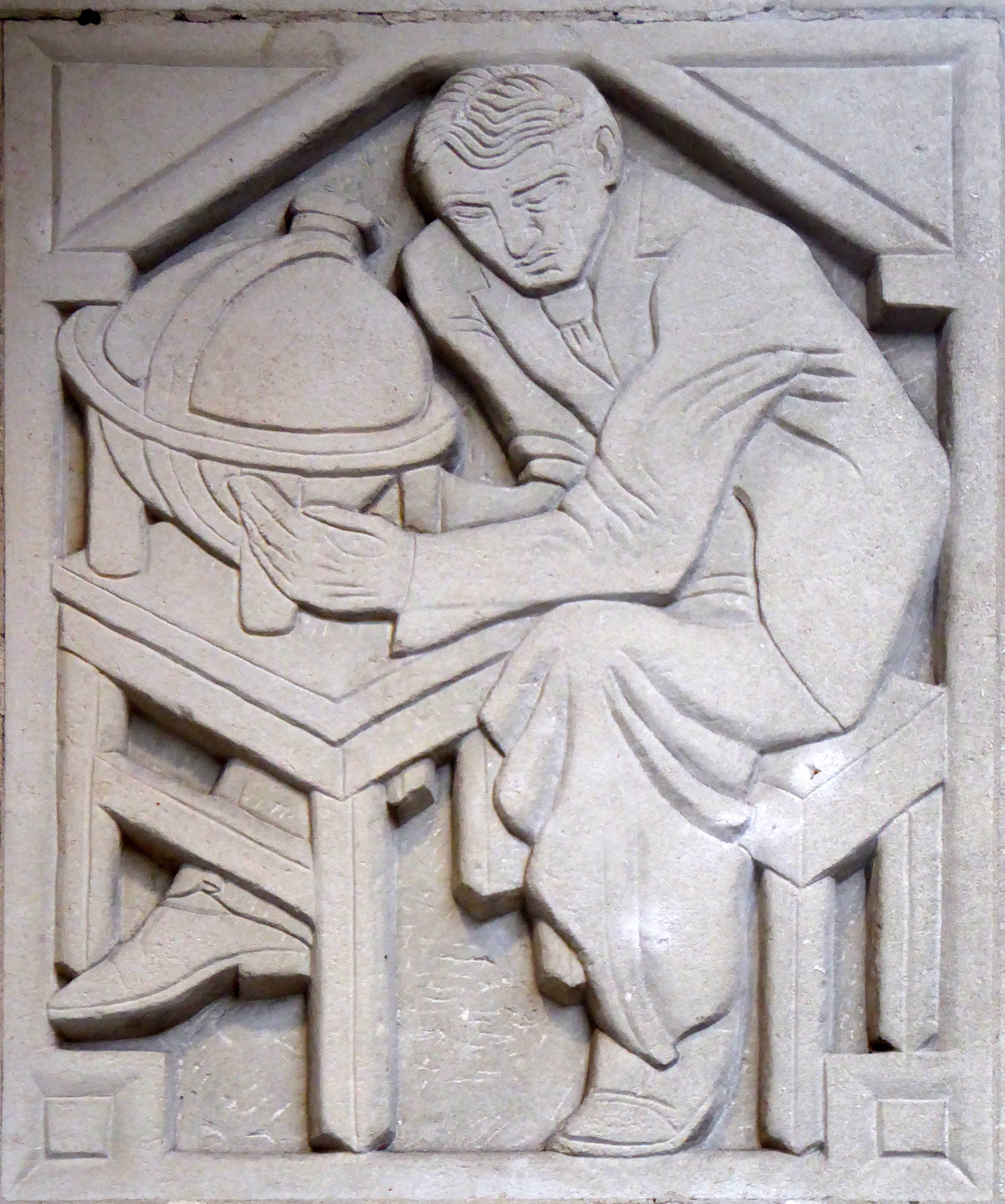
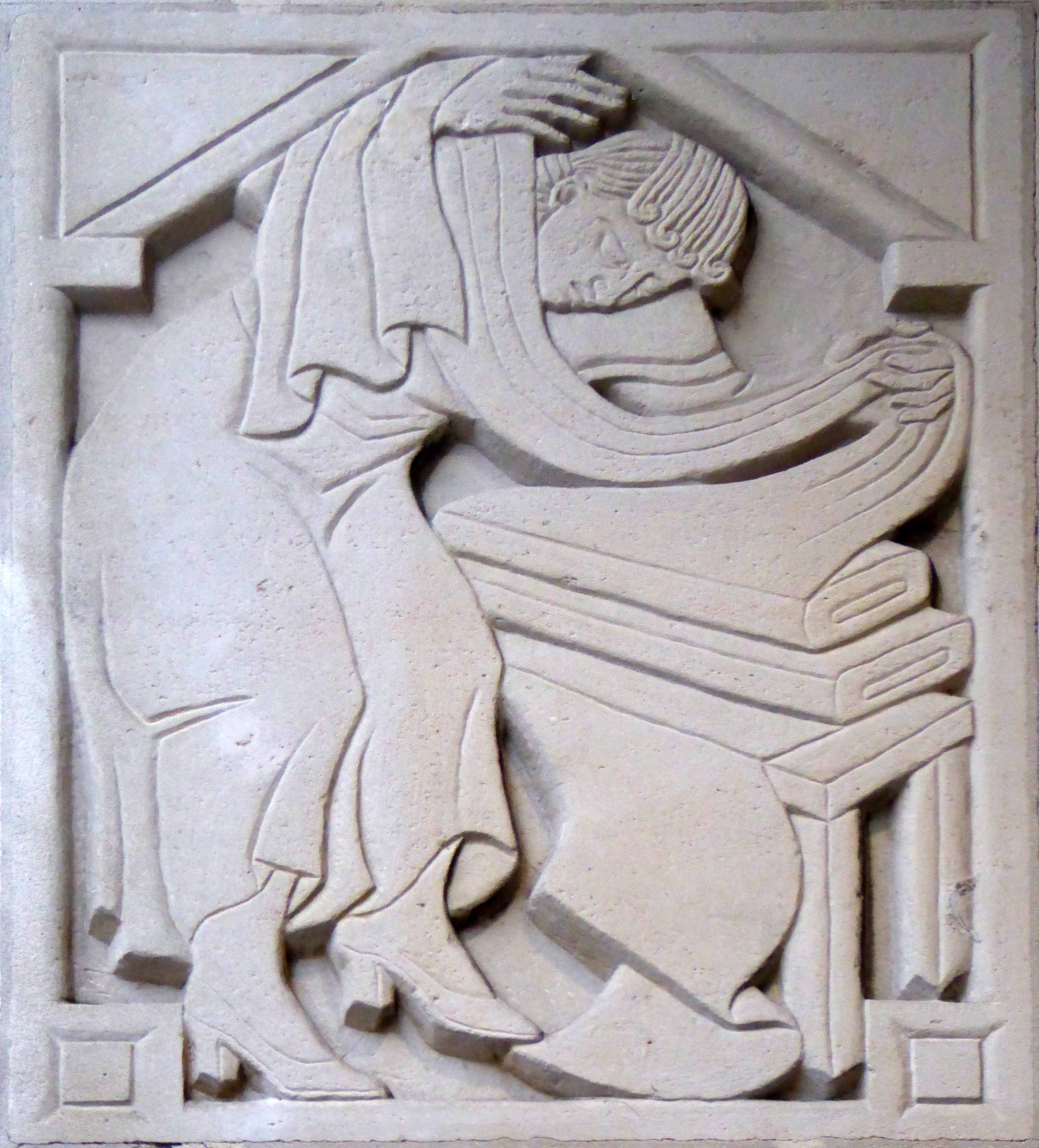
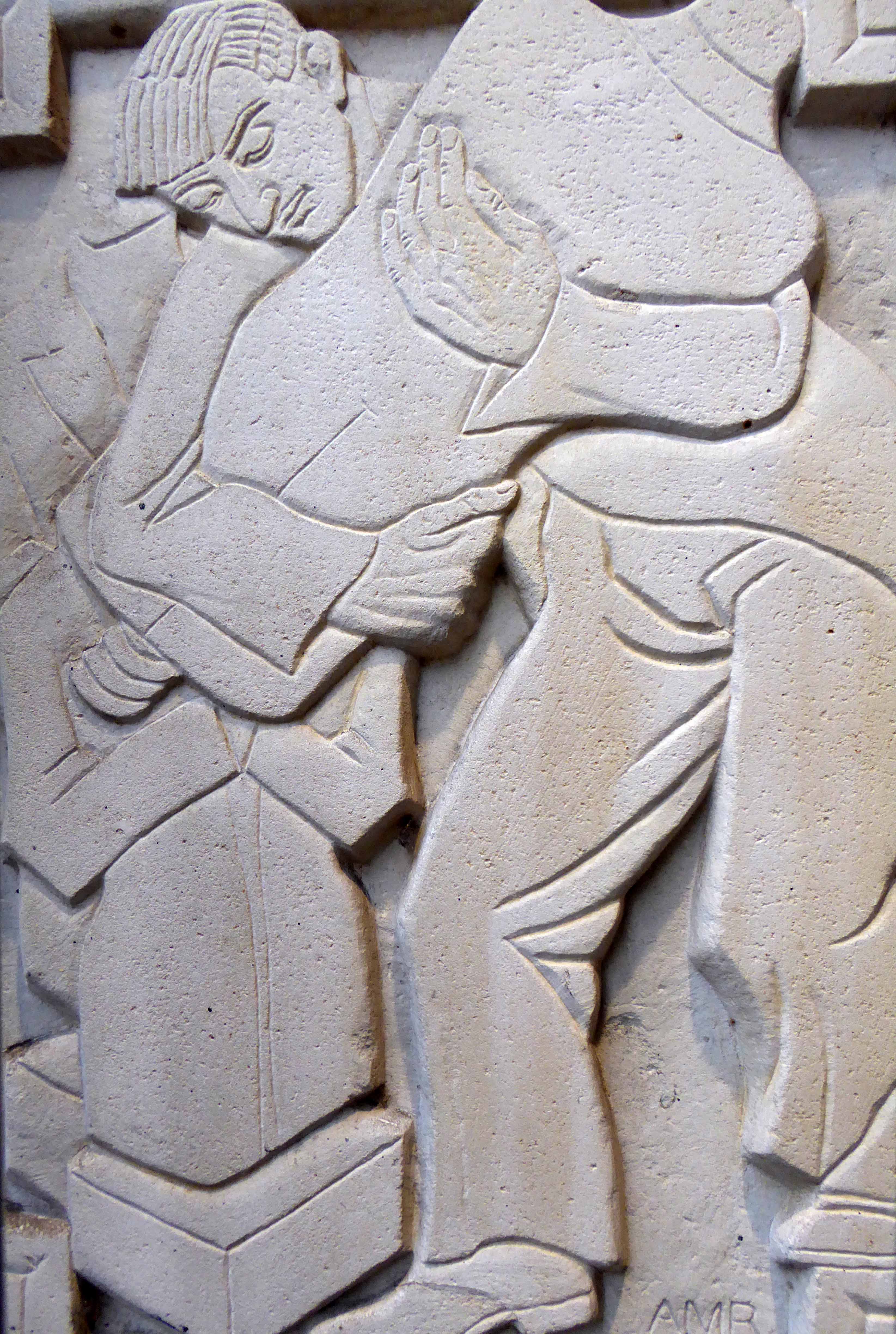
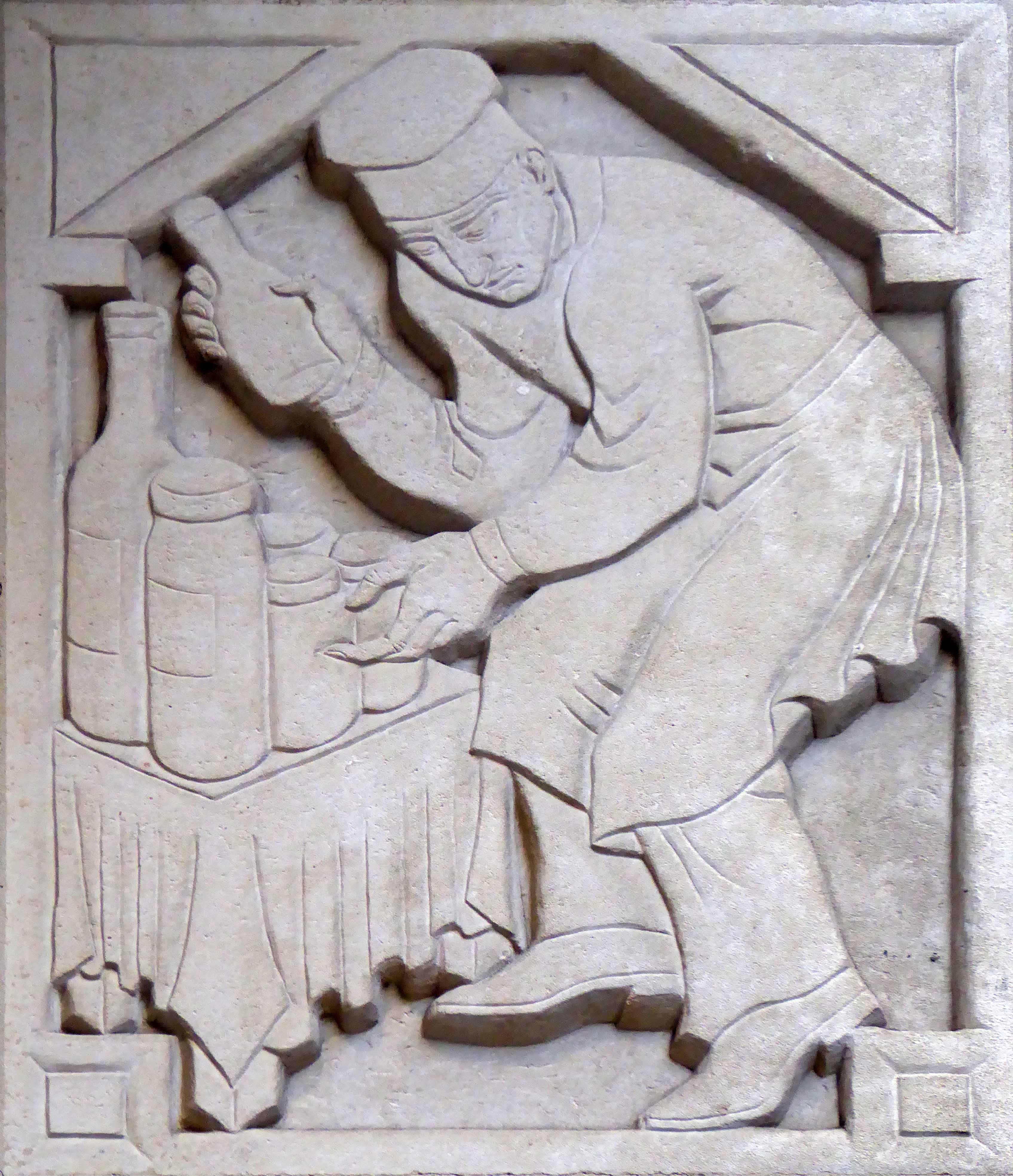
I was sauntering down Charing Cross Road on Saturday last, minding my own and everyone else’s business, then perchance I chanced upon a series of low reliefs, tucked neatly away in a nearby portal.
The London County College for the Distributive Trades – rightfully adorned with appropriate public art depicting the lasses and lads, going about their very practical business.
These are the work of Adolfine Ryland.
The building is currently in use as Foyles Bookshop.
Returning home, I did a little online research, turning these examples of her work. As is often the case with those figures considered to be on the margins of the big bad Art World, time and the subsequent neglect, conspire to leave little by way of evidence of their invaluable efforts.
Hope, we need a little hope, here embodied in a huge municipal undertaking.
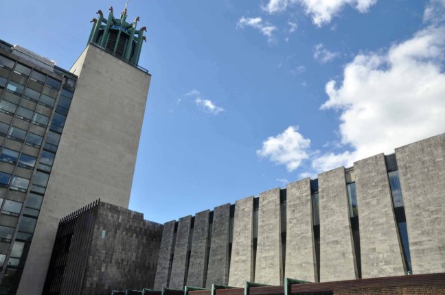
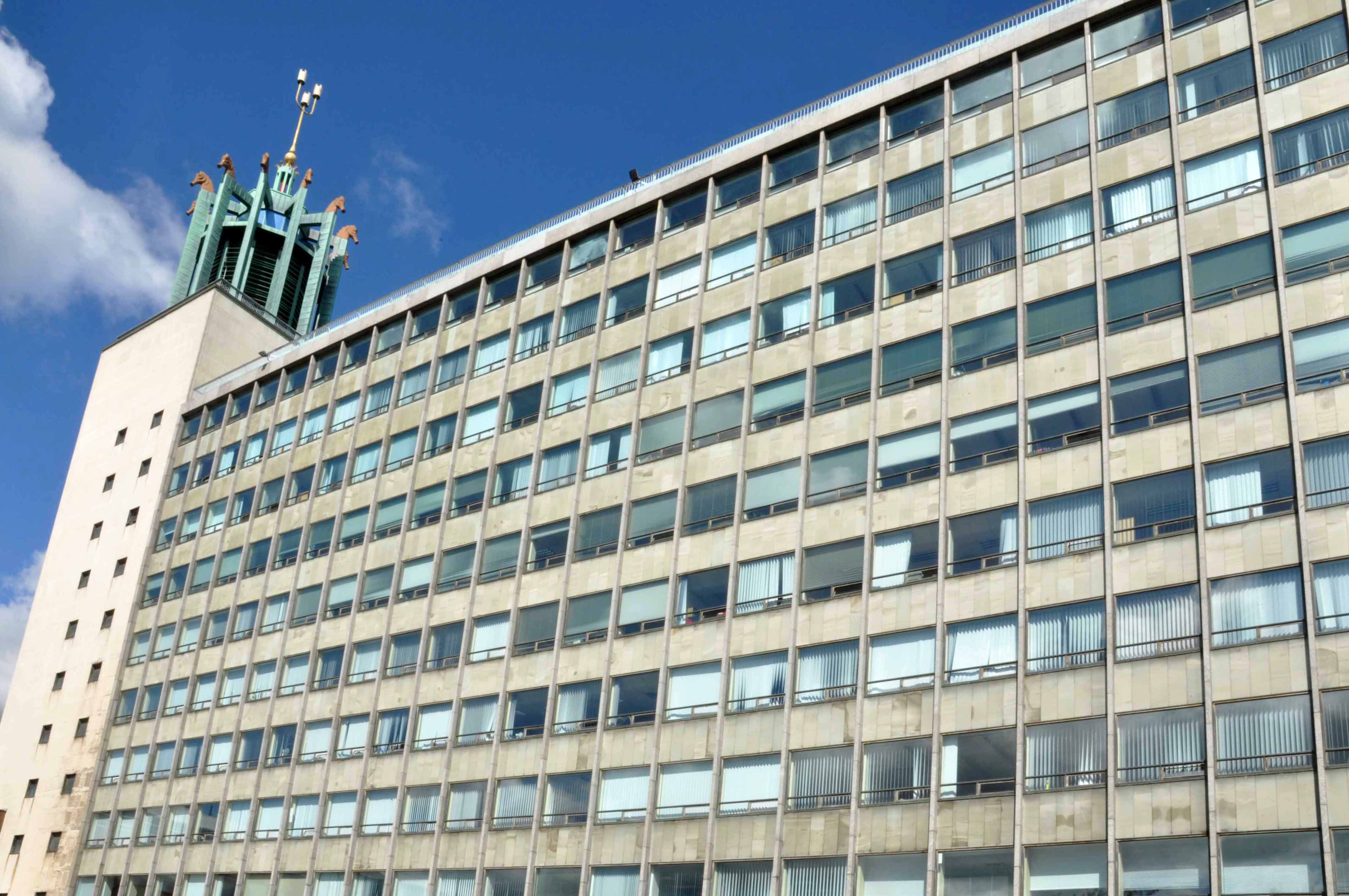
Having survived the indignity of the Luftwaffe’s absence, Newcastle set about the task of knocking itself down. T Dan Smith’s Brasilia of the North had to be built, the self-styled former revolutionary communist, Sunday painter and jail bird had a vision – fuelled by that hopped up, post war optimism that had engulfed the land.
Newcastle Civic Centre is a local government building located in the Haymarket area of Newcastle upon Tyne, England. It is the main administrative and ceremonial centre for Newcastle City Council. Designed by the city architect, George Kenyon, the building was completed in 1967 and was formally opened by HM King Olav V of Norway on 14 November 1968. It is a Grade II* listed building. The Newcastle Civic Centre is the joint eighth tallest building in the city.
It is a concrete poem clad in Portland stone ashlar, Cornish granite, Broughton Moor stone, hand made bricks, Norwegian slate, Portuguese marble, English oak, travertine hand hewn and assembled into one of the finest buildings in the land, no expense spared. Liberally dotted with the labours of John Piper, Victor Pasmore, John Robert Murray McCheyne, Charles Sansbury Geoffrey Clarke, David Dewey, John Hutton and David Wynne.
A building full of surprises, big and small that repays exploration and further exploration, in that order. Go take a look, breathe that air, that air which whistles up the River Tyne, fresh from the Continent – and glow, all aglow with civic centre pride.
After Telstar, Rhyl’s residents and visitors have this week been privileged to see another miracle of scientific progress – the Vickers-Armstrong VA-3, which arrived on Sunday to prepare for the first scheduled passenger carrying hovercoach service in the world.
The world’s first commercial passenger hovercraft service ran briefly from Rhyl to Moreton beach in 1962, but ended when a storm hit the passenger hovercraft while it was moored, damaging its lifting engines.
I’m fascinated by hovercrafts, they were for a while the future that we seemed to have been promised, a future that had consistently failed to arrive.
Until even they failed to arrive, or depart for that matter.
I do have a love of doomed hovercraft services – I’ve been to Pegwell Bay.
Youngest passenger was 21 months old Martin Jones, 128, Marsh Road, who travelled with his mother, Mrs Millie Jones, an usherette at the Odeon Cinema: his grandmother Mrs Jean Morris, and Mrs Morris’s 14 year old son, Tony, a pupil of Glyndwr County Secondary School, the first schoolboy to travel on the hovercraft. Mr Tony Ward of 13, Aquarium street, a popular figure as accordionist on one of the local pleasure boats a few seasons ago, and his 20 year old daughter Rosemary, cashier at the Odeon, who were among the first to book seats at the North Wales Travel Agency, were also among the passengers.
Mrs Handley was the manageress of the Sports Cafe and got to know all the crew as they had all their meals there, even a farewell party with a cake in the form of a hovercraft.
The Queen and Prince Philip had received an invitation to undertake the trip, but declined perhaps just as well, for on what proved to be the final journey the hovercraft left Wallasey at 1.15 p.m. on September 14th and both engines failed en route.
There has been talk of reviving the service, a service that sadly seems so far to have defied revival.
“It really will be a feather in our cap for Rhyl.”
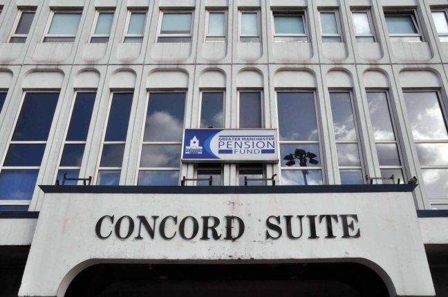
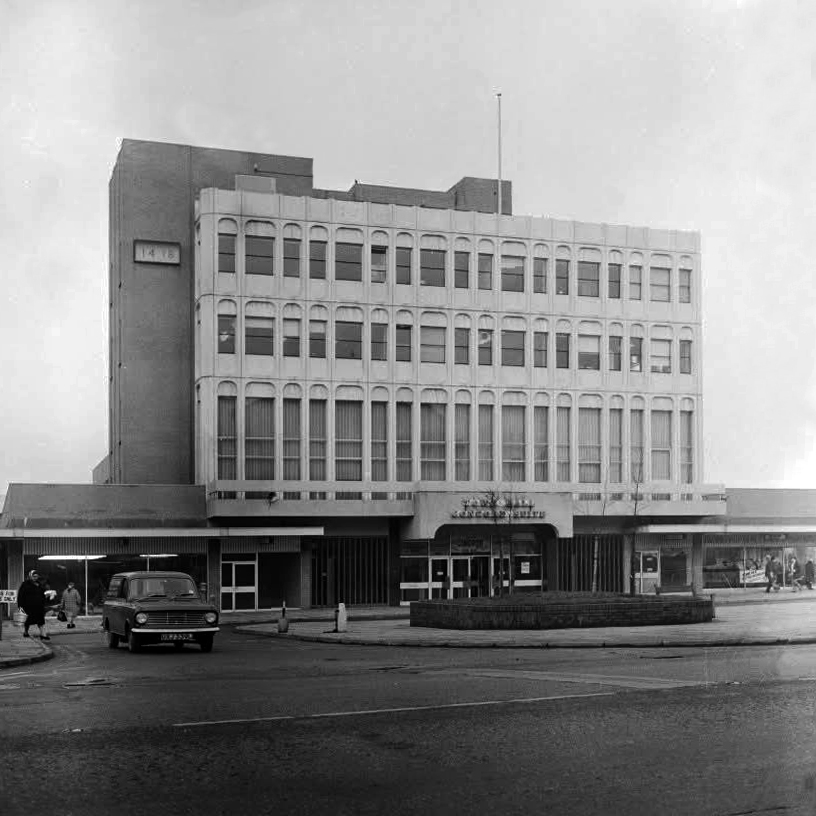
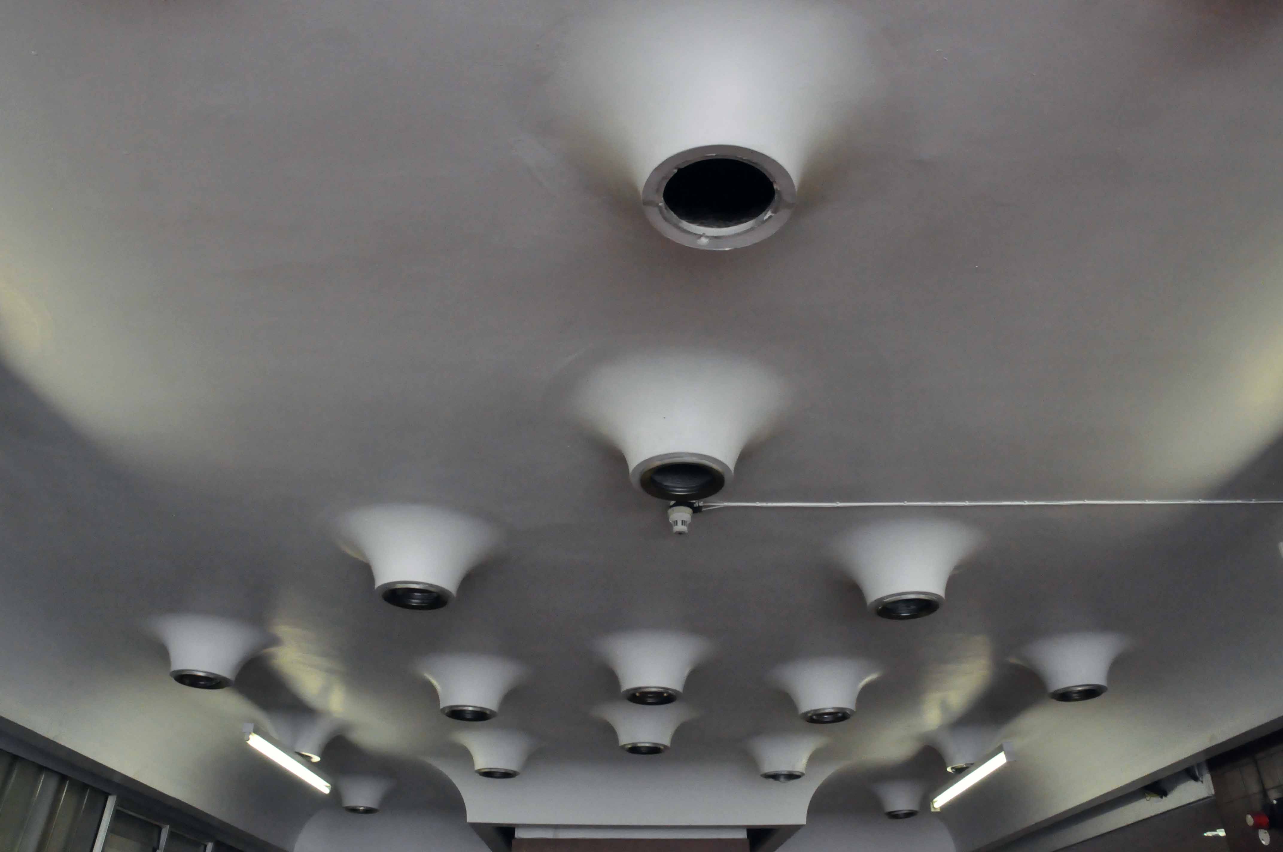
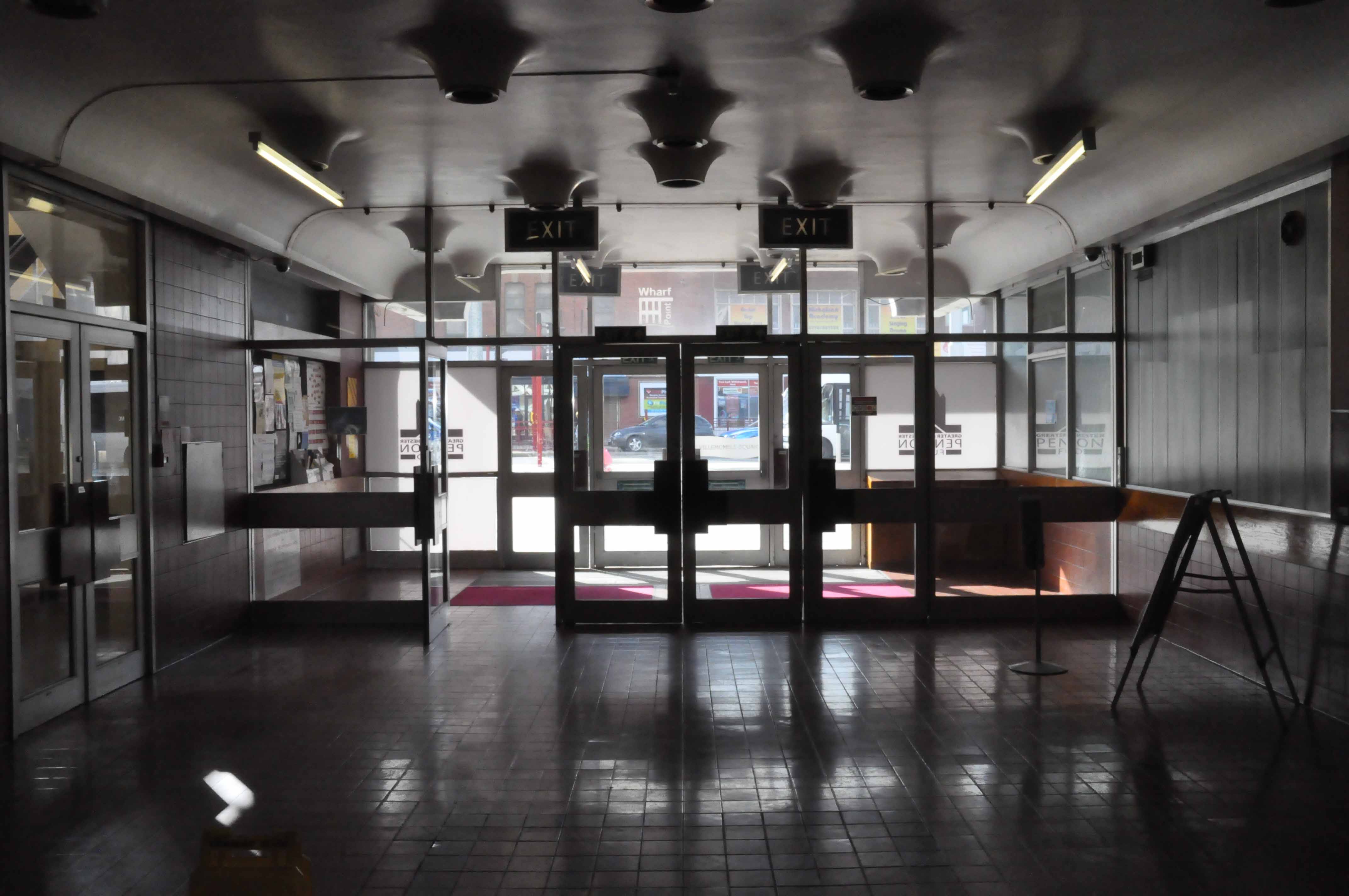
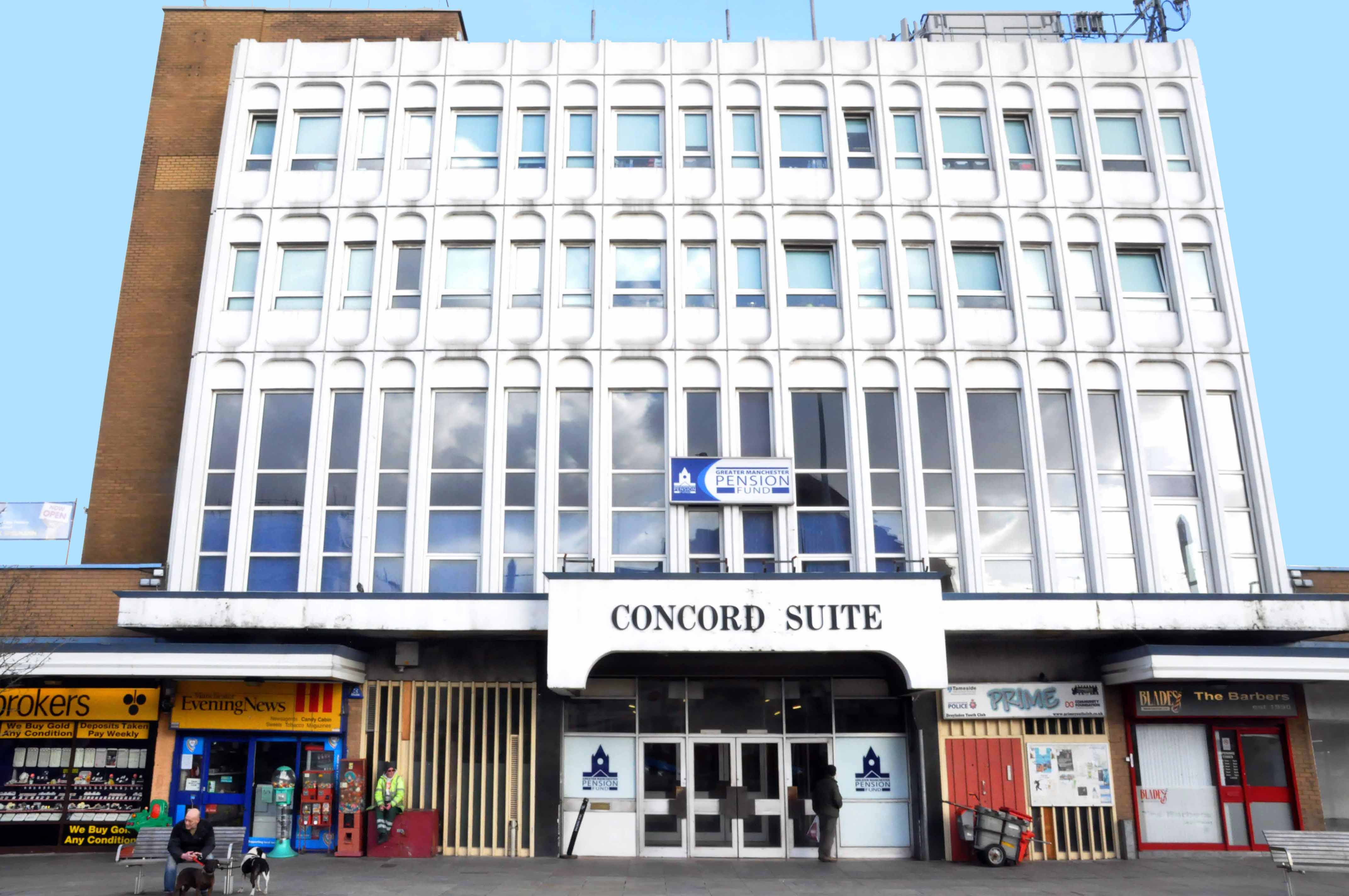
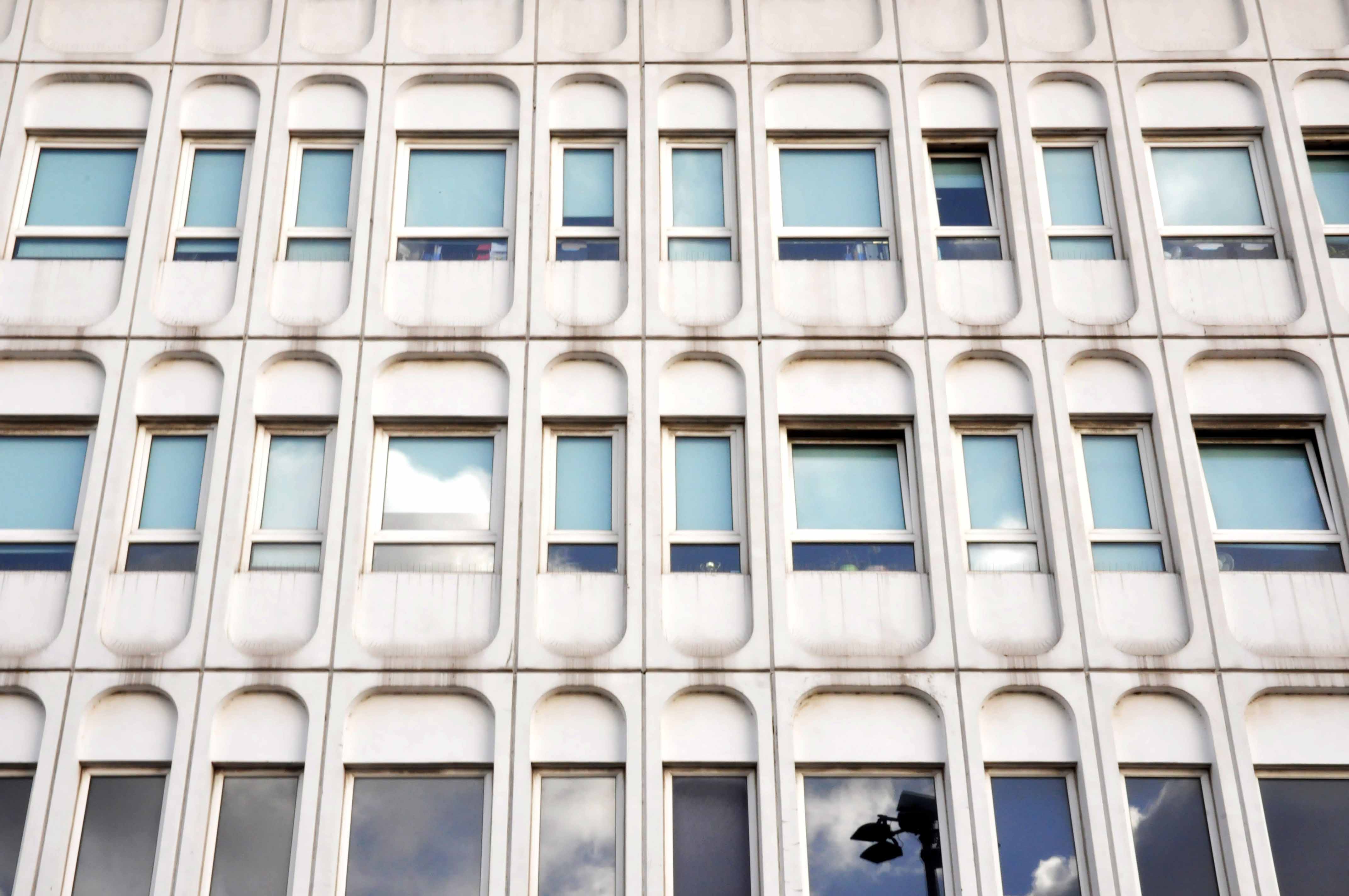
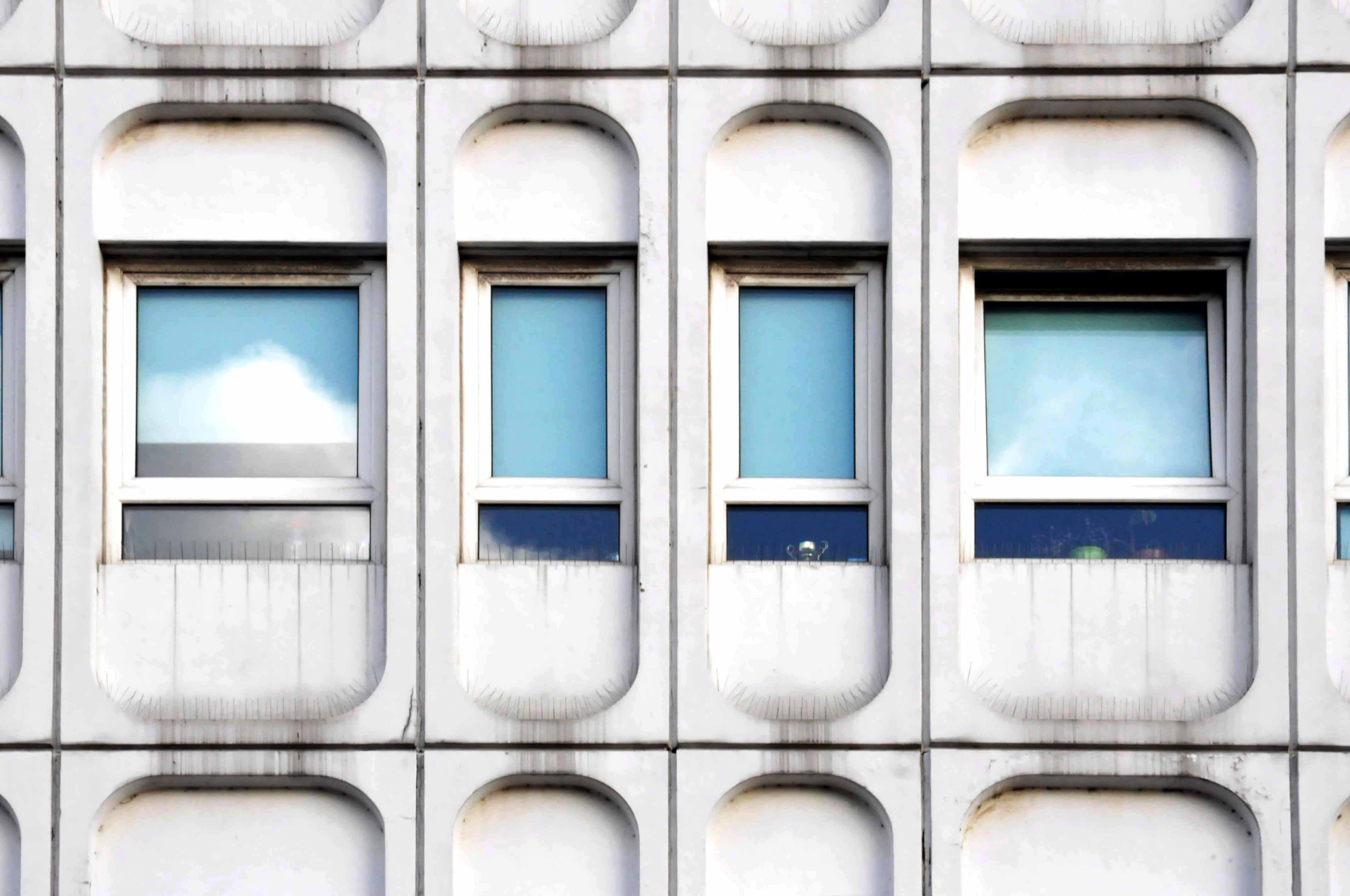
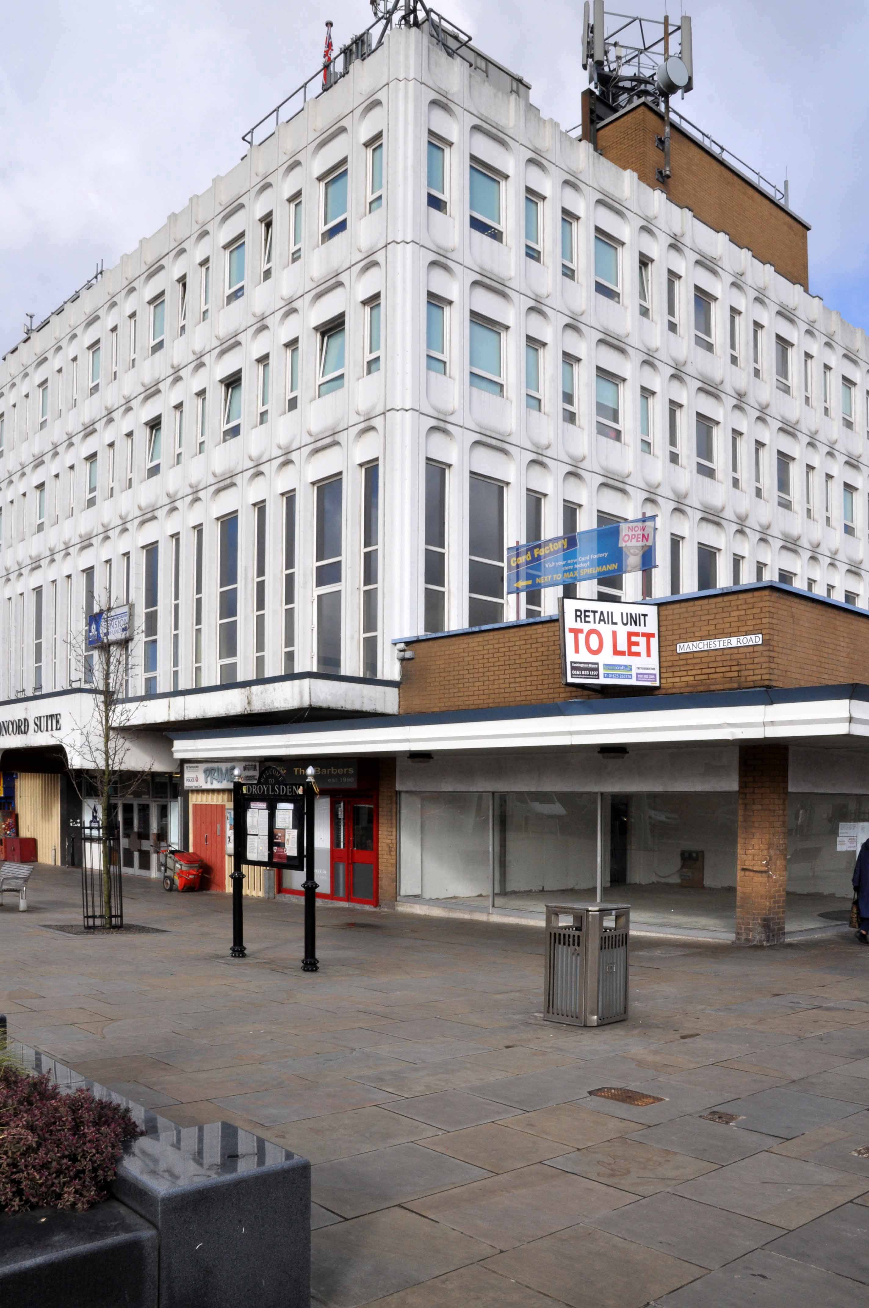
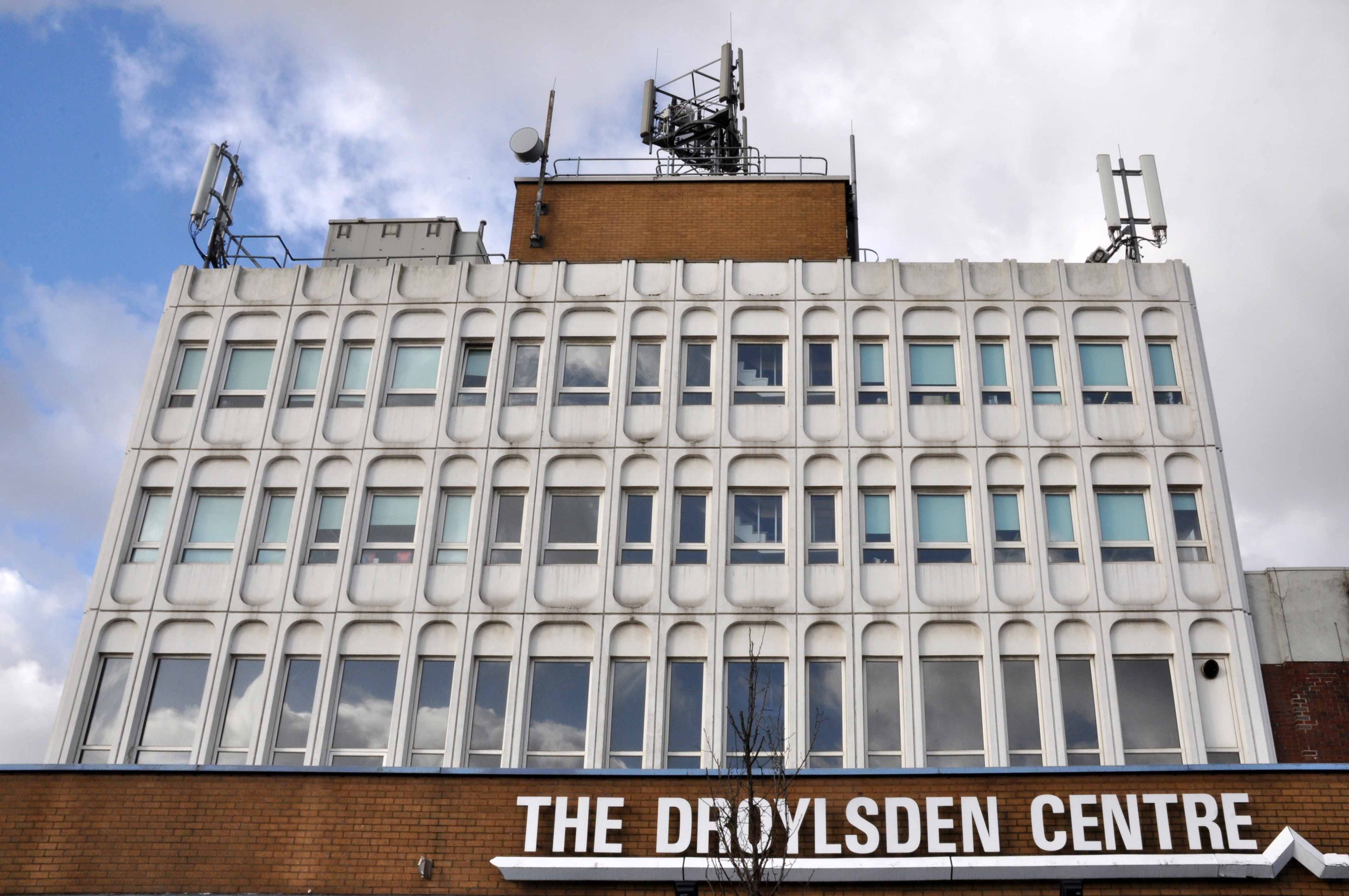
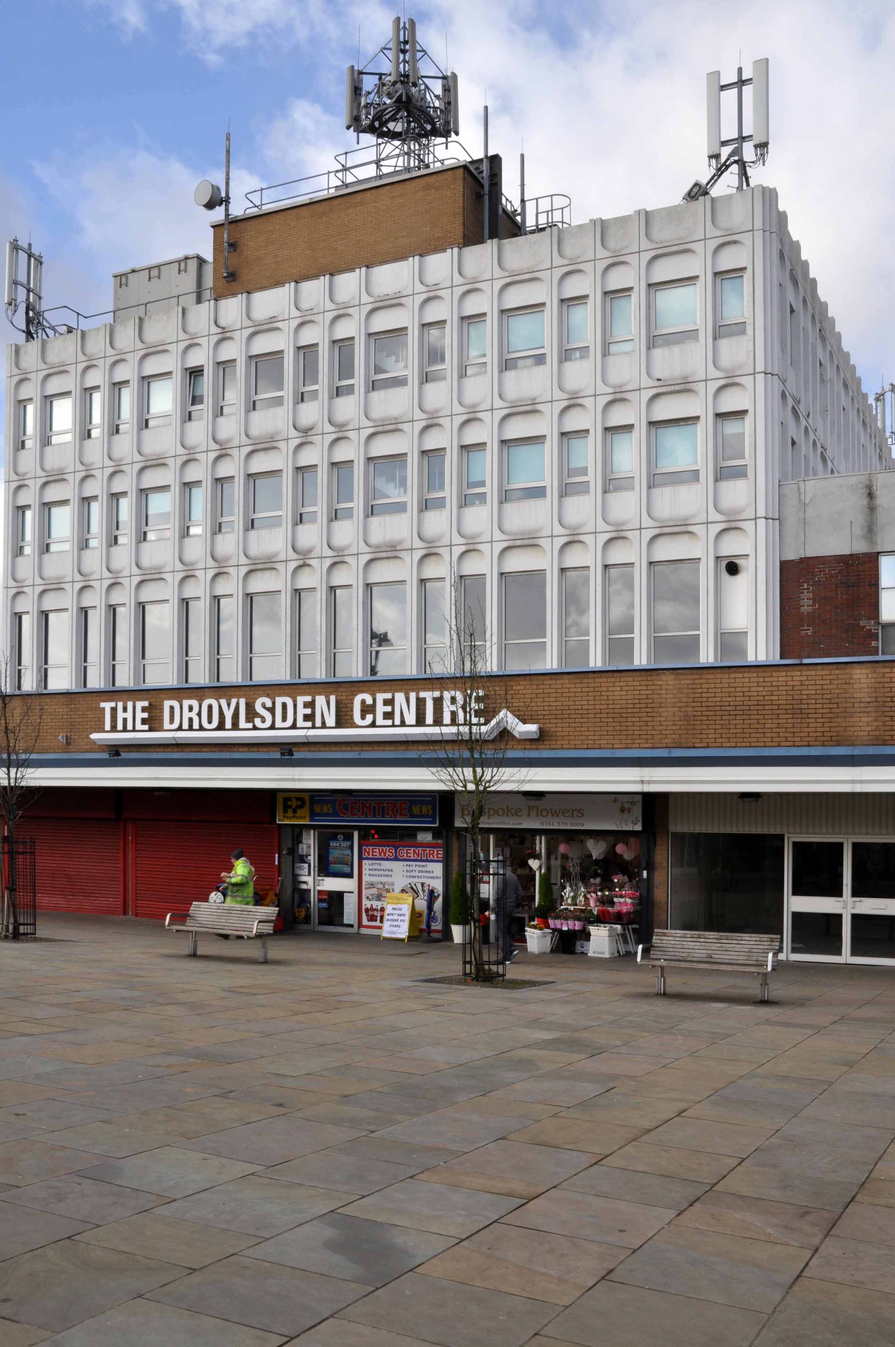
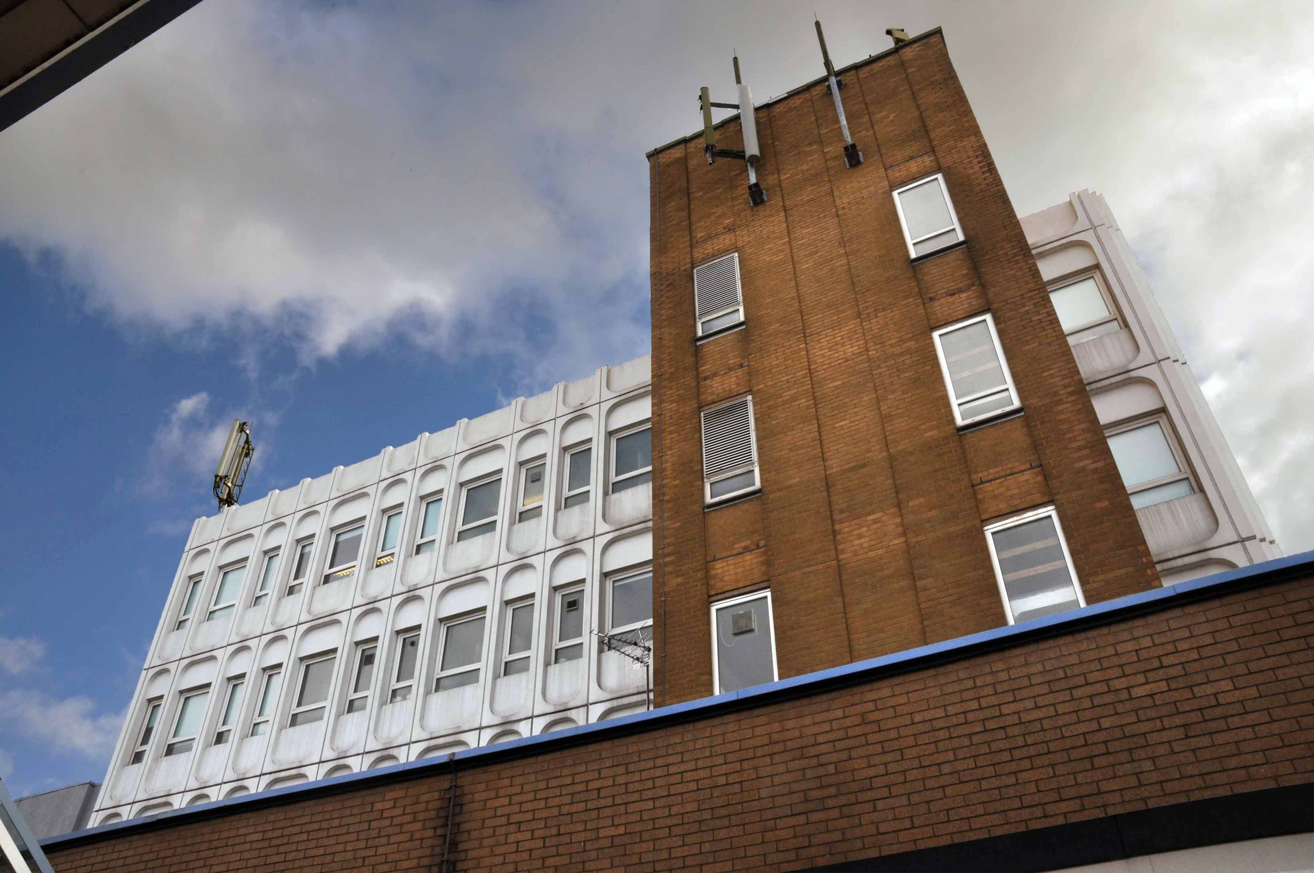
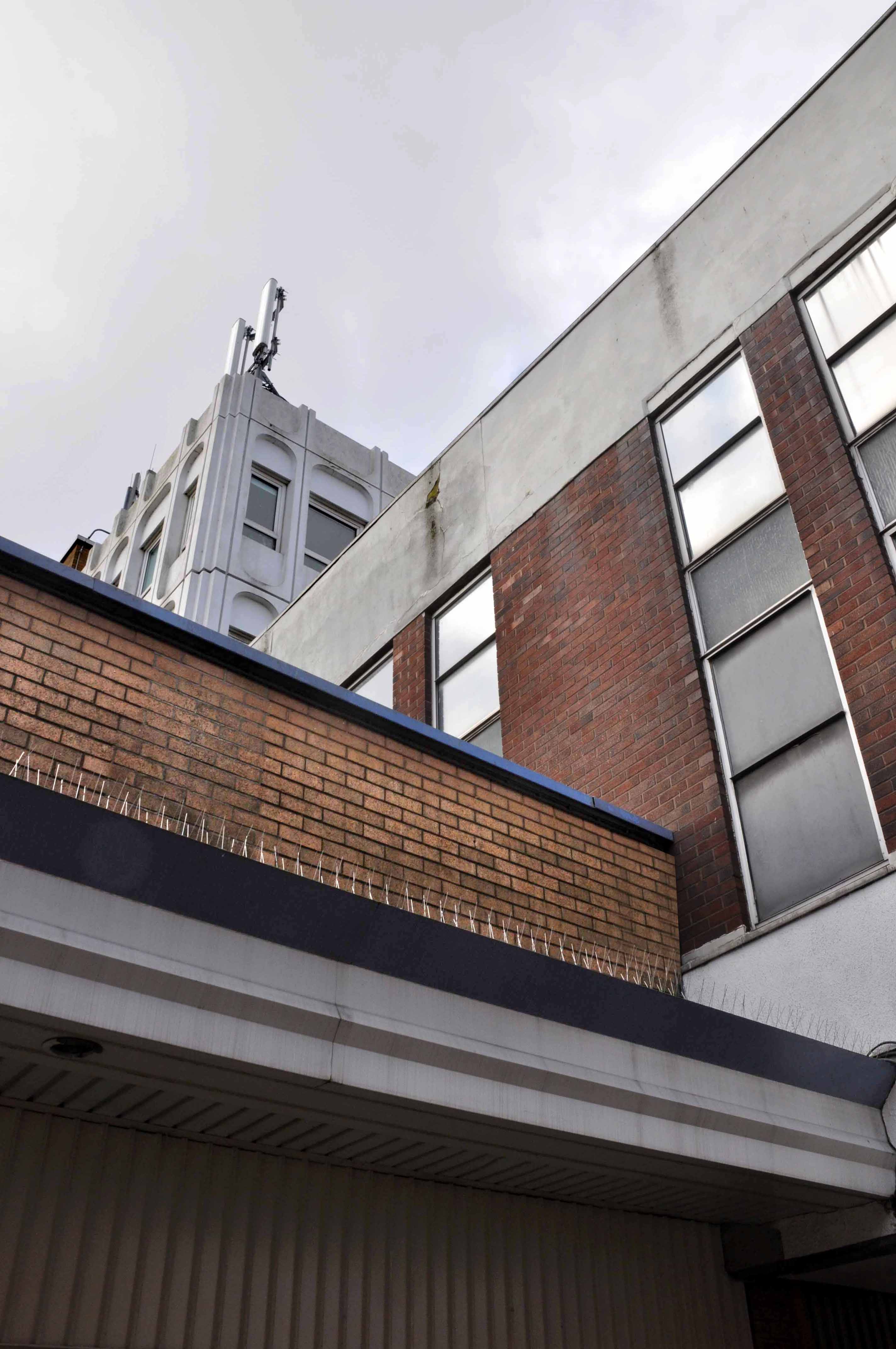
I’ve passed by for almost all of its life, marvelling at its white modular space age panels. The wide paved piazza frontage affords the lucky viewer a full appreciation of its futuristic whole, a giddy mix of brick, glass and concrete optimism. Civic architecture has never seemed so sunny.
The interior lighting is straight out of 2001, white organic and fully functioning – the upstairs function room is available for functions at the junction of Market Street and Ashton New Road.
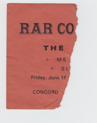
I saw The Fall there for the first time in 1978, suitably shambolic and suitably feisty.
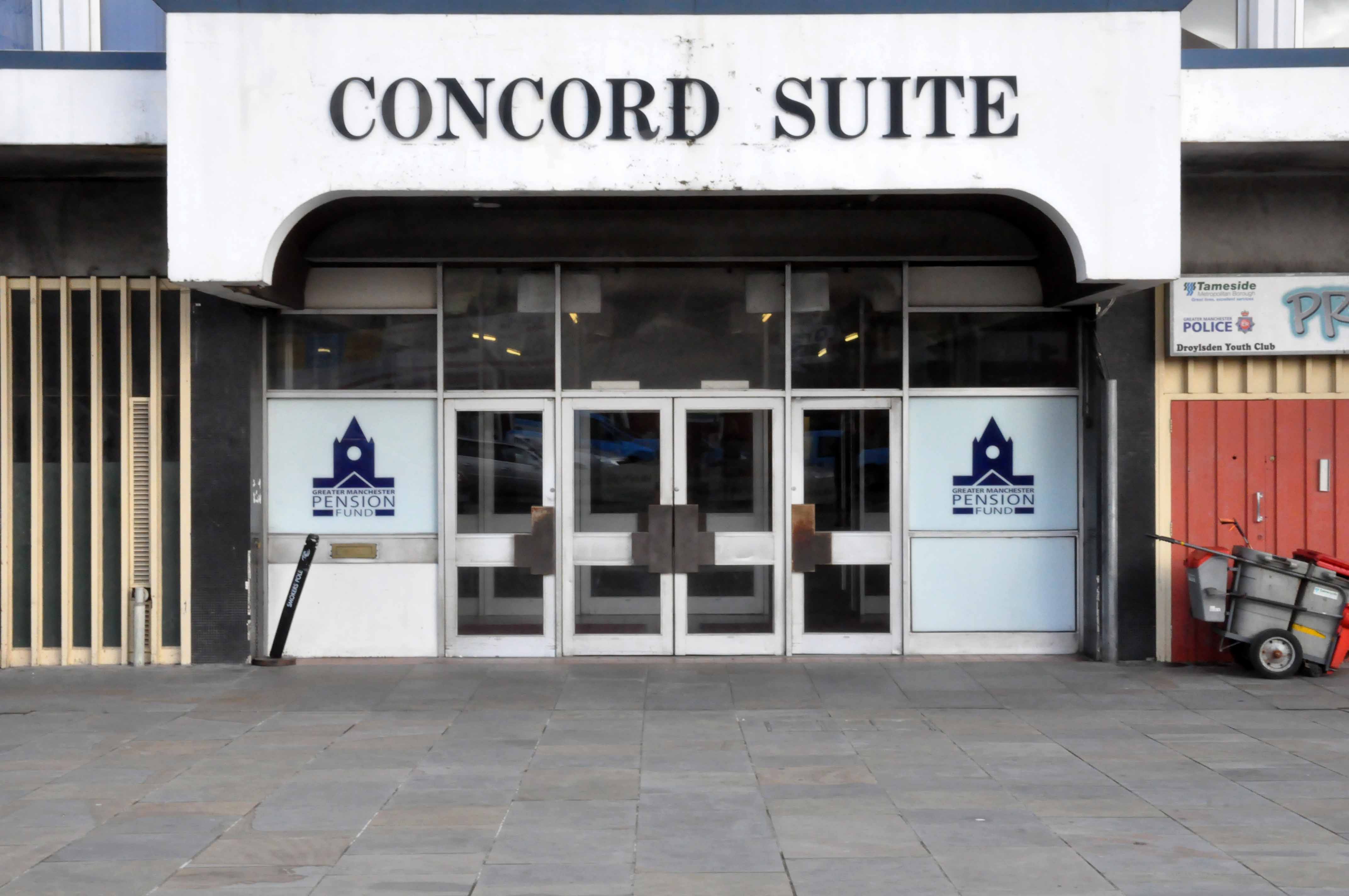
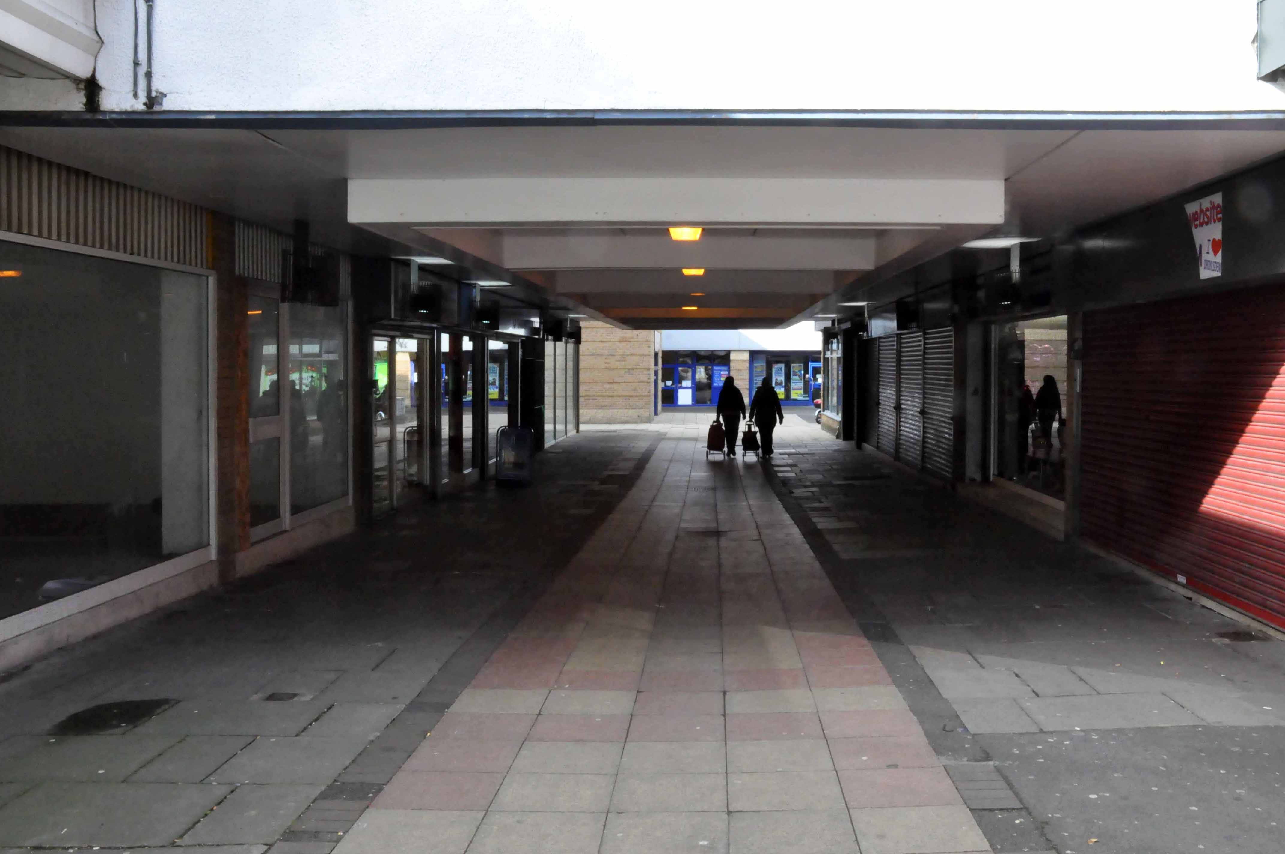
Renamed the Droylsden Centre on one side, it houses the regulation issue of charity shops and empty units. The main building is home to the Greater Manchester Pension Fund, soon to relocate to a new build across the road. The Concord will then provide a home for the workers leaving the now demolished Tameside Council Offices in Ashton.
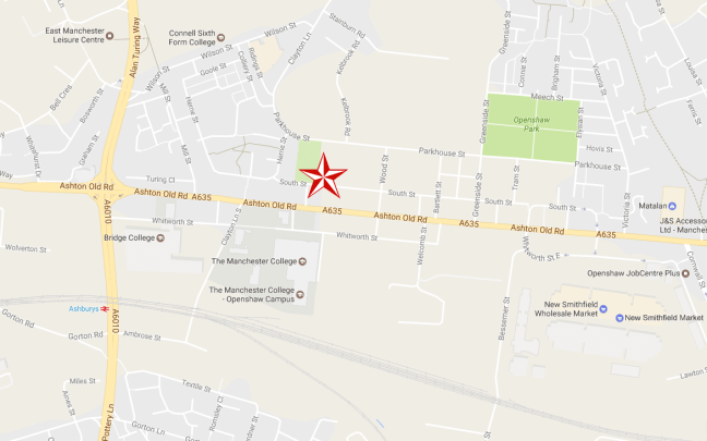
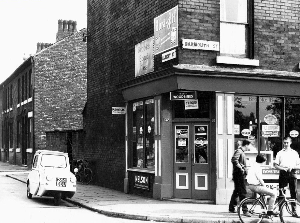
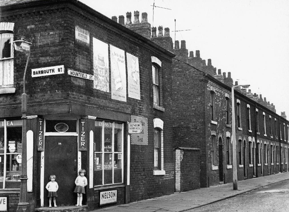
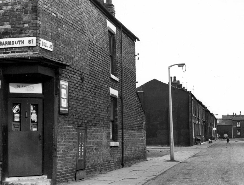
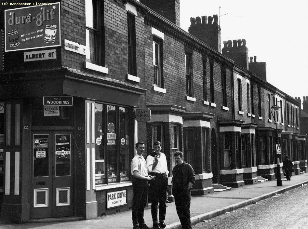
Once again I am following in the footsteps of Rita Tushinghan and the Taste of Honey film crew, this time my research has lead me to Barmouth Street, Manchester.
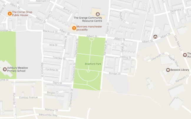
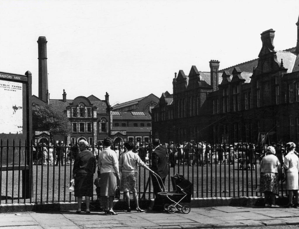
To the east of the city centre, Bradford Park School was the scene of the opening scene, Jo’s netball match. The school is now long gone, now the site of a much enlarged public park, as can be seen from the map above.
Shelagh Delaney, author of the original play on which the film was based, can be seen fleetingly in this opening scene, appearing momentarily over the games teacher’s shoulder.
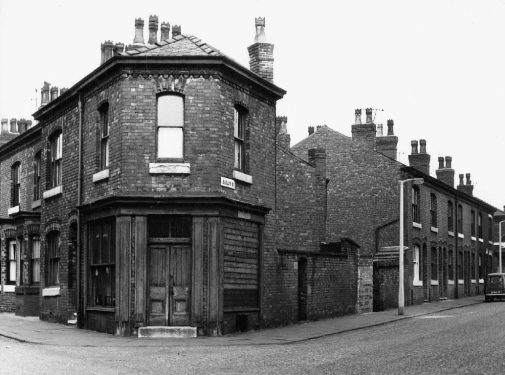
I have found one archive image of the school, as the scholars prepare for the annual Whit Walks, this along with many other community traditions and conventions, have all but disappeared from the streets of the city.
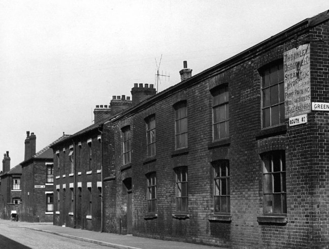
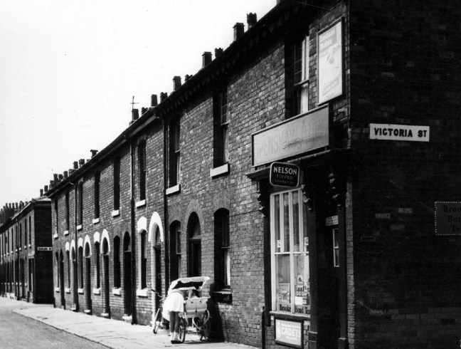
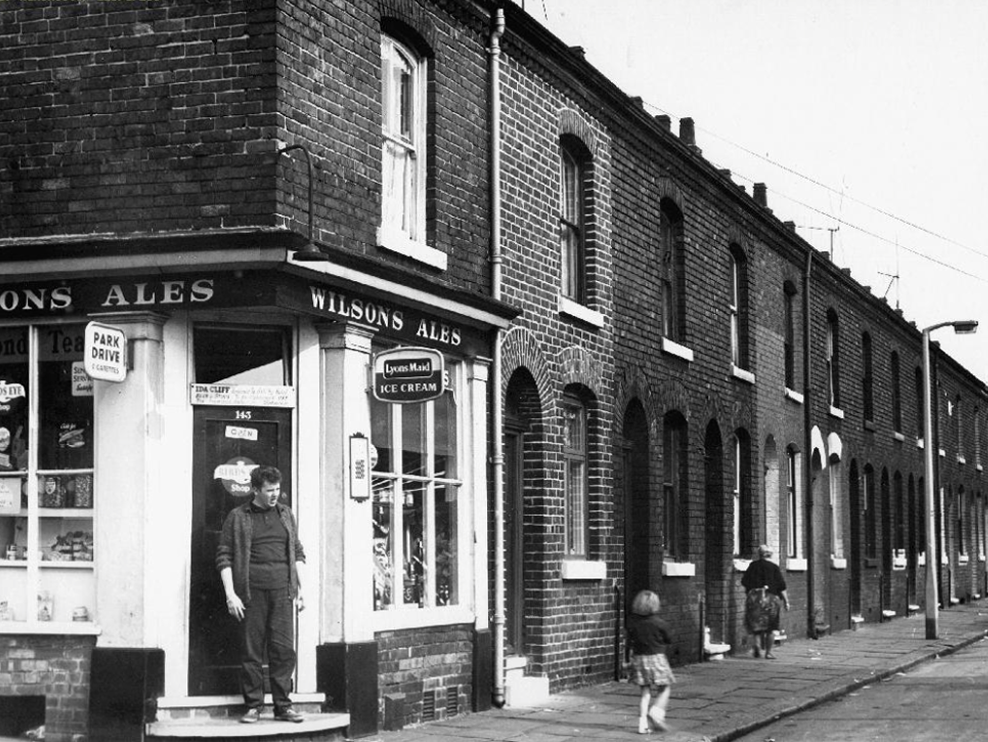
This was once a tight knit community, surrounded by industry, full employment and a short lived period of post-war growth and optimism.
A corner shop on very corner, though by the time I worked as a Mothers Pride van lad in the late sixties, many were already on their last legs. A lethal cocktail of closing factories, incipient supermarkets, and an urban renewal programme, which lead to slum clearance, would change the character of the area forever.
The man responsible for the majority of these archive photographs is Tommy Brooks of 56 Gransmoor Road, Higher Openshaw.
He is my hero, a member go the Manchester Amateur Photographic Society, cycling the streets of Manchester to produce a unique record of life in the Sixties.
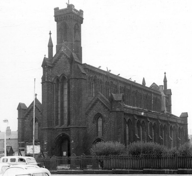
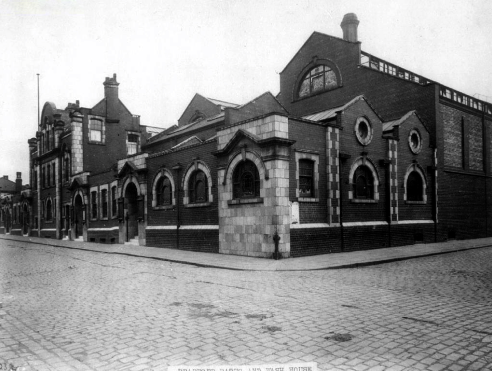
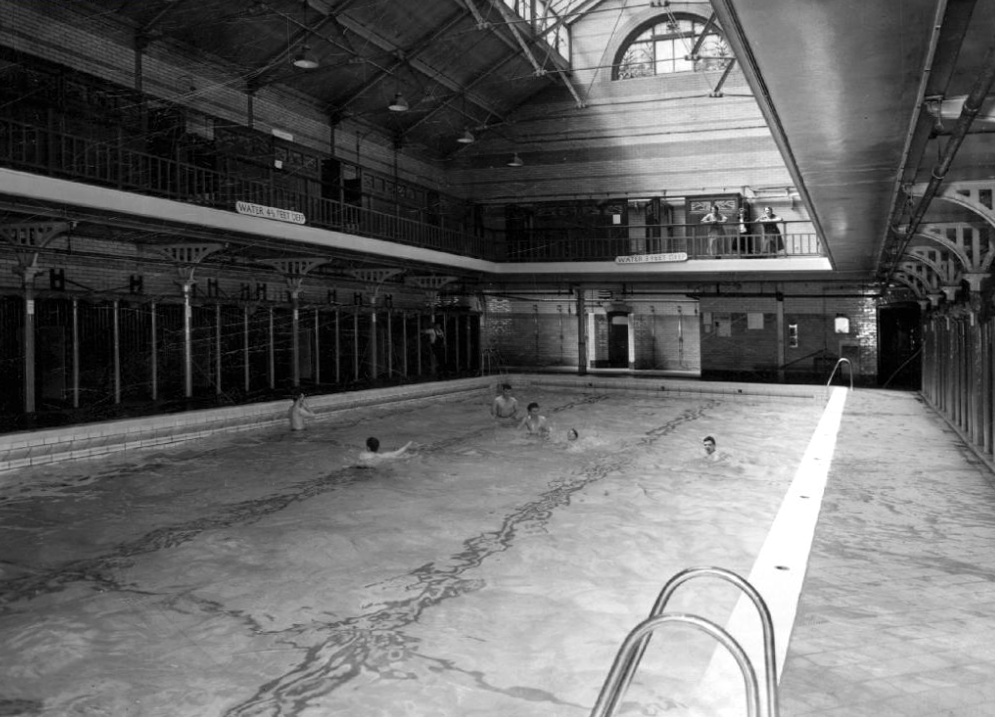
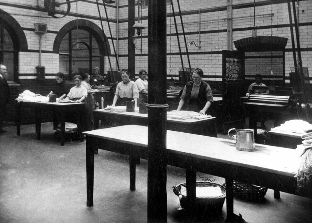
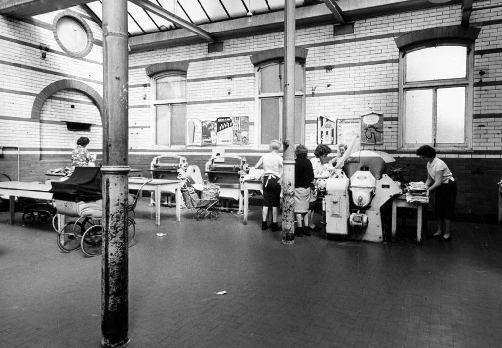
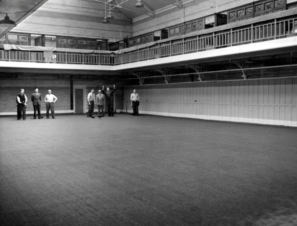
Central to the social and sanitary life of that that community were the Barmouth Street Baths and Washhouse, where citizens would swim, wash, dry, iron, chat convivially, and surprisingly – play bowls.
Now long gone, along with the provision of local authority nursery care. There were similar low level pre-fabricated buildings dotted all over the city. Built quickly and cheaply, to provide for a growing population, of largely working-class families, with no shortage of work opportunities.
This was a time of great social change, a time which the film attempts to anticipate -a more diverse, and hopefully more tolerant time, a time of possibilities and opportunities for all.
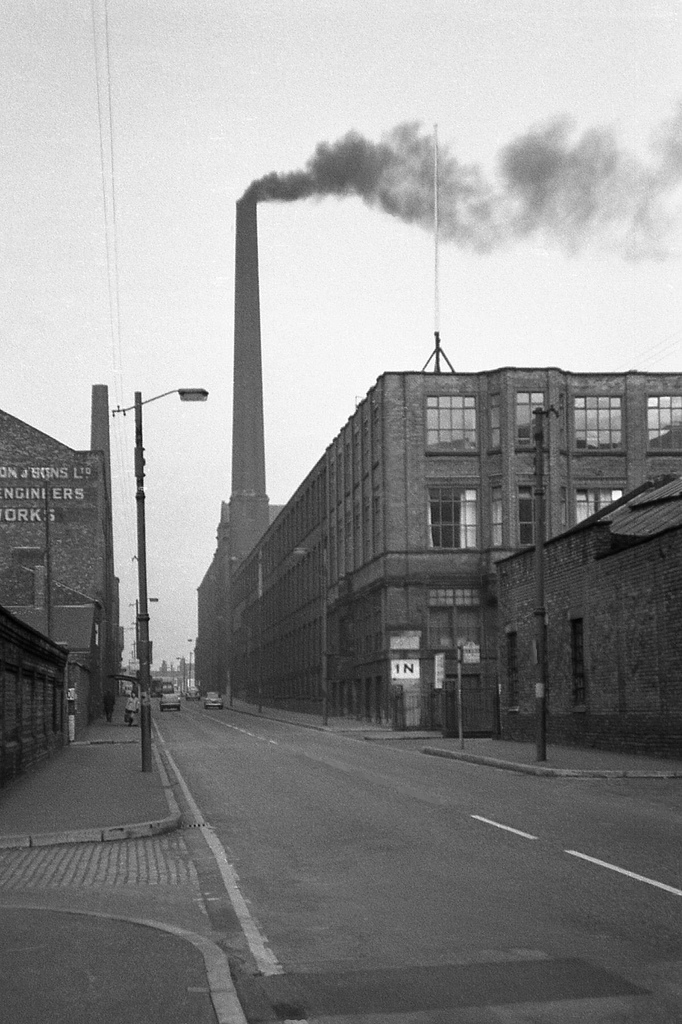
1785 Established by David Holt, and described as the only known example of a factory colony in Manchester, that is, an isolated mill complex with housing for the workers.
1794 Mills advertised for sale following the bankruptcy of David Holt and Company.
Things, as we know, have a tendency to come and go – ’twas ever thus.
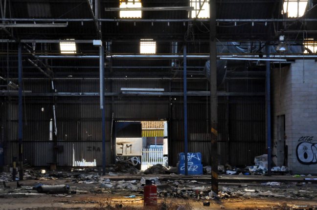
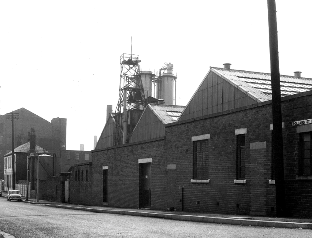
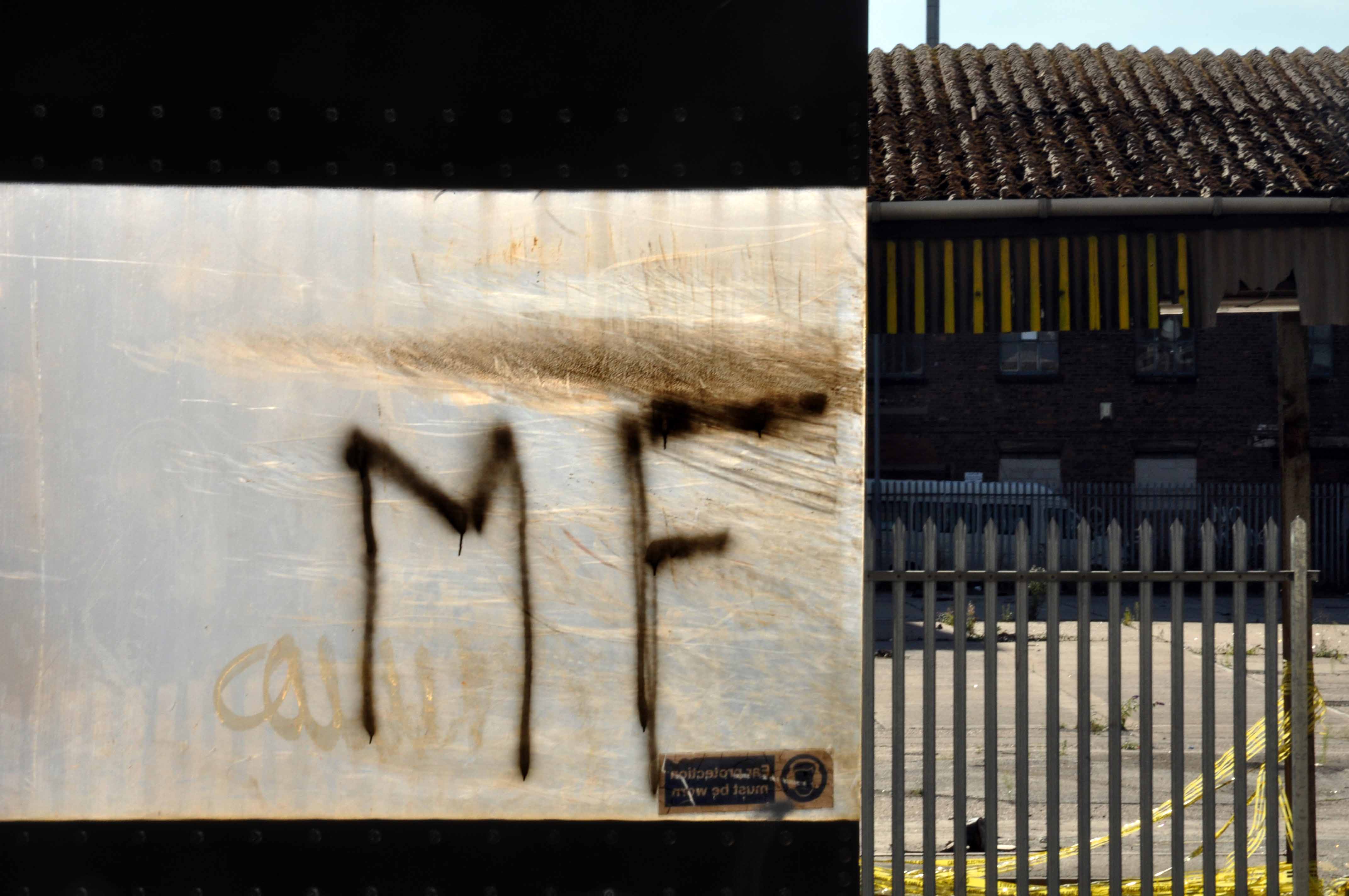
In 2014 I visited the site of the former Distillers Company, later Air Liquide UK, production had ceased. The factory was just about standing, litter and detritus strewn, unloved and unwanted, temporary home to the homeless.
The Industrial Revolution has been and gone – bye bye.
There are plans for redevelopment, couched in the terms of the professional new-speak of the new urban renewalists.
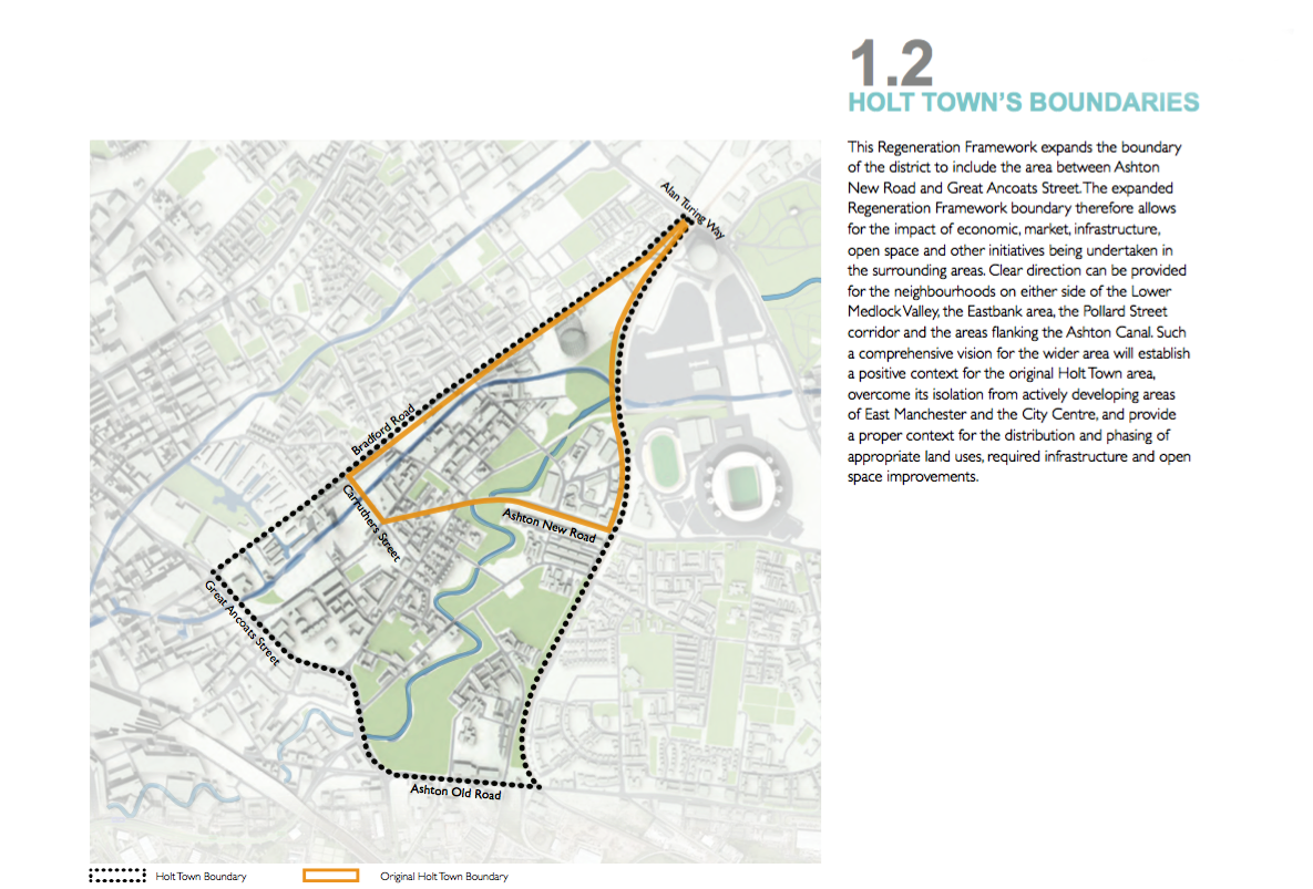
The international design competition for Holt Town looked for a solution to the dilemma of providing a sustainable, distinctive, high density family-led residential community in close proximity of the Manchester regional centre.
Promising open green spaces and housing based on the traditional European perimeter block model, not a mention of a mill.
Possibly lasting a little longer than David Holt’s dream, and subsequent manifestations.