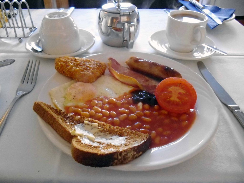
Another day another breakfast – reduced rations and rashers, the now inevitable hash brown and a far too common failure to recognise my preference for tinned tomatoes.
Soldier on.
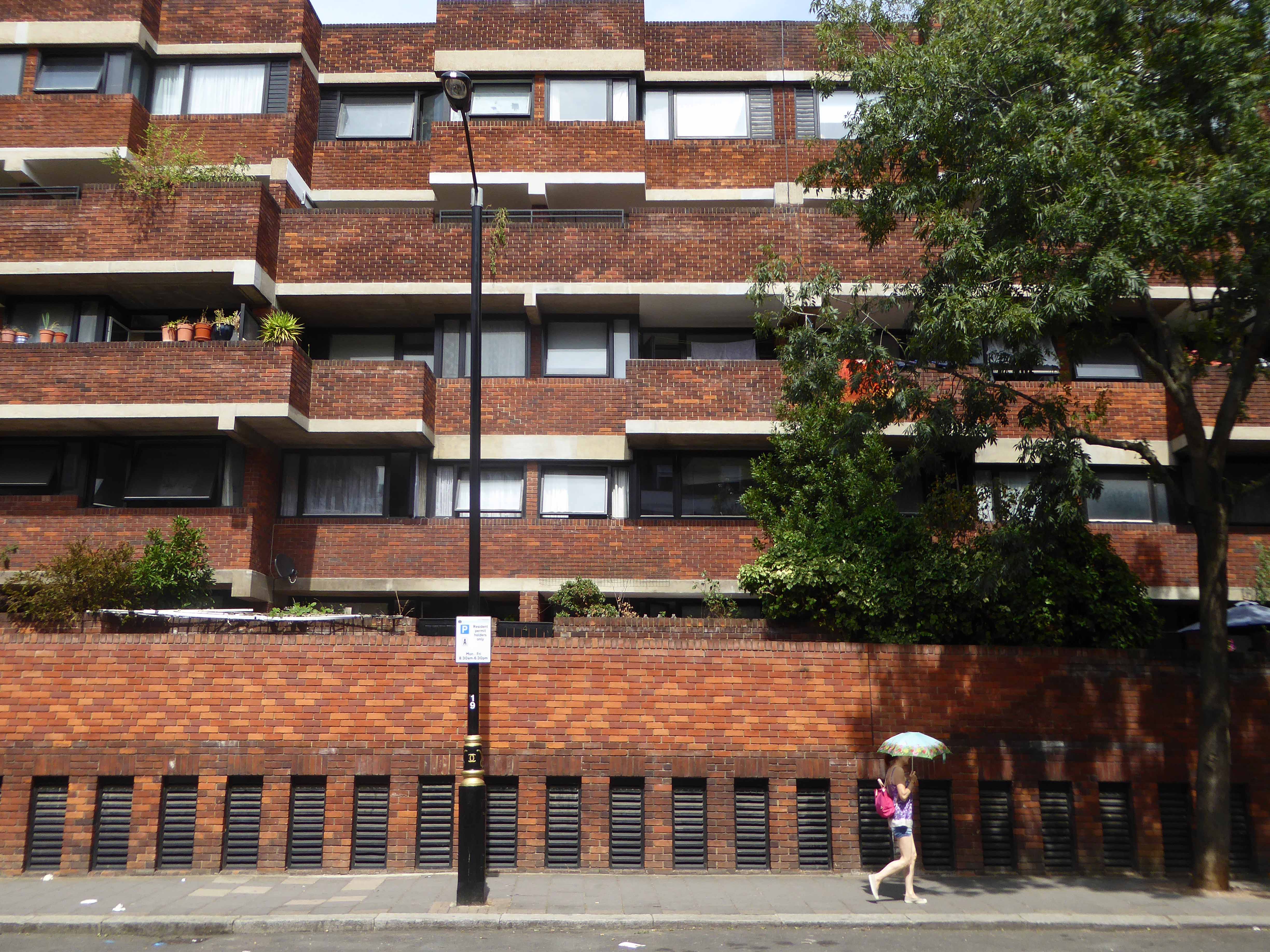
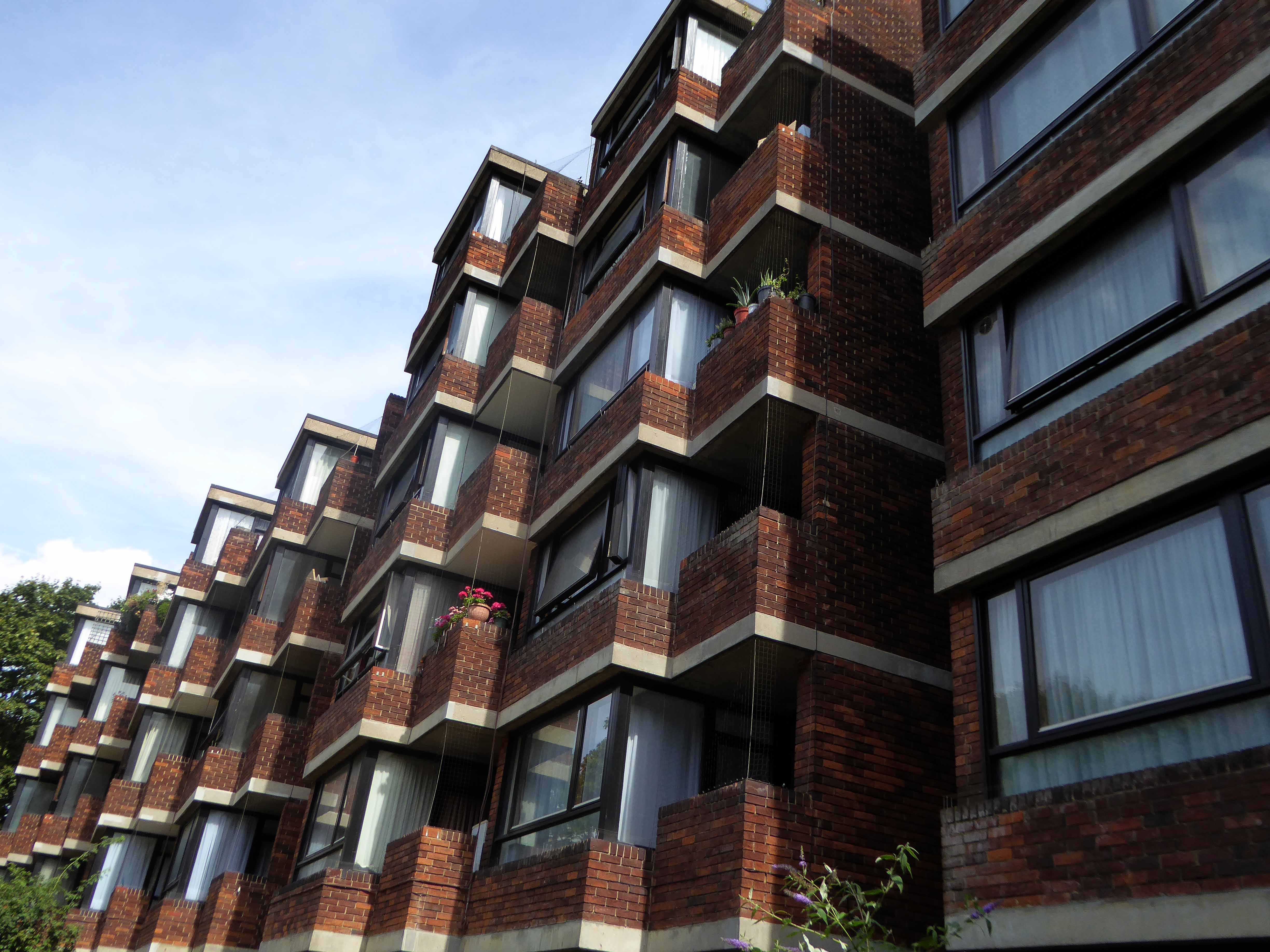
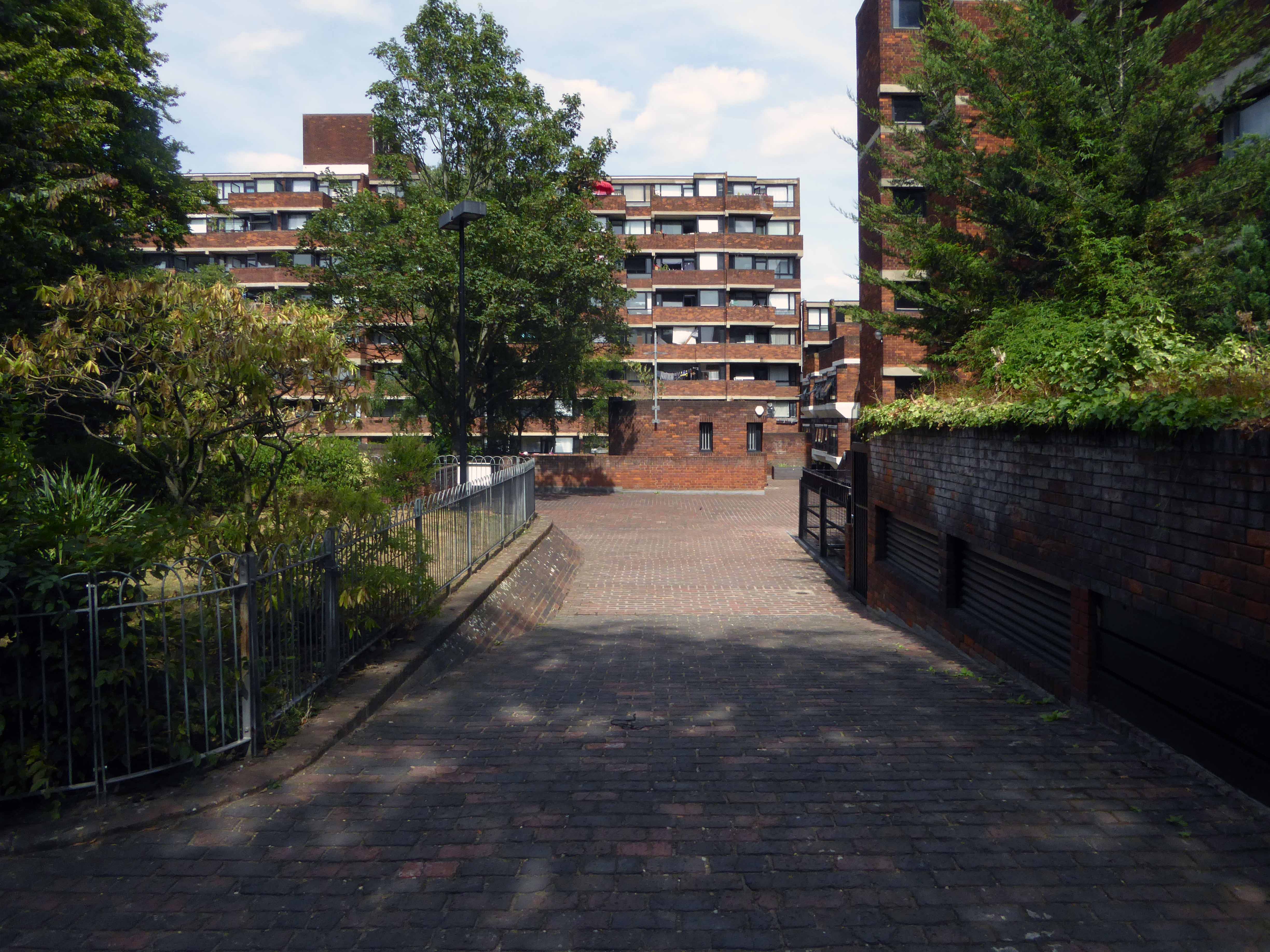
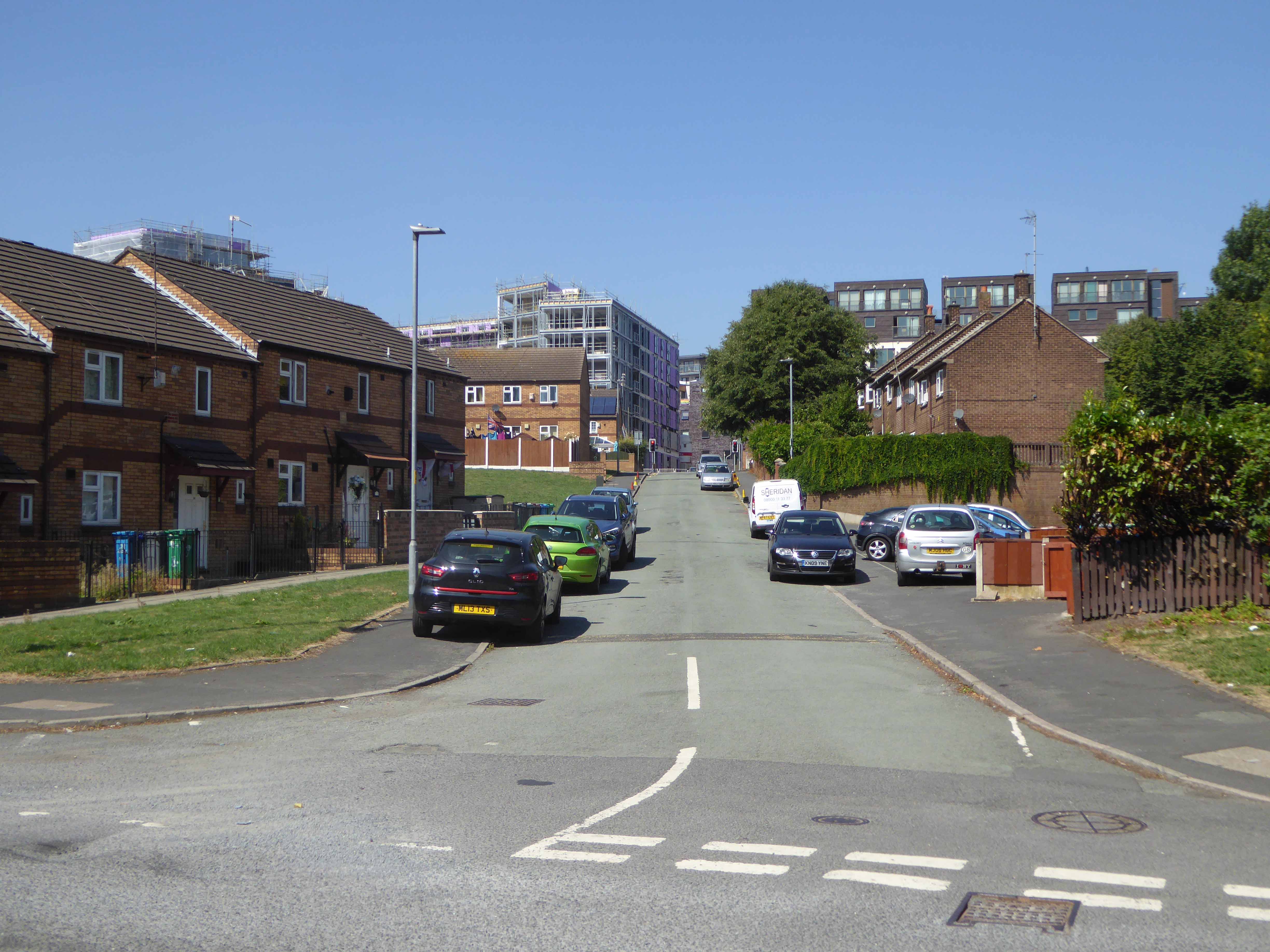
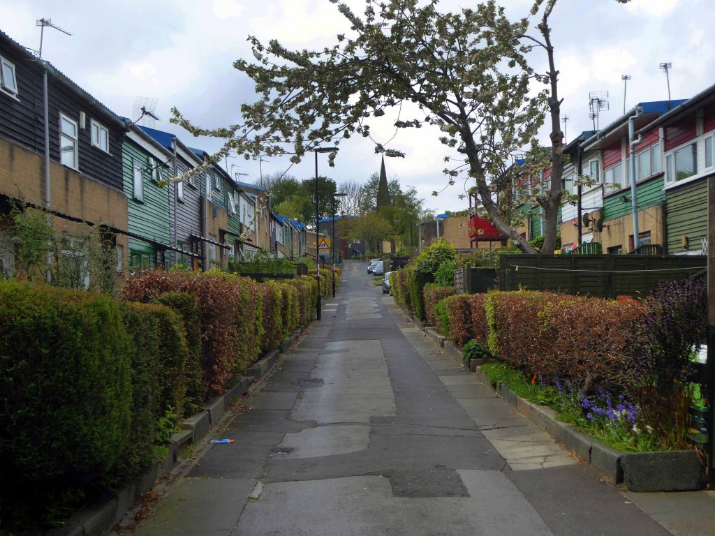
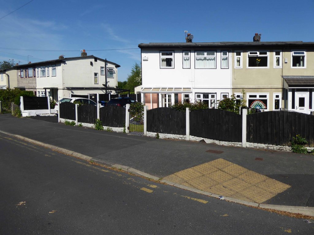
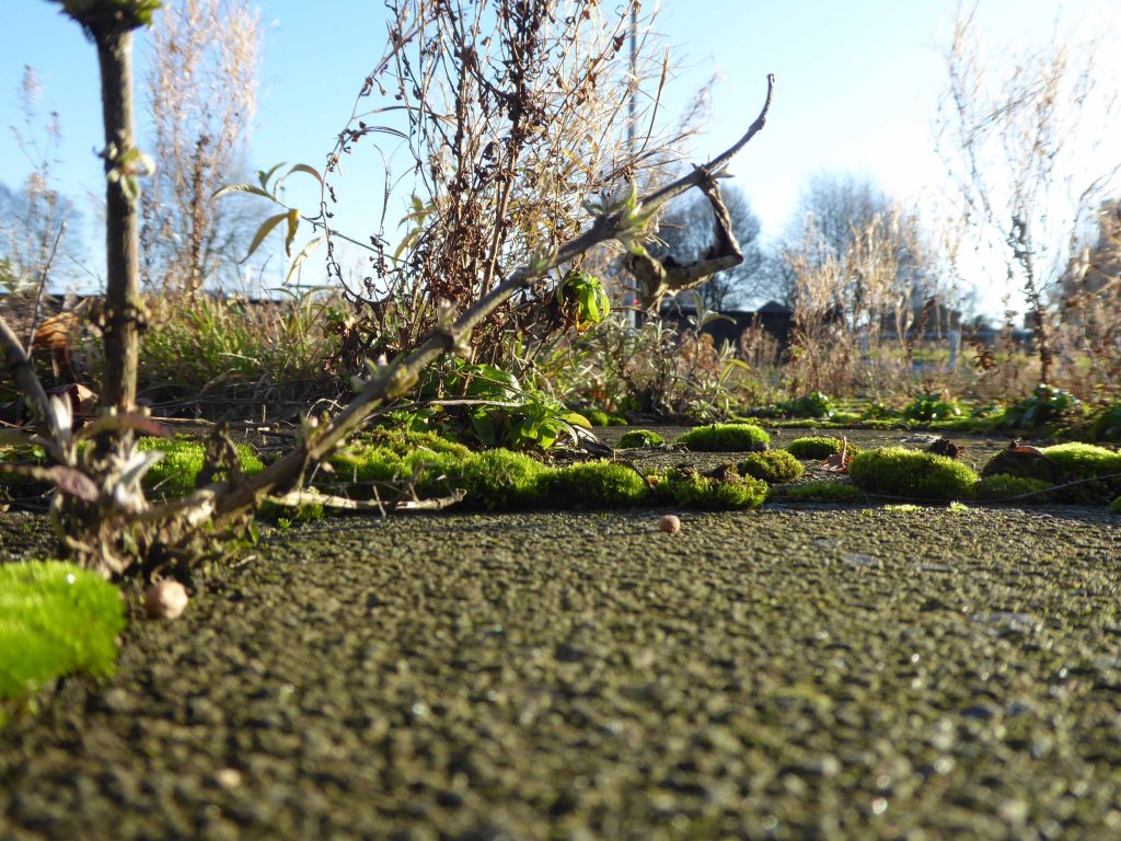
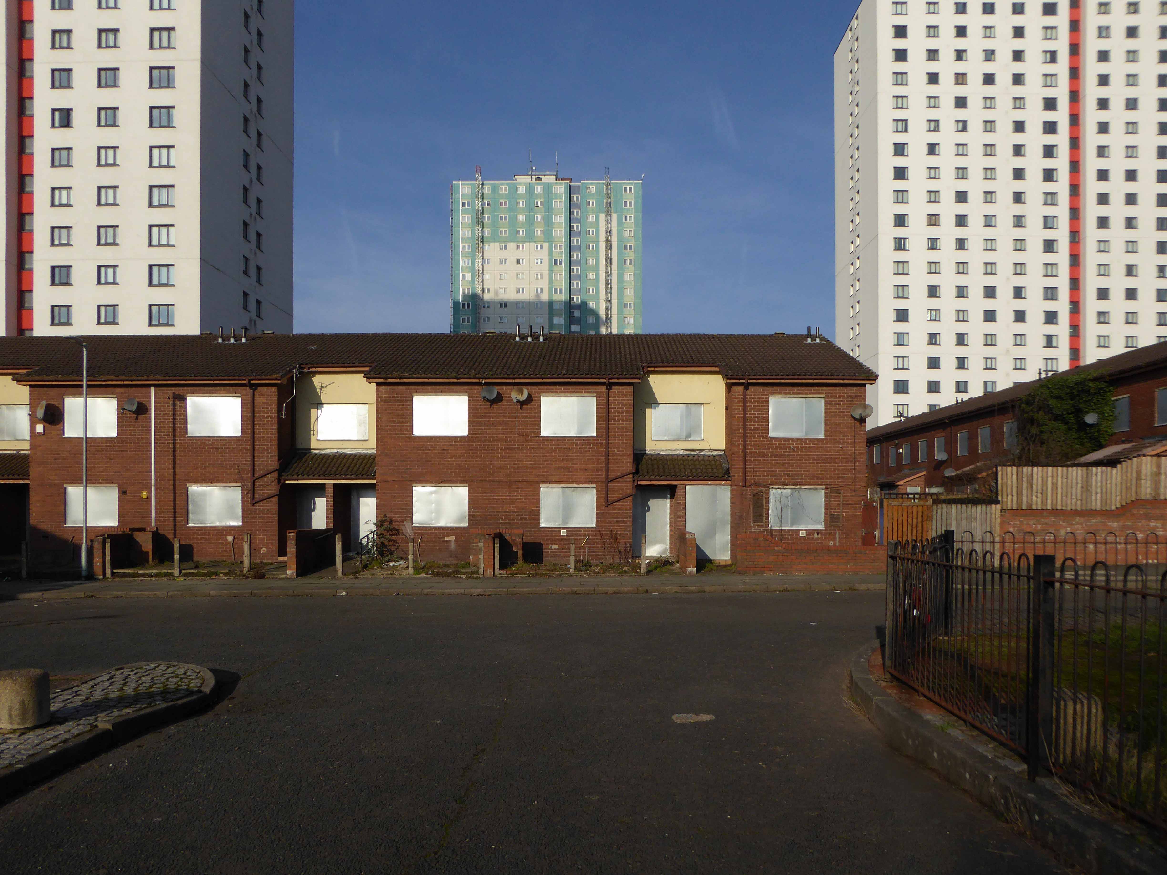
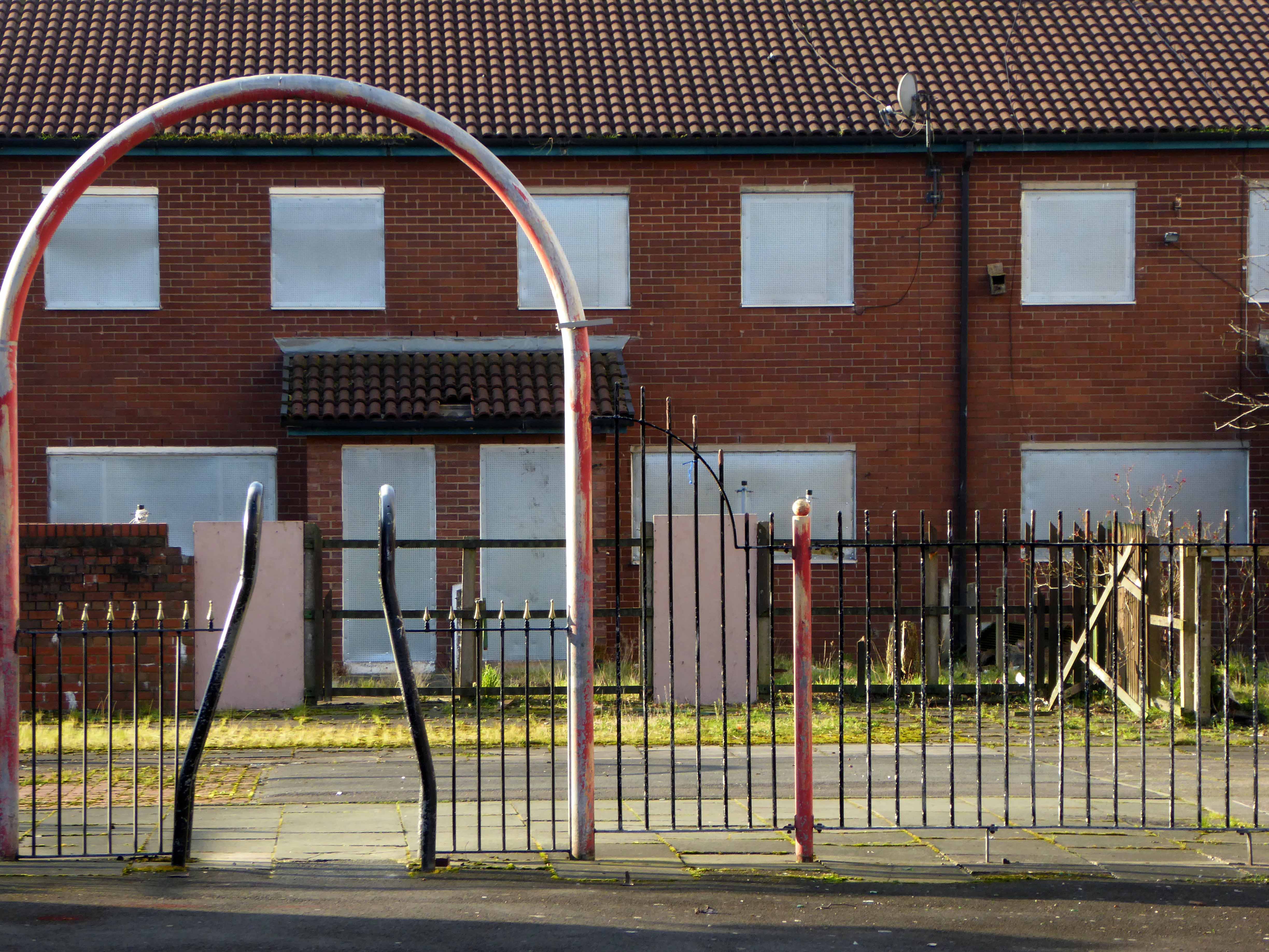
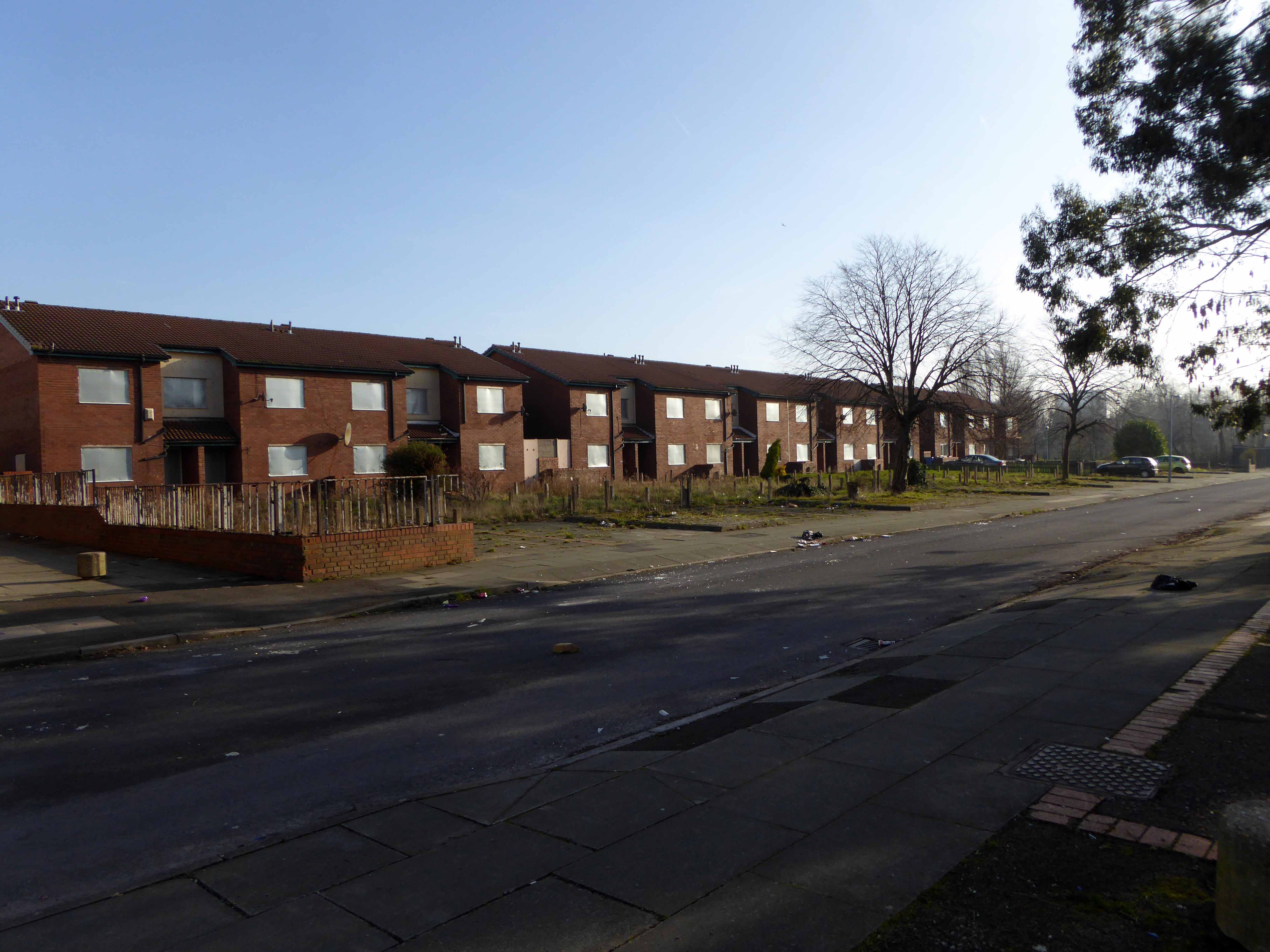
Friday 31st July 2015 leaving town beneath the bright morning sun.
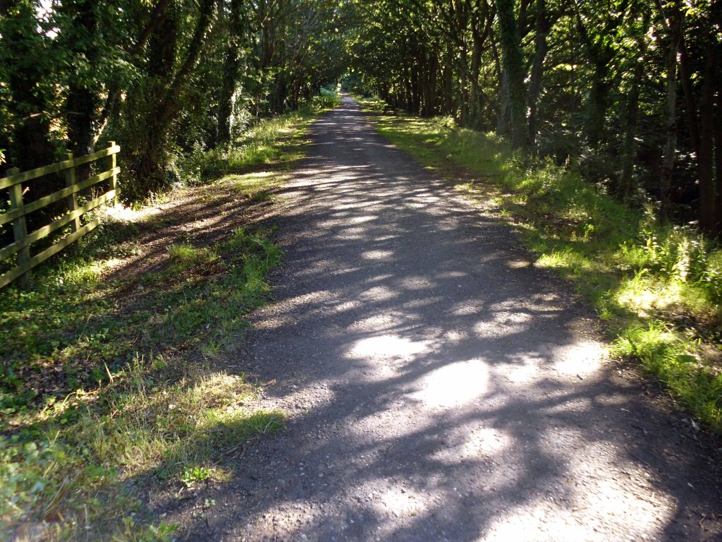
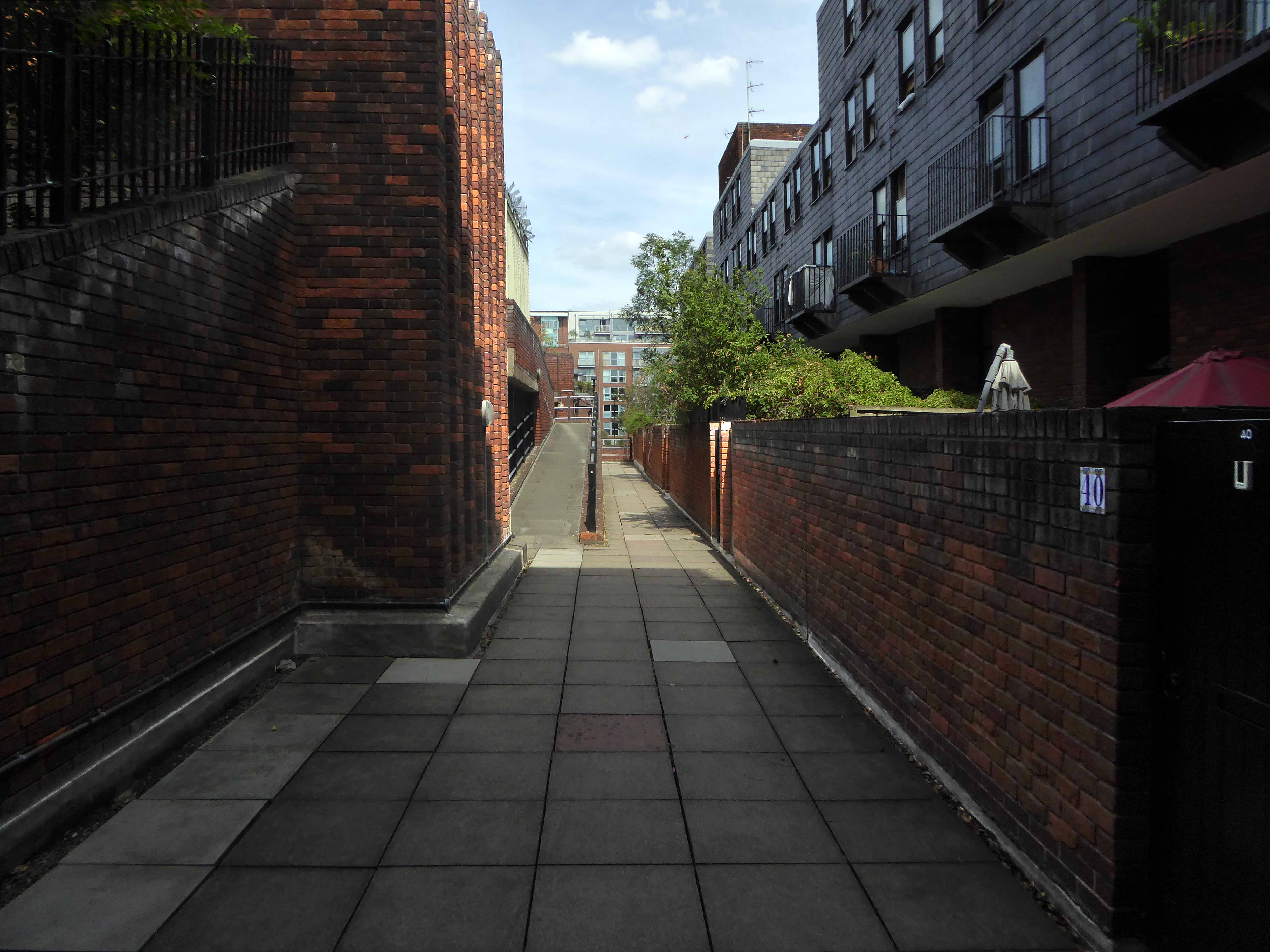
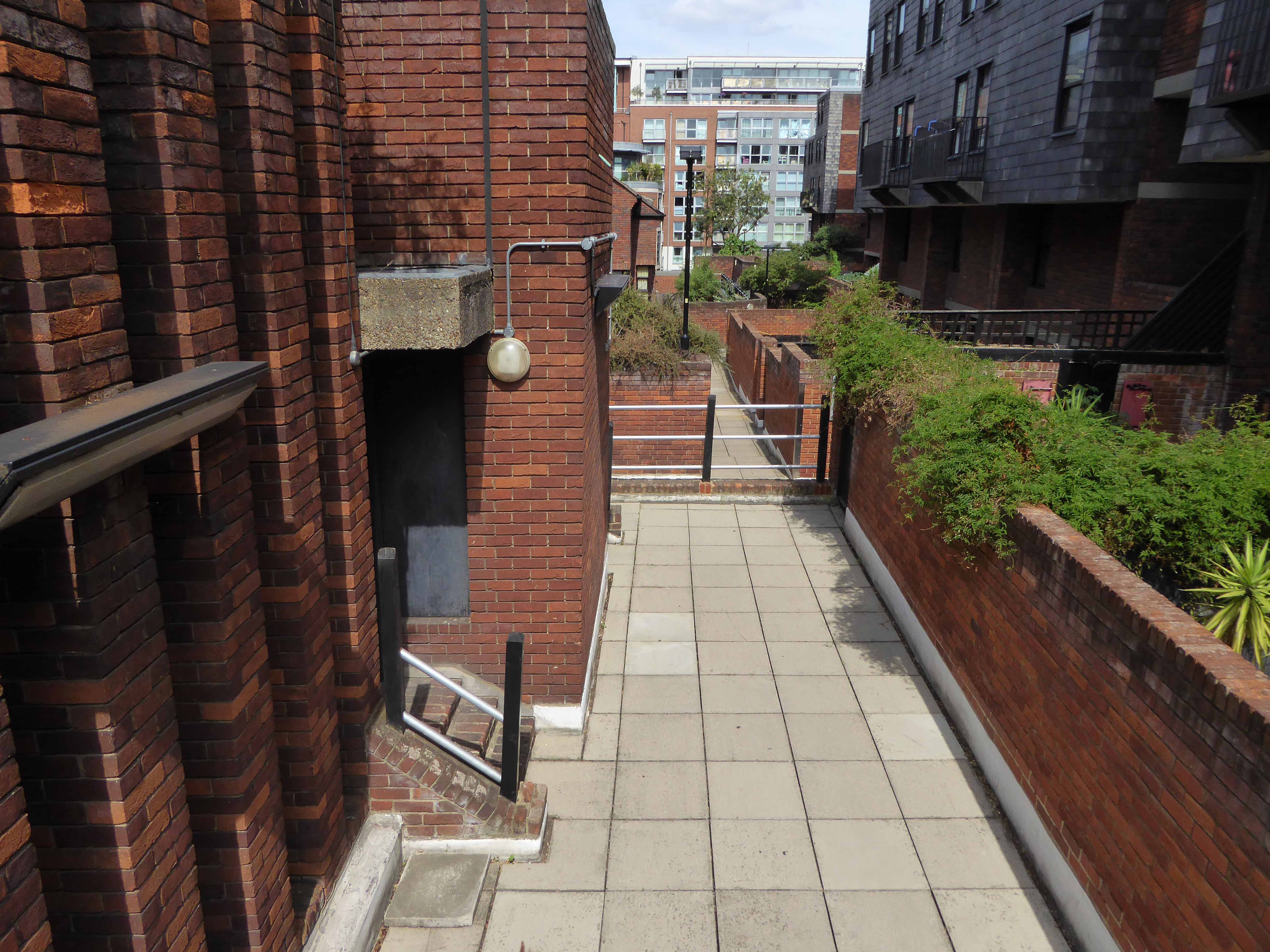
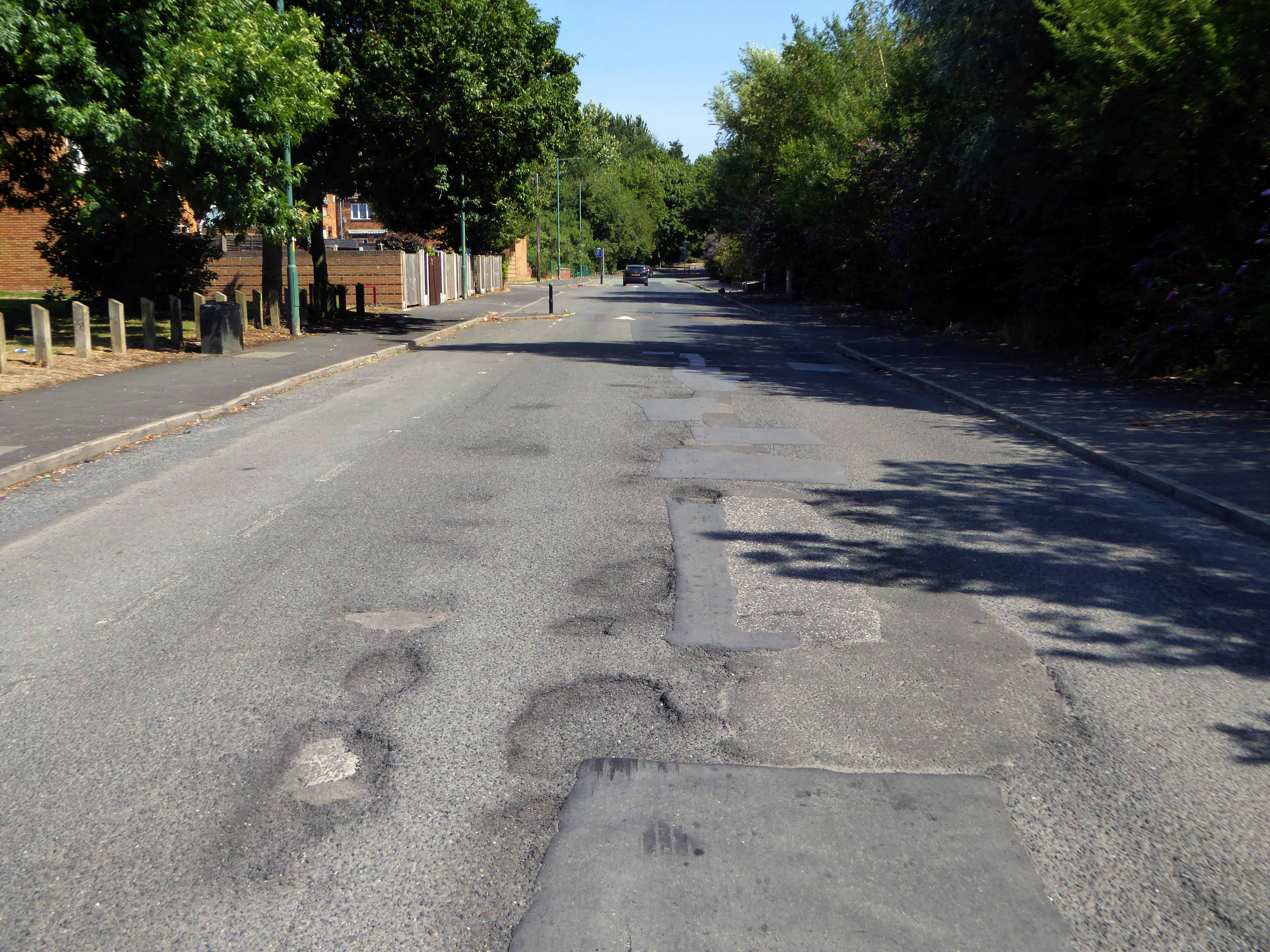
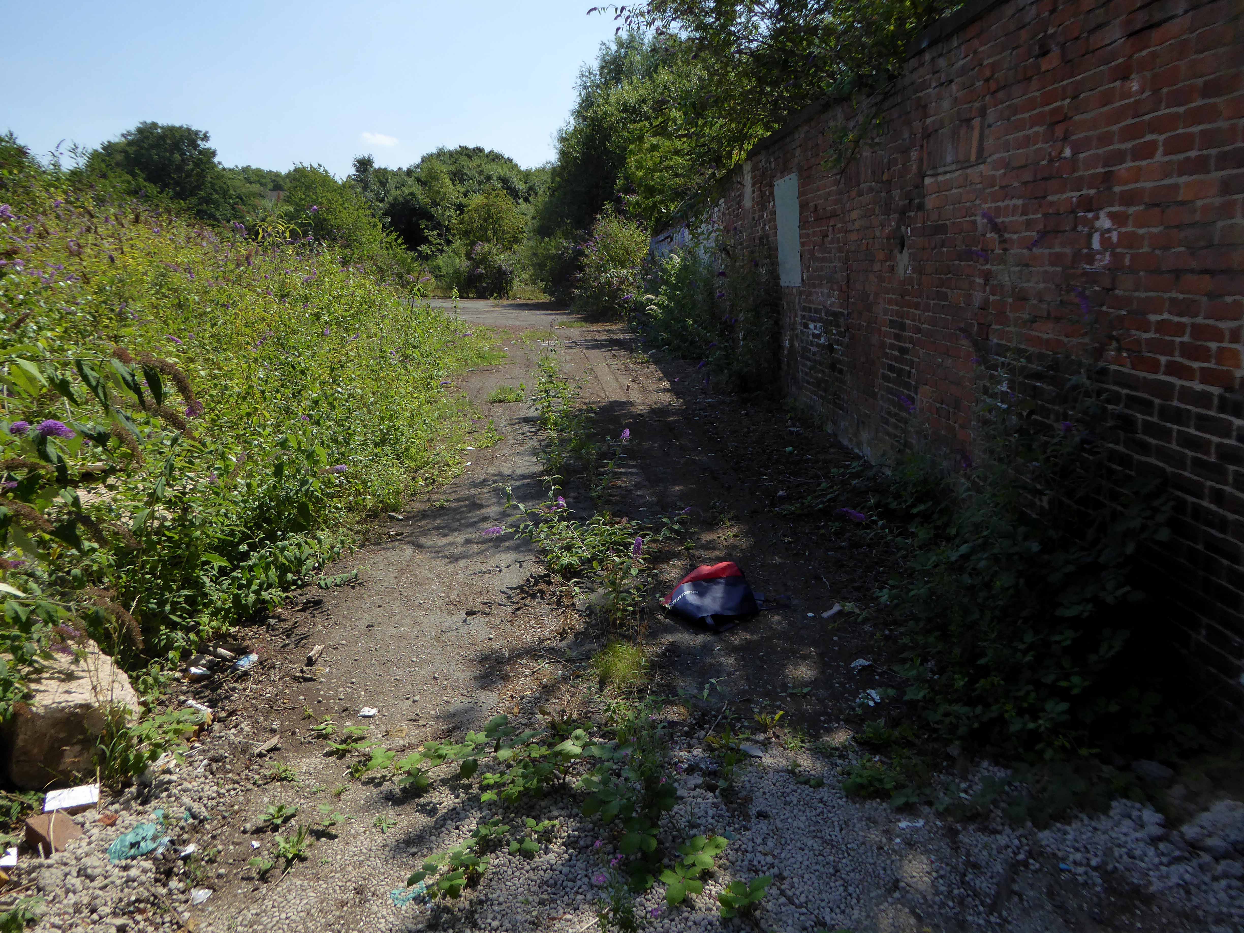
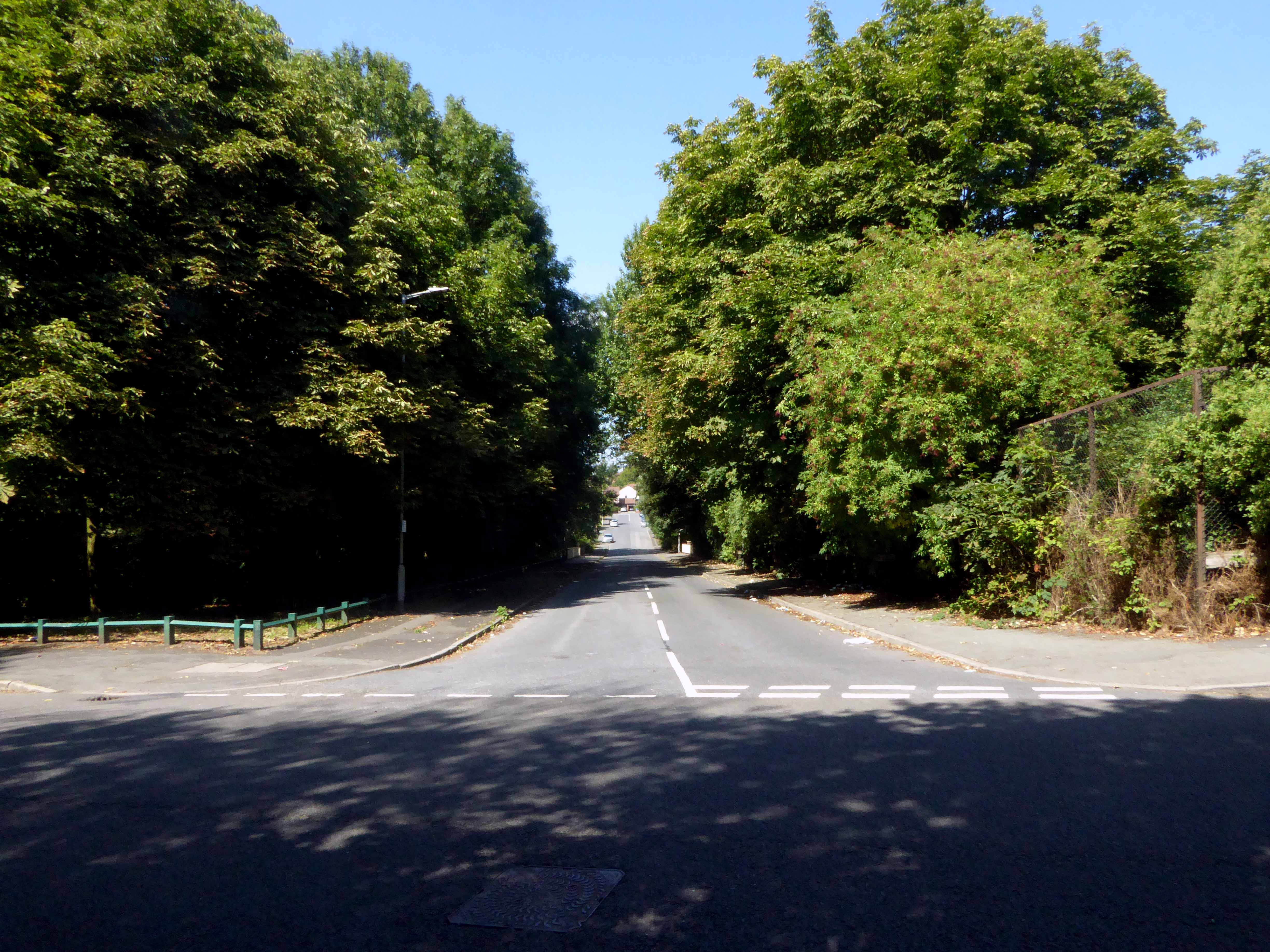
Following a shady lane.
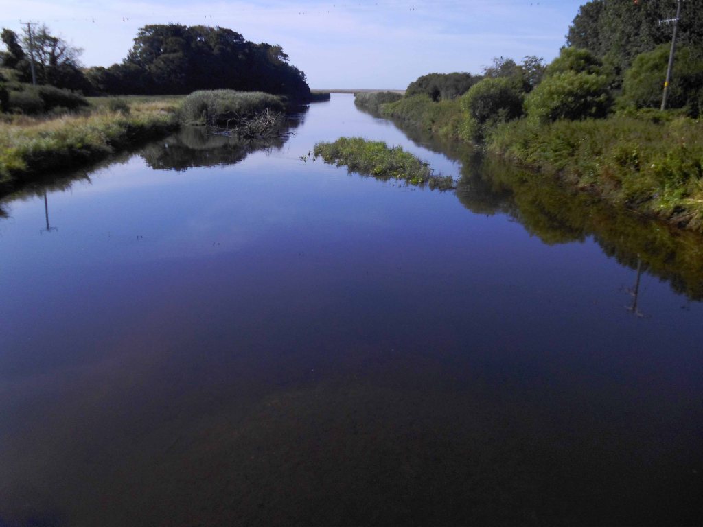
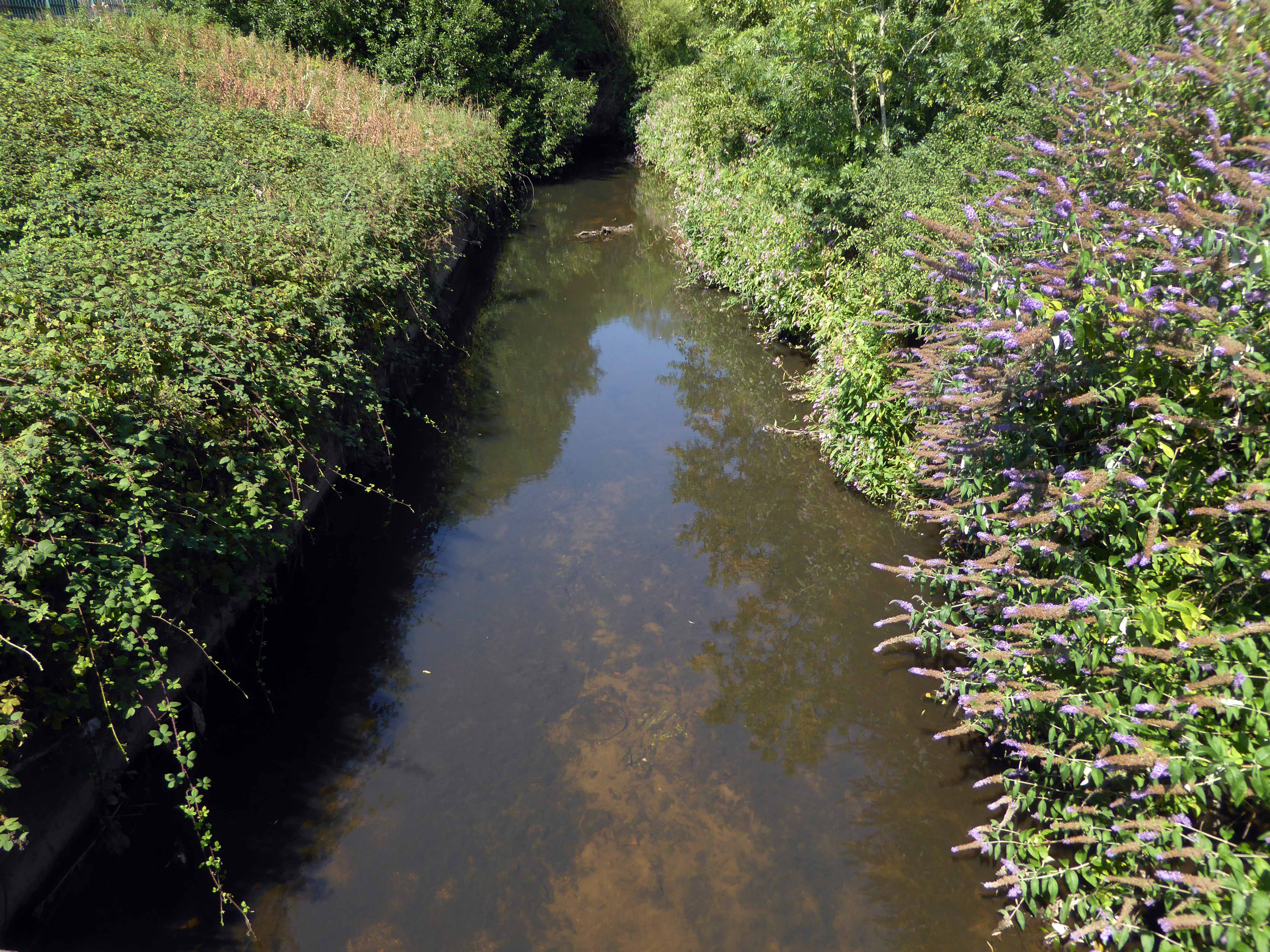
Crossing a drain.

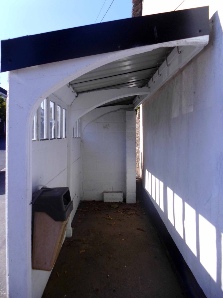
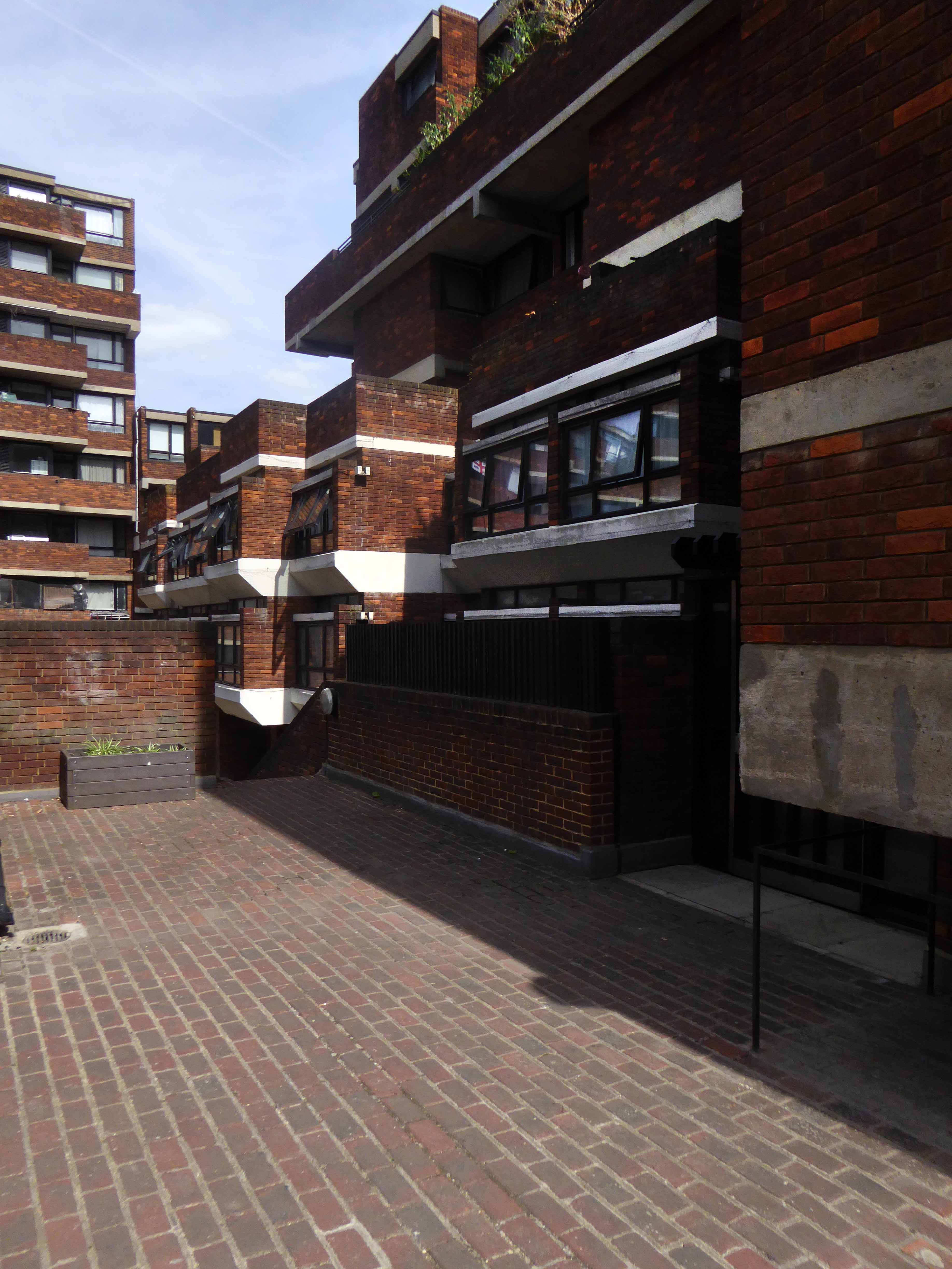
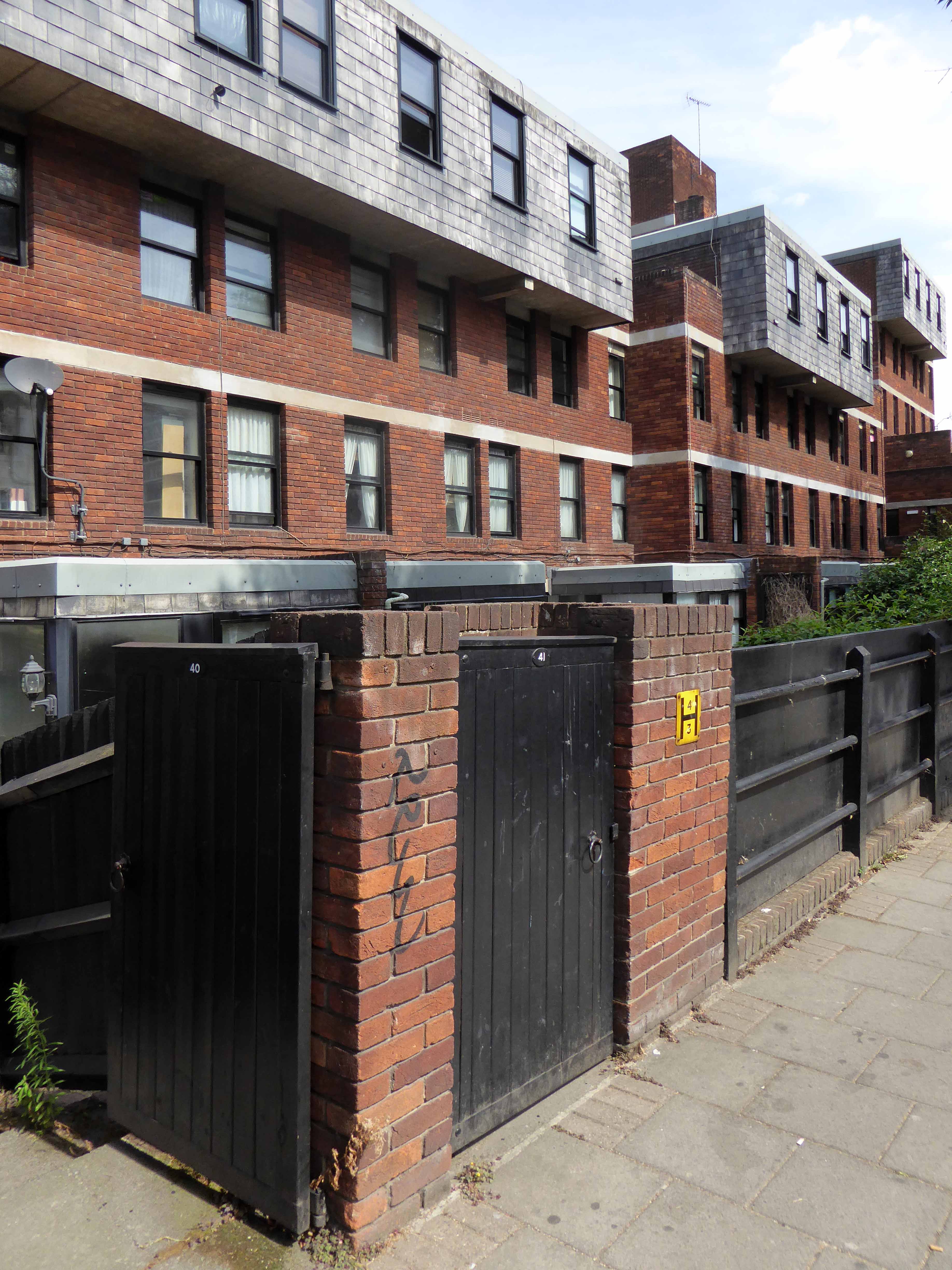
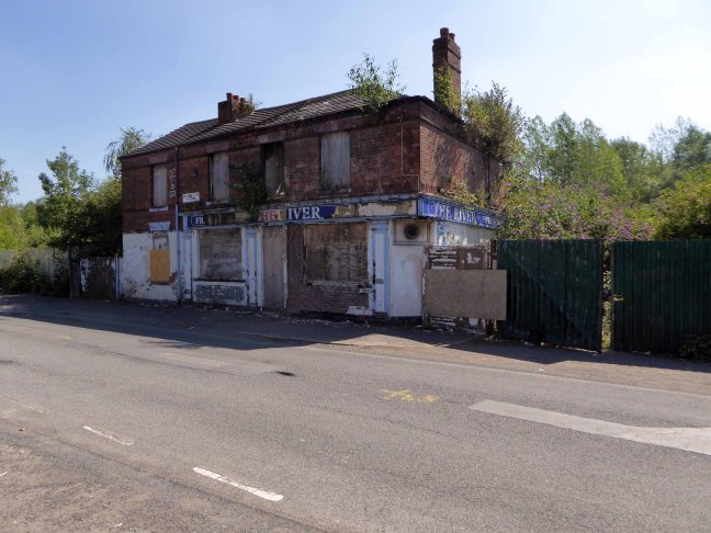
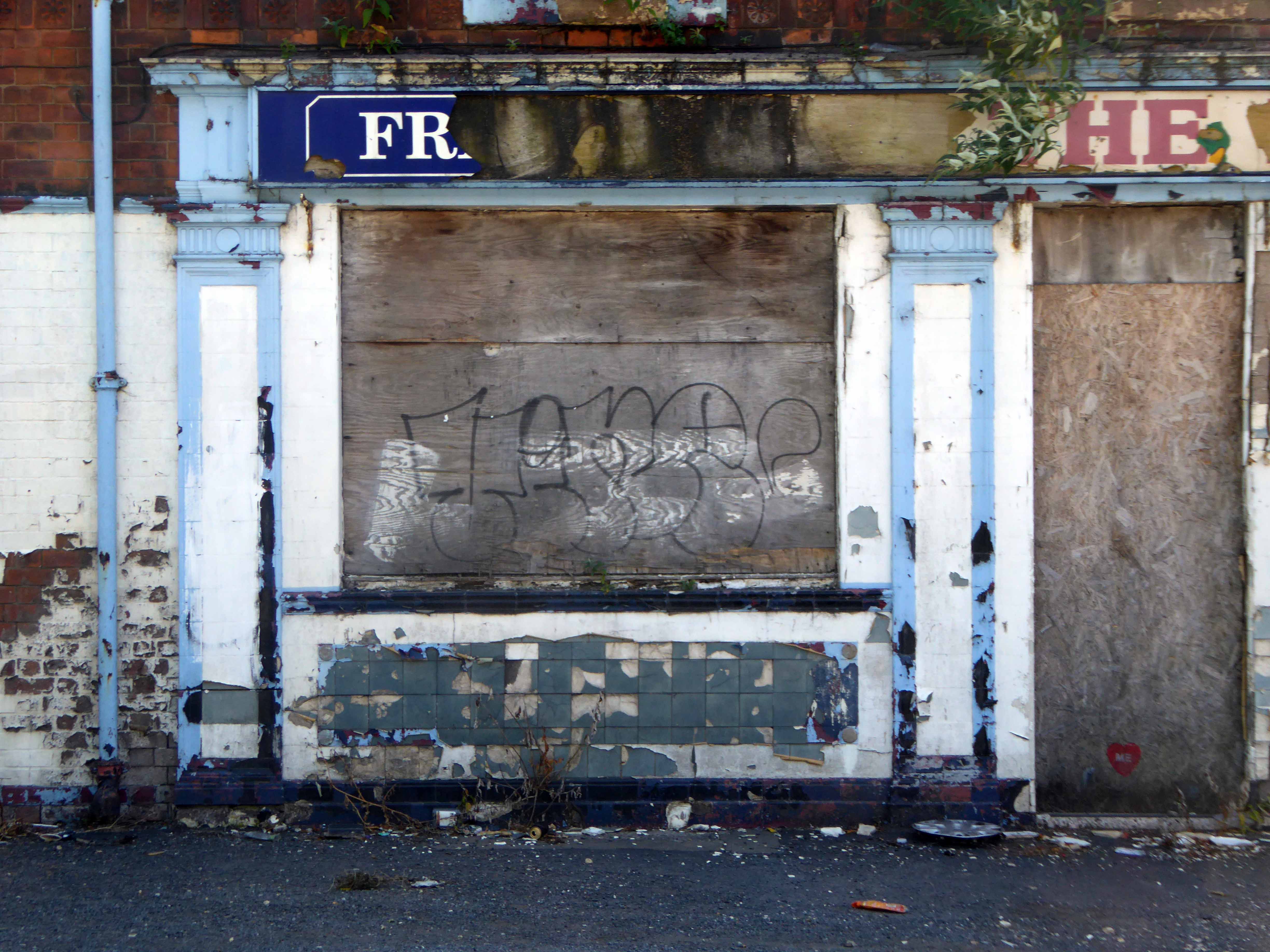
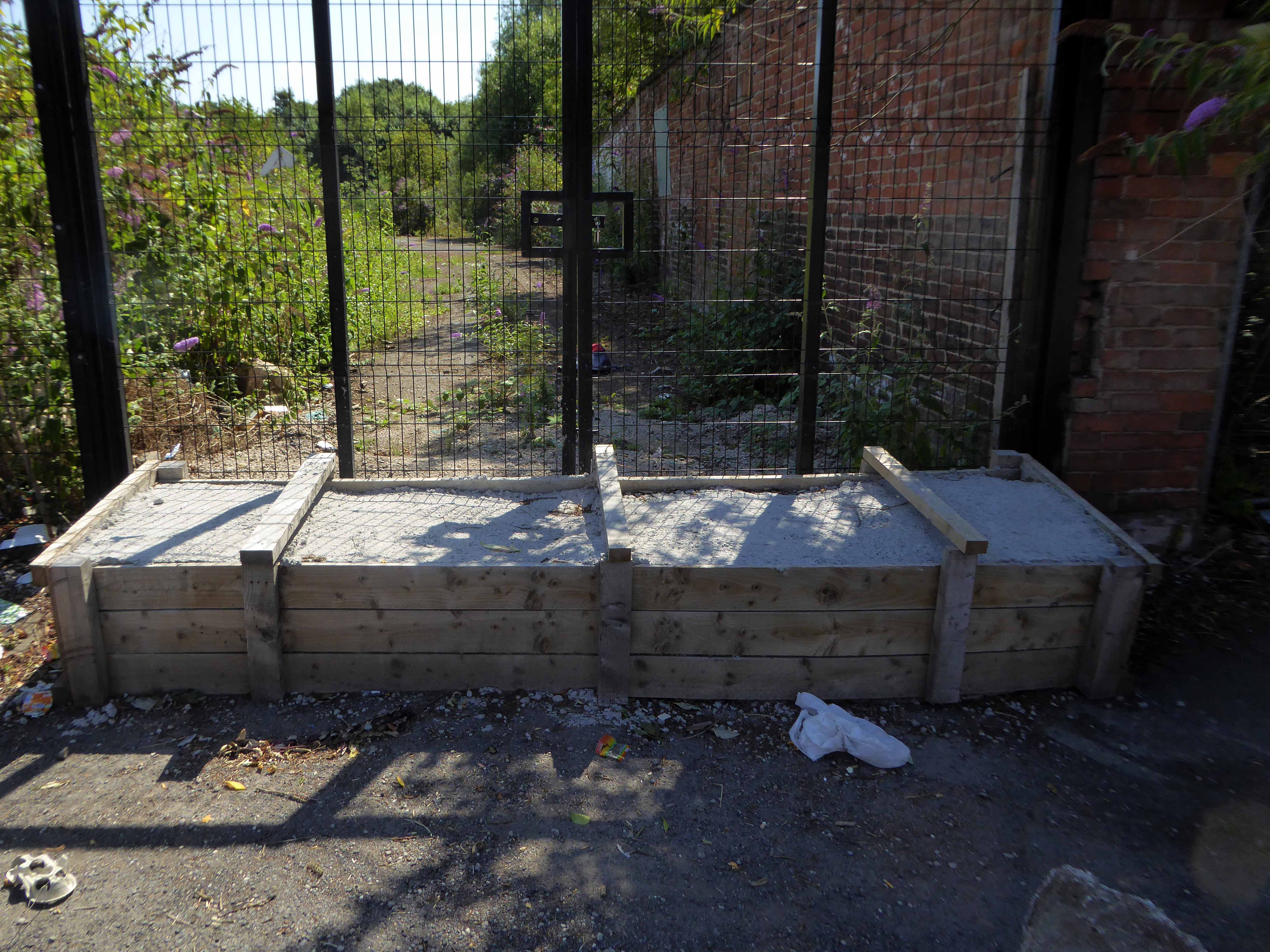
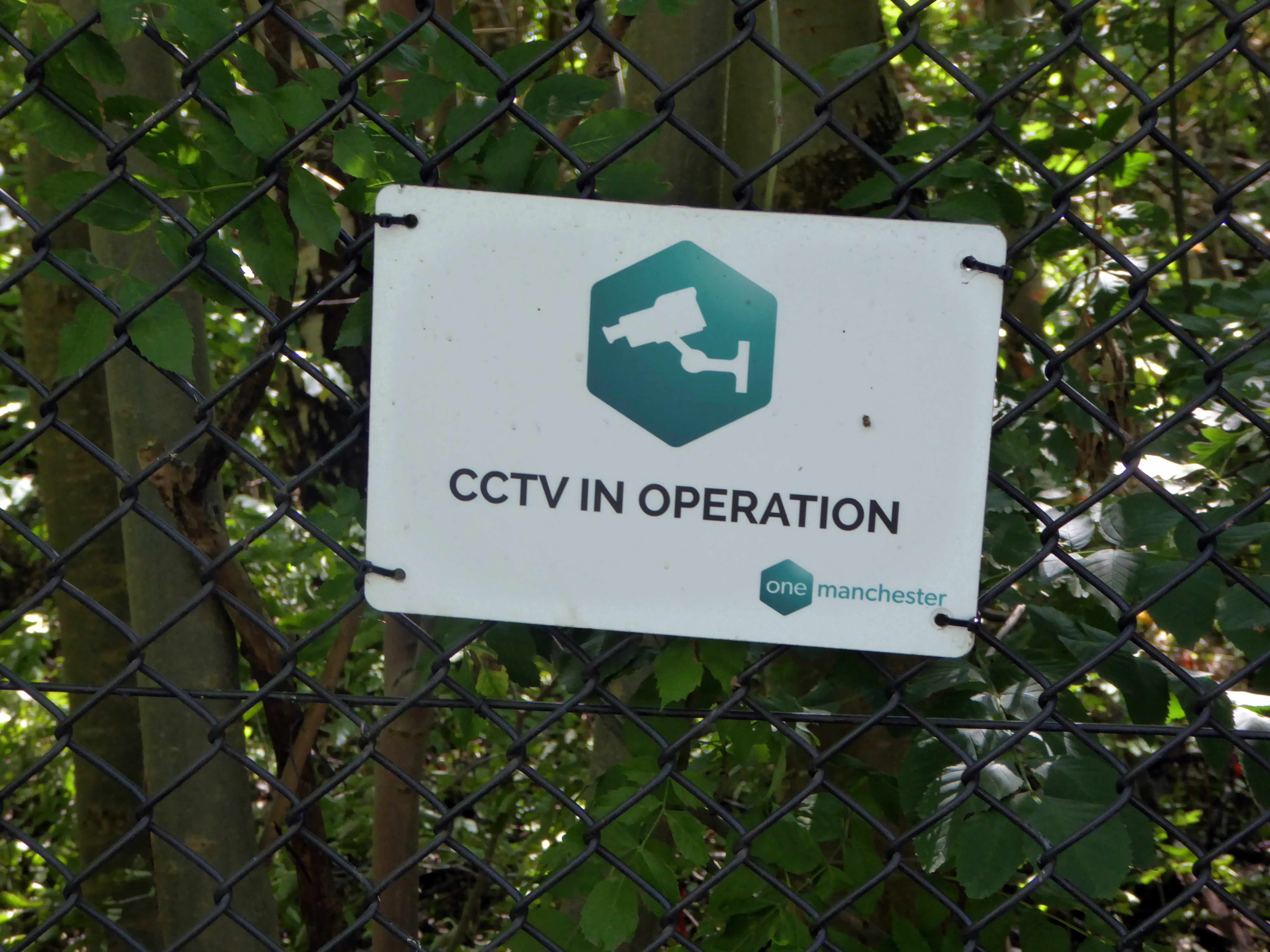
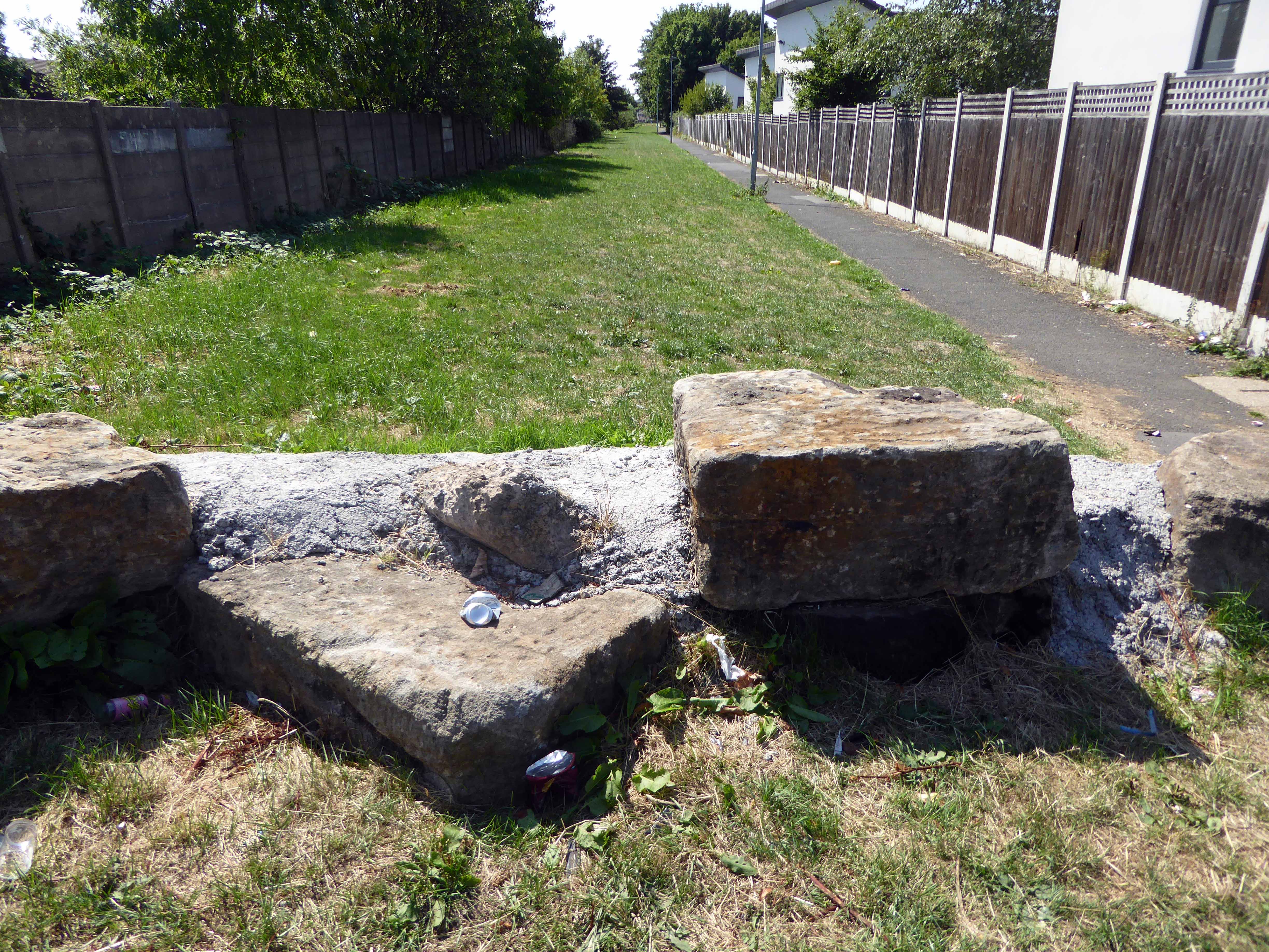
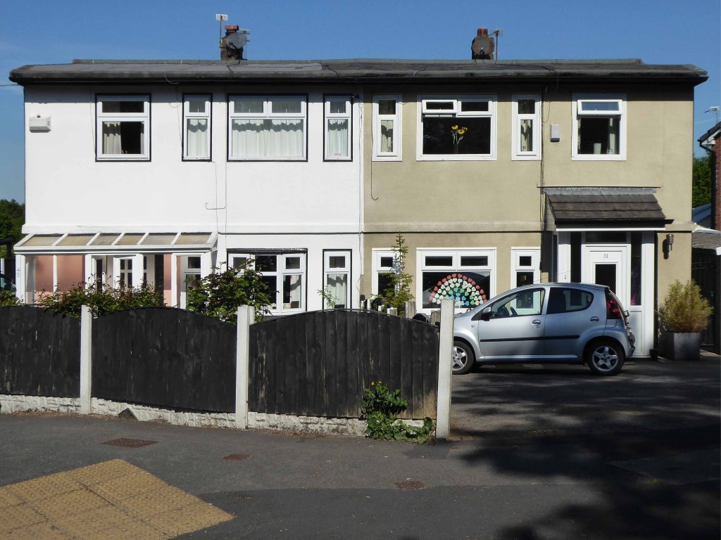
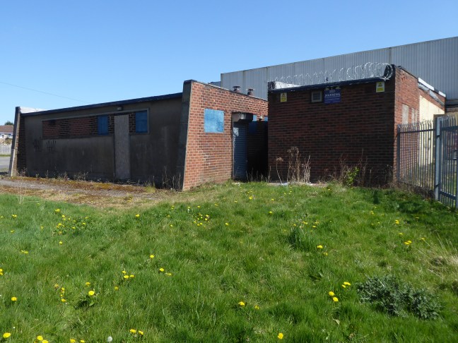
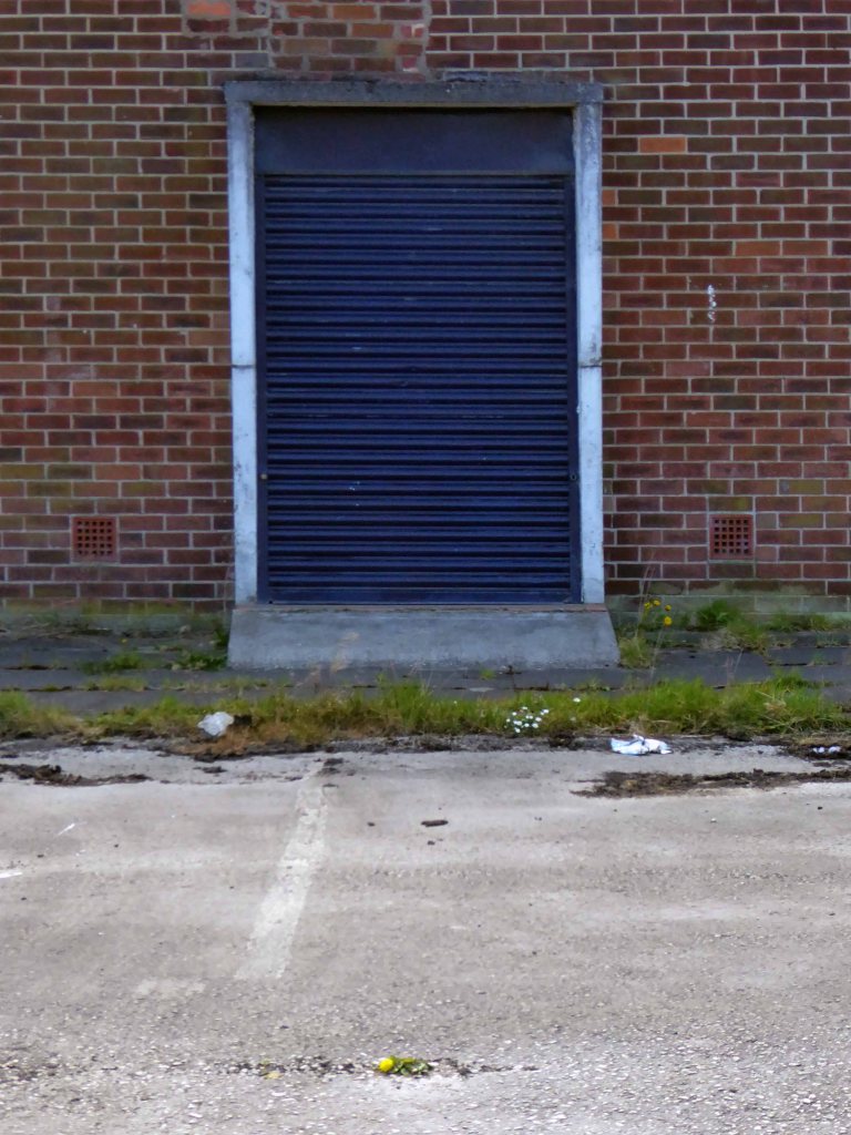
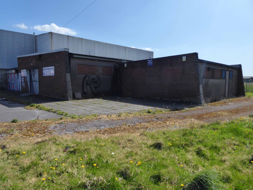
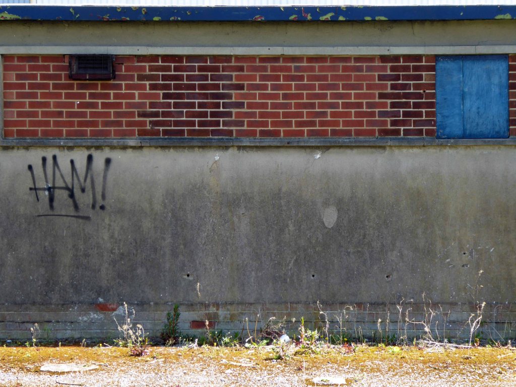
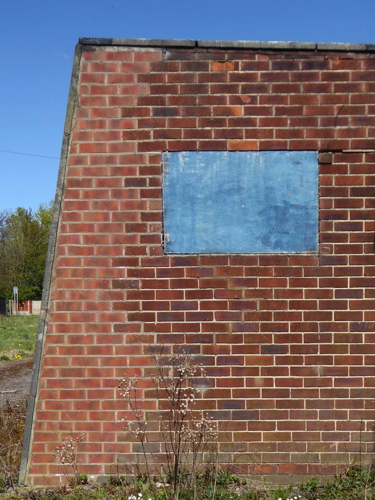
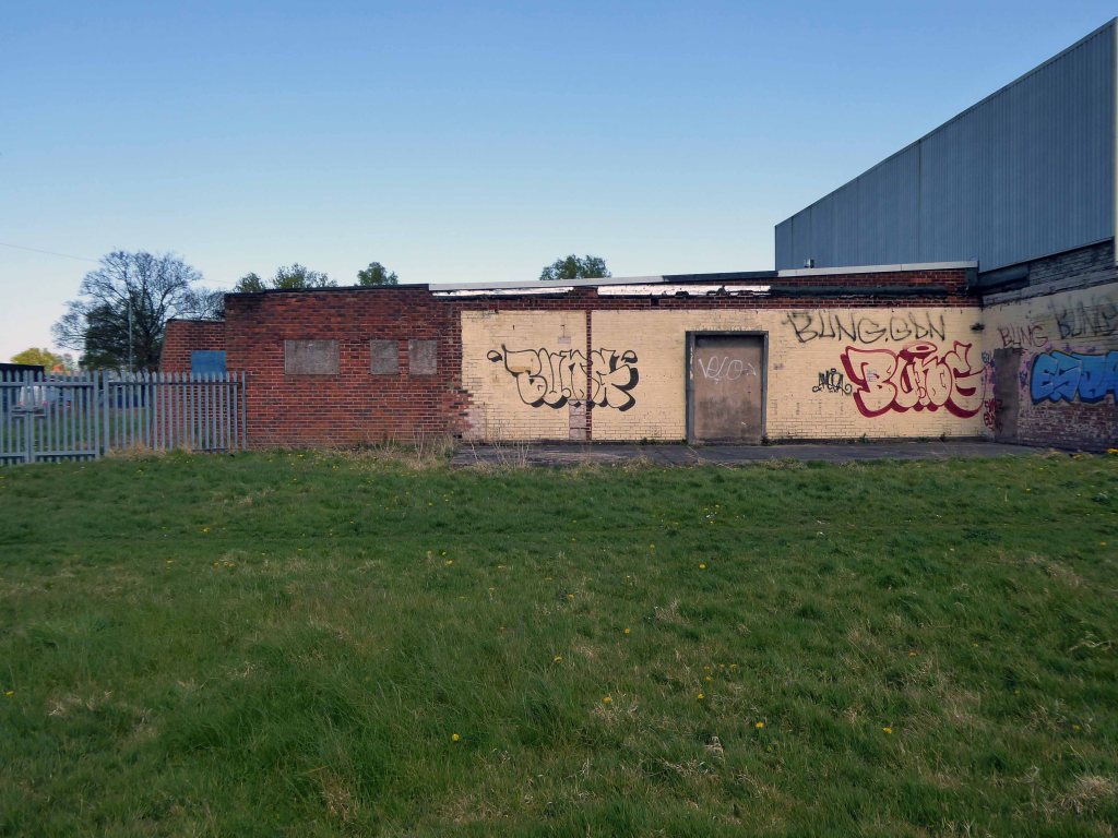
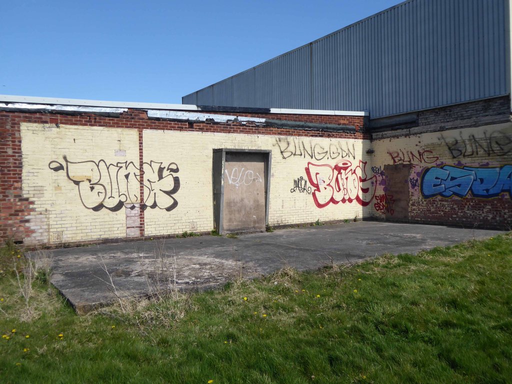
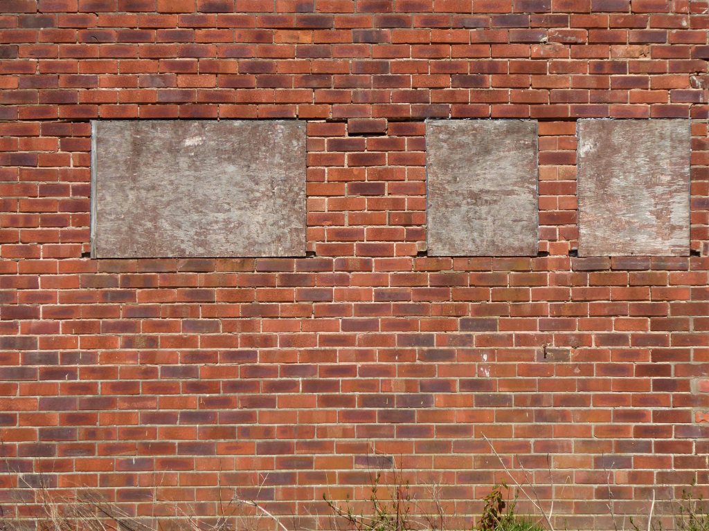
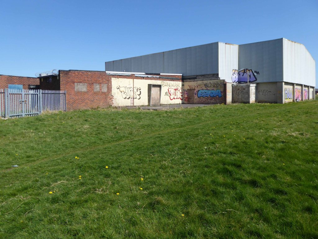
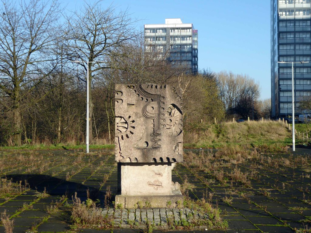
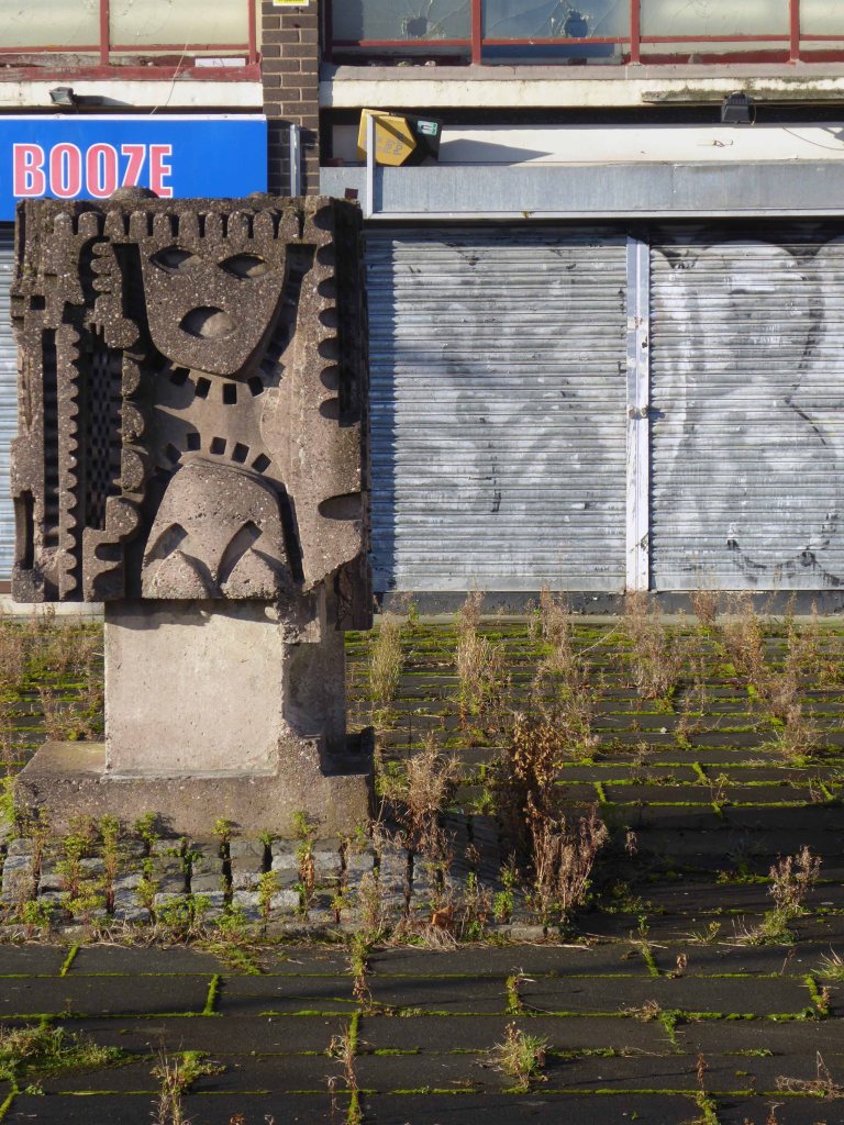
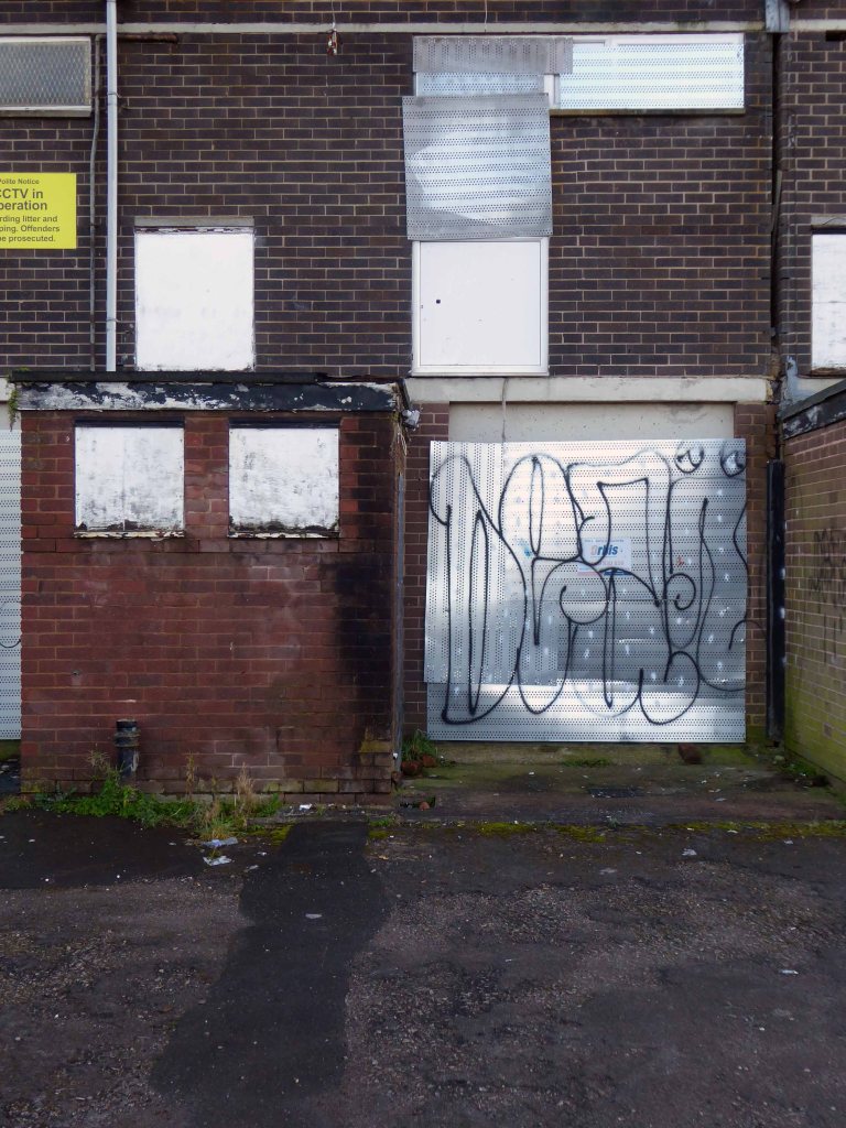
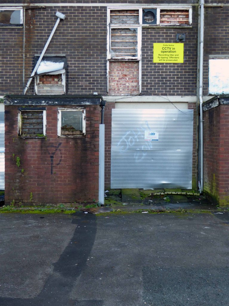
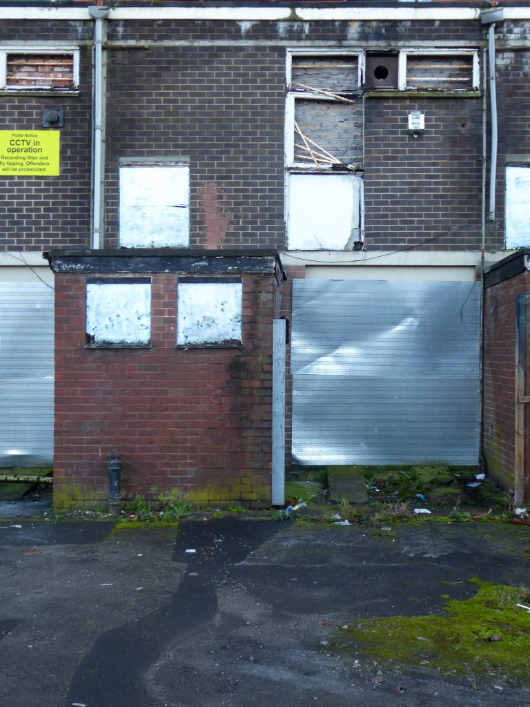
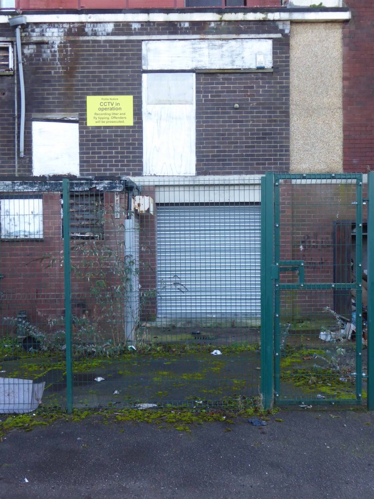
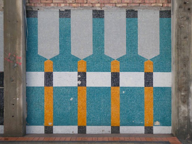
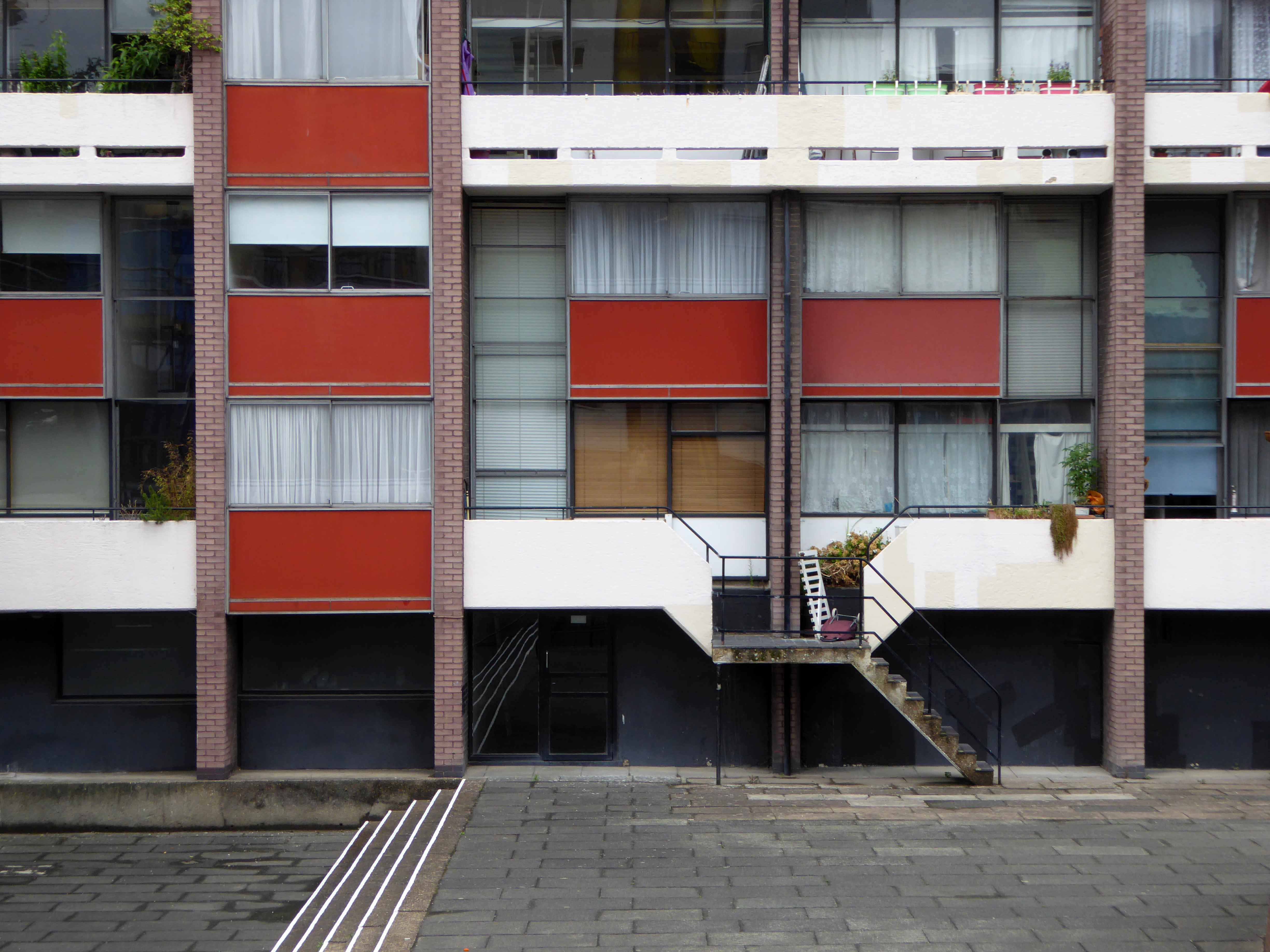
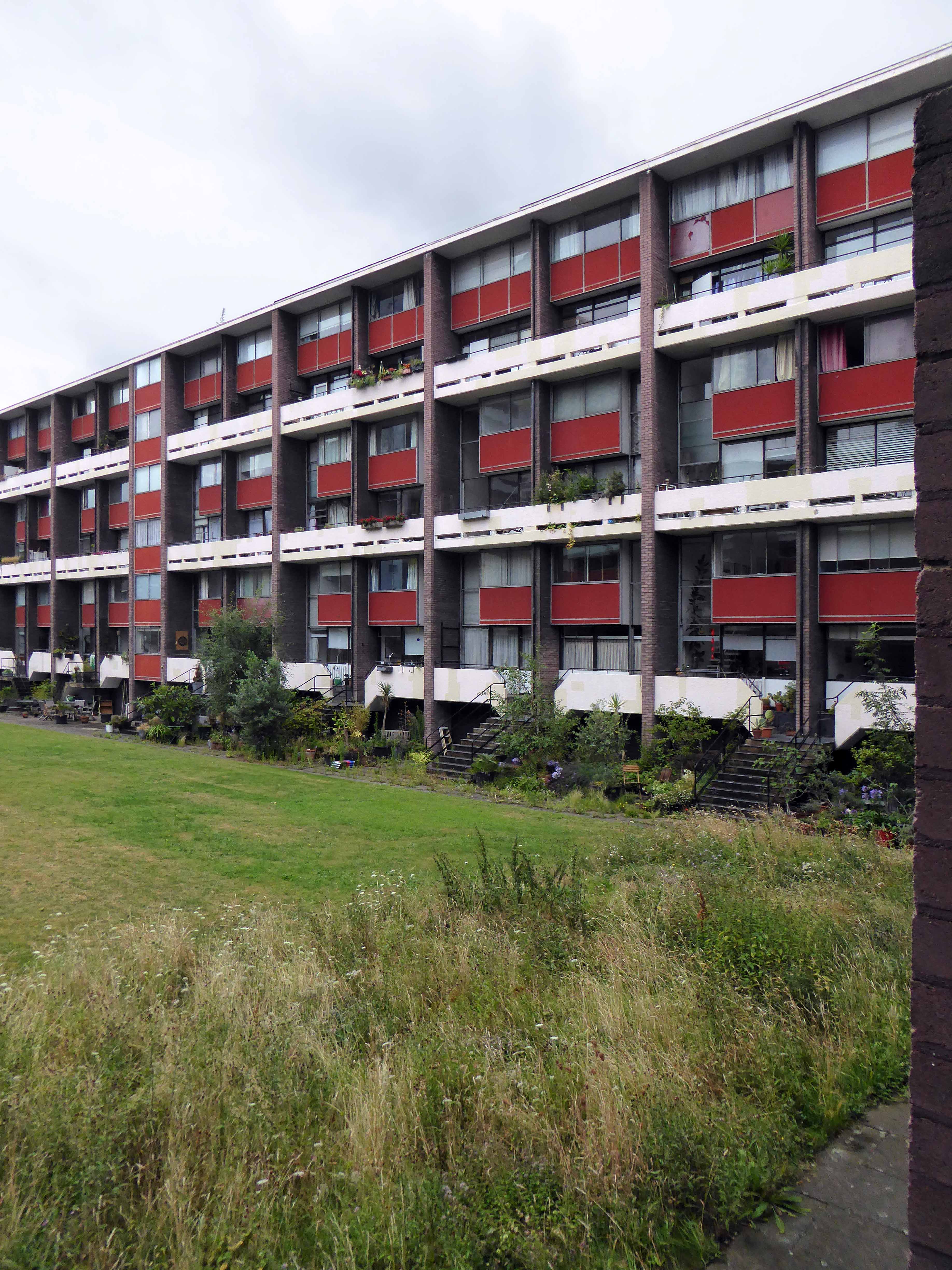
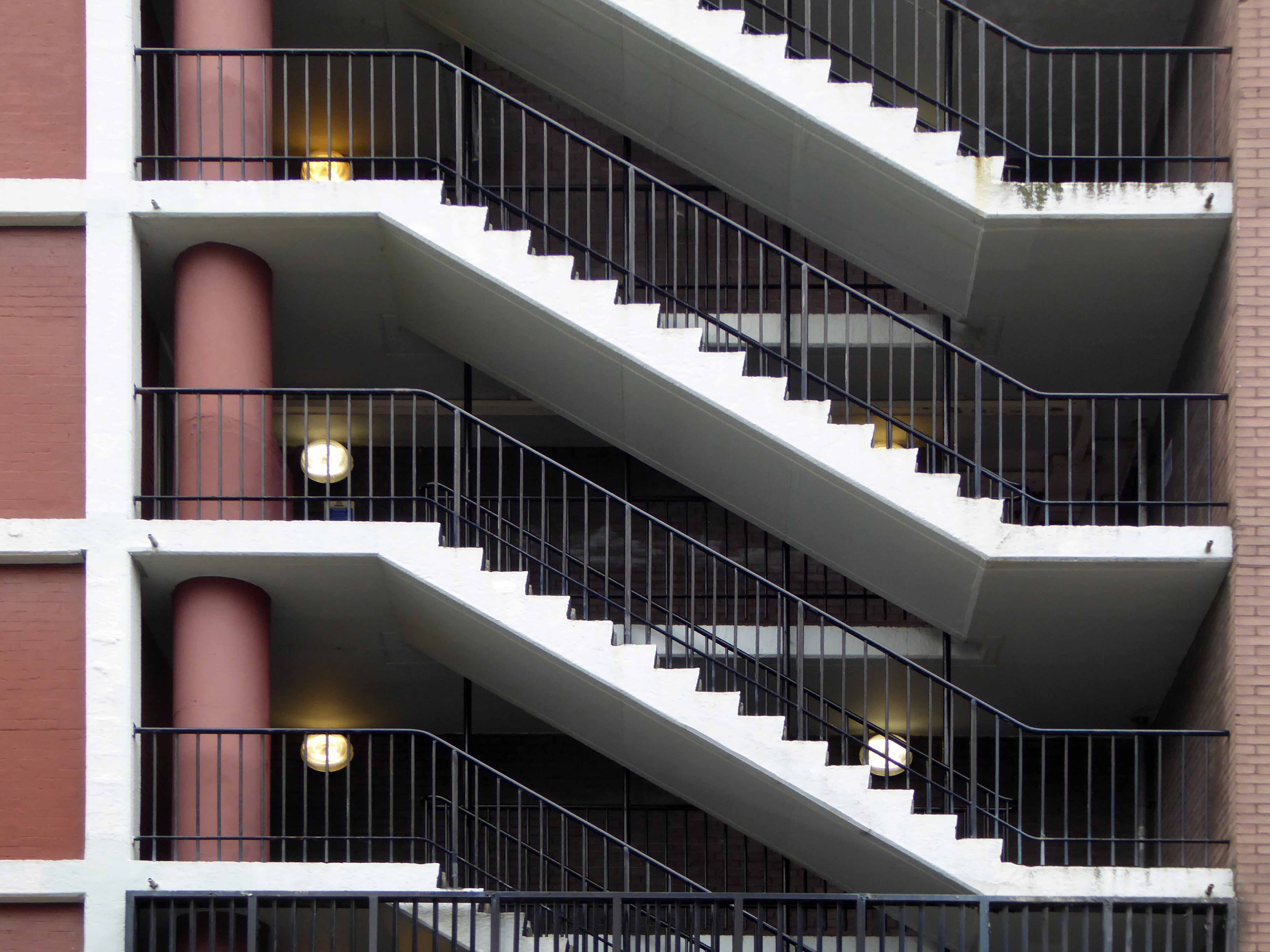
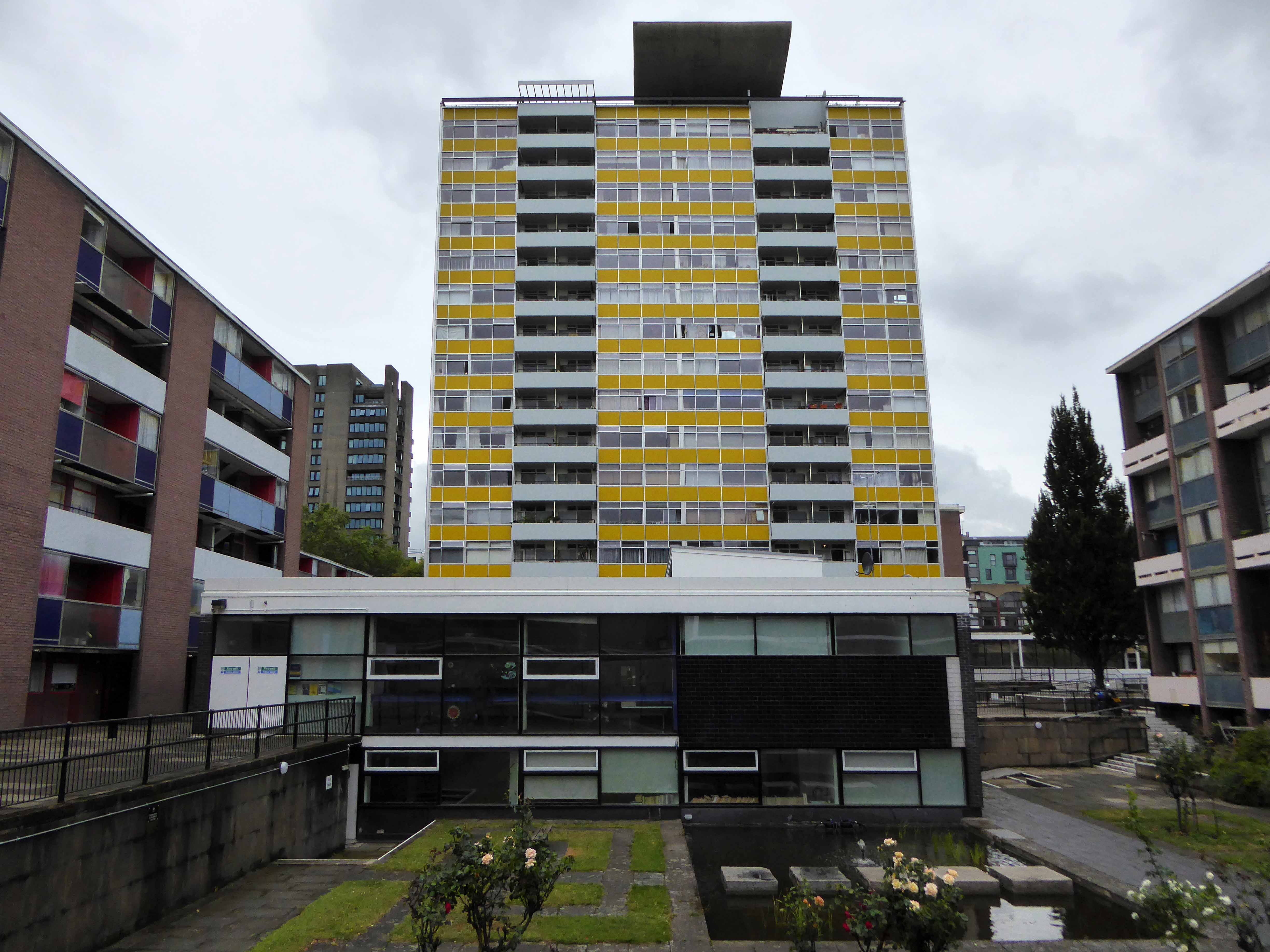
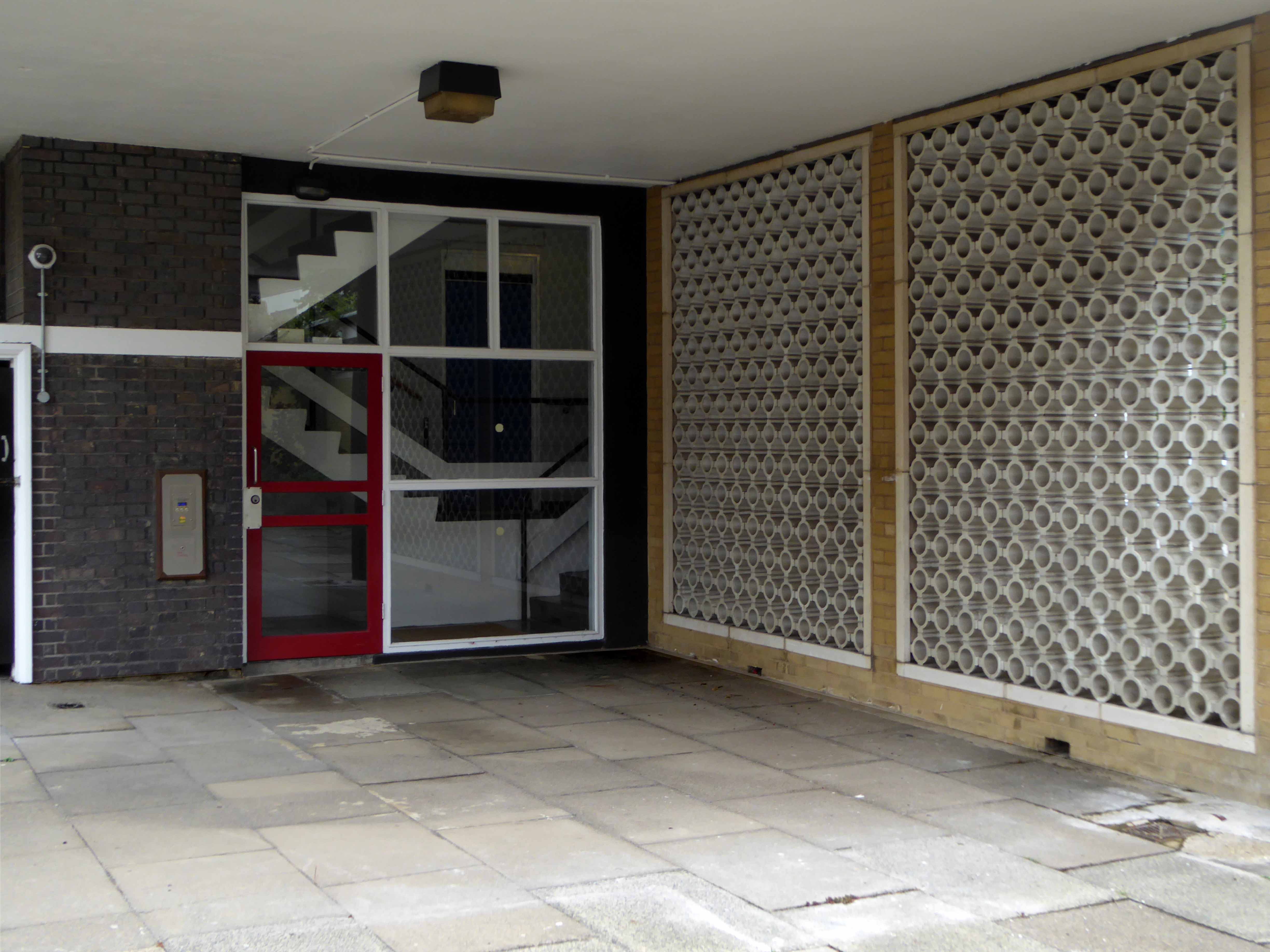
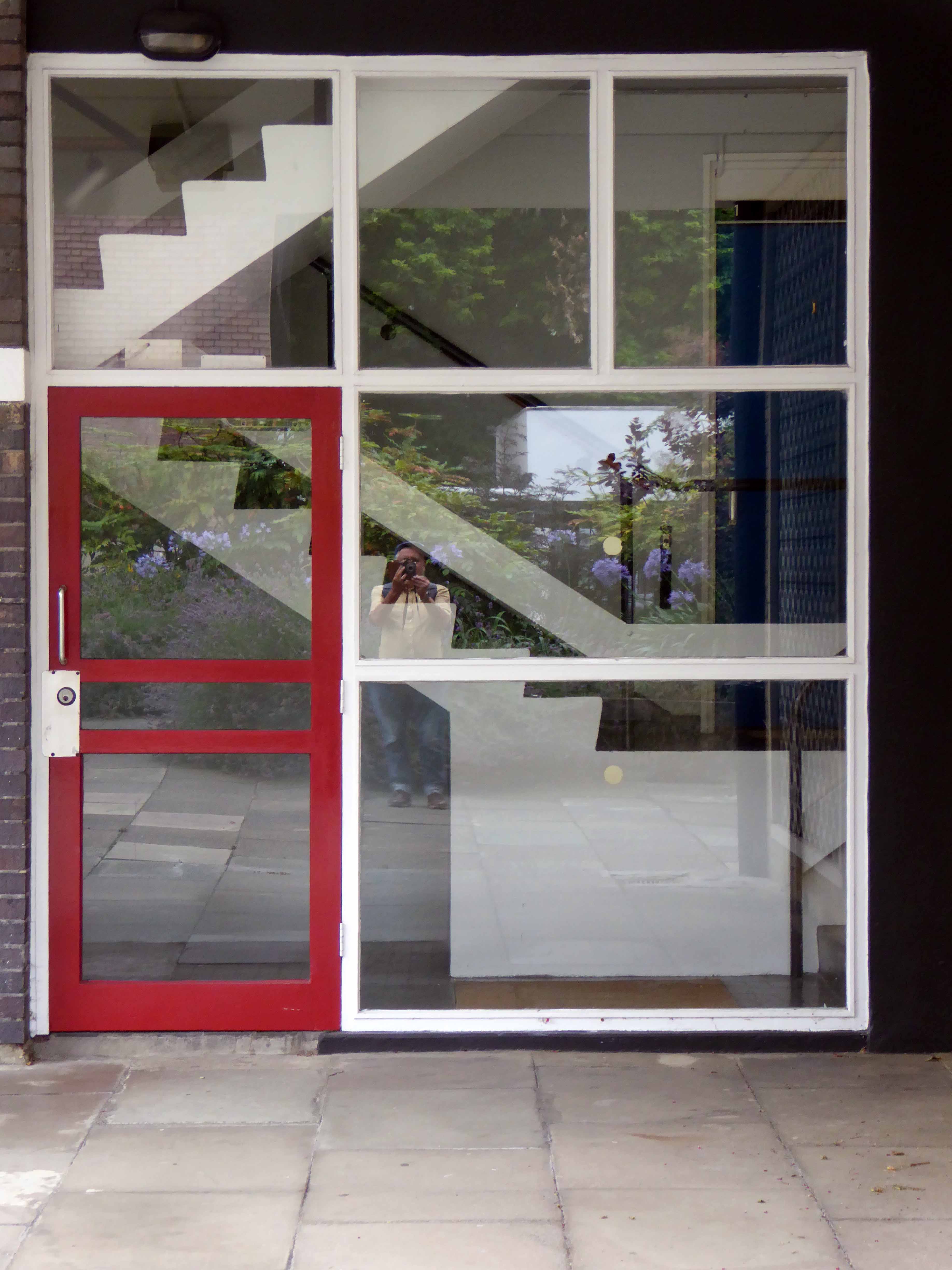
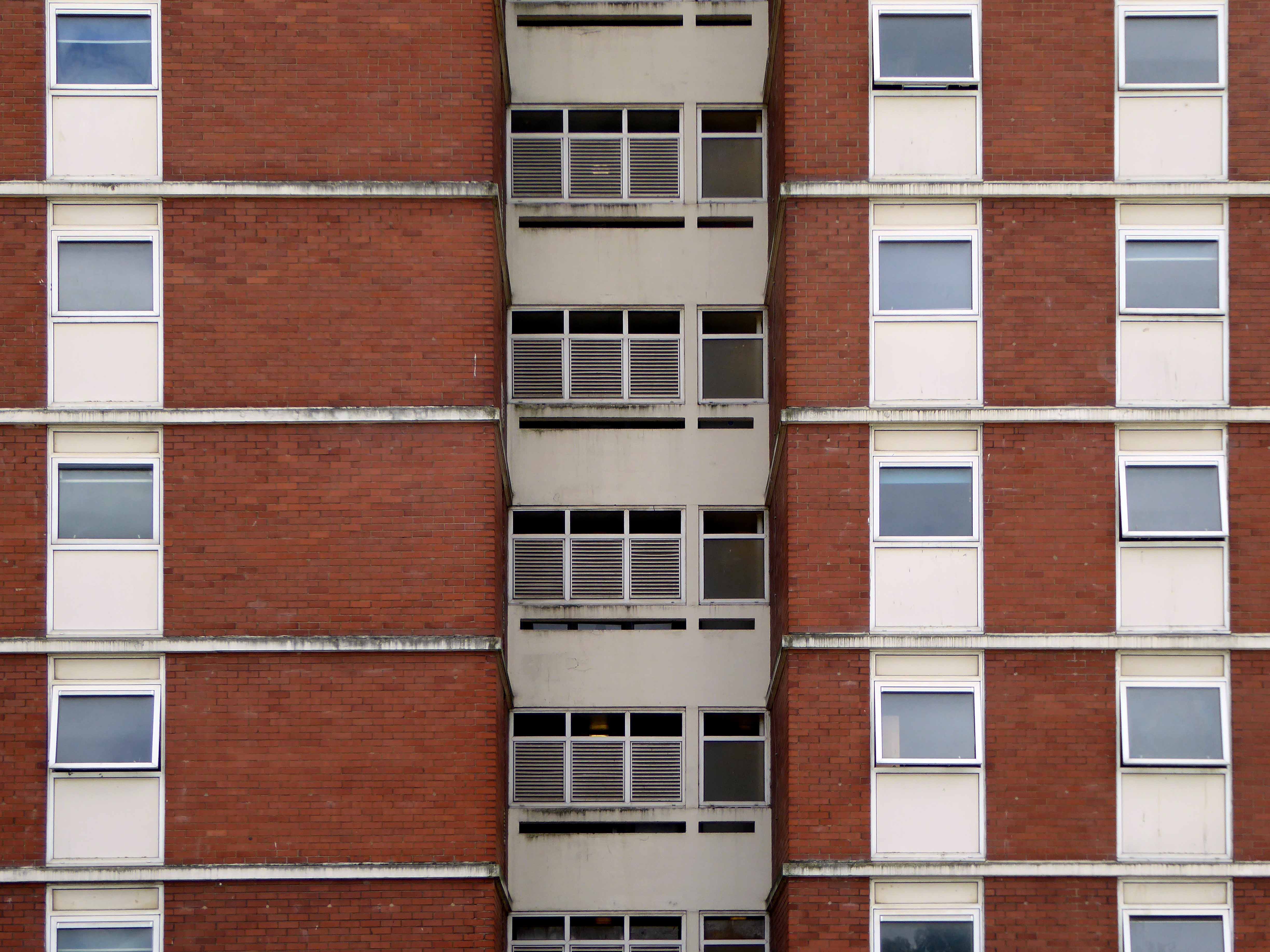
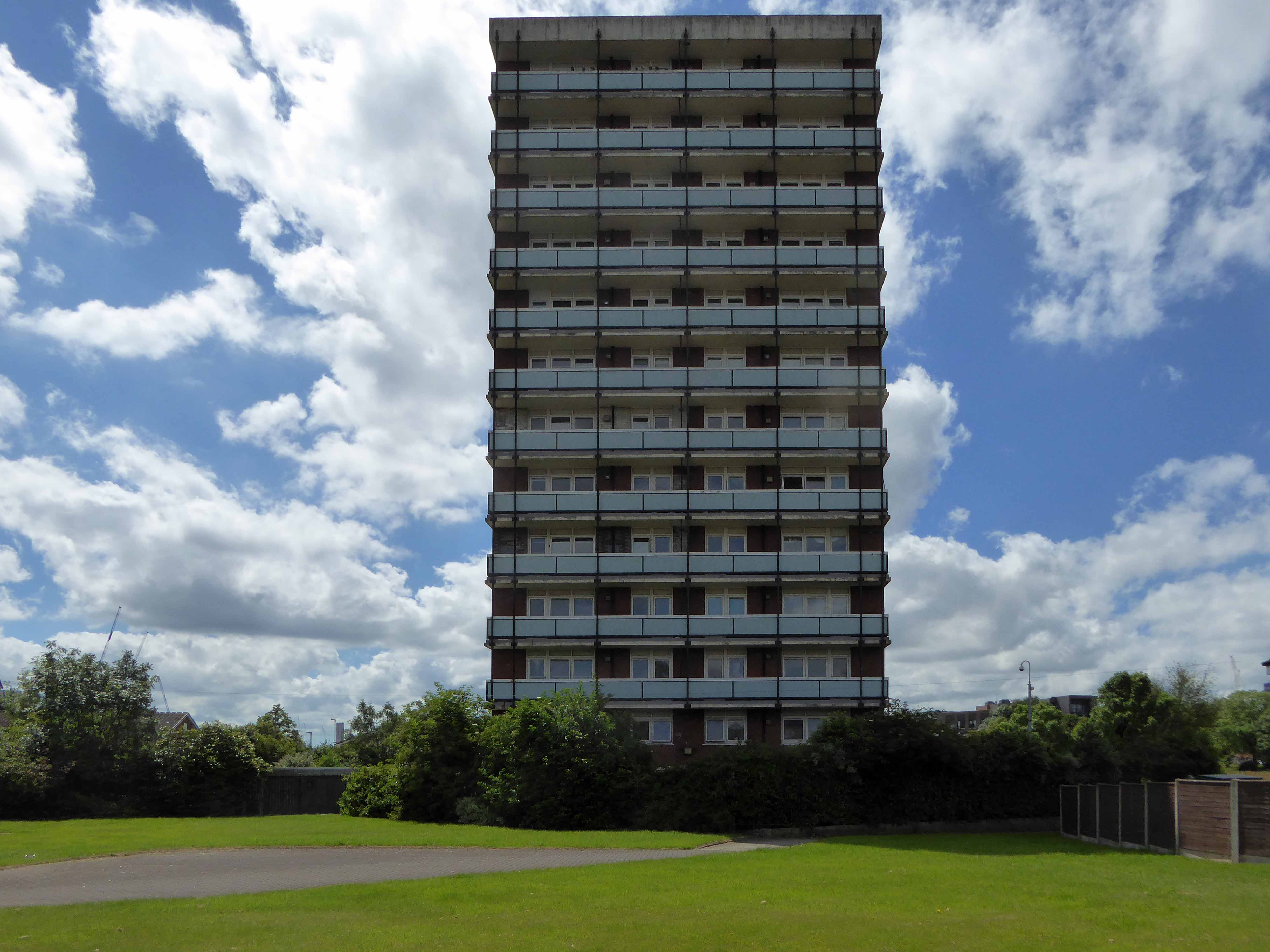
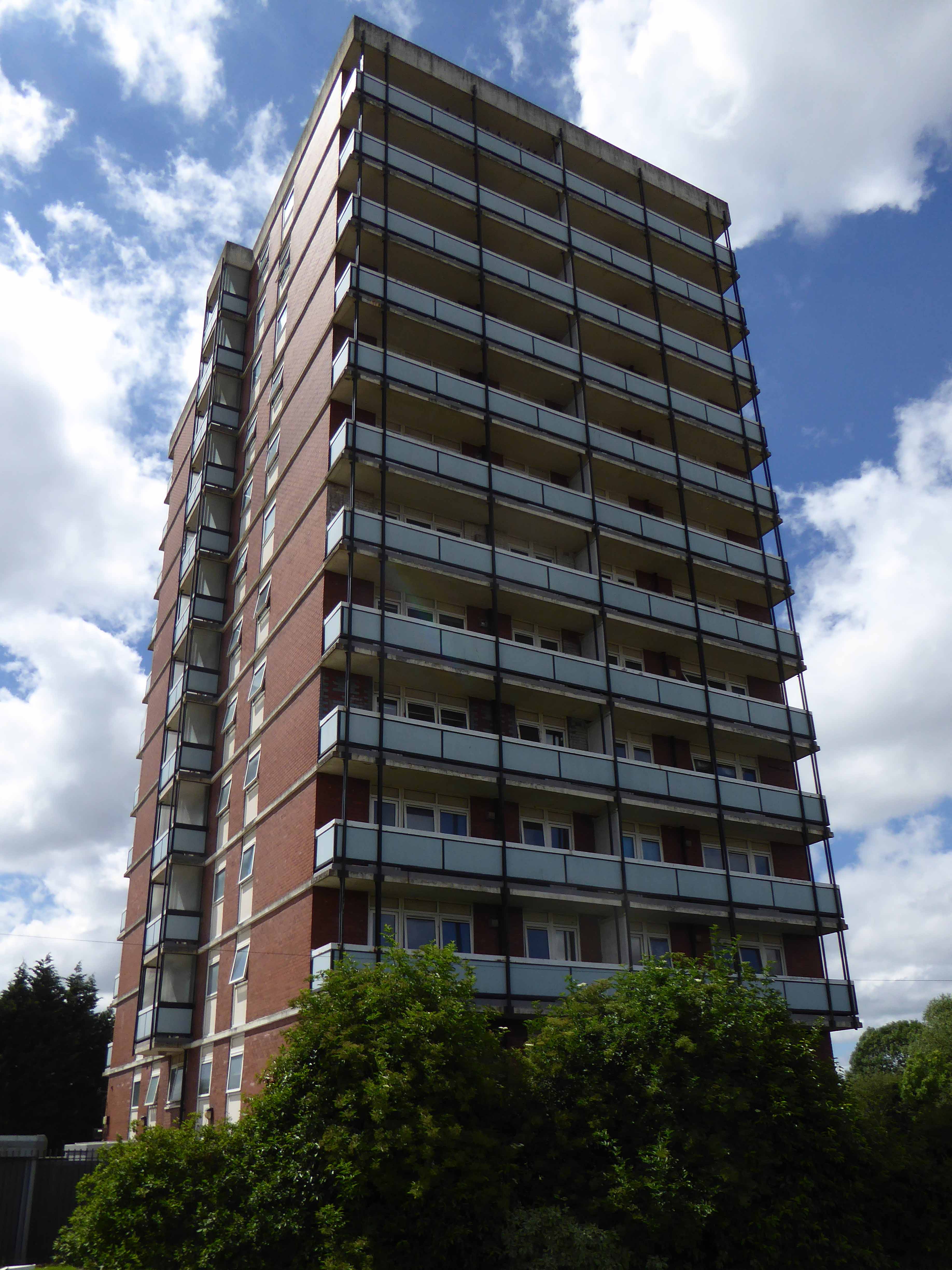
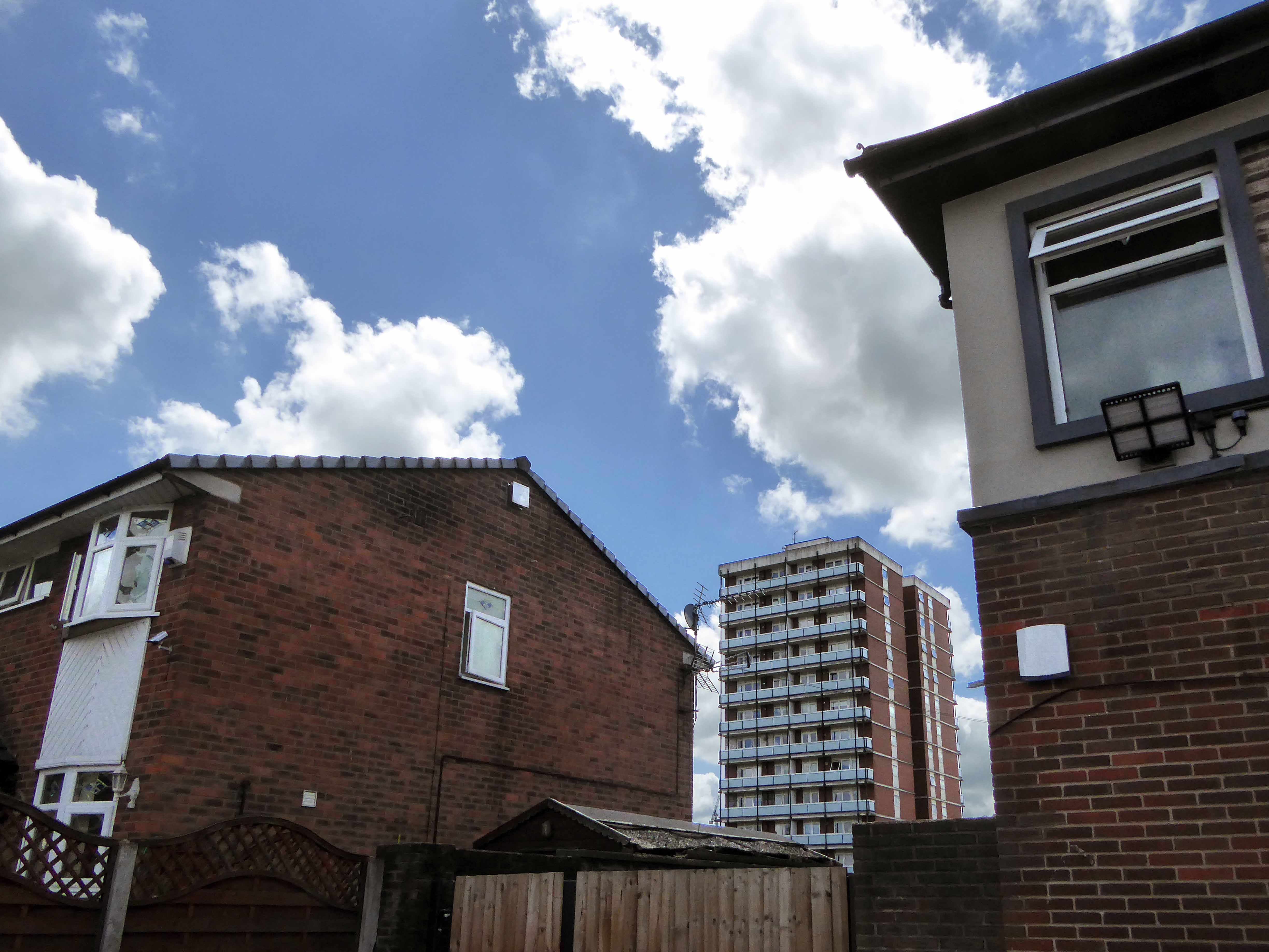
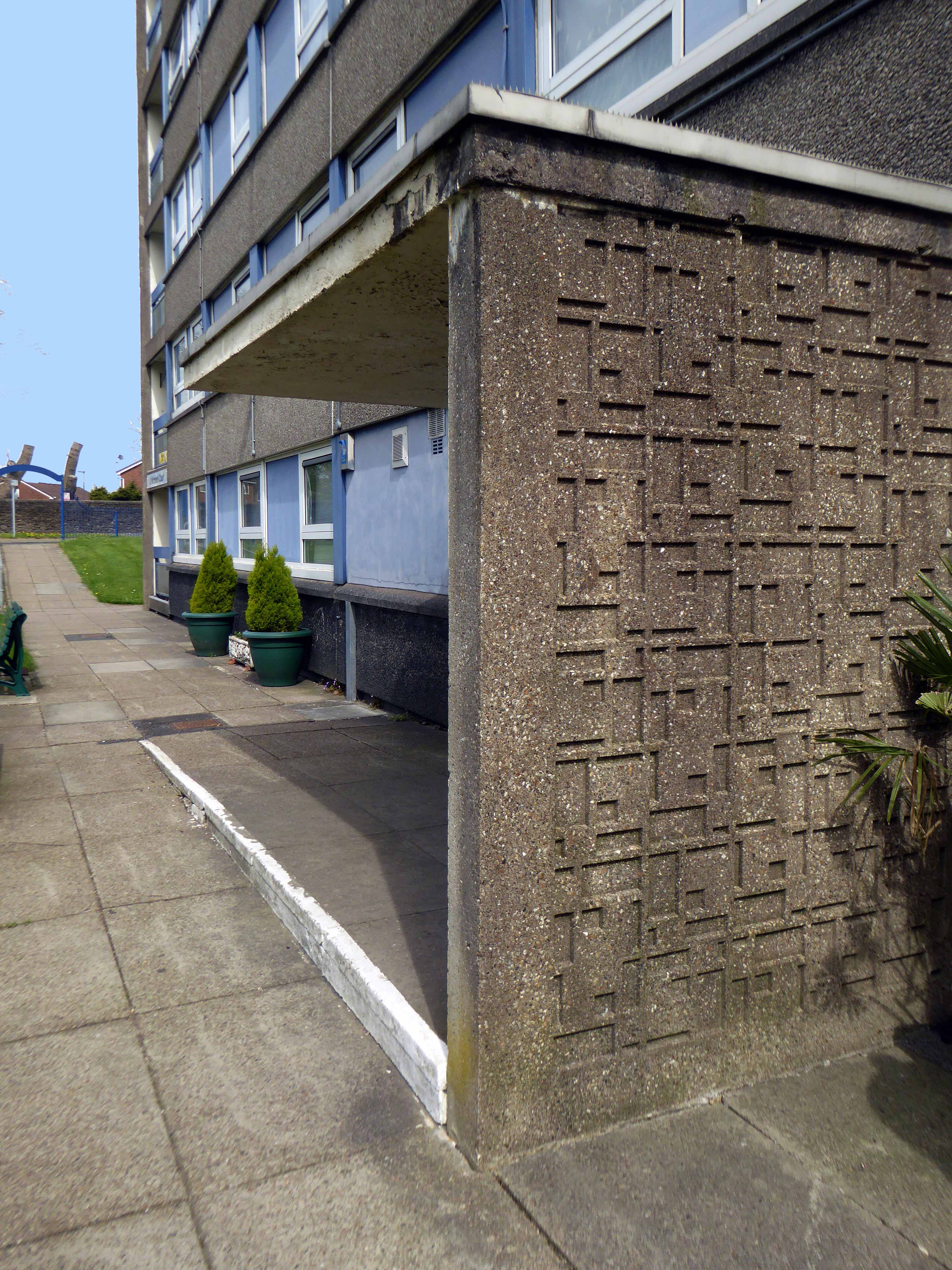
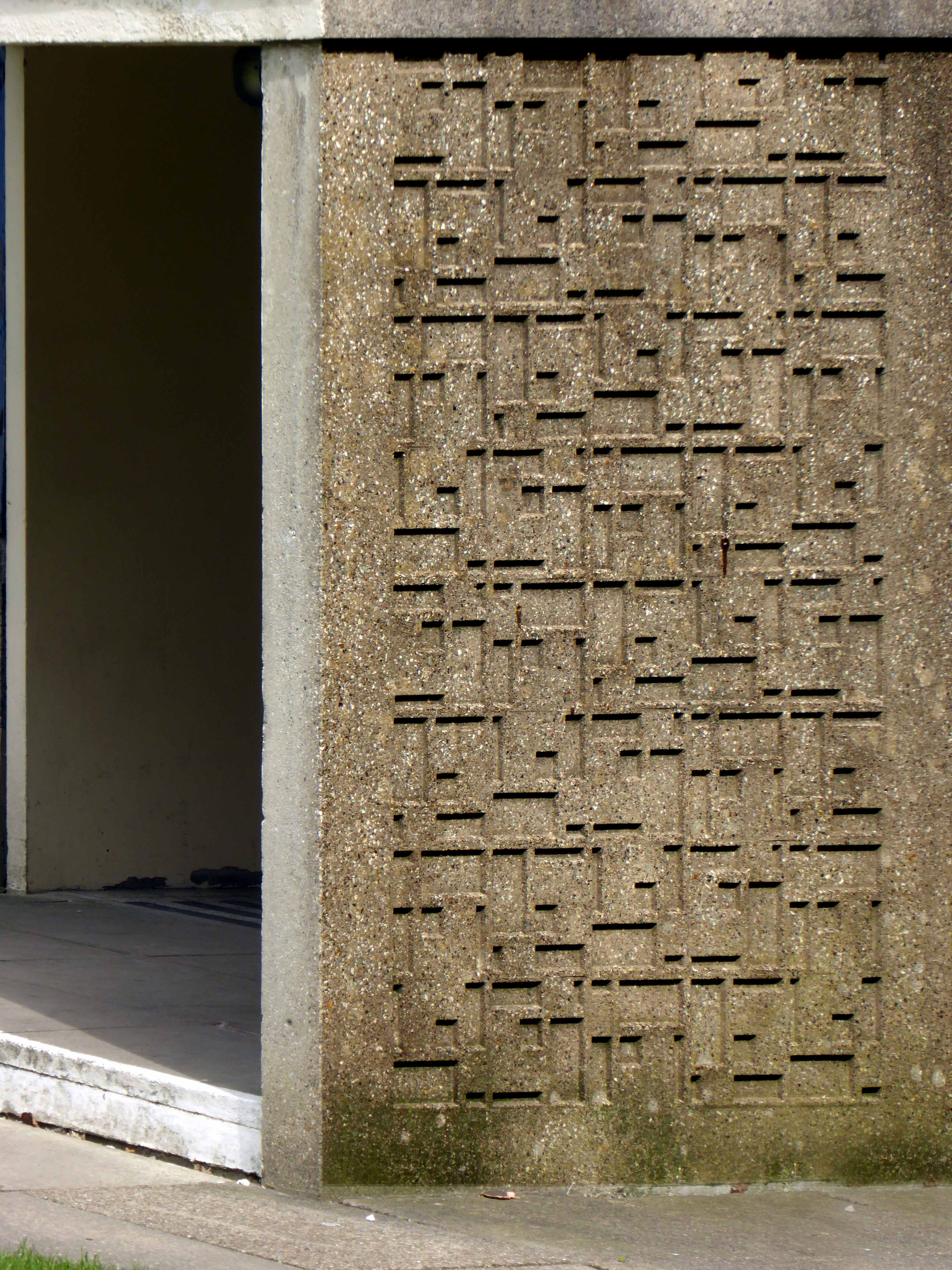
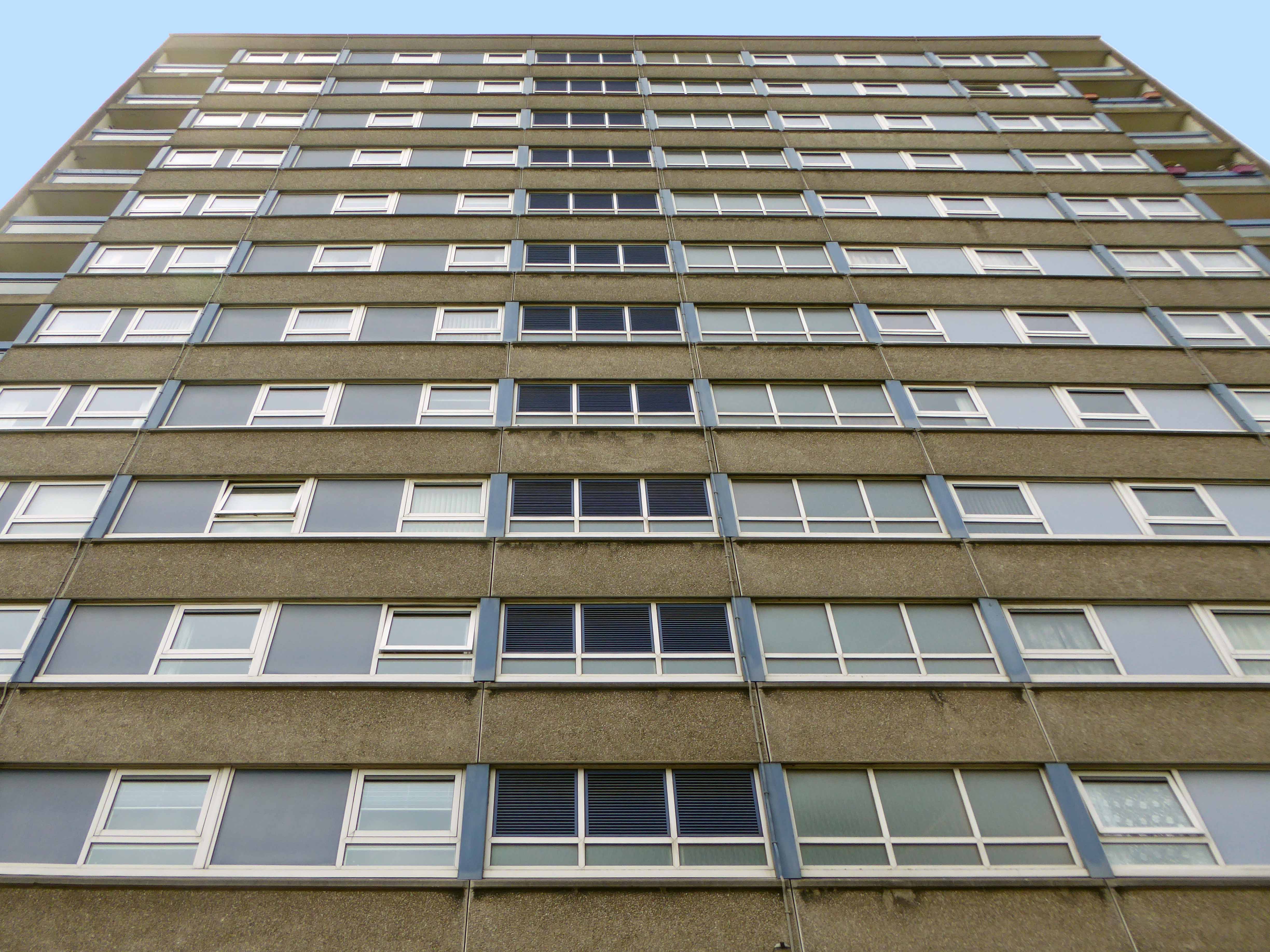
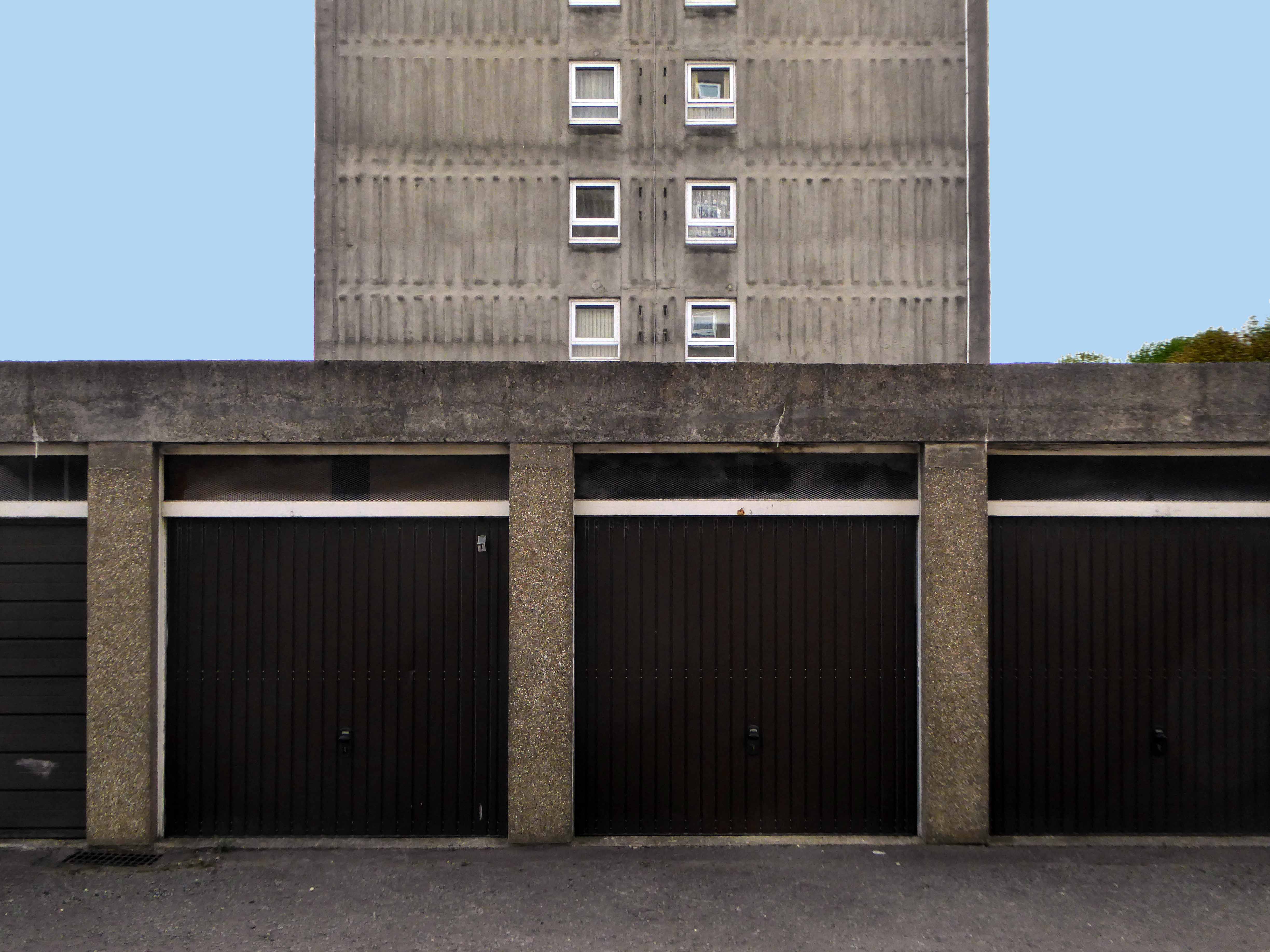
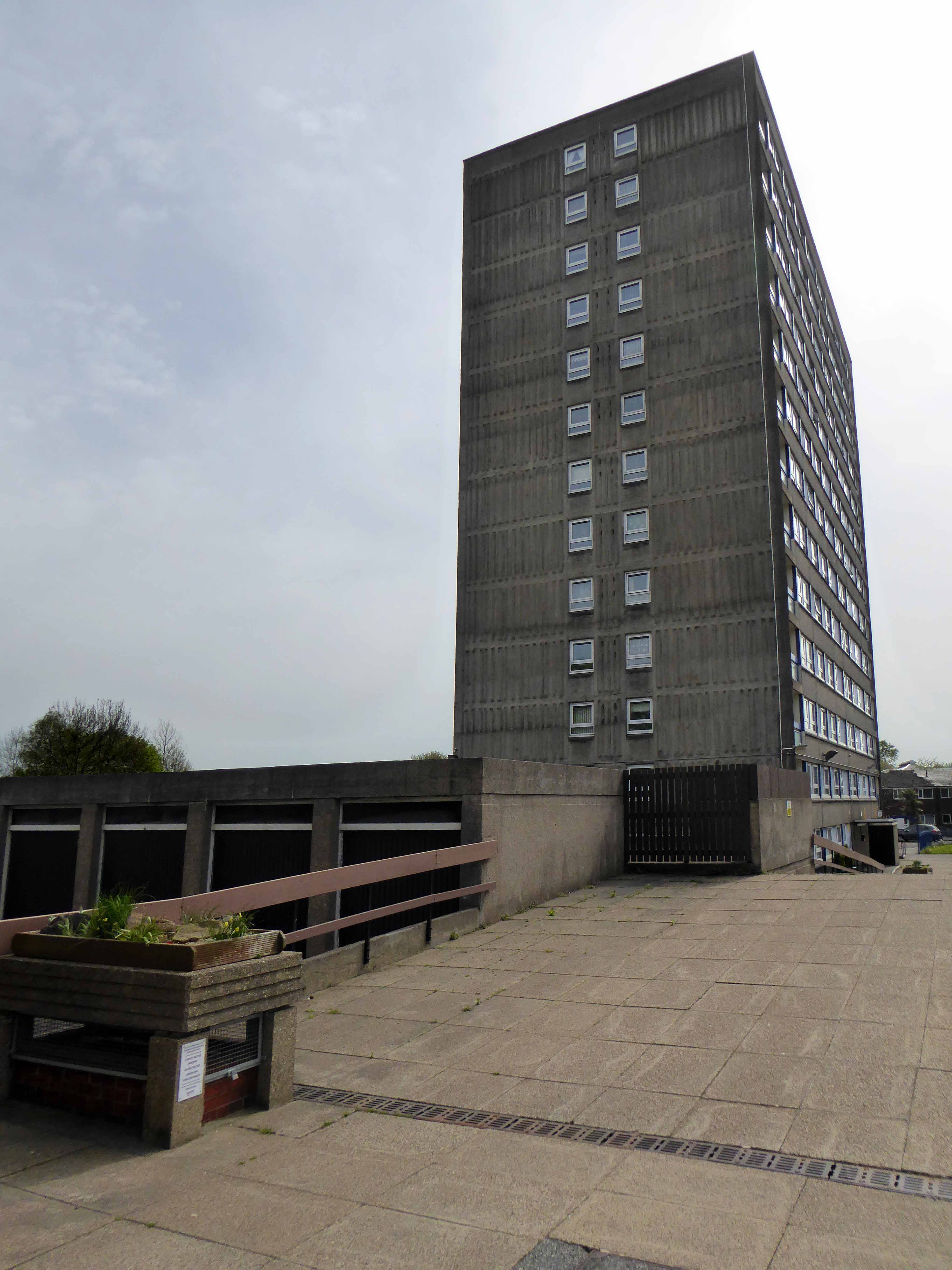
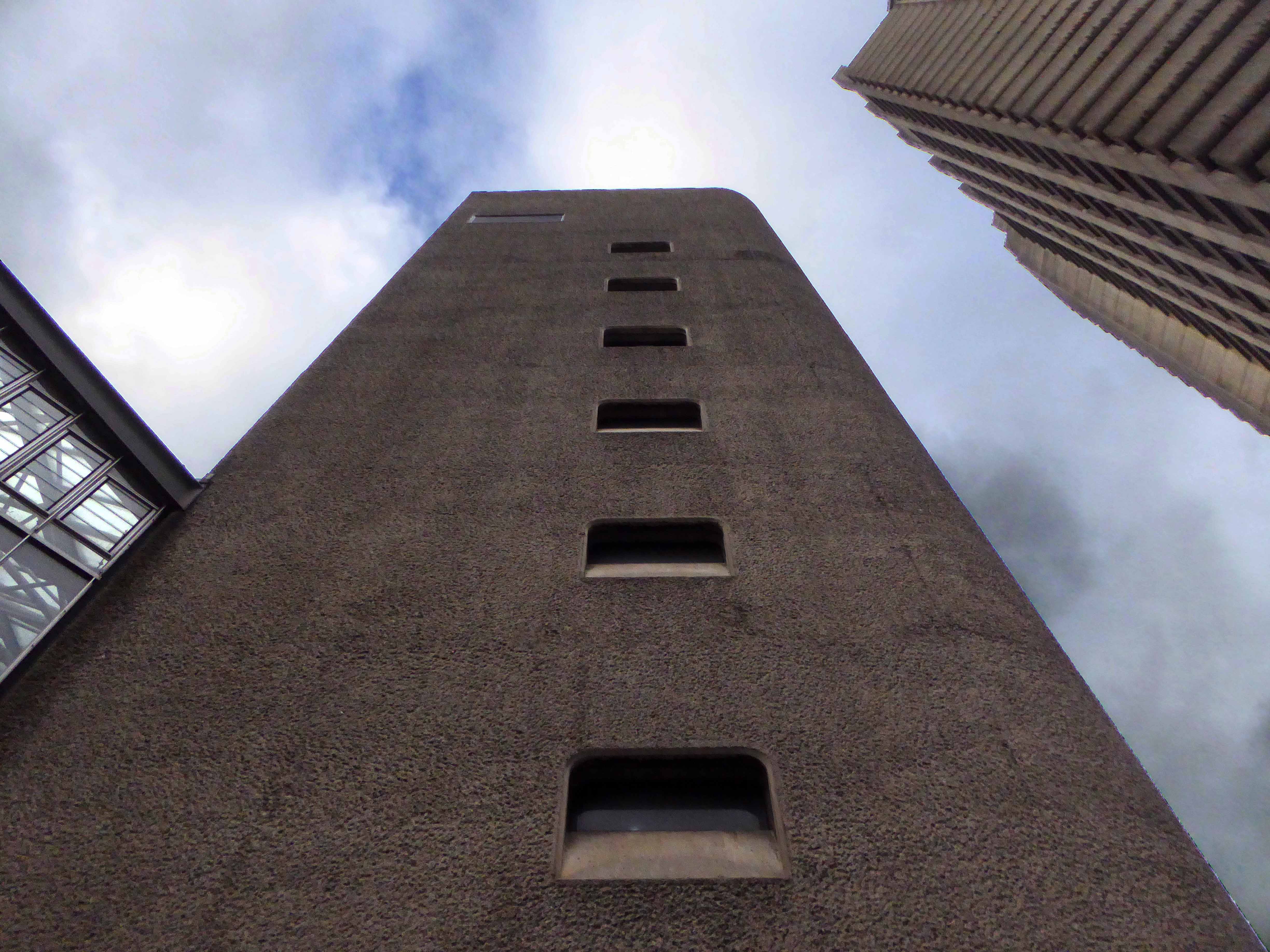
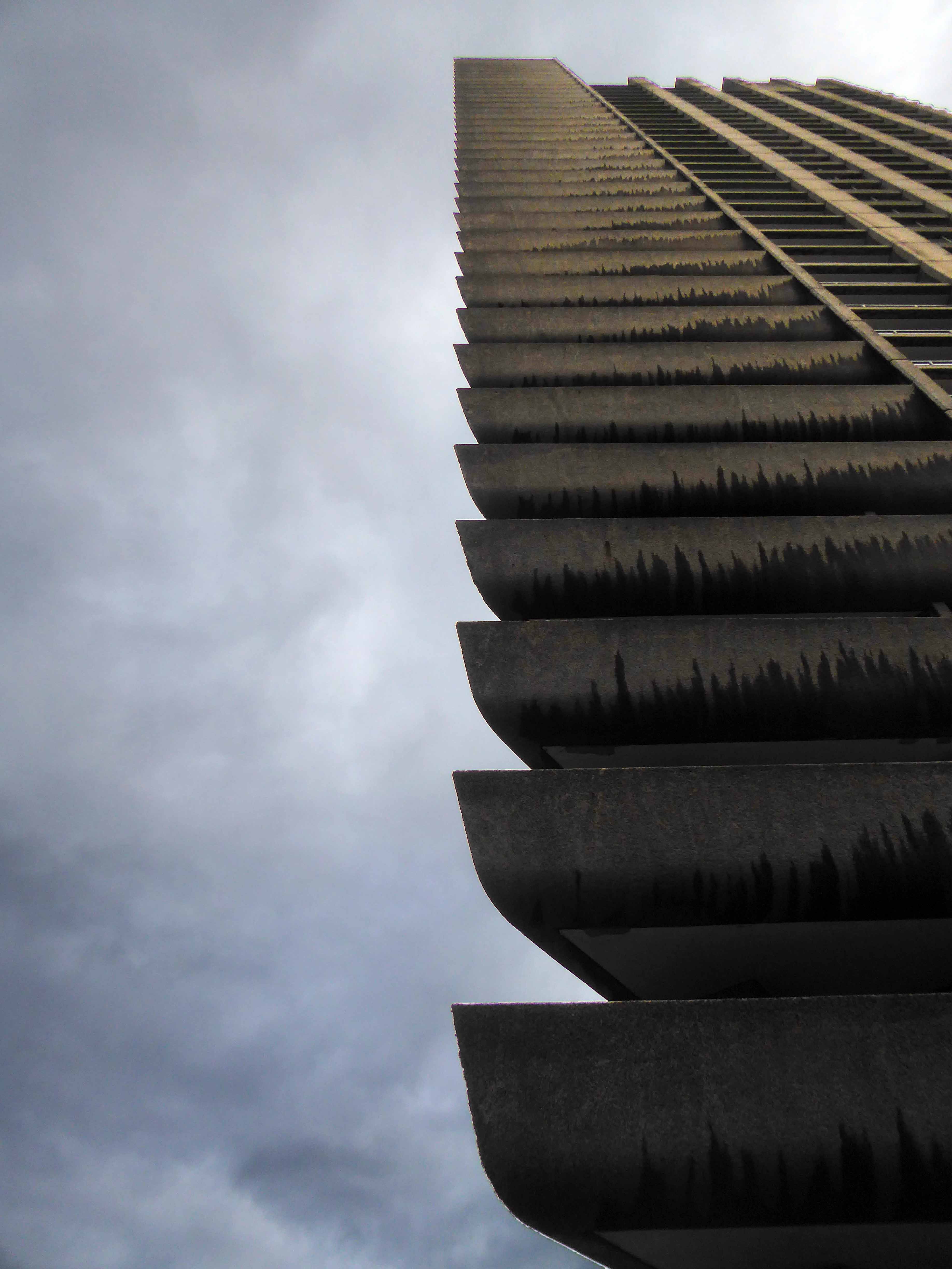
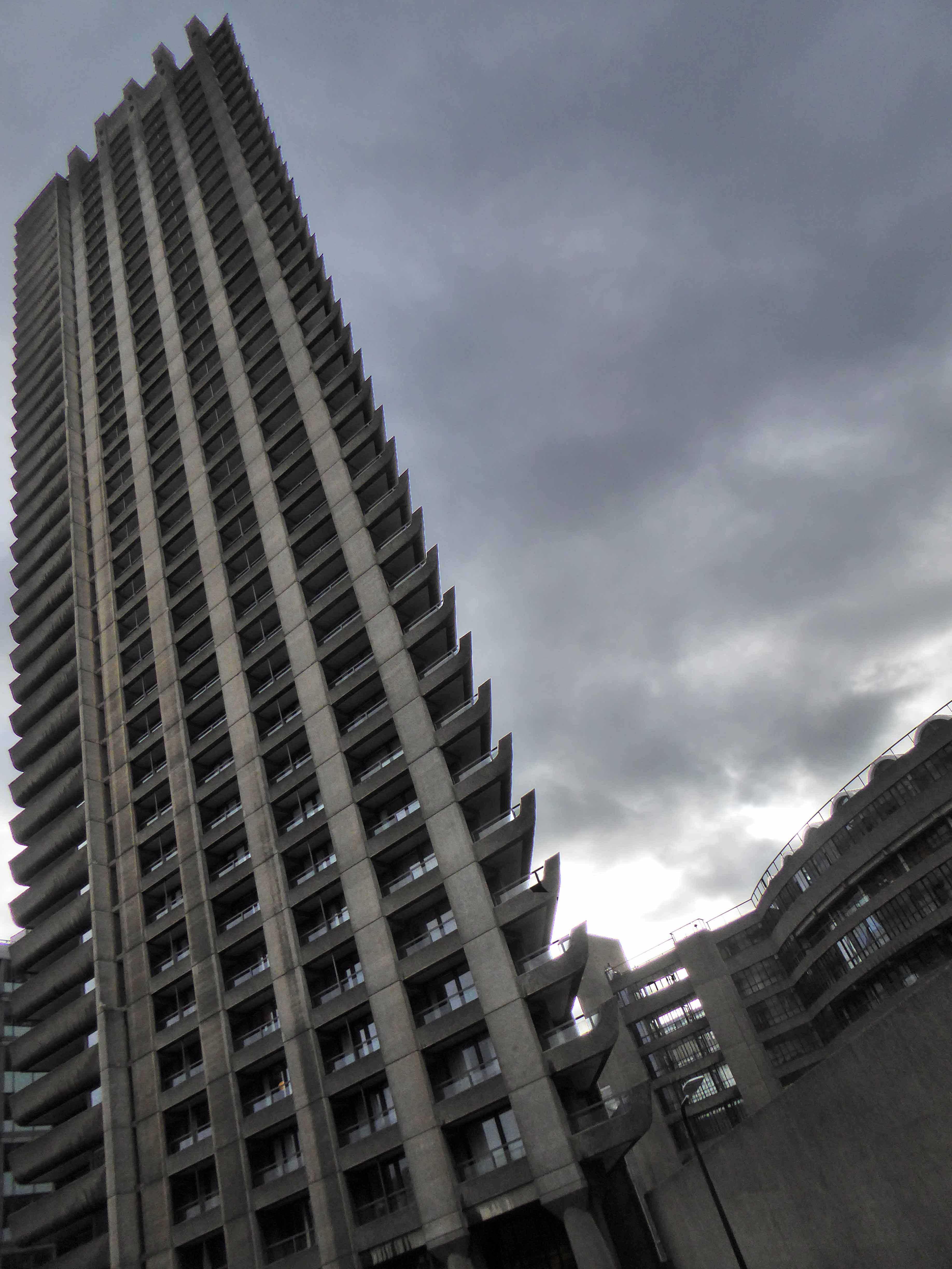
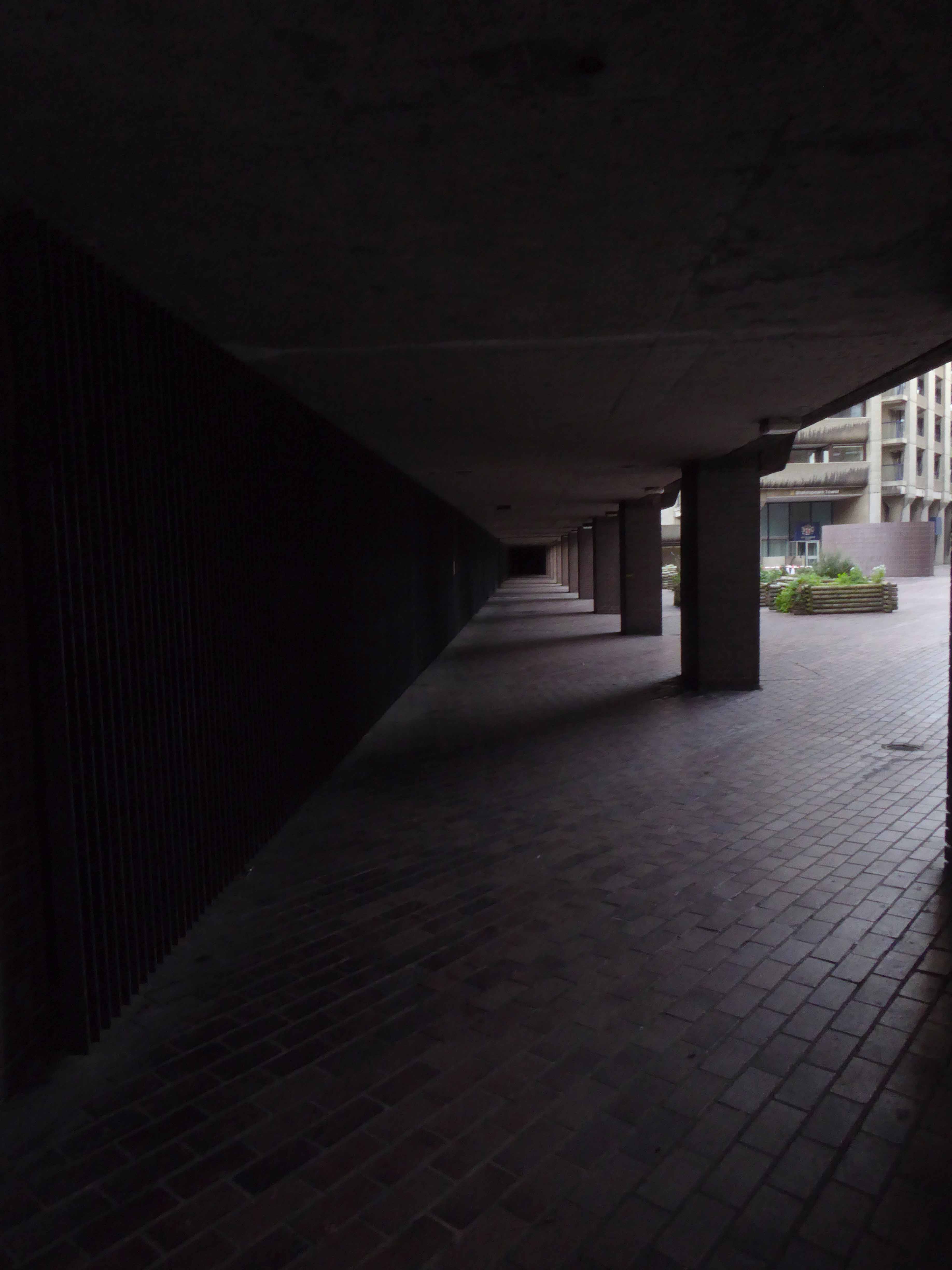
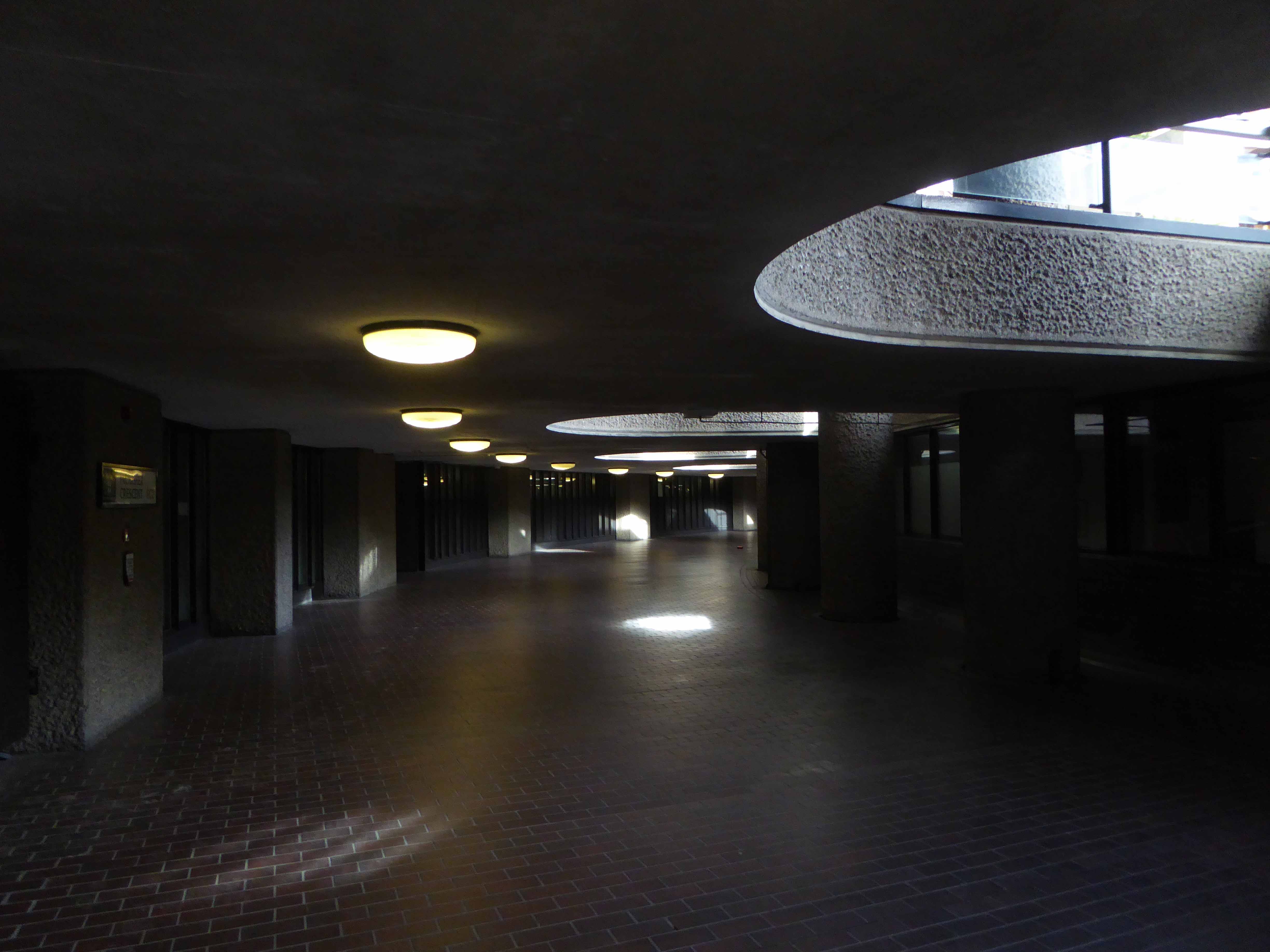
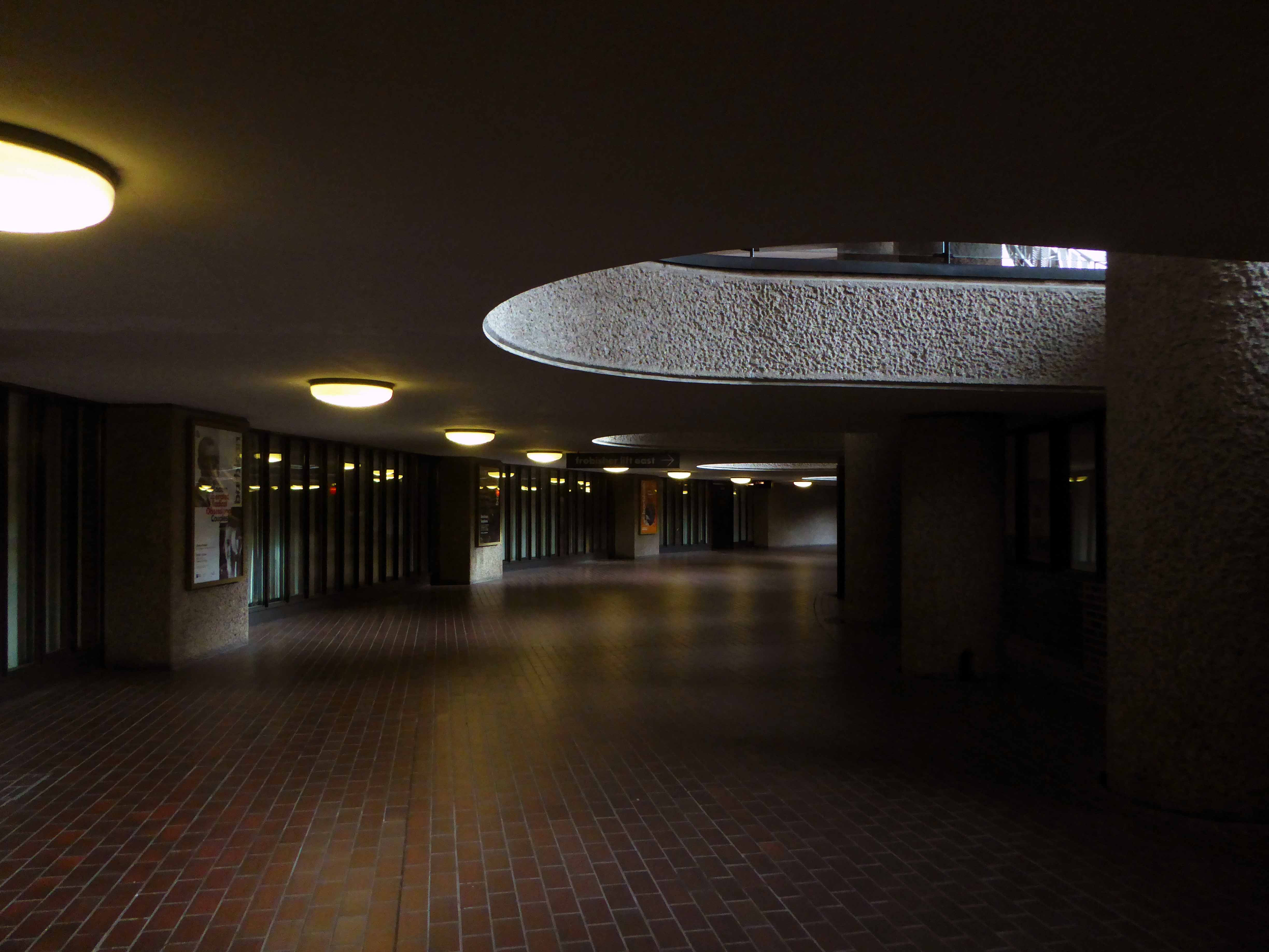
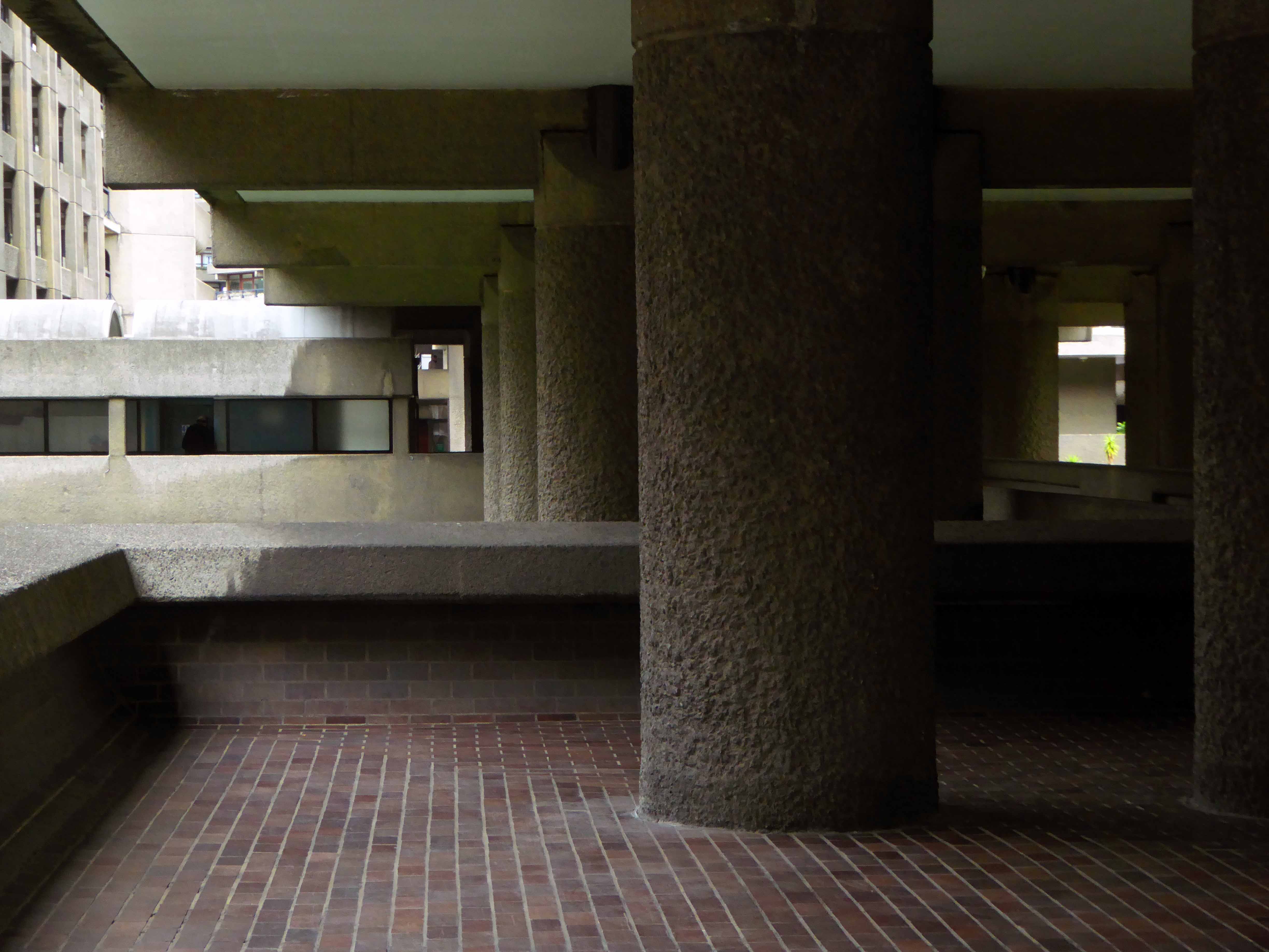
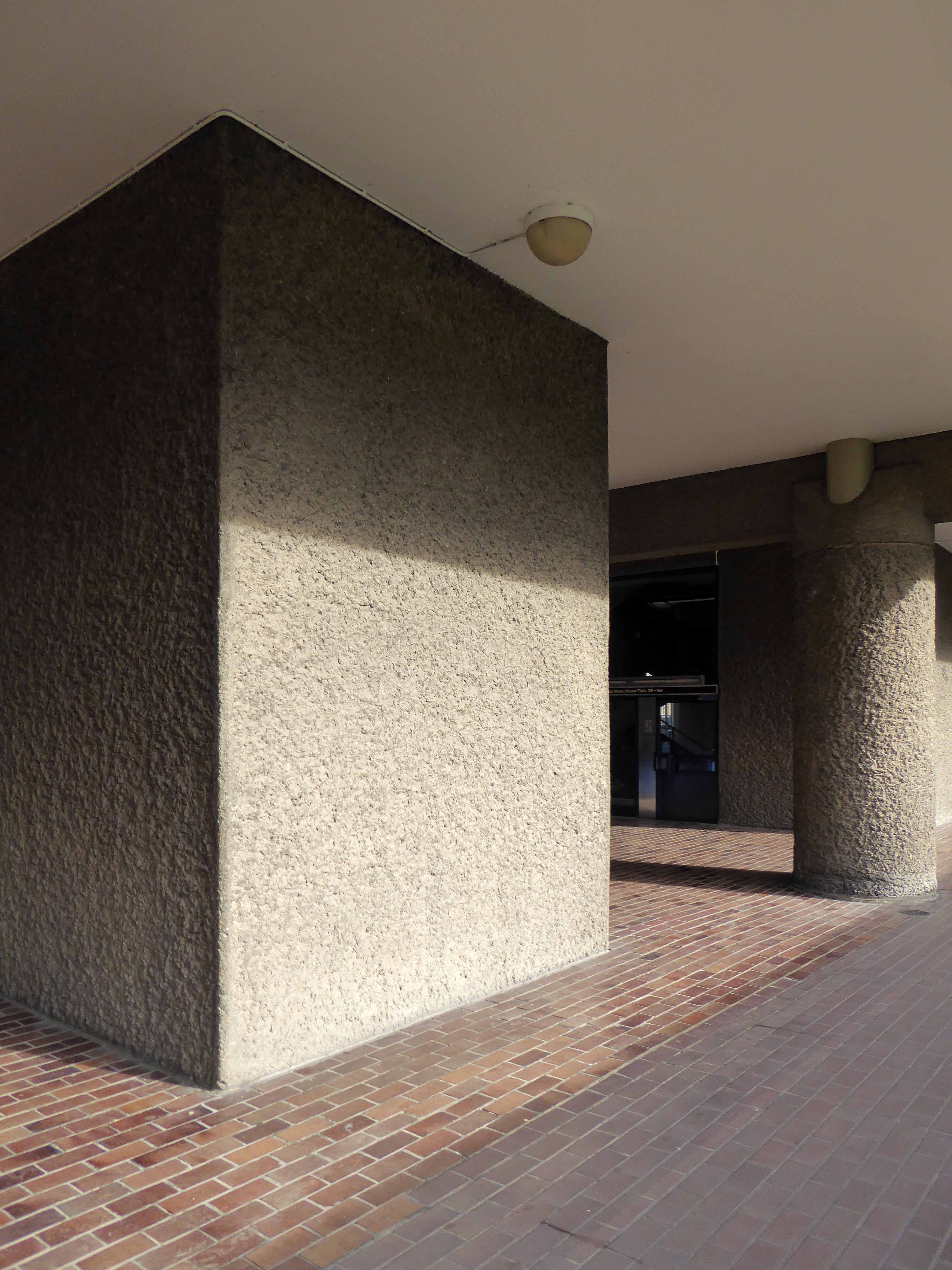
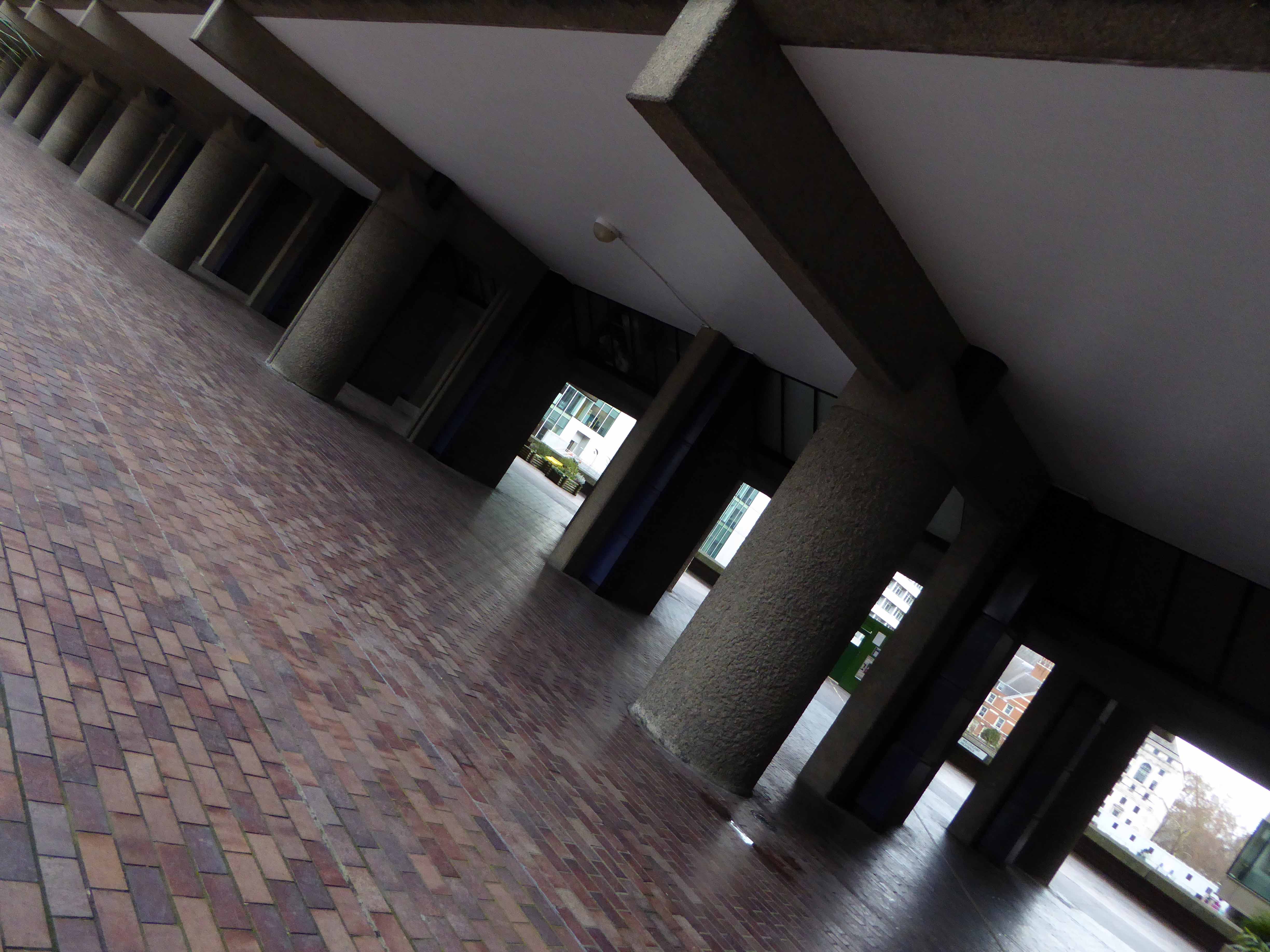
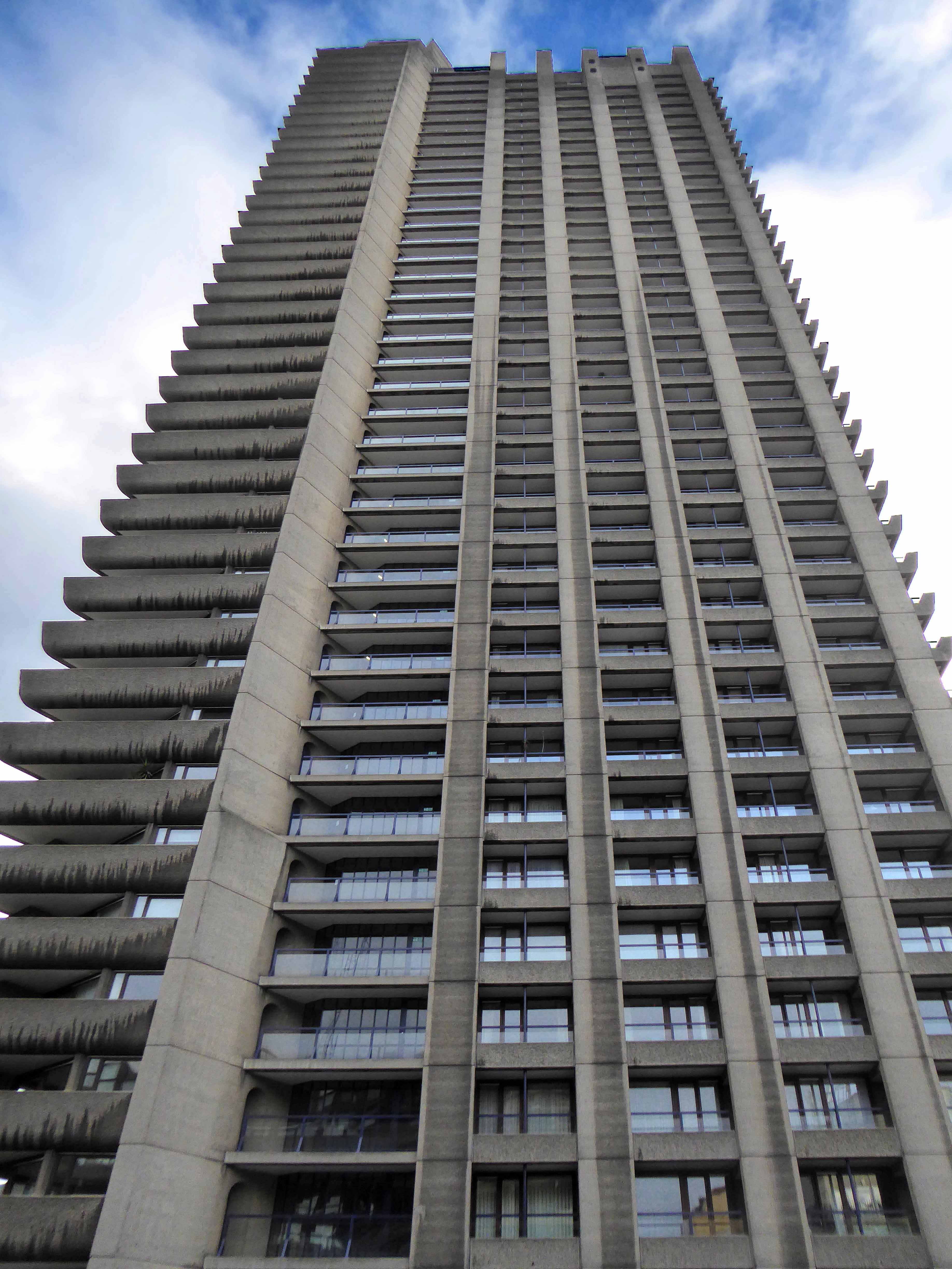
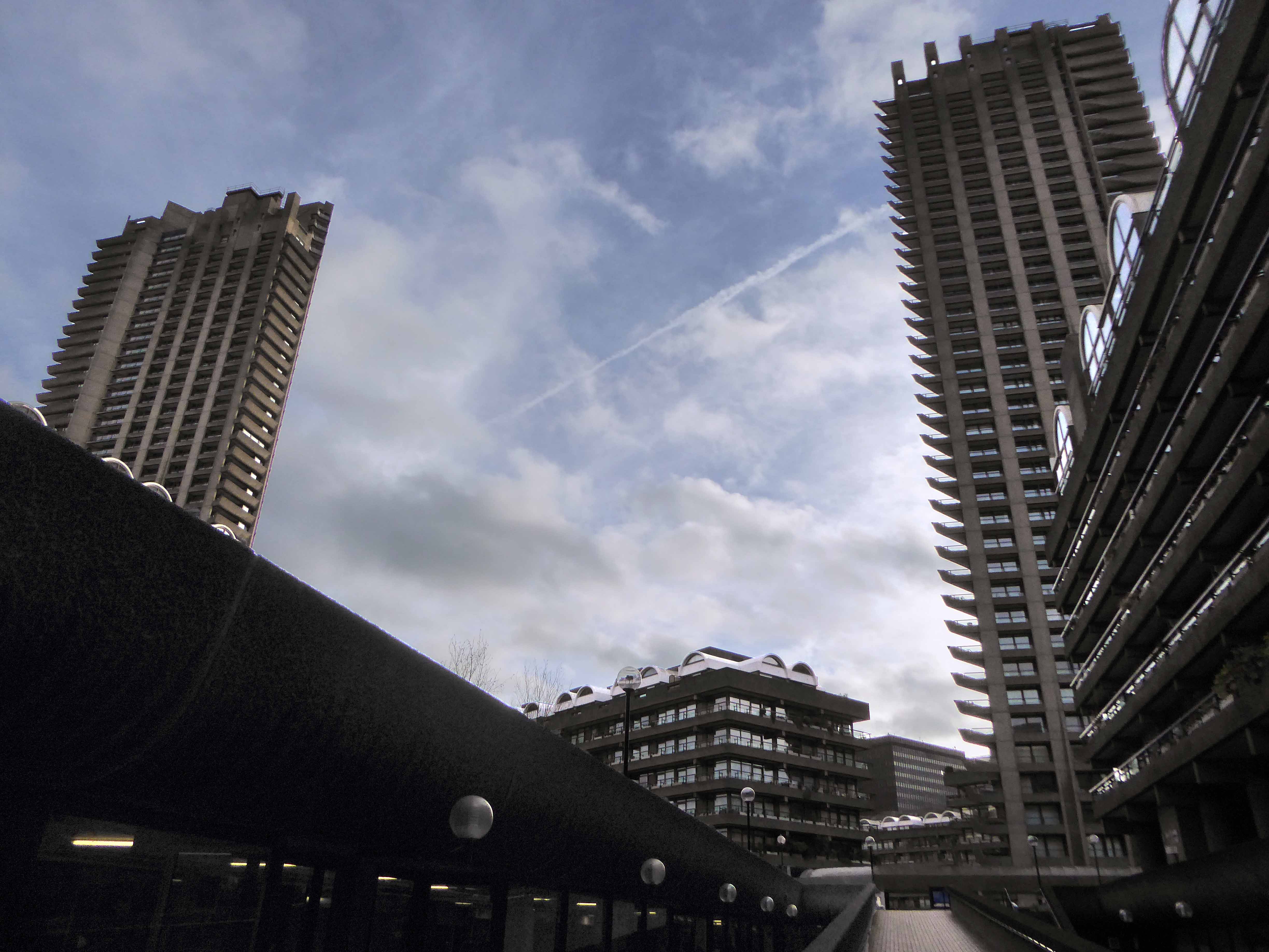
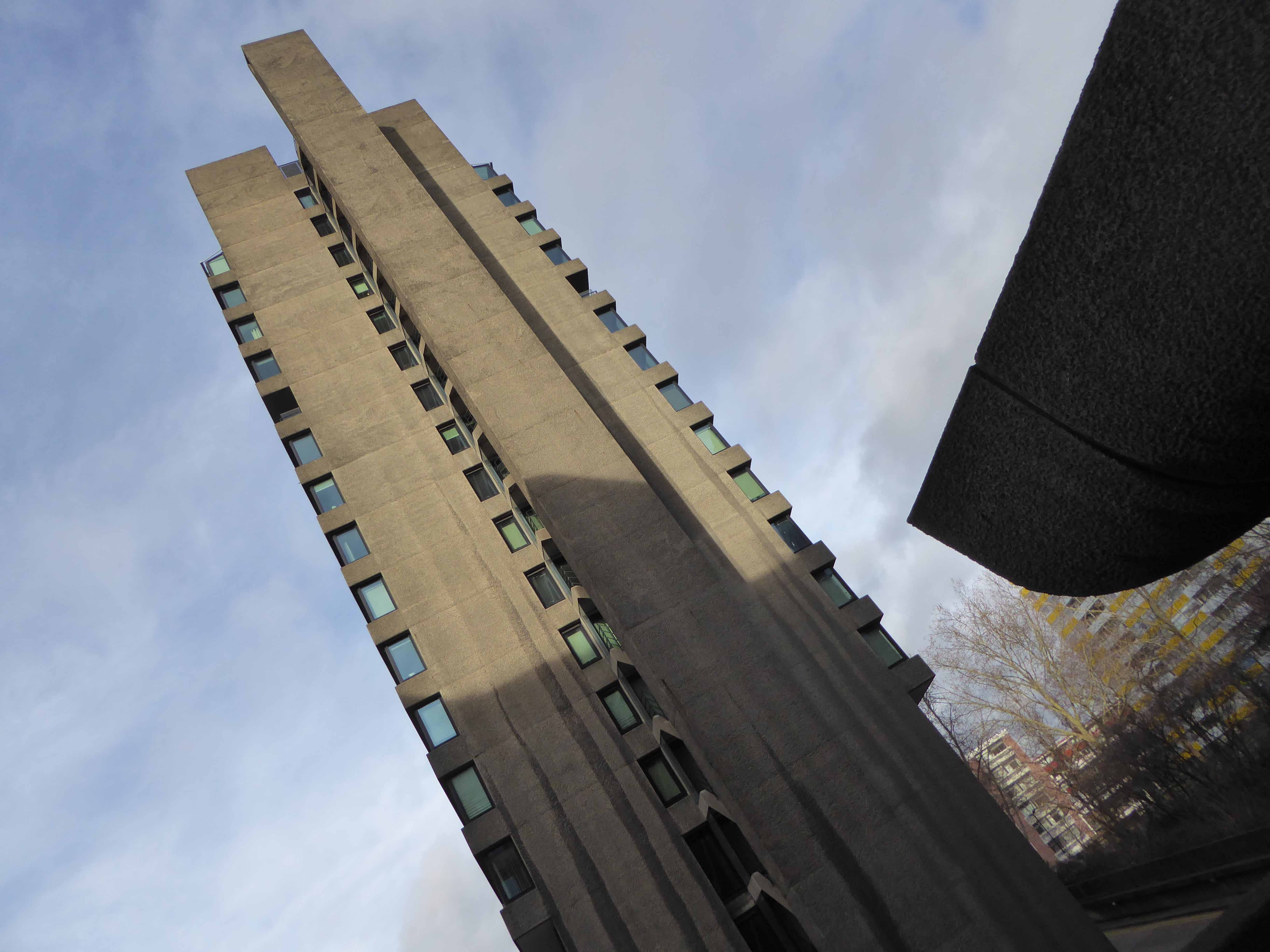
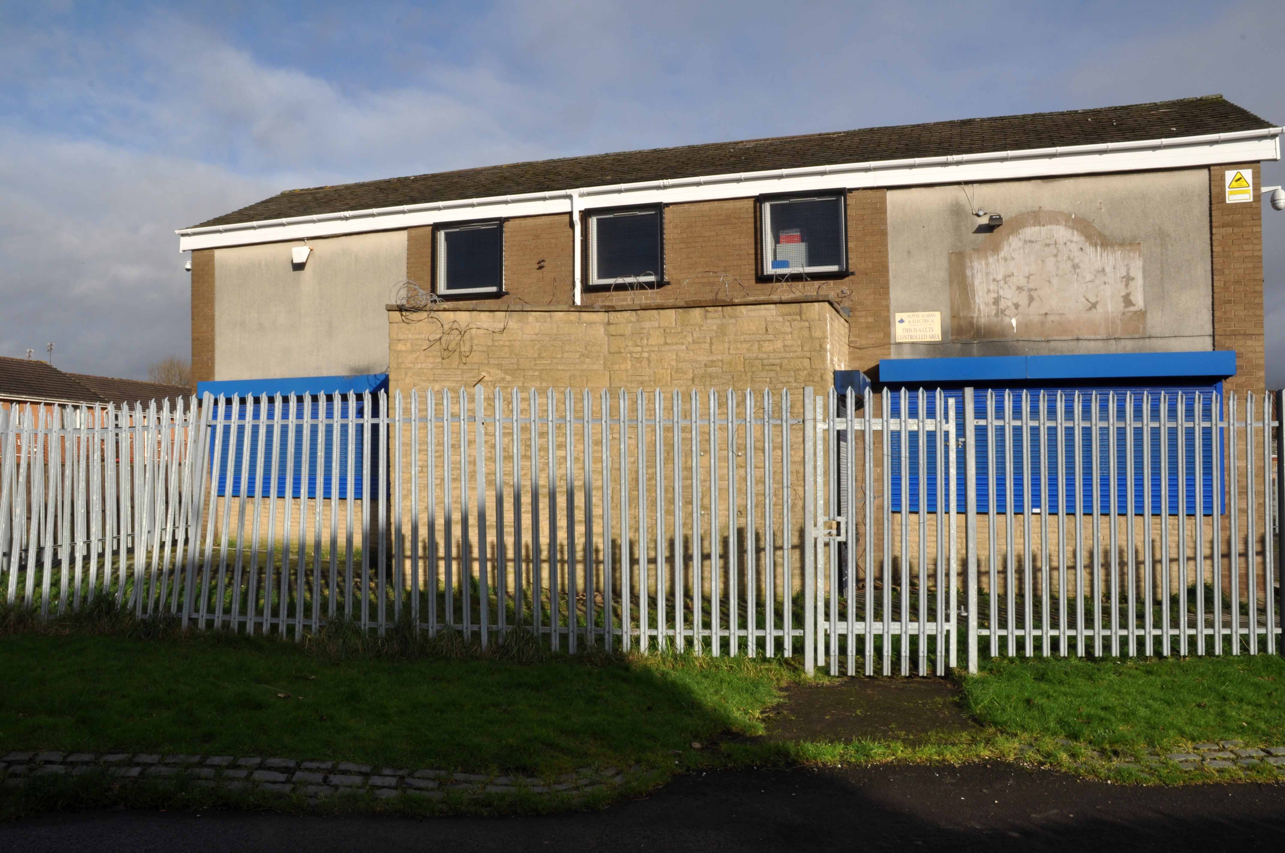
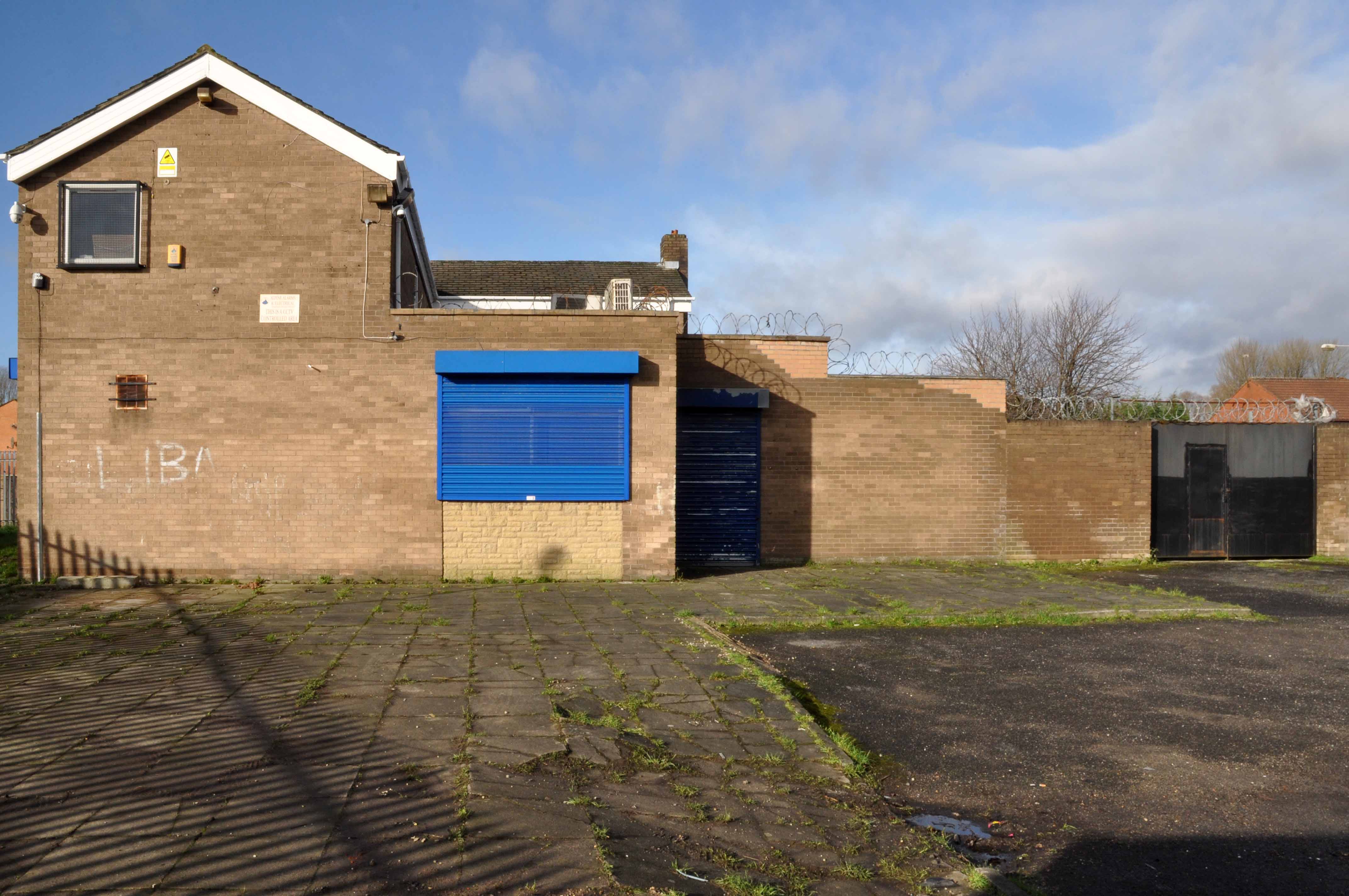
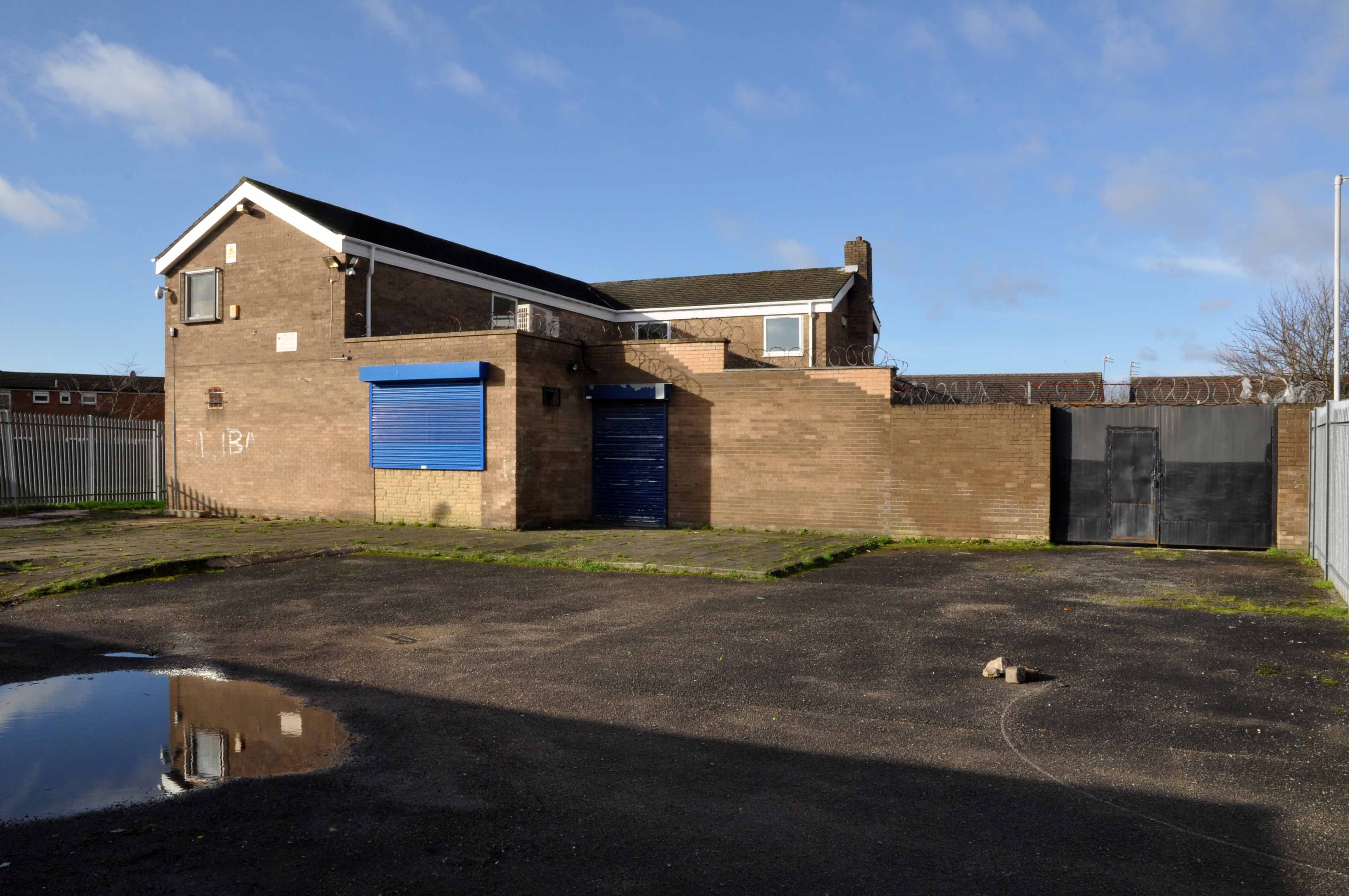
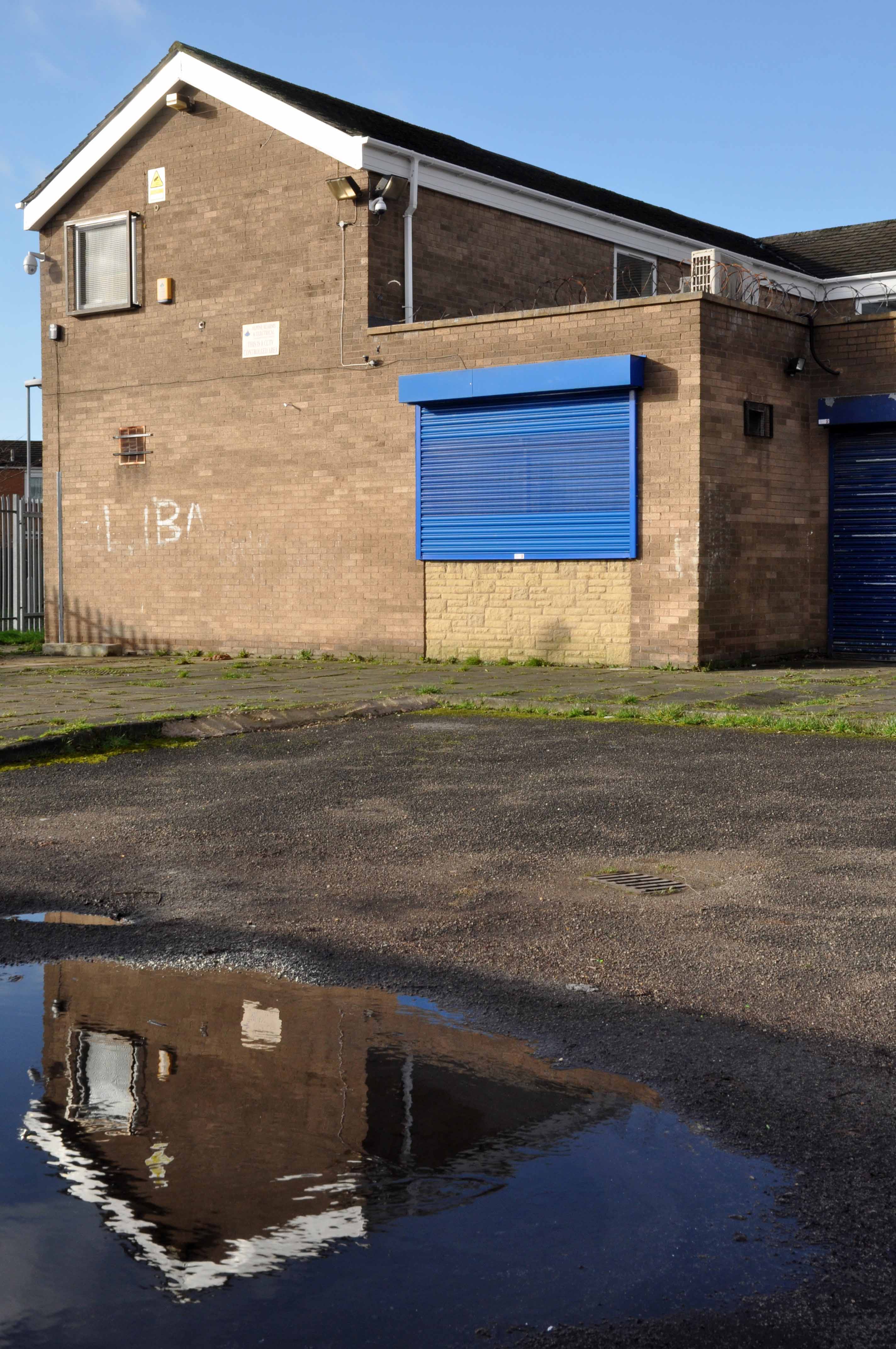
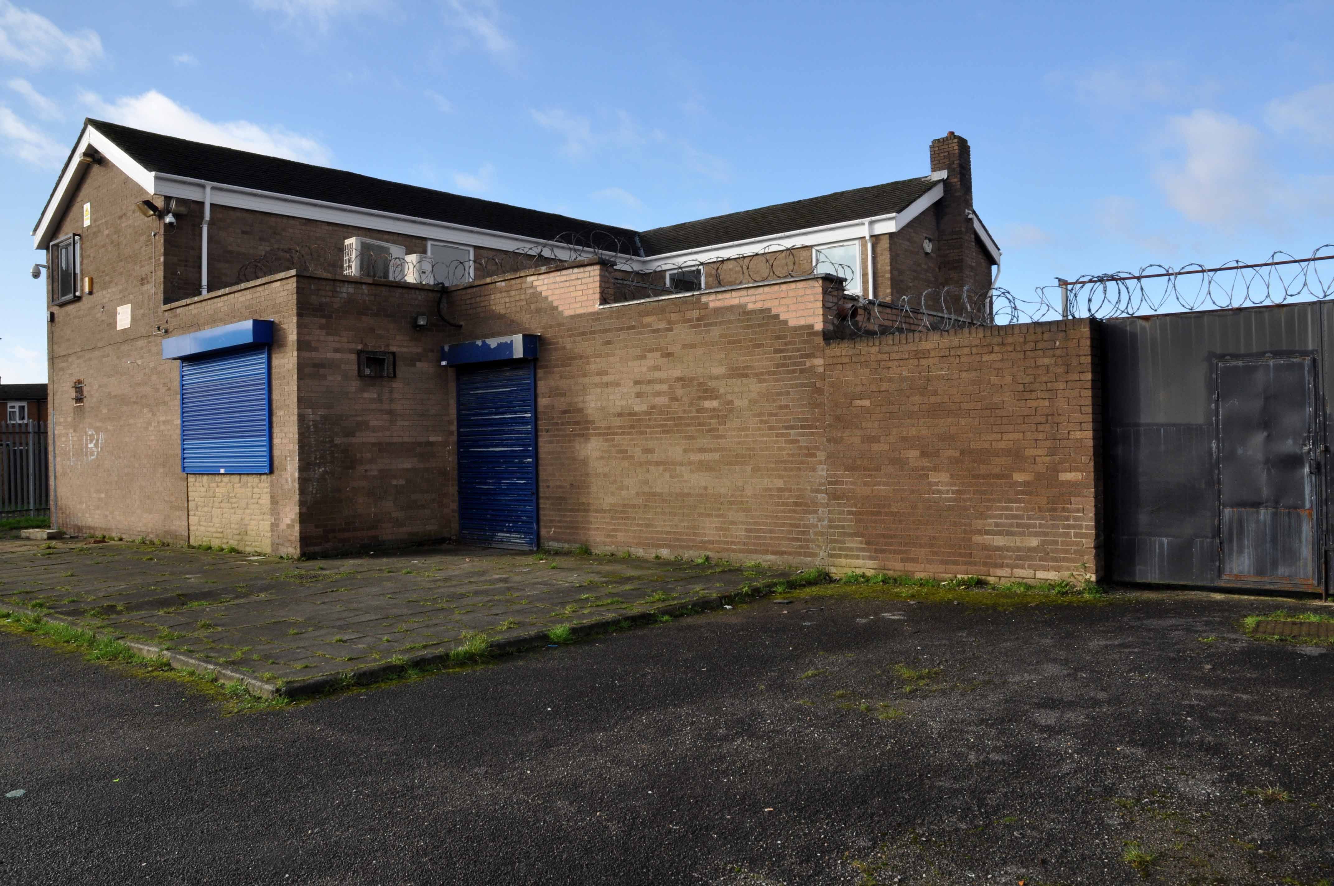
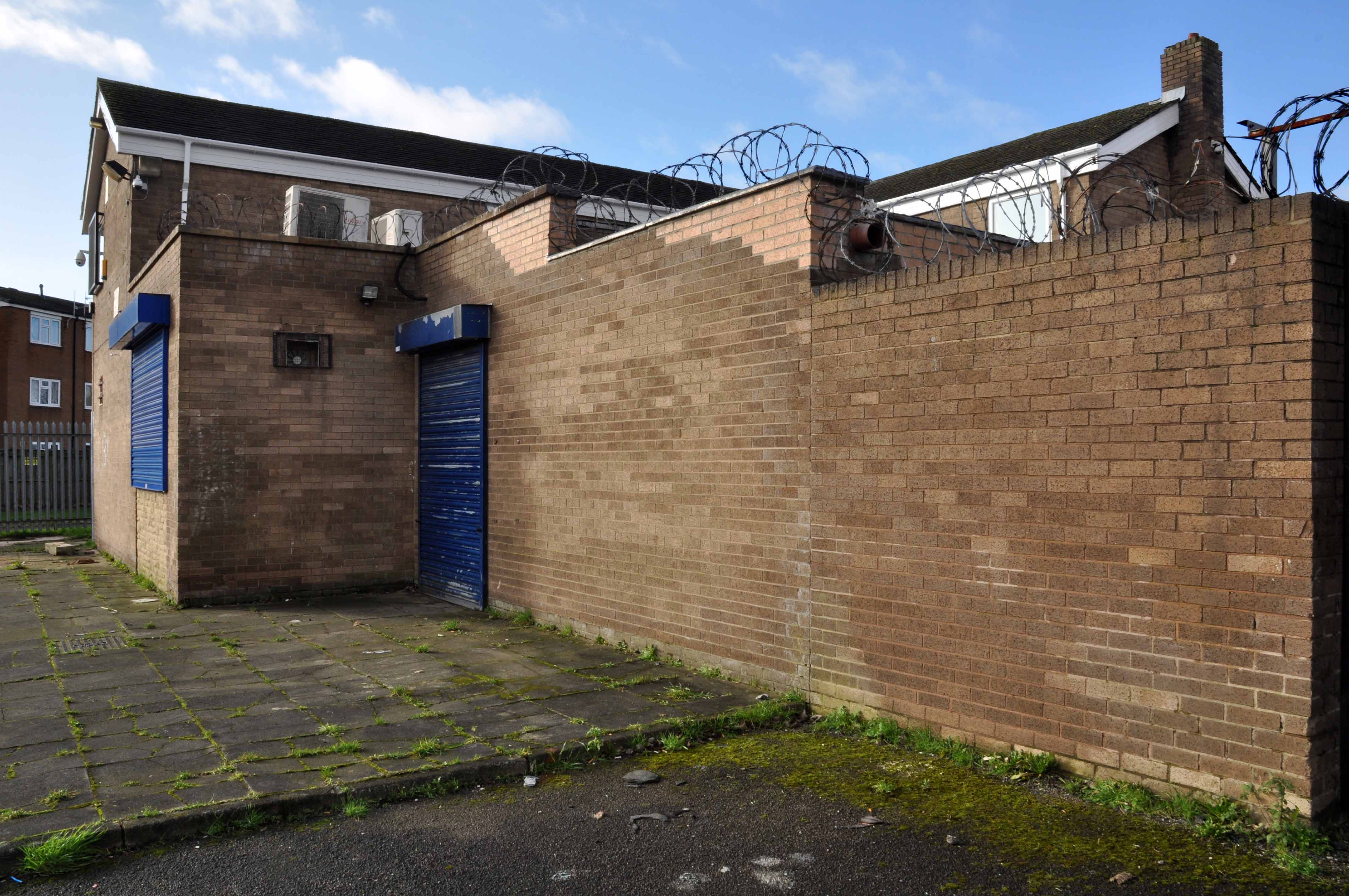
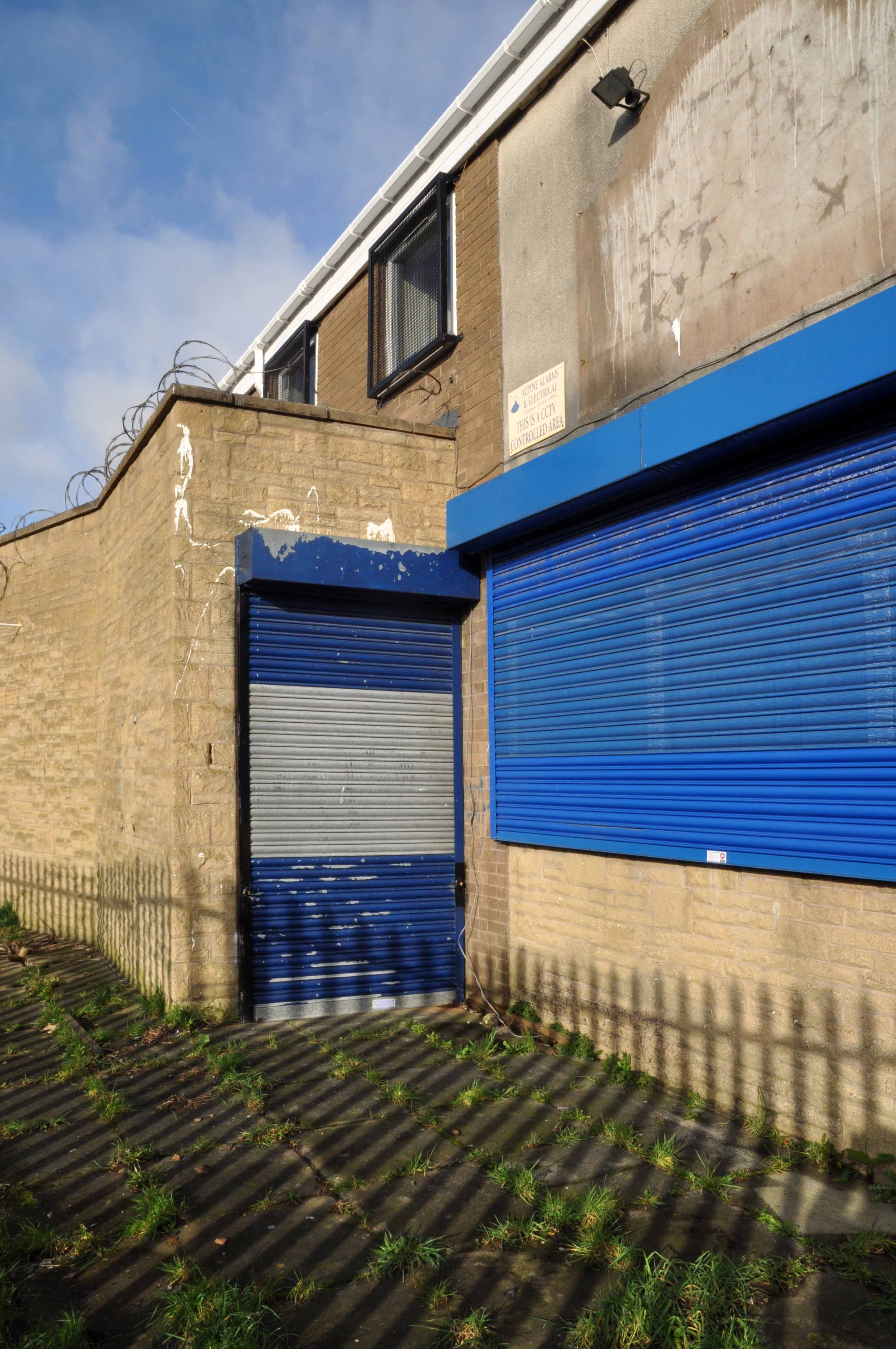
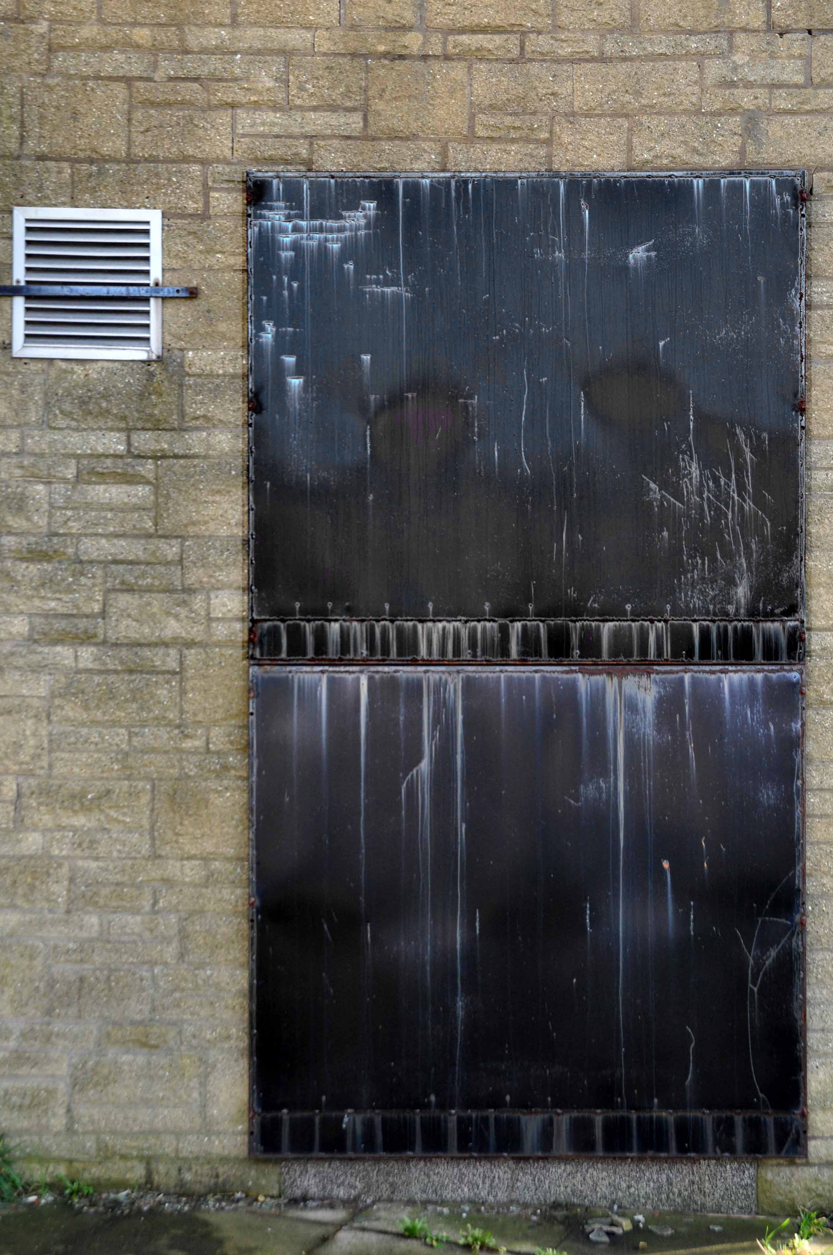
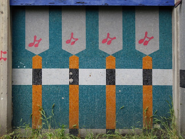
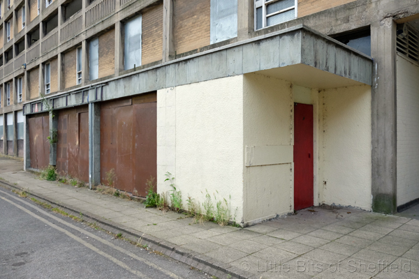
Noting one curious prefabricated concrete lean to too.
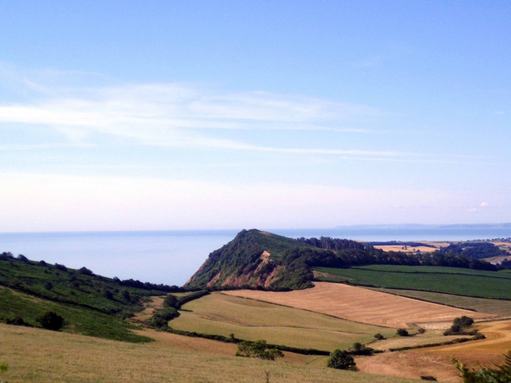
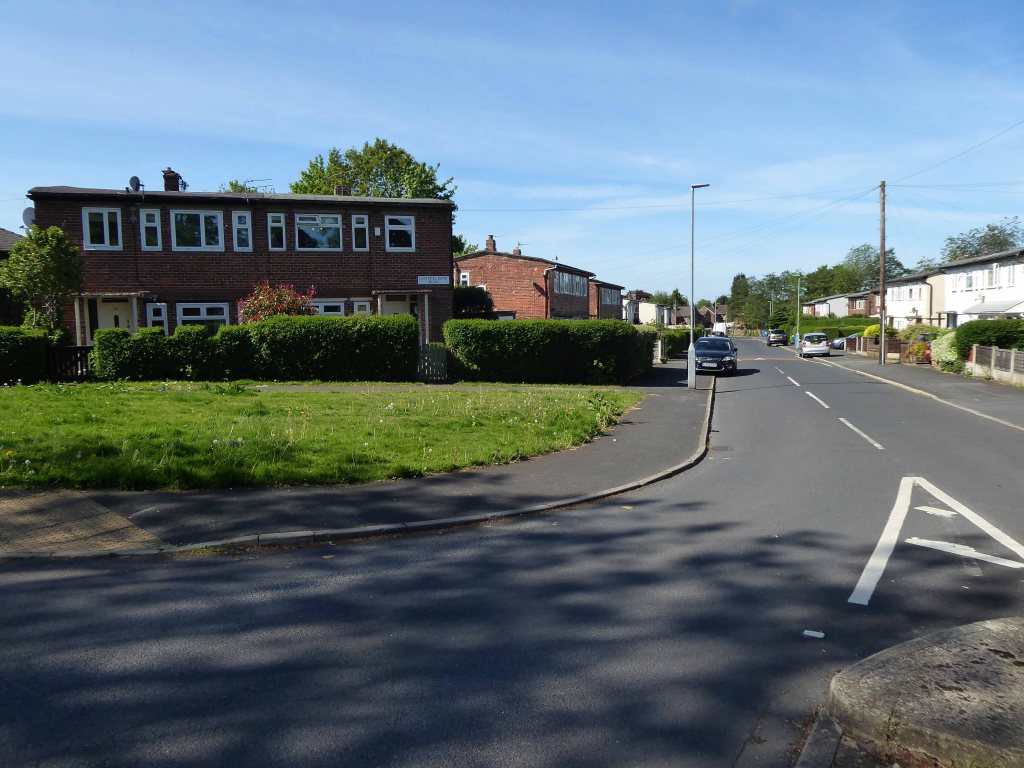
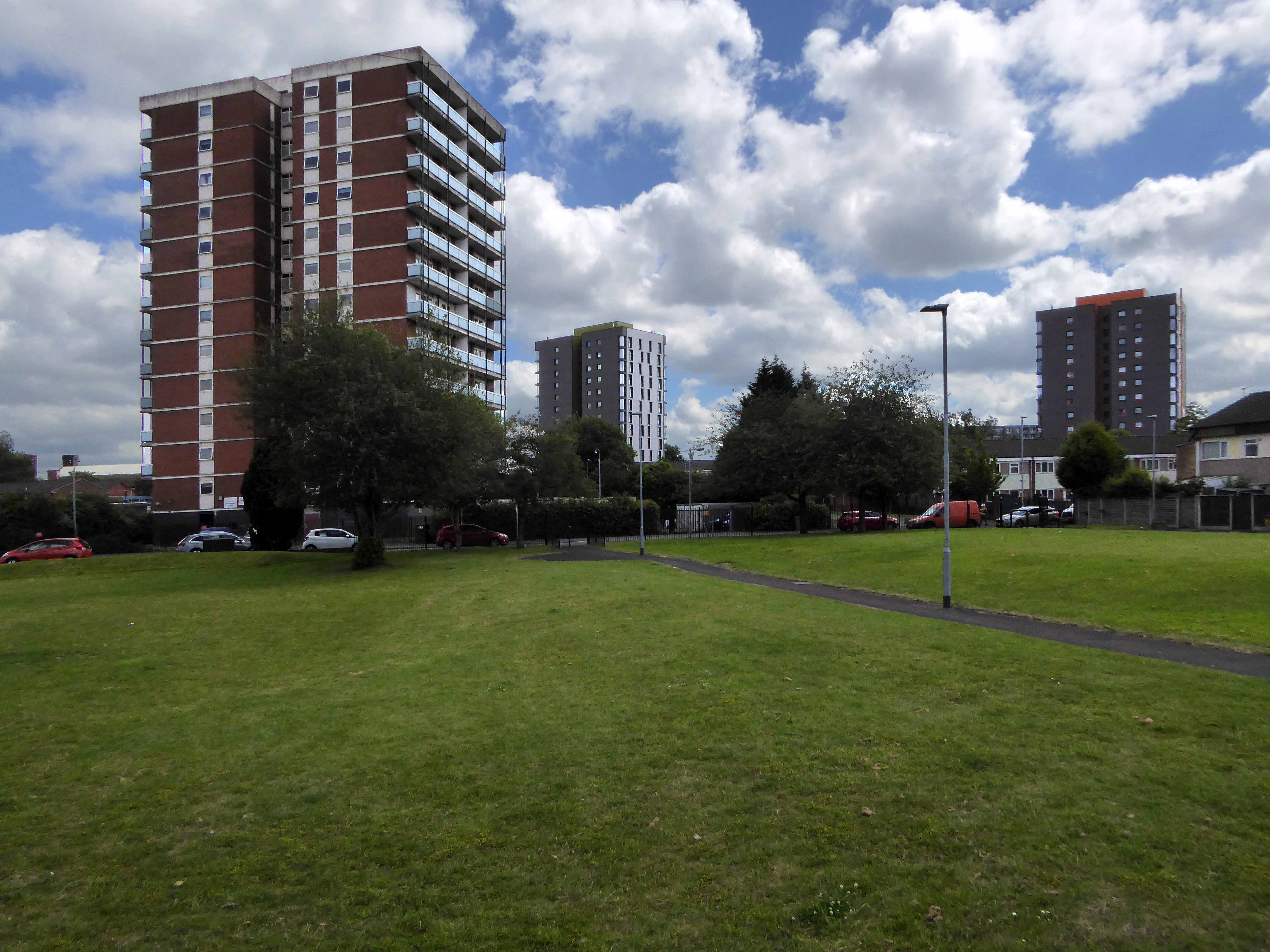
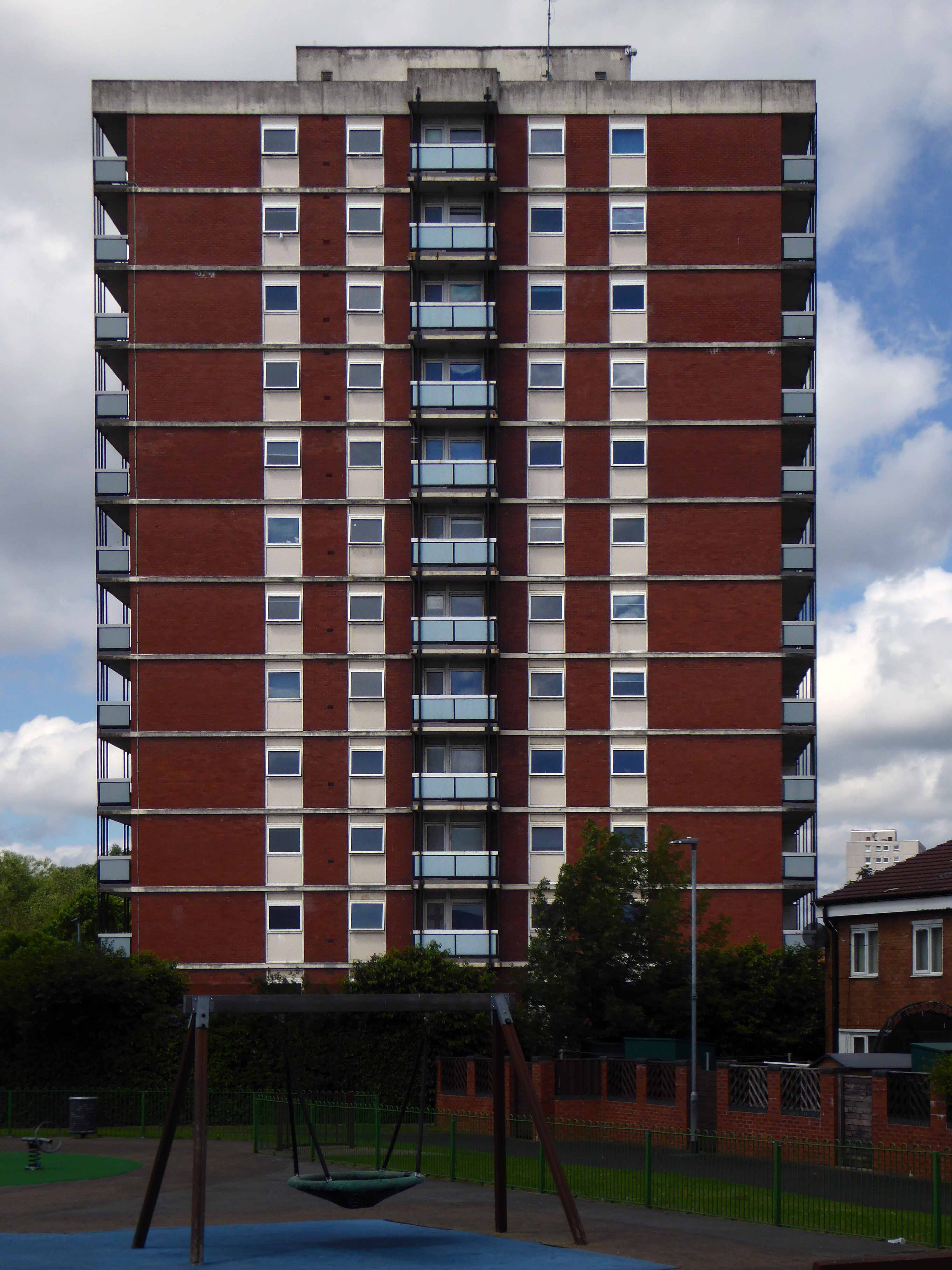
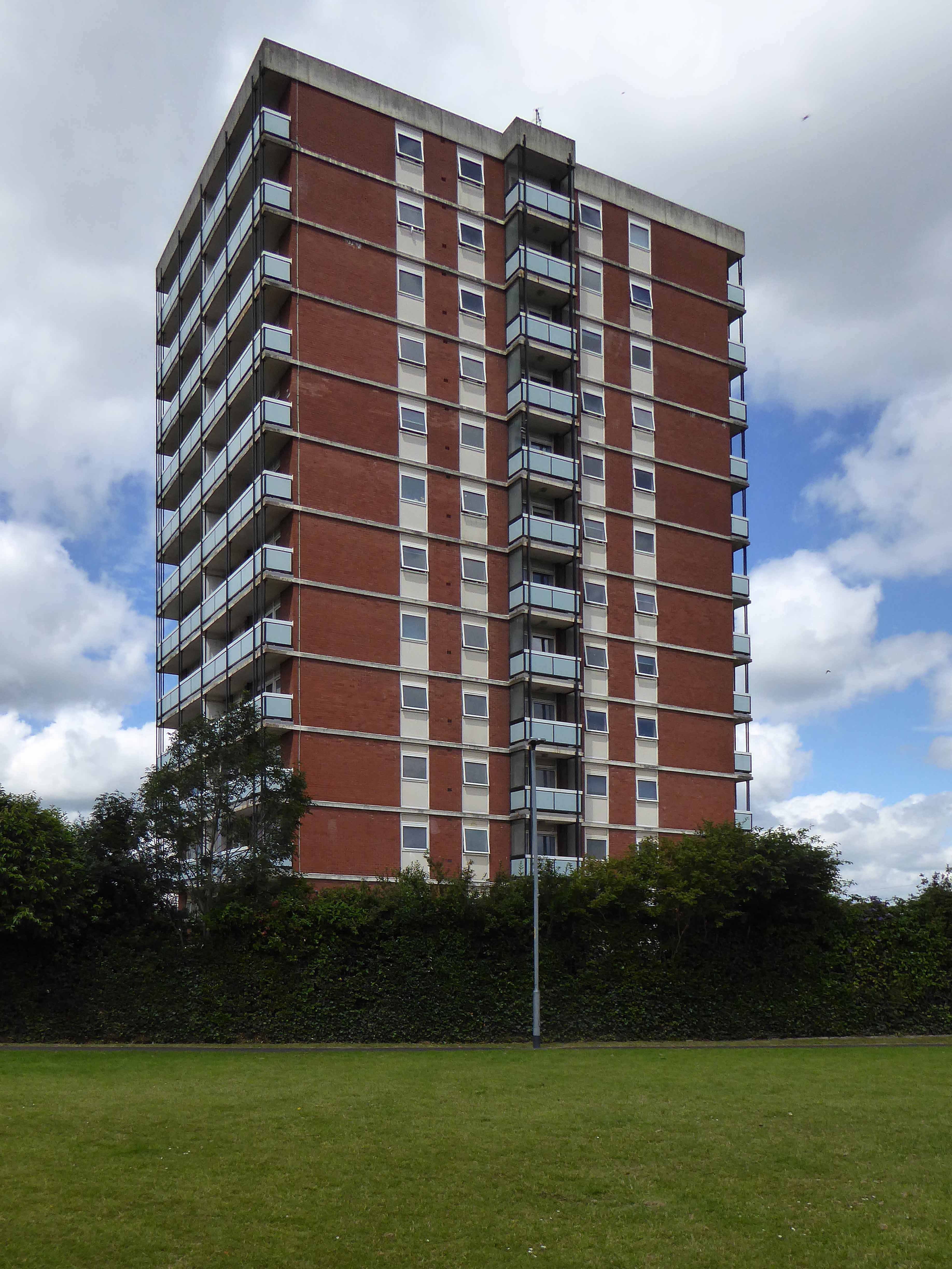
Up over the Devon Downs.

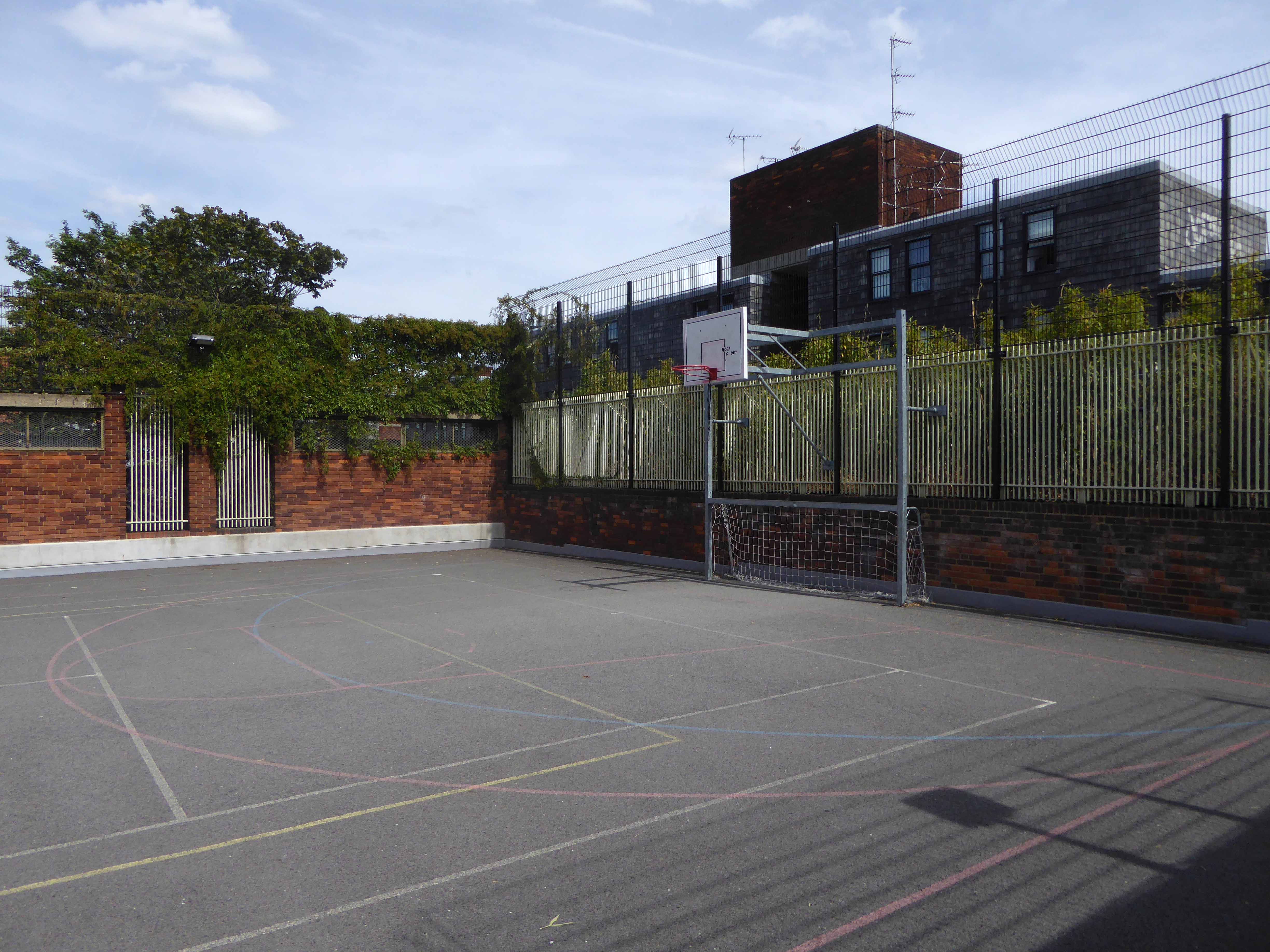
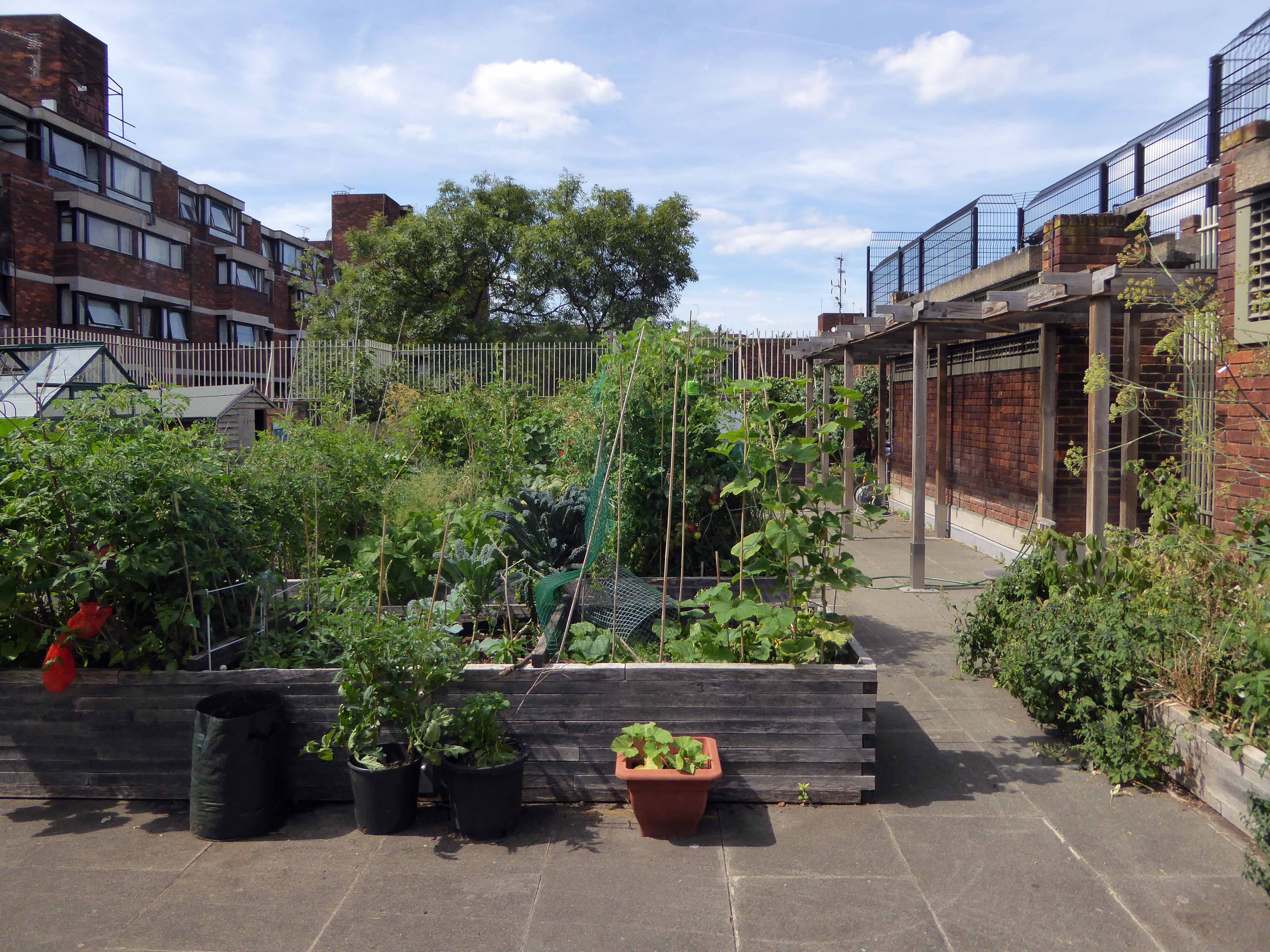
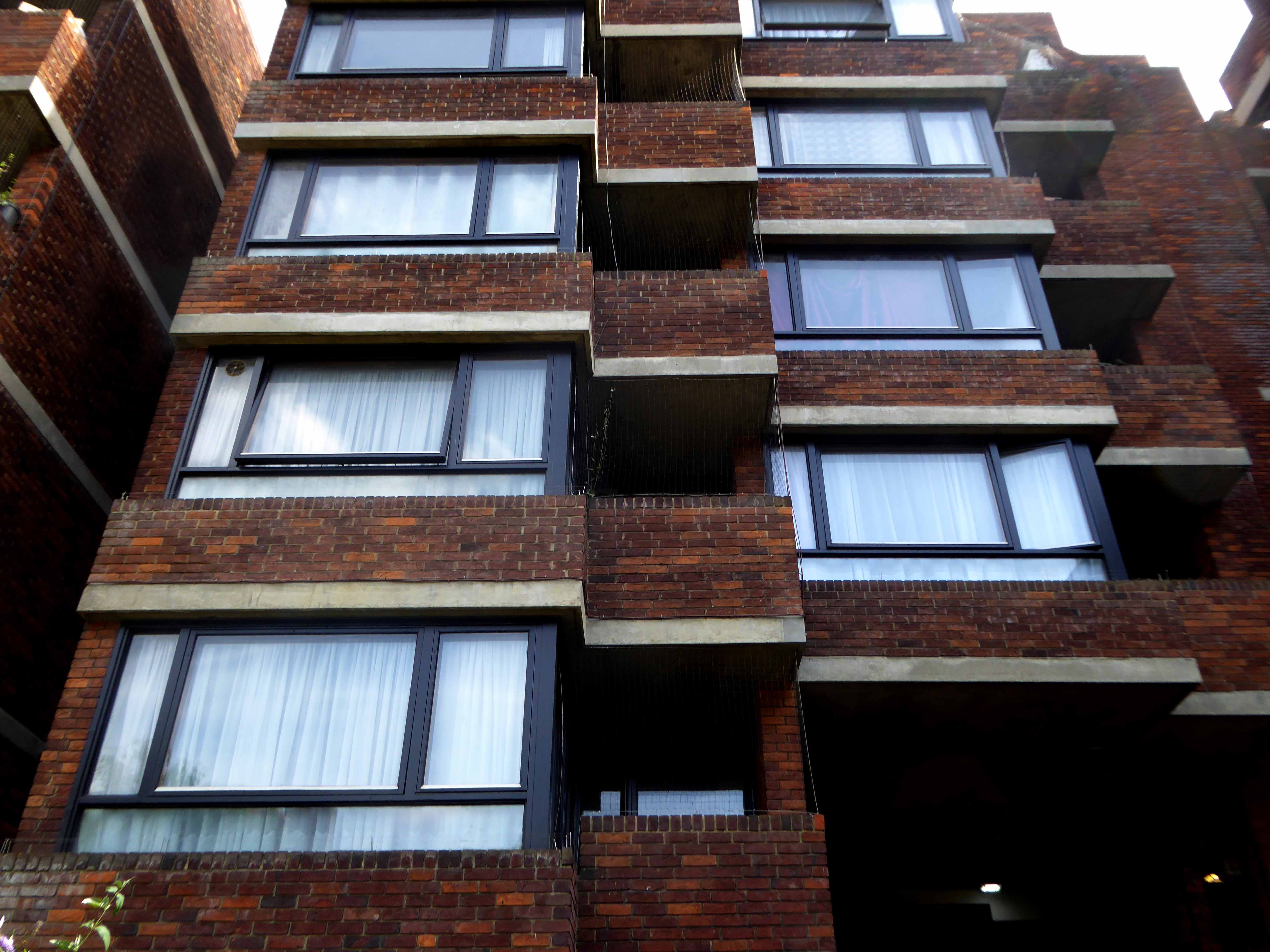
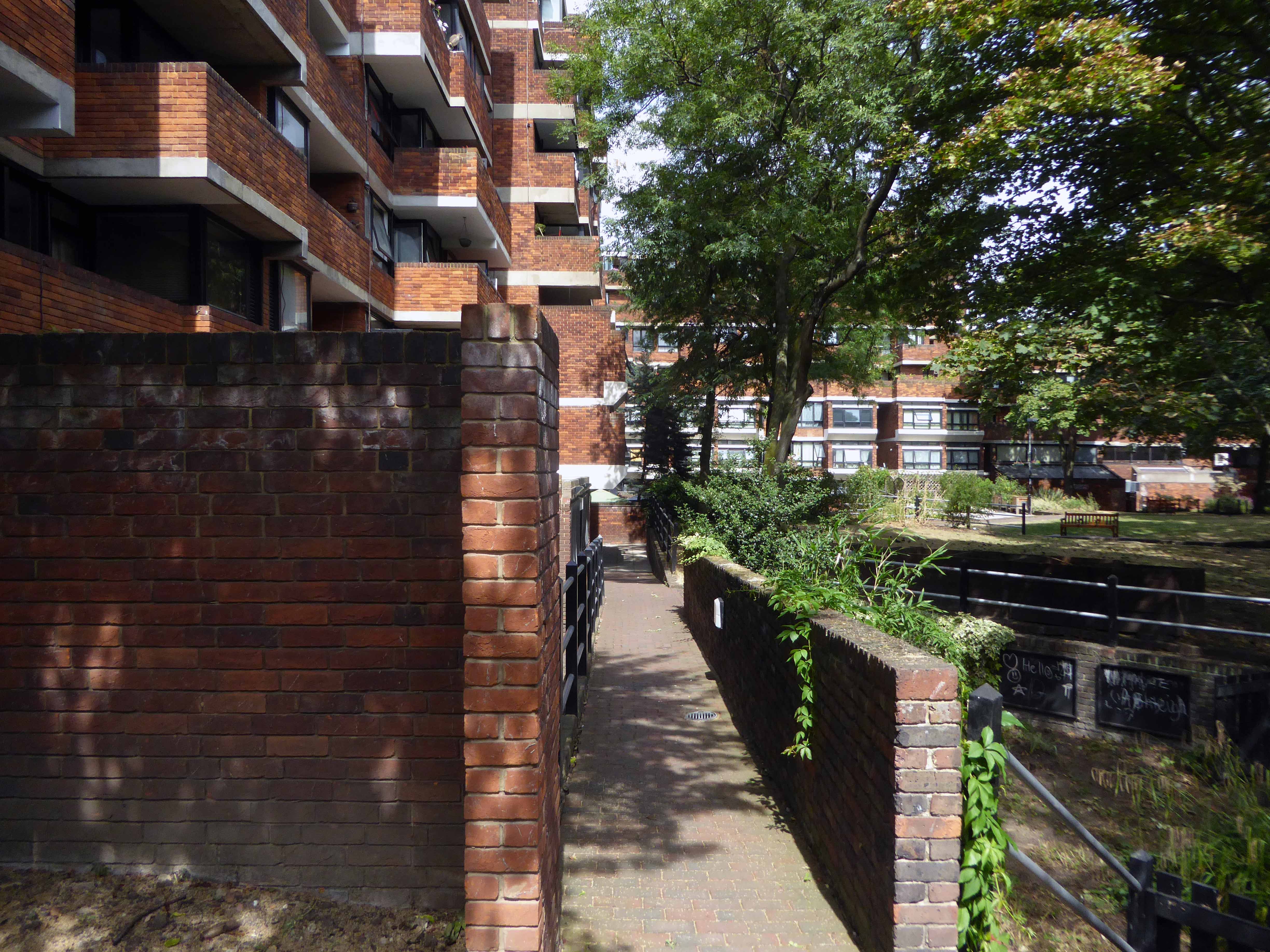
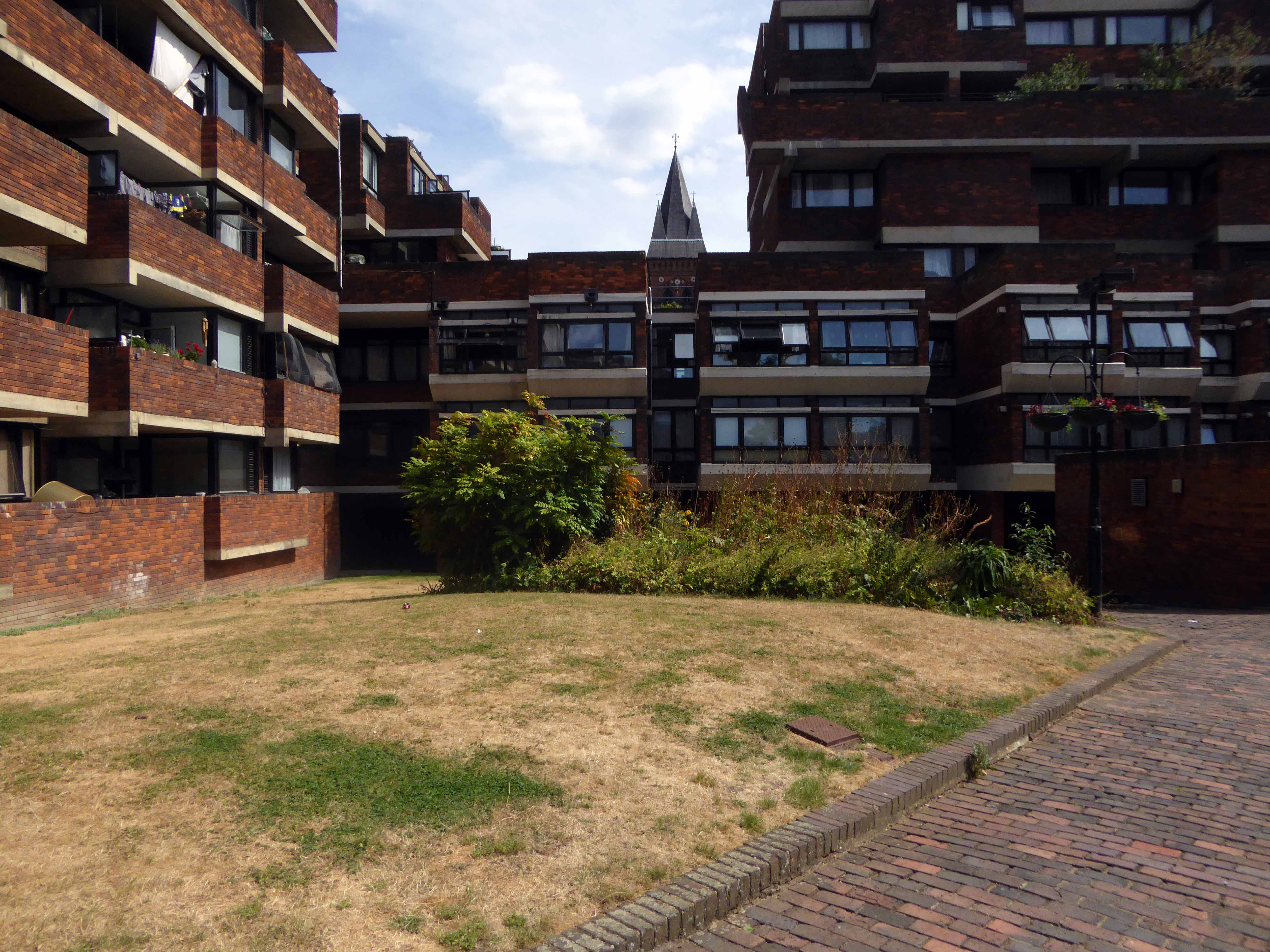
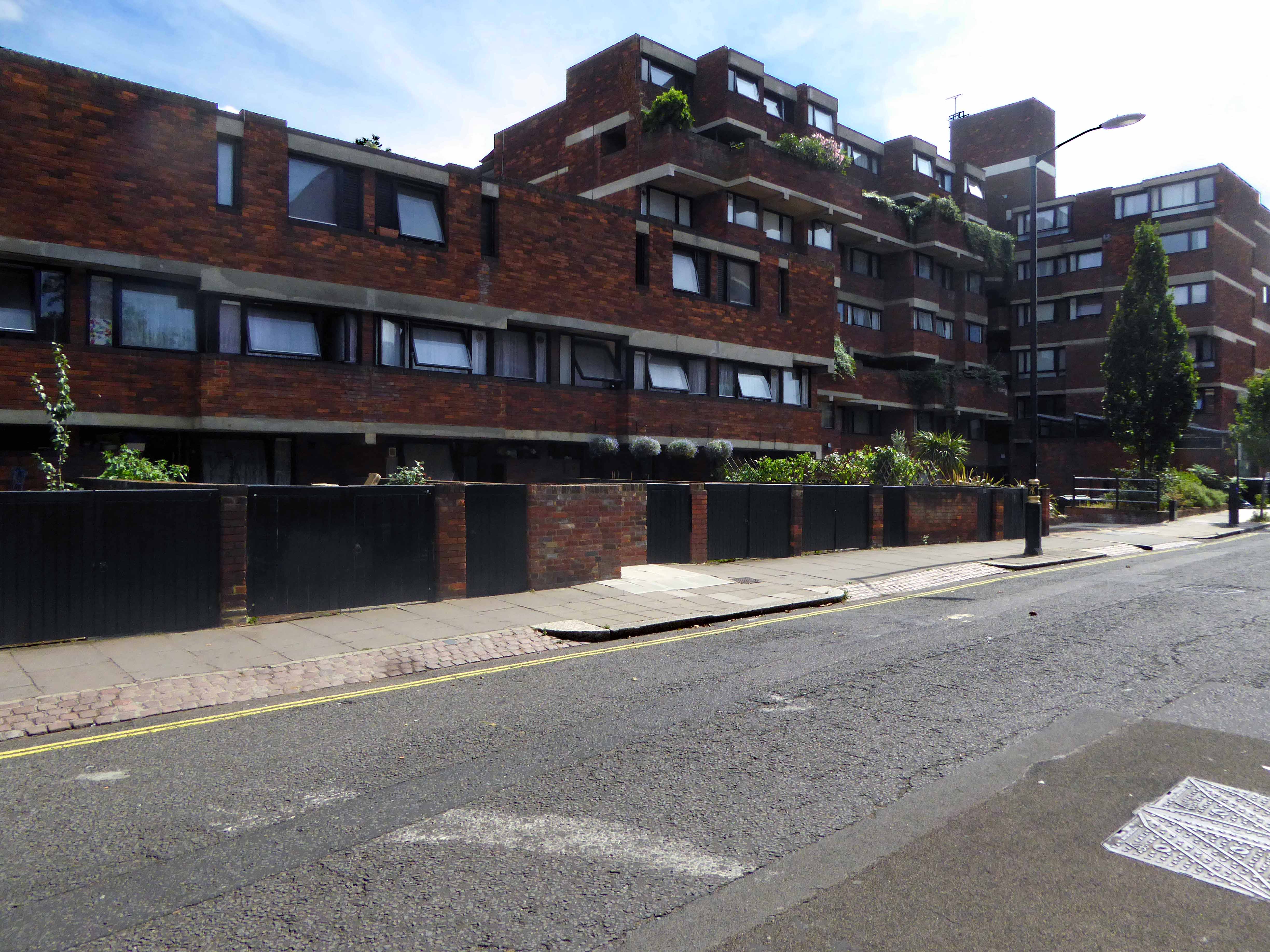
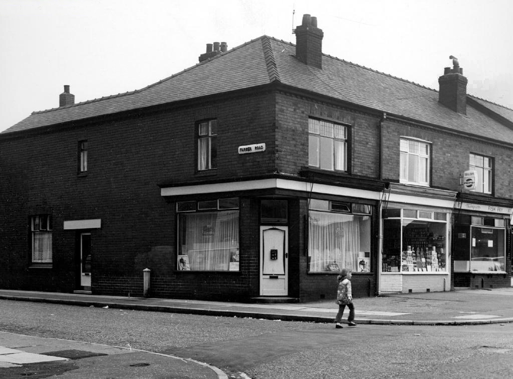
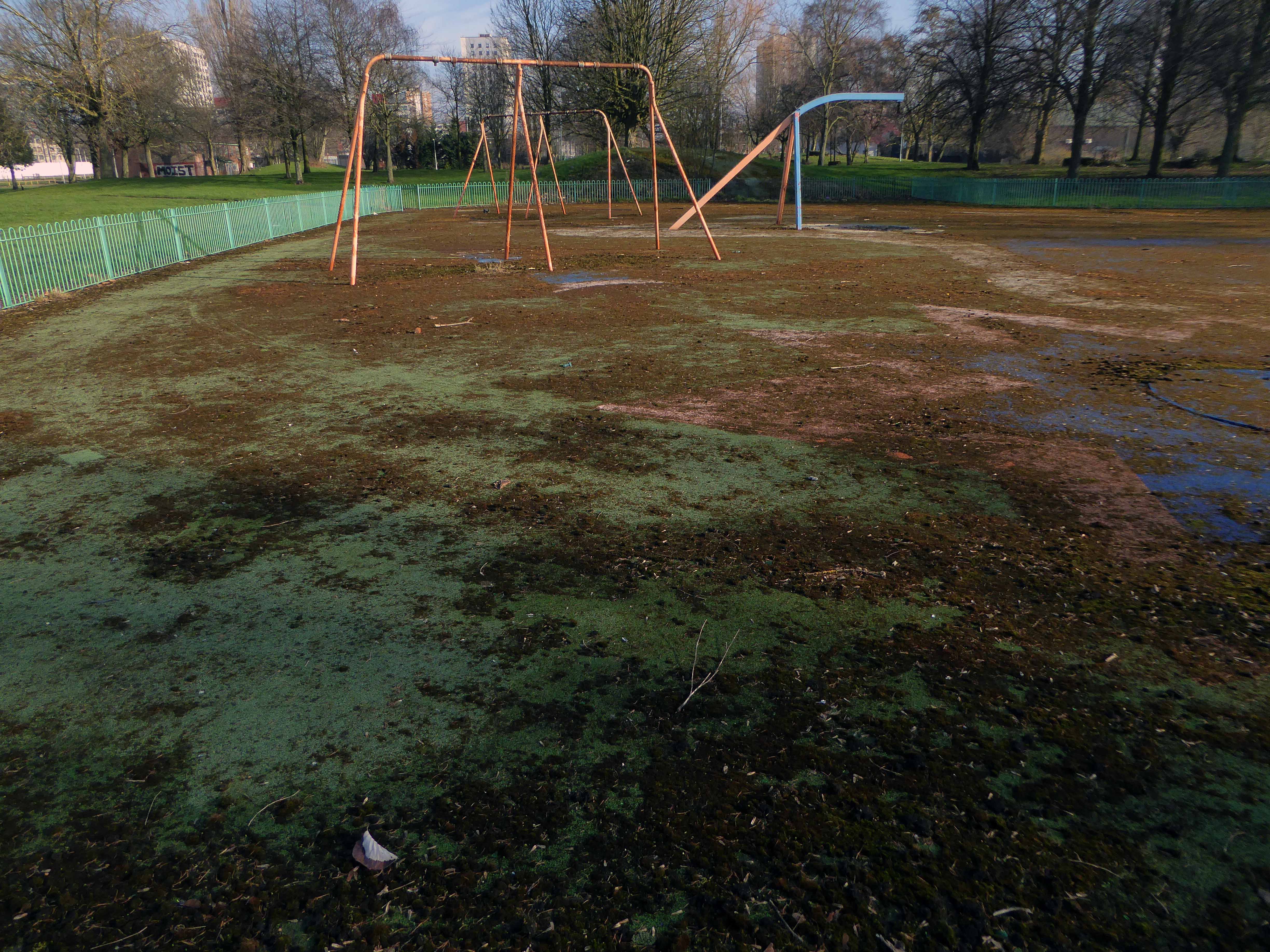
Arriving in Sidmouth
A beautiful coastal town with a regency feel which is ideal for visitors of all ages. Sat in the middle of spectacular countryside Sidmouth is home to beautiful beaches, stylish eating places and great shopping, with everything from unusual gifts, designer clothing and lifestyle goods available.
The day of my visit the Folk Festival was in full swing – I encountered hardened drunken cider drinkers, drunk in the park and more tie-dyed clothing, than you would consider it humanly possible to produce.
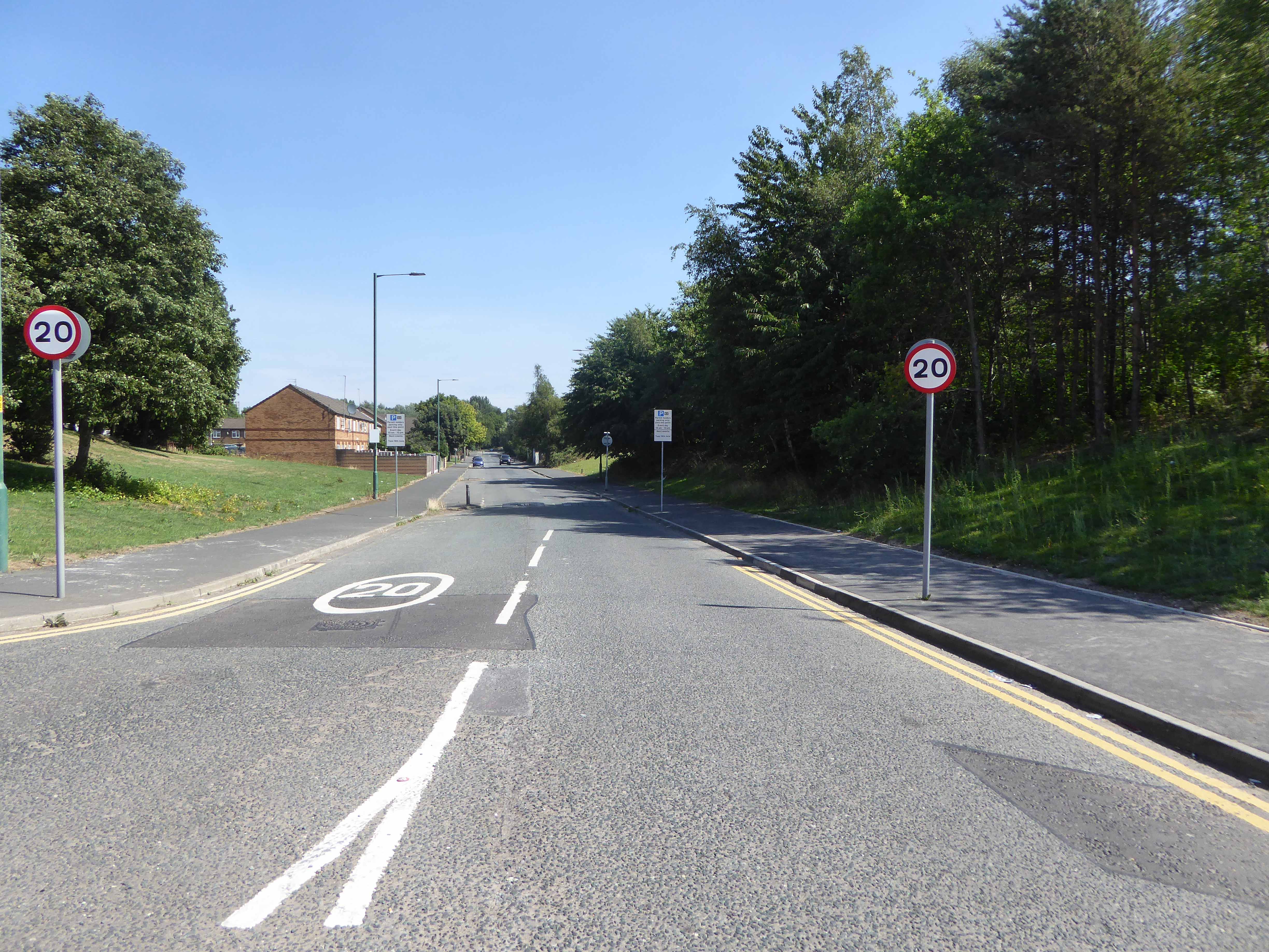
With a hey nonny no I left town – up a very steep hill.
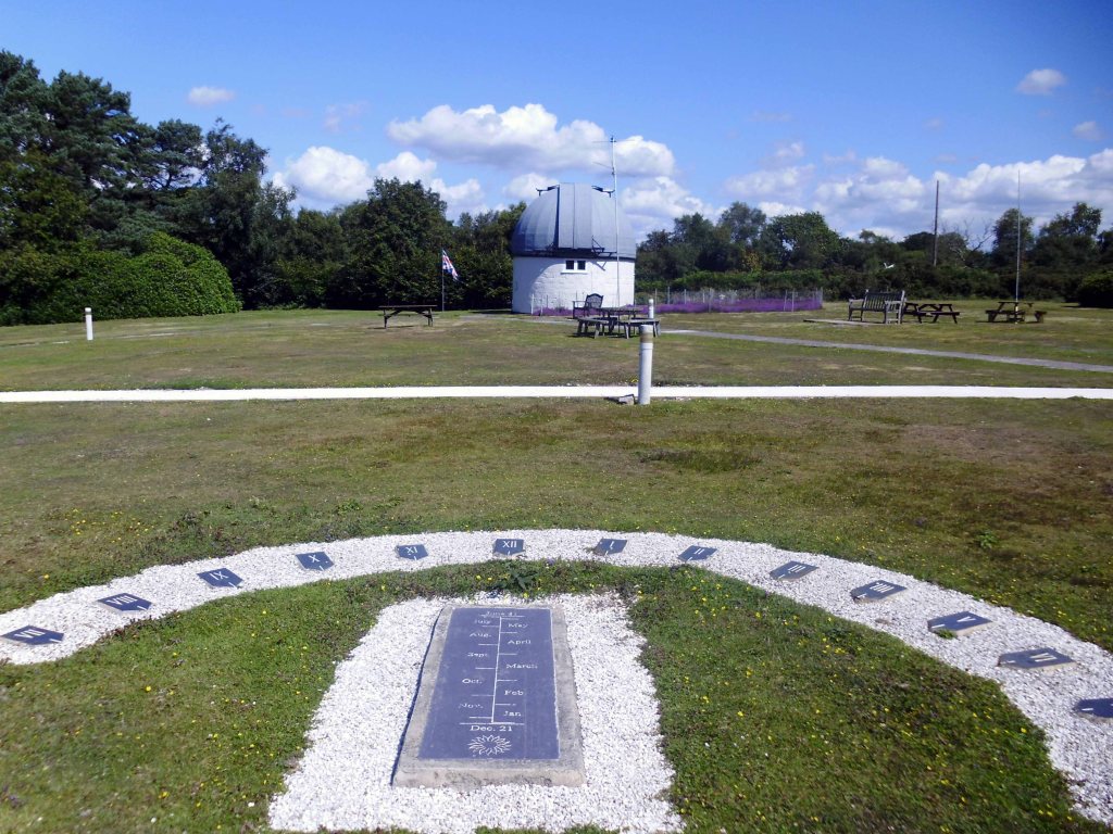
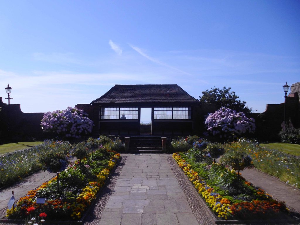
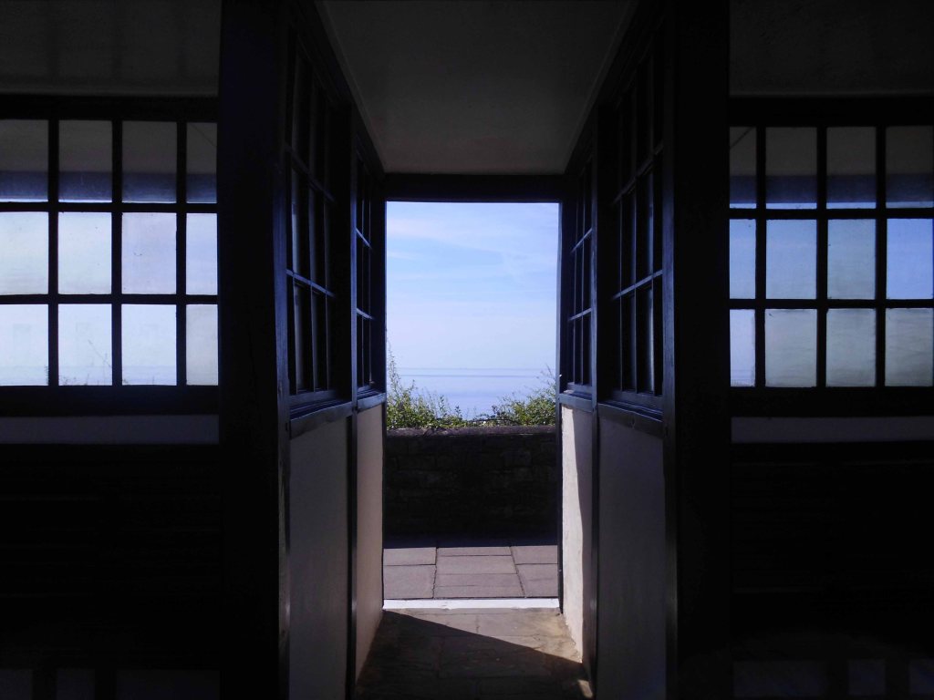
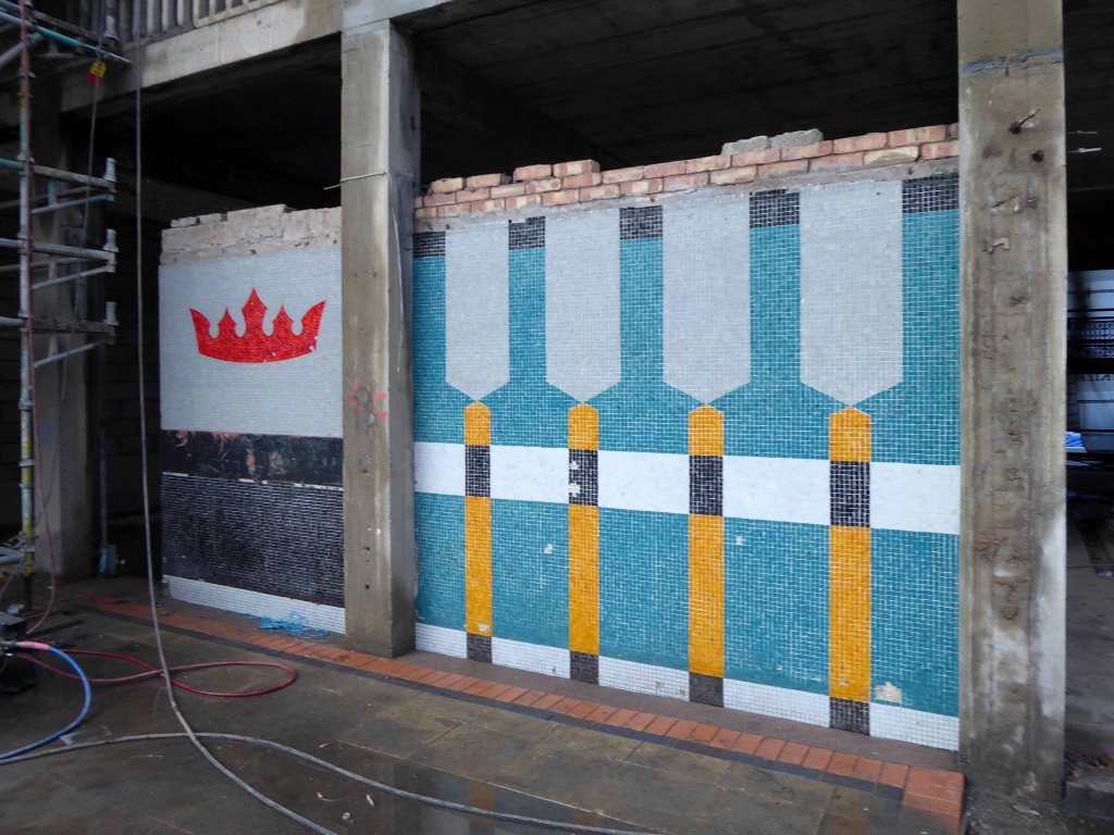
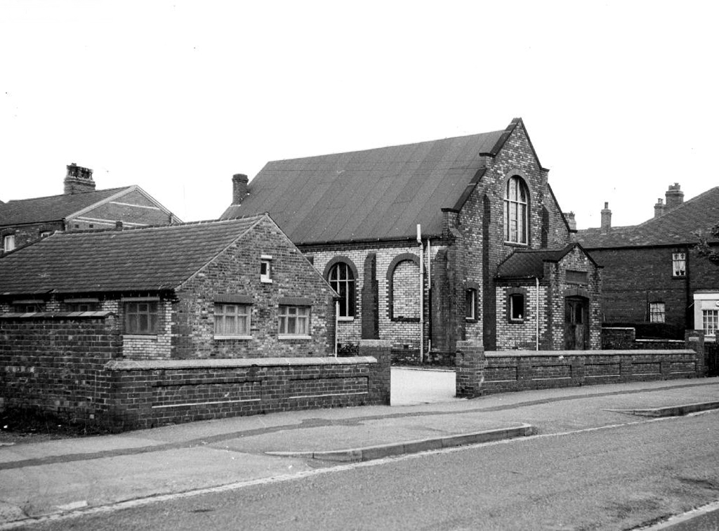
At the top of the hill, I unexpectedly came upon an observatory.
The Norman Lockyer Observatory to be precise.
It is both a historical observatory and home to an active amateur astronomical society. It is a centre for amateur astronomy, meteorology, radio astronomy, and the promotion of science education.
The observatory is regularly open to the public, staffed entirely by volunteers, and each summer hosts the South West Astronomy Fair.
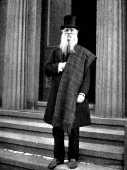
Norman Lockyer was a Victorian amateur astronomer, who discovered the element Helium in the Sun’s corona in 1868 and was one of the founders of the science journal Nature in 1869. He became the director of the Solar Physics Observatory at South Kensington and the first professor of astronomical physics in the Normal School of Science – now the Royal College of Science, in 1887, he was knighted in 1897.
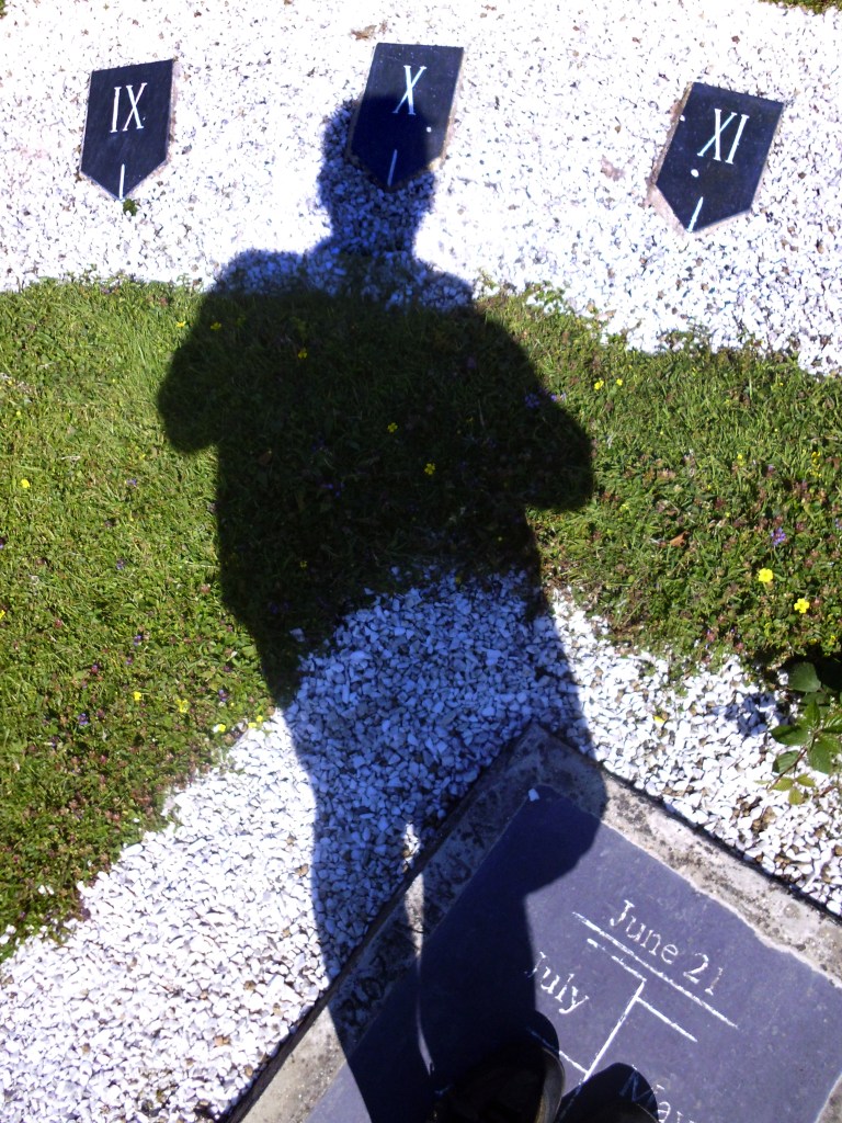
Using one’s own skill and ingenuity it is entirely possible to deduce that one arrived at such an august hill top observatory – at exactly X o’clock!
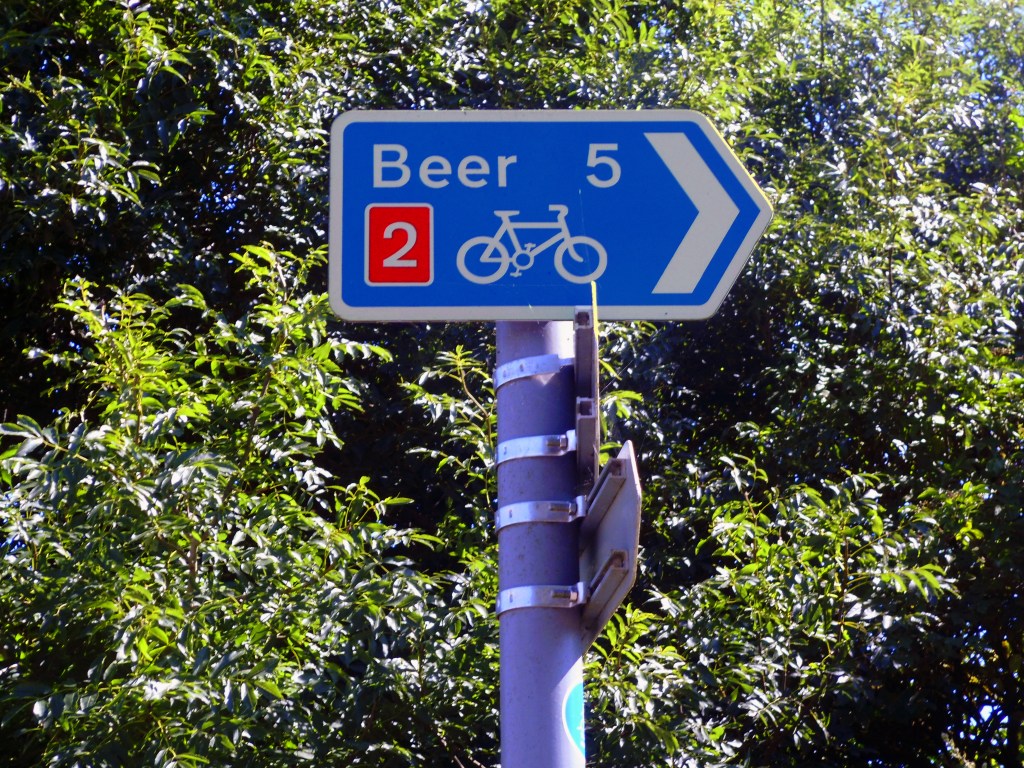
We’re now on the road to Beer, more of which in a moment first we’re on the way to Branscombe.
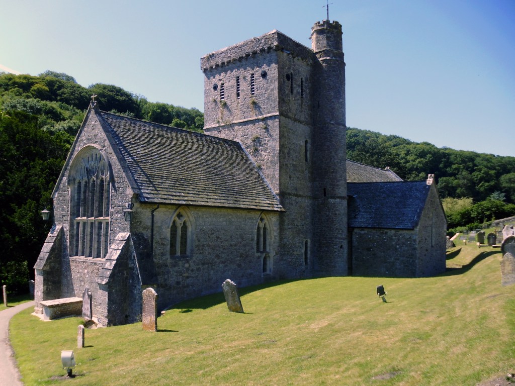
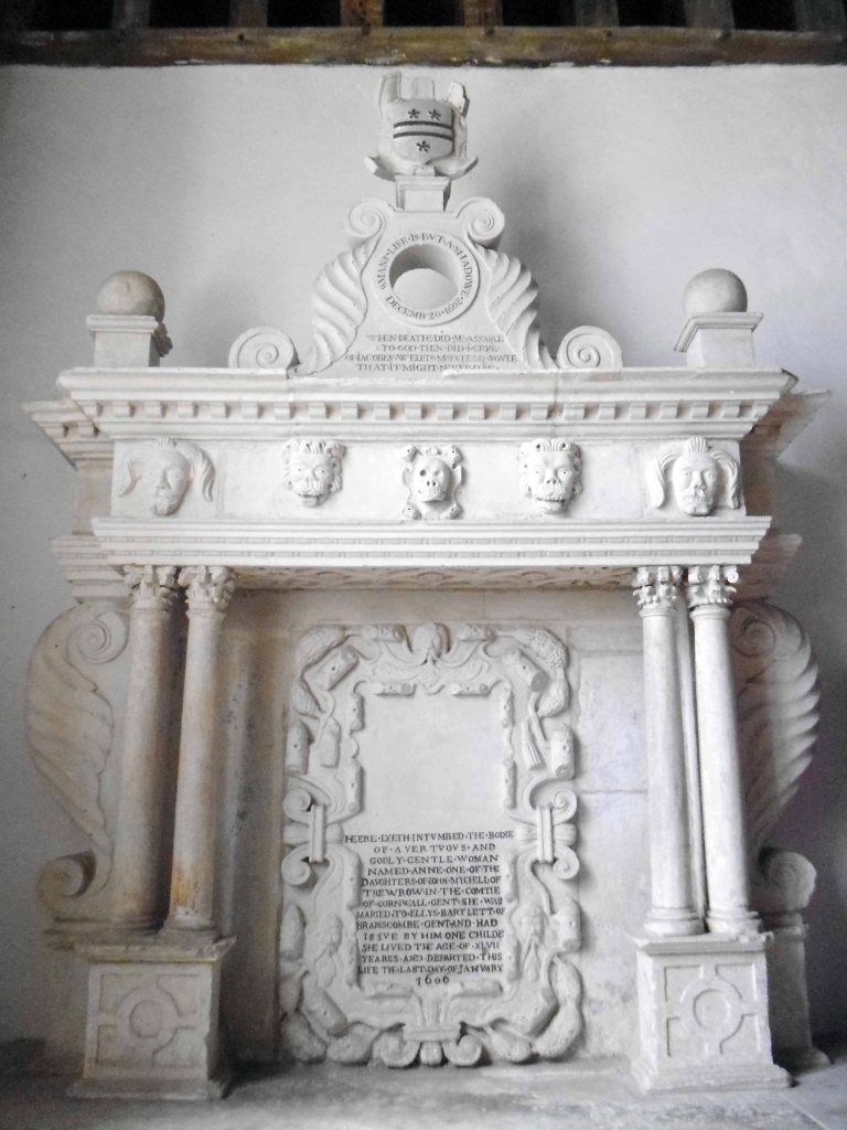
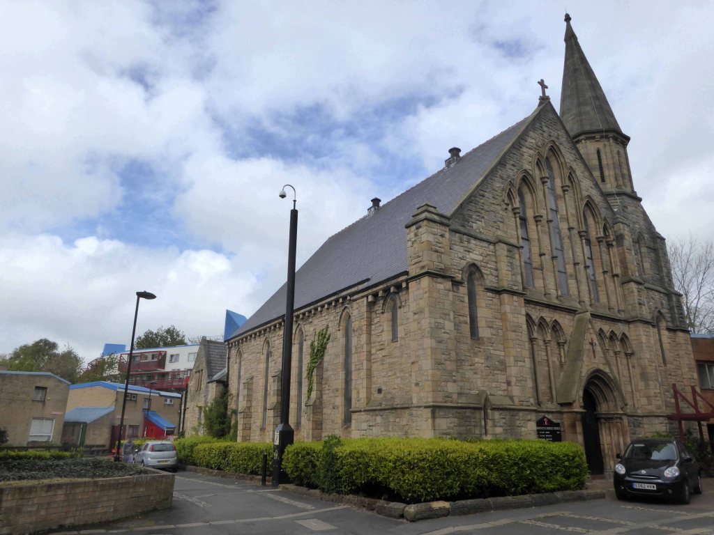
The Church of St Winifred’s set in a sylvan glade.
Characteristic Saxon chiselling on stones hidden in the turret staircase suggest the probability of an earlier, 10th century, Church on the site. Saint Winifred’s is among the oldest and most architecturally significant parish churches of Devon. The 12th century square central tower is one of only four completely Norman towers in Devon.
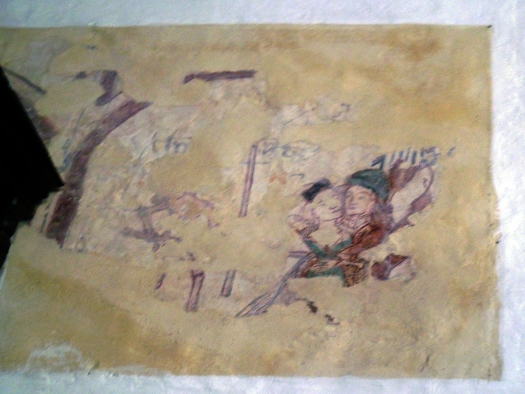
The church contains a rare surviving example of wall painting, dated about 1450 and discovered in 1911, the couple in this fragment illustrate Lust.
Sadly much of our ecclesiastical art was removed, destroyed or over painted during the Reformation, exacerbated by Cromwell and a general disdain for pictures and such.
Lust was also to be removed, destroyed or over painted.
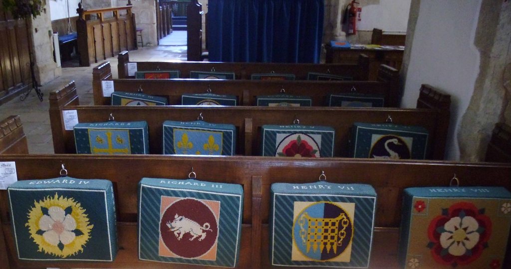
The reverence for royal succession was and is actively encouraged.
Well that’s quite enough of that, next stop Beer!
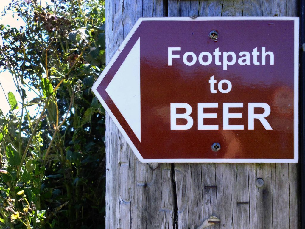
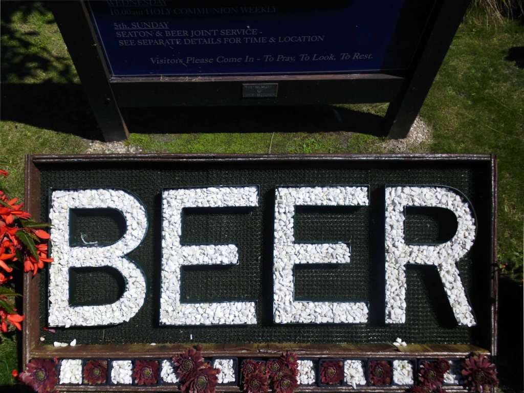
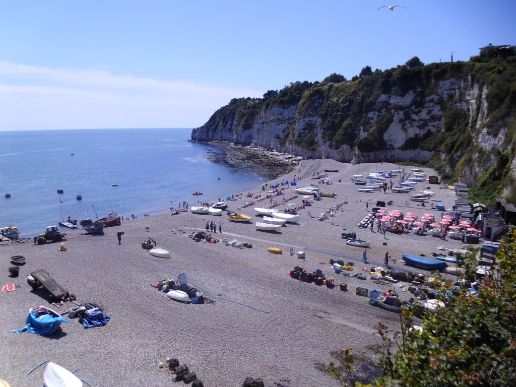
The beautiful picturesque village of Beer is located on the UNESCO World Heritage Jurassic Coast in Devon. Surrounded by white chalk cliffs, the shingle beach is lined with fishing boats still bringing in their daily catches and is famous for its mackerel.
On the edge of the South West Coast Path, Beer has some of the most stunning coastal walks in the county, one of the best being from Seaton to Beer with dramatic views across the Jurassic Coastline. Beer was also named recently by Countryfile as the Top Picnic spot in the UK from Jubilee Gardens at the top of the headland, chose for its stunning view of the beach and village from the hillside.
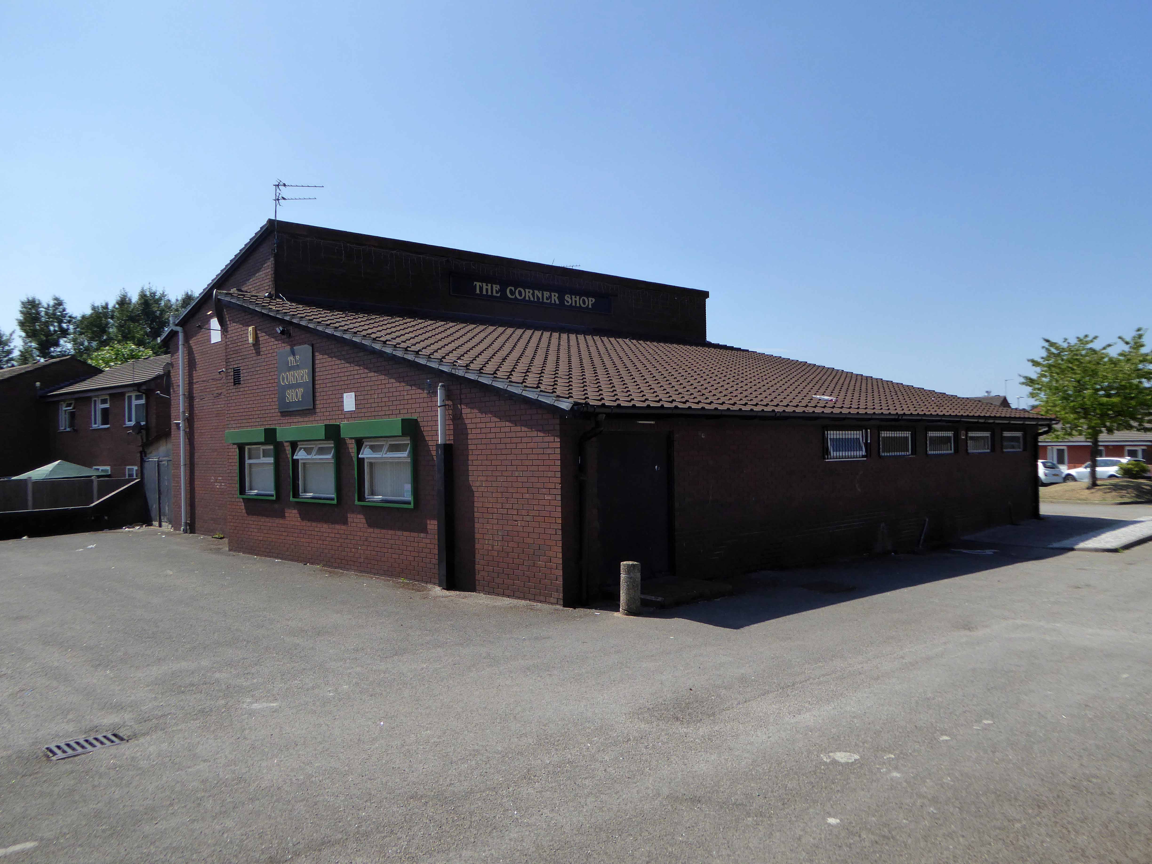
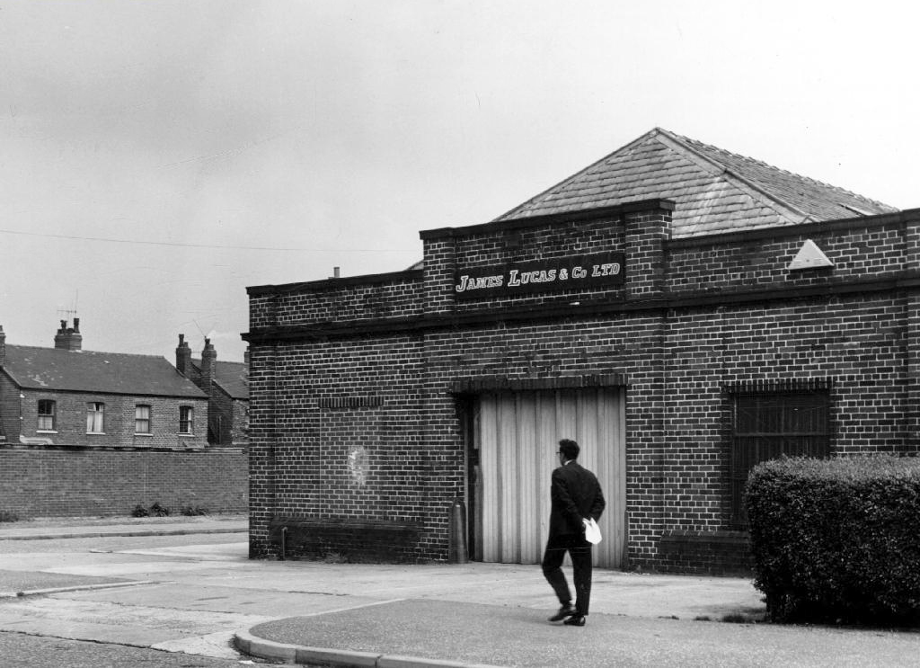
A narrow lane leads to the bay, clogged with oversized Toytown motor cars, full of folk in search of something which they’re doing their level best to remove, destroy or over paint.
Toytown is home to Larry the Lamb,and his clever sidekick, Dennis the Dachshund. Each day a misunderstanding, often arising from a device created by the inventor, Mr. Inventor, occurs which involves Ernest the Policeman, the disgruntled Mr Growser the Grocer and the Mayor.
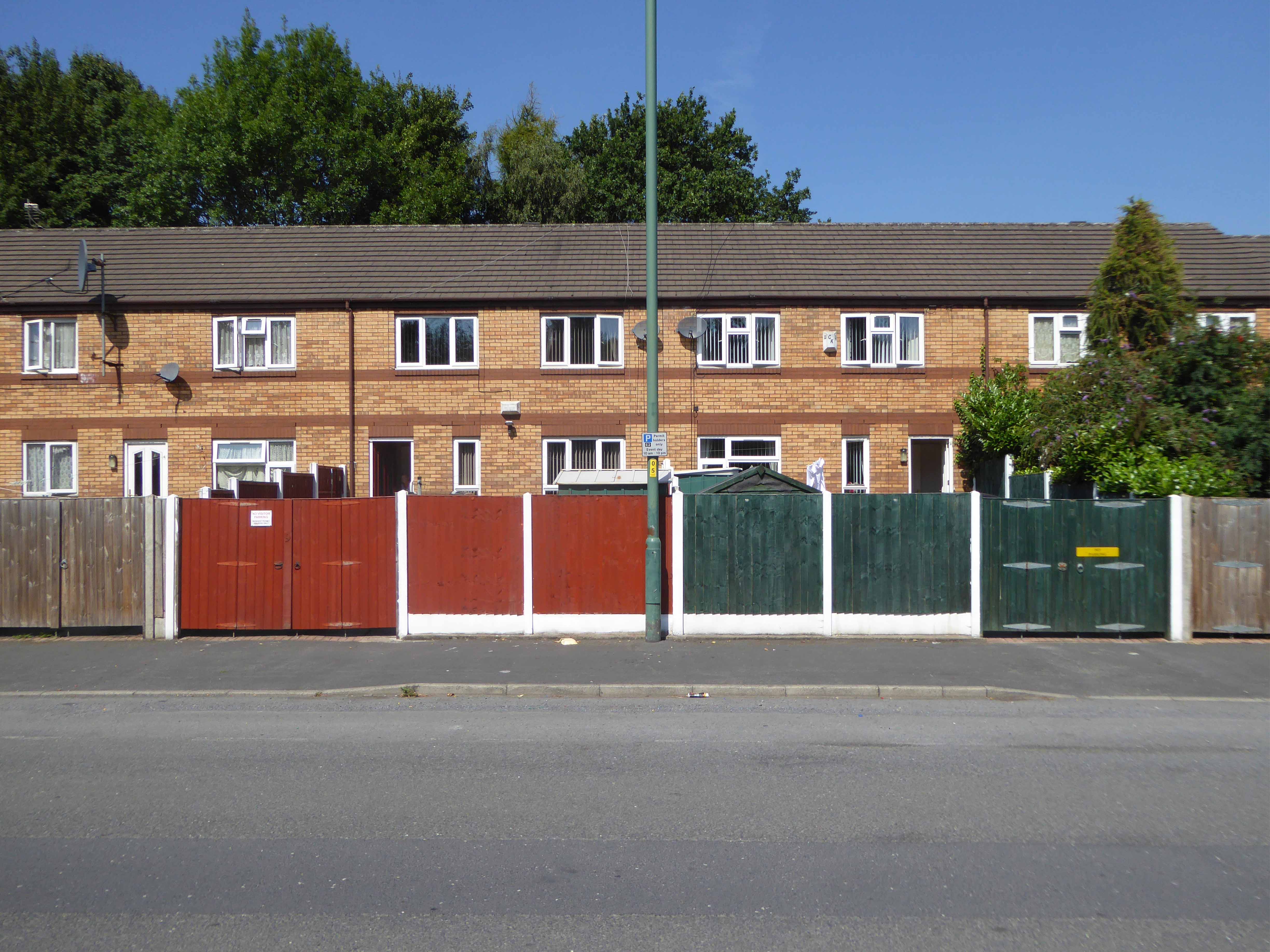
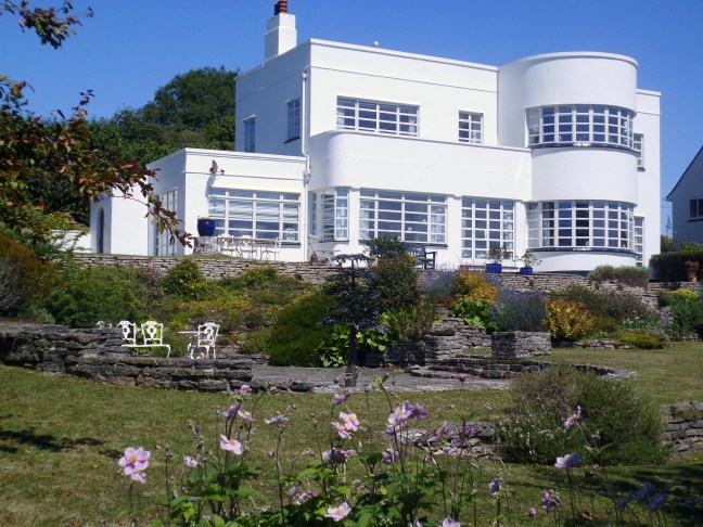
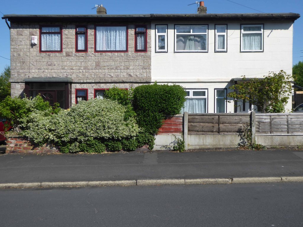
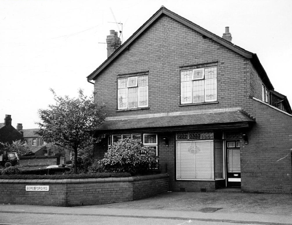
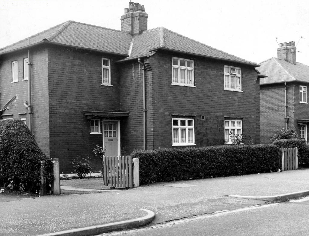
Delightful home compromised by the curse of the ubiquitous uPVC.
Next thing you know we’re in Seaton.
Whether you are looking for interesting attractions, wanting to explore stunning natural landscapes, experience thrilling outdoor activities, or just wanting somewhere to stay, eat or shop, you’ll find it all in Seaton.
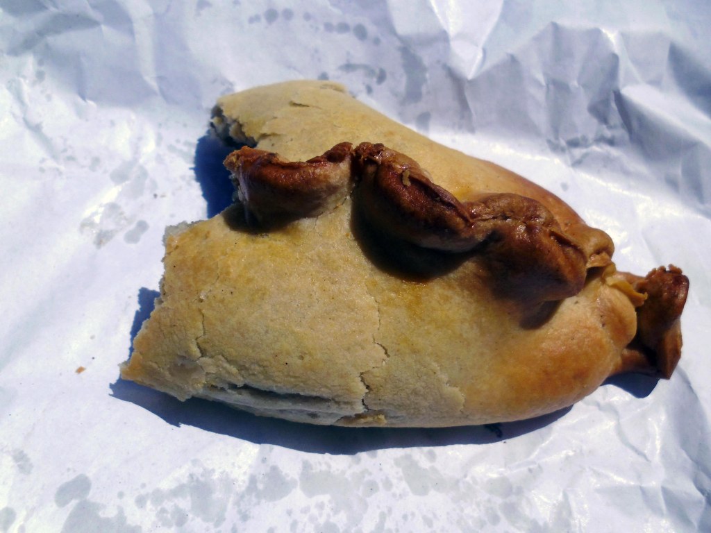
I found a pie shop and a pastie.
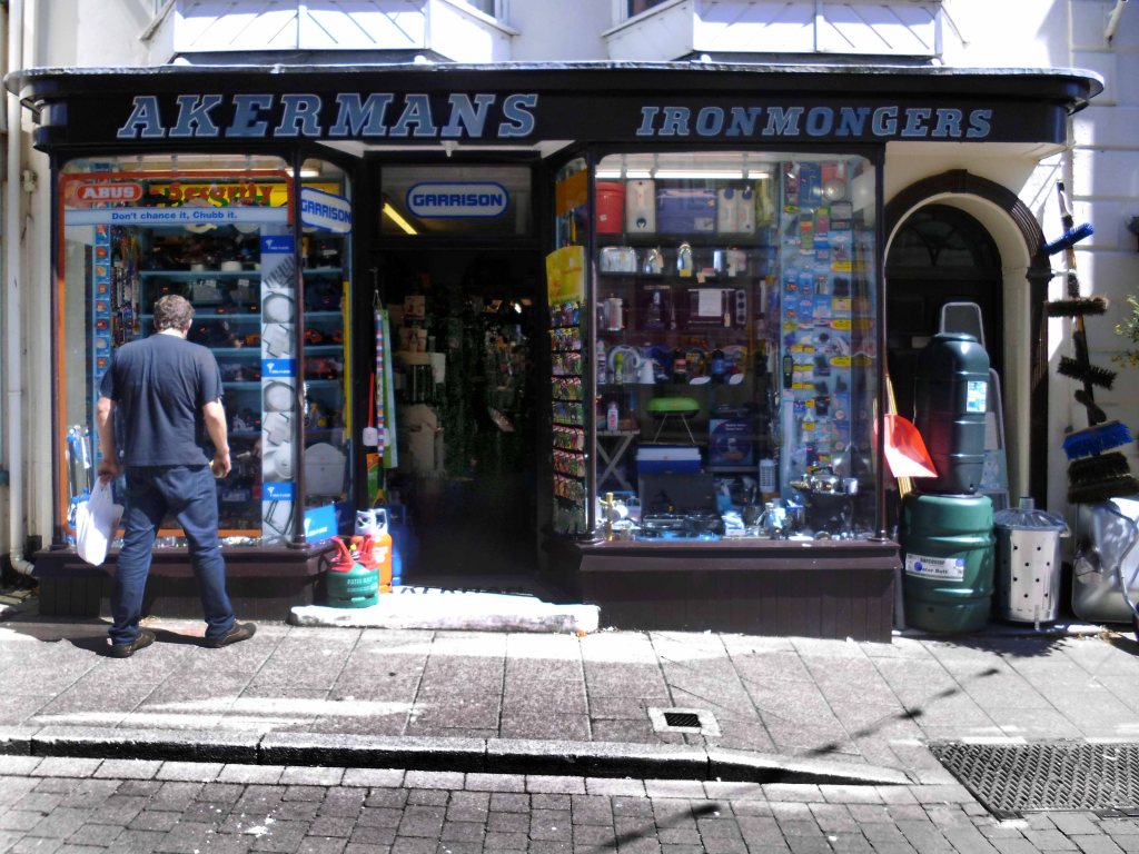
I found an ironmongers with a Stymie Bold Italic/Profil fascia.
Frequented by men who tend to adopt a combative stance when confronted with displays of ironmongery.
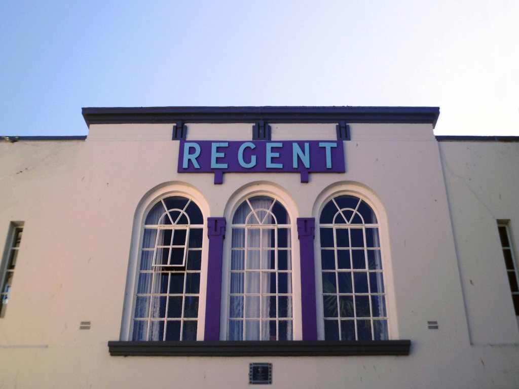
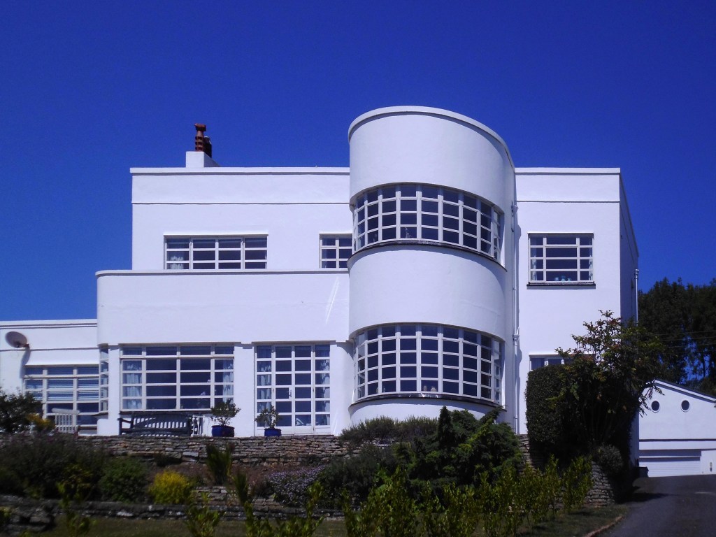
I found the road to Lyme Regis and the Regent Cinema.
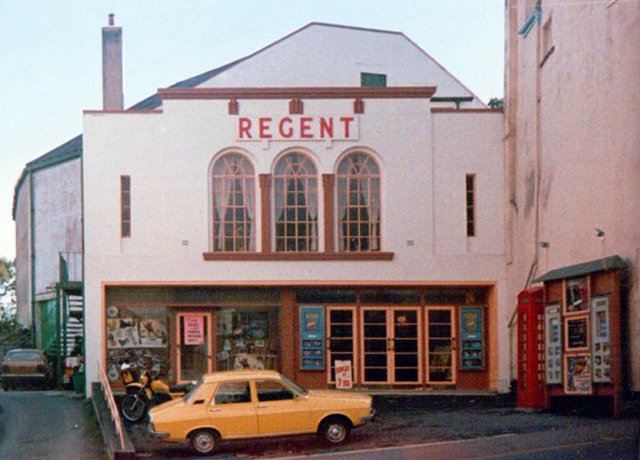
The Regent Cinema opened on 11th October 1937 with Hugh Wakefield in The Limping Man. It was built for and was operated by an independent exhibitor.
Bristol based architect William Henry Watkins designed a splendid Art Deco style inside the cinema which has seating on a stadium plan, originally the seating capacity was for 560. It has a raised section at the rear, rather than an overhanging balcony. Lighting in the auditorium is of a ‘Holophane’ type, which changes colours on the ceiling. The proscenium opening is 35 feet wide. There was a cafe located on the first floor level.
In recent Years it has been operated by the independent Scott Cinemas chain. The Regent Cinema has been recently restored. From October 2000, English Heritage gave it a Grade II Listed building status.
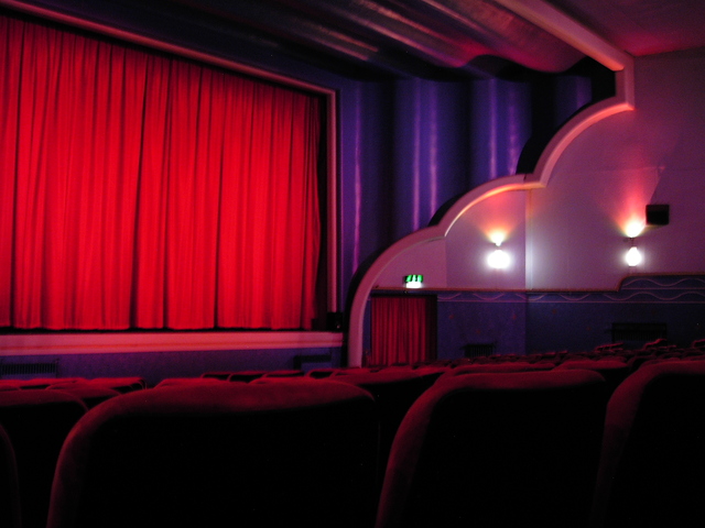
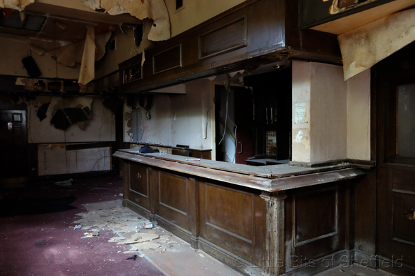
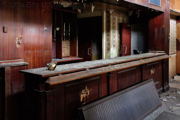
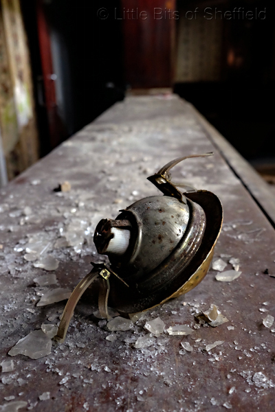
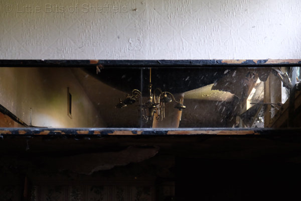
2016 – Following the devastating fire at the Regent Cinema on Tuesday 22nd March, we can now confirm that the auditorium block of the Regent has been damaged beyond repair, and will have to be rebuilt. Damage to front of house areas is largely cosmetic, and will be attended to as part of the wider build scheme. We have every intention to rebuild the cinema to its former glory.
2019 – The WTW-Scott Cinema group is still actively engaged in a potential rebuild scheme for the Lyme Regis cinema. We’re currently working on our fourth set of design proposals, from which we need to reach the point where the rebuild scheme is both financially and architecturally viable. At present, we have not consulted with local authorities as there is little point in wasting everybody’s time presenting a scheme design that isn’t viable. New build cinemas are architecturally very complicated, and the Lyme Regis venue being a listed building presents challenges to overcome, all of which add significantly to any build schedule. Once we have a viable, workable scheme, we look forward to working with the local authority and Historic England to progress this.
The remainder of my time in Lyme was spent desperately seeking a bed for the night, to no avail. Following multiple enquiries and dead end directions to no-go destinations, I headed out of town.
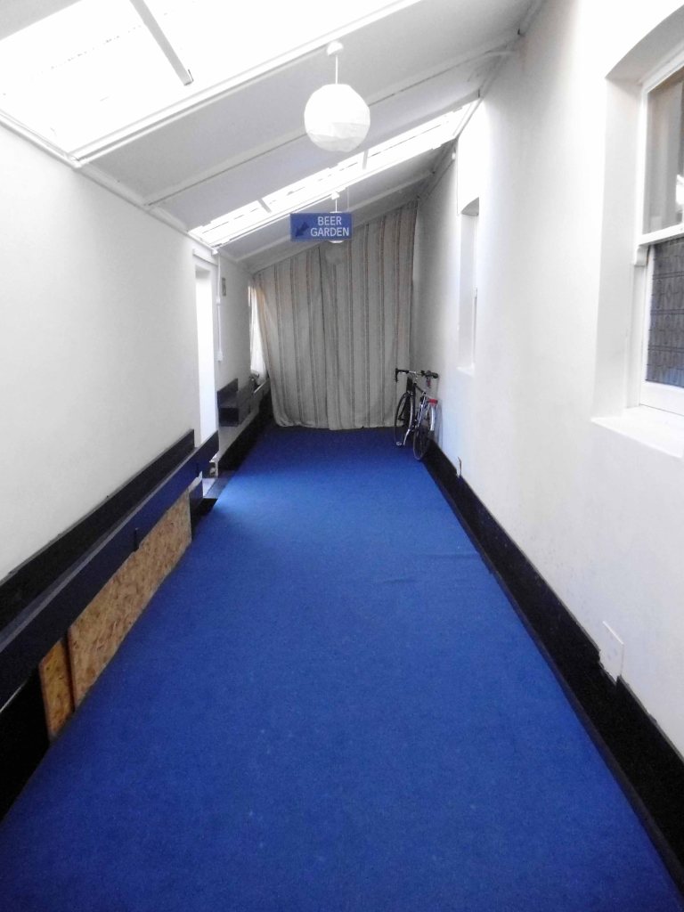
Bridport bound – where I chanced upon a Pub/B&B the magnificent Lord Nelson where the owners allowed me to store my bike in the ninepin bowling alley.
I sat in the beer garden at the Lord Nelson and boozed – chatting to a local lad that worked in the local brewery, brewing the local beer, that was served in this very same local pub.
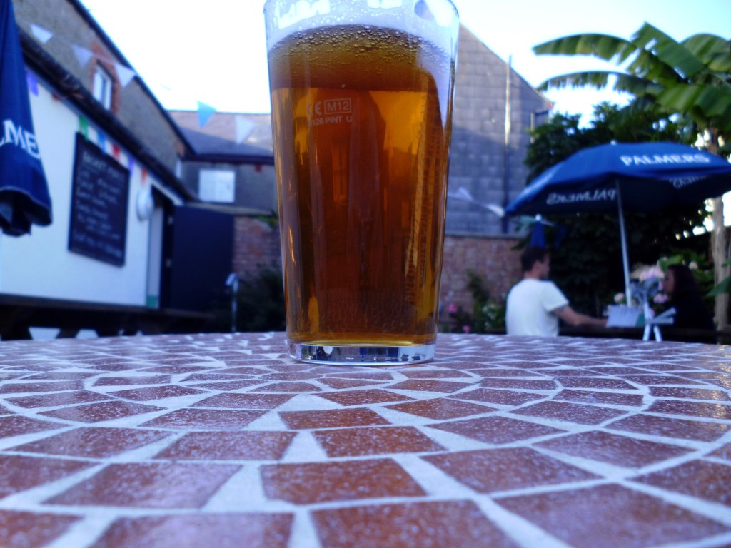
Palmers Ales are brewed in one of Britain’s oldest and prettiest breweries and have been since 1794. The only thatched brewery in the UK, Palmers sits adjacent to the river Brit just a mile from Dorset’s Jurassic Coast. All our fine ales are brewed using water from our own naturally rising spring.
Our Head Brewer uses only the finest Maris Otter malt and carefully selected whole leaf hops to produce ales in a way they have been made for generations. Palmers historic brewhouse has a traditional Mash Tun, an open top Copper, along with top fermentation, this is the way ale should be brewed.
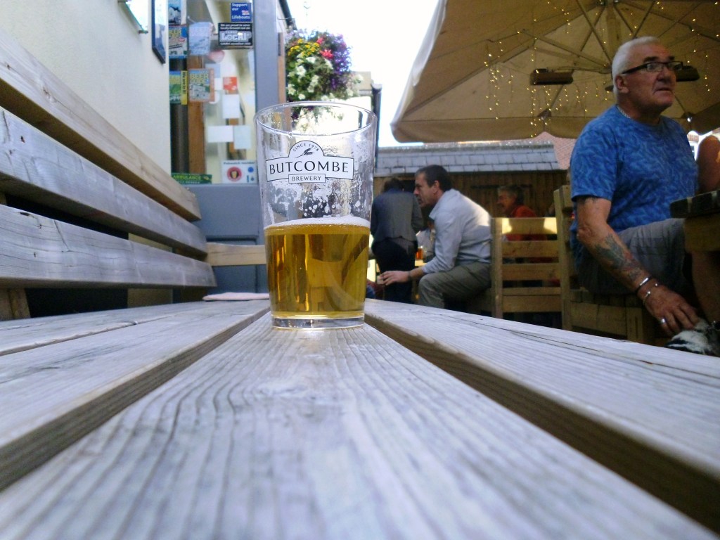
I finished up somewhere else, sat outside chatting to someone else, about something else.
Wandered happily home to bed.
Night night.


")
")
")
")
")
")
")