Strangeways?
– How strange.
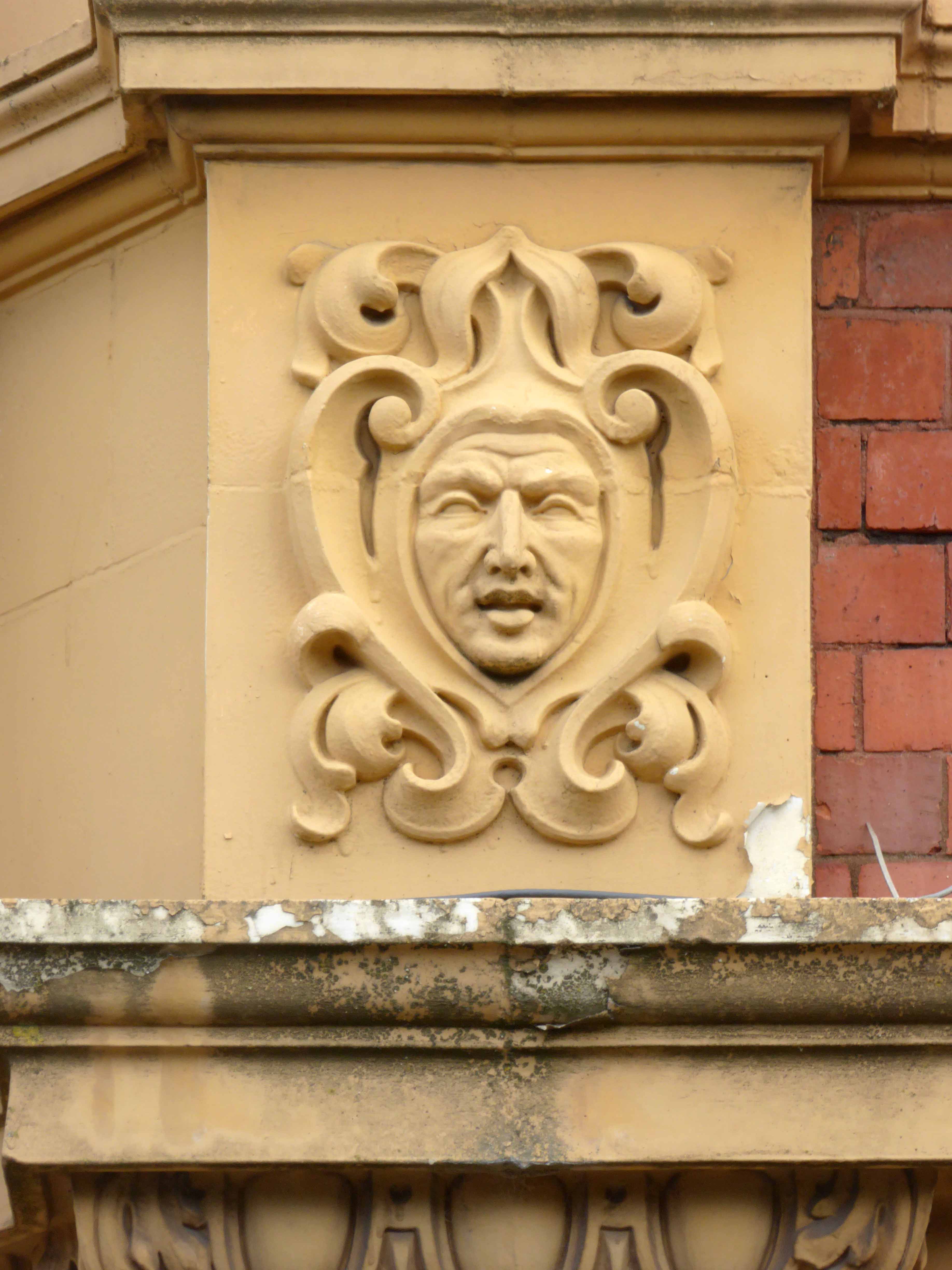
The Strangeways family themselves are certainly recorded in antiquity at the site, although the name appears differently over time; Strongways in 1306, Strangewayes in 1349 and Strangwishe in 1473. In the late 1500s in records at Manchester Cathedral the surname is spelt Strangwaies.
My thanks to Thomas McGrath for his – Long Lost Histories: Strangeways Hall, Manchester
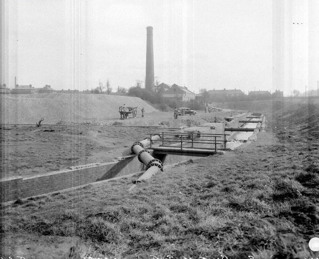
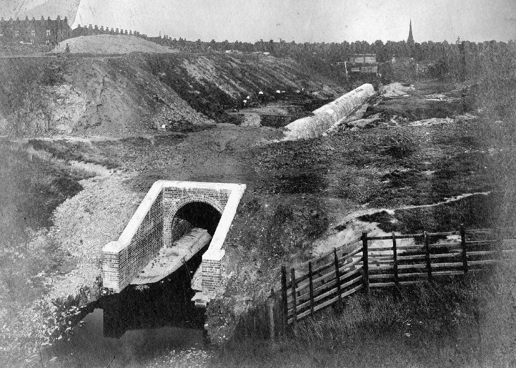
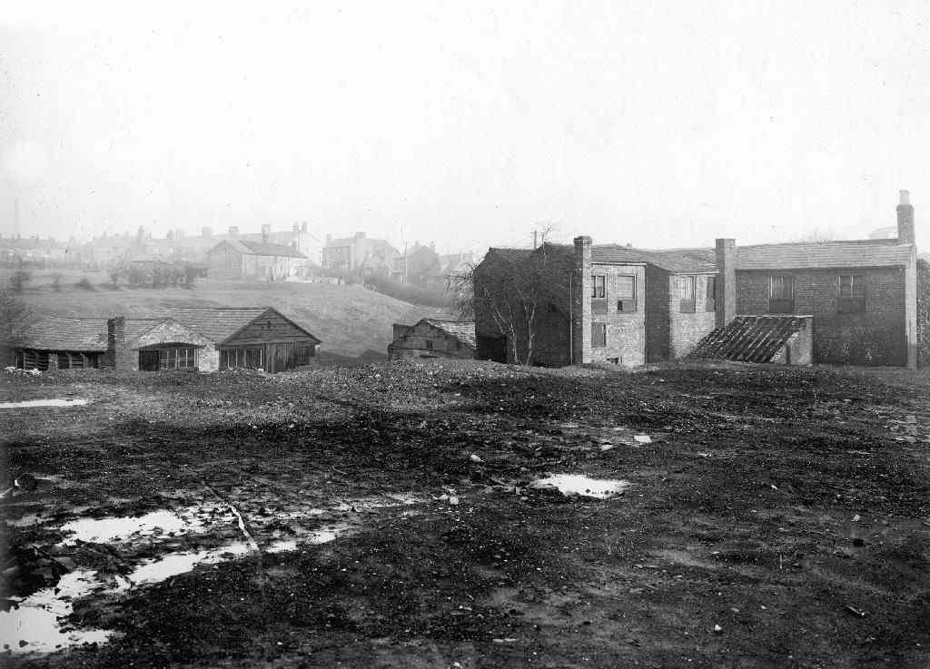
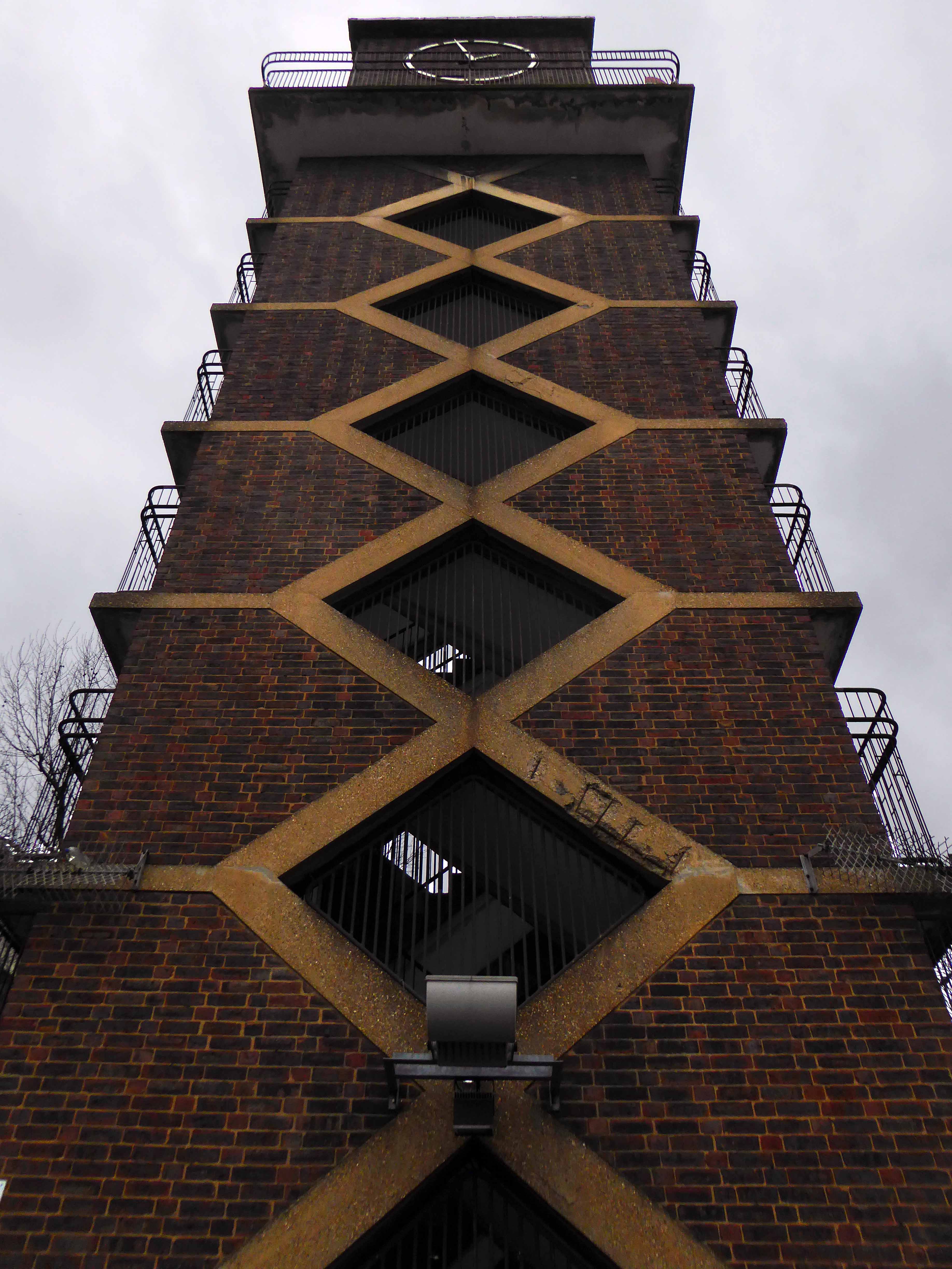
Before panopticon prisons entered the public imagination, and incarceration was the order of the day for the disorderly, it was all fields around here – with the odd house or baronial hall.
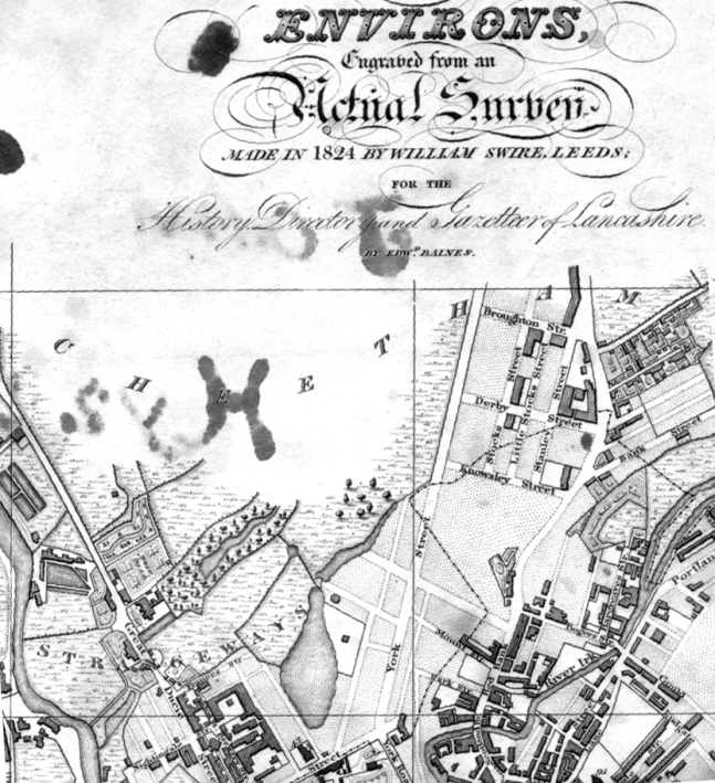
Swire’s map of 1824
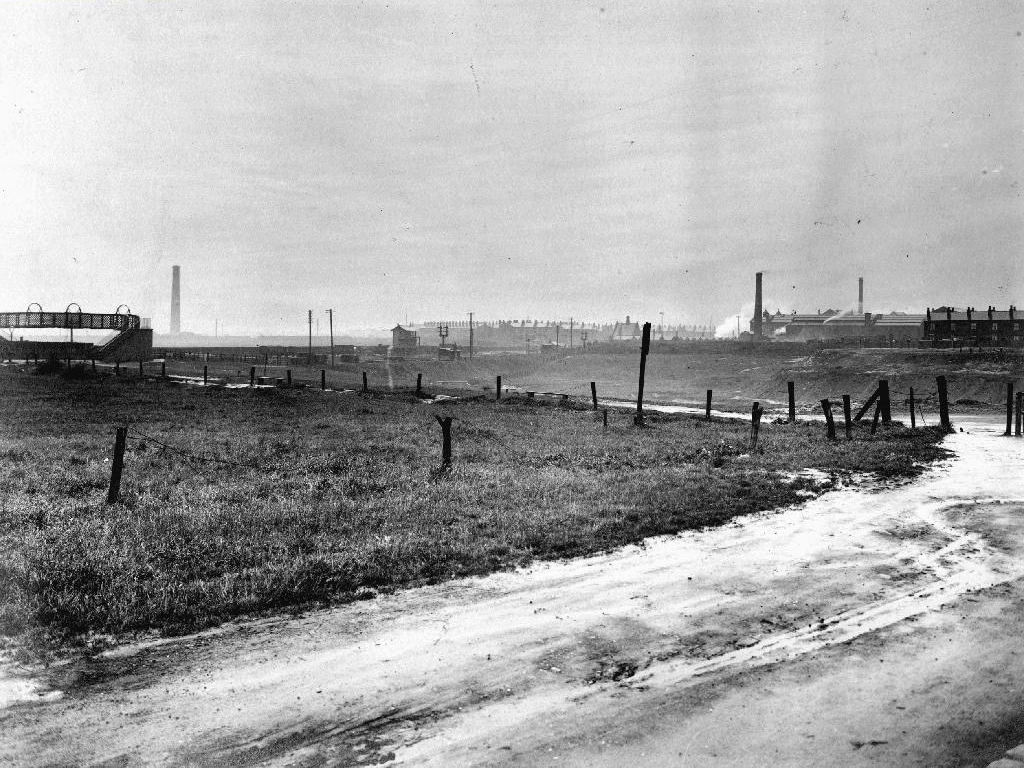
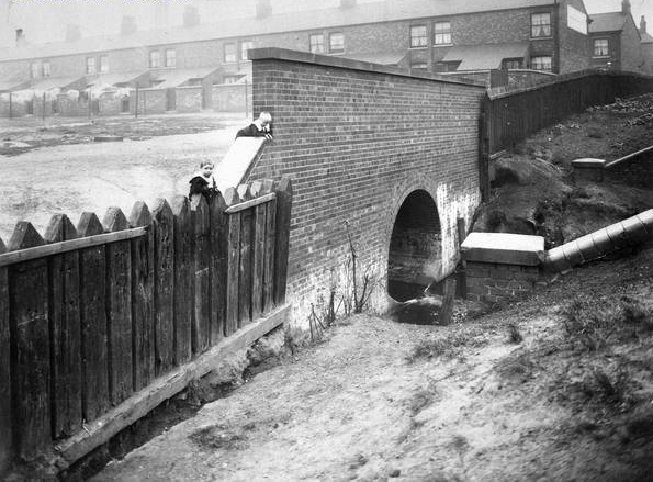
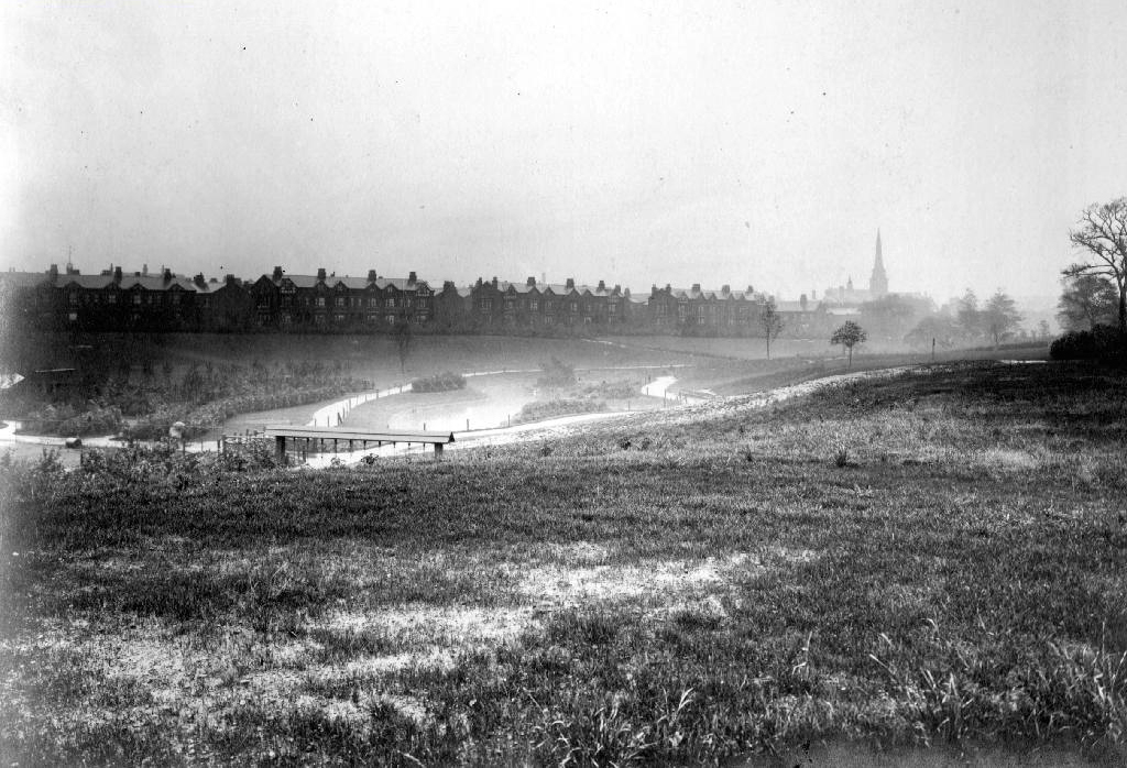
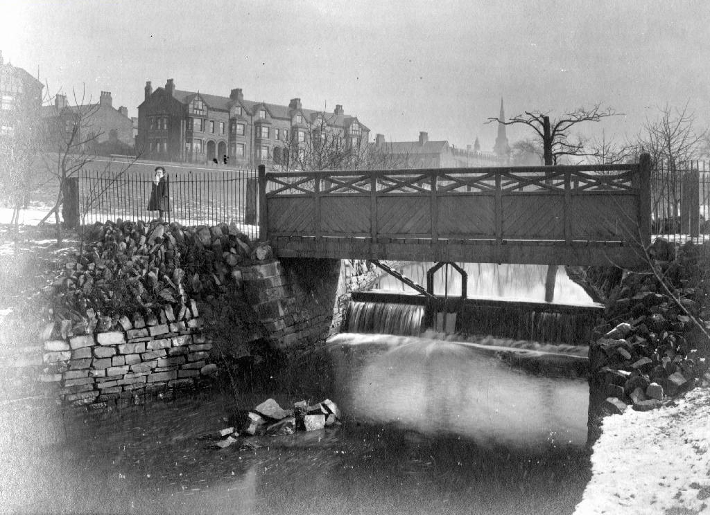
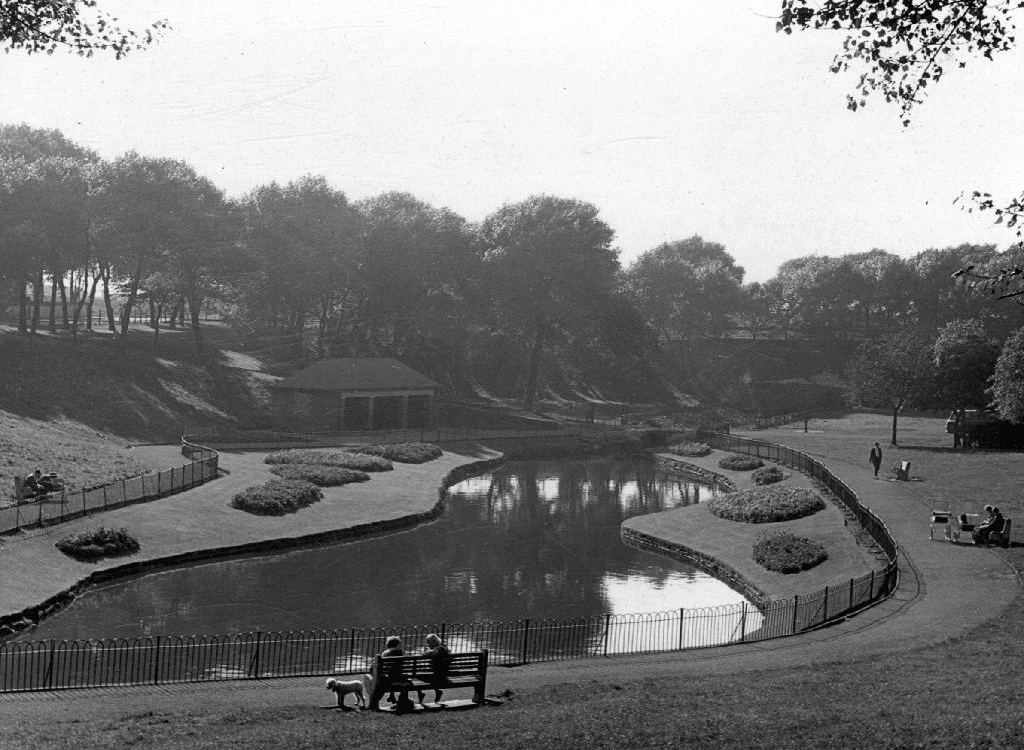
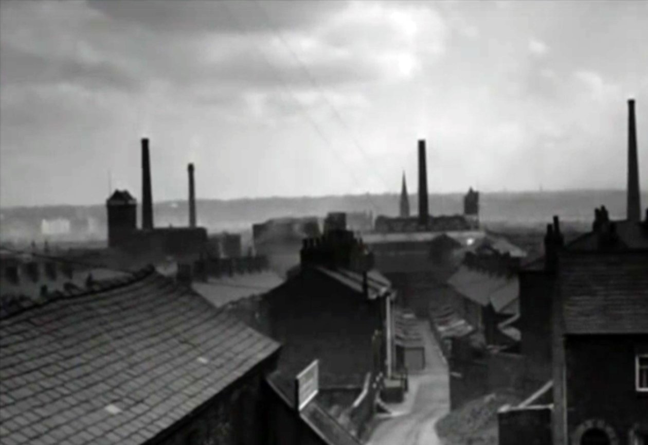
Strange days, over time the prison is built, the assizes appears and disappears and tight groups of tired houses cluster around the incipient industry. The fiefdom’s of old become tie and tithe to successions of industrial plutocrats.
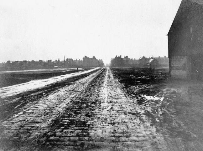
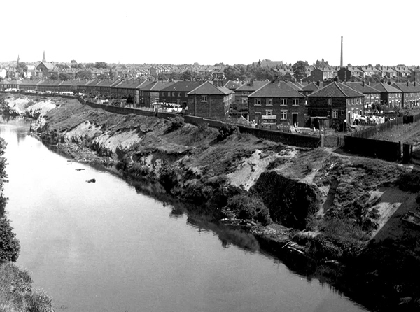
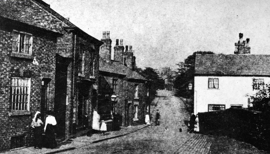
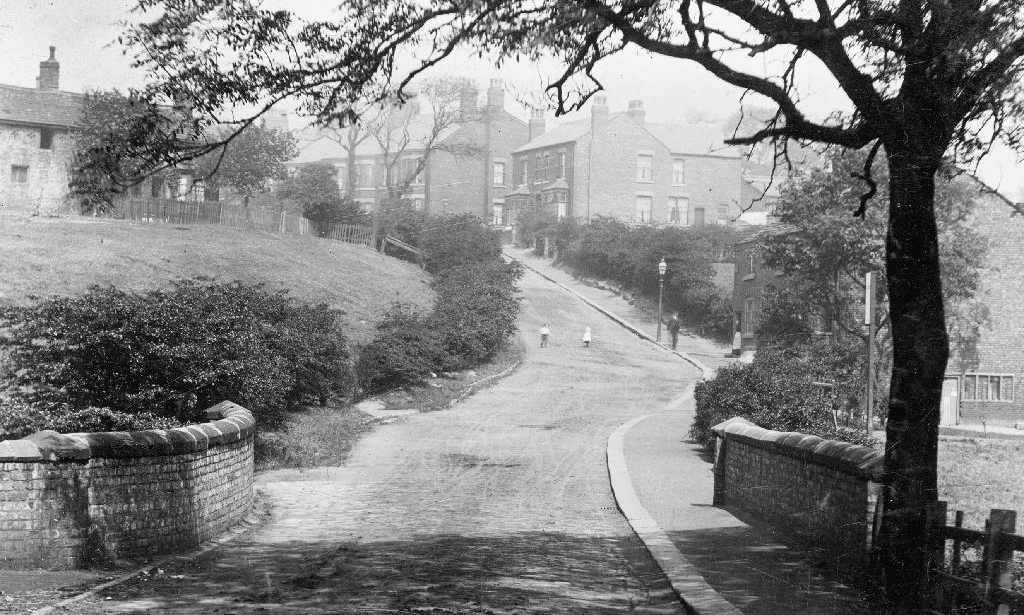
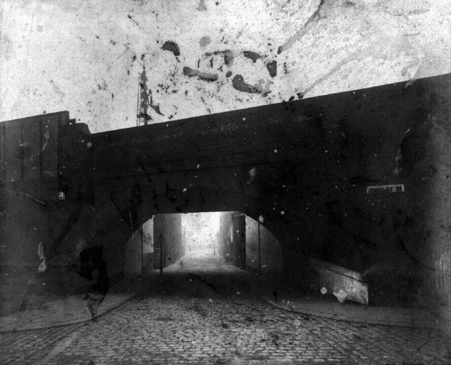
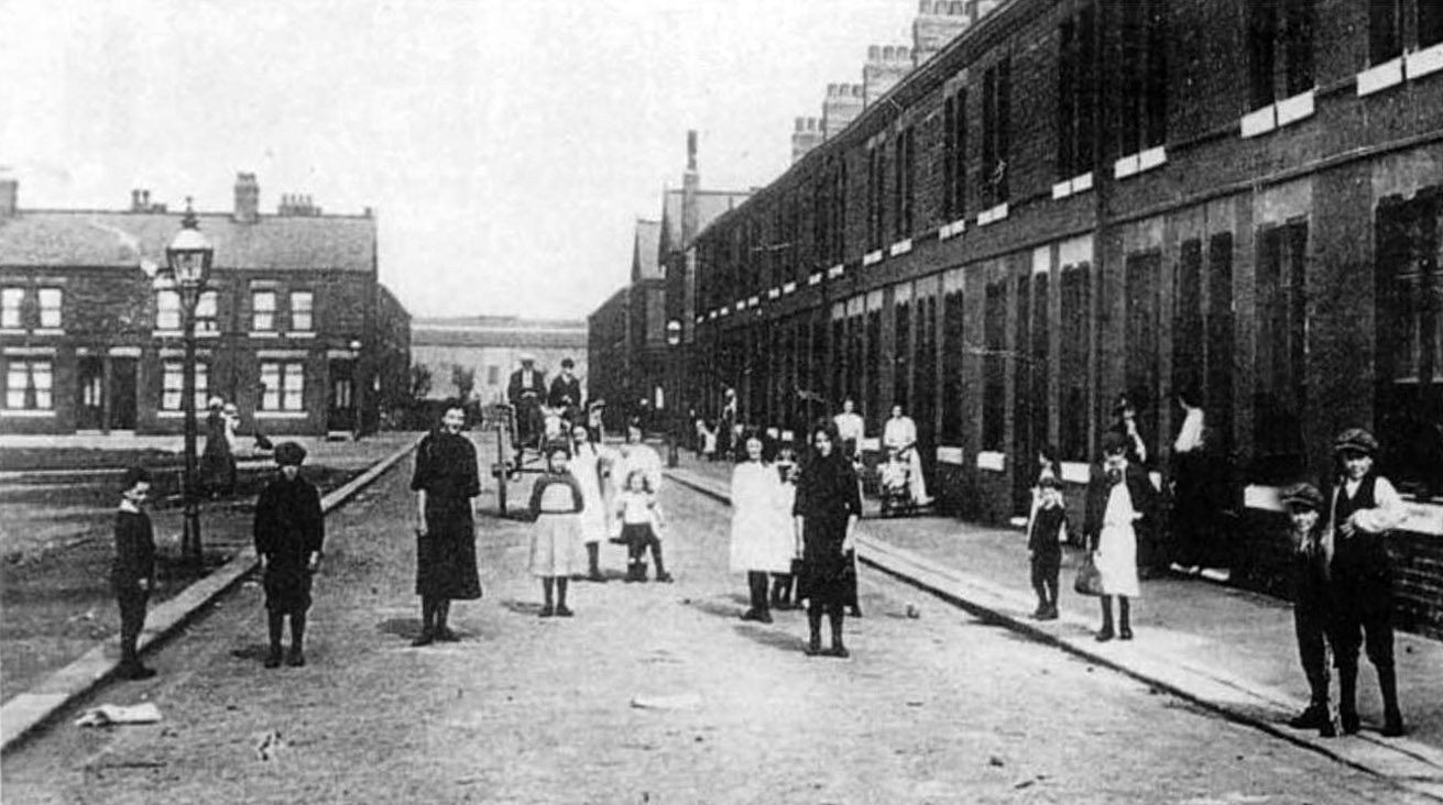
Broughton Street 1910 – Photograph J Jackson
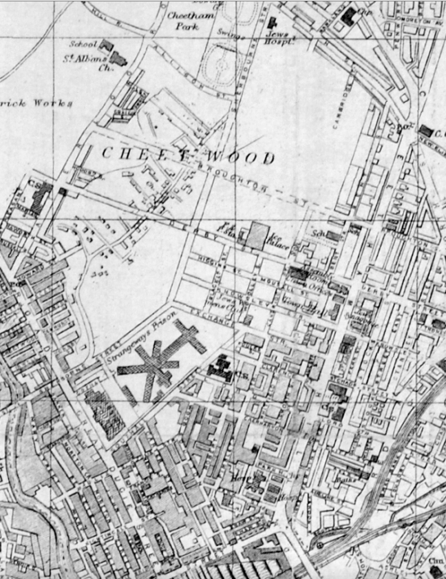
Kelly’s map of 1920
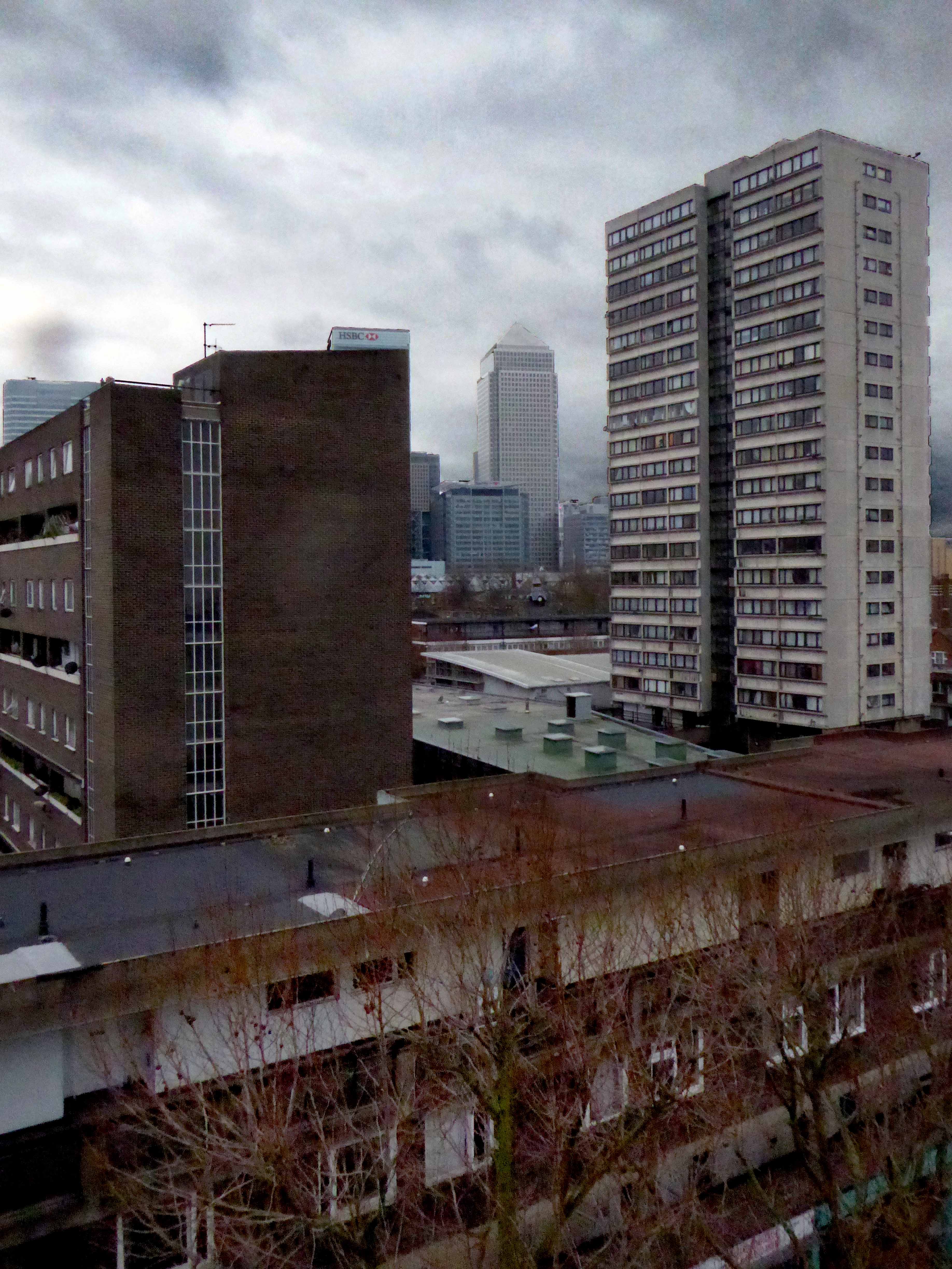
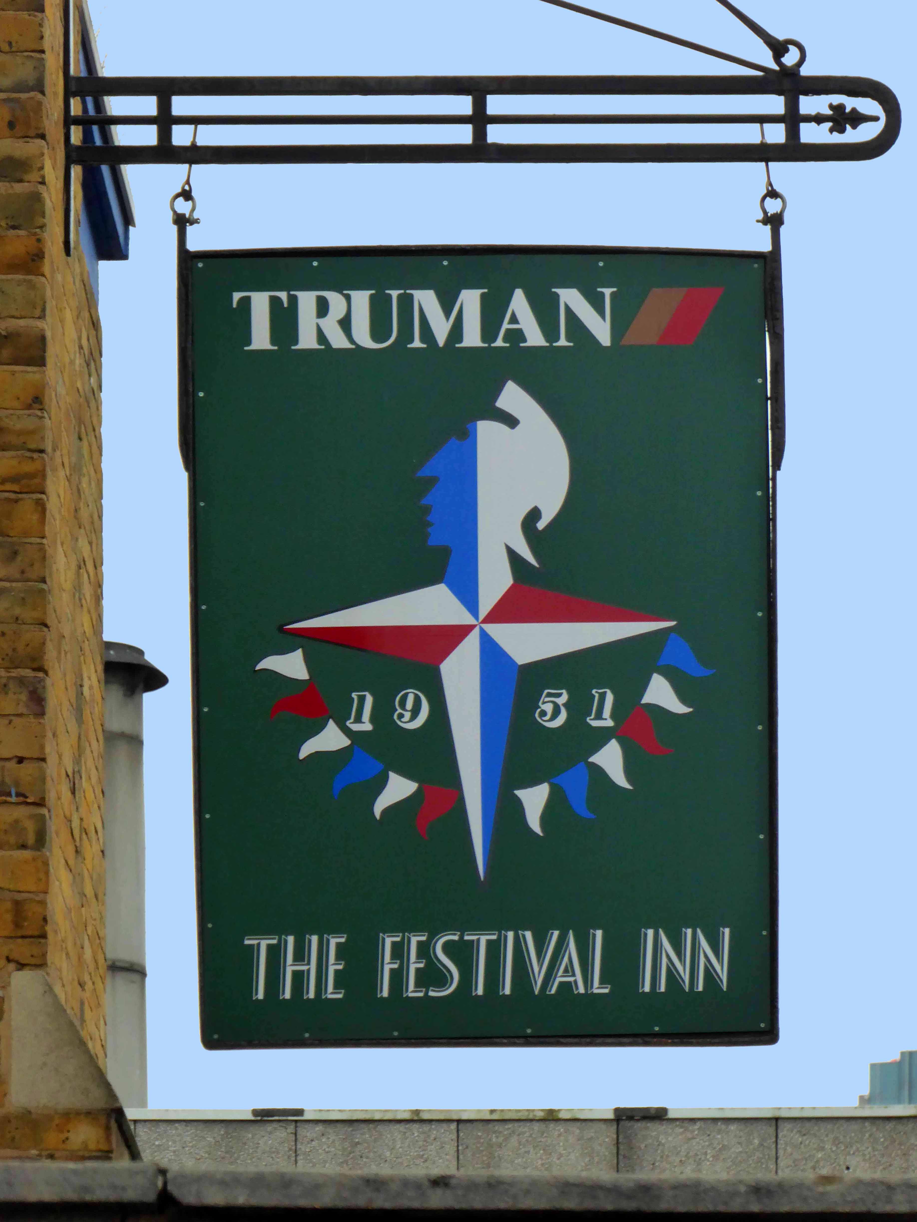
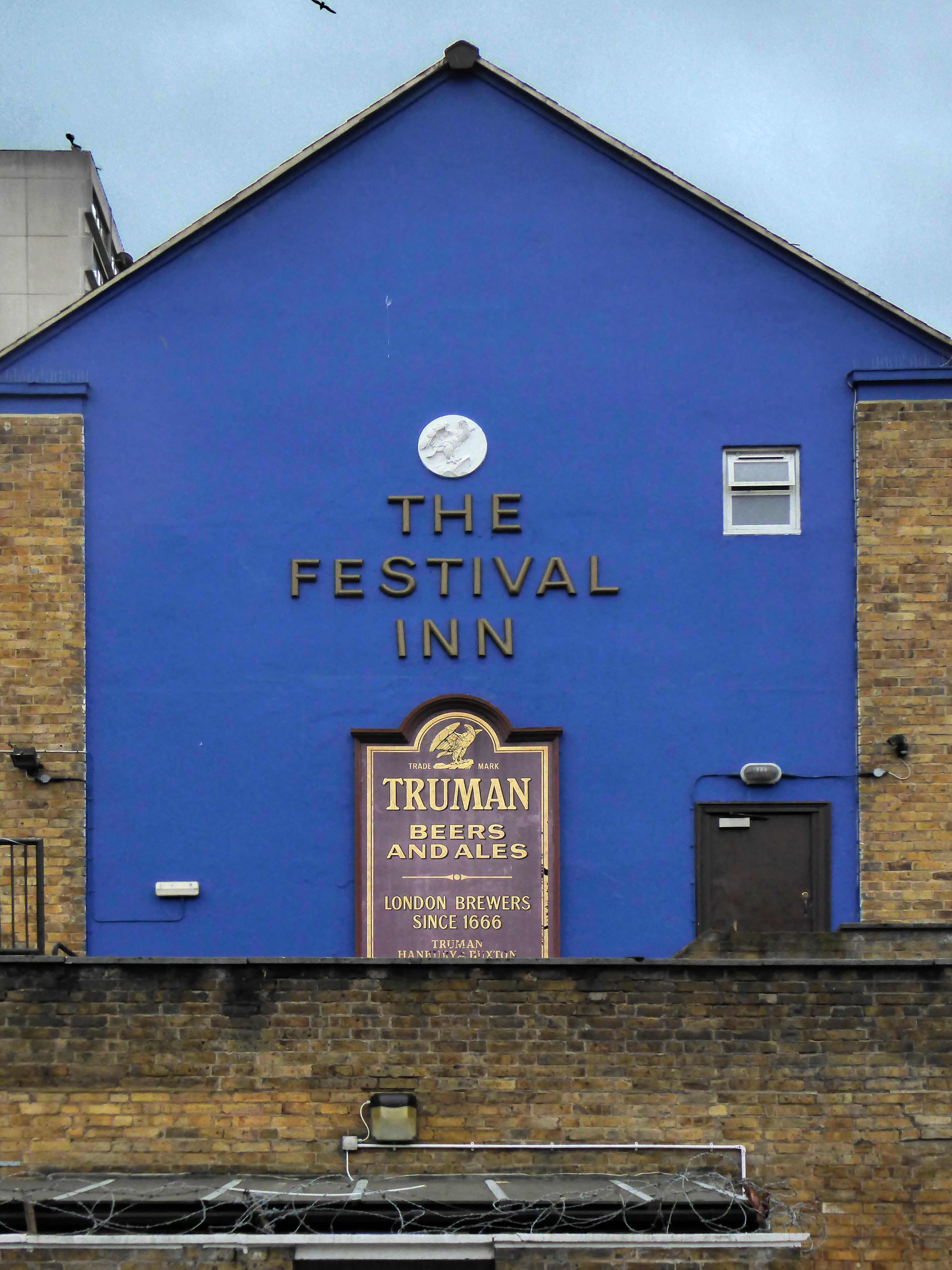
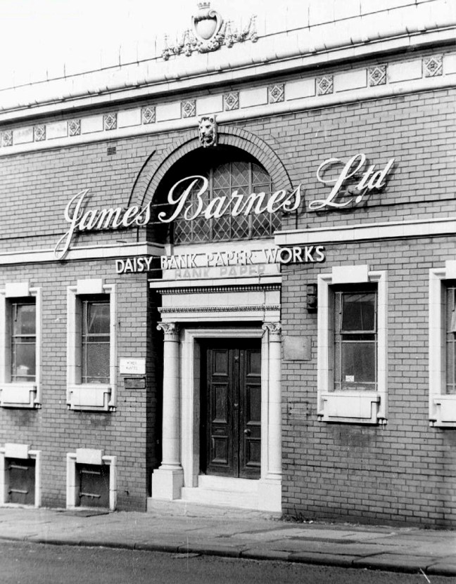
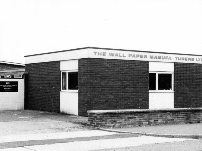
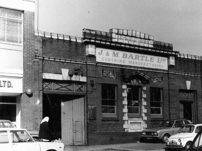
The area becomes the centre of the city’s rag trade, a large Jewish Community, the largest outside of London, grows up around Strangeways, Cheetwood and Cheetham Hill – houses, mills, wholesale, retail, warehouse, ice palace, beer-house, brewery. The area is home to several of Joe Sunlight’s inter-war industrial developments – his Jewish family were named Schimschlavitch, his father a cotton merchant. The family emigrated to England in 1890 and settled in Manchester.
So much for Joe Soap – the area was also the location for local lads, Karl Marx, and Marks & Spencer.

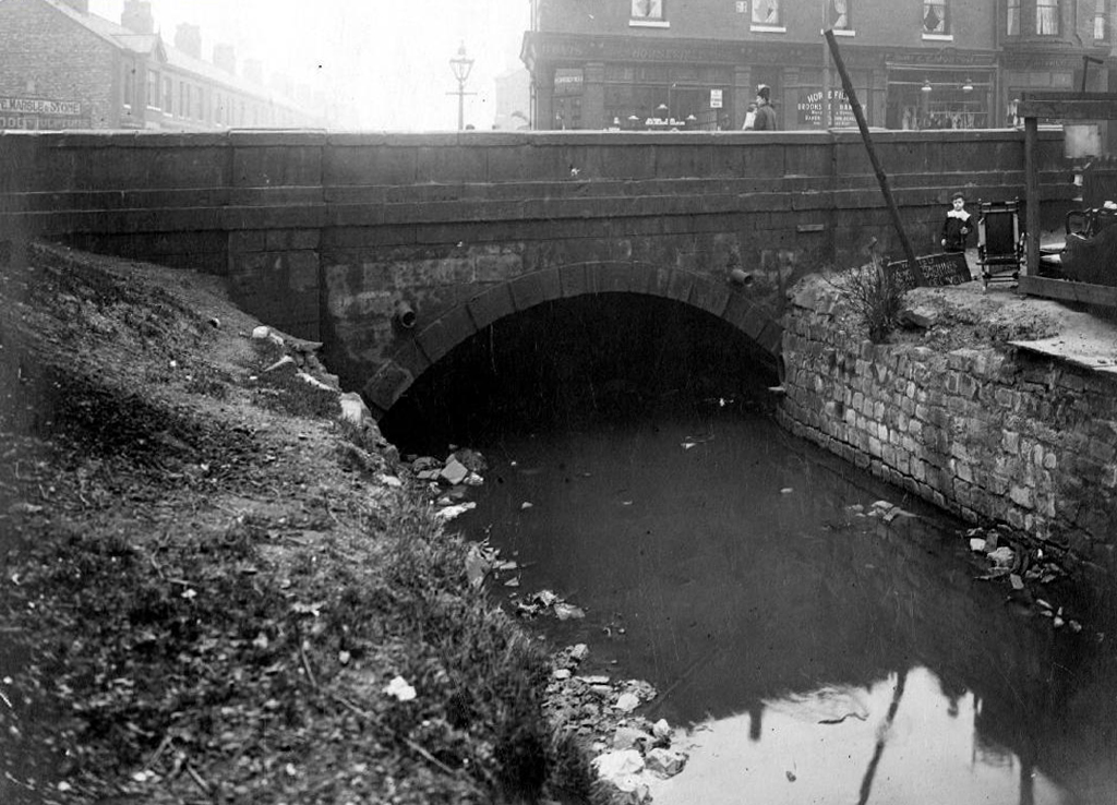
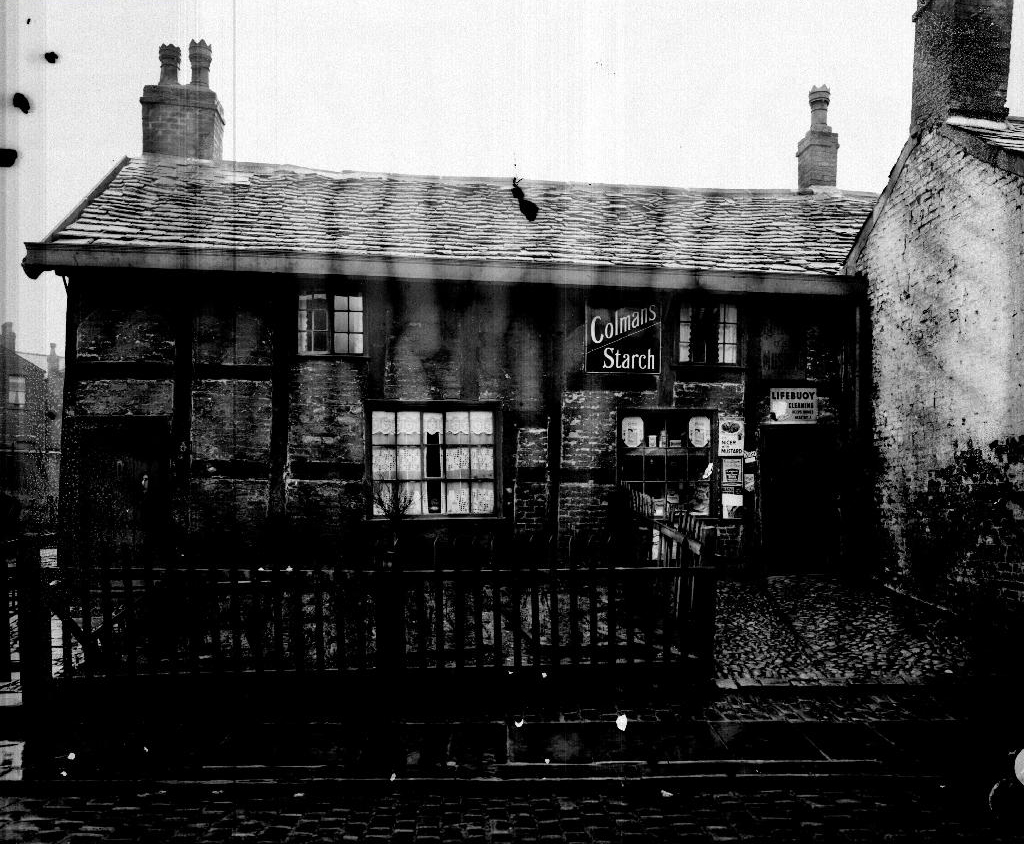
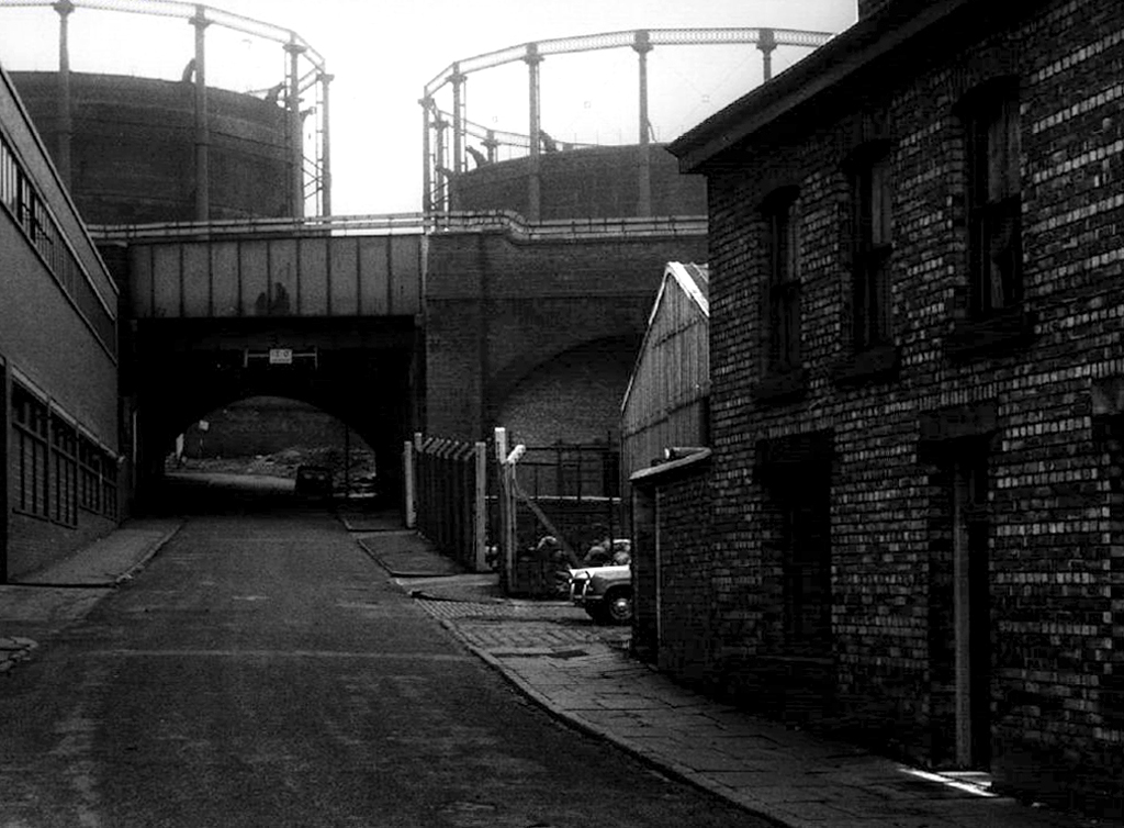
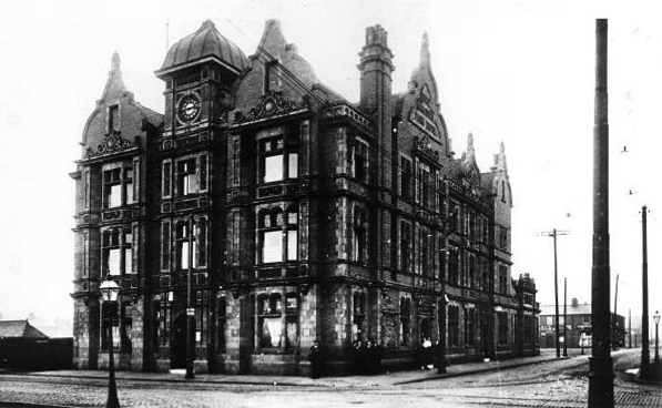
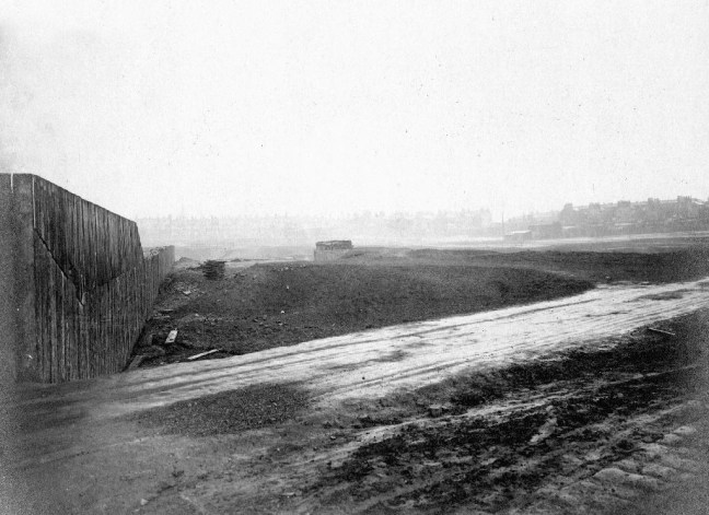
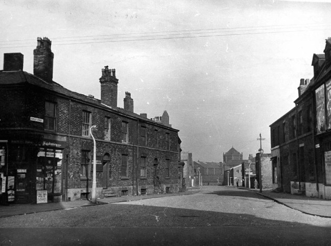
Derby Street 1901 – 1924
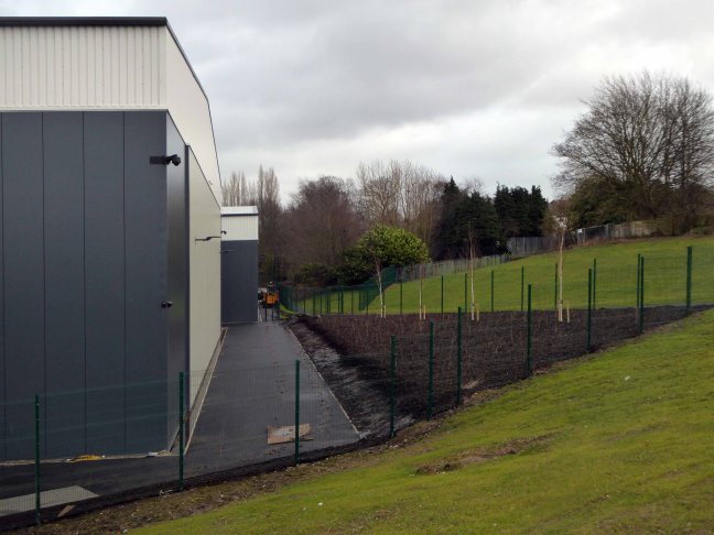
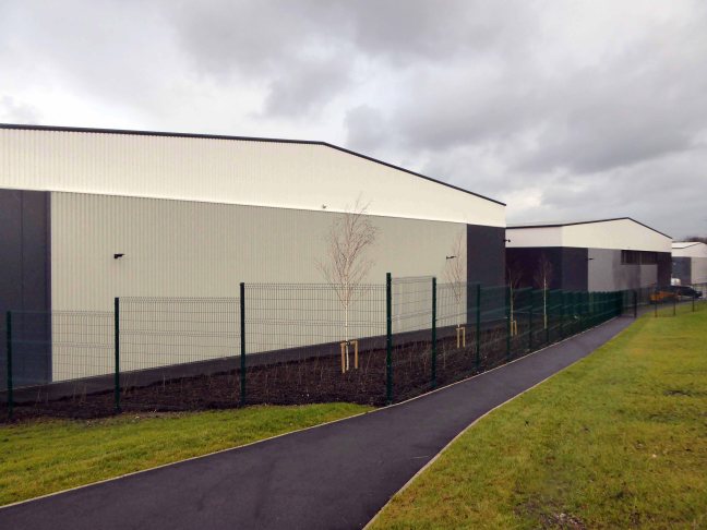
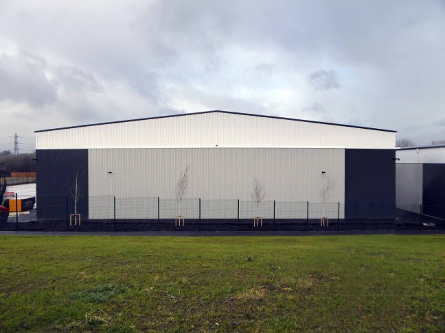
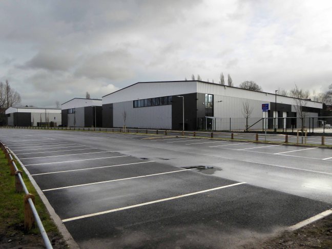
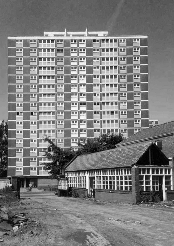
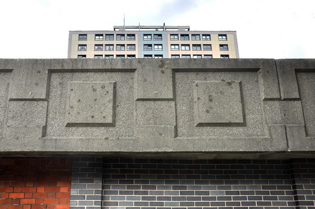
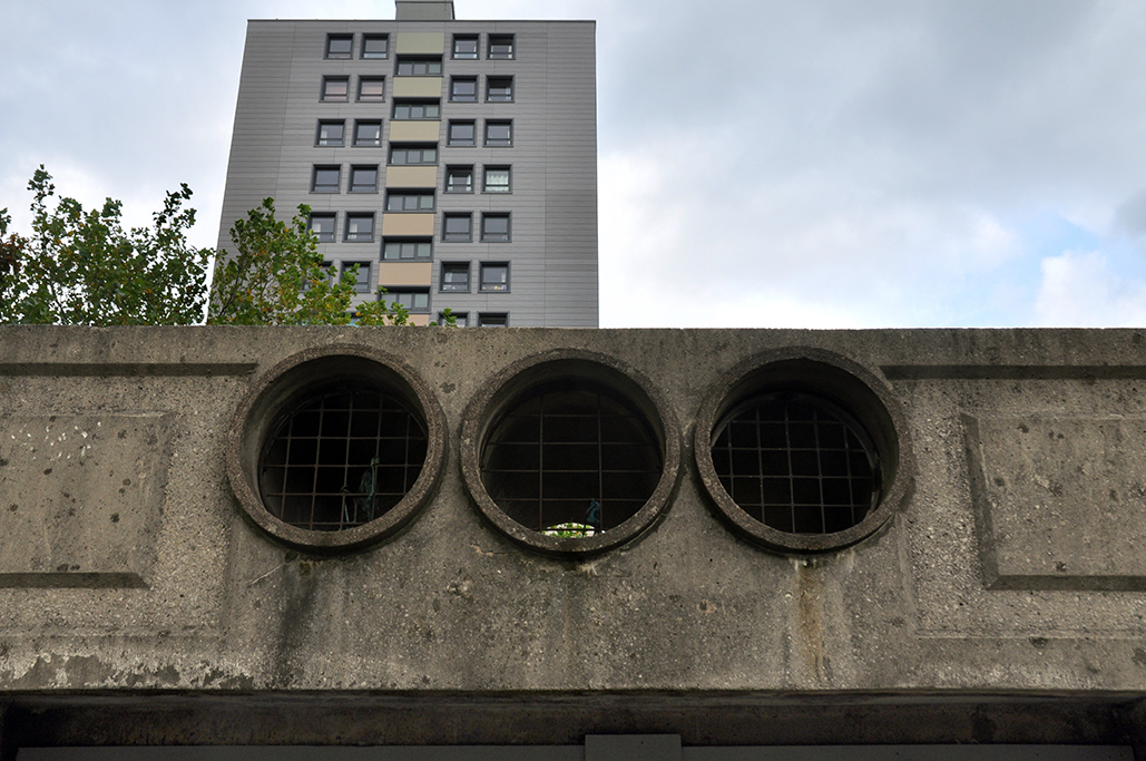
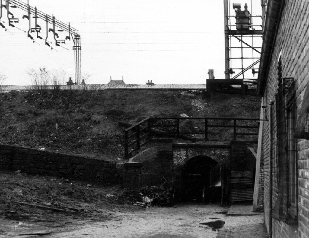
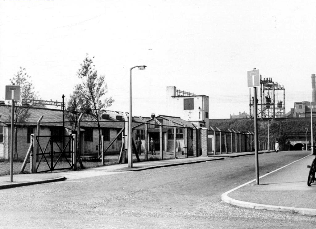
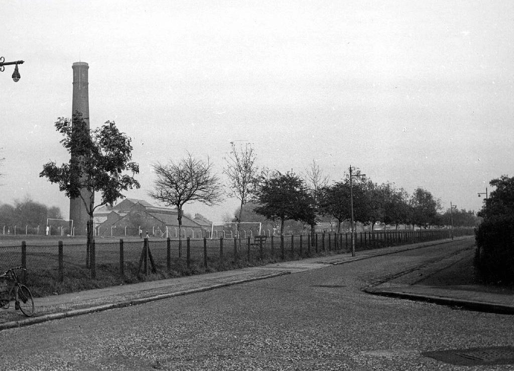
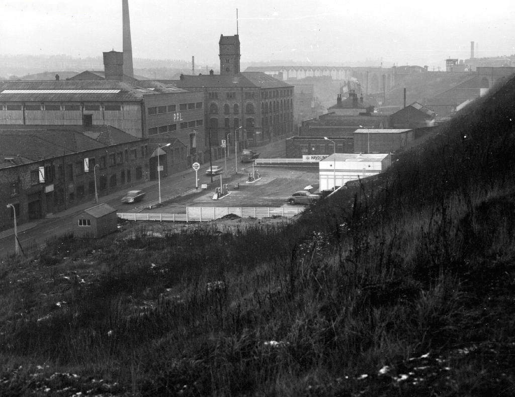
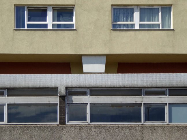
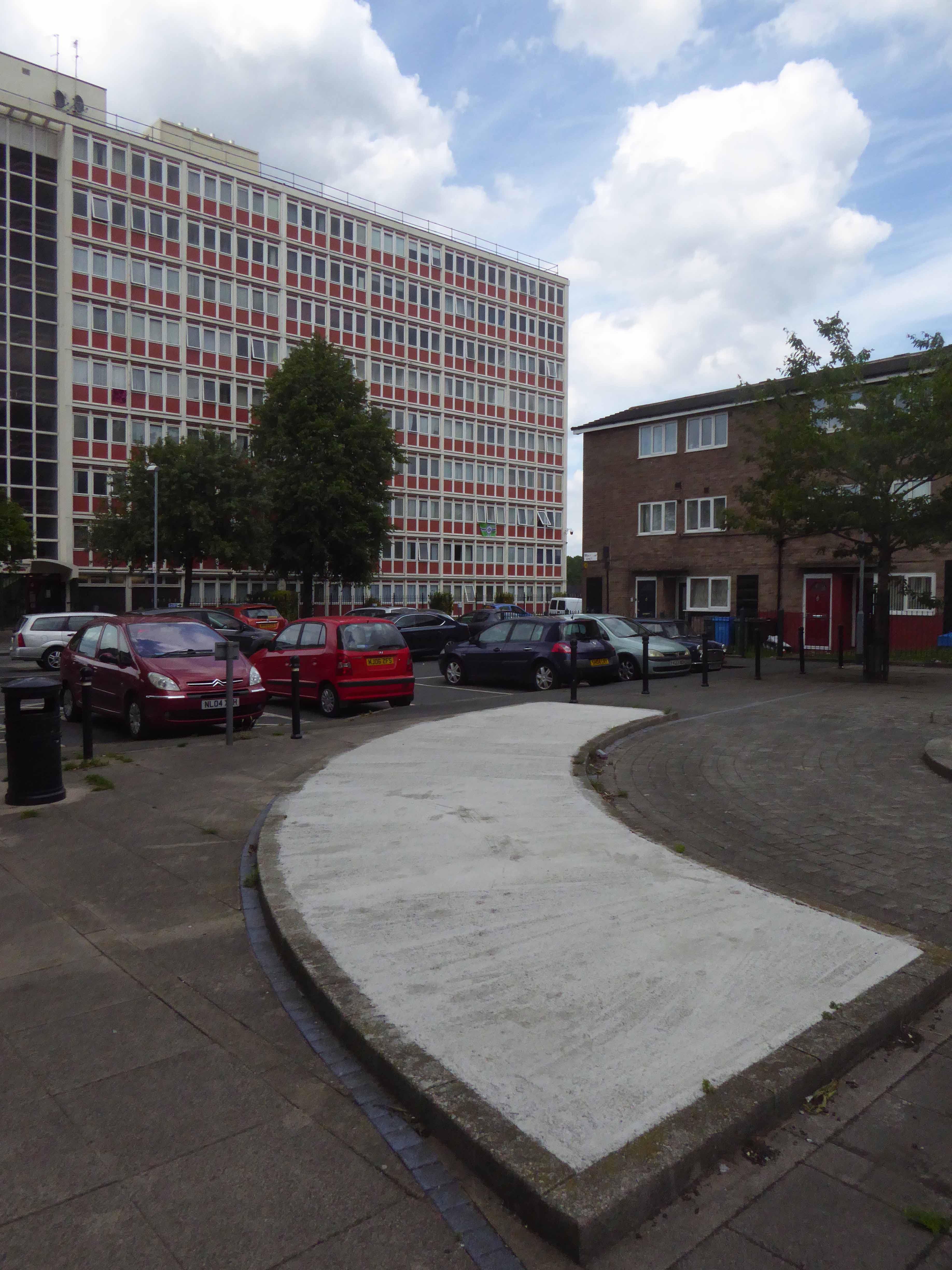
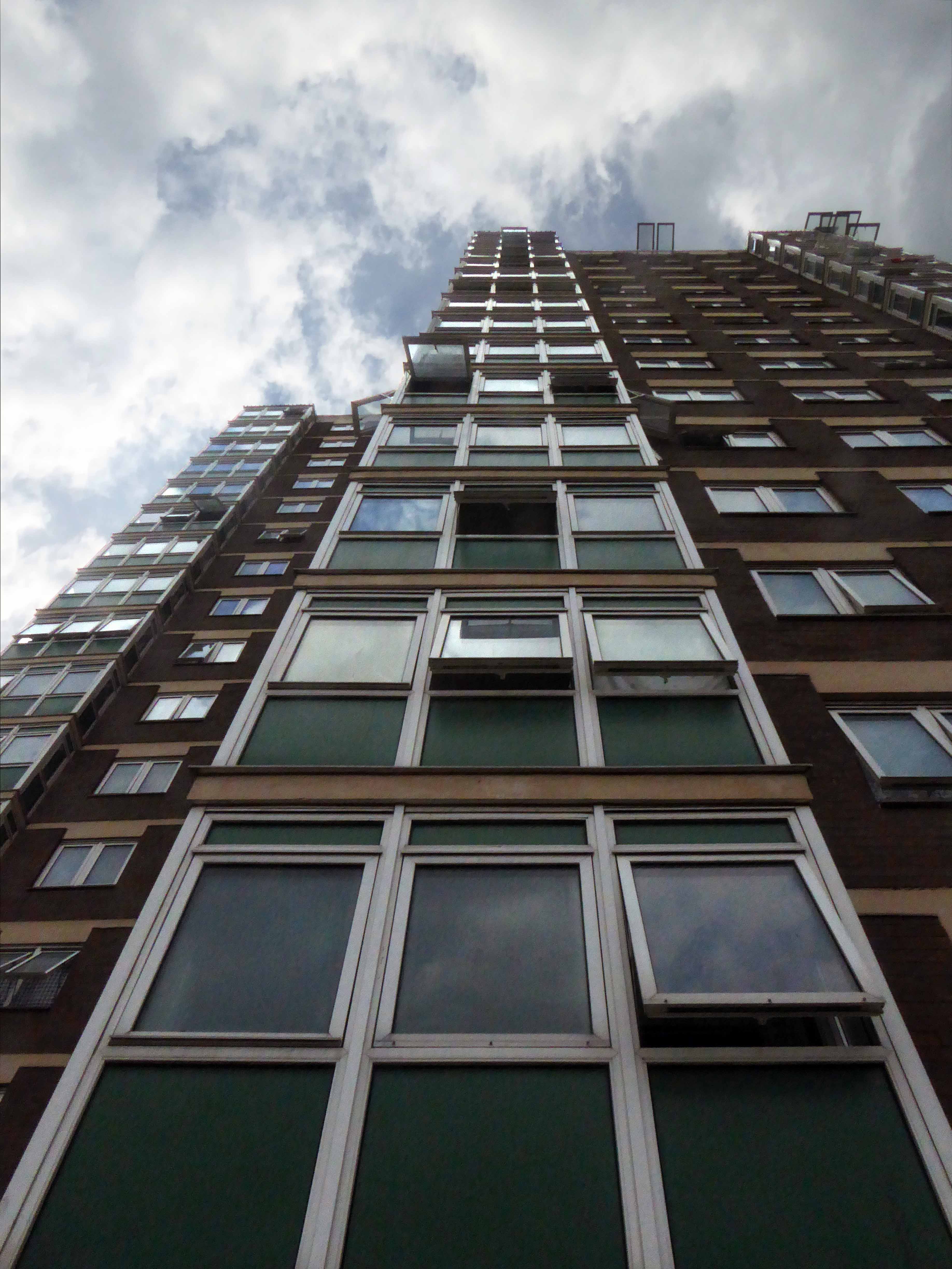
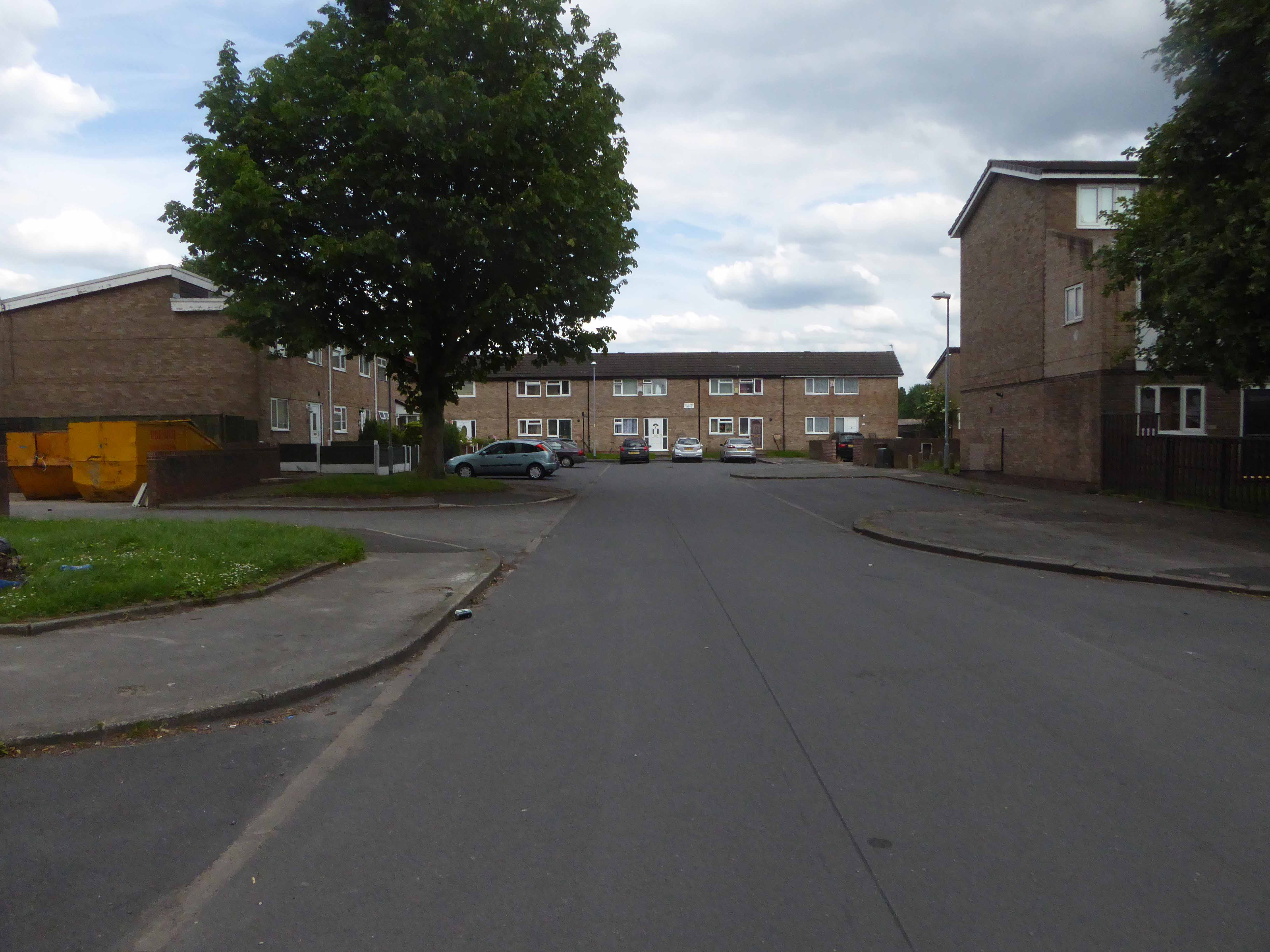
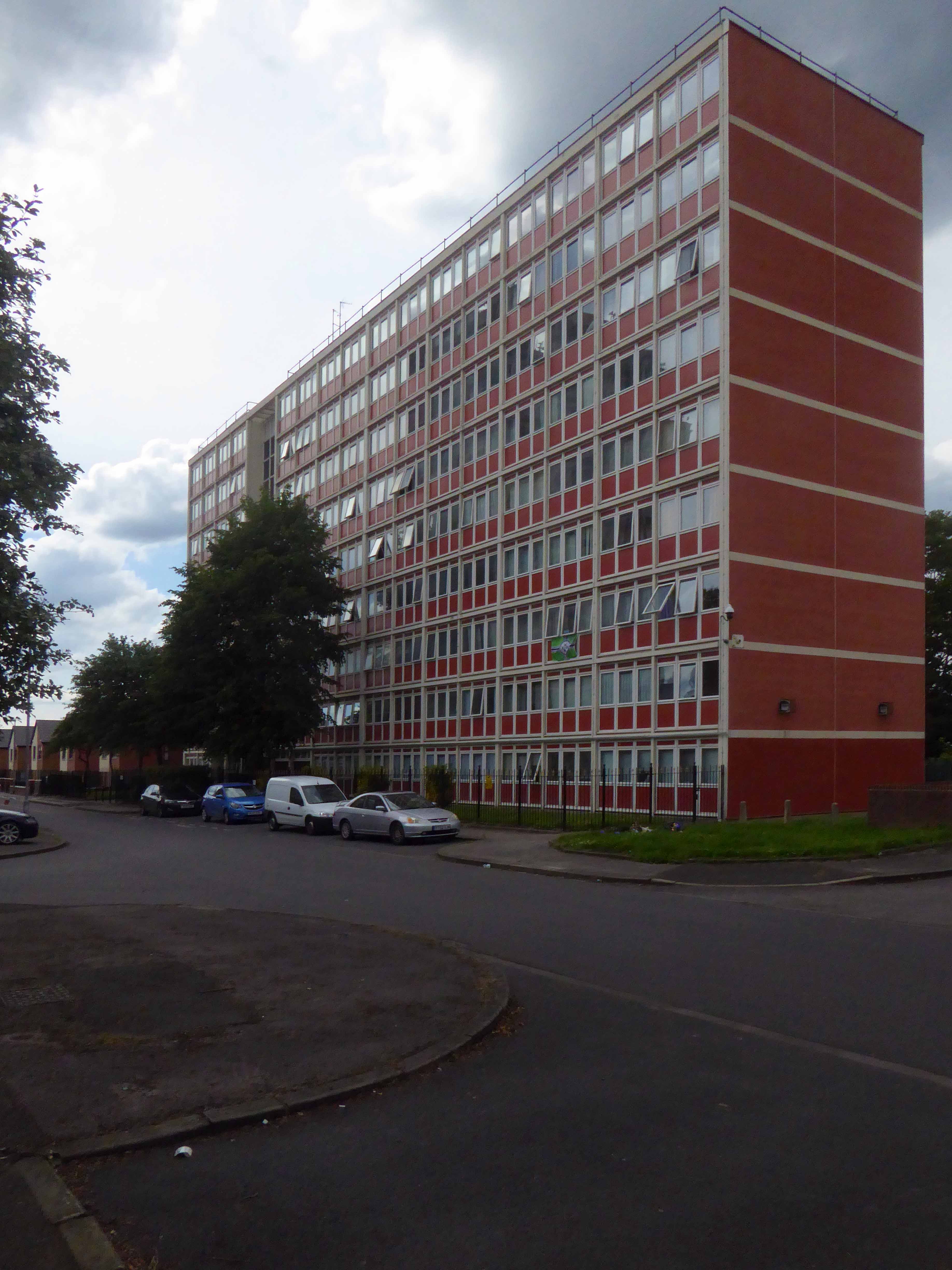
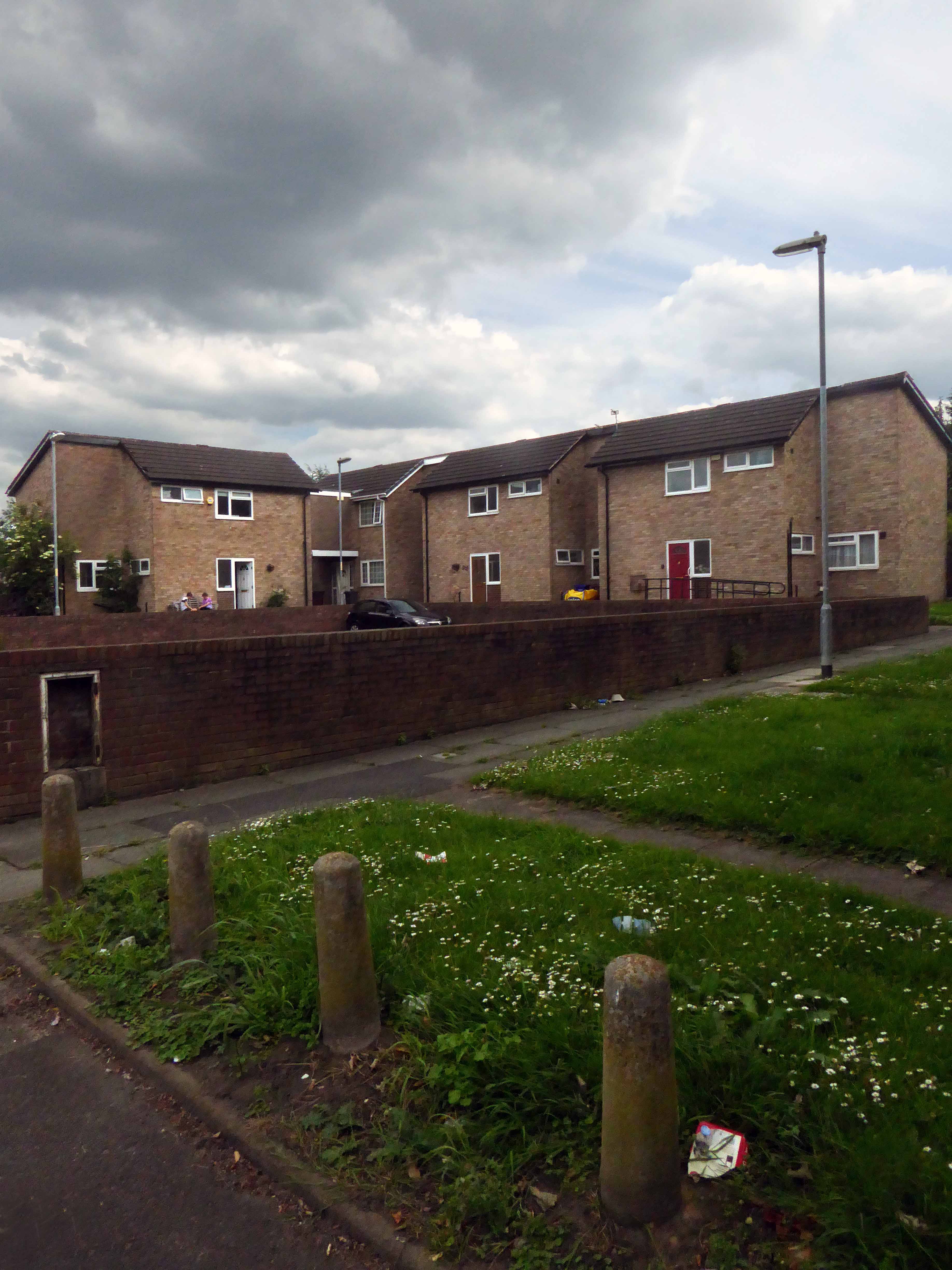
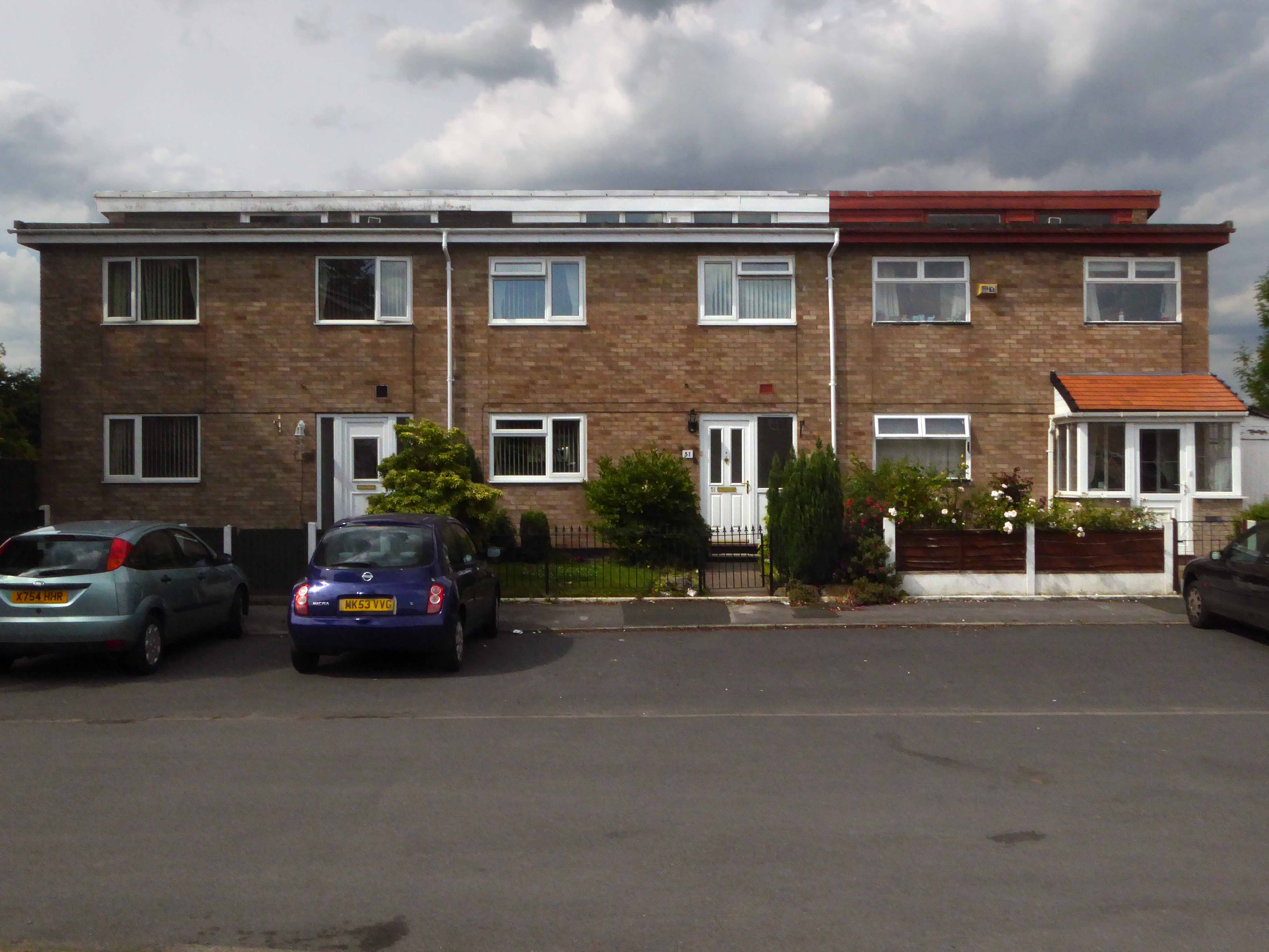
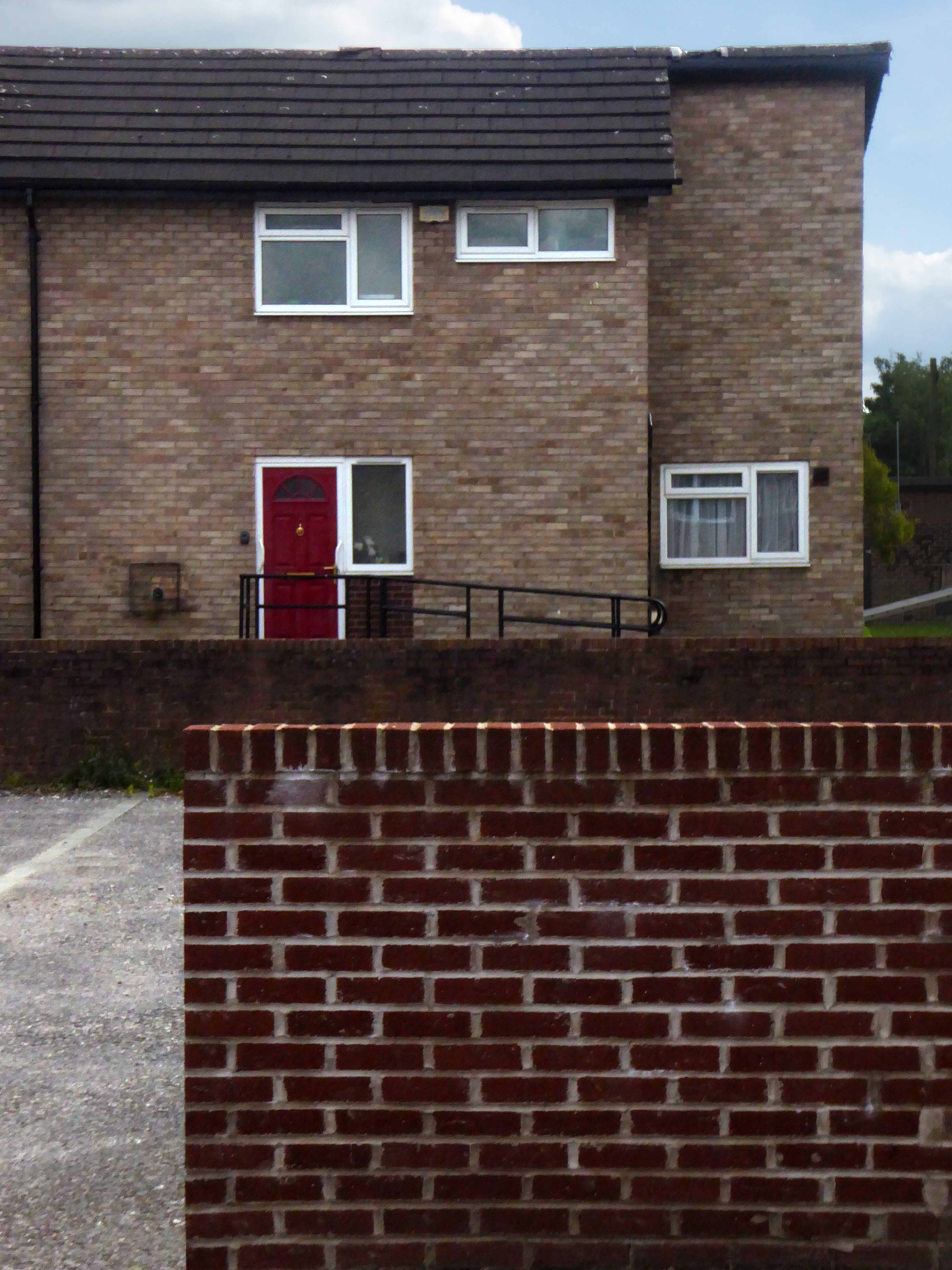
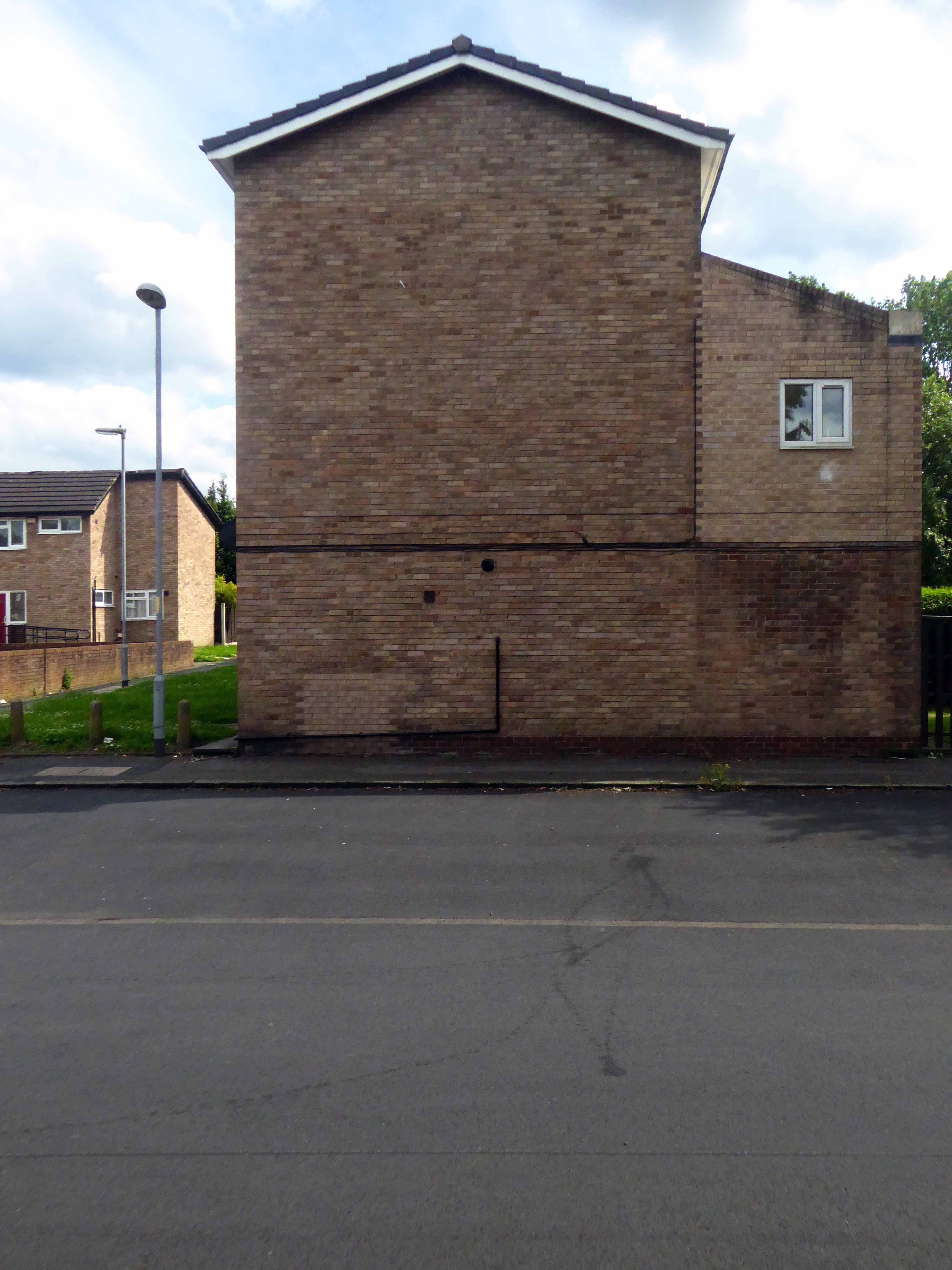
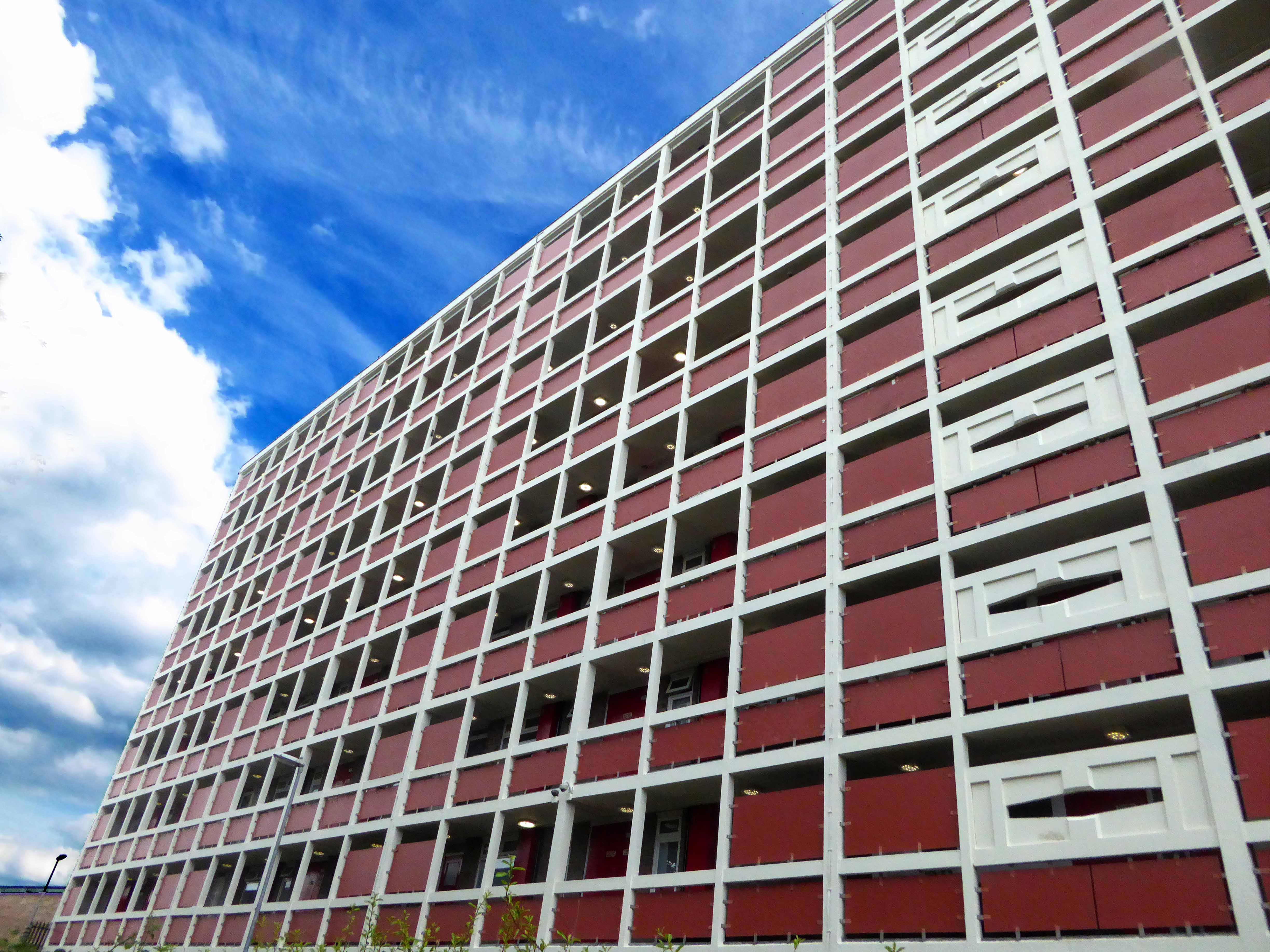
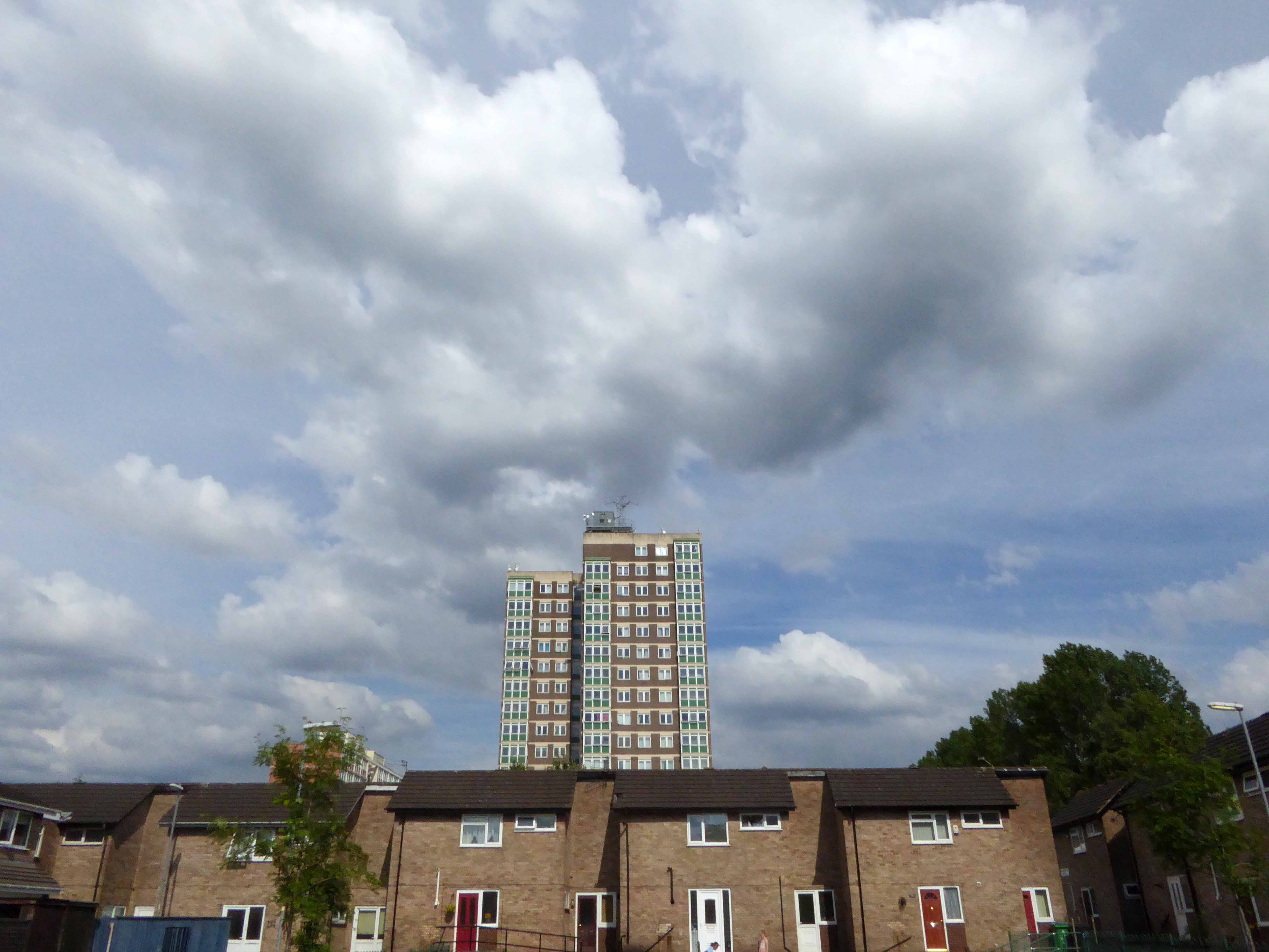
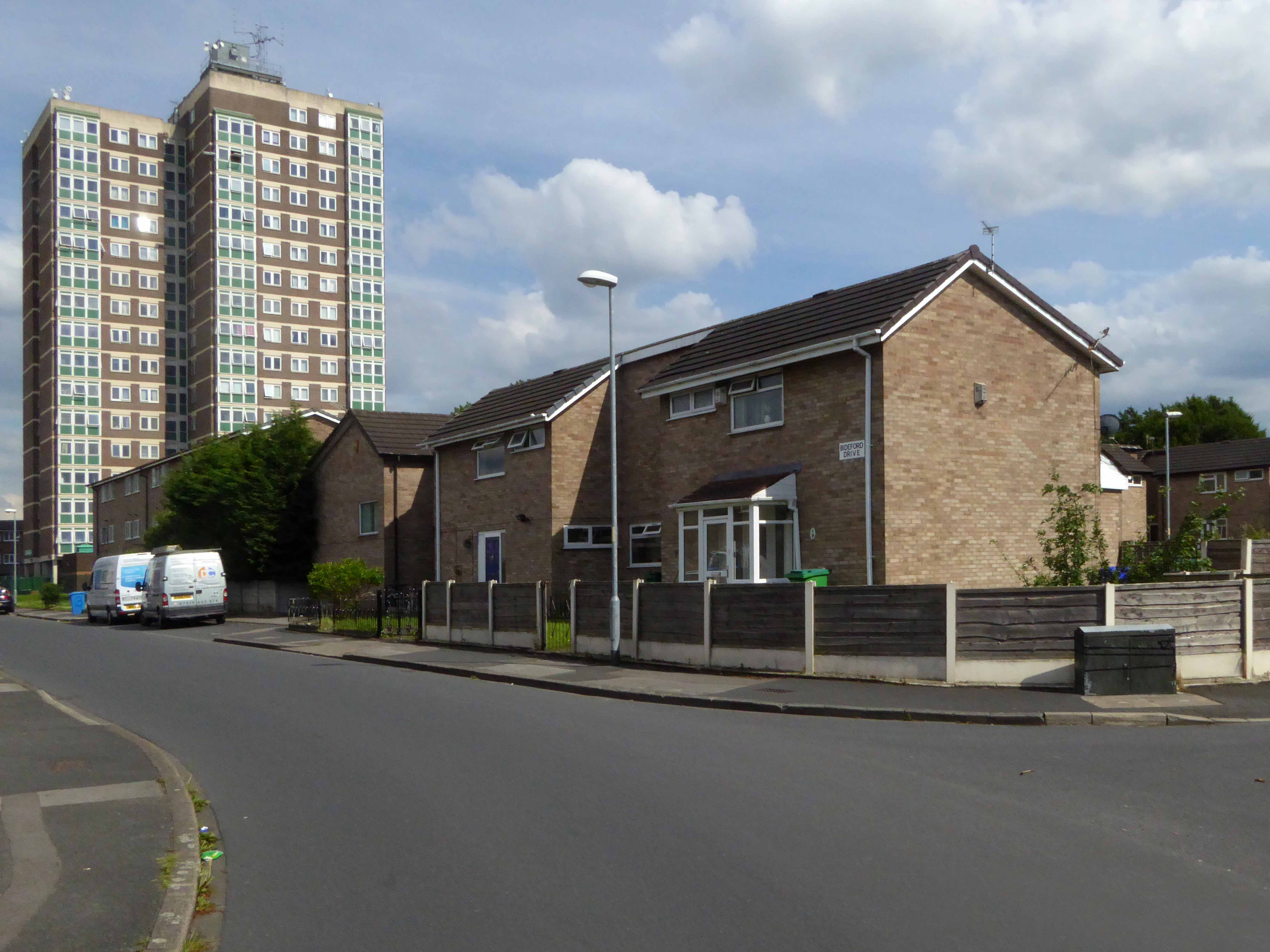
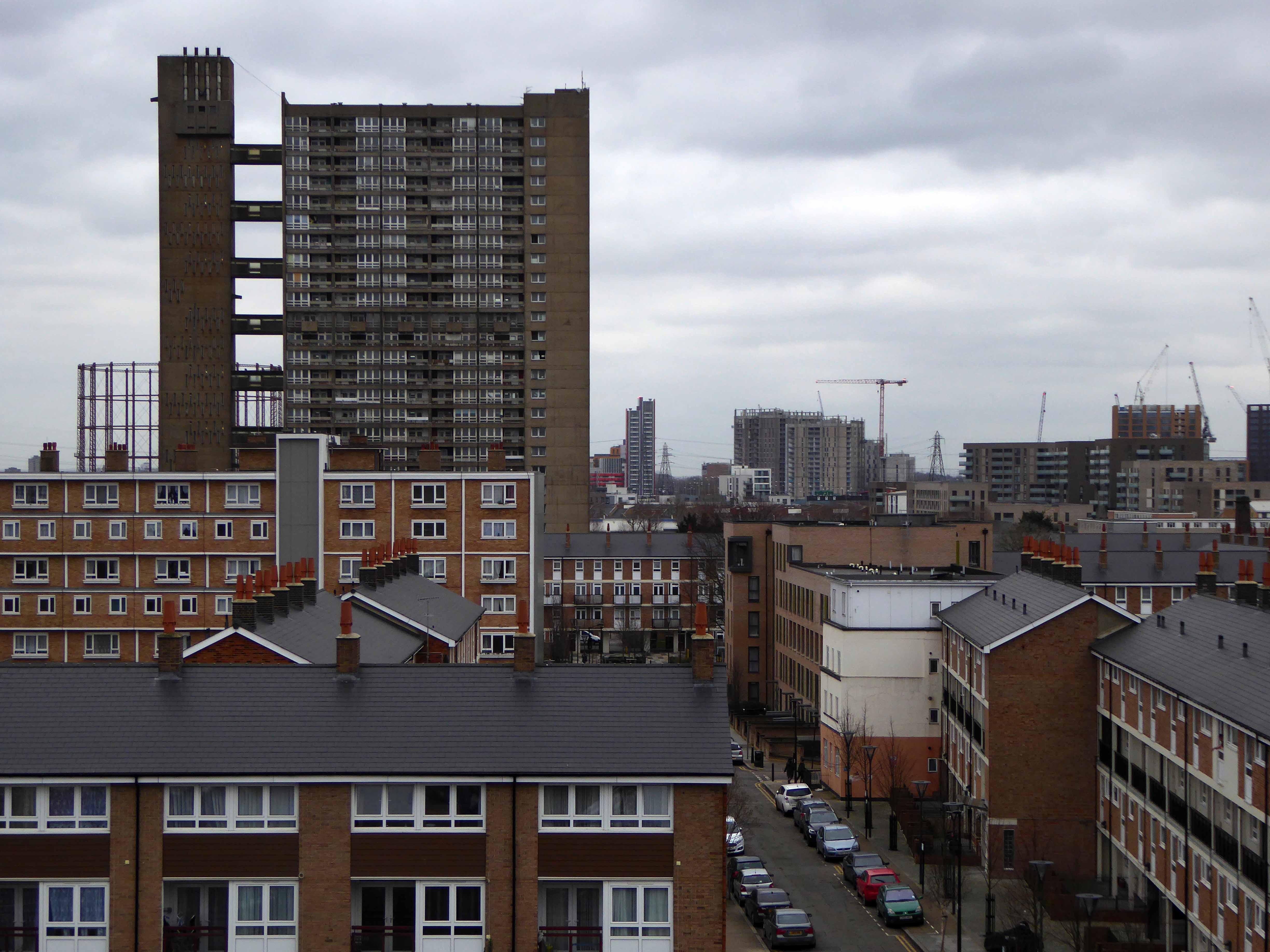
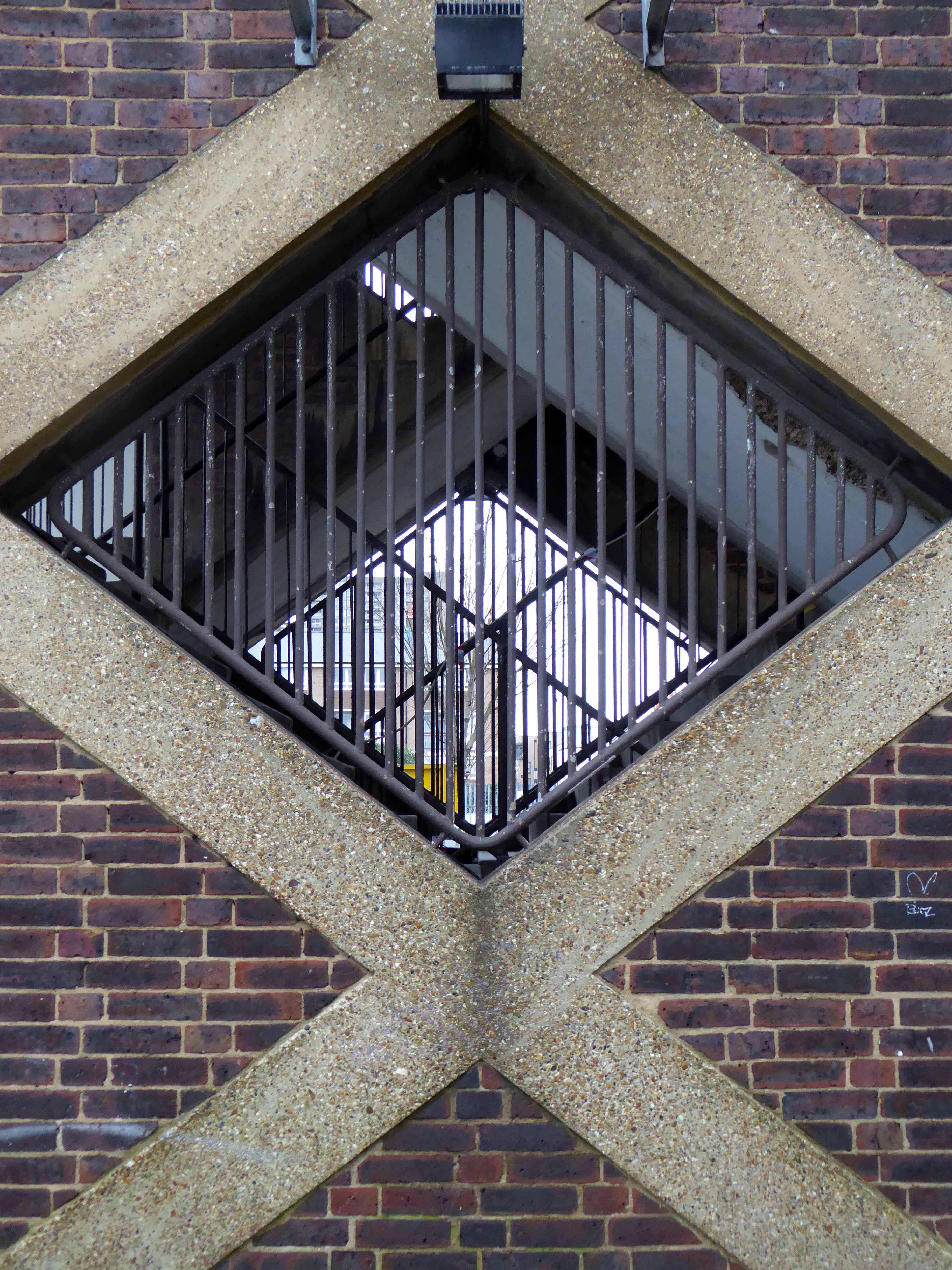
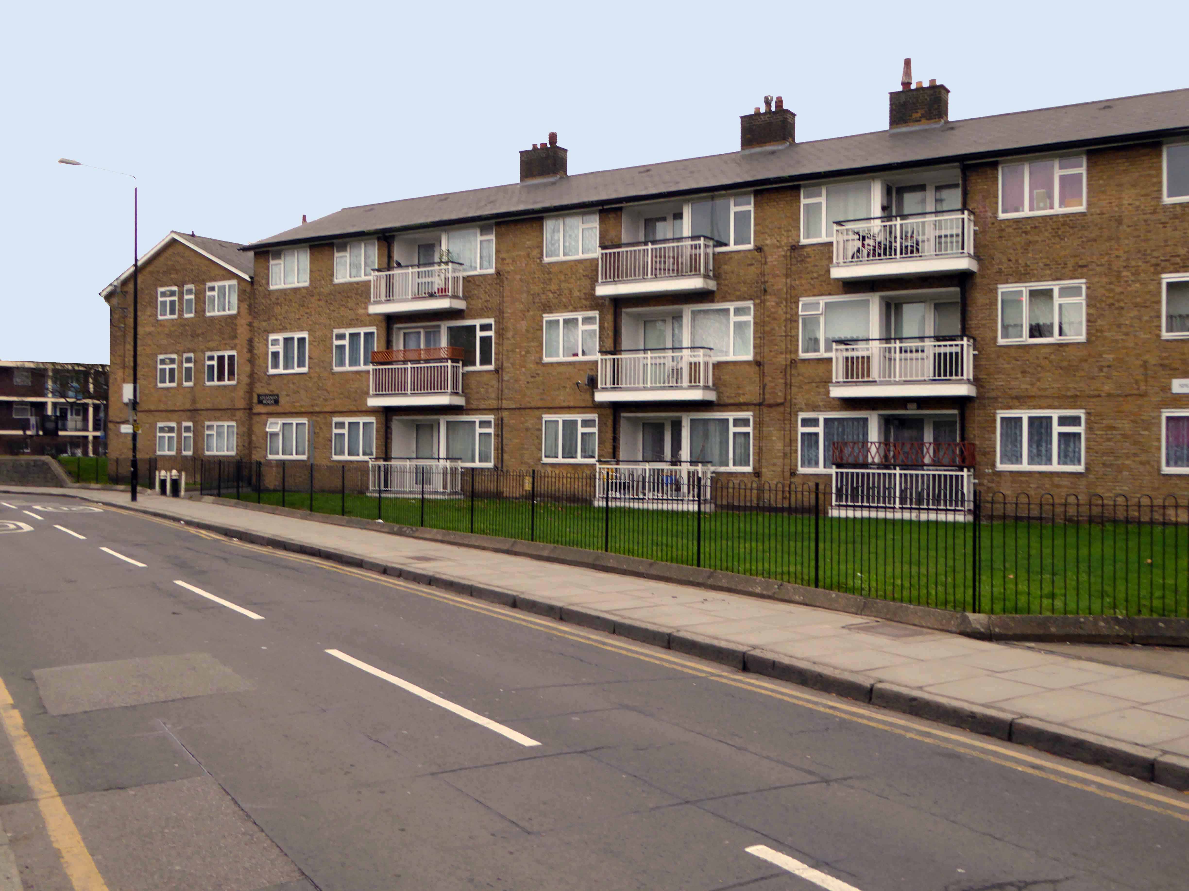
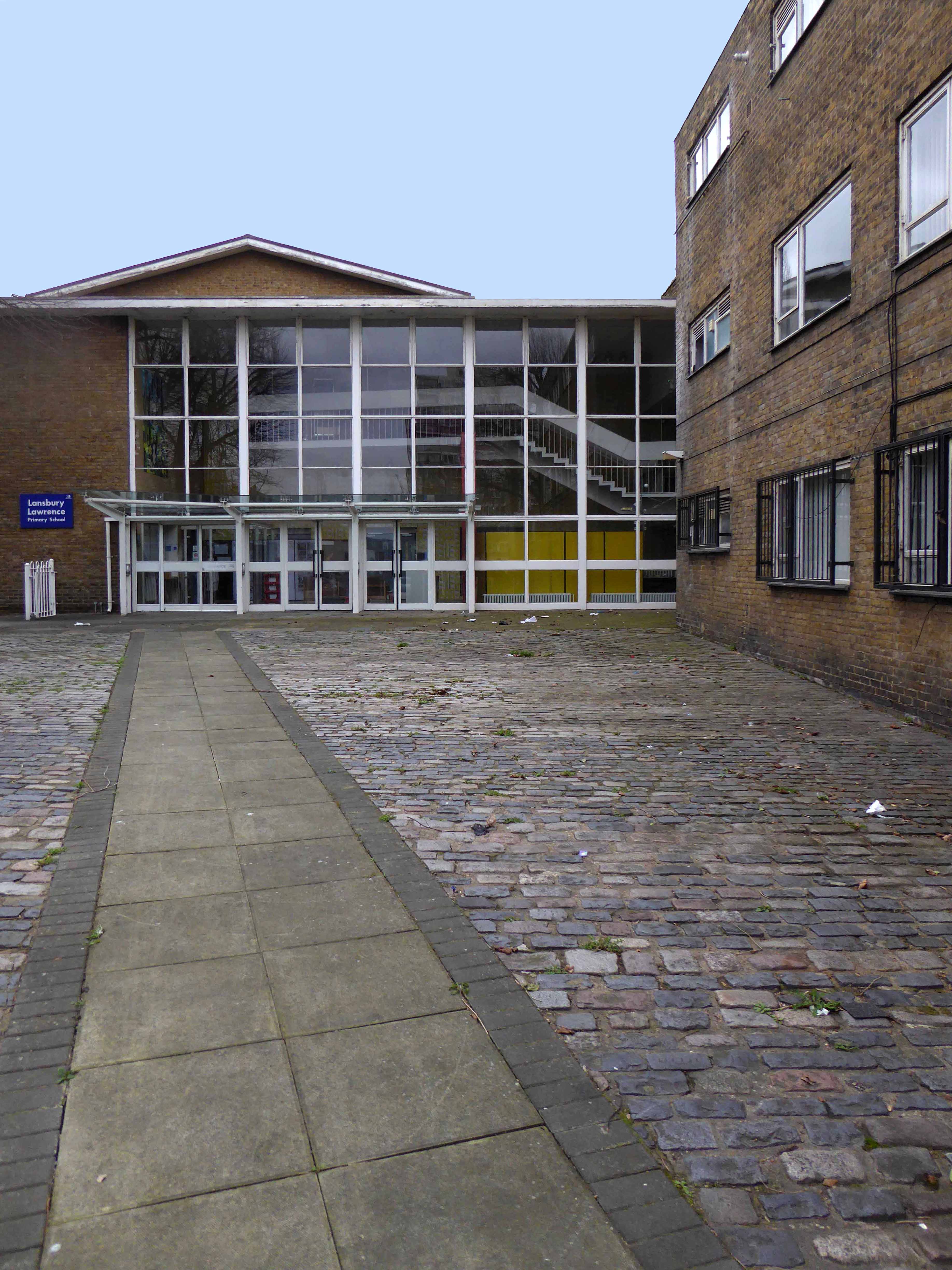
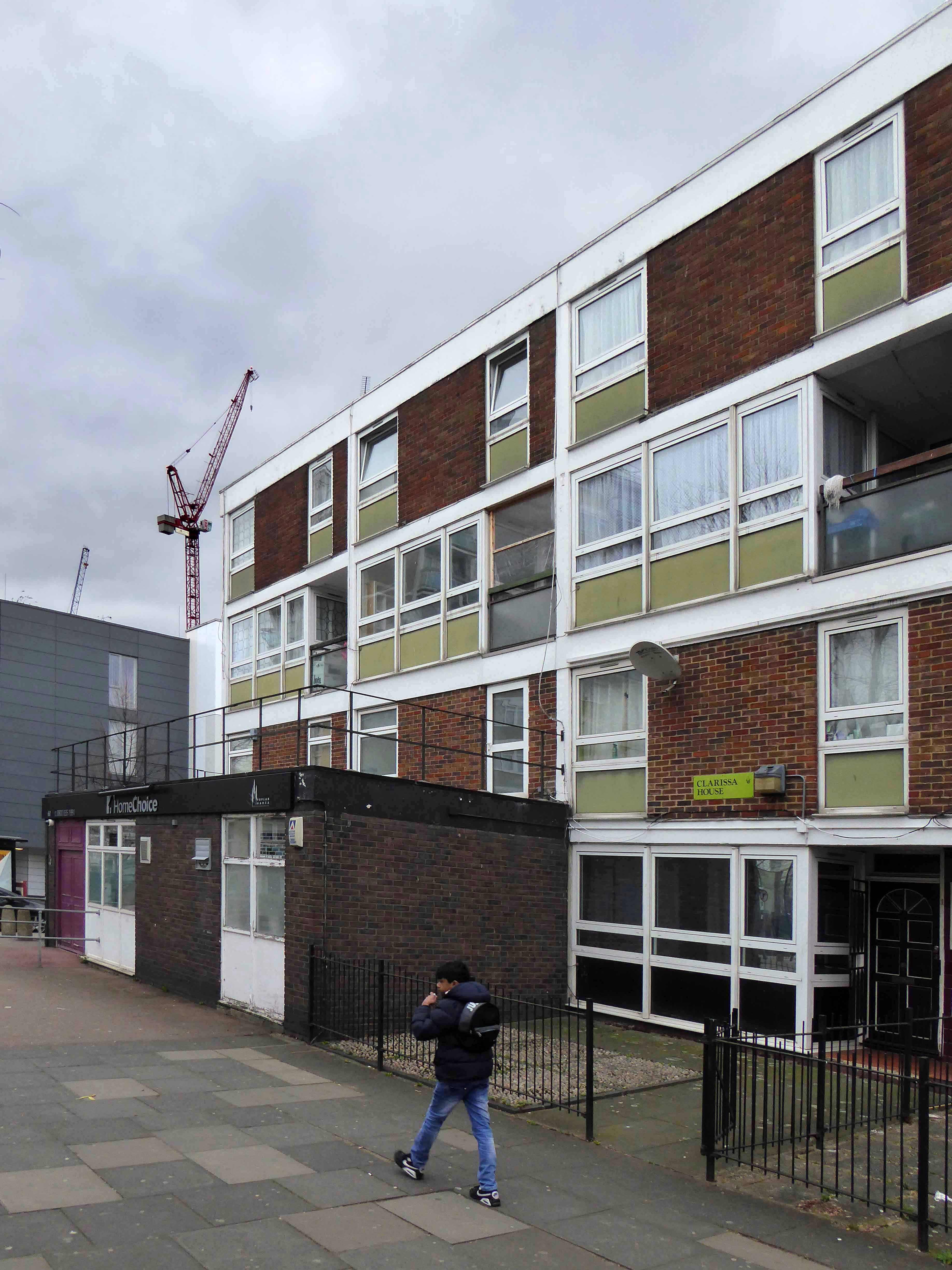
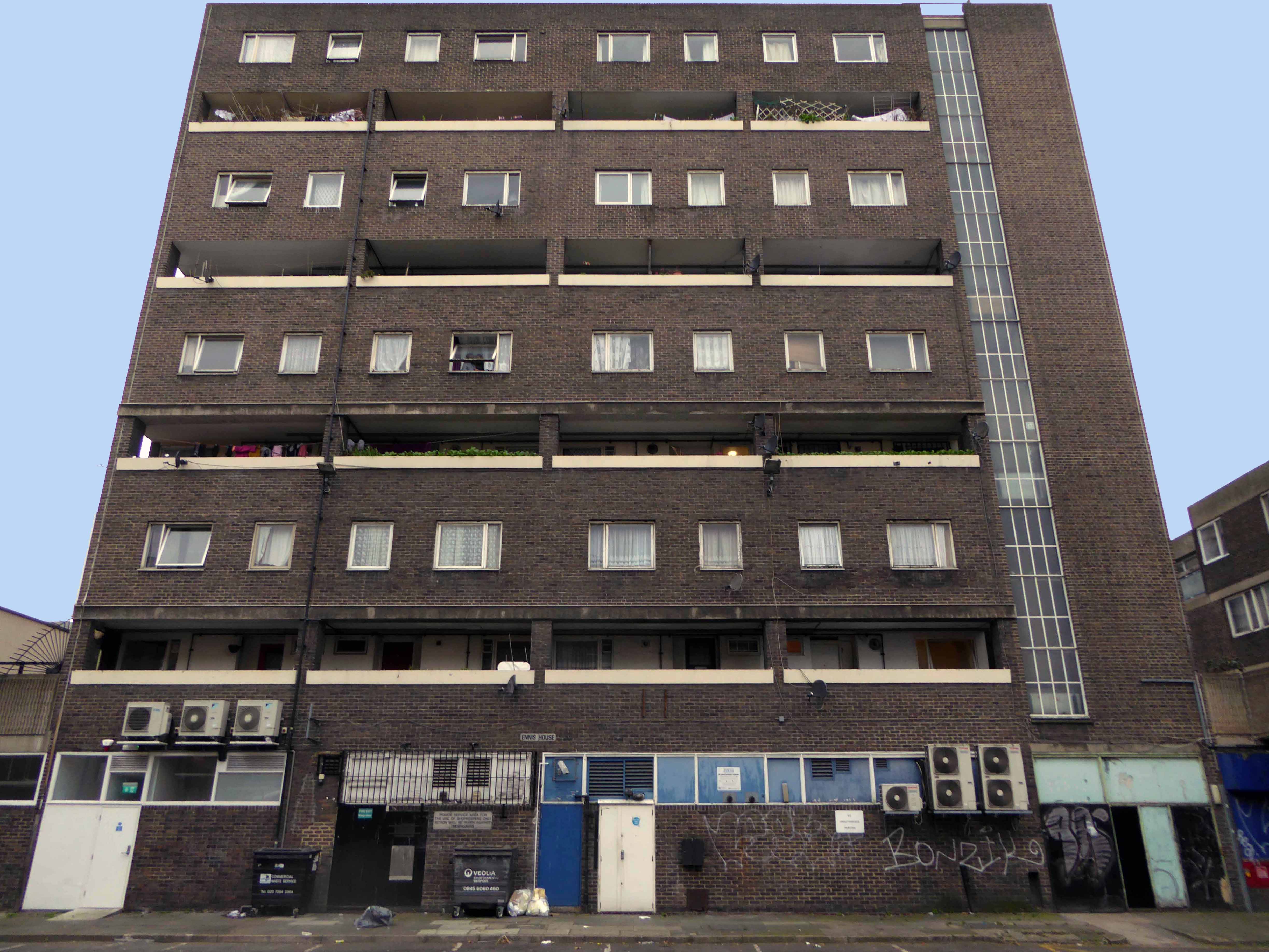
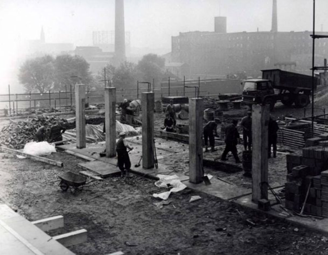
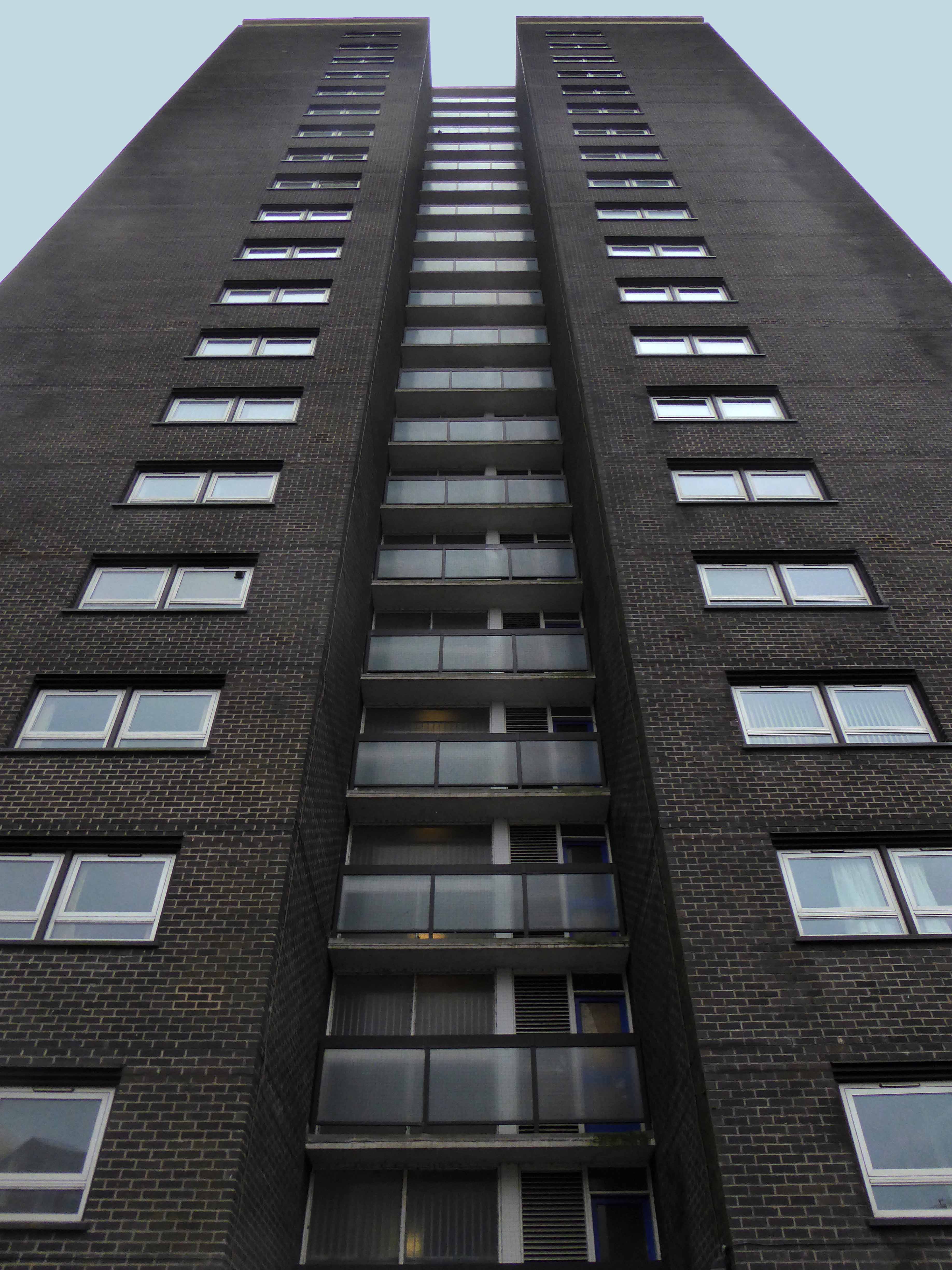
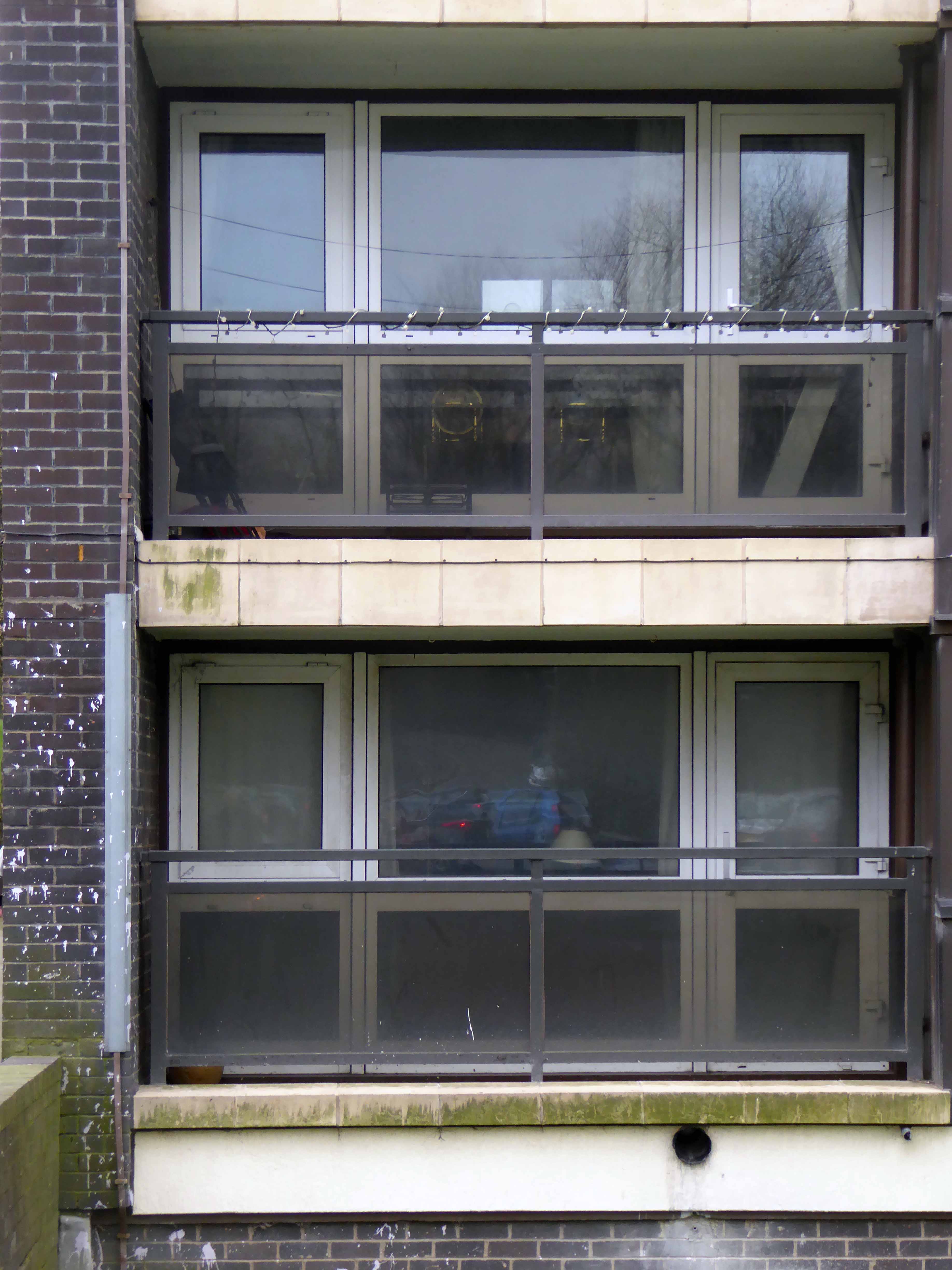
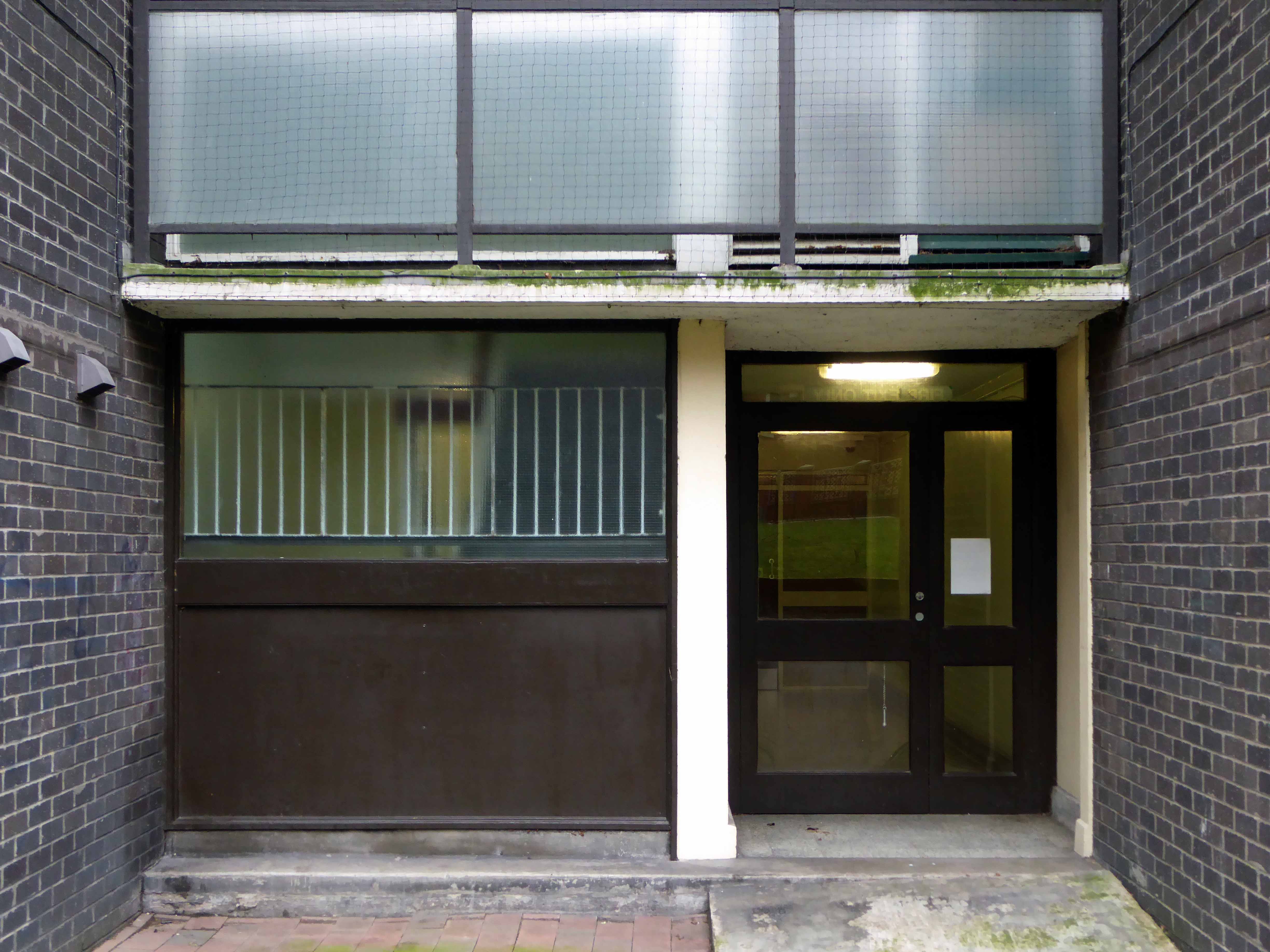
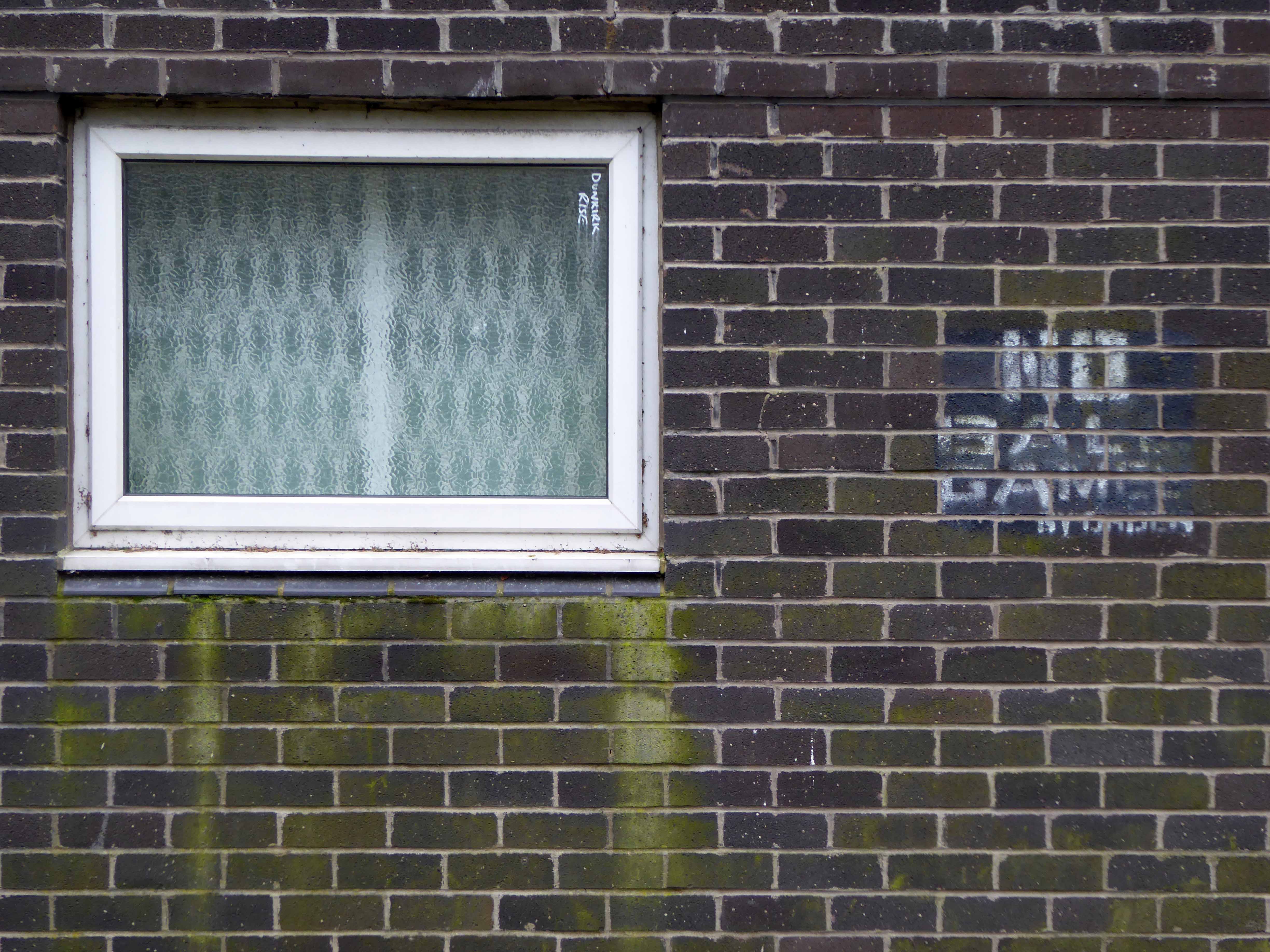
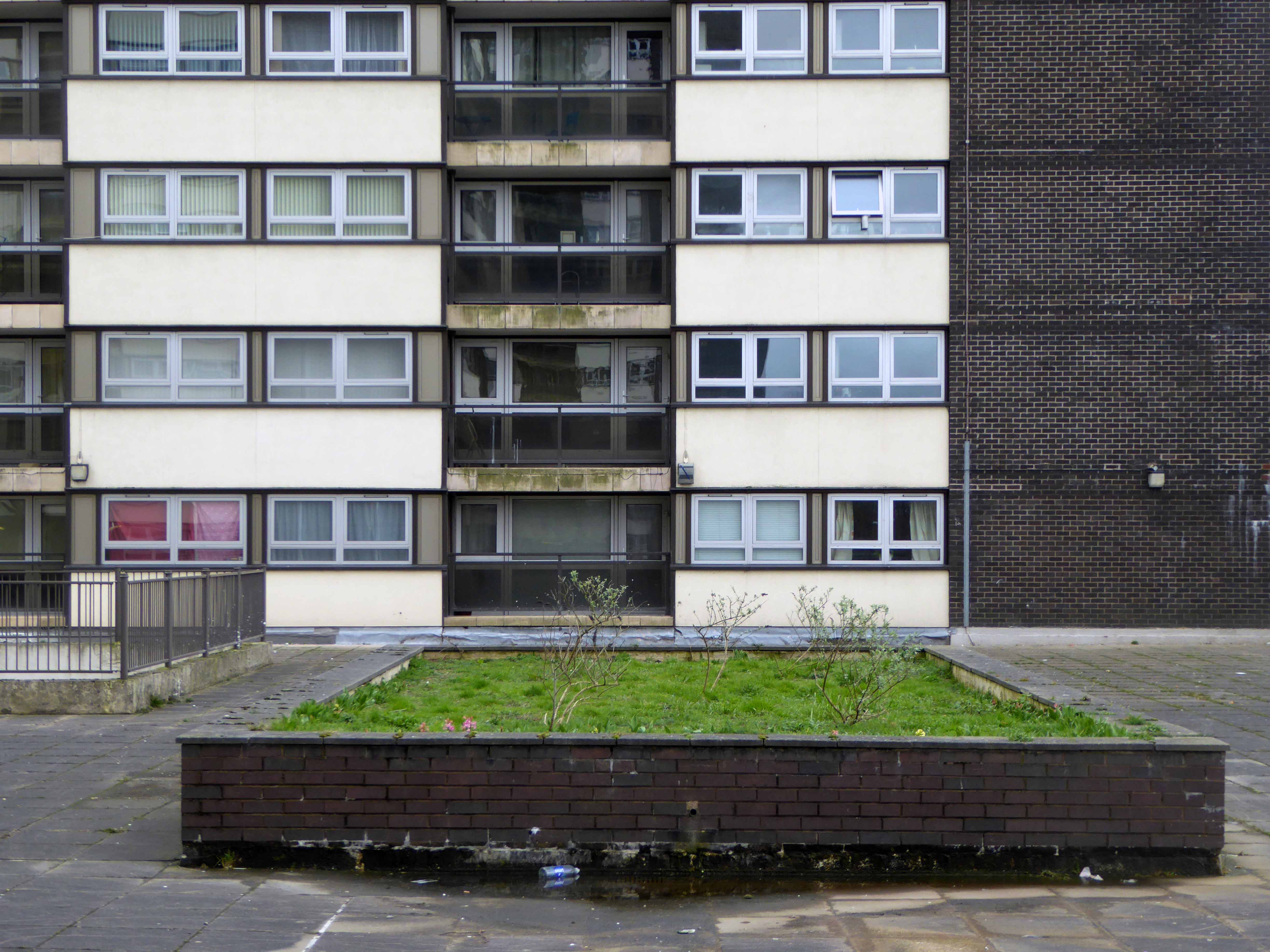
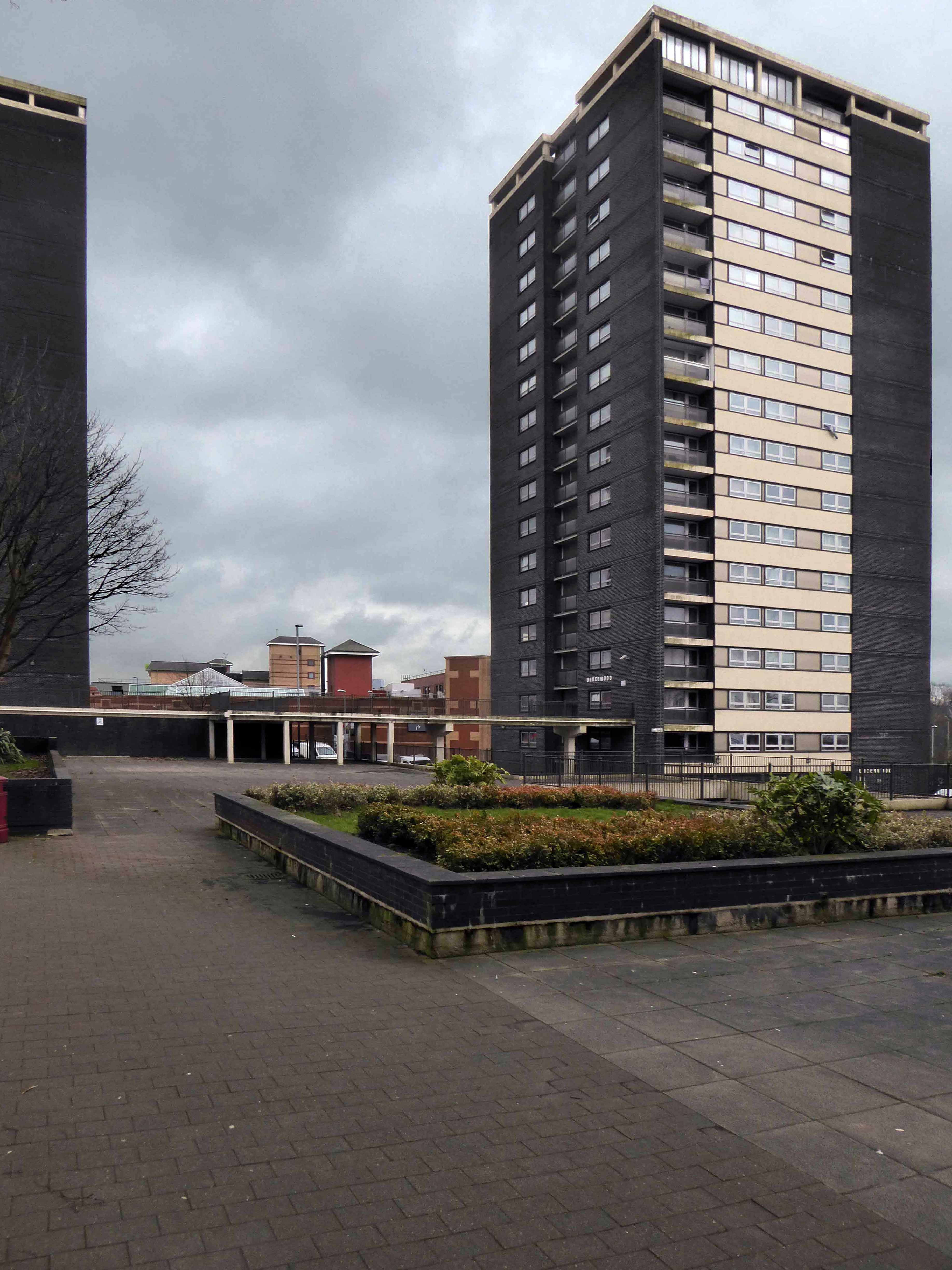
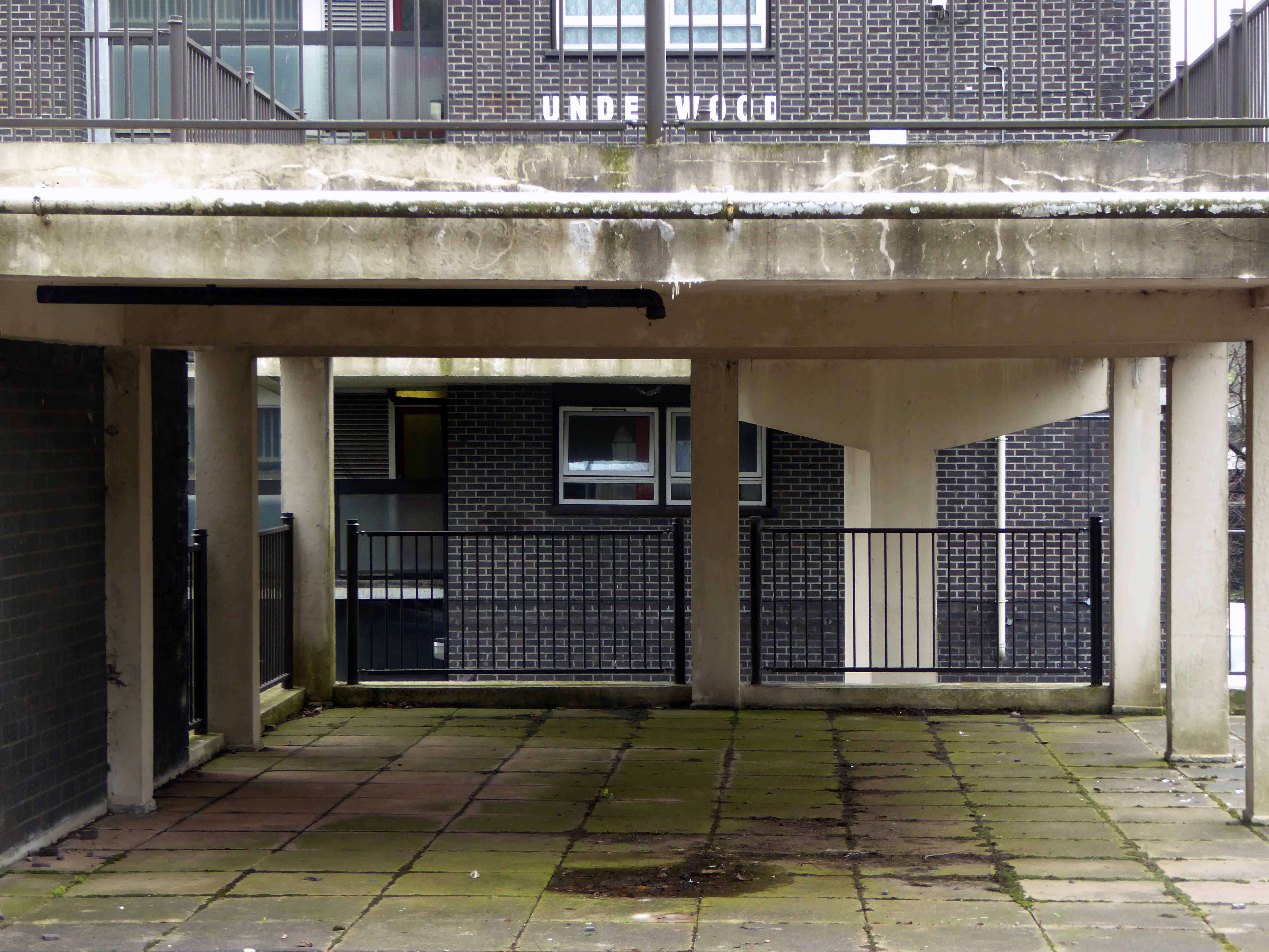
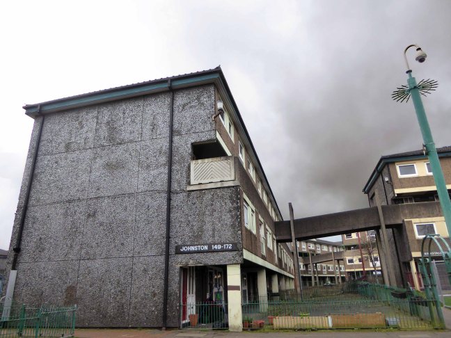
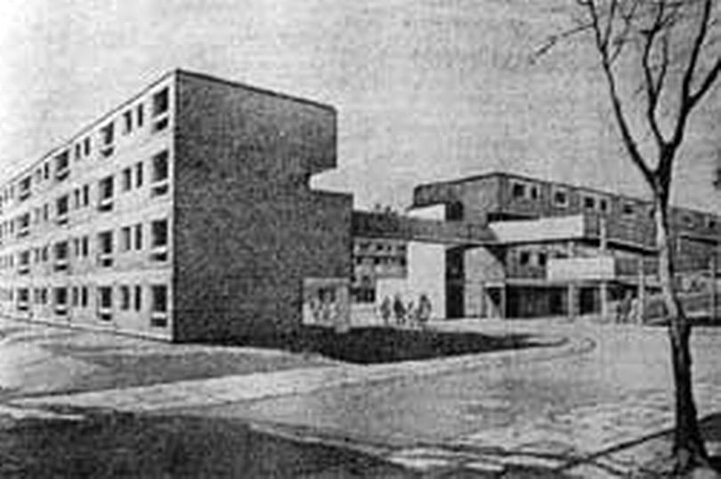
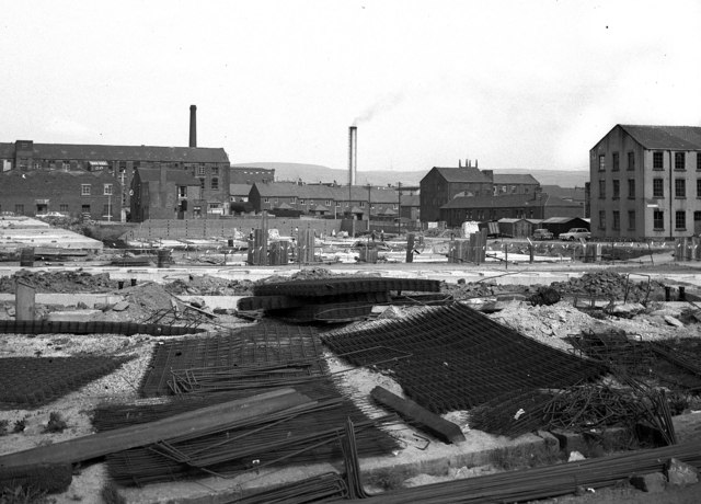
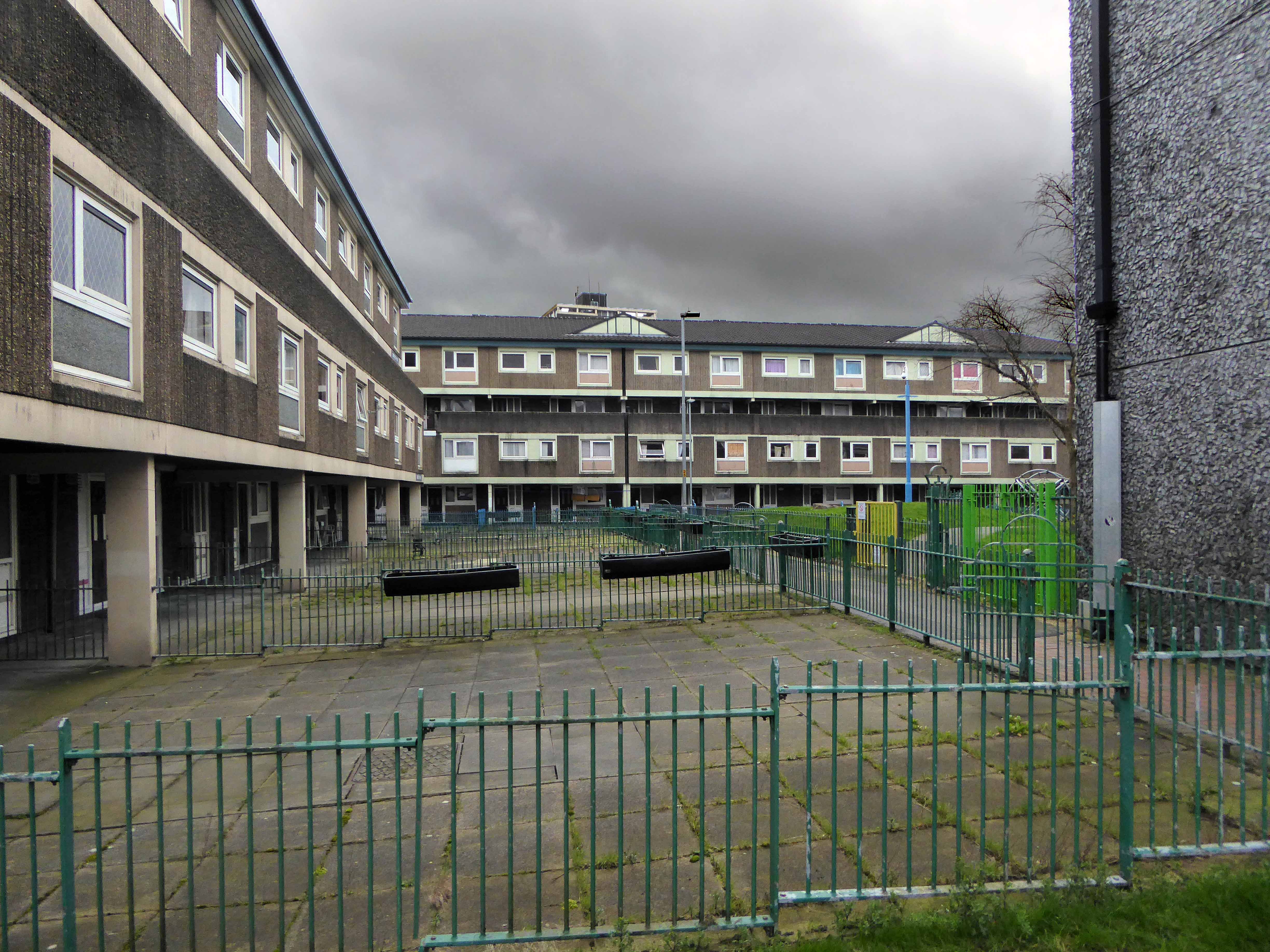
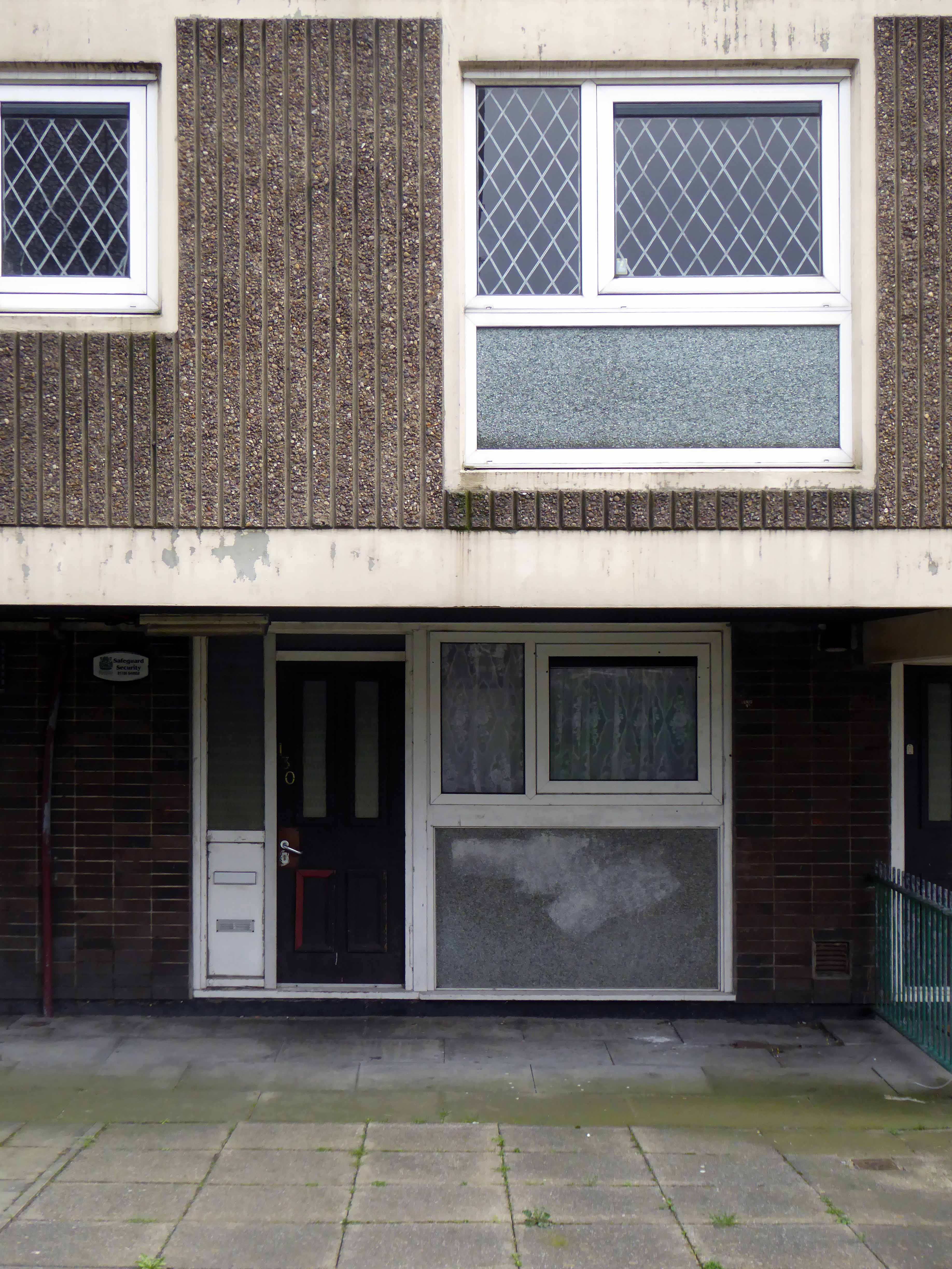
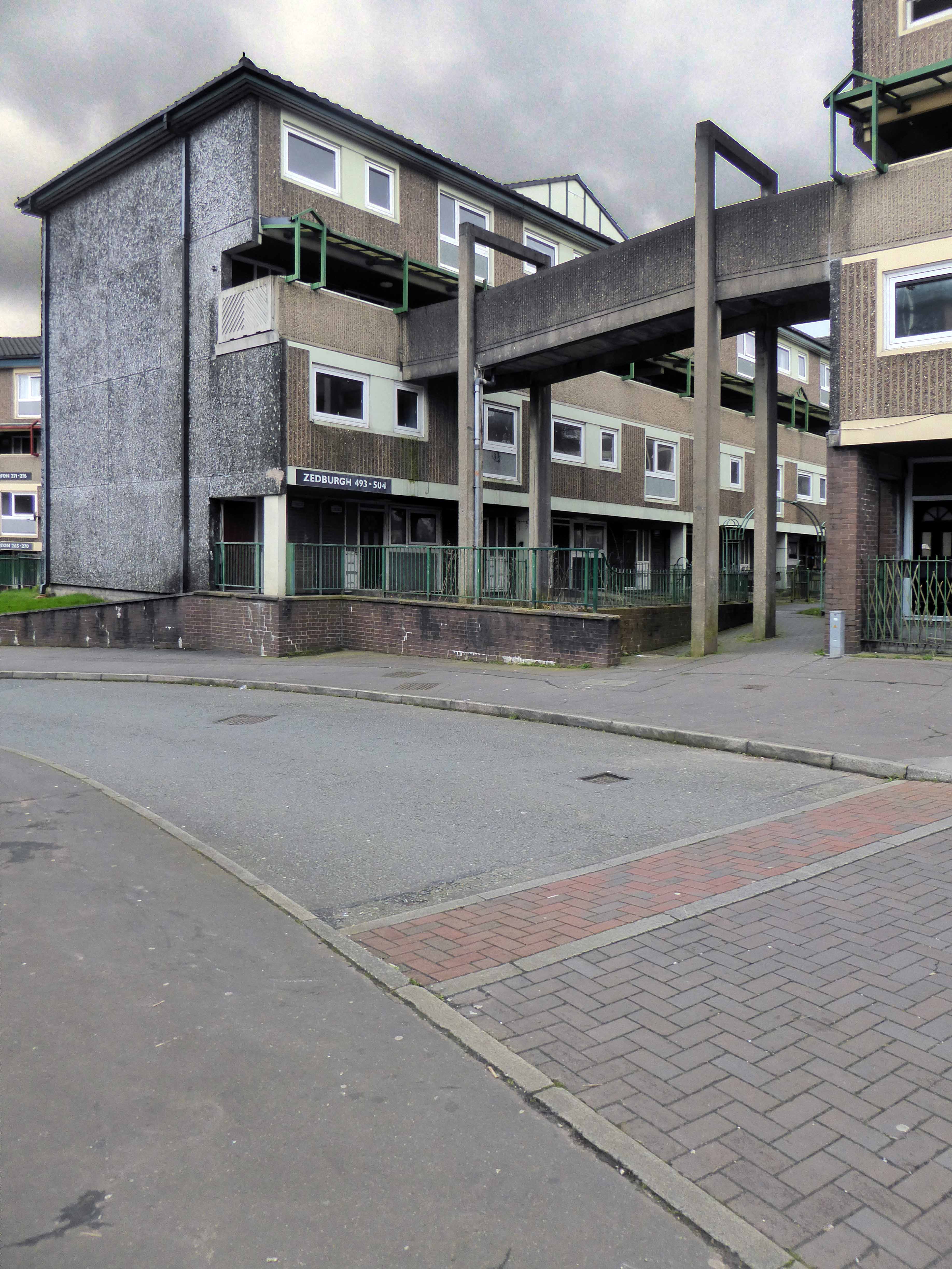
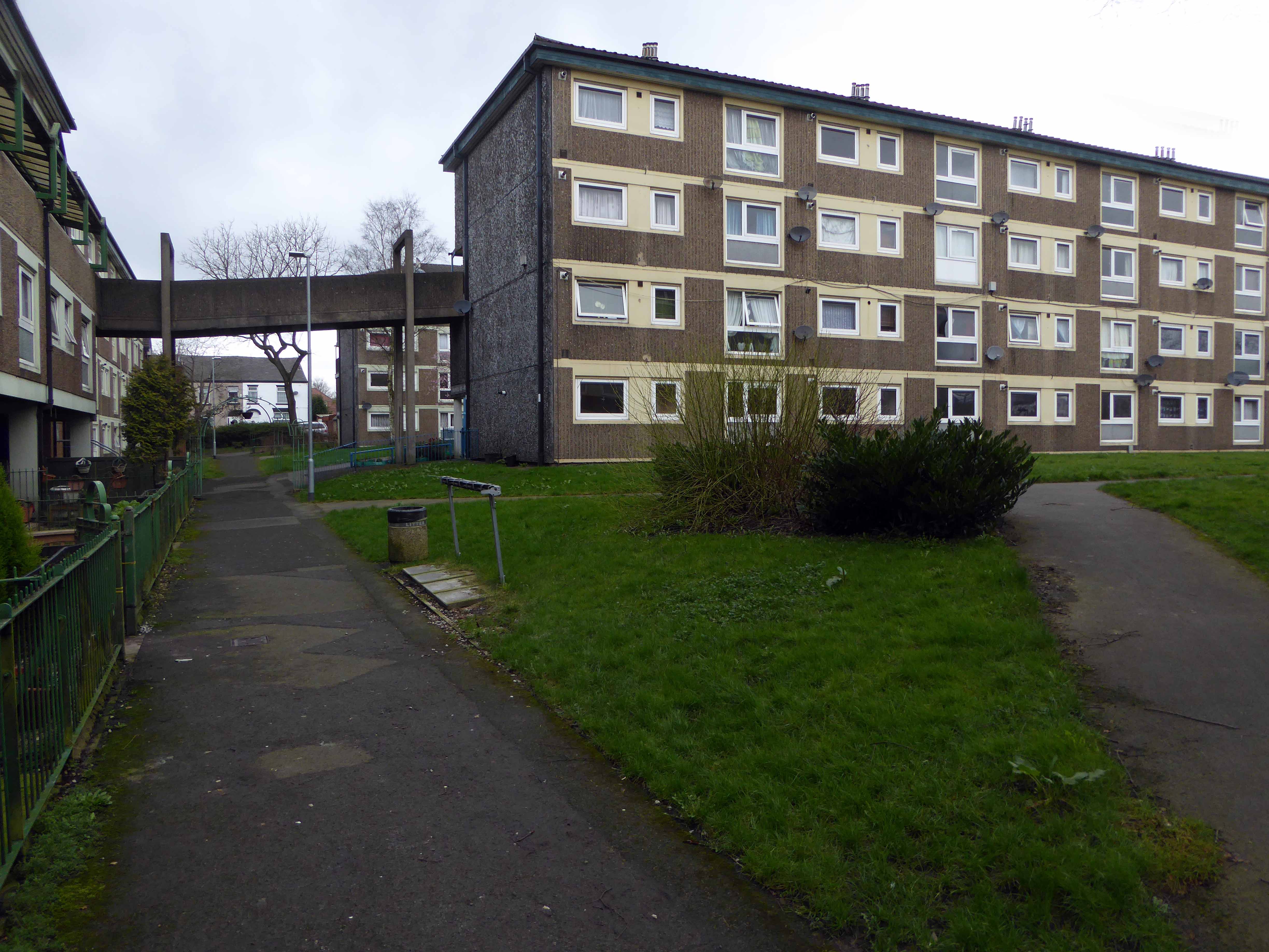
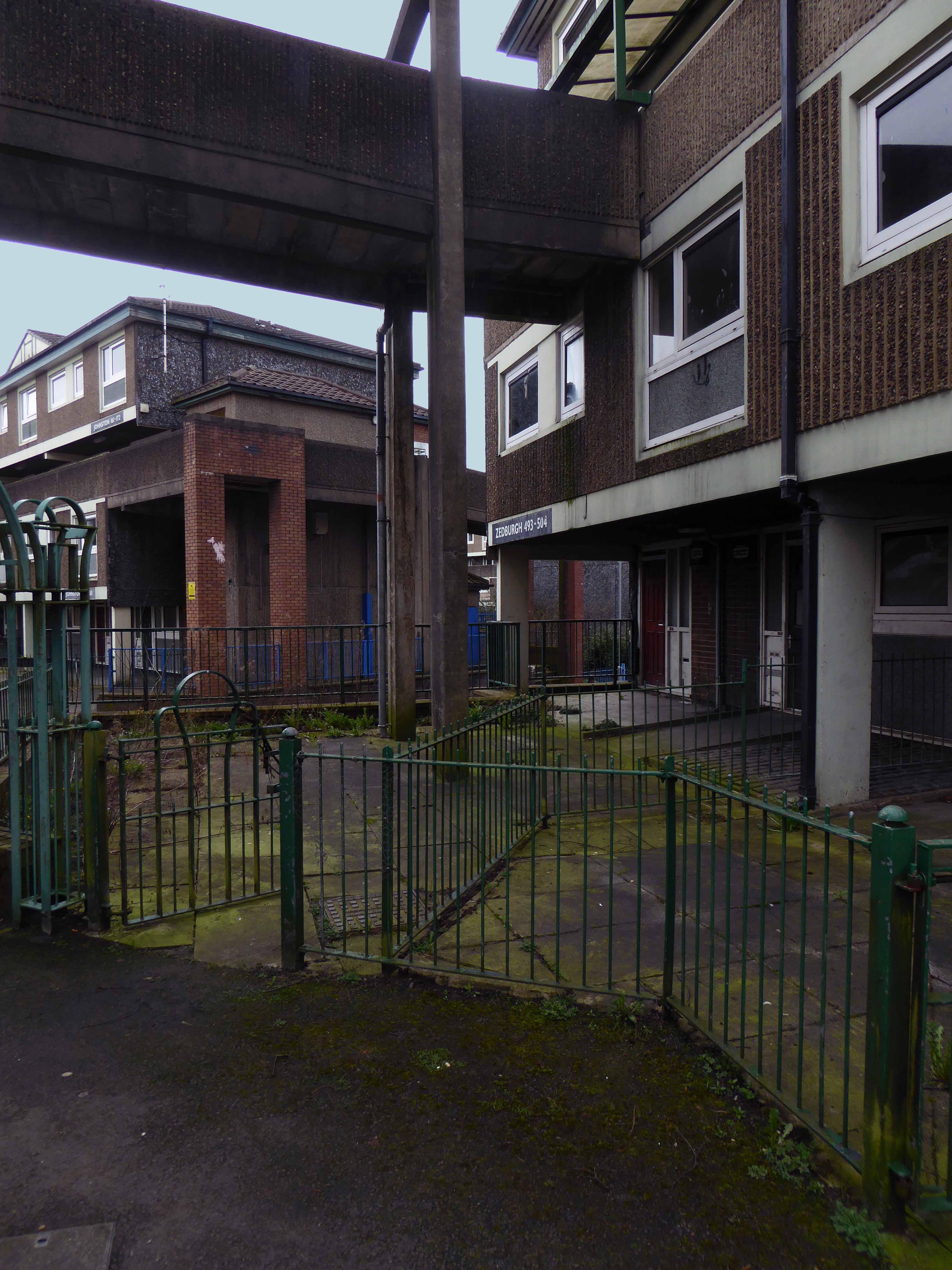
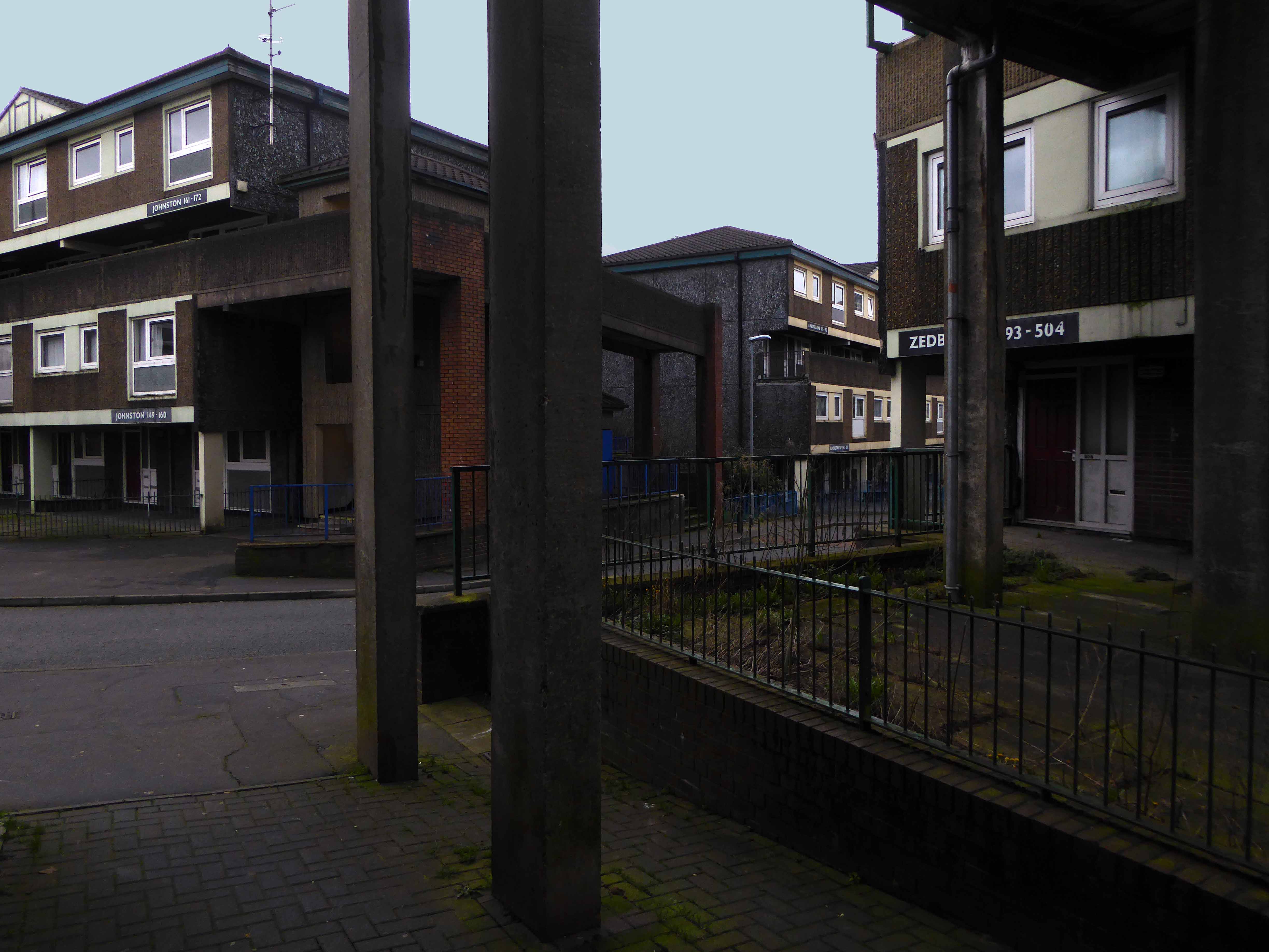
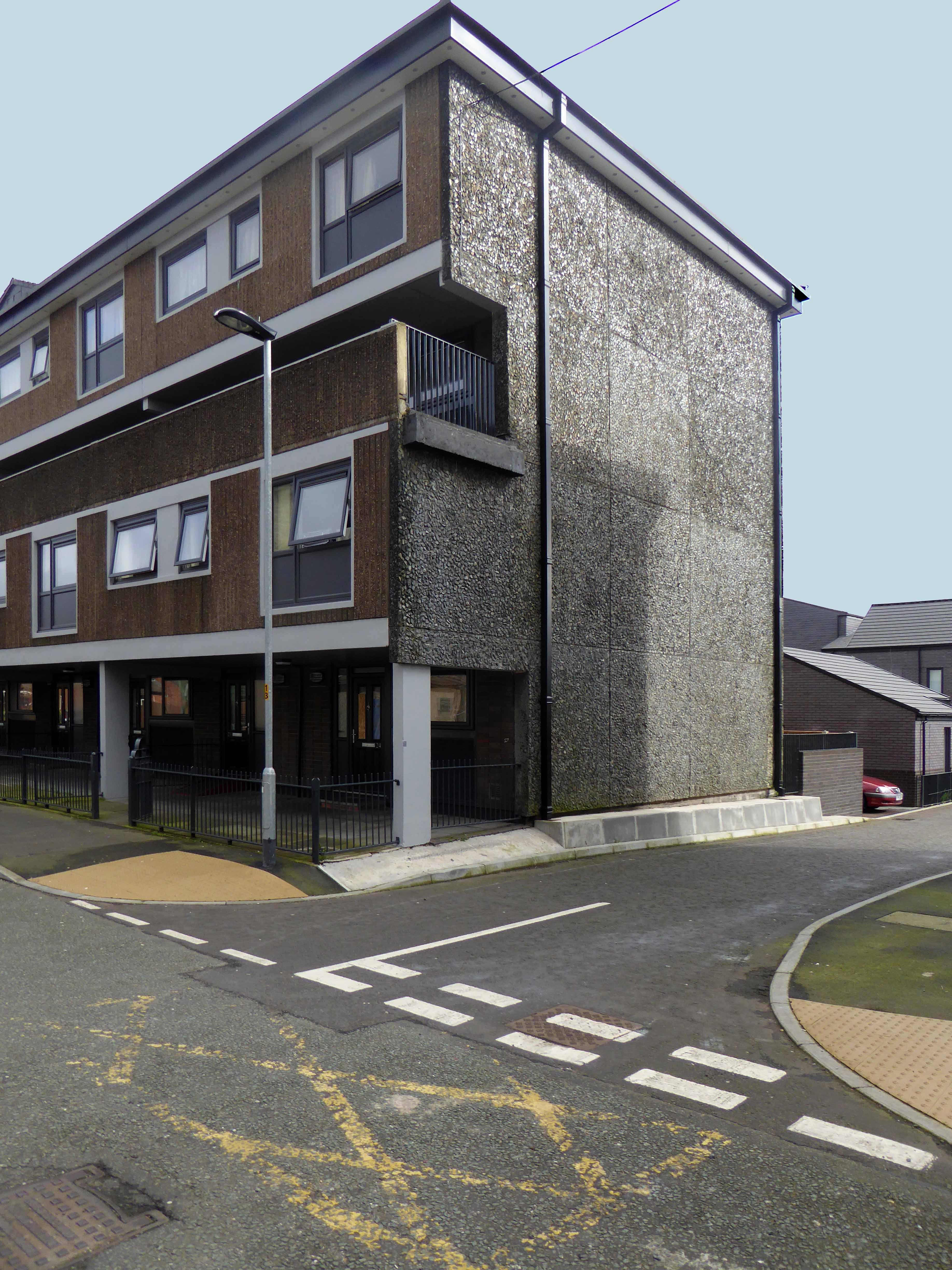
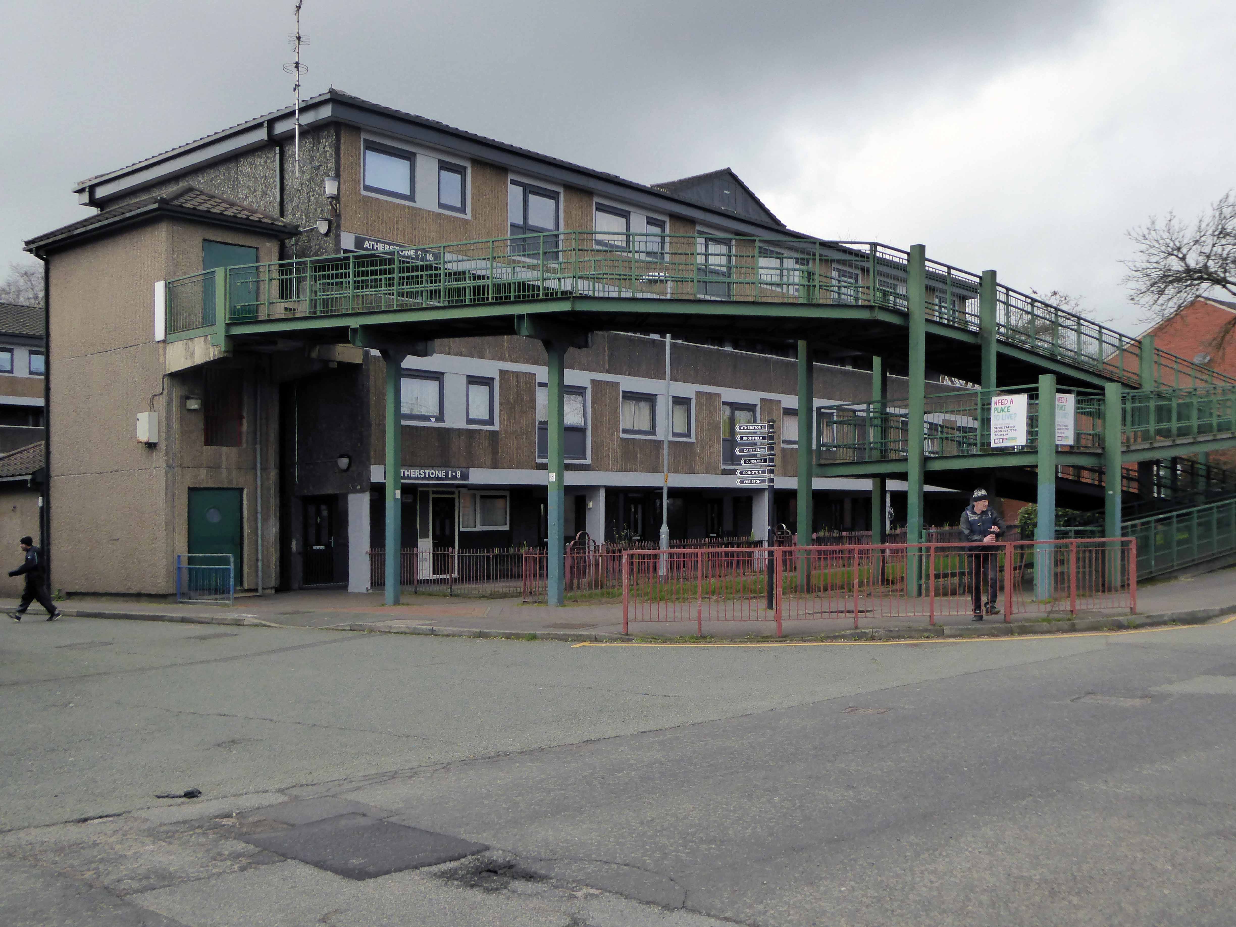
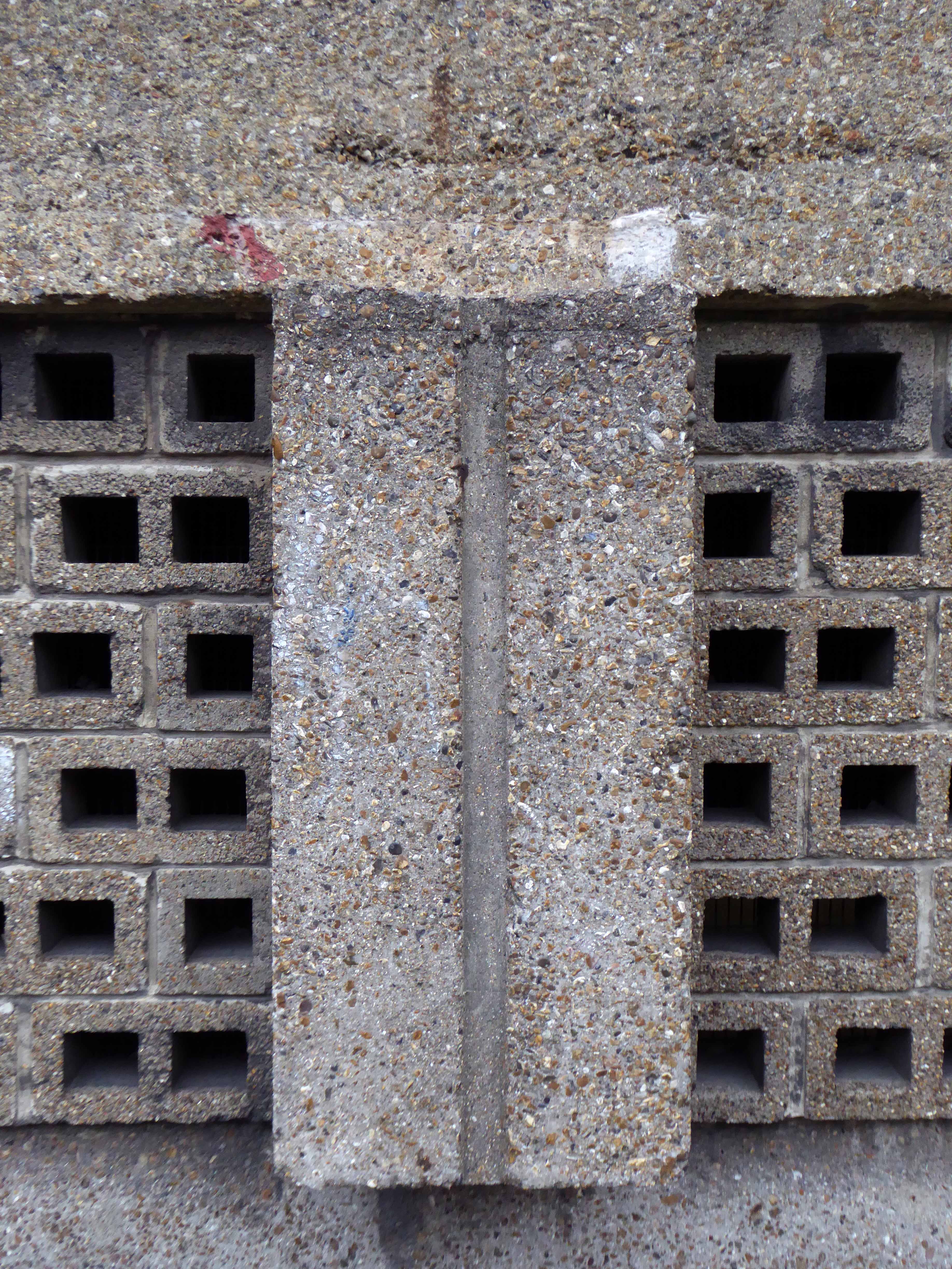
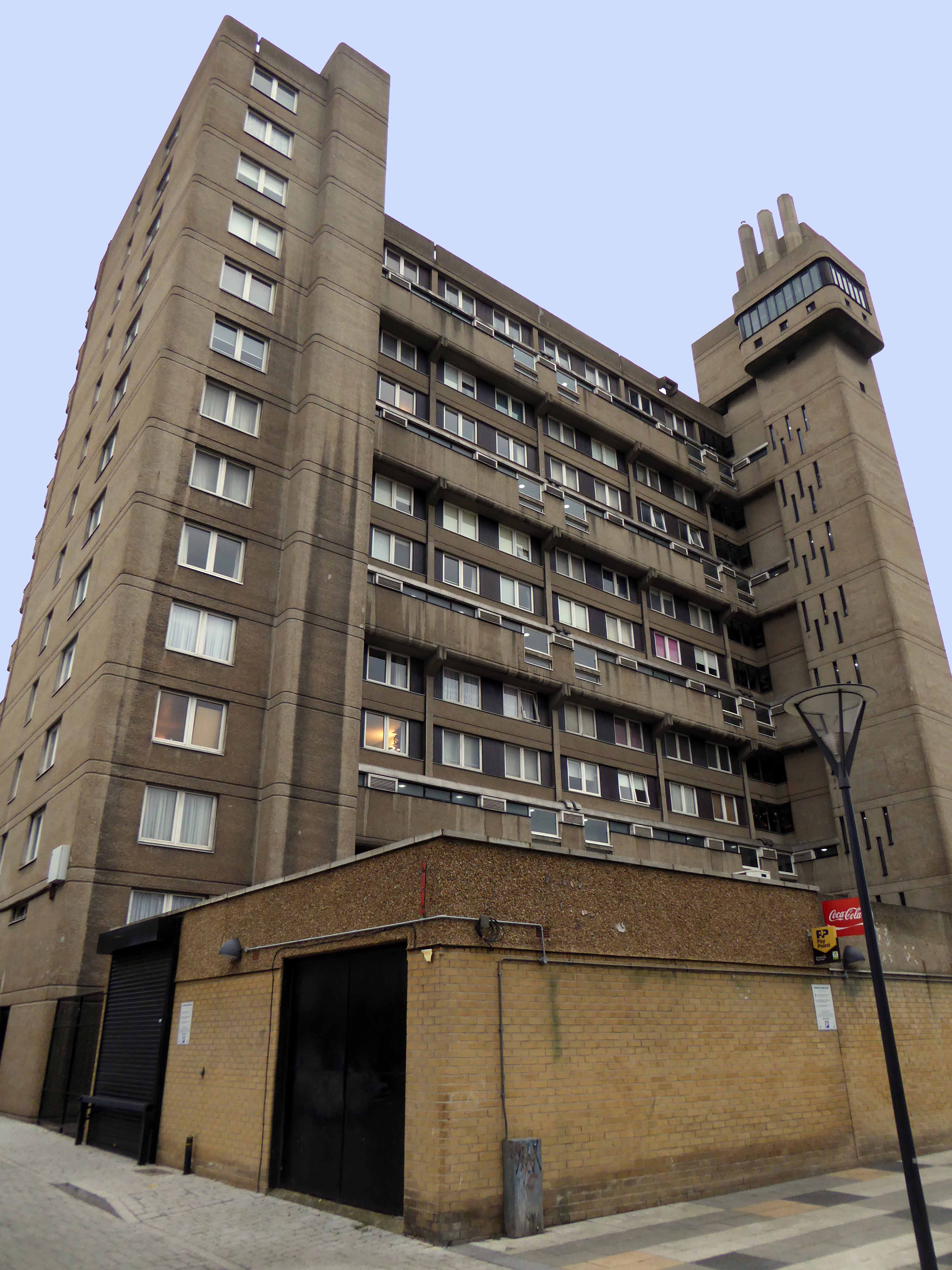
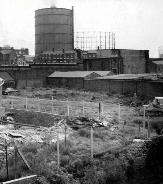
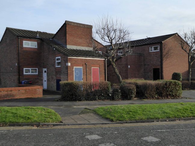
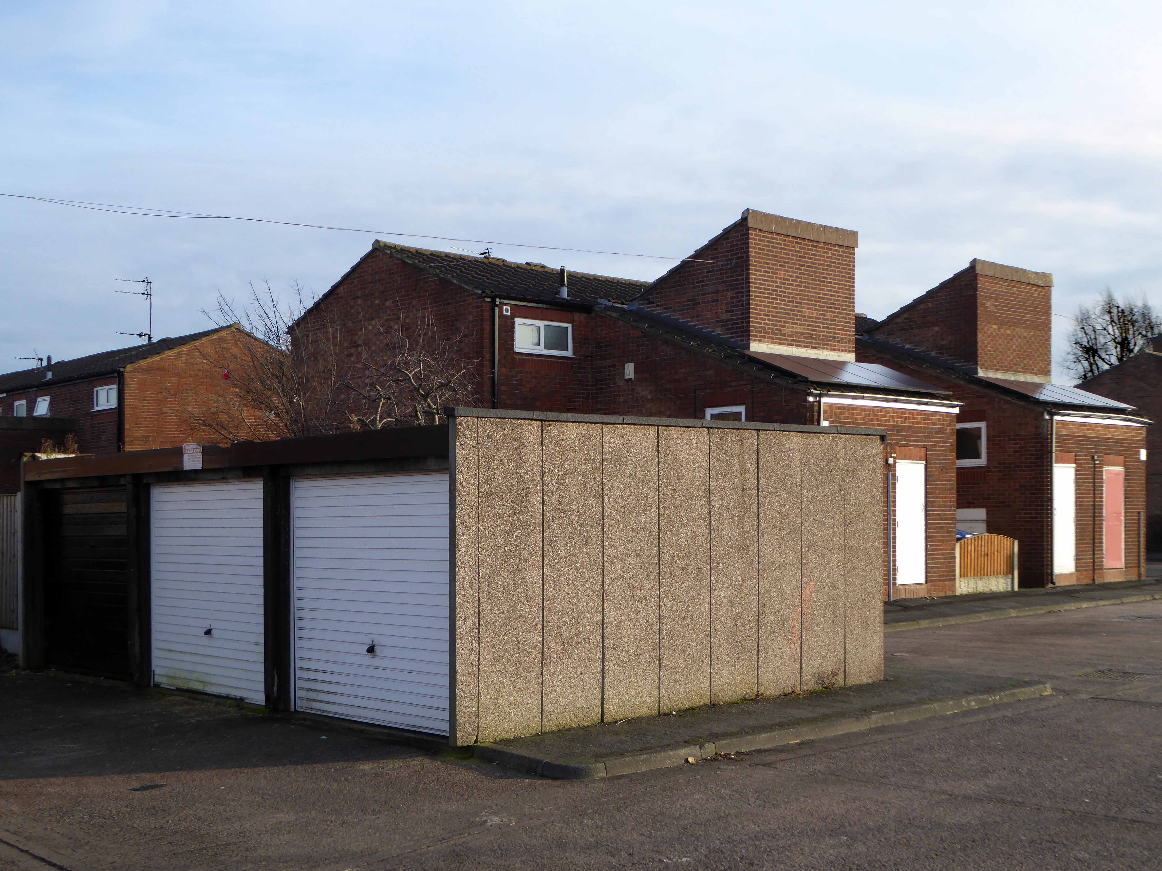
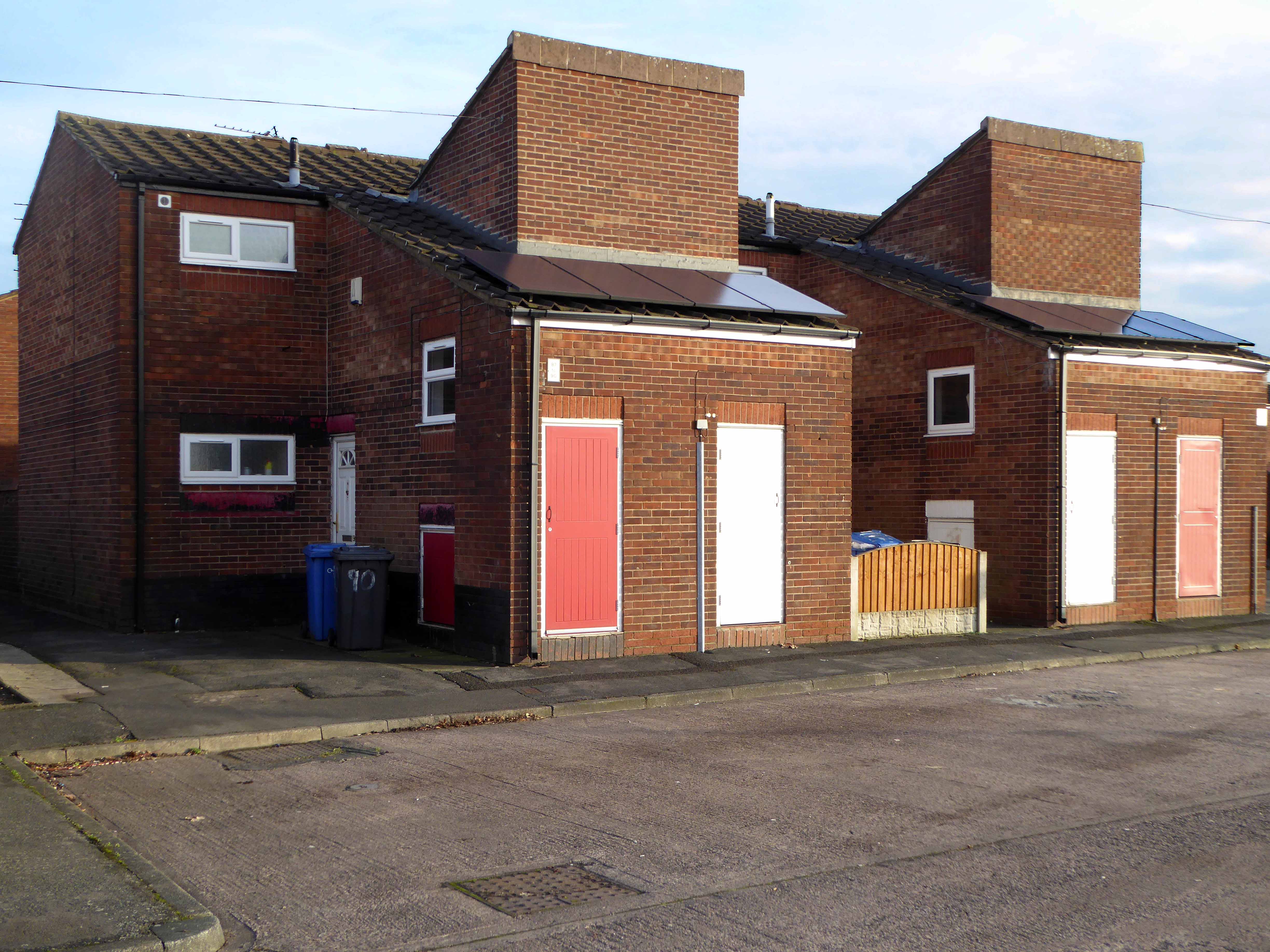
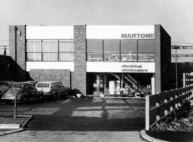
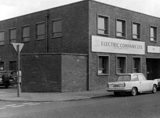
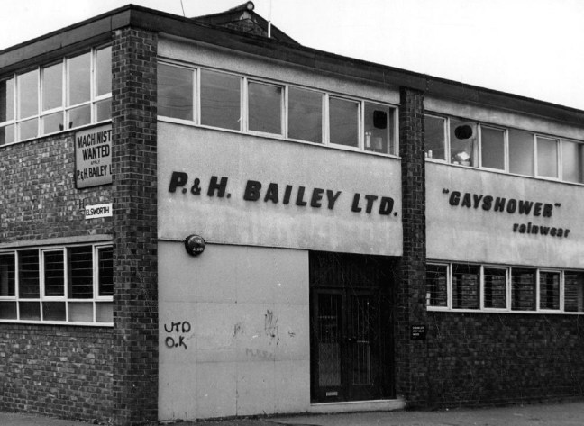
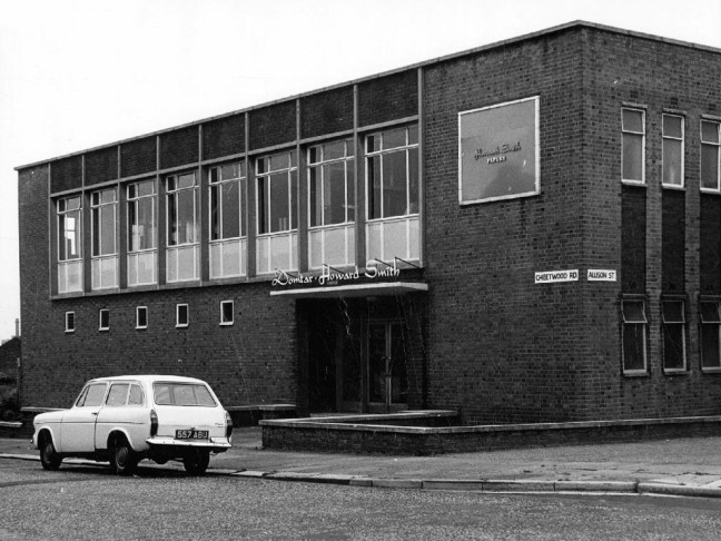
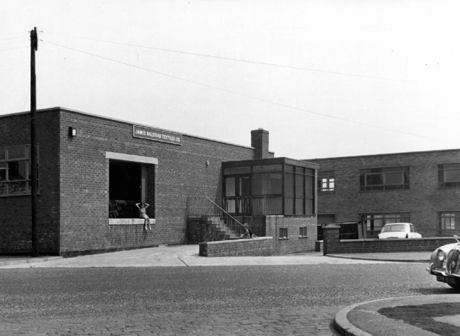
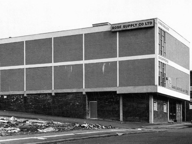
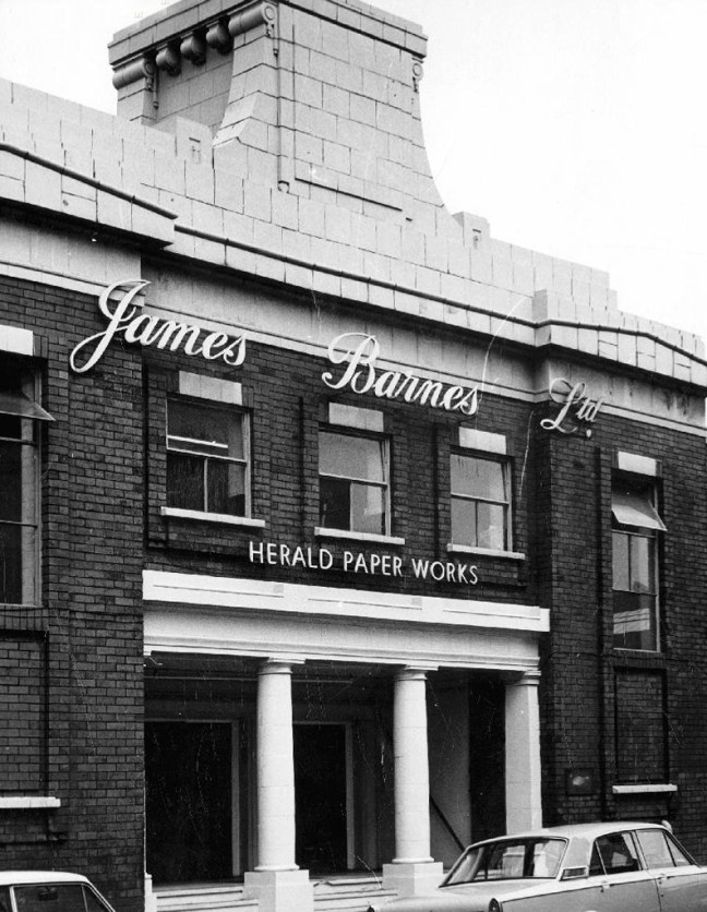
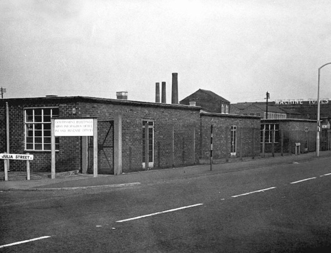
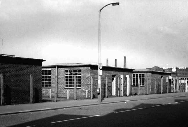
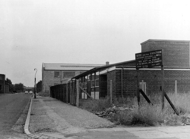
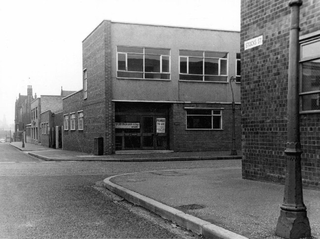
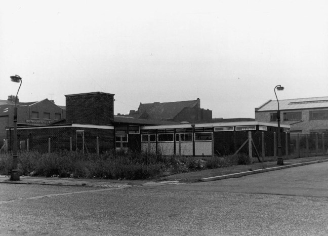
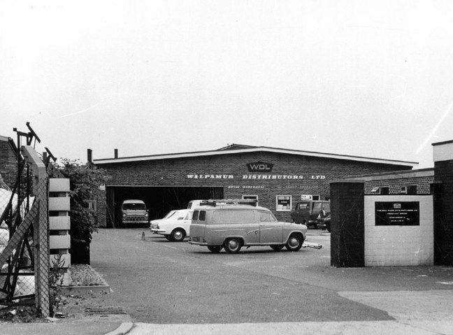
Further developments took place with the building of the Cheetwood Industrial Estate – a postwar group of flat-rooved, blocky brick and concrete utilitarian units.
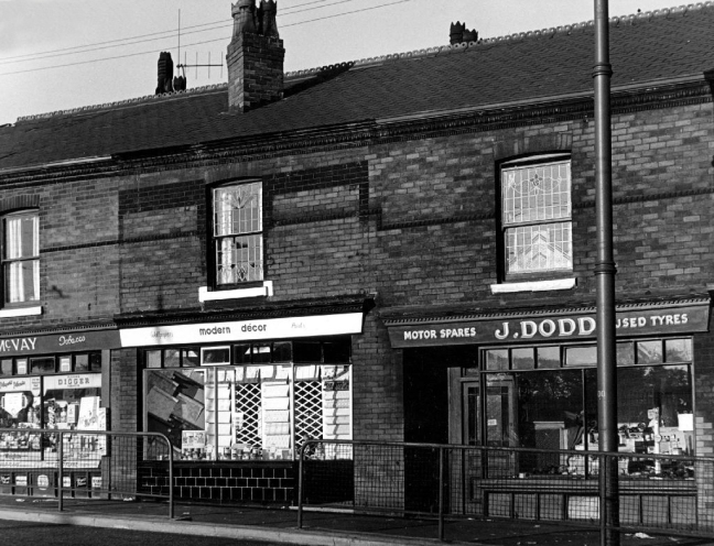
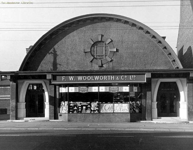
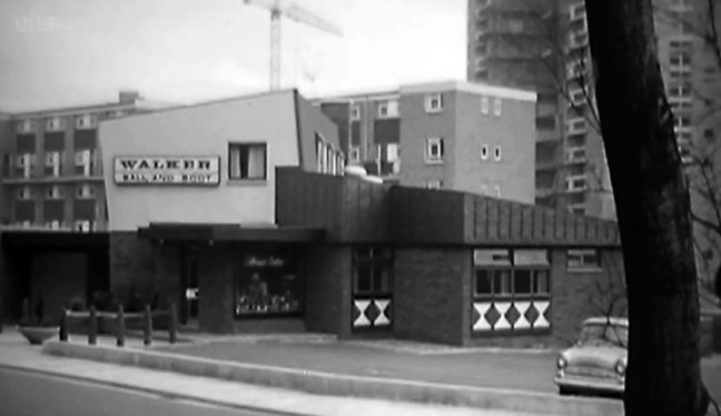
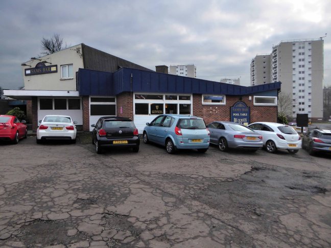
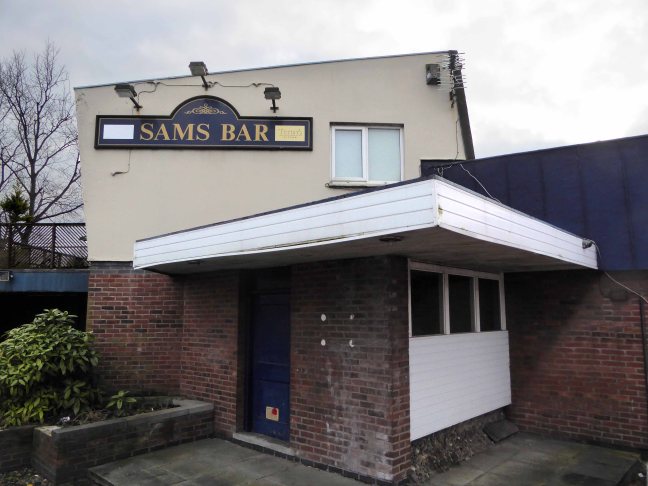
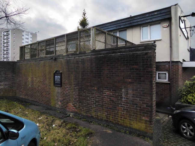
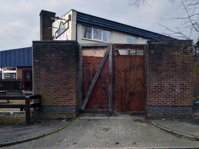
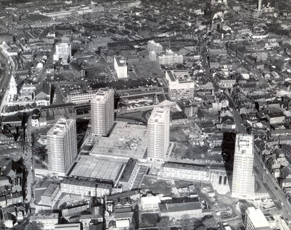
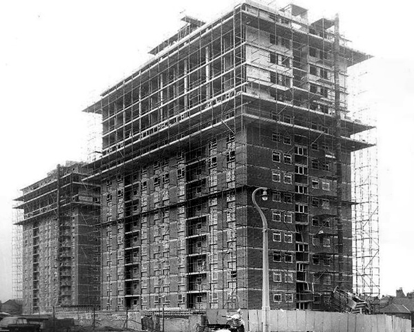
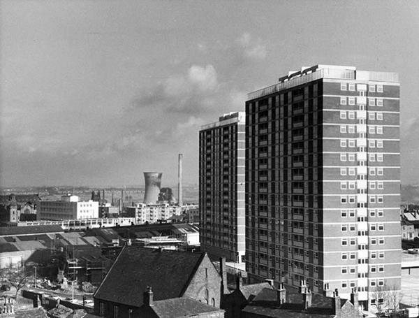
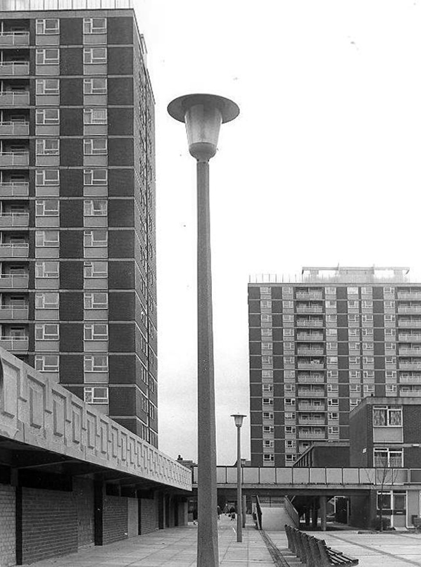
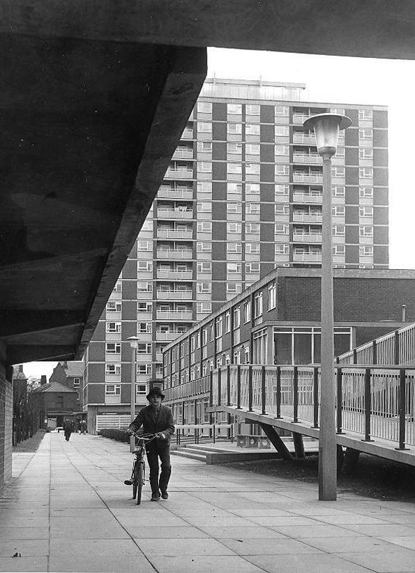
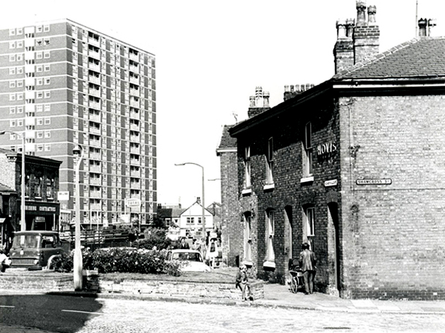
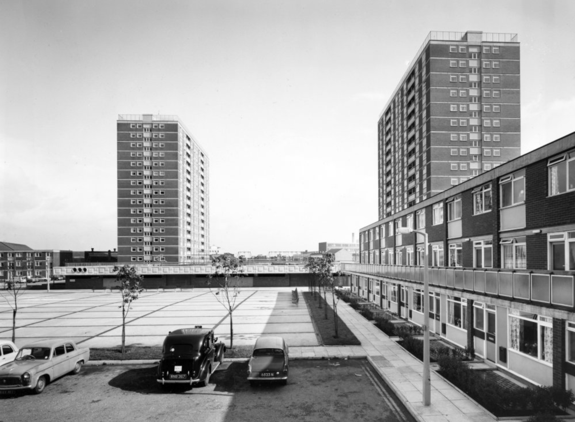
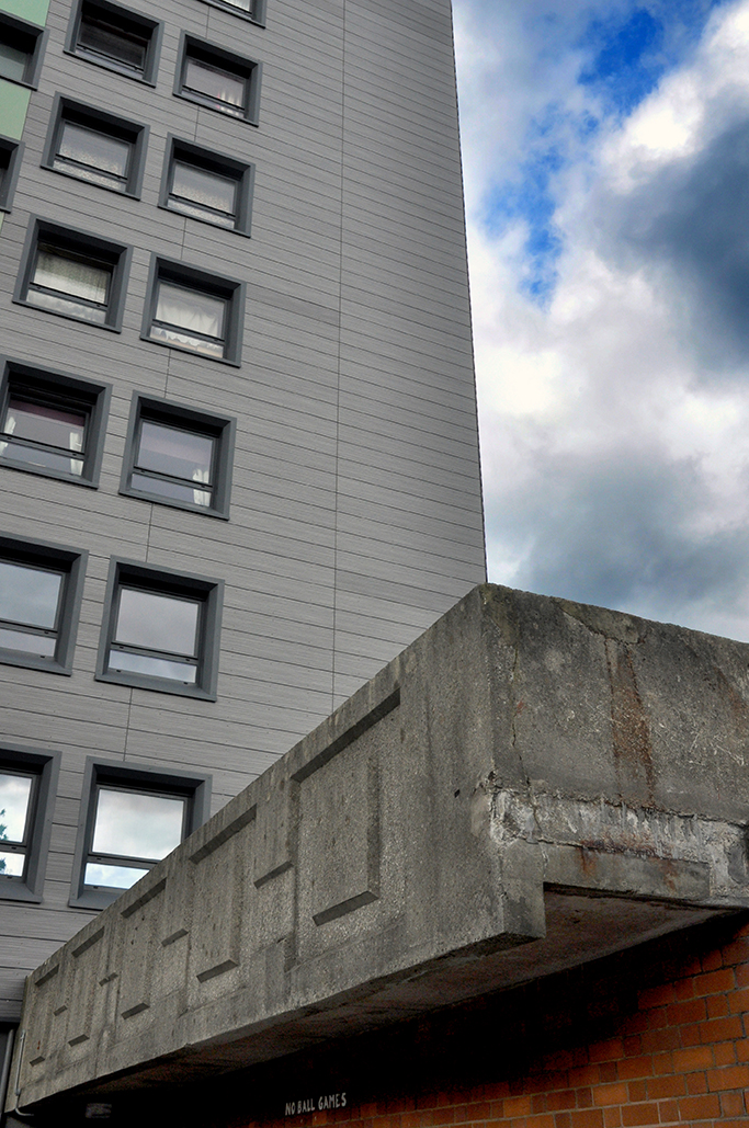
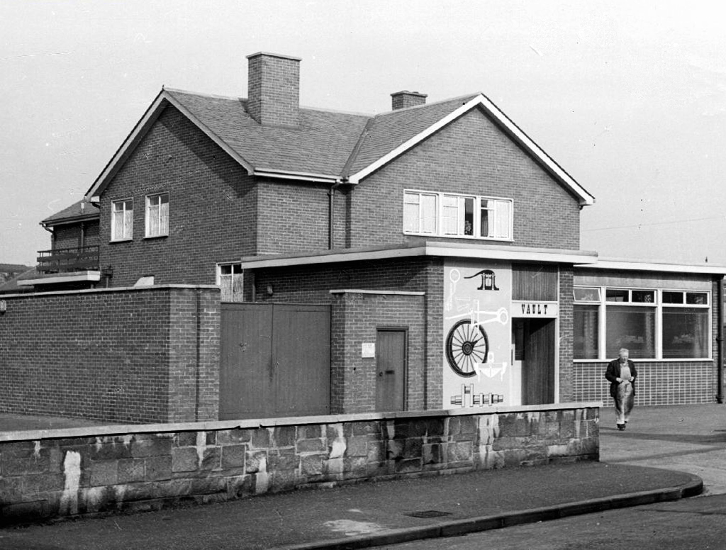
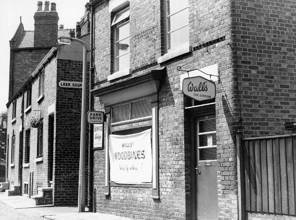
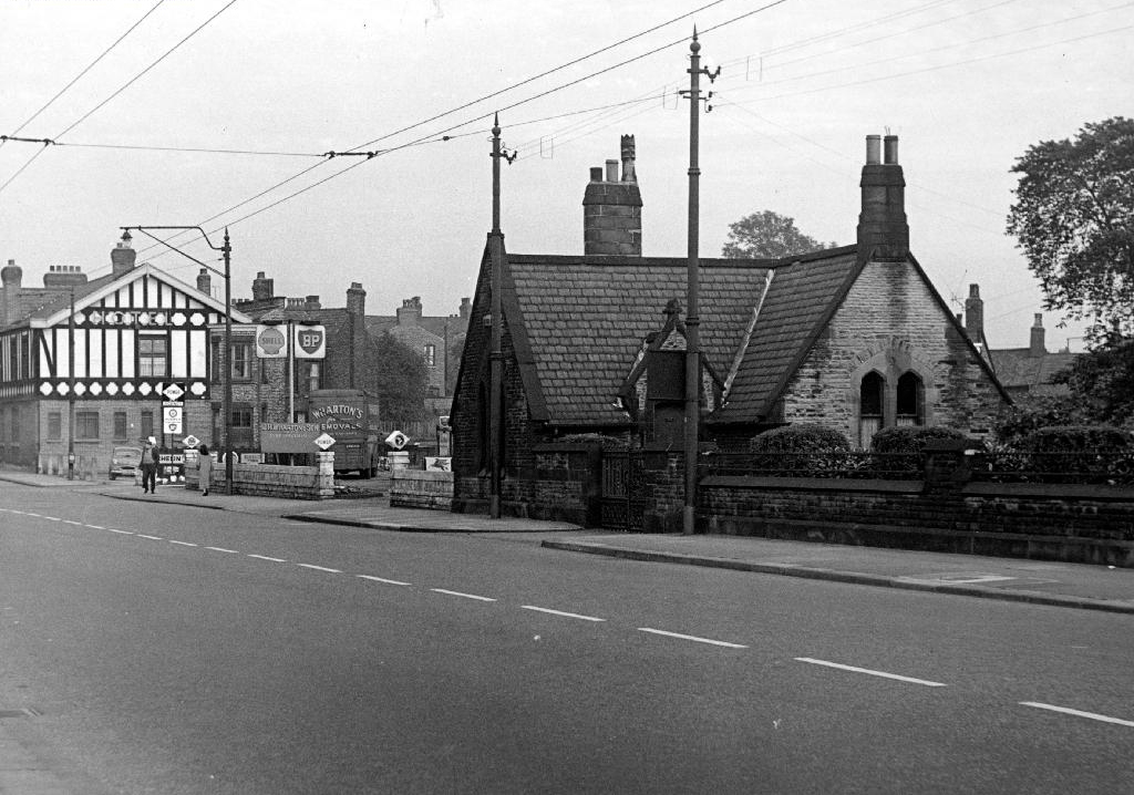
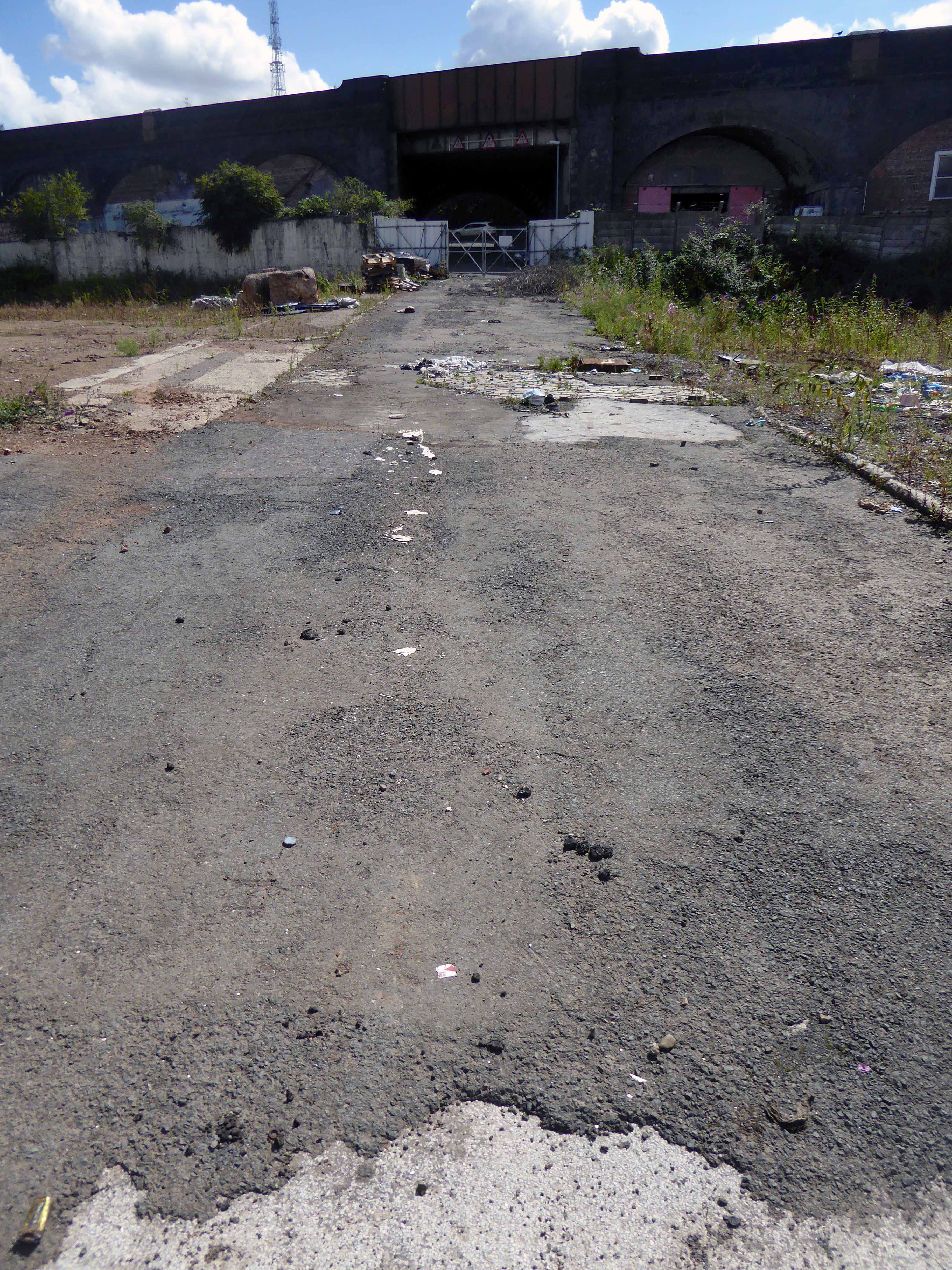
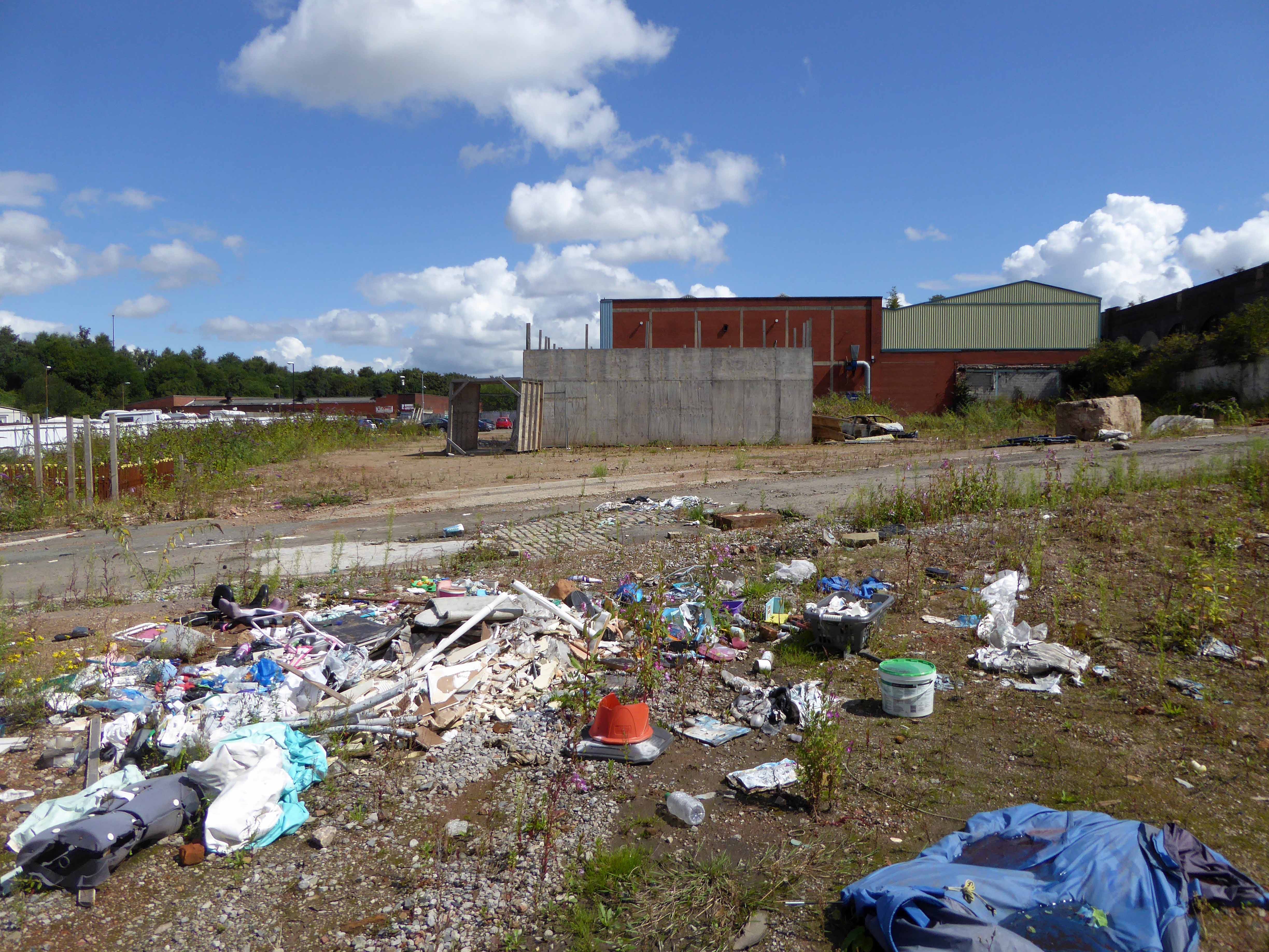
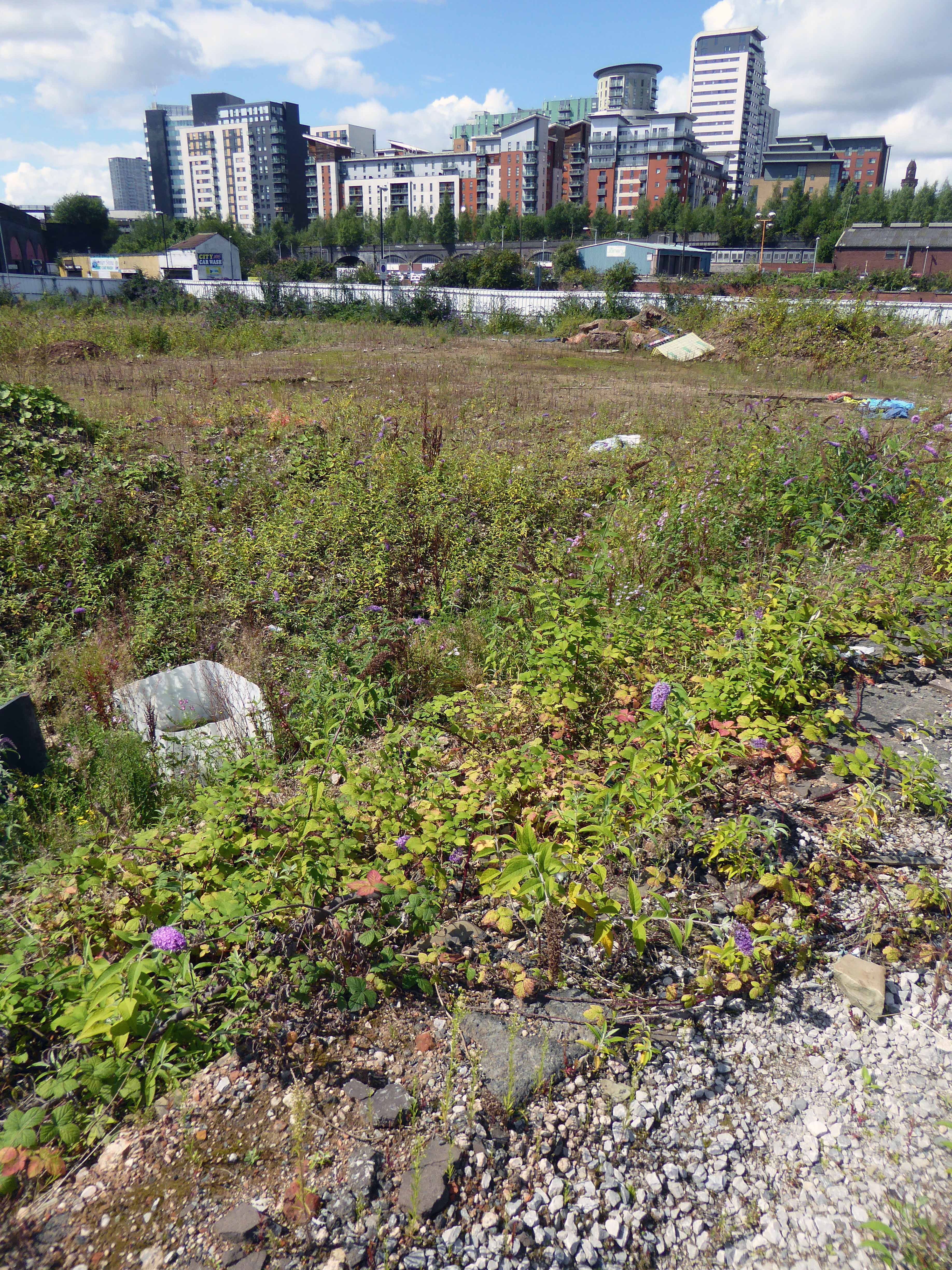
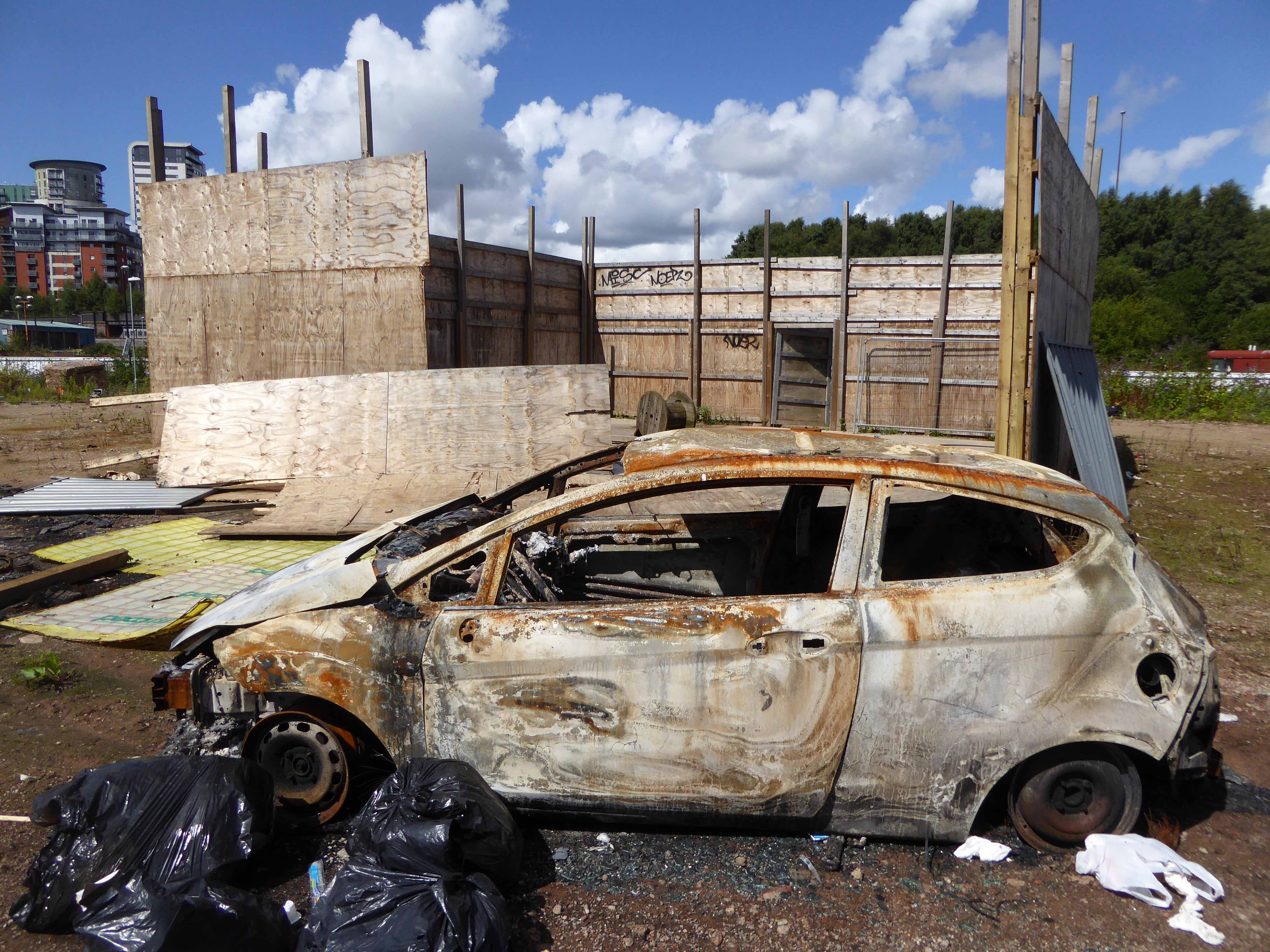
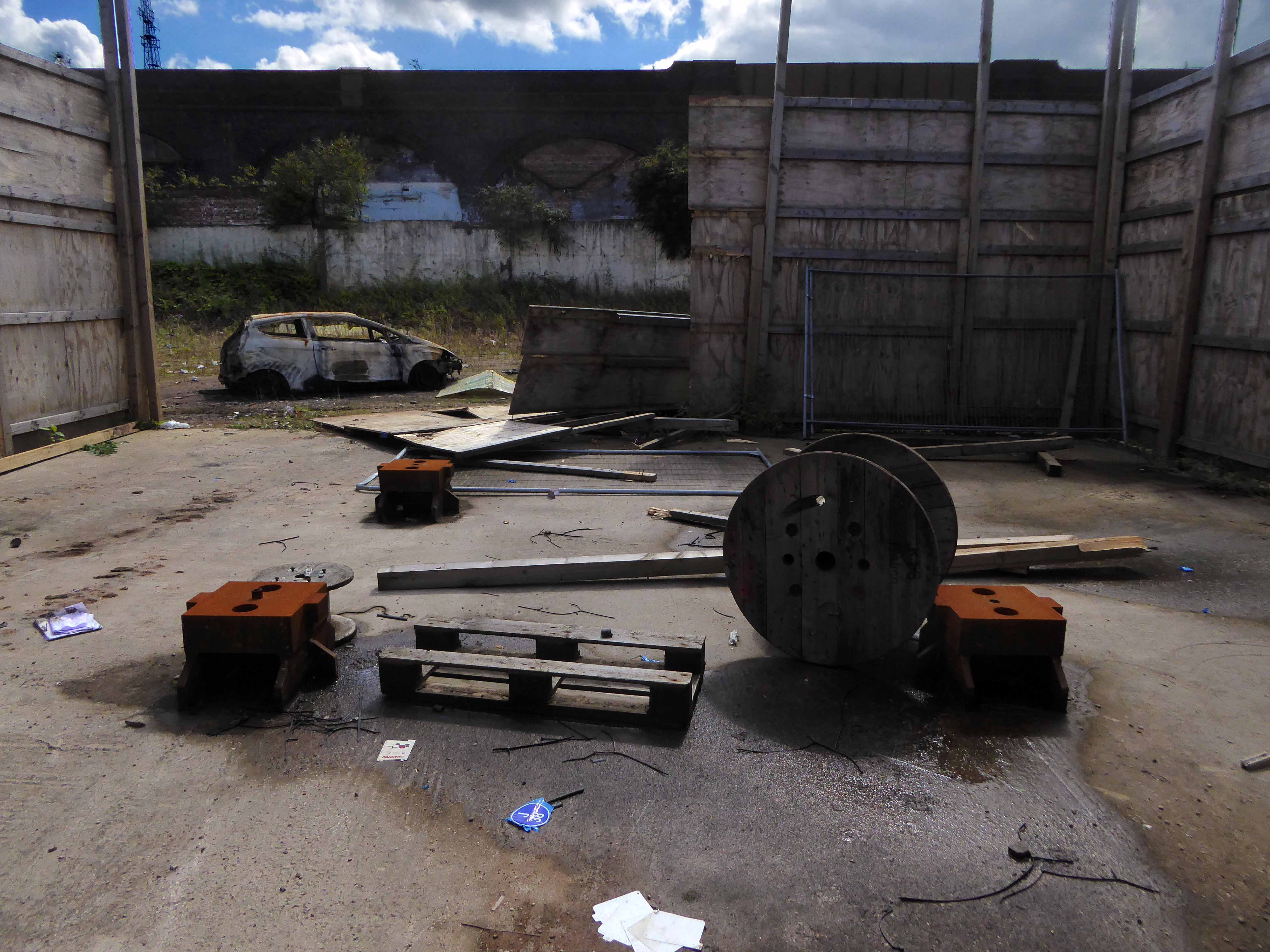
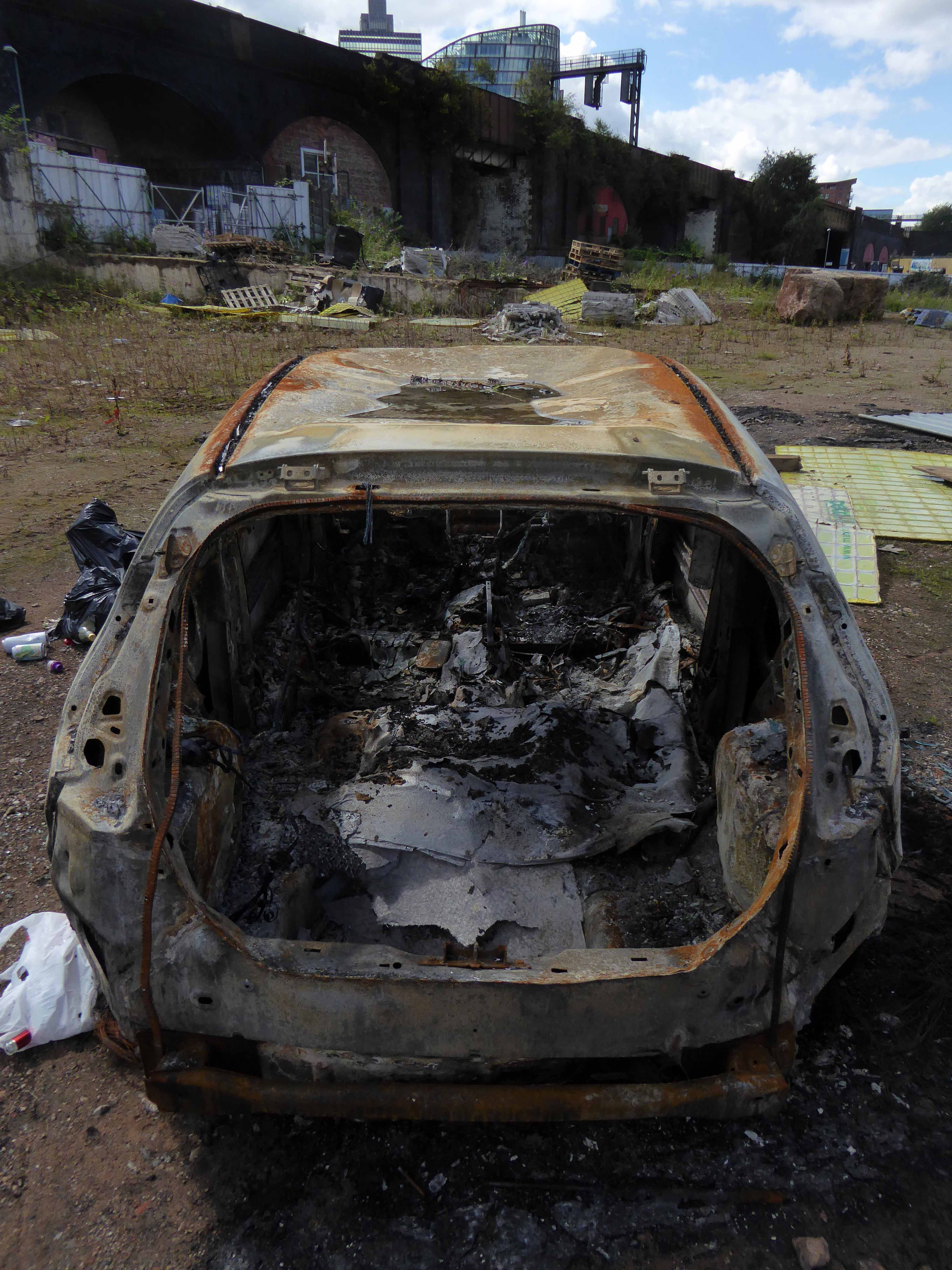
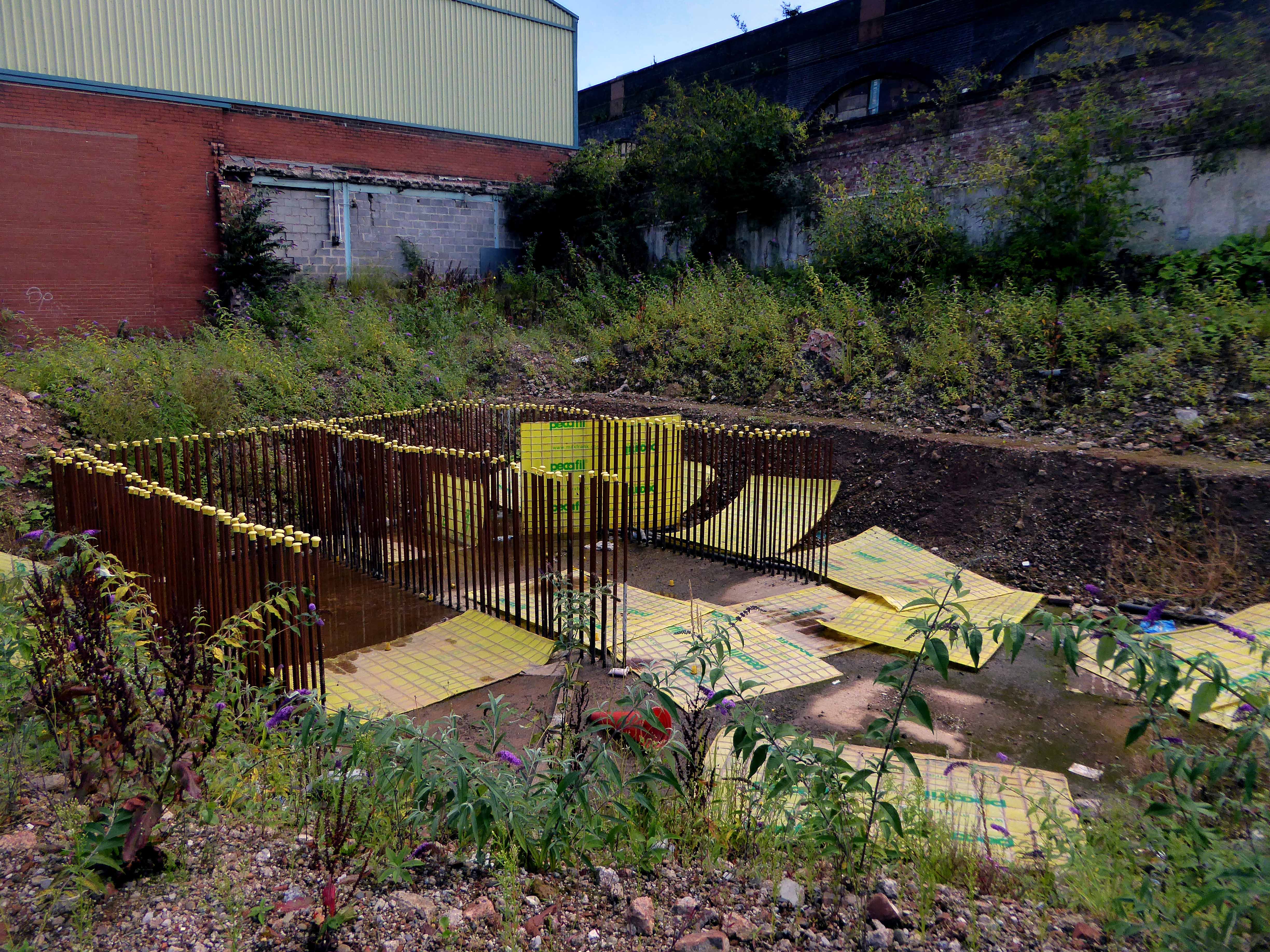
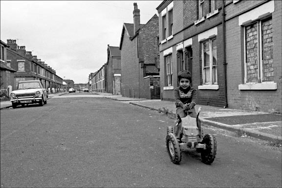
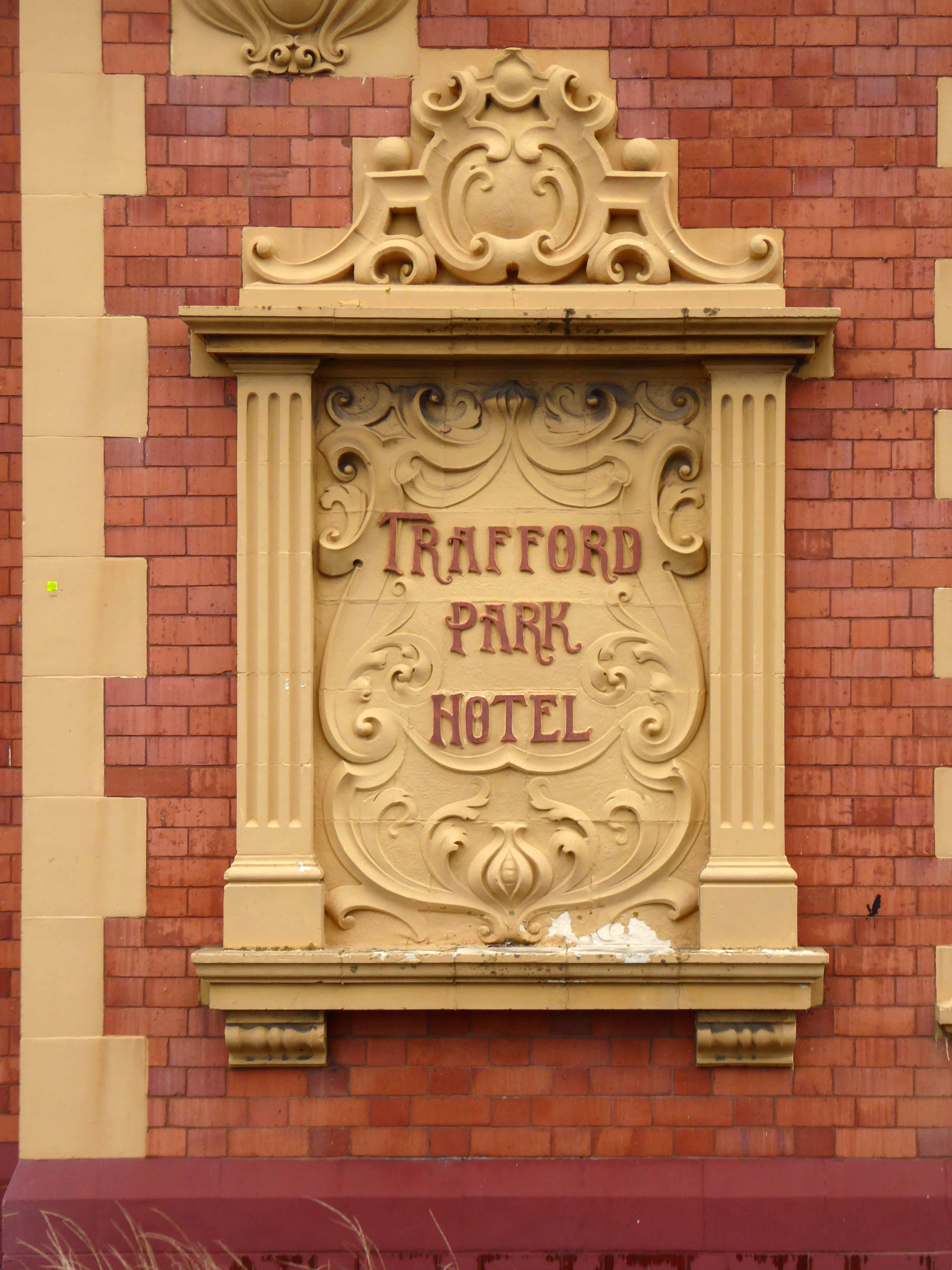
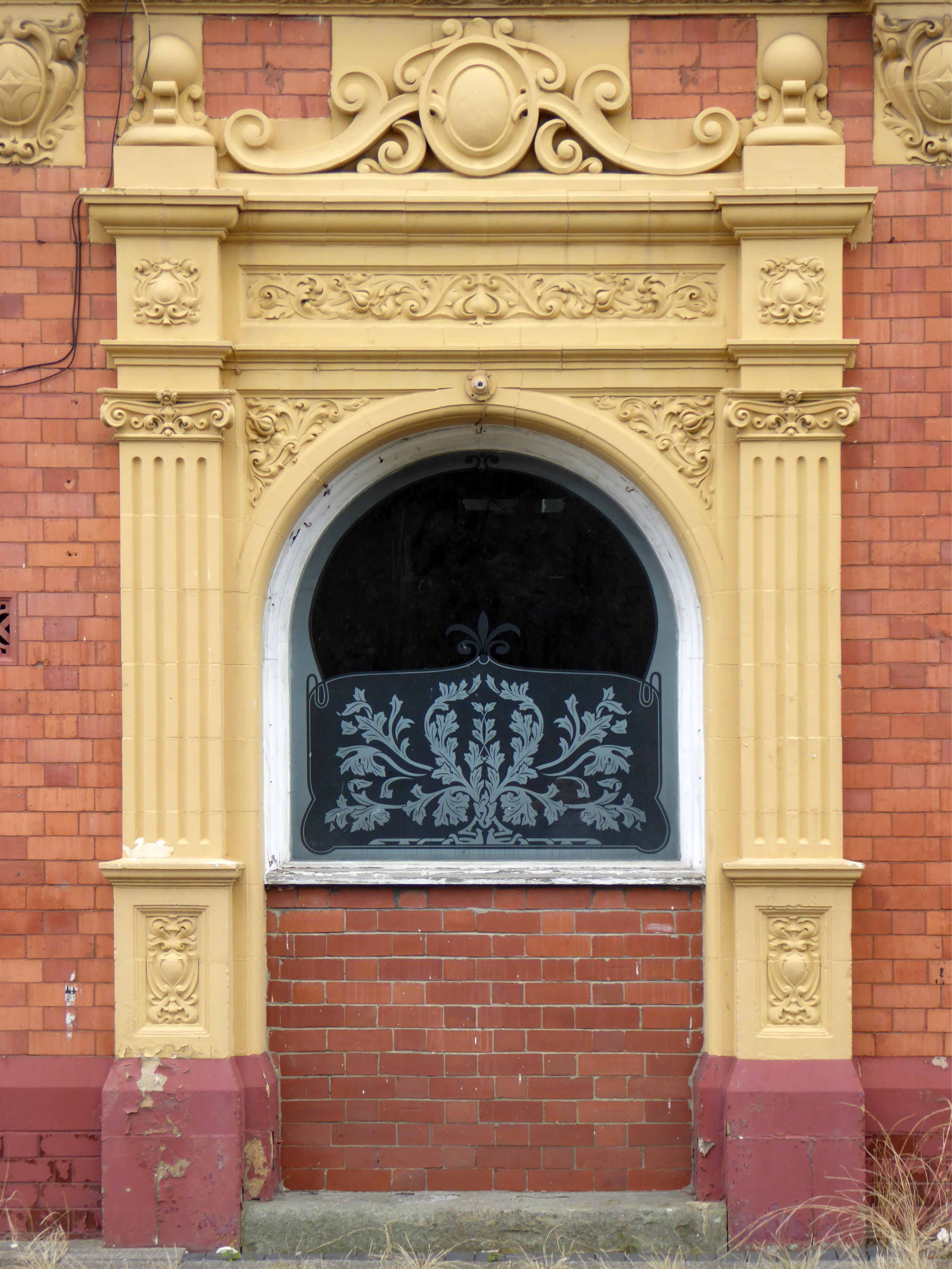
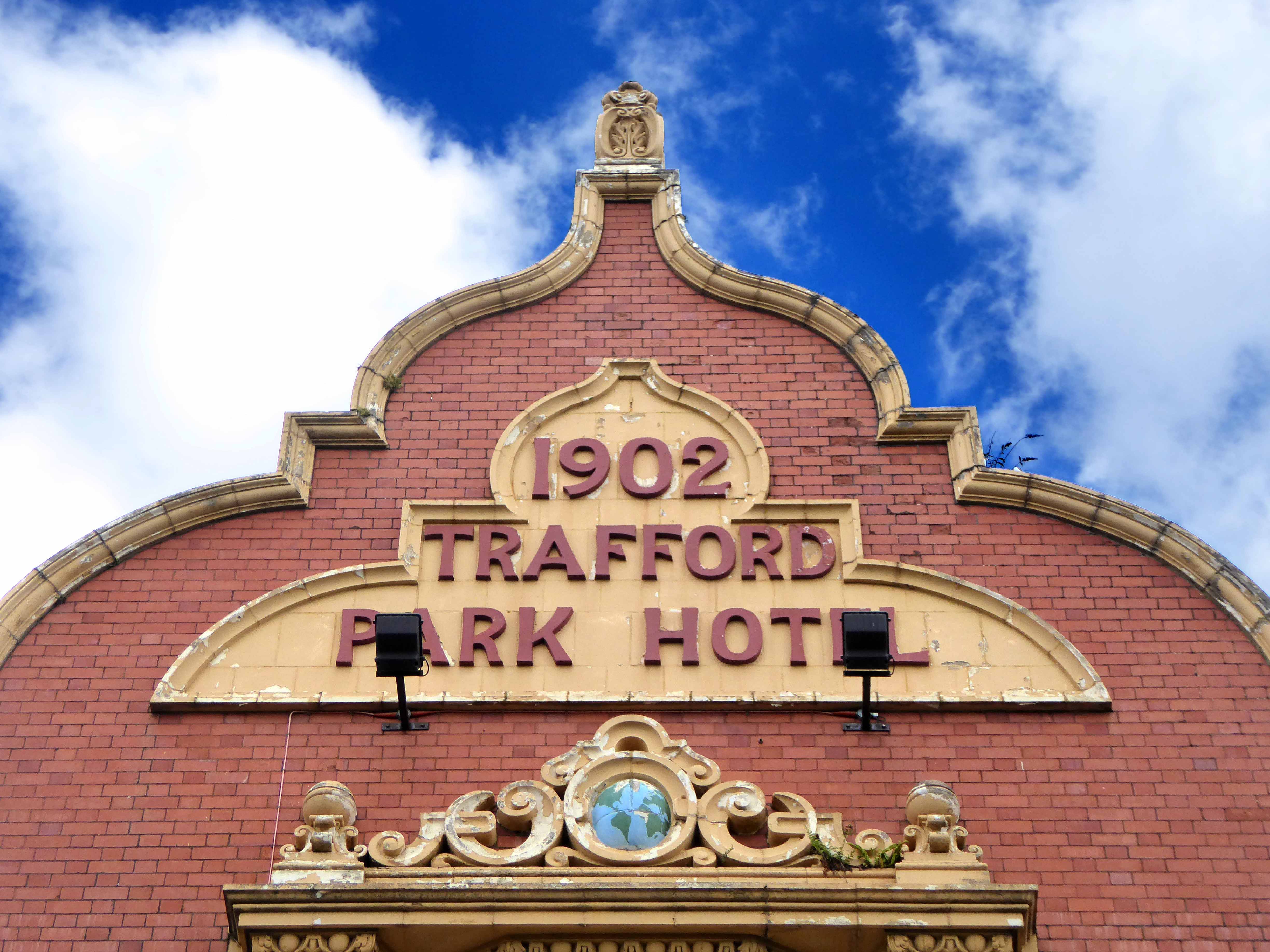
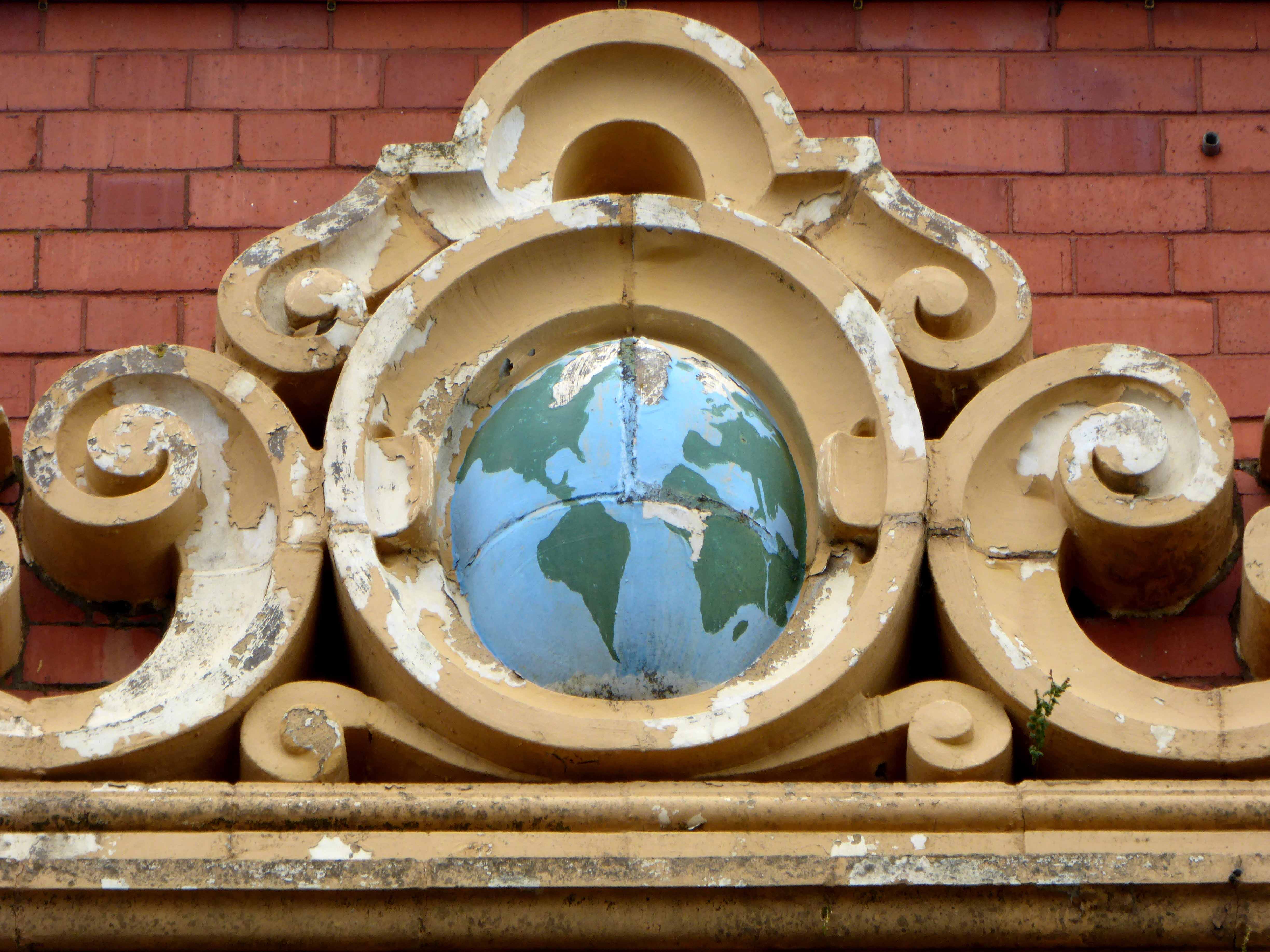
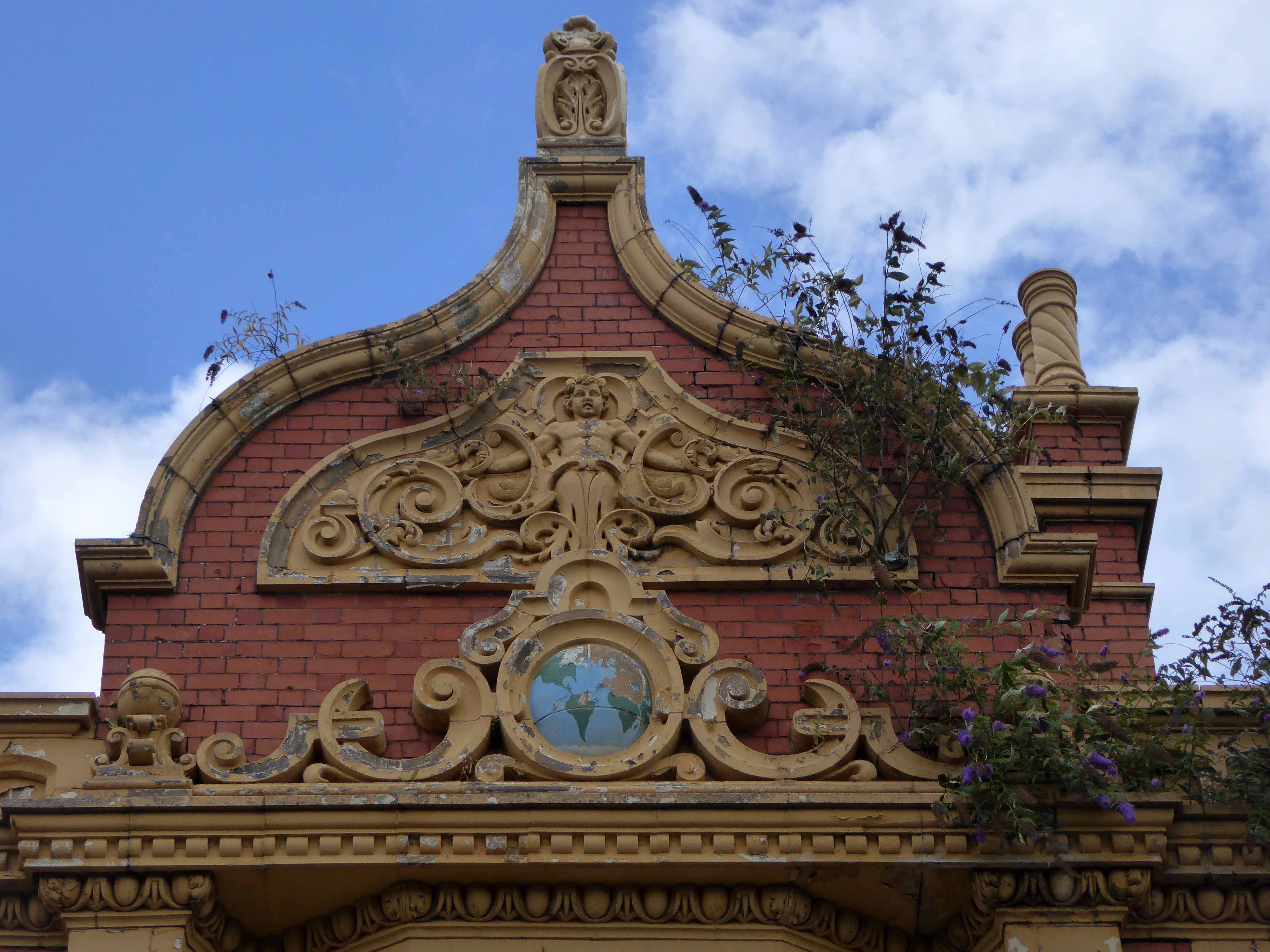
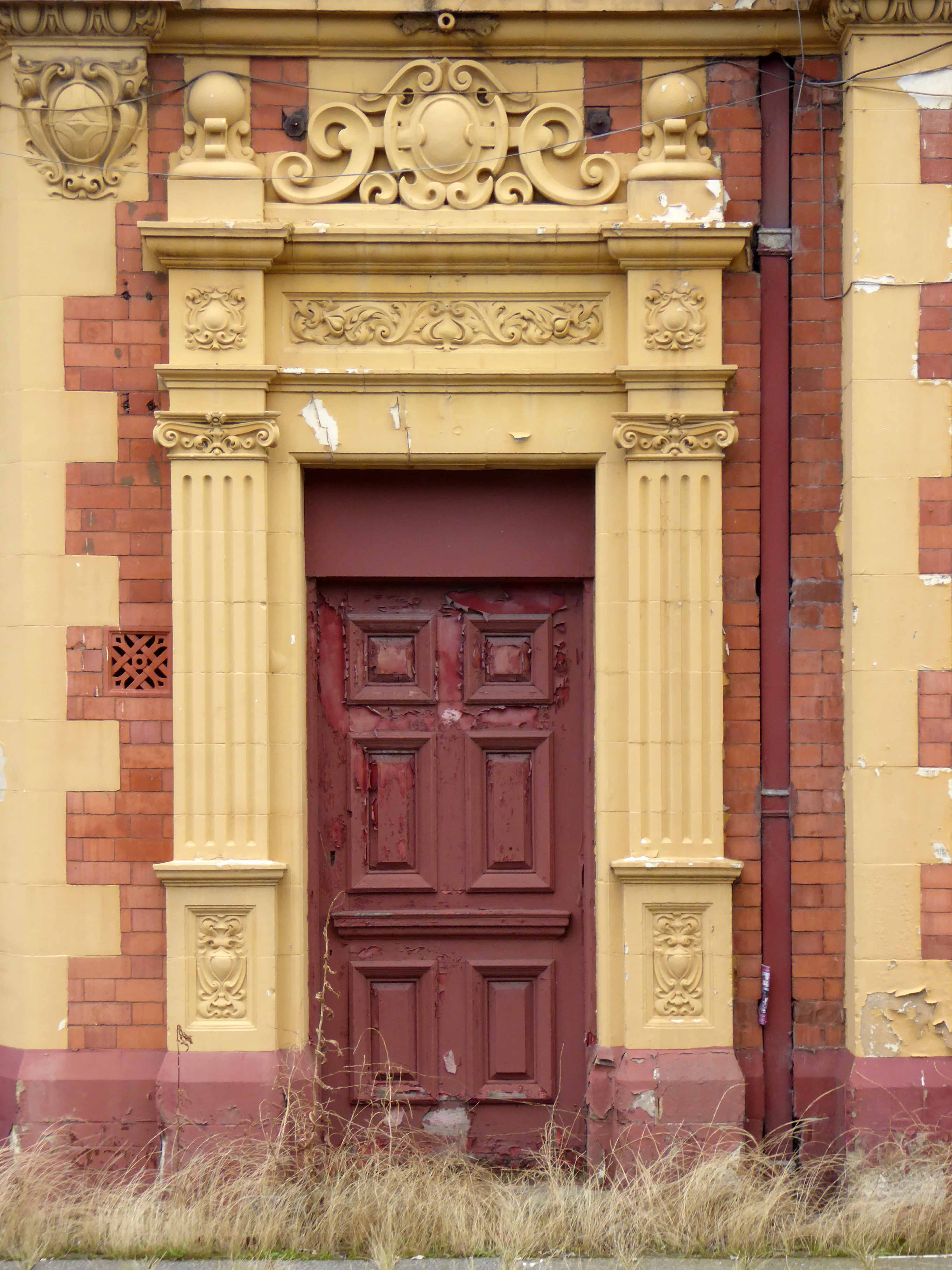
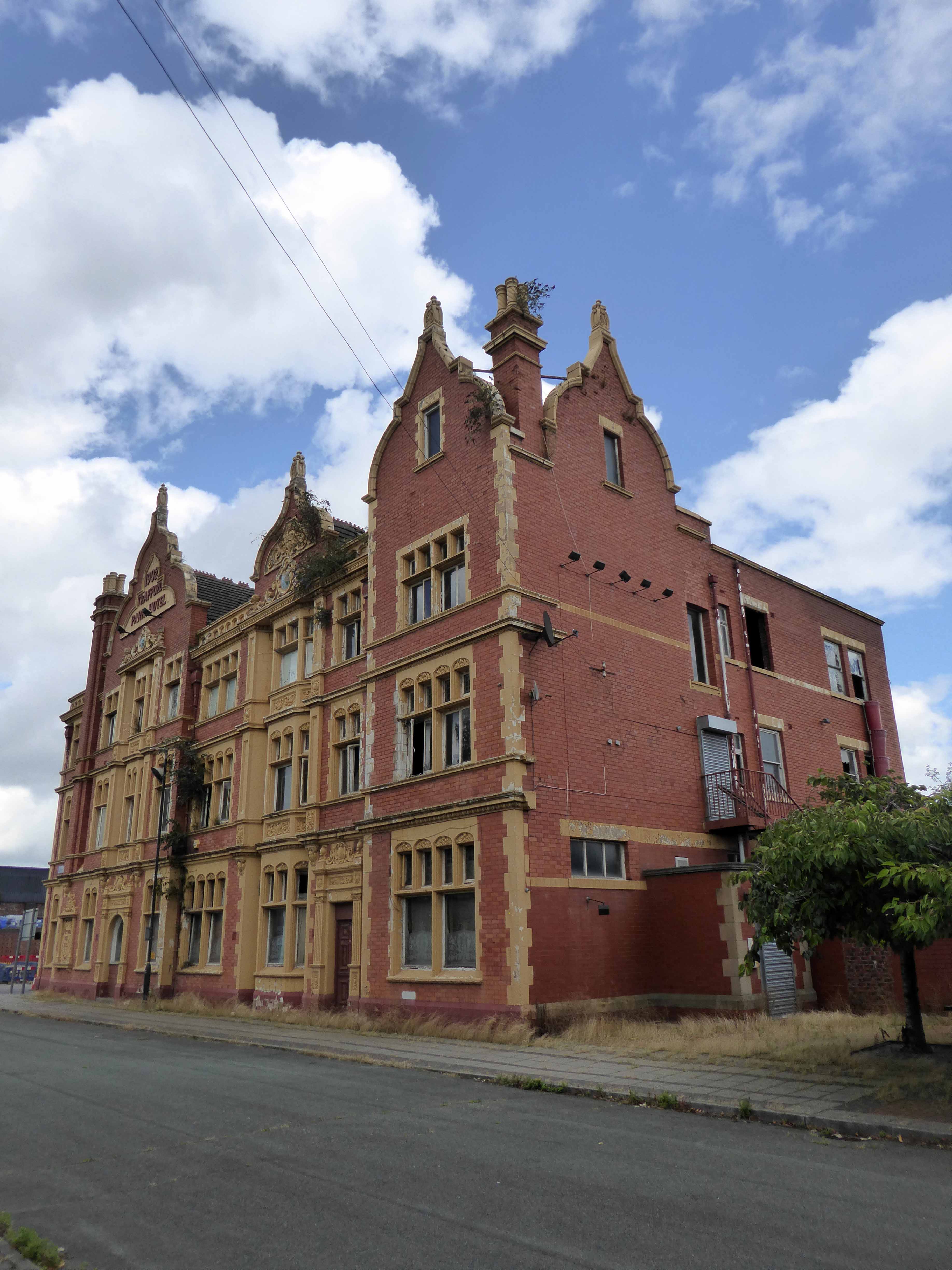
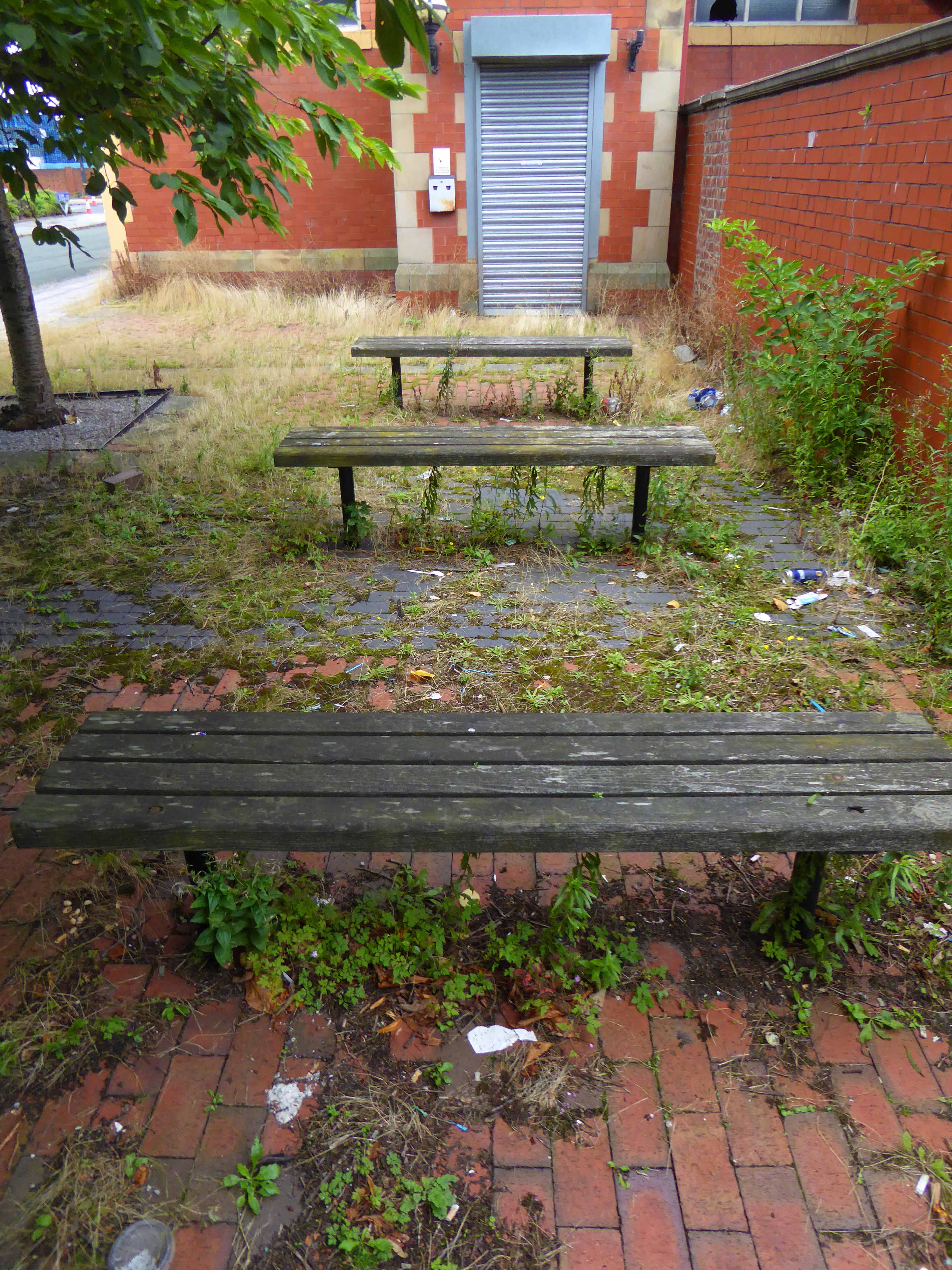
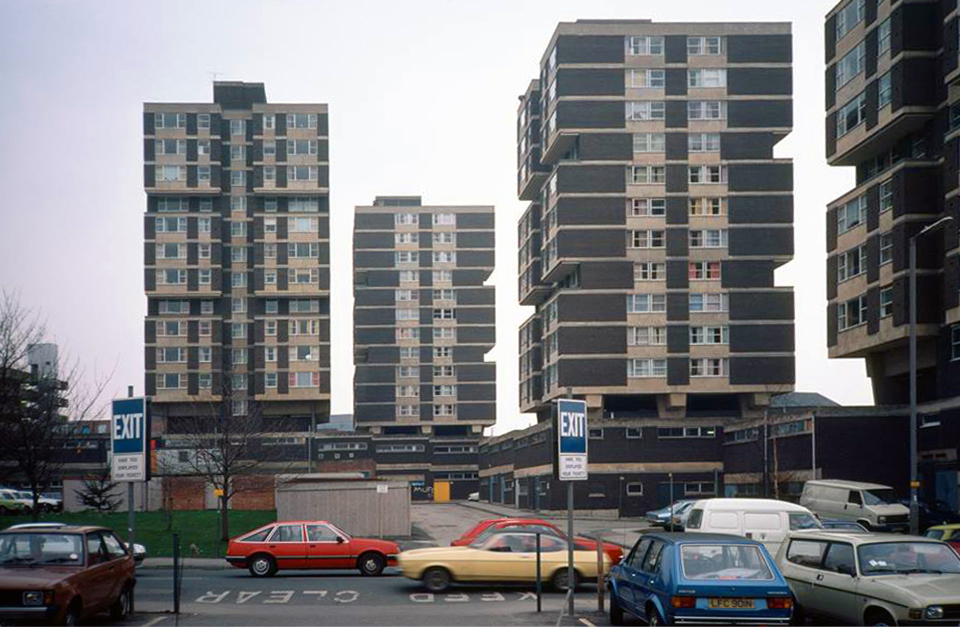
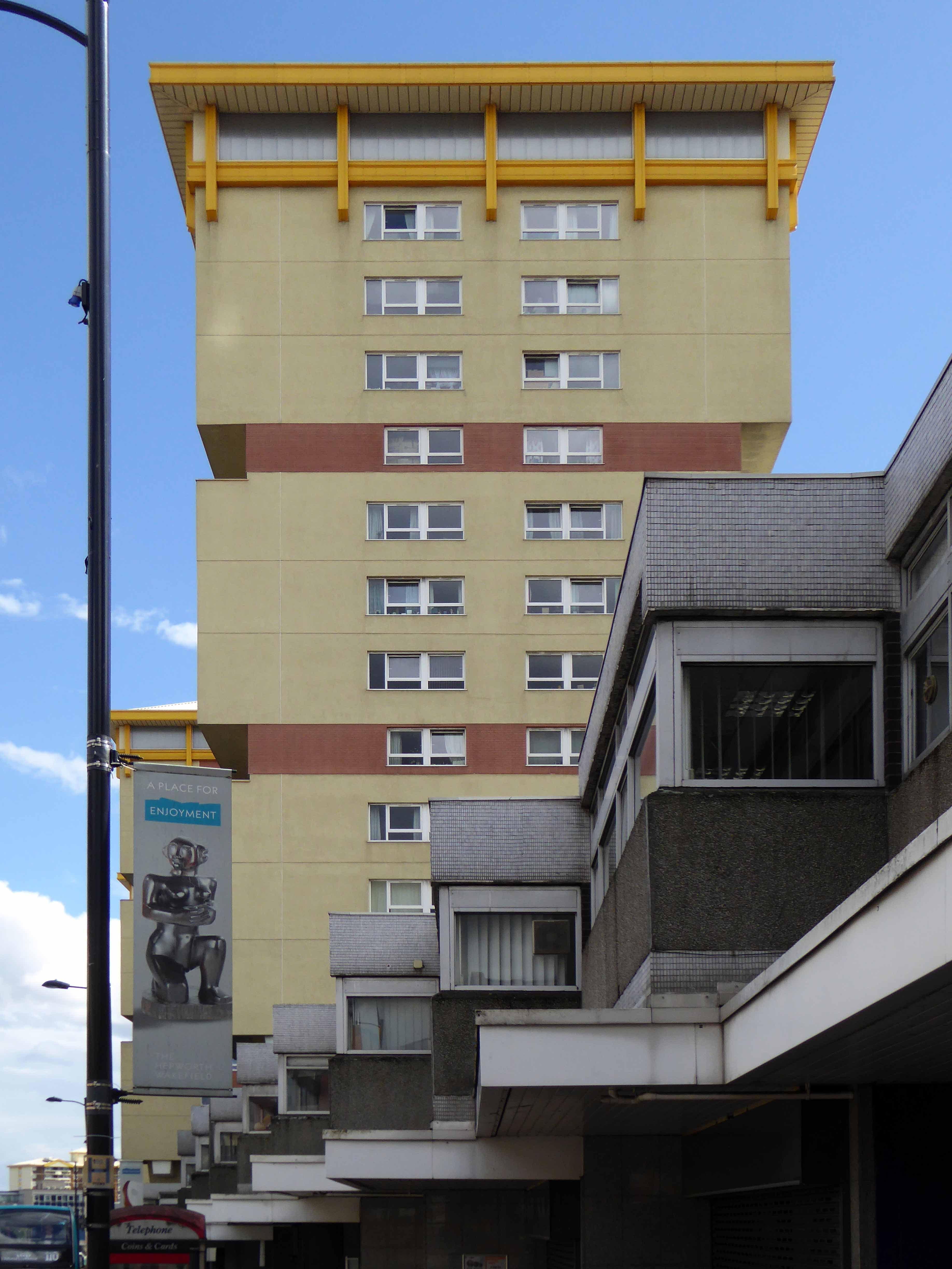
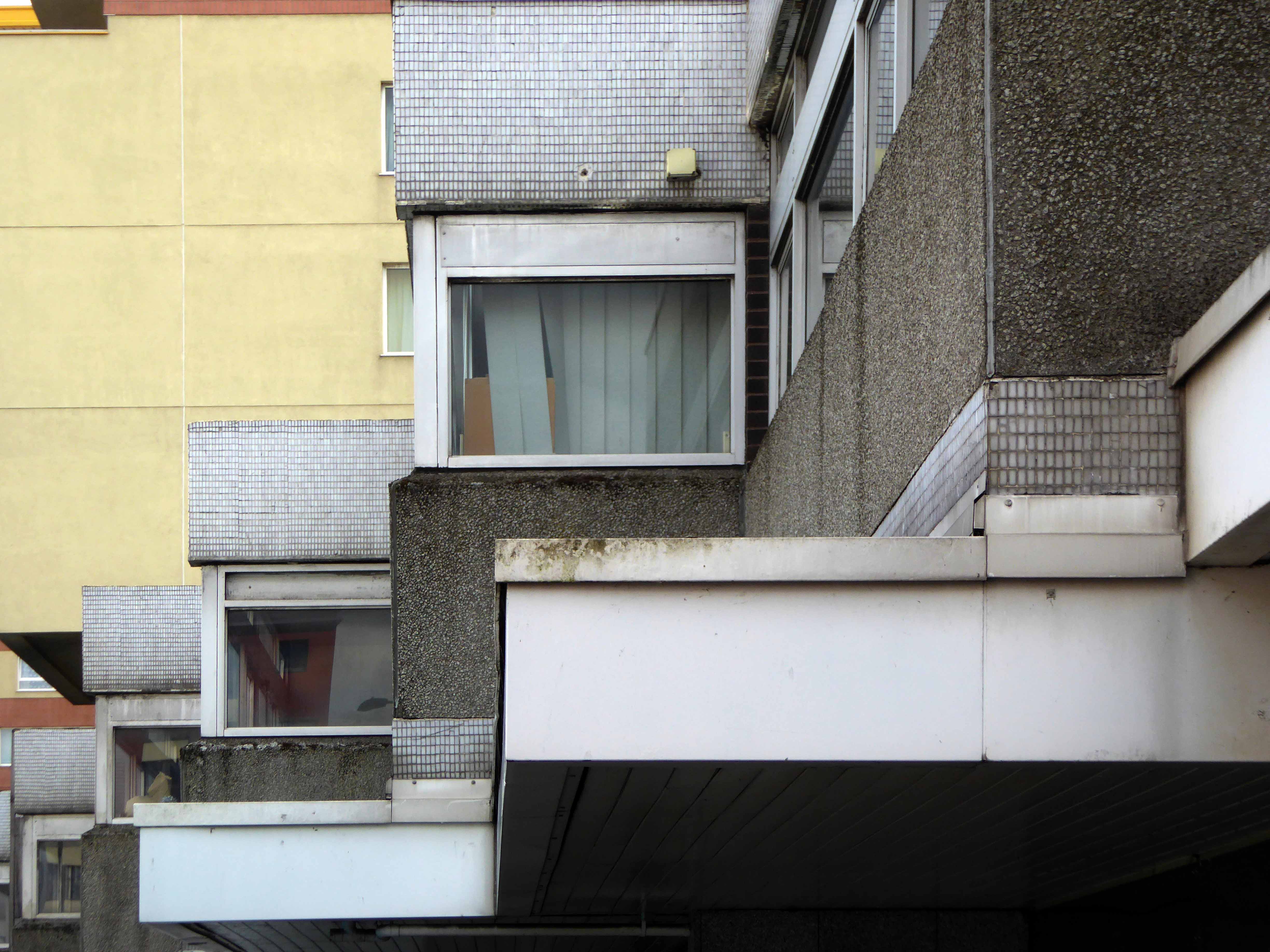
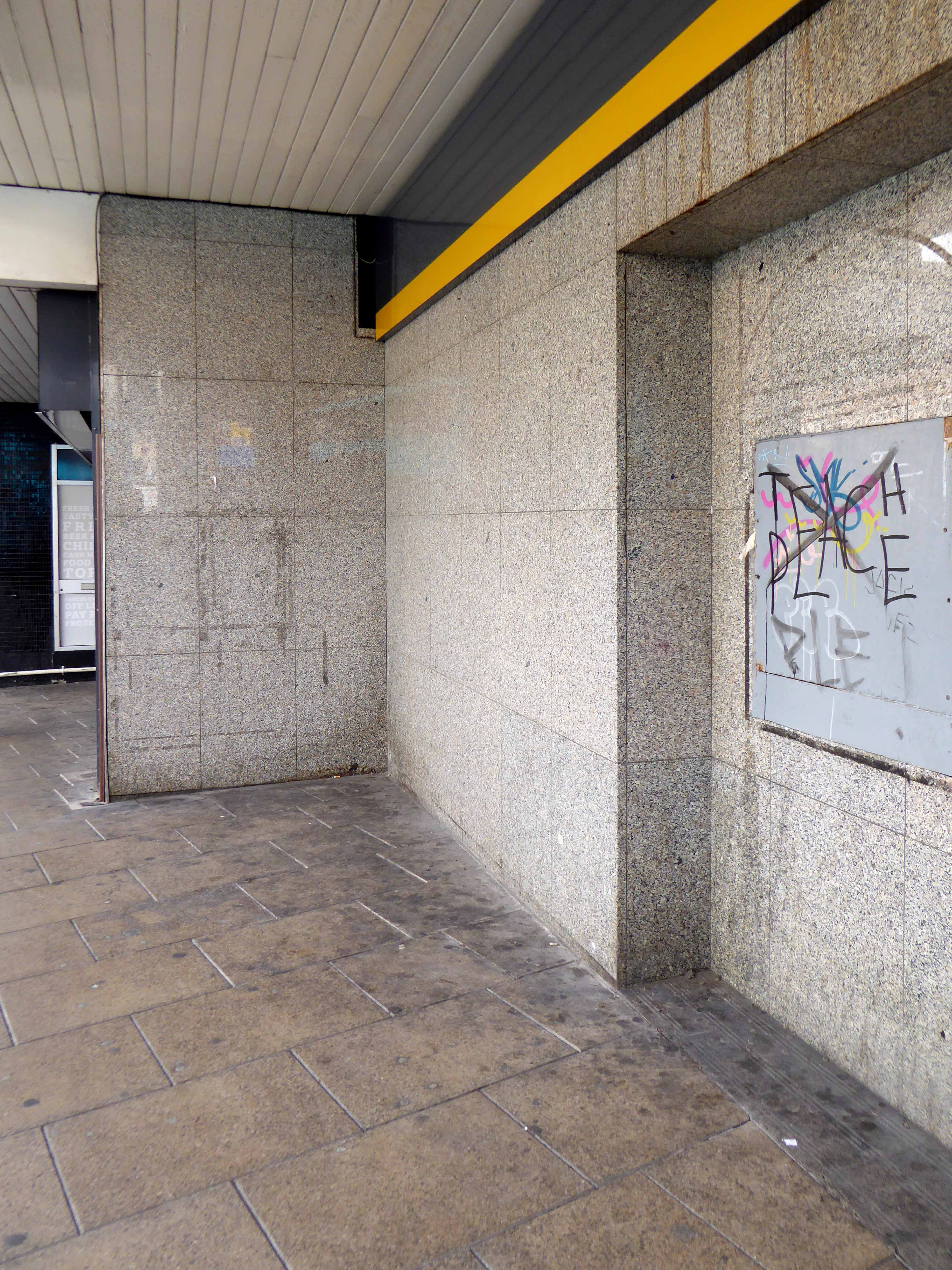
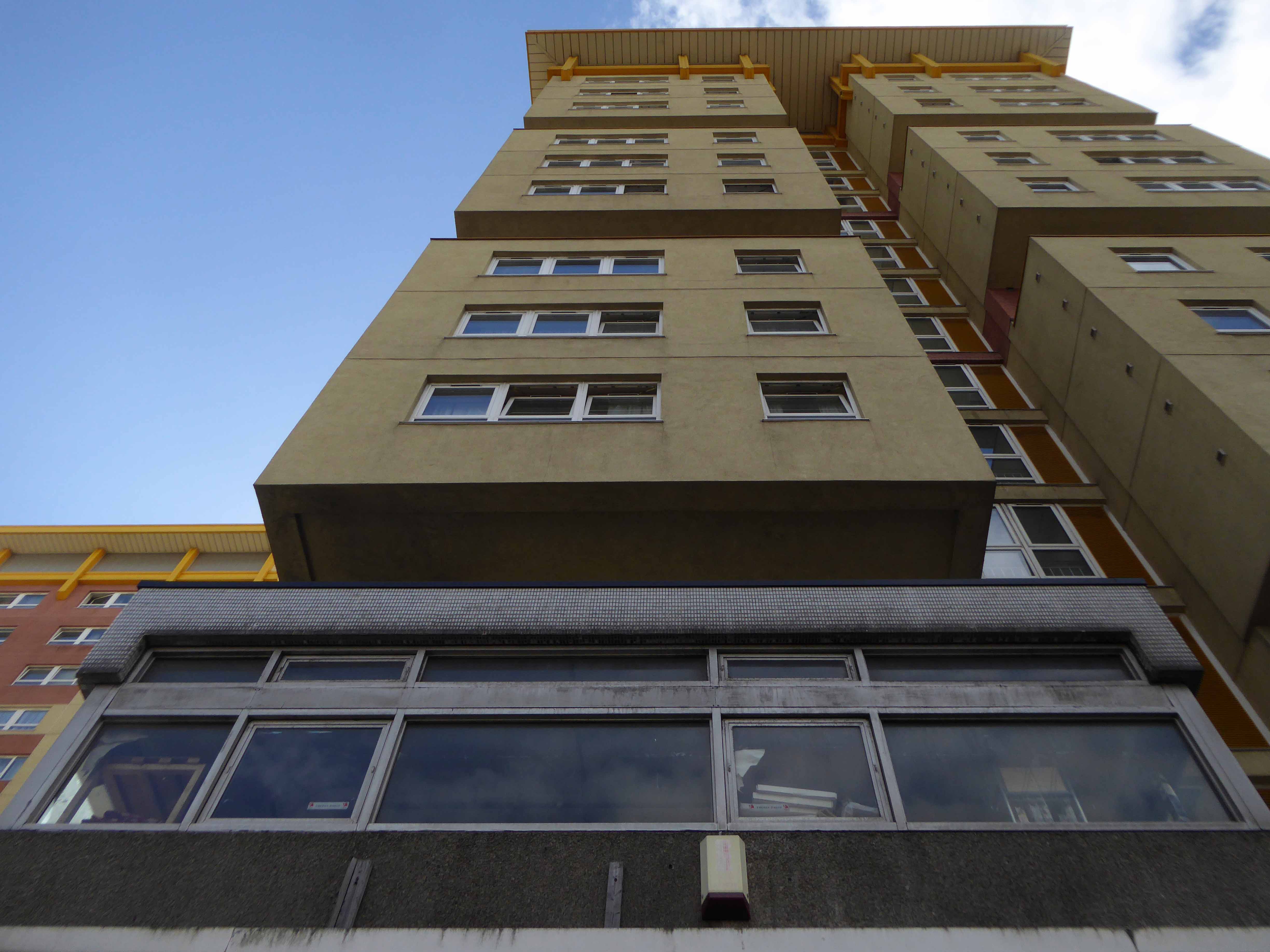
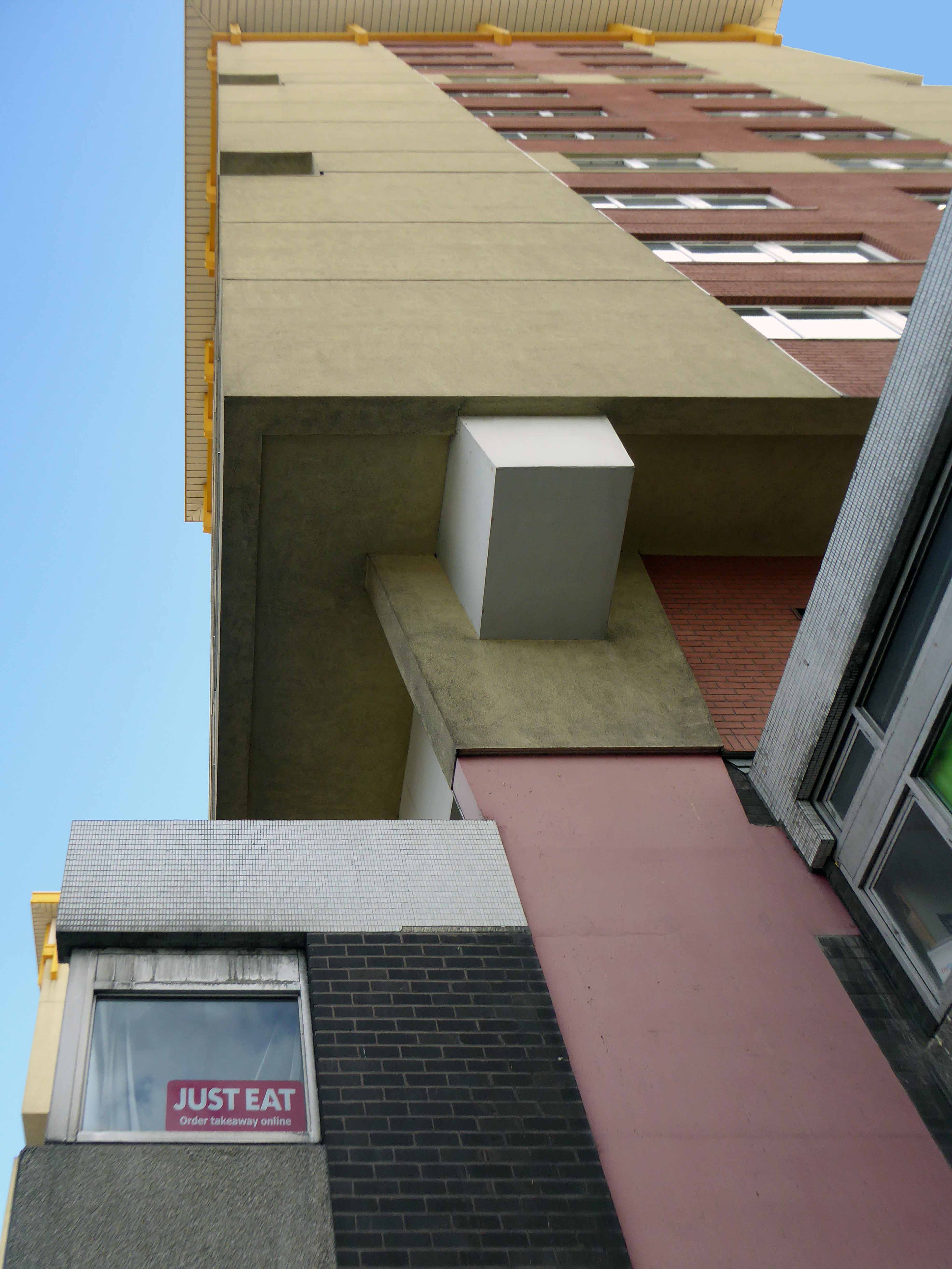
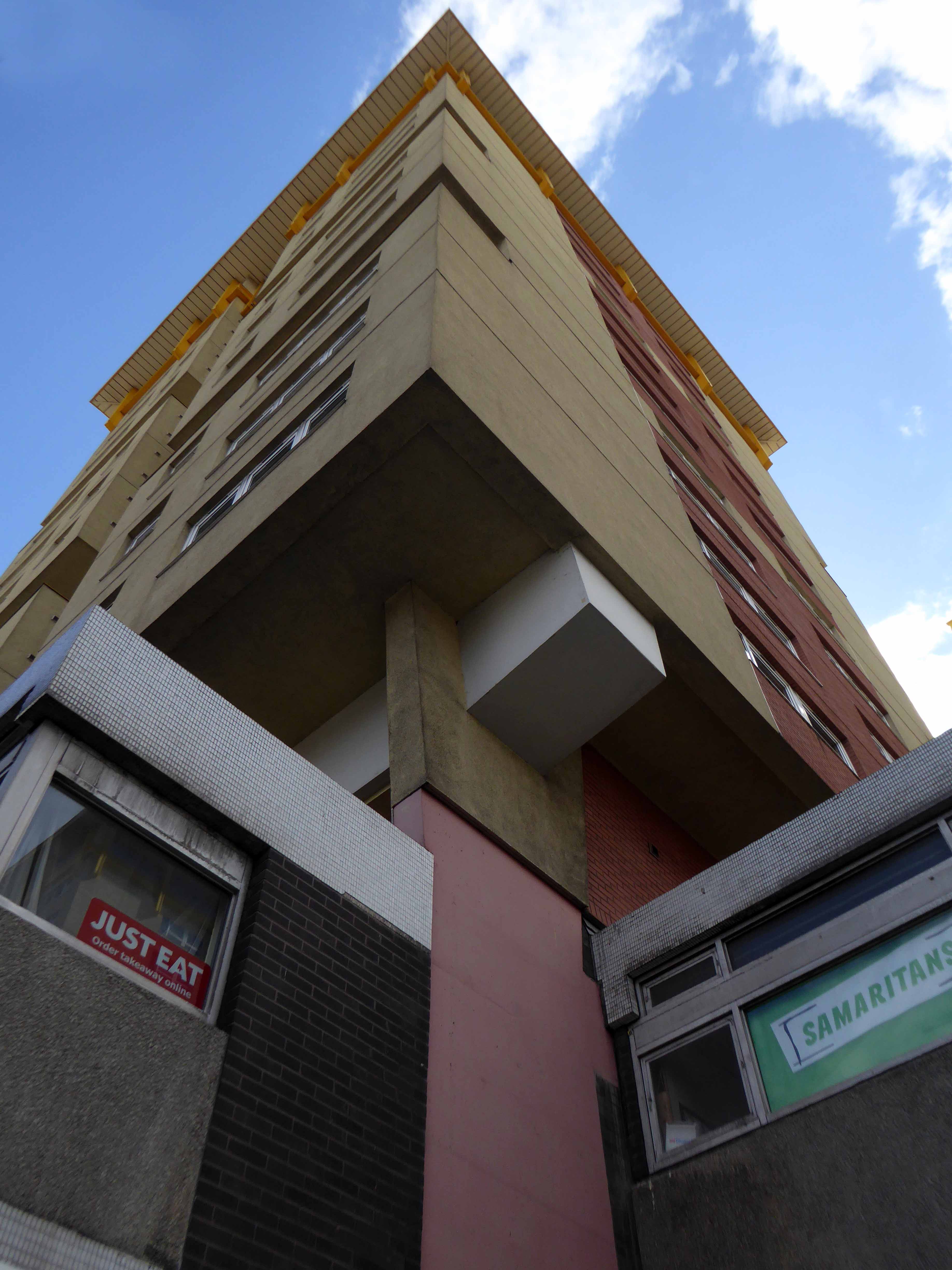
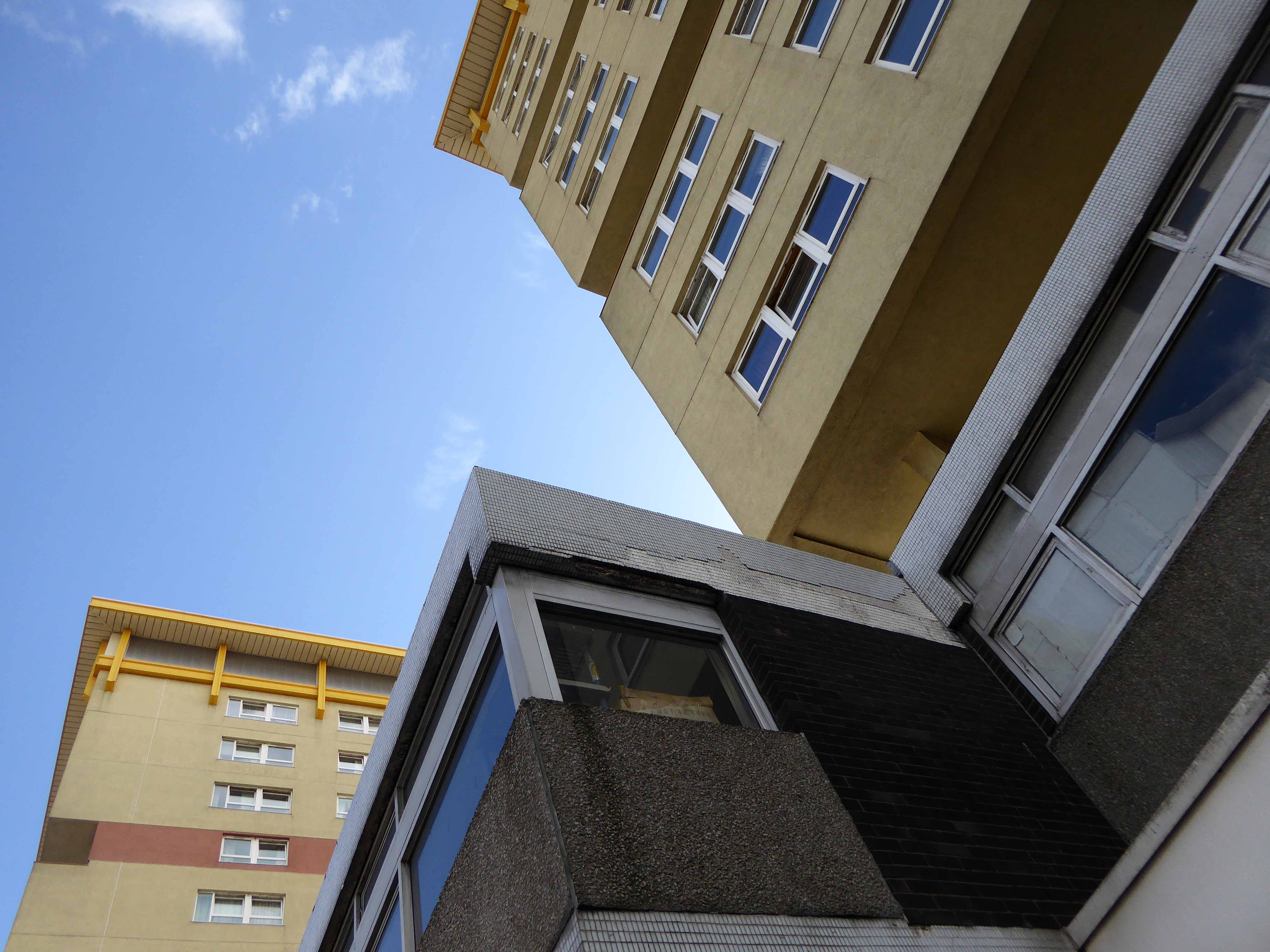
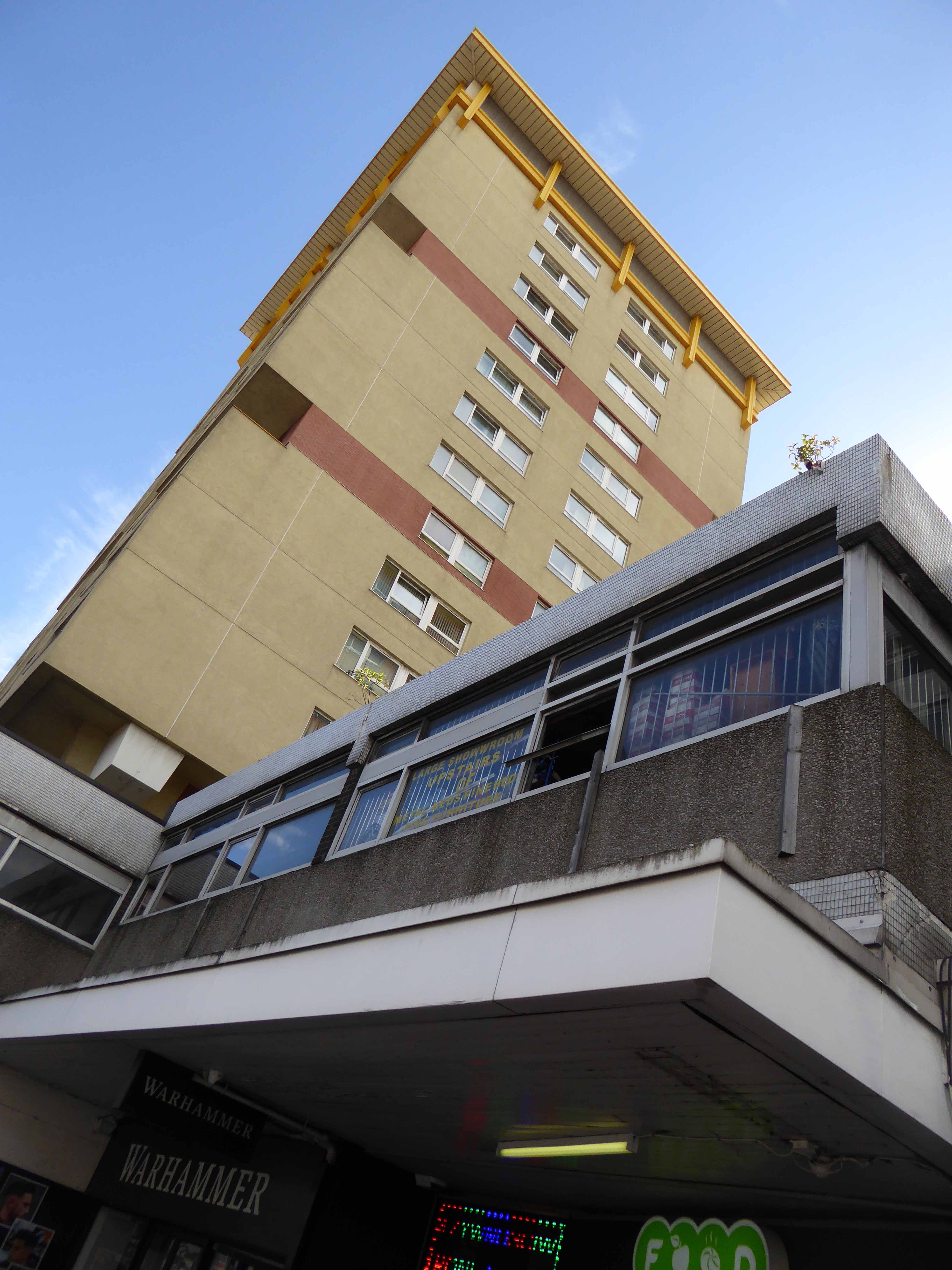
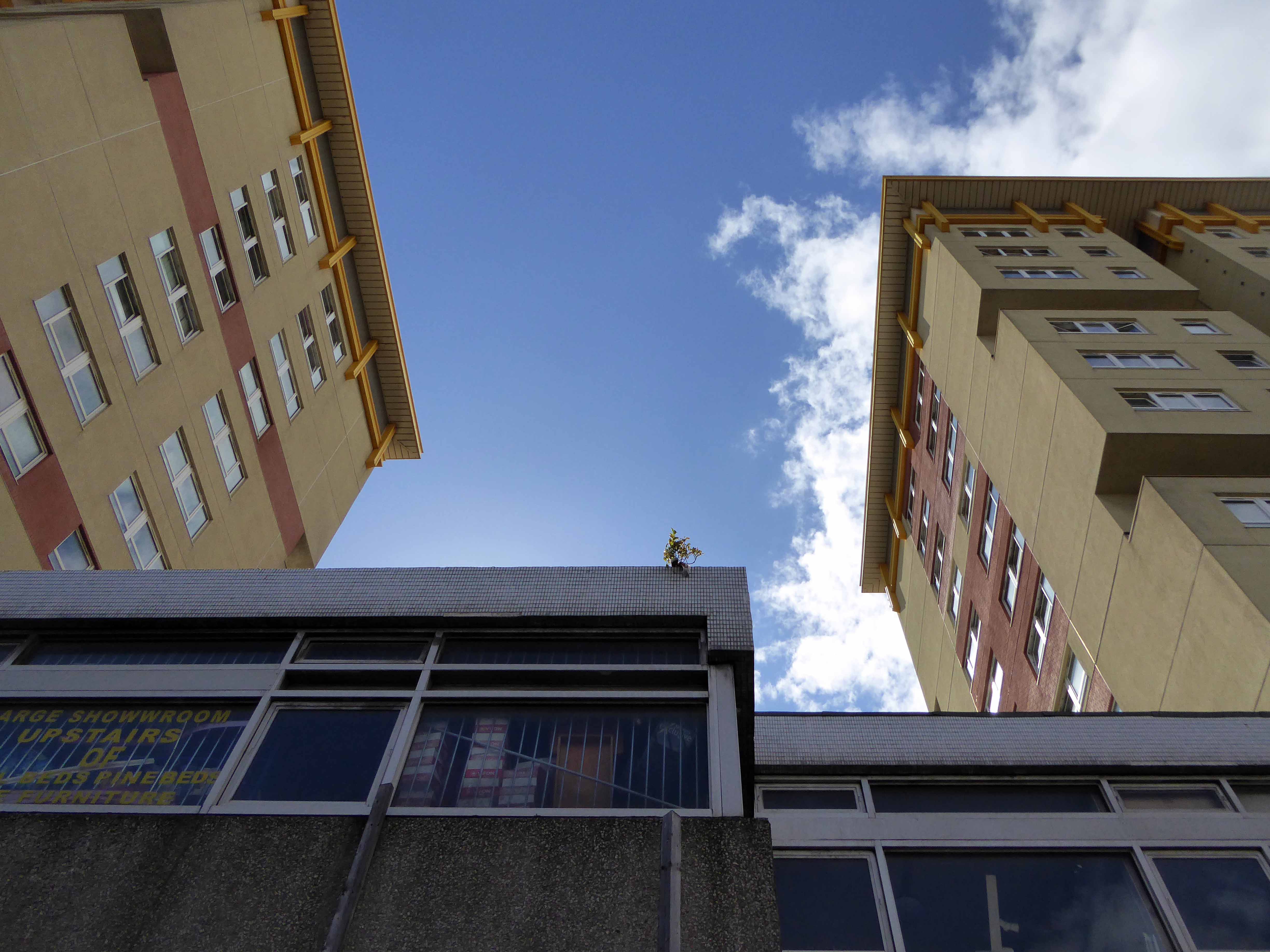
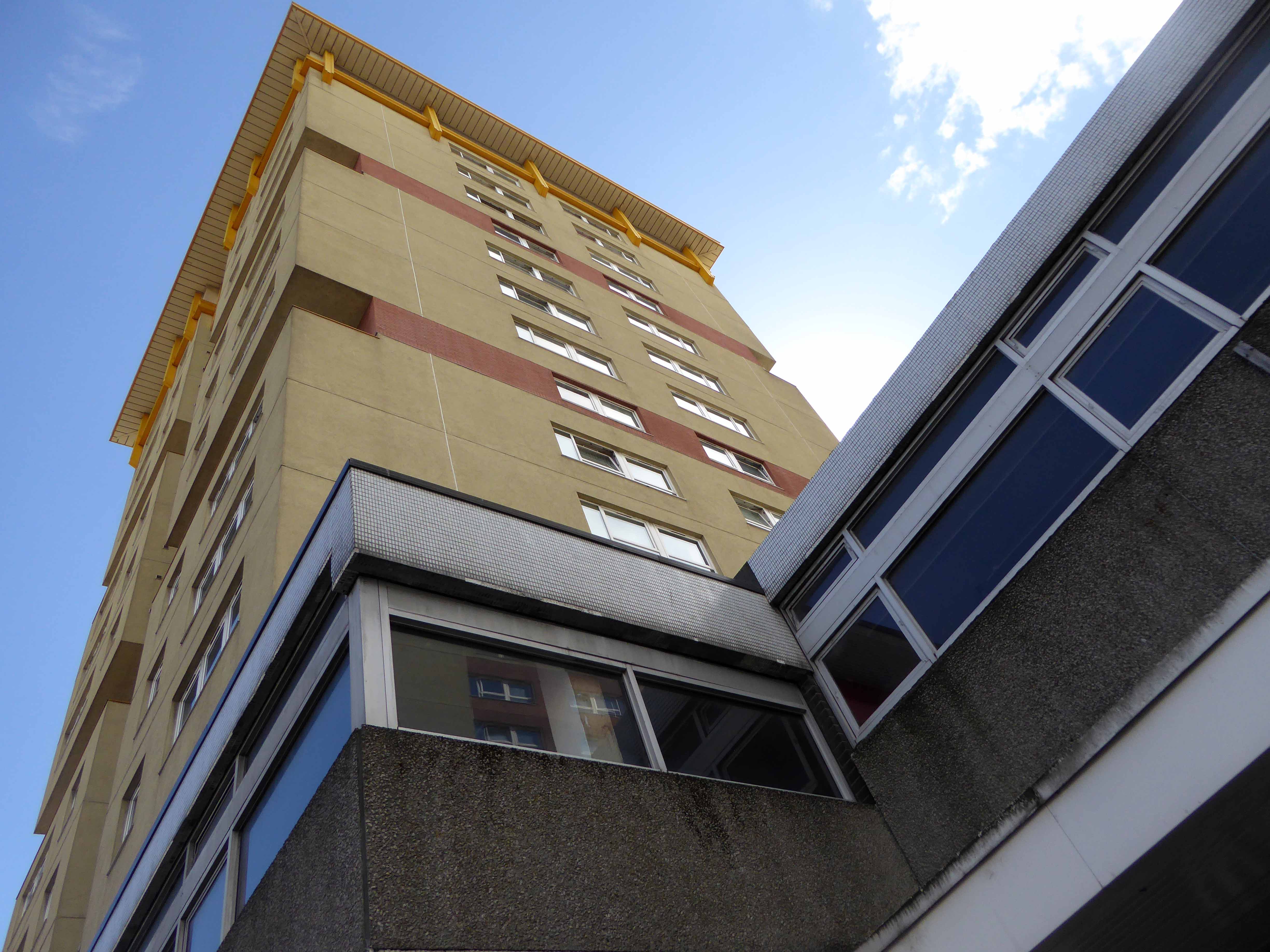
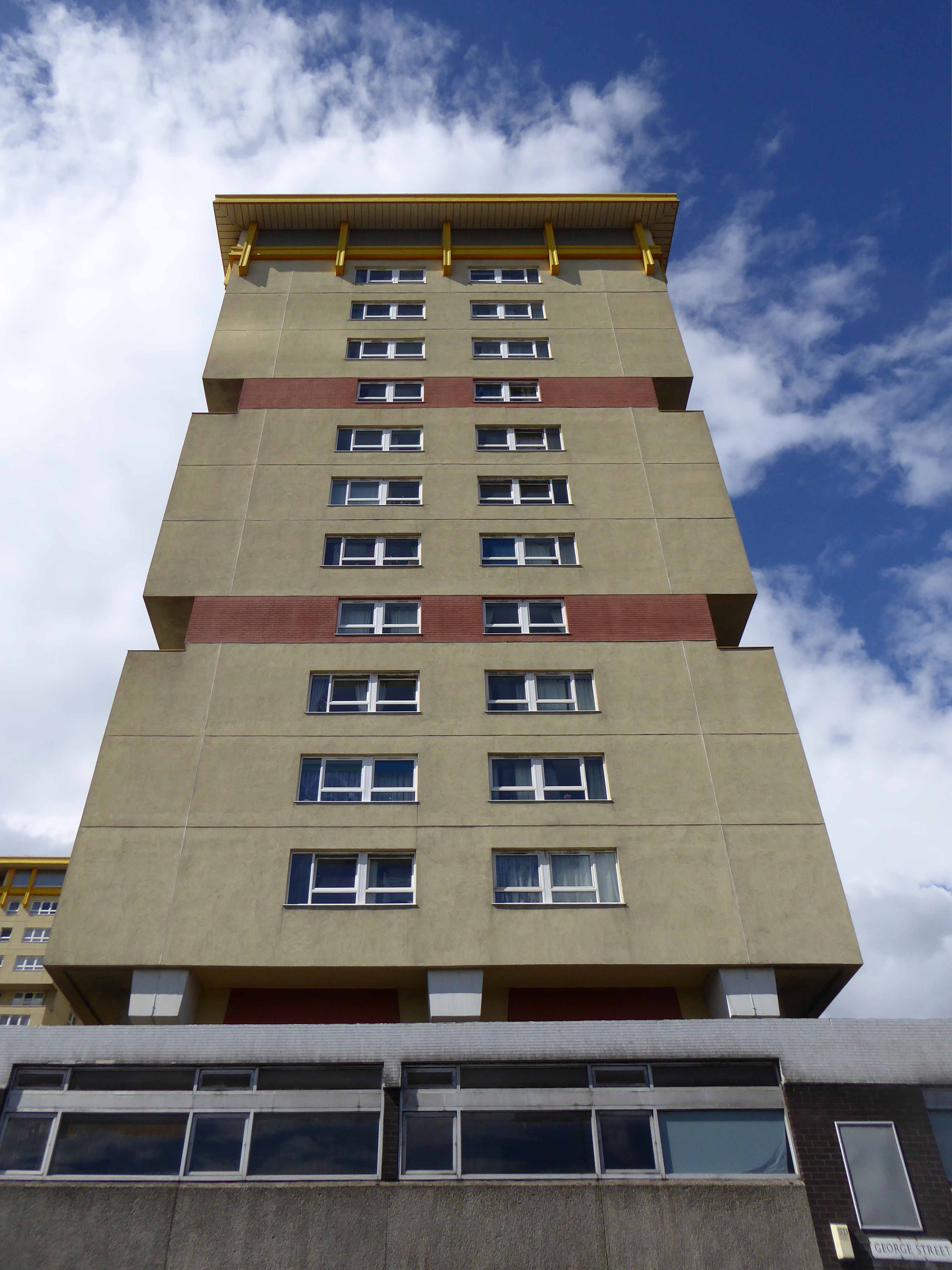
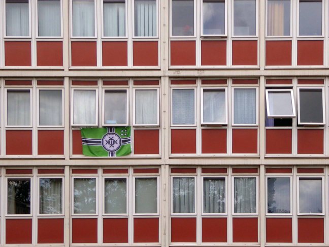
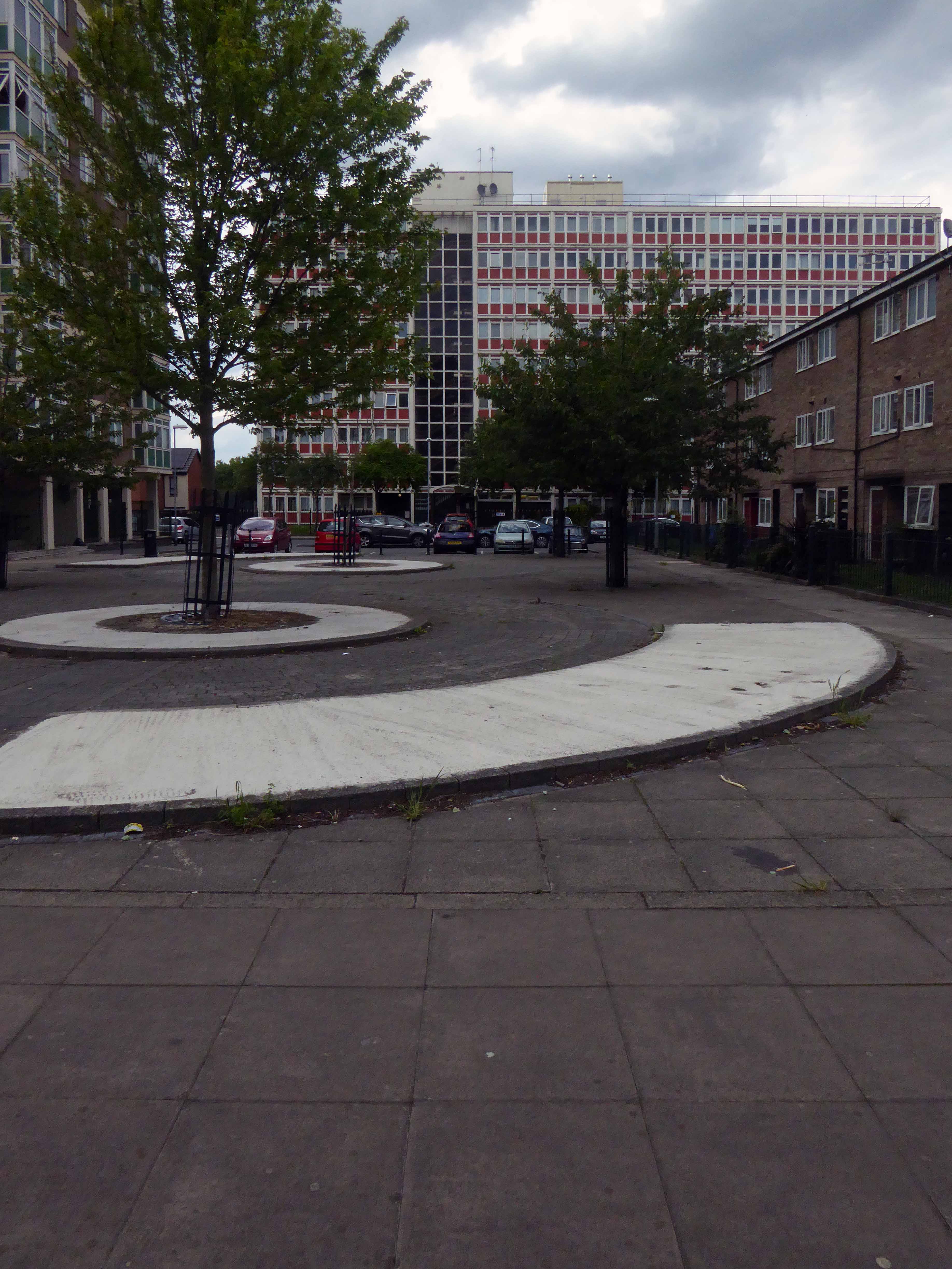
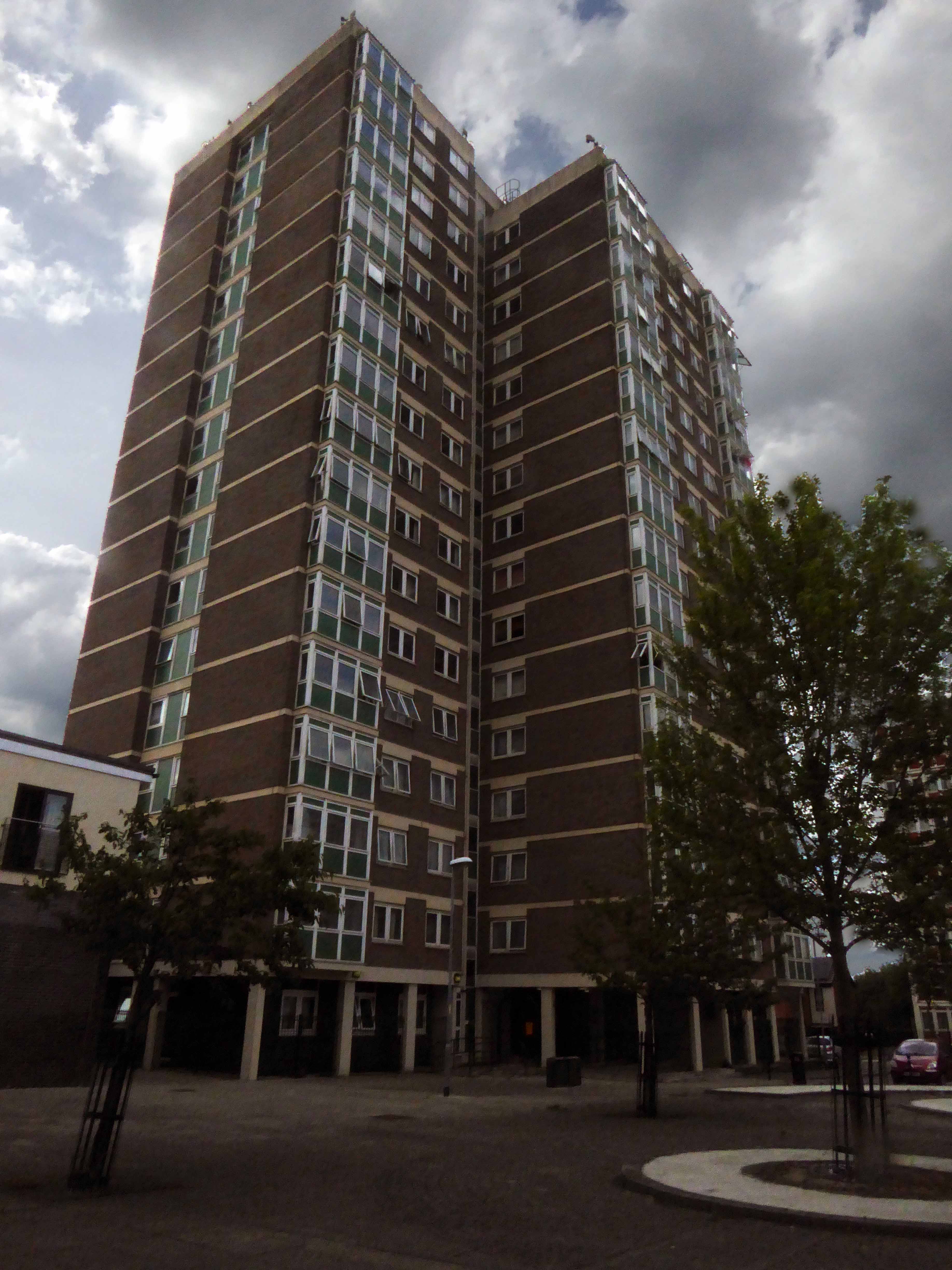
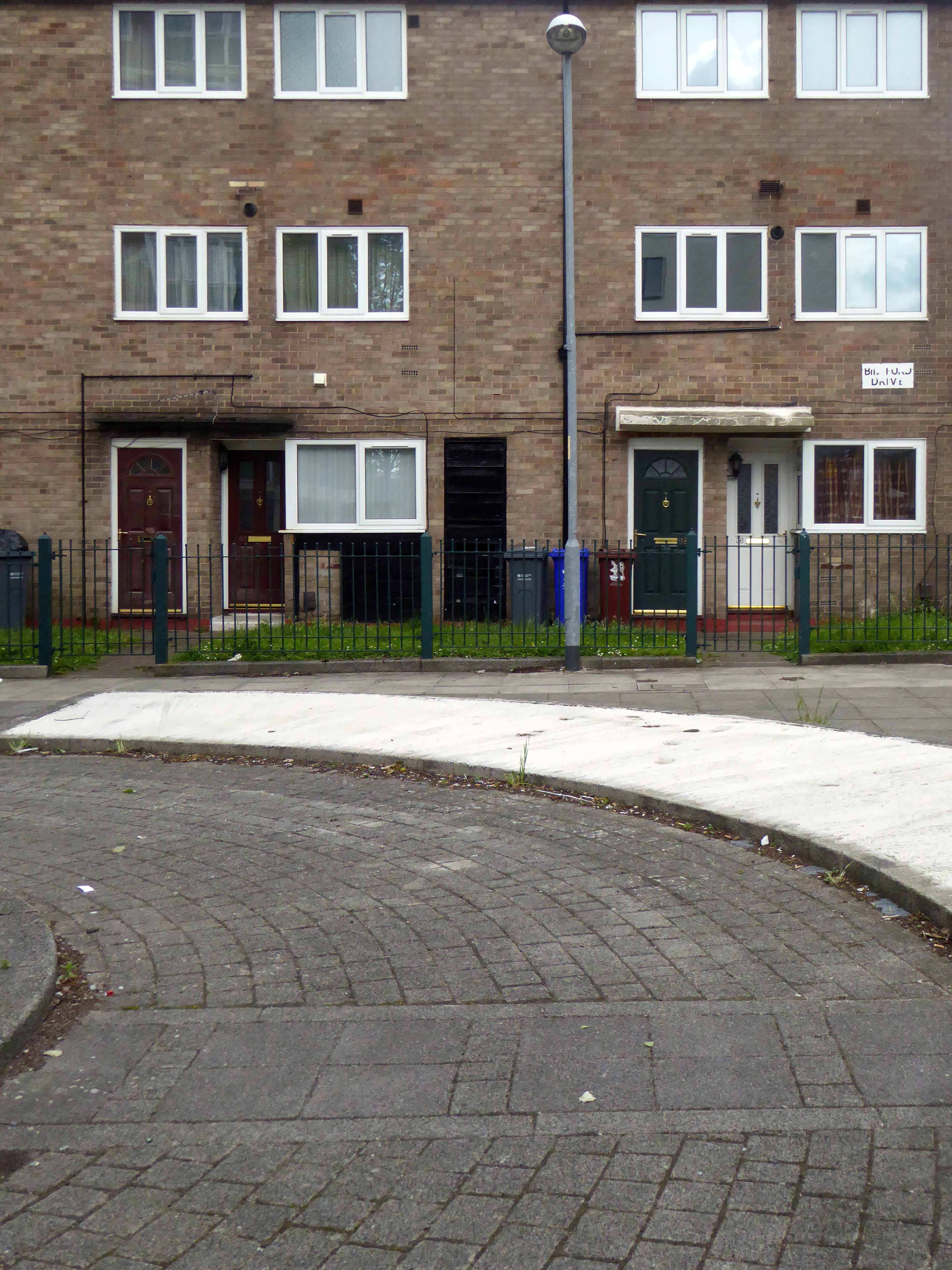
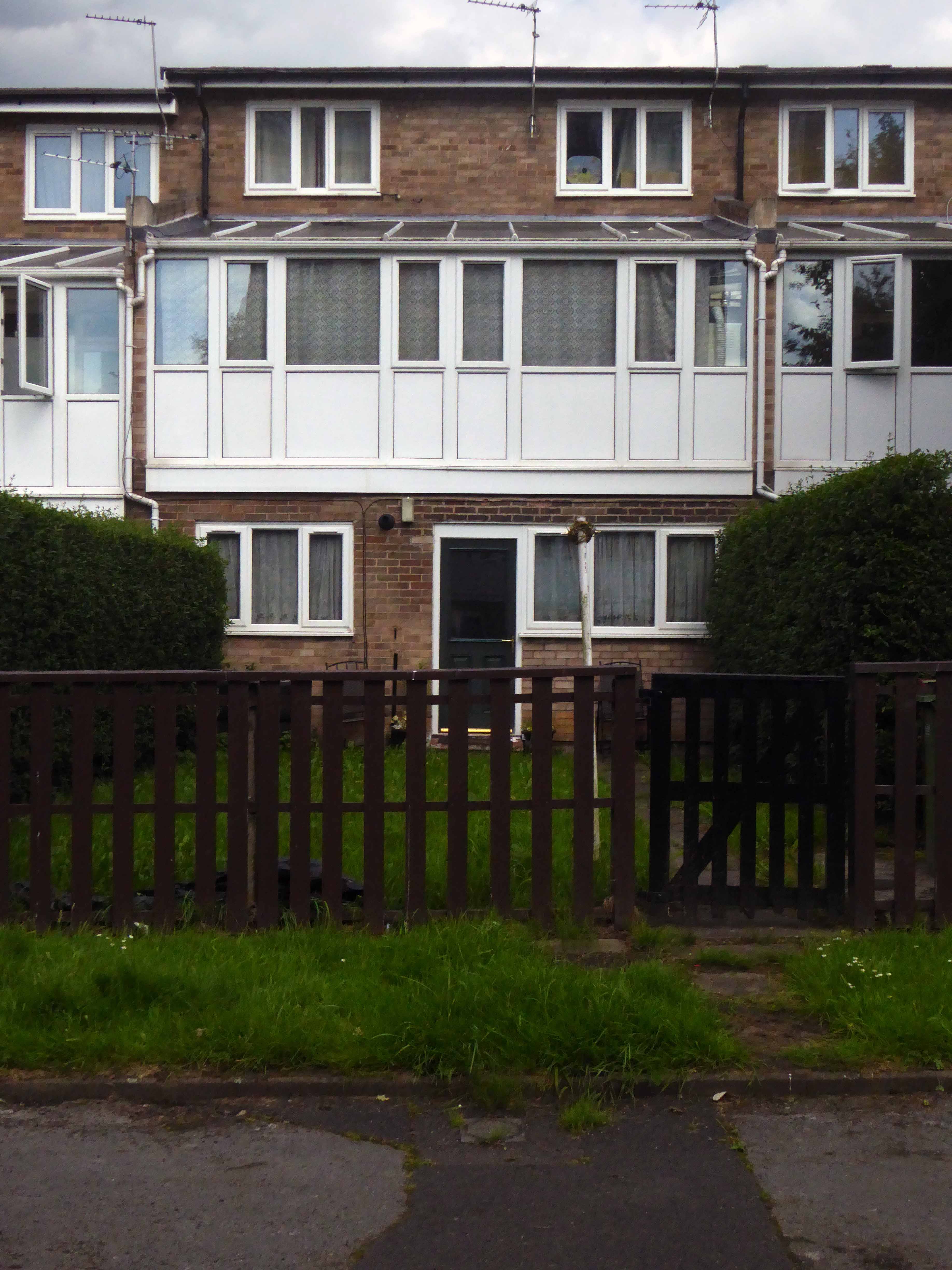
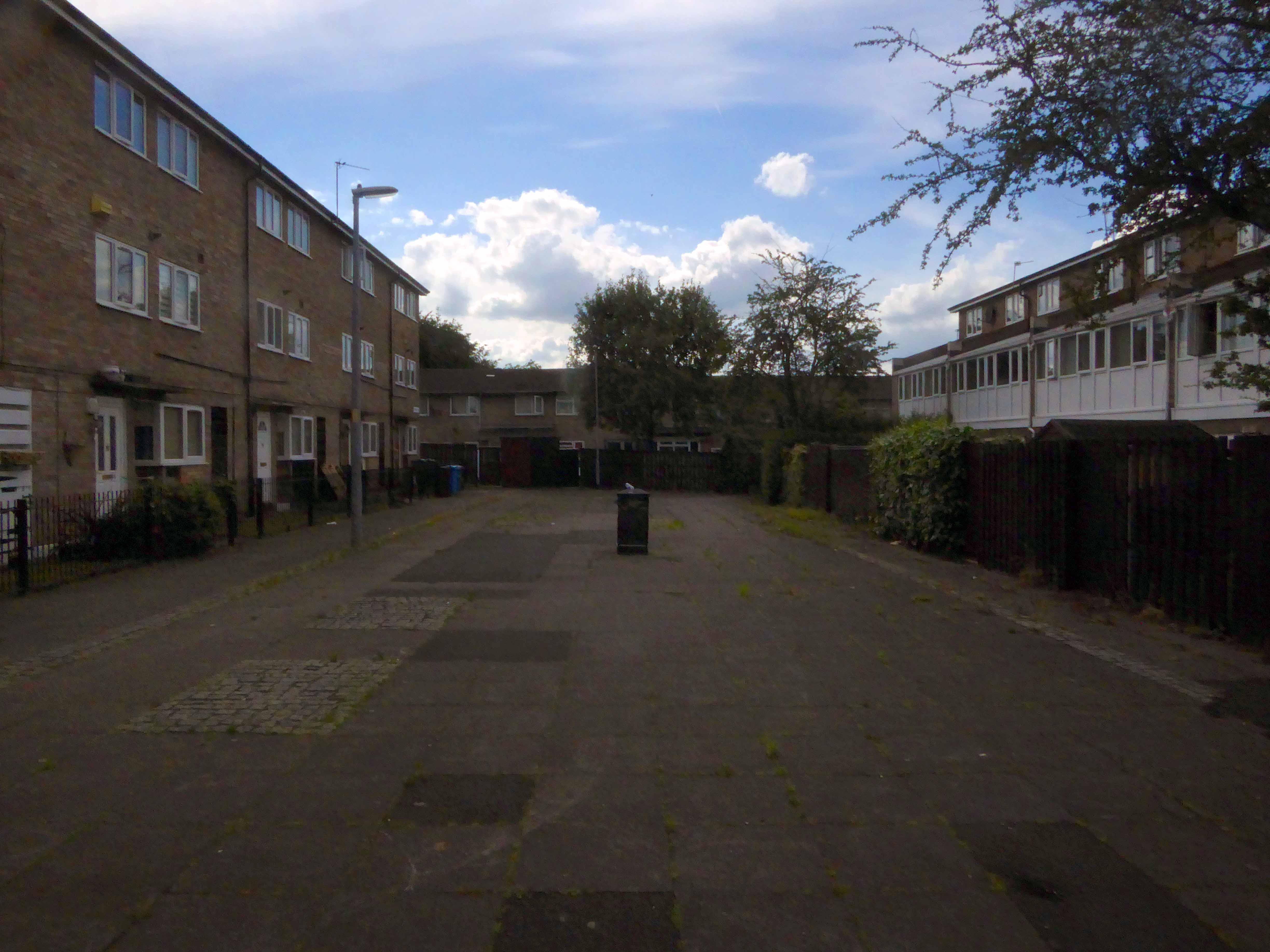
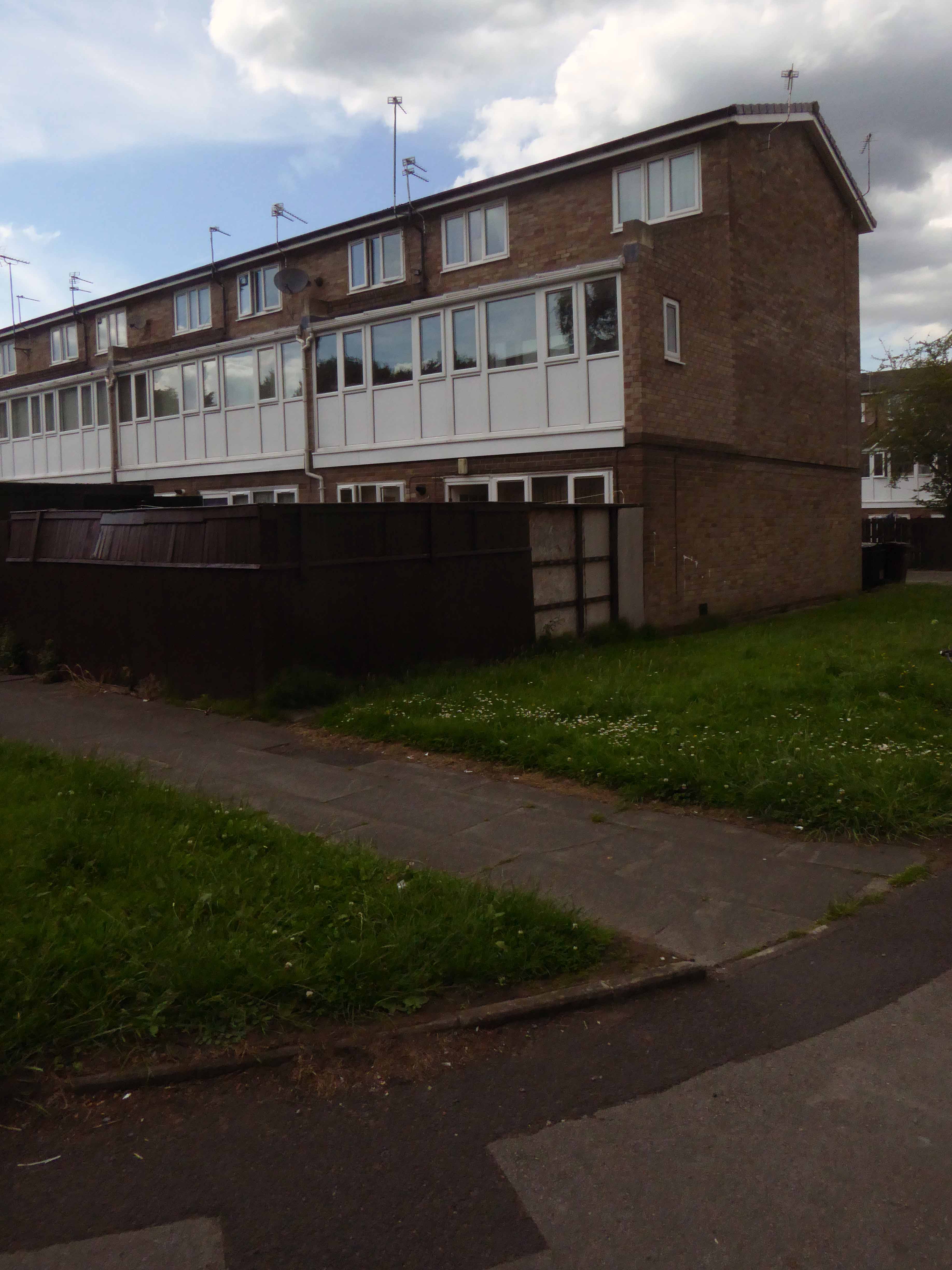
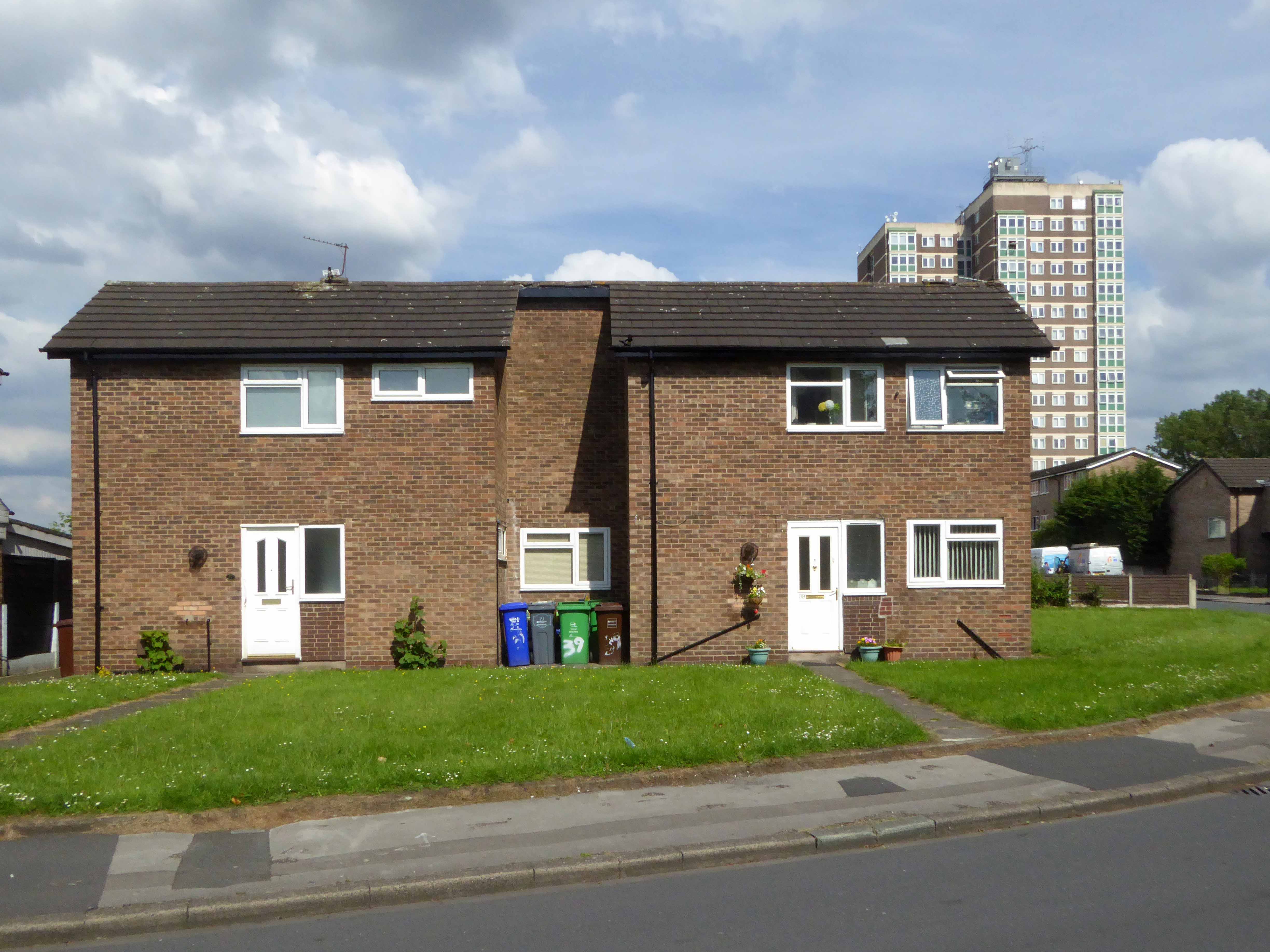
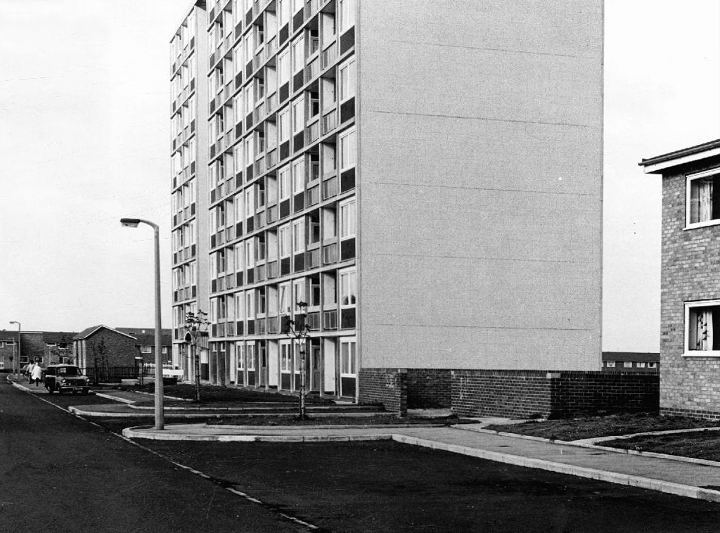
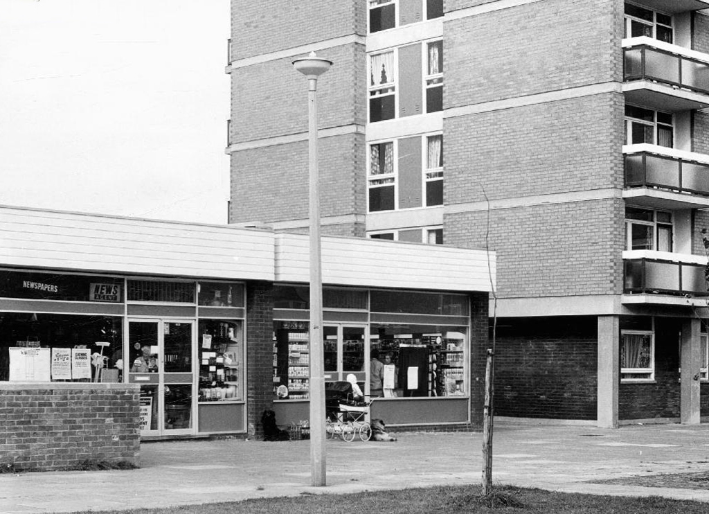
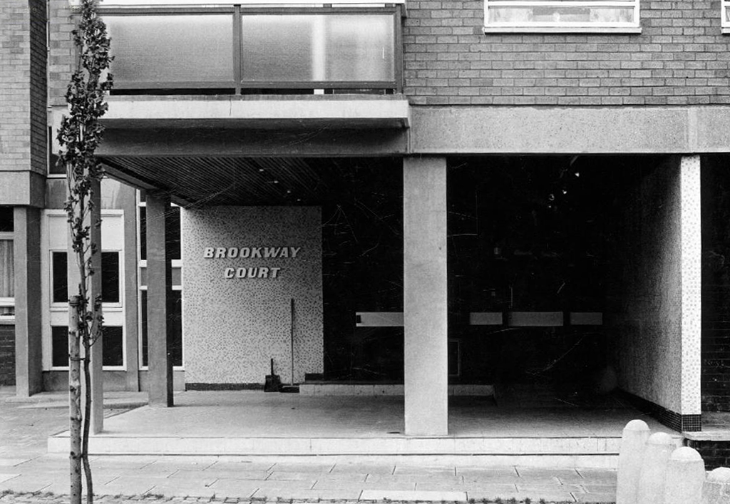
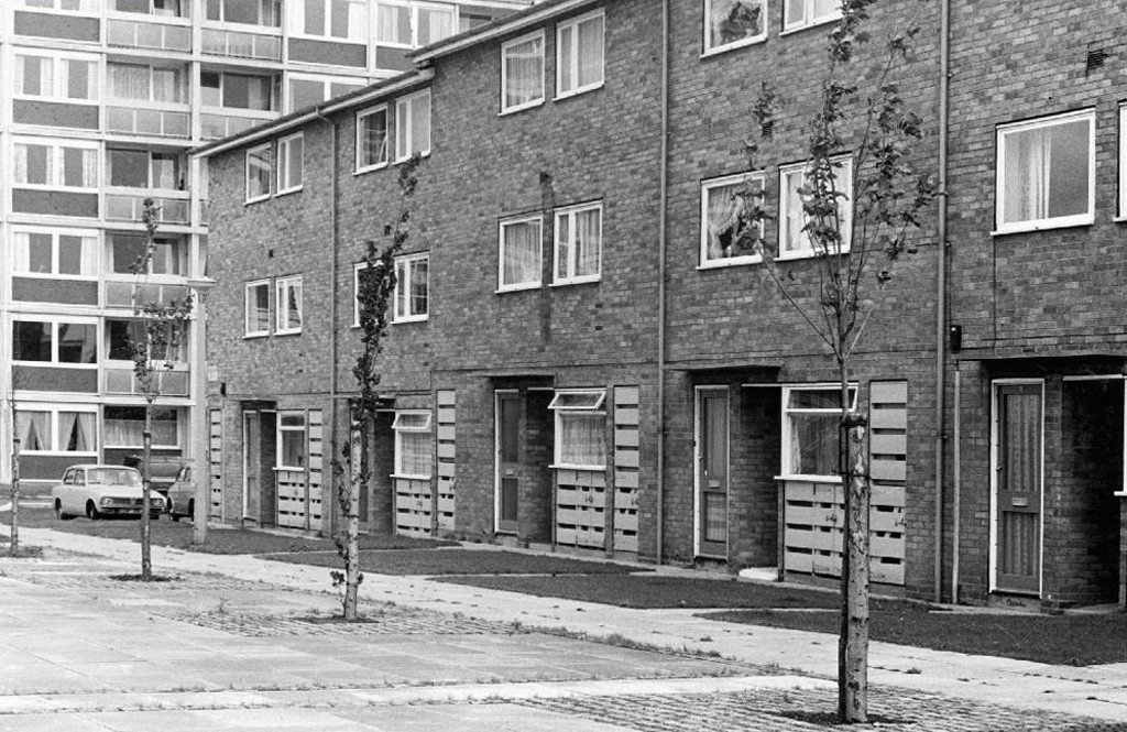
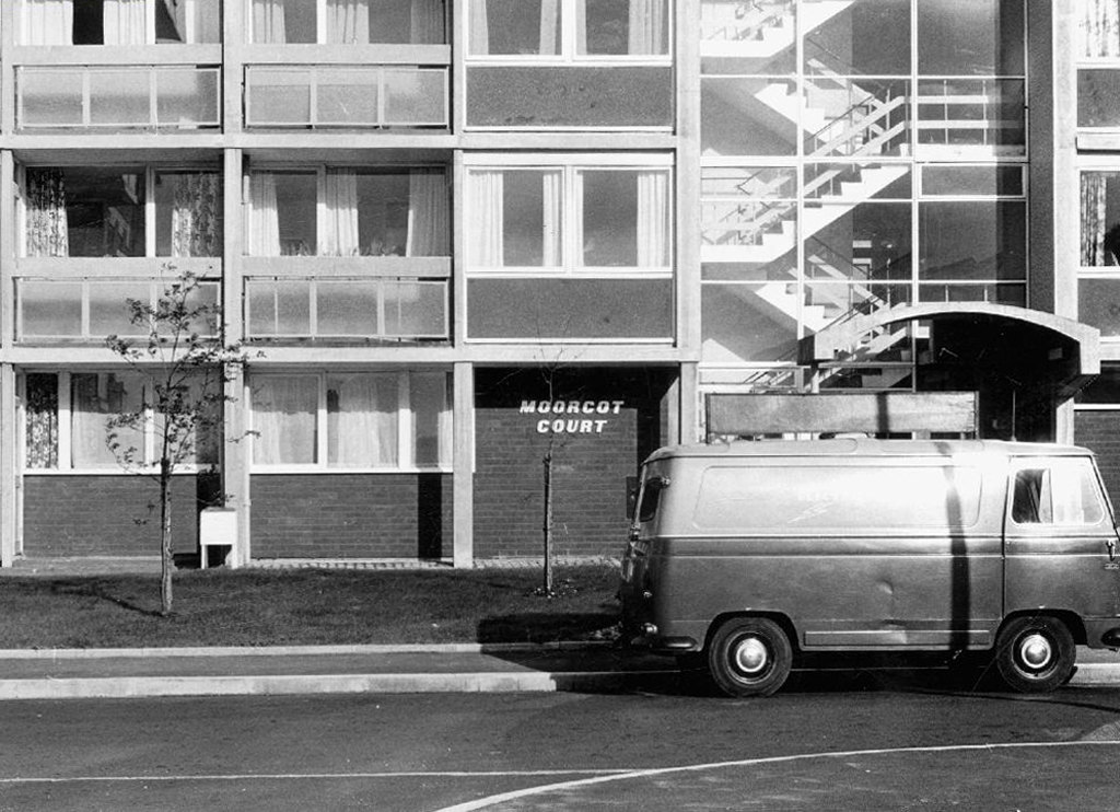
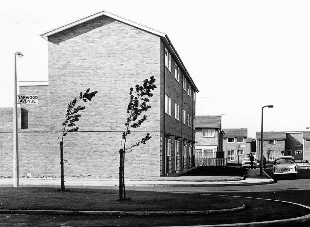
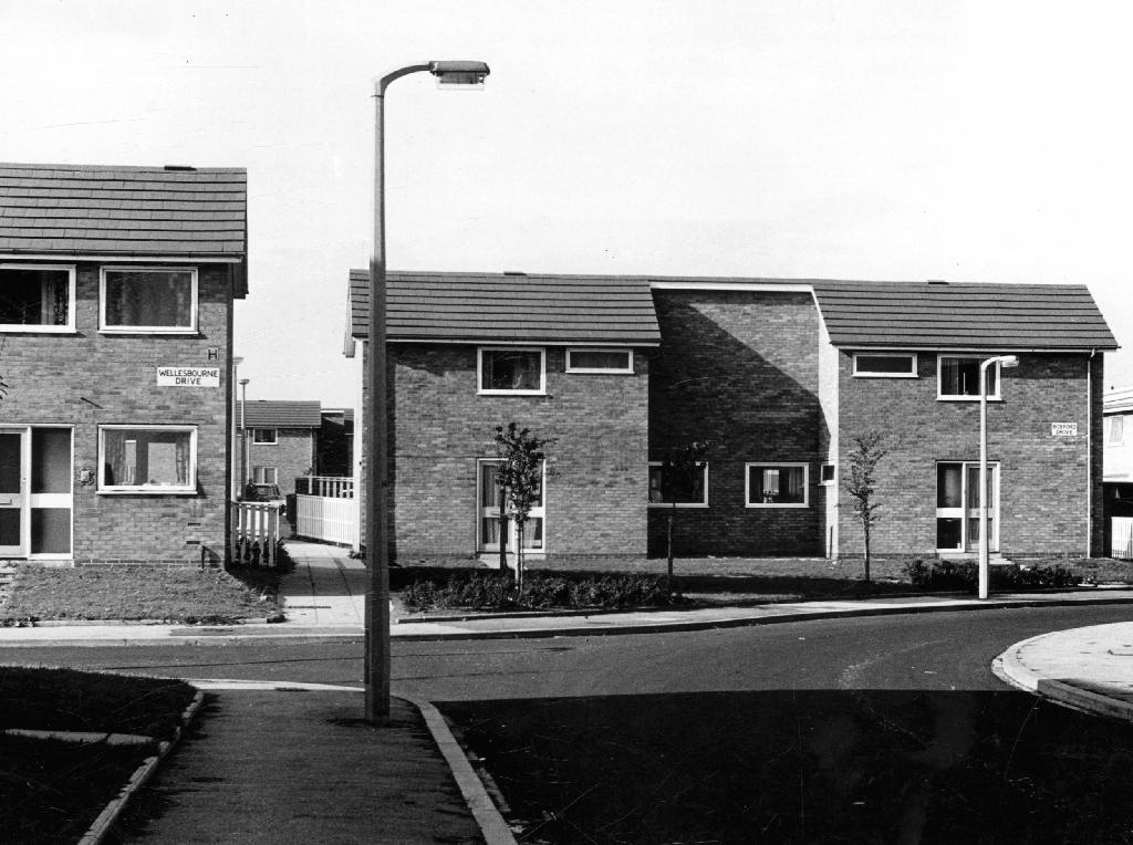
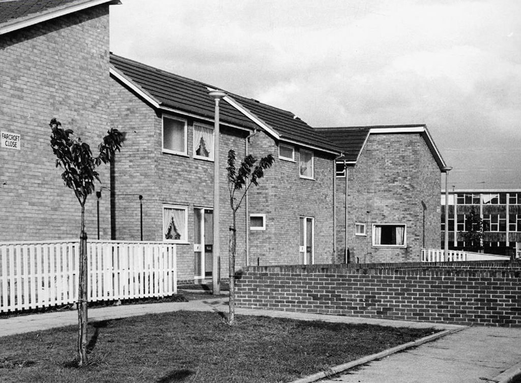
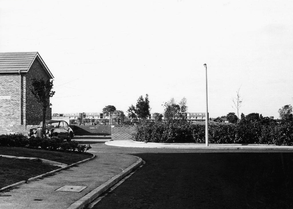
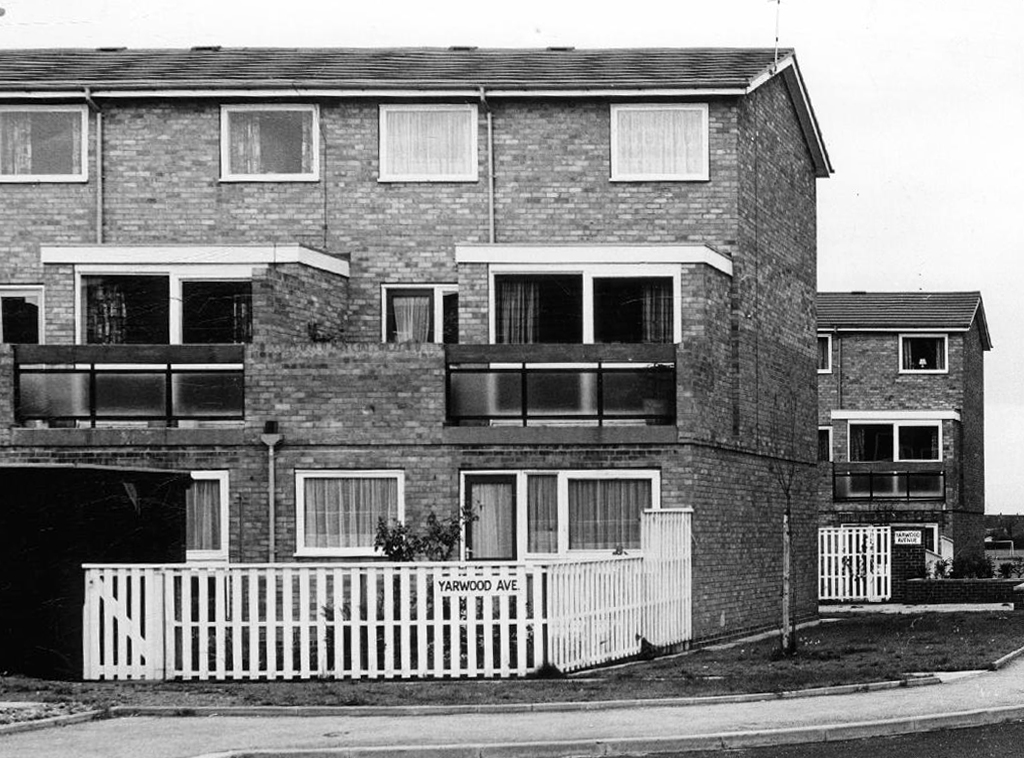
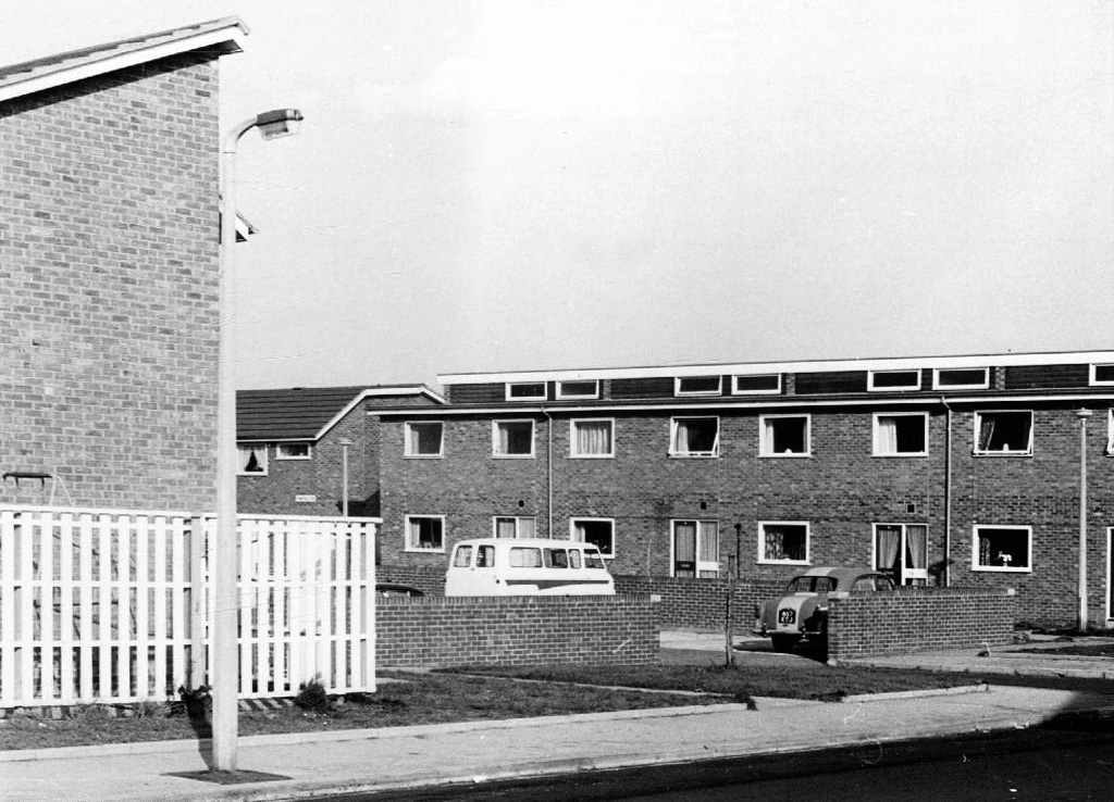
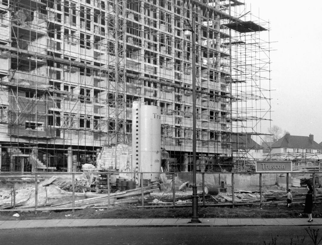
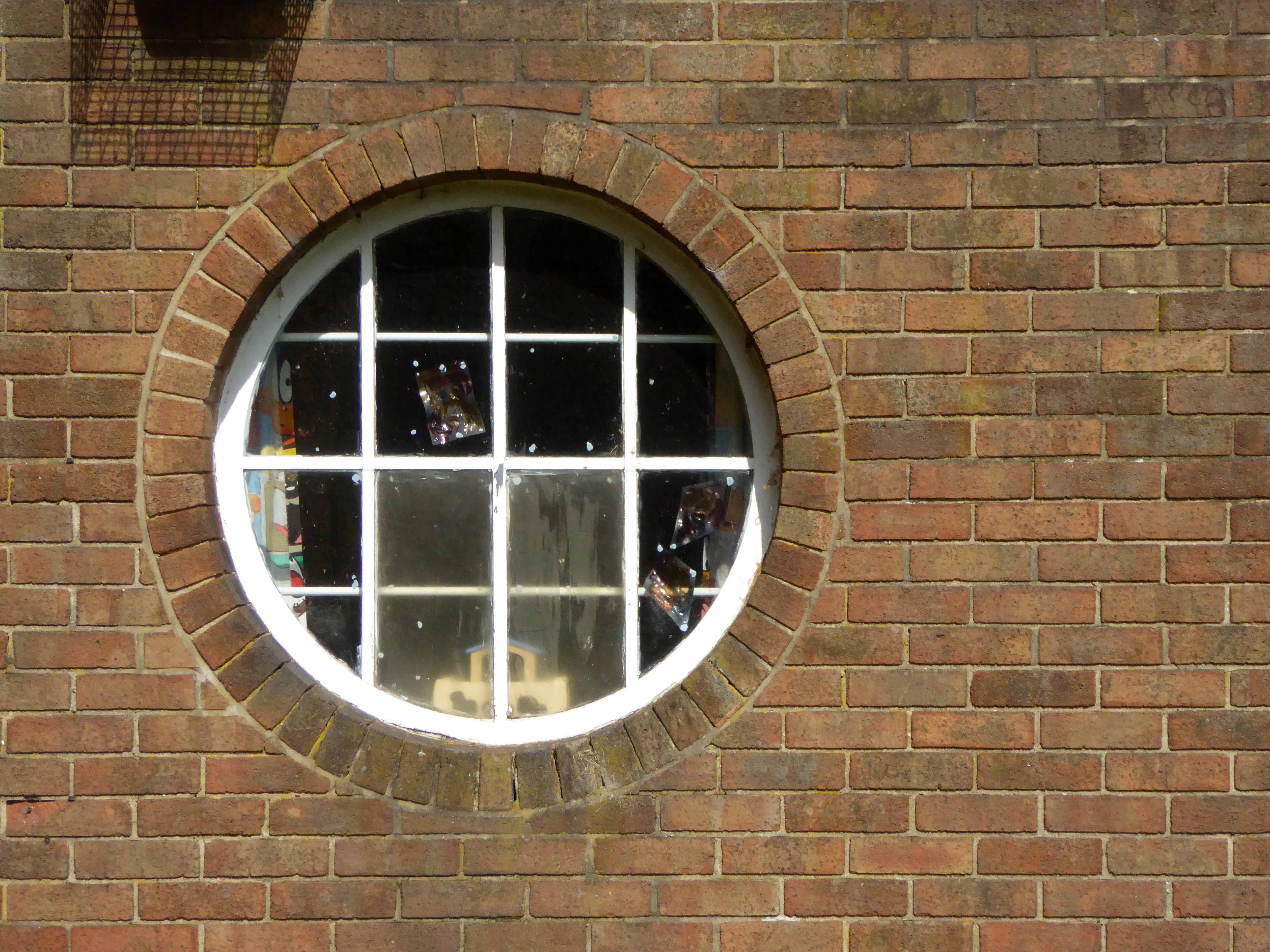
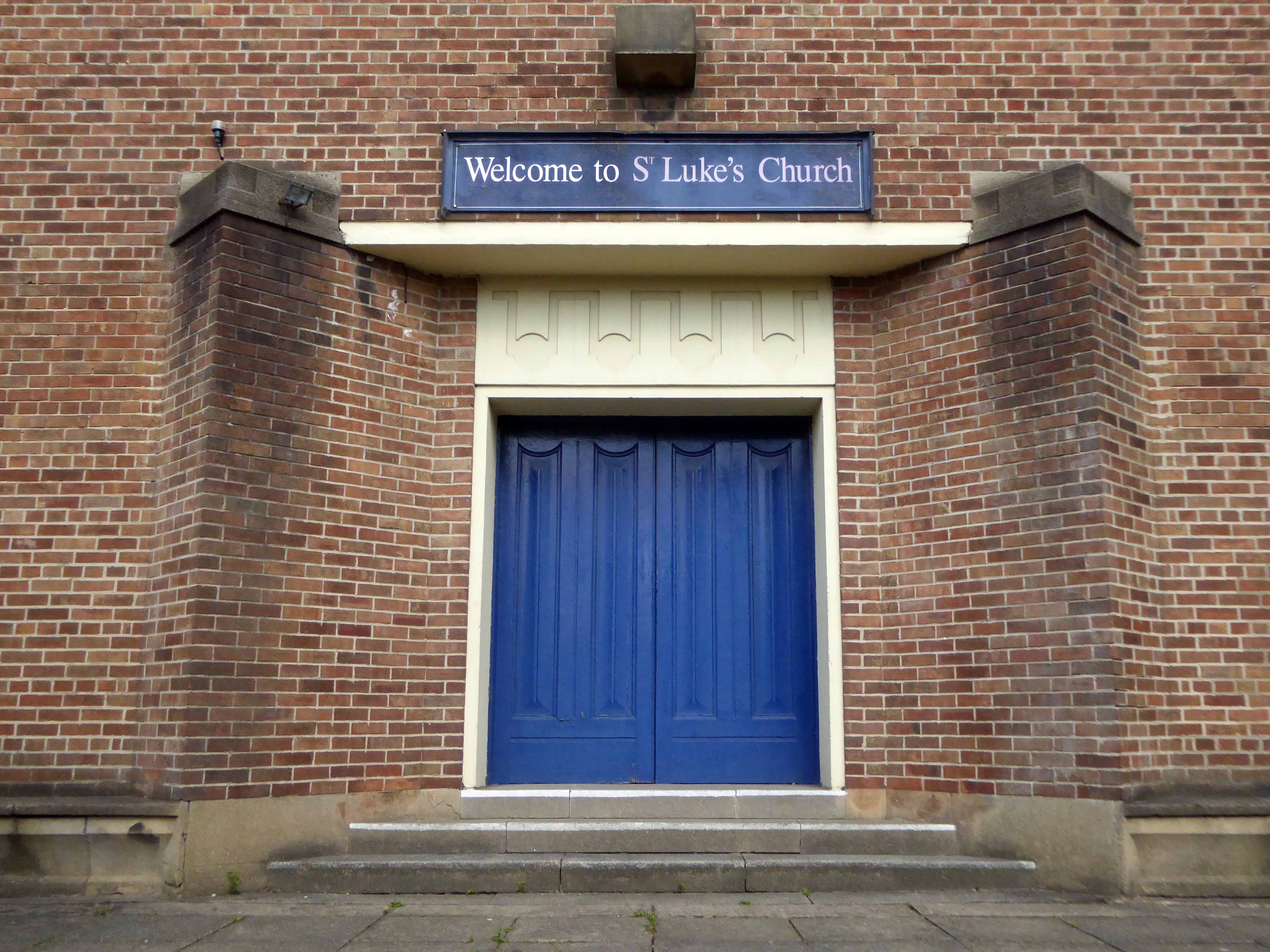
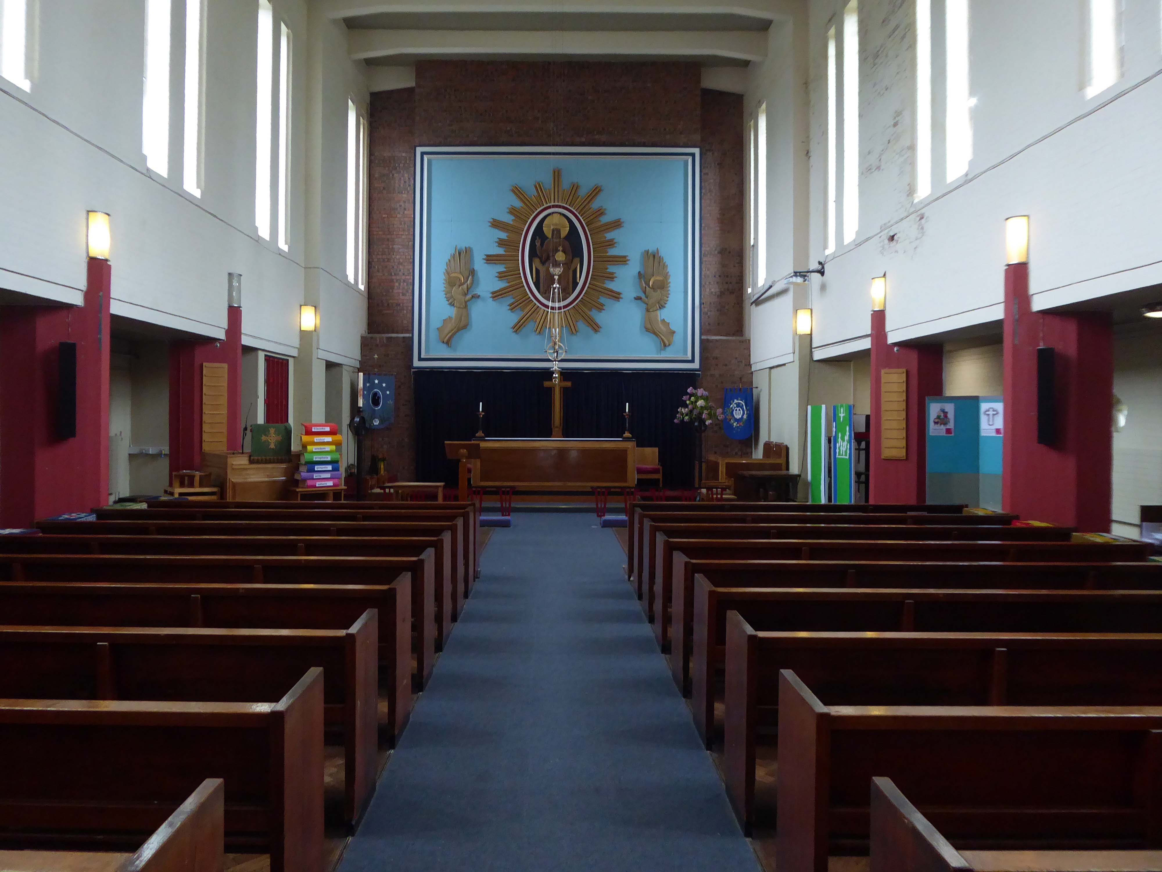
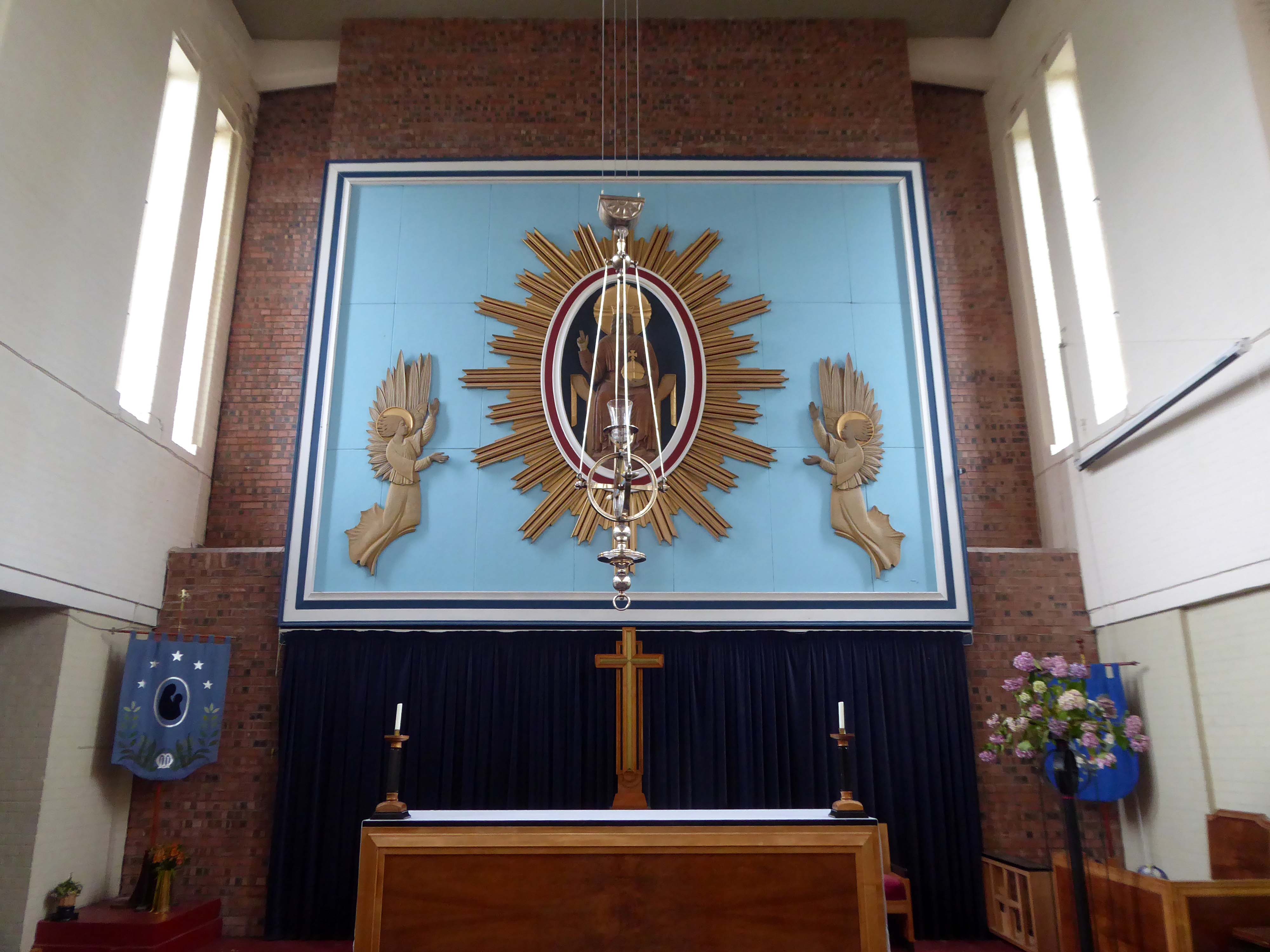
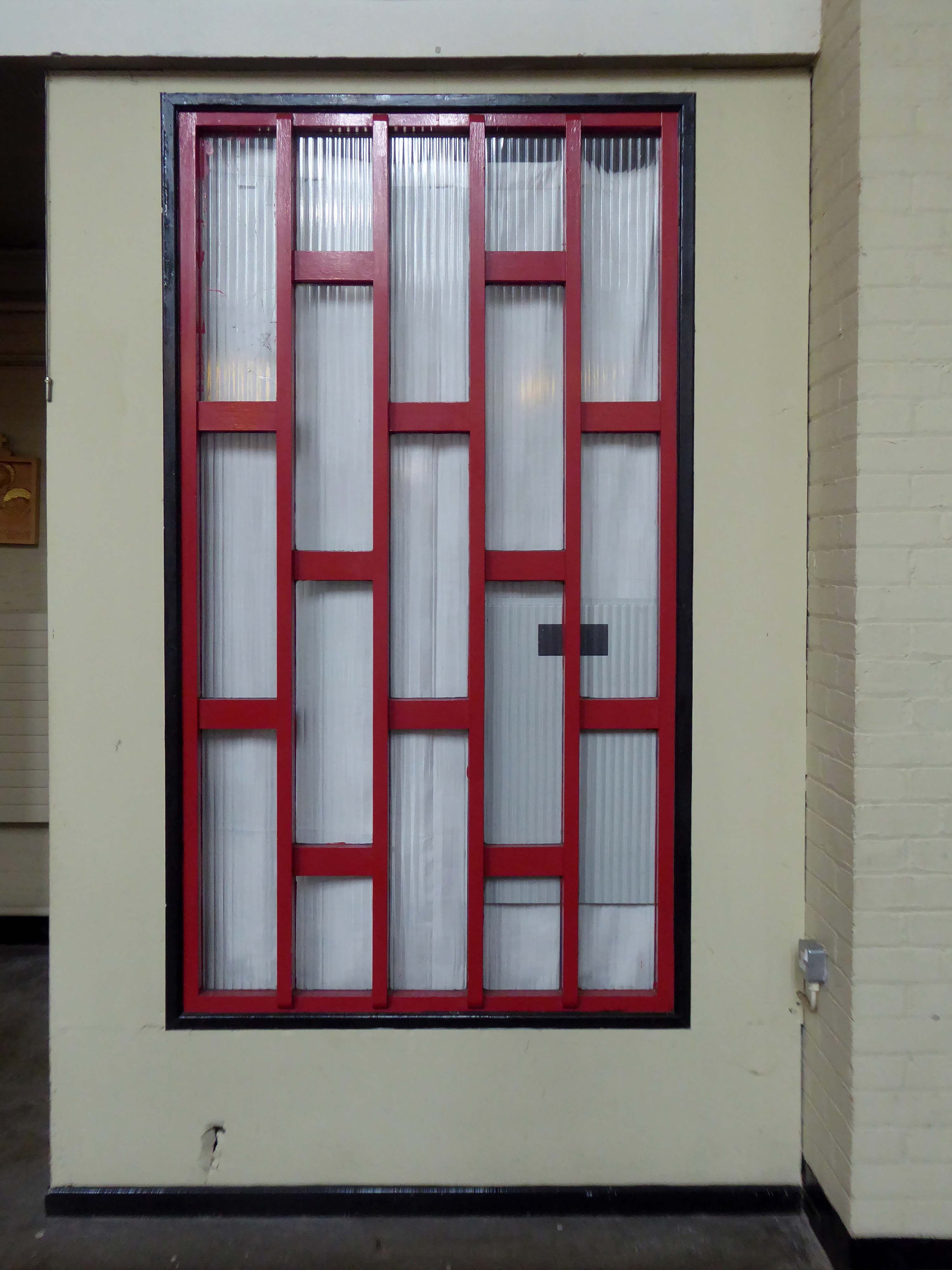
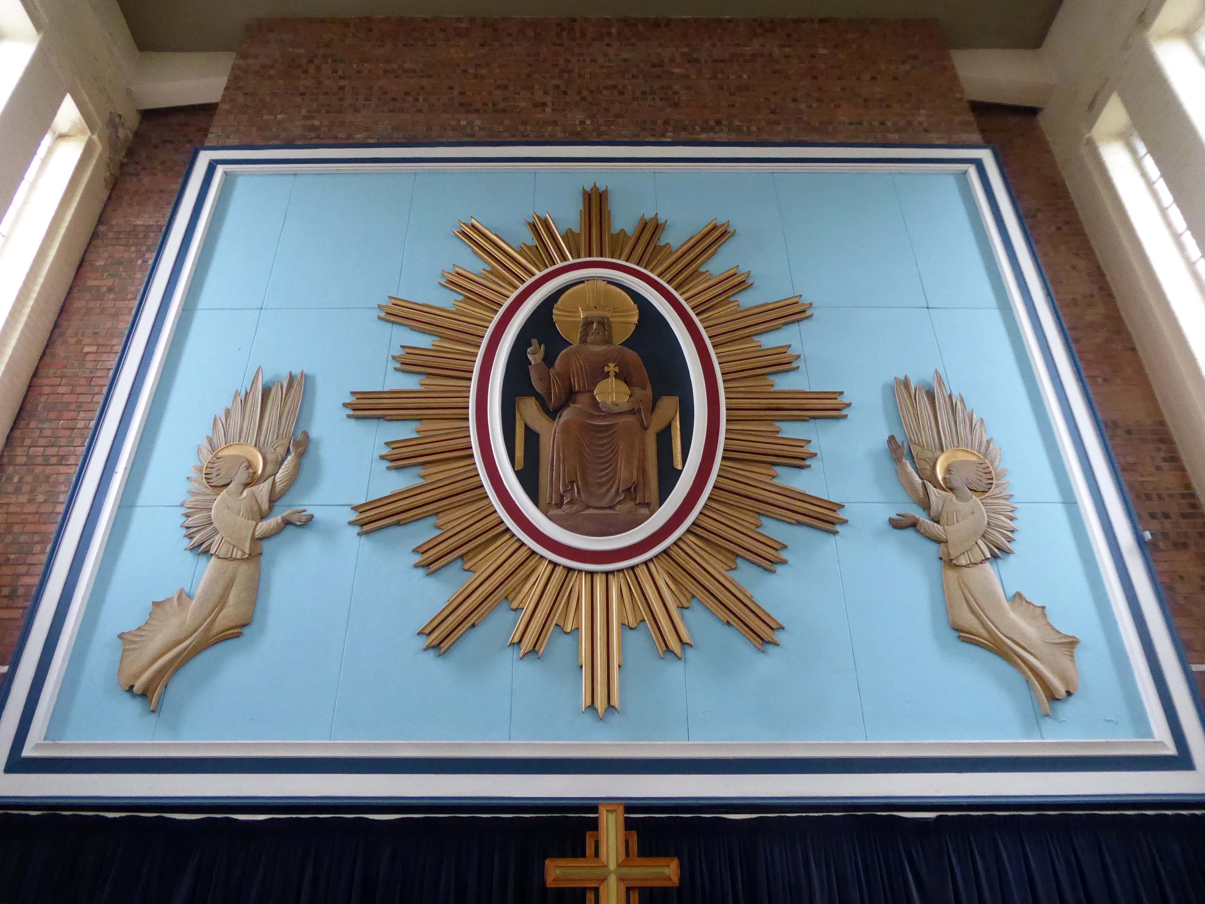
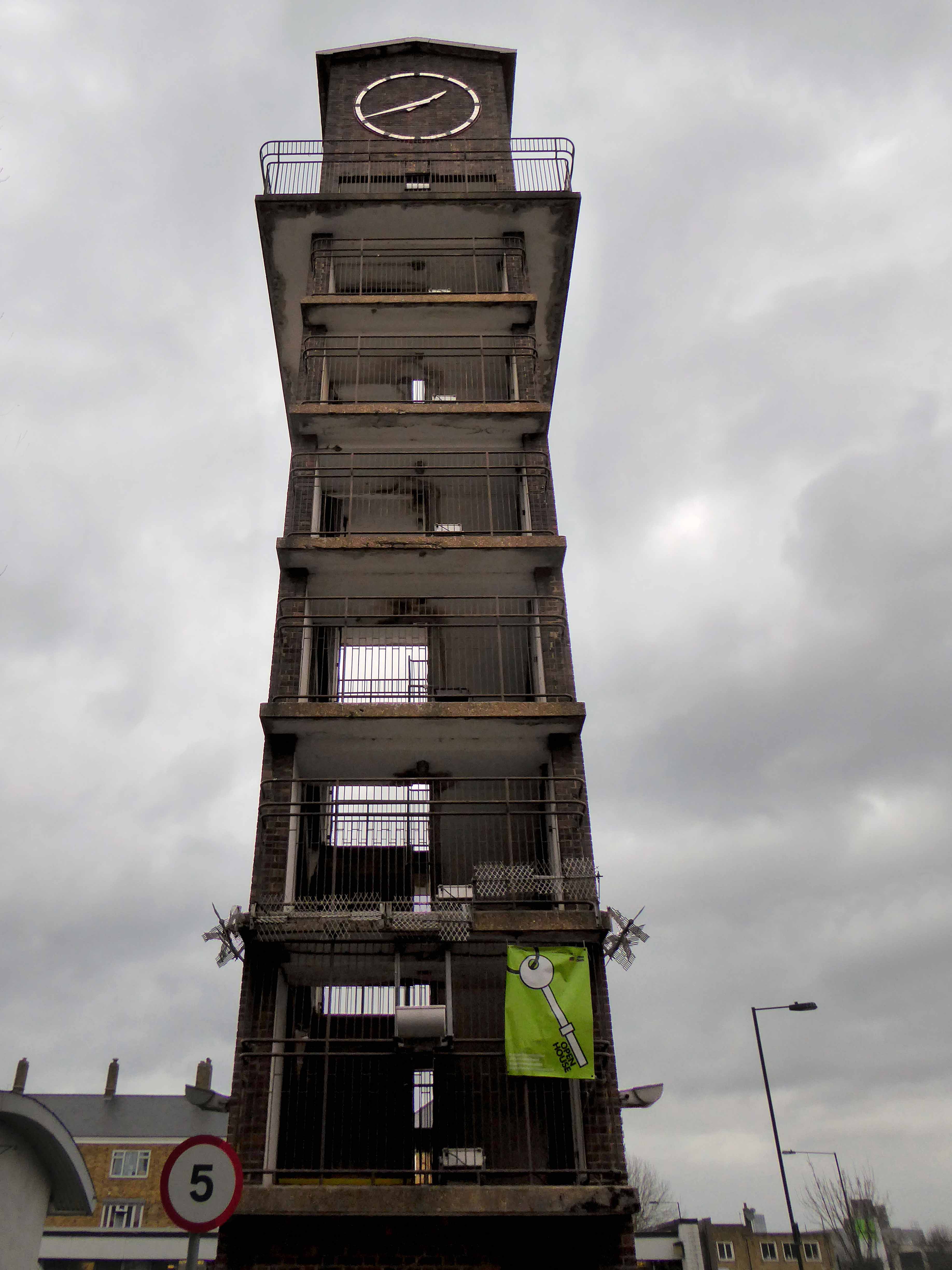
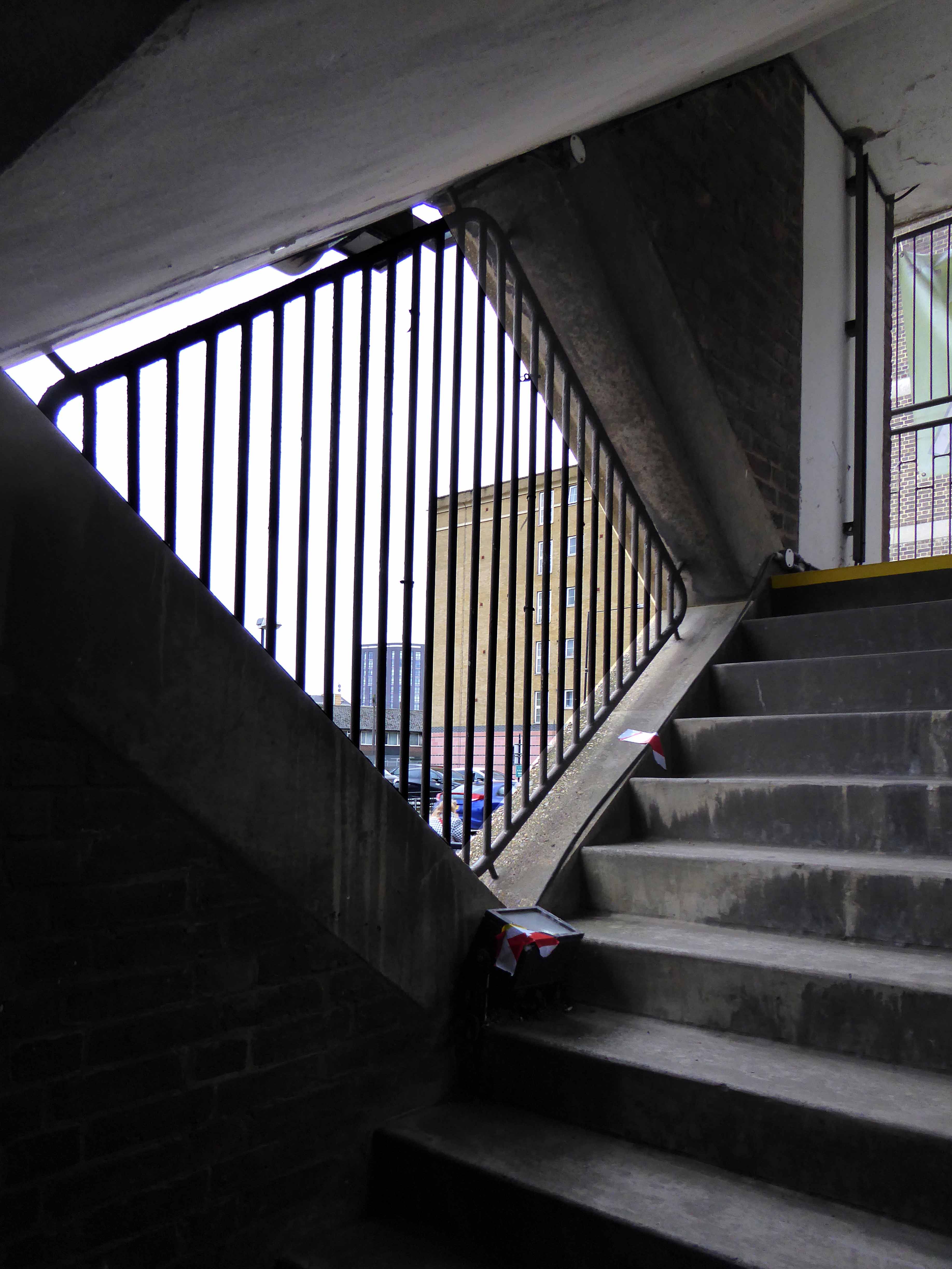
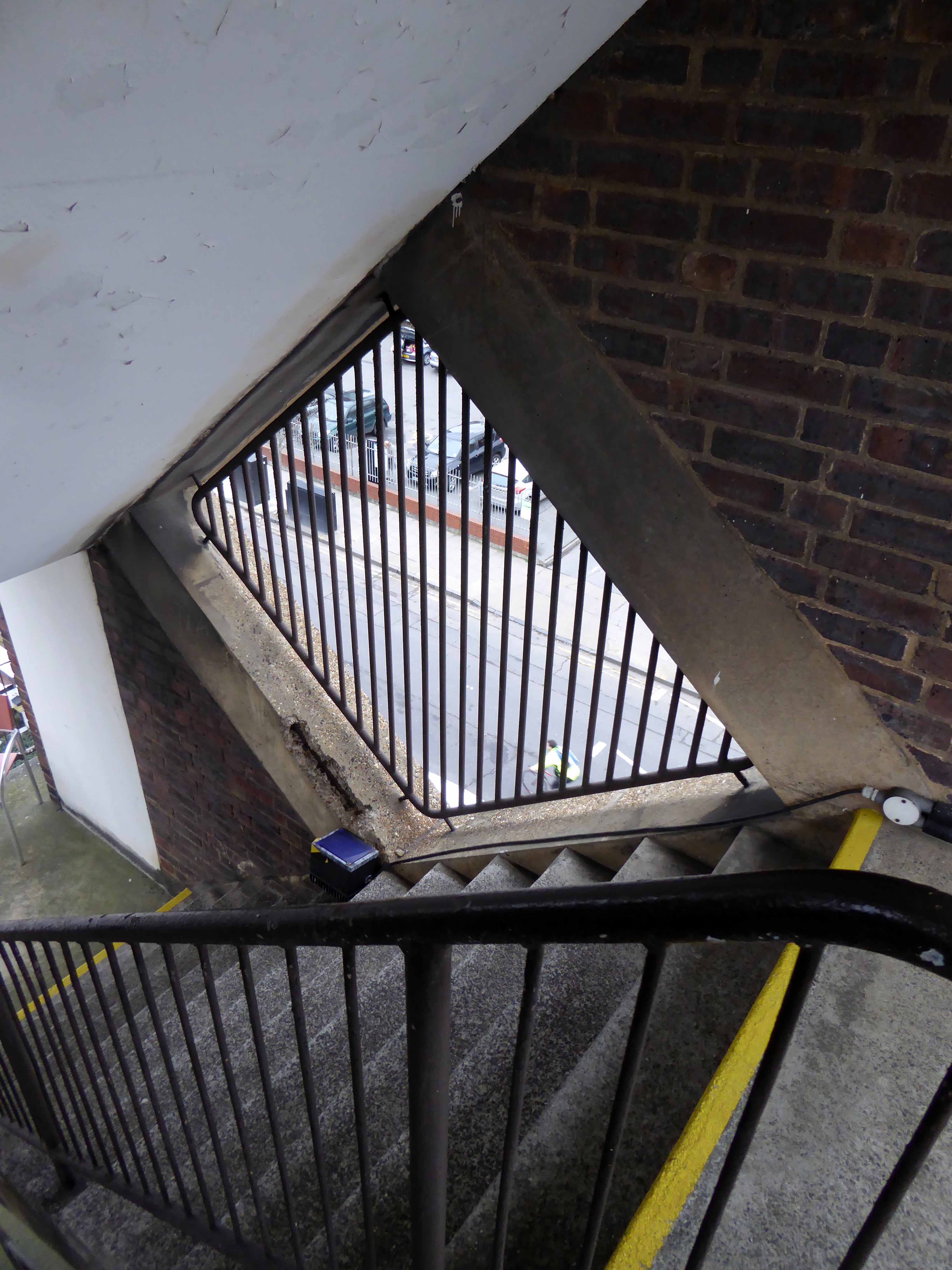
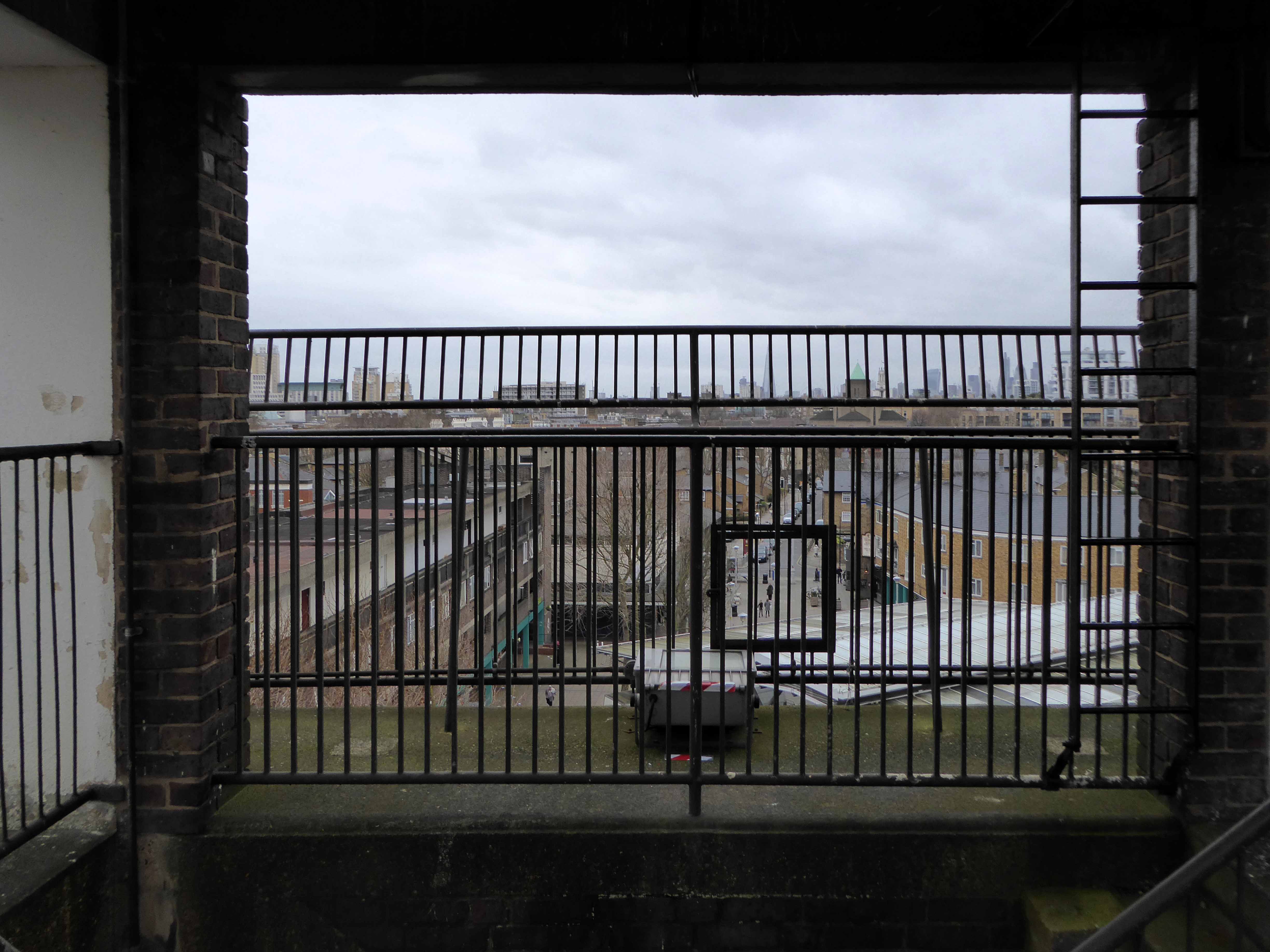
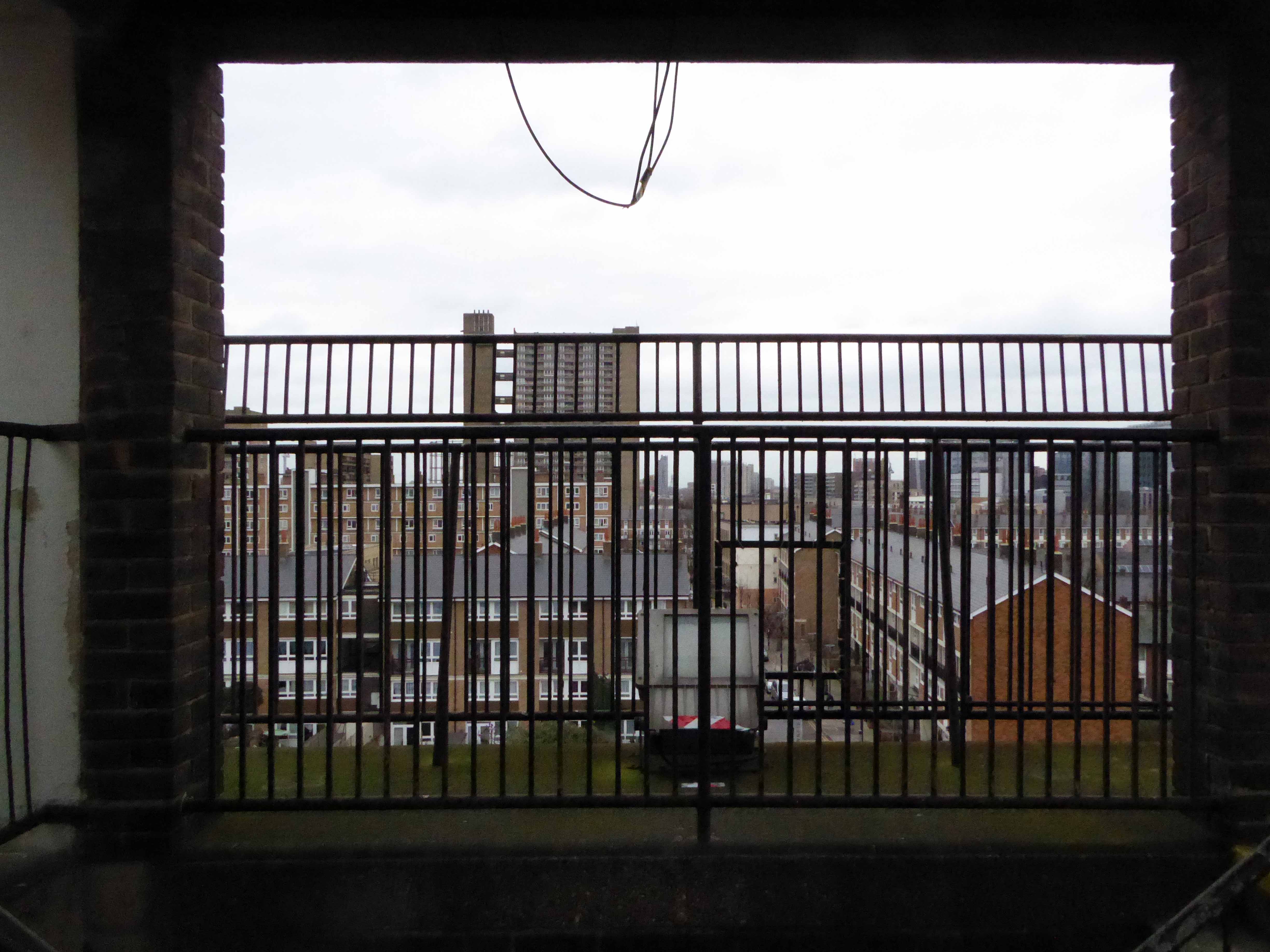
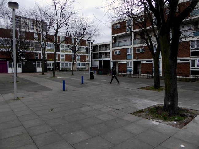
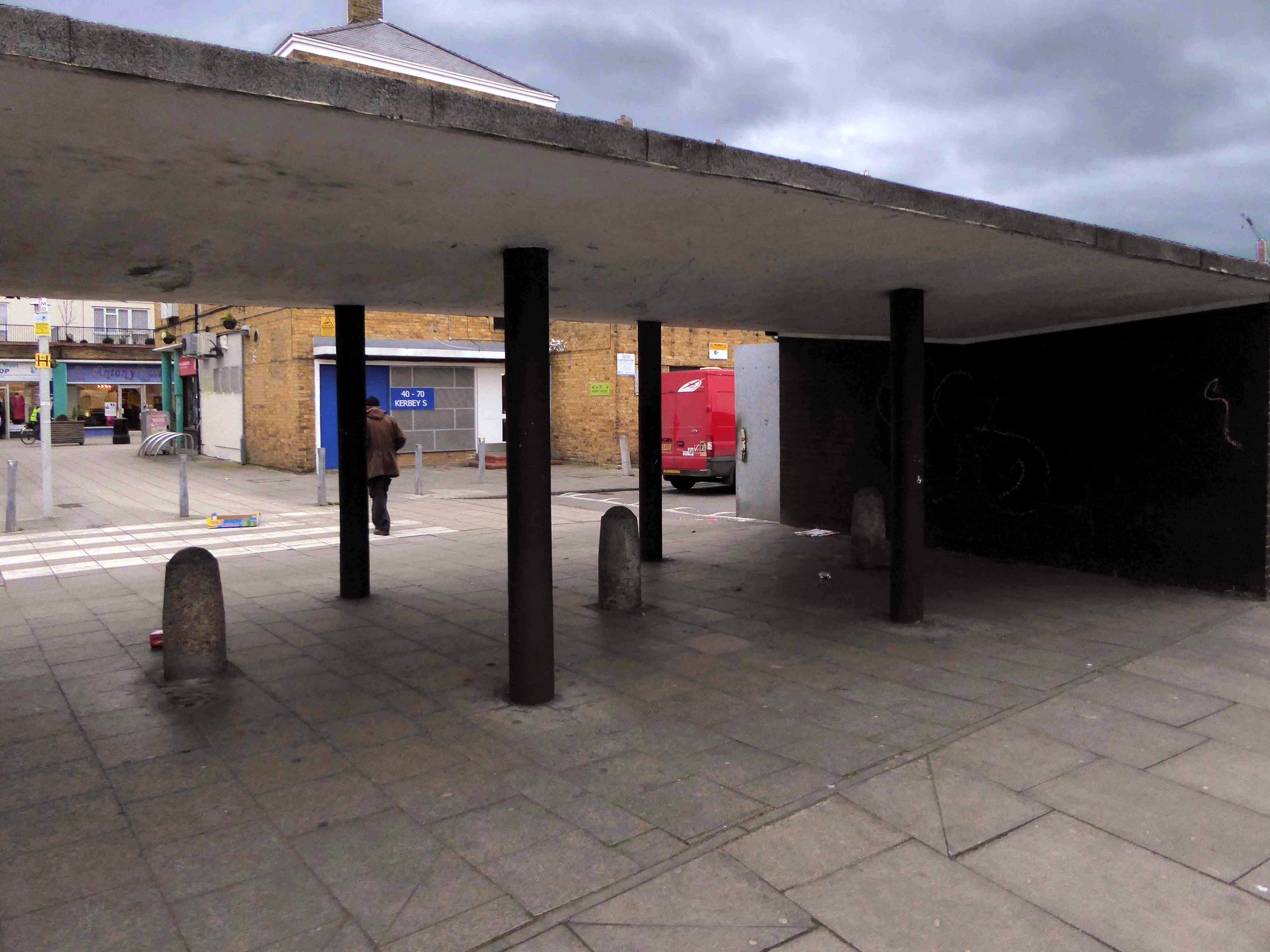
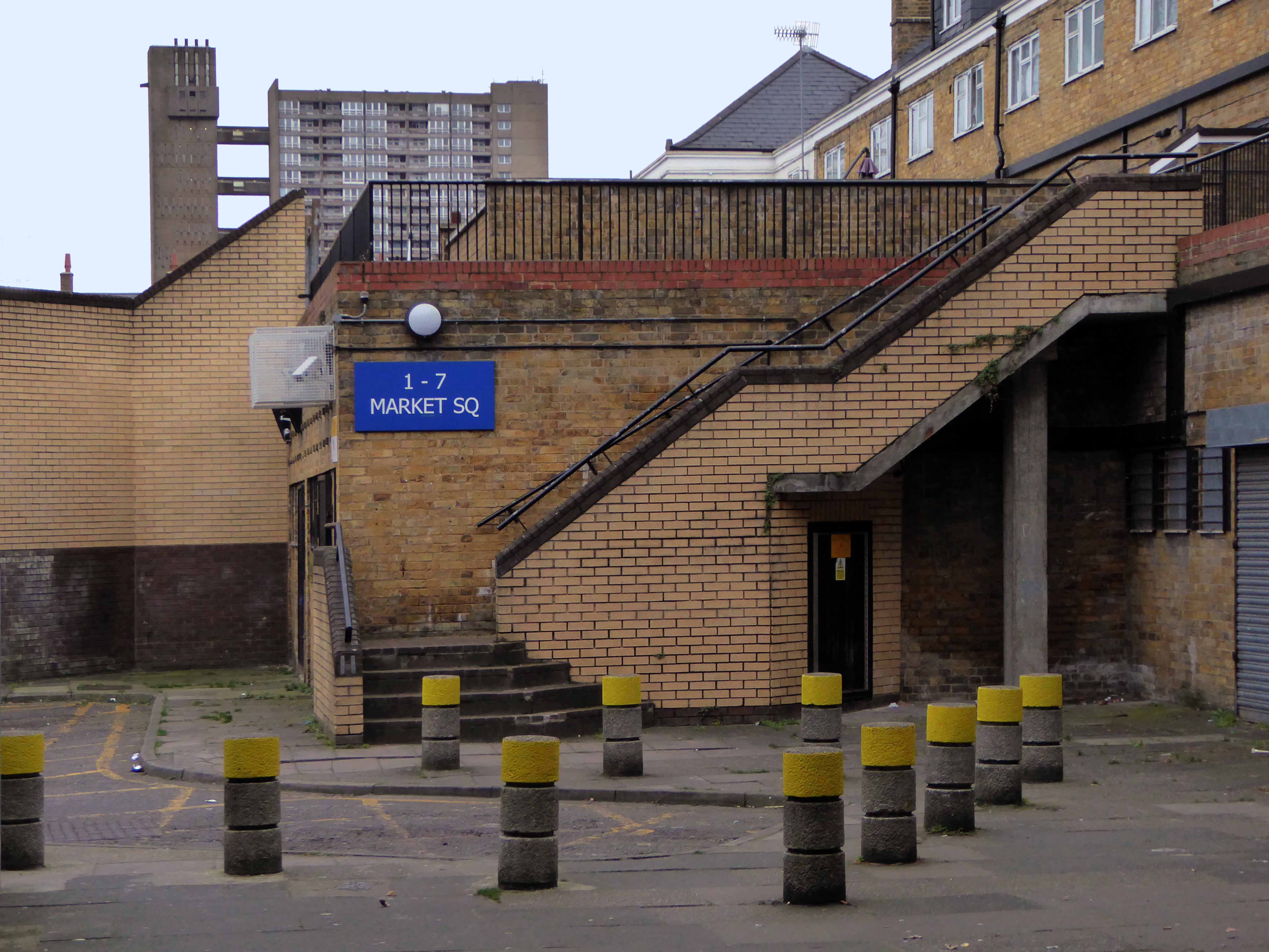
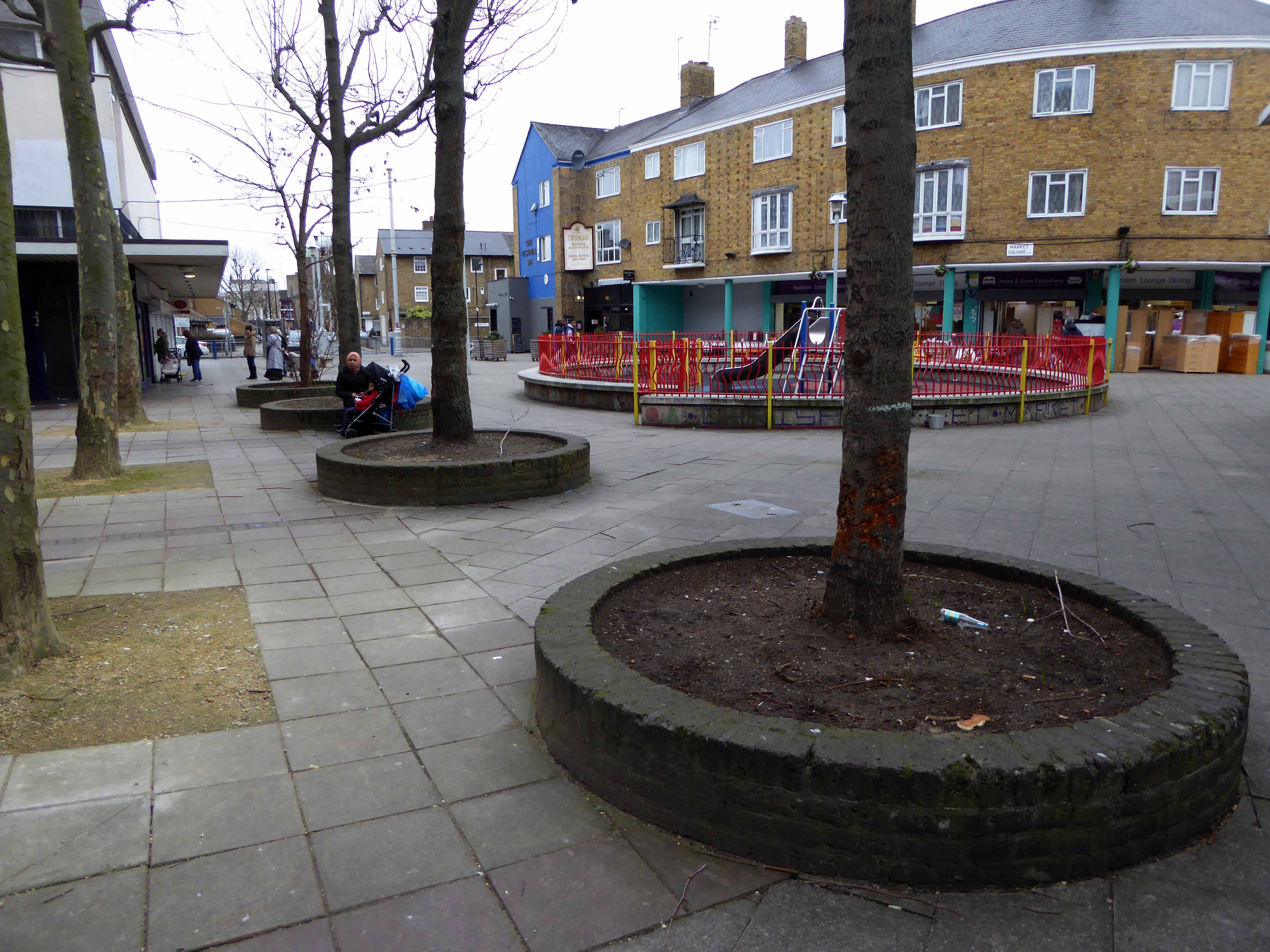
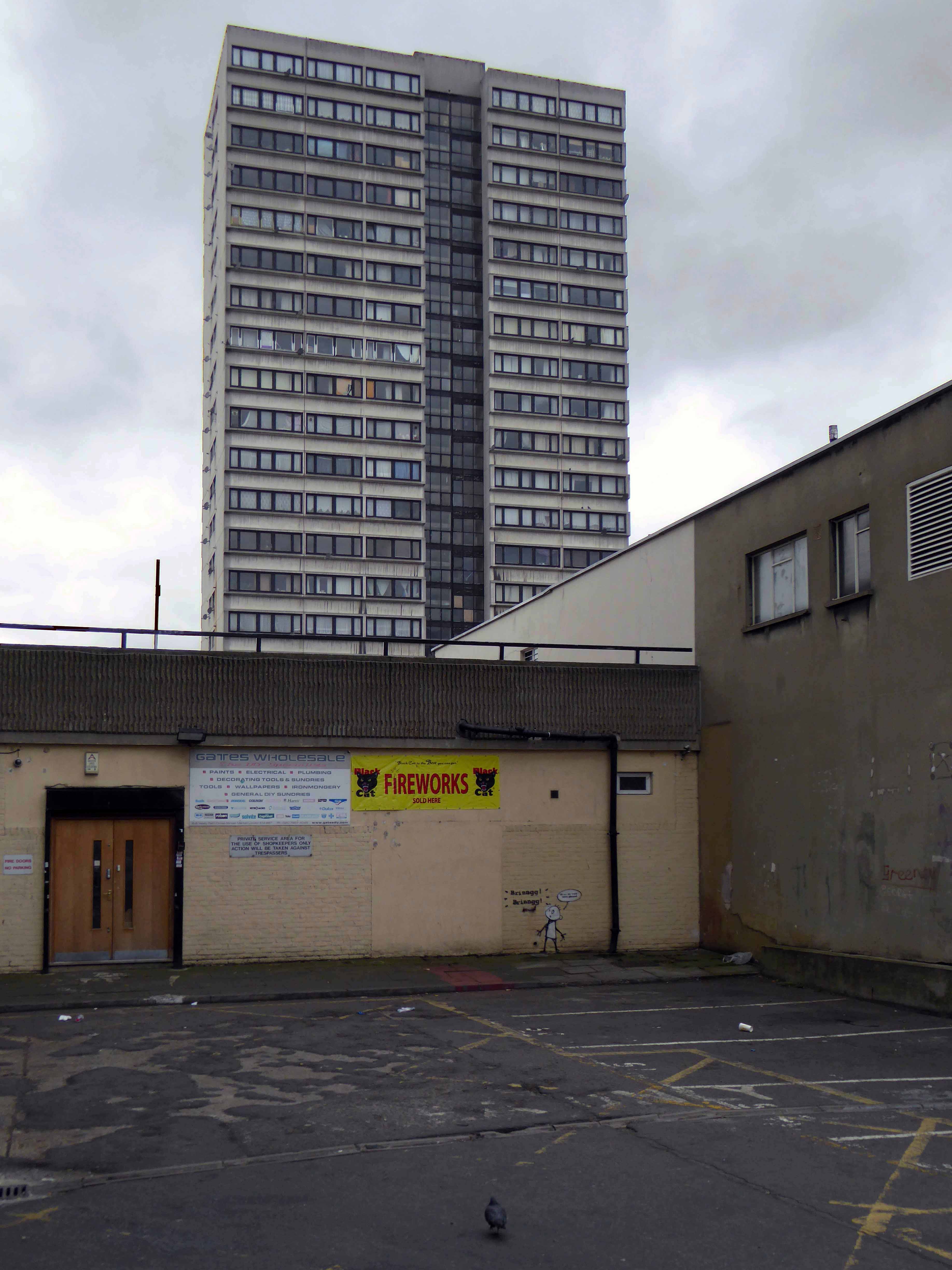
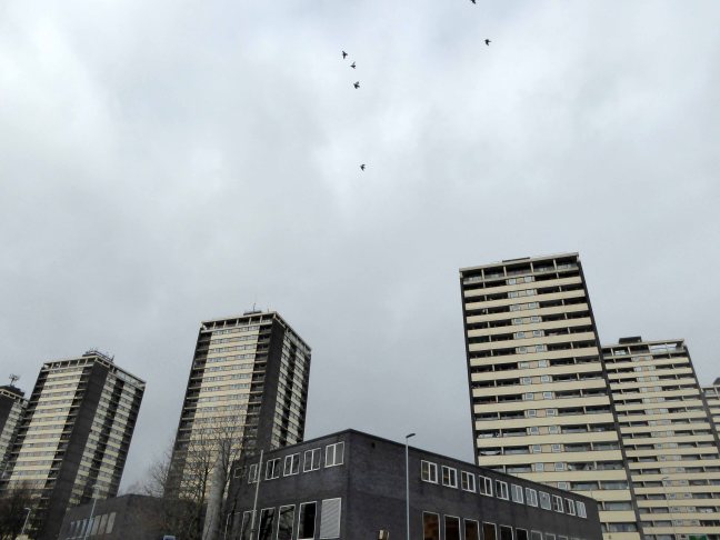
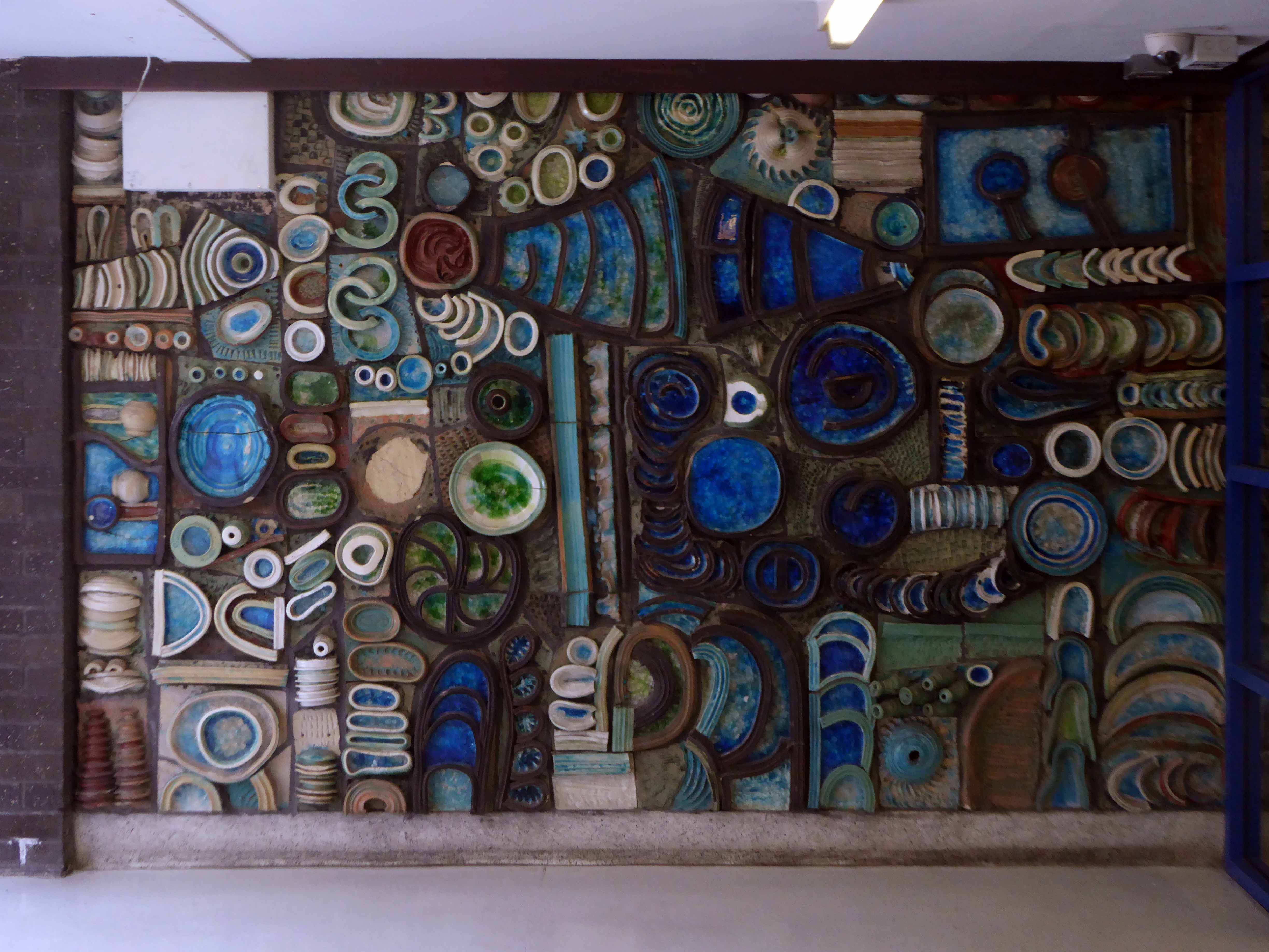
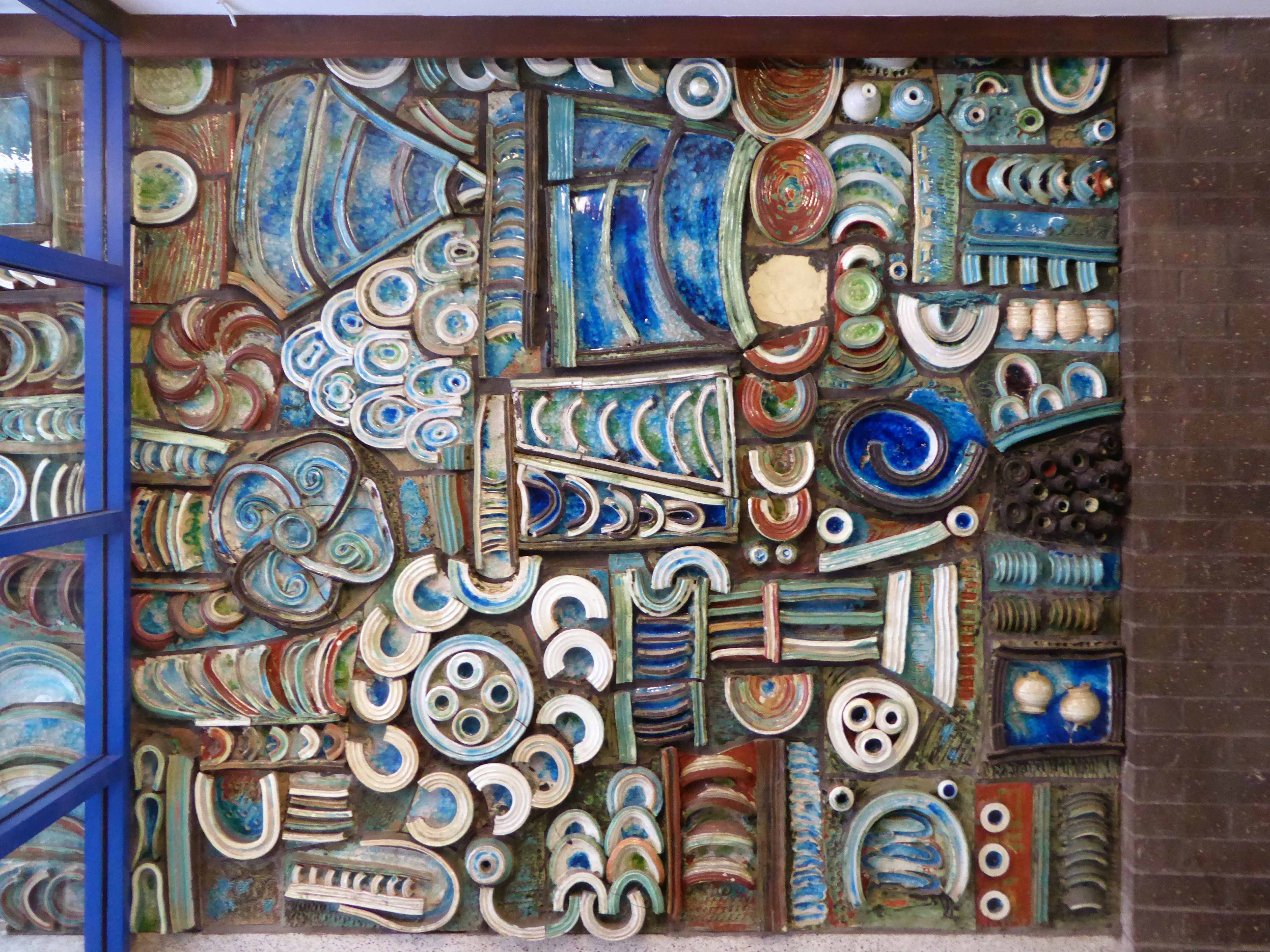
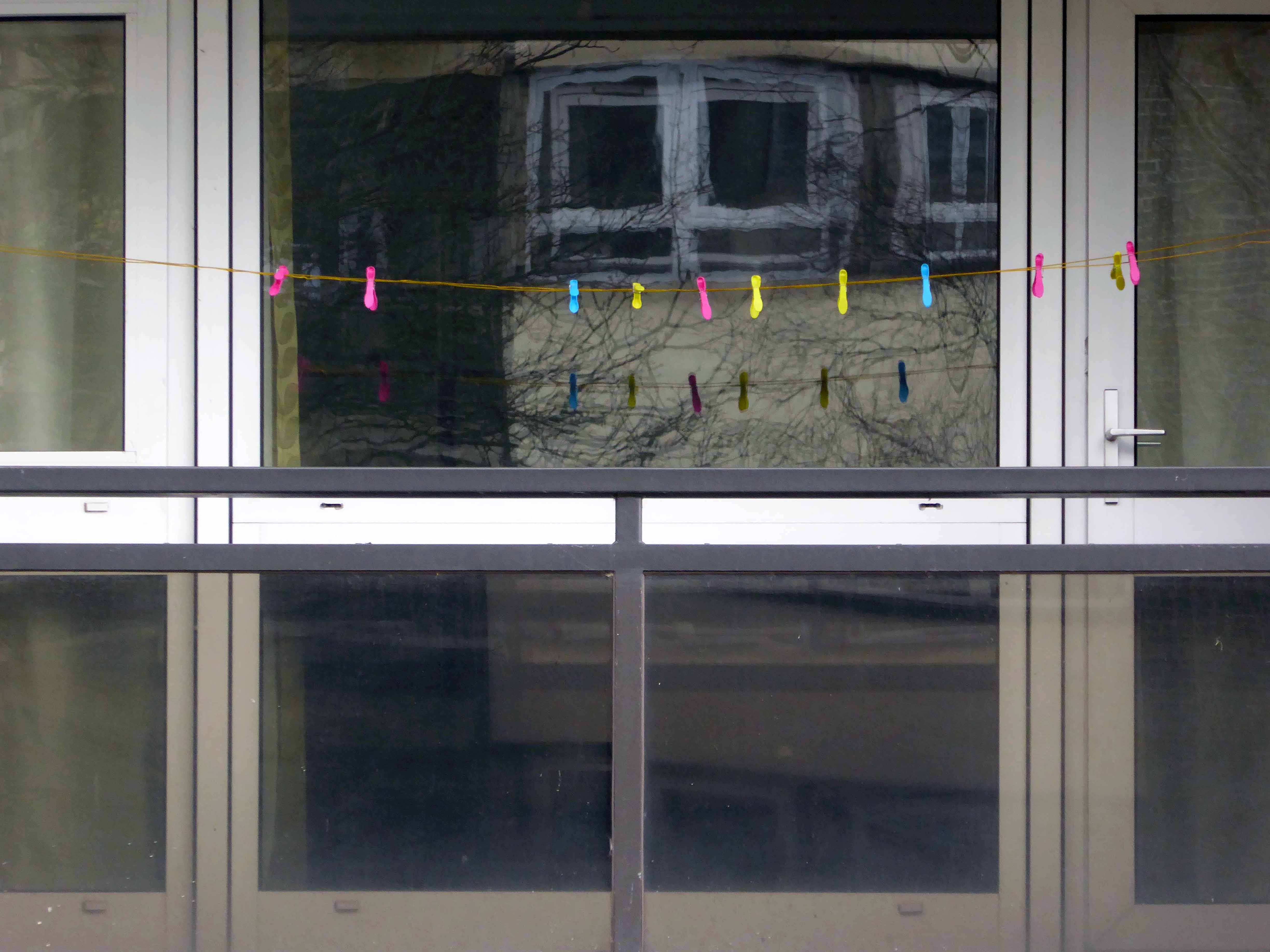
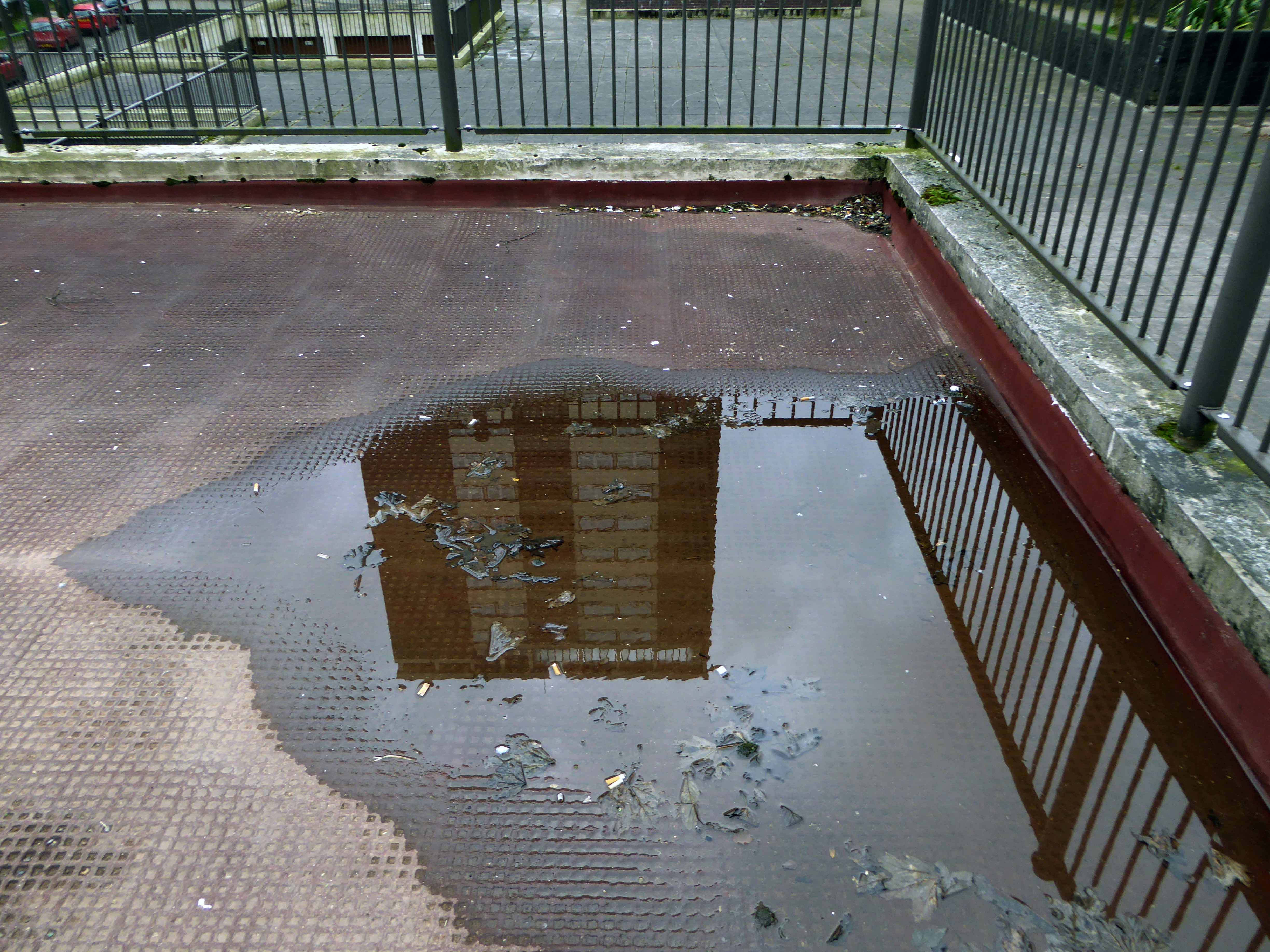
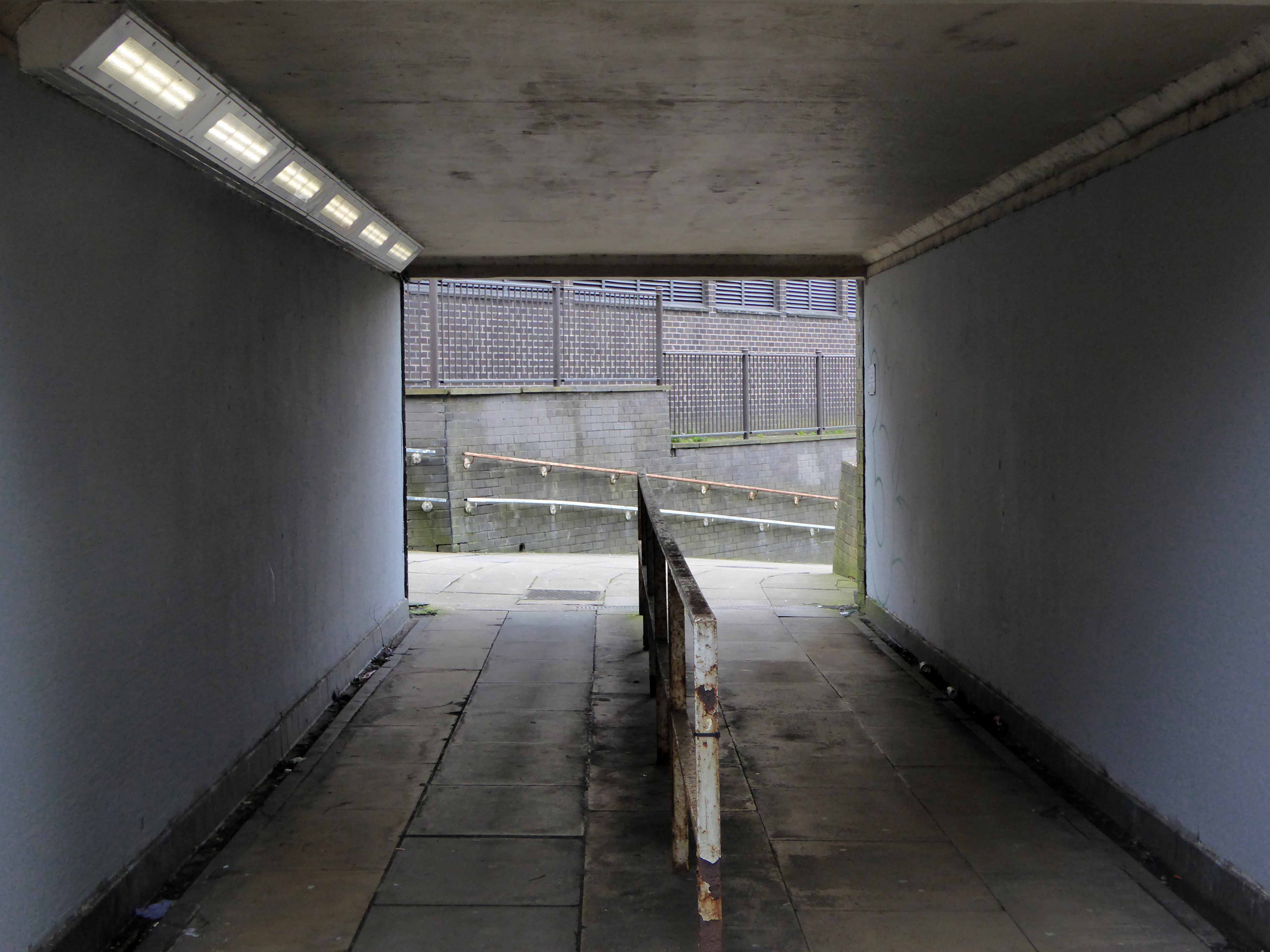
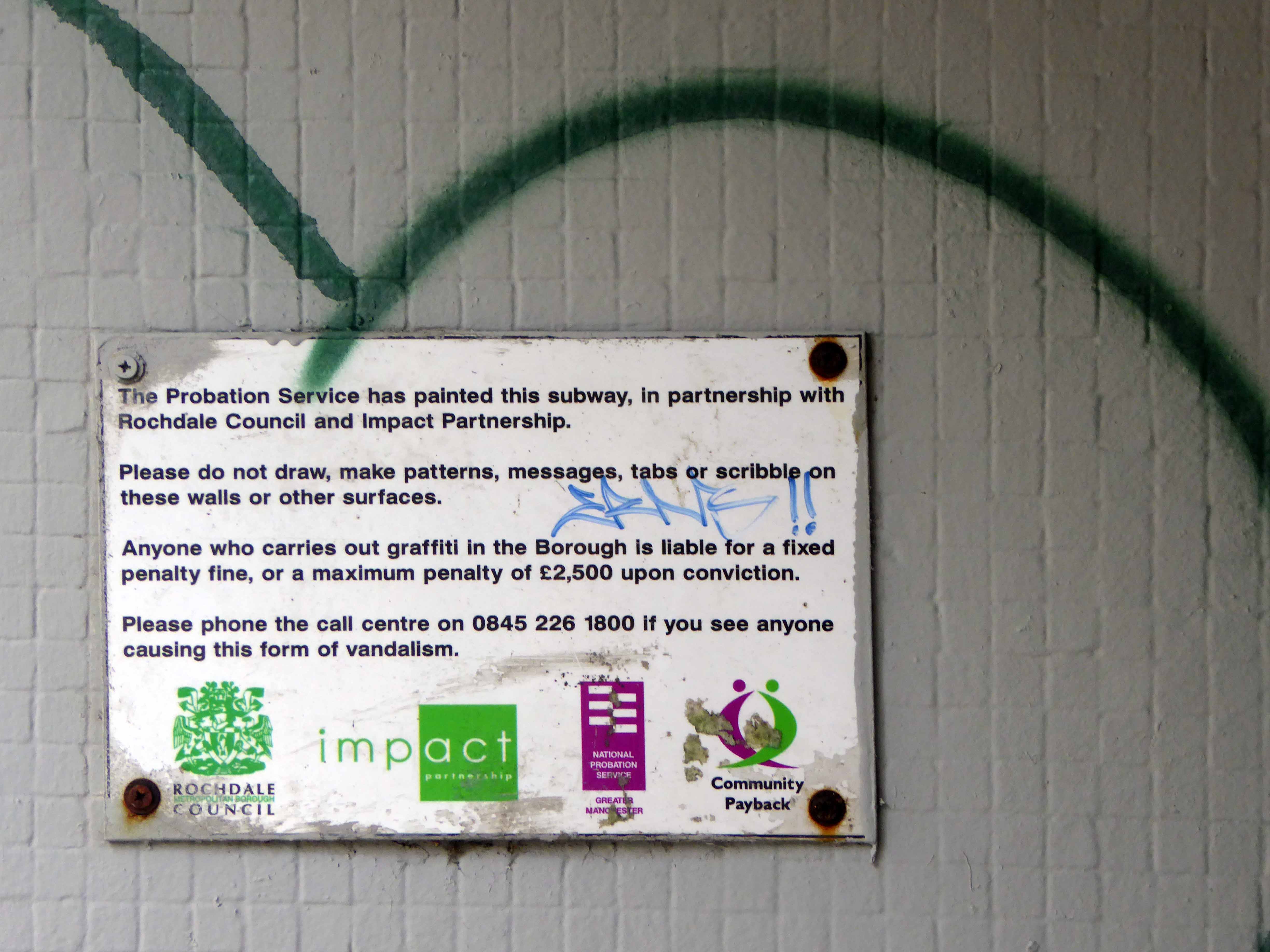
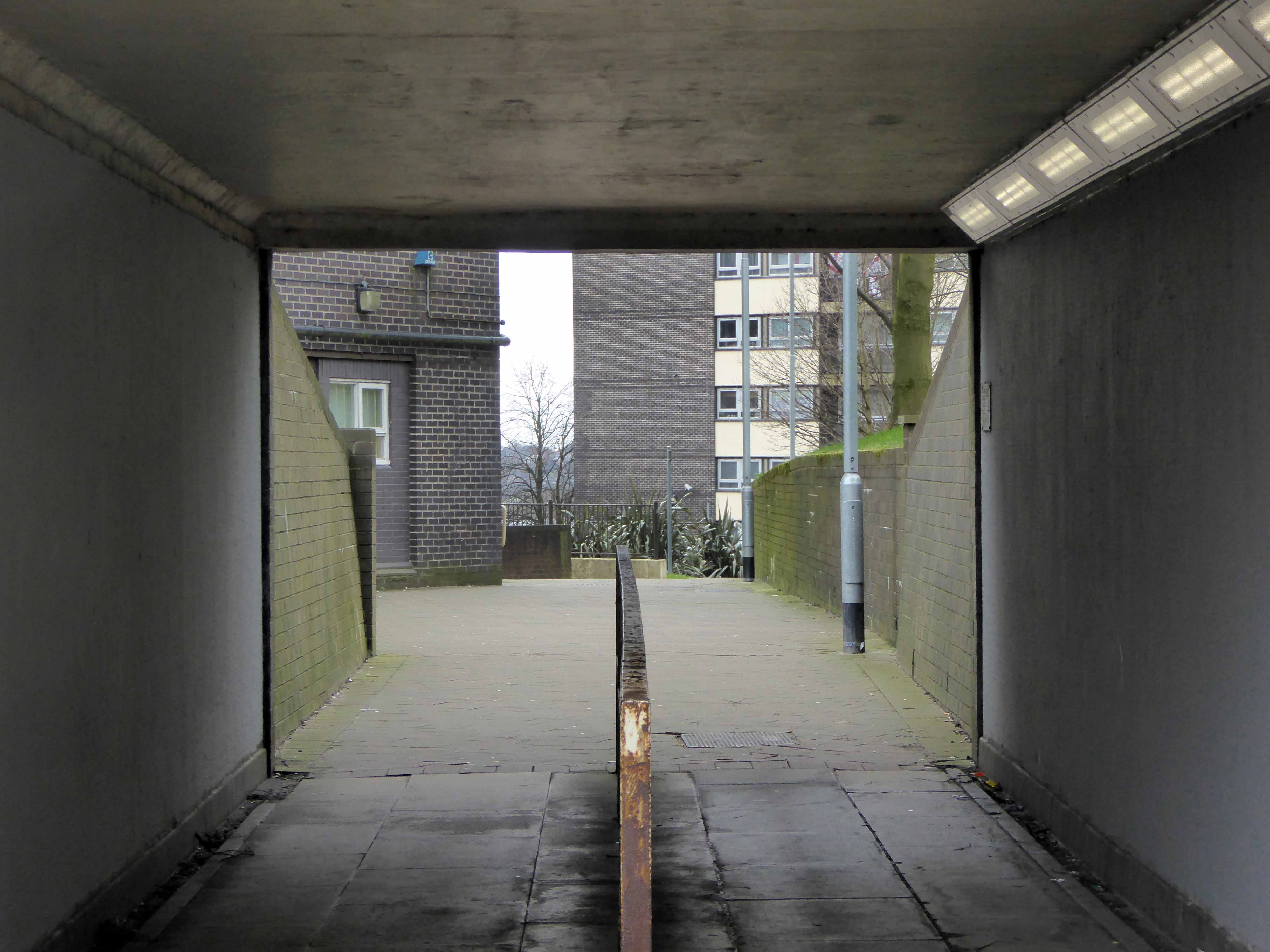
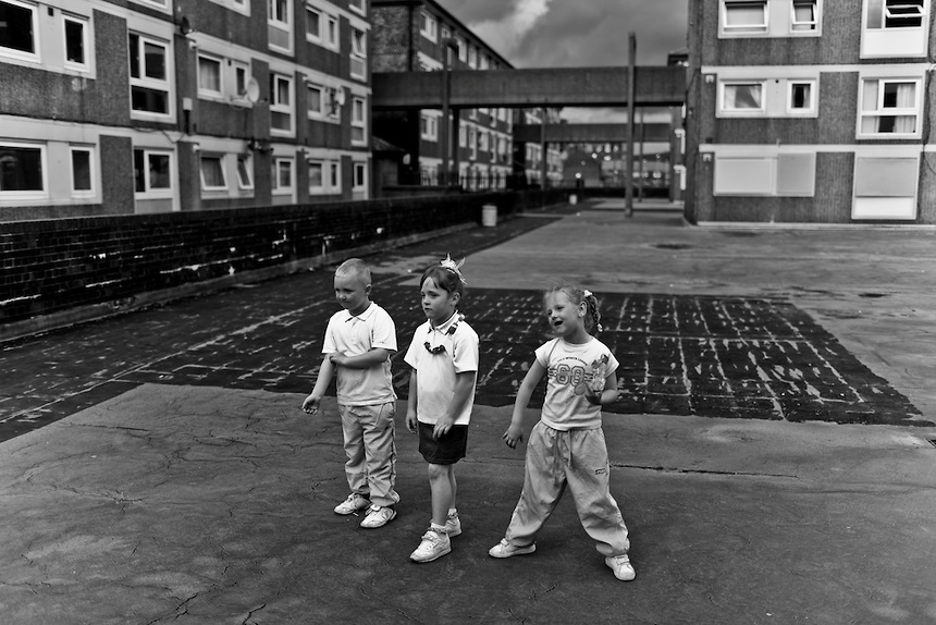
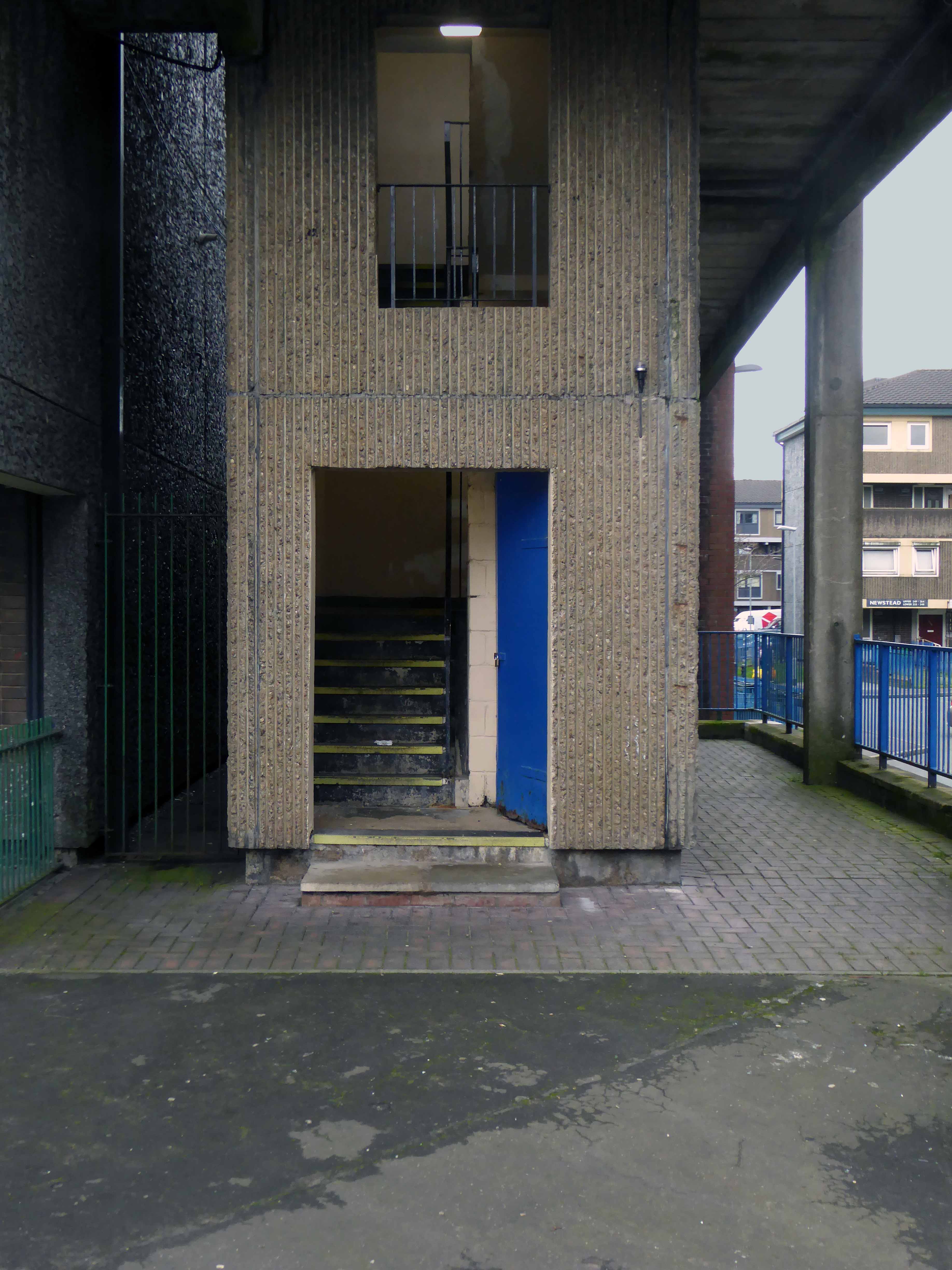
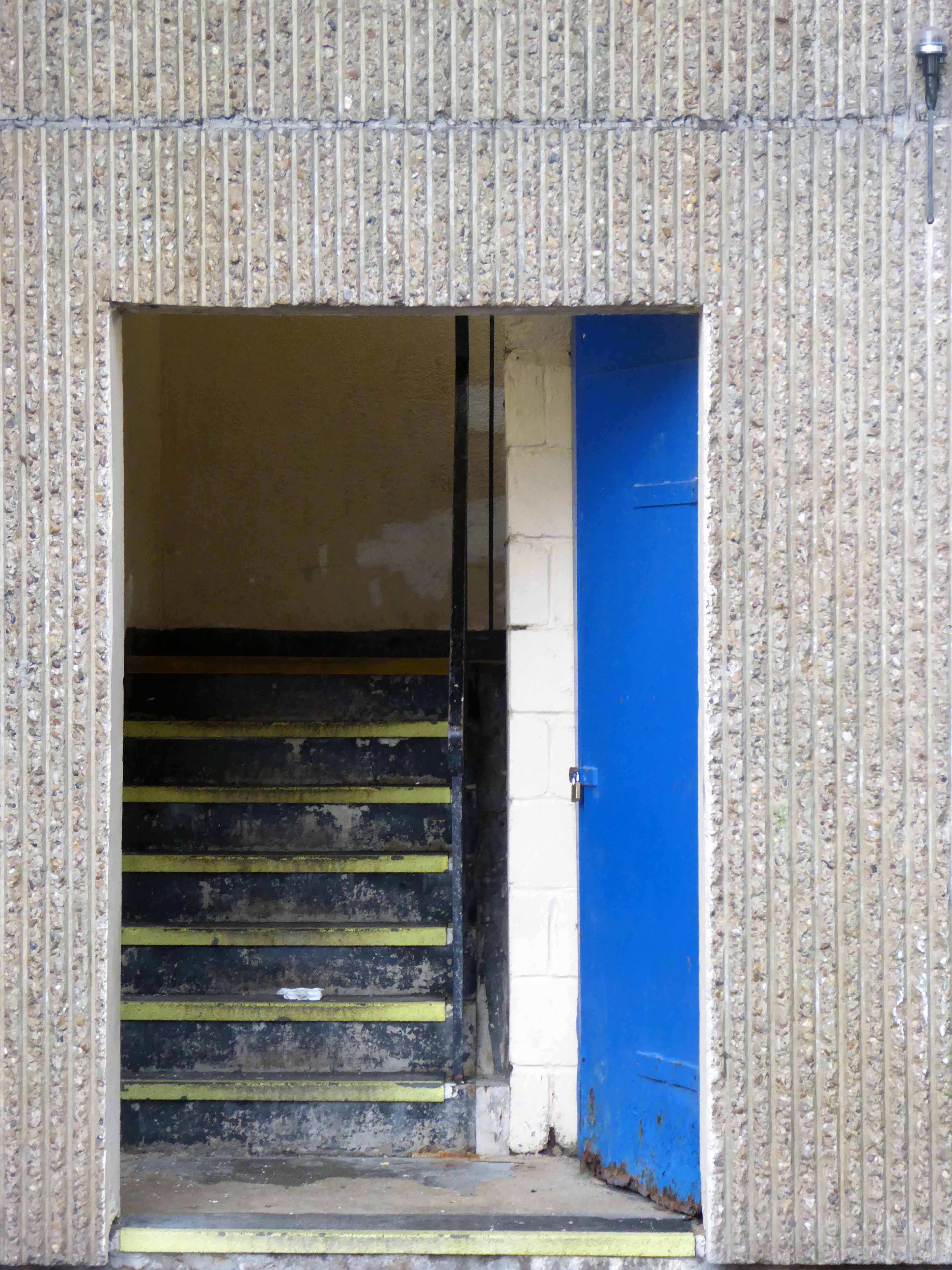
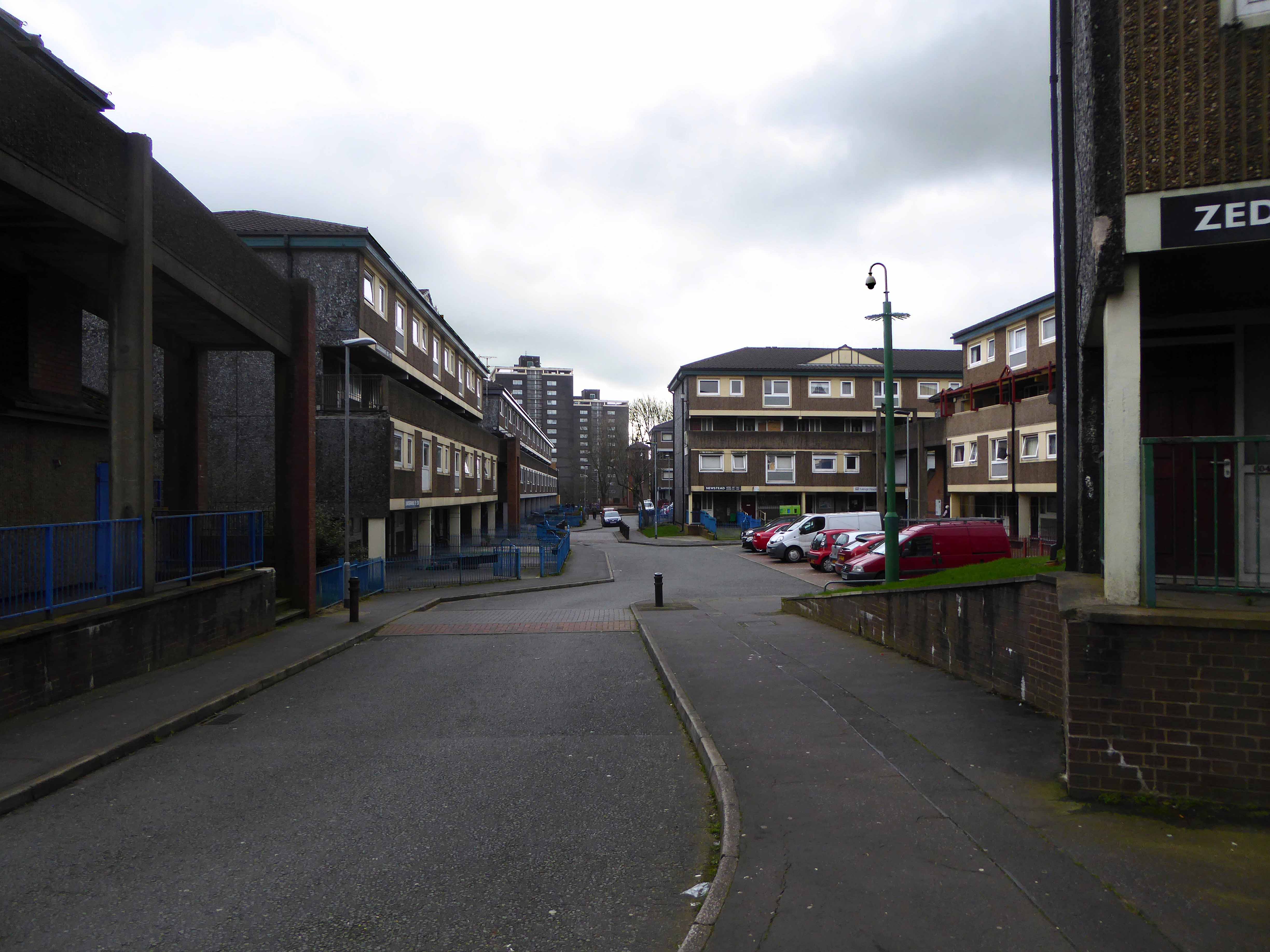
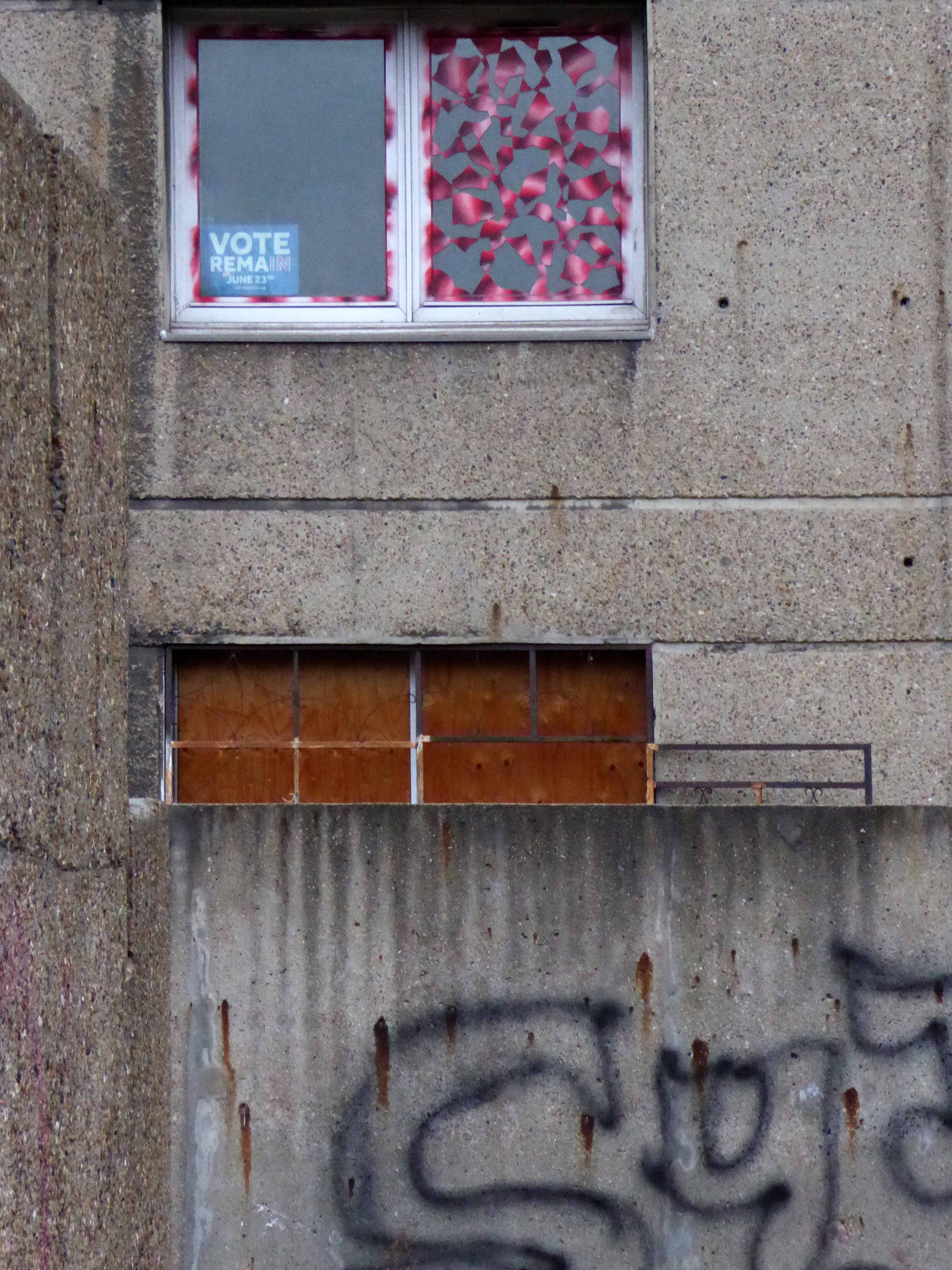
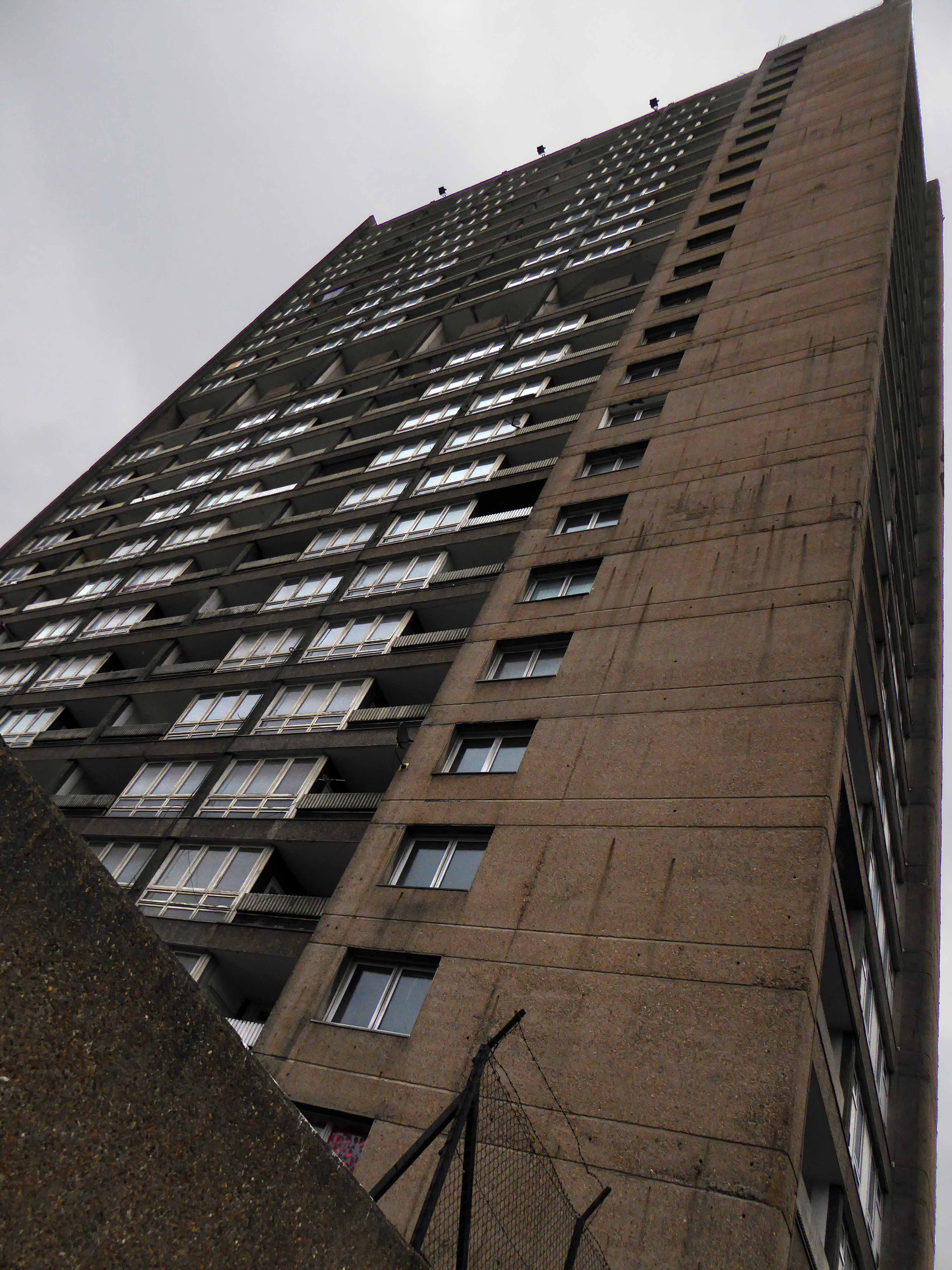
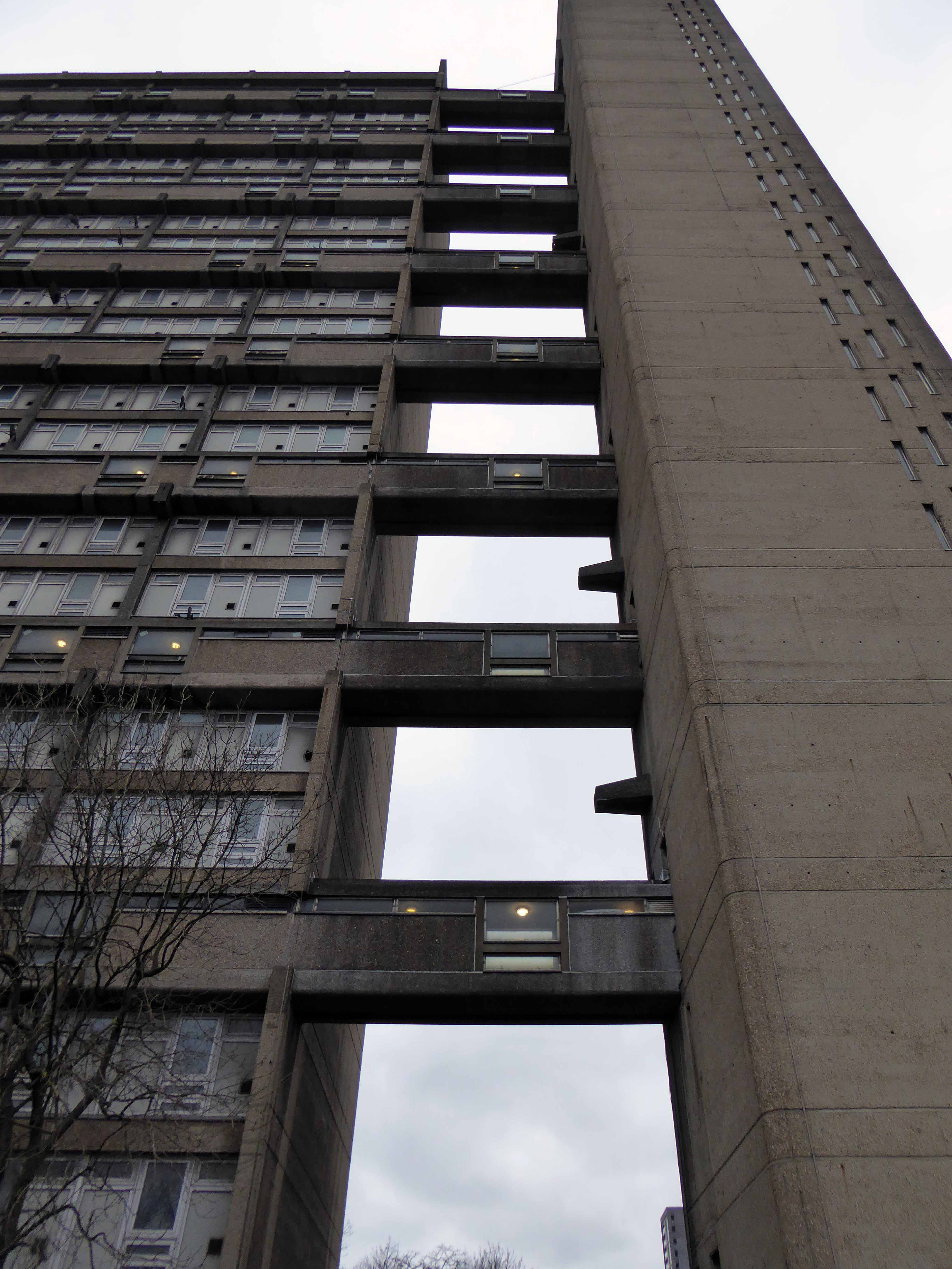
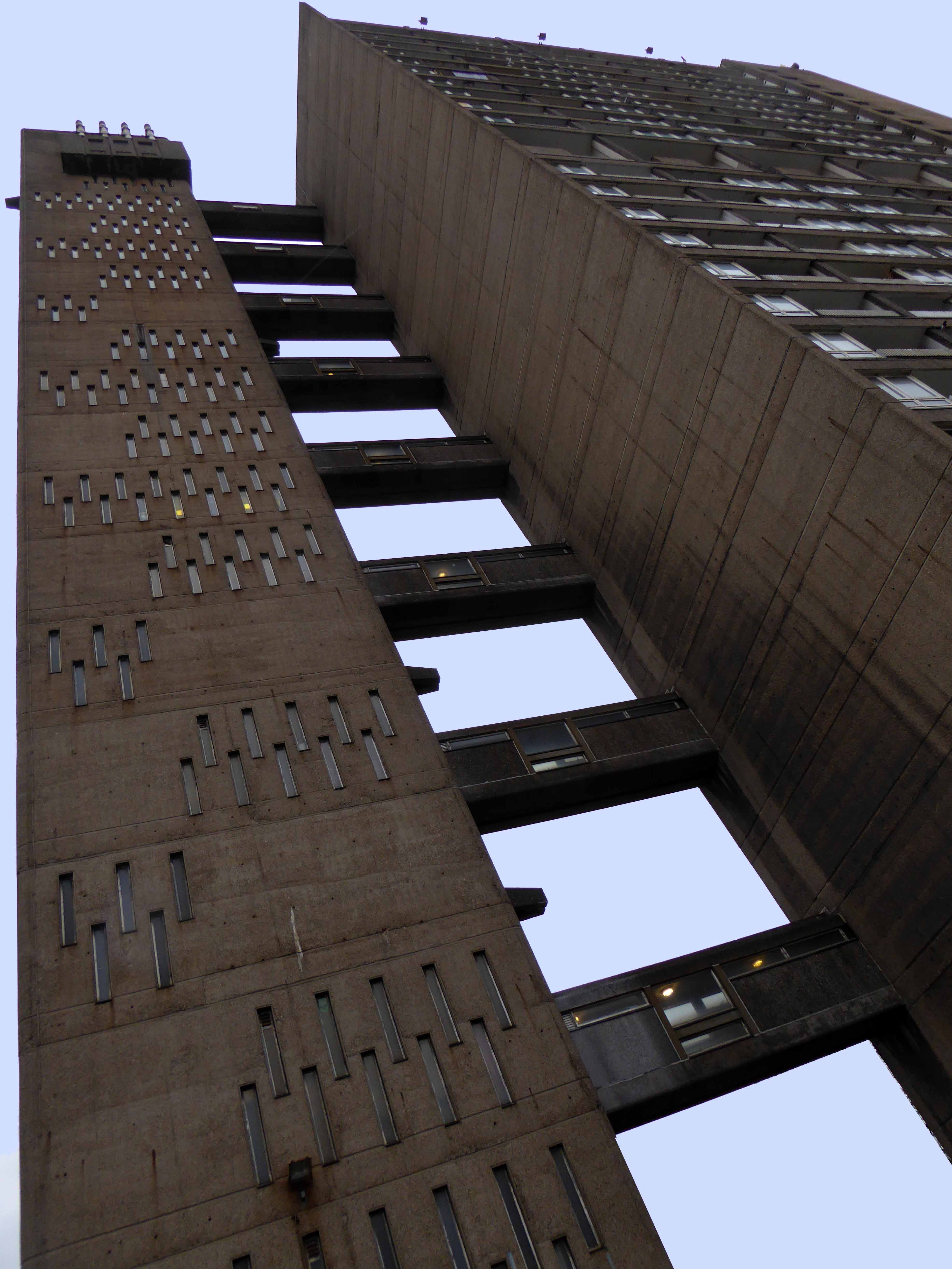
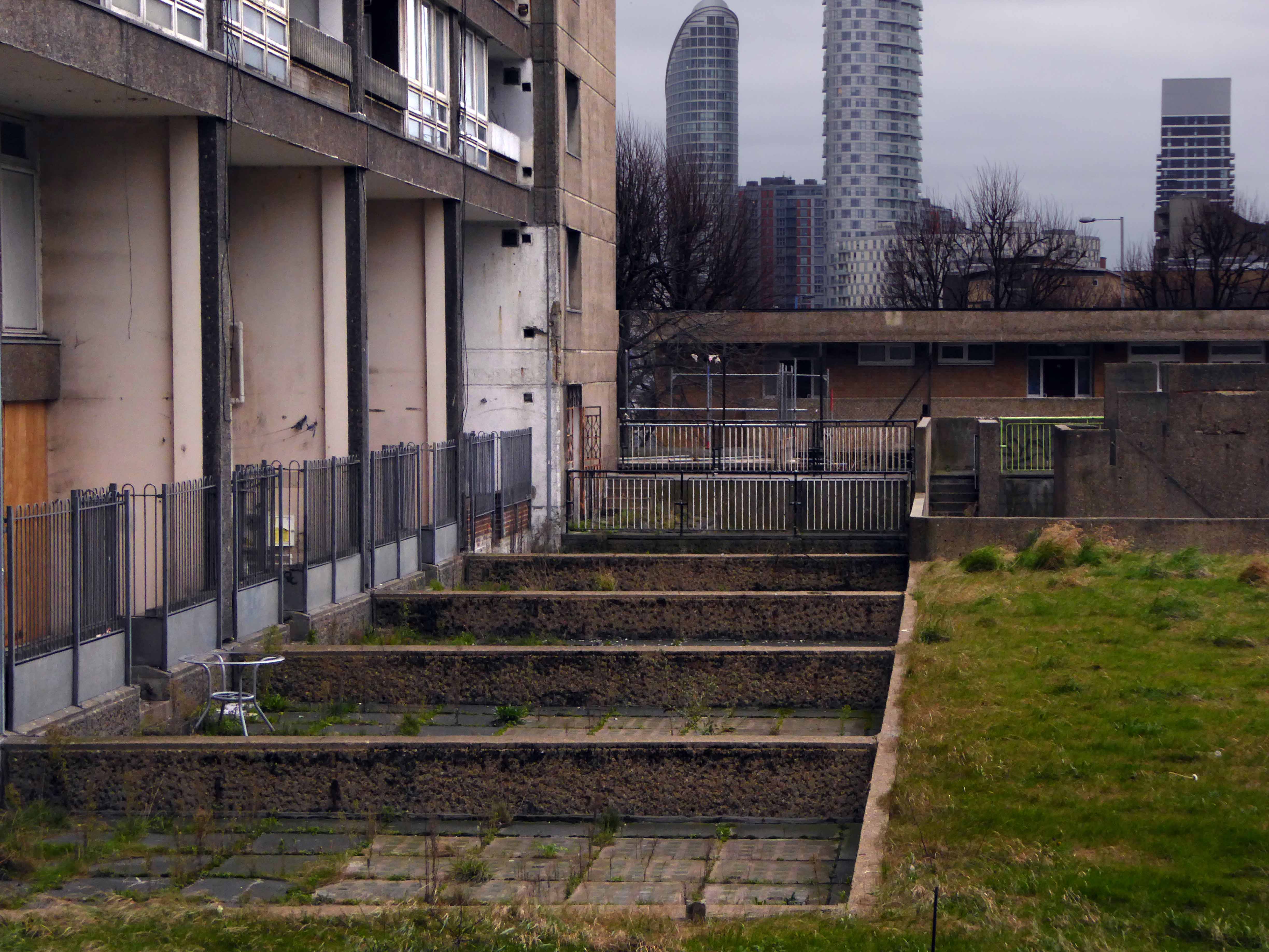
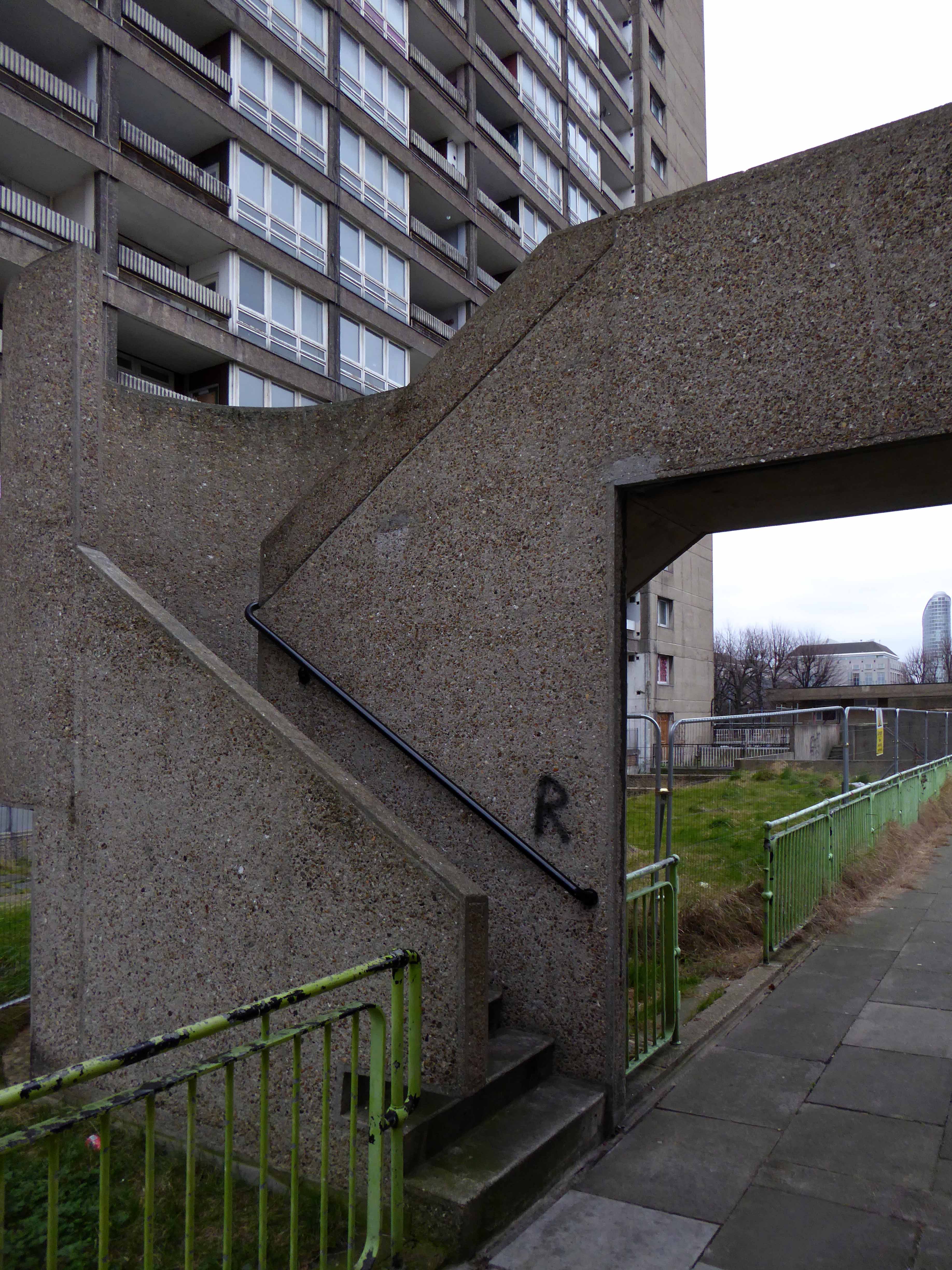
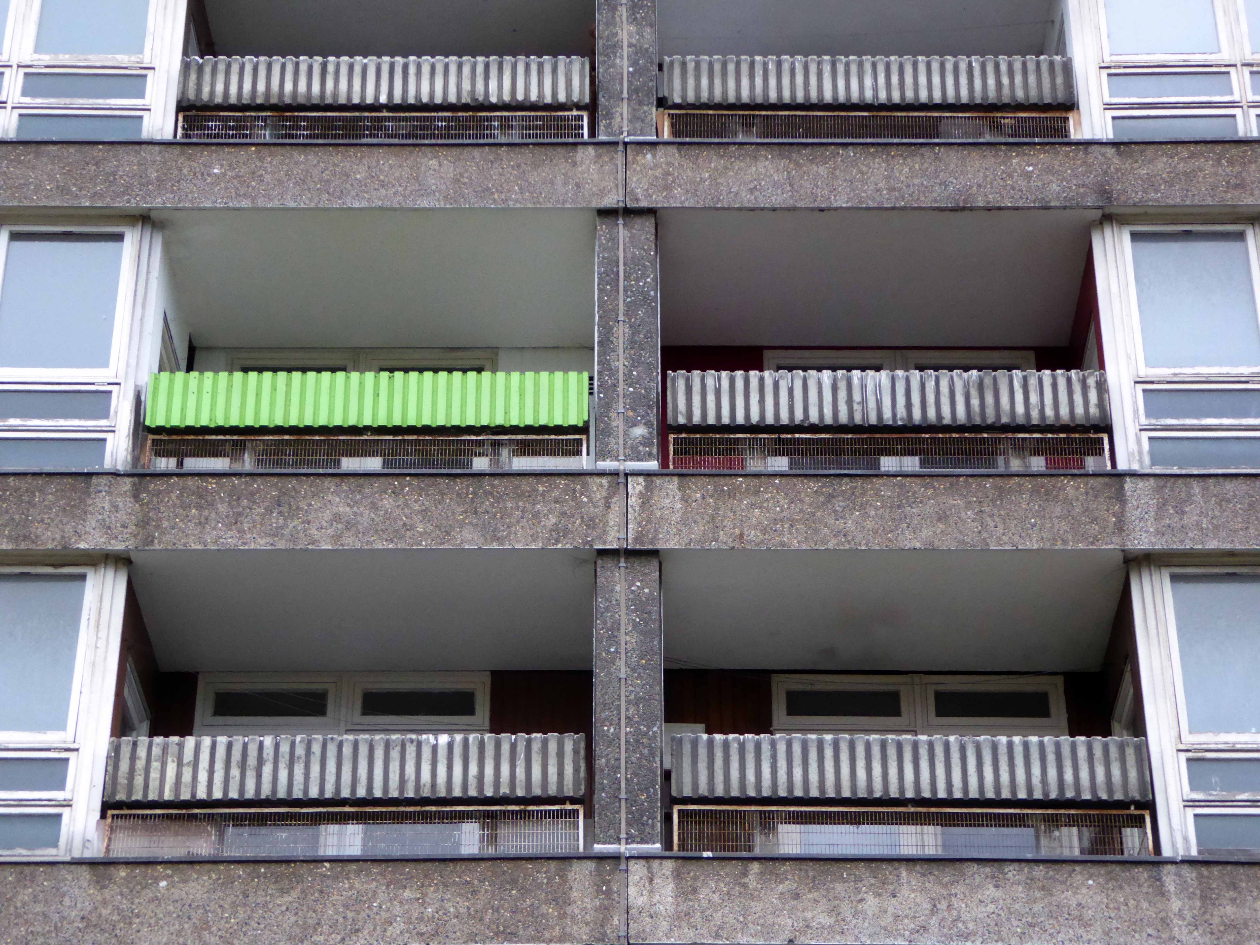
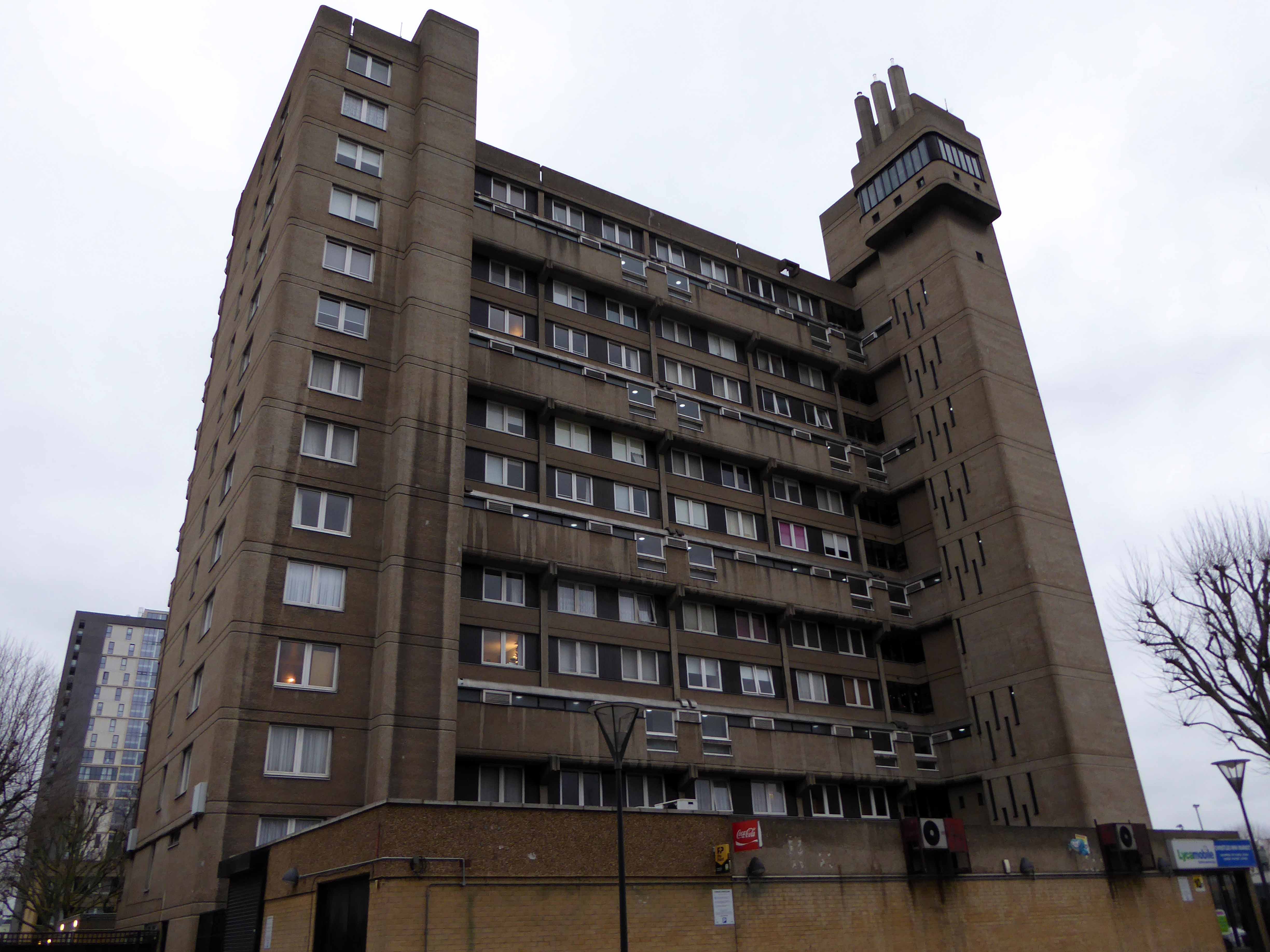
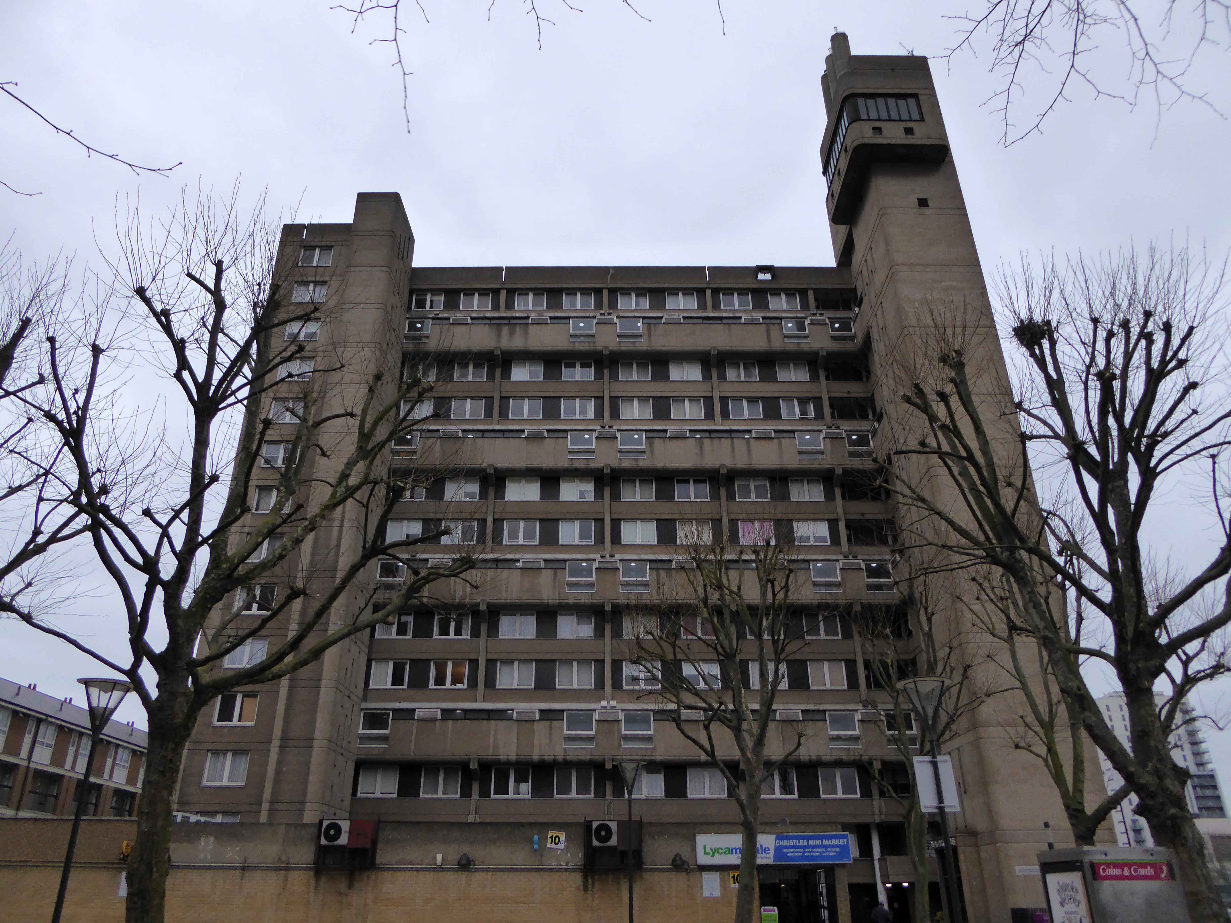
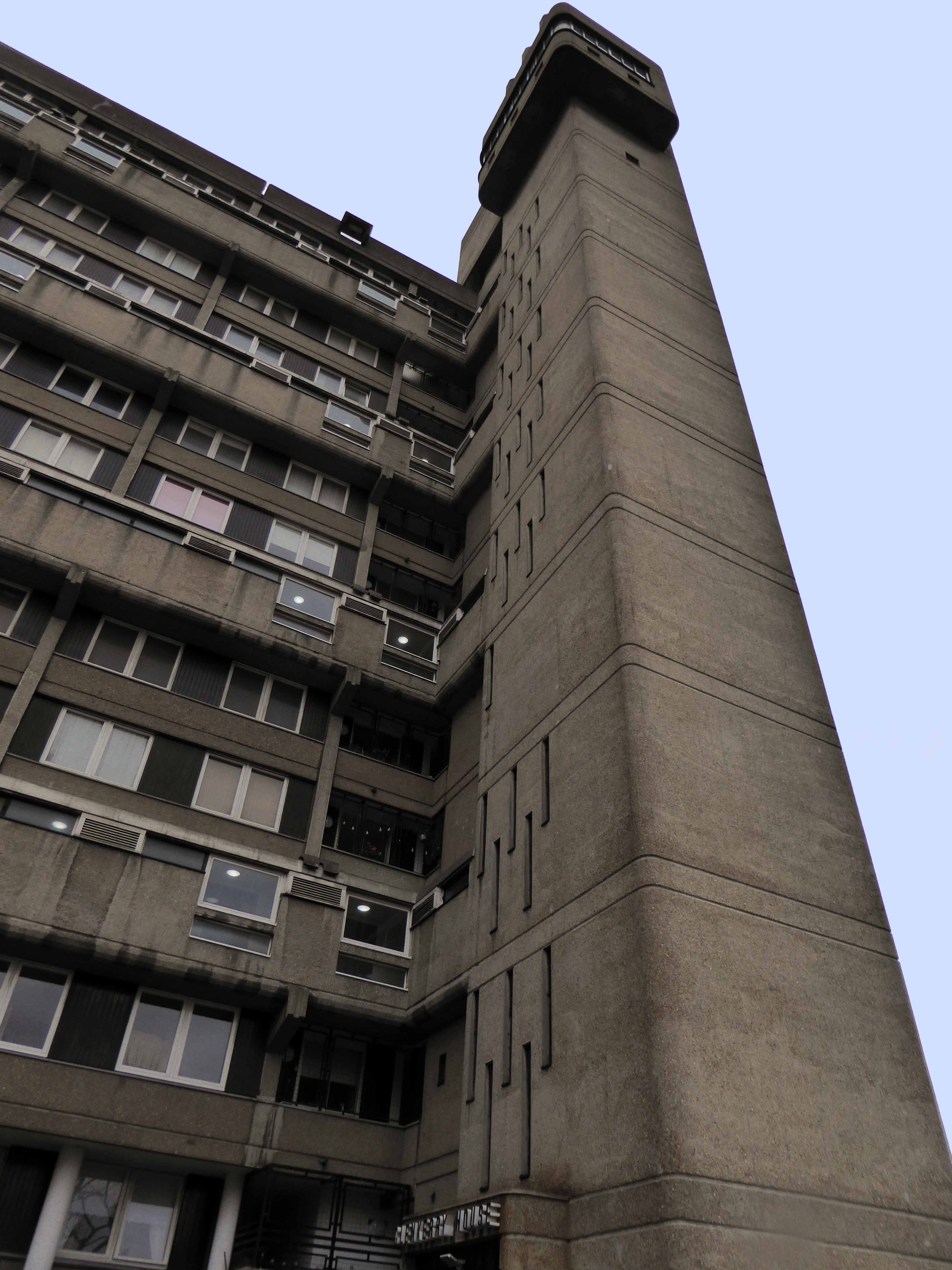
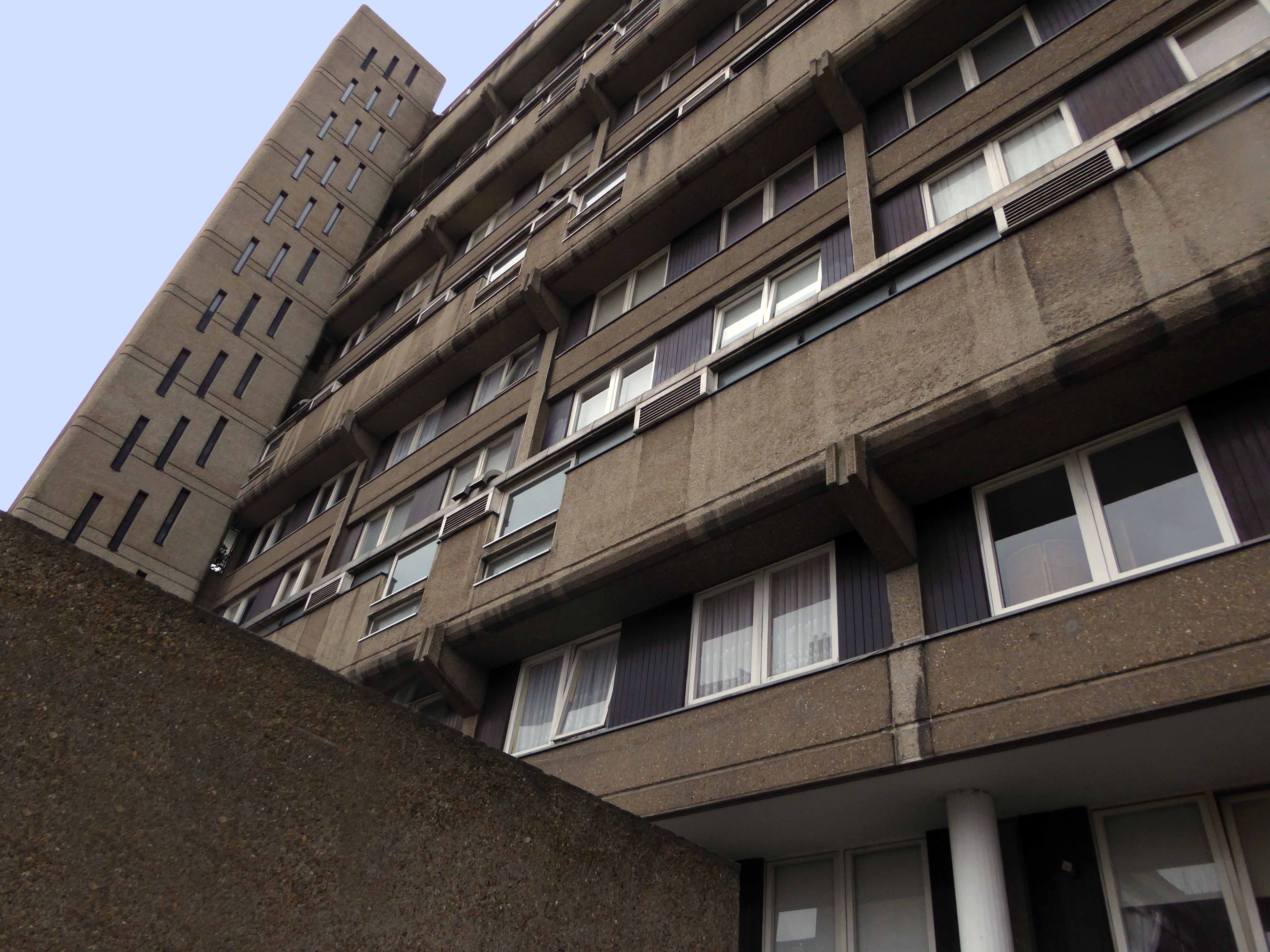
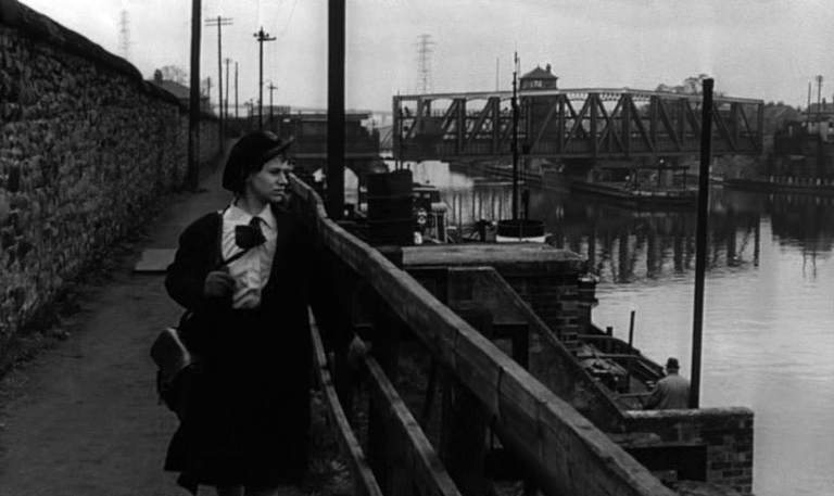
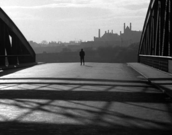
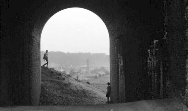
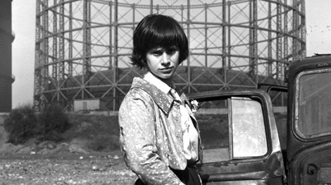
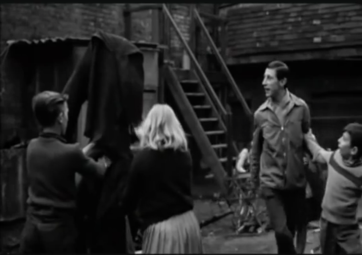
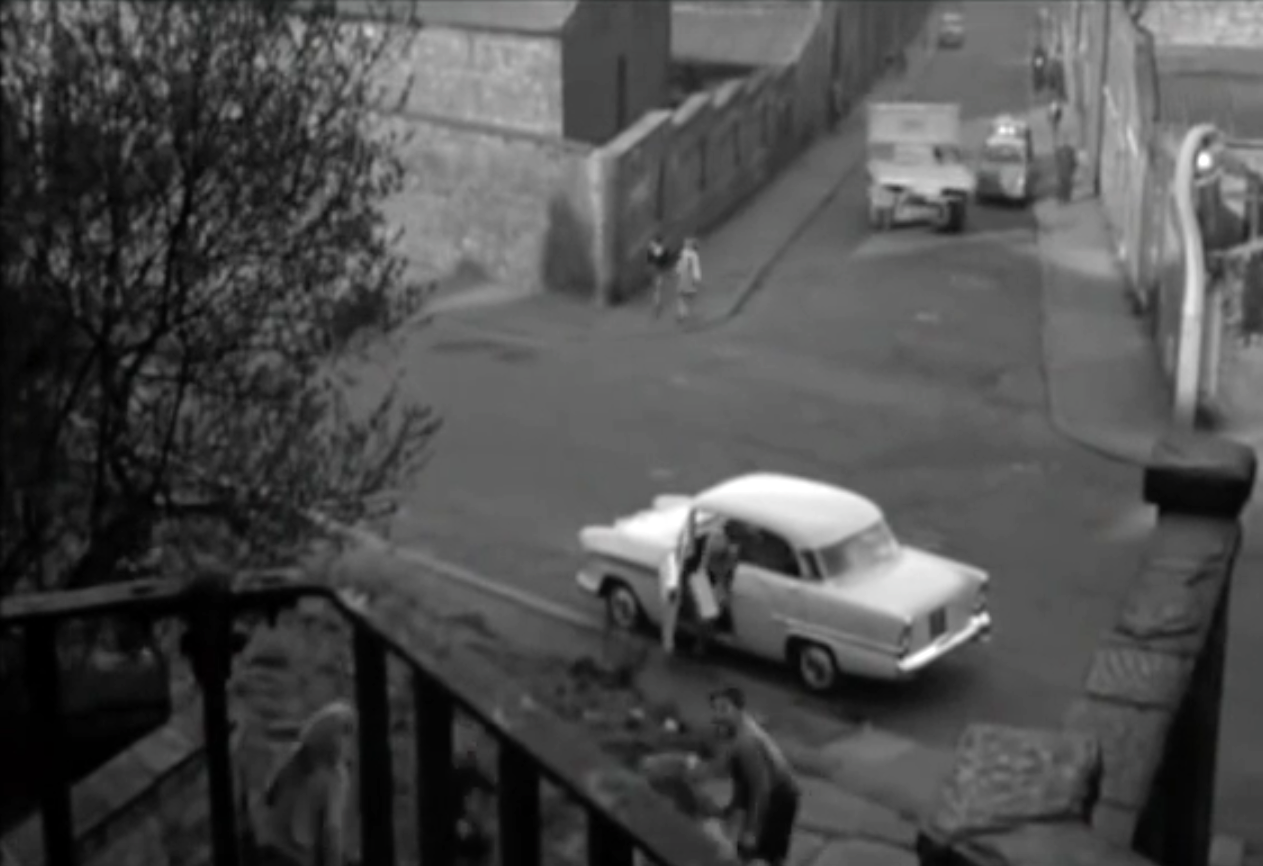
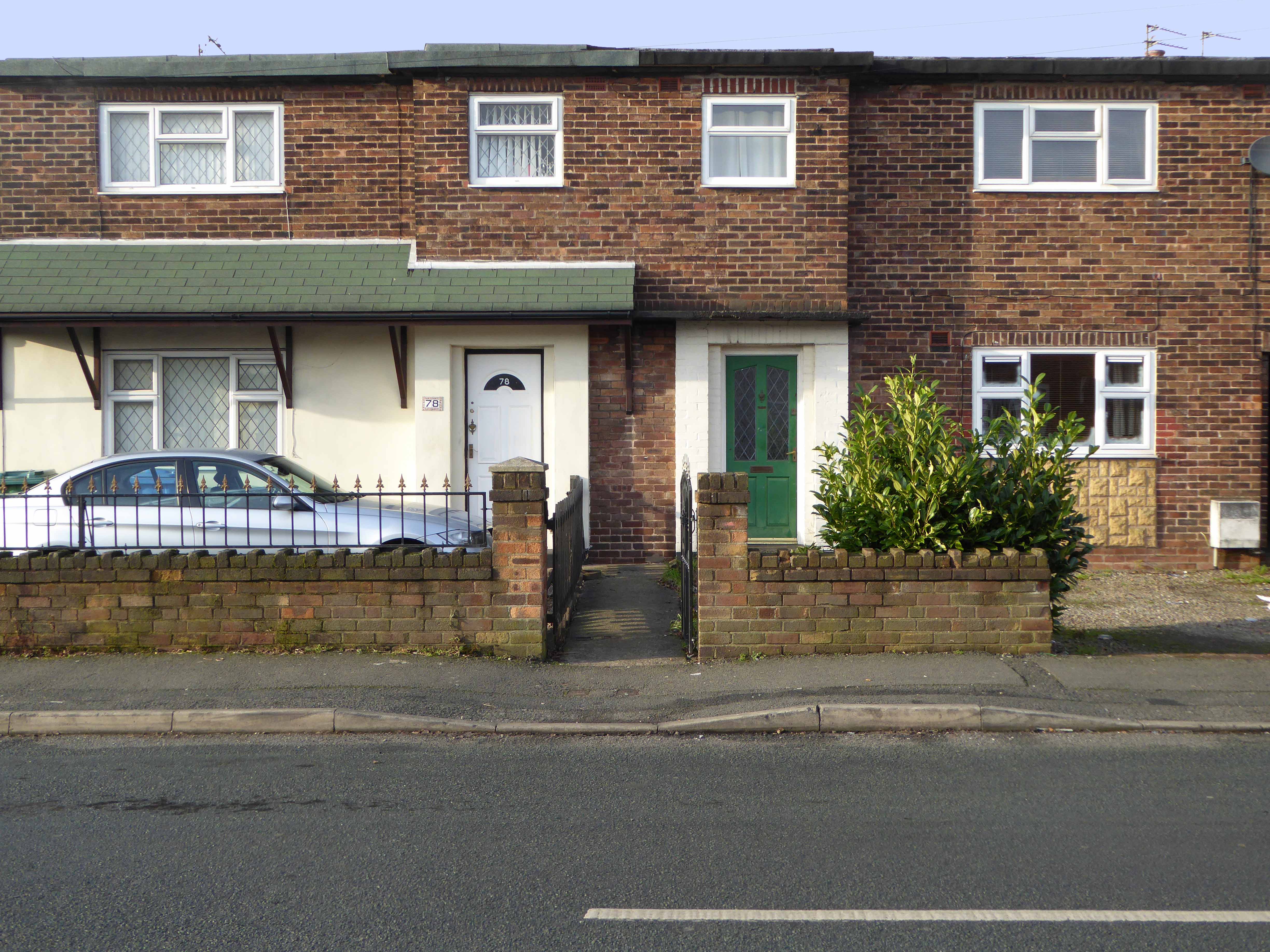
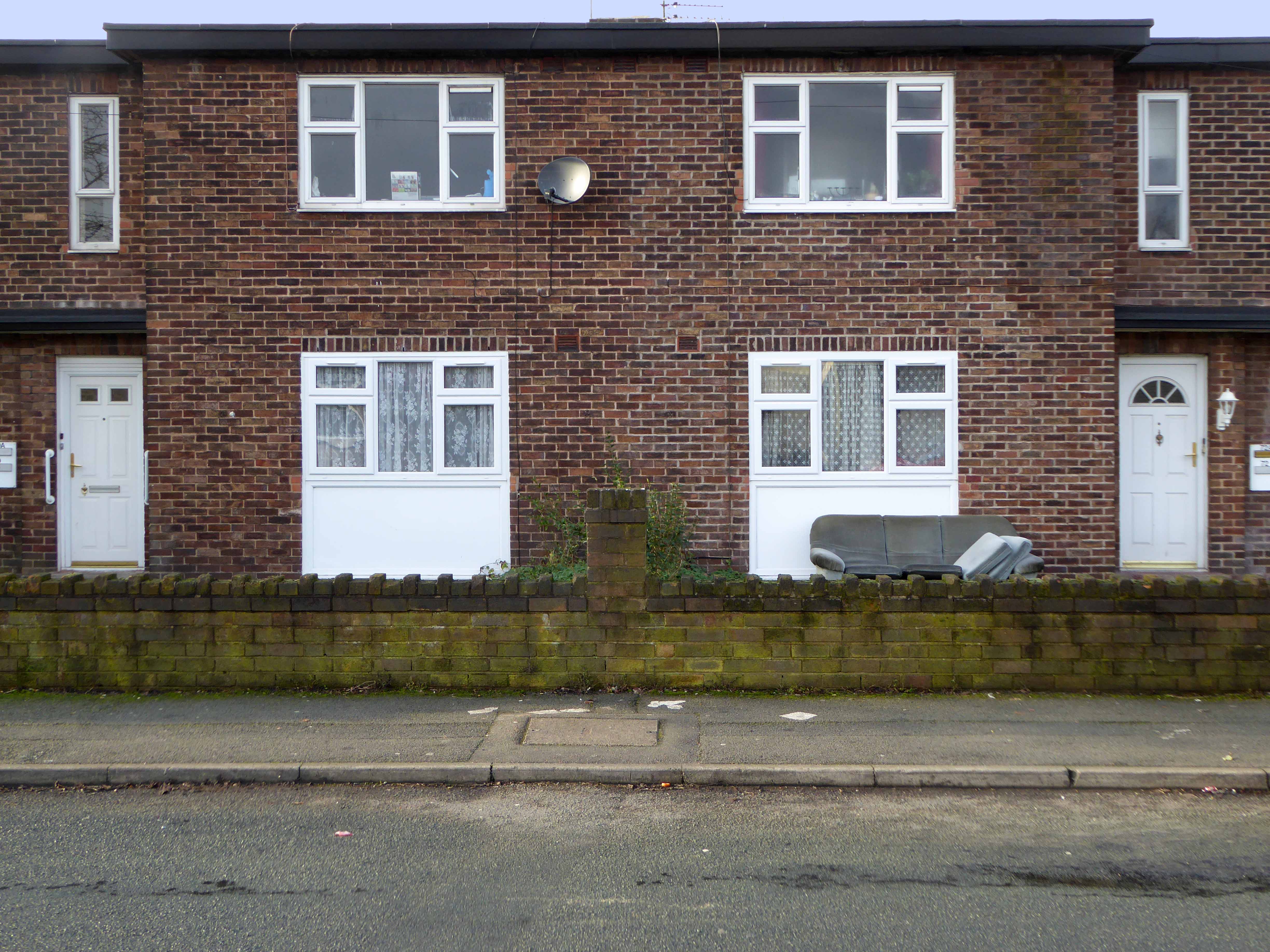
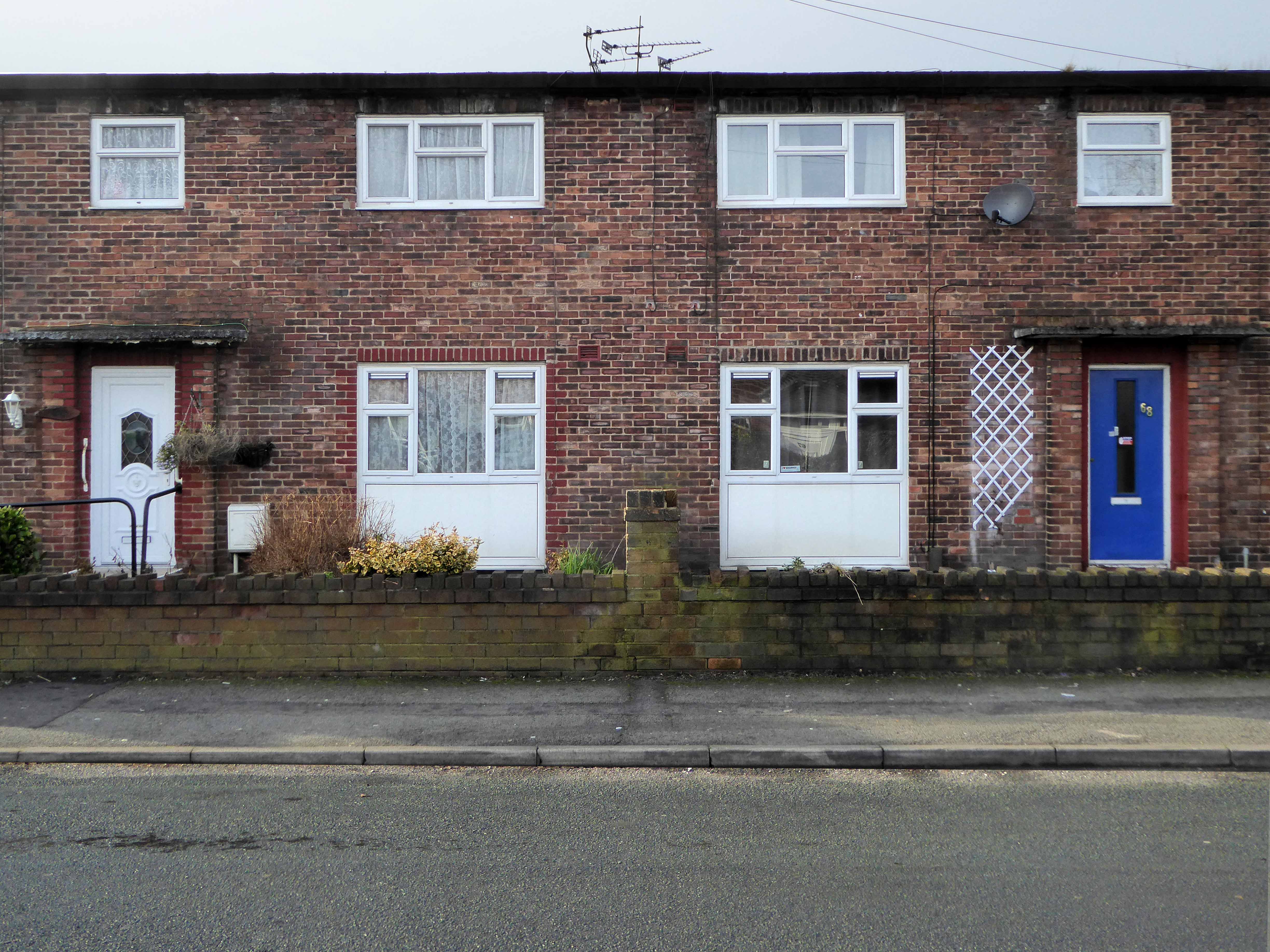
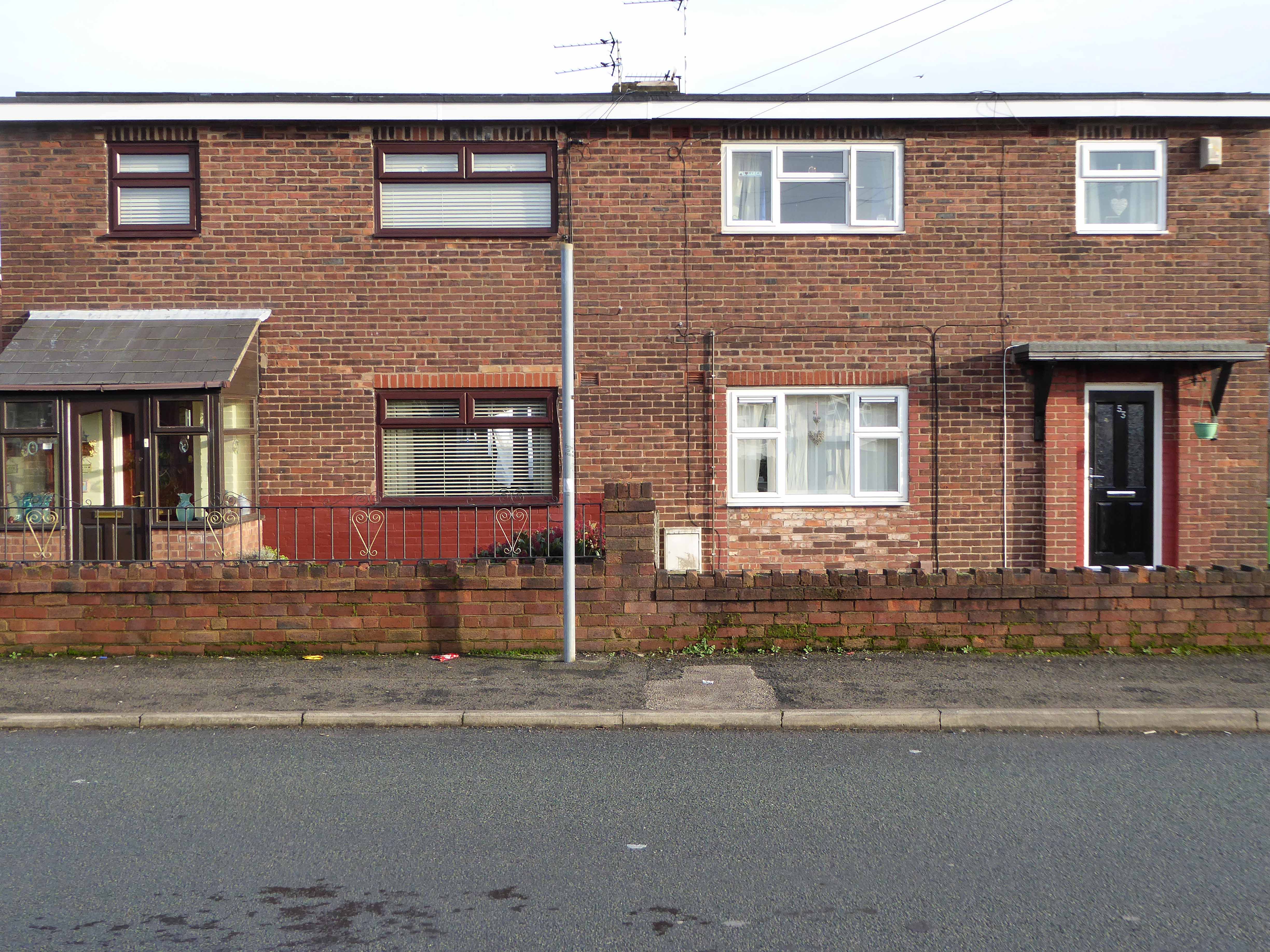
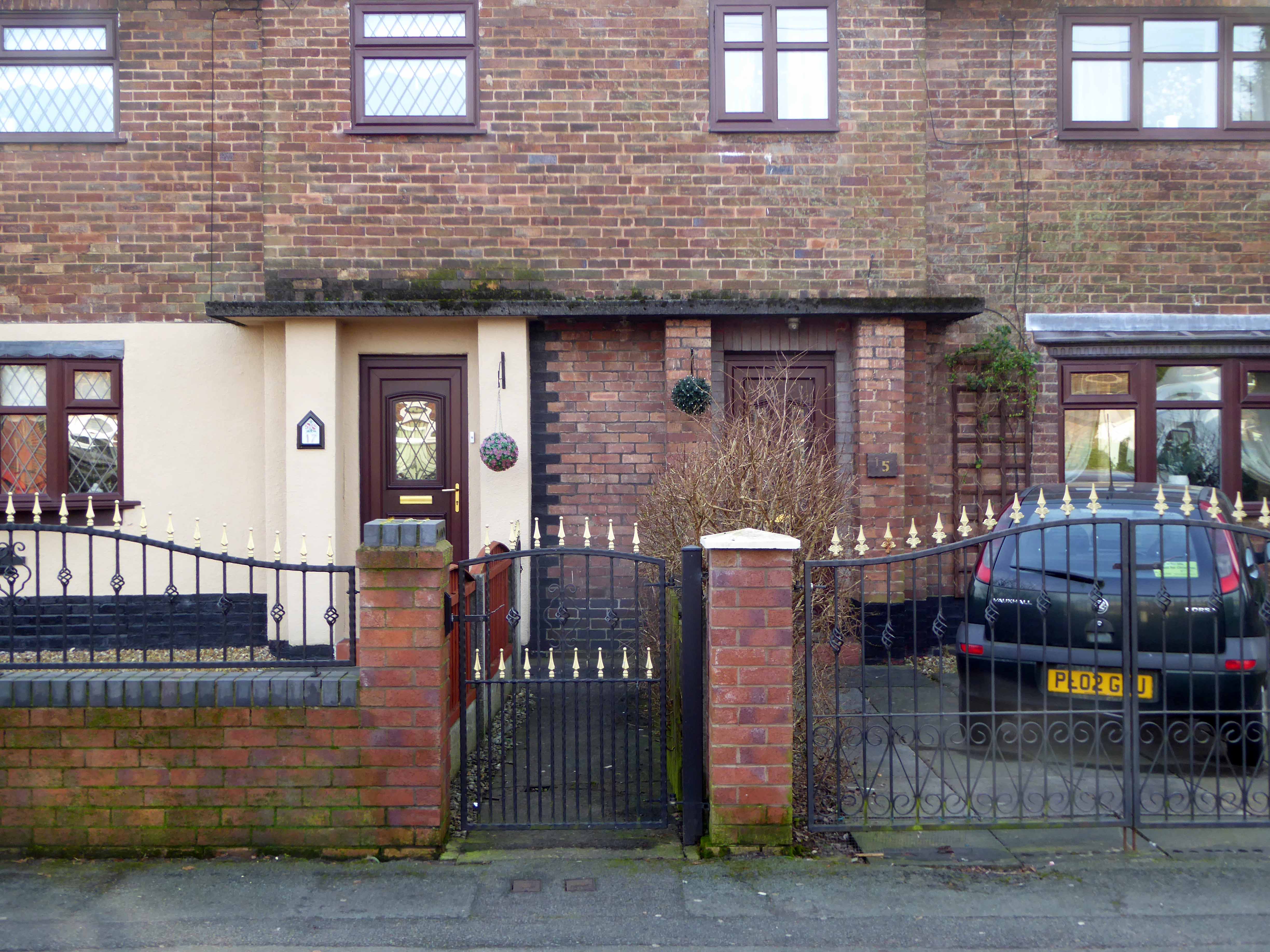
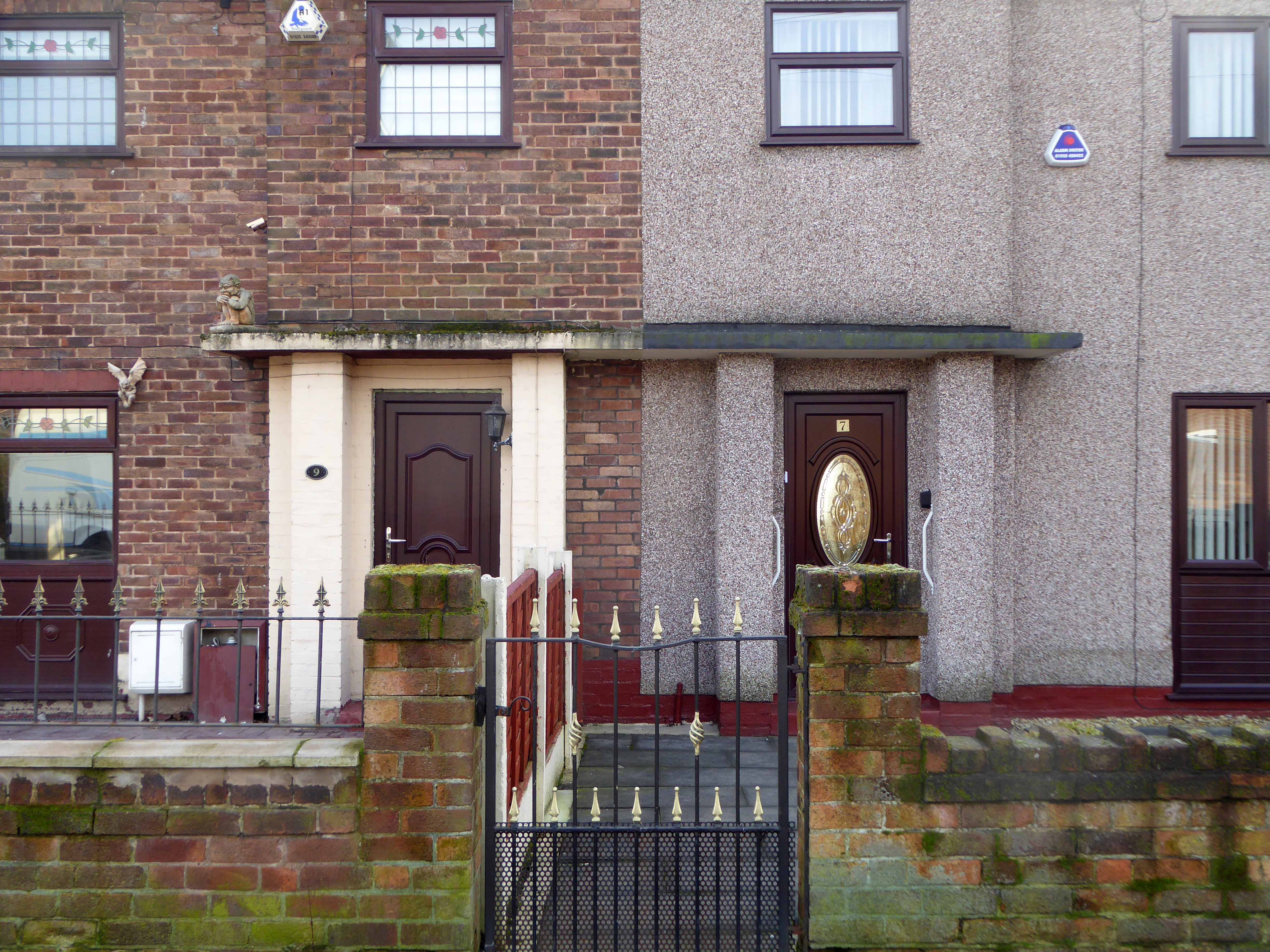
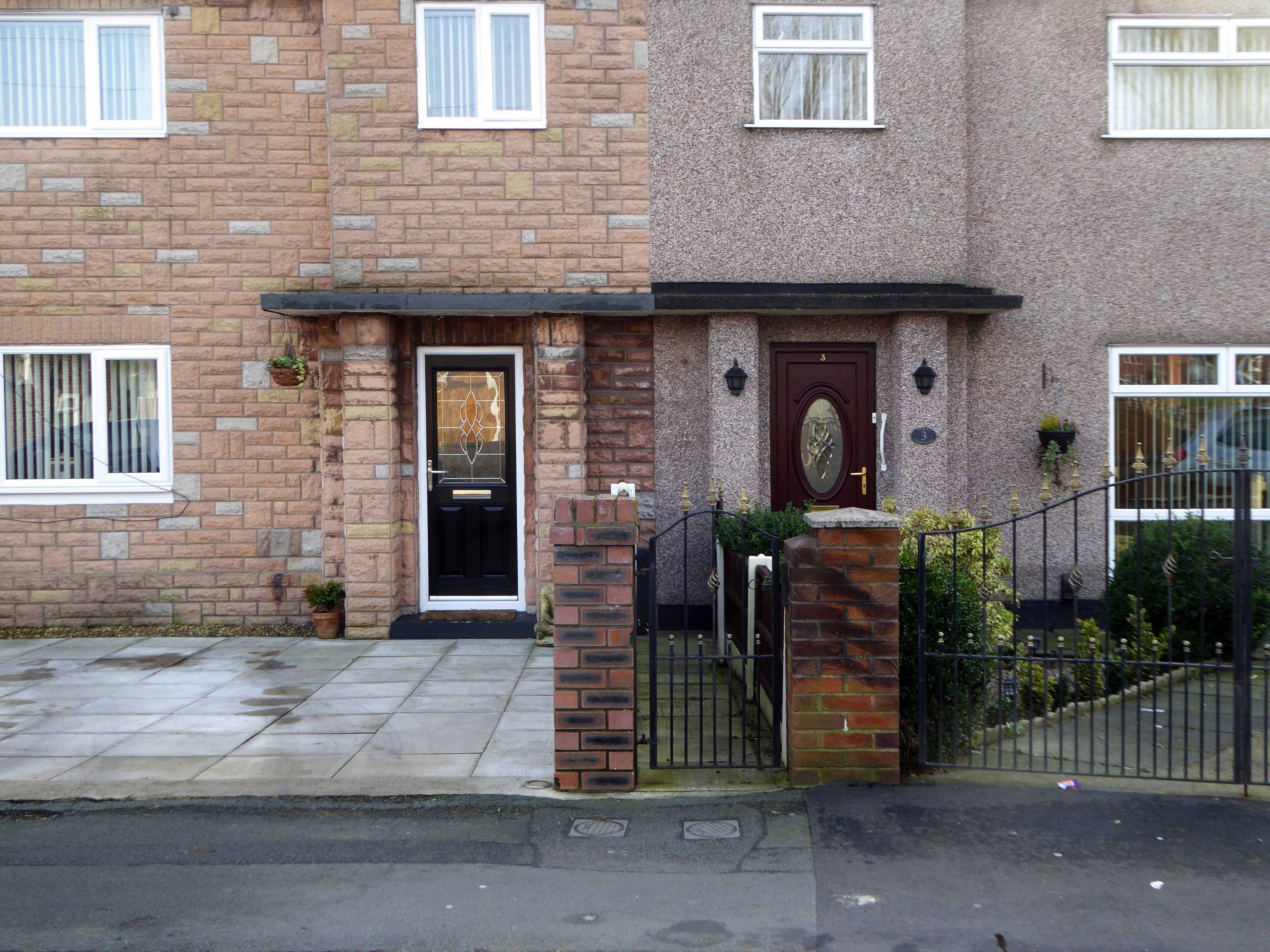
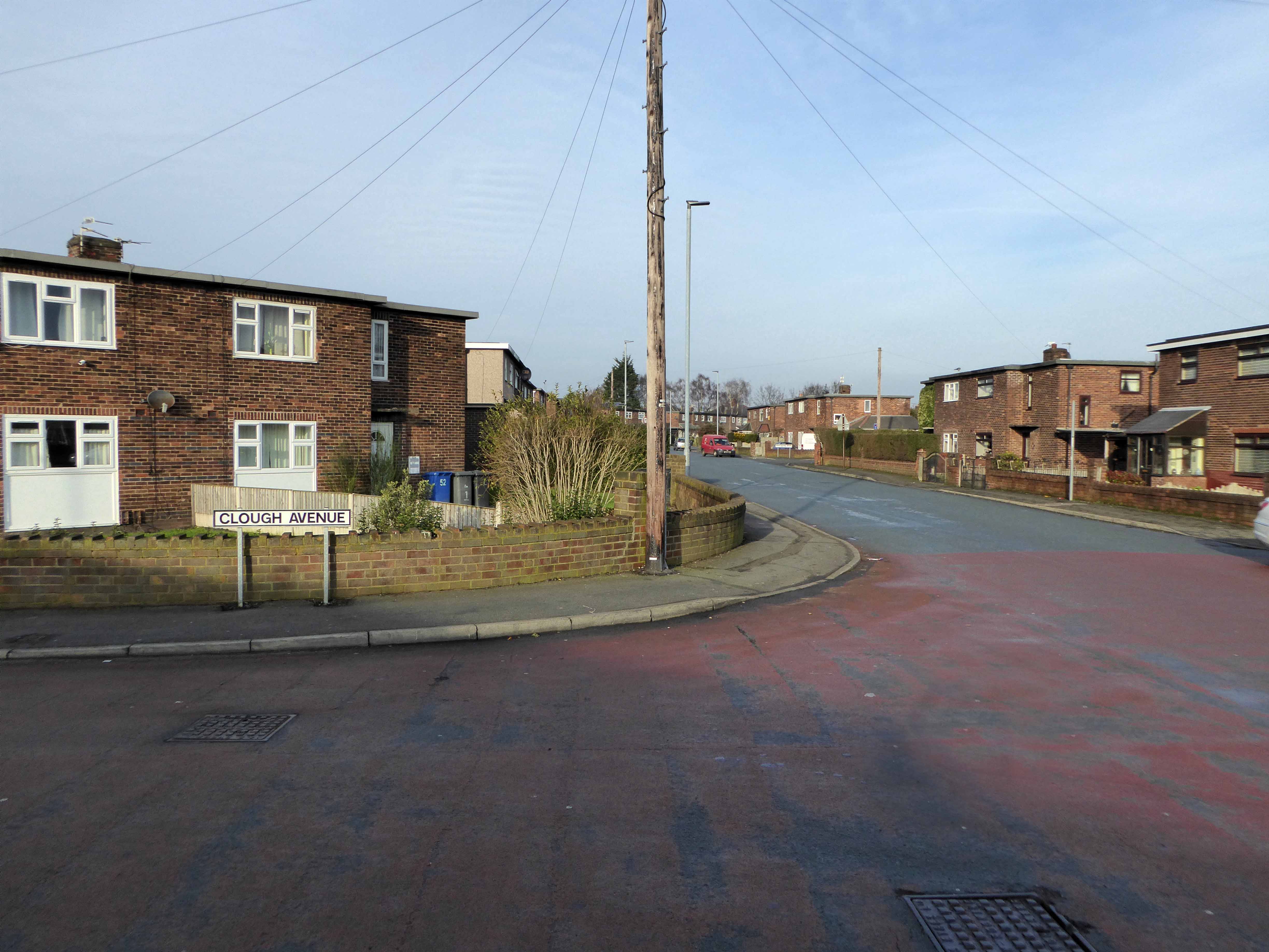
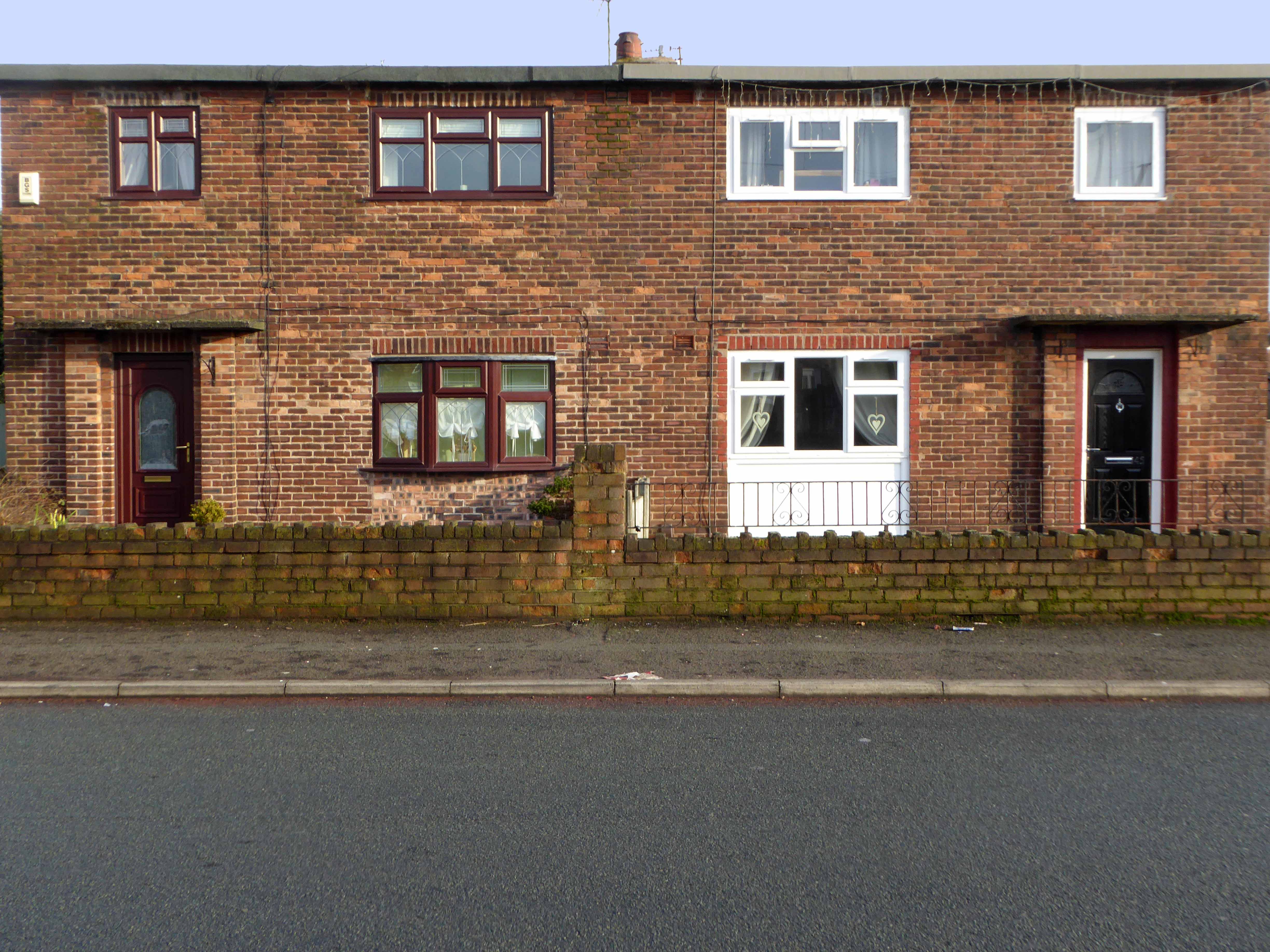
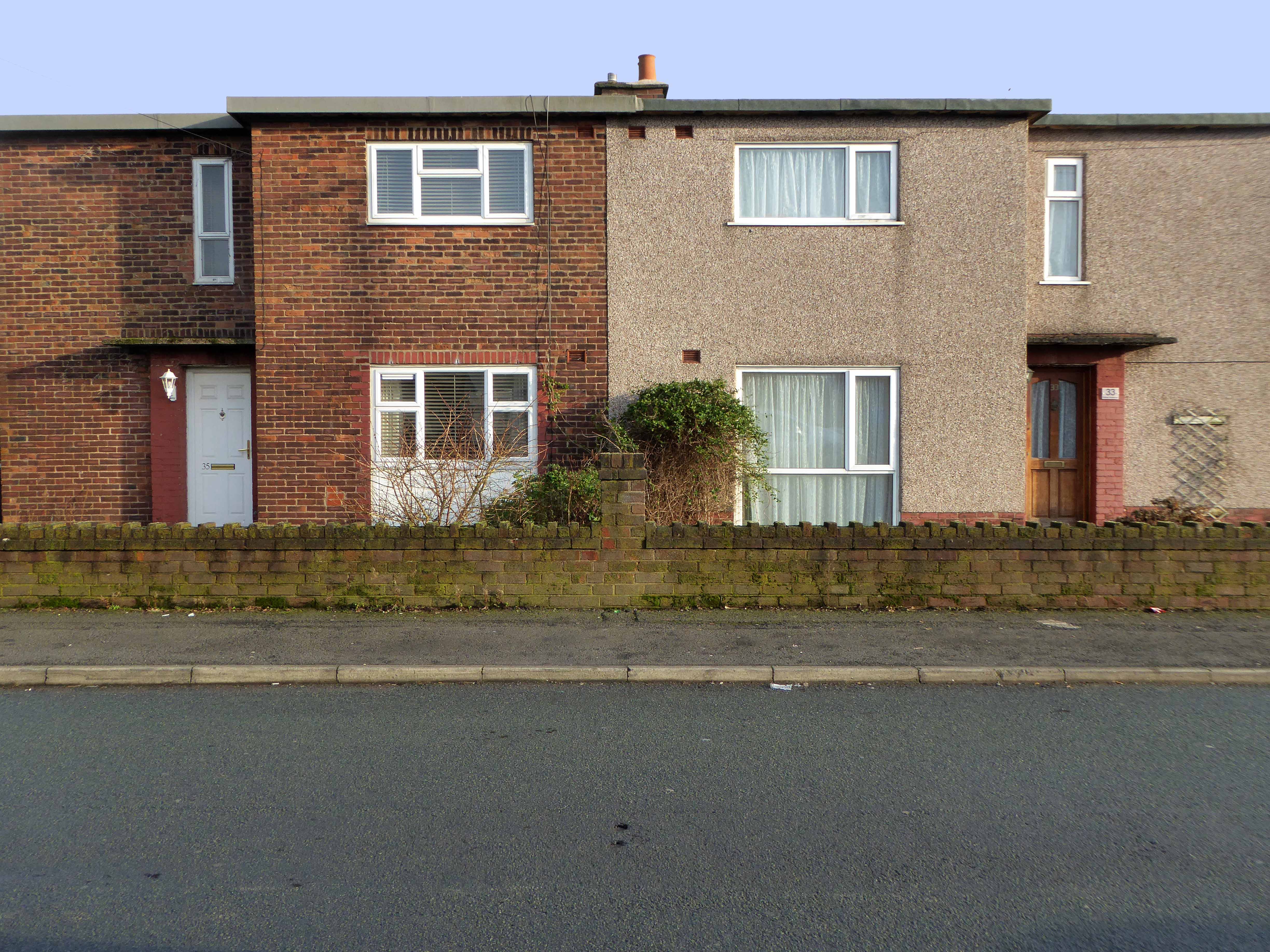
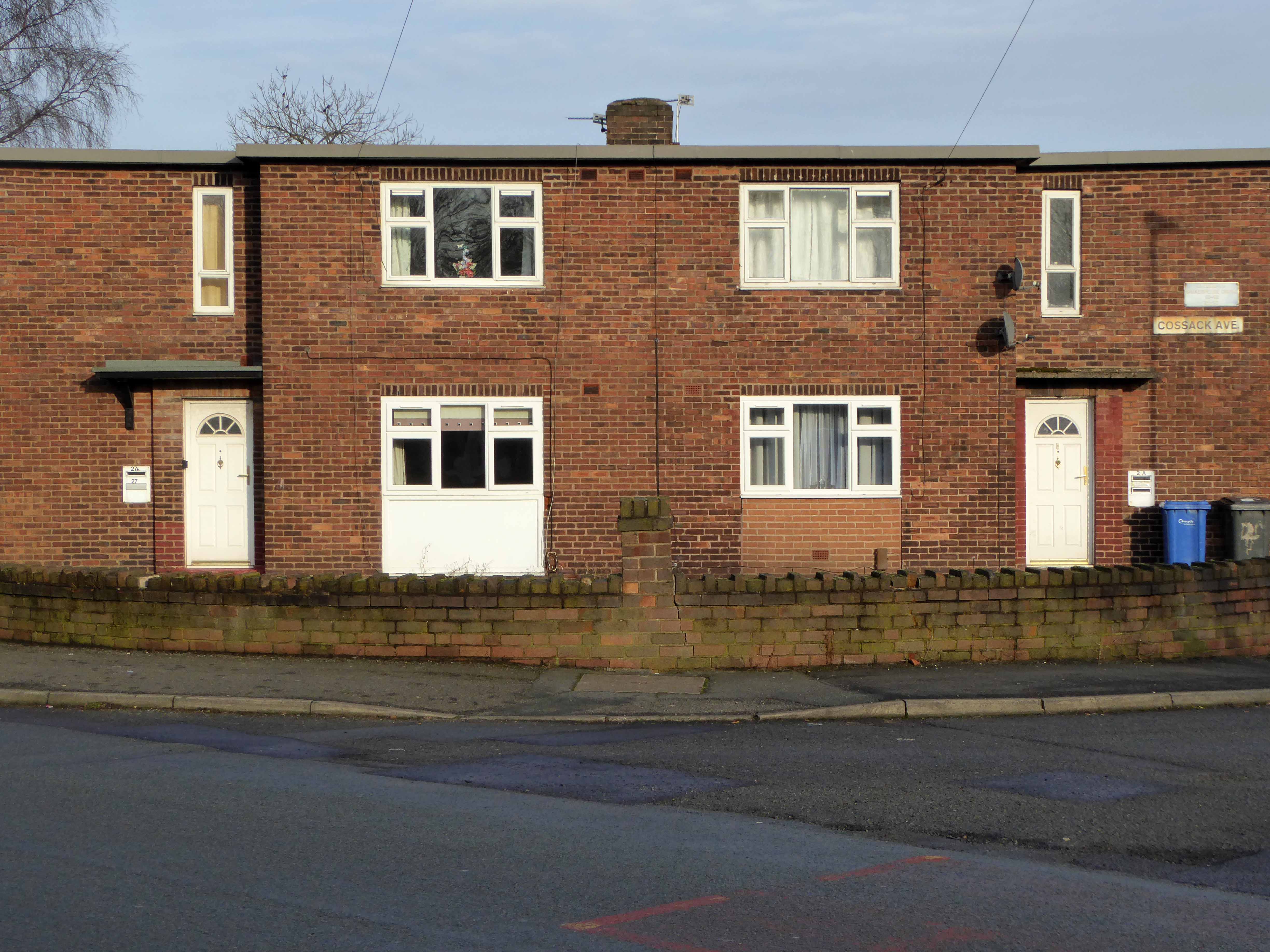
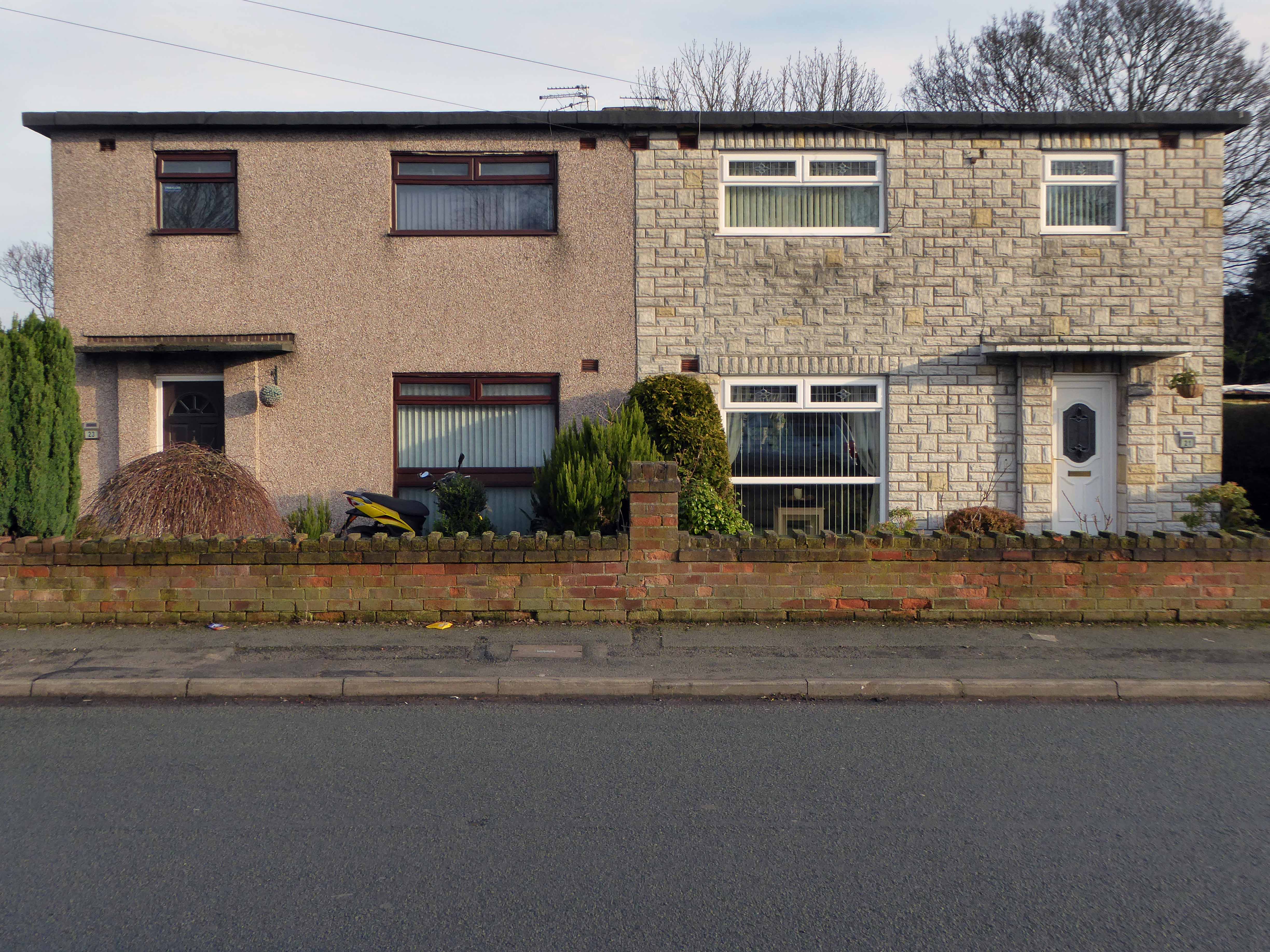
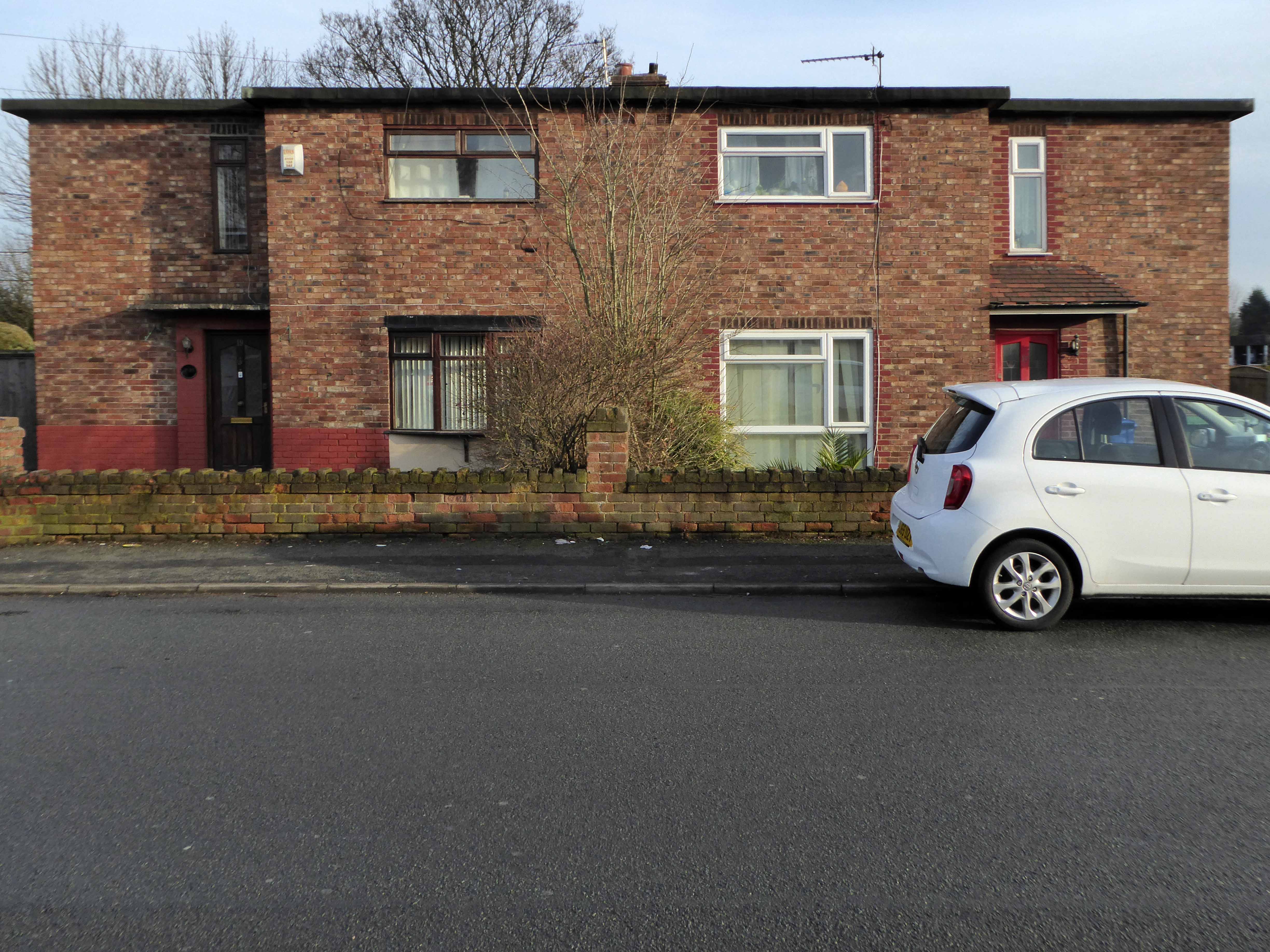
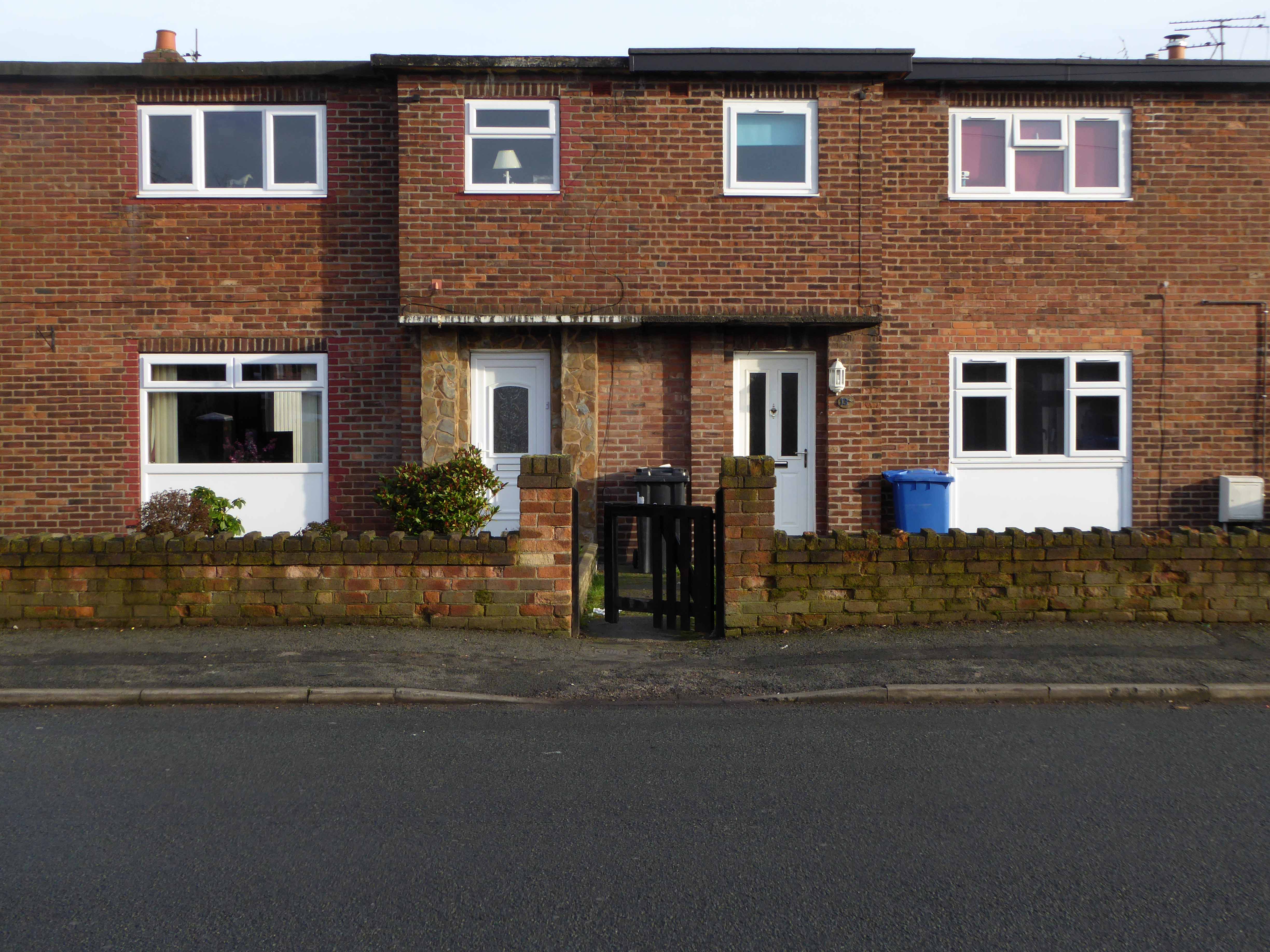
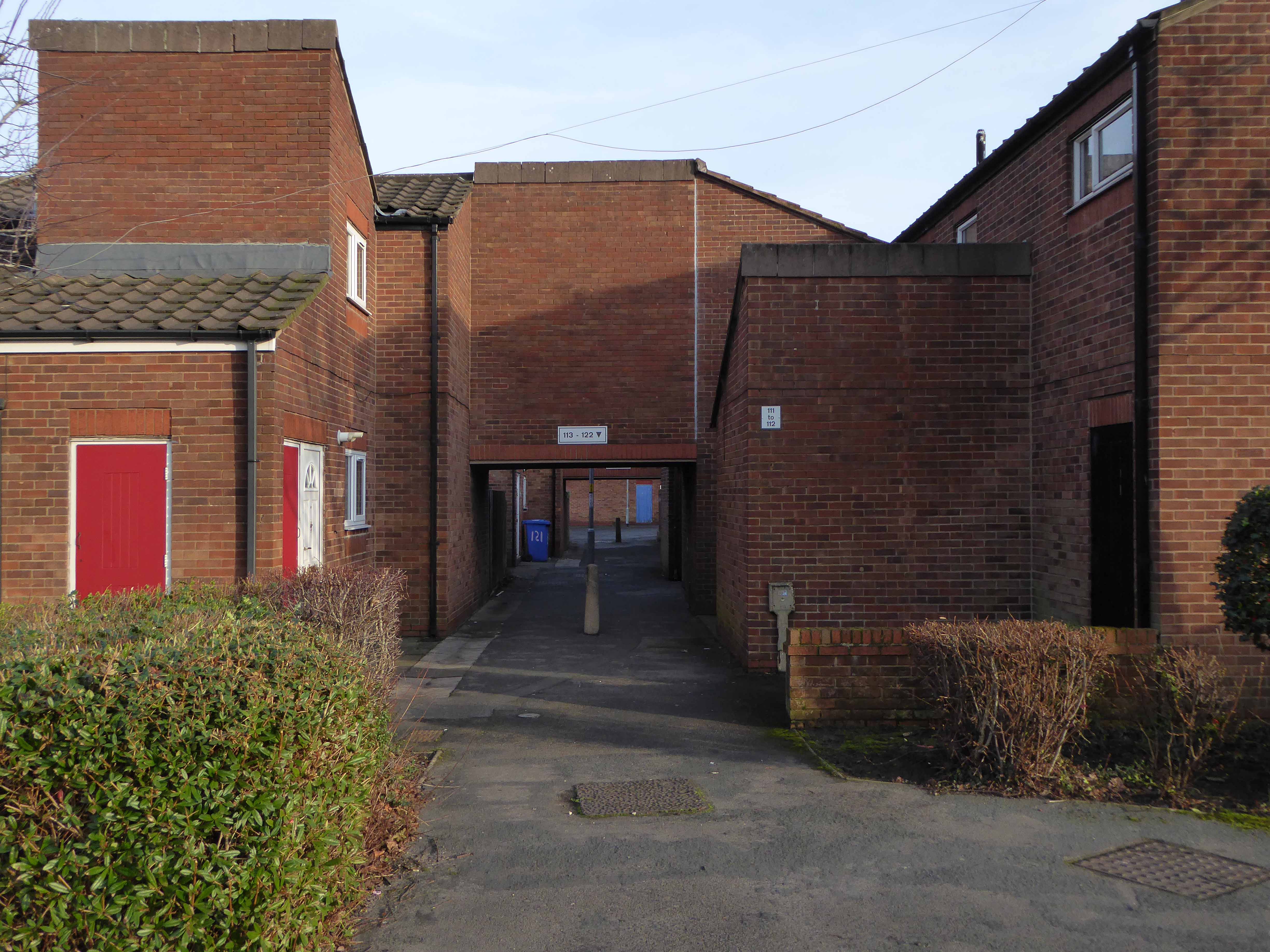
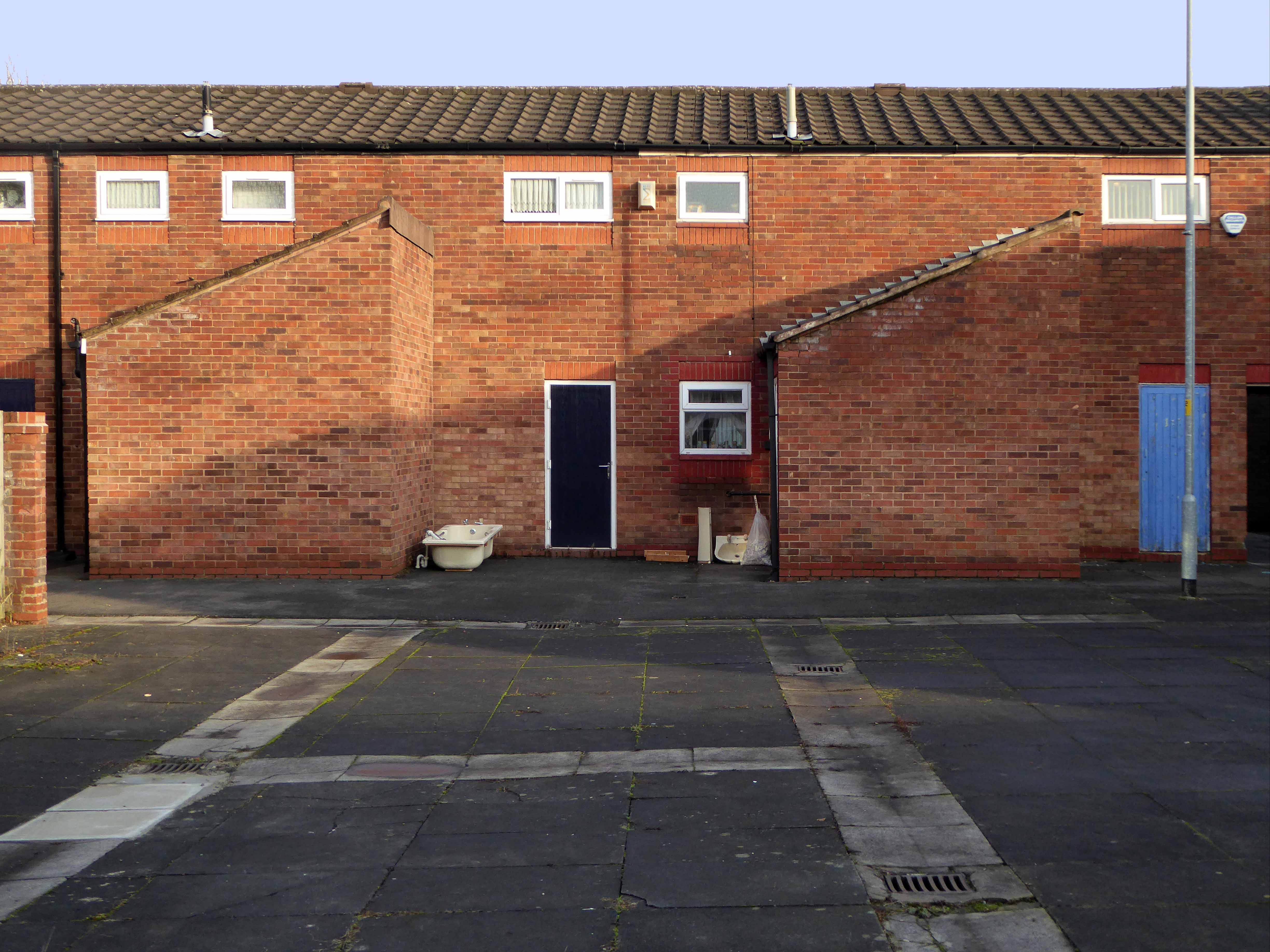
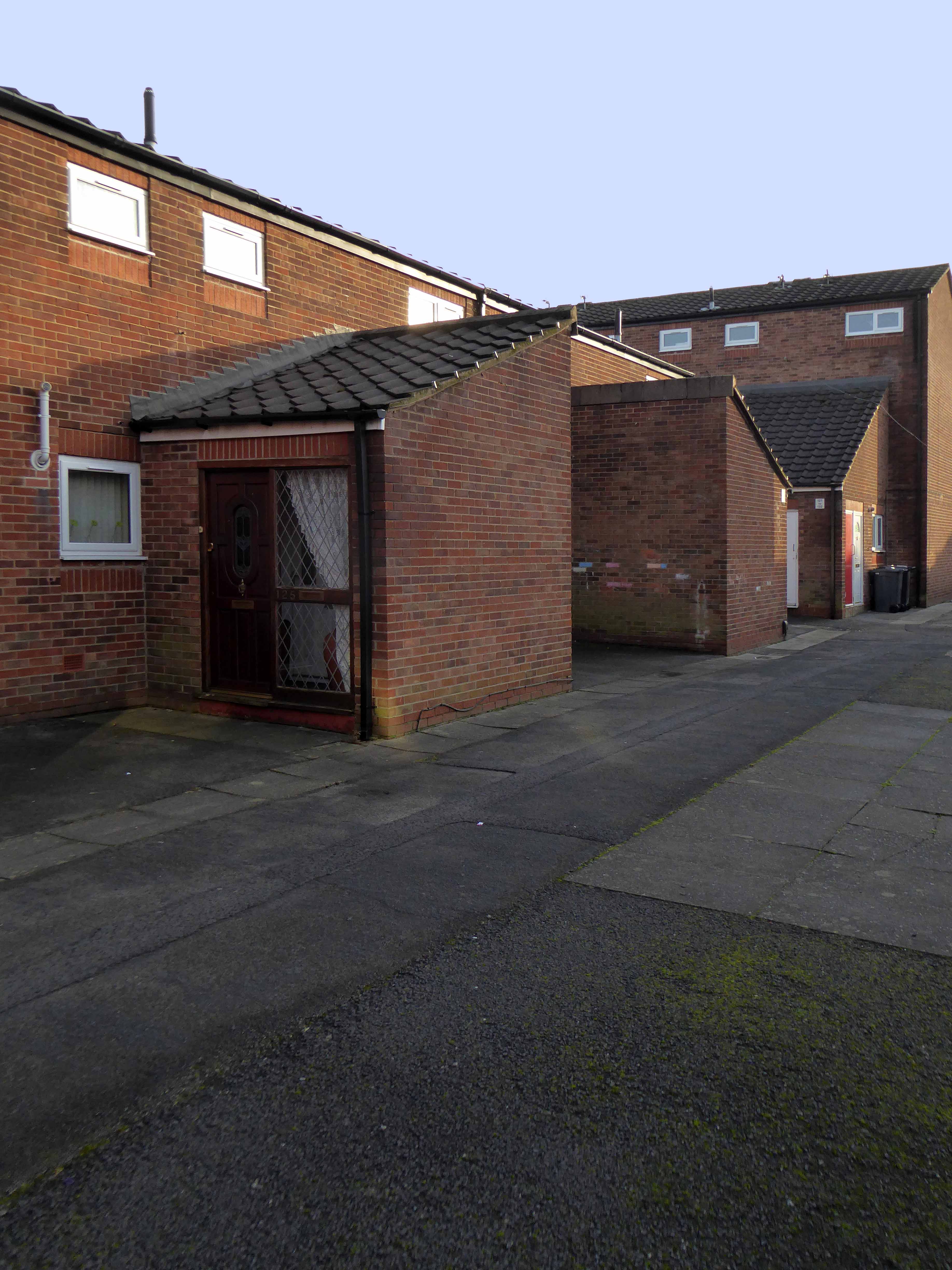
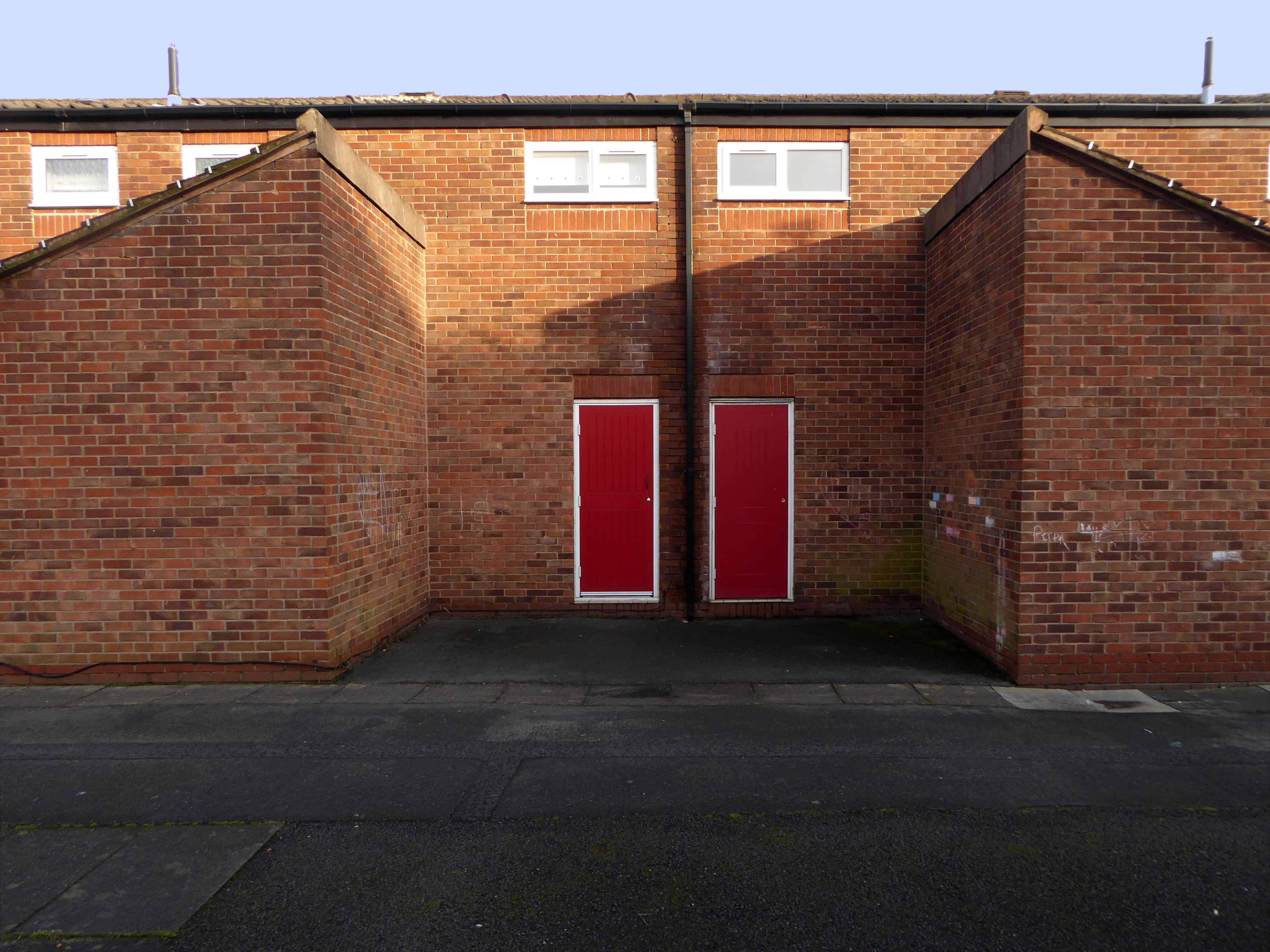
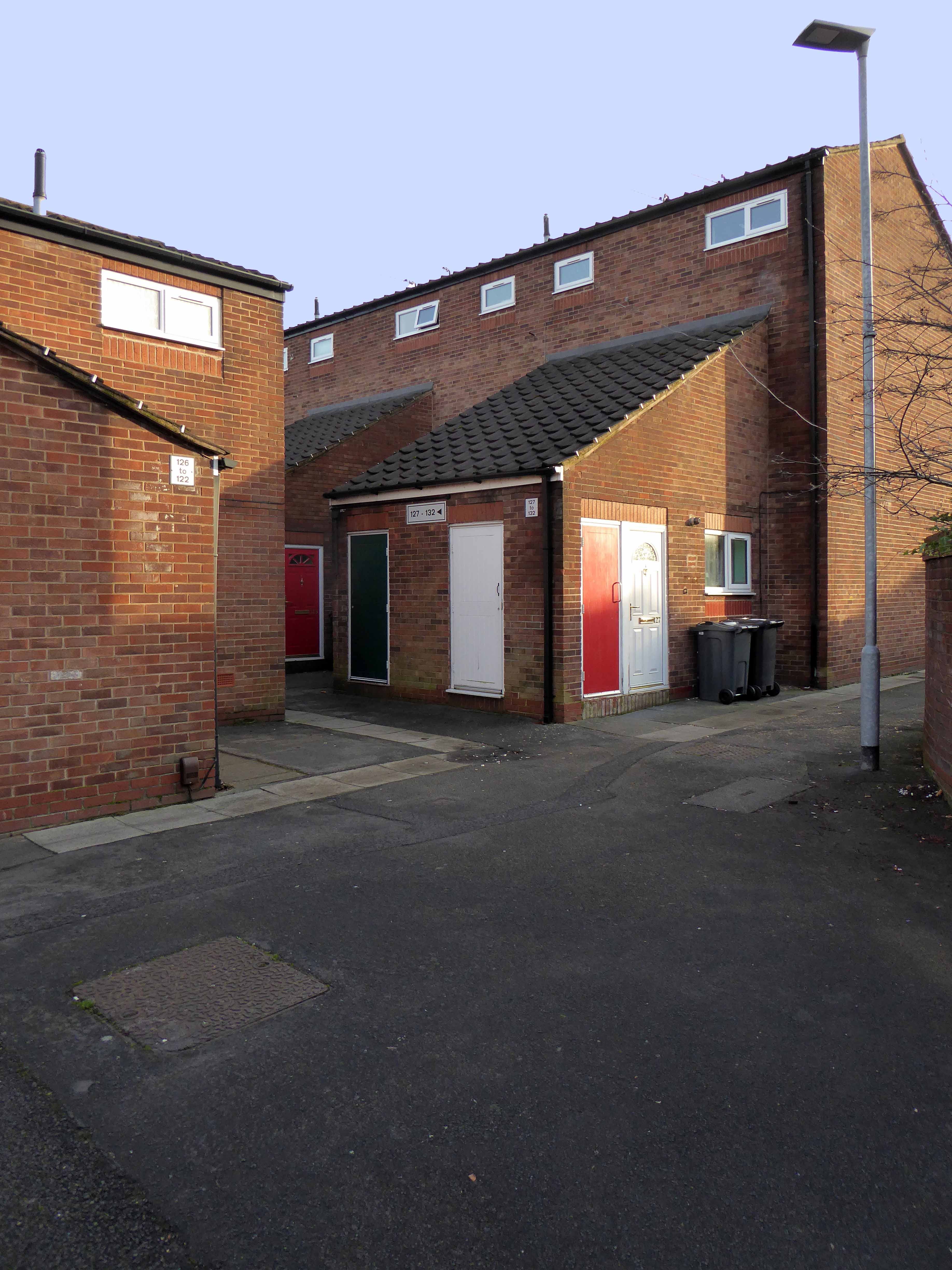
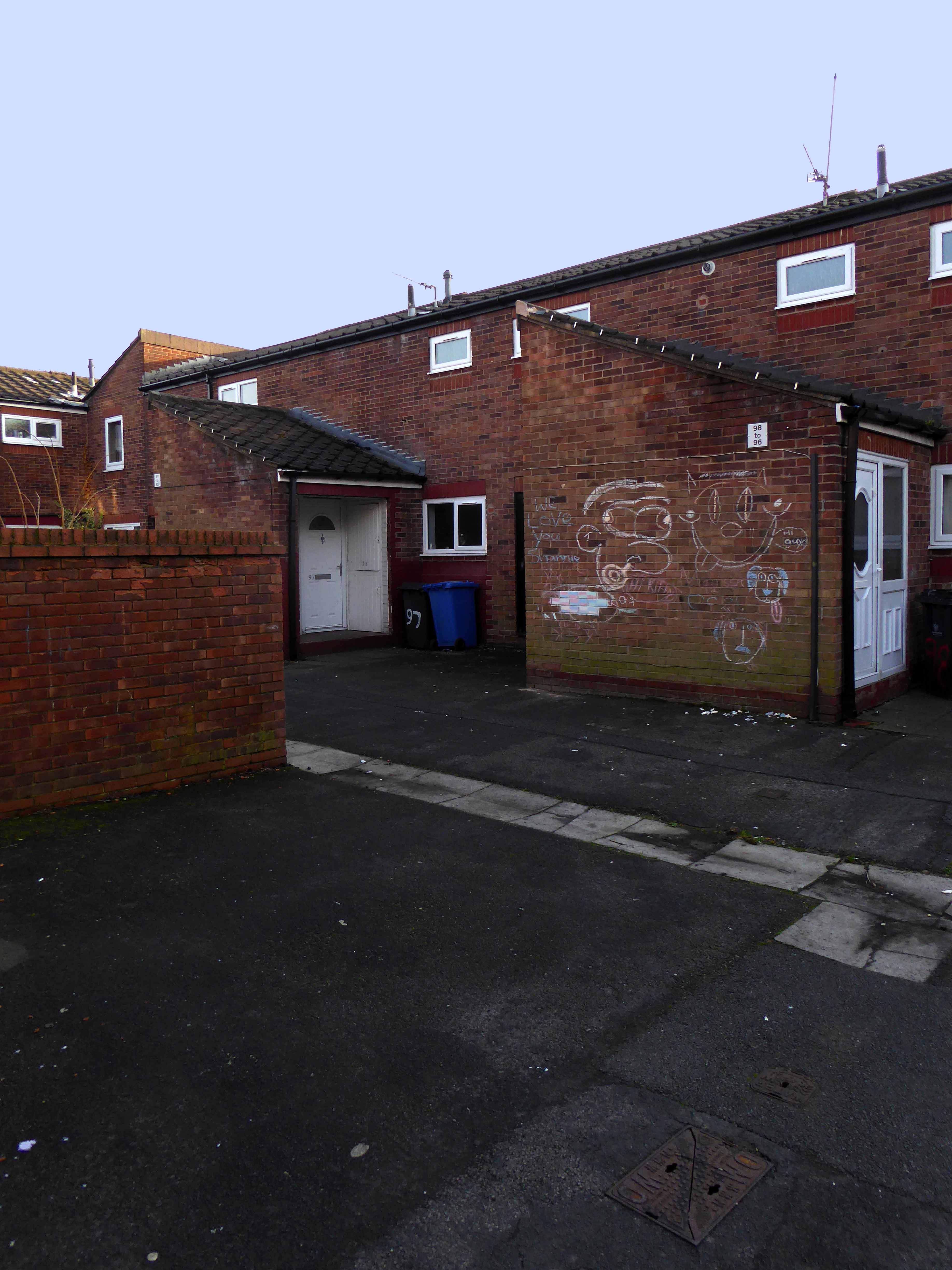
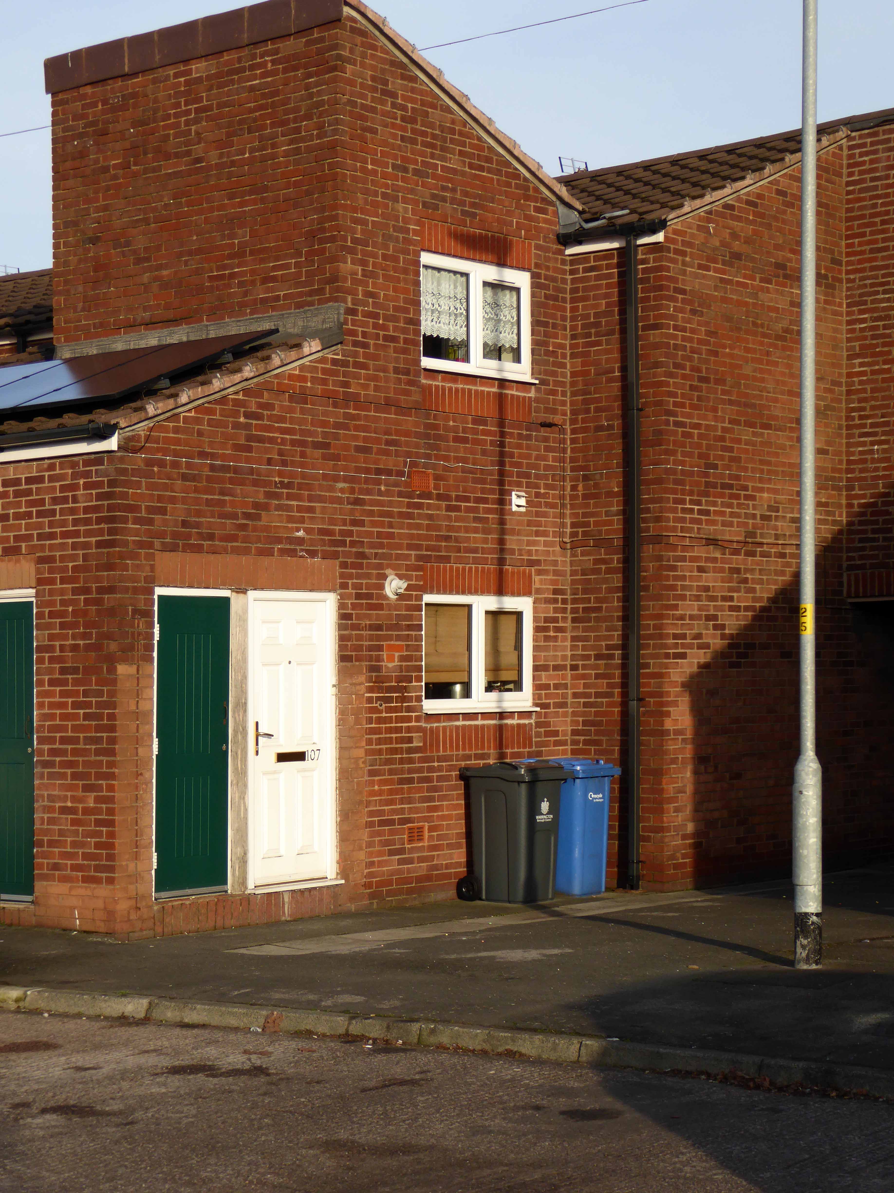
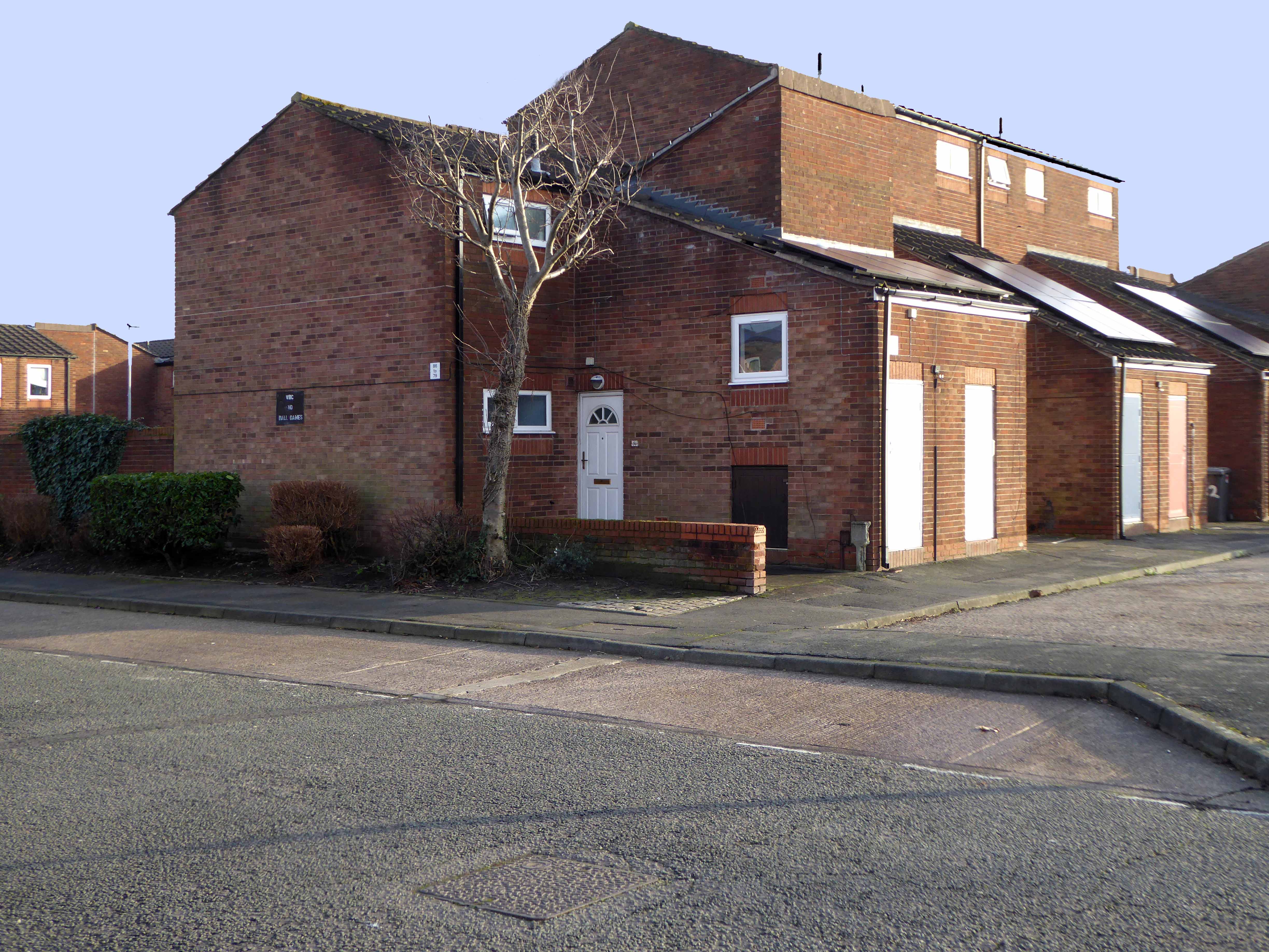
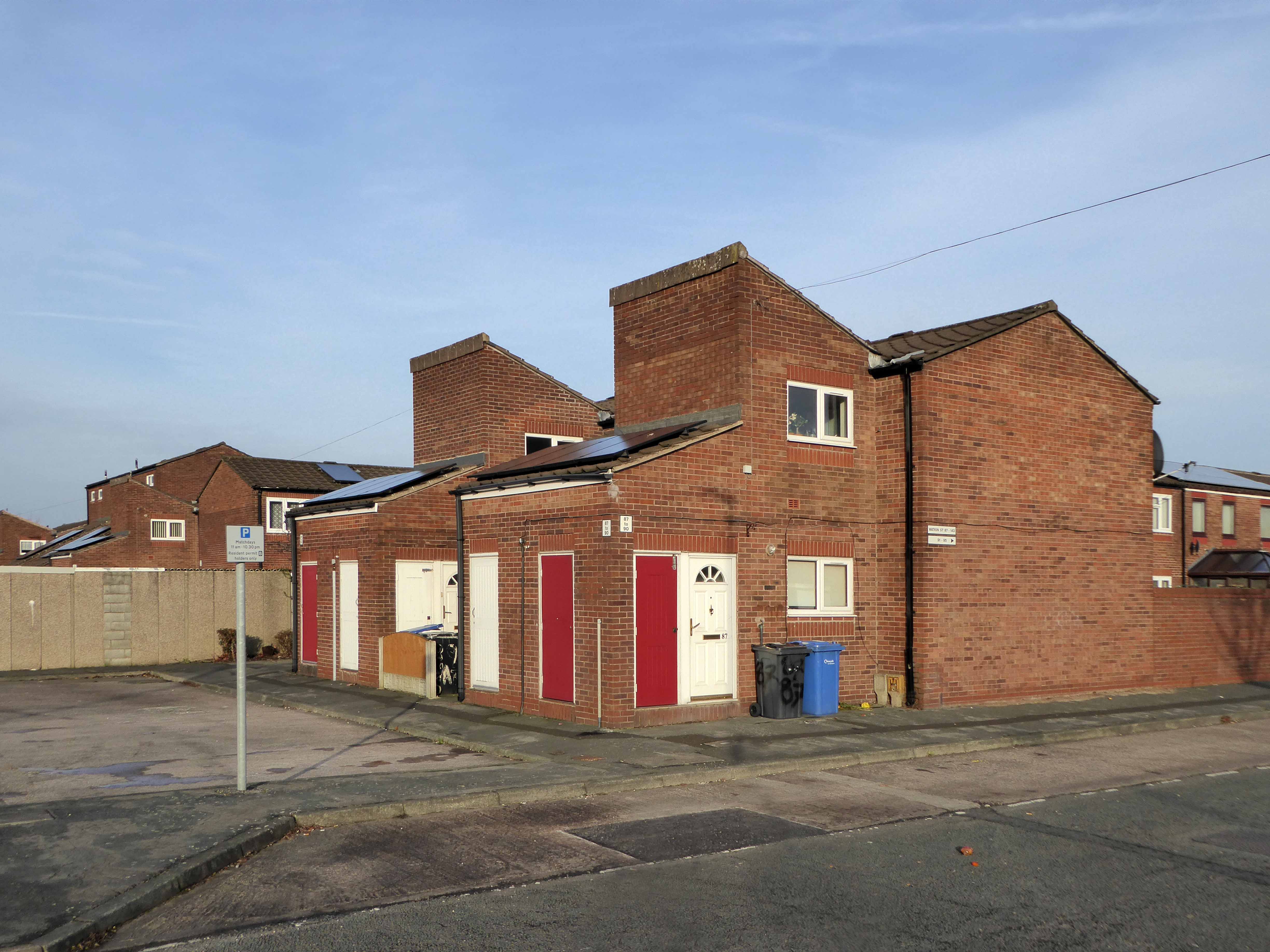
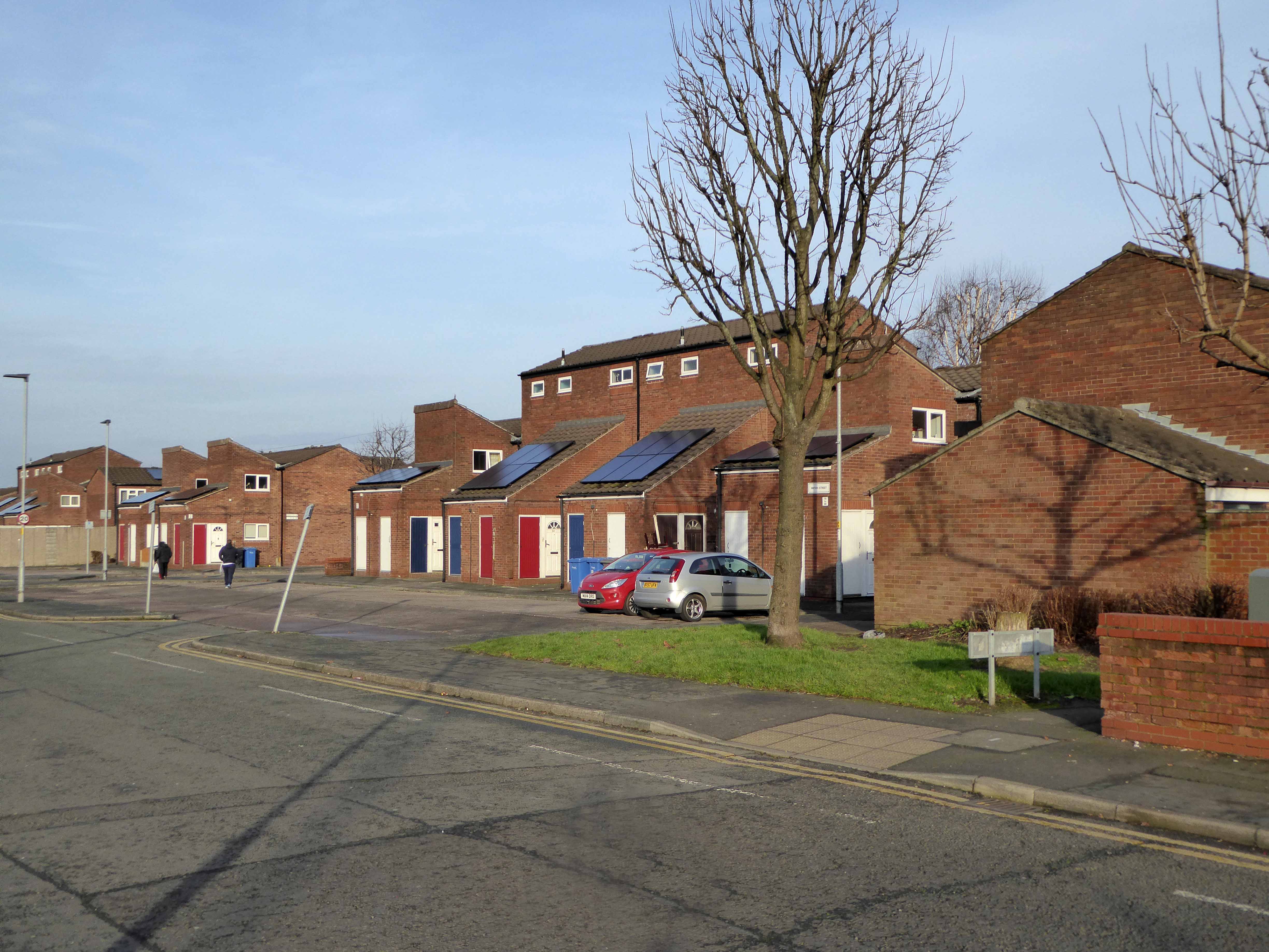
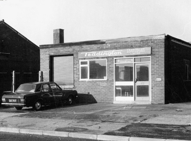
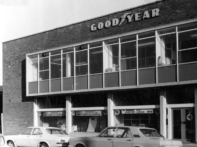
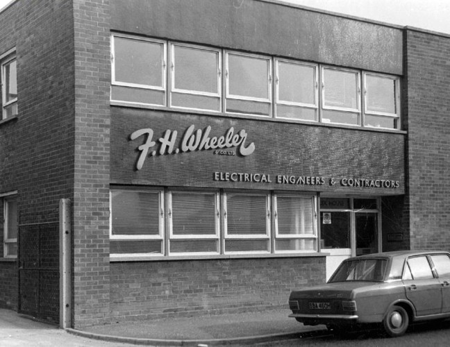
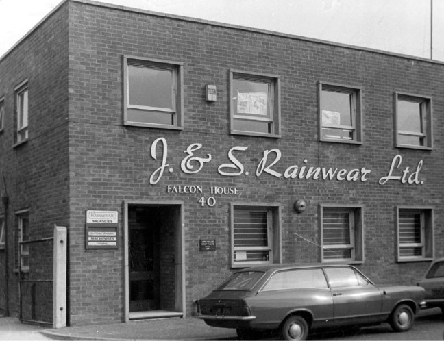
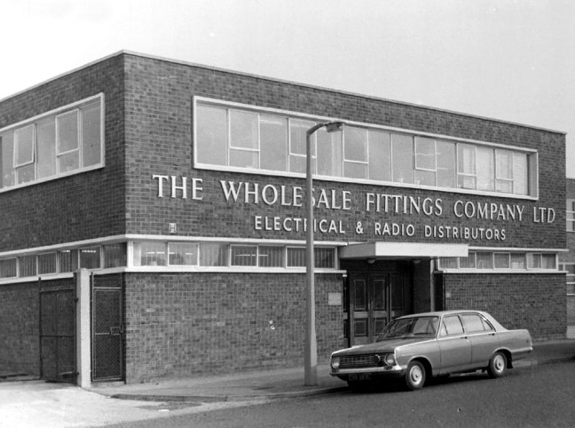
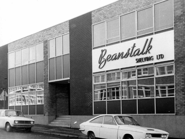
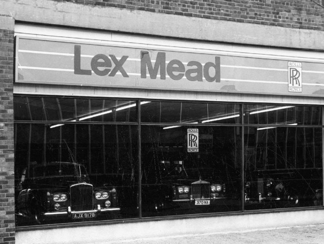
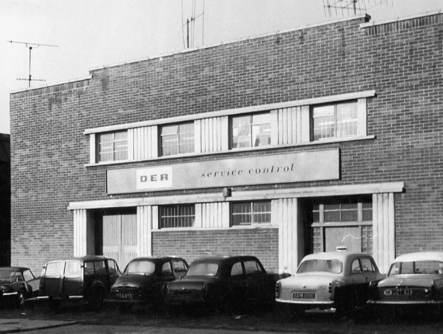
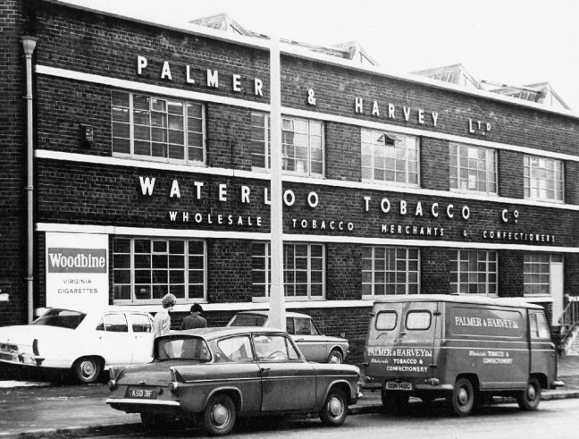
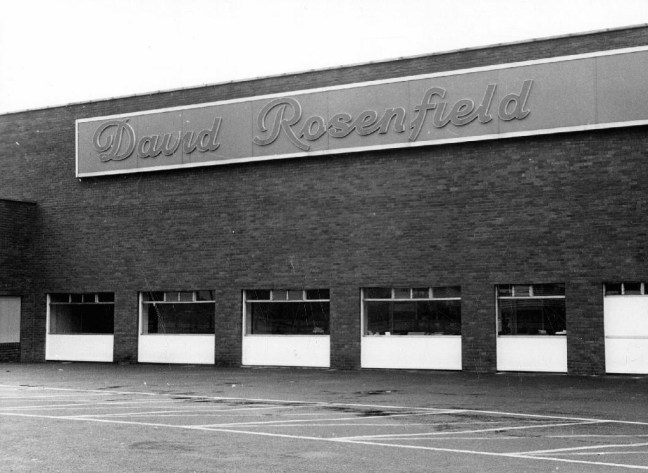
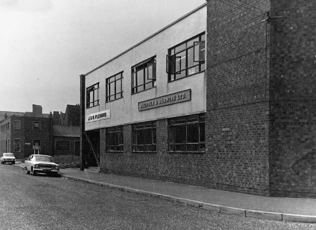
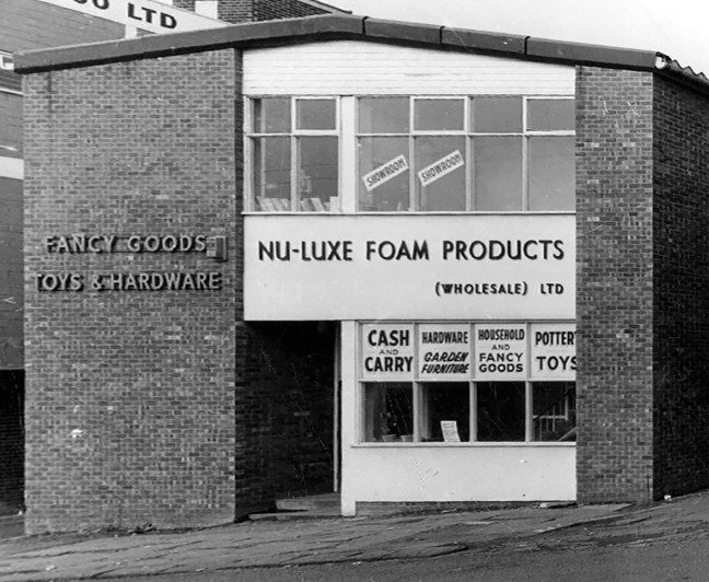
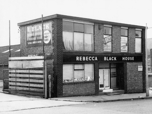
So let’s take a look at the ever so strange streets of Strangeways, in that period of change during the latter part of the Twentieth Century, when manufacturing, retail, repair and distribution were almost, just about to disappear in a puff of globalisation, economic depression and Thatcherism. Where Jack and Jill the lads and lasses, traded, ducked, dived, wheeler dealed from Cortinas, Transits and low milage, one owner, luxuriously leather-seated and walnut-dashed Jags. A vanishing or vanished world, where however briefly – Manchester went architecturally mod.
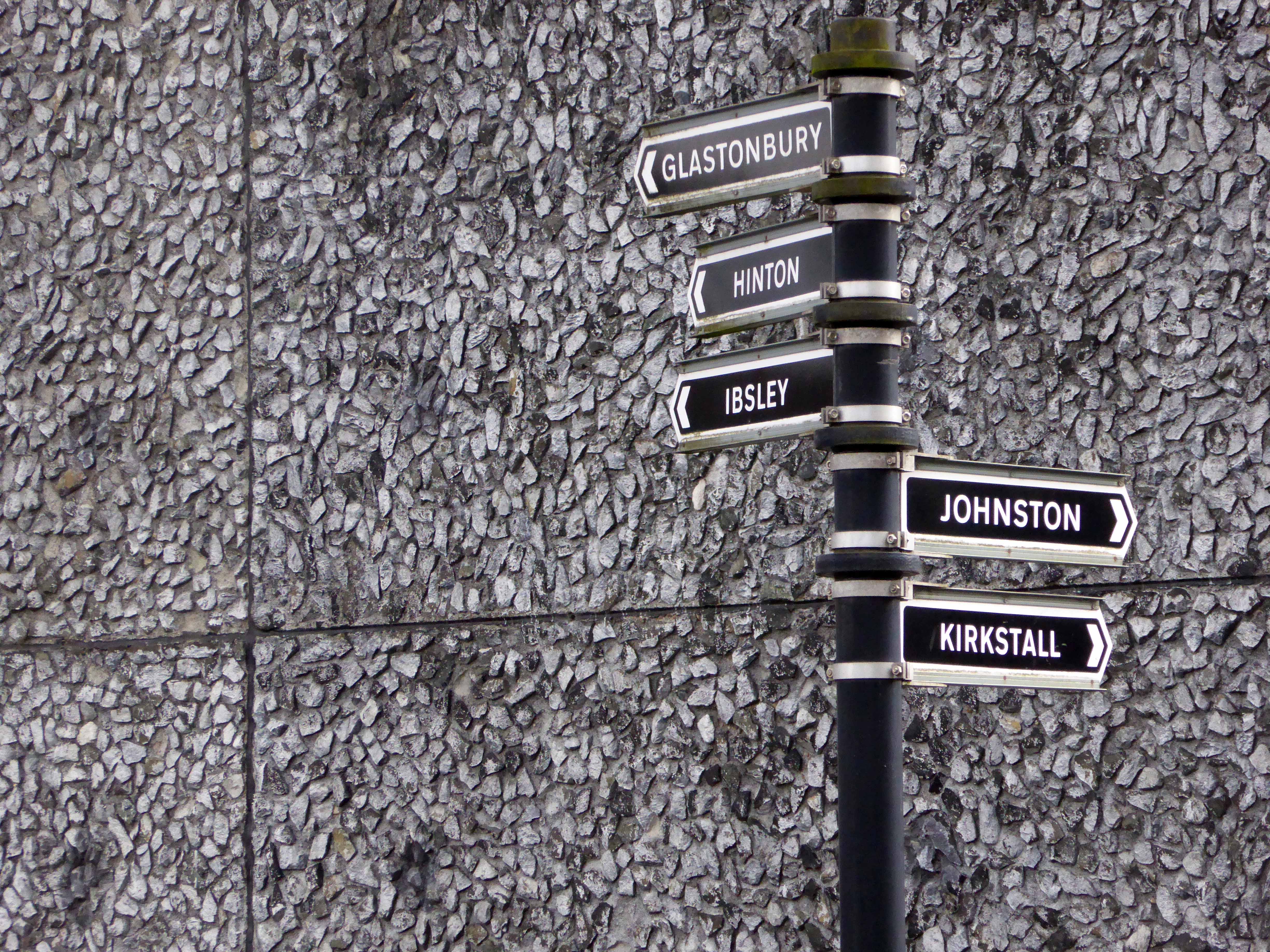
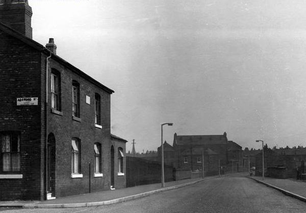
Bent Street
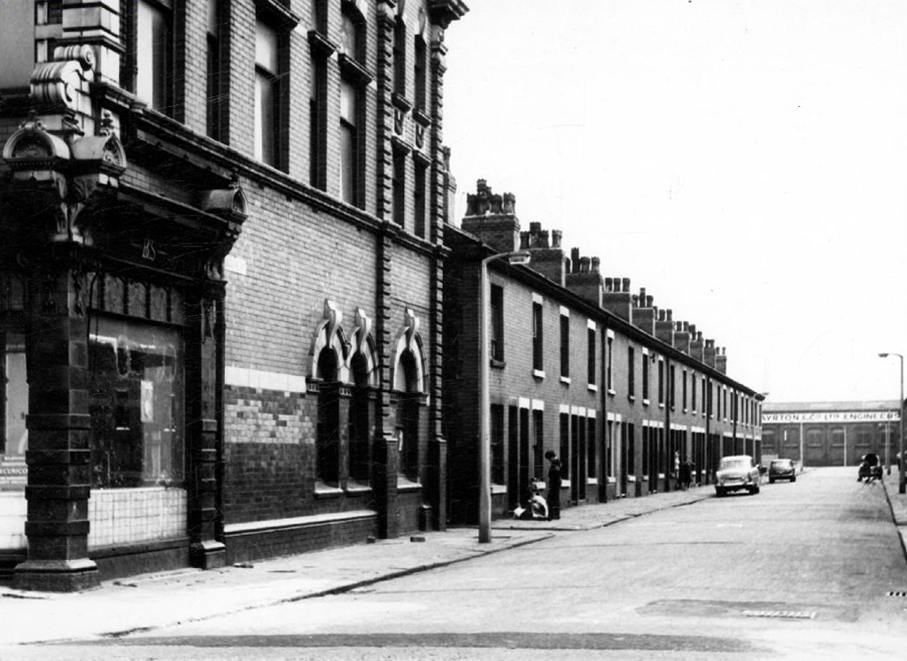
Broughton Street

Carnarvon Street
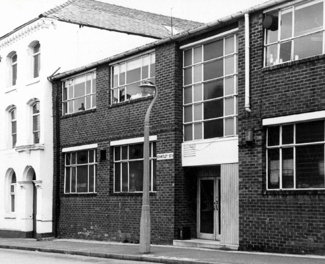
Chatley Street
Cheetwood Street
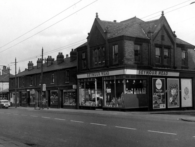
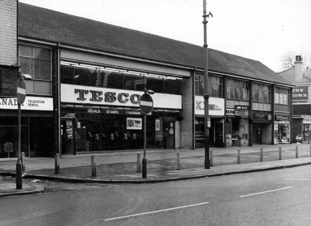
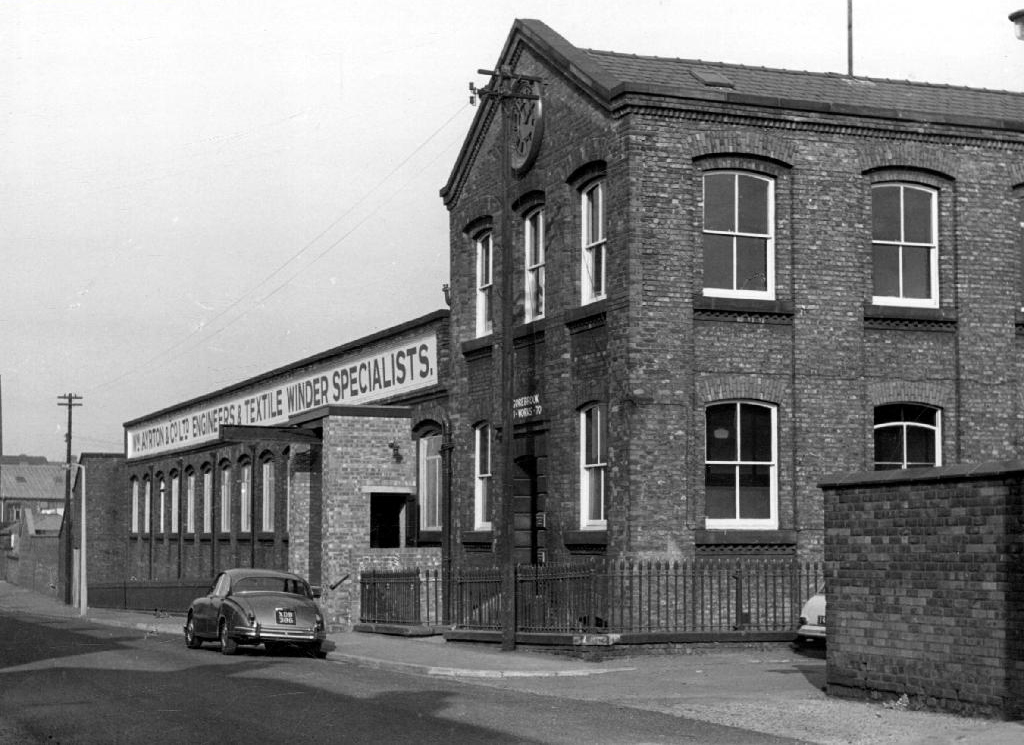
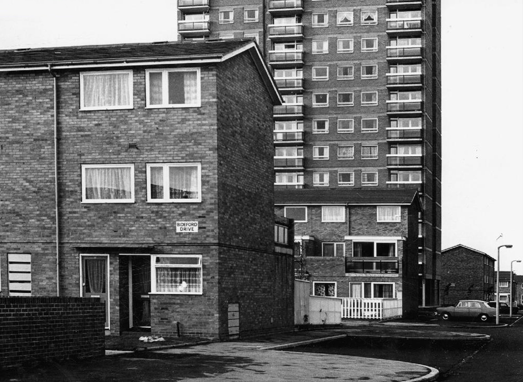
Derby Street
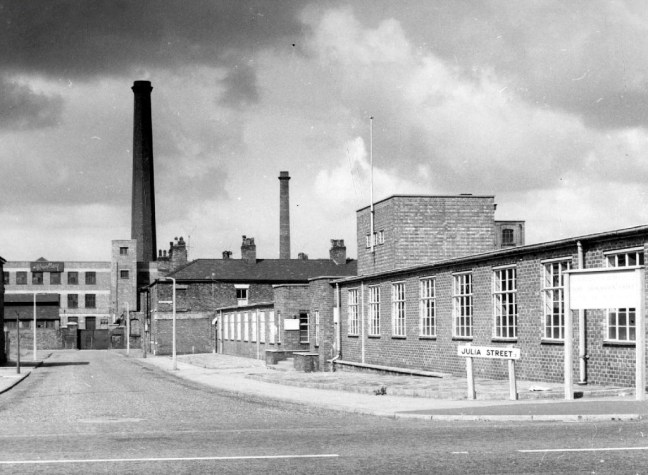
Julia Street
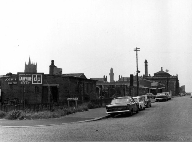

Knowsely Street
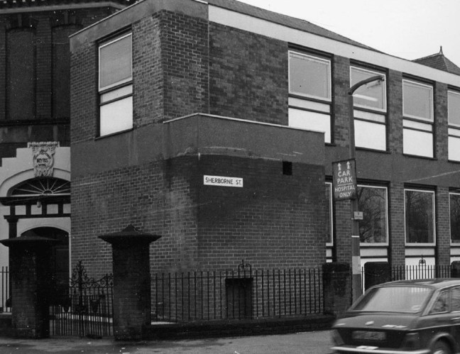
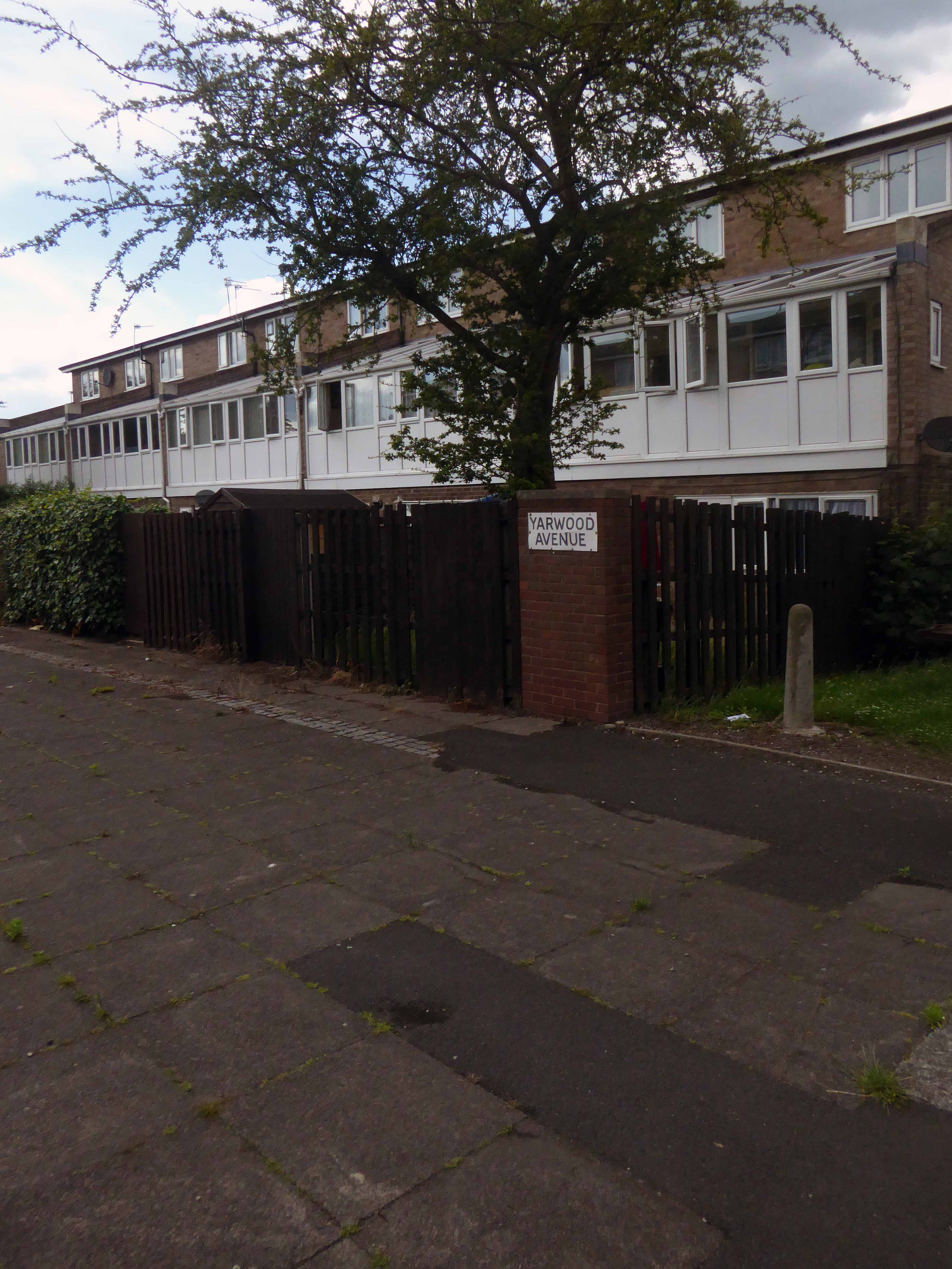
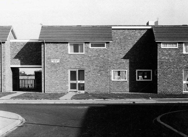
Sherbourne Street
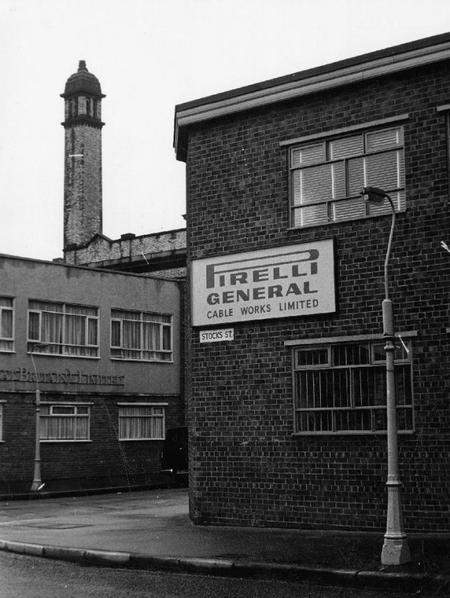
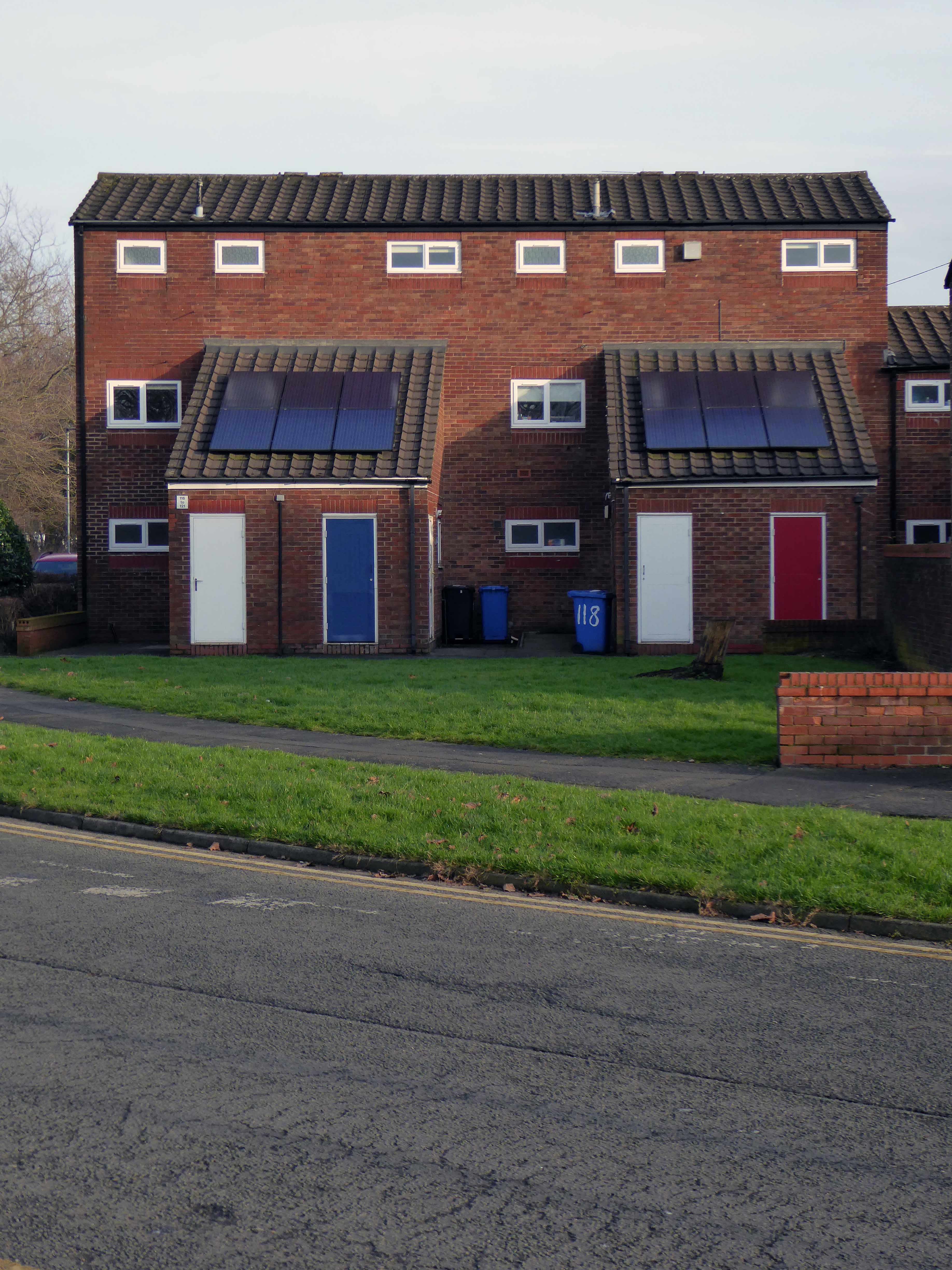
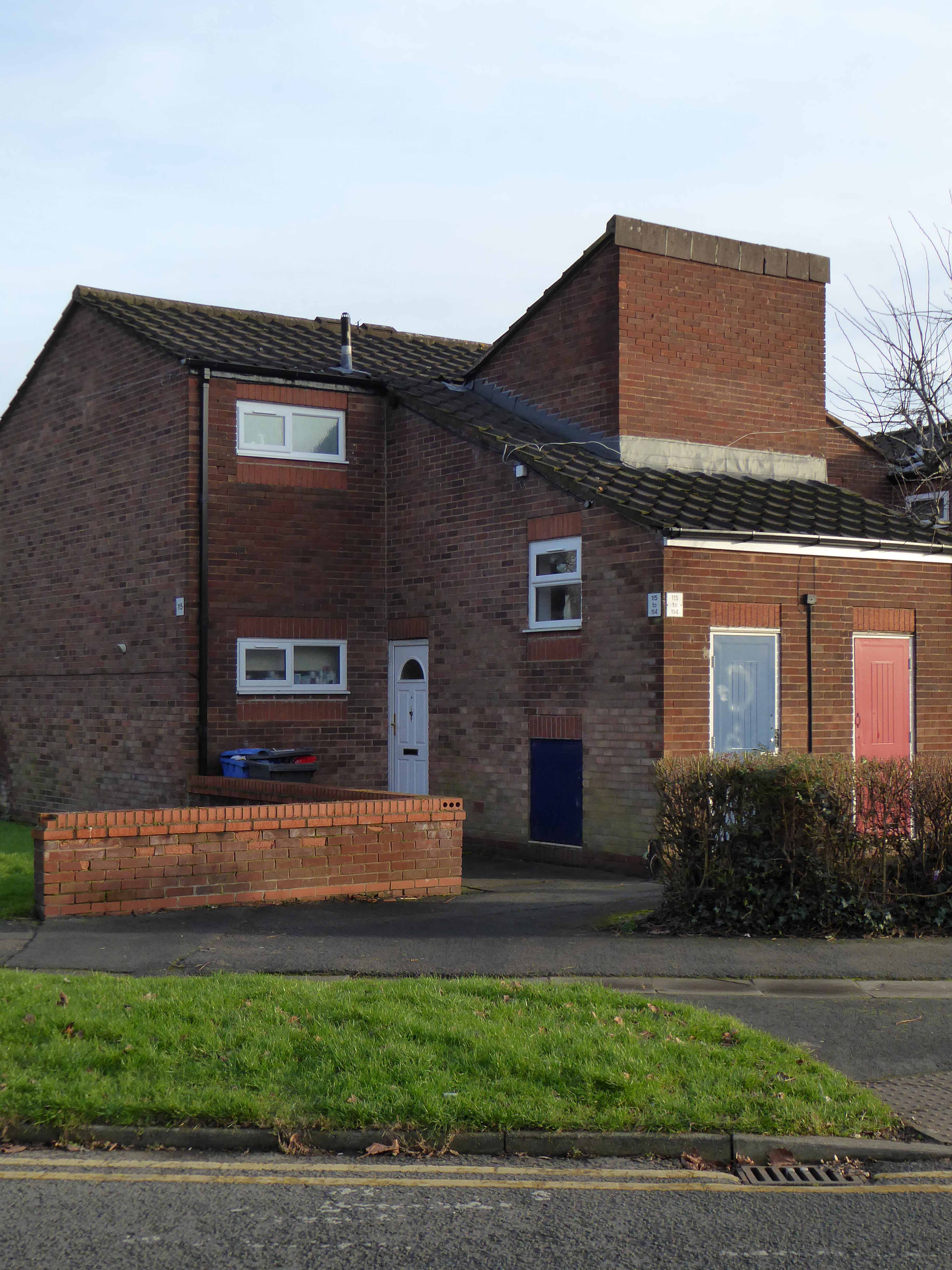
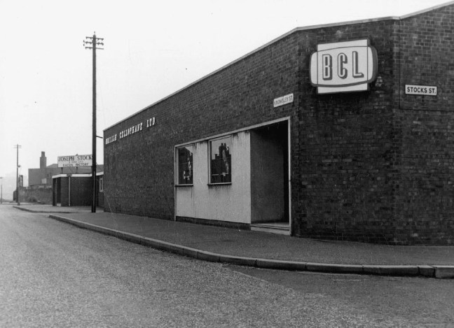
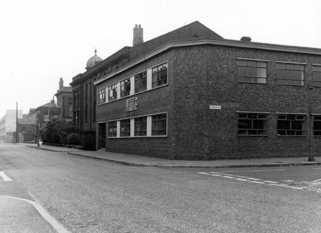
Stocks Street
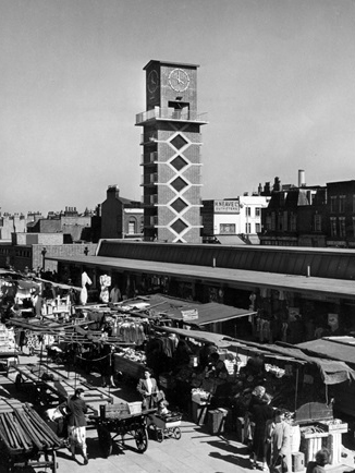
All archival photographs from the Manchester Local Images Collection