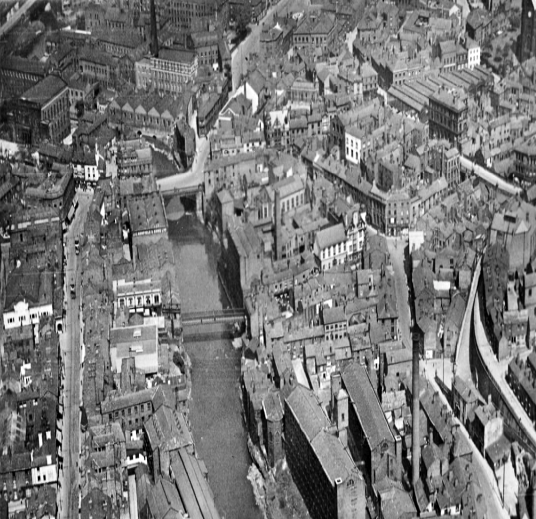
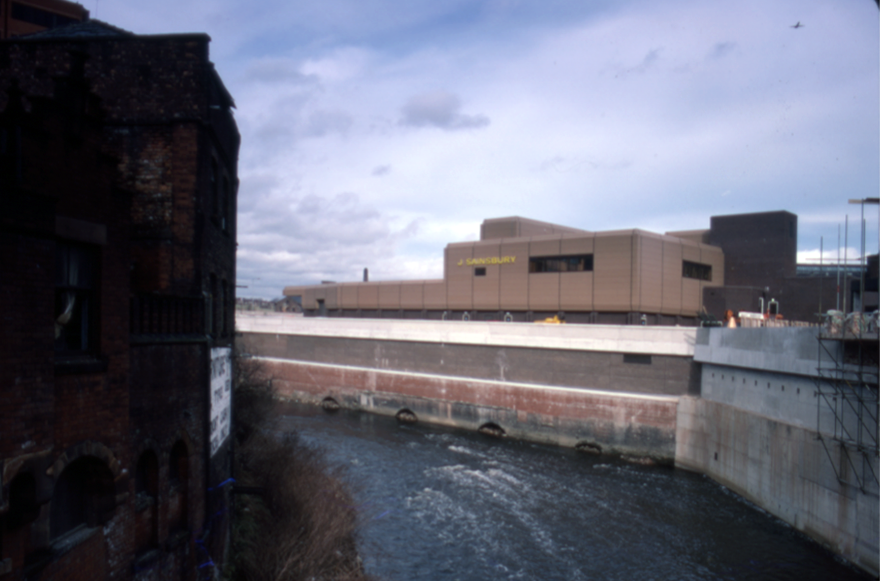
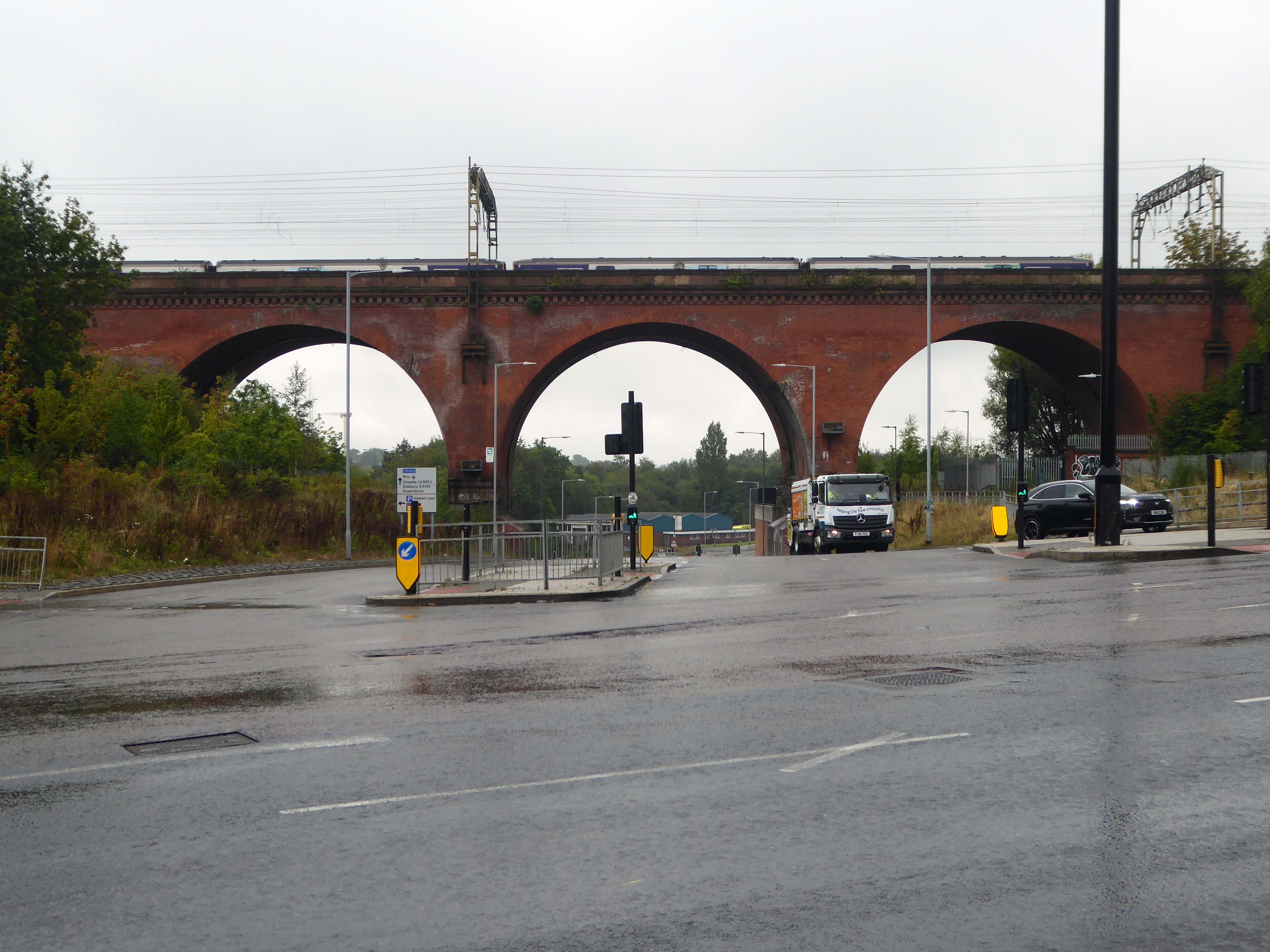
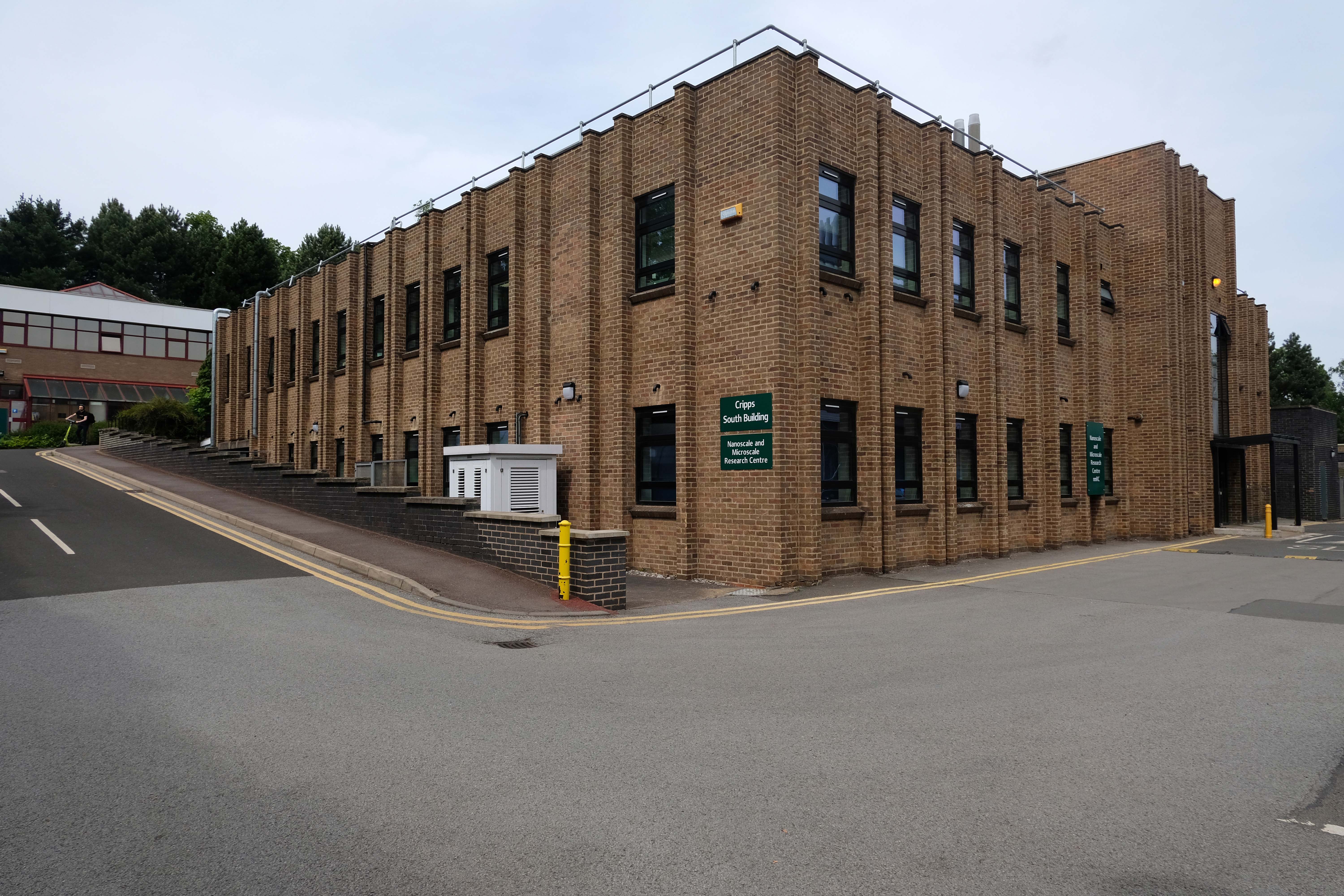
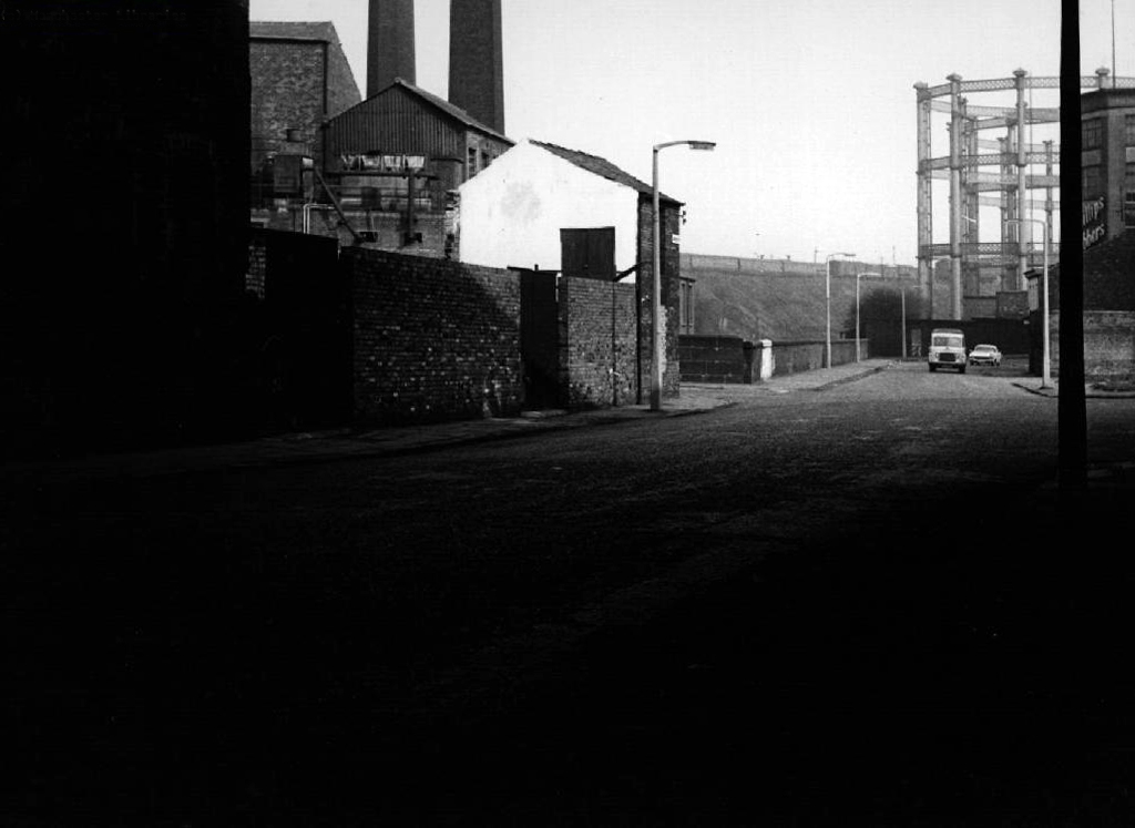
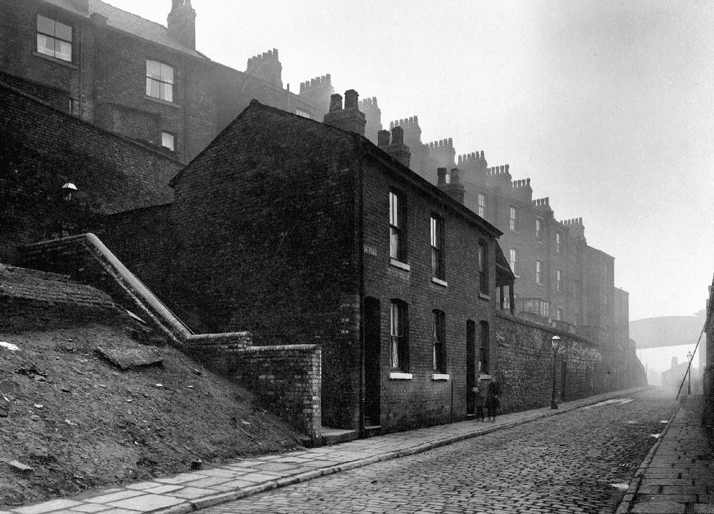
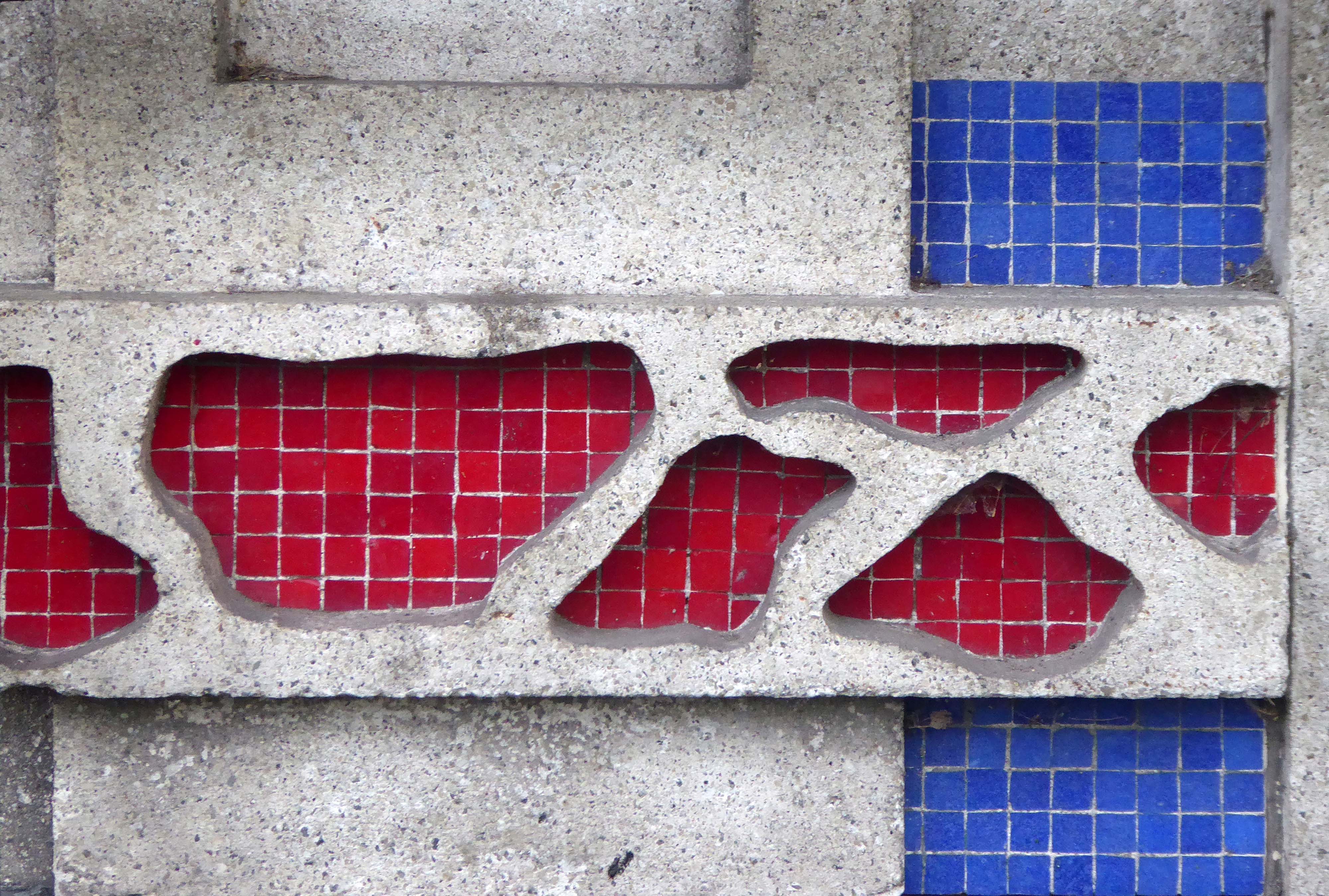
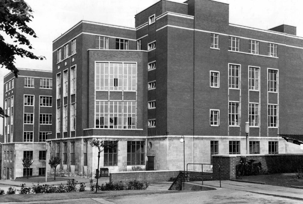
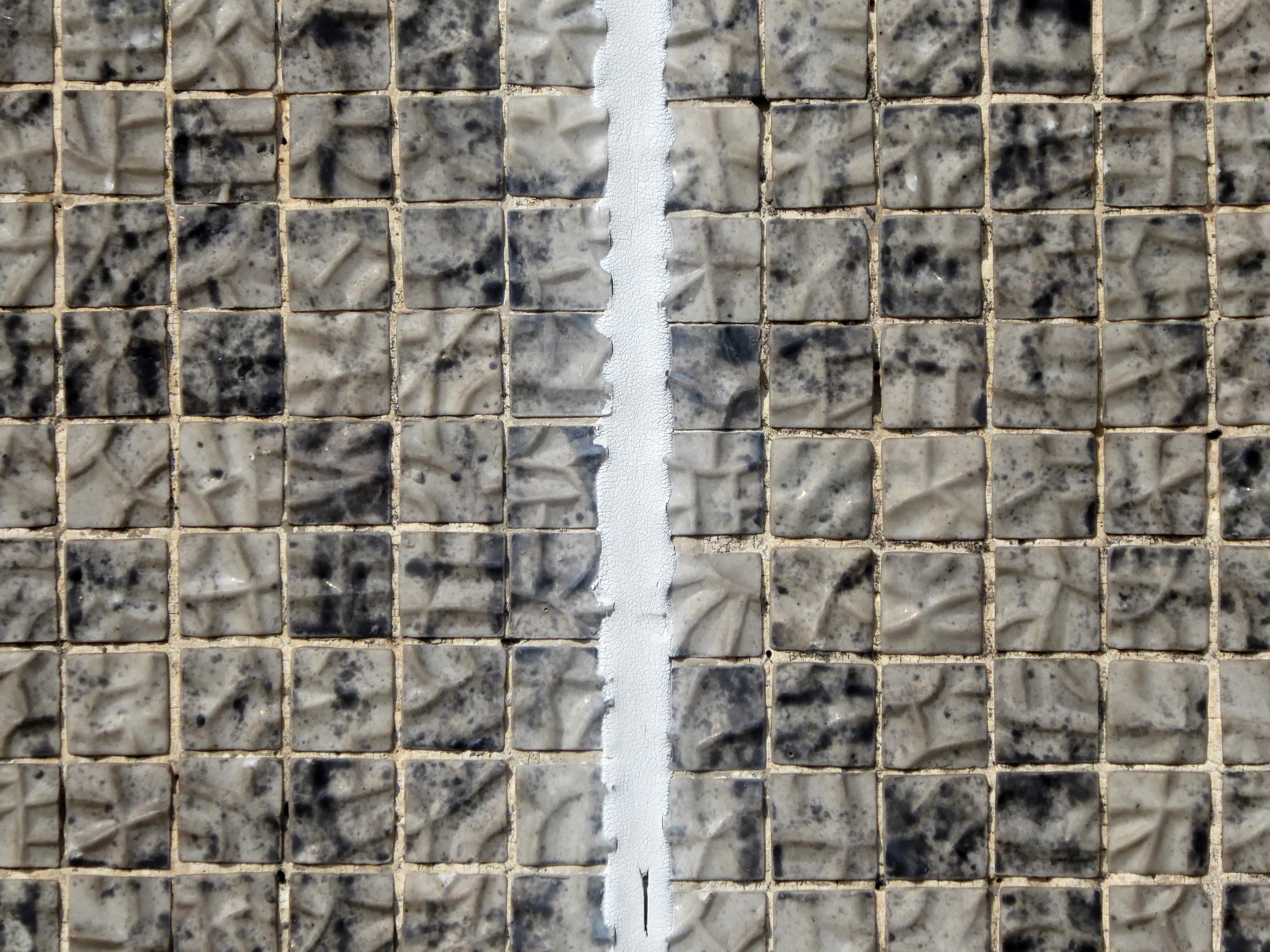
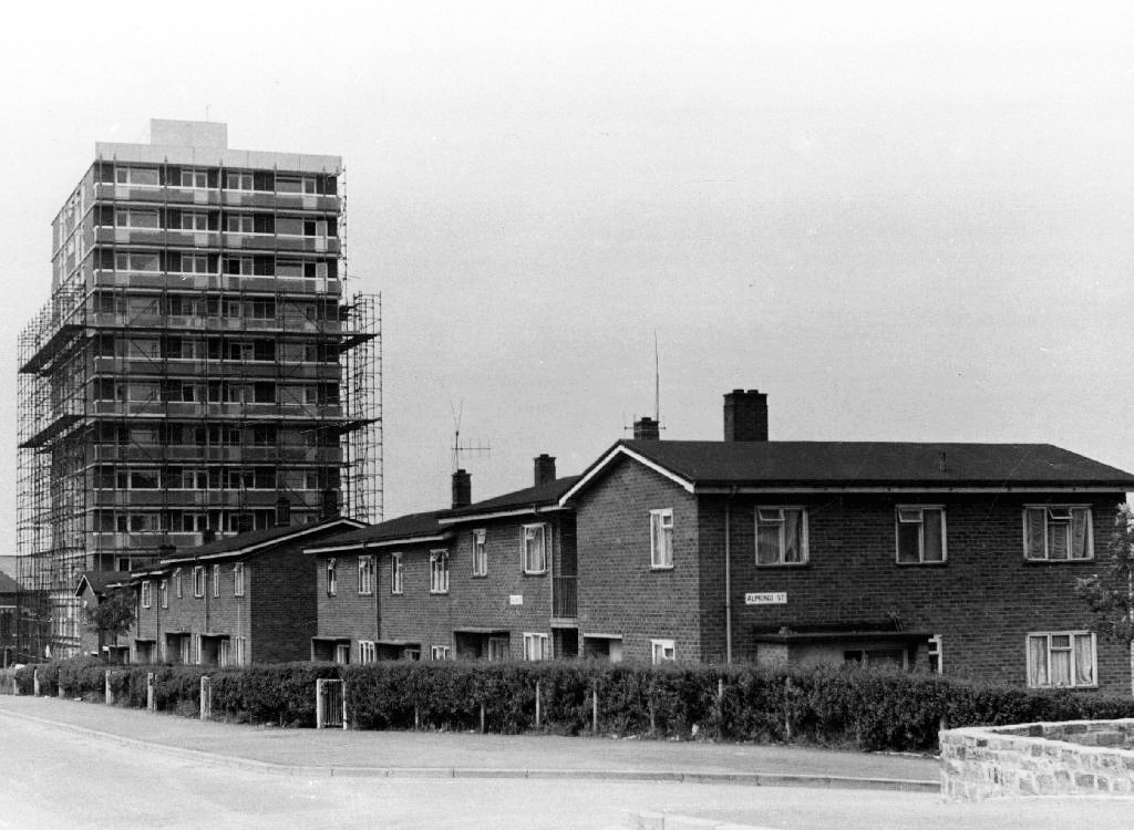
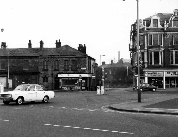
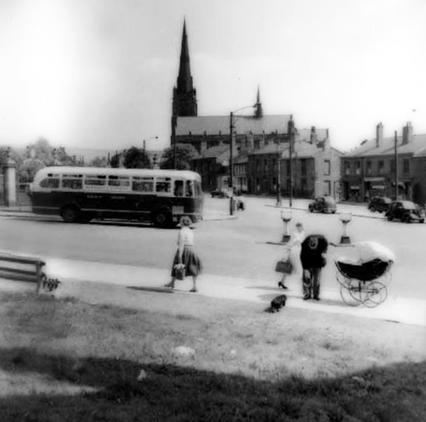
Warren Street Stockport, north of Lancashire Bridge beside the Mersey – seen here in the 1920s a mix of retail, dwellings and industry as was most of the town centre.
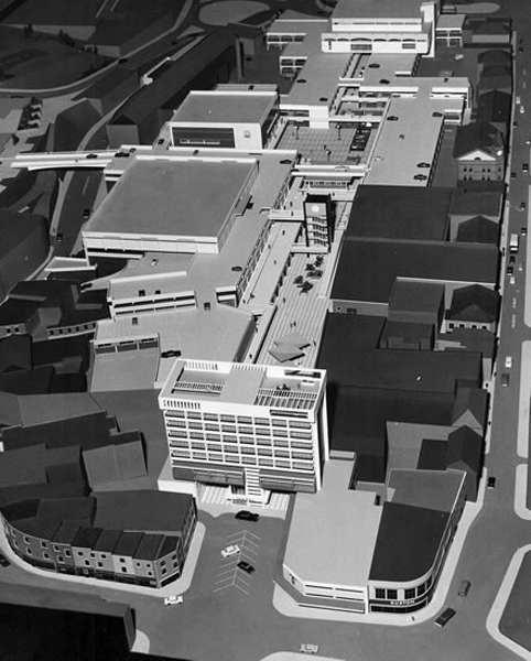
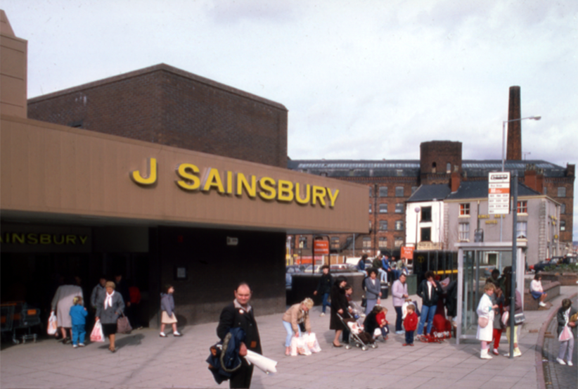
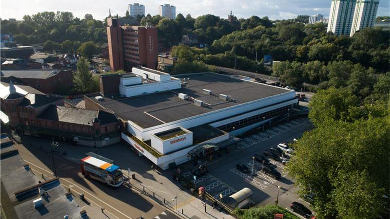
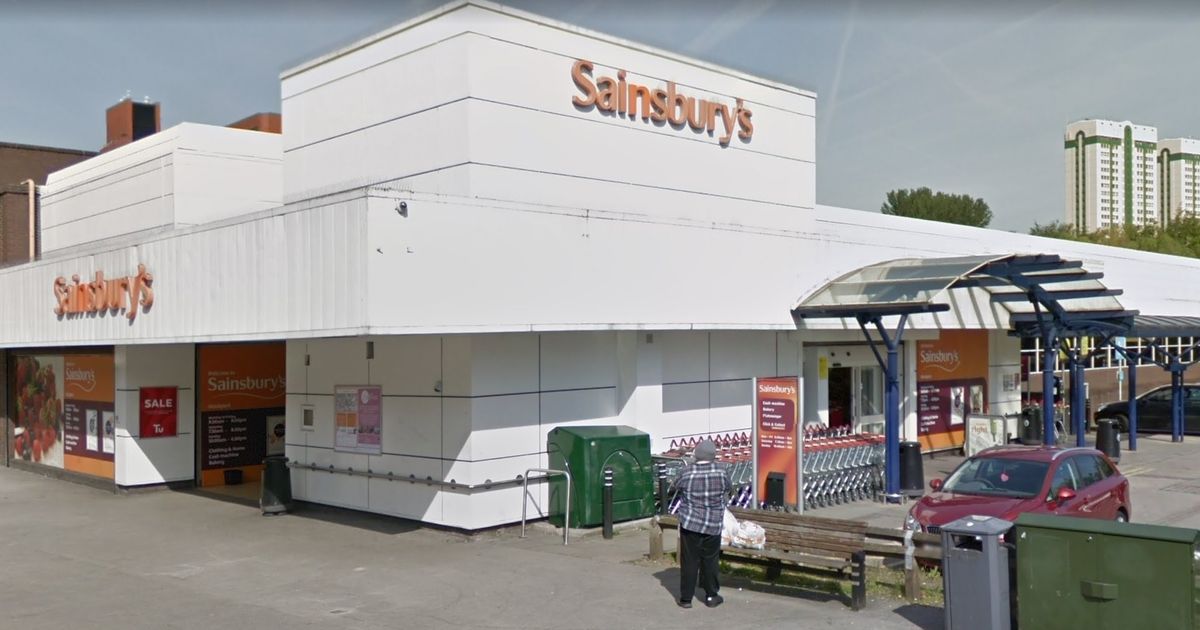
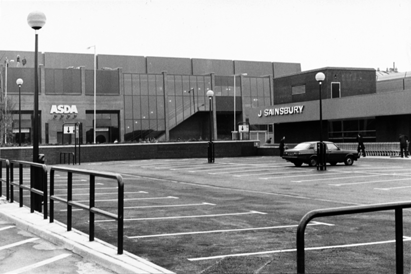
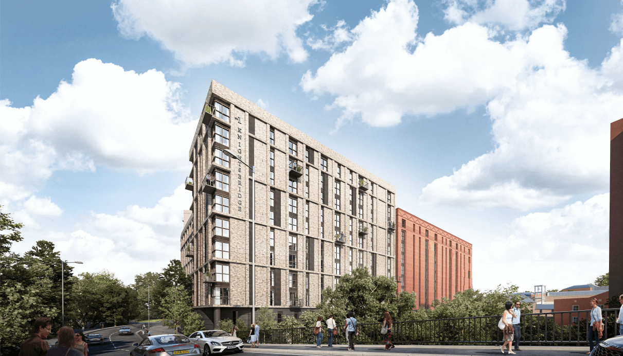
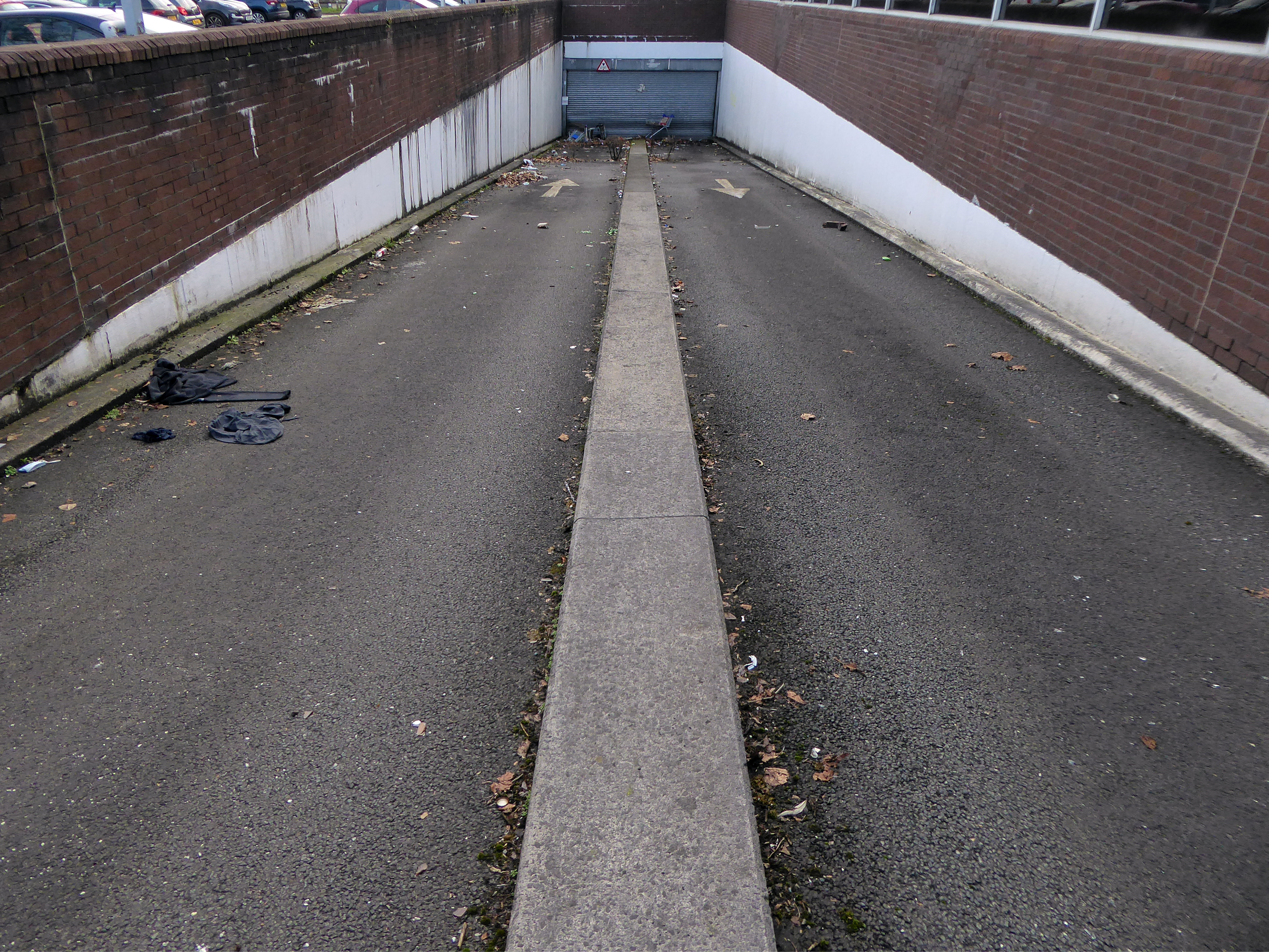
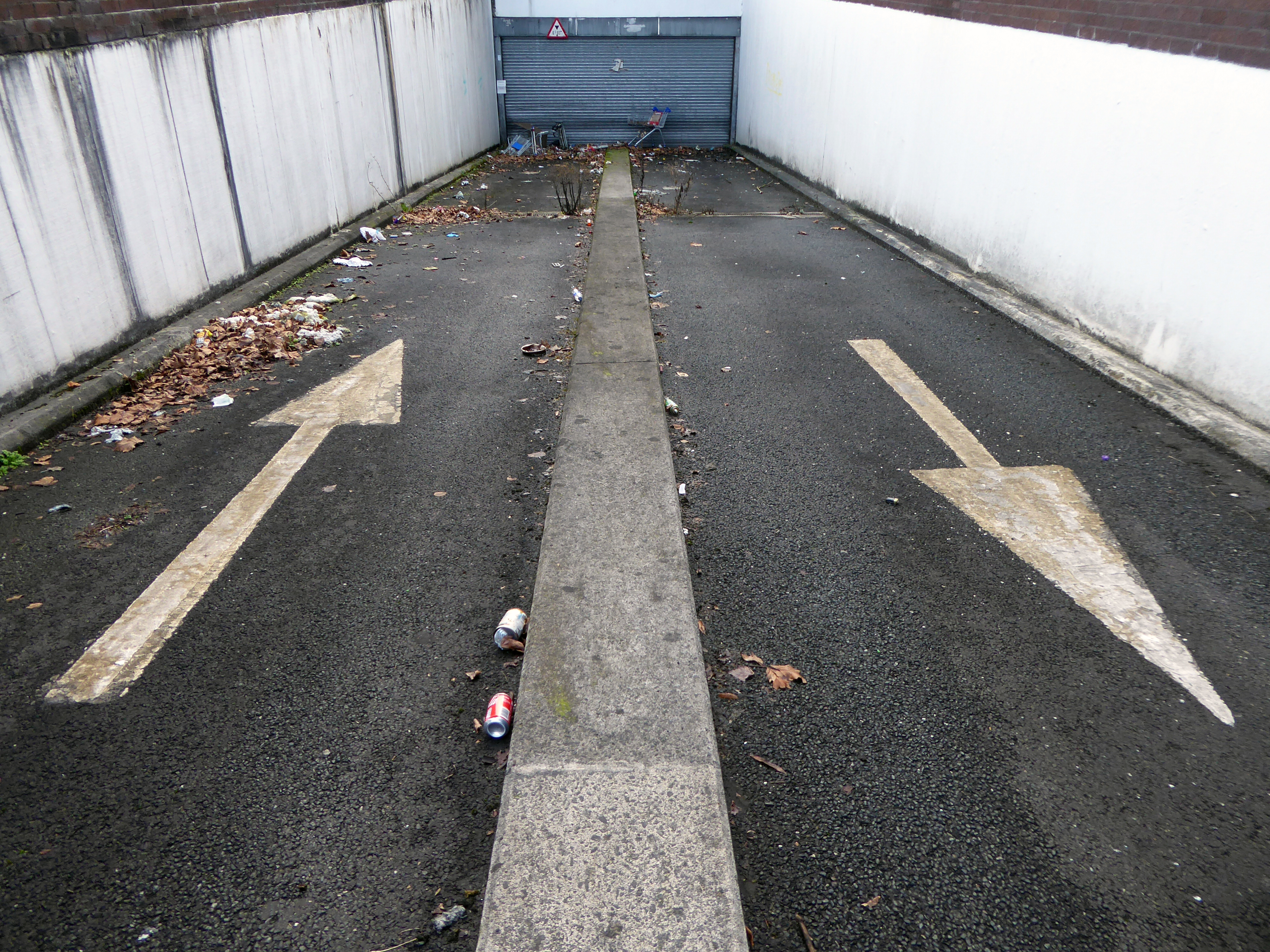
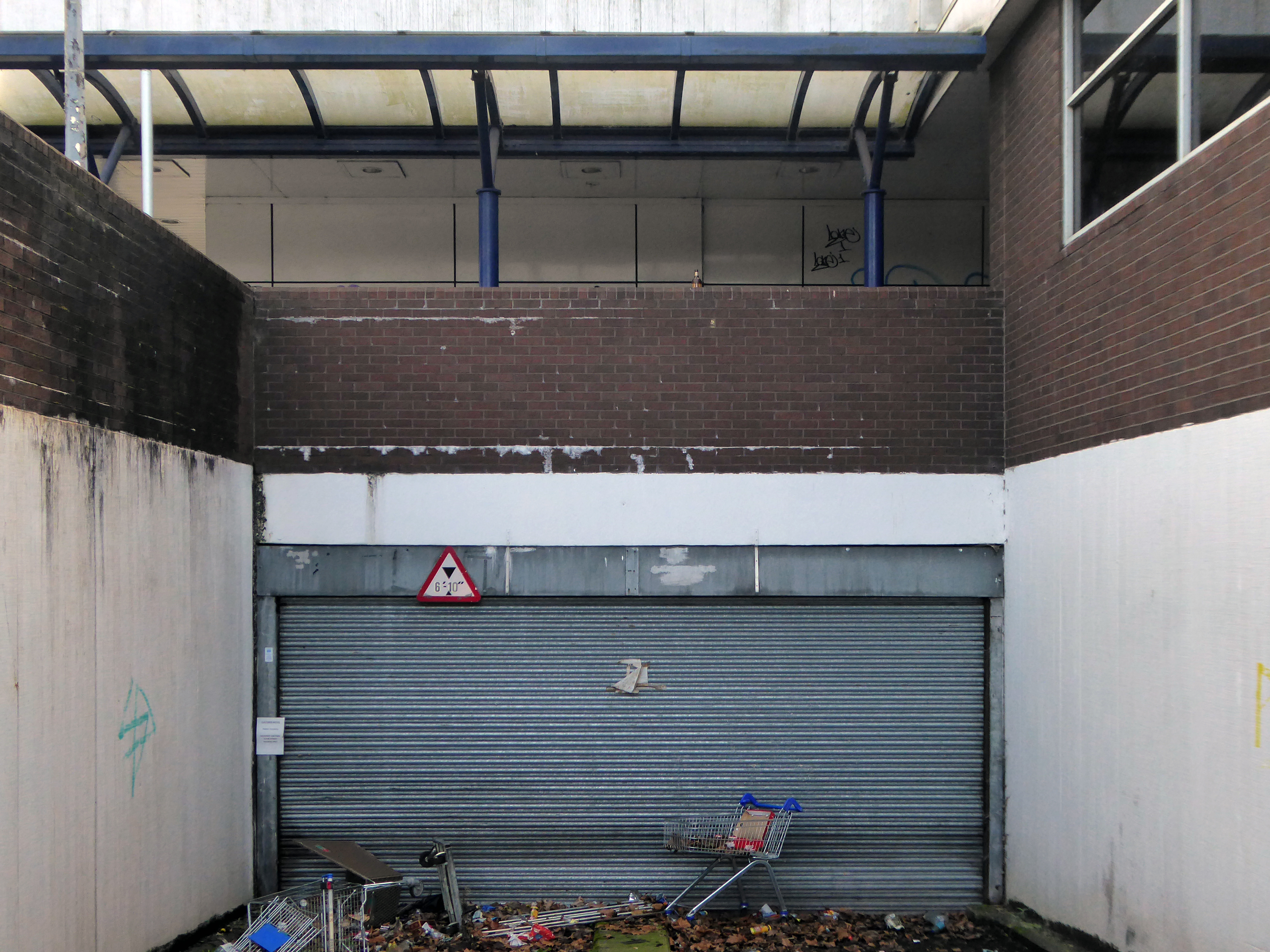
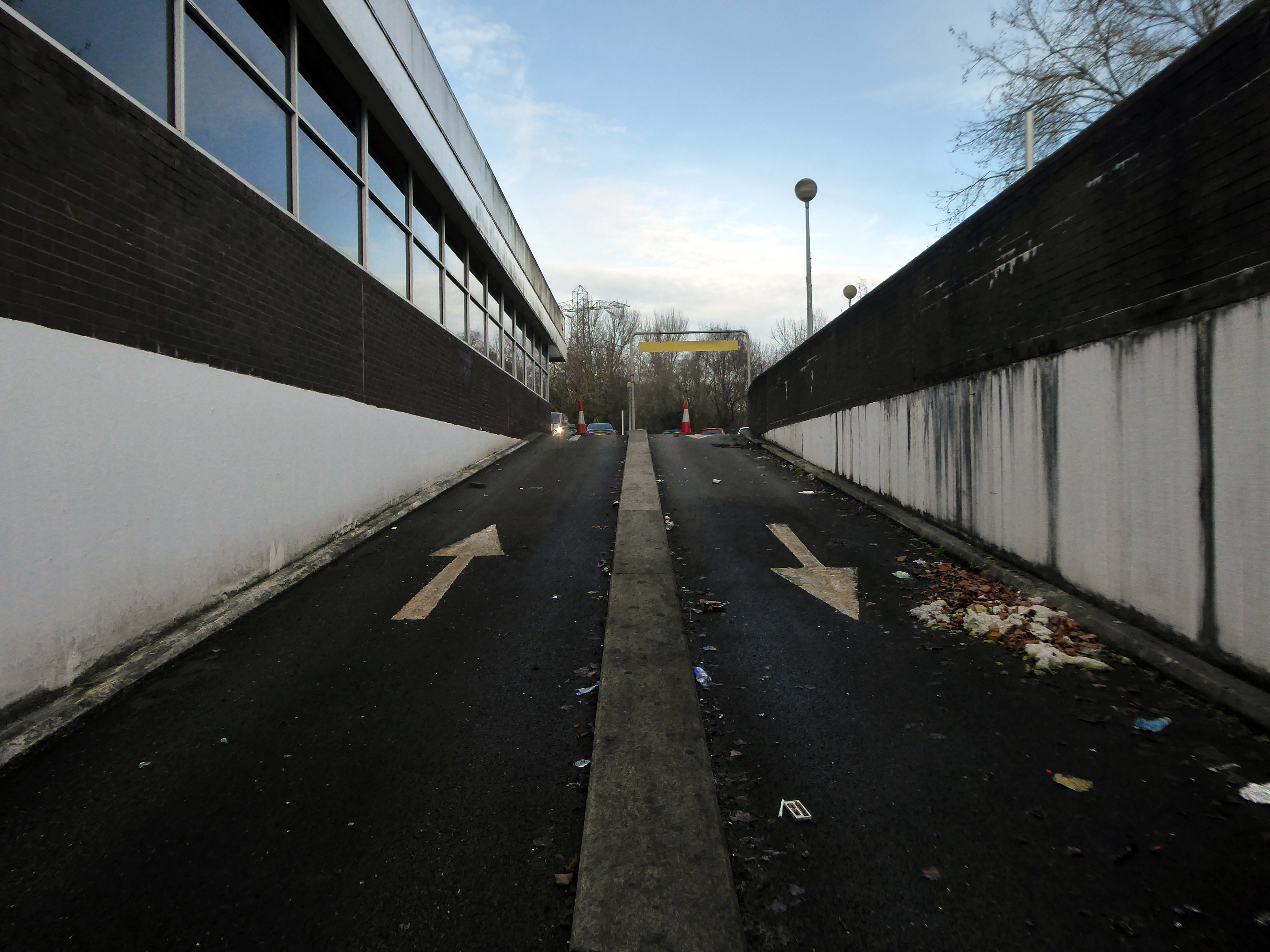
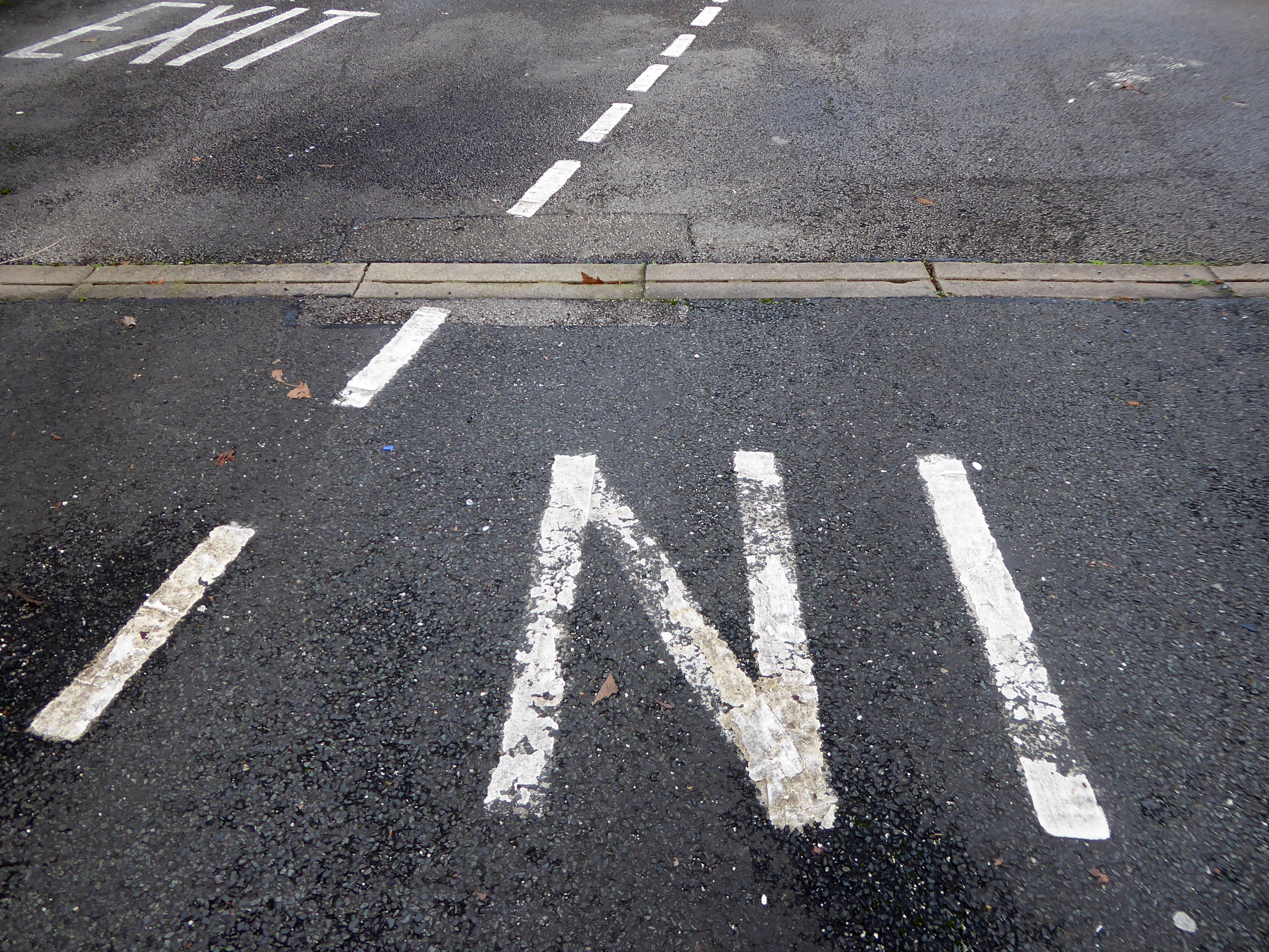
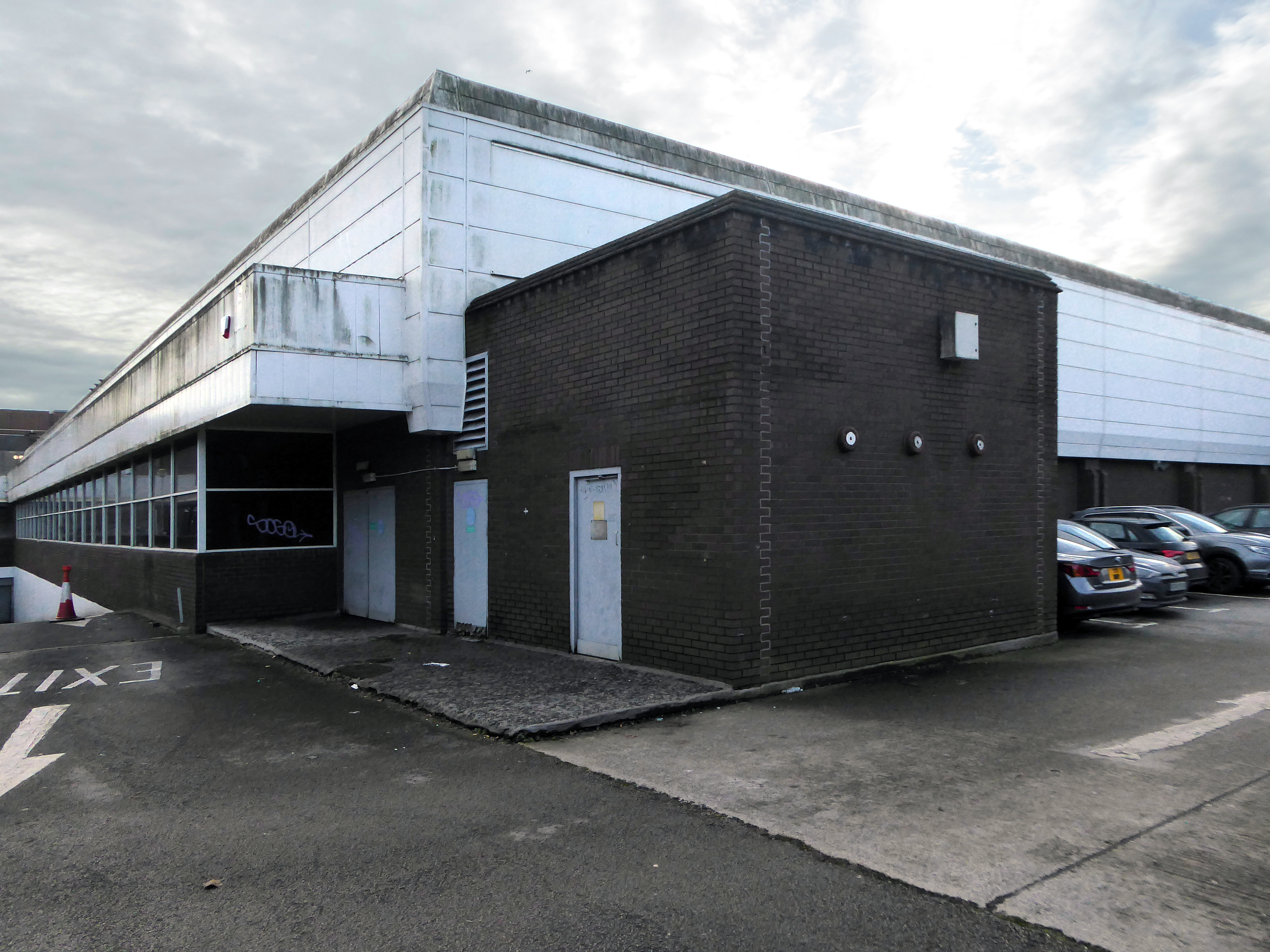
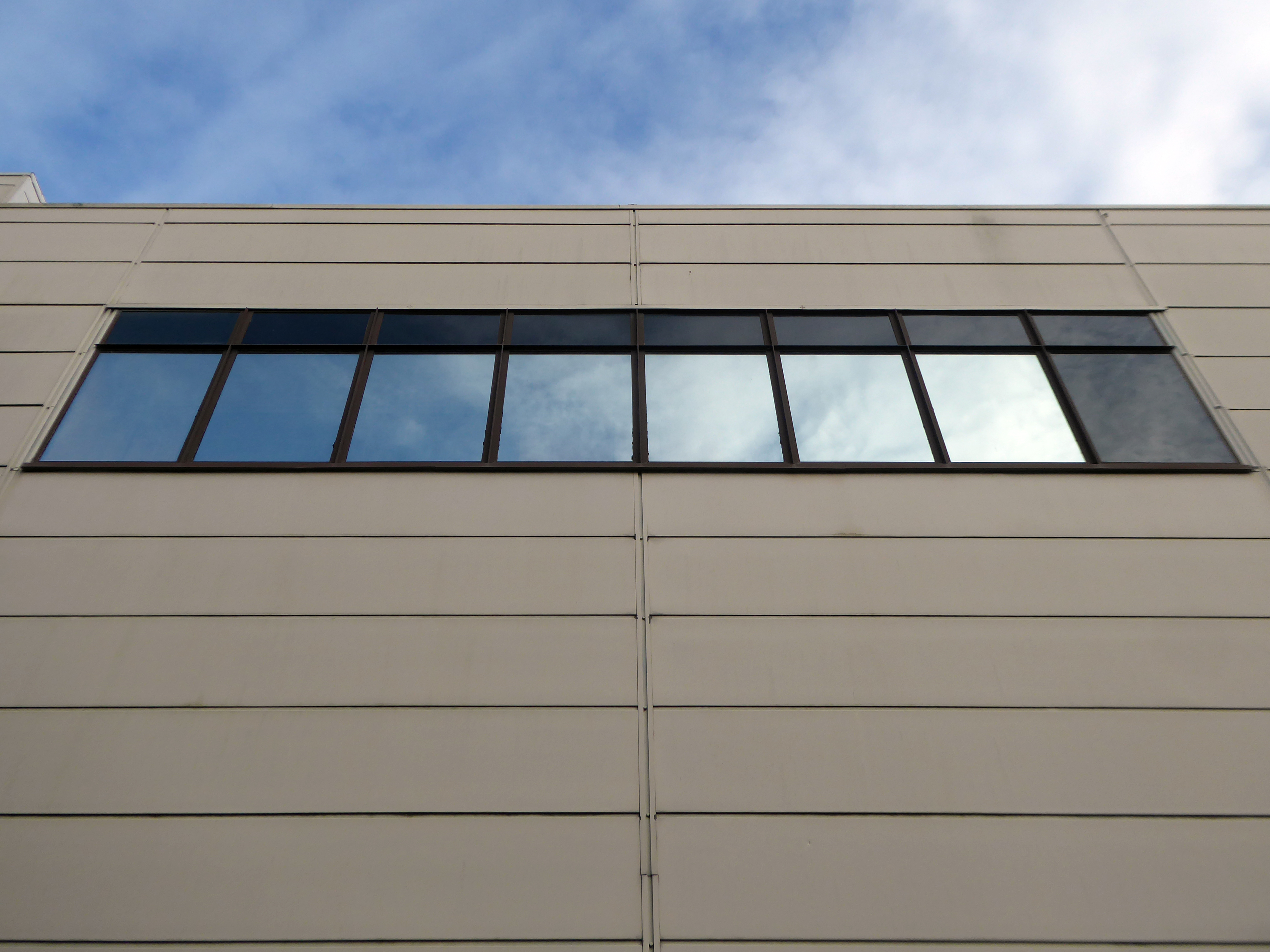
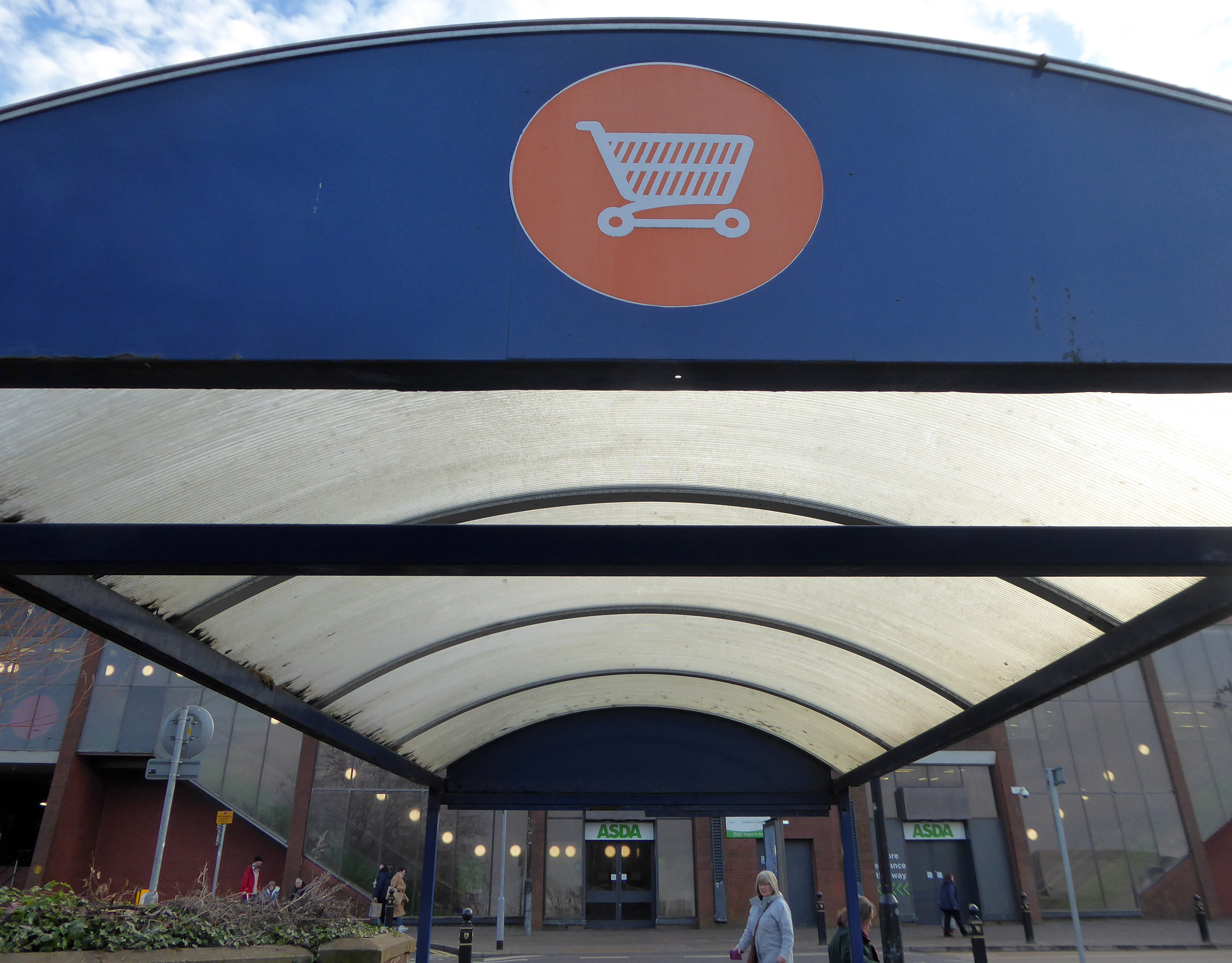
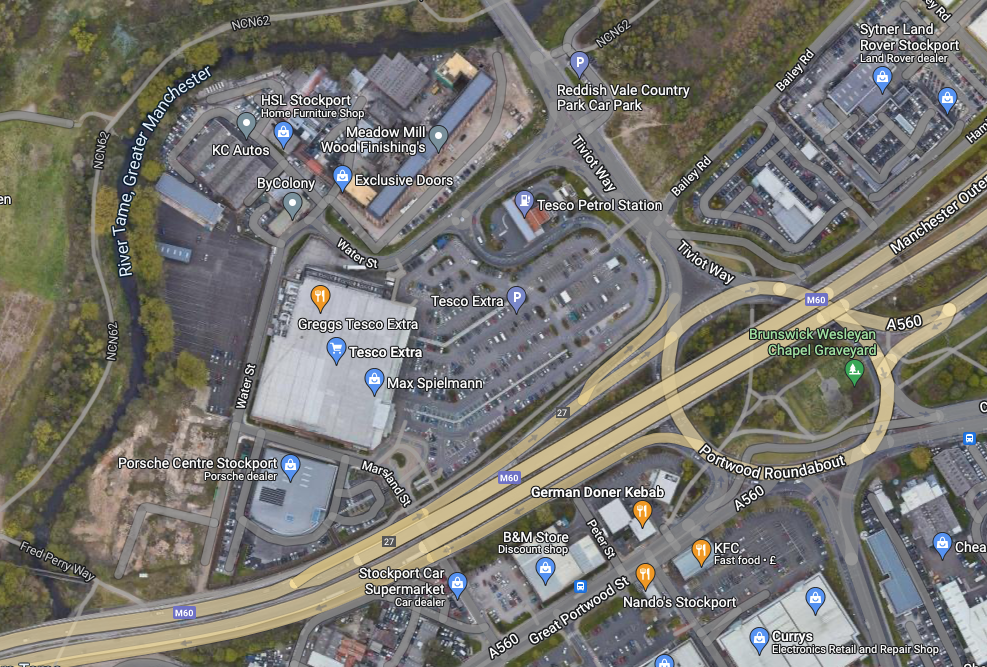
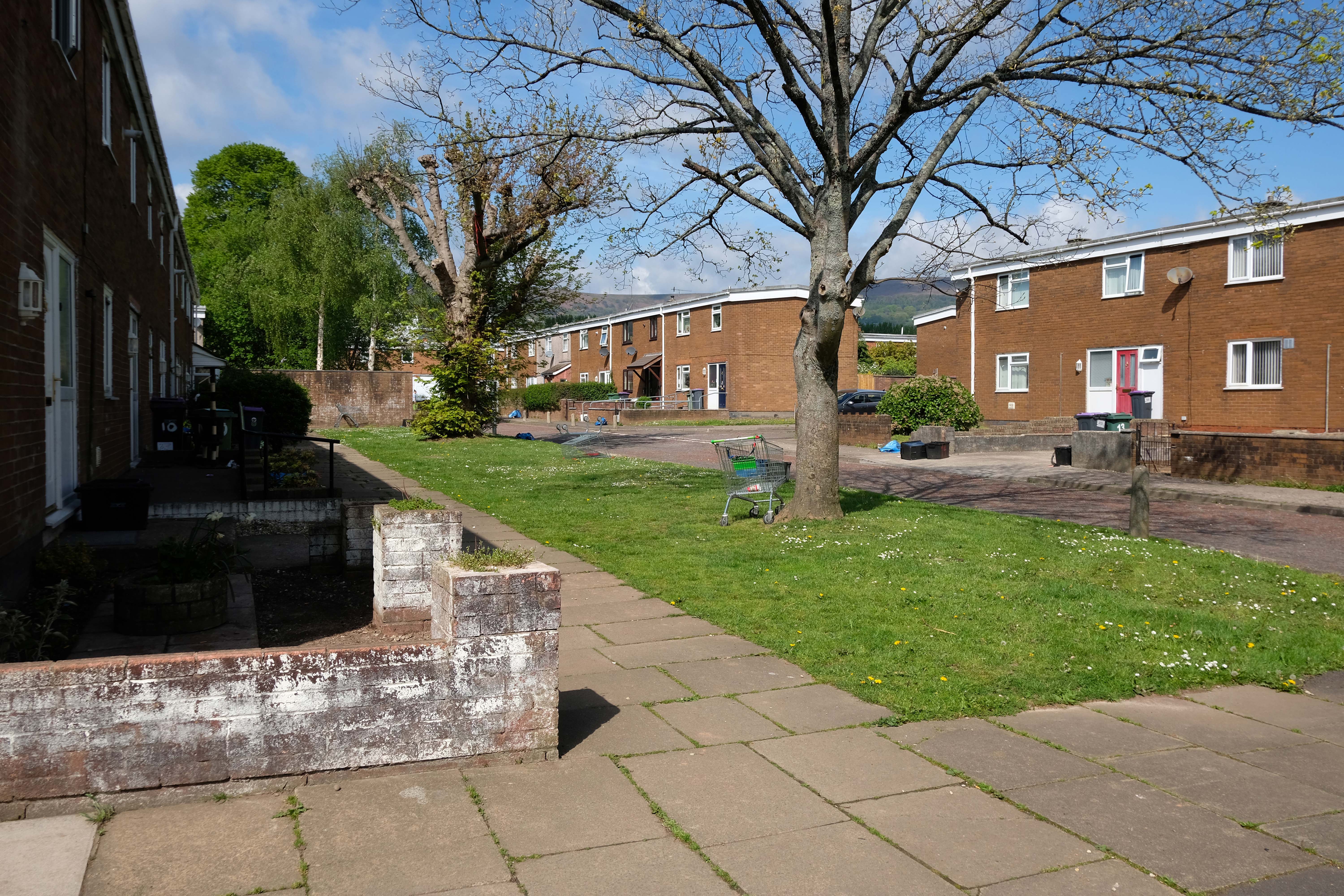
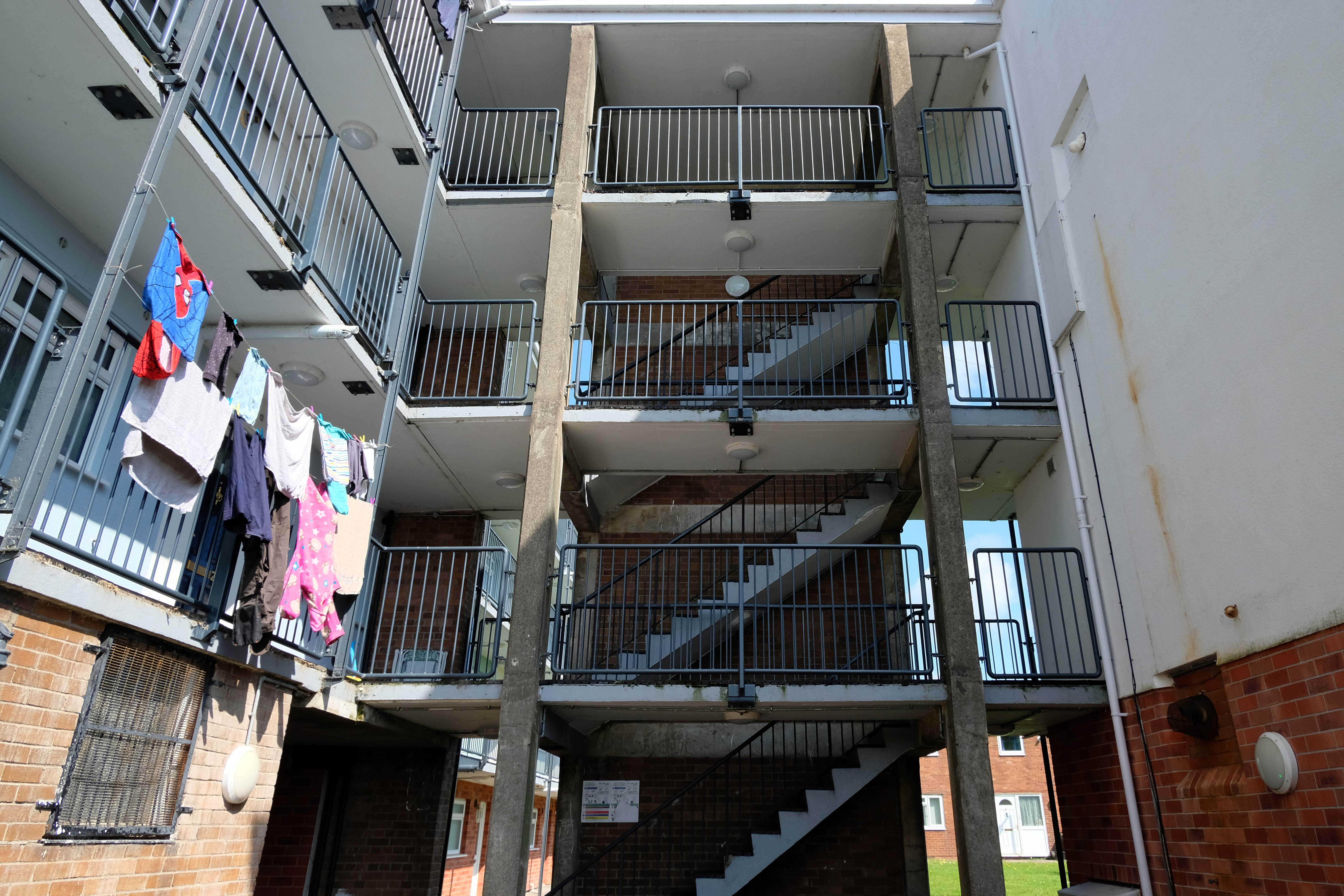
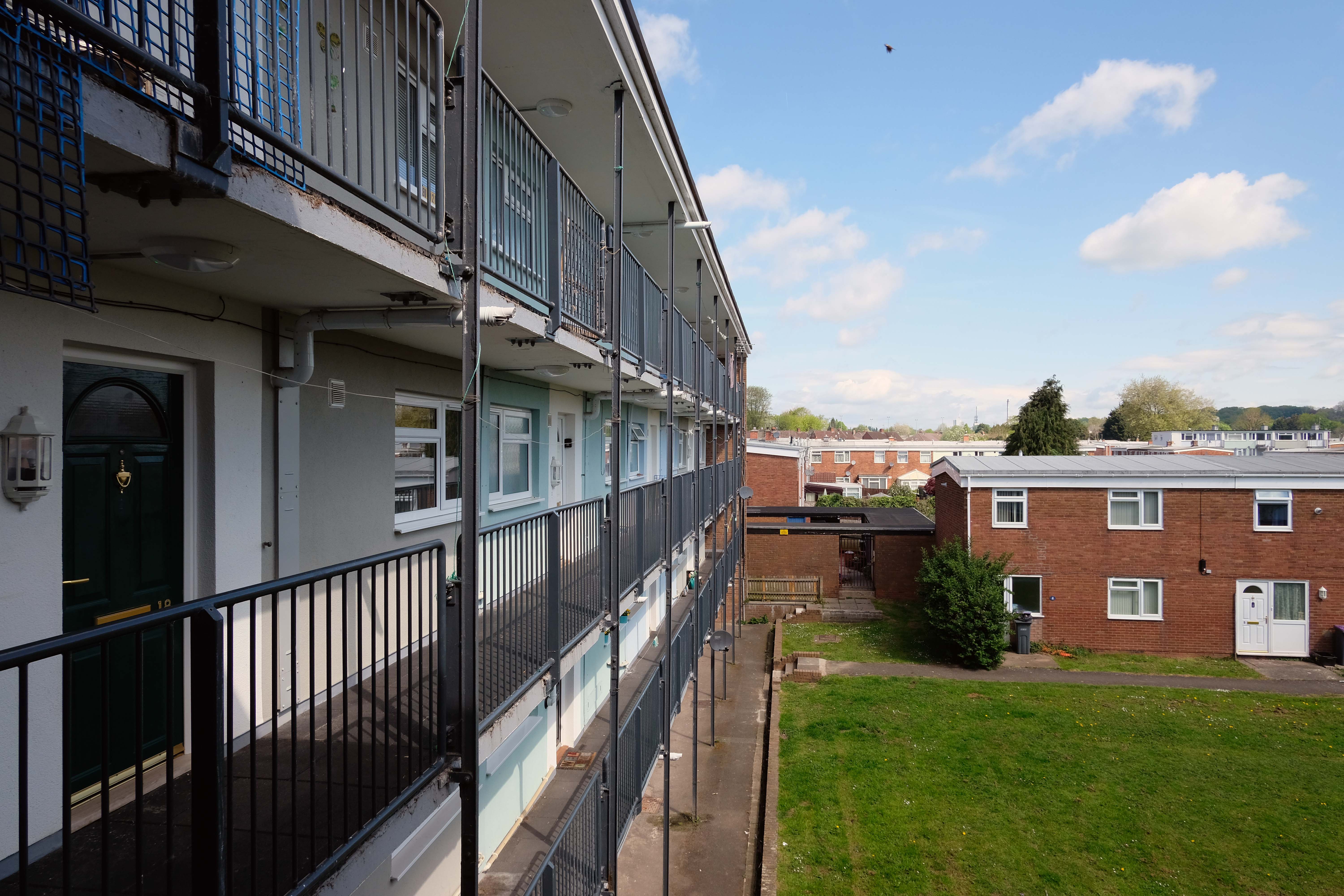
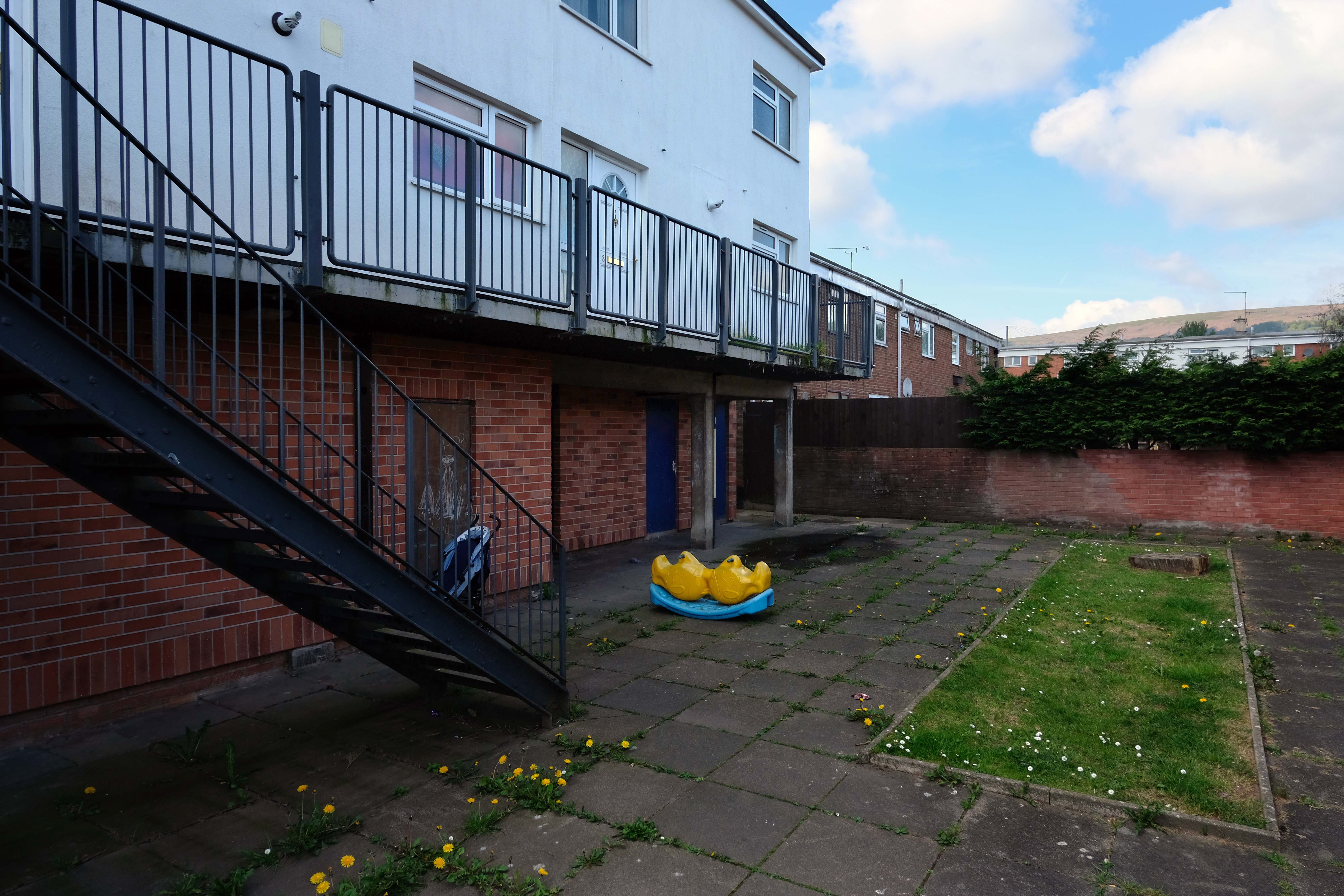
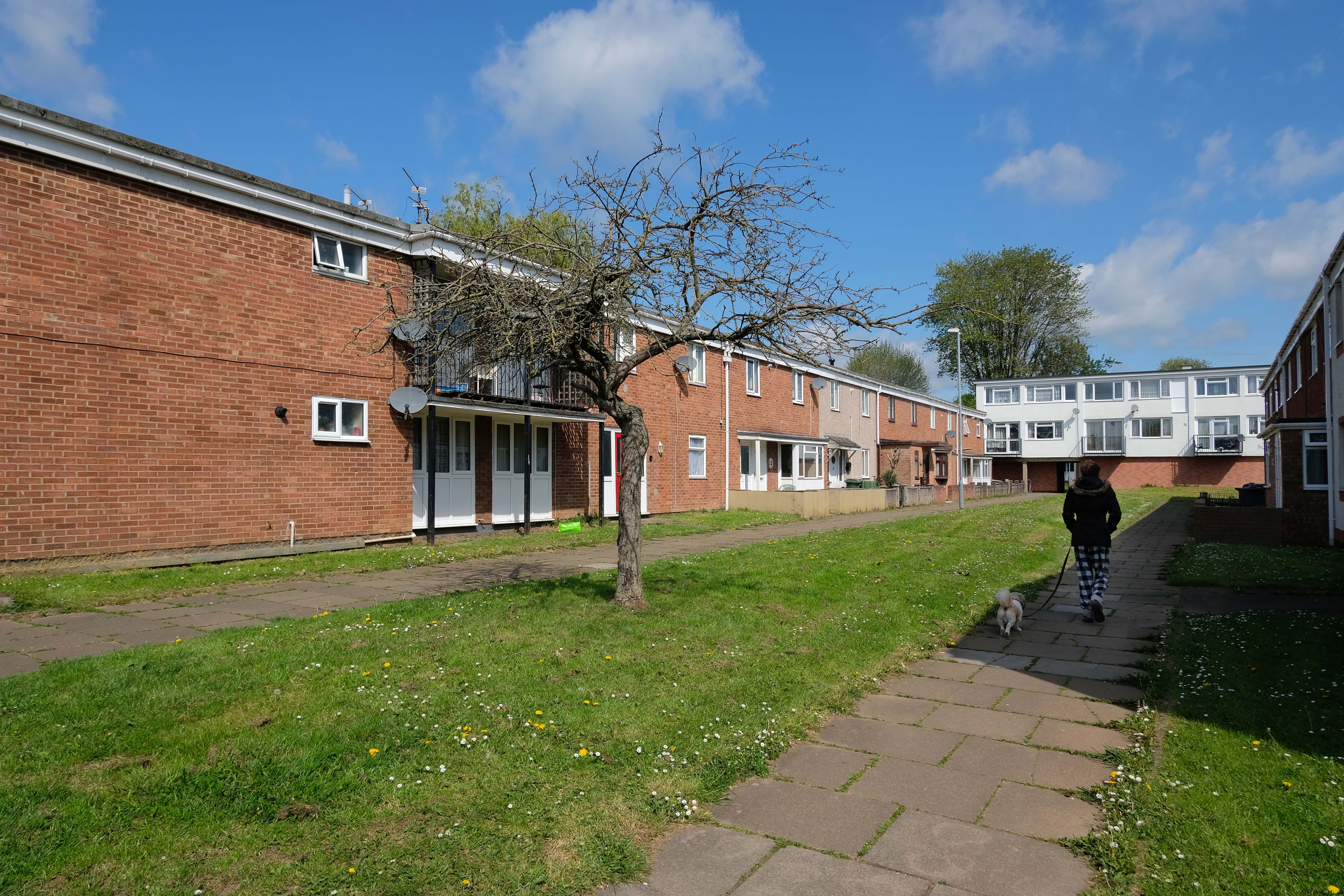
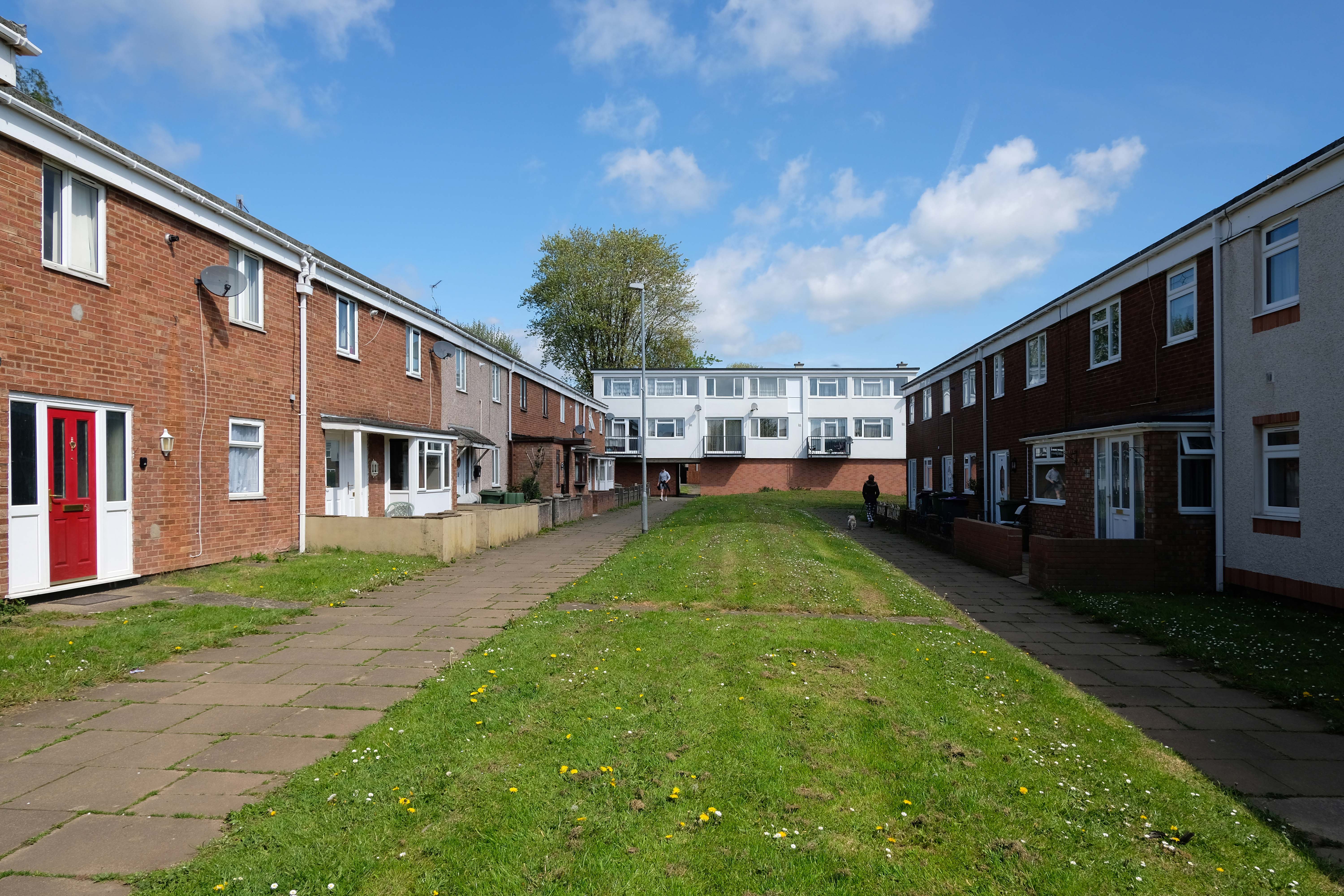
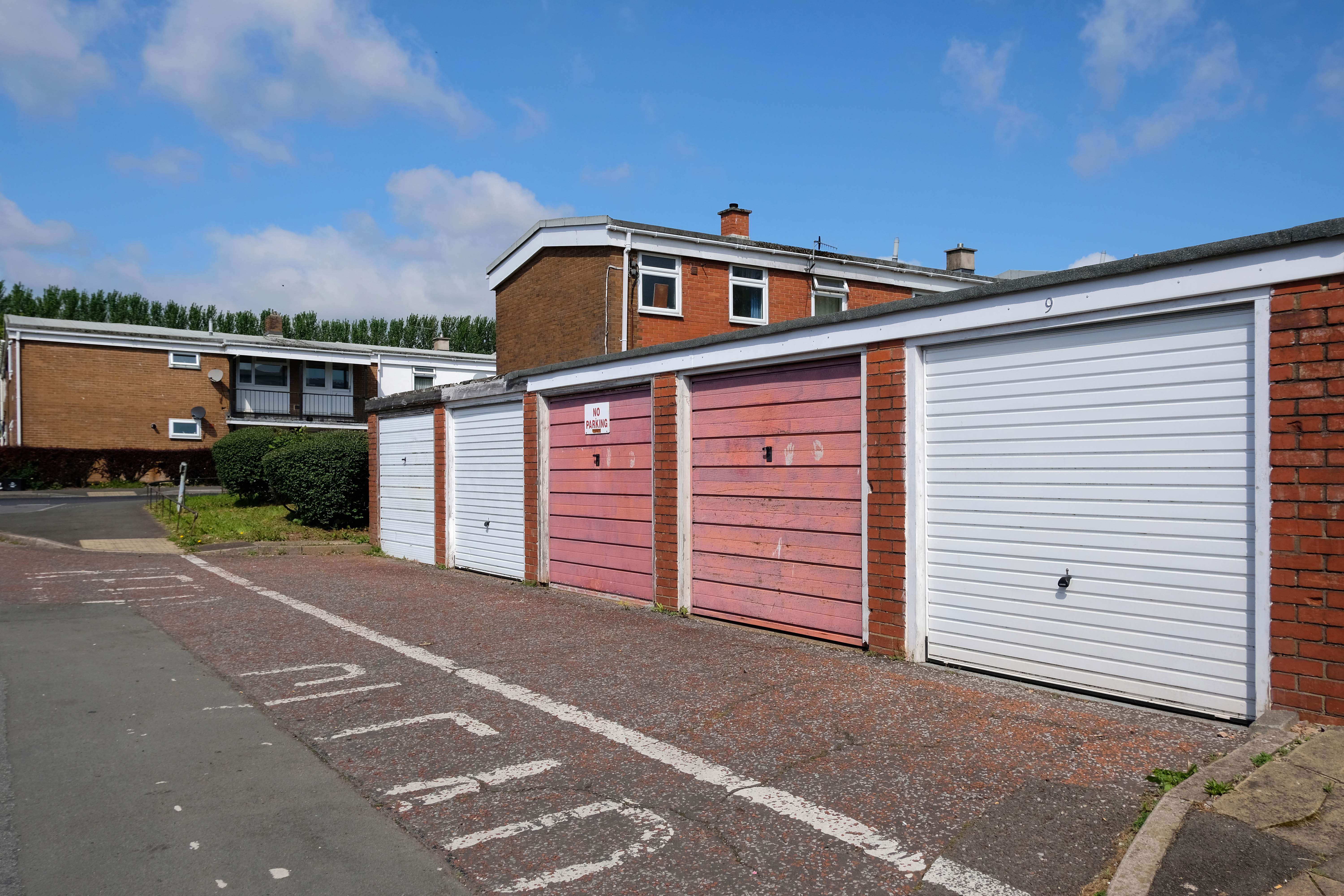
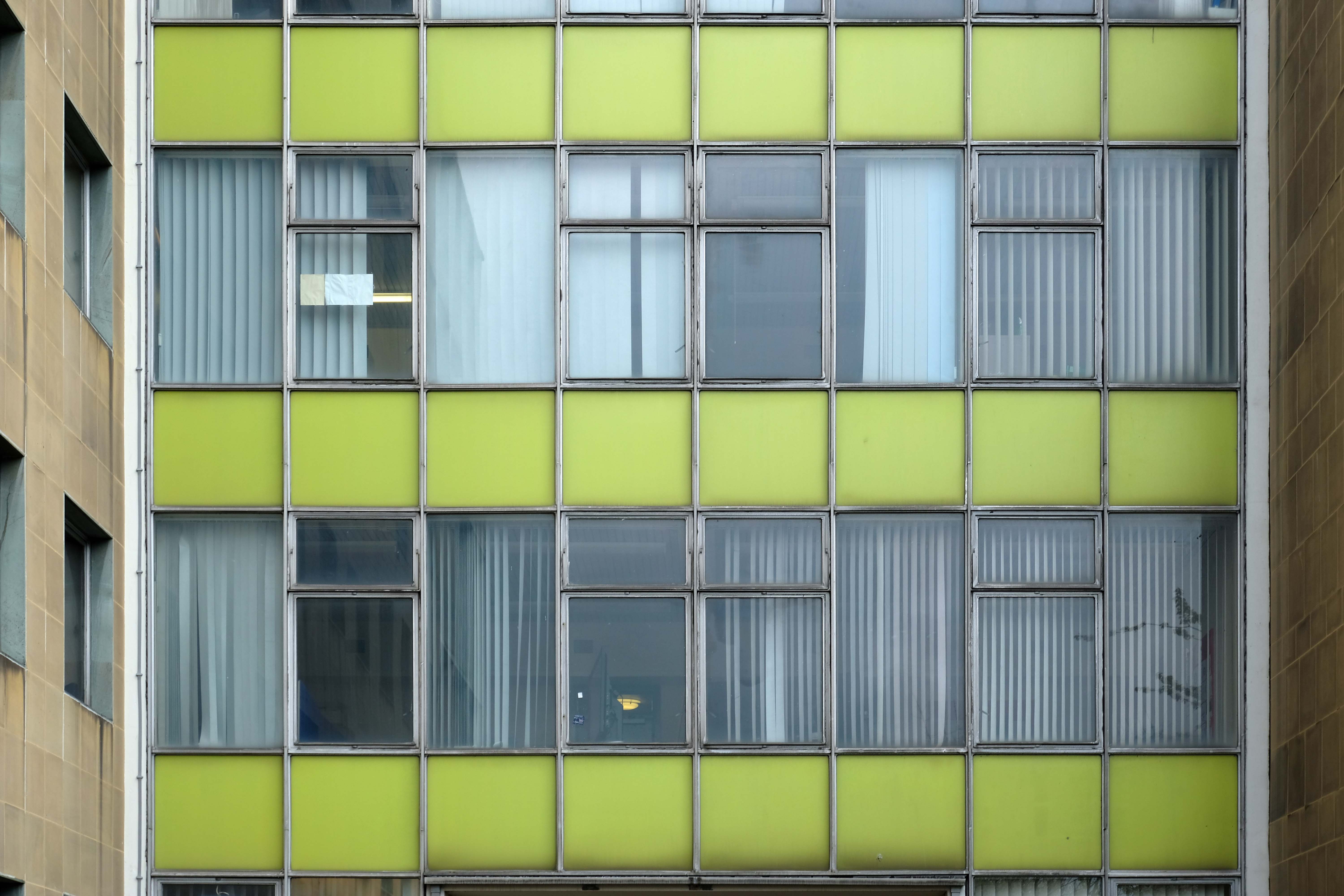
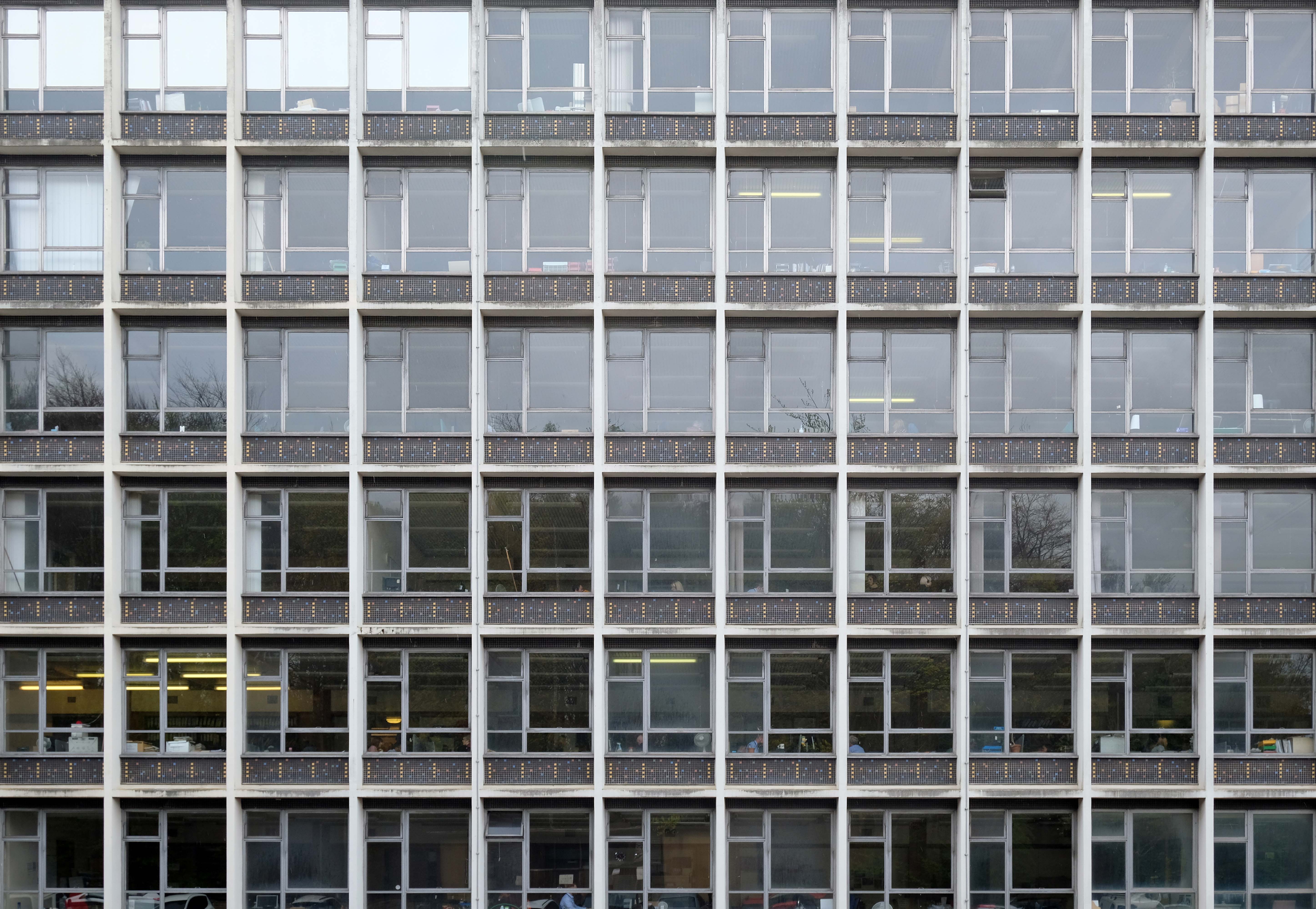
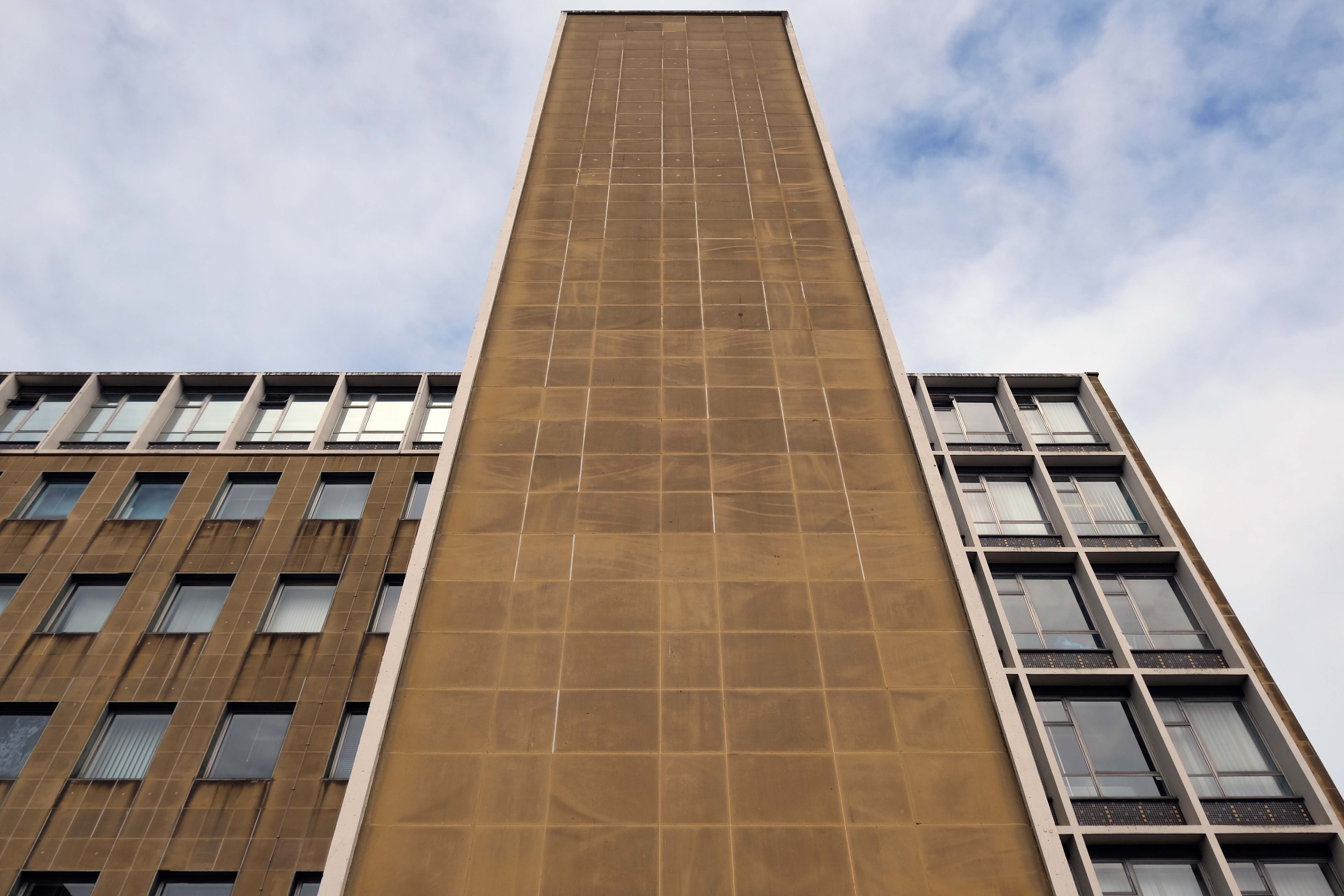
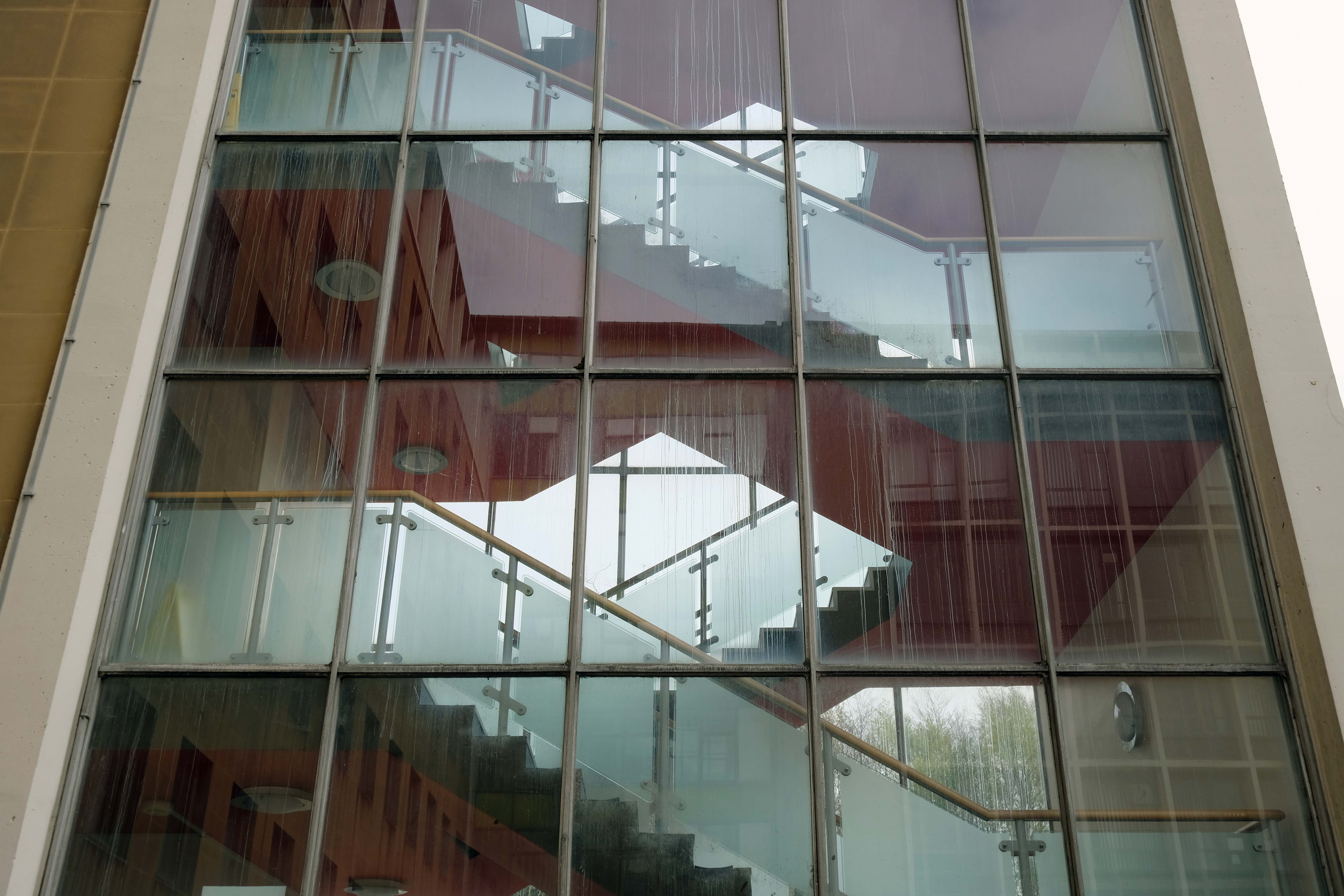
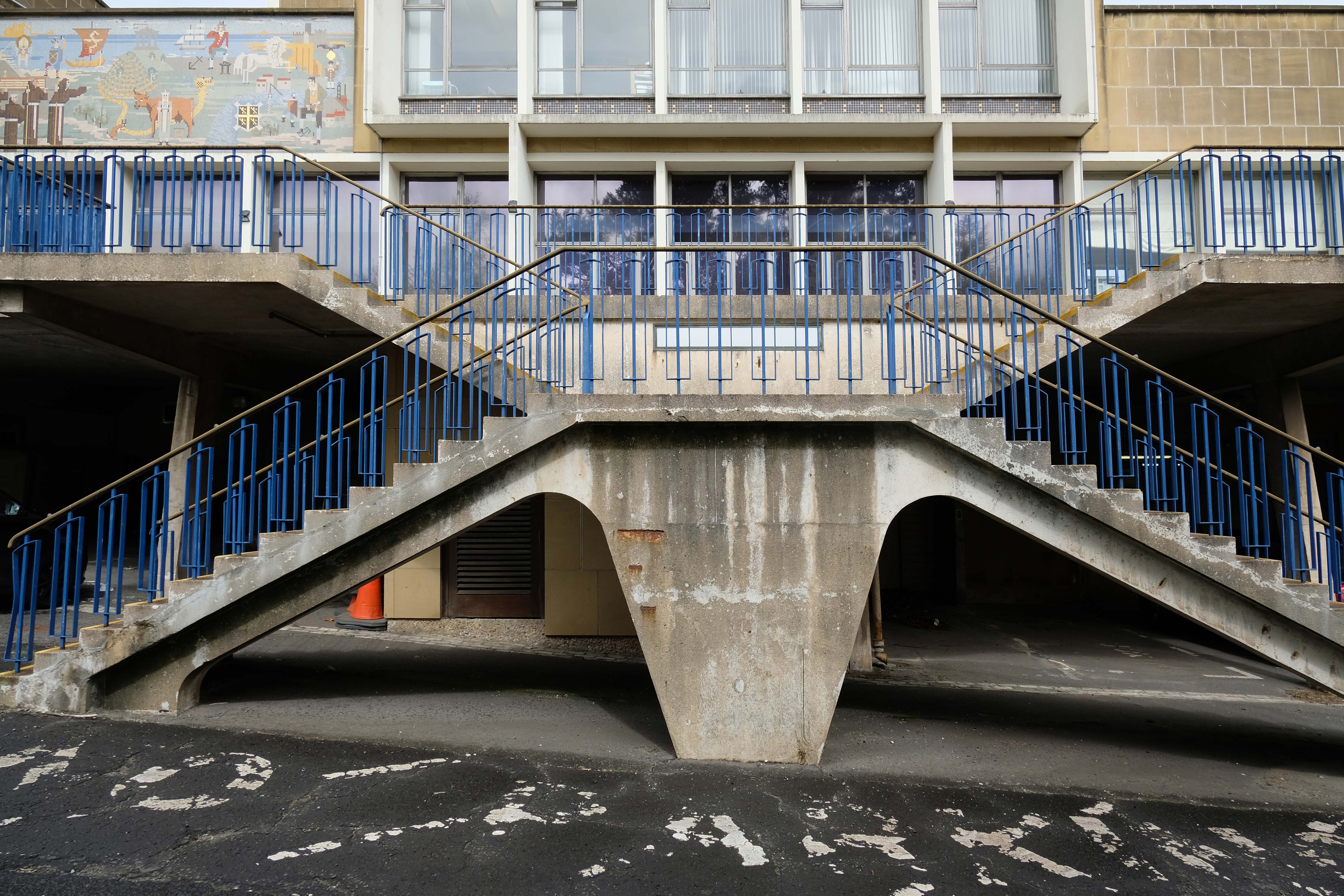
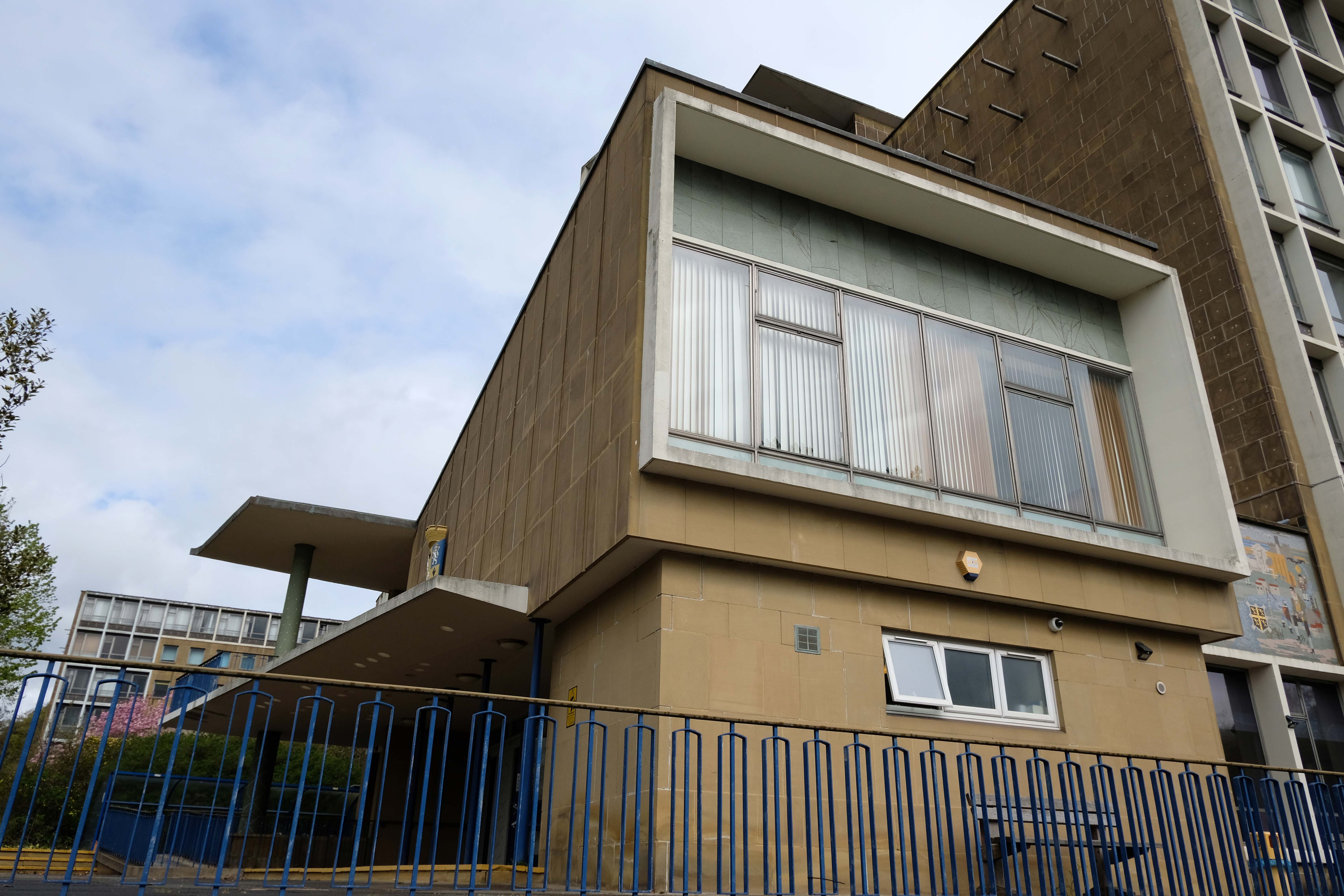
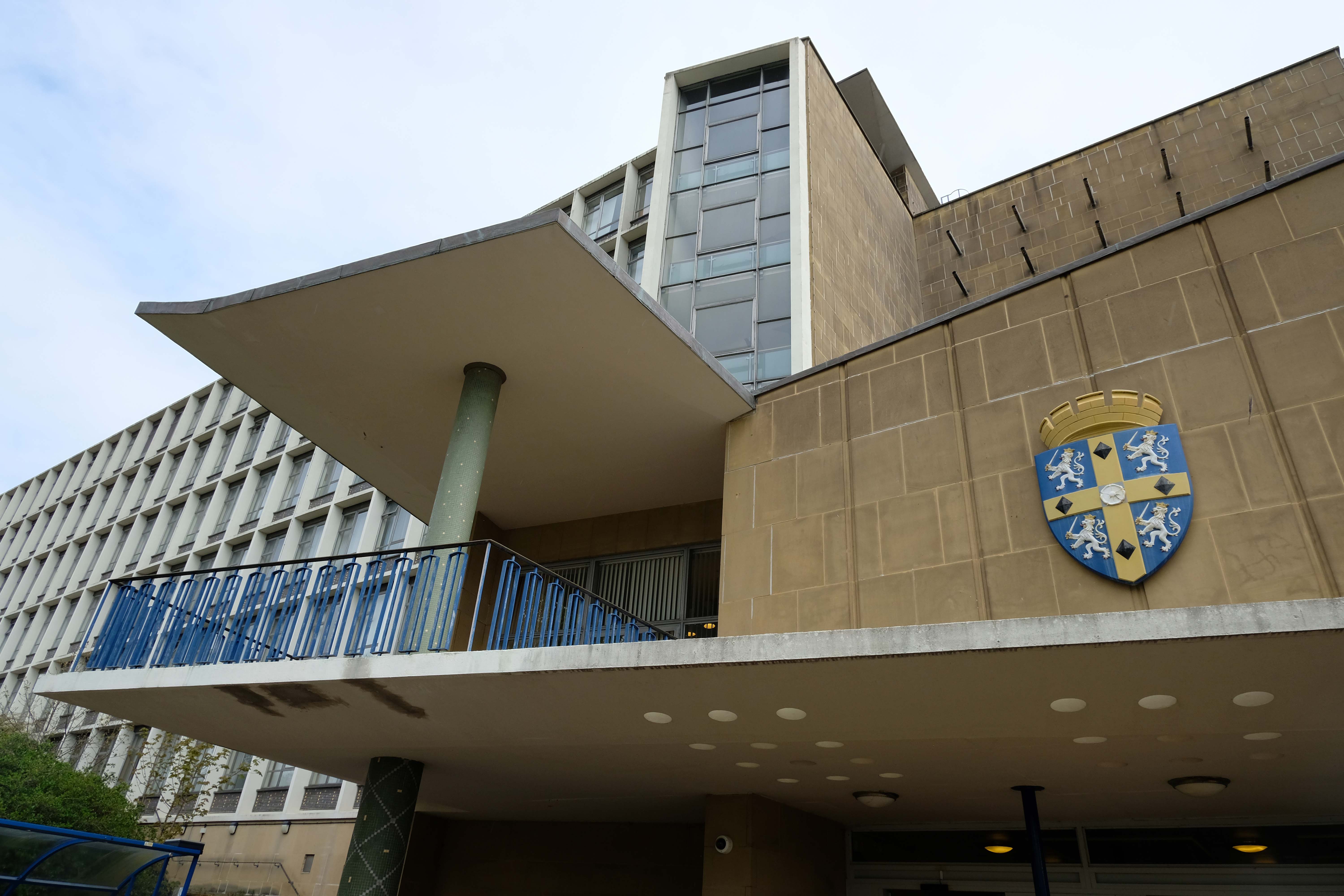
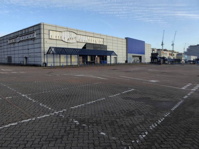
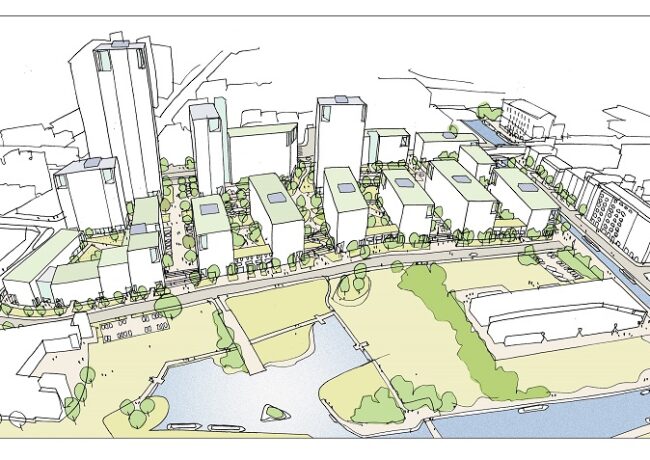
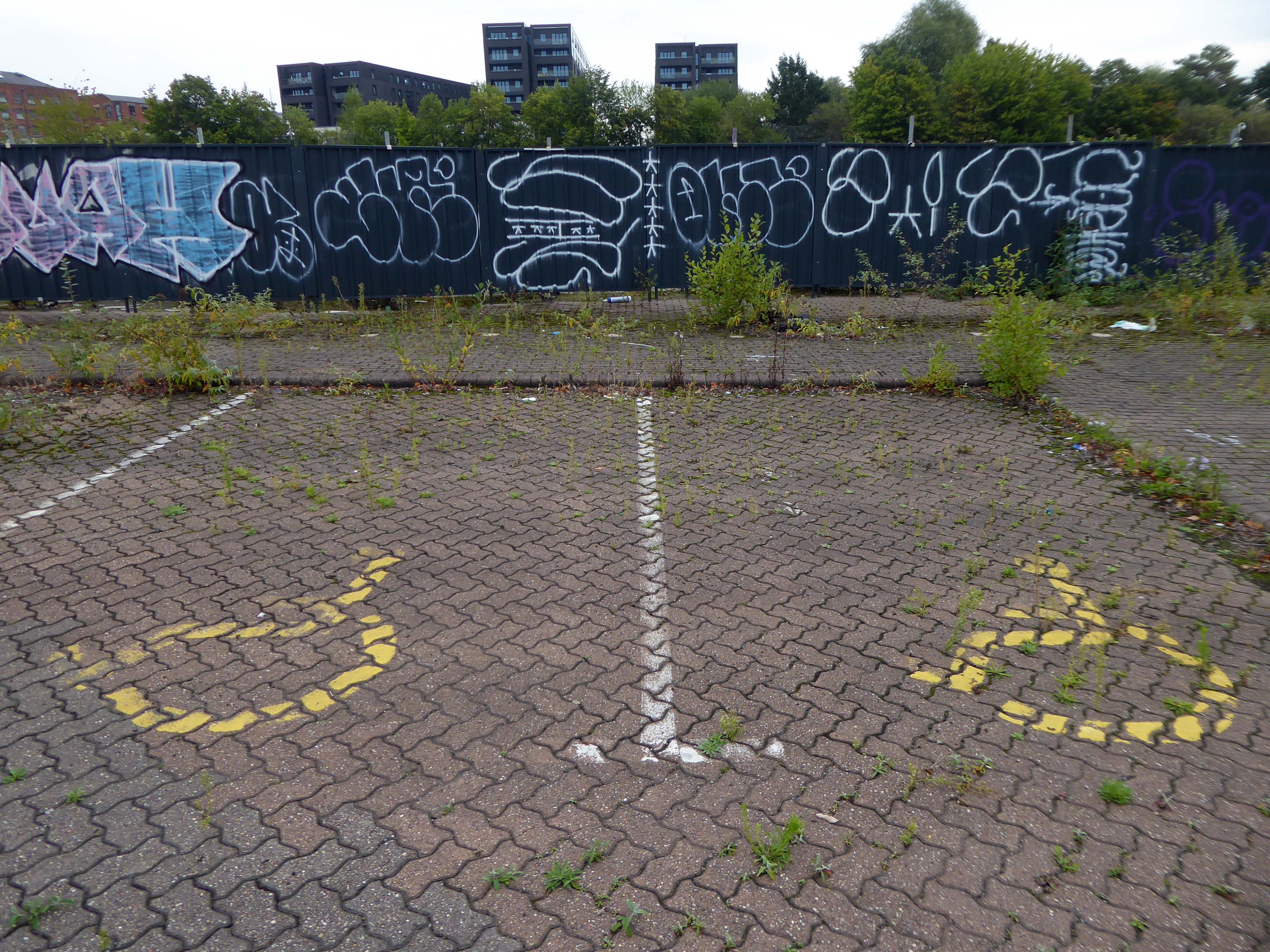
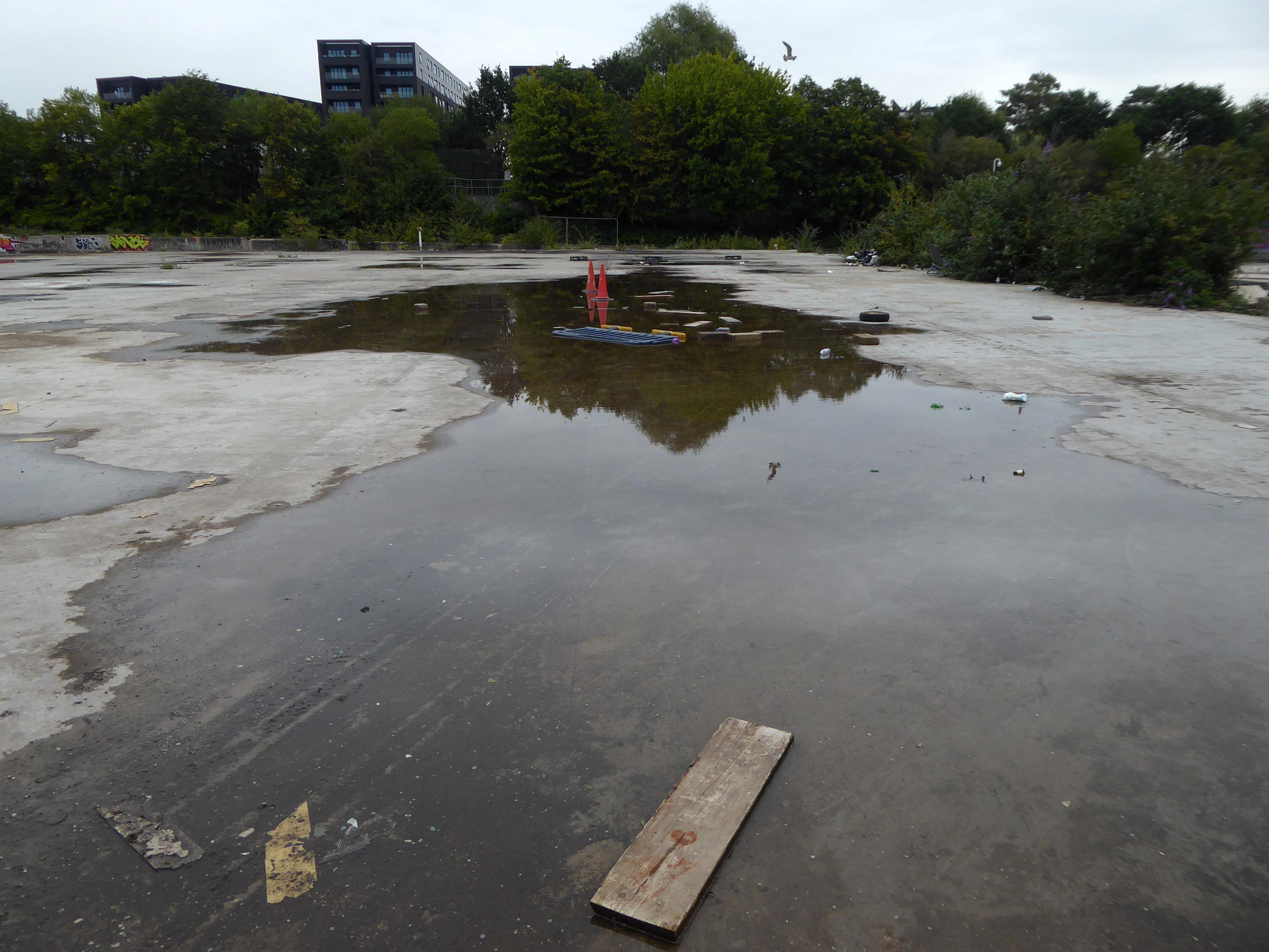
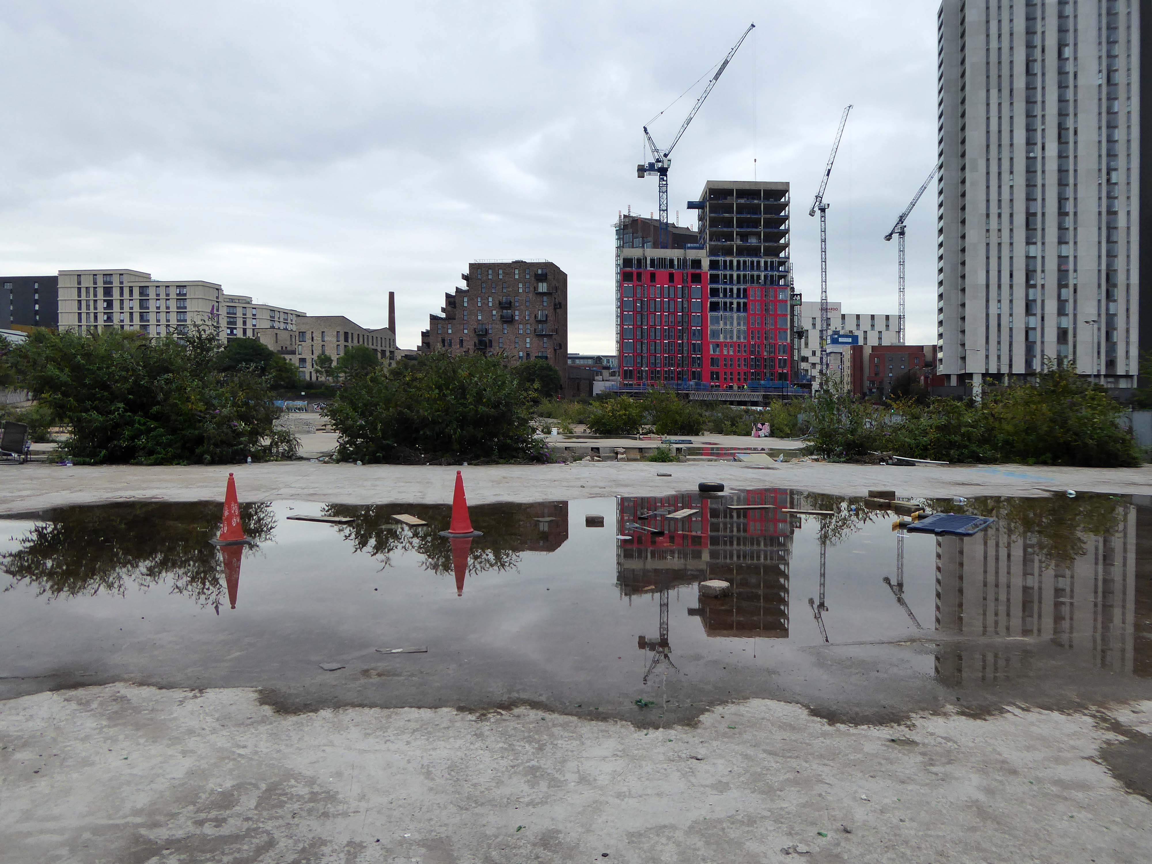
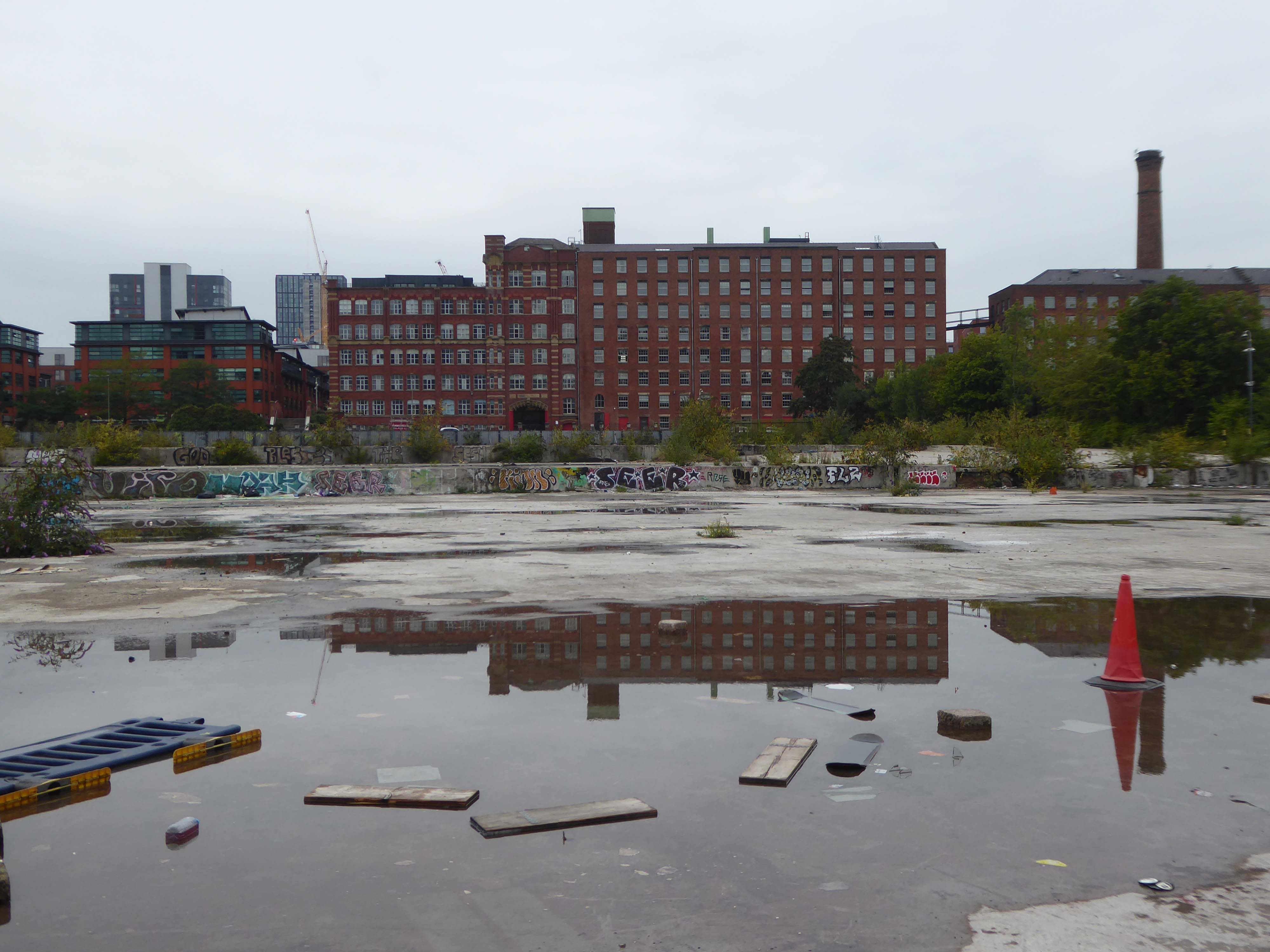
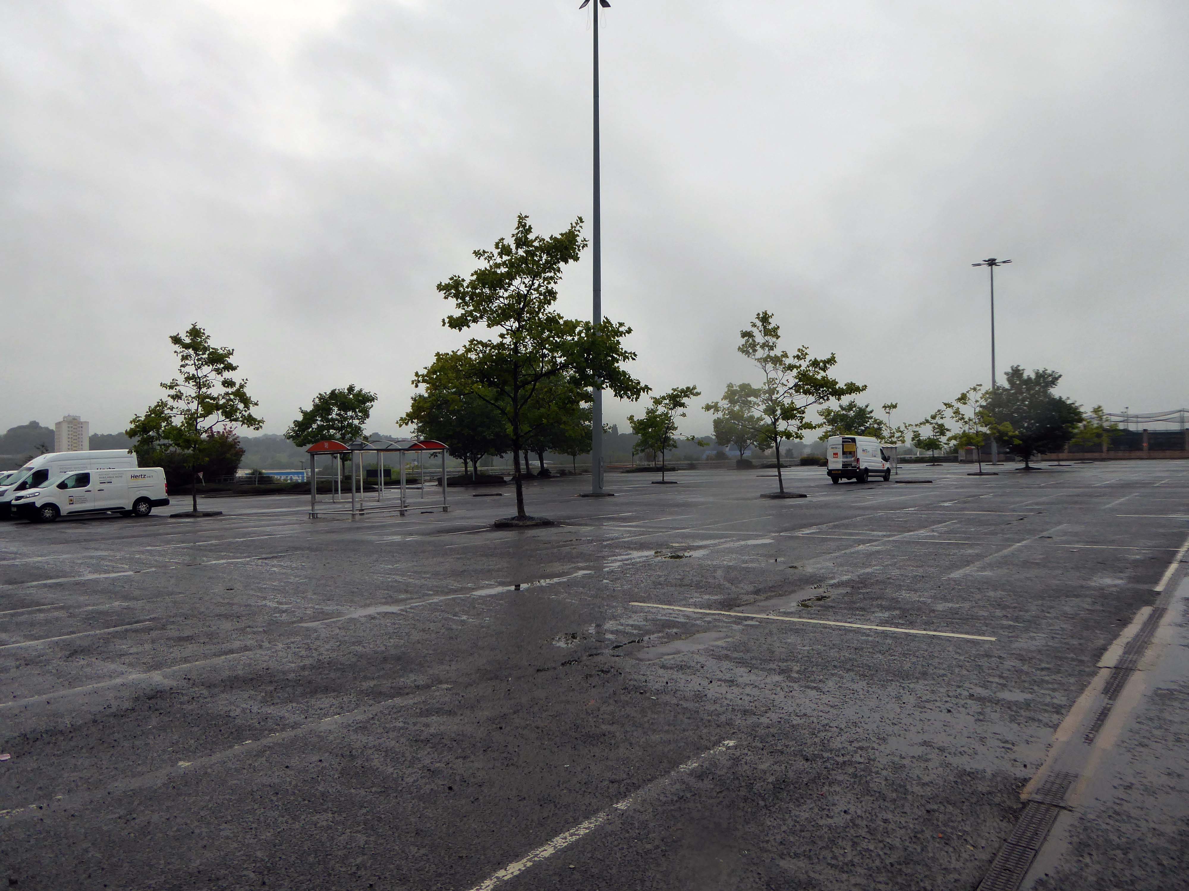
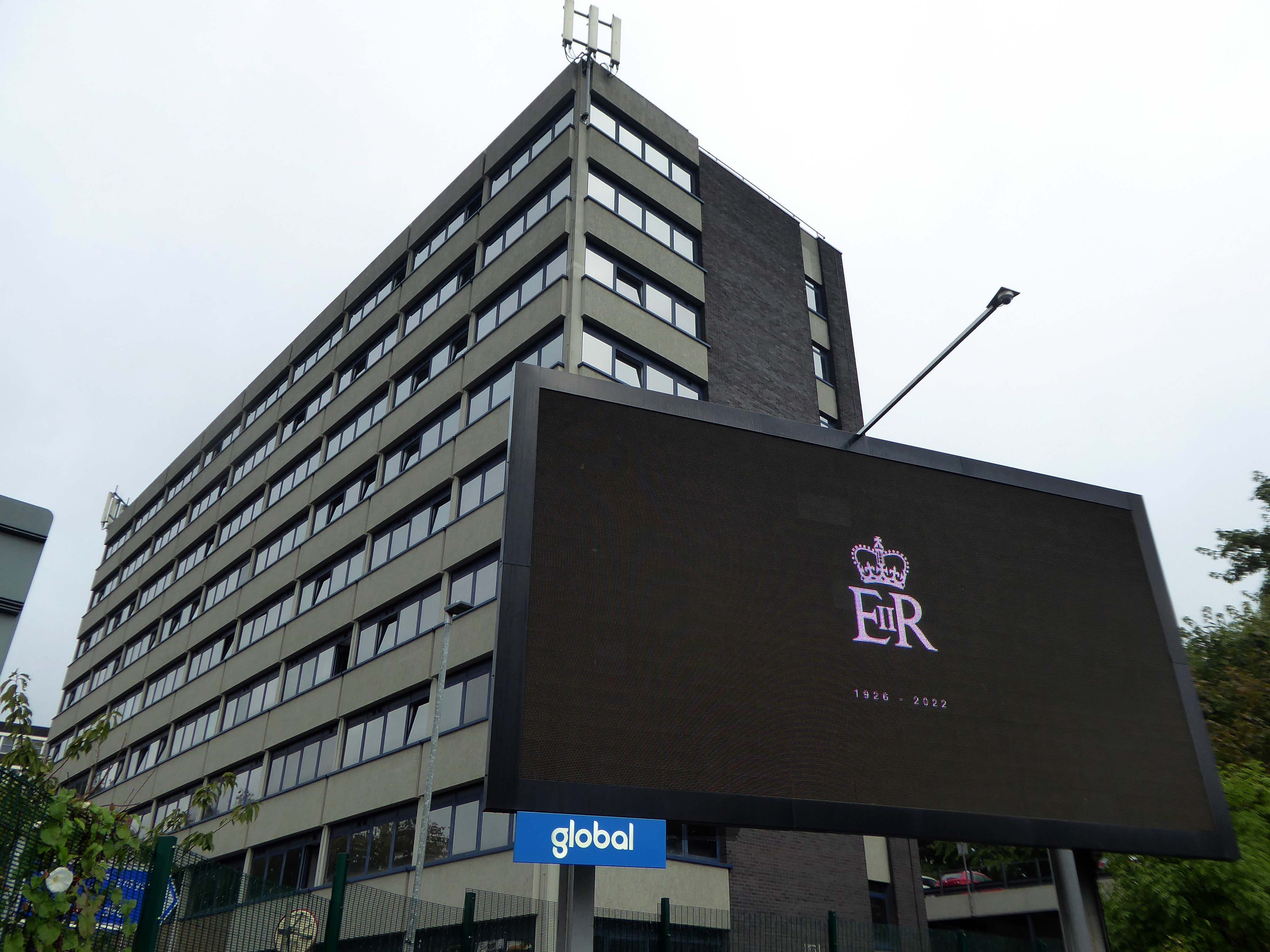
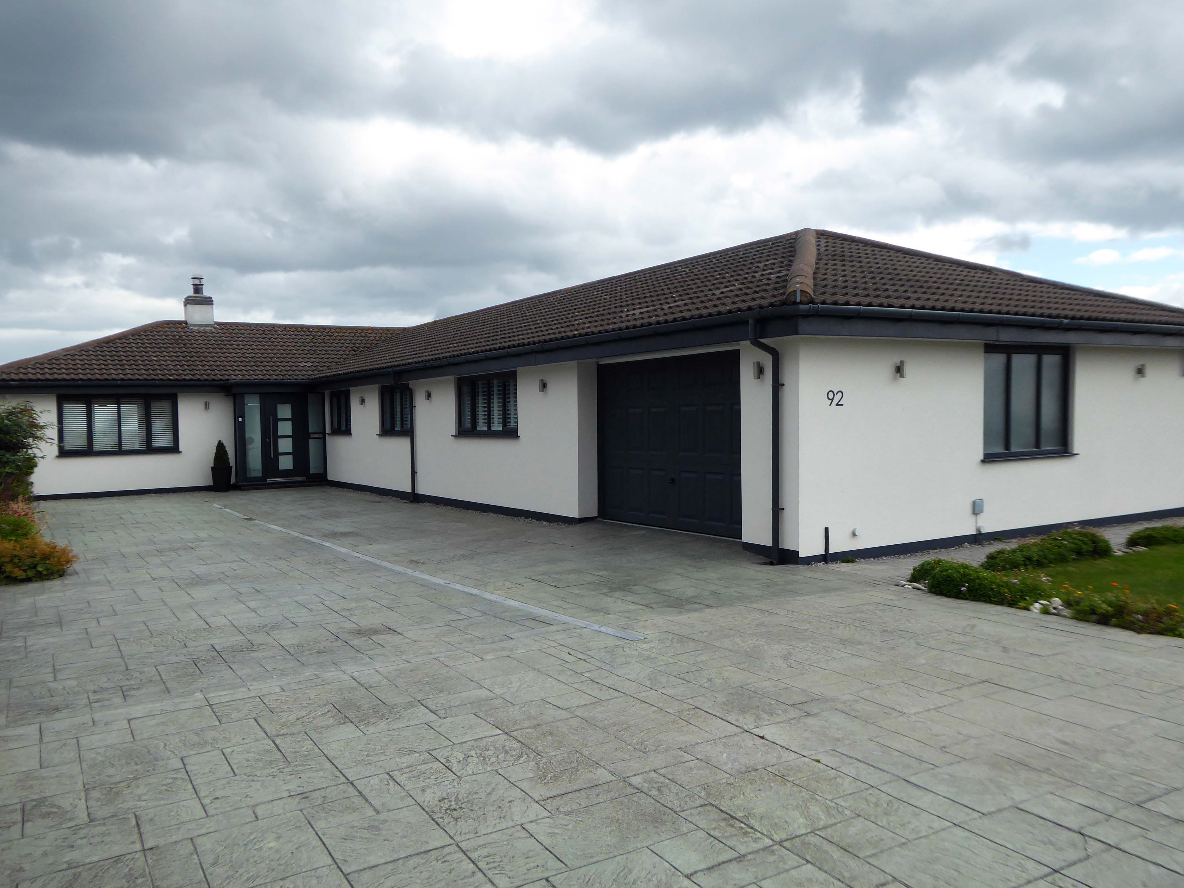
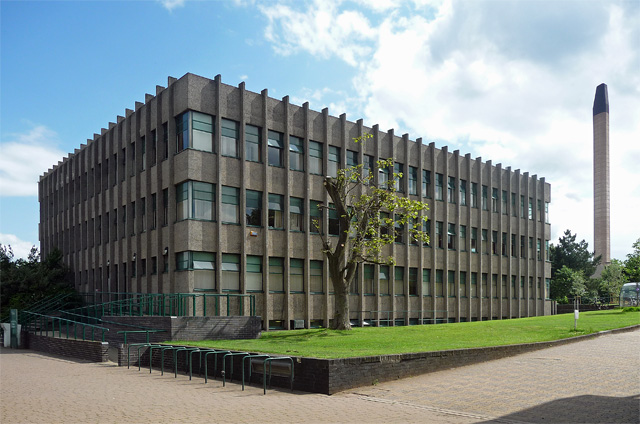
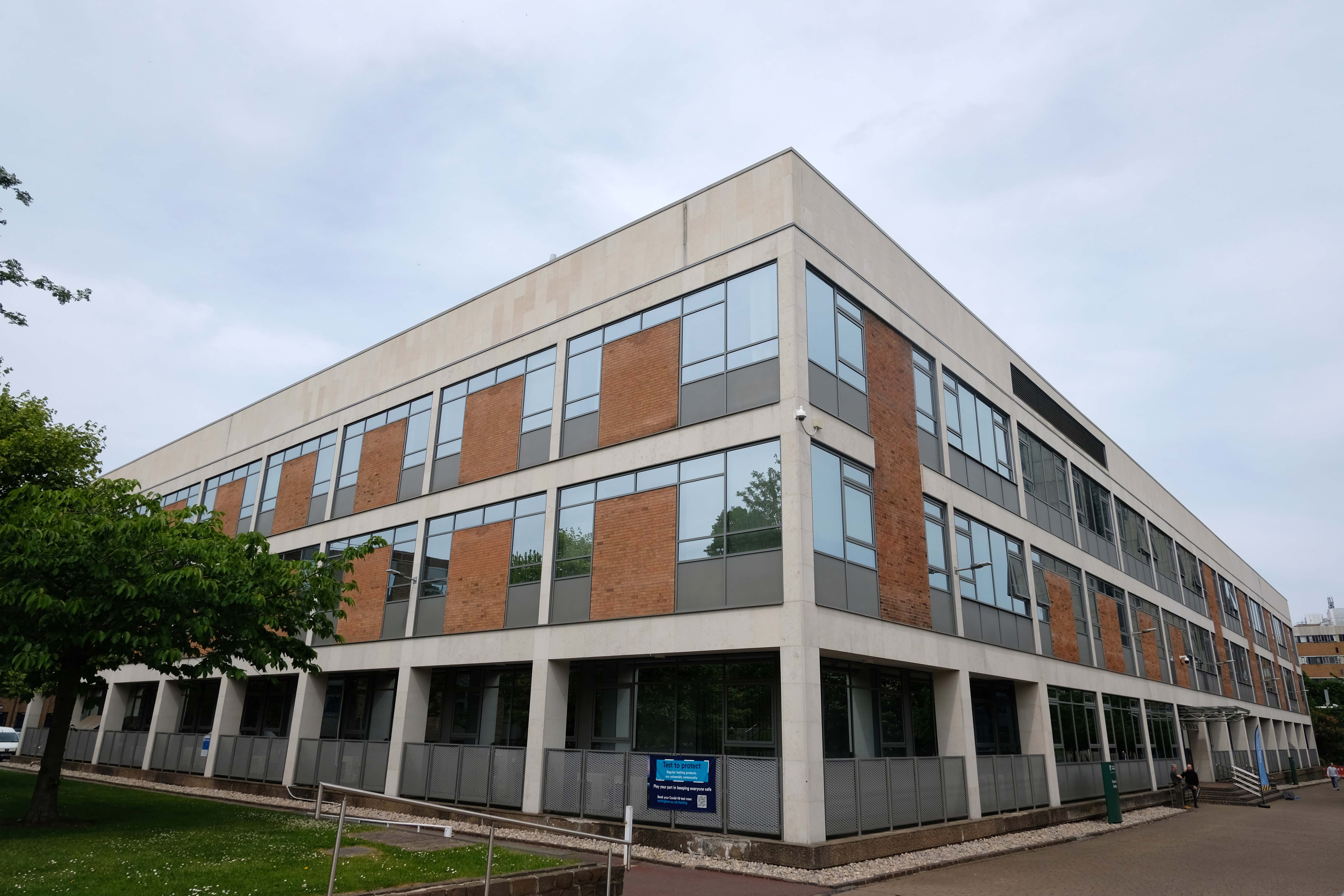
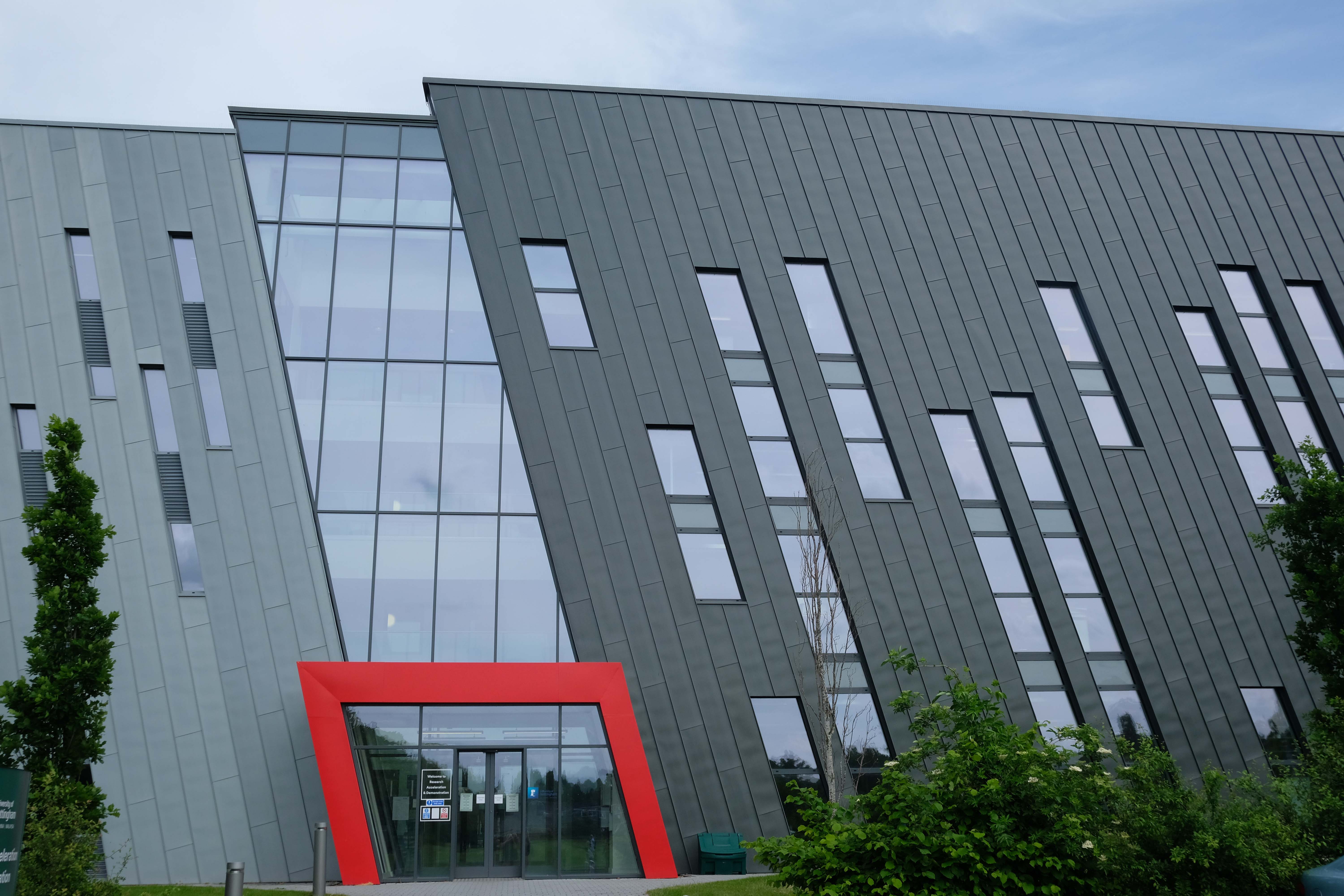
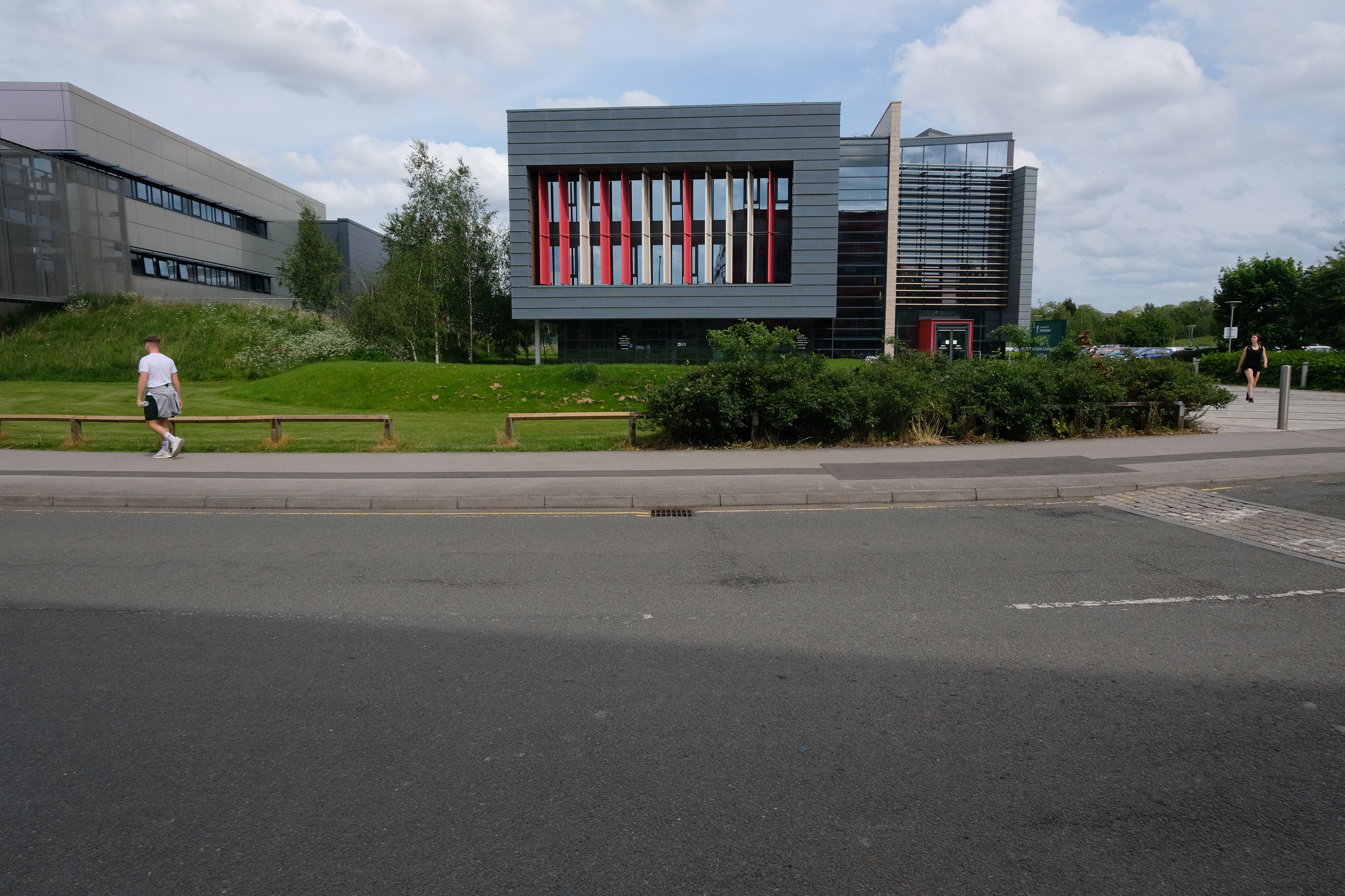
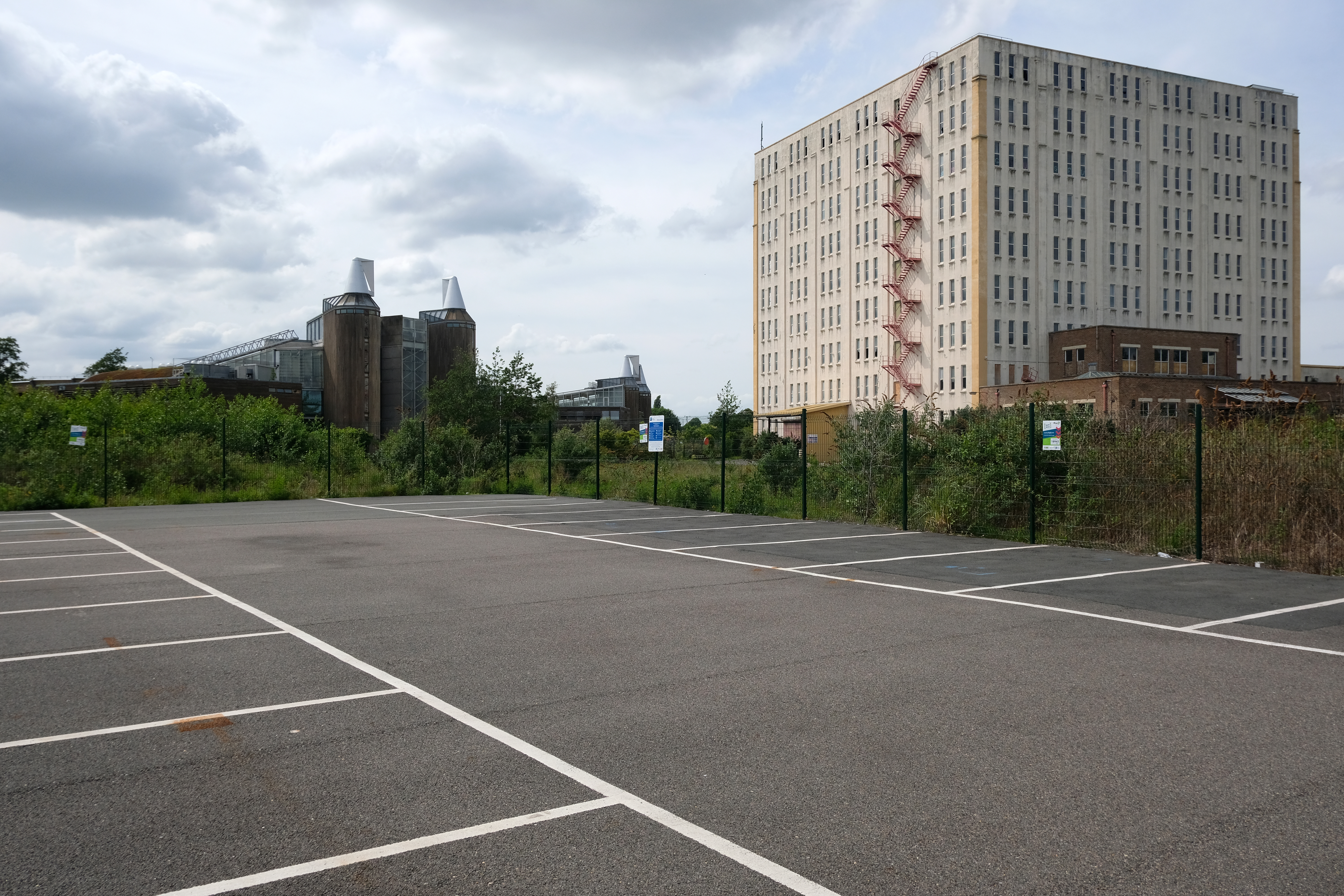
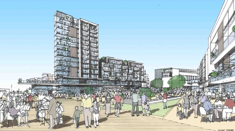
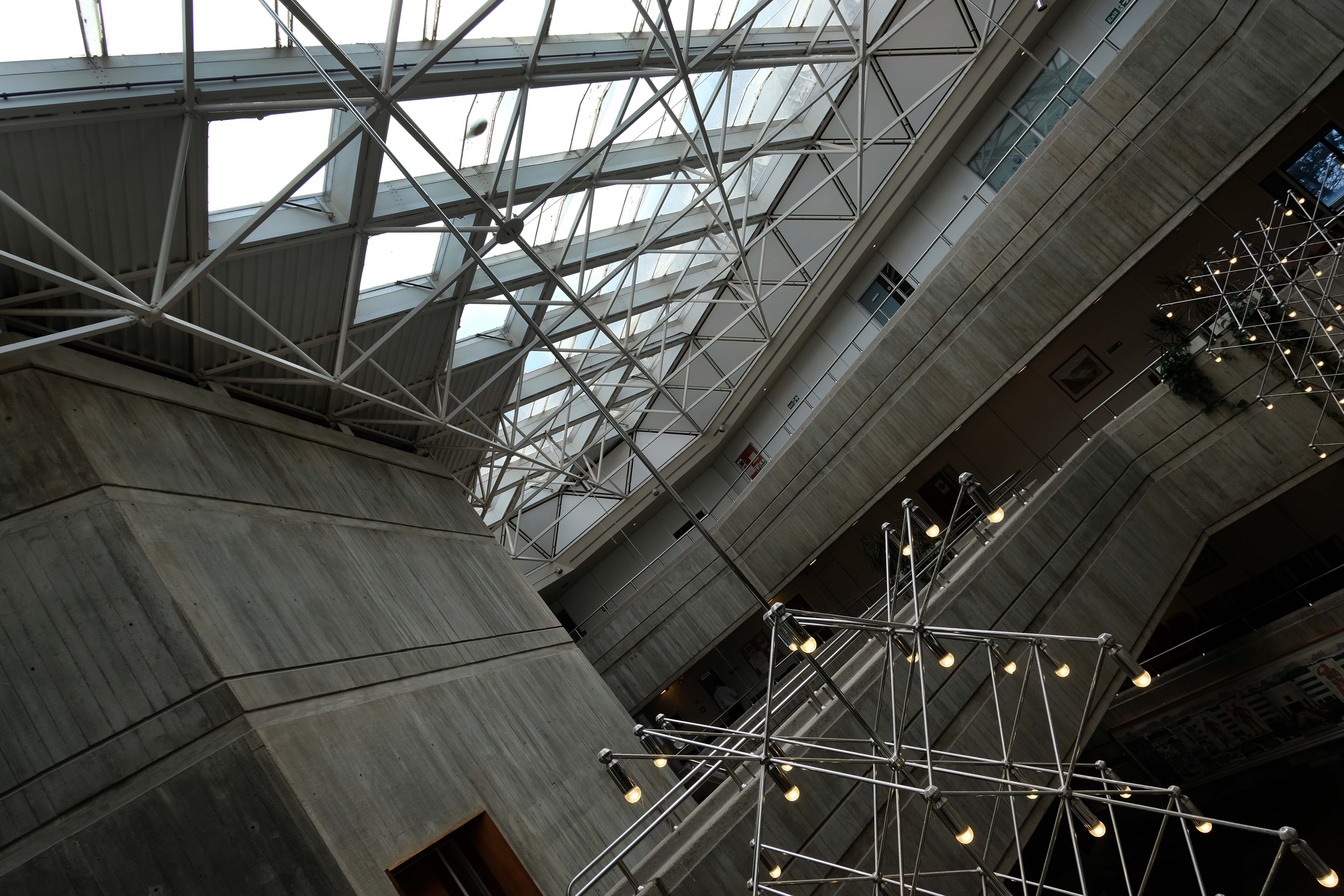
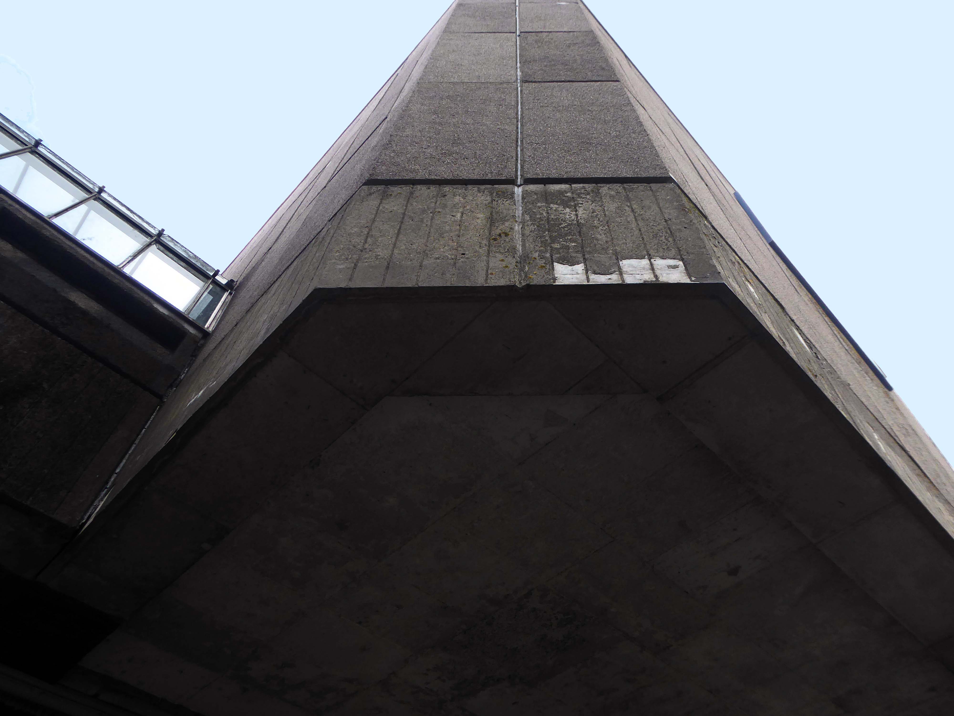
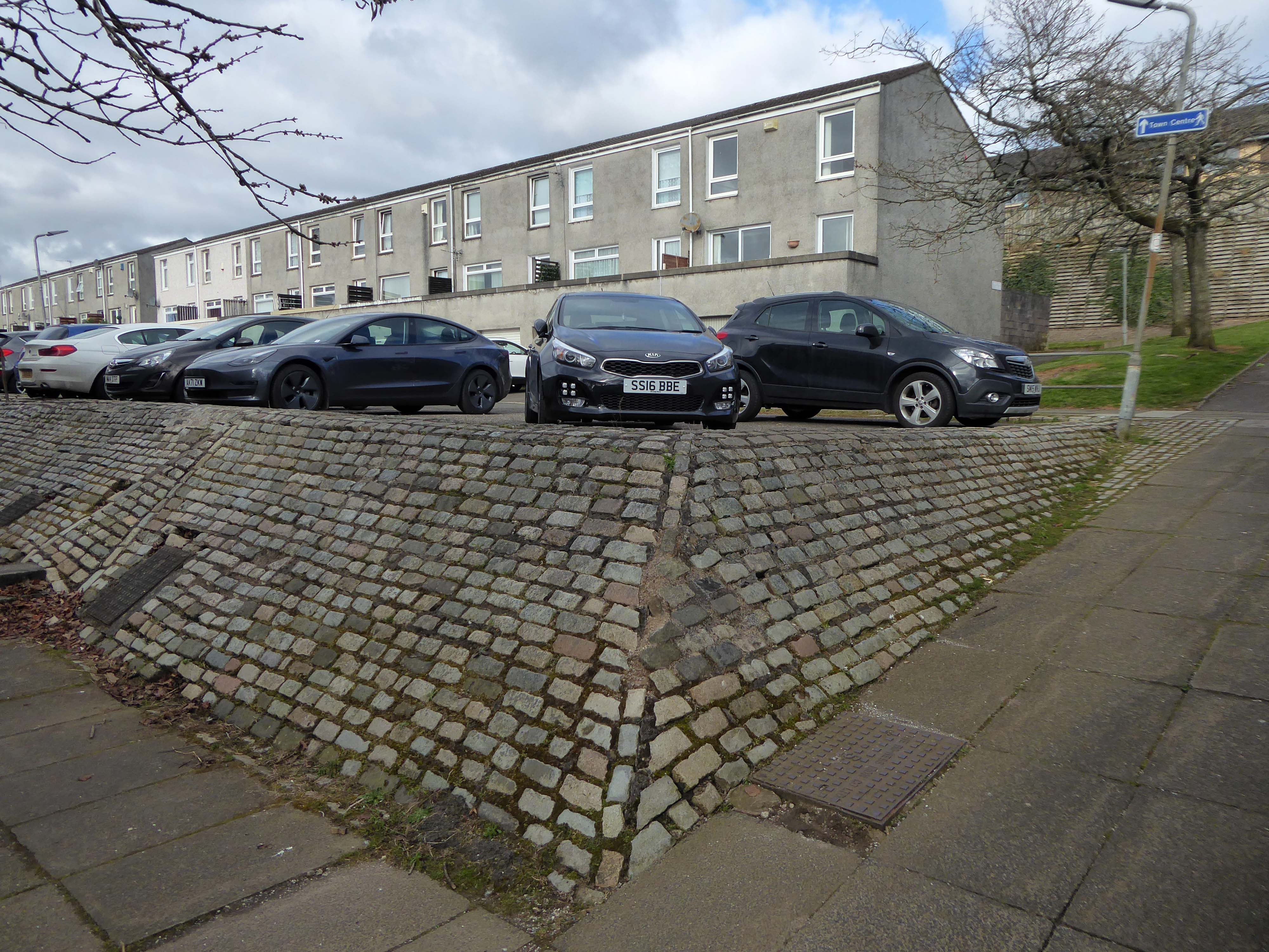
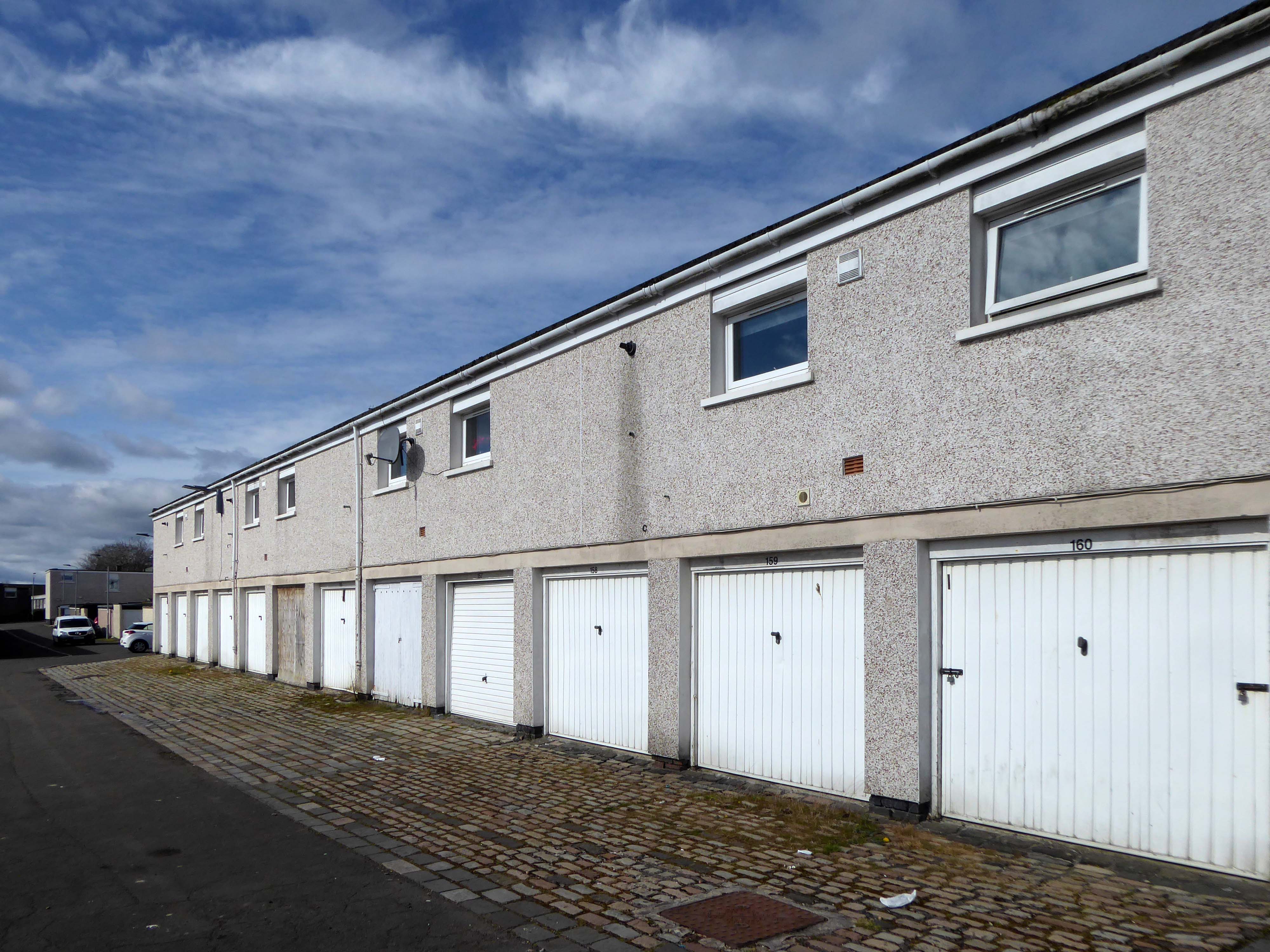
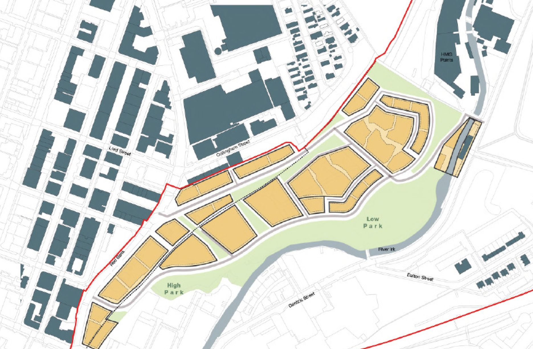
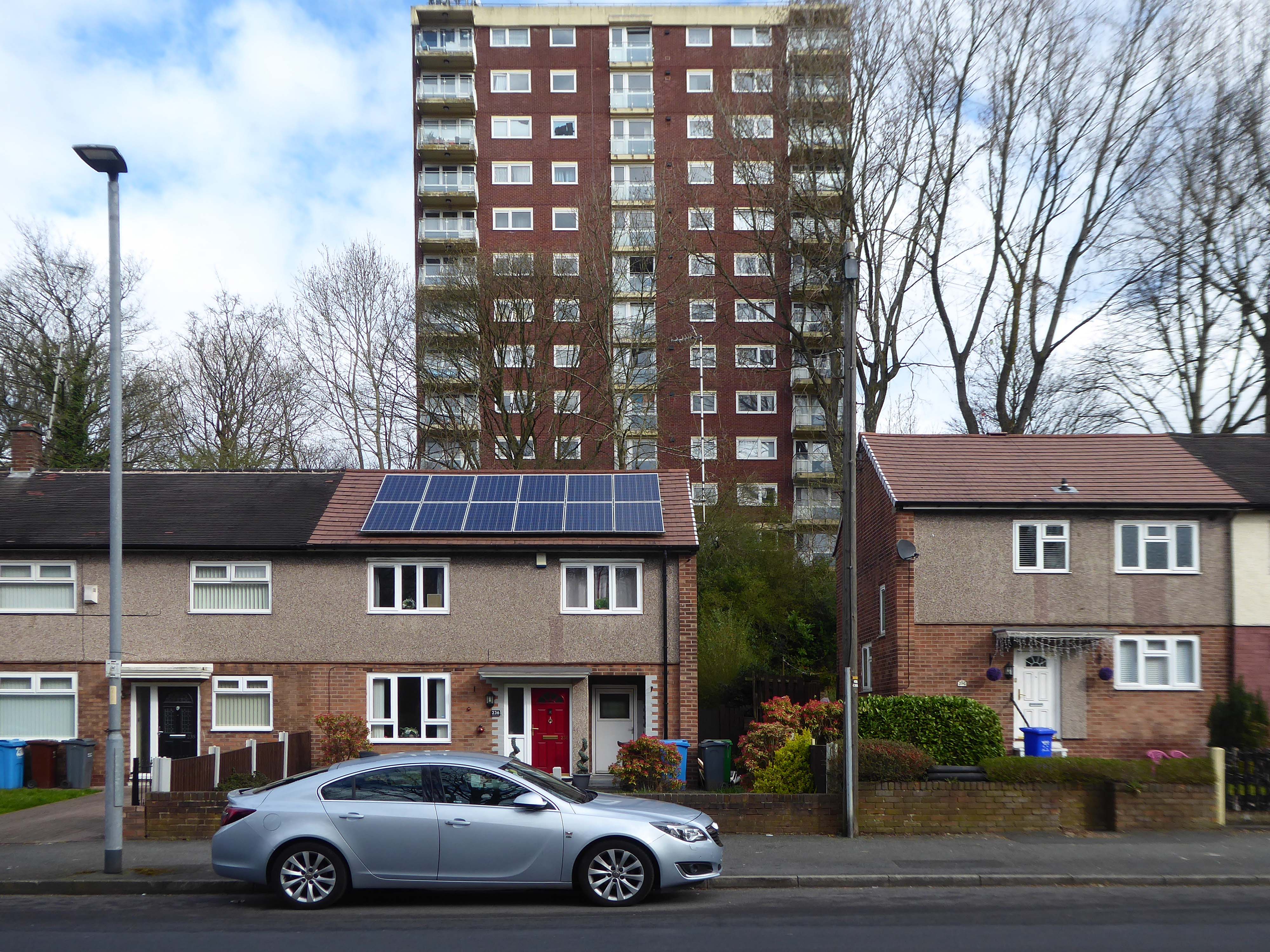
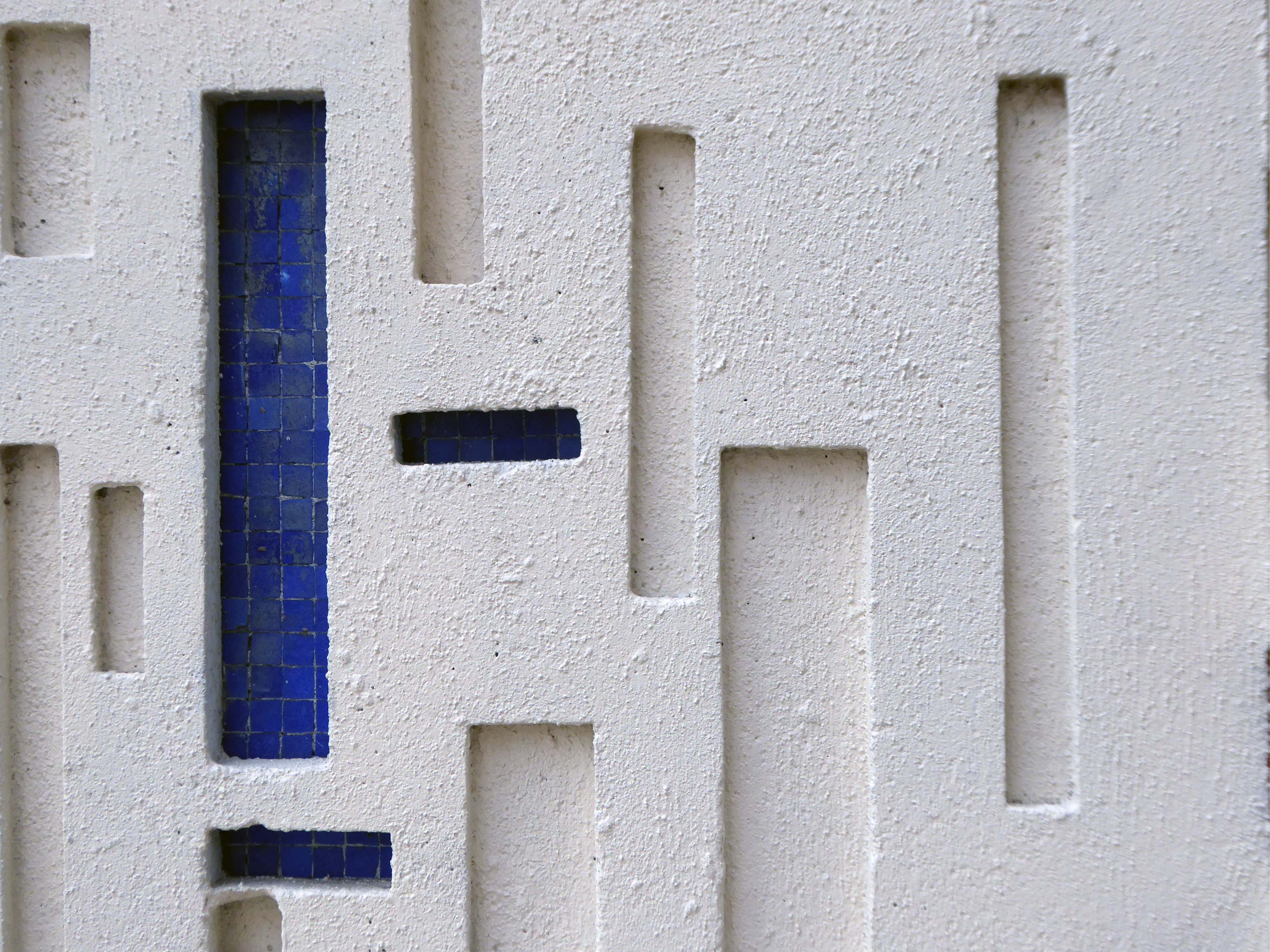
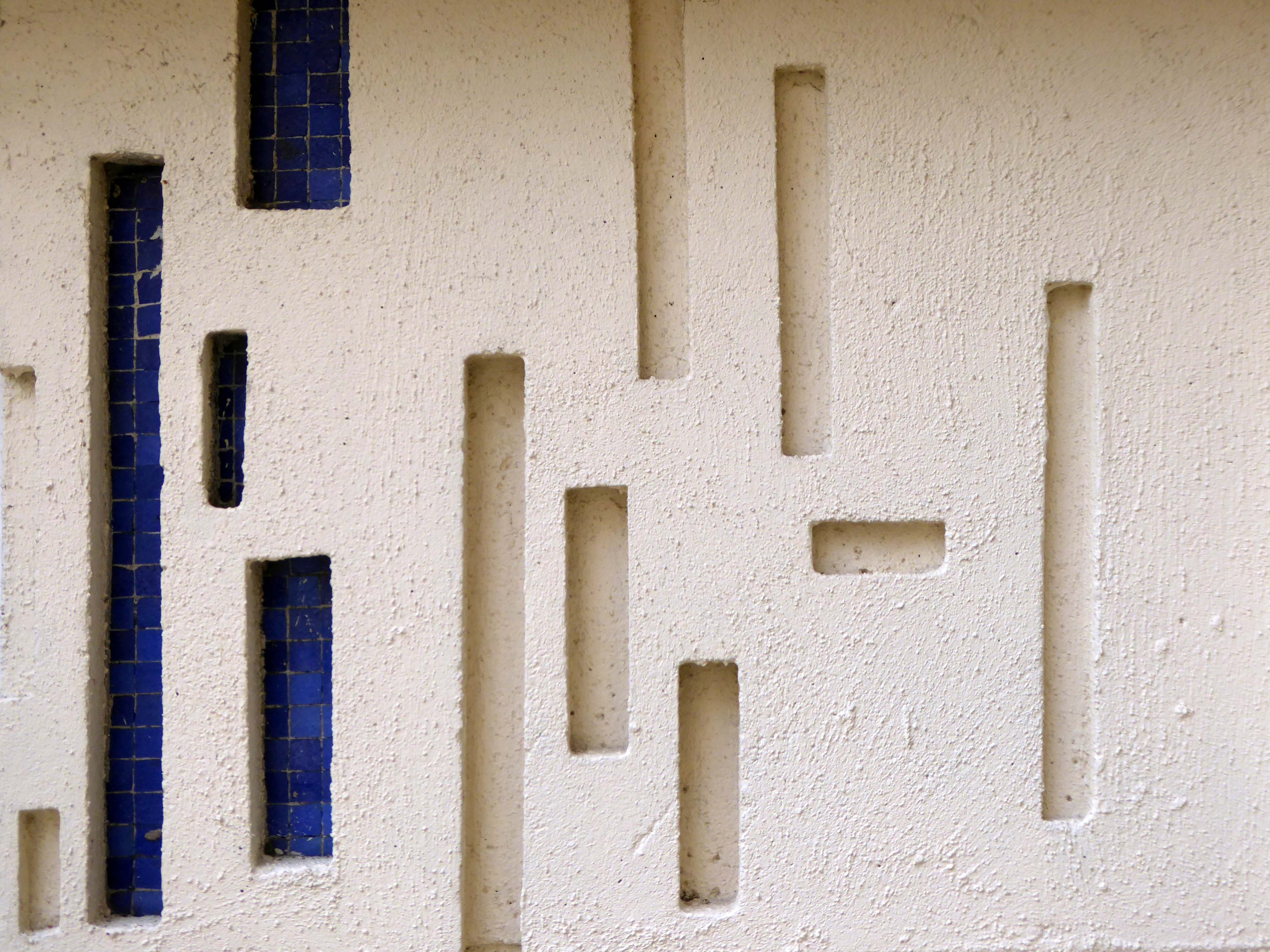
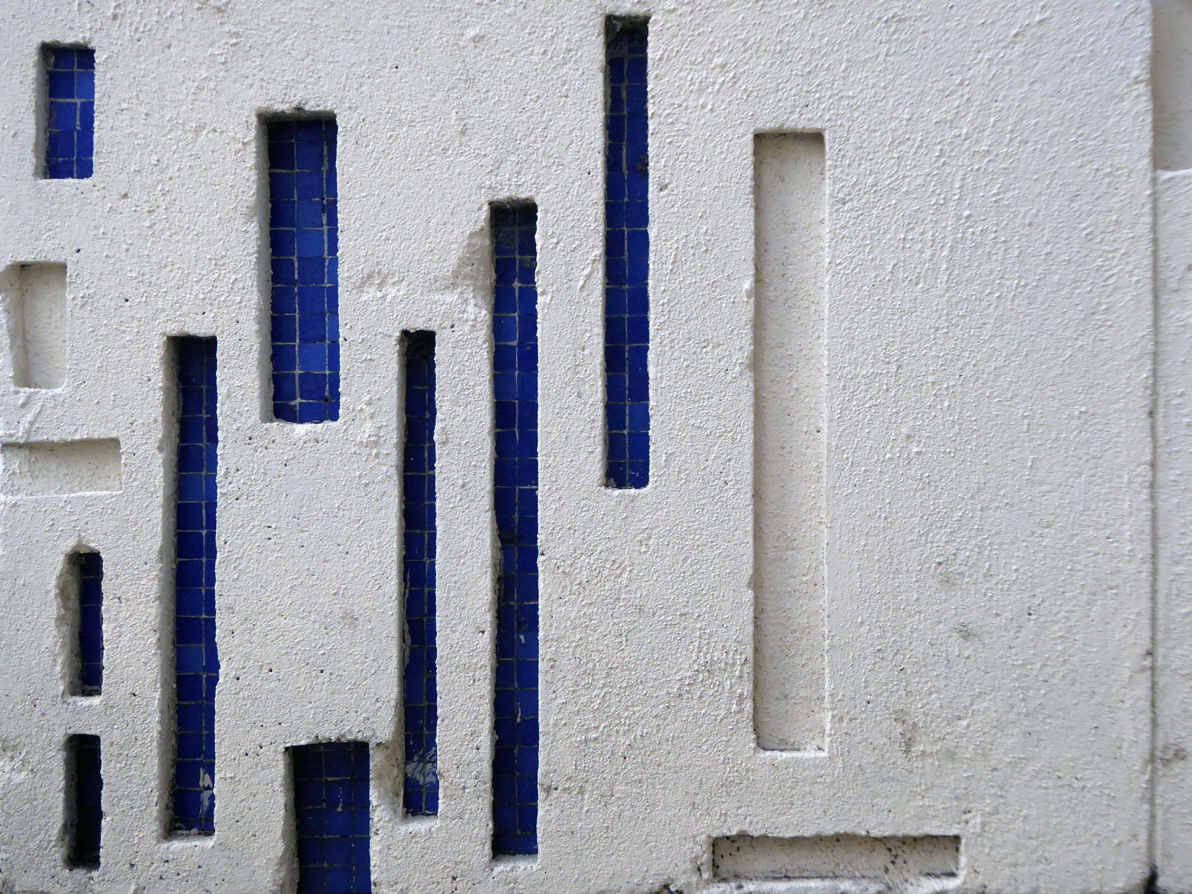
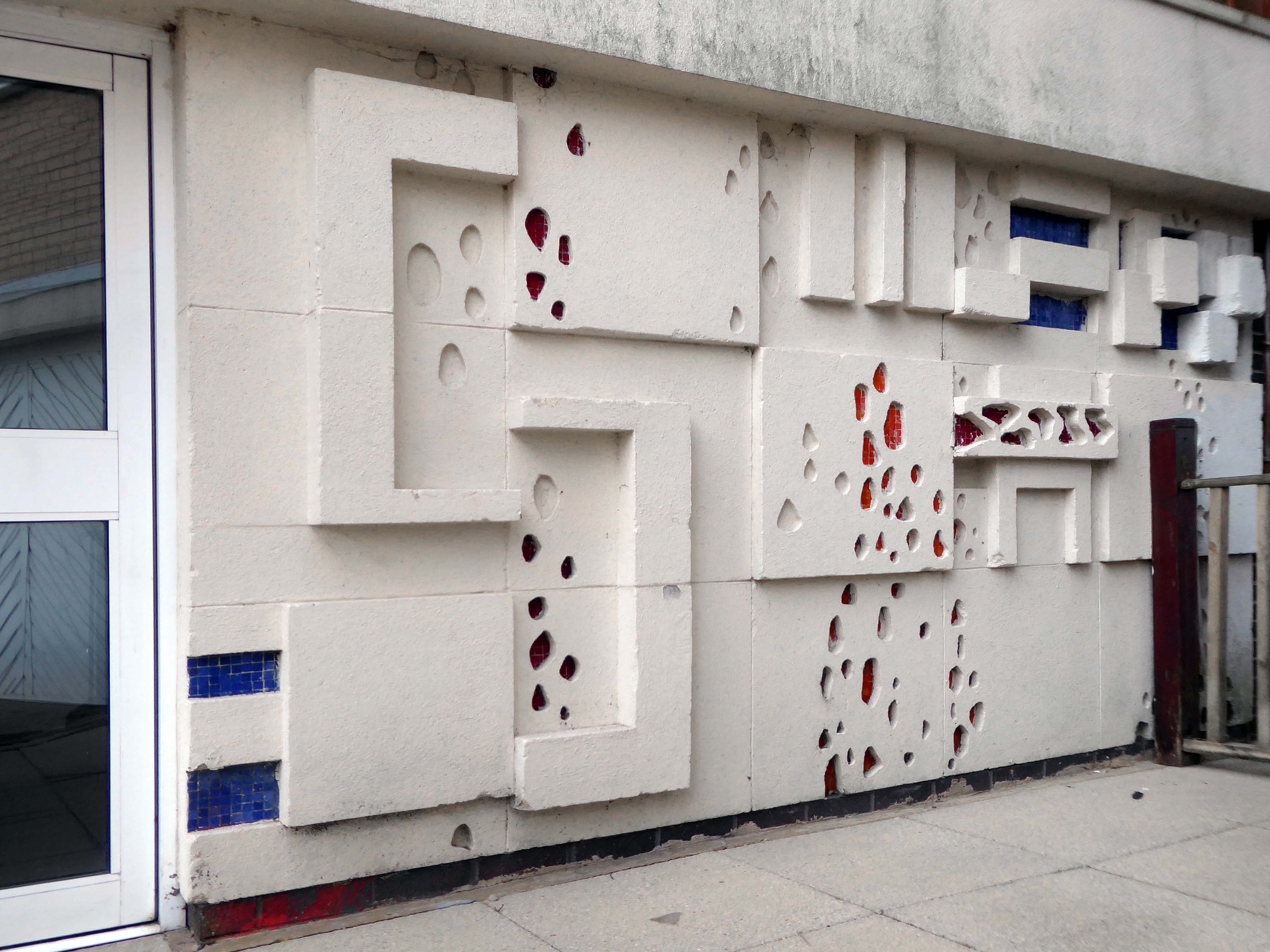
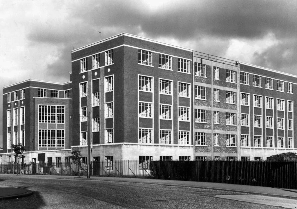
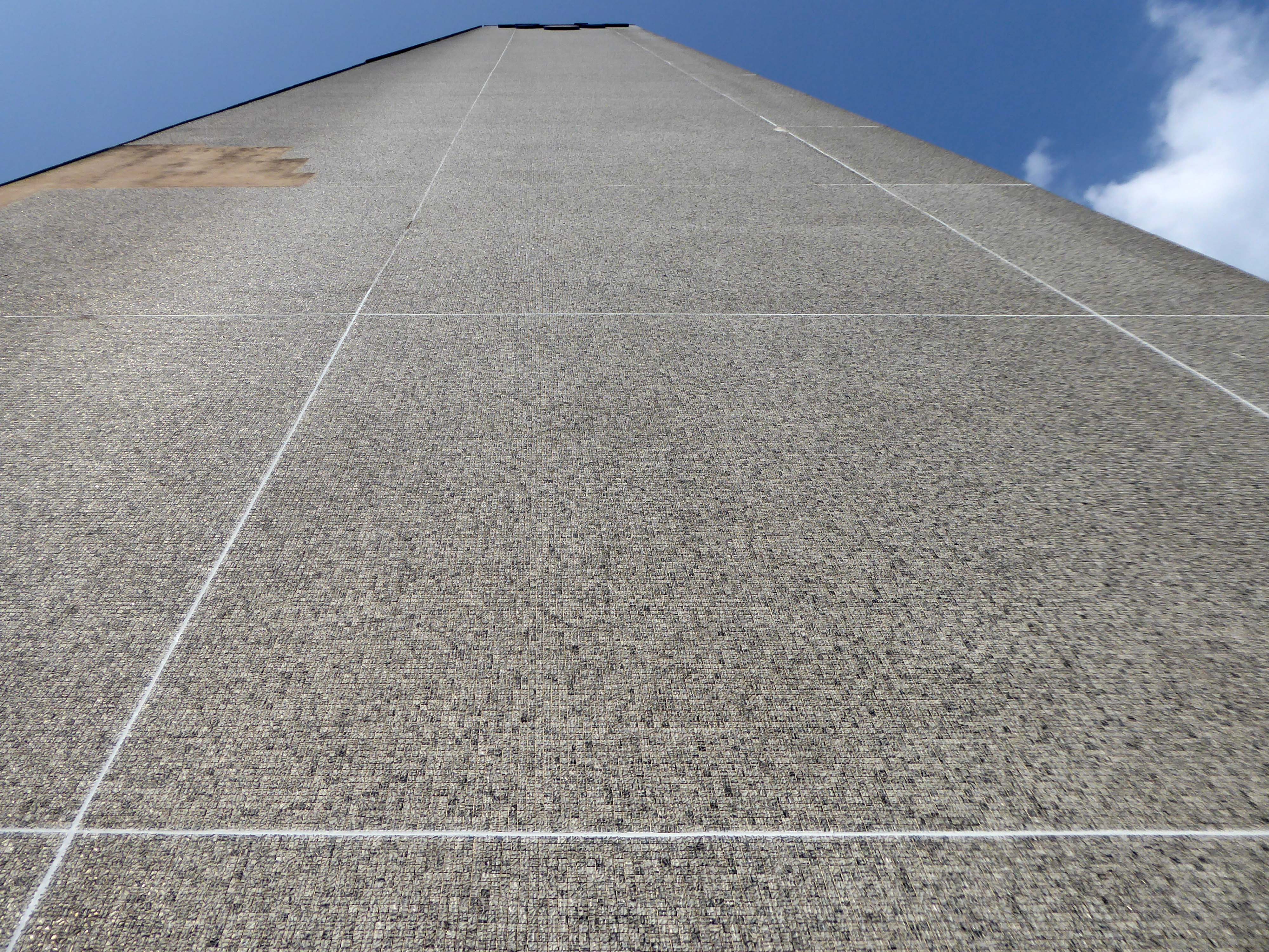
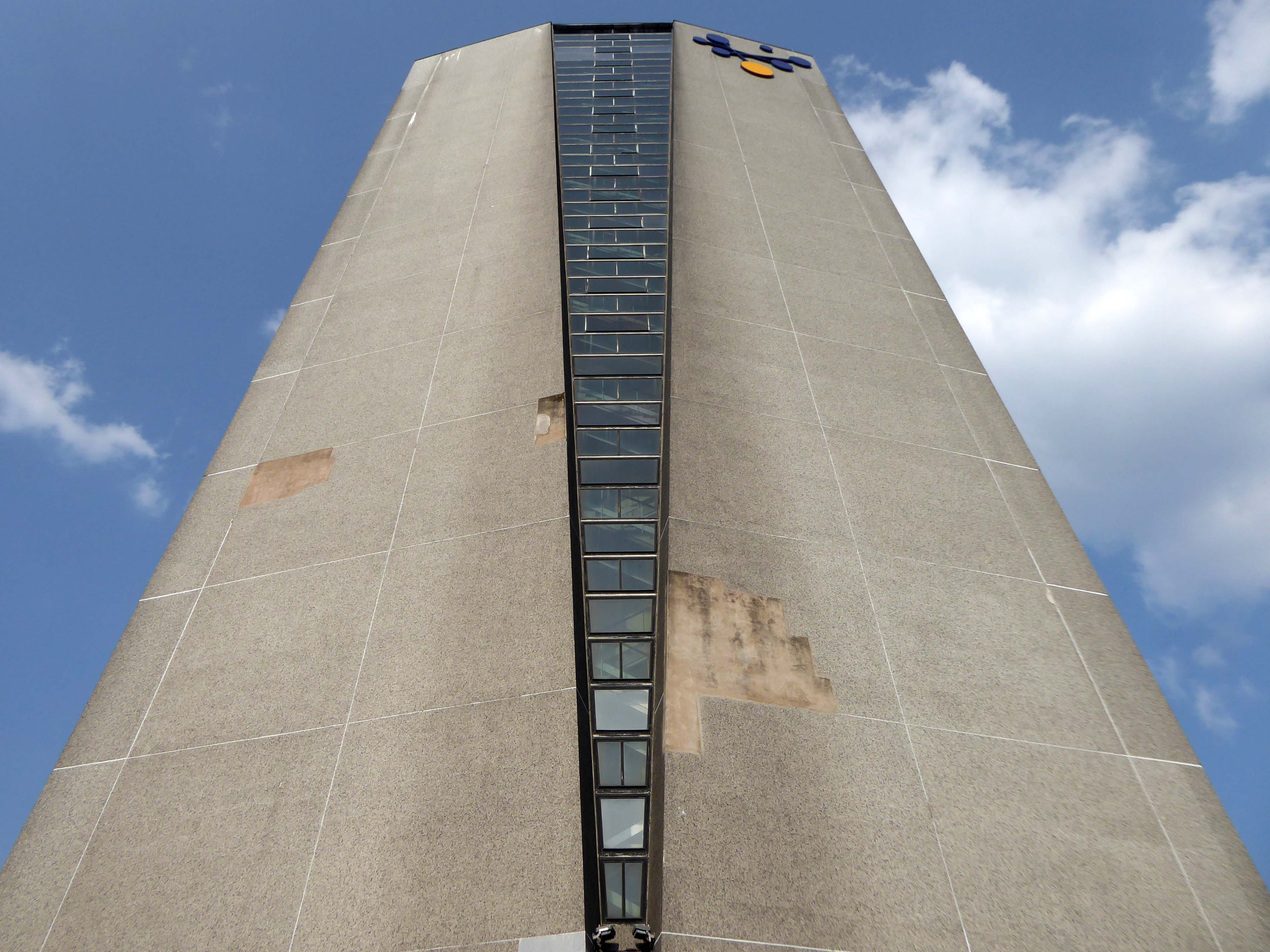
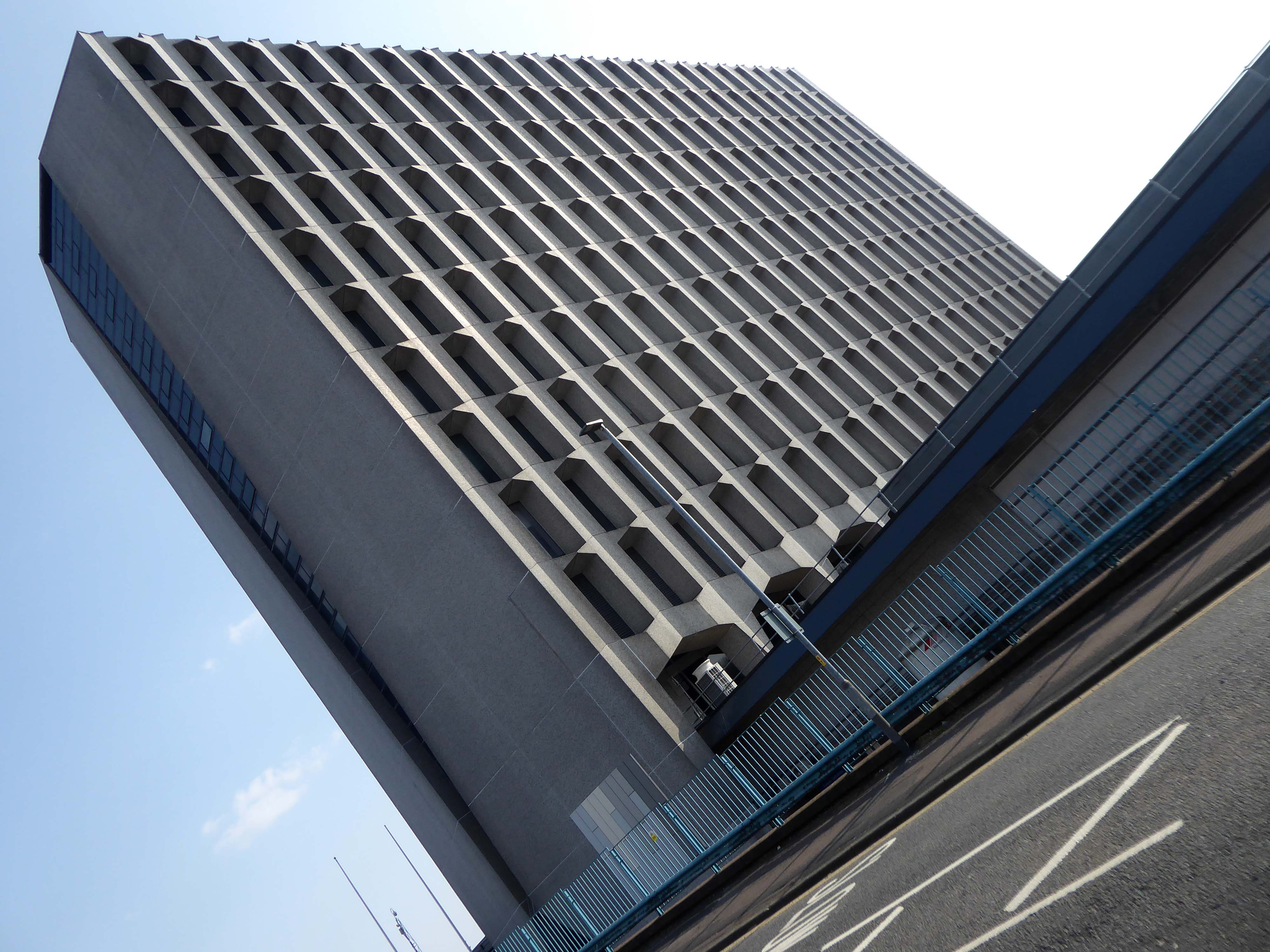
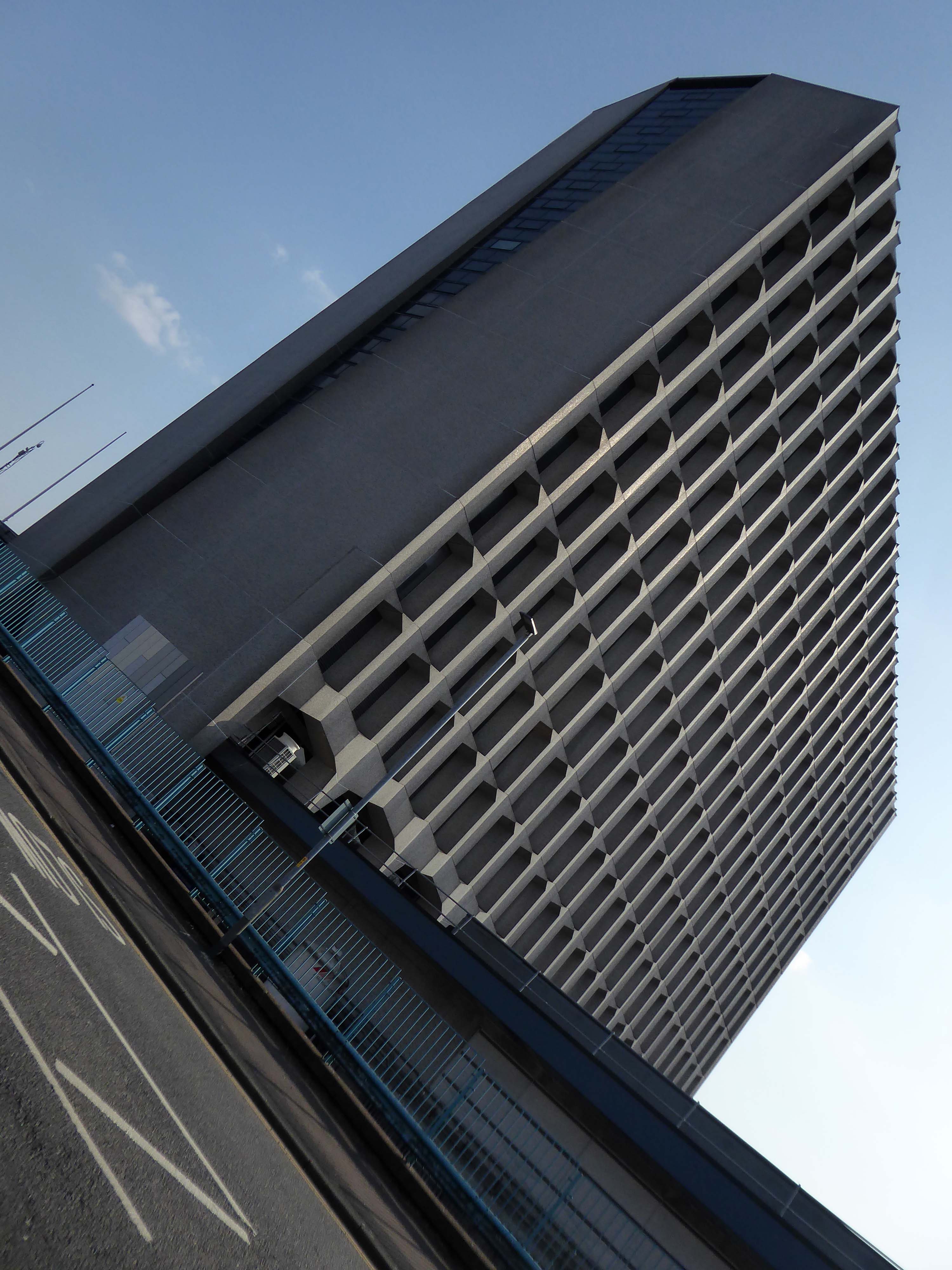
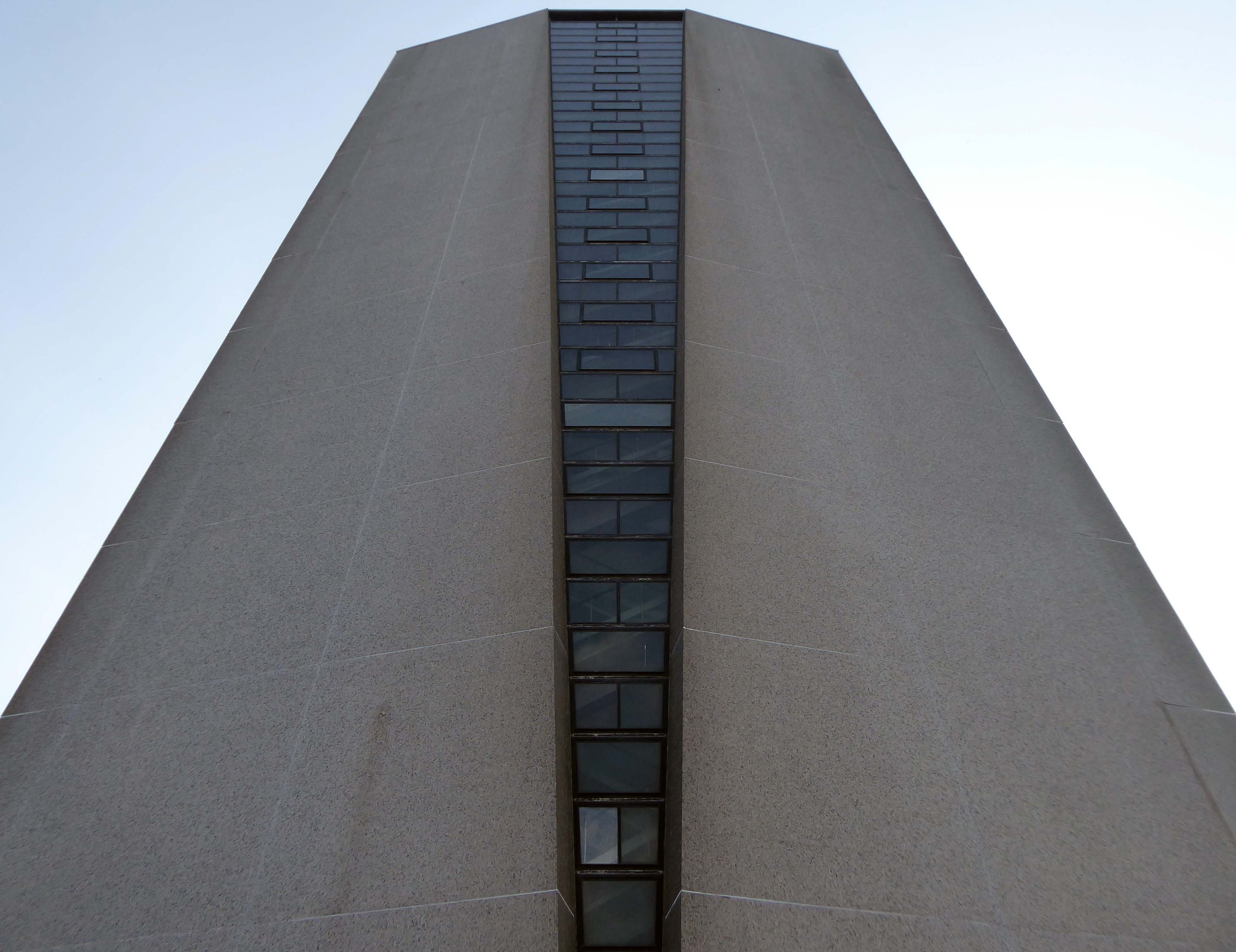
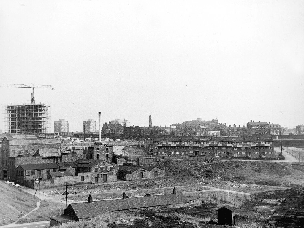
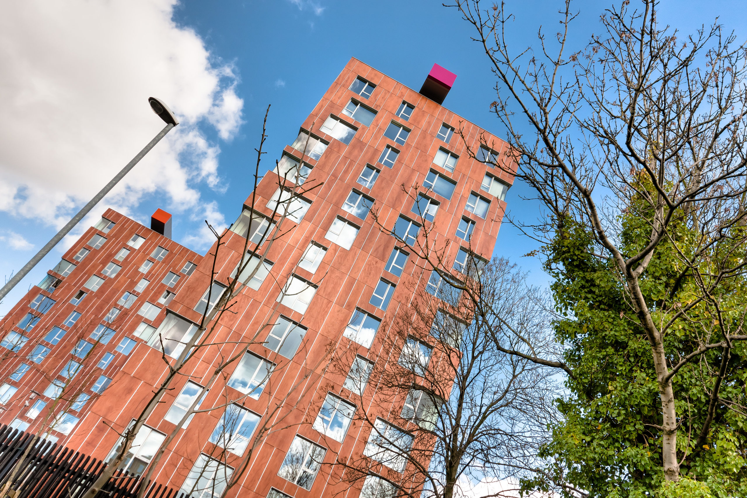
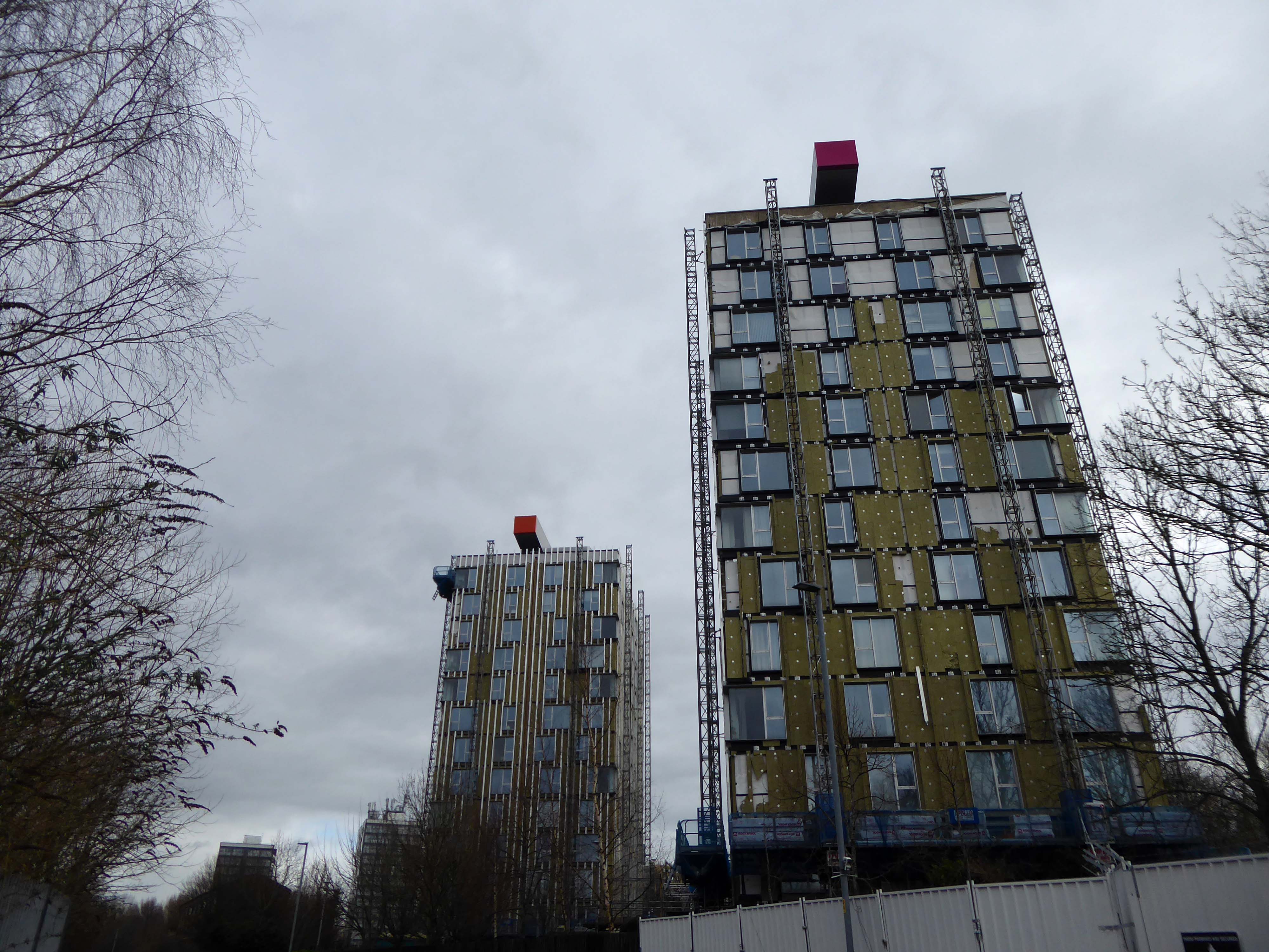
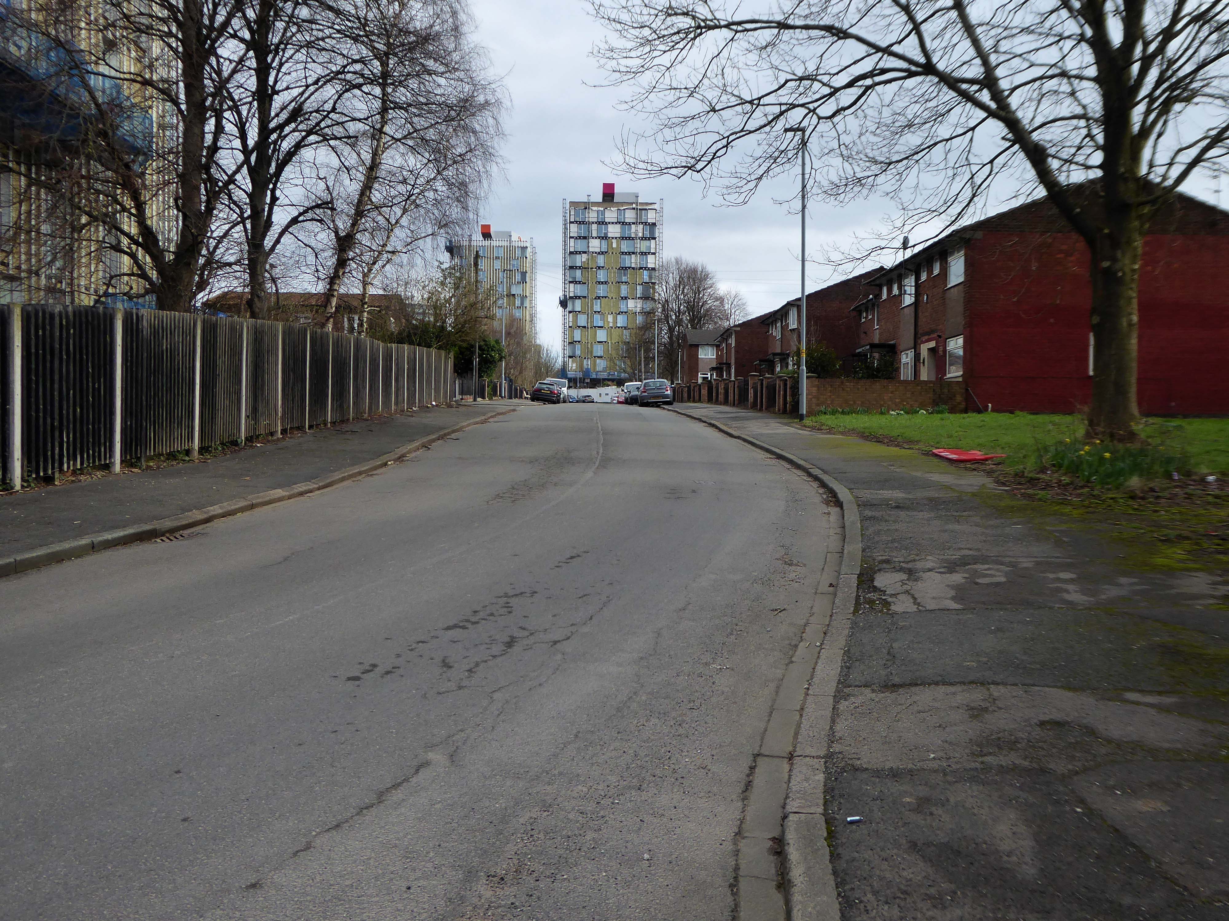
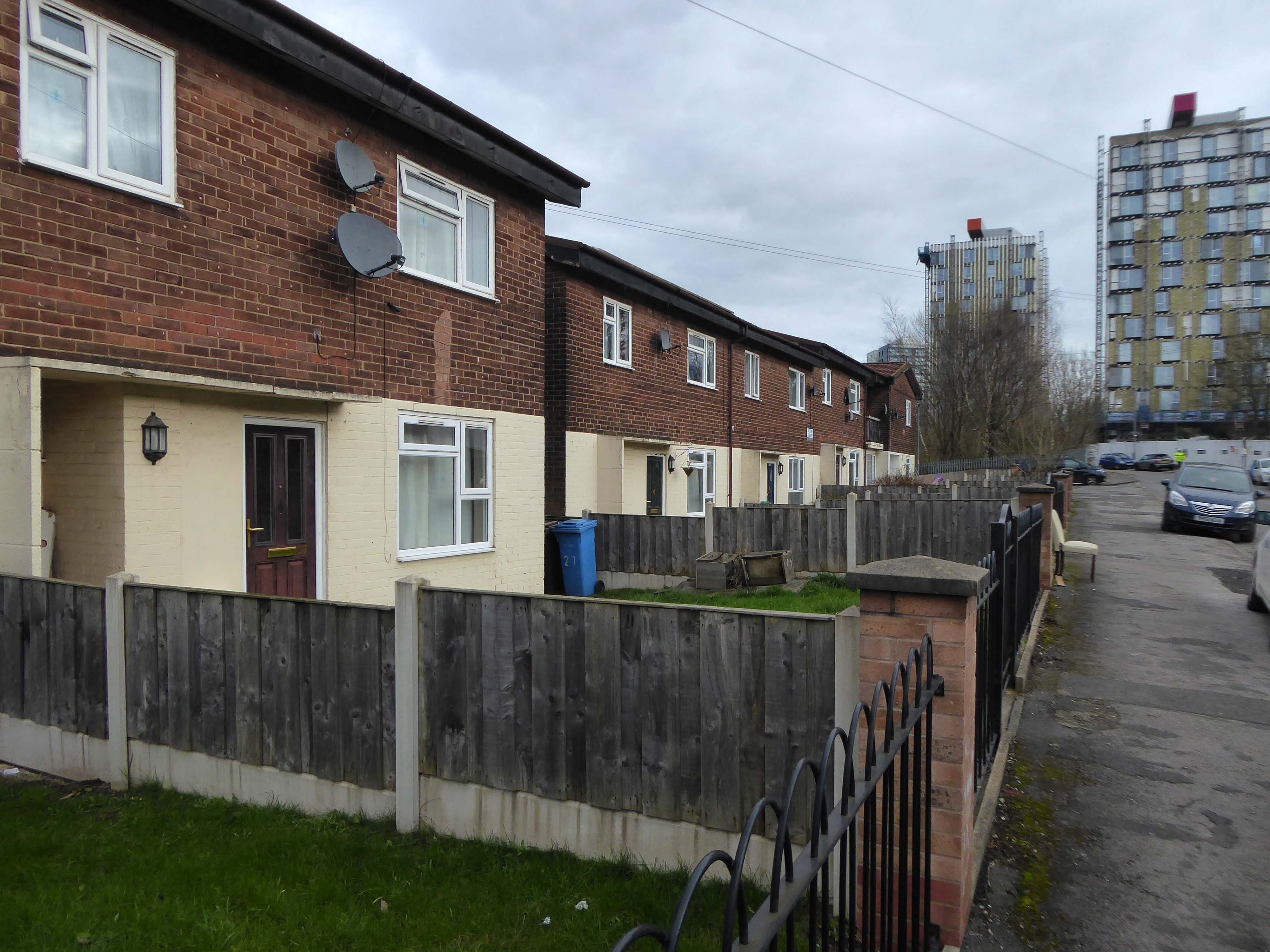
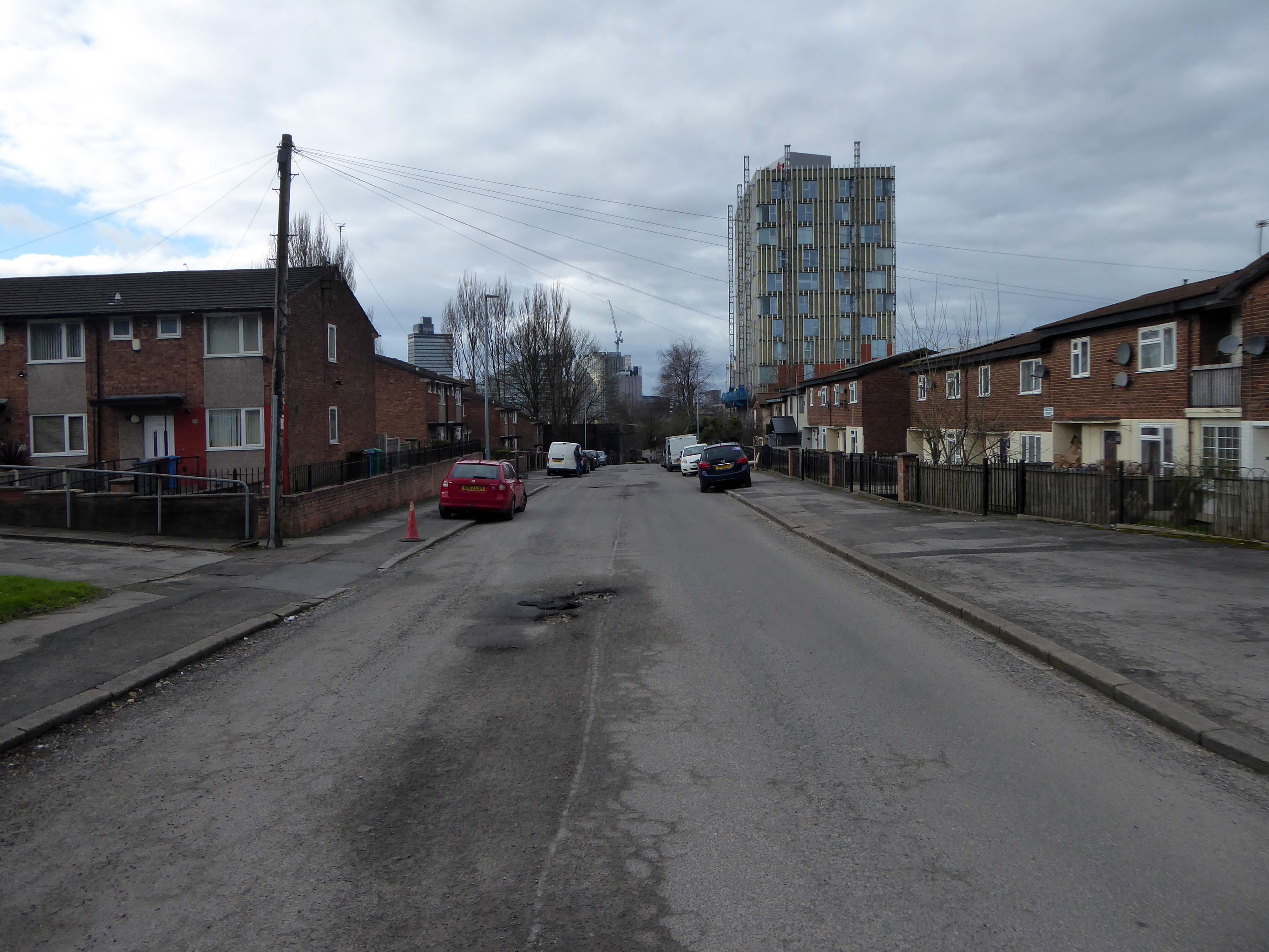
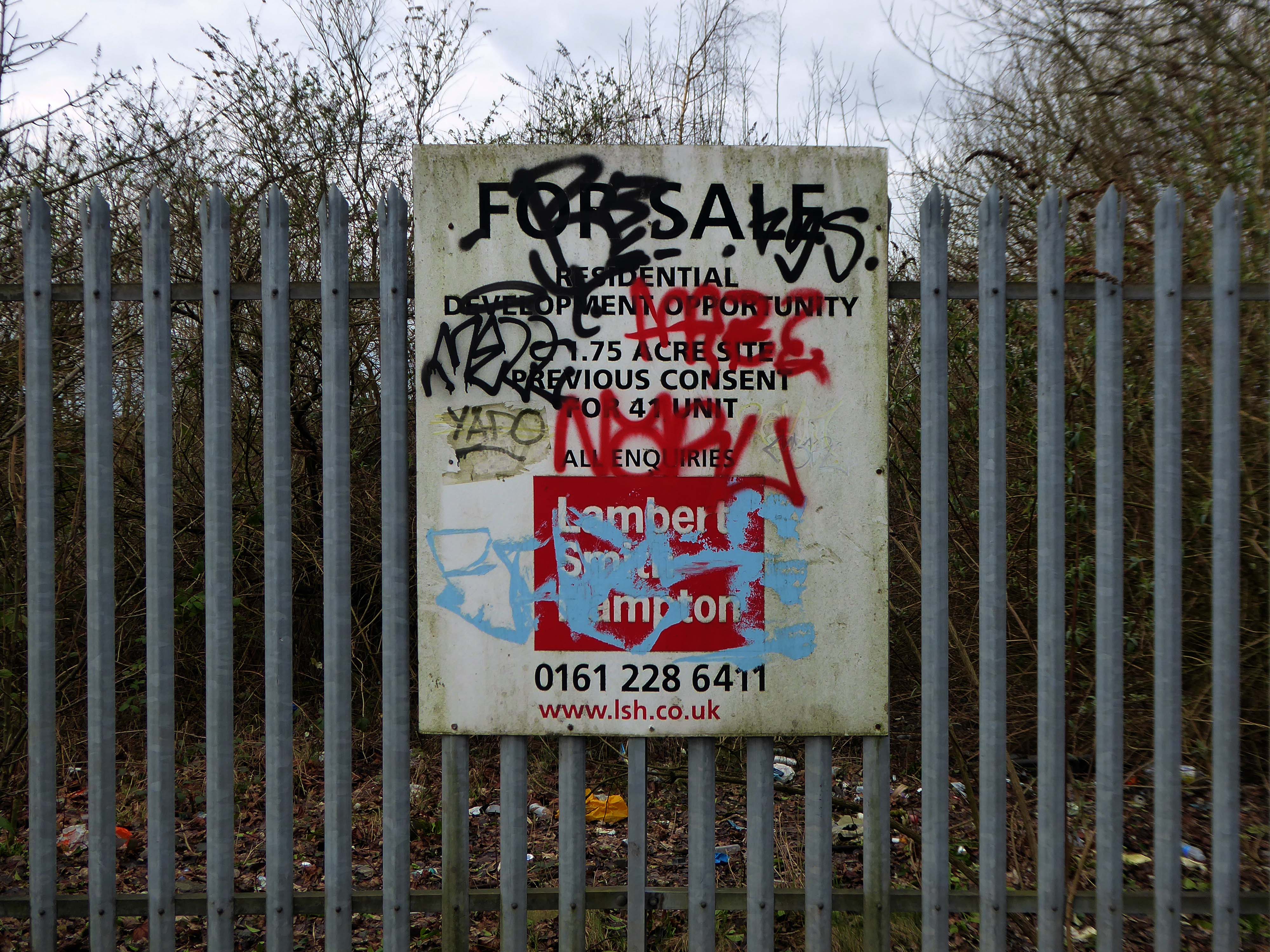
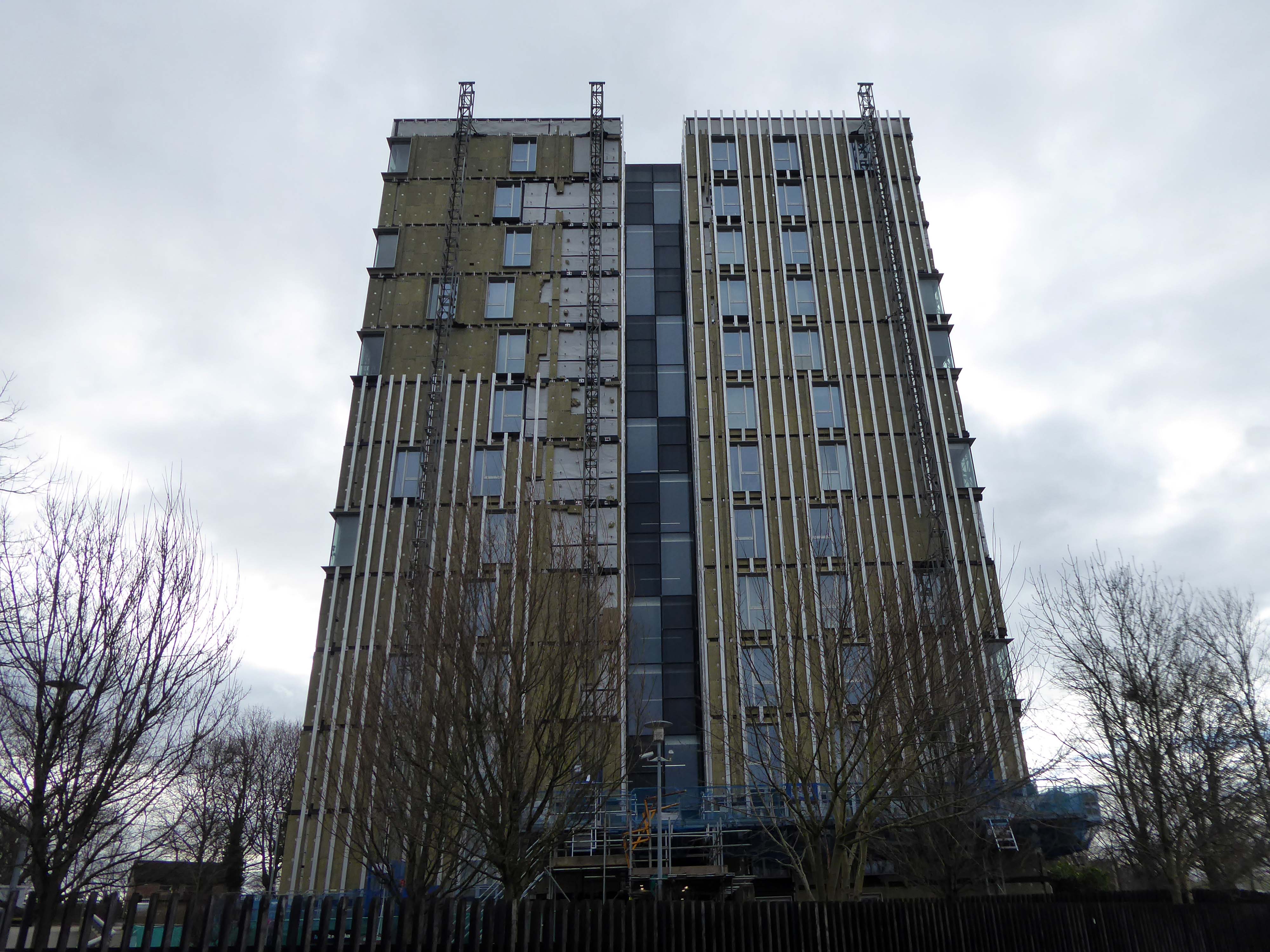
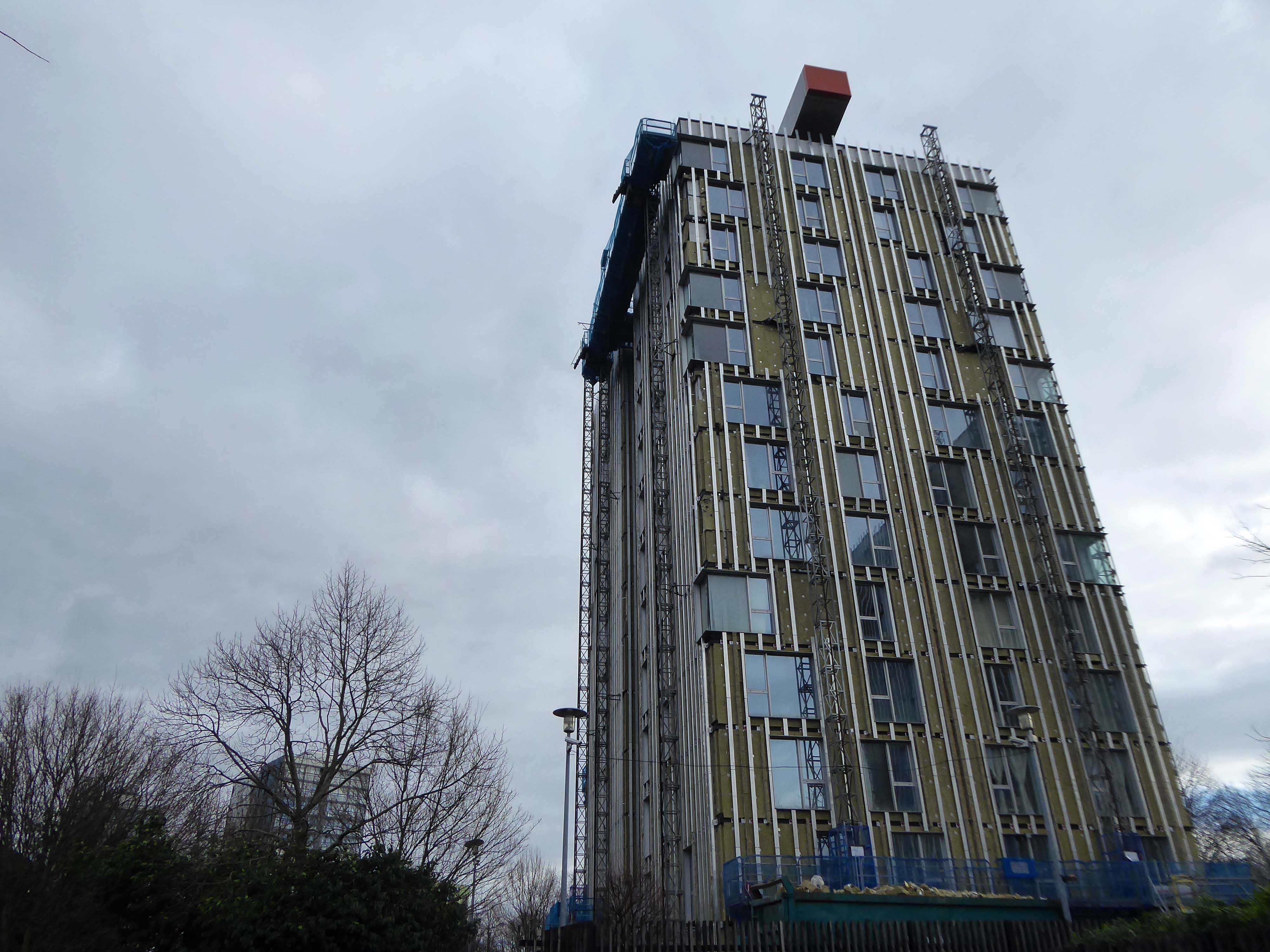
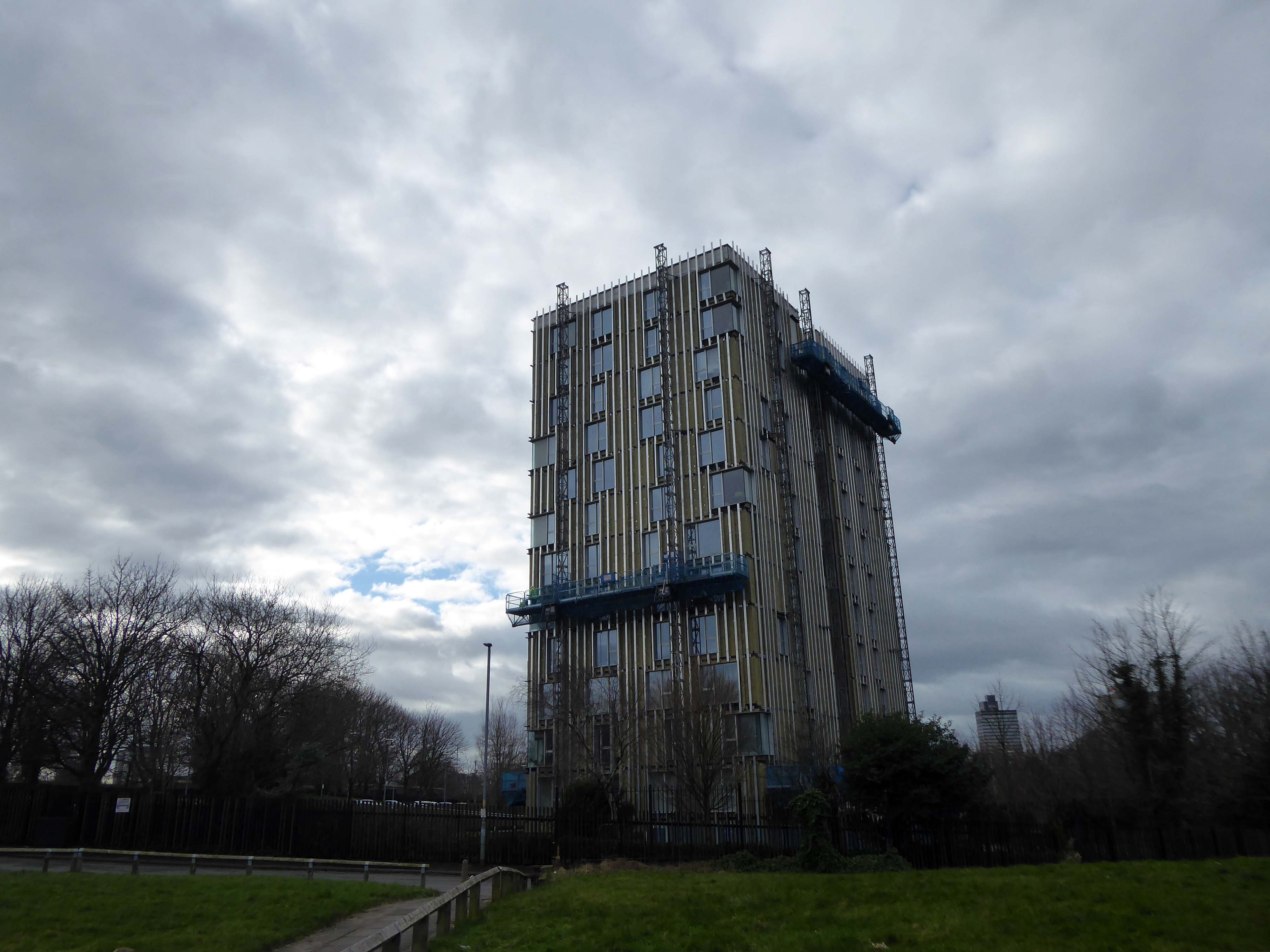
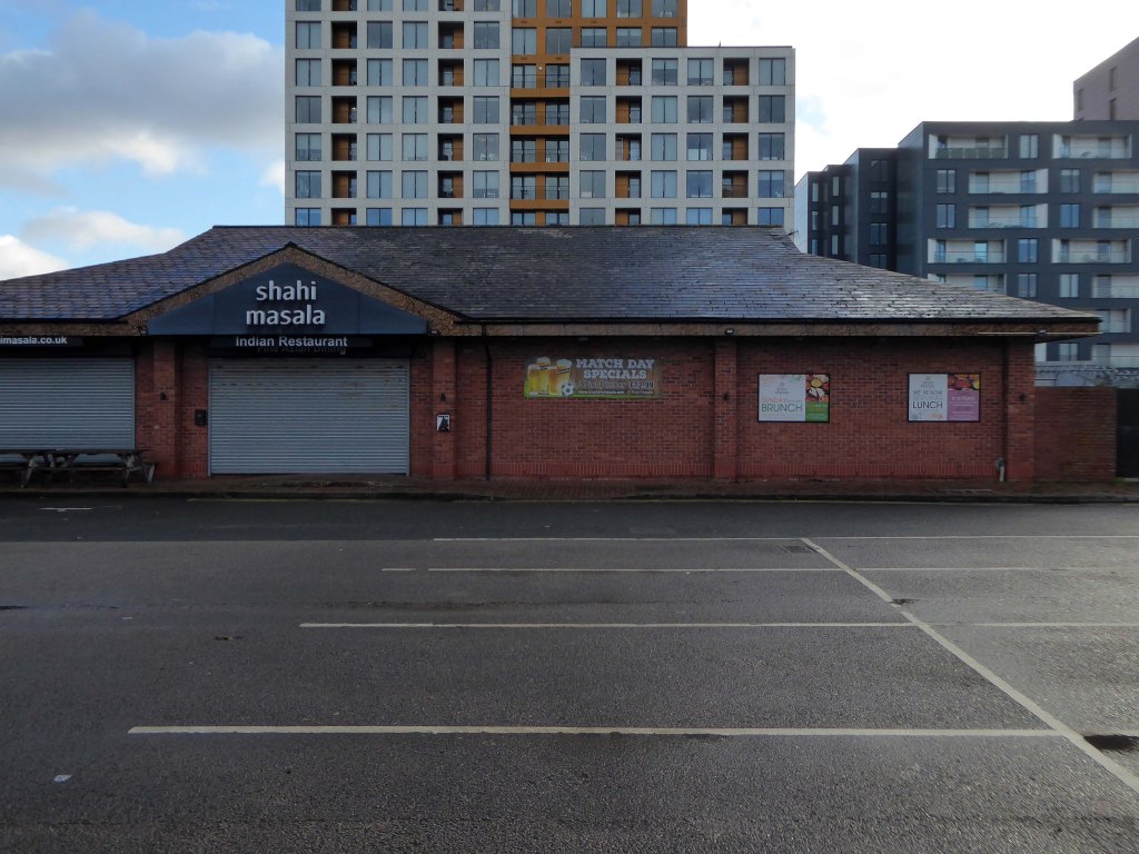
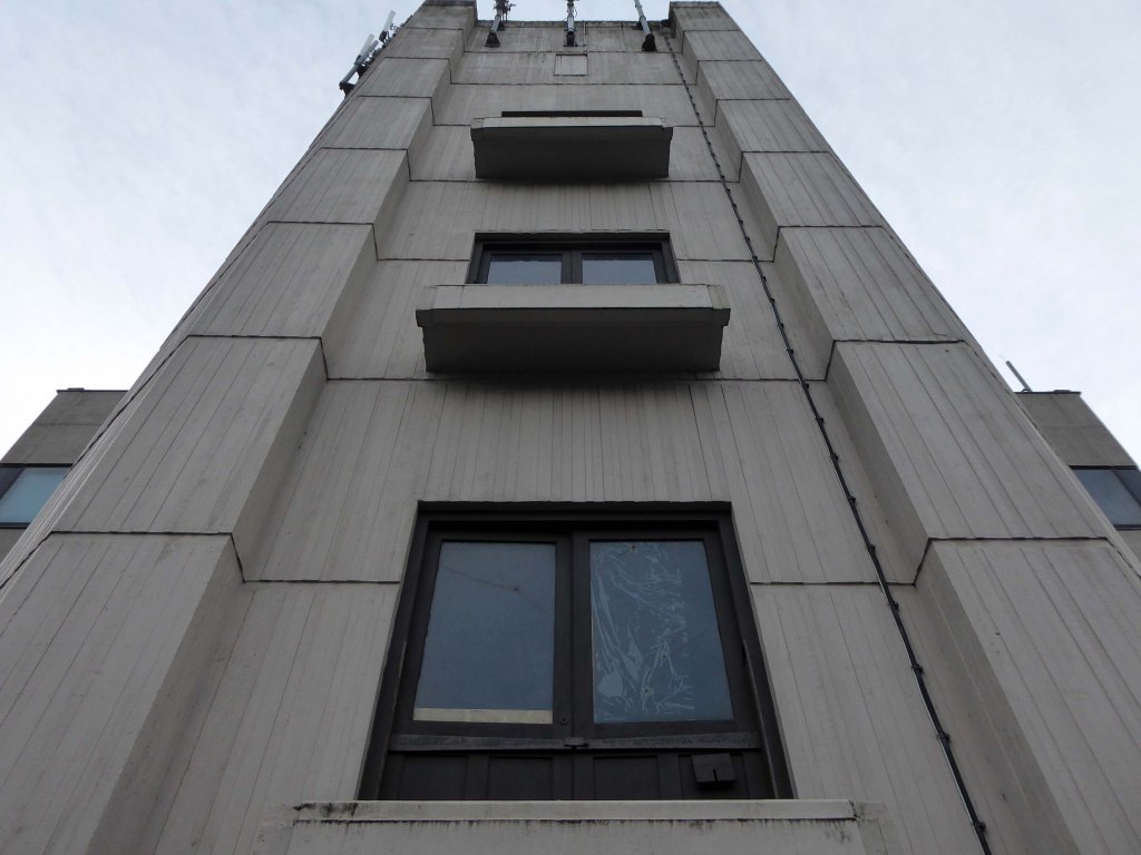
Plans to build hundreds of new homes – including a 15-storey tower block – on a vacant Sainsbury’s site in Stockport town centre are set to get the go-ahead.
Proposals that would bring more than 500 flats and 34 townhouses to the three-acre plot, in Warren Street, are set to go before the council’s planning committee next Thursday night. The 573 homes would be spread across a trio of buildings – rising in height from five to 15 storeys. Two of these would also have space for a range of potential uses, ranging from shops and cafes to gyms and creches.
Martin Halsey, operations director at Amstone Ventures, added:
We can see that Stockport has untapped demand for quality homes within its town centre, offering a vibrant lifestyle and everything Stockport town centre has to offer, all on the doorstep.”
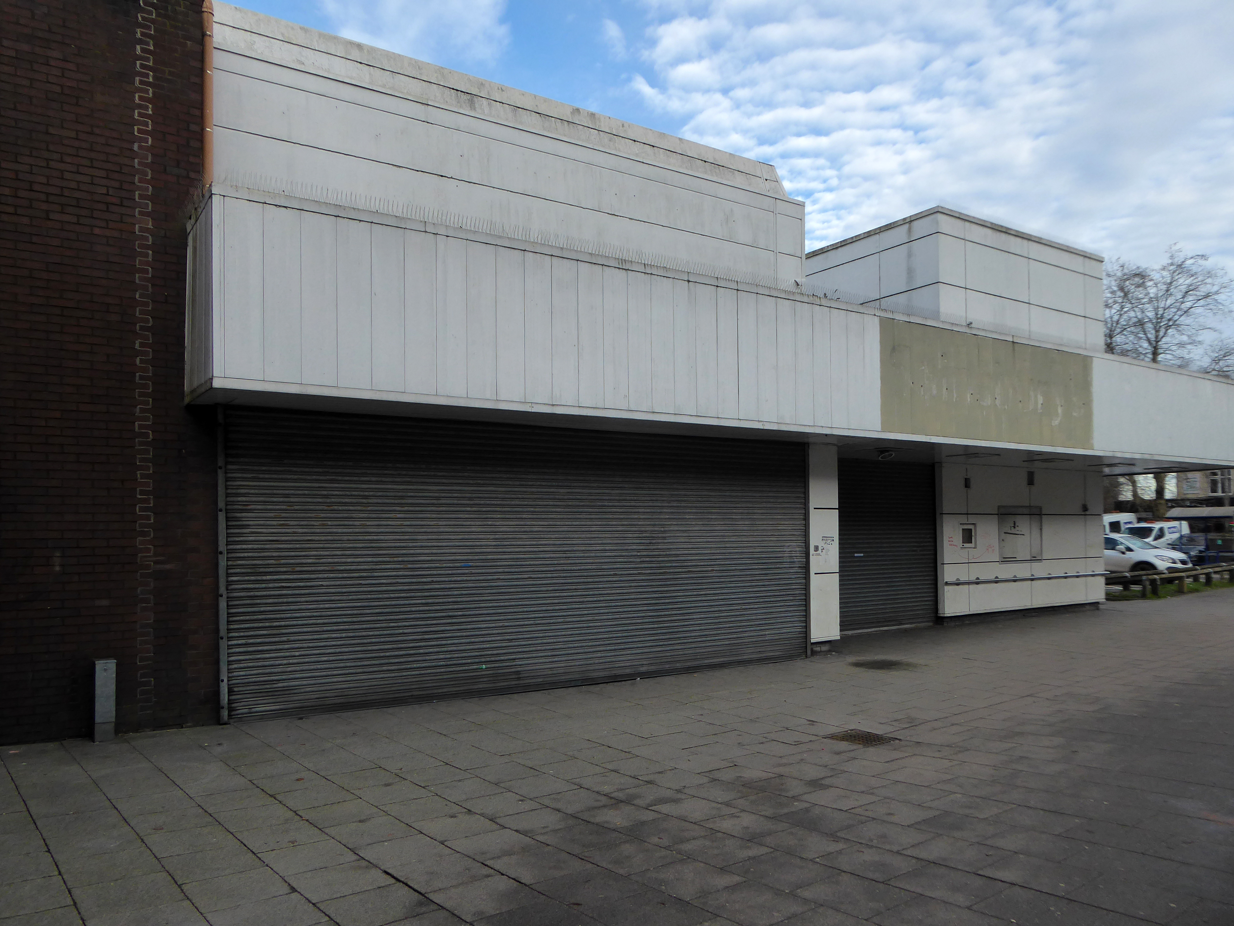
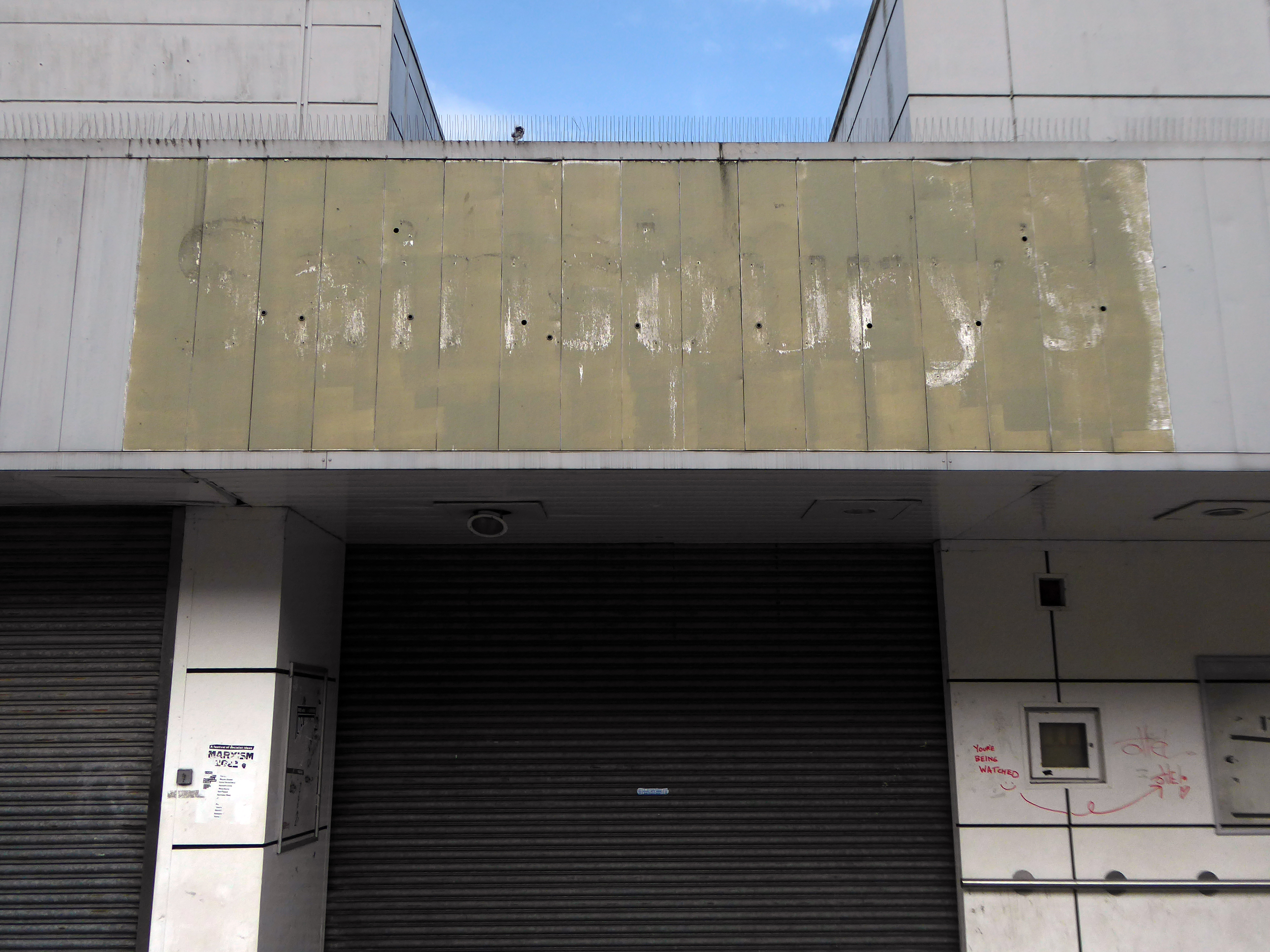
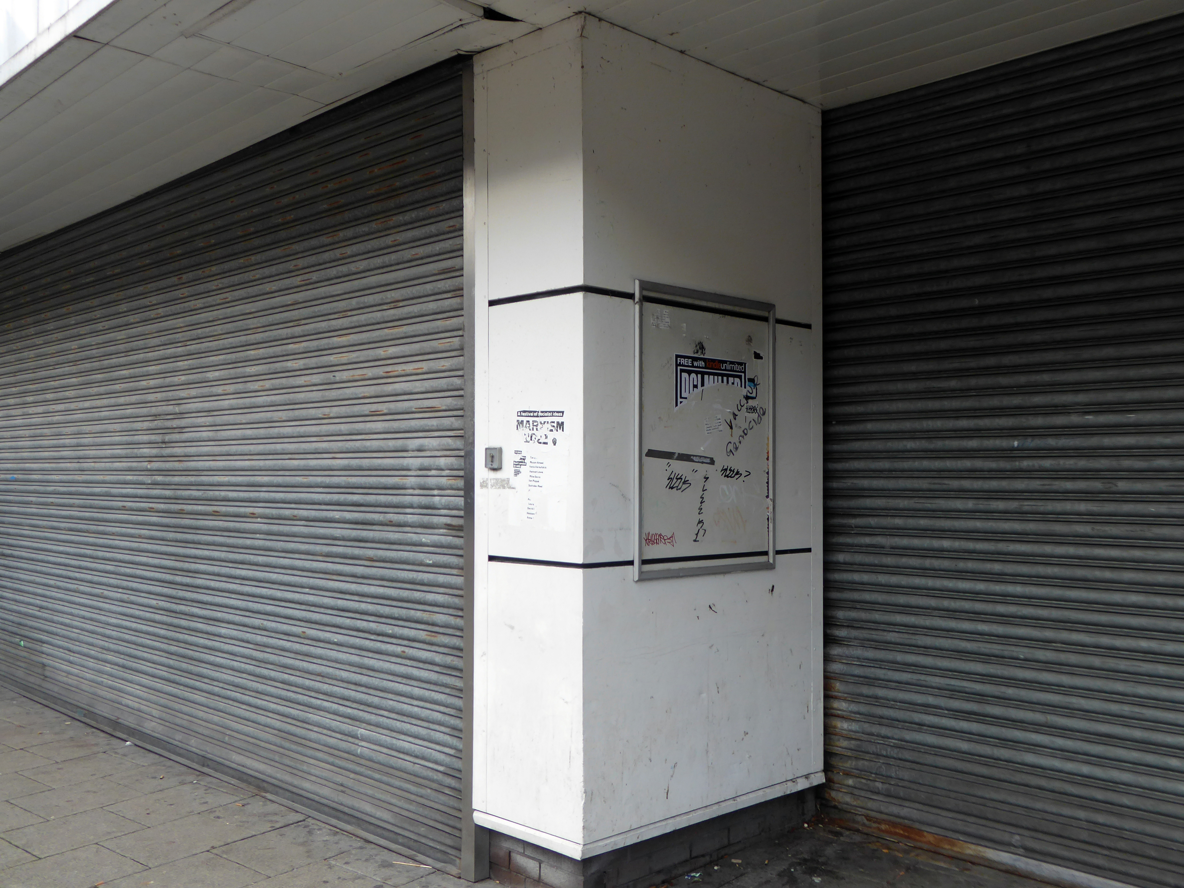
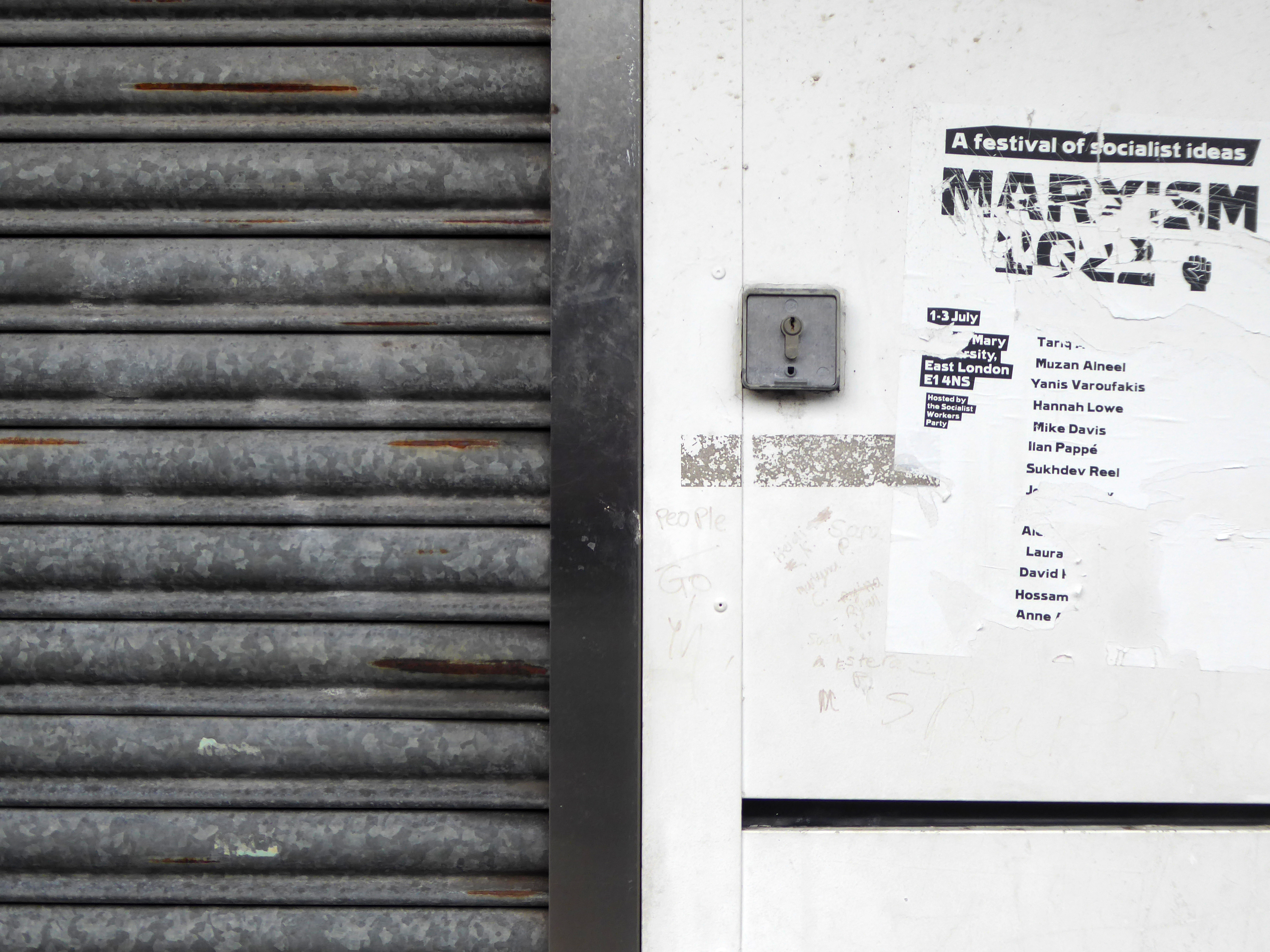
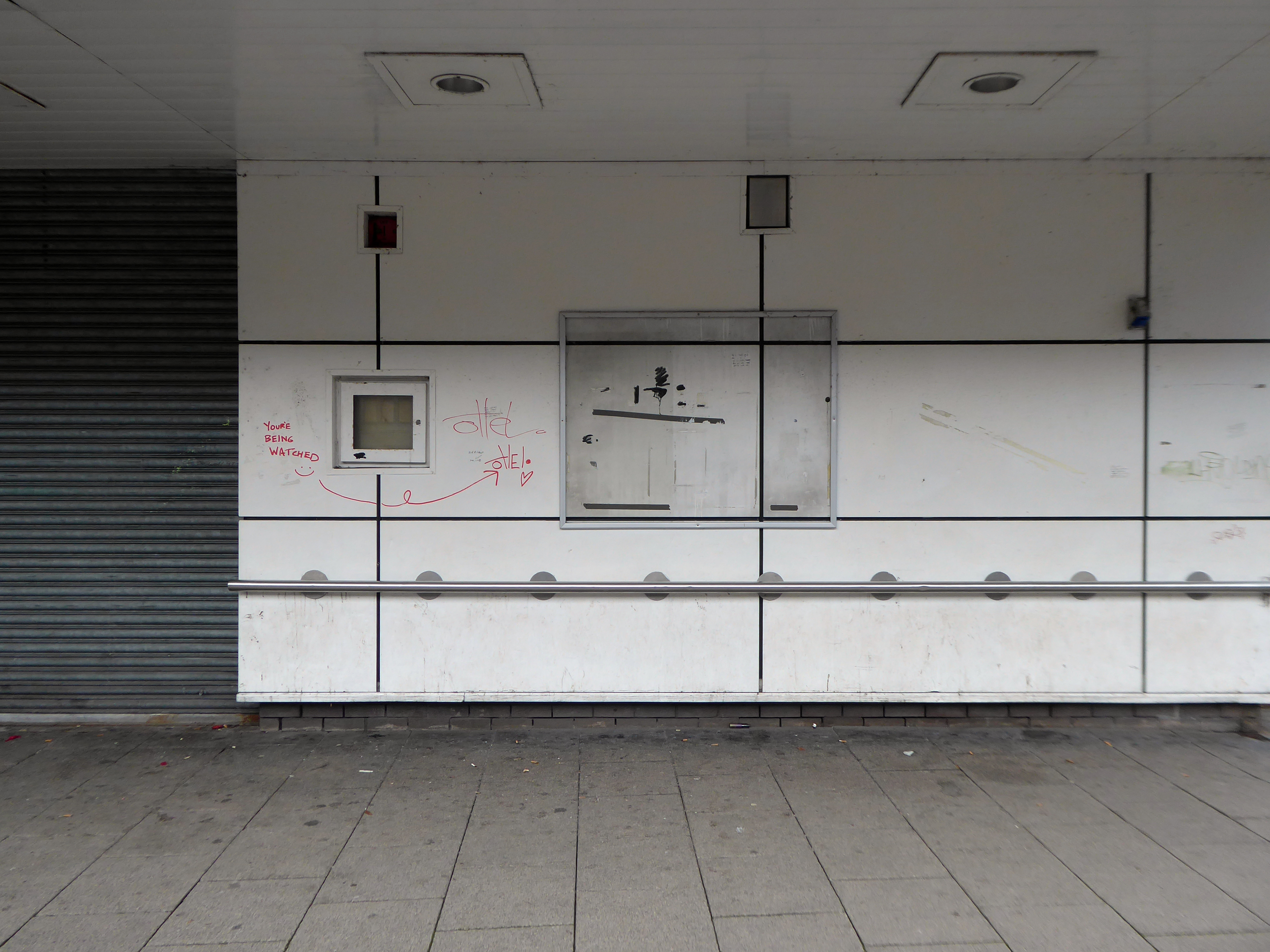
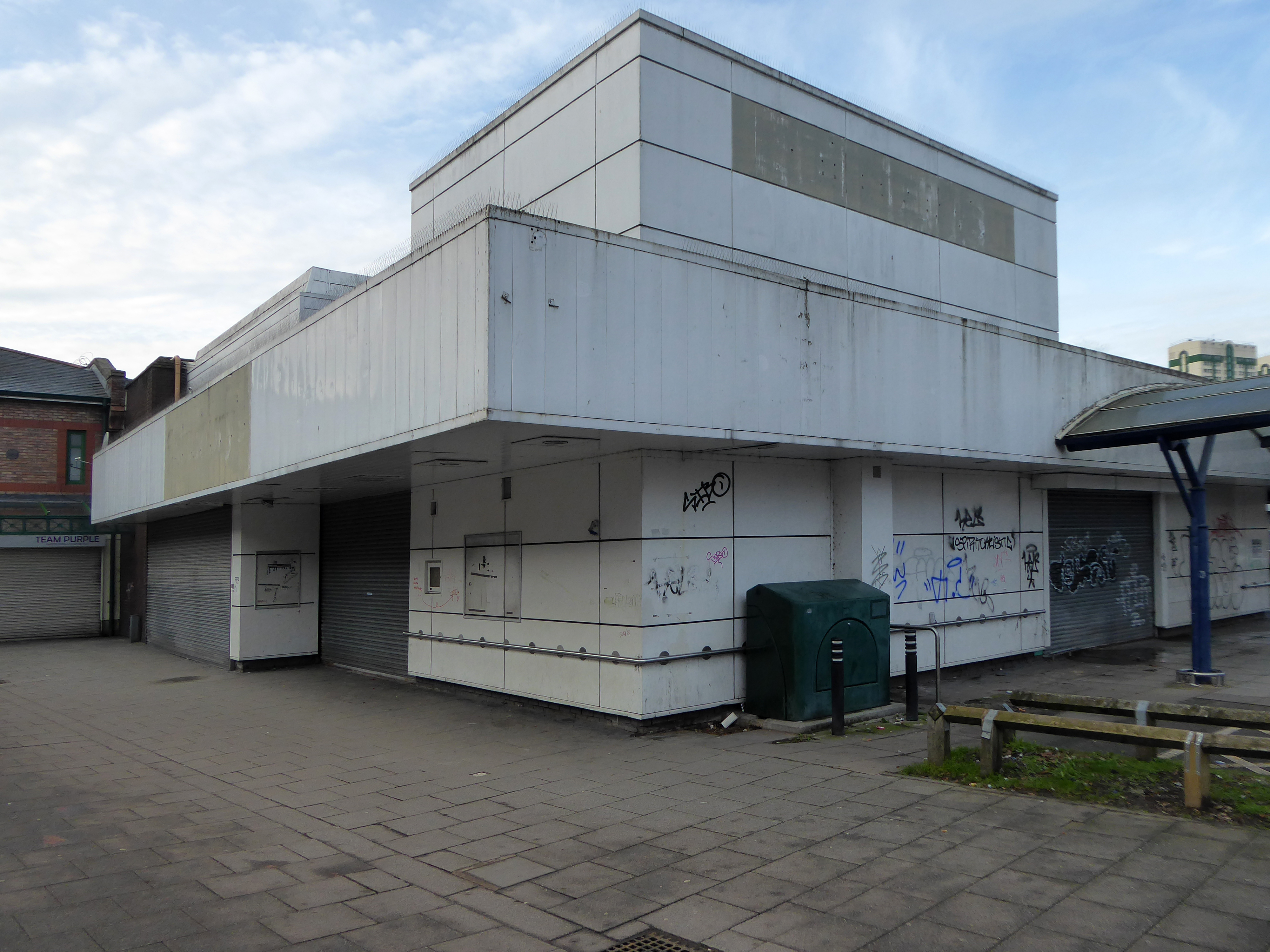
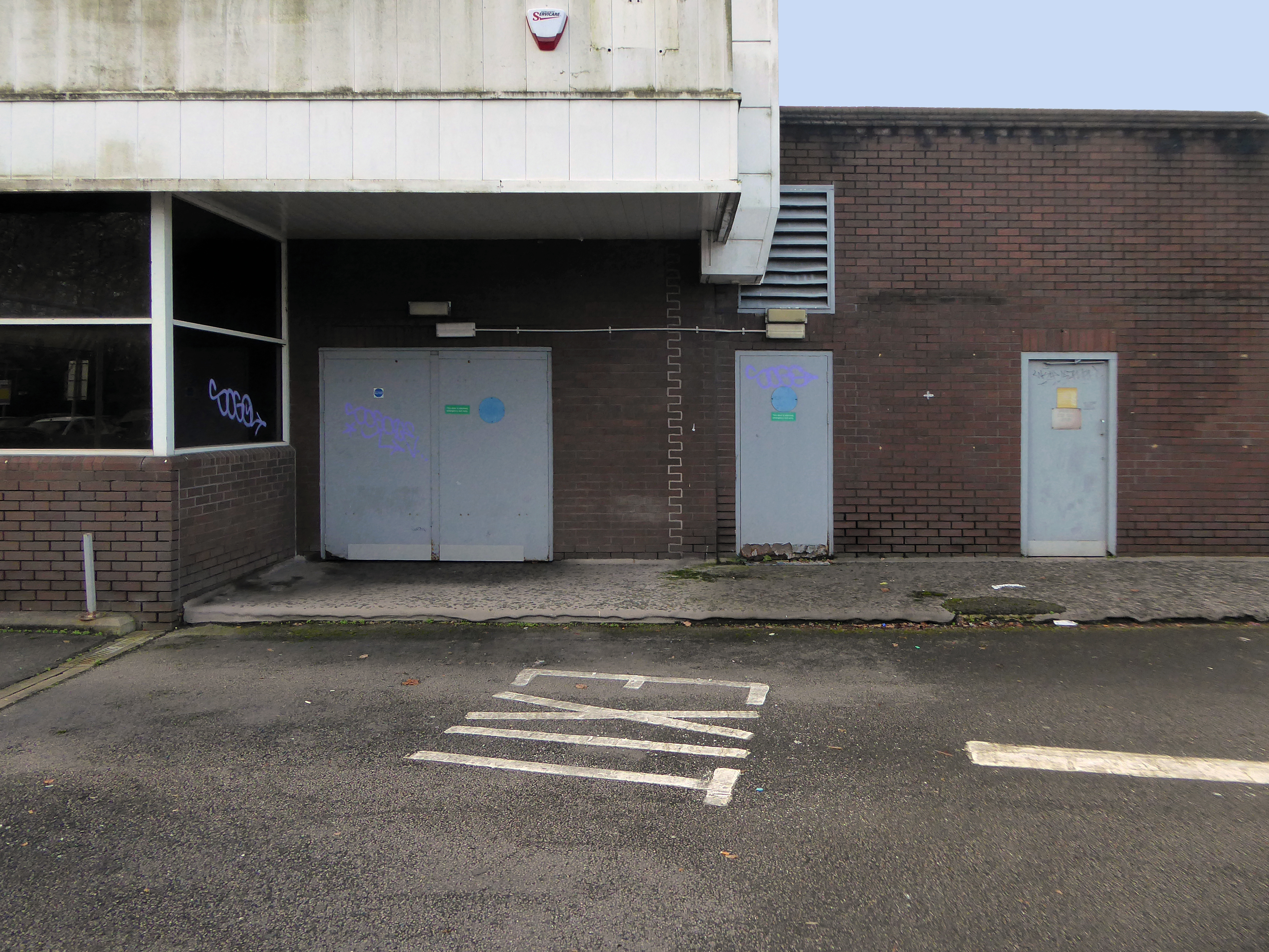
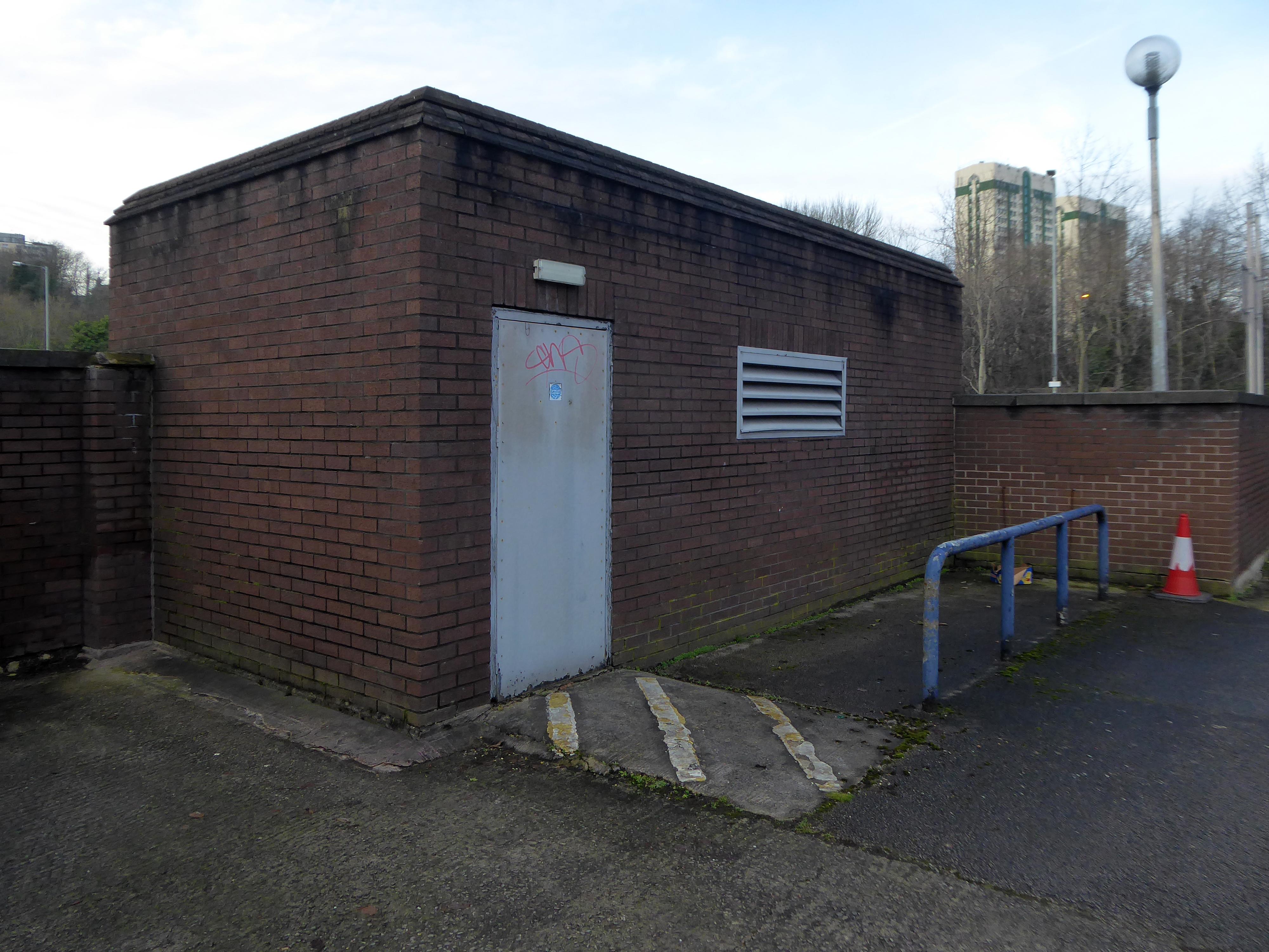
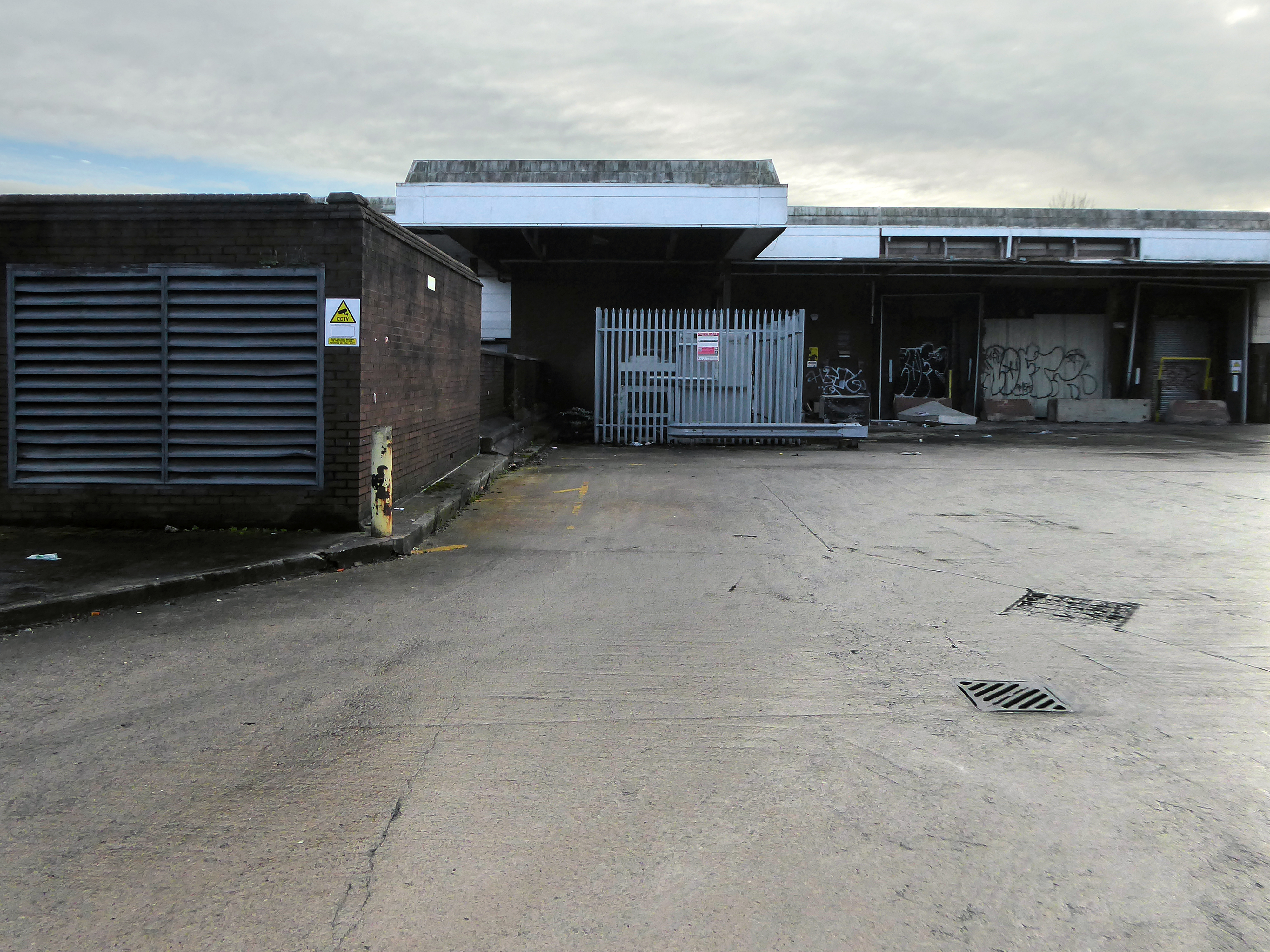
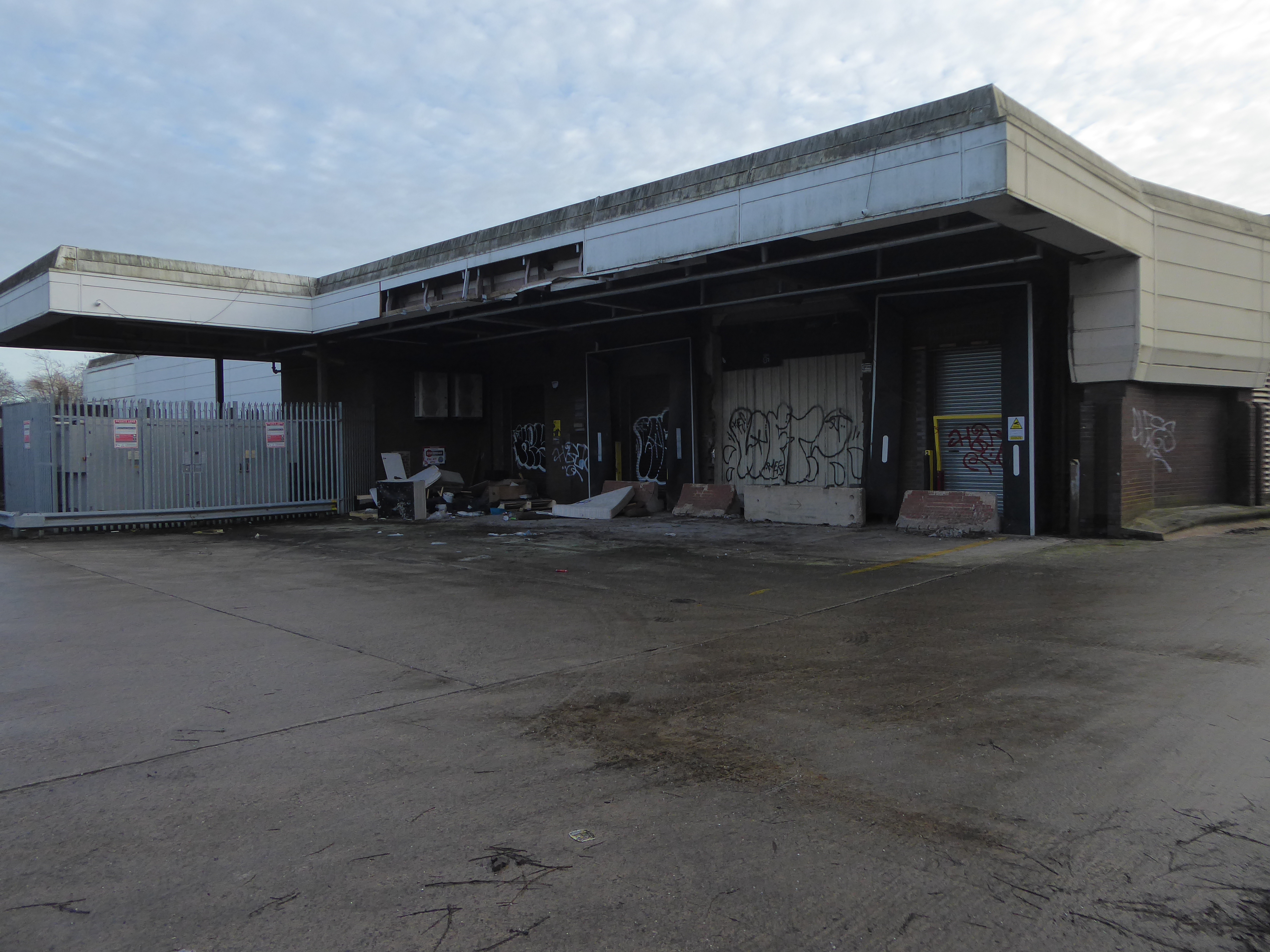
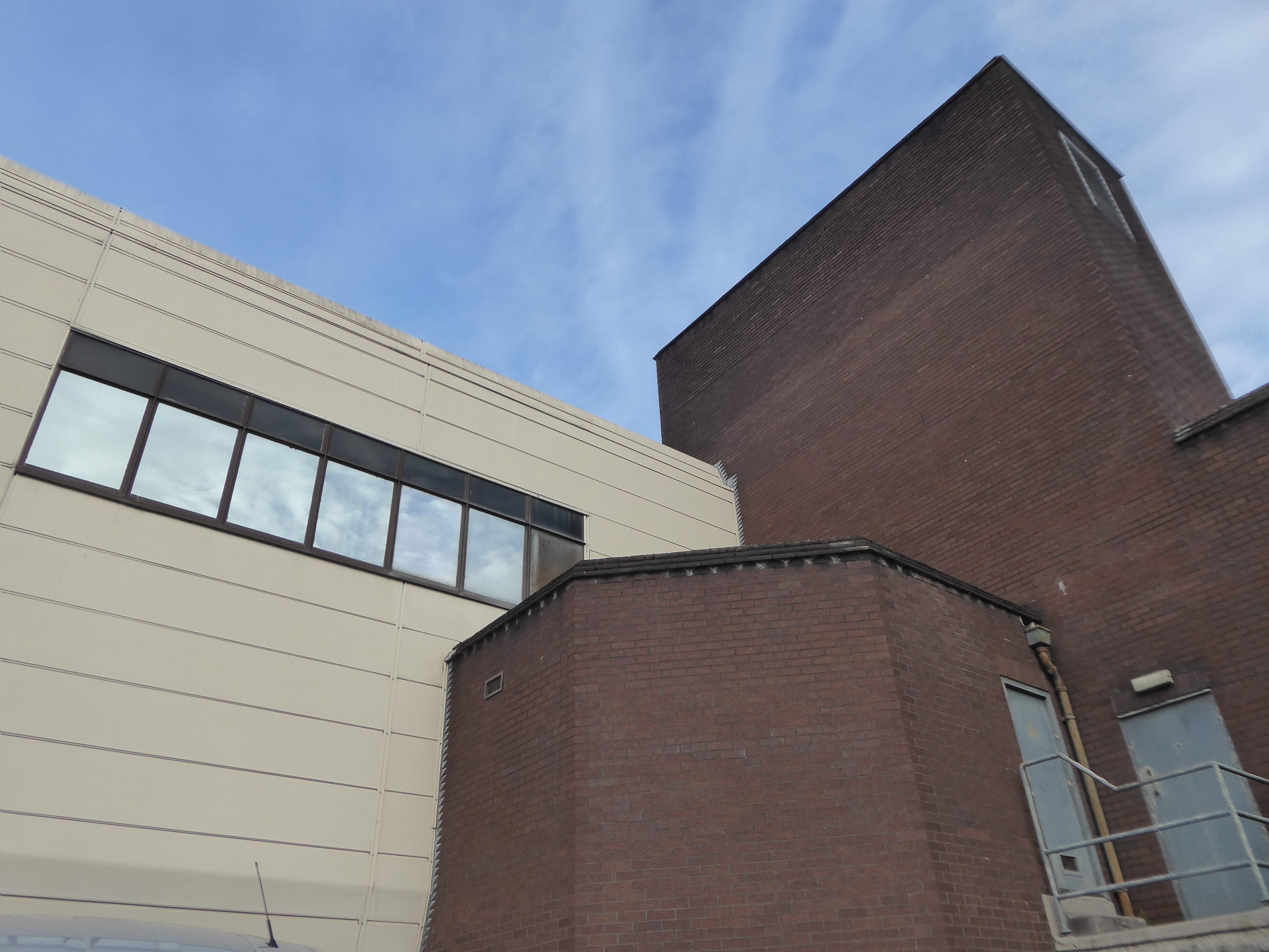
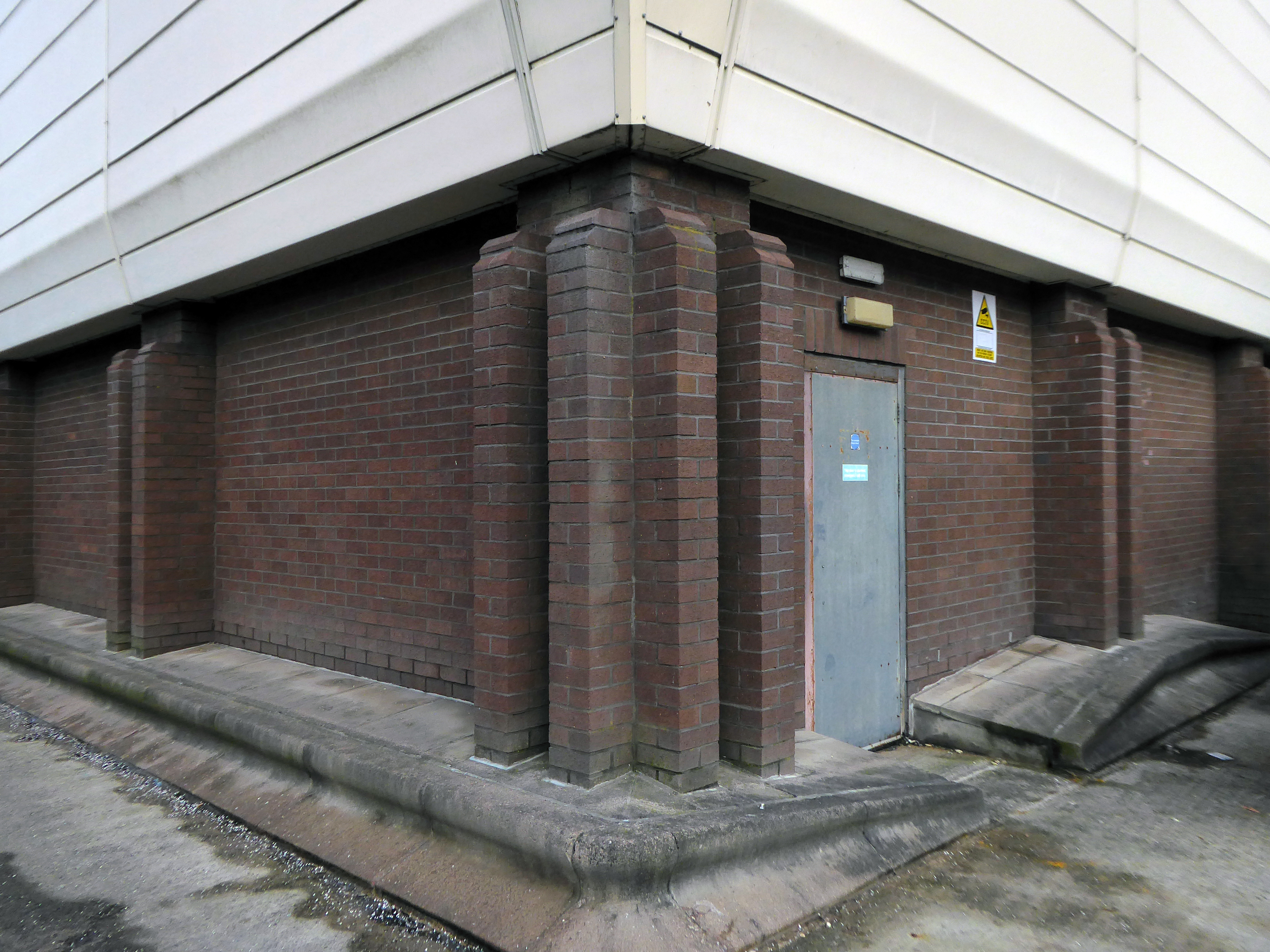
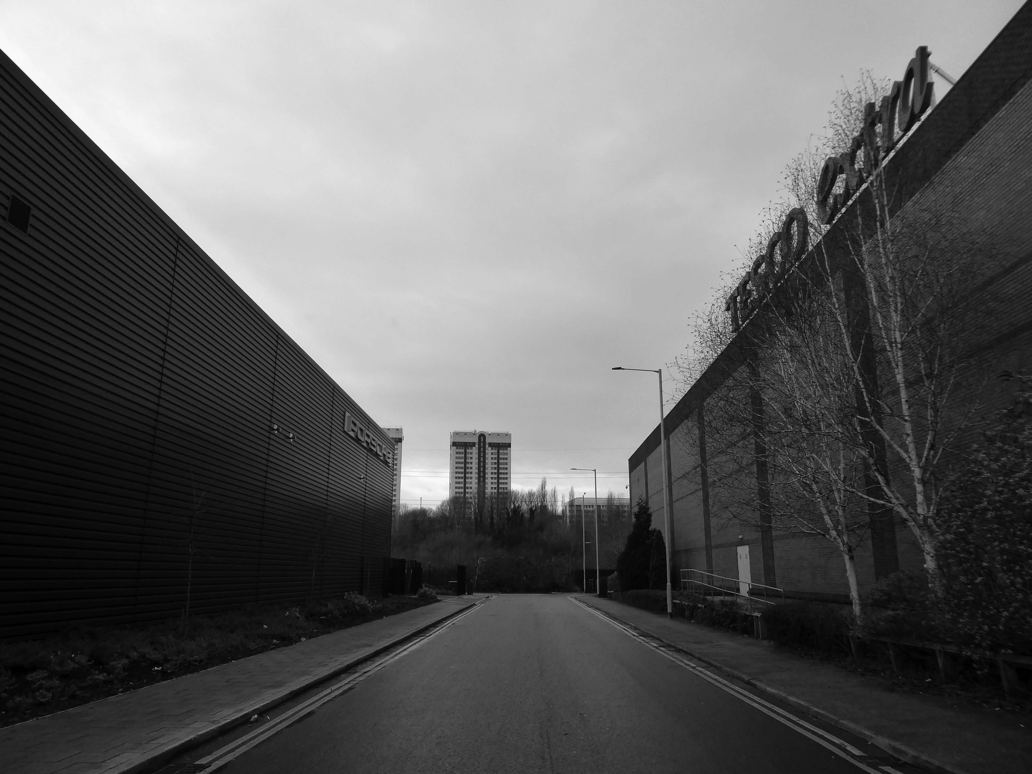
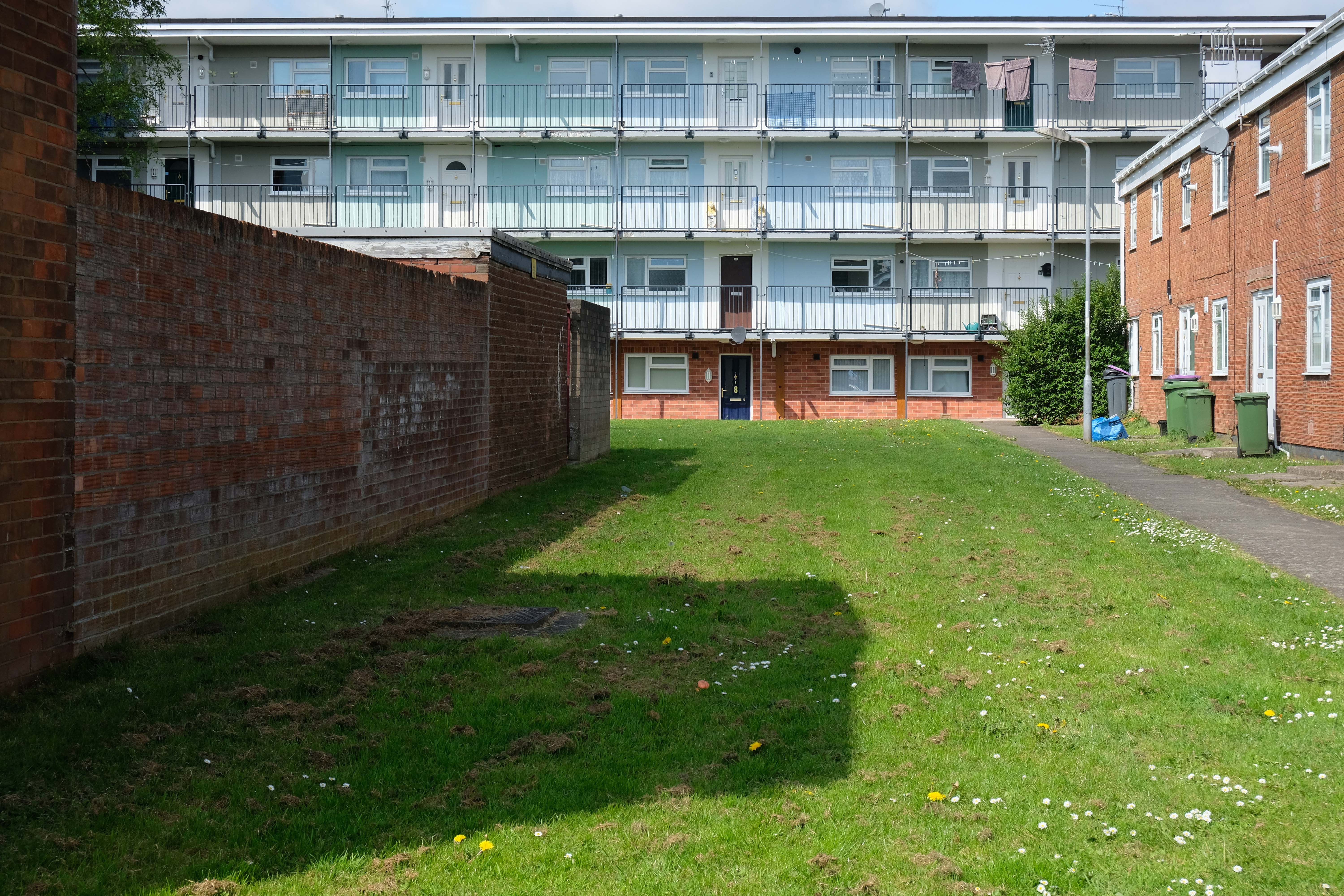
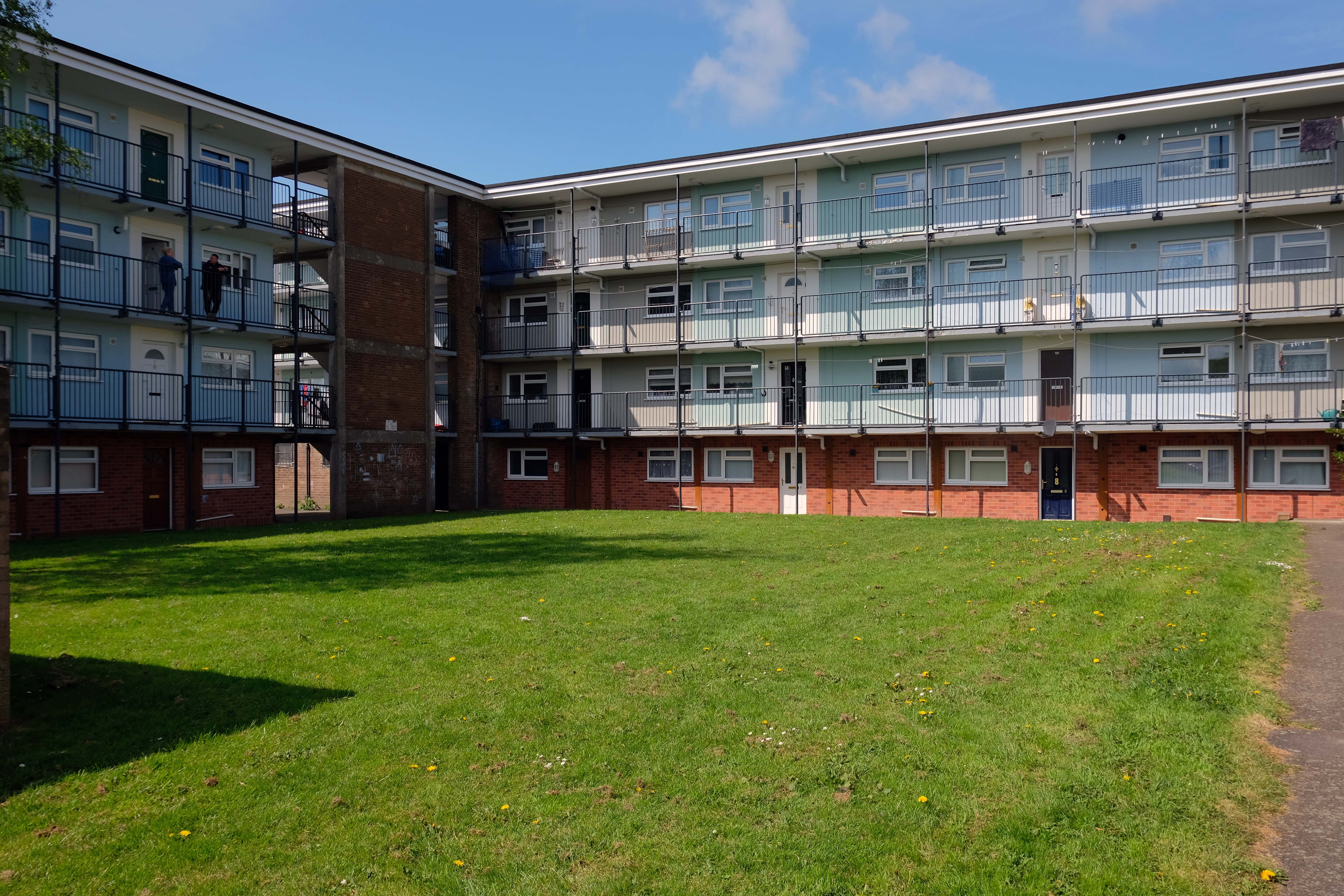
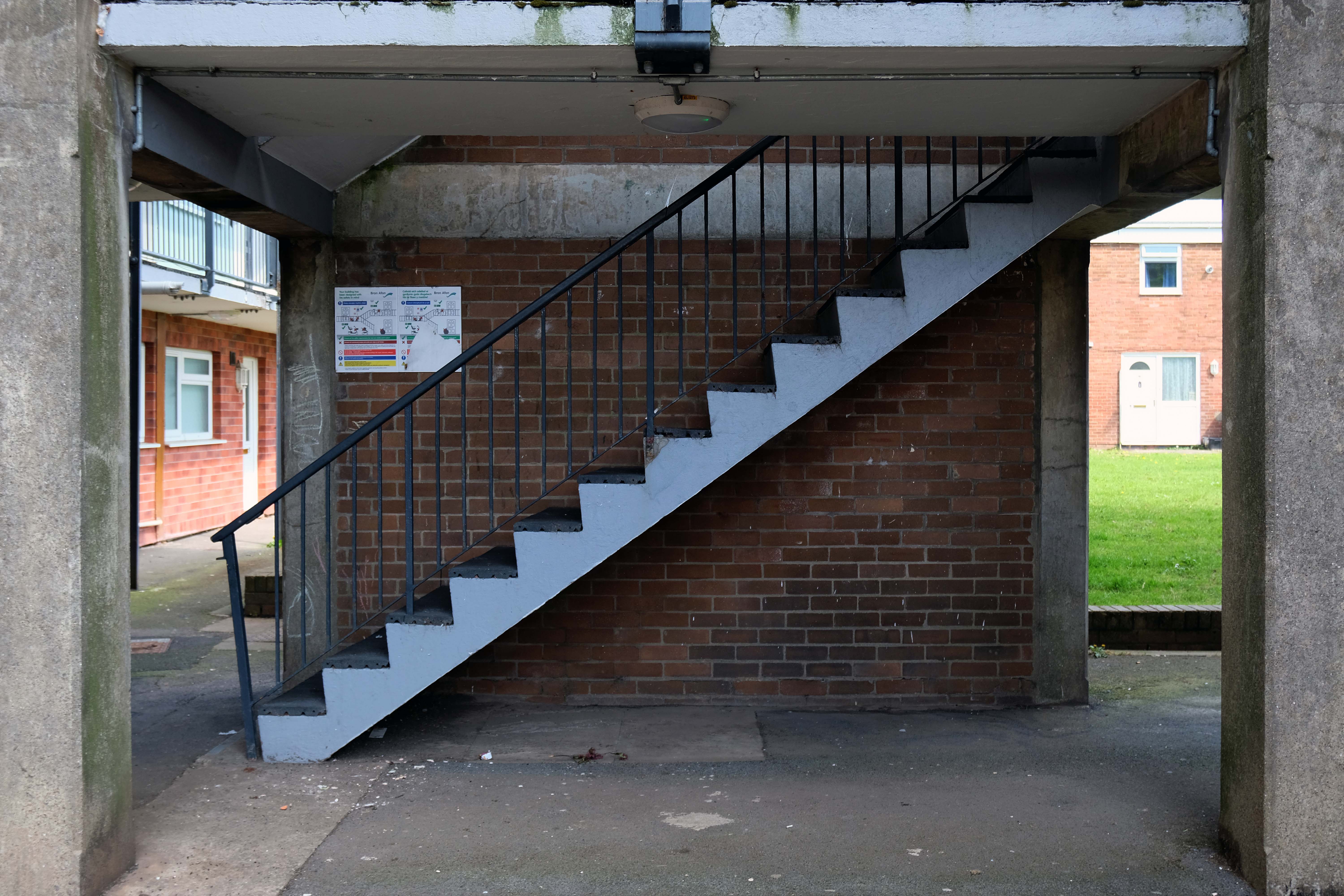
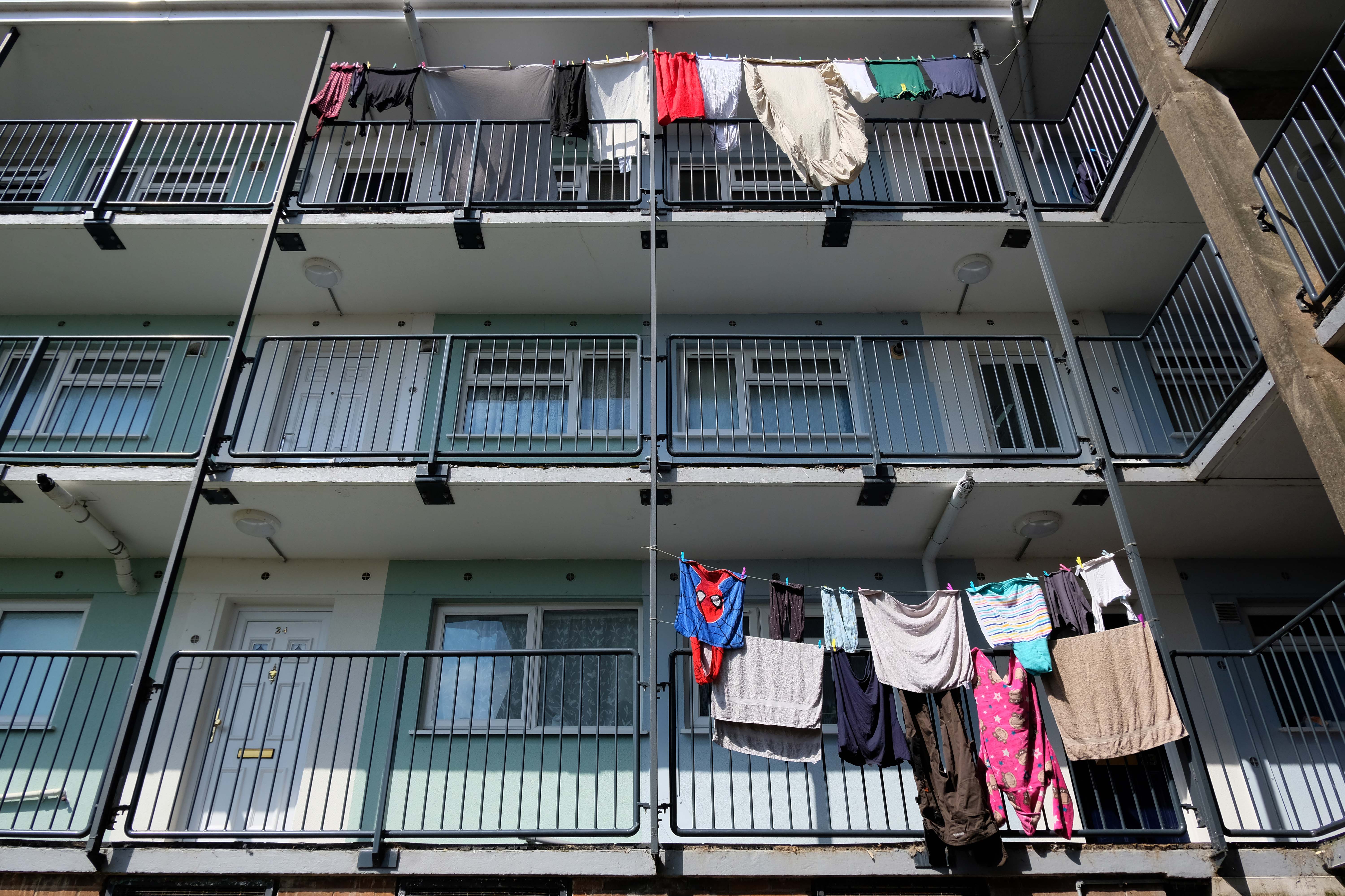
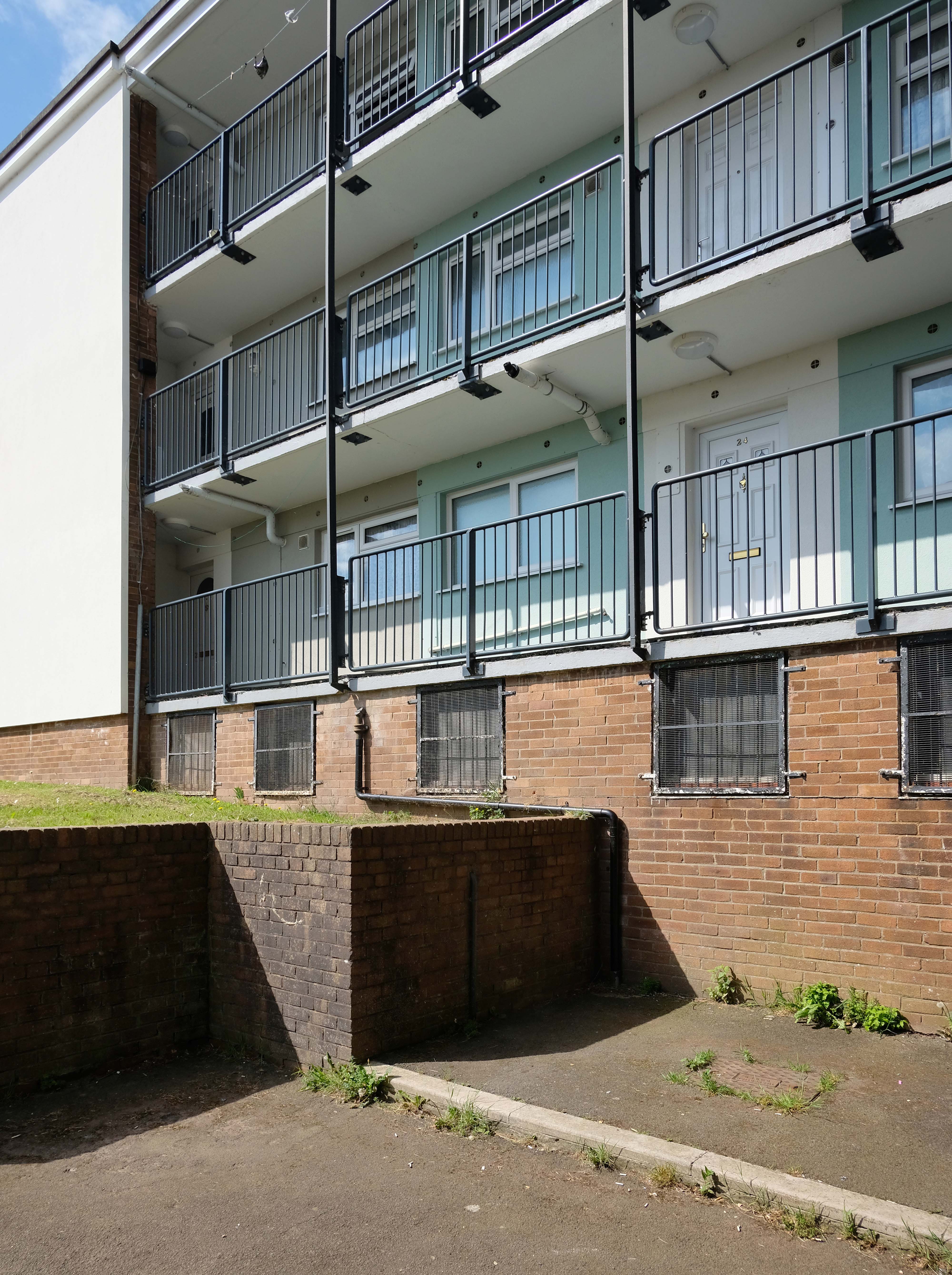
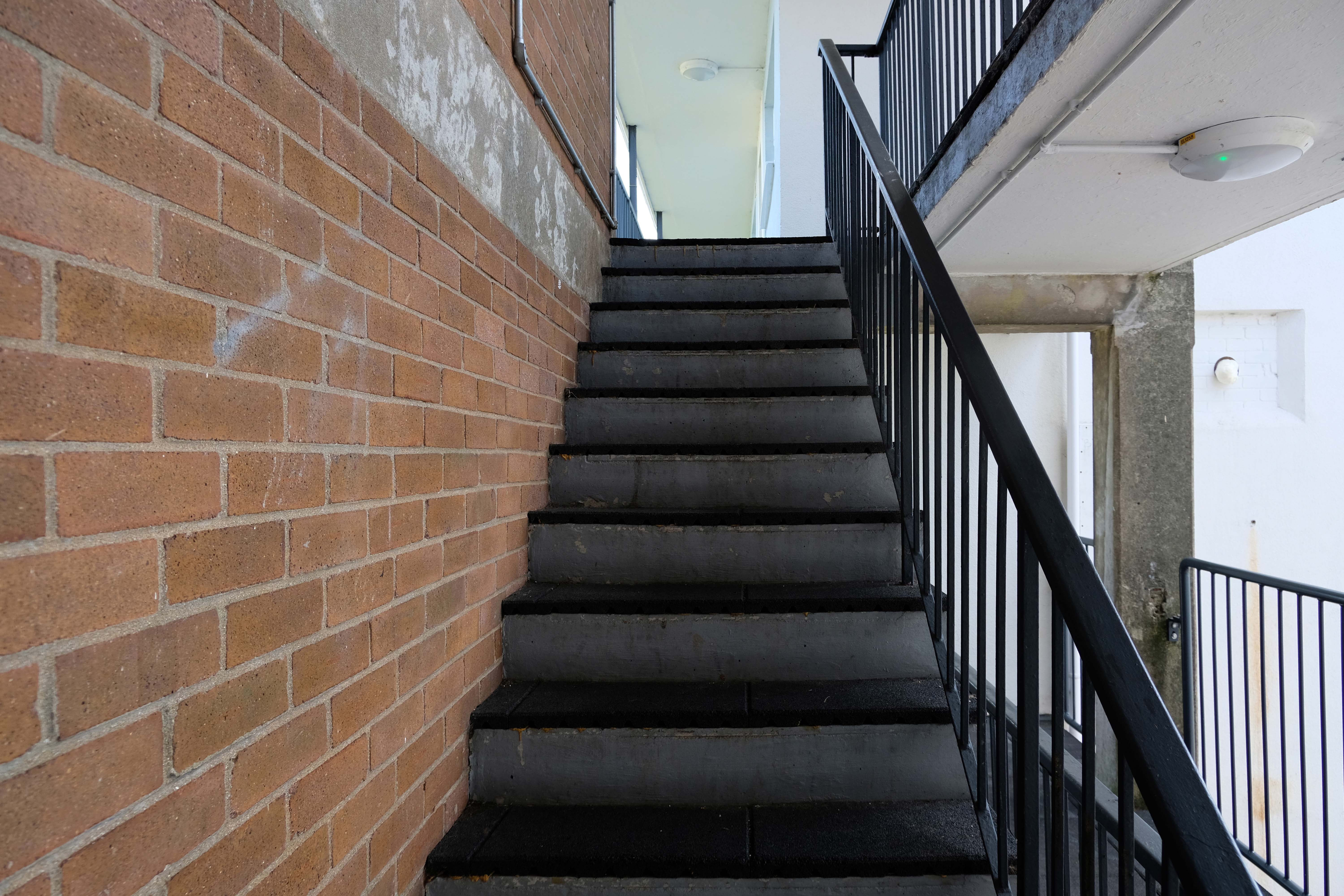
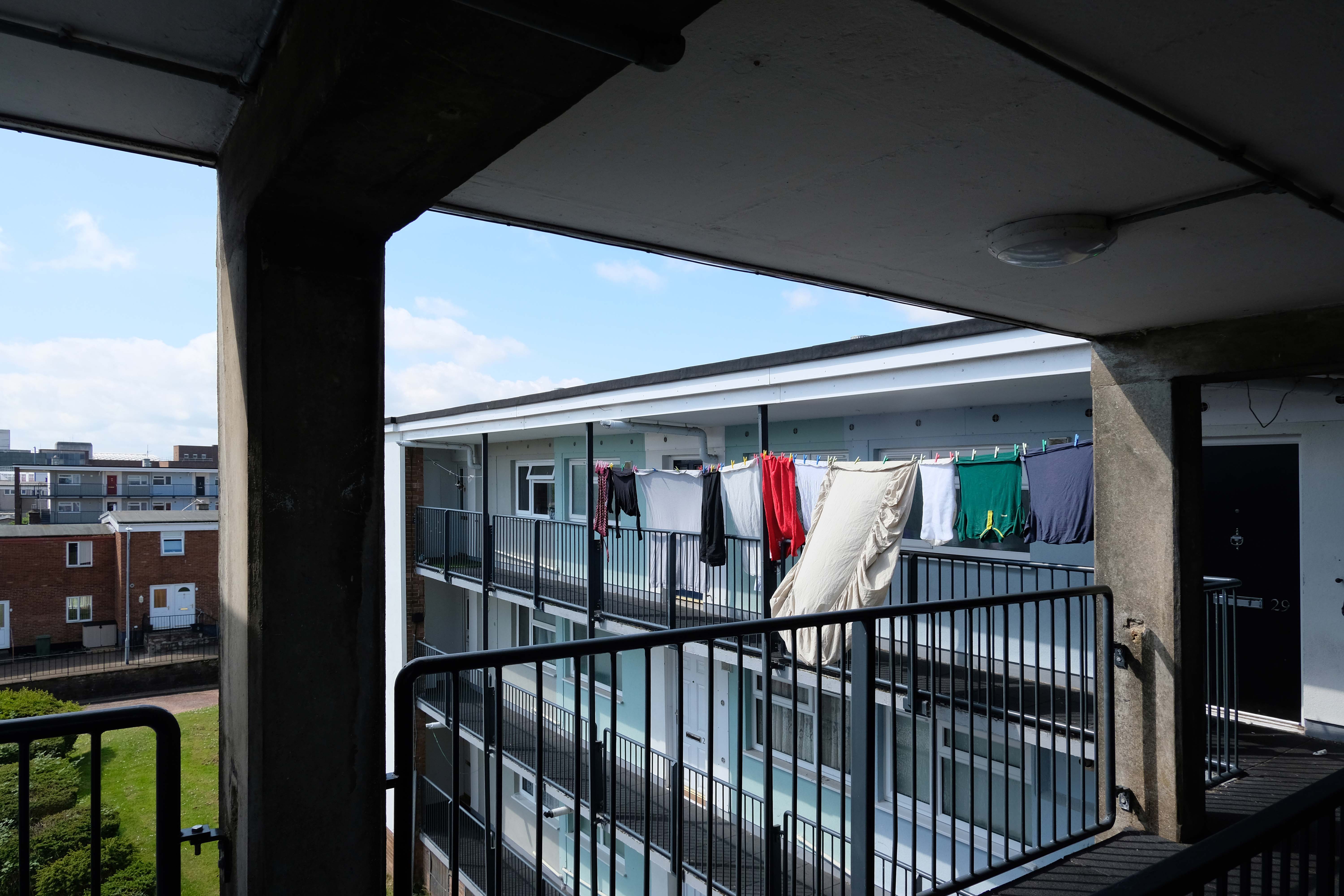
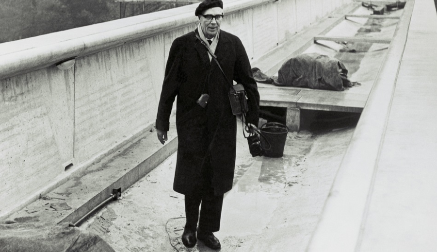
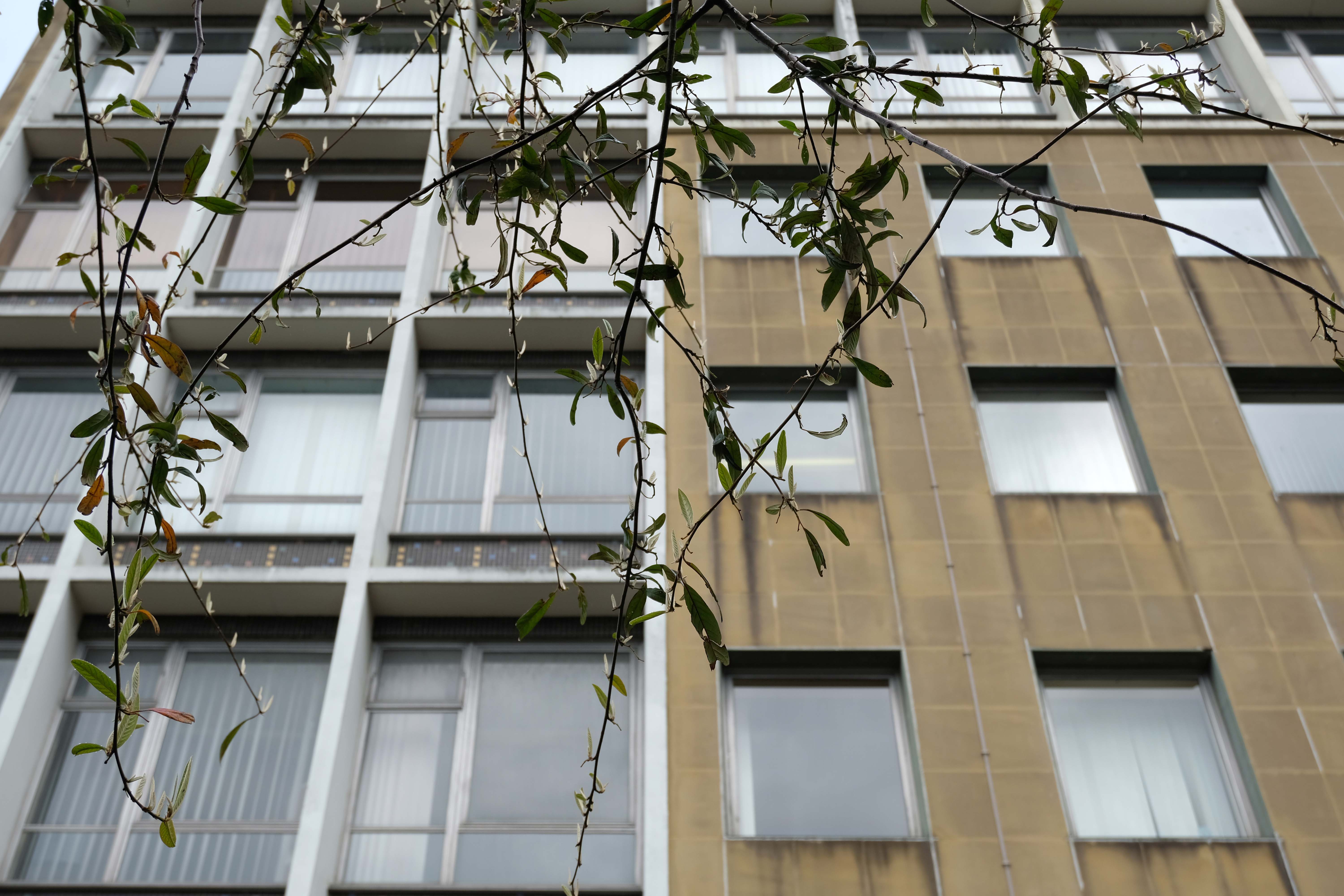
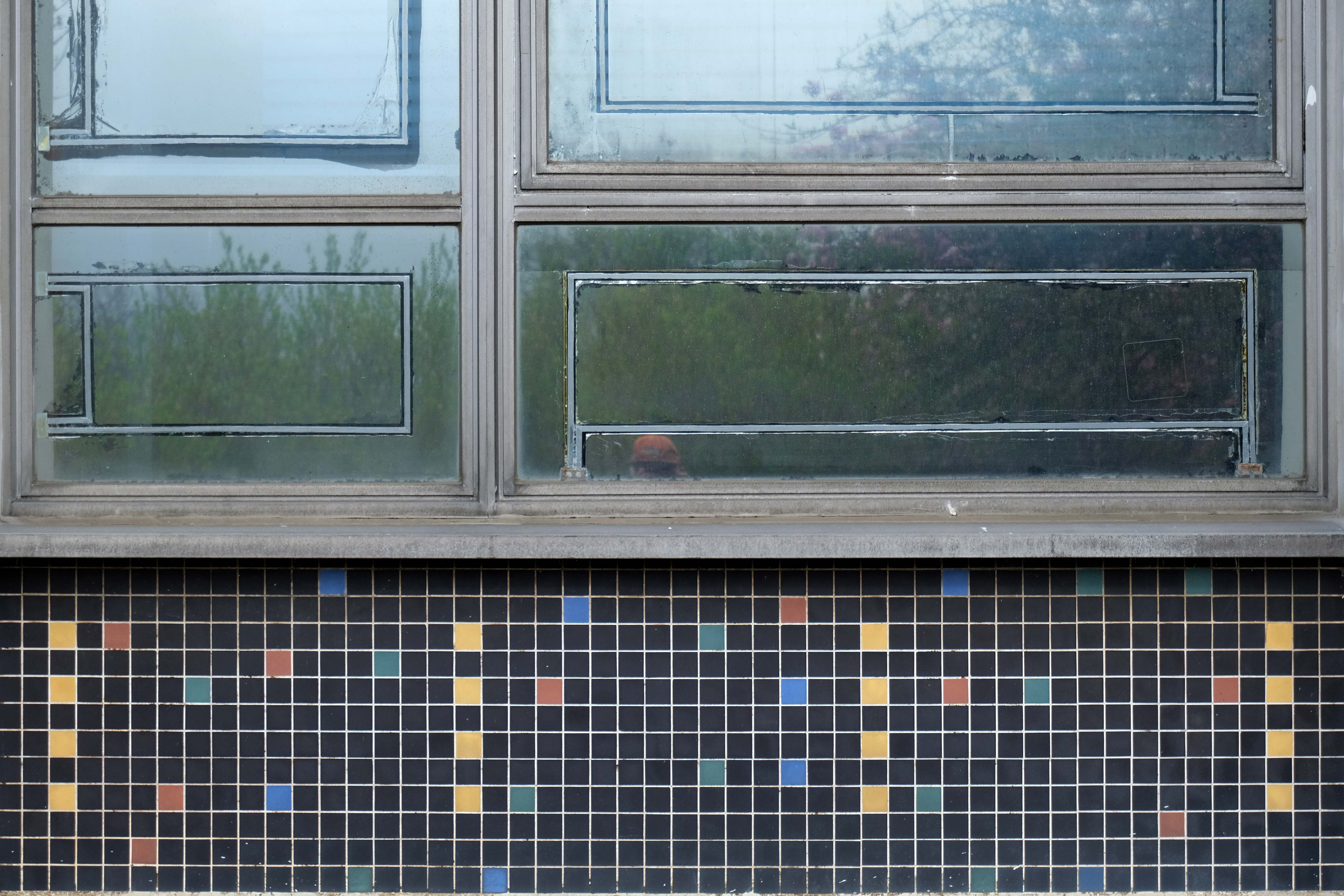
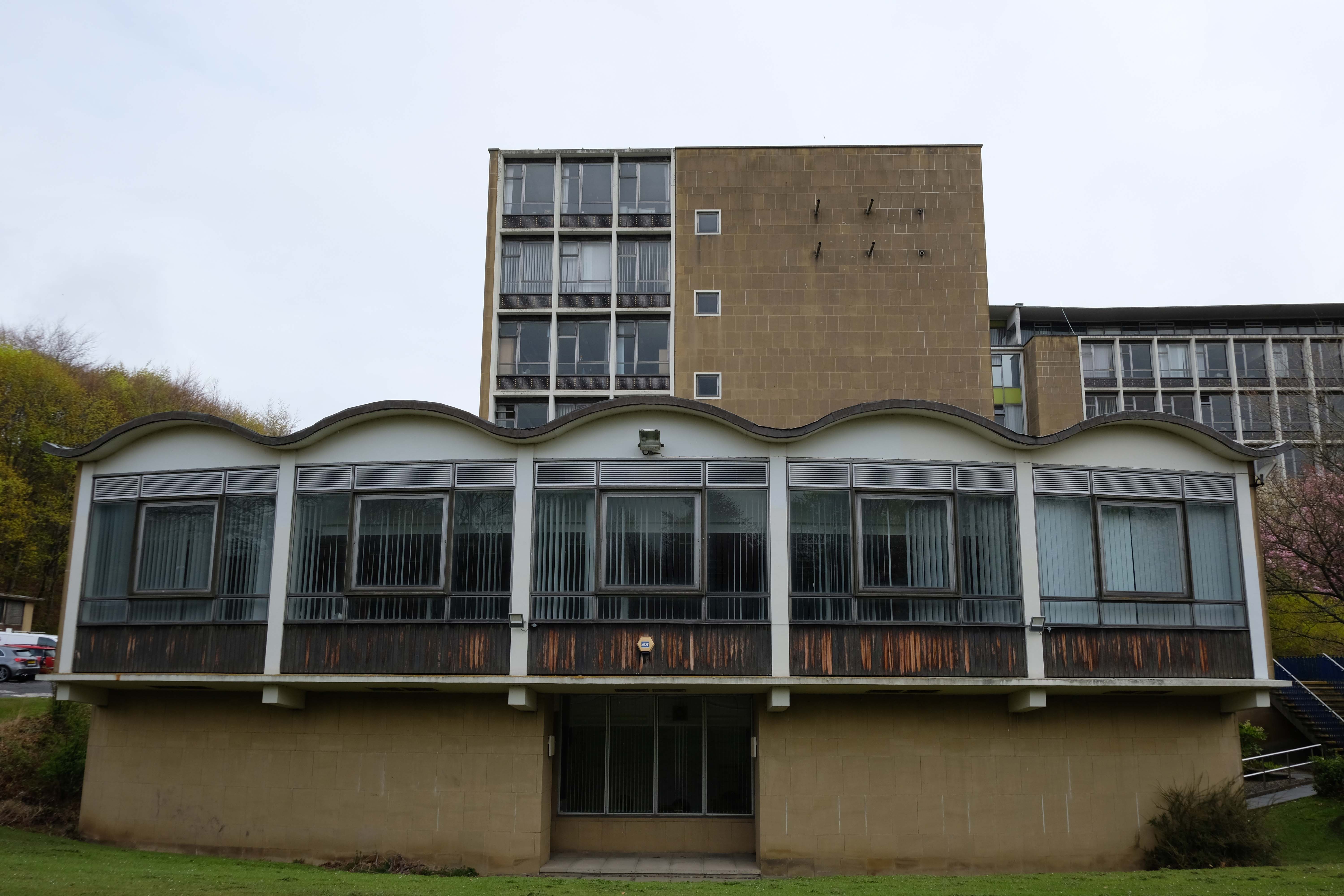
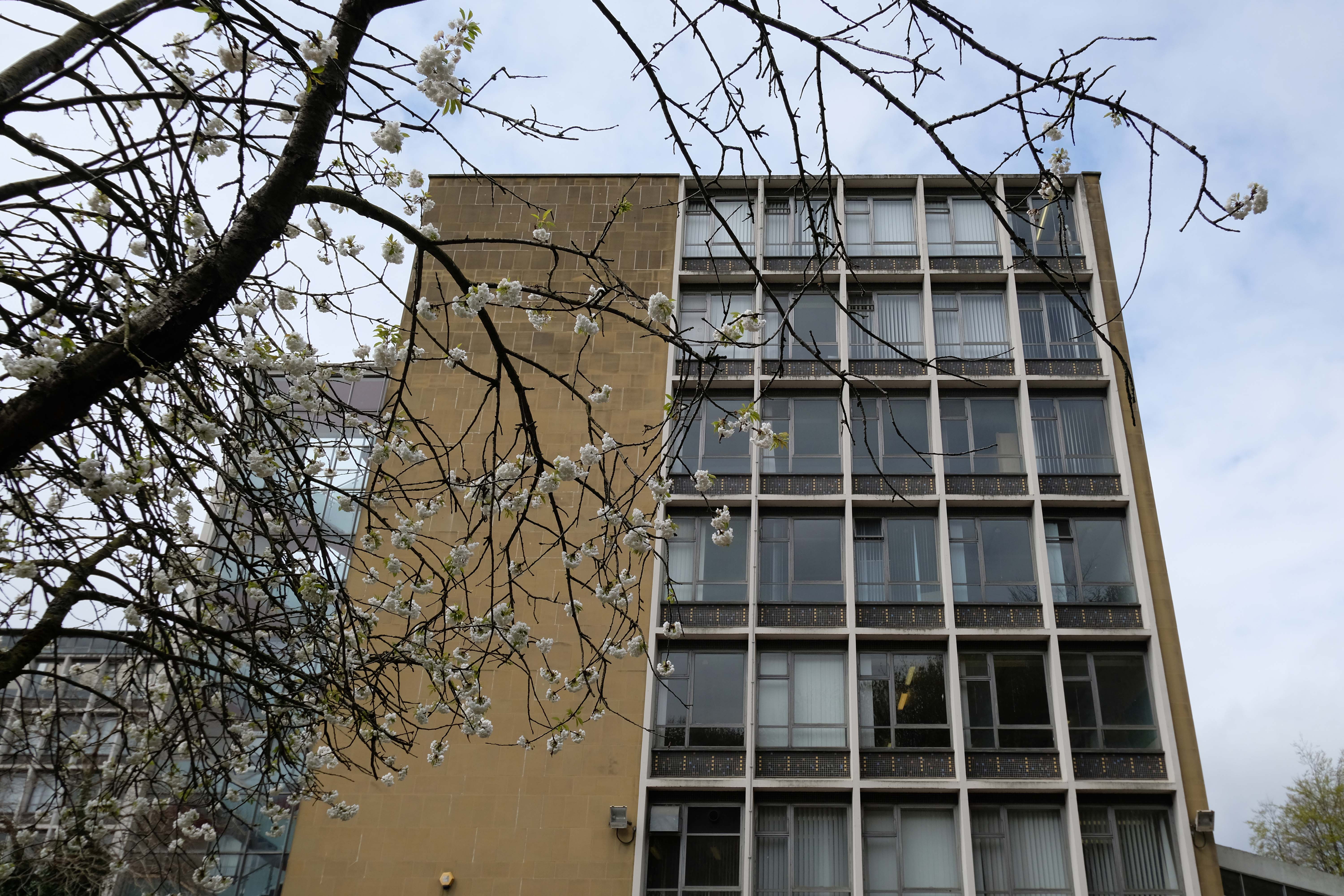
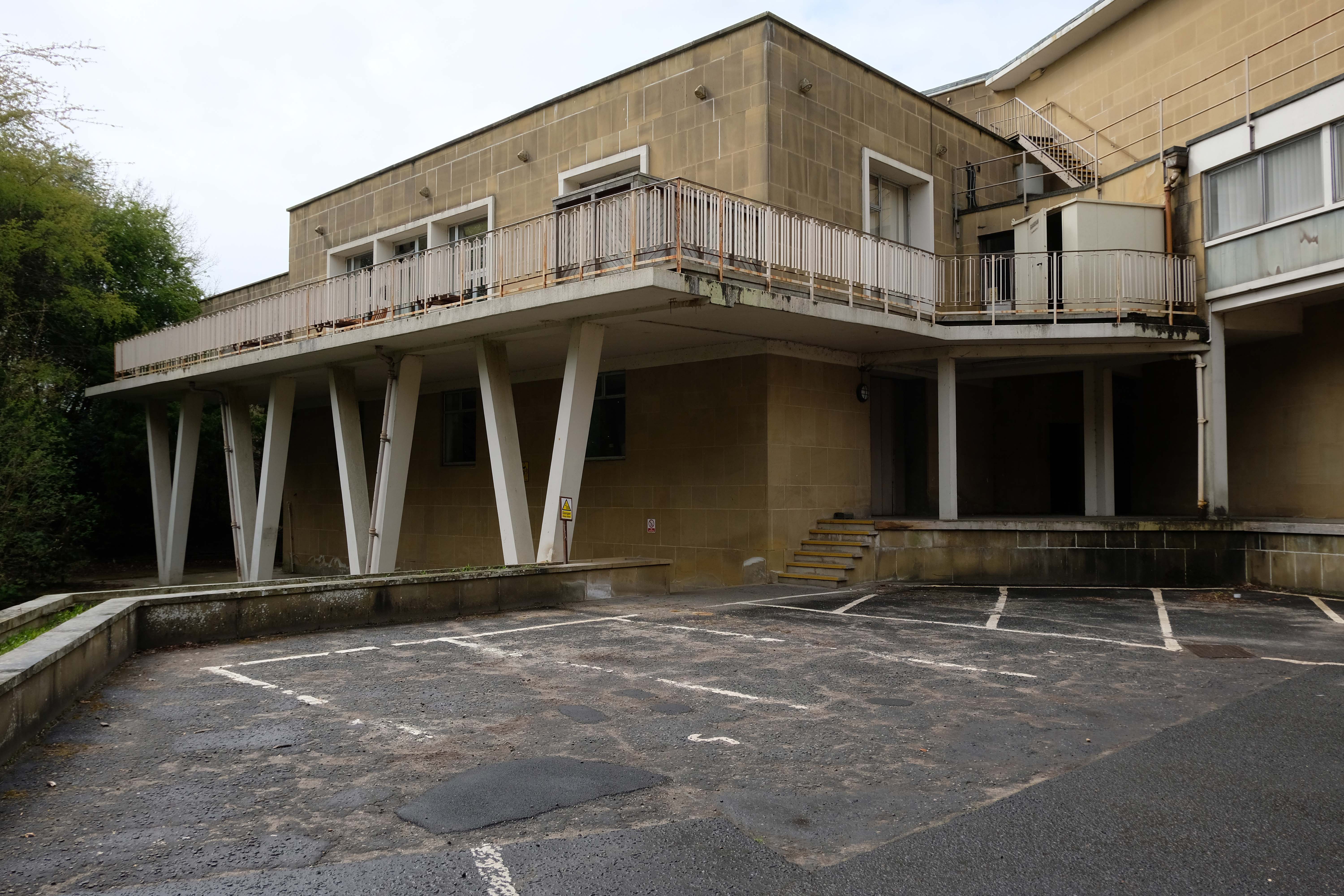
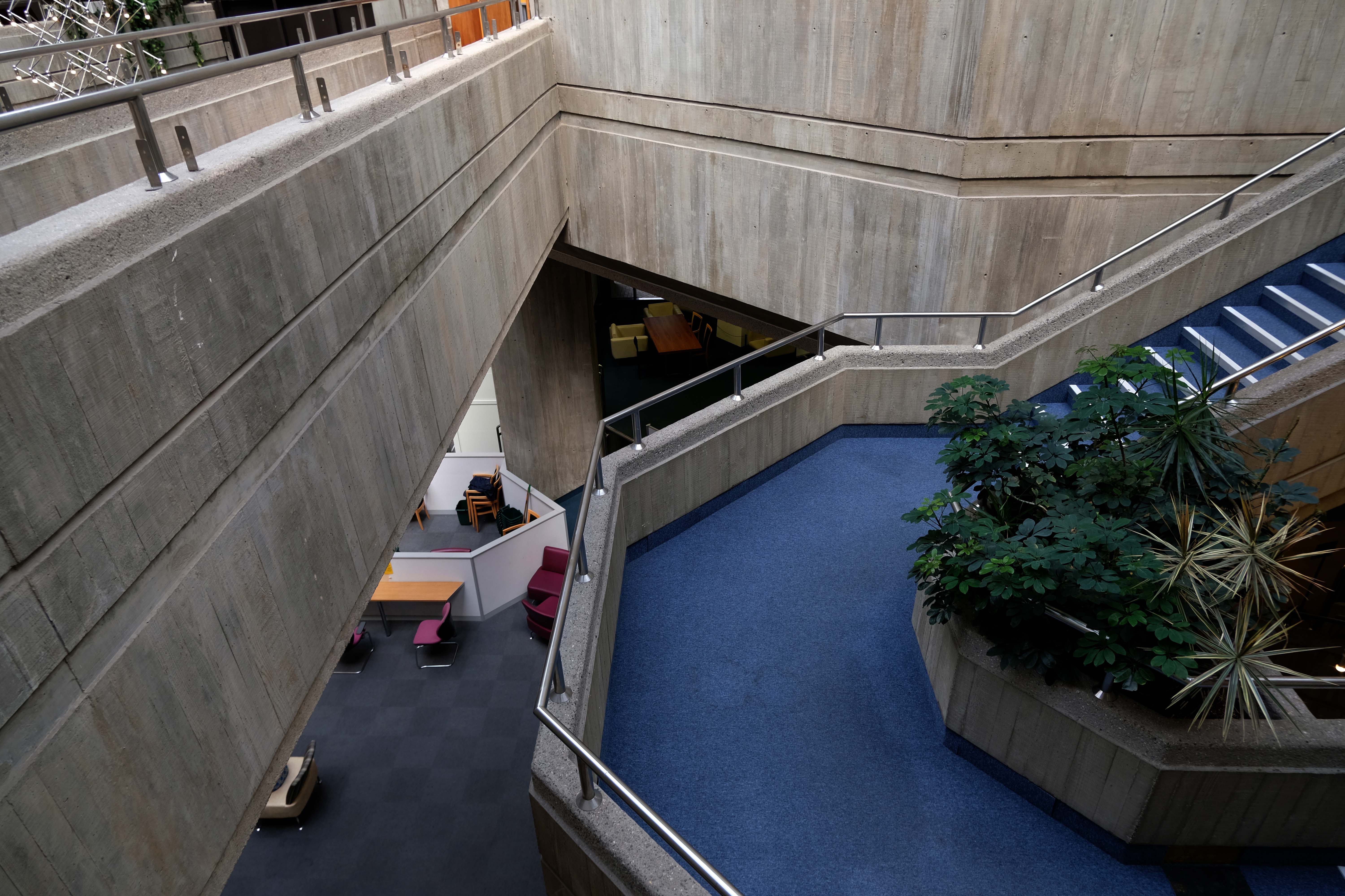
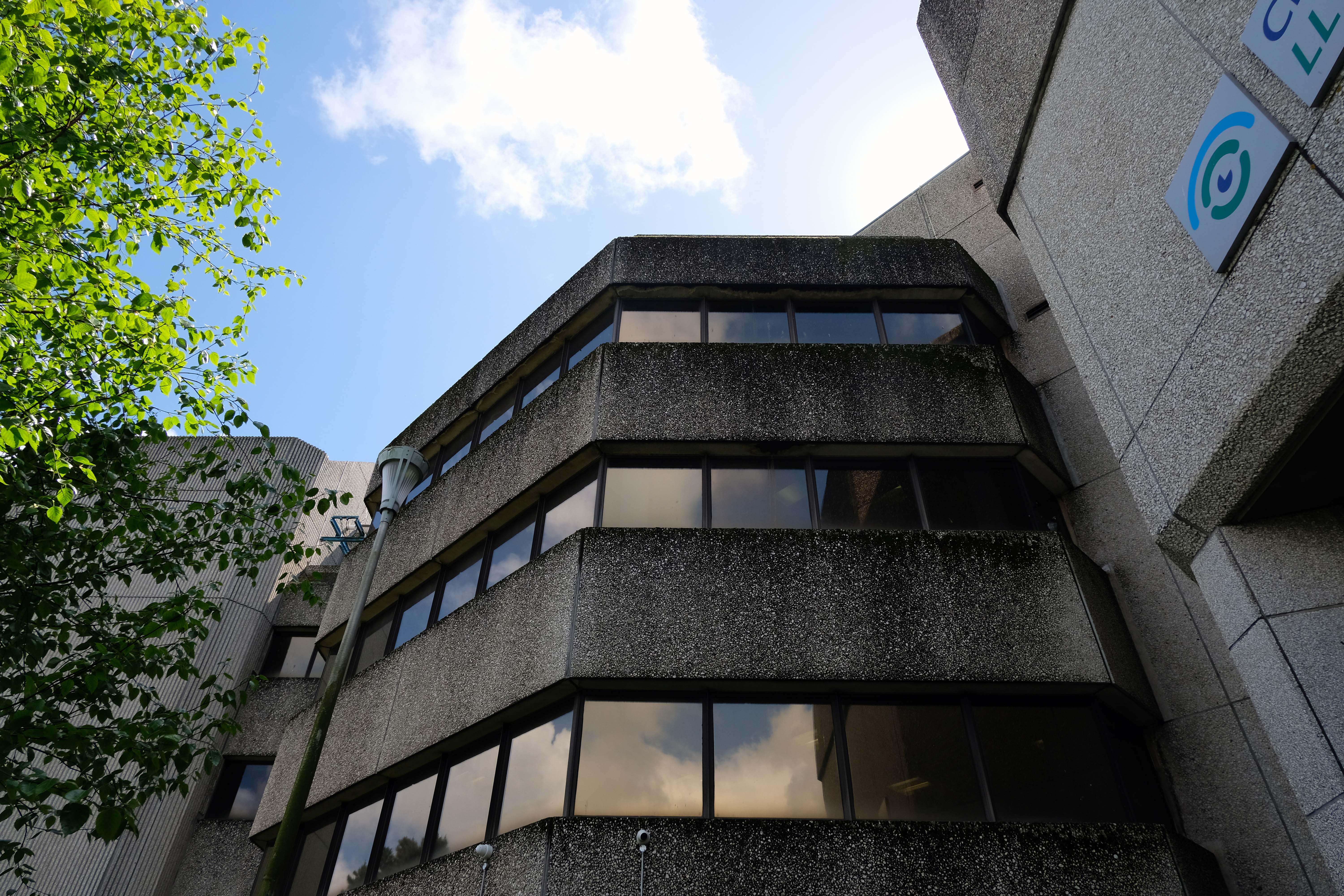
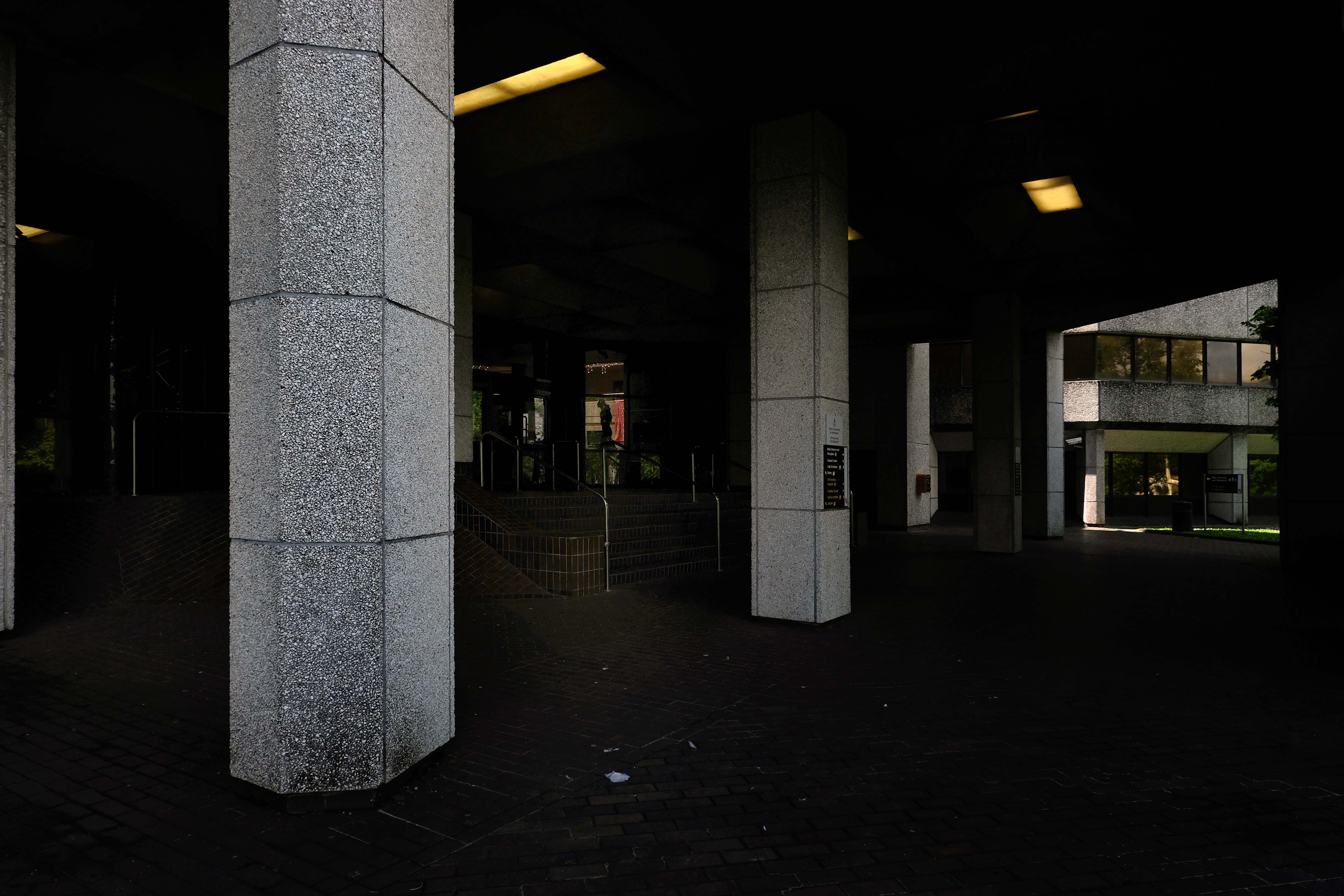
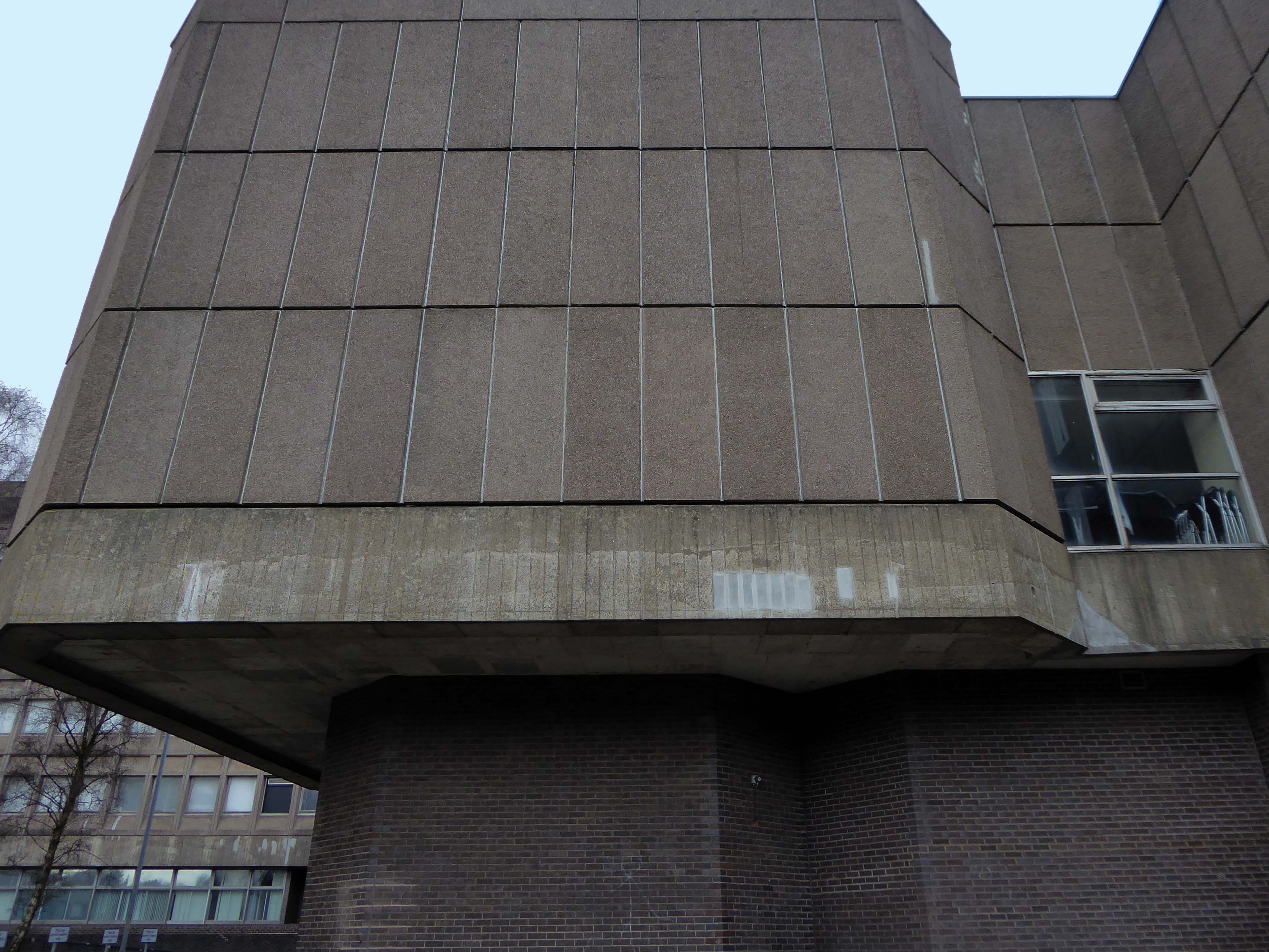
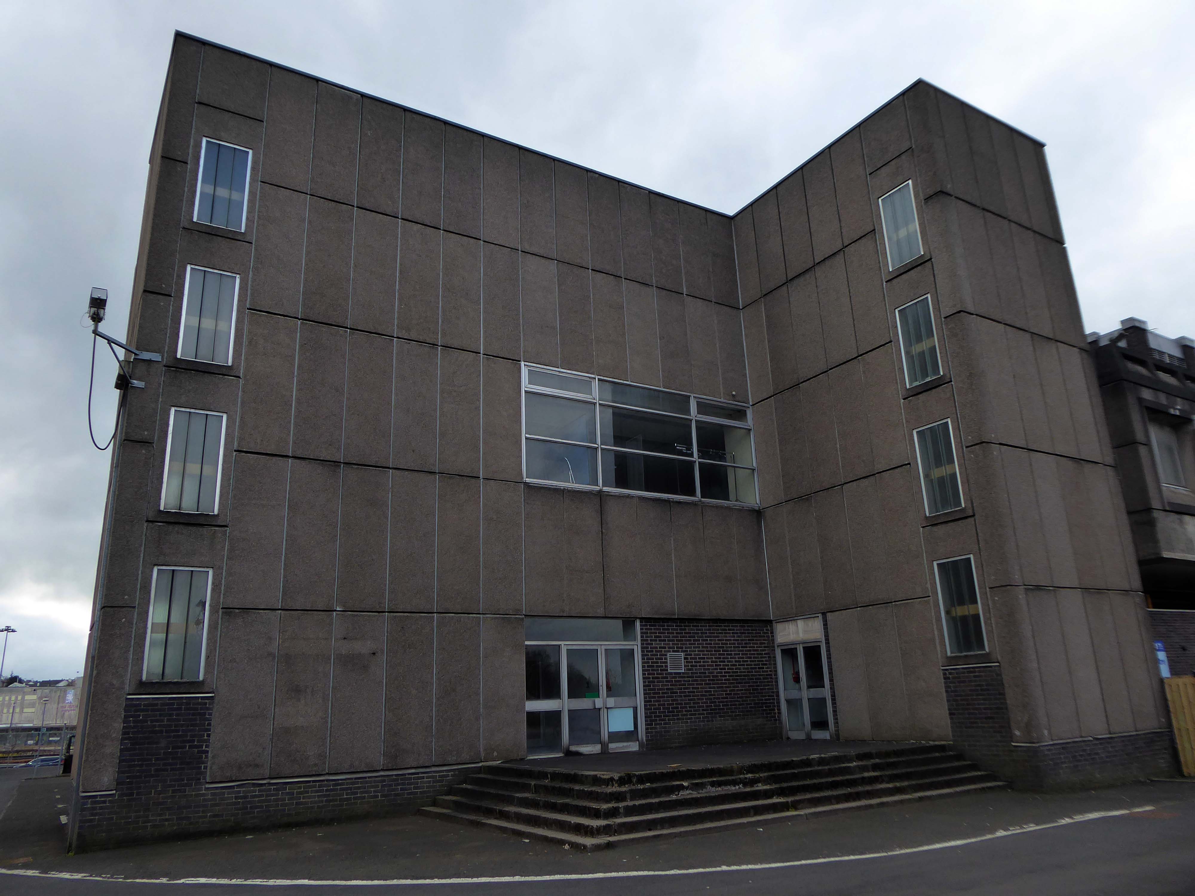
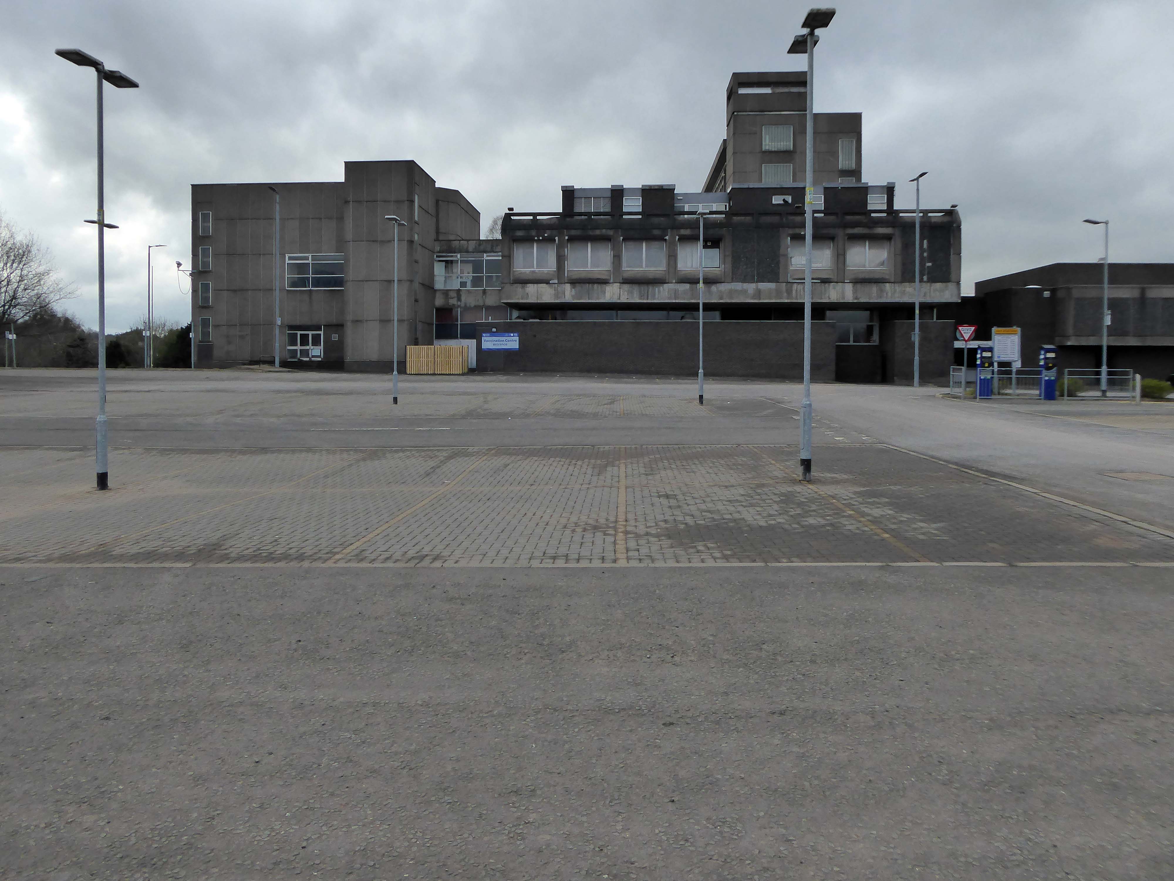
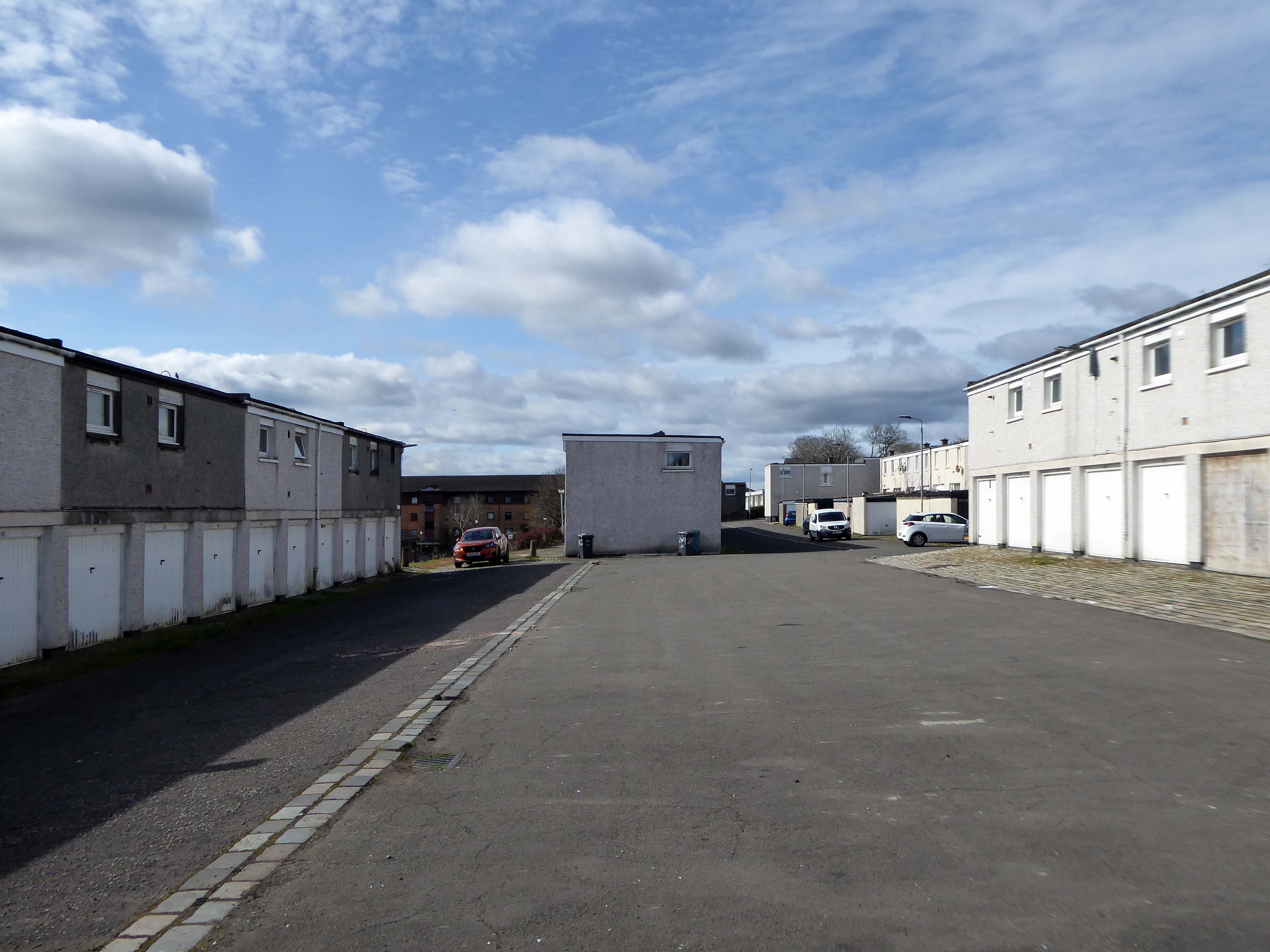
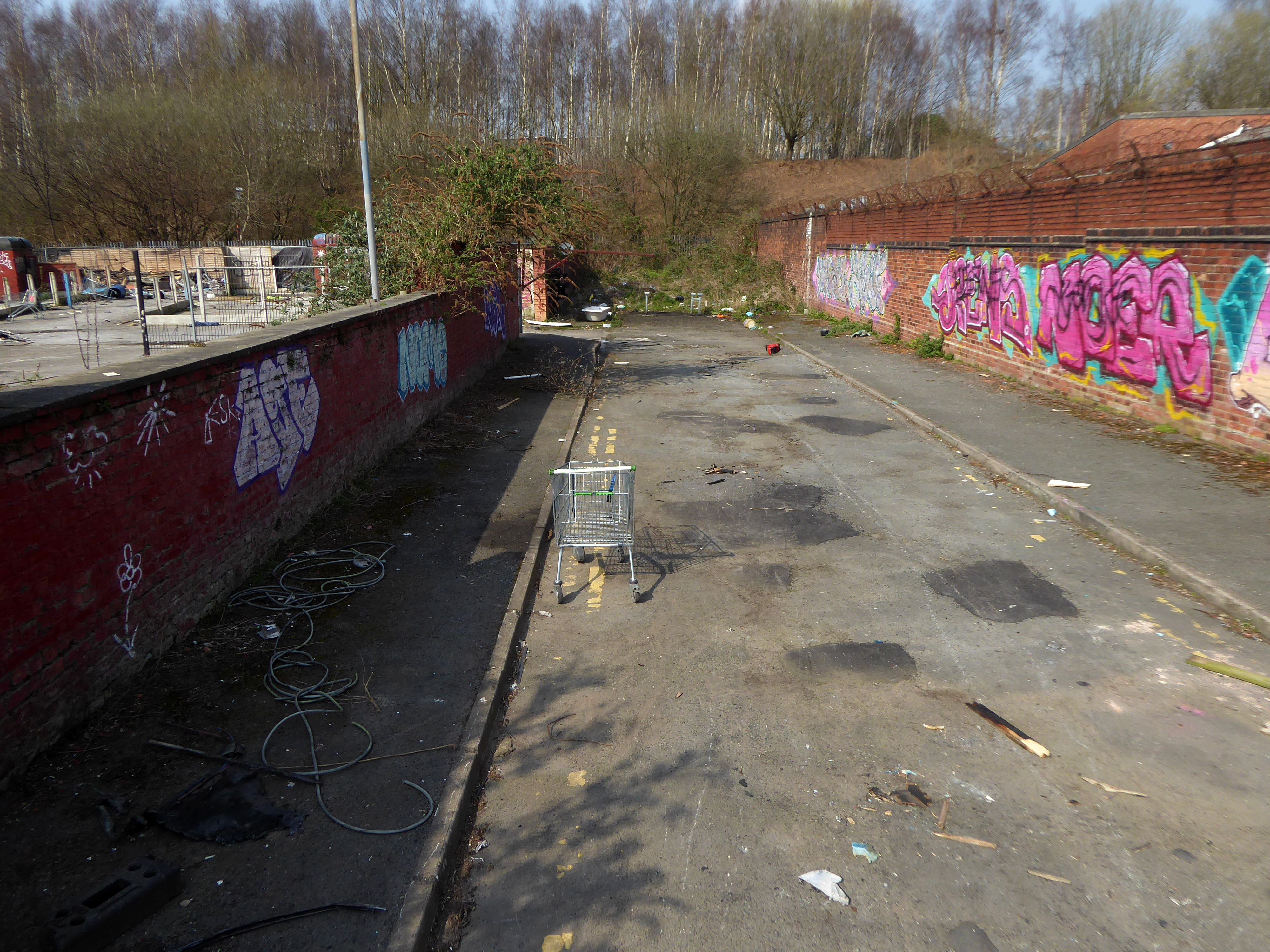
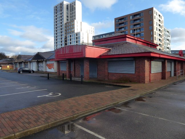
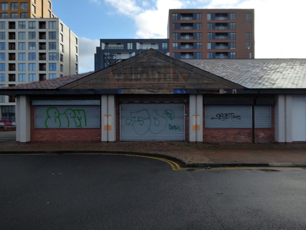
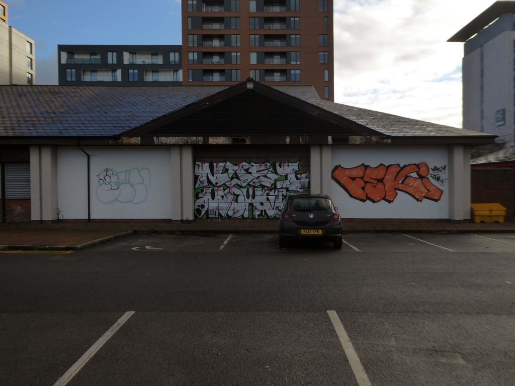
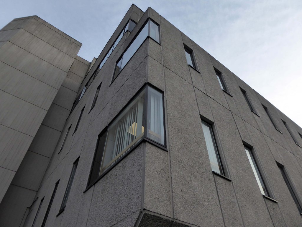
Took a look around the site before it’s no longer possible to look around the site.
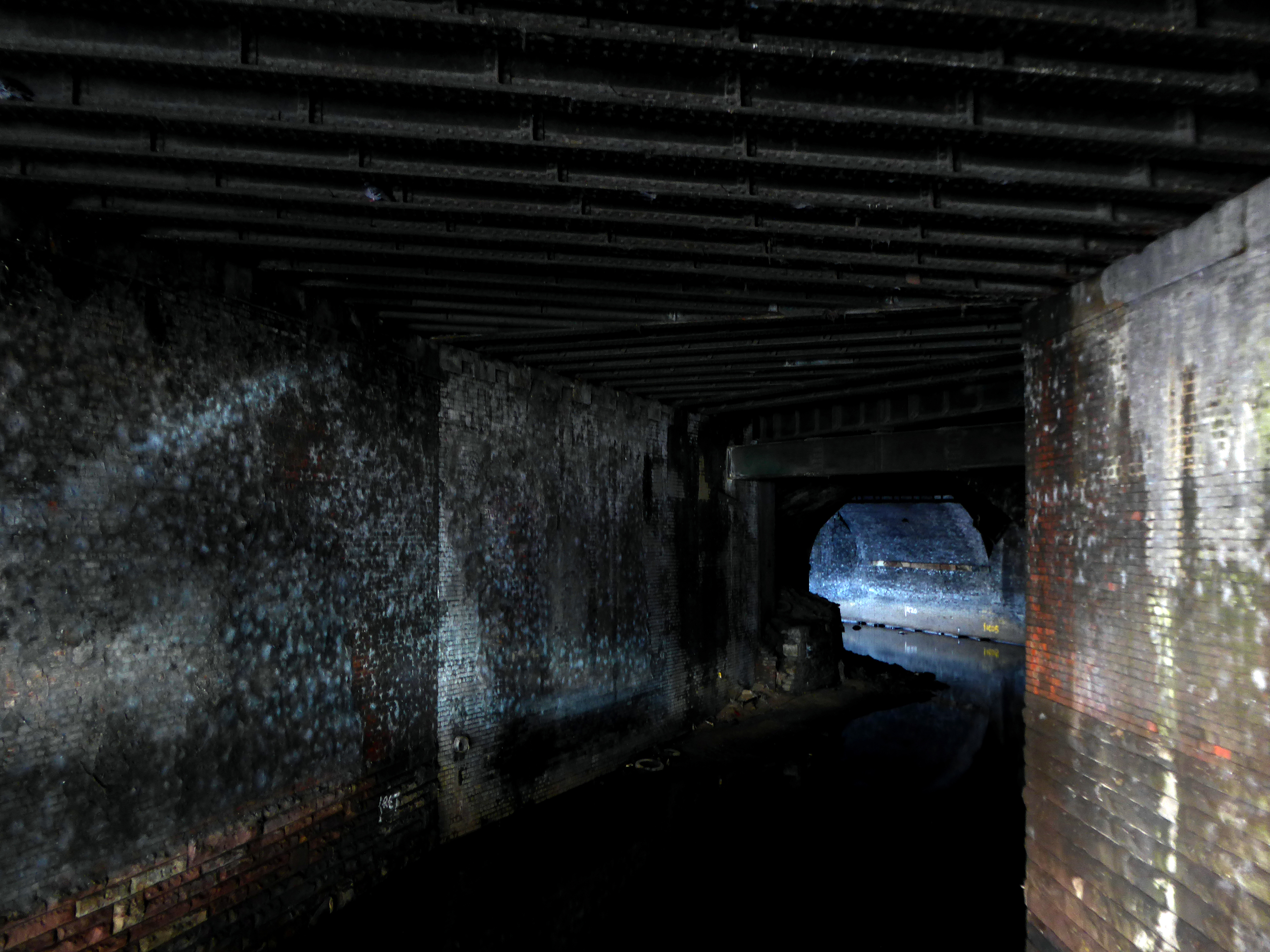
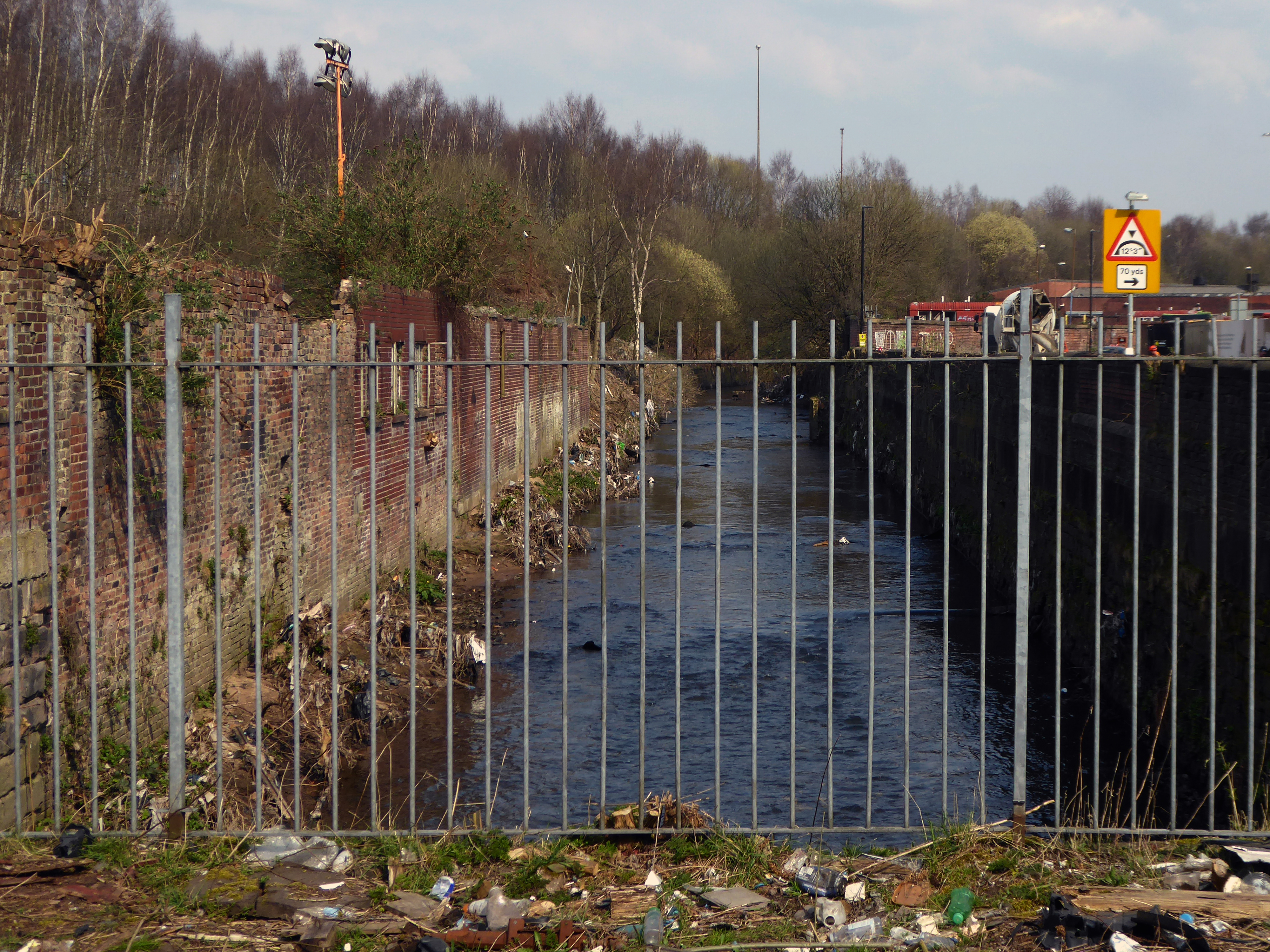
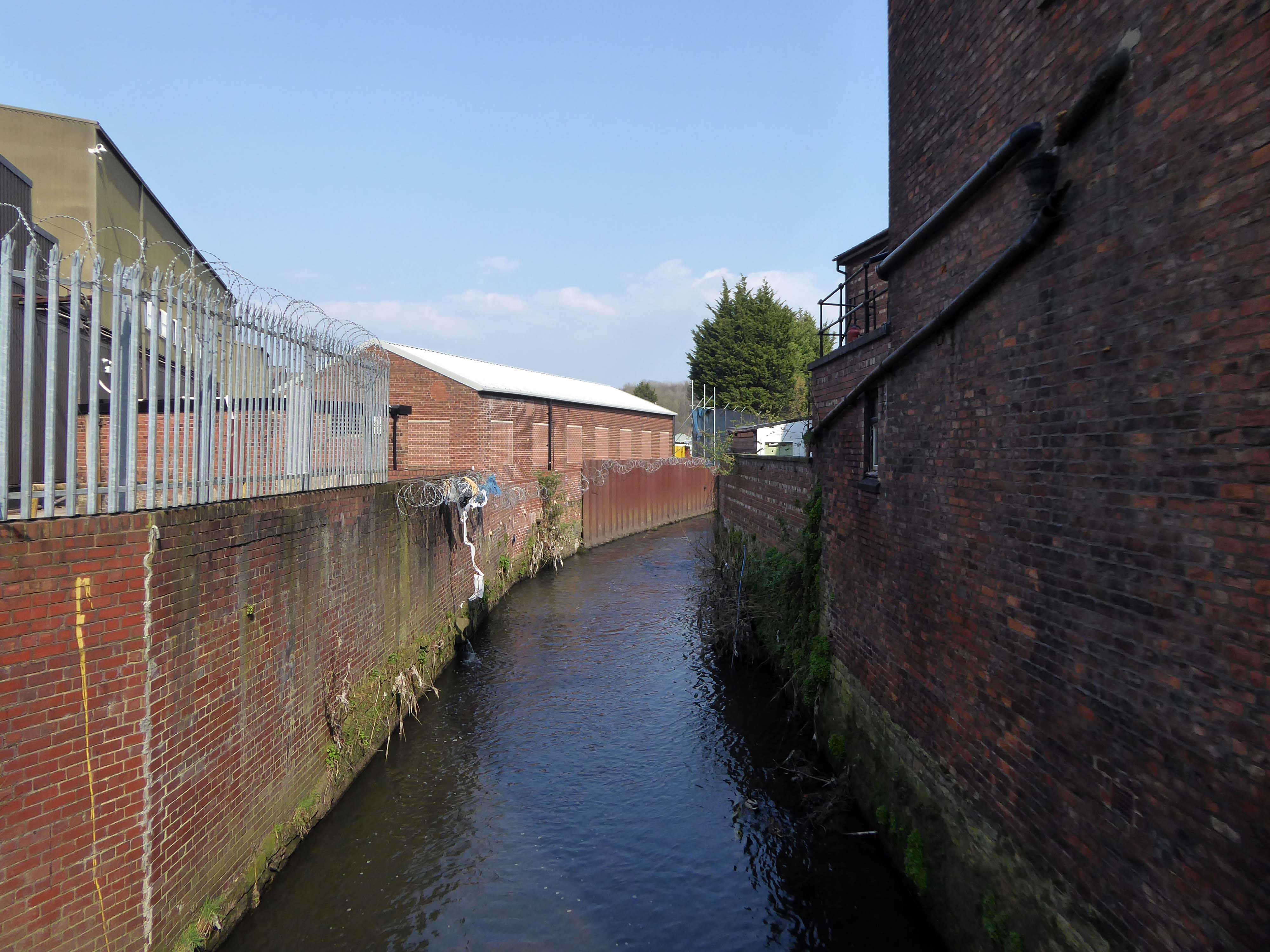
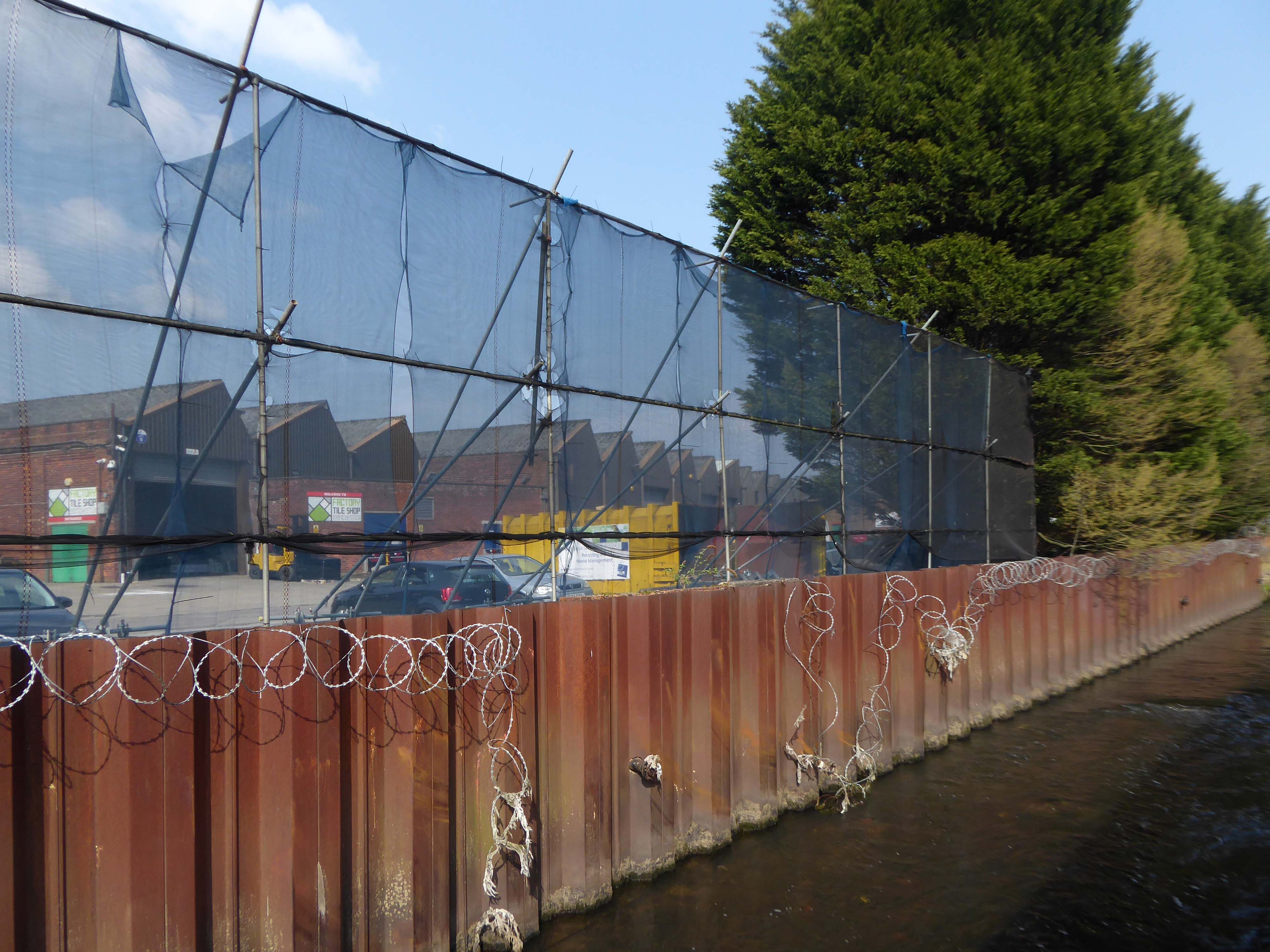
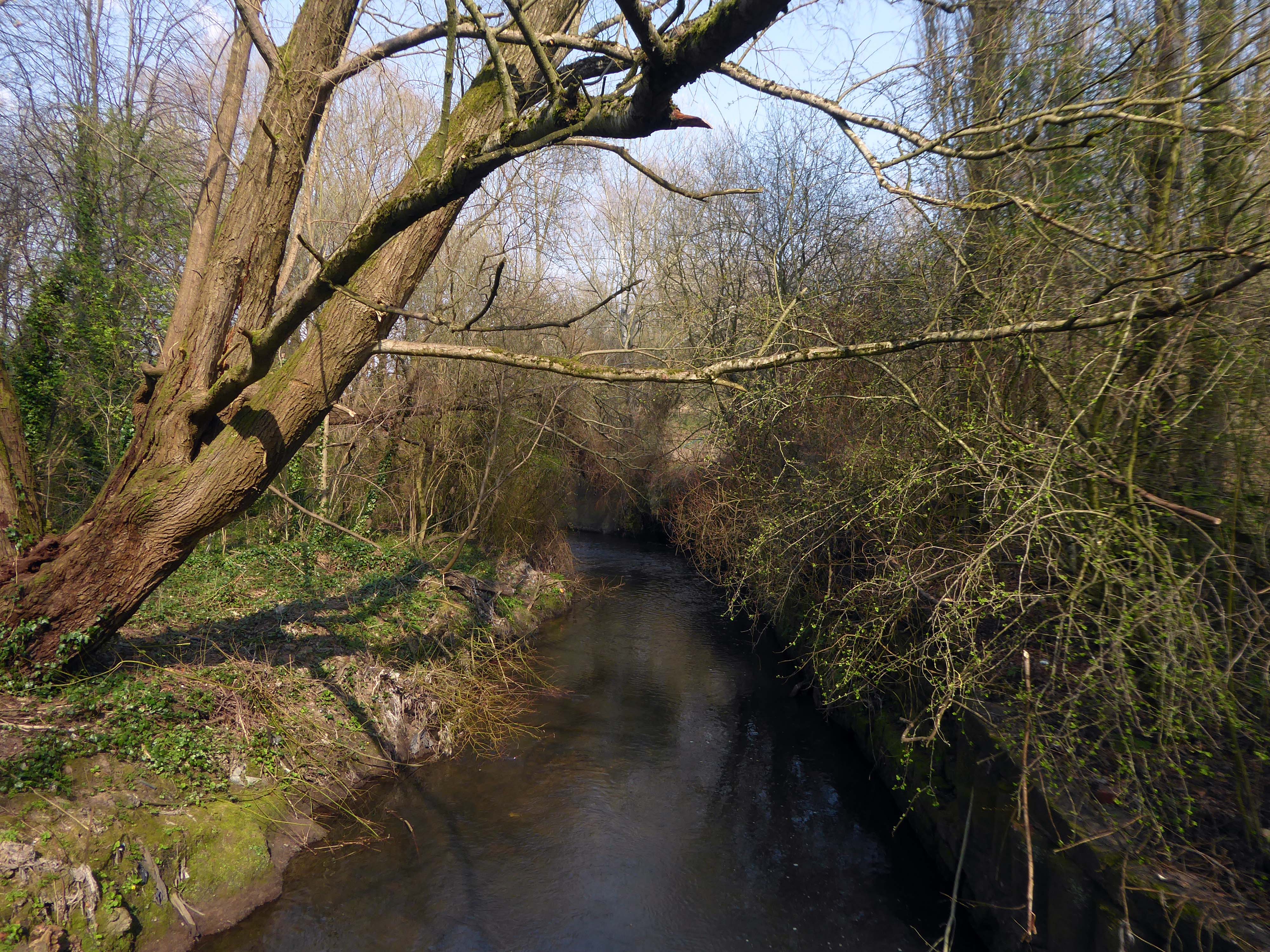
The 19th-century industrial concentrations in the above-named urban areas resulted in the Tame being a much polluted waterway. As well as industrial pollution from the dyes and bleaches used in textile mills, effluent from specialised paper-making cigarette papers, engineering effluents, including base metal washings from battery manufacture, phenols from the huge coal-gas plant in Denton, rain-wash from roads and abandoned coal spoil heaps there was also the sewage effluent from the surrounding population. Up to two-thirds of the river’s flow at its confluence with the Goyt had passed through a sewage works. The anti-pollution efforts of the last thirty years of the 20th century have resulted in positive fauna distributions.
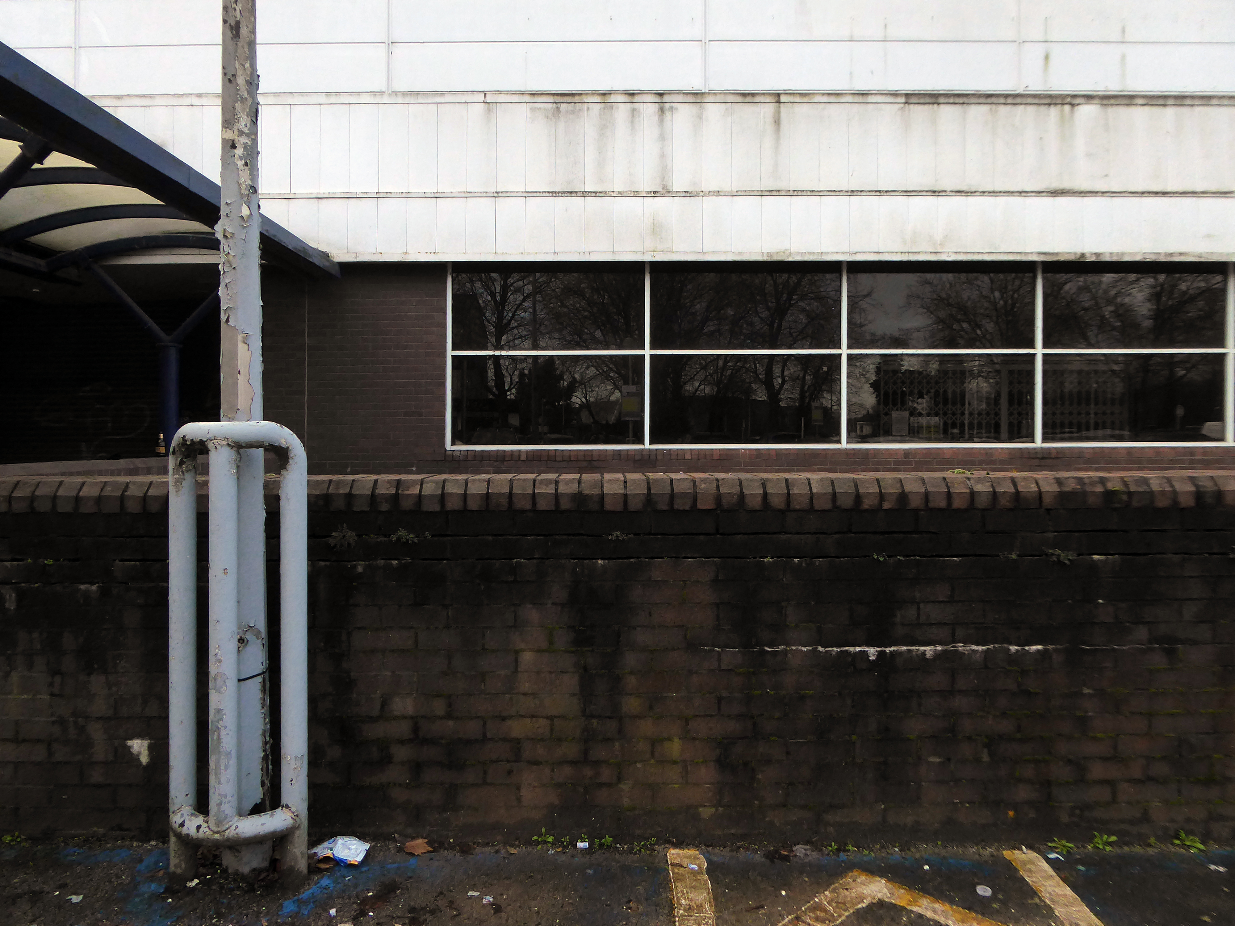
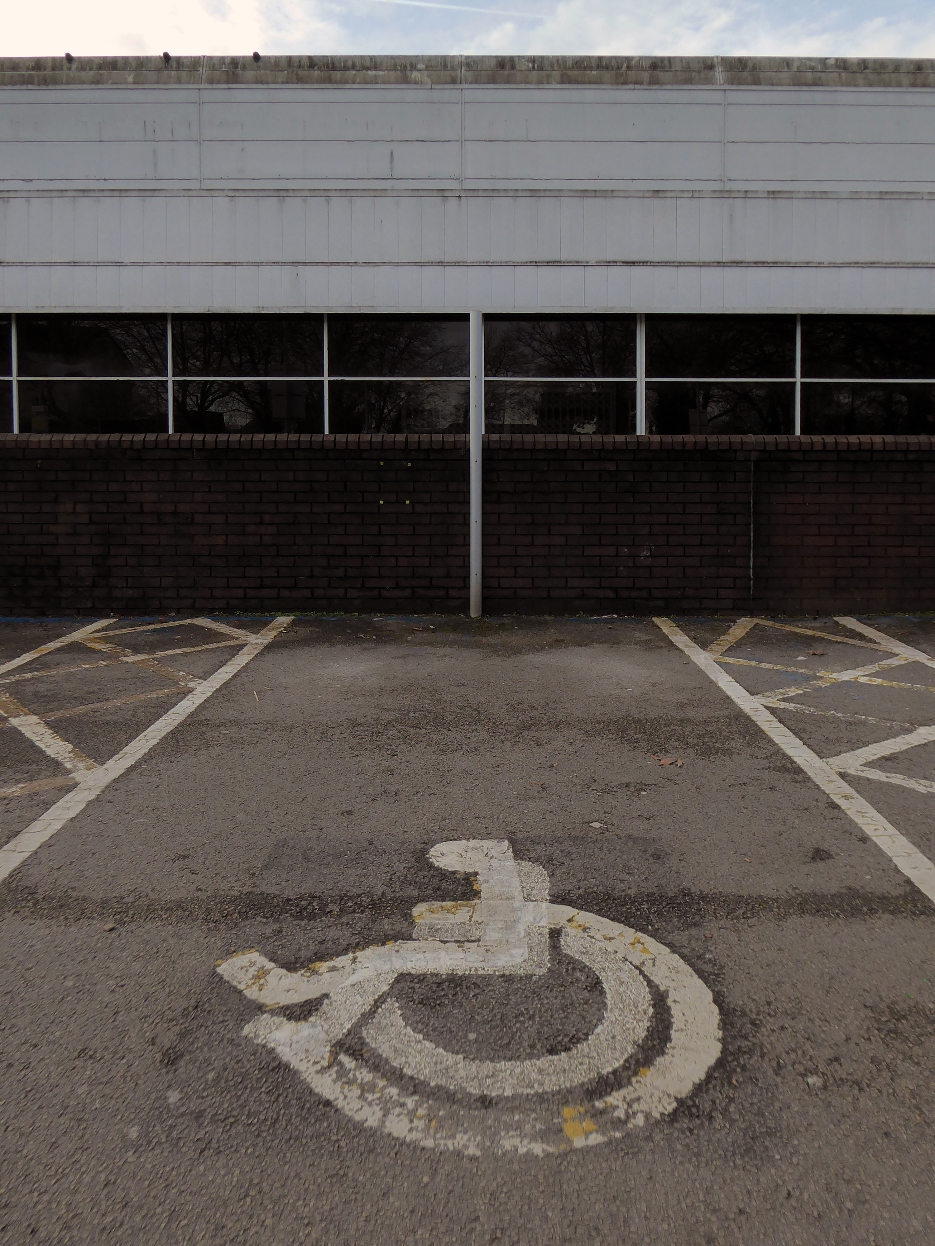
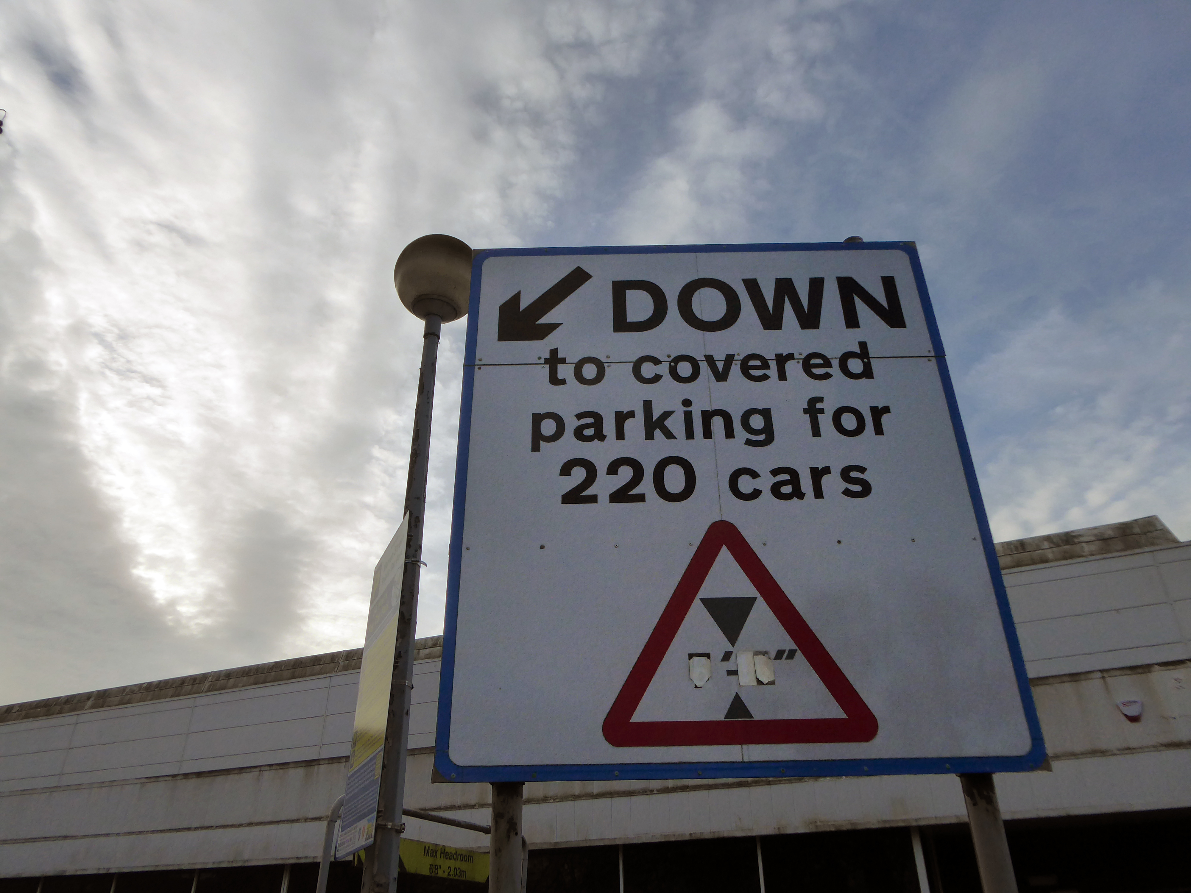
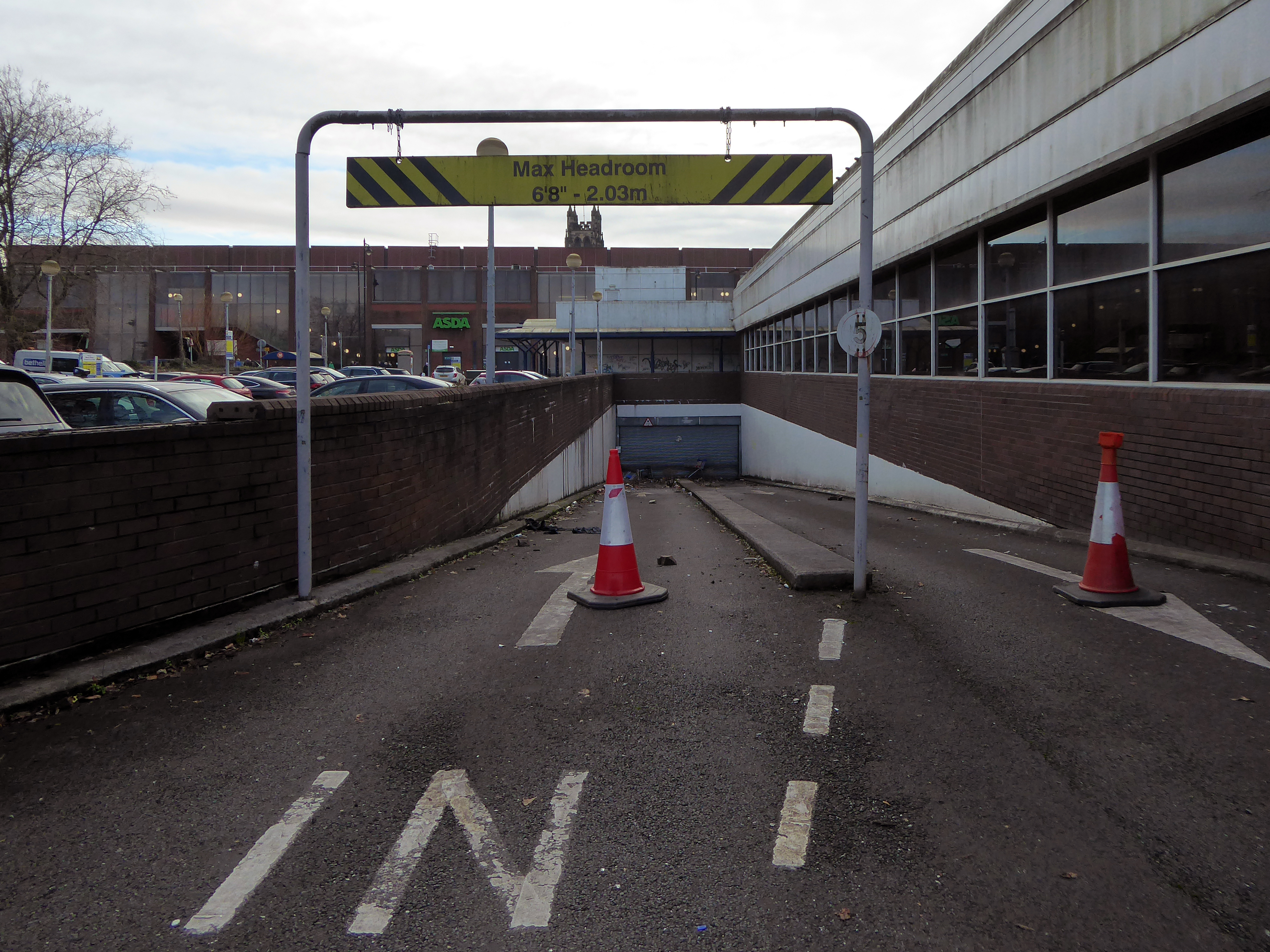
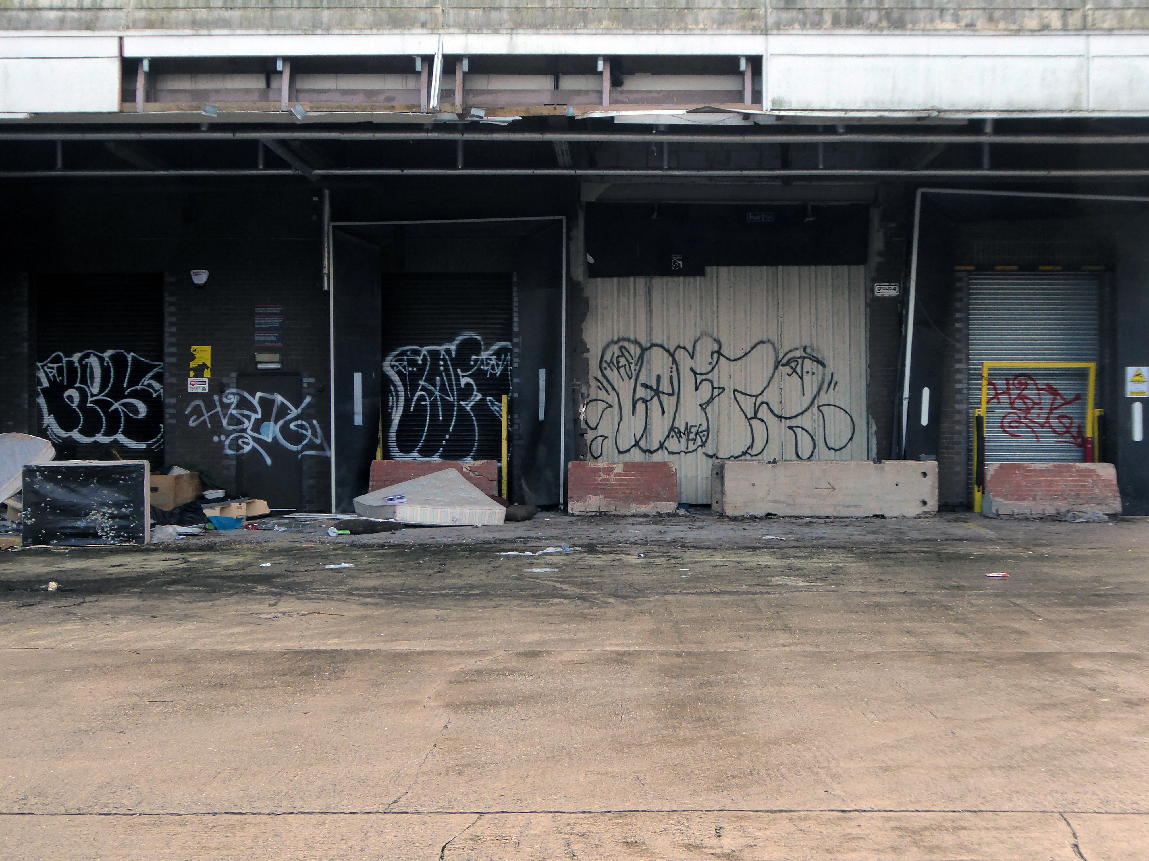
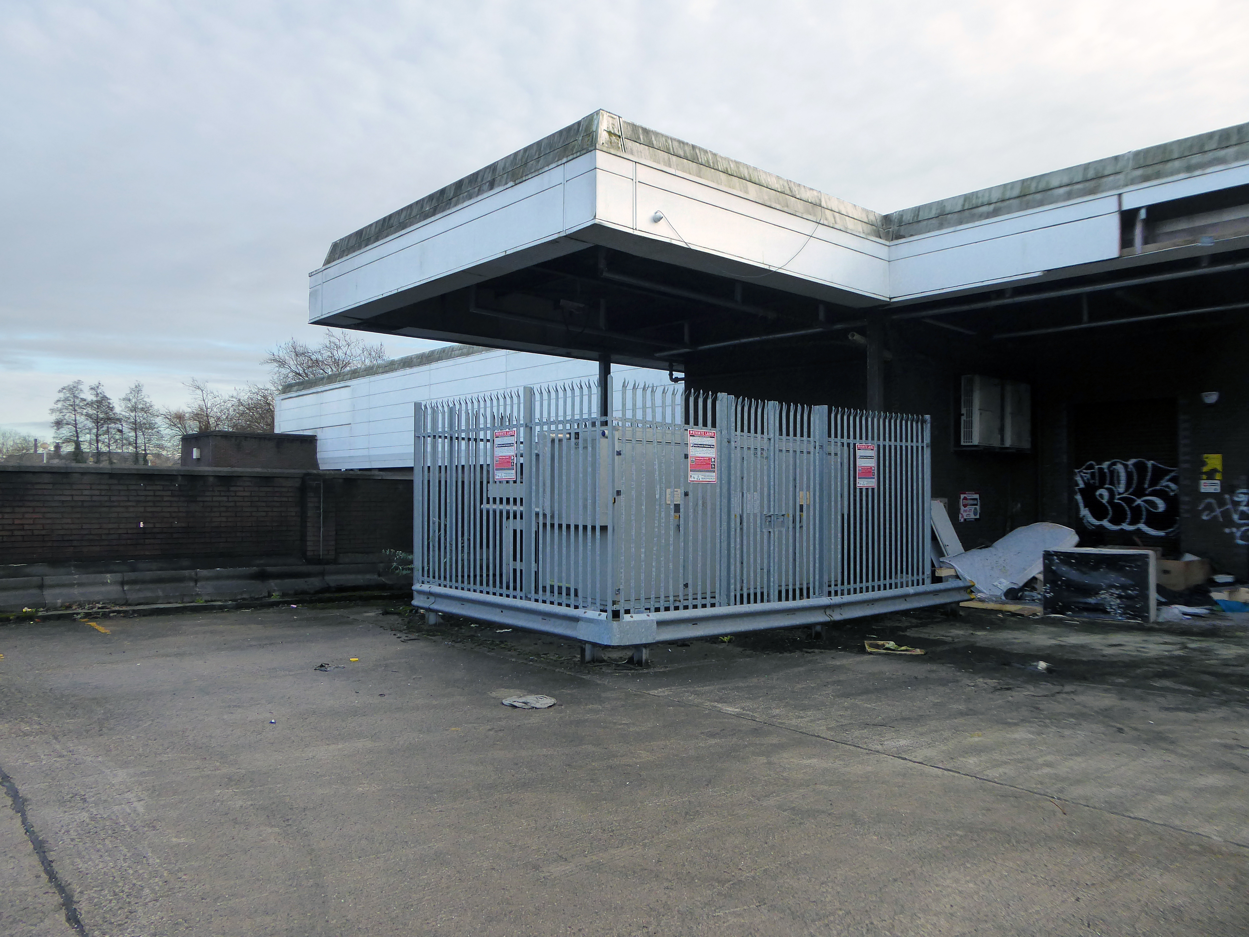
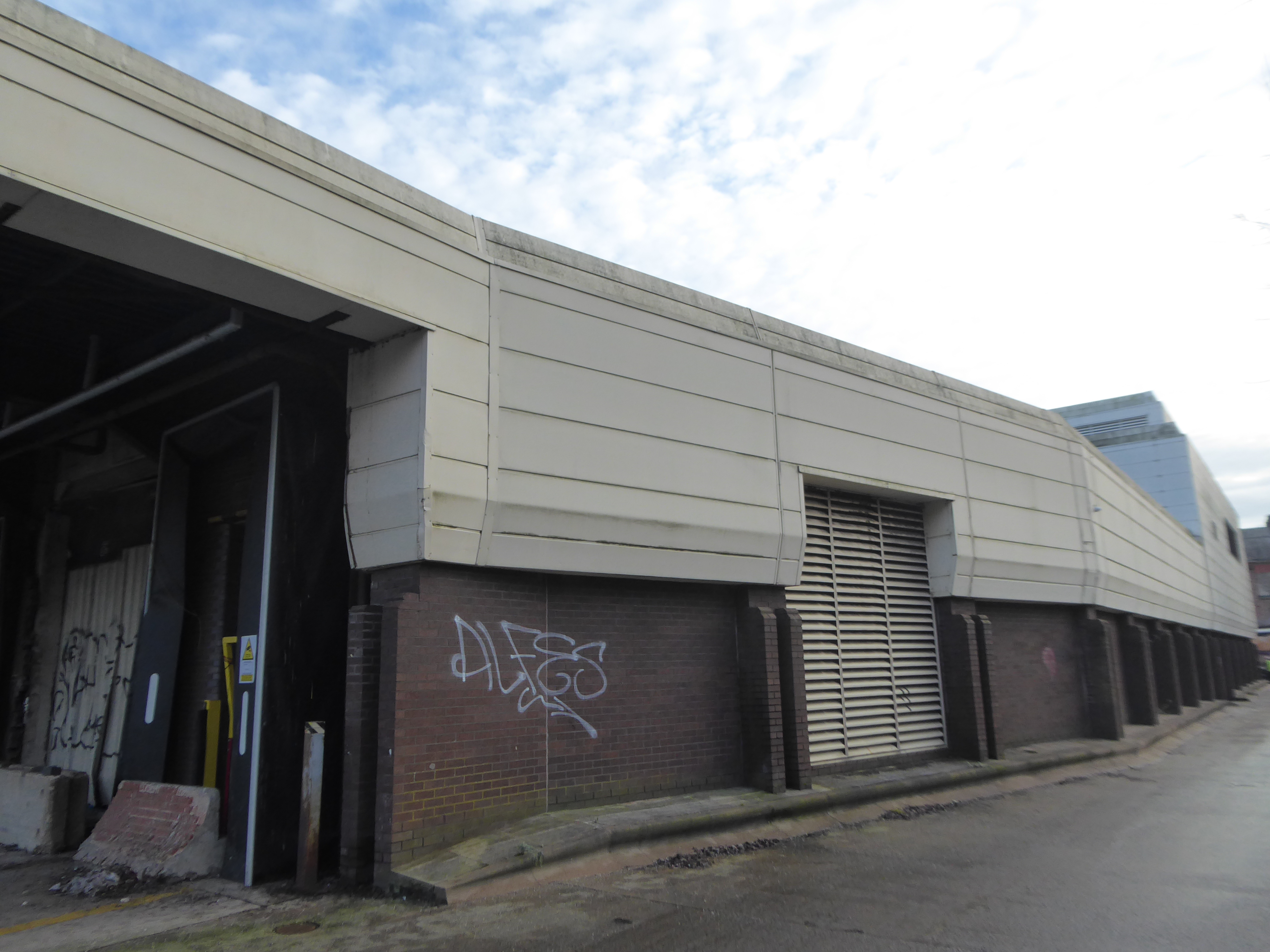
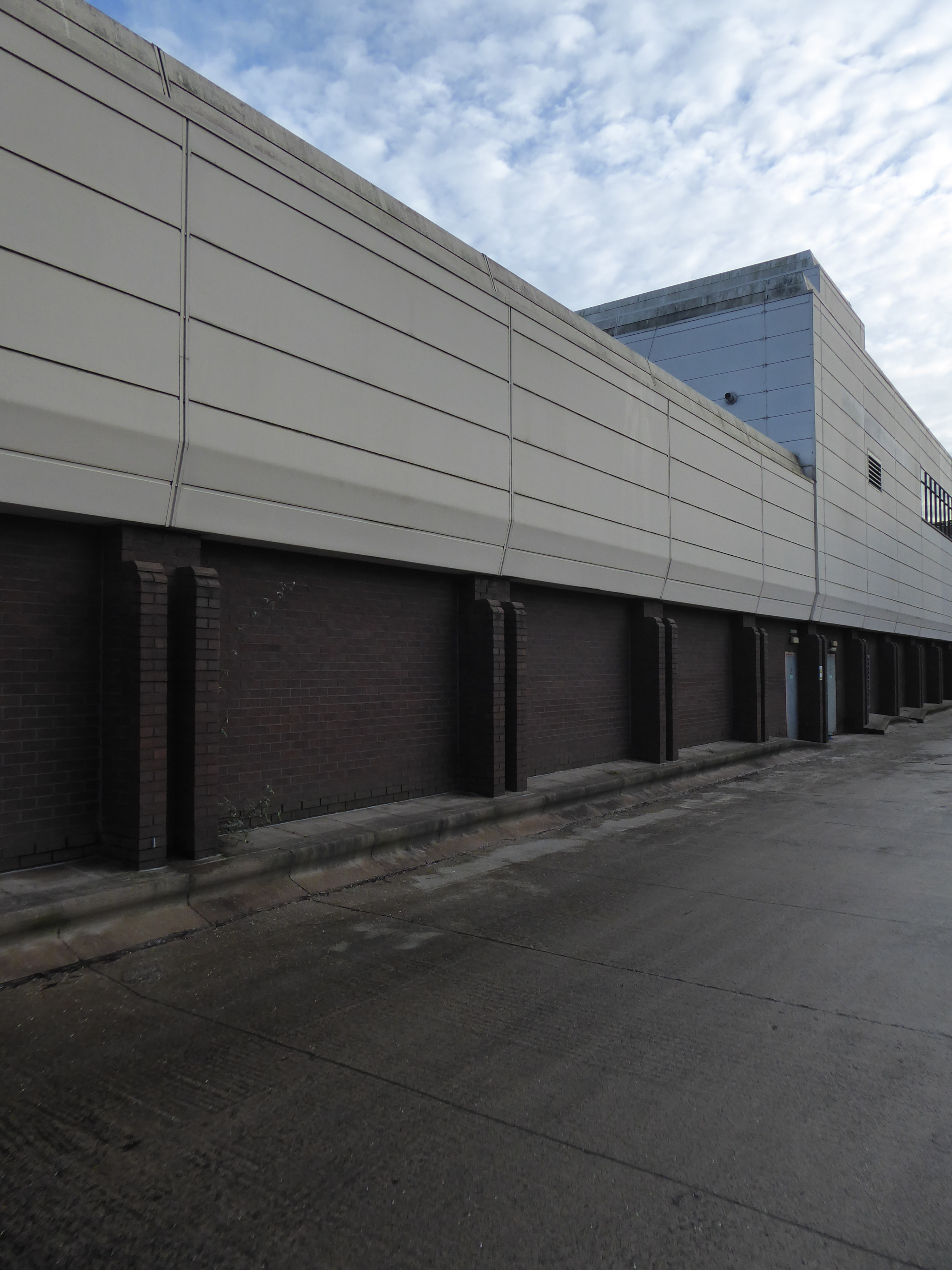
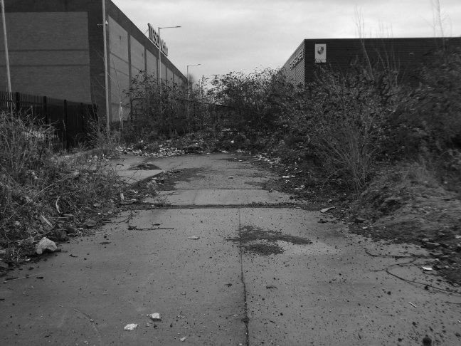
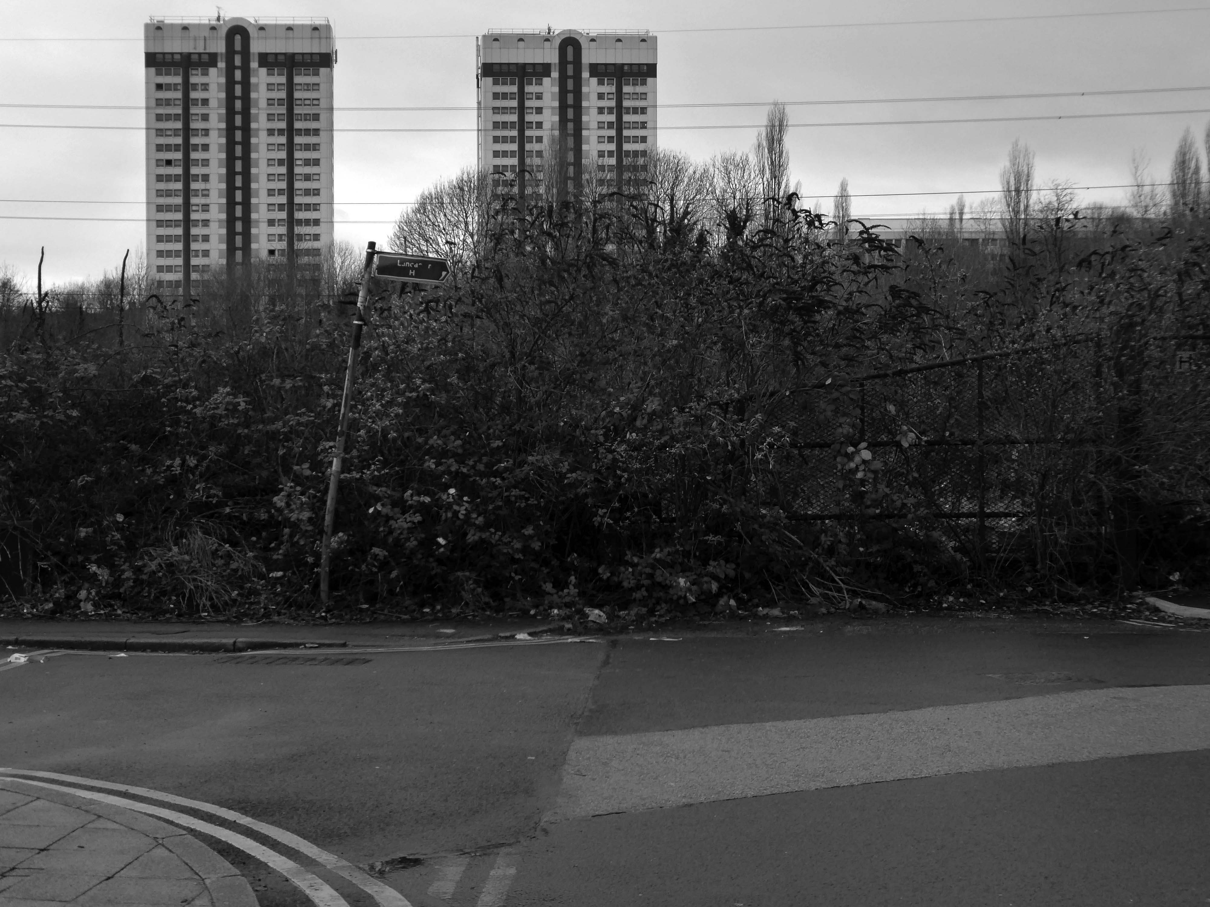
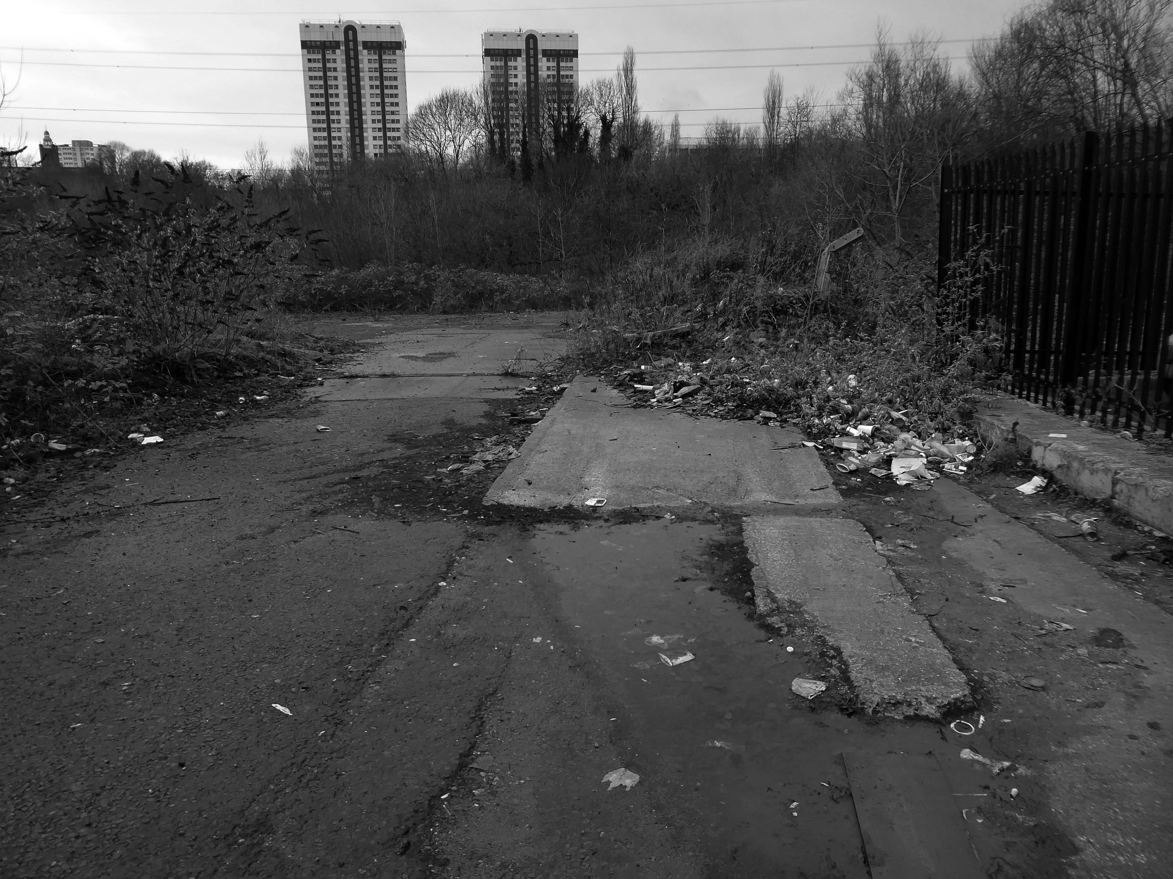
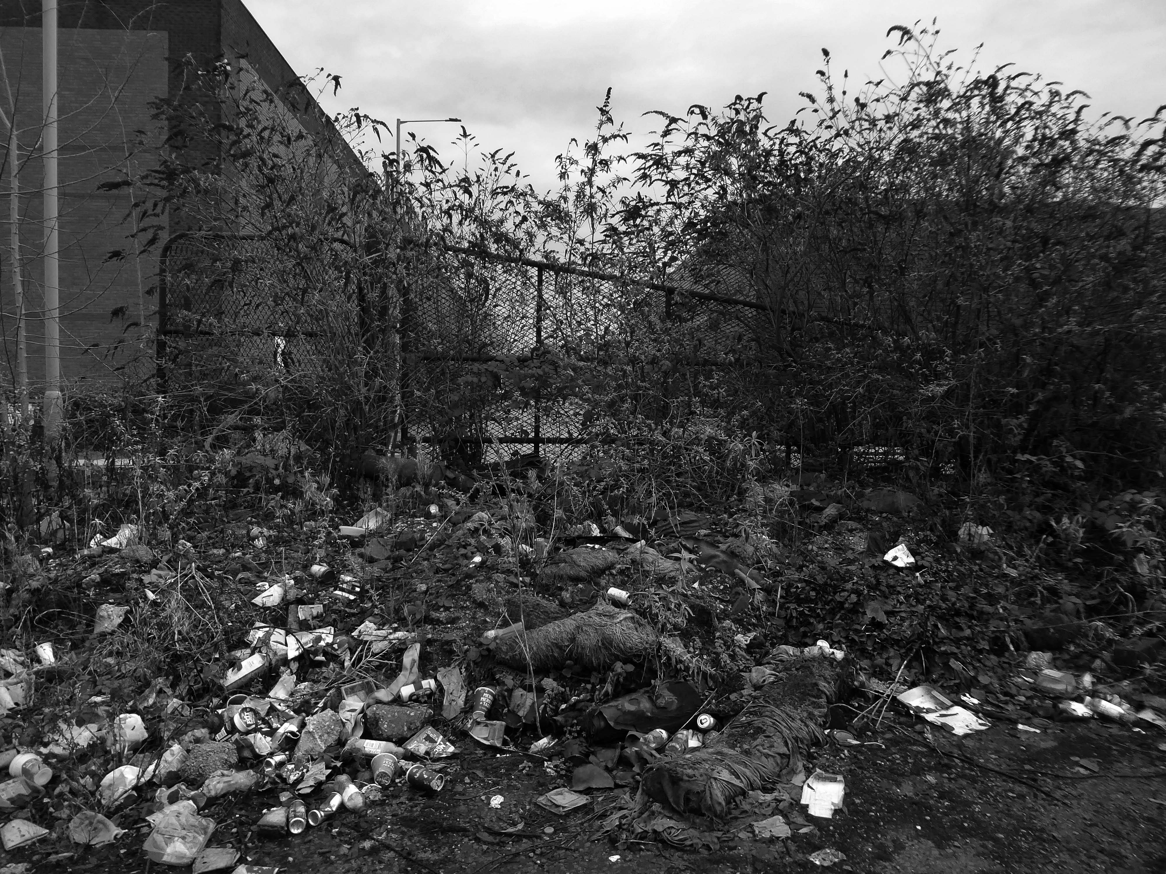
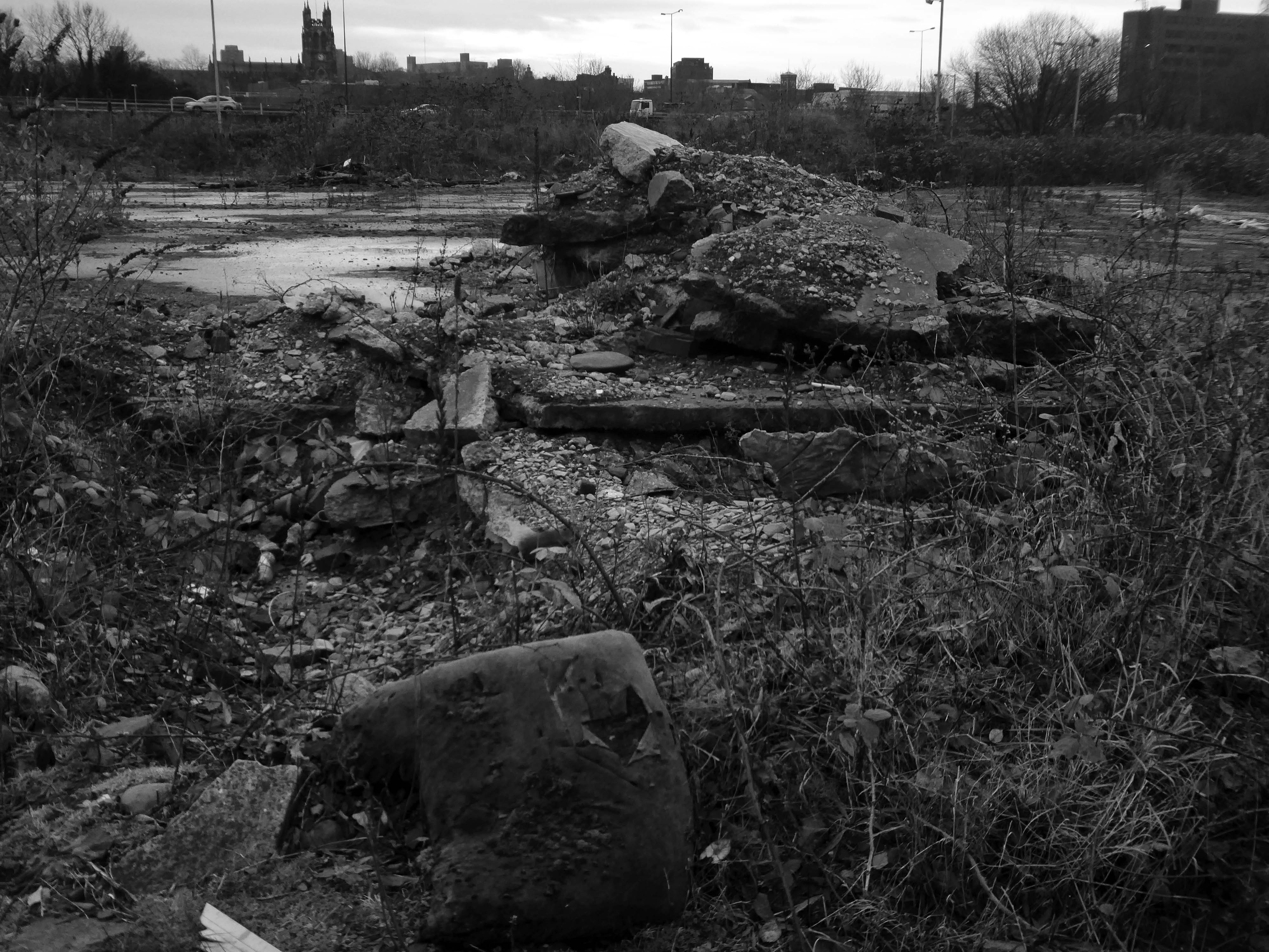
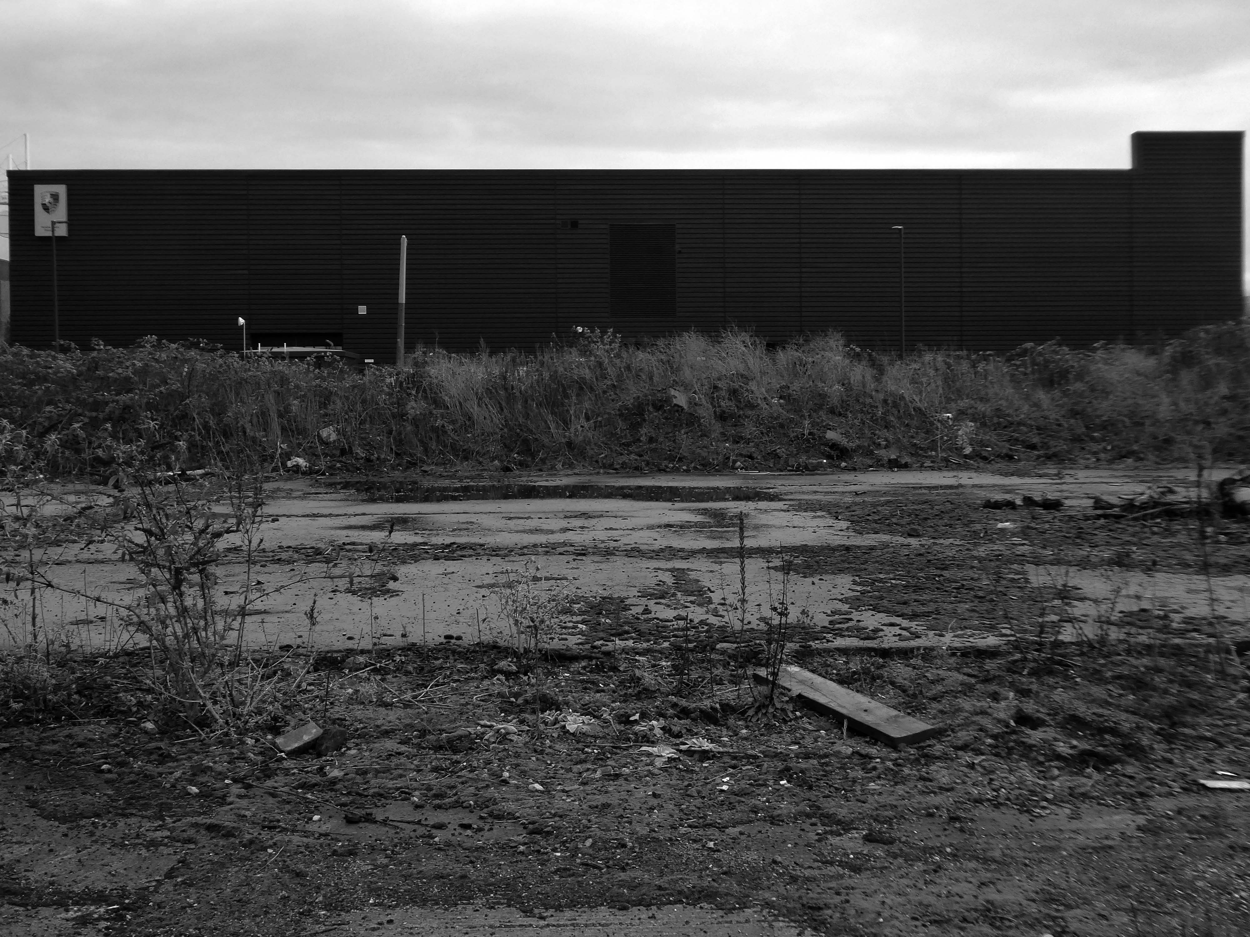
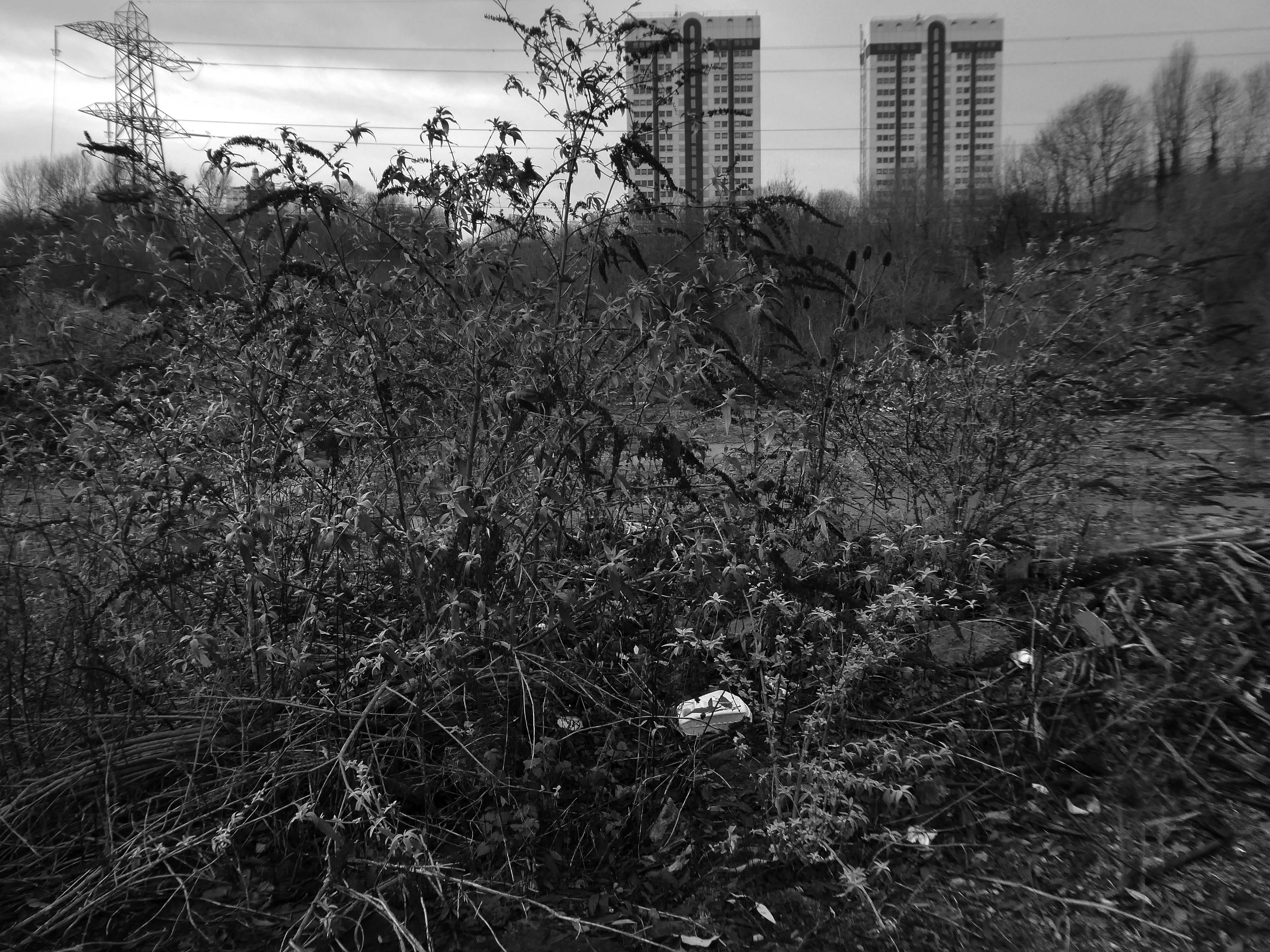
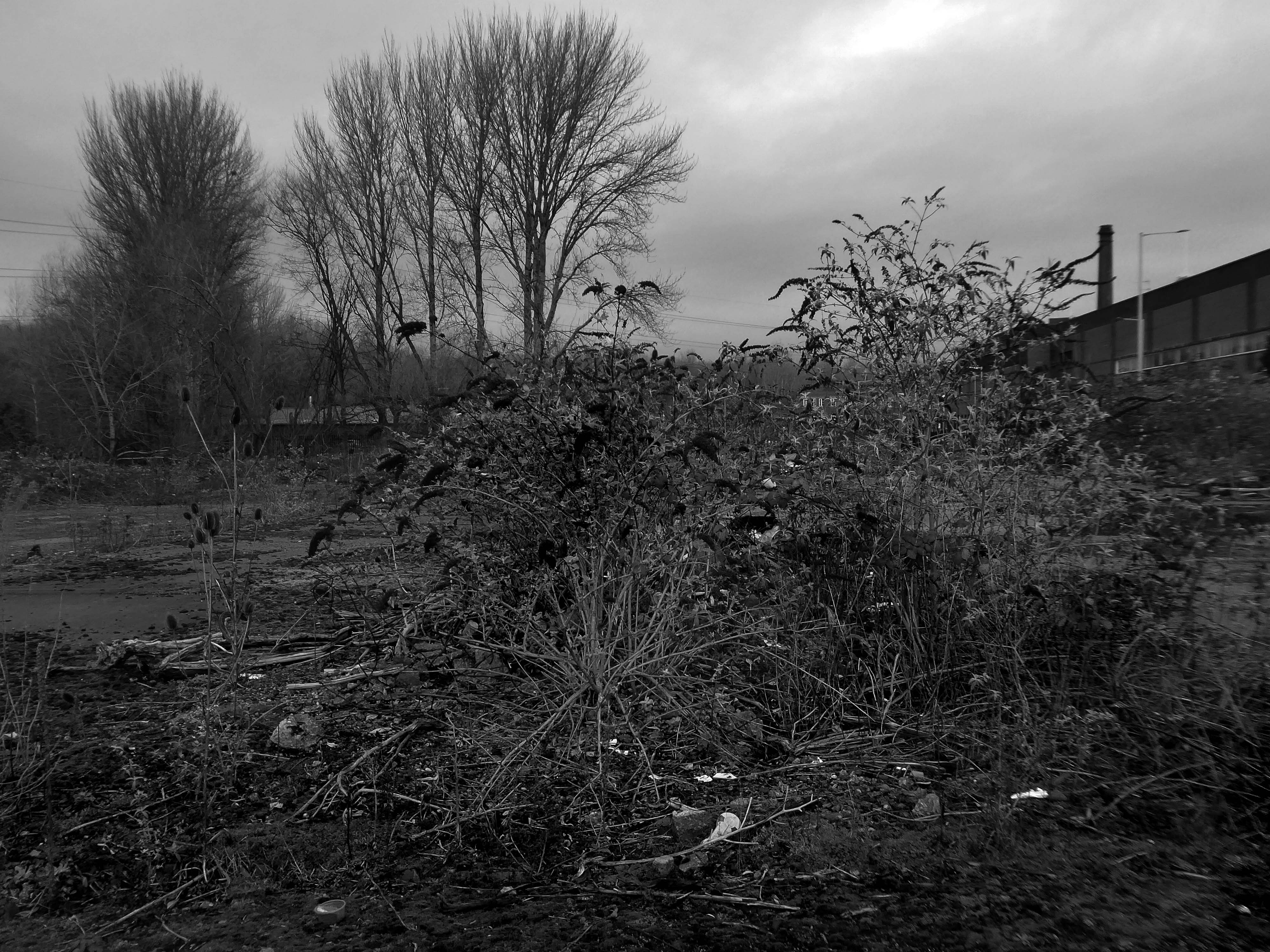
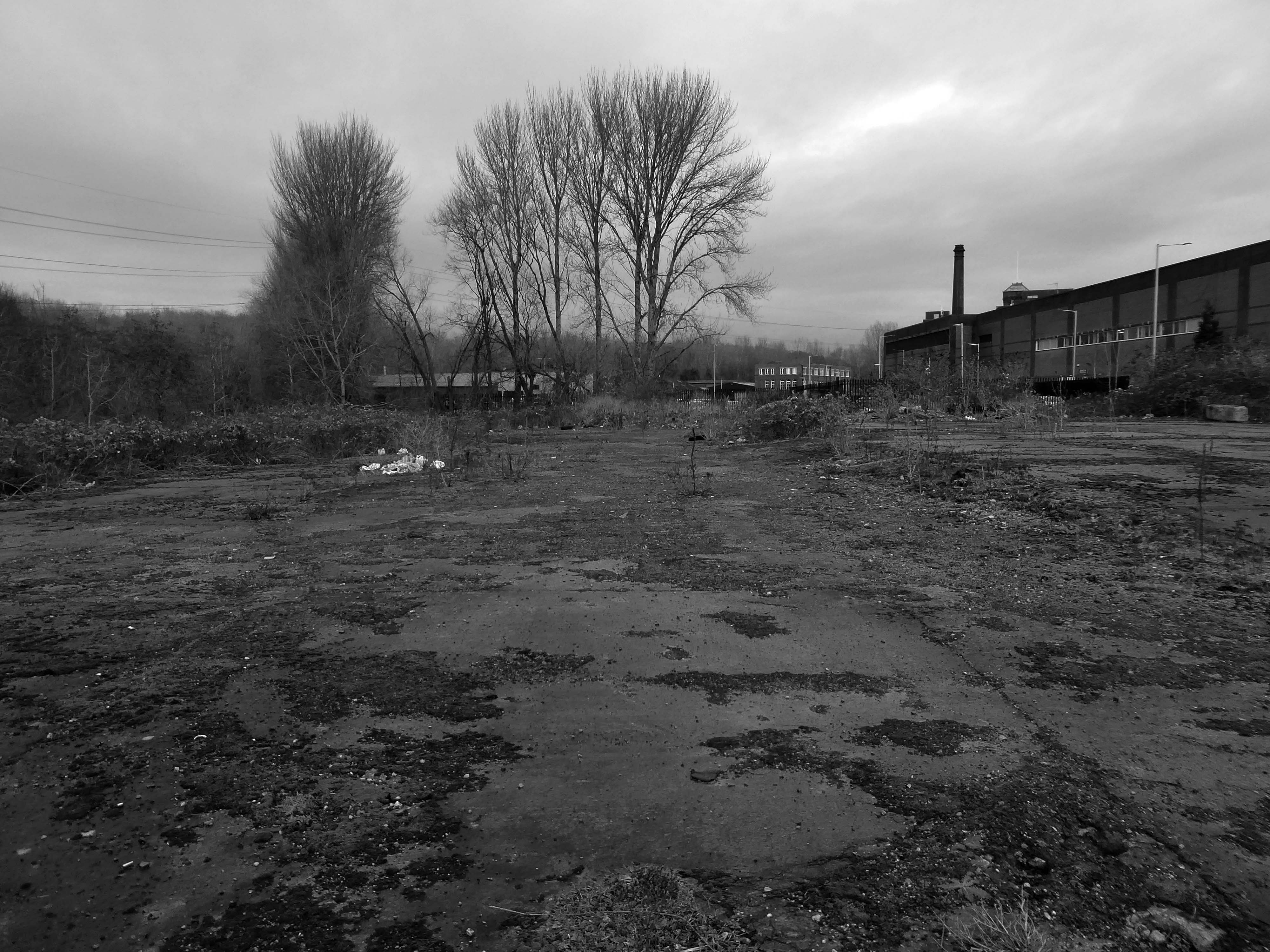
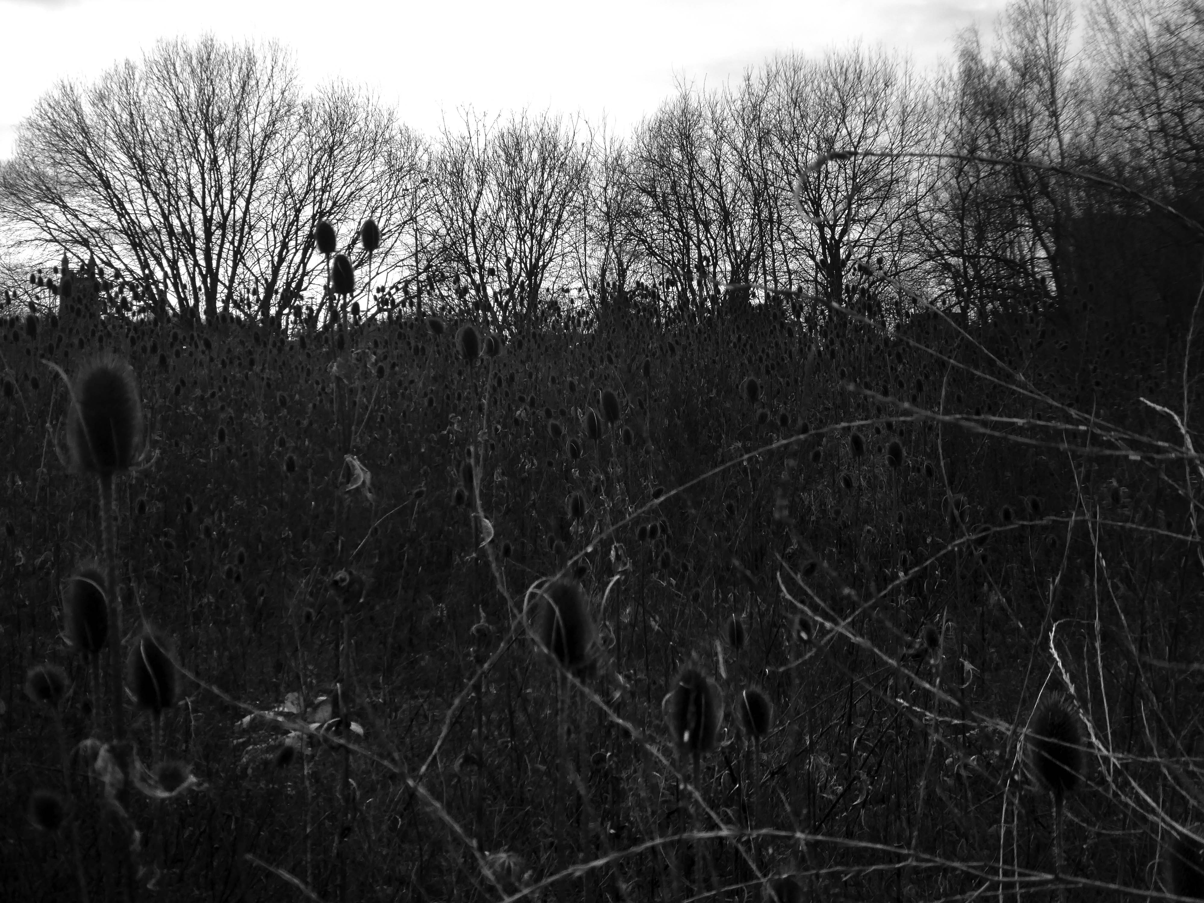
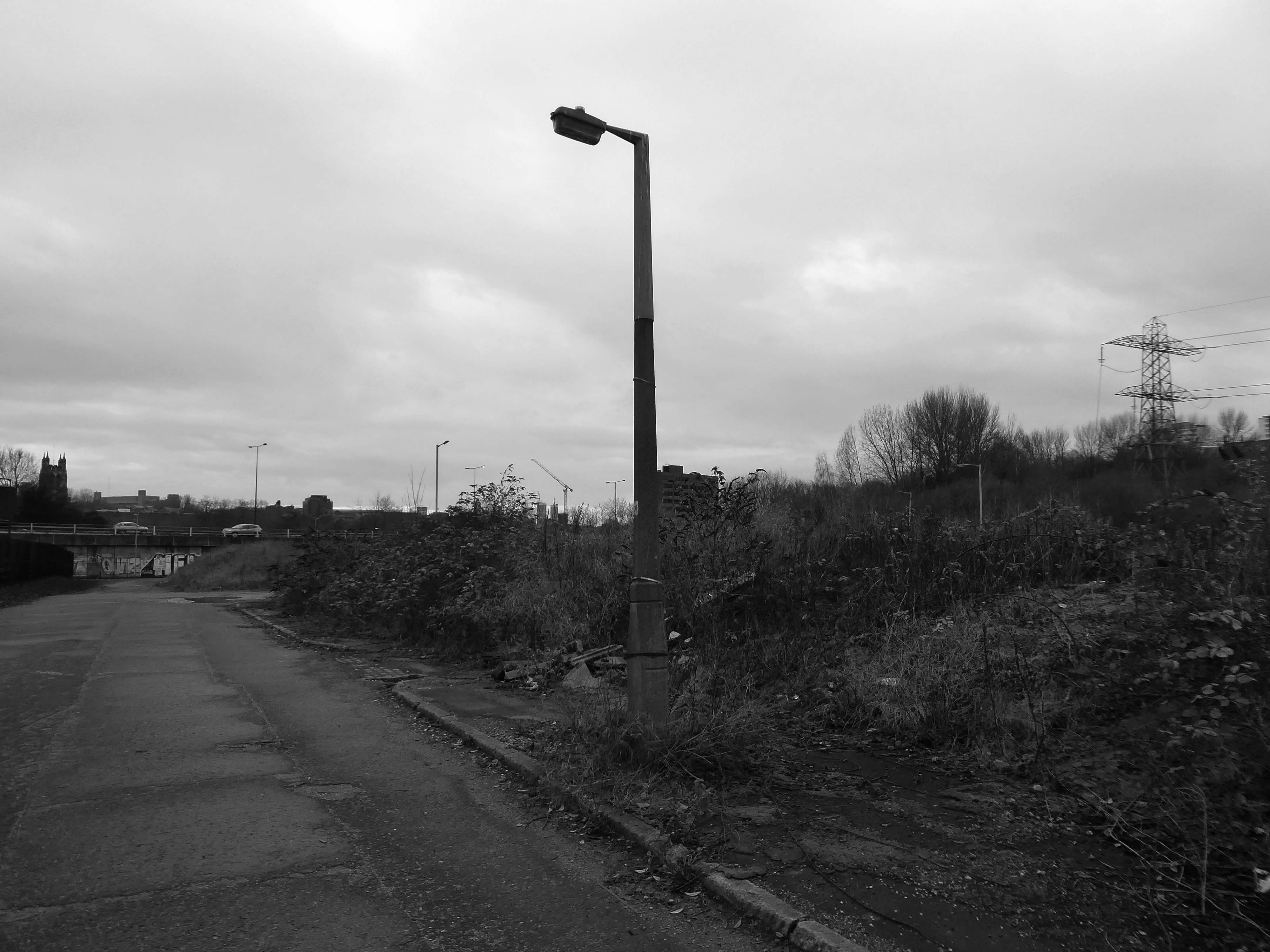
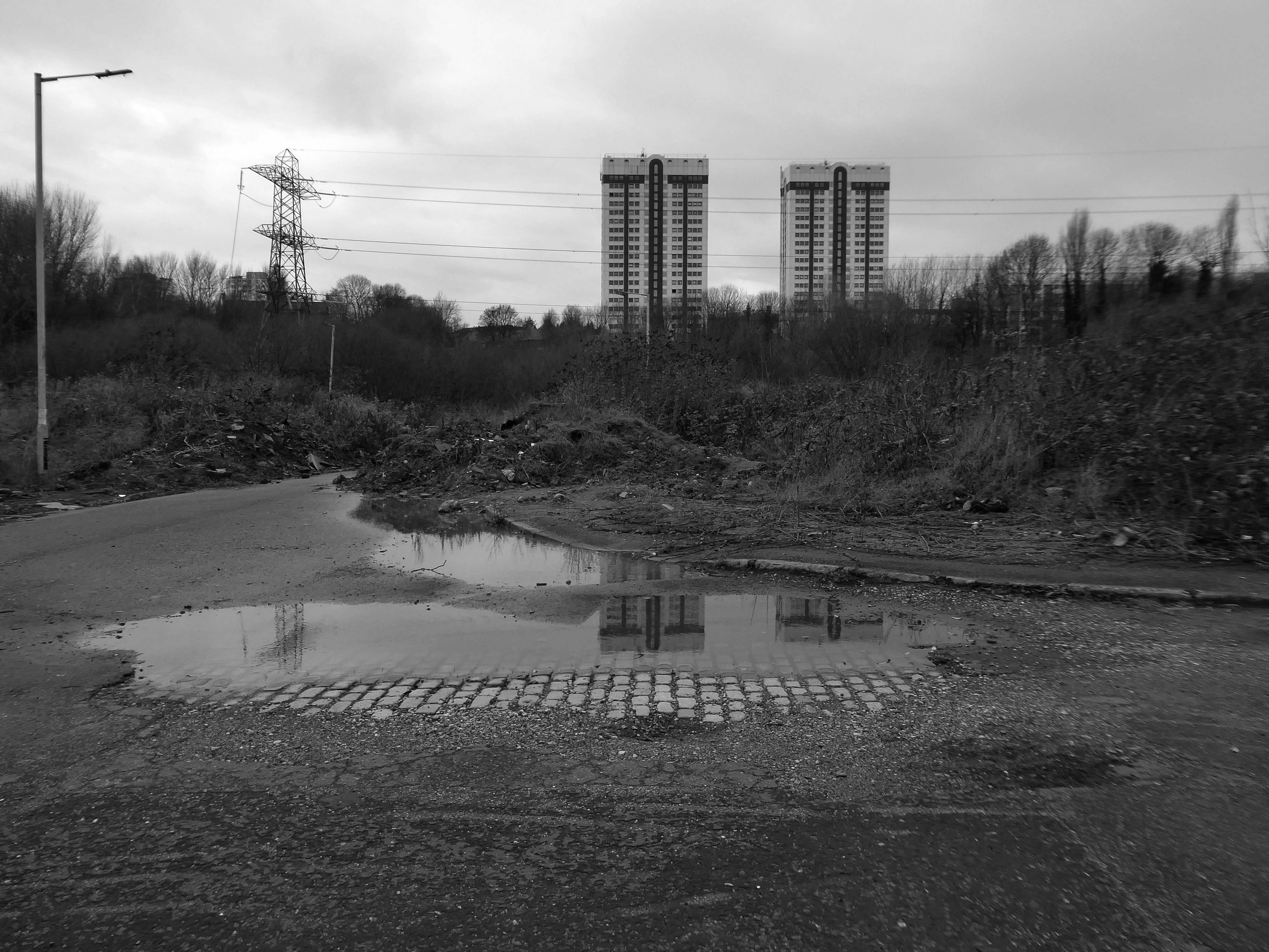
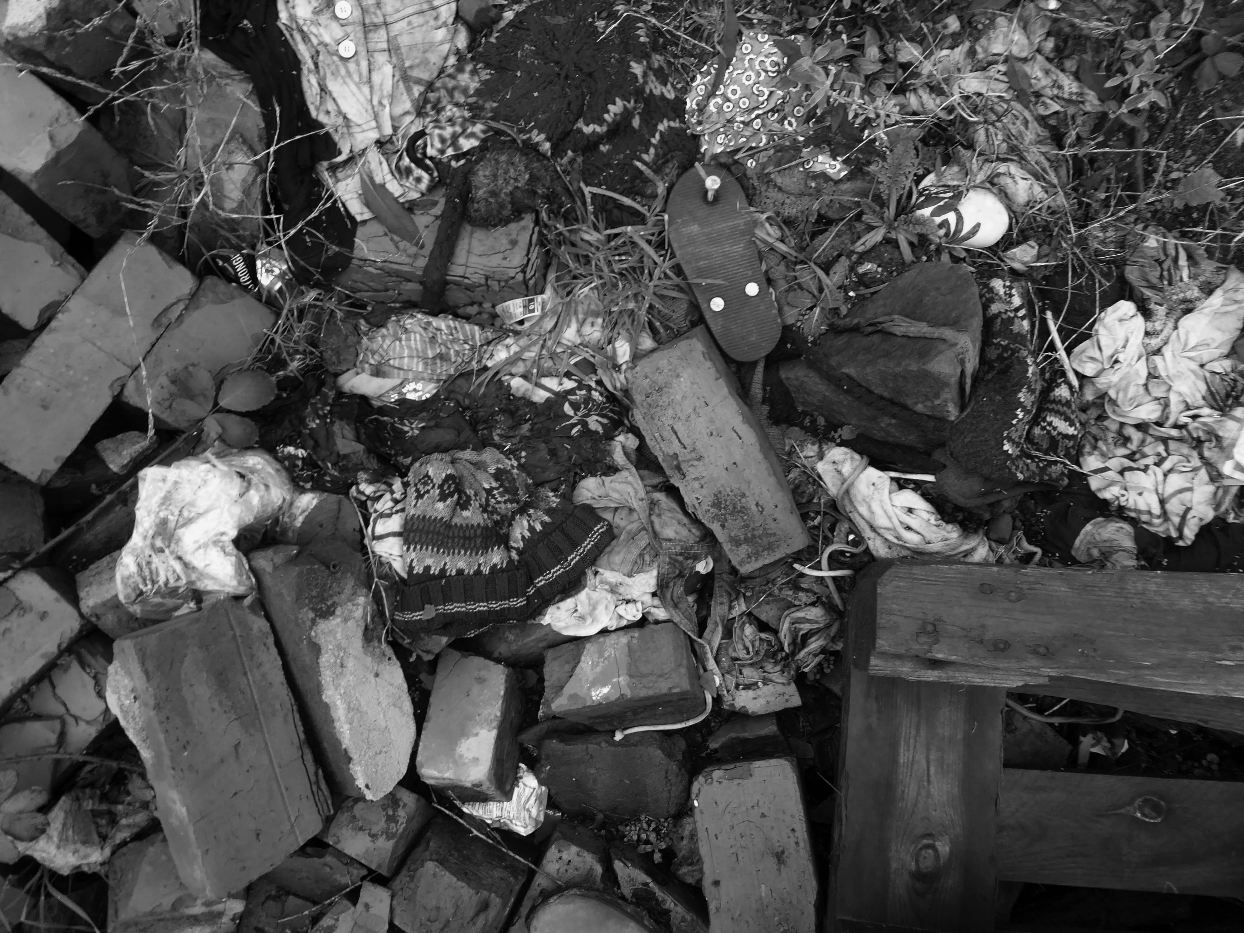
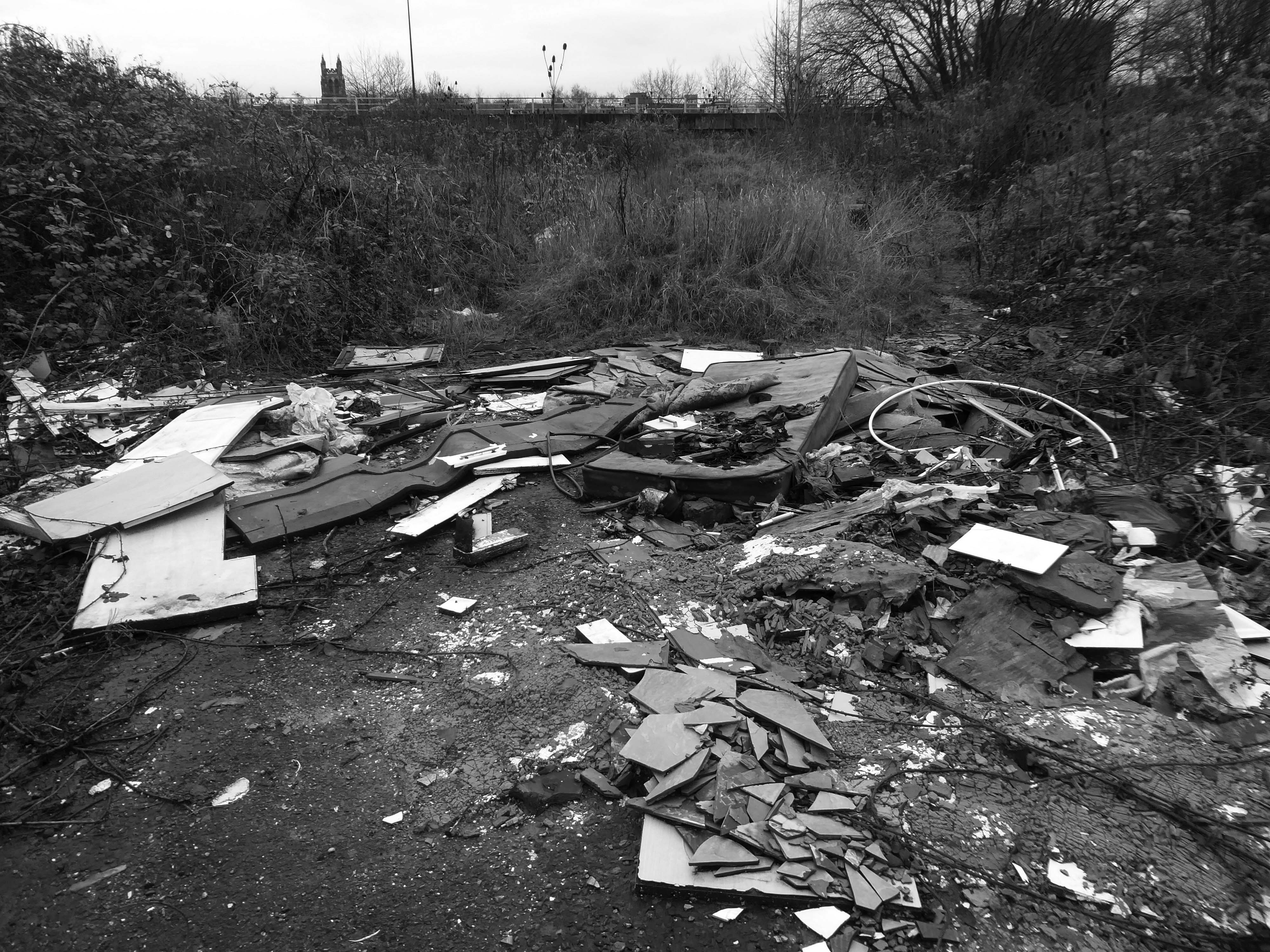
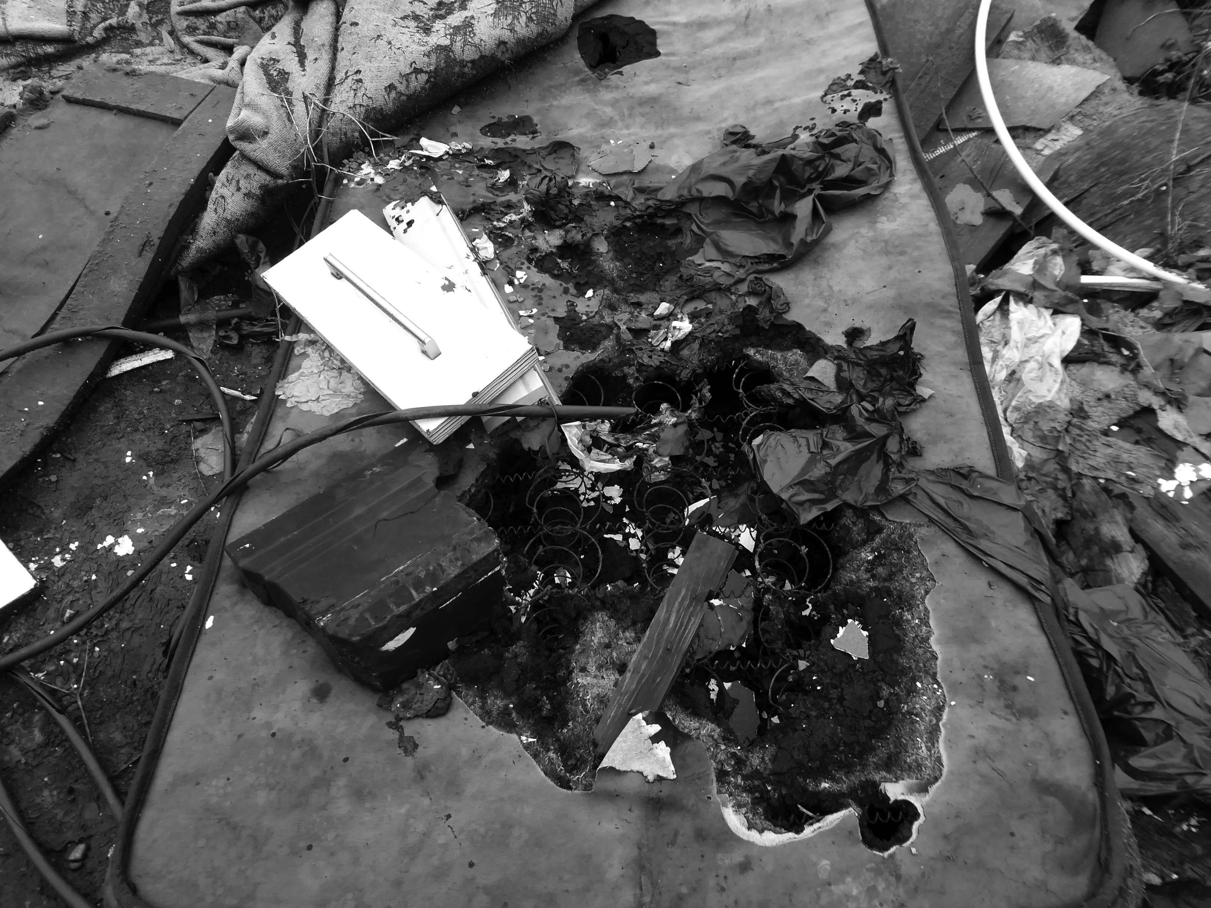
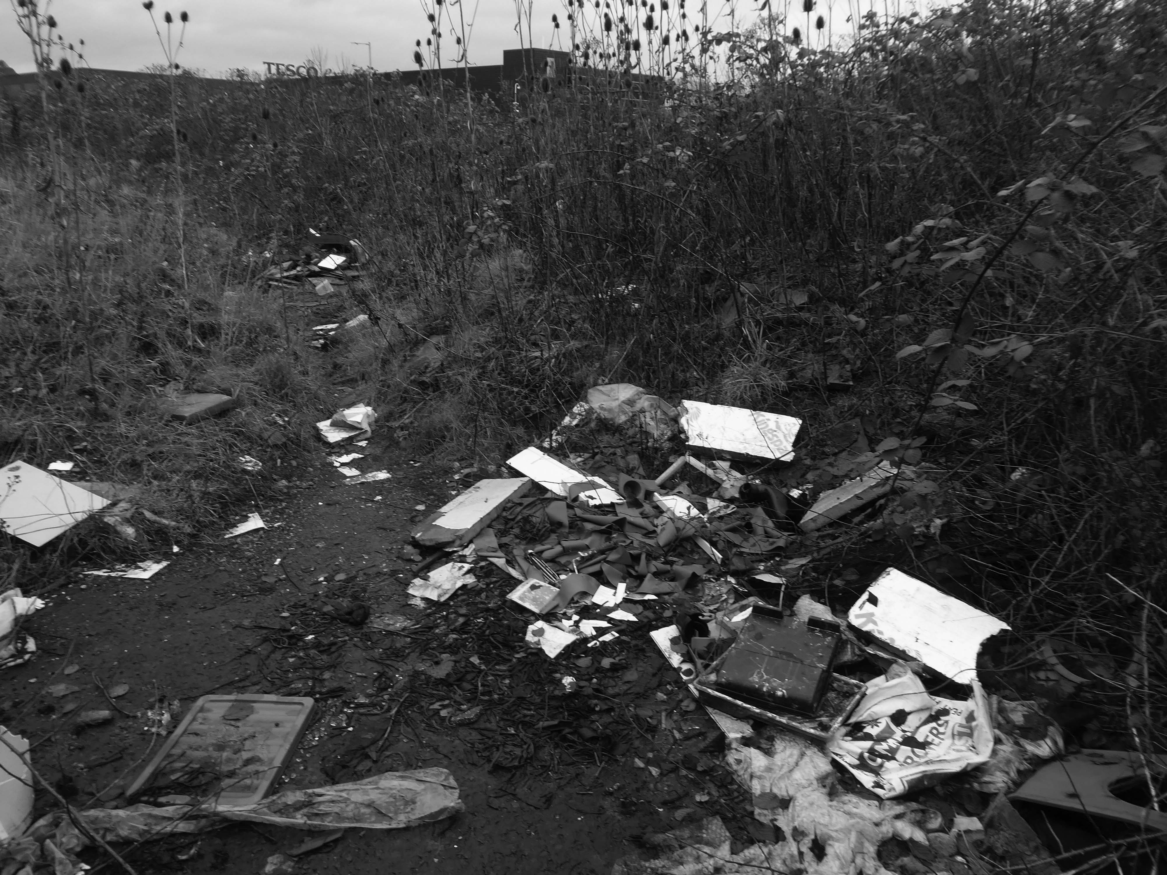
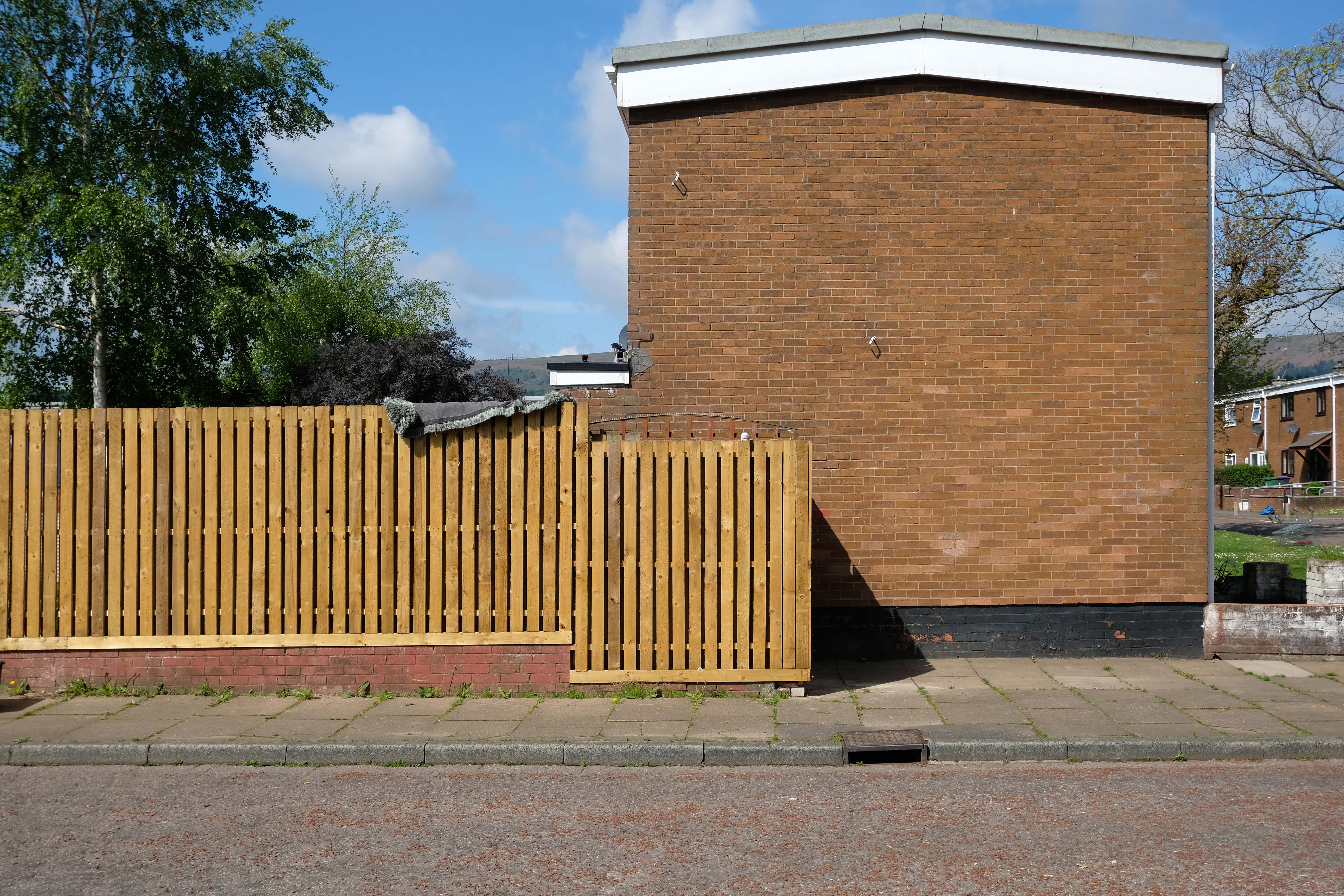
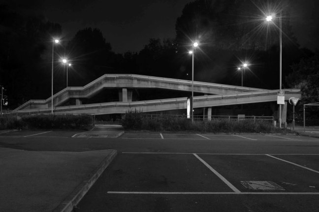
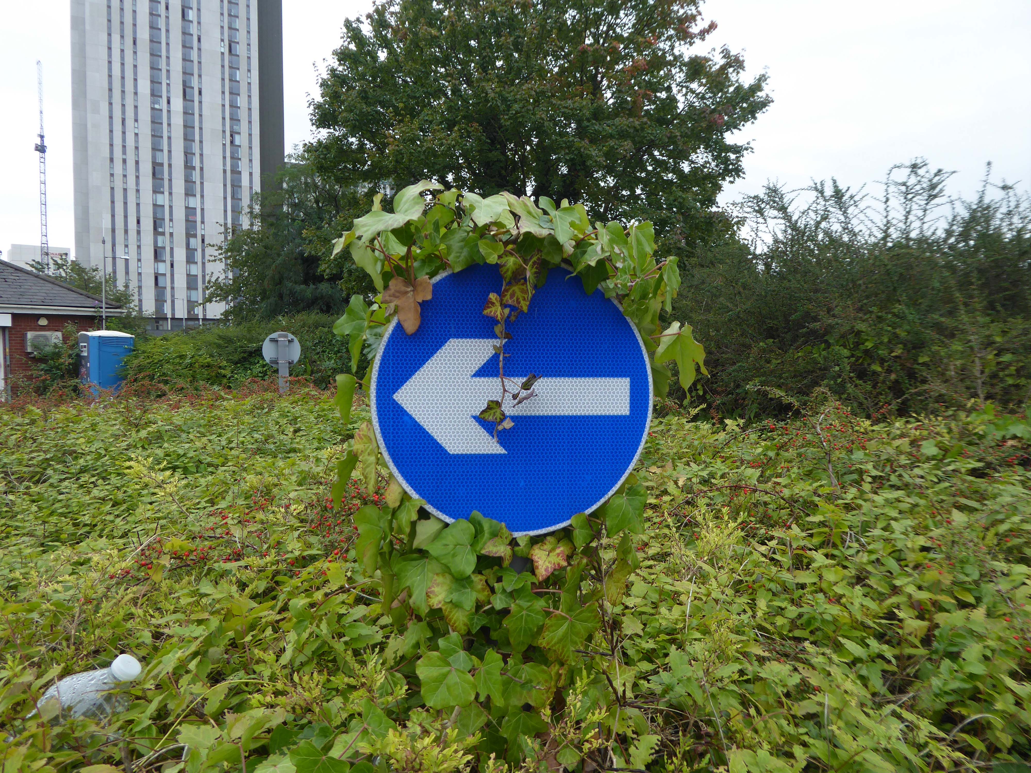
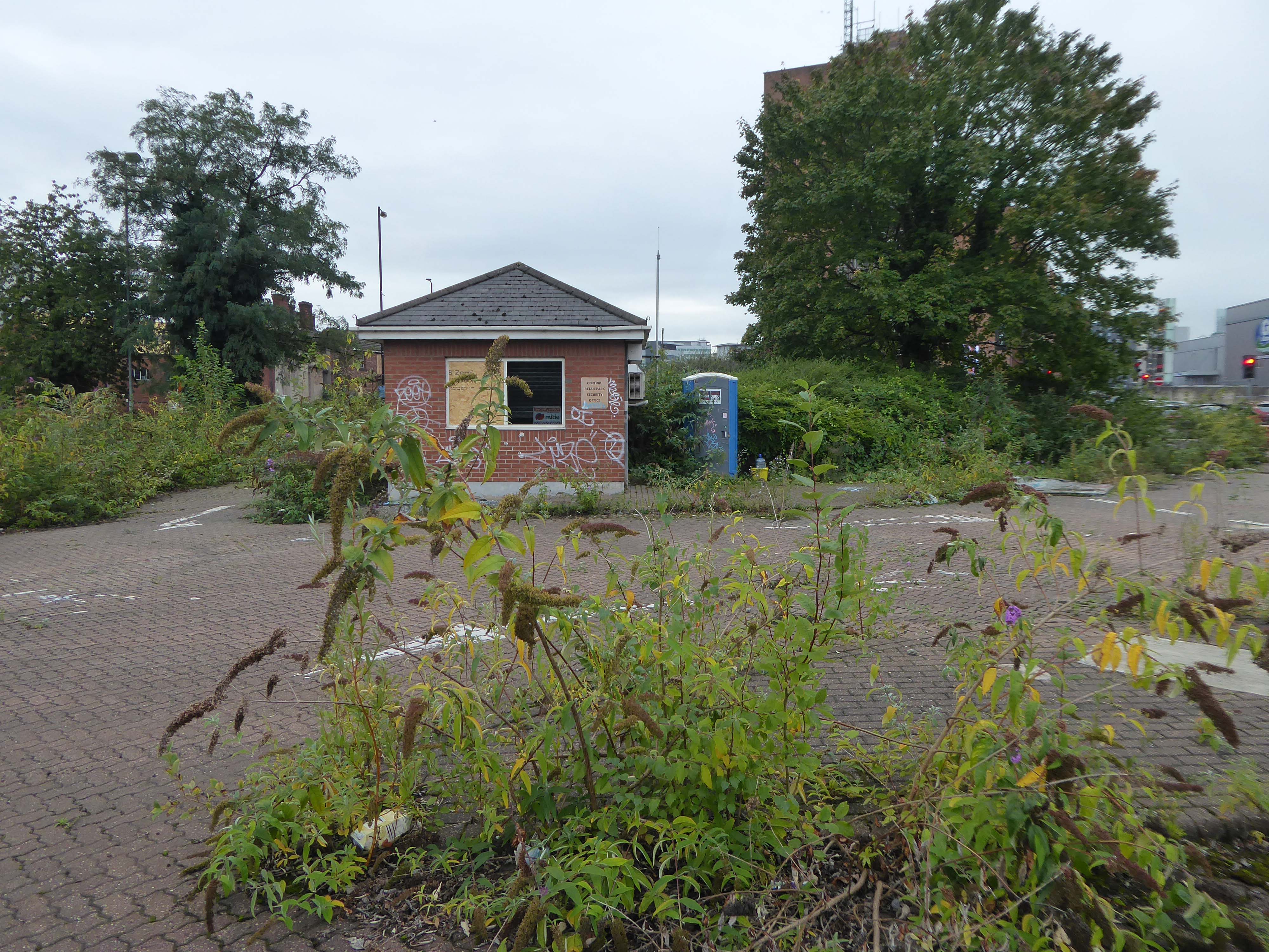
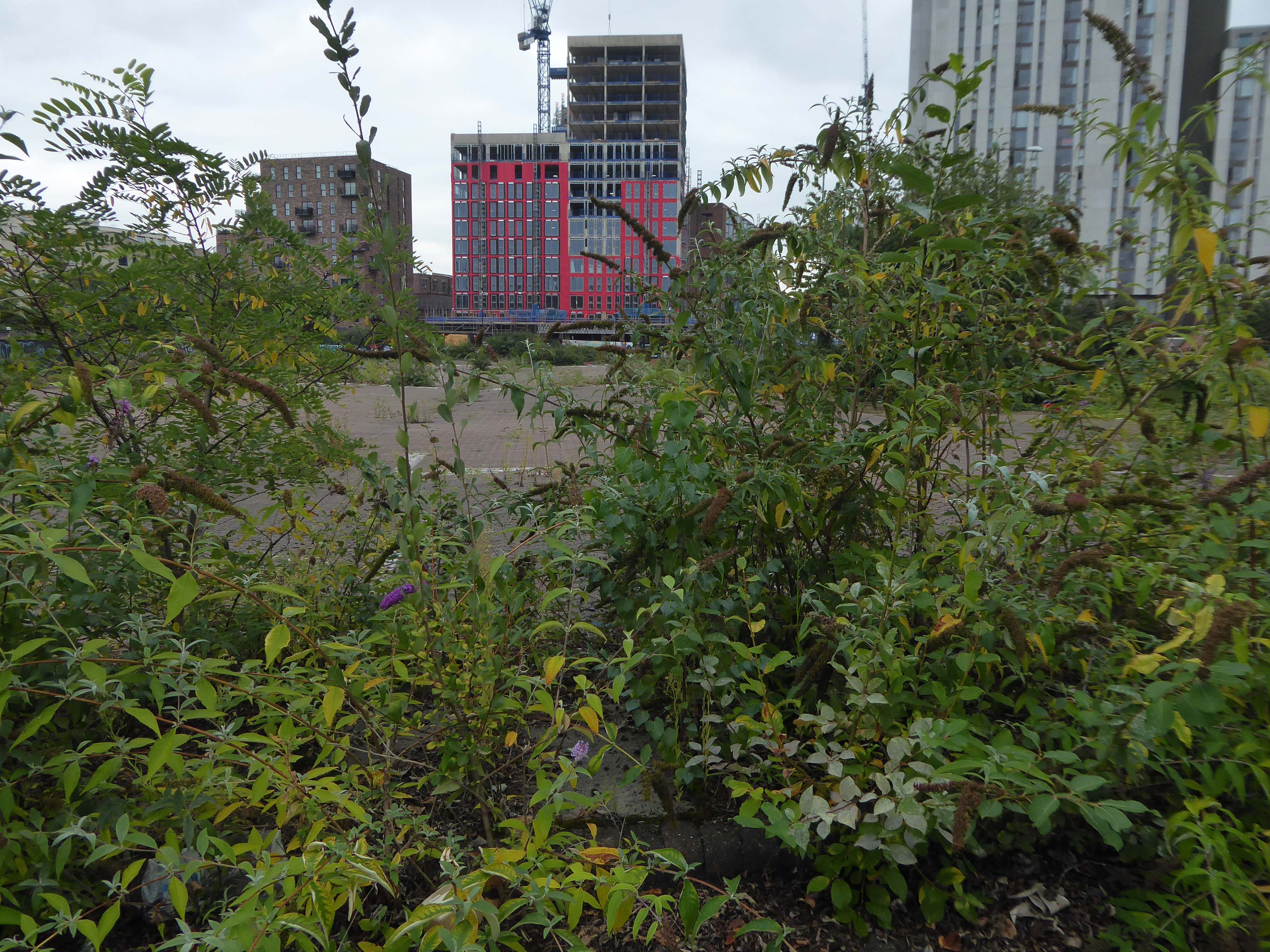
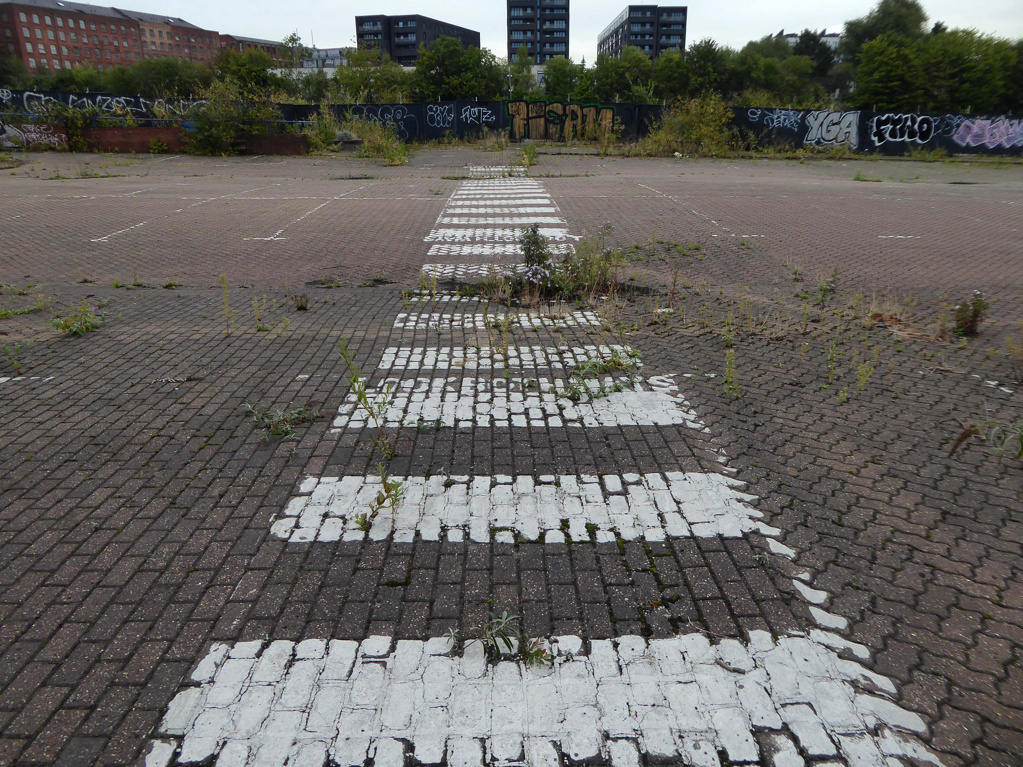
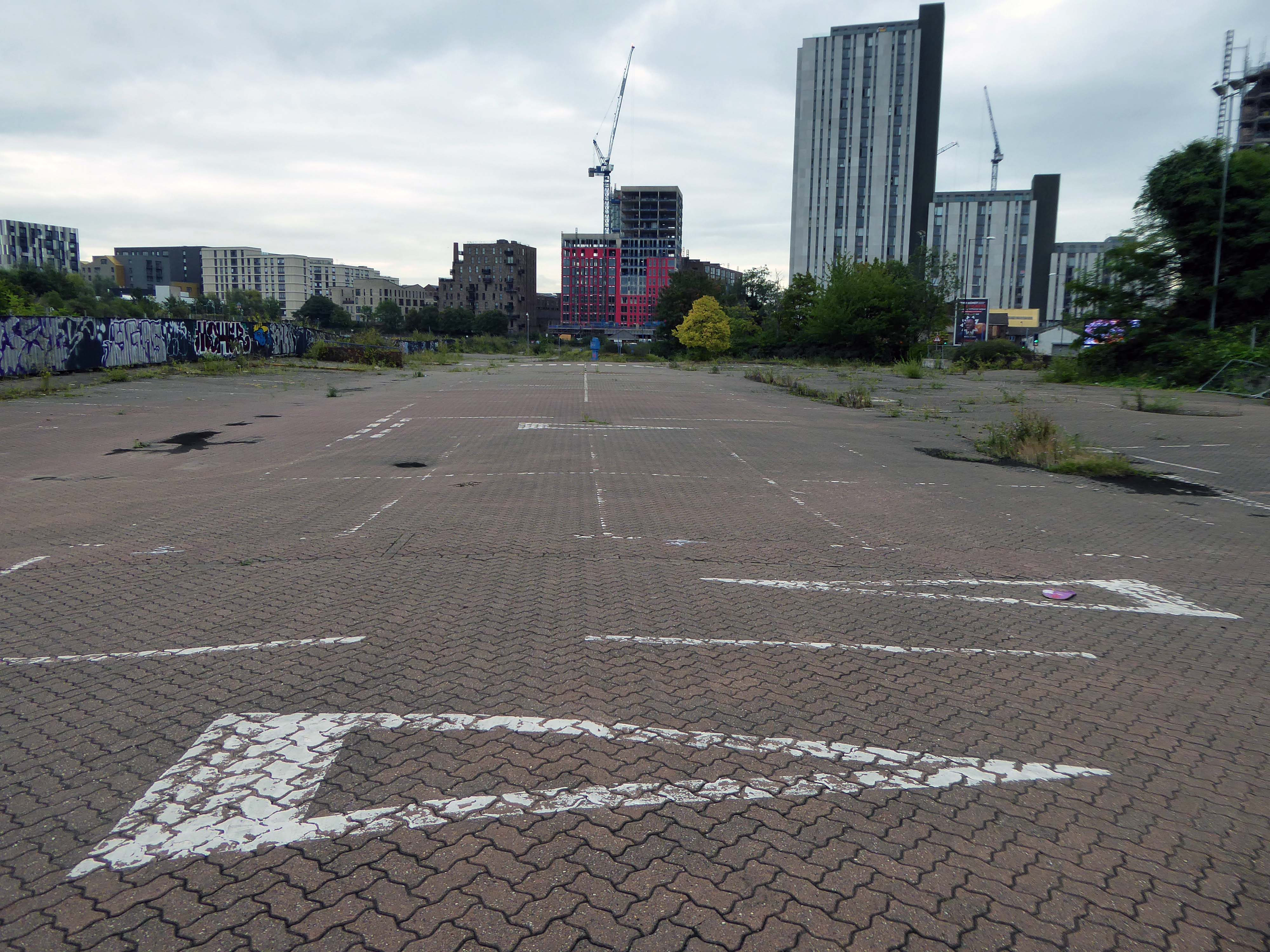
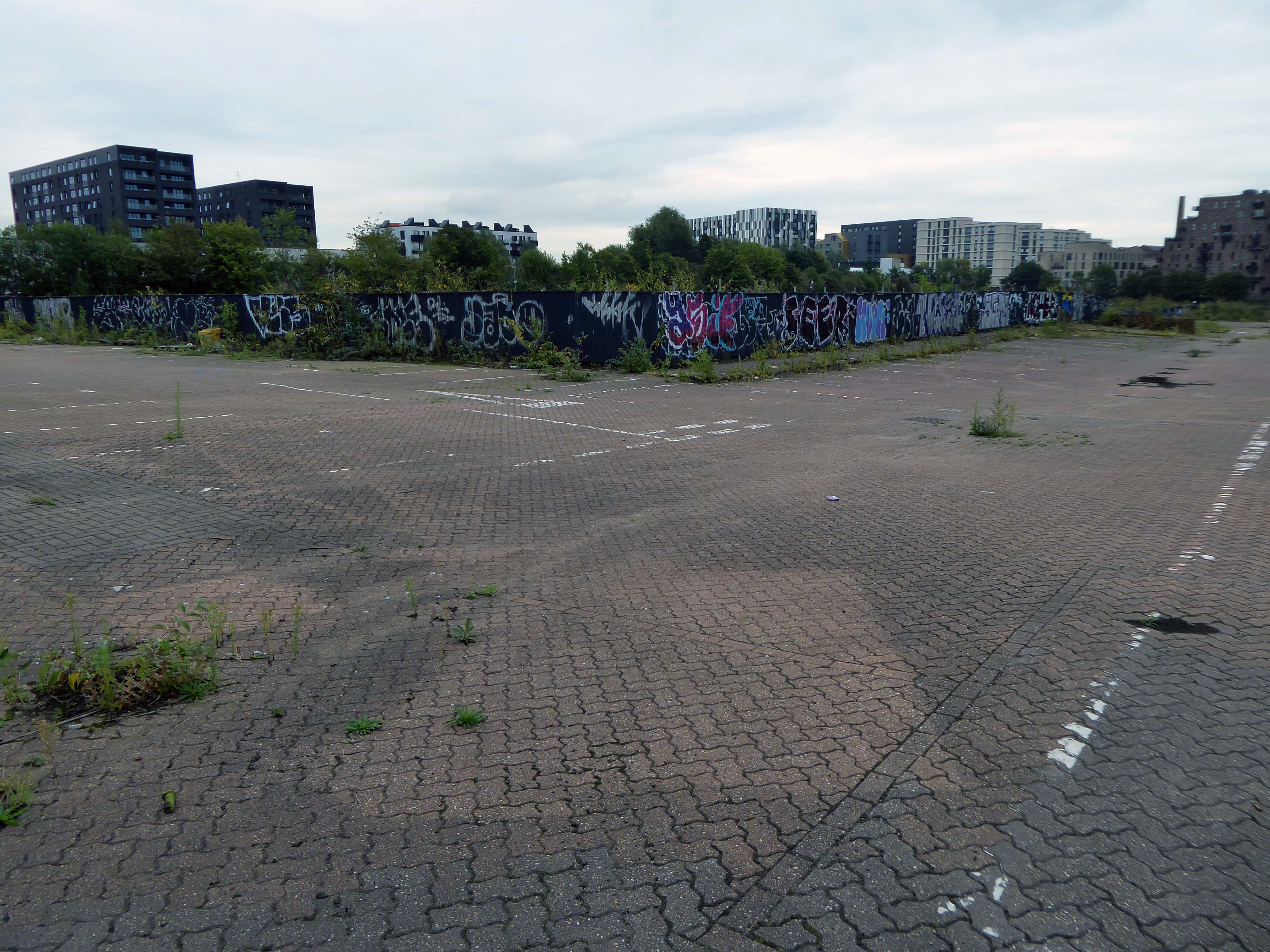
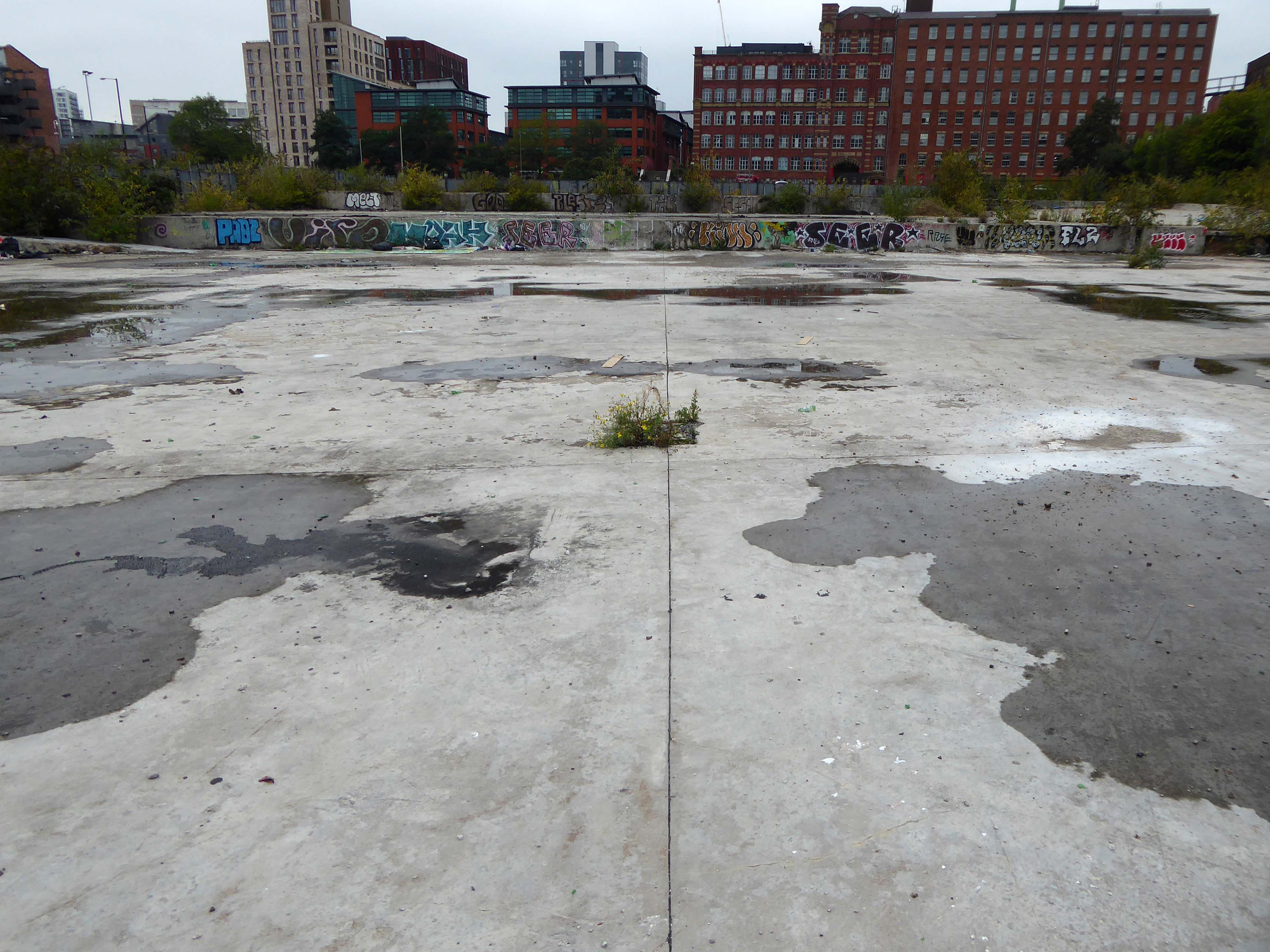
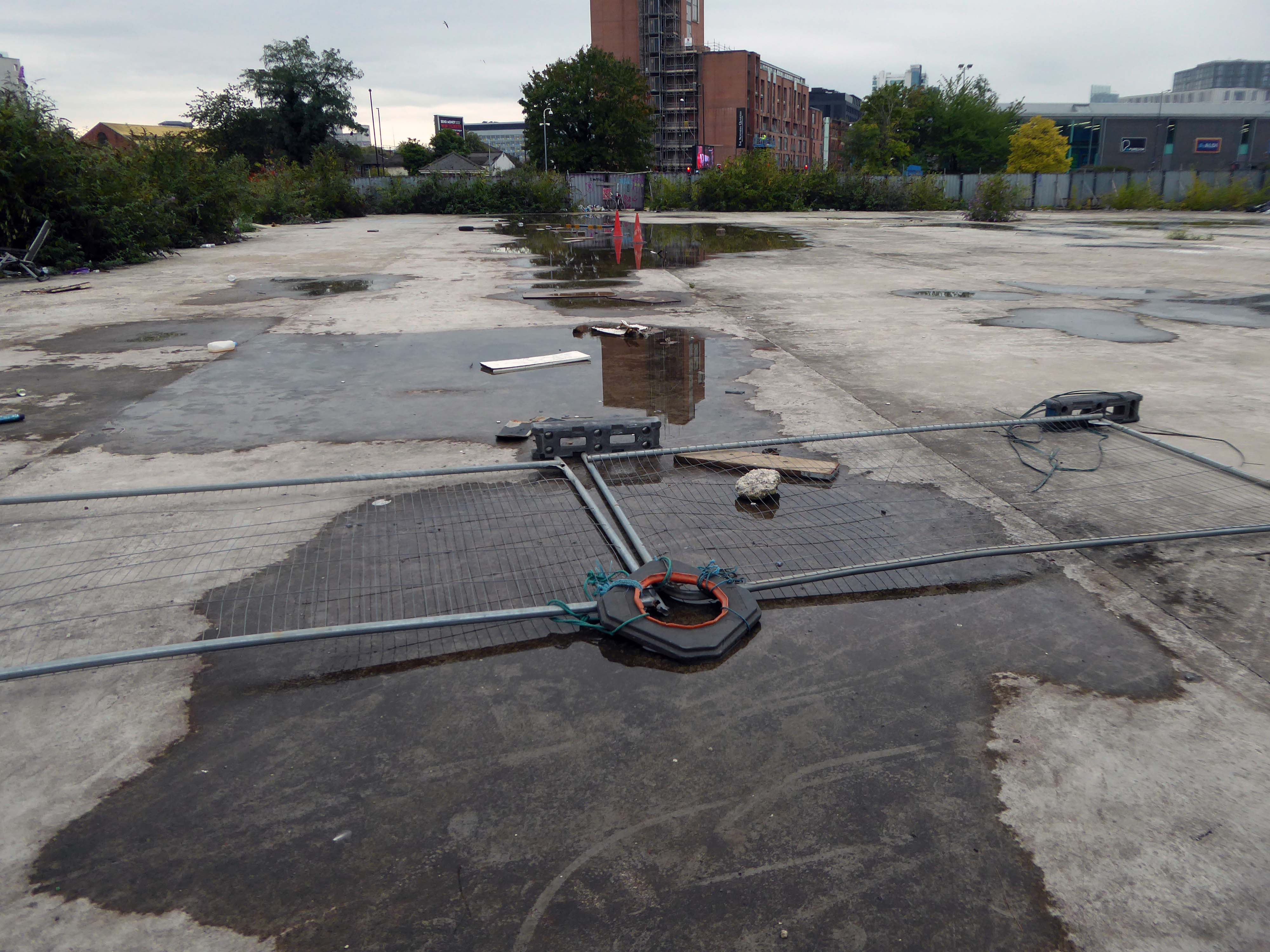
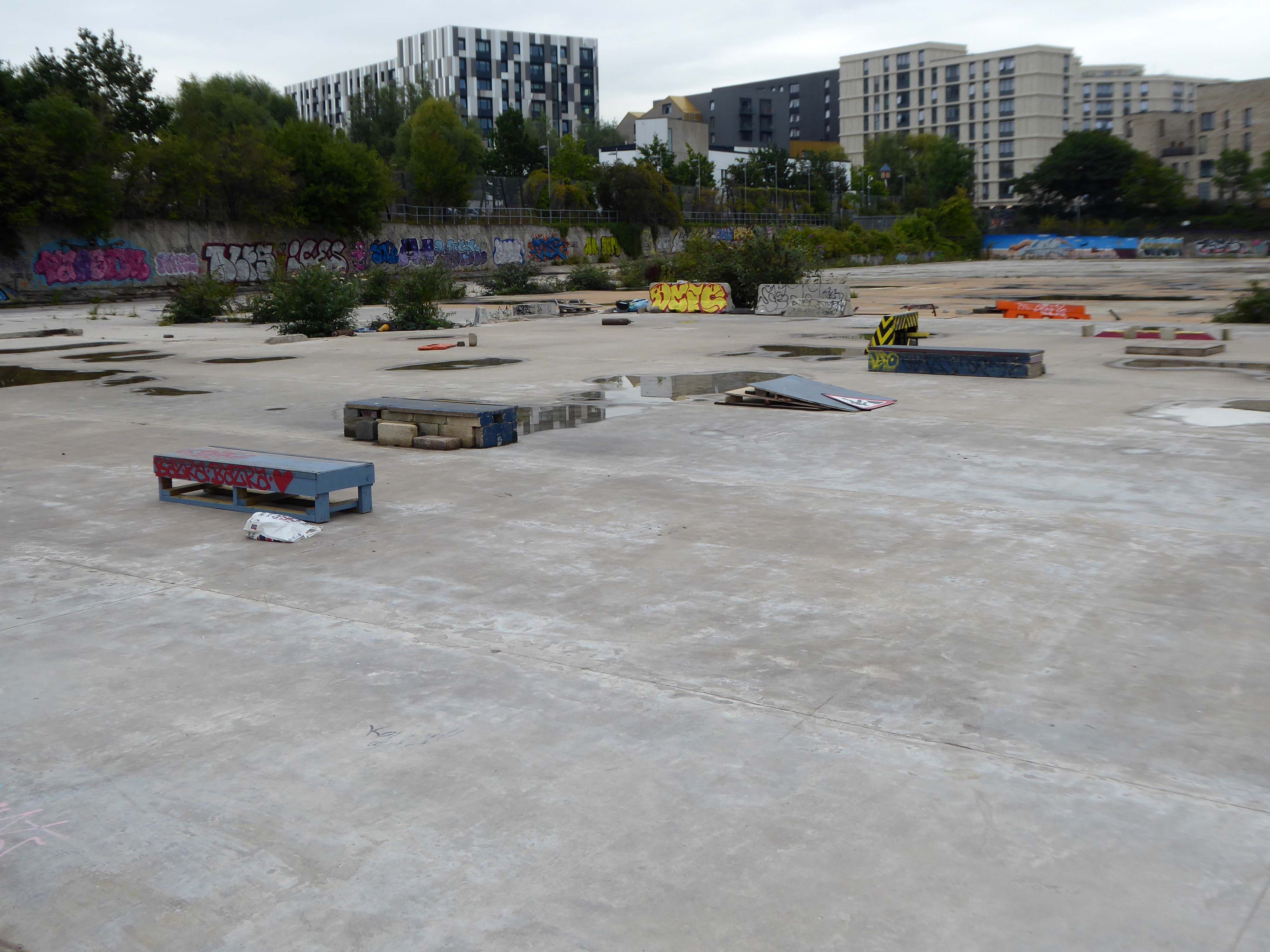
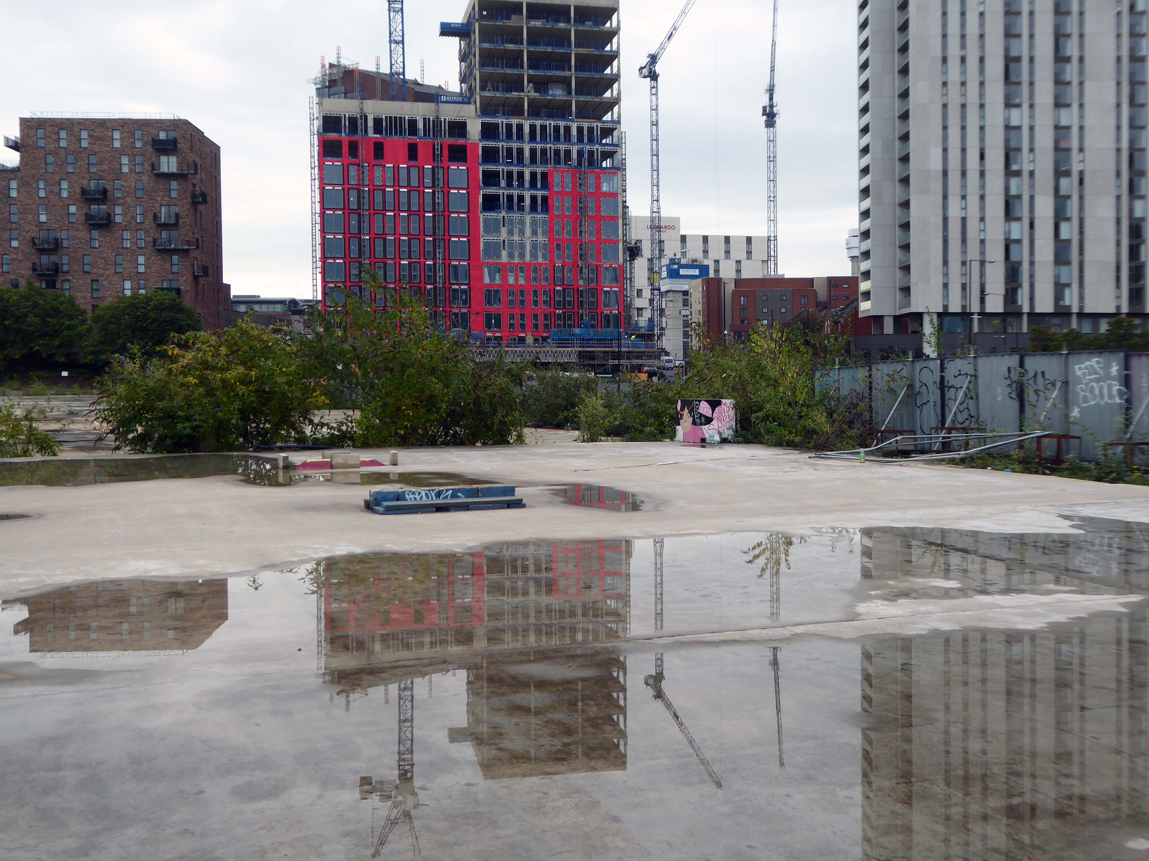
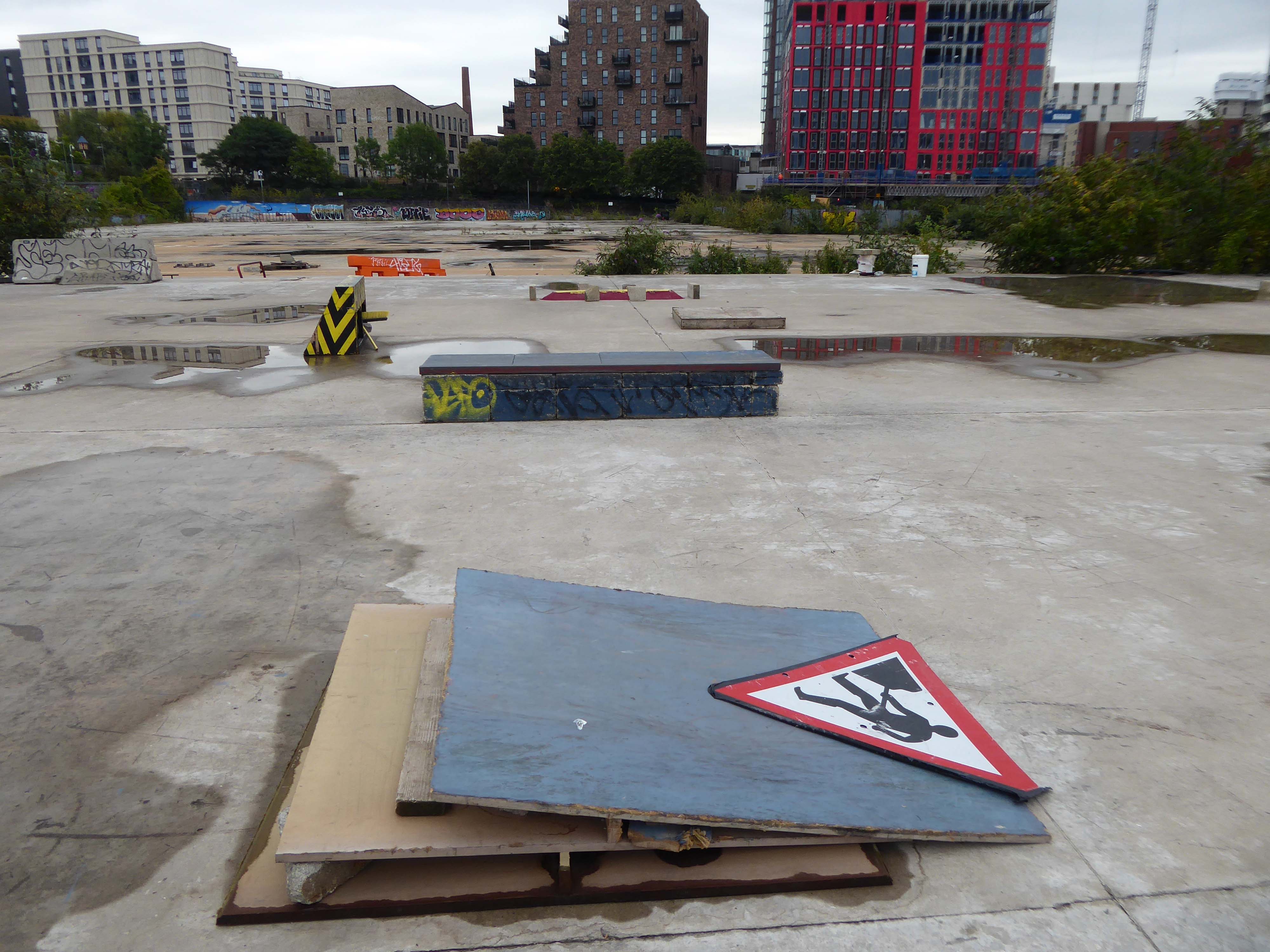
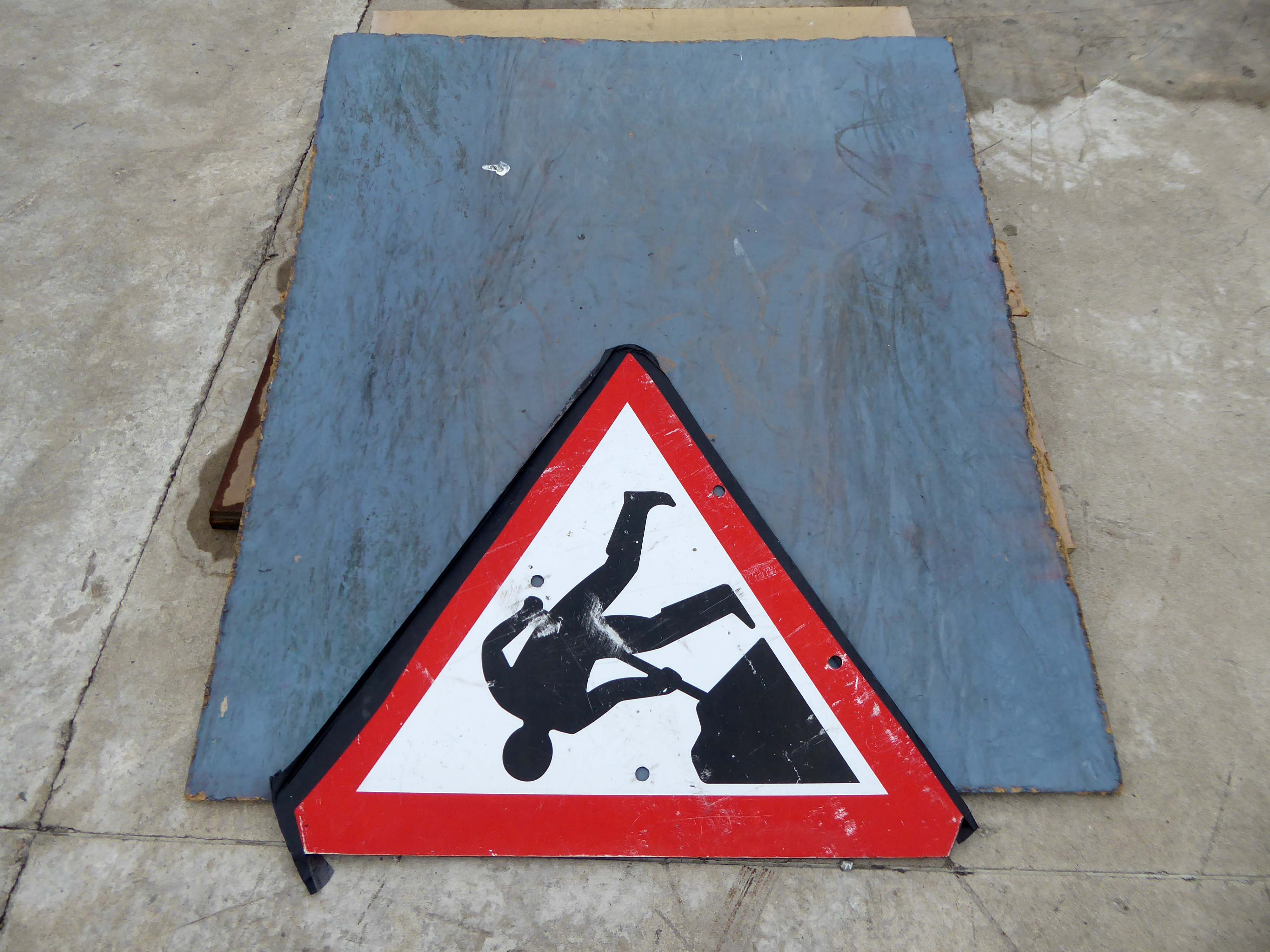
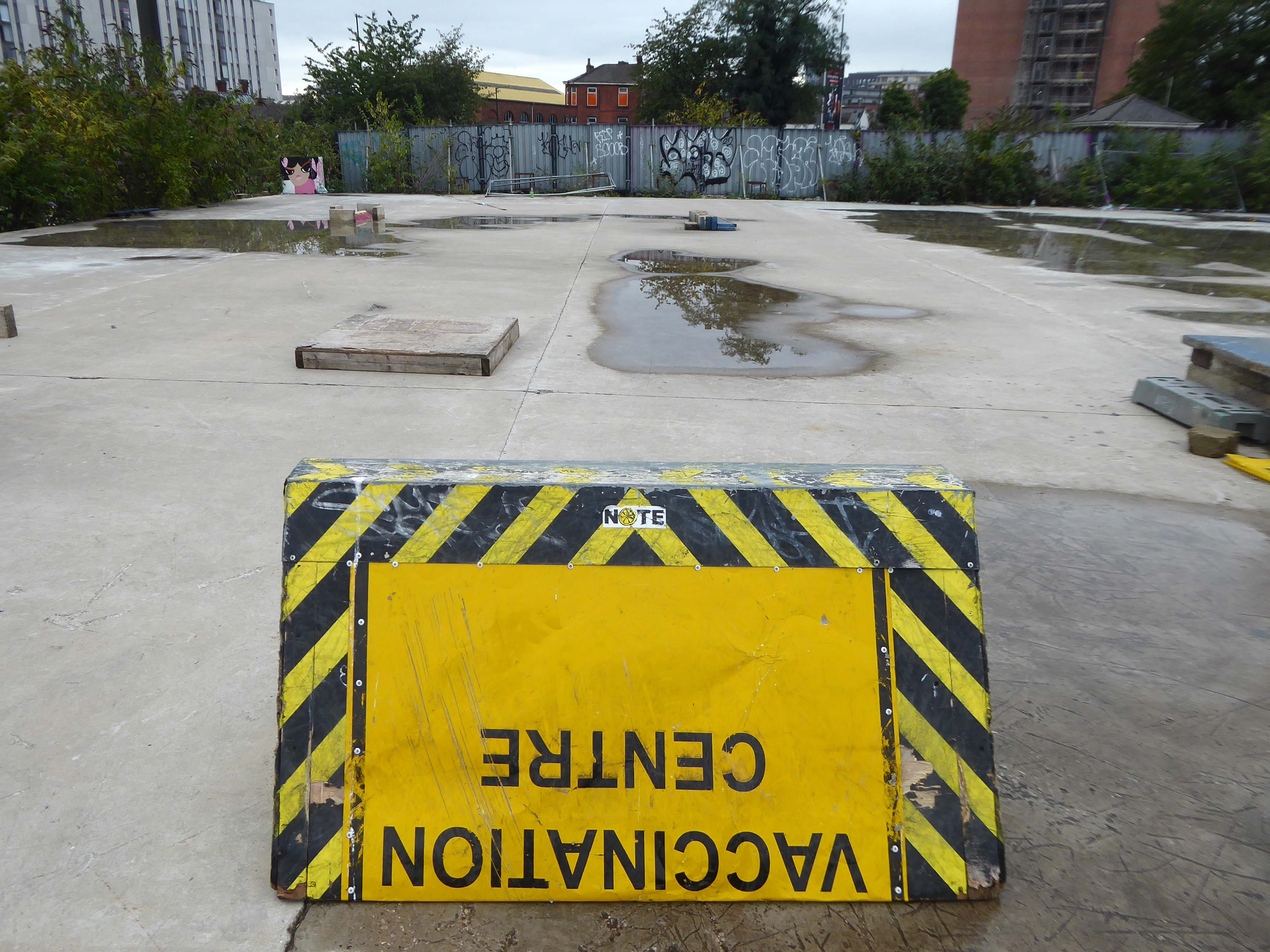
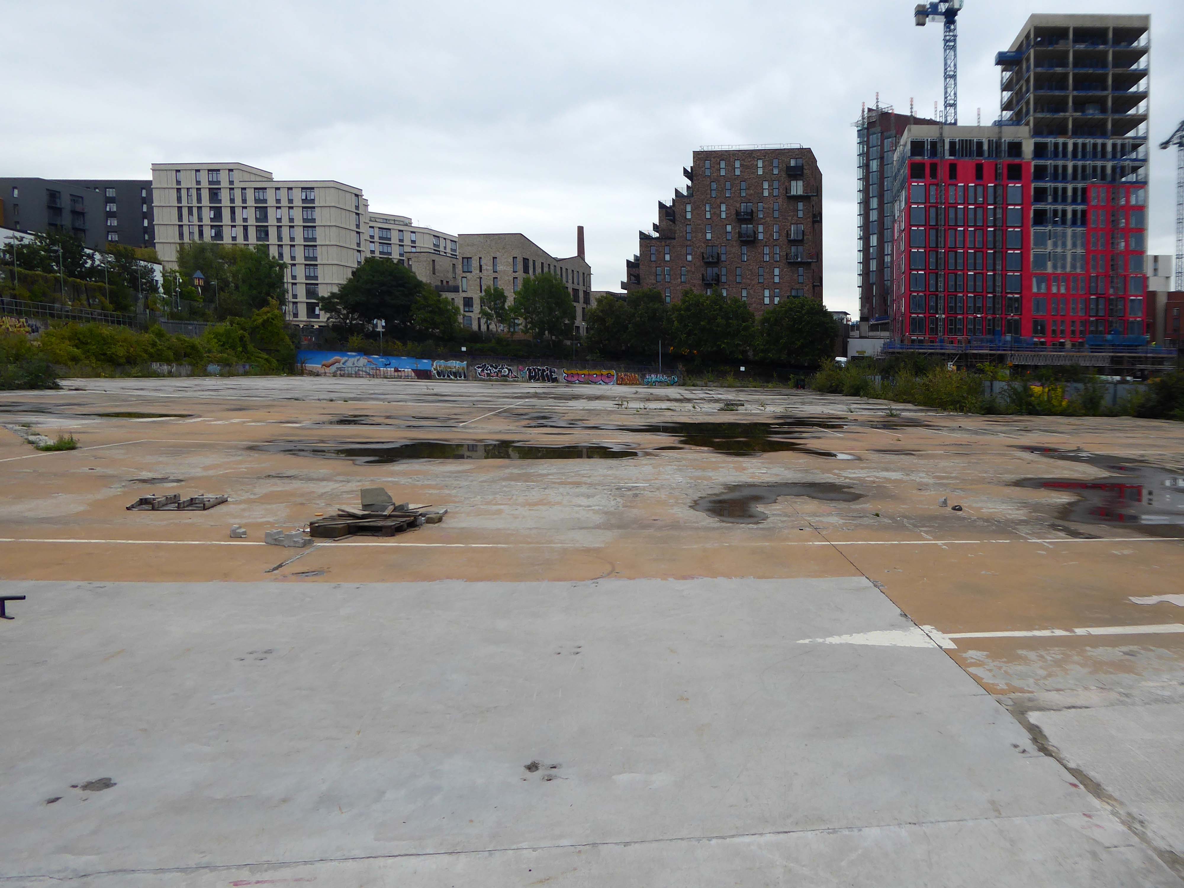
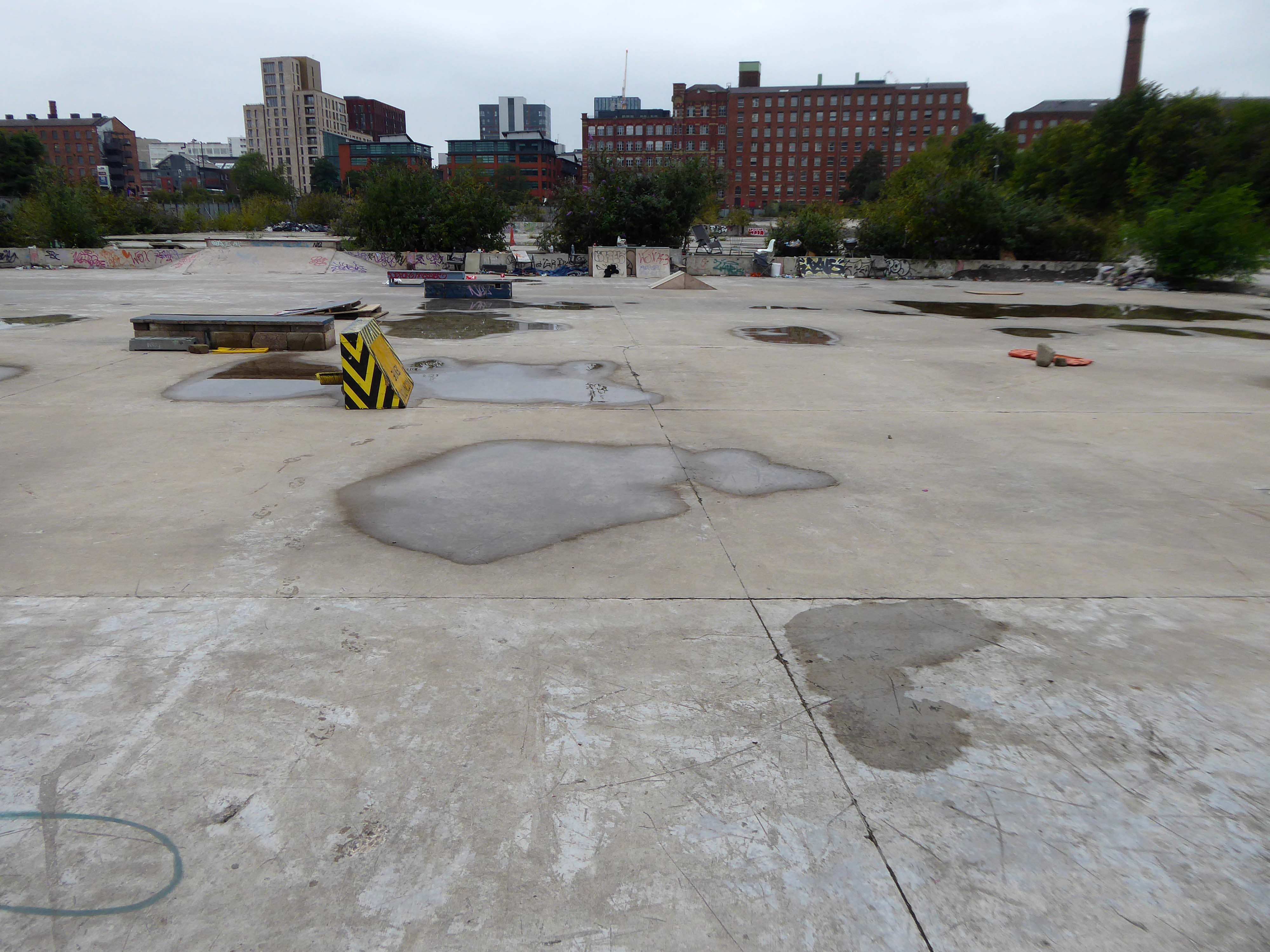
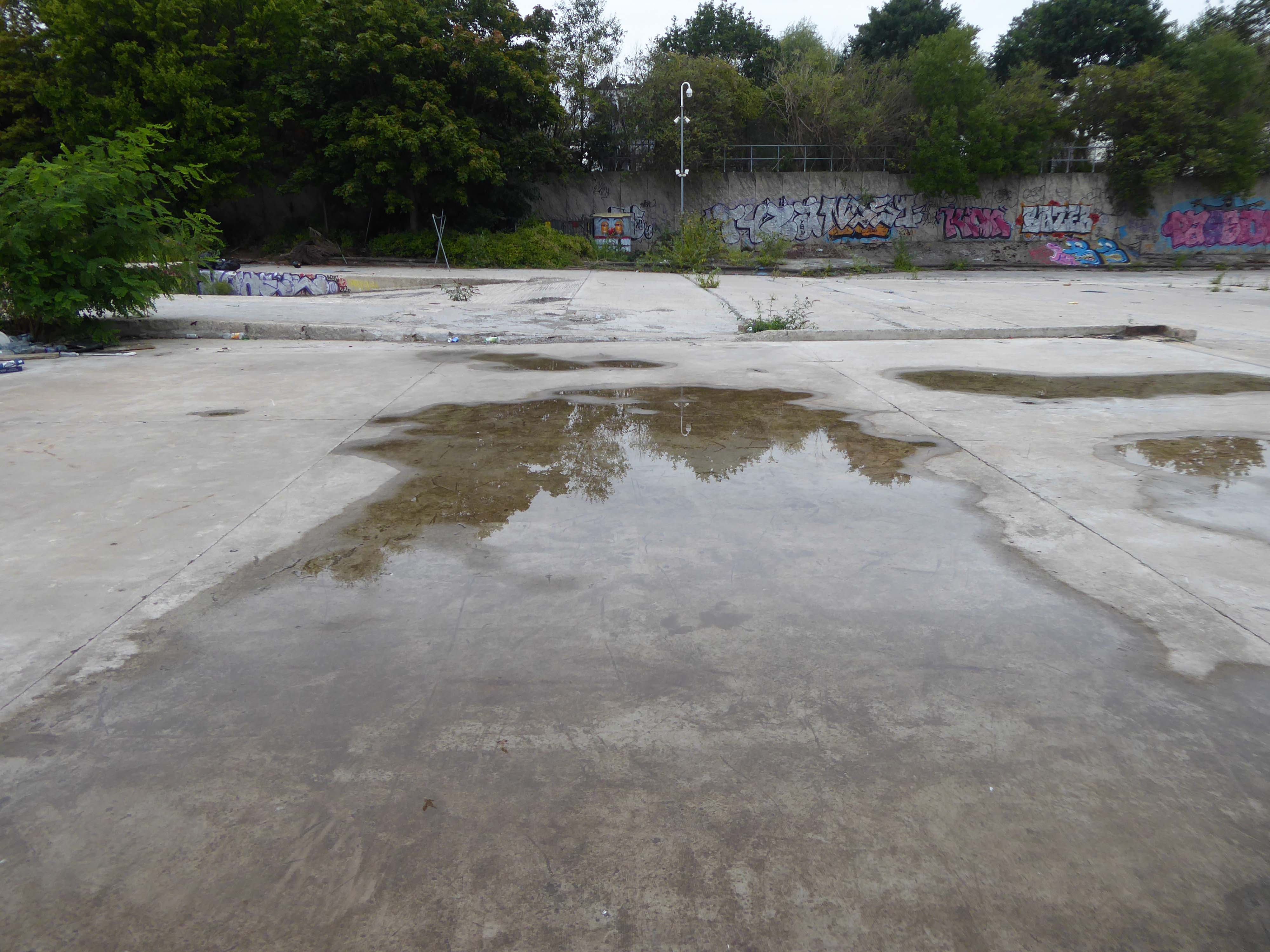
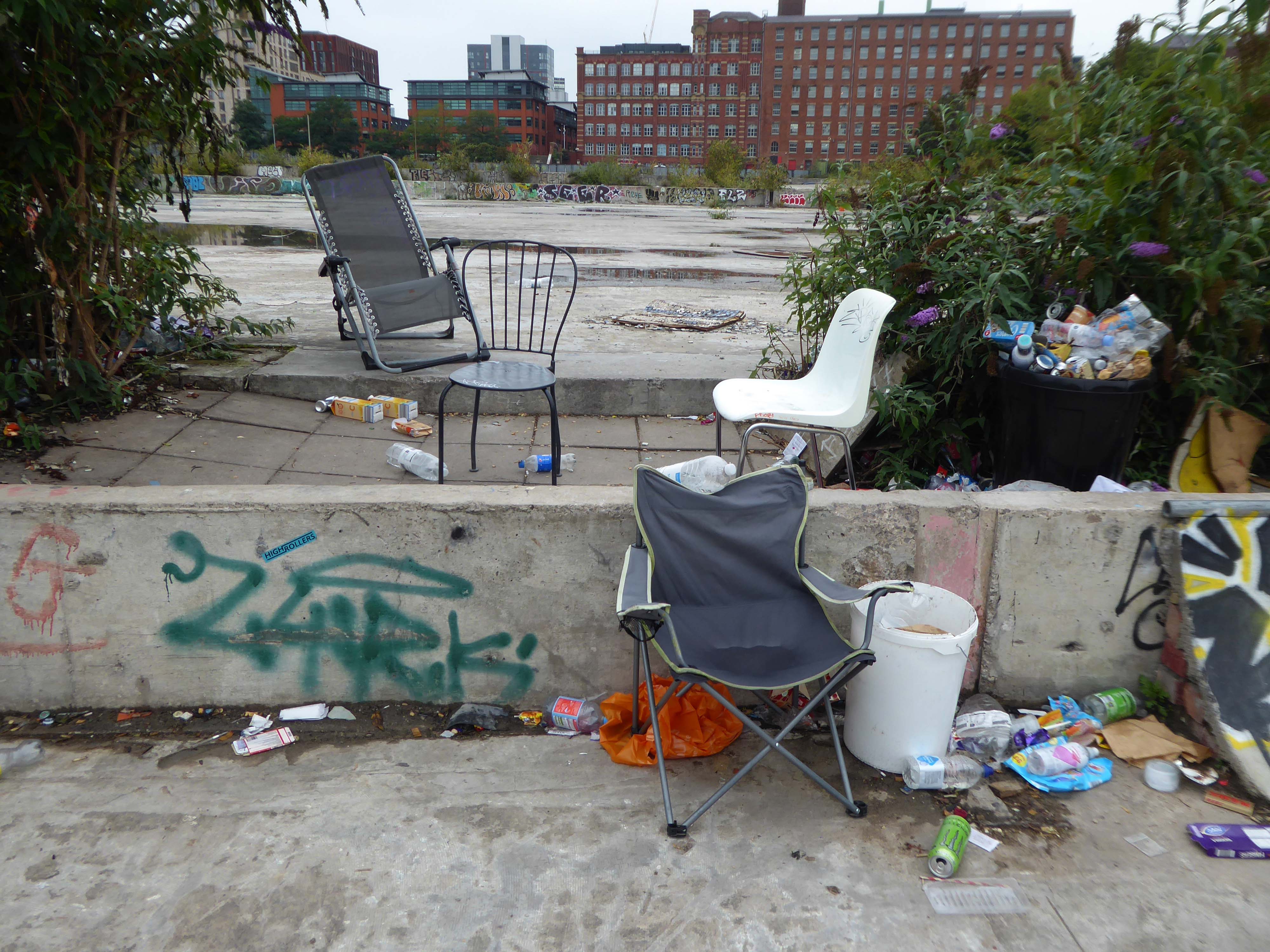
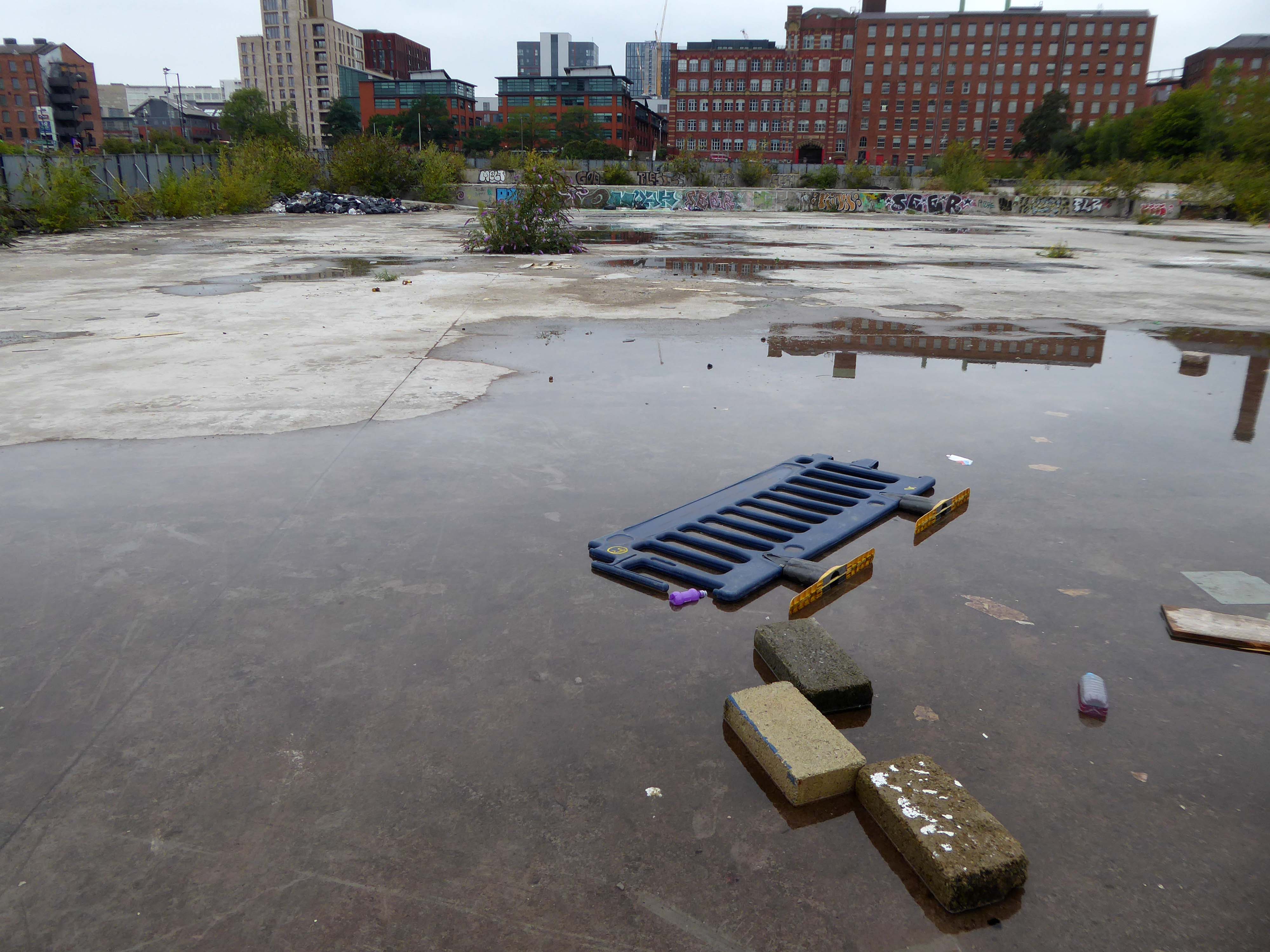
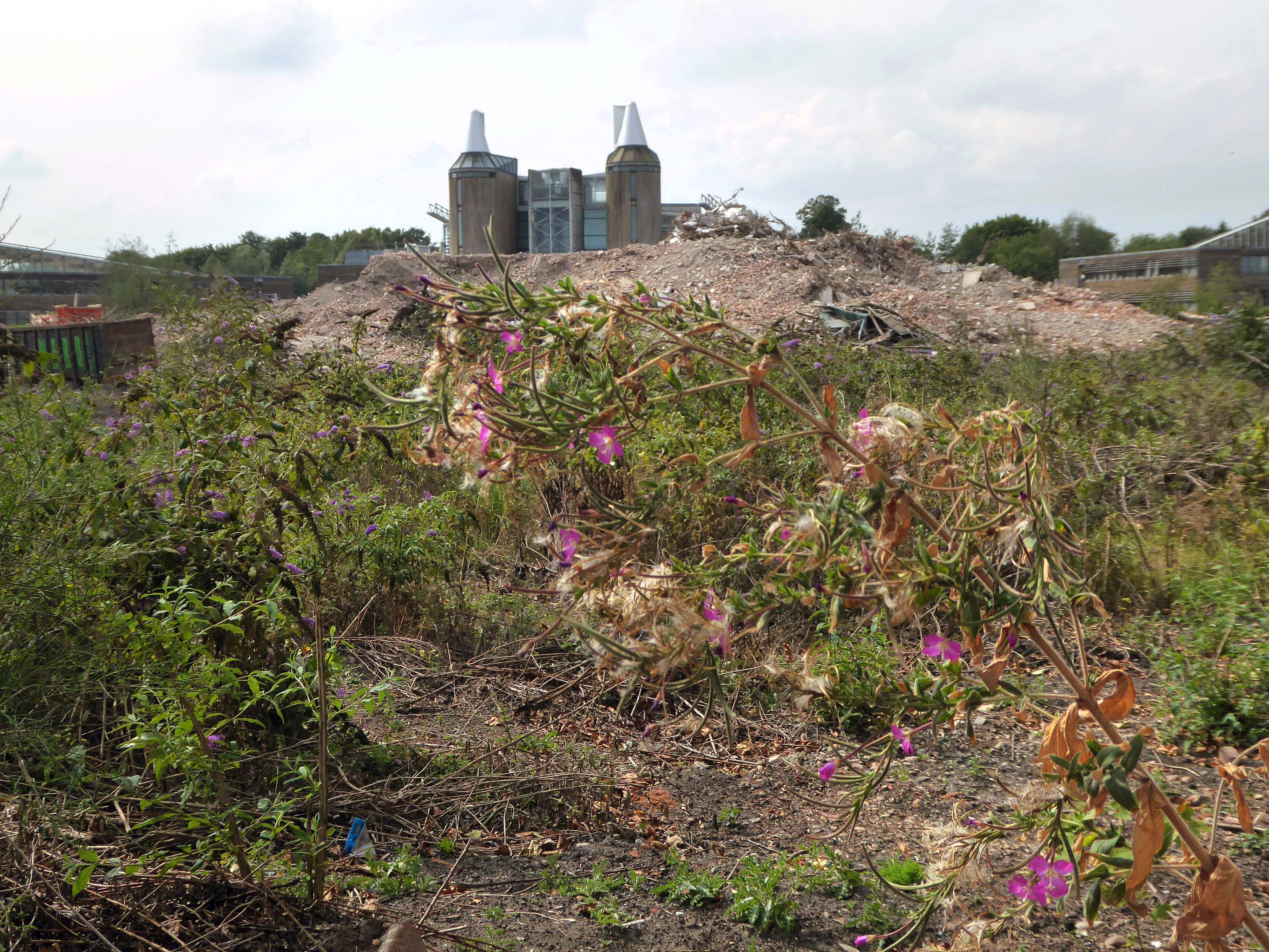
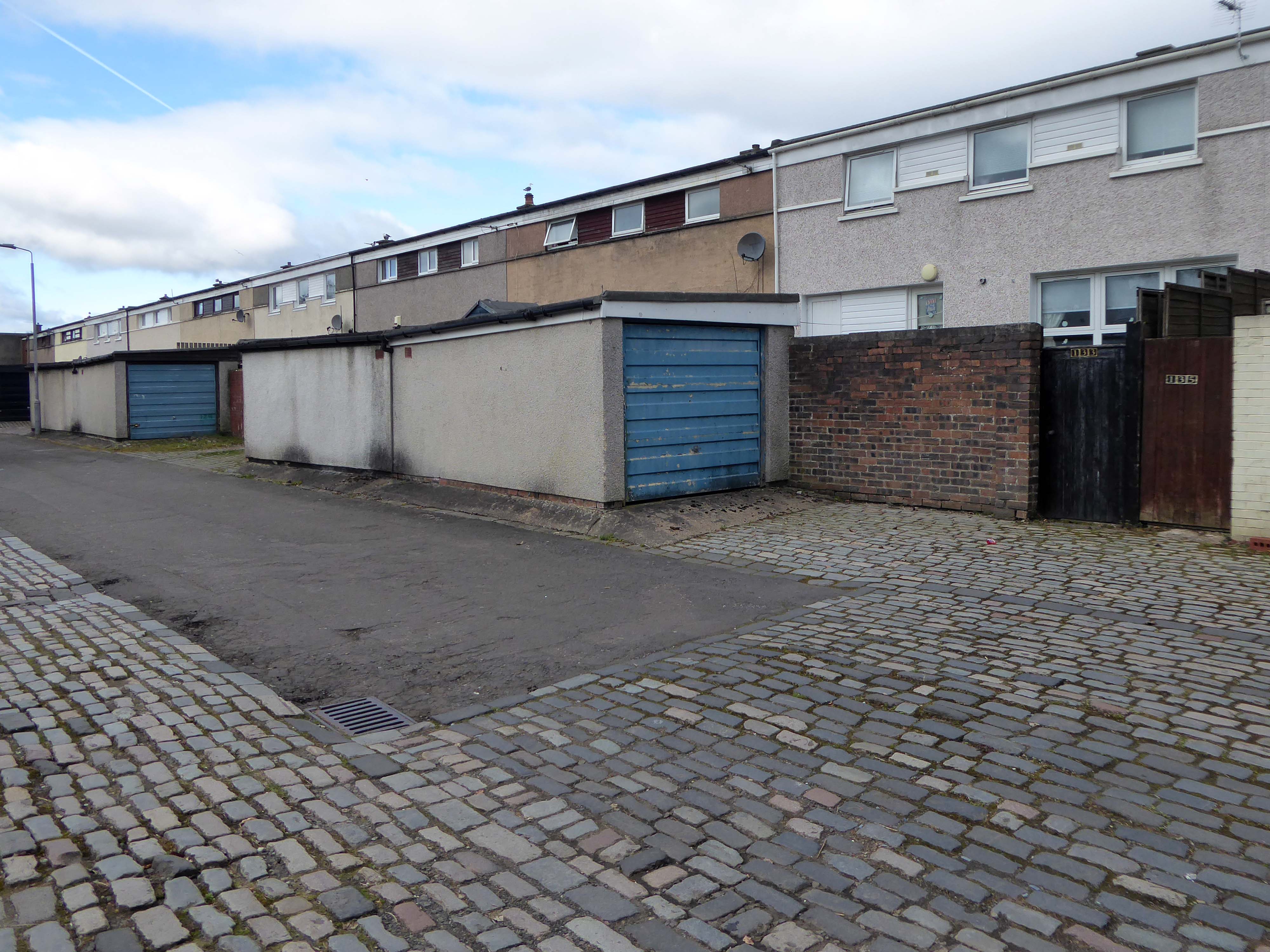
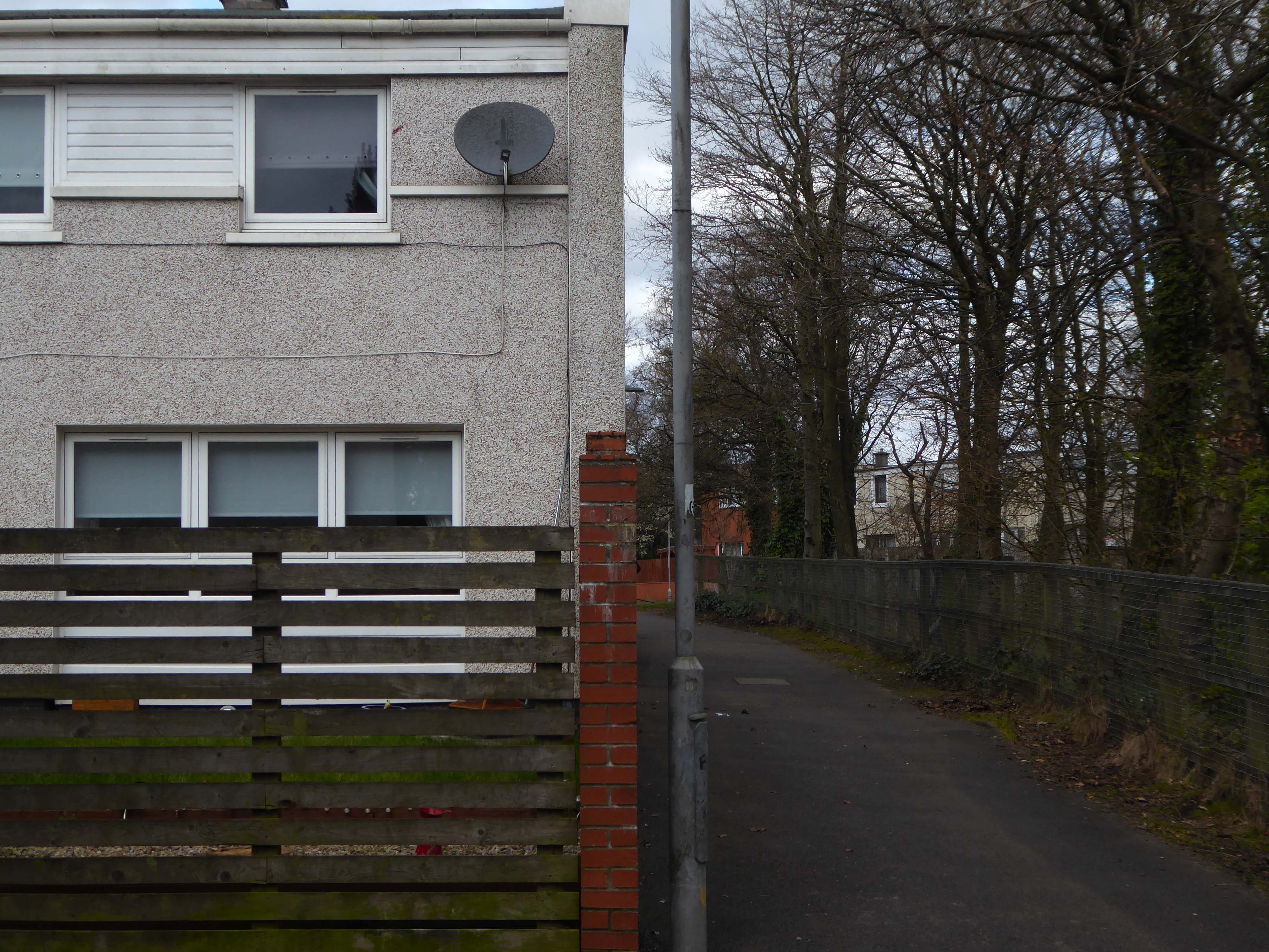
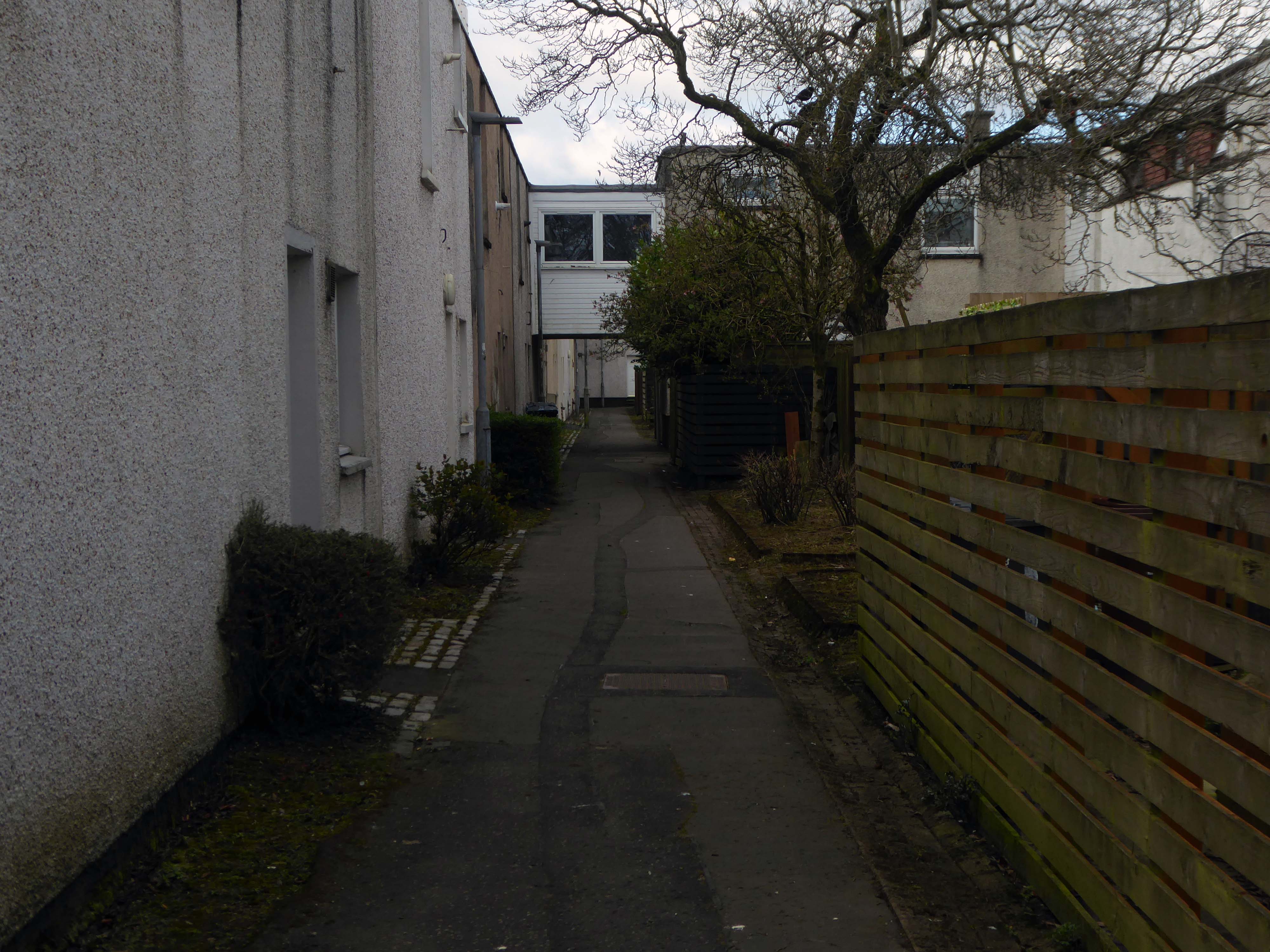
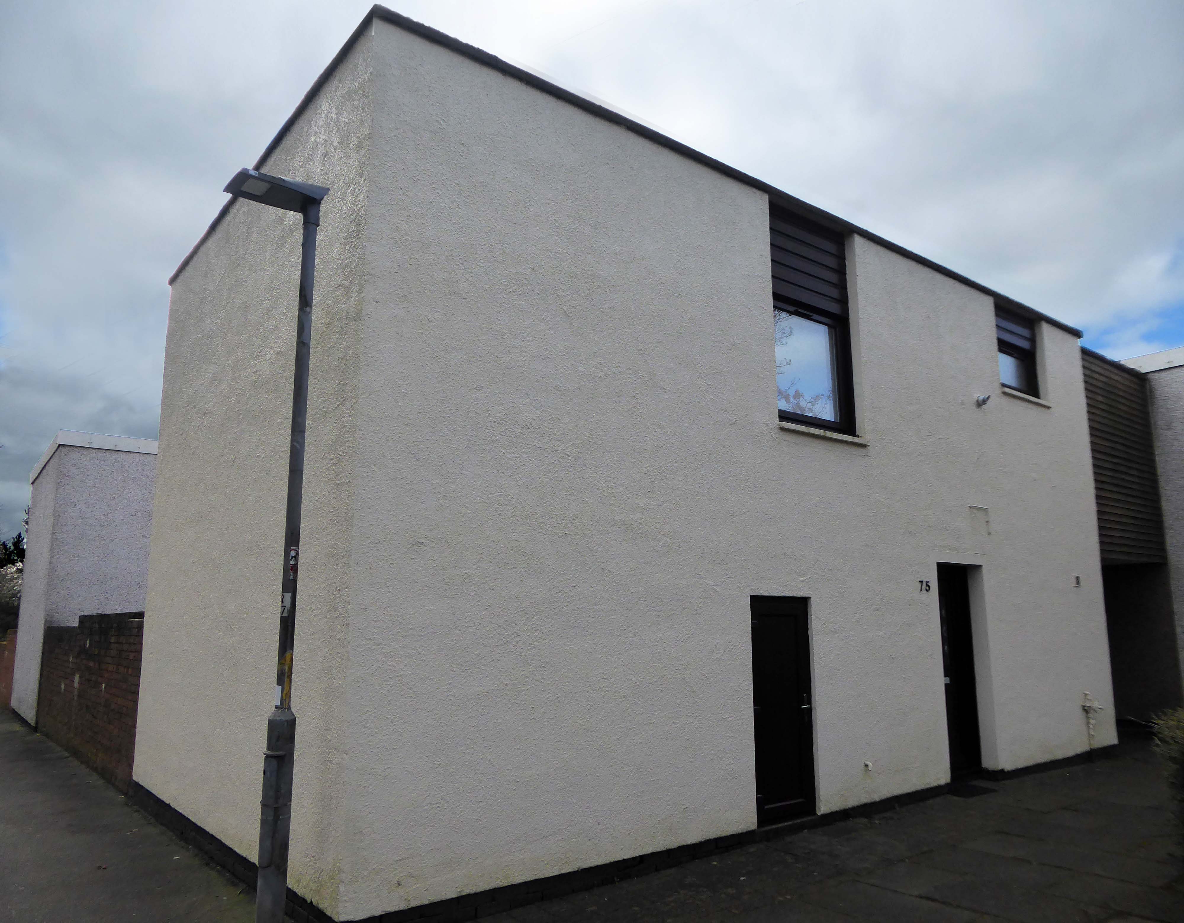
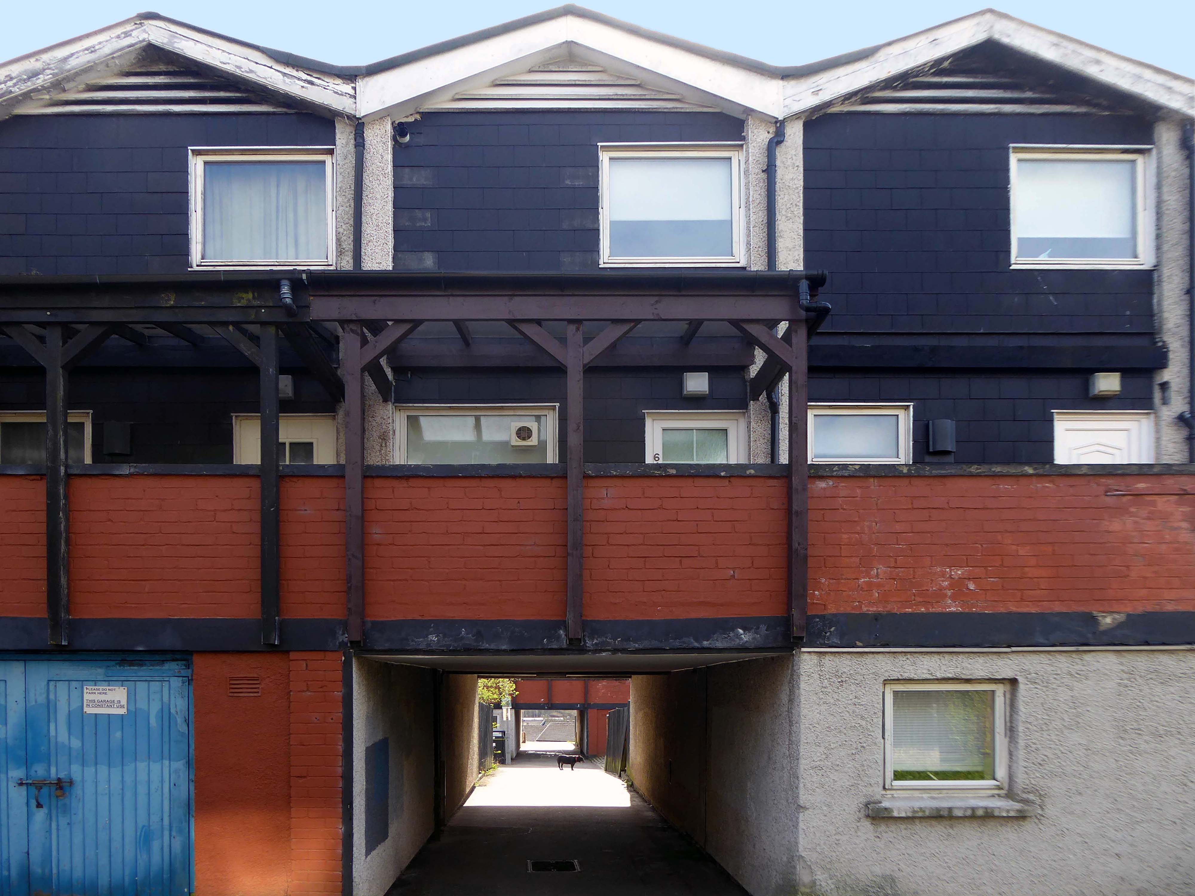
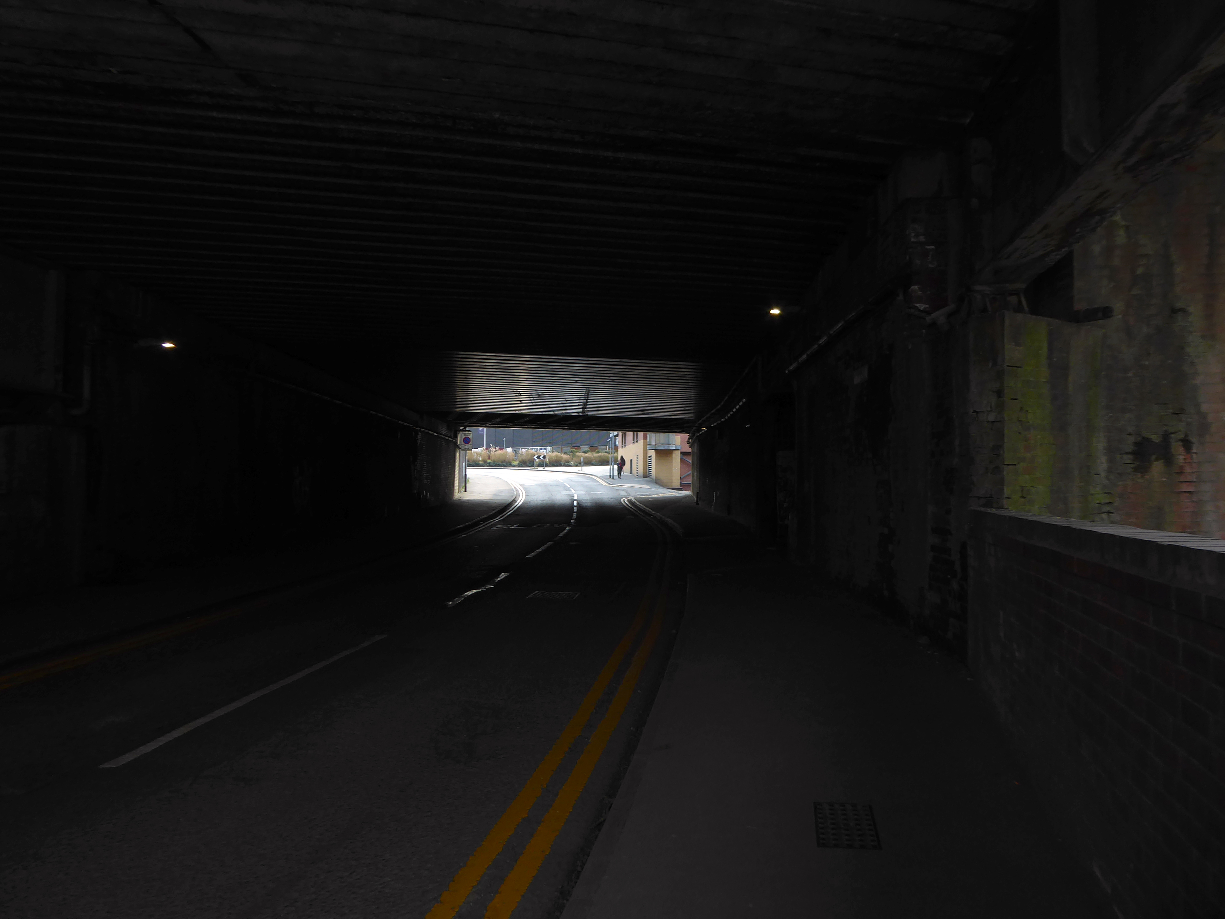
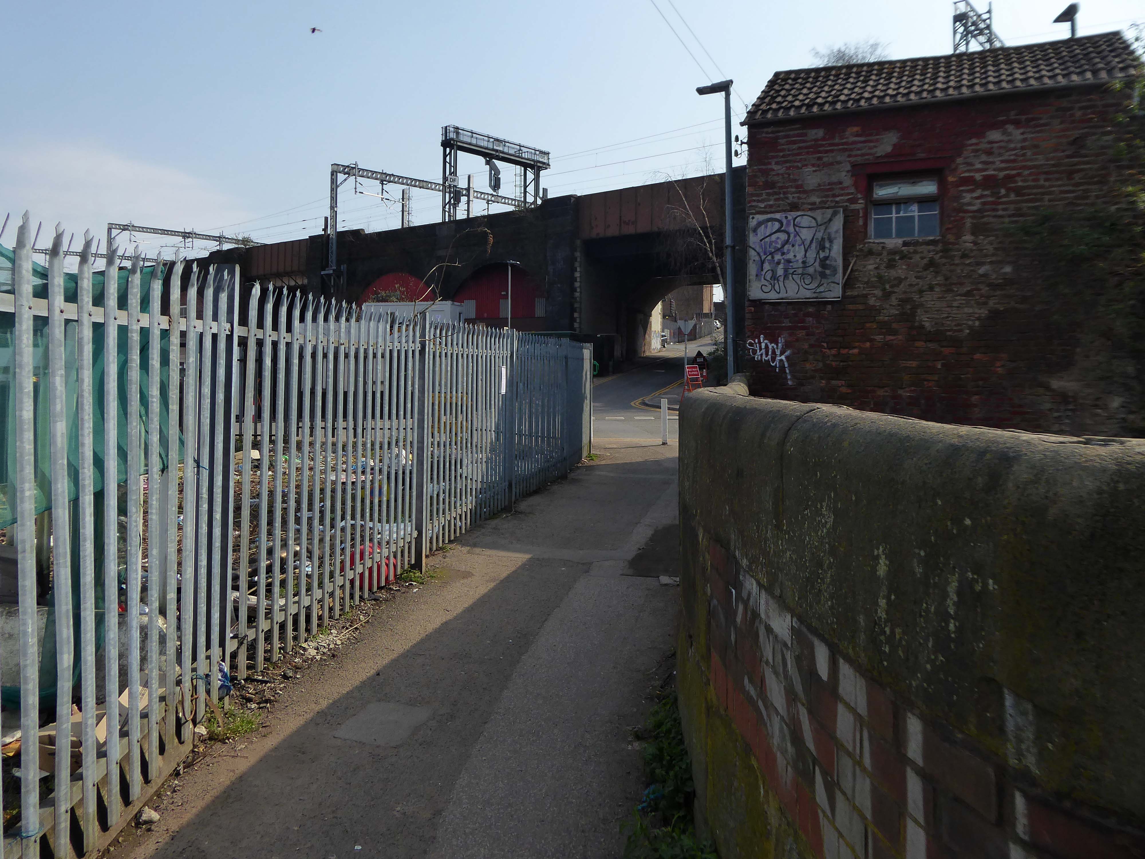
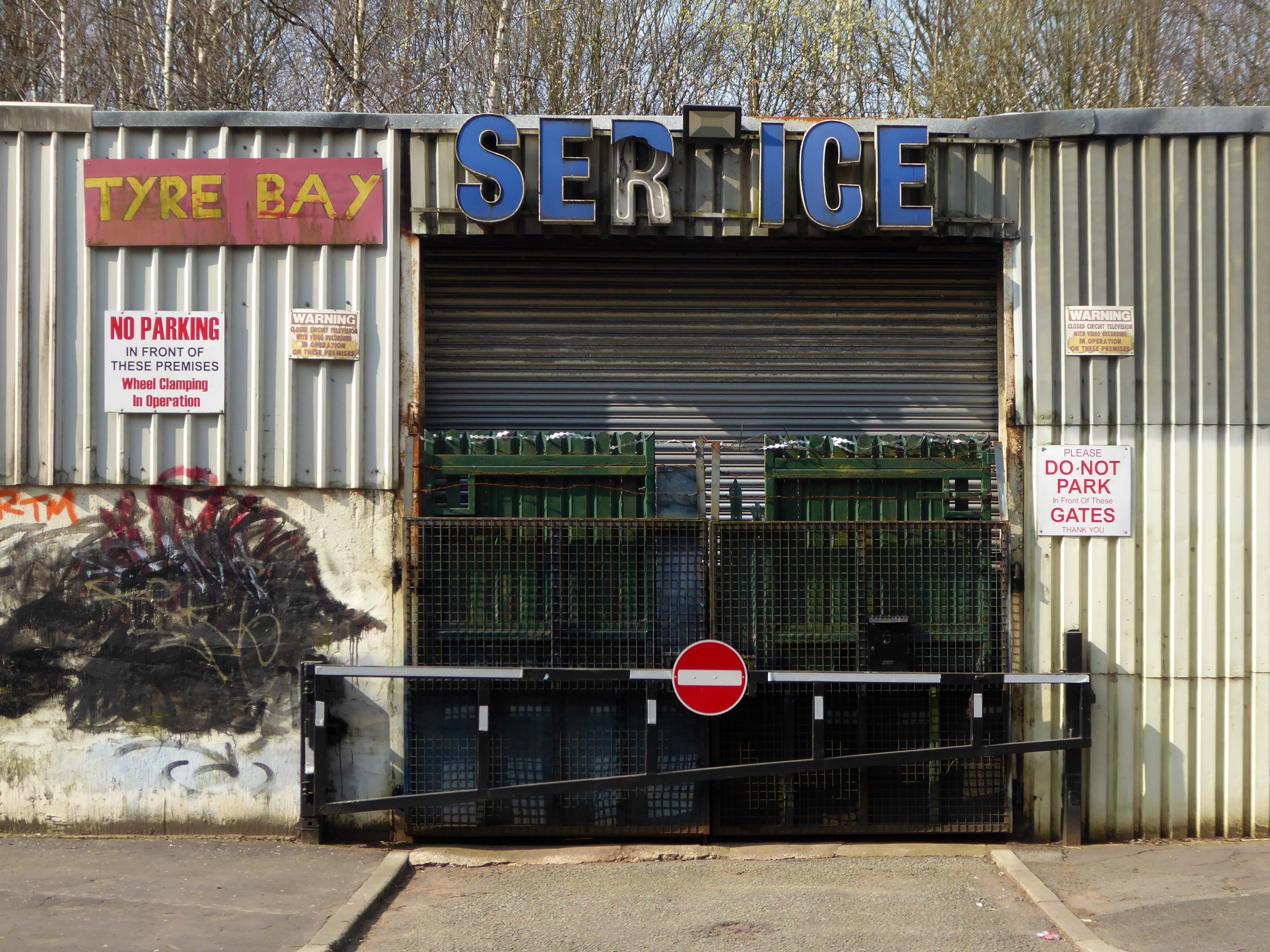
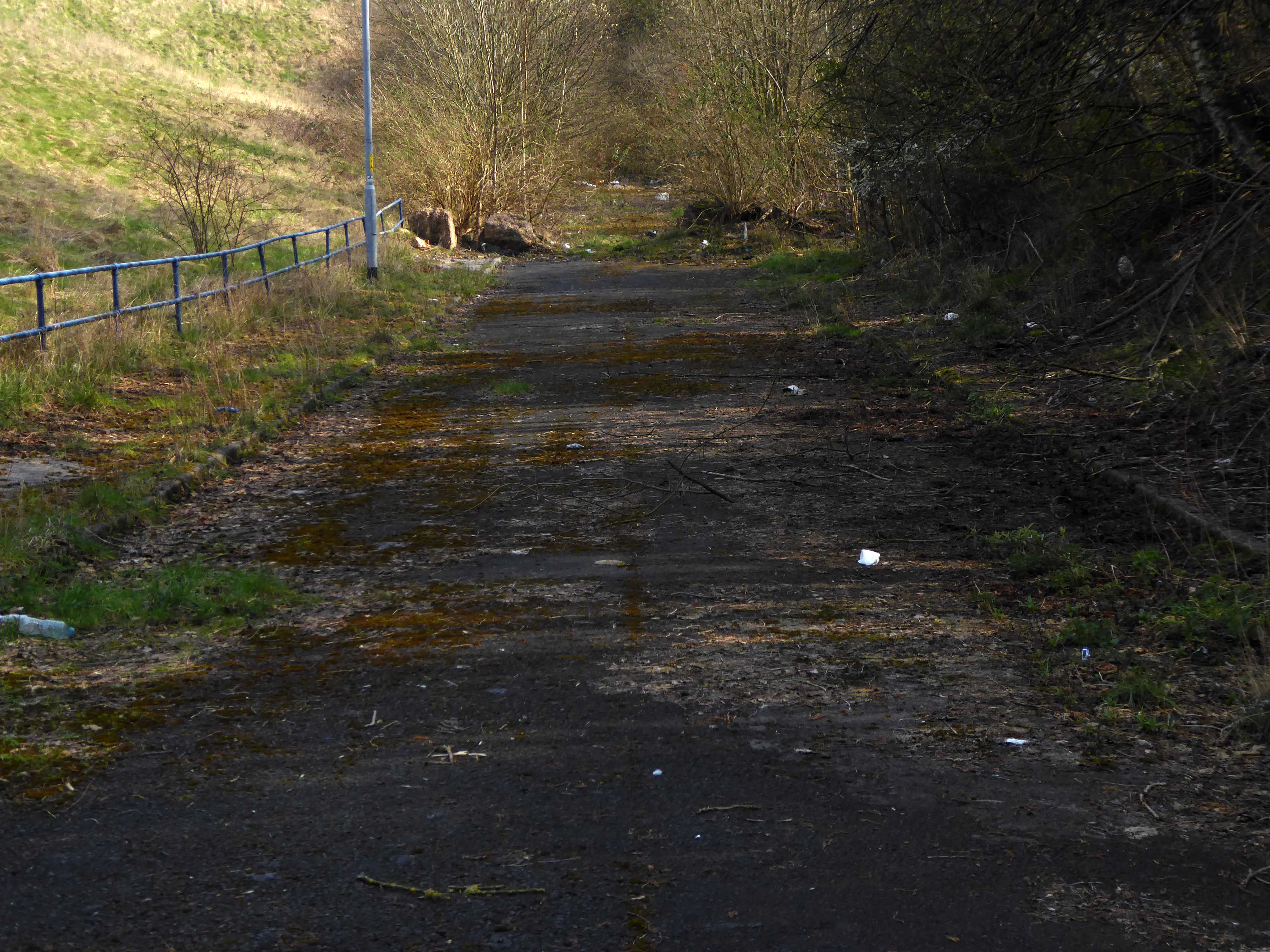
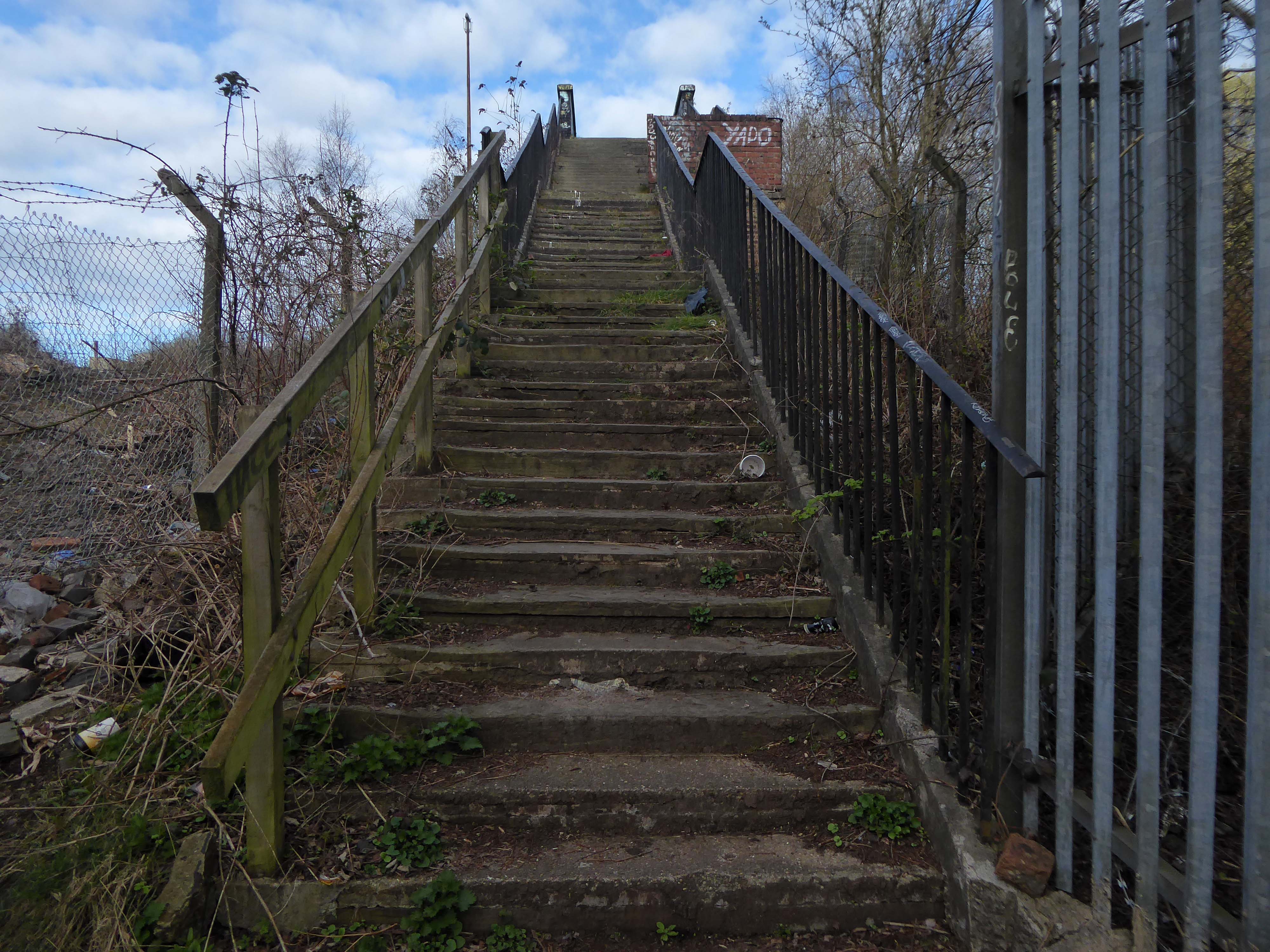
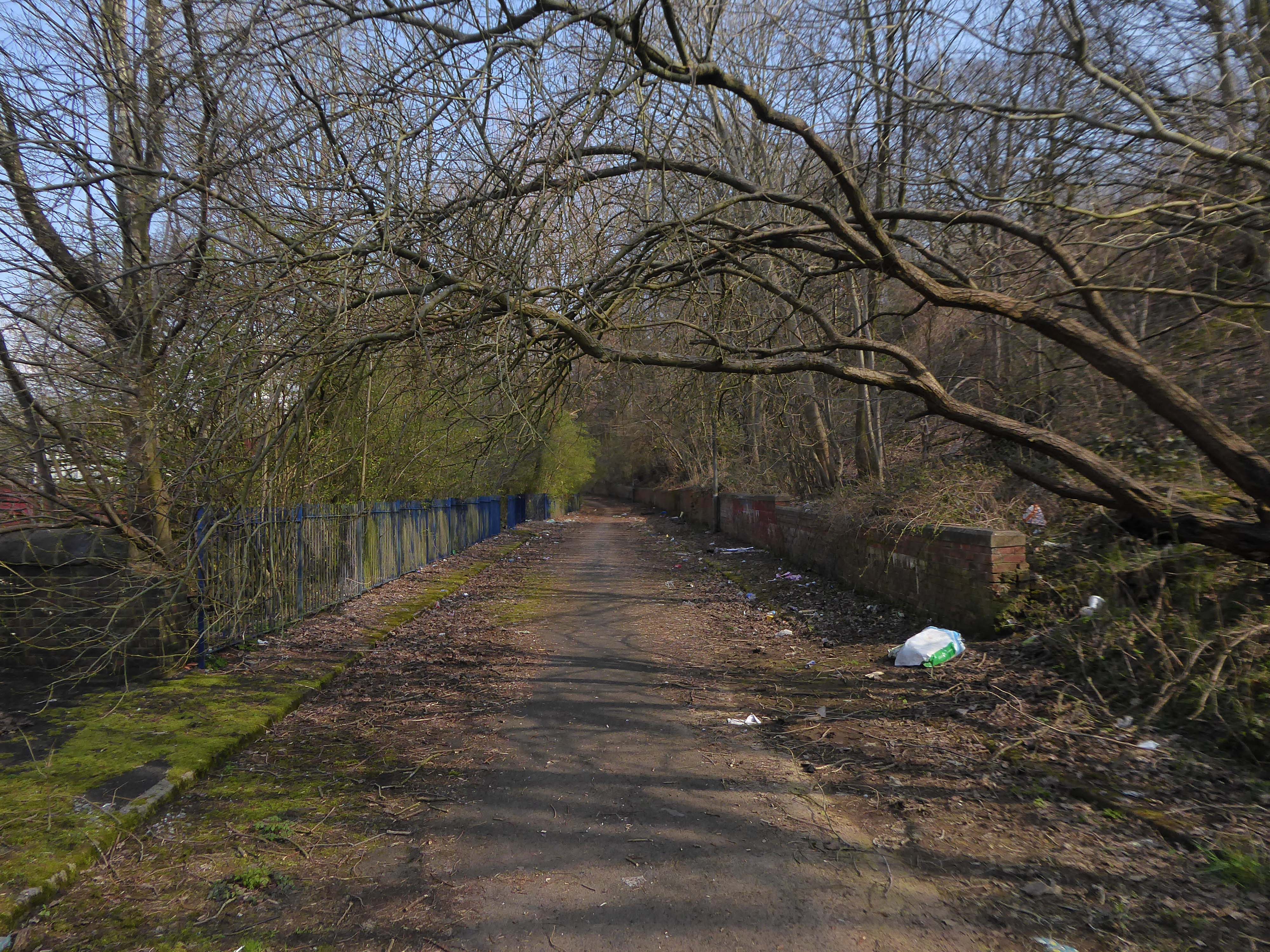
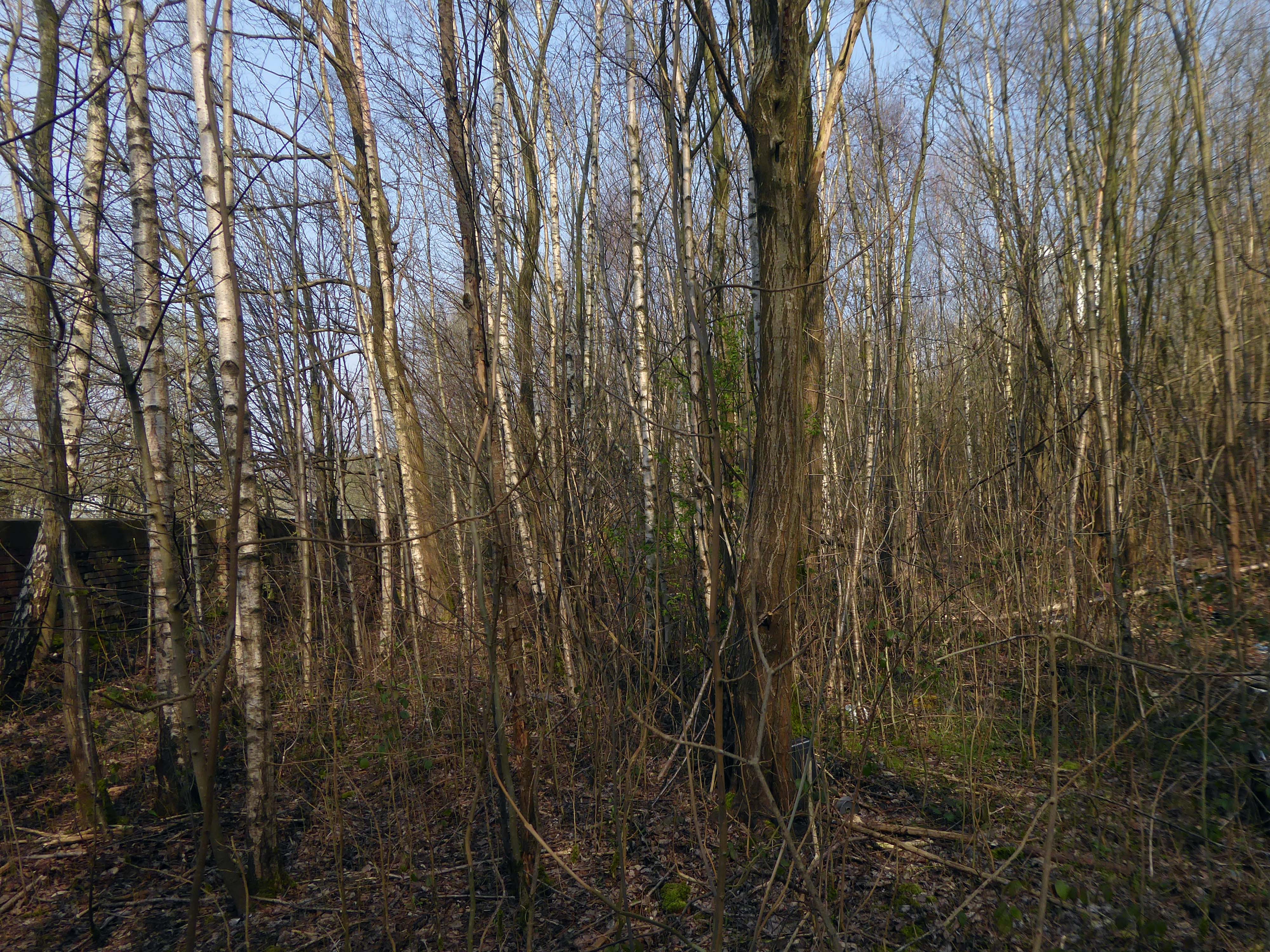
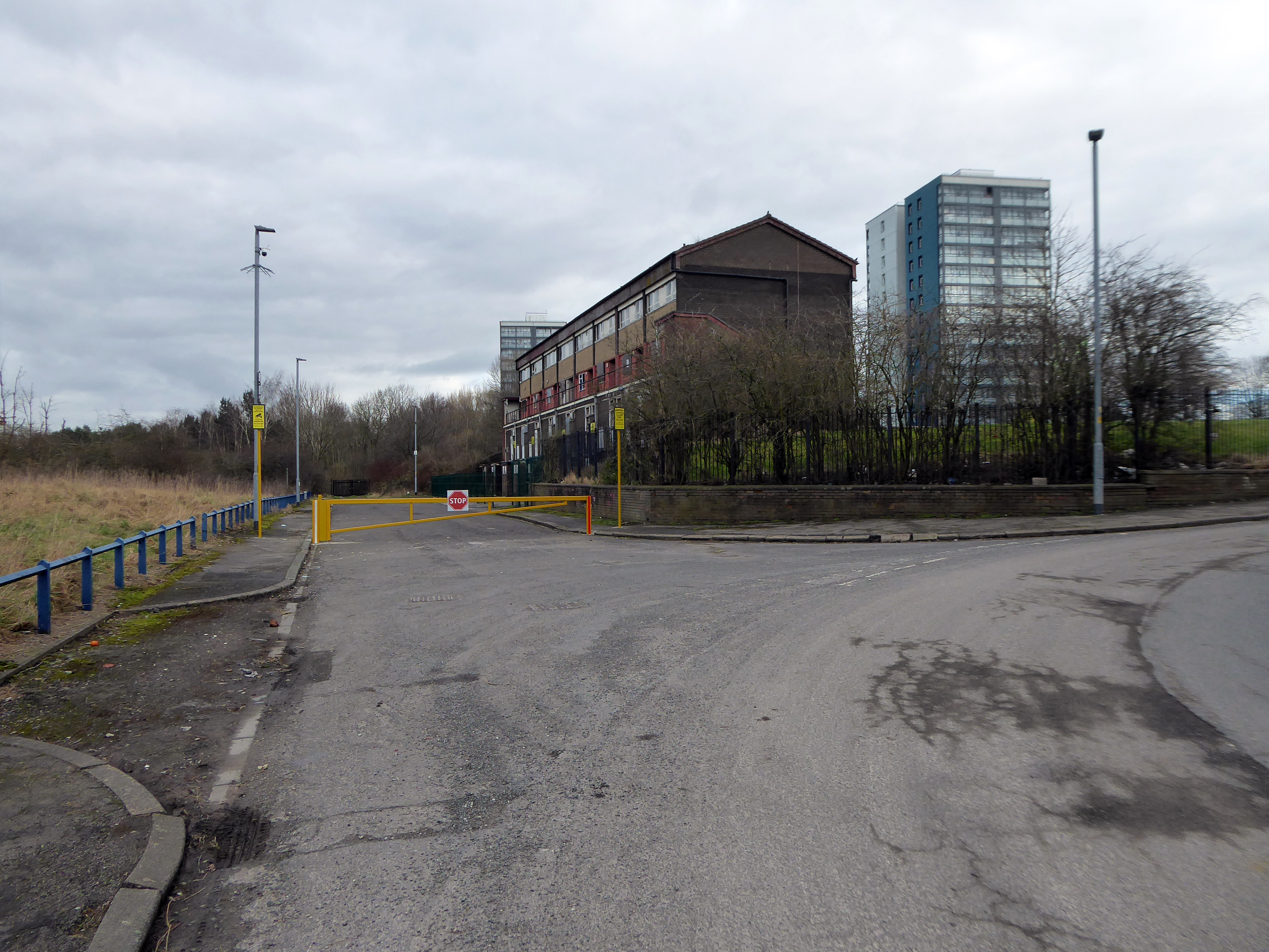
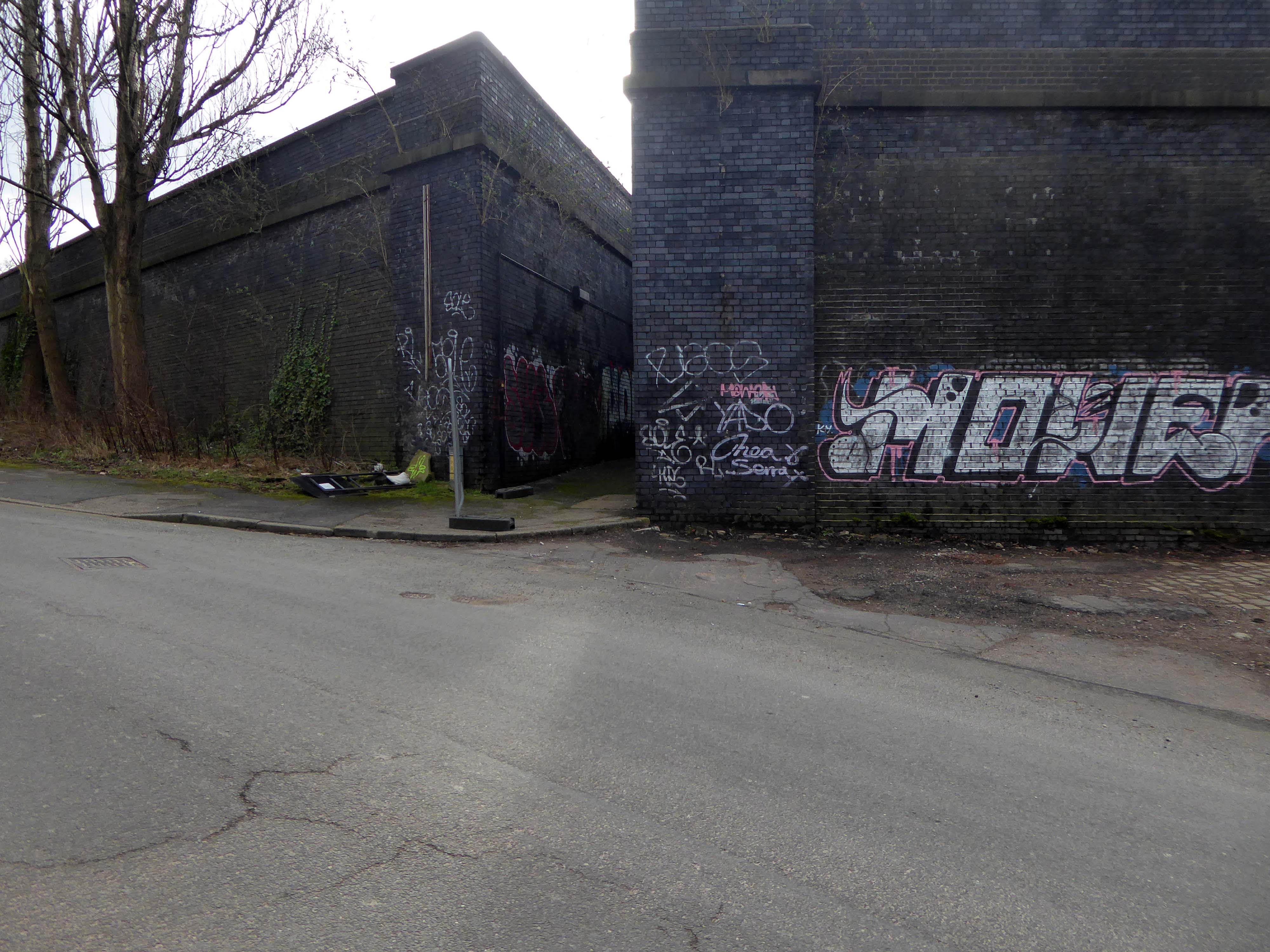
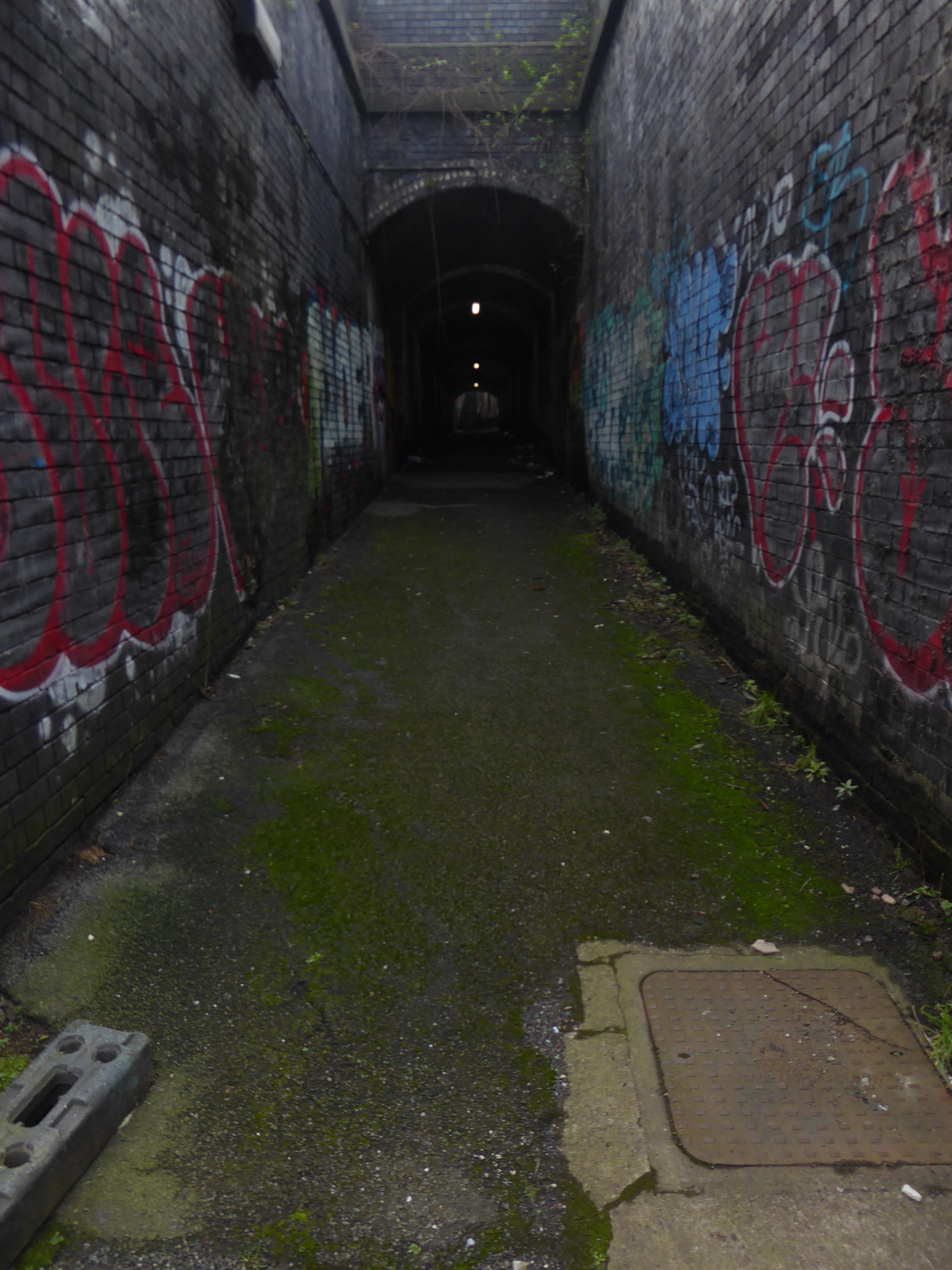
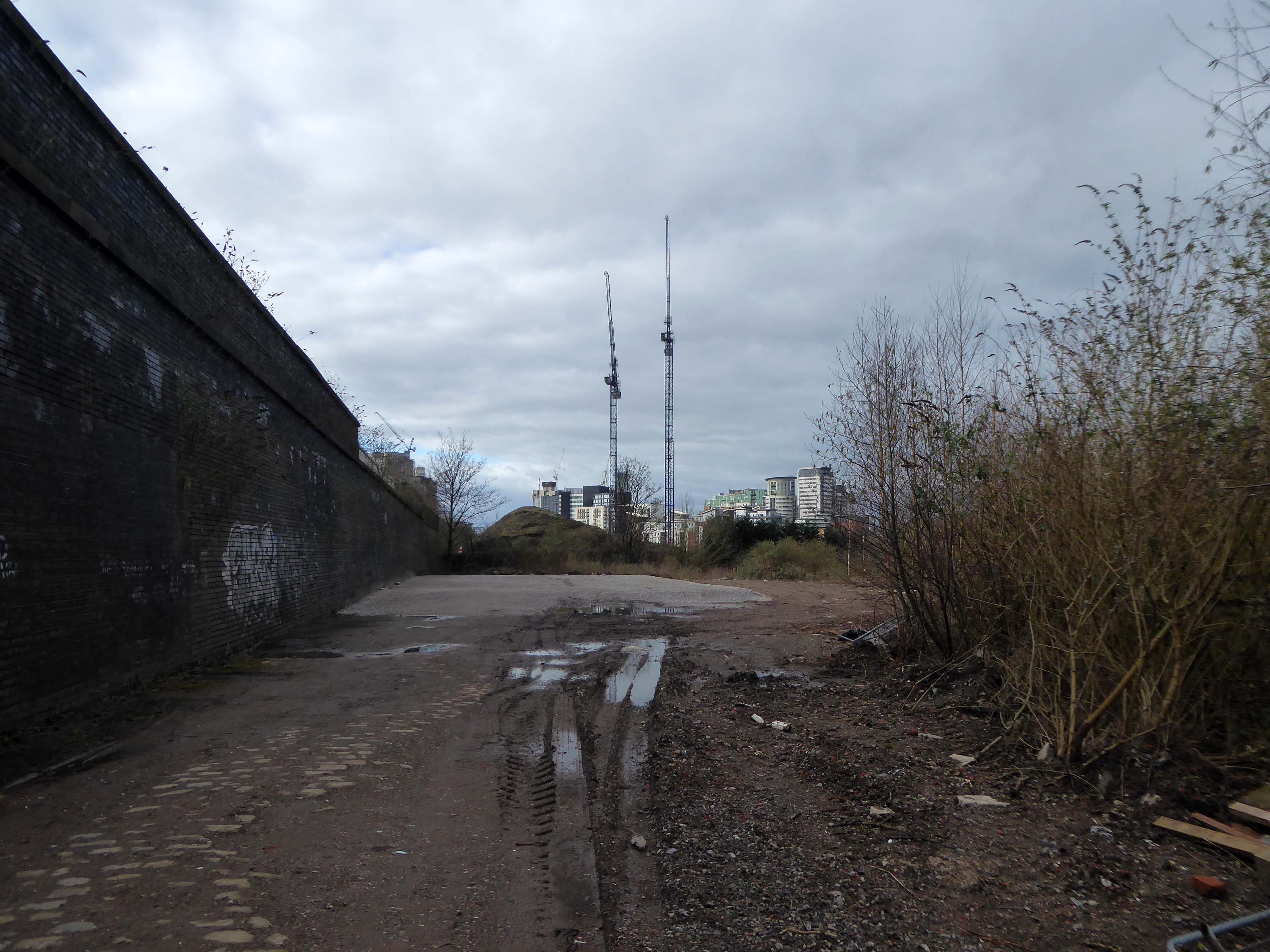
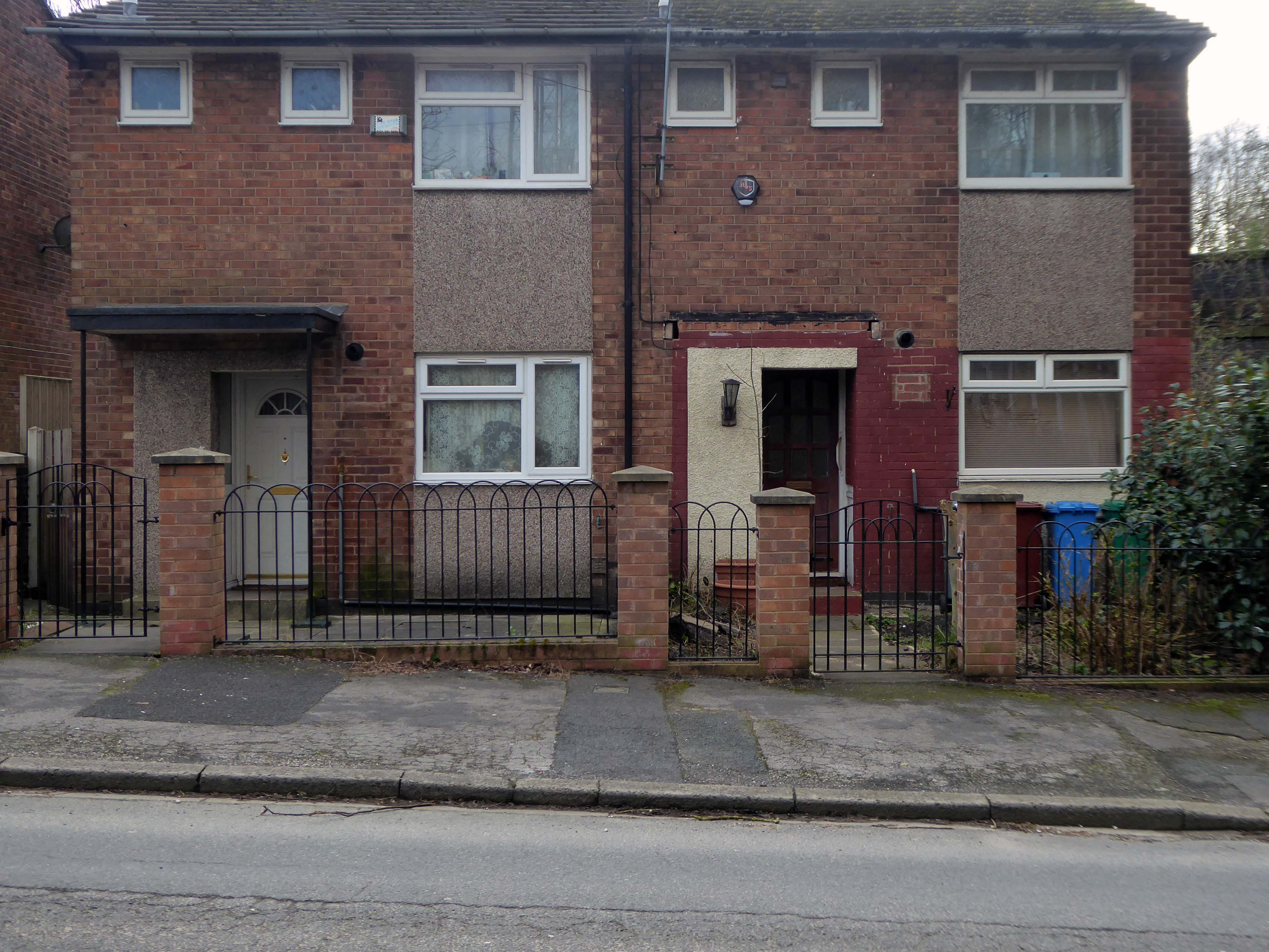
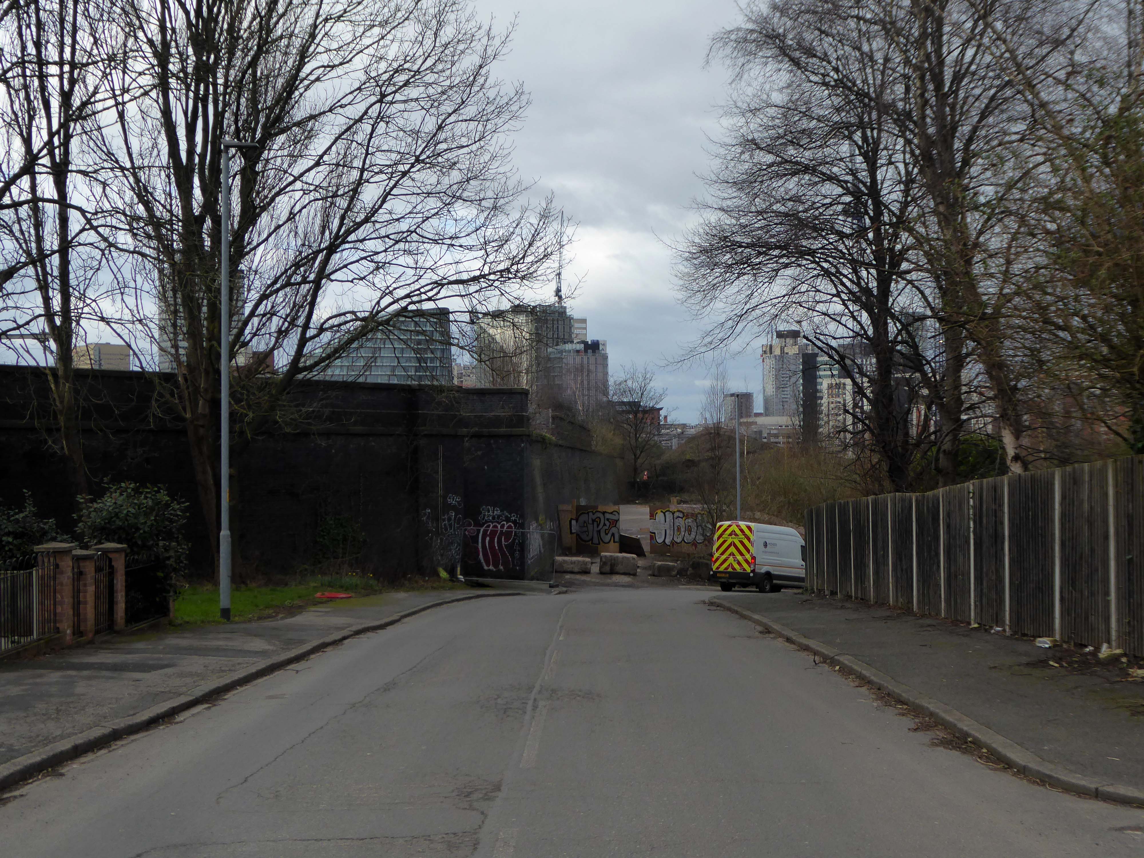
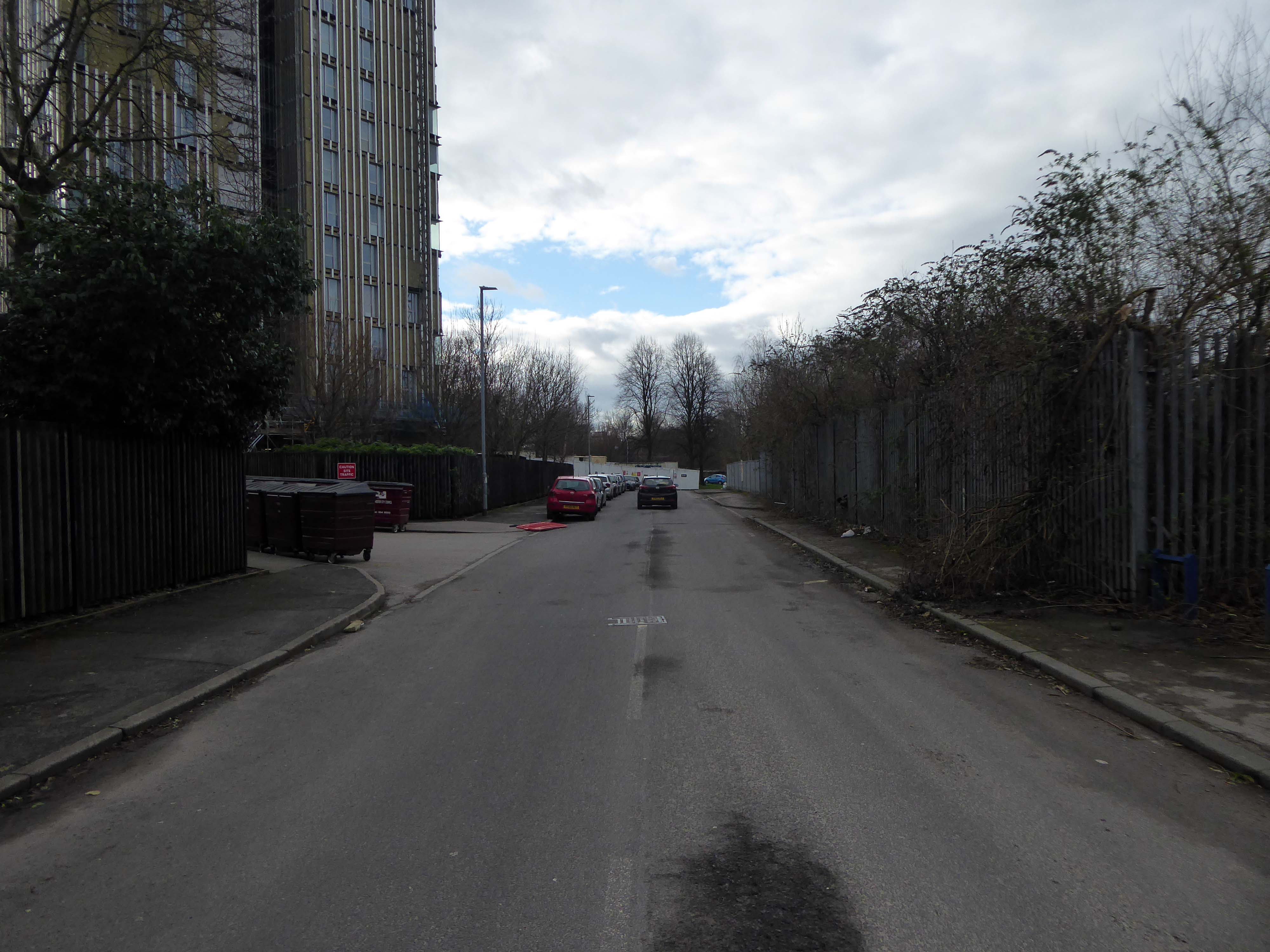
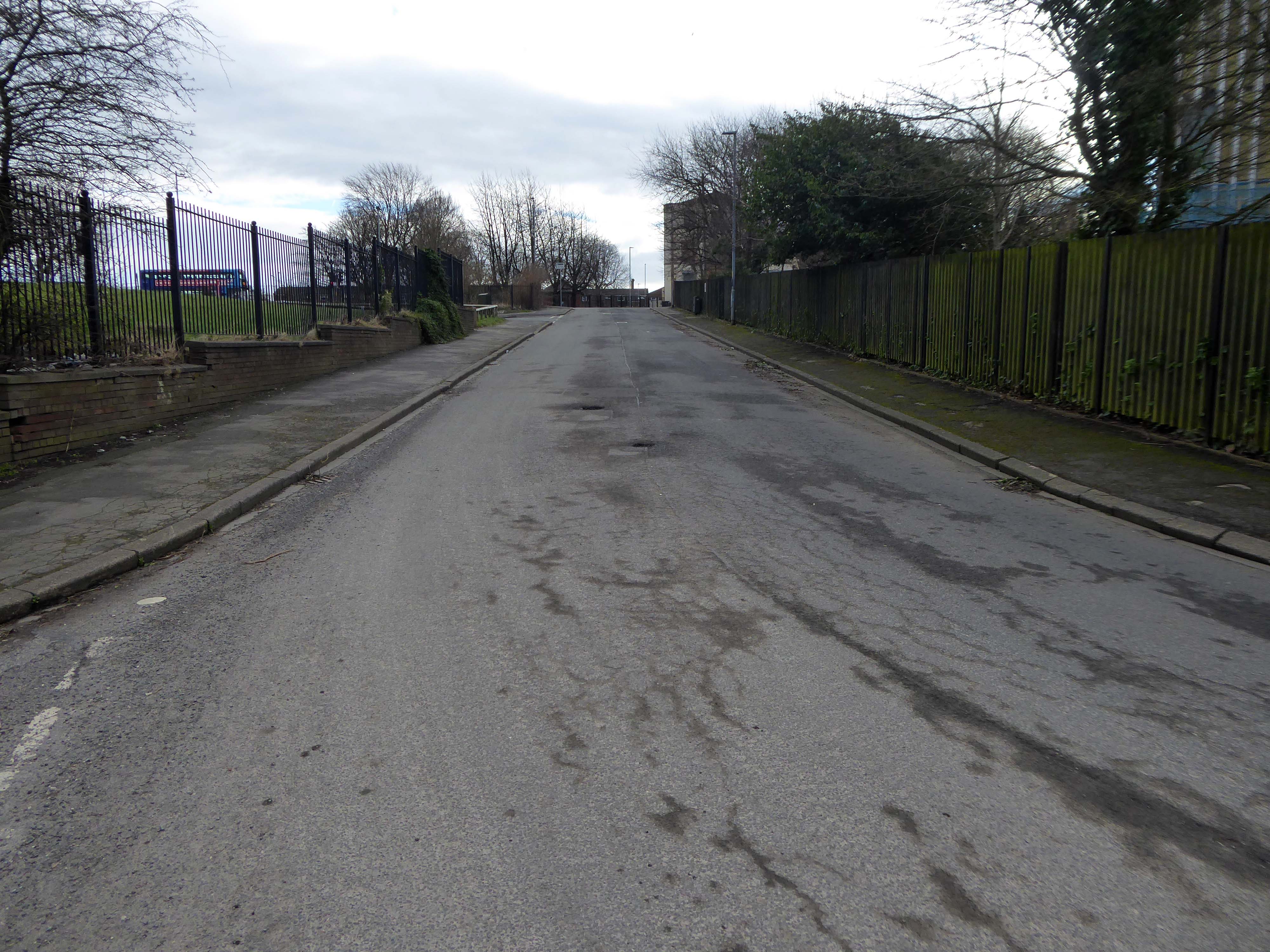
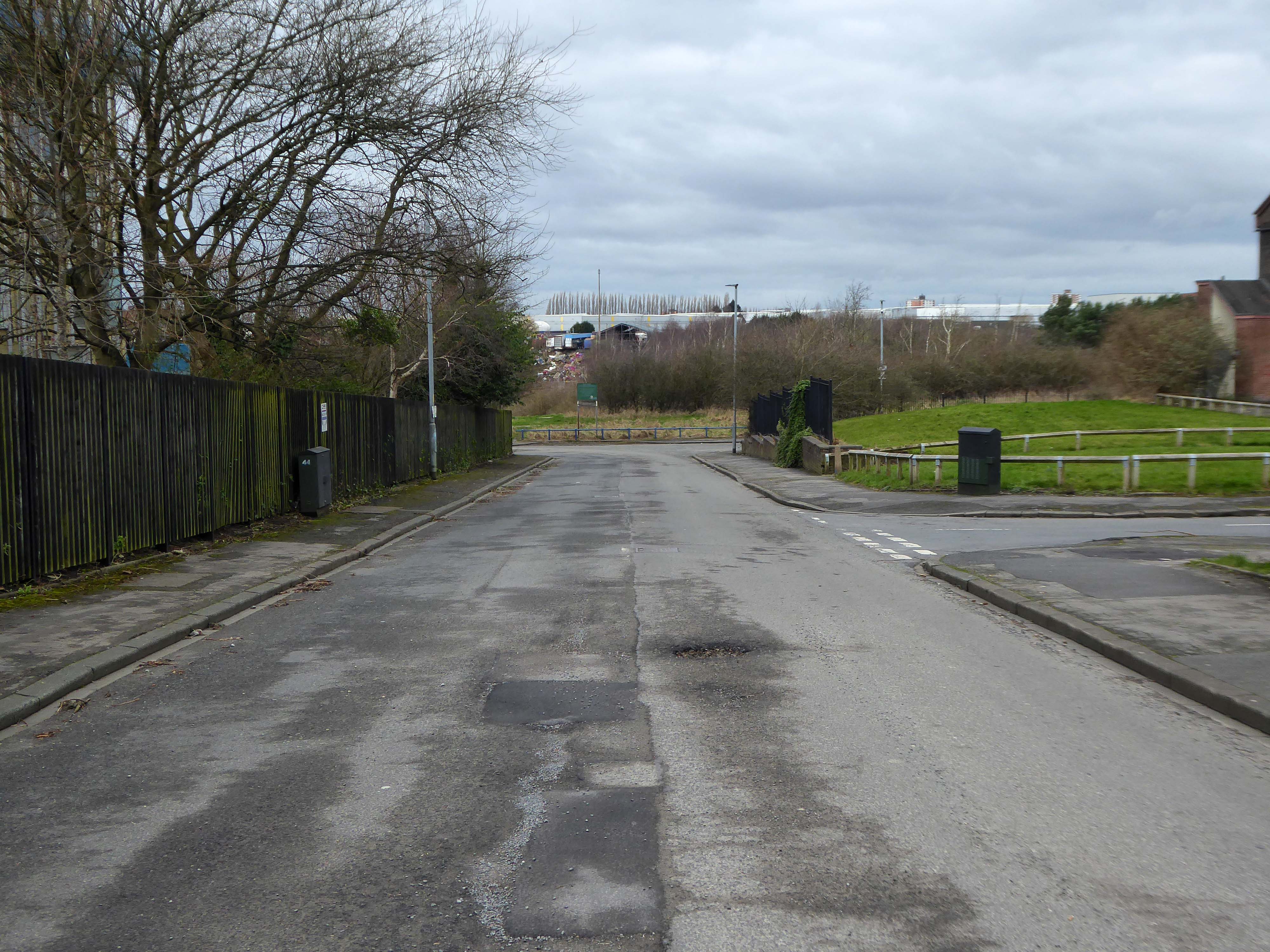
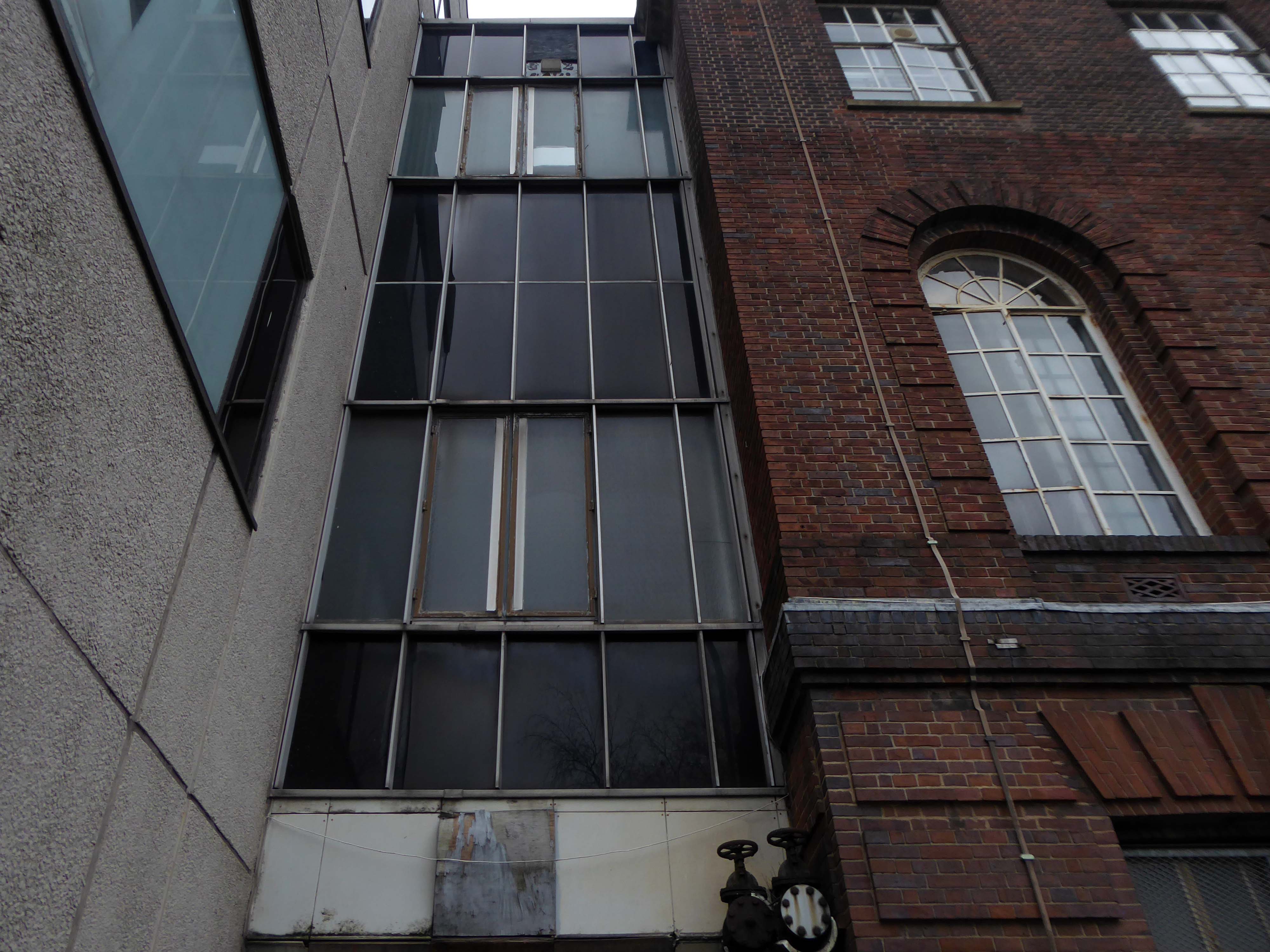
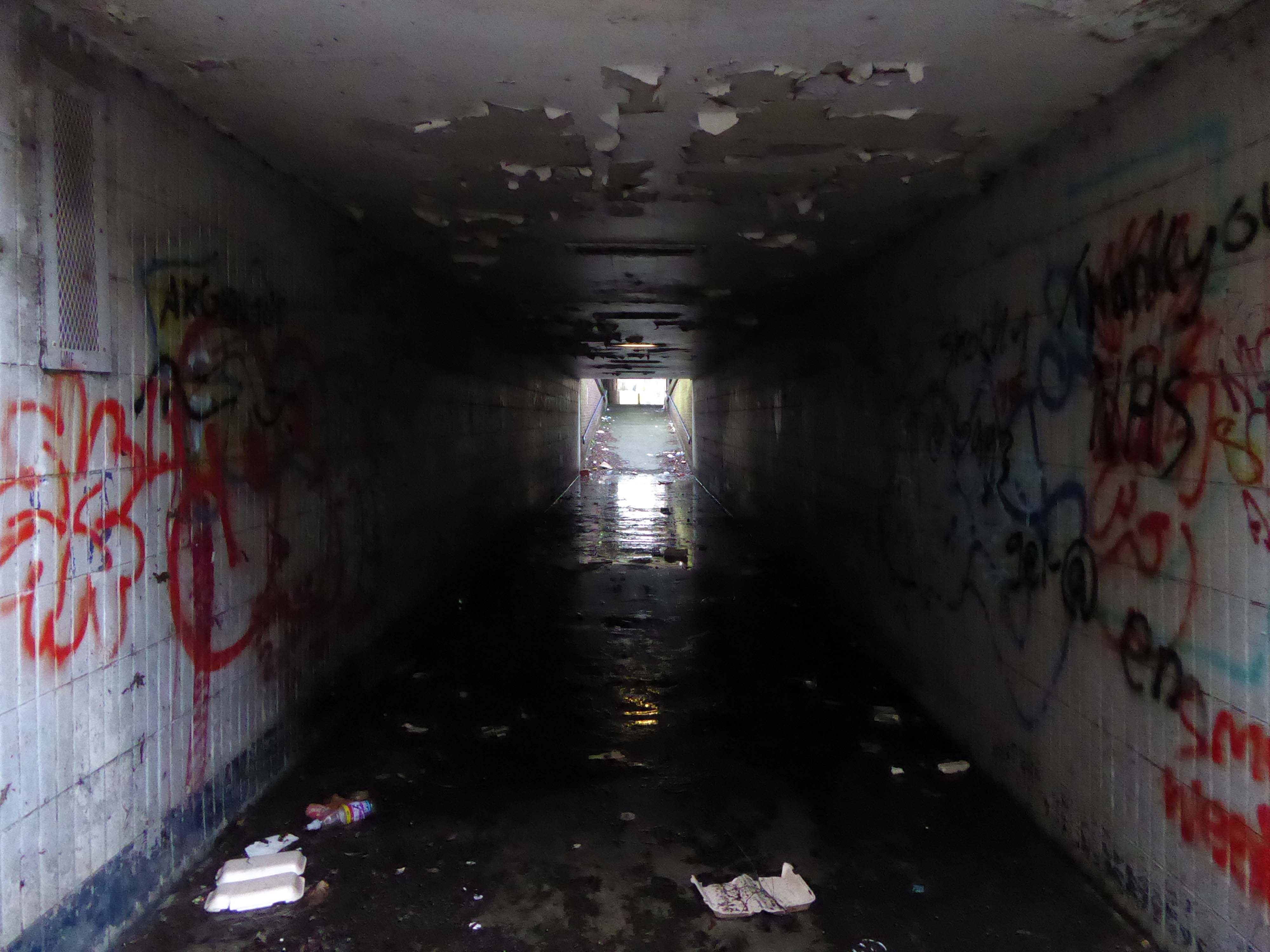
There is a plot of land to the left of Porsche which remains undeveloped, I often walk around this area, what would have once been for myself and others the place of childhood high jinx.
Now it is the domain of the fly-tipper, the home of the homeless, a war zone for a species which has declared war upon itself.
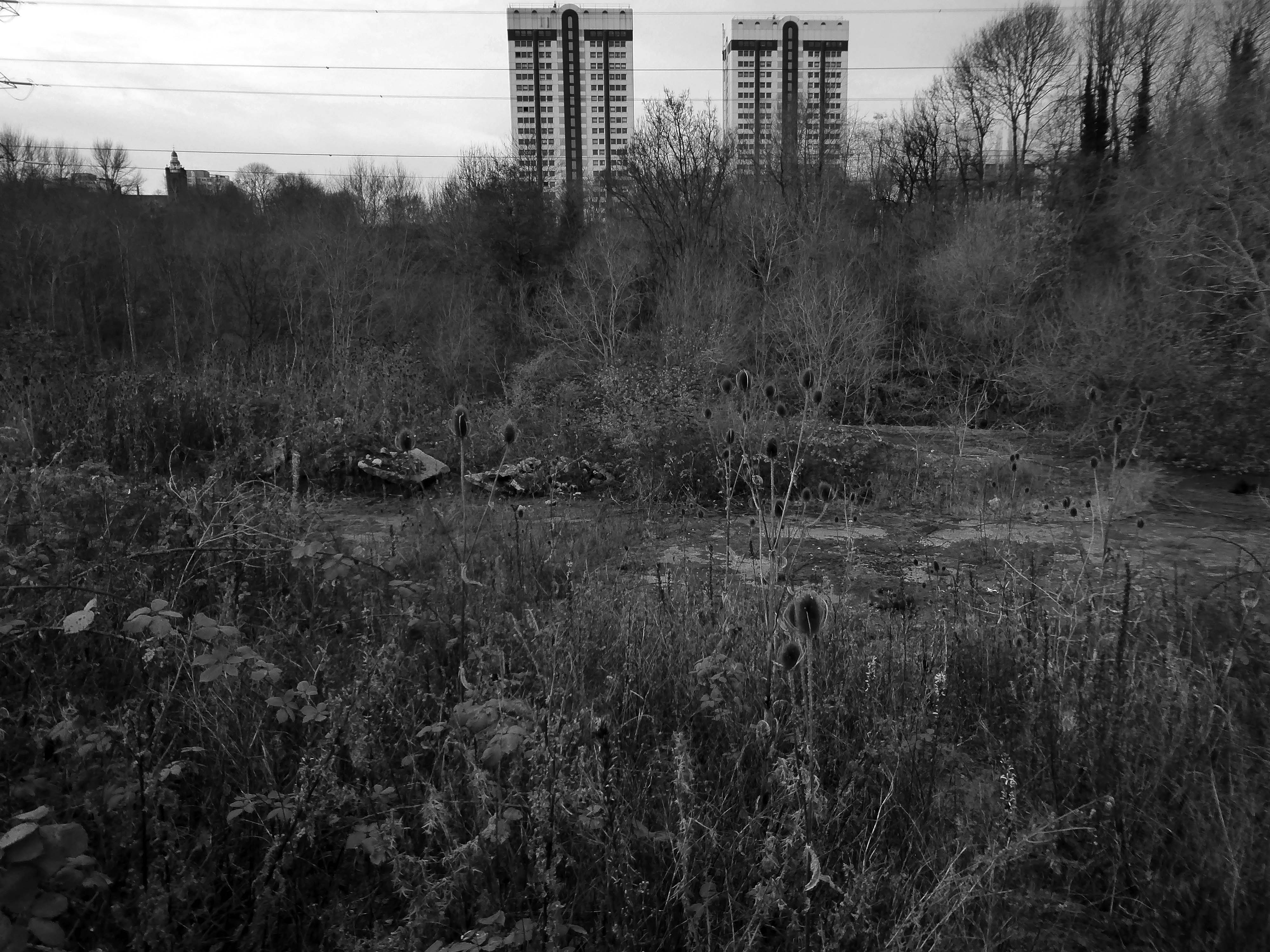
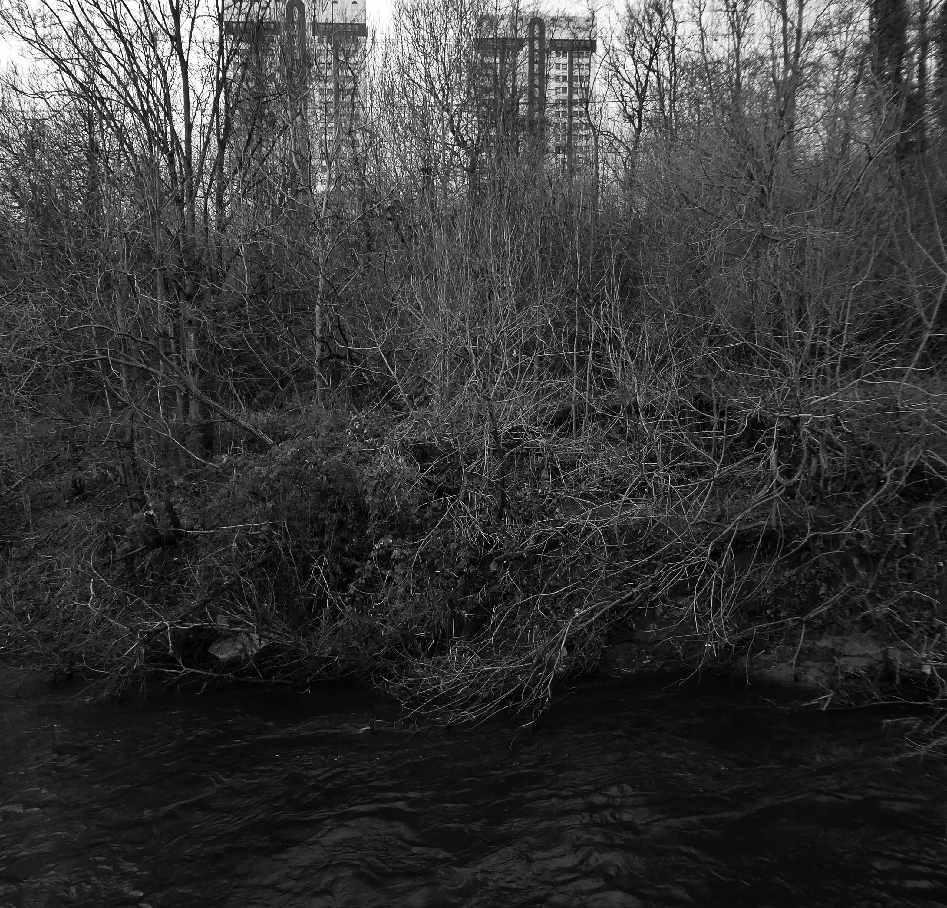
A desert of detritus, interpolated with tangles of brambles, seas of teasels and the ubiquitous buddleia.
This is the unofficial showroom for the unofficial Anthropocene Epoch – always crashing in a different car, during increasingly unseasonal weather, the superabundance of abundance.
It seems that the sun may set on us, before the sun finally sets.
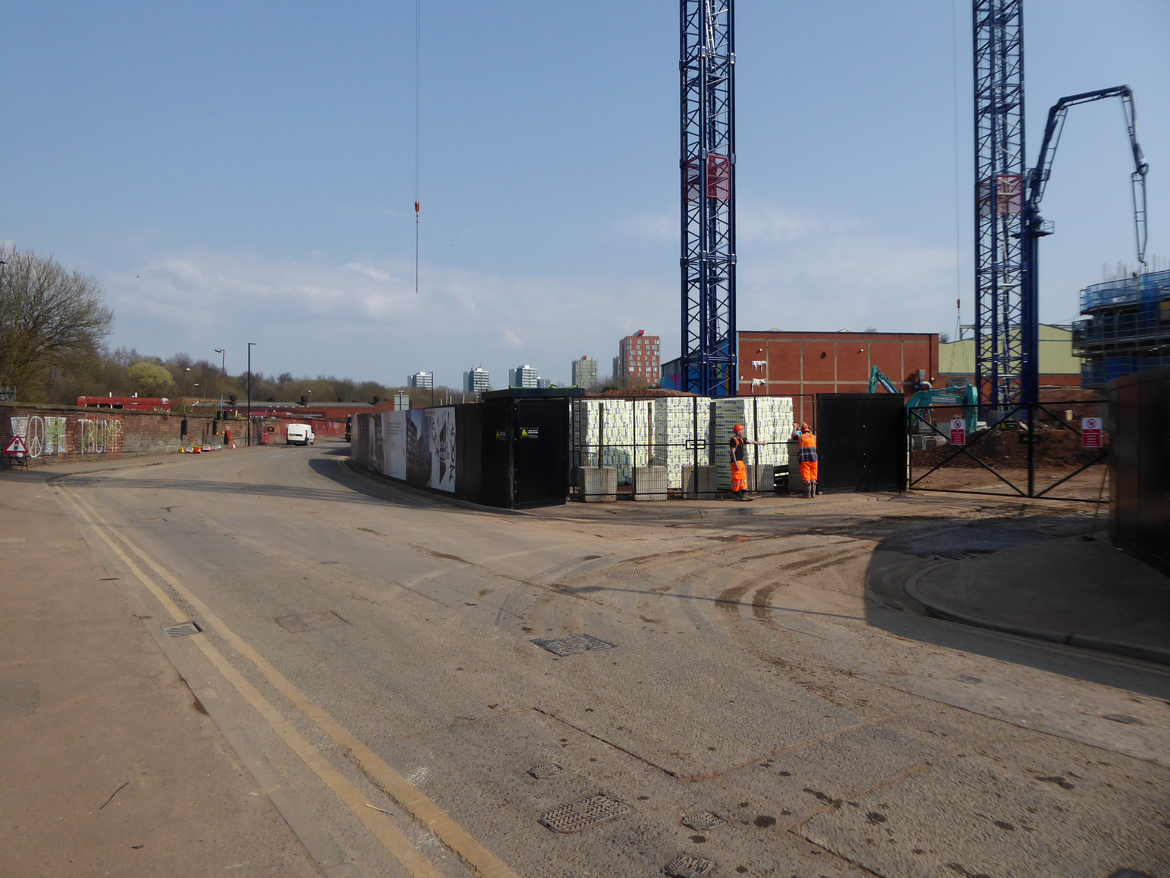
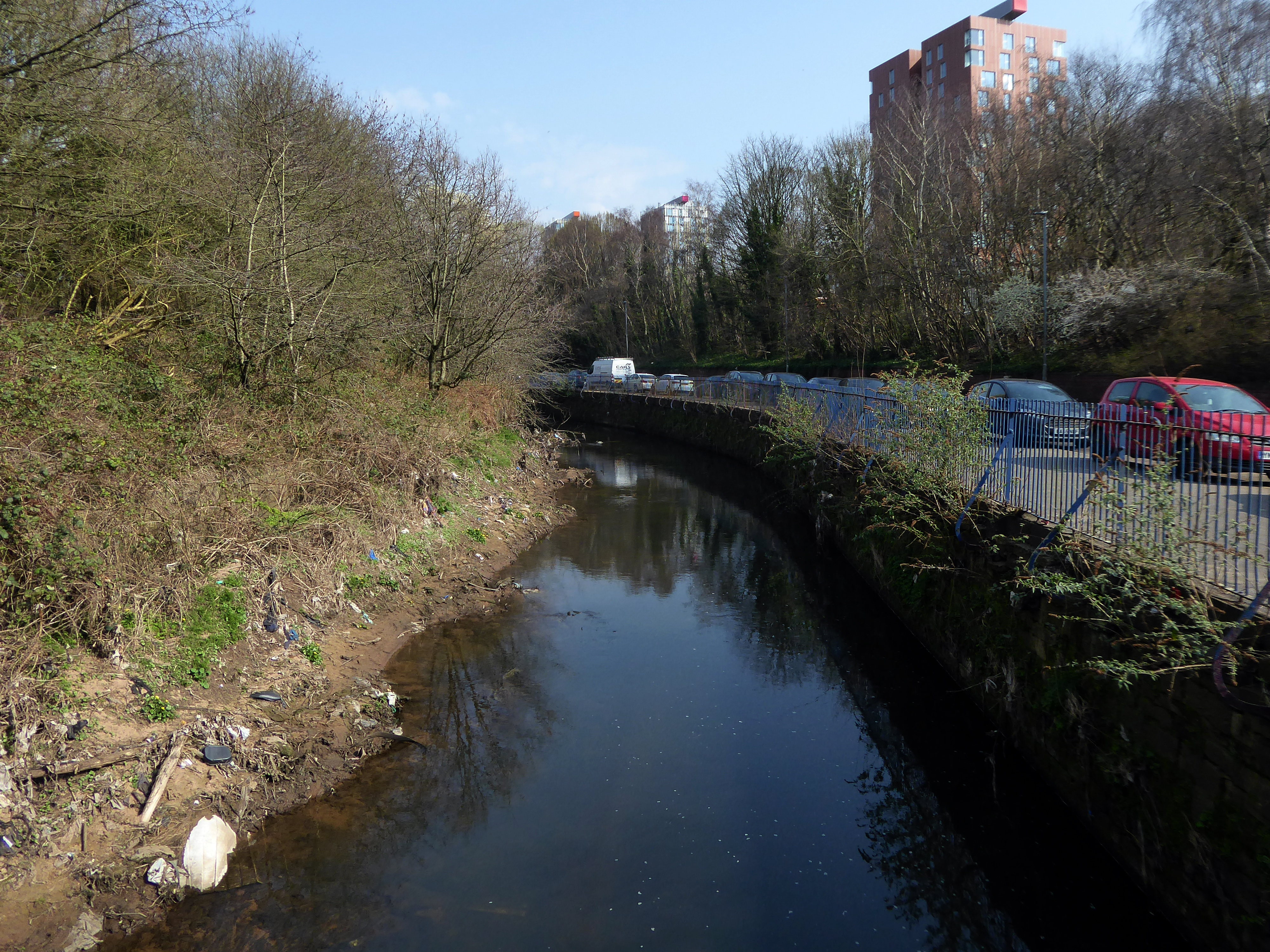
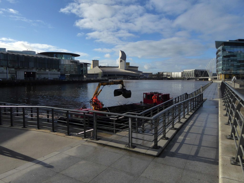
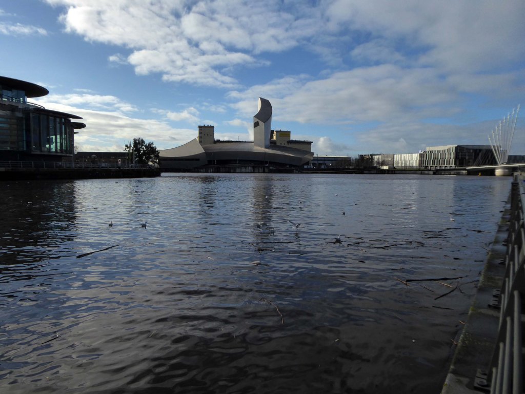
Let’s take a peep at Portwood.
Game over.
Vehicle use affects our whole quality of local life. Traffic can be dangerous and intimidating, dividing communities and making street life unpleasant, whilst air pollution and traffic noise can make urban living uncomfortable.
The impacts of mass consumption are: Misuse of land and resources, exporting pollution and waste from rich countries to poor countries, obesity due to excessive consumption, a cycle of waste, disparities and poverty.
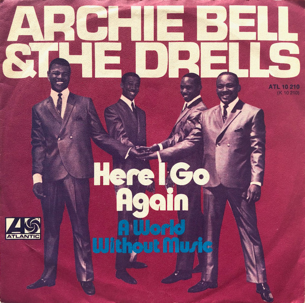
Here I go again – just like Archie Bell minus the Drells.
Here I go again, thinking with my heart
But every time I see ya, I keep running back for more
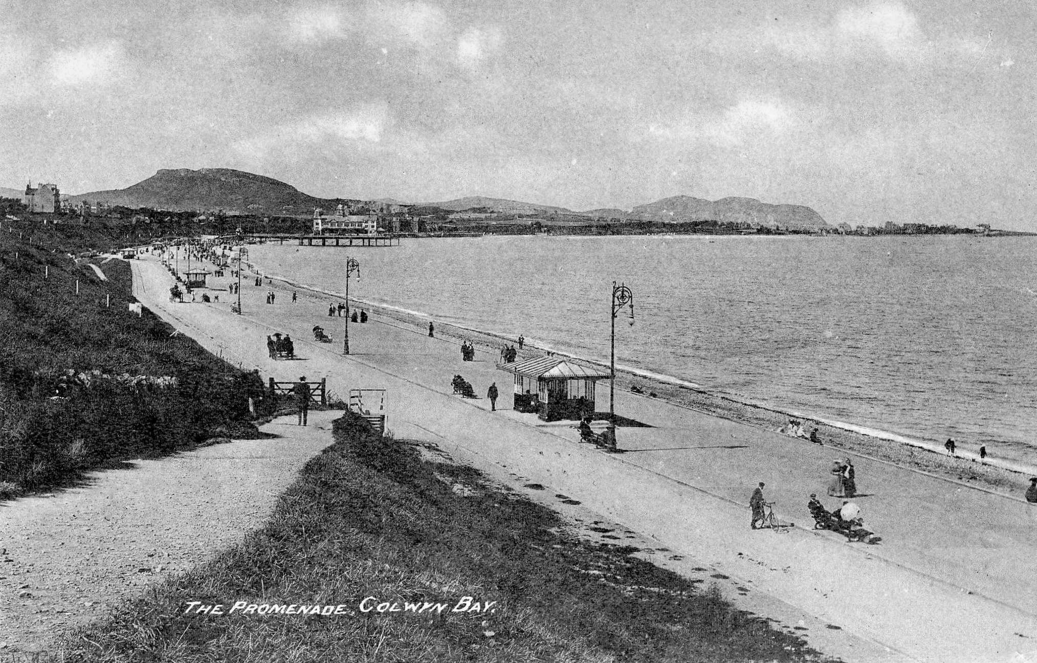
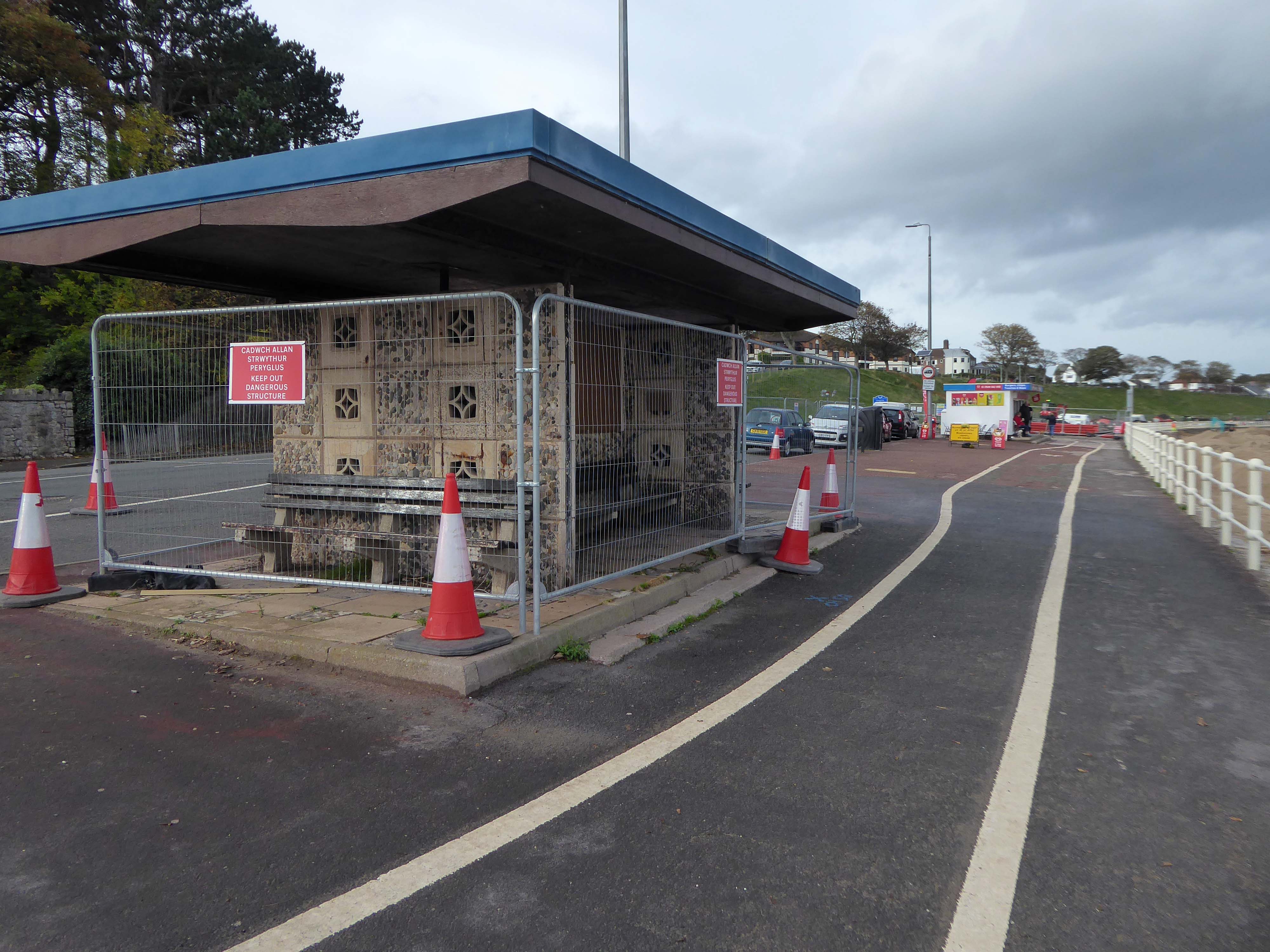
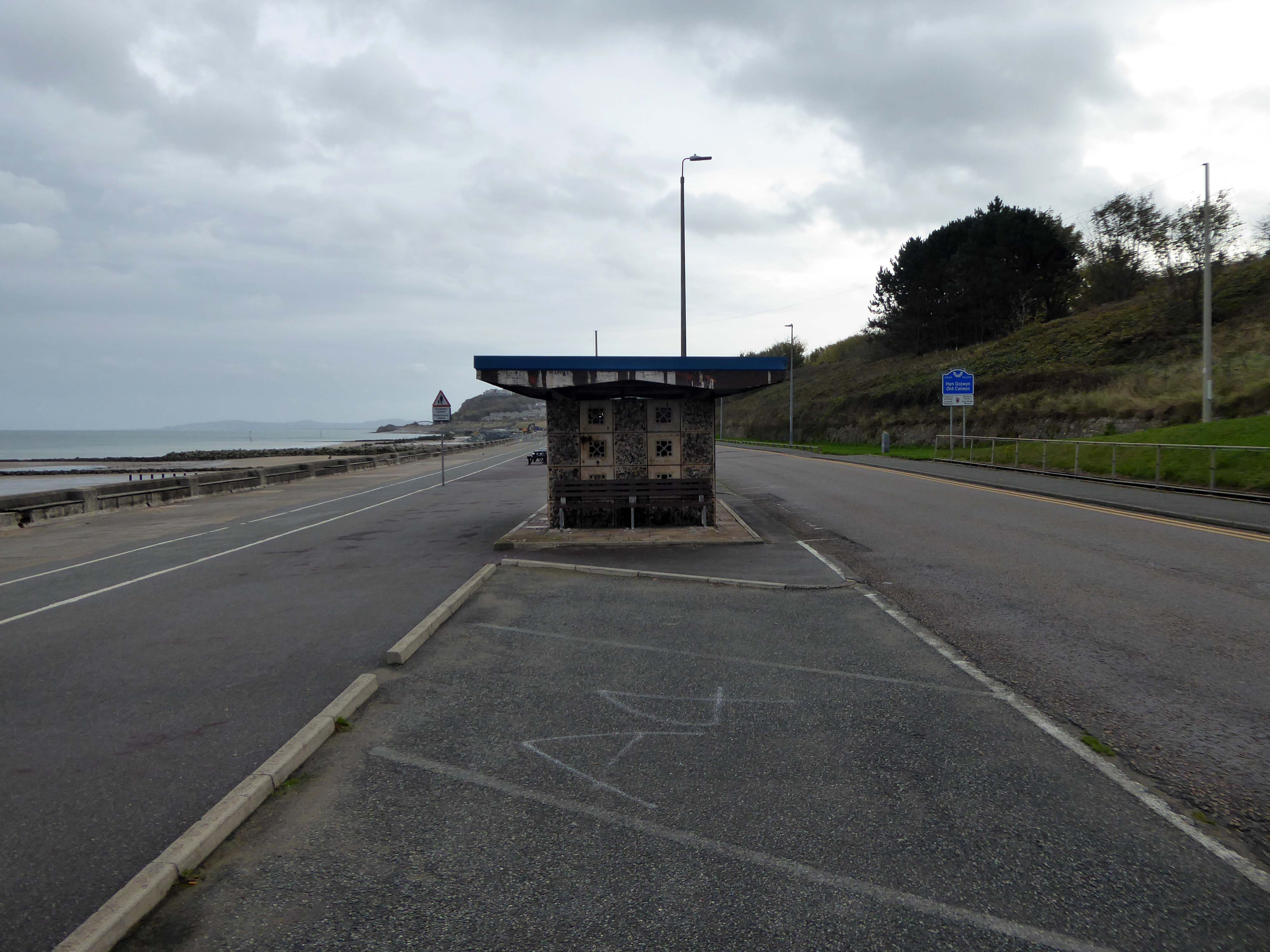
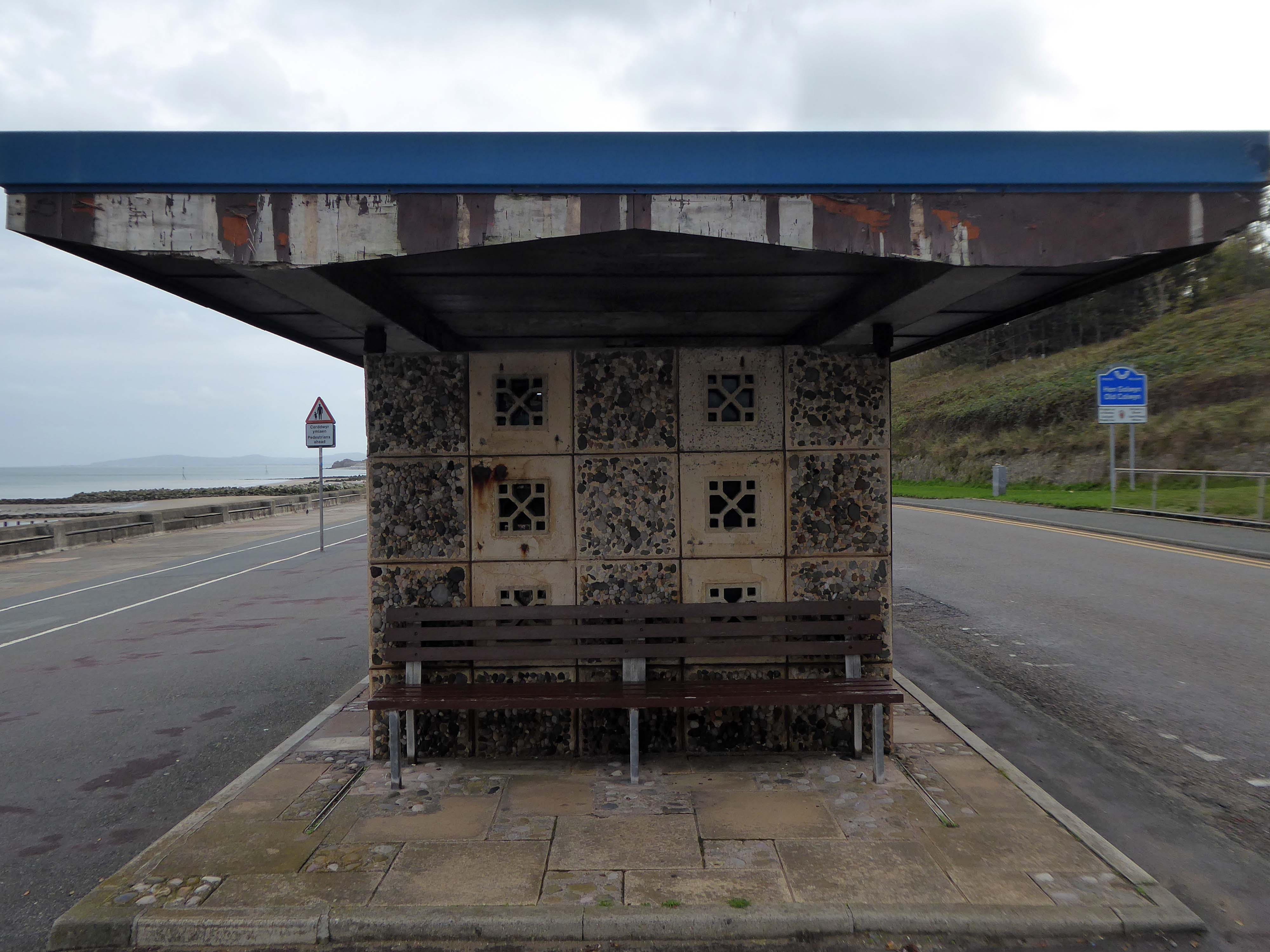
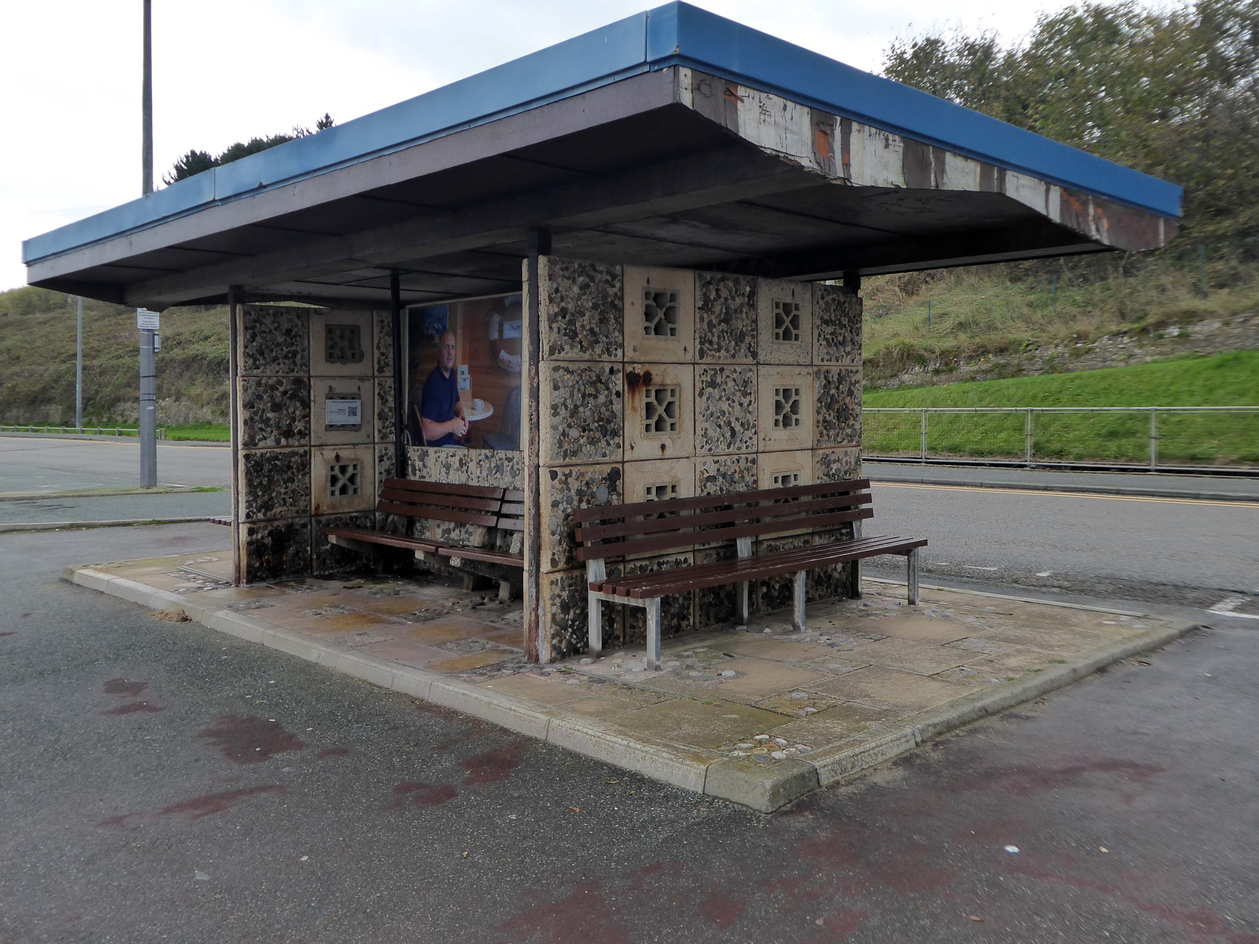
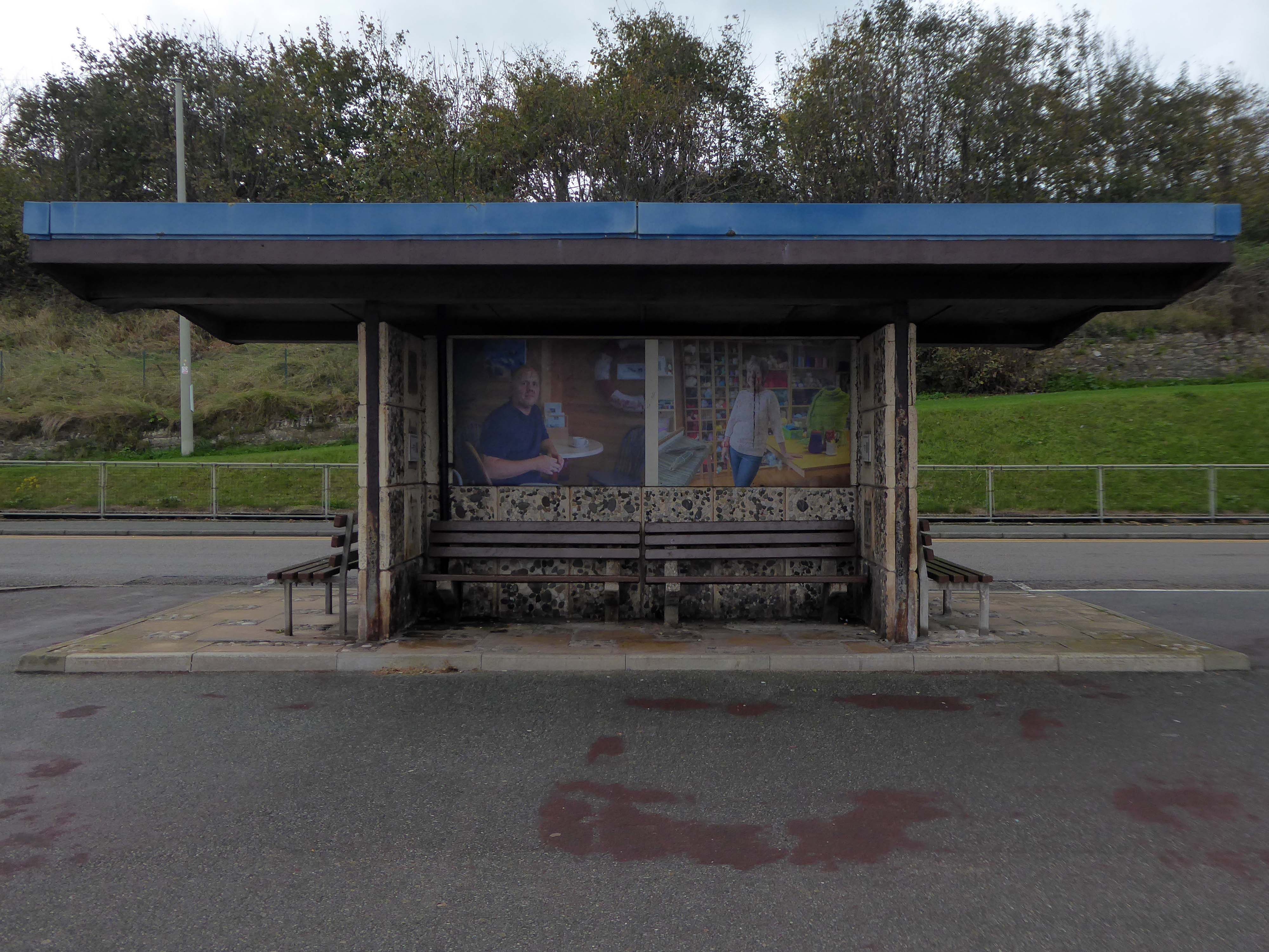
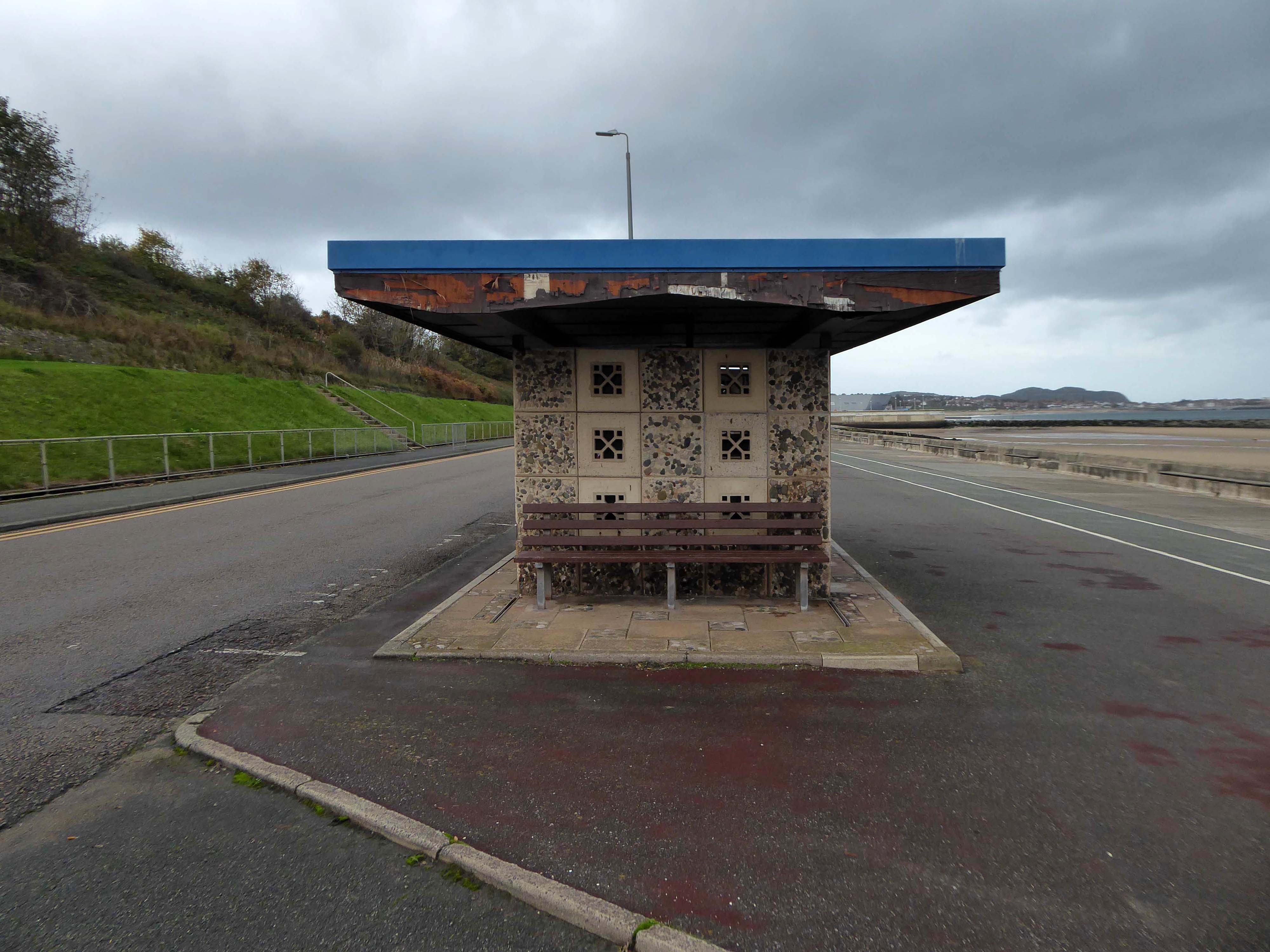
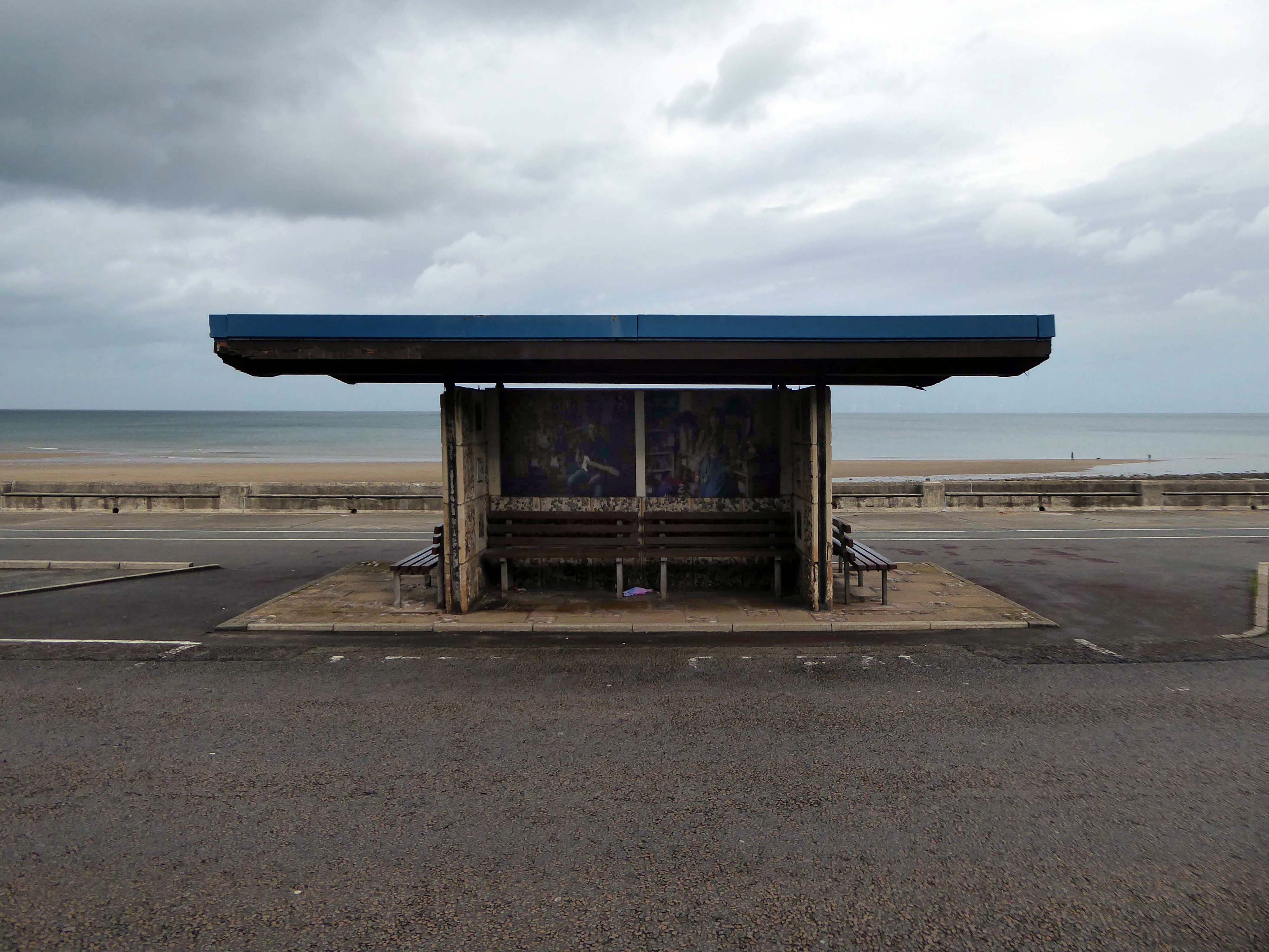
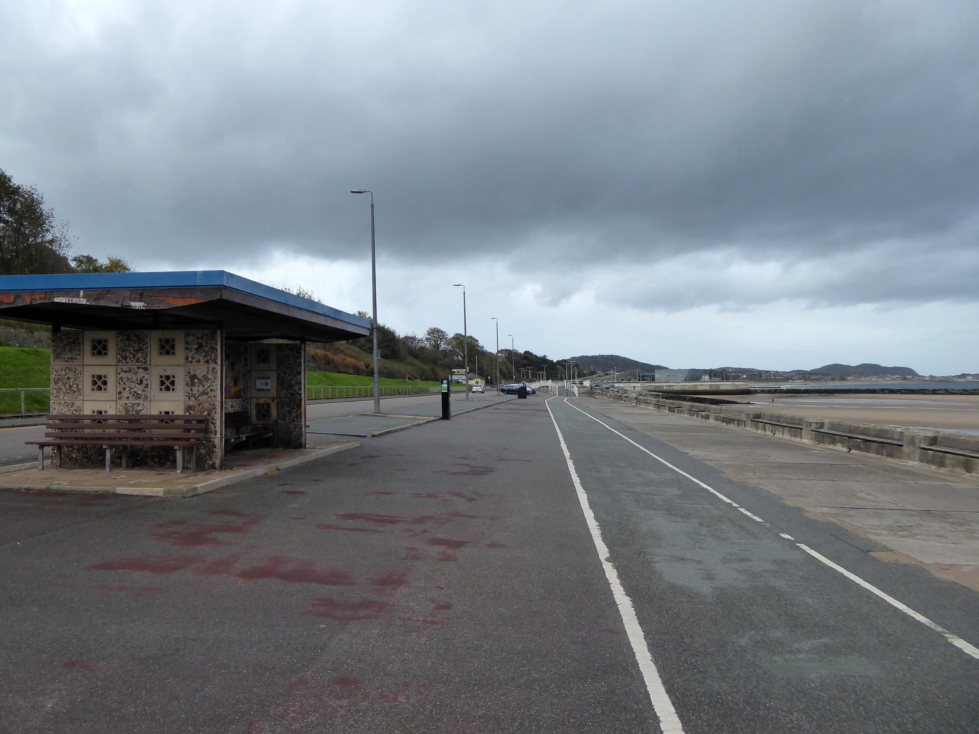
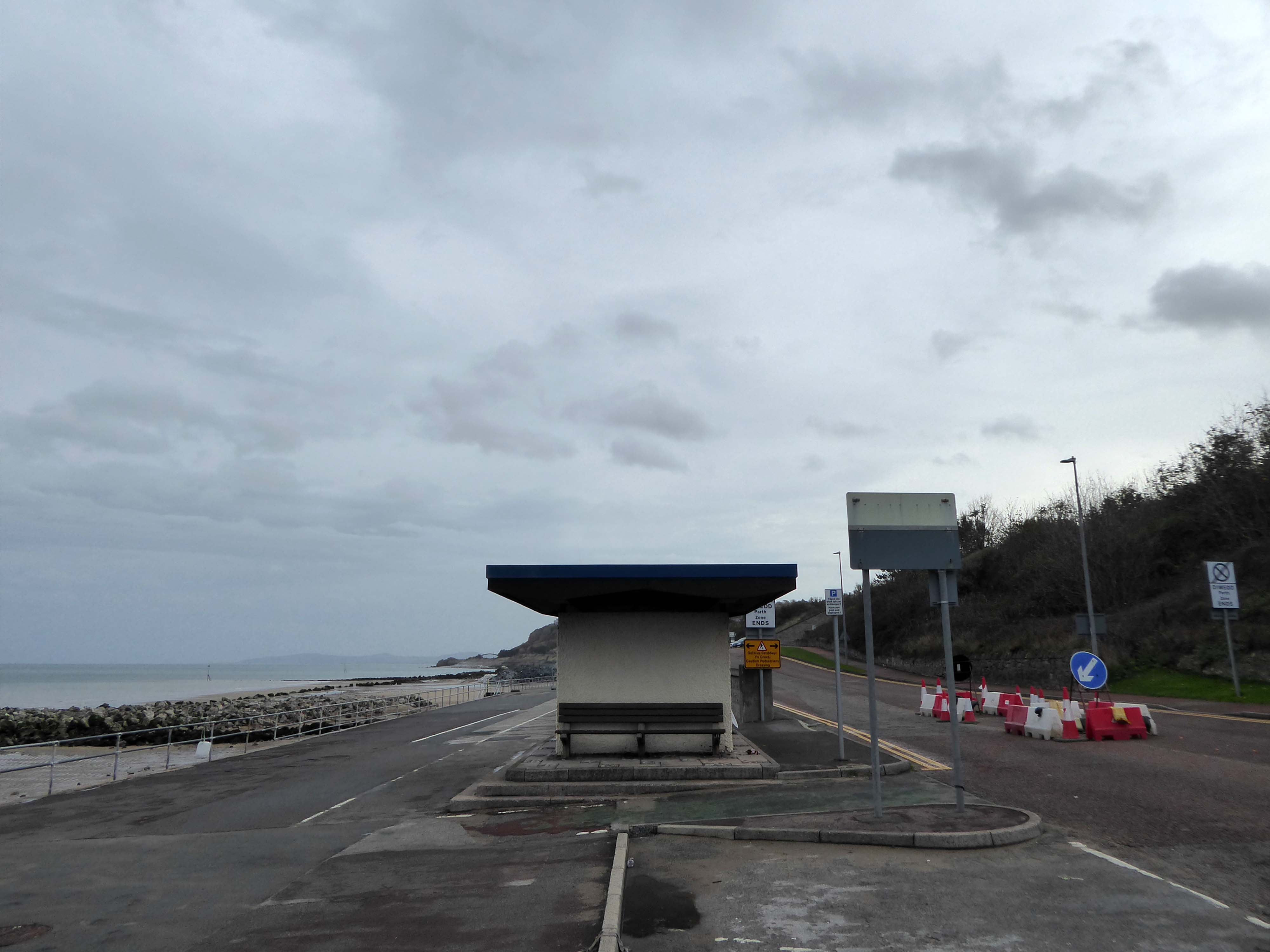
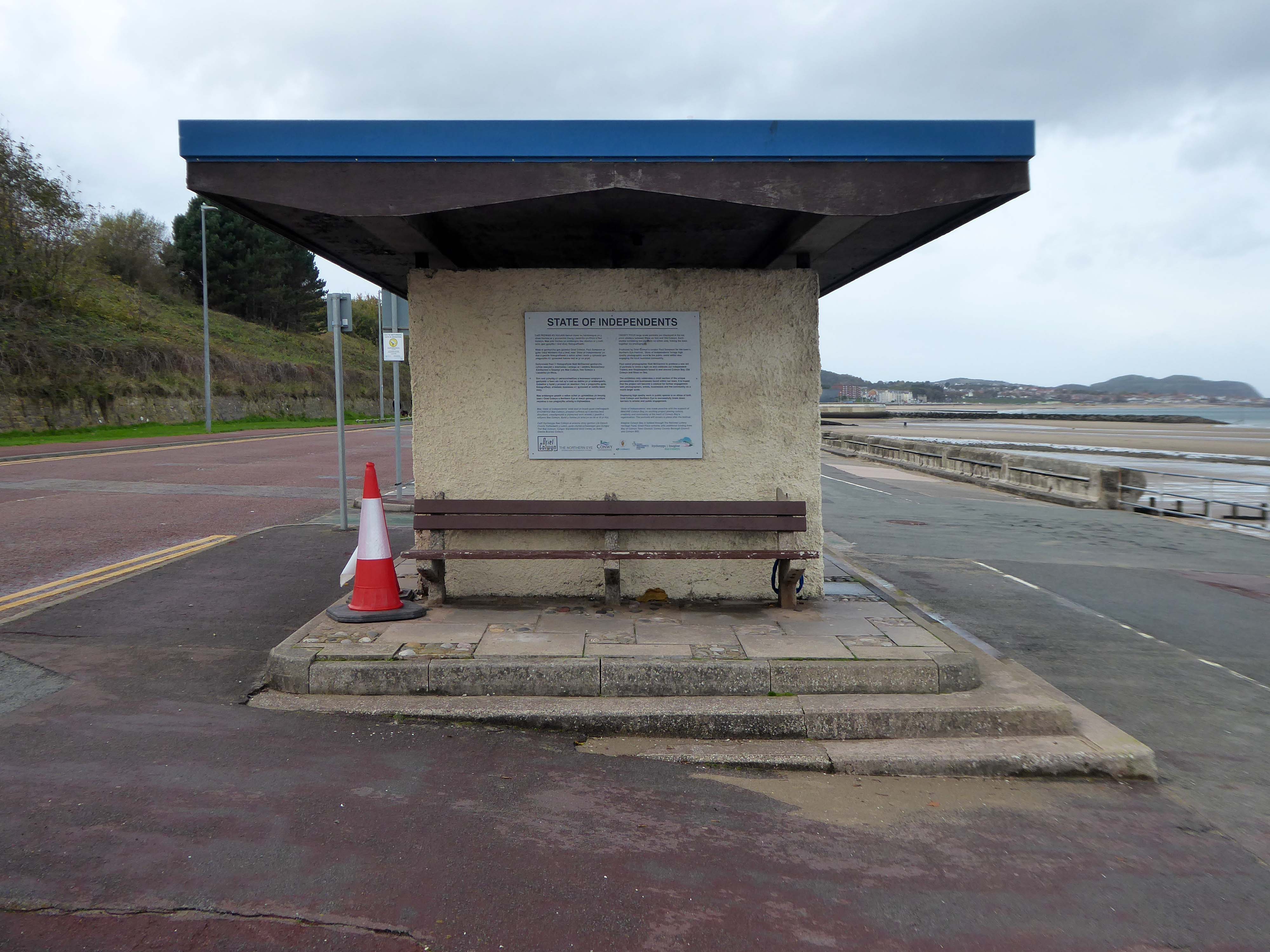
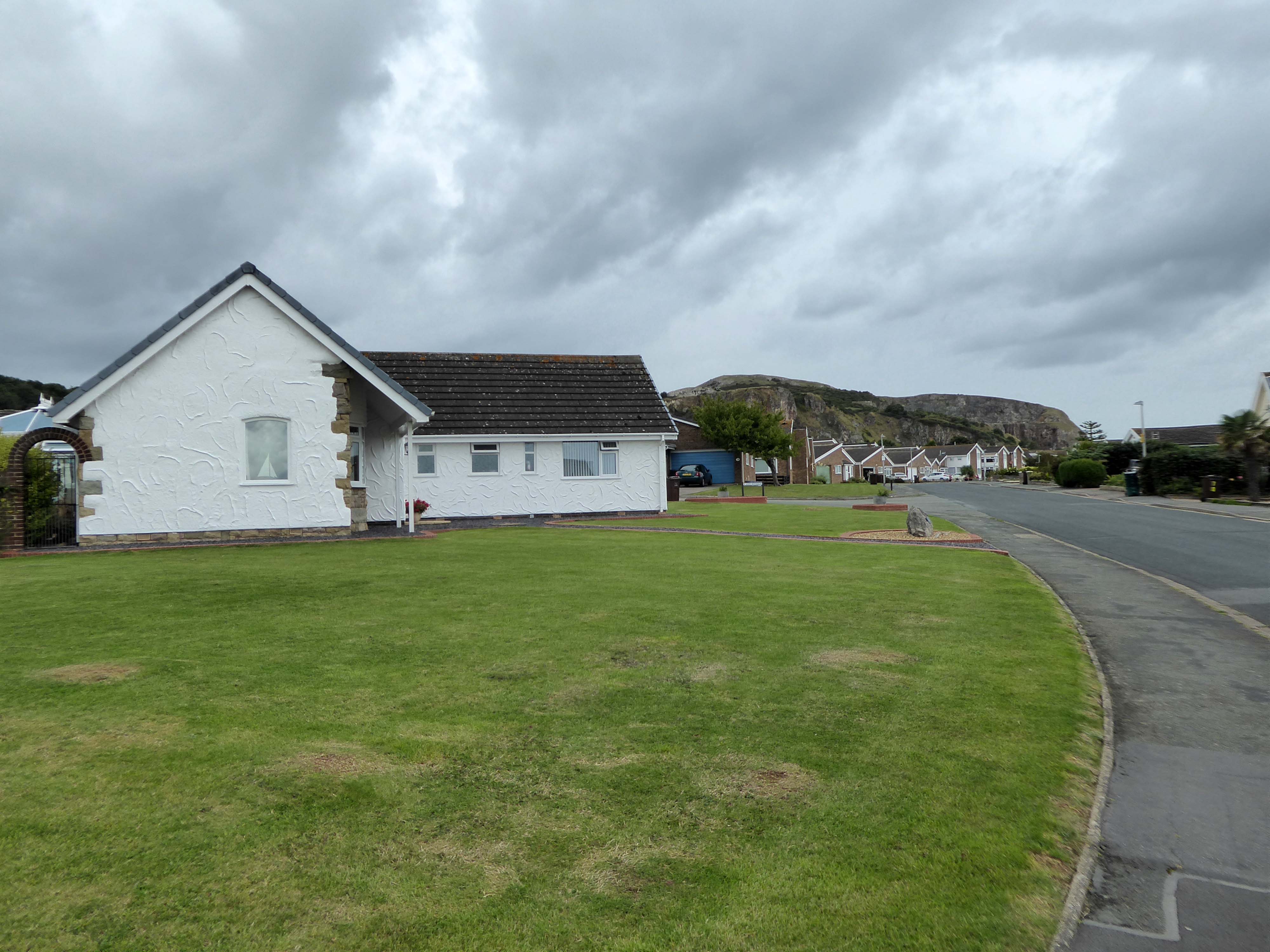
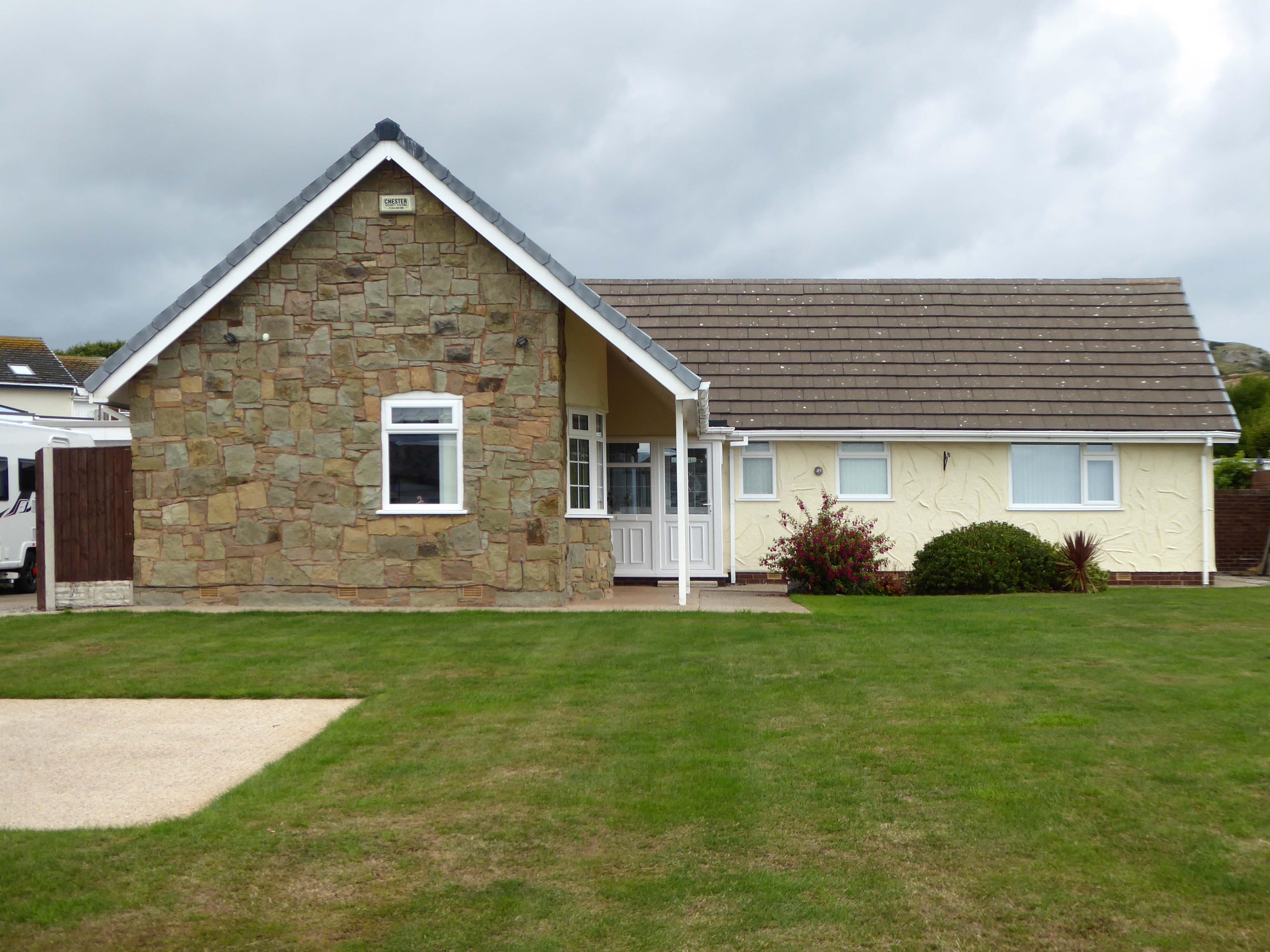
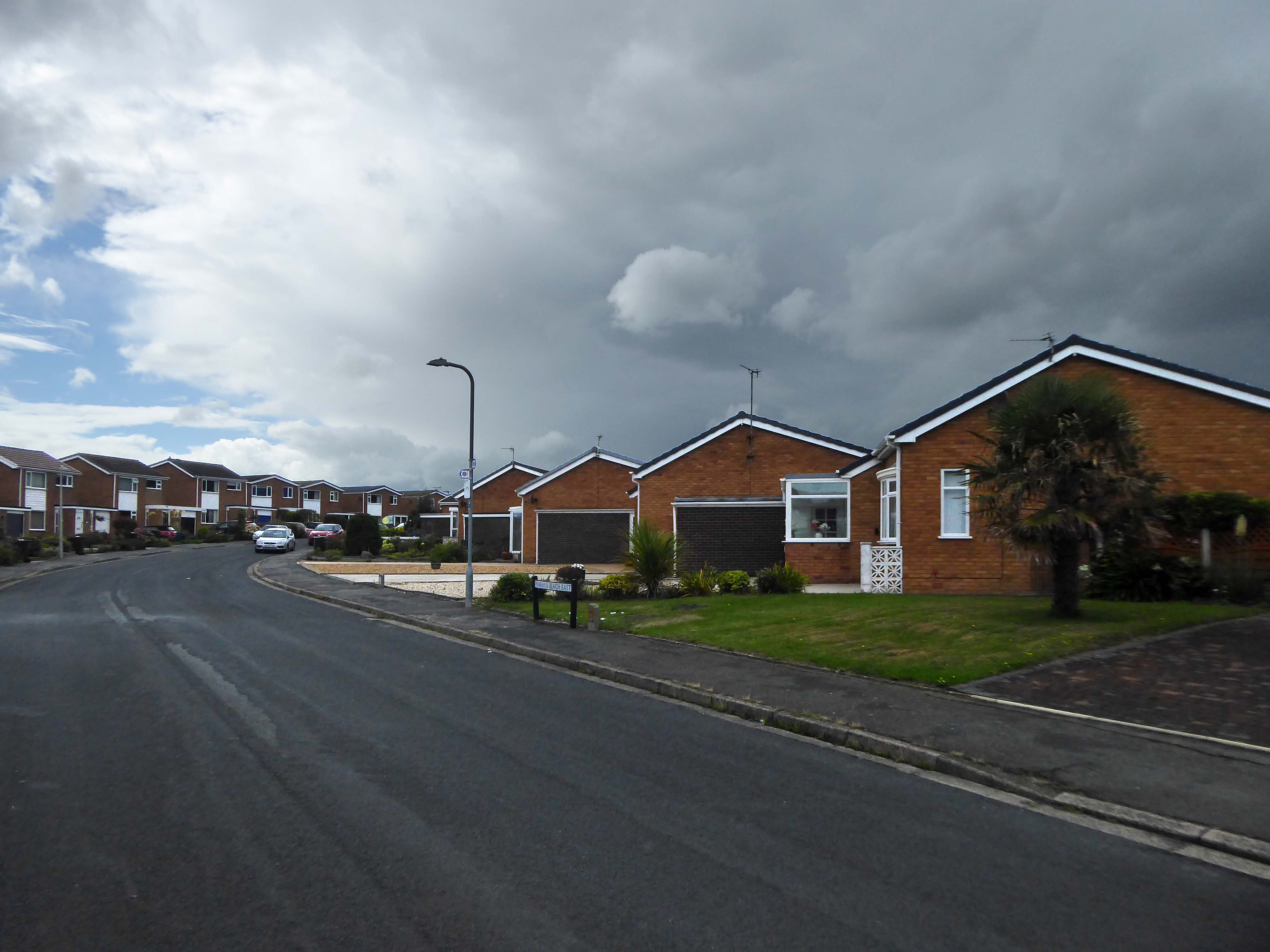
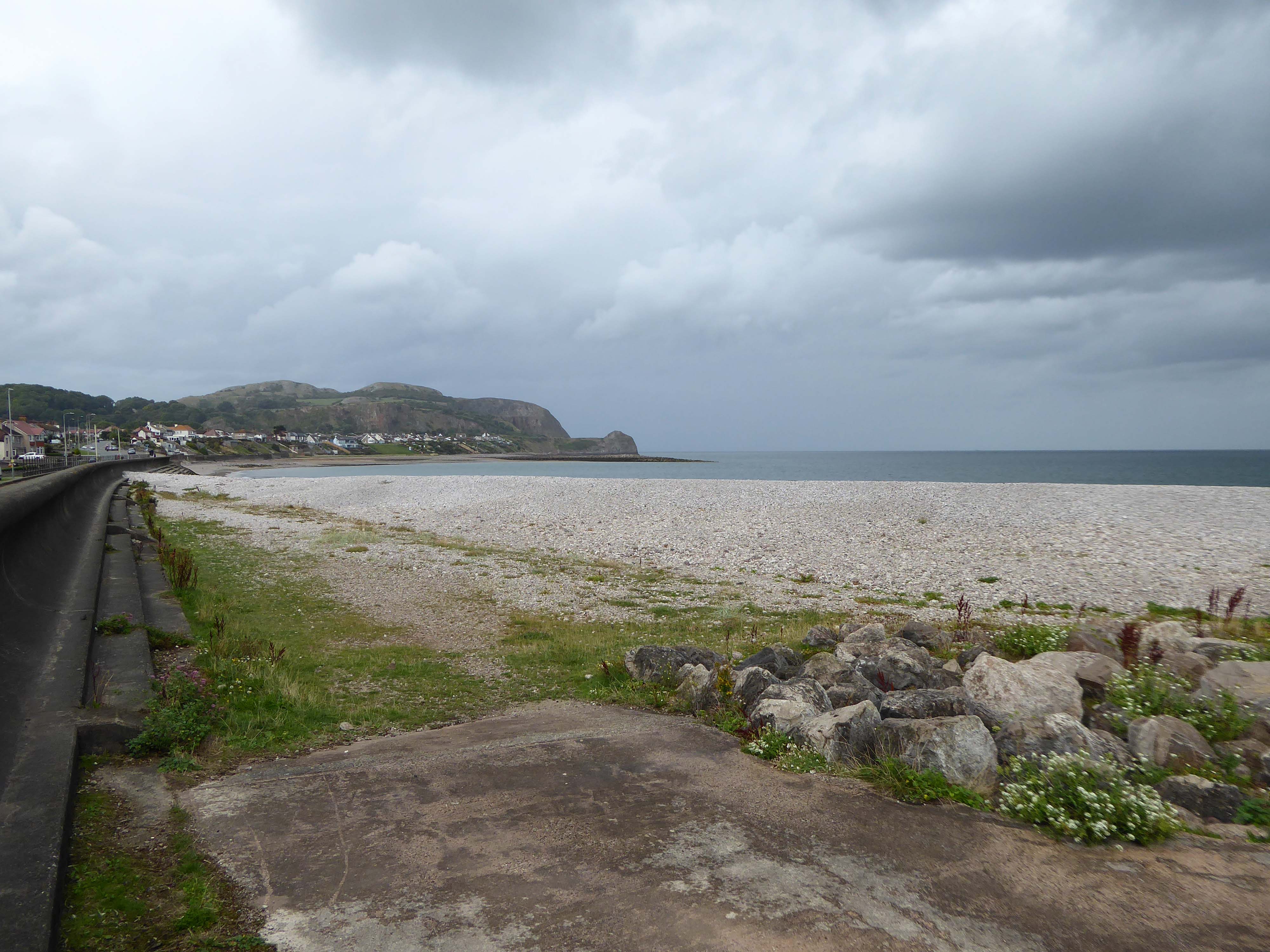
April and October 2019 walking from Rhos to Colwyn.
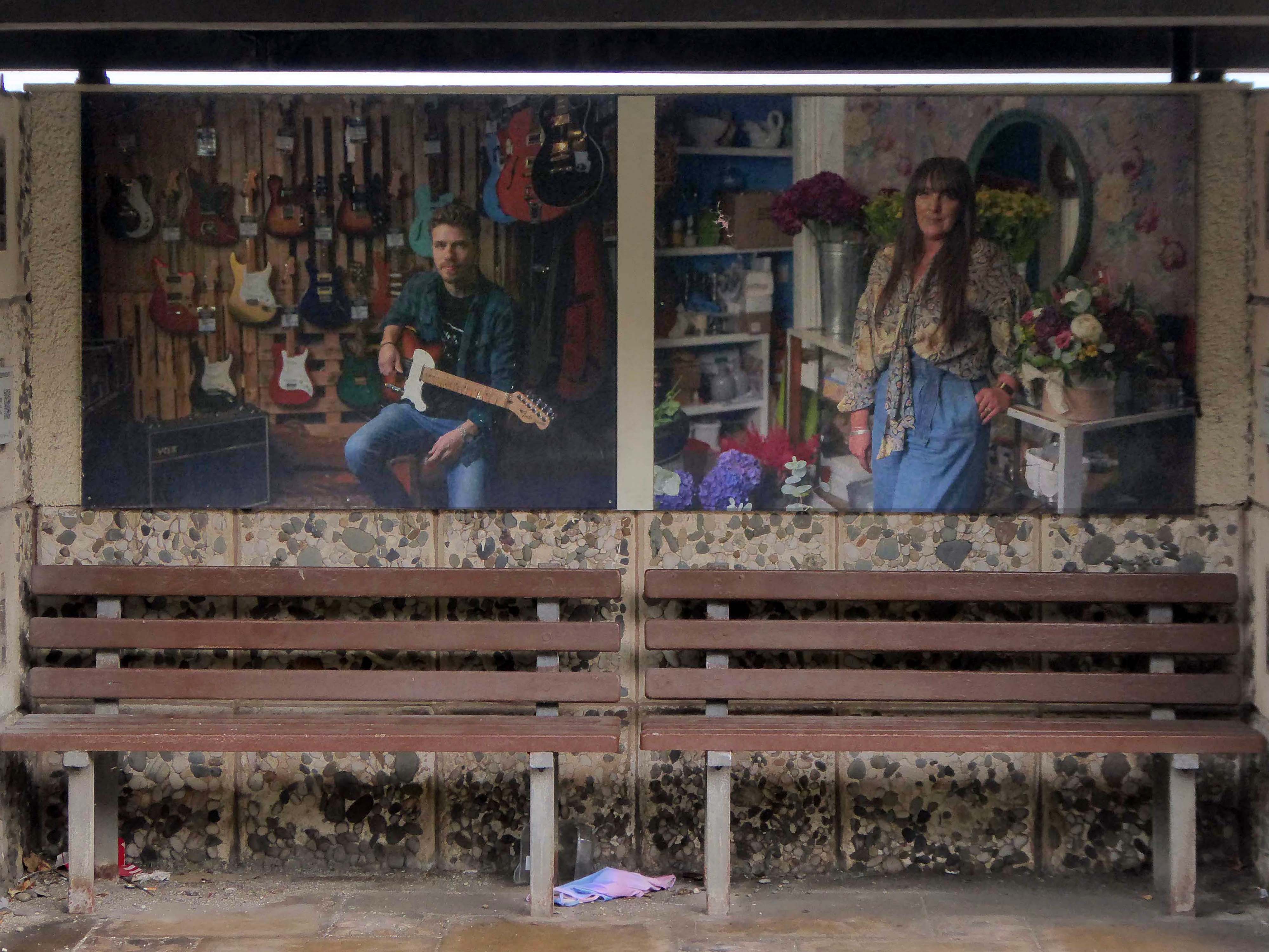
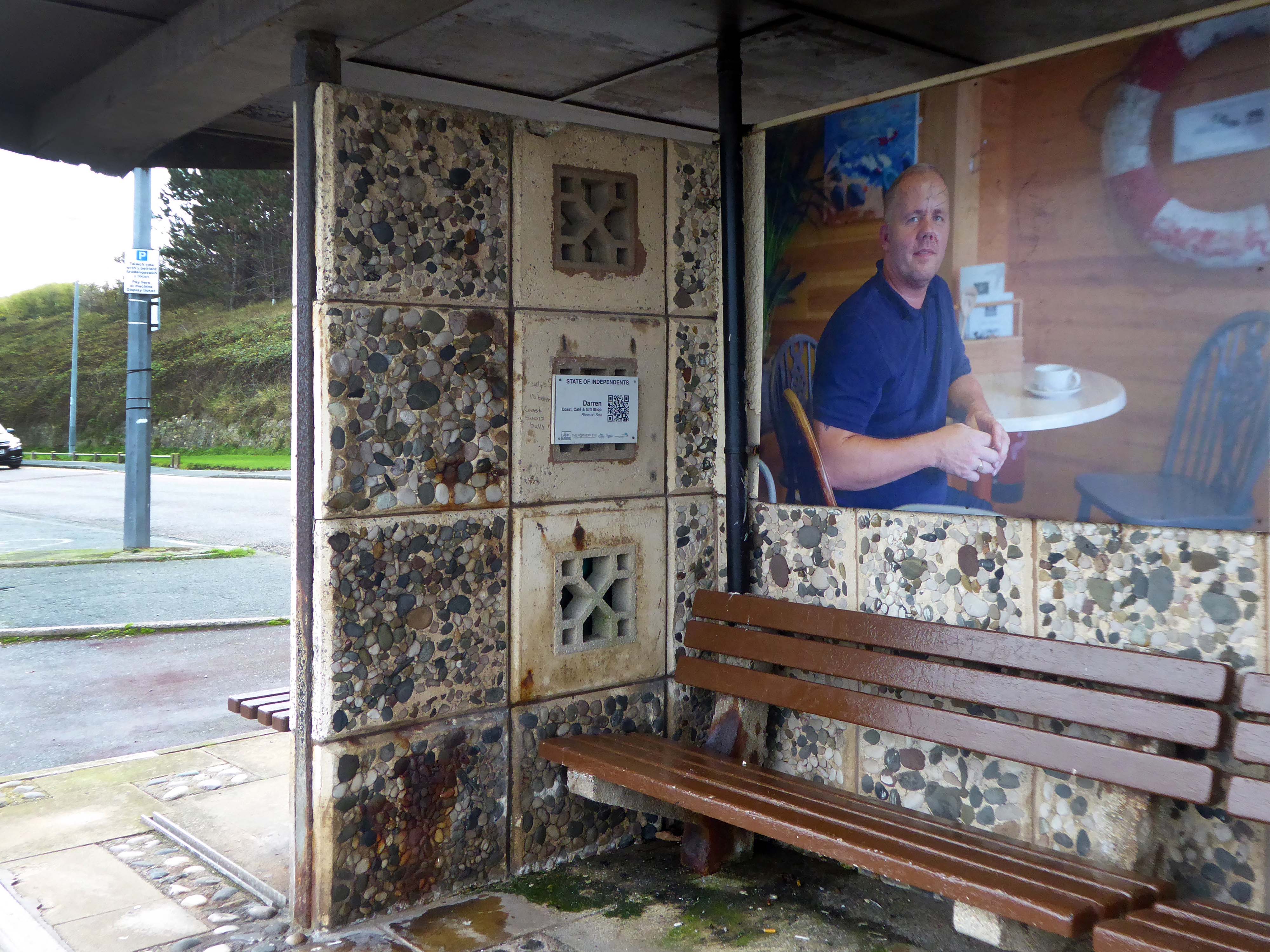
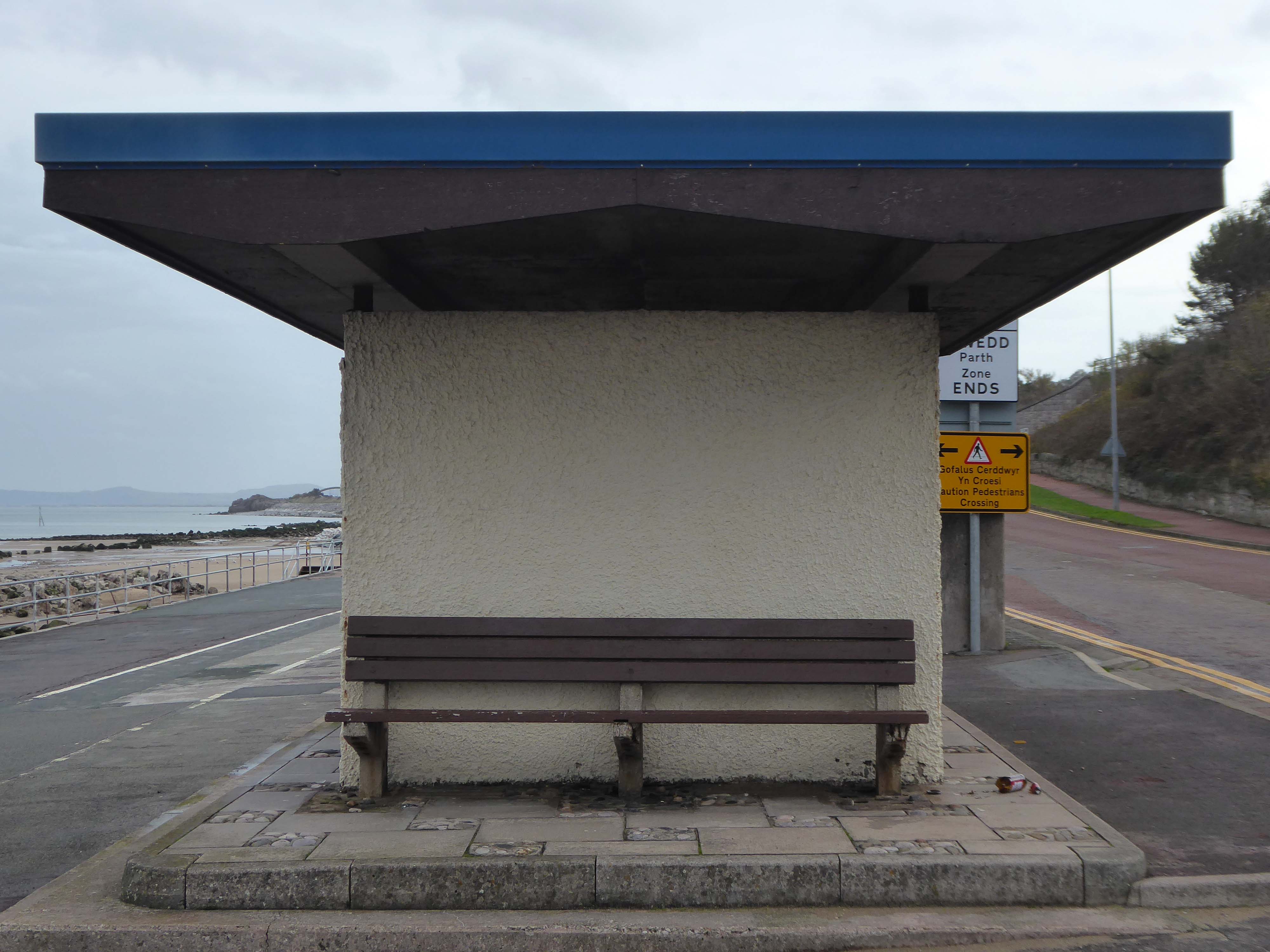
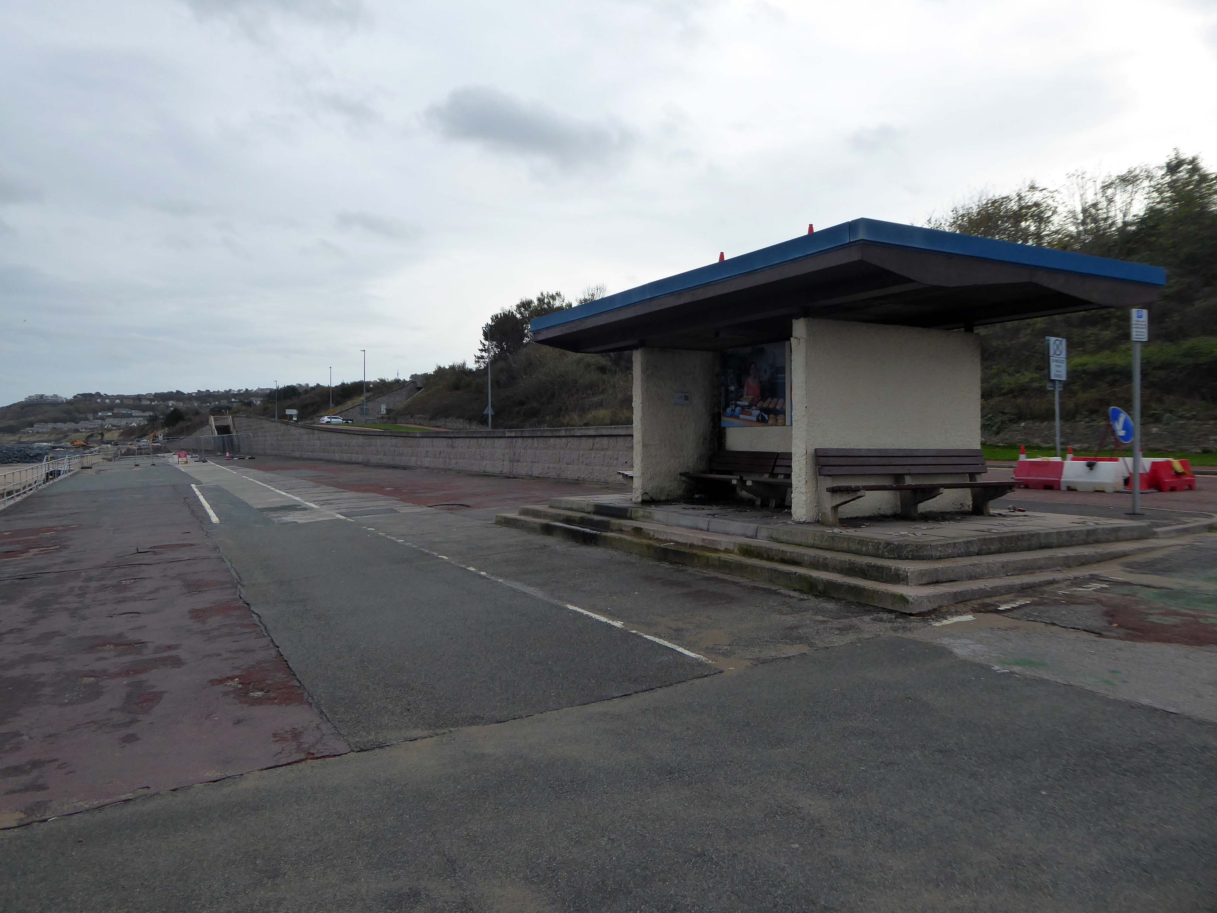
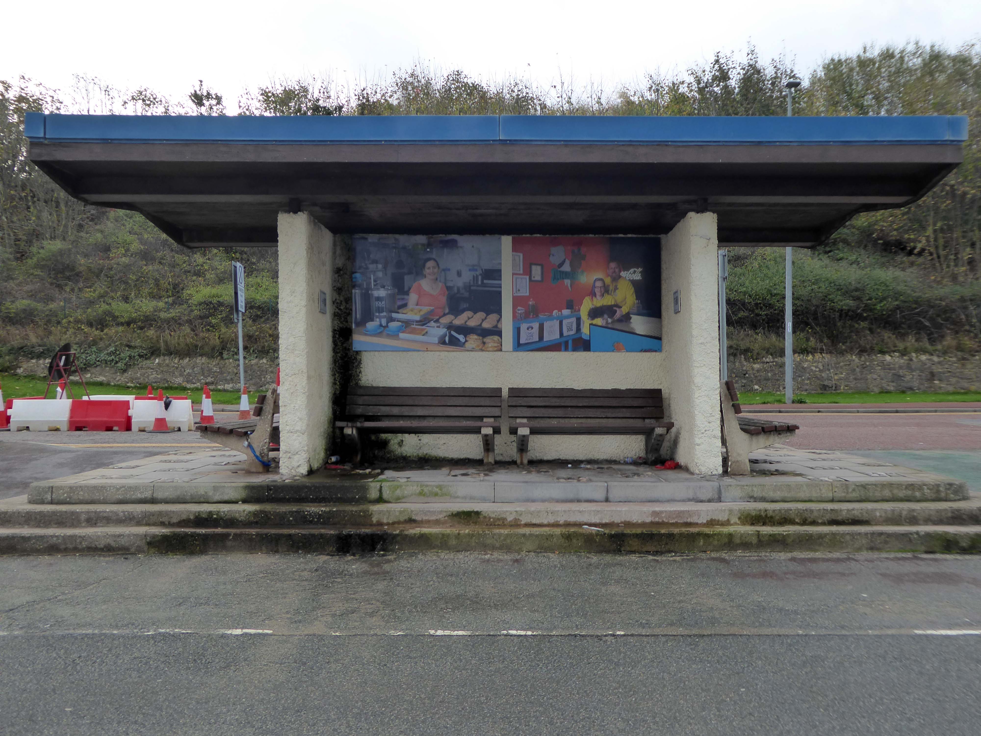
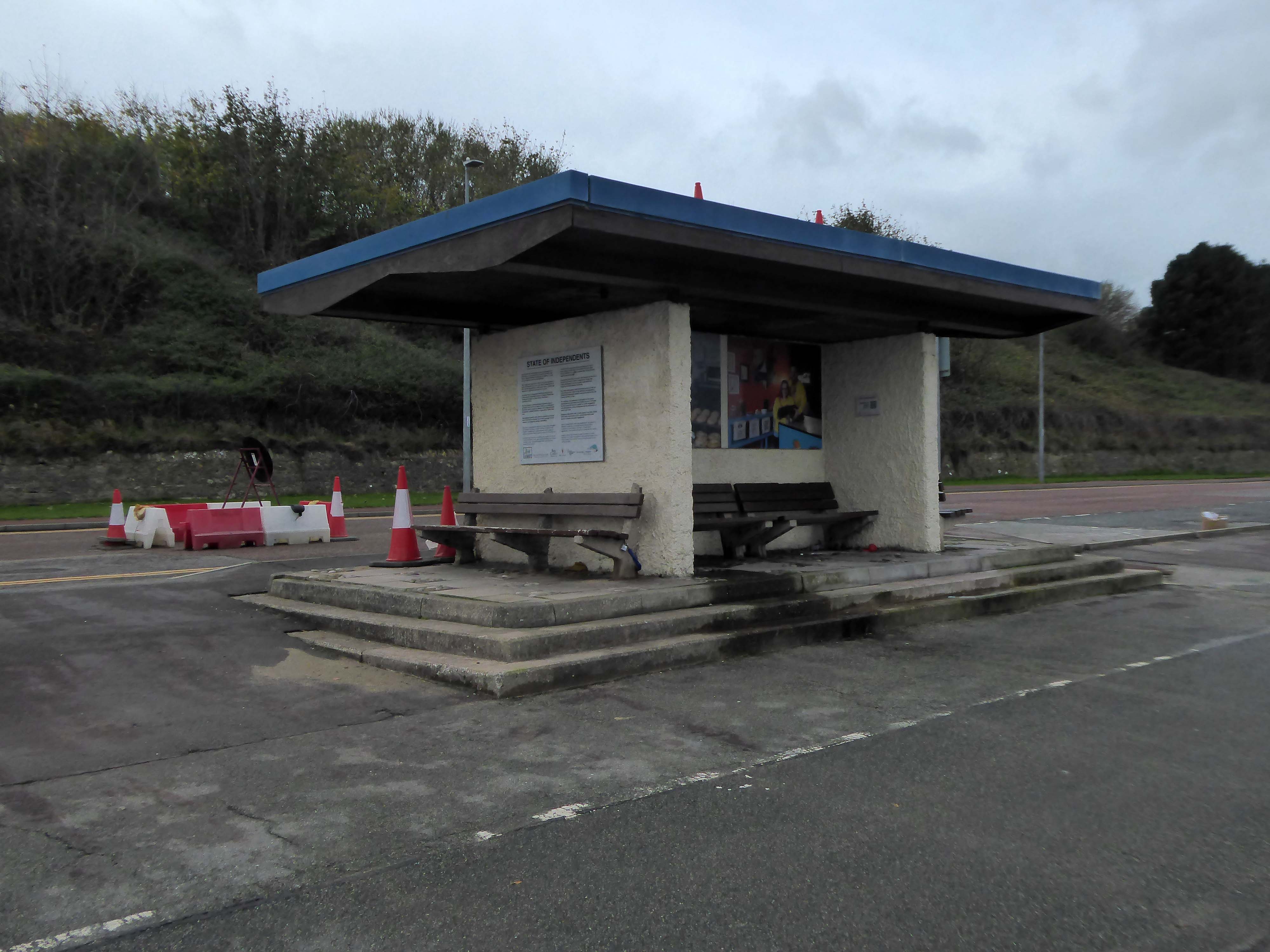
Pandemics come and almost go – as do seaside shelters it seems.
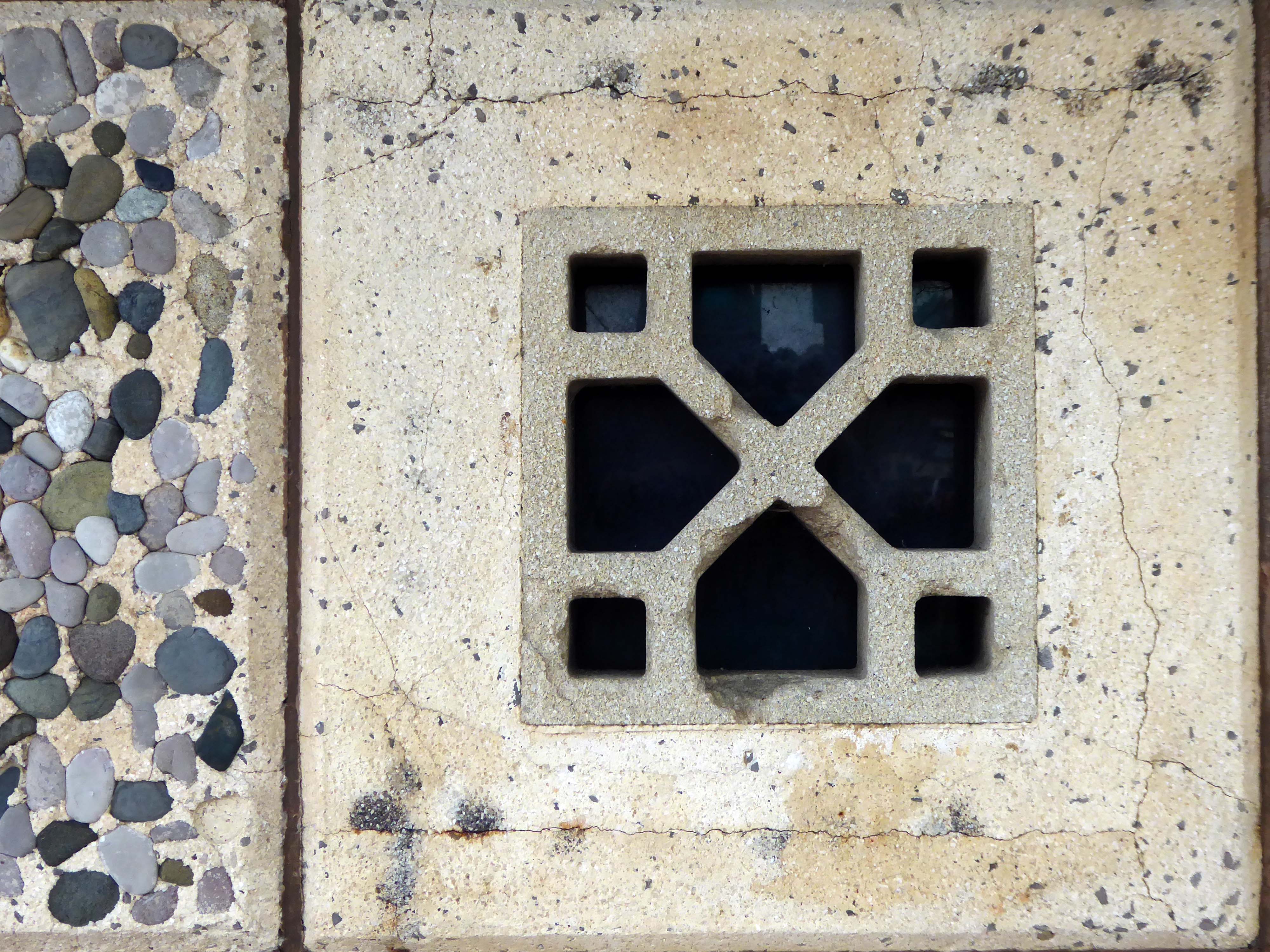
The shelters of 1860 are quite literally a thing of the past.
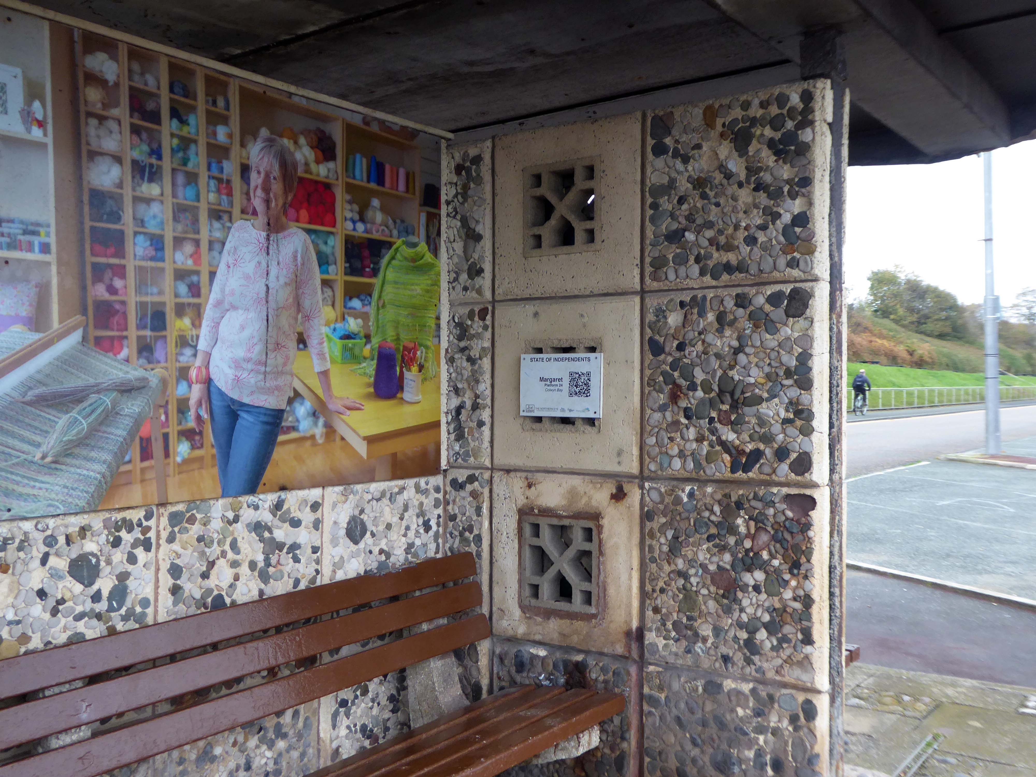
Thye have become host to Niall McDiarmid‘s snaps of local business folk – the project developed when local residents raised concerns about the appearance of the shelters on the promenade.
Cllr Roger Parry said
The shelters are nearing the end of their lifespan and these sections of the prom will be upgraded as part of the waterfront project.
In the meantime, State of Independents will make great use of the shelters; celebrating our hardworking local businesses and hopefully encouraging footfall from the promenade to our high streets.
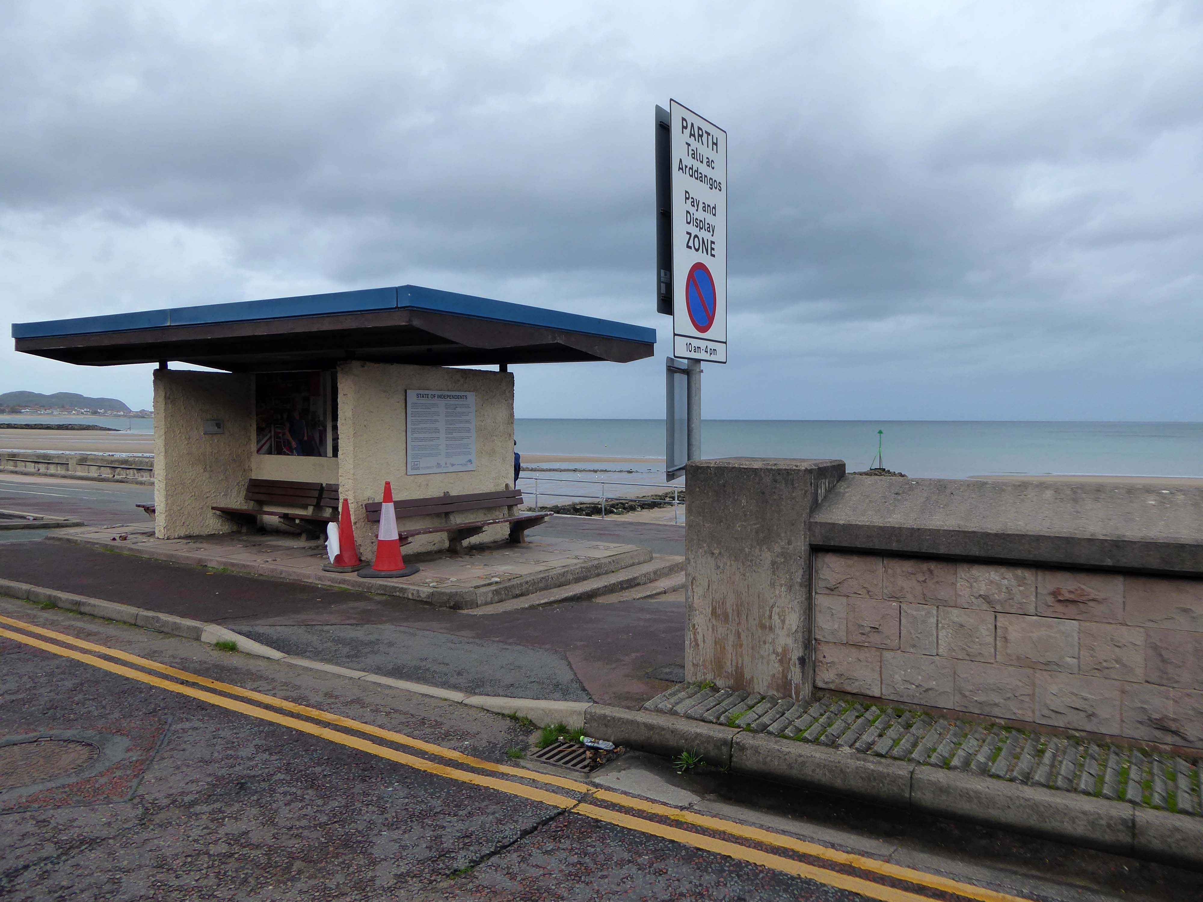
The last of the Rhos on Sea shelters is a dangerous customer suitably secured.
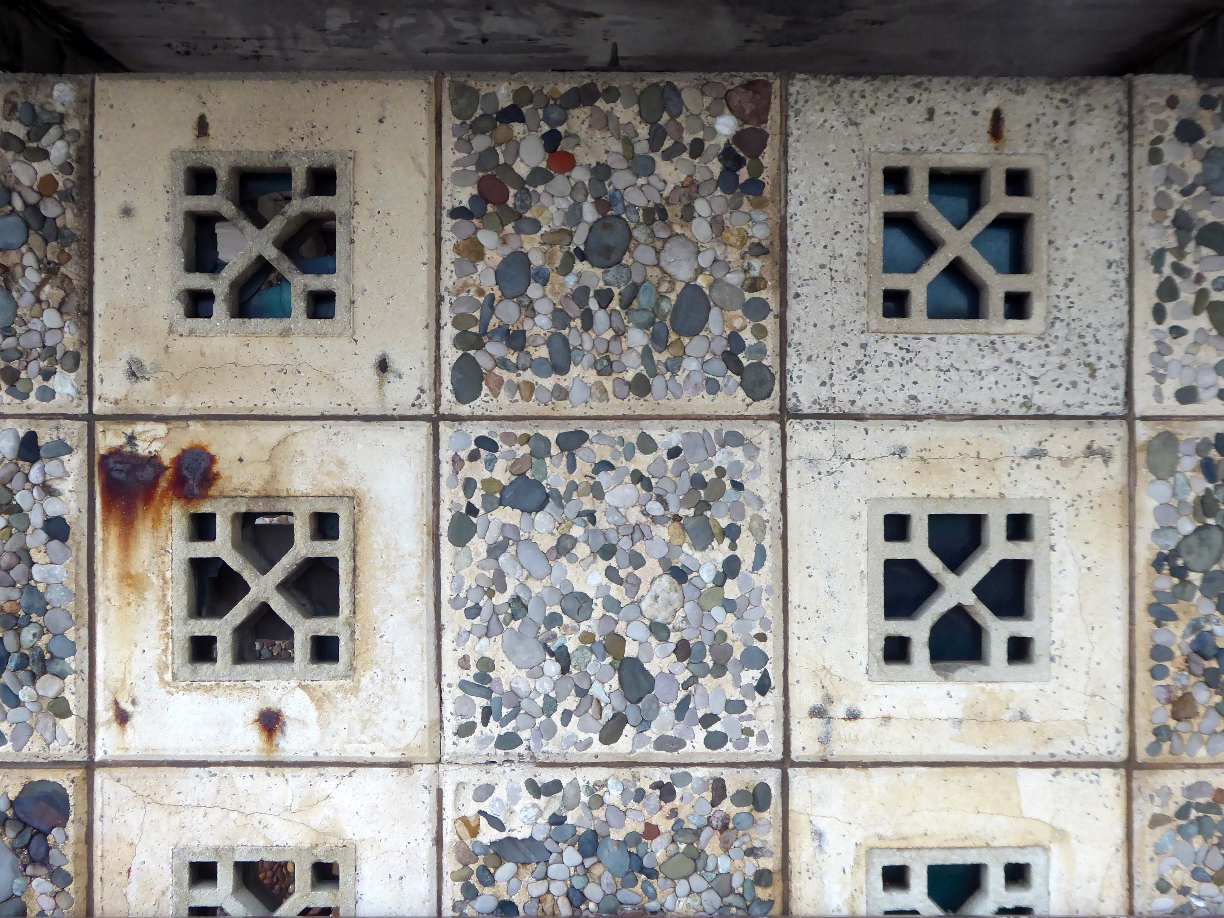
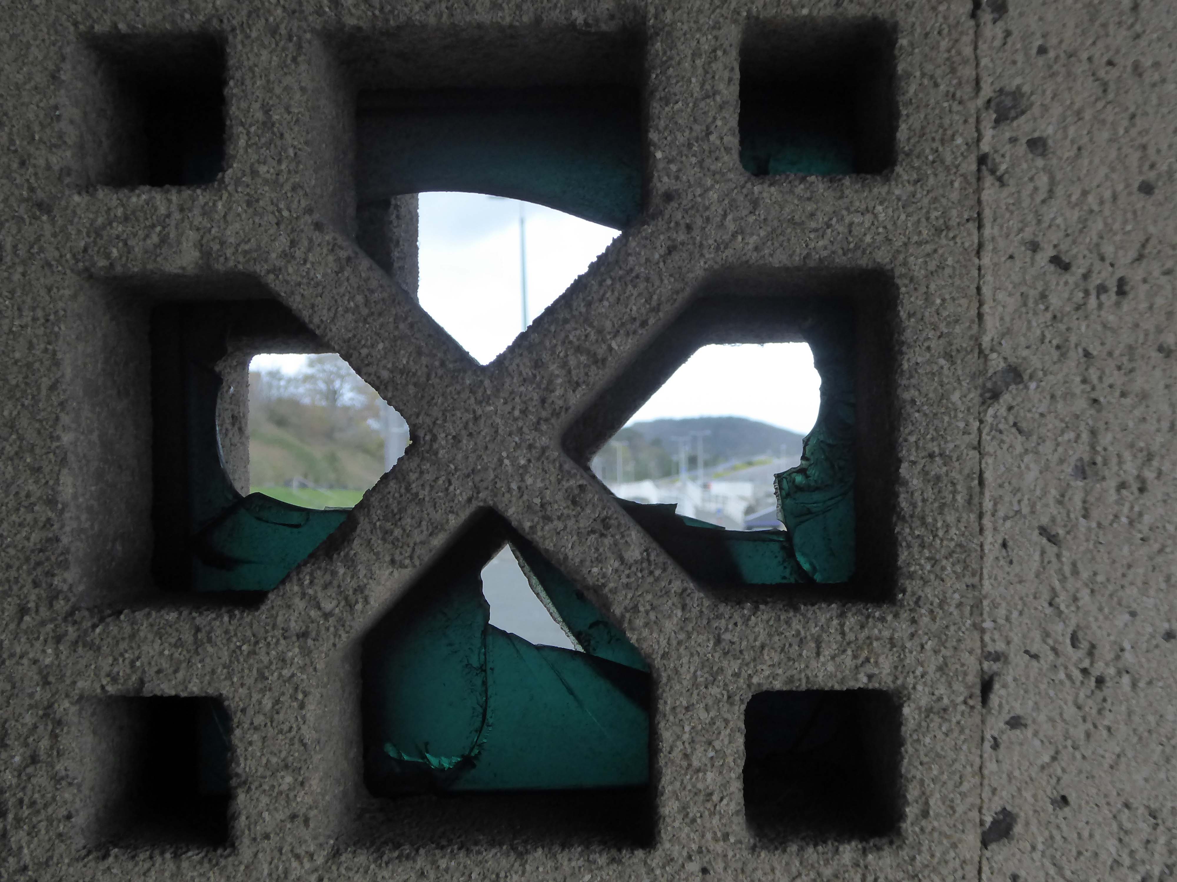
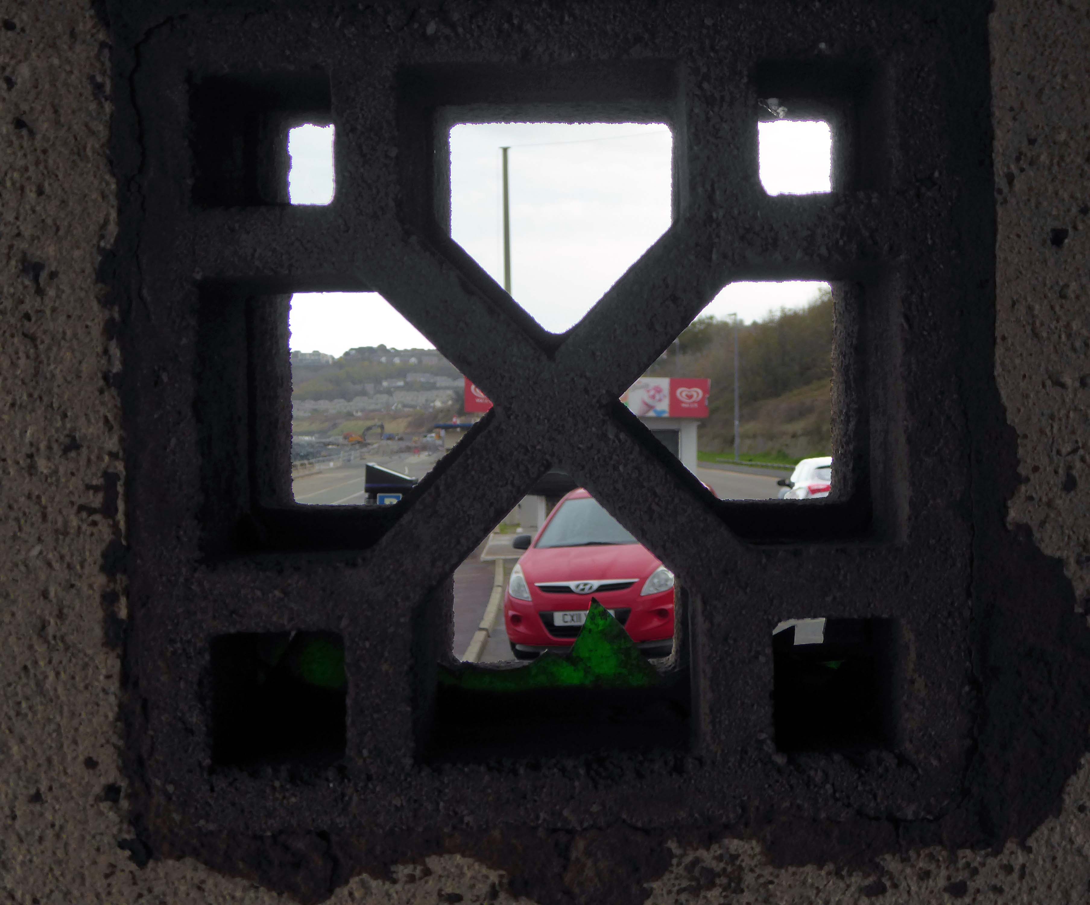
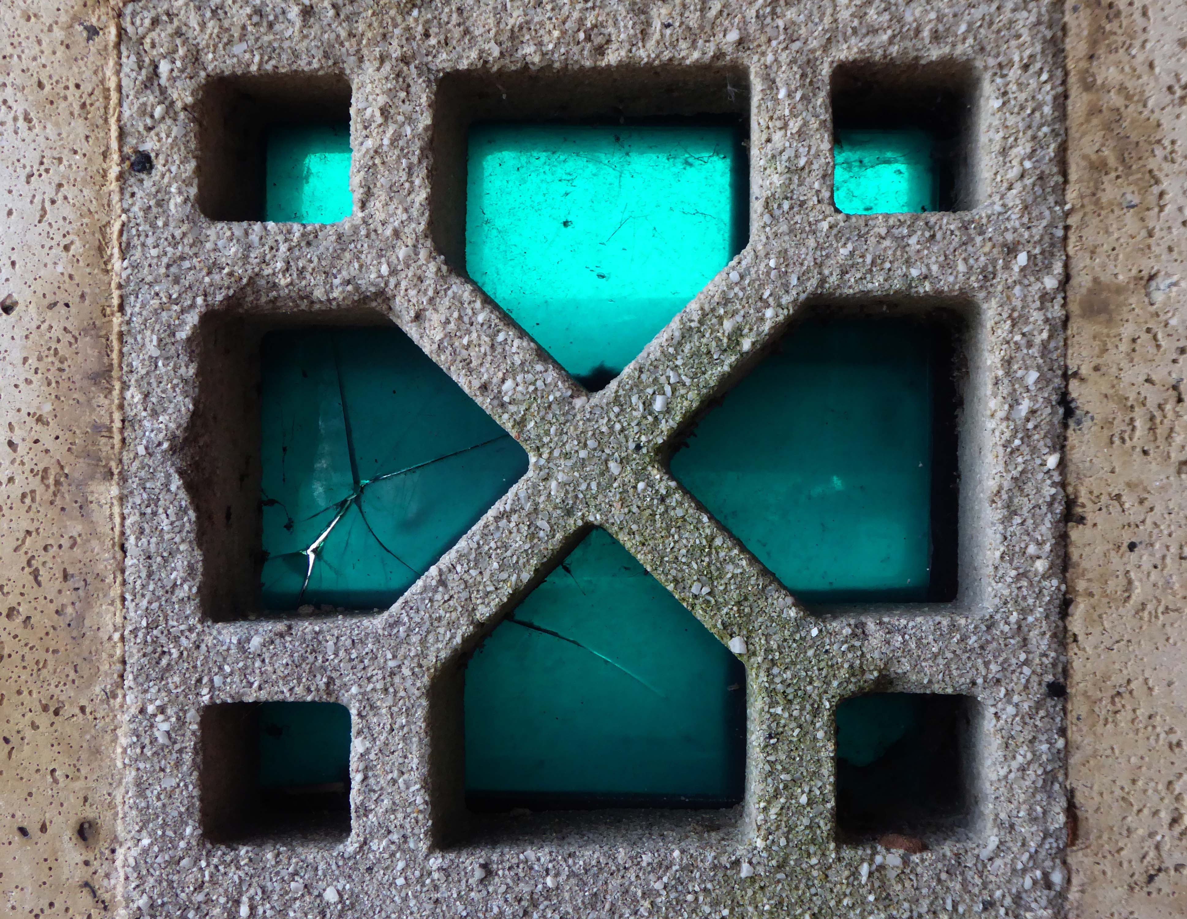
There remains two exemplars of the typology located at the Colwyn end of the bay.
The second shelter lacks the pierced concrete blocks.
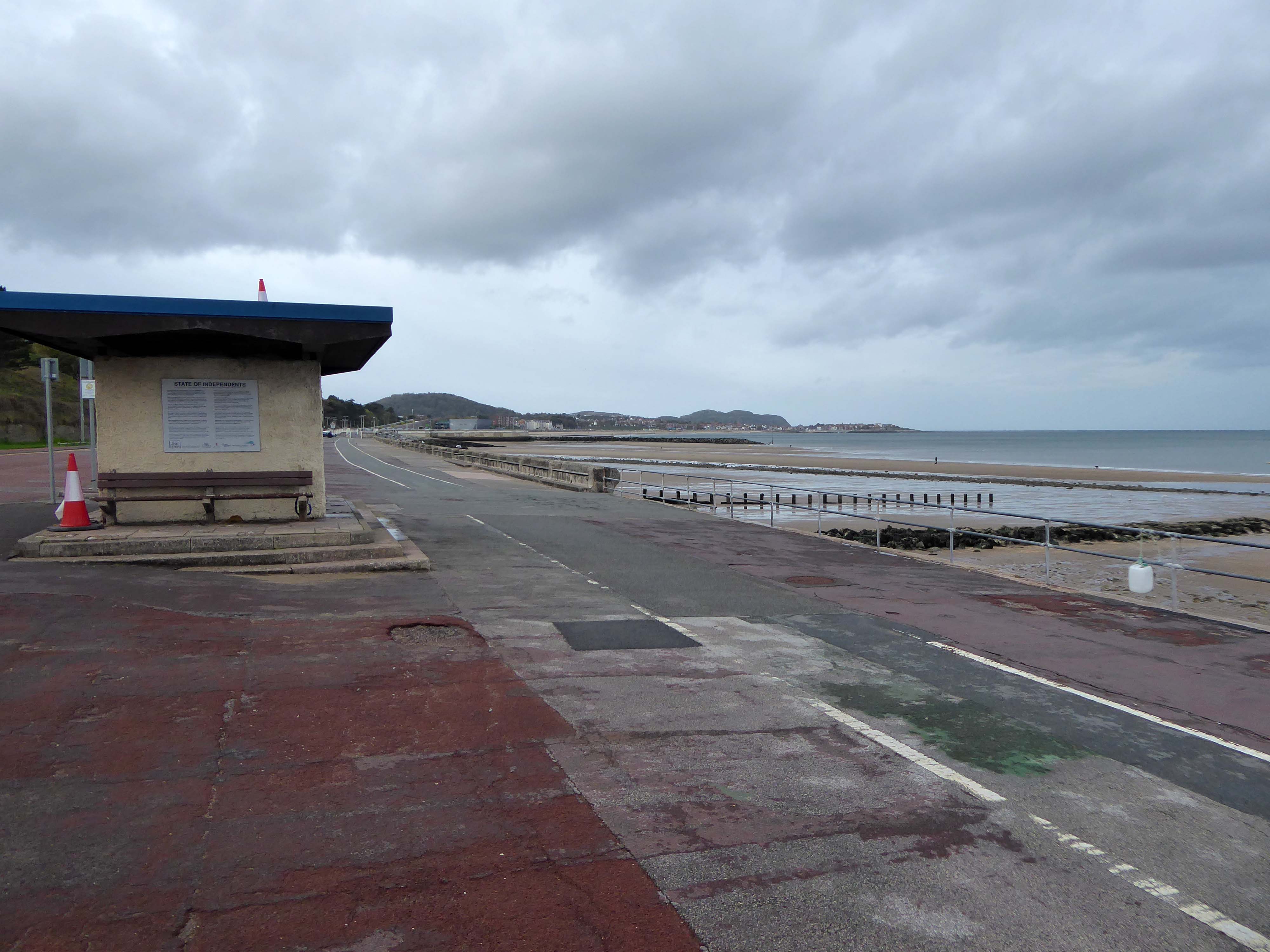
So work progresses on the coastal defences, the promenade is refashioned after a fashion in the fashion of the day.
There is no longer a place for these unique exemplars of Municipal Modernism.
Before the work began, the promenade was a tired, uninviting and underused public space. Poorly lit and often host to anti-social behaviour, the uneven surfacing and crumbling shelters were the results of years of patchwork repairs.
The project has transformed the area into a public space which the local community can take pride in and make use of all year round.
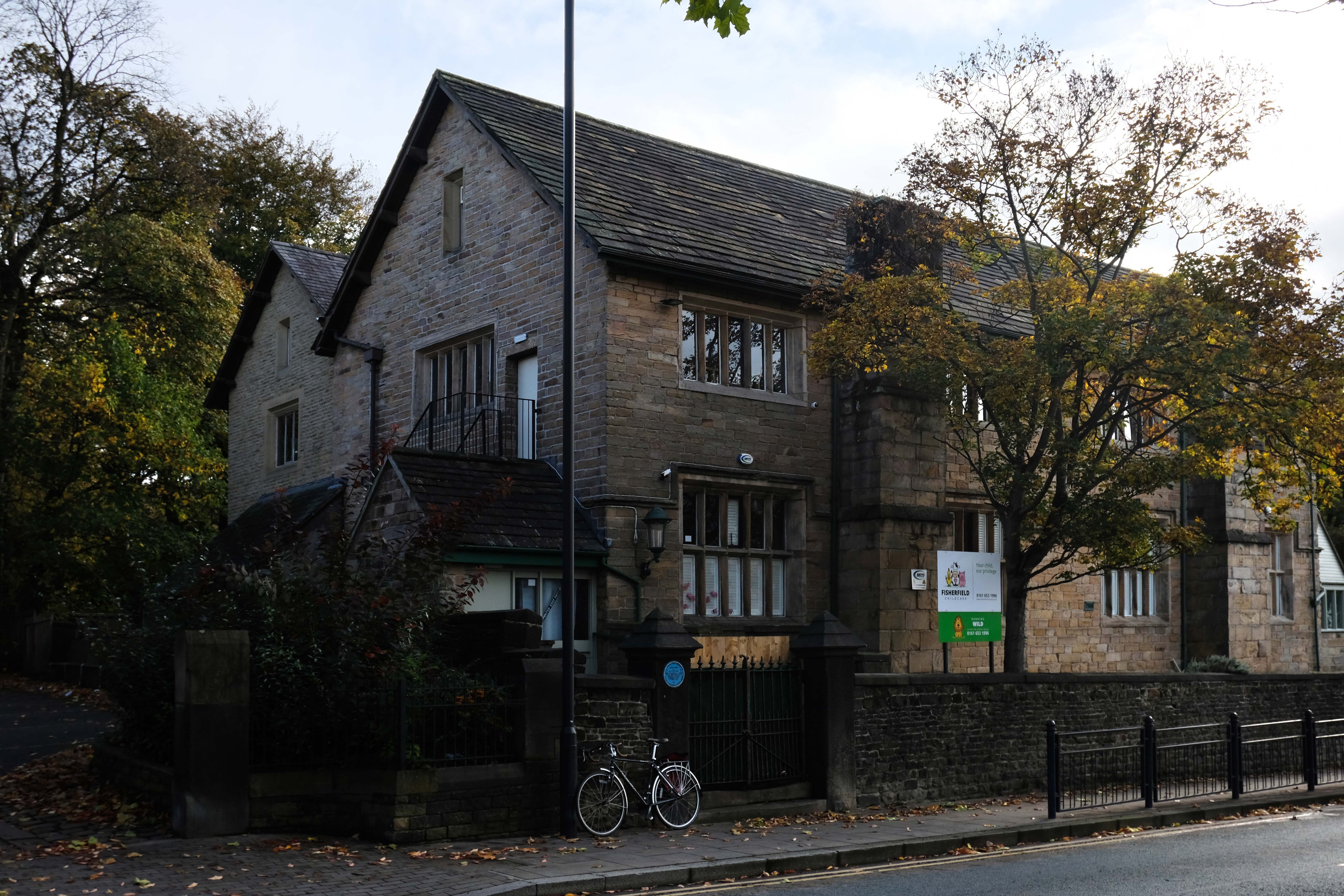
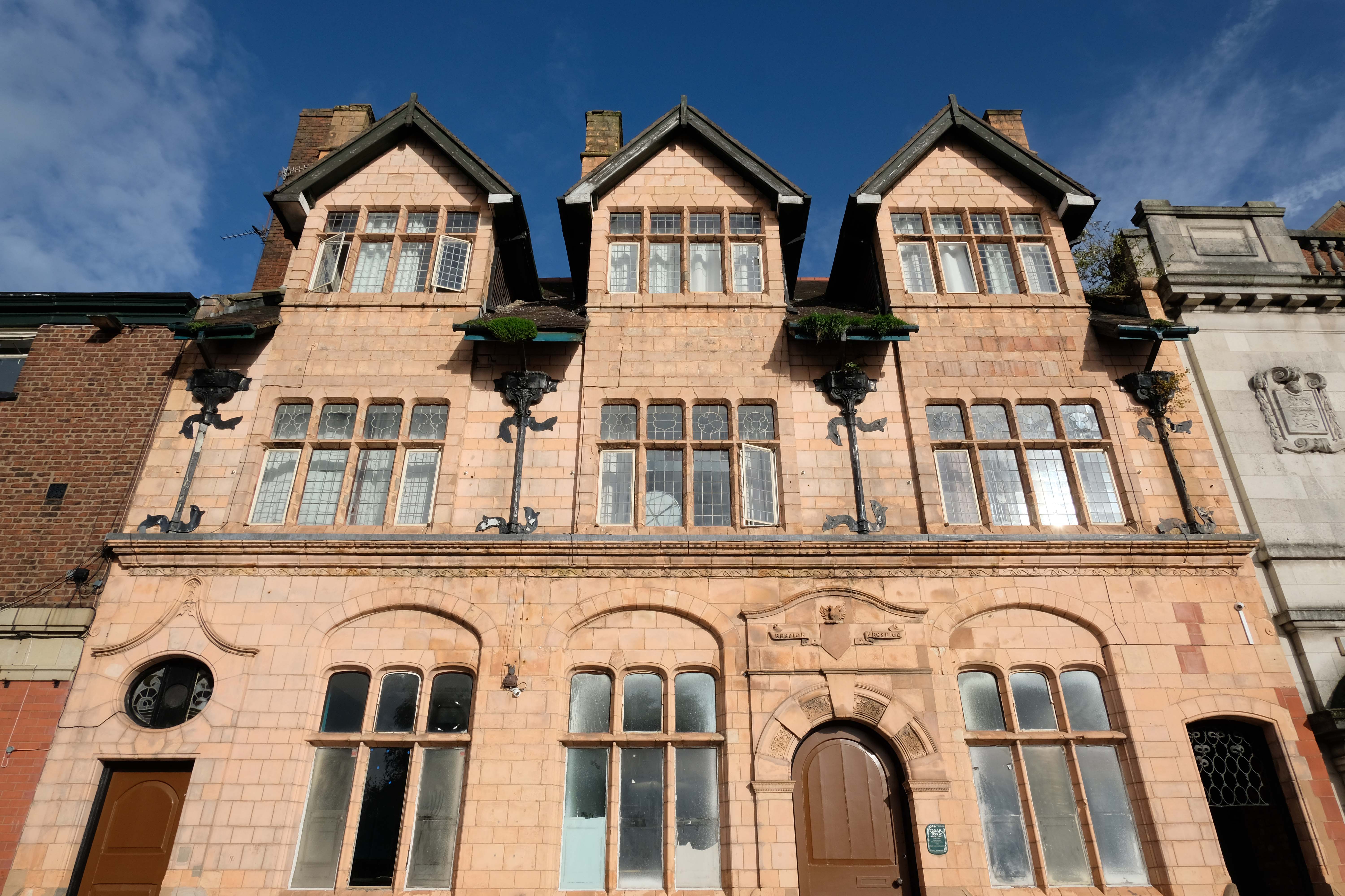
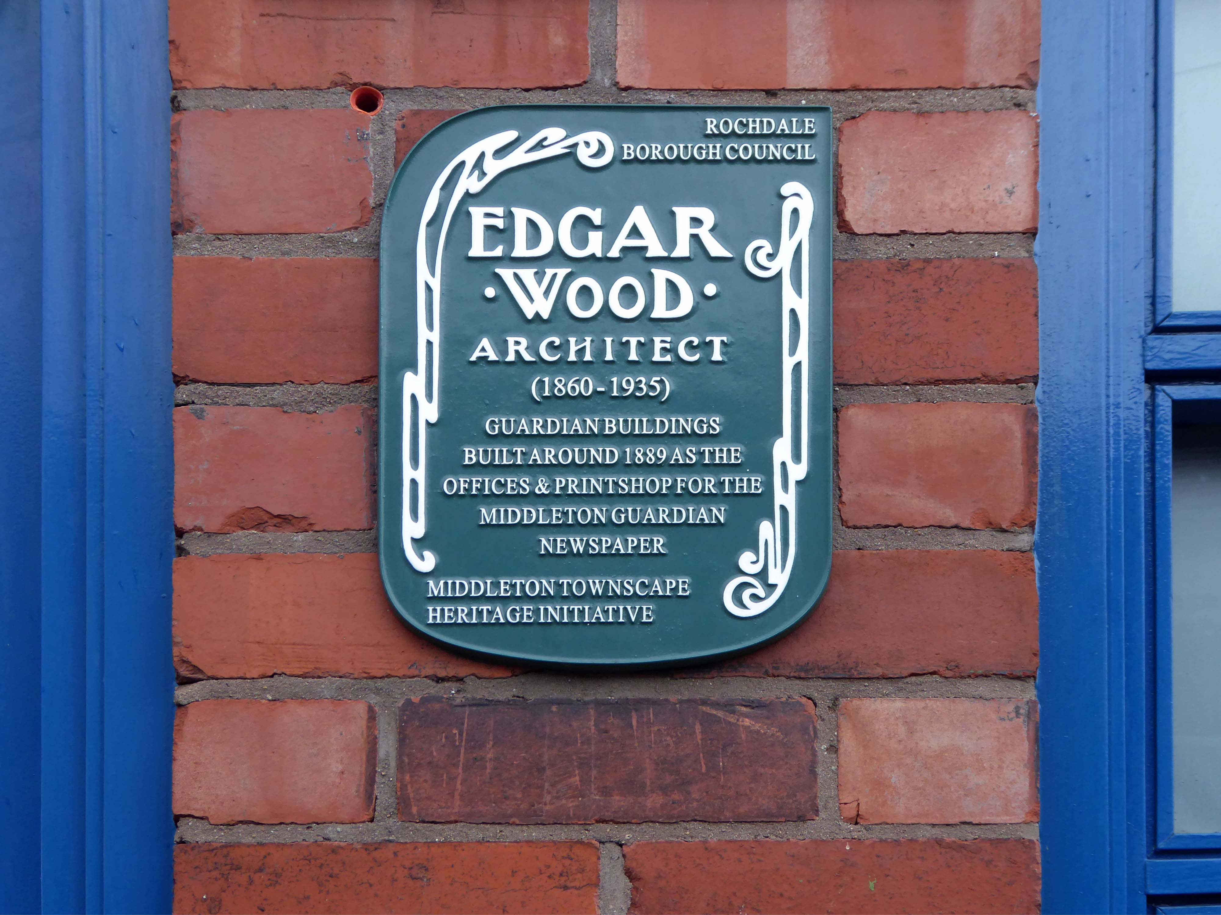
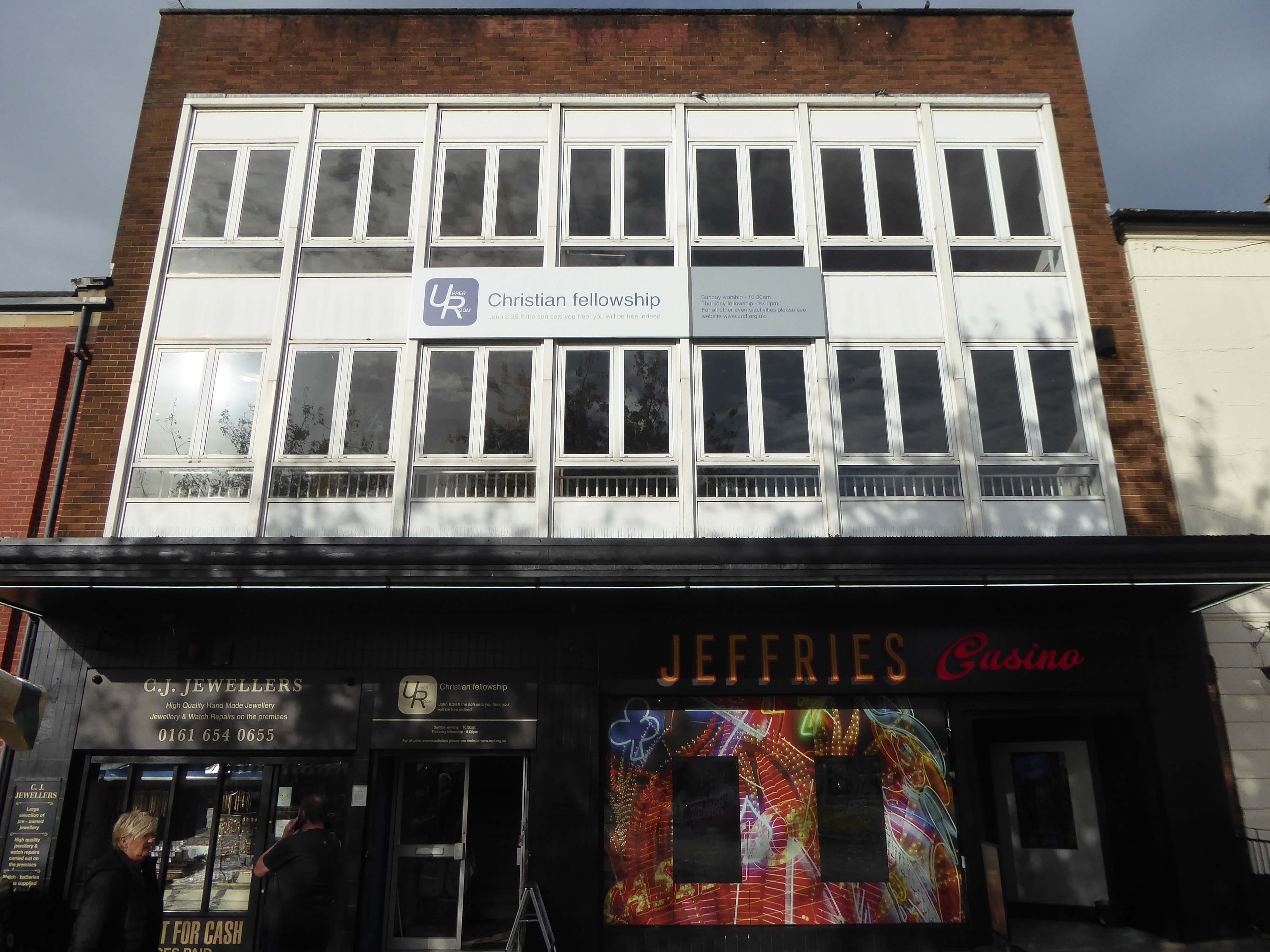
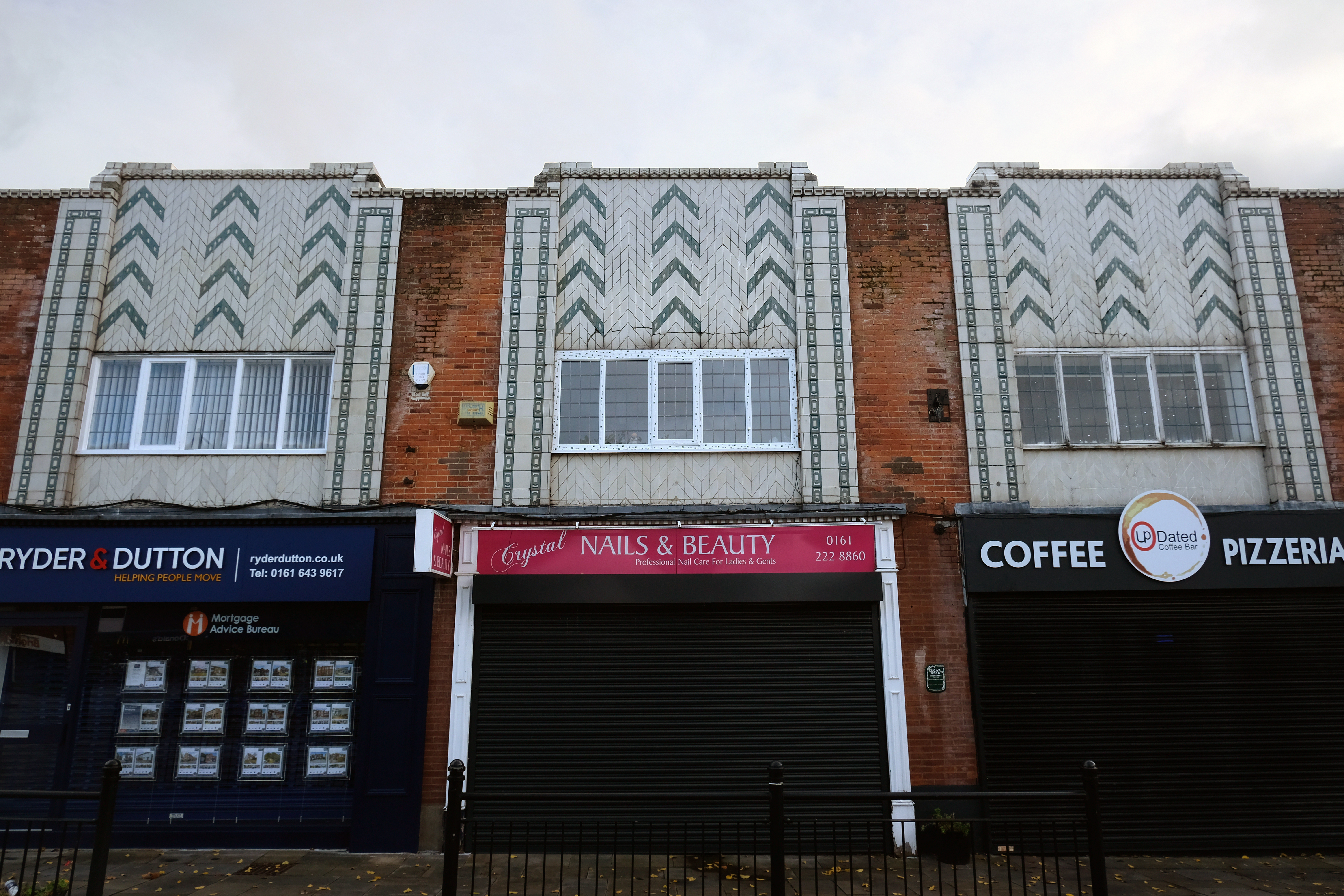
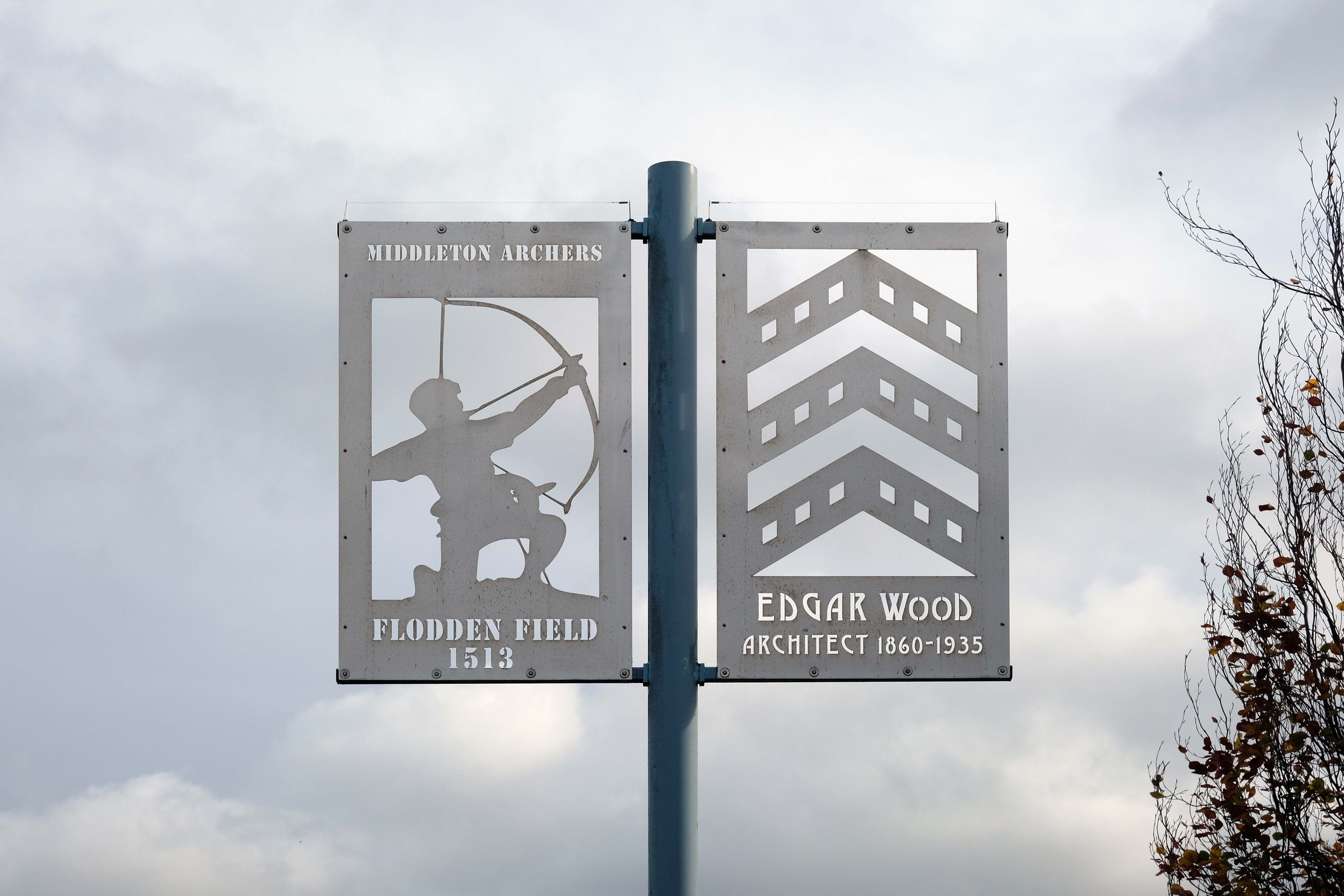
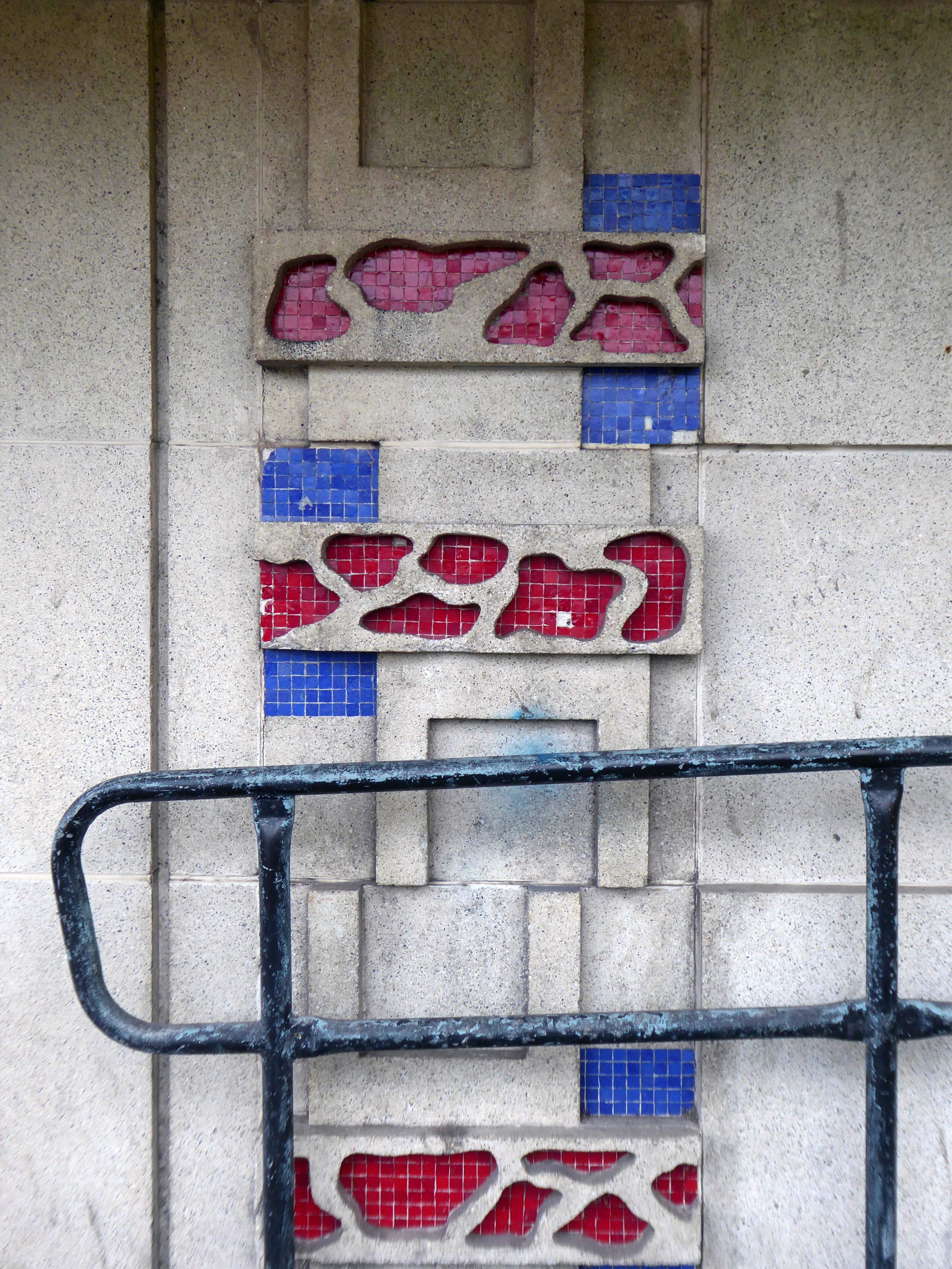
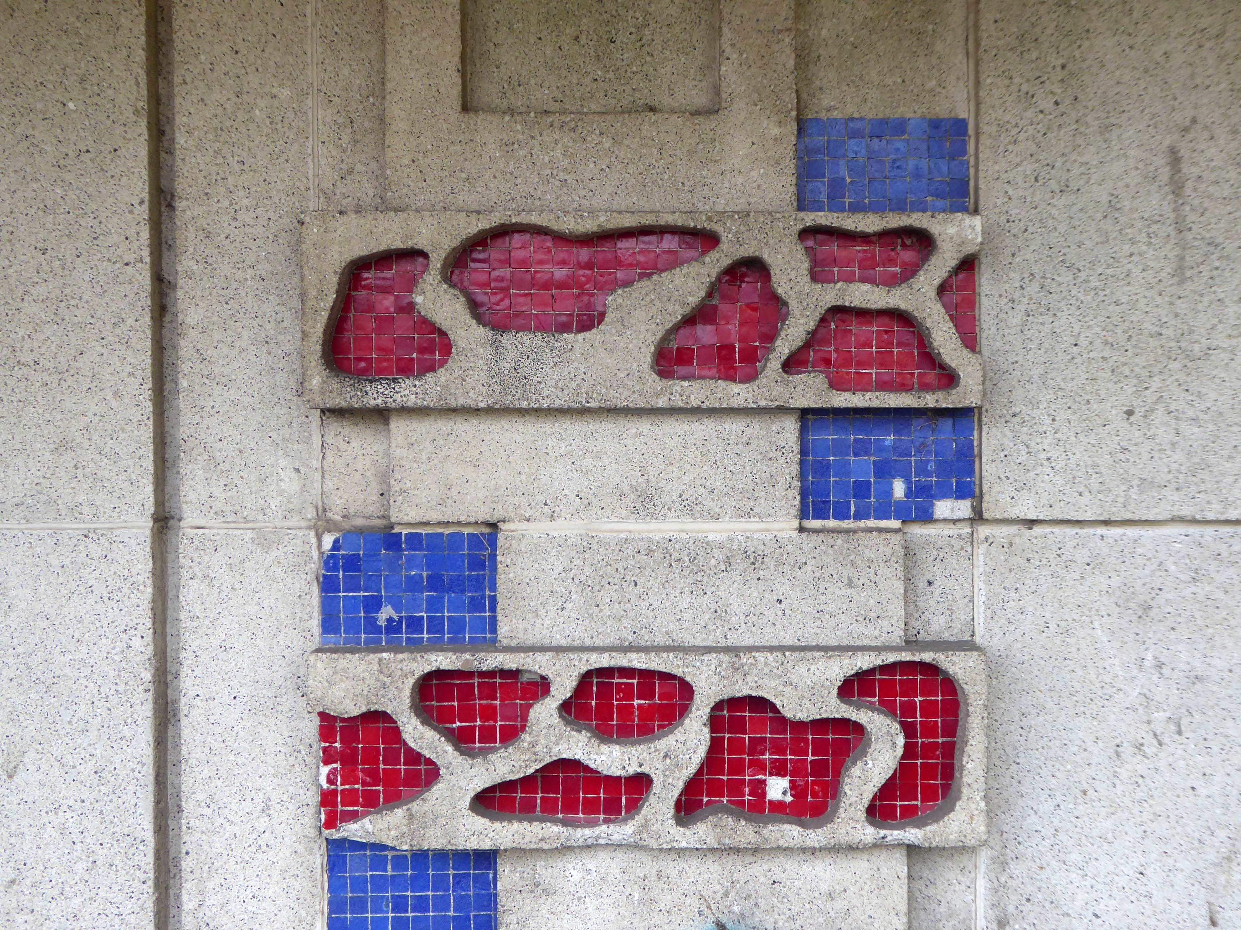
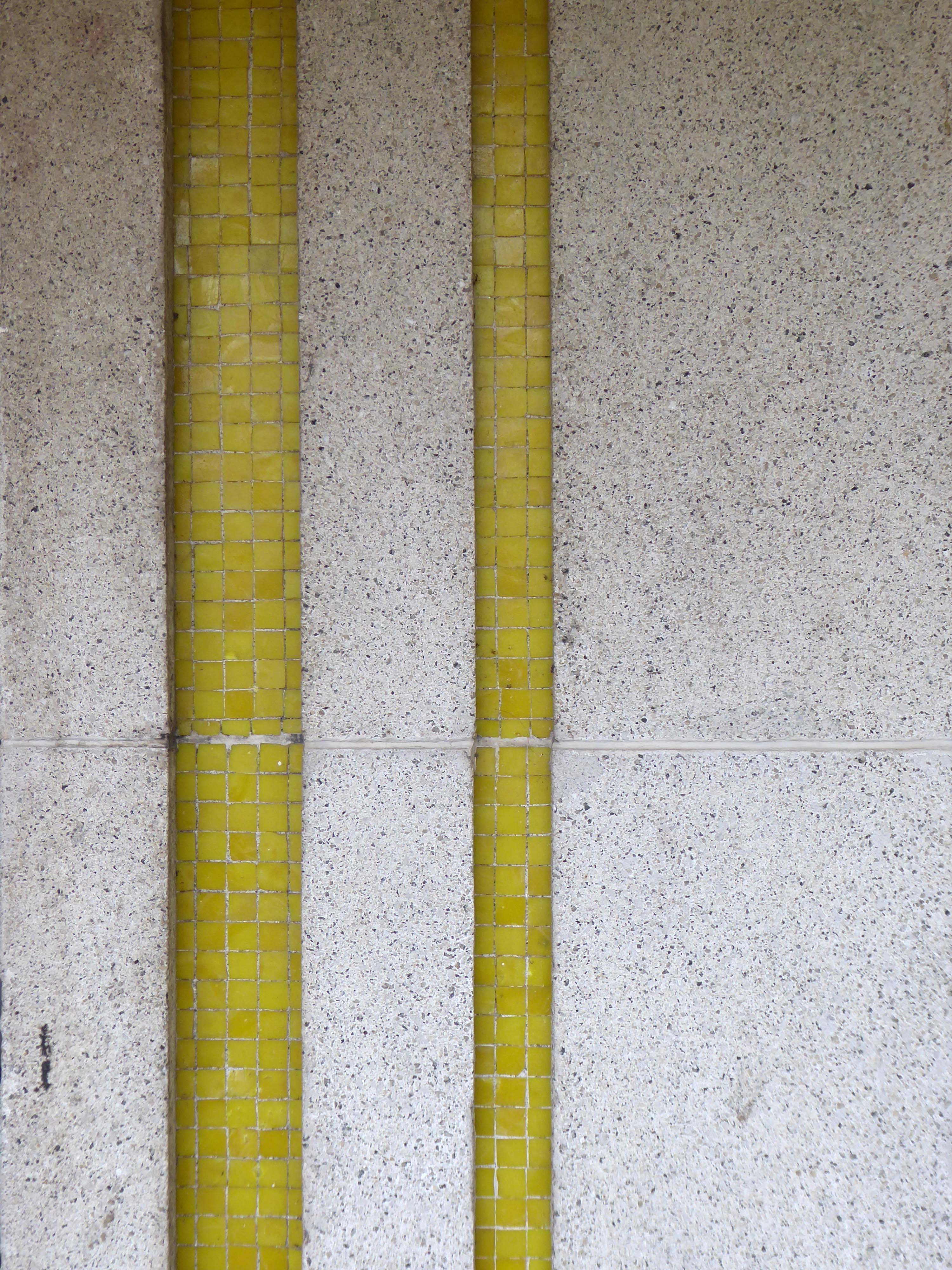
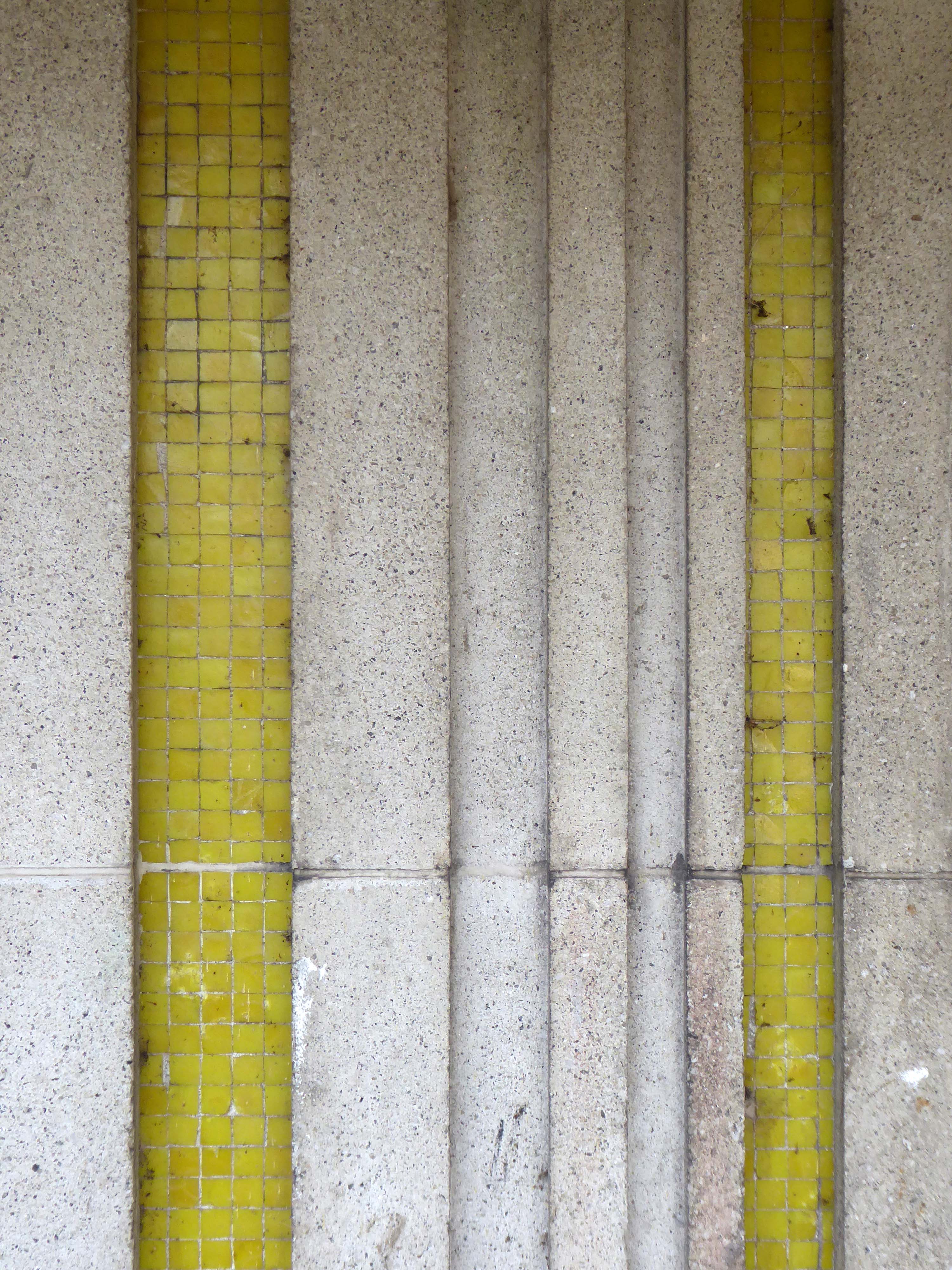
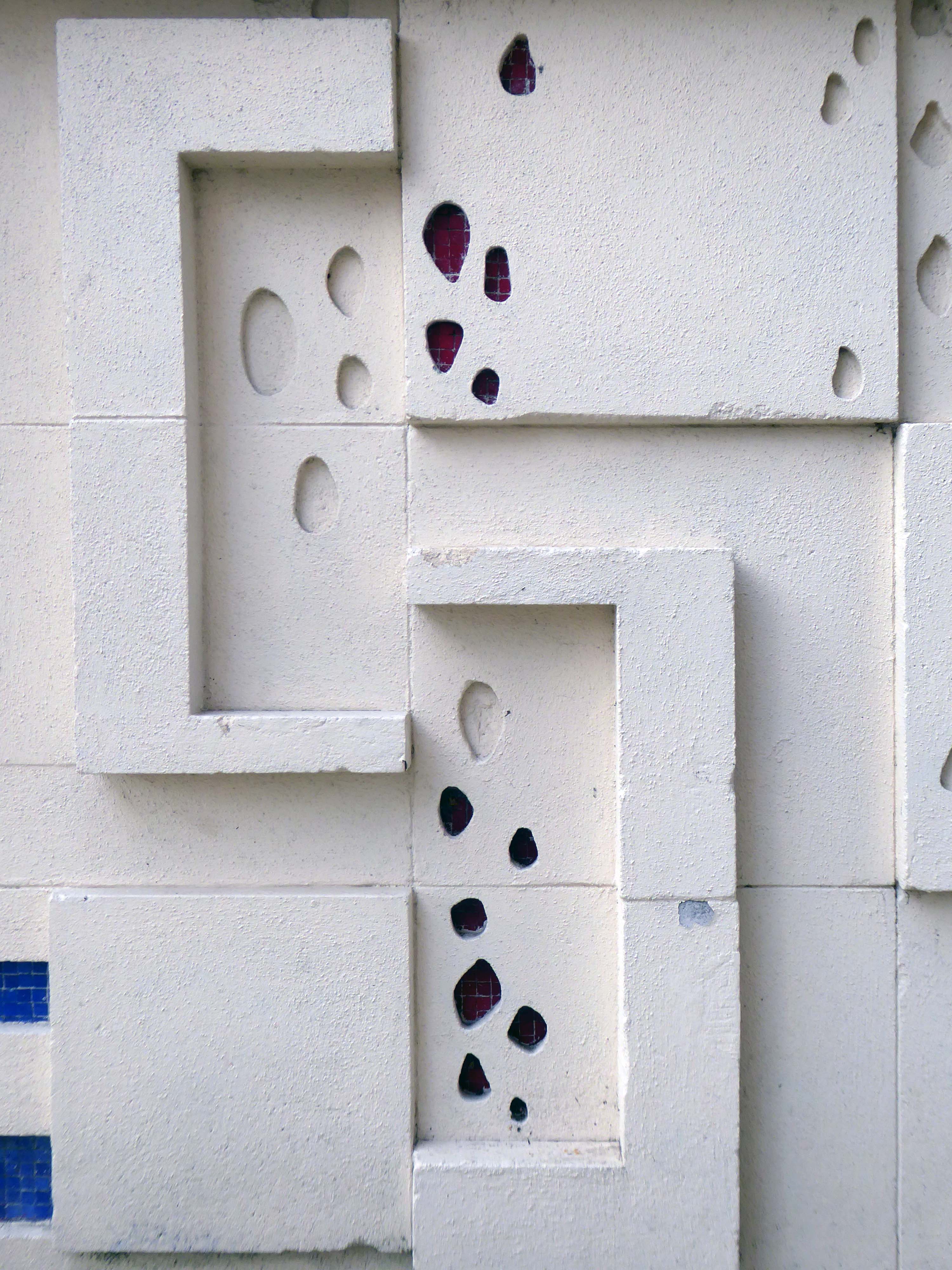
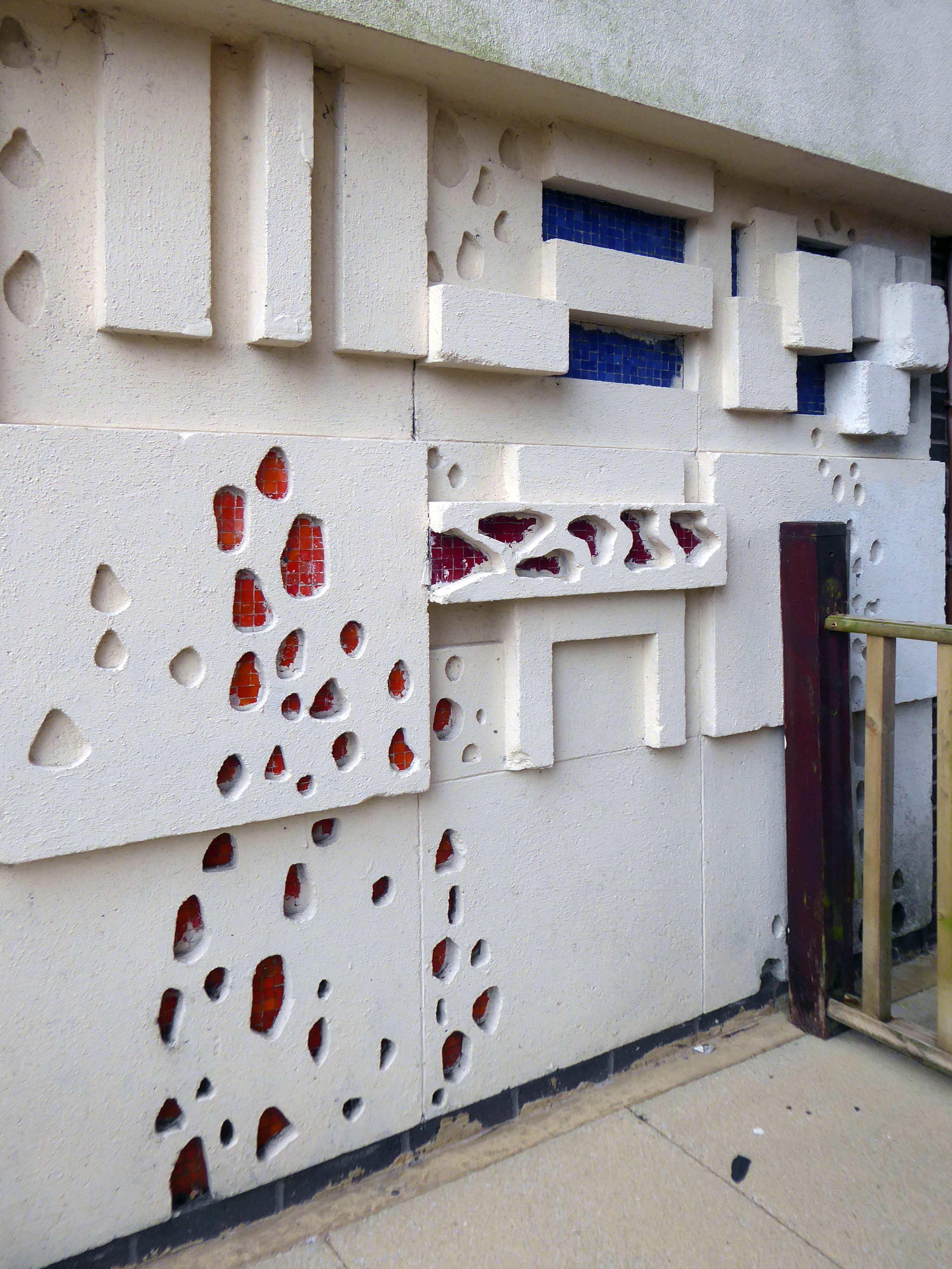
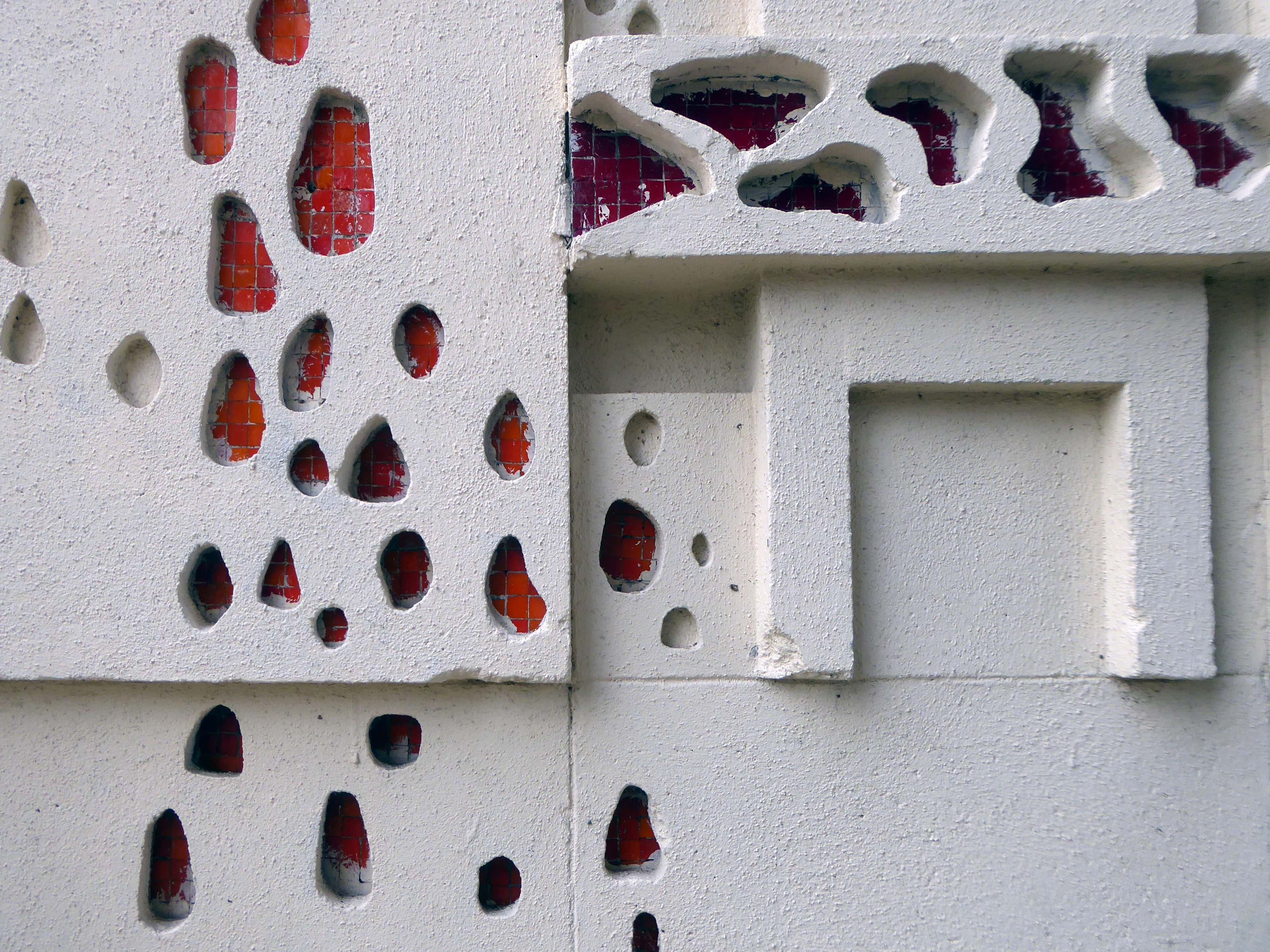
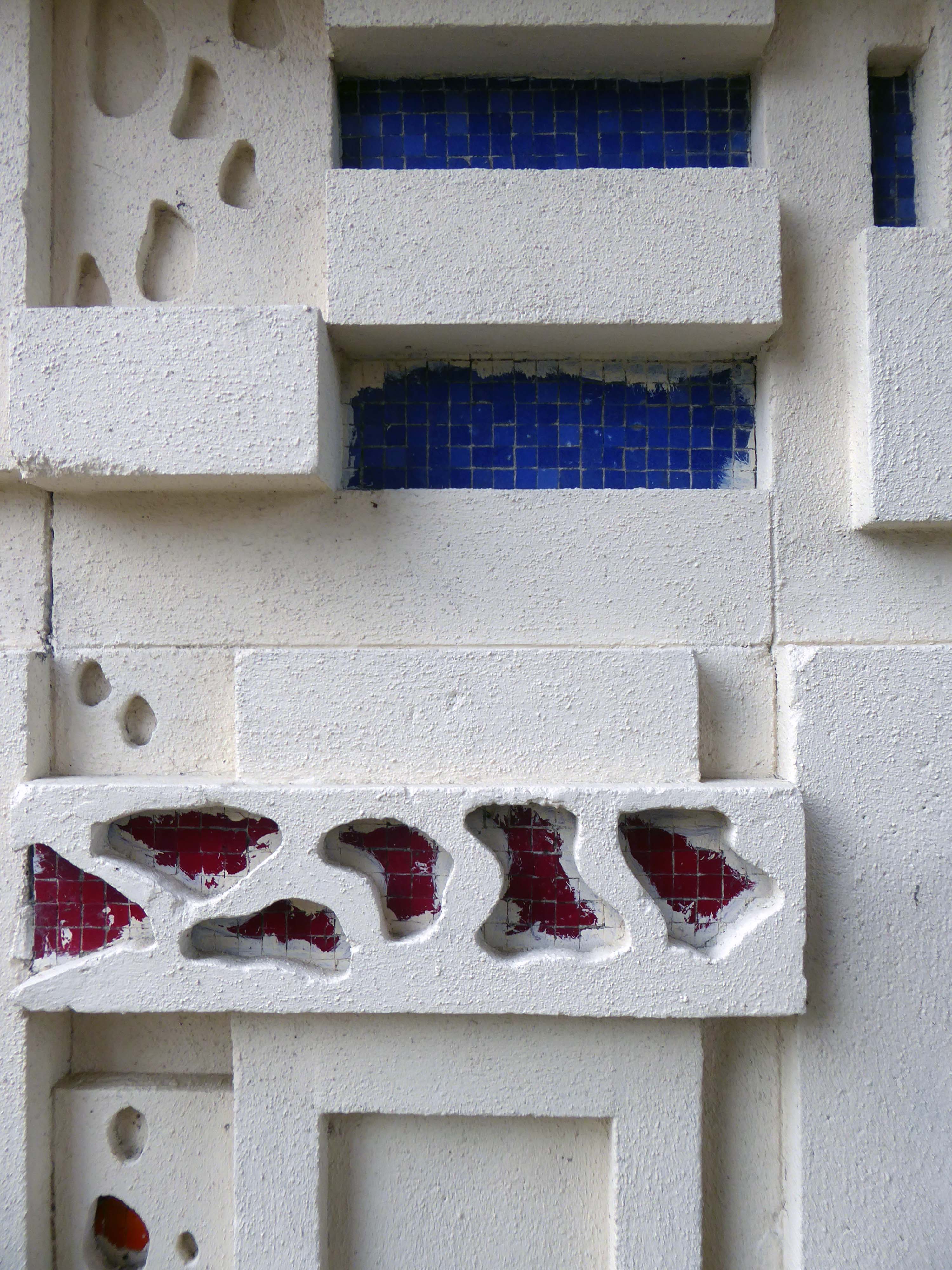
Middleton has not the gloom of so many South Lancashire towns its size. It benefits from its position close to the hills, but it has also the advantage of a large medieval church on a hill and of a number of buildings by one of England’s most original architects of the period around 1900.
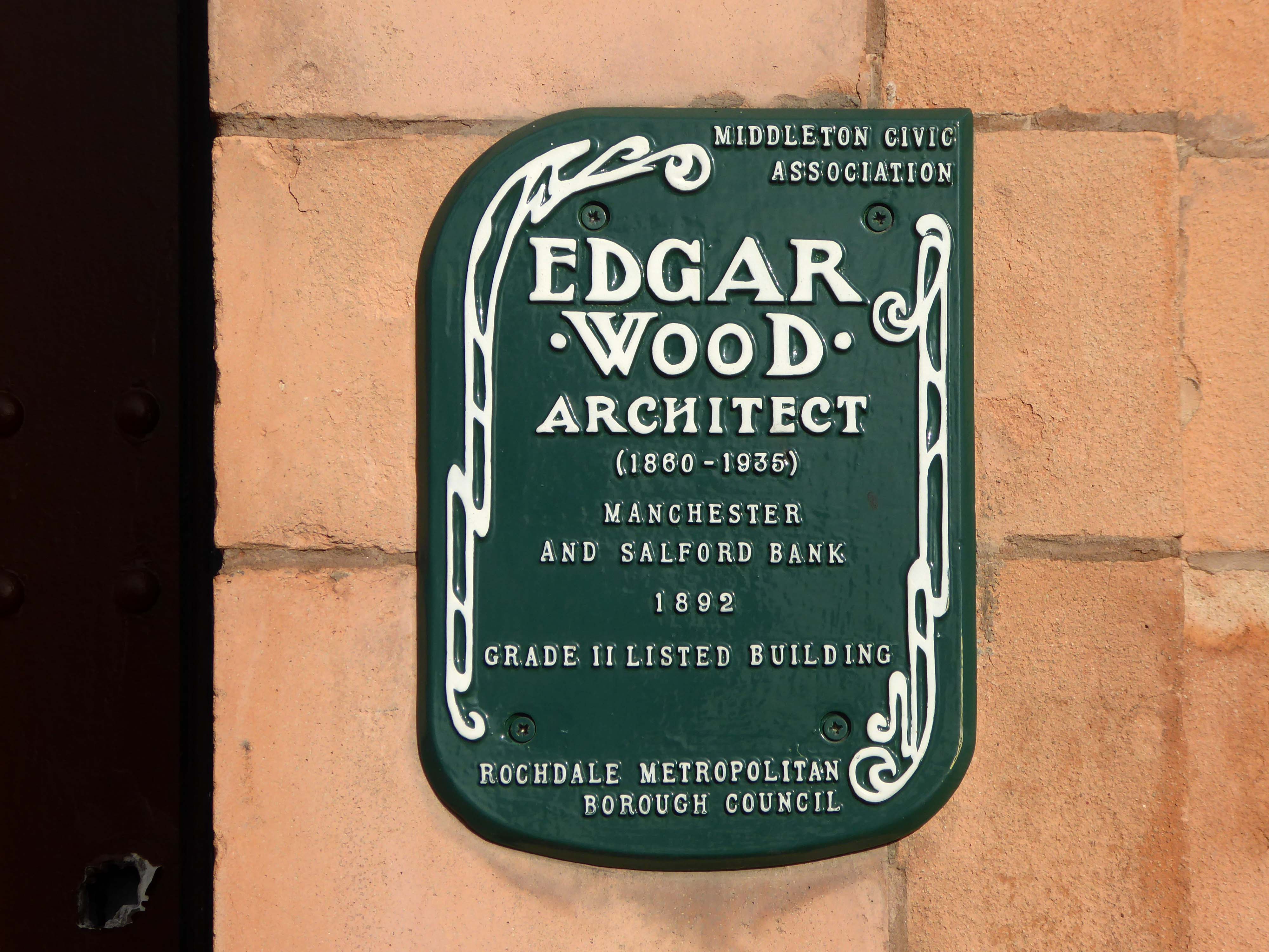
He was the most advanced English architect of his generation, stylistically moving through through art nouveau, vernacular, expressionist and finally art deco phases a decade or more before other designers. He became England’s uncontested pioneer of flat roofed modern buildings. He worked more like an artist than an architect, designing buildings, furniture, stained glass, sculpture, metal and plaster work. His buildings are mostly clustered in the towns of Middleton, Rochdale, Oldham, Huddersfield and Hale. Influenced by the writings of William Morris, he saw himself as an artisan serving the people of these localities.
Sixty-seven sets of designs for the proposed free library at Middleton were received by the Corporation of that borough in response to their advertisement; and a joint committee comprising of six members of the Corporation and six non-members has awarded the premium to Mr Lawrence Booth, architect of this city.
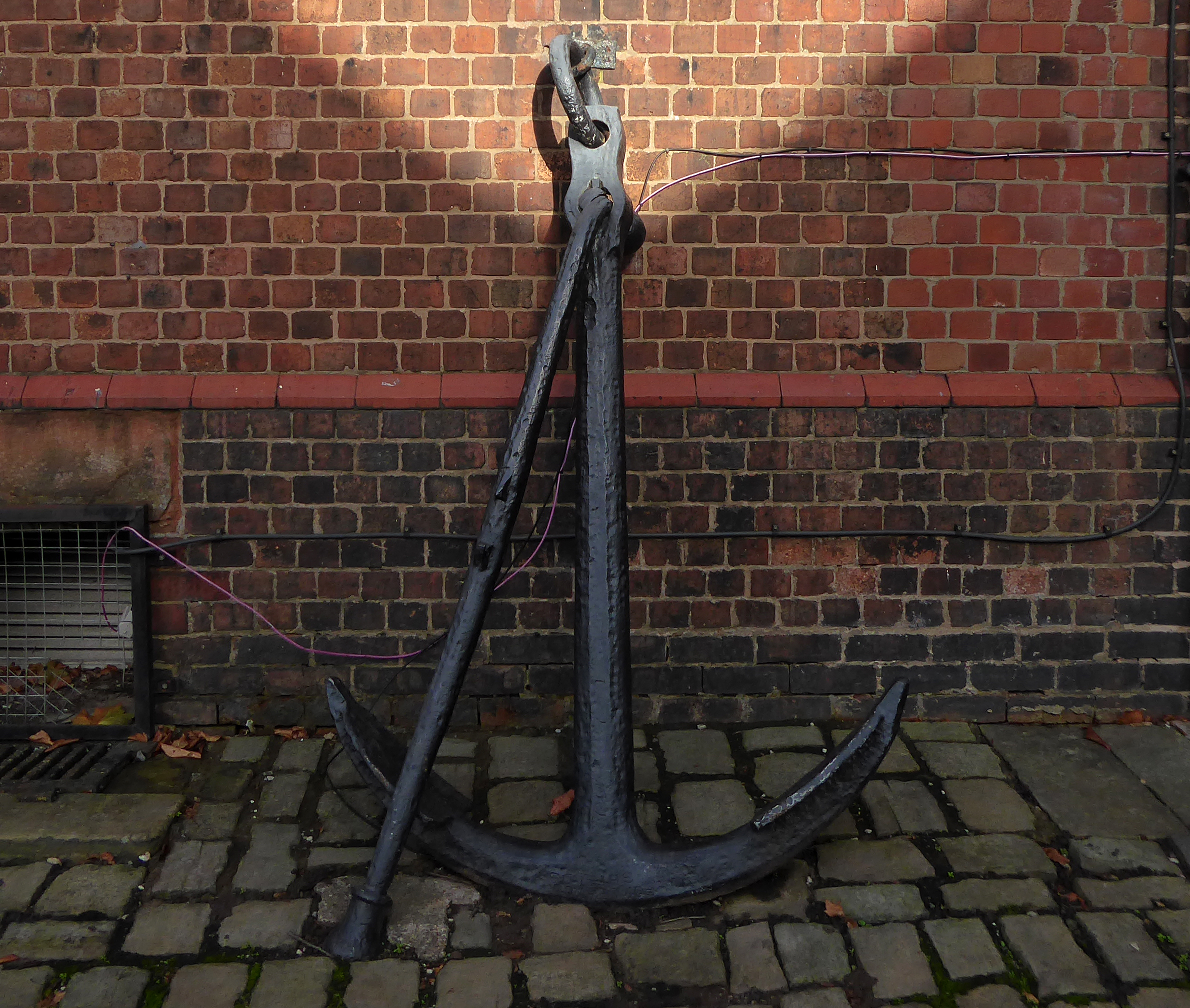
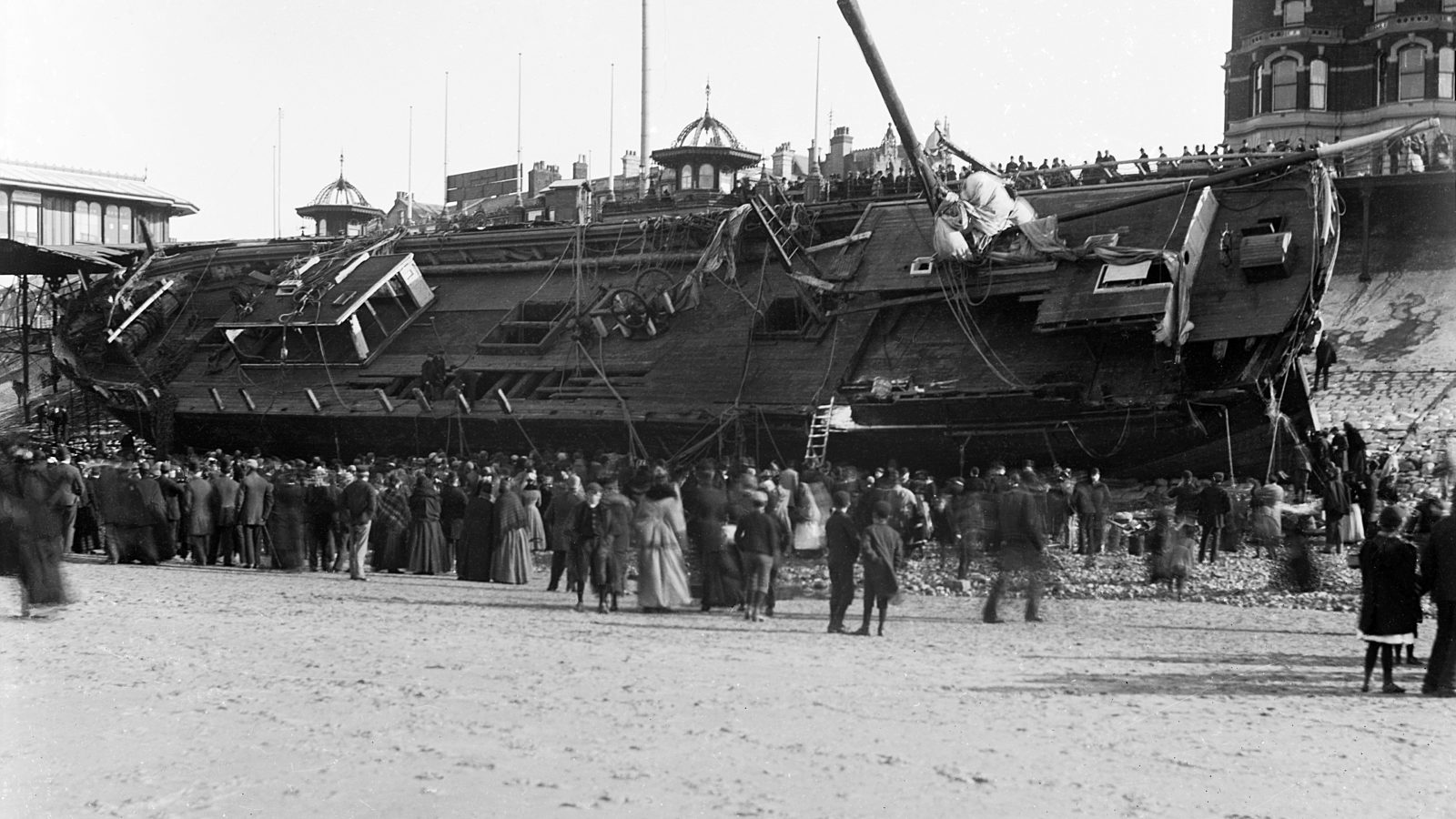
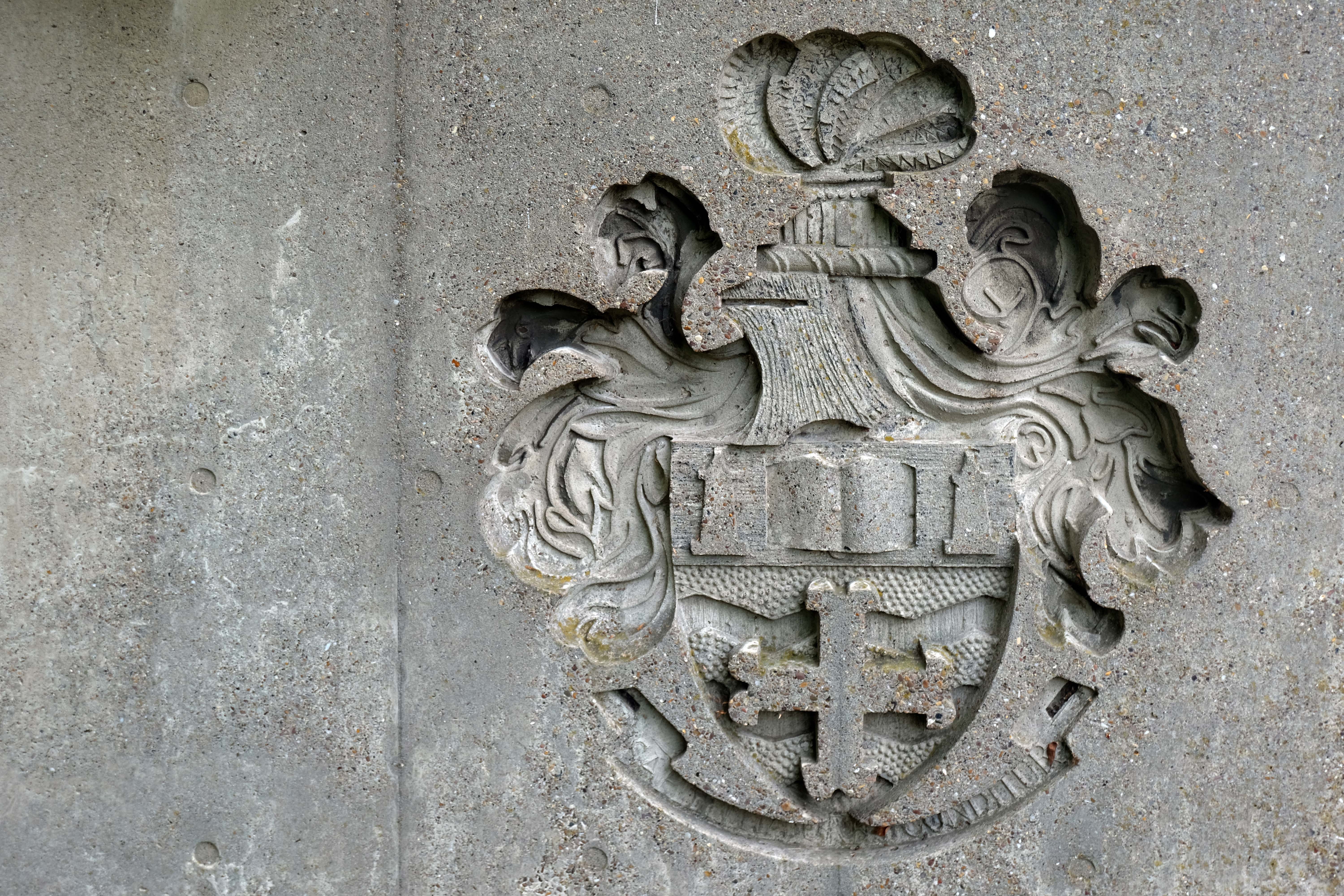
Curiously, we encounter an anchor.
Around 10pm that evening when weather conditions deteriorated to near hurricane-force gales, with the Sirene making little headway despite tacking.
Losing her helm, her sails in tatters and within sight of the Great Orme, the gales drove her back through the night towards the Lancashire coast. Eventually, and with great difficulty, Captain Gjertsen and his crew managed to manoeuvre the stricken vessel between the Central and North Piers. Becoming increasingly unmanageable, and swept in by the rushing tide and gale force winds, the Sirene looked a doomed vessel. She was helpless in the close shore currents, and unable to drop anchor she was at the mercy of the waves. She was carried alongside the North Pier, tearing off a section of the pier superstructure and part of her own keel.
Thousands of people lined the Promenade to witness the spectacle as she came in on the south side of the pier; many more stood on the pier itself, but there was a mad rush for safety when the ship collided against the structure.
The captain and crew survived, including the ship’s cat, many offers were made for the cat, but the captain refused them.
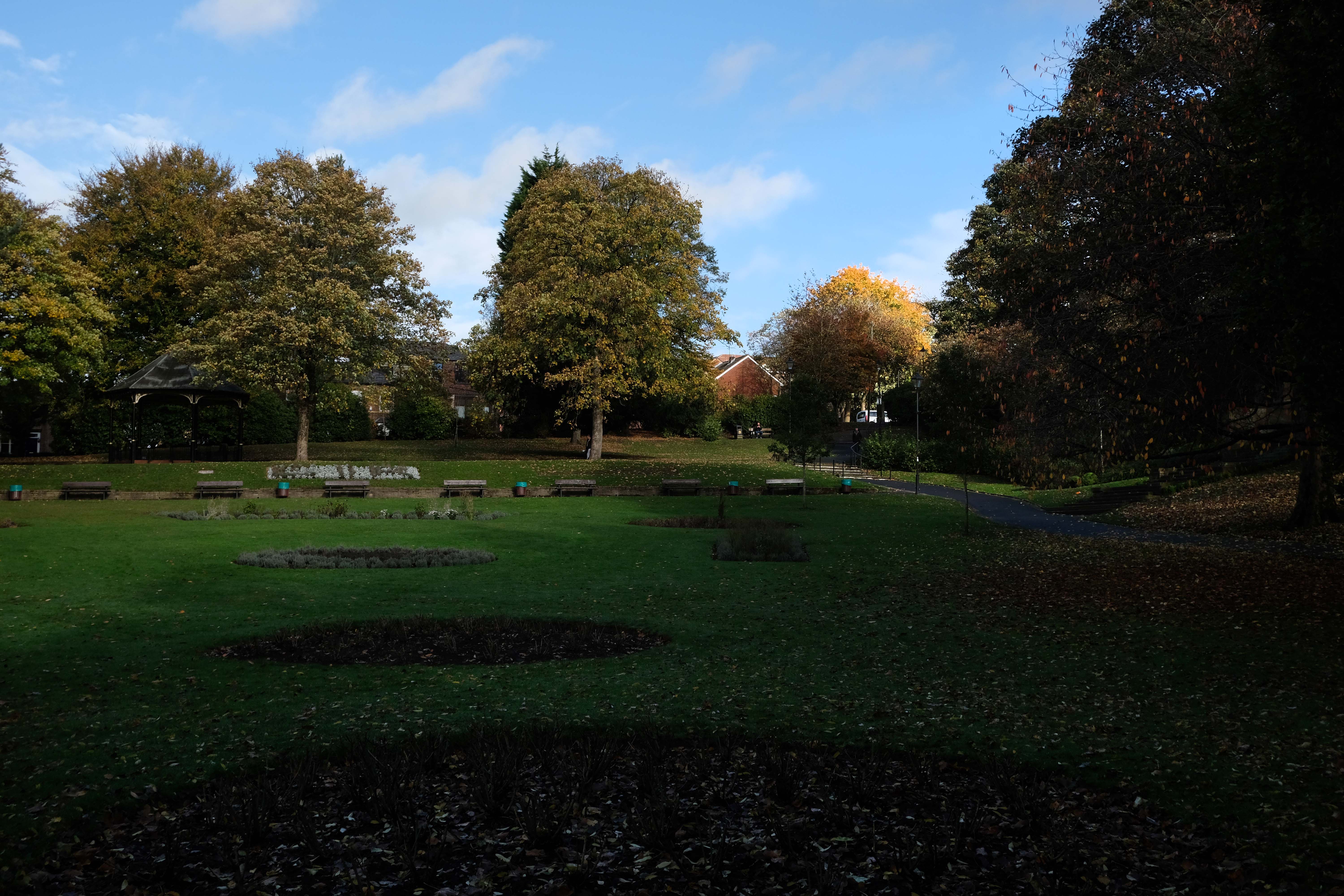
Onwards through Jubilee Park opened in 1889 to commemorate the Golden Jubilee of Queen Victoria.
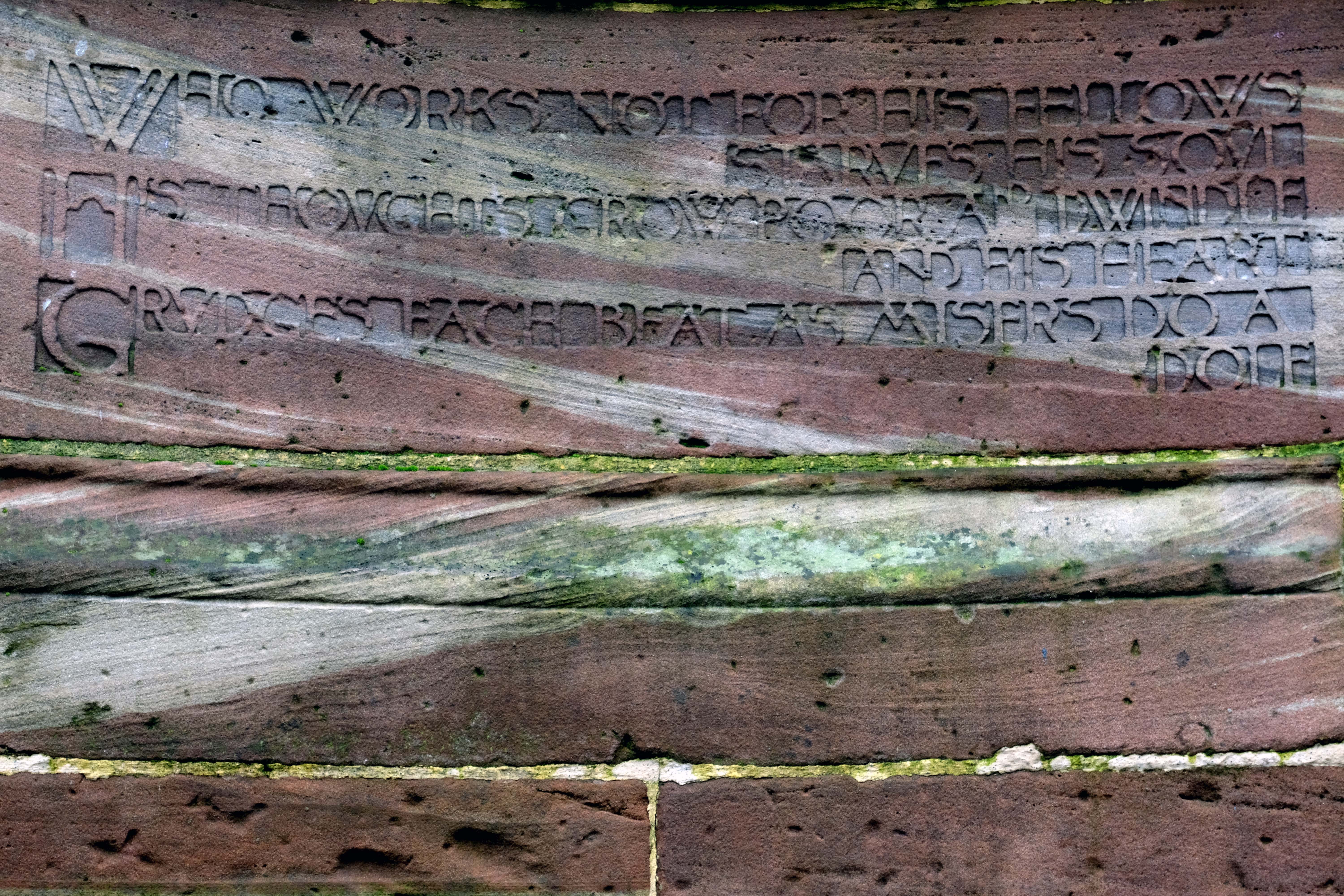
In 1906 Alderman Thomas Broadbent Wood commissioned his son, Edgar, to design a flight of steps to lead up to a contemplation spot in the park – the inscription reads:
Who works not for his fellows starves his soul.
His thoughts grow poor and dwindle and his heart grudges each beat, as misers do a dole.
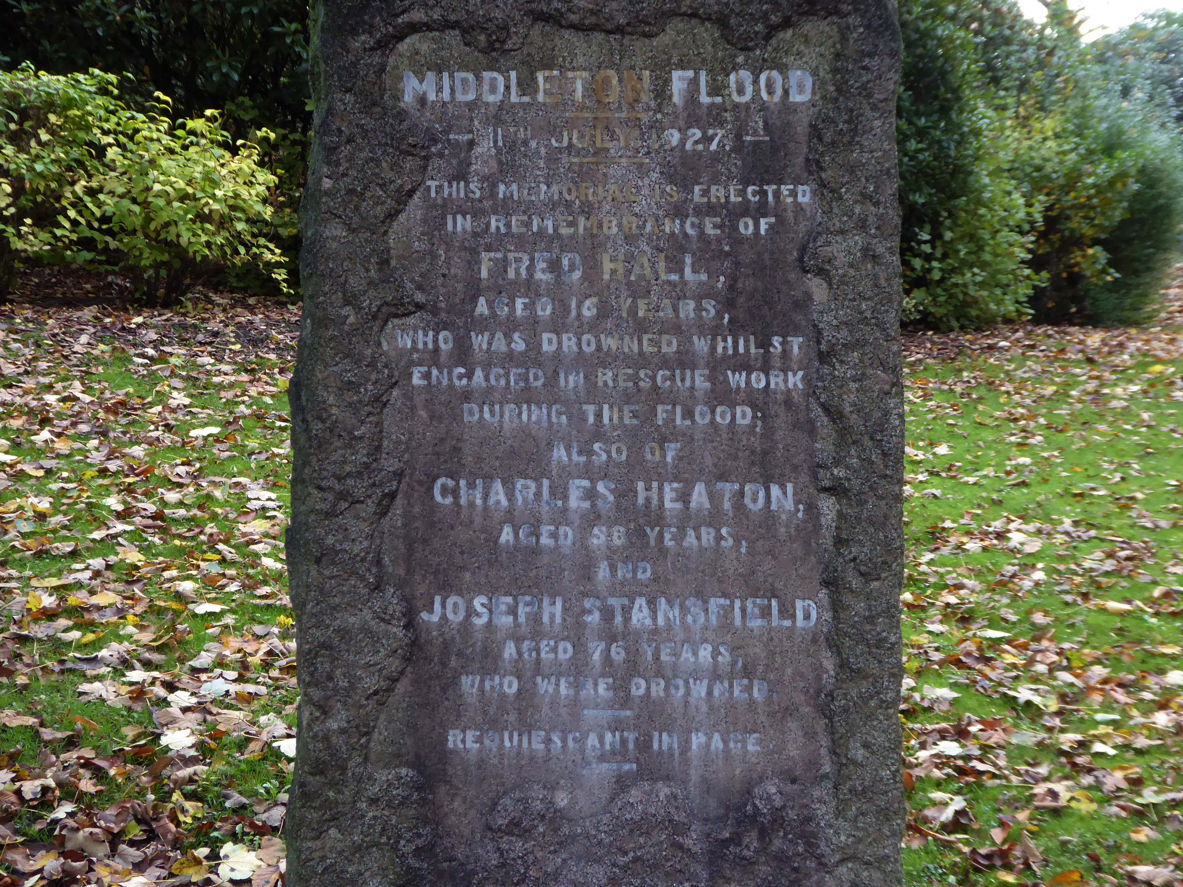
Nearby we find a memorial to the Middleton Flood – following torrential rain, the canal embankment at Mills Hill broke, flooding the already swollen River Irk, subsequently deluging the town.
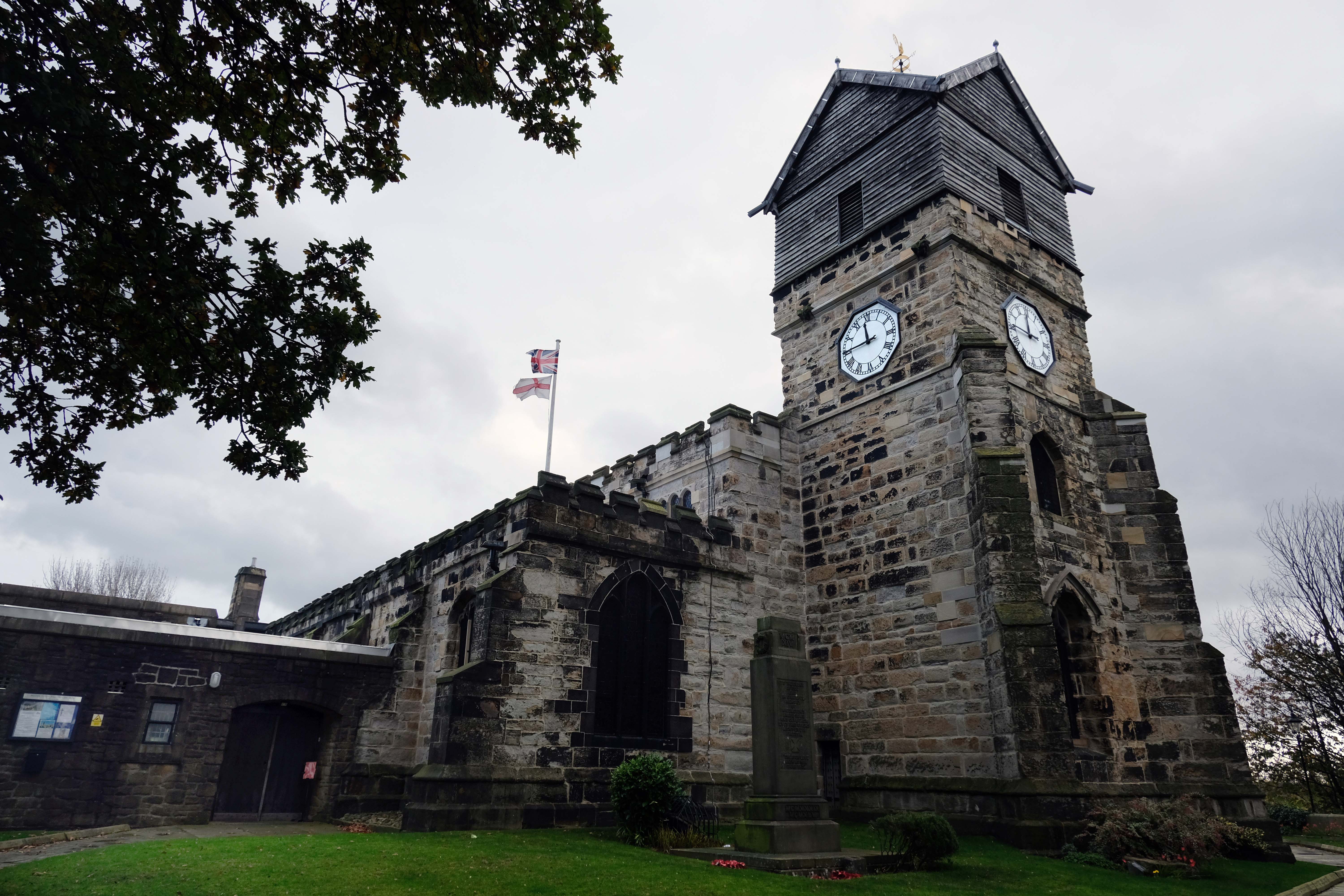
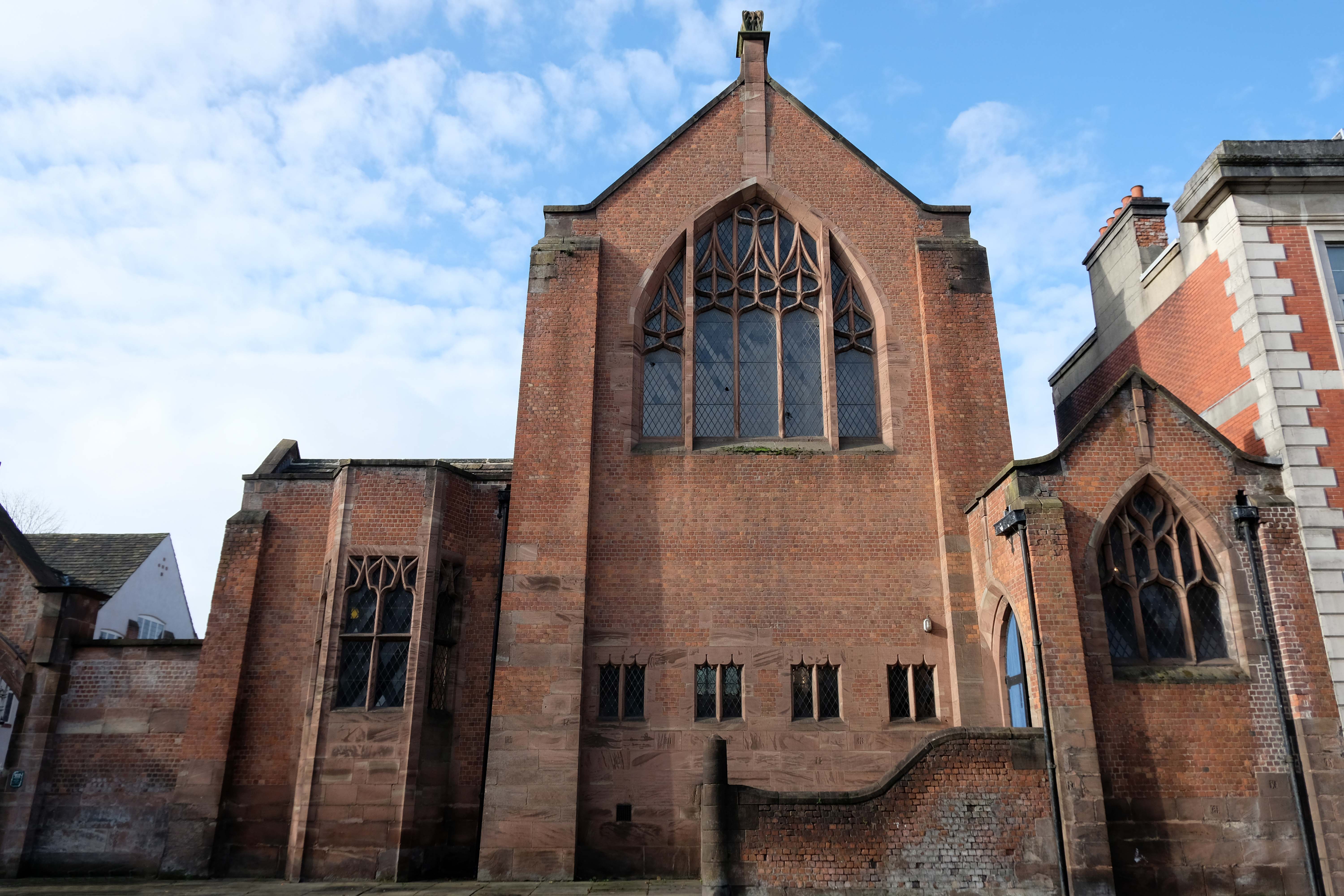
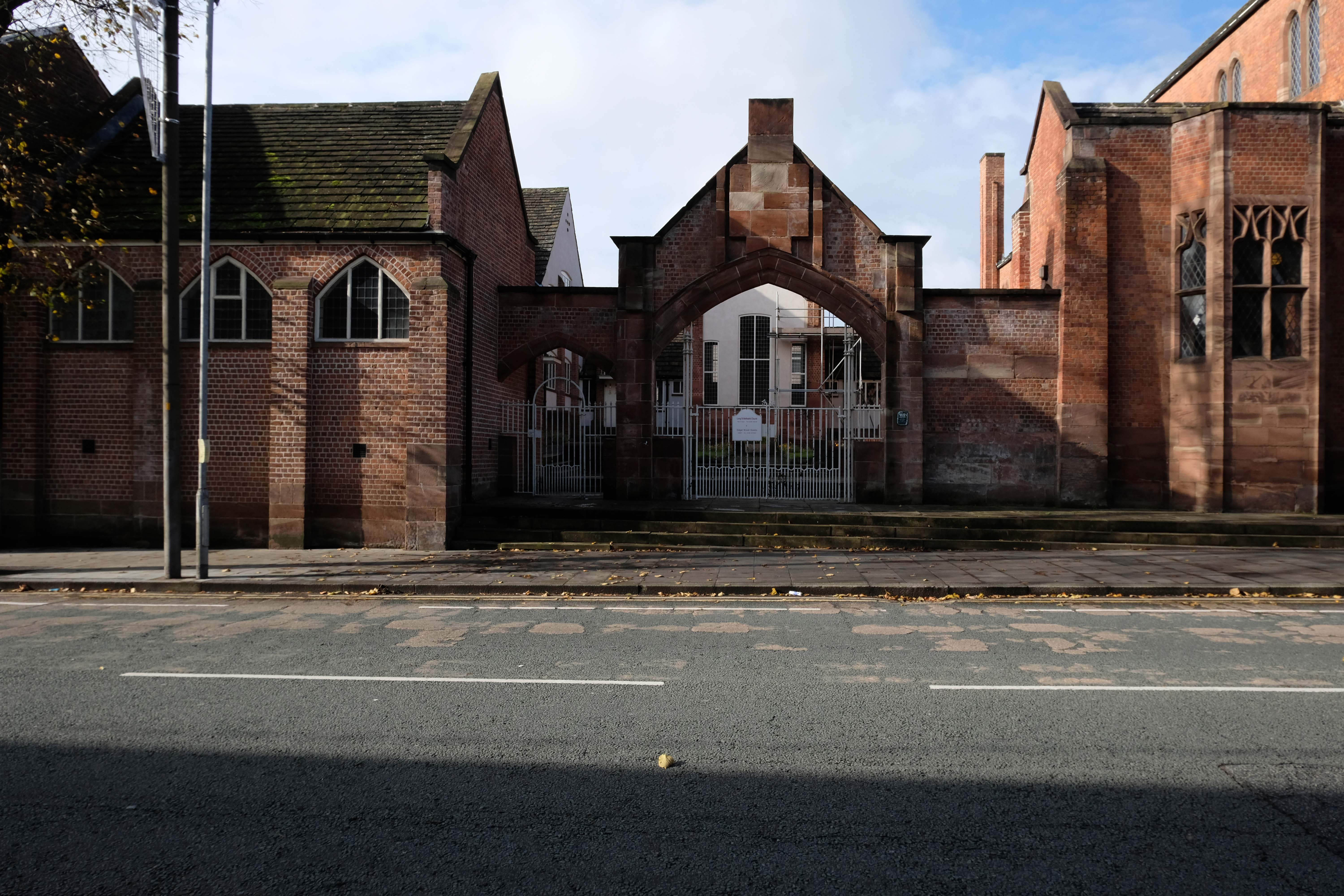
Much of the present building was erected in 1412 by Thomas Langley – born in Middleton in 1363, who was Bishop of Durham and Lord Chancellor of England. He re-used the Norman doorway from an earlier structure to create the tower arch. Also distinctive in this region is the weather-boarded top stage to the tower.
The church of St Leonard was enlarged in 1524 by Sir Richard Assheton, in celebration of the knighthood granted to him by Henry VIII of England for his part in the Battle of Flodden in 1513. The Flodden Window, in the sanctuary, is thought to be the oldest war memorial in the UK. It commemorates on it the names of the Middleton archers who fought at Flodden. The church also has one of the finest collections of monumental brasses in the north of England, including the only brass in the UK depicting an English Civil War officer in full armour, Major-General Ralph Assheton.
George Pace designed a war memorial and, in 1958, added a choir vestry and installed new lighting.
Wikipedia
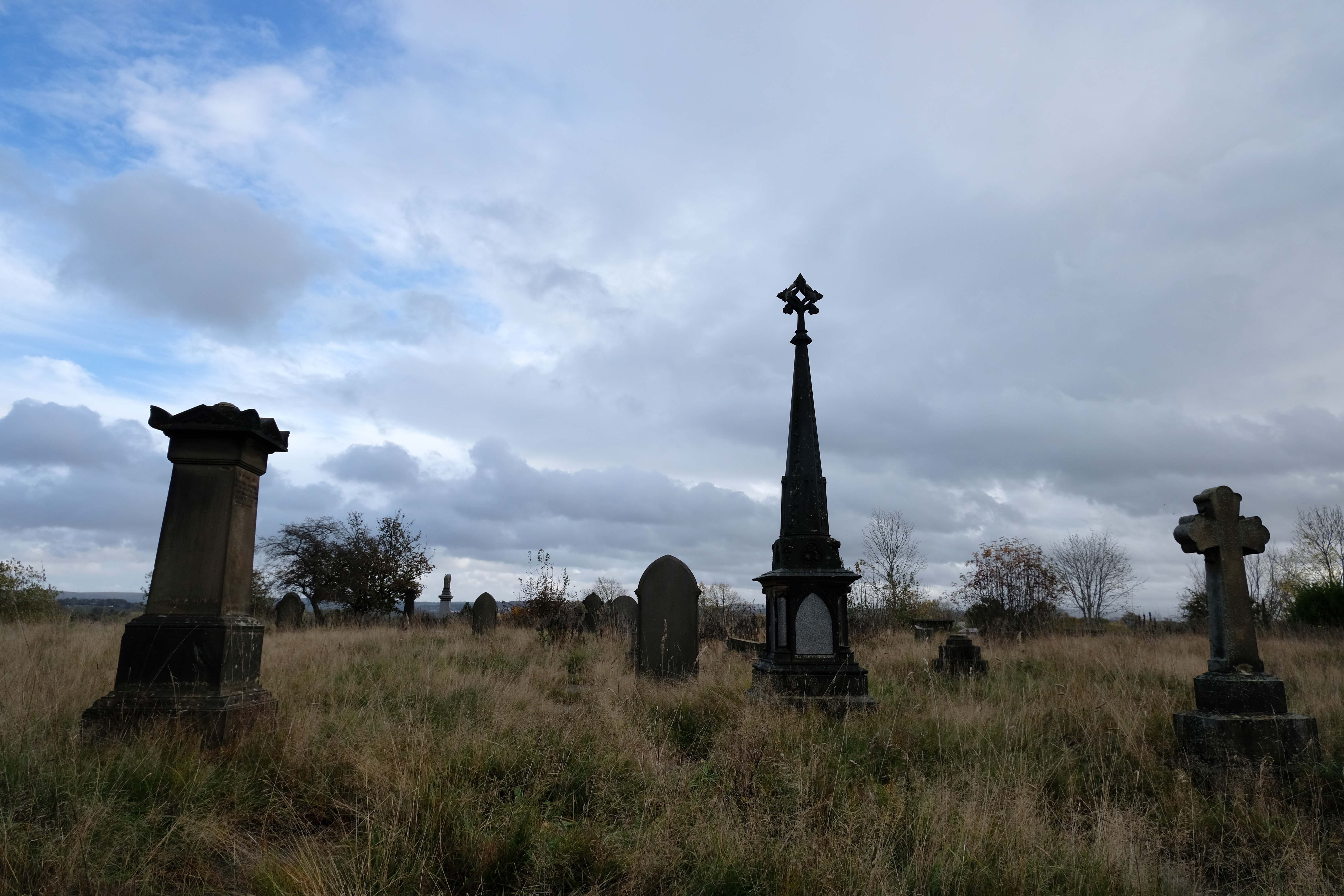
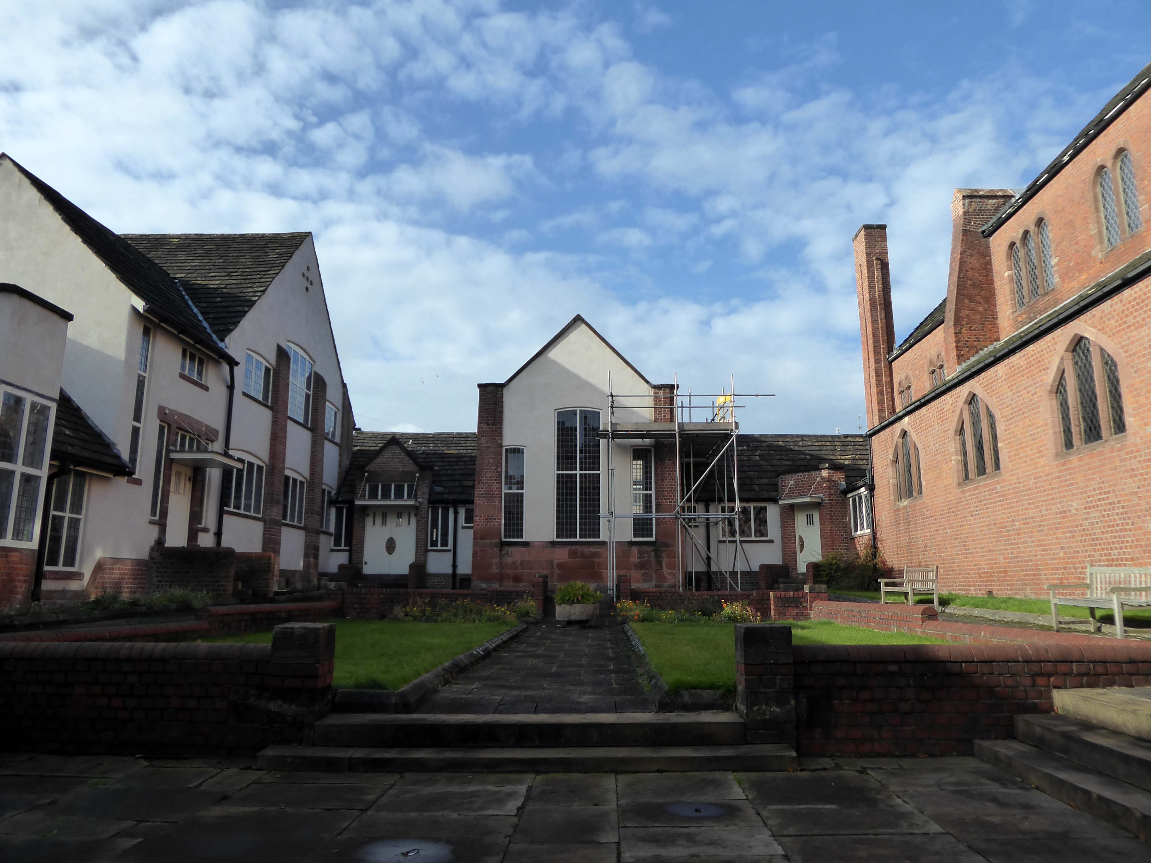
Middleton Old Cemetery once the Thornham and Middleton Burial Ground, which became the local authority cemetery in 1862.
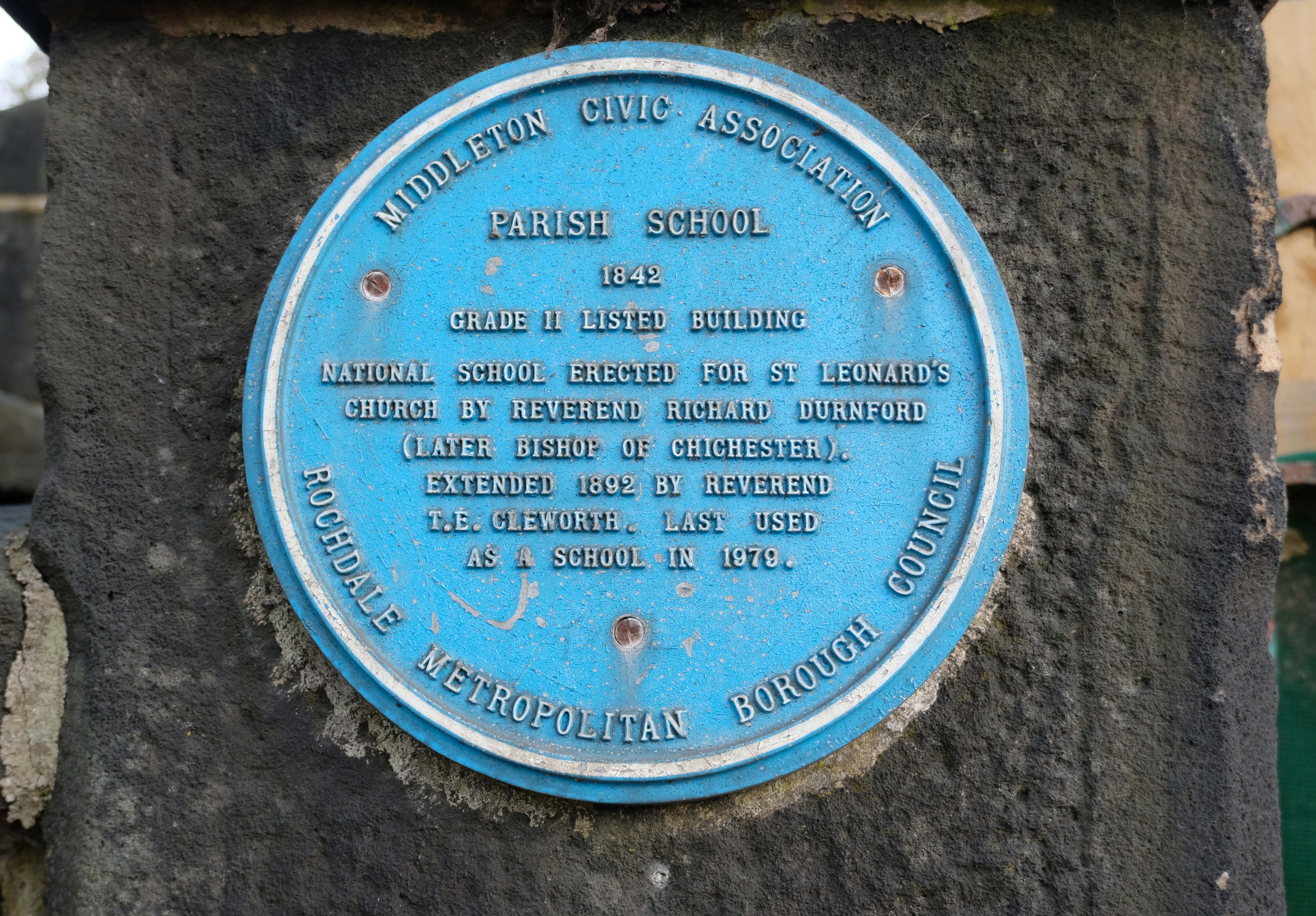
Retrace to the Library – adjacent is the Parish School 1842
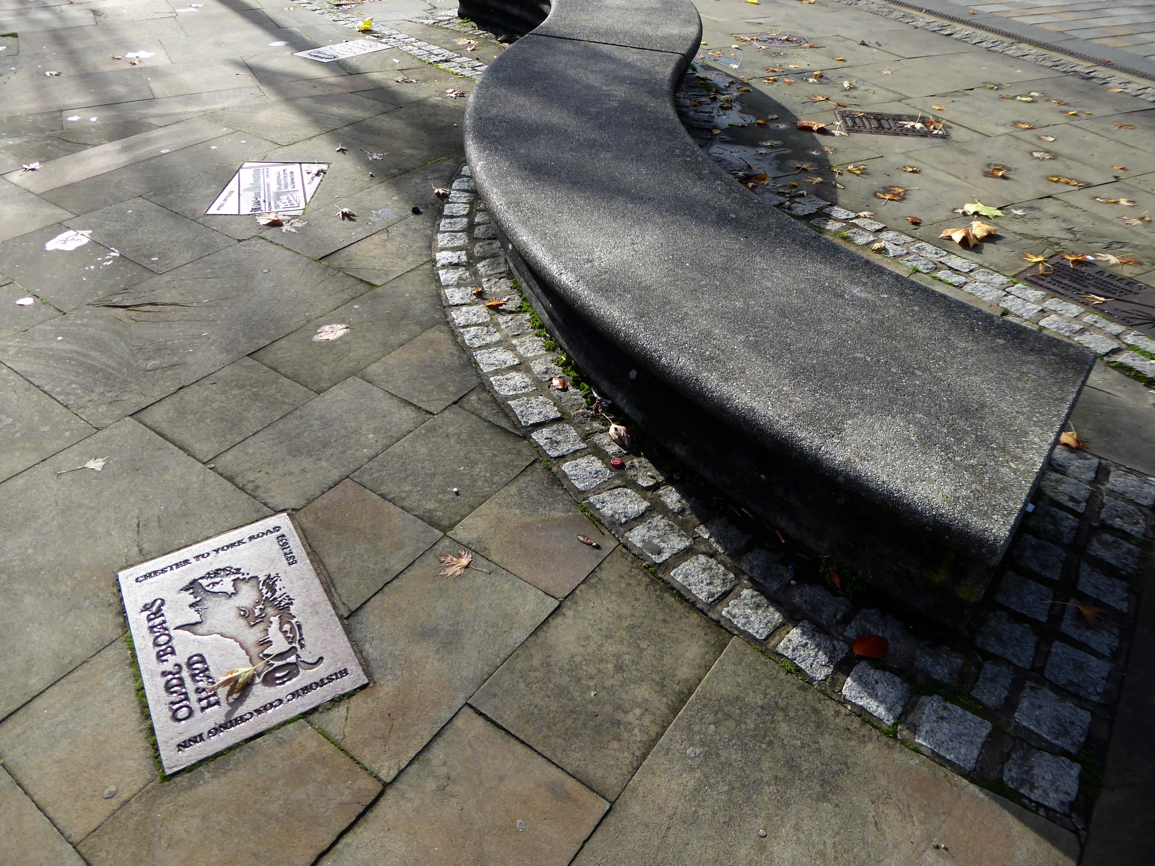
Part of the timber framing to the right of the front door has recently been tree-ring dated and confirms a building date of 1622. The first tenant was Isaac Walkden, son of Middleton schoolmaster, Robert Walkden. Isaac died during a typhus epidemic in the summer of 1623. His will, preserved at Lancashire Archives, includes an inventory of all his possessions listed on a room by room basis. There were a total of 9 beds and 20 chairs or stools in the 6 rooms. This, together with barrels, brewing vessels, pots, glasses, etc, strongly suggest the building was an inn. The Walkden family went on to run the Boar’s Head until the end of the 17th century. They also farmed nearby land including what is now Jubilee library and park.
In 1888, the fledgling Middleton Corporation purchased the building from the church with the intention of demolishing it to build a town hall. Discussions were held in 1914 but, thankfully, the plan was abandoned due to an outcry from the public spearheaded by architect Edgar Wood.
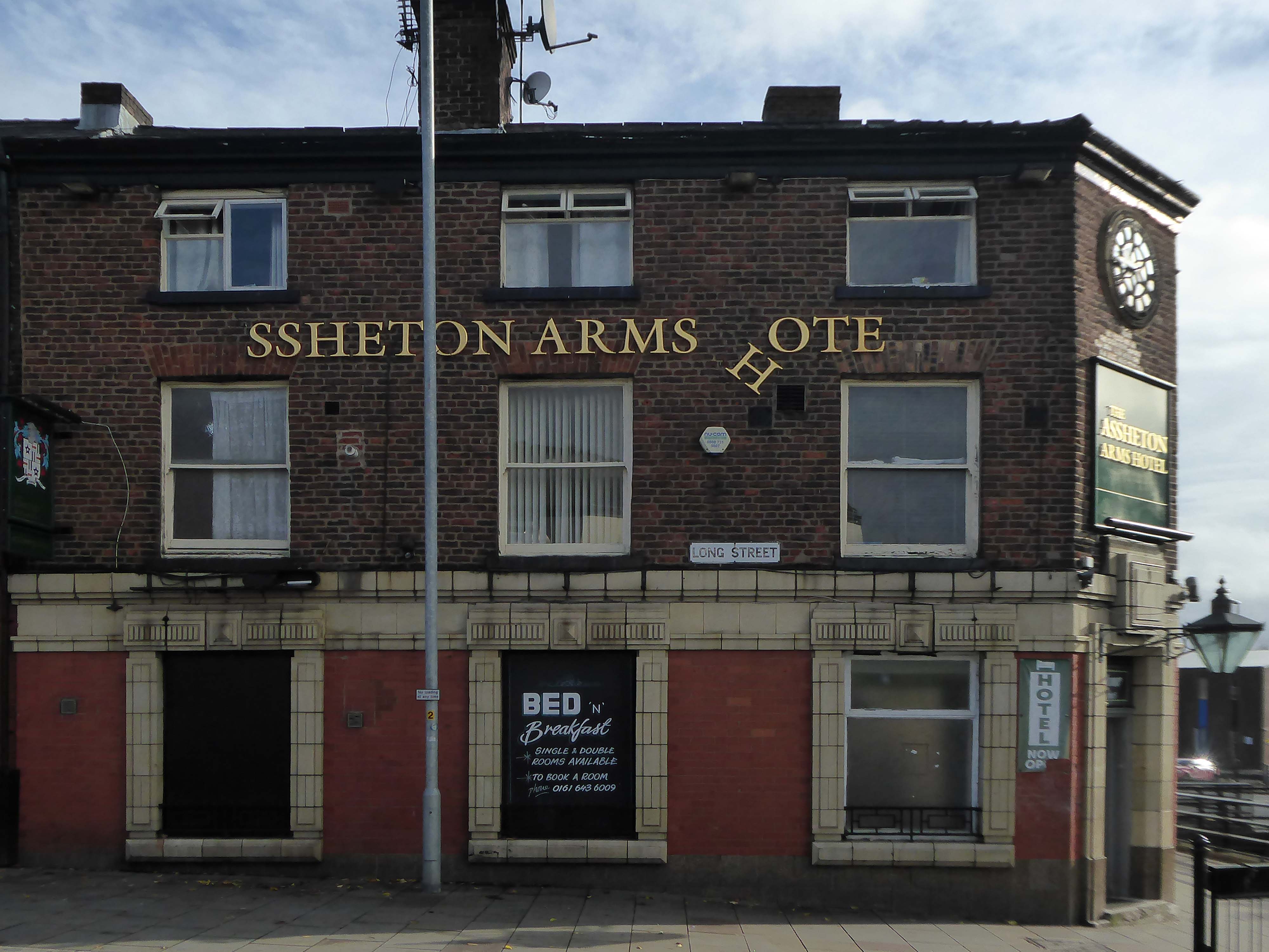
Further down Long Street to the Assheton Arms Hotel.
Then around the corner to the Manchester & Salford Bank again by Edgar Wood
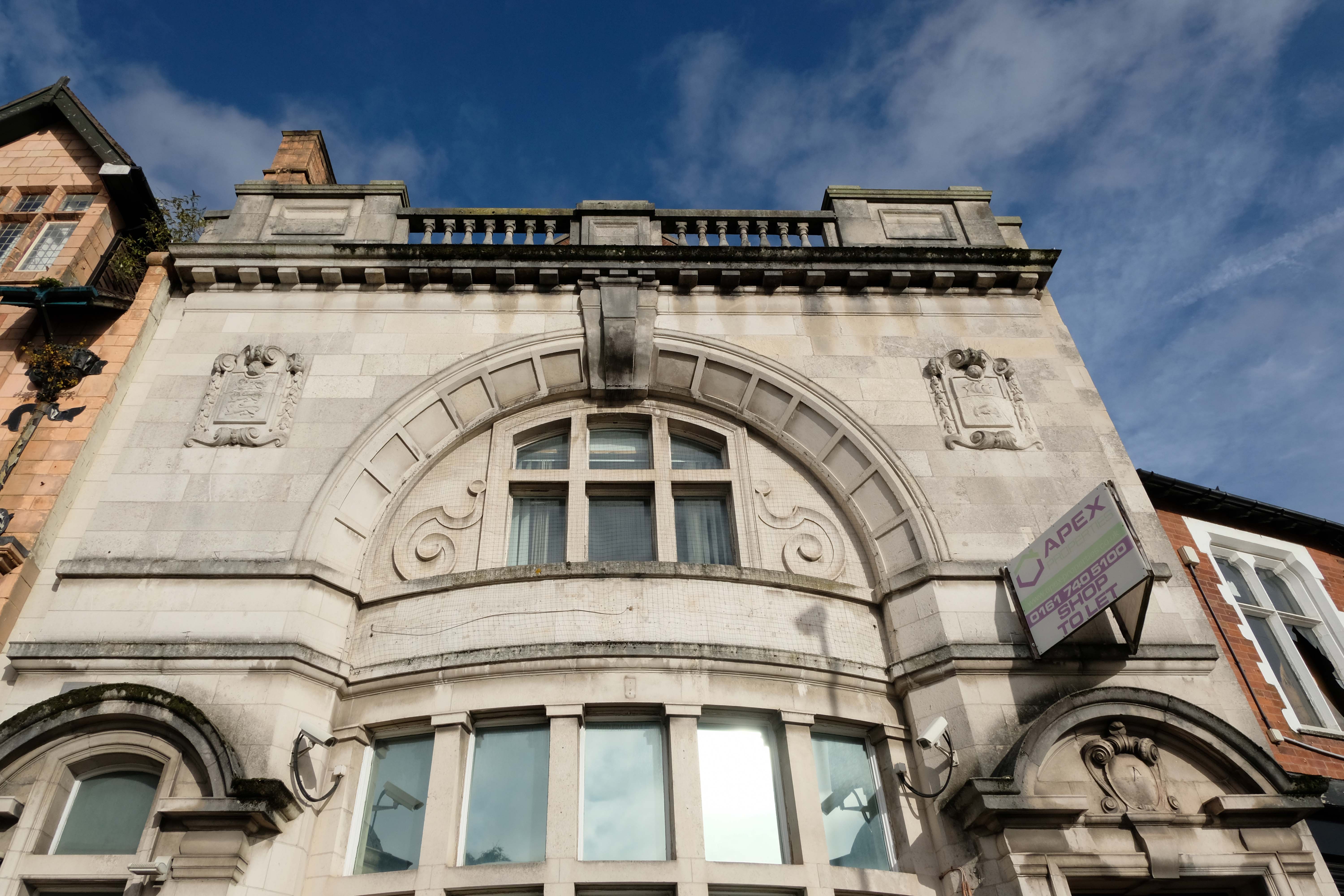
Next door the former Market Place Bank latterly RBS.
Plans to convert a long-vacant town centre bank into a nightclub have been revived despite previously being rejected over anti-social behaviour concerns.
An application to change the use of the former Royal Bank of Scotland, in Middleton, was refused by Rochdale council’s planning committee eighteen months ago, with members citing a history of alcohol-fuelled trouble in the area.
Further up Market Place the faience fronted Bricklayers Arms formerly a Bents and Gartsides boozer – delicensed in 2012 and Converted to a takeaway.
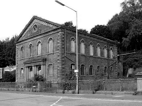
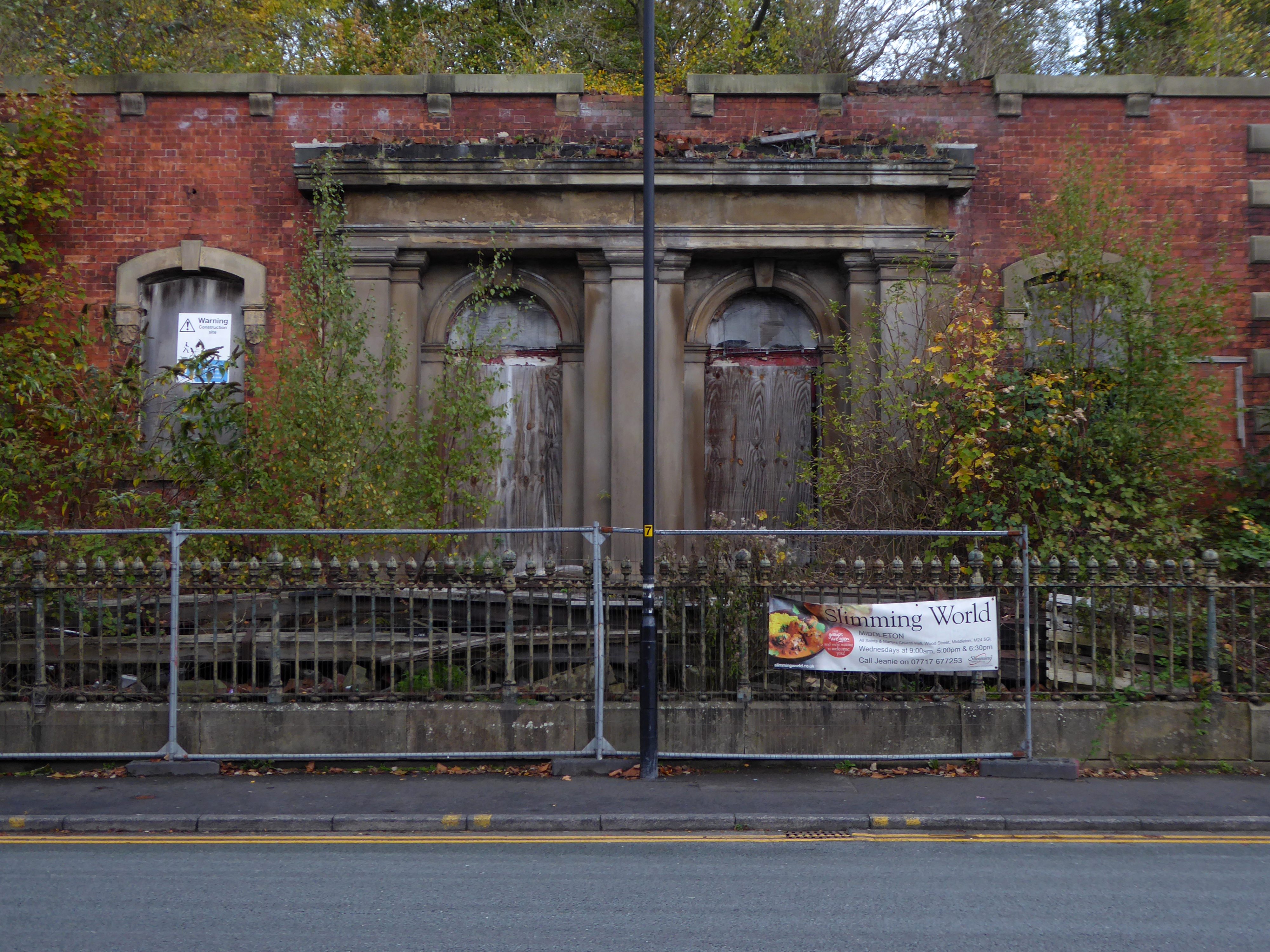
Moving along Wood’s much altered Guardian Buildings 1889.
The Guardian Buildings, were commissioned by Fred Bagot, the proprietor of the Middleton Guardian newspaper and a man with a reputation at the time for keeping a tight control of finances. In consequence, Guardian Buildings were one of Edgar Wood’s low budget buildings, of which there are several in and around Middleton. The building housed the operations of the newspaper with the cellar containing the printing machines and the tall ground floor housing a shop, office and more machines. The whole of the first floor, with its pair of oriel windows, was taken up by the composing room.
It fell into disrepair after the church moved to smaller premises in Alkrington in the 1960s.
The building collapsed in July 2012, when it was hit by a fire.
On Townley Street Lodge Mill built in1839 beside the River Irk battling on despite recent setbacks.
In August 2019, Martin Cove and Paula Hickey opened a small ice cream shop on the ground floor of the mill – named the Ice Cream Shop at Lodge – selling locally-made ice cream from Birch Farm, Heywood.
Across the way the magnificent Sub Station and Electrical Department Offices.
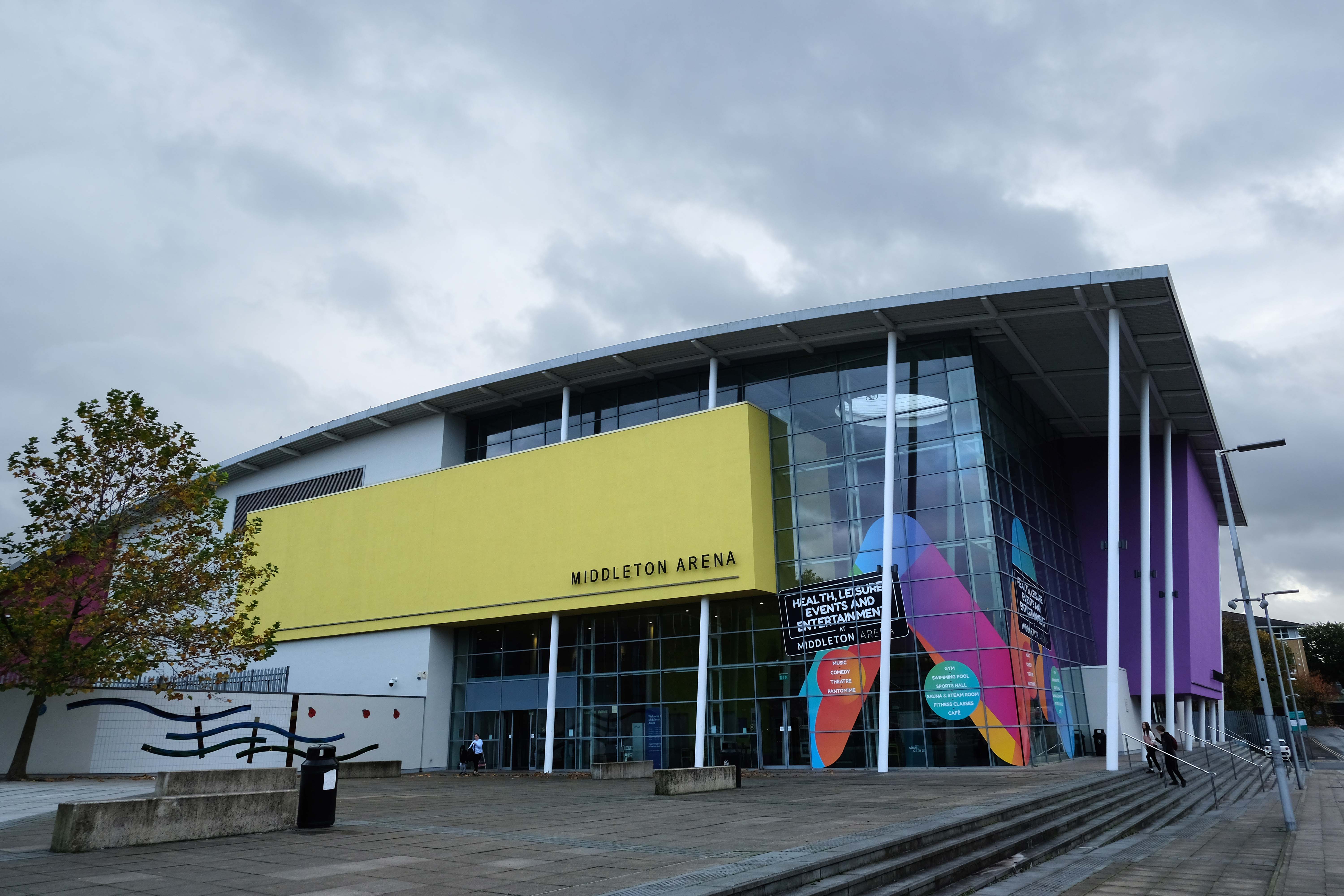
Then taking a turn around the banks of the Irk down Sharp Street onto Lance Corporal Joel Halliwell VC Way, where we find the Middleton Arena – BDP 2009
Then over the road to Oldham Road and Grade II ListedWarwick Mill 1907 G. Stott of J. Stott and Sons.
The mill recently changed ownership and new owner, Kam Lei Fong (UK) Ltd, has been working with Rochdale Borough Council over the past nine months on proposals to redevelop the site.
The plans will form the cornerstone of a new masterplan for Middleton town centre focusing on delivering new homes, business space, highway and environmental improvements, new walking and cycle routes to pave the way for the planned extension of the Metrolink into Middleton Town Centre.
The station, with 13 stands, cost £4.5 million and replaced the previous station which dated to the 1970s.
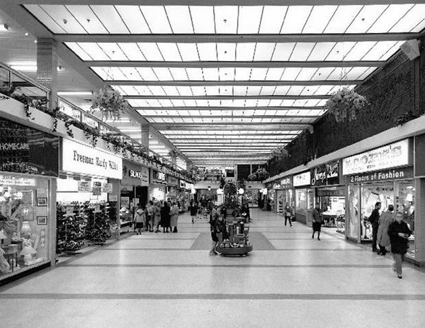
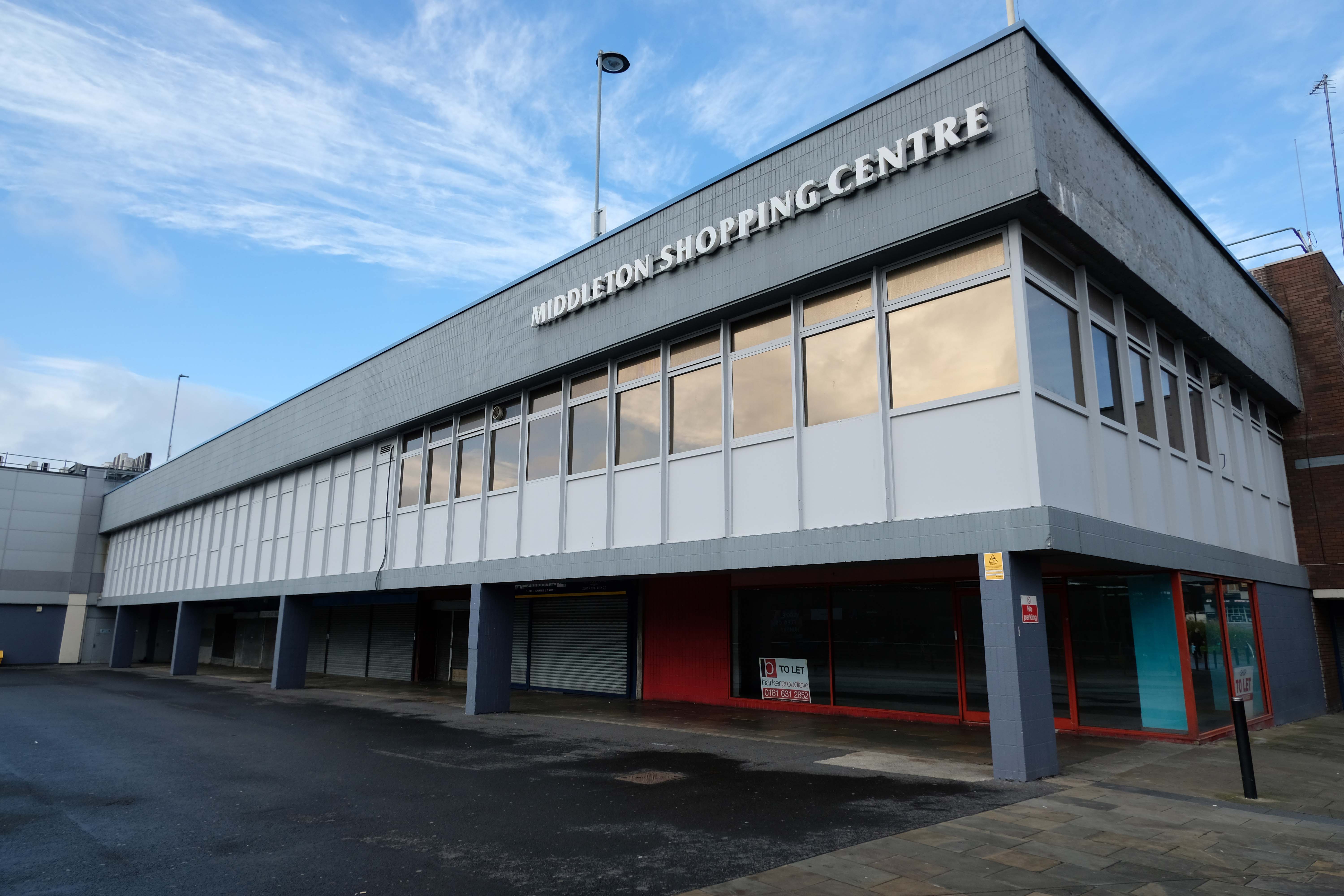
The Middleton Arndale Centre commenced trading in 1971, although it was officially opened by Her Royal Highness the Duchess of Kent in March 1972.
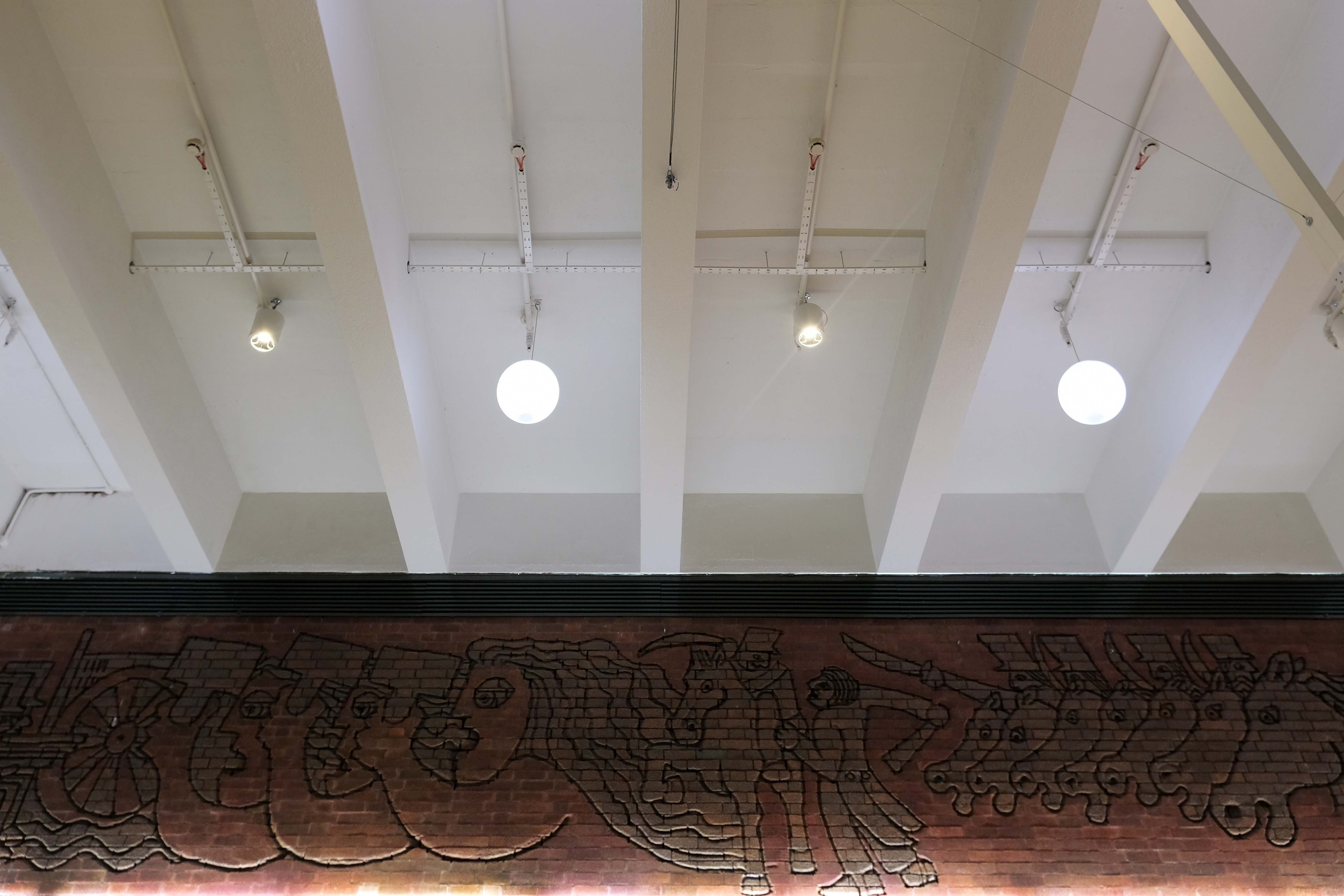
Once home to The Breadman designed by Rochdale’s town artist of the time, Michael Dames.
Photo: Local Image Collection – Touchstones
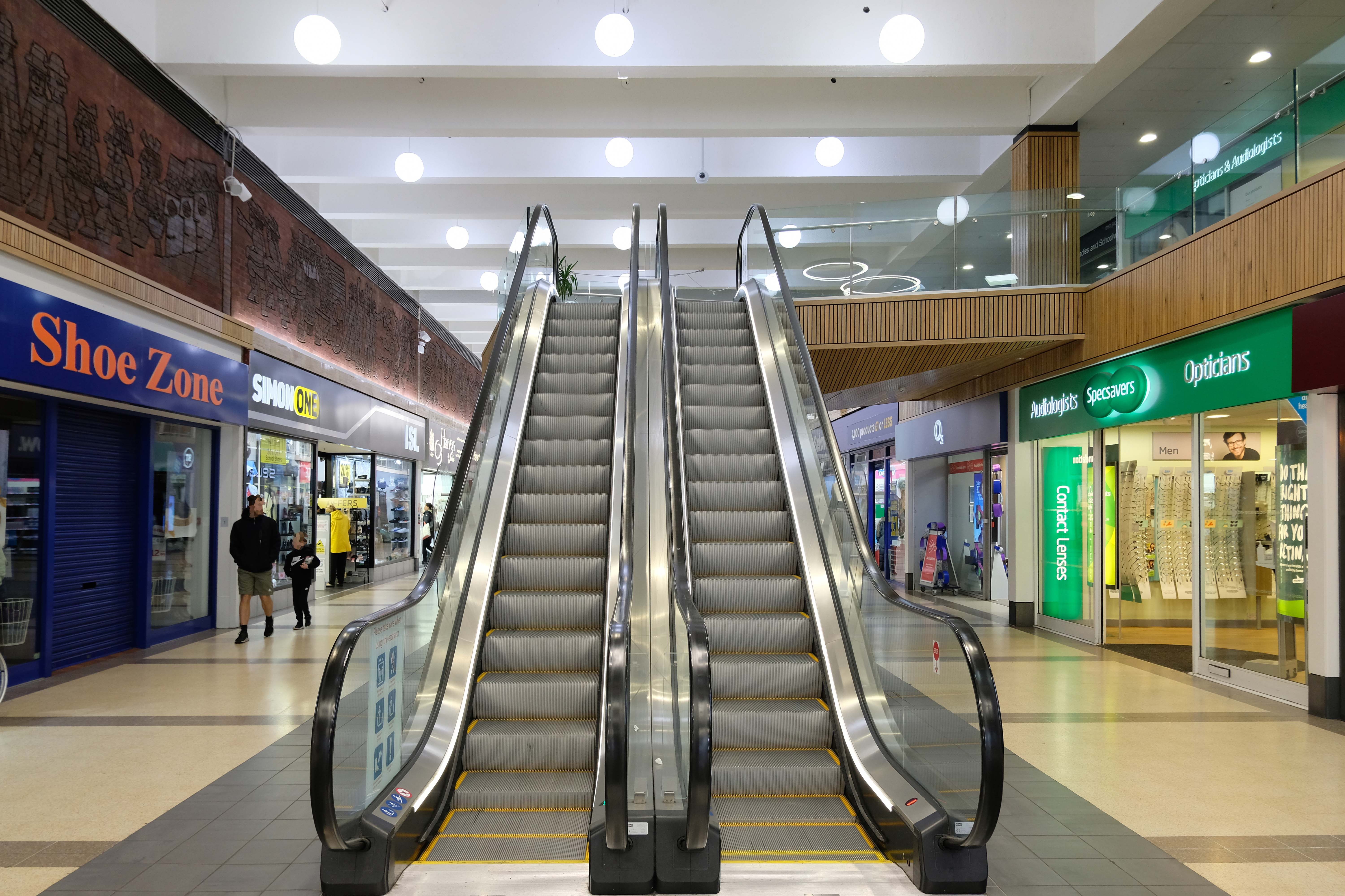
Now trading as the Middleton Shopping Centre
The brick reliefs illustrating the town’s history are by Fred Evans of Dunstable, who completed the work in one week during May 1972 using a high powered sandblasting blaster.
Thanks to Phil Machen for the top tip.
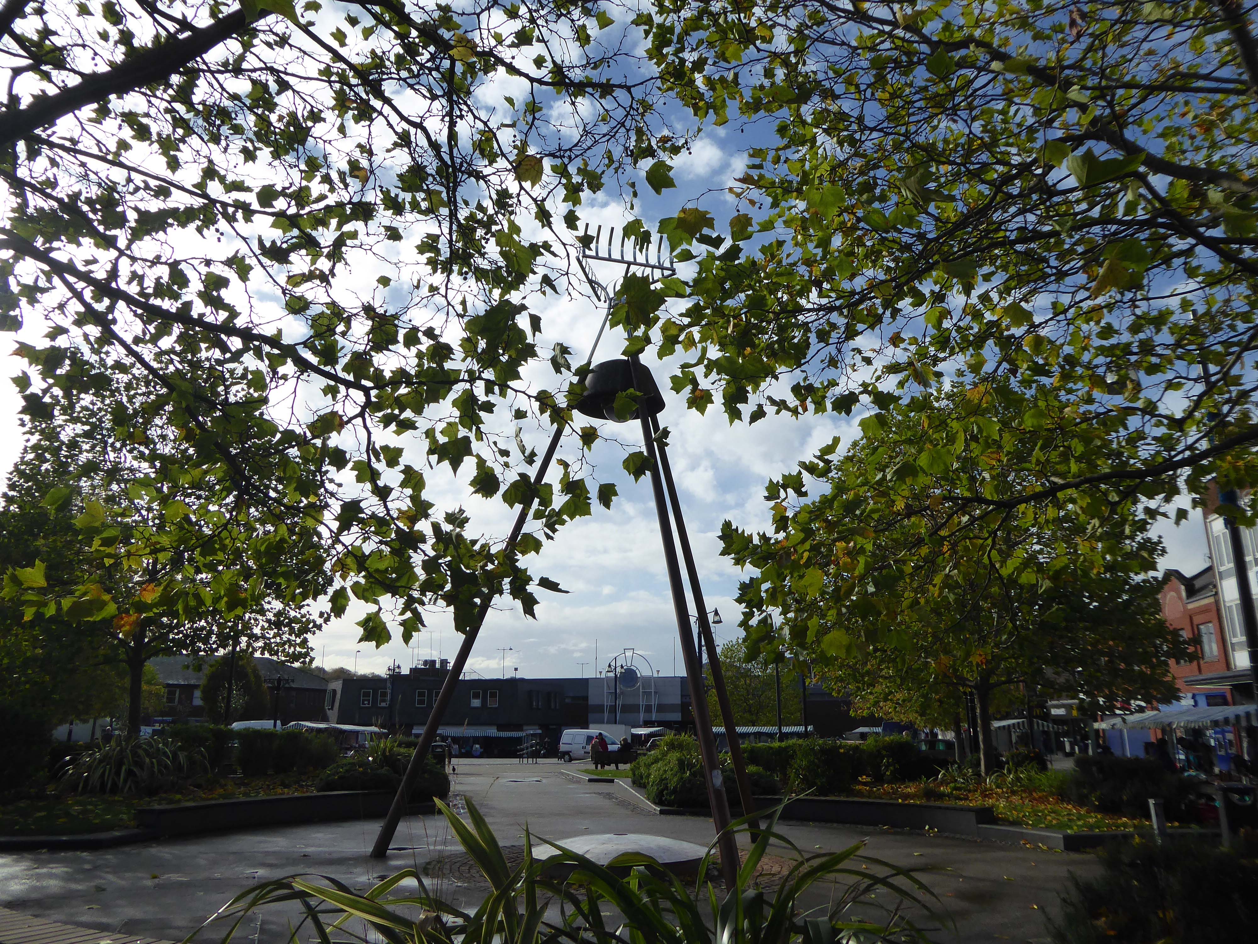
At the centre of the public domain the Middleton Moonraker 2001 by Terry Eaton
According to folklore, the legend has several different interpretations. One version is that a traveller came upon a drunken yokel trying to rake a reflection of the moon in a village pond, convinced it was cheese.
This version conveys the notion that the men were drunk and acting foolishly.
However, an alternative narrative – and perceived to be the most reliable version – tells a different story and dates back to the time when smuggling was a significant industry in rural England.
It appears that many residents wish to rid themselves of the Moon Raker moniker and presumably become Middletonians.
There’s so much more to Middleton’s history than the Moonraker. Why did they spend all that money on a fairytale?
There were 3,000 Lancaster bombers built in Middleton during World War Two, a magnificent contribution to the effort to beat Hitler.
The bulbs inside the moon which light it up at night haven’t worked for five years.
Bernard Wynne
Along Long Street the Cooperative store what was – next door the long gone Palace Cinema demolished in 2001.
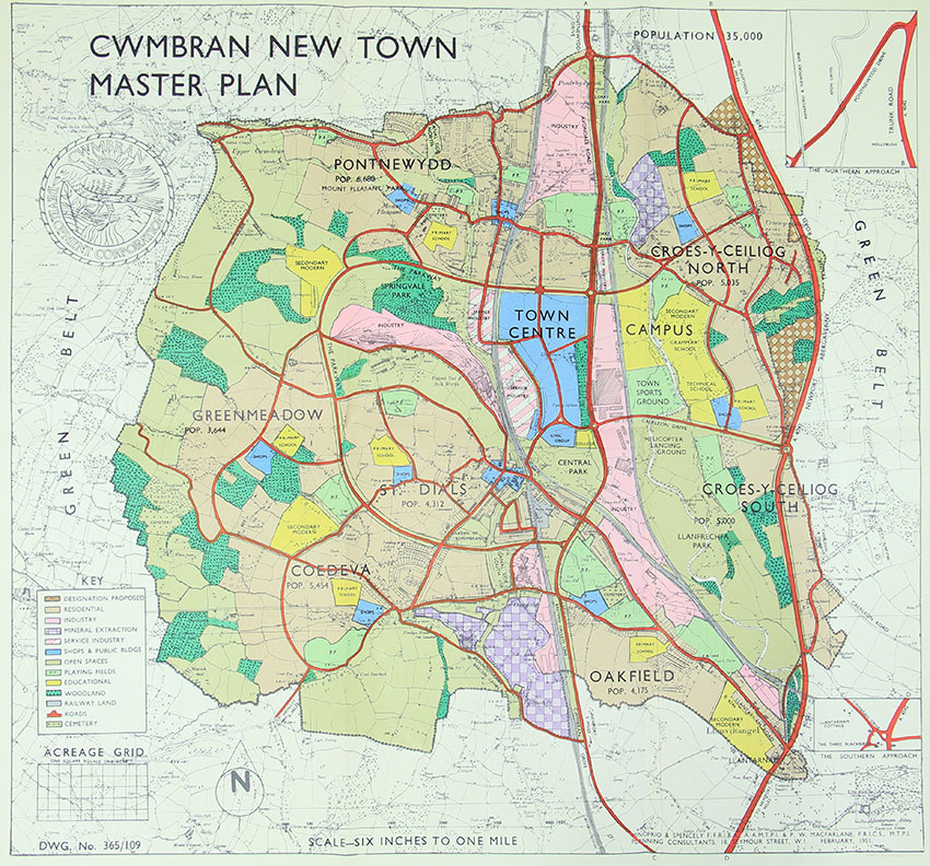
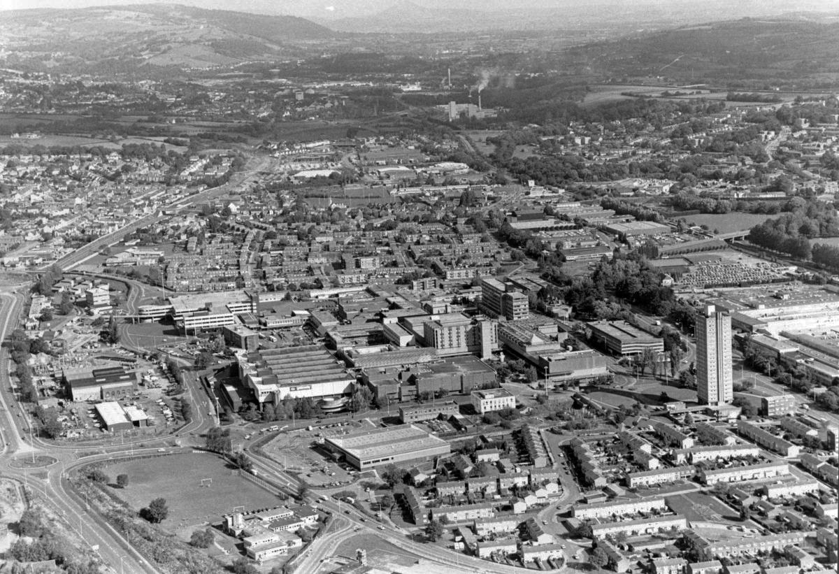
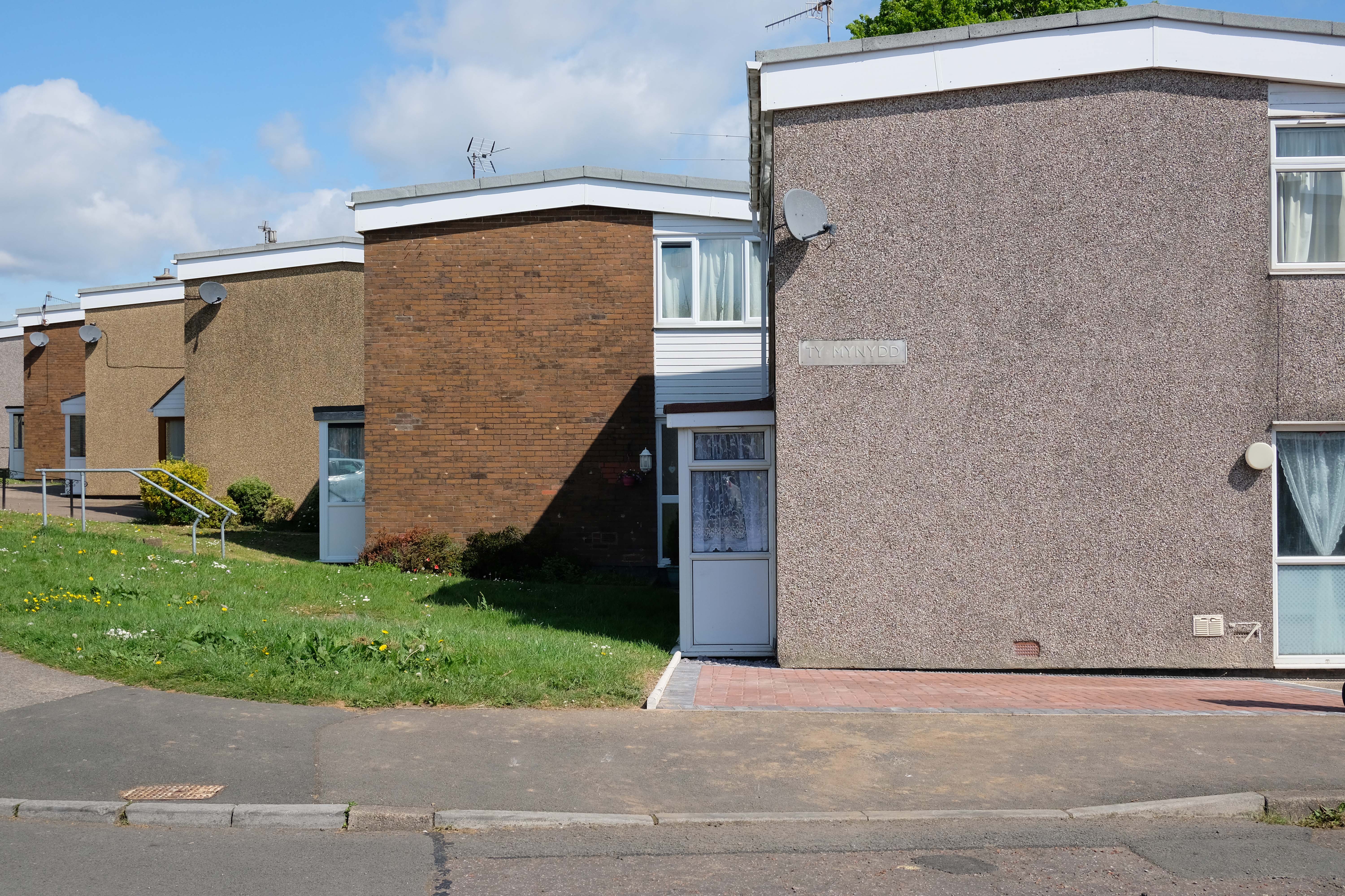
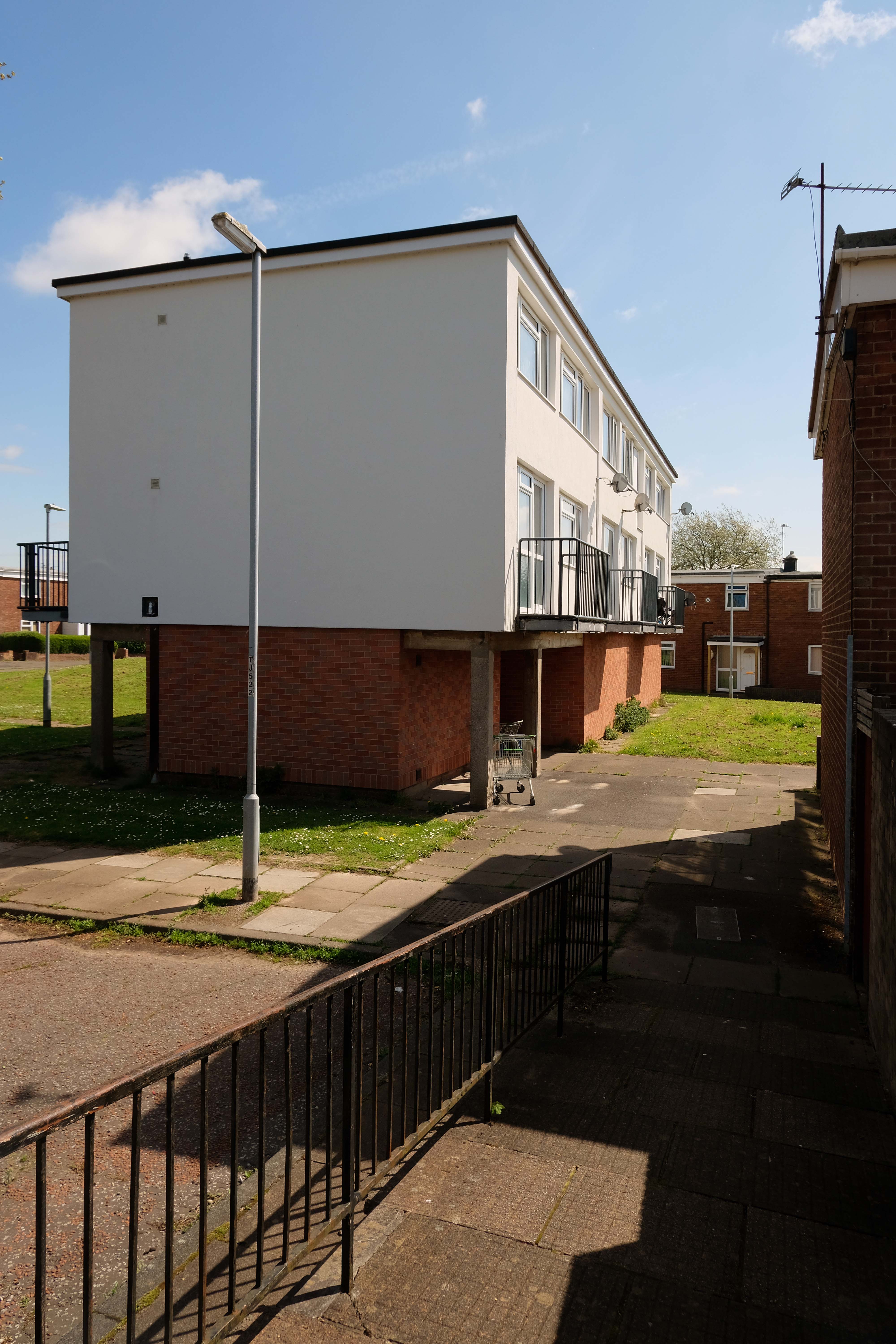
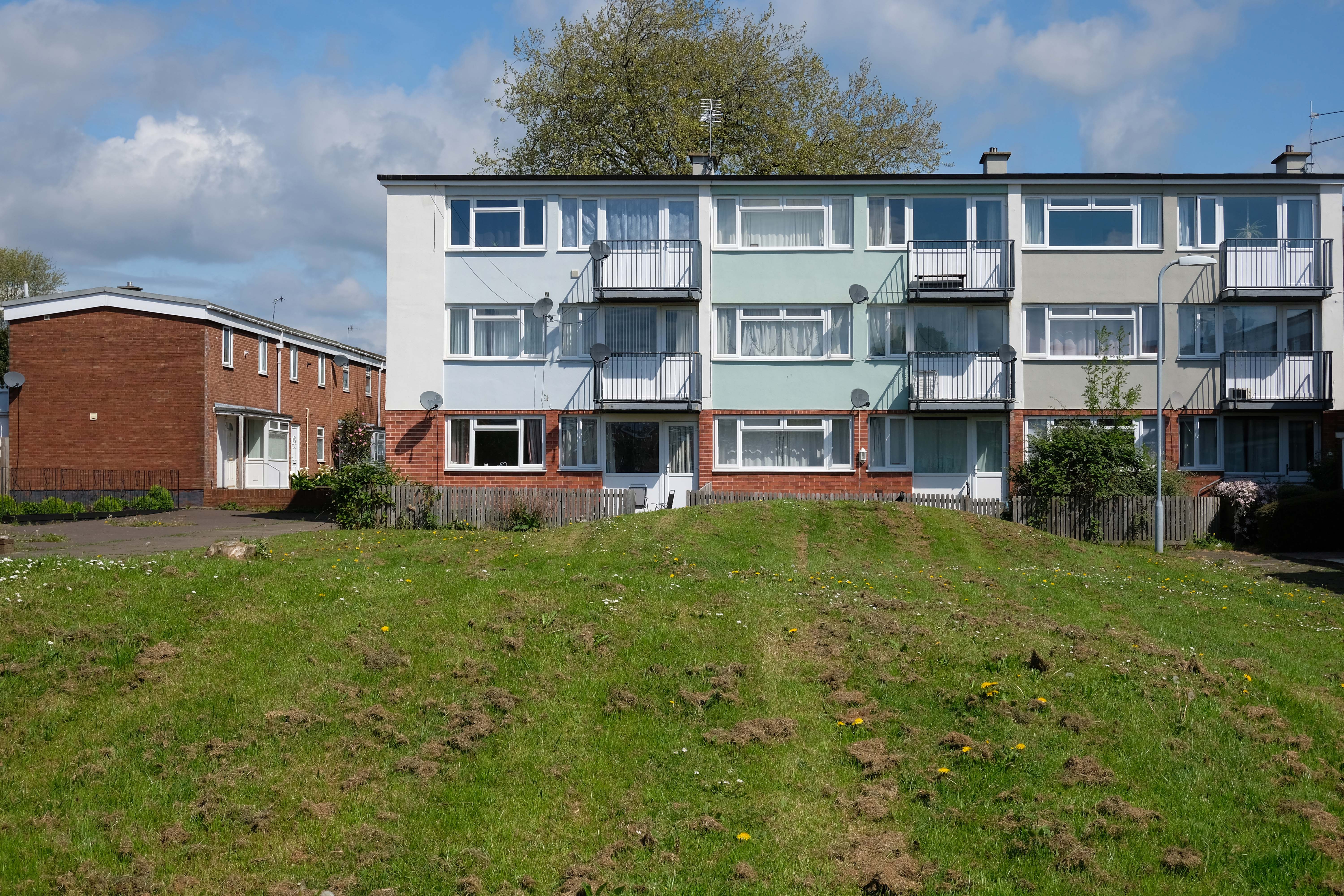
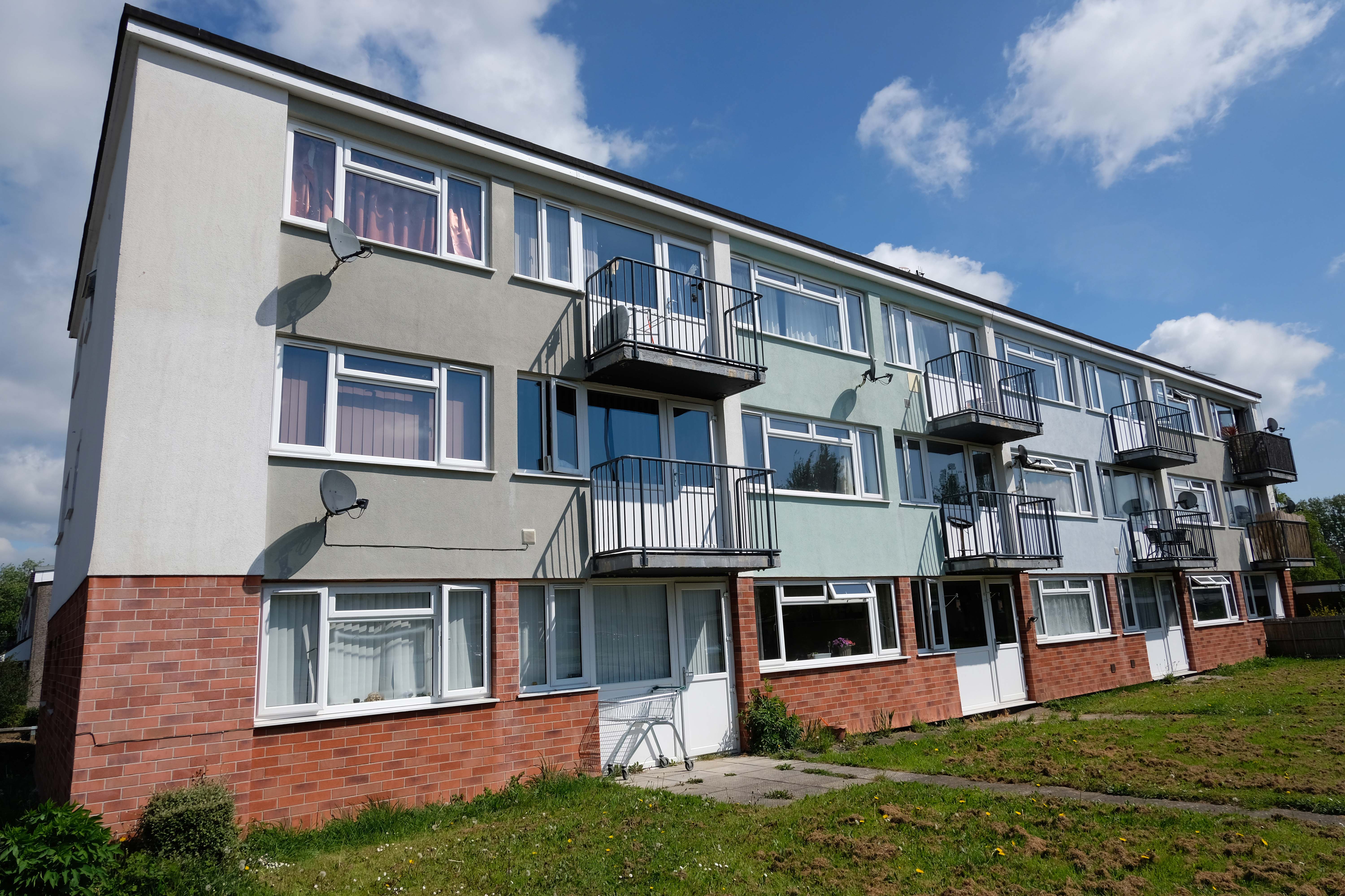
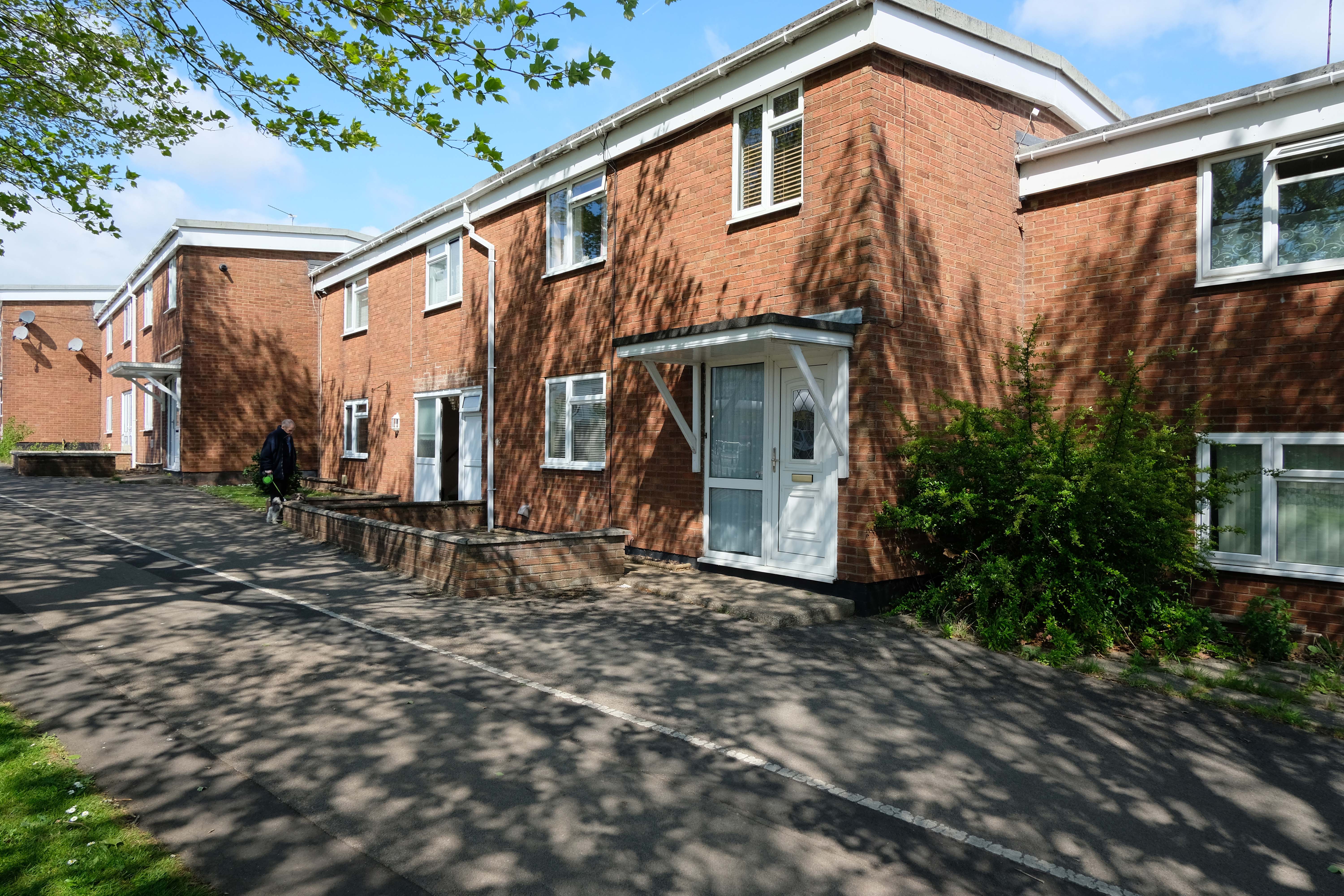
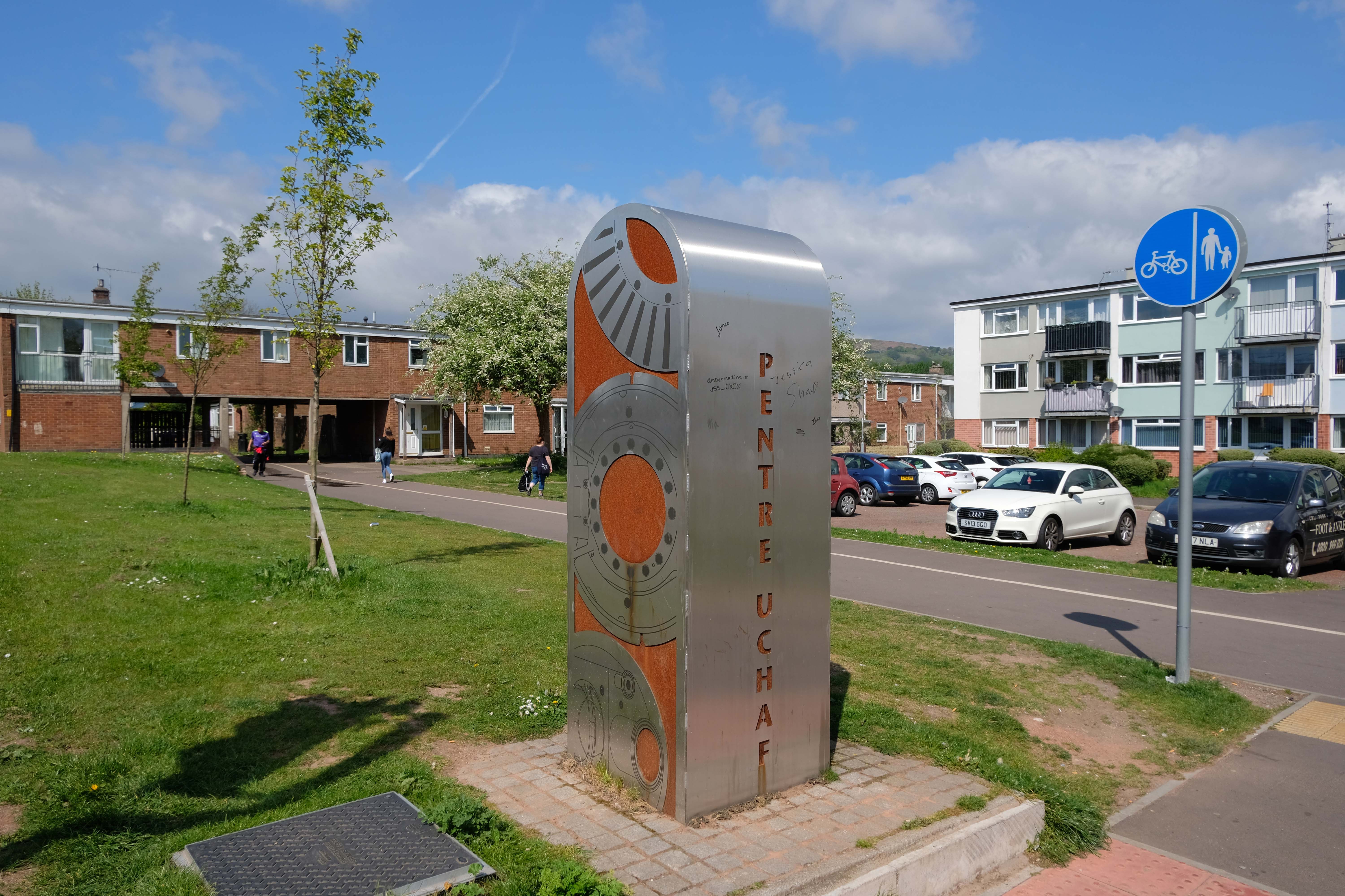
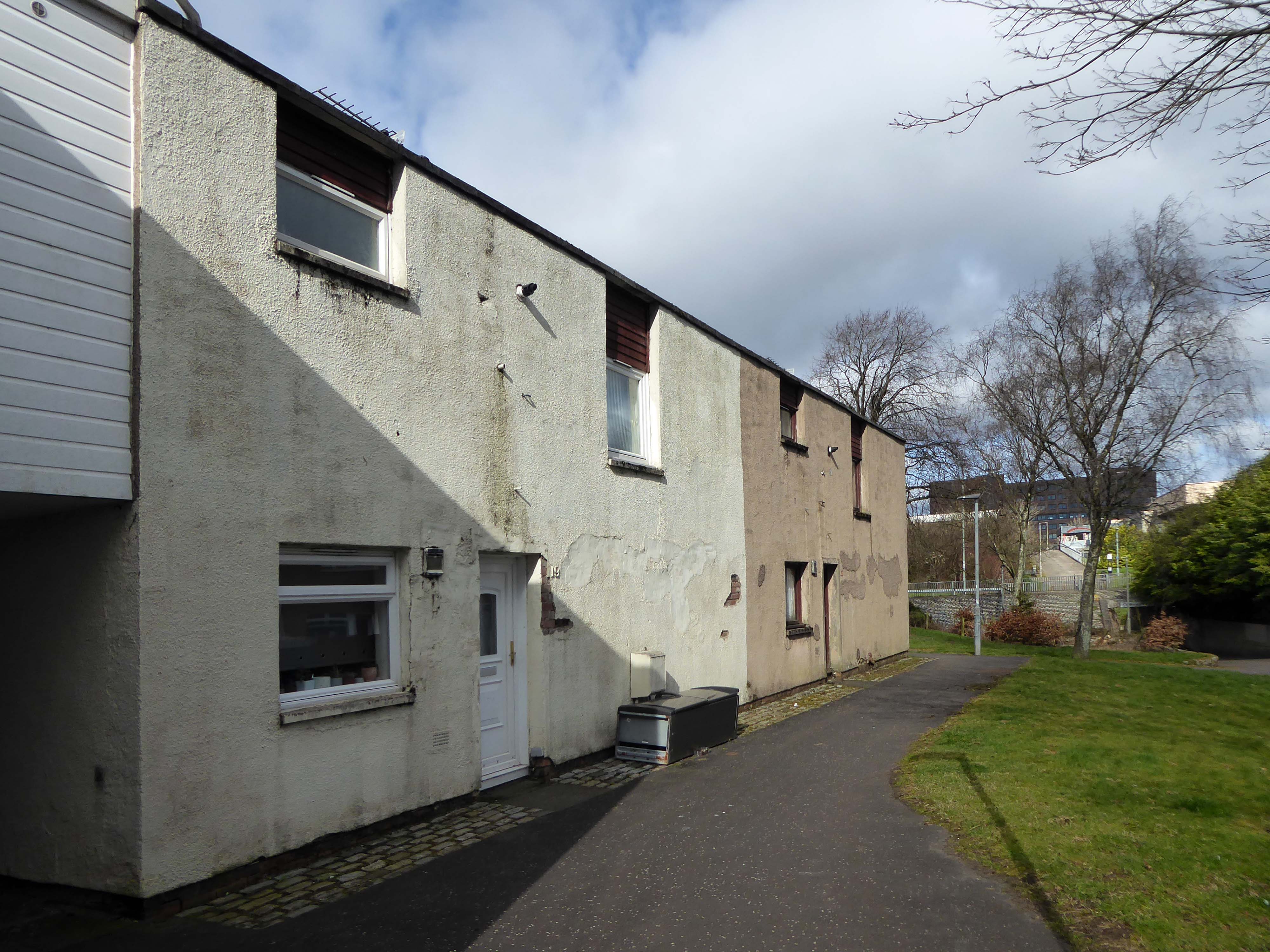
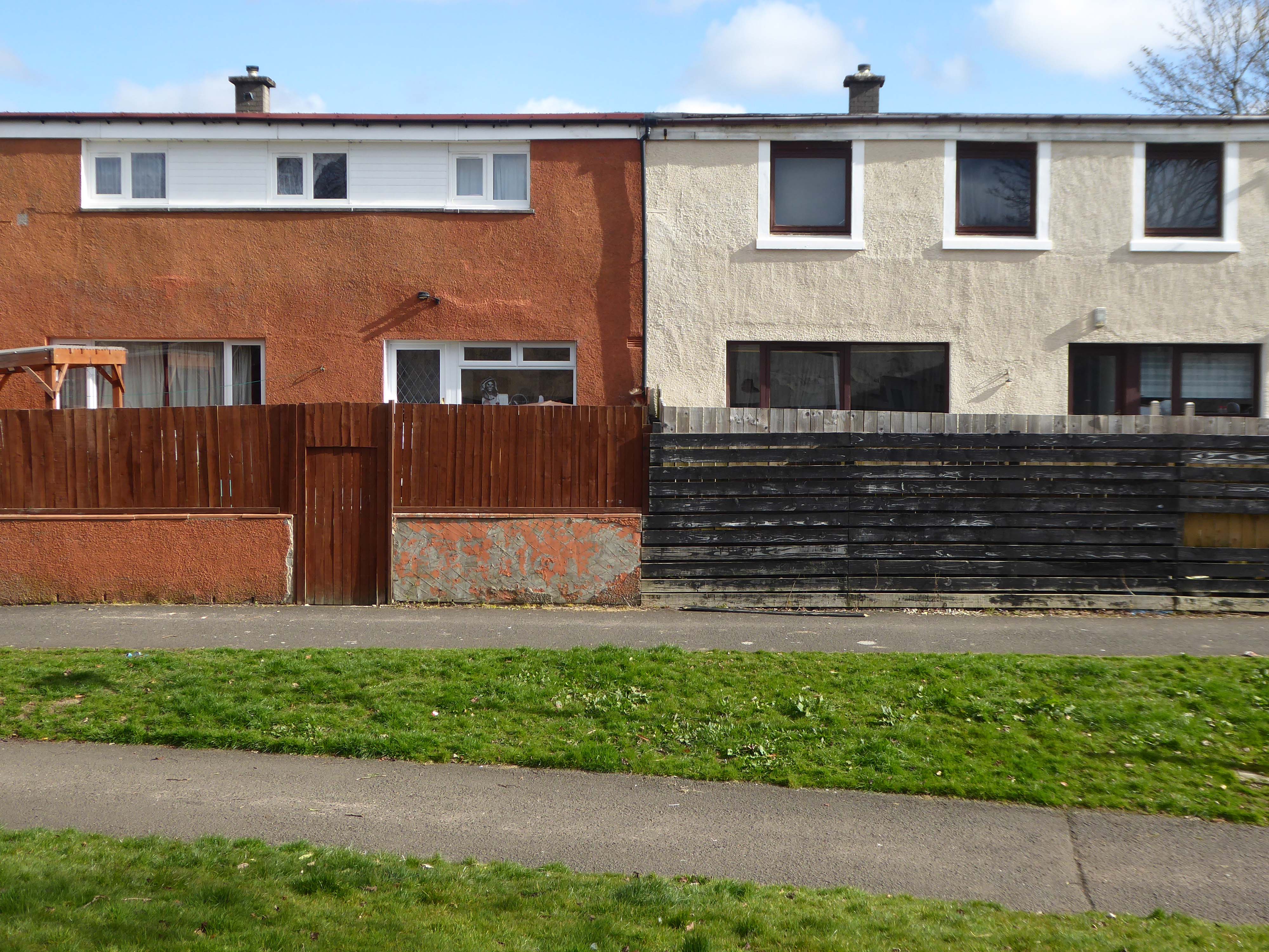
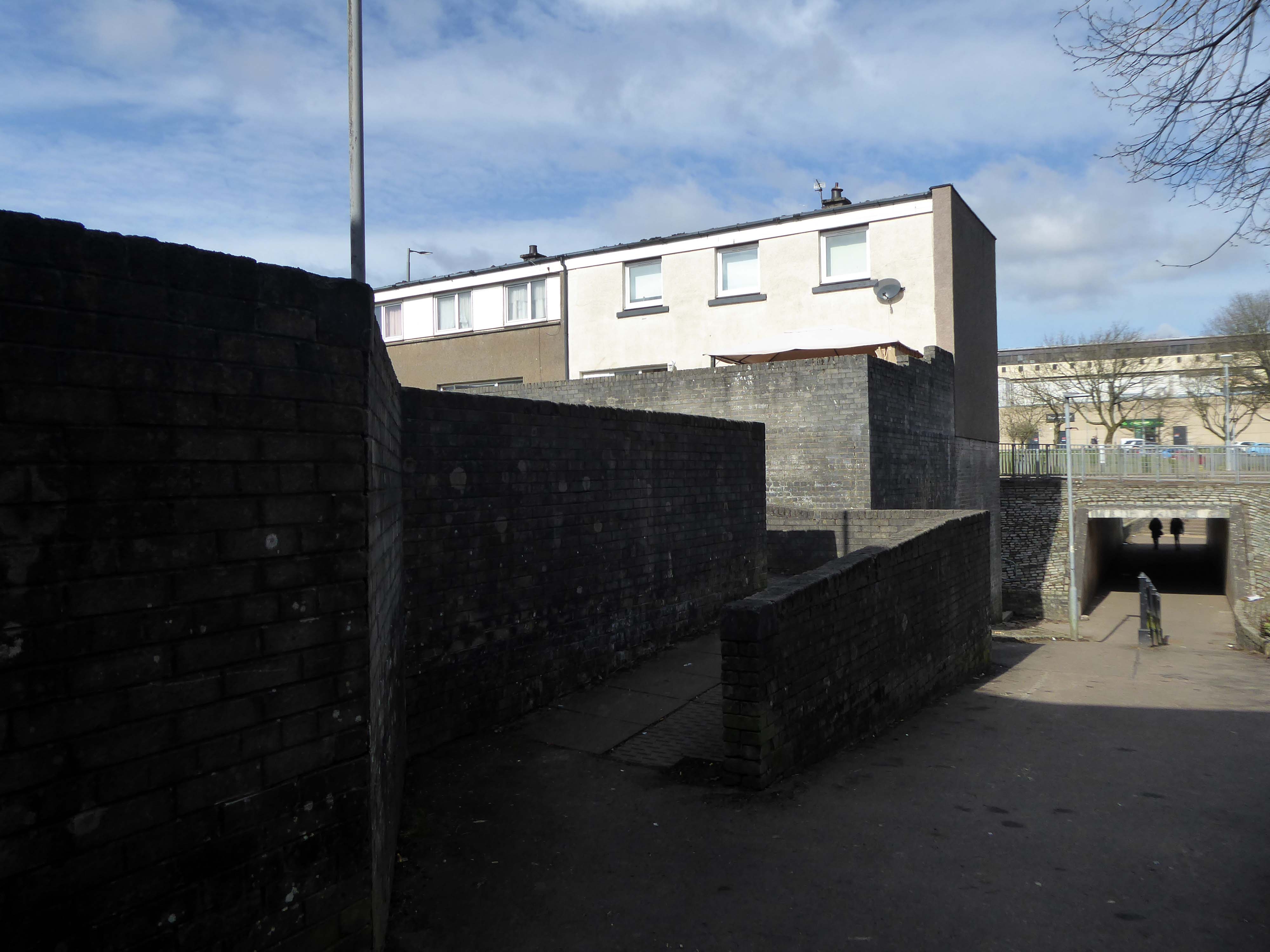
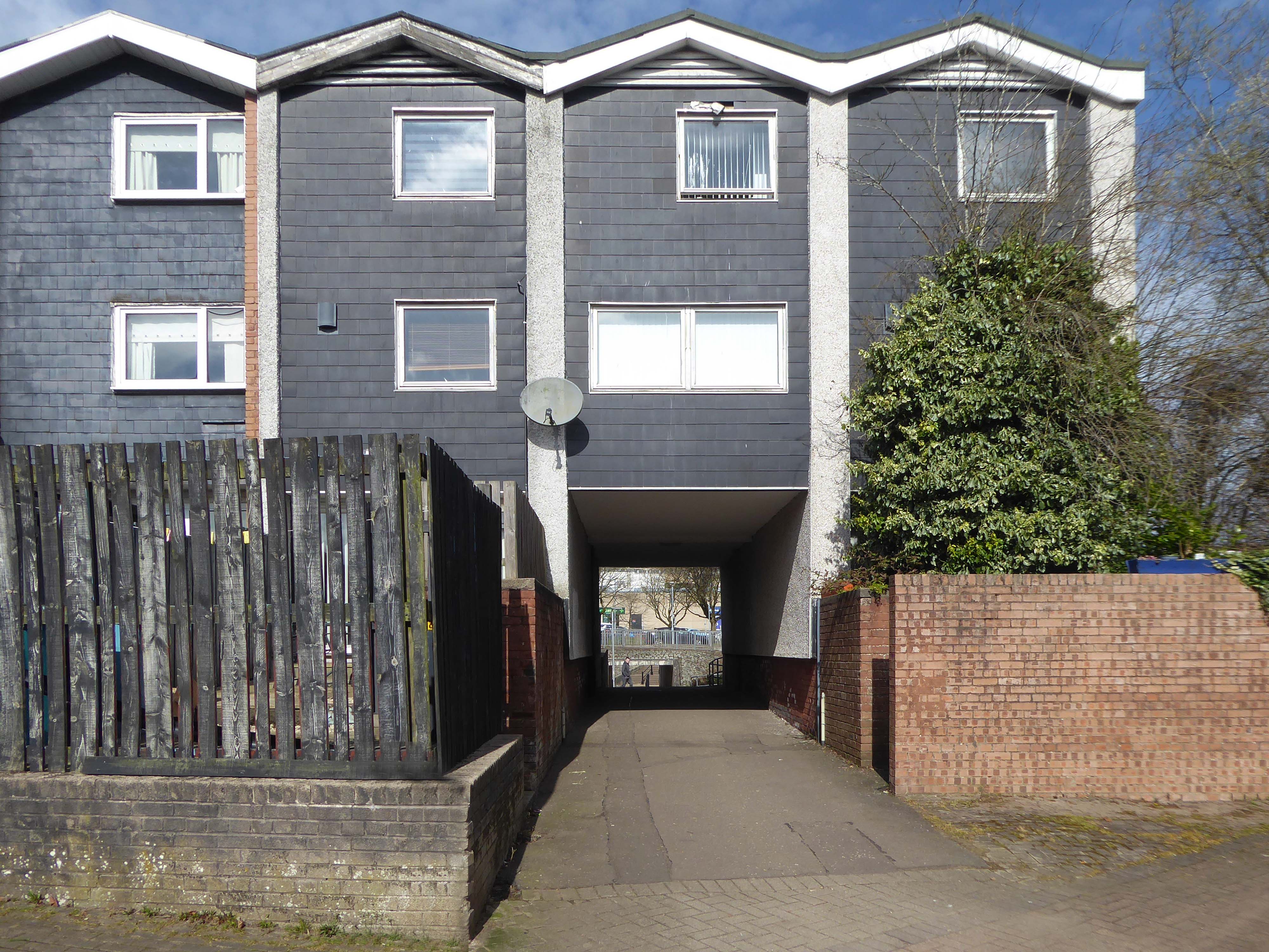
Cwmbran was founded in 1949 as a new town, to provide new employment opportunities in the south eastern portion of the South Wales Coalfield, but the area has a long history.
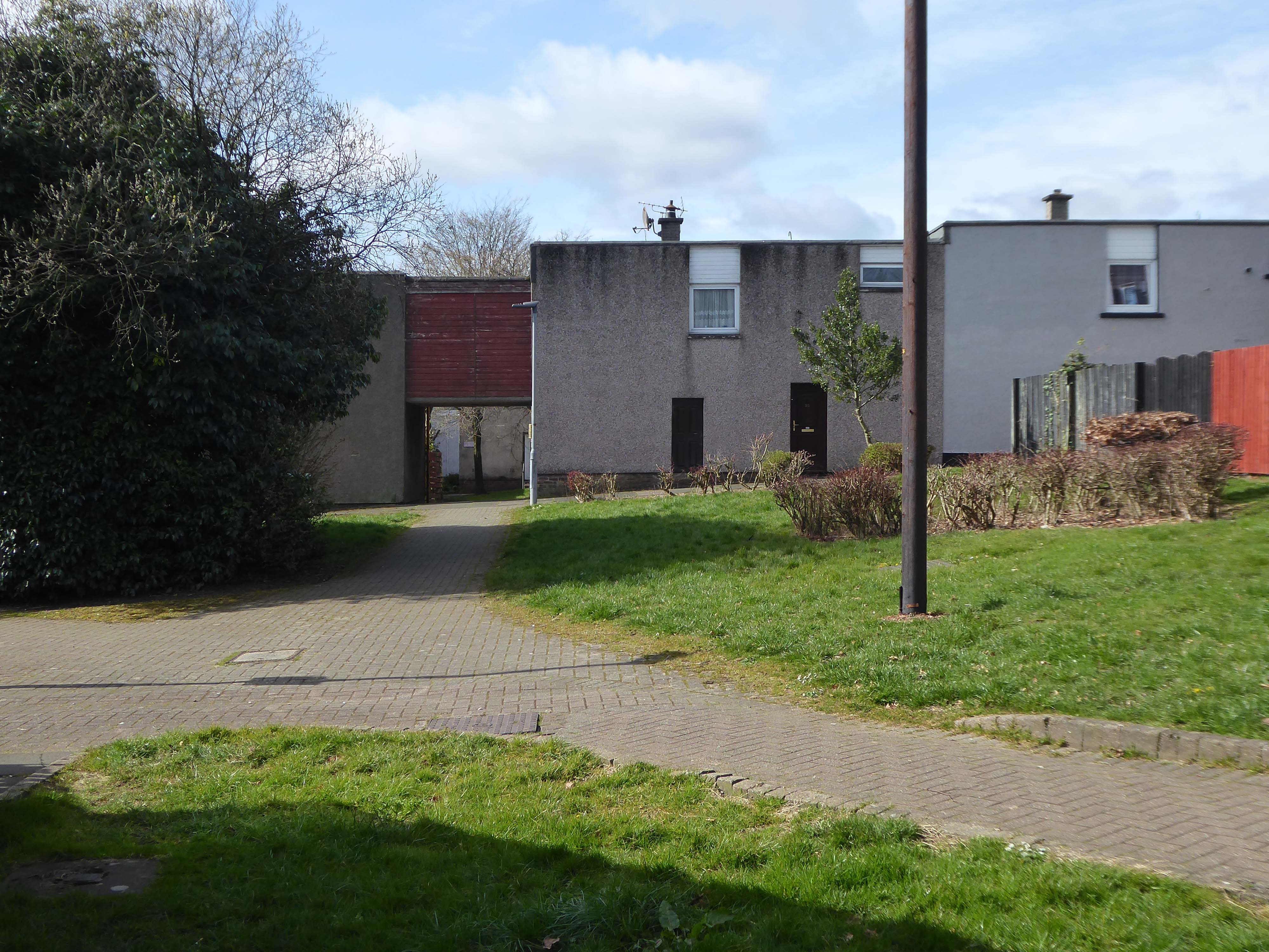
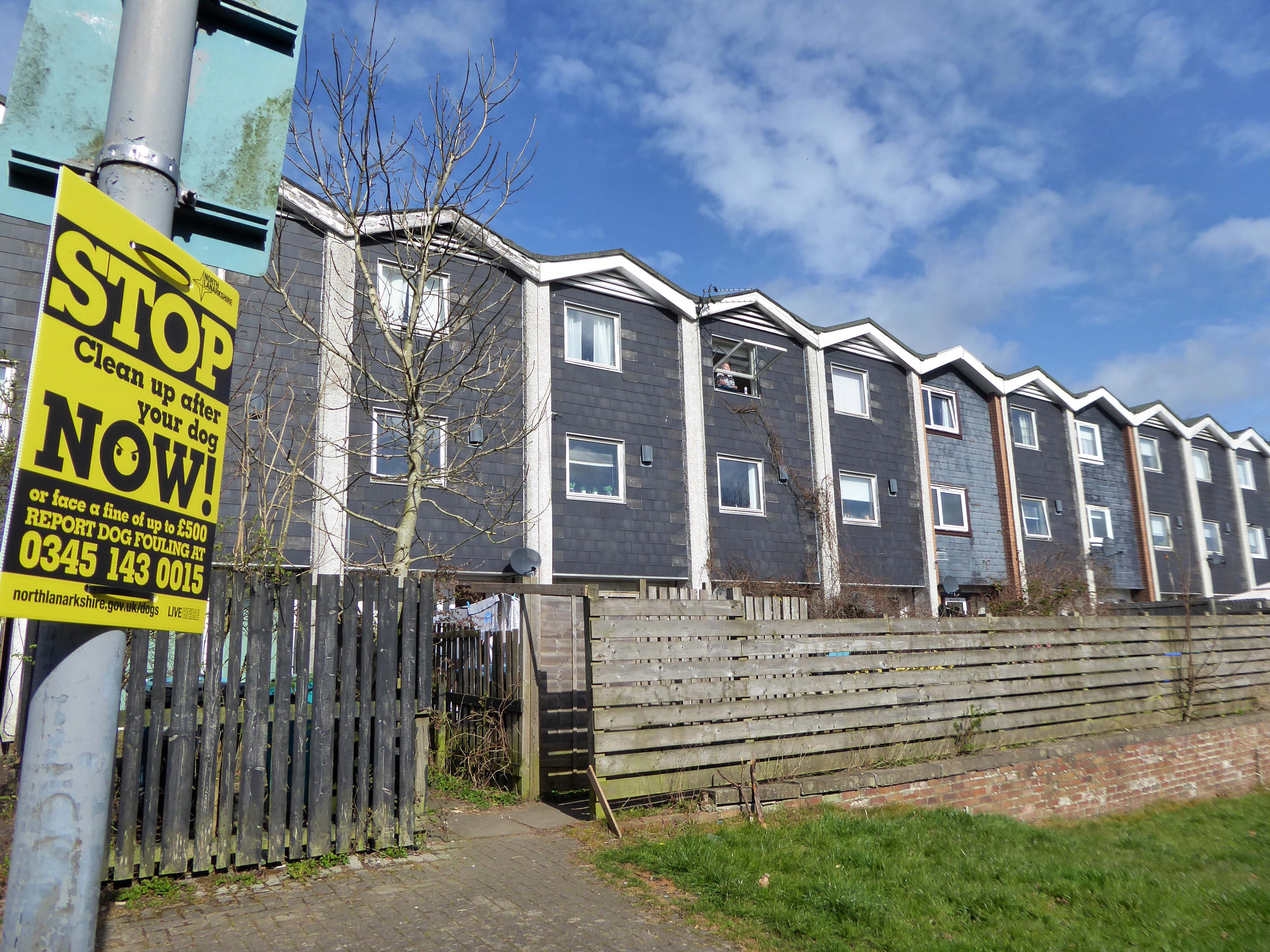
We shall now explore the housing framed by the railway and shopping centre.
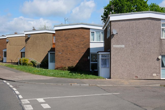
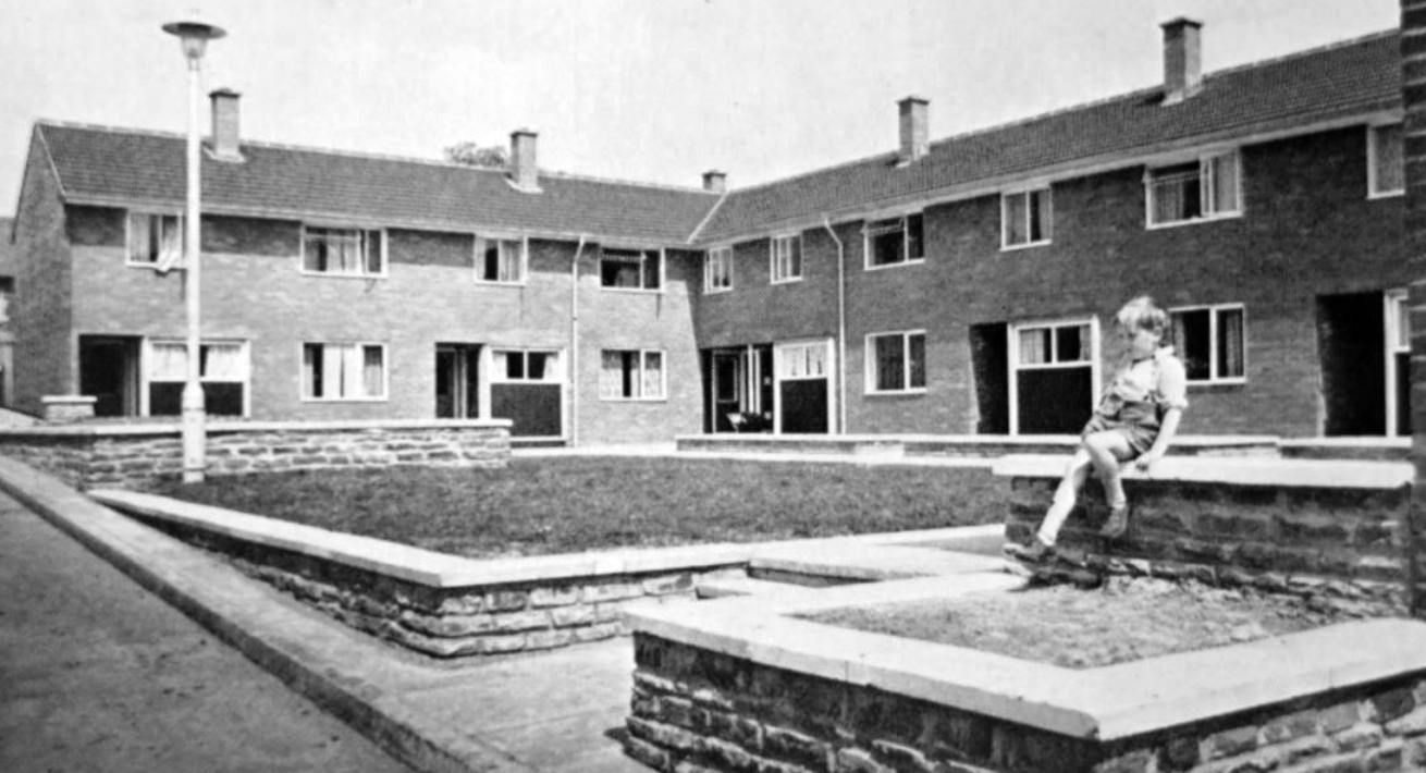
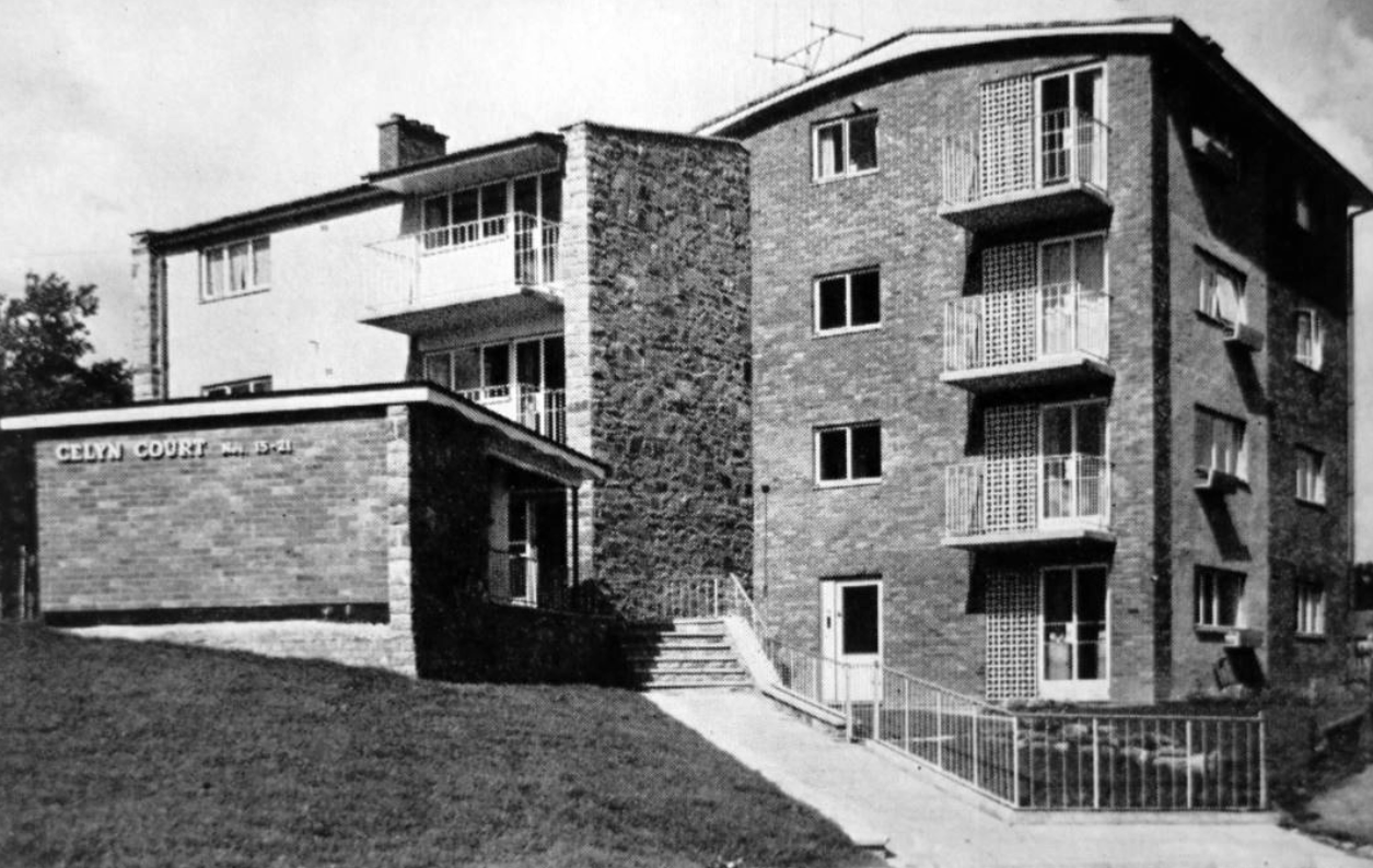
From Cleeve Barr’sPublic Authority Housing – published in 1958.
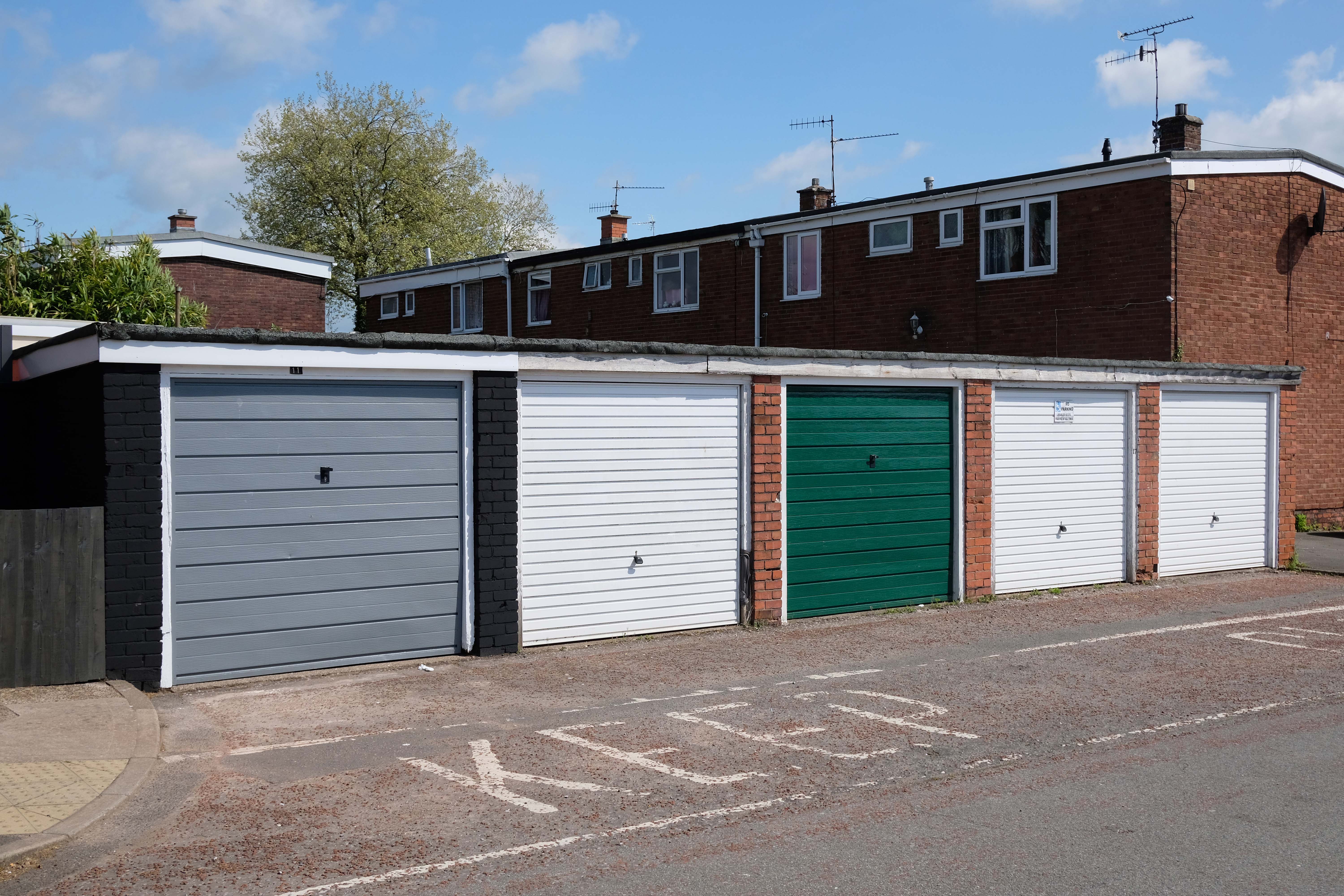
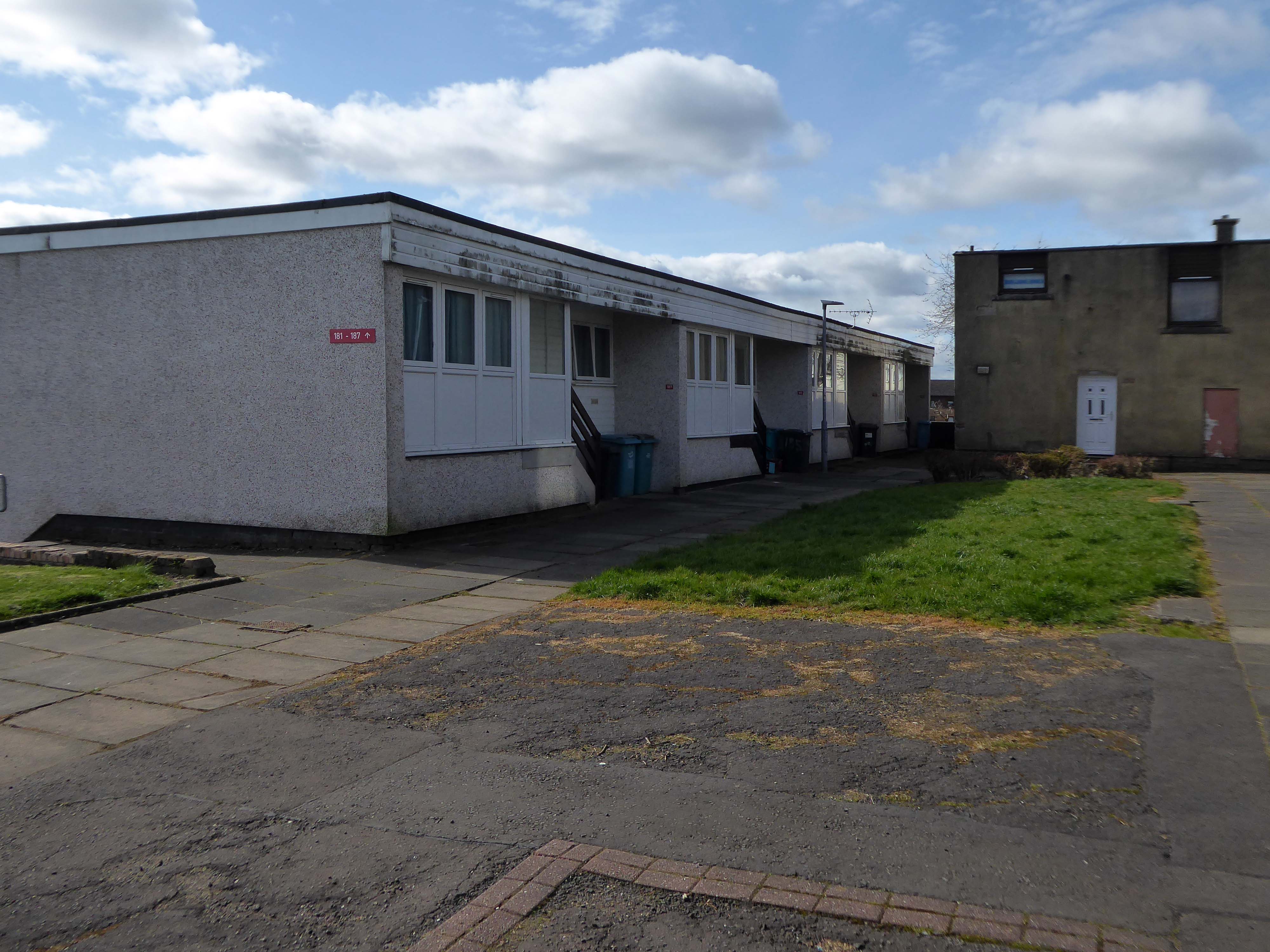
A mix of pedestrianised terraces and low rise blocks, set in a loose grid of roads and rolling, tree-lined, grassed areas.
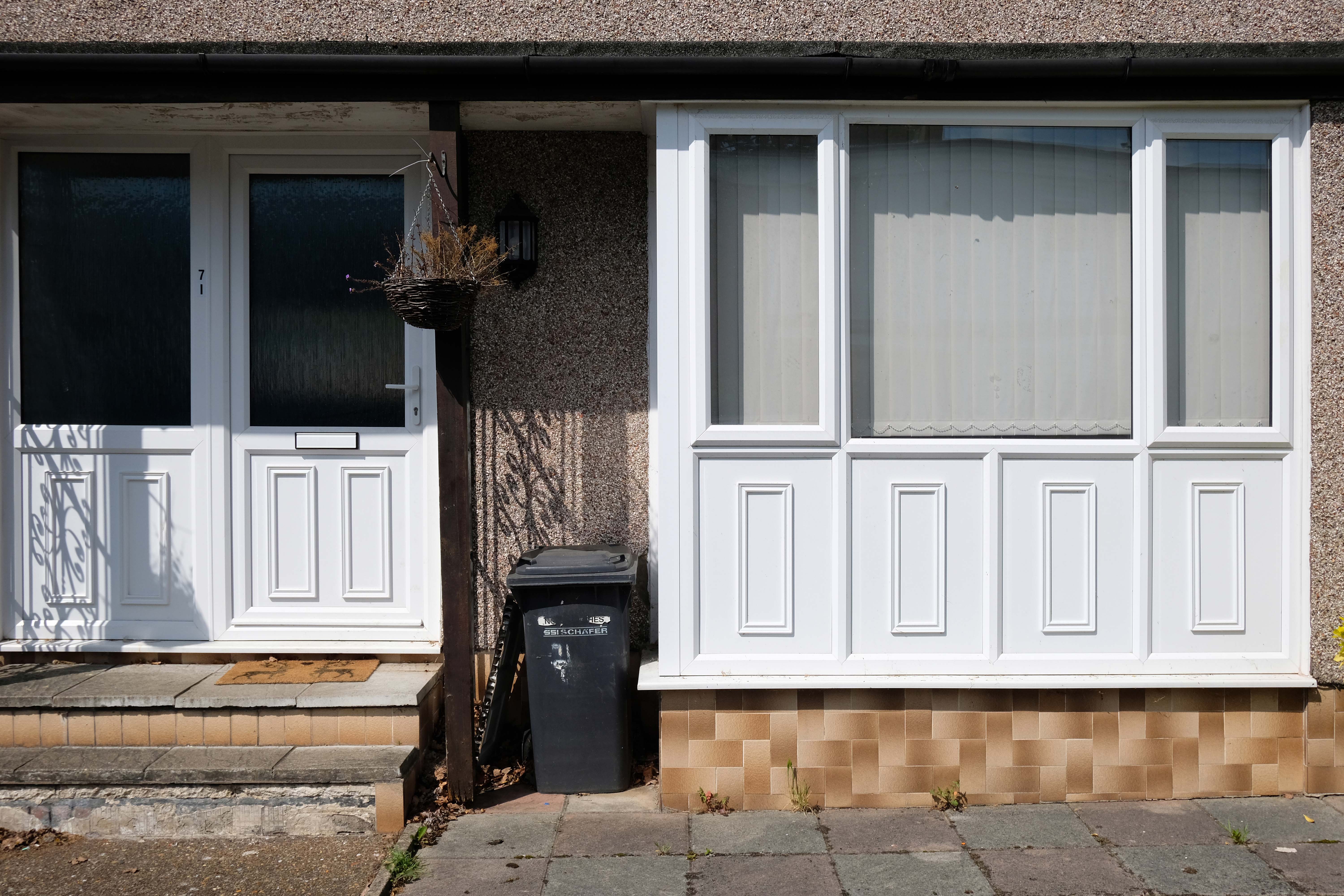
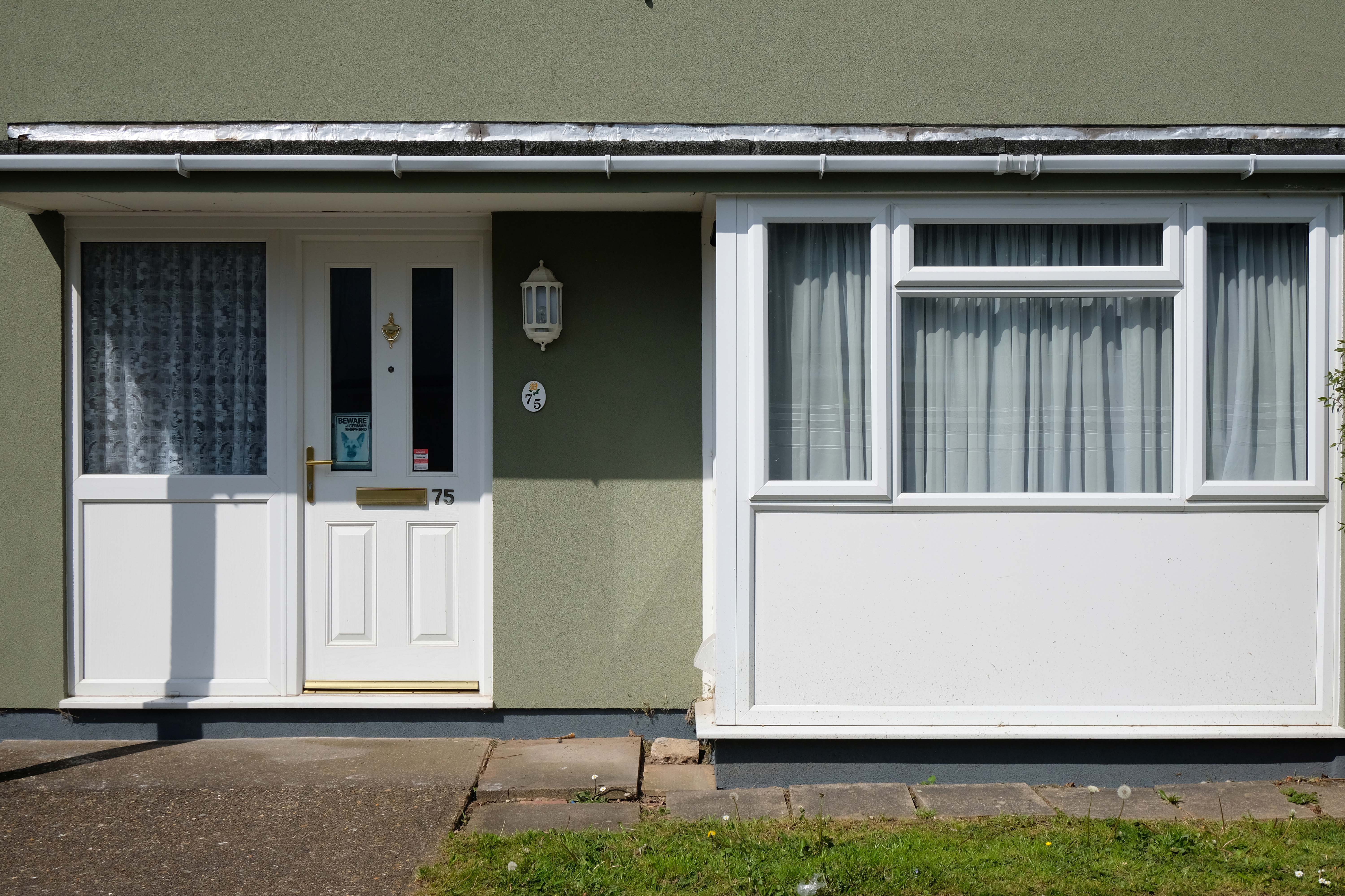
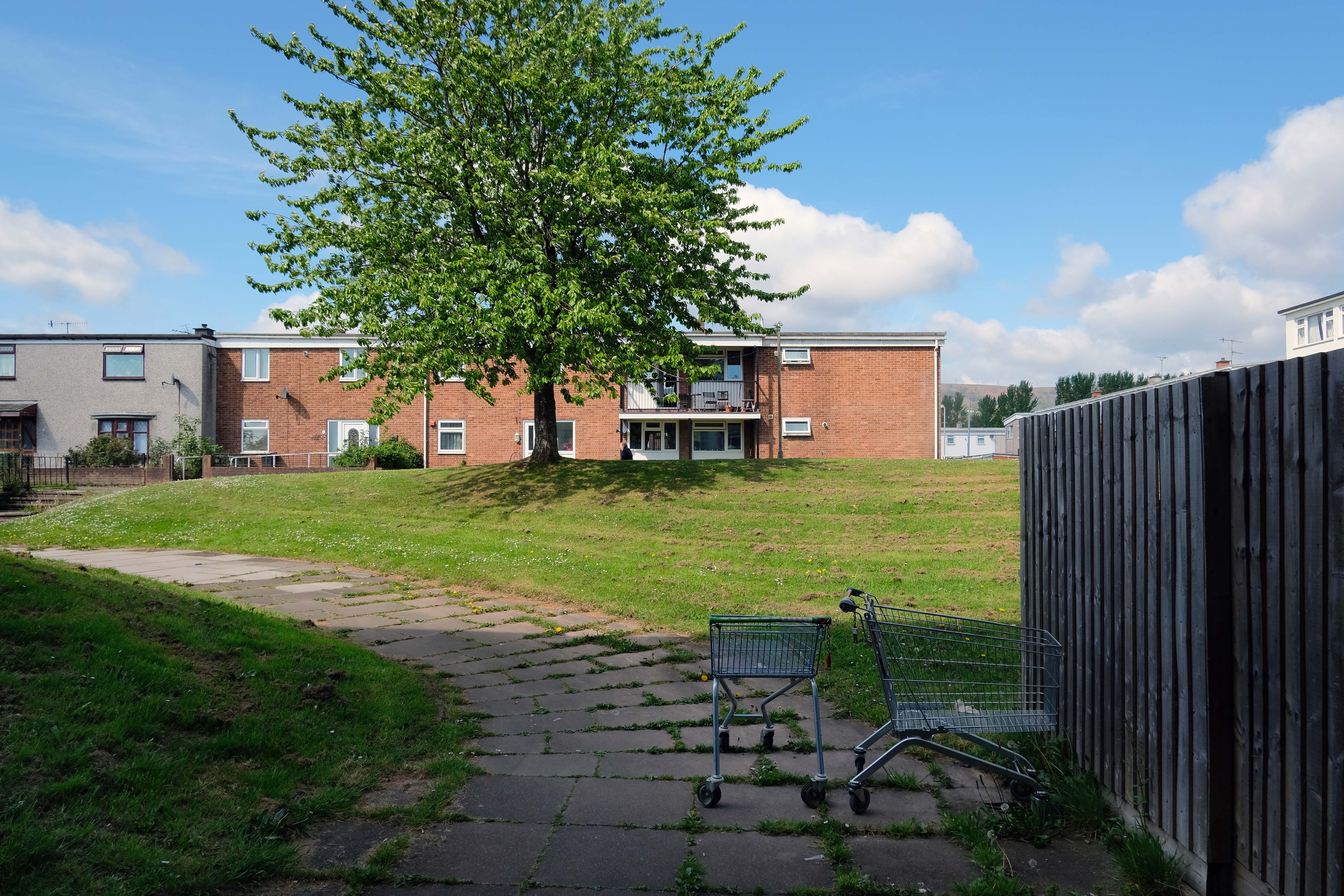
Over time there has been the addition of uPVC and the revisionist intrusion of the ahistorical carriage lamp.
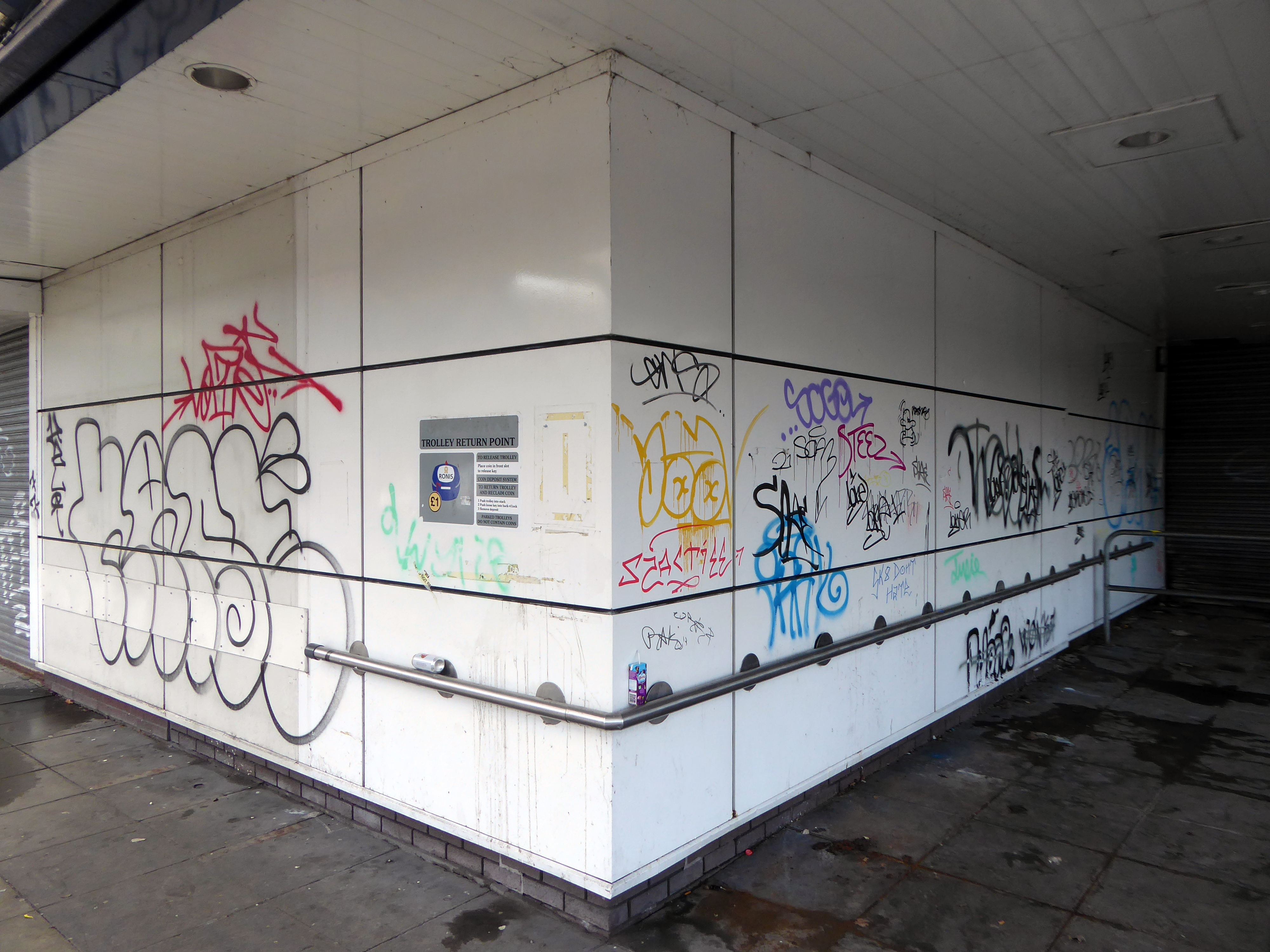
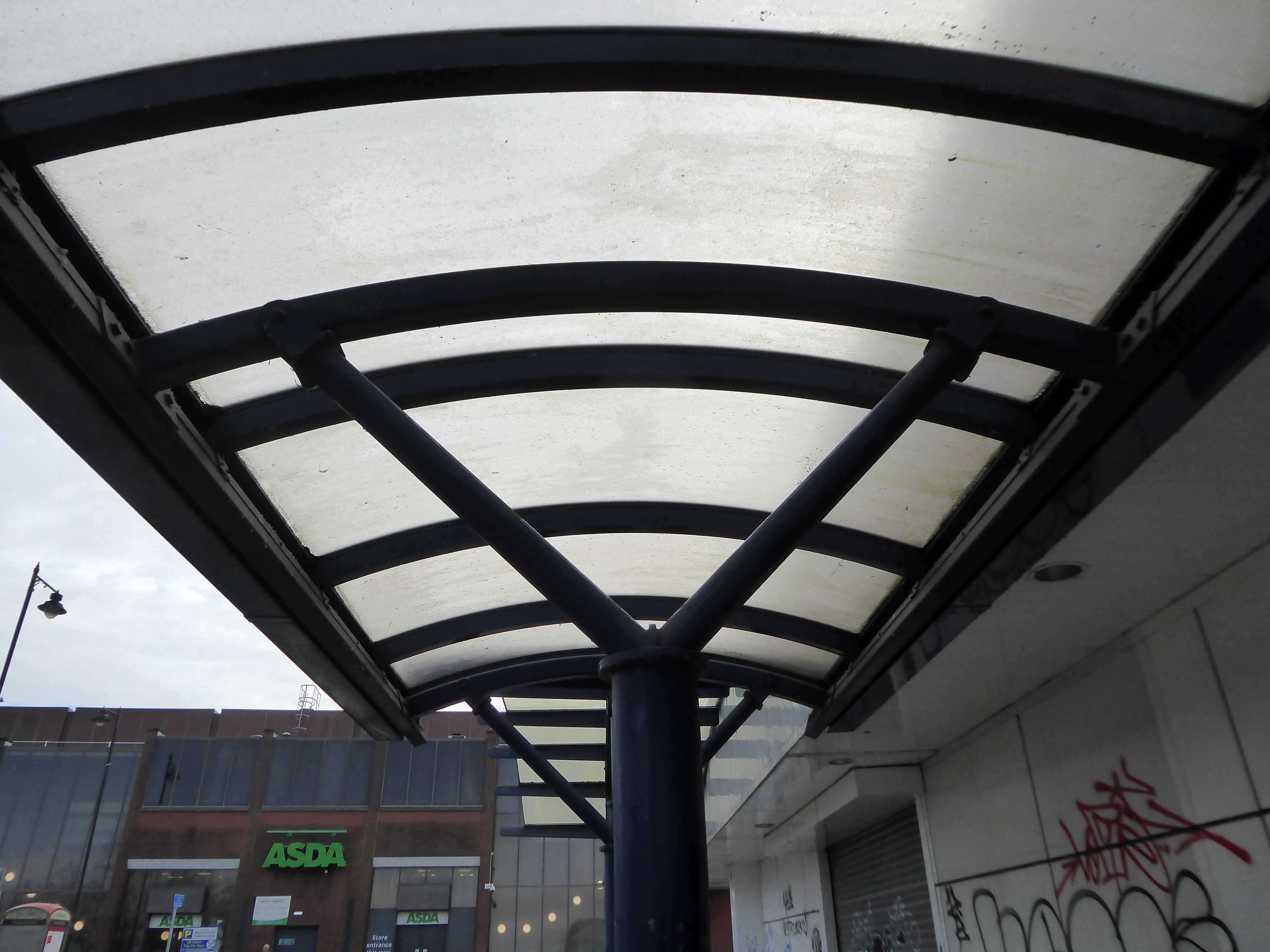
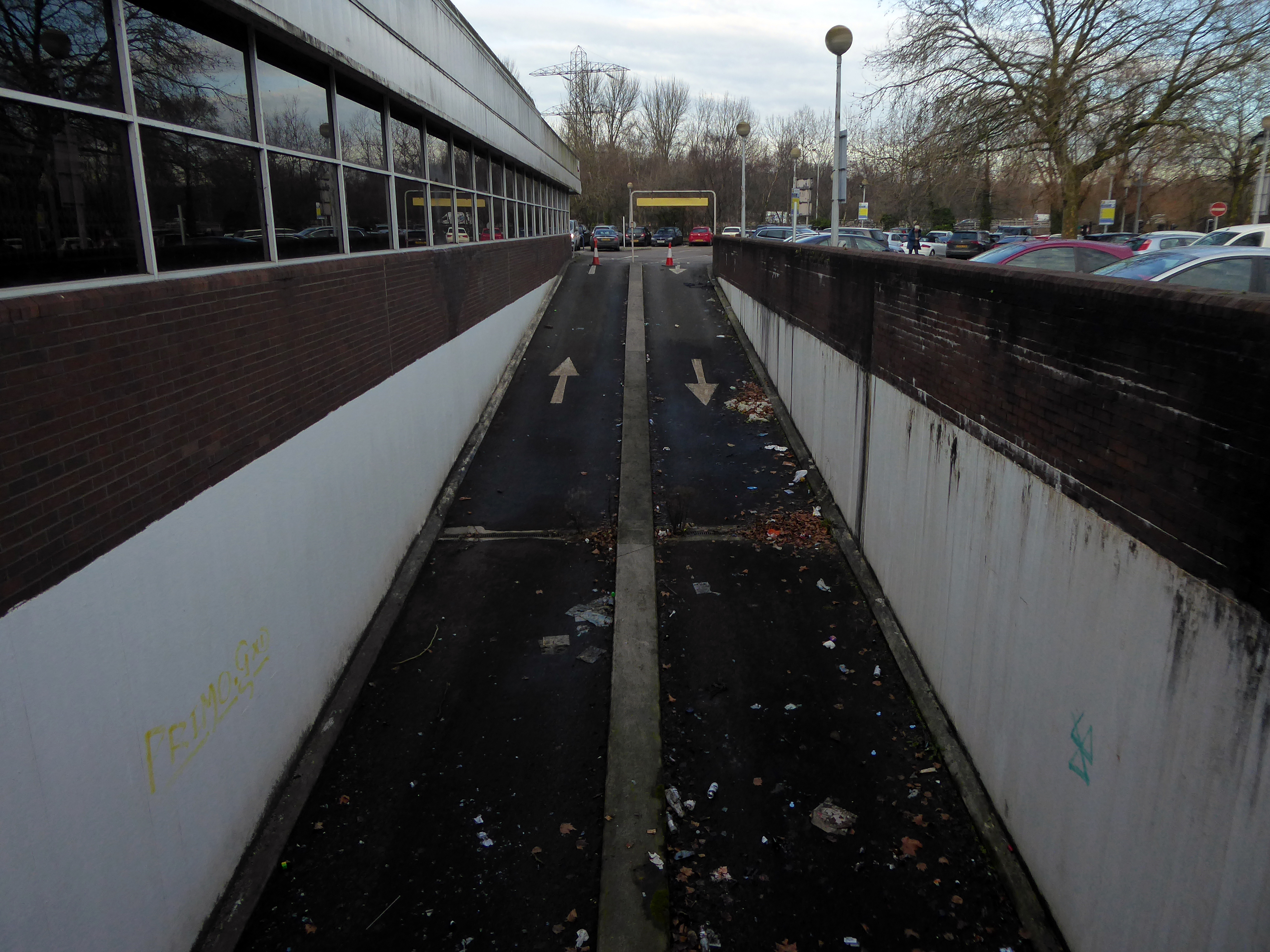
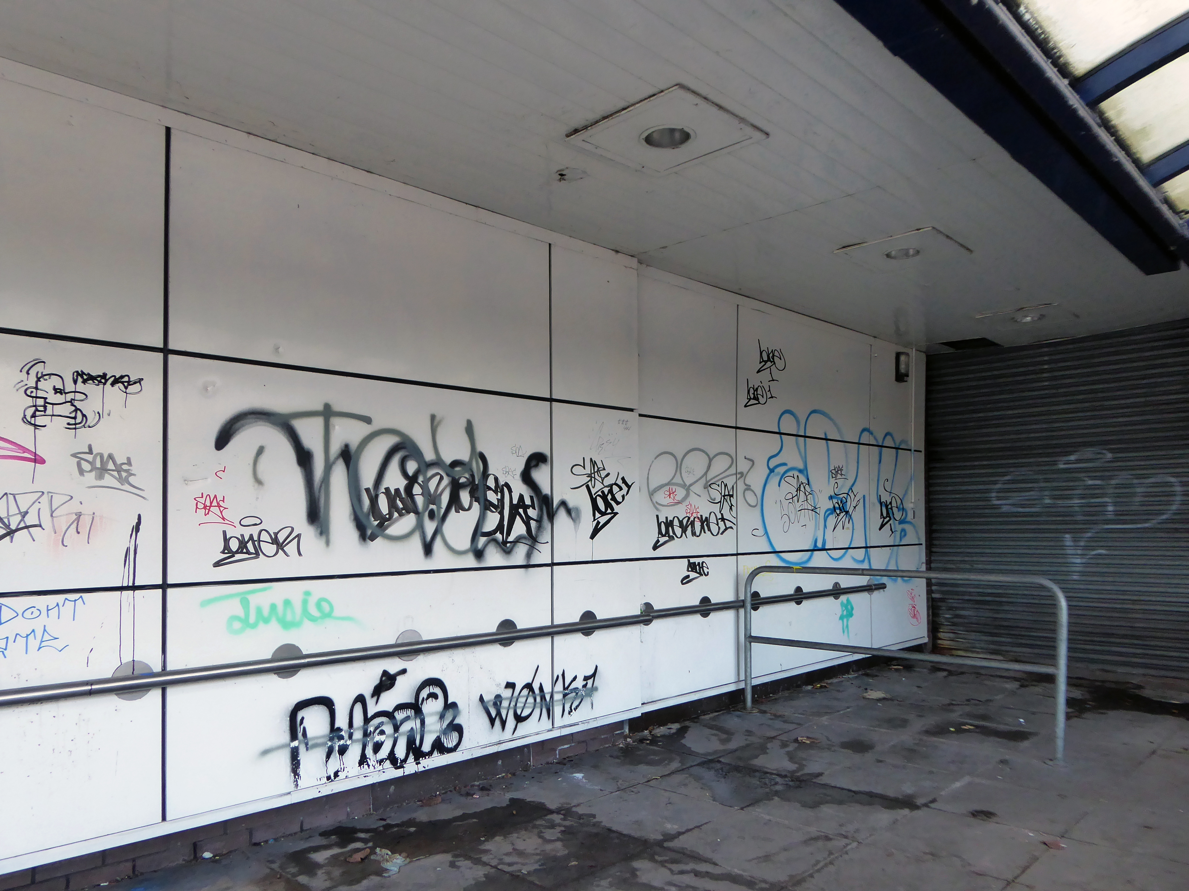
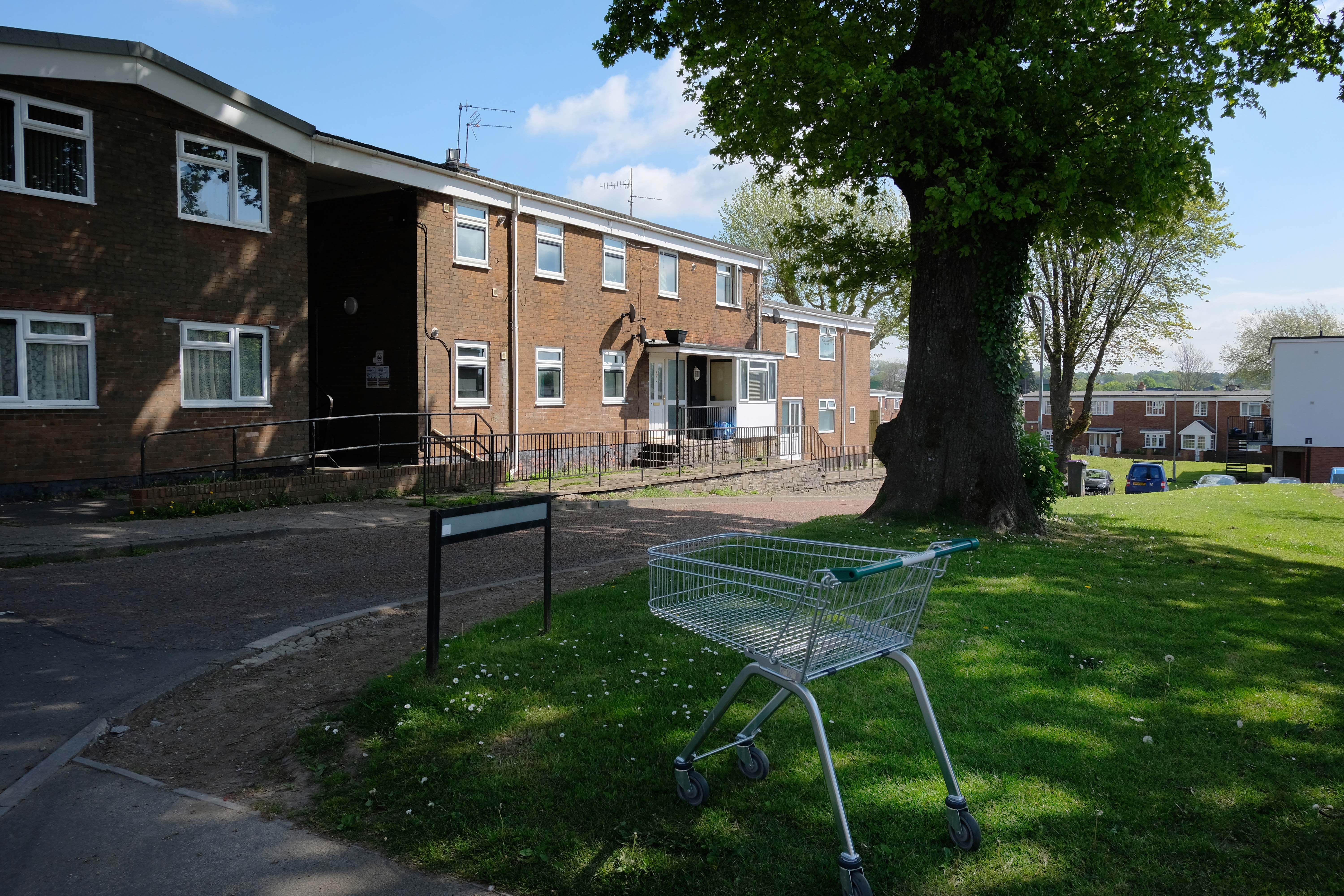
Incidentally an area with more al fresco shopping trolleys than I had ever seen, I assume that the big Asda, located within walking distance of the homes, to be the progenitor of such a notable proliferation.
It remains, generally speaking a well kept lived in area – let’s take a look.
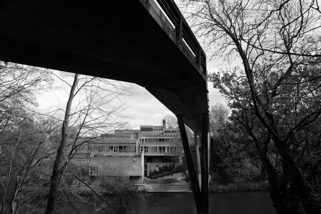
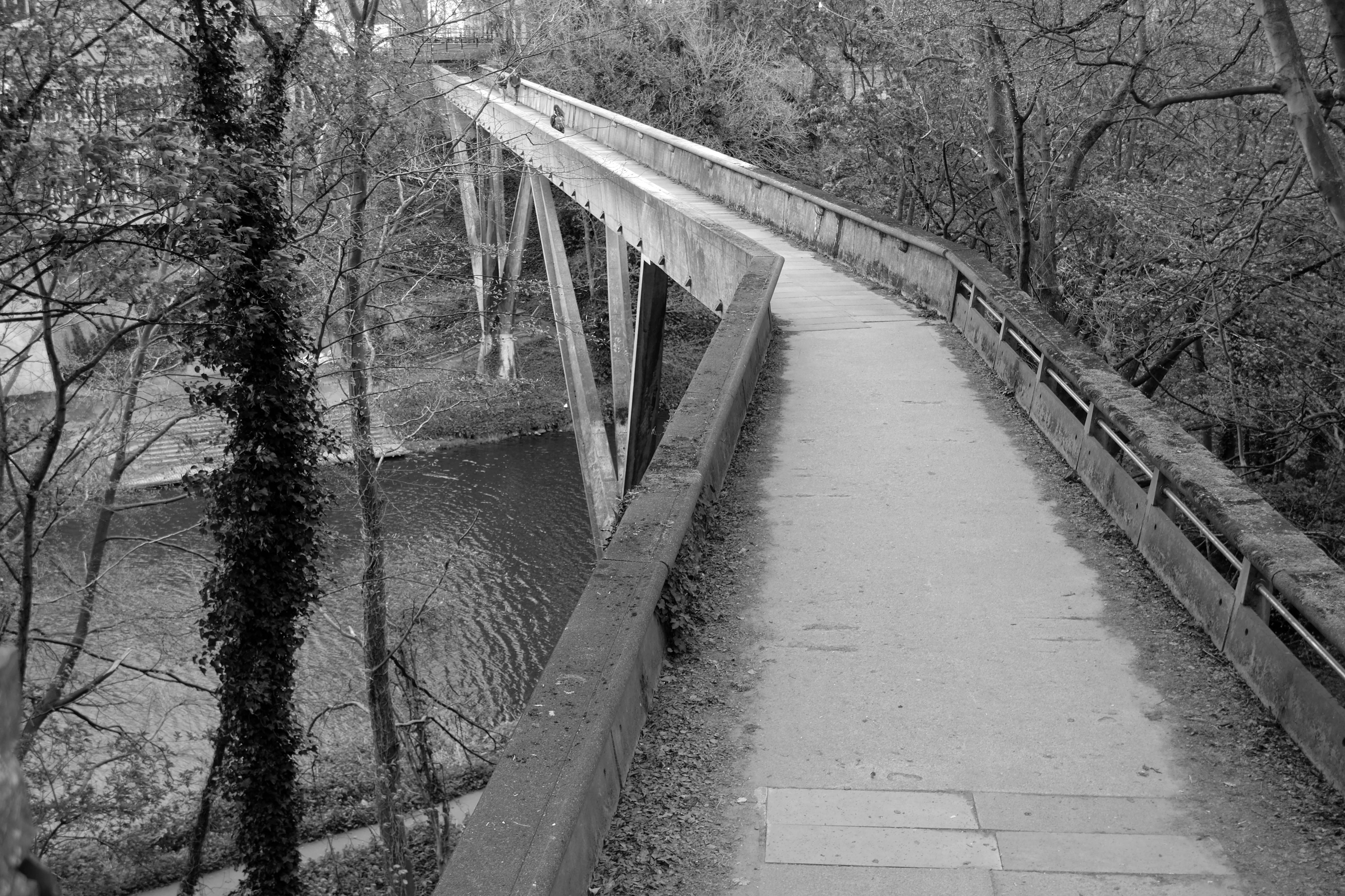
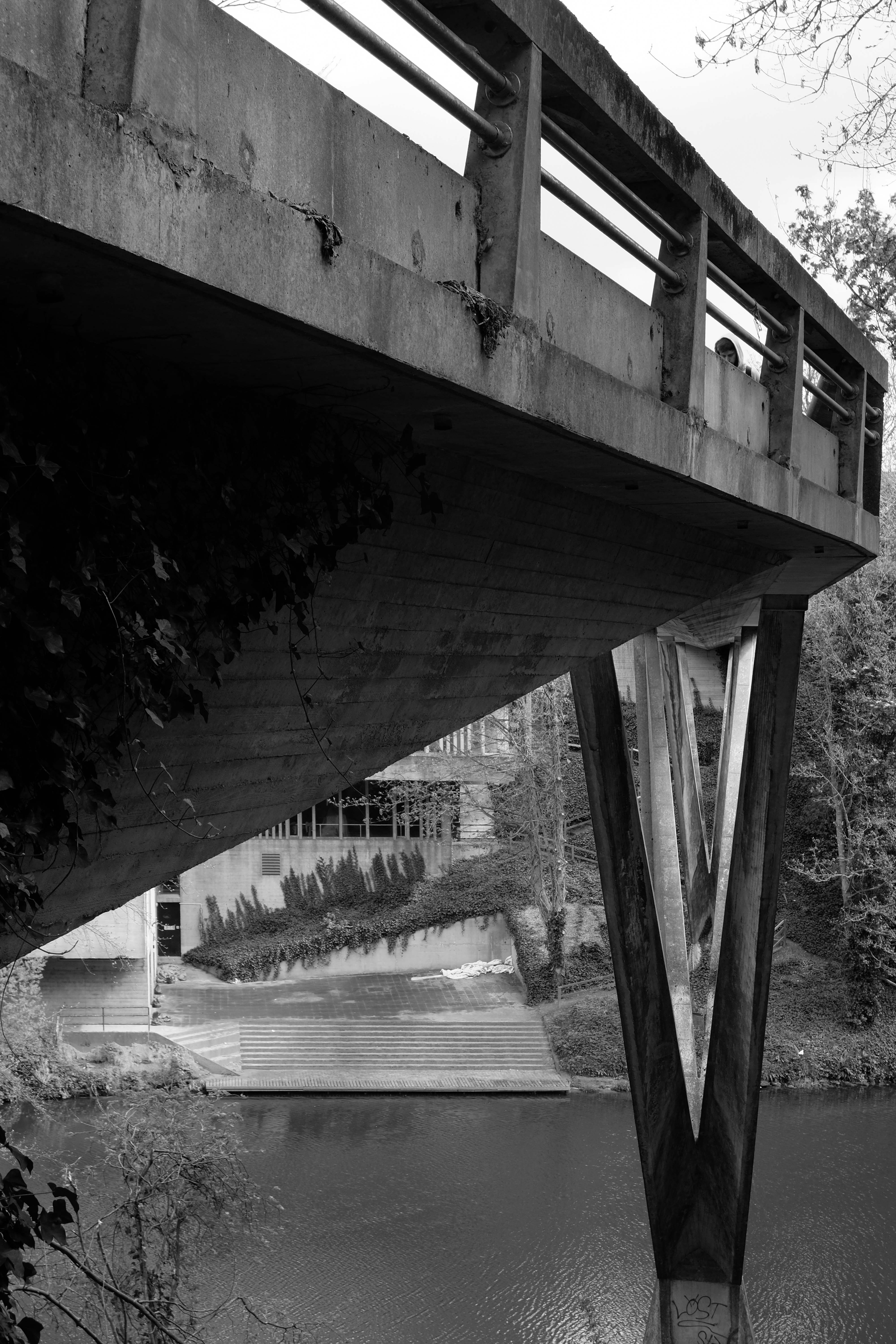
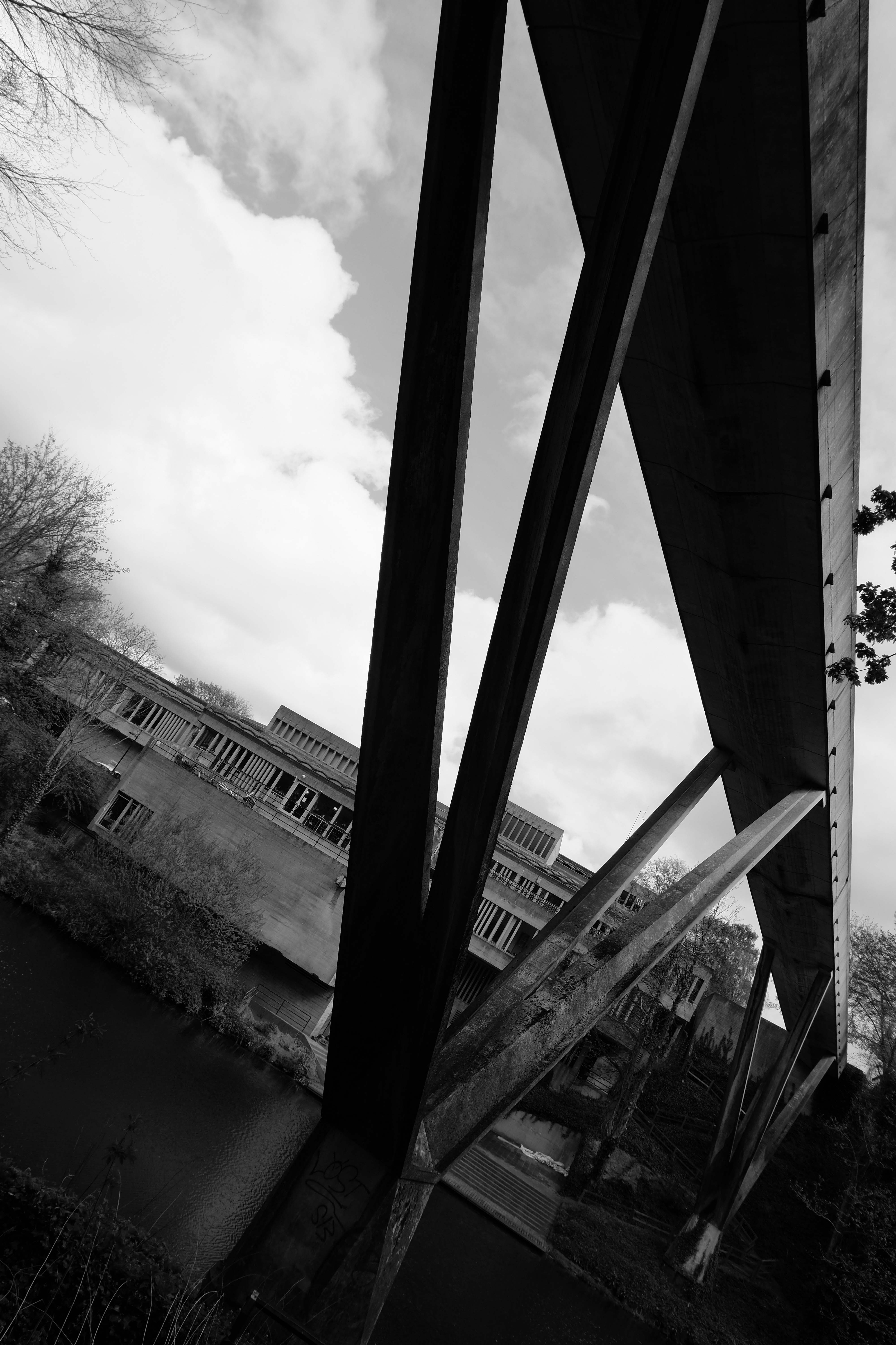
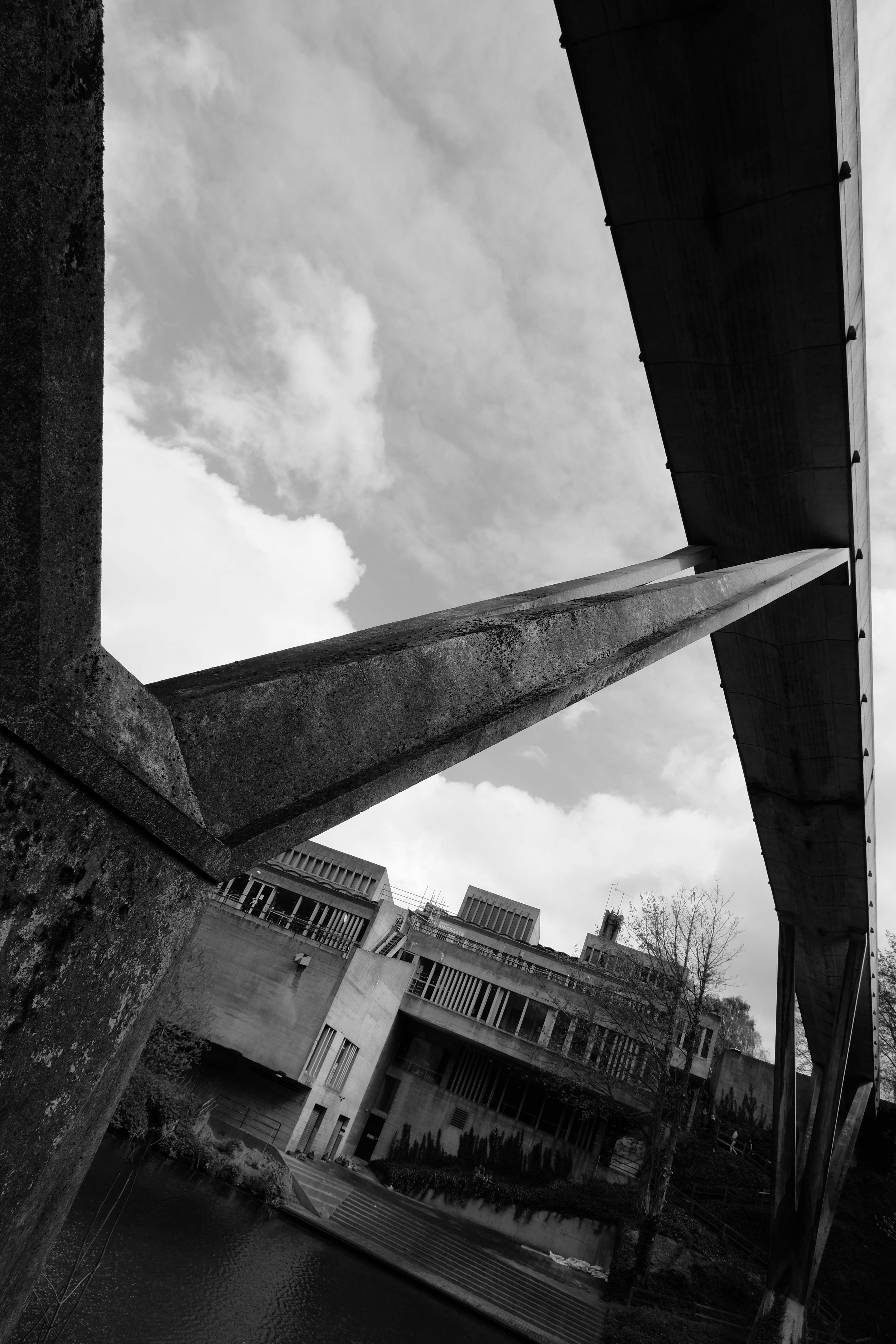
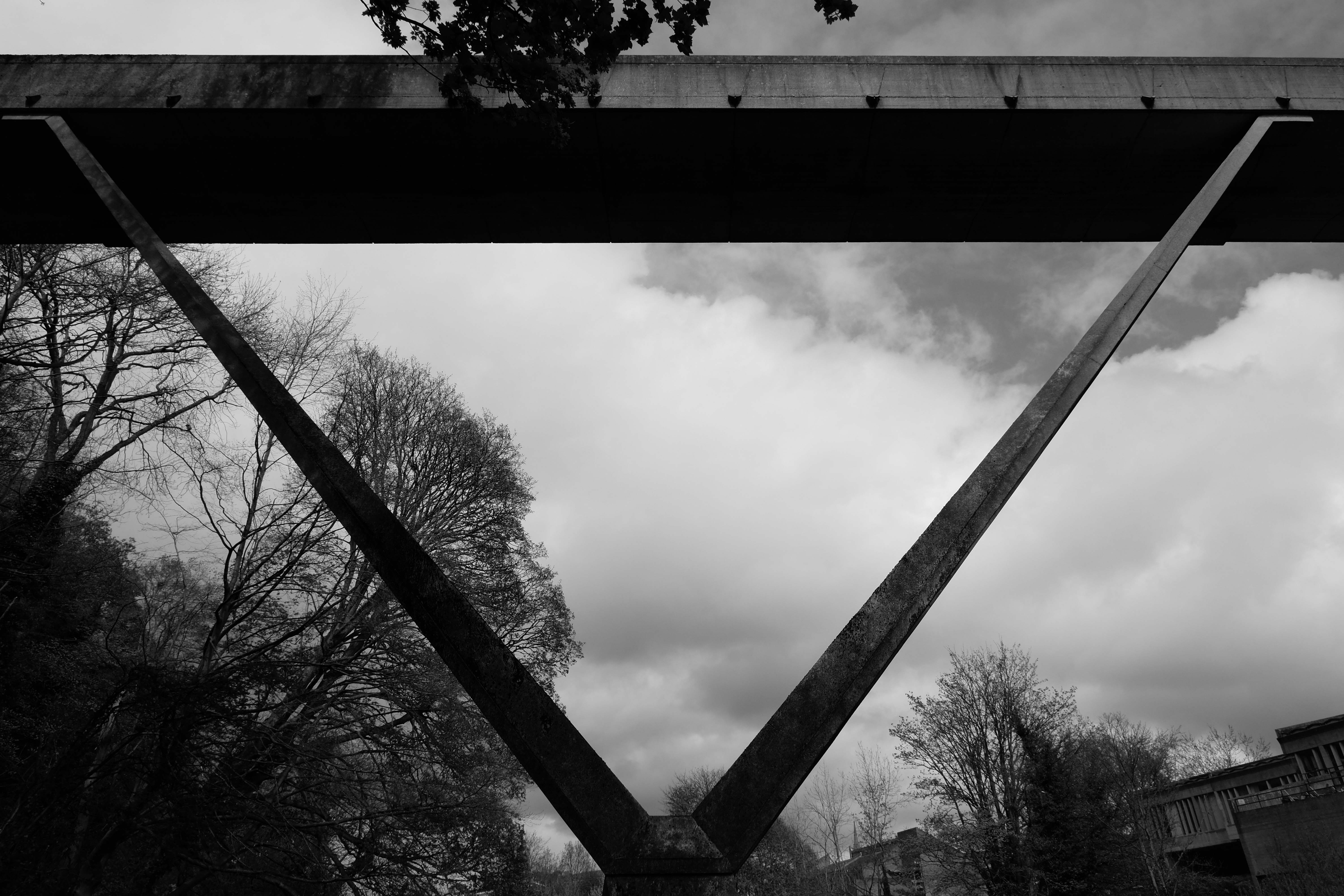
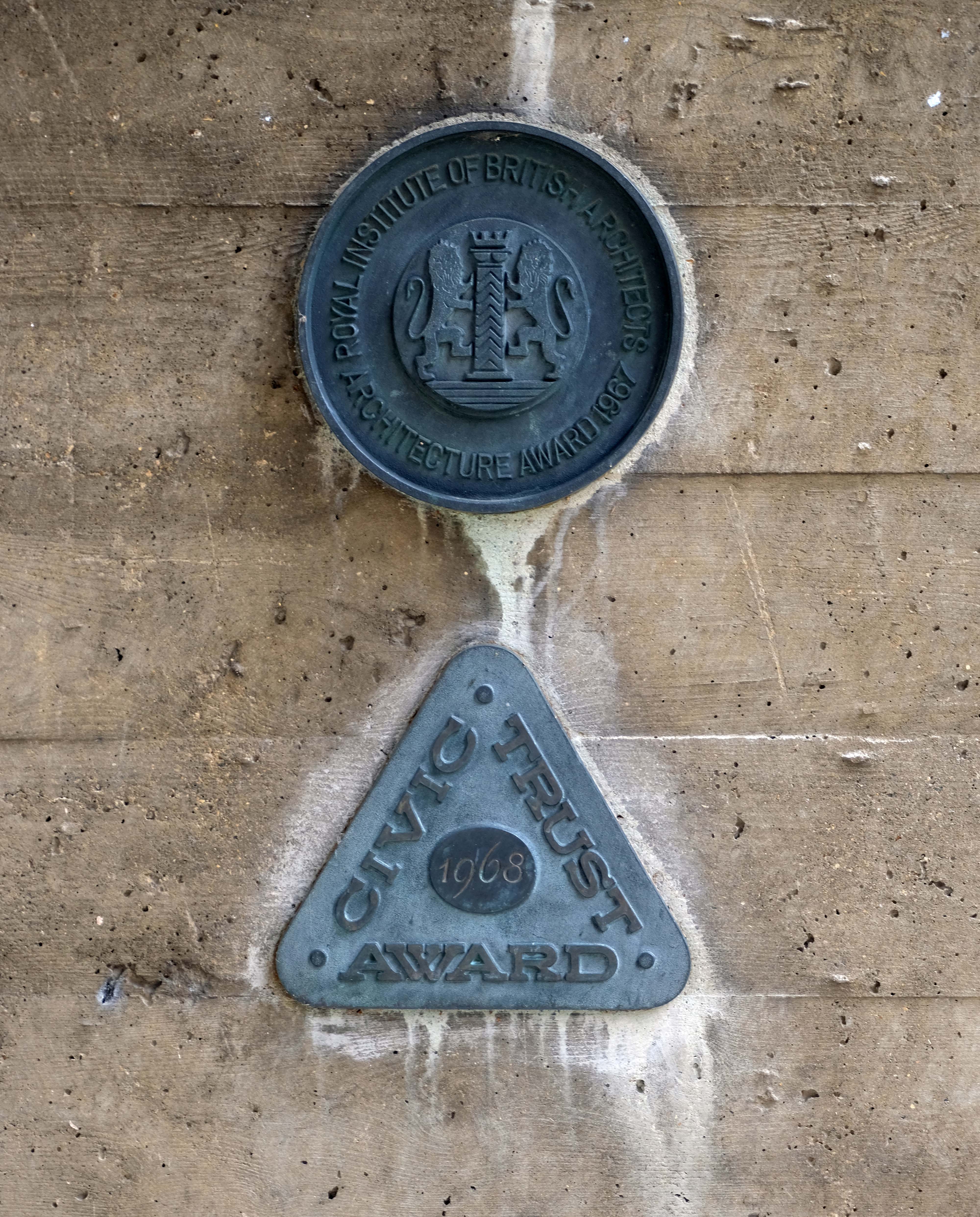
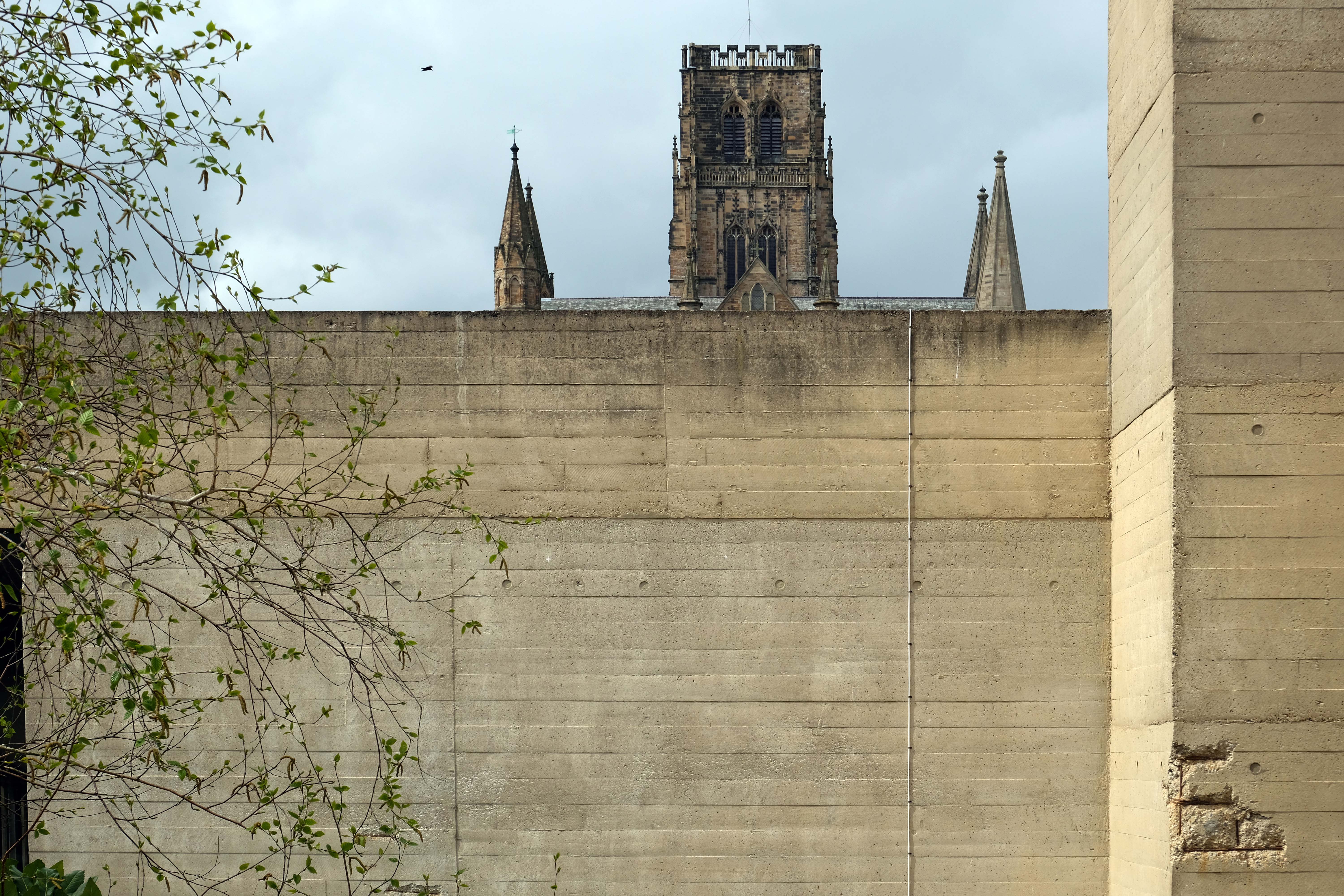
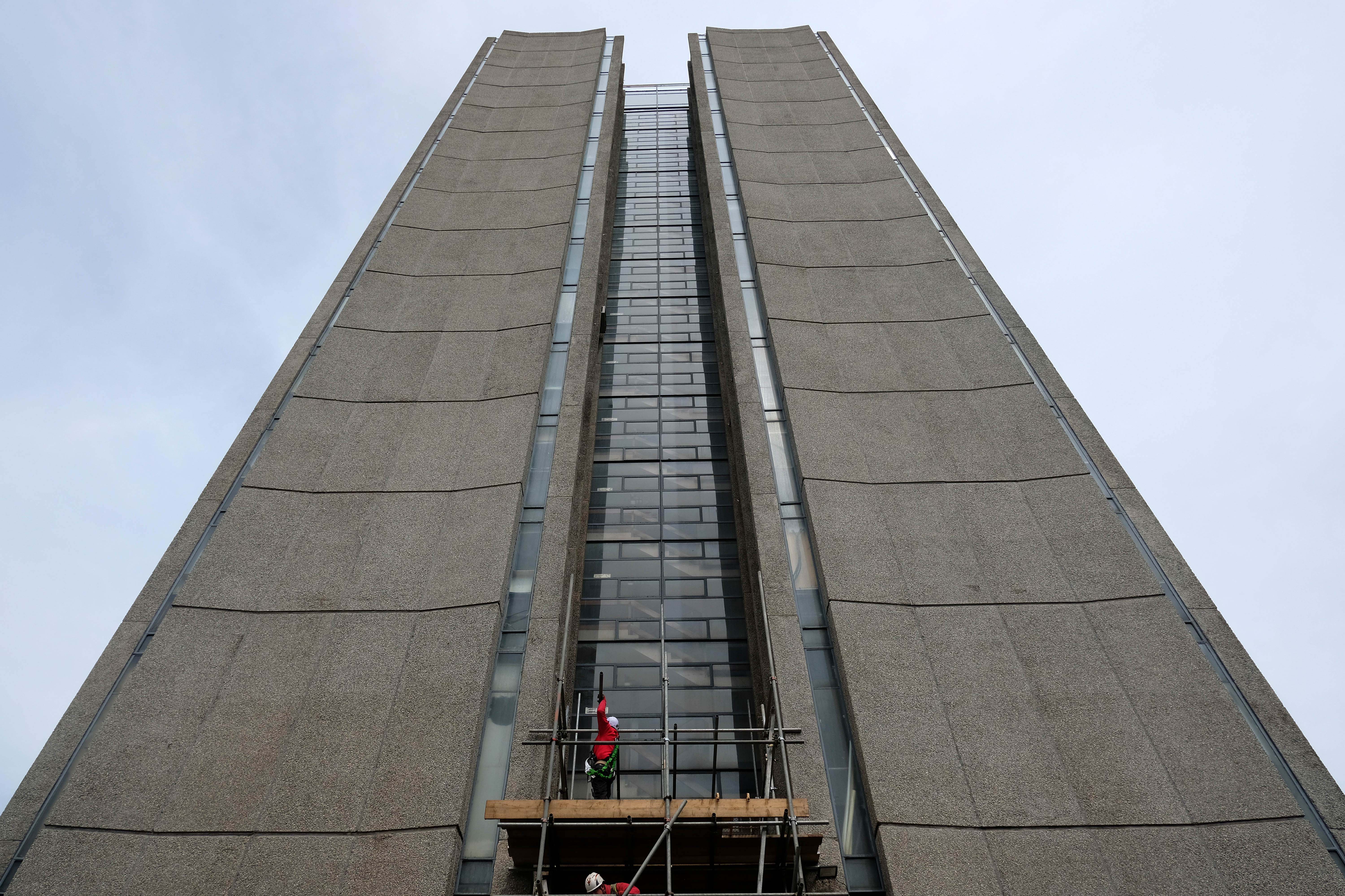
The last structure that Ove Arup designed himself was the award-winning reinforced concrete Kingsgate Footbridge in Durham, England.
Completed in 1963, Arup considered this bridge his finest work. He planned every detail, including the unusual way it was constructed. The need for scaffolding on the river was eliminated by casting the bridge in two halves, one for each bank. The halves were then swivelled out from the banks to meet.
The two halves pivoted on revolving cones, their meeting point marked by an understated bronze expansion joint. Bearings were designed at the base of each part to allow rotation, robust but cheap enough to be used only once.
This elegant example of simple mechanical engineering provided tense moments for the team while the spans were turned and connected.
John Martin, project manager for the bridge, said:
“Ove never seemed to worry that anything might go wrong. That was fine, it just meant that one felt fully responsible for seeing that it didn’t. But he got quite cross when the contractor took a few, to Ove’s view unnecessary, steps to make doubly sure that construction went smoothly. I think that to him it was a question of spoiling the elegance of the idea”.
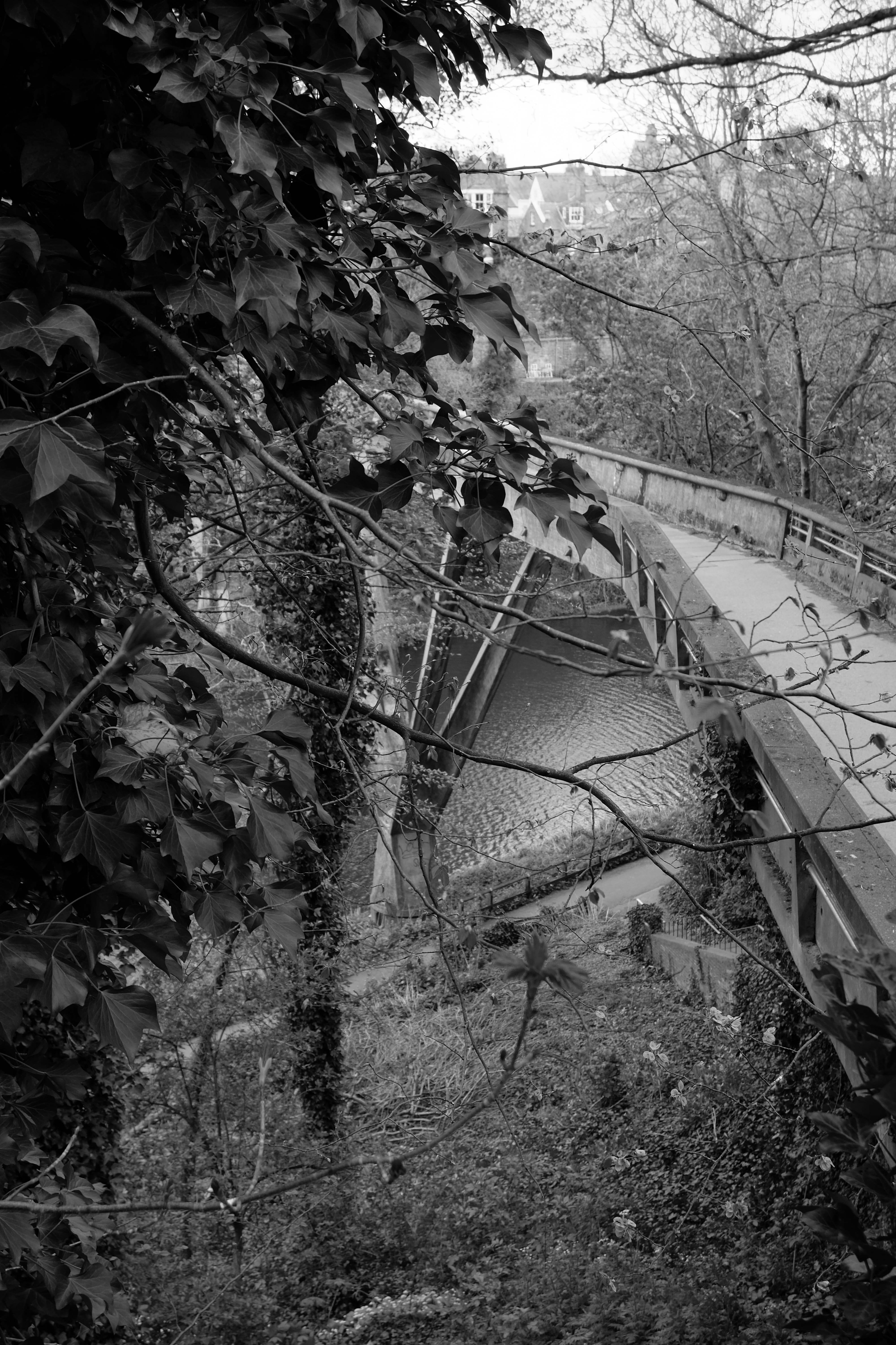
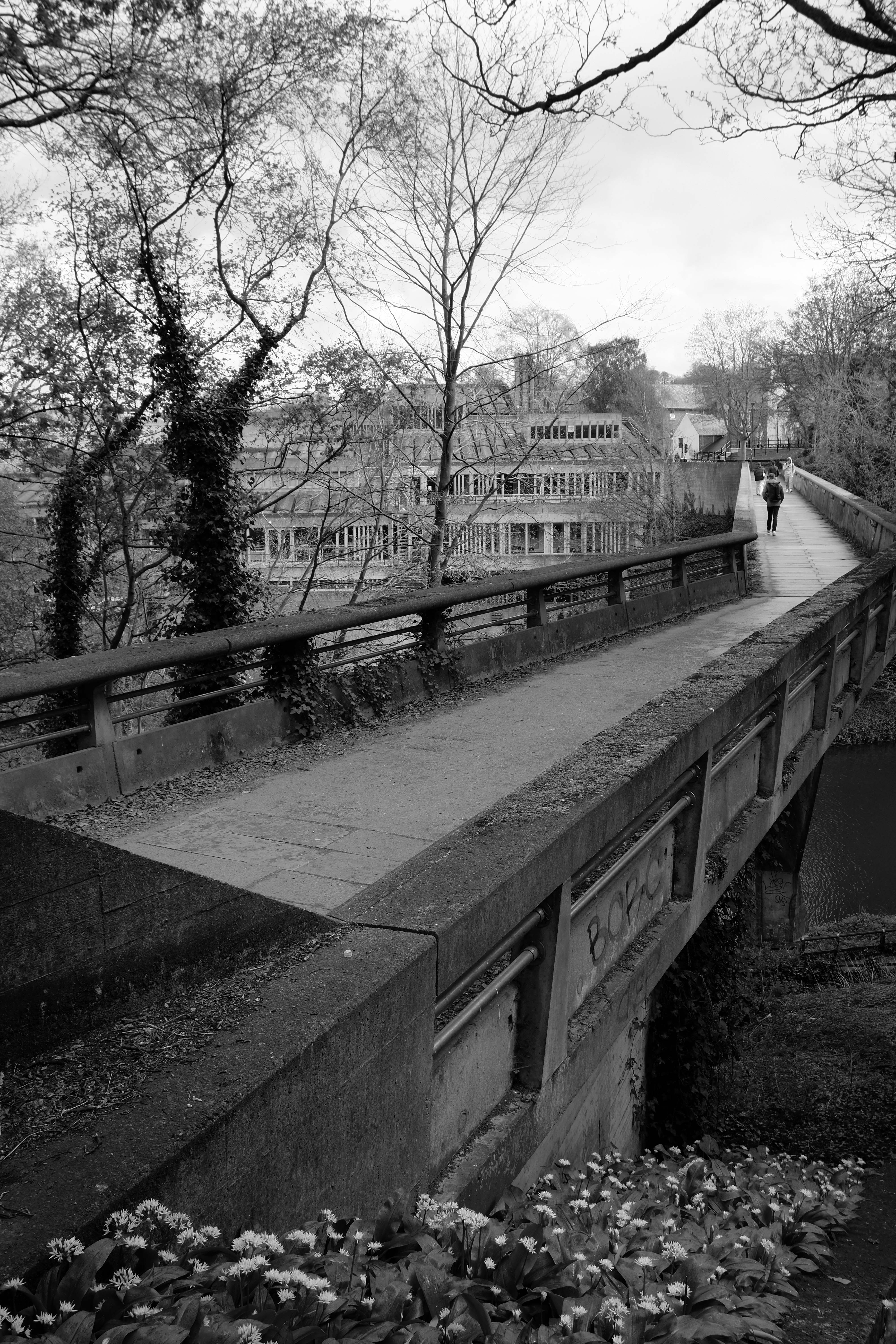
I’m ever so fond of concrete footbridges, in fact I have written about our local exemplar.
And have taken great pleasure in teaching and preaching whilst atop such.
So it was with some degree of excited anticipation, that I strode eagerly toward Ove’s bridge – a bridge guaranteed to raise a smile, enchanted by its elegance and audacity.
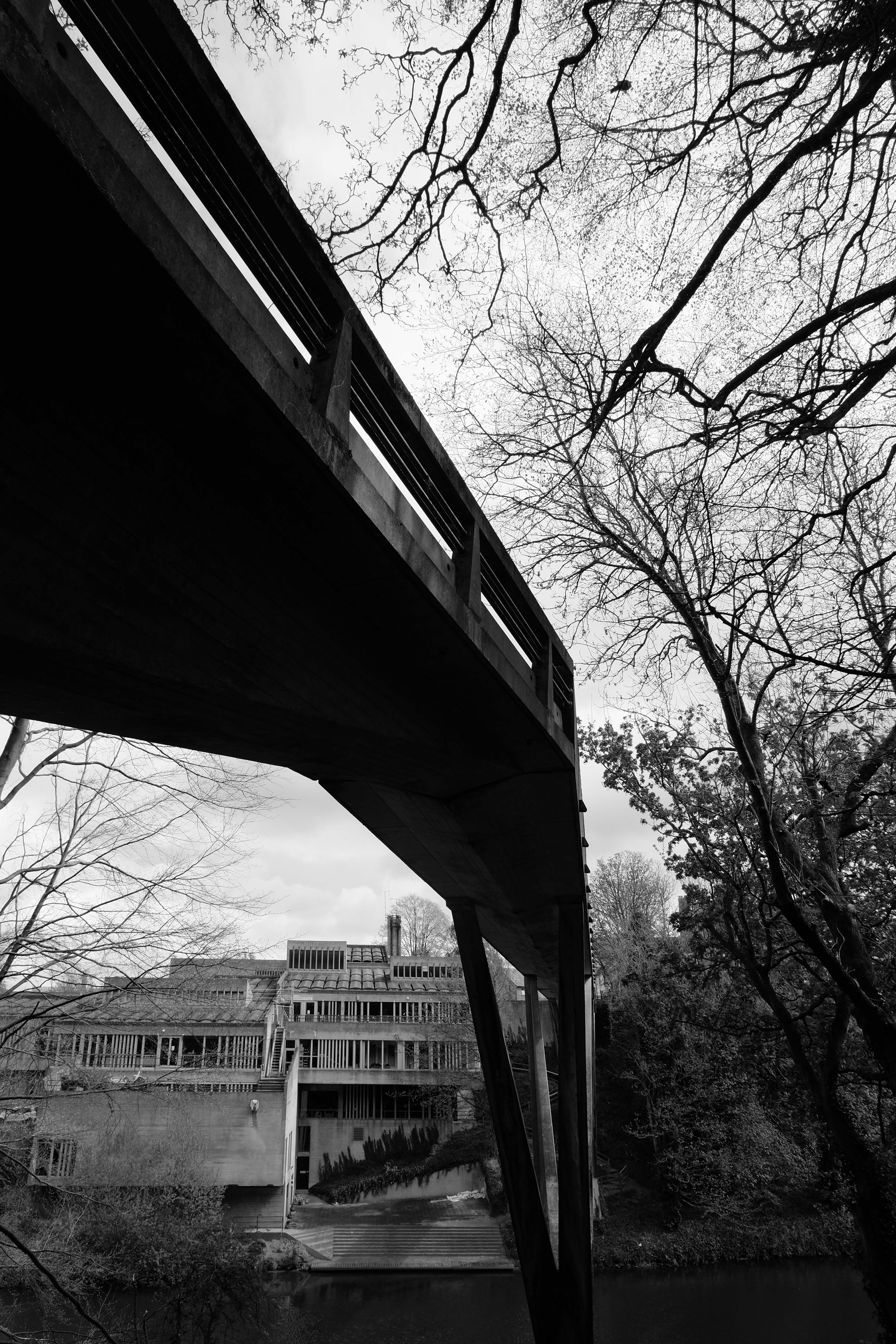
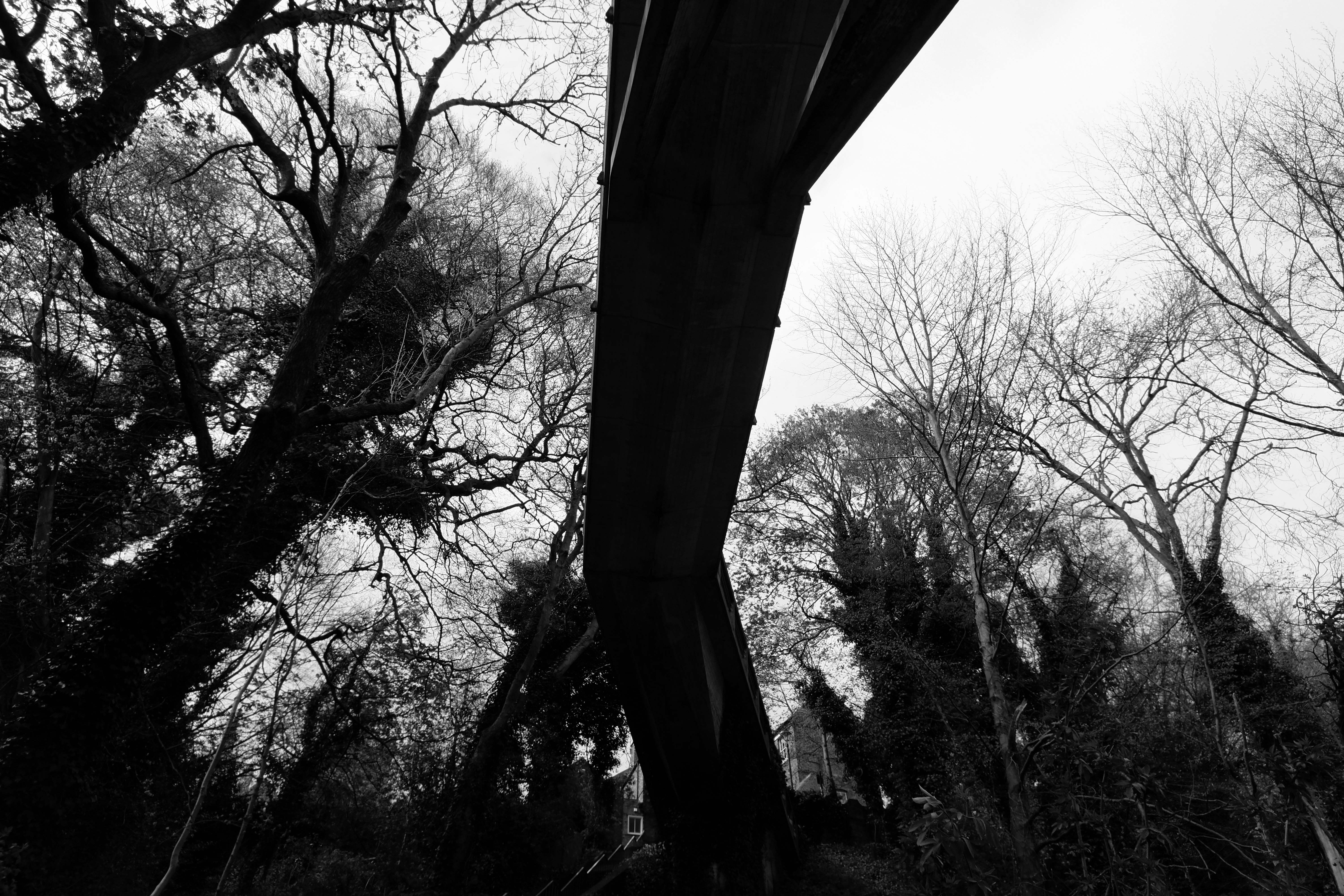
Over we go headlong and fancy free into this black and white concrete world.
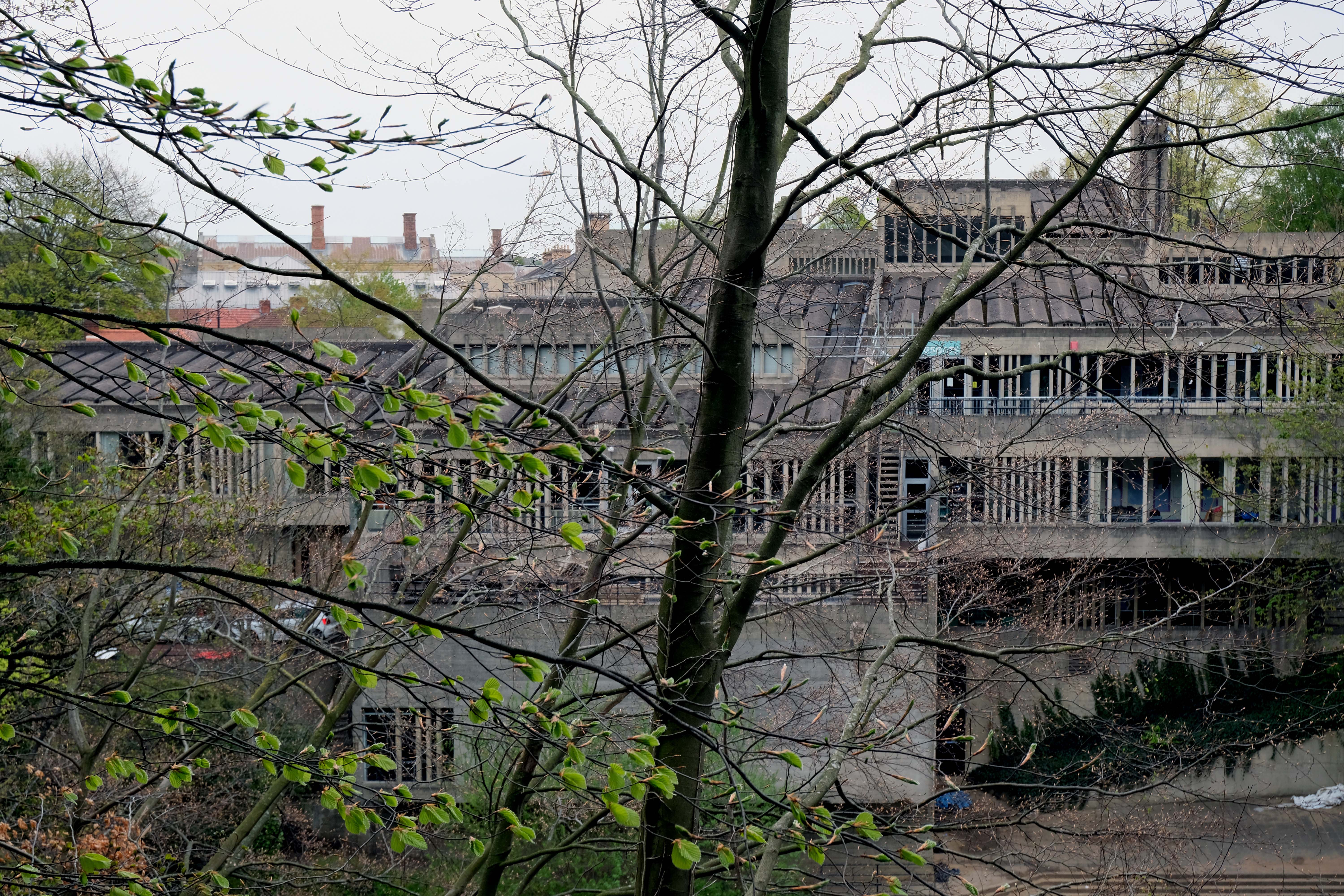
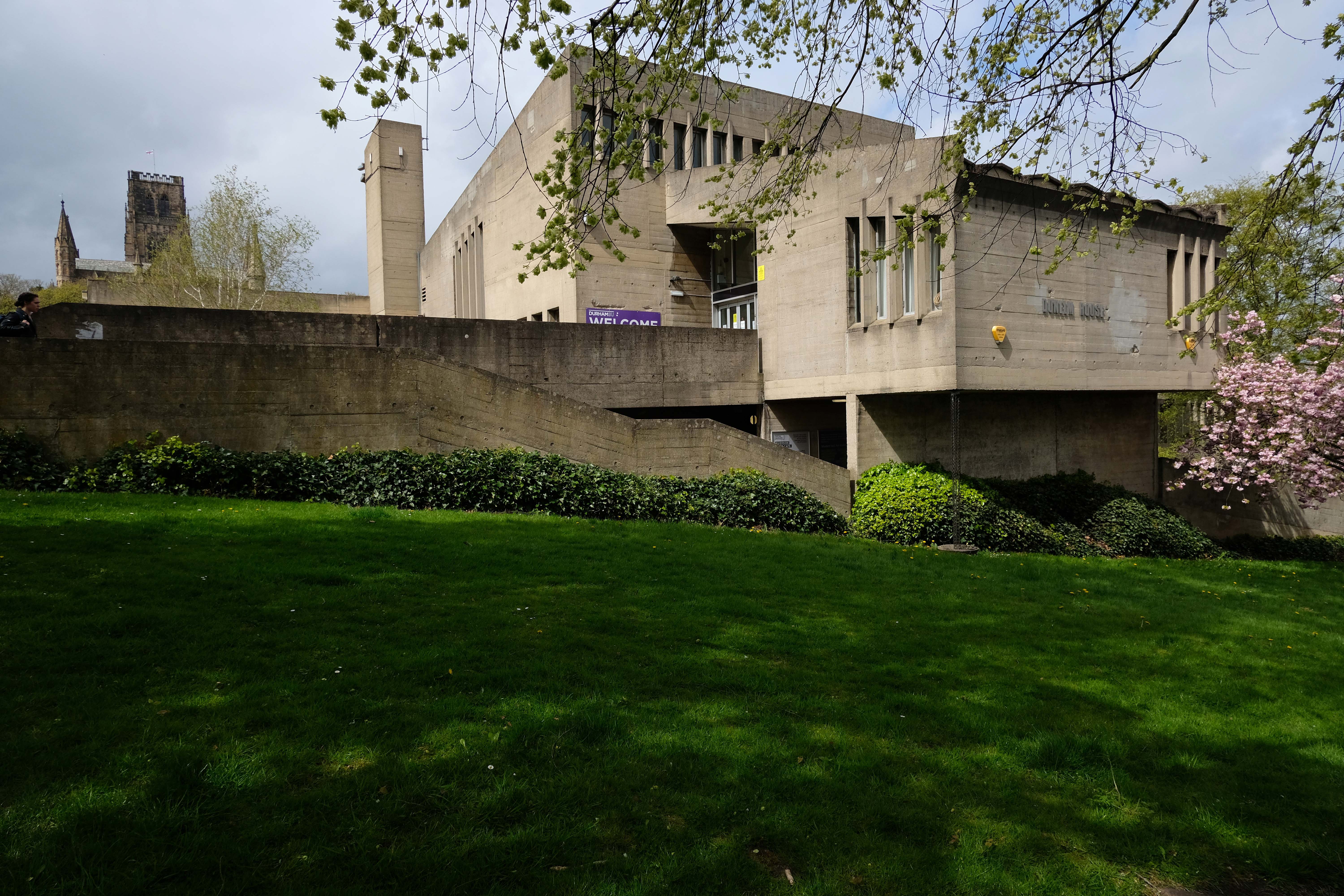
Crossing over into colourful off-white world of university life.
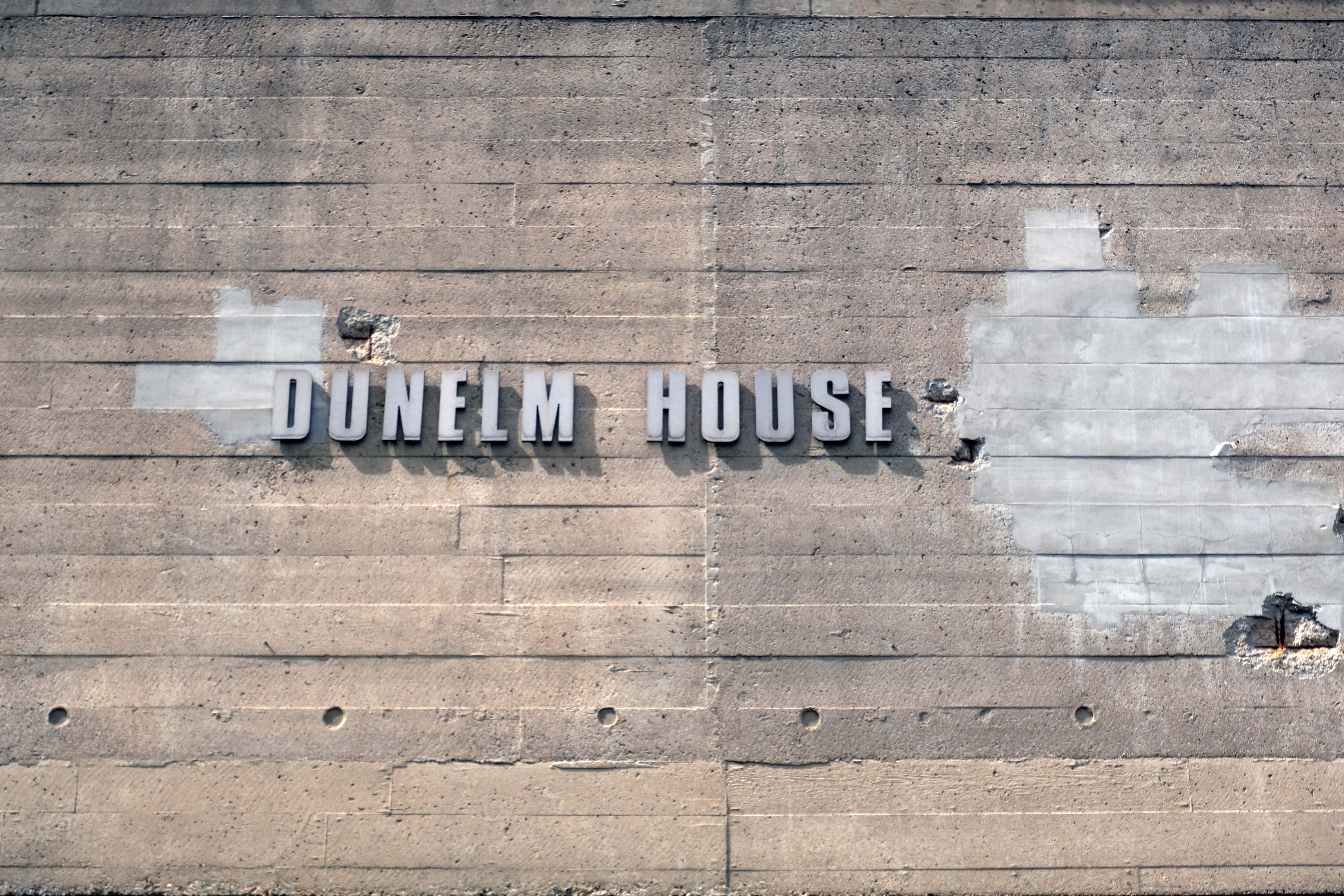
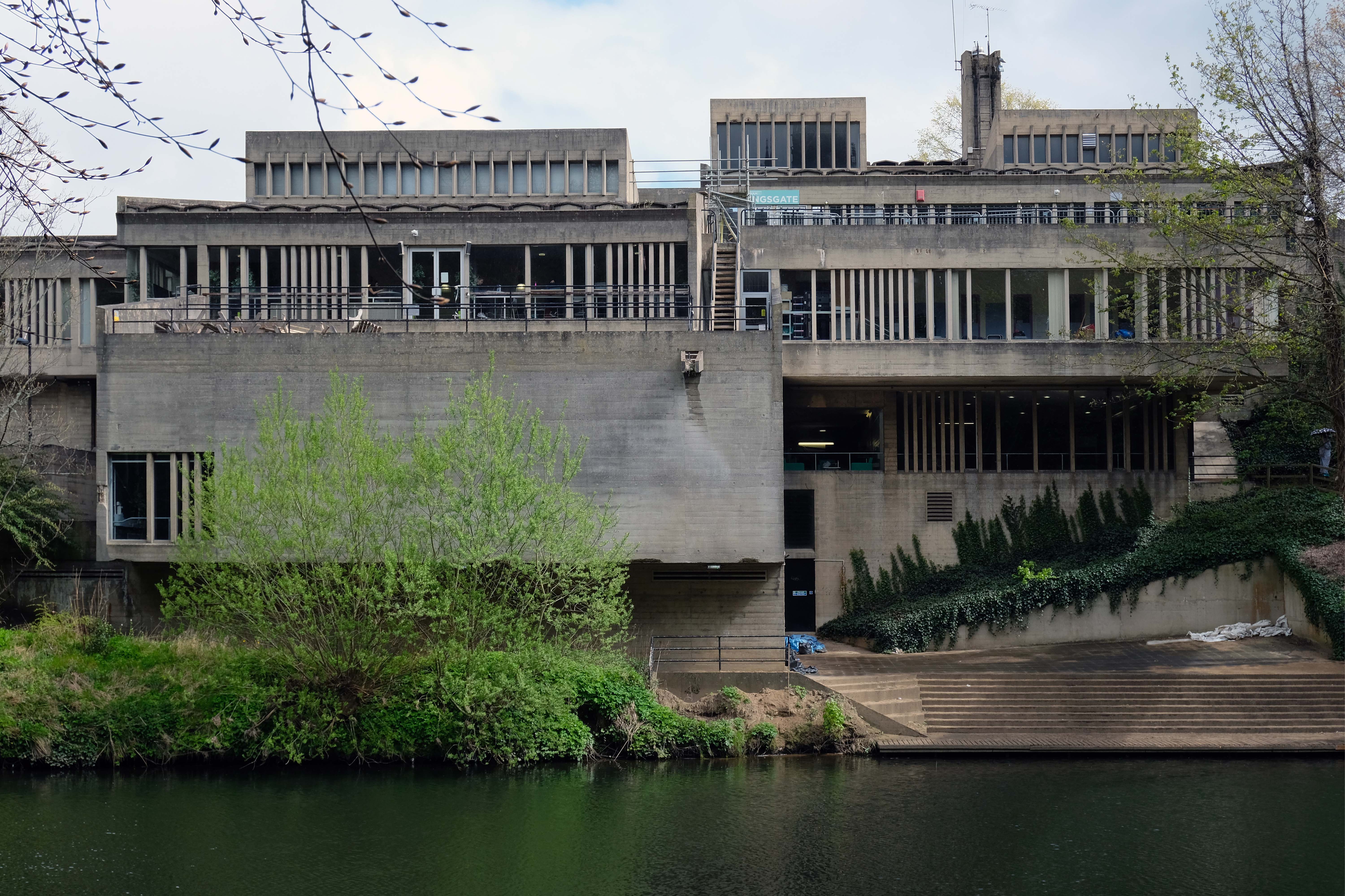
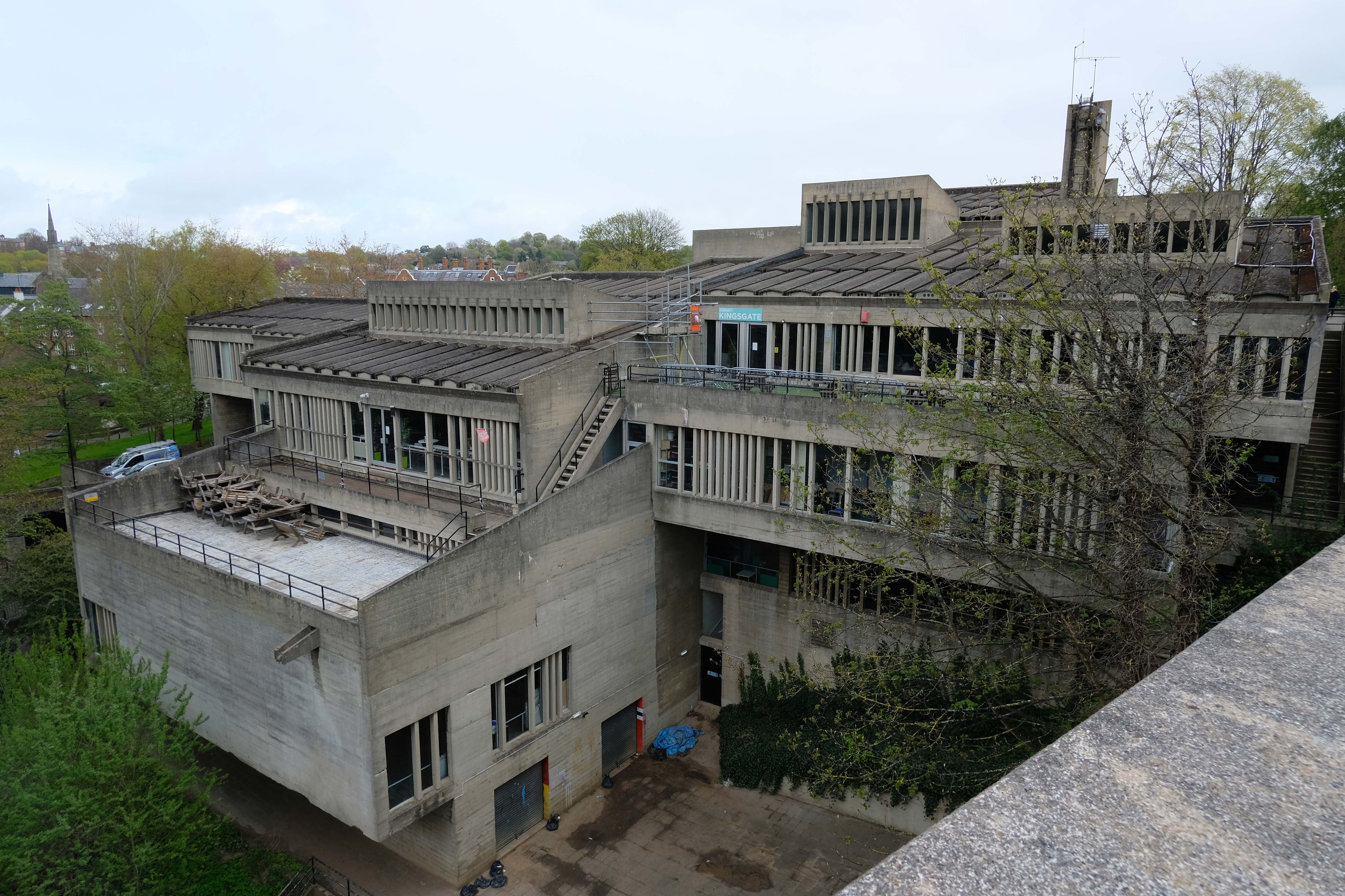
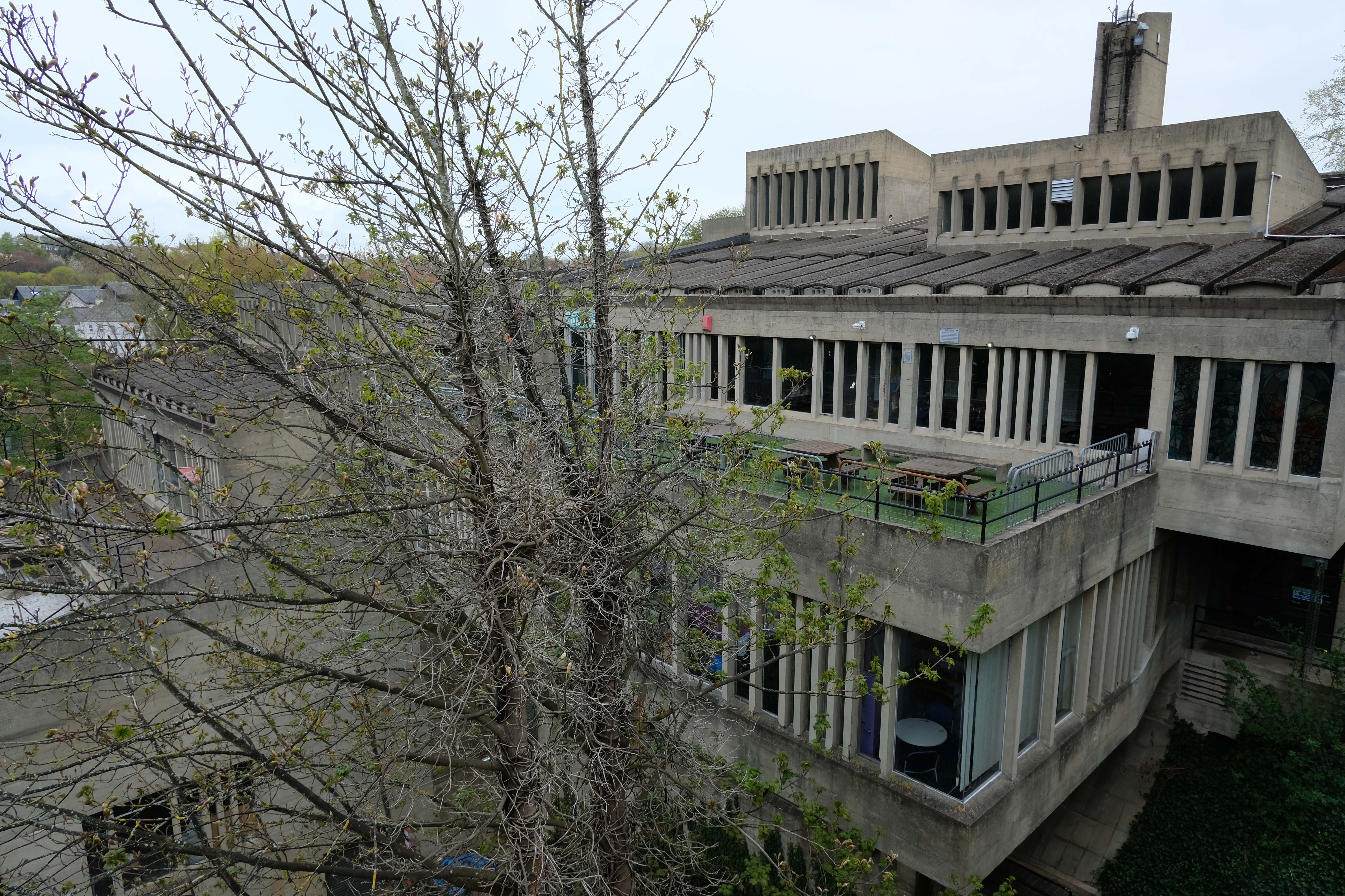
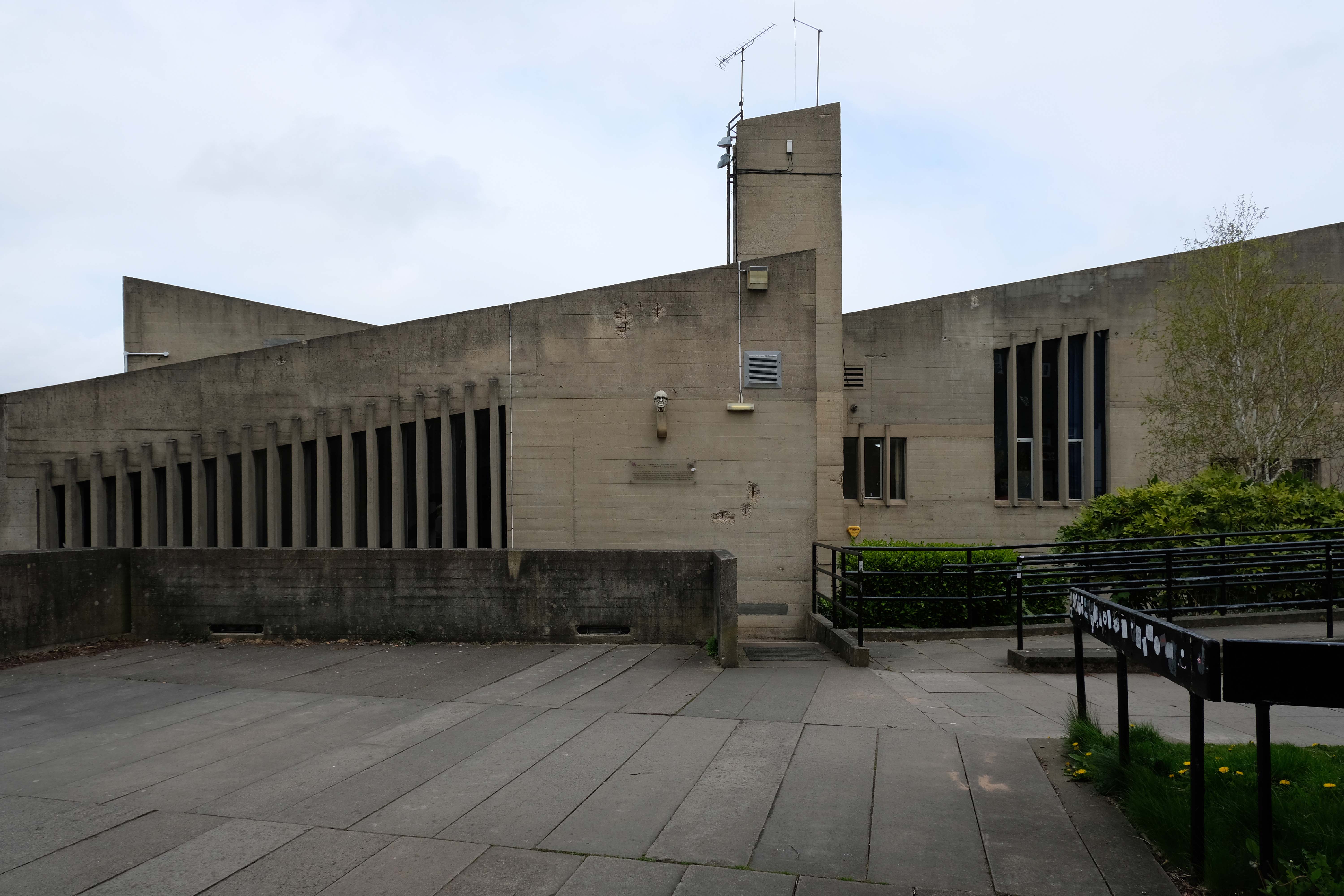
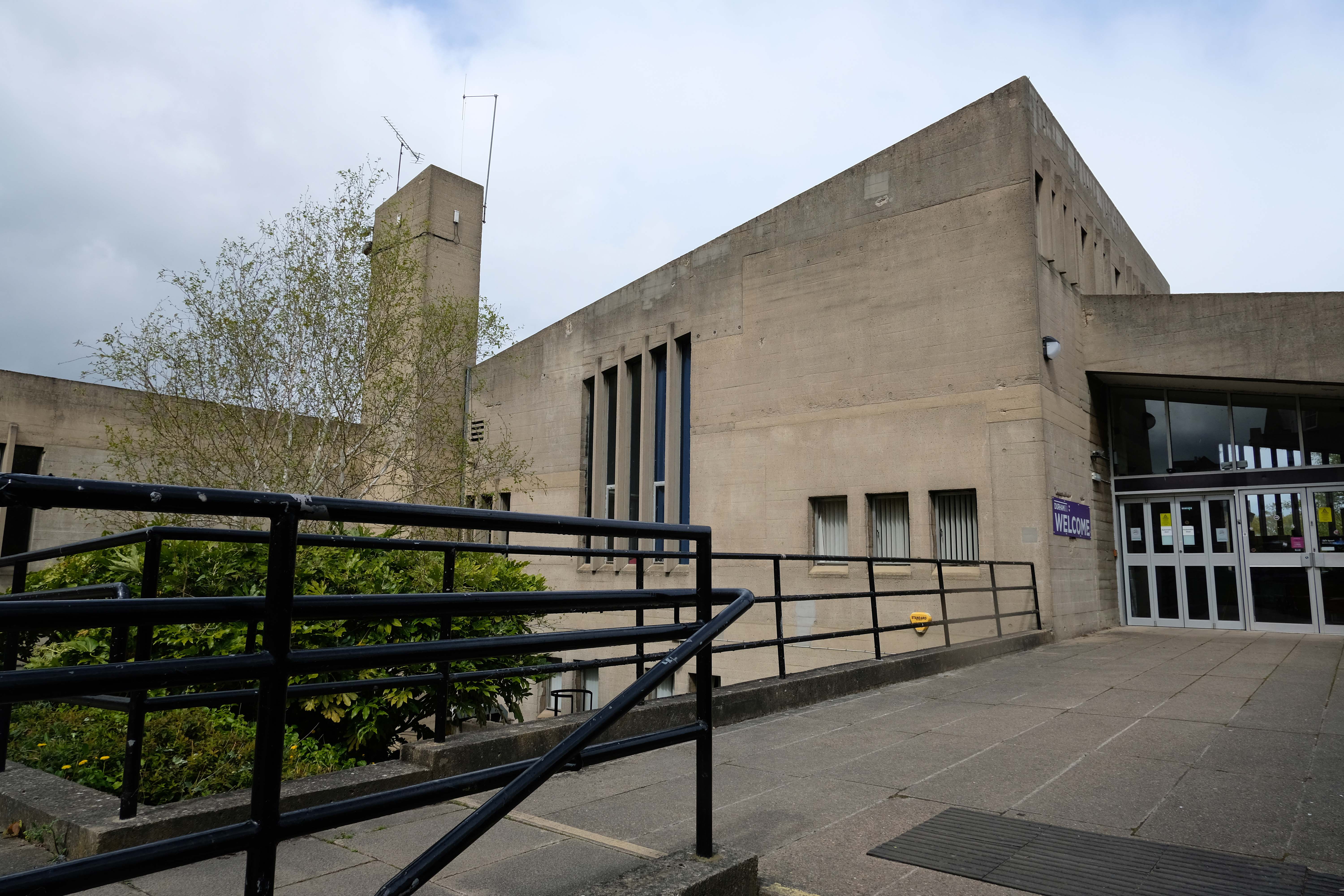
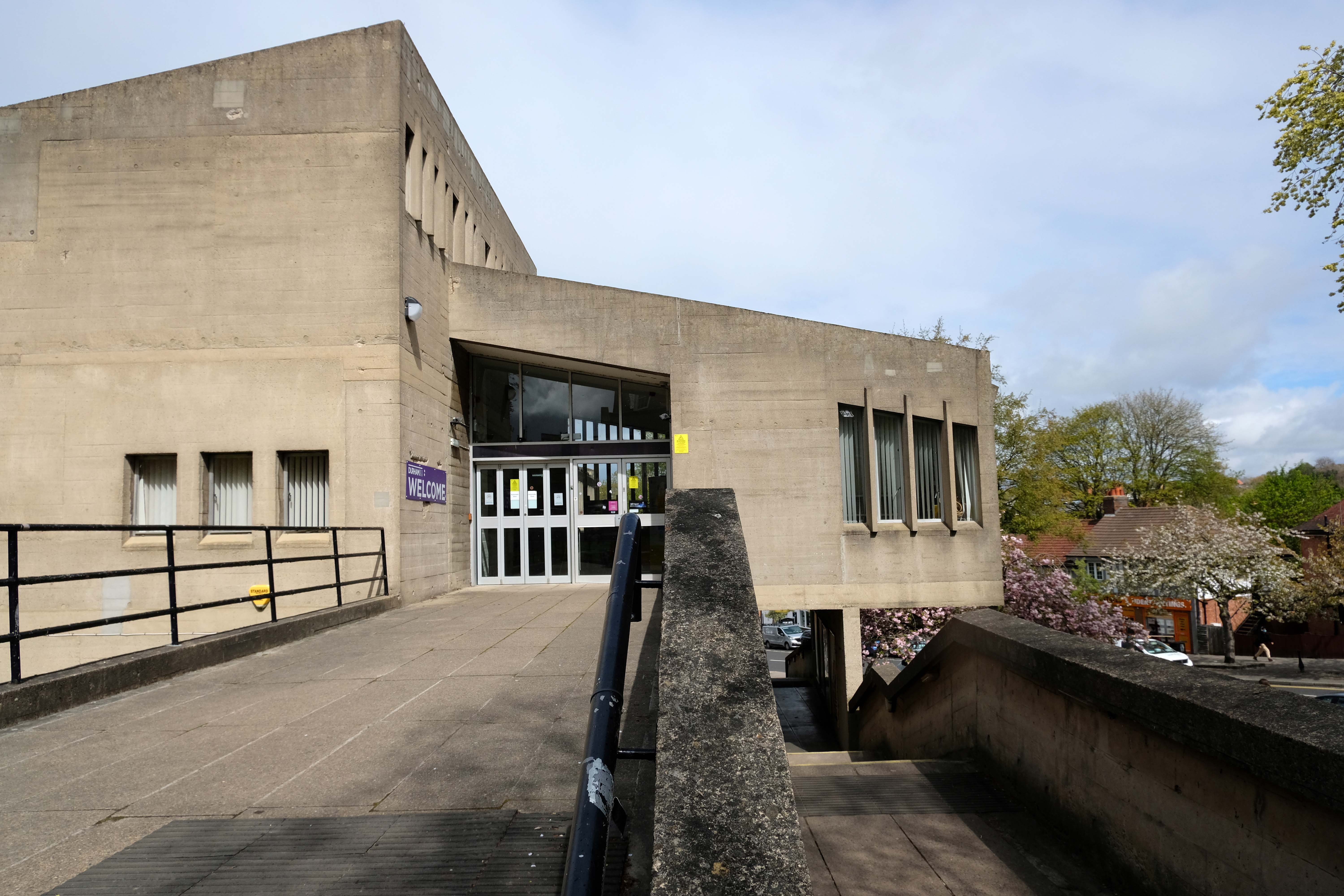
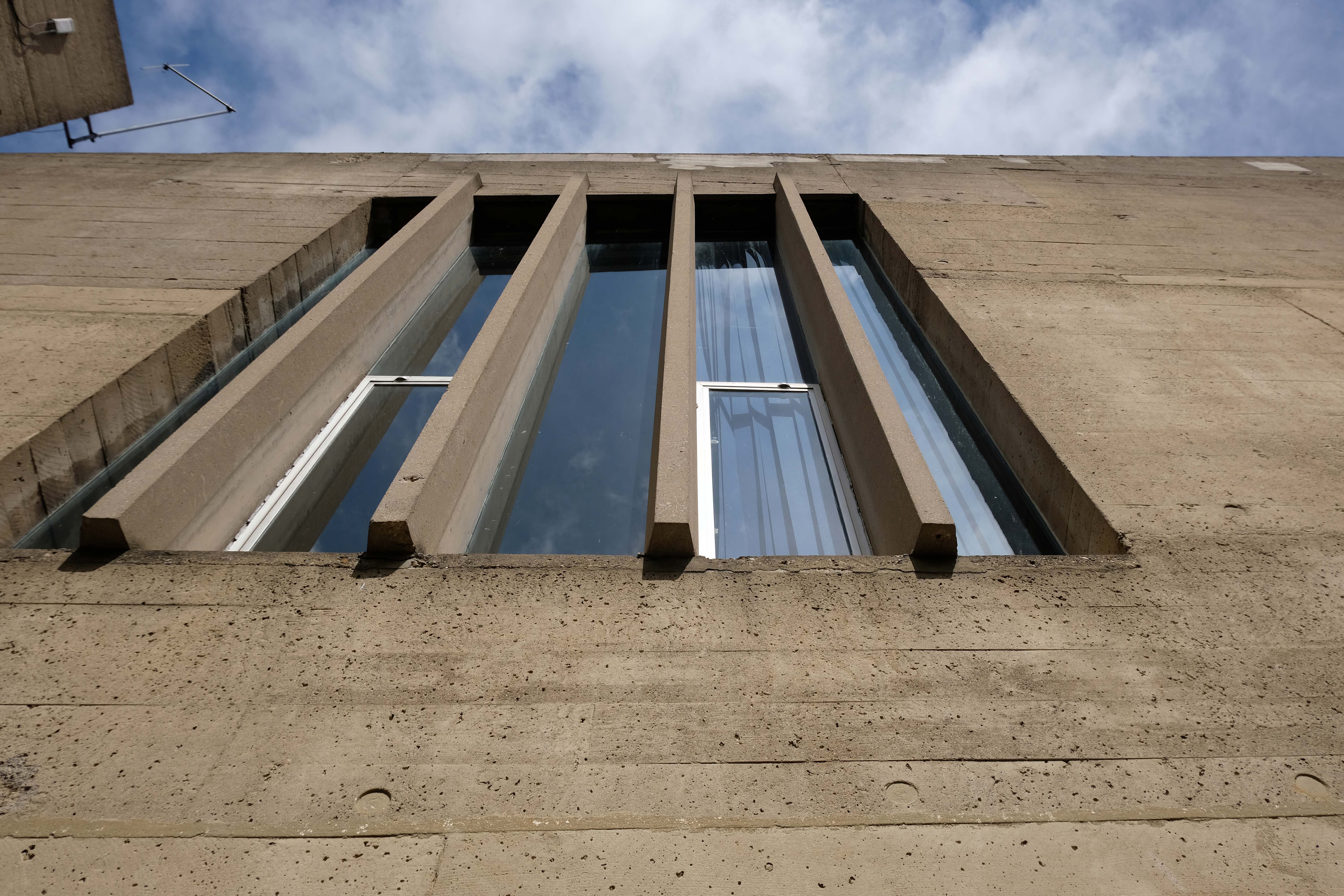
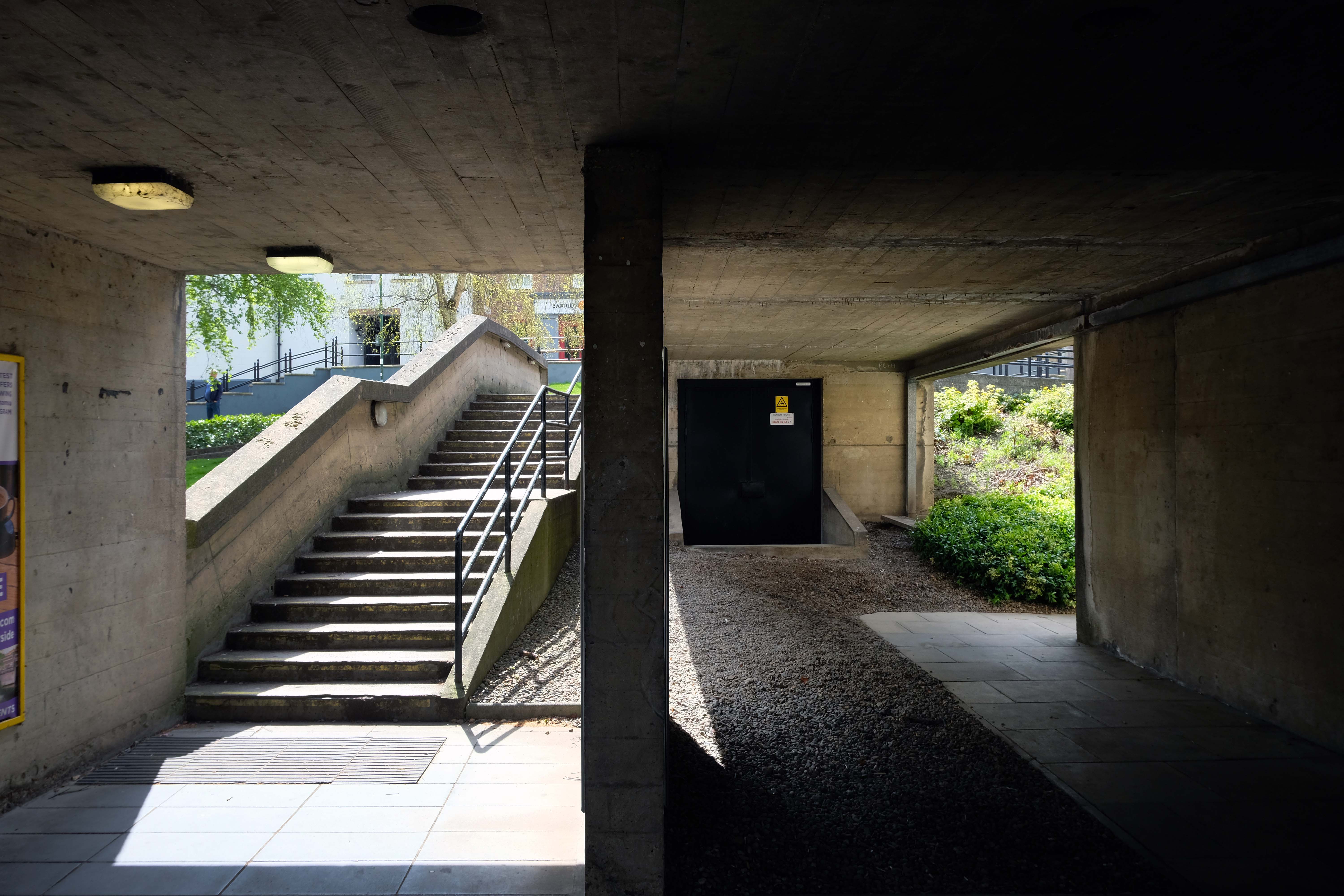
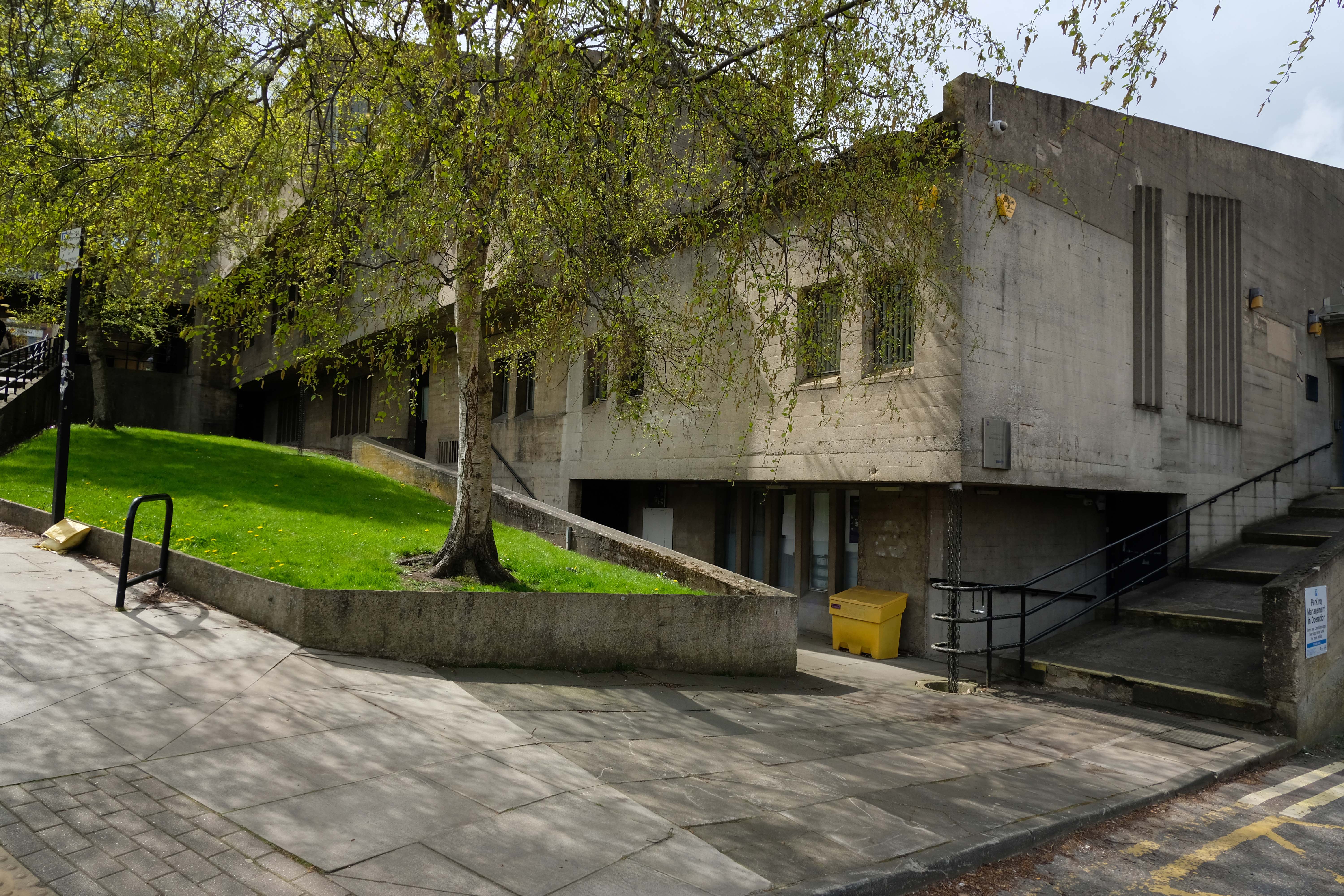
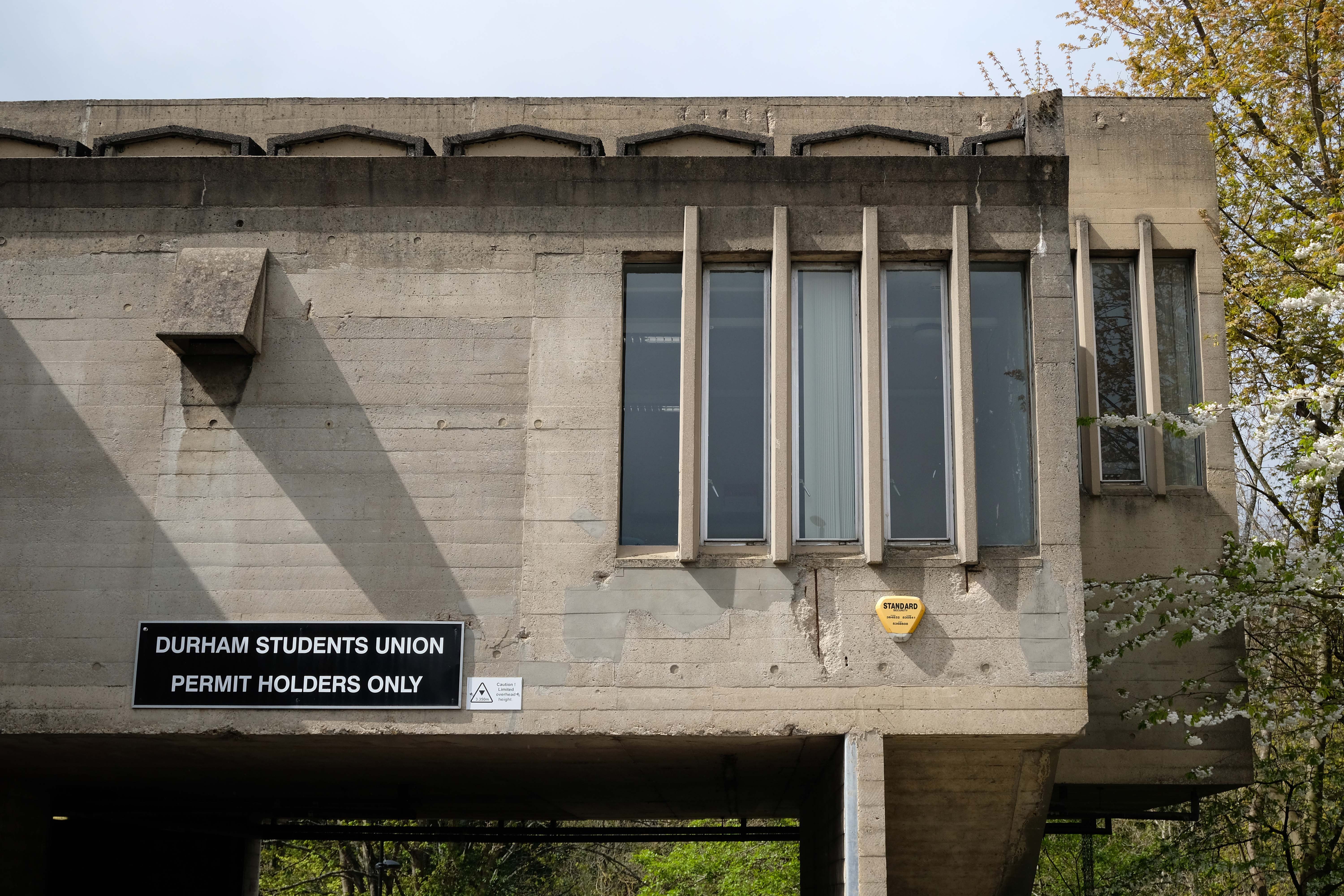
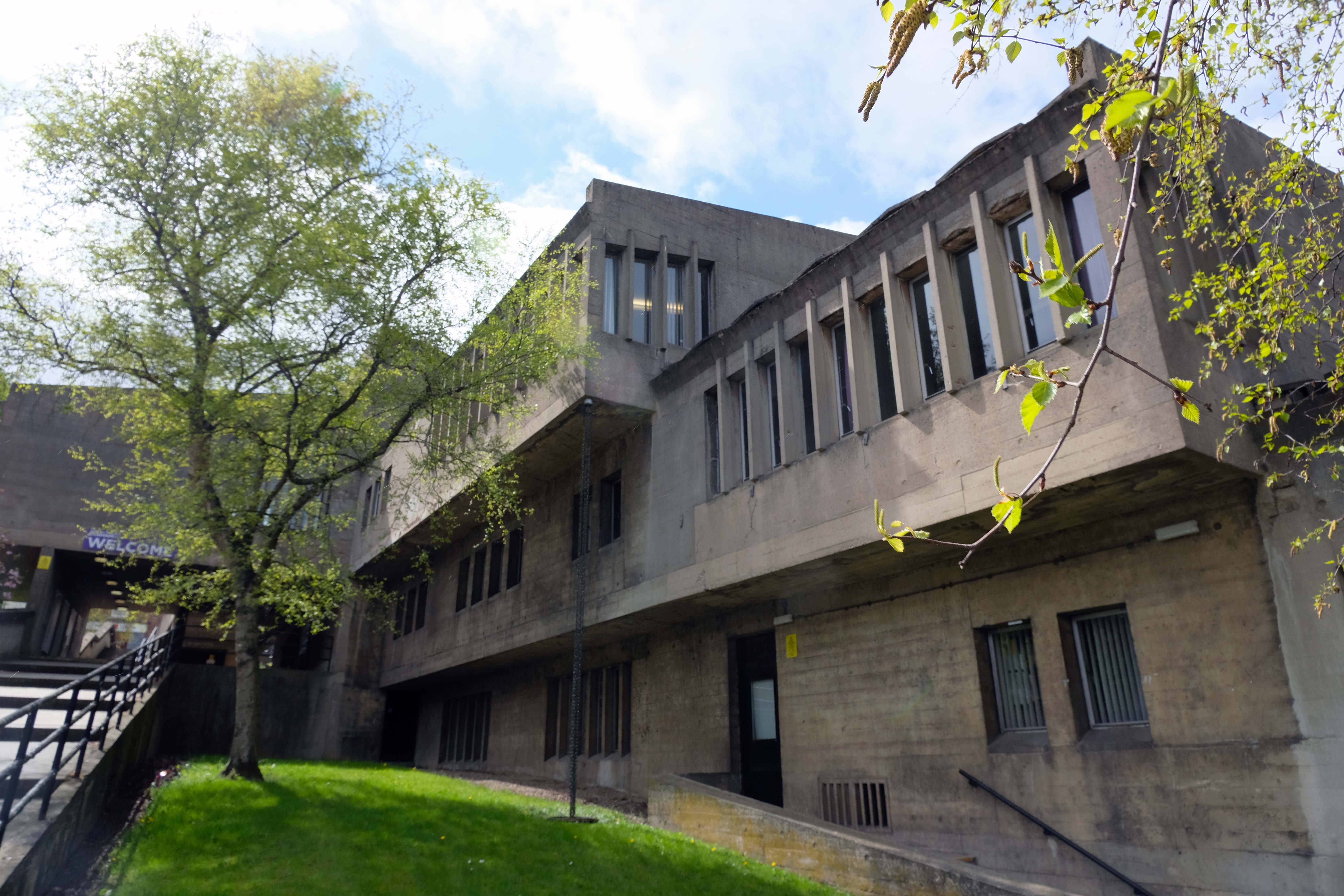
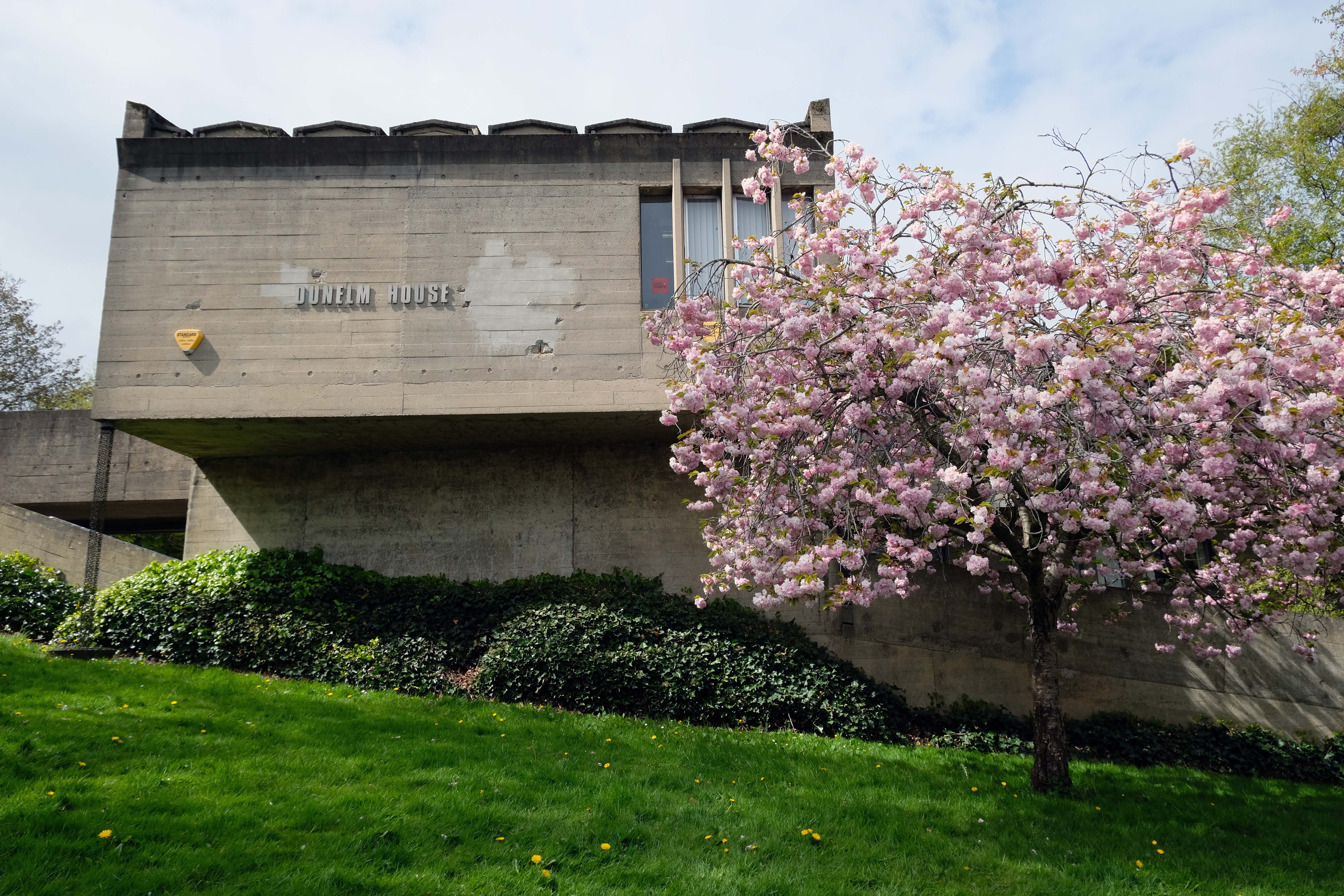
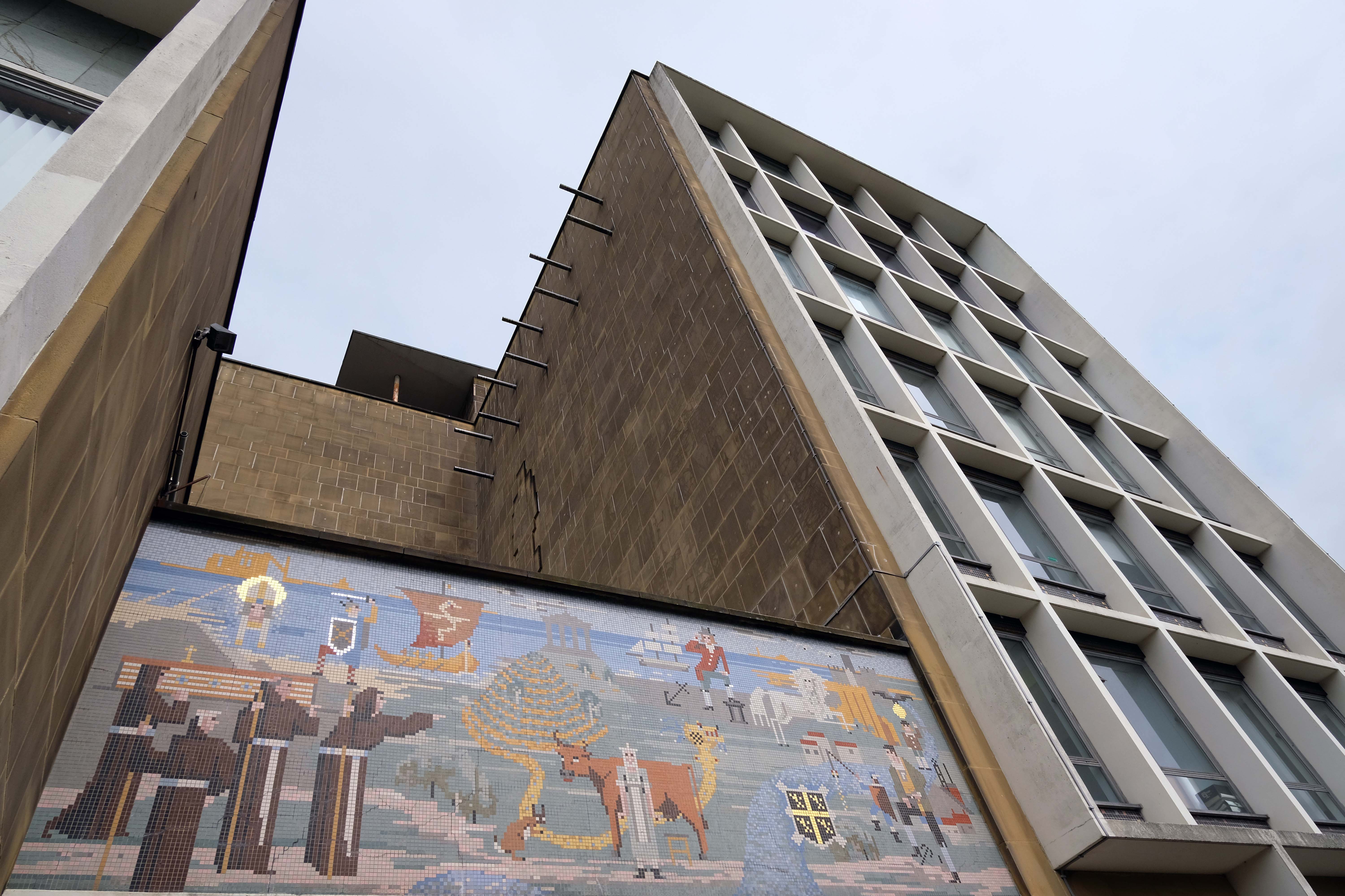
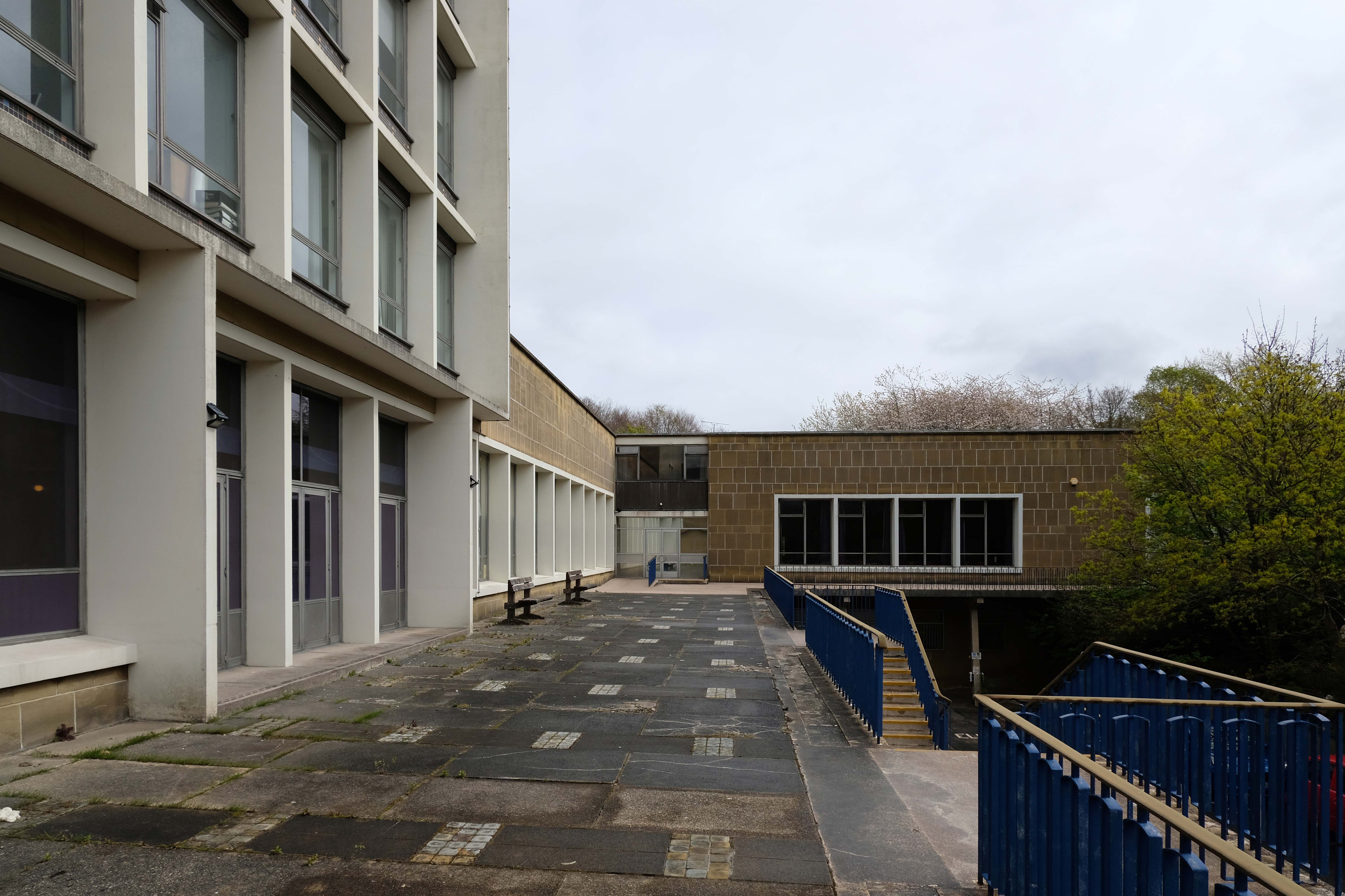
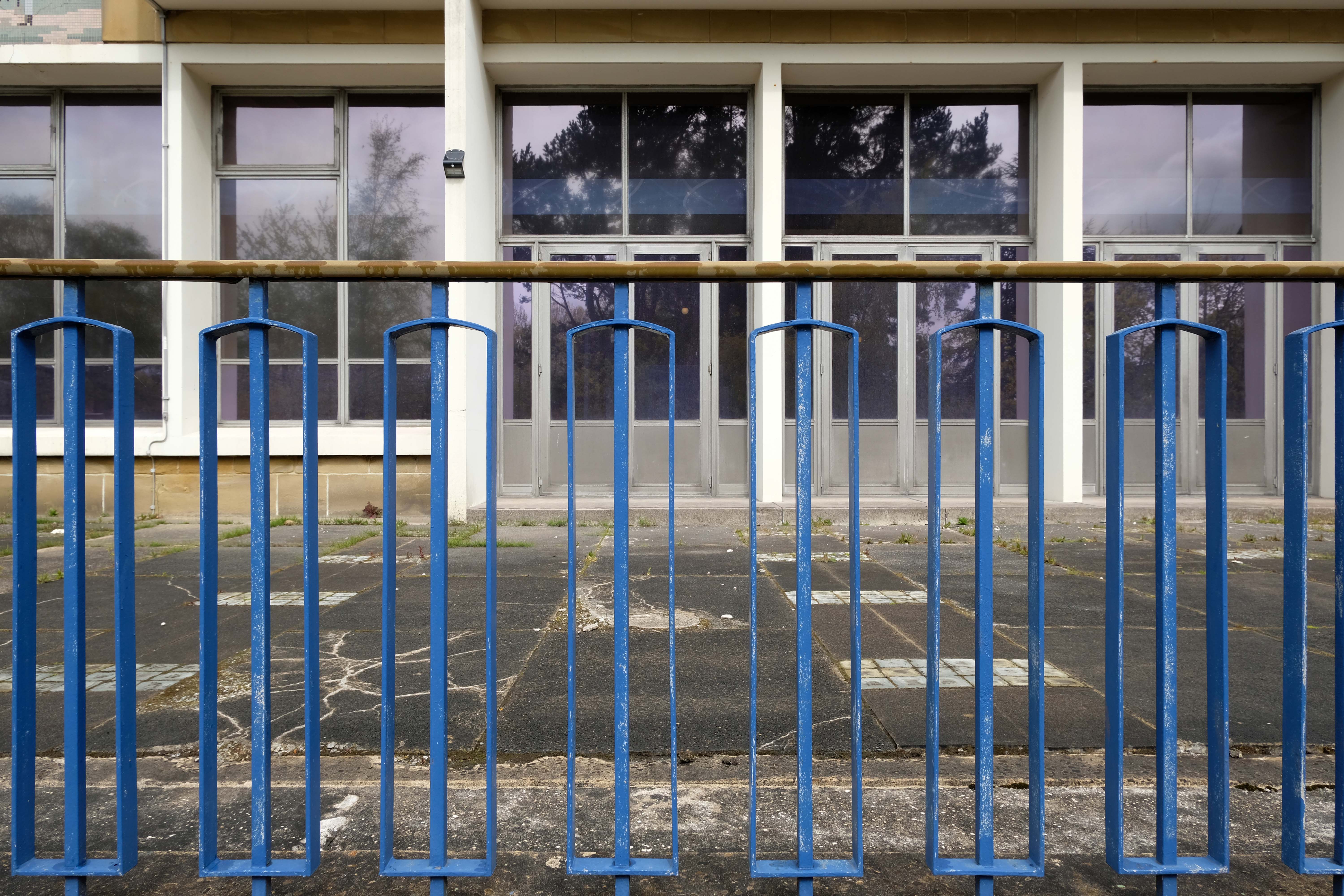
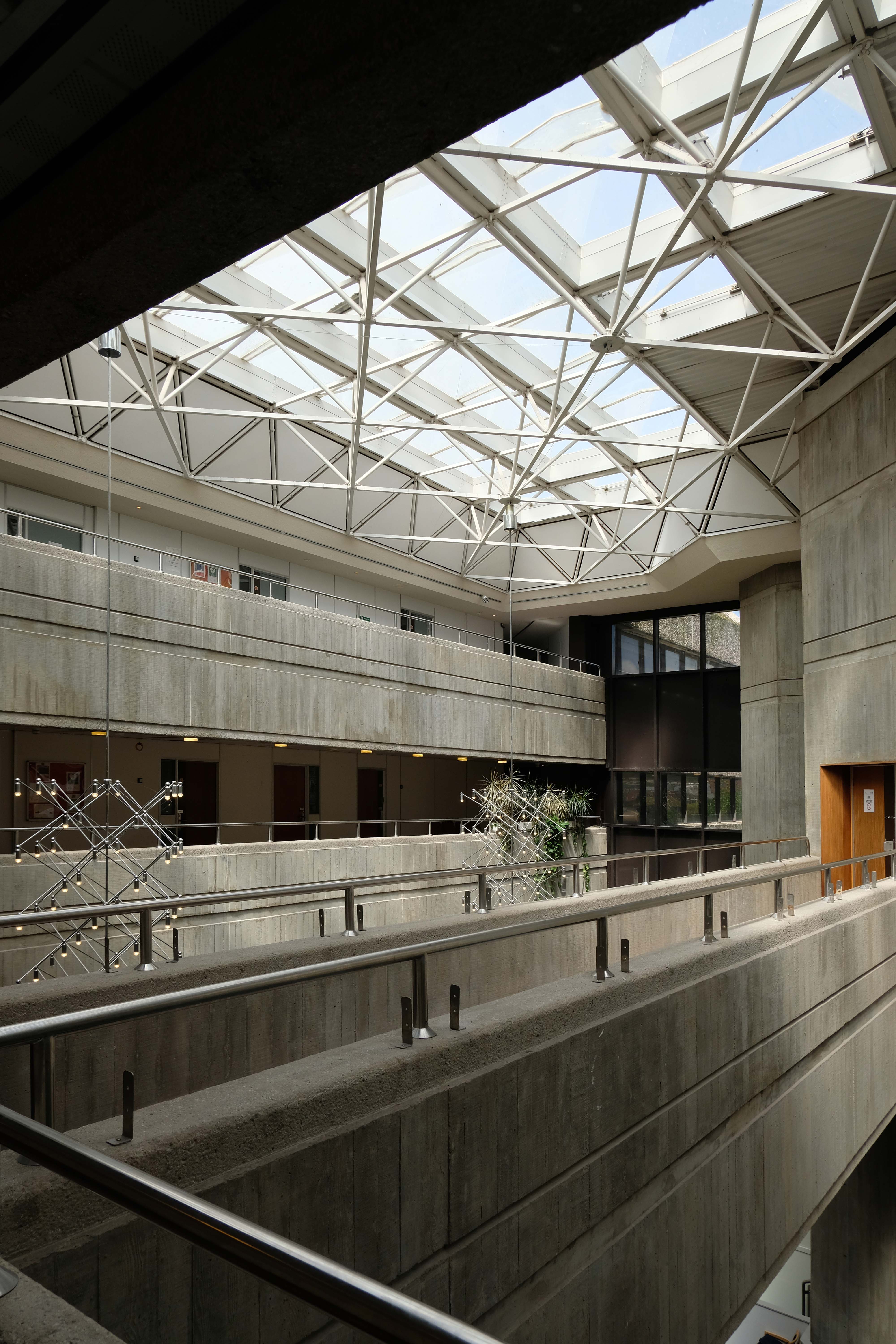
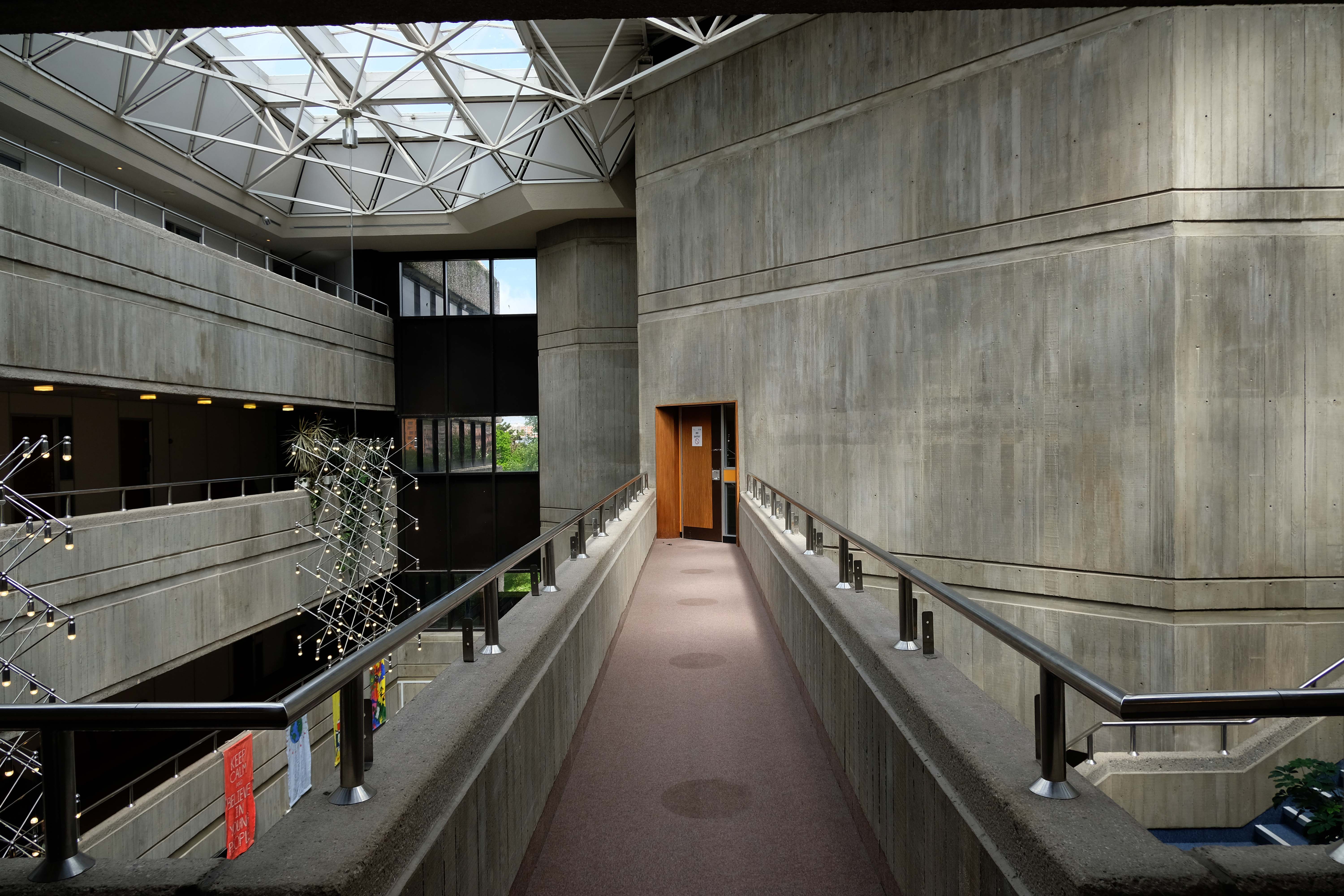
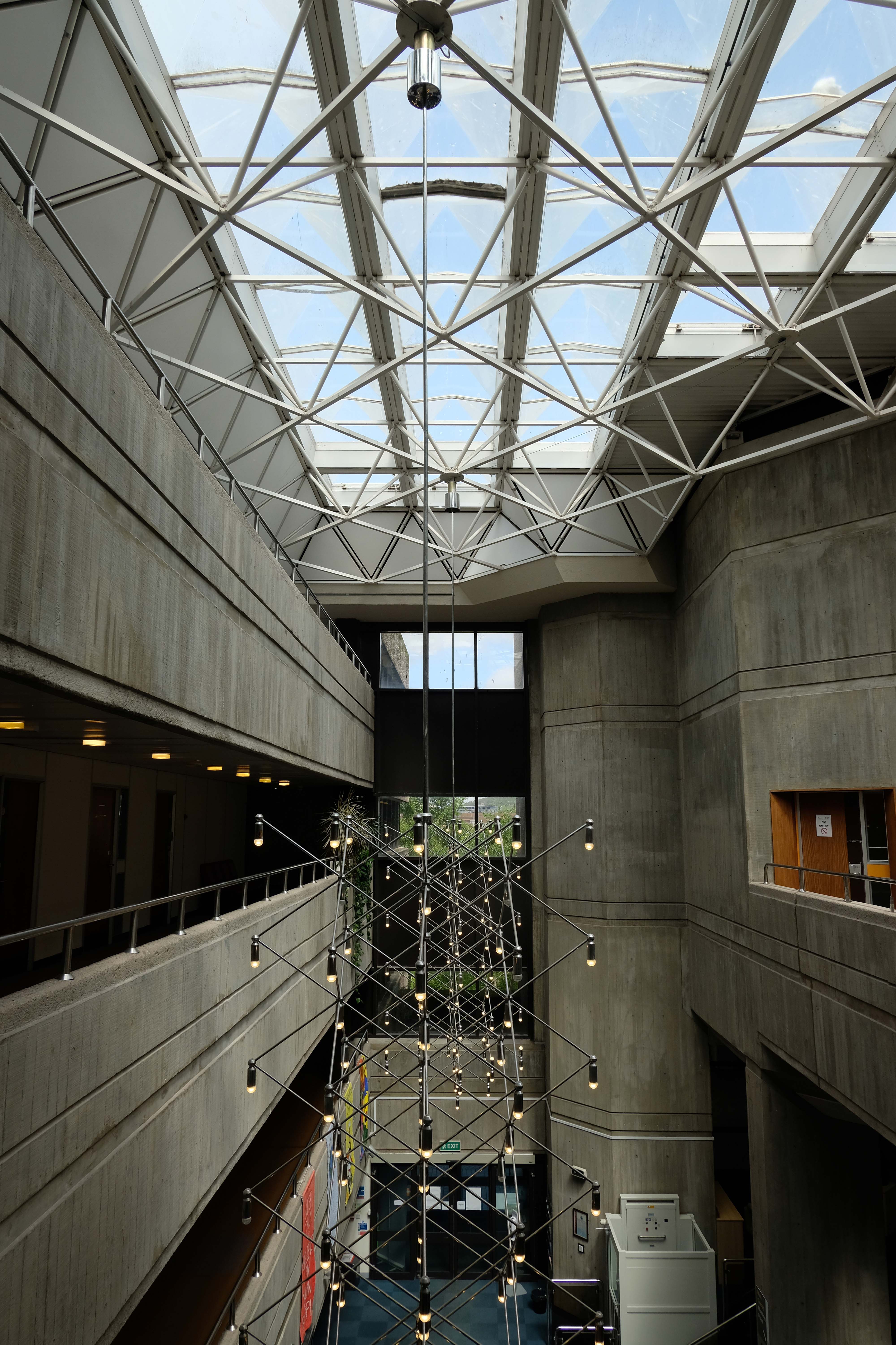
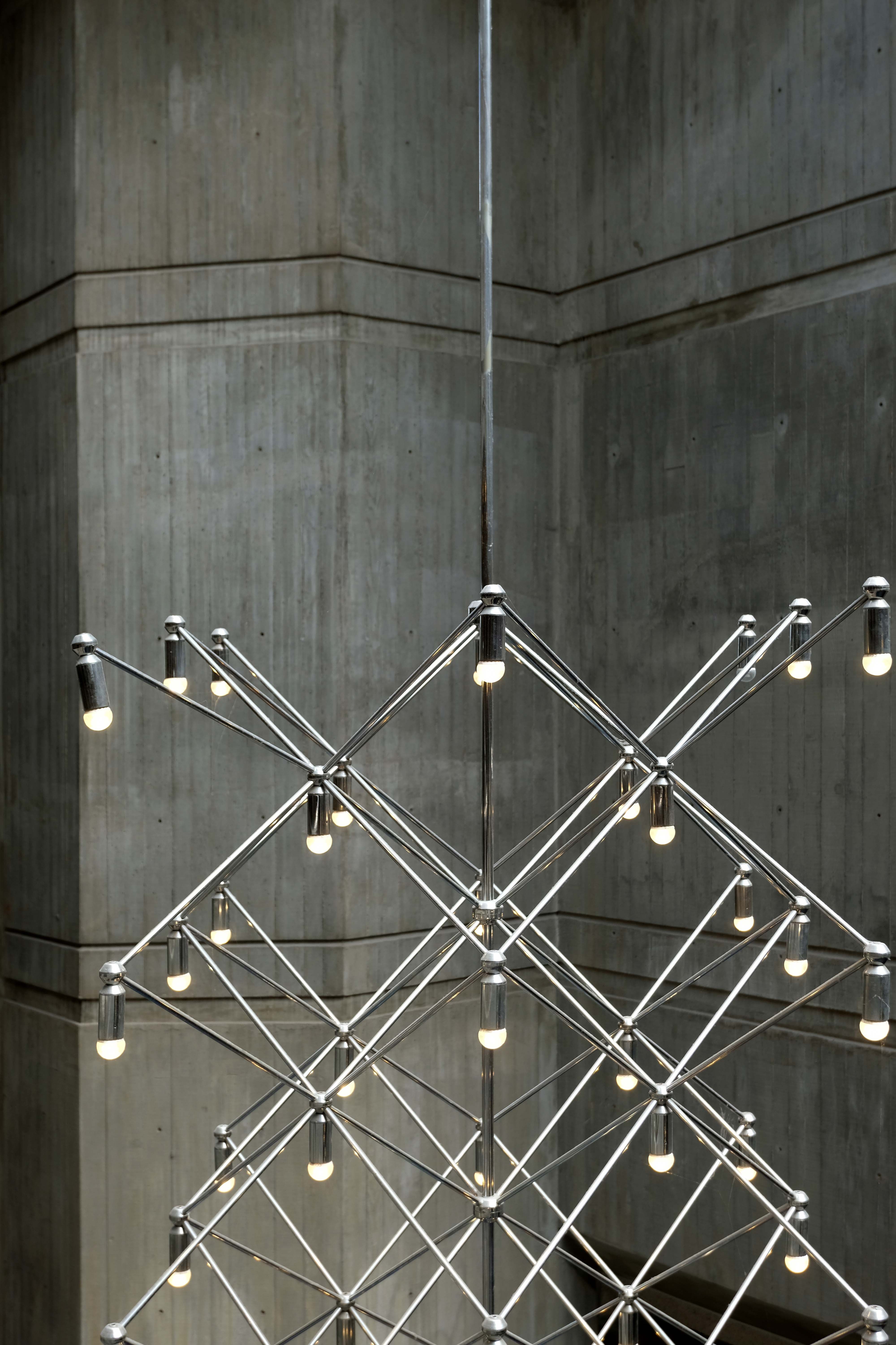
Dunelm House was designed by Richard Raines and Michael Powers of the Architects Co-Partnership, and completed in 1966 under the supervision of architect Sir Ove Arup, whose adjacent Kingsgate Bridge opened two years earlier. Built into the steeply sloping bank of the River Wear, Dunelm House is notable internally for the fact that the main staircase linking all five levels of the building runs in an entirely straight line. This was intended by the building’s architects to create the feeling of an interior street.
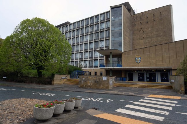
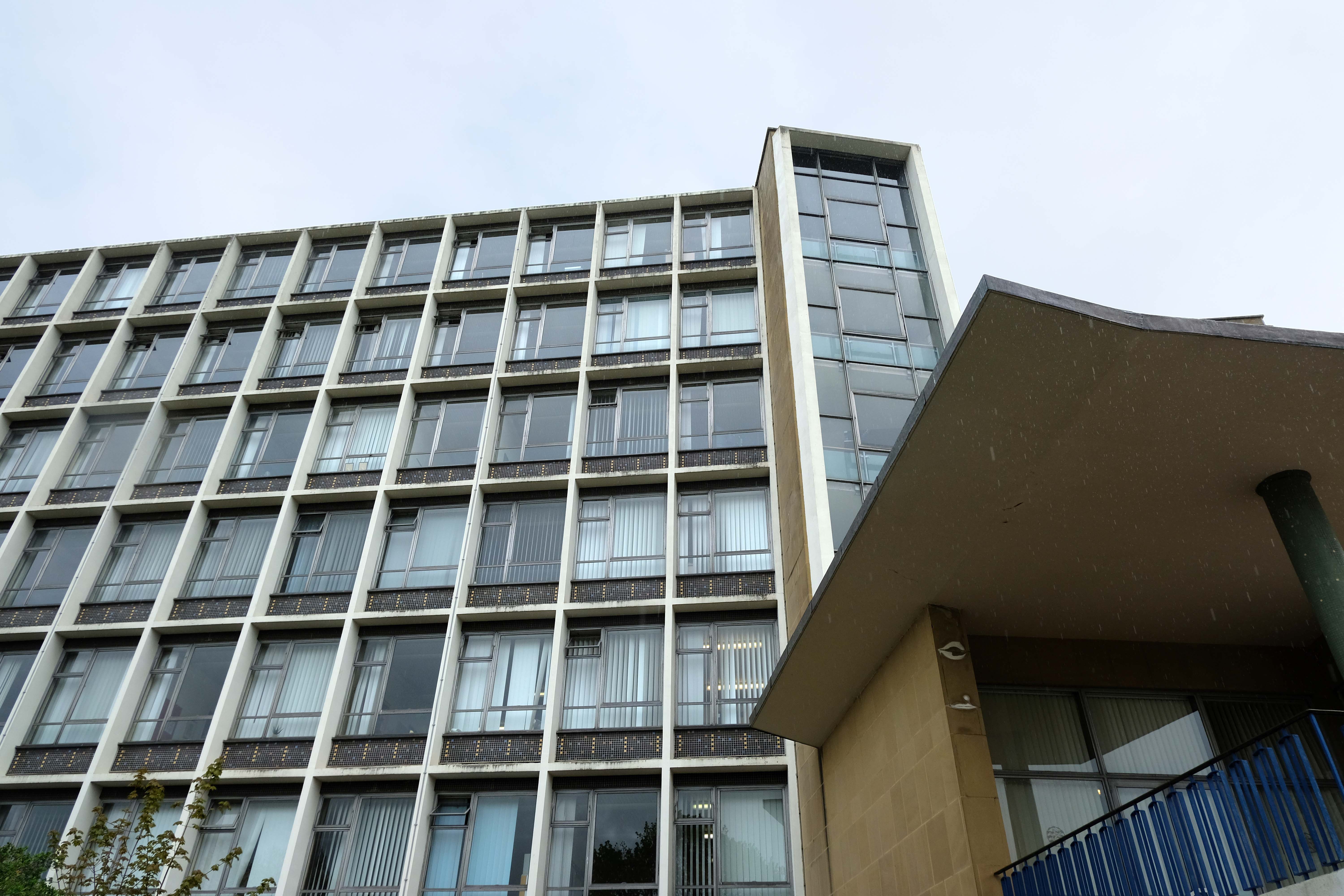
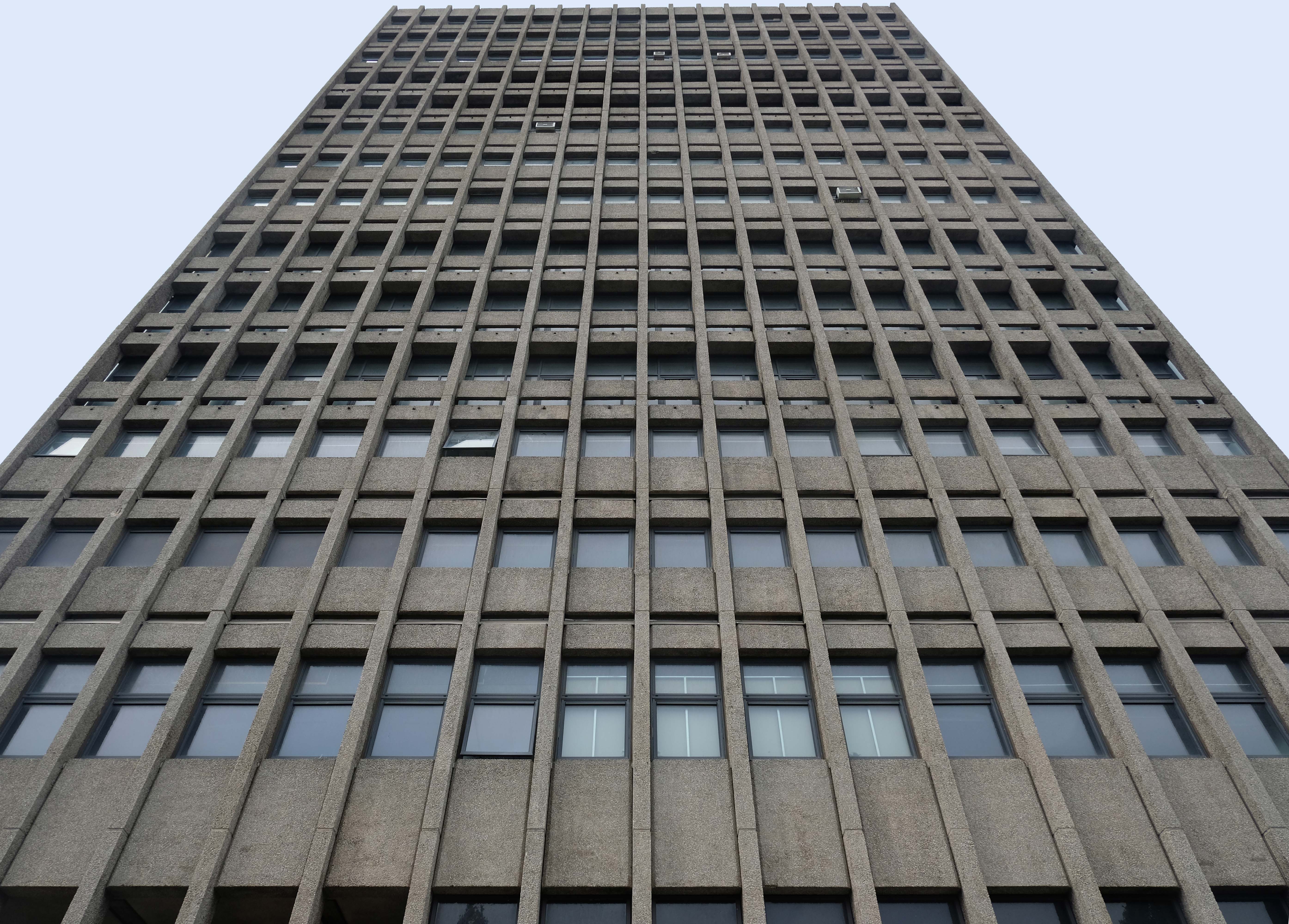
Work on the new building began in 1960: it was designed by Sir Basil Spence and was built by John Laing & Son at a cost of £2.75 million and was officially opened by the Duke of Edinburgh on 14 October 1963.
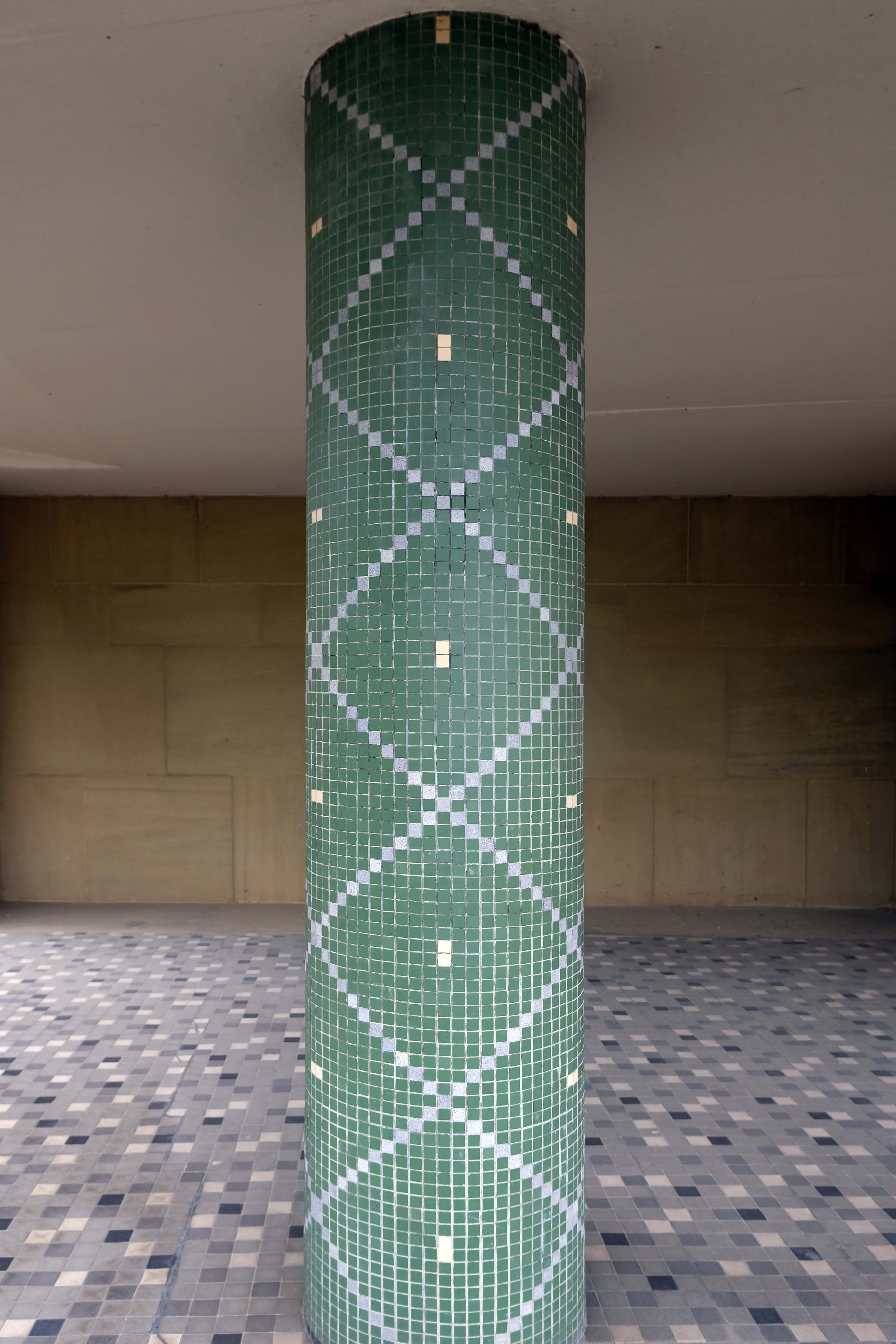
The design for the seven-storey building involved continuous bands of glazing with exposed concrete beams above and below.
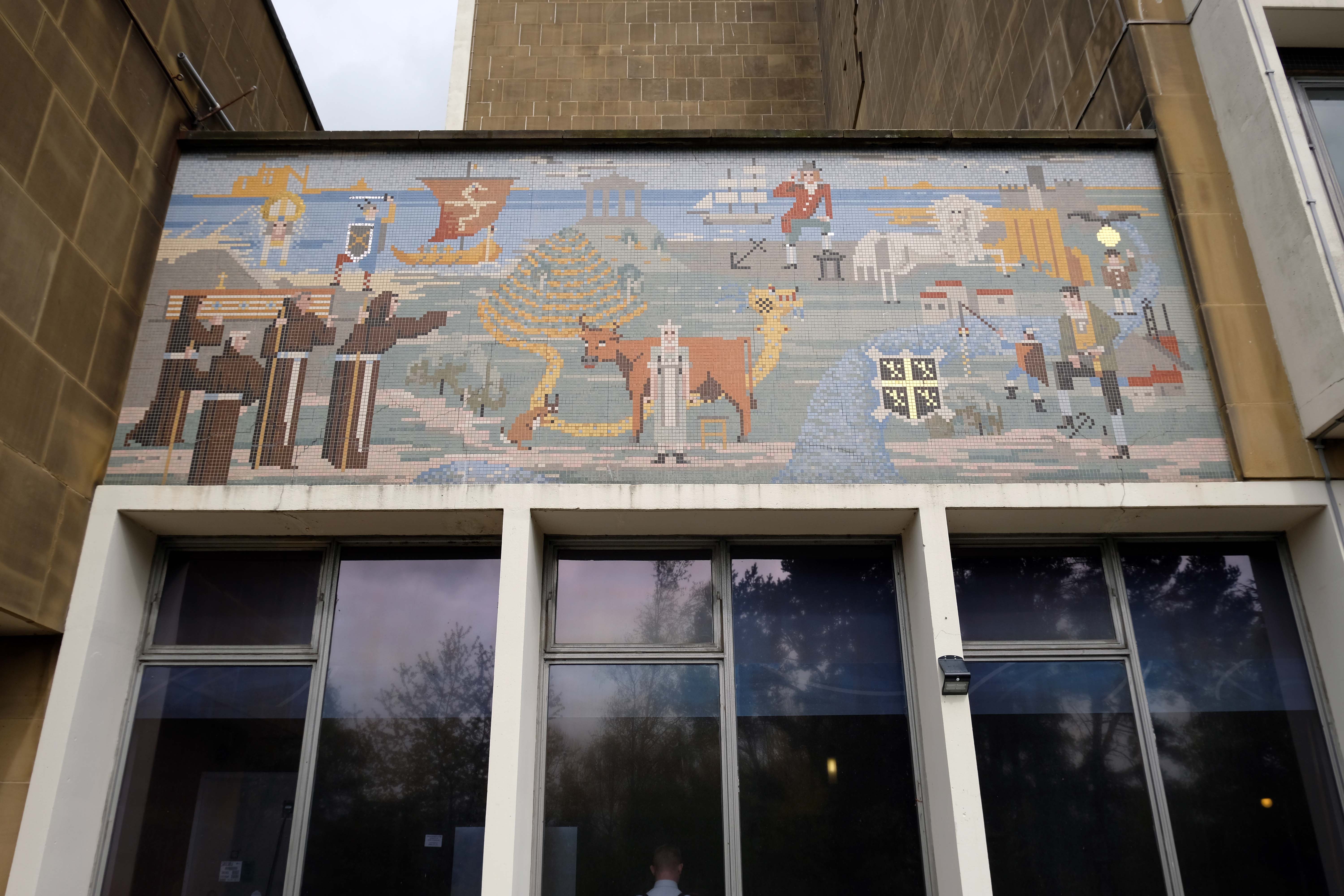
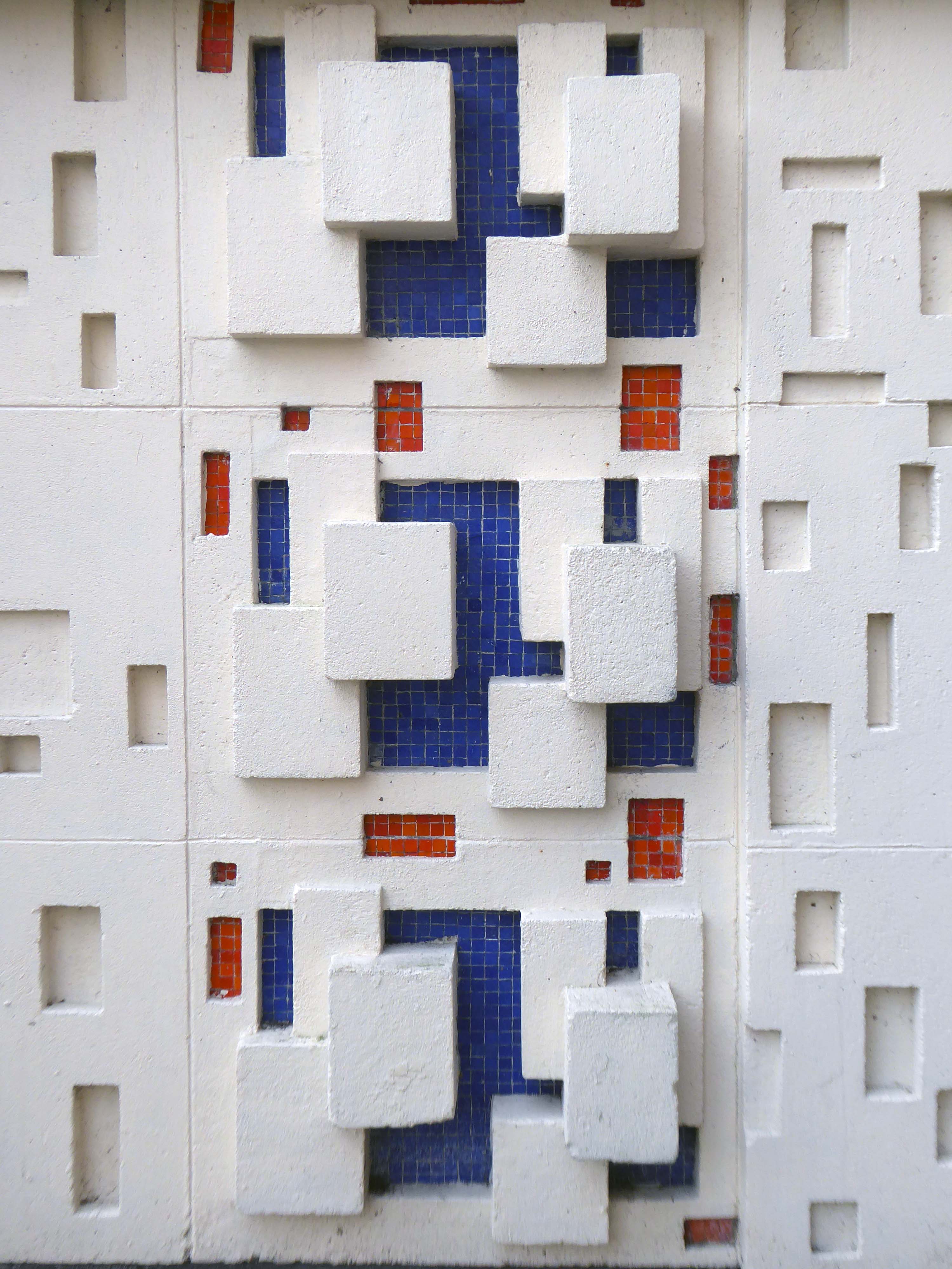
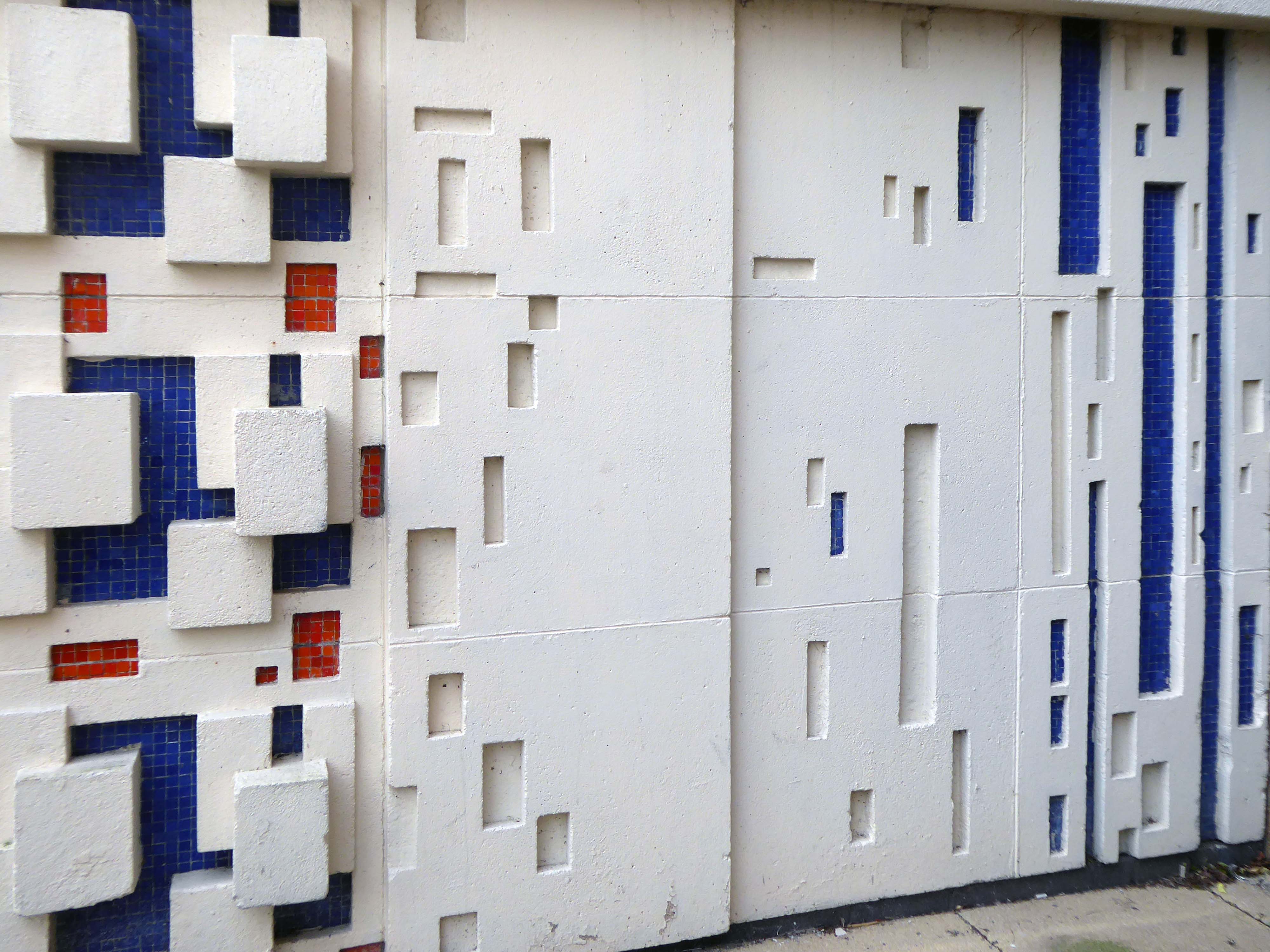
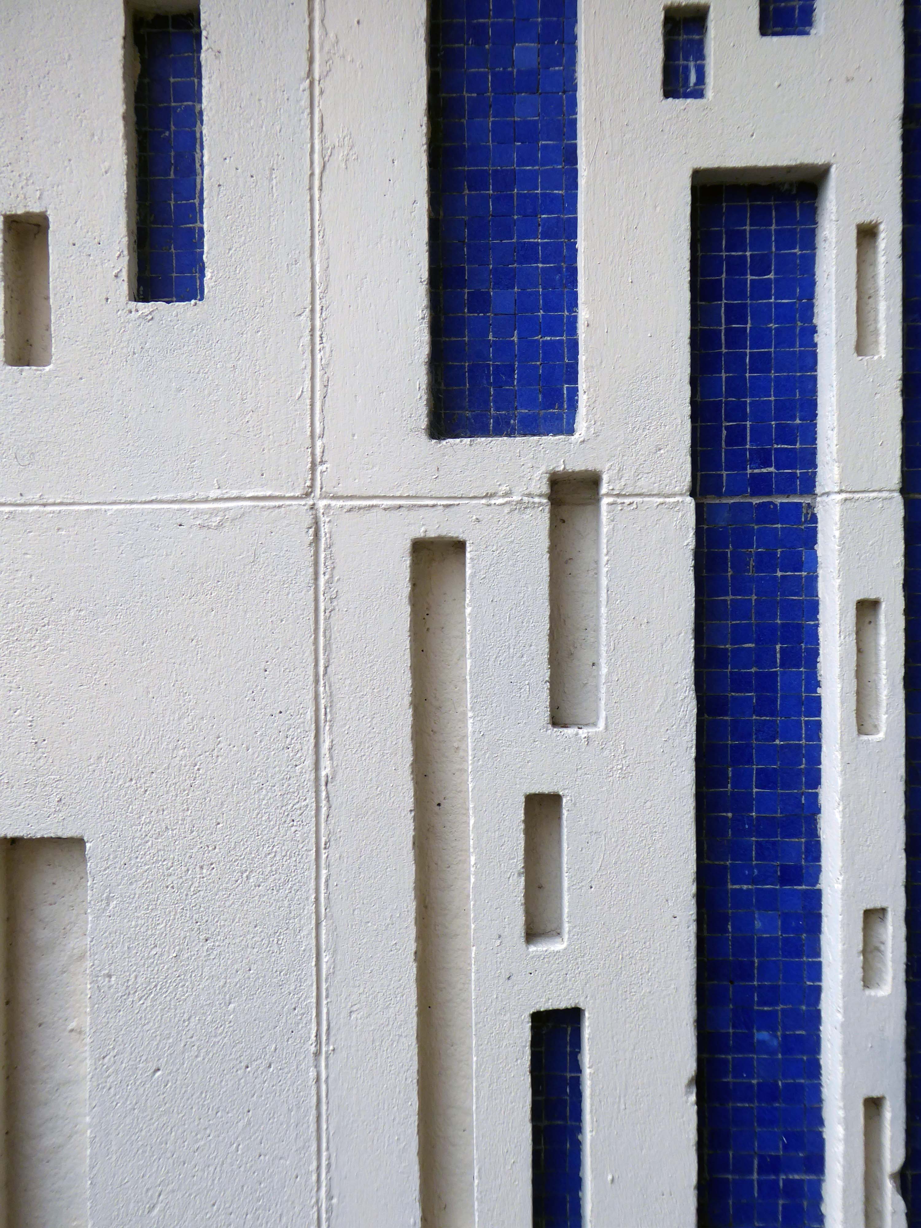
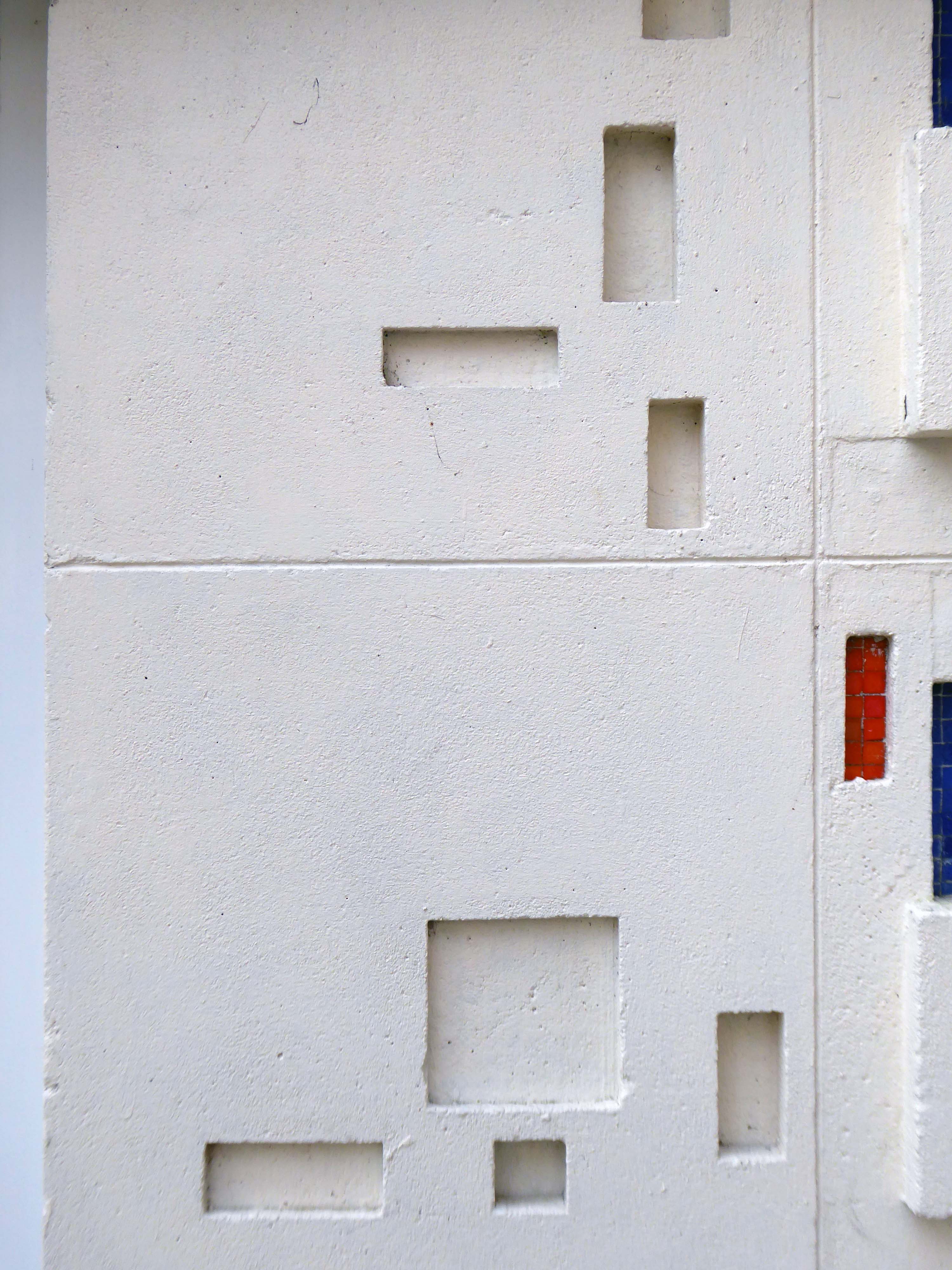
A large mosaic mural depicting local scenes was designed by Clayton and Gelson and installed on the face of the building.
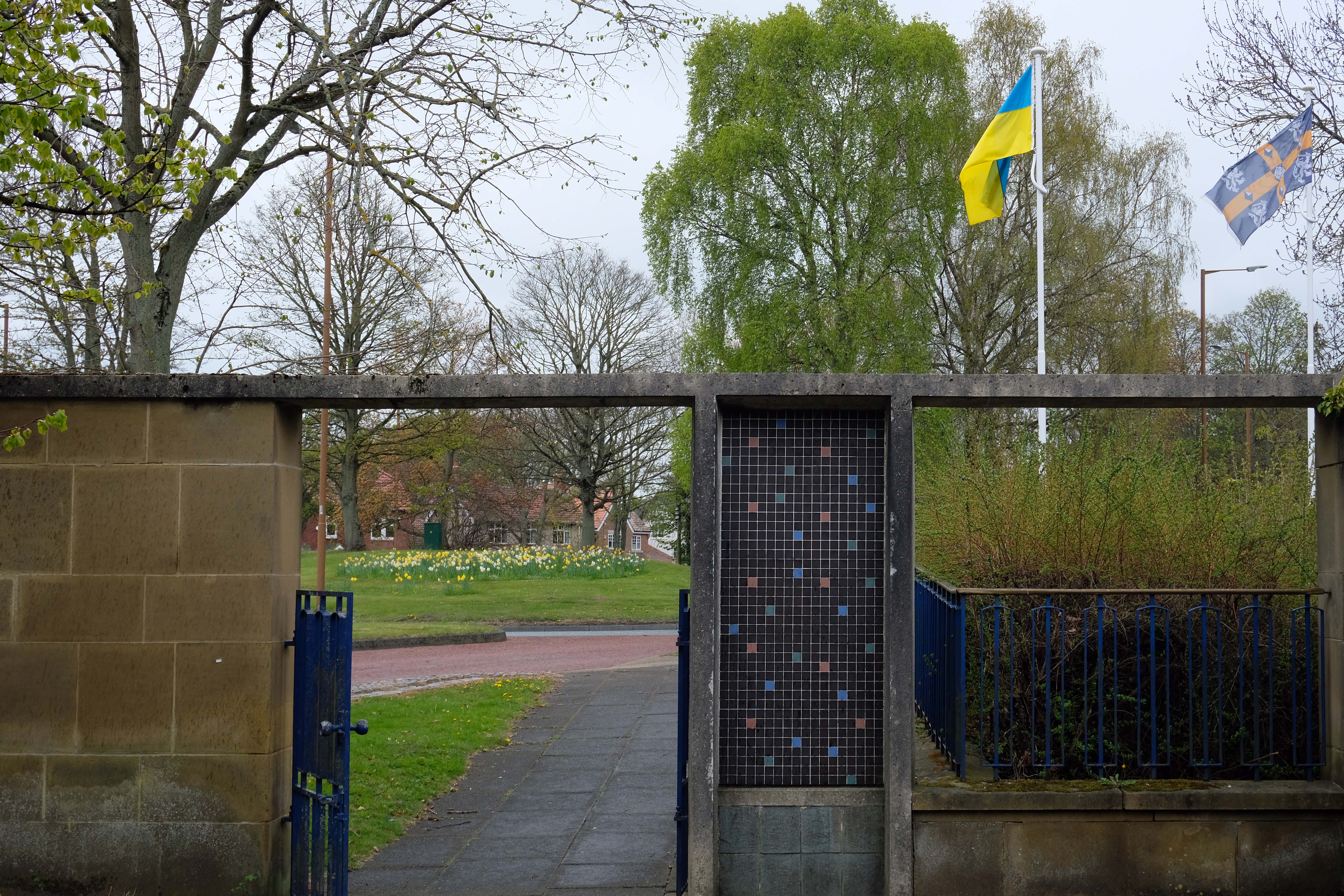
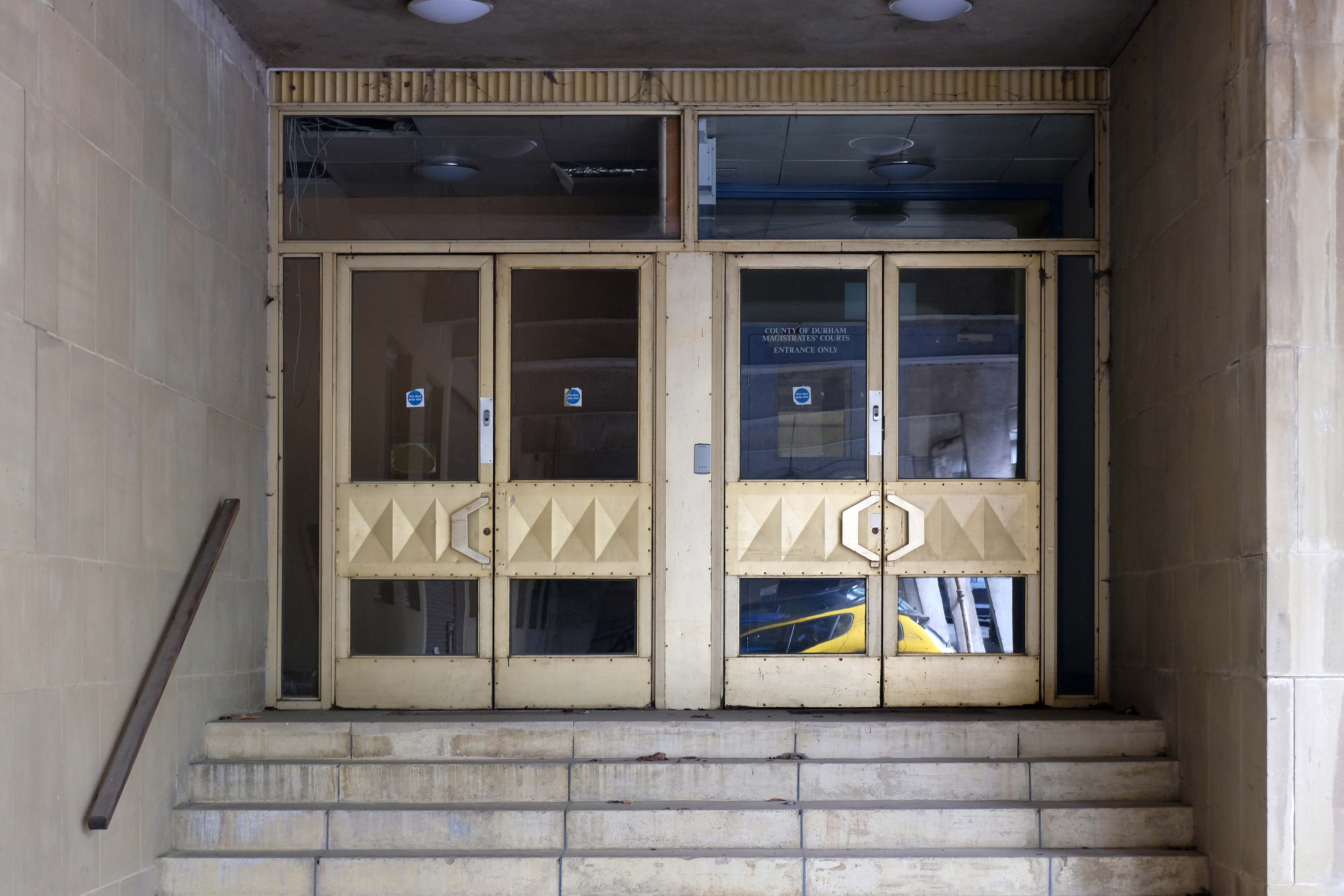
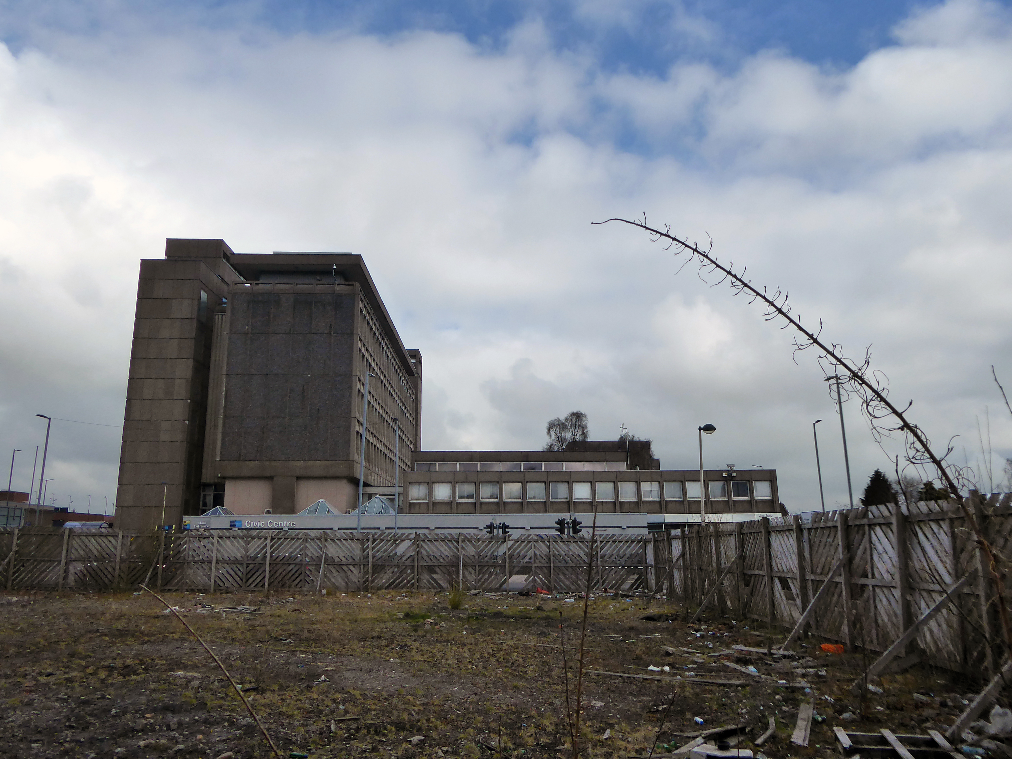
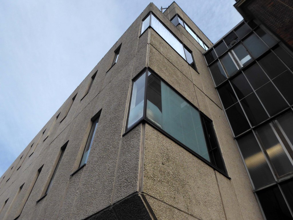
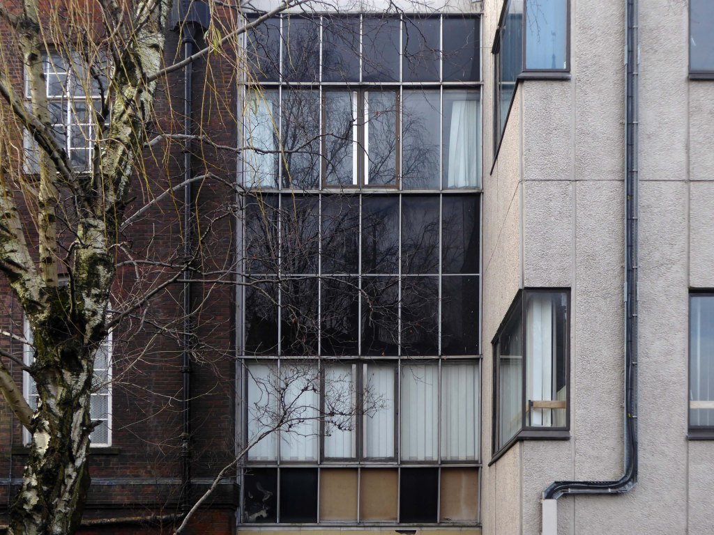
In March 2019, the County Council approved a proposal to move to a smaller new-build facility on the Sands car park at Freeman’s Place in the centre of Durham. Of around 1,850 staff currently based in County Hall, 1,000 will be based at the new HQ and approximately 850 will relocate to four council office sites being developed across the county in Crook, Meadowfield, Seaham and Spennymoor. The building works, which are being carried out by Kier Group at a cost of £50 million, are scheduled to be completed in late 2021. Richard Holden, Conservative member of parliament for North-West Durham, has described the new council headquarters as a ‘vanity project’, questioning the suitability of the location as well as tax increases and cuts to services used to pay for the development.
In April 2022 the council sold their new HQ to Durham University – yet demolition will still go ahead. This unlisted gem in the grand Festival of Britain style deserves much, much better.
Nearby Neighbours Newcastle have had the good sense to list and retain their Civic Centre.
The administration now plans a three-pronged approach to:
Construct another new modest-sized civic building and conference centre for businesses at Aykley Heads.
Occupy other council-owned offices already being built at Aykley Heads.
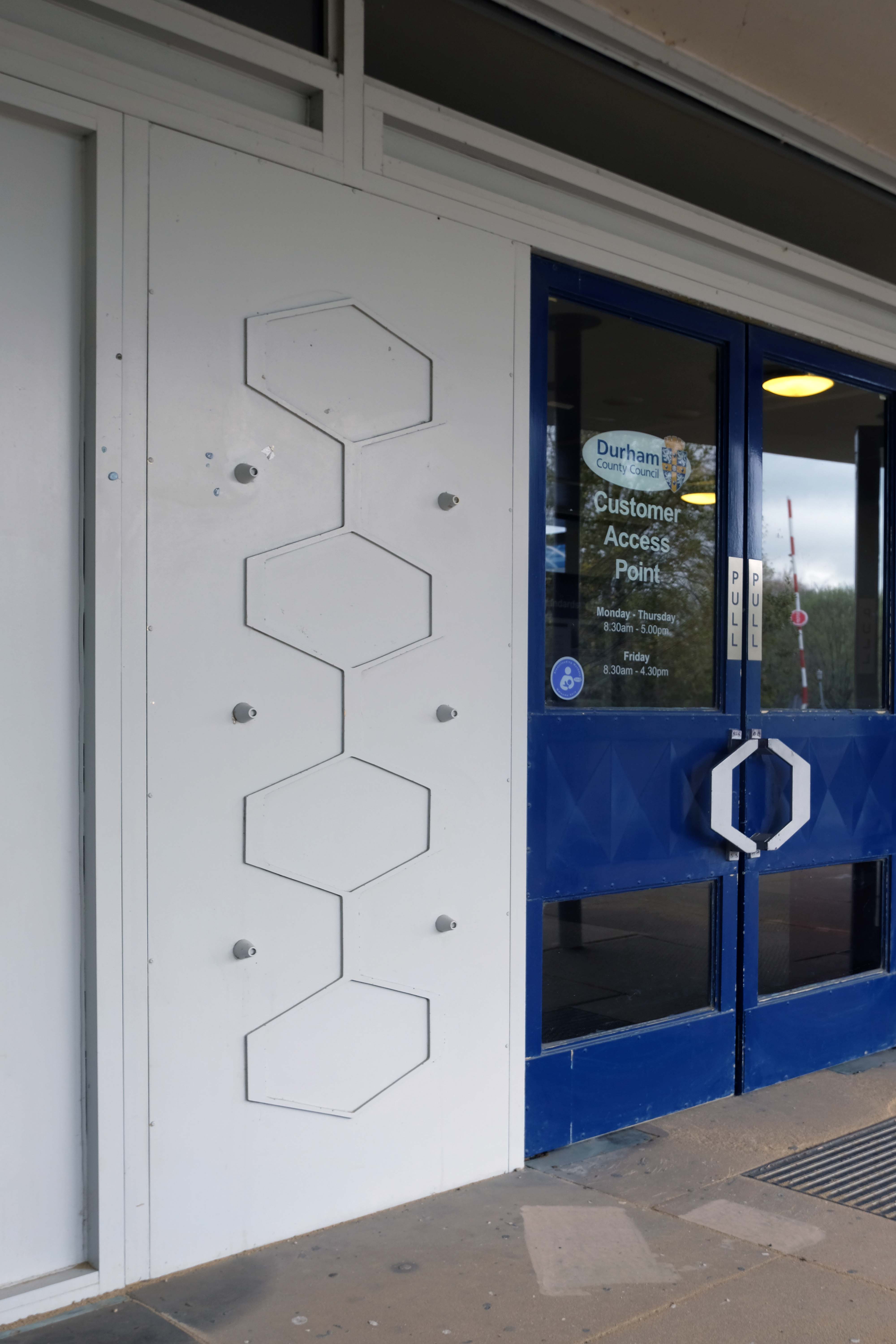
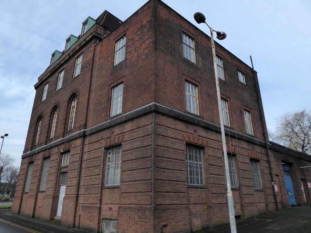
Refurbish and reuse the former customer access point on Front Street, Stanley, a large, run-down Grade II listed building which the council has been unable to sell.
Online, there is no evidence of any will or pressure to save this glorious building – the site will eventually become that most modern mix of business park, retail, and leisure facilities.
The proposal, led by Durham County Council, forms part of an overall masterplan to knock down the municipal building in Aykley Heads and redevelop the wider site to provide retail, financial and professional space, food and drink units, space for leisure use and a multi-storey car park.
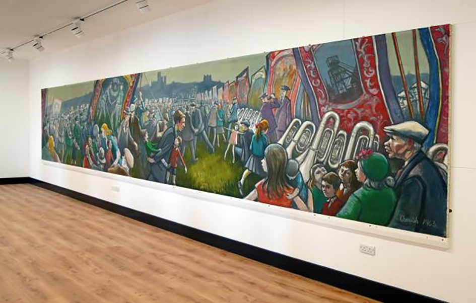
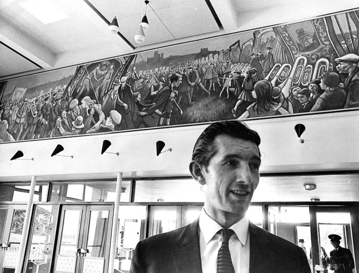
A mural by a beloved pitman painter, commissioned by Durham County Council to mark the opening of County Hall in 1963, has been successfully moved to its new home in Bishop Auckland.
The painting by Norman Cornish, one of the most respected and much-loved artists to emerge from the North-East, depicts the arrival of the banners at Durham Miners’ Gala.
After being commissioned by the council, Cornish was granted 12 months unpaid leave from Mainsforth Colliery in Ferryhill to complete the painting, with most of the work being completed during the coldest winter in 40 years.
Although it arrived at County Hall in 1963 rolled up in the back of a carpet van, the mural’s removal was an incredibly intricate process, involving several experts.
We have been here before – before the wrecking ball.
Subsequently, the tills have long since ceased to ring.
The road to redevelopment is paved with good intentions, and so far a profound lack or realisation.
The local folk objected to the planned luxury offices.
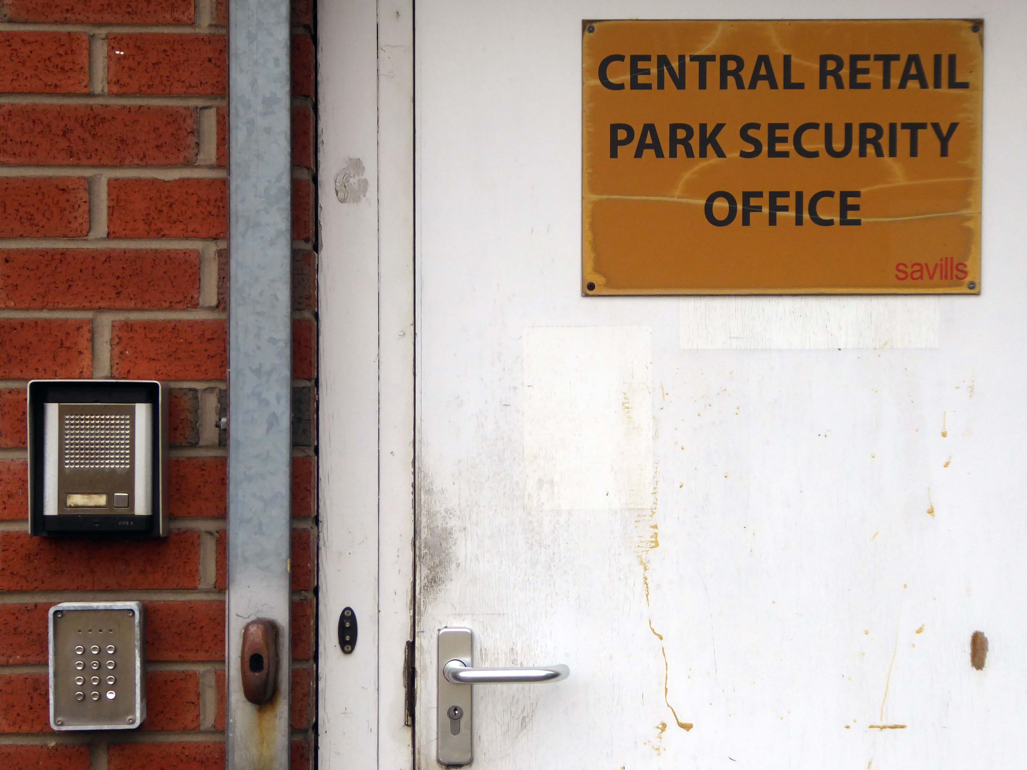
Tomorrow Manchester City Council’s Executive is set to approve the development framework for the former Central Retail Park that will see it turned into a zero carbon office district. But, according to a public consultation carried out by grassroots campaigners, an overwhelming majority of locals want public spaces on the 10.5 acre site in Ancoats rather than luxury offices.
As of April 2022 Trees Not Cars have sought the views of local representatives following the decision not to go ahead with the building of a multi-storey car park
What we need are councillors who will stand up for us and push for as much green space as possible at Central Retail Park development.
It’s council owned, it would link in well with Cotton Field Park and will give the capacity for locals to enjoy the outdoors – without driving, once New Islington Green has been developed into offices.
There is a perennial plea for affordable homes and green space, along with perennial structural and institutional barriers to their financing and building.
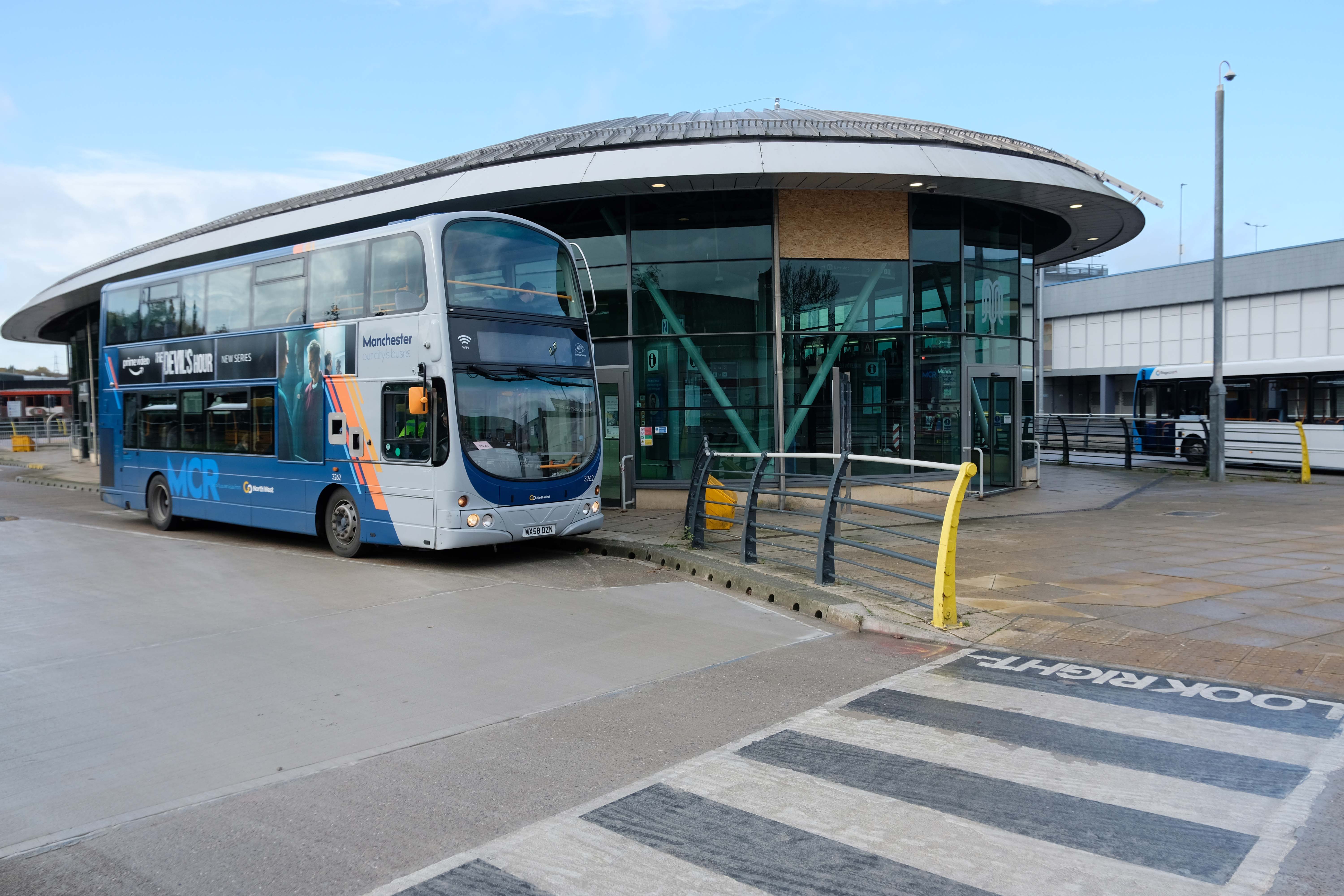
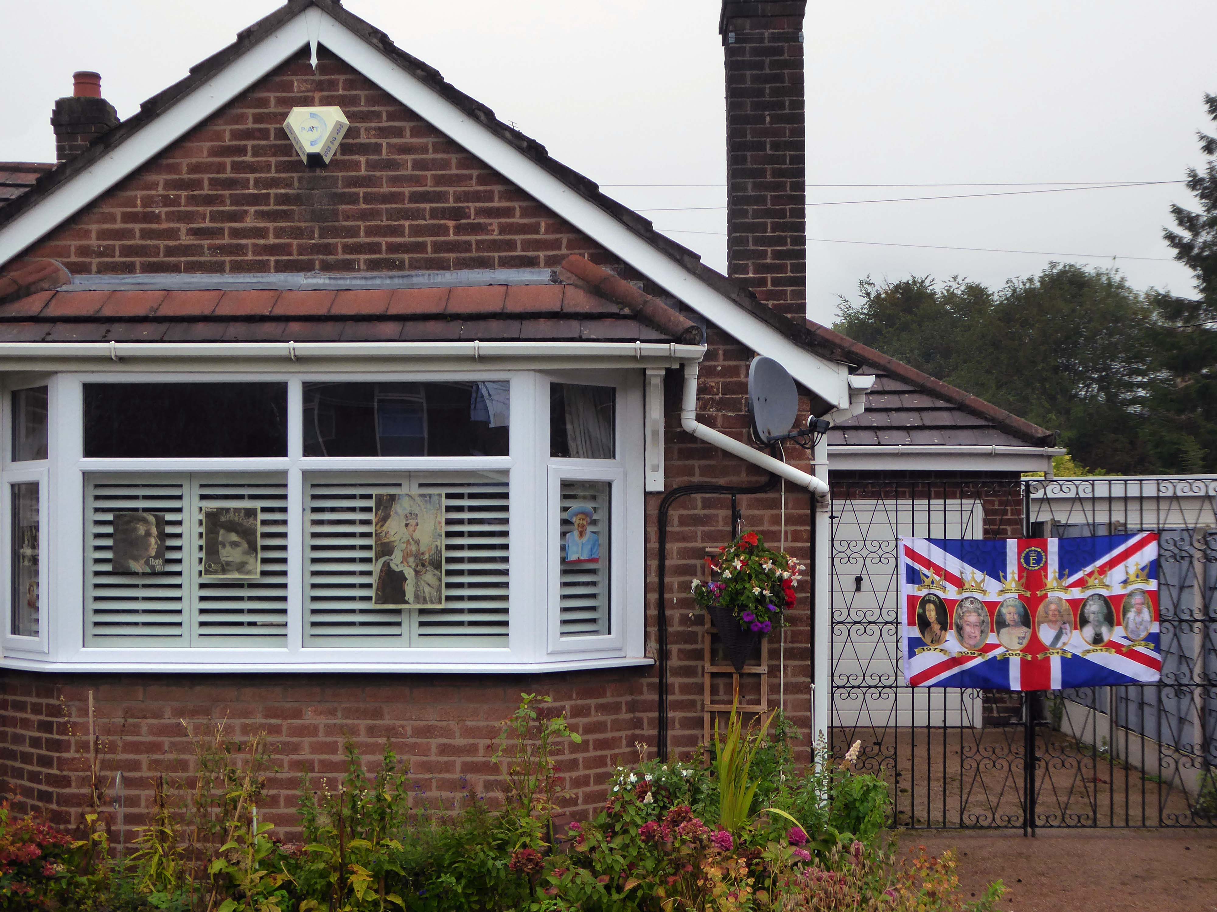
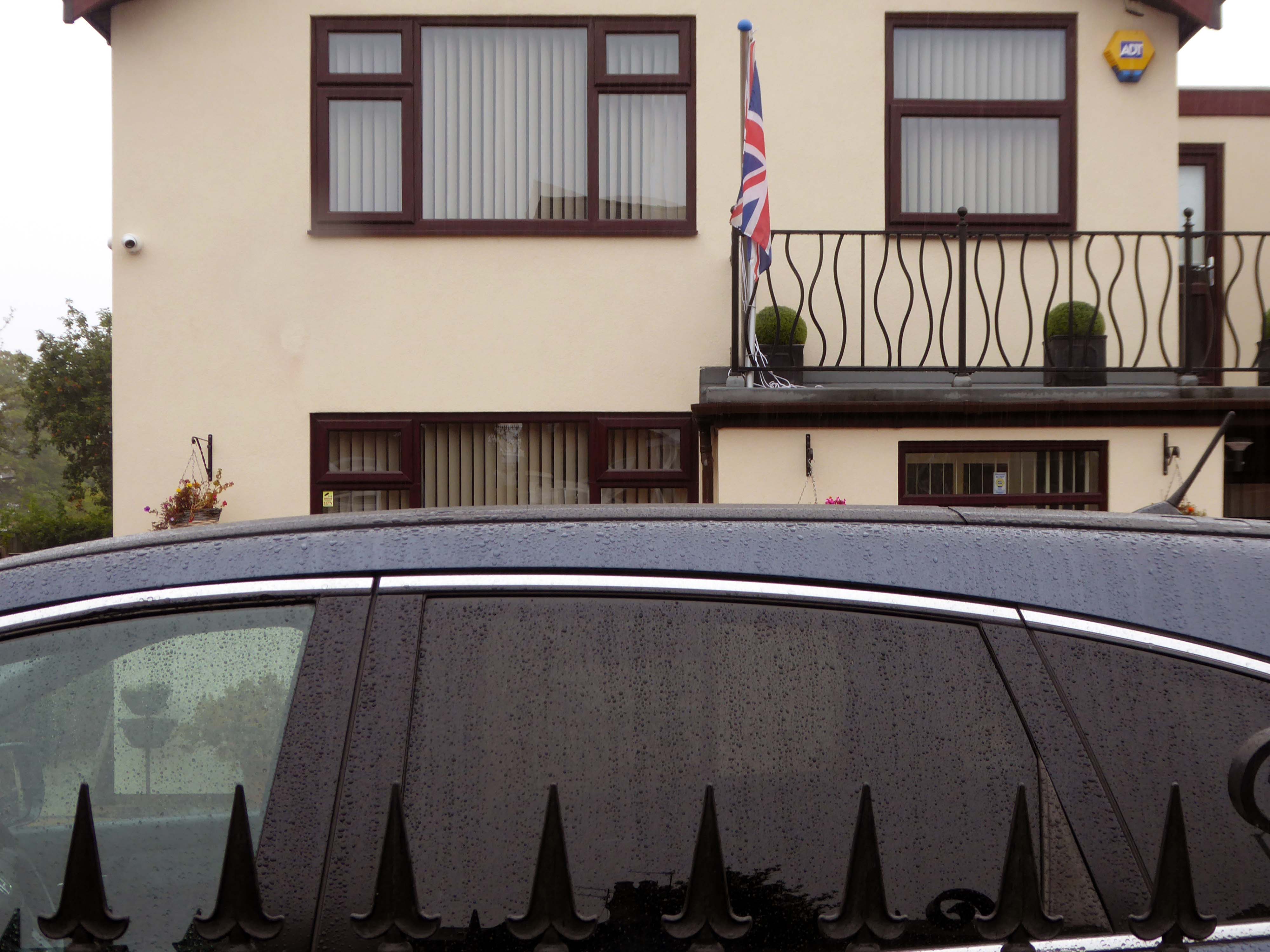
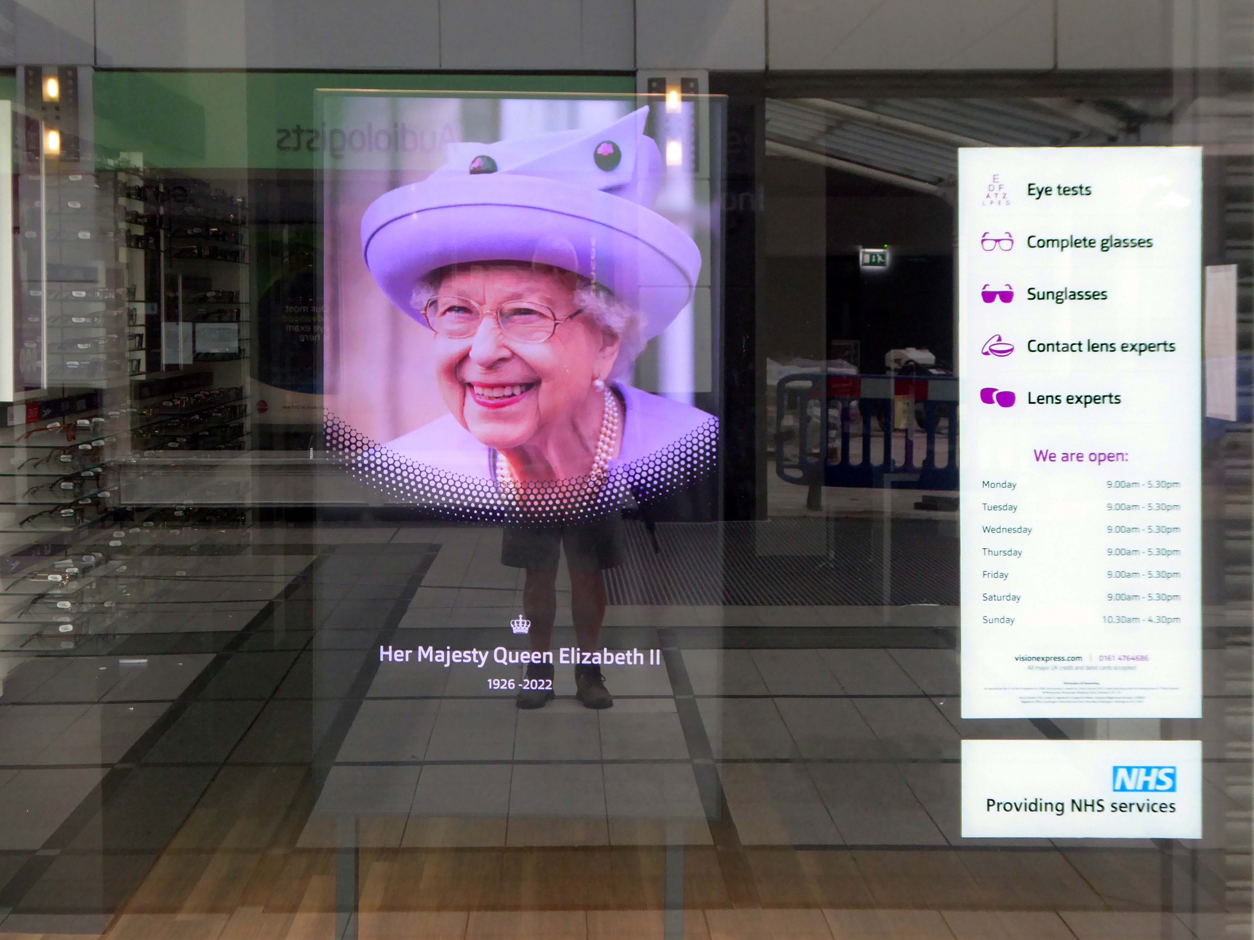
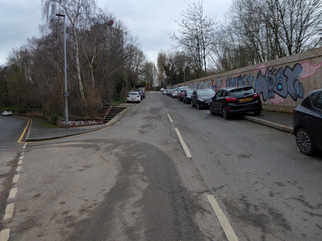
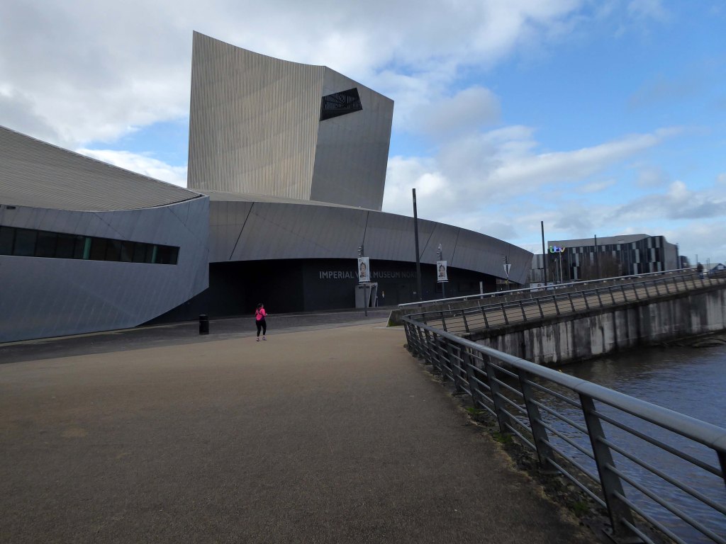
On the day of HM Queen Elizabeth II’s Diamond Jubilee, I cycled around Ashton under Lyne in search of landmarks of her sixty year reign.
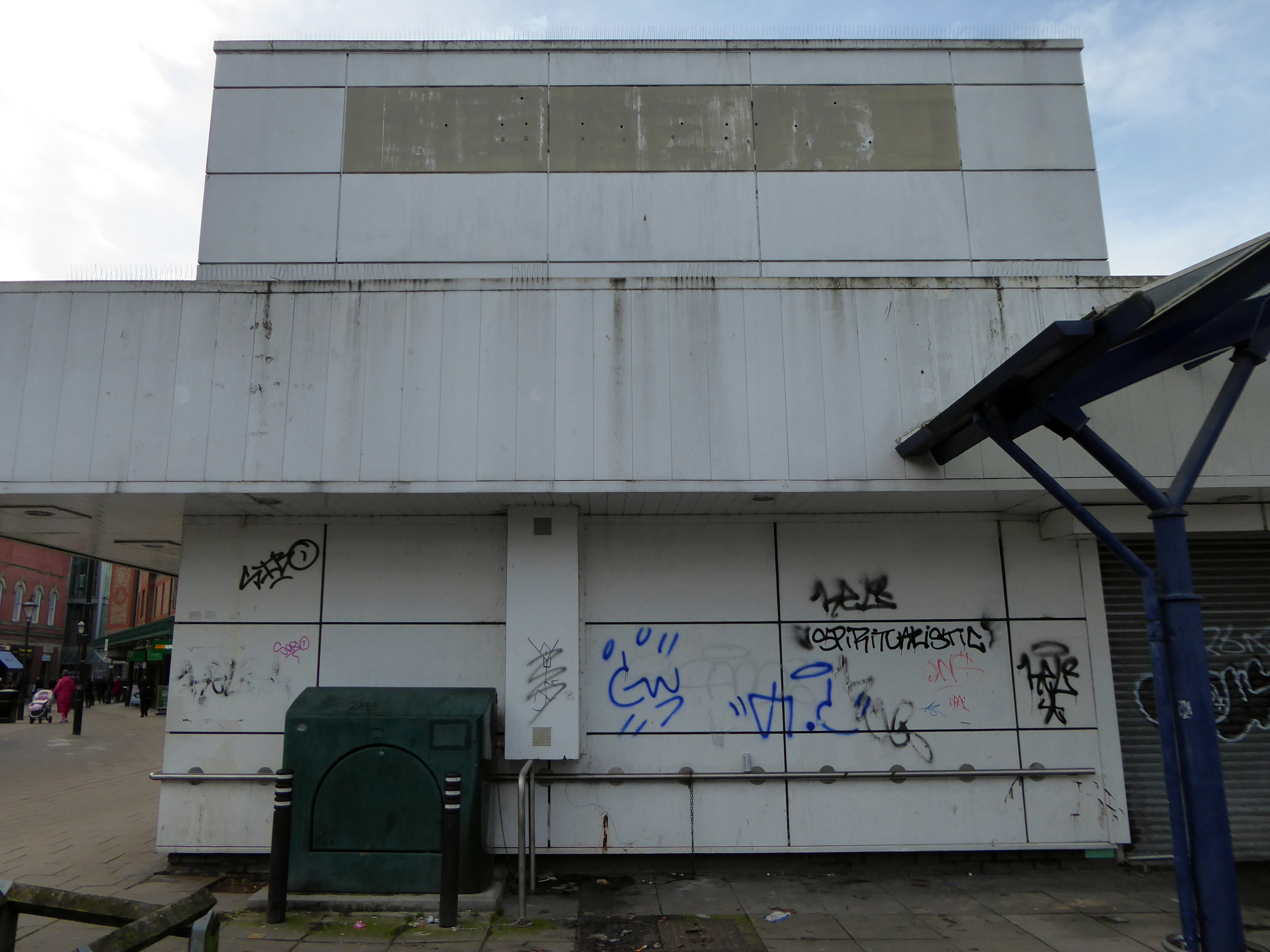
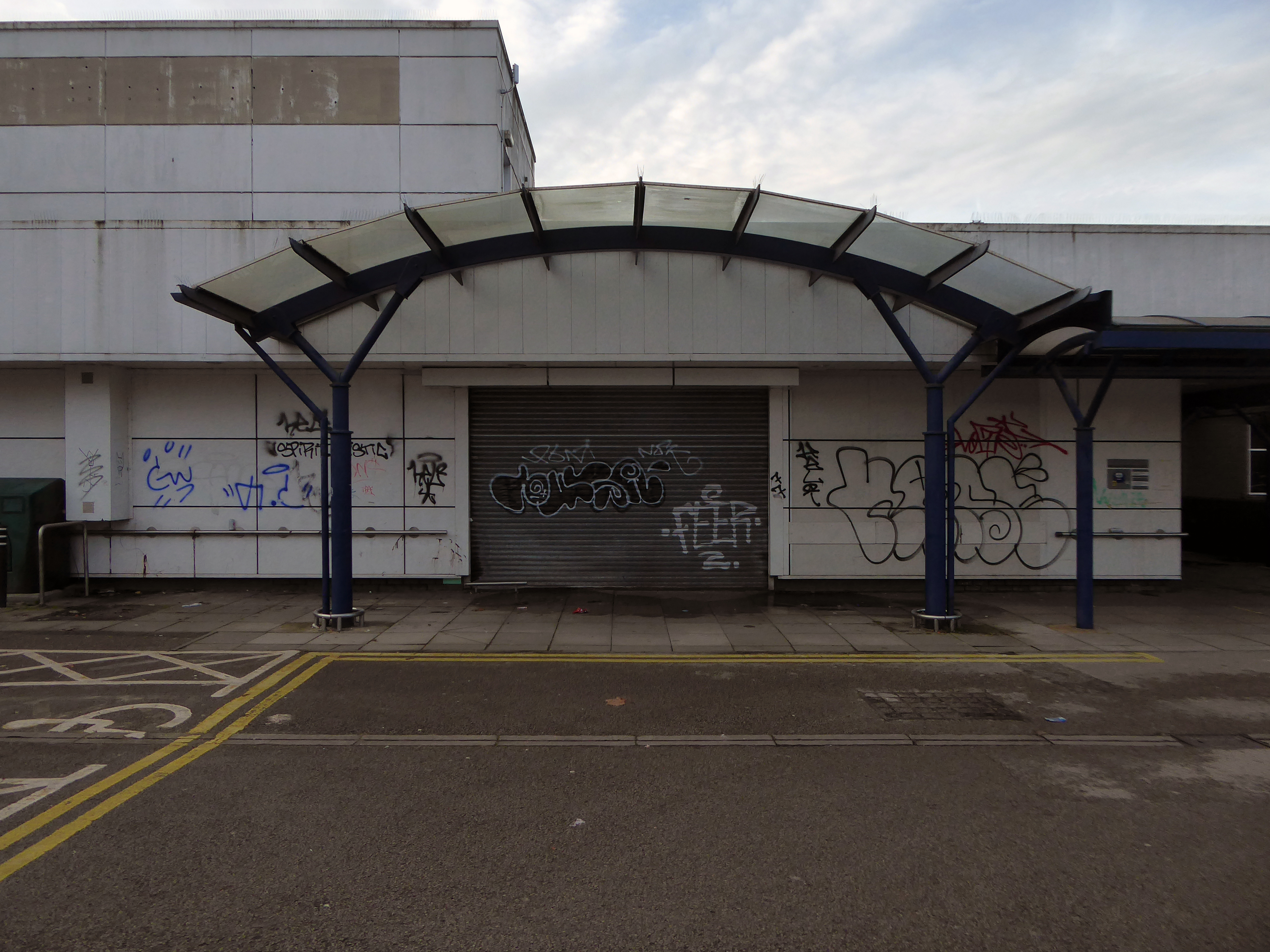
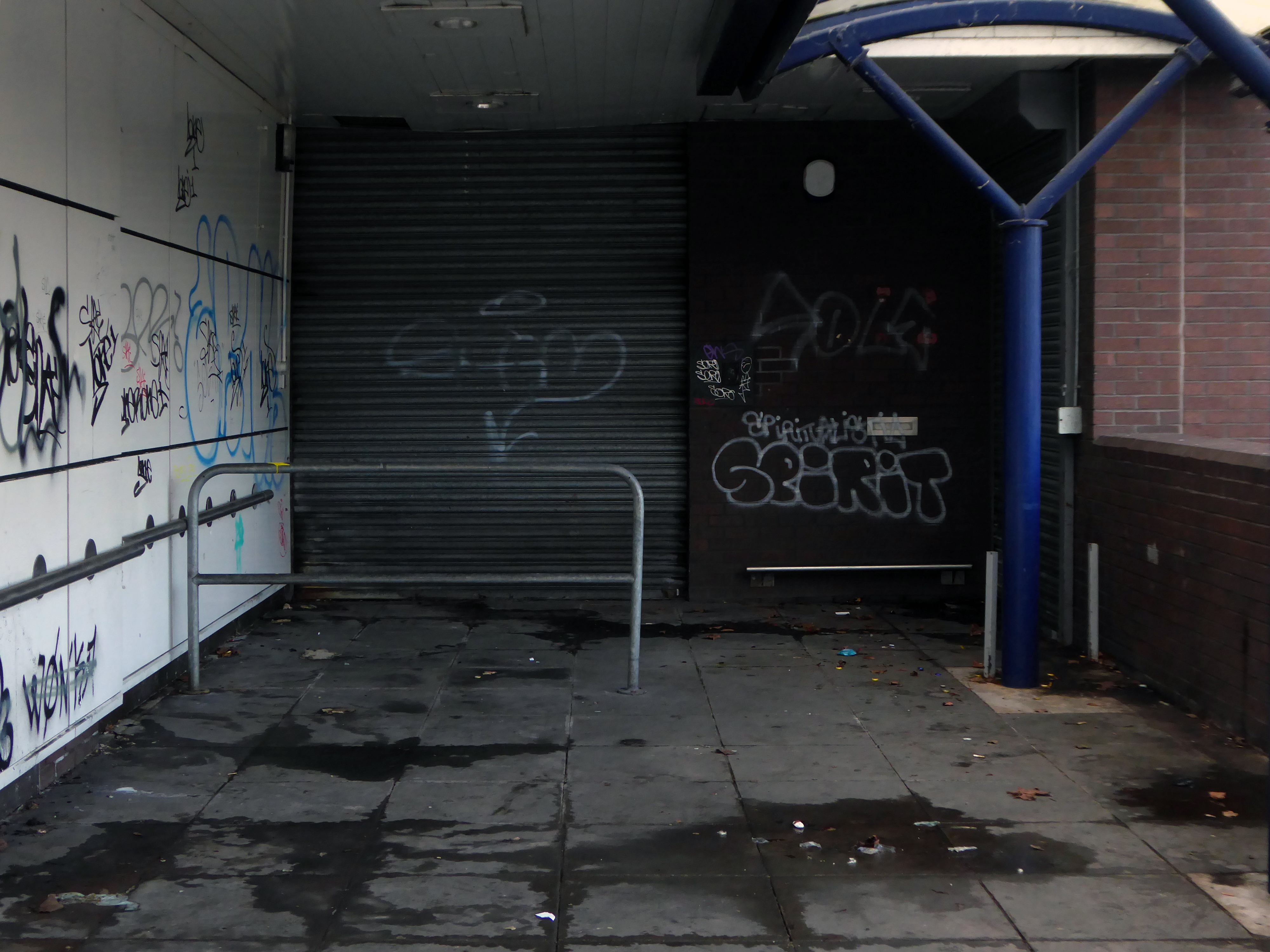
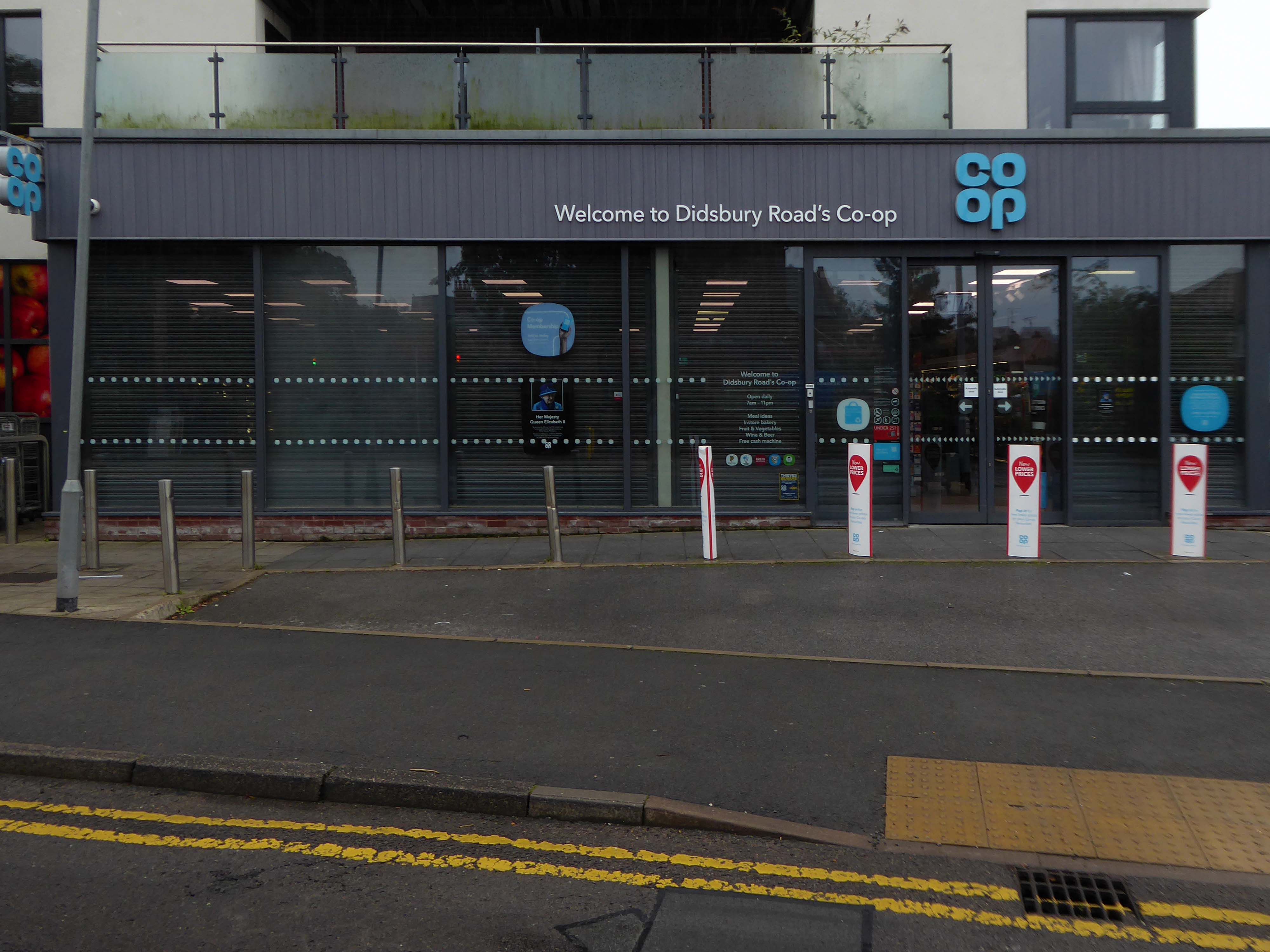
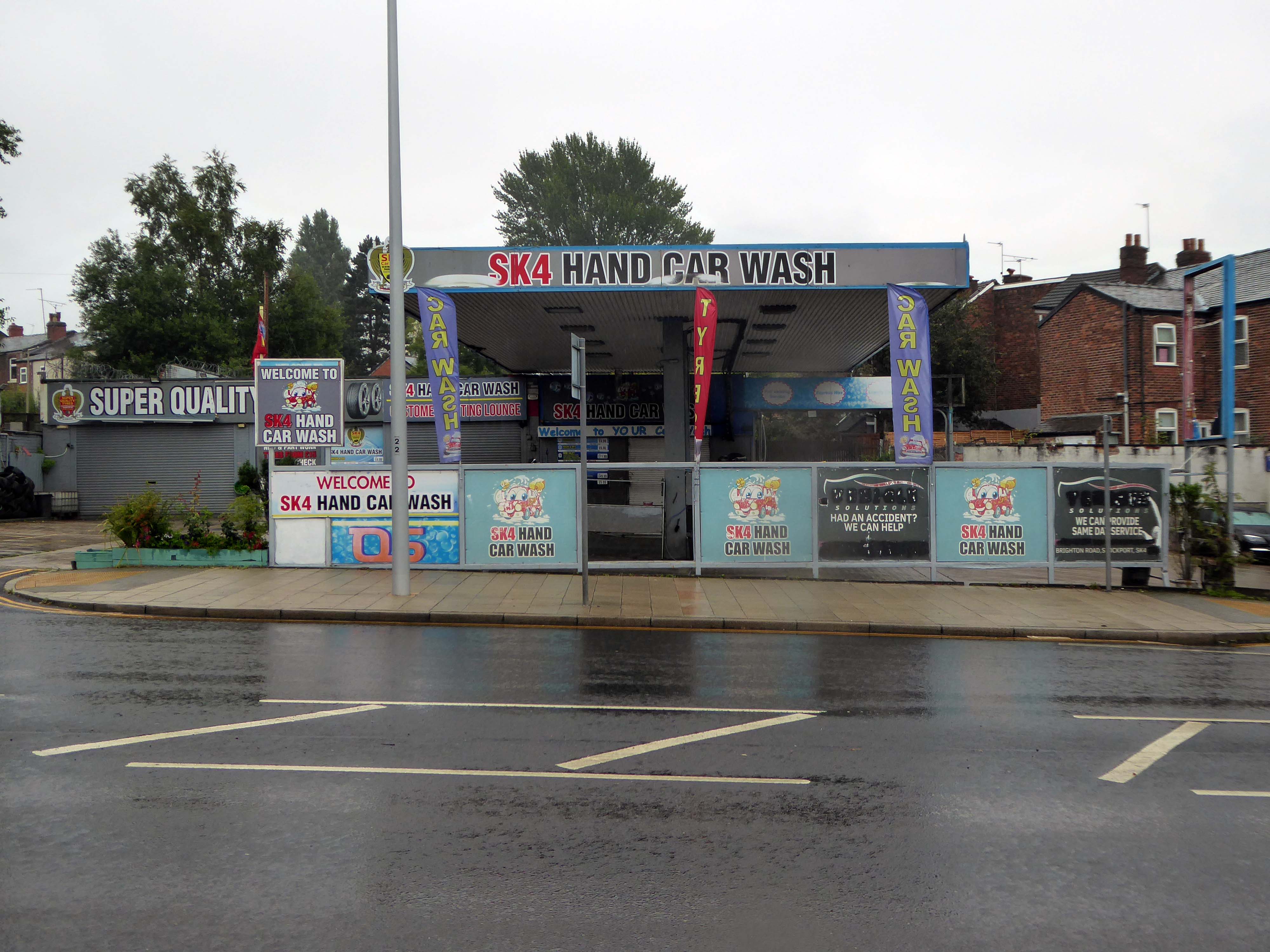
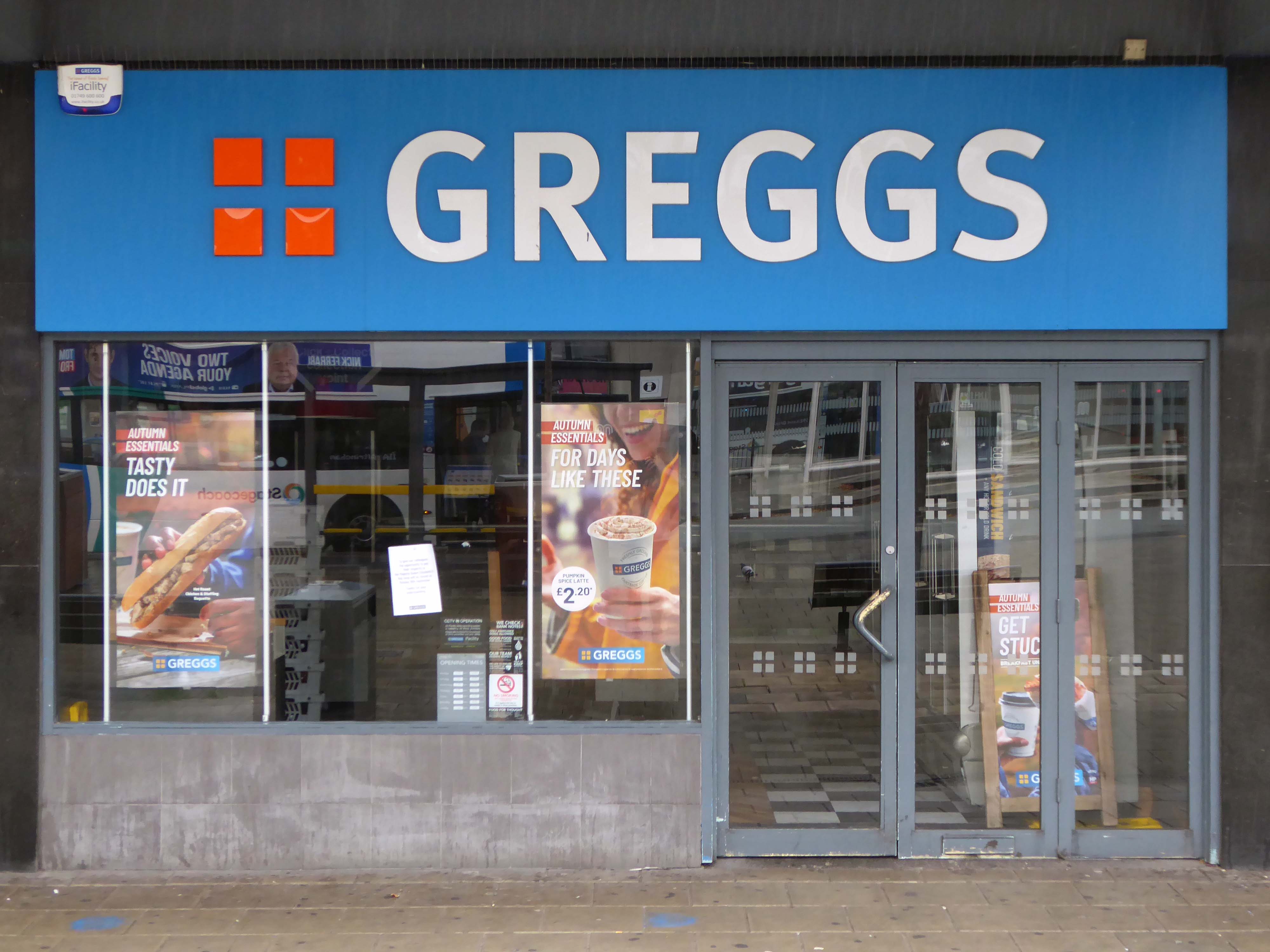
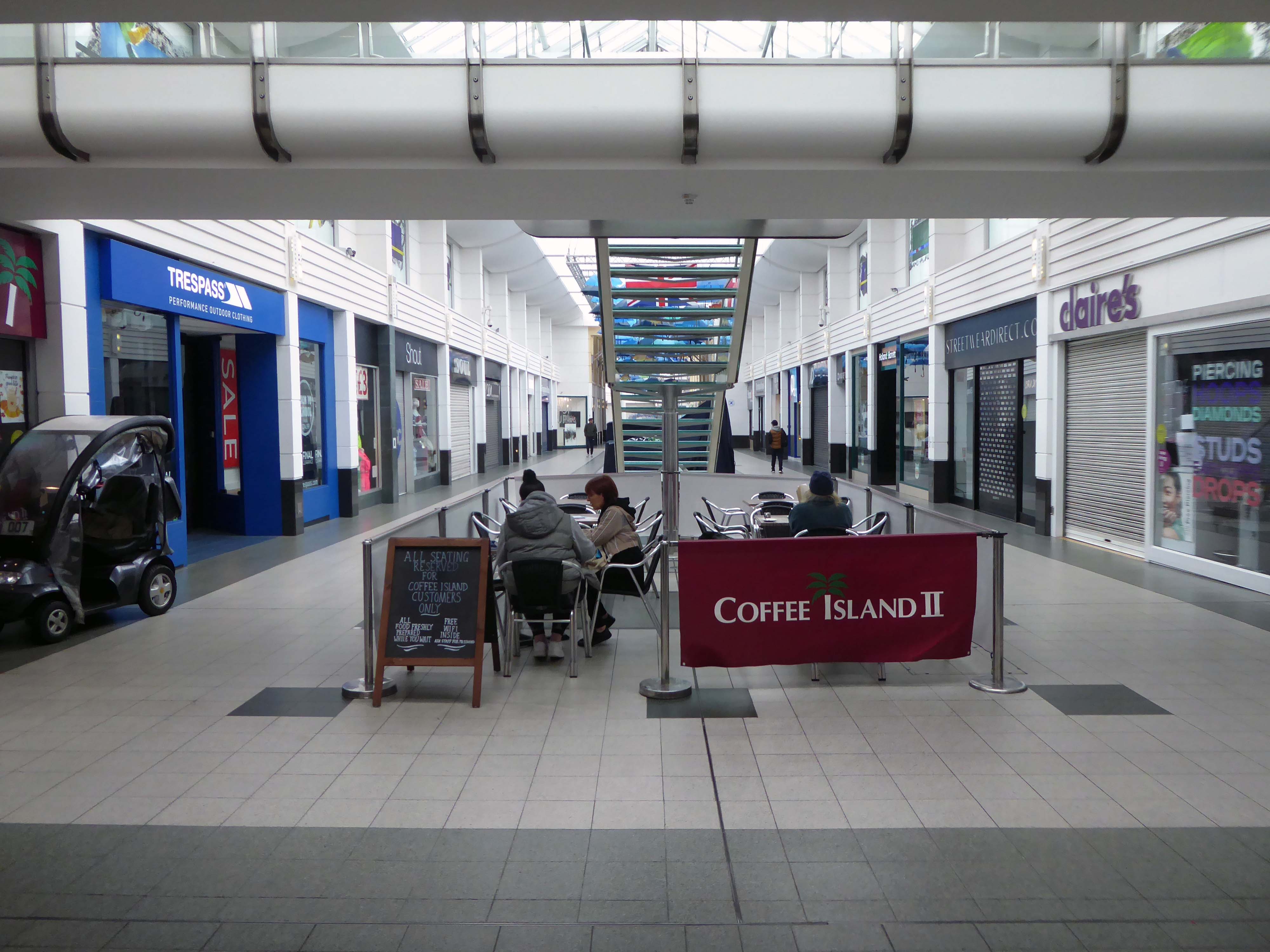
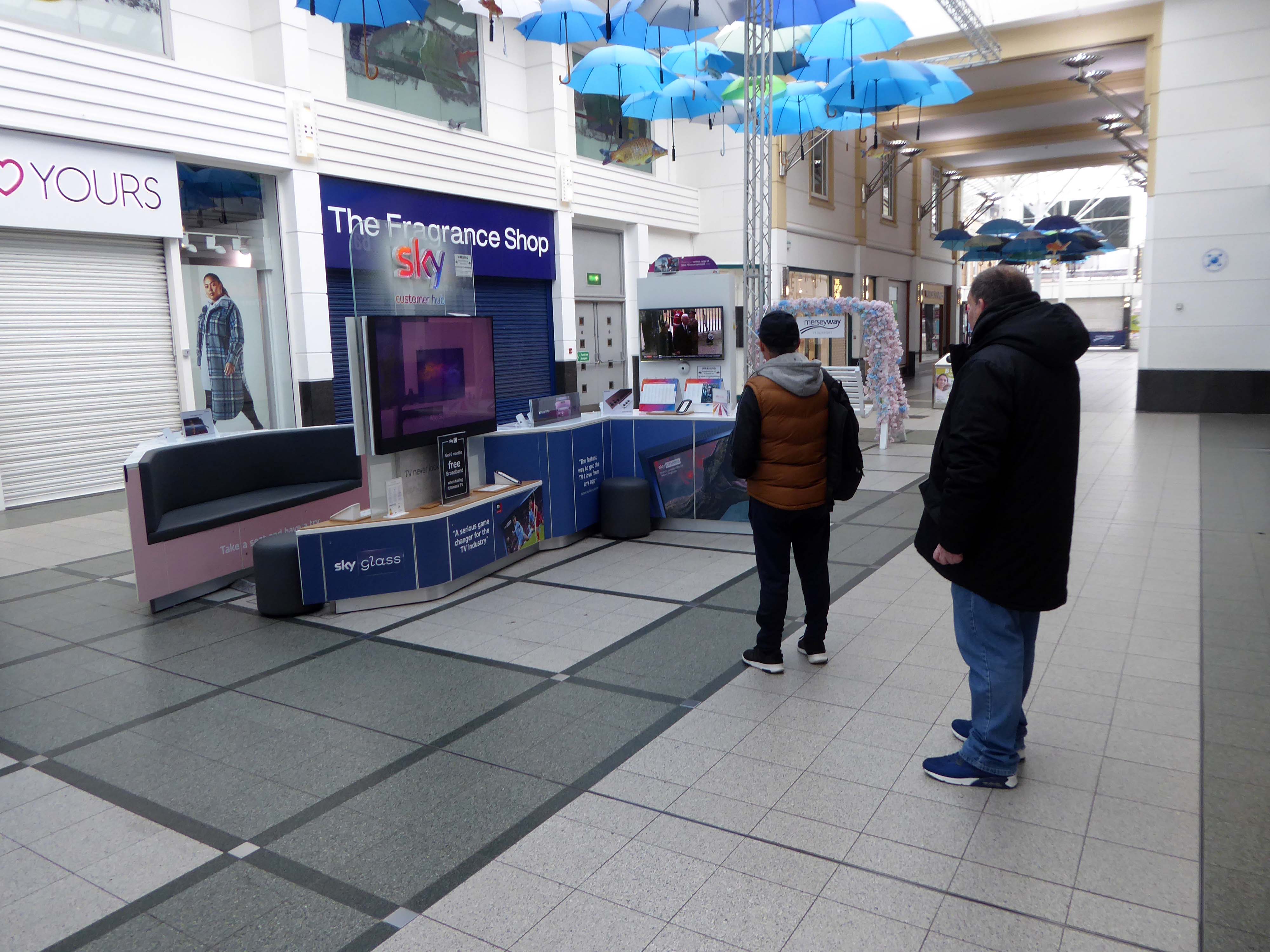
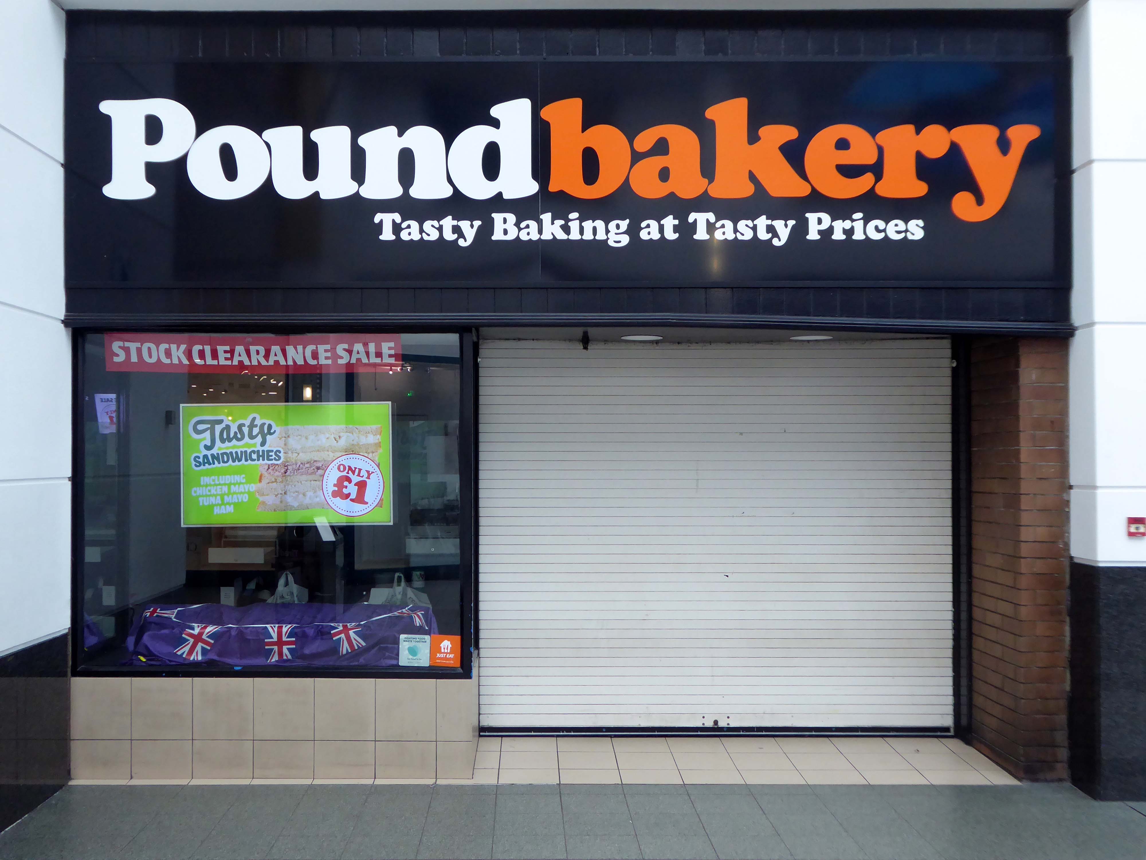
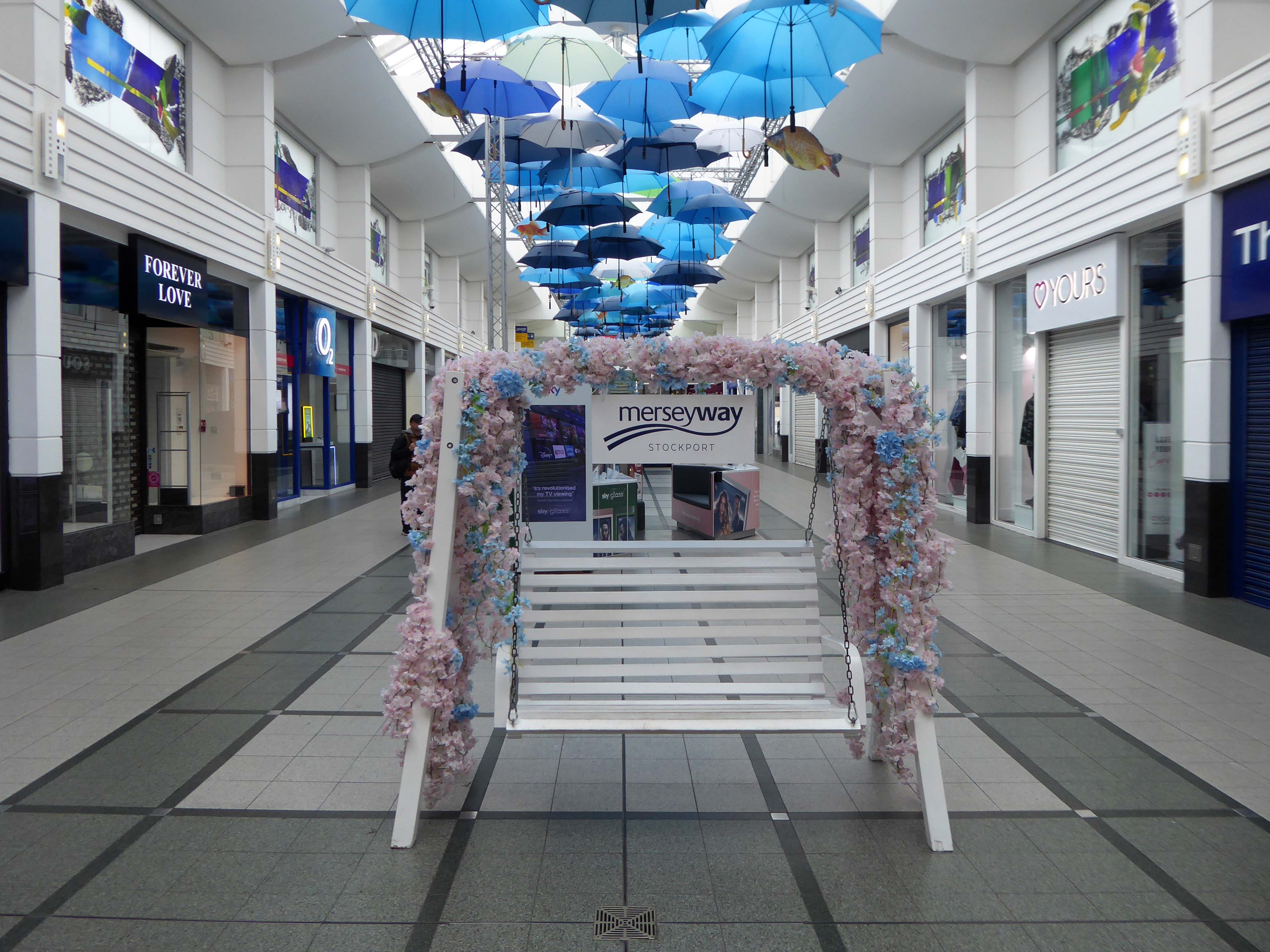
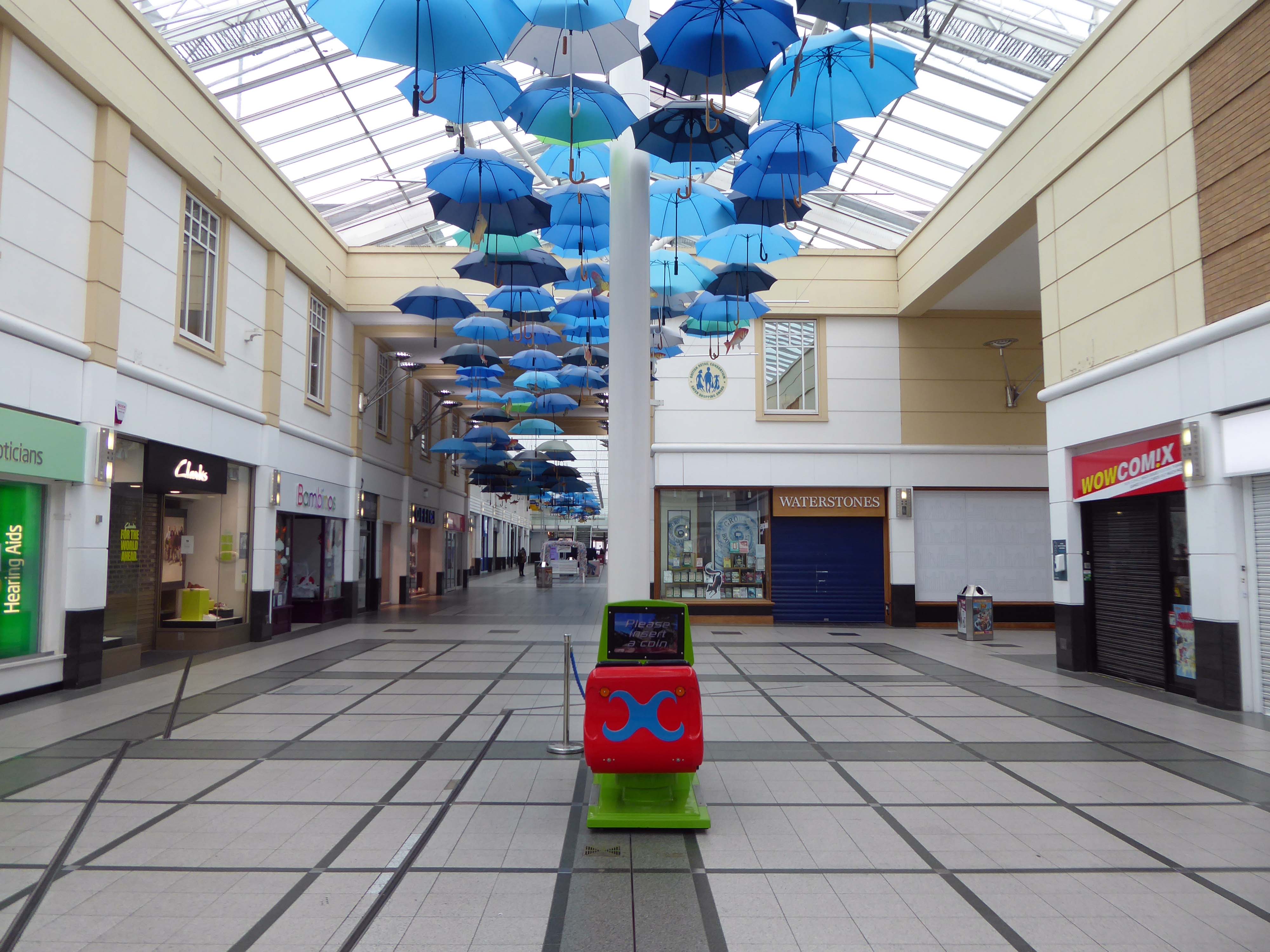
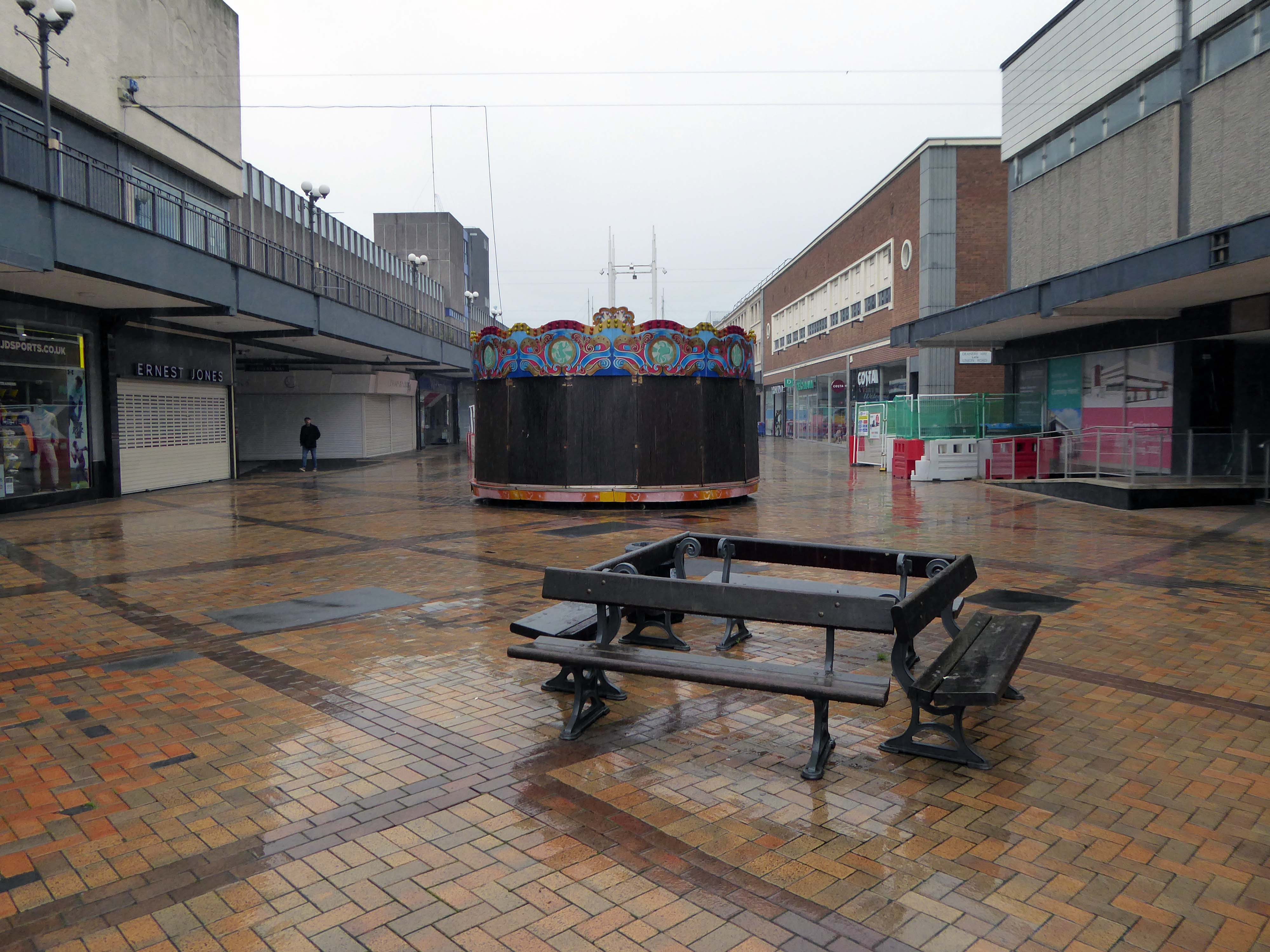
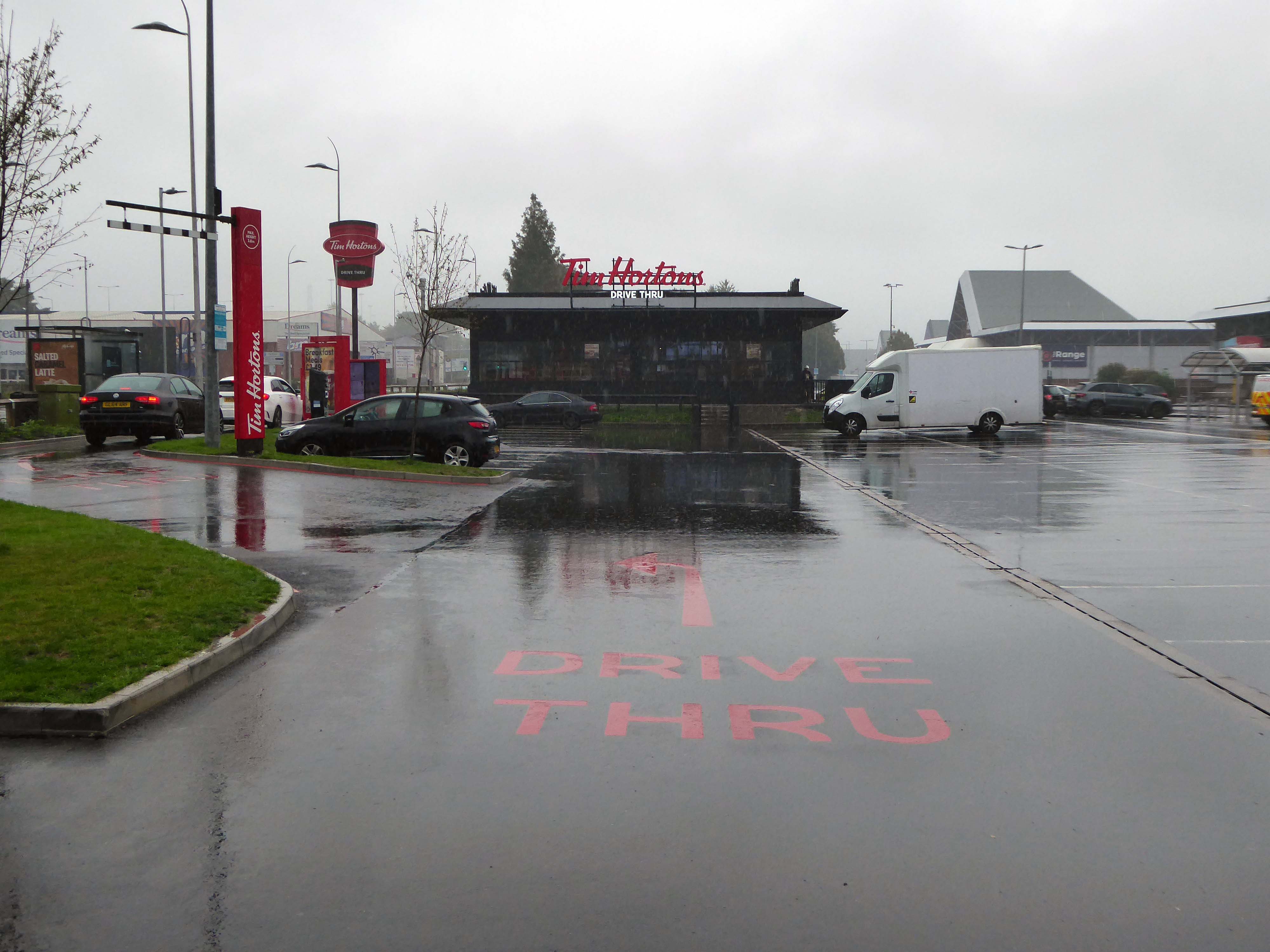
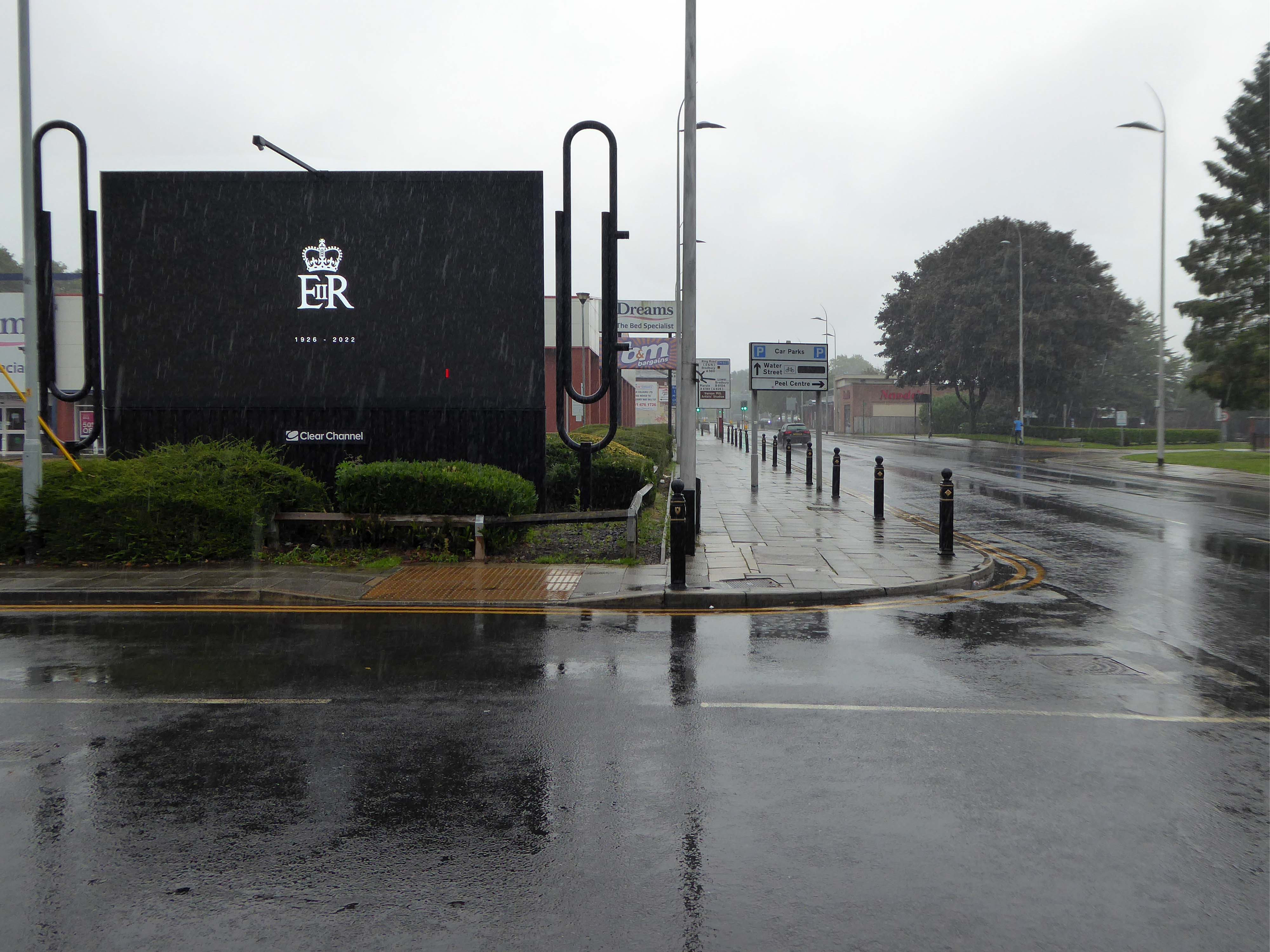
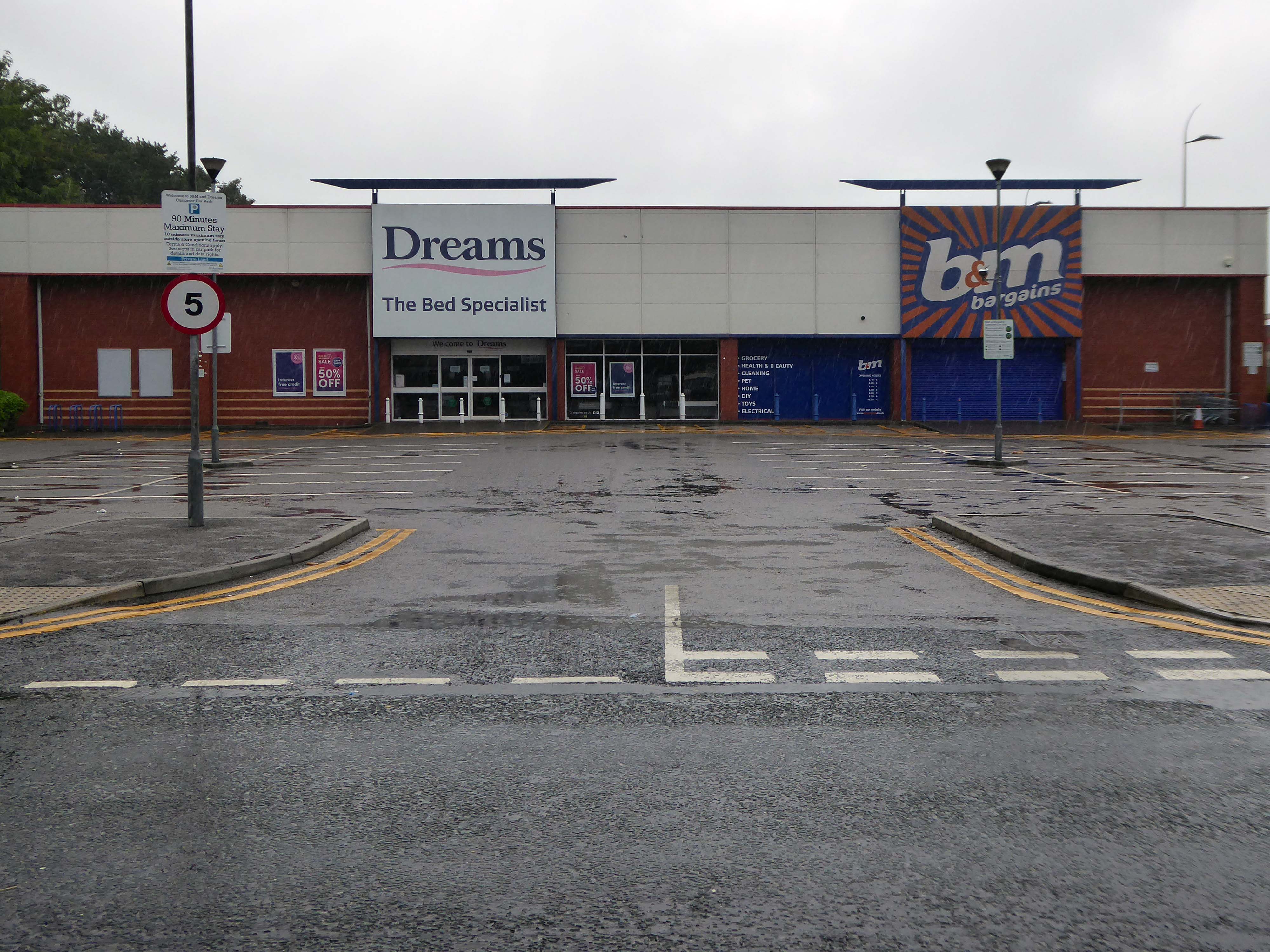
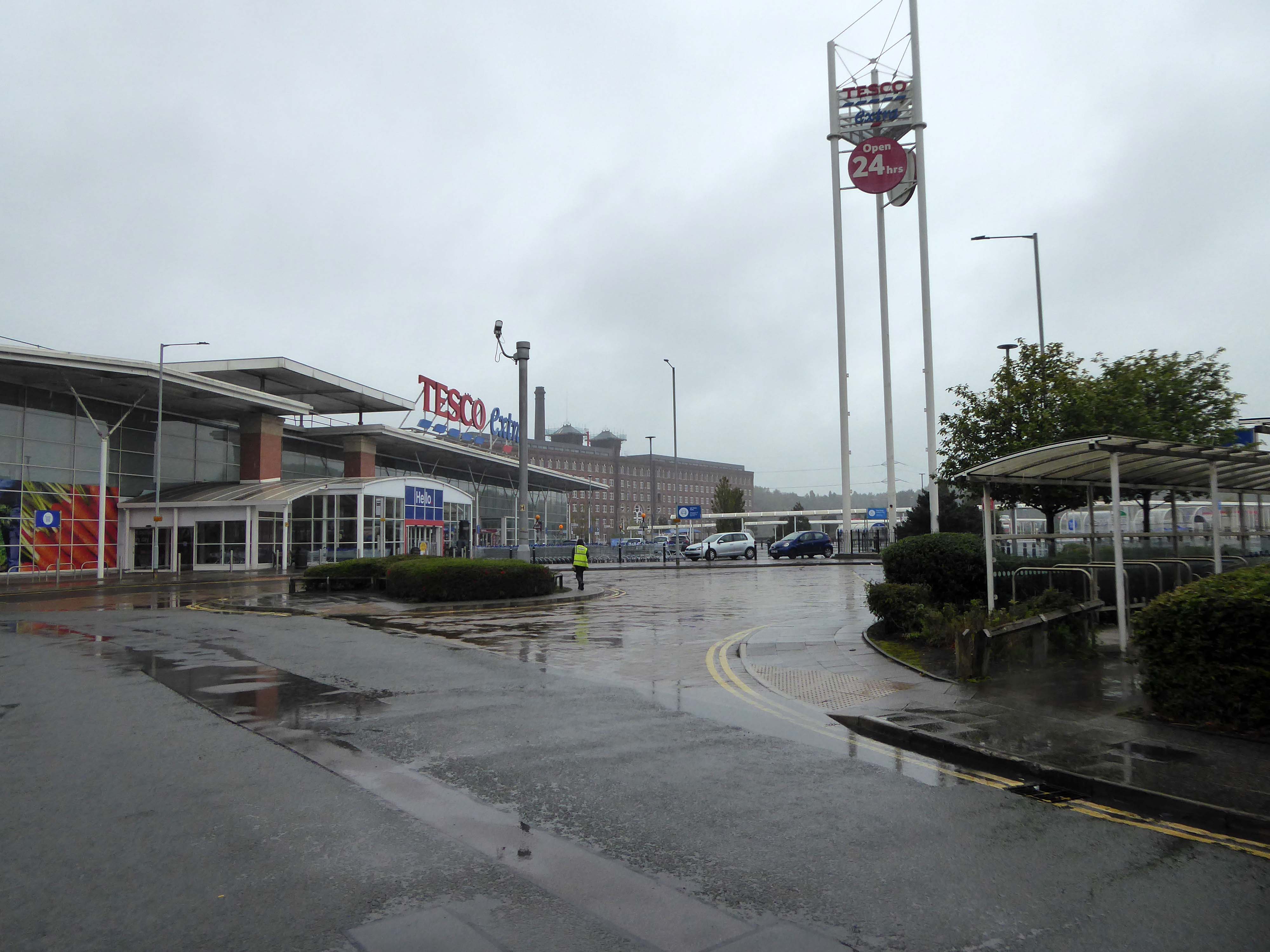
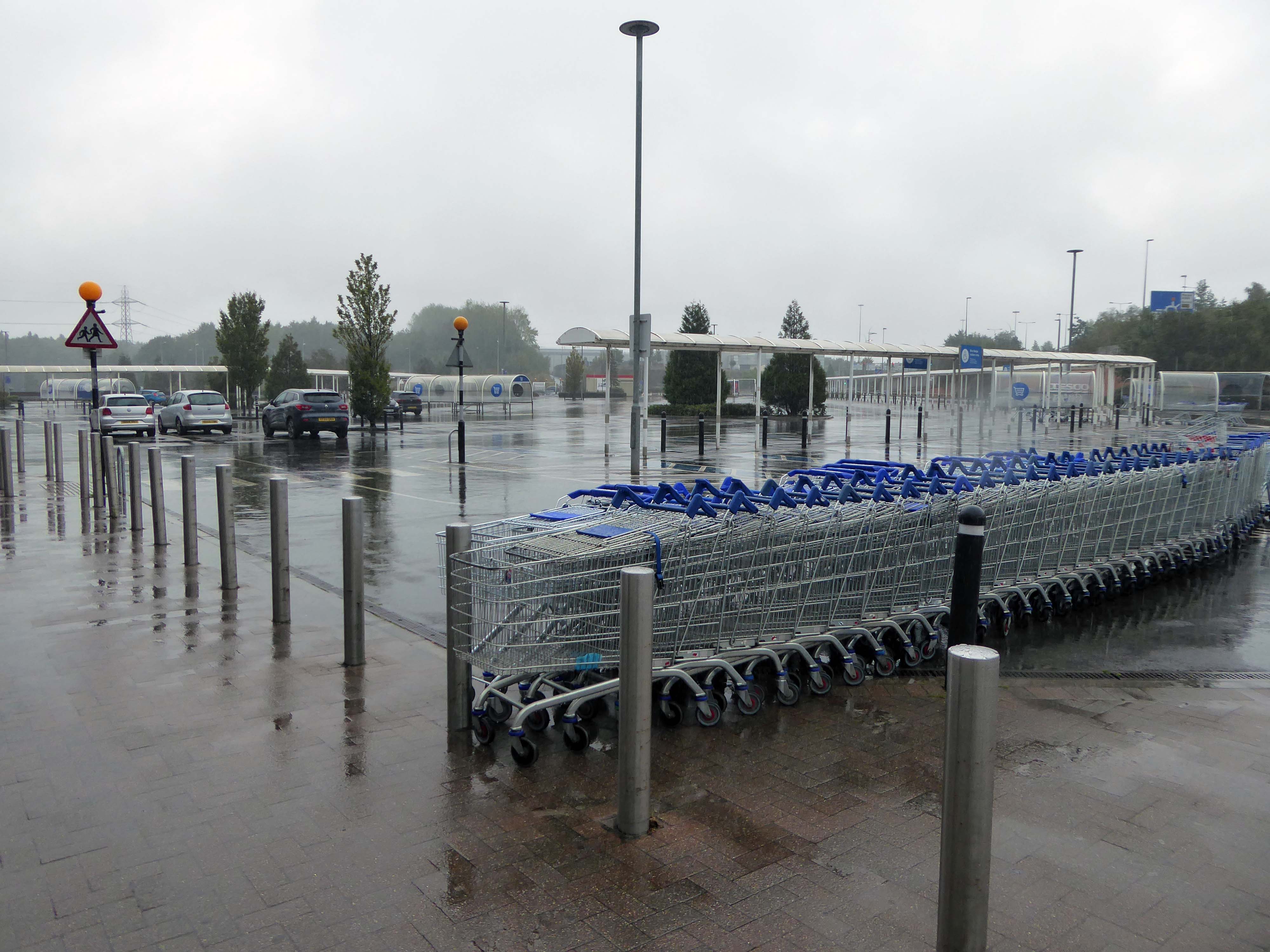
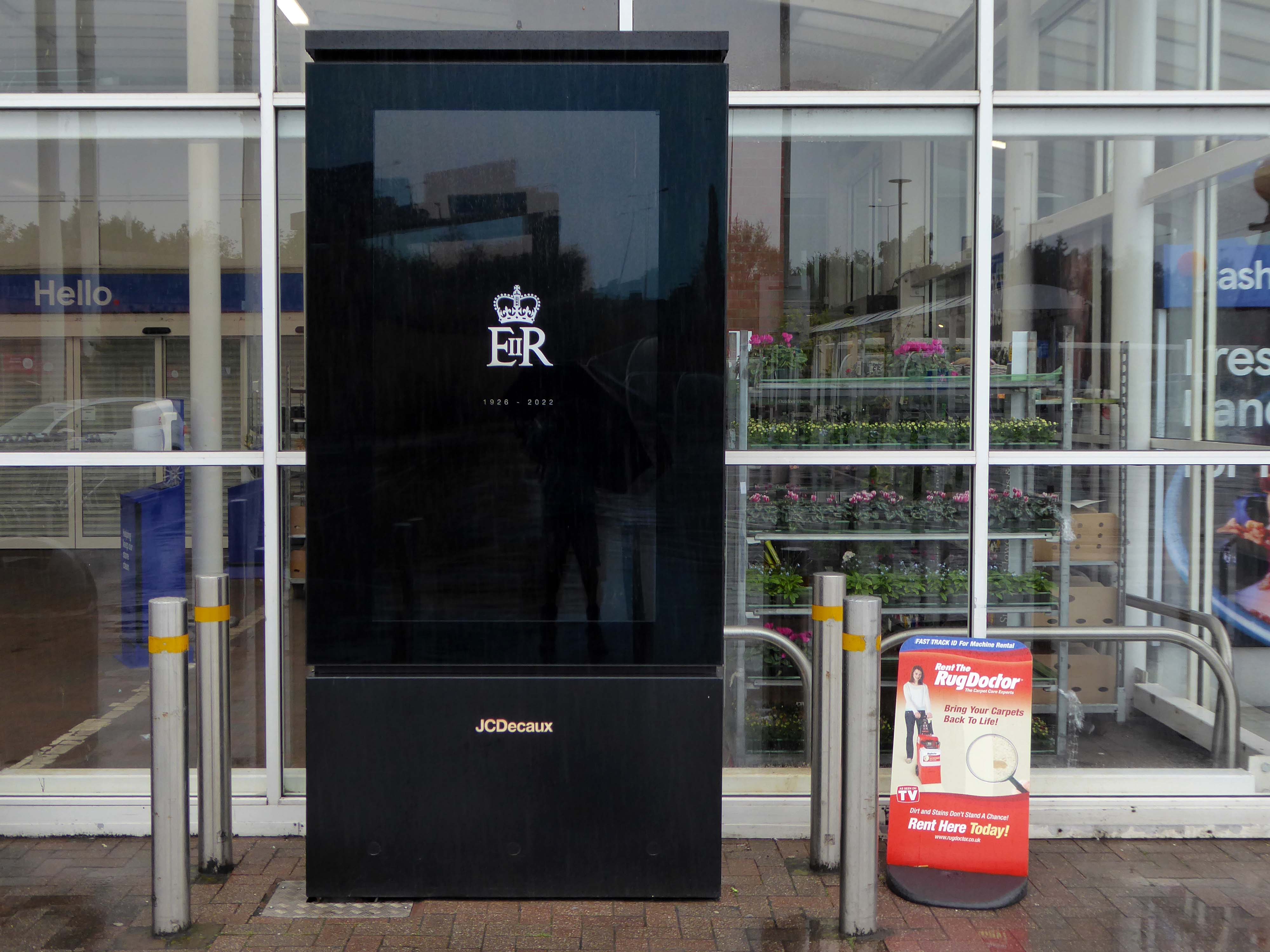
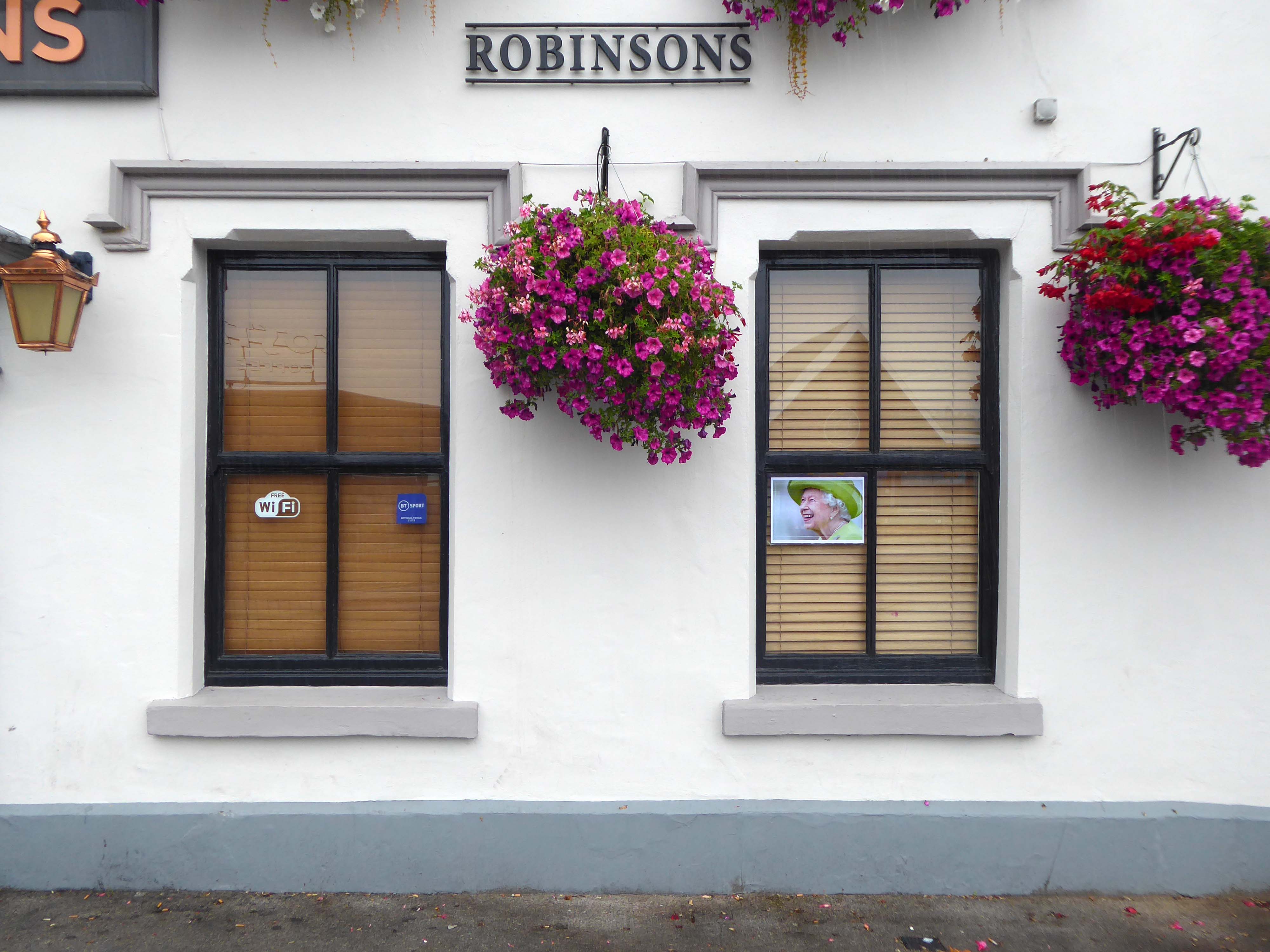
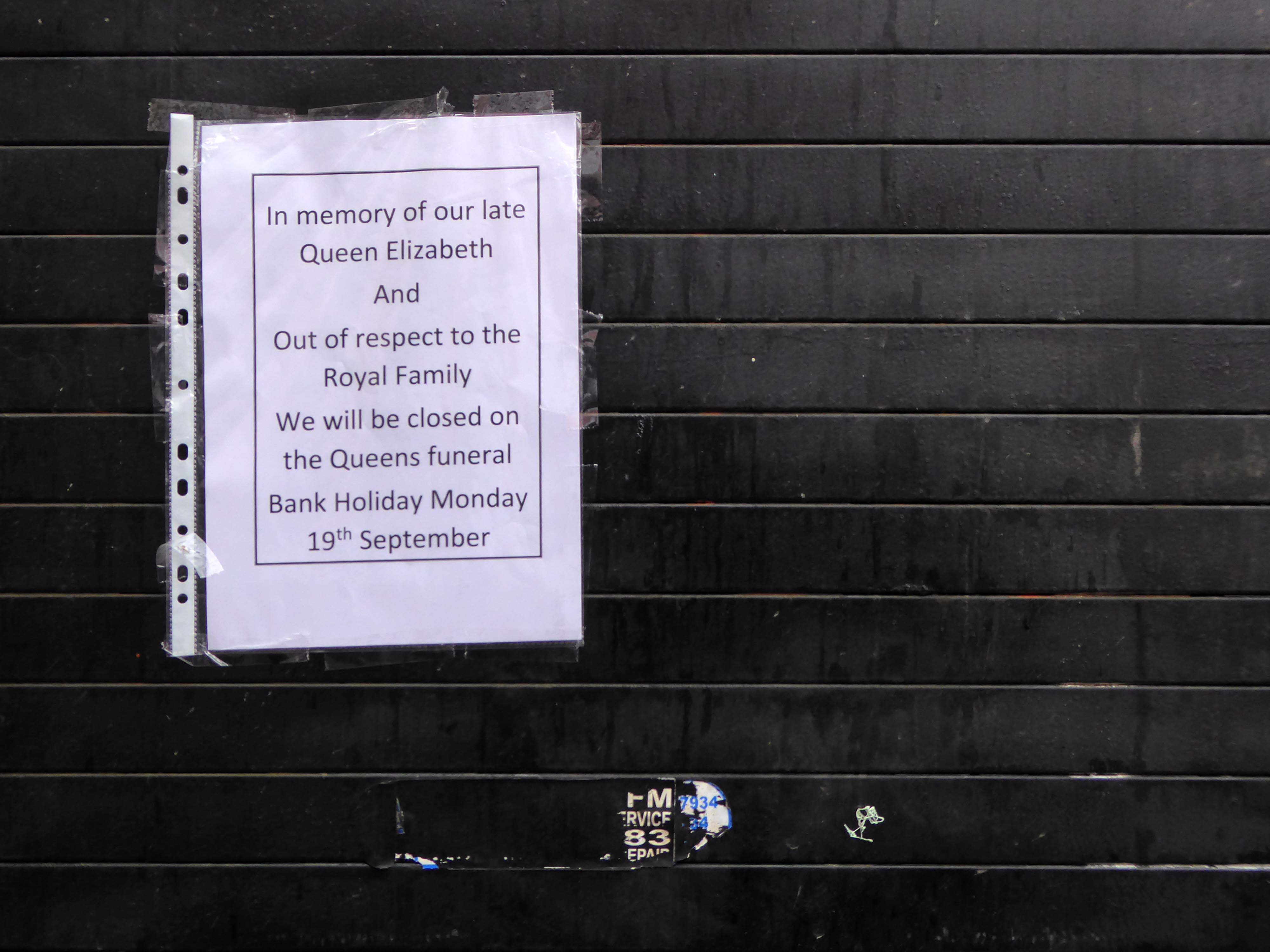
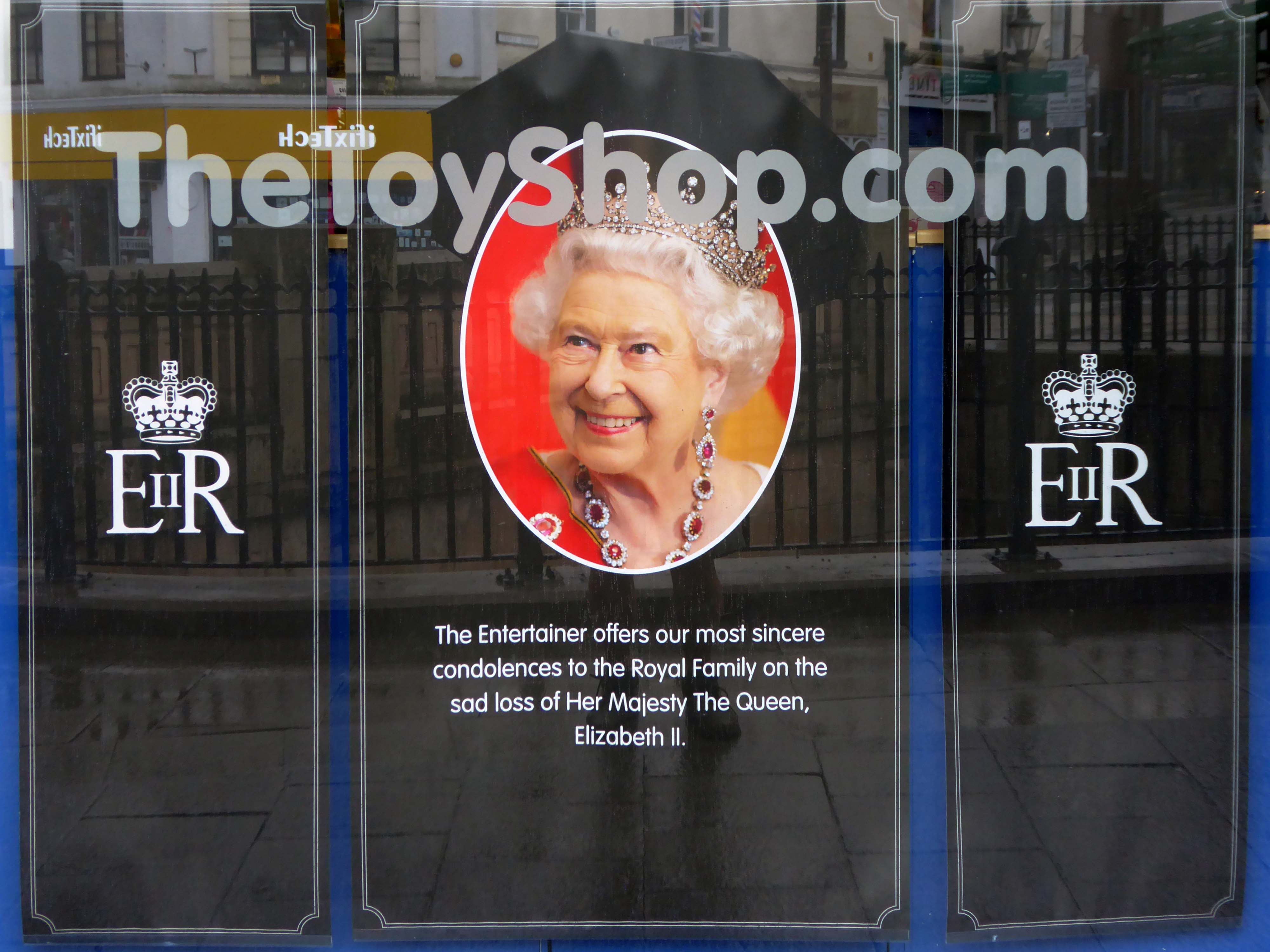
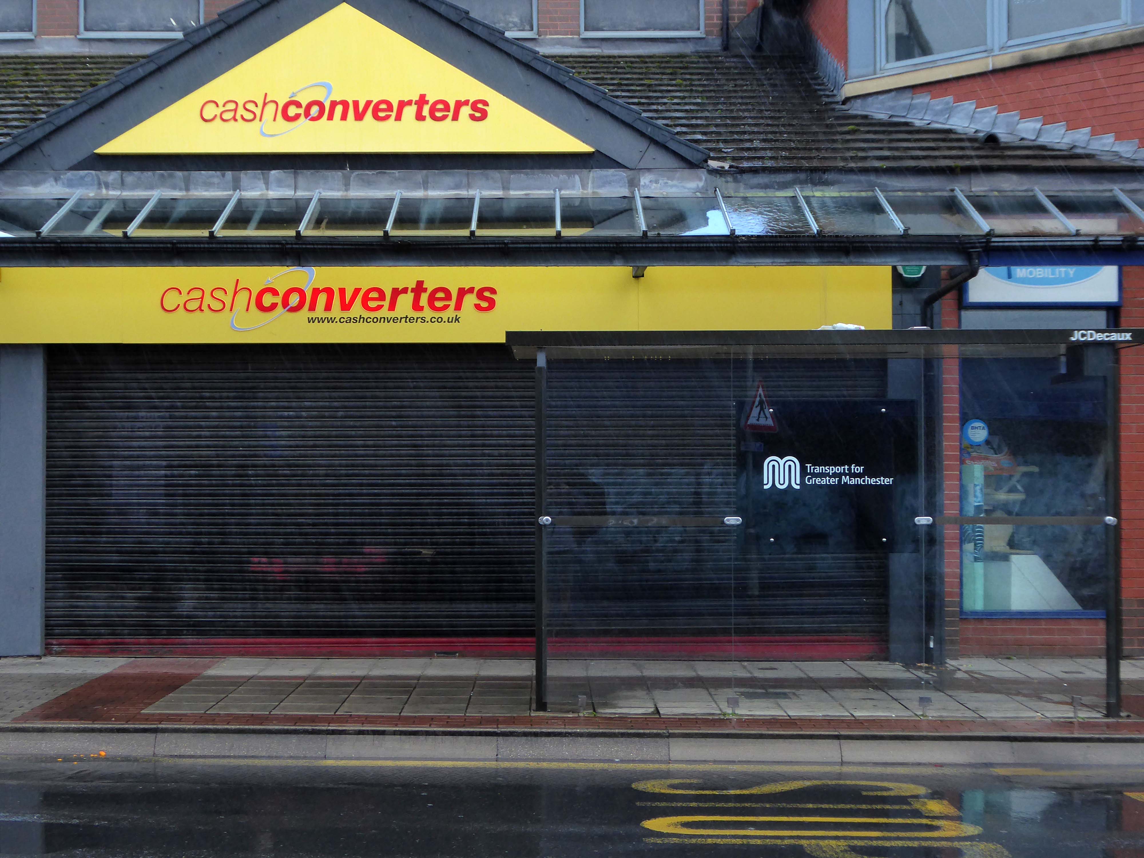
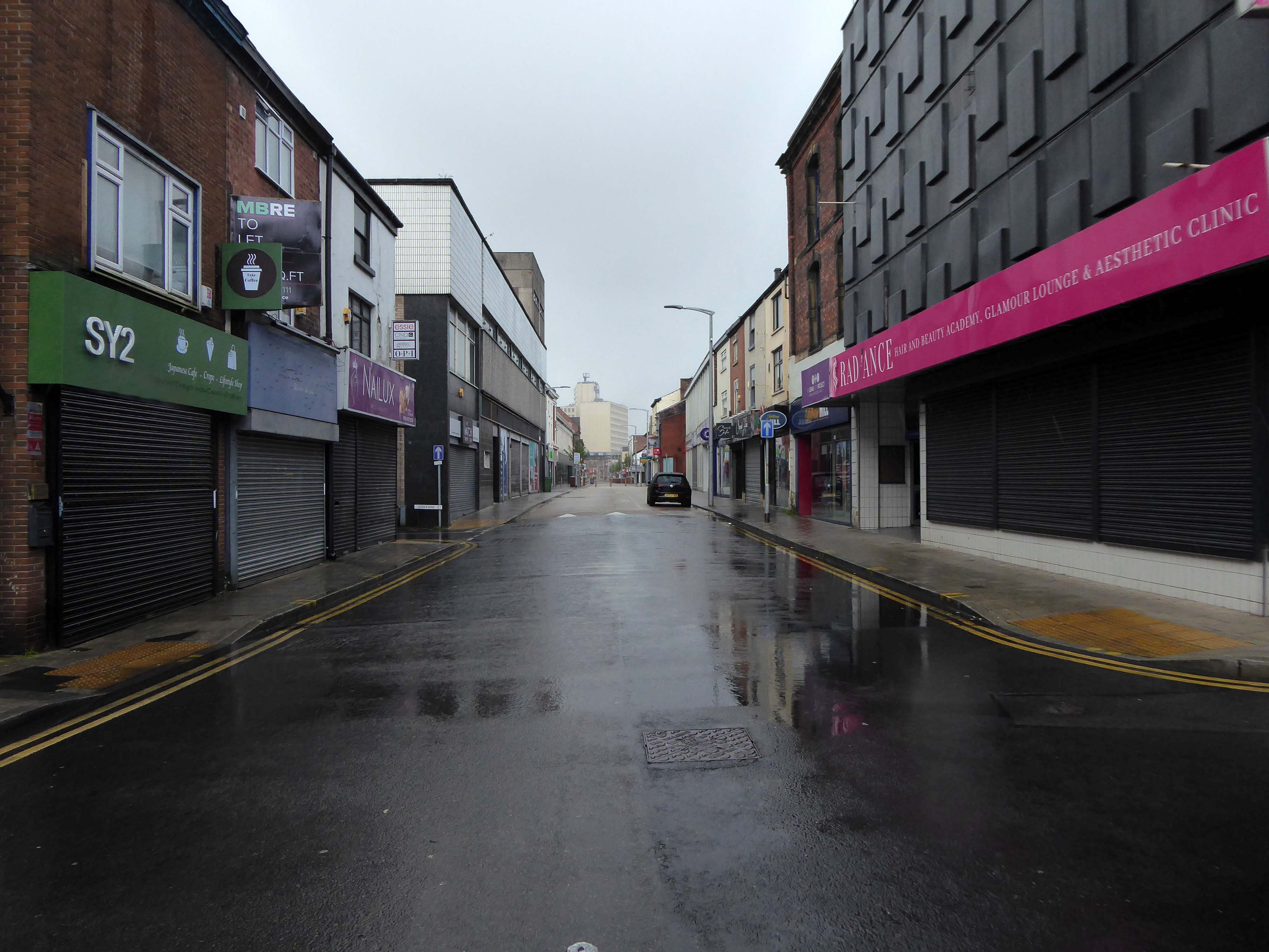
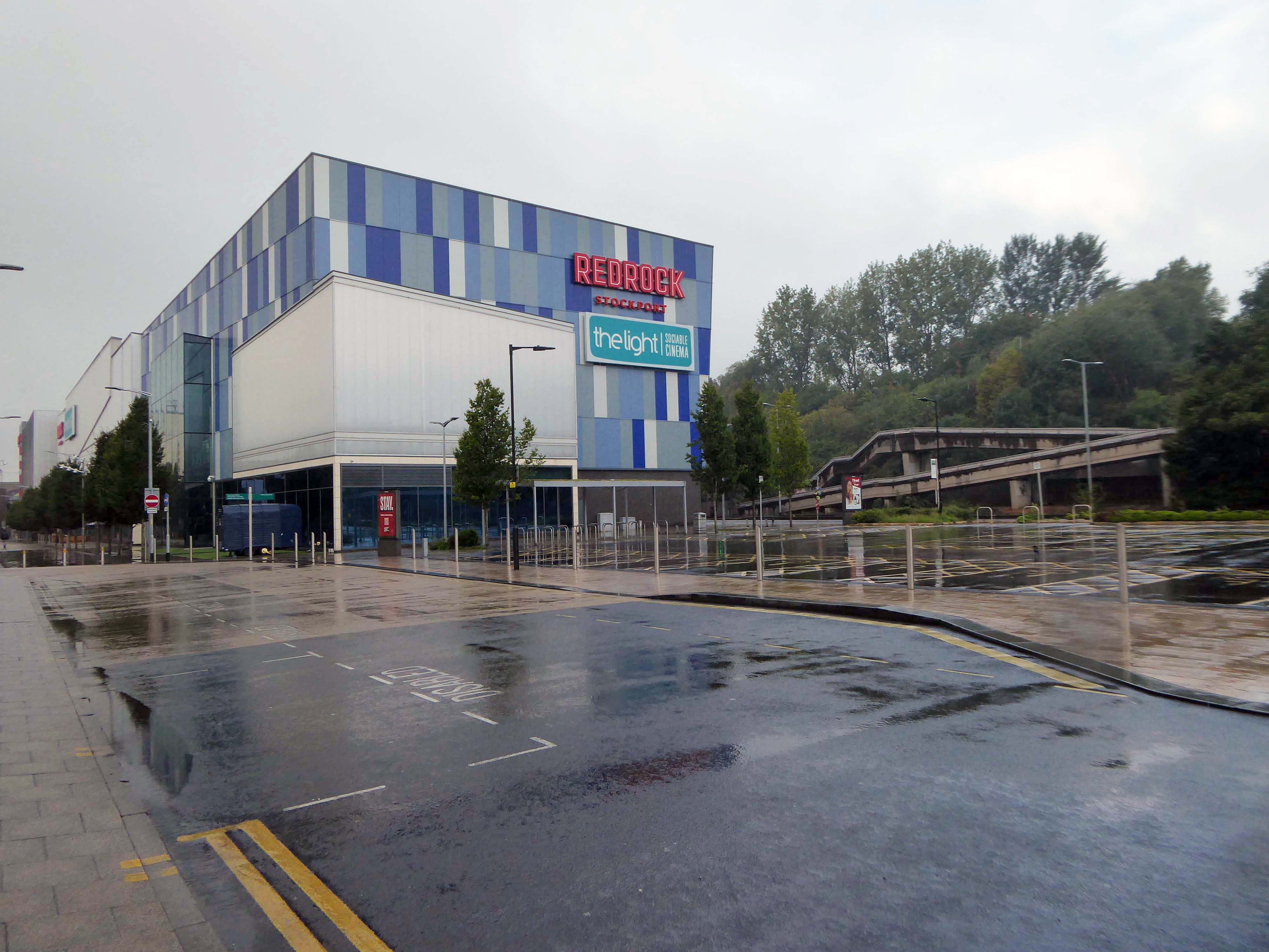
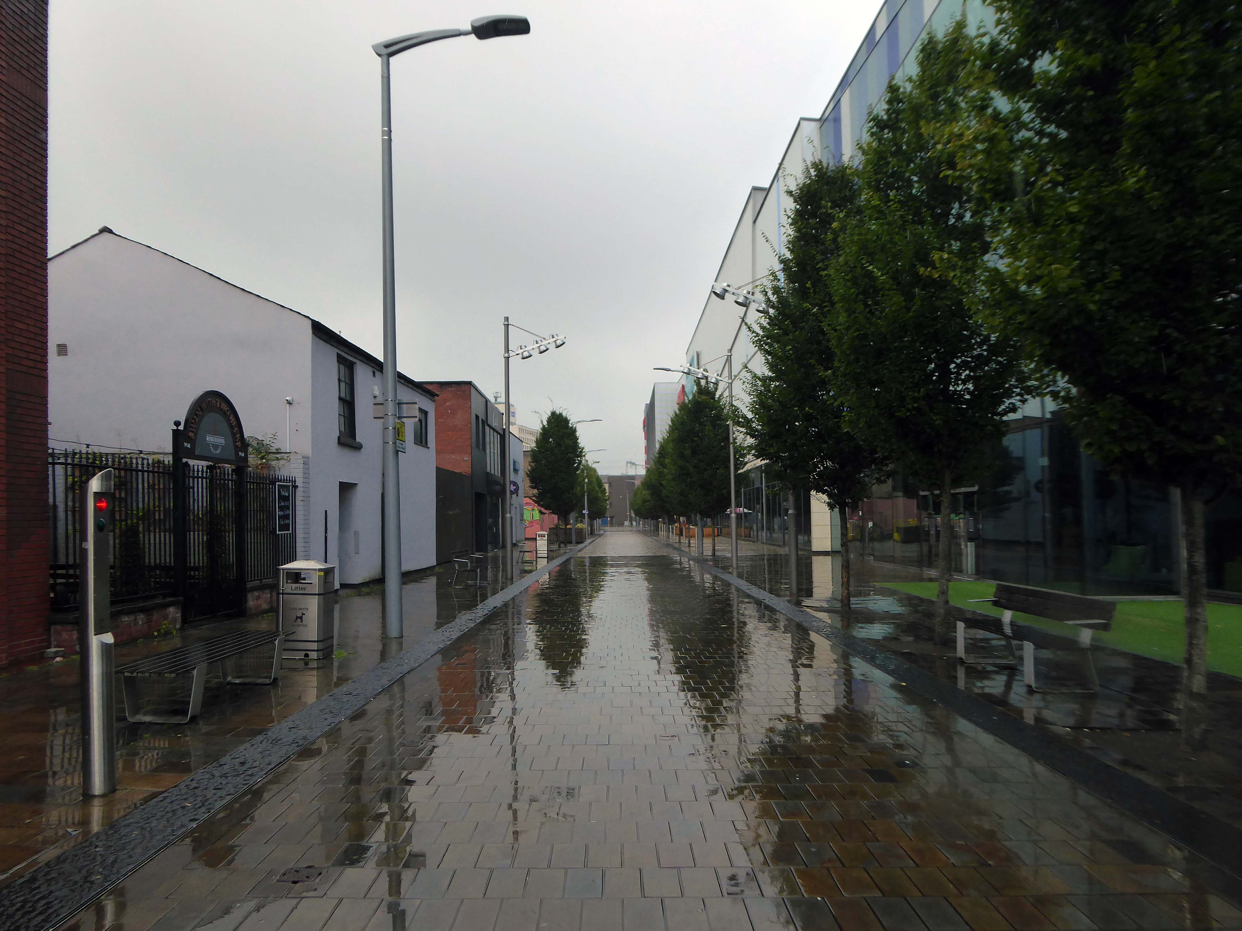
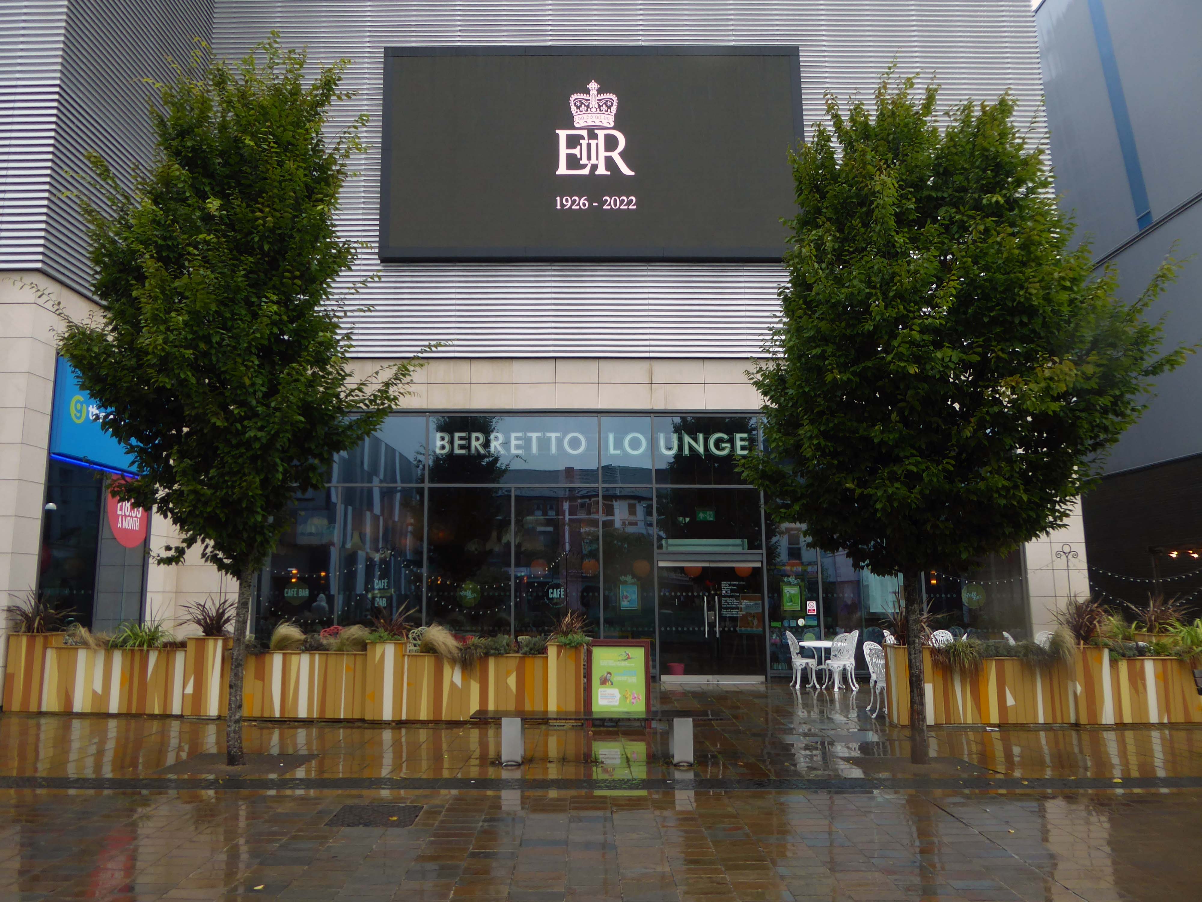
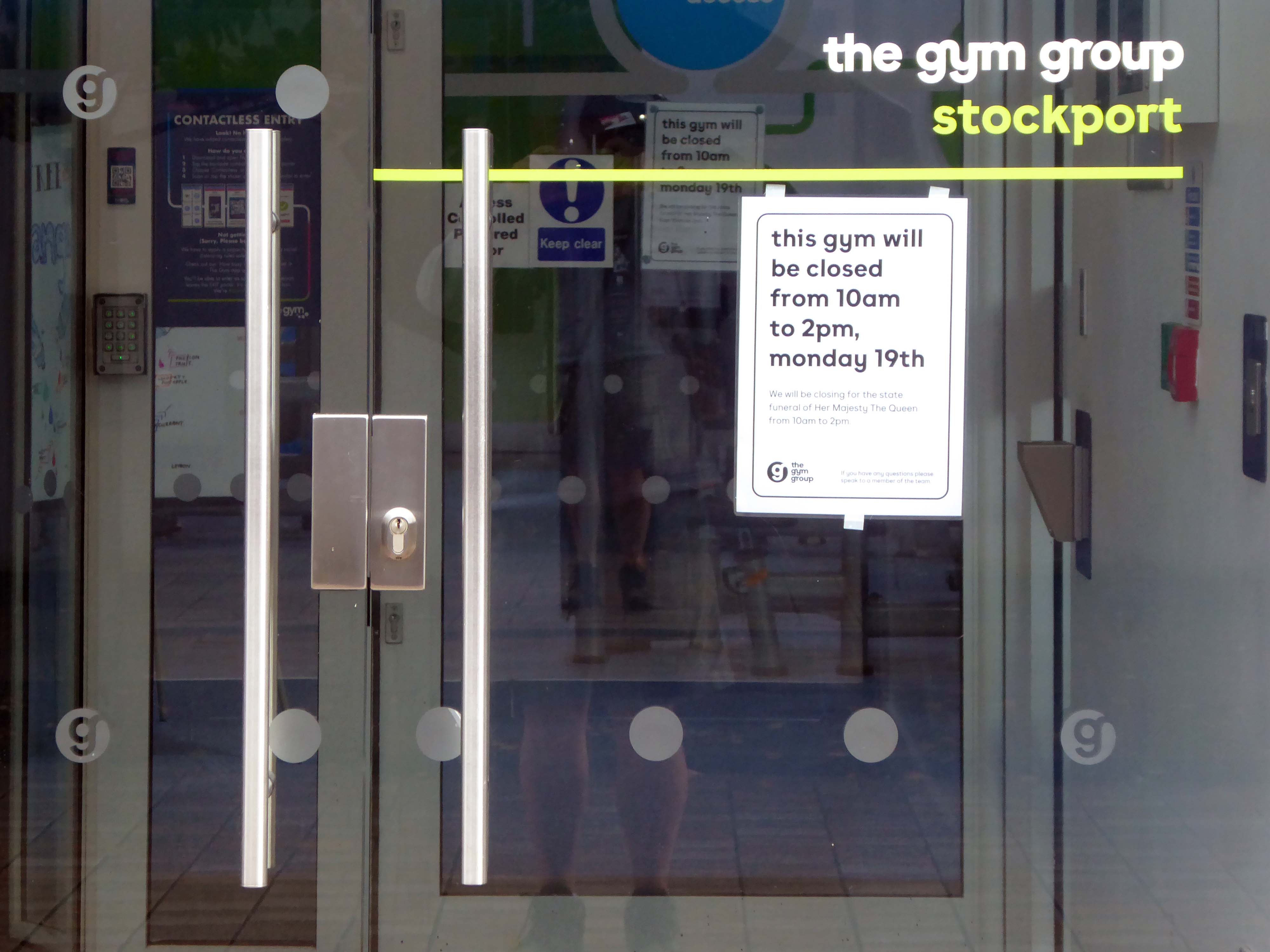
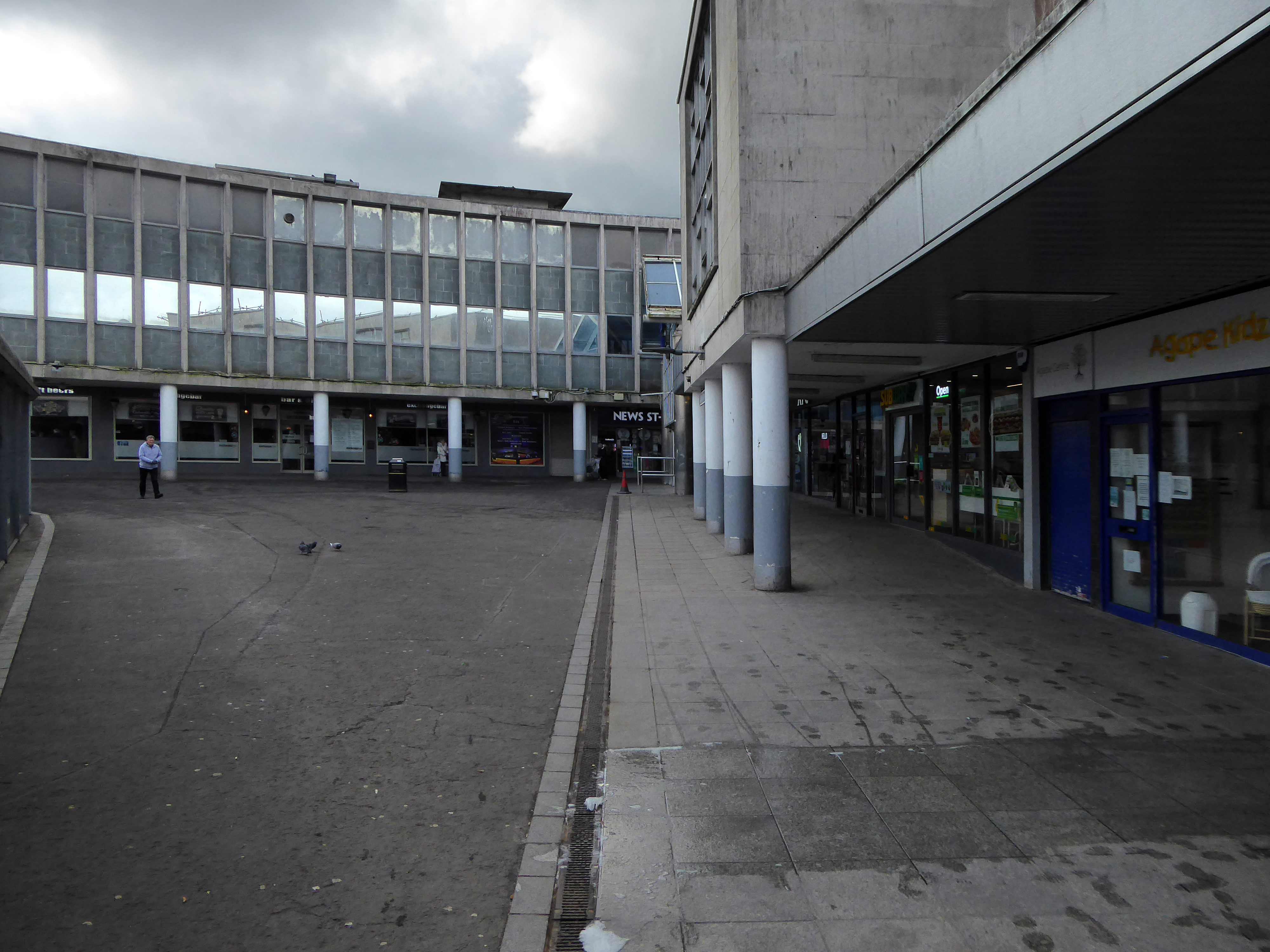
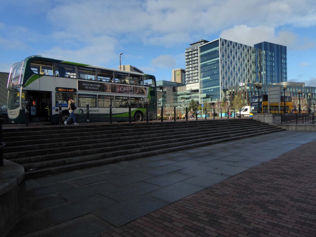
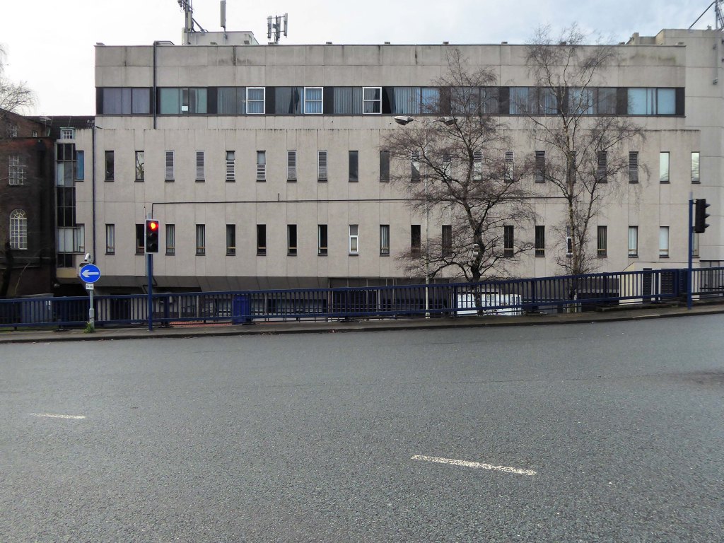
Today, on the day of her funeral, I set out for a walk around Stockport, to record a town largely closed for business. Overcast but far from downcast, I defied the almost persistent fine rain and these are the pictures that I took.
Many of the subjects are products of her time on the throne.
The traffic was much lighter, there were few pedestrians, a couple of cafés were open and two men watched the funeral service on the Sky TV stand in the precinct.
Lately I have been frequenting bad houses Places no respectable man would be seen I hate myself for my weakness My past sickens me I tell myself I will not go Even as I drive there
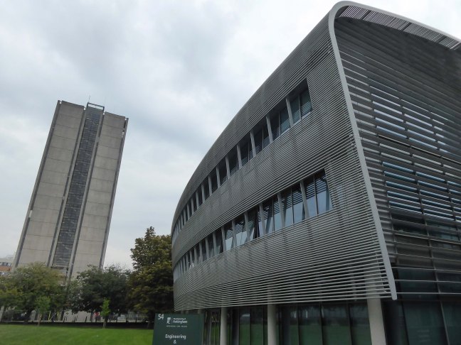
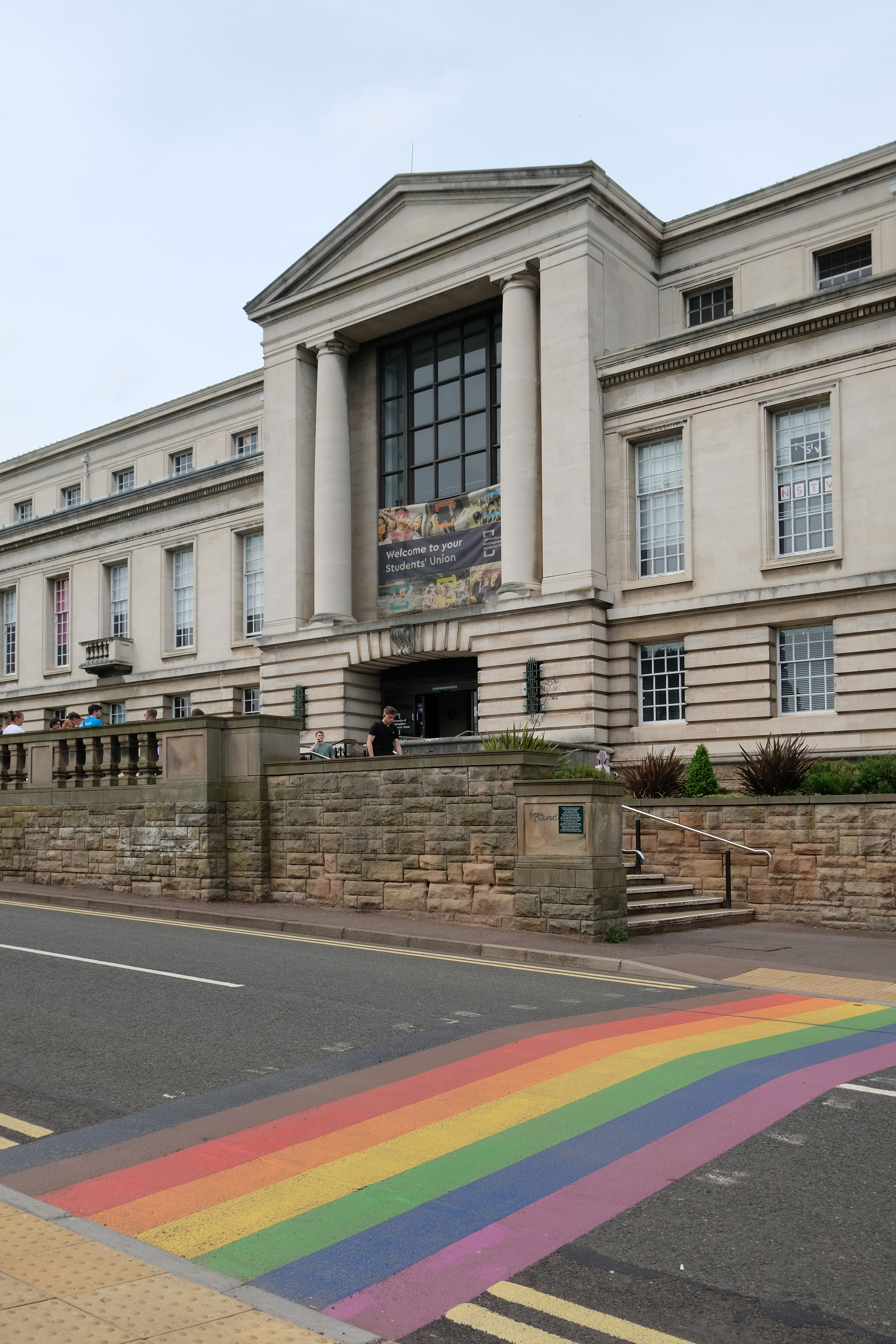
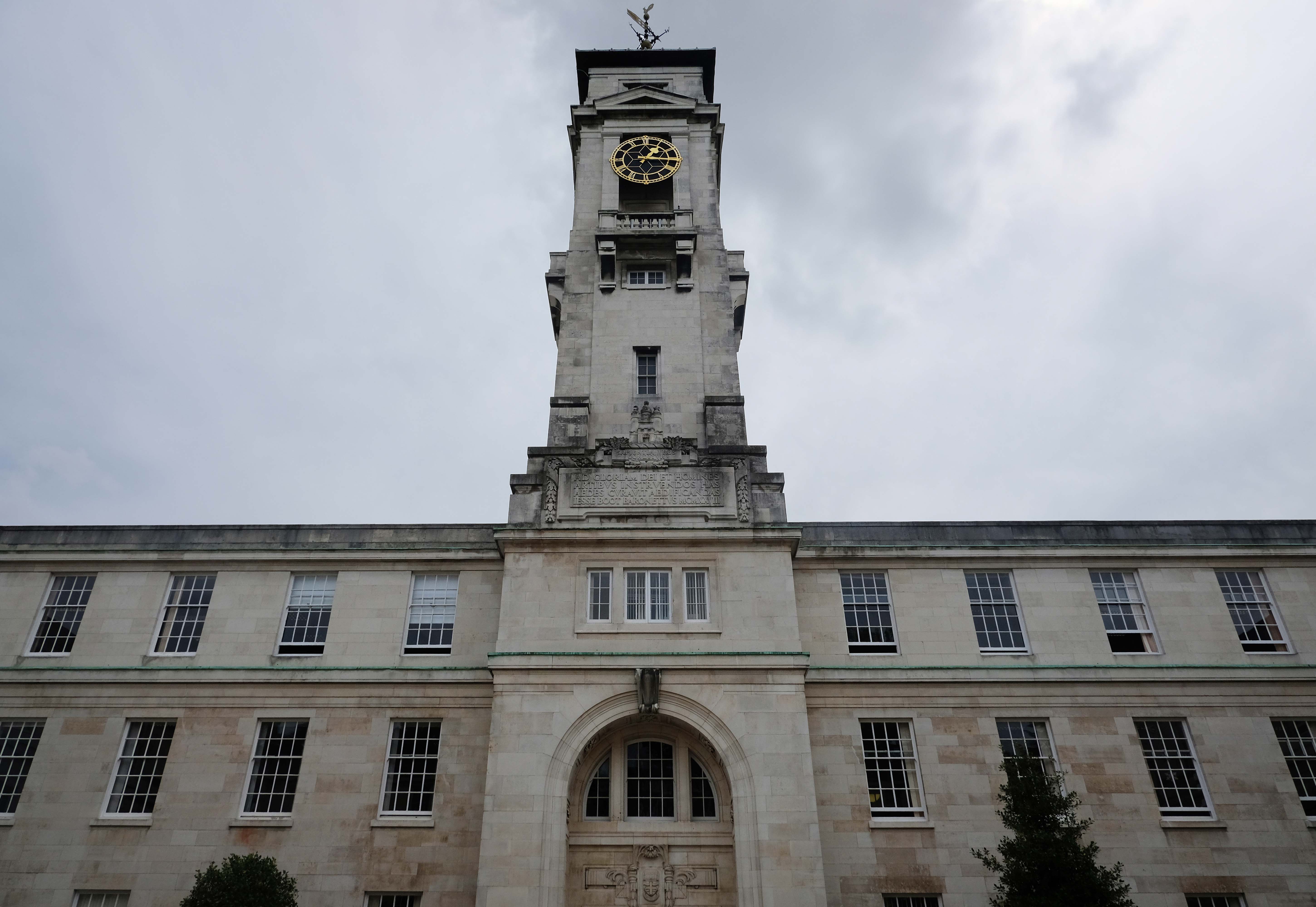
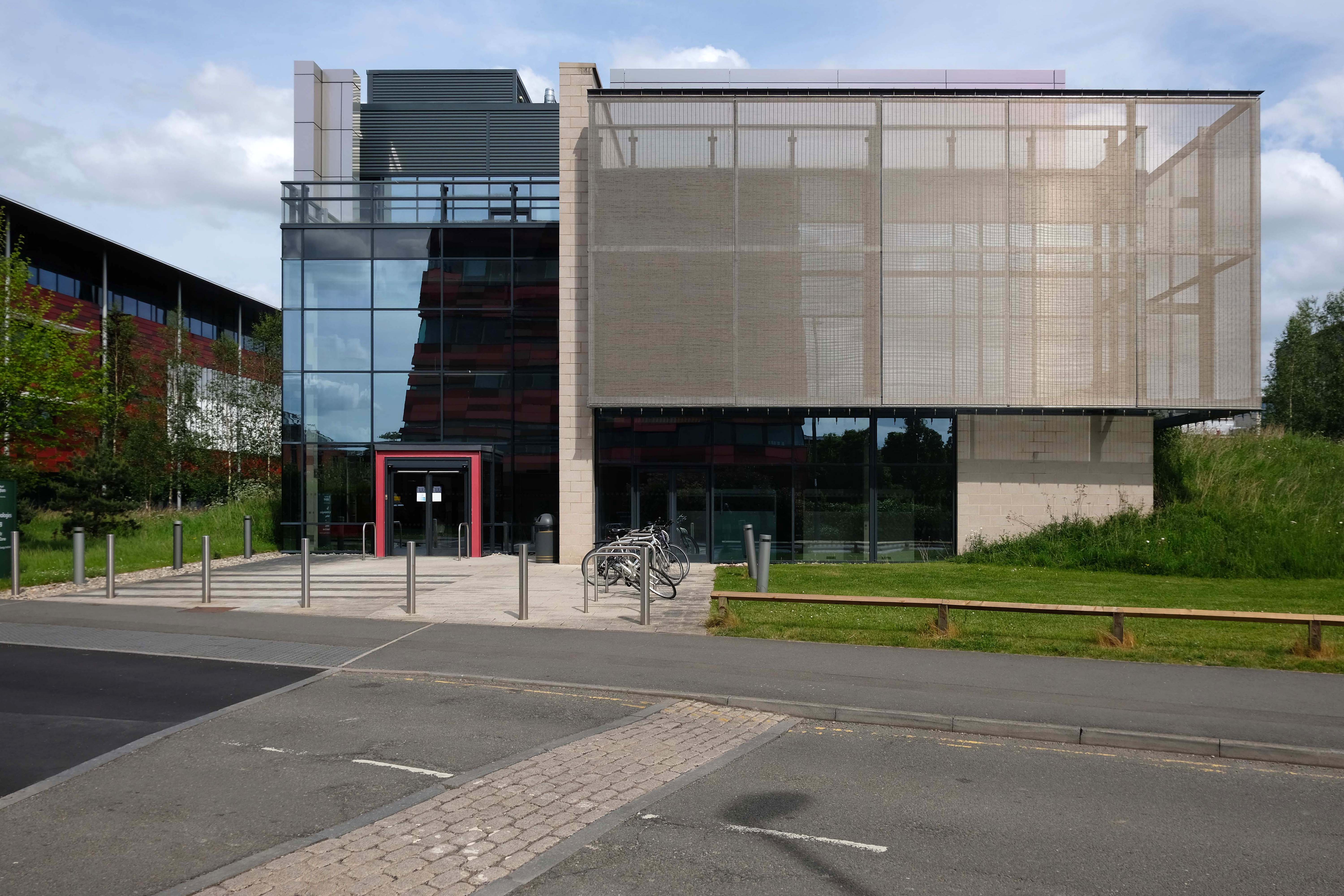
The Main Campus based on Jesse Boot’s Highfield parkland incorporating Lenton House and Lenton Hall. Boot along with his architect Percy Morley Horder developed a building scheme in 1921, achieving university status in 1948.
DH Lawrence Pavilion architect Marsh & Grochowski 1998-2001
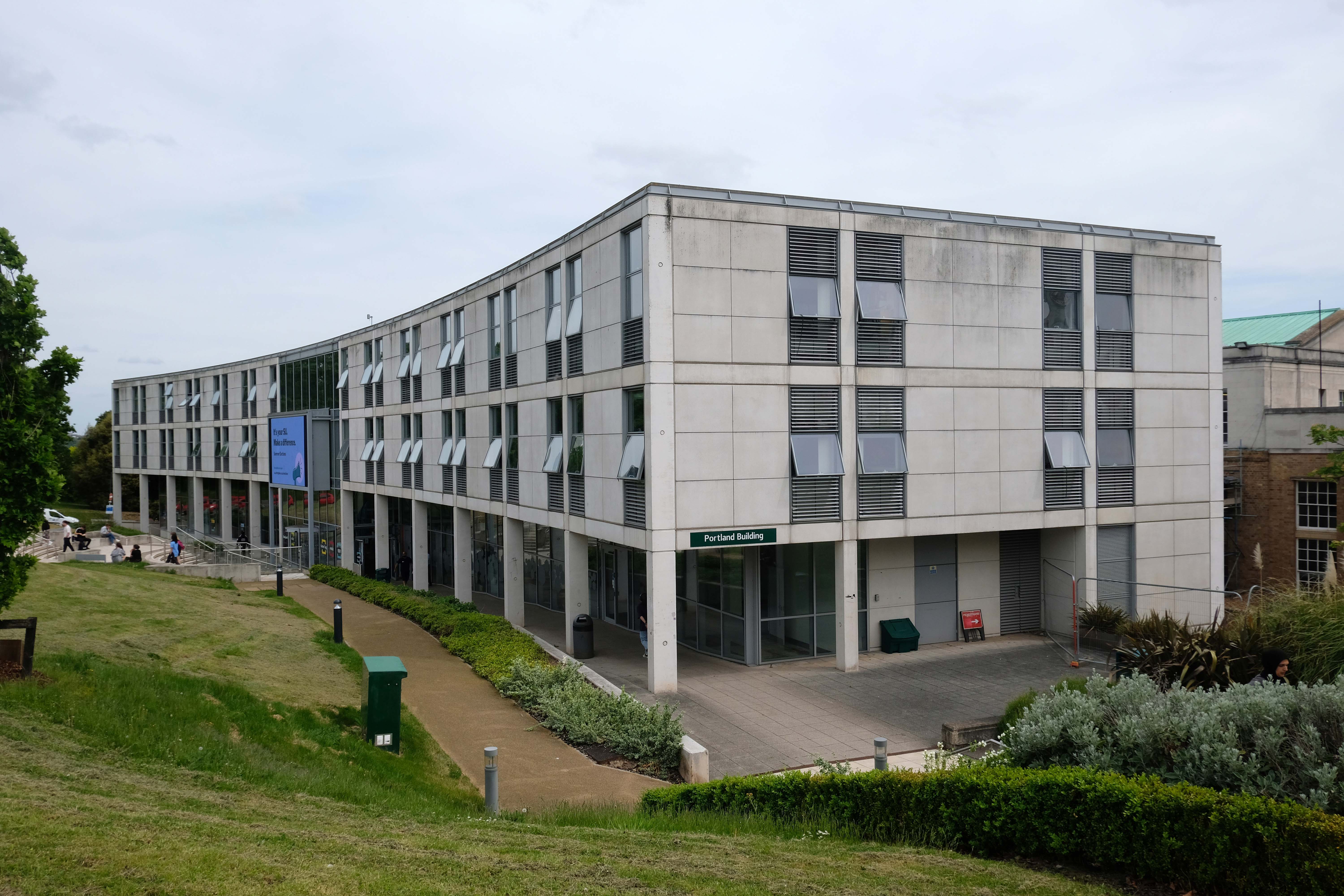
Portland Building – T Cecil Howitt 1949 -56
Trent Building architect: P Morley Horder 1922-28
Portland Building extended in 2001-3 architects: Michael Hopkins & Partners
Further additions to the rear 2013
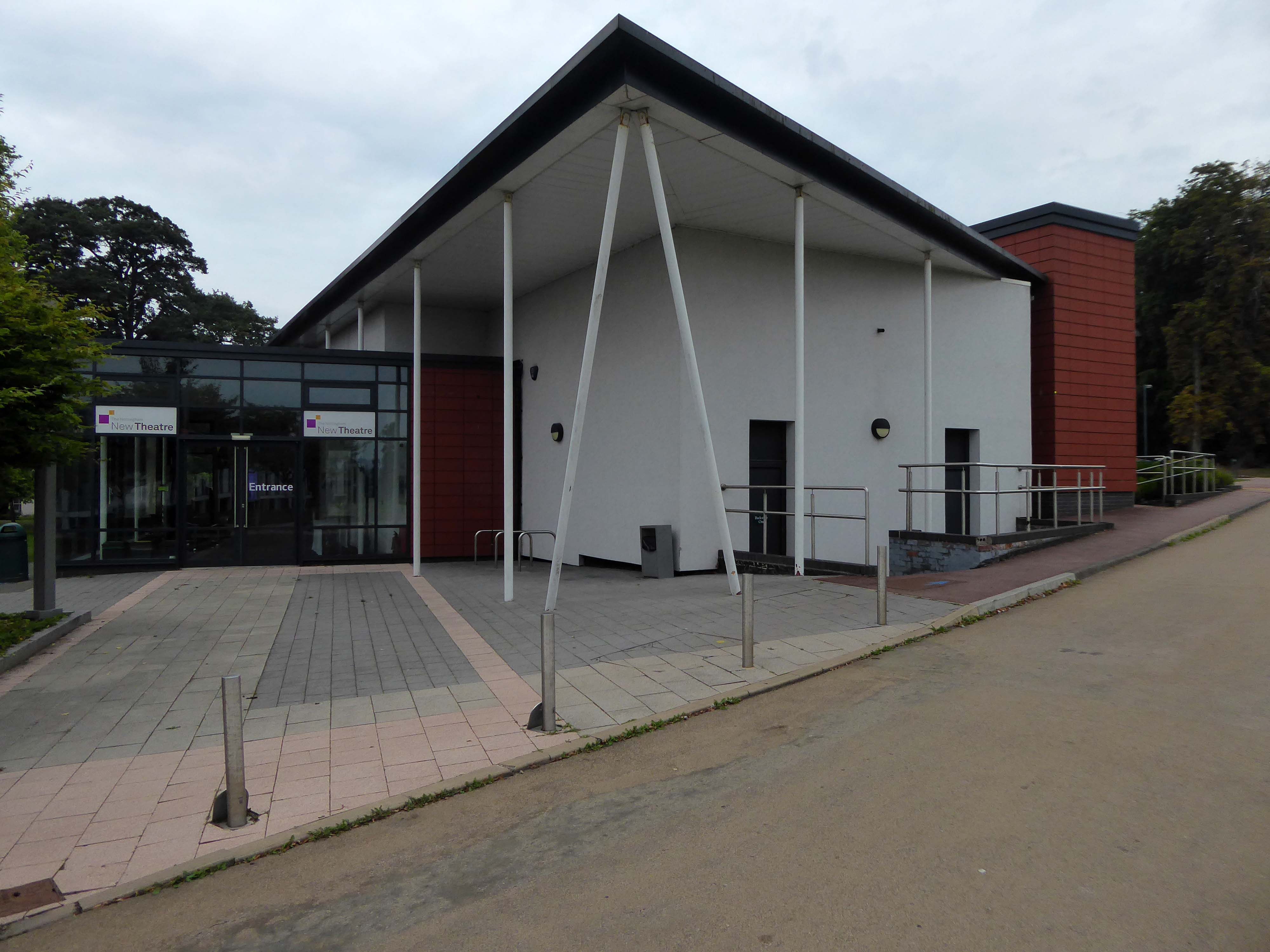
The New Theatre was established in 1969, and was originally housed in the Archaeology and Classics building of the University of Nottingham. In 2001 an extended foyer was added to the building, following a donation from an alumnus of the university.
The summer of 2012 saw an extensive redevelopment of the building housing the New Theatre. The former Archaeology and Classics building was demolished from the site; leaving the New Theatre as a freestanding building. Parts of the old building were retained and repurposed as new rehearsal rooms, and a studio space; as well as a significant remodelling of the dressing room, and extending the foyer.
Architects: Maber
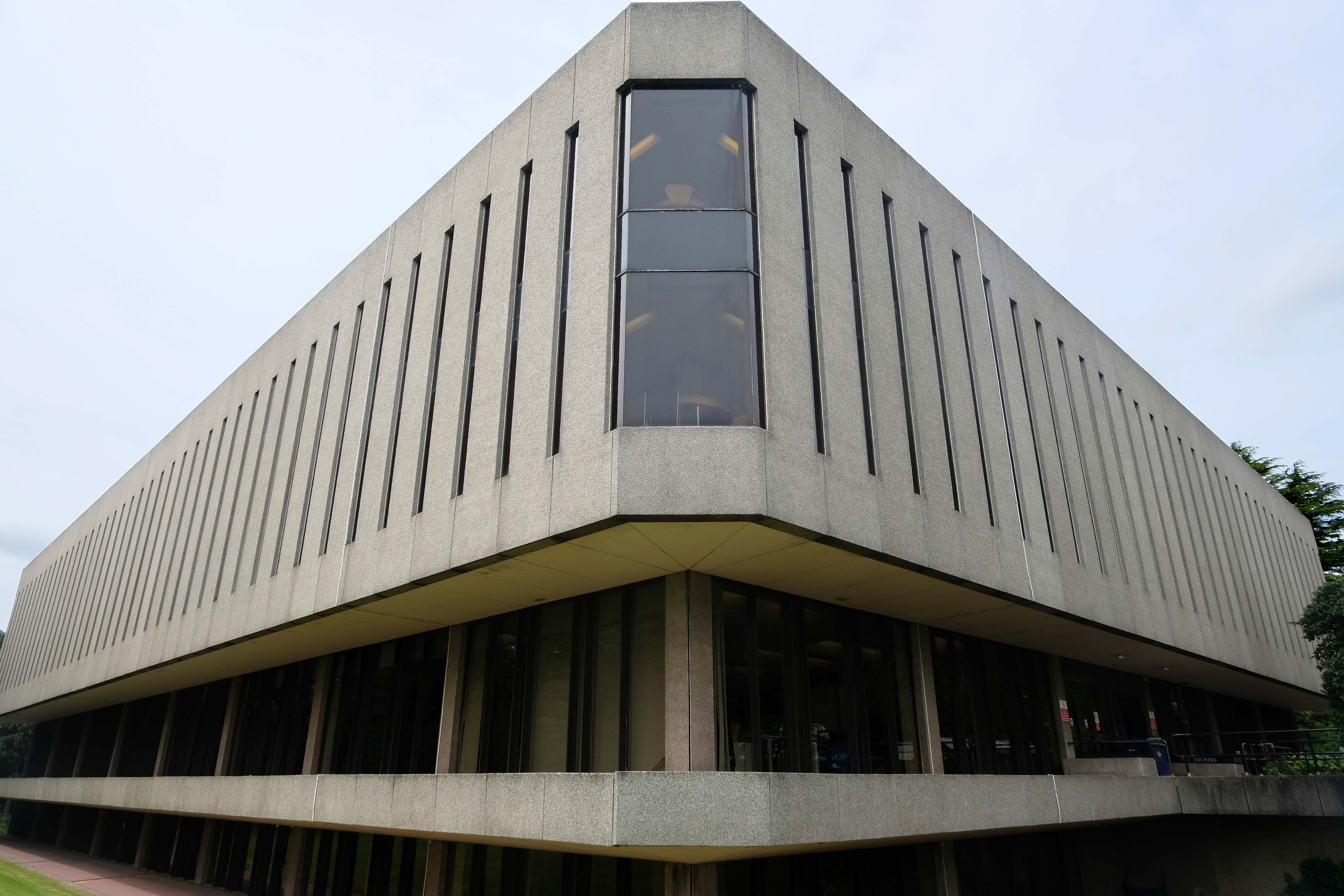
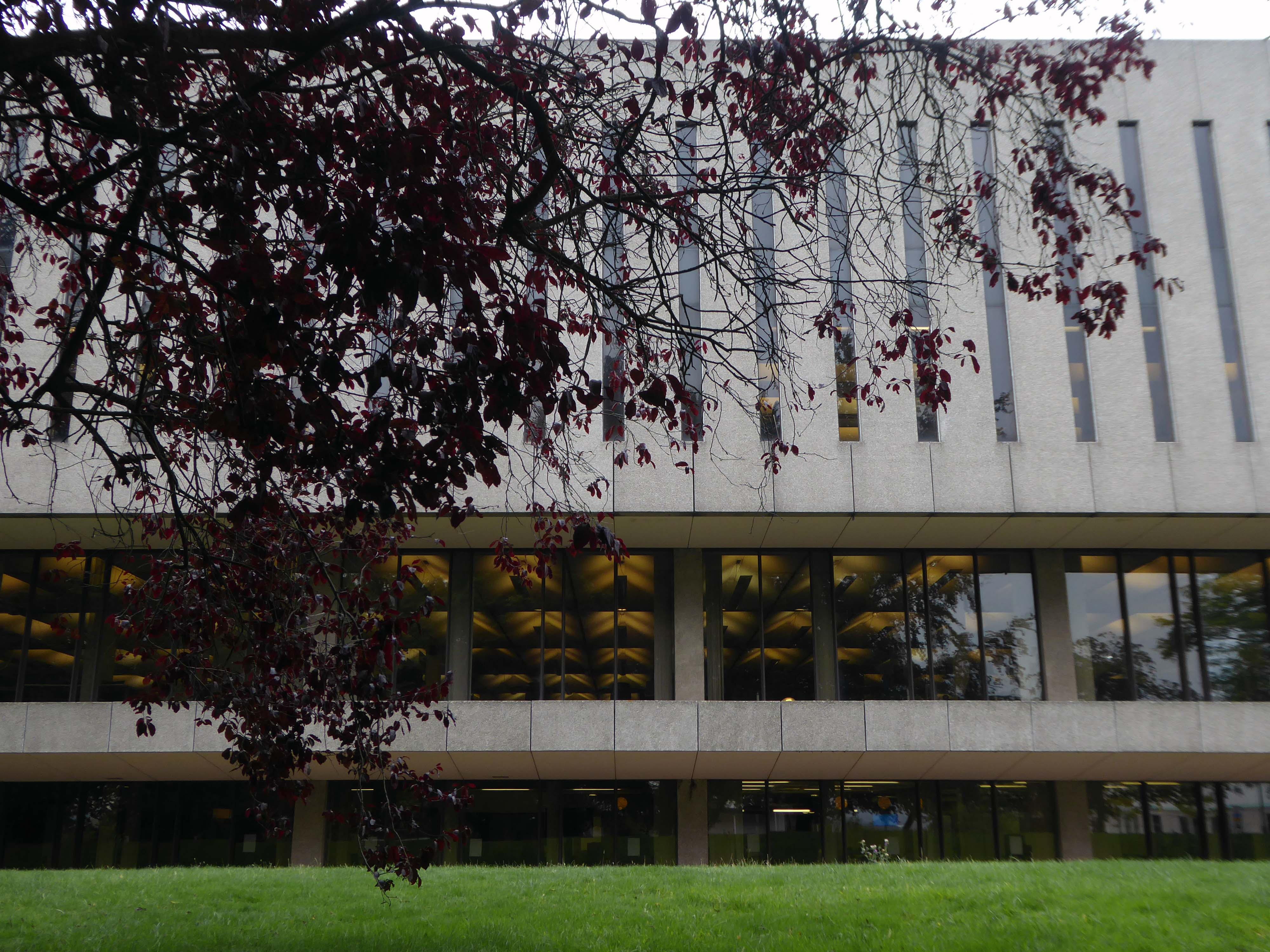
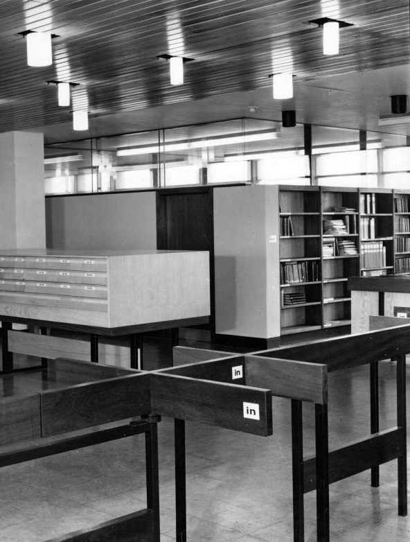
University Library architects: Faulkner Brown, Henry, Watkinson & Stonor 1971-73
The collection of buildings in University Park Campus, colloquially known as Science City, was first masterplanned by Basil Spence in 1959. His vision was largely realised by Renton Howard Wood Associates during the 1960s. Since then, numerous additions and alterations have been made to suit the ever increasing student numbers and the changing needs of the University.
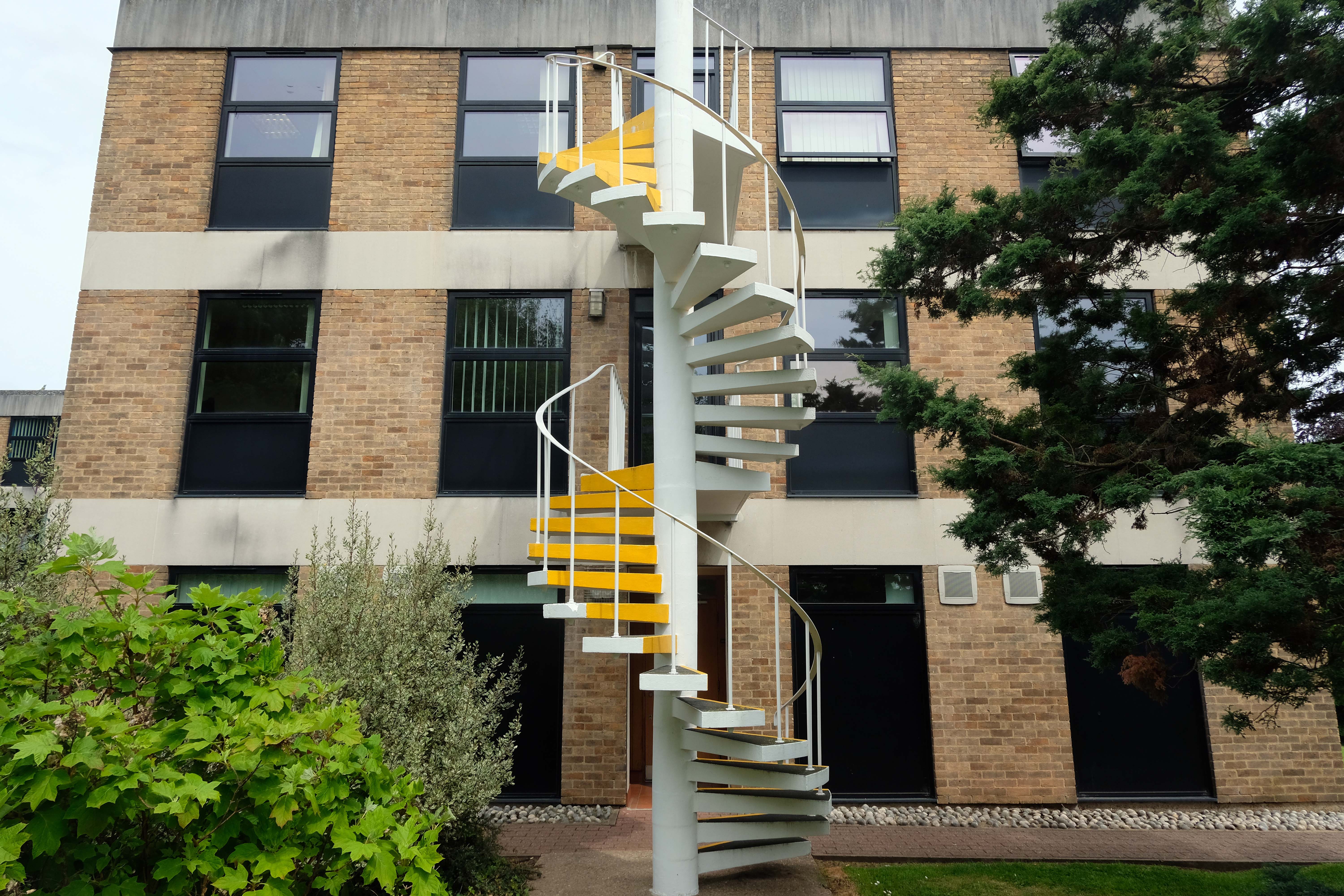
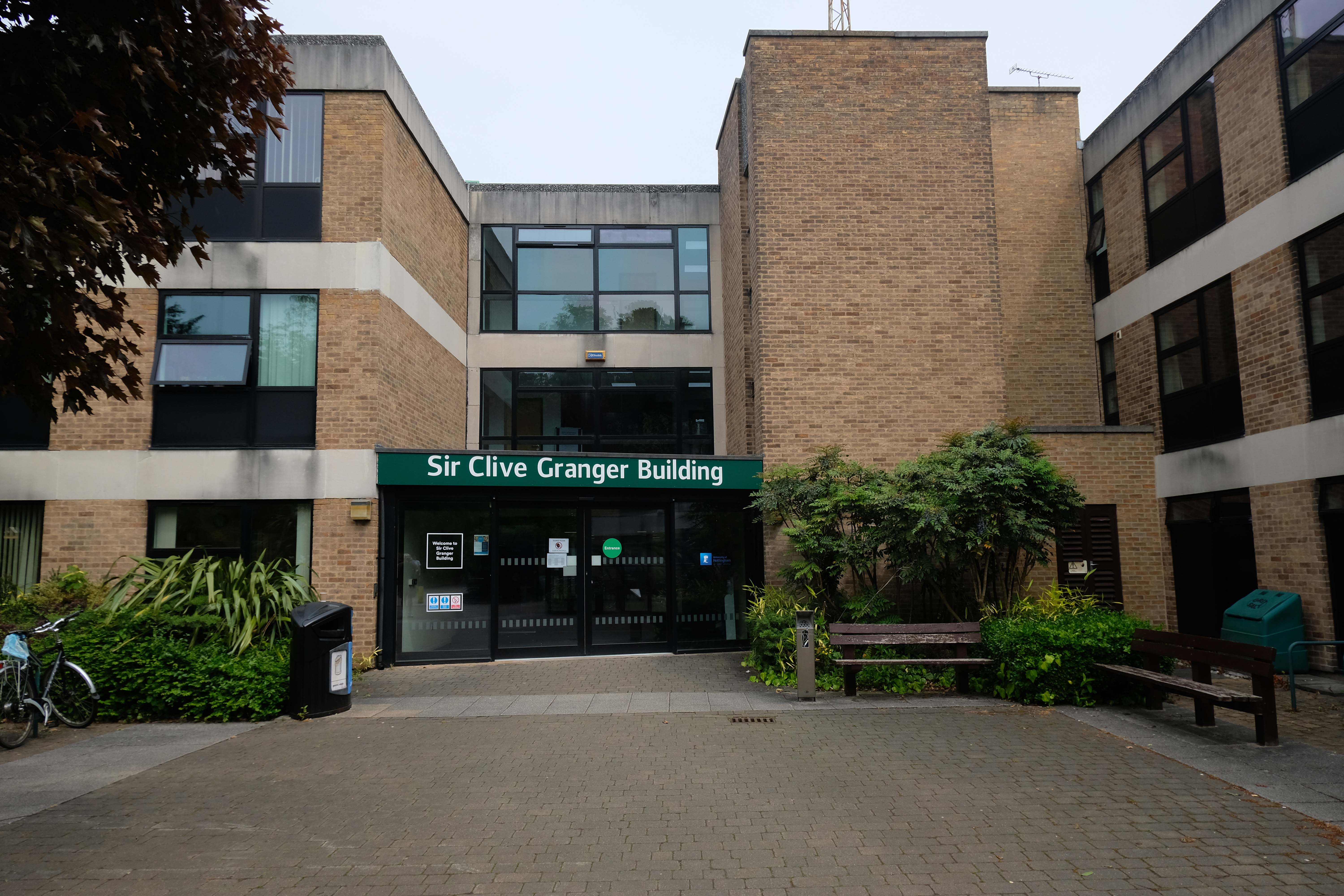
Sir Clive Granger Building
A view over the Science Buildings by Basil Spence 1955 and partner Andrew Renton 1961 onward.
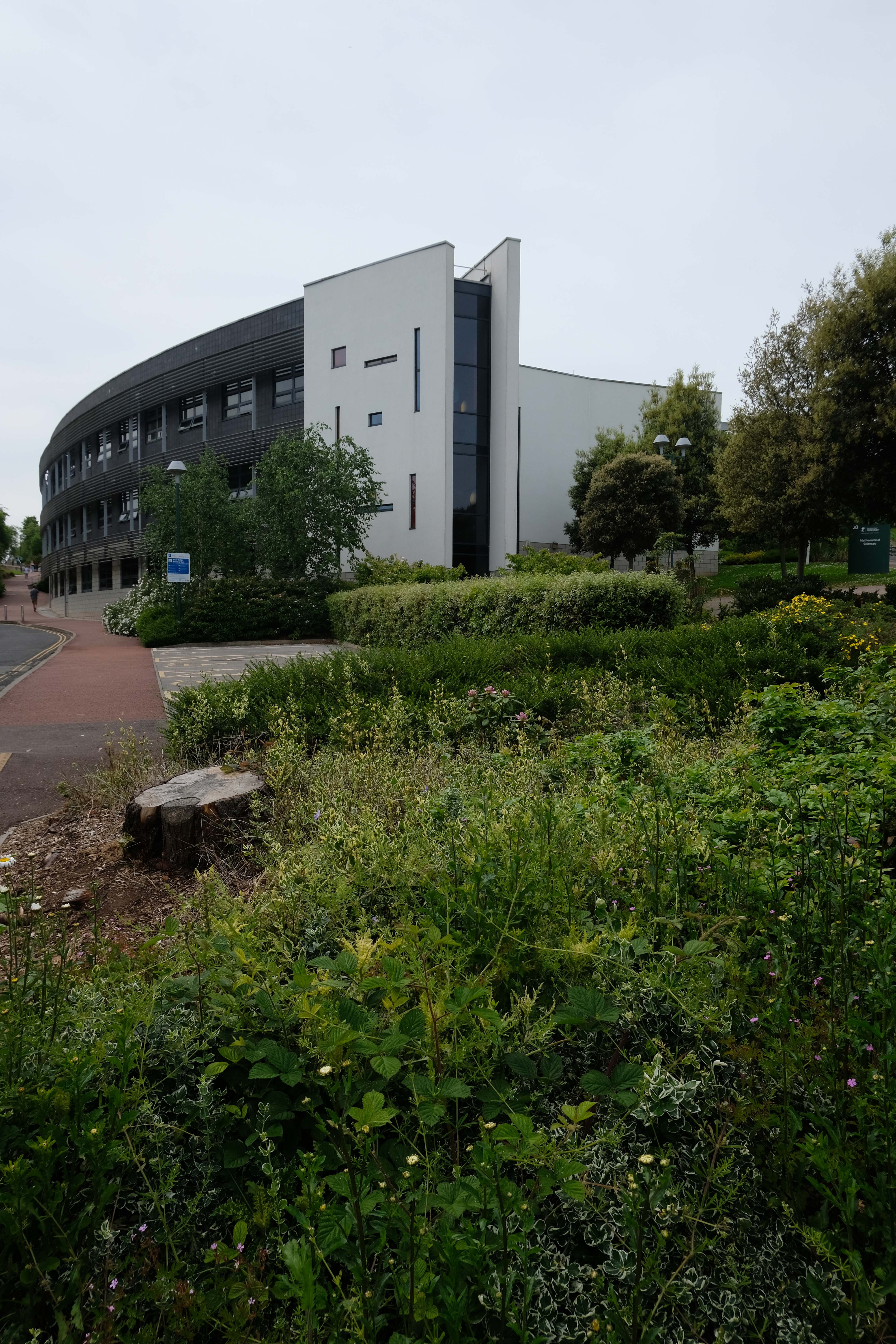
The University of Nottingham needed to double the size of its existing academic library to cater for an expansion in serious scientific study. Hopkins Architects faced the difficult task of doubling the size of a rather unremarkable 1960’s building – designed by Basil Spence, on a tight sloping site.
Pope Building leading to the Engineering Science Learning Centre by Hopkins Architects 2011
Chemistry Department
Coates Building by Basil Spence
Tower Building by Andrew Renton 1963-65
Refurbishment work is taking place to develop flexible workspaces, including offices, conference and meeting rooms, while the building will also accommodate hospitality and events rooms. The university also plans to include a restaurant, coffee bar, a deli-shop and a top-floor sky lounge.
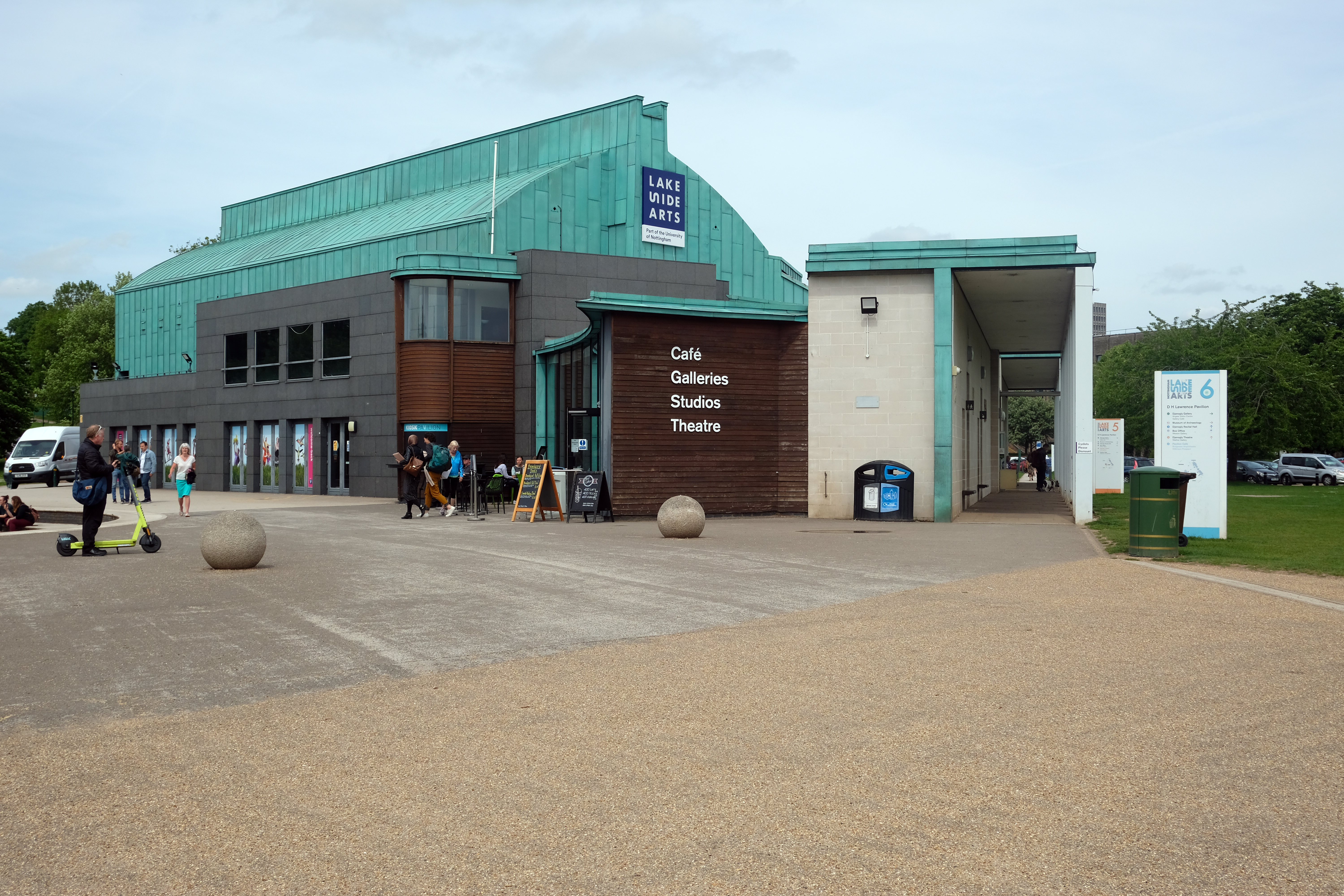
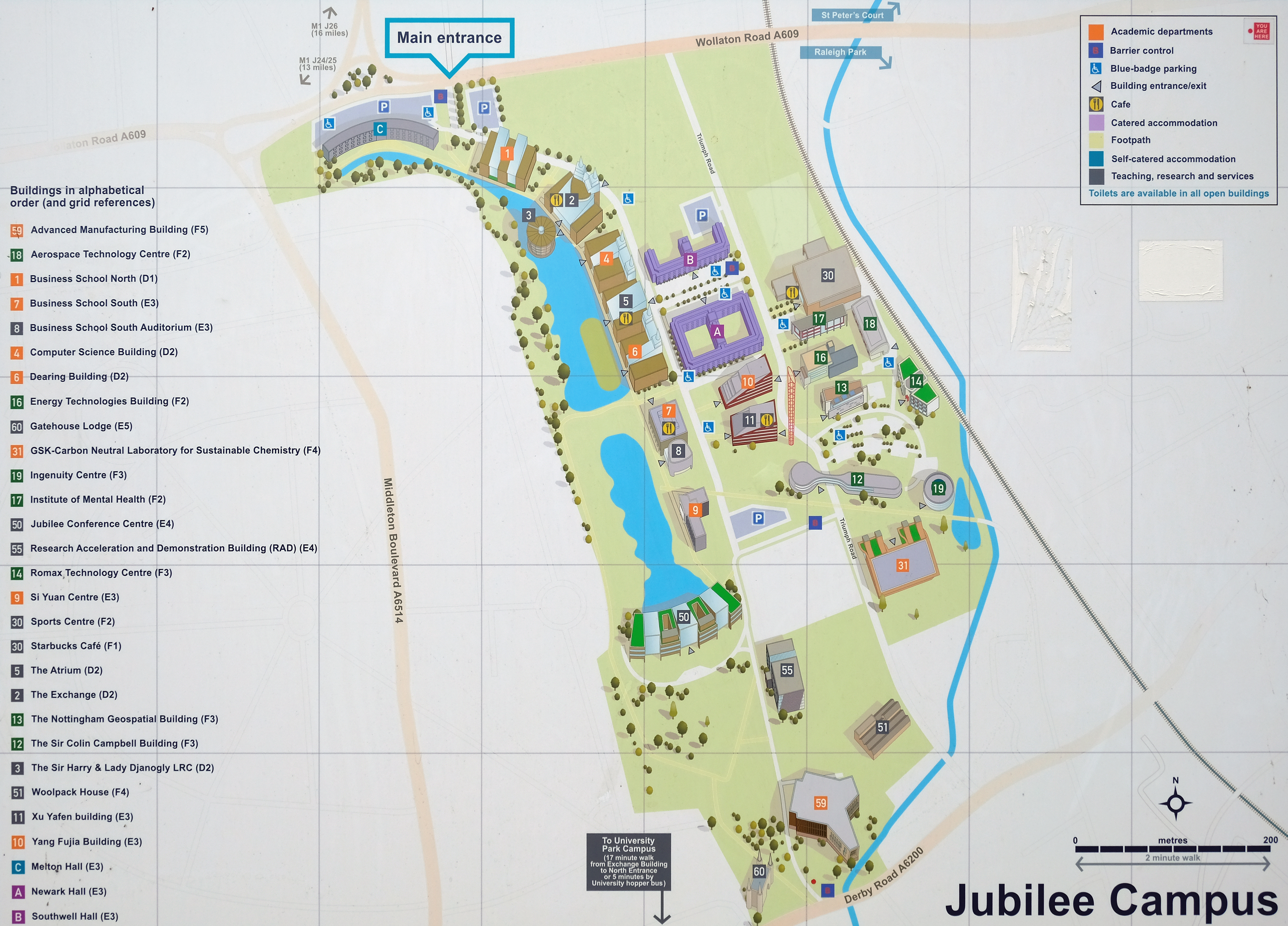
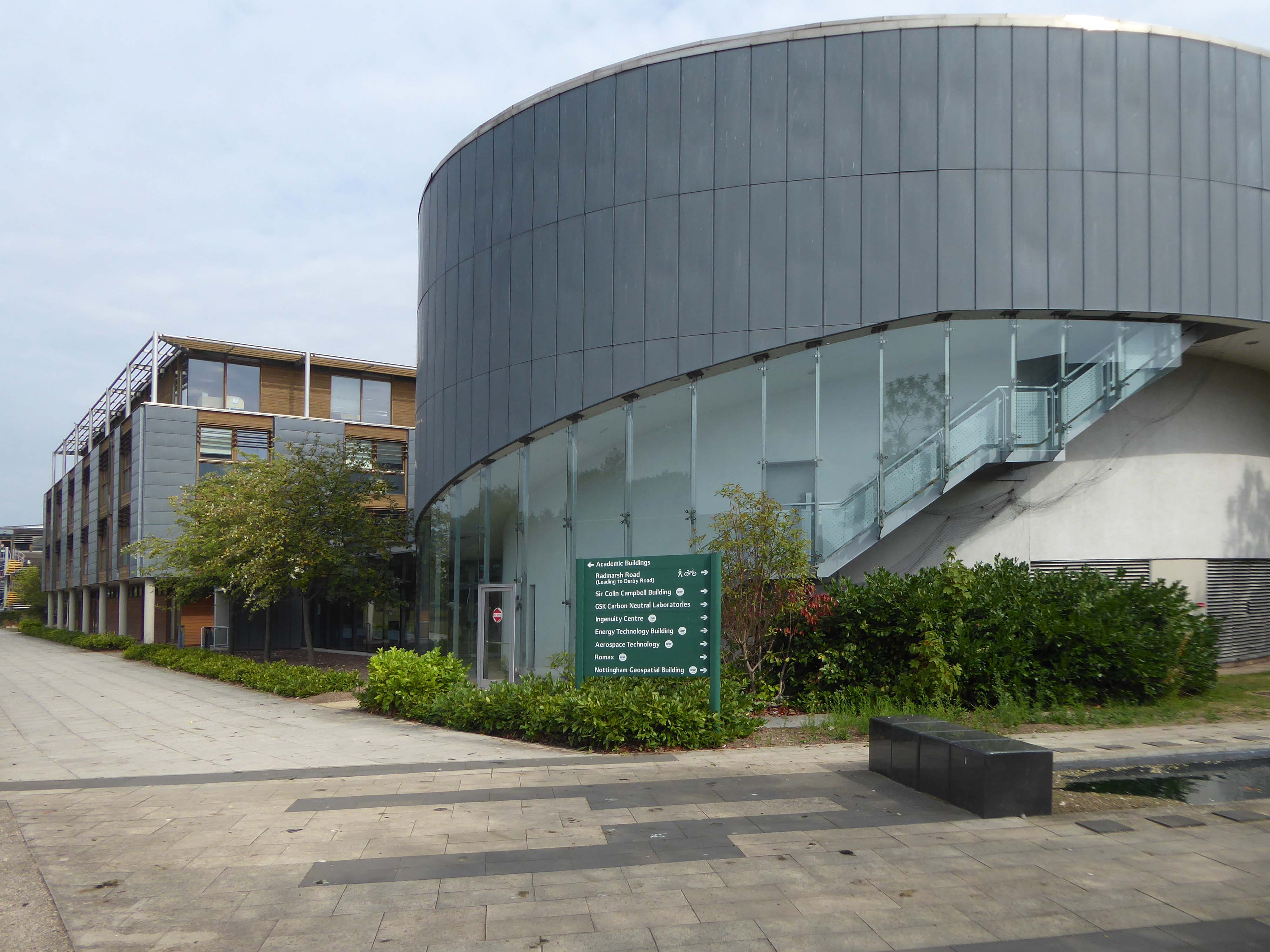
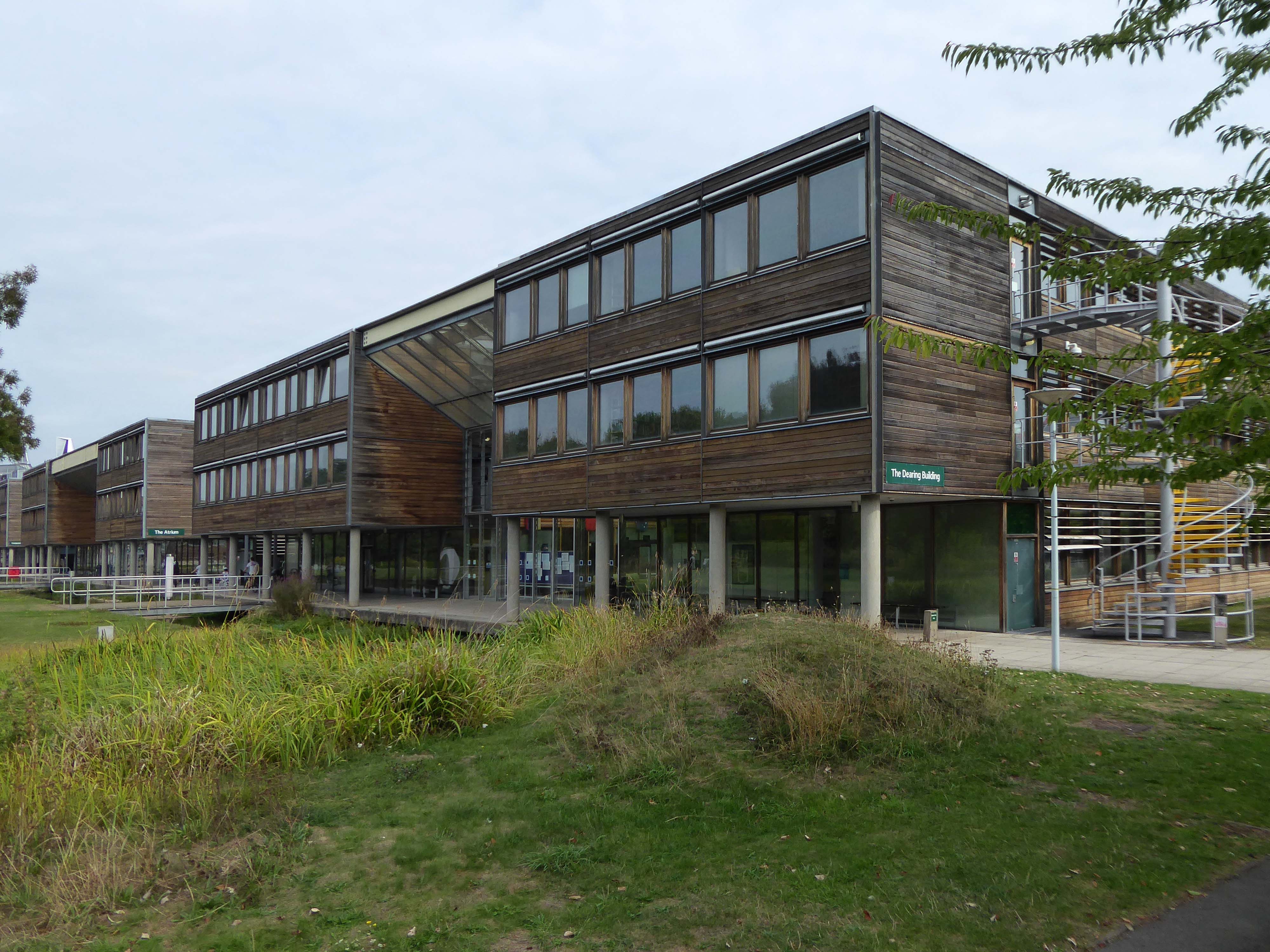
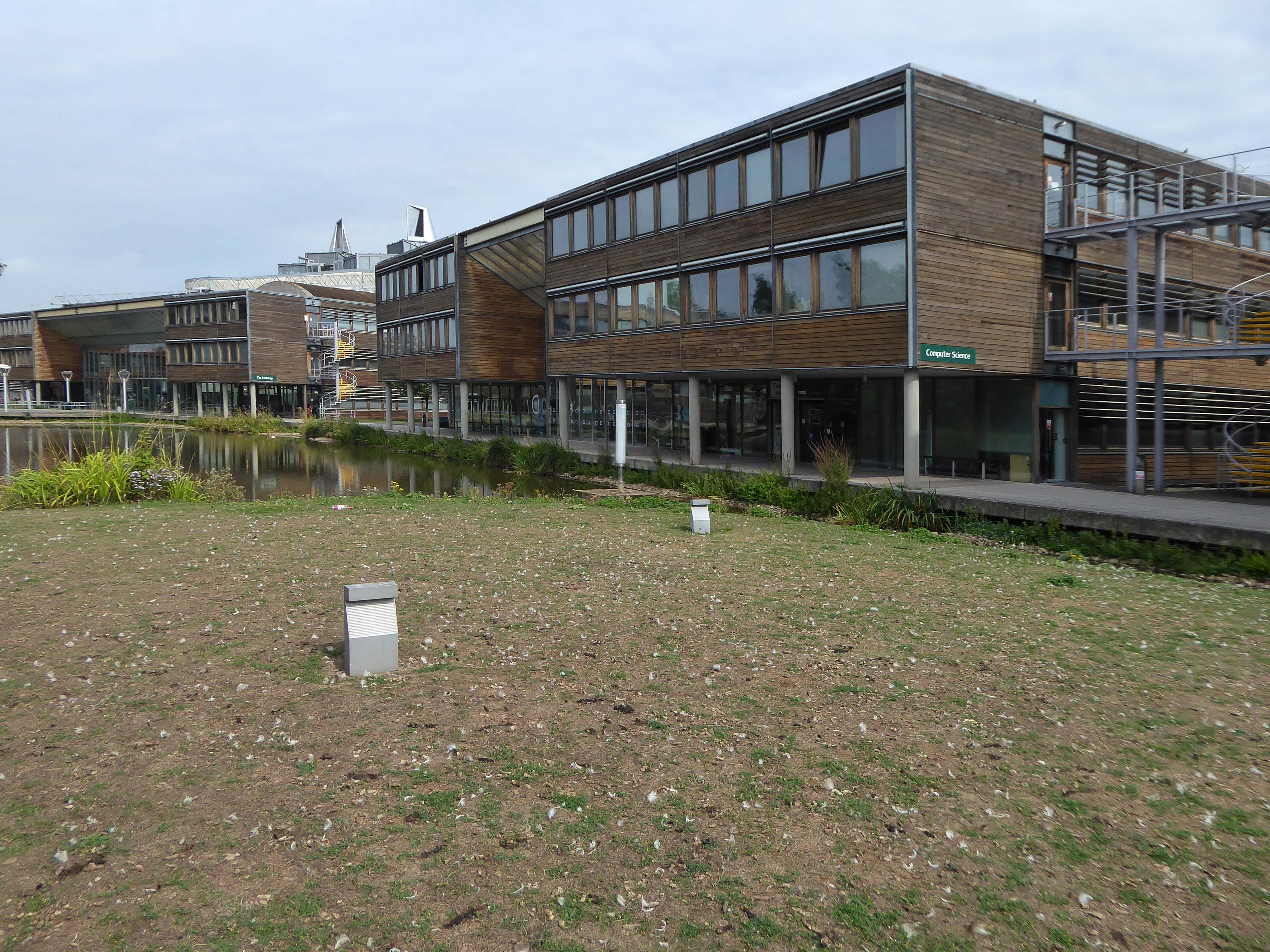
Jubilee Campus is a modern purpose-built campus which now extends to 65 acres and is located only one mile from University Park. The initial phase was opened by Her Majesty the Queen in 1999. The state-of-the-art facilities now include:
The Schools of Education – including CELE and Computer Science
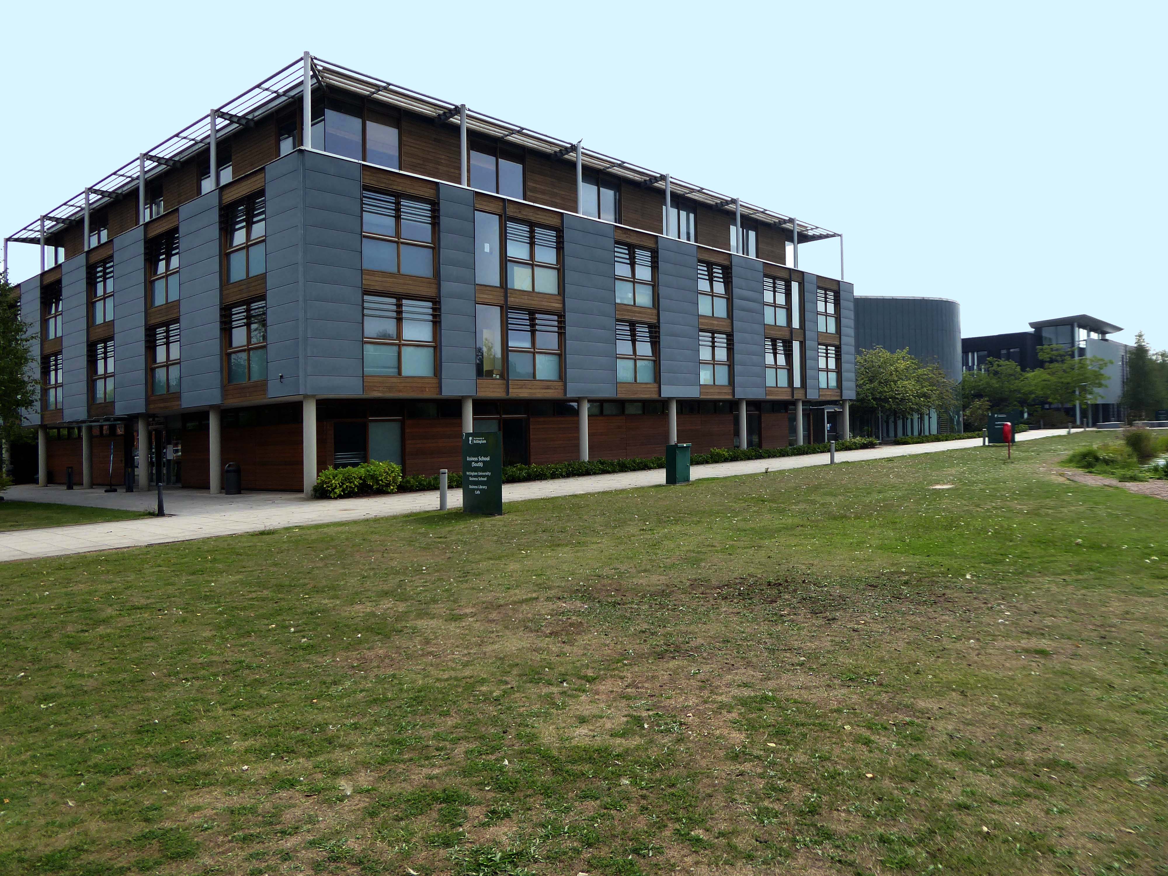
The Nottingham University Business School
The National College for Leadership of Schools and Children’s Services
Sports Centre
University of Nottingham Innovation Park
4000 third party purpose-built student residences within half a mile radius of the campus
Central to the development of the site has been the setting of high BREEAM Standards – an holistic approach to achieve ESG, health, and net zero goals. It is owned by BRE – a profit-for-purpose organisation with over 100 years of building science and research background.
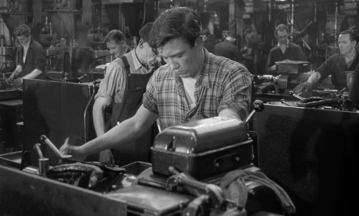
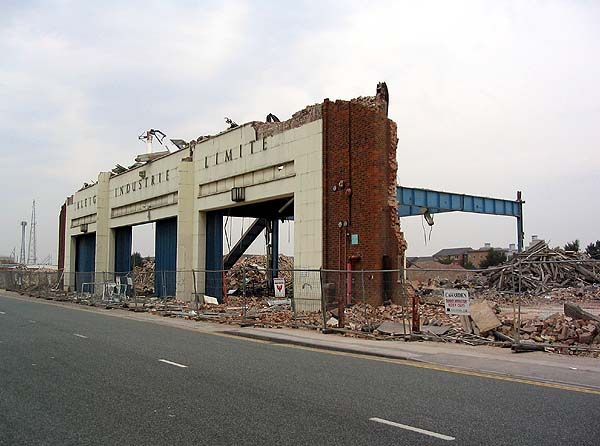
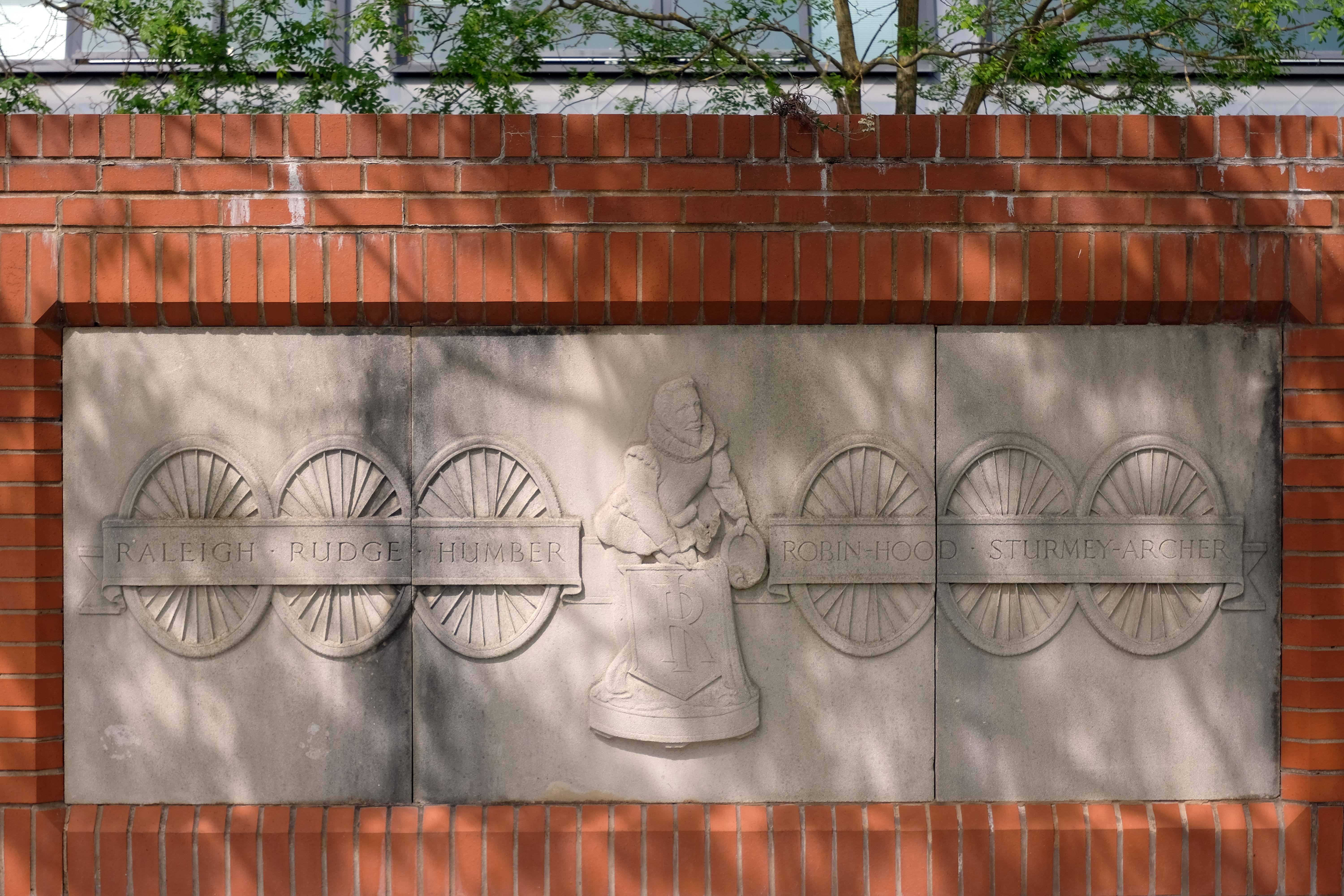
Built on the former site of the immense Number 3Raleigh Bicycle Factory – which was opened by Field Marshal Lord Montgomery in 1957.
At its peak in the 1950s, Raleigh employed 7000 people on a 40 acre site that covered most of Lenton Boulevard, Triumph Road and Orston Drive.
In May 1999, Raleigh announced that it was to cease volume production of frames in the UK. The frame welding robots, installed in 1996, were auctioned off in December 1999.
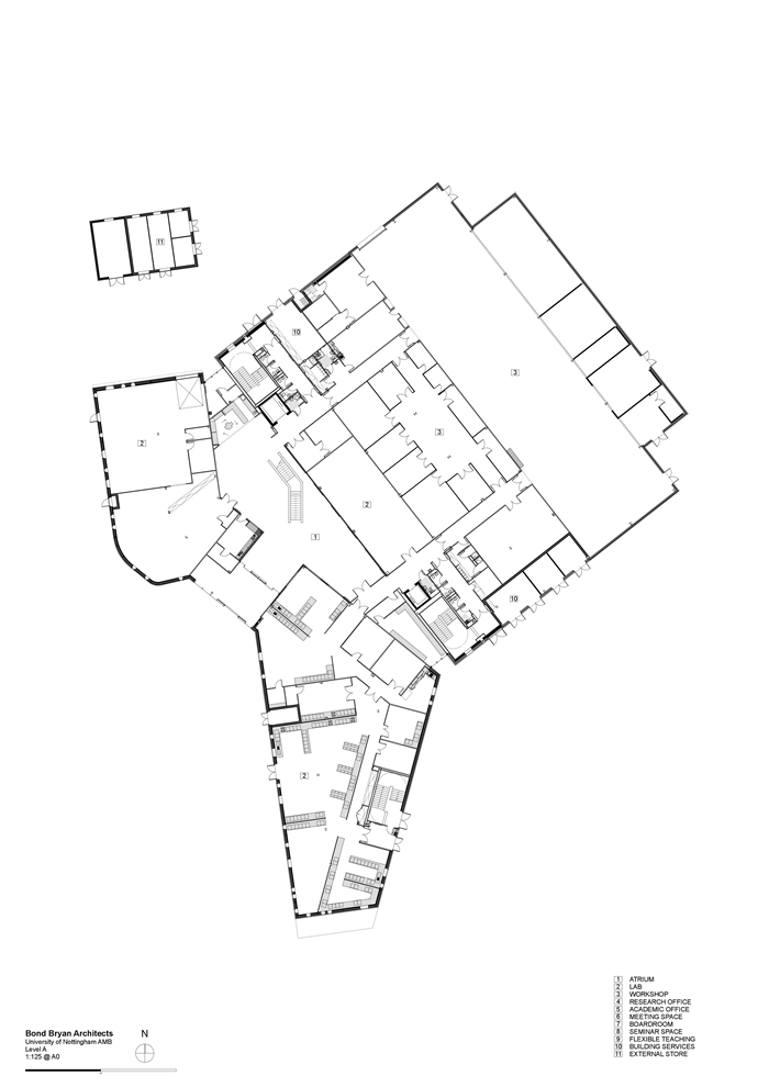
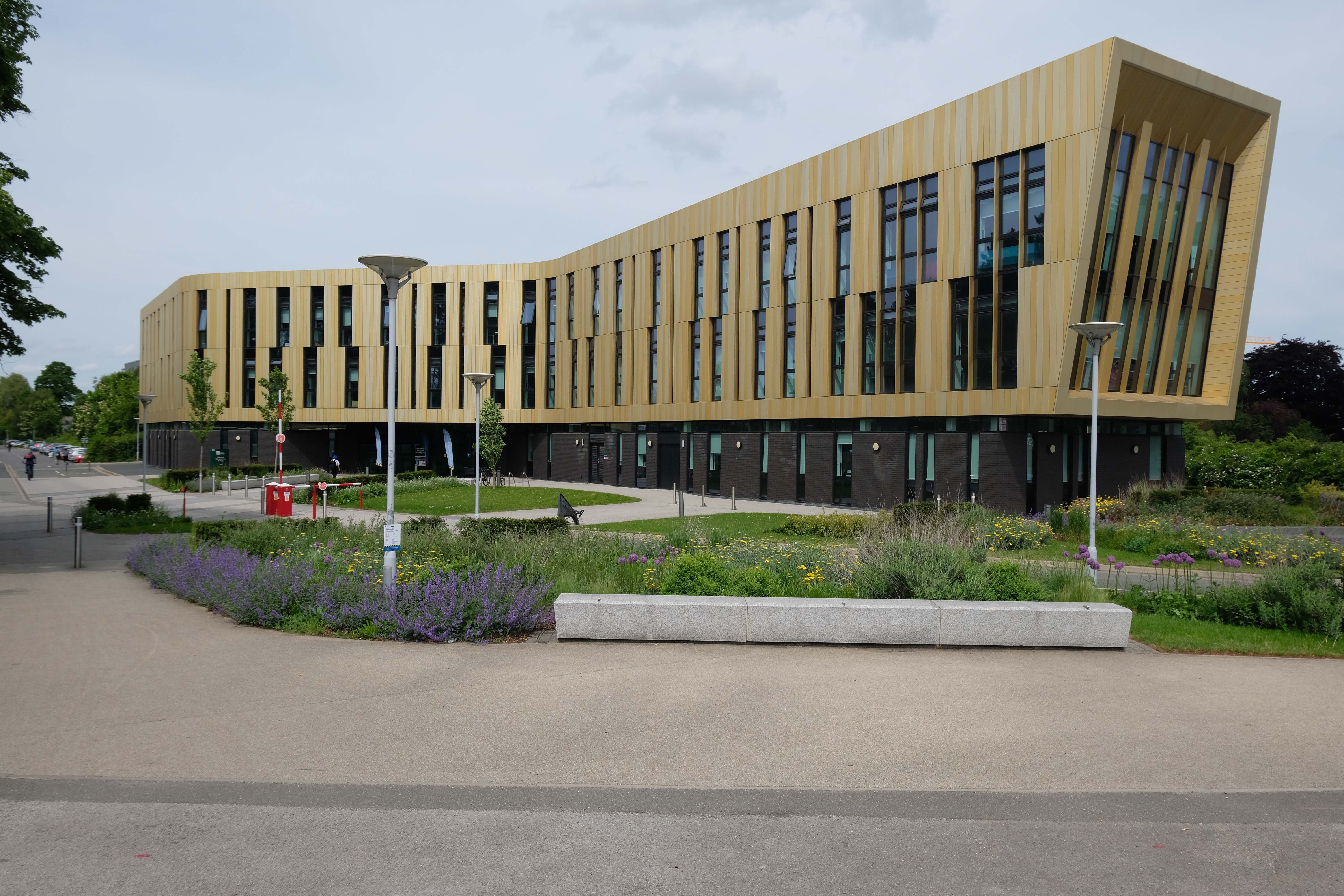
Enjoying a prime location on the University of Nottingham’s Jubilee Campus, the building provides a number of multidisciplinary and specifically designed laboratory spaces, as well as high quality single and multiple occupancy offices, technical support bases and breakout spaces.
Set within 65 acres of lakeside grounds, close to Nottingham city centre, The Jubilee hotel & conferences offers an innovative setting for events, along with all the comforts of a modern hotel.
If you are looking for sustainable venue hire, look no further. With a range of meetings spaces, breakout areas and bedrooms; The Jubilee is perfect for event and conferences organisers looking for a light, airy and relaxing setting.
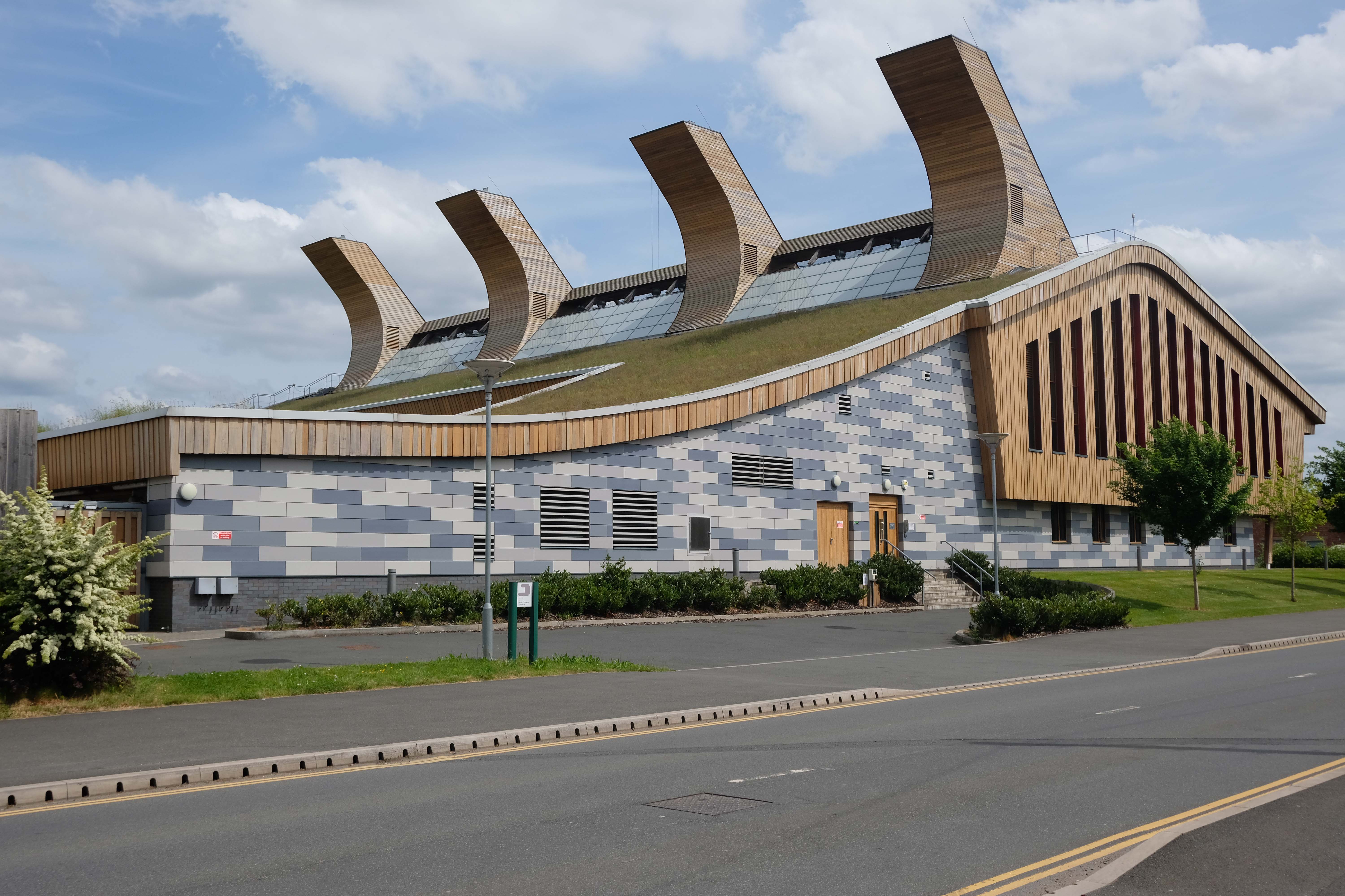
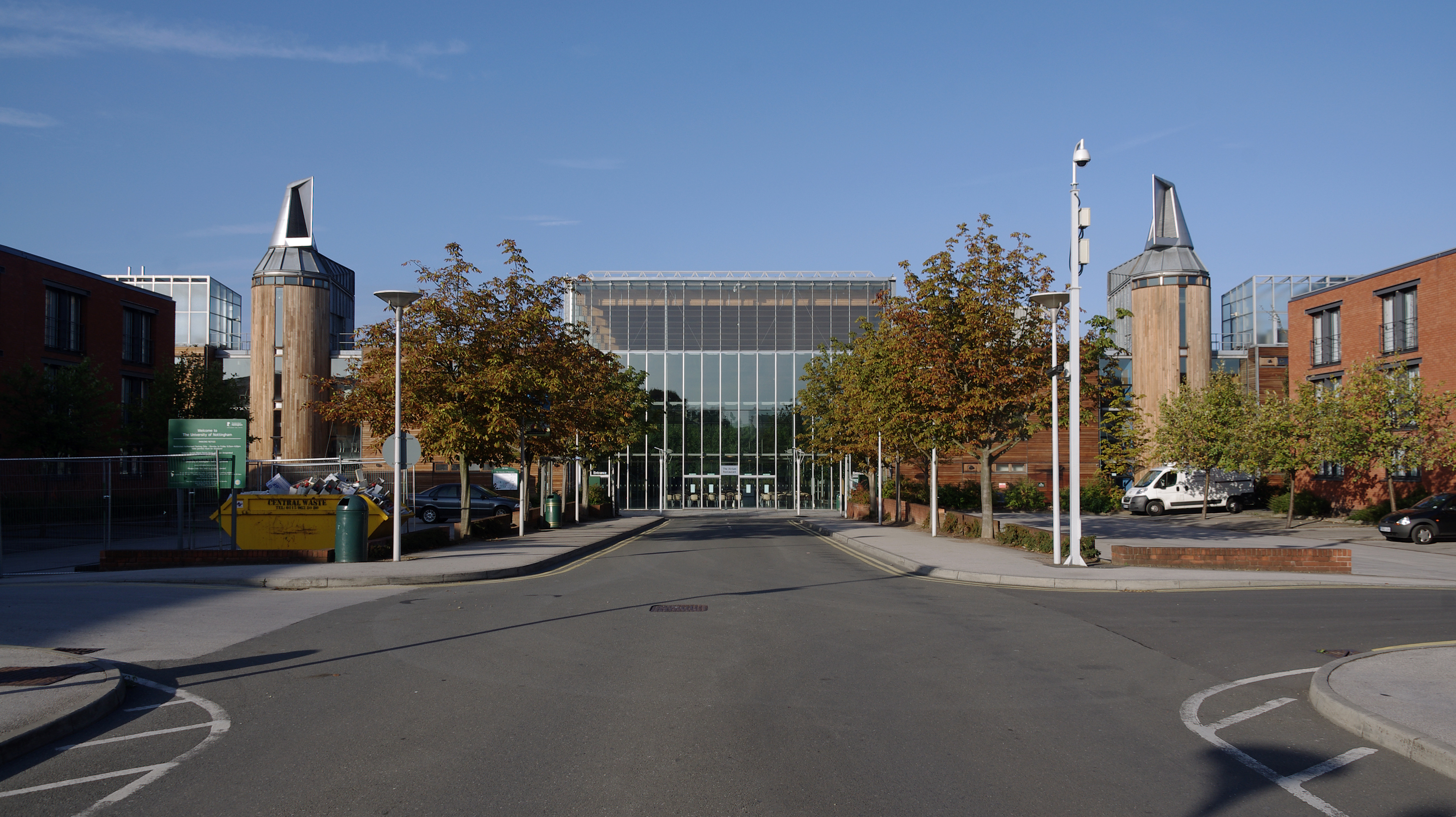
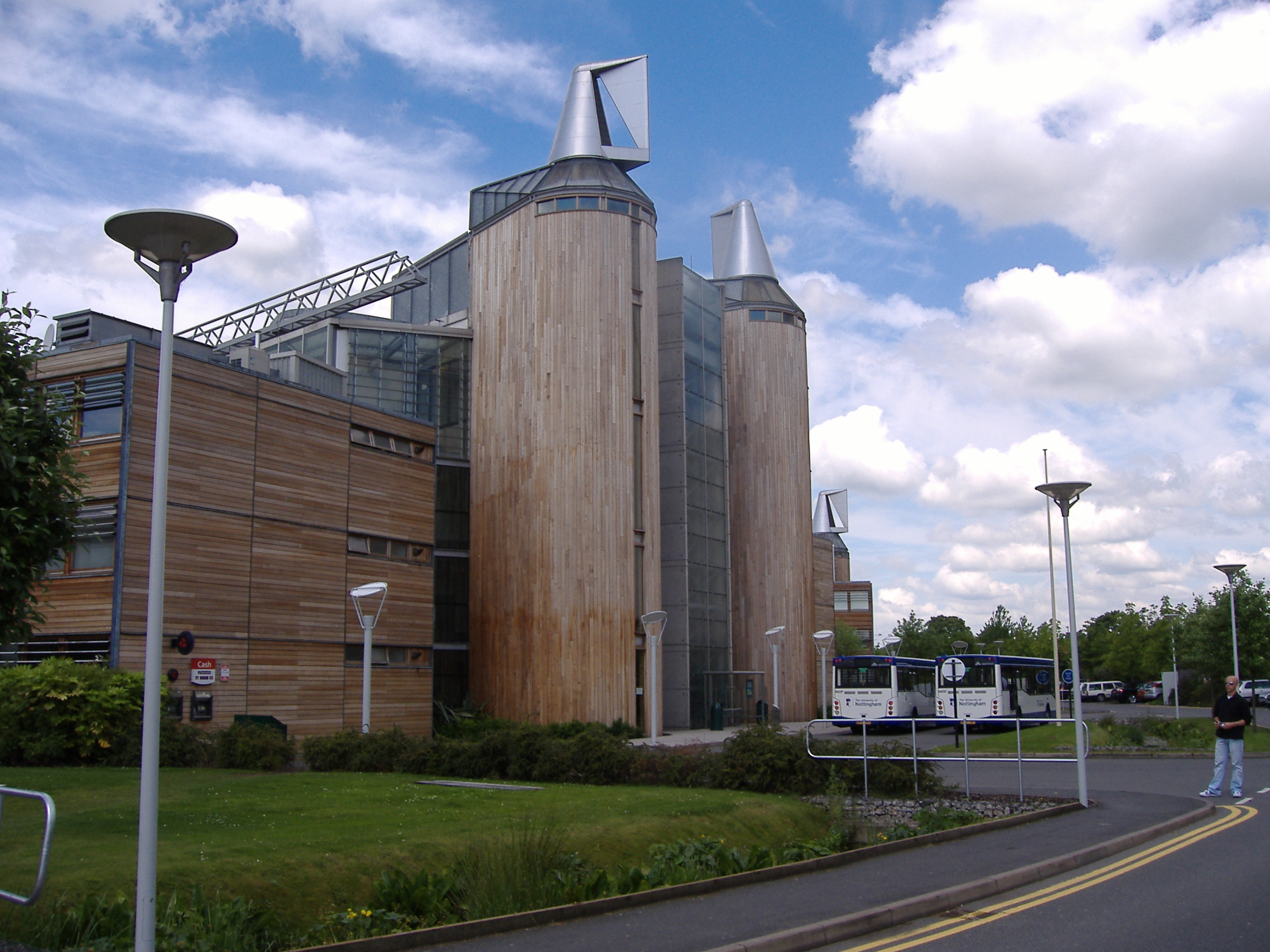
Designed to minimise the impact on the environment of its construction and operation. The design of the building is made up of modules manufactured off-site. The building support pillars and trusses are made from a combination of German spruce, Austrian Spruce, and American red cedar.
The designers used computational fluid dynamics to design the curved roof. This enables ventilation of the building by taking advantage of the prevailing wind. One of the laboratories is also ventilated in this way, to determine the viability of doing so elsewhere. The building also features a green roof, and solar panels that cover 45 per cent of the roof area and provide up to 230.9 kW. The four towers on the roof hide the building’s plant equipment. Additionally, a 125-kilowatt biofuel combined heat and power system was built on-site, providing the majority of heat needed for the buildings.
Wikipedia
Ingenuity Centre by Bond Bryan 2017
Alucraft designed fabricated and delivered the façade,
At first glance the centre appears to be a hi-tech structure that would not look out of place in a sci-fi movie, with a complex array of metal fins forming a metallic bronze-coloured circular envelope that seems to float around a central core.
Keep looking though and some of the design cues are clearly industrial – the metallic external envelope echoing the form of some finely machined, mechanical component or even the patterned tread of a tyre.
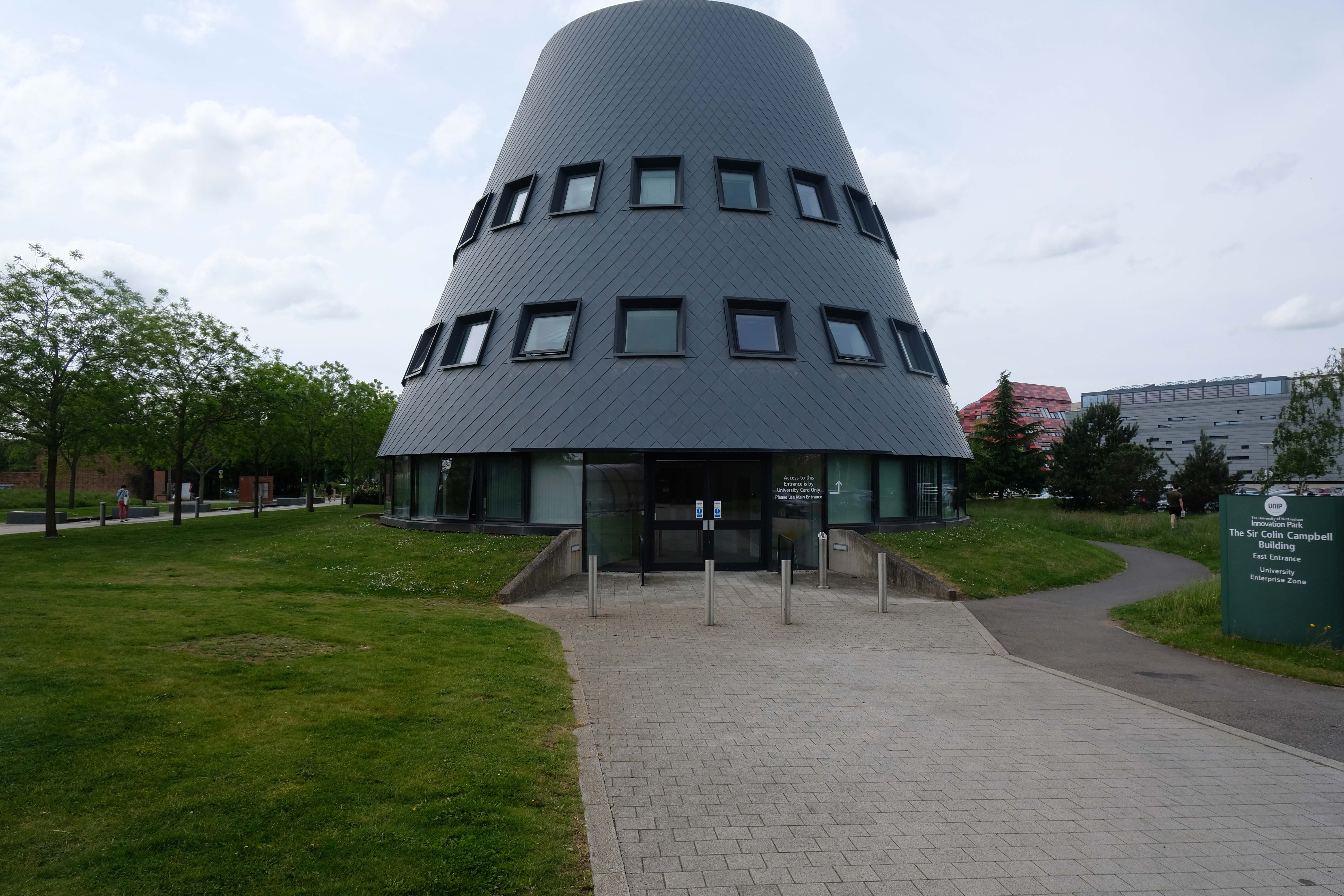
Sir Colin Campbell Building by Bond Bryan 2011 – with Arup acting as structural and services engineer.
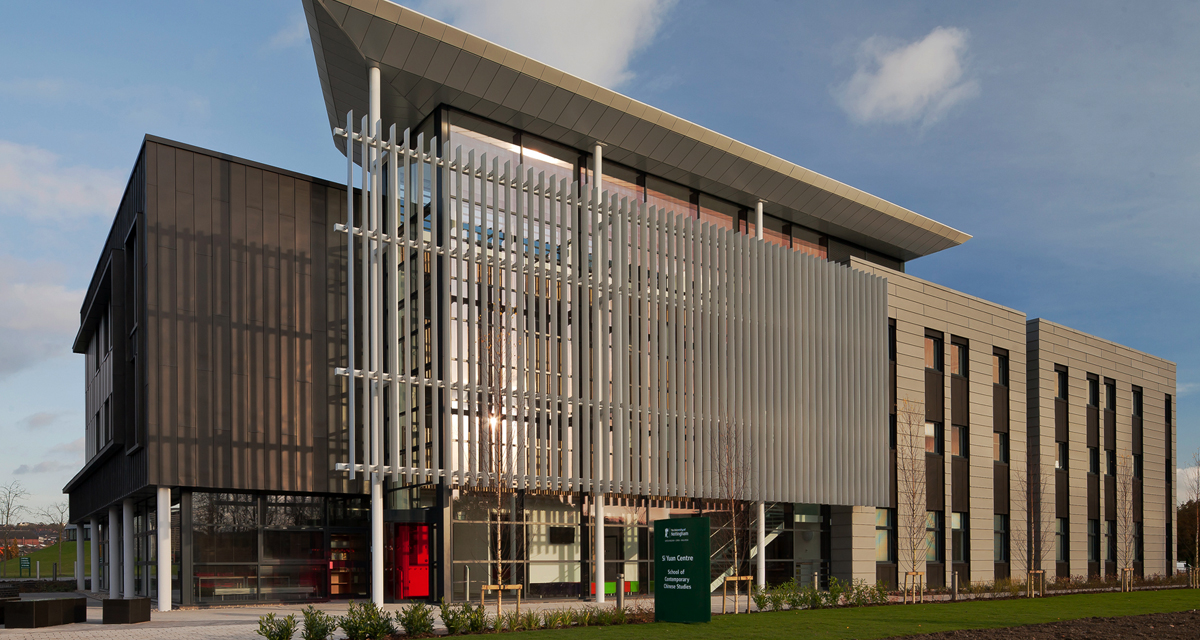
Si Yuan Centre of Contemporary Chinese Studies
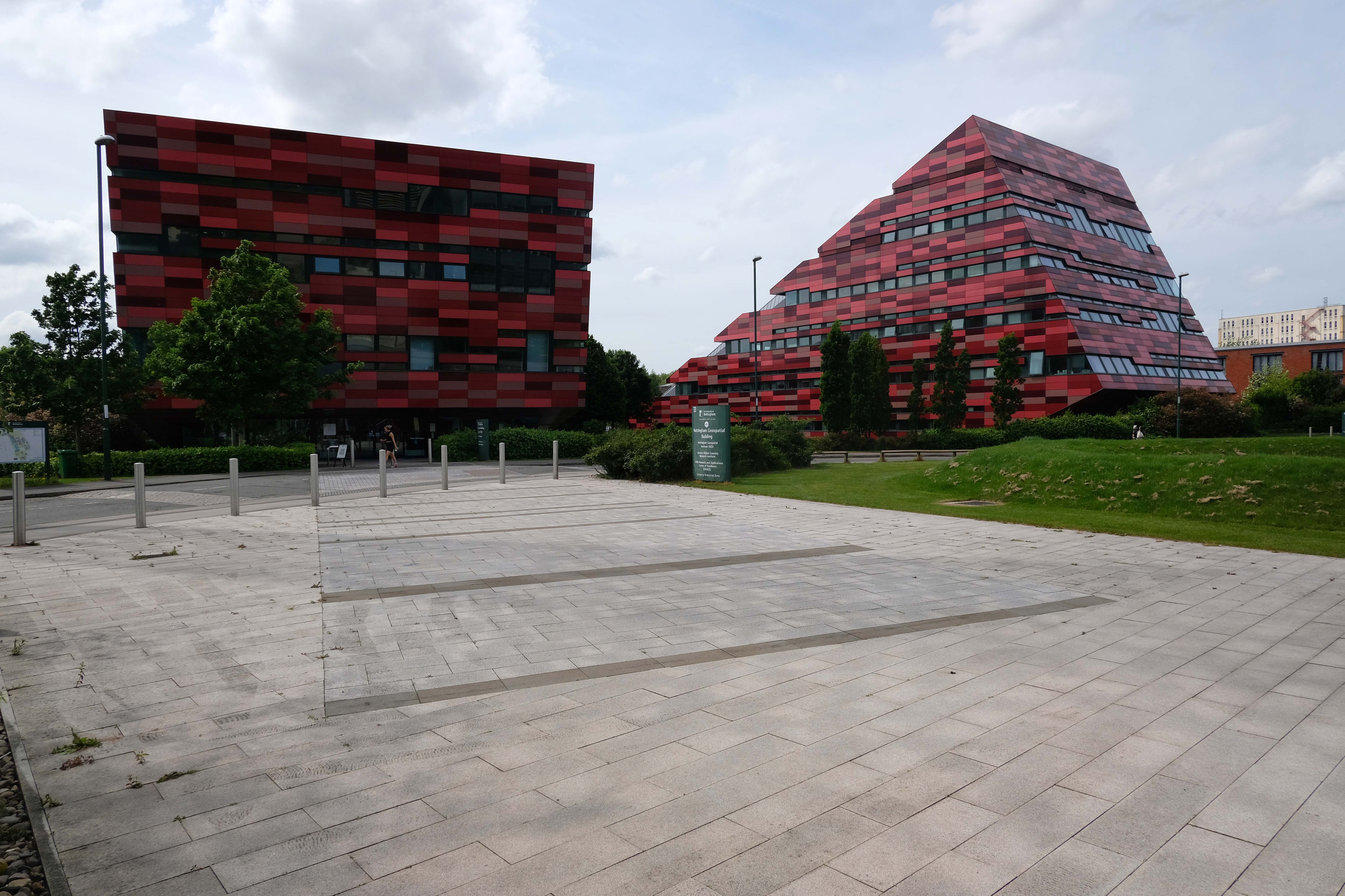
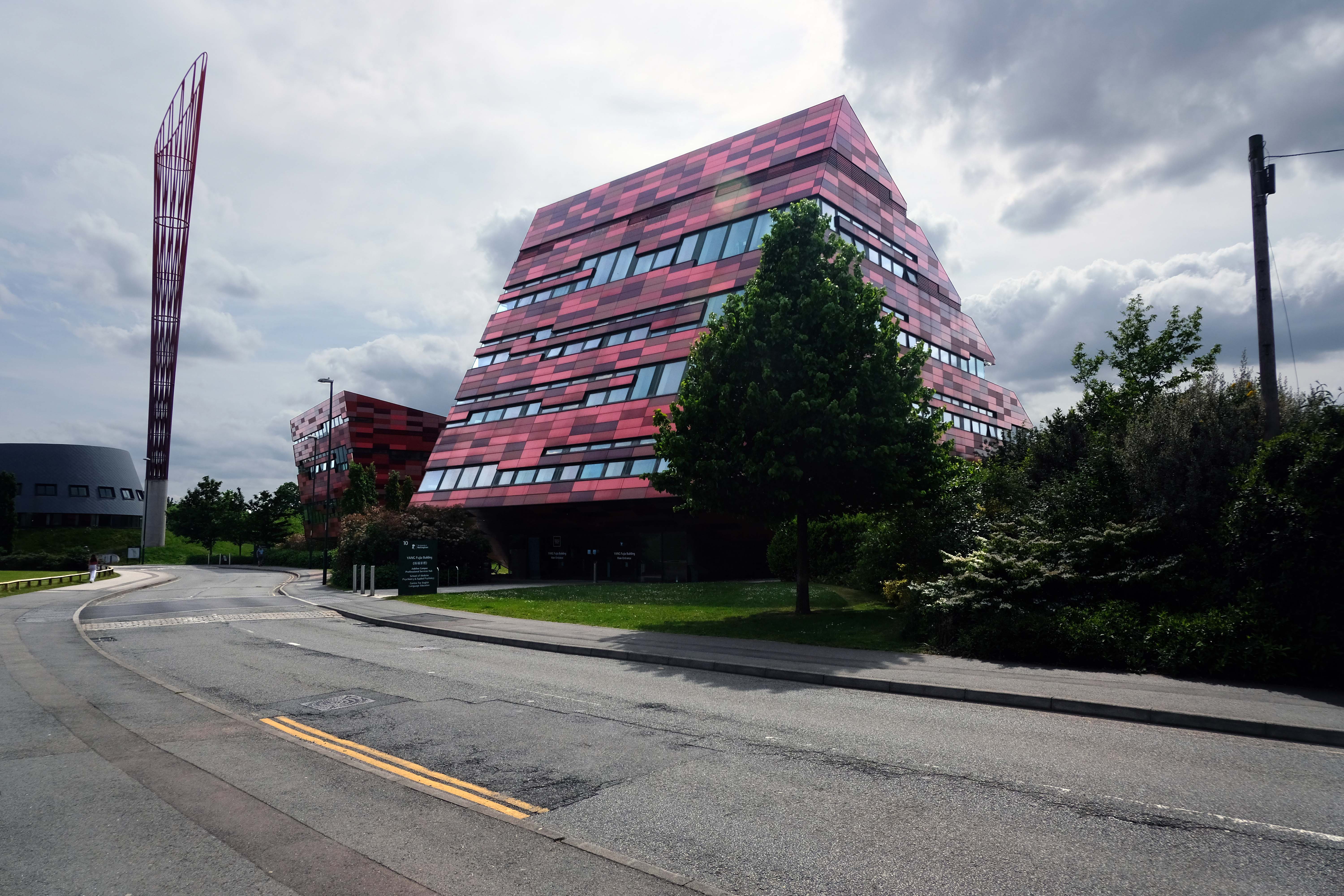
Xu Yafen Building and Yang Fujia Building by MAKE 2008
Aspire is a 60-metre tall, red and orange steel sculpture by Ken Shuttleworth of MAKE, and was, until overtaken by Anish Kapoor’s Orbit, the tallest free standing public work of art in the United Kingdom. It is taller than Nelson’s Column, the Angel of the North, and the Statue of Liberty
The name Aspire was chosen after a competition to name the sculpture, which was open to staff and students at the university.
A showcase £6.5m research centre, which brings together world-class experts in energy research, has chosen ALUCOBOND® A2 from 3A Composites GmbH, finished in Sakura 917 from its spectra colour series for its cladding.
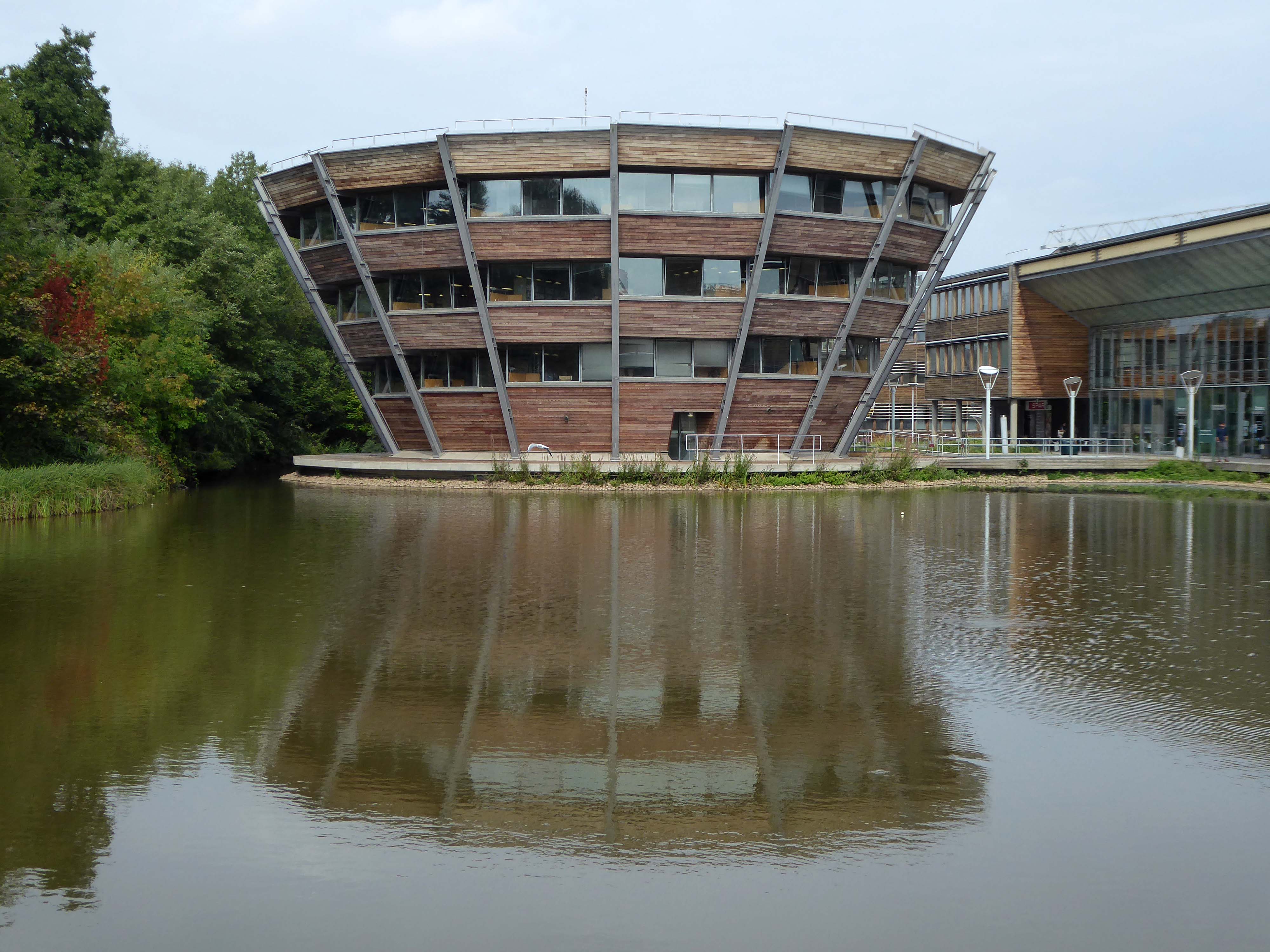
The Sir Harry and Lady Djanogly LRC architect Sir Michael Hopkins 1999
A single floor spirals up through the building in the manner of FL Wright’s Guggenheim Museum
The library was named after the philanthropists Sir Harry and Lady Djanogly who gave a significant contribution towards the cost of its construction. Sir Harry Djanogly is the father of Jonathan Djanogly, who became MP for Huntingdon in 2001.
Wikipedia
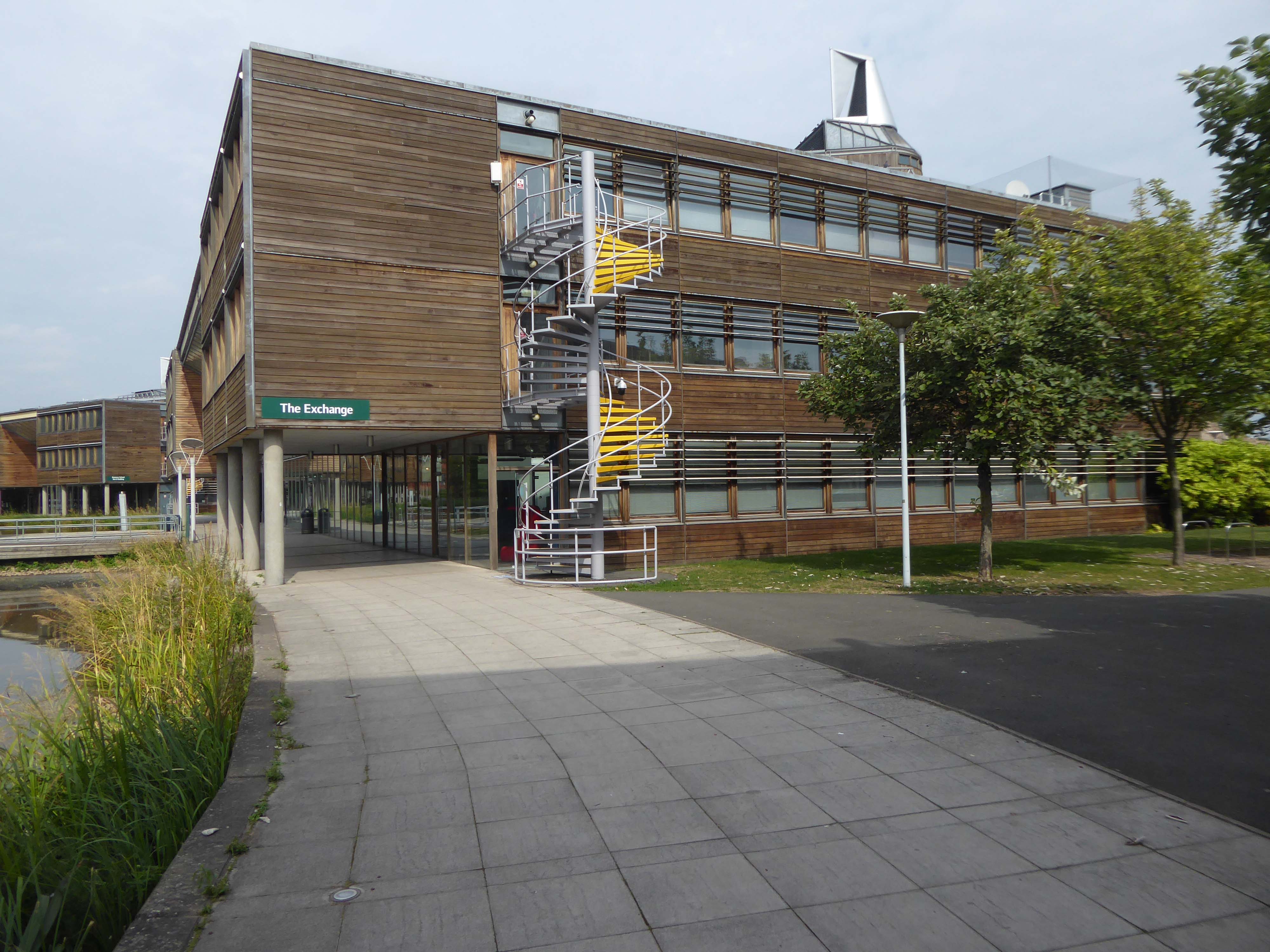
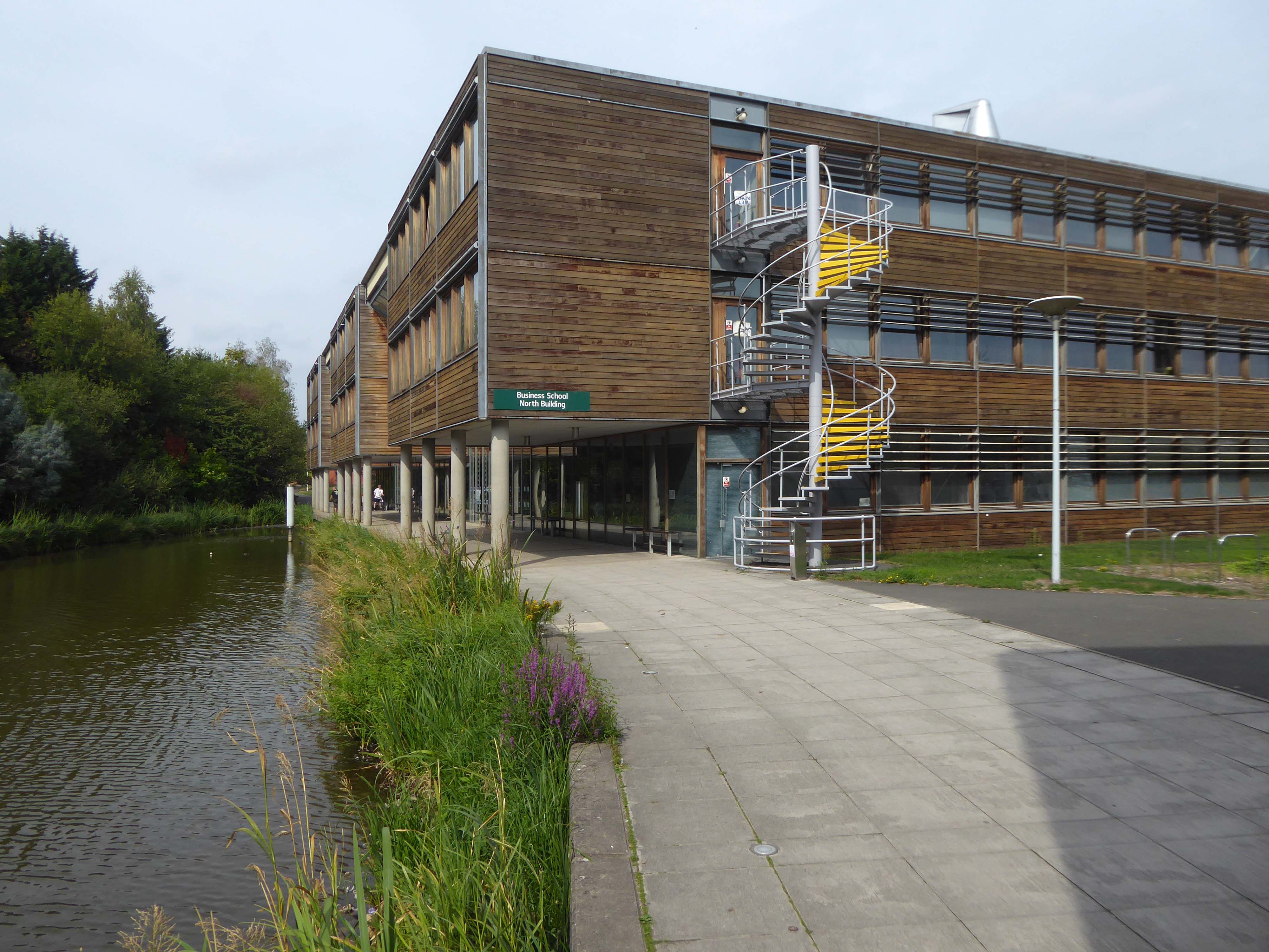
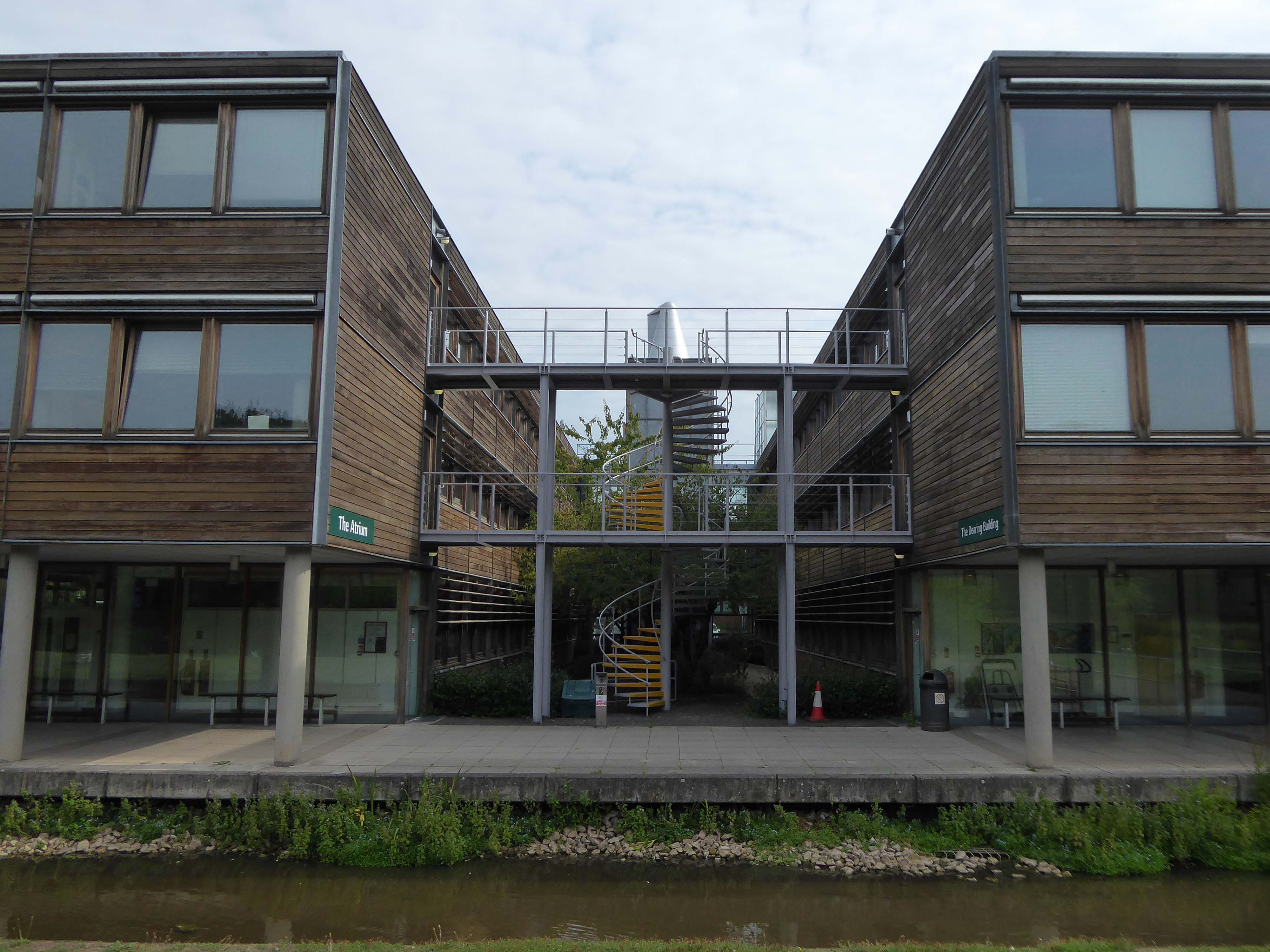
Business School North 2003
The Atrium
John Player & Sons Bonded Warehouse by William Cowlin and Son 1938-39
Mouchel’s involvement with the iron industry, and his ties with France, brought him into close proximity with the French engineer François Hennebique (1842-1921), who had been a contractor in Brussels. A self-educated builder, Hennebique had patented an idea of strengthening concrete using iron and steel bars – a forerunner to the widespread modern reinforced-concrete method used in construction today.
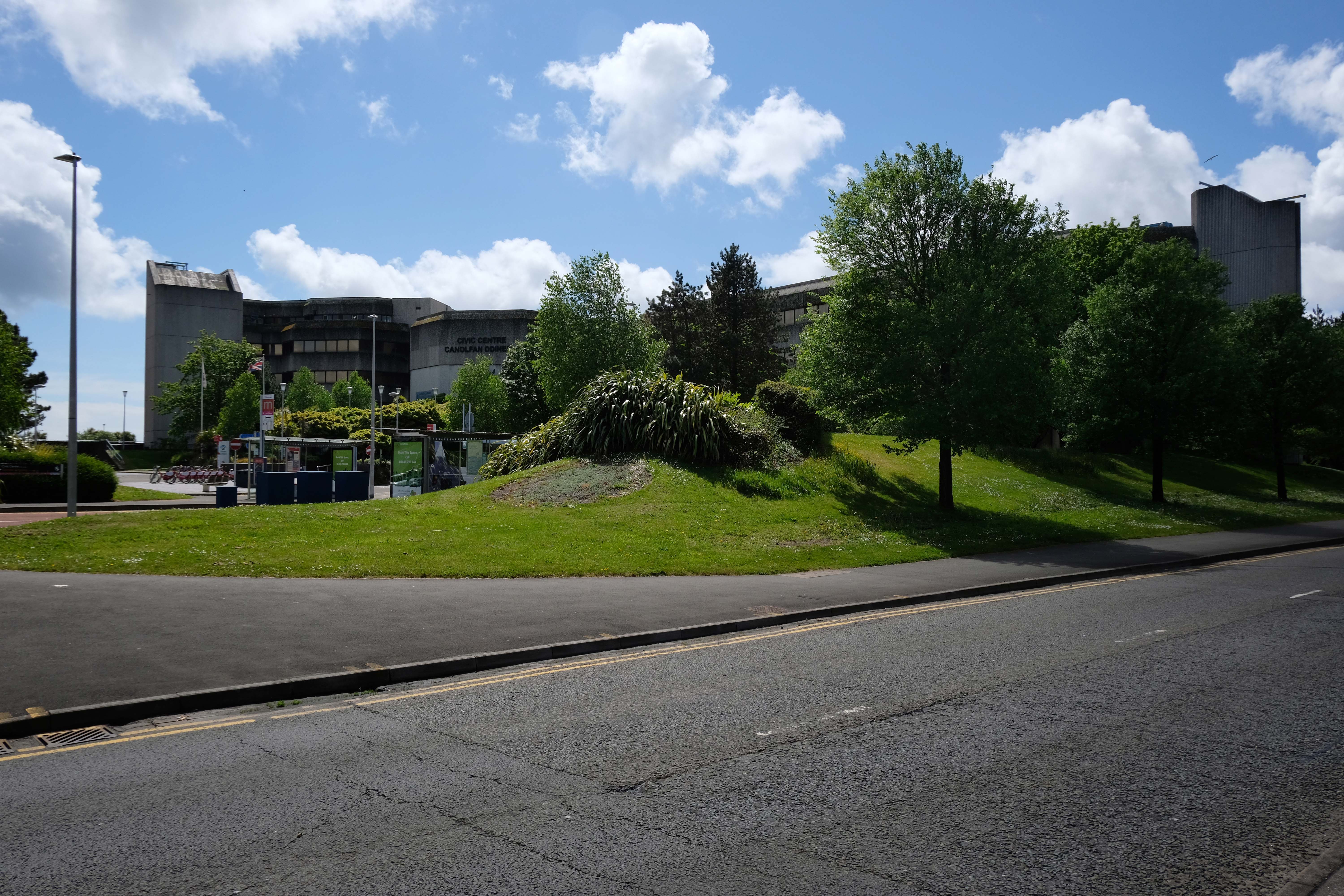
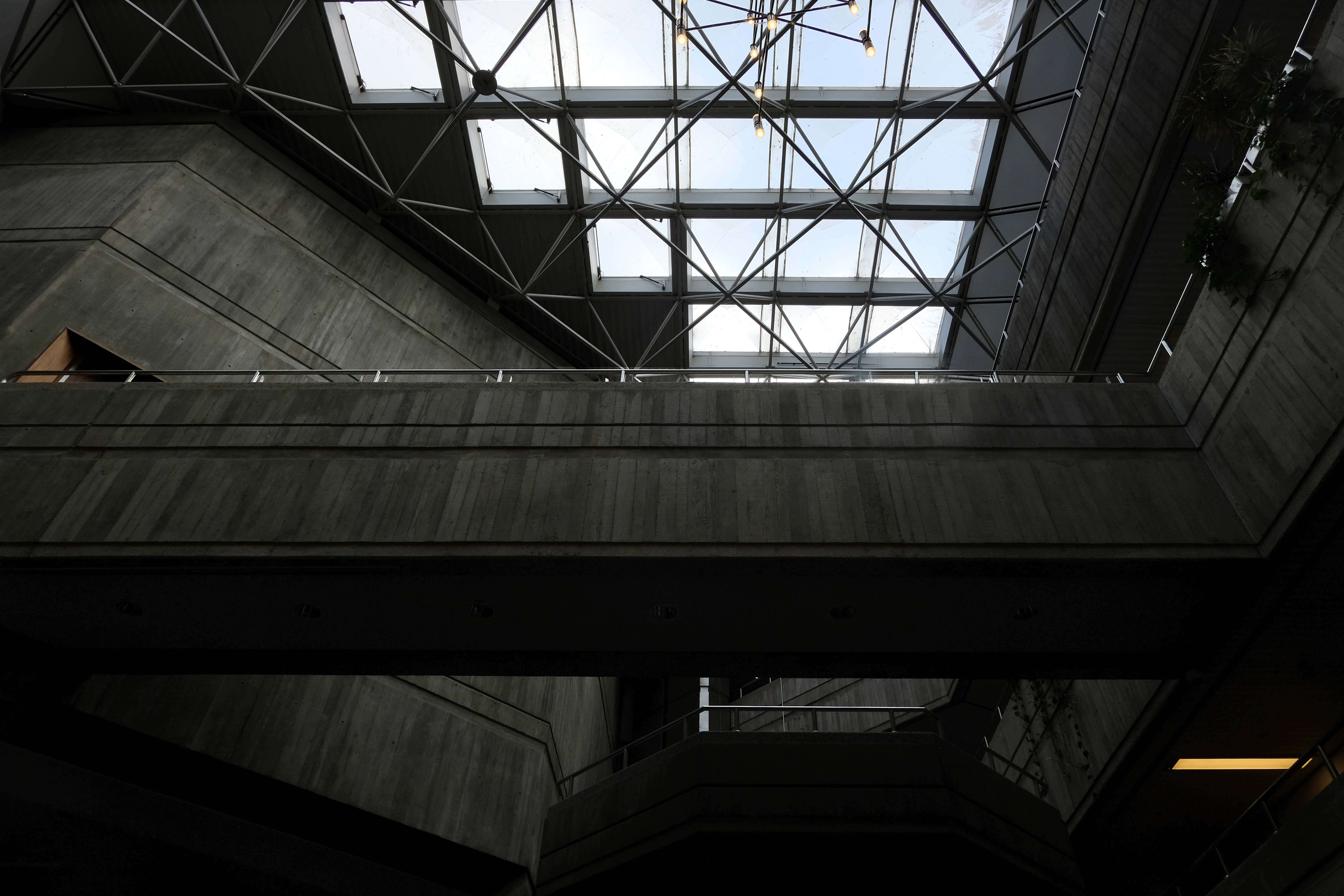
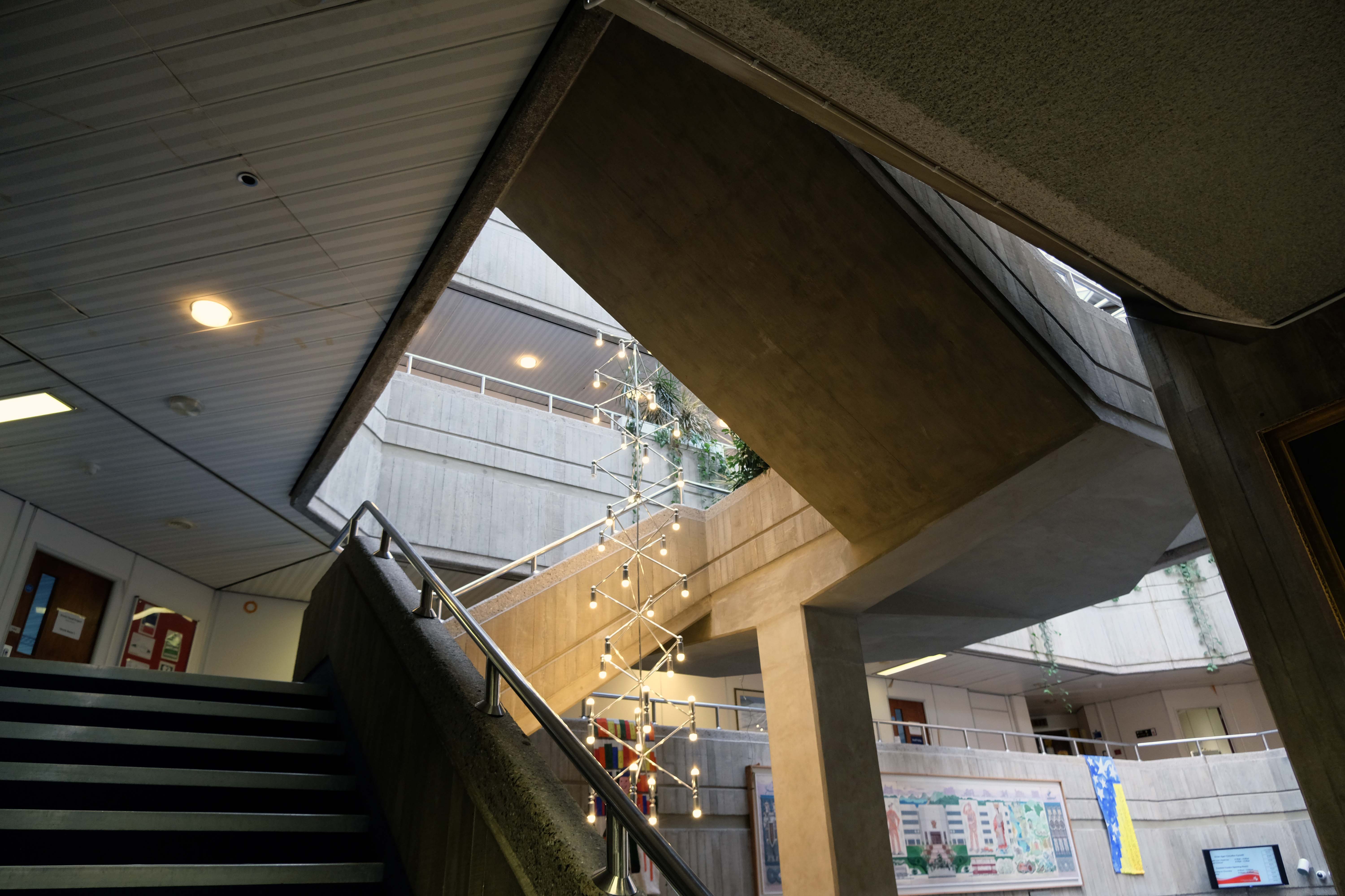
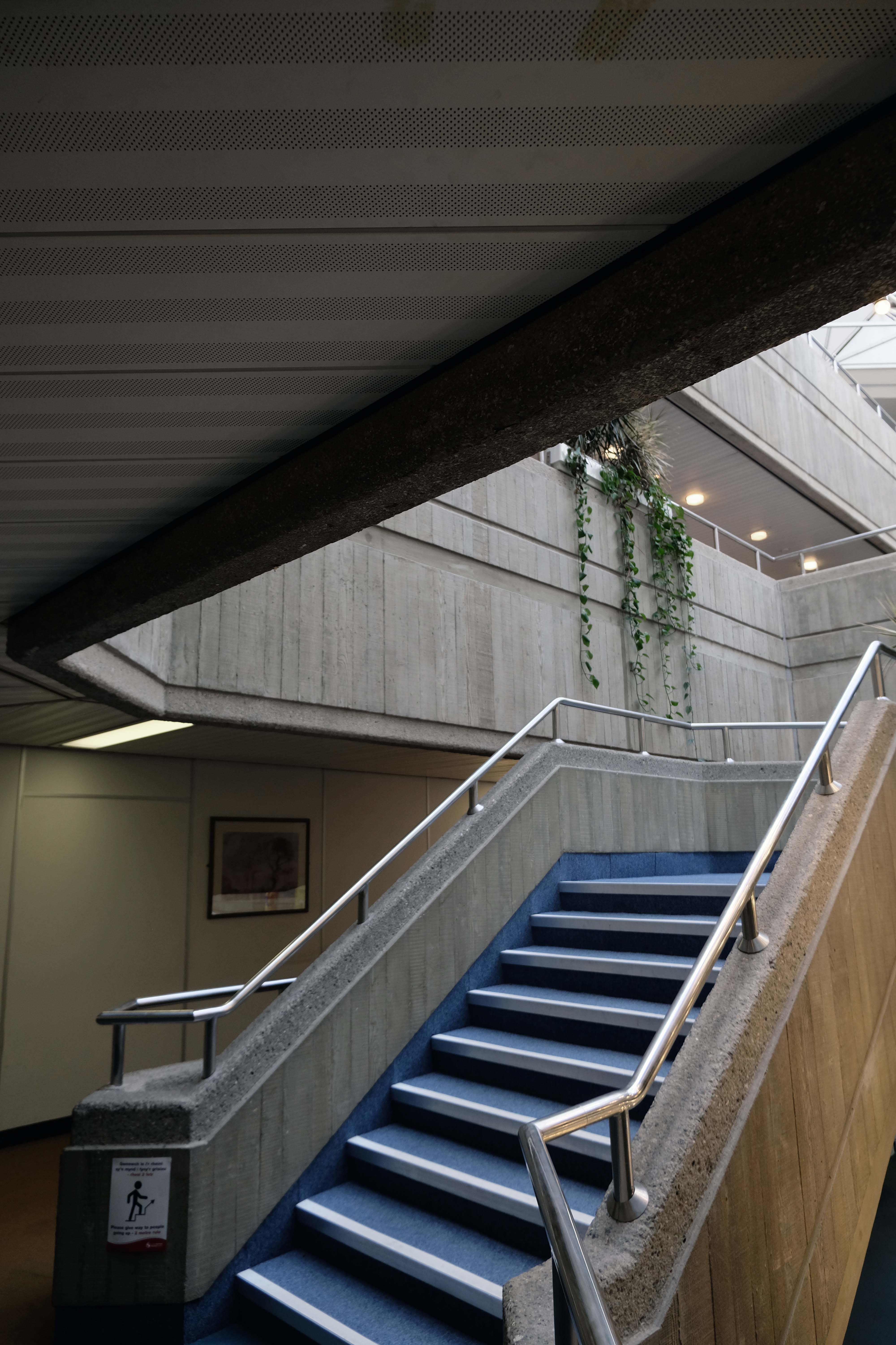
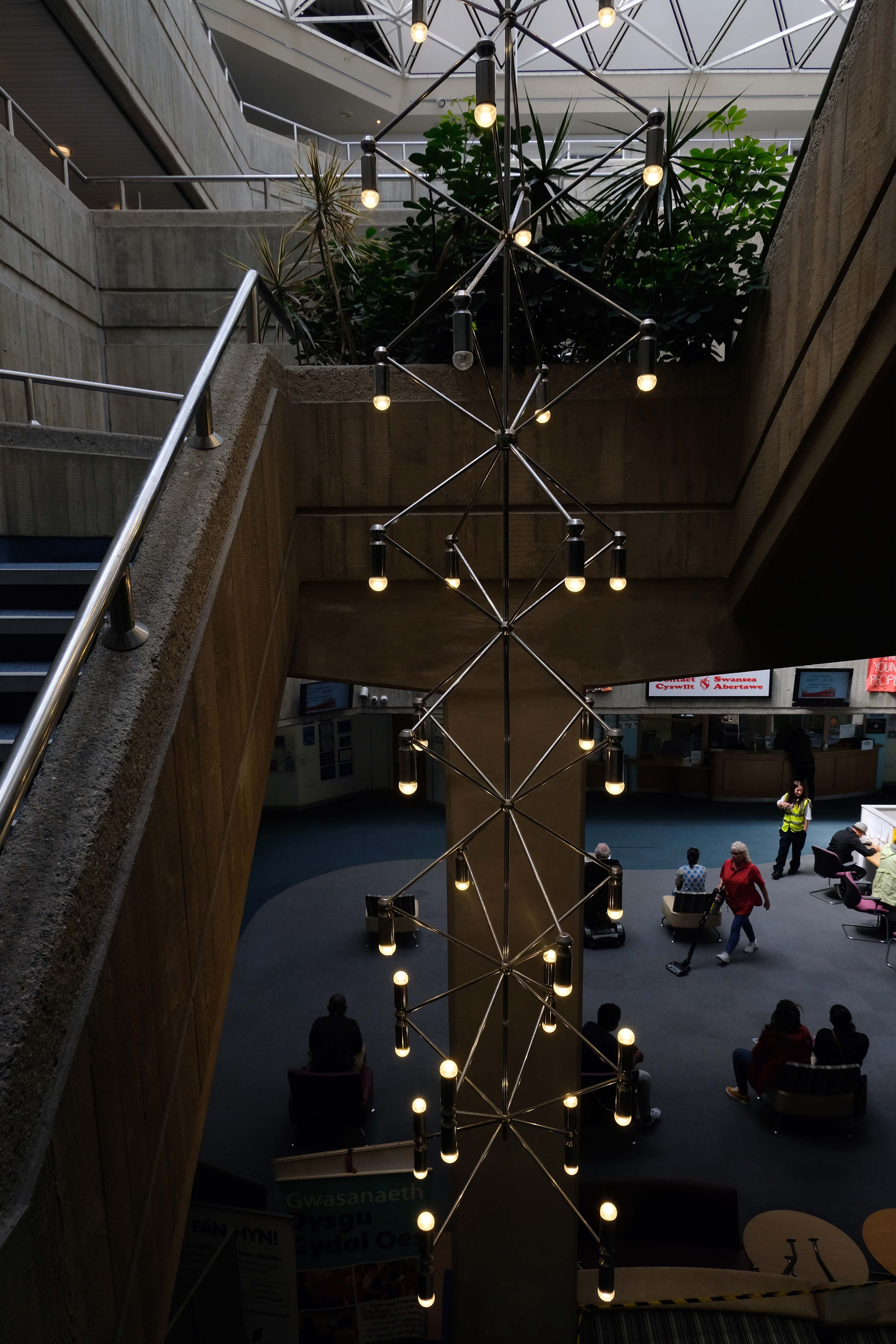
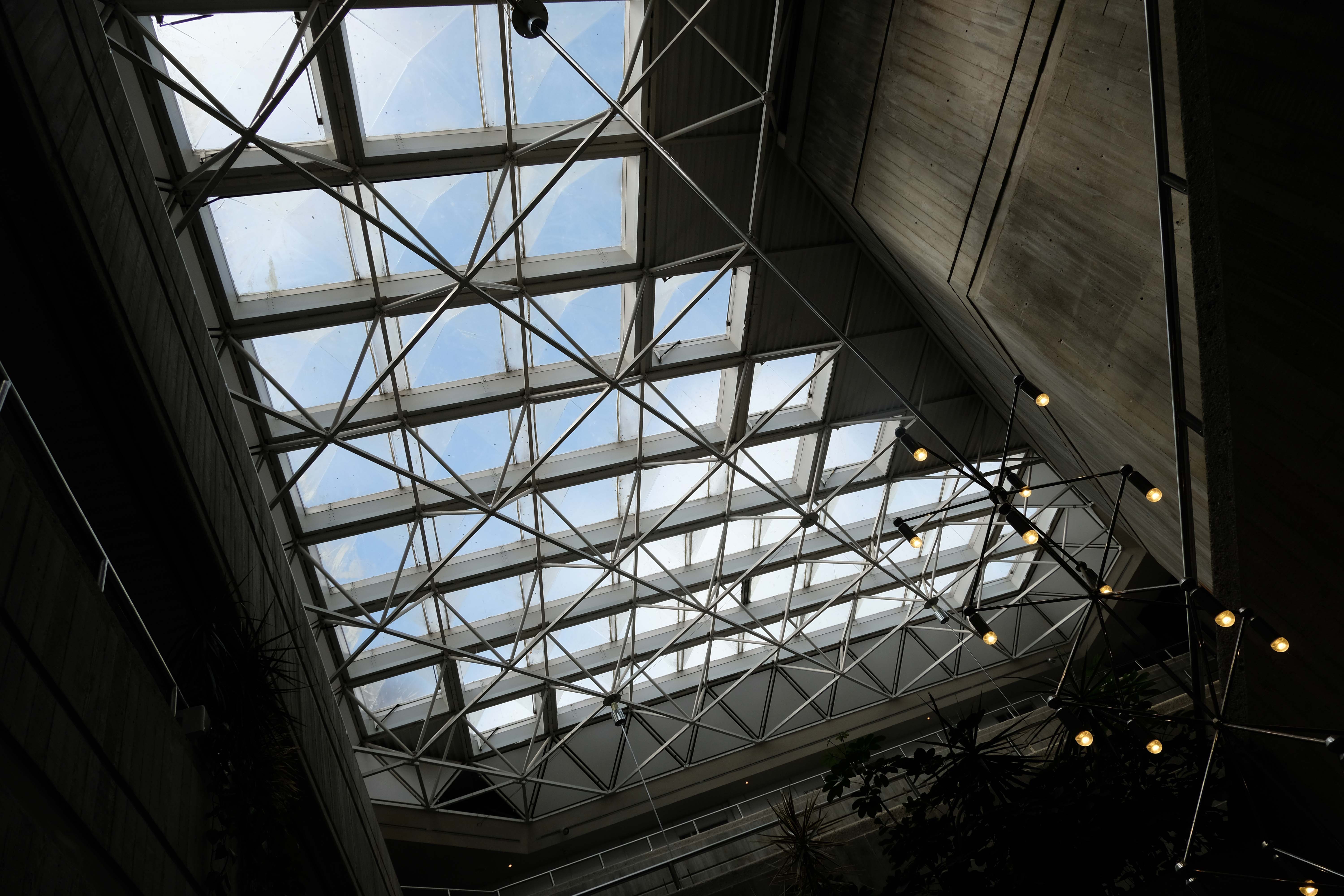
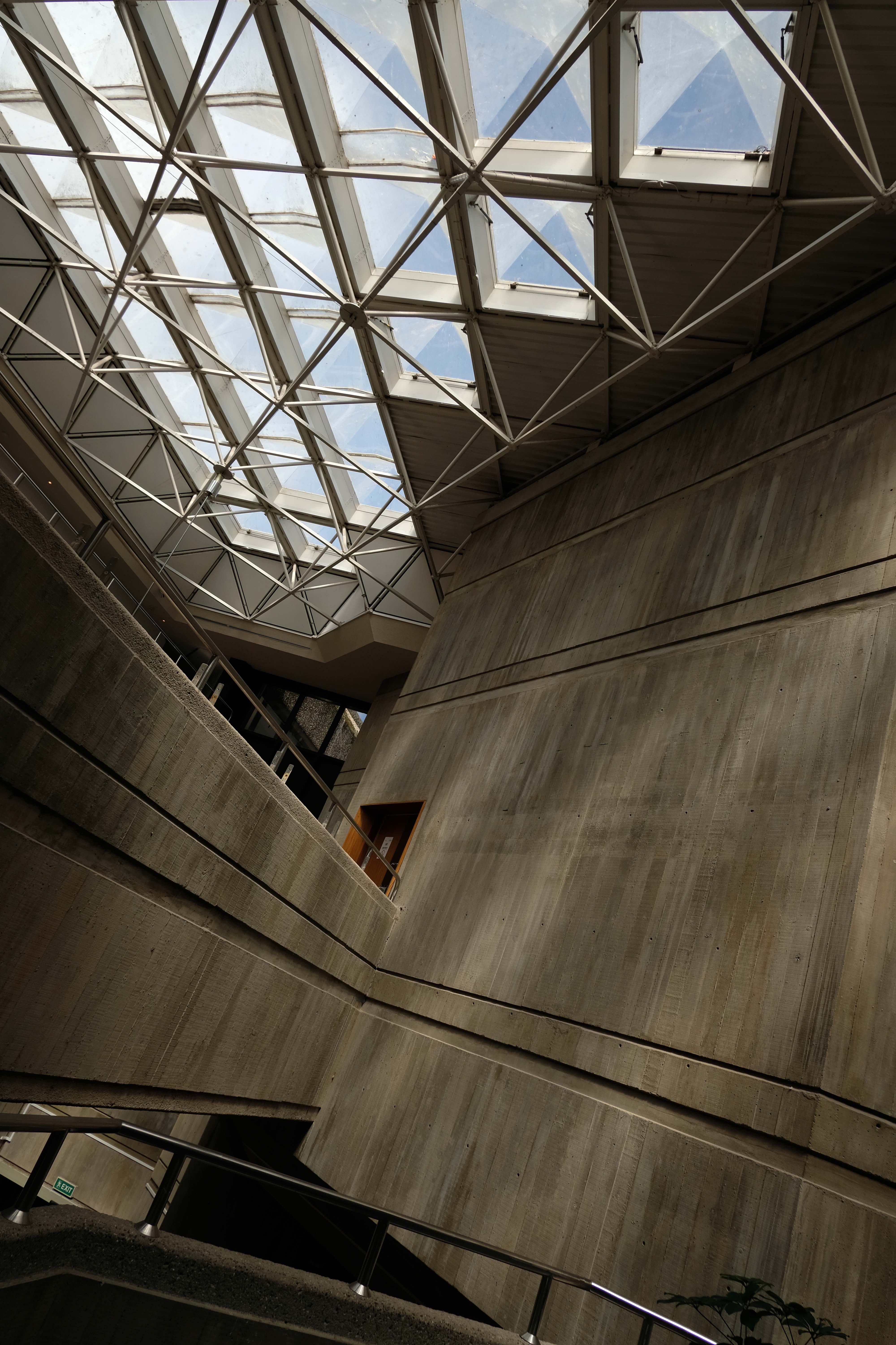
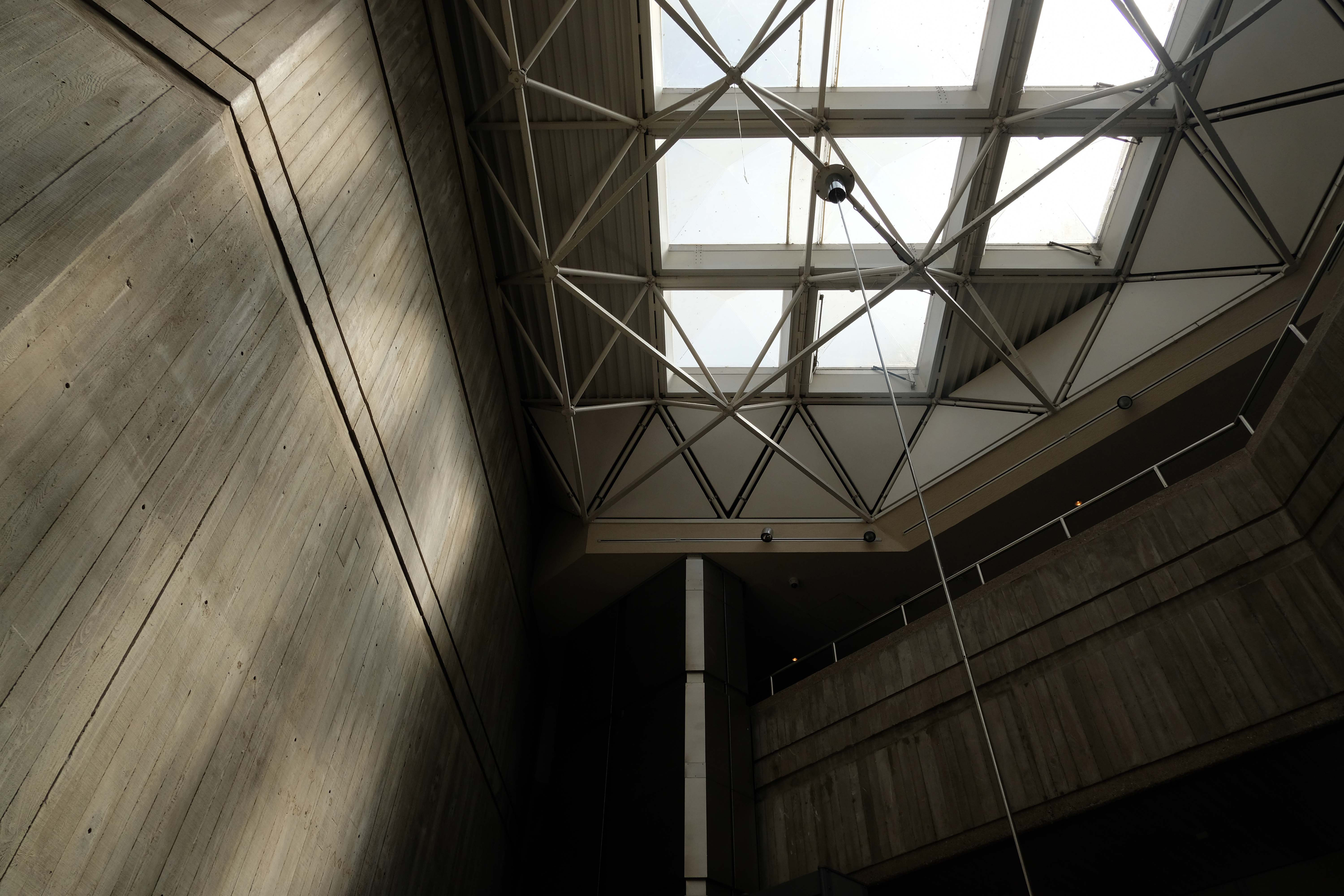
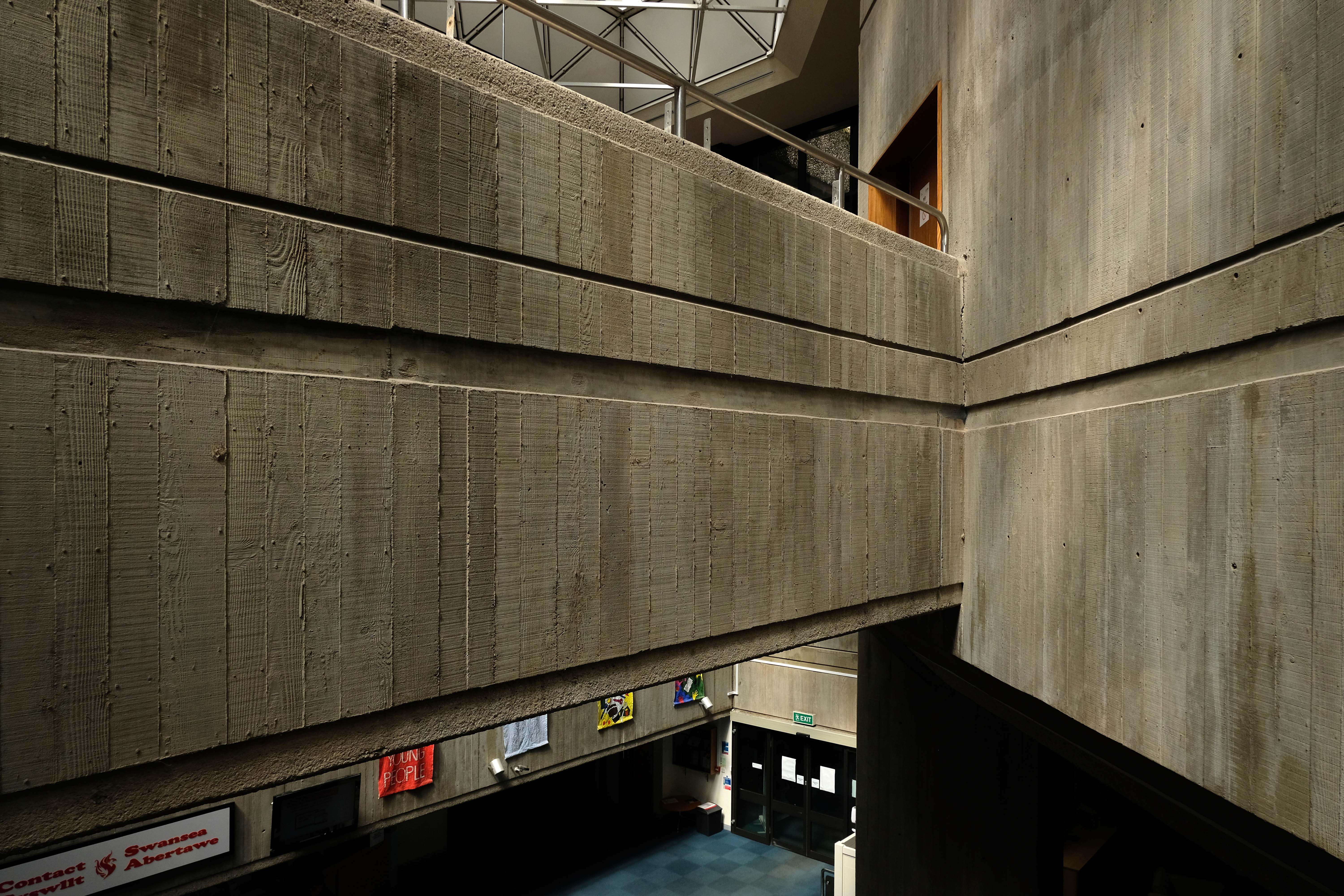
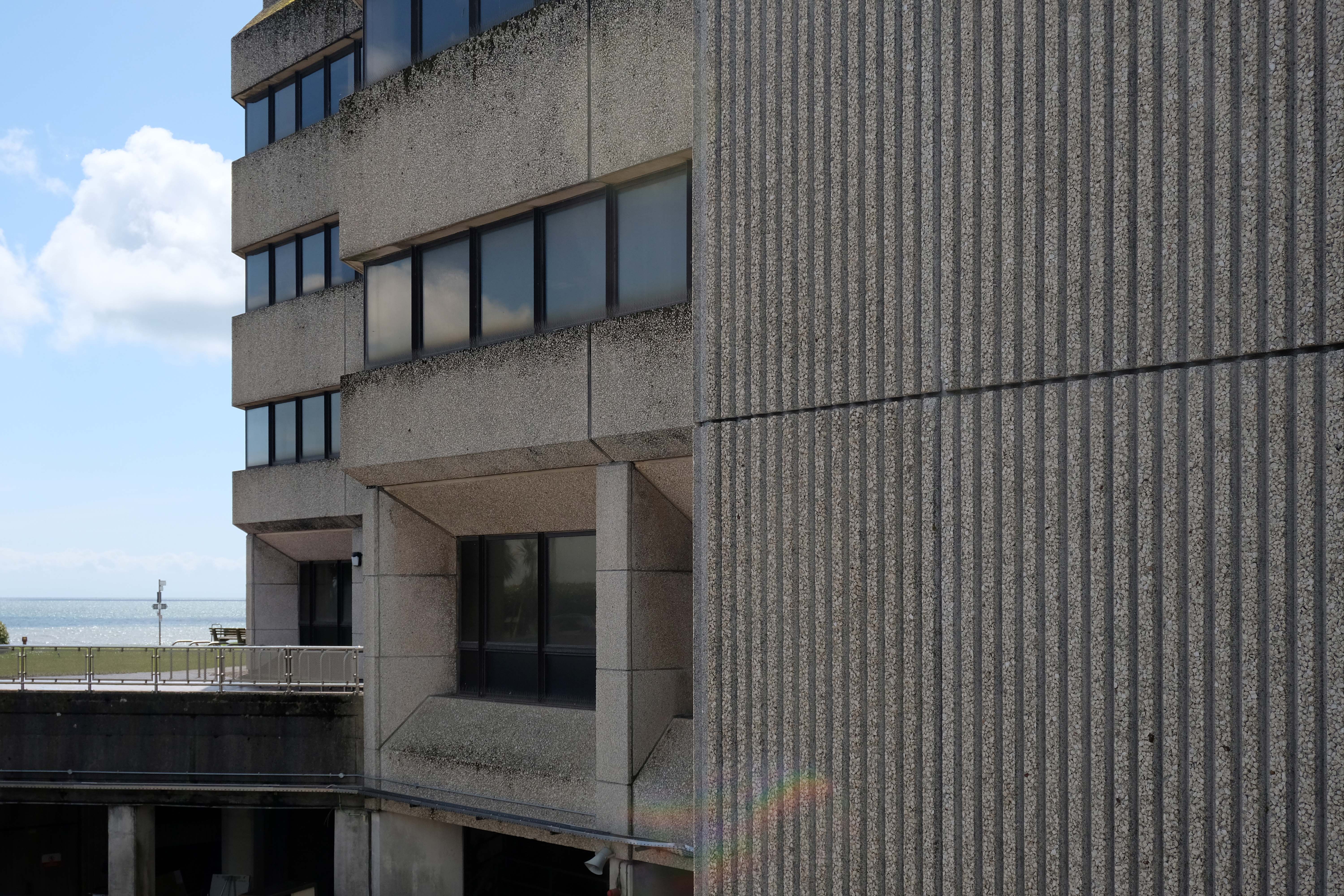
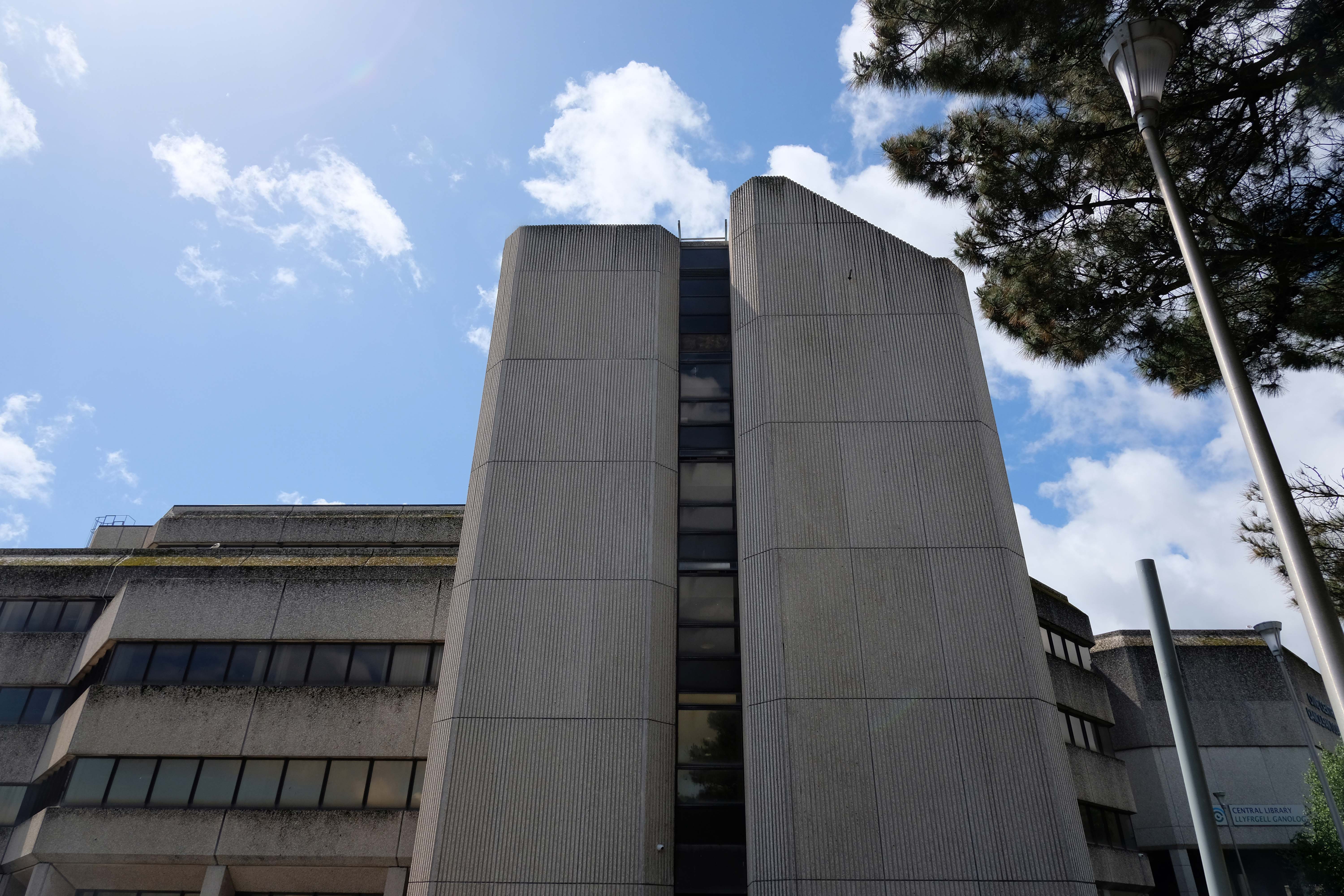
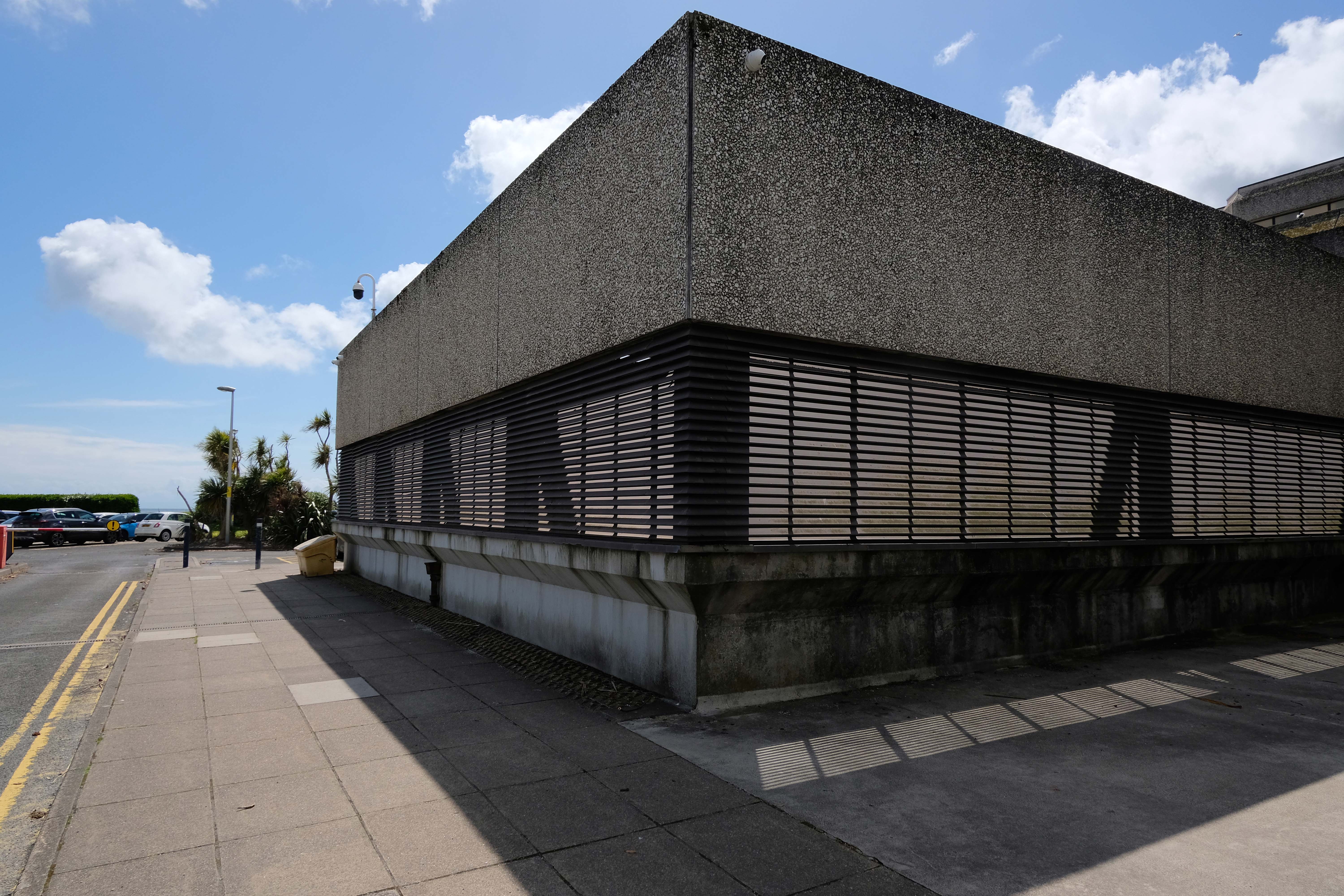
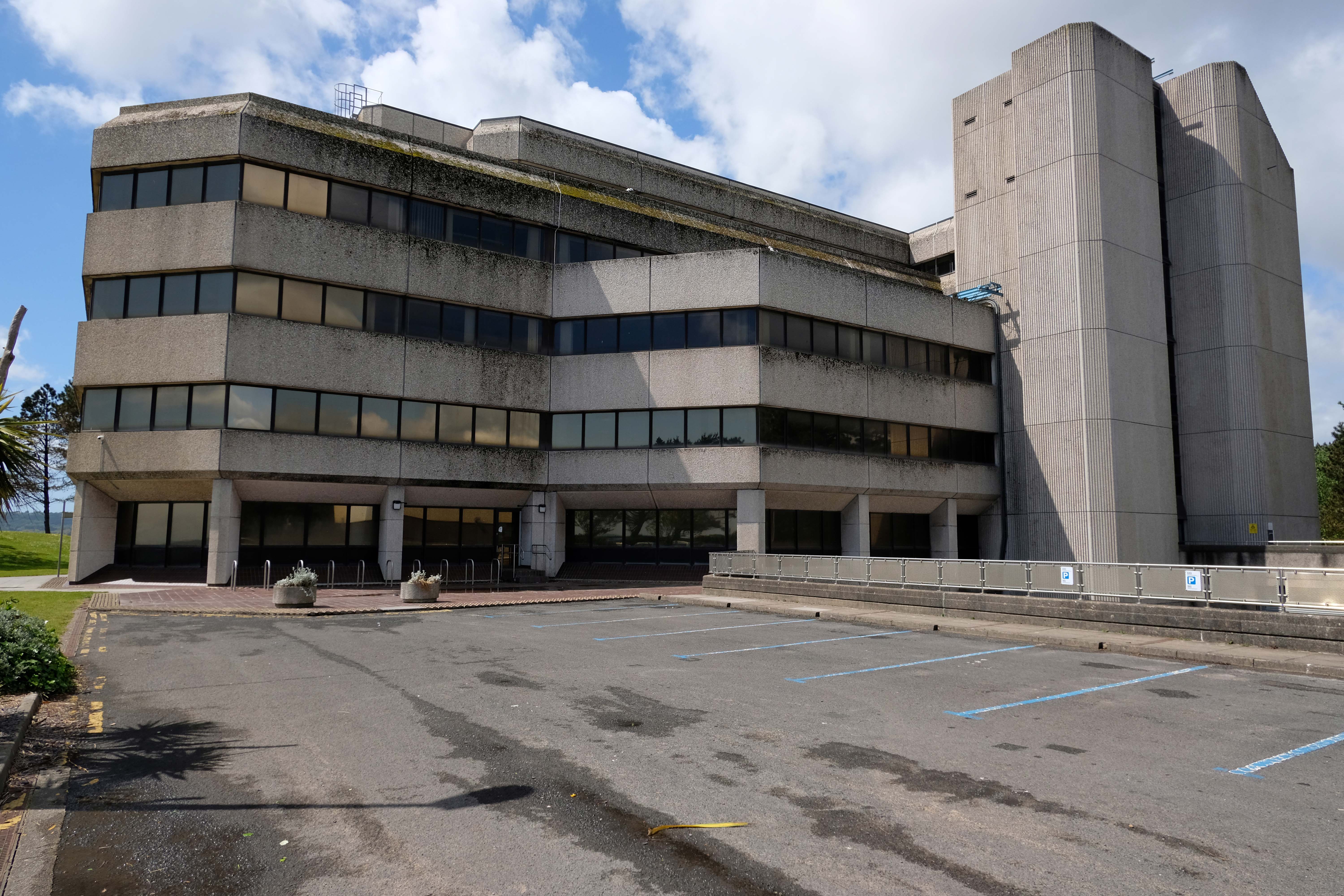
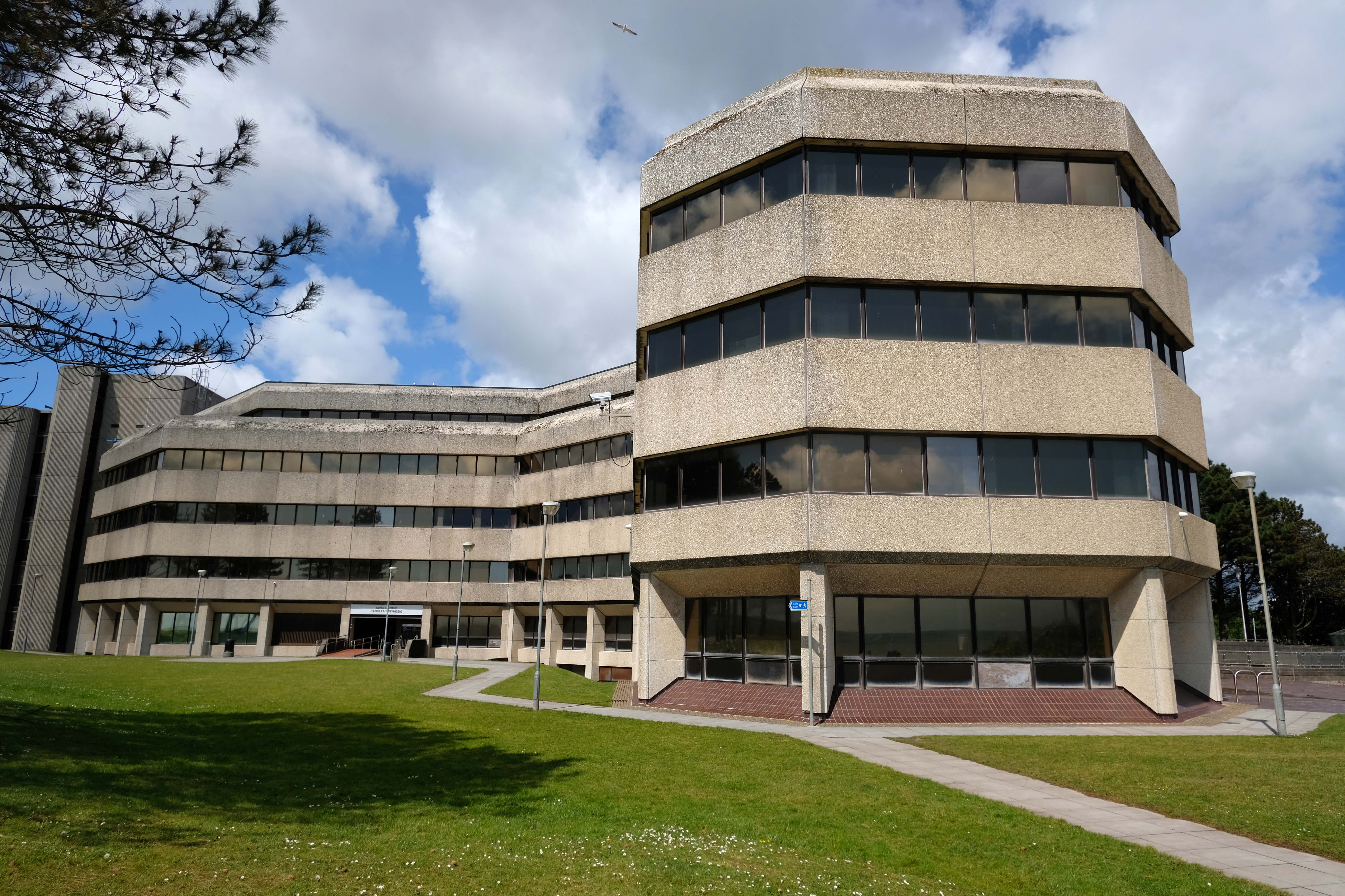
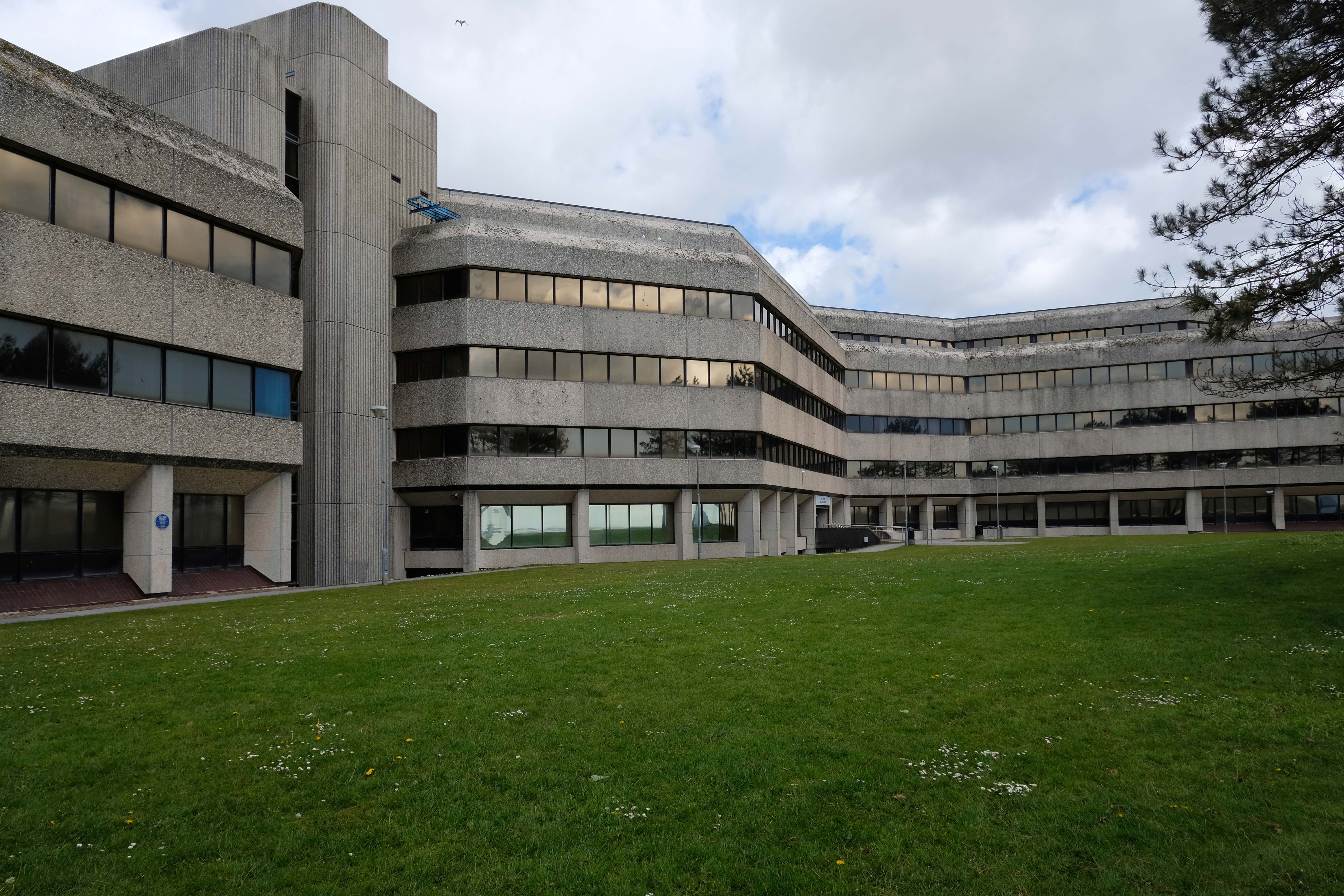
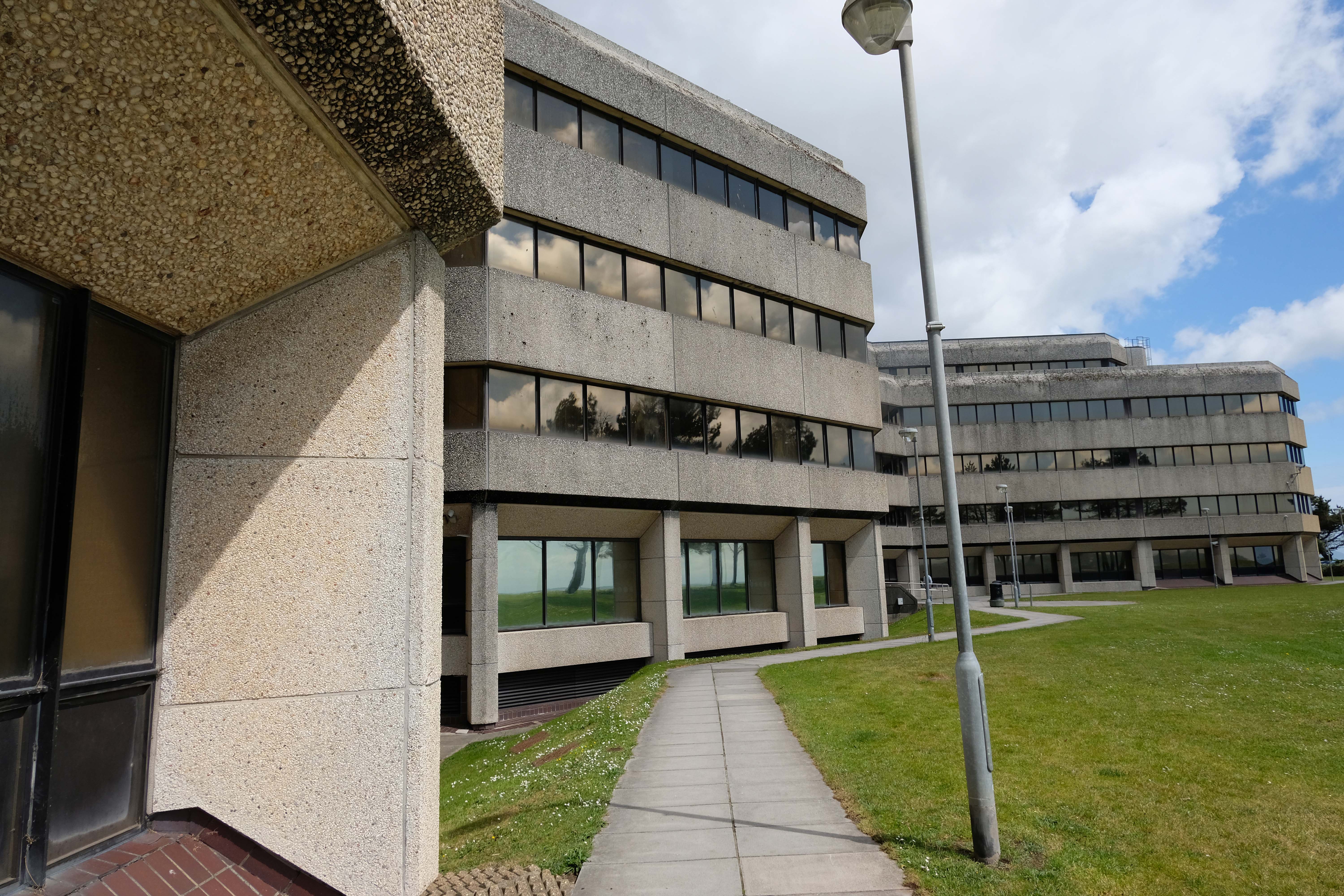
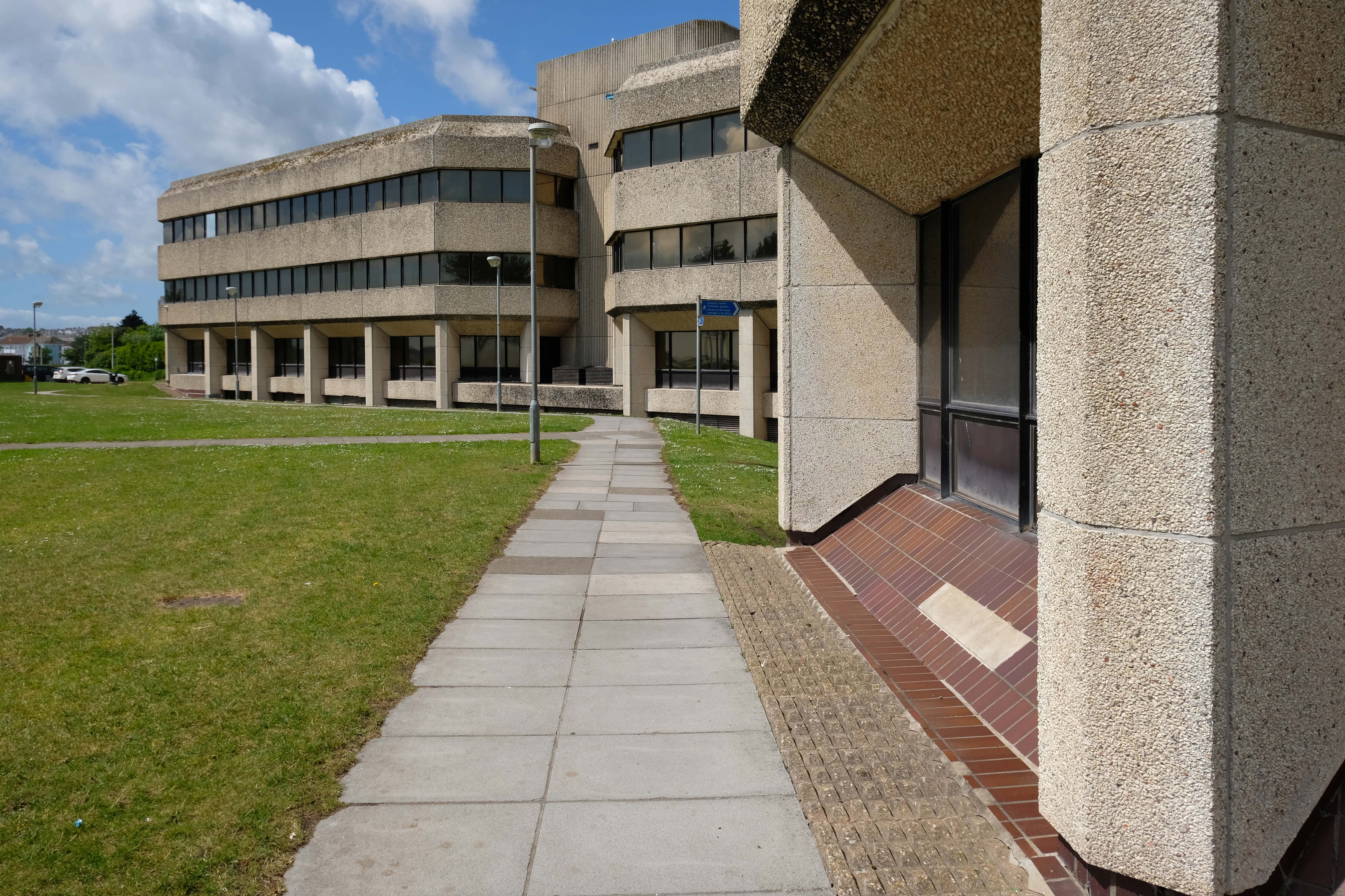
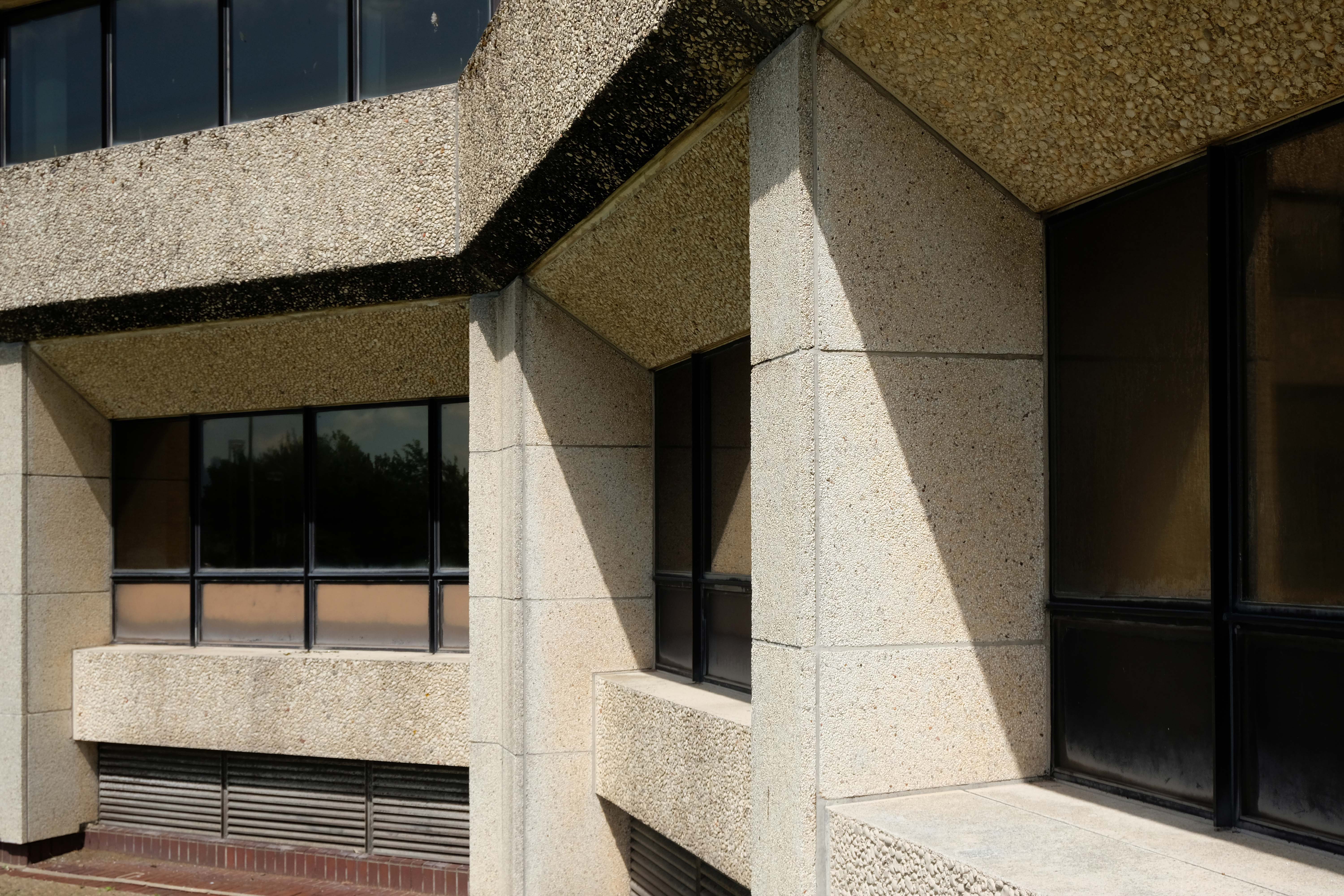
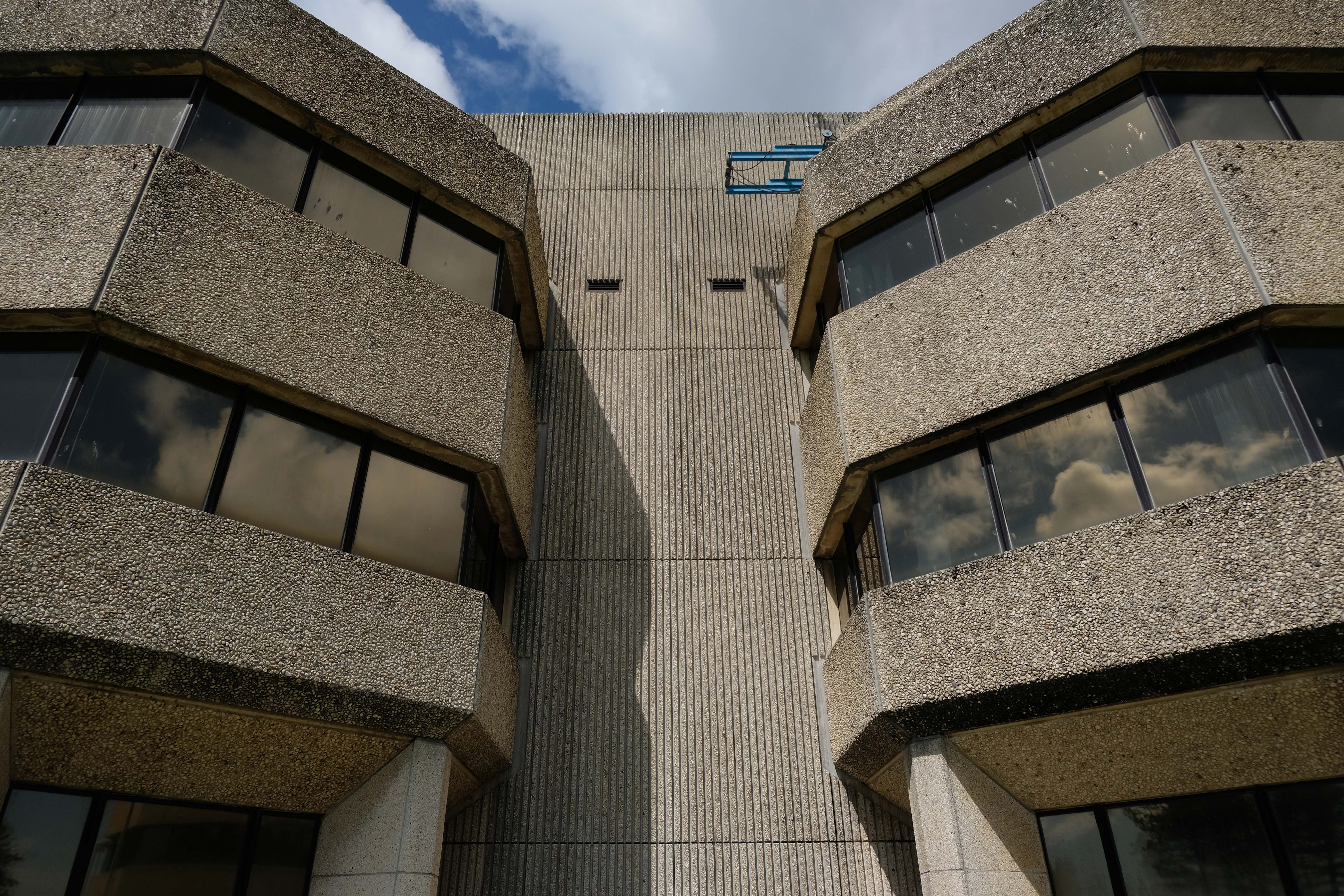
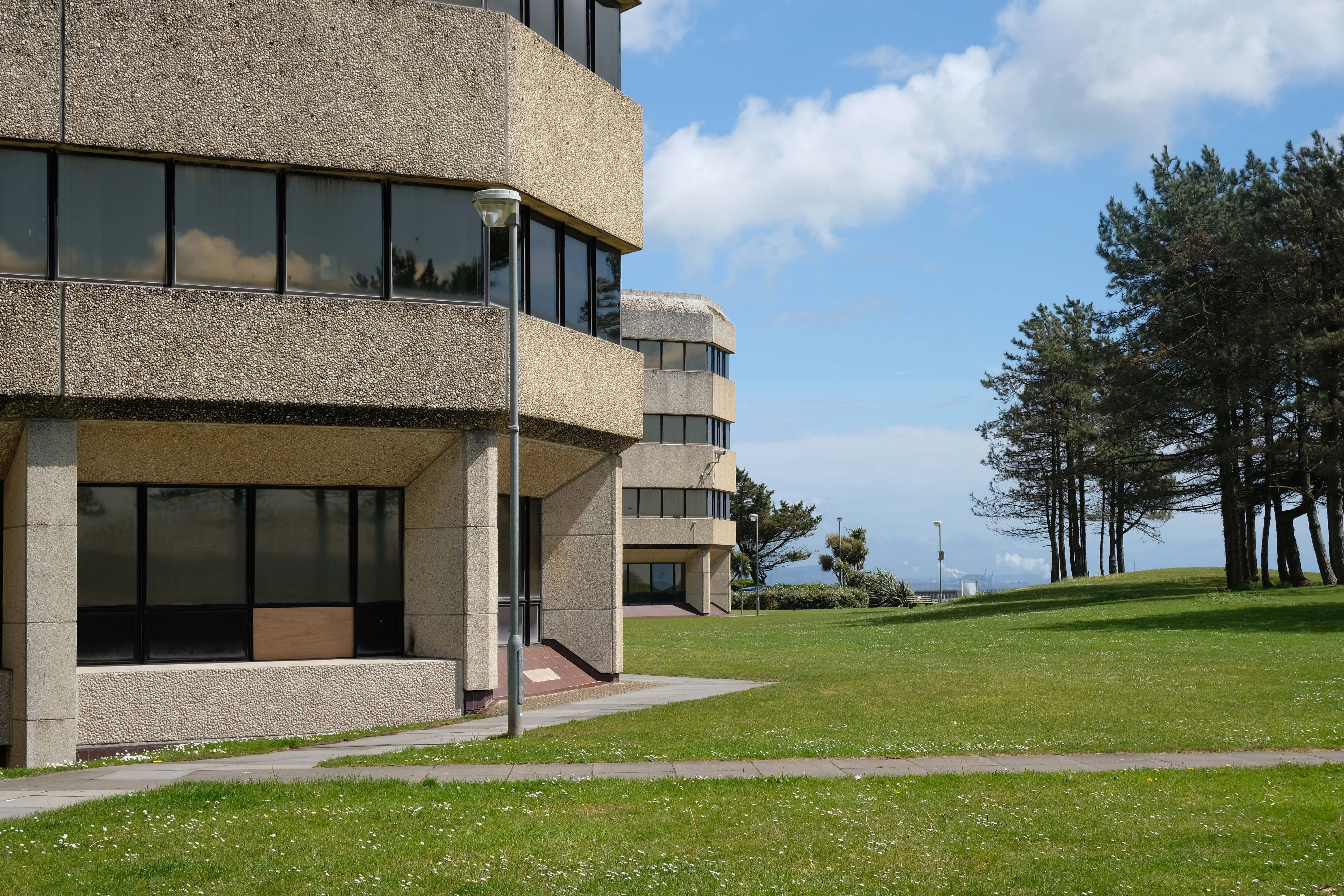
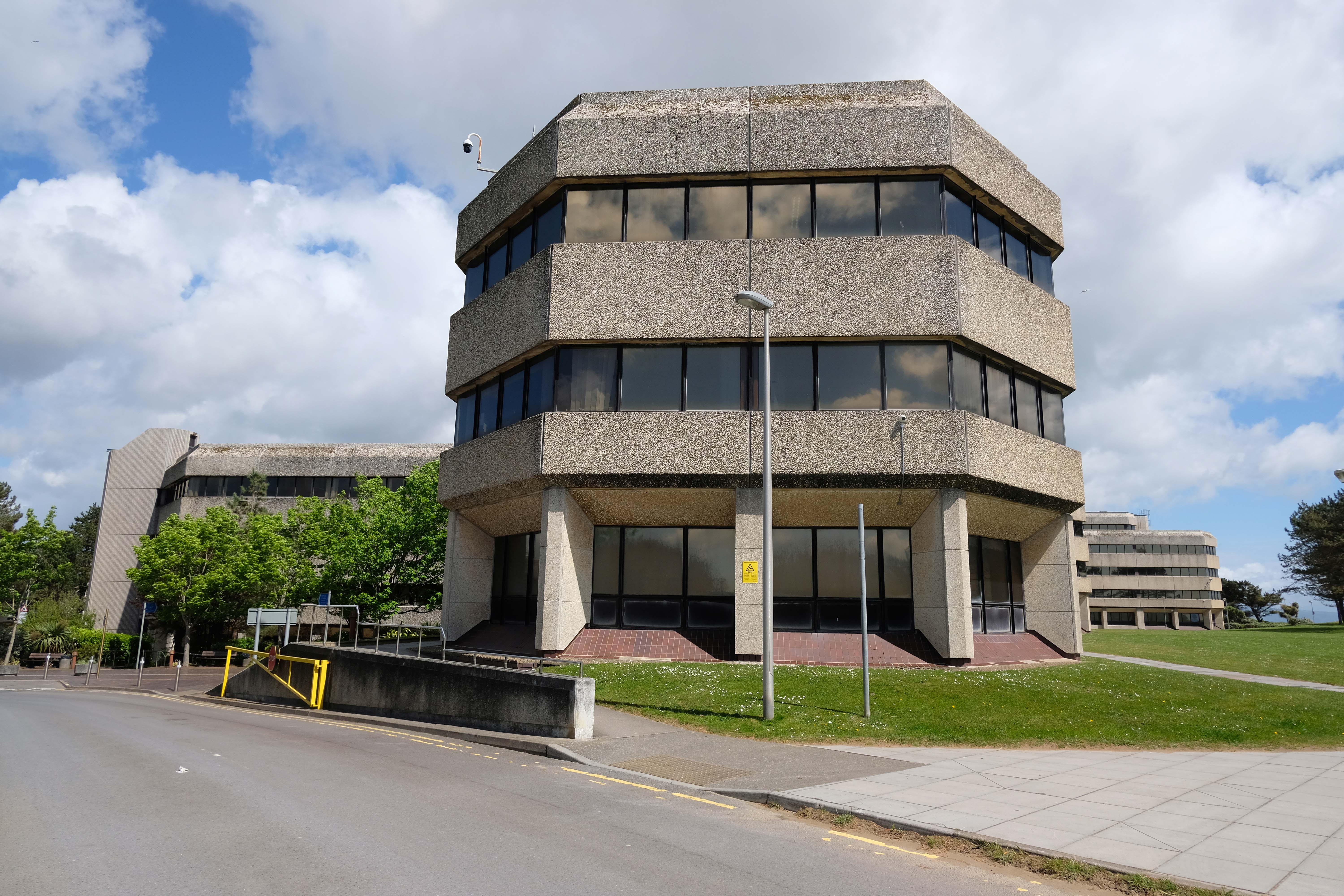
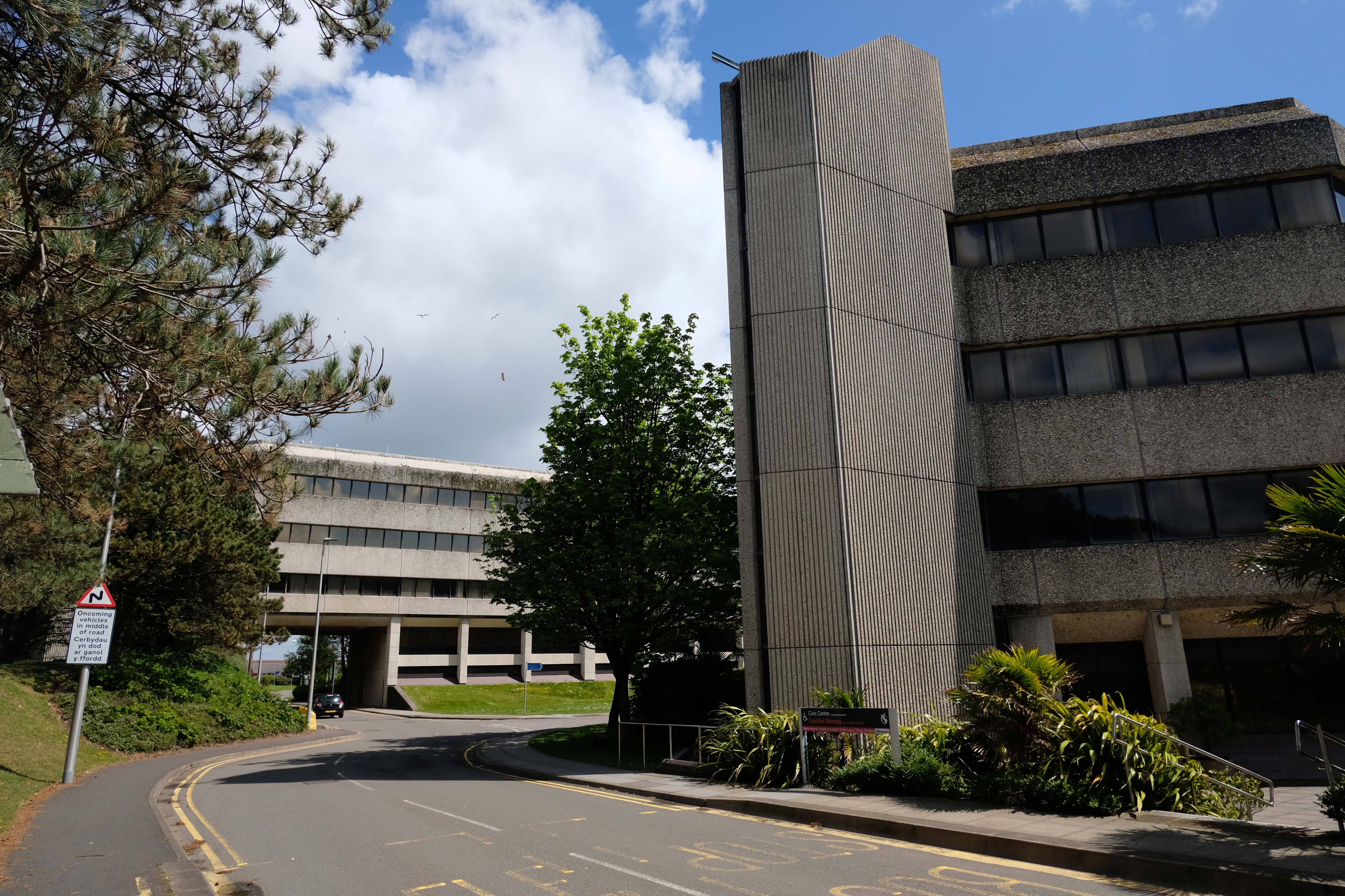
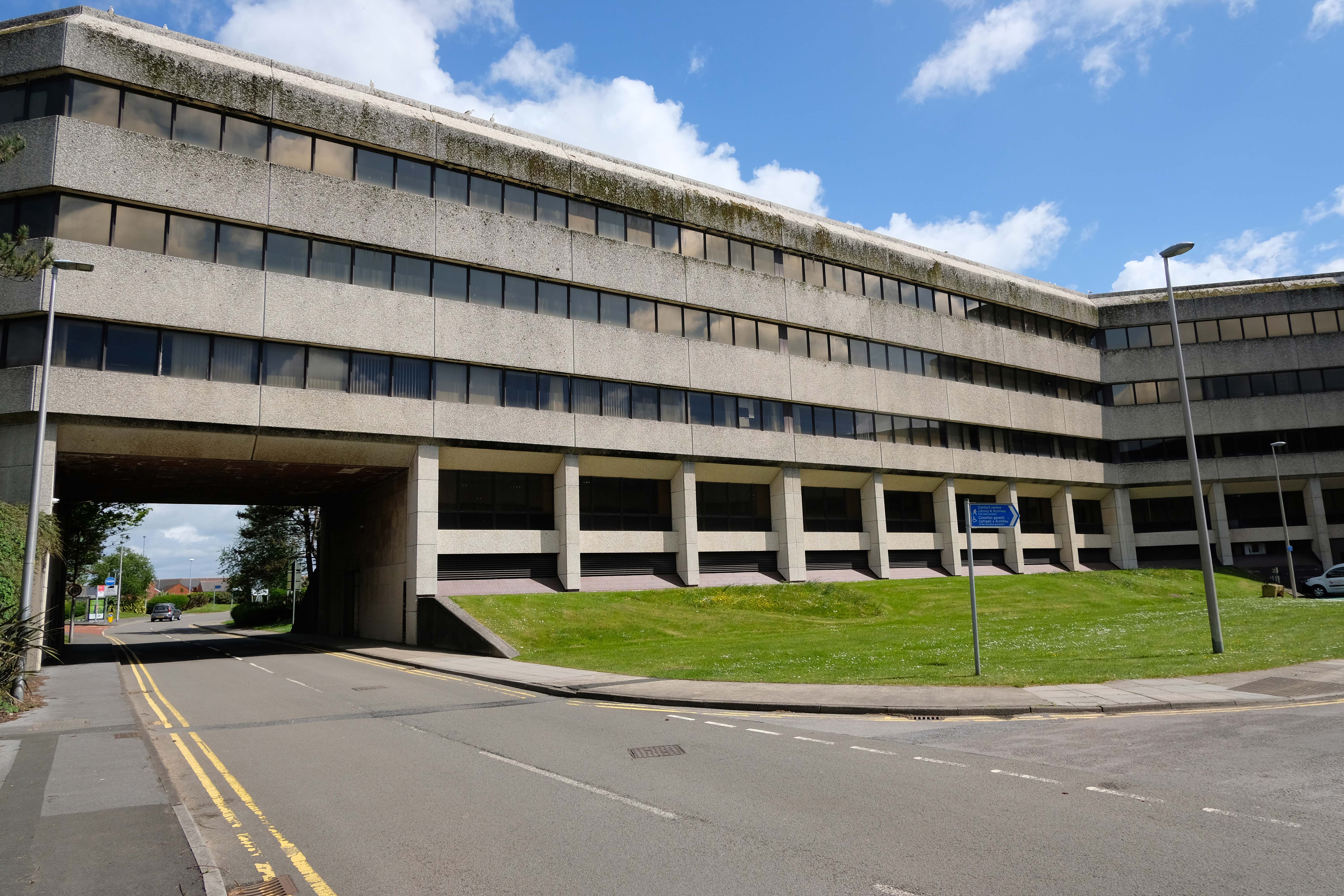
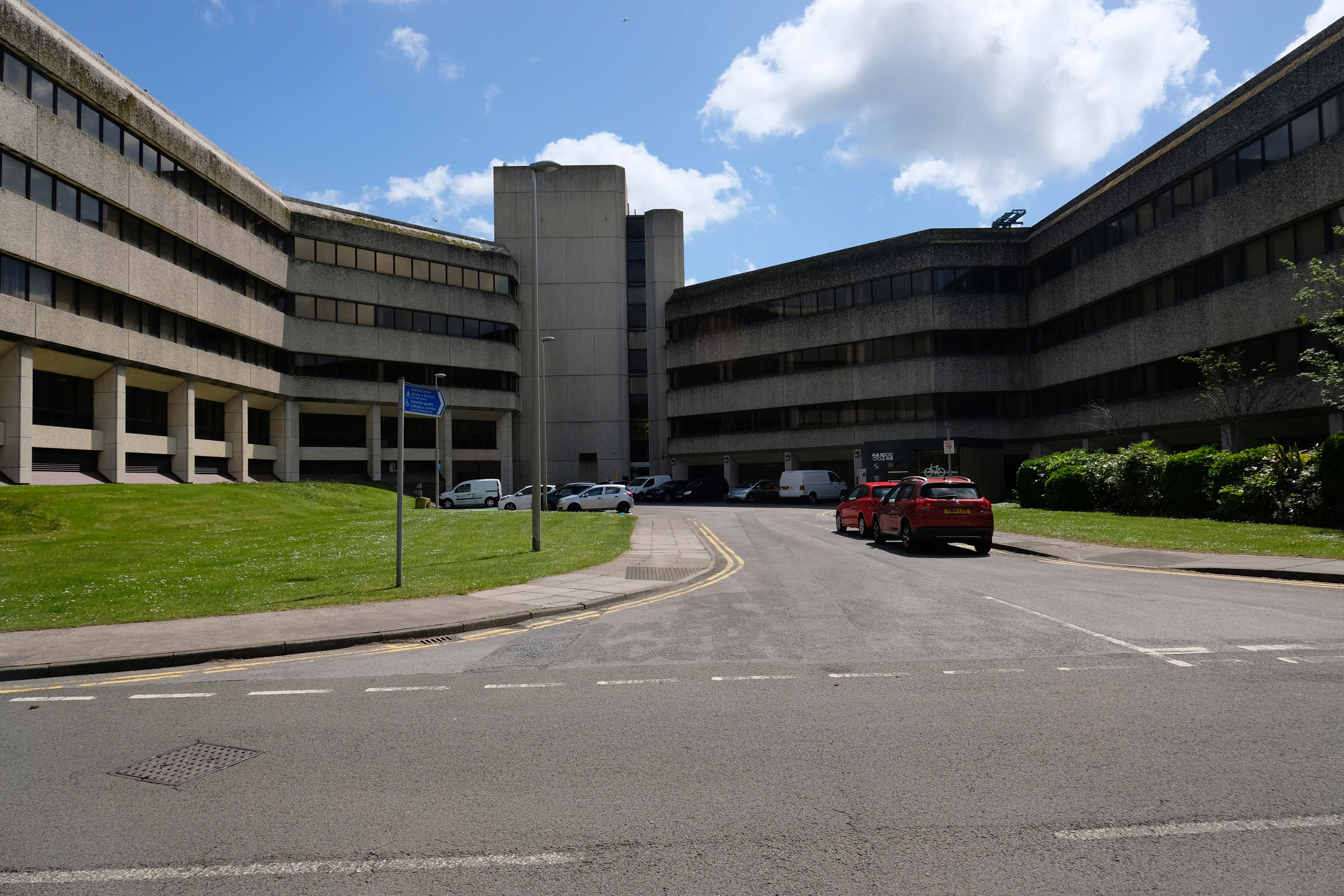
Architects: J Webb as County Architect and CW Quick as the job architectof the West Glamorgan County Architects Department 1982
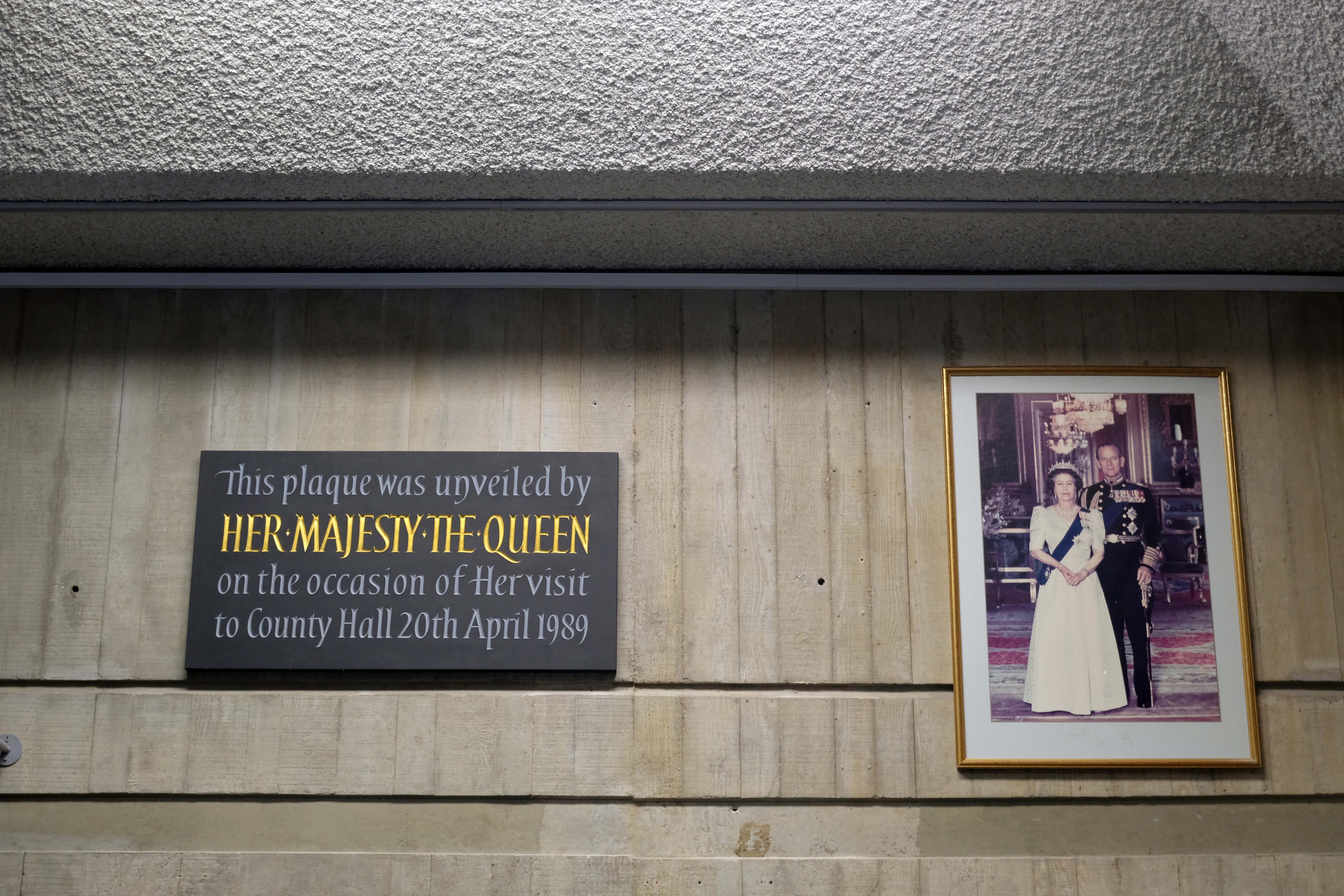
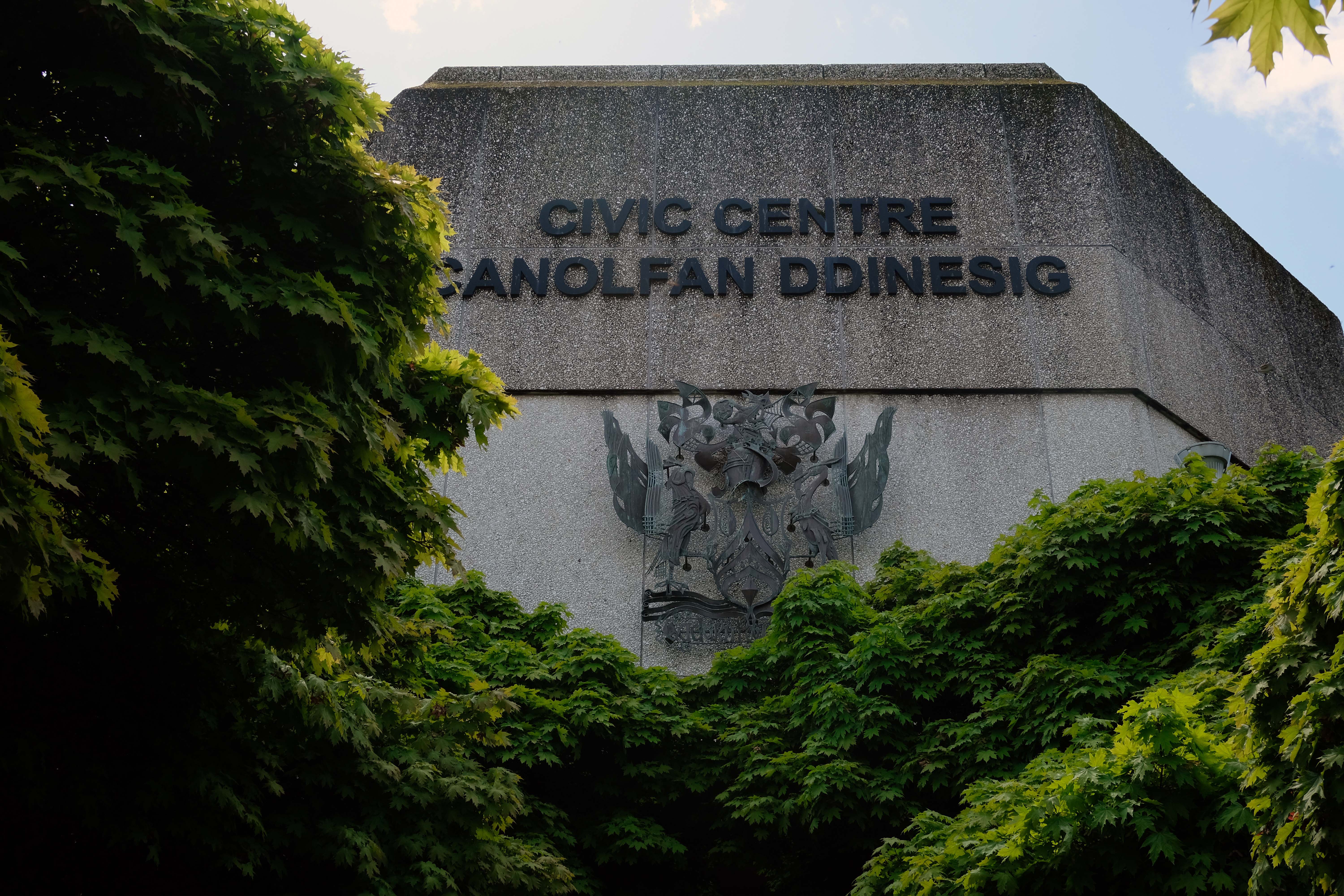
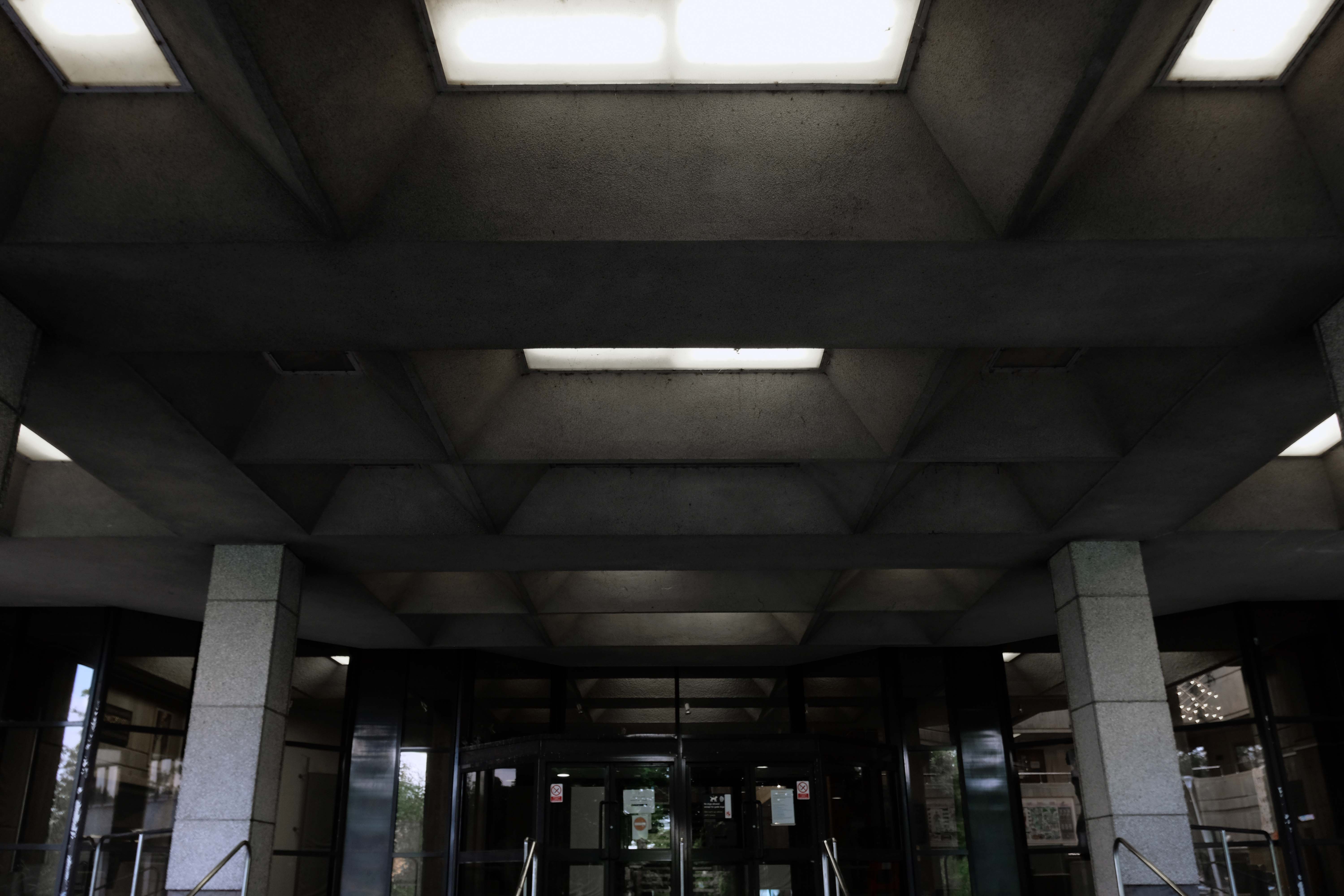
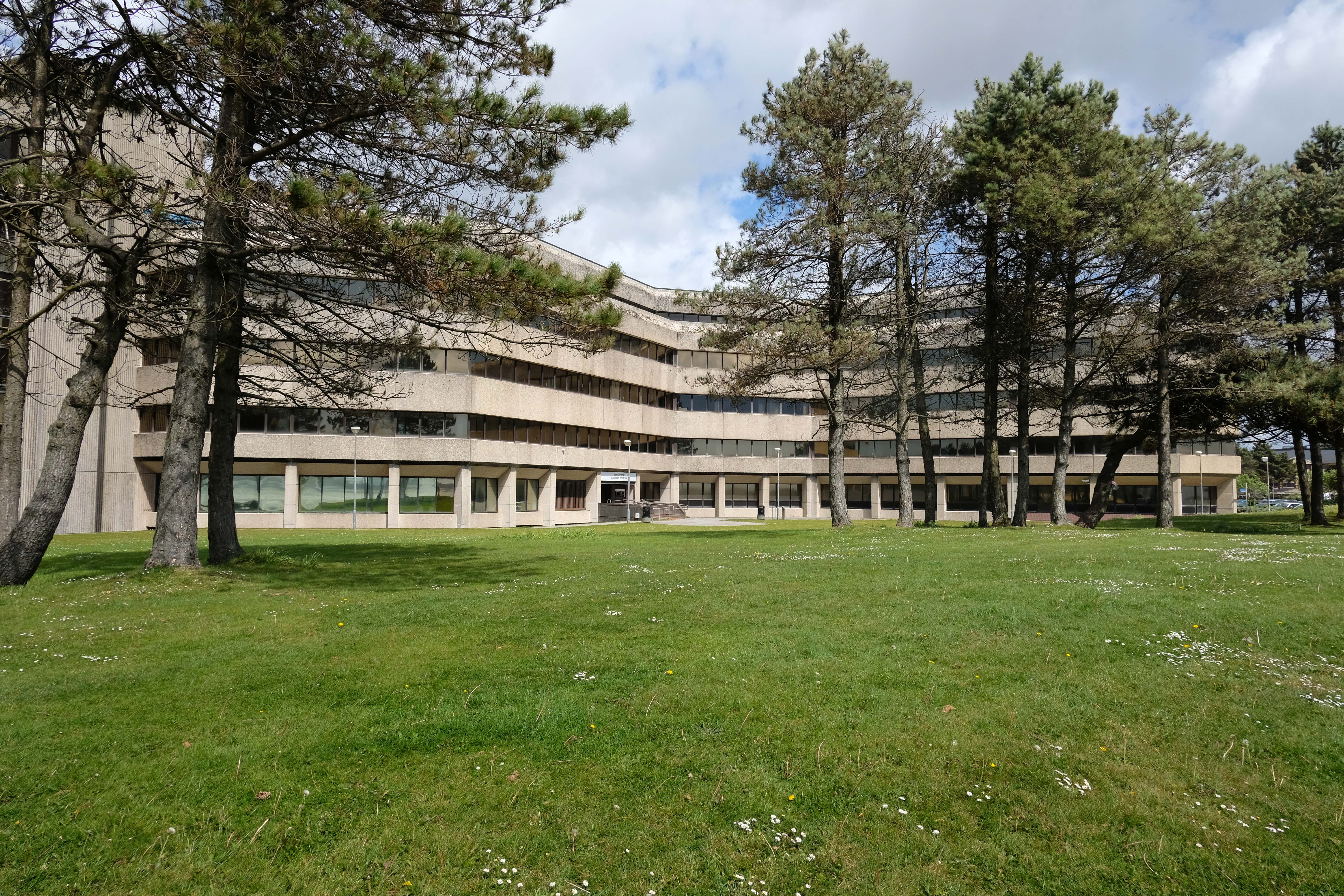
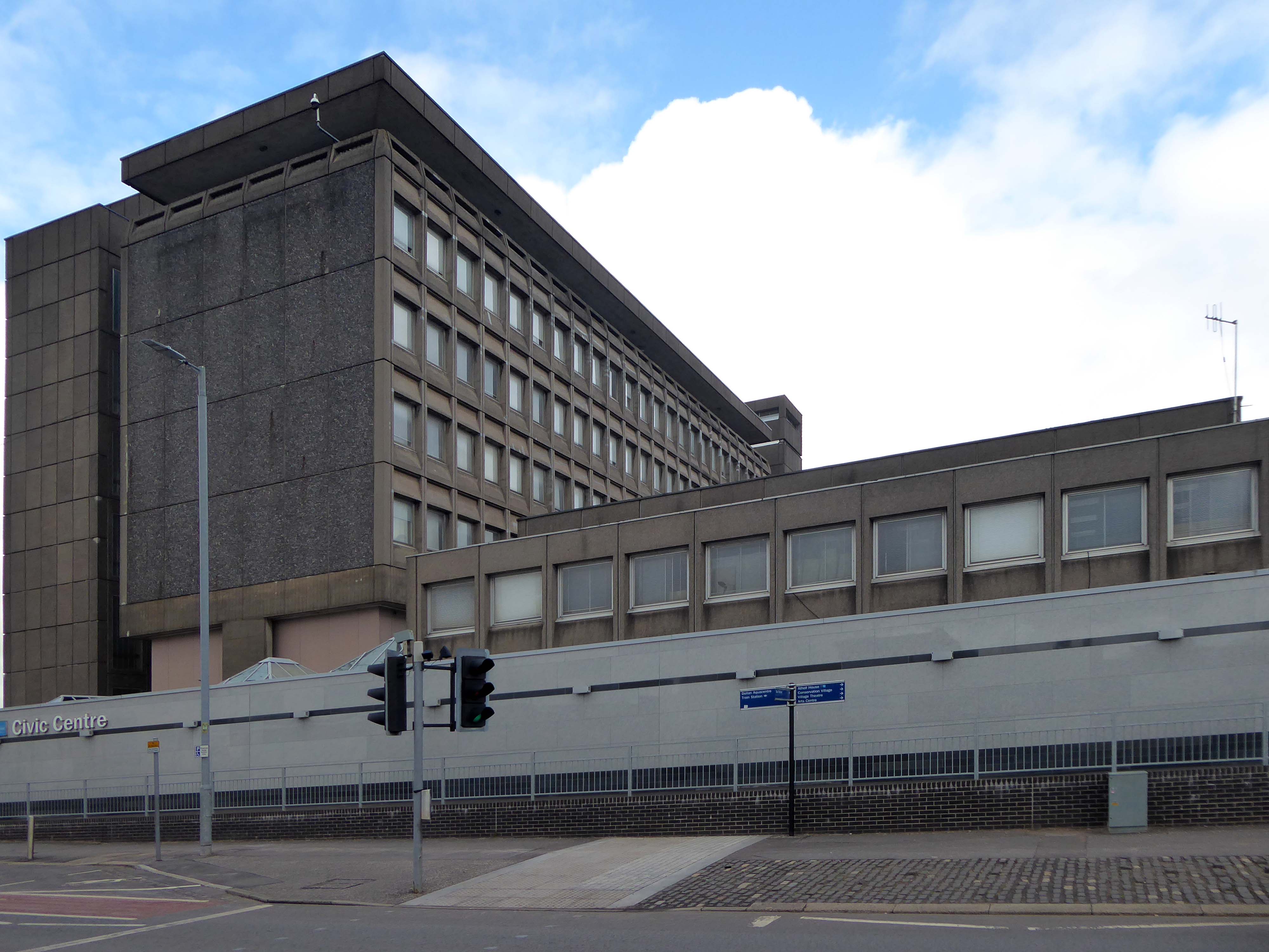
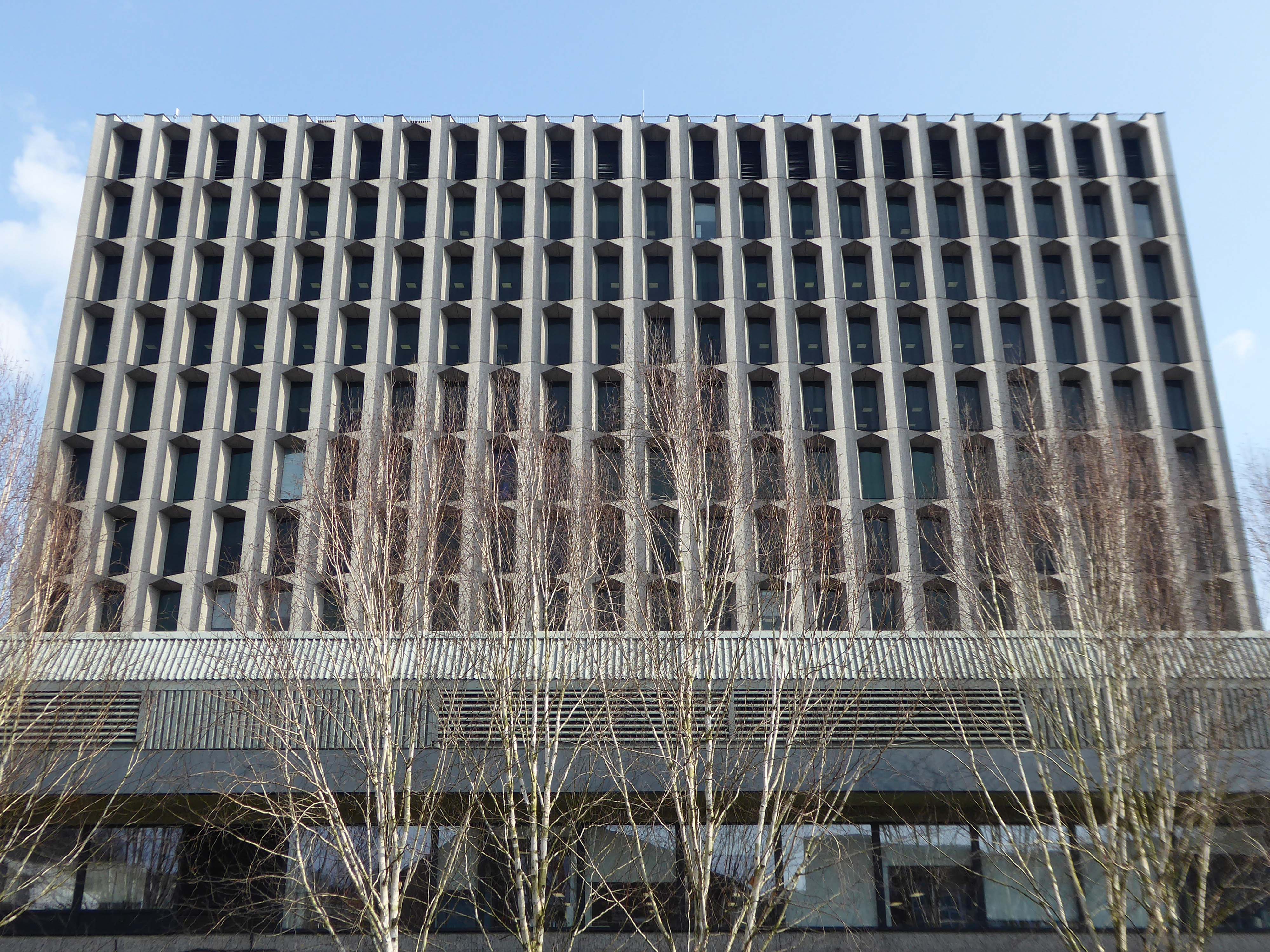
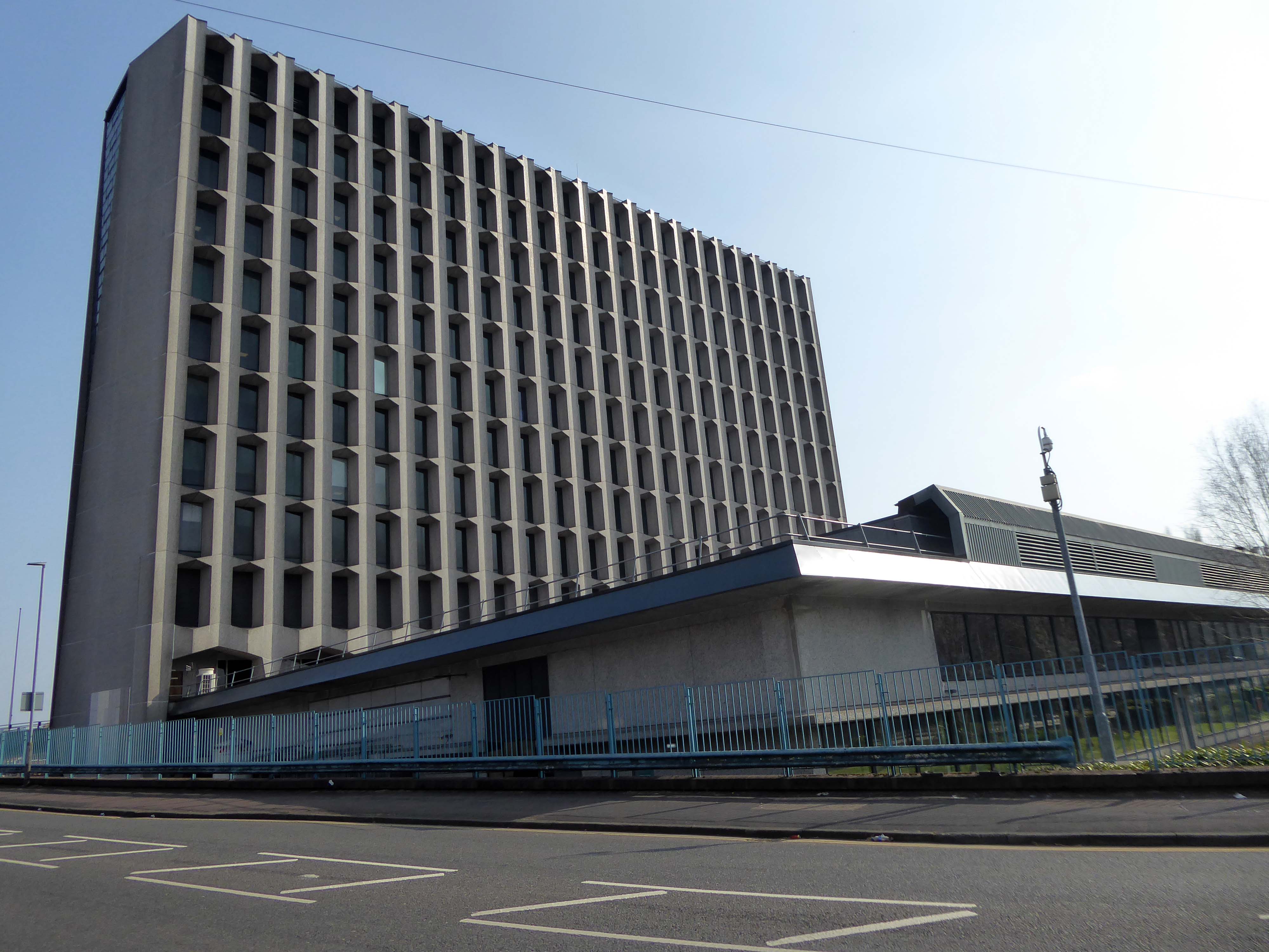
Canolfan Ddinesig Abertawe formerly known as County Hall.
Confused?
Don’t be, it’s all quite simple really.
Following the implementation of the Local Government Act 1972, which broke up Glamorgan County Council and established West Glamorgan County Council, the new county council initially met at Swansea Guildhall. Finding that this arrangement, which involved sharing facilities with Swansea Council, to be inadequate, county leaders procured a dedicated building, selecting a site formerly occupied by an old railway goods yard associated with the Mumbles Railway.
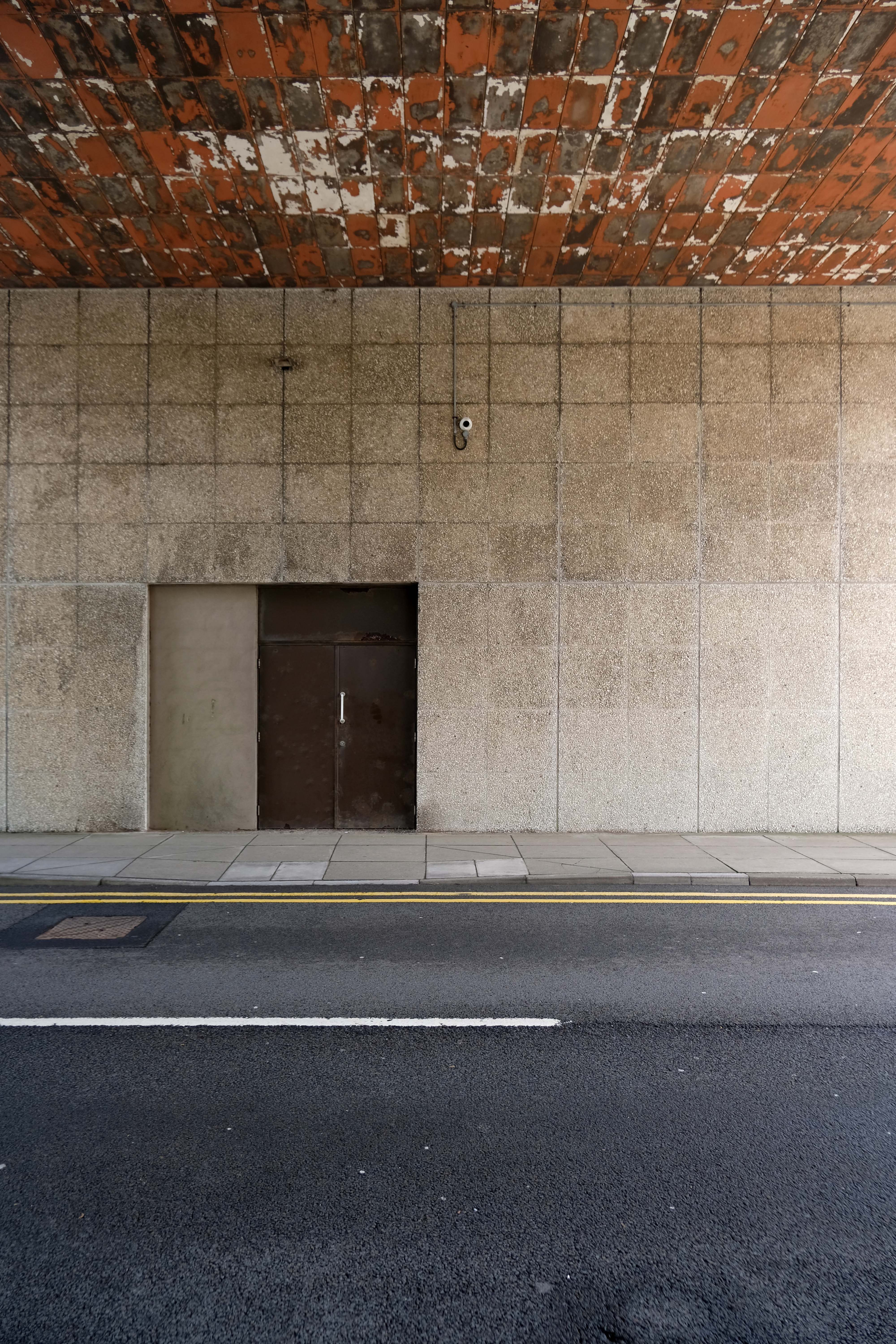
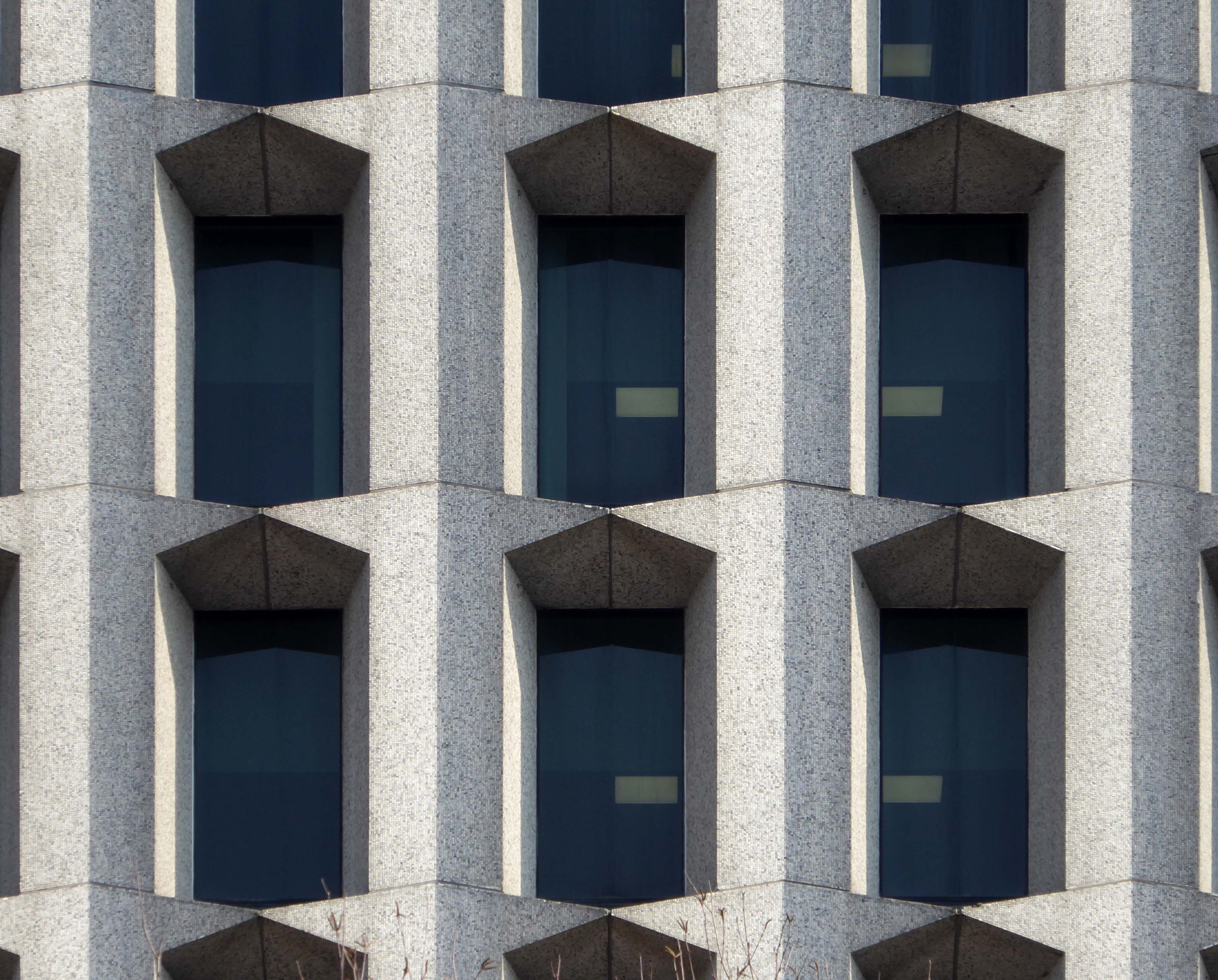
The design features continuous bands of glazing with deep washed calcined flint panels above and below.
Queen Elizabeth II, accompanied by the Duke of Edinburgh, visited on 20 April 1989.
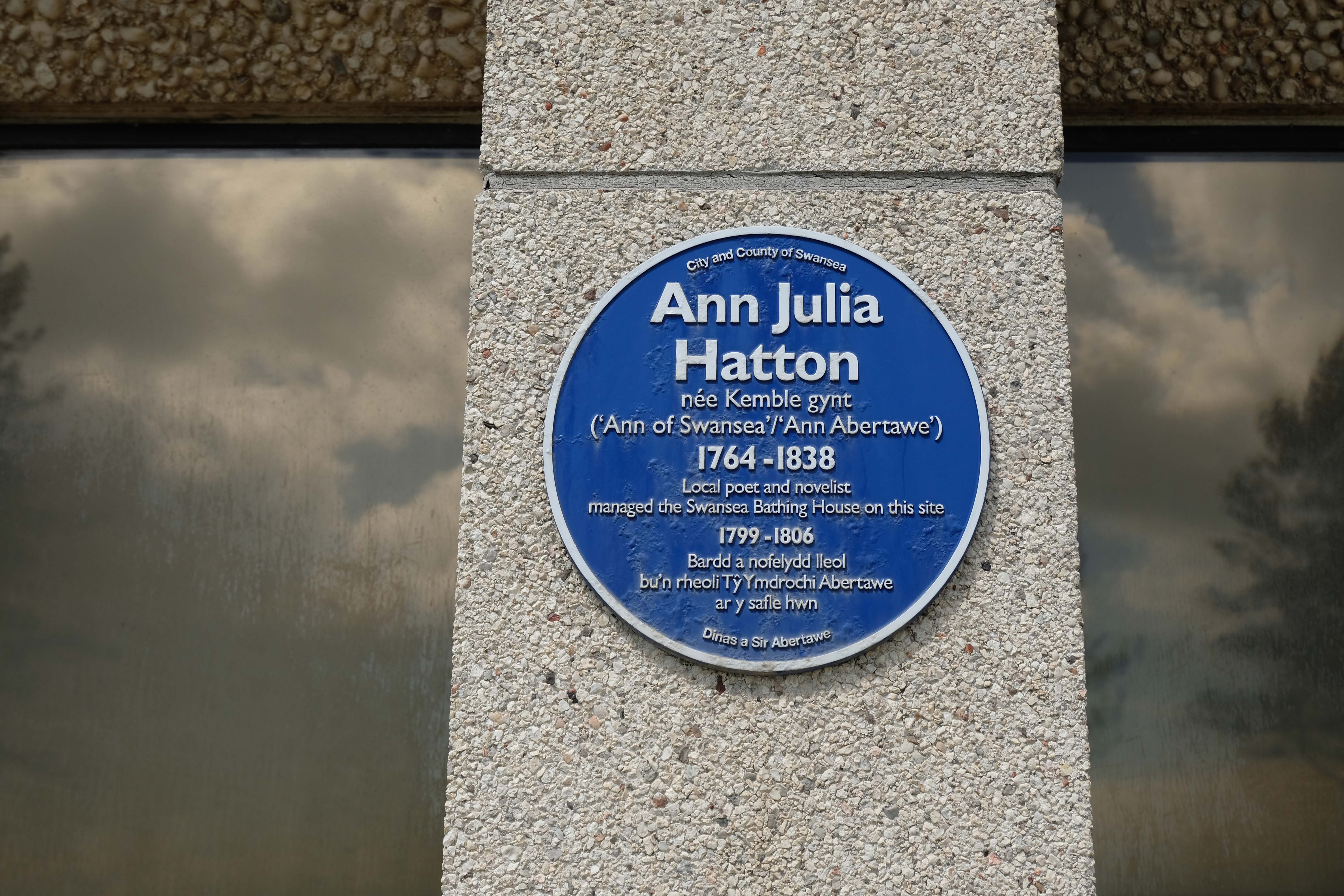
After local government re-organisation in 1996, which abolished West Glamorgan County Council, ownership of the building was transferred to Swansea Council. It was renamed Swansea Civic Centre on 19 March 2008, and Swansea Central Library moved into the complex as part of a redevelopment scheme.
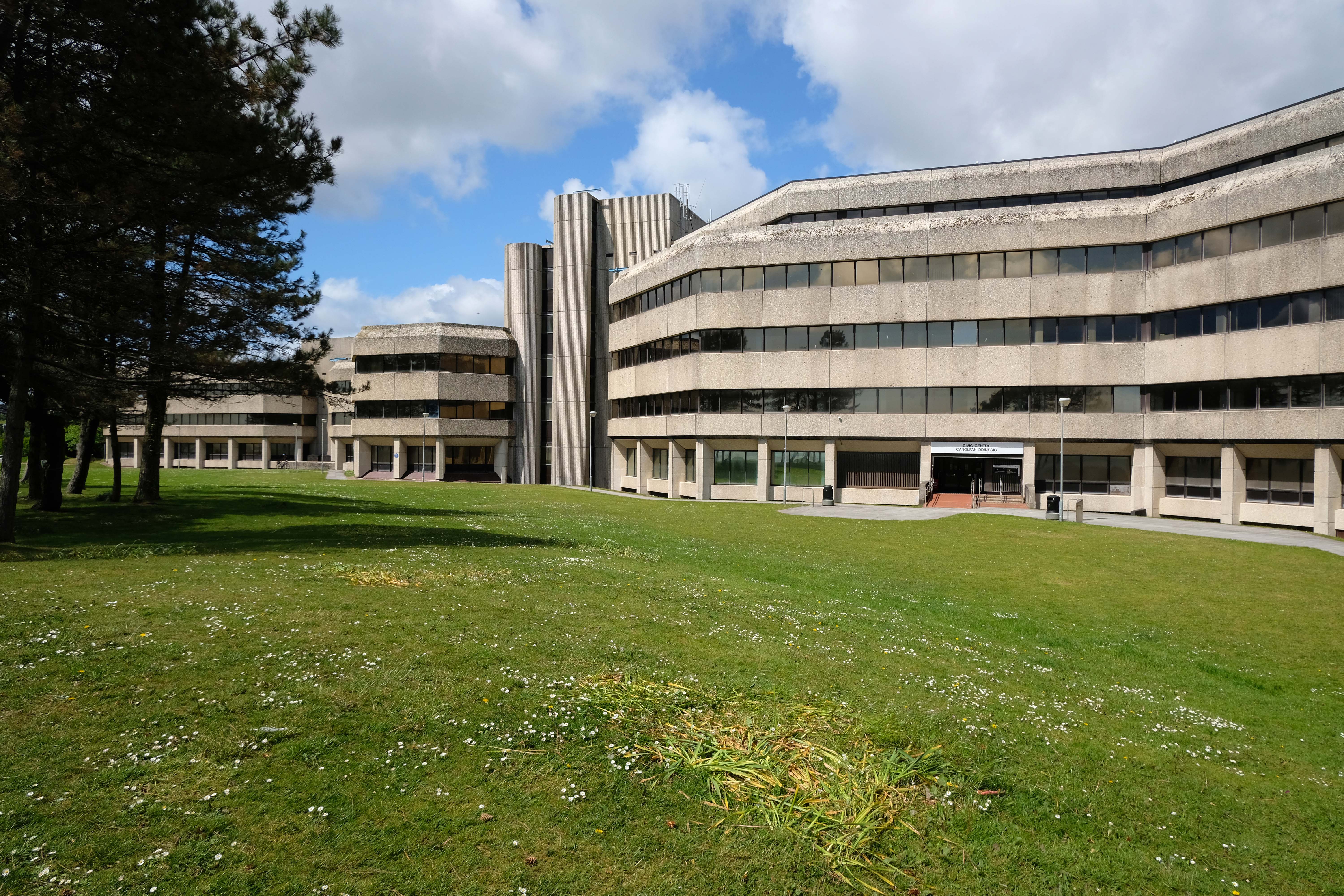
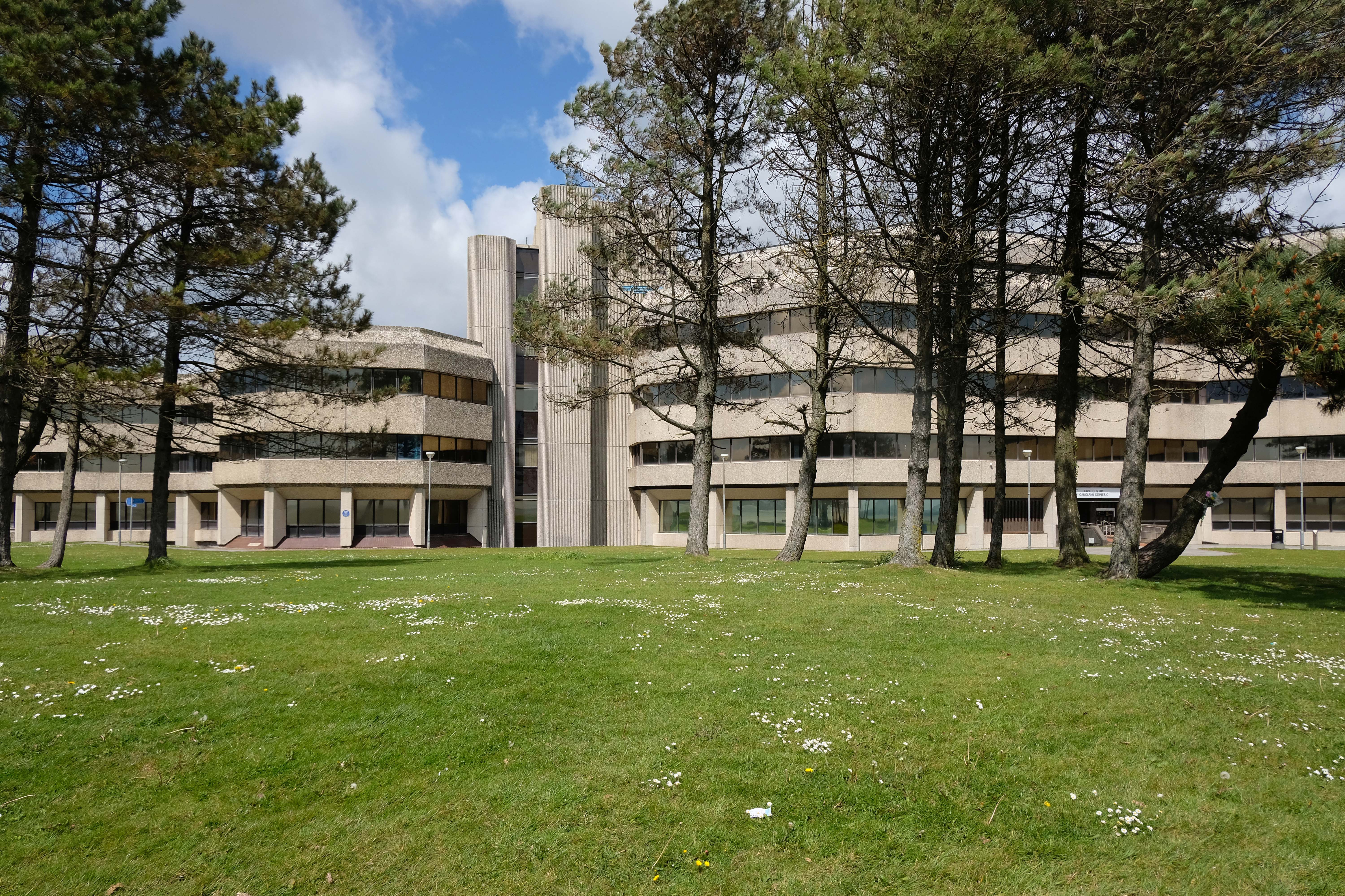
Urban Splash seem to have a slightly vaguer vision.
In March 2021, plans to find a new use for the location continued to still be a commitment of Swansea council, with the announcement of the transfer of the central library and other public services to the former BHS and now What! store on Oxford Street.
Swansea Civic Centre is at risk the Twentieth Century Society says so – they are strongly opposed to demolition of the iconic building and have submitted an application to have the building listed as Grade II.
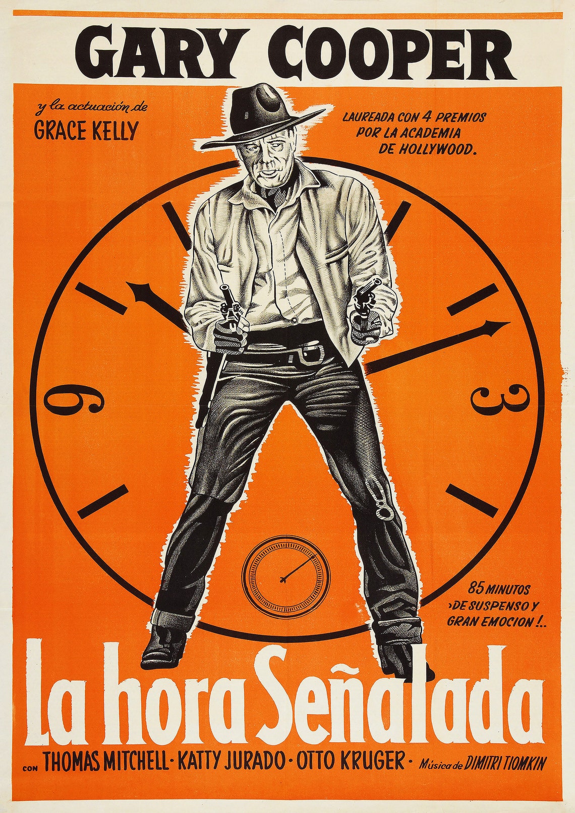
I do not know what fate awaits it, I only know it must be brave – to paraphrase Dimitri Zinovievich Tiomkin, Ned Washington, Gary Cooper and Frankie Laine – it’s High Noon and counting.
Any road up as of the 11th of May it looked just like this:
Diolch yn fawr once again to Catrin Saran James for acting as my spirit guide.
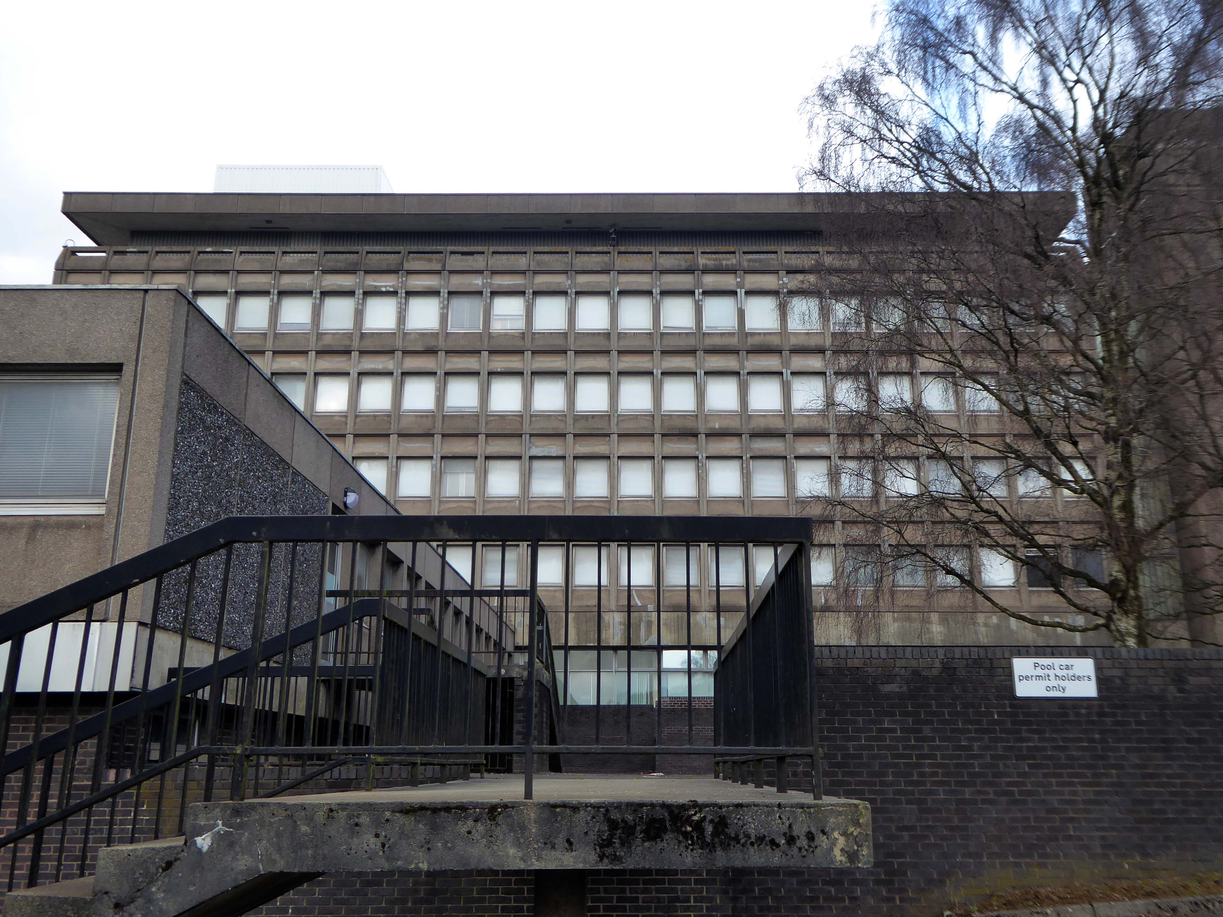
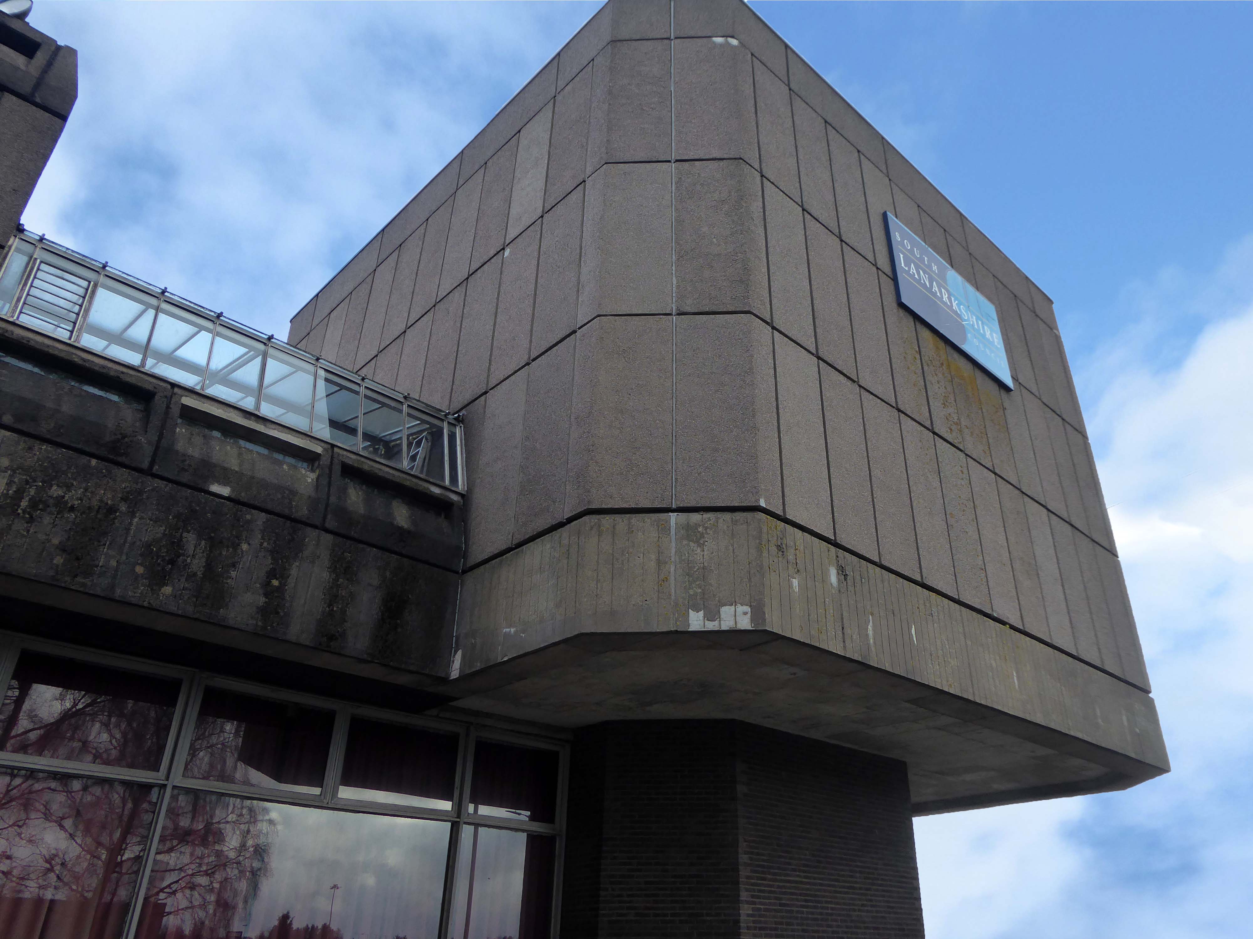
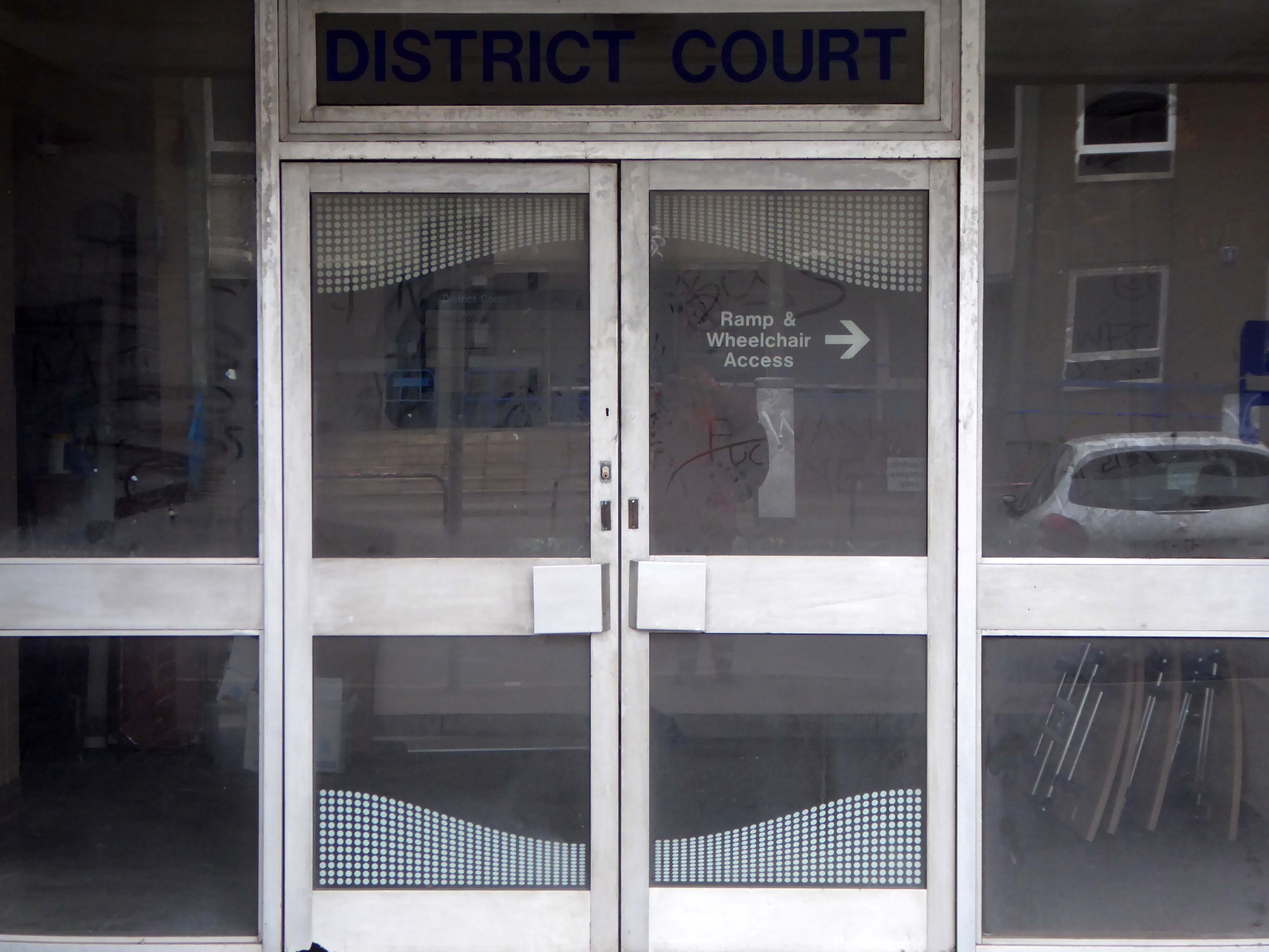
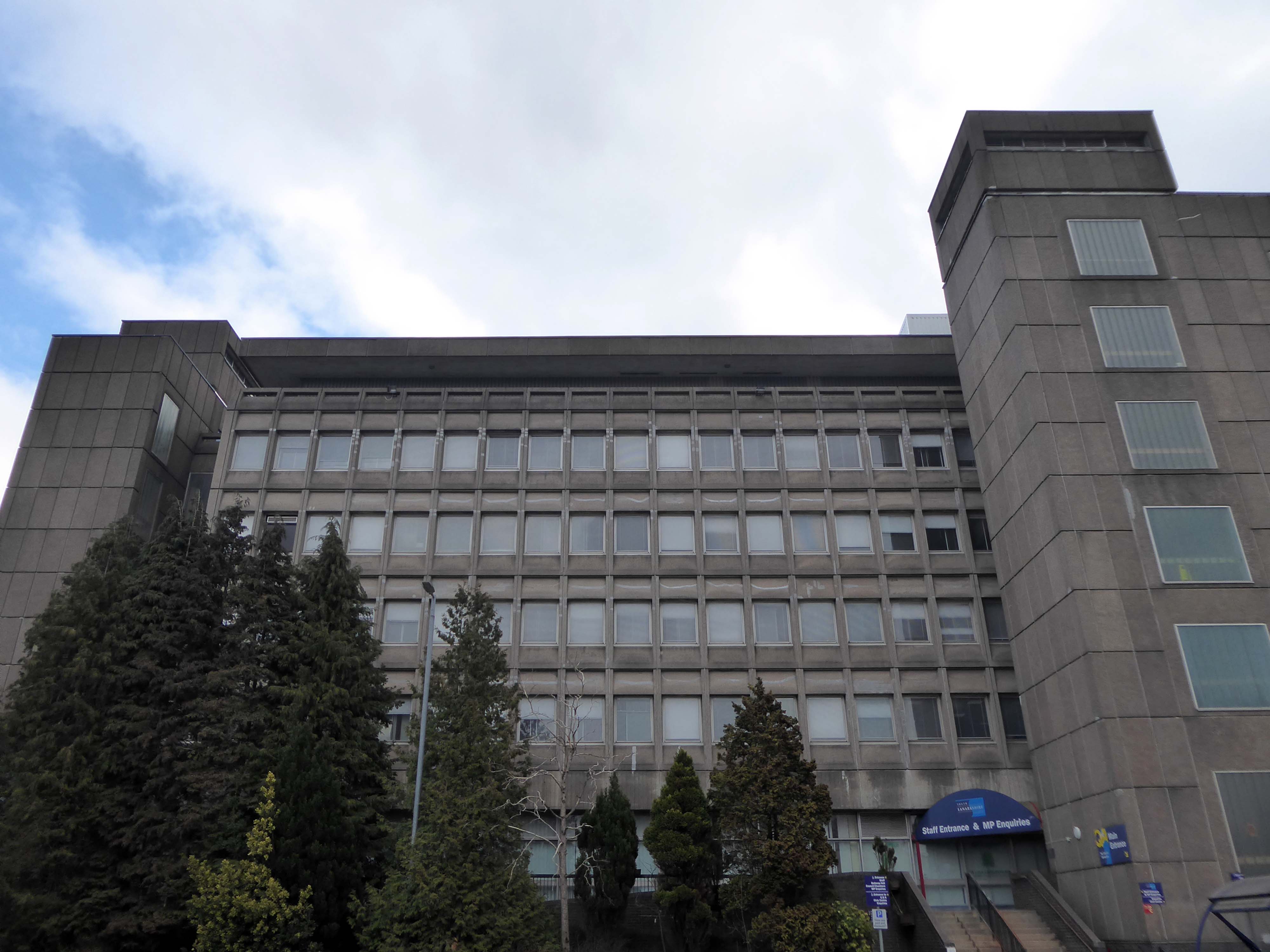
I walked from St Bride’s Church, through a valley to East Kilbride Civic Centre
Commissioned by the burgh of East Kilbride, was designed by Scott Fraser & Browning, built by Holland, Hannen & Cubitts and completed in 1966.
Accommodating Ballerup Hall.
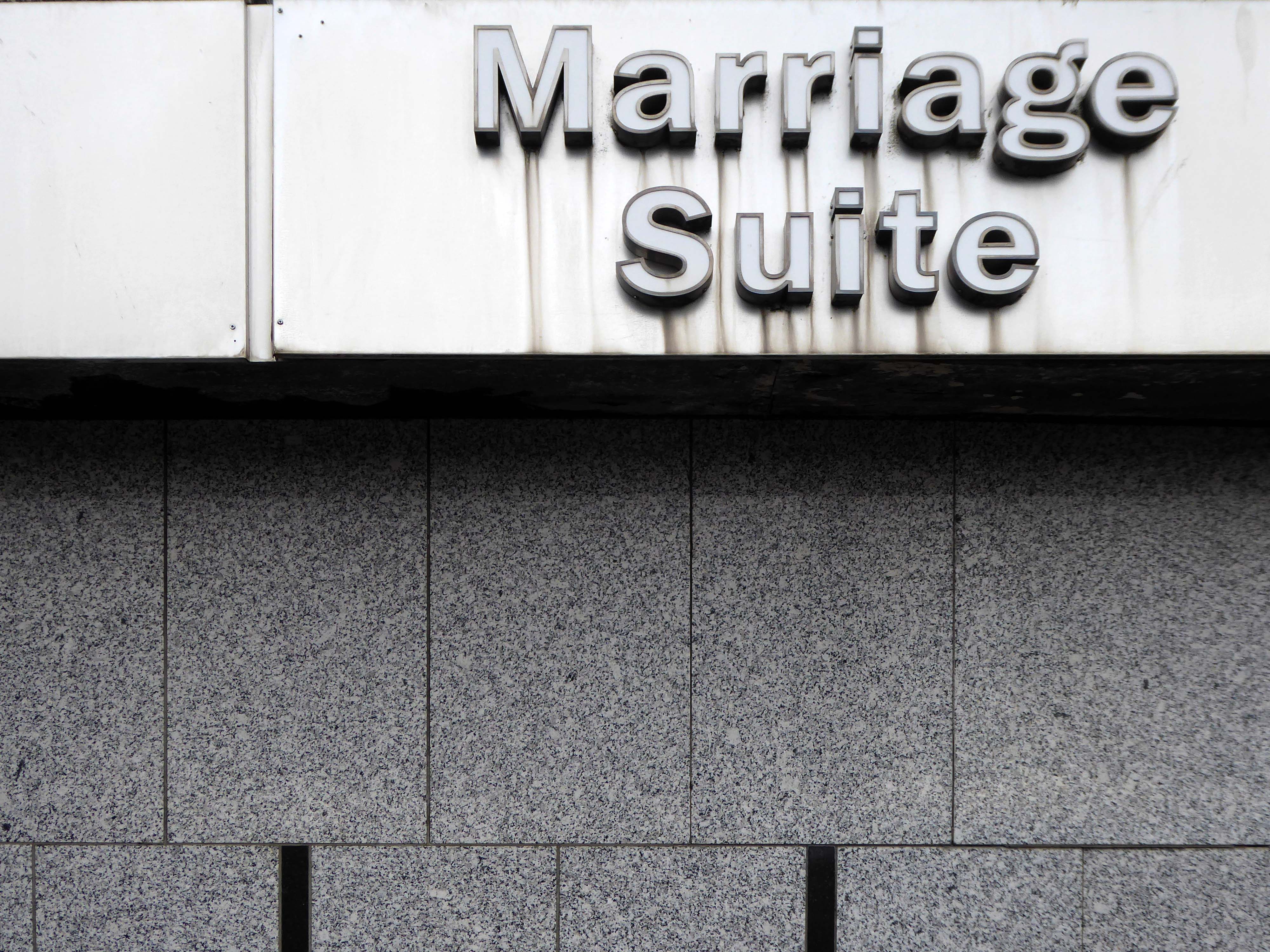
Ballerup Hall is located within East Kilbride Civic Centre and takes its name from its twin town Ballerup, which is near Copenhagen in Denmark. The hall comprises a main hall with stage, kitchen facilities and a bar servery. The adjoining district court room is available after office hours for a limited range of activities.
The stars of British Championship Wrestling return to East Kilbride with a star-studded line up including The Cowboy James Storm and all your favourite BCW Superstars!
I missed the missing link twixt Roddy Frame and the Civic Centre.
If you were lucky enough to catch the 2013 concerts in which Frame marked the 30th anniversary of High Land Hard Rain by playing Aztec Camera’s seminal debut album live, you’ll already have seen Anne’s pictures. Before getting to High Land Hard Rain itself in those shows, Frame treated audiences to a rare set drawn from what he termed his East Kilbride period – the songs he was writing as a teenager that would appear on Aztec Camera’s two Postcard singles, and form the basis of the band’s legendarily unreleased Postcard album, Green Jacket Grey.
While he played those tunes, huge, striking black and white images of his old hometown appeared as a backdrop behind him, setting exactly the right fragile, retro-future new town mood of post-industrial Fahrenheit 451 urban development.
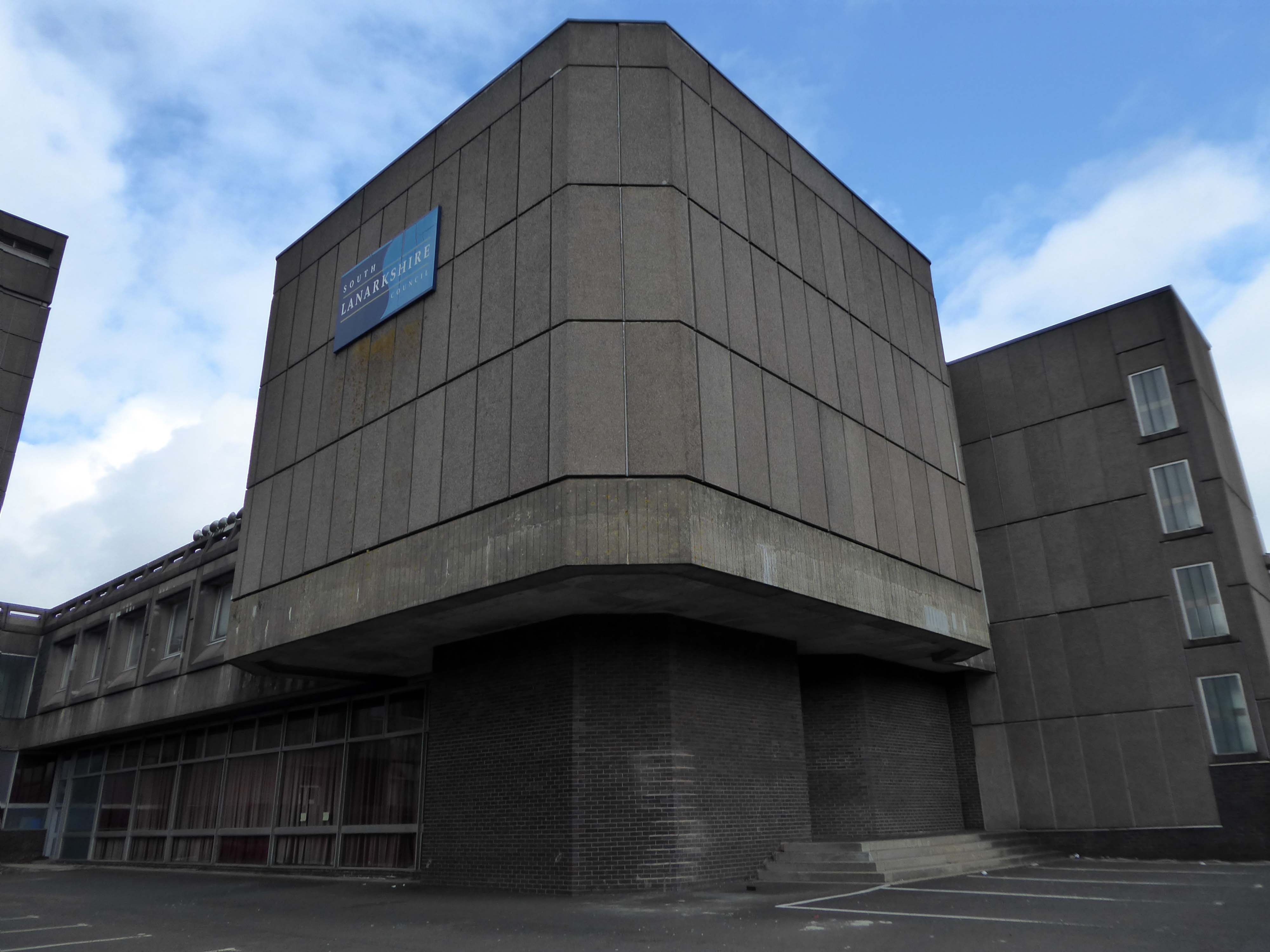
A strategic masterplan for East Kilbride town centre which could see a new purpose-built civic facility is to be put before the council next month.
Last March we told how radical new plans could see the crumbling Civic Centre replaced with – a new front door to East Kilbride.
Despite there being no specific proposals agreed at this stage, South Lanarkshire Council has confirmed that agents of the owners are set to present their strategic masterplan to elected members in February.
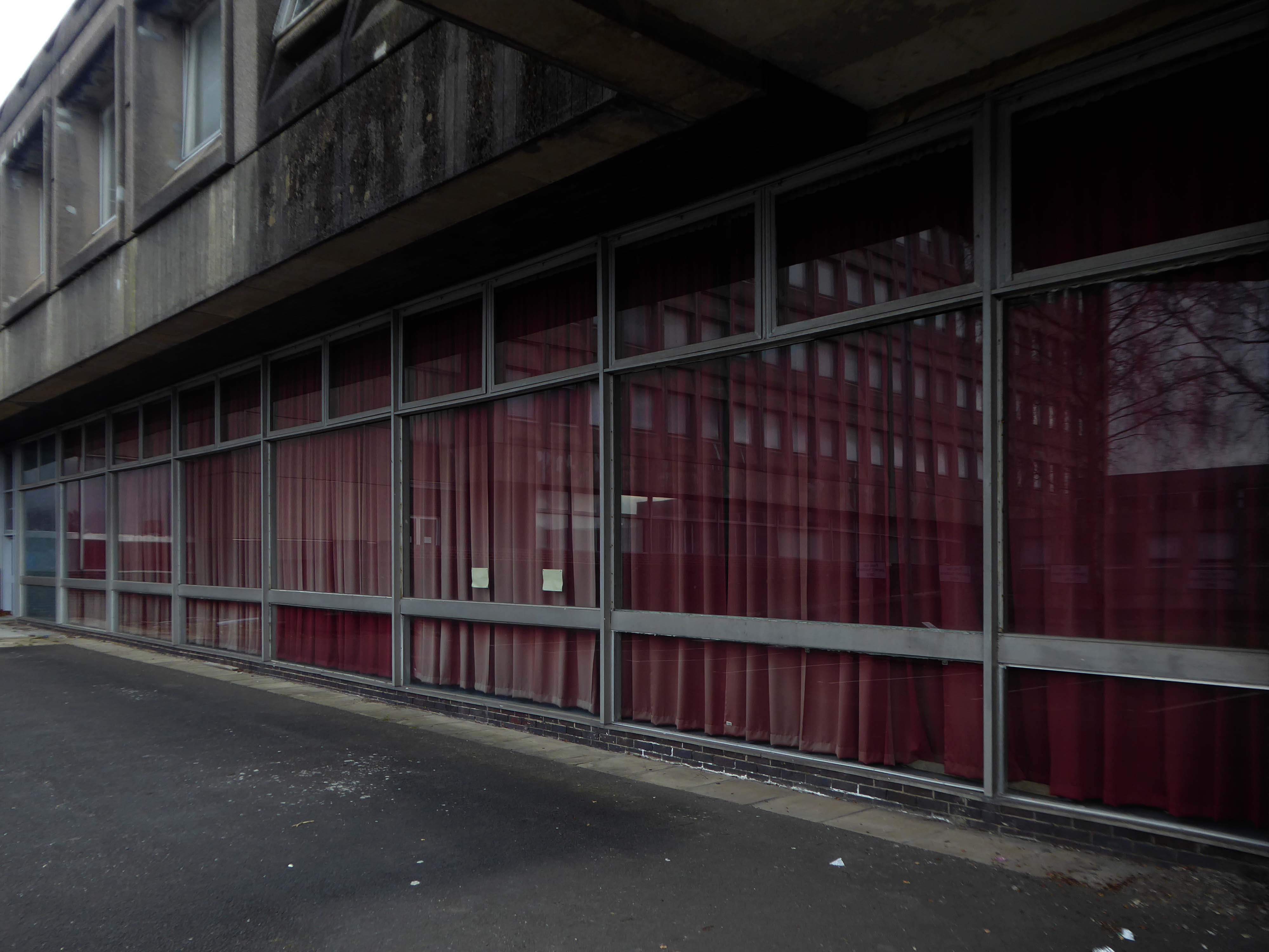
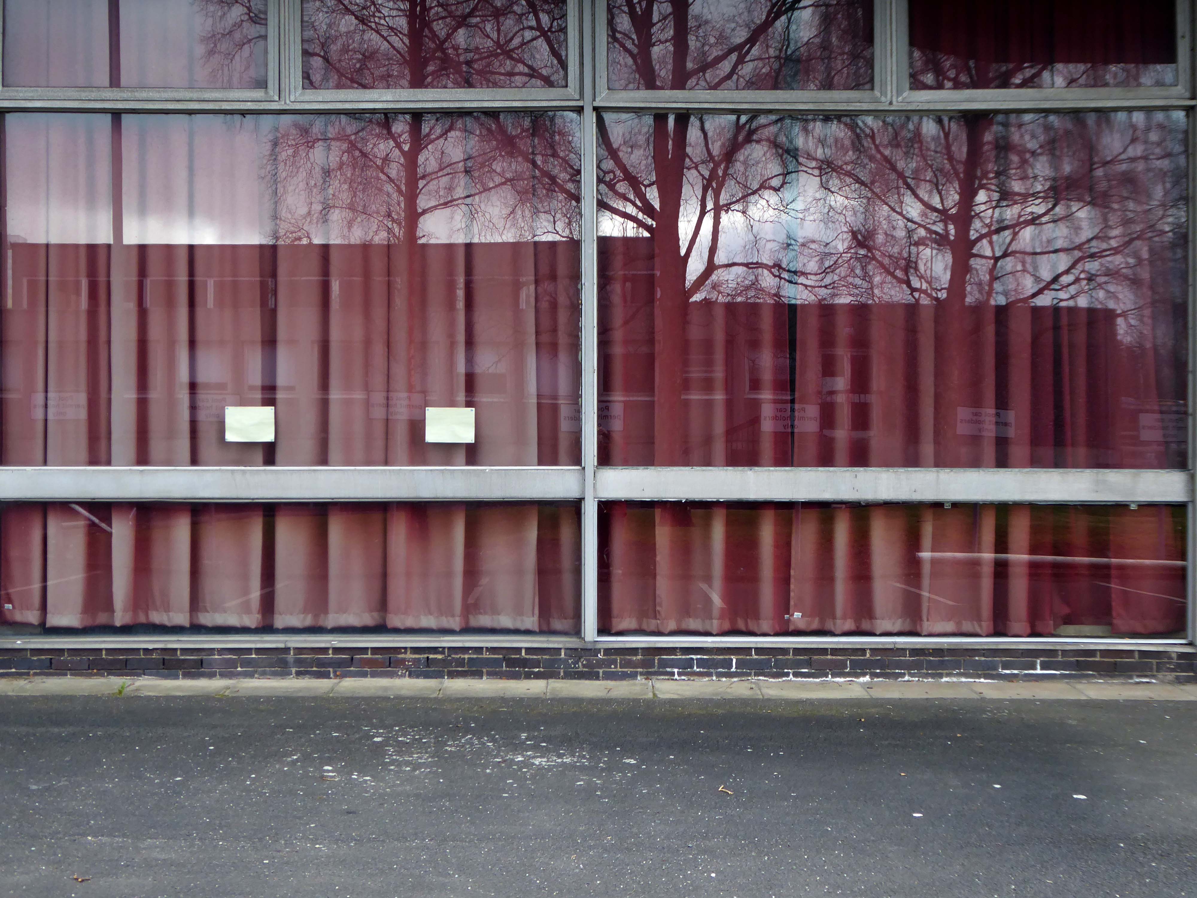
It currently sits by the shopping centre and a patch of empty ground.
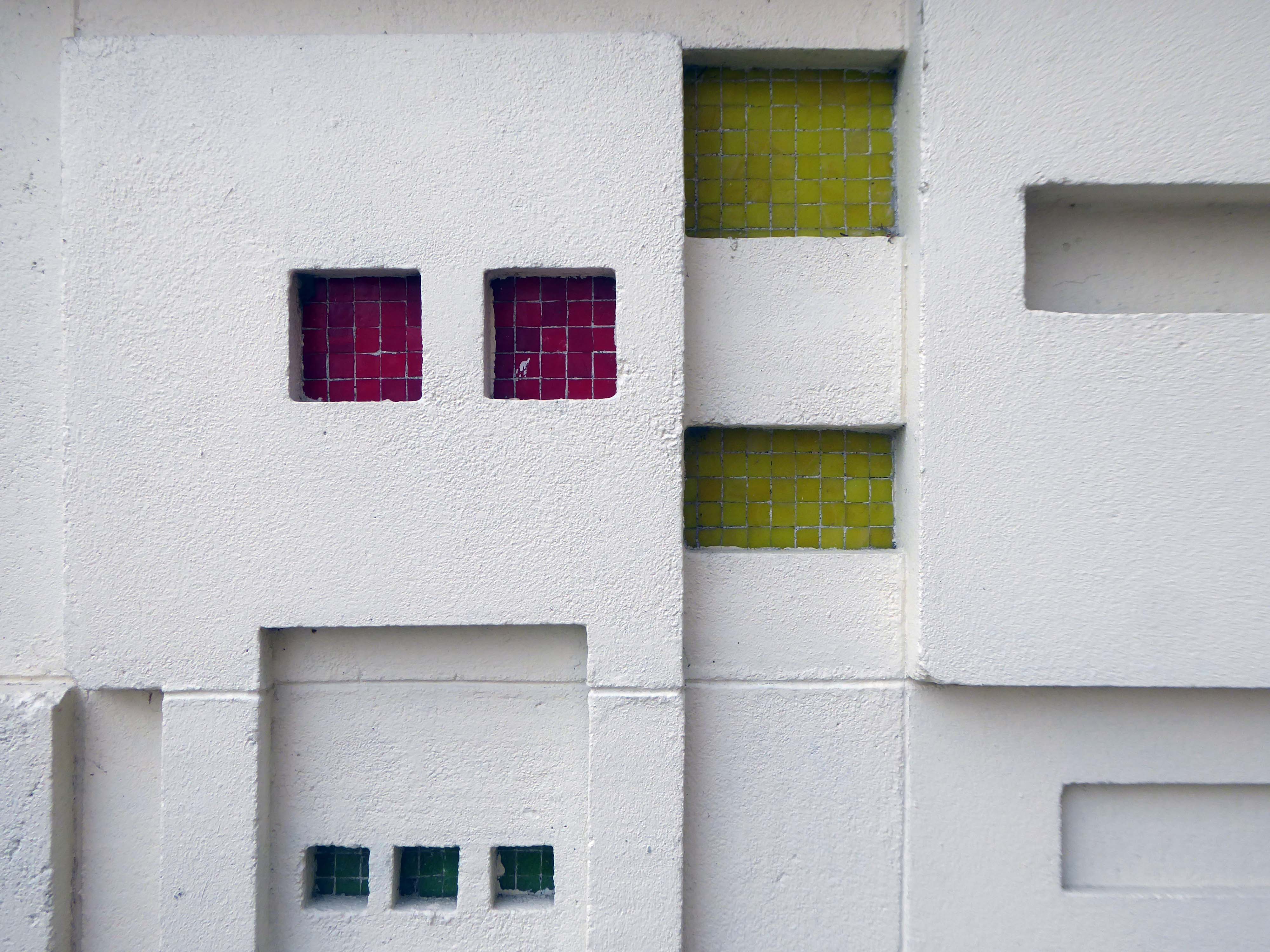
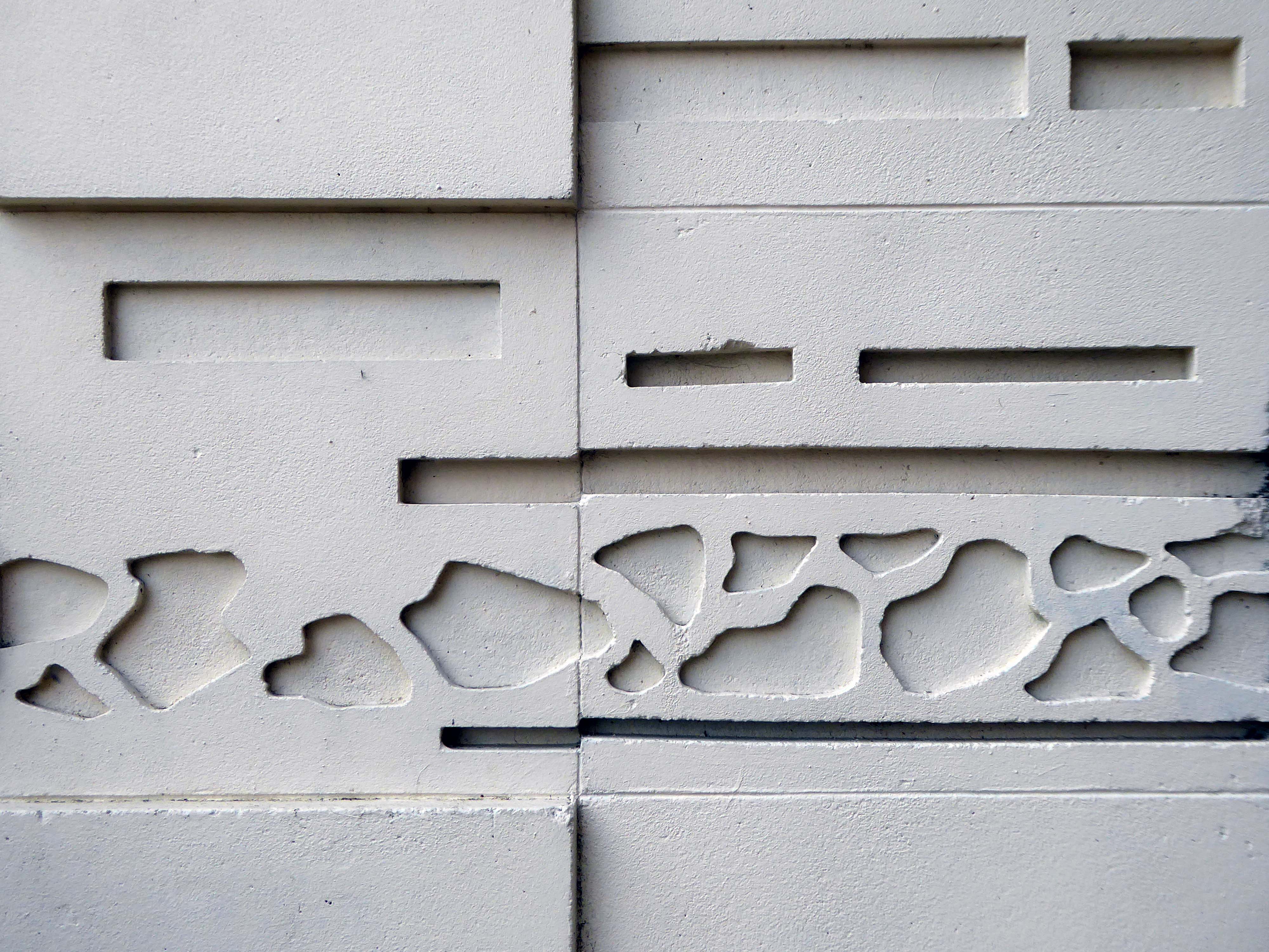
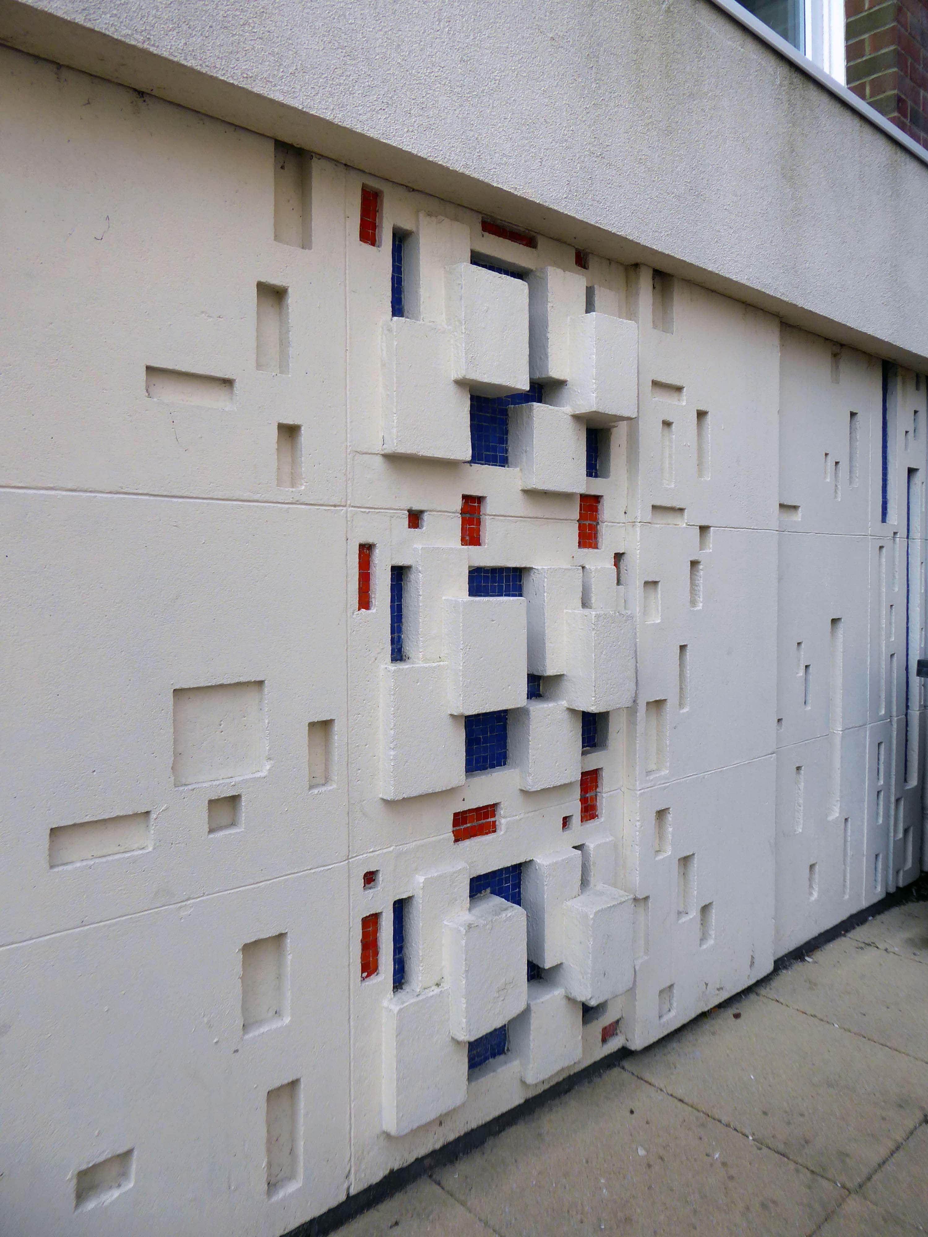
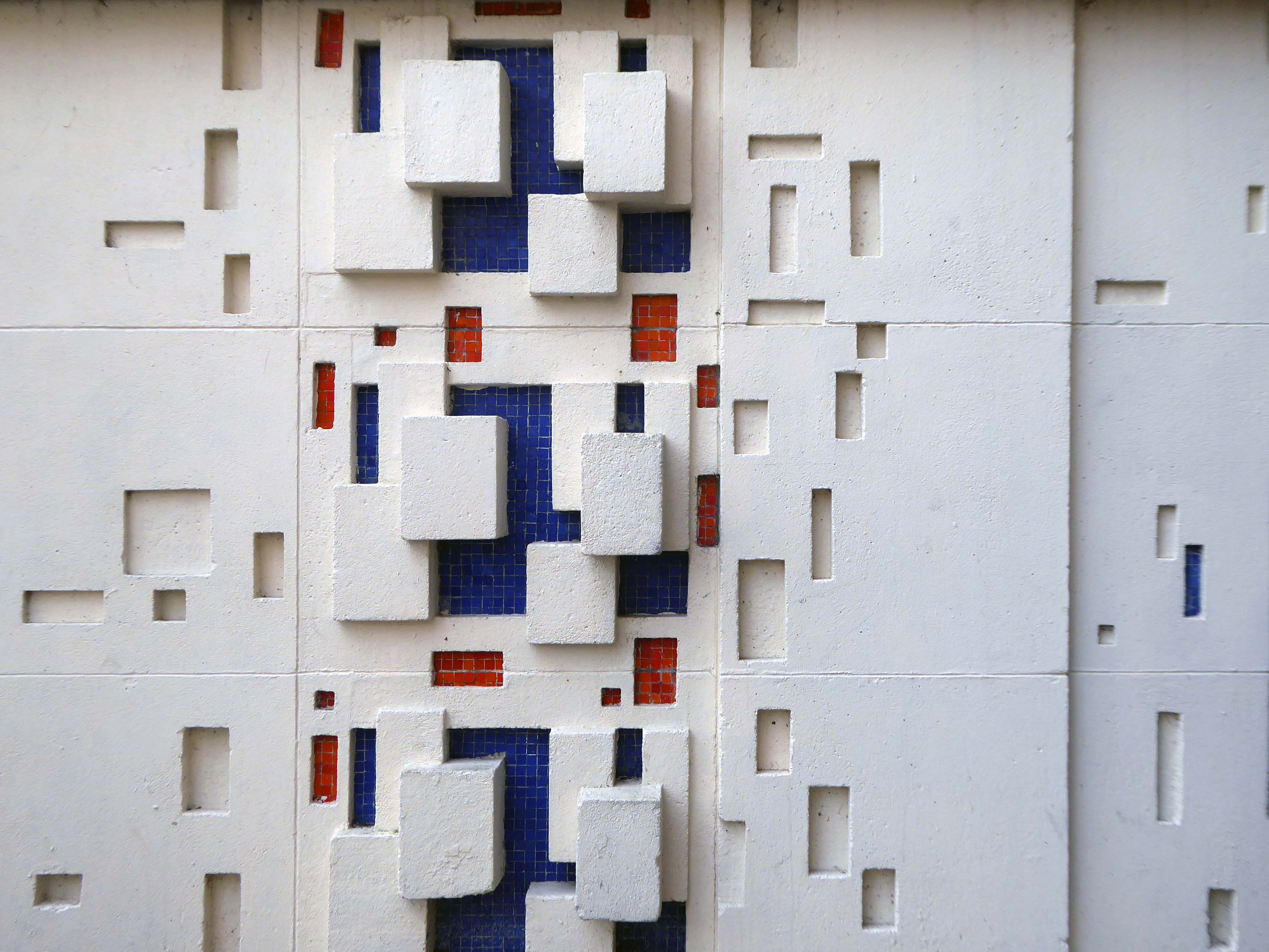
Several imposing interlocking volumes, formed by pre-cast concrete panels.
East Kilbride was the first new town built in Scotland in 1947. New Town designation was a pragmatic attempt to soak up some of the population from an overcrowded and war ravaged Glasgow. Its design was indeed an anathema to the chaotic and sprawling Glasgow: clean straight lines, modern accessible public spaces; and footways, bridges and underpasses built with the pedestrian in mind. It was designed as a self contained community — with industry, shops, recreation facilities and accommodation all within a planned geographic area.
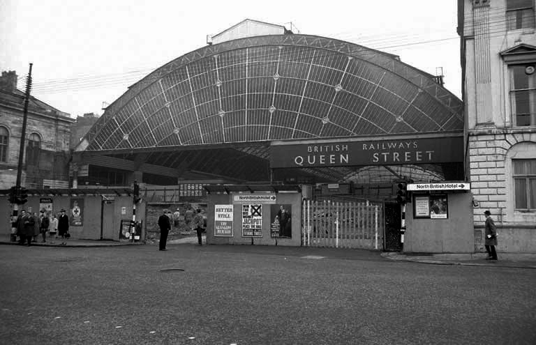
Sunday morning in Glasgow, I caught the first train out from Queen Street Station.
In October 2017, a £120 million project began on bringing the station up to modern standards, demolishing many of the 1960s buildings and replacing them with a new station concourse, which was completed in 2021.
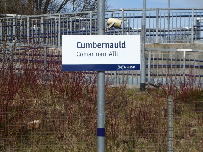
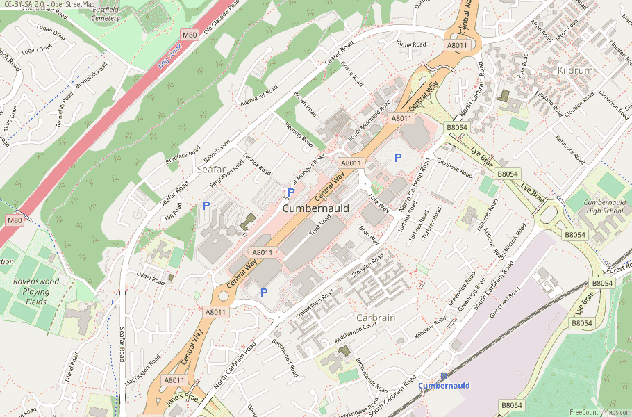
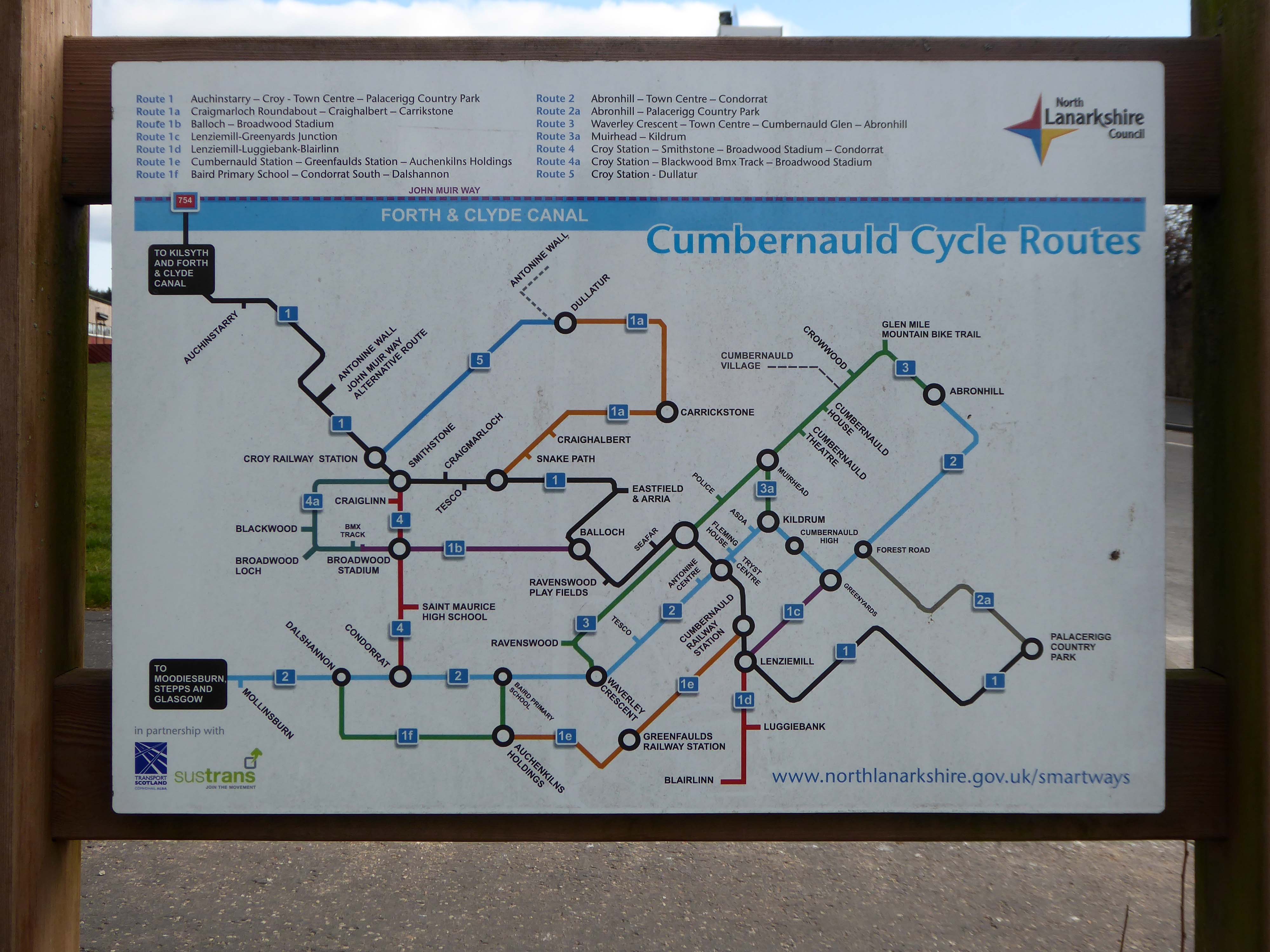
I arrived in Cumbernauld and walked toward the Central Way and back again.
Cumbernauld was designated as a new town in December 1955, part of a plan, under the New Towns Act 1946, to move 550,000 people out of Glasgow and into new towns to solve the city’s overcrowding. Construction of its town centre began under contractors Duncan Logan, chief architect Leslie Hugh Wilson and architect Geoffrey Copcutt – until 1962 and 1963, and later Dudley Roberts Leaker, Philip Aitken and Neil Dadge.
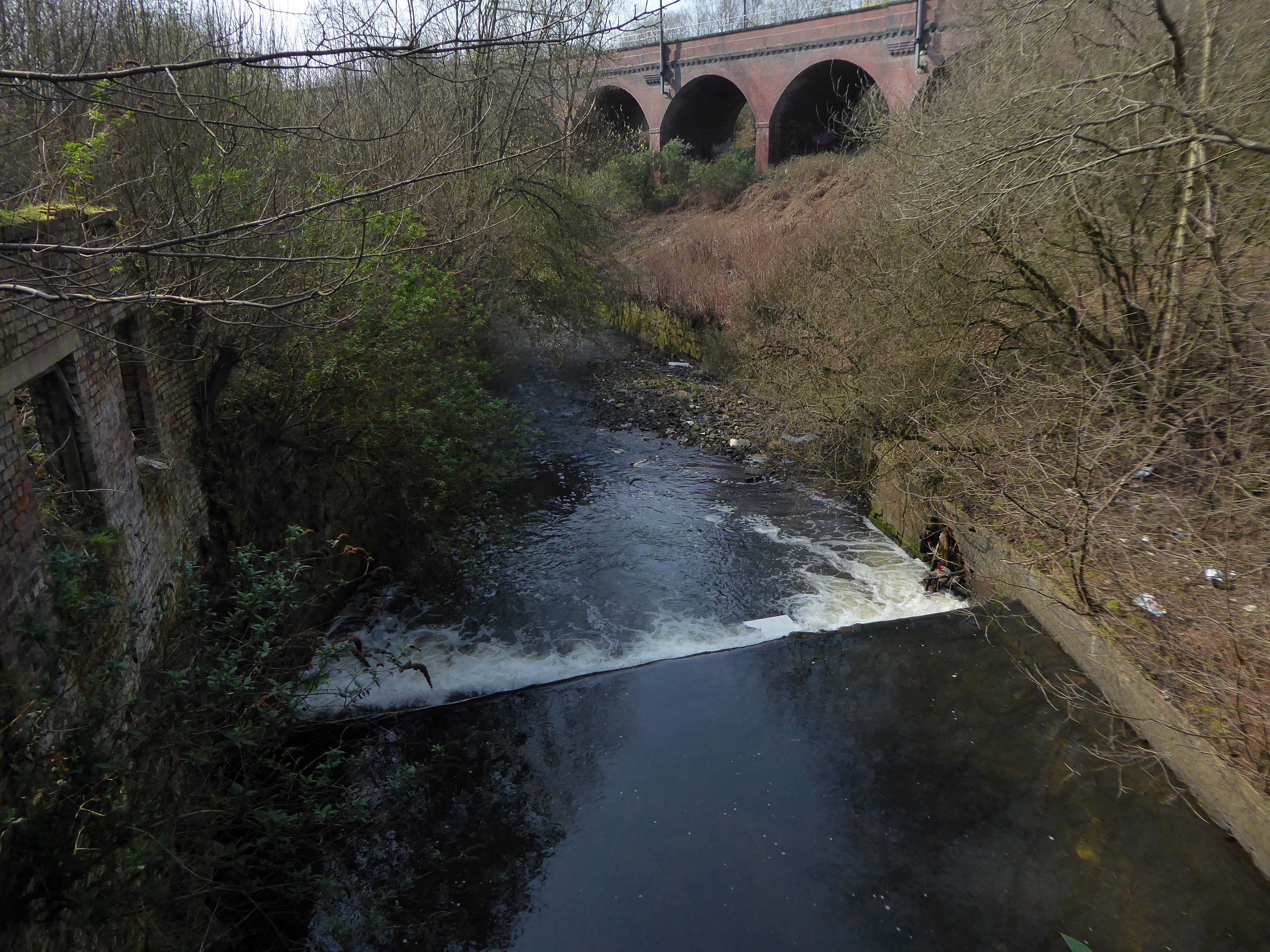
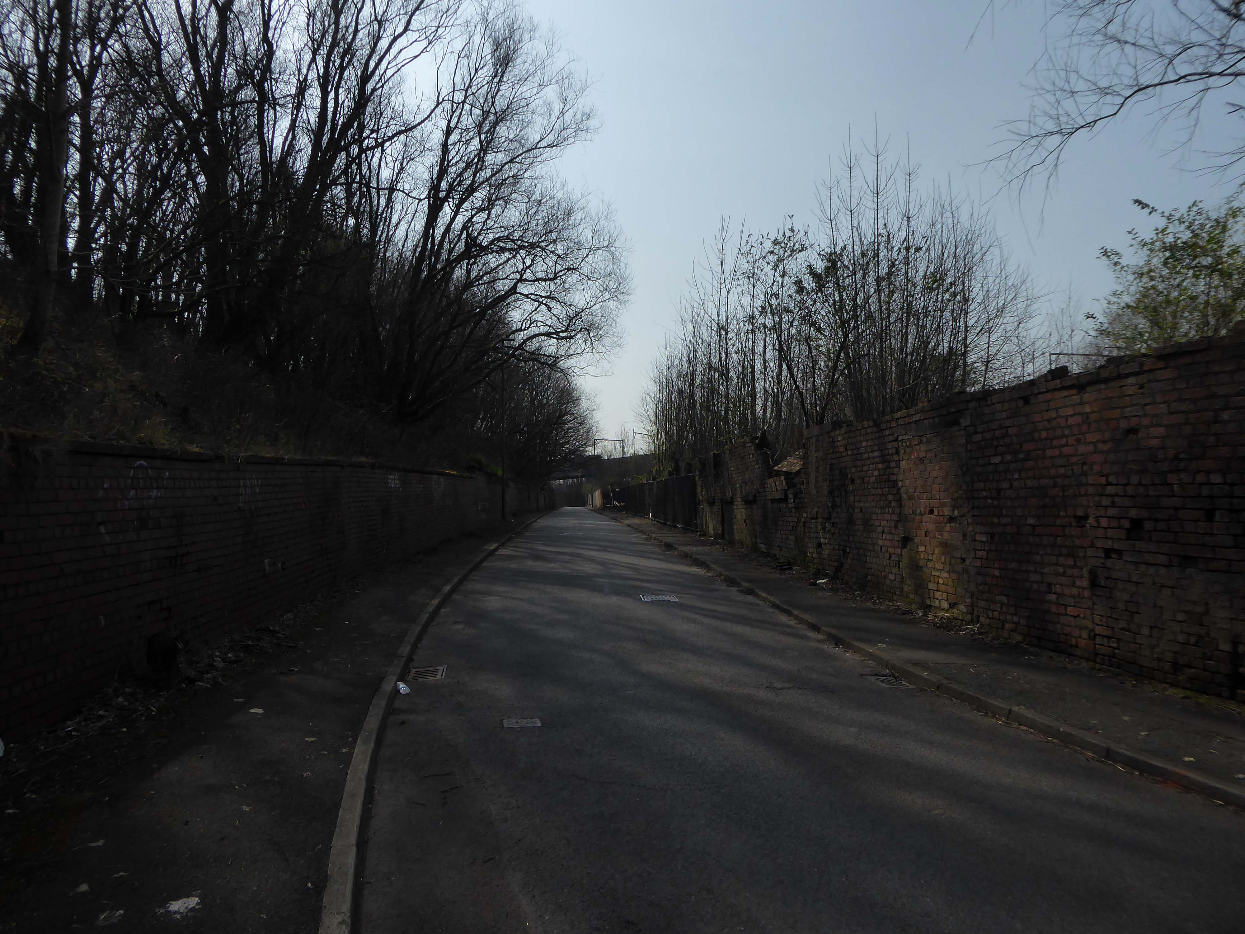
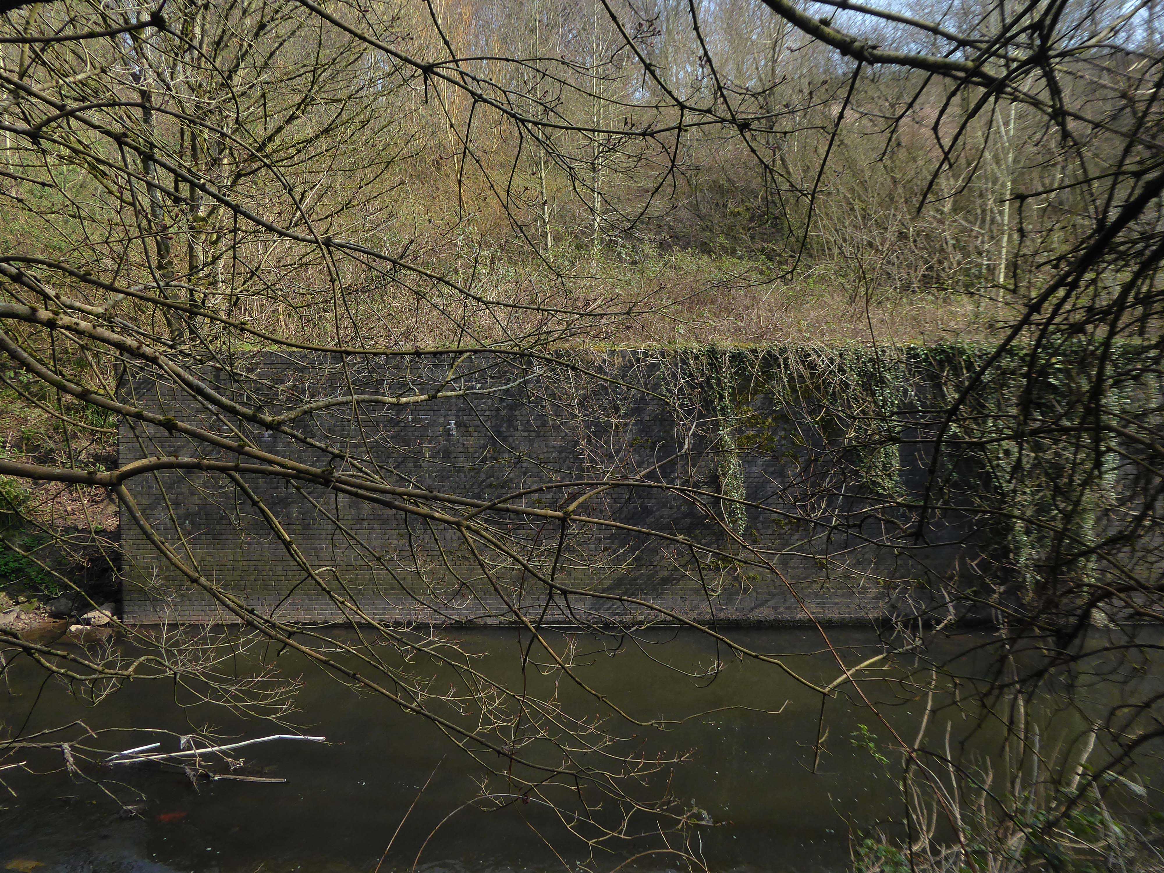
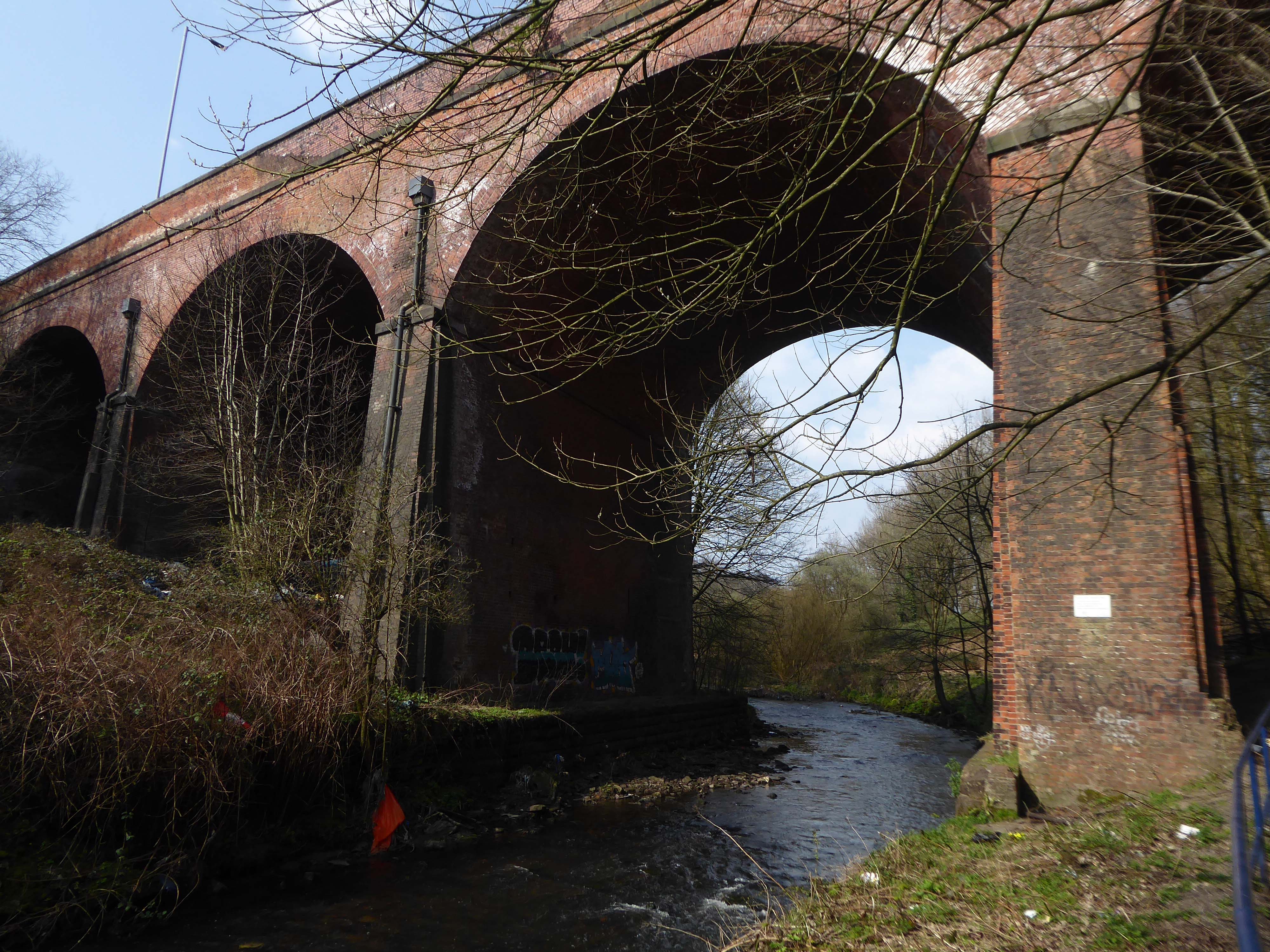
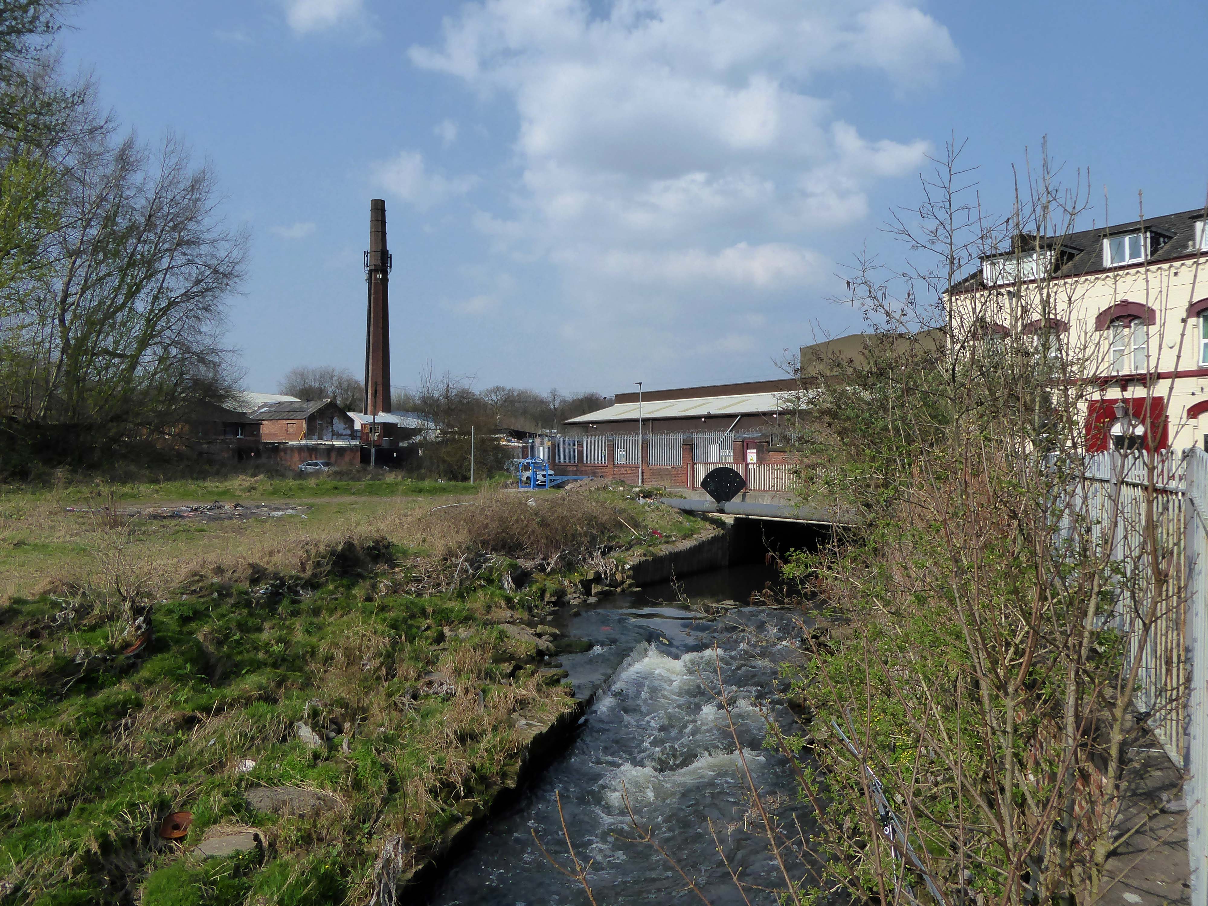
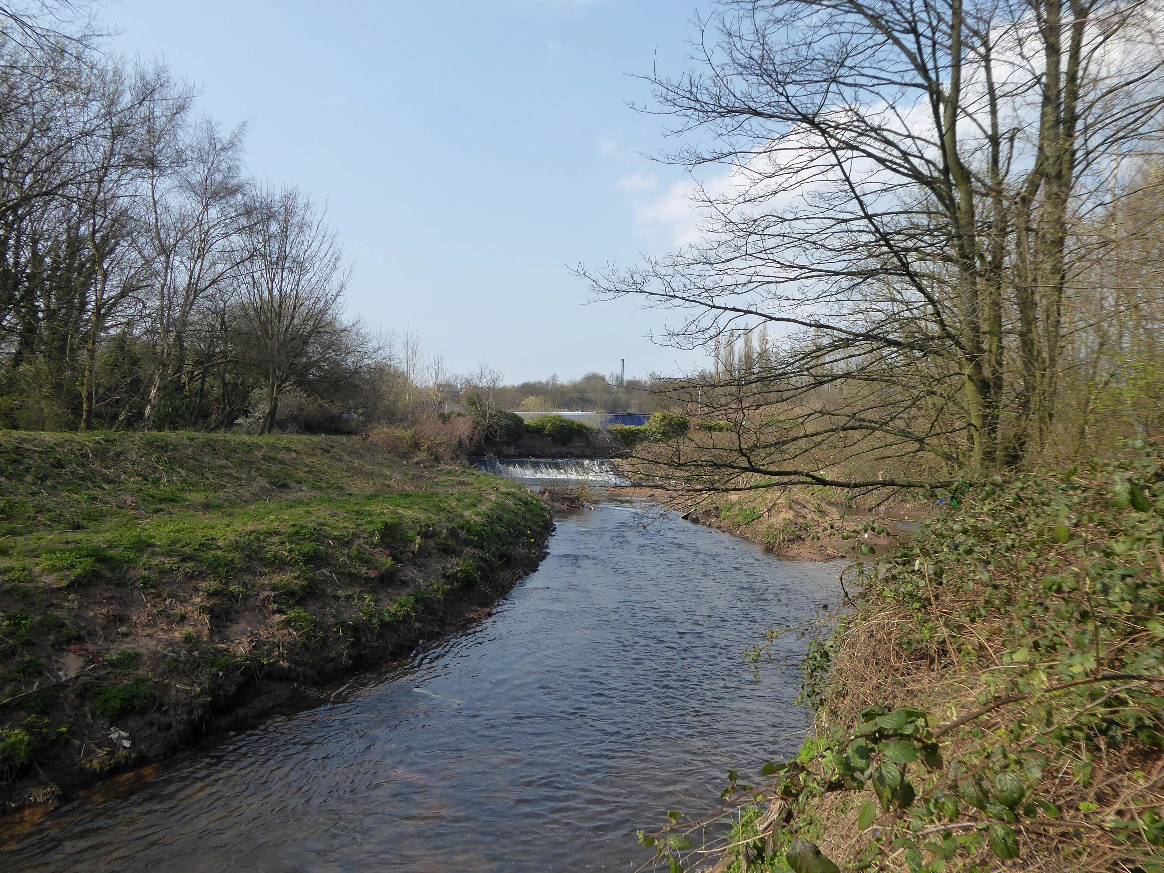
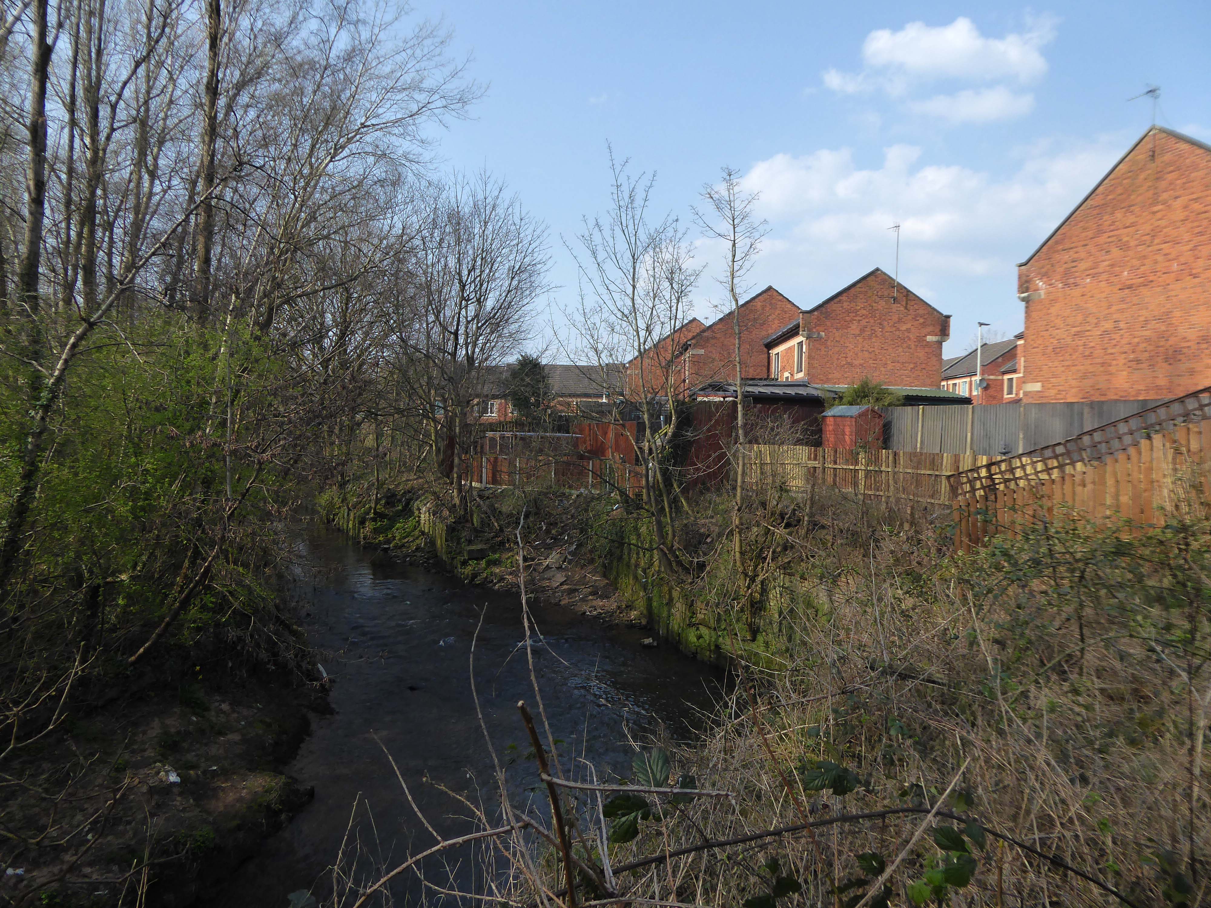
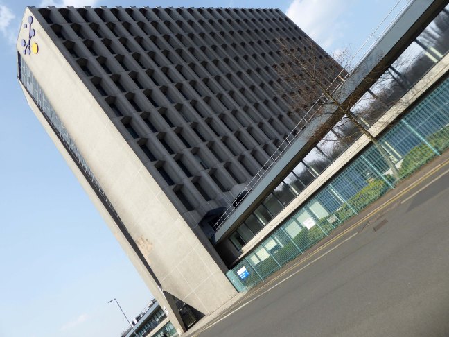
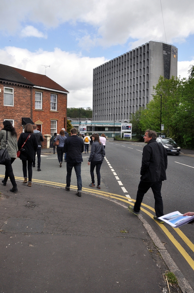
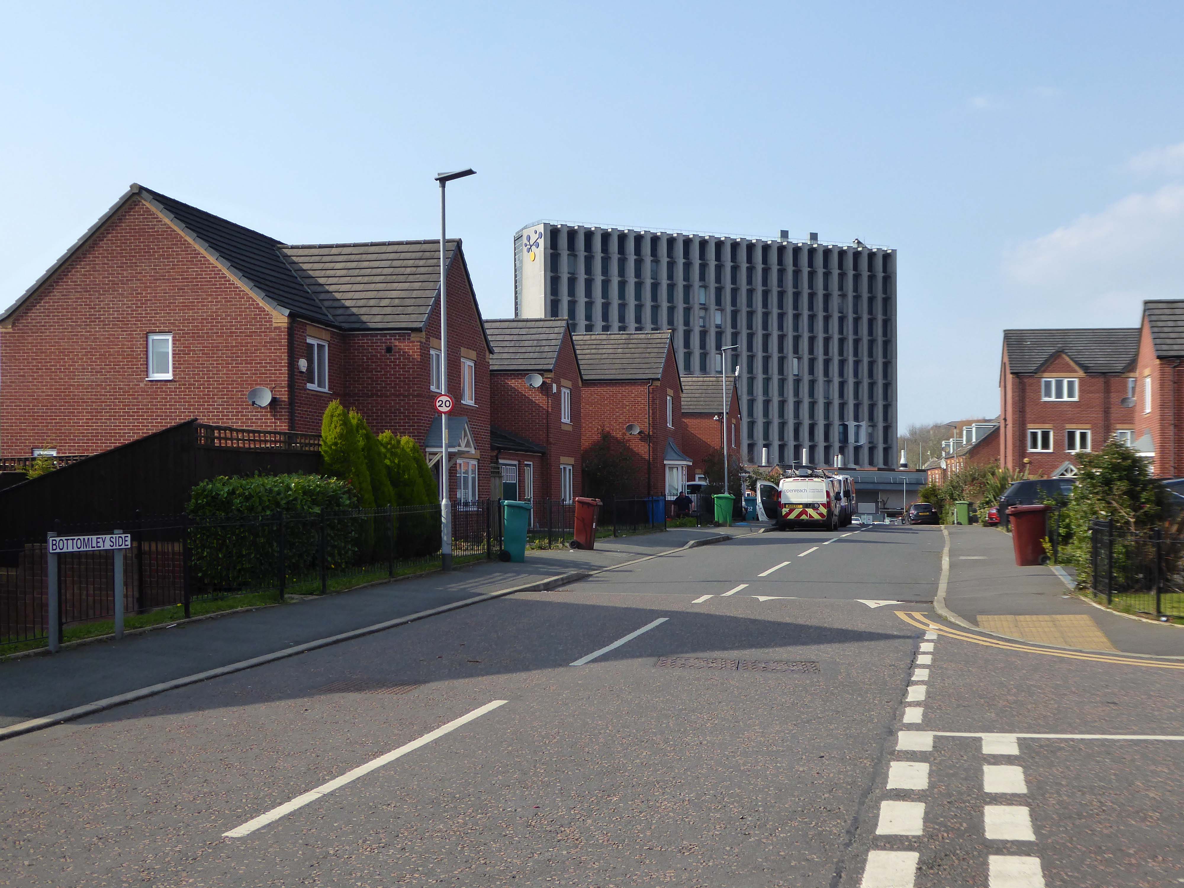
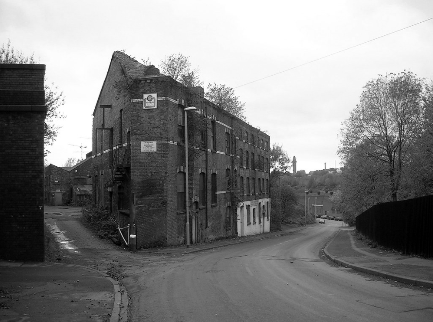
The first leg of a journey to the source of the River Irk beginning behind Victoria, finishing by the Hexagon Towerin Blackley.
The Irk’s name is of obscure etymology, but may be Brittonic in origin and related to the Welsh word iwrch, meaning roebuck
In medieval times, there was a mill by the Irk at which the tenants of the manor ground their corn and its fisheries were controlled by the lord of the manor. In the 16th century, throwing carrion and other offensive matter into the Irk was forbidden. Water for Manchester was drawn from the river before the Industrial Revolution. A bridge over the Irk was recorded in 1381. The river was noted for destructive floods. In 1480, the burgesses of Manchester described the highway between Manchester and Collyhurst which – the water of Irk had worn out. In 1816, of seven bridges over the Irk, six were liable to be flooded after heavy rain but the seventh, the Ducie Bridge completed in 1814 was above flood levels.
According to The New Gazetteer of Lancashire the Irk had – more mill seats upon it than any other stream of its length in the Kingdom and – the eels in this river were formerly remarkable for their fatness, which was attributed to the grease and oils expressed by the mills from the woollen cloths and mixed with the waters.
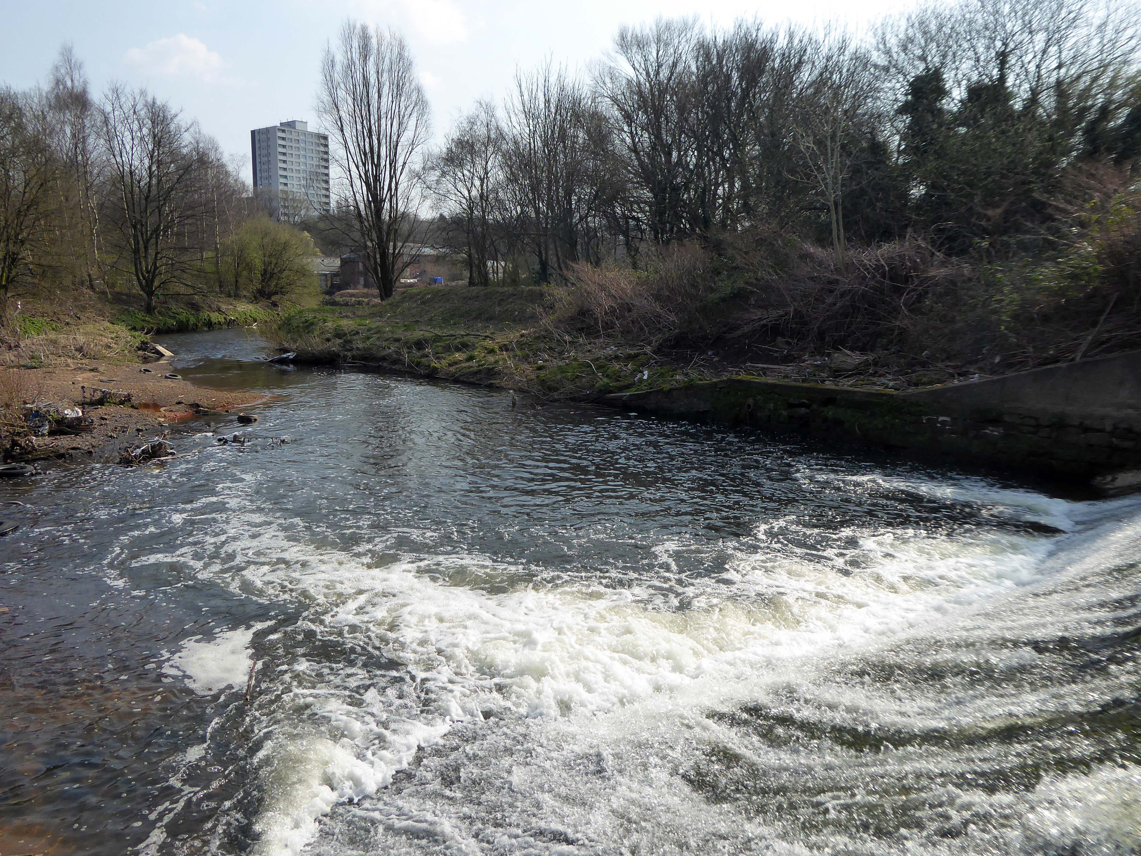
However, by the start of the 20th century the Irk Valley betweenCrumpsall and Blackley had been left a neglected river – not only the blackest but the most sluggish of all rivers.
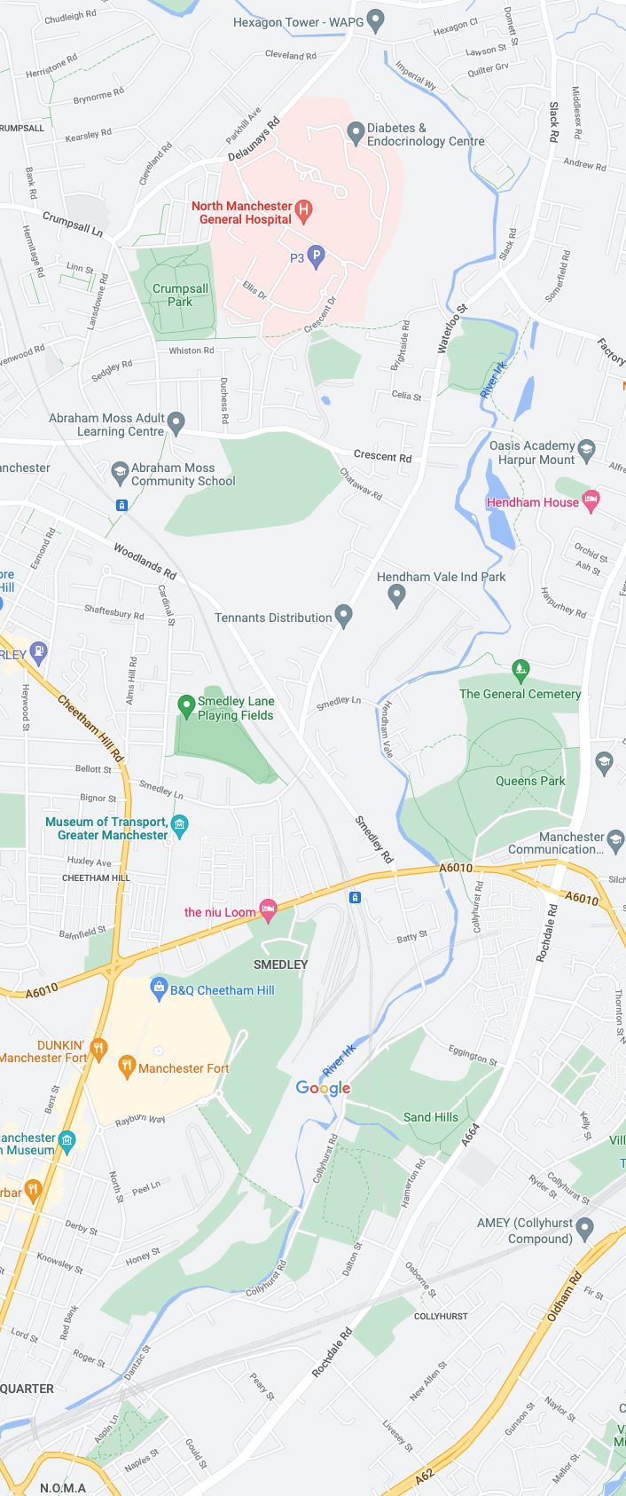
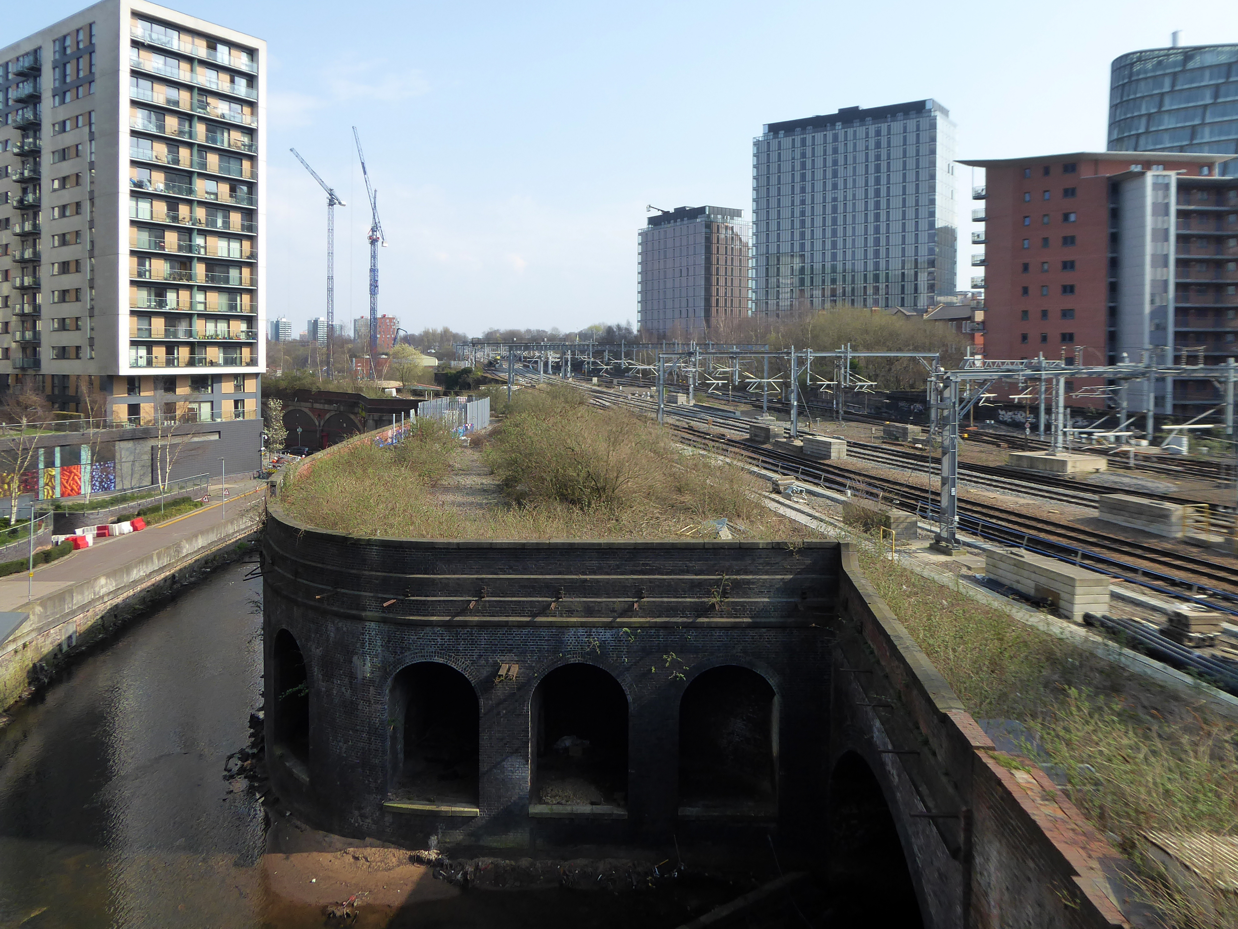
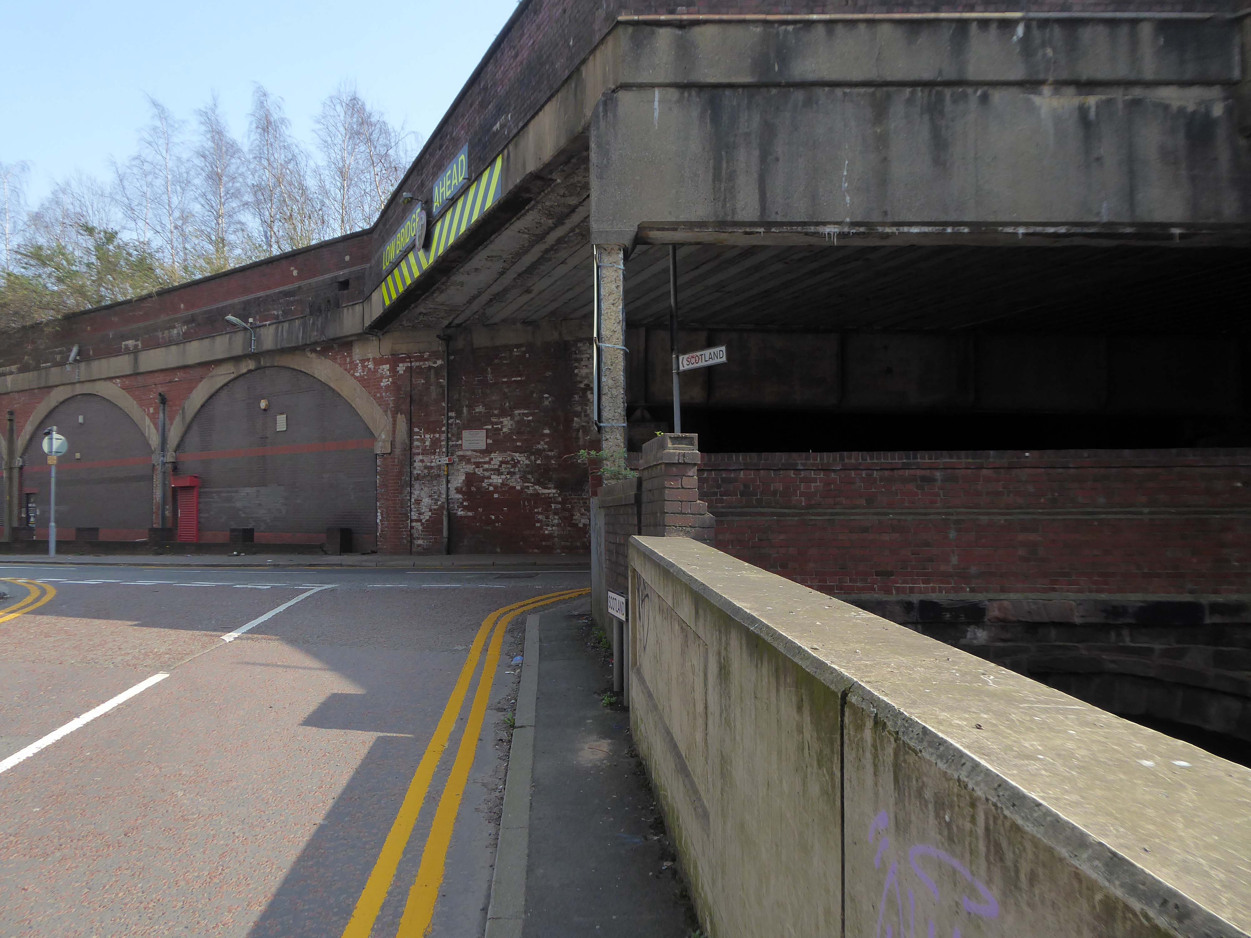
The river emerges from beneath the city into an area named Scotland – a remnant of Manchester’s links with the Jacobite Rebellion.
To the left were the squalid Victorian homes of Red Bank – currently presenting as the Green Quarter.
The river briefly becomes subterranean again.
This is a river with an ignominious history – famously damned by émigré Friedrich Engels.
At the bottom flows, or rather stagnates, the Irk, a narrow, coal-black, foul-smelling stream, full of debris and refuse, which it deposits on the shallower right bank.
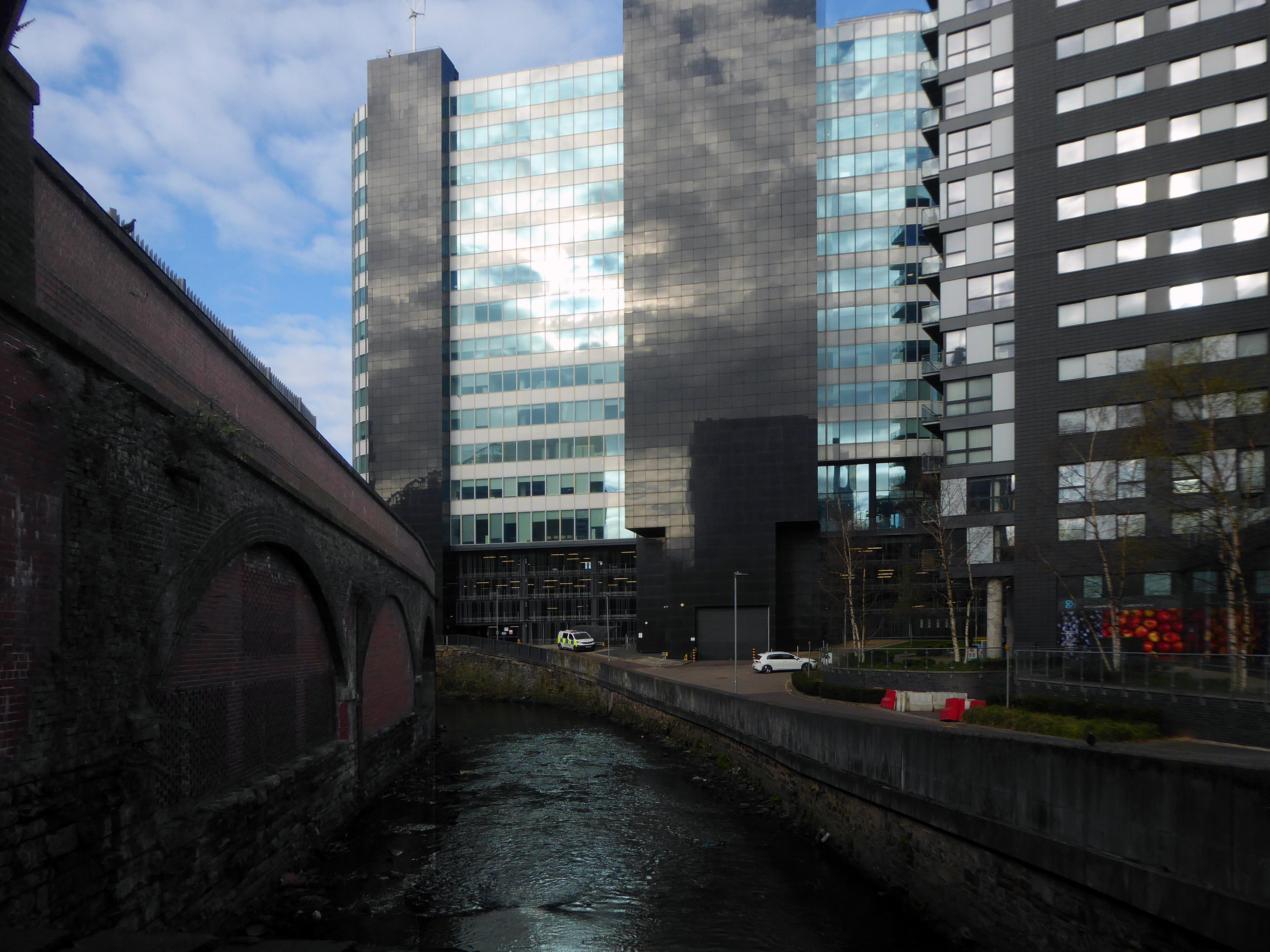
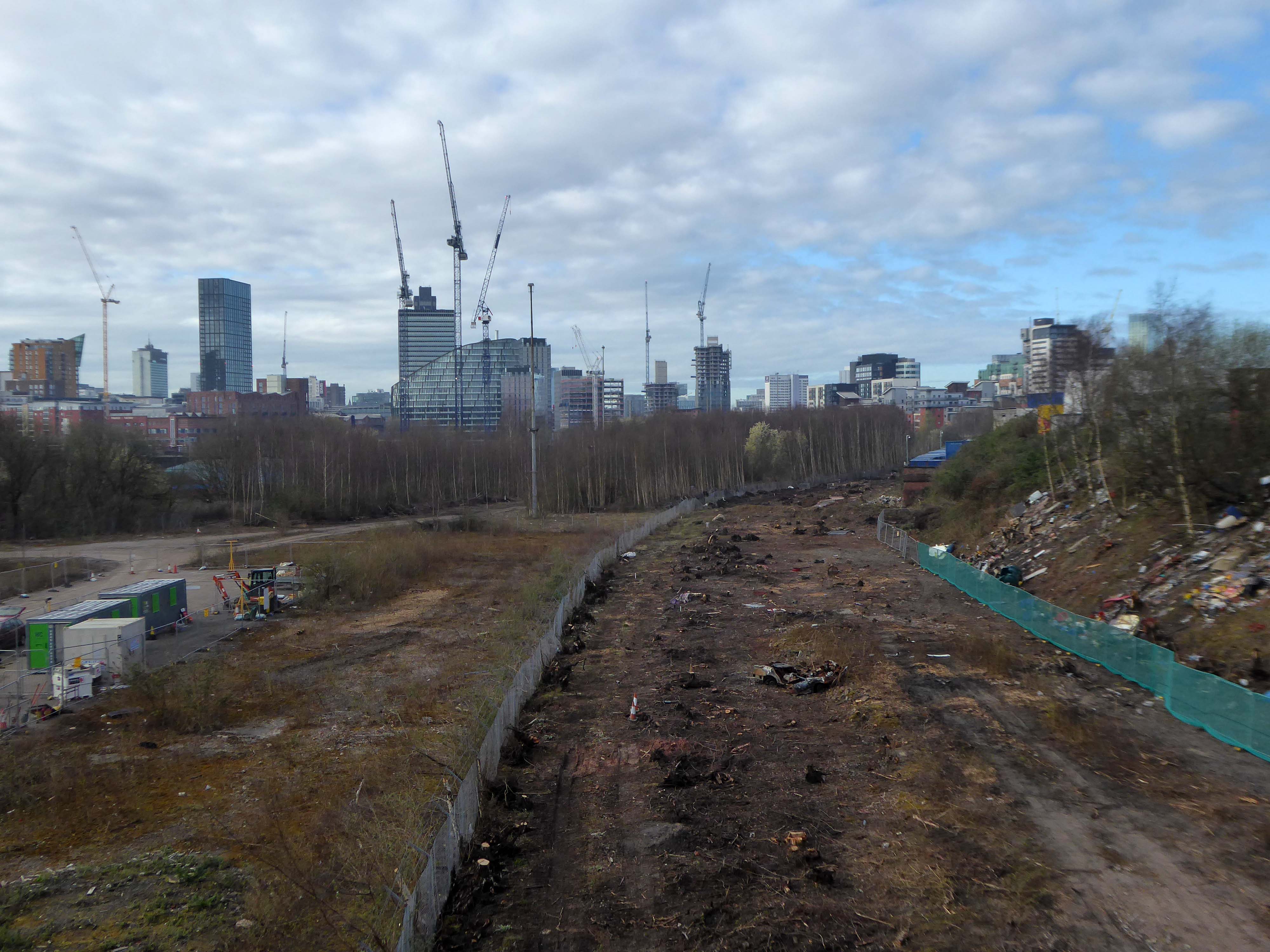
Spanning the defunct railway workings, affording a view of the brightly blooming city centre.
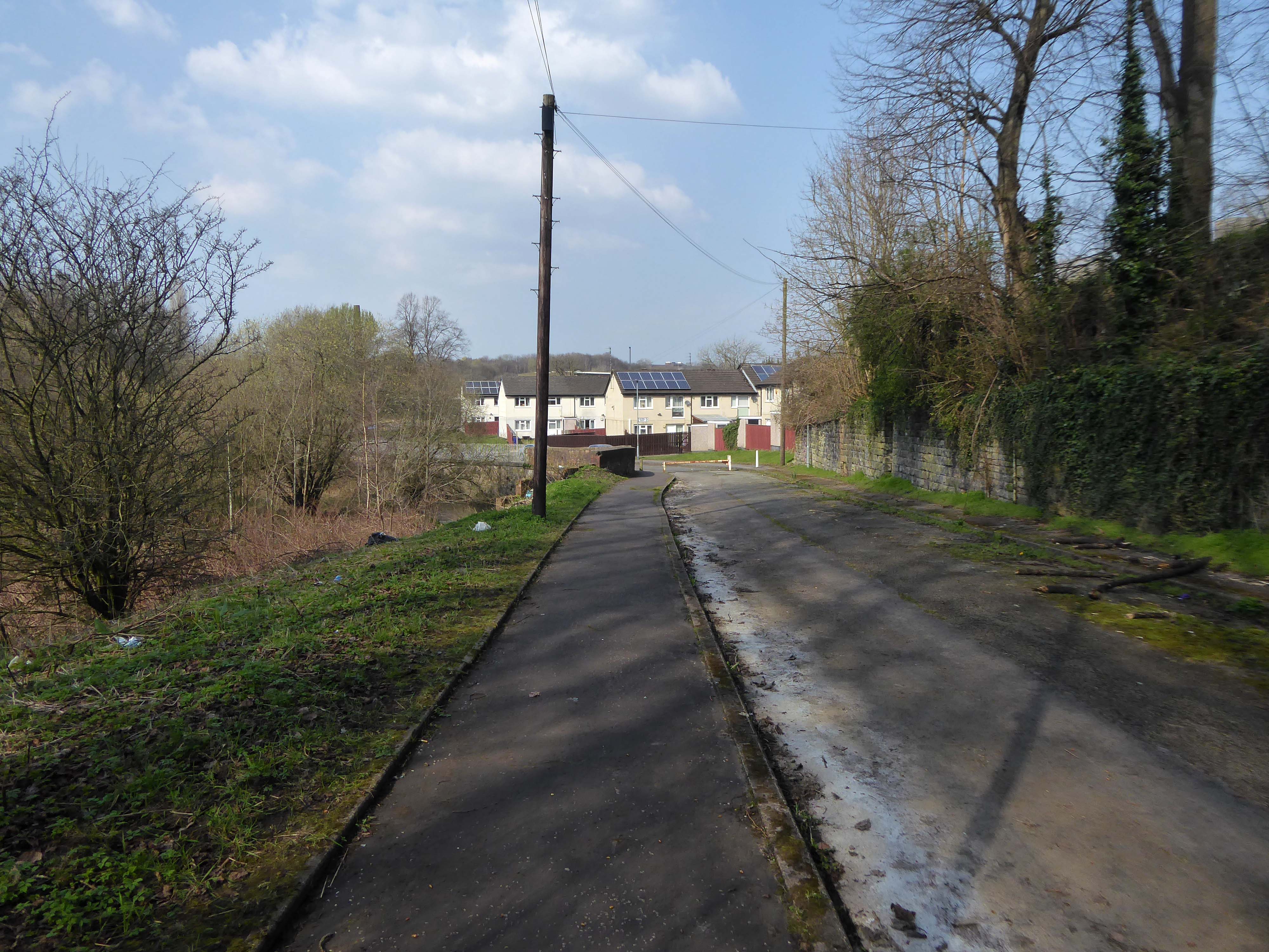
Leaving Collyhurst Road, we journey along Smedley Road.
Seen here in 1934.
Passing beneath Queens Road – Queens Park to the right.
Queen’s Park was one of Britain’s first municipal parks created in 1846. The park was originally arranged around Hendham Hall, home of the Houghton family however this was demolished in 1884.
Dropping down to Hendham Vale.
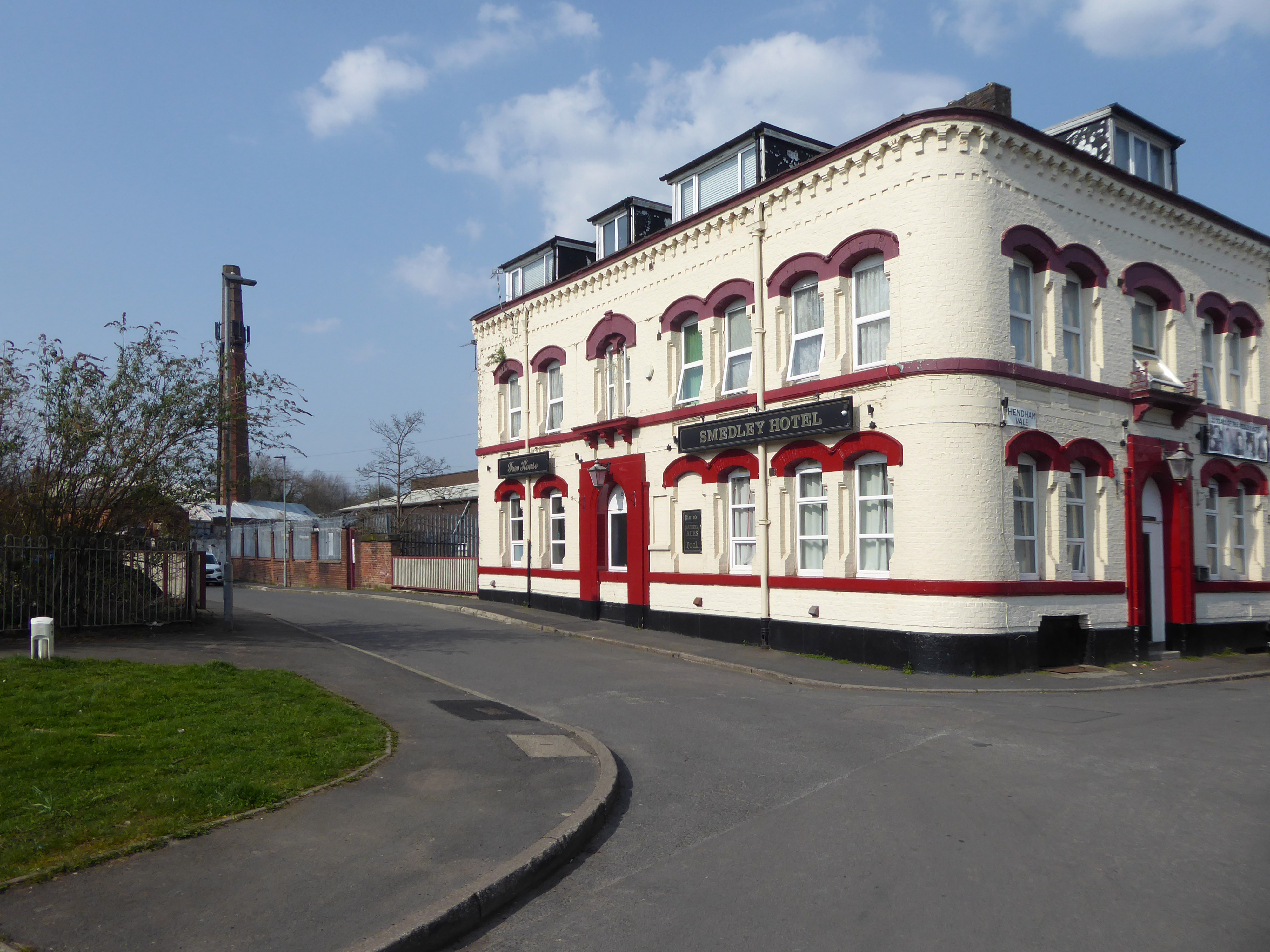
To the right is the Smedley Hotel.
The Smedley Hotel is a very large pub that is hidden away on a quiet back street.Once inside there were a few different rooms and I had a drink in the bar which was fairly large and seemed in need of some attention. The pub still had its old Chesters signs outside and there were three real ales on the bar. I had a drink of Chesters bitter and this was a very nice drink the other beers were Chesters mild and Boddington’s bitter.
I thought this pub would be long gone but it is still standing and I think open for business.
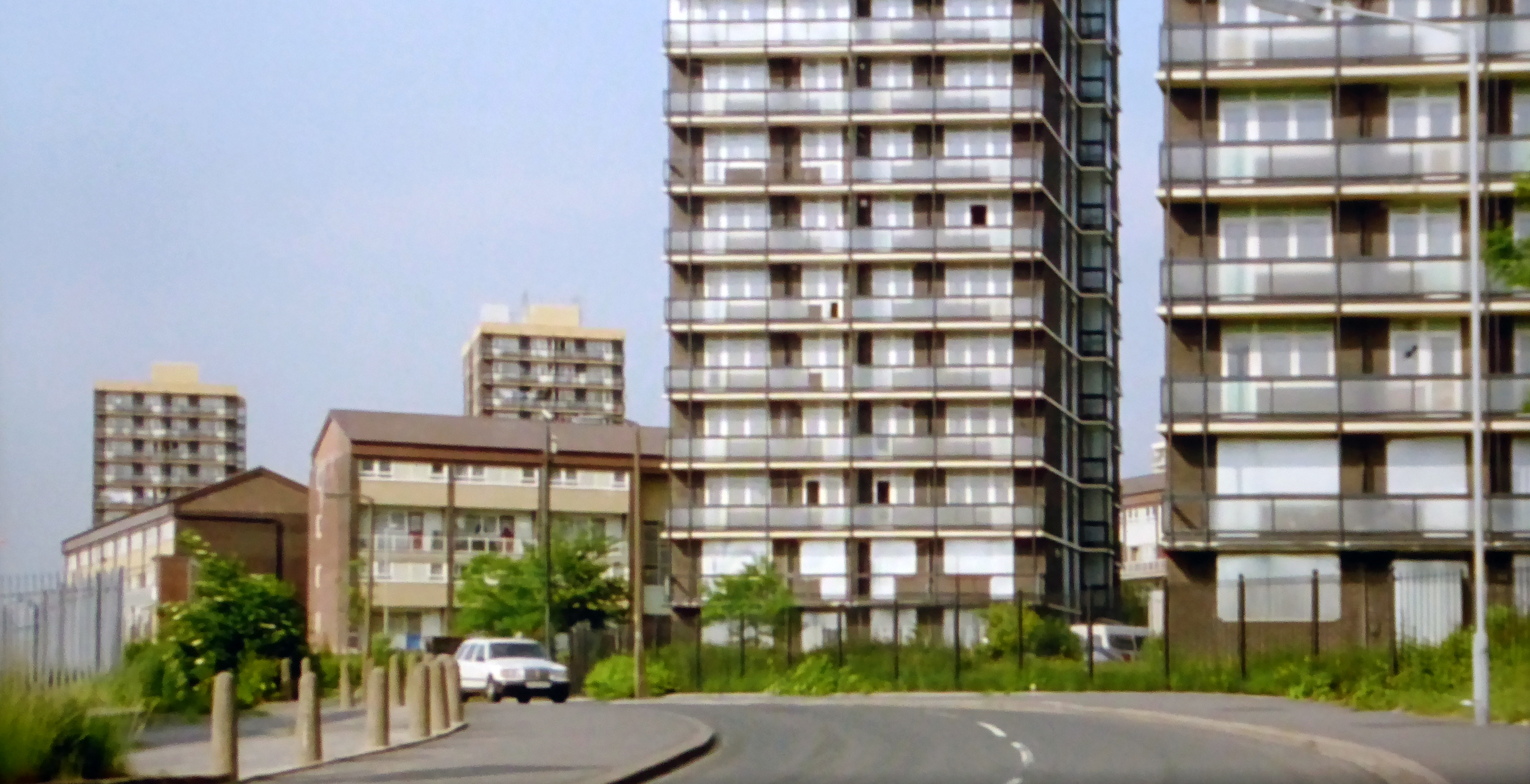
Lost to the world are the Manchester Moderne flats of Kennet House overlooking the Irk Valley on Smedley Lane.
Hendham Way becomes a pedestrianised lane.
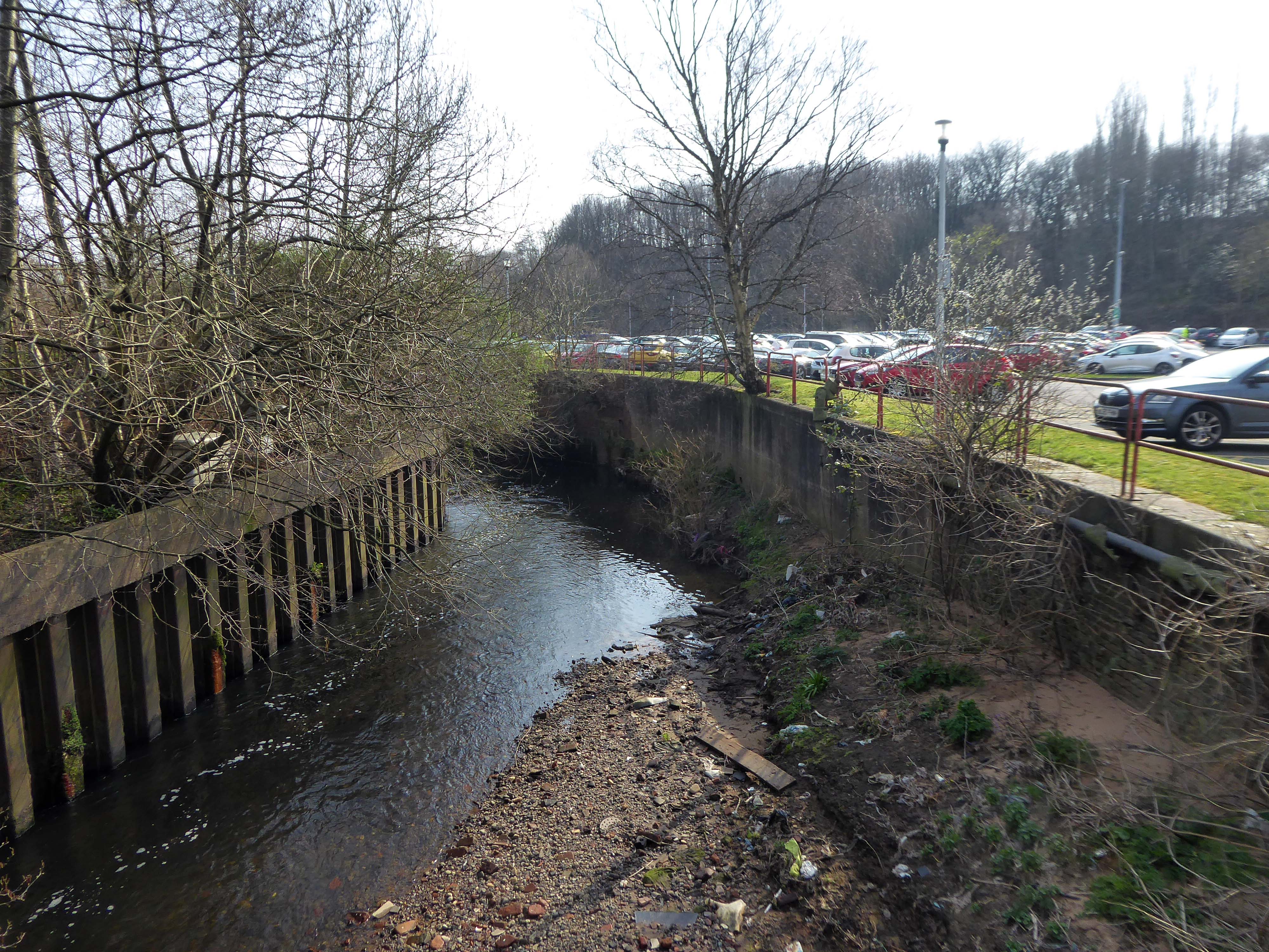
Taking the road up and then down, returning to the river, and following the wrong path – alongside the Hapurhey Reservoir and Ponds.
A remnant of the industrial era the reservoirs and ponds, once used by the factories as a source of water, have over the year become a thriving habitat which supports a substantial amount of wildlife.
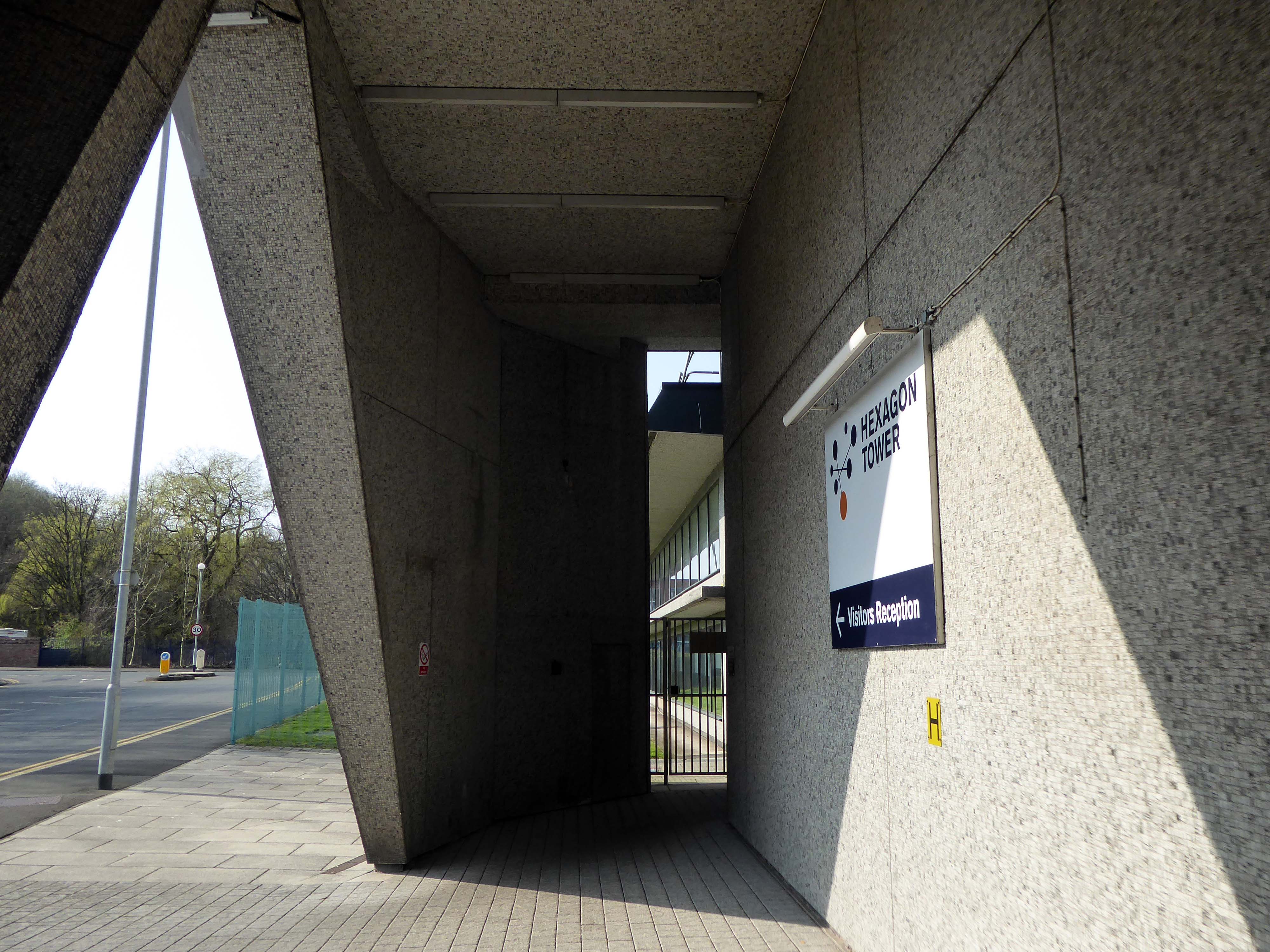
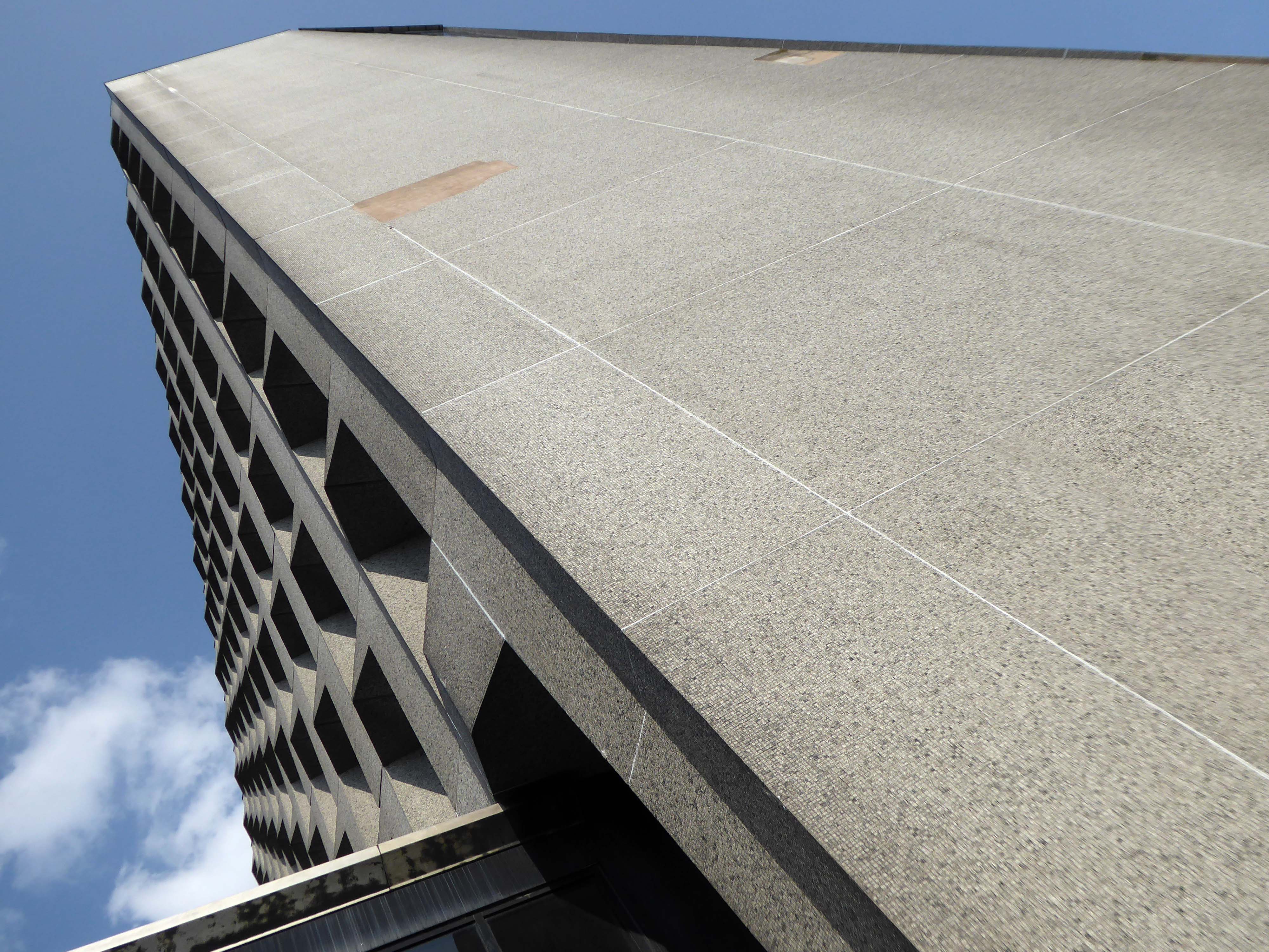
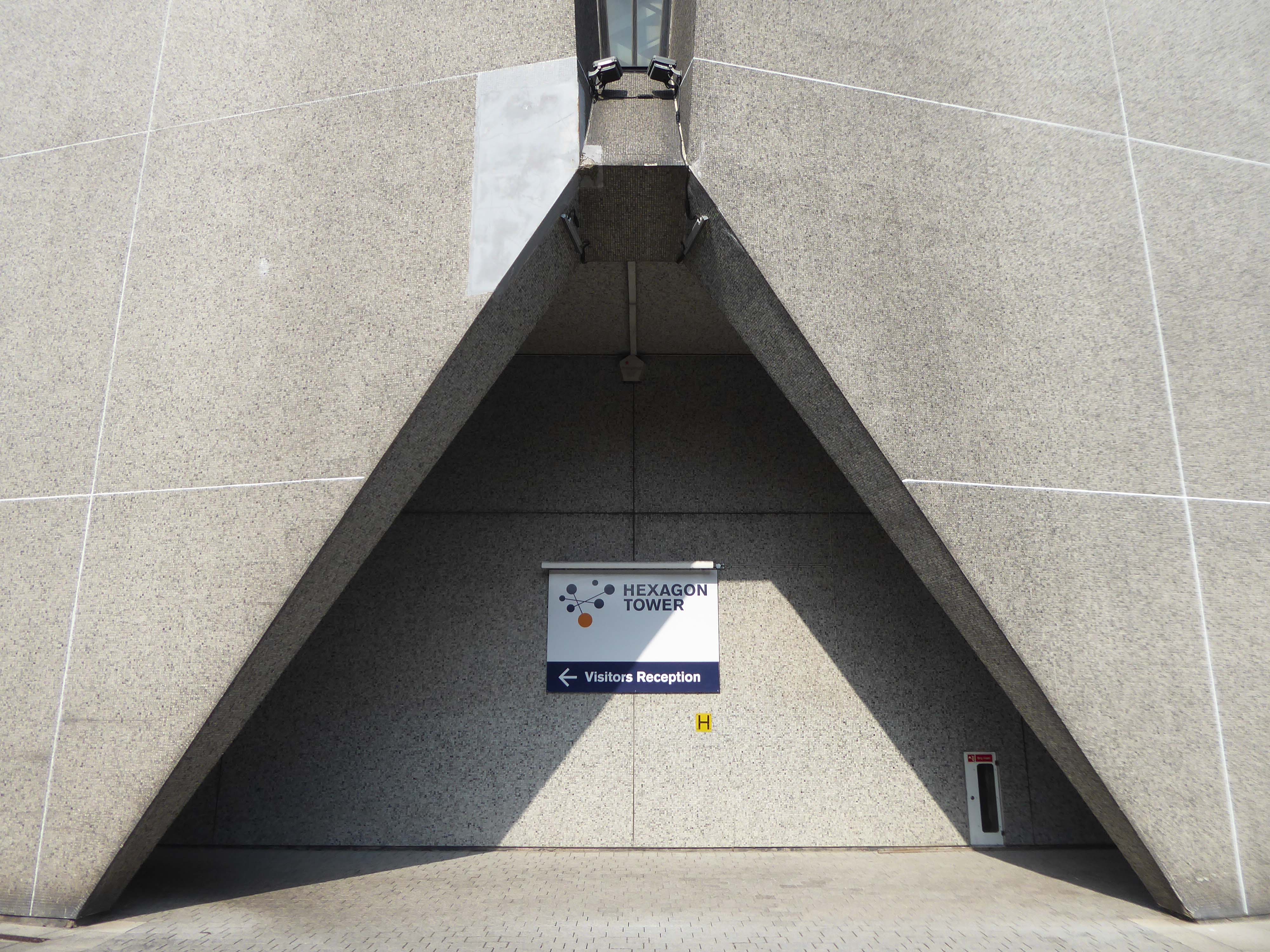
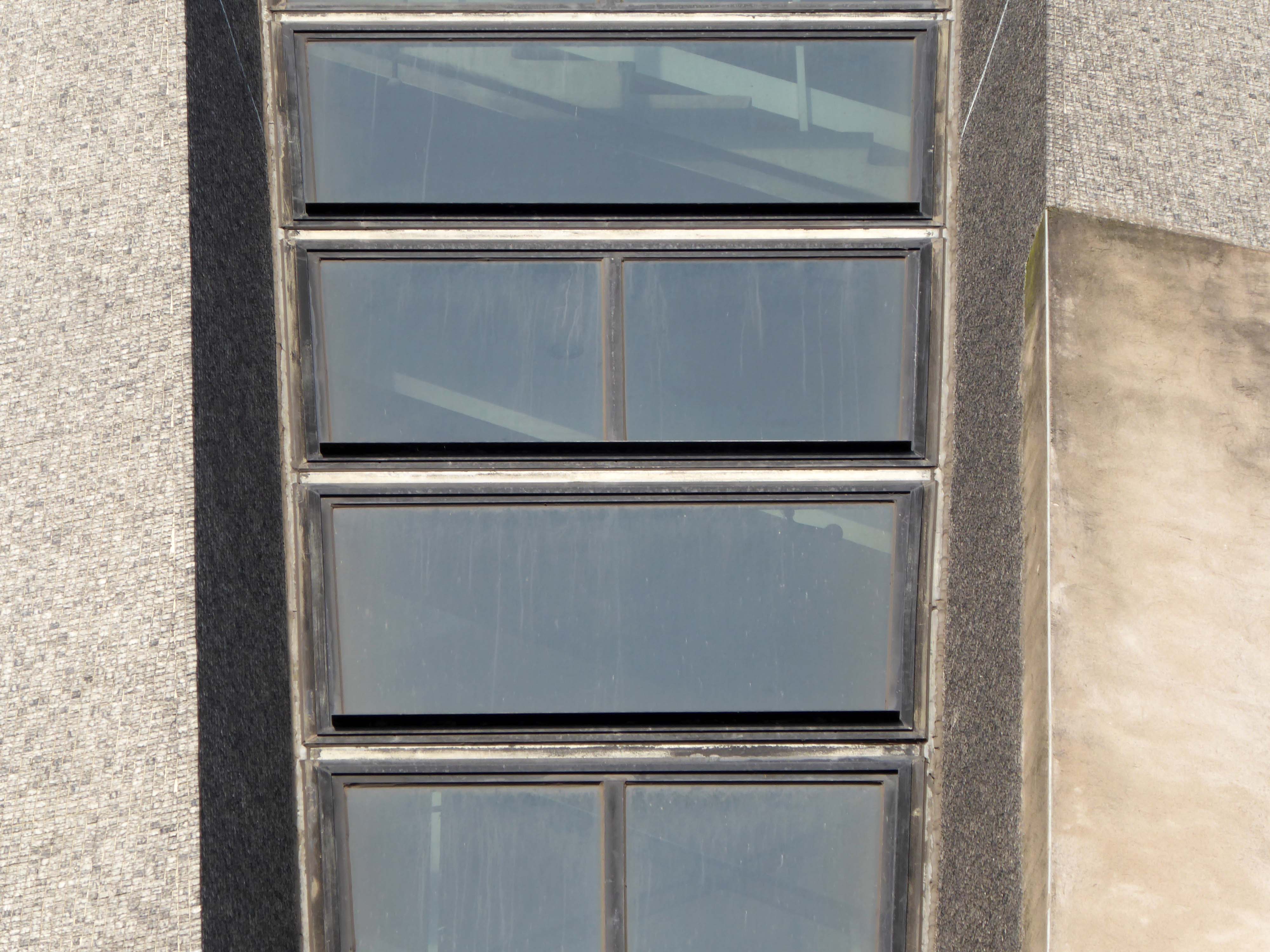
Then cutting back and regaining the correct path.Finally arriving at the Hexagon Tower.
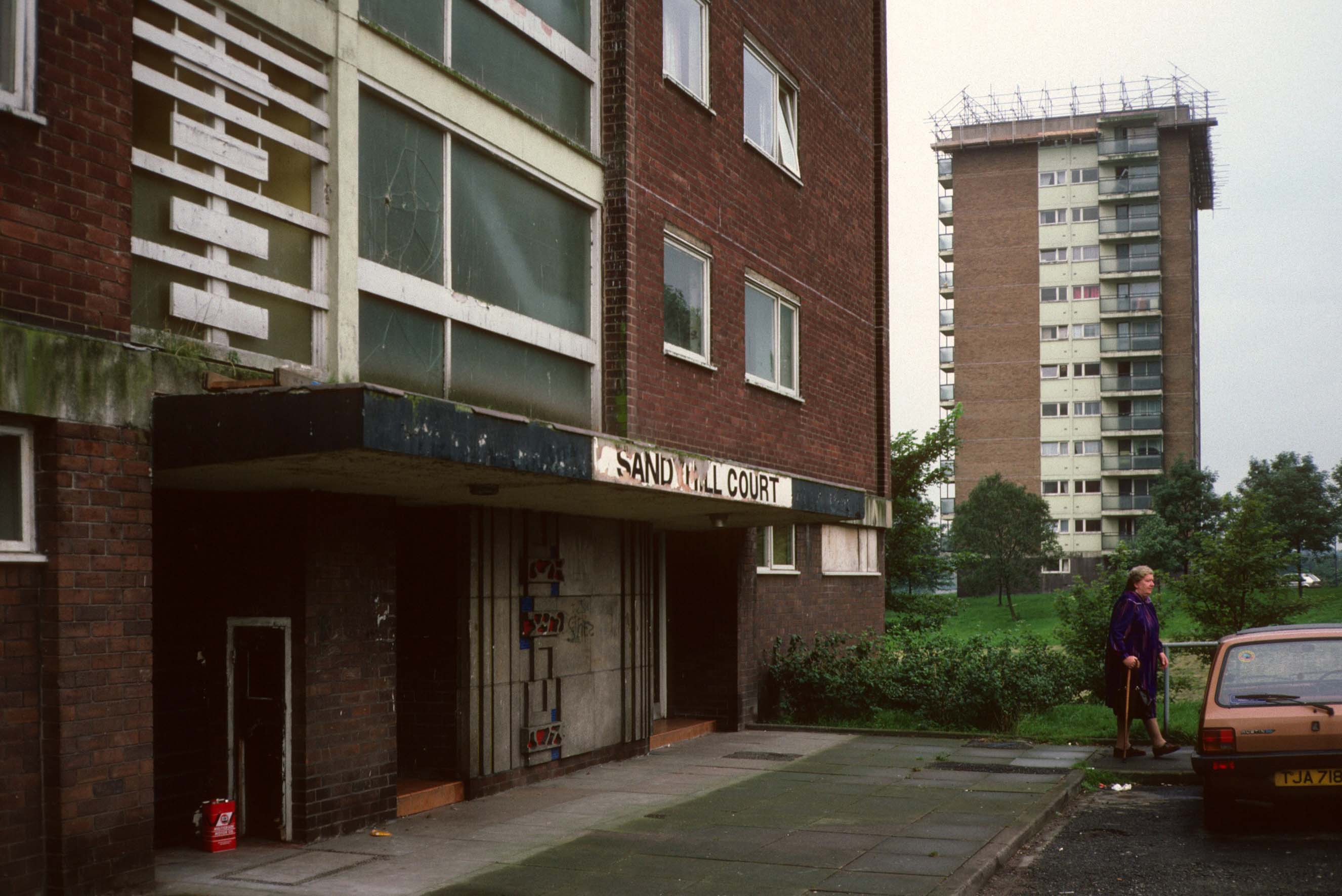
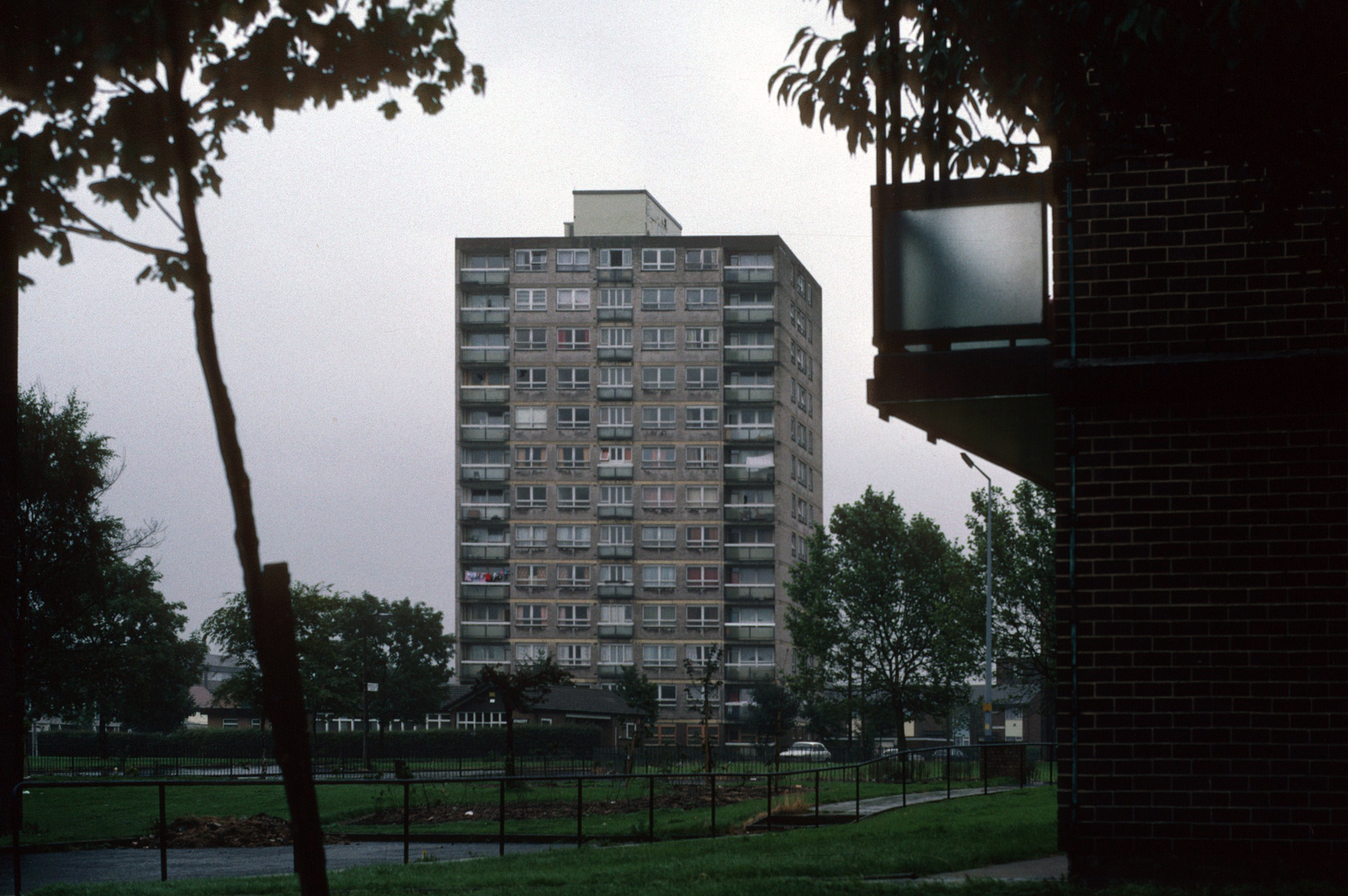
The flats had acquired a stereotypical bad reputation.
Blight flats will soon be high-rise des-res.
Residents on a blighted Blackley estate have been told of plans to deal with the mostly unoccupied high-rise flats that are seen as the cause of the problem.
I entered via the vehicular access – in order to view the four remaining reliefs.
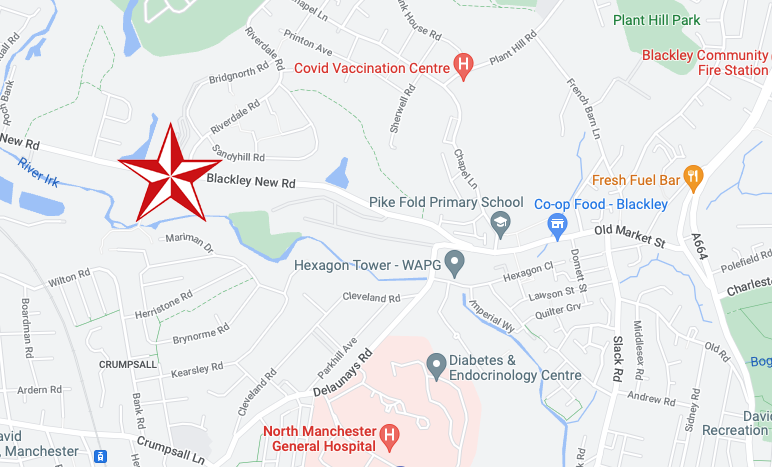
The Lakeside Rise blocks now form part of a private gated community and are accessed from Blackley New Road.
The original blocks and their locations are as follows:
Ashenhurst Court Now Lakeside 1 Heaton Court Now Lakeside 2 Wilton Court Now Lakeside 3 Blackley Court Now Lakeside 4
Bracknell Court demolished – was on the corner of Riverdale Road and Bridgenorth Road adjacent to Heaton Court Riverdale Court demolished – was on Riverdale Road opposite Bantry Avenue.
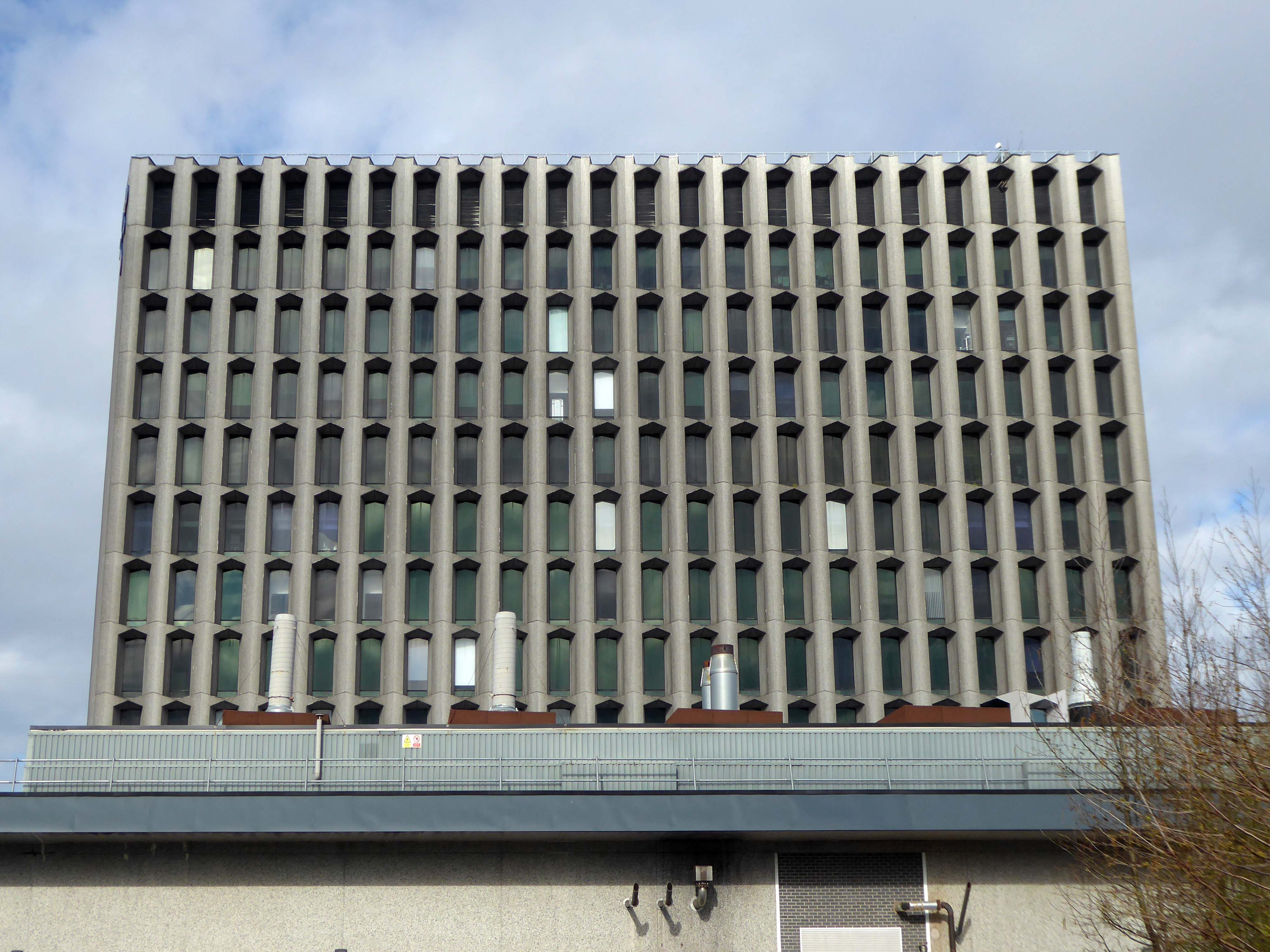
ICI’s Dyestuffs Division had its headquarters at Blackley in north Manchester, in a complex known as the Hexagon, which included its main R & D labs, and an experimental manufacturing plant.
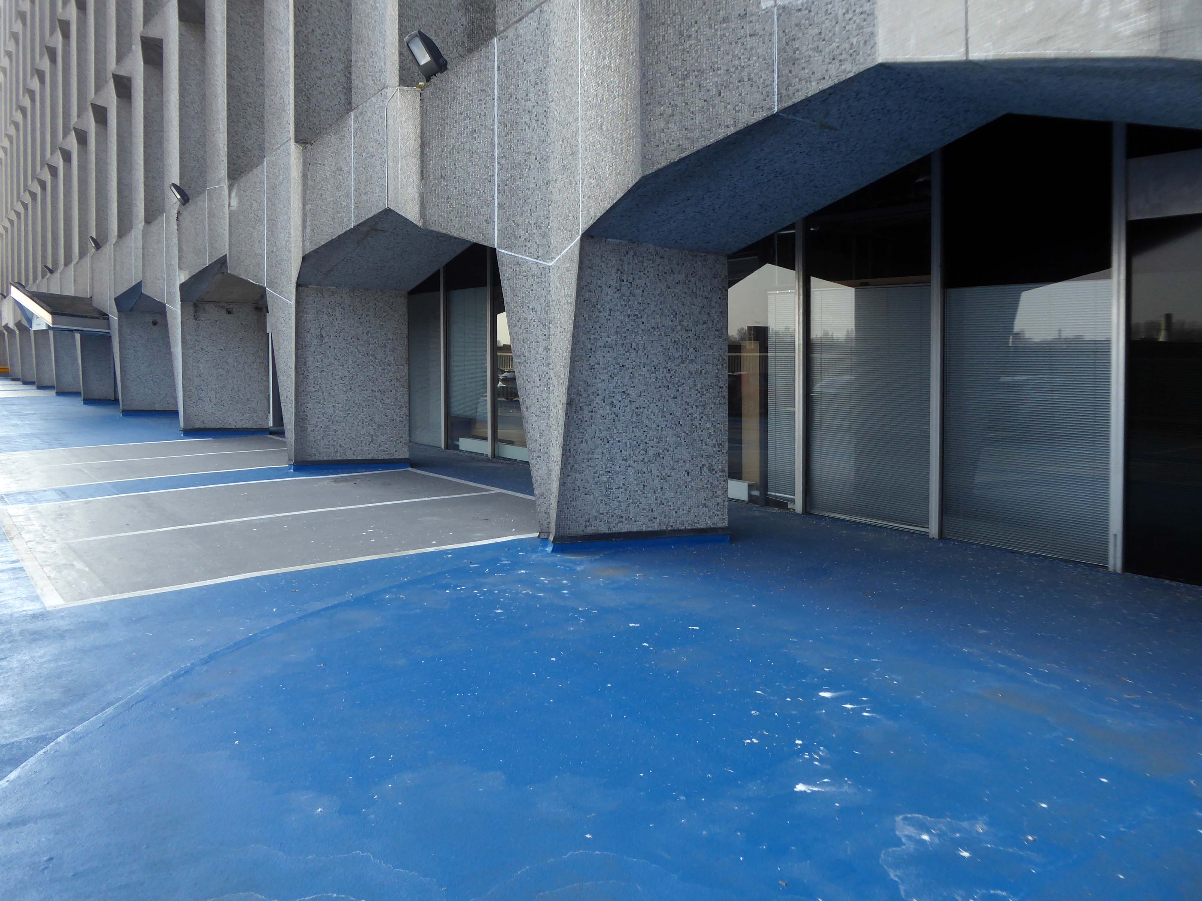
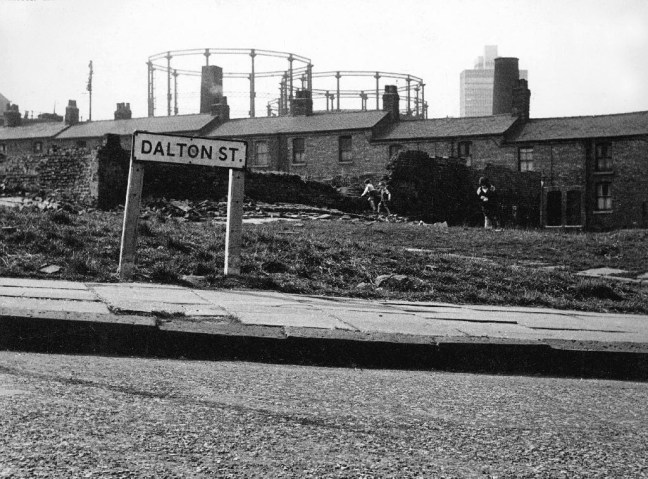
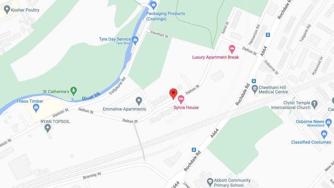
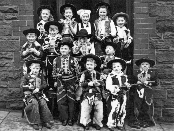
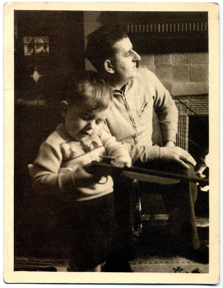
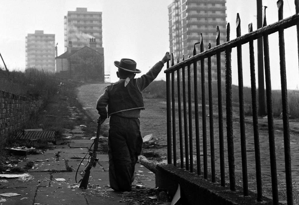
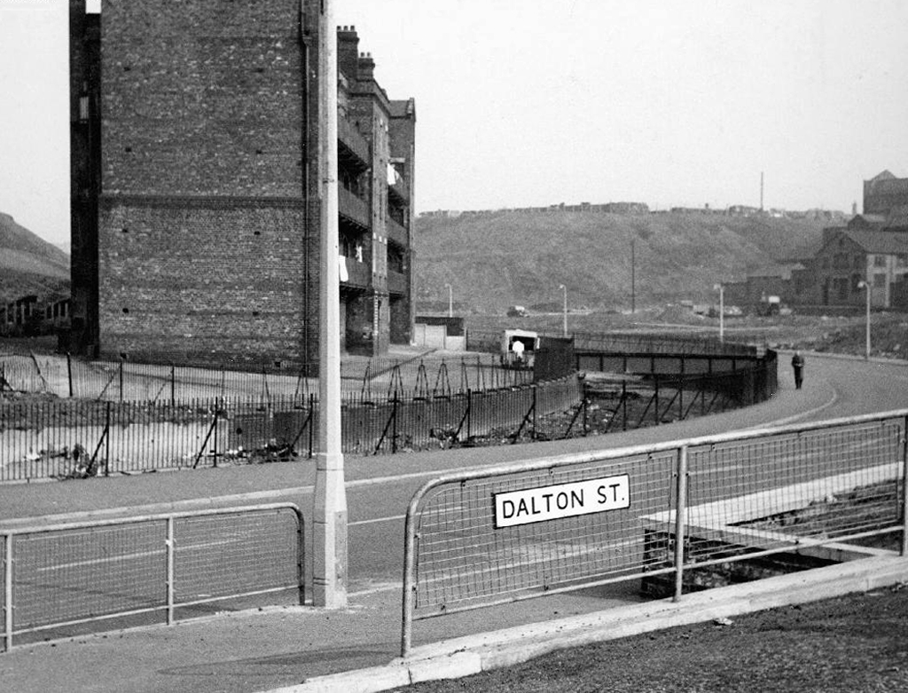
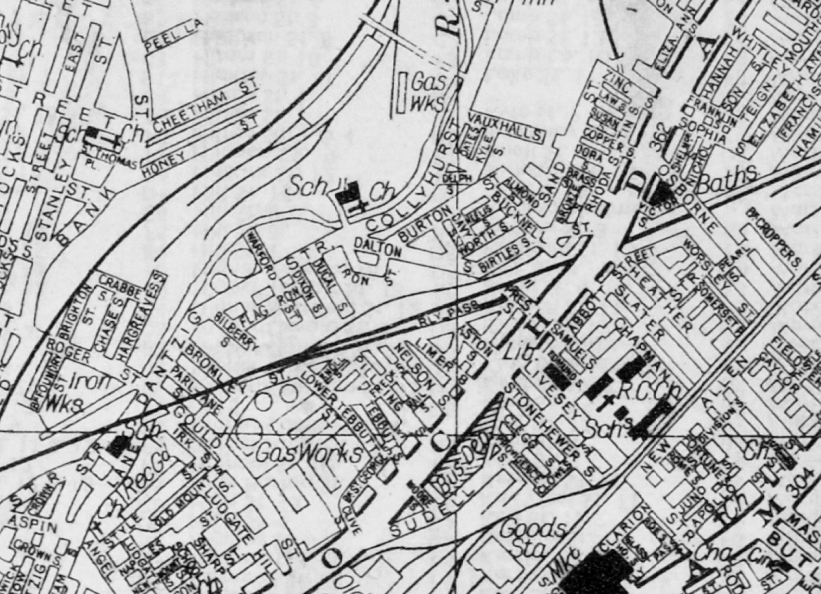
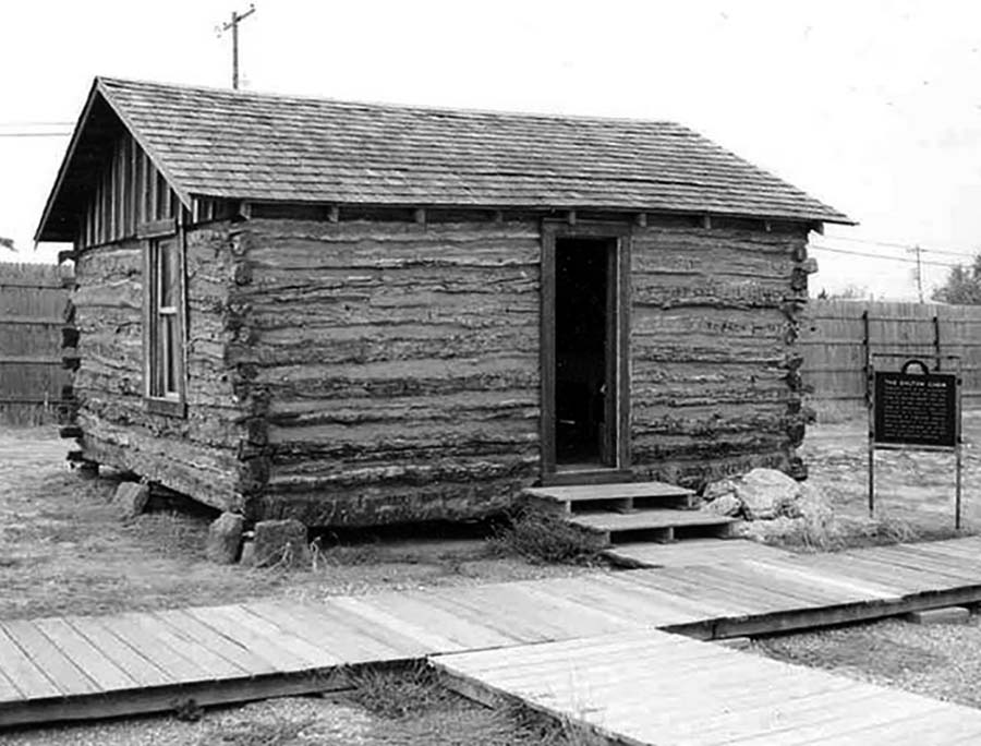
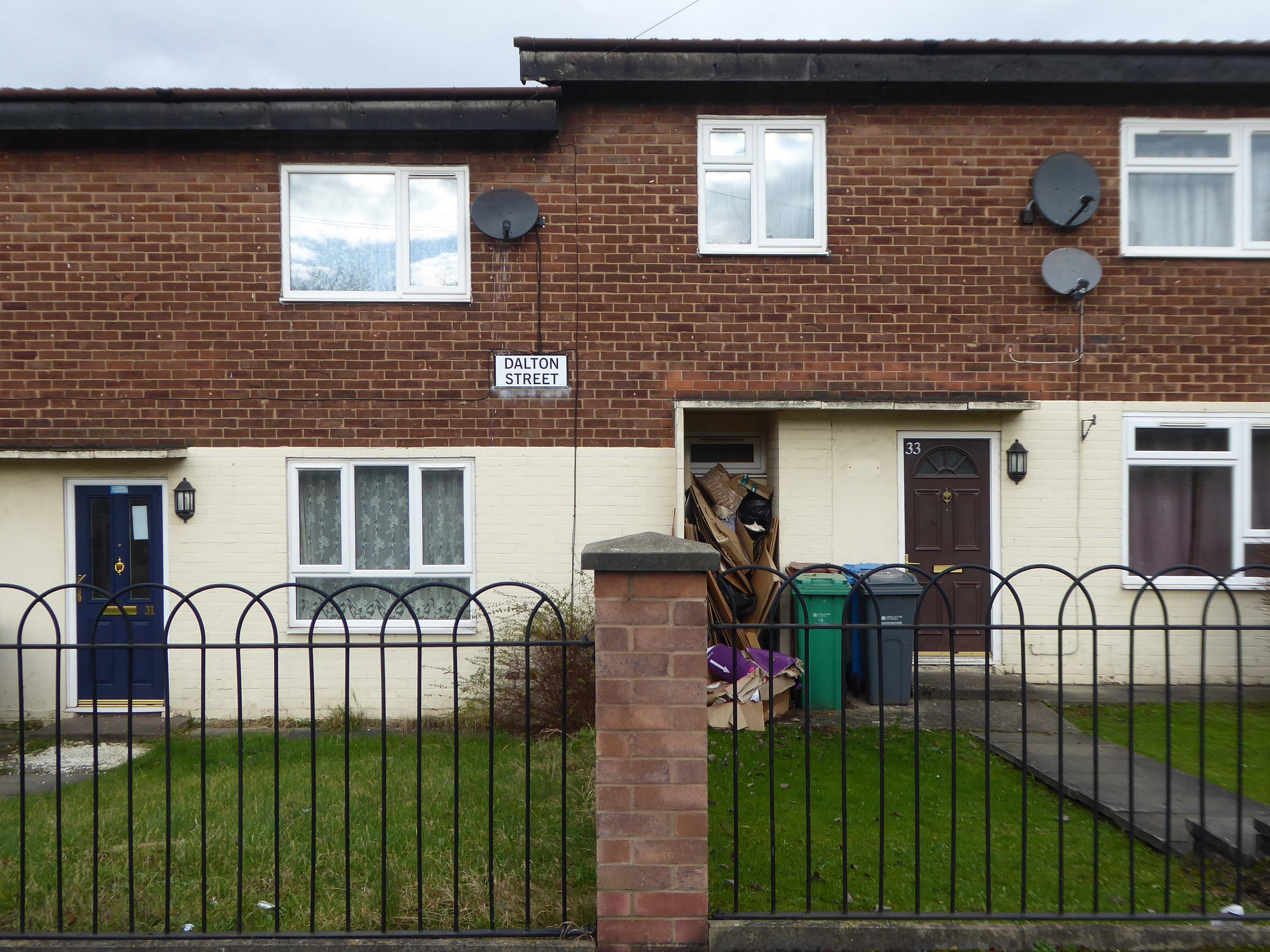
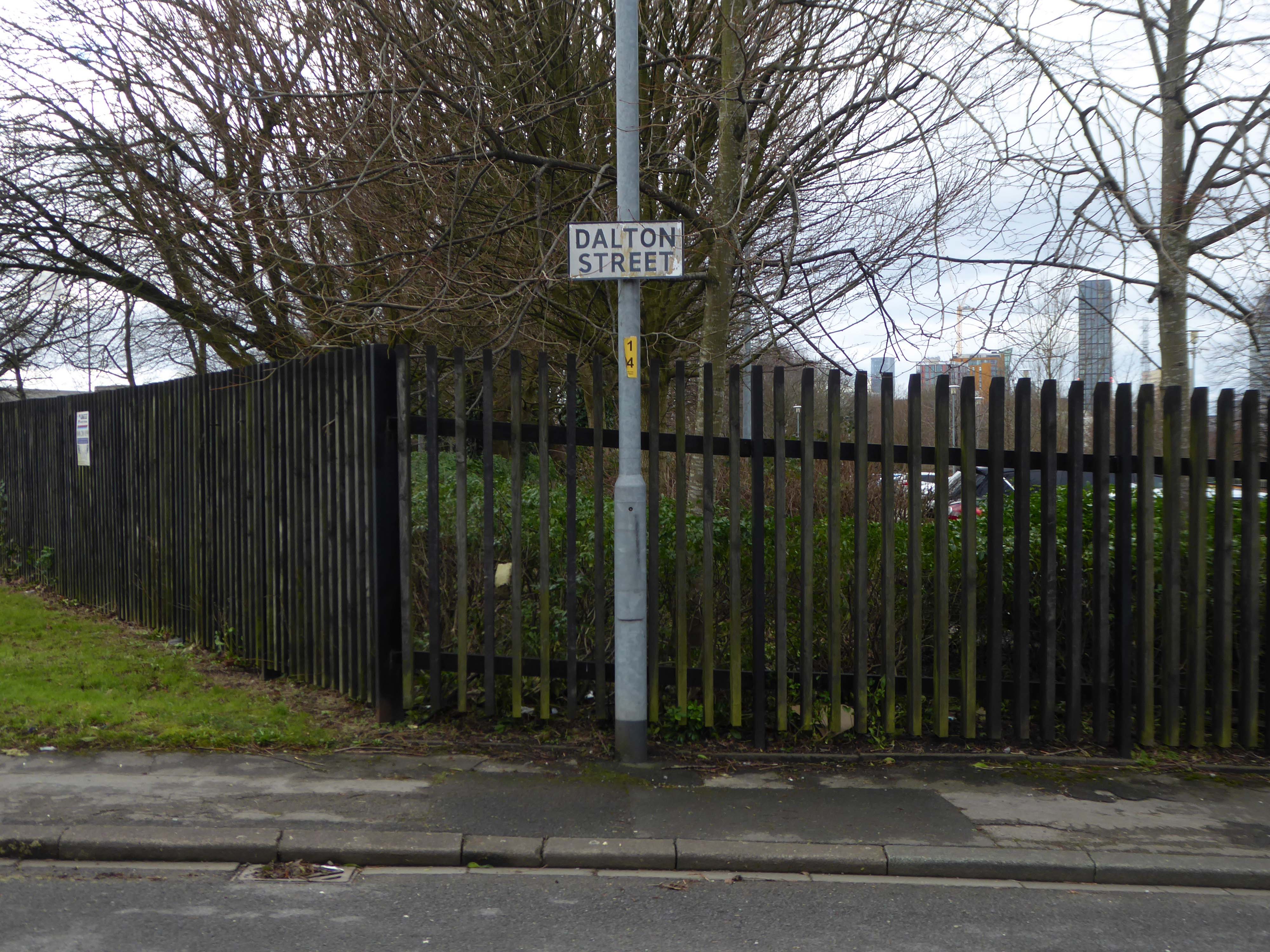
Now I’m going east to Dalton Street, home to the Collyhurst cowboy.
Photograph: Dennis Hussey
This is an illusion within an illusion, twice removed.
The Hollywood recreation, recreated on the rough ground of post war Britain.
In 1960 the area was a dense network of streets, industry and homes – demolished during the period of slum clearance.
Escaping the dark, dank Irk Valley onwards and upwards to Rochdale Road.
The Dalton Works Arnac factory survived until 2008
Photograph: Mikey
The tight maze of Burton Street and beyond, reduced to rubble.
Dalton Street was not home to the Dalton Gang, they lived here in Oklahoma
It was home to imaginary gangs, committing imaginary crimes, in an imaginary Manchester, in ITV’s Prime Suspect Five.
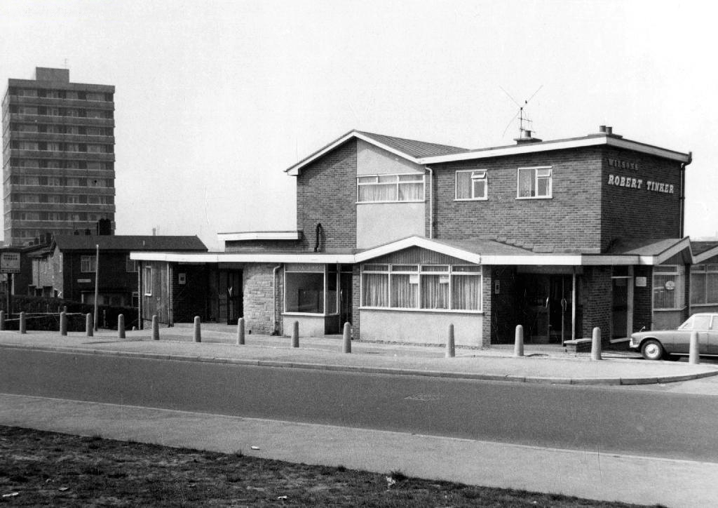
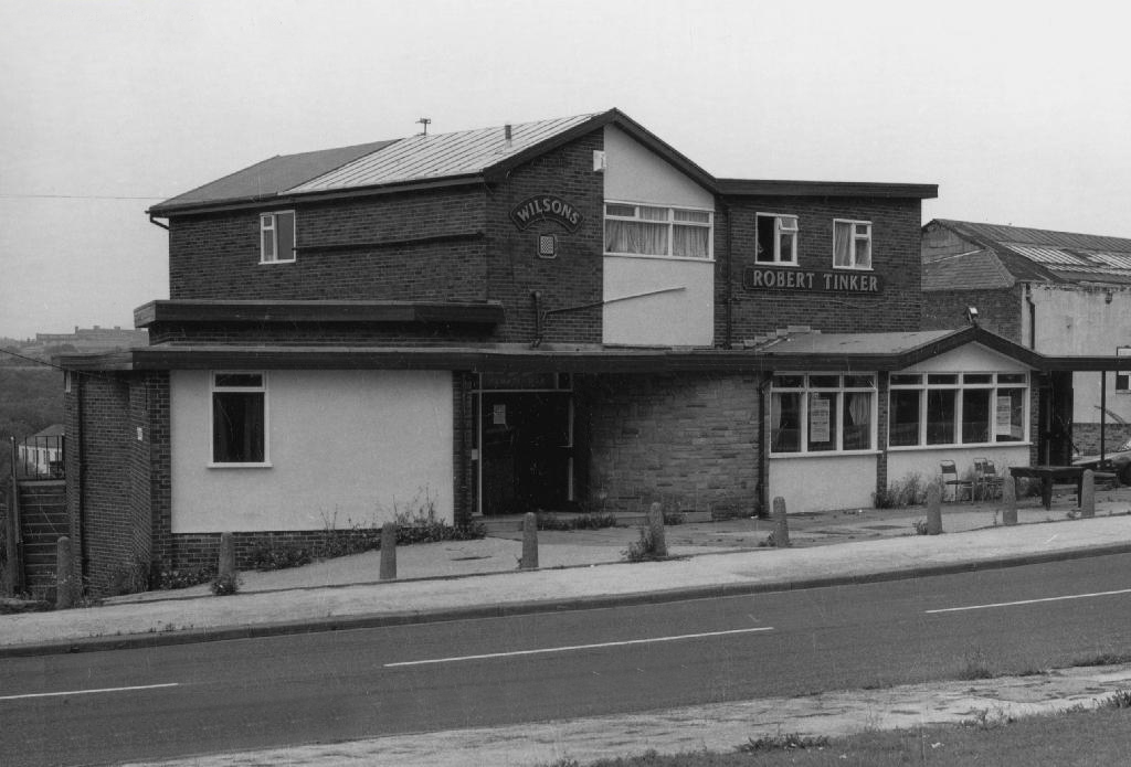
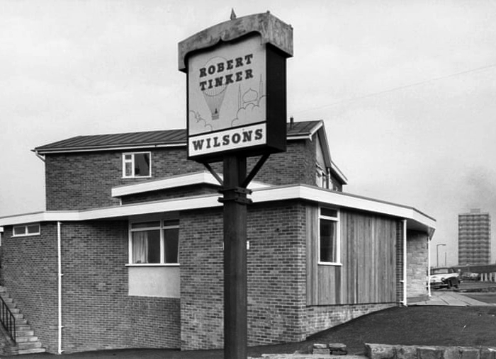
Kangol capped criminals doing business outside the Robert Tinker on the corner of the very real Dalton and Almond Streets.
The Robert Tinker was an estate pub in a run down area of Collyhurst. The pub looked pretty grim from the outside, but it was smarter than I expected inside, I had a drink in the lounge which was carpeted and comfortable. This was a Banks’s tied house and there were two real ales on the bar, I had a drink of Banks’s bitter and this was a decent drink, the other beer was Banks’s mild. This pub closed about two years after my visit and looked derelict, it has now been demolished.
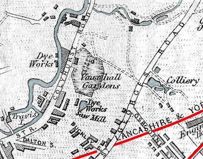
Robert Tinker was the owner of the Vauxhall Gardens, a Victorian pleasure venue.
At the openingthere was a special attraction, a giant cucumber which had been grown in the gardens reaching a length of seven feet and eight inches and a large and beautiful balloon was to be liberated at 9pm
Much of the red sandstone used for building in Manchester and the surrounding area, including stone for the Roman fort at Castlefield, St Ann’s Church in the city centre, Manchester Cathedral and the original buildings of Chetham’s Hospital, came from Collyhurst Quarry. Geologists use the term Collyhurst Sandstone for this type of soft red sandstone, which occurs in North West England
Tinker died in 1836 and gradually his gardens were whittled away, the subsoil was sold to iron moulders who cherished its certain properties and before long the trees were chopped down and houses were being built on the former site.
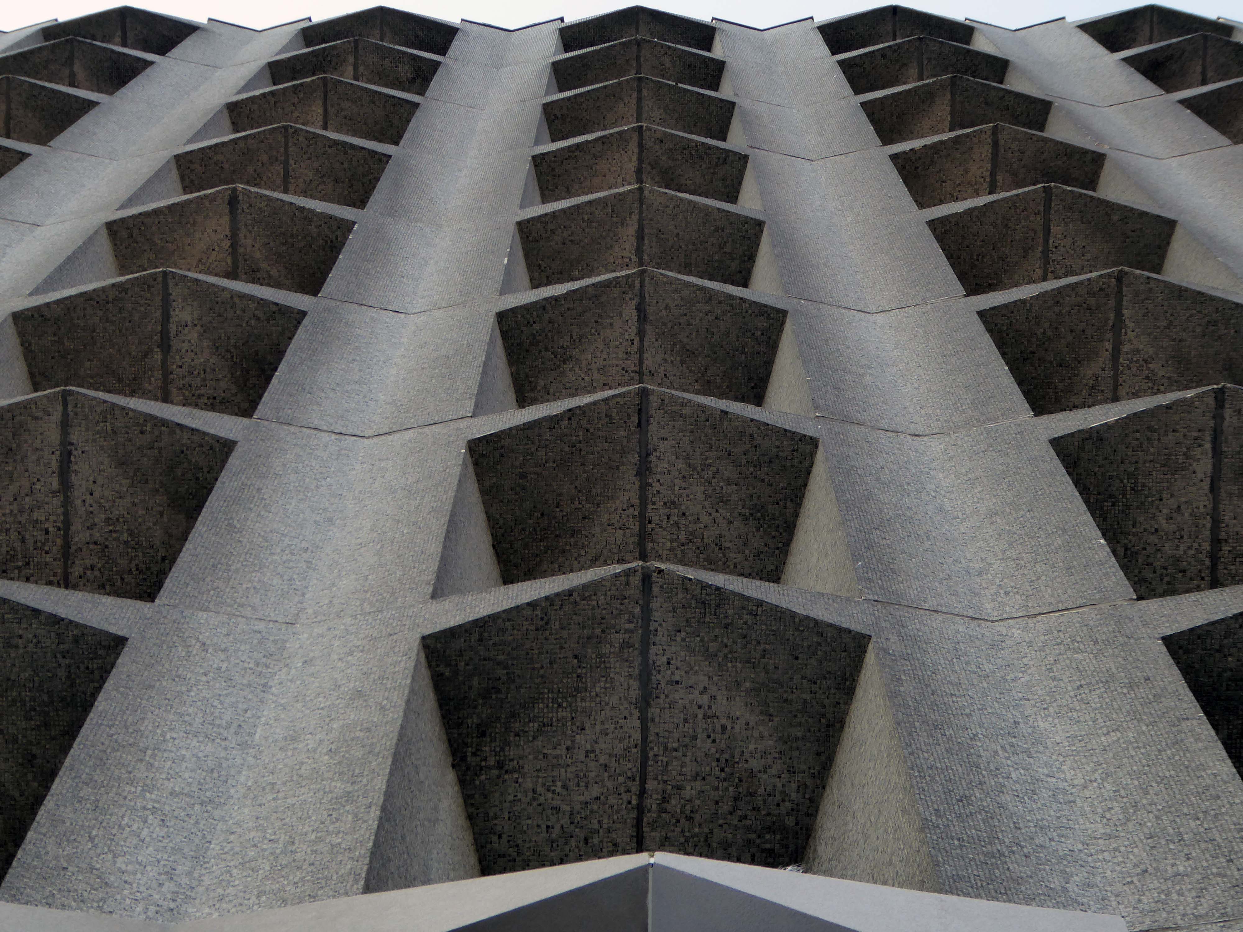
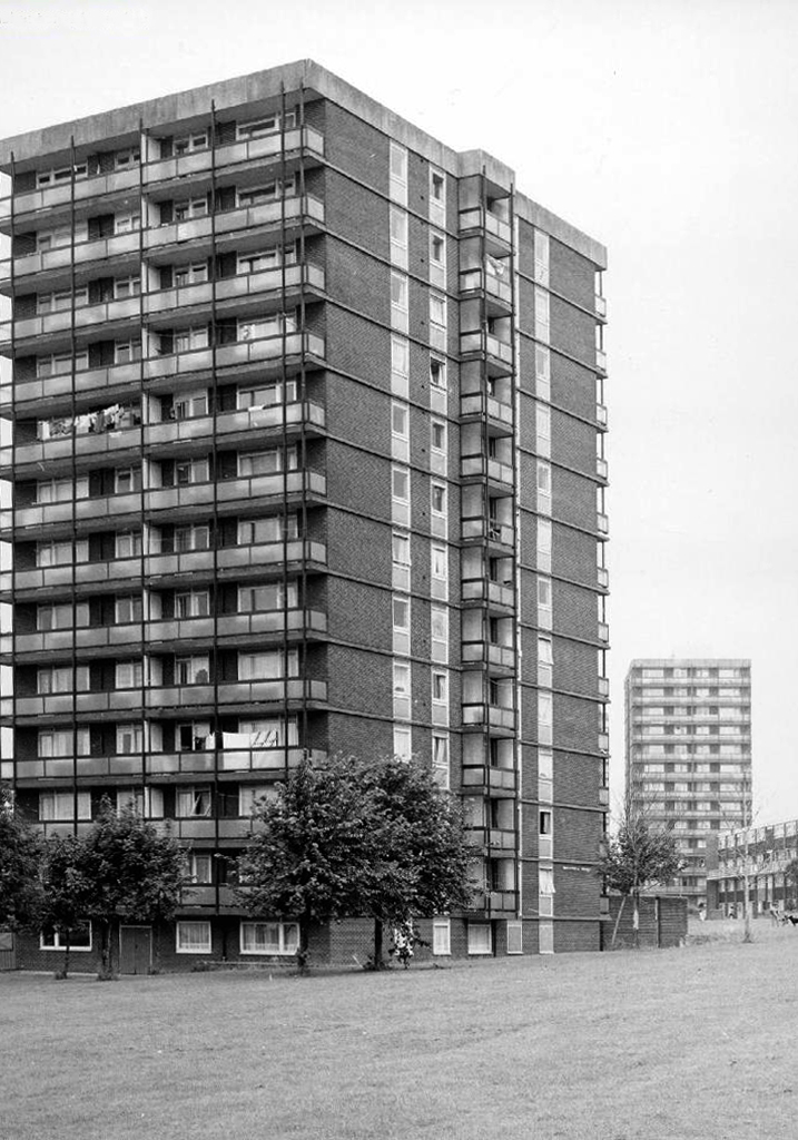
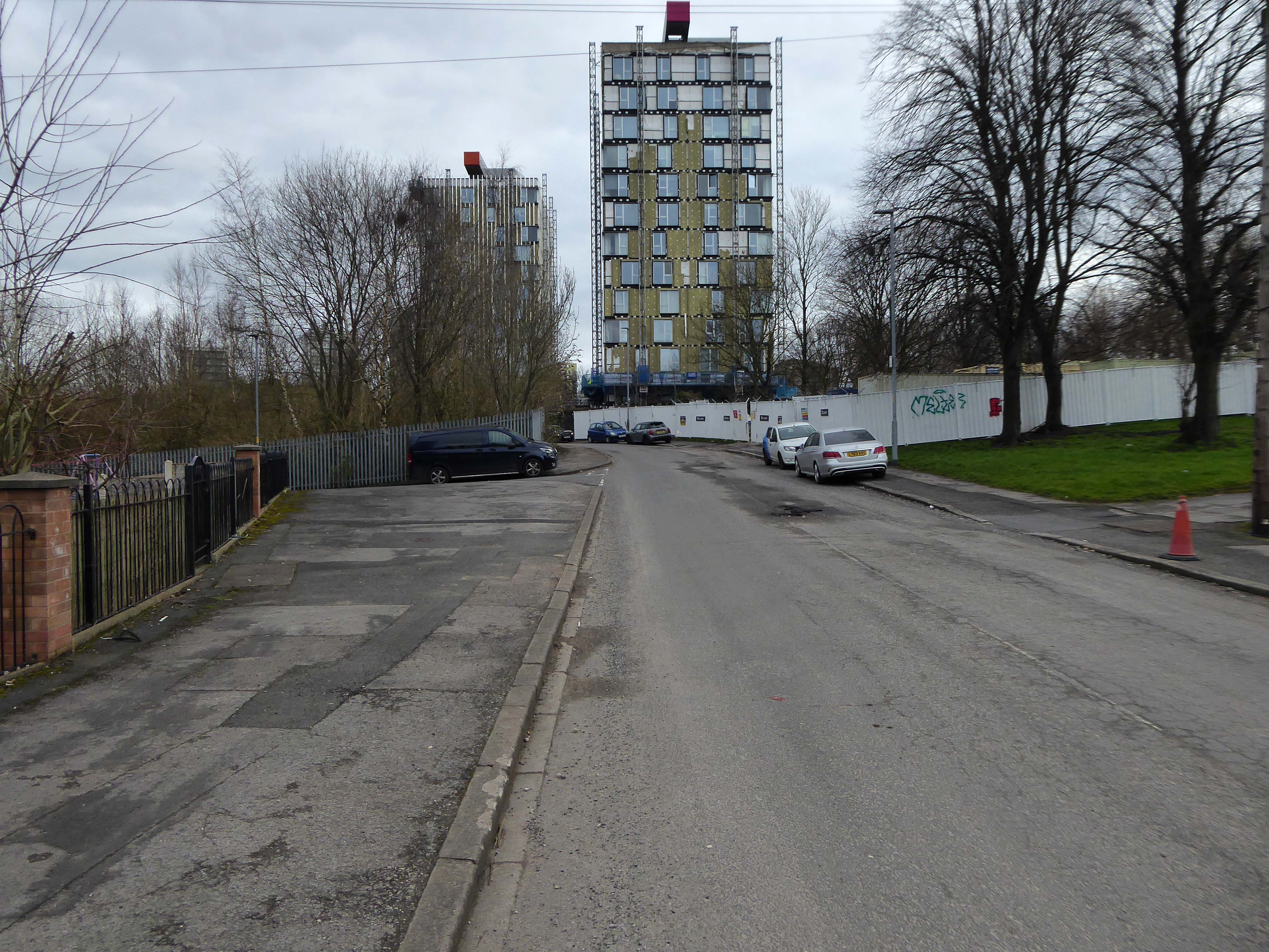
Those houses are in their turn whittled away, replaced in the 1960’s with fashionable tower blocks.
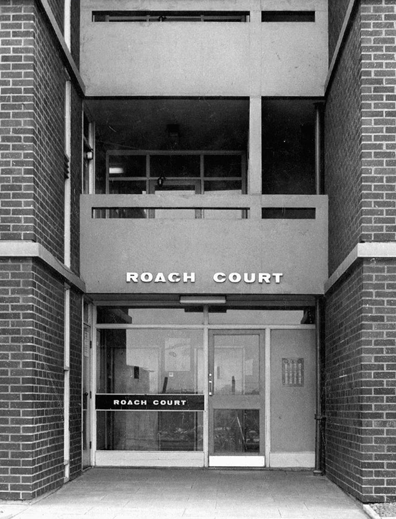
Architects: J Austen Bent 1965
In total five thirteen storey blocks – Humphries, Dalton, Roach, Vauxhall and Moss Brook Courts
Subsequently purchased by Urban Splash and refurbished:
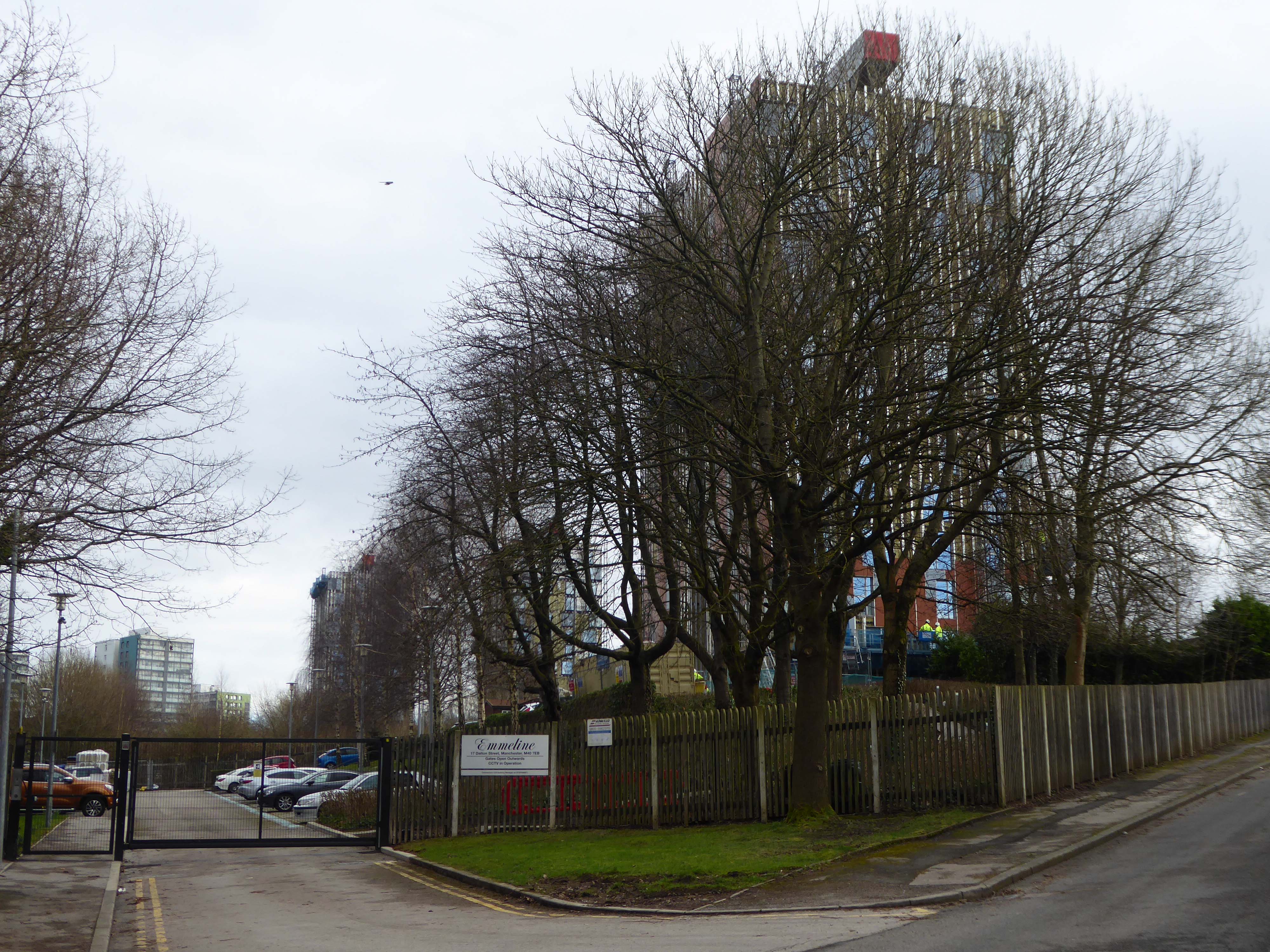
Designed by Union North Architects, the names for the Three Towers were decided in a public competition and the winning names were Emmeline, Christabel and Sylvia – naming the towers after the Pankhurst sisters and their mother.
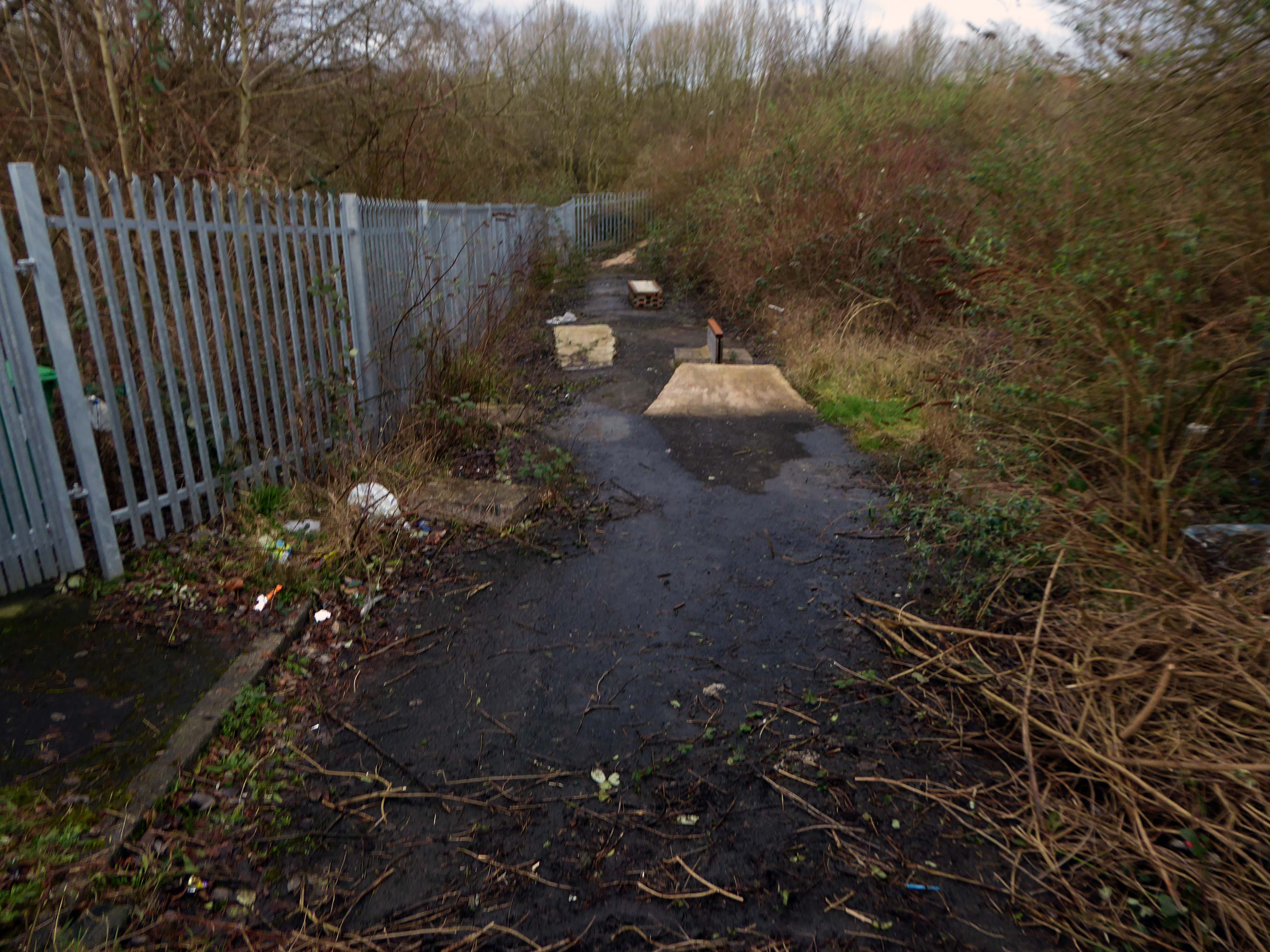
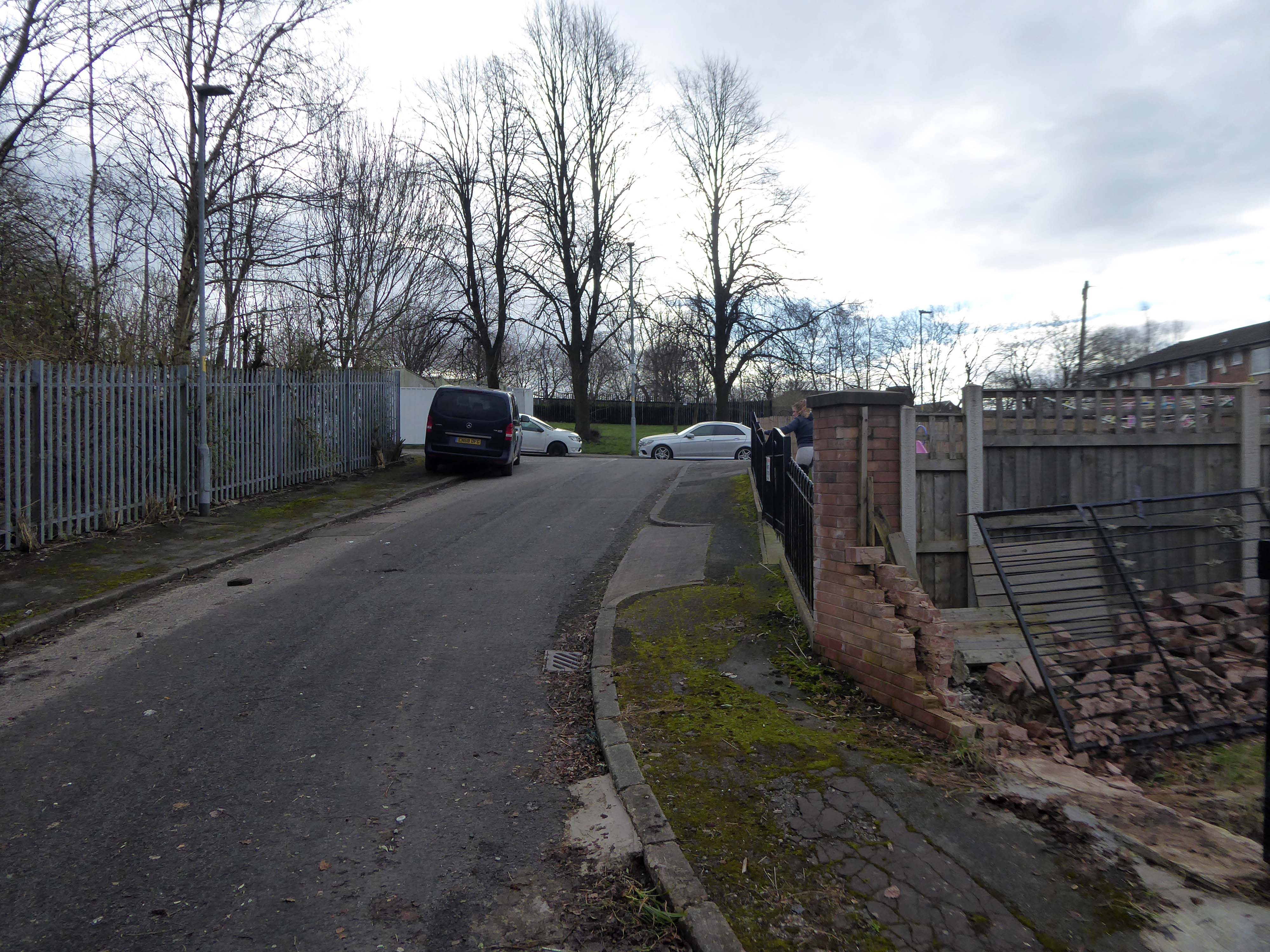
The remains of the remaining Eastford Square homes tinned up and secured awaiting who knows what.
So let’s take a short walk, see how things stand.
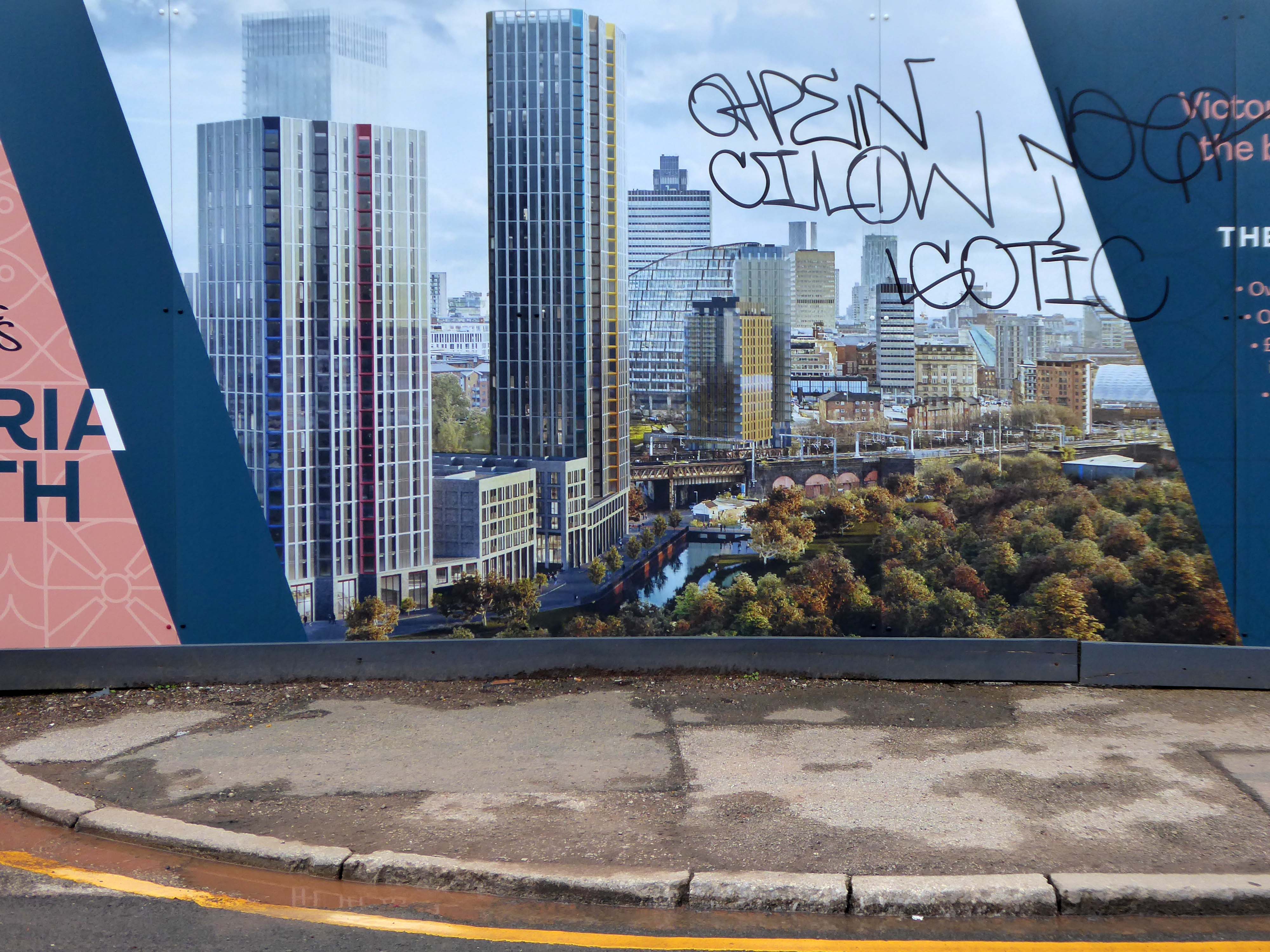
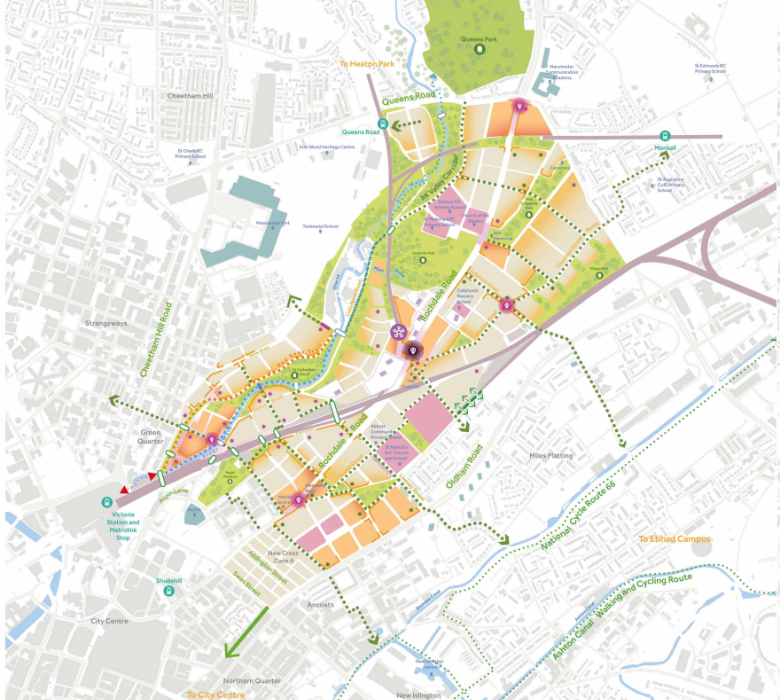
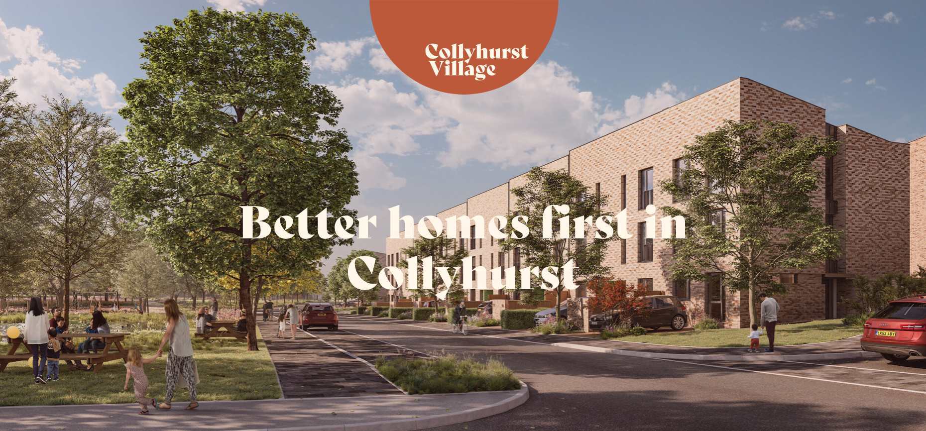
The area now forms the core of the latest municipal Masterplan – Victoria North.
Victoria North is a joint venture programme between Manchester City Council and developer Far East Consortium.
An internationally recognised developer, FEC specialises in residential led mixed-use developments and hotels, along with its casino and car park operations throughout mainland Europe.
The cowboys are now long gone – or are they?
When I was a cowboy out on the Western Plain Well, I made a half a million Working hard on the bridle reins
Come a cow-cow yicky come a cow-cow yicky, Harpurhey
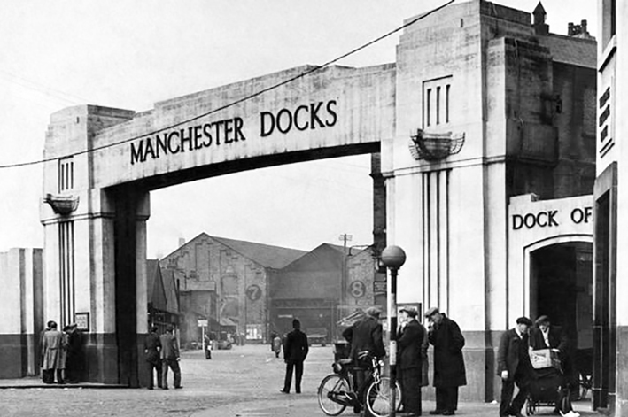
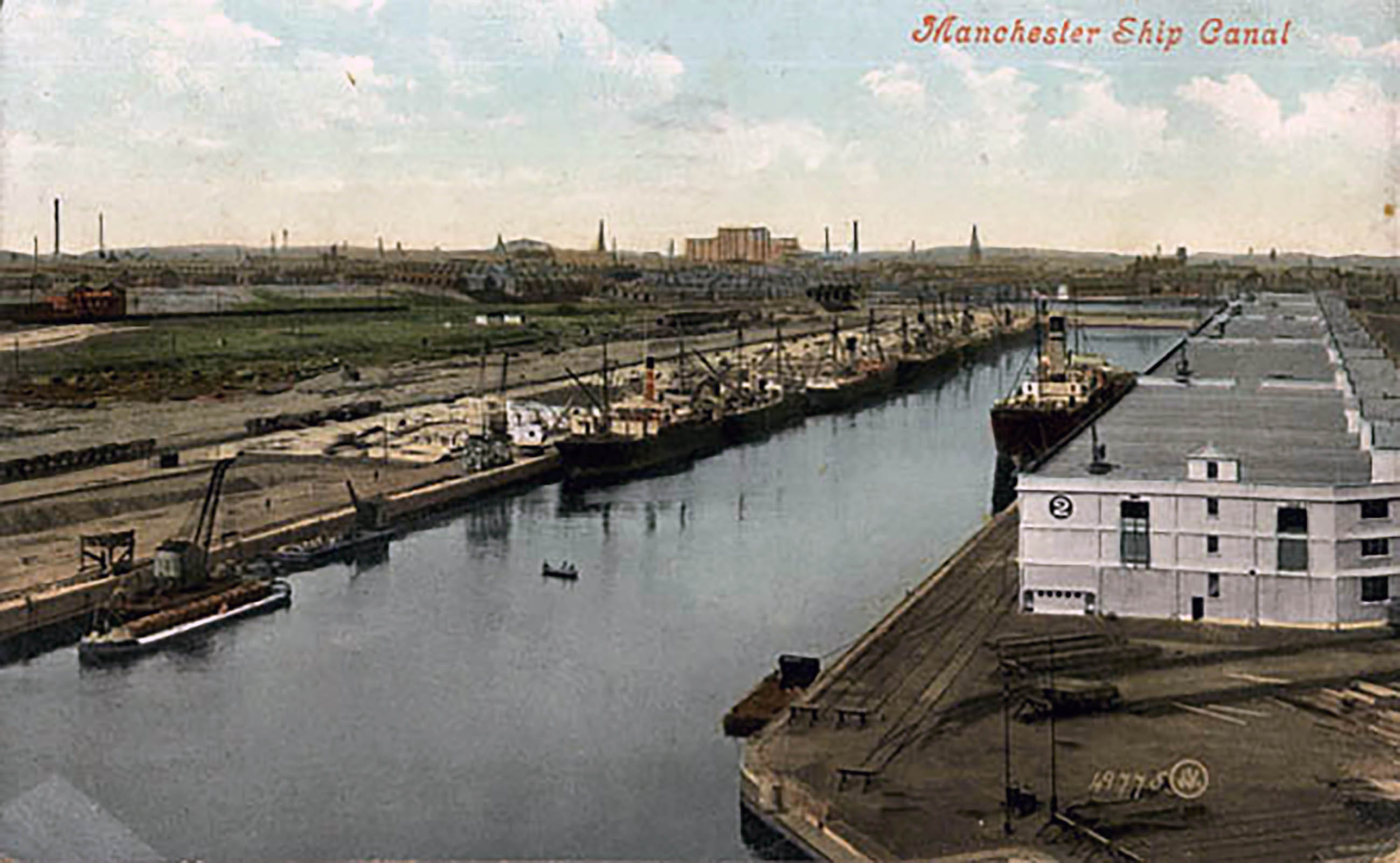
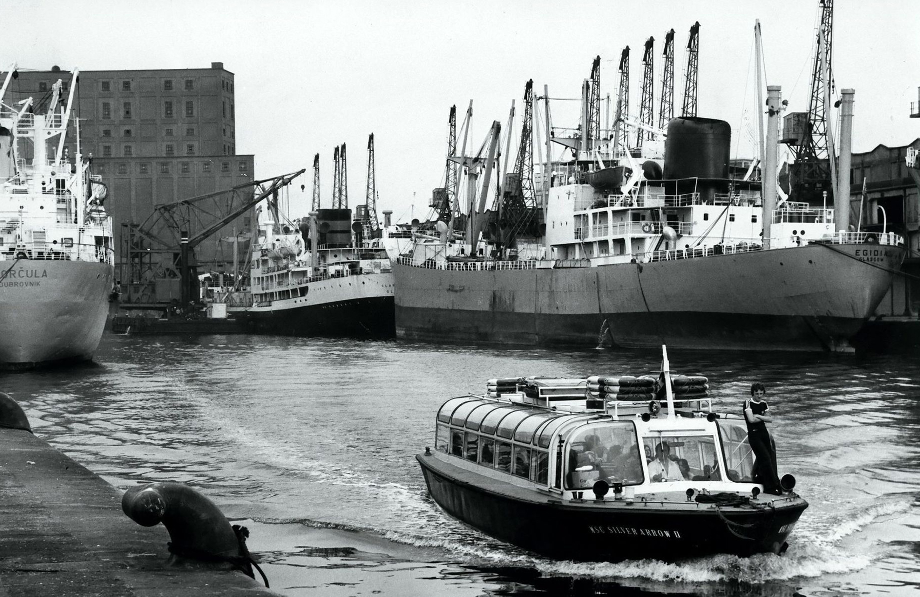
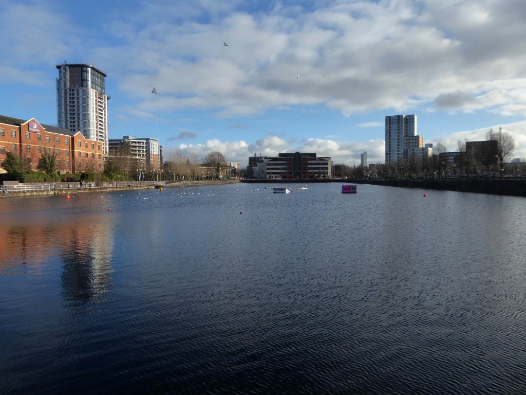
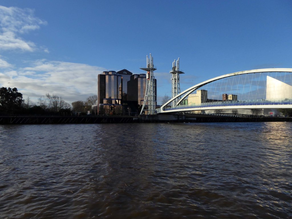
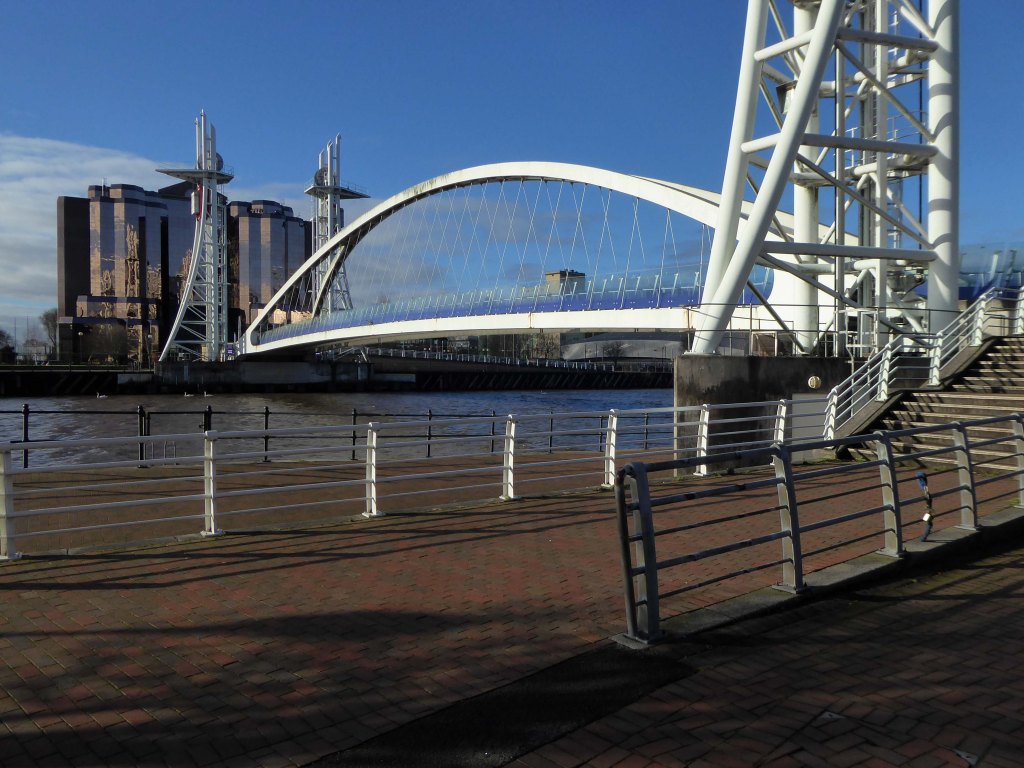
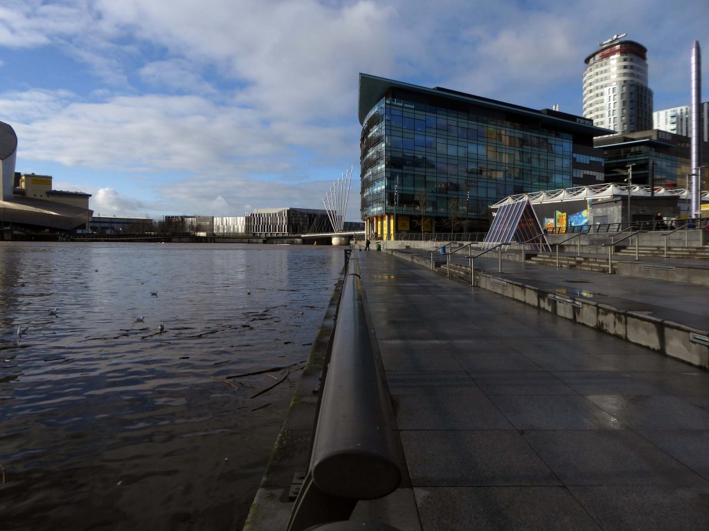
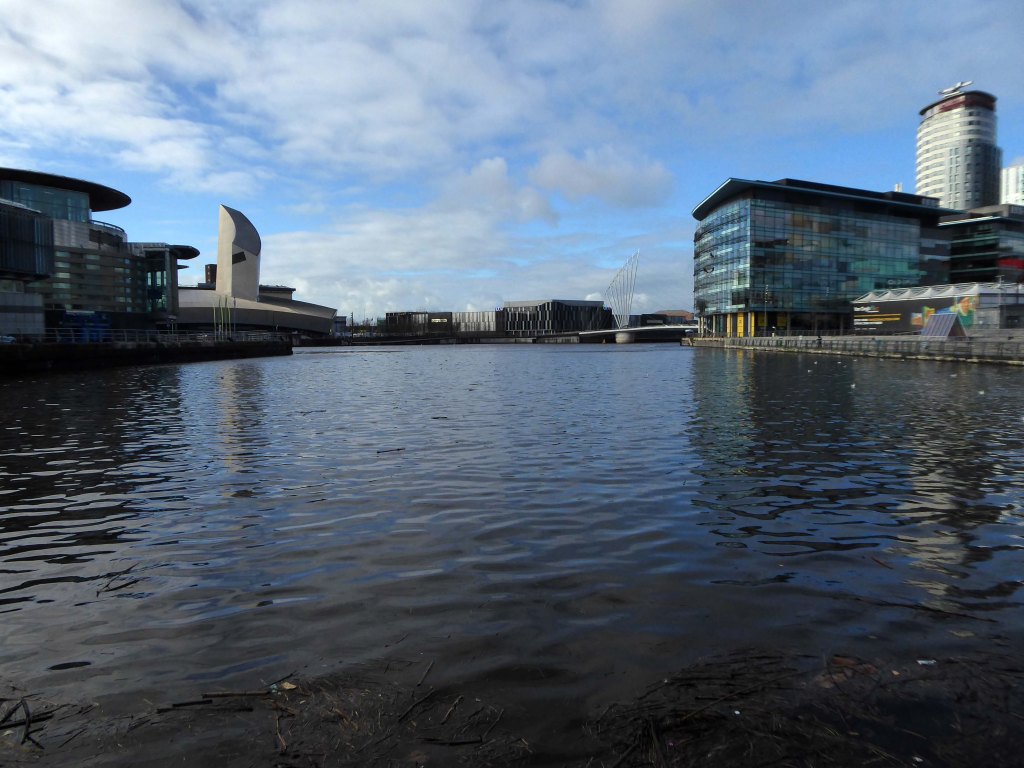
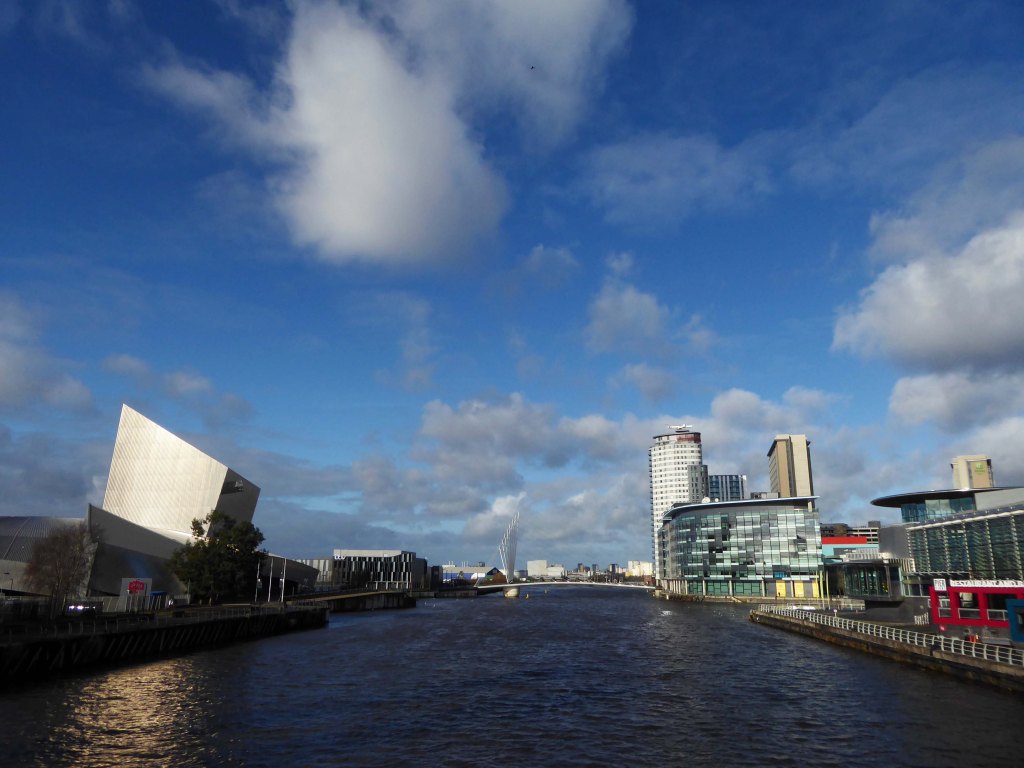
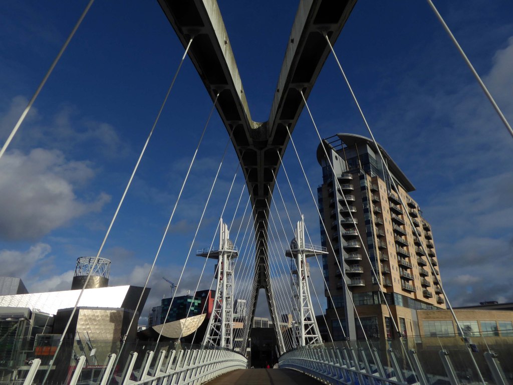
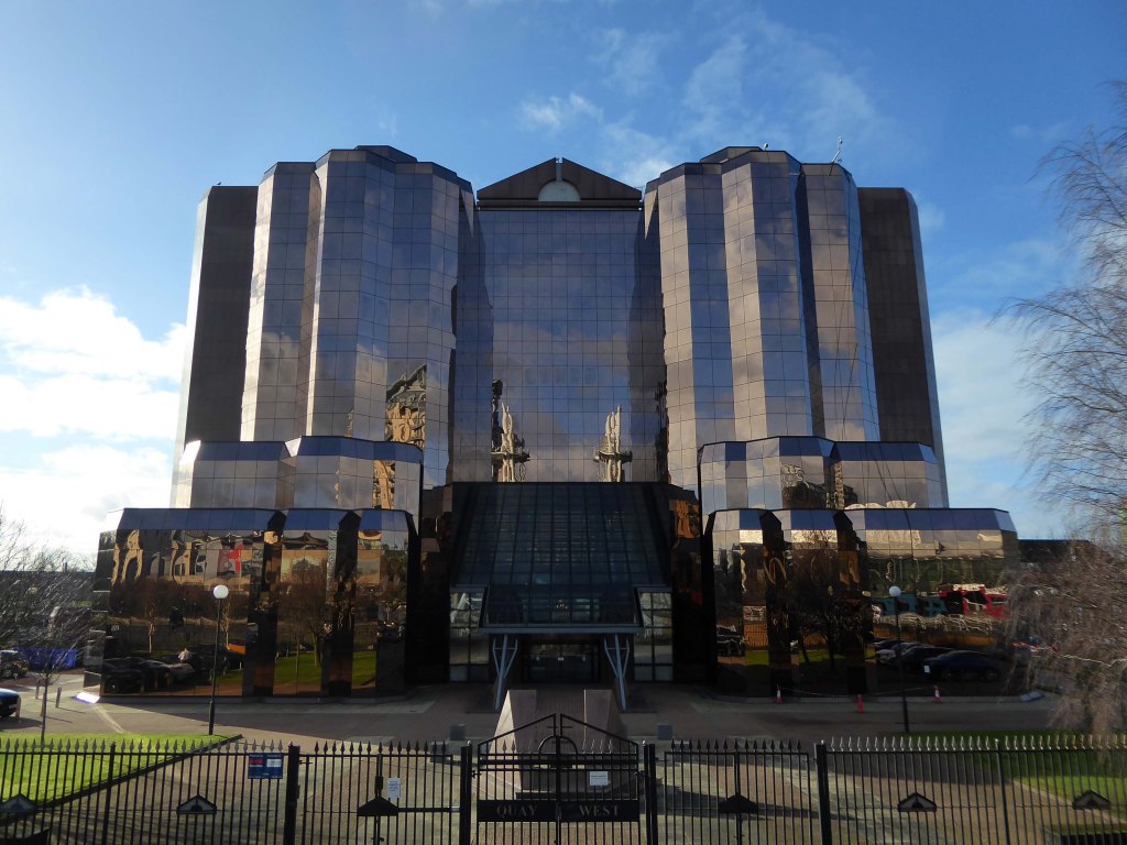
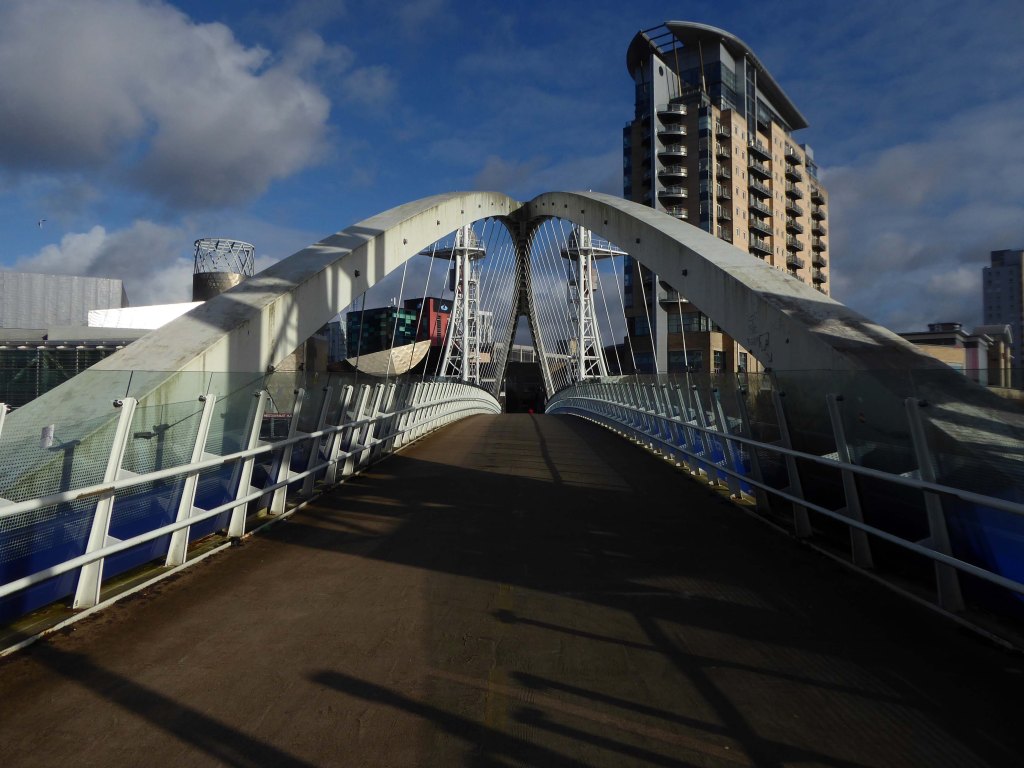
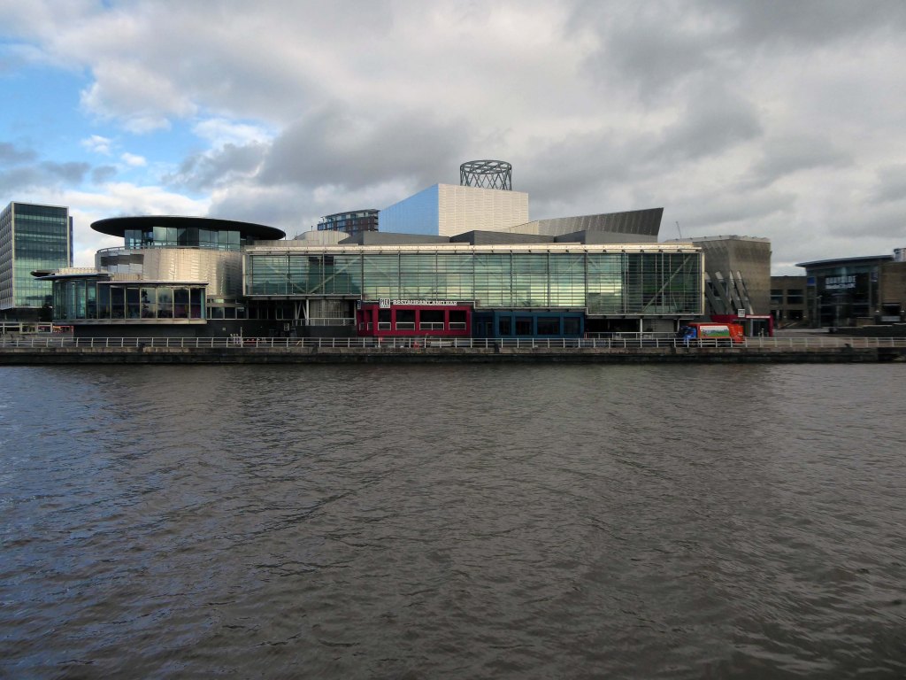
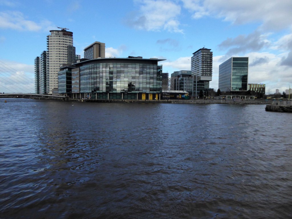
They were situatedin Salford, Stretford and Manchester at the east end of the Manchester Ship Canal. They formed part of the Port of Manchester from 1894 until their closure in 1982. The docks marked the upper reaches of the ship canal,and were a destination for both coastal and ocean-bound vessels carrying cargo and a limited number of passengers, often travelling to and from Canada.
Manchester Docks were divided into two sections; the larger Salford docks to the west of the Trafford Road swing bridge and Pomona docks to the east. Each section consisted of four docks in total, the largest being to the west; Dock 5 at Pomona was never fully completed. Of the eight working docks only one, Dock 1 at Pomona, was within Manchester itself. During much of 1948, Manchester Docks were Britain’s third busiest port owing to damage suffered by the Port of Hull during the Hull Blitz.
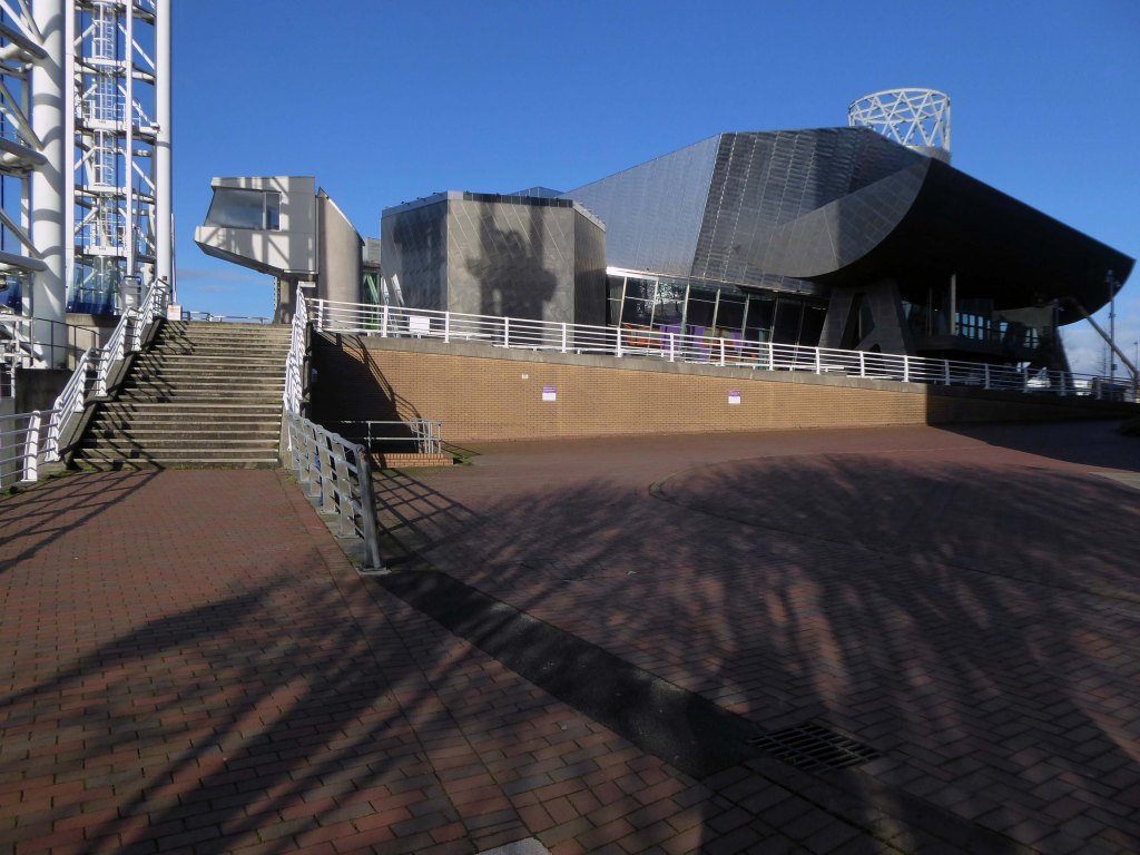
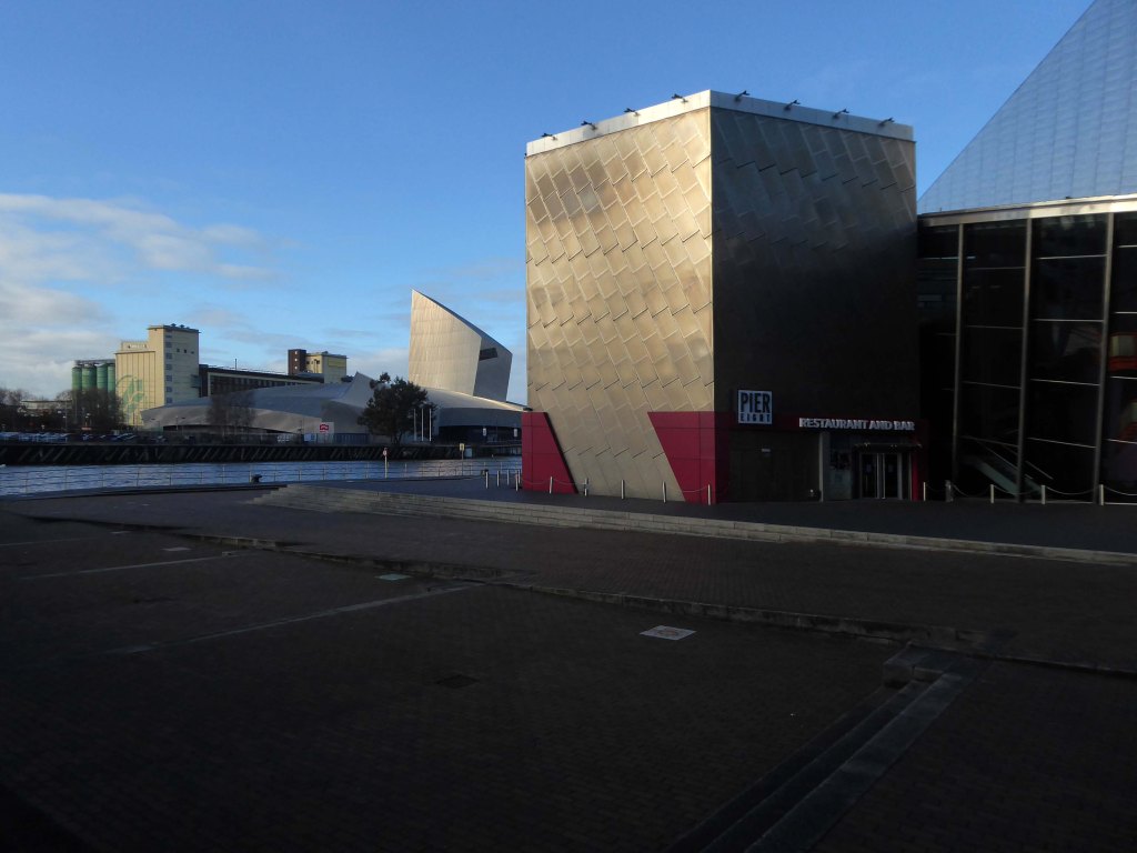
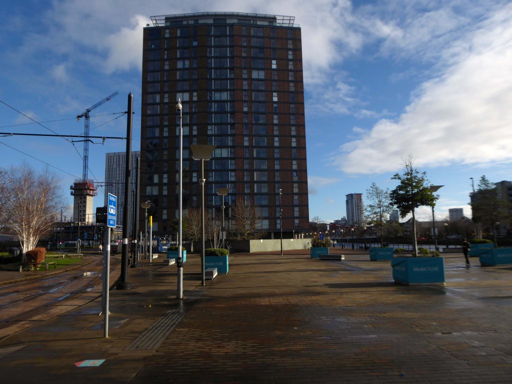
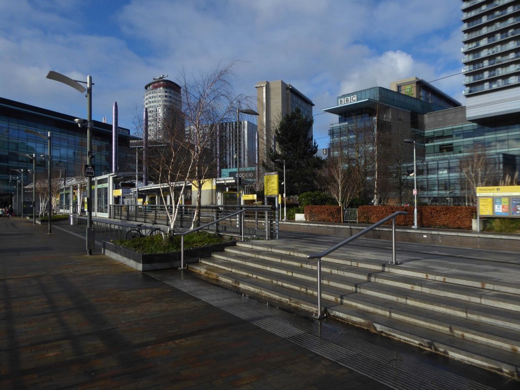
During the 1970s the docks began a rapid decline, largely due to containerisation. The increasing size of freight-carrying ships meant they could no longer navigate the ship canal and this, combined with increased trading with Europe and the east, saw use of Manchester Docks decrease. In 1982 the remaining docks closed and the area became derelict. Recognising the need to redevelop the area, Salford City Council purchased the docks in 1984 using a derelict land grant. The Salford Quays Development Plan was adopted in May 1985, proposing complete reclamation and development of the area for commercial, residential and leisure use.