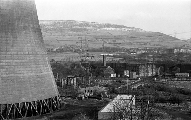
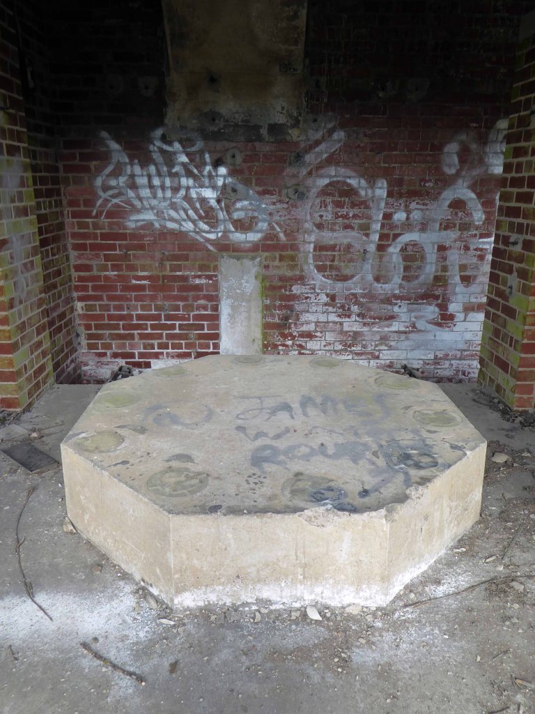
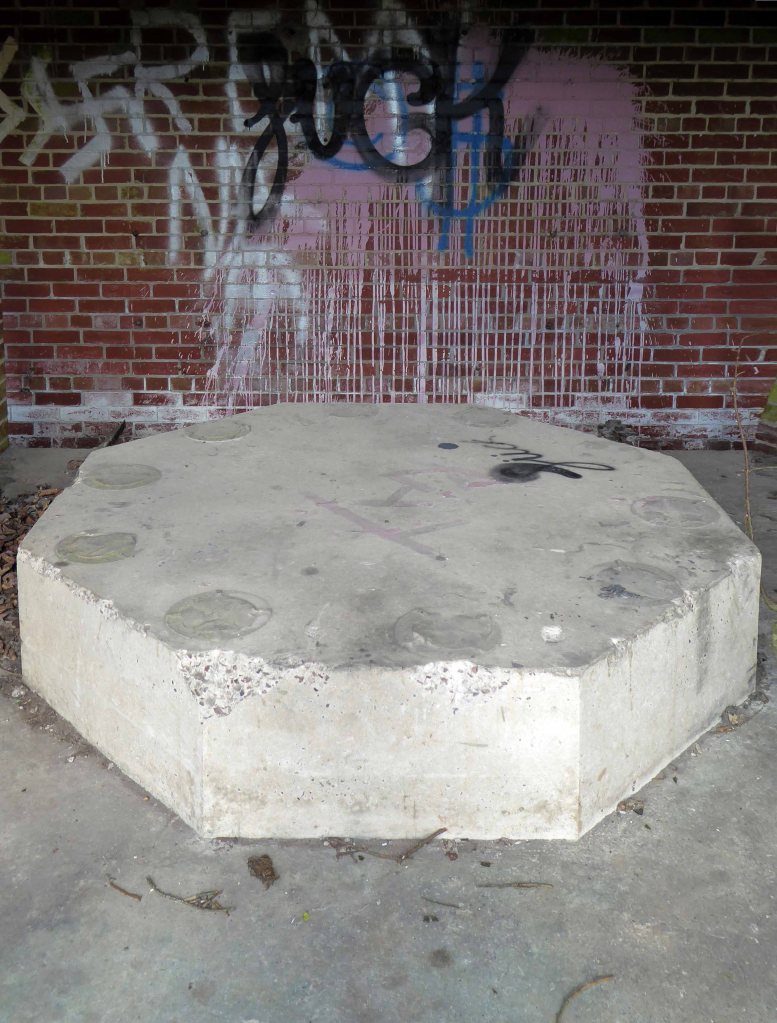
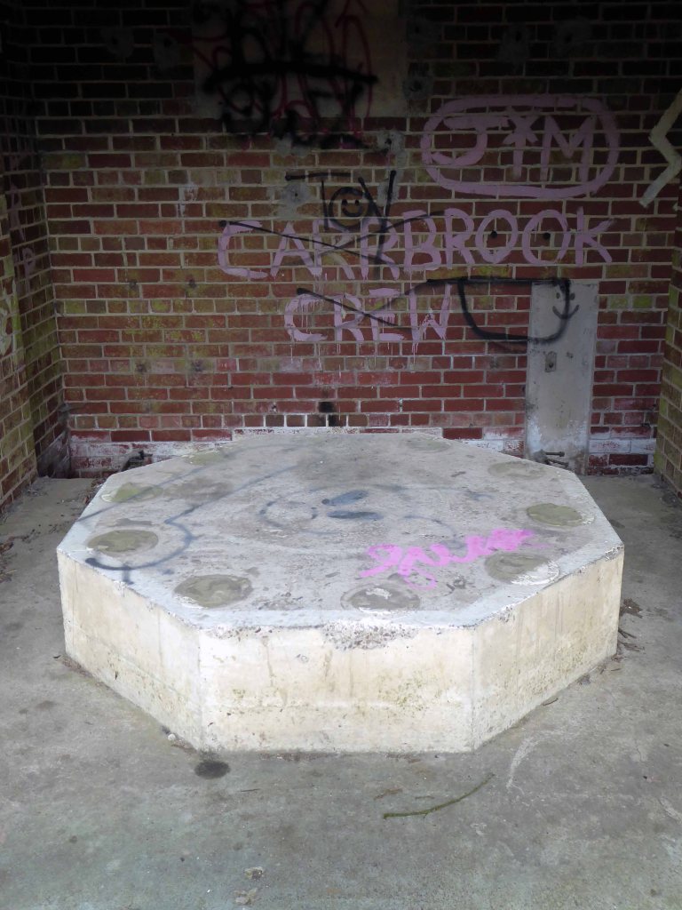
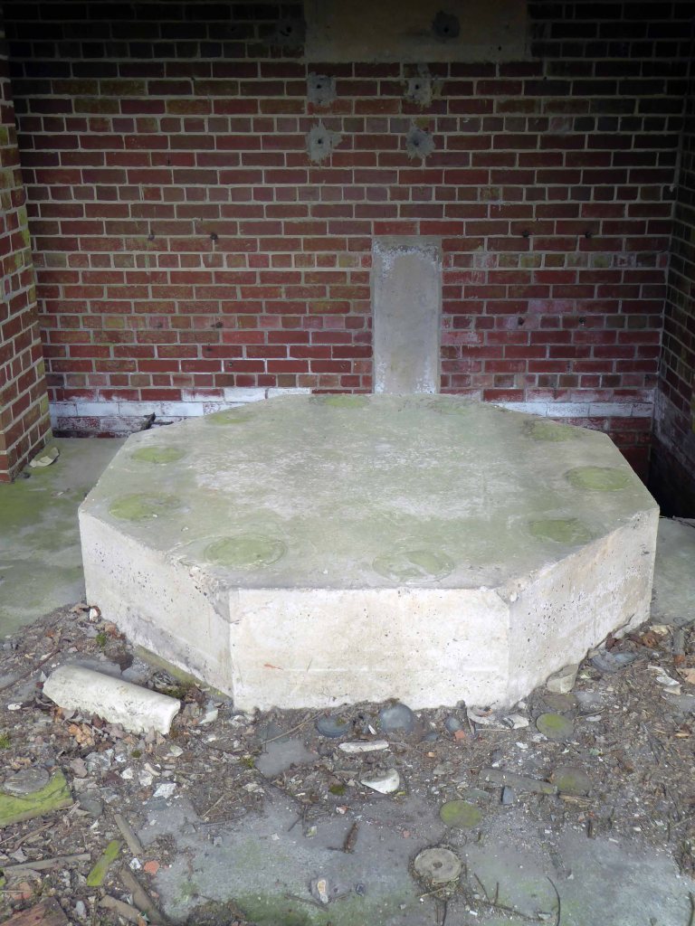
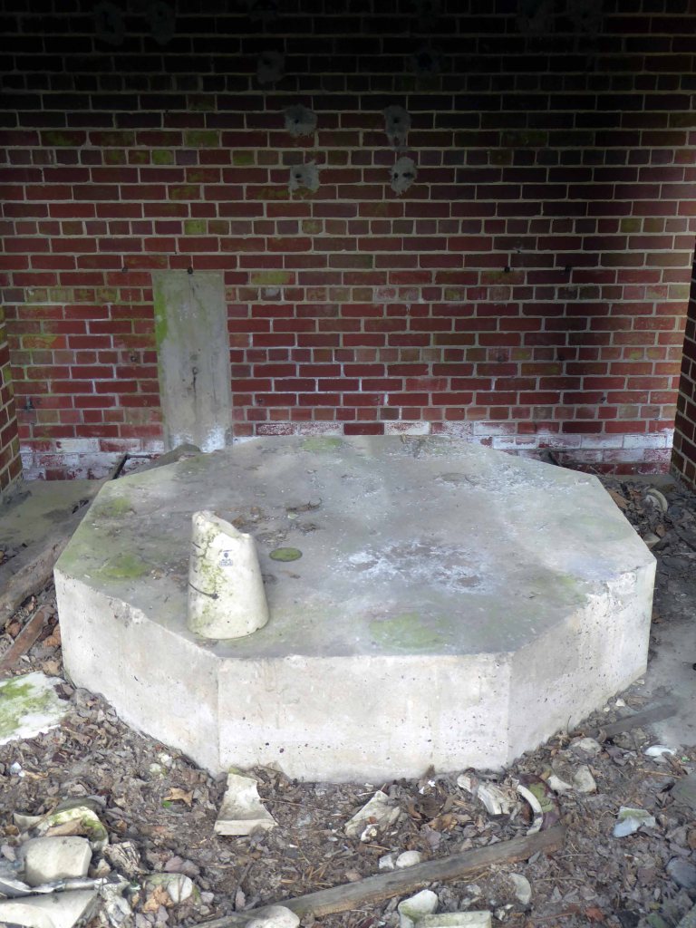
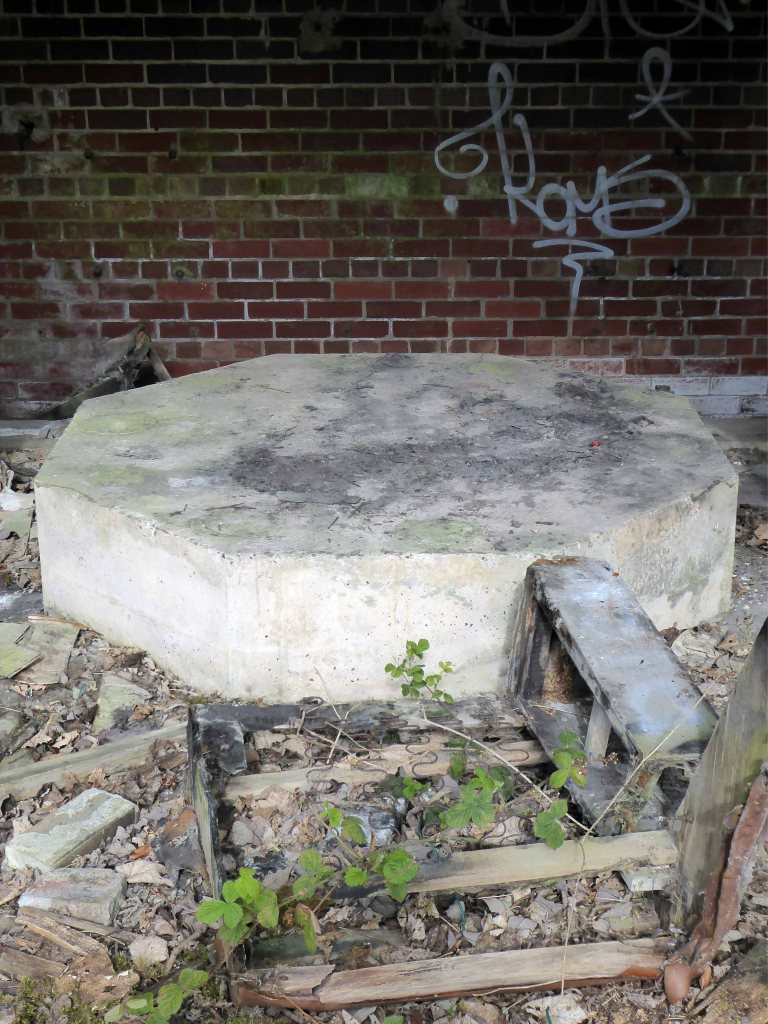
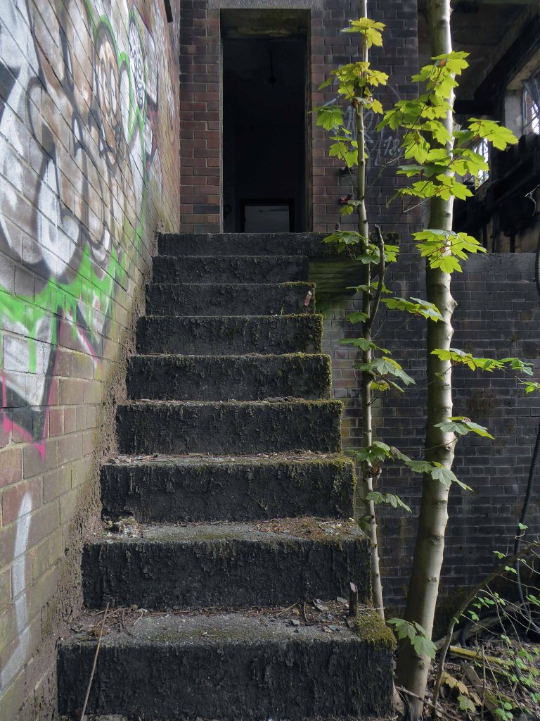
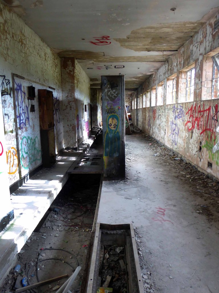
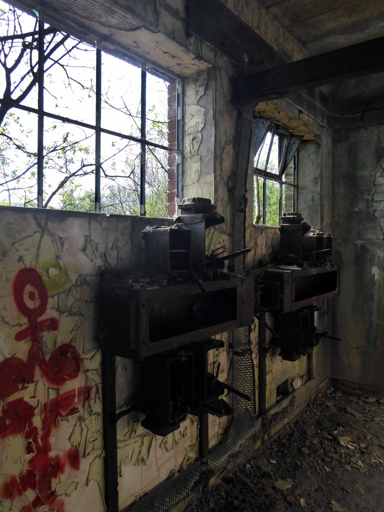
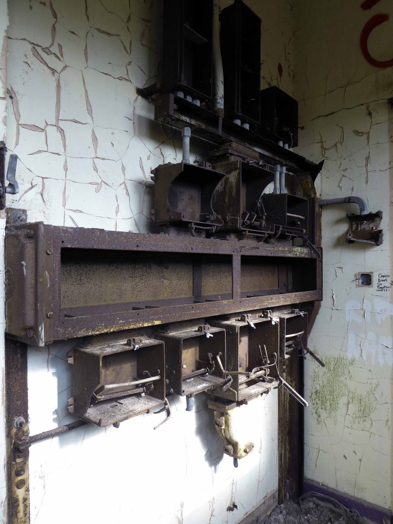
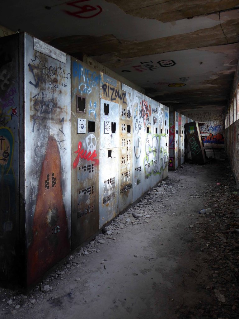
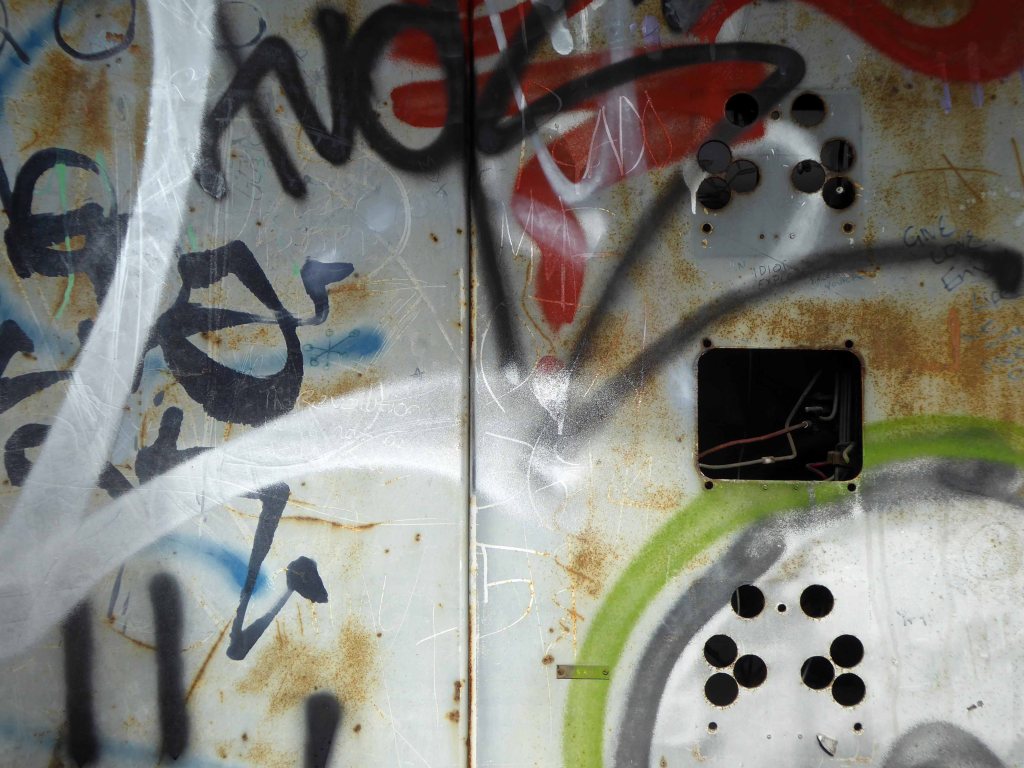
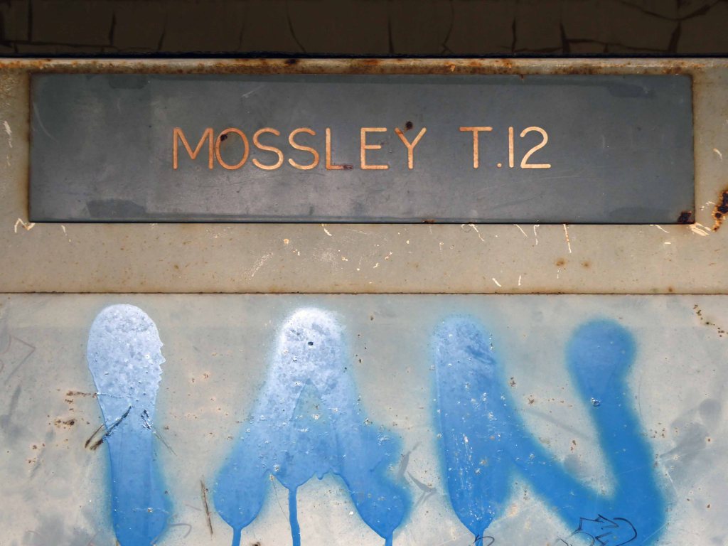
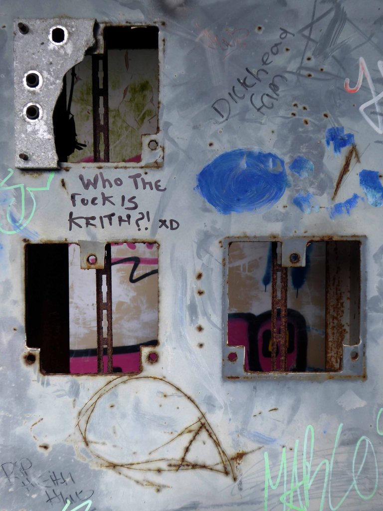
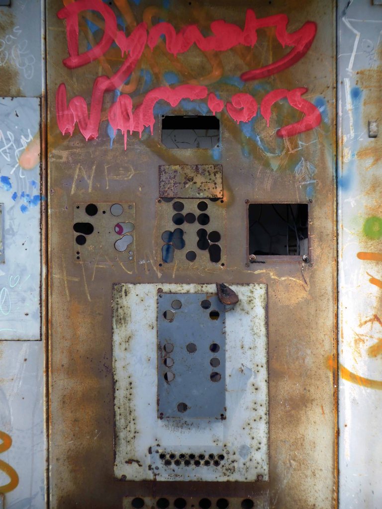
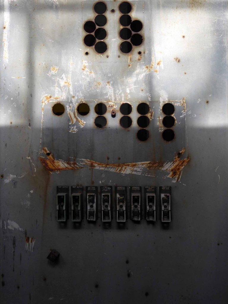
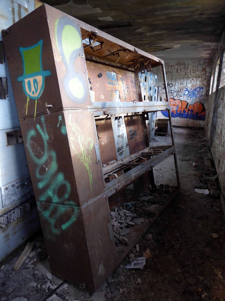
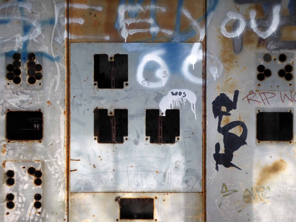
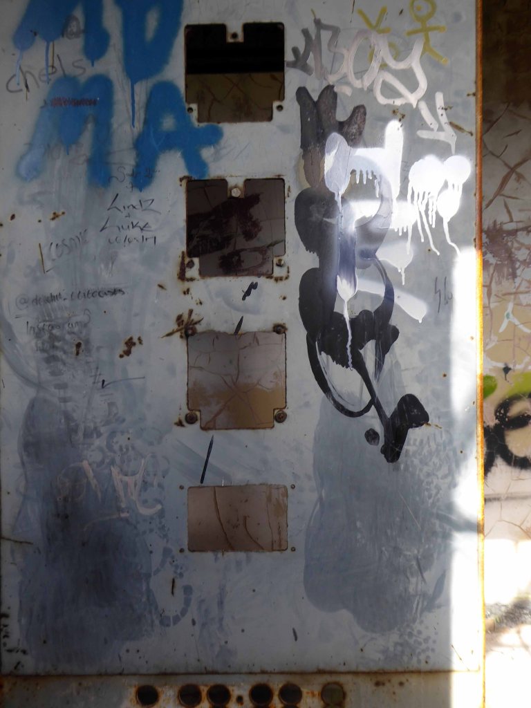
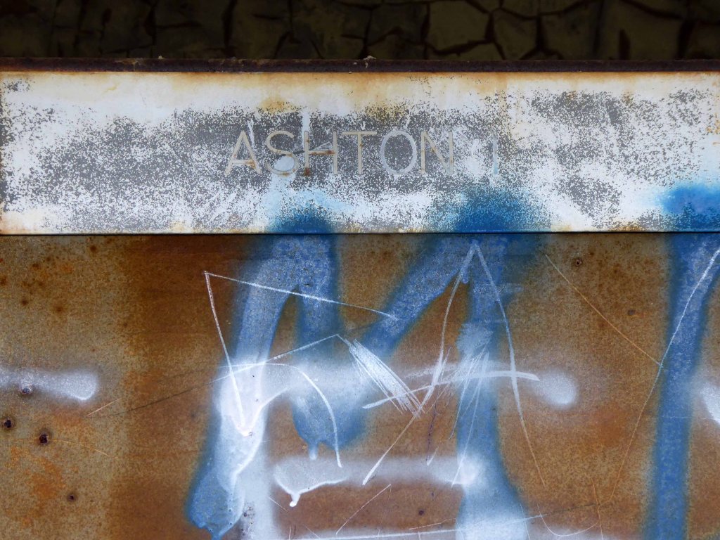
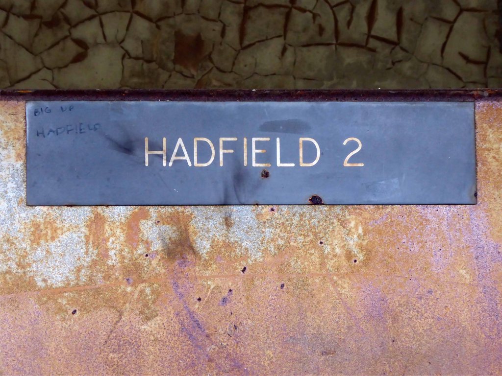
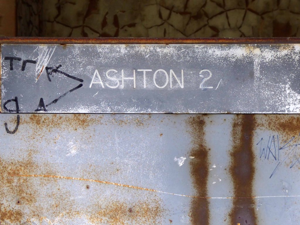
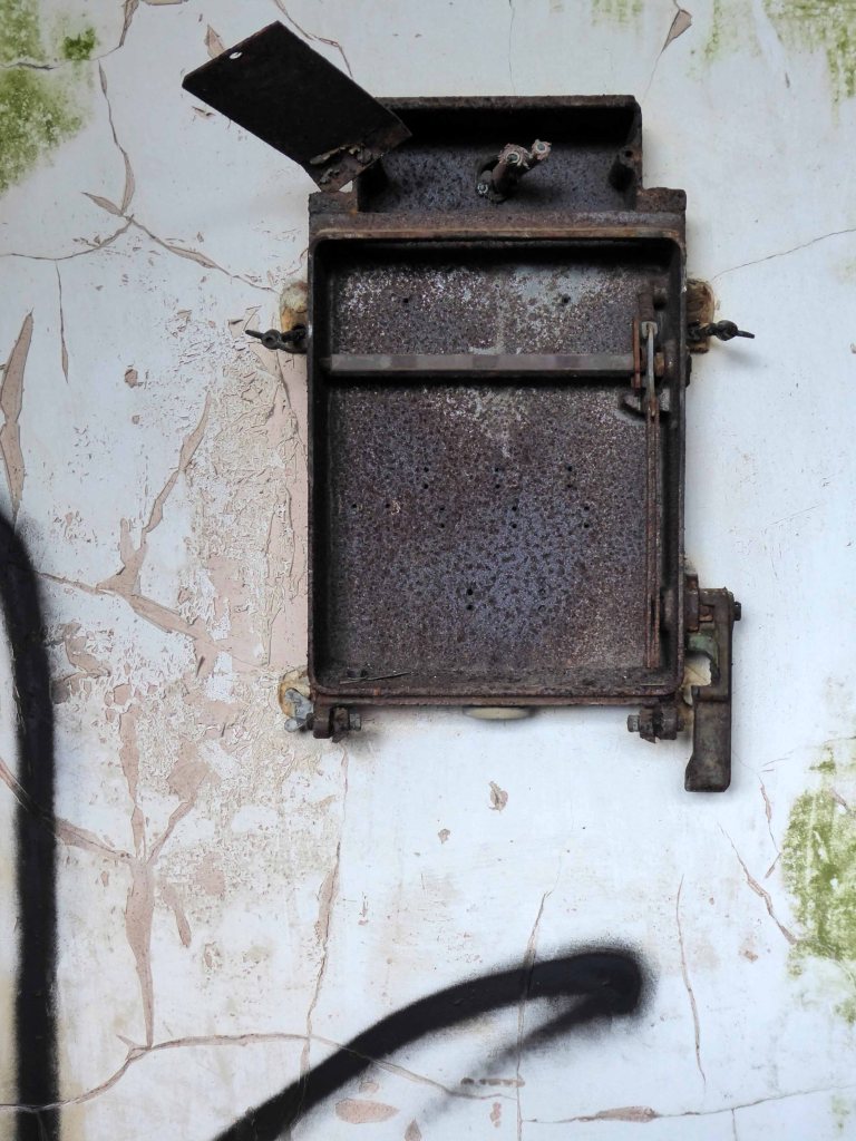
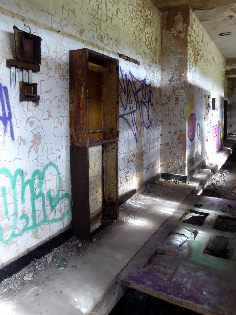
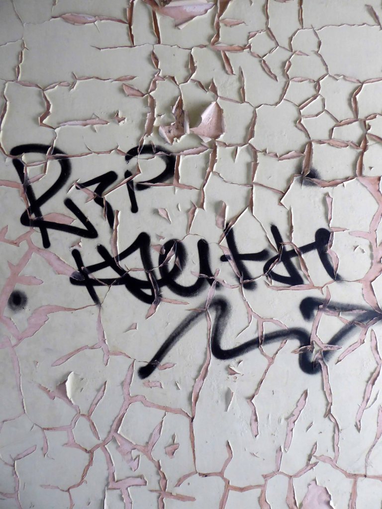
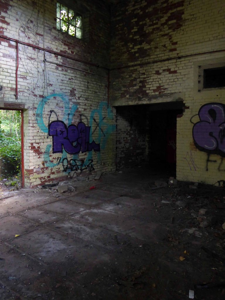
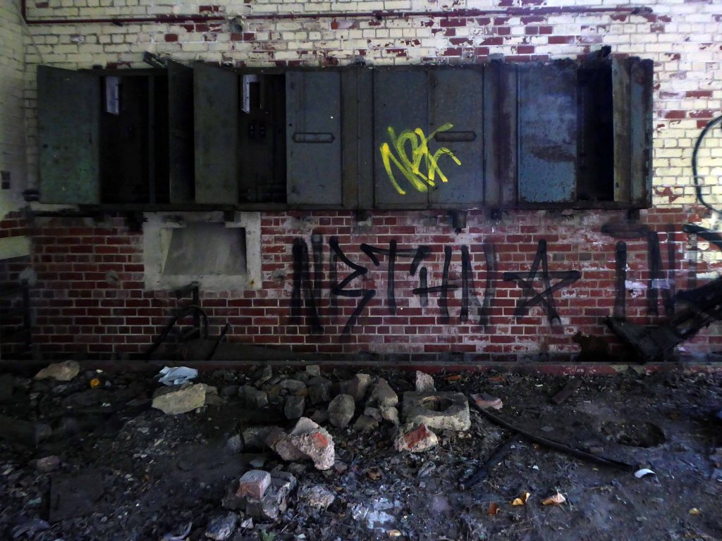
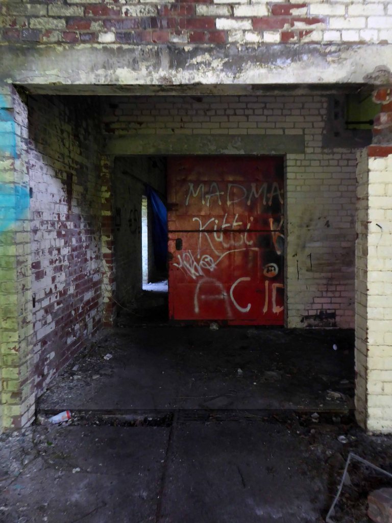
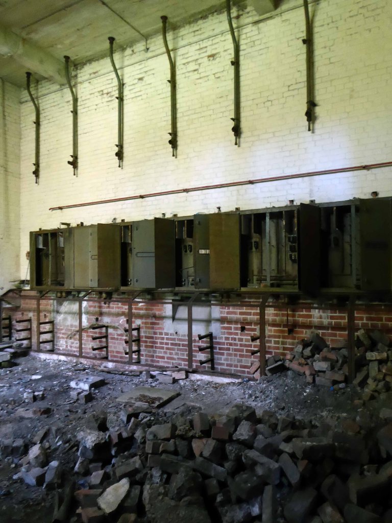
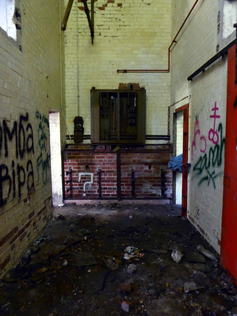
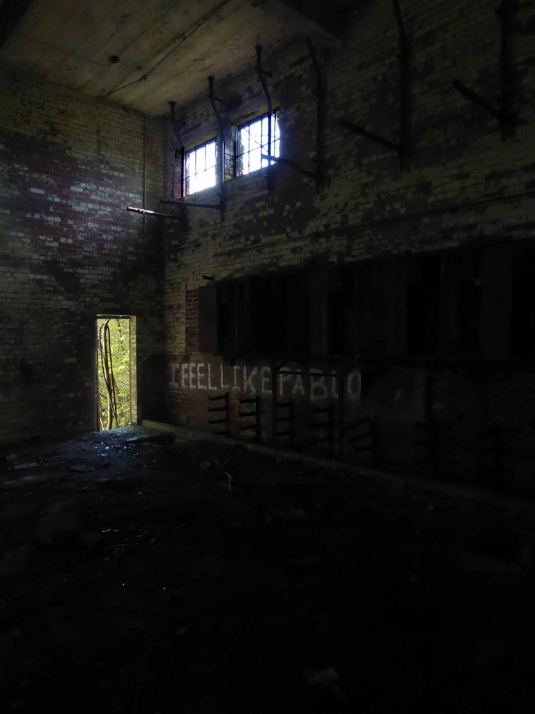
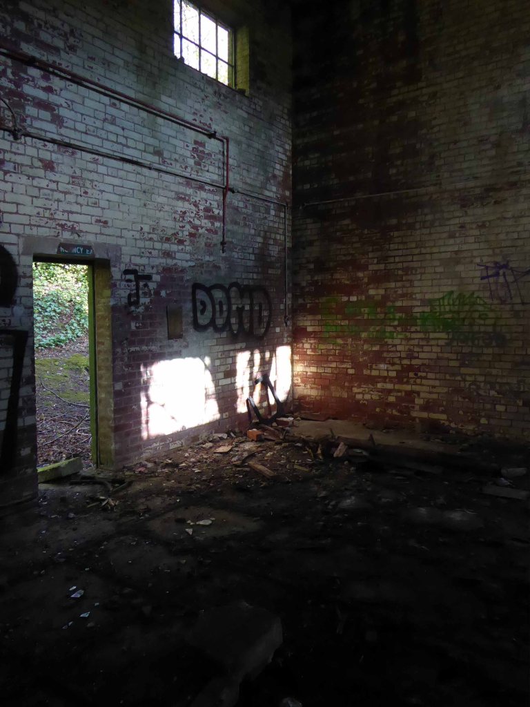
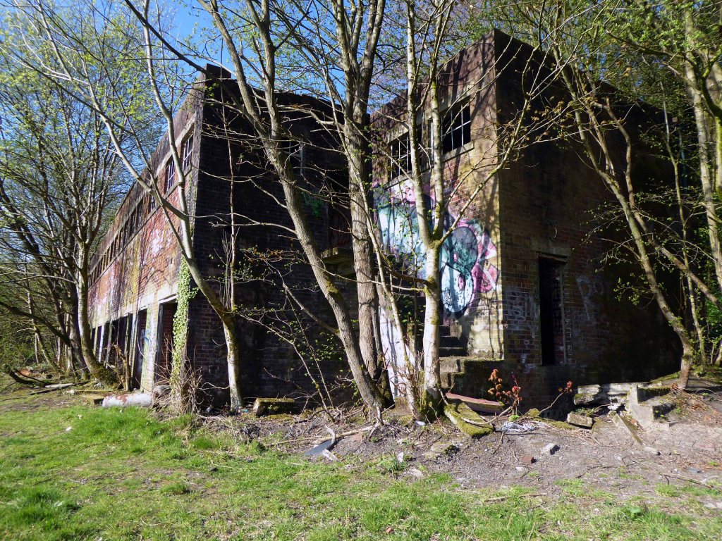
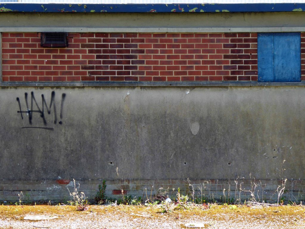
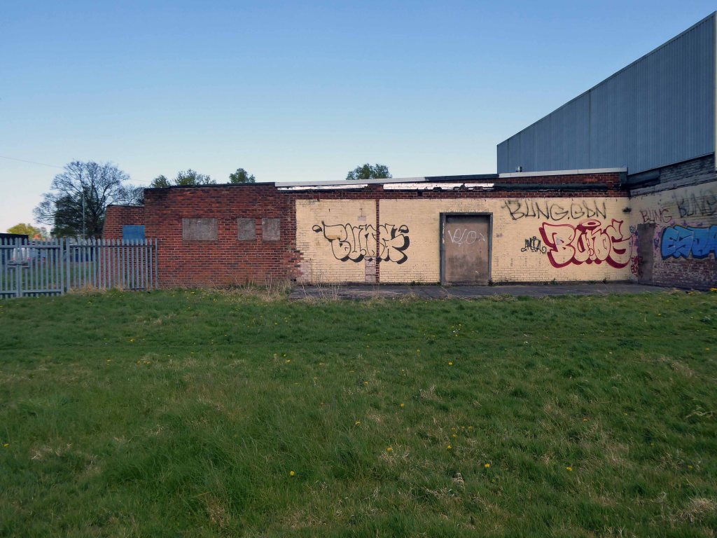
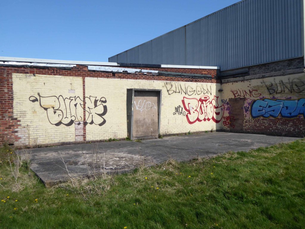
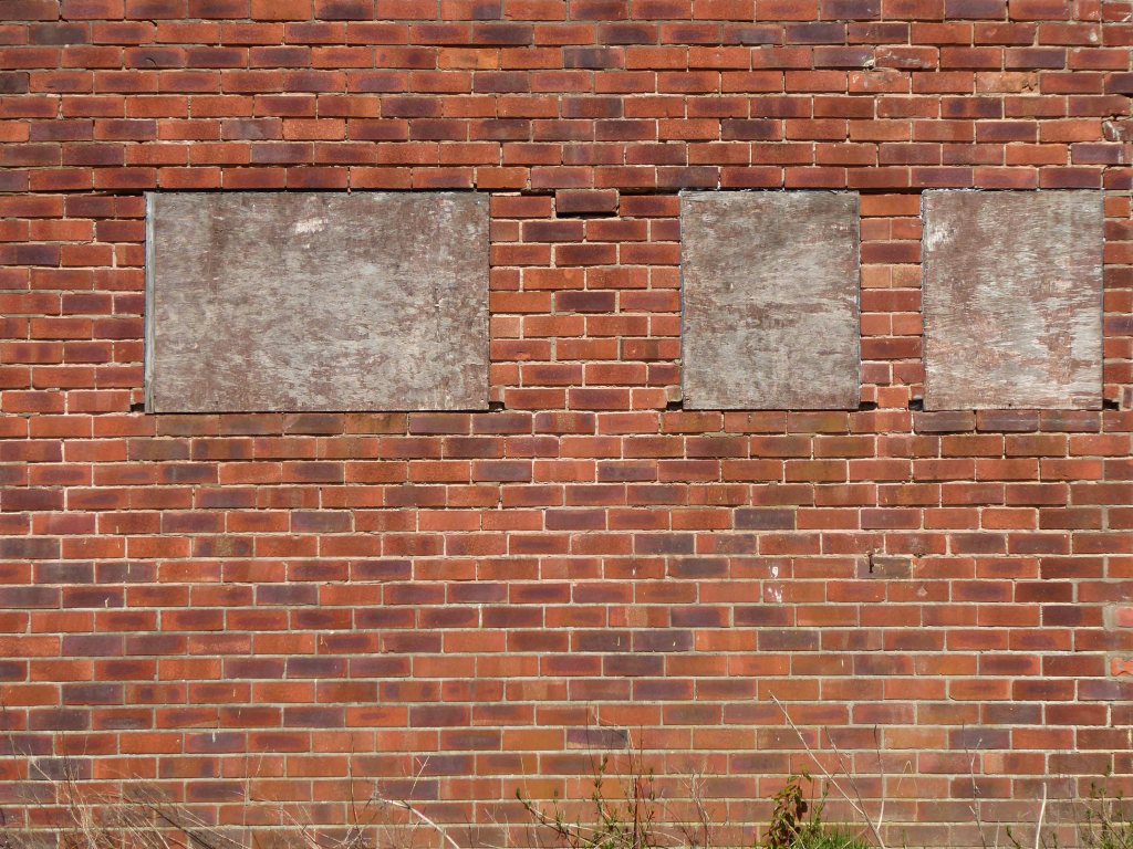
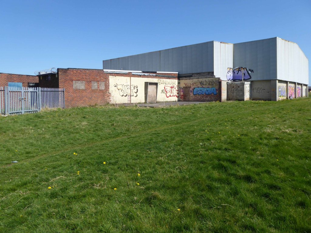
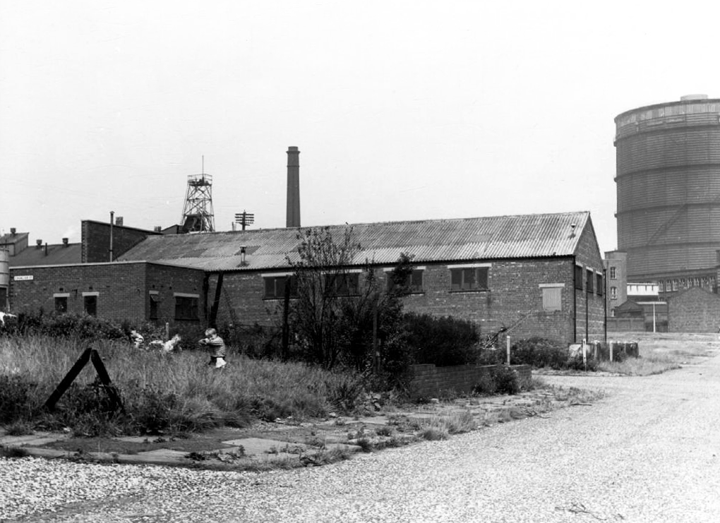
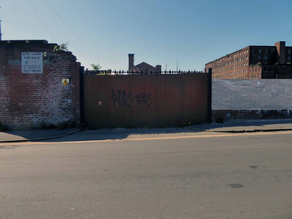
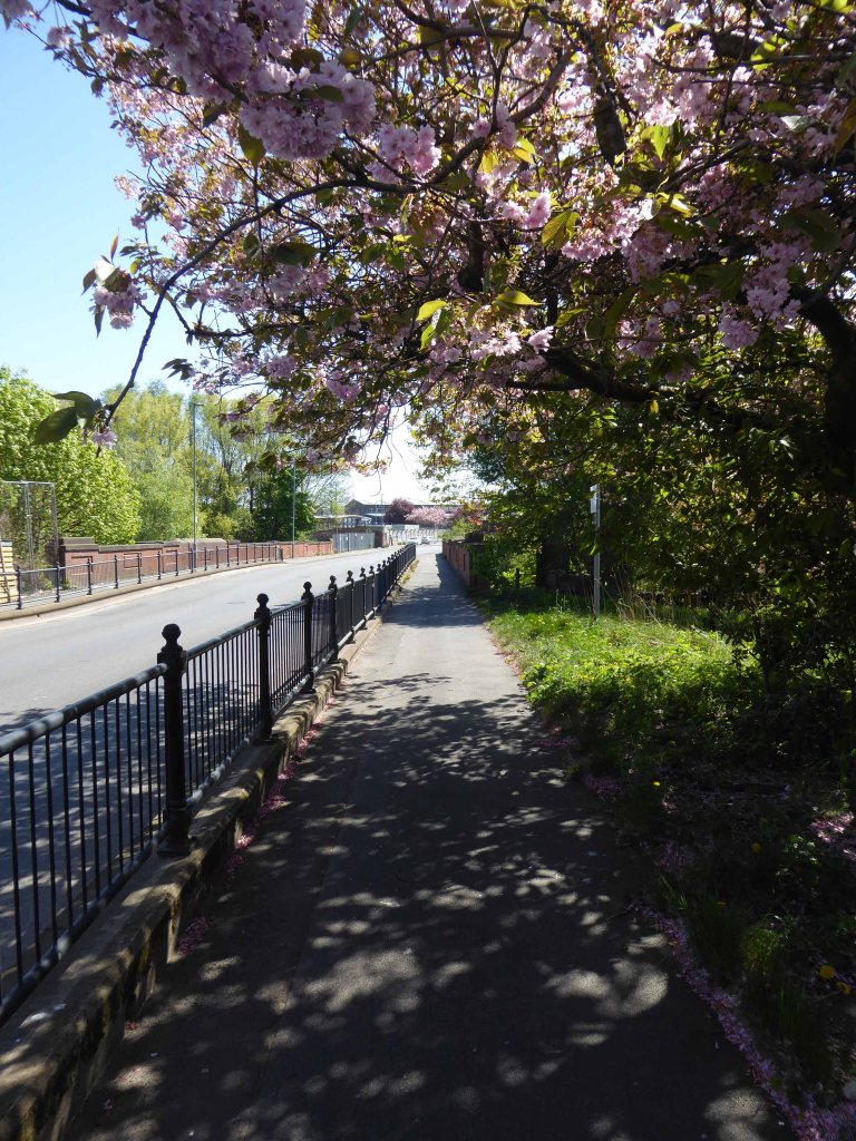
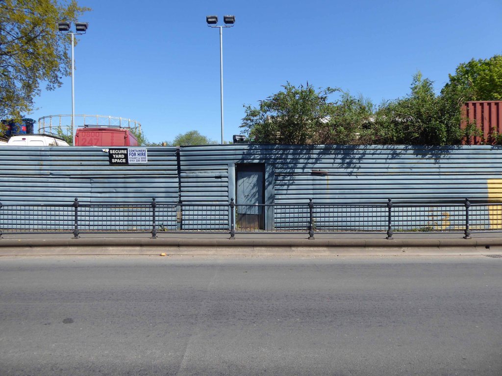
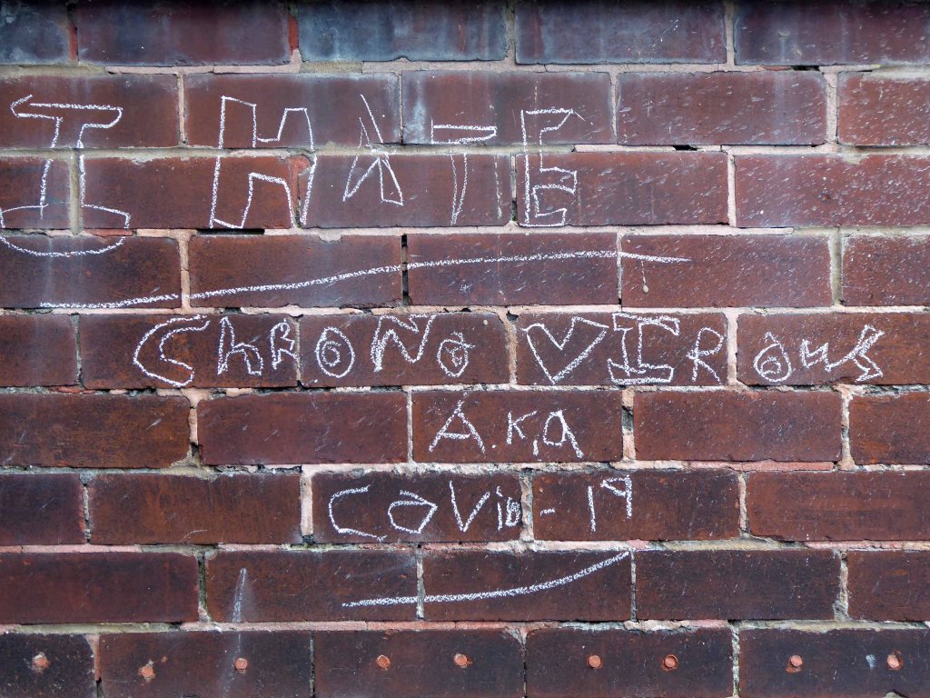
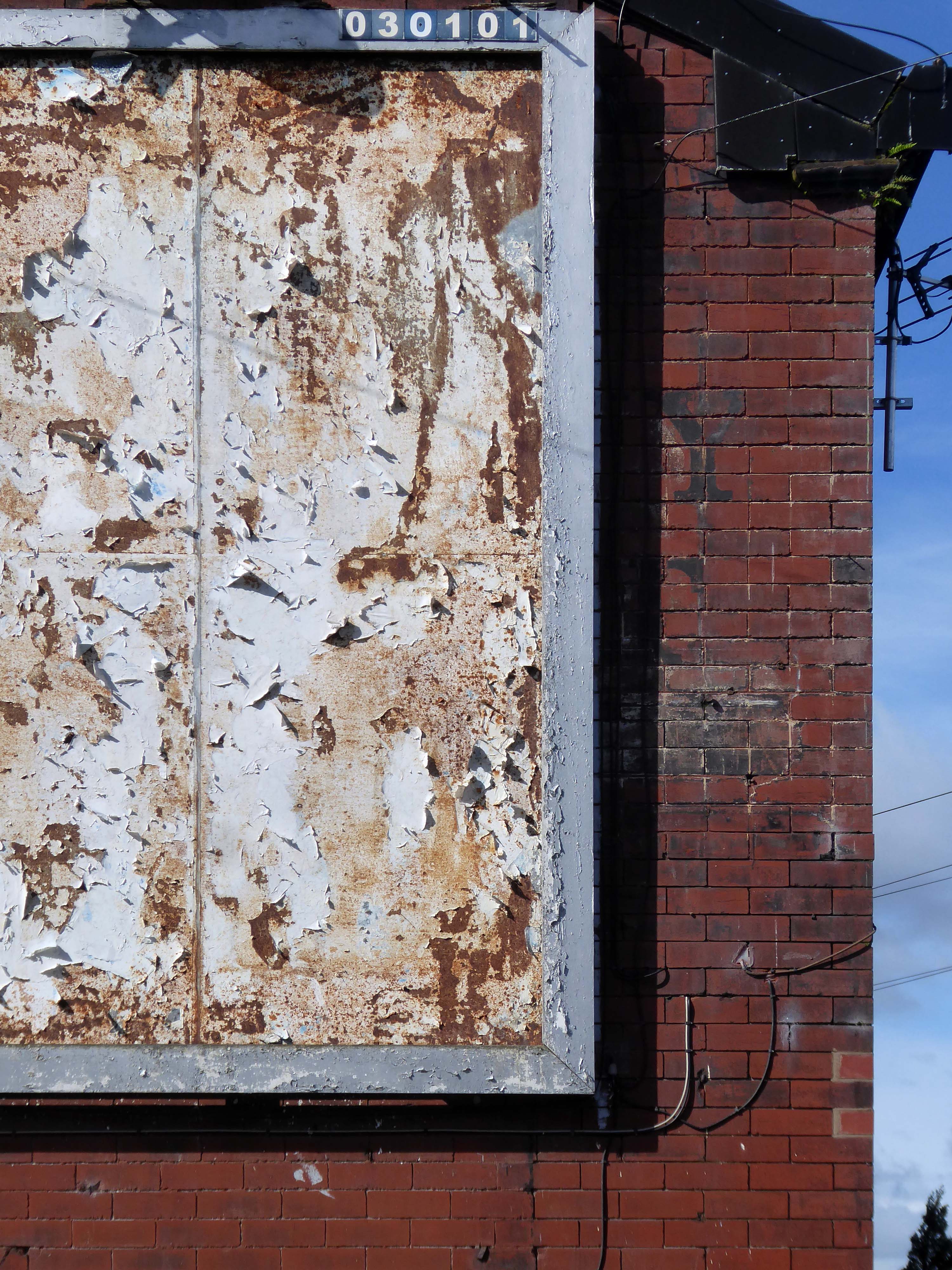
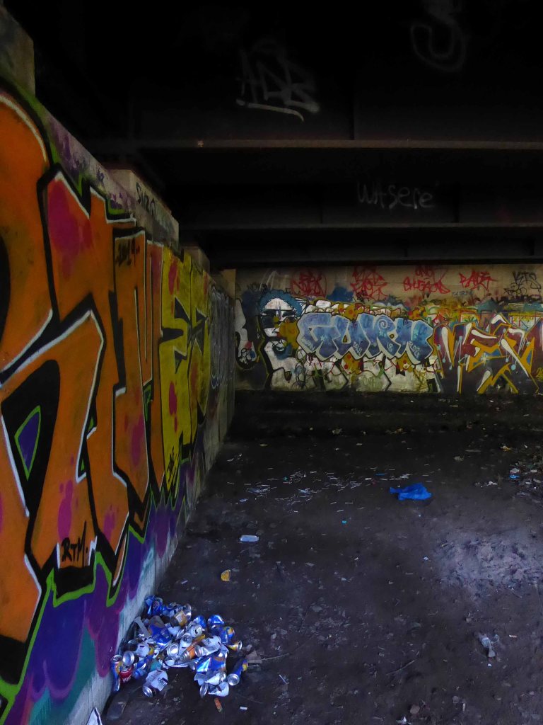
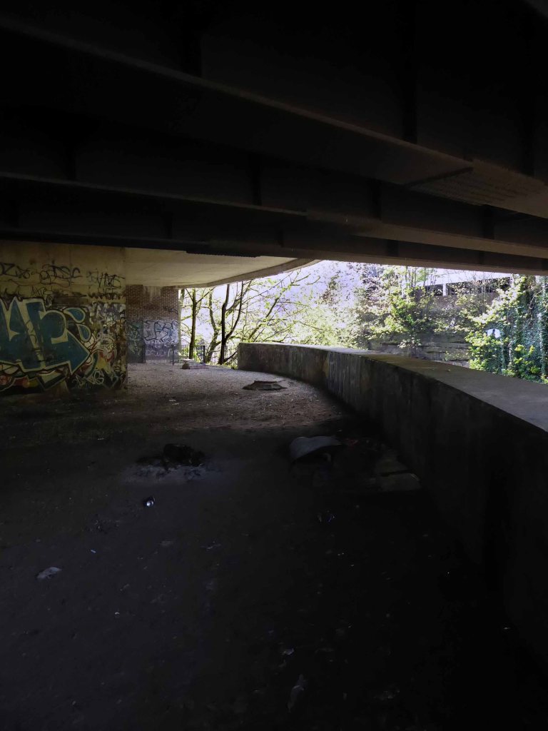
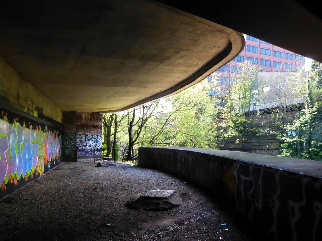
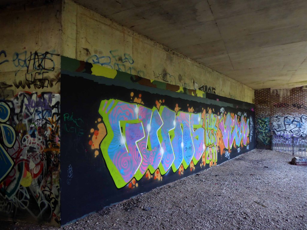
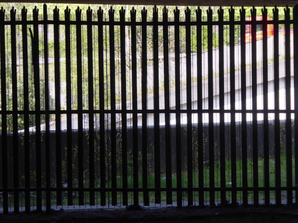
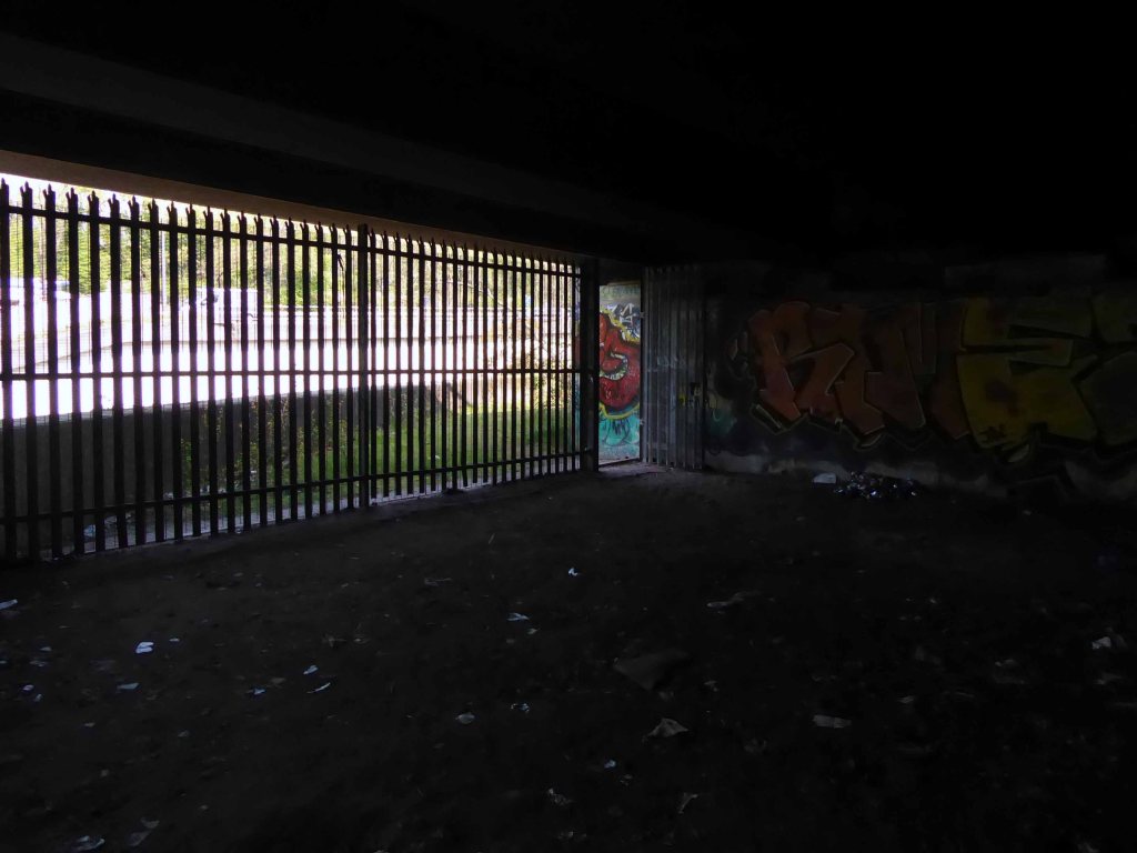
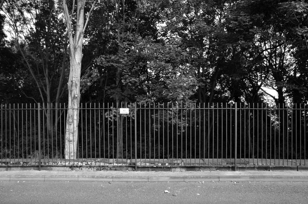
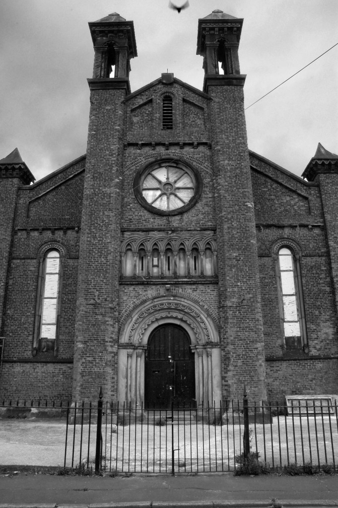
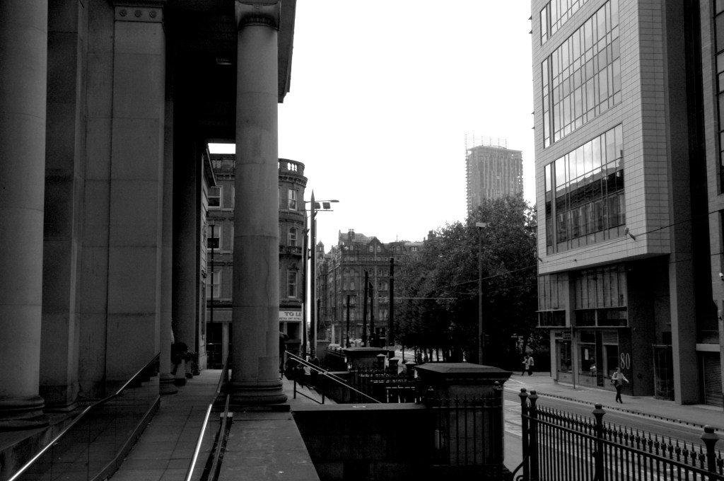
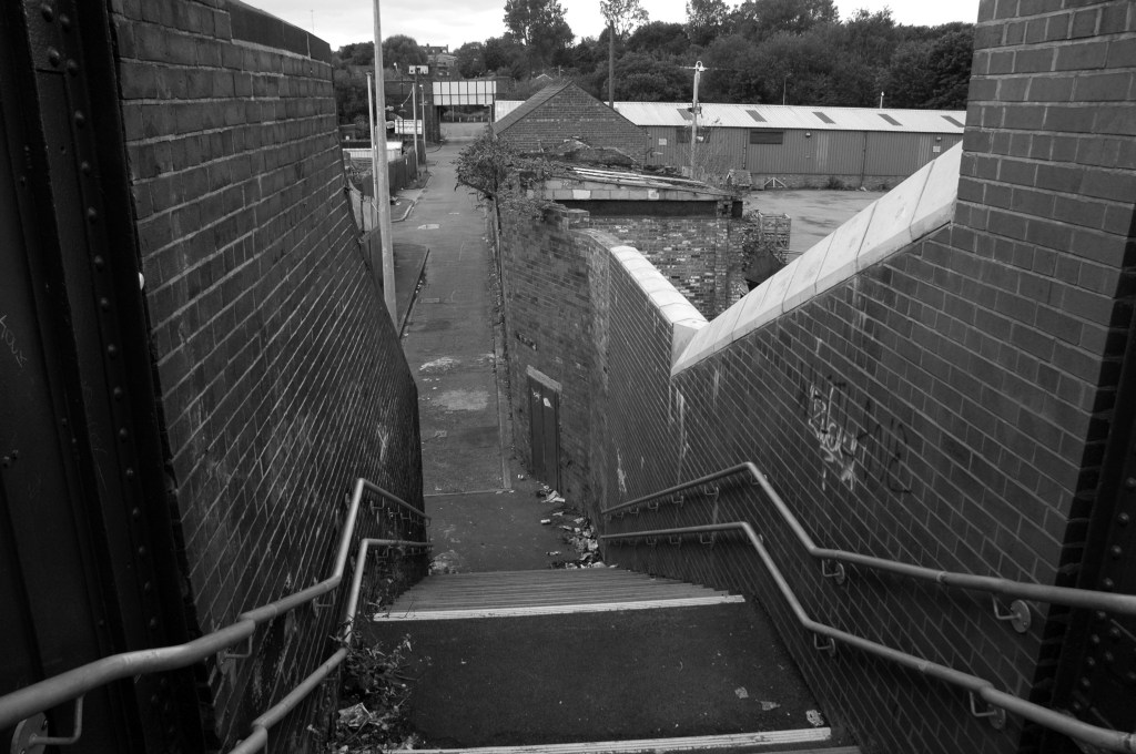
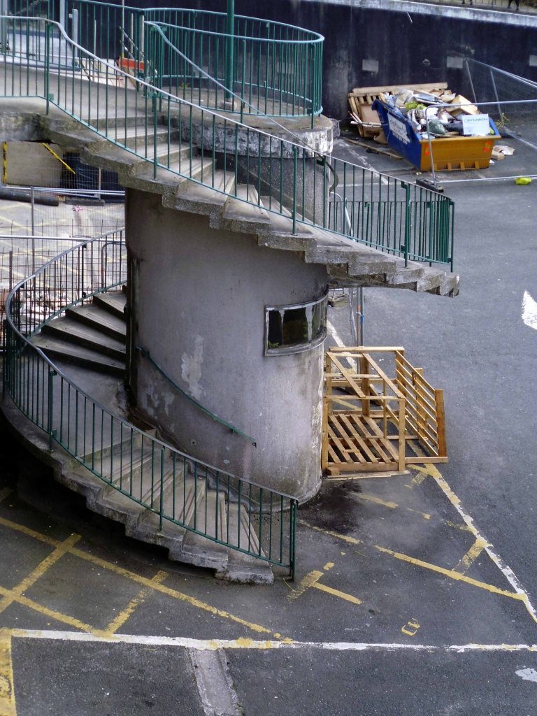
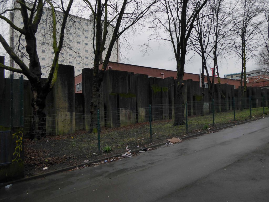
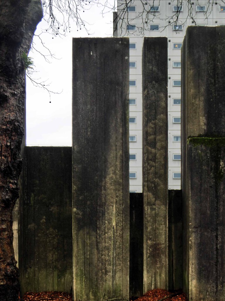
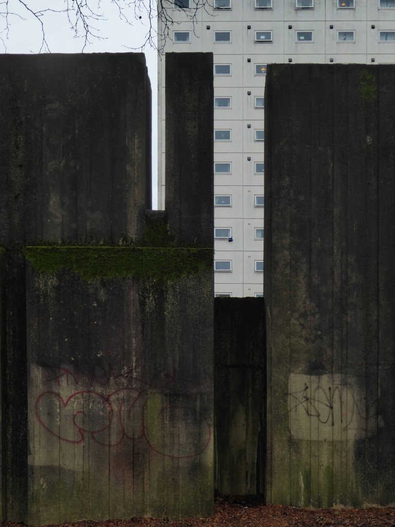
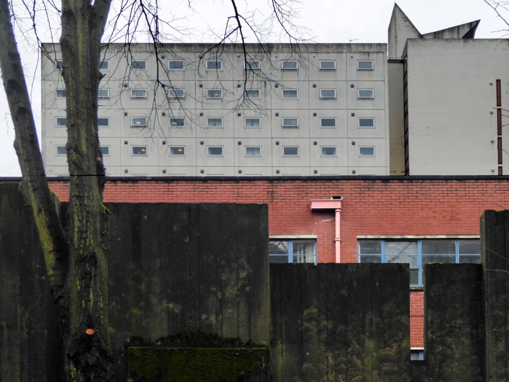
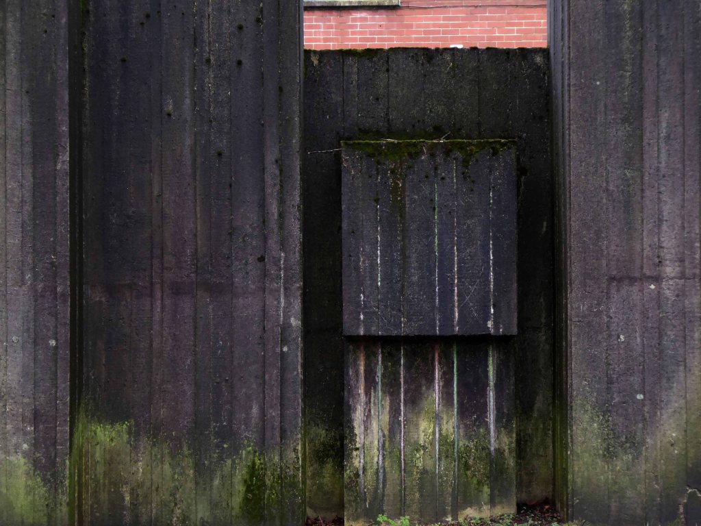
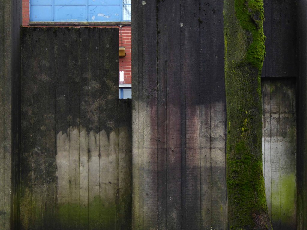
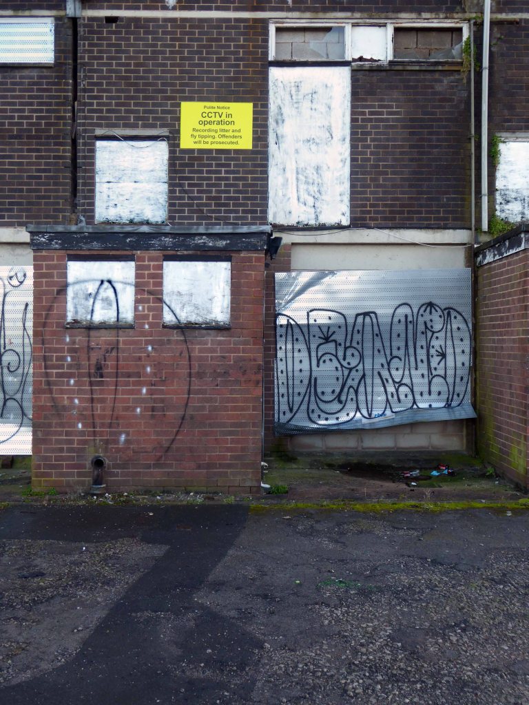
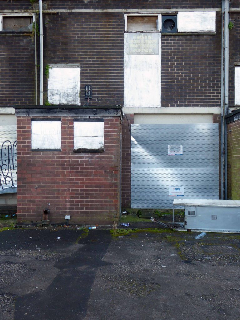
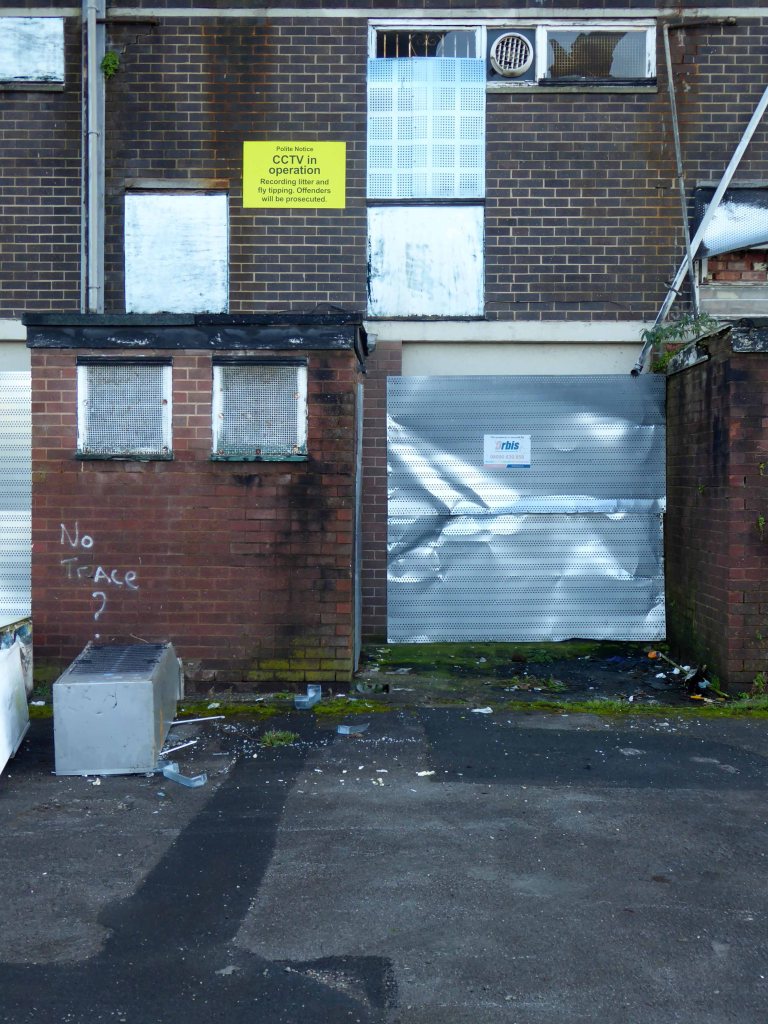
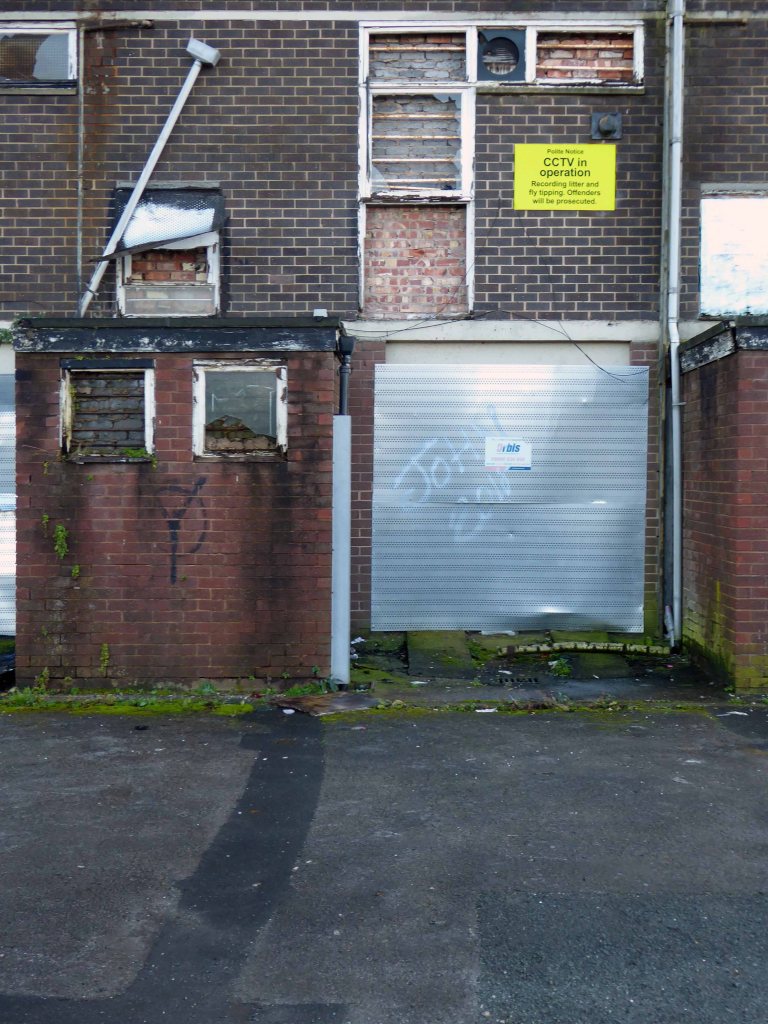
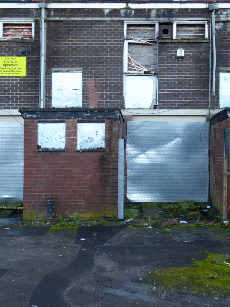
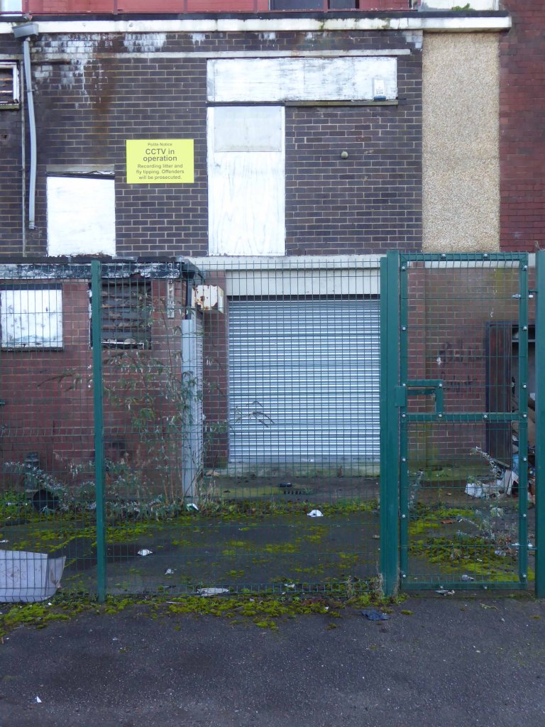
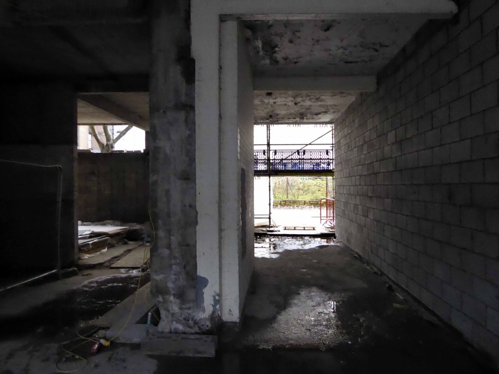
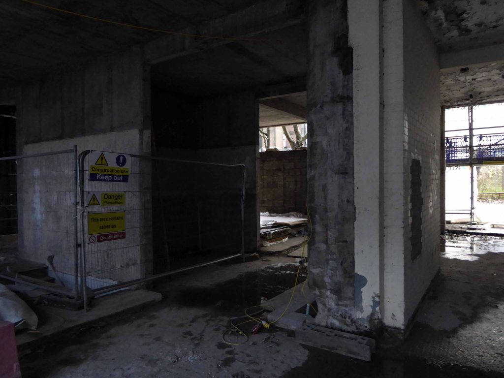
I’m back here to day in search of an abandoned control centre at the long gone Hartshead Power Station.
The station was opened in 1926 by the Stalybridge, Hyde, Mossley and Dukinfield Transport and Electricity Board.
The station was closed on 29 October 1979 with a generating capacity of 64 megawatts. It was demolished during the late 1980s, although part of the site is still used as an electrical substation.
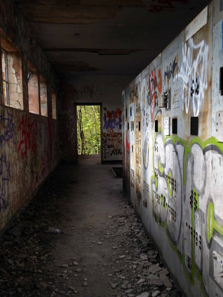
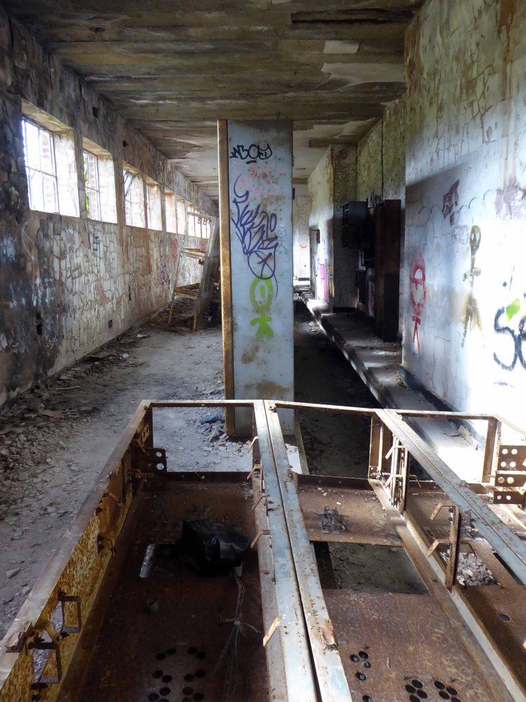
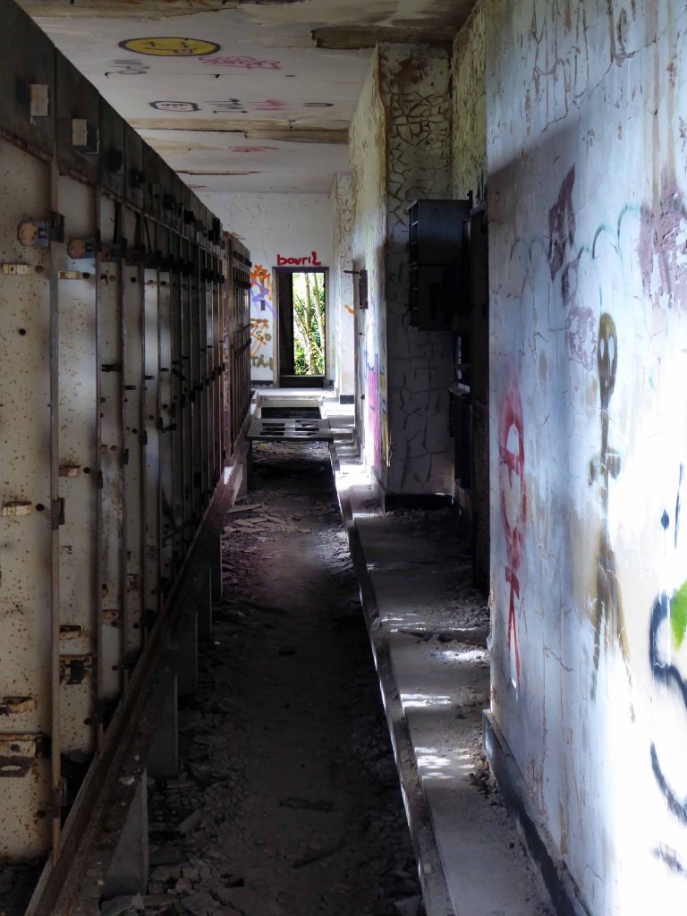
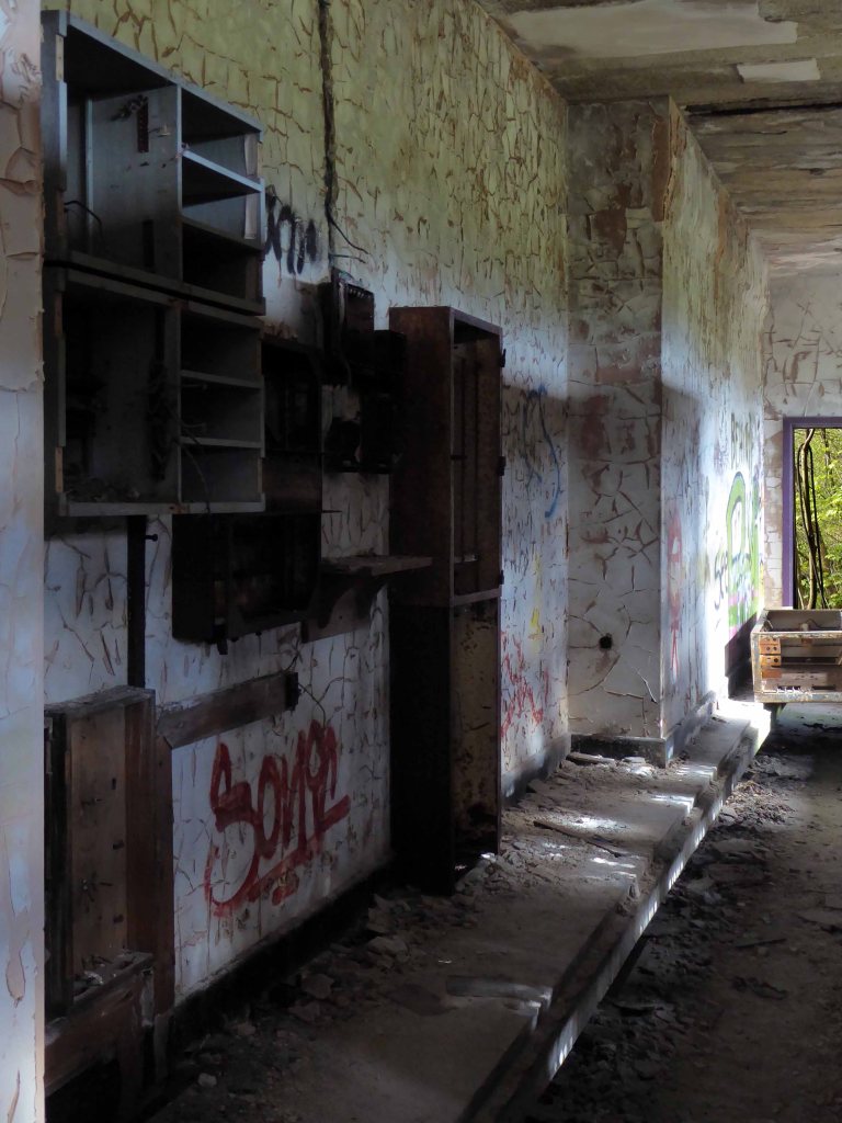
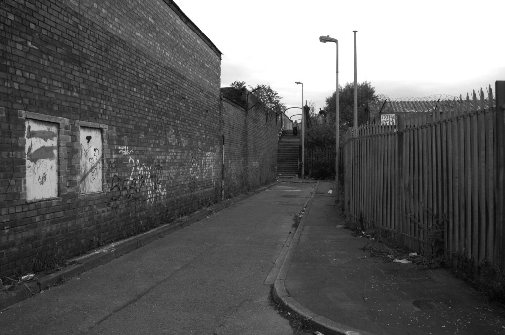
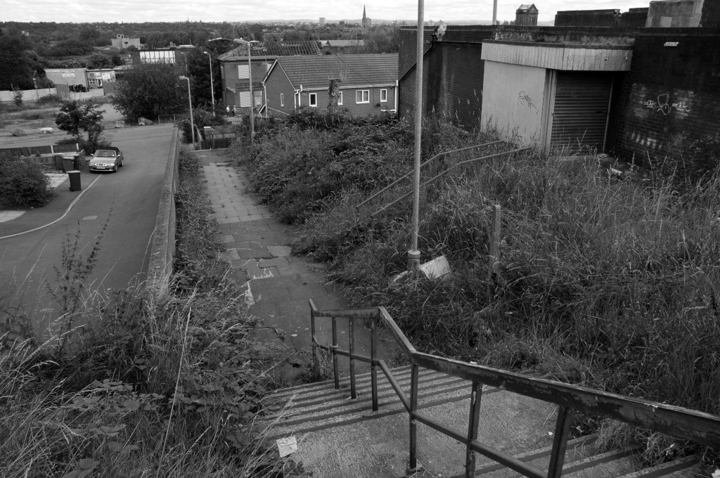
First glimpsed on an urban exploration site, I had awaited an opportunity to slip through the fence and take a look around – here’s what I found.
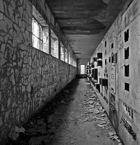
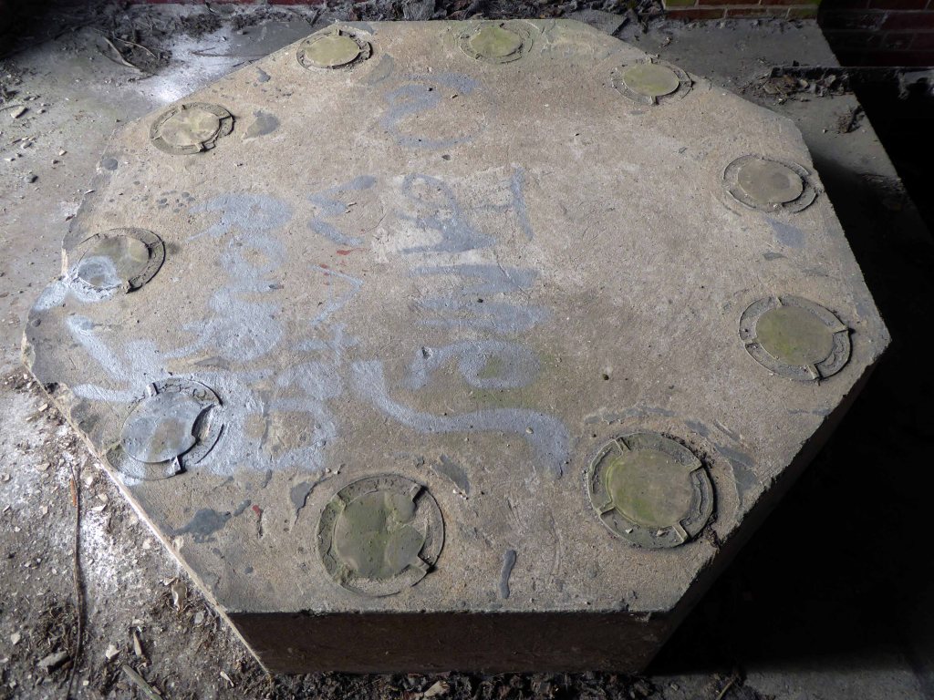
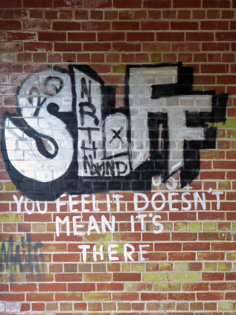
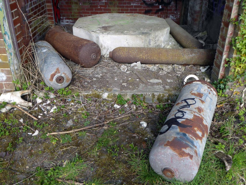
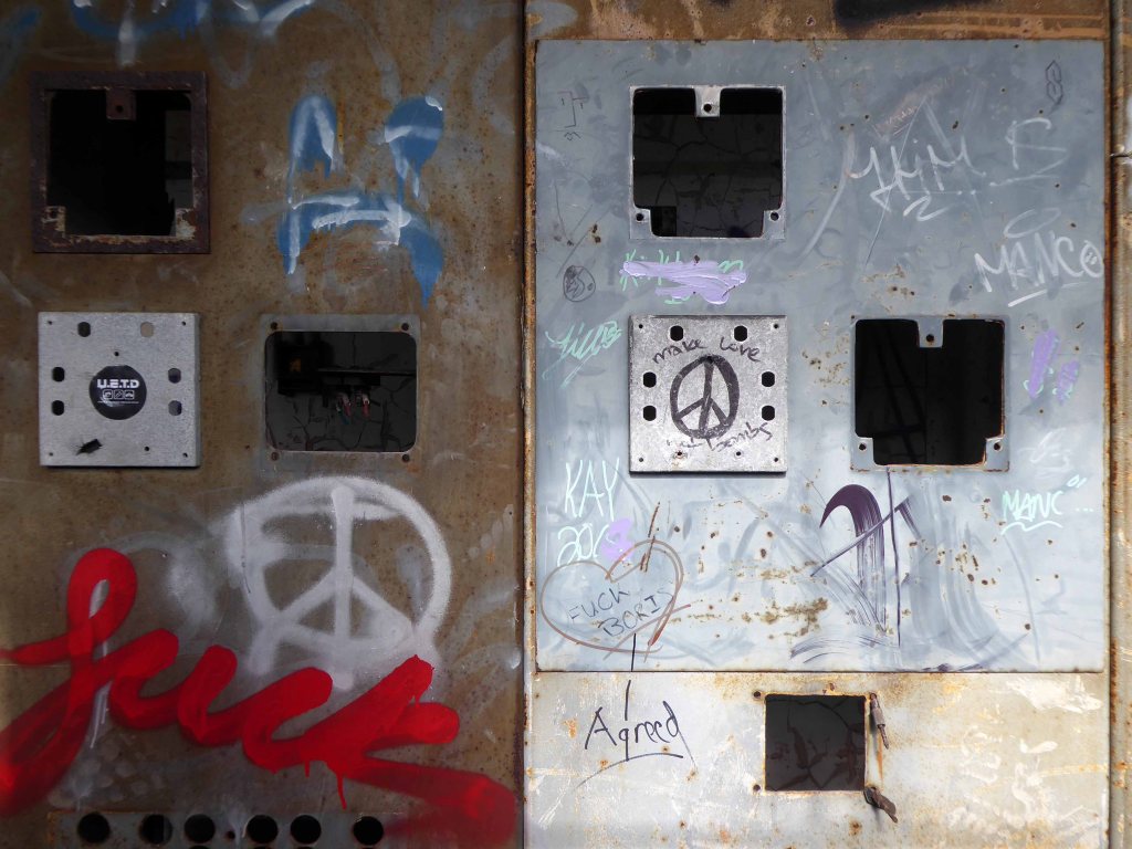
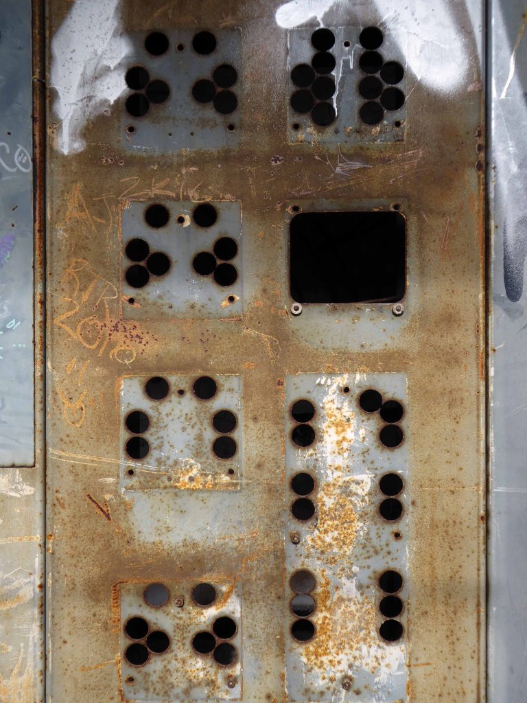
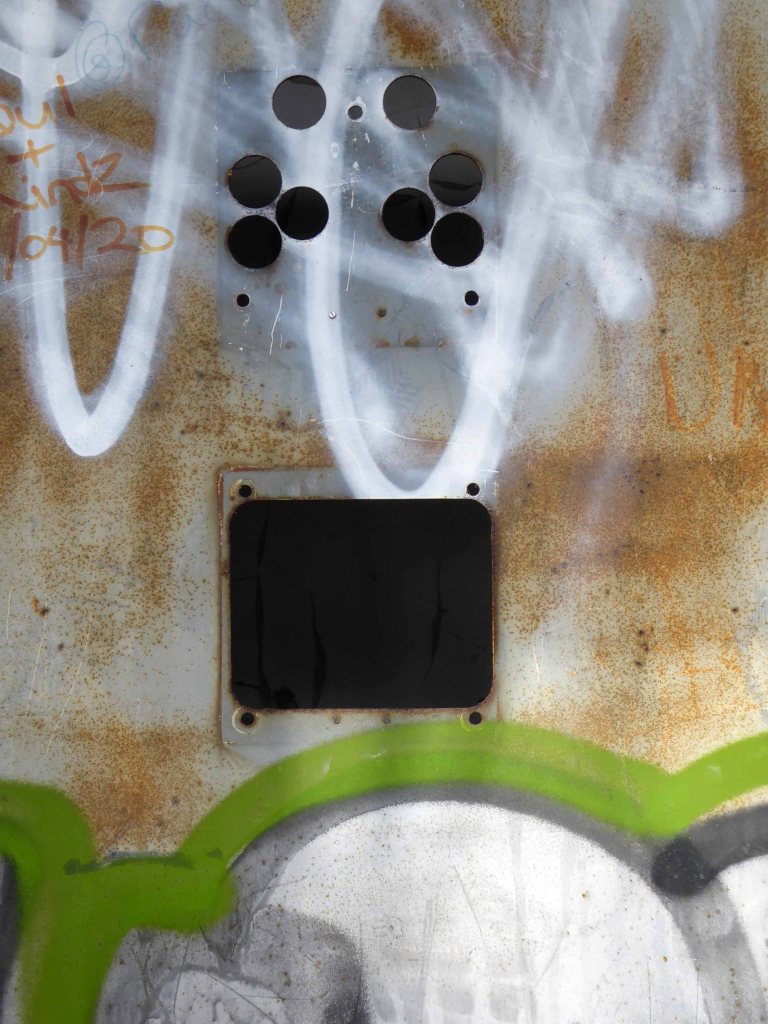
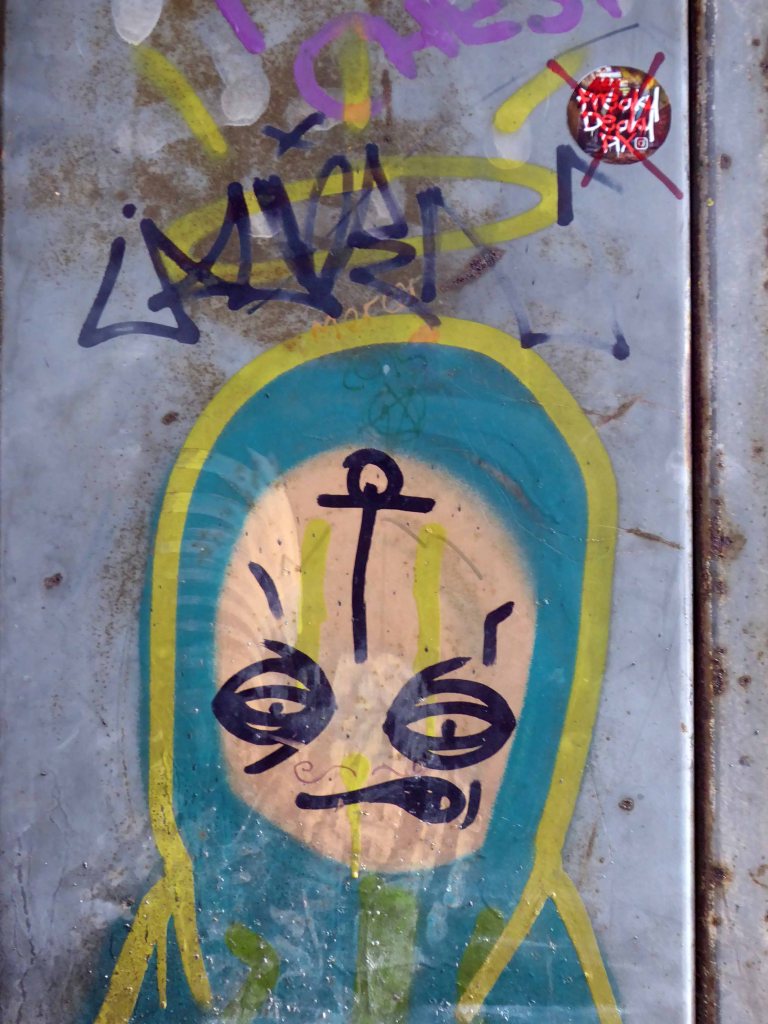
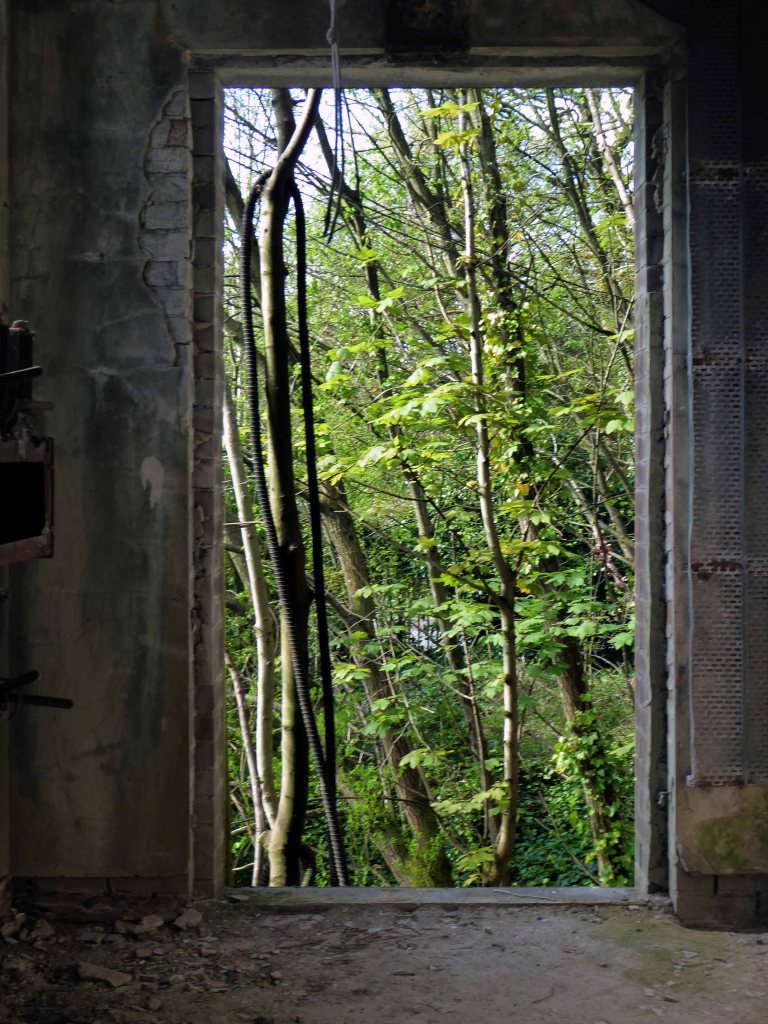
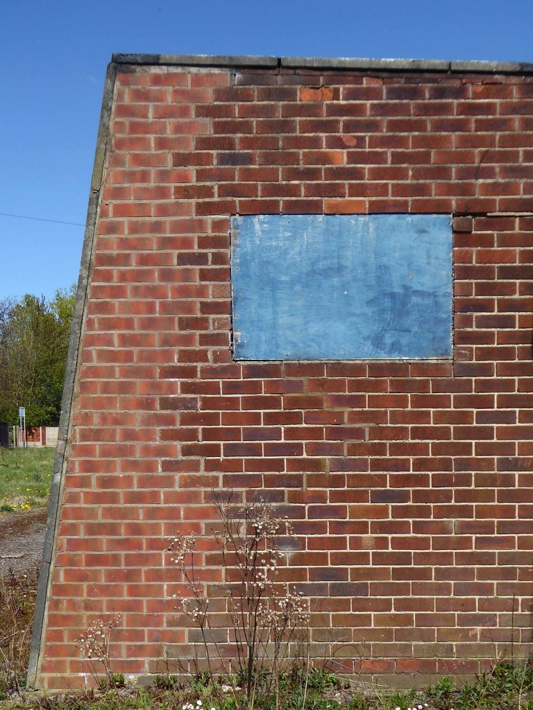
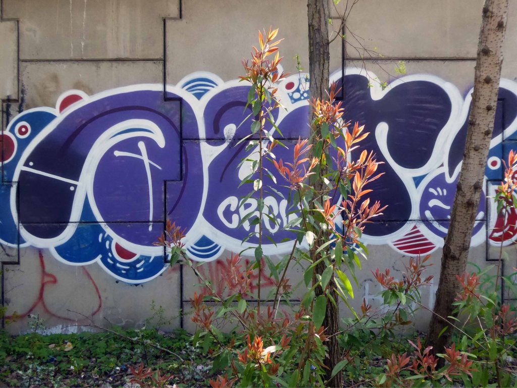
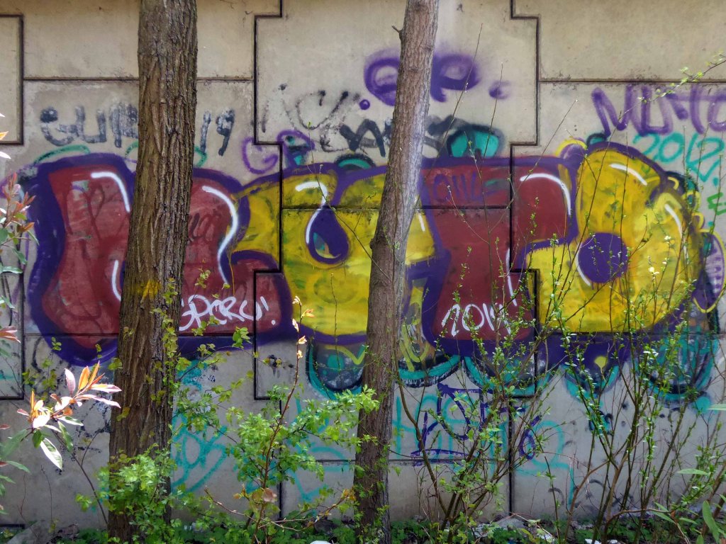
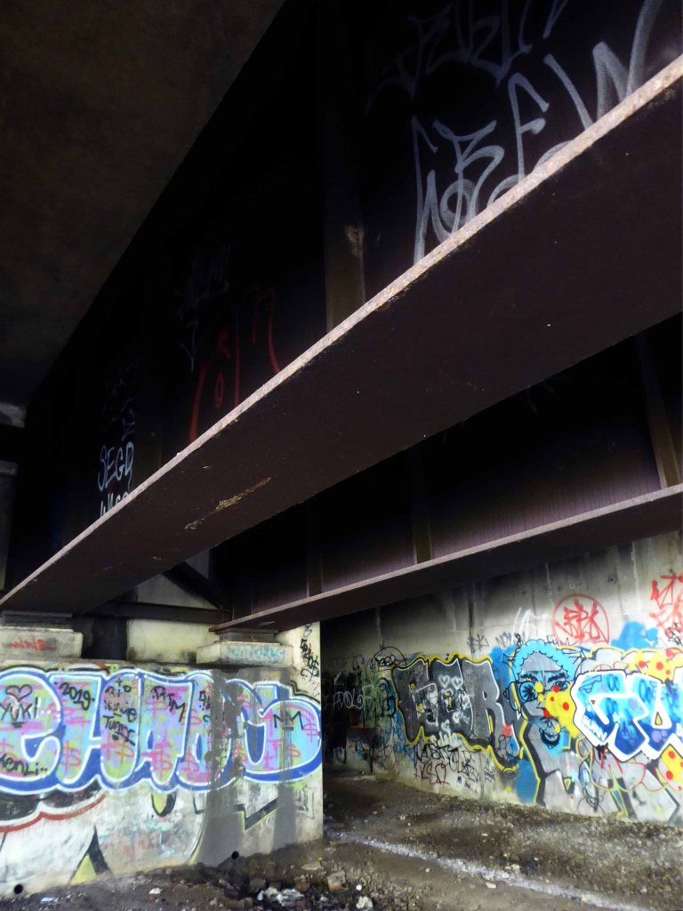
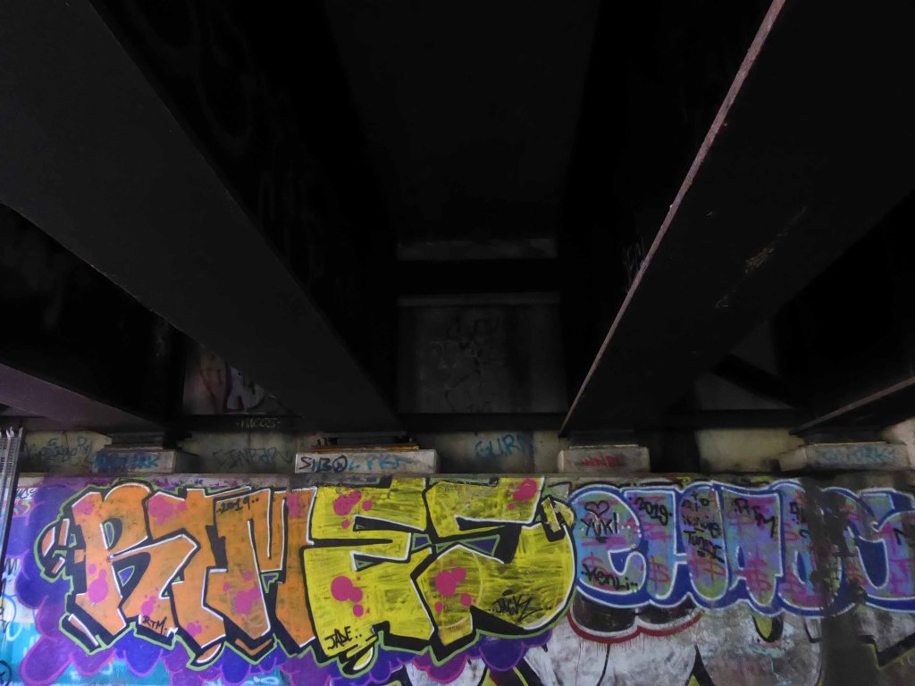
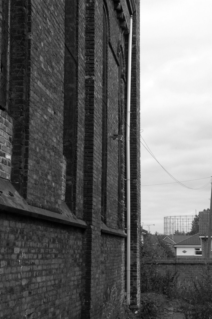
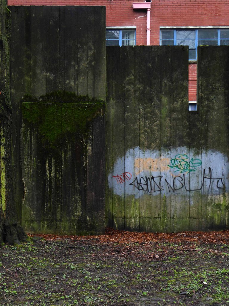
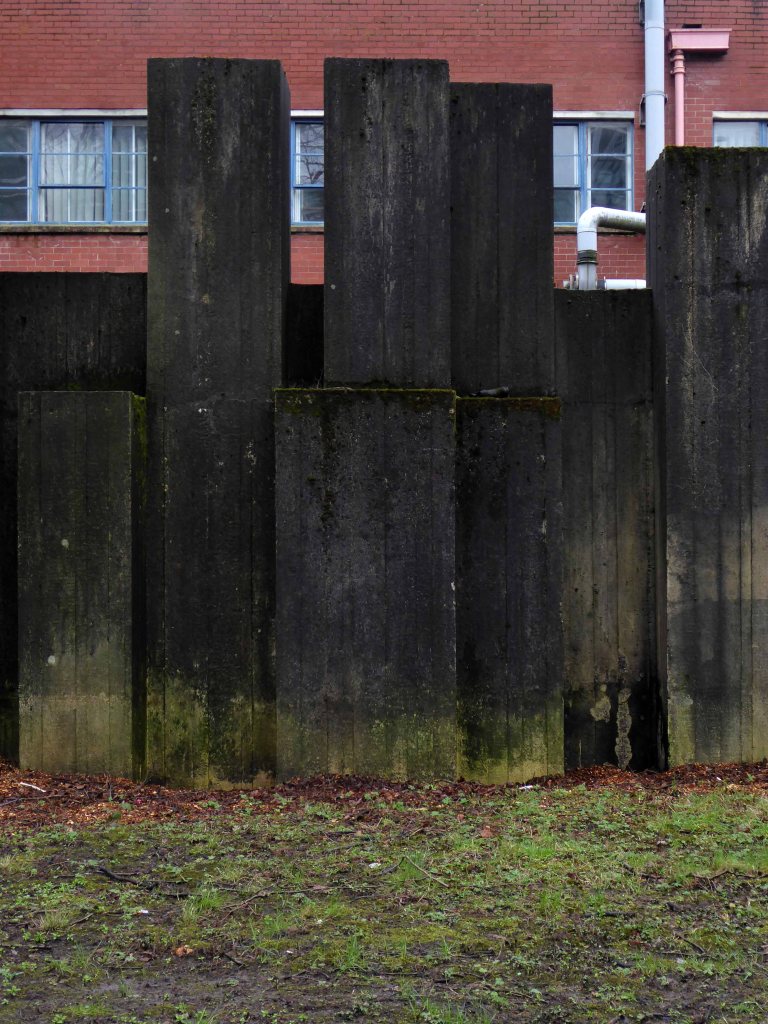
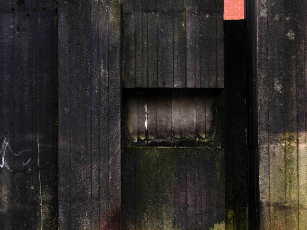
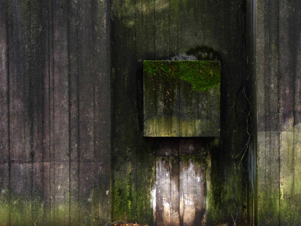
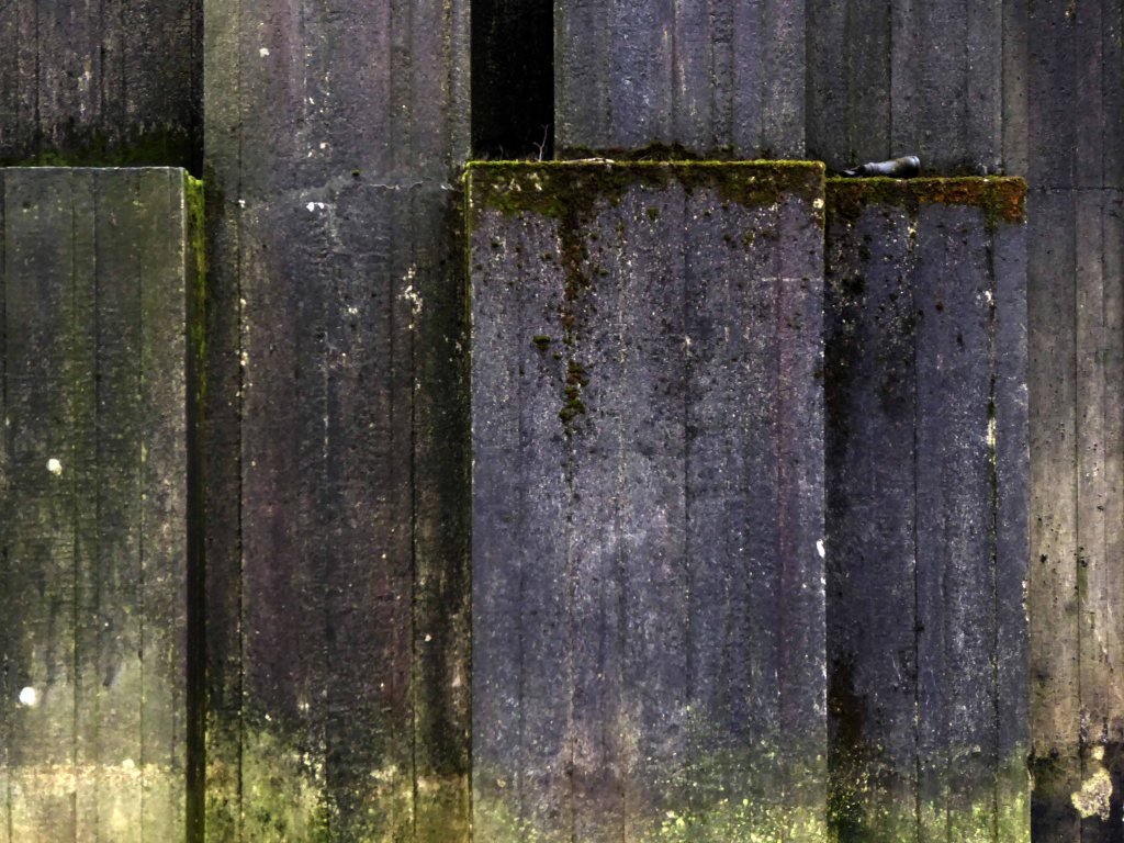
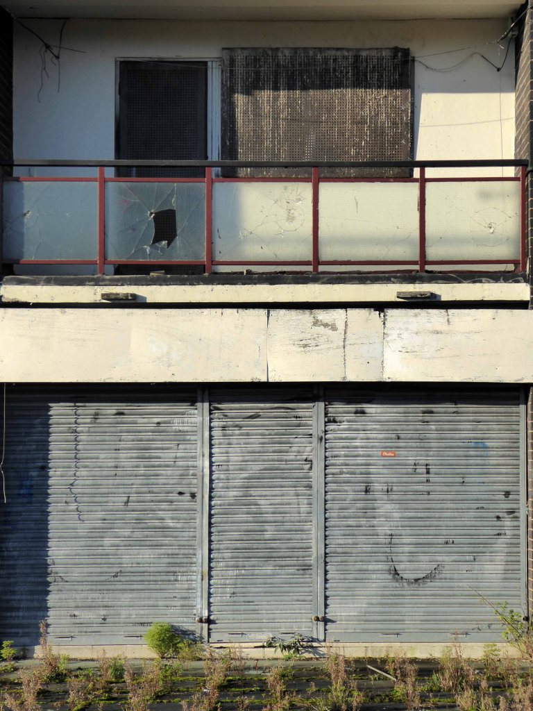
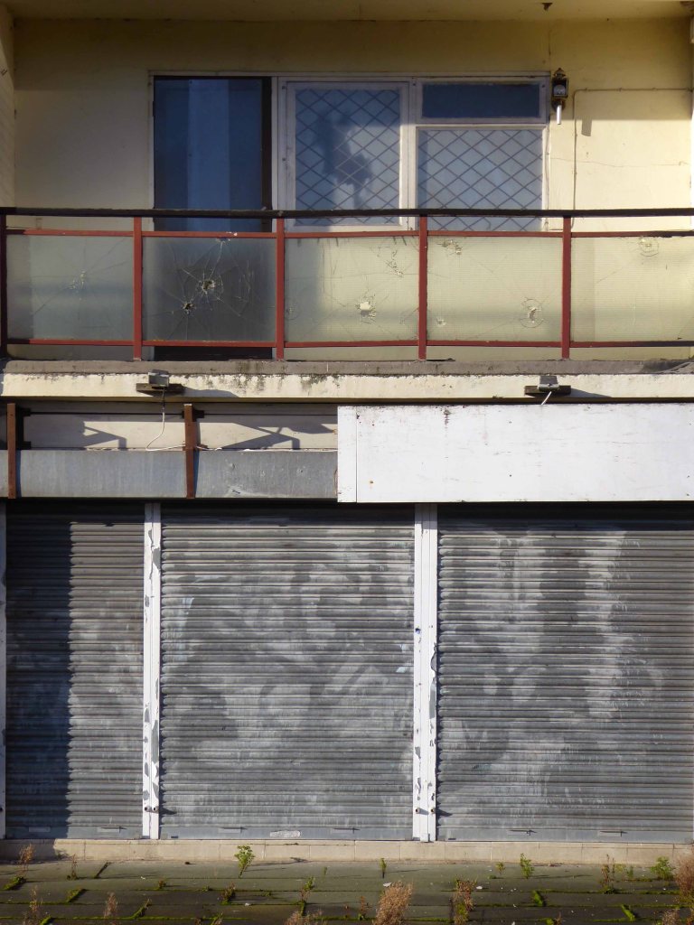
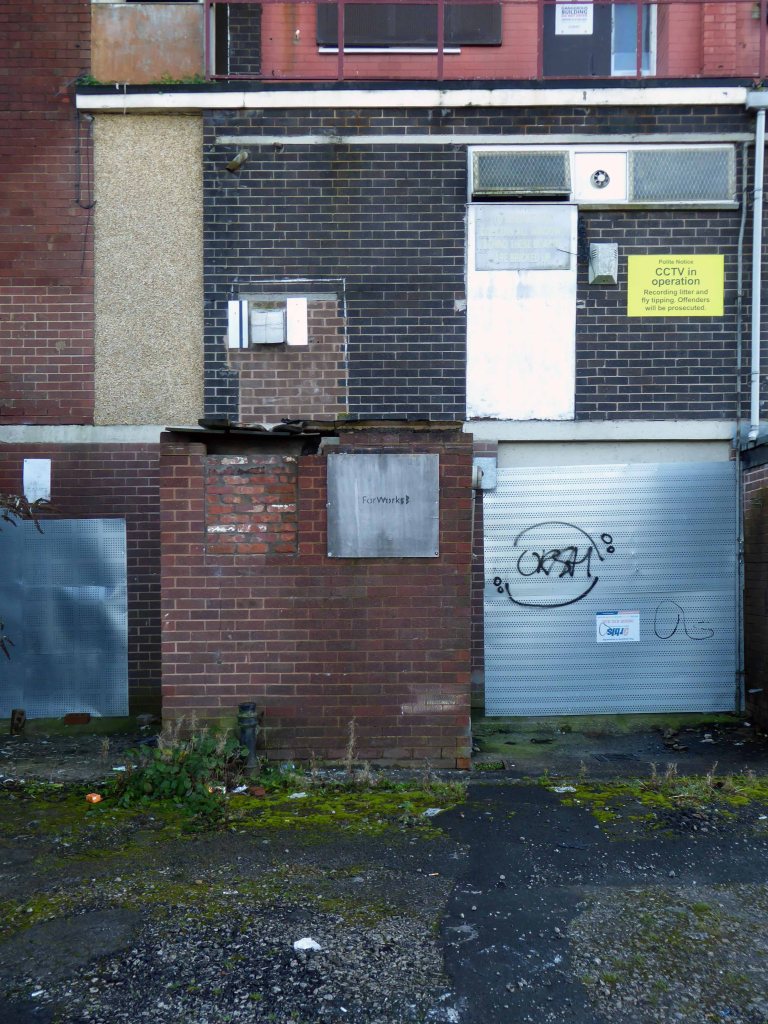
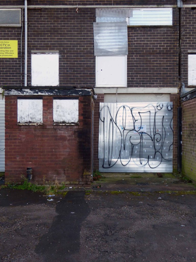
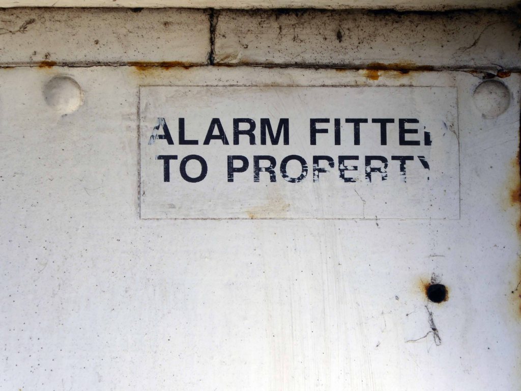
Most of the valuable equipment stripped out leaving and empty shell, covered in layers of the taggers’ interventions.
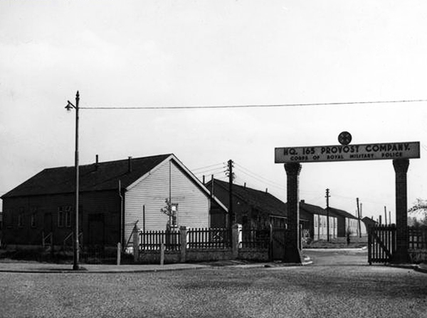
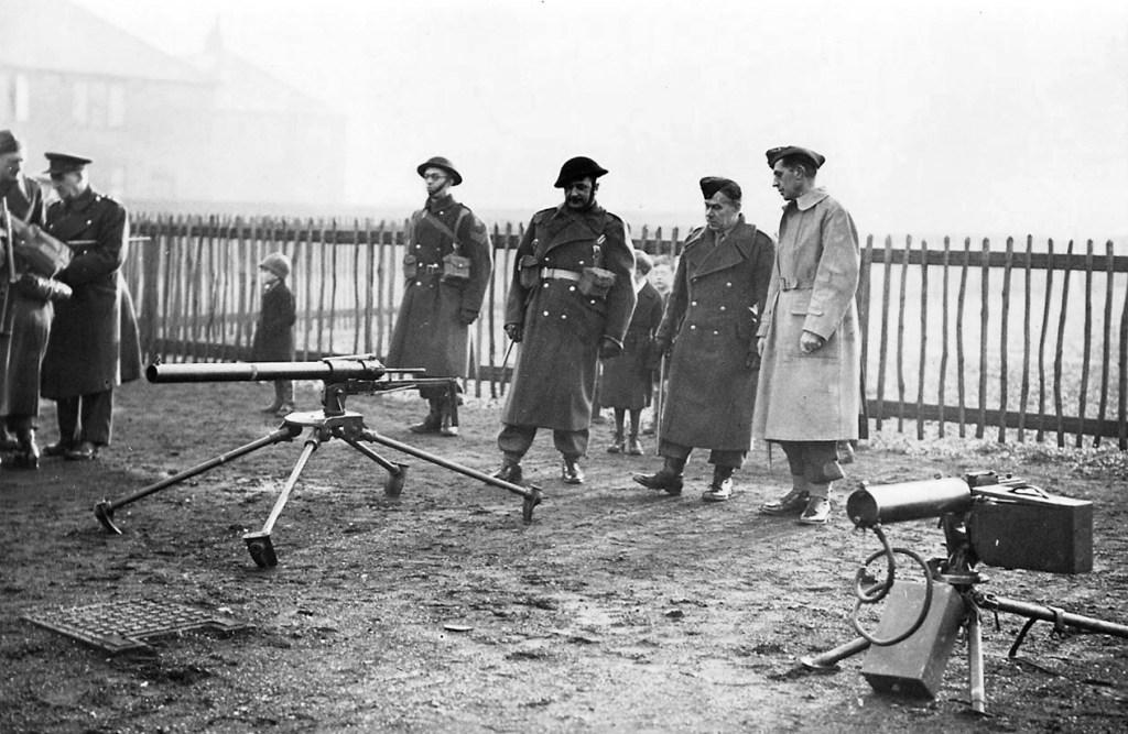
As a Military Police and POW CampThe 48th Battalion Manchester Home Guard used the facilities
Photograph Brian Wood
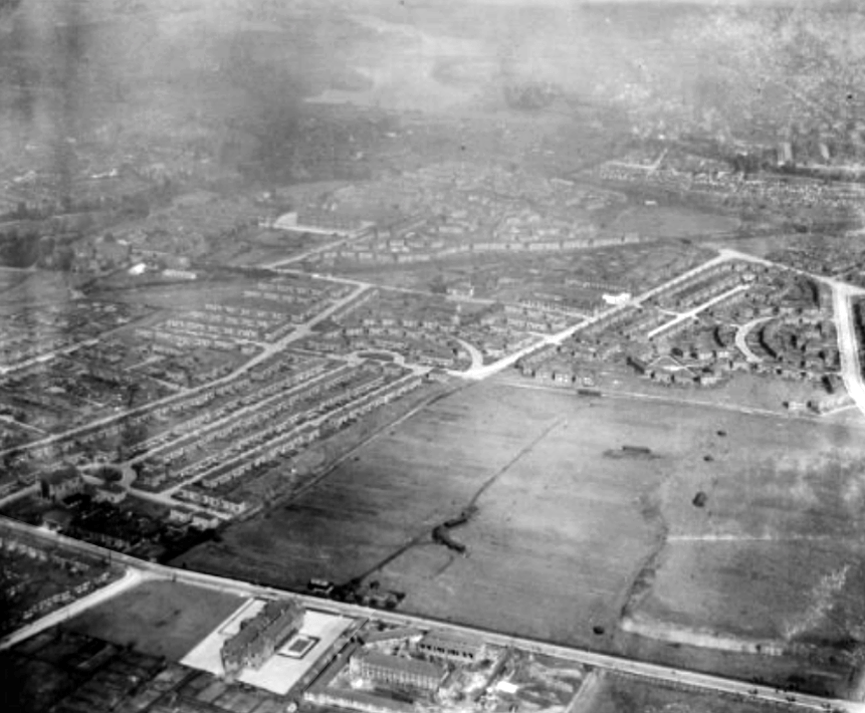
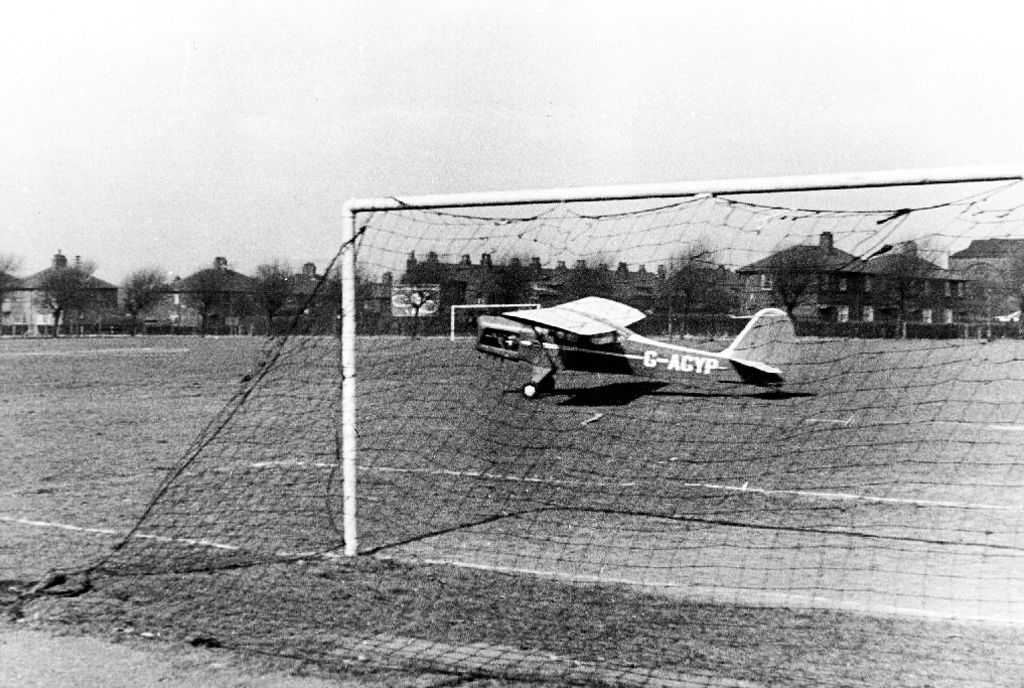
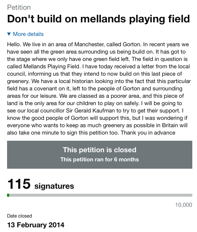
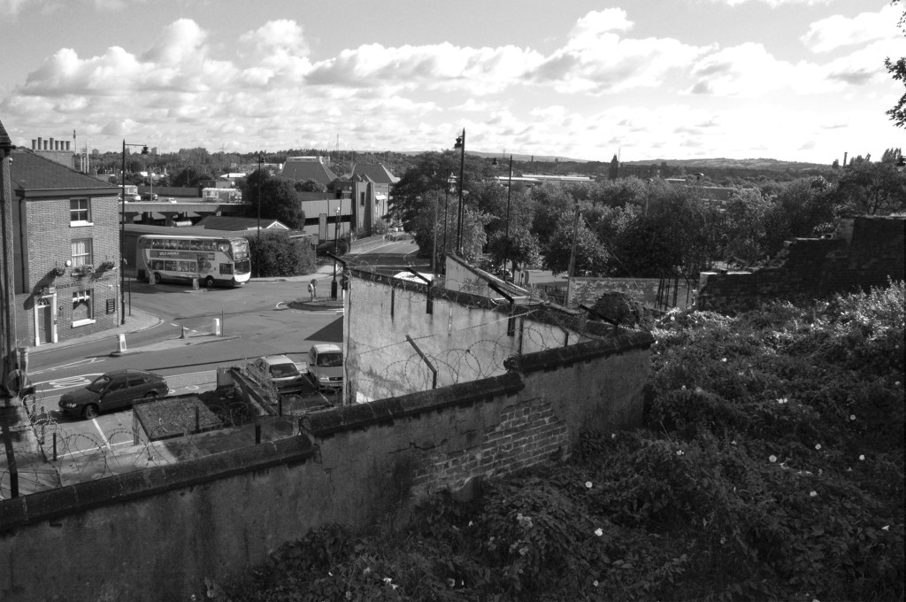
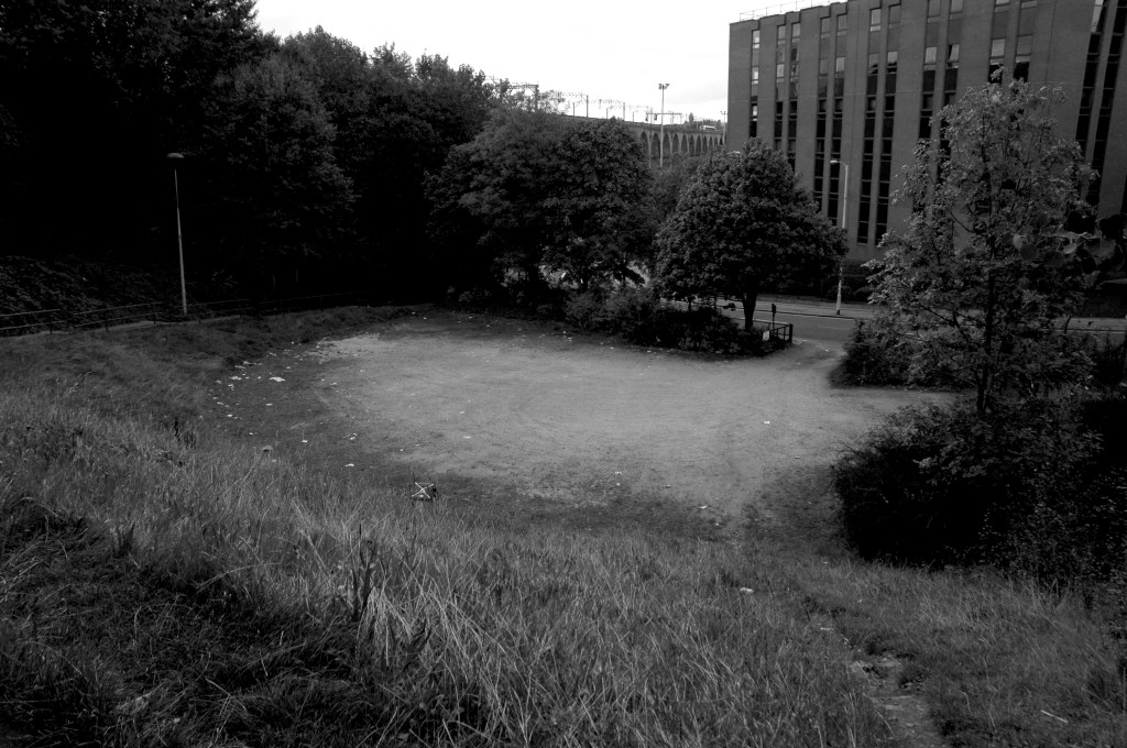
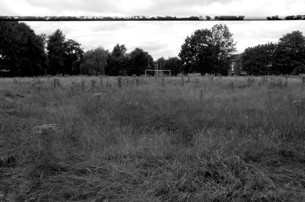
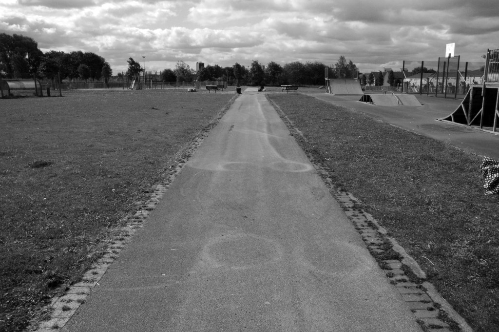
I remember from the 60’s onwards the fields in use for amateur football – pubs, clubs, schools and works all supplying teams to the plethora of leagues across the city.
Auster Aircraft of Airliners forced to land at Melland Playing Fields whilst towing banner 19611963
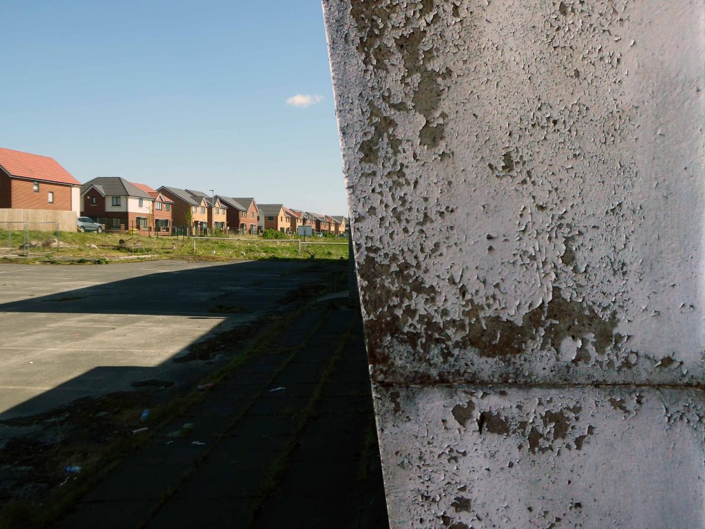
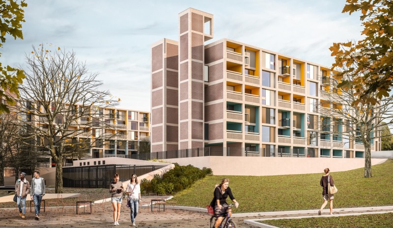
Gorton has received significant regeneration and investment over recent years as have nearby areas including Levenshulme. This is an aspirational, exciting new development and Arkwright Place has something for everyone – from first time buyers to growing families and downsizers – with a huge range of beautiful homes on offer.
A local campaign was organised to preserve the open space:
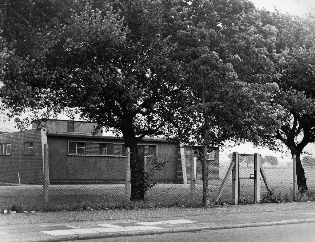
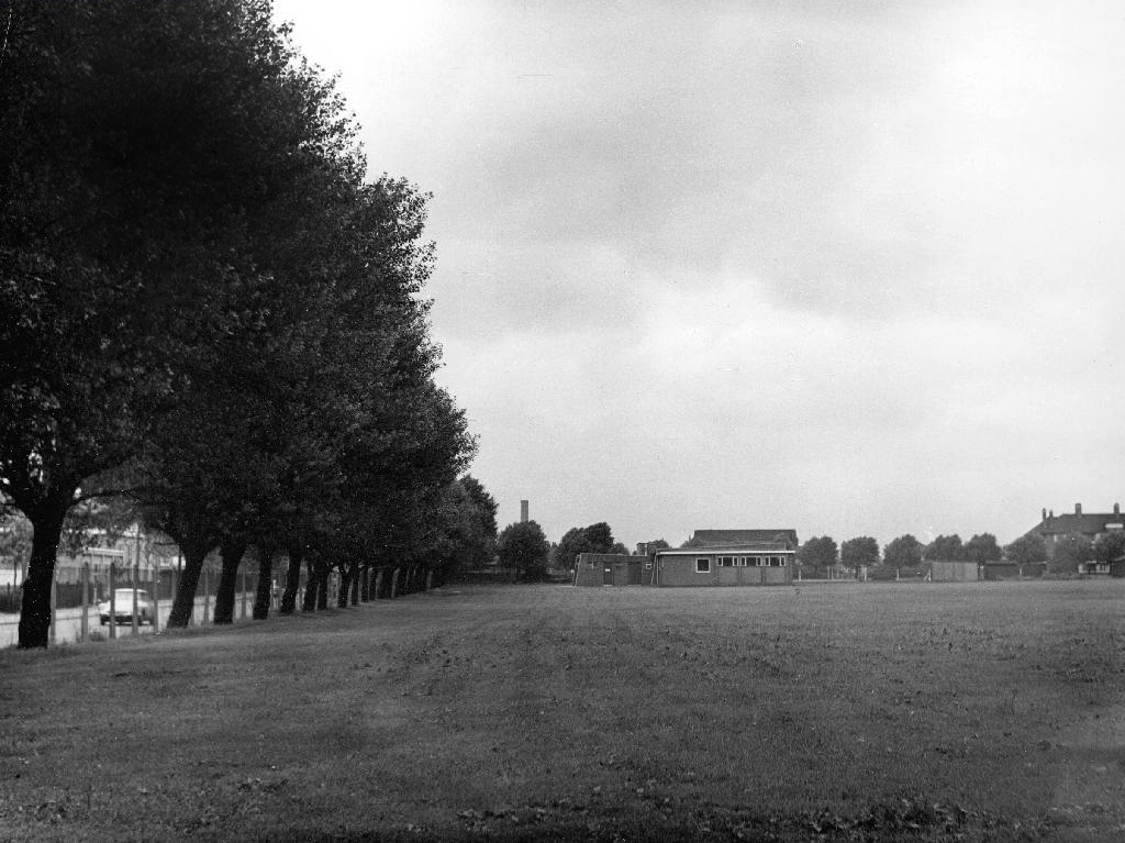
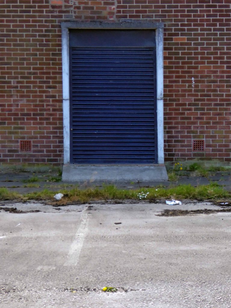
At present the fields are fenced and secured – though gaps have been made to allow access for strollers.
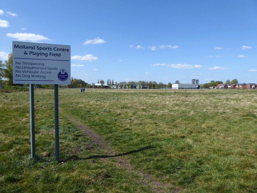
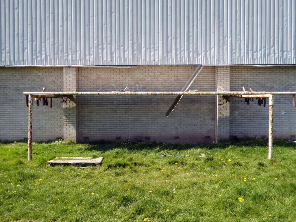
The goalposts still stand though currently without crossbars.
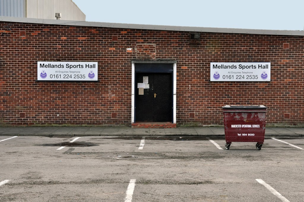
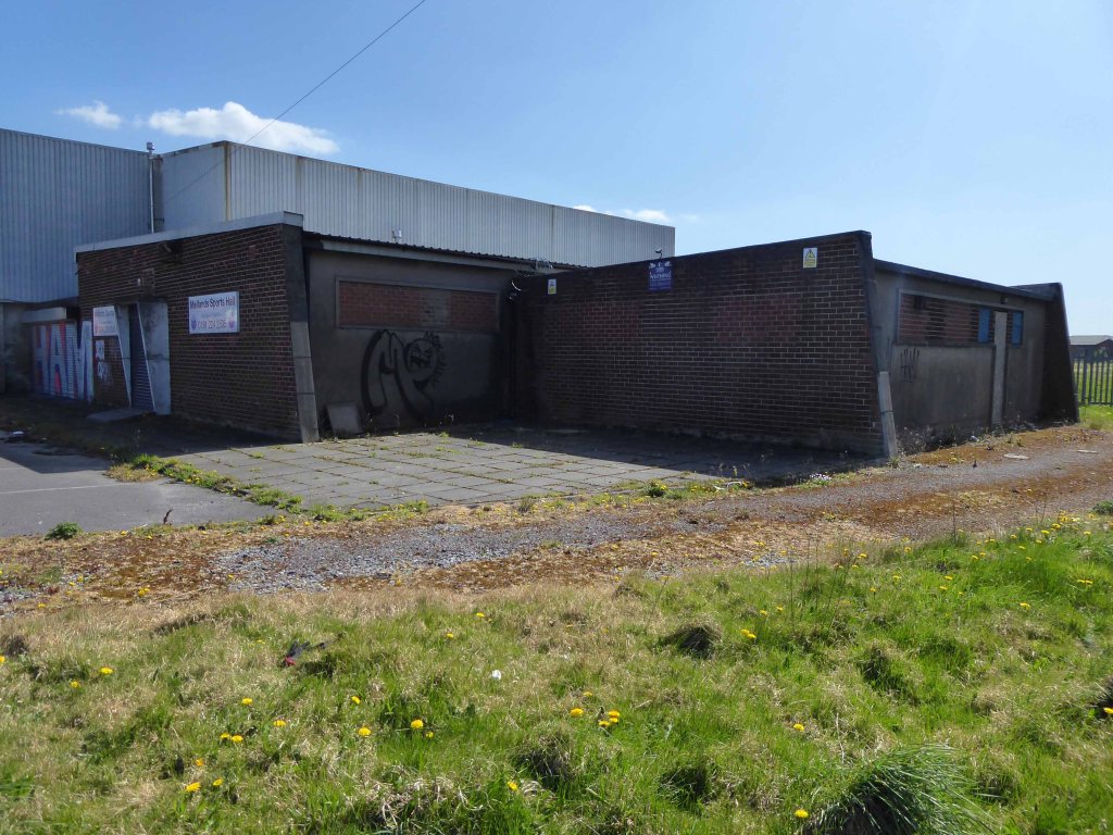
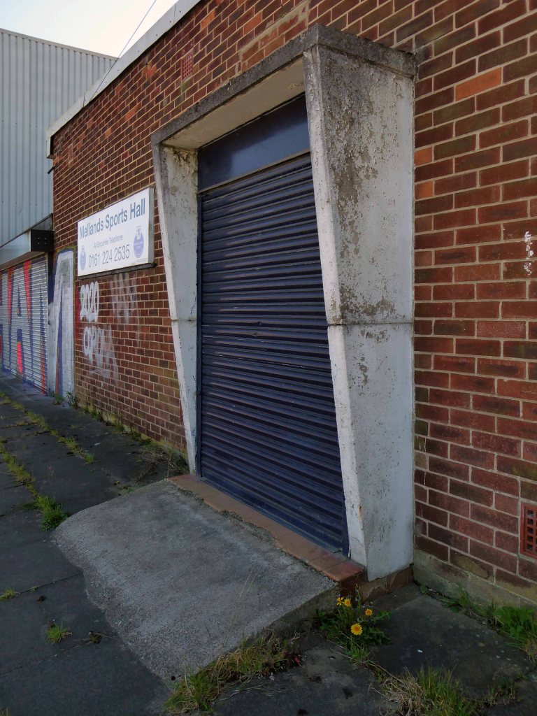
Which are stored by the Sports Hall.
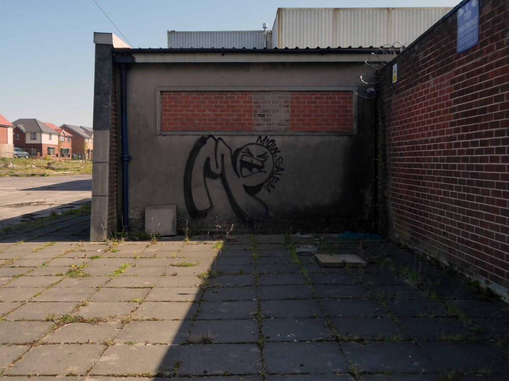
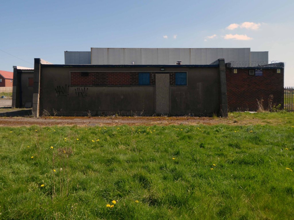
The buildings are mothballed – awaiting what?
For me the concrete and brick functionalist changing rooms are a thing of beauty and seem to have been a part of my life for quite some time, as I cycled back and to – on my way to work.
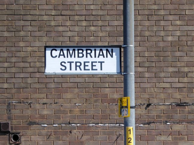
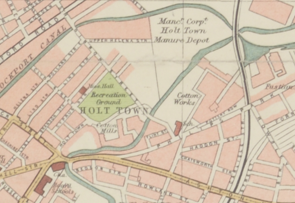
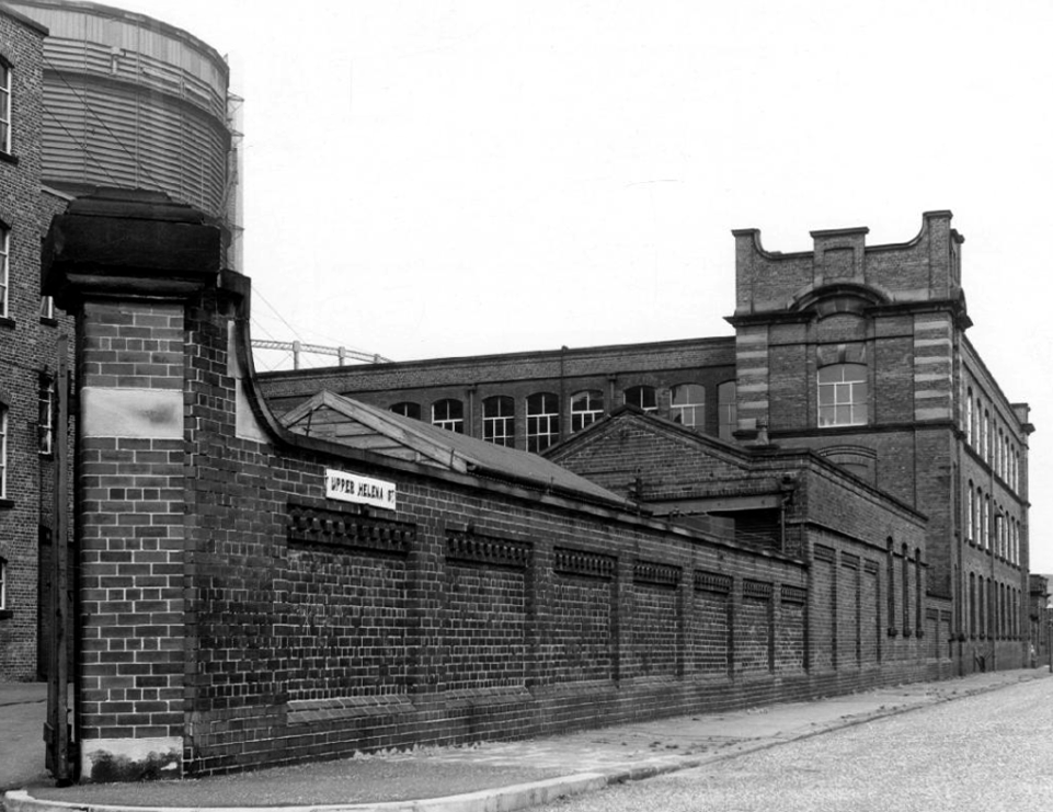
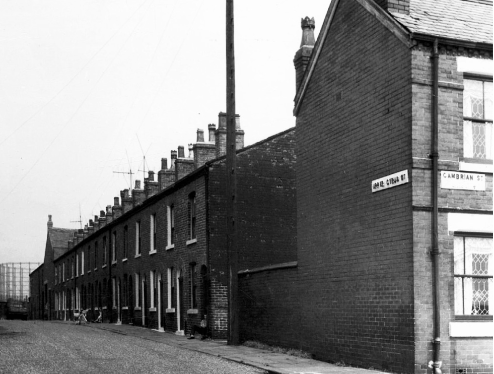
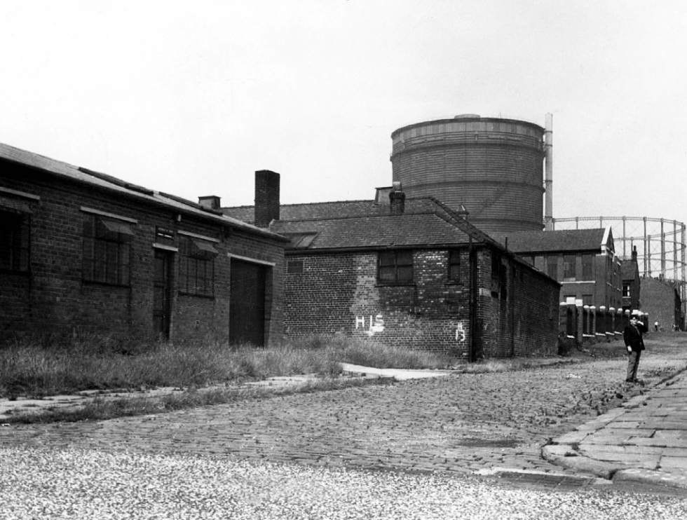
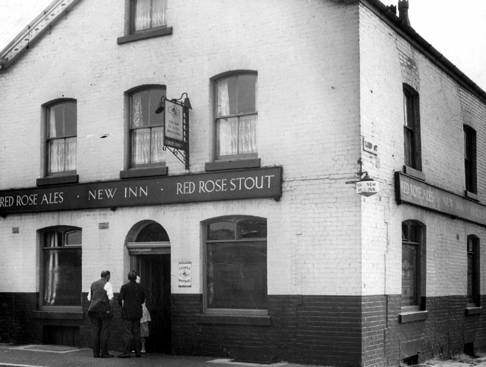
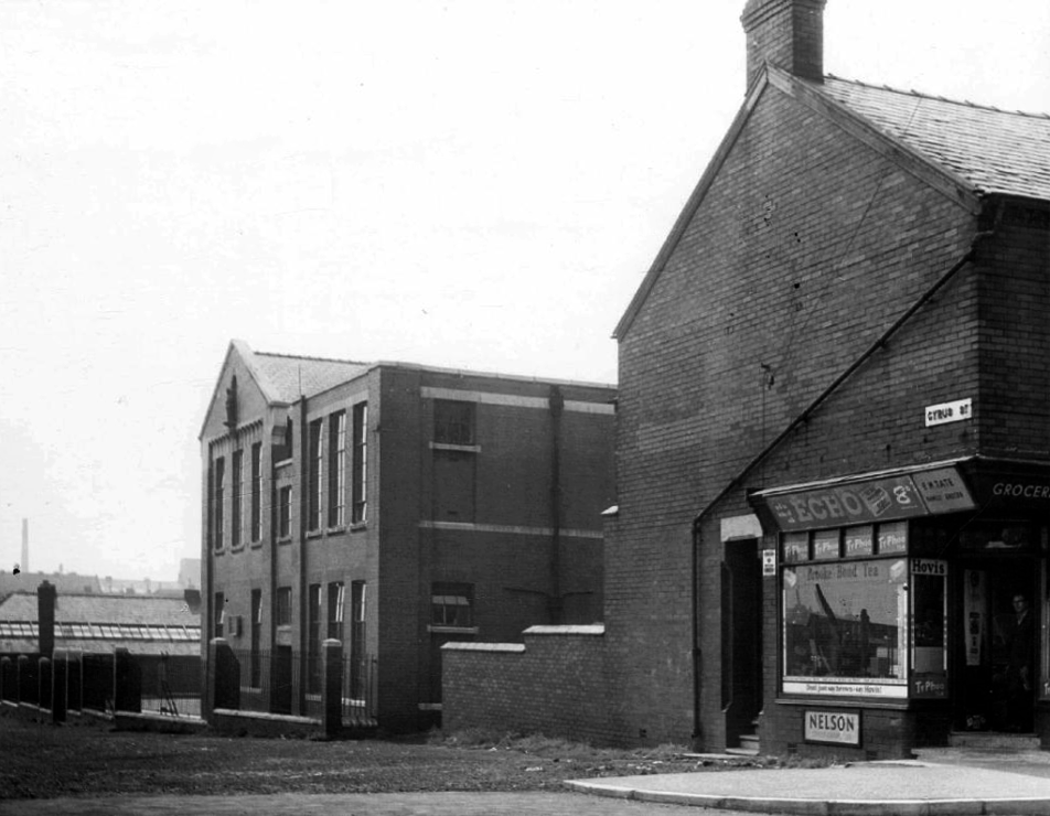
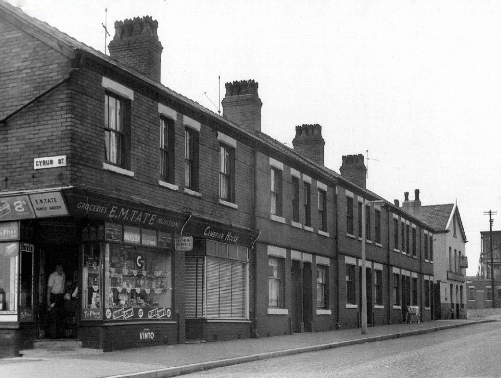
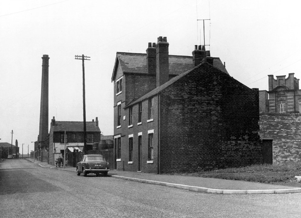
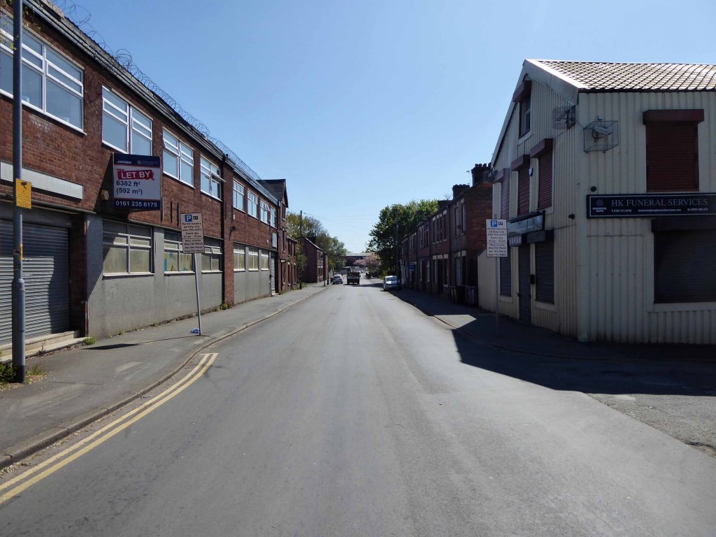
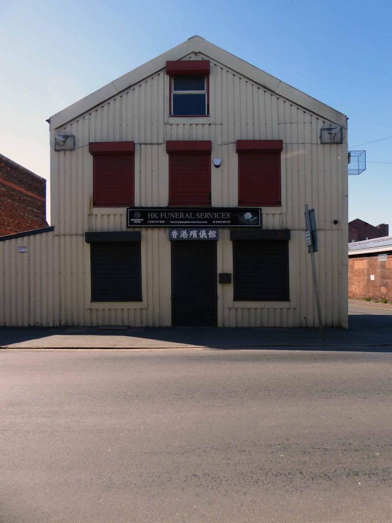
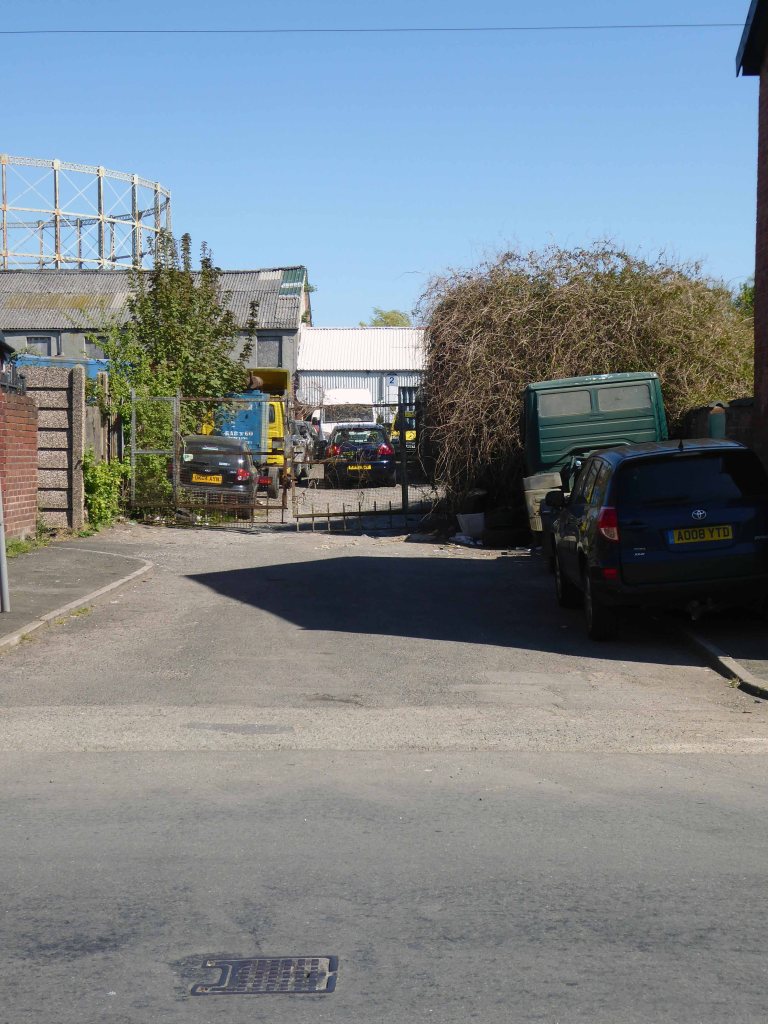
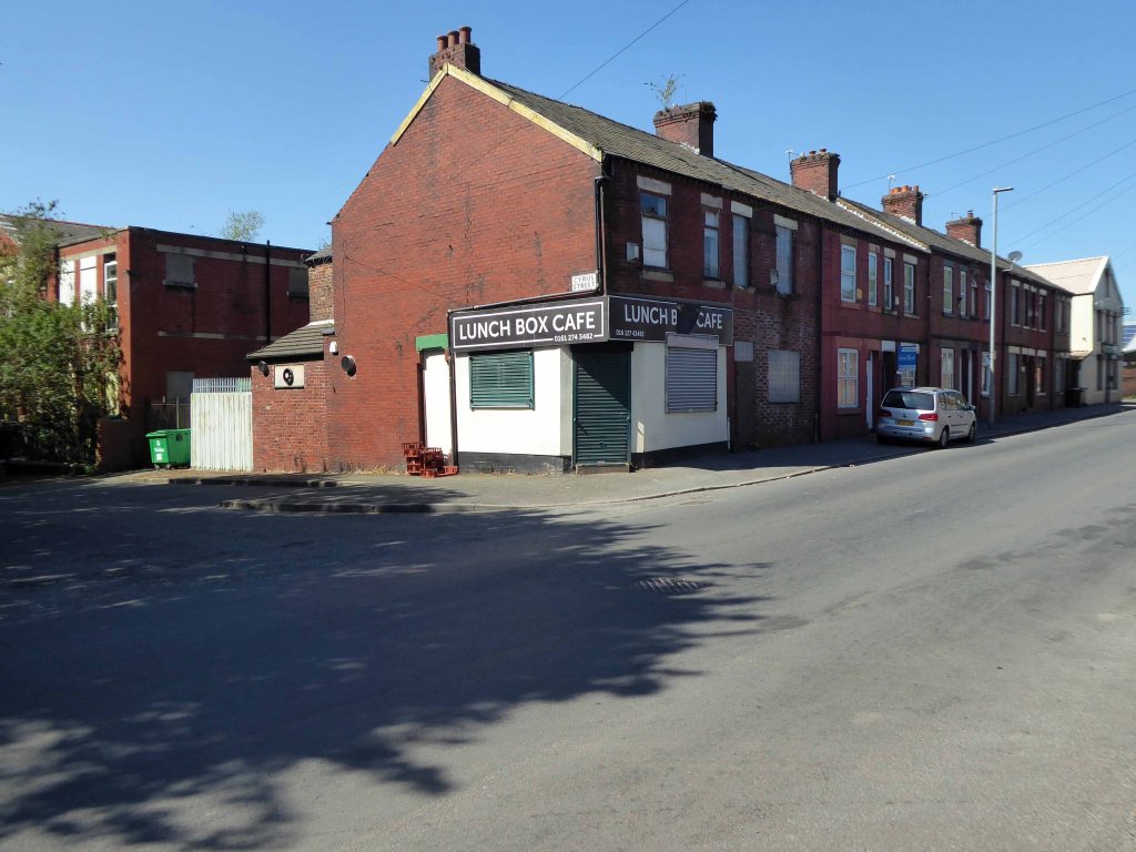
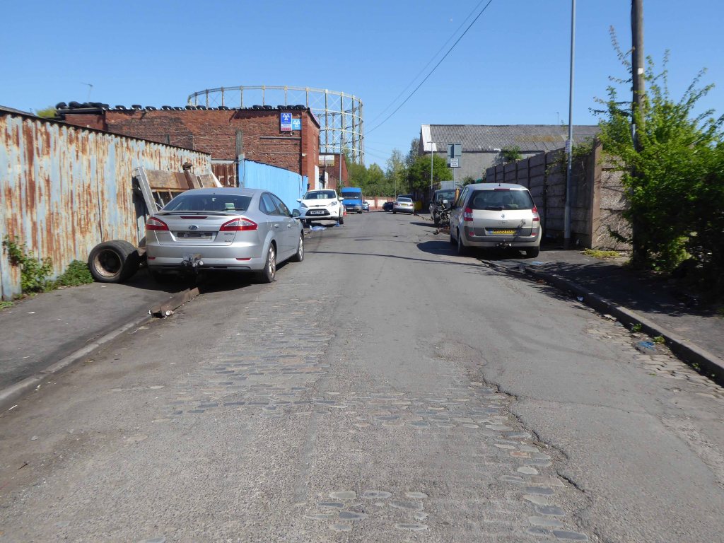
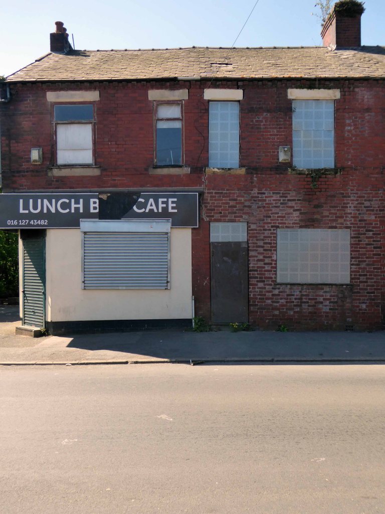
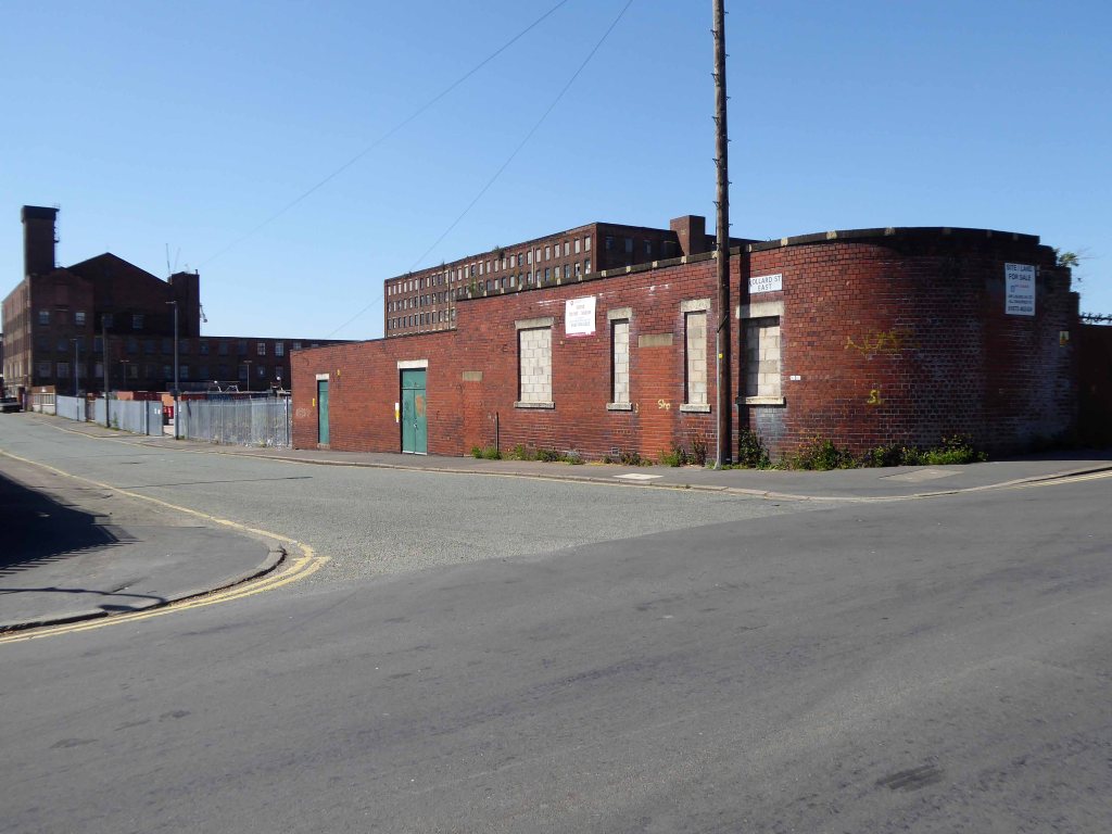
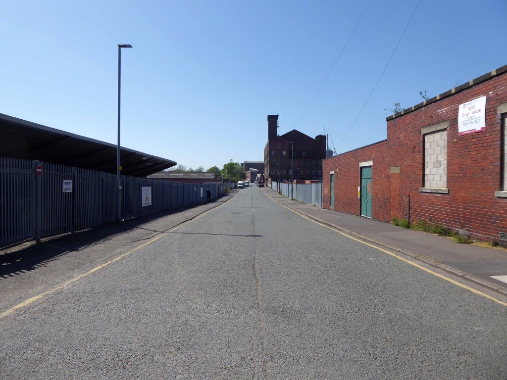
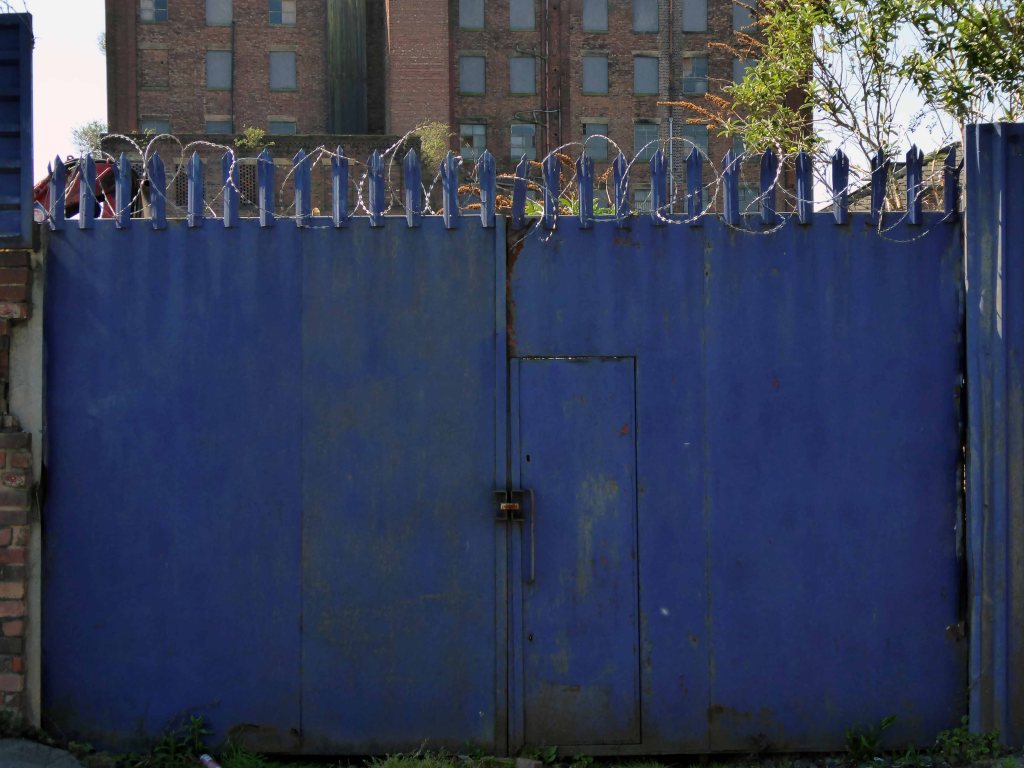
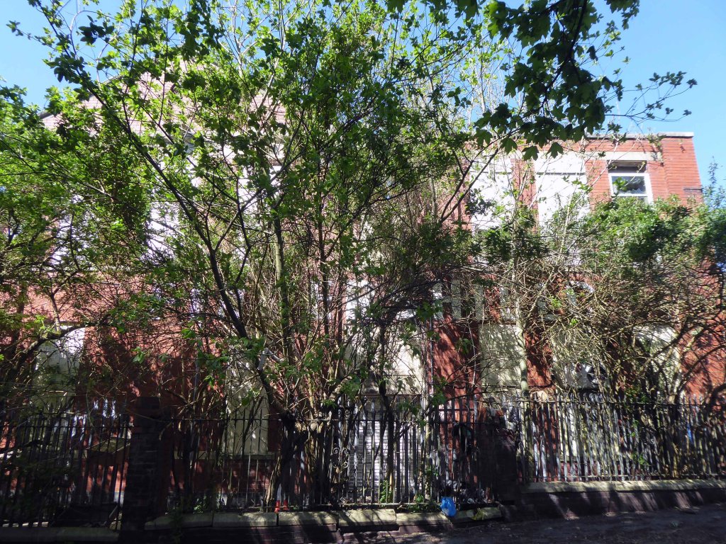
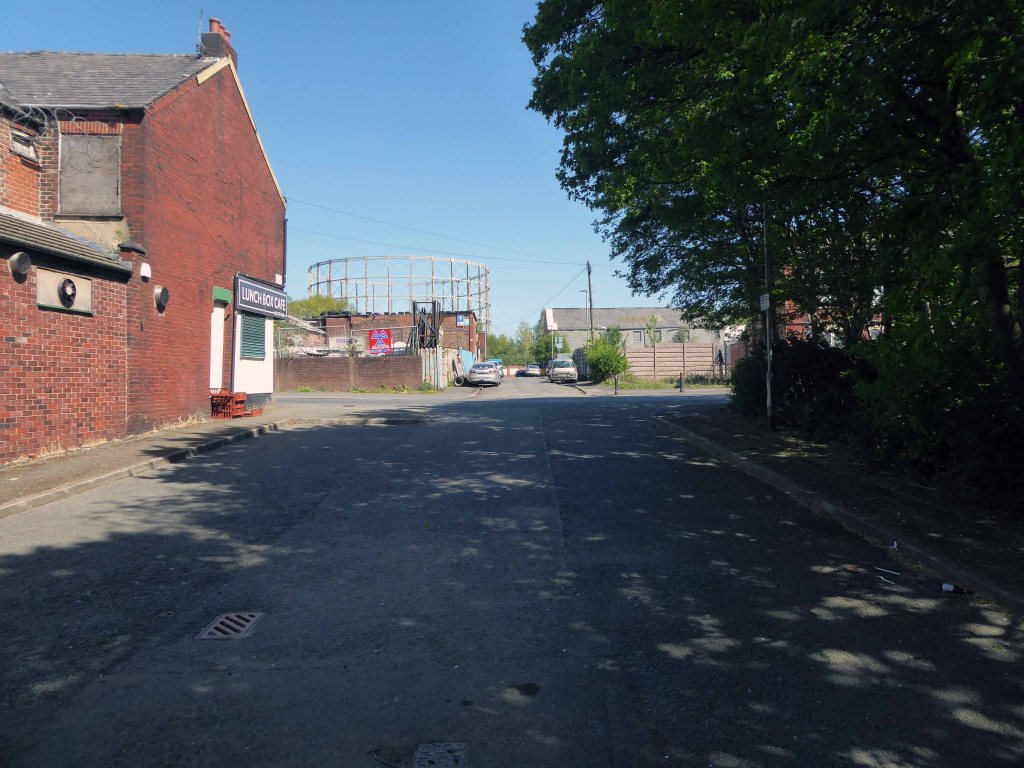
Nothing now remains of this mill complex on Upper Helena StreetThe homes on Upper Cyrus Street are long goneCyrus Street now over grown and Big Bertha demolishedThe New Inn now the Hong Kong Funeral HomeSt Annes School and the shop now closedIt had become the Luchbox Café now also closedStill standing
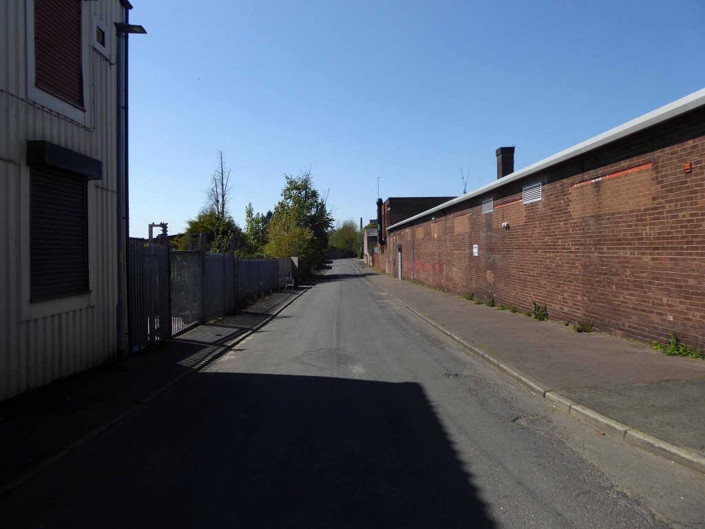
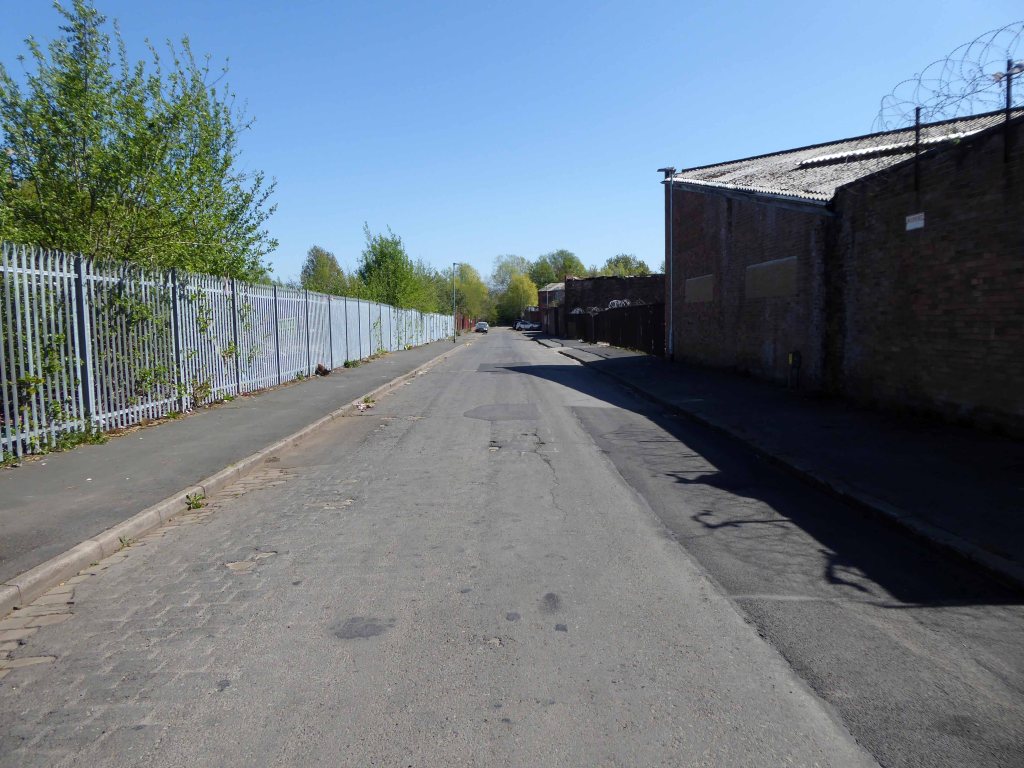
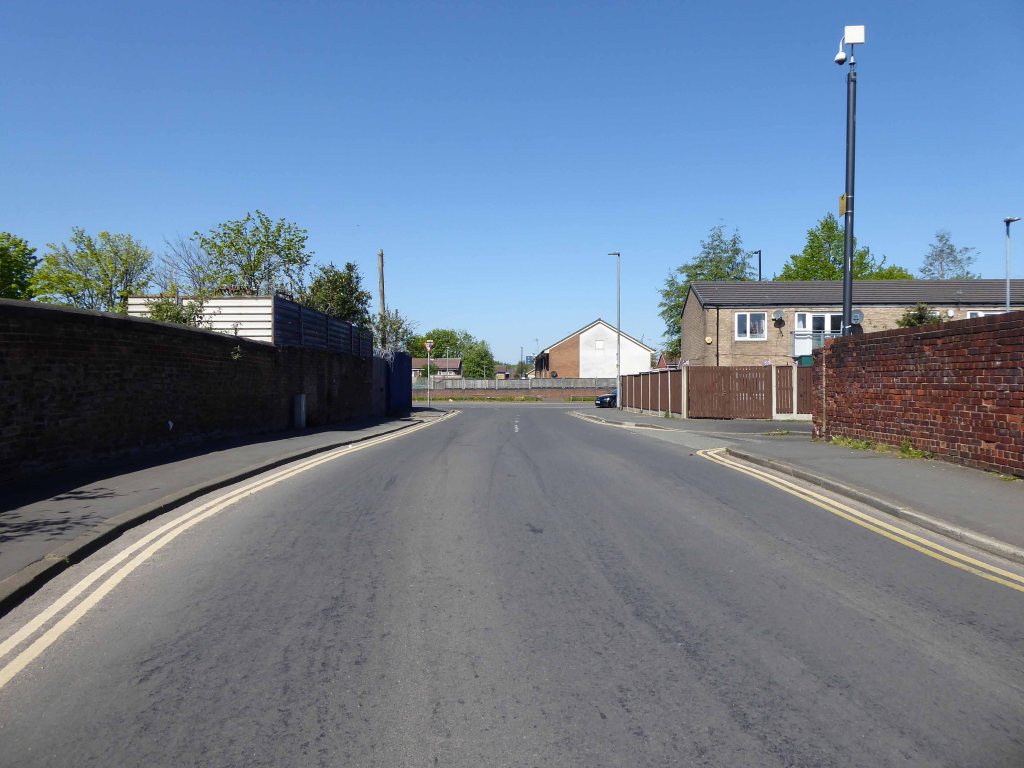
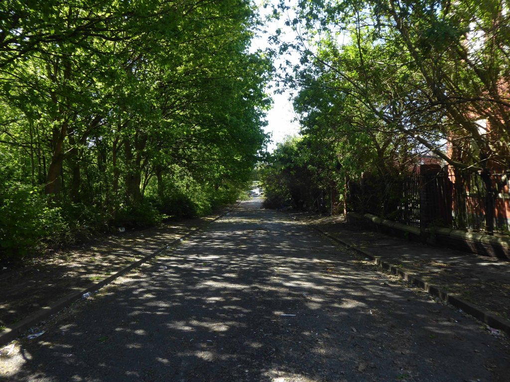
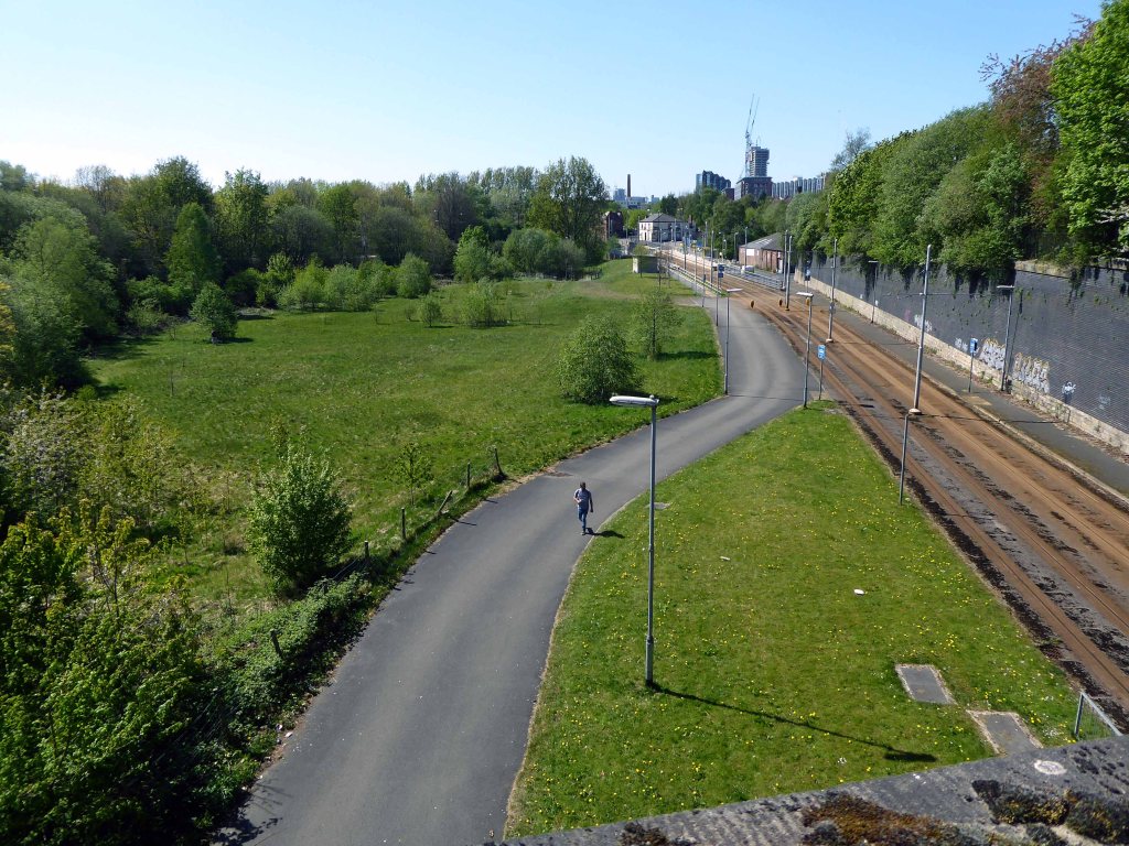
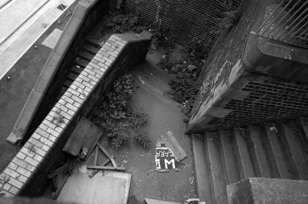
The area was my playground. Holt Town was always a but scary, there were old factories along the opposite side with wartime helmets in. A scrap yard under the arch. I remember sucking up mercury off the floor with a straw obviously from a spillage, no thoughts of danger, I’m alright now. The Seven Wonders, as we knew it, River, canal, railway, road, waterfall all crossing each other, not sure why? A fantastic industrial area to grow up in. The Don Cinema at the top corner at Mitchell Street and Ashton New Road.
I could go on.
Philip Gregson
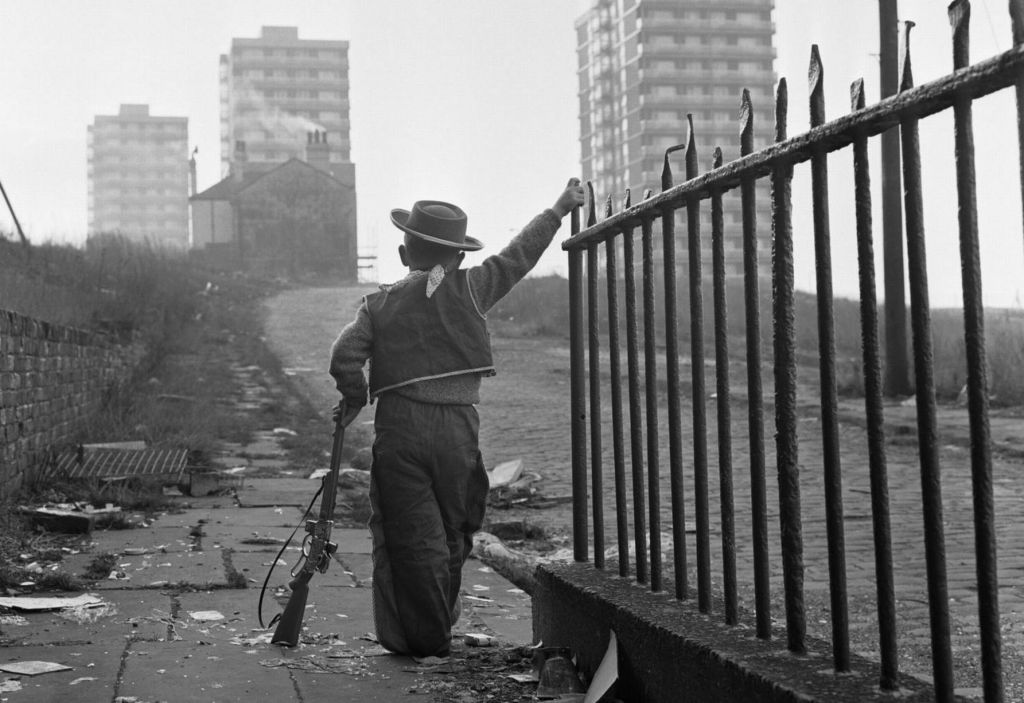
Time’s up for the tiny urban cowboys.
Let’s see what’s going on.
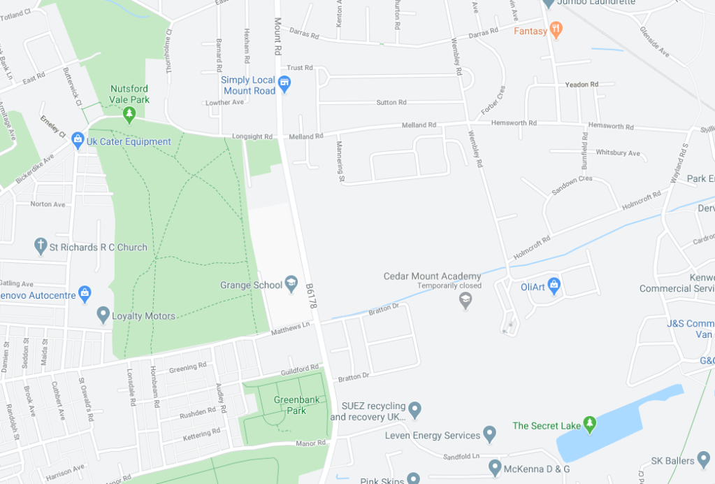
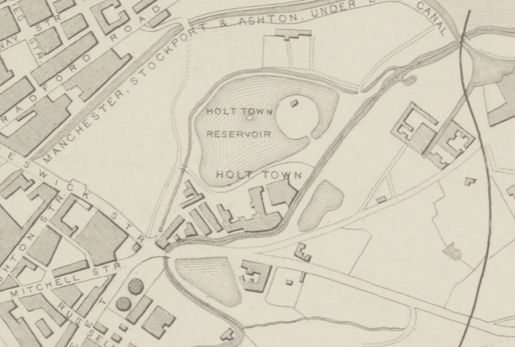
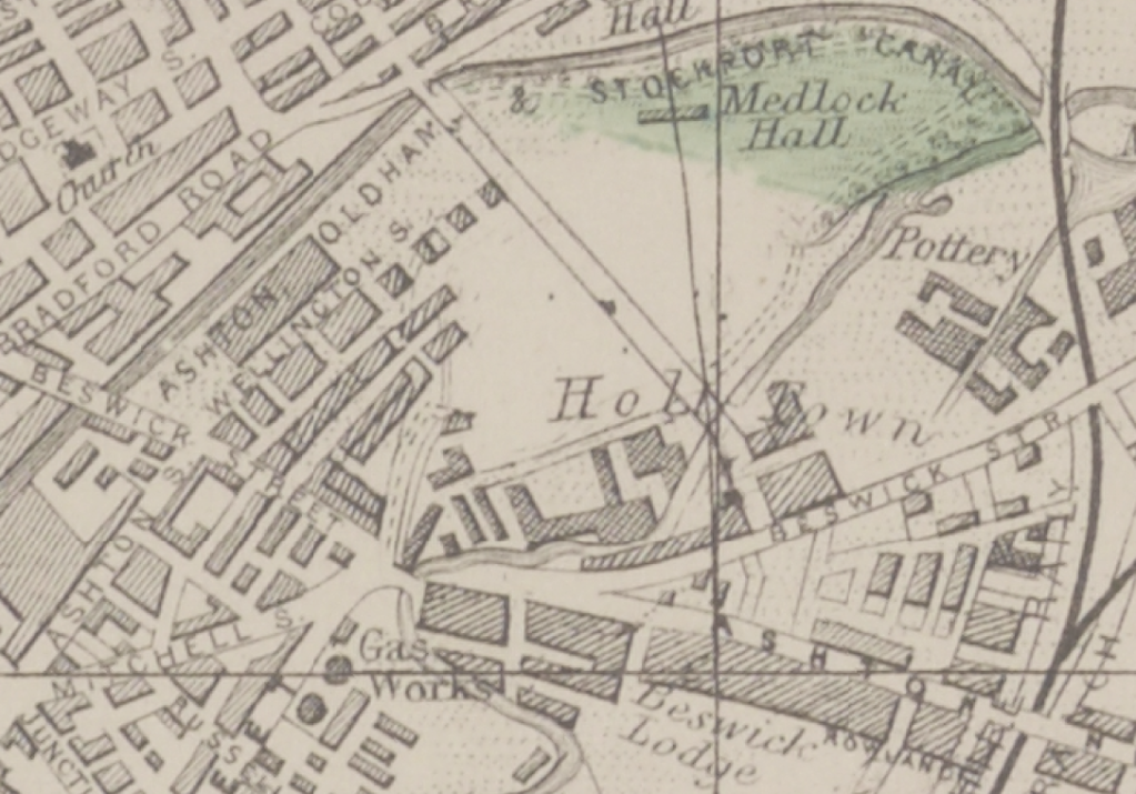
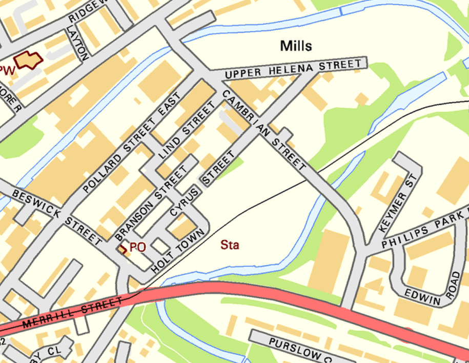
Former football fieldUpper Cyrus StreetLind StreetUpper Helena StreetPollard StreetLanstead DriveCyrus StreetSt Annes SchoolCyrus StreetDevil’s StepsRiver Medlock
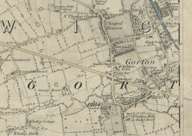
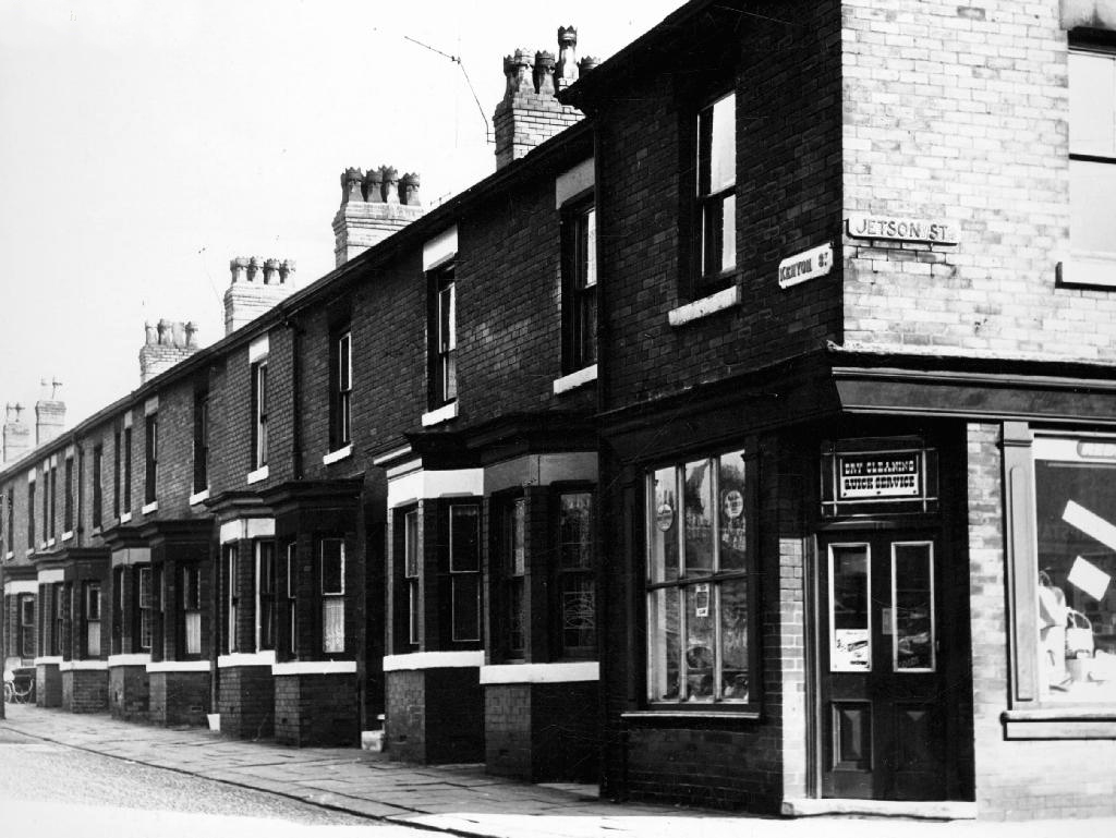
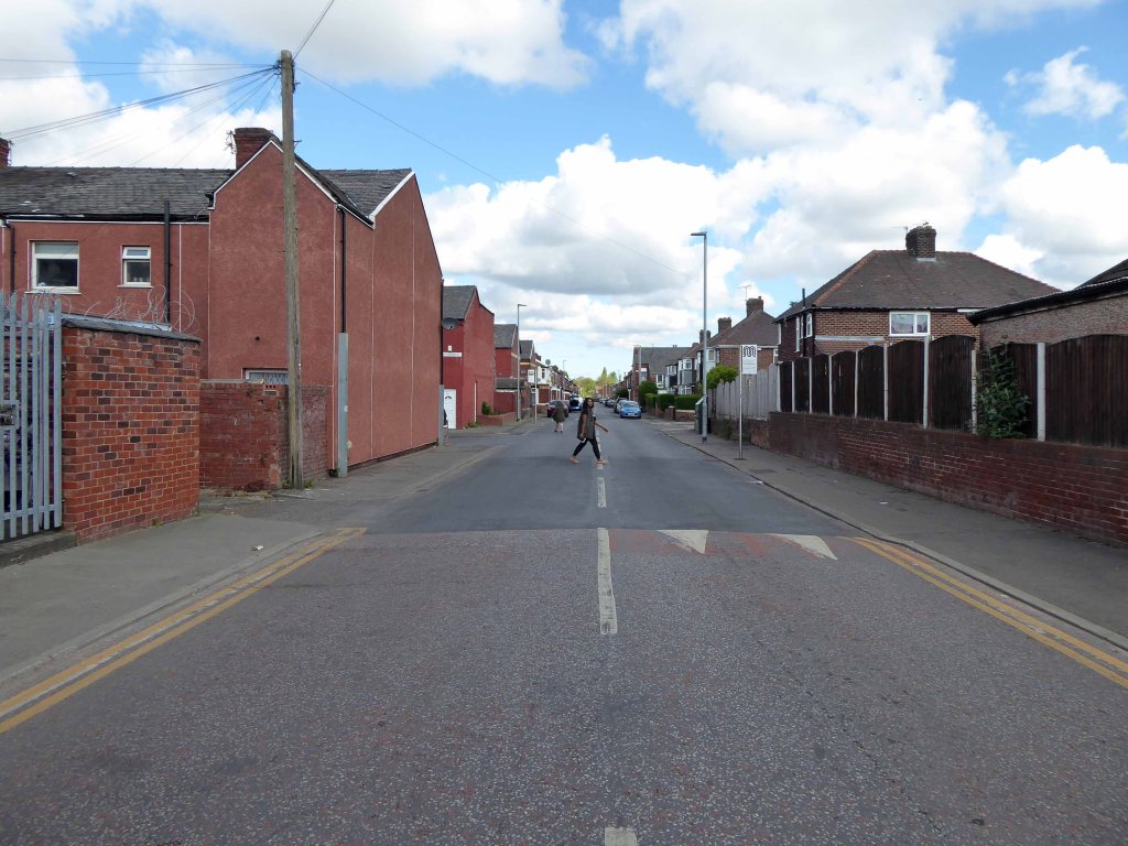
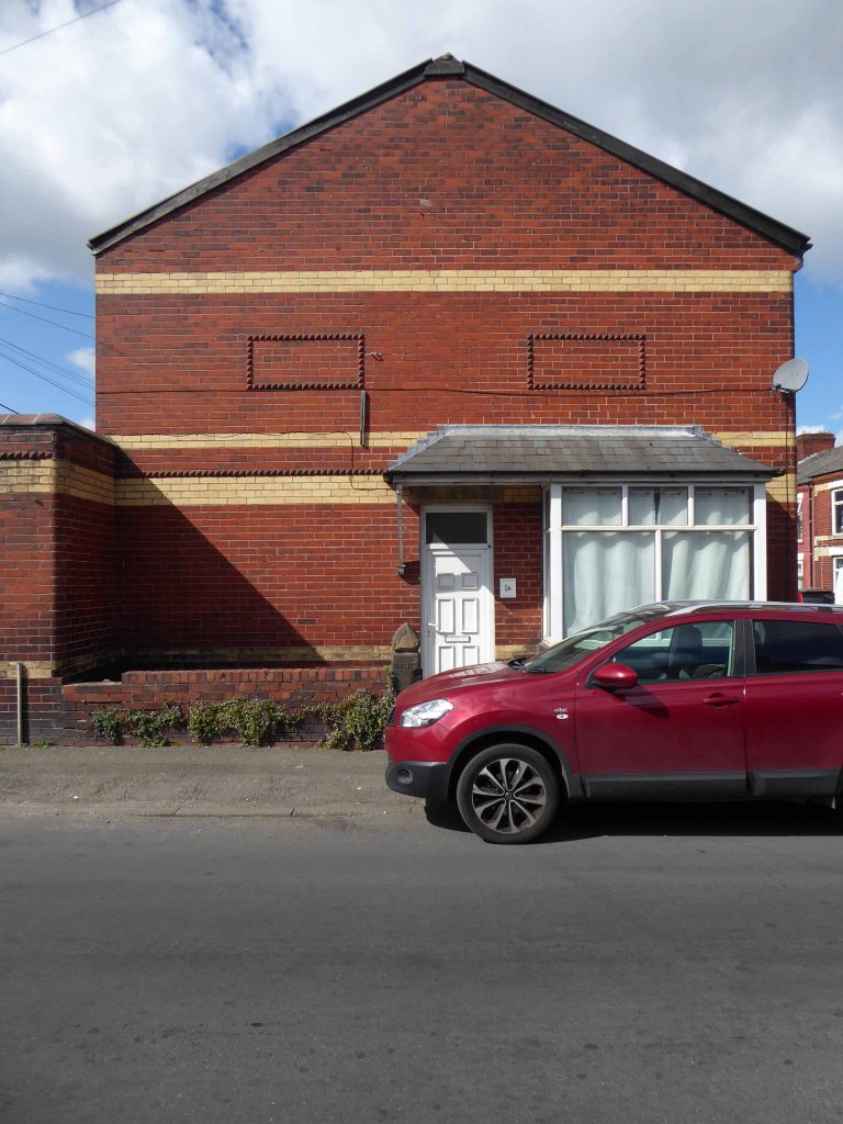
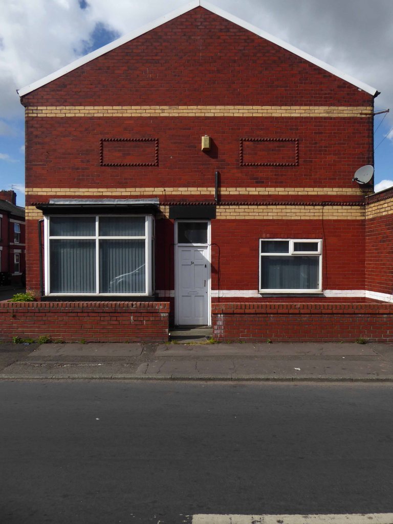
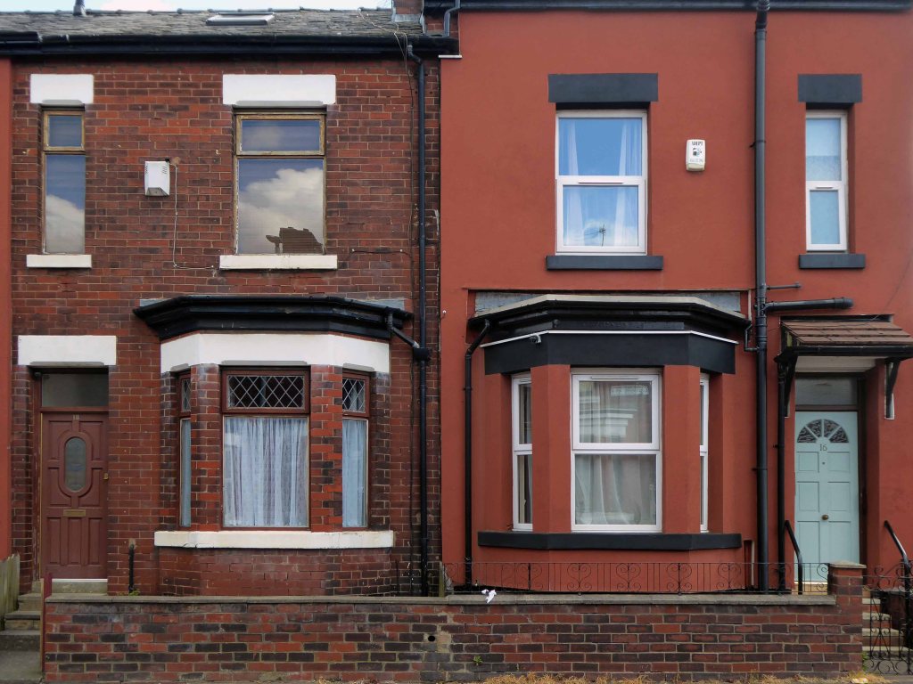
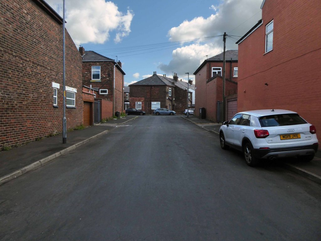
We are travelling backwards and forwards in time – firstly back to 1845 when the street was yet to be built, before the Industrial Revolution created the need for workers’ homes, to house the workers from the newly built workplaces, which also did not yet exist.
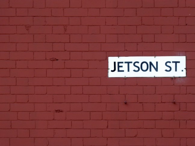
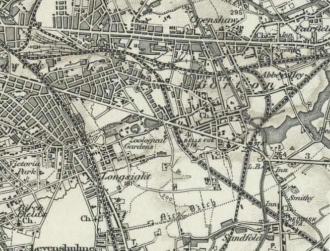
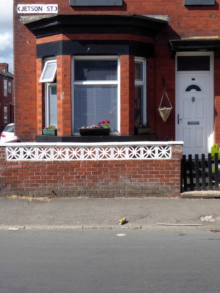
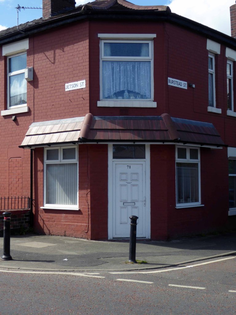
A little further forward to 1896 when Jetson Street has emerged fully formed from the fields, along with rail, road, amusement and industry.
1896
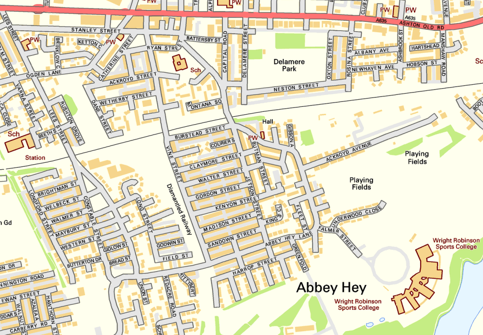
Fast forward to today and it’s all almost still there – though most of the work and the majority of the amusement has evaporated into a cloud of post-industrial, Neo-Liberal economic stagflation.
So why am I here – fast forward to the fictional future!
As a kid I watched as the Jet Age emerged before my very square eyes, giving the street a certain cosmic charm – I was curious.
I have searched online – this seems to be the one and only Jetson Street in the whole wide world – I searched online for its origins.
The name Jetson means Son Of Jet and is of American origin.
Which quite frankly seems unreasonably glib.
The name Jetson is from the ancient Anglo-Saxon culture of the Britain and comes from the names Judd and Jutt, which are pet forms of the personal name Jordan. These names are derived from Jurd, a common abbreviation of Jordan, and feature the common interchange of voiced and voiceless final consonants.
The surname Jetson was first found in Hertfordshire where they held a family seat from very ancient times, some say well before the Norman Conquest and the arrival of Duke William at Hastings in 1066 A.D.
Which quite frankly seems unreasonably obscure.
Let’s jet back to 1964.
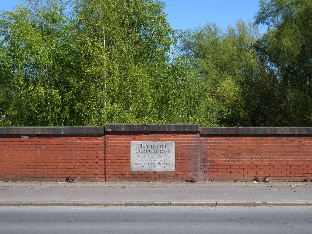
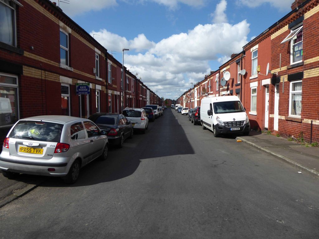
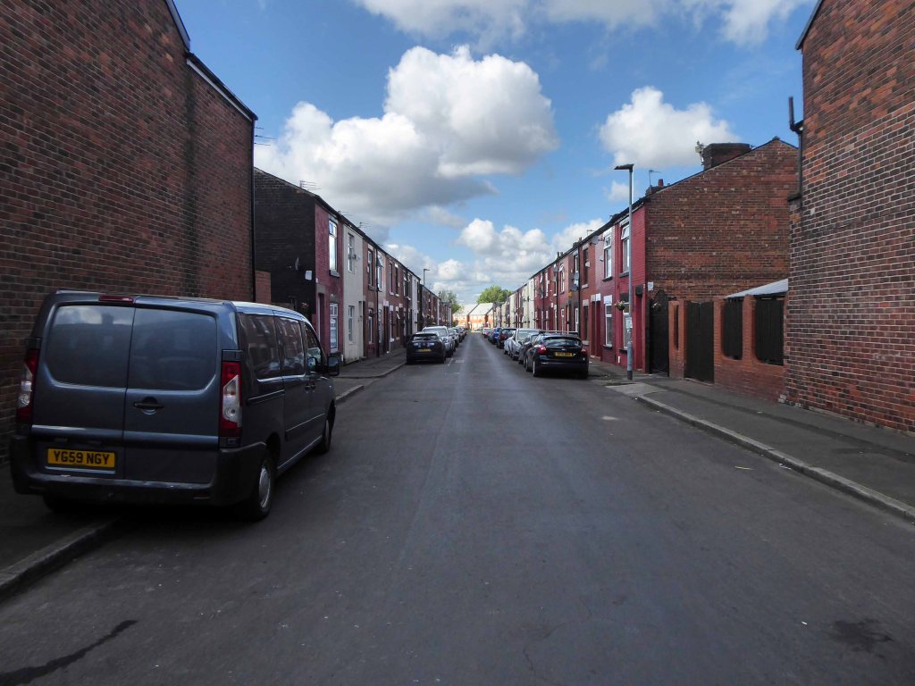
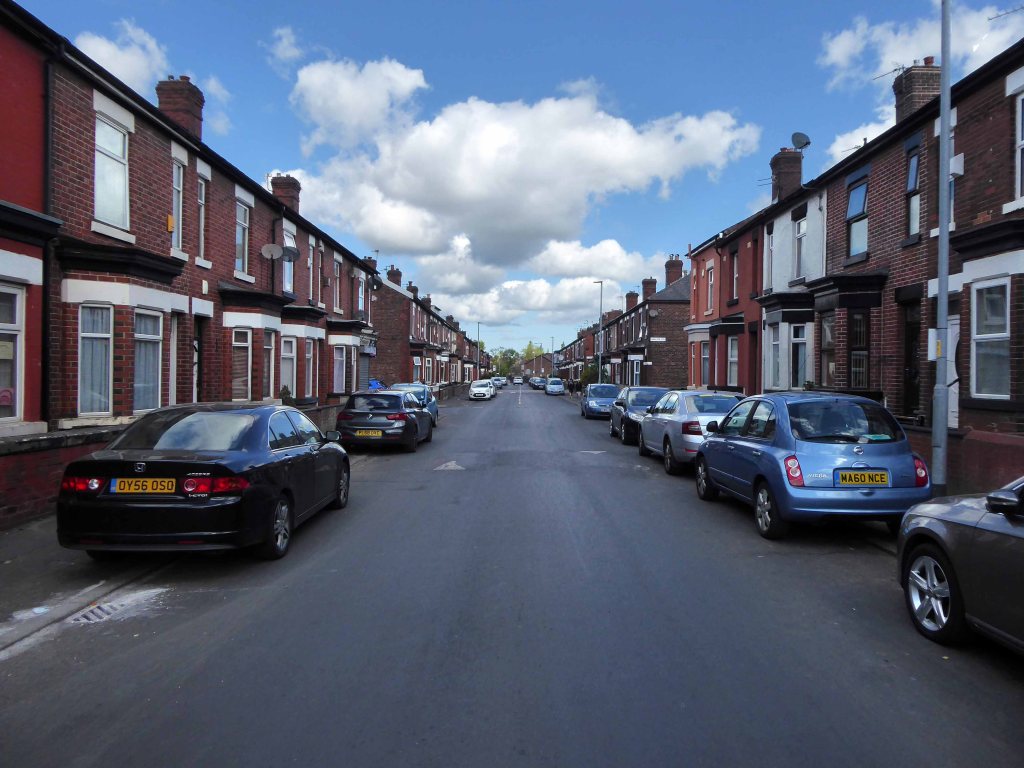
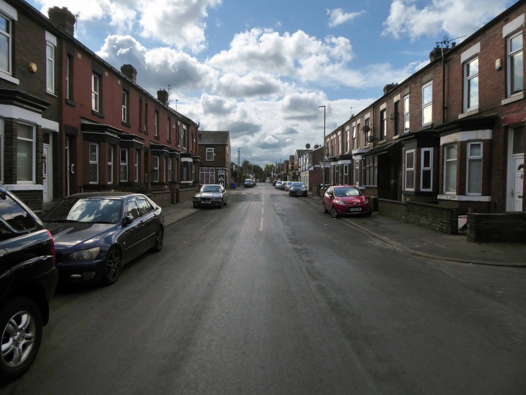
T Brooks wandered these streets taking thousands of photographs for the Manchester Corporation, possibly the housing or highways departments – they all still exist here on the Local Image Collection.
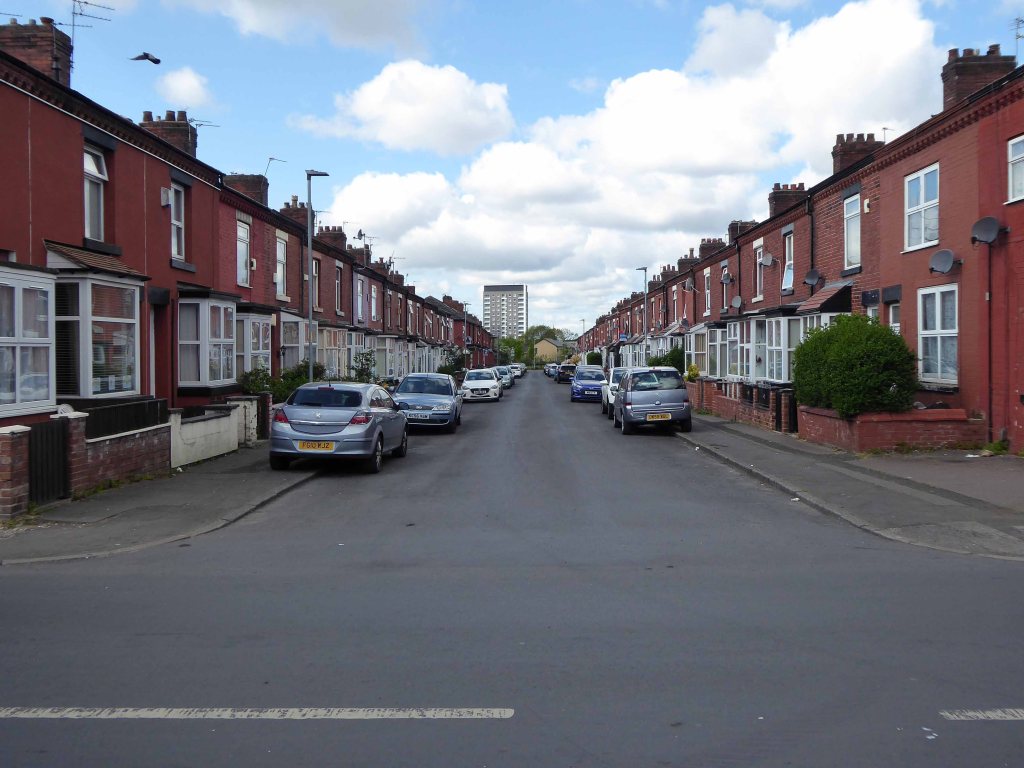
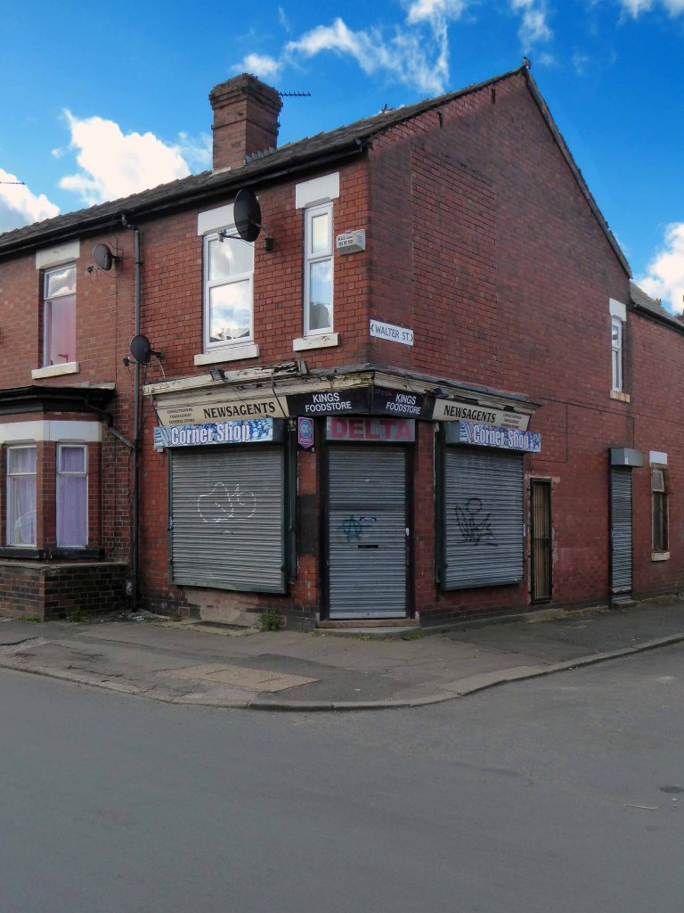
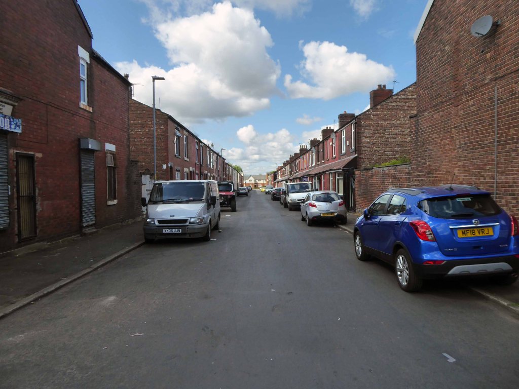
This was a world of corner shops on ever corner, settled communities full-employment, neatly ordered rows of sturdy brick-built homes.
I follow in his hallowed footsteps, what if anything remains of this world – fast forward to 2015 my first fleeting visit.
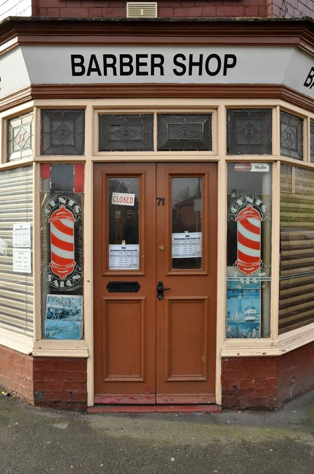
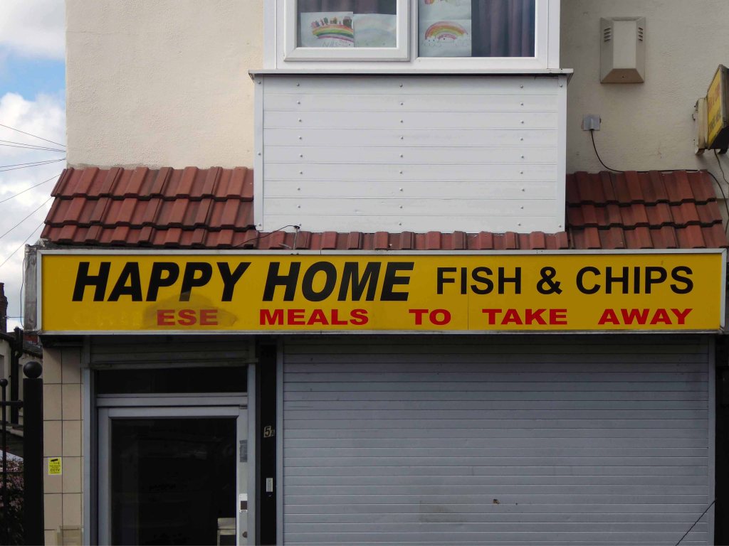
Now trading as Happy HomeA barber shop no more
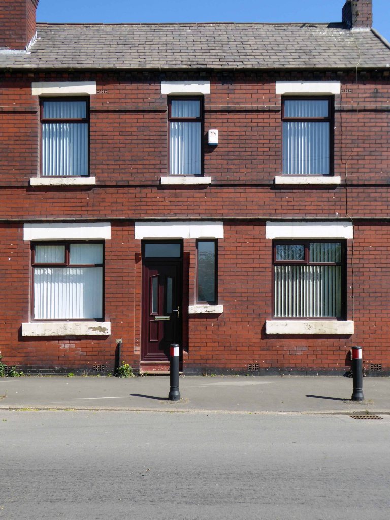
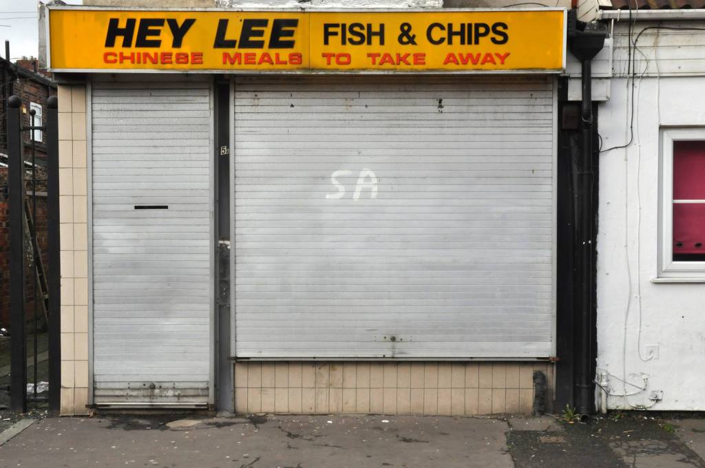
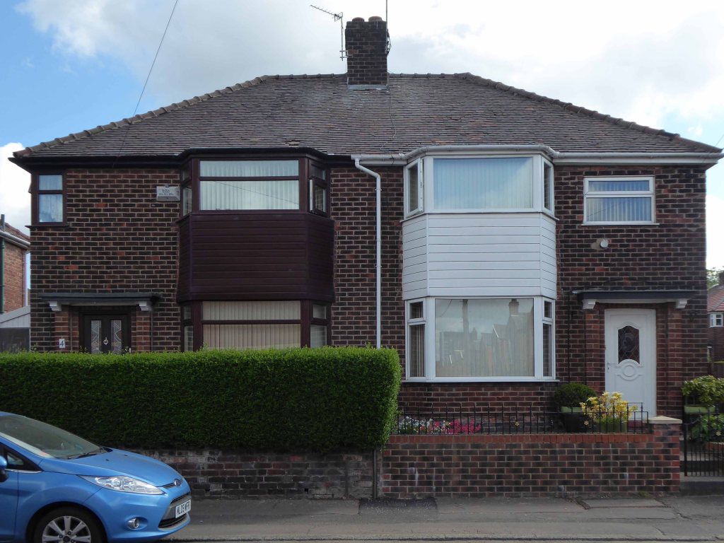
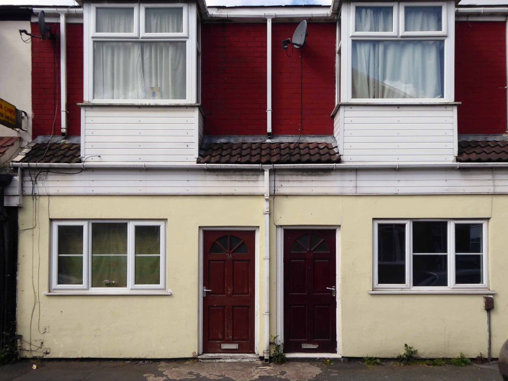
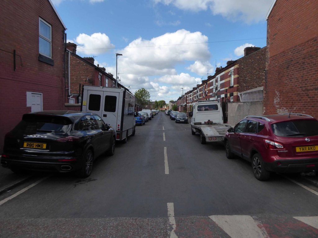
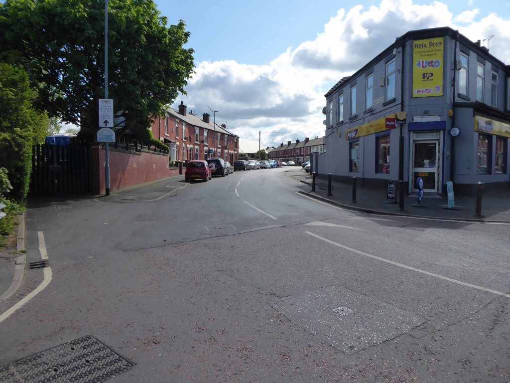
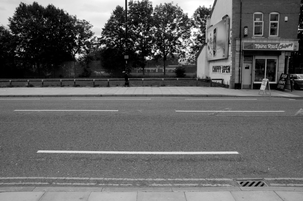
The area now has a richer racial mix – having recently become home to many African and Eastern European families. The architectural consistency of the houses has been swamped by render, window frame replacement, addition and extension, and the arrival of a plethora of motor cars. The majority of shops now long gone, as the once pedestrian community spread their retail wings and wheels elsewhere.
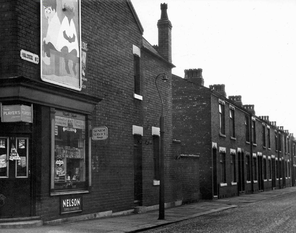
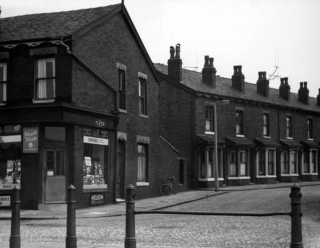
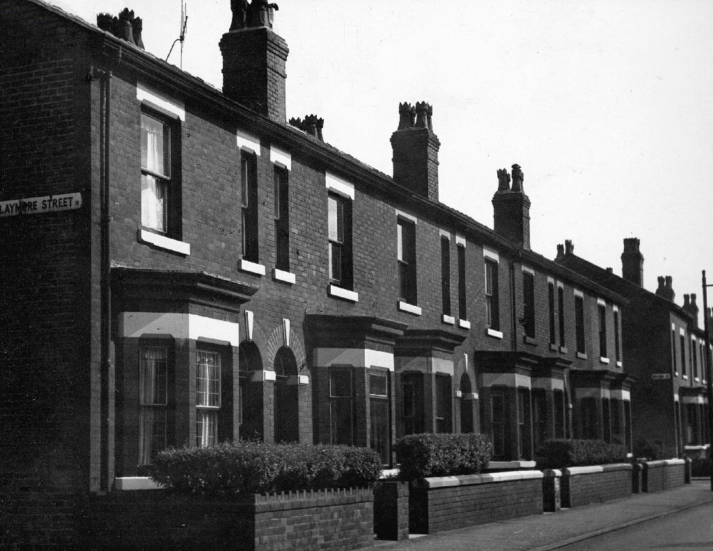
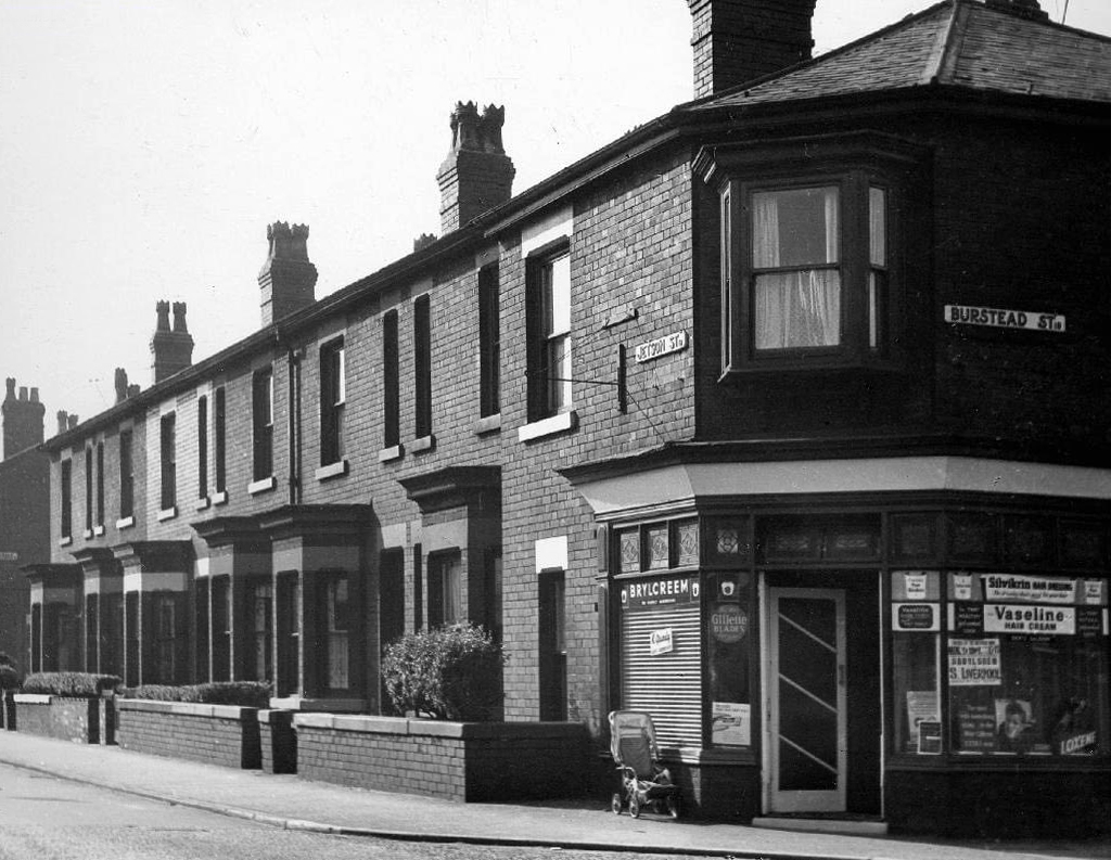
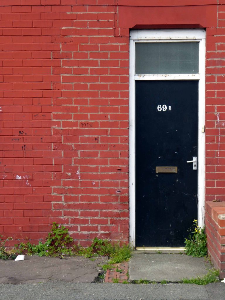
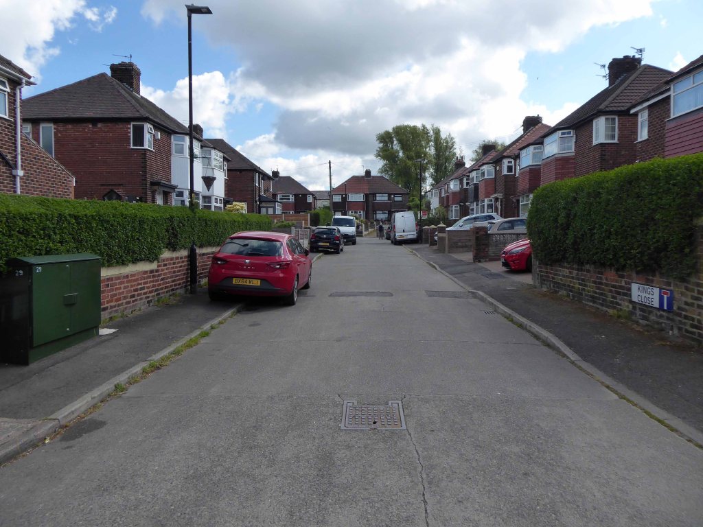
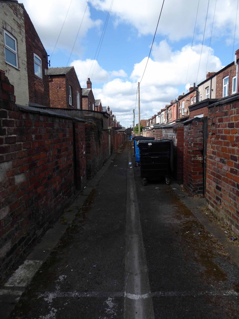
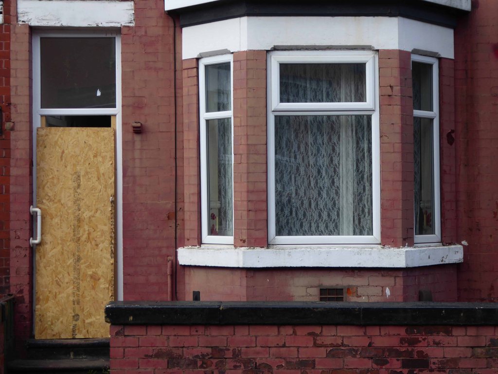
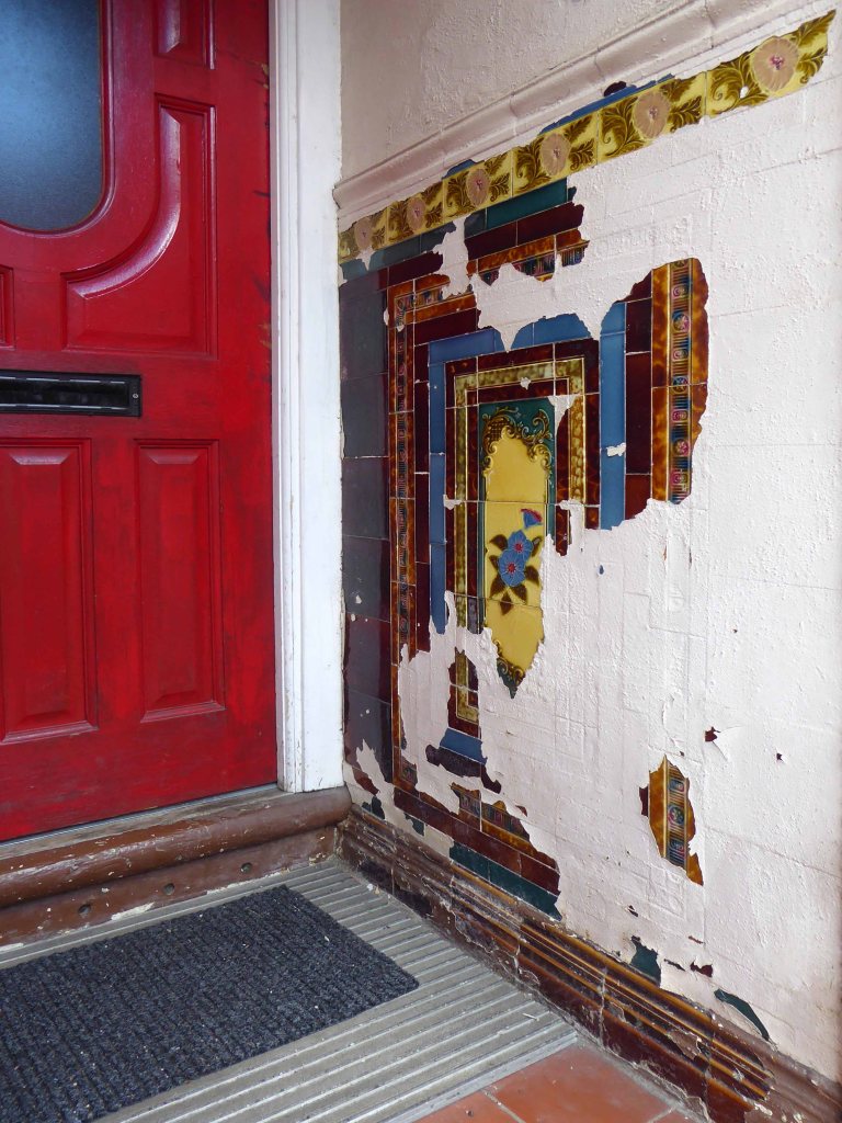
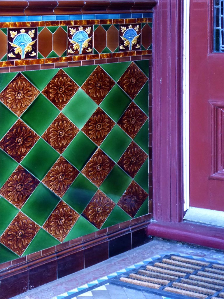
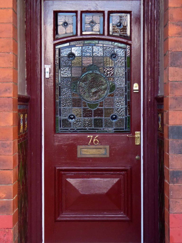
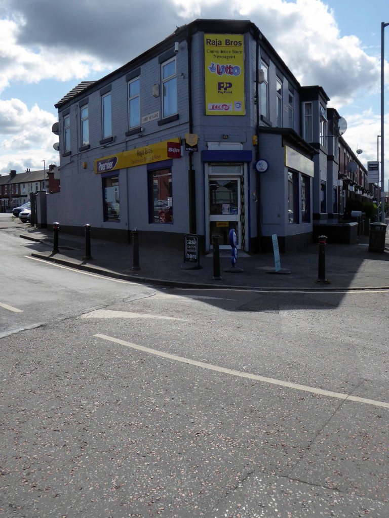
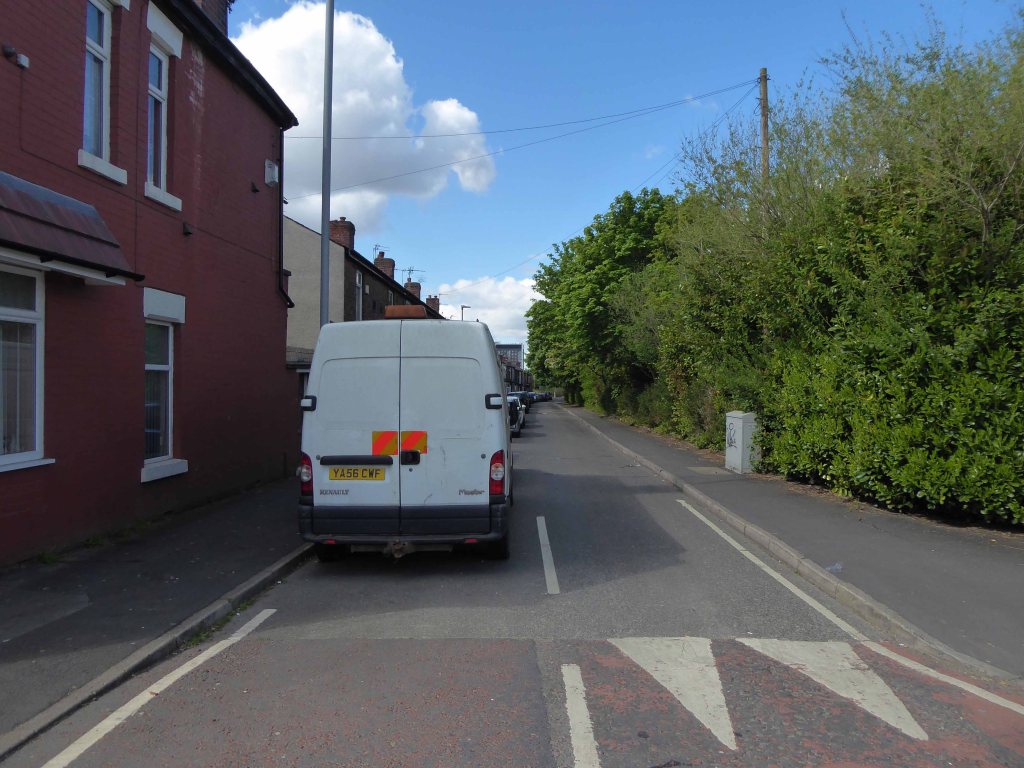
Jetson Street – NorthSandown StreetKings CloseMadison StreetKenyon StreetKenyon StreetSign of the timesGordon StreetJetson Street – NorthJetson Street – SouthWalter StreetWalter StreetClaymore StreetClaymore StreetCourier StreetThe only remaining front doors and tiled porch every other having been given over to the allure of uPVC and the enclosed doorwayMy on street correspondent congratulated the Raja Brothers on the sound service they had provided during these difficult times.Where the barbers wasBurstead StreetAbbey Hey Lane
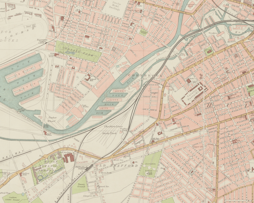
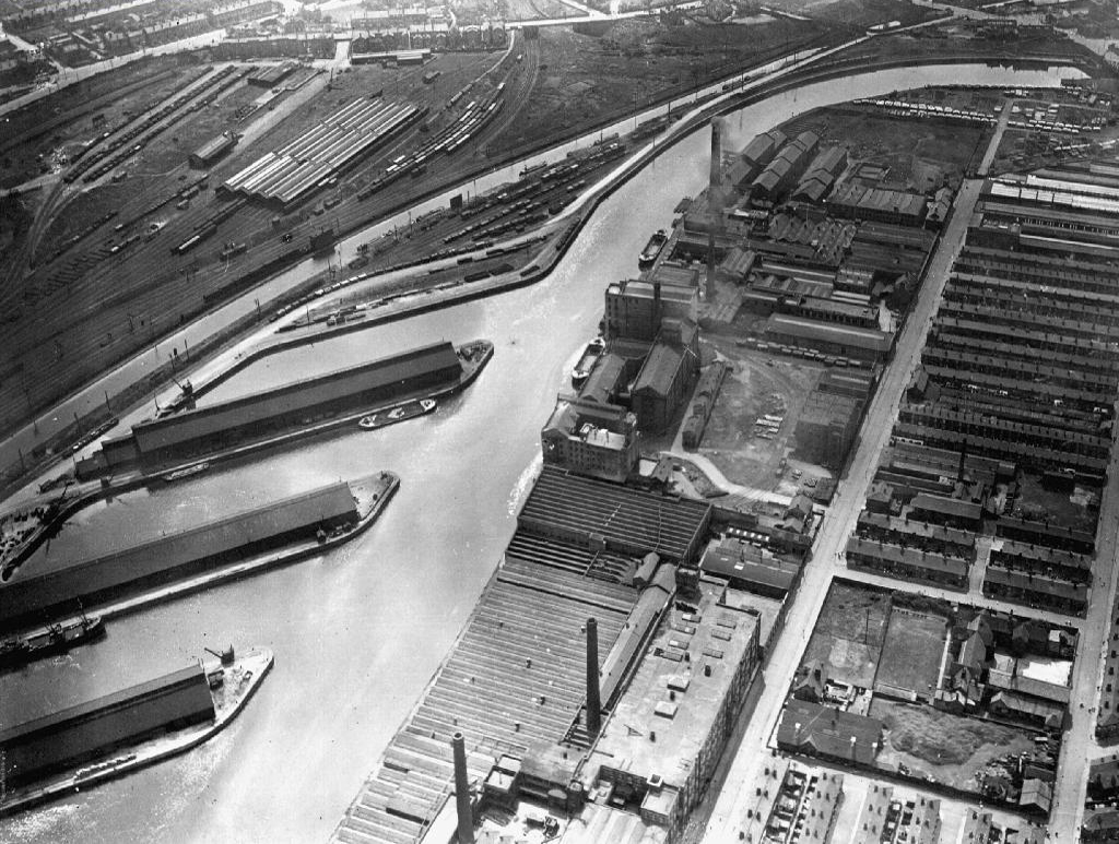
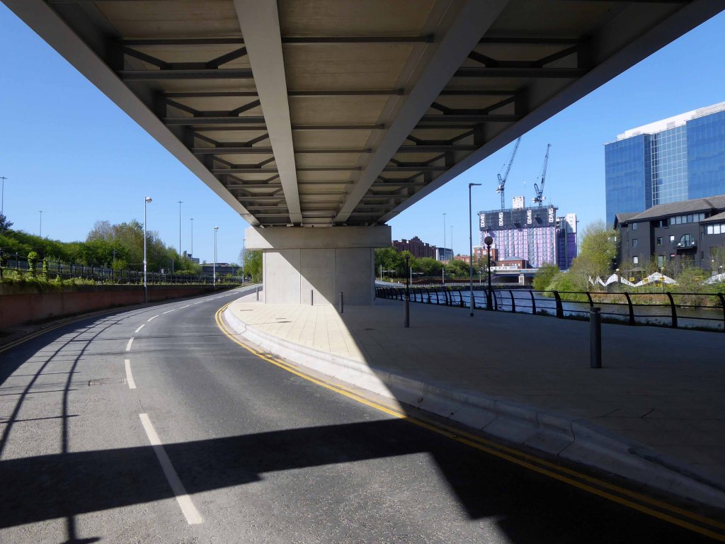
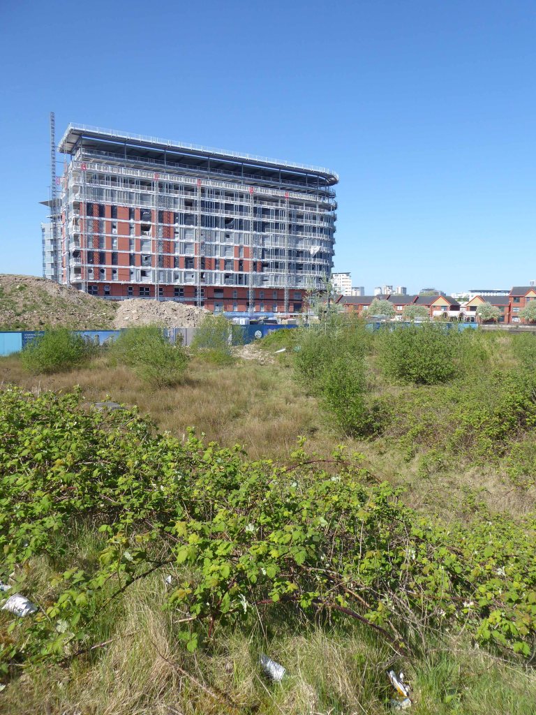
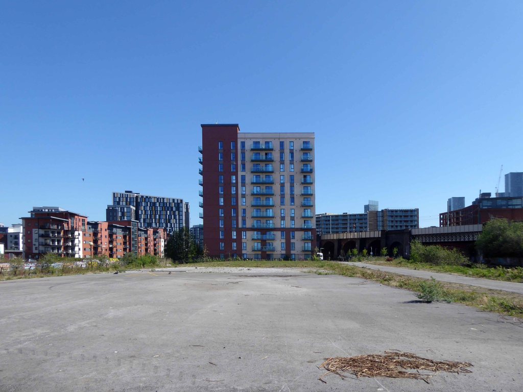
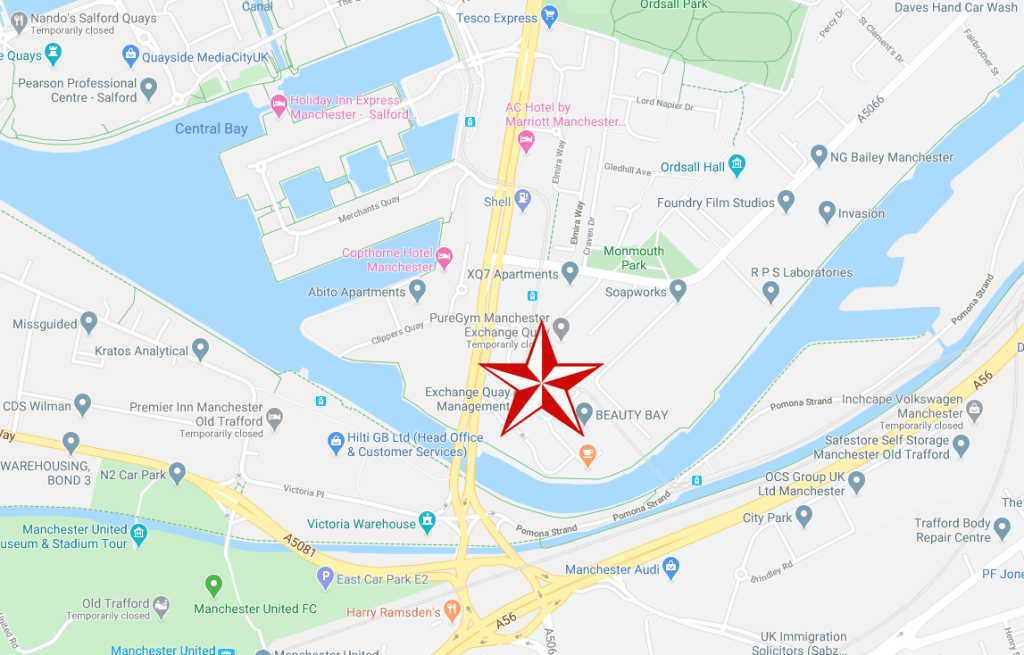
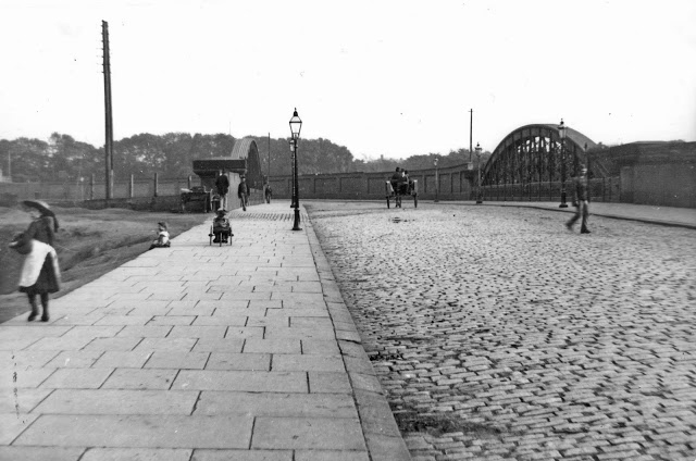
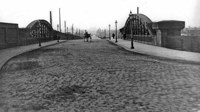
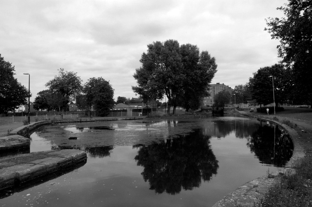
The River Irwell bisects Salford and Manchester, joining the rivers Irk and Medlock, and then turns west toward Irlam, as part of the Manchester Ship Canal. Its course ends just east of Irlam, where it empties into the Mersey.
Urban development is ever so often dependent upon rivers – for sustenance, commerce and amusement. The Irwell and latterly the developments of the canal system has provided all of these in superabundance.
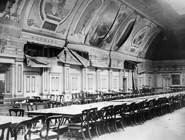
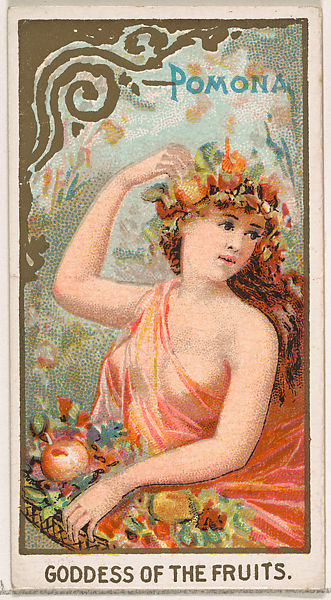
By 1870 the Pomona Gardens is thriving , boasting a concert hall and banqueting suite – further details here from Skyliner.
In the summer of 1887, a nearby chemicals factory exploded, damaging the palace – the area was under threat and destined to rot away to obscurity: the following year the gardens closed forever.
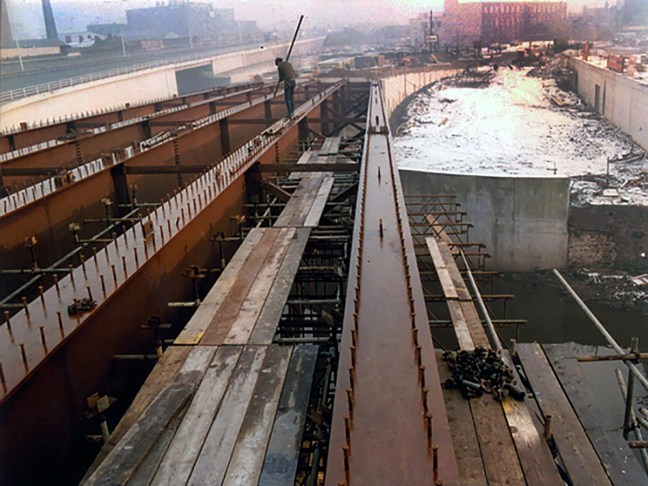
By 1900 the Ship Canal, docks and railways had arrived – Manchester and Salford are at the centre of an unprecedented growth in manufacture and trade.
189119231950
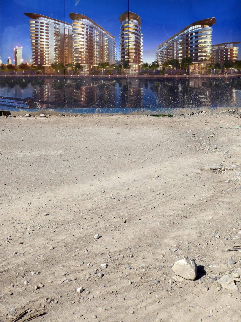
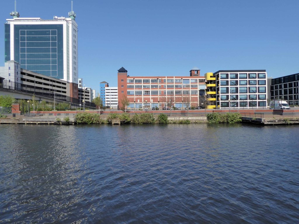
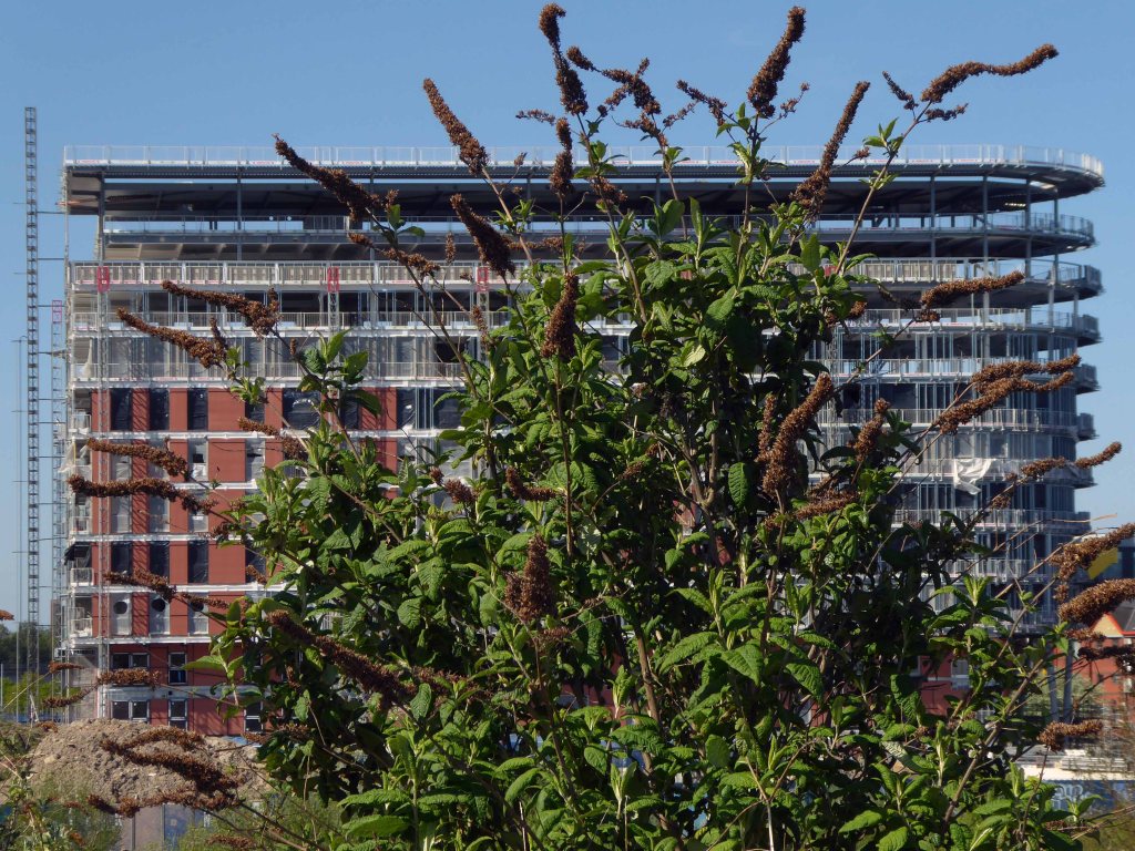
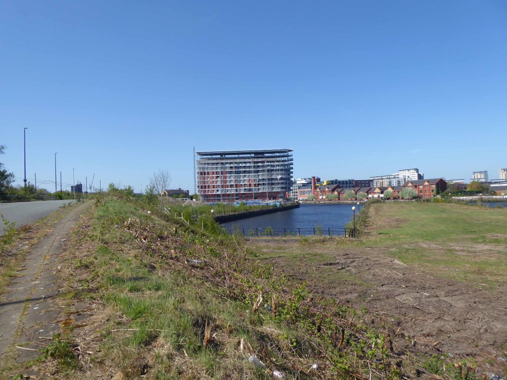
During the 1970’s the docks began a rapid decline, largely due to containerisation. The increasing size of freight-carrying ships meant they could no longer navigate the ship canal and this, combined with increased trading with Europe and the east, saw use of Manchester Docks decrease. In 1982 the remaining docks closed and the area became derelict. Recognising the need to redevelop the area, Salford City Council purchased the docks in 1984 using a derelict land grant. The Salford Quays Development Plan was adopted in May 1985, proposing complete reclamation and development of the area for commercial, residential and leisure use.
Manchester and Salford begin the long haul from post industrial decline to service centred cities – there were even seeds sewn for the development of a luxury marina. When I first visited Pomona the area was seriously overgrown and the underground wiring stripped out.
201020102020
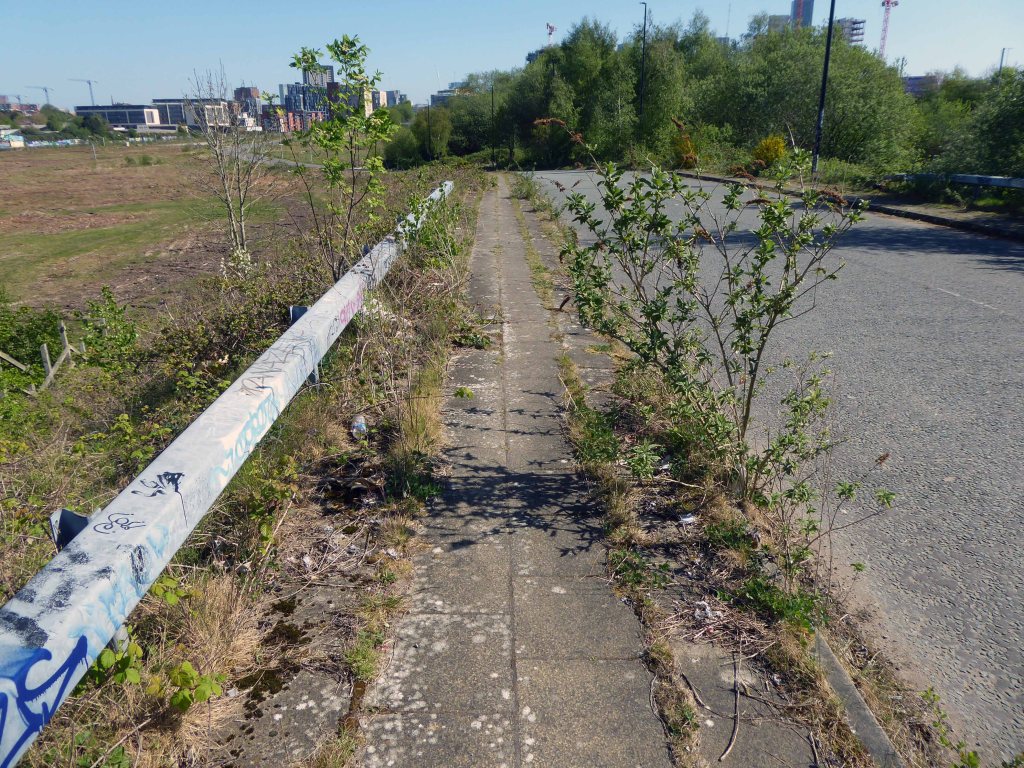
Remnant of the initial scheme – pedestrian access, balustrade and lighting.
What would poor old Pomona make of all this?
There was a failed attempt to prevent further development and return the area to nature. Peel Holdings prevailed and pressed on relentlessly with their programme of urbanisation.
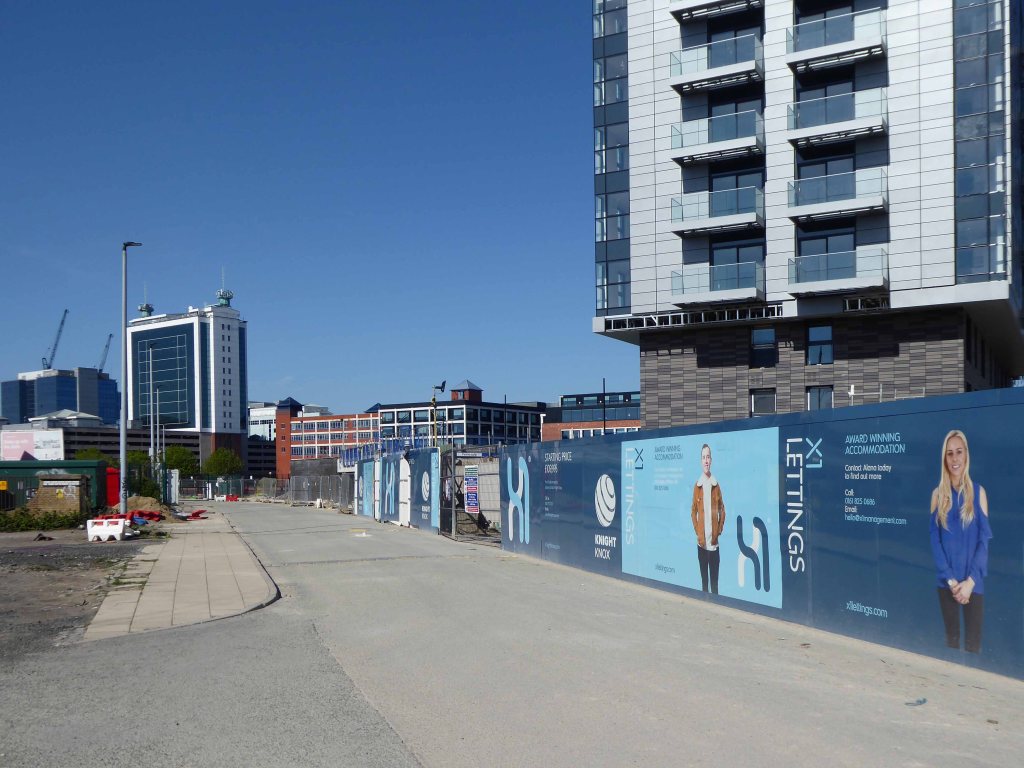
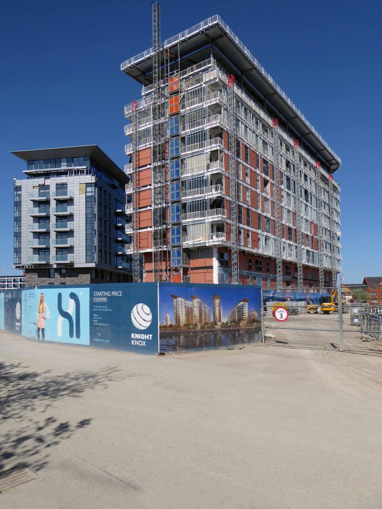
So it’s April 2020 – I’m on my way from somewhere else to somewhere else, I’ll cut across Pomona Island – the building site is in lockdown – ain’t nobody home.
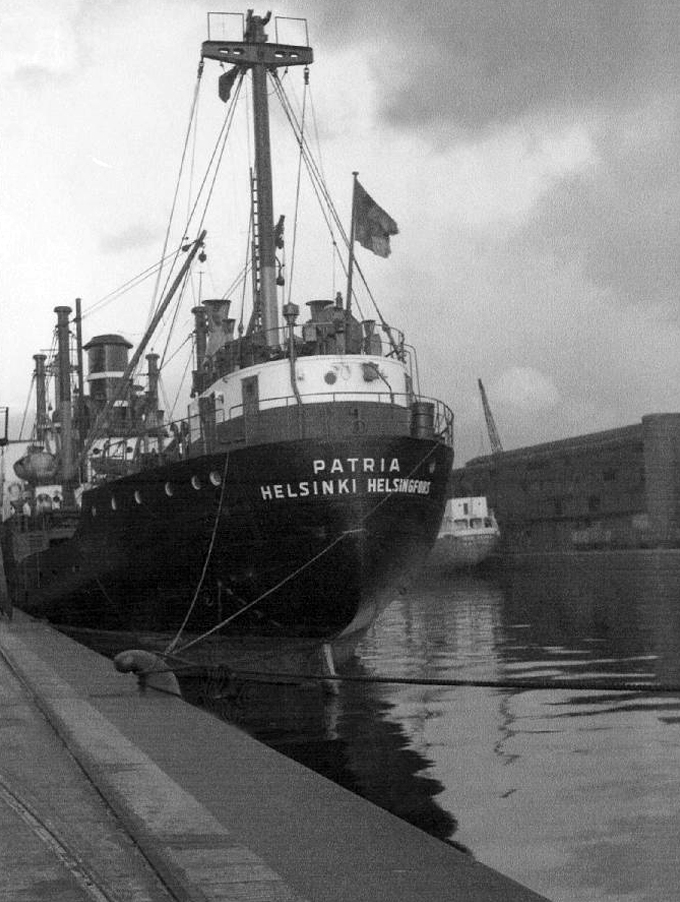
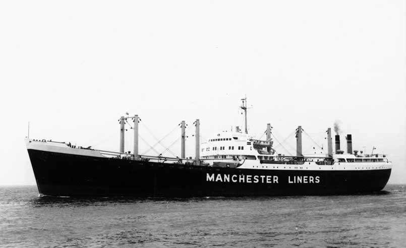
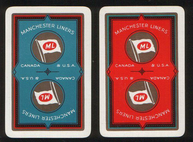
In 1898 Manchester Liners Ltd was launched, four second hand ships were purchased and the company naming policy of applying the prefix Manchester was established.
The company began to operate services to Canada and the USA. Manchester Liners started WW1 with 15 ships in its fleet. During the war 10 ships were lost to enemy action, but because of the purchase of replacements the fleet was at 12 in 1918.At the outbreak of WW2, Manchester Liners had 10 ships in service. War losses were 7 ships, but the delivery of war-standard ships maintained the fleet at 8, which was sufficient to resume a weekly service to Canada.
The Manchester dockworkers strike record became so bad, that in 1973 the company decided to move half of its container services to Felixstowe. Furthermore, to obtain lower costs per unit, container ships were becoming bigger than the Canal limits.
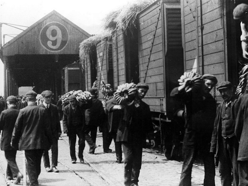
This was a history of economic growth and prosperity, for some. Tangible commerce, the wealth of a nation built on making things, moving things. Cranes, ships, stevedores and sailors, the world and his wife converging at the base of the Manchester Ship Canal.
All this is long gone, containerisation, recession and state engineered shifts in global manufacture and trade.
They took away the cranes.
The area is now awash with intangible activity – what goes on behind the smoked and mirrored glass?
Just who is moving what around, how, where and why?
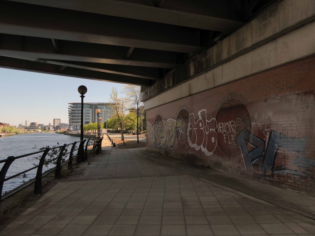
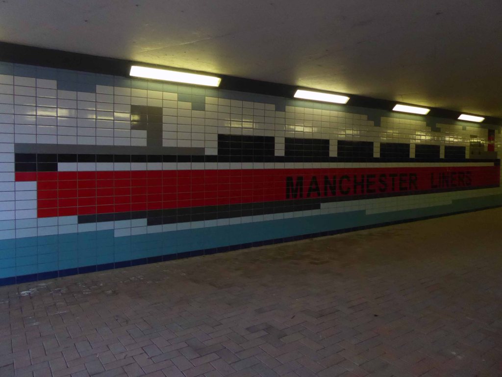
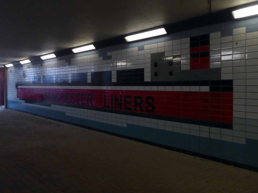
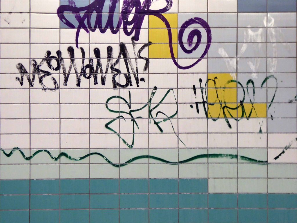
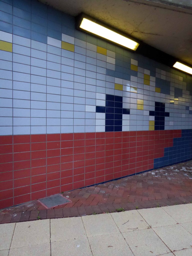
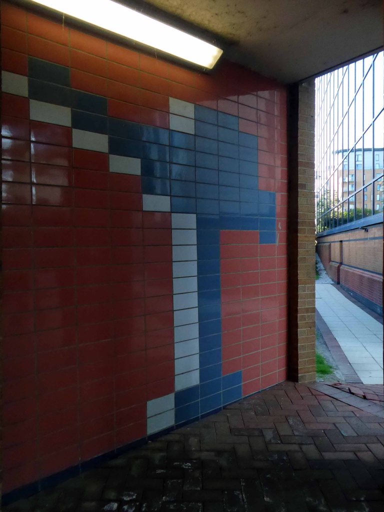
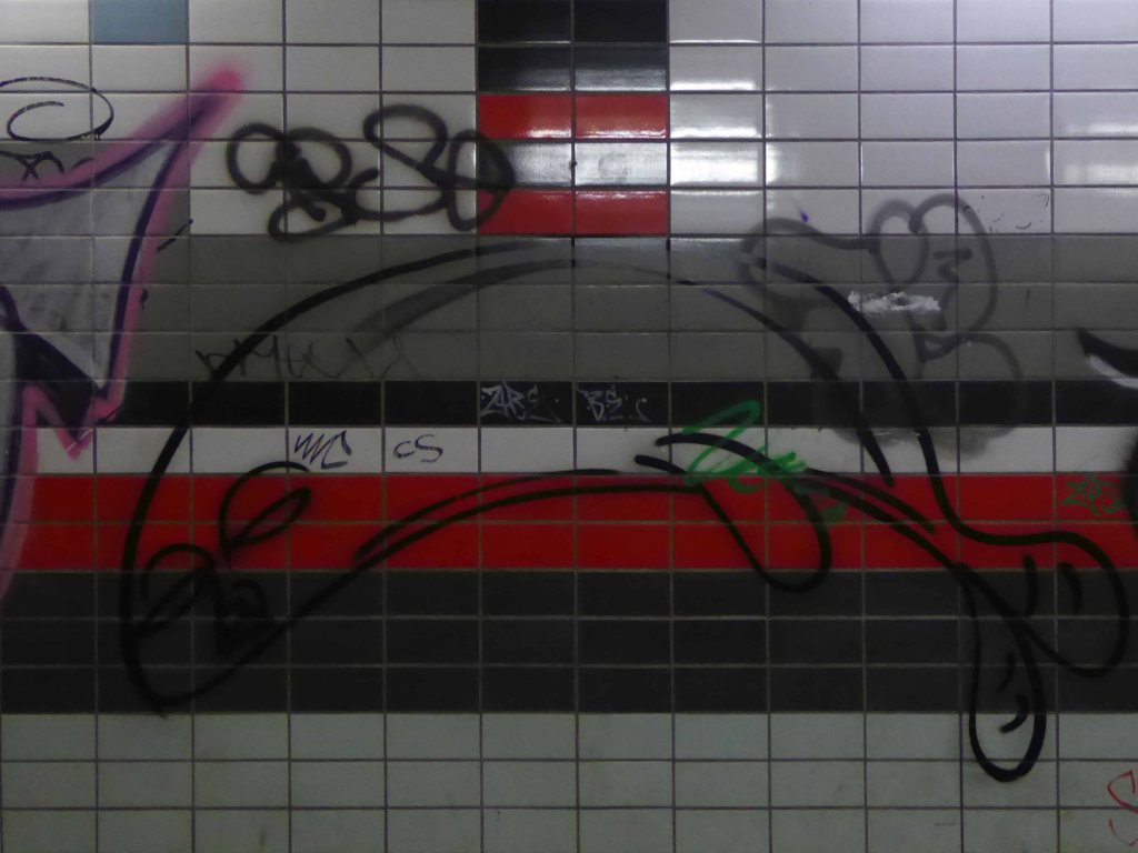
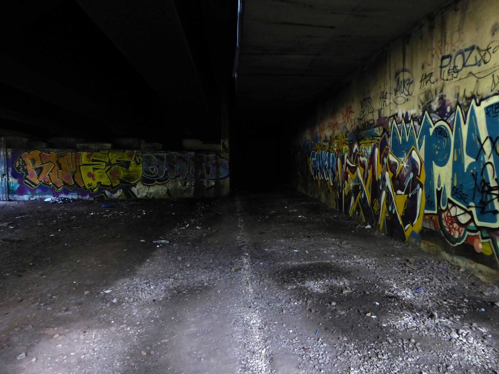
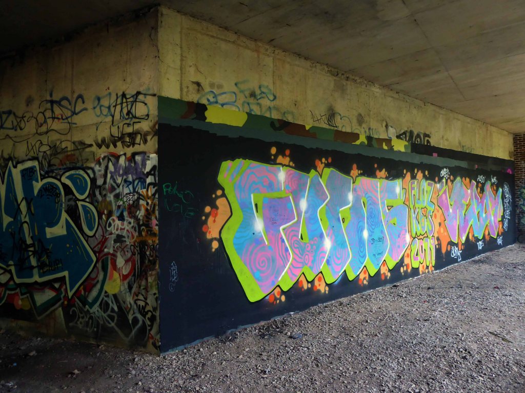
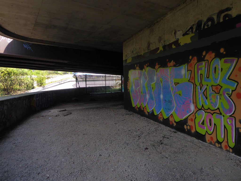
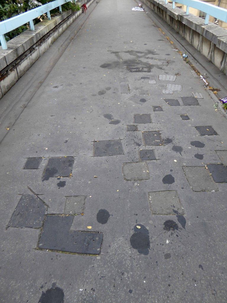
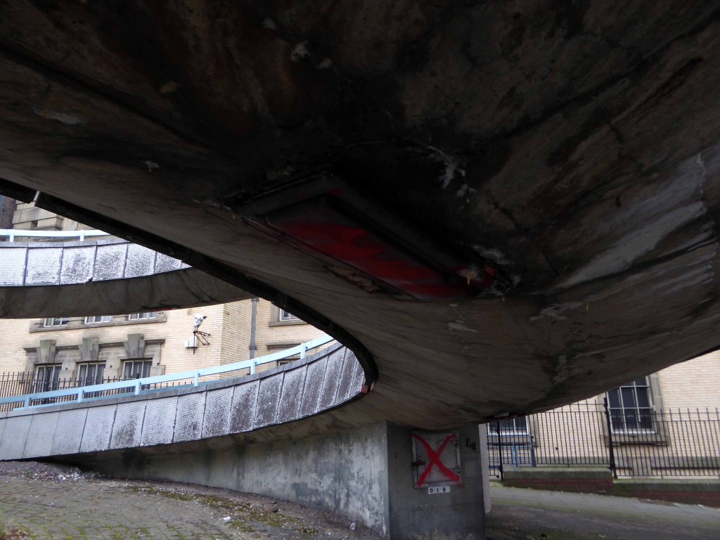
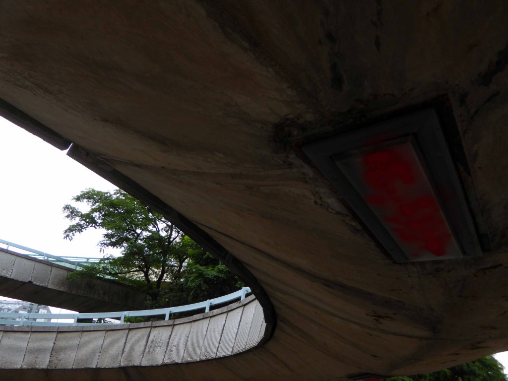
But hidden away between here and there is a tiled underpass.
A permissive path.
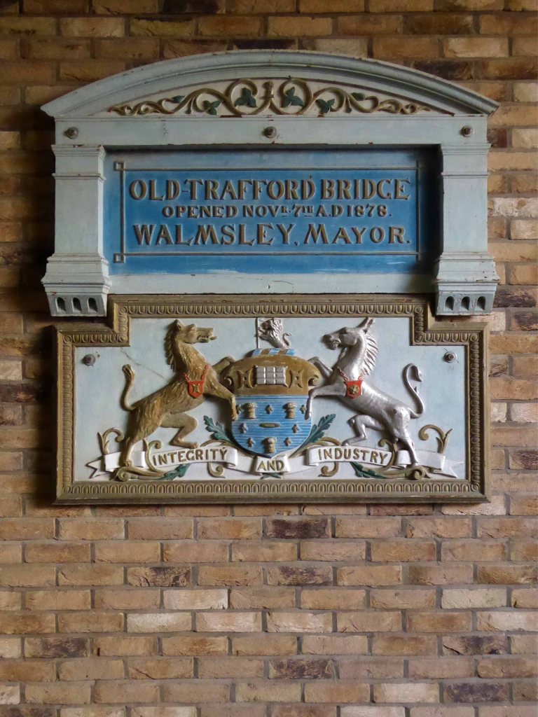
Where once there was a bridge – before the Manchester Ship Canal was built, the course of the River Irwell was approx. 50-100 yards further north of where the Ship Canal now passes under Trafford Road. This plaque is next to a pedestrian tunnel under Trafford Road, roughly on the line of the old navigation.
So here it is a hidden, harshly lit, slightly disabused tribute to the brave souls who sailed the seven seas, stayed ashore, weighed, loaded and shifted stuff.
He reached the foot of the embankment, and waved with one arm, shouting at the few cars moving along the westbound carriageway. None of the drivers could see him, let alone hear his dry-throated croak, and Maitland stopped, conserving his strength. He tried to climb the embankment, but within a few steps collapsed in a heap on the muddy slope.
Deliberately, he turned his back to the motorway and for the first time began to inspect the island.
Maitland, poor man, you’re marooned here like Crusoe – If you don’t look out you’ll be beached here for ever. He had spoken no more than the truth. This patch of abandoned ground left over at the junction of three motorway routes was literally a deserted island.
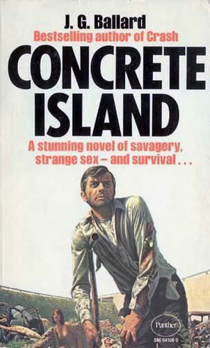
JG Ballard Concrete Island
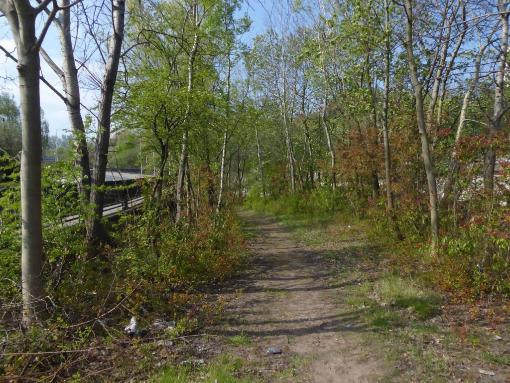
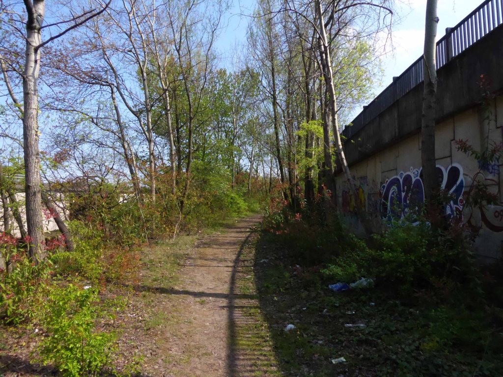
I’m in a different place – the same but different, whilst out walking I went through an open gate, following a well worn path, for the very first time.
Leading who knows where.
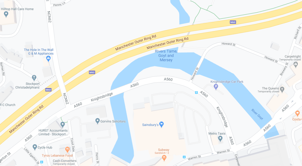
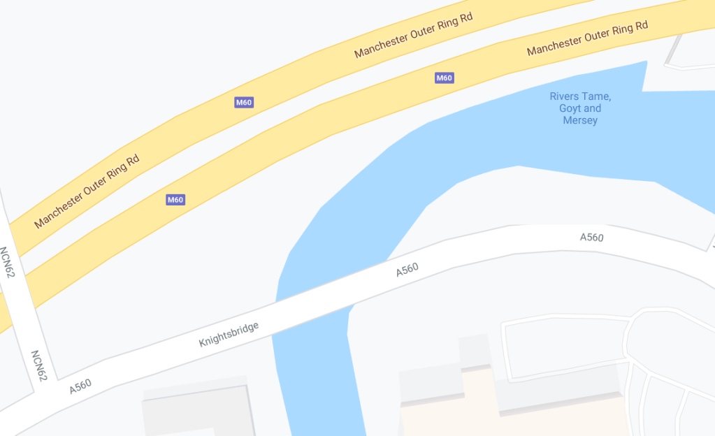
The confluence of three rivers, the meeting of motorway and main road.
I ventured further – where if anywhere are we going?
This tight tree lined and paint daubed triangle offers no answers.
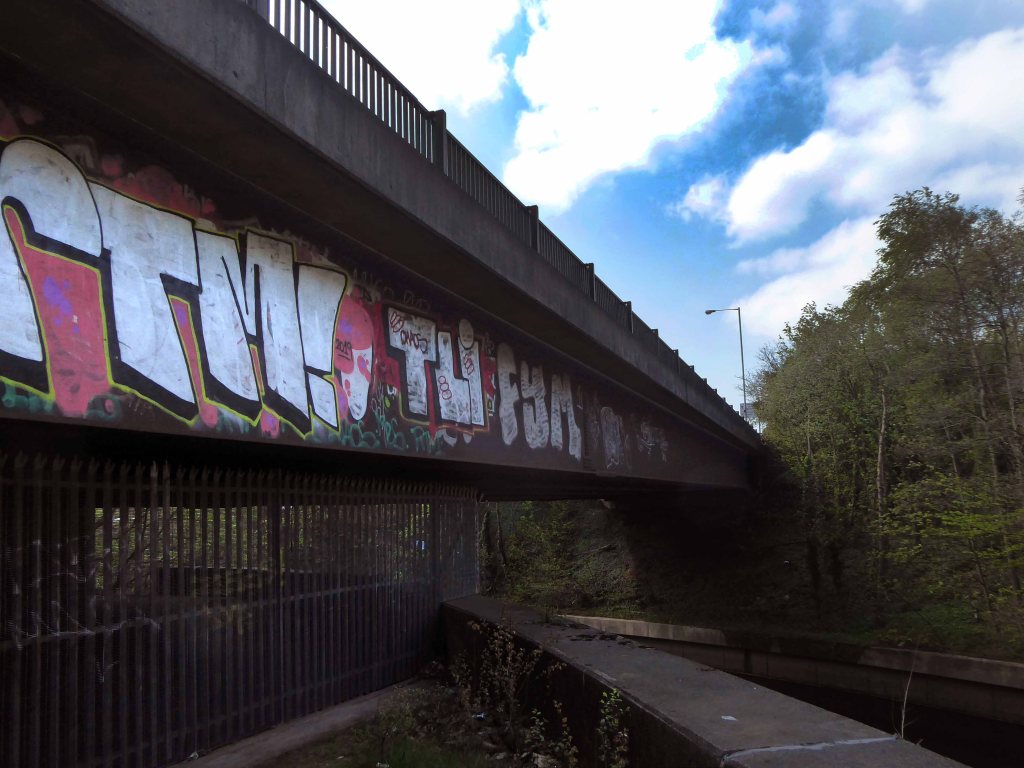
Tamed thirty years or so ago, with concrete and steel.
Further and further.
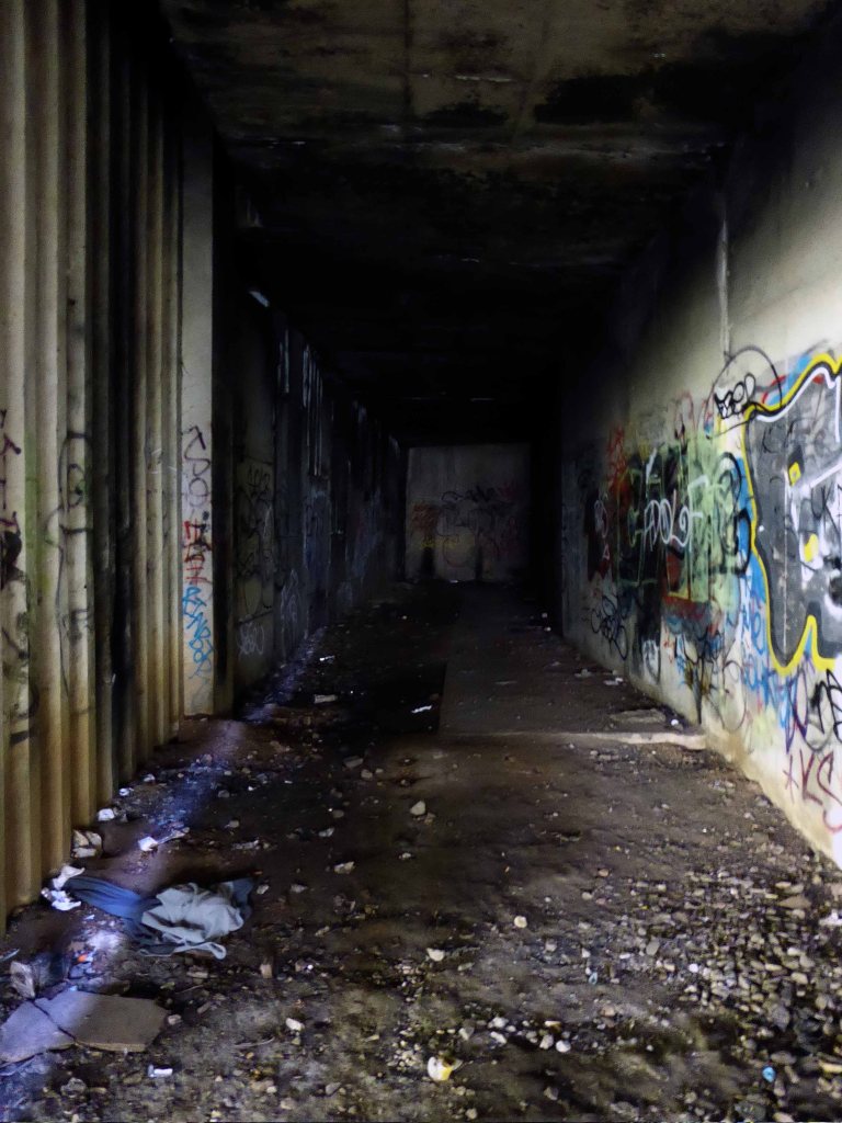
Into an underground world.
Through the railings and into a void – a void that had become home to the otherwise engaged, seeking solace somewhere, finding shelter from the storm. A storm of Twenty First Century austerity, man made – moving money around until those without are out, out in the open, nowhere else to go but here.
How often have I lain beneath rain on a strange roof, thinking of home.
This is a film that has stayed with me for most of my life – first seen as a nipper, fascinated by the fact that it was shot in a very familiar landscape.
As years have passed I have watched and rewatched it, finally resolving to track down the local locations used in its filming.
Studying and pausing the DVD, making thumbnail sketches of frames, researching online – referring to Reelstreets.
I have previously written about the way in which the movie shaped a particular image of the North.
And examined particular areas of Manchester such as Barmouth Street.
The film generated world wide attention and remains just as popular today.
Still watched, still loved, still relevant – here are a selection of photographs I took in 2011 – cycling around Manchester, Salford and just a little closer to home in Stockport.
Timpson’s shoe shop now demolished opposite the Etihad
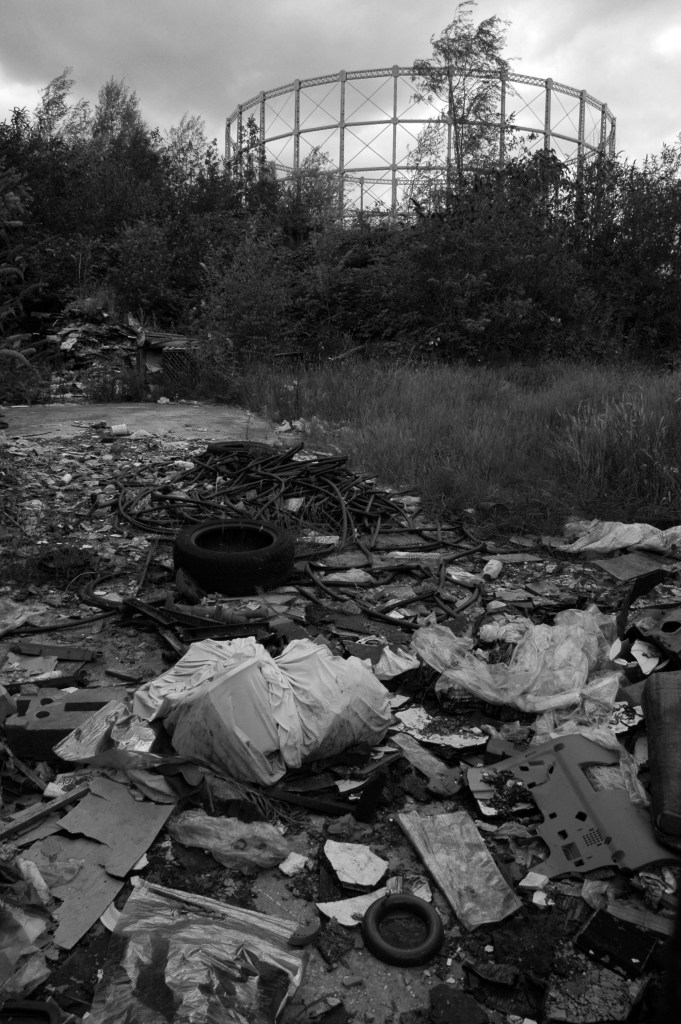
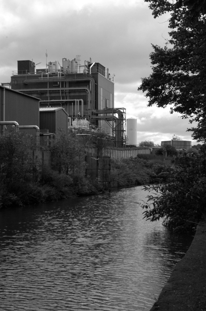
Phillips Park the back of the gas works in Holt Town
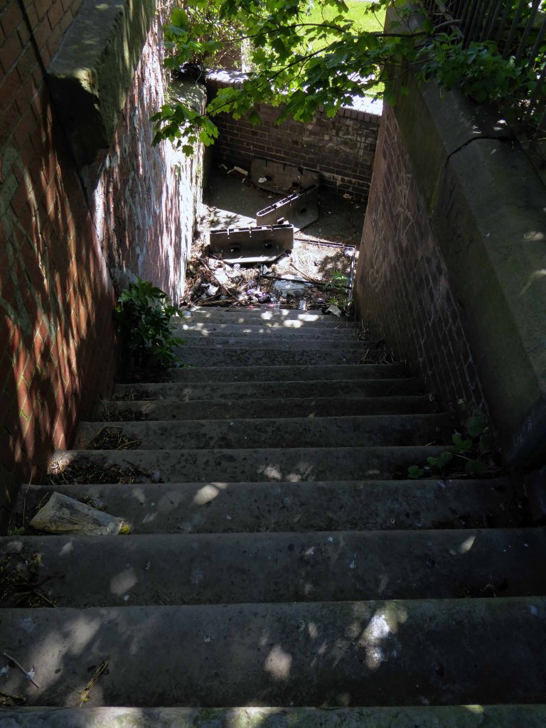
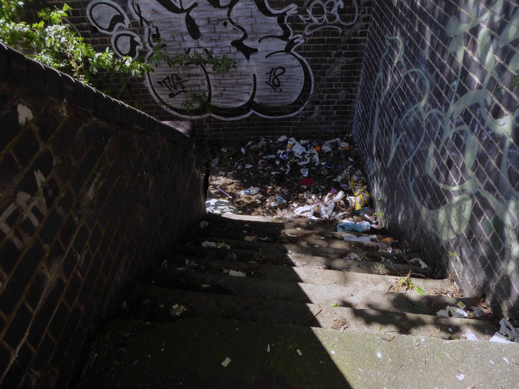
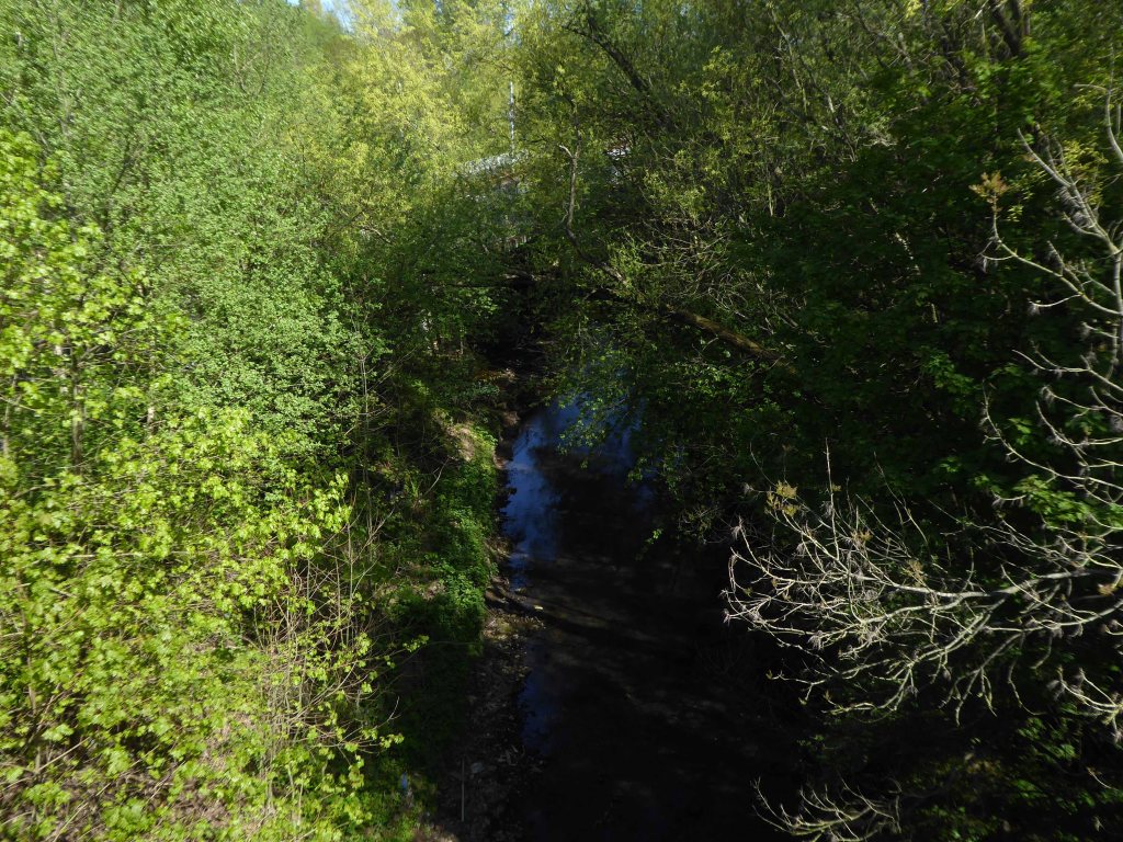
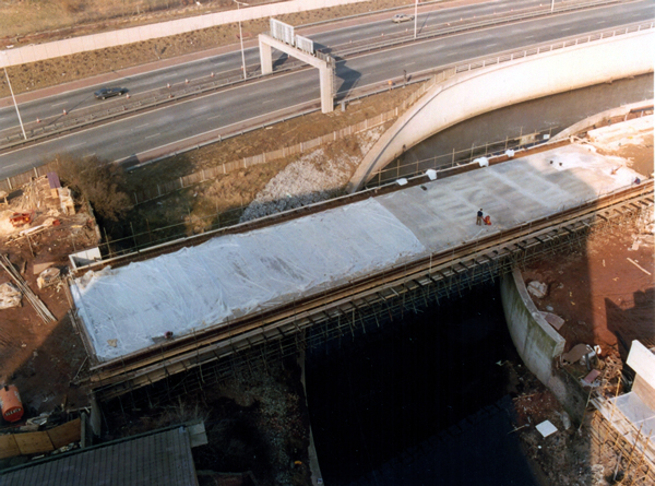
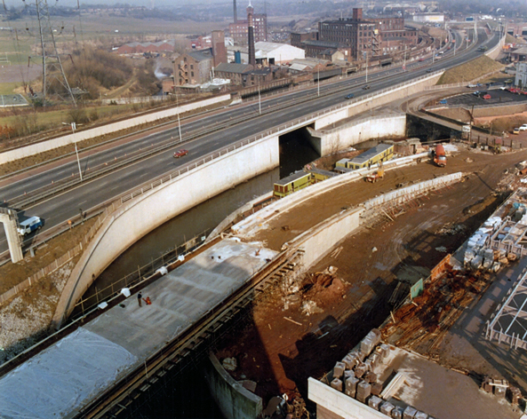
The Devil’s Steps Holt Town
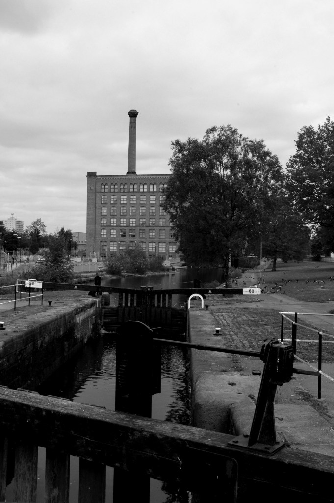
Rochdale Canal
Ashton Canal
All Souls Church Every Street Ancoats
Piccadilly Gardens as we view the city from a moving bus.
Manchester Art gallery – where they watched the Whit Walks.
Albert Square part of the earlier bus ride.
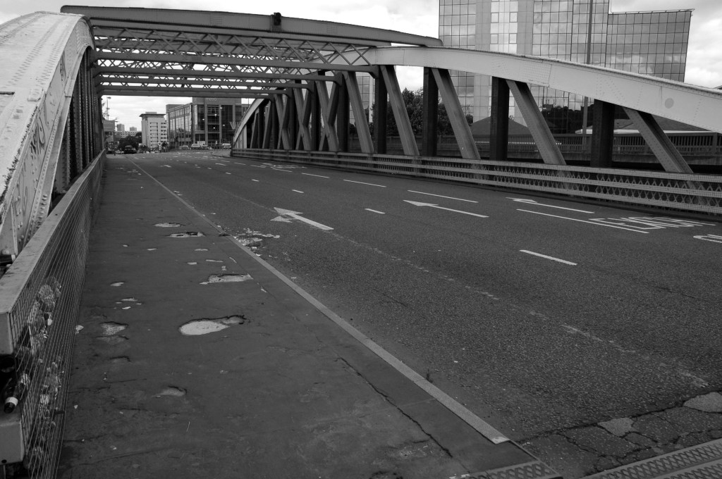
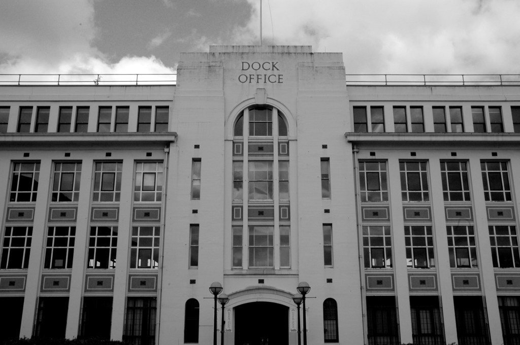
Trafford Swing Bridge
Dock Offices
Chimney Pot Park Salford
Pendleton
Barton Aqueduct
Through my tour I have attempted to capture a sense of the settings as they are – how, if at all, the areas have changed.
There may be some minor inaccuracies or omissions which I am happy to amend.
You may wish to visit the sites yourselves, the majority of which are easily accessible, above all watch the film and appreciate that which is around you.
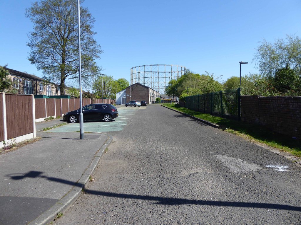
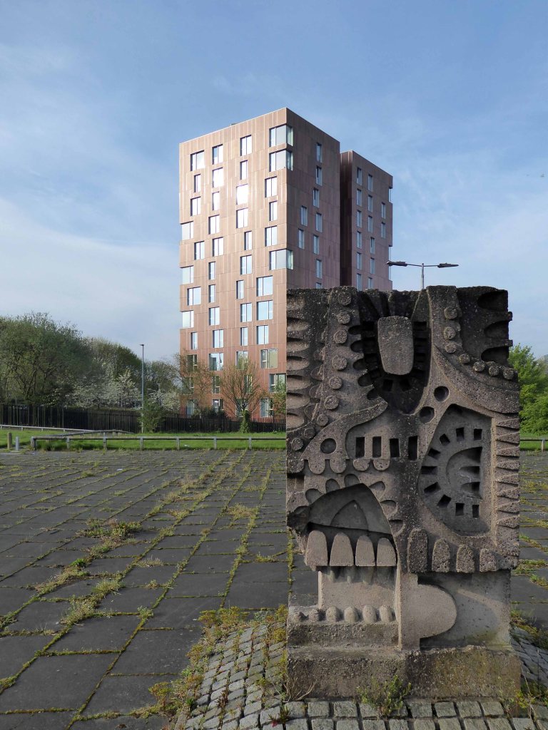
It’s lockdown so we can’t go far, so from home in Stockport to Collyhurst is within my daily exercise allowance.
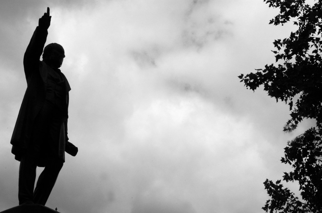
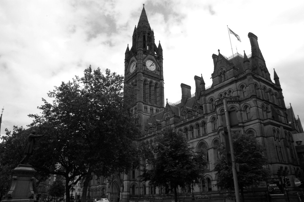
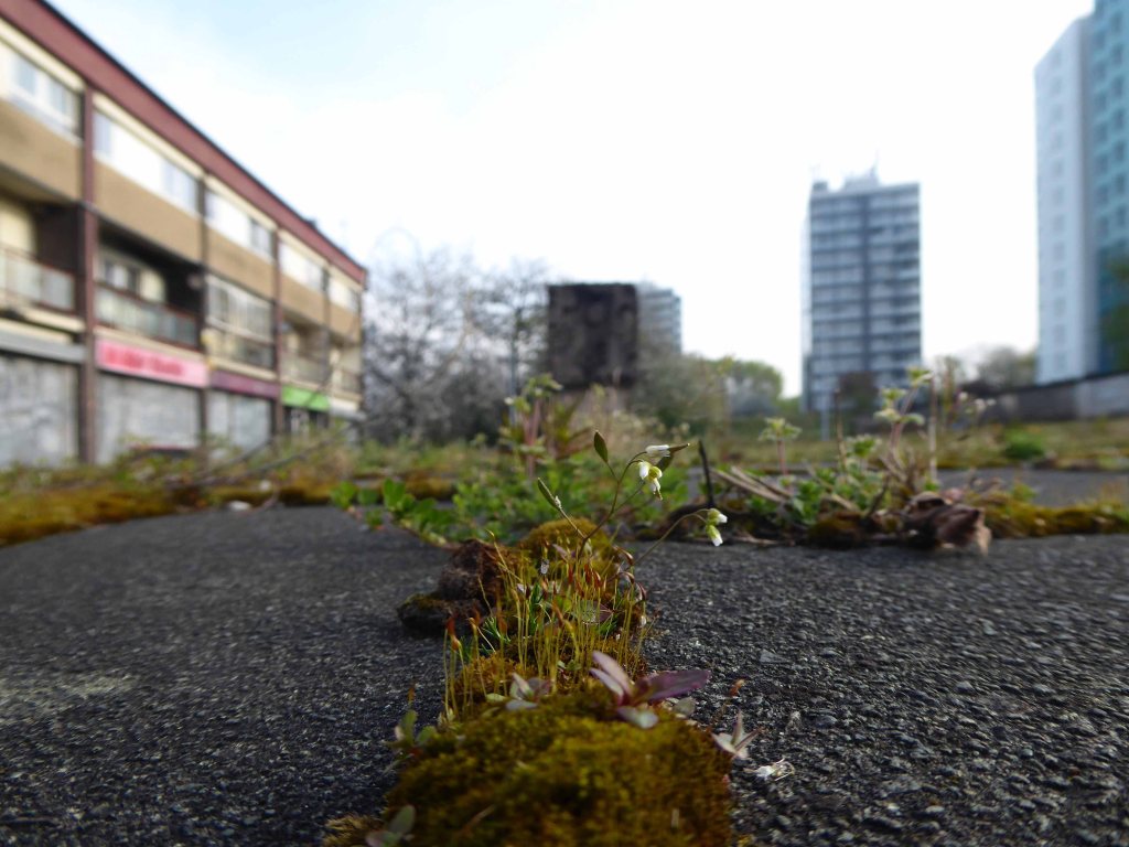
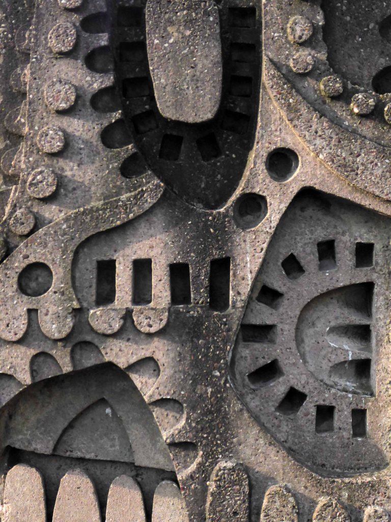
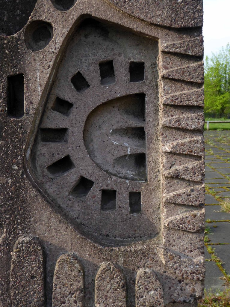
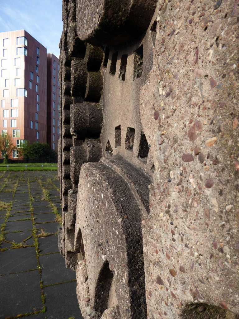
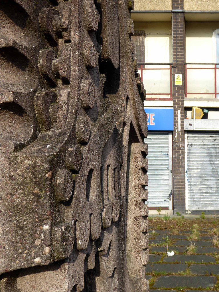
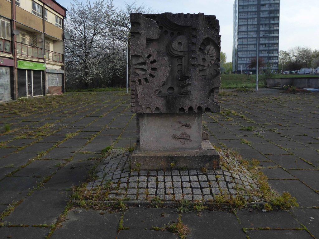
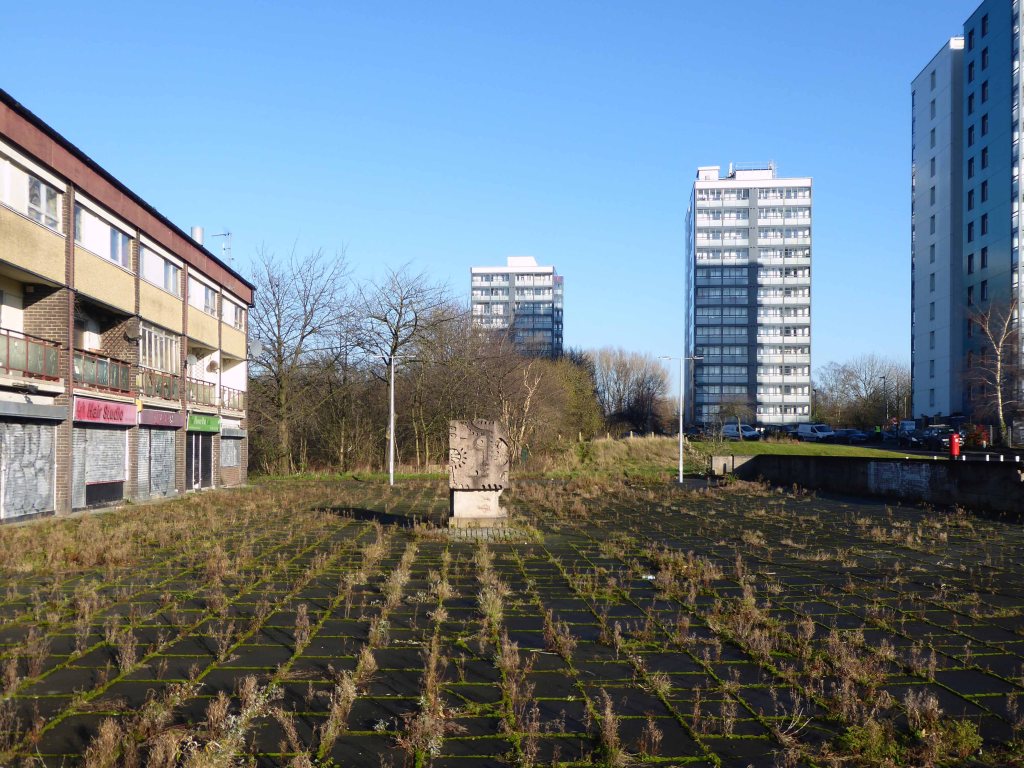
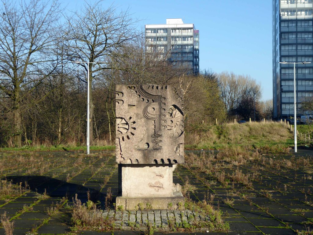
There is talk of relocation for the diminutive Mitchell totem, but as of today no sign of any action – all is in abeyance.
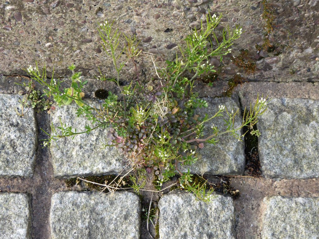
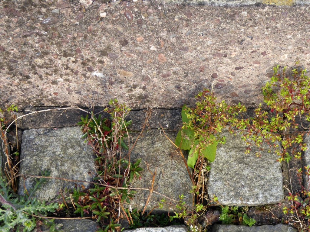
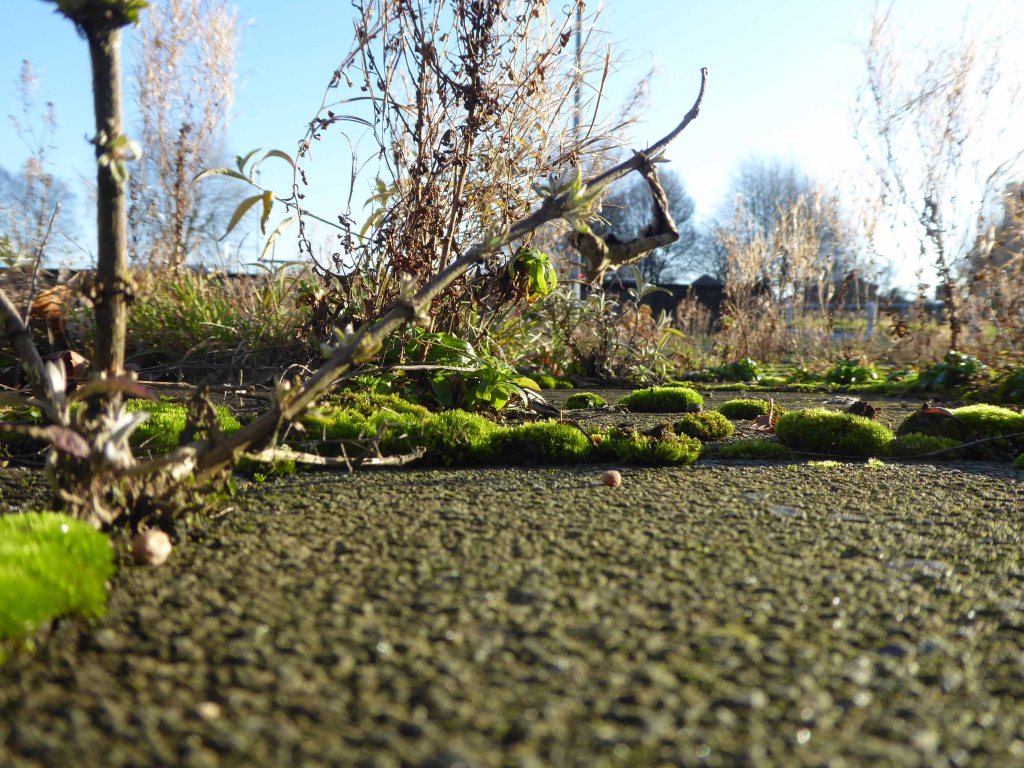
What we do see is the encroachment of flora, cleaner air, low or no level human activity encourages growth between the cracks.
And at the base of the plinth
I took the opportunity to get in close.
Move around in a merry dance.
Quite something to spend time in an ever changing urban space – devoid of company, save for the calming sound of birdsong and the distant rumble of a distant train.
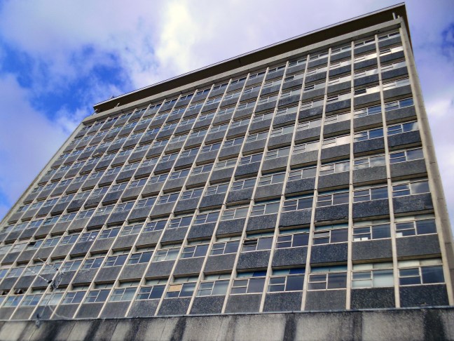
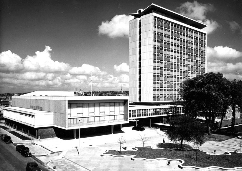
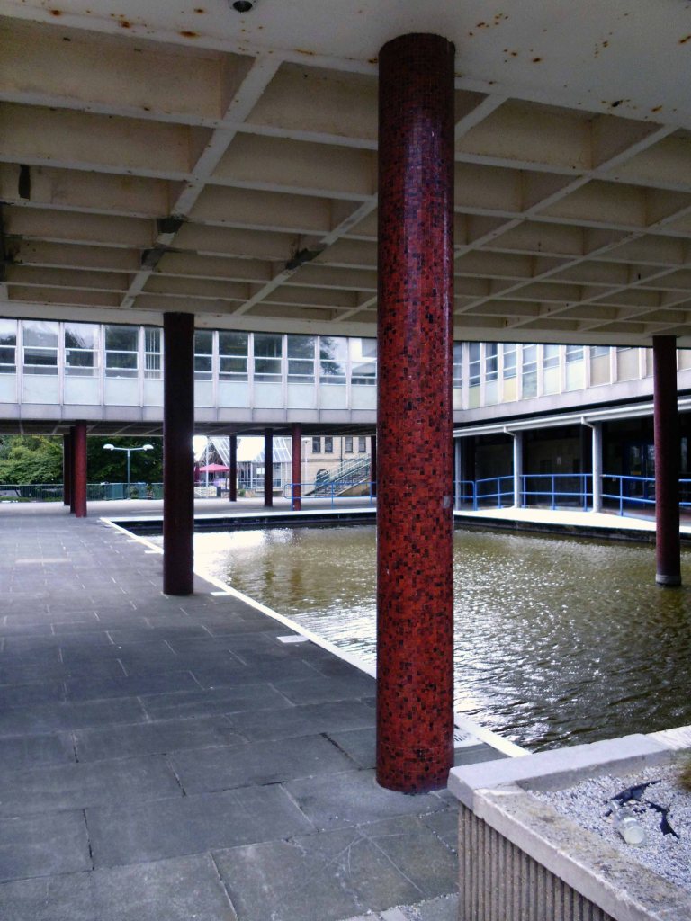
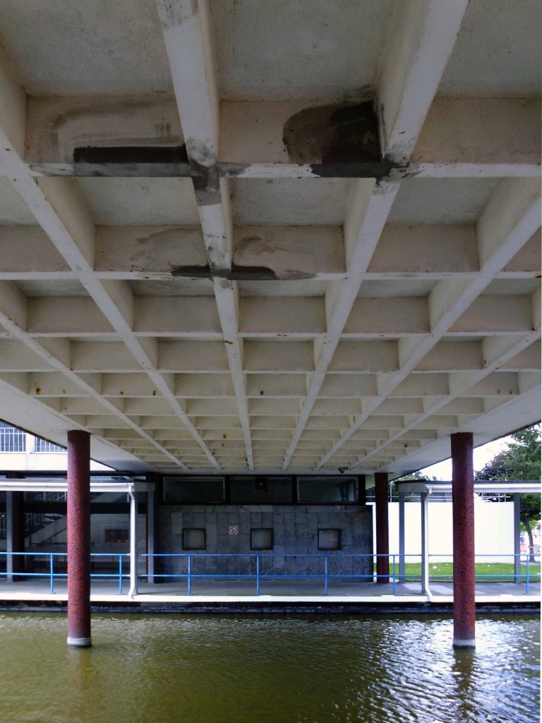
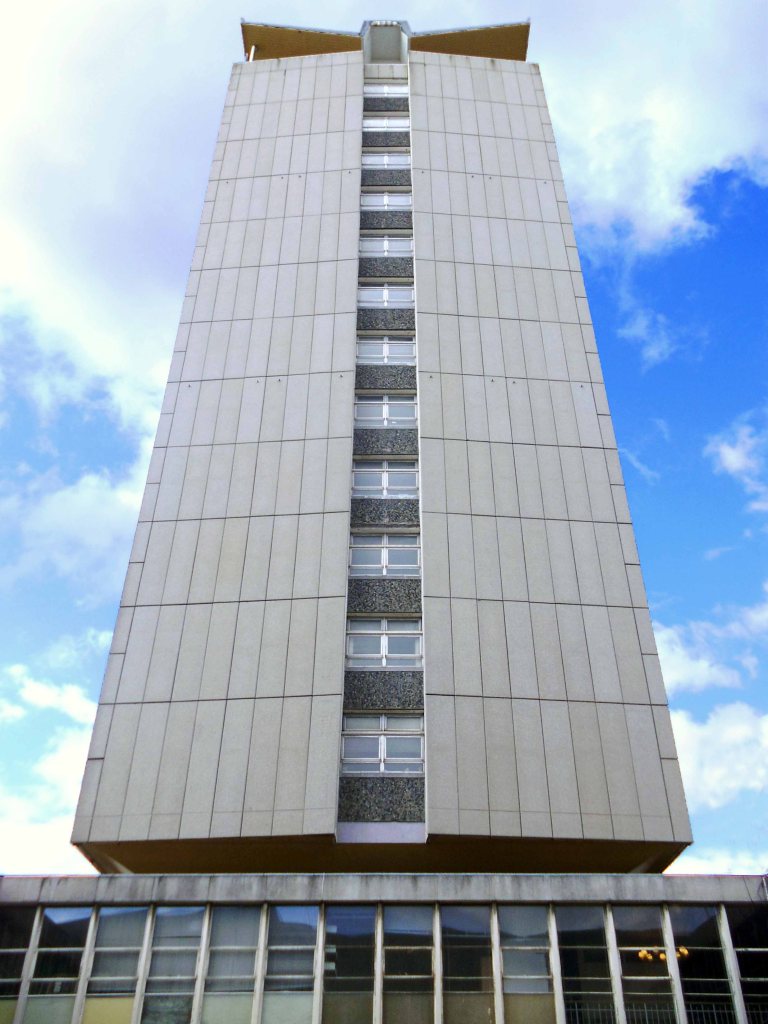
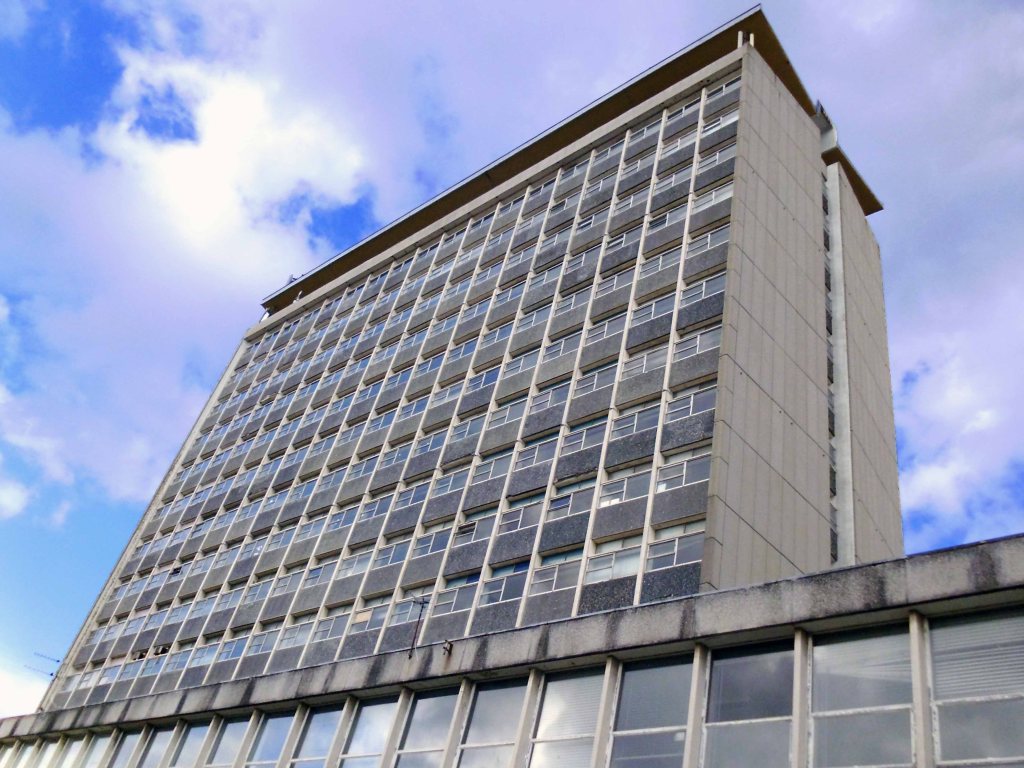
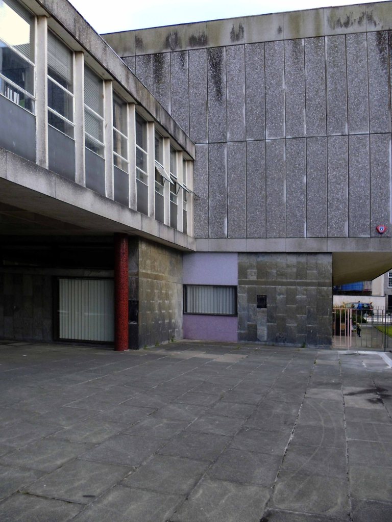
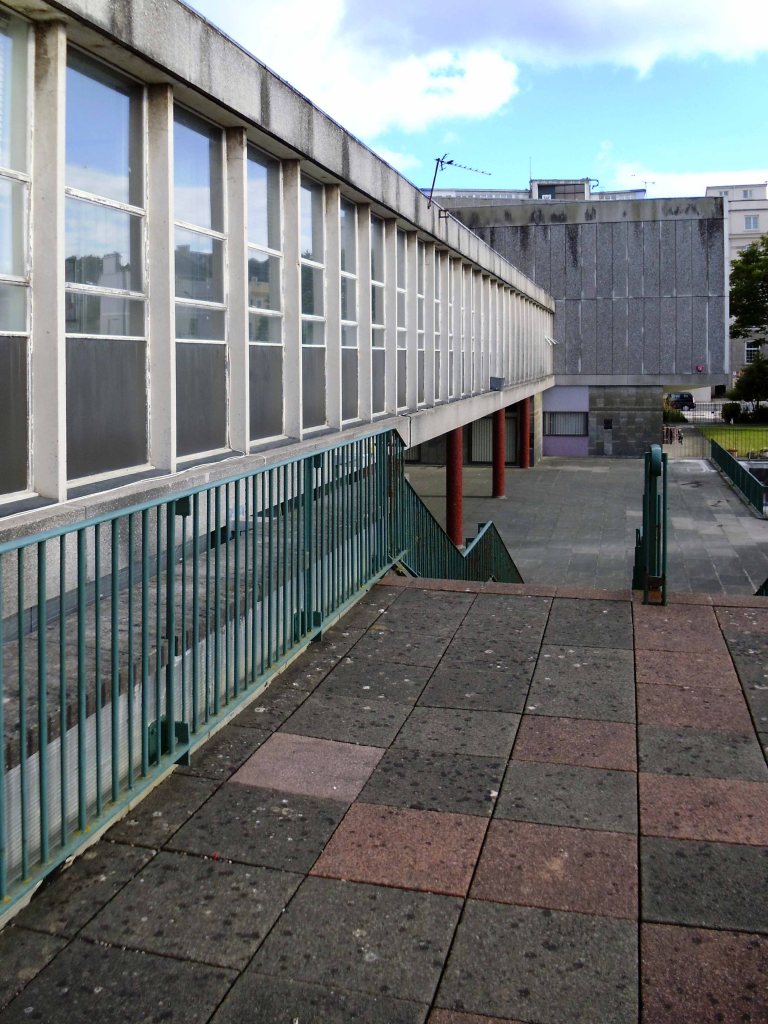
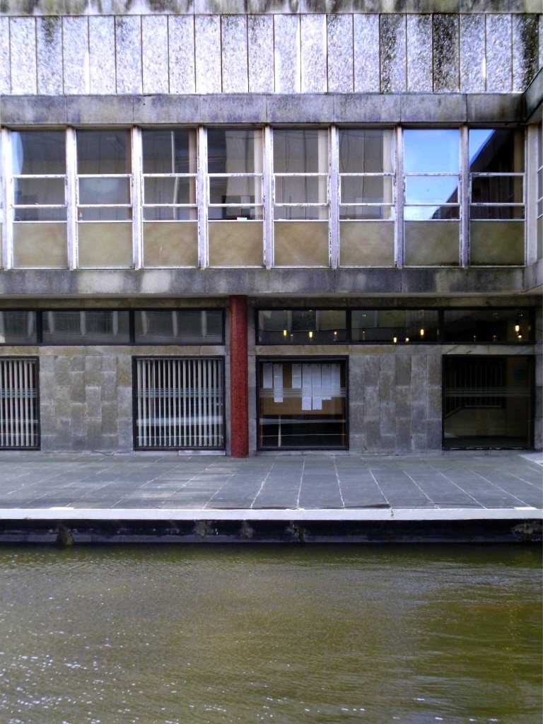
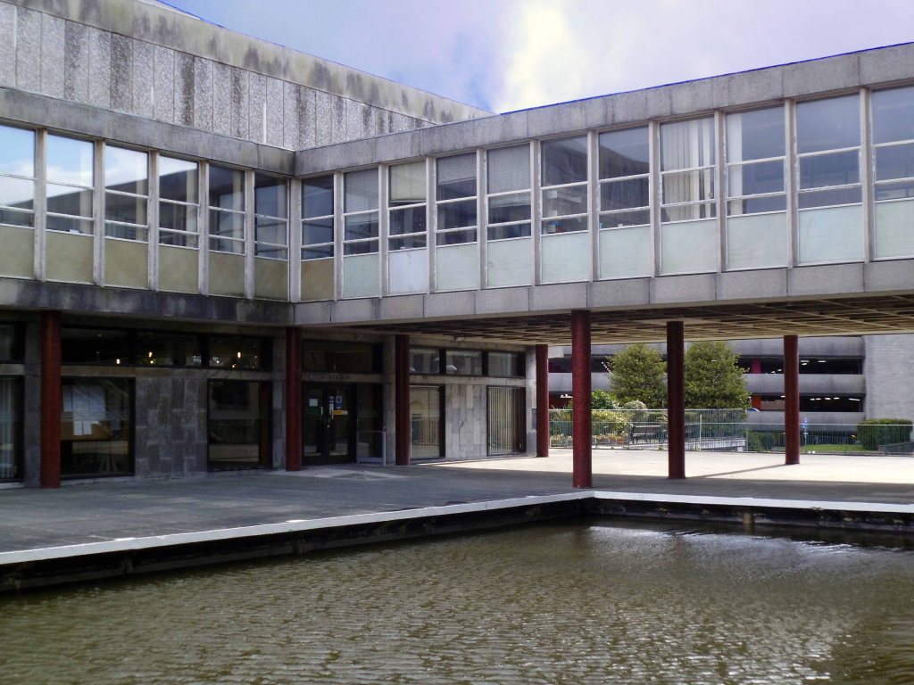
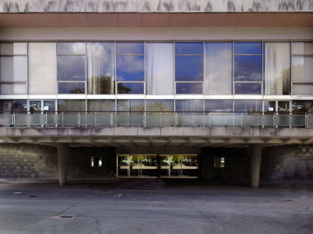
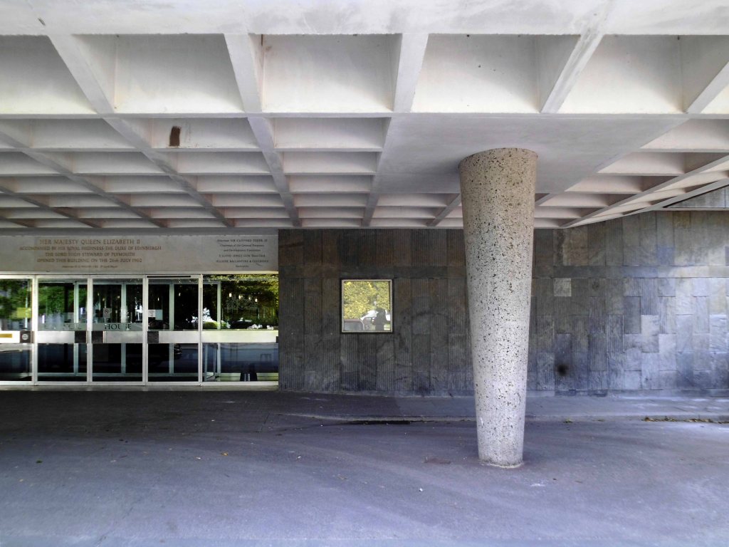
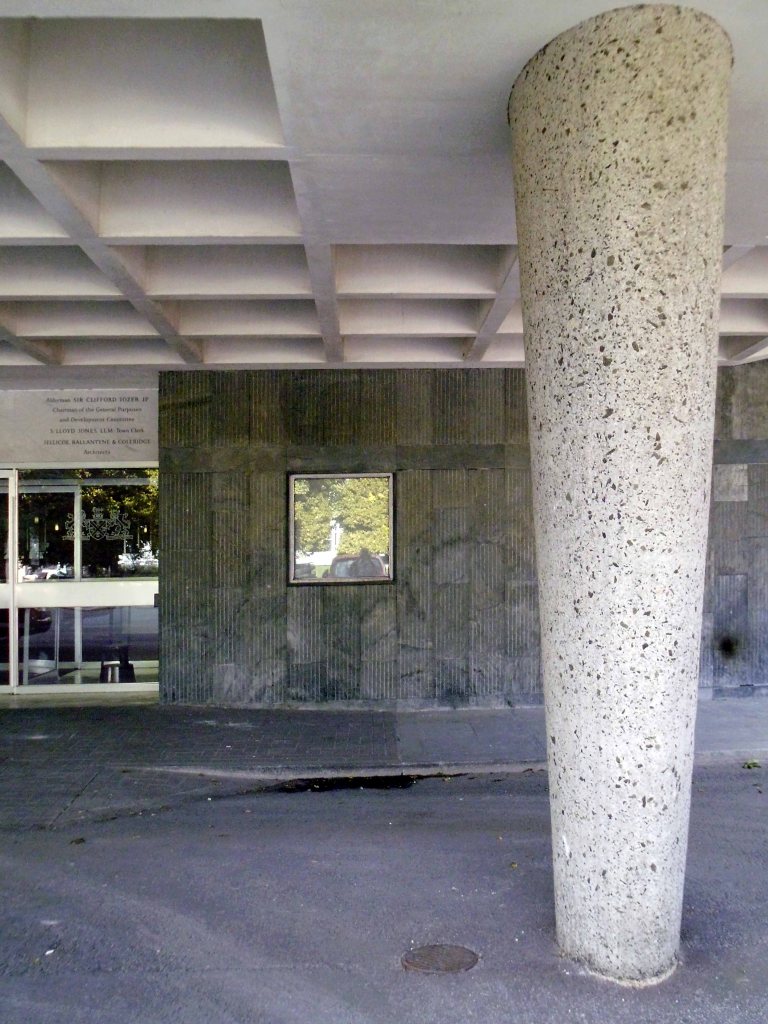
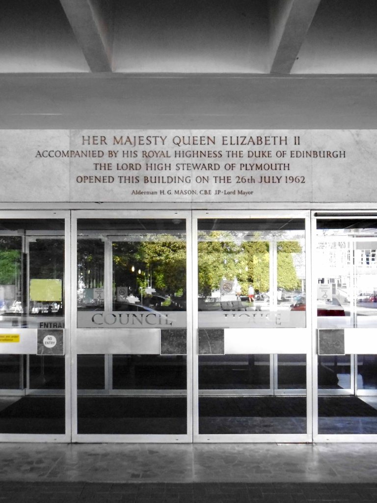
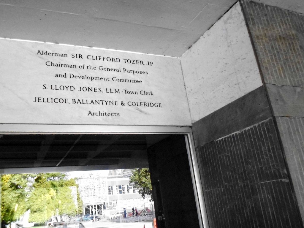
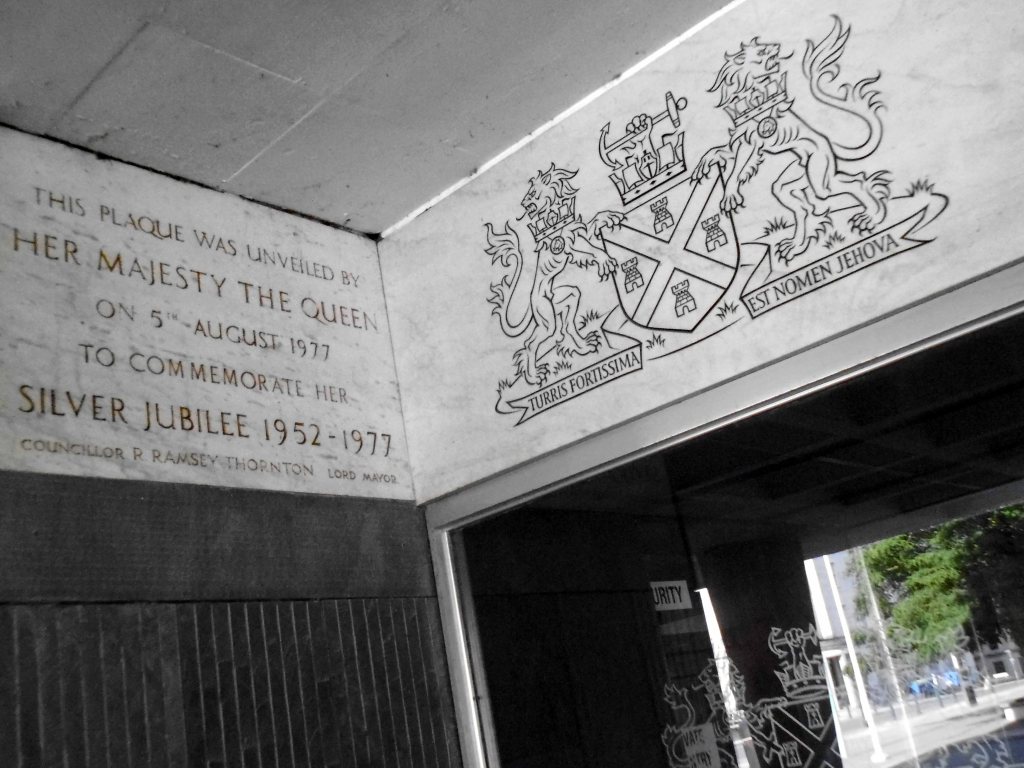
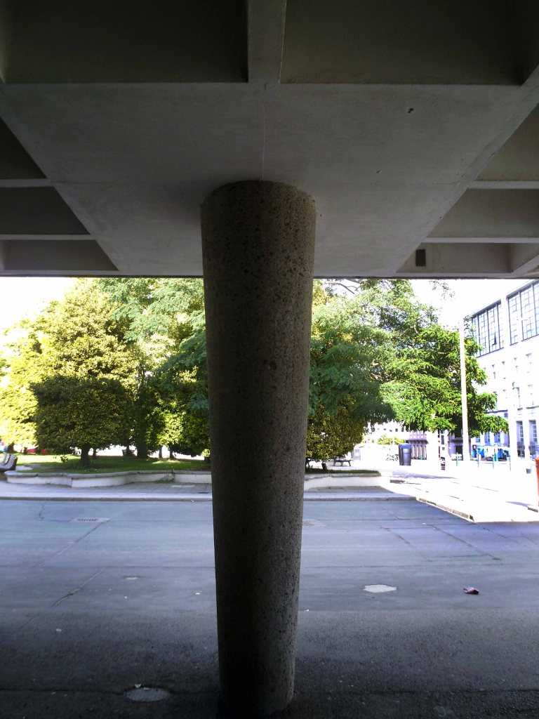
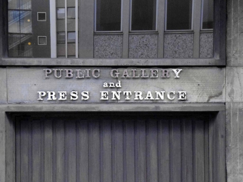
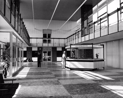
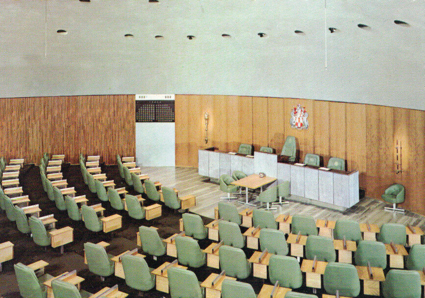
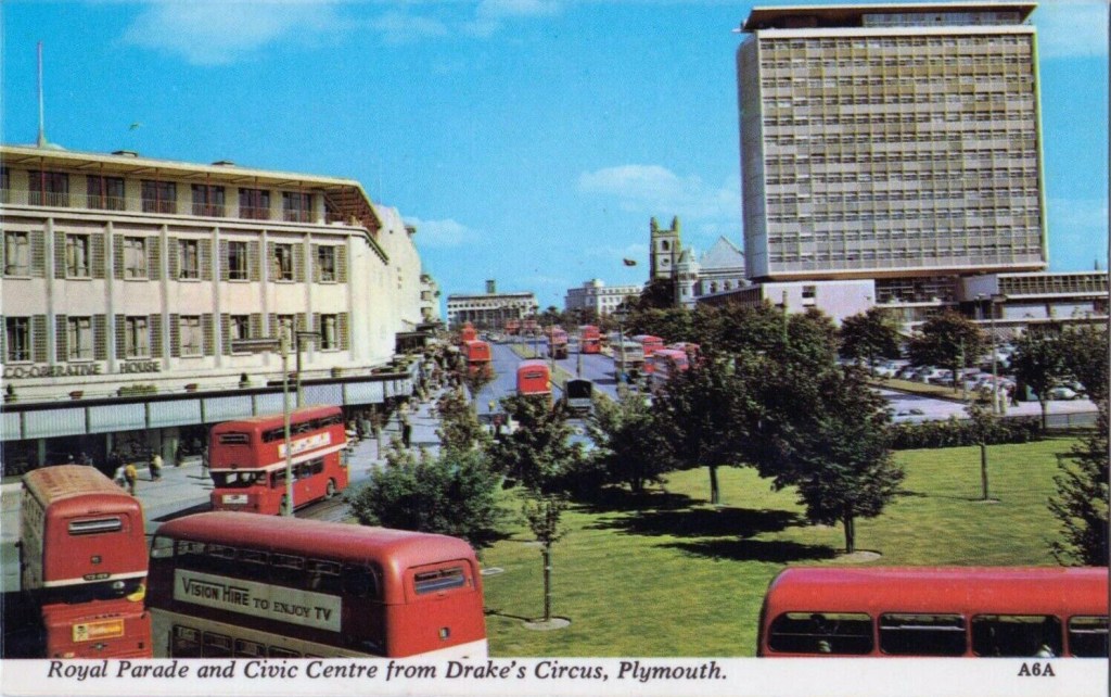
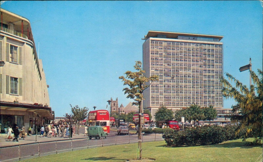
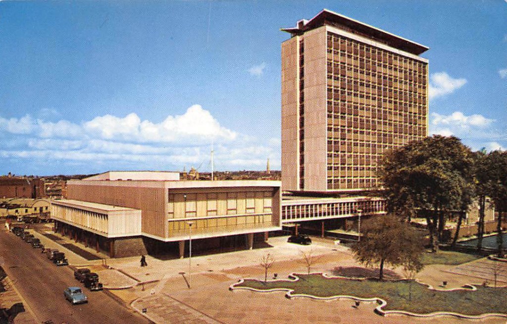
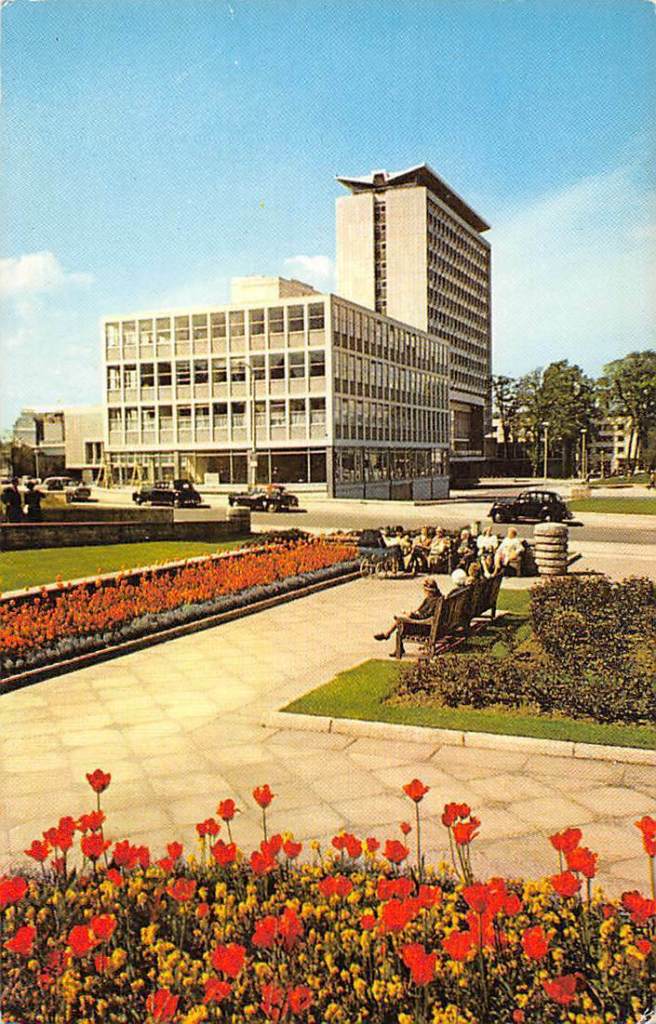
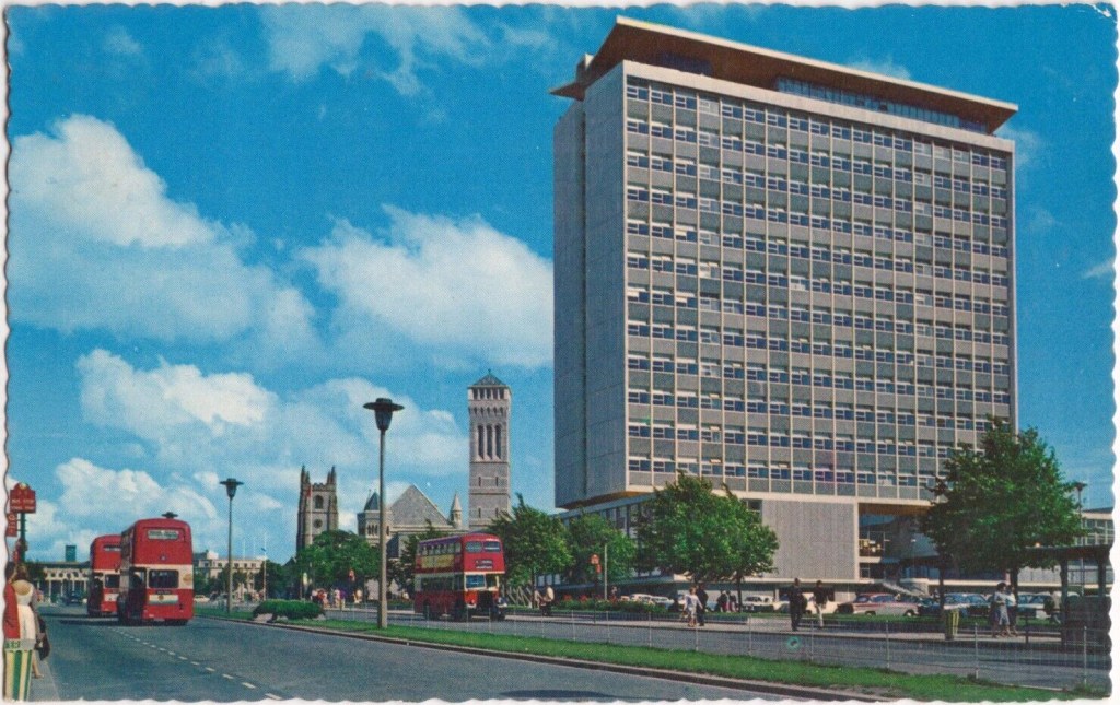
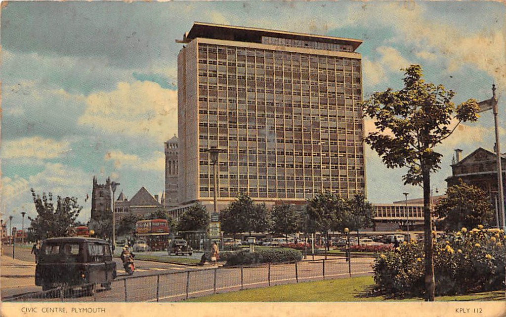
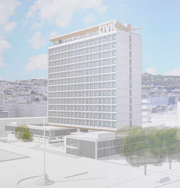
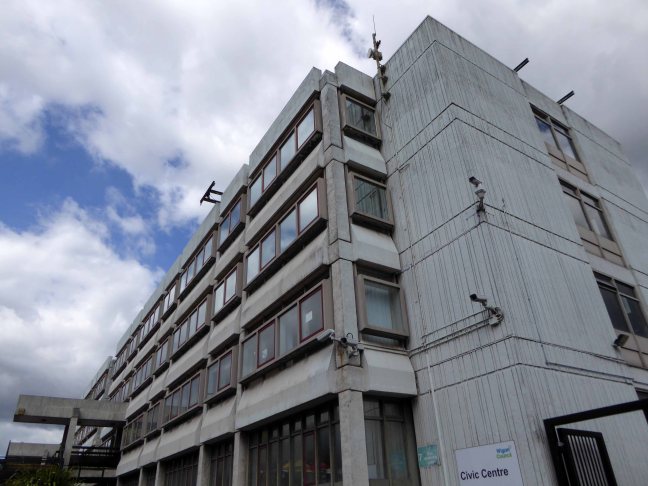
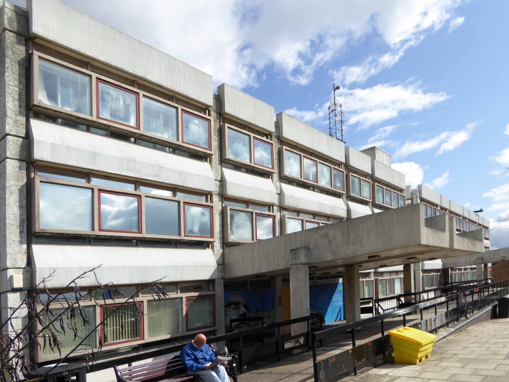
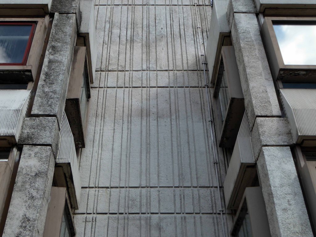
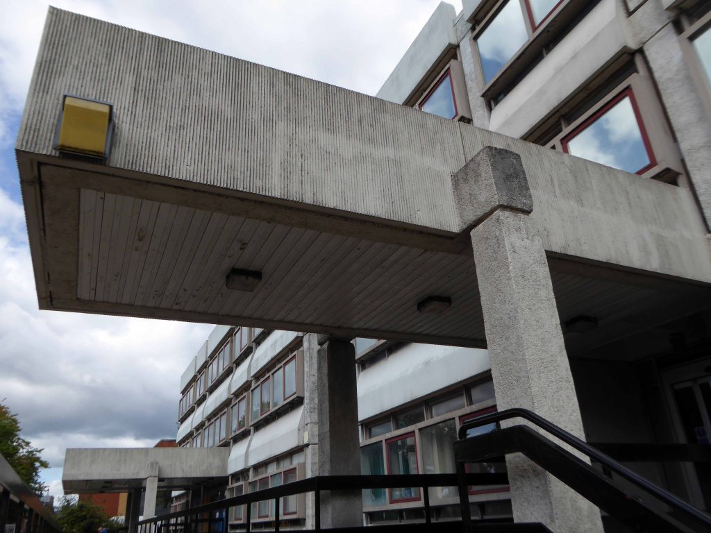
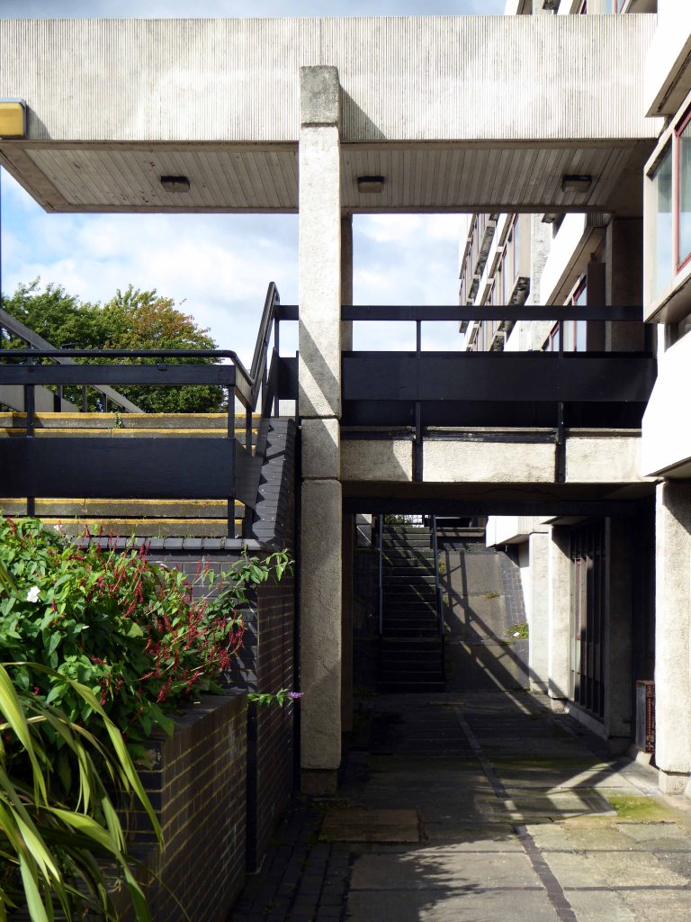
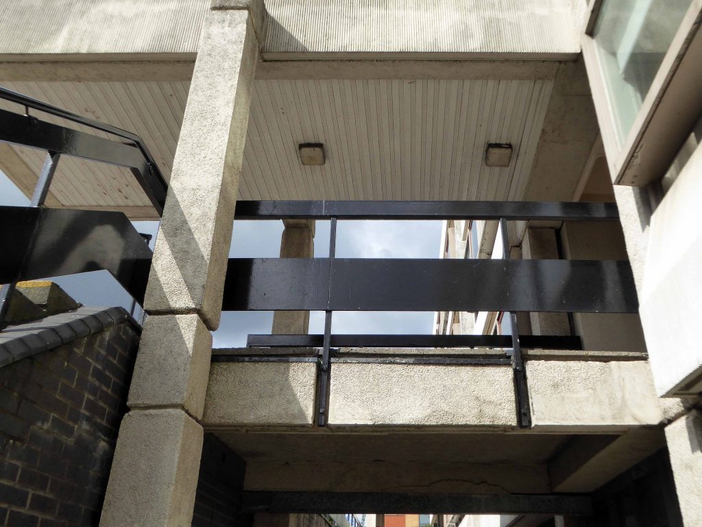
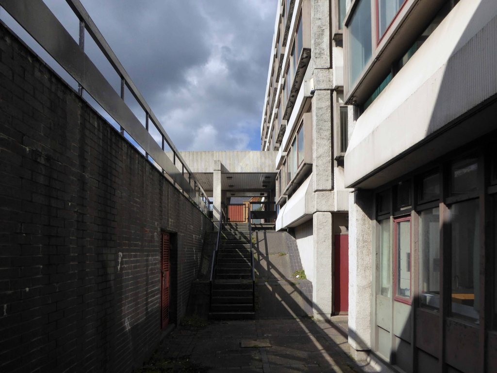
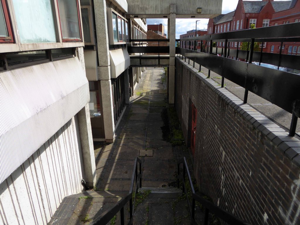
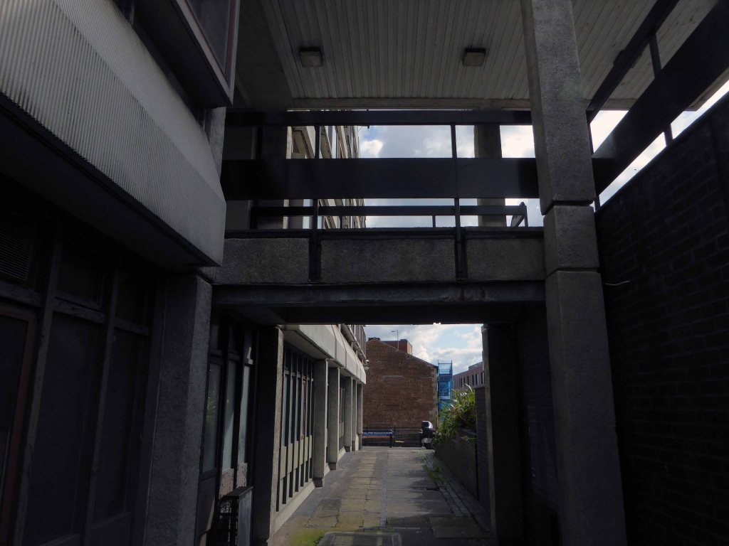
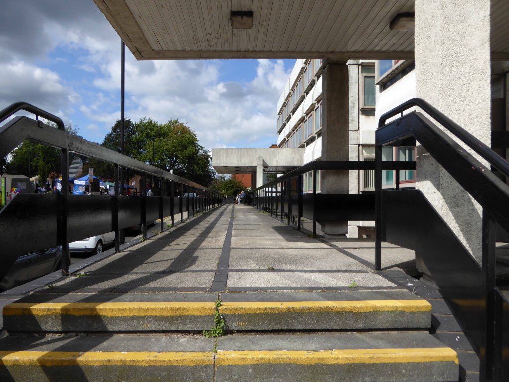
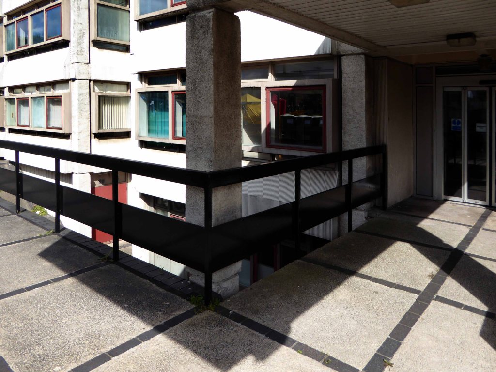
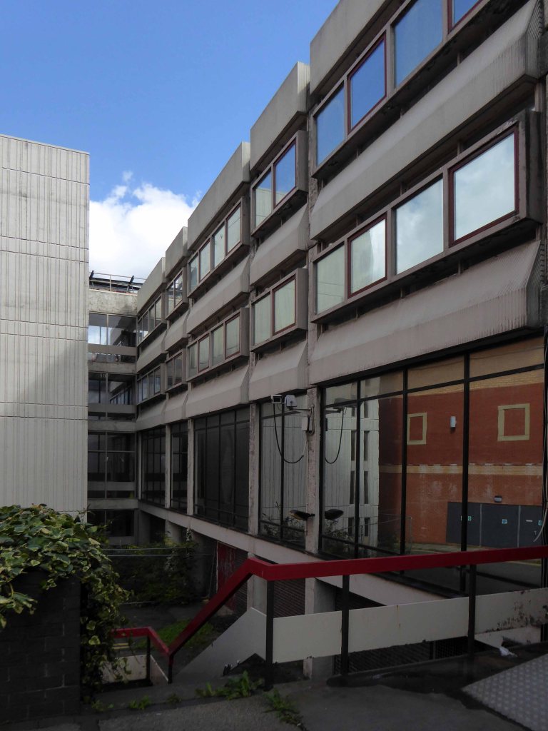
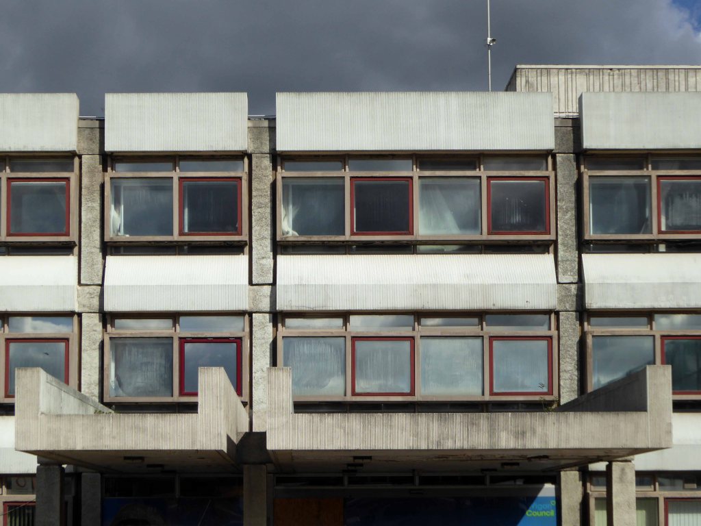
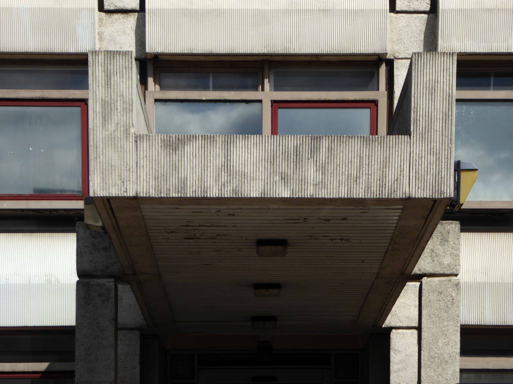
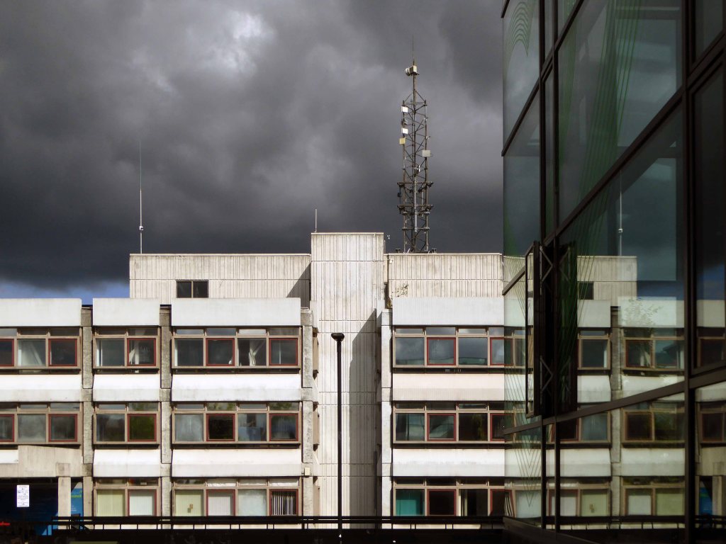
Council House former Civic Centre – Armada Way Plymouth PL1 2AA
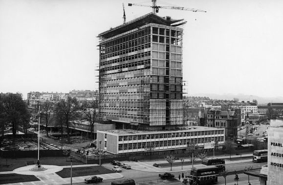
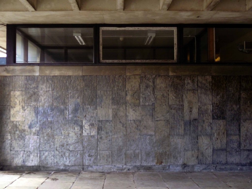
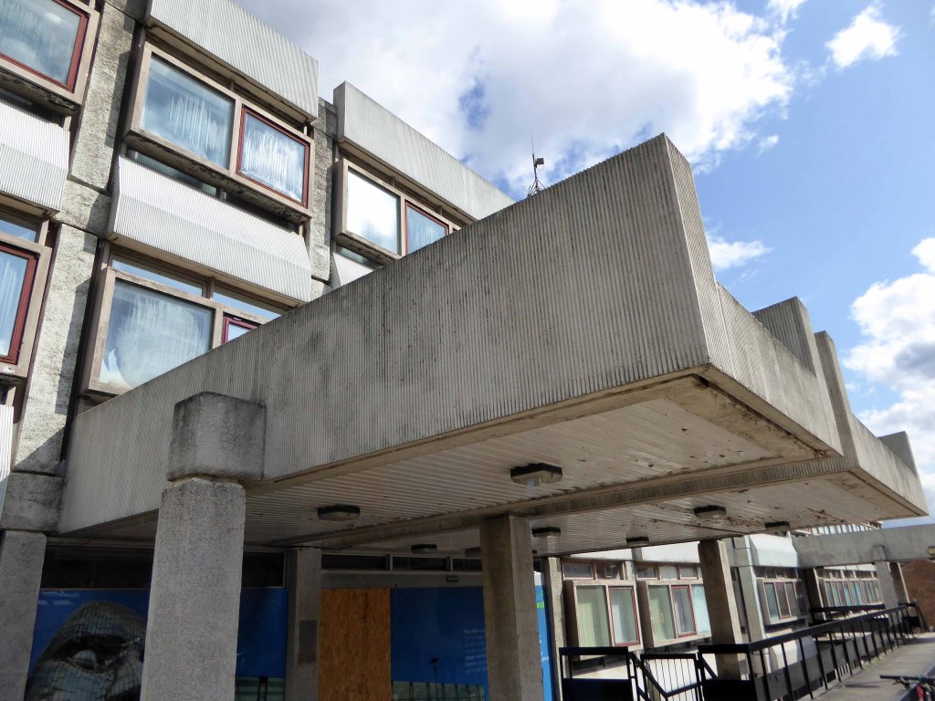
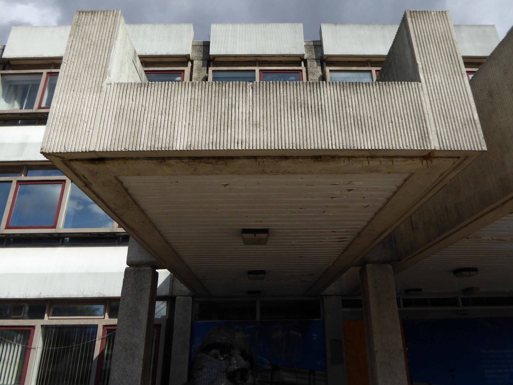
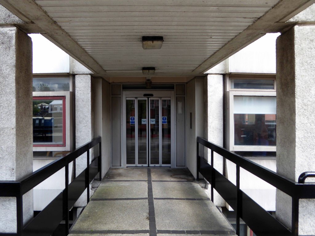
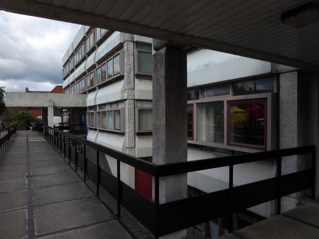
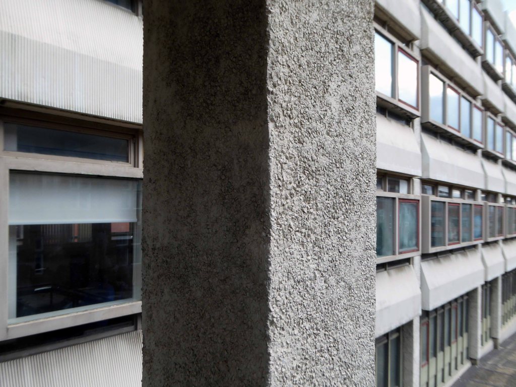
Former Civic Centre 1958-62 by Jellicoe, Ballantyne and Coleridge with city architect HJW Stirling. In-situ concrete structure with pre-cast aggregate panels. It comprises a fourteen storey slab block on a raised raft foundation which straddles a two storey block to the north and a bridge link to the two storey Council House to the south. The bridge link is elevated on pilotis to create an open courtyard with a reflecting pond, part of the designed landscape of the civic square.
I rode into town on my bicycle en route from Weston super Mare to Hastings one sunny afternoon in 2015. The pictures I took that day were largely left untouched, until today. I was prompted by an online postcard search to finally put them to some good use.
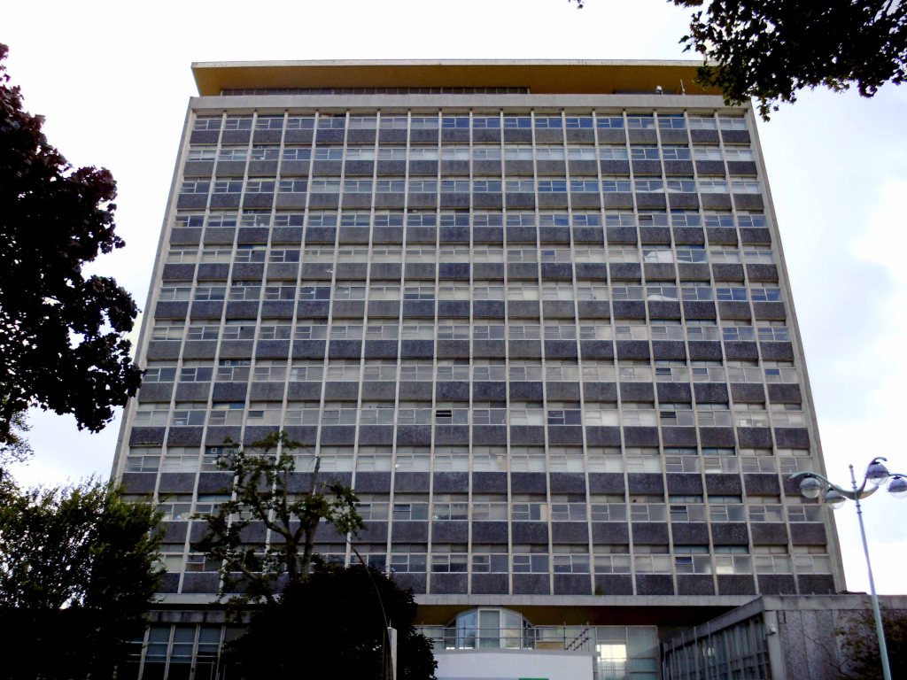
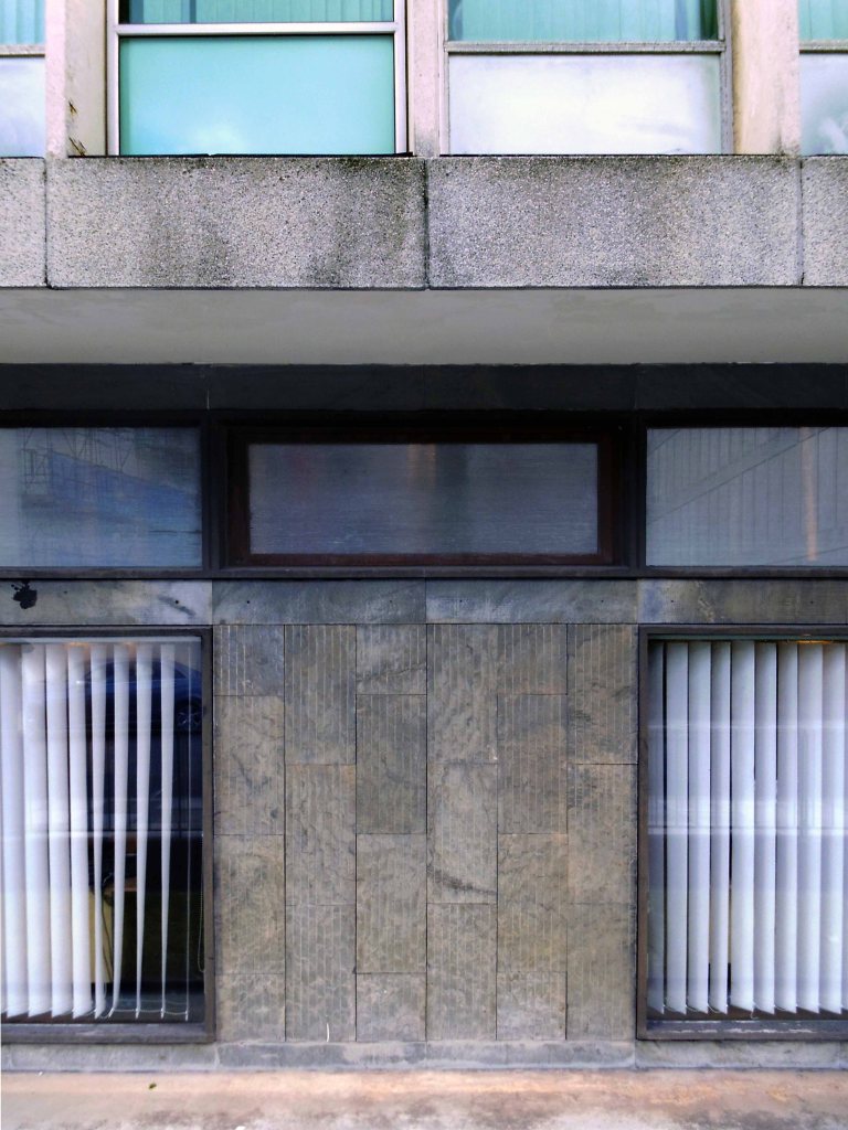
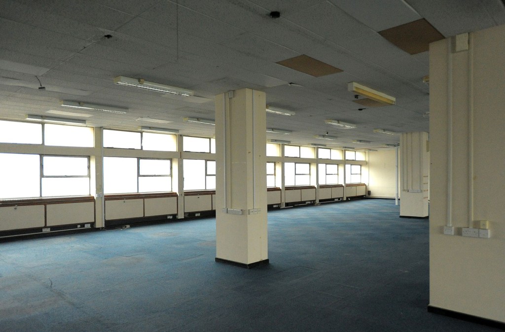
On the day of my visit the building was well and truly closed, and its future uncertain.
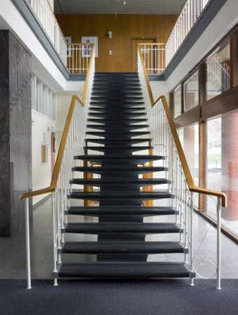
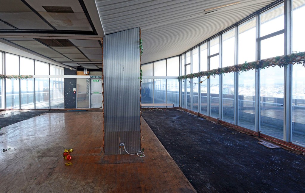
I took my time and explored the site, here is what I saw:
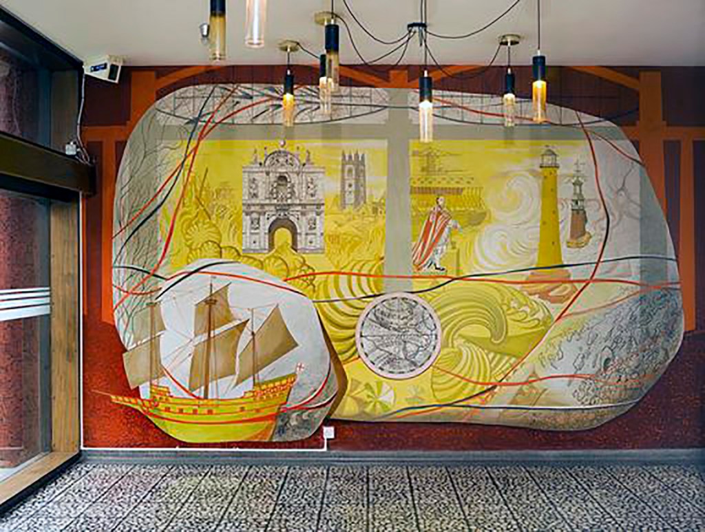
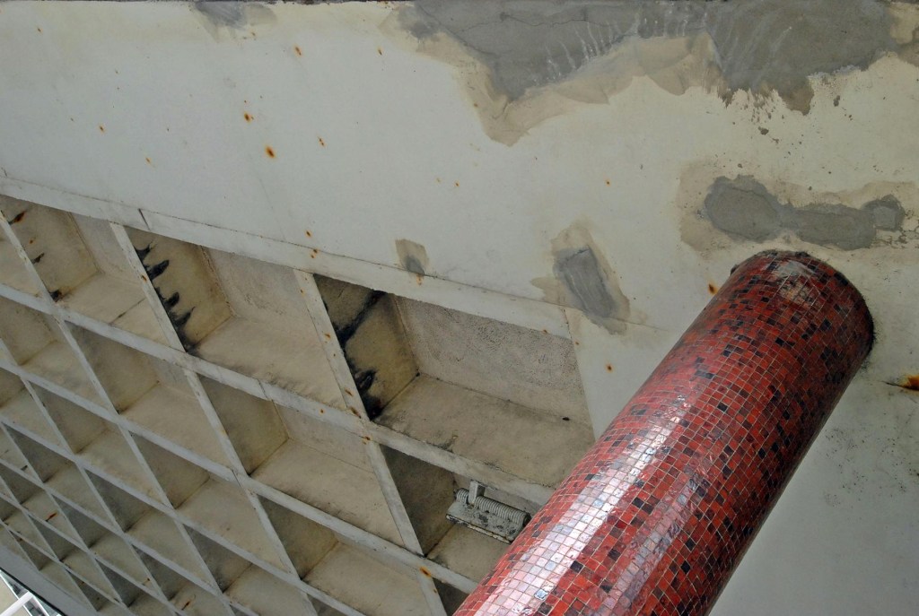
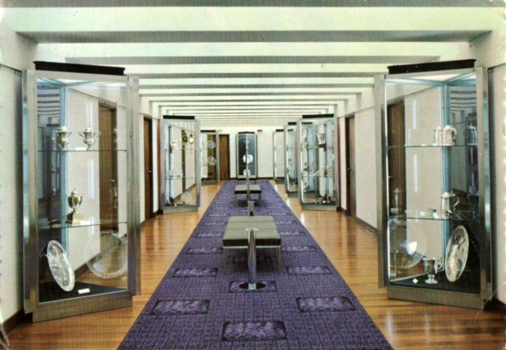
I subsequently found archival image of the interior – including examples of applied decorative arts.
Post War Buildings, Elain Harwood.
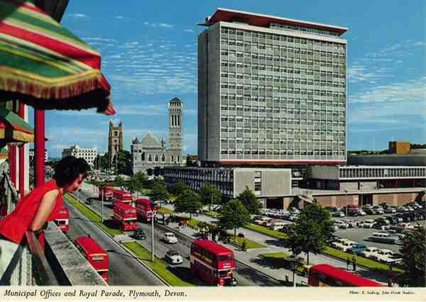
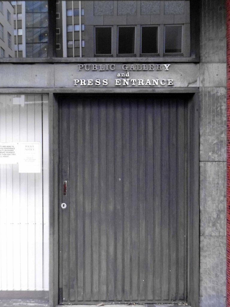
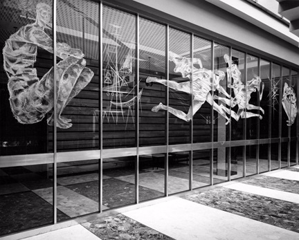
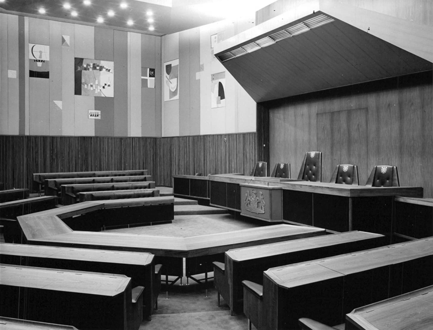
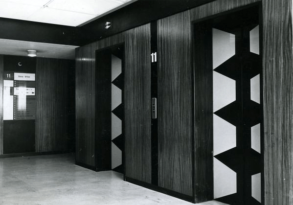
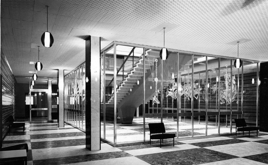
Plymouth Civic Centre, Royal Parade, Plymouth, Devon.
Interior, members entrance hall, detail of mural by Mary Adshead with light fittings by Chelsea glassware.
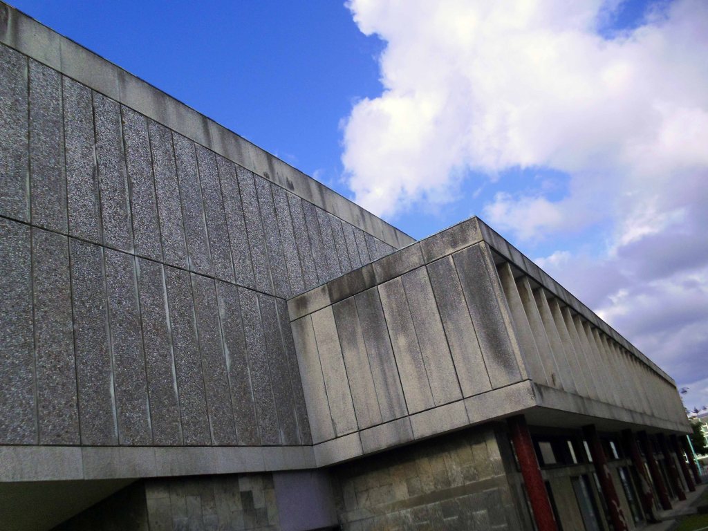
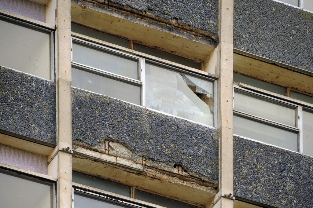
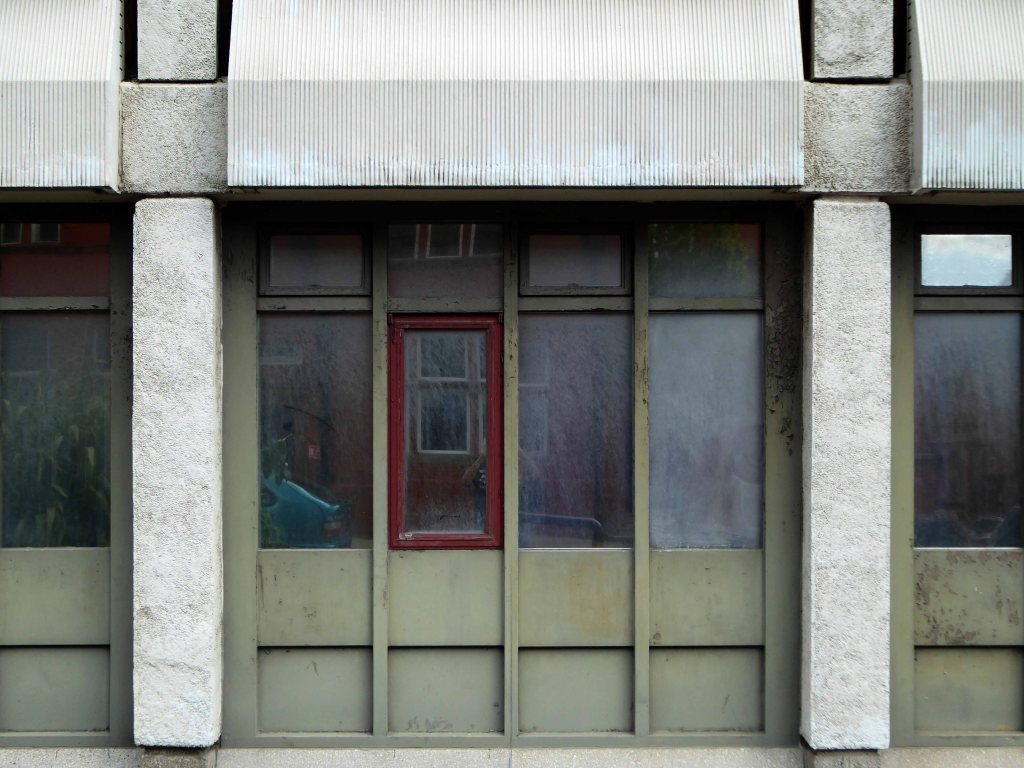
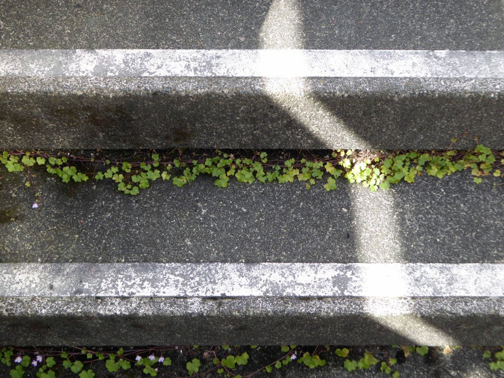
The building has suffered of late, from poor maintenance and general neglect.
Love it or hate it, it’s one of Plymouth’s most iconic post-war buildings – and it towers over the city centre. But the Civic Centre has been empty since 2015, with sad images revealing parts of the outside literally crumbling.
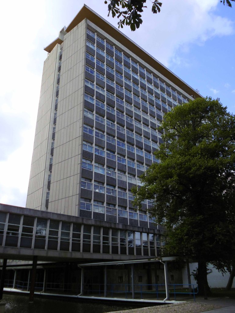
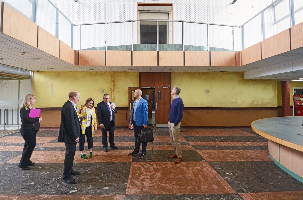
Today is the day Plymouth will finally discover what developer Urban Splash plans to do with the landmark 14-storey tower block it bought for £1.
Urban Splash are in the house – plans are to go ahead.
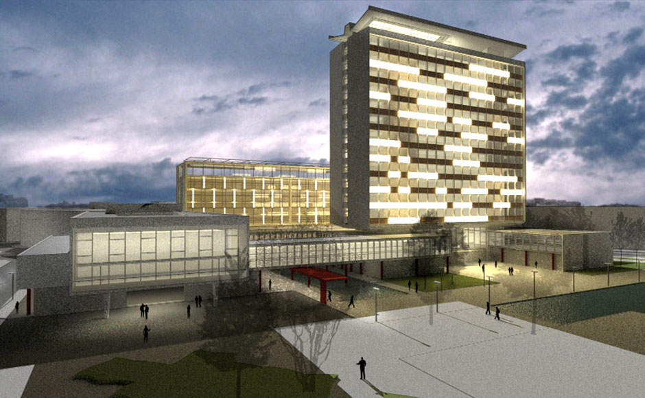
The proposal, by Gillespie Yunnie Architects, will see the 14-storey former council headquarters converted into 144 one and two-bedroom flats with the ground floors of the lower blocks providing about 4,600m² of office, retail and leisure space.
Unanimously approved last week, the scheme will open up the ground floor, making it ‘an active public space filled with outside seating for cafés, bars and restaurants’ and reuse the existing landscaped pools, while creating new pedestrian connections through the scheme from the Theatre Royal and Civic Square.
I’m more than partial to a picture postcard – I have penchant for the picaresque.
And in these troubled times there’s no safer way to travel.
I have some previous experience, exploring the precincts of our fair land – here and there.
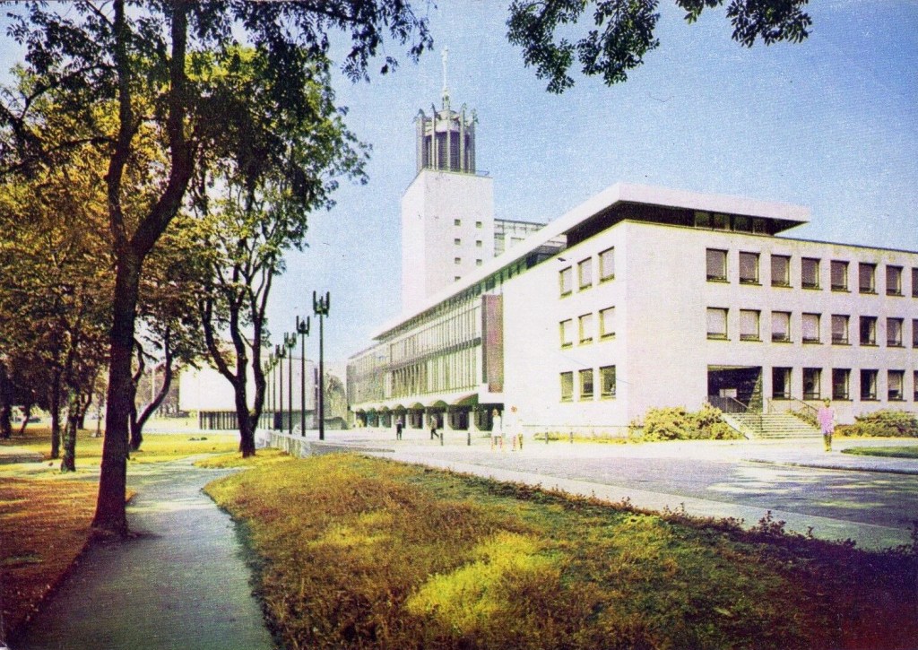
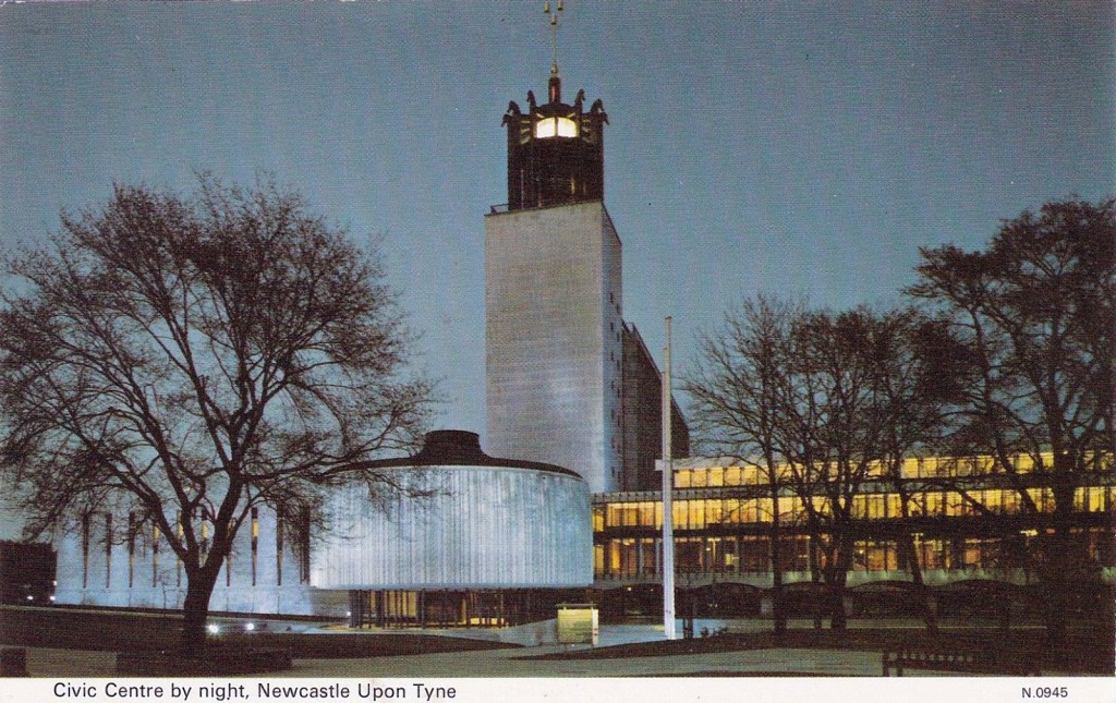
Prompted by a post from Natalie Bradbury – I became intrigued by Newcastle Civic Centre cards, I have visited the site, but in this instance, we are taken there thus:
The scheme also proposes a mix of uses for the ground and first floors including shops, offices, cafes and restaurants, bars, hot food takeaway, art gallery, gym, creche and day nursery.
I have even ventured as far afield as Huyton in search of other exemplars.
This is work of the highest order and importance.
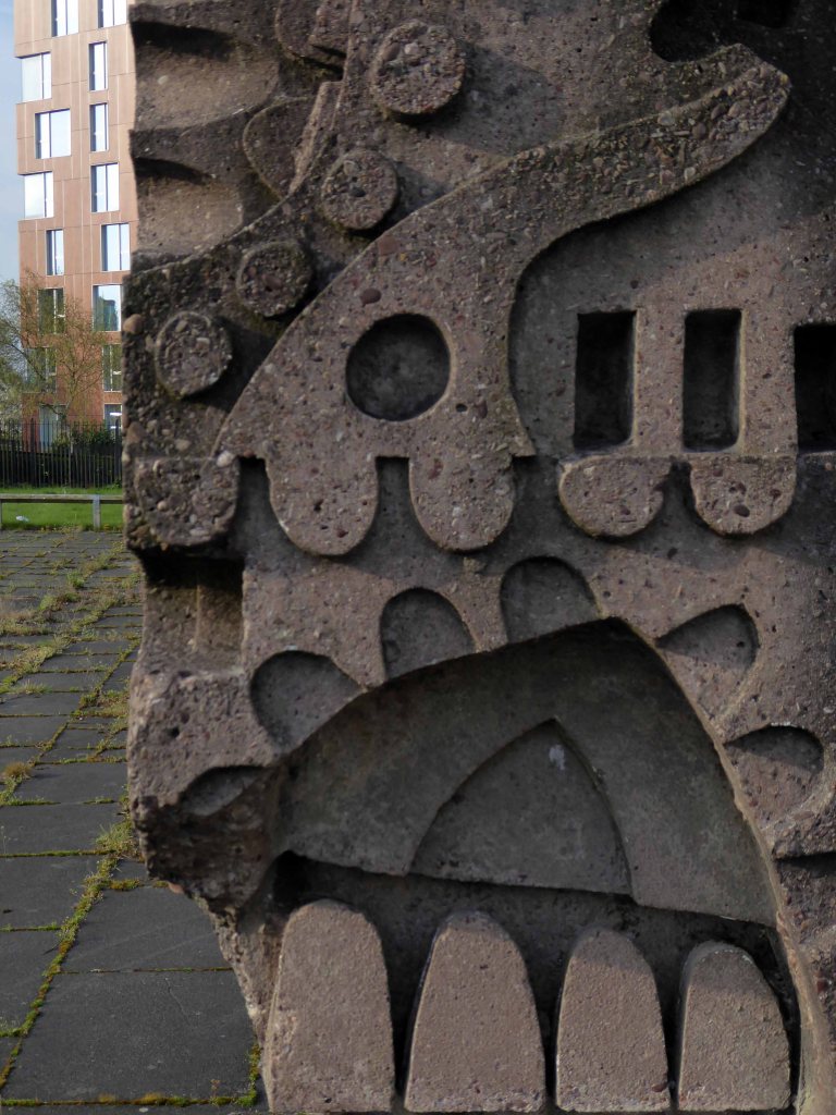
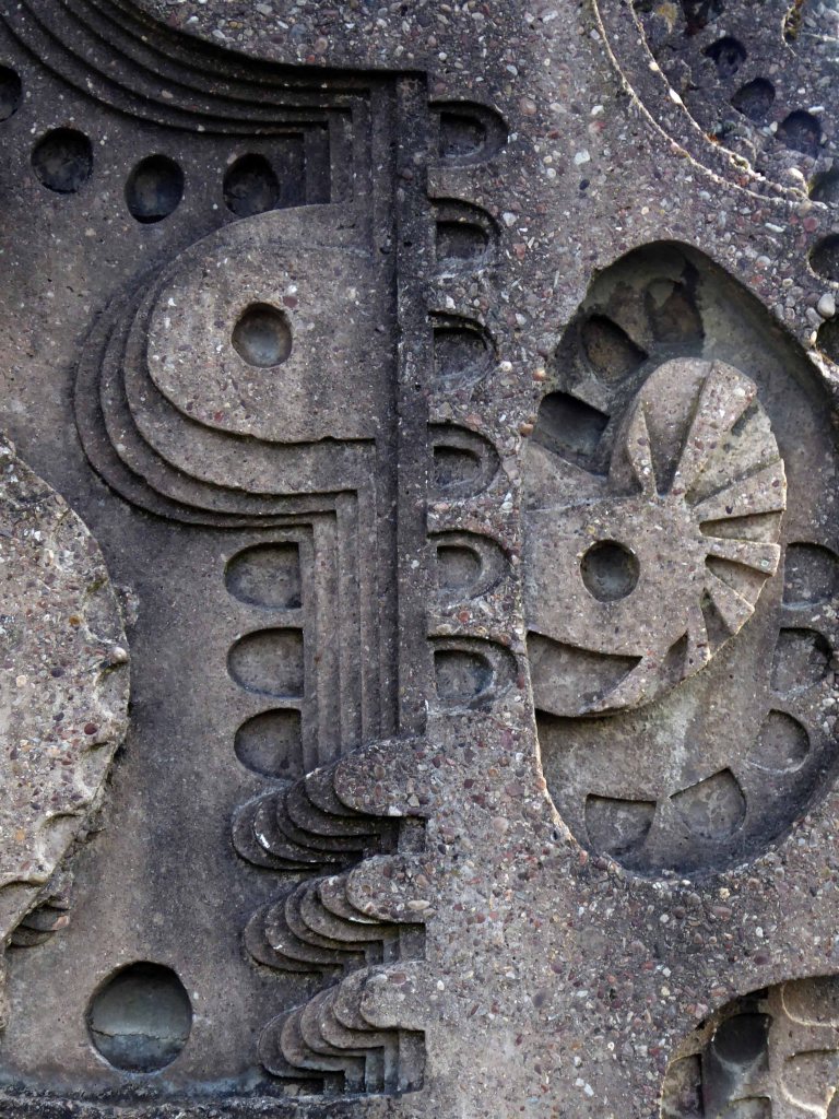
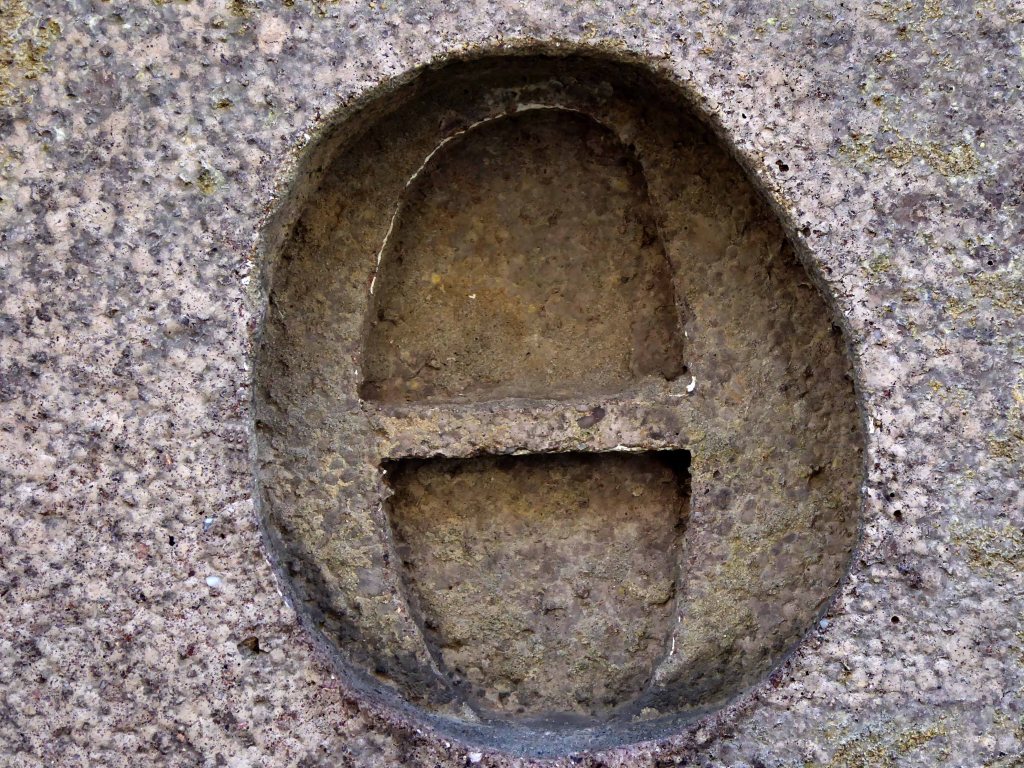
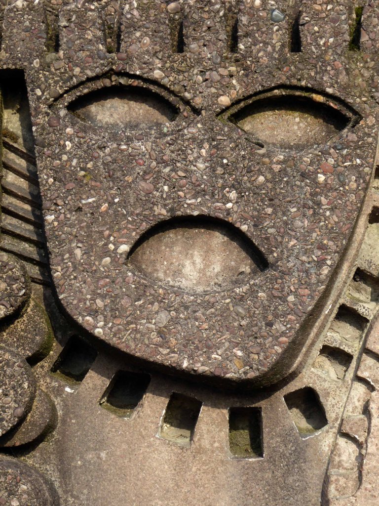
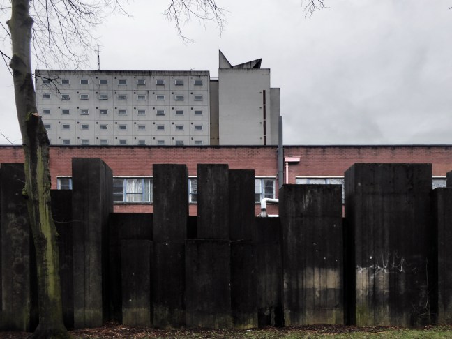
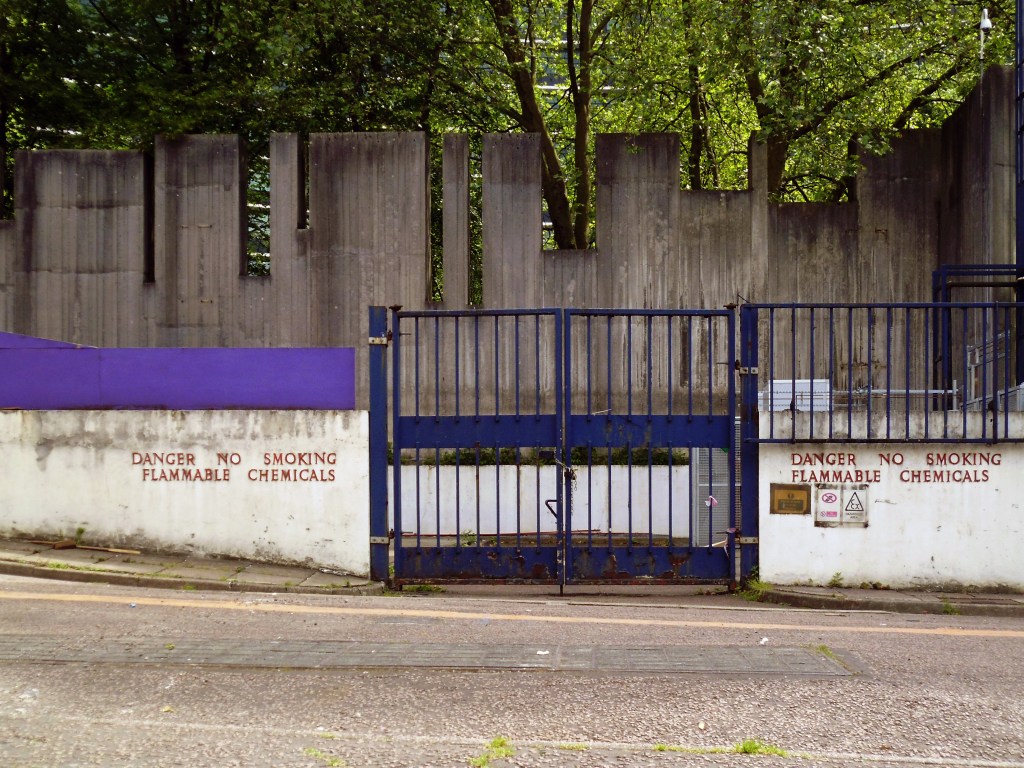
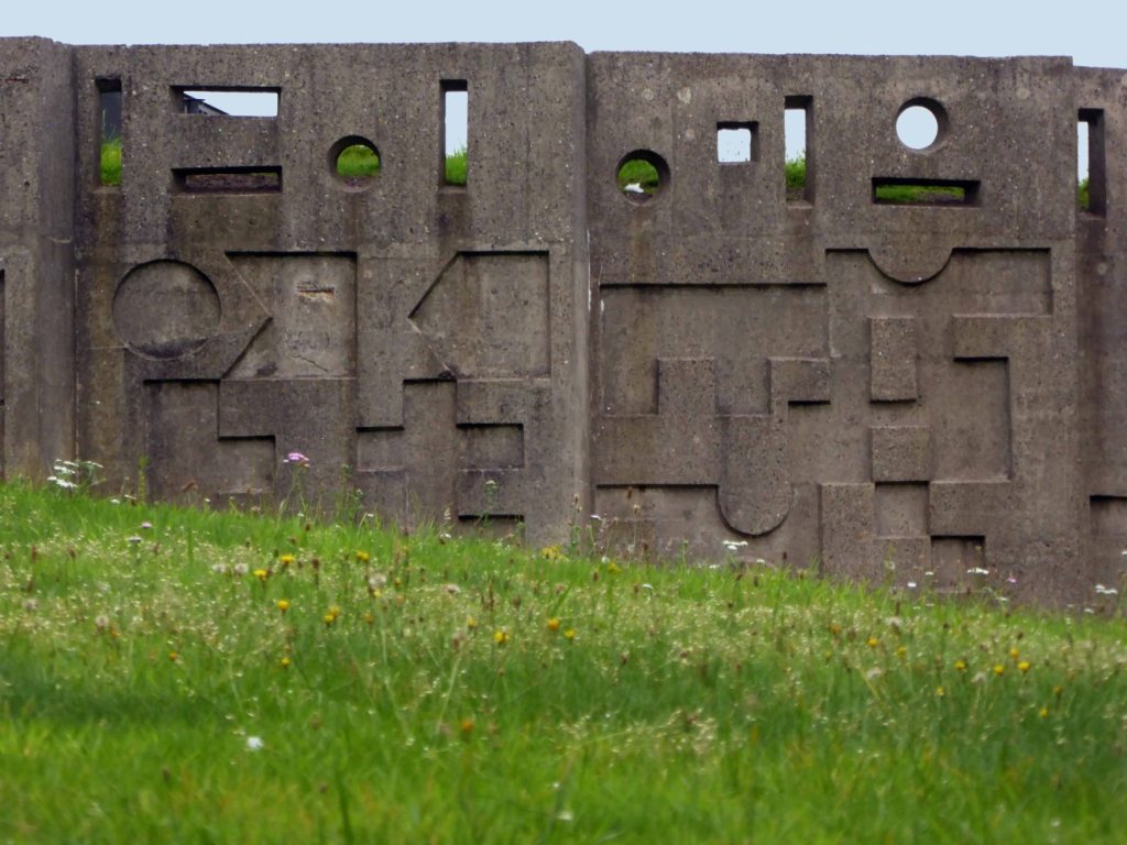
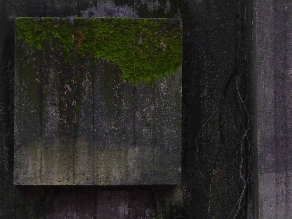
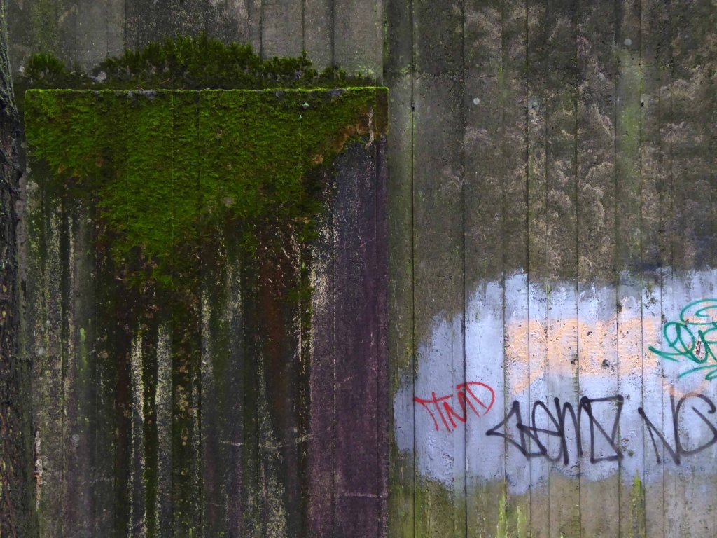
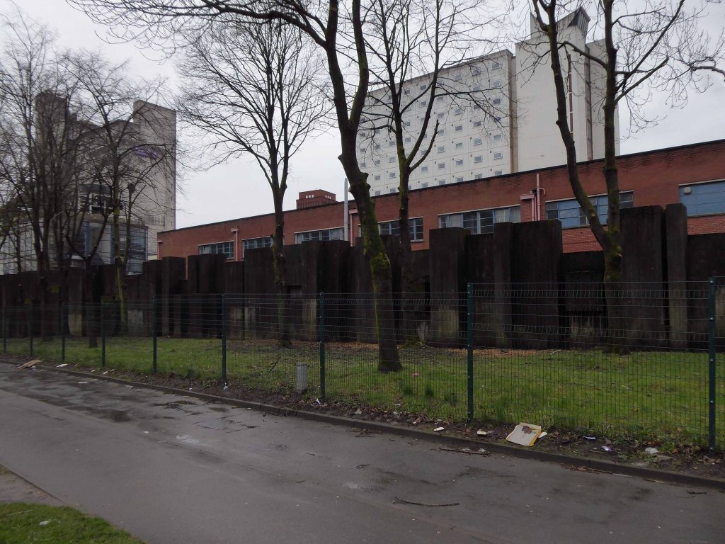
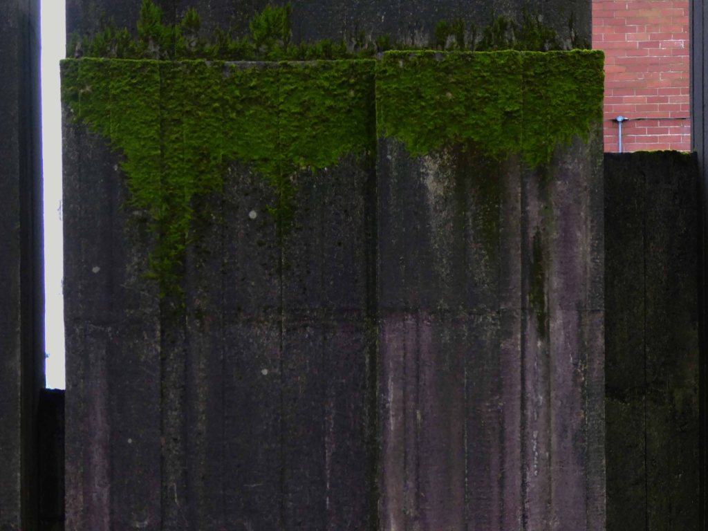
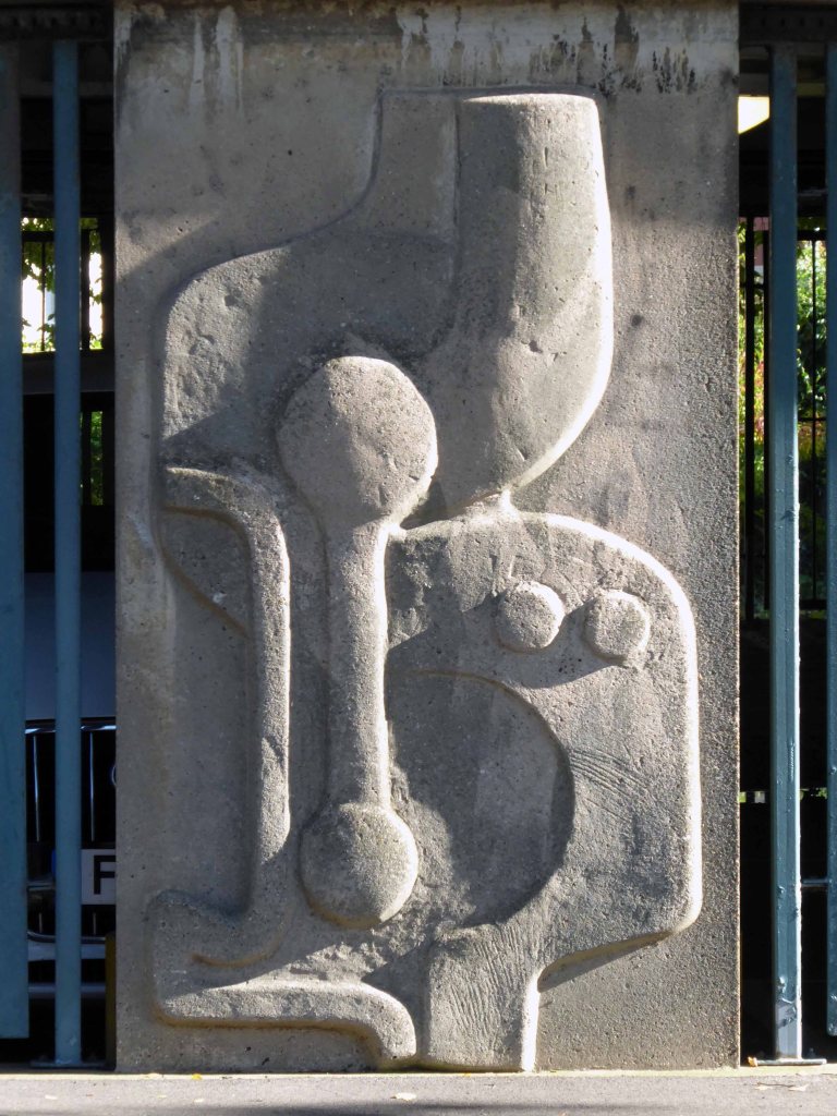
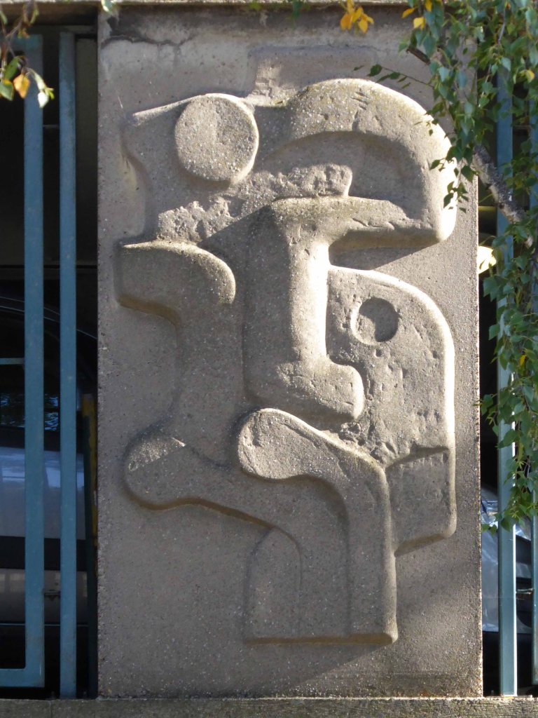
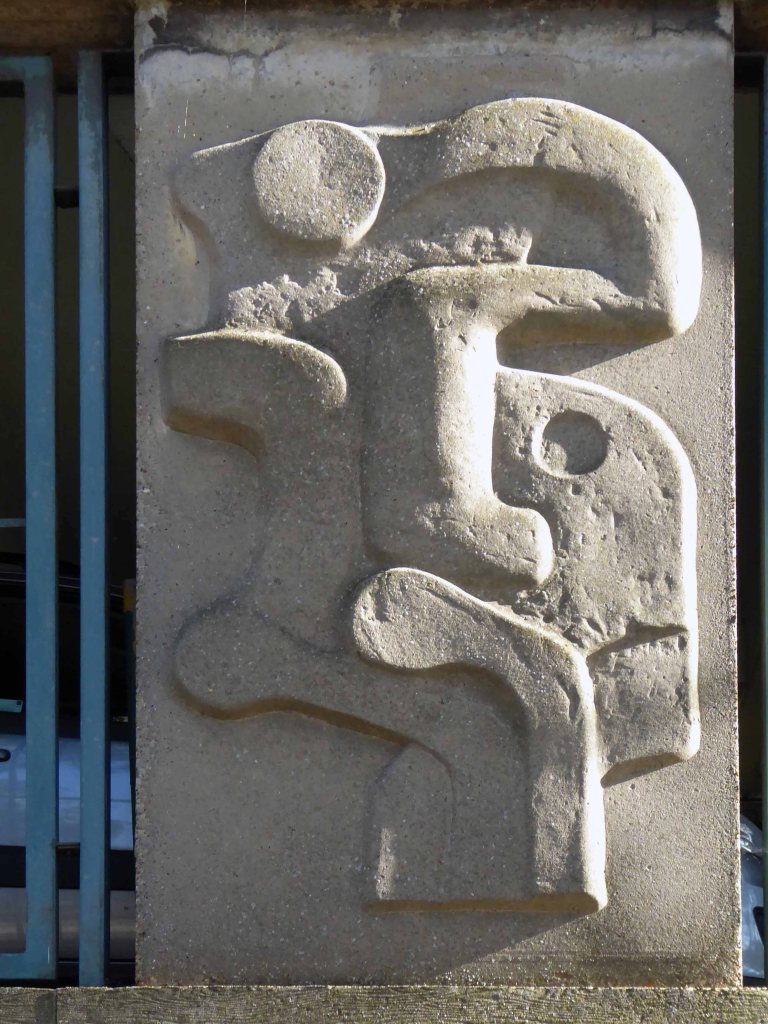
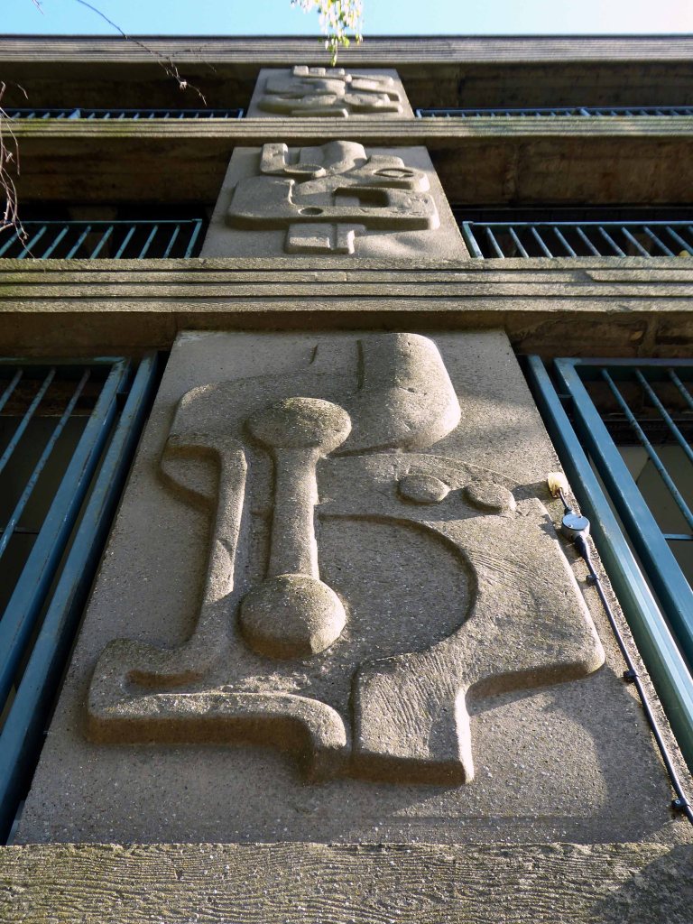
It sits by a busy London Road, behind an intrusive green steel fence, slowly acquiring a green patina – as moss and lichen attach themselves to the well weathered concrete.
Receiving occasional visits from the errant urban tagger.
It deserves much better – a lush grassed apron, discrete public seating, regular tree maintenance – respect.
We do not suffer from a surfeit of significant mid-century public art – its guardians should straighten up and fly right.
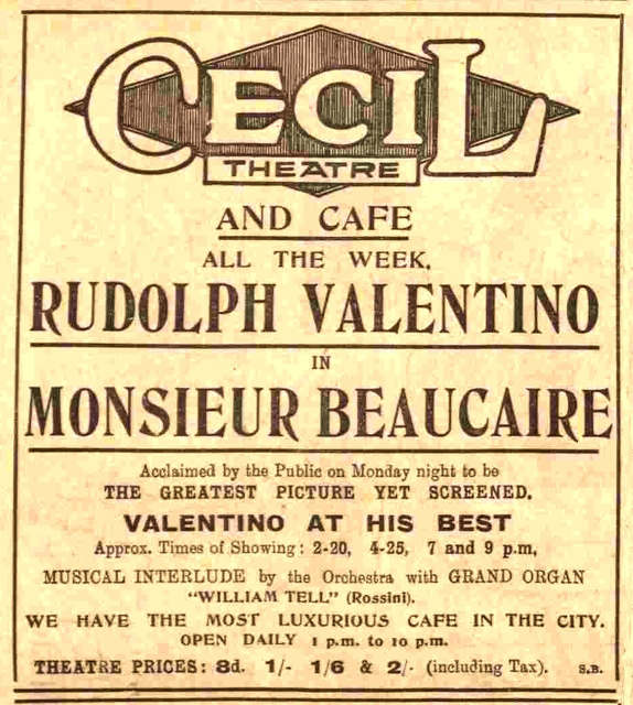
The Theatre De-Luxe was built in 1911 at the corner of Anlaby Road and Ferensway with its entrance in Anlaby Road and its auditorium along the side of the pavement in Ferensway. Kinematograph Year Book of 1914 lists 600 seats and the owners as National Electric Picture Theatres Ltd.
In 1925, the theatre was rebuilt to a radically altered ground-plan and renamed the Cecil Theatre. The opening night was Monday 28th September 1925. The entrance was in a curved façade at the Anlaby Road/Ferensway corner. The alignment of the new, larger, auditorium was at right angles to Ferensway, and parallel to Anlaby Road. Effectively, the length of the Theatre De-Luxe auditorium became the width of the Cecil Theatre’s. Seating was 1,700 with 700 of those in the balcony, according to the Hull Daily Mail. The Cecil Theatre was originally designed for silent movies with a full orchestra pit. KYB 1931 lists it having Western Electric sound installed; and a 1931 aerial view shows that a brick horn-chamber had been built onto the wall at the rear of the stage. It had a 35 feet wide proscenium. The cinema also had a café attached.
The Cecil Theatre’s demise came during bombing on the night of 7/8 May 1941 when German incendiary bombs reduced the building to a shell; and it remained like that until demolition in 1953.
Work on the new Cecil Theatre was begun in April 1955 and it was opened on 28th November 1955 with 1,374 seats in the stalls and 678 in the balcony.
Architects: Gelder & Kitchca
At the time of opening it had the largest CinemaScope screen in the country measuring 57 feet wide, and the first film shown was Marilyn Monroe The Seven Year Itch. The proscenium was 60 feet wide, and the cinema was equipped with a Marshall Sykes 3Manual/15Ranks organ, which was opened by organist Vivian Newall.
There was also a 100-seat restaurant & bar which in 1971 was converted into a second screen seating 137 (Cecil 2). The following year the main auditorium was spilt into 2 smaller cinemas in the balcony (Cecil 1 & 3 each seating 307) and an entertainment hall in the former stalls which became a Mecca Bingo Club, with Mecca also operating the cinemas.
In the 1980’s it was taken over by the Cannon Cinemas chain. The cinema operation was closed on 23rd March 1992 and the cinemas were ‘For Sale and/or Lease. It was taken over by Take Two Cinemas and renamed Take Two Cinema. It was closed on 27th February 1997 and the two screens in the former circle were stripped out and converted into a snooker club.
Whilst bingo continues in the former stalls area of this post war cinema, the former mini cinemas in the circle still contain the snooker tables, but the space is unused. The screen in the former restaurant/cafe area remains basically intact, but is unused.
I worked at the Cecil in the three years before it closed in the 90’s. MGM owned the place before the Virgin group bought it and closed it. It was a good place to work and an interesting building. Behind the scenes had remained unchanged since Anna Neagle first opened it. The organ had been removed however but the organ room was still in tact in the bingo section of the building. The fire exits led to long dark corridors that were always being infiltrated by kids sneeking in for a free shows. I understand that this was always the case. The resturant kitchen was fully intact and resembled something out of a Kubrick film – very spooky place!
Bilko2000
And so the projectors whirr no more, house is called at the Cecil – possibly the most oddly named cinema in the land.
Happily it remains an imposing presence in the centre of the city – a mammoth modern temple of entertainment – reflecting the ever changing tastes of the day and the morning after.
Whilst walking the length of Hessle Road, up and back – taking the air, snaps, the sights and sounds, I came upon a fine Faience tiled frontage.
I began photographing, wandering dangerously into the space between the slip road and the flyover. A shout rang out, emanating from the boozer, the landlord called me over.
“Do you want to take a look inside?”
“Yes”.
A listed interior the new landlord is working hard along with Historic England to restore the capacious rooms to their former glory, including the entrance mosaic and ceiling – images P Hampel
Inheriting a whole heap of issues and a grey parrot called Sparky.
But the boozer is now up and running serving cask ale to throngs of first class thirsty customers.
The Yorkshire Brewhouse 1904 ended mid week when we’re normally closed but we were asked to open for a group of very thirsty sailors. We moved on to Reet, another Yorkshire Brewhouse beer and thanks to the football that one has gone too. It’s back to the YBH Faithful Stout once again. I’d come quick and get it while you can.
Once two pubs the Hessle Road Inn was subsumed by the Alexandra. The area was once home to the city’s Jewish Community – the cemetery survives next door.
There are Star of David motifs incorporated into the windows, sympathetic to this local heritage.
Built around 1895, designed by Smith, Brodrick and Walker, with late C20 alterations – British Listed Buildings.
It’s a fabulous pub which deserves to thrive – pop in for a pint if you’re passing, just watch out for low flying parrots.
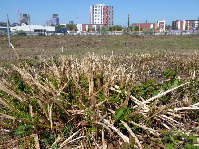
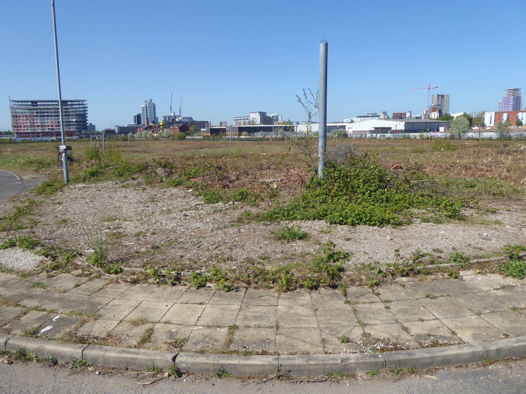
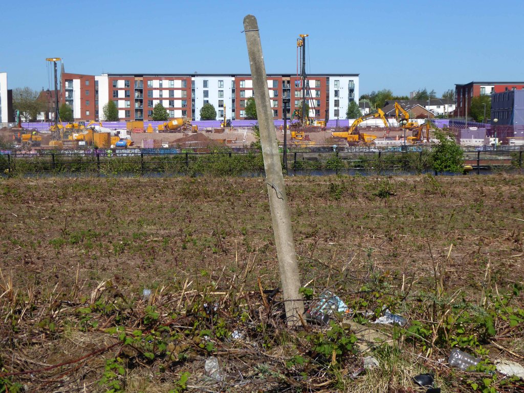
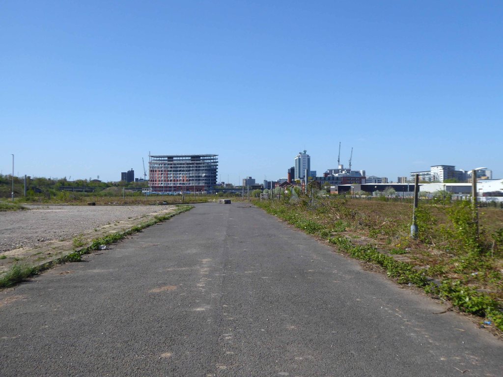
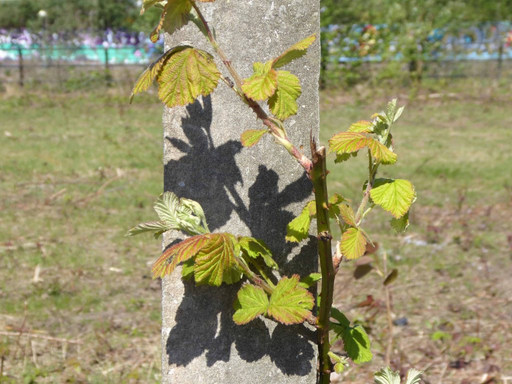
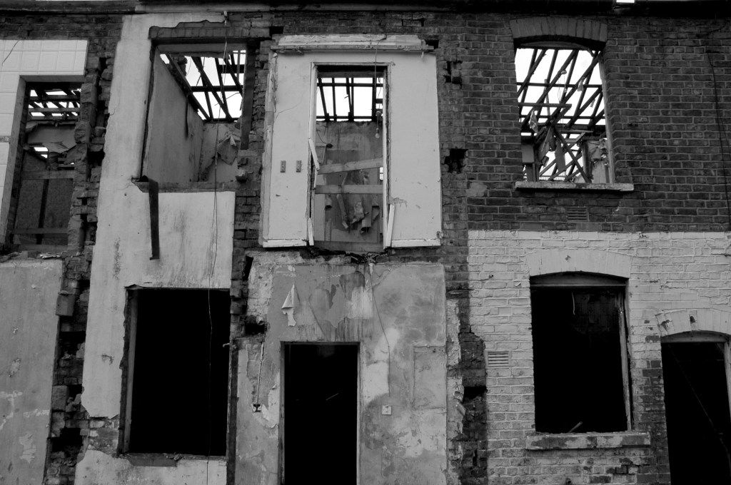
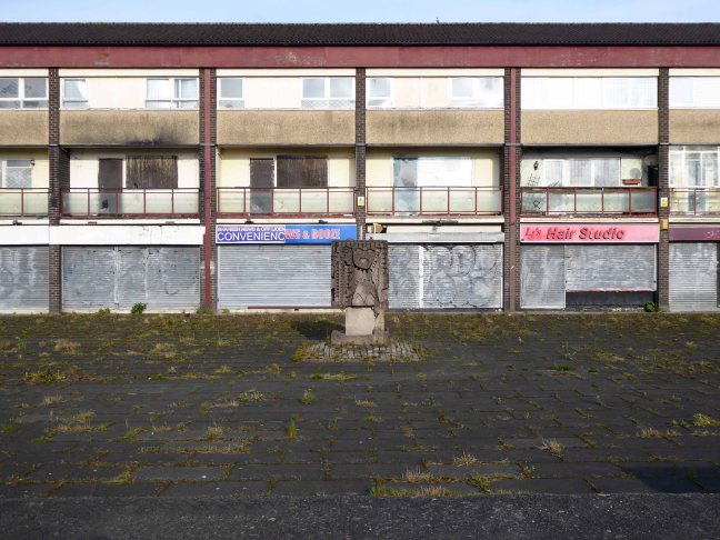
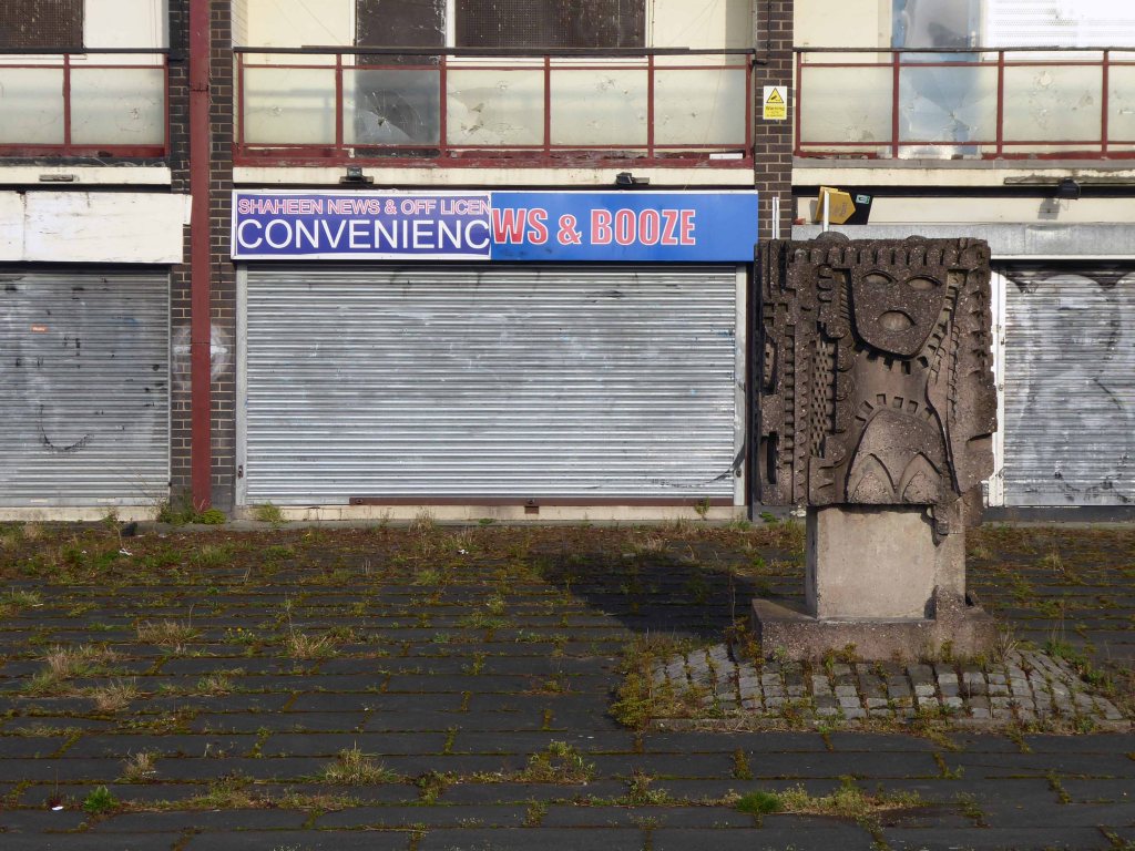
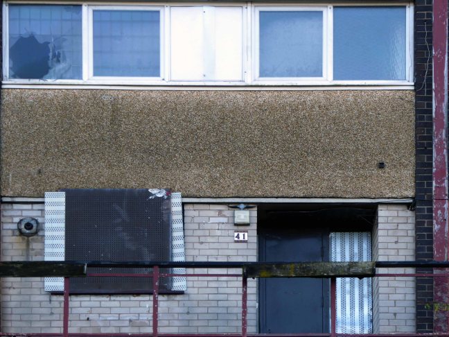
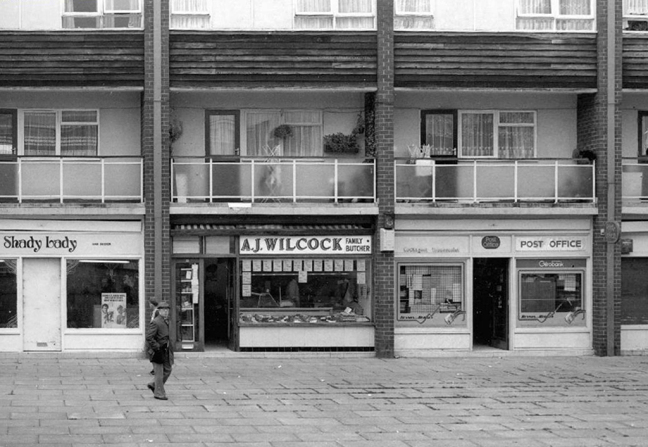
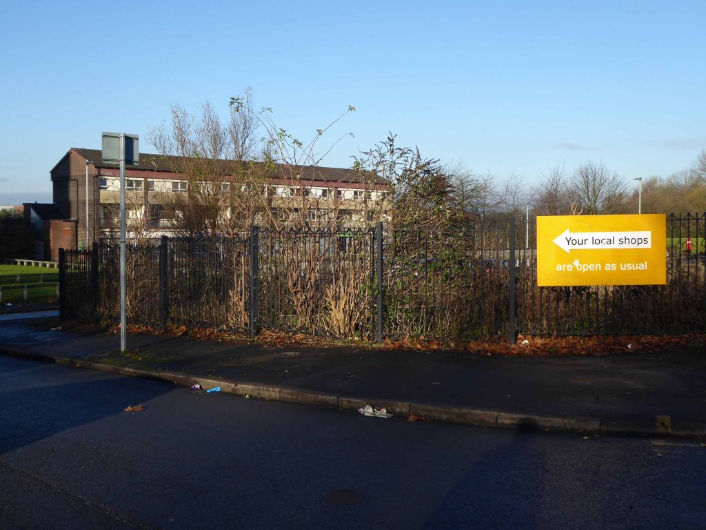
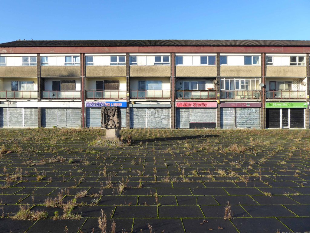
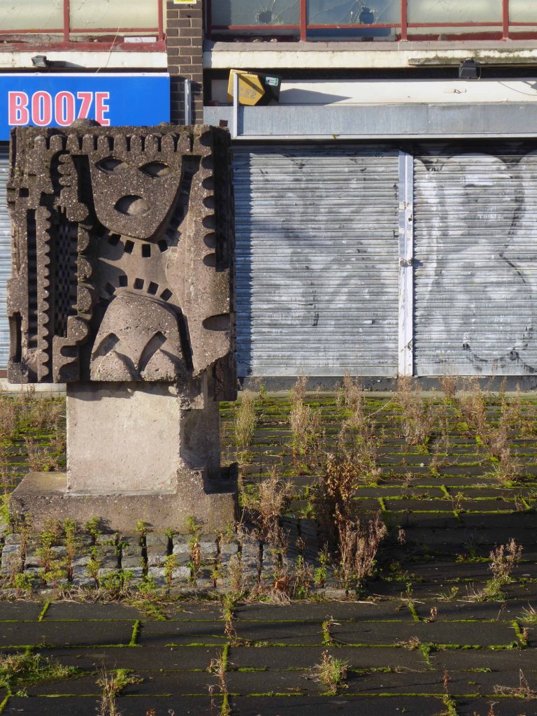
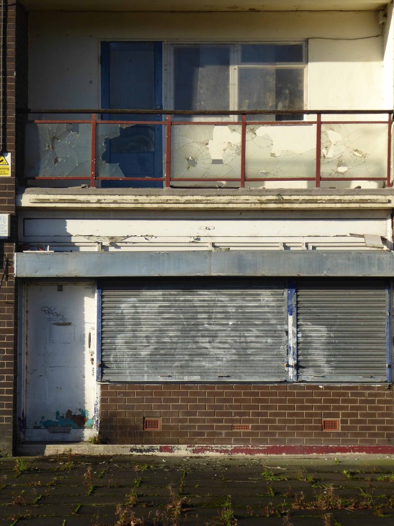
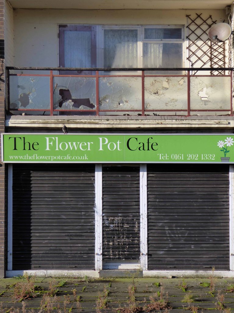
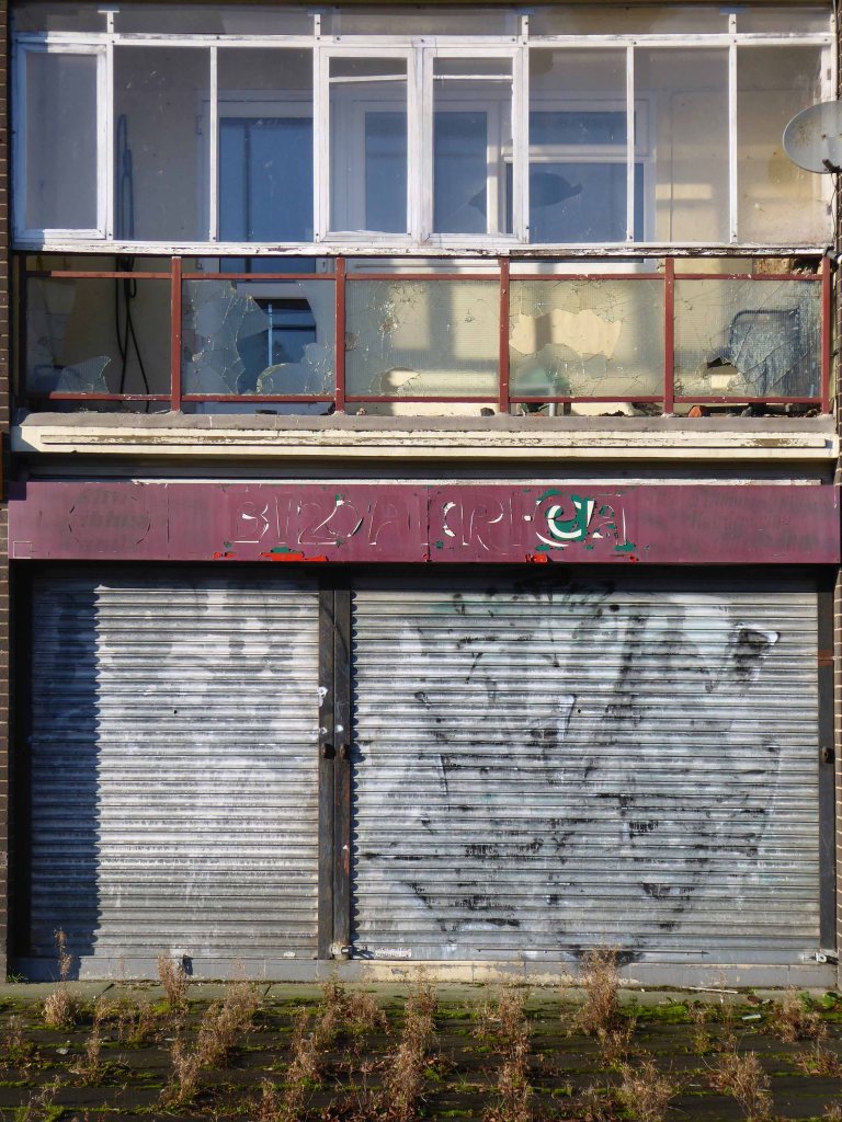
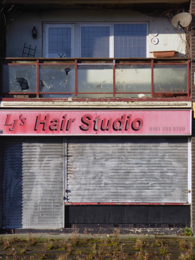
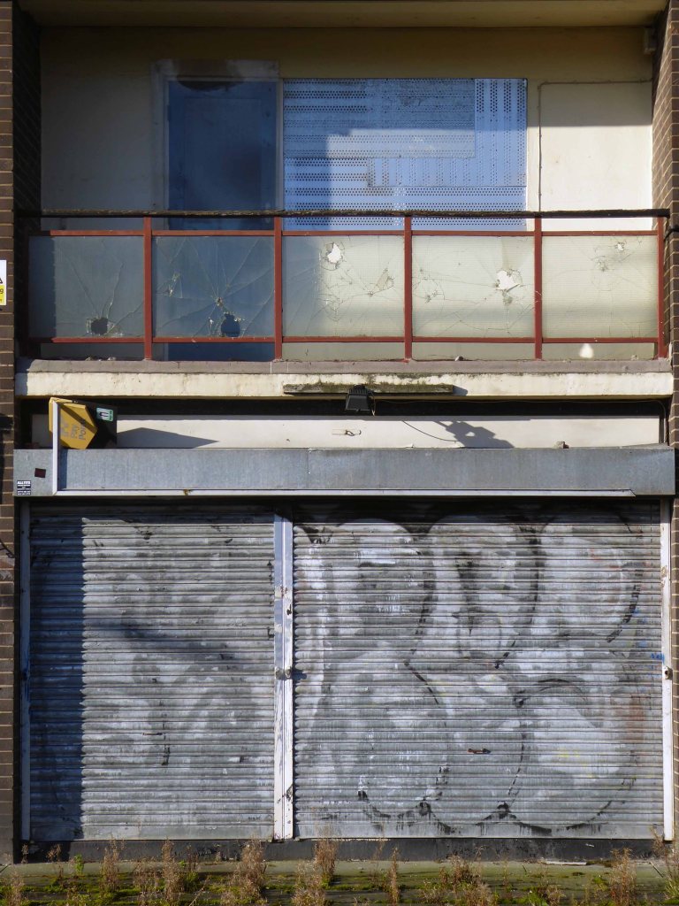
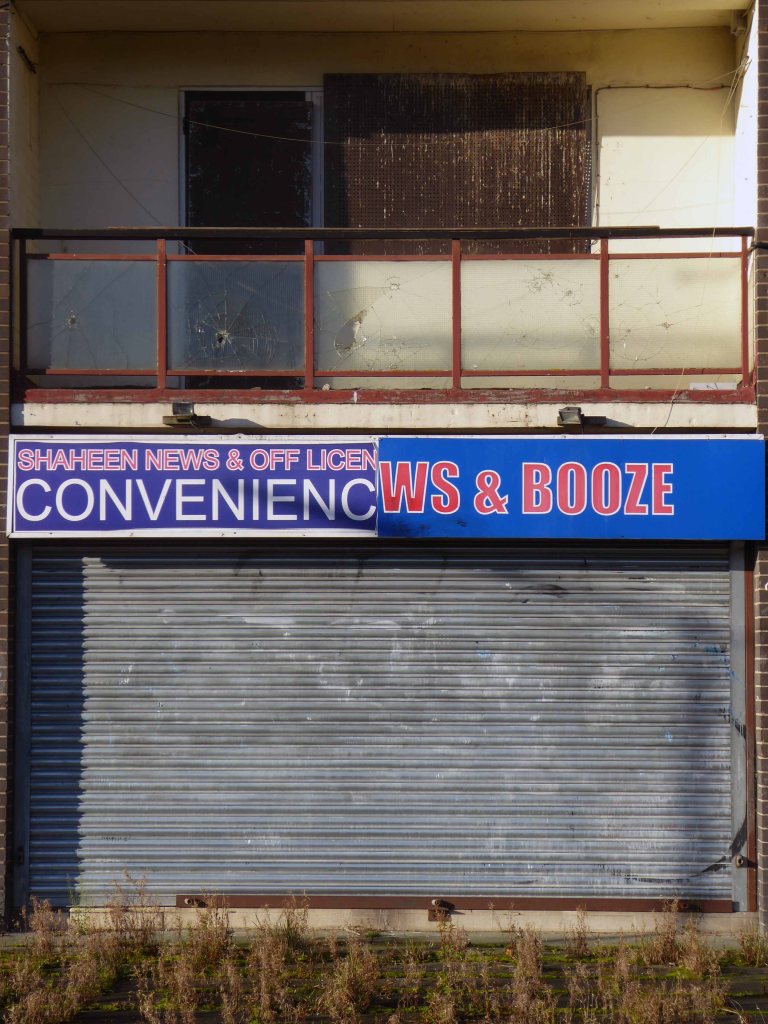
Stasis is the order of the day – the last stand for this forlorn stand of shops.
Once the realm of cobbles, railings, high rise arrivals and urban cowboys – an area overwhelmed by the weight of its past and the insubstantial promise of a sustainable future.
Where once productive and fulfilling lives were lived, buddleia now blooms, whilst thin grass entwines around forlorn fencing and betwixt ever widening cracks in the uneven paving.
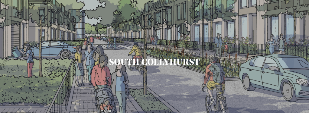
Development in South Collyhurst will take the form of residential-led, family-focused neighbourhoods. We’ll be providing a variety of housing types and tenures to encourage diversity, along with a mix of social and community infrastructure that supports a family lifestyle in close proximity to the city centre.
There are two ideas of government. There are those who believe that if you just legislate to make the well-to-do prosperous, that their prosperity will leak through on those below. The Democratic idea has been that if you legislate to make the masses prosperous their prosperity will find its way up and through every class that rests upon it.
William Jennings Bryan 1896
Indeed, You have turned the city into a heap of rubble, a fortified town into ruins; the fortress of strangers is a city no more; it will never be rebuilt.
Isiah 25:2
And they that shall be of thee shall build the old waste places: thou shalt raise up the foundations of many generations; and thou shalt be called, the repairer of the breach, the restorer of paths to dwell in.
Isiah 58:12
The putative William Mitchell cast concrete block stares stolidly at its surroundings, overseeing a slow and painful decline.
All that is solid melts into air, all that is holy is profaned, and man is at last compelled to face with sober senses his real conditions of life, and his relations with his kind.
There’s no business like no business – it’s no better out the back.
This is an unprecedented opportunity to deliver a significant residential-led development connecting the north to the centre of Manchester. Working with our partners we’re re-imagining the essential neighbourhoods of our city.
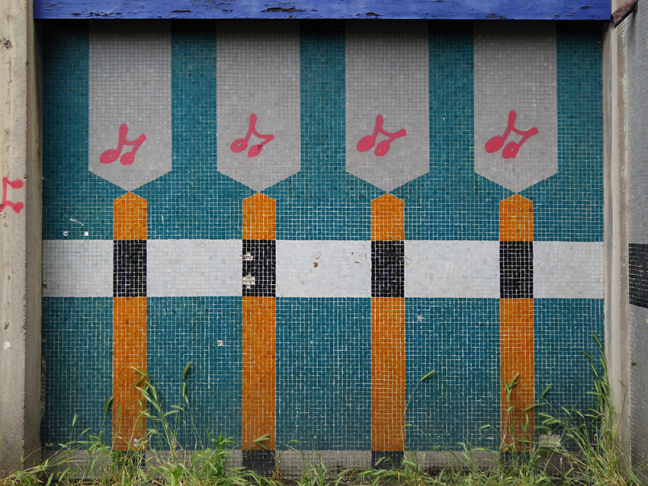
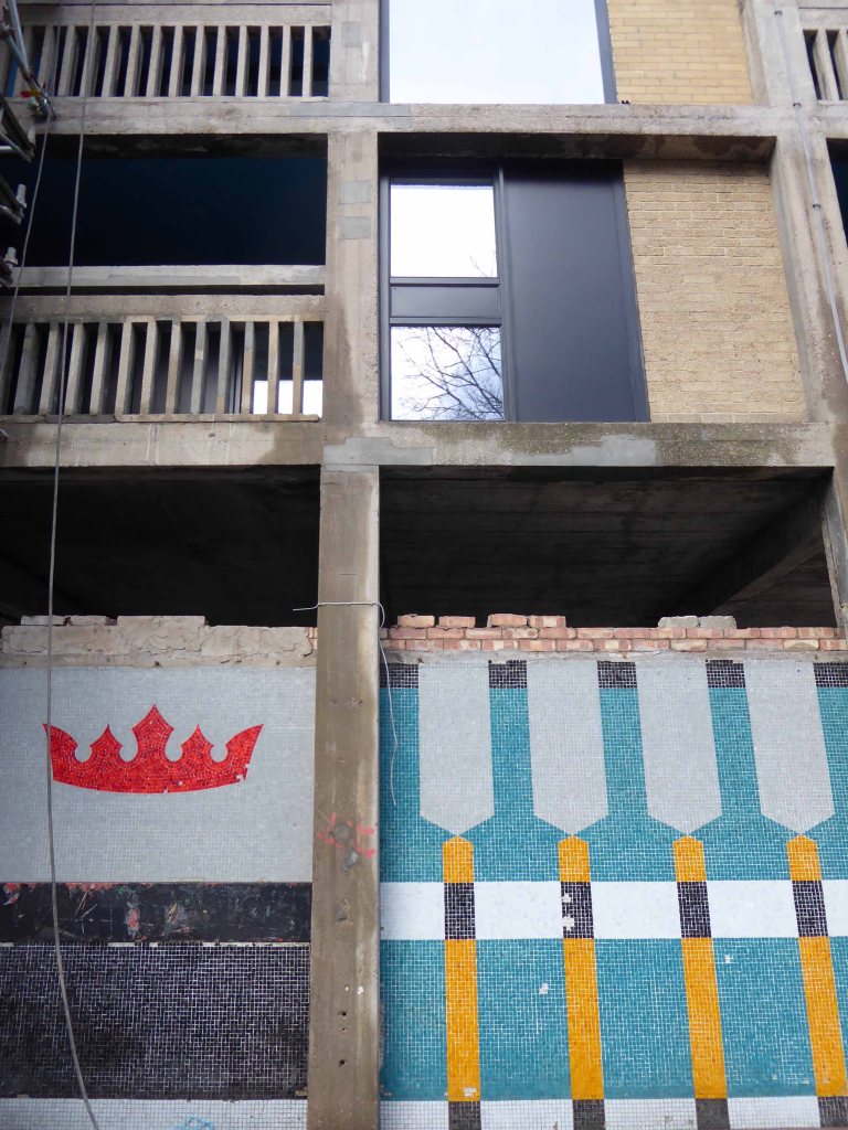
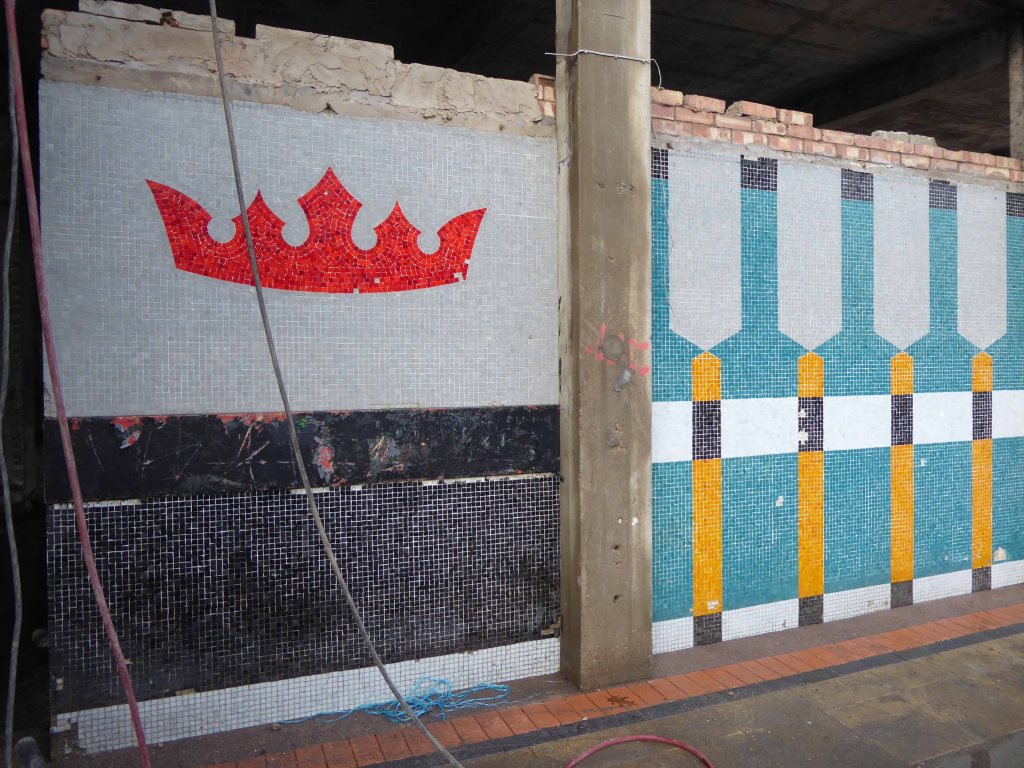
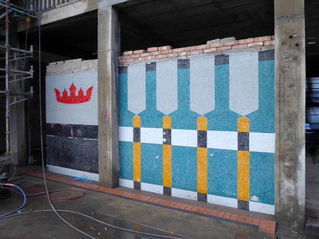
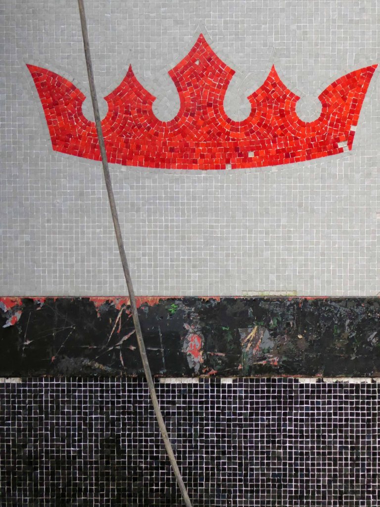
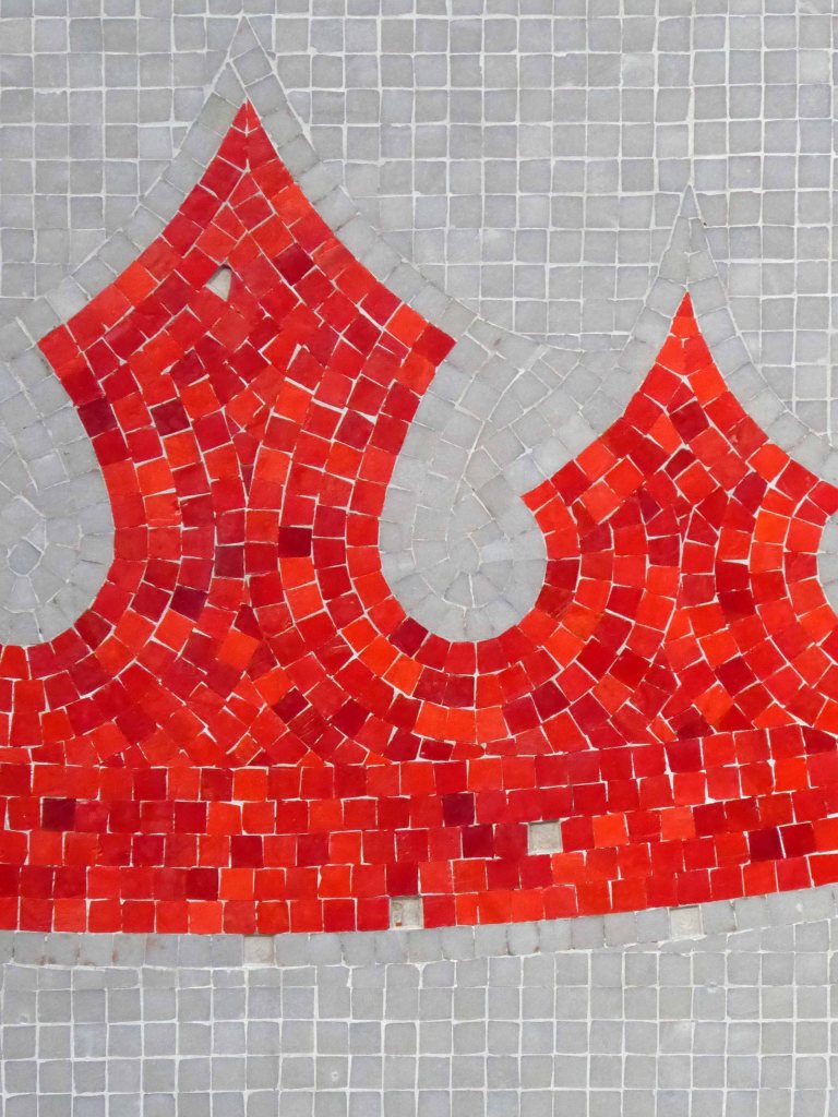
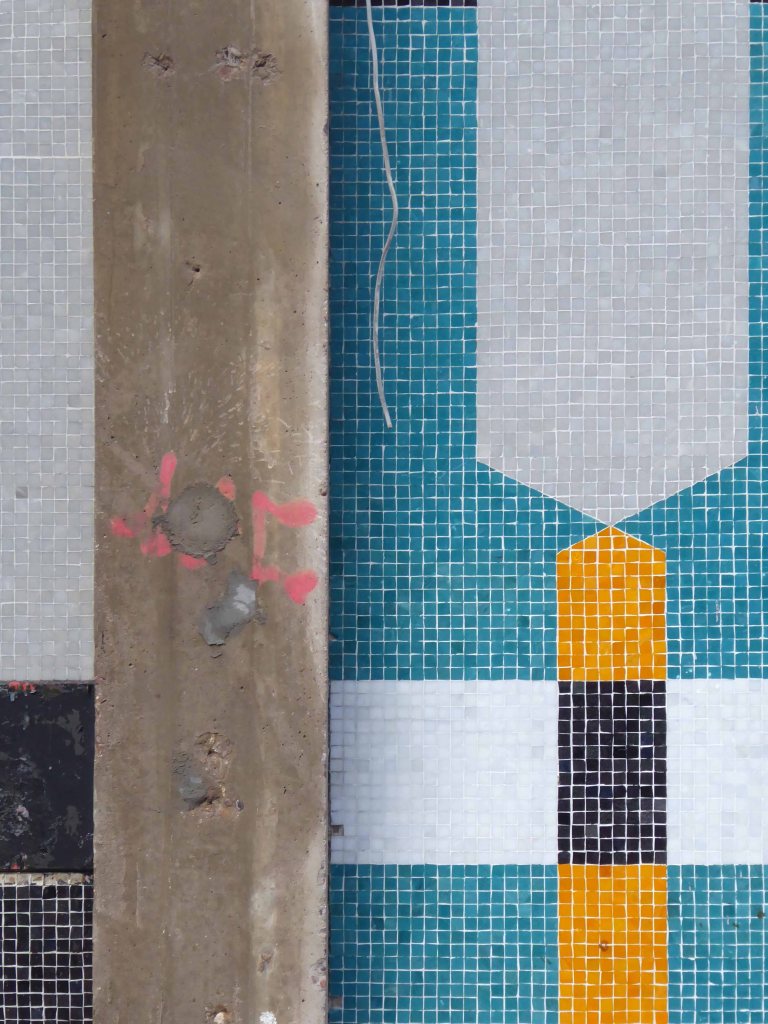
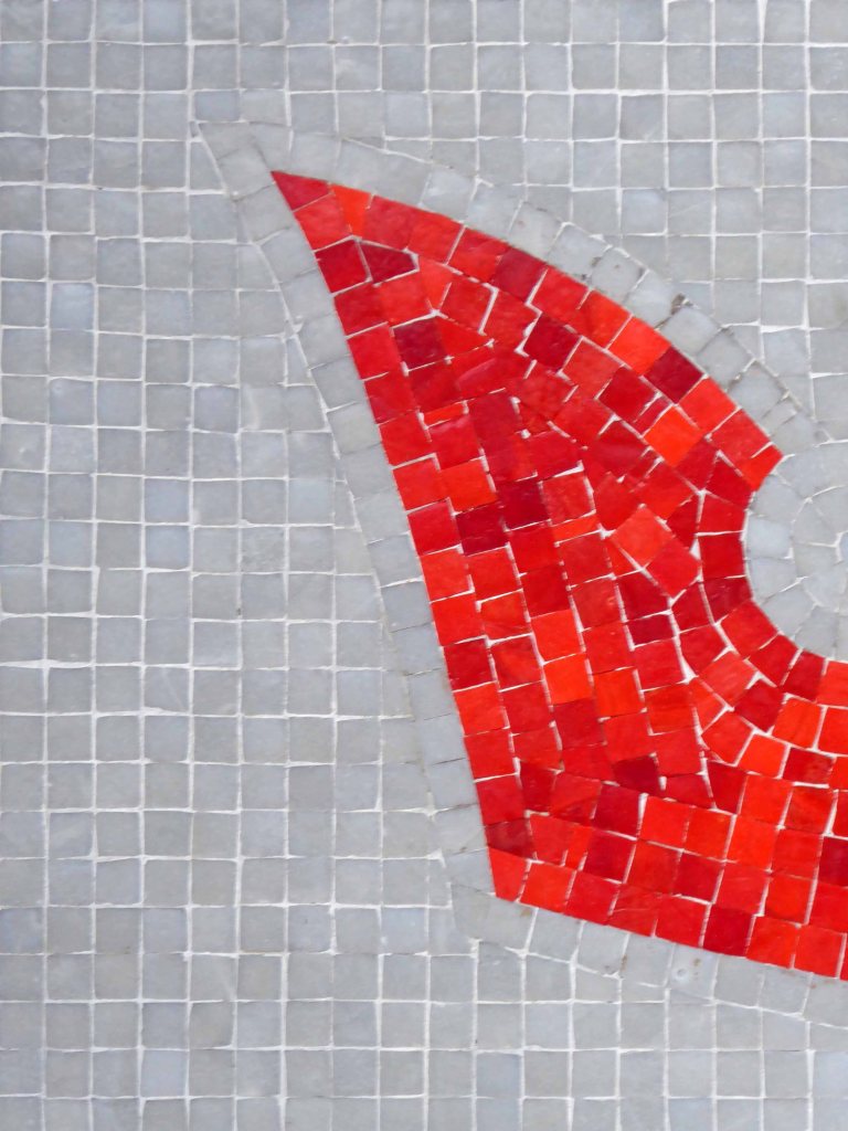
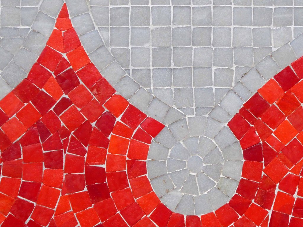
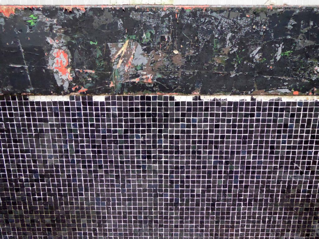
Your bold mosaic whilst once exposed, was sadly disabused, then unthinkingly covered.
Has subsequently been uncovered, steam cleaned and proudly on view, as a central part of the most recent of the estate’s phases of redevelopment.
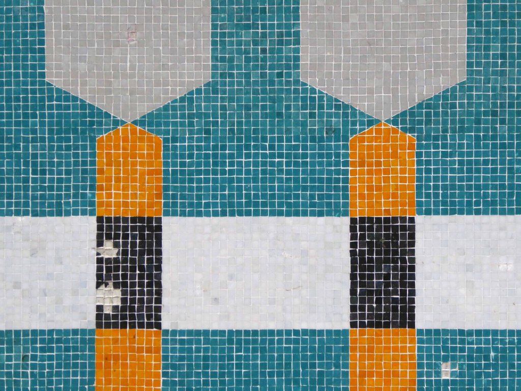
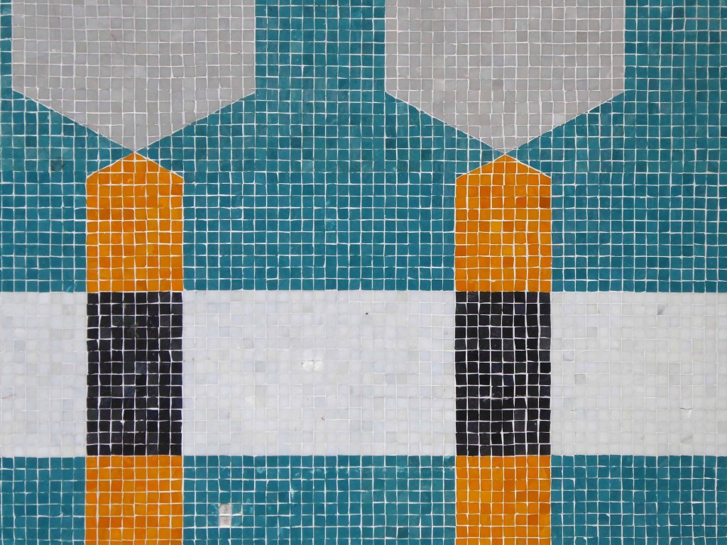
The block is to become student housing, the distinctive tan, turquoise blue and bold red colours of the mosaic, integrated into the banding of the newly refurbished building.
My face was a picture of delight, viewing the multicoloured tesserae – as we were privileged to be guided around the site by Kier Construction, Matthew Borland from Whittam Cox Architects, who are working with Alumno on Béton House and Urban Splash – my thanks to all and particularly PR Surriya Falconer.
So here it is living and breathing the South Yorkshire air once more.
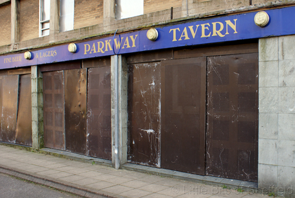
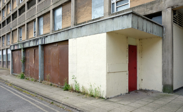
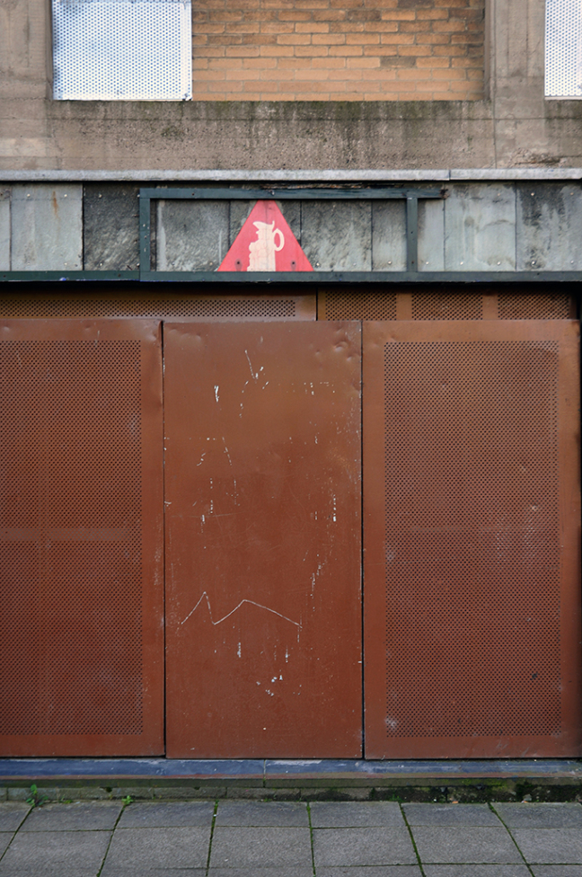
Alas the Parkway is a pub no more – simply an empty shell.
But hush – can you not catch the chink of pint pots and gales of merry laughter, carried gently on the passing breeze?
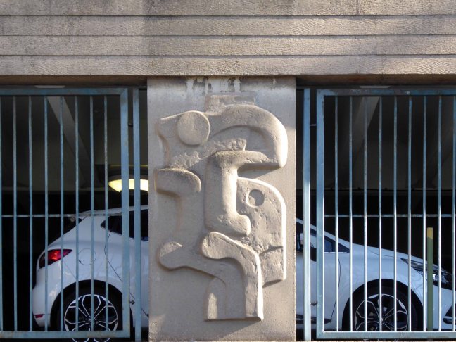
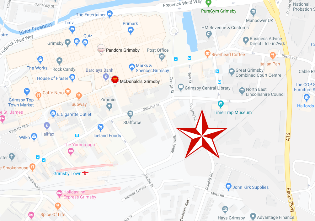
I was in town, just looking around, just looking for modernity, just looking.
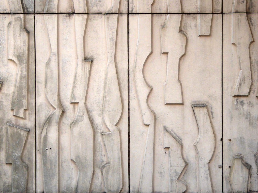
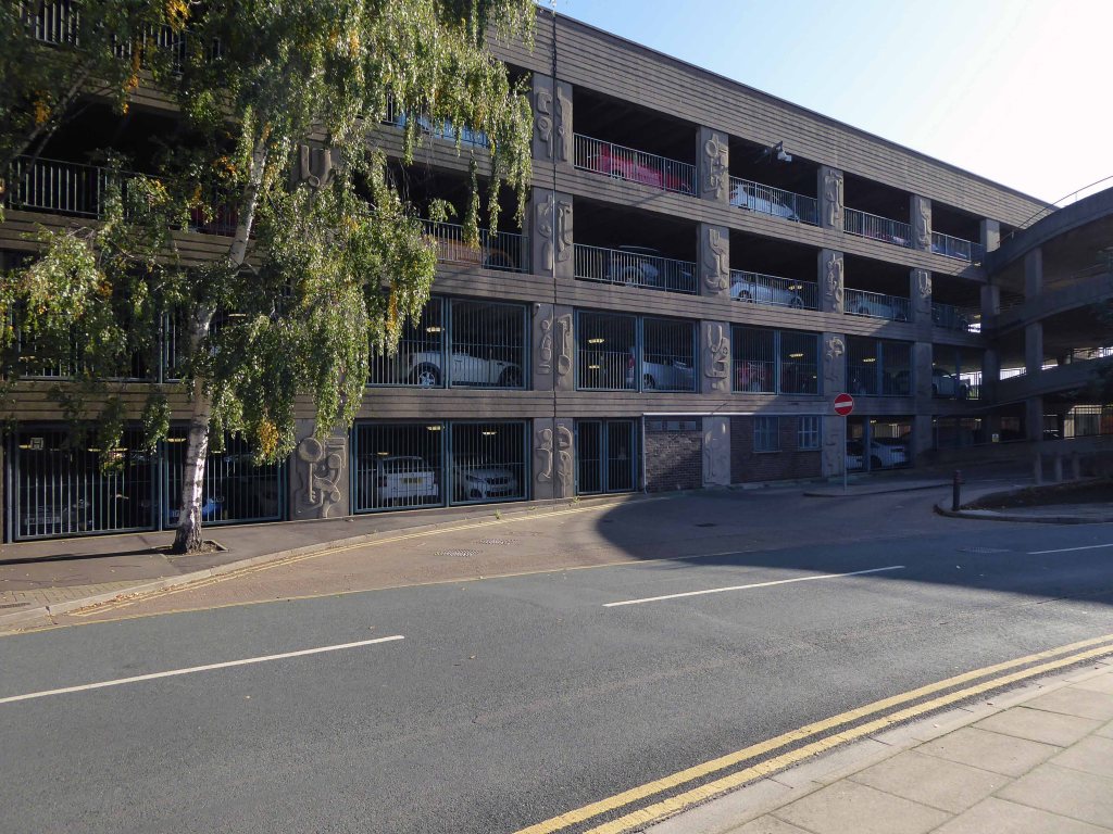
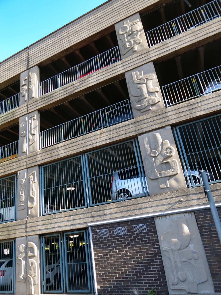
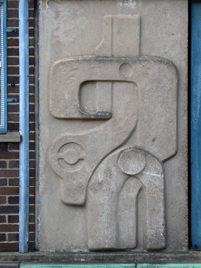
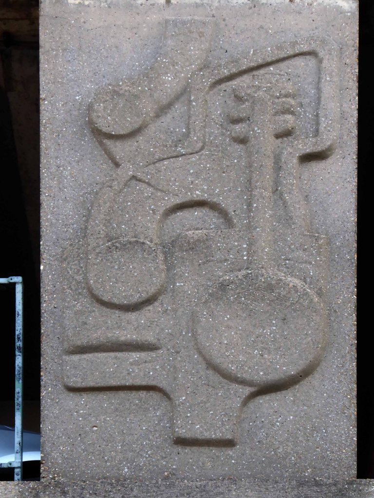
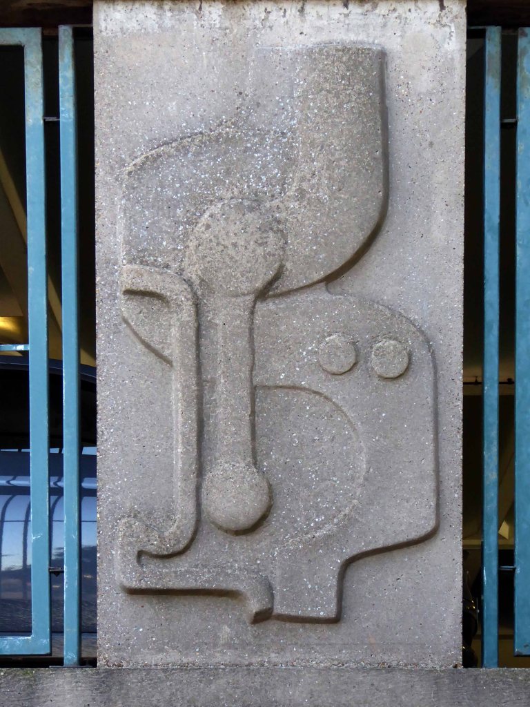
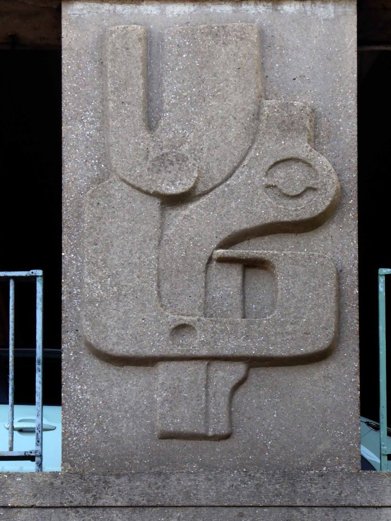
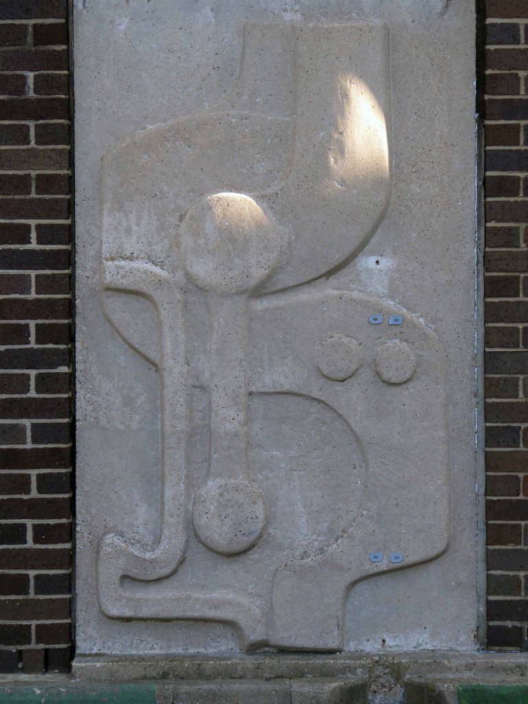
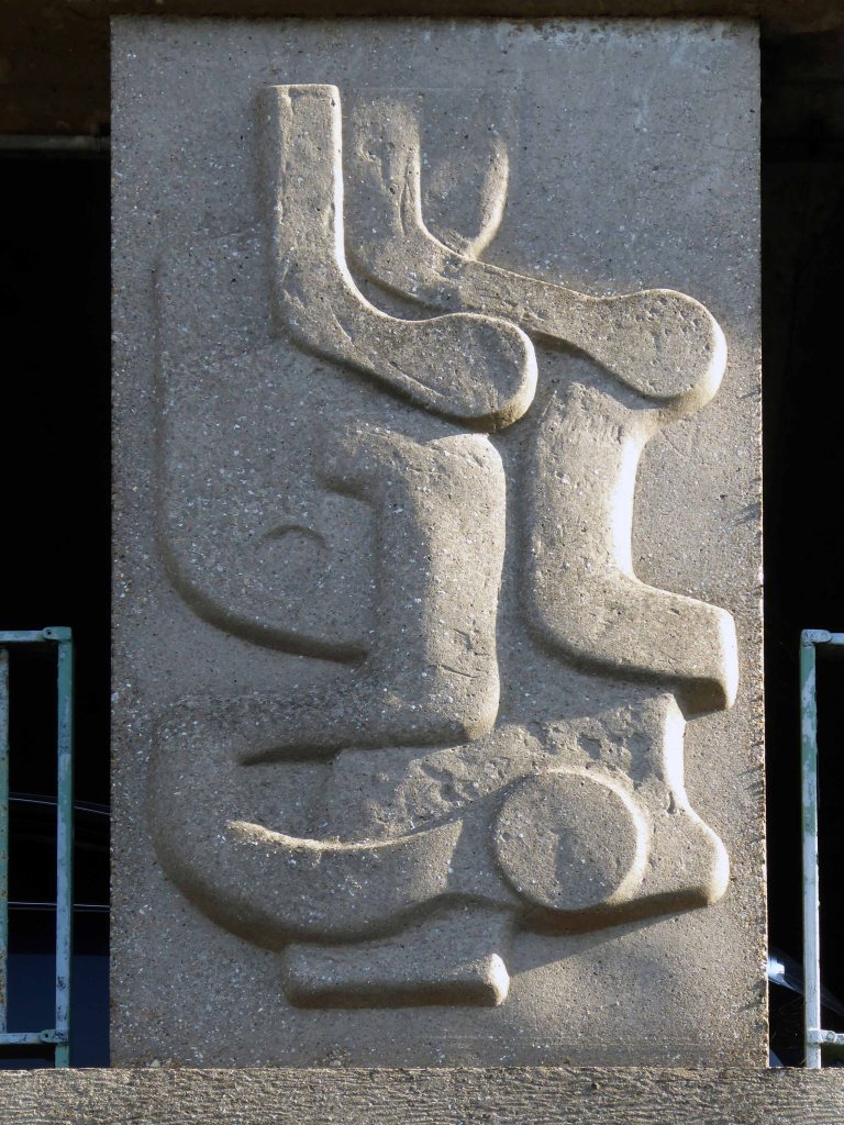
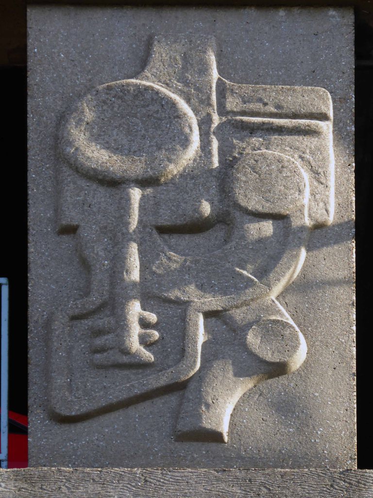
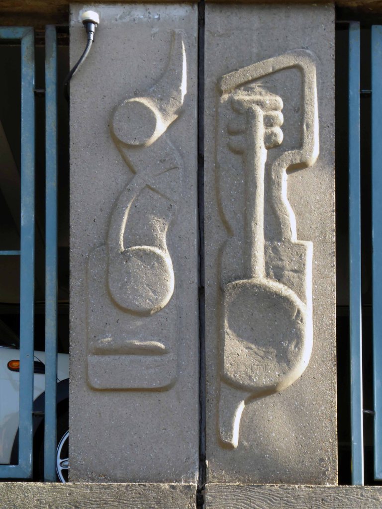
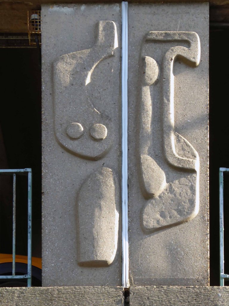
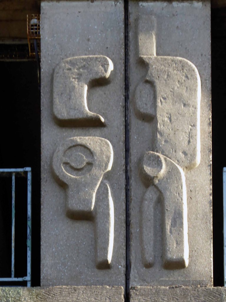
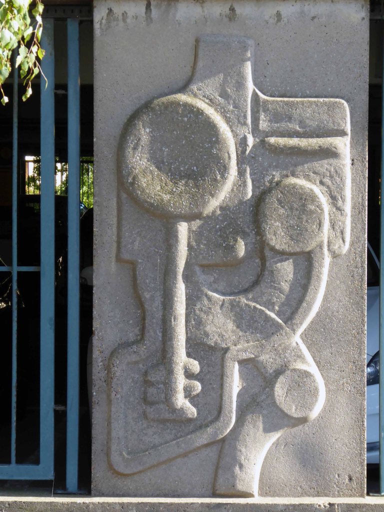
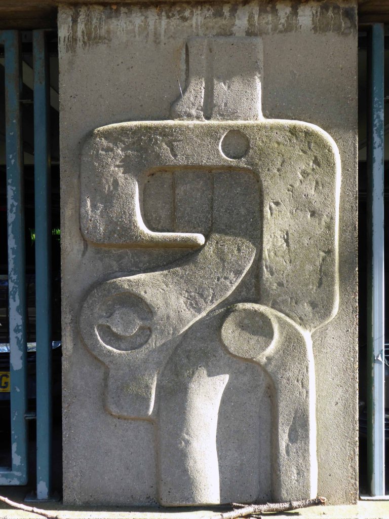
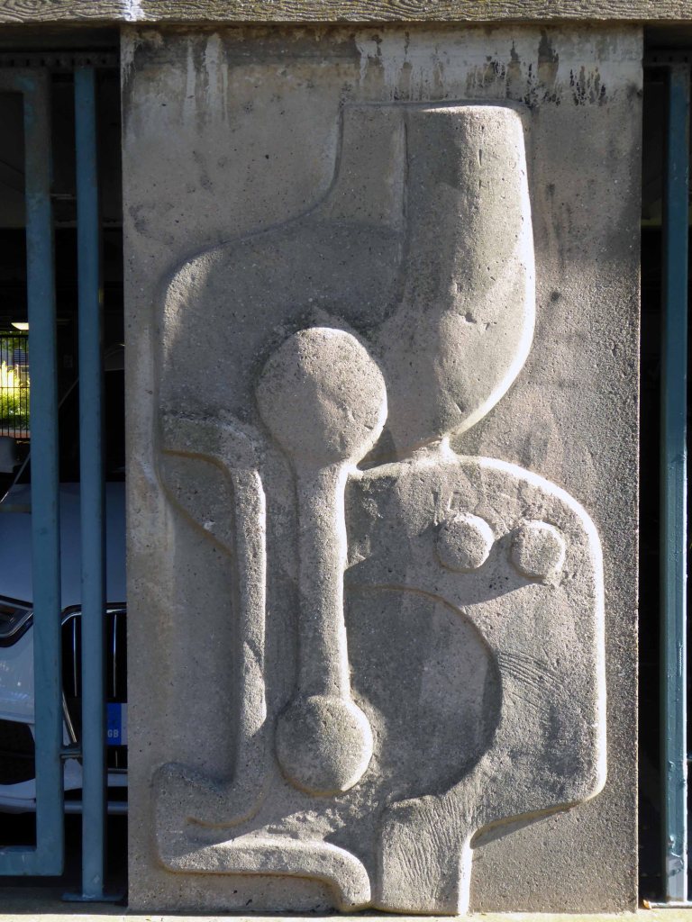
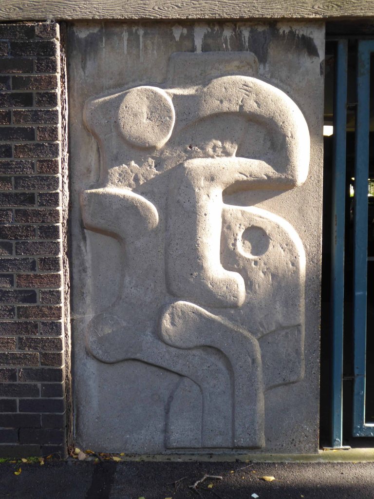
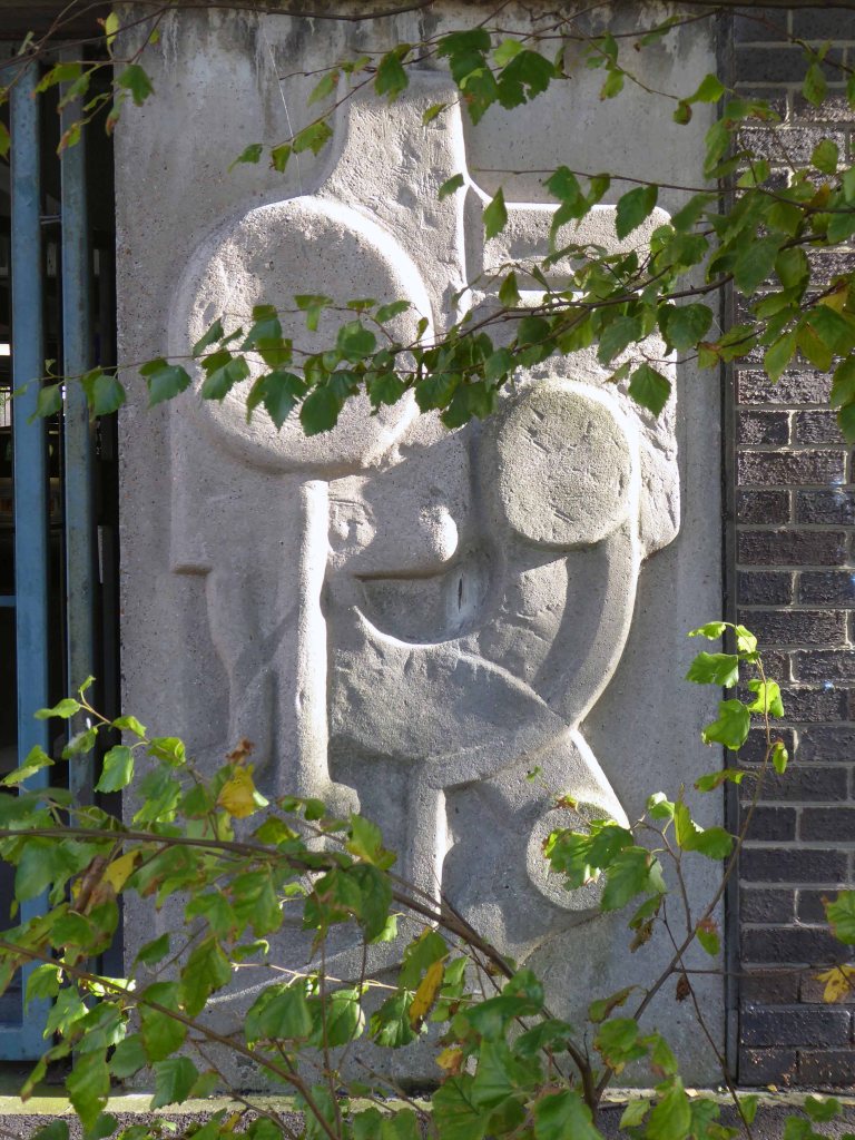
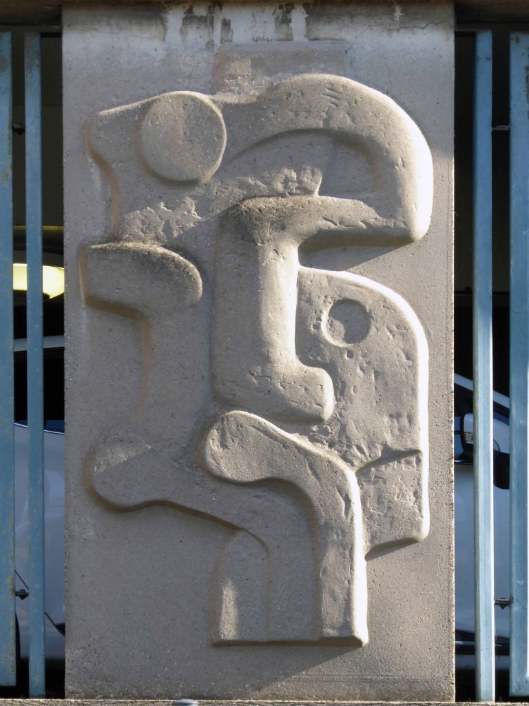
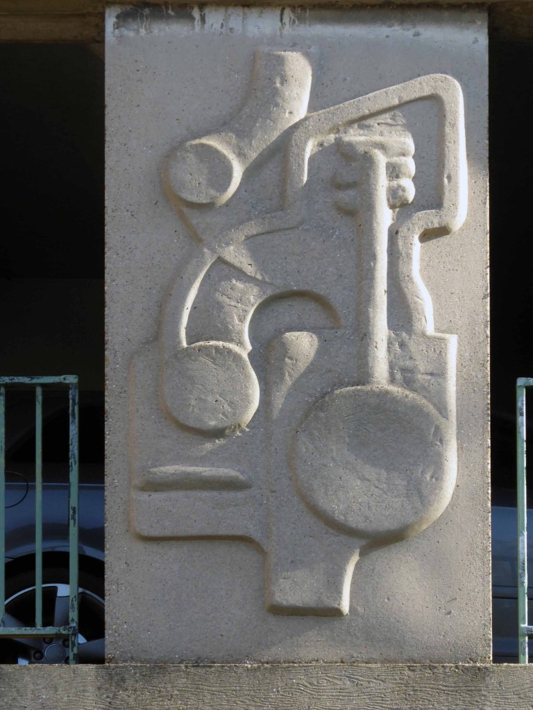
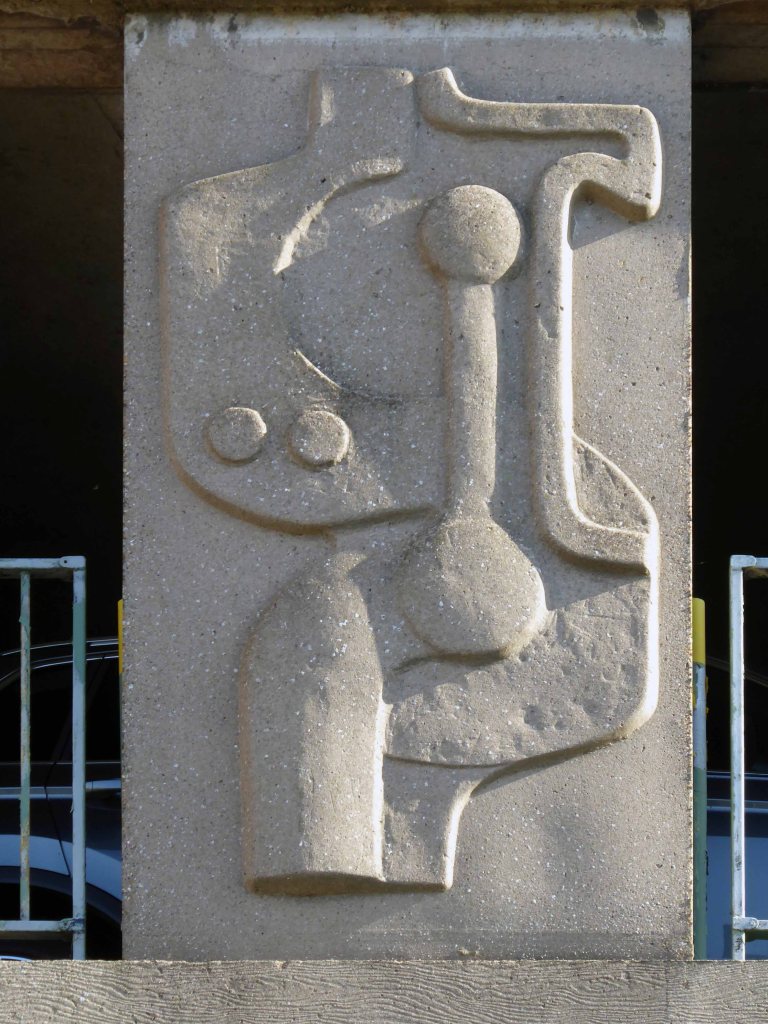
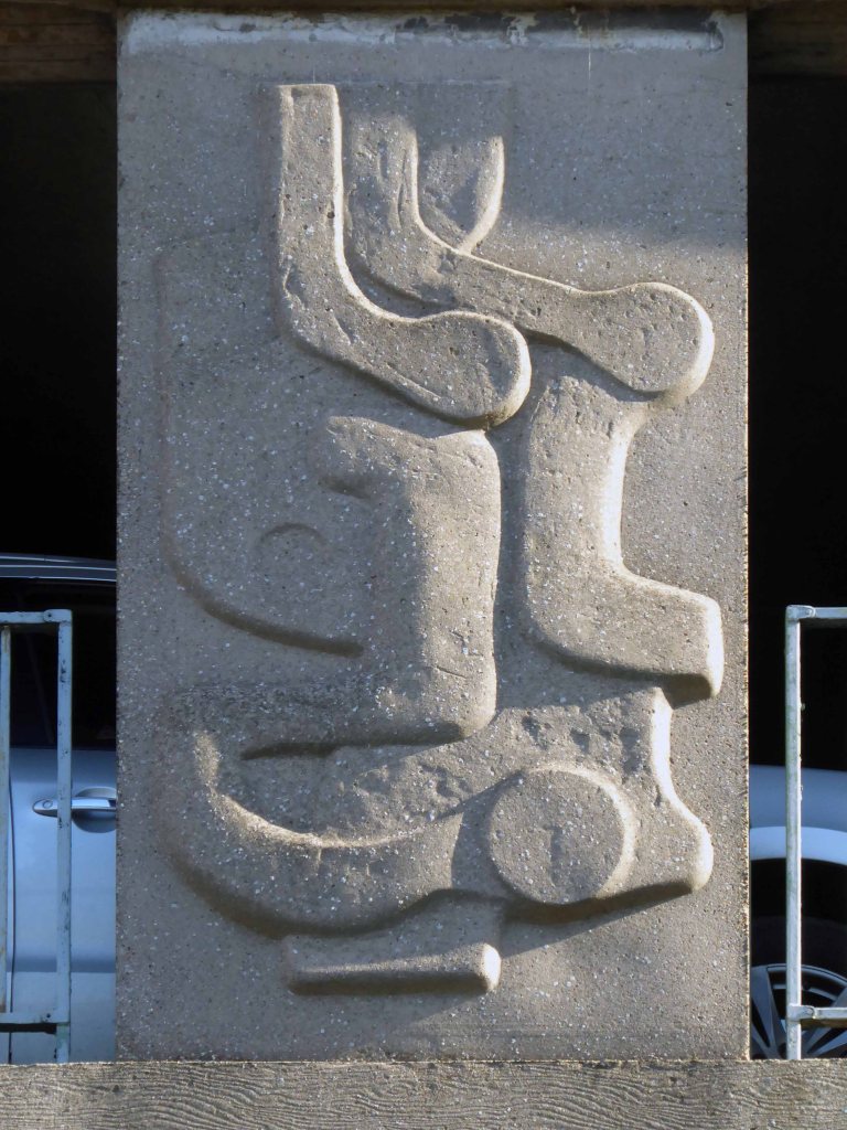
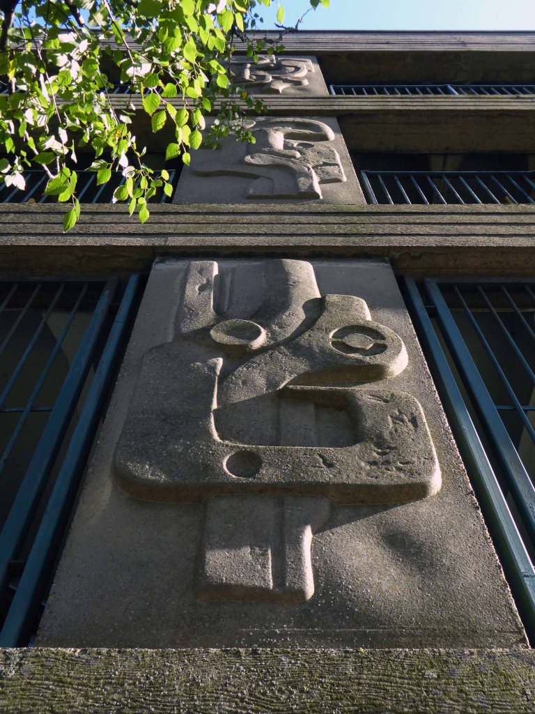
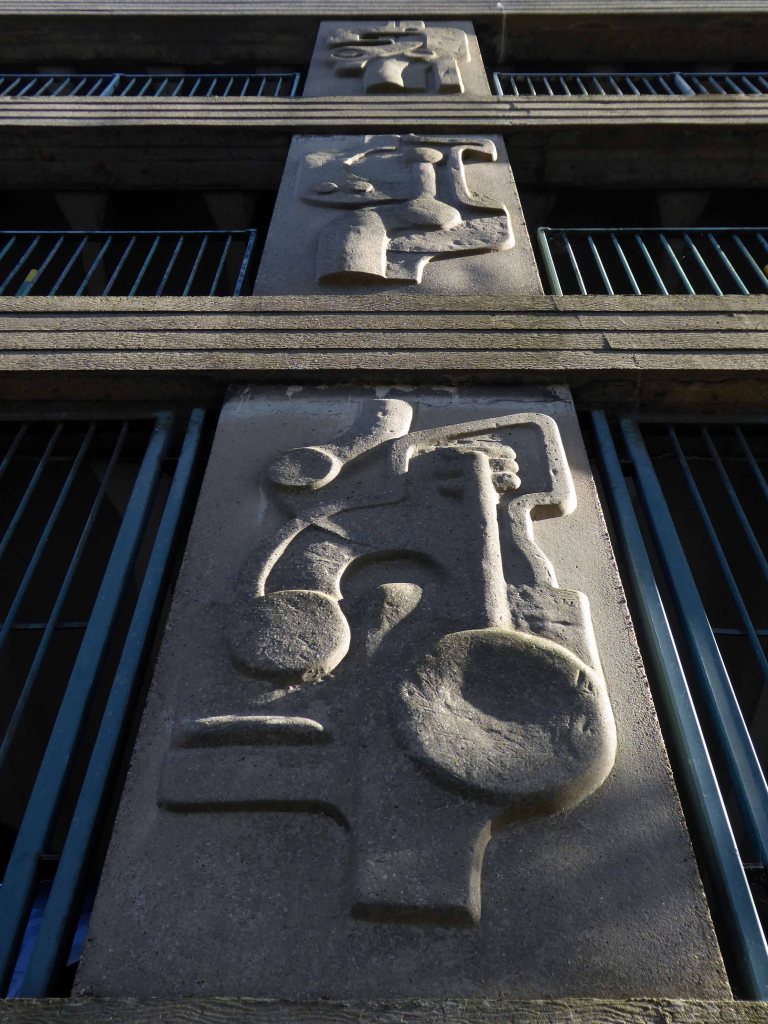
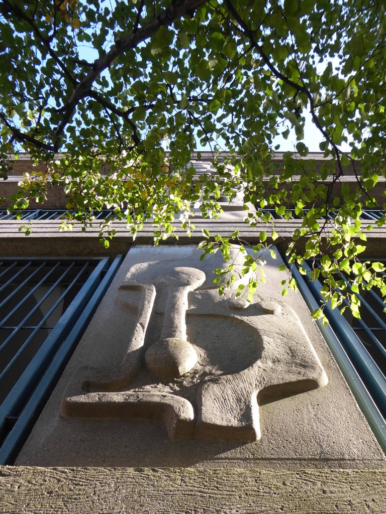
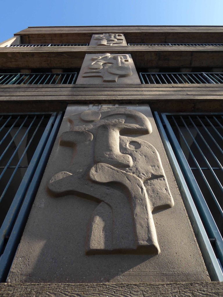
I found you by chance between the railway and the high street, so I took a good look around, fascinated by the concrete sculptural panels on your fascia columns, those facing Abbey Walk.
Research tells me that they the work of Harold Gosney – born in Sheffield, he studied at Grimsby School of Art and London’s Slade School of Fine Art.
The majority of Gosney’s early commissions were collaborations with architects and he has made a significant contribution to public art in Grimsby. He is the artist responsible for the reliefs on the Abbey Walk car park, the large Grimsby seal by the entrance to the Grimsby Central Library and the Grim and Havelok themed copper relief on the side of Wilko store in Old Market Place.
Abbey Walk was designed by architects Nicholson & Rushton and built in 1969 by Holst & Company of Scunthorpe at a cost of approximately £200,000. The concrete panels were structural pillars, cast in situ and featuring a repeated series of four abstract designs – some flipped 180 degrees.
In an interview with the BBC, Gosney explained the inspiration for these: “The four designs I produced were inspired by drawings in the handbook of the car that I had at the time, which was an Austin Cambridge estate car, and included suspension, carburettor, etc.”
The car park has been the subject of some speculative repairs and refurbishment:
In total, the scheme will cost the council £1.54 million.
The authority will borrow £1.34 million to fund the project with a further £200,000 coming from a local transport grant. But the council said that the improvements made could help increase revenue from the car park of around £34,000 a year.
Councillor Matthew Patrick, portfolio holder for transport at the council, said that the work is essential to “brighten up” the building and attract people into Grimsby.
“It’s one of the largest car parks in the town,” he said.
“It will attract more people into the town centre and help to improve the offering of the car park.”
So here we are faced with a rare, precious and beautiful example of municipal modernism, a bold and brave attempt to decorate what is often the most functional of functional structures.
Owing something to the work of both Henry Moore and Pablo Picasso the imagery is derived from automotive parts, along with it seems to me, vague intimations of figuration.
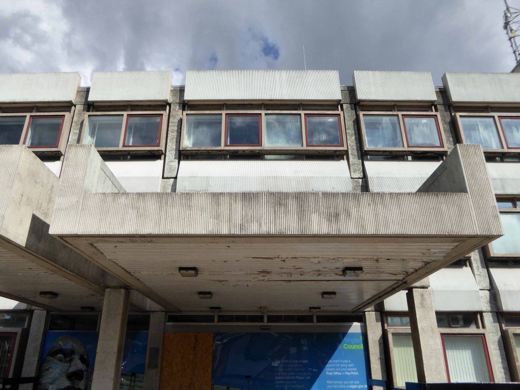
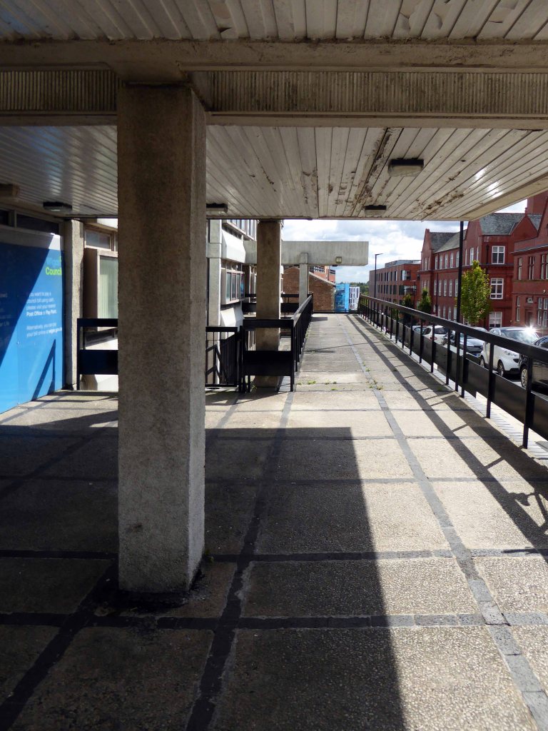
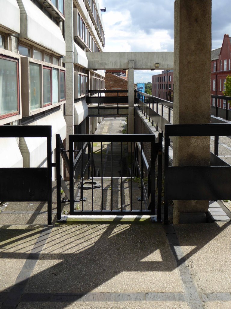
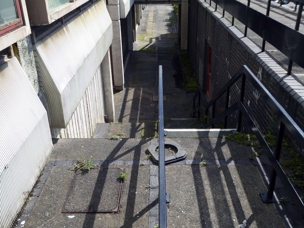
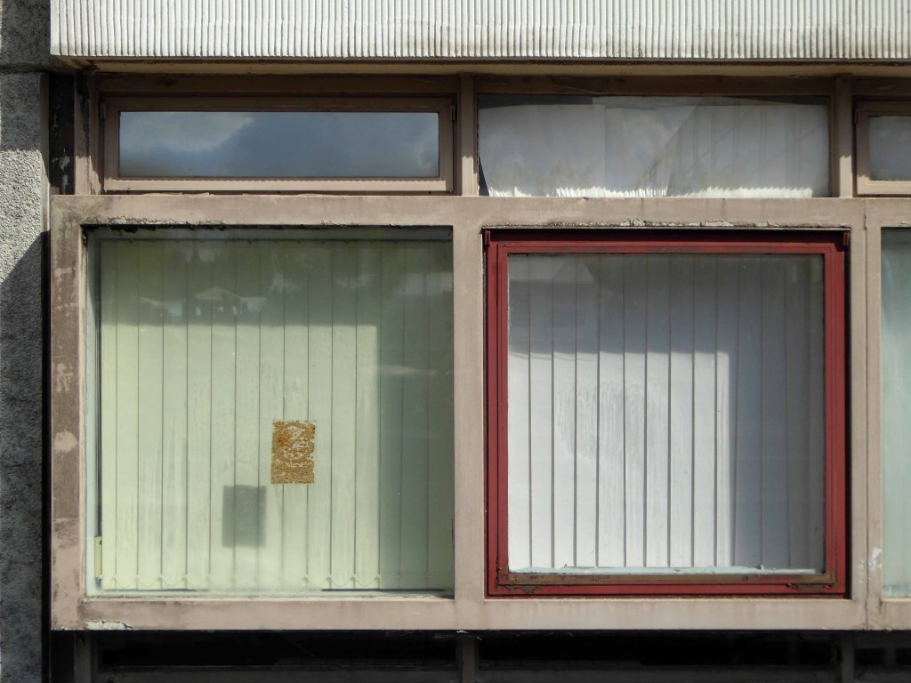
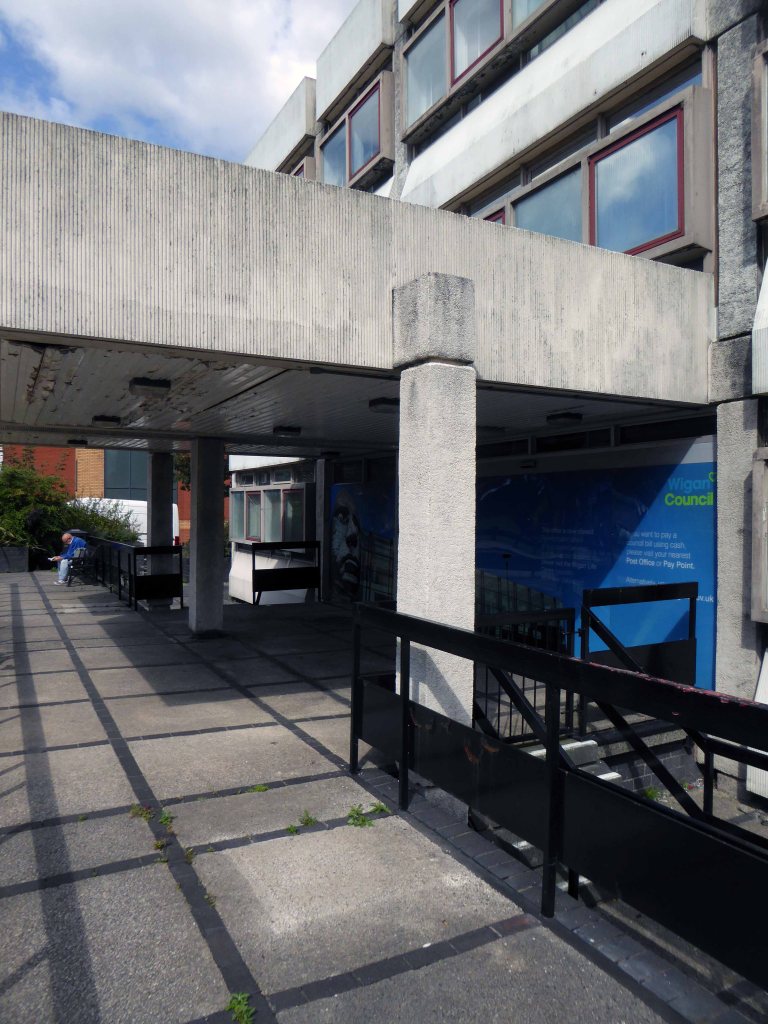
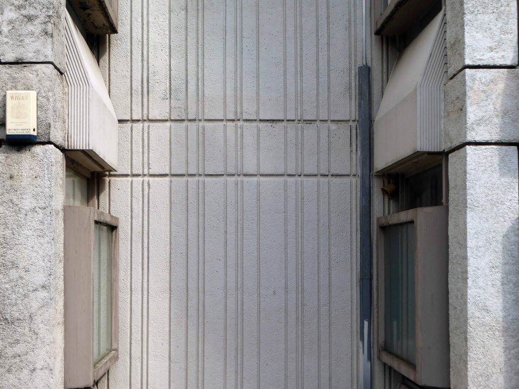
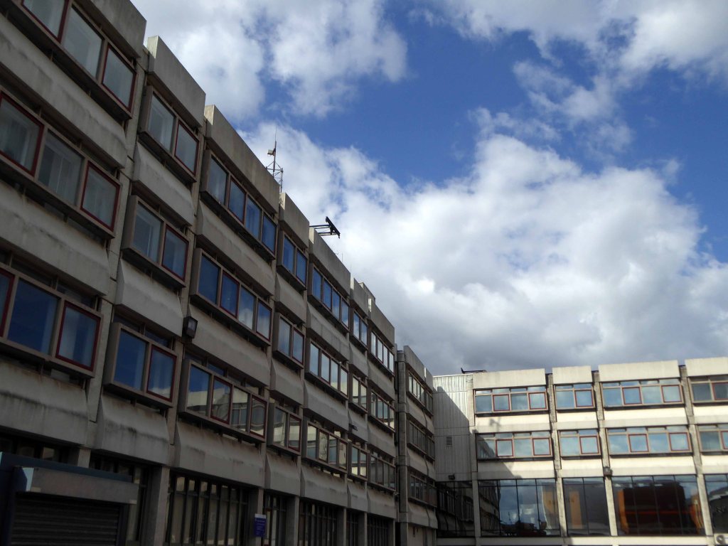
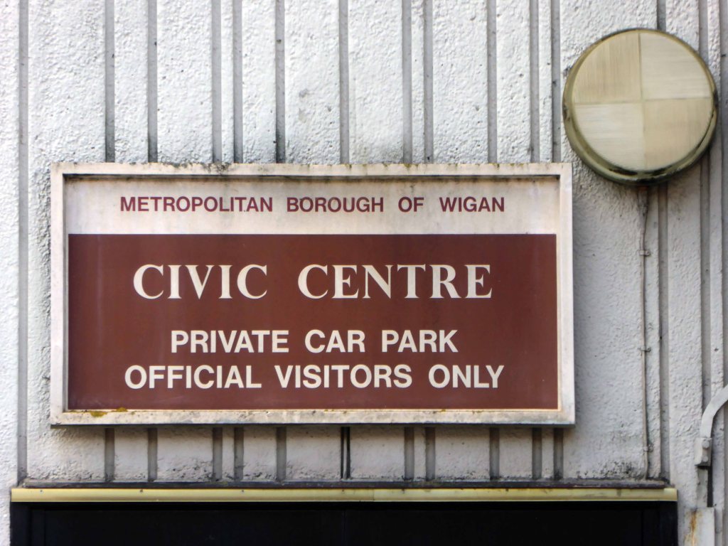
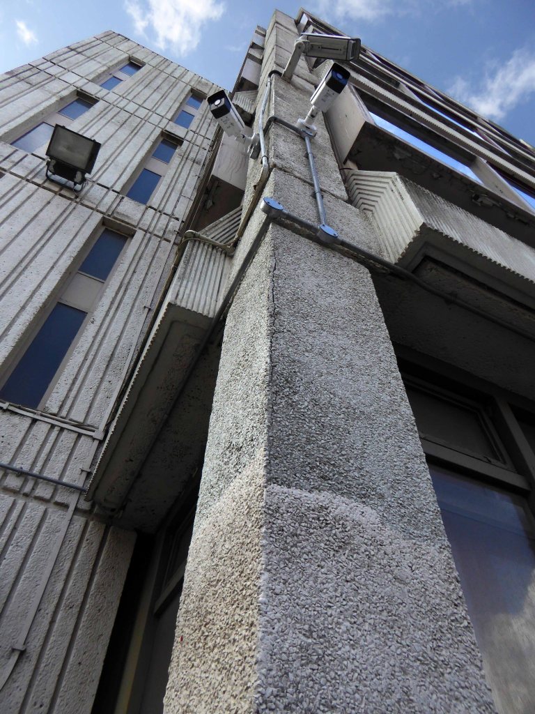
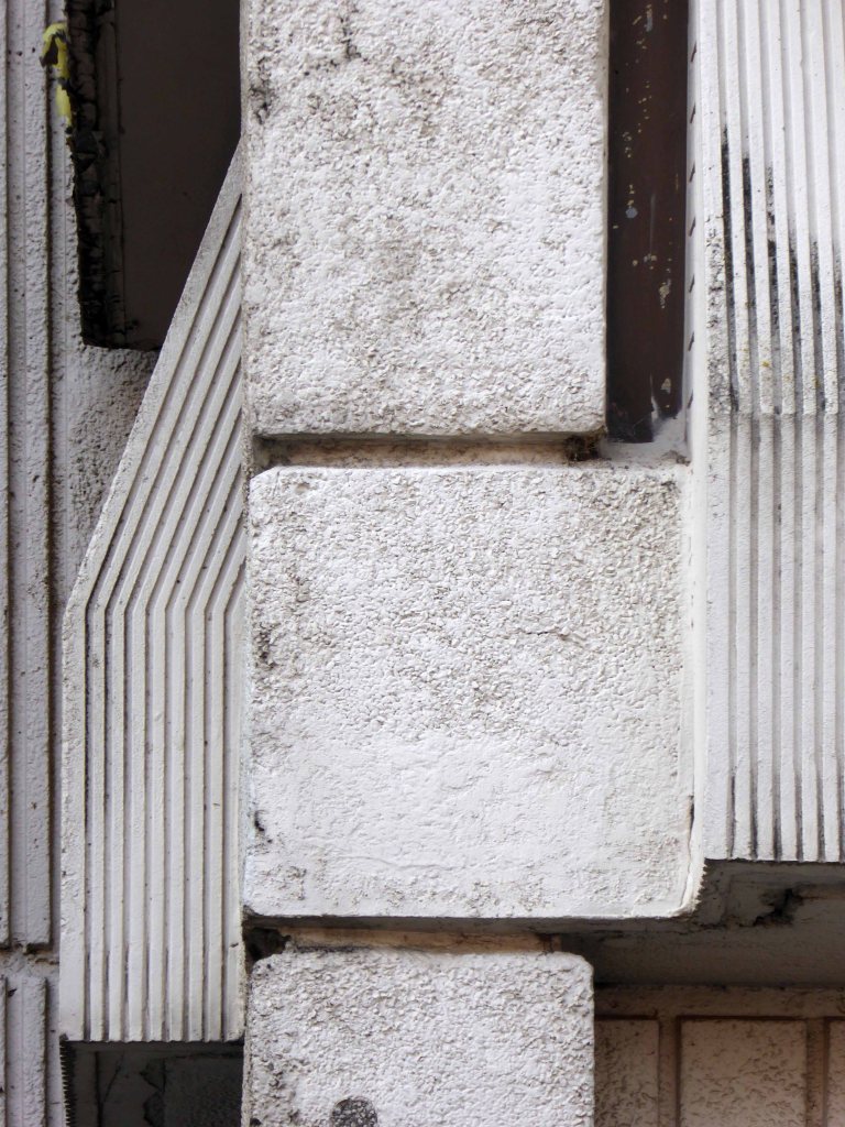
Three years on, now in the shadow of the newly built Life Centre, you stand alone unloved – empty.
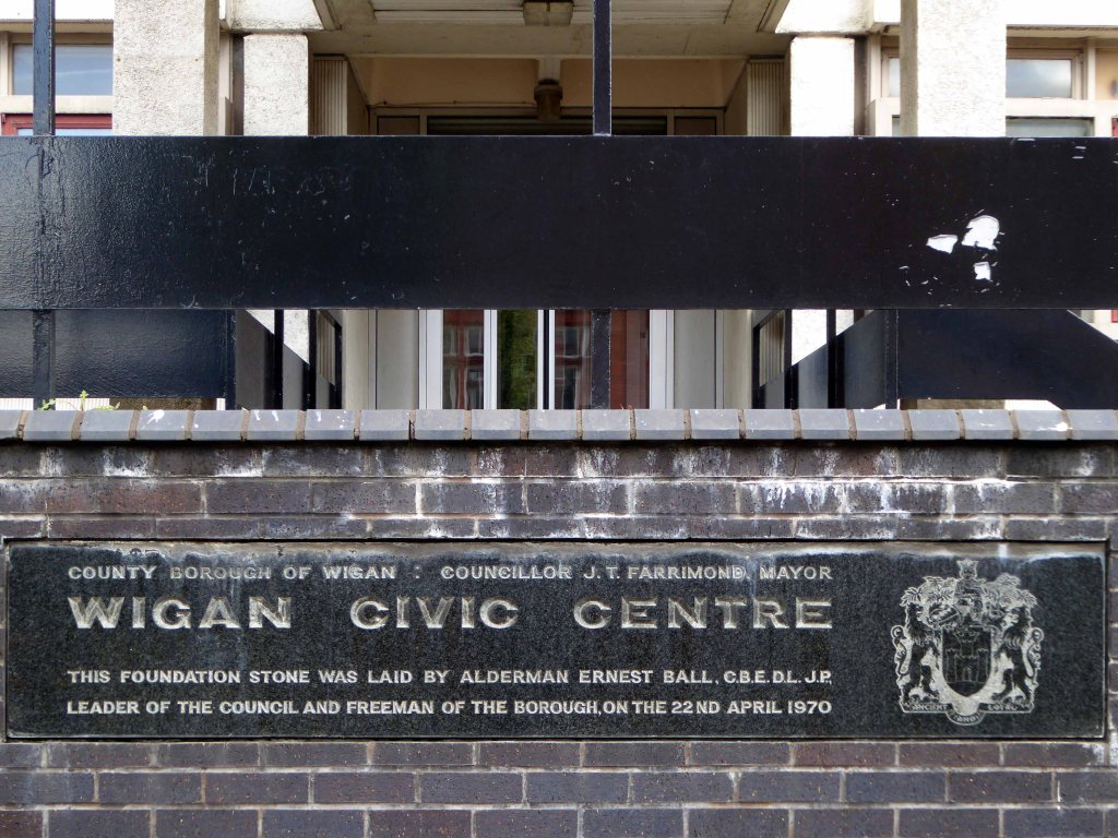
But the future of the Modernist landmark, which was first put in service by the borough in the early 70s, remains unclear. There is speculation that the Millgate building, first unveiled by Wigan Mayor John Farrimond, could become a hotel.
Last October the Wigan Observer revealed how the council had enjoyed mixed fortunes when it came to marketing elements of its existing property portfolio.
But the council has been successful in offloading some venues, with Ince Town Hall now home to Little Giggles nursery.
So who knows what fate awaits you – the town I am told is on the up.
Let’s hope that the Civic Centre is not coming down
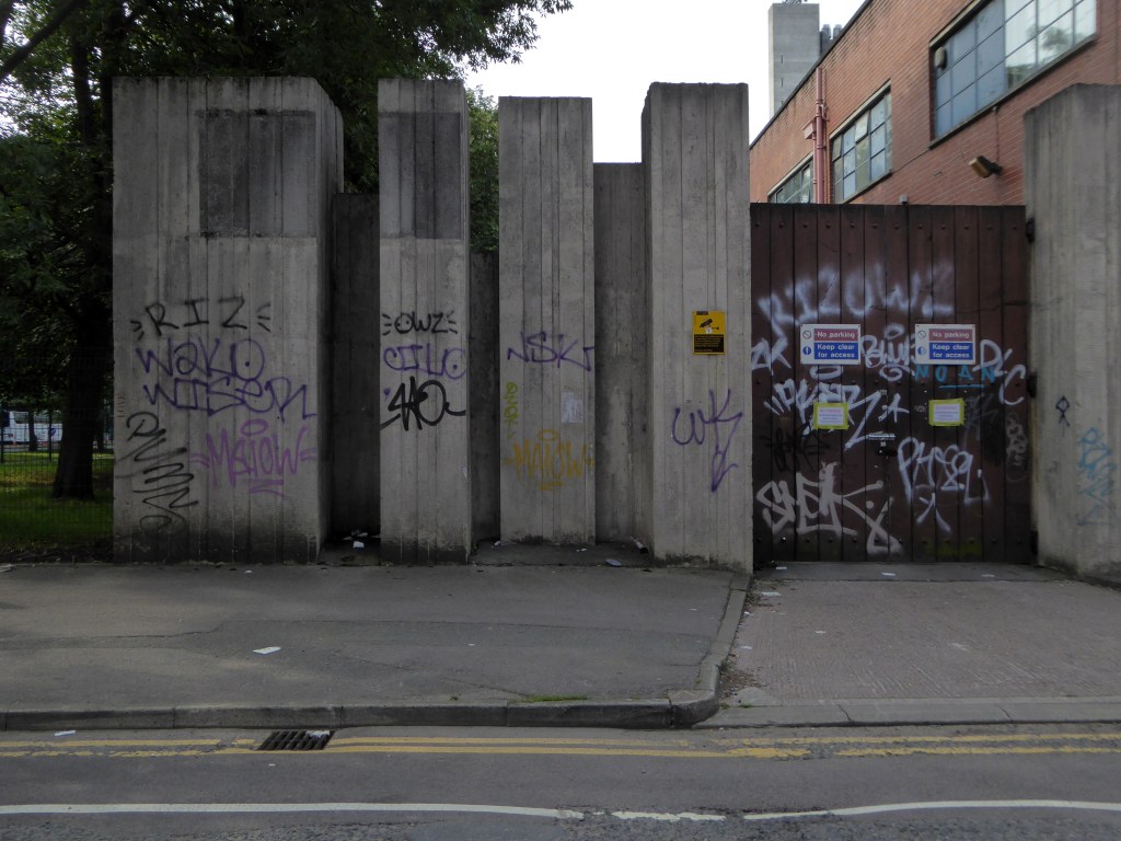
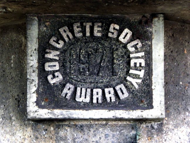
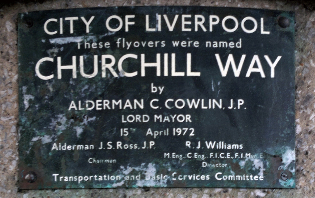
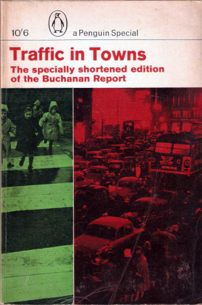
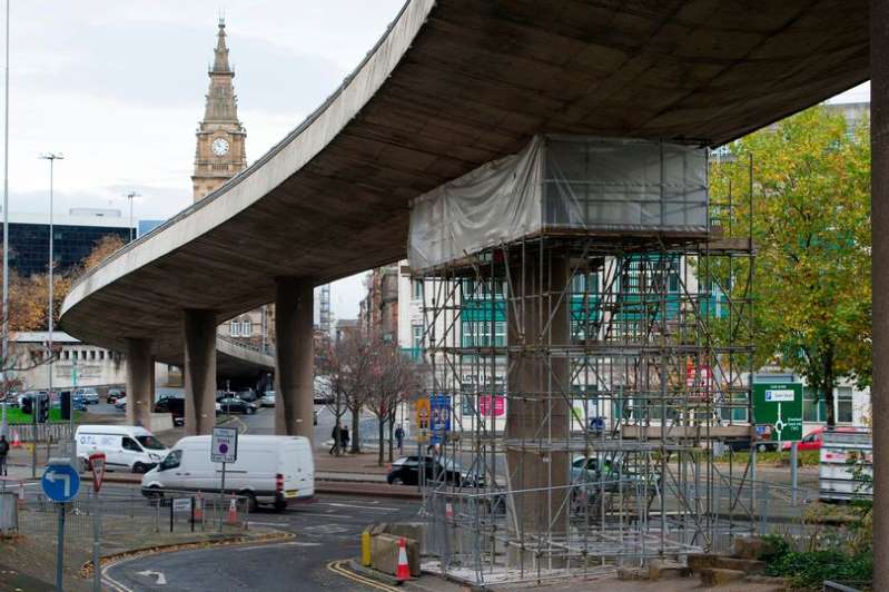
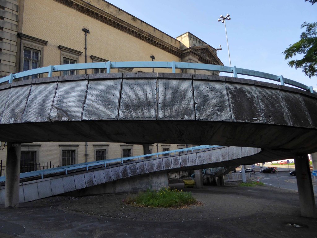
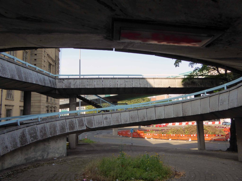
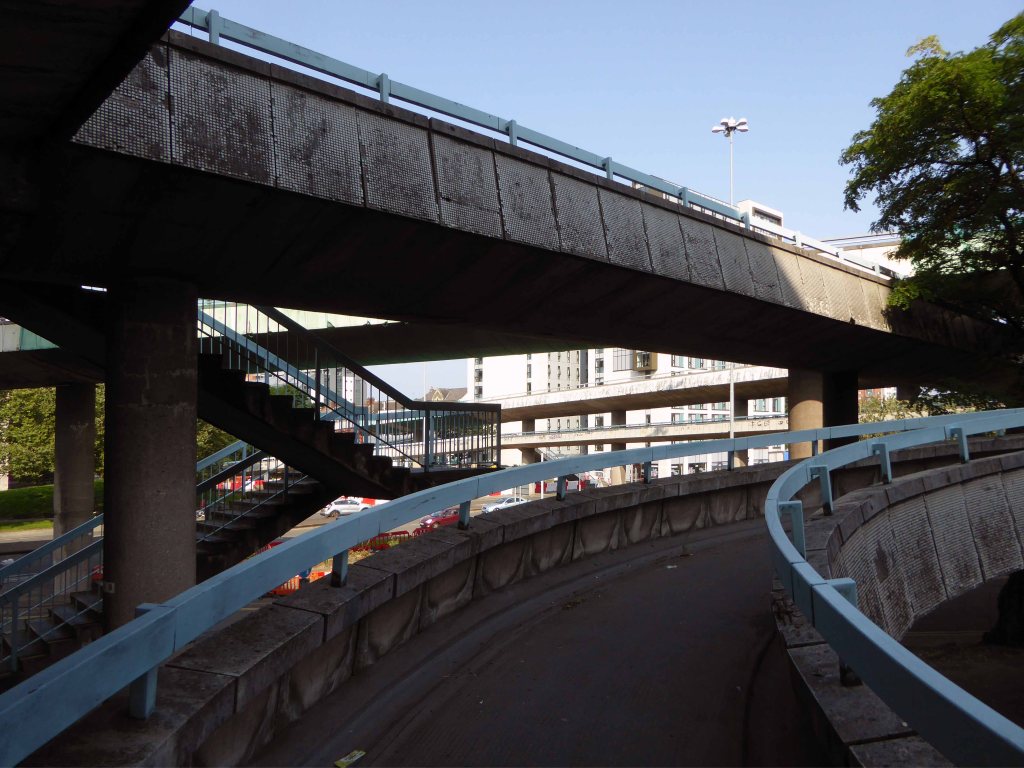
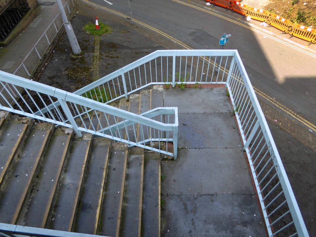
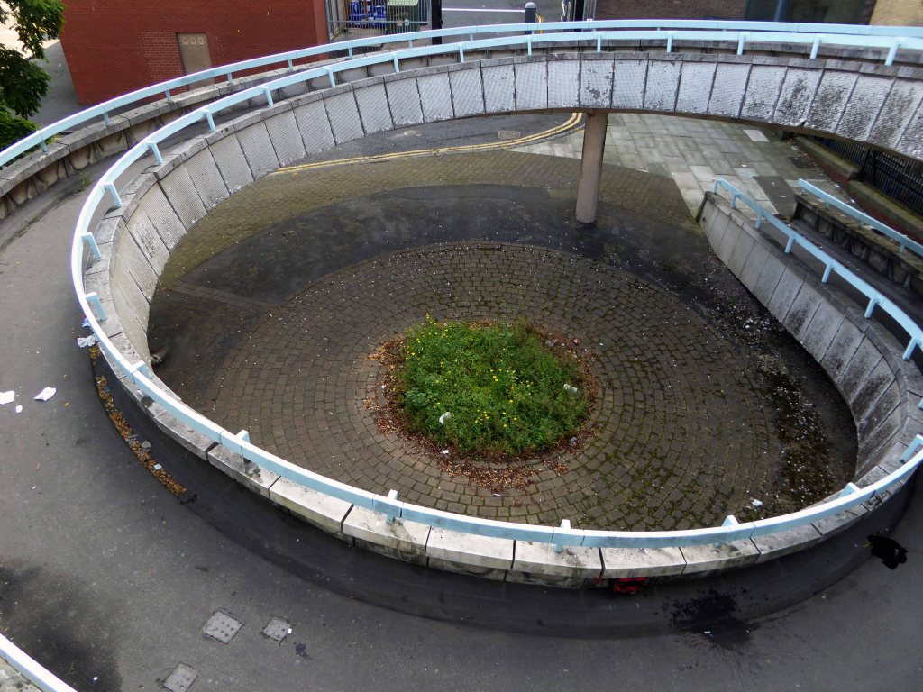
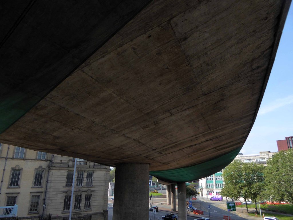
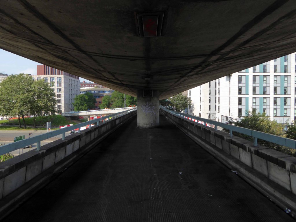
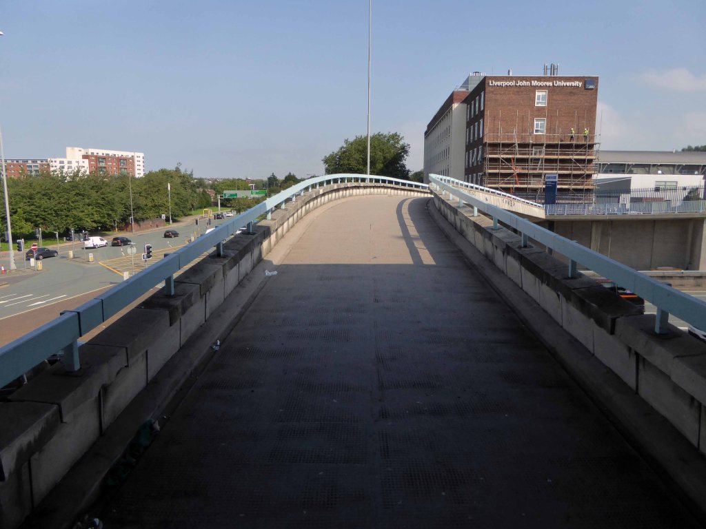
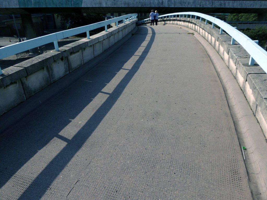
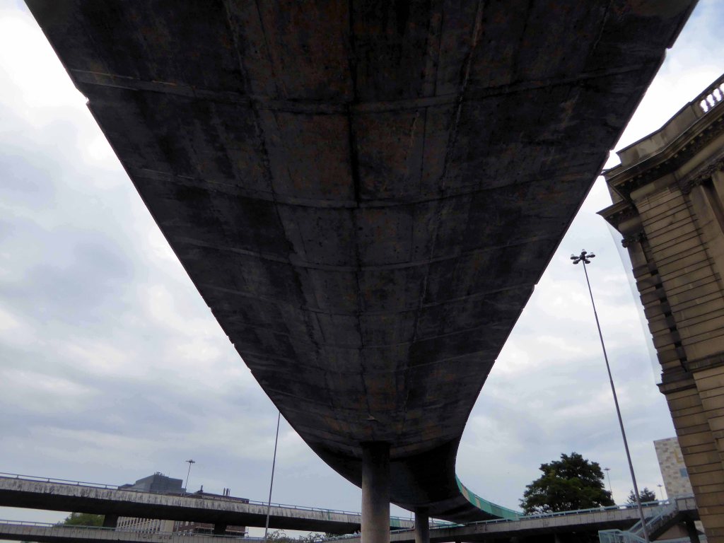
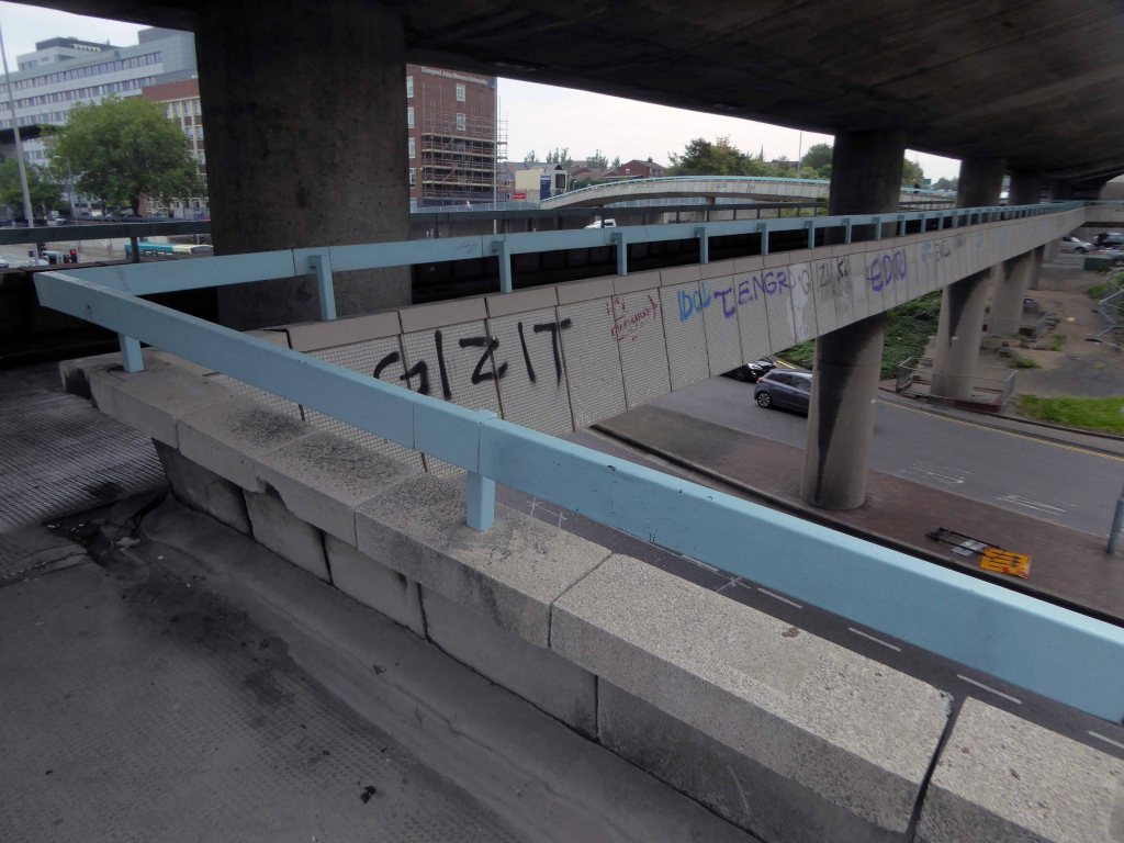
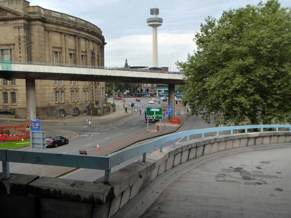
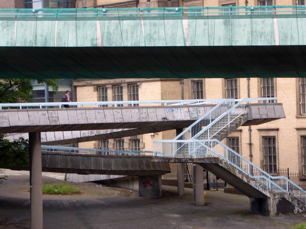
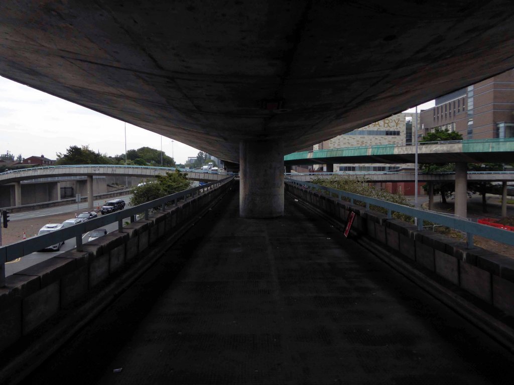
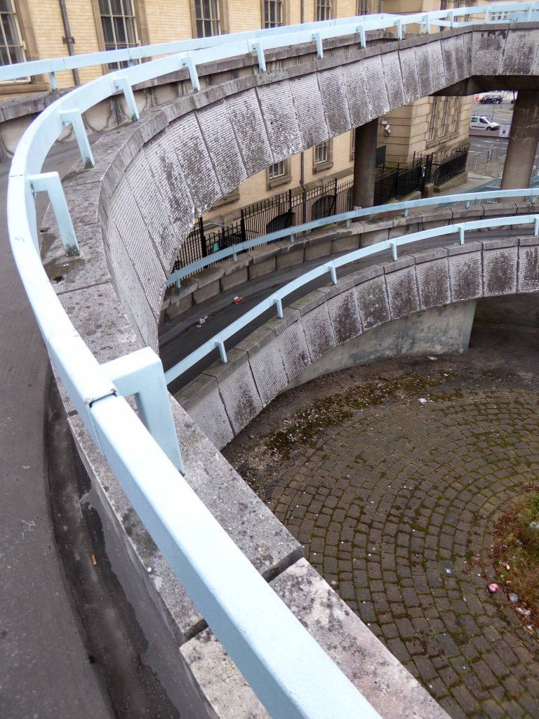
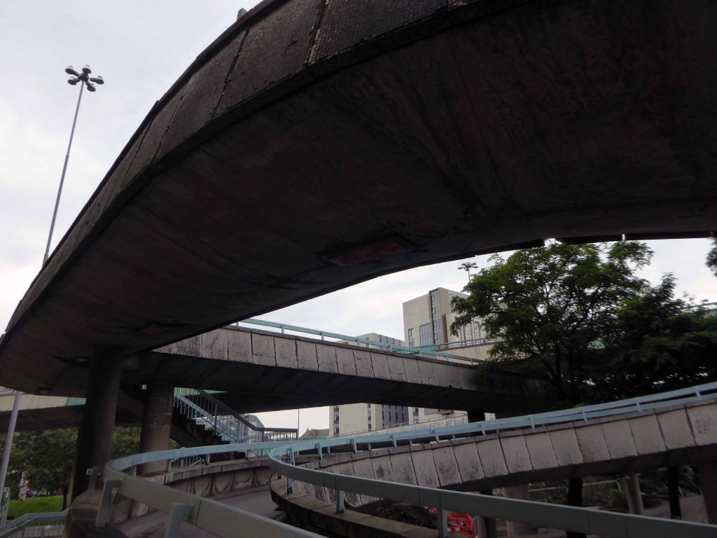
Opened in 1972 as an almost belated response to George Buchanan’s 1963 Traffic in Towns which had informed the Liverpool City Centre Plan of 1965.
The report warned of the potential damage caused by the motor car, while offering ways to mitigate it. It gave planners a set of policy blueprints to deal with its effects on the urban environment, including traffic containment and segregation, which could be balanced against urban redevelopment, new corridor and distribution roads and precincts.
These policies shaped the development of the urban landscape in the UK and some other countries for two or three decades. Unusually for a technical policy report, it was so much in demand that Penguin abridged it and republished it as a book in 1964.
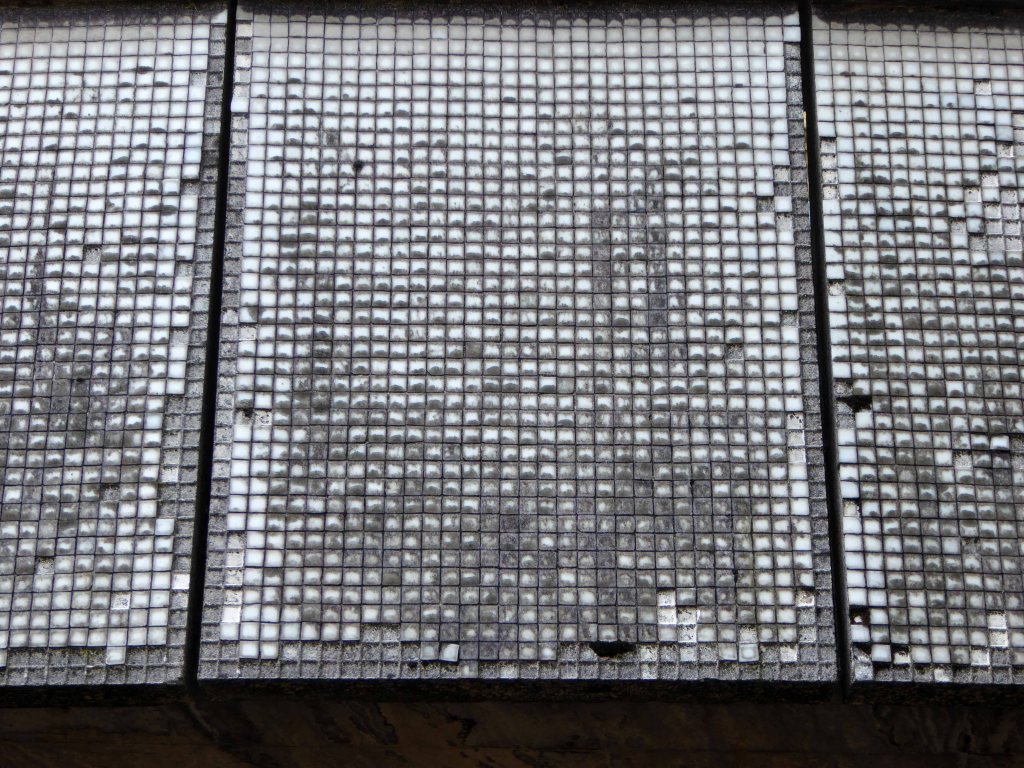
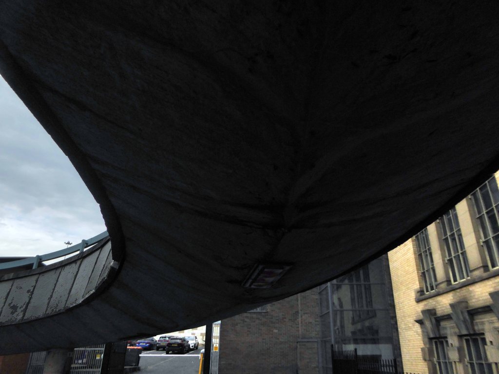
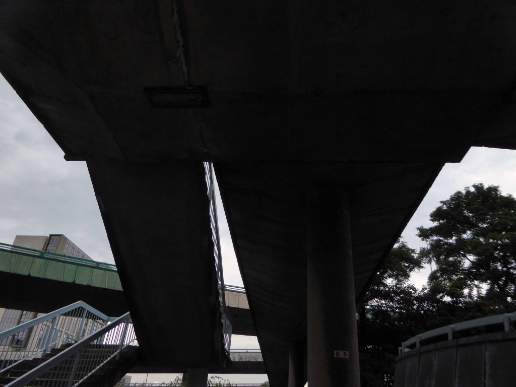
The Churchill Way was realised and remained in use until September 2nd 2019 – closed and facing a £10 million demolition programme, following a maintenance report which found them to be unsafe – and presumably beyond economic repair.
And so I took one last look around taking snaps, an epitaph to the end of an era, and the end of an idea that was once once rendered concrete.