William Mitchell – Newton Heath

On meeting an old friend in Manchester – following previous encounters in Coventry, Salford and Liverpool

Following a lead from Neil Simpson I cycled along Clayton Vale and emerged on Amos Avenue where the flats came into view.

I was in search of an an averaged sized totemic concrete municipal public art pillar – similar to the example to be found in Eastford Square.

It belongs to a time when Municipal Modernism was very much in vogue – the provision of social housing along with the commissioning of murals, sculptures, mosaics and tiled reliefs.

There has been some discussion regarding its authorship – it may or may not be the work of William Mitchell – both Skyliner and The Shrieking Violets have tried to find an answer.

Inevitably my only concern is art over authenticity – does it move you?

Let’s just take a little look.


Birley Street Tower Blocks – Blackburn

One fine day – whilst walking back to and/or from happiness, in the general direction of Blackburn town centre, I happened to chance upon three towers.

Whilst not in any sense Tolkienesque – for me they held a certain mystique, wandering unclad amongst swathes of trees and grass.

Trinity, St Alban and St Michaels Courts – three thirteen storey towers each containing sixty one dwellings.

Three thirteen-storey slab blocks built as public housing using the Sectra industrialised building system. The blocks contain 183 dwellings in total, consisting of 72 one-bedroom flats and 111 two-bedroom flats. The blocks are of storiform construction clad with precast concrete panels. The panels are faced with exposed white Cornish aggregate. Spandrel panels set with black Shap granite aggregate are used under the gable kitchen windows. The blocks were designed by the Borough architect in association with Sydney Greenwood. Construction was approved by committee in 1966.

Pastscape

Built on Birley Street following extensive 1960’s slum clearance.

Providing an excellent backdrop for the passing parade.

Each entrance porch with a delightful concrete relief on the outer face.

On the reverse a tiled relief – sadly painted over.

They are well proportioned slabs set in ample open landscape dotted with mature trees – maintained to a high standard.

Return To Penrhyn Bay

Then the very next morning it came right back to me.

She wrote upon it:

Return to Penrhyn Bay – so I dutifully did

This is the land of the well-behaved bungalow, neatly tended, conscientiously swept, accessorised by B&Q.

The stoic sea and wind washed link-detached semi.

Nothing is out of place, except perhaps the architectural style – a West Coast blow in on the North Wales Coast.

To wander is to wonder:

Where is that large automobile?
And you may tell yourself
This is not my beautiful house!
And you may tell yourself
This is not my beautiful wife!

High Street Estate – Pendleton

High Street Pendleton 1930s – the cast of Love on the Dole walk down High Street Pendleton, passing Hill’s Pawnbroker, author Walter Greenwood is ninth from the right.

This was a dense area of back to back terraces adjacent to pubs, schools, churches, mills, docks and cattle markets. Communities formed from shared patterns of employment, education, leisure and worship.

These communities survived into the 1960s and the coming of slum clearance, followed by an intense period of rebuilding in the modern manner.

Archival photographs Digital Salford

Patterns of employment, economic boom and bust, the exponential expansion in higher education, all contribute to the change in character of the area, along with slow and sudden demise in social housing.

2014 and the area begins to be reshaped yet again – this time by former resident Mr Peter Hook, who grew up in the area, the low slung former New Order bass meister described it in a book as – rotten and horrible, like a concrete wasteland

The Orchards tower block, the first of three, is removed piece by piece, each of the 14-storey blocks took around six weeks to be demolished.

The citizens of High Street Estate await the ‘dozers with apprehension and a sense of grim inevitability.

Clearance begins with the promise of new homes, tenants and homeowners are relocated, houses are tinned up or demolished wholesale. – a few remain in situ dissatisfied and afraid.

Altogether, 885 houses in Pendleton are being bulldozed and, to date, 584 have already been demolished, including houses on Athole Street and Amersham Street. Over the Pendleton Together project’s £650million thirty year life, only around one third of new houses being built will be affordable.

Meanwhile, after years of anguish and uncertainty, Fitzwarren Court and Rosehill Close, previously down for demolition, are being saved. Salix Homes will now bring flats in Fitzwarren Court and houses in its ownership on Rosehill Close up to the Decent Homes Standard

Salford Star

So welcome to Limboland – as financial arrangements shift, shimmy and evaporate – government policy, local authority pragmatists, private partnerships and funding perform a merry dance of expediency, around an ever diminishing circle of demolition, development, stasis and deceit.

The Barbican Estate – London

Bouncing betwixt and between Bonnard and Bill Viola from Tate Modern to the Royal Academy I took a detour to The Barbican – in search of the Dorothy Annan tiled mural.

Having failed conspicuously to find it, following an extensive and discursive wander, I did the wise thing and asked.

My thanks to the helpful resident and his young son.

Redirected and on course for our deferred engagement, Dorothy and I met at last on an underpass.

I also recently discovered a Barbican Manchester mash up – Gerrards of Swinton fulfilled their largest ever single order for the site – my thanks to David Roughley for the information and illustration.

Here are the snaps that I took along the way.

All Saints – Grosvenor Square Manchester

Once upon a time there was almost nothing, as there often is.

Green fields, sylvan glades and a pleasant park in Grosvenor Square.

1813

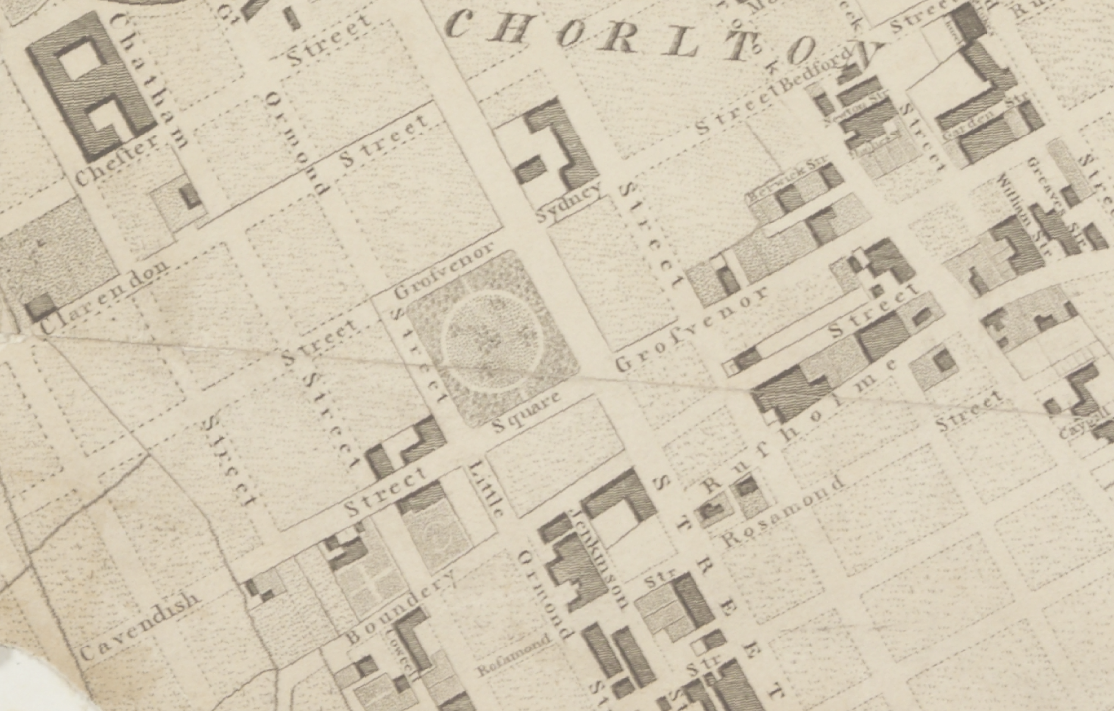
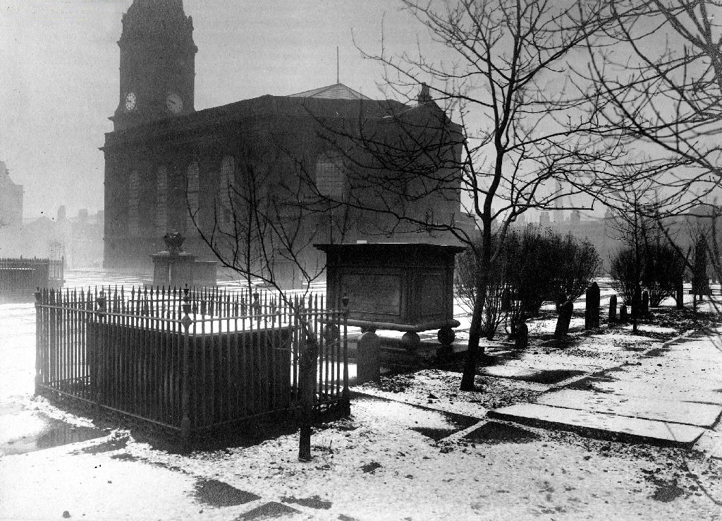
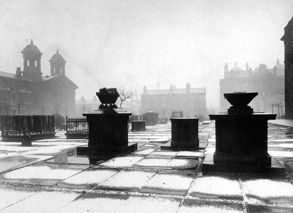
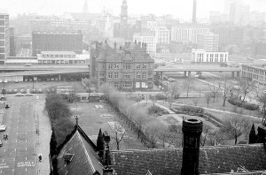
Then all of a sudden, at the heart of the Square sat All Saints Church.

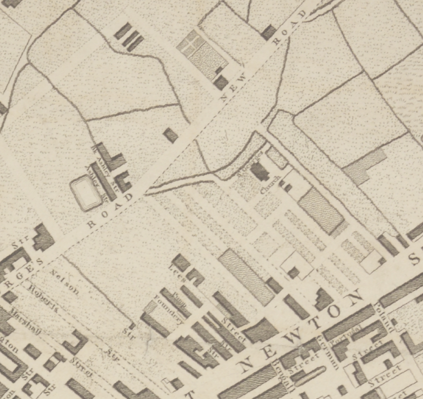
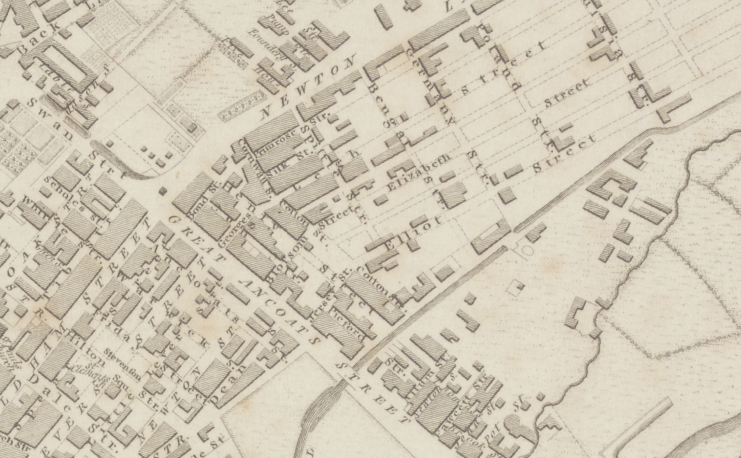
Underneath Manchester’s All Saints Park is a hidden history – an estimated 16,000 bodies. For this was the site of a former Victorian Cemetery, set up to cater for the parishioners of All Saints.

webmedia-10.php

All Saints Burial Ground officially opened on Wednesday 19 April 1820. The first interment was that of twenty-one-year-old Fanny Knowles, who lived on London Road. Her funeral was conducted by the founder himself, Charles Burton. It would be another month before the next interment took place. In the first year burials were slow with only 55 interments, however, by 1851 the number had increased to over 600 per annum. 

Michala Hulme

webmedia-9.php

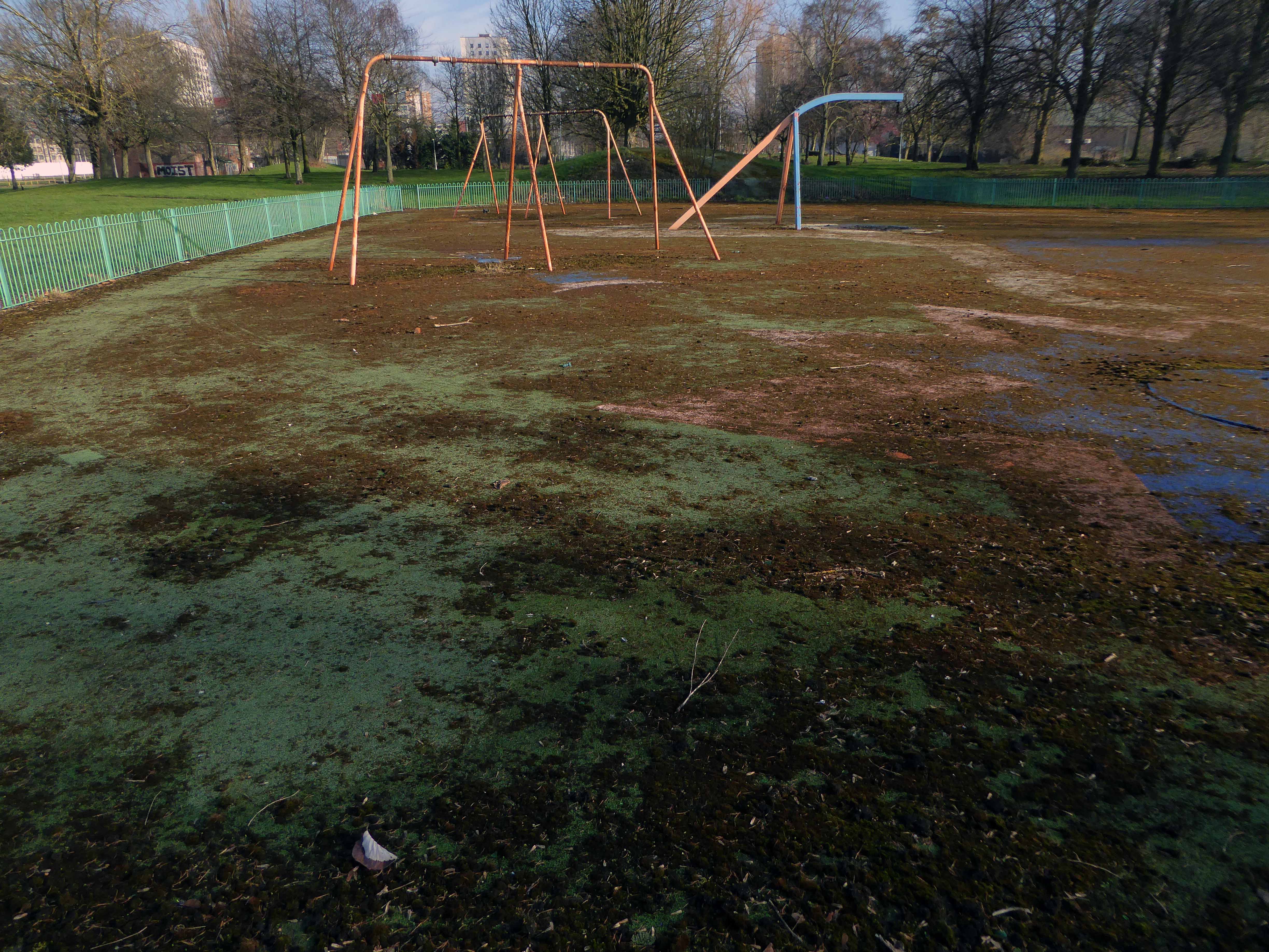
Bombed in the Blitz the damaged structure was demolished – and a play area established which lasted until the 1980s

MMU Visual Resources 

The whole area having been a centre of housing, education, entertainment, commerce, public services and worship, was becoming the fiefdom of first the Polytechnic and subsequently the Manchester Metropolitan University.

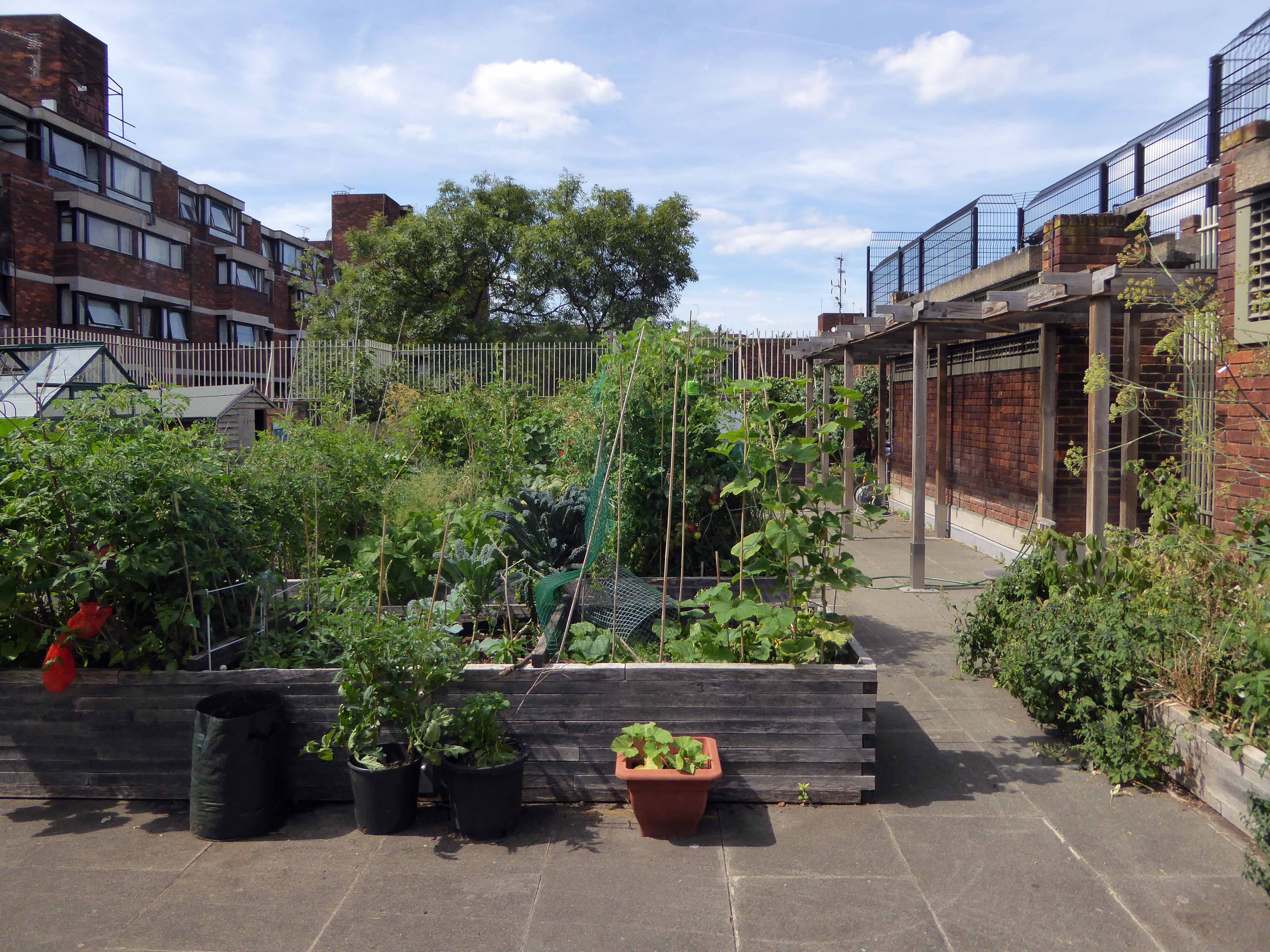
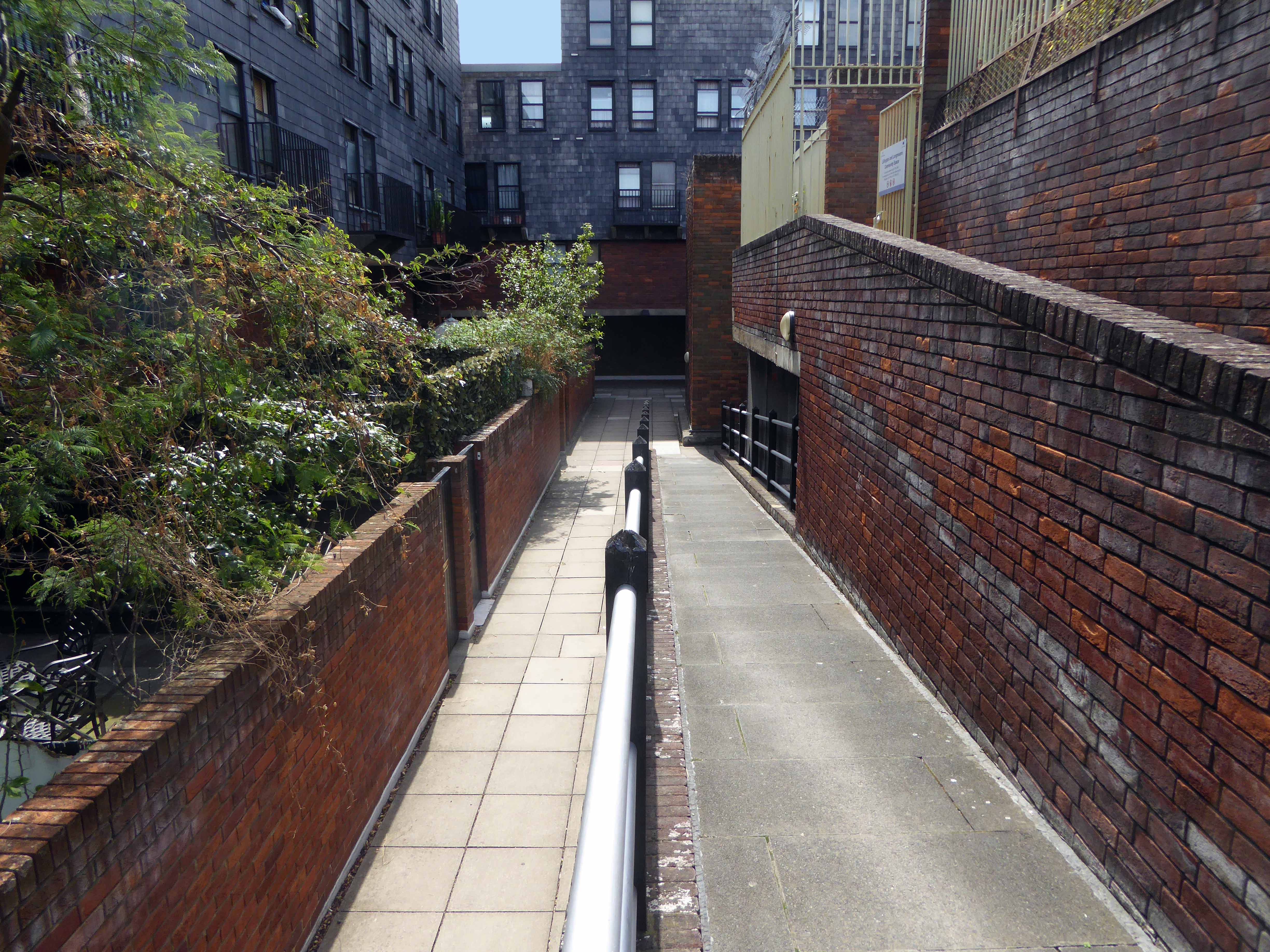
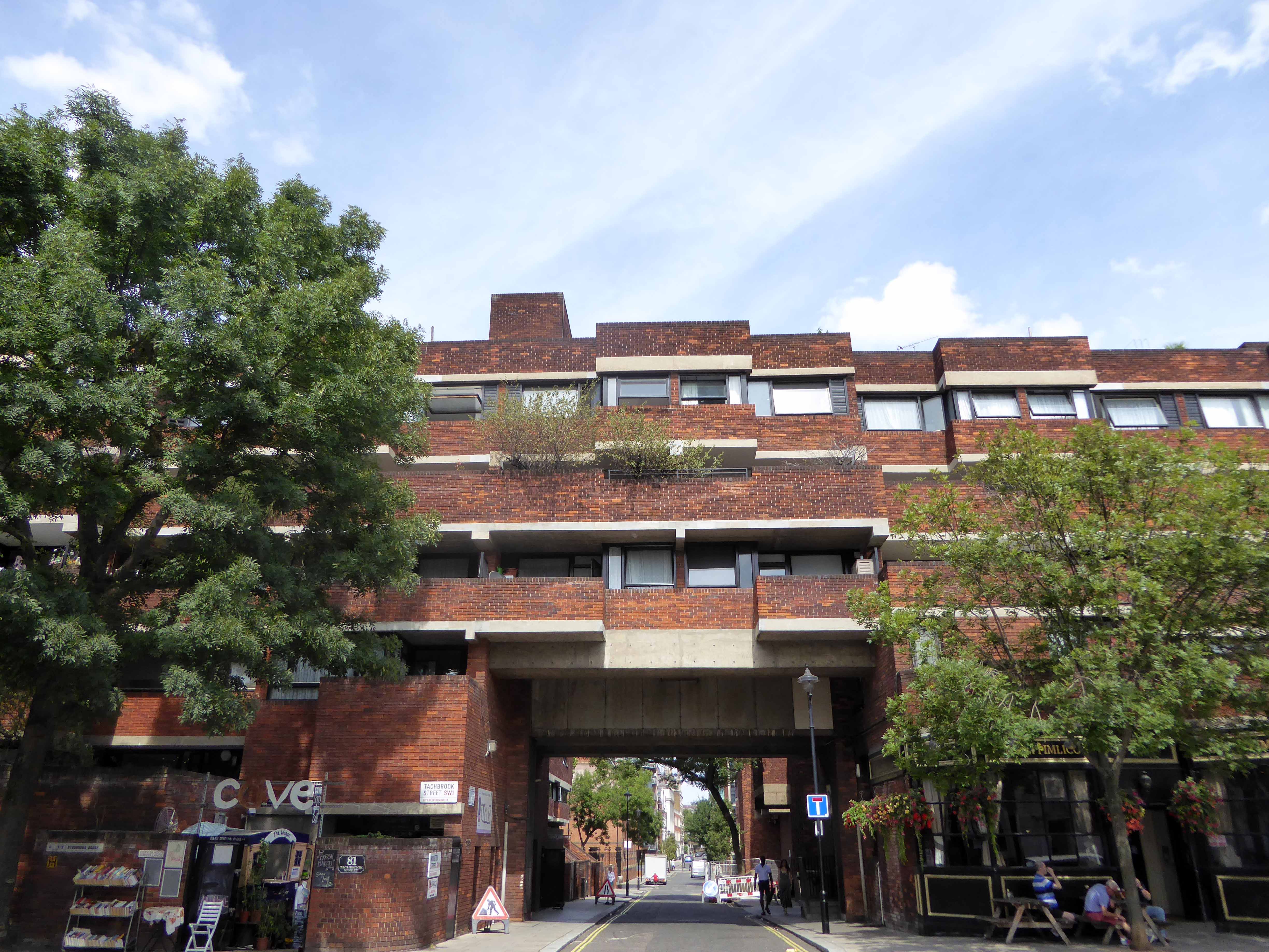
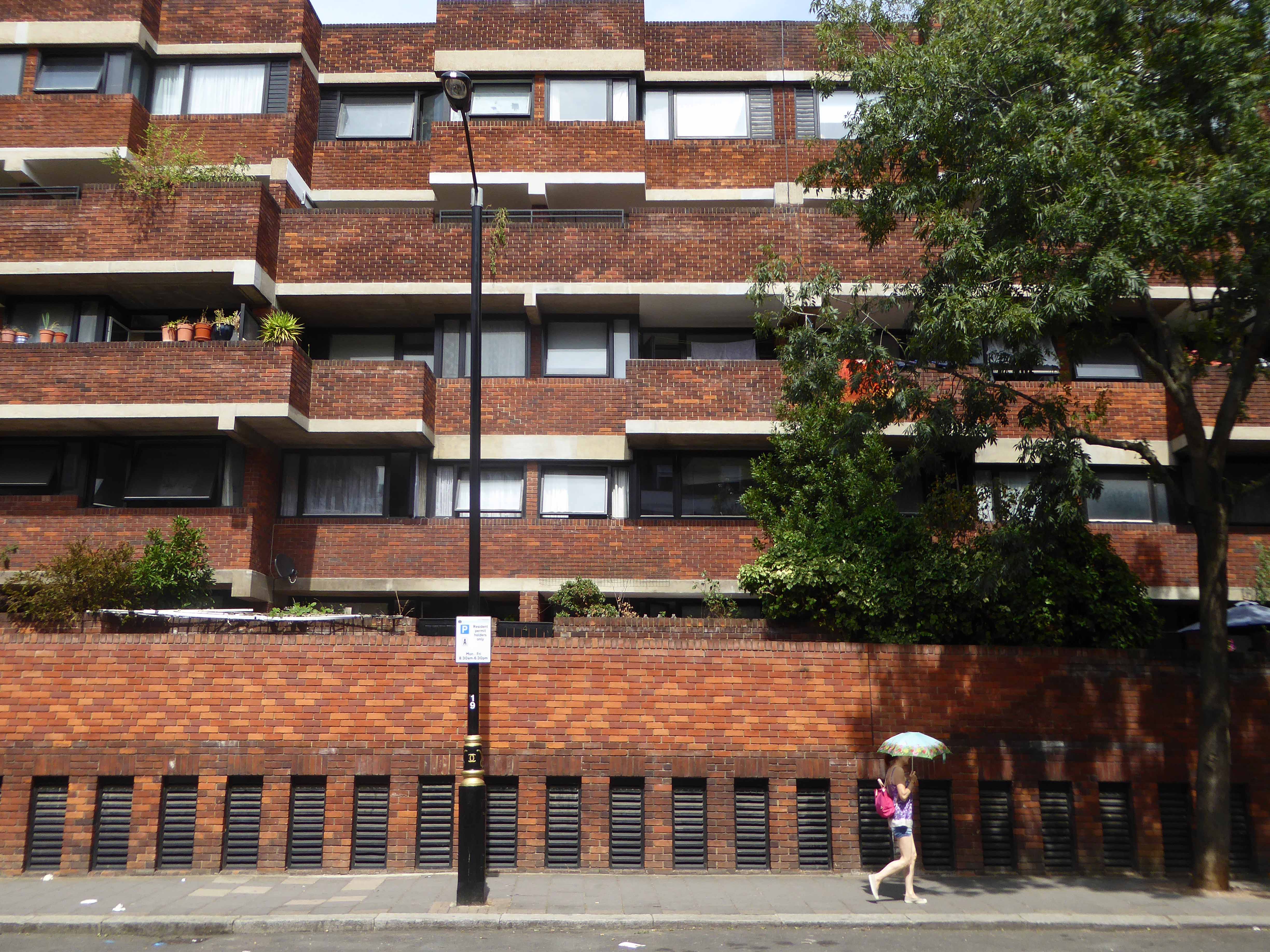
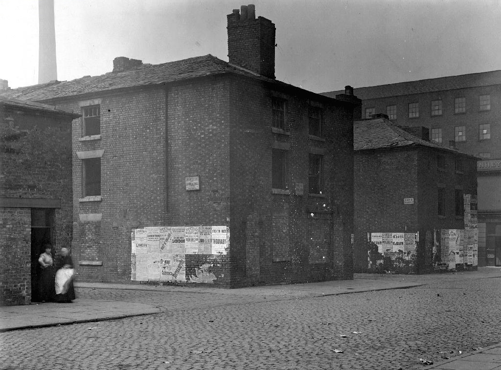
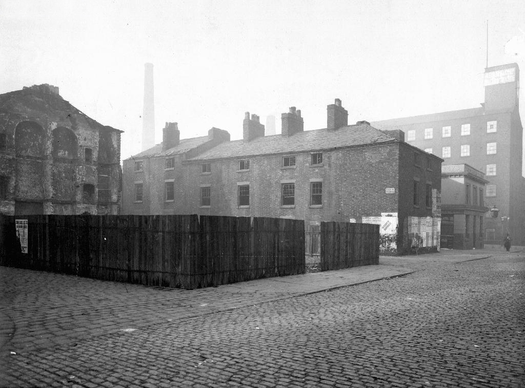
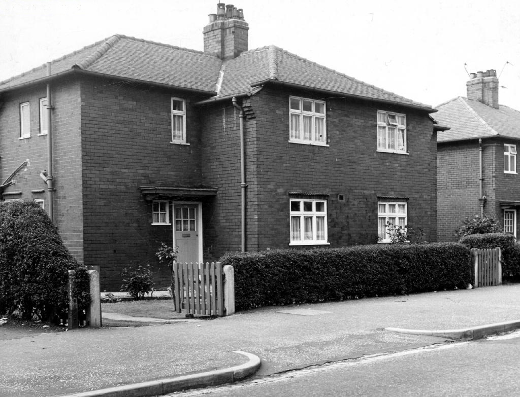
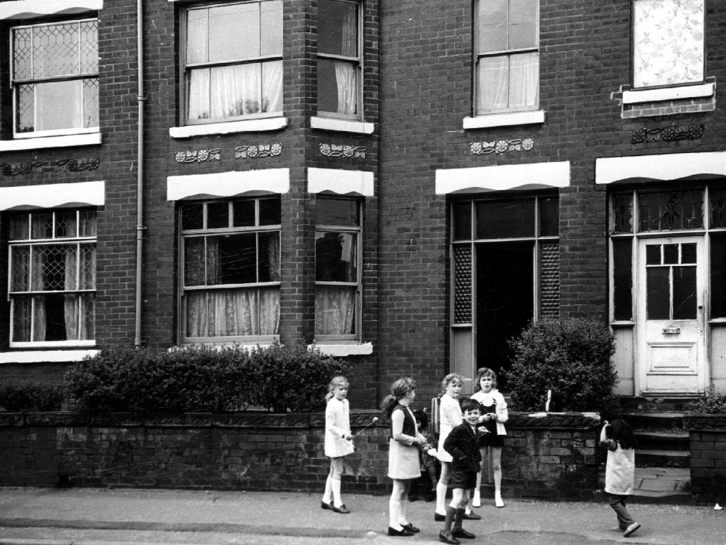
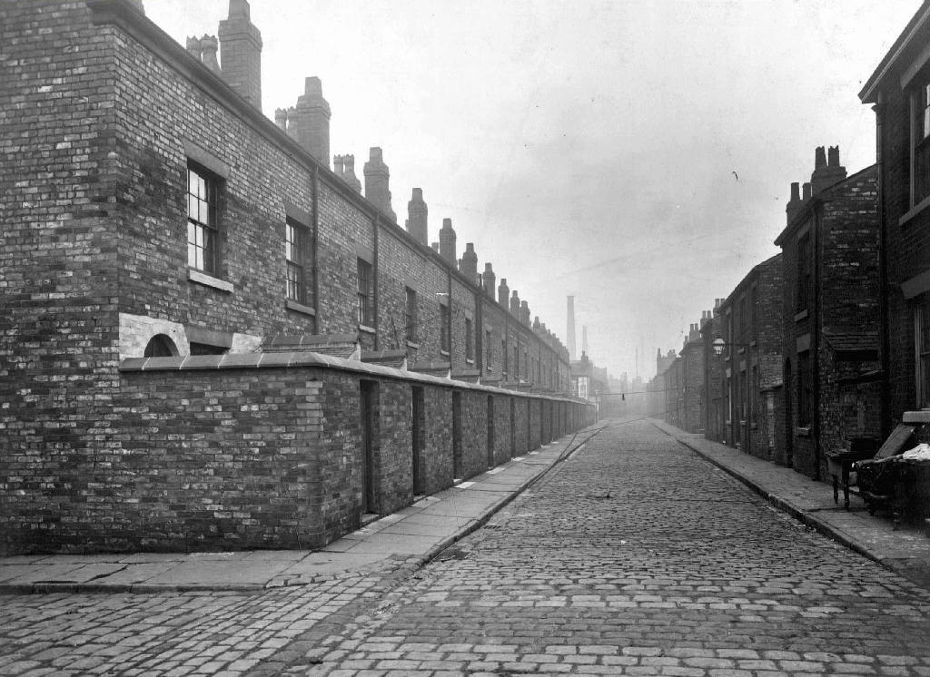
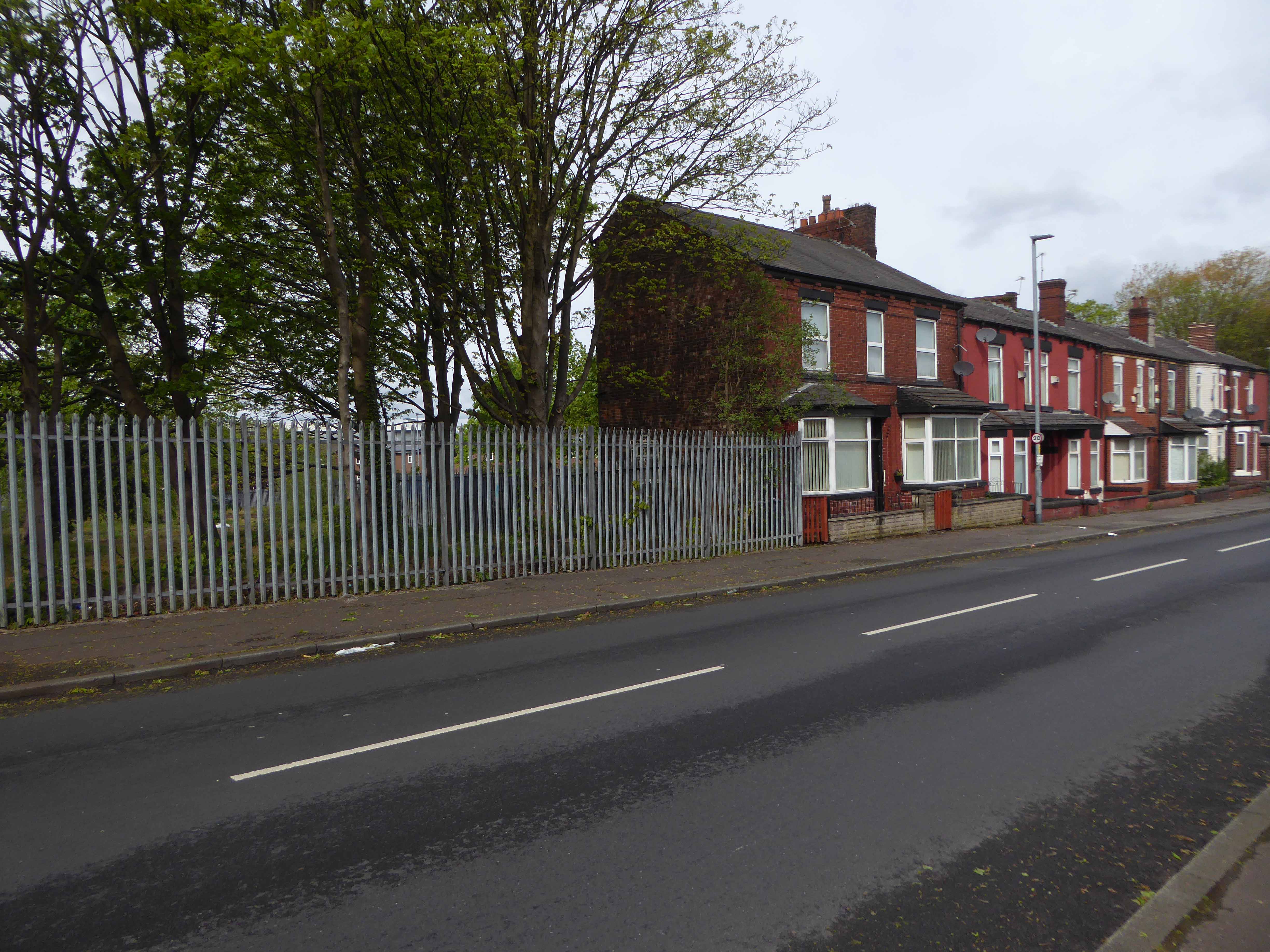
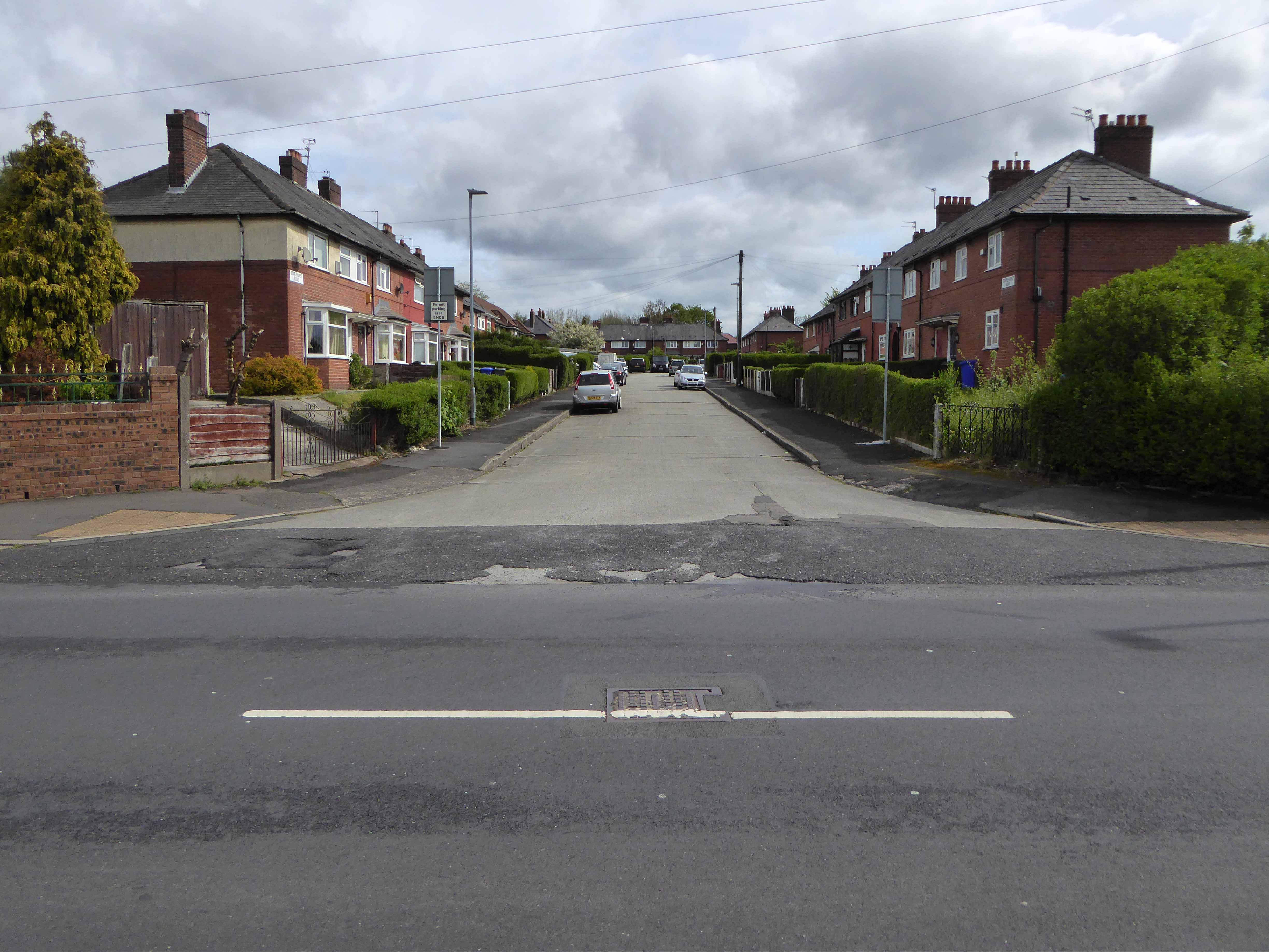
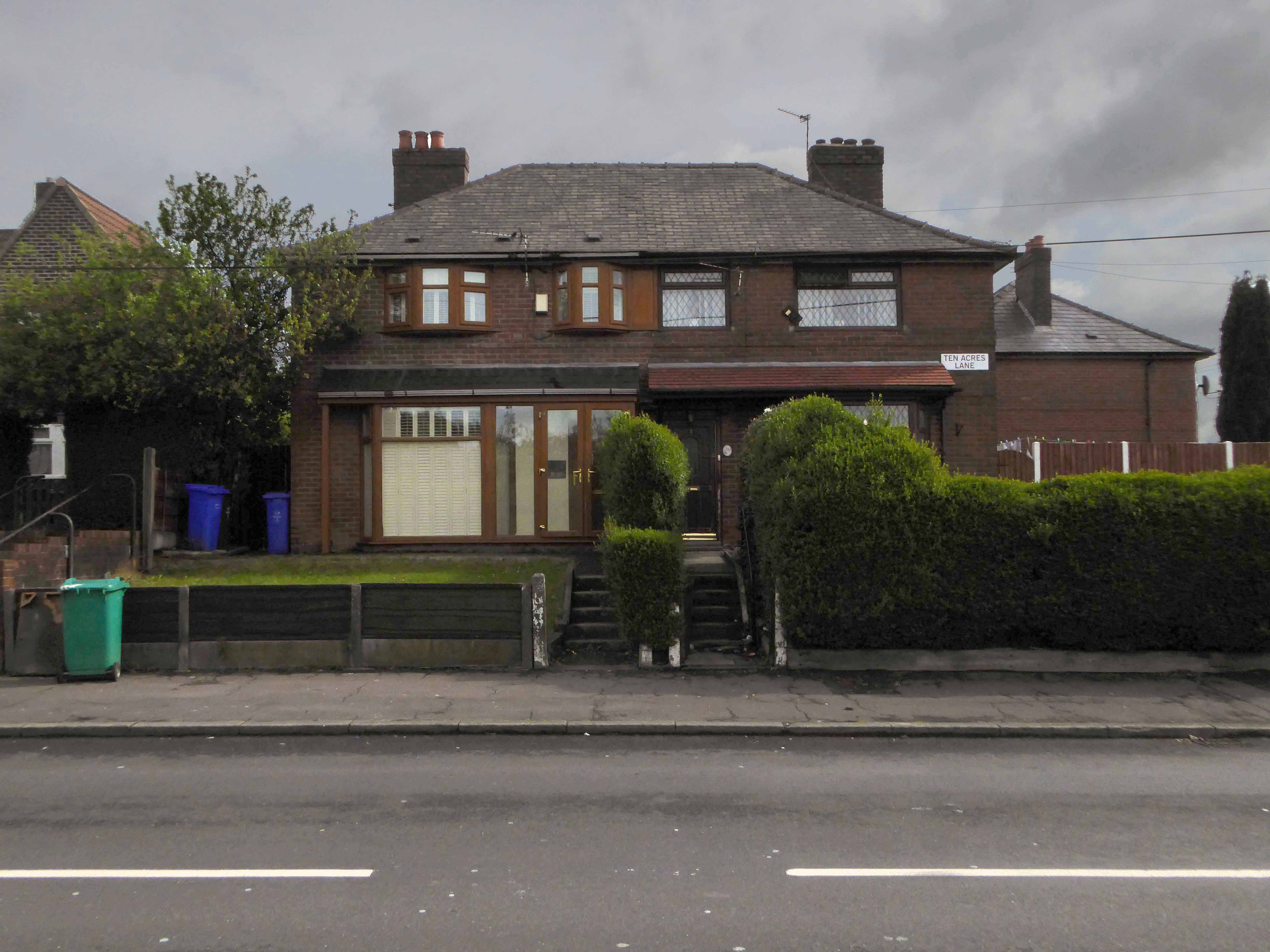
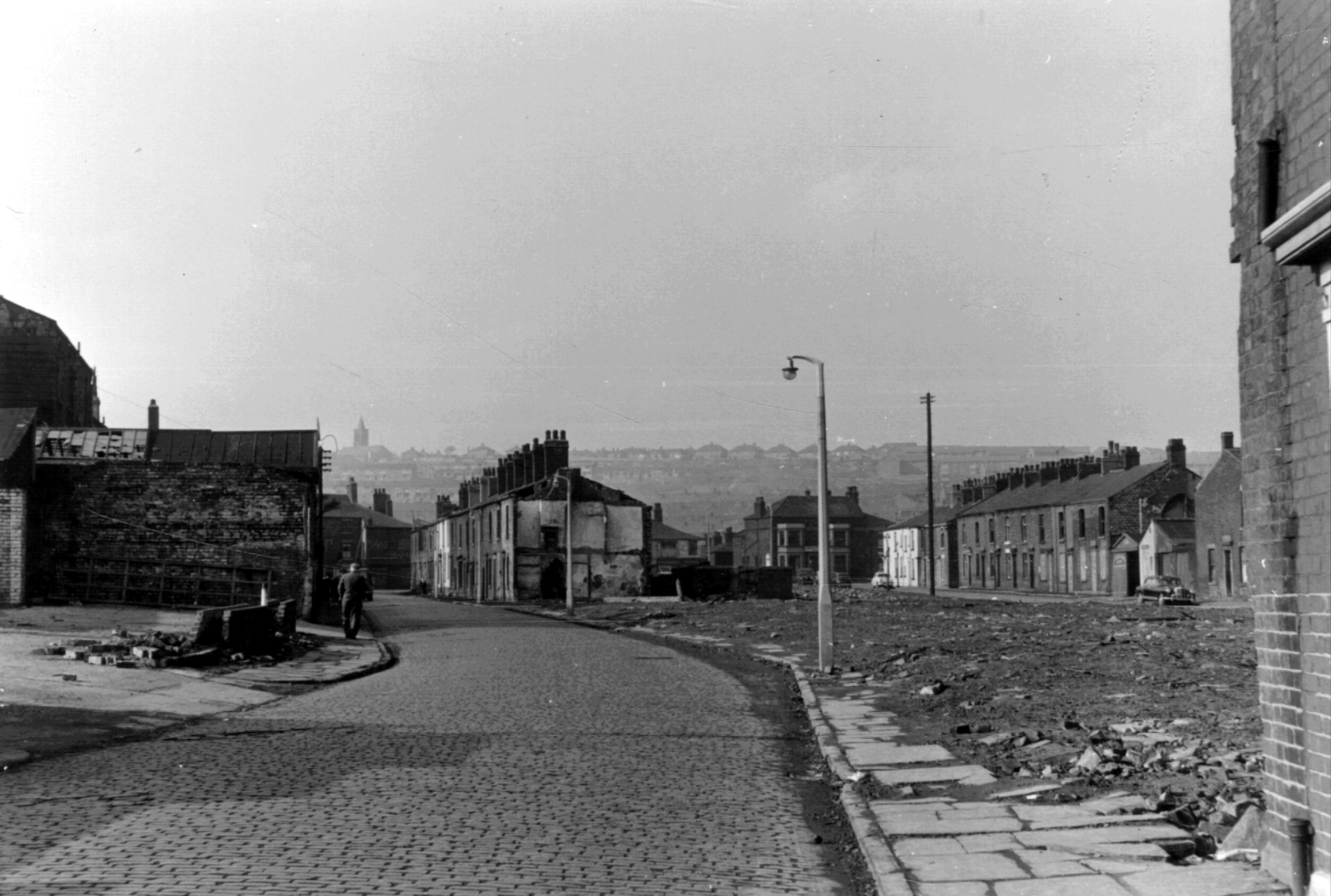
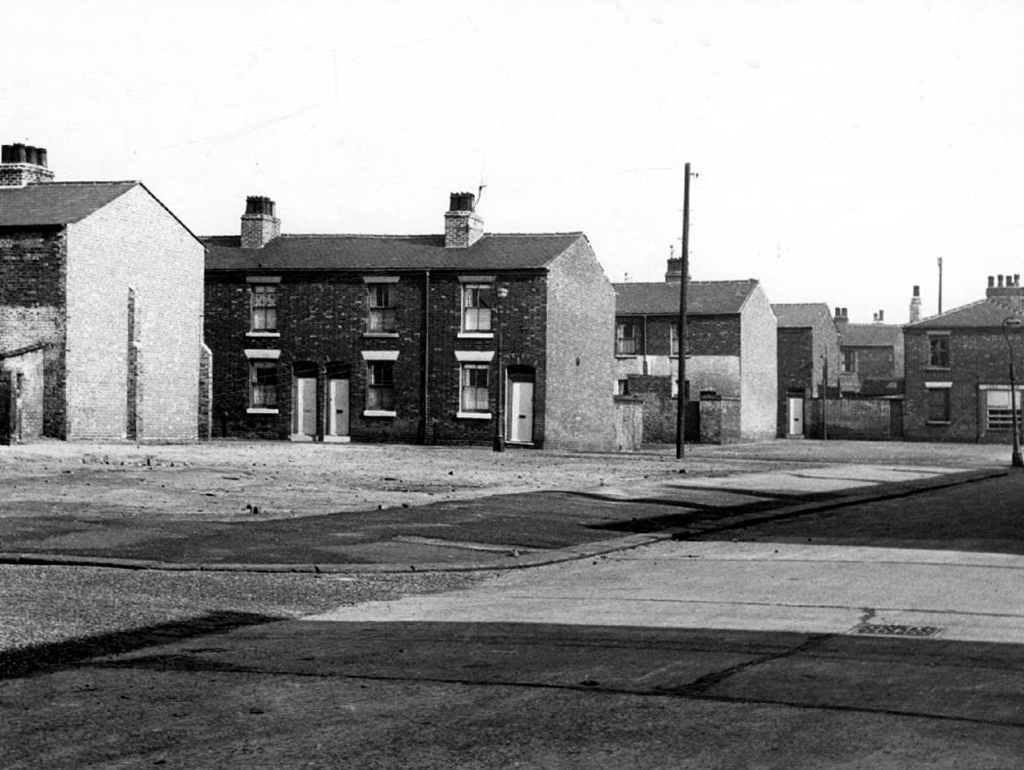
But formerly there were peoples’ homes here.

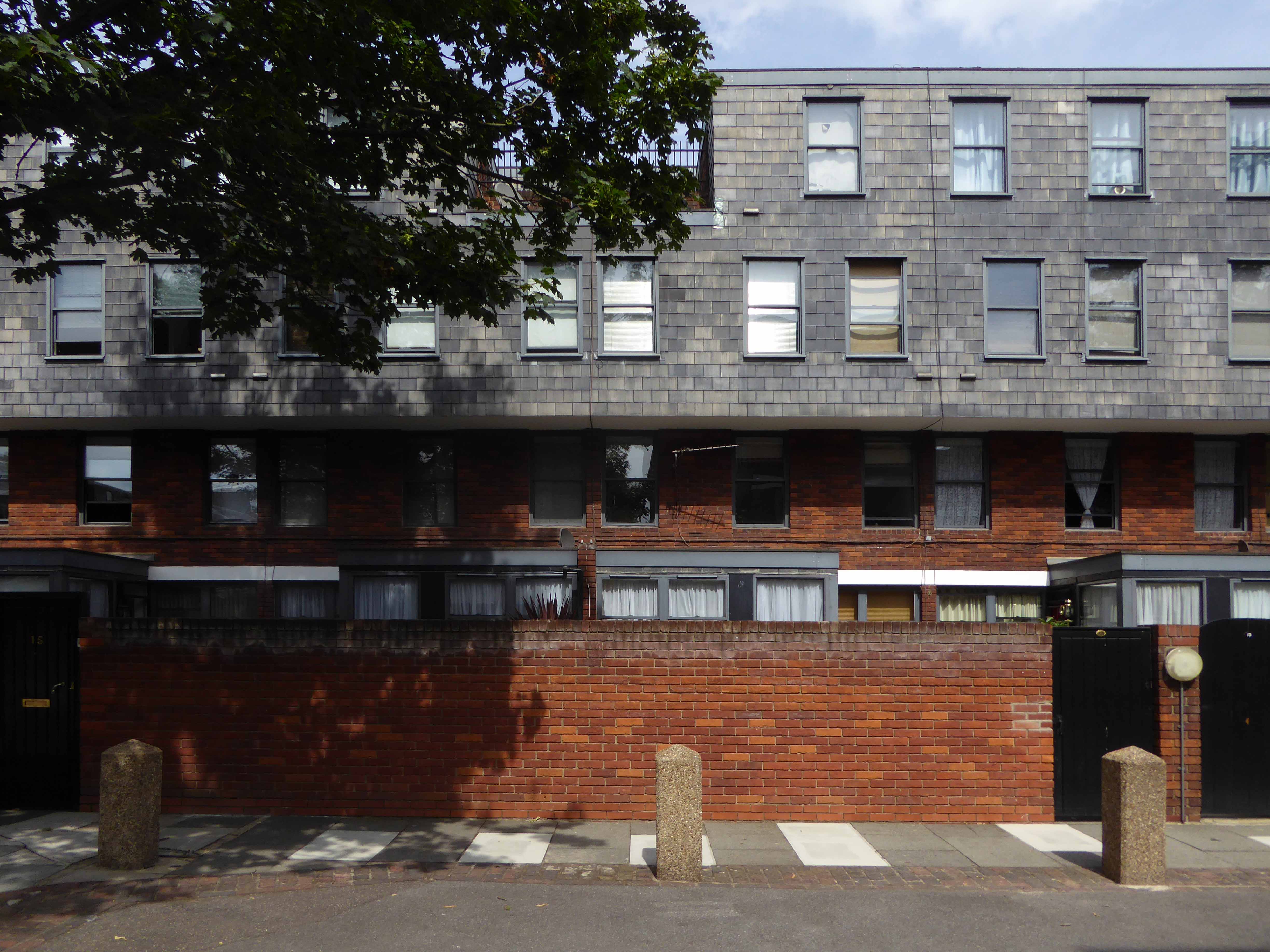
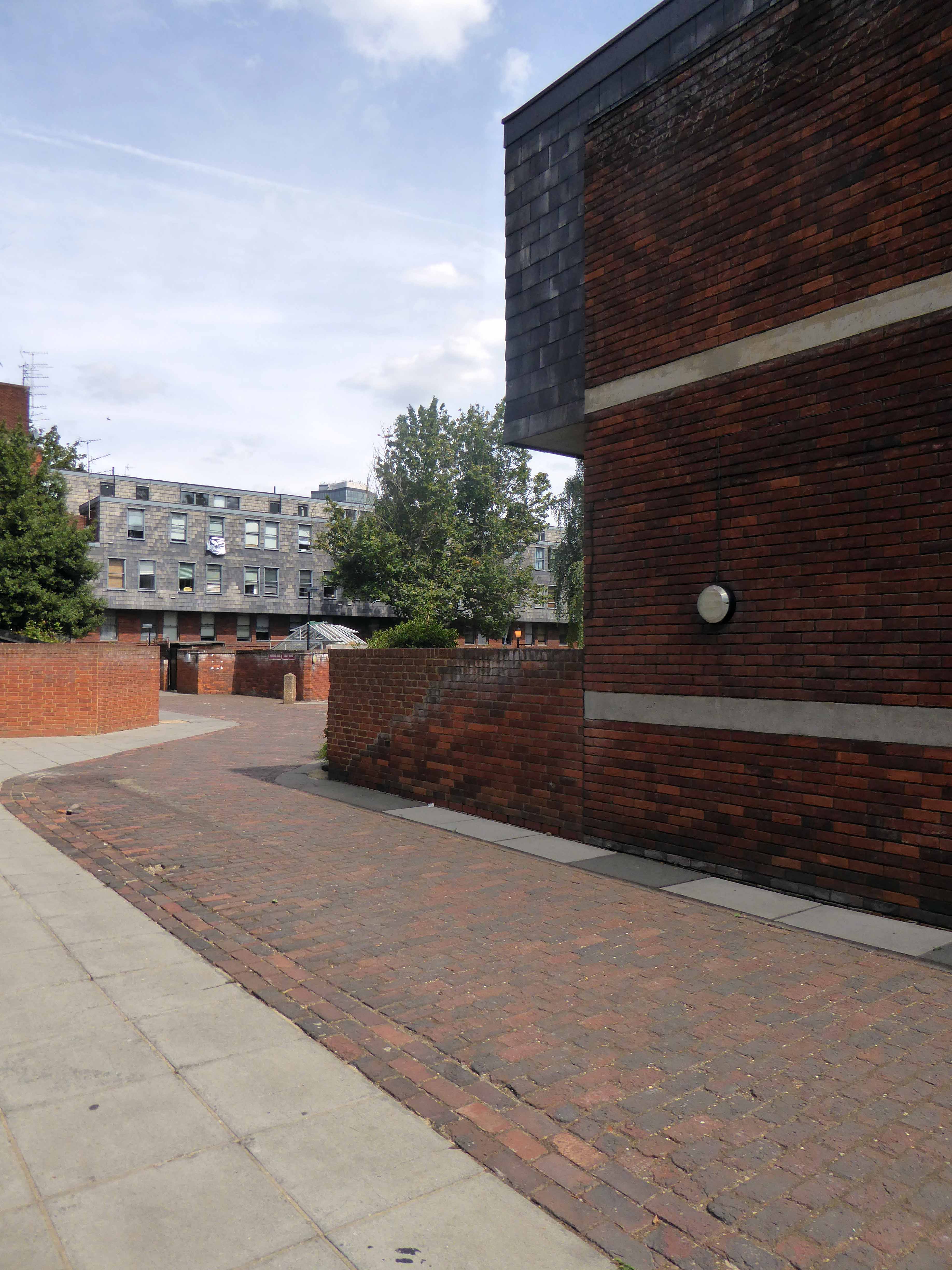
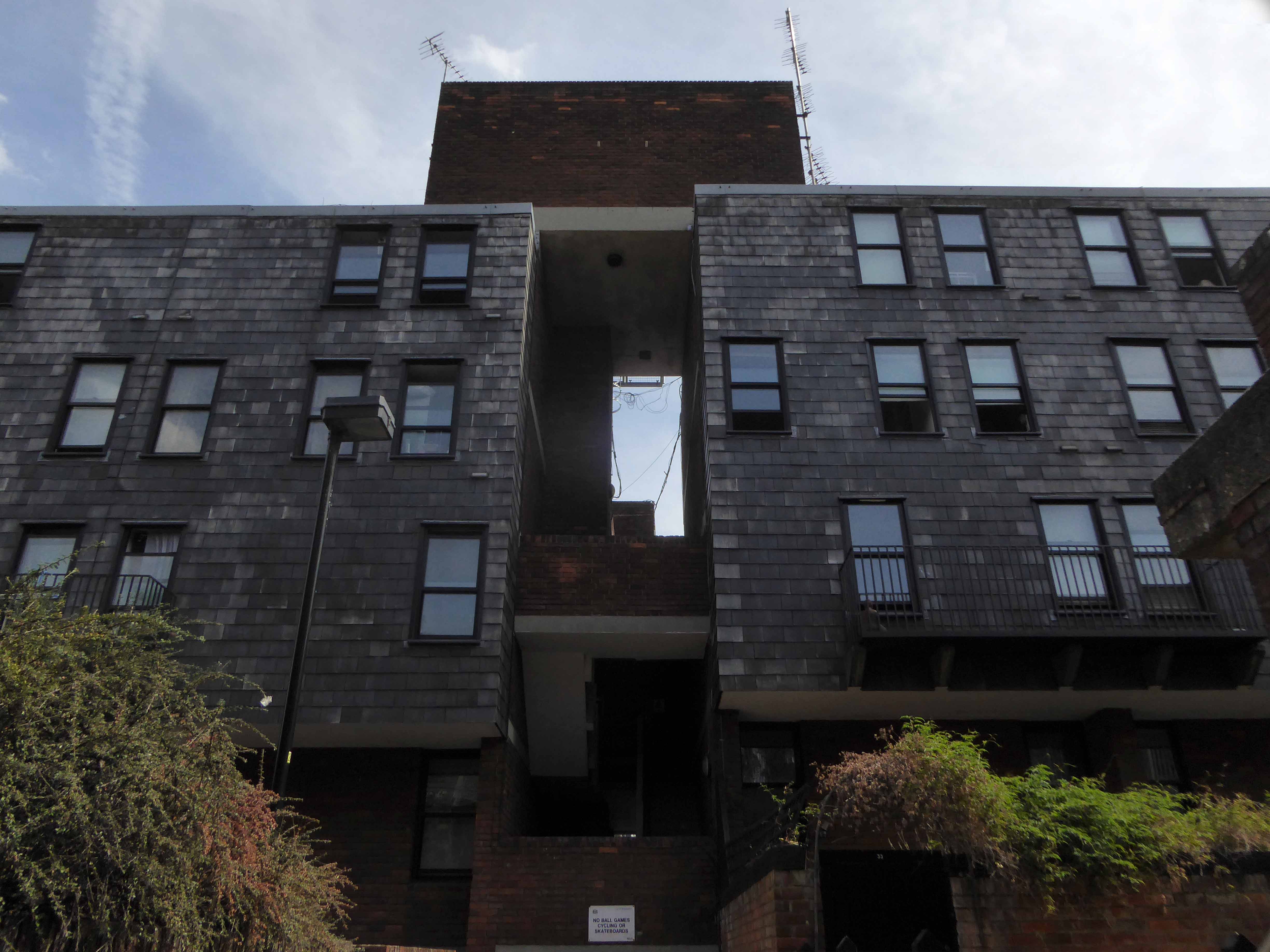
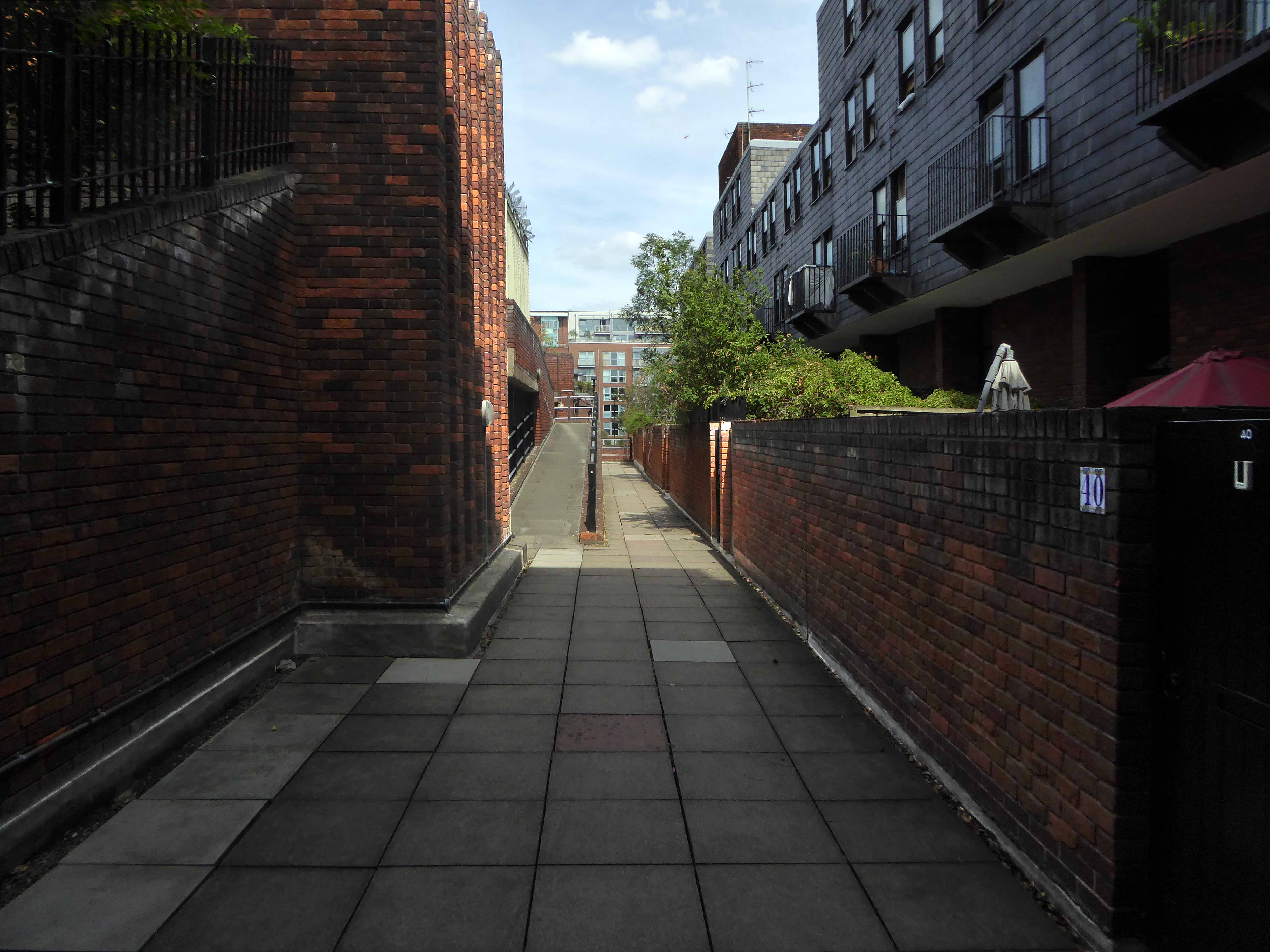
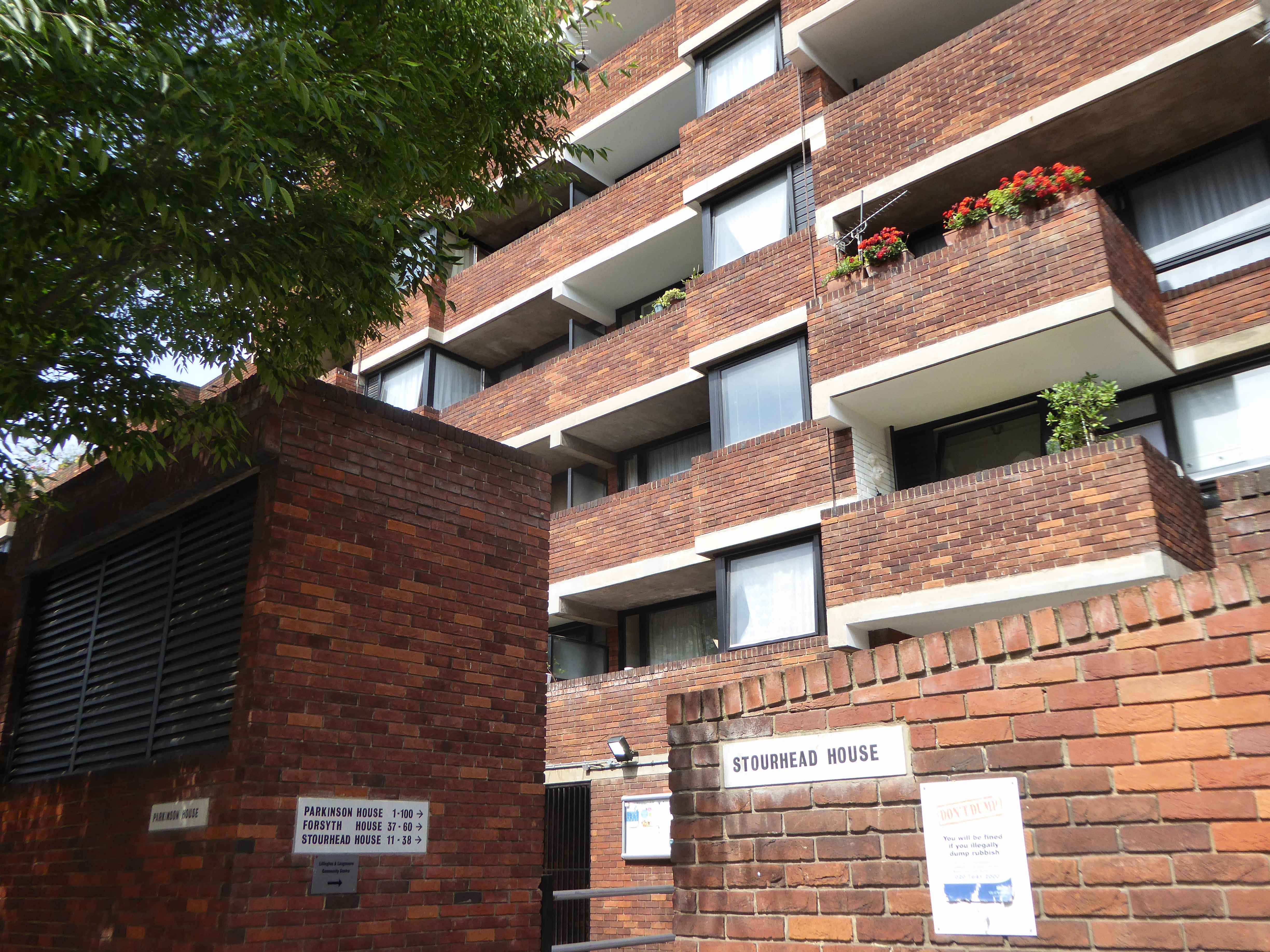
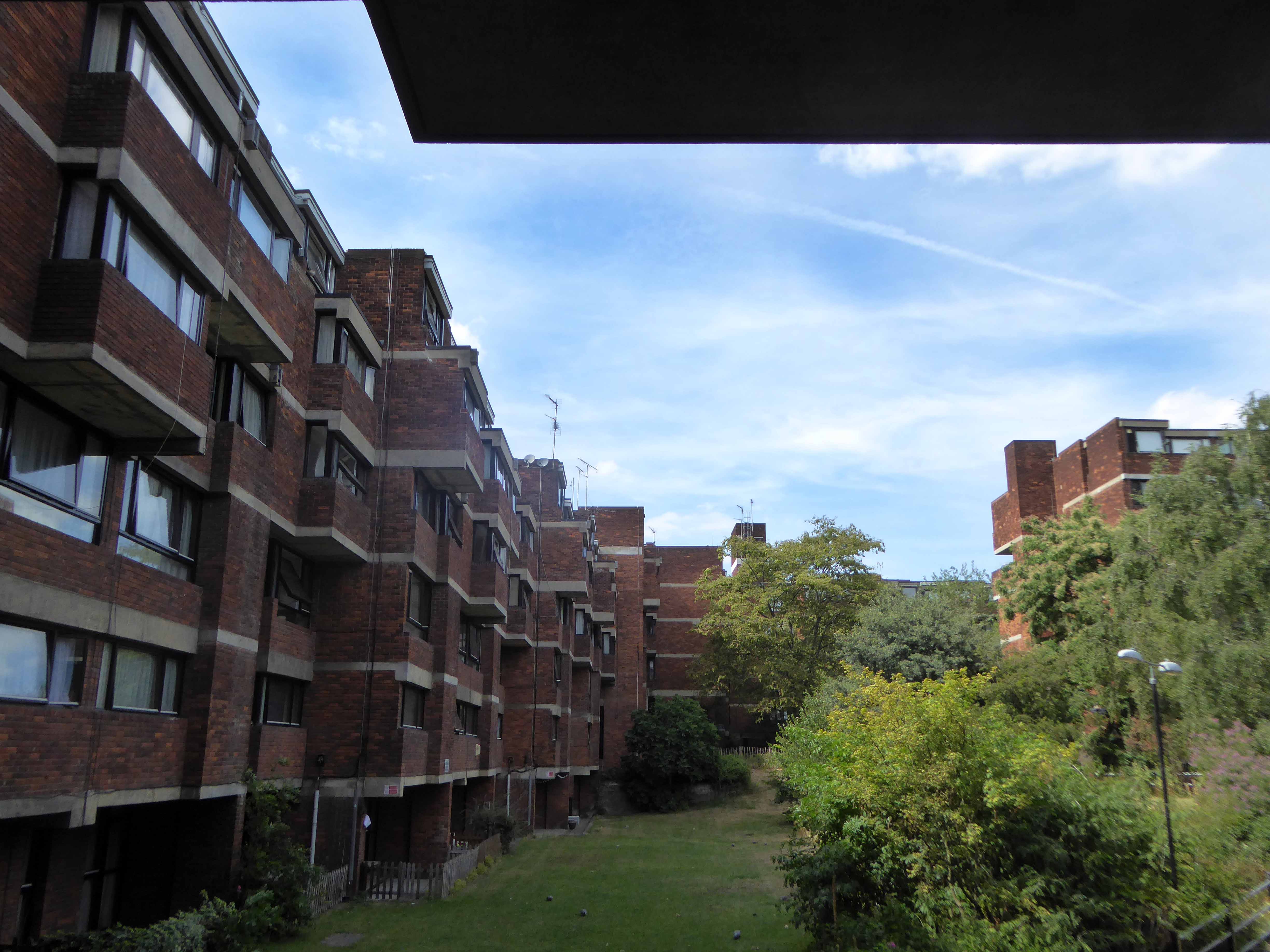
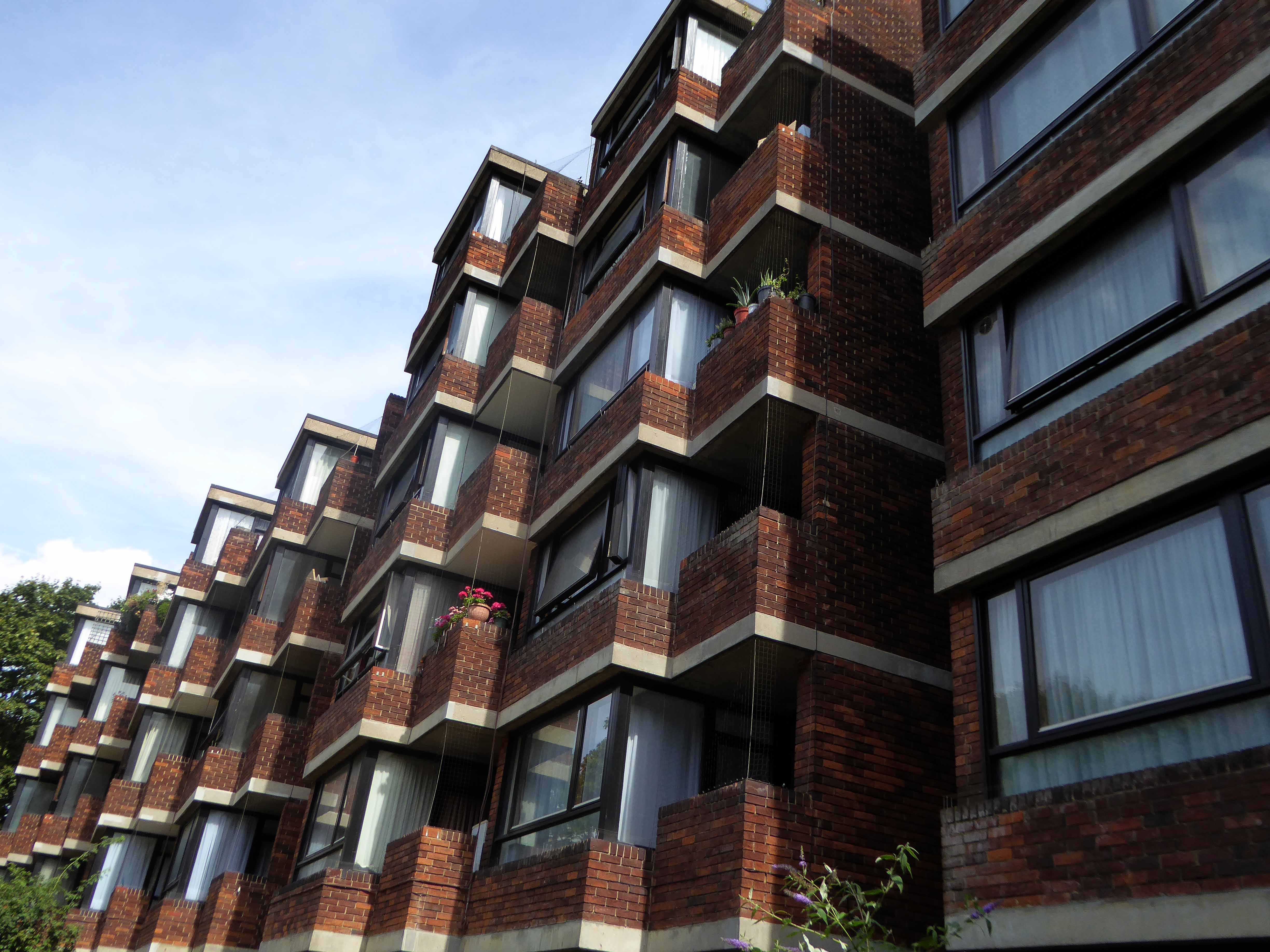
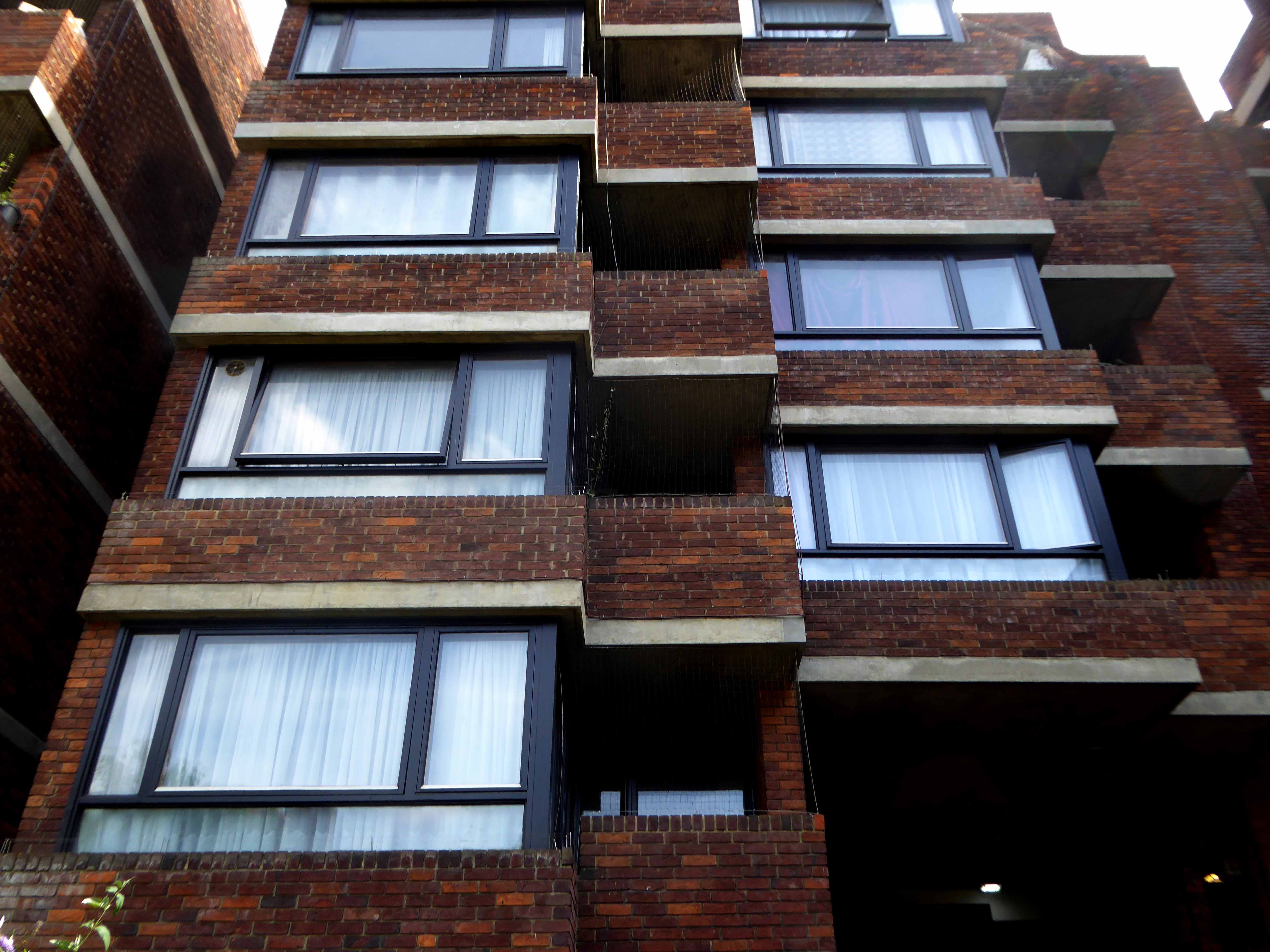
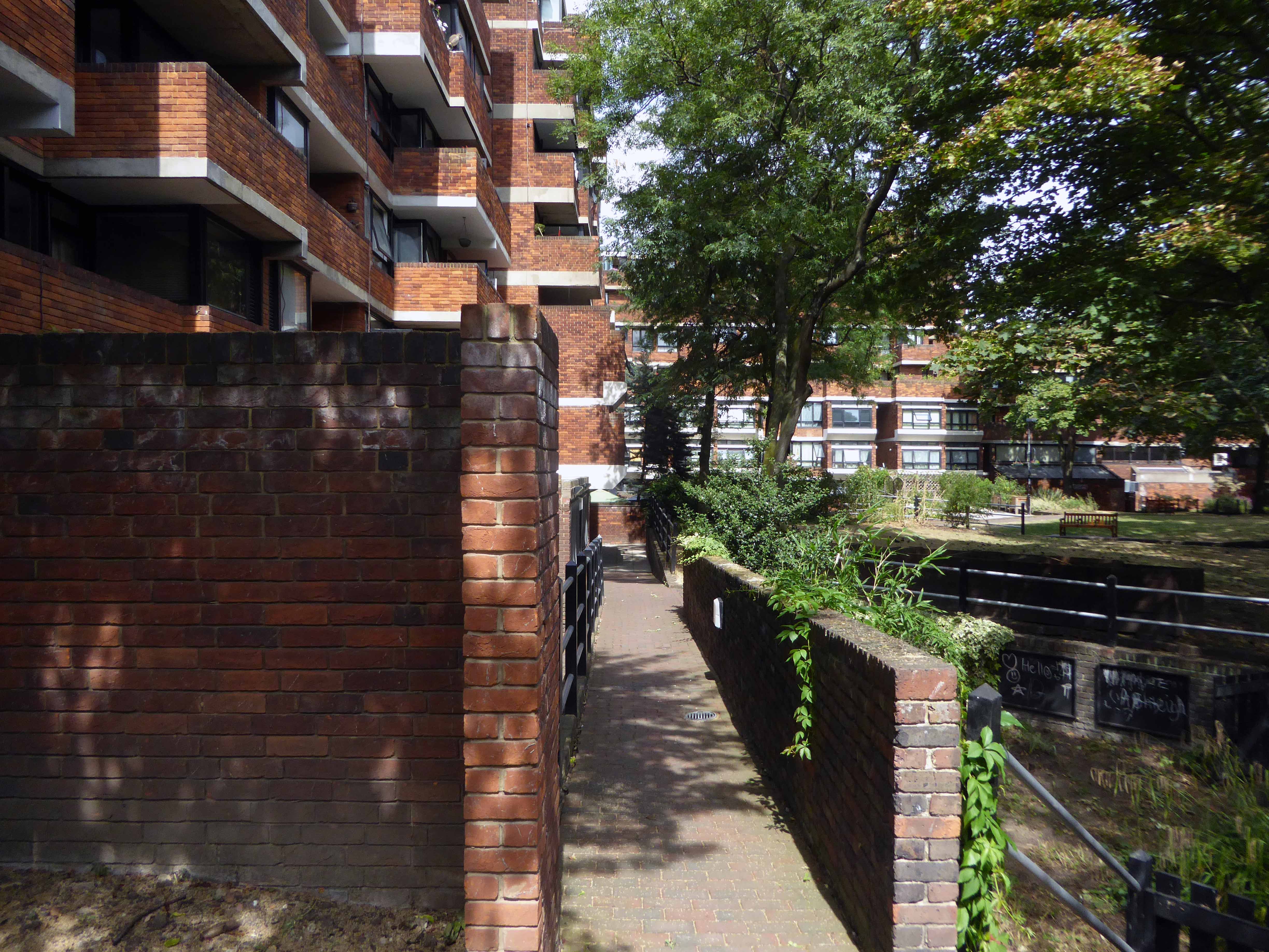
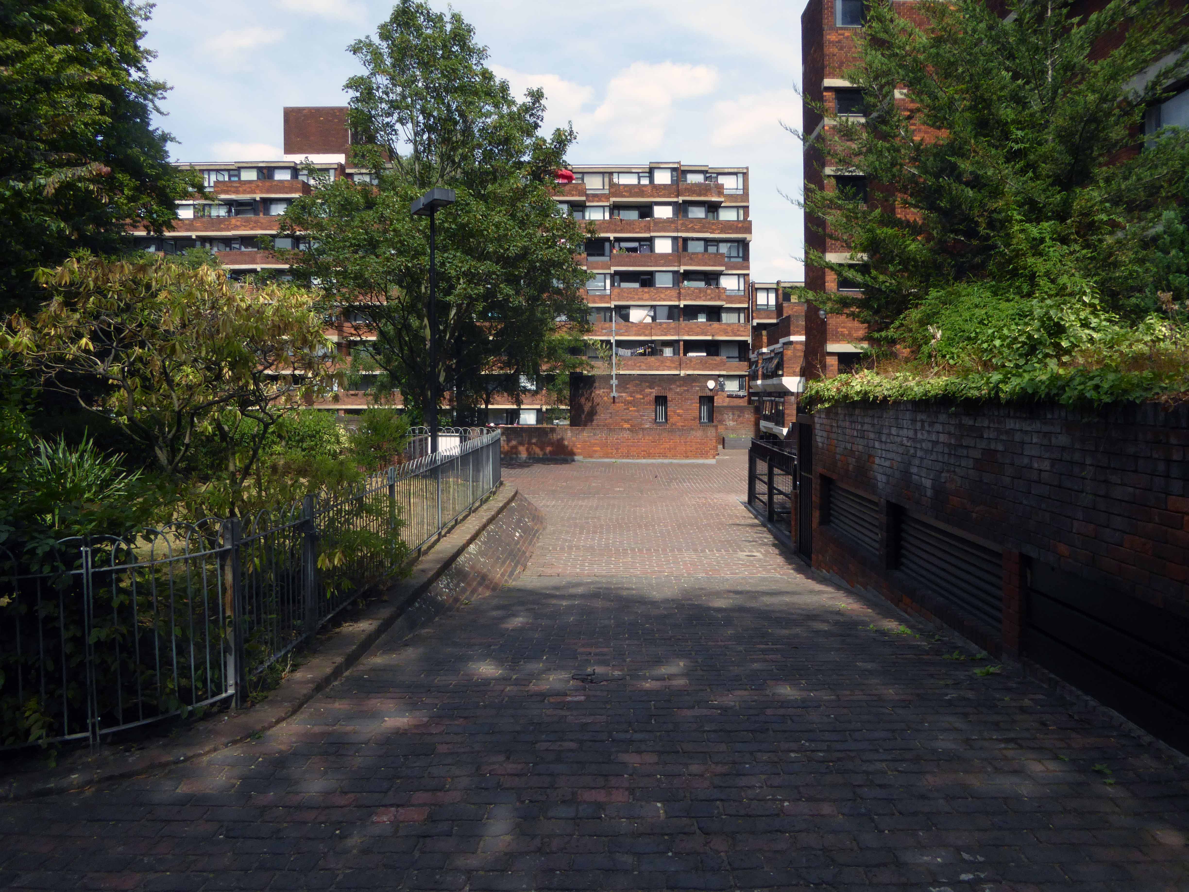
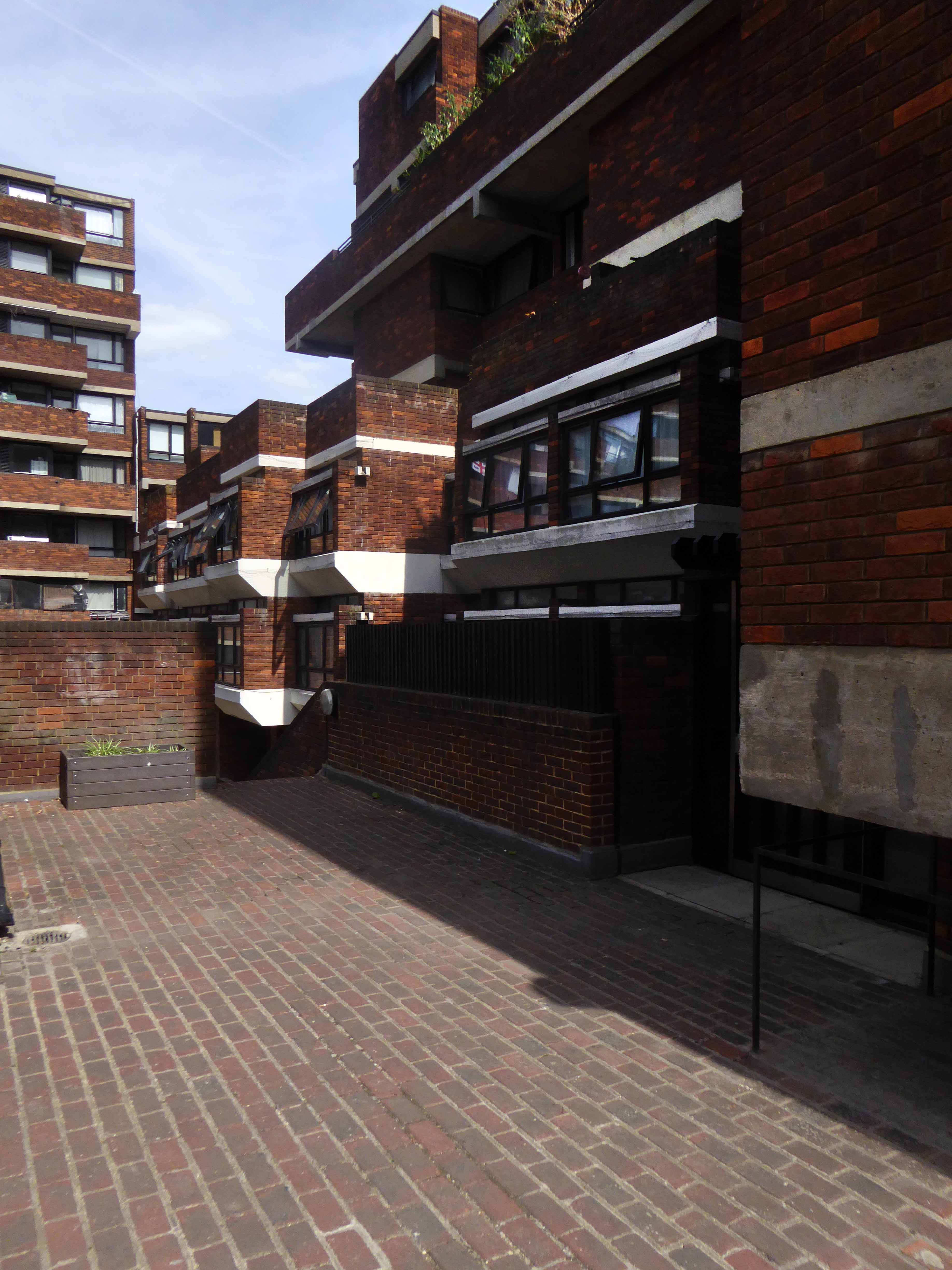
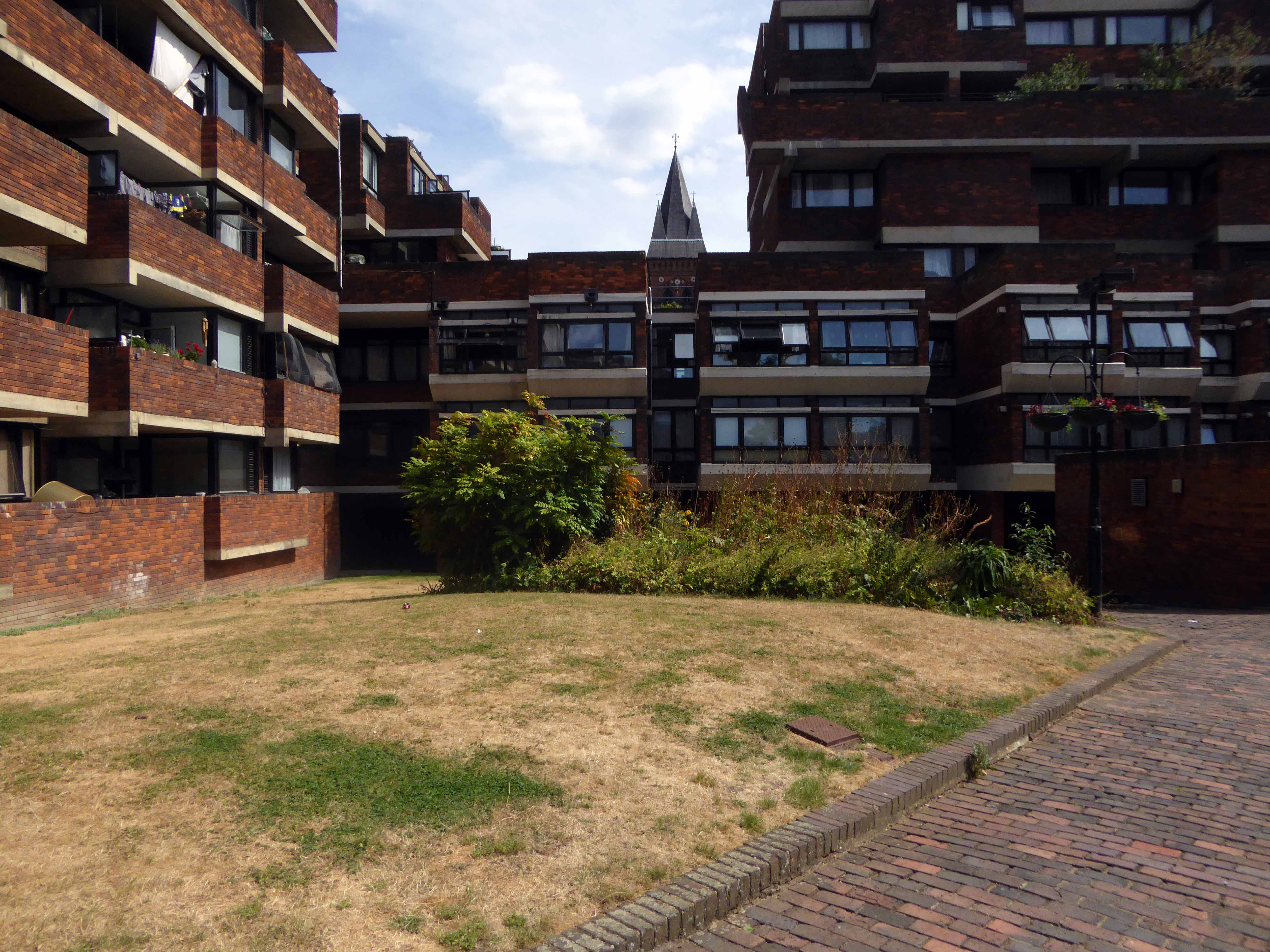
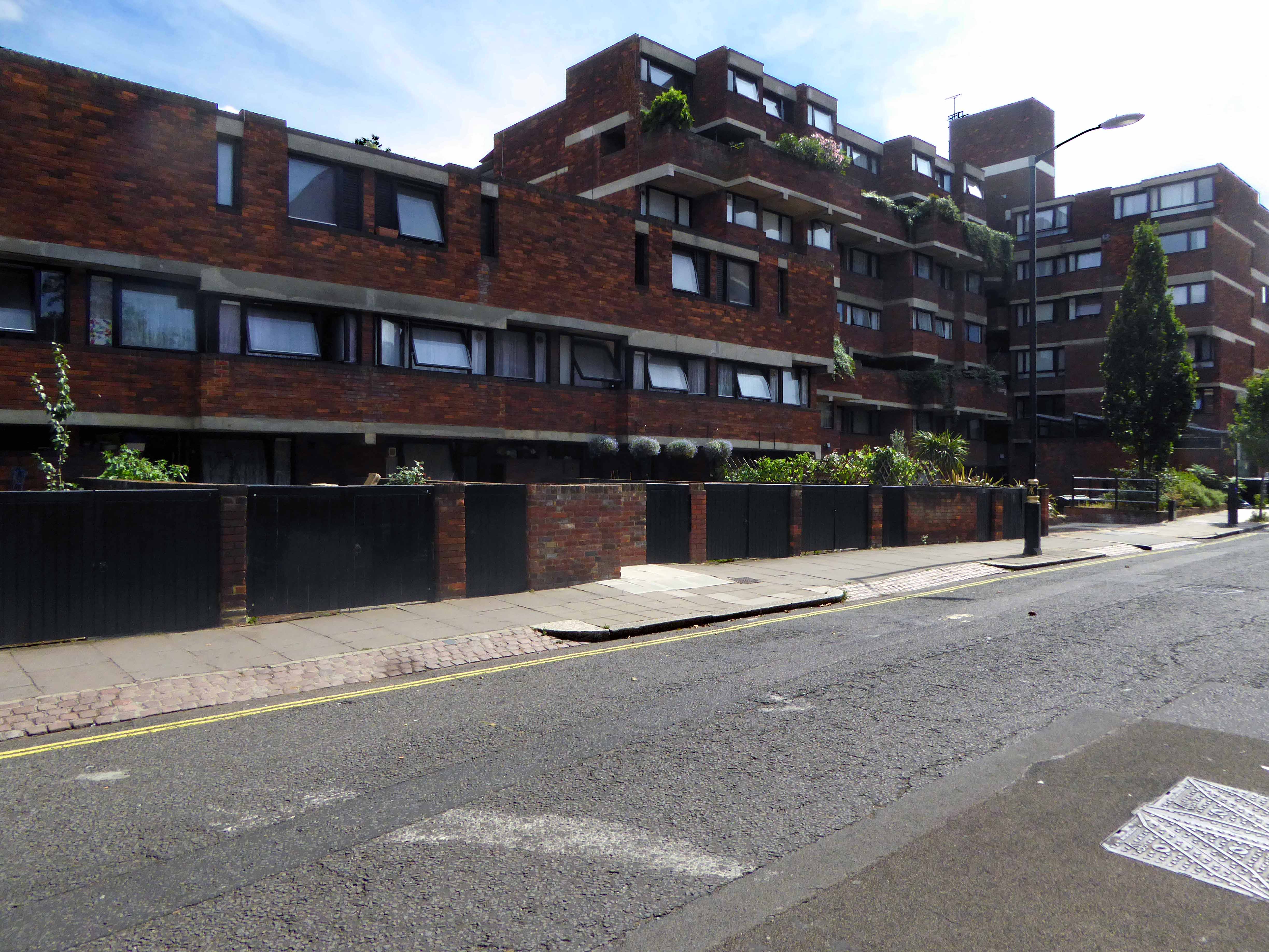
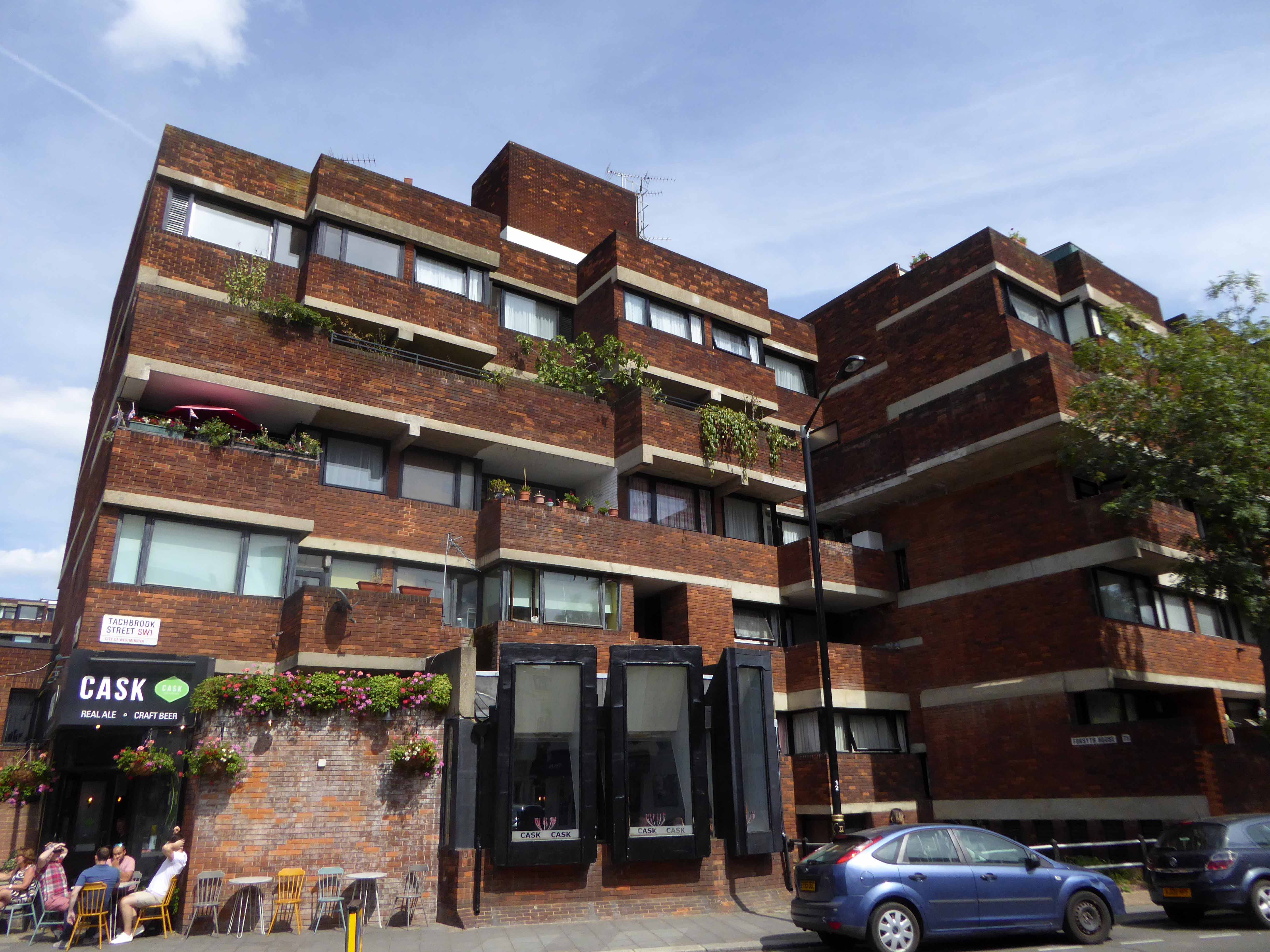
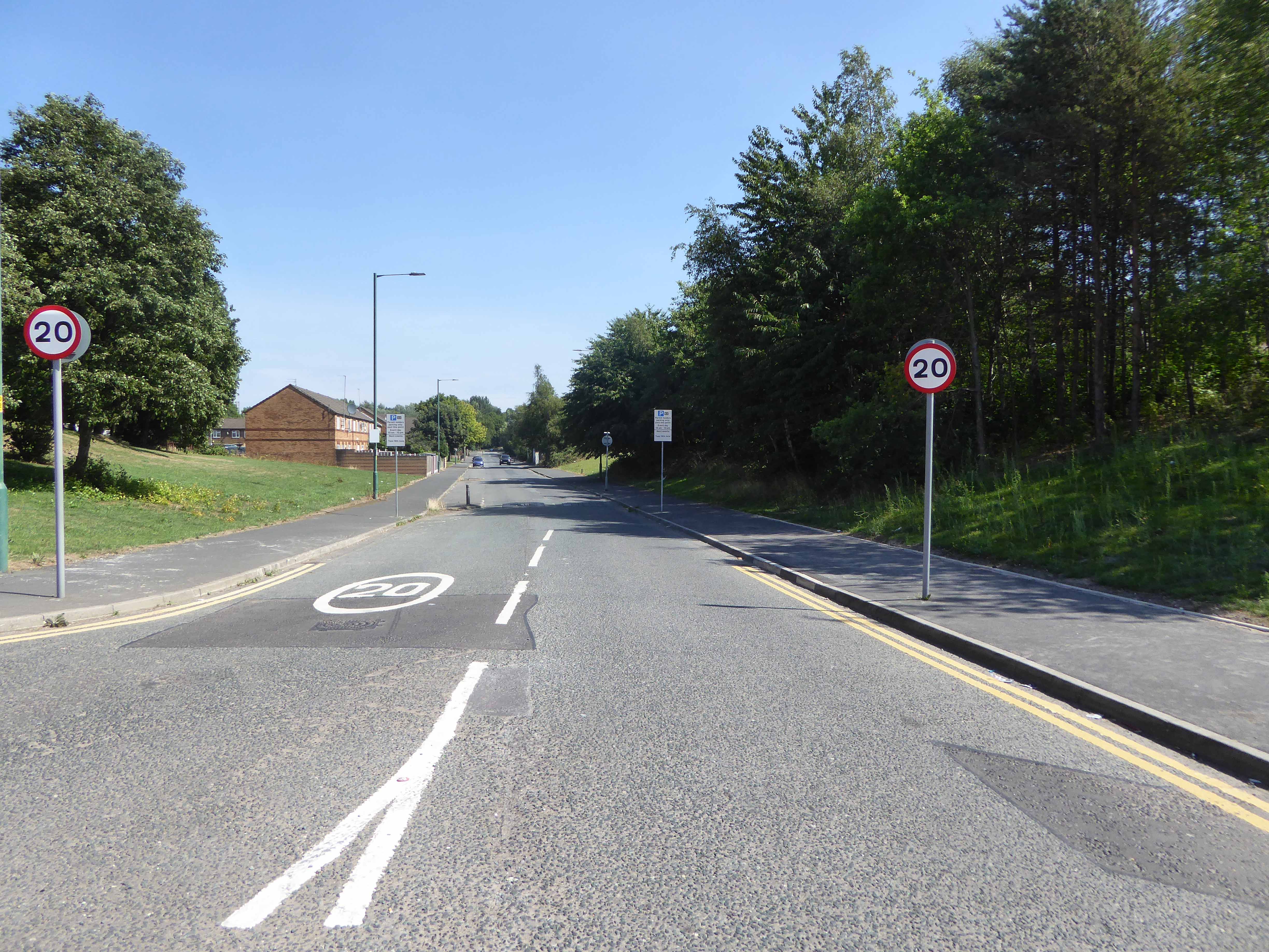
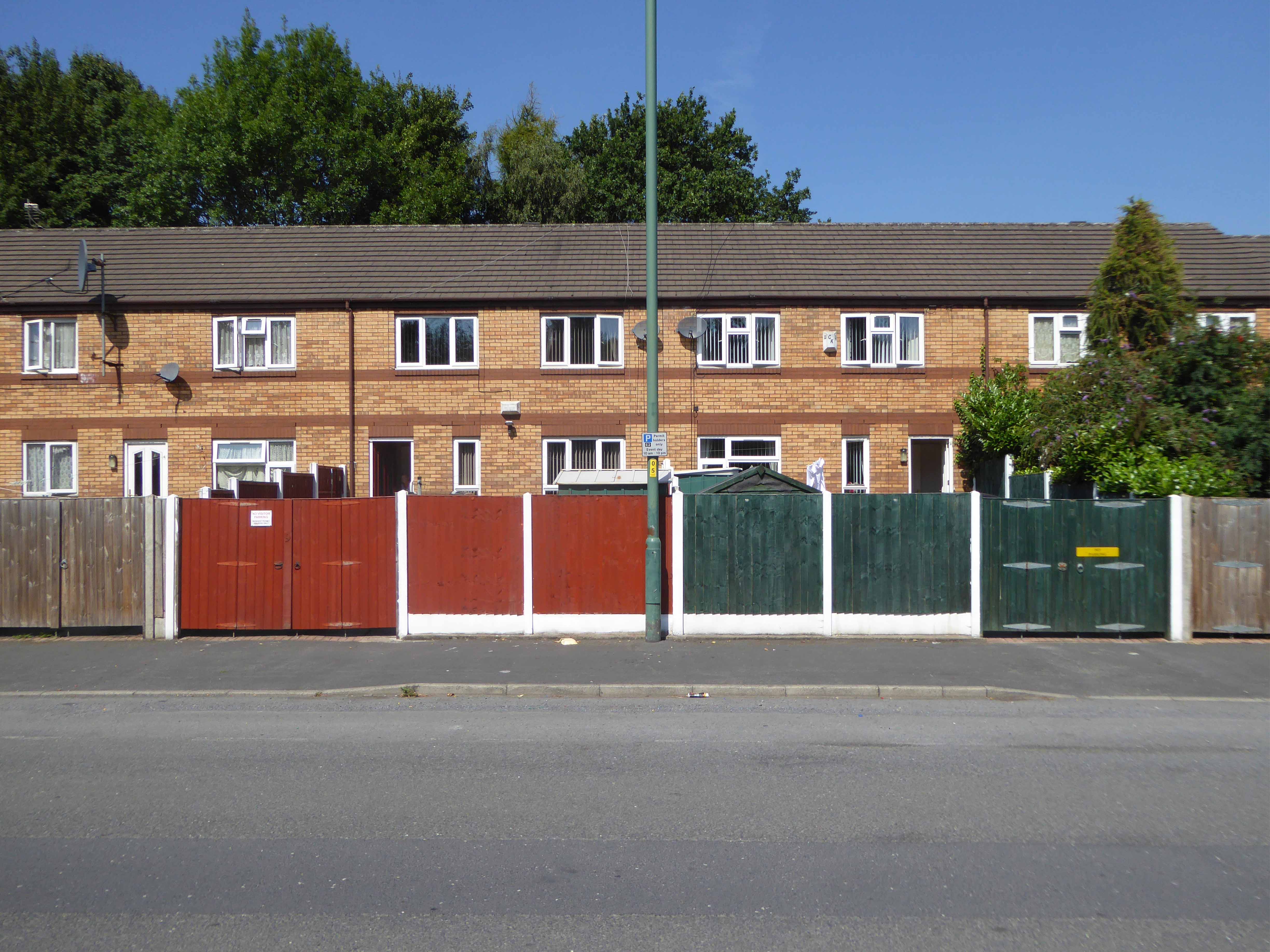
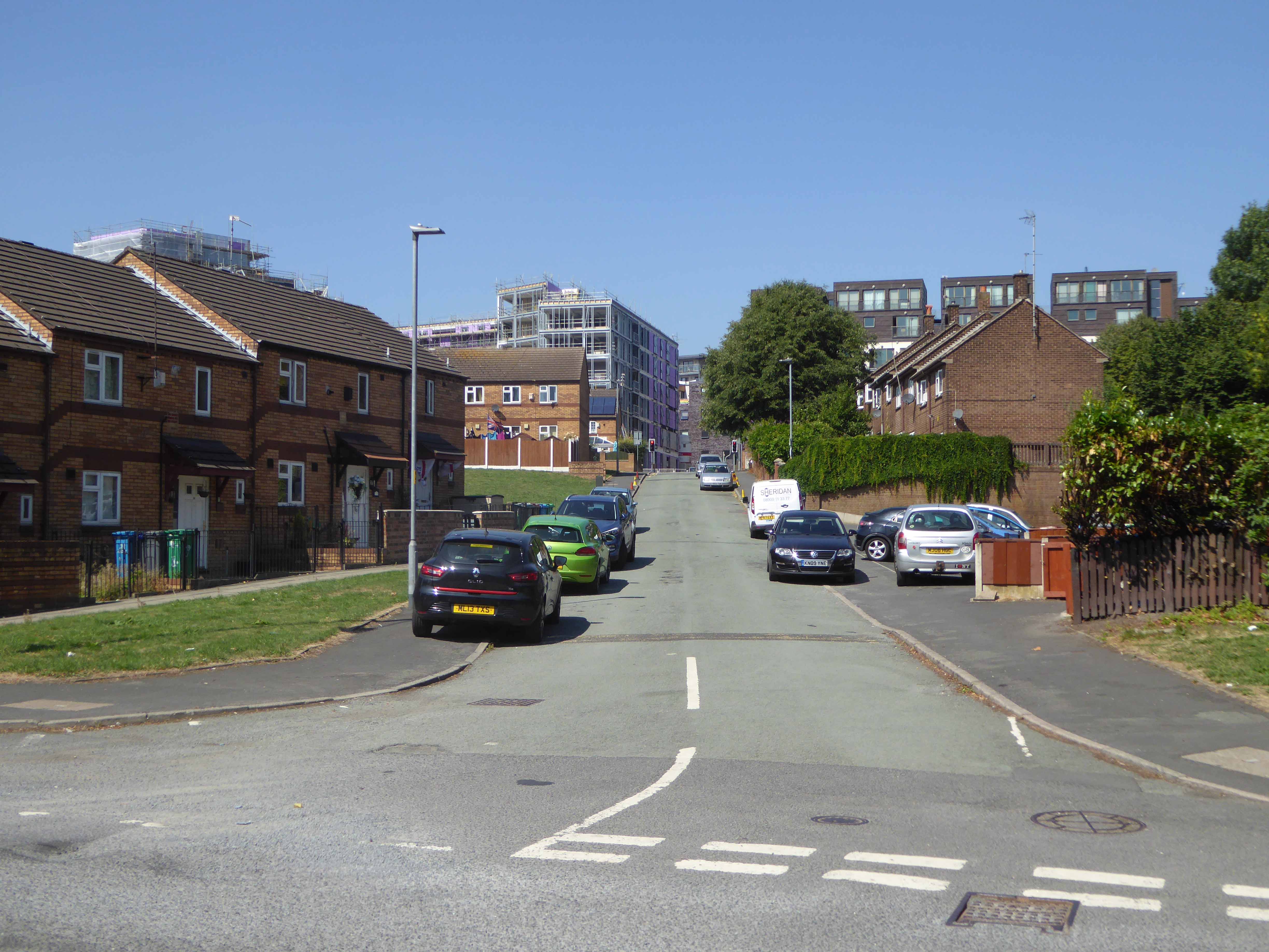
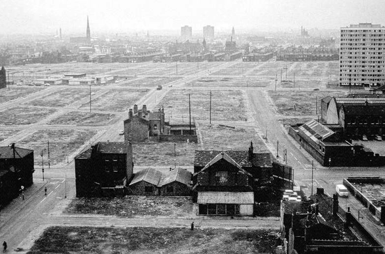
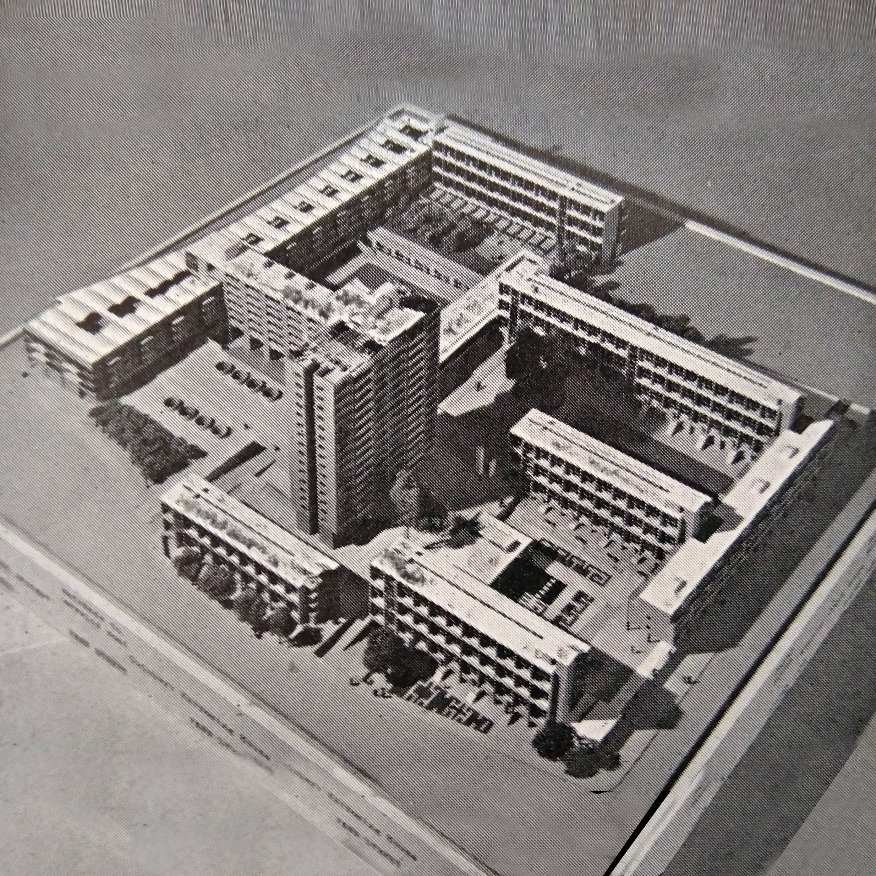
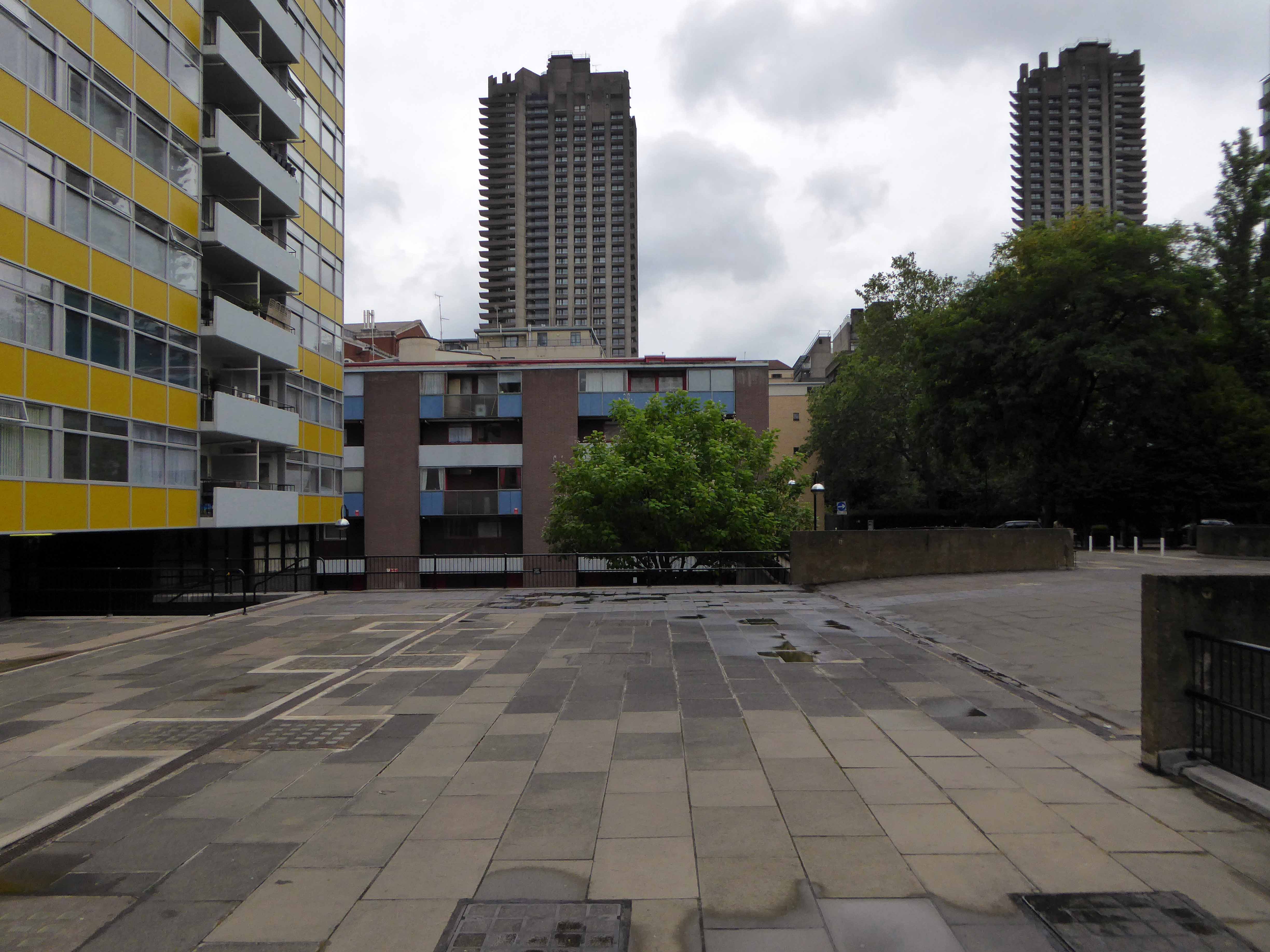
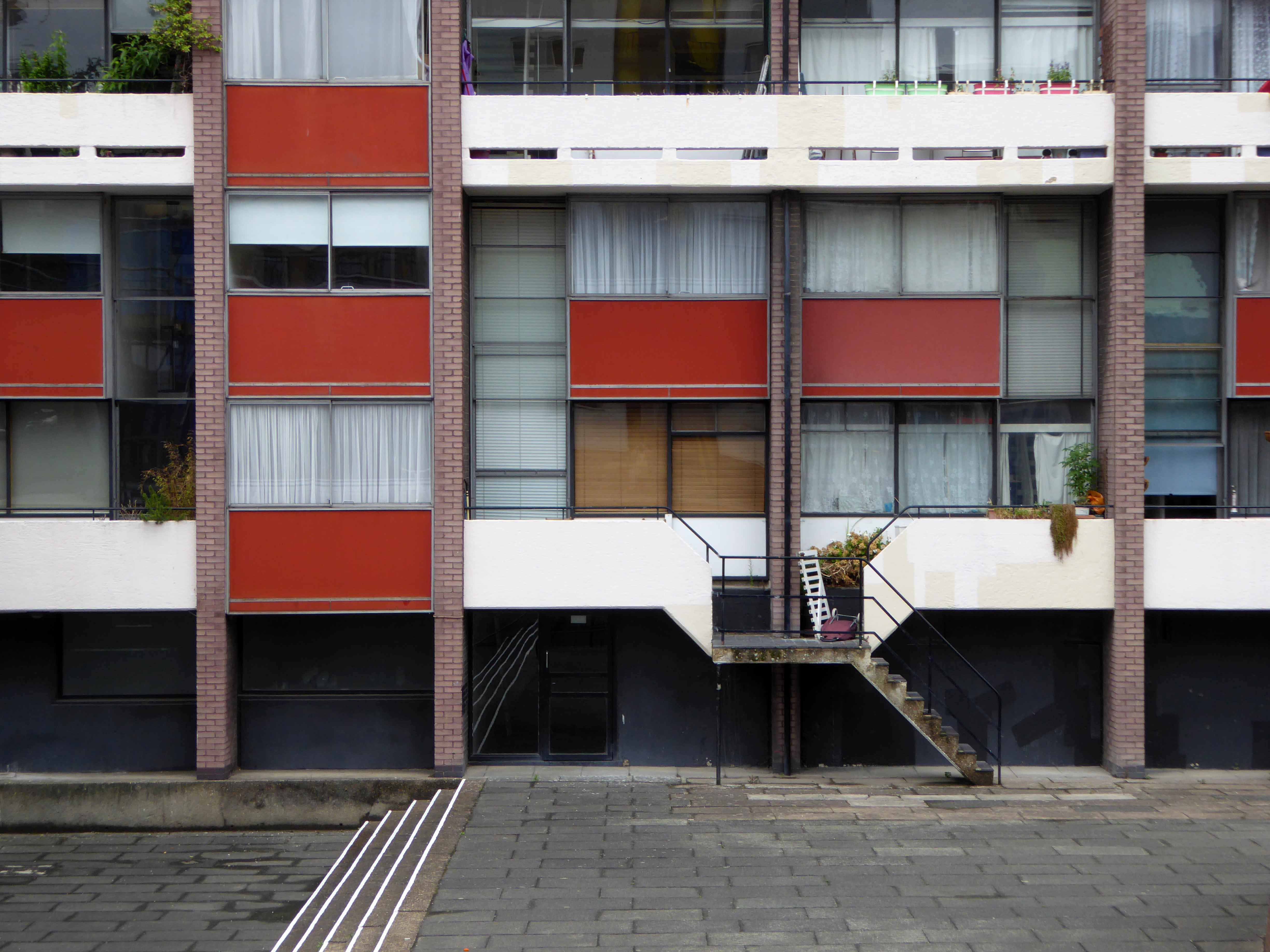
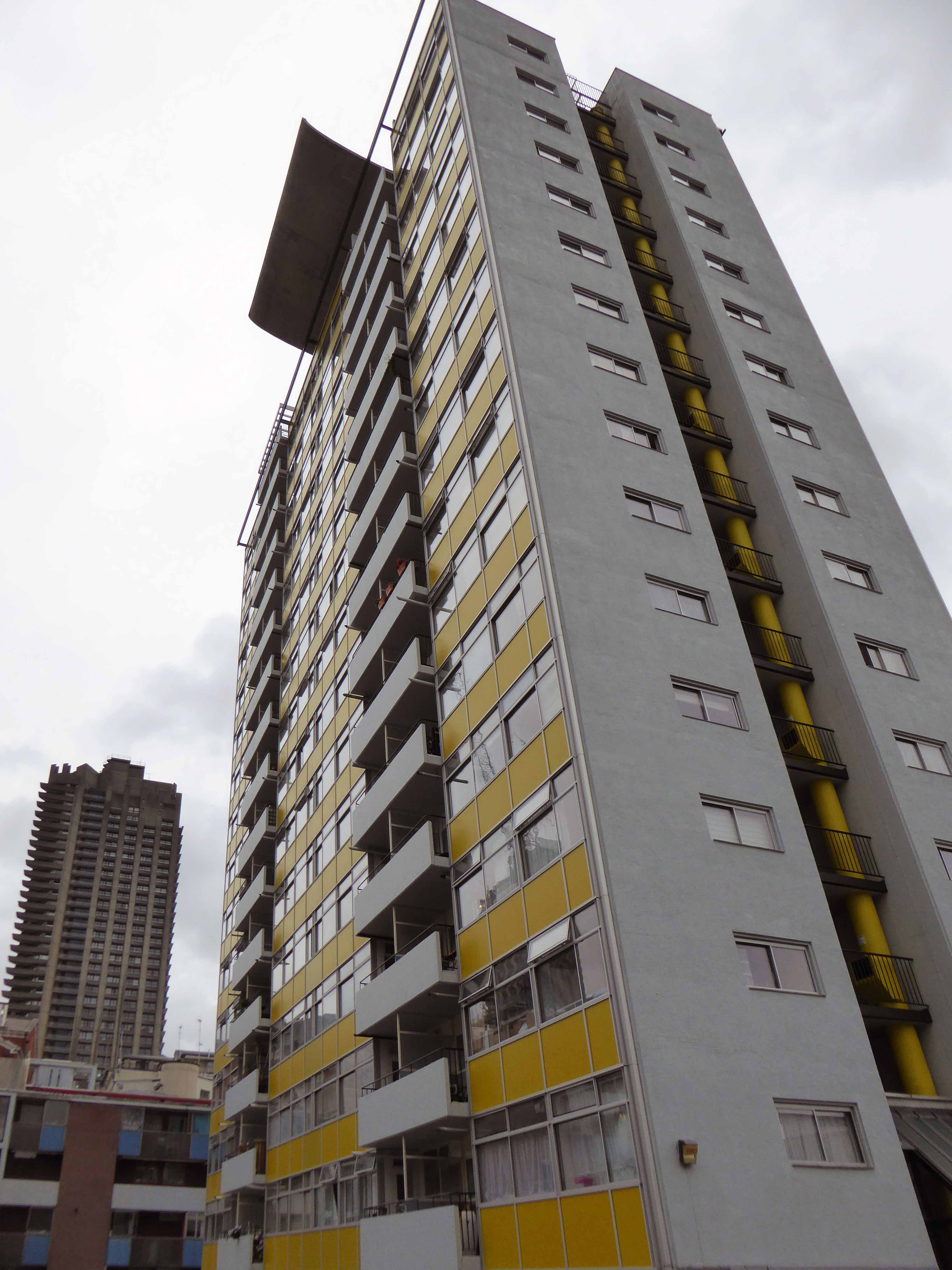
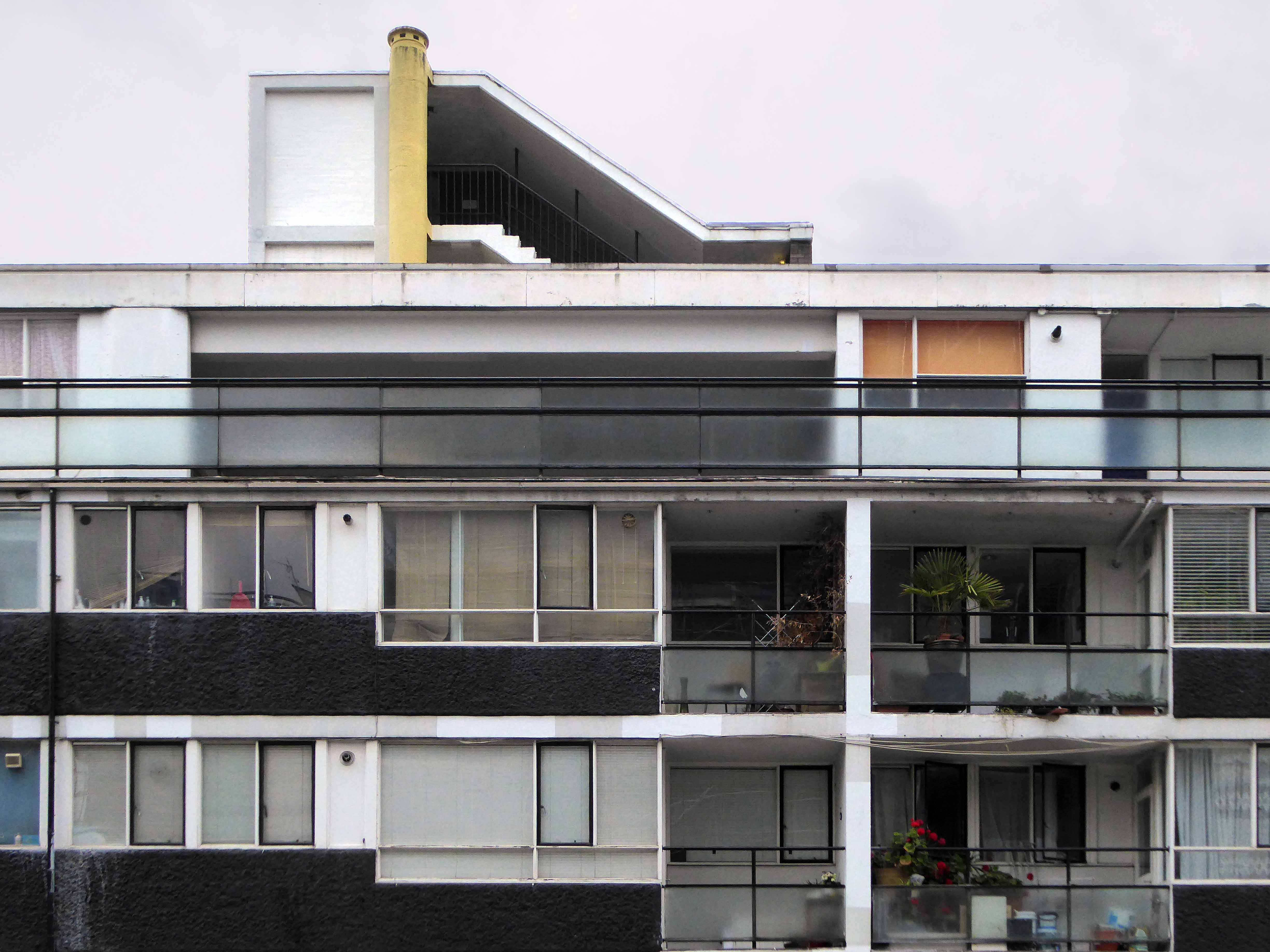
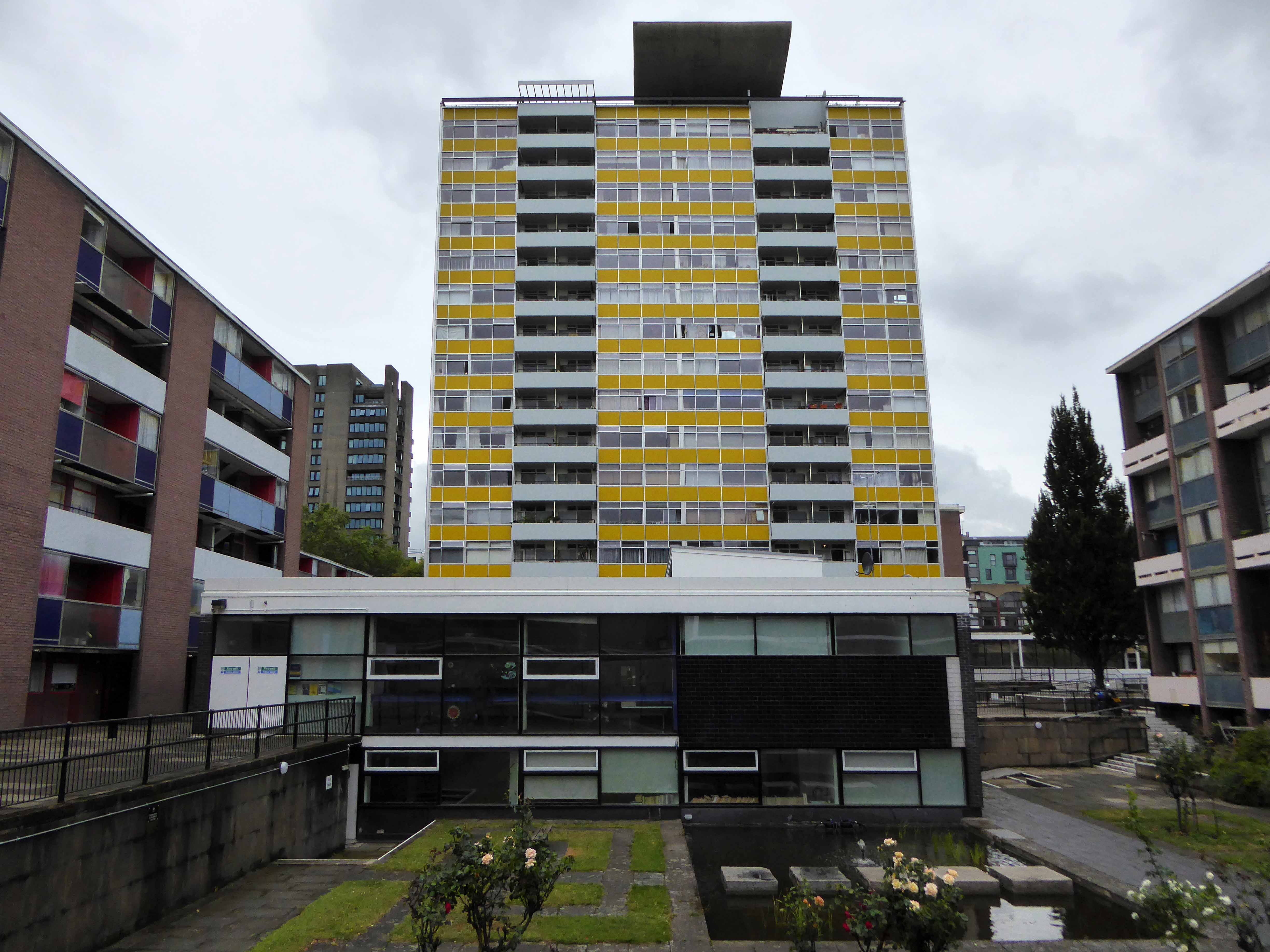
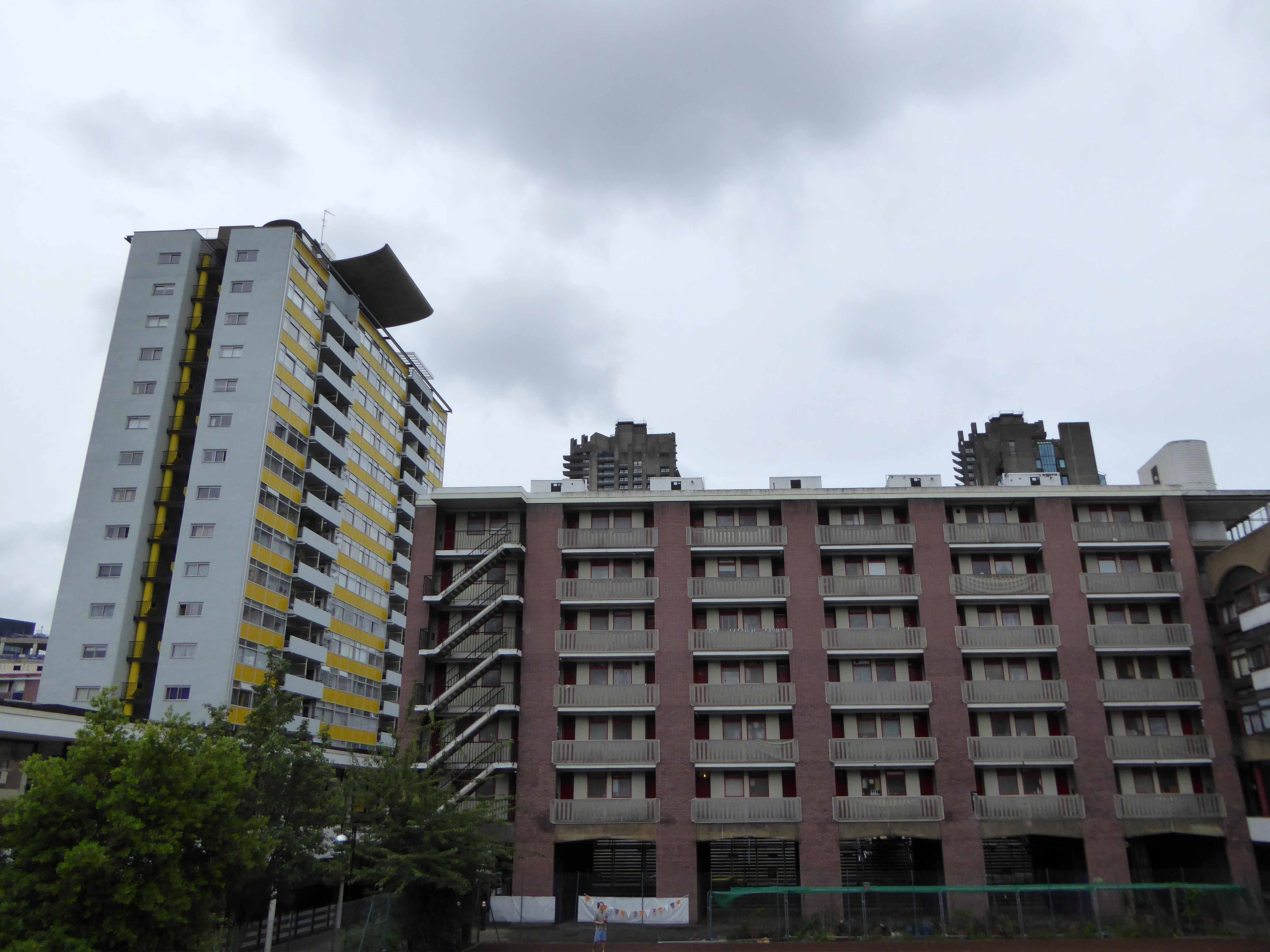
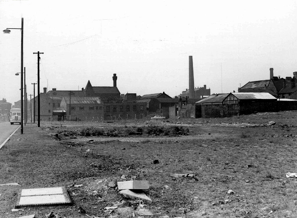
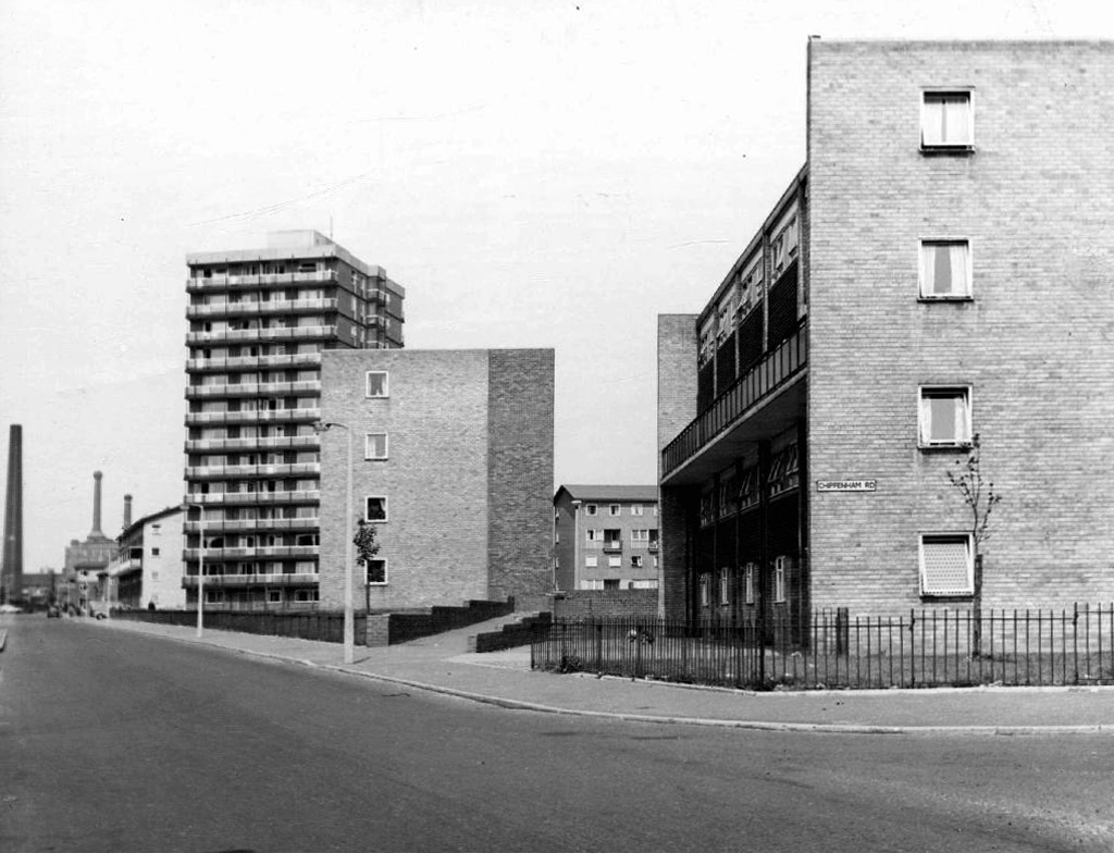
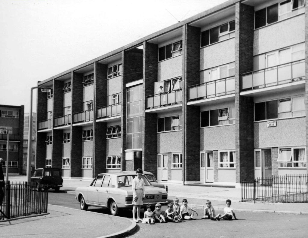
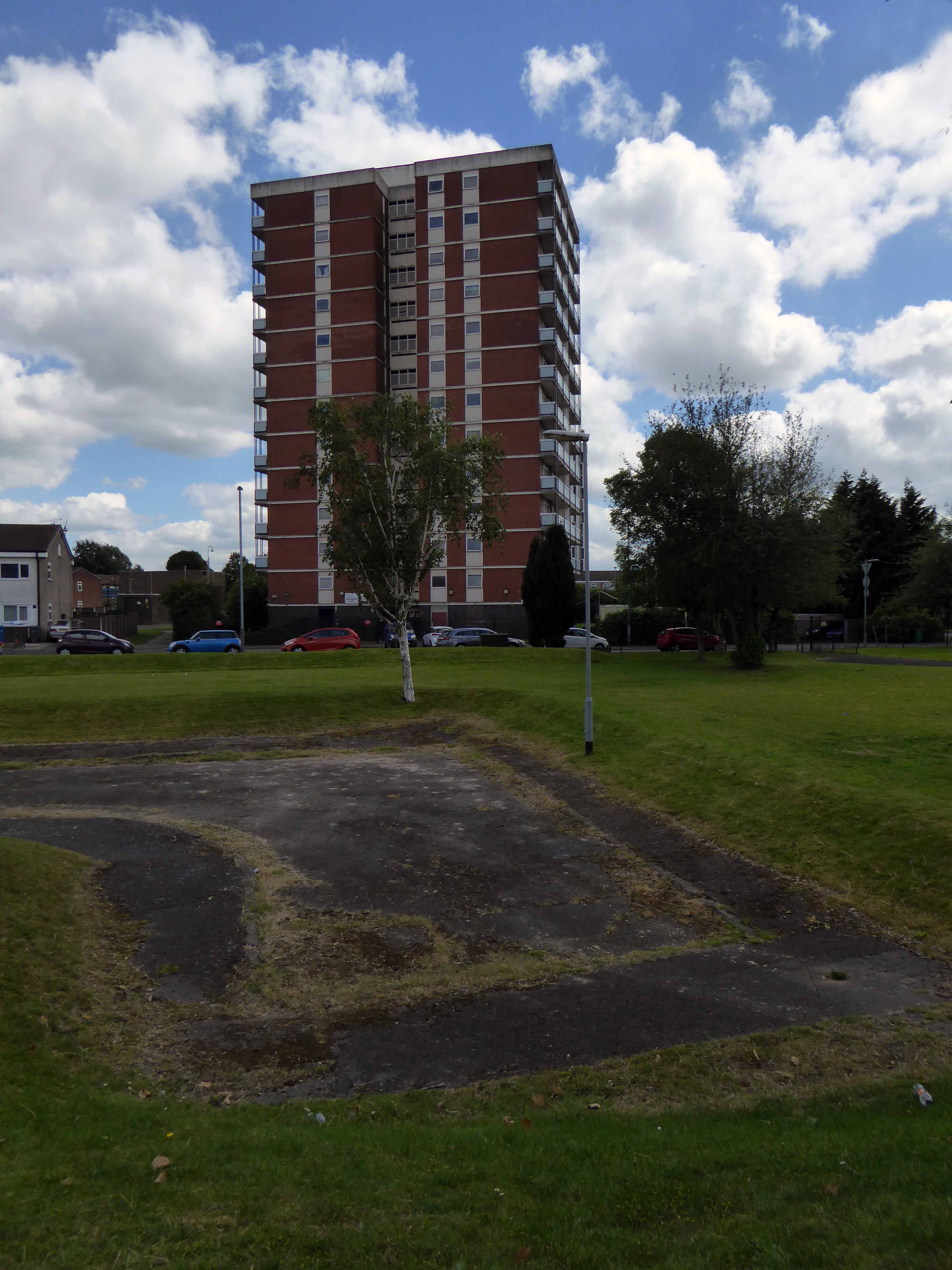
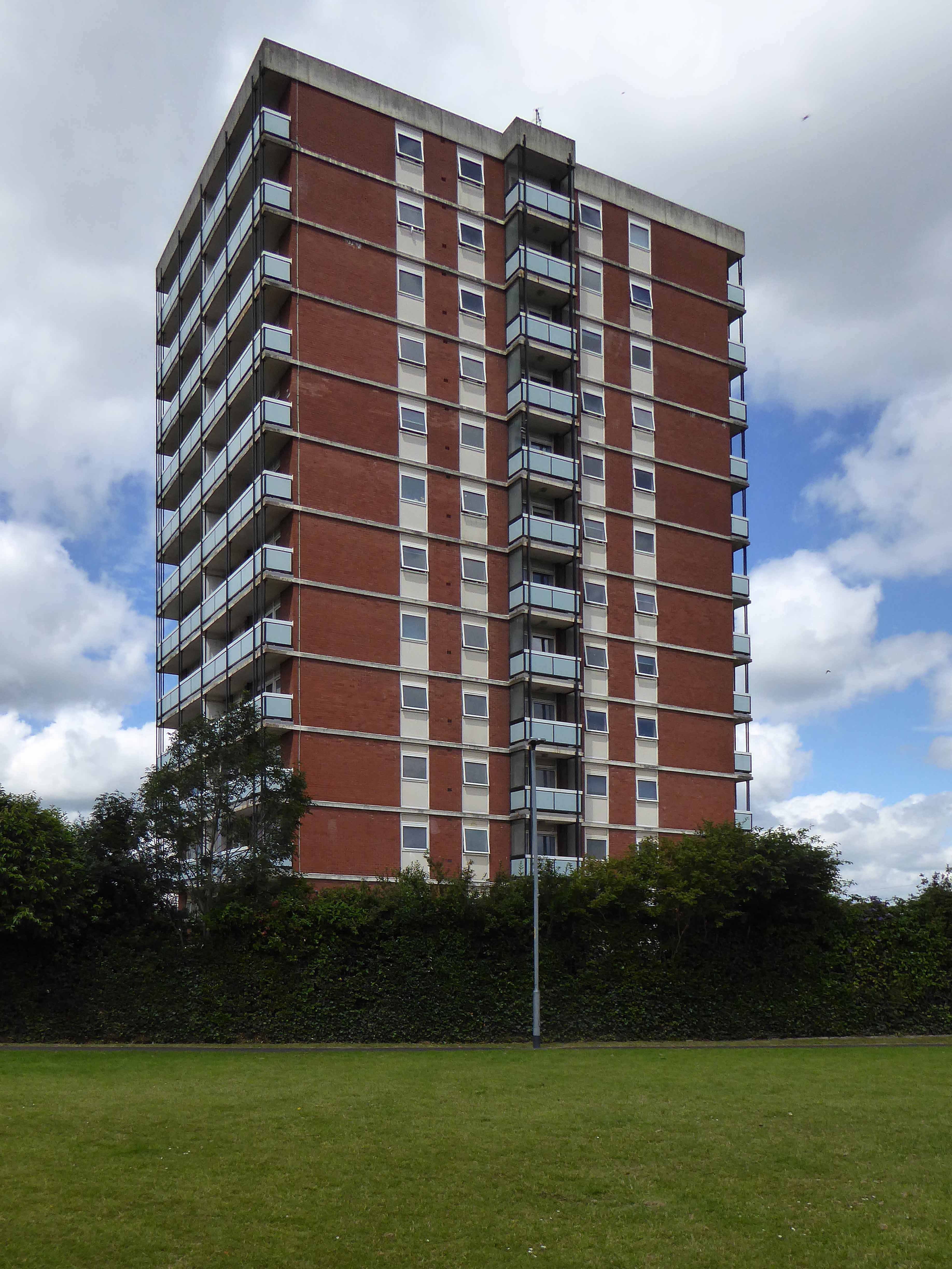
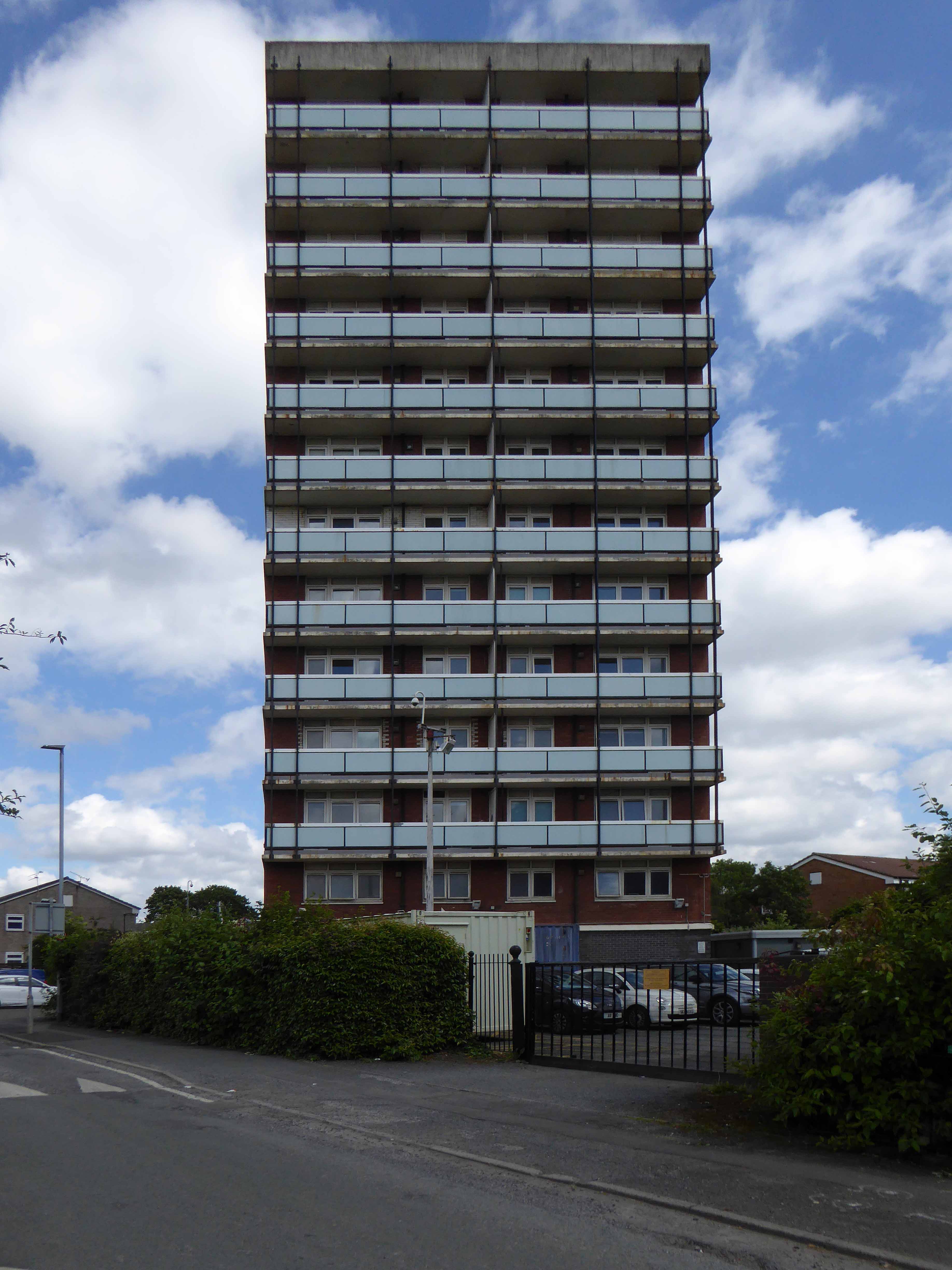
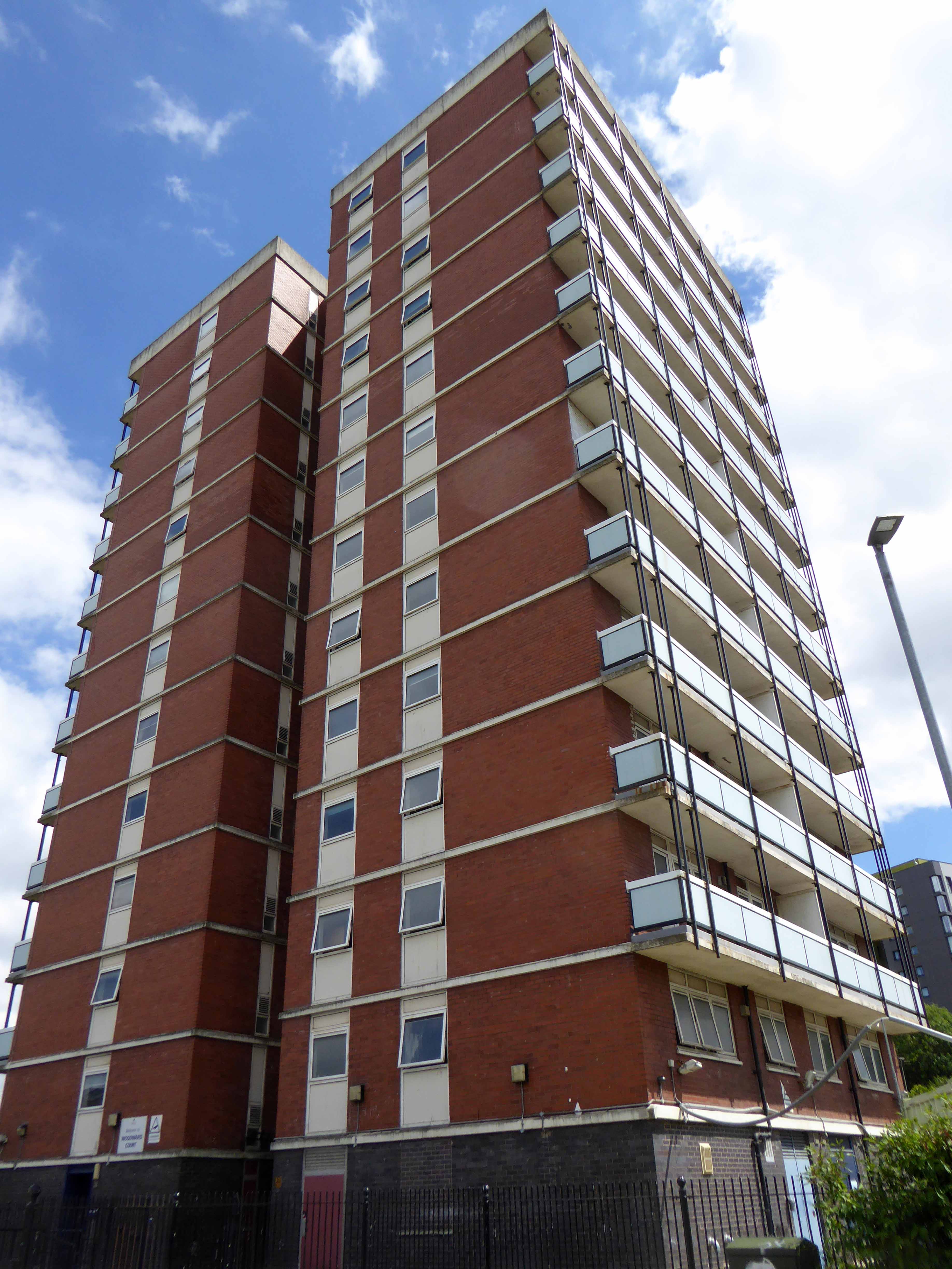
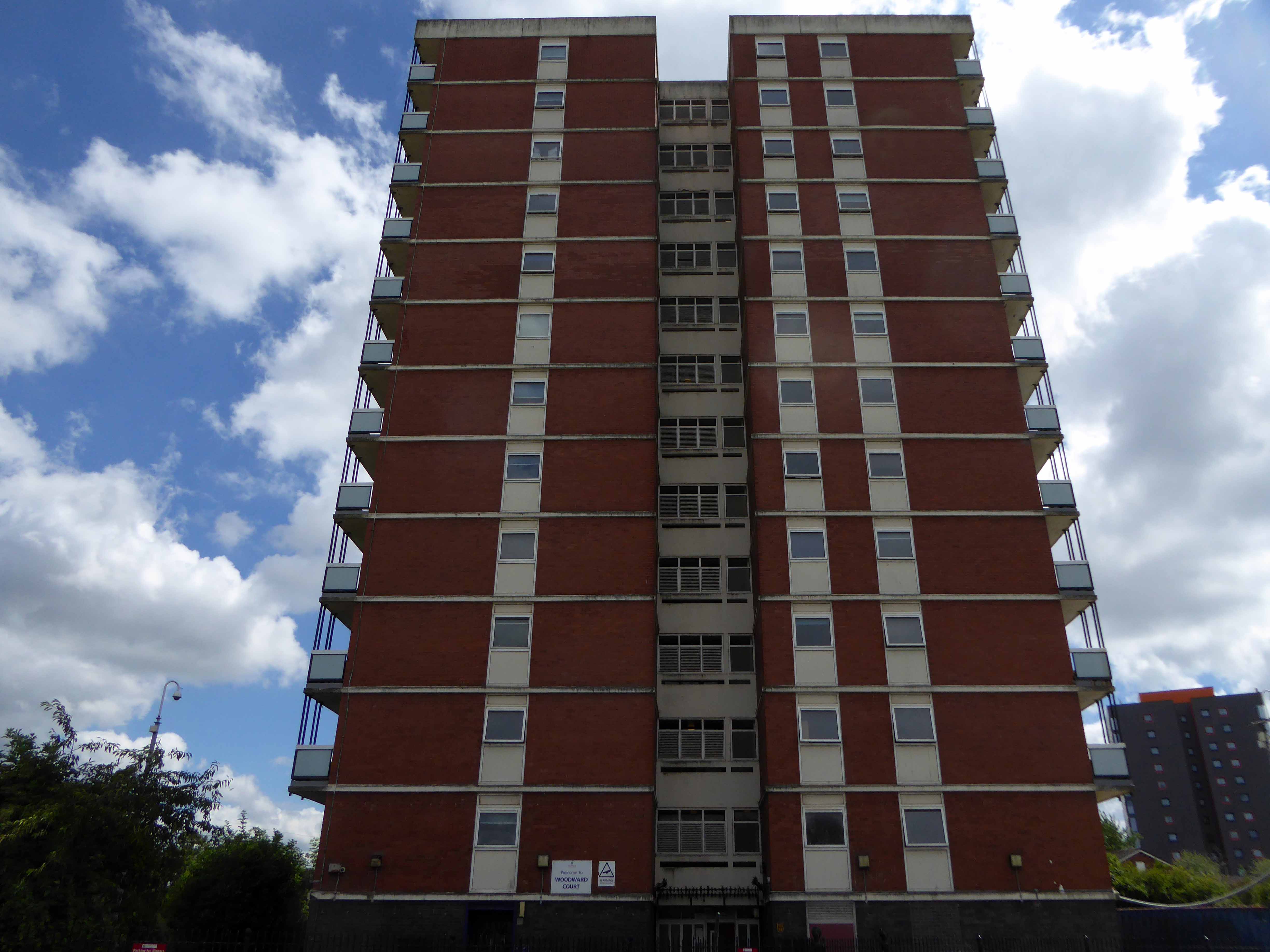
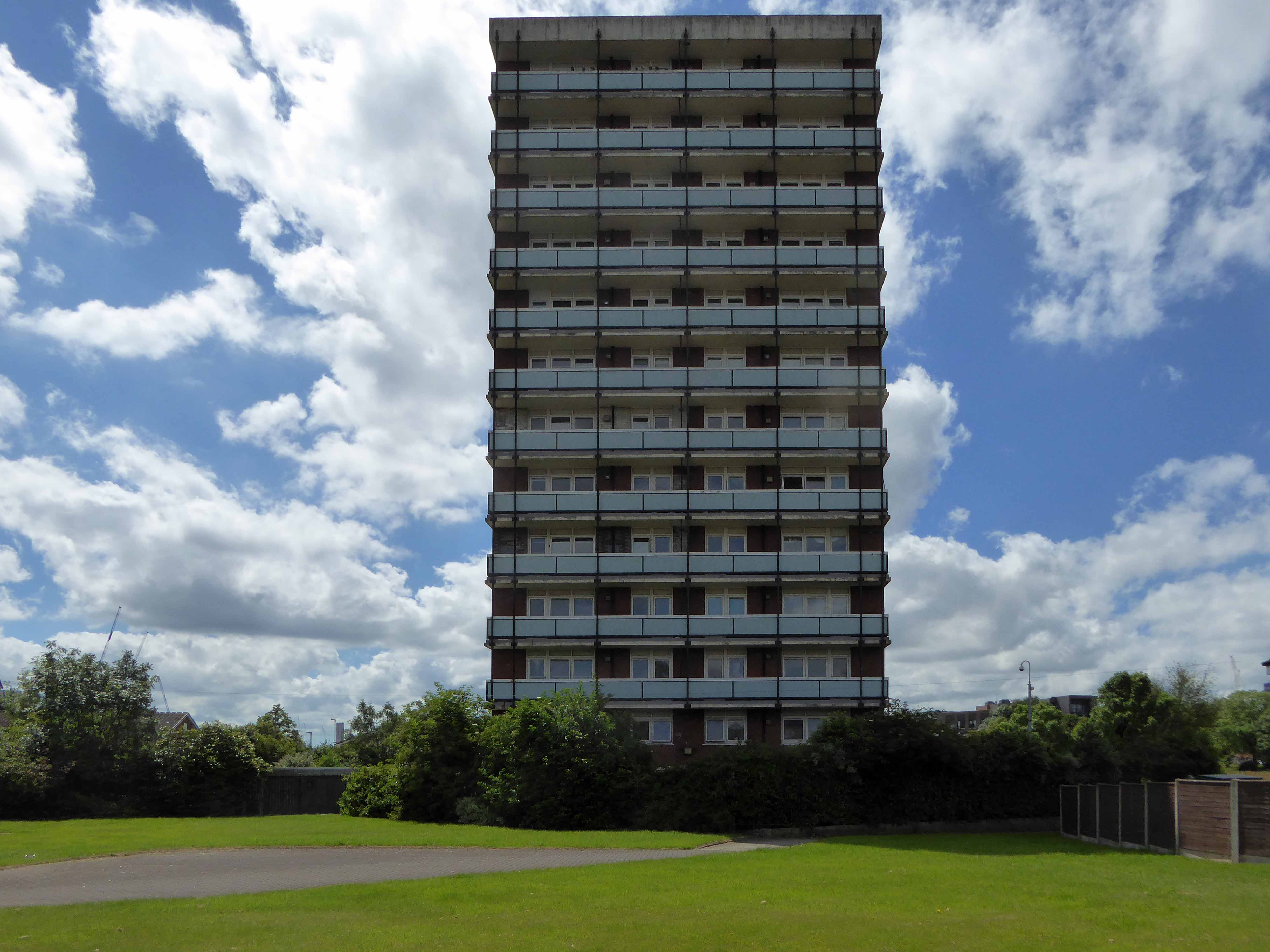
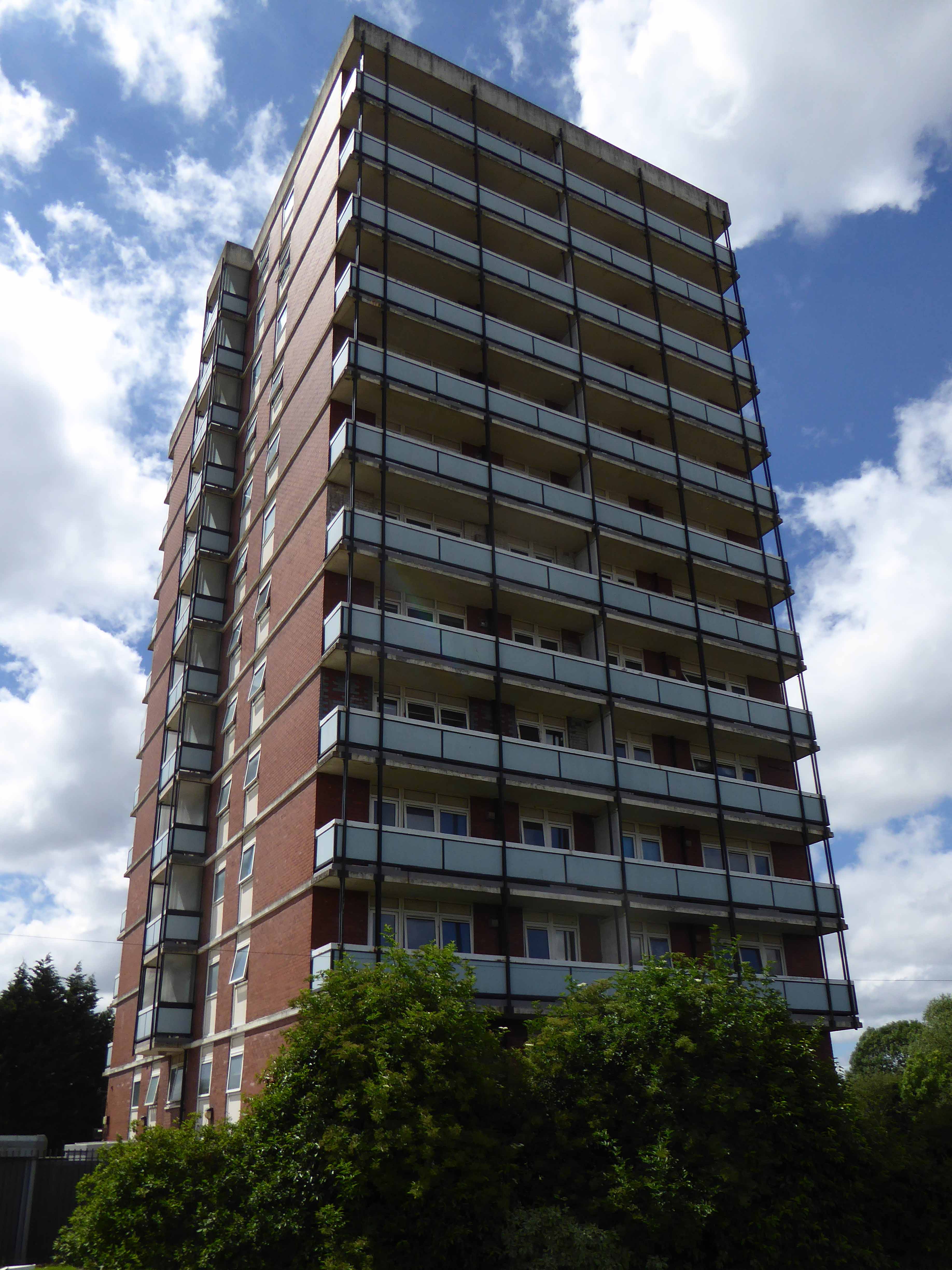
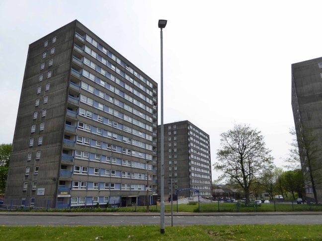
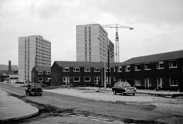
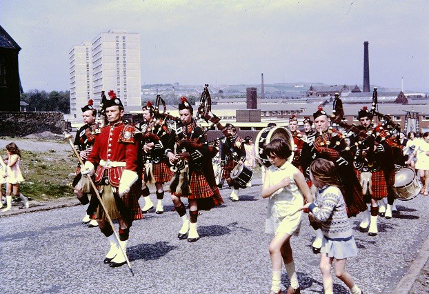
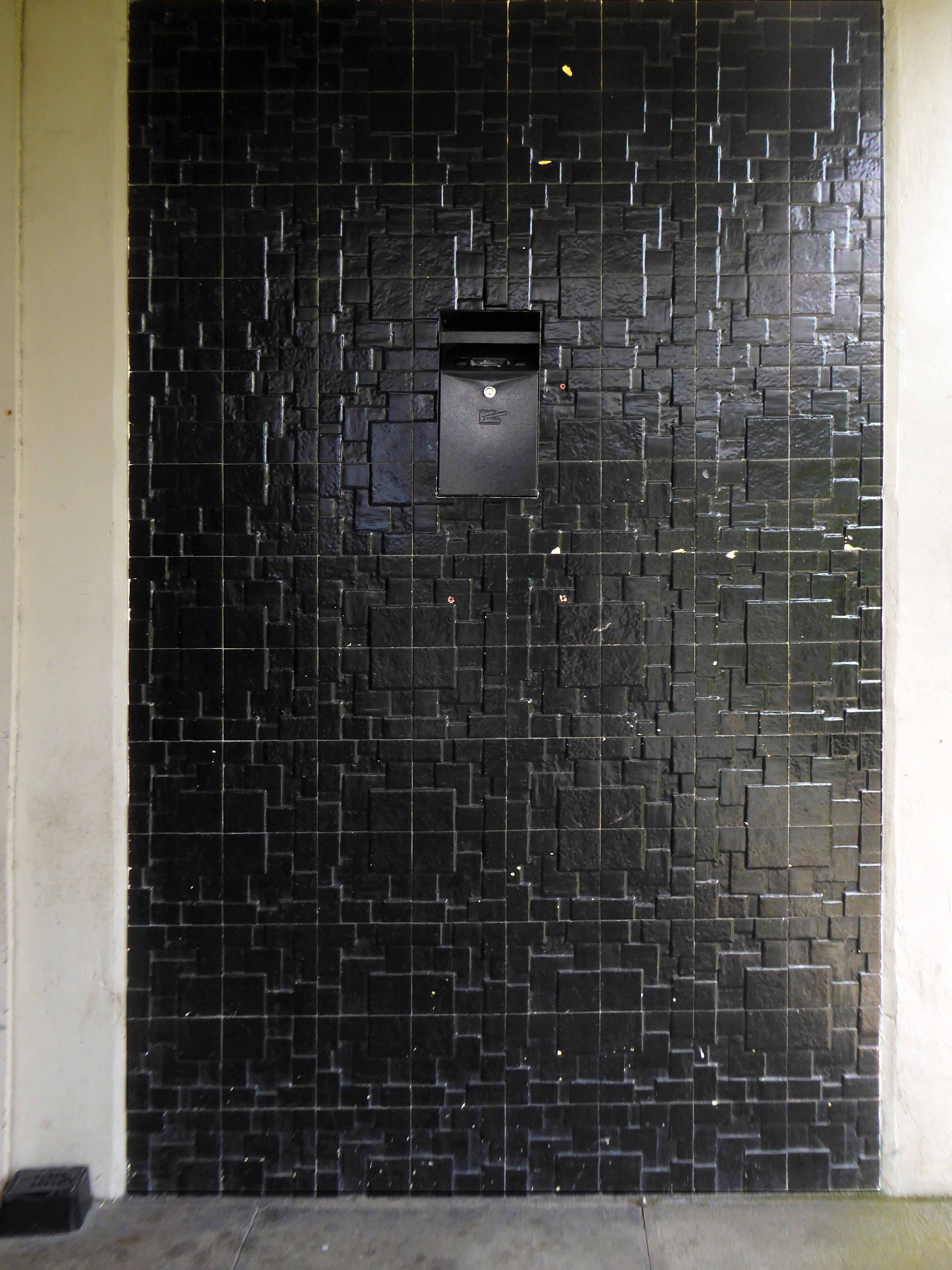
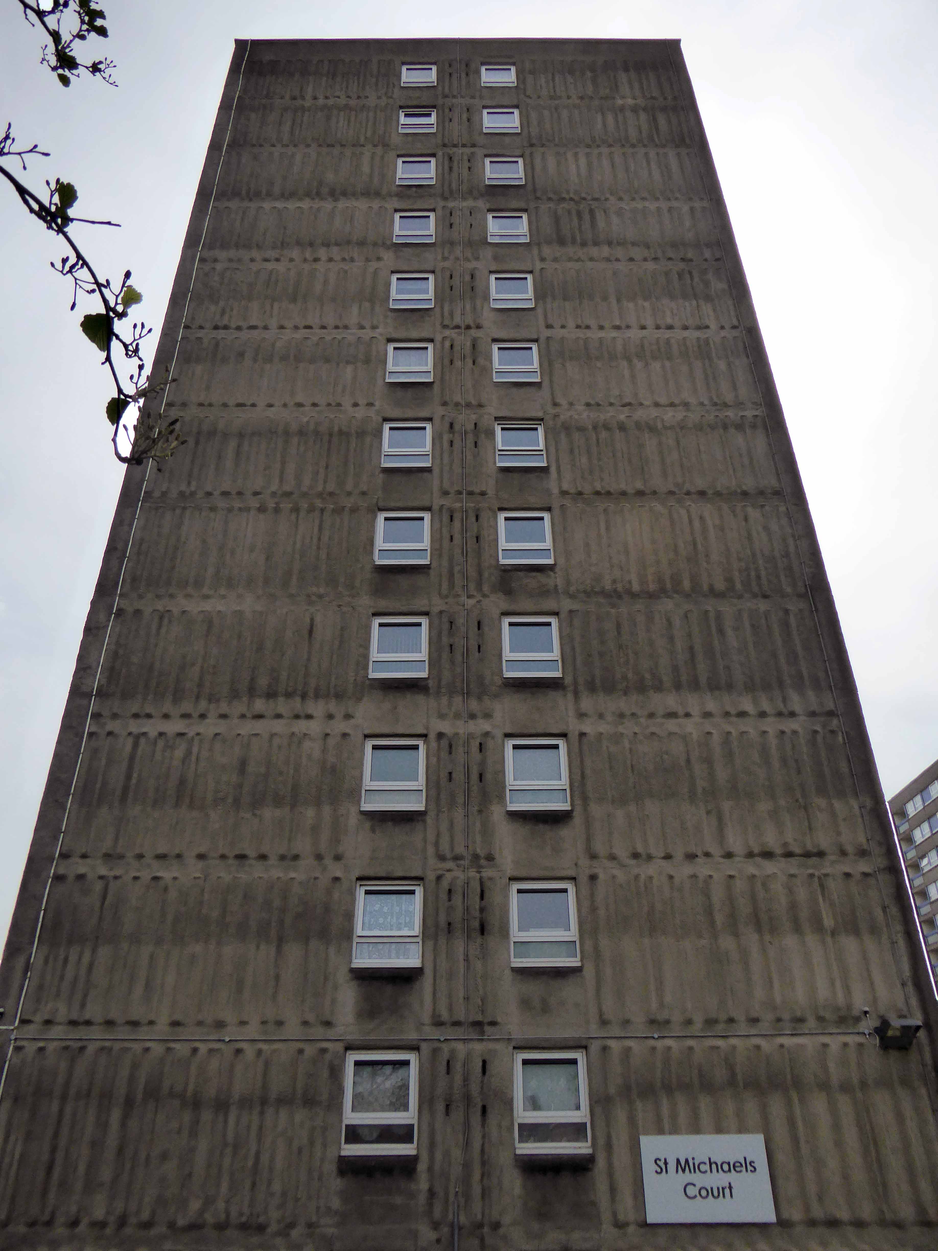
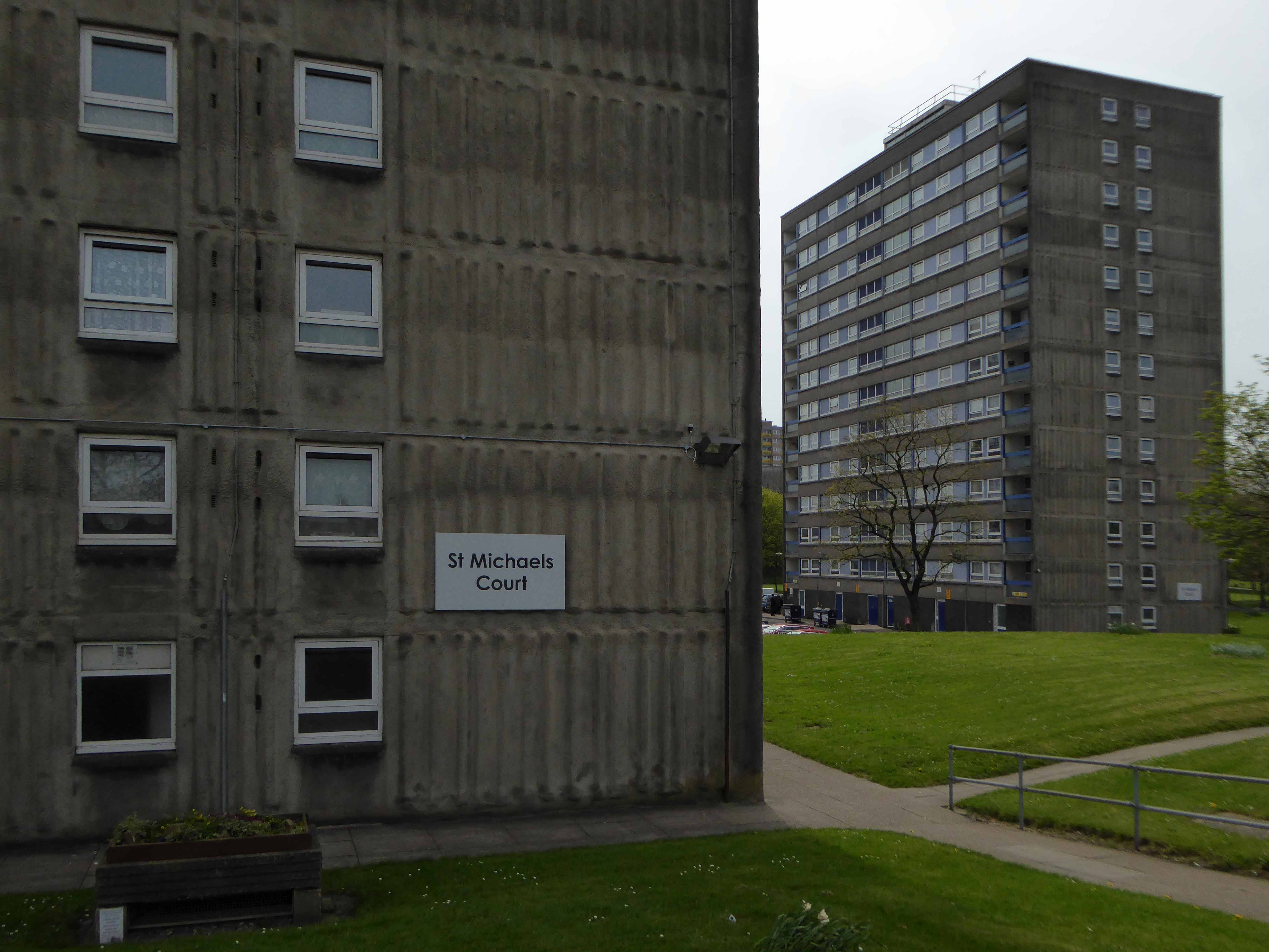
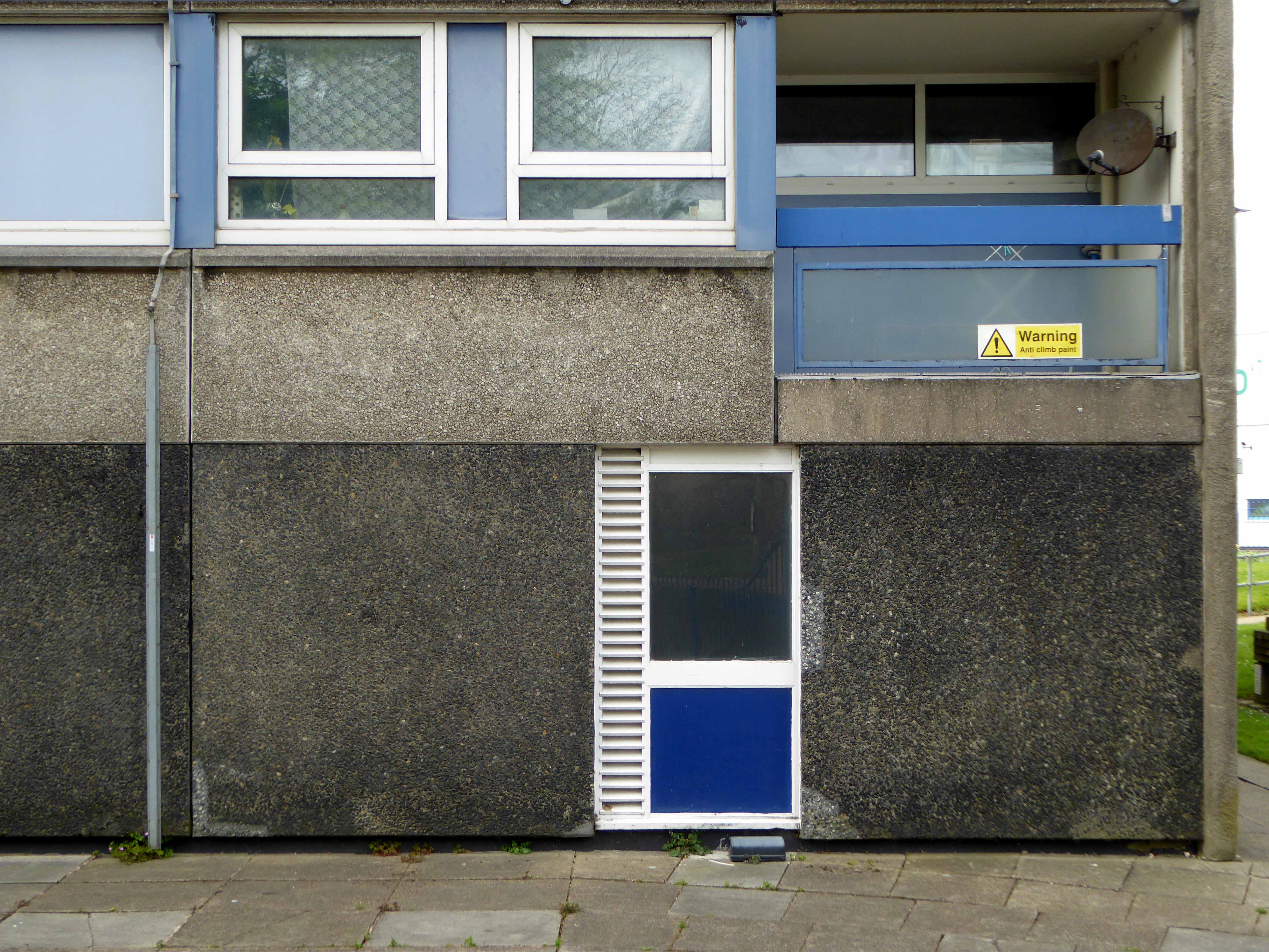
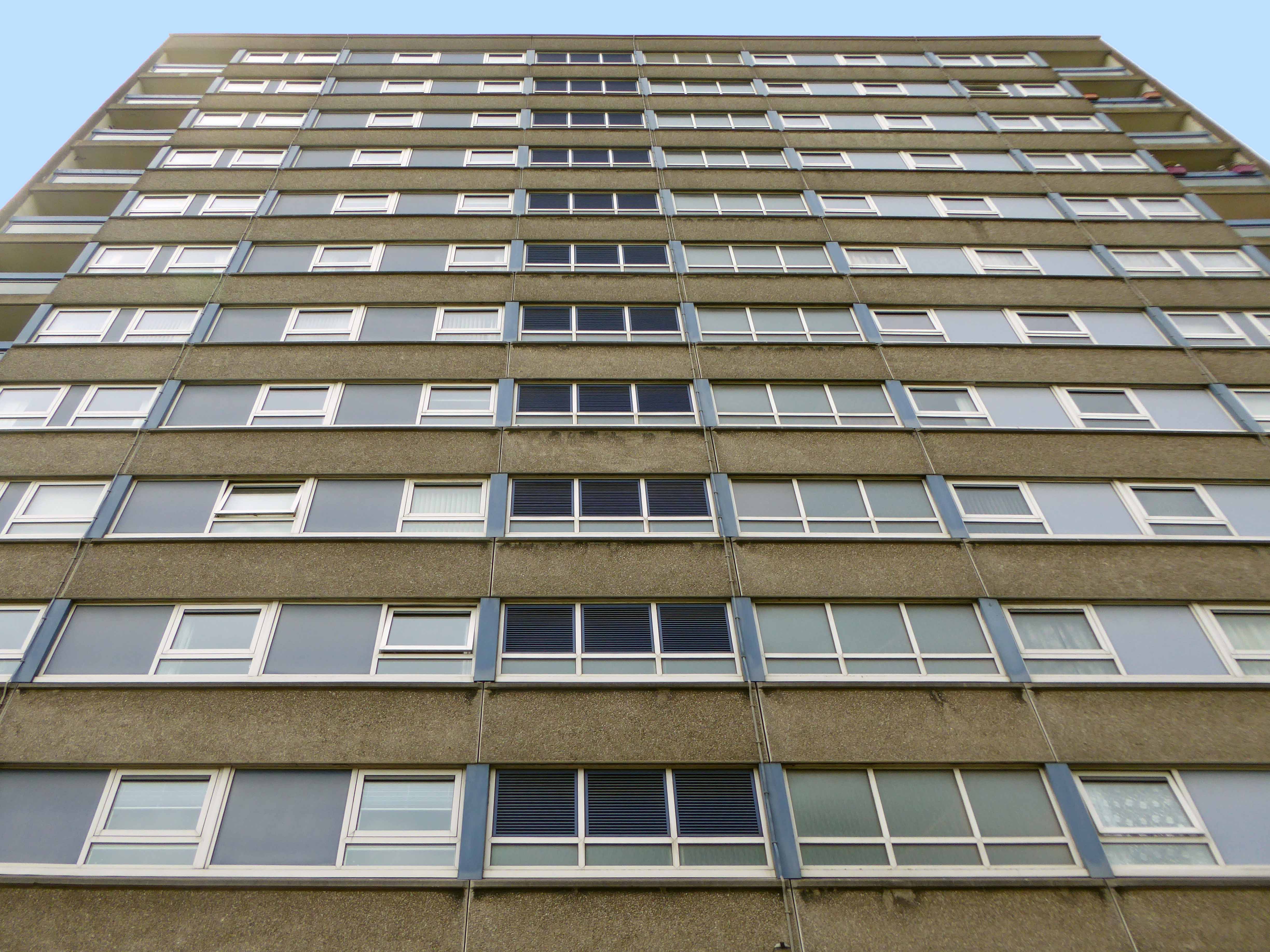
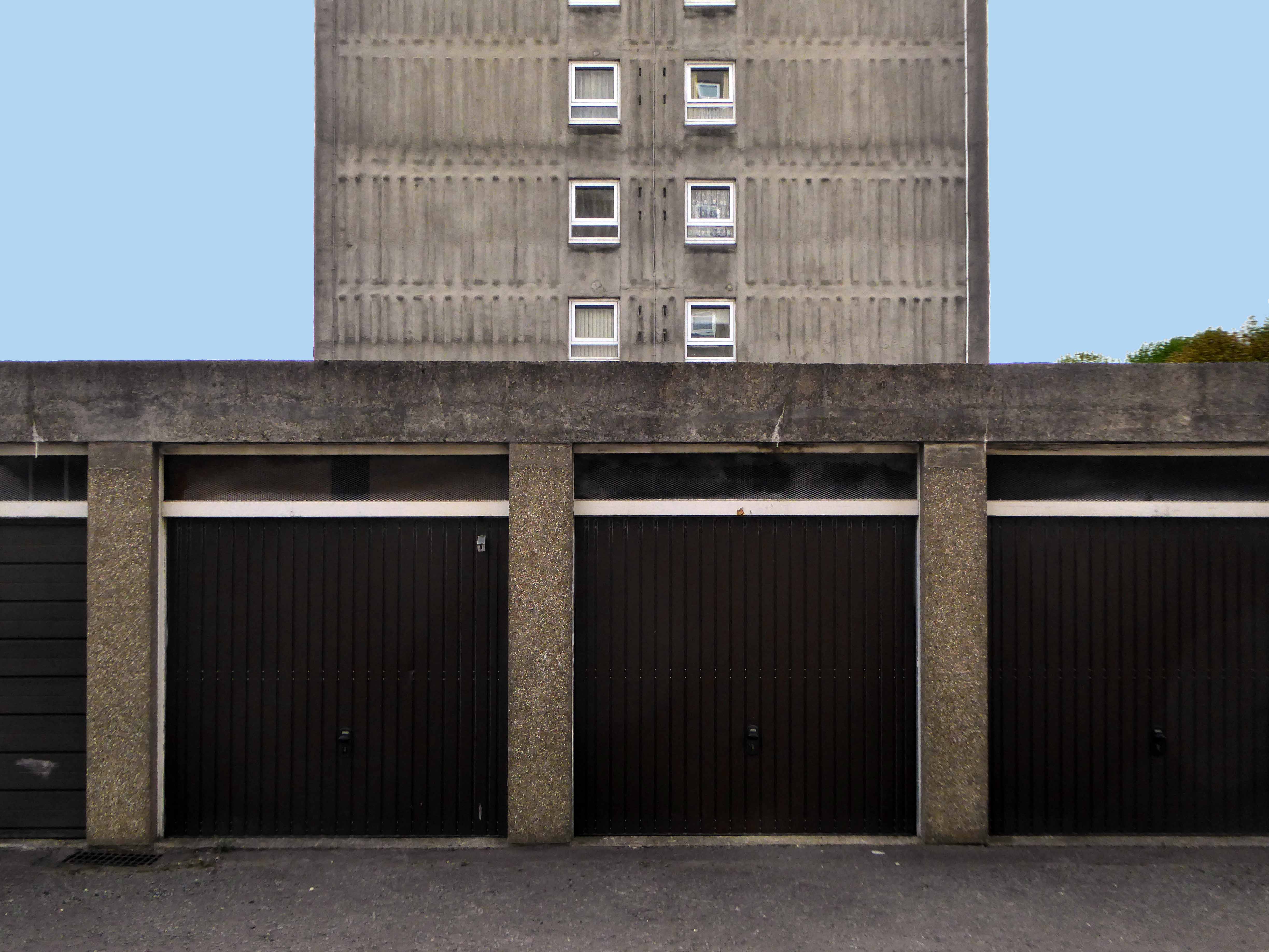
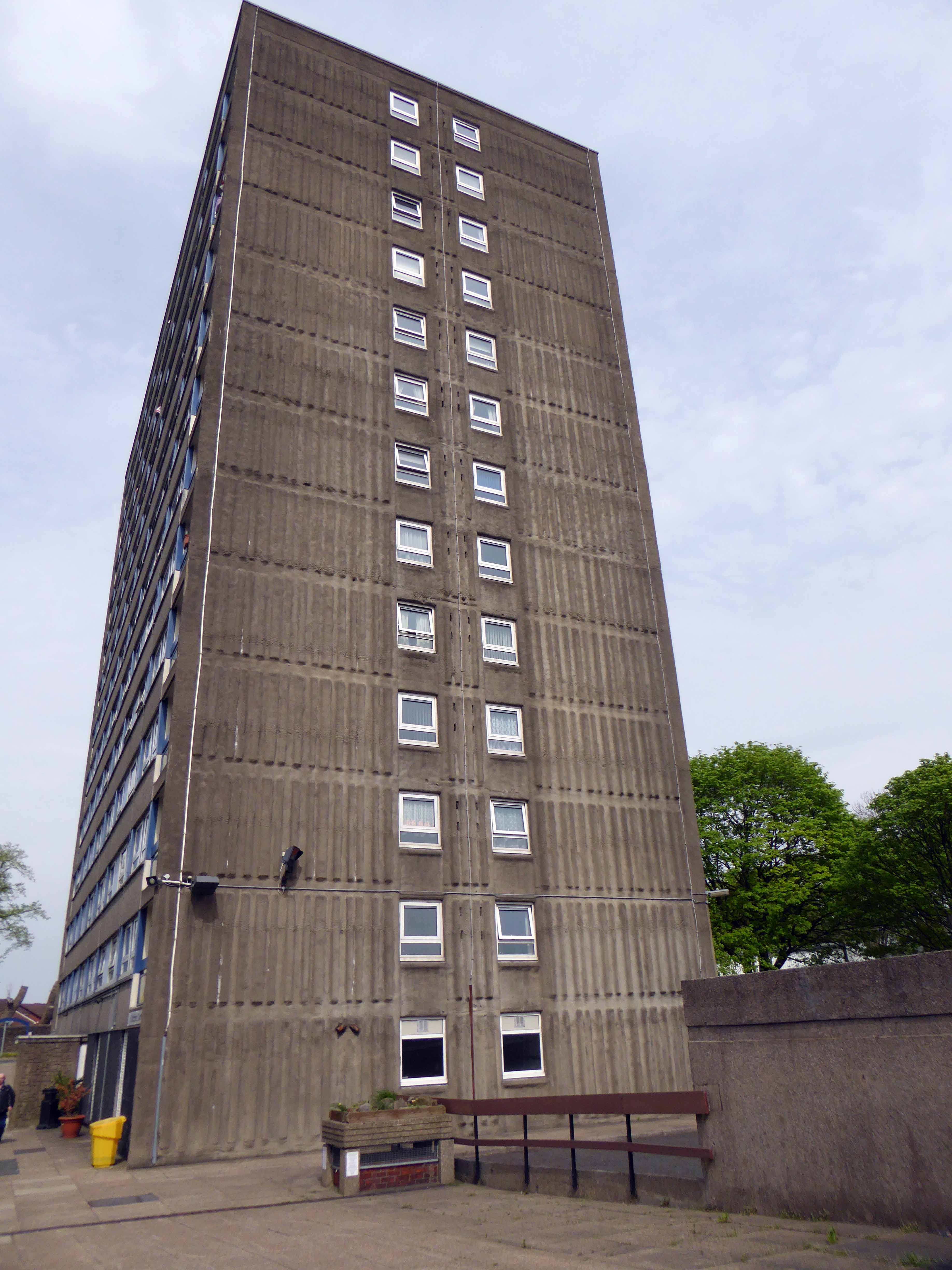
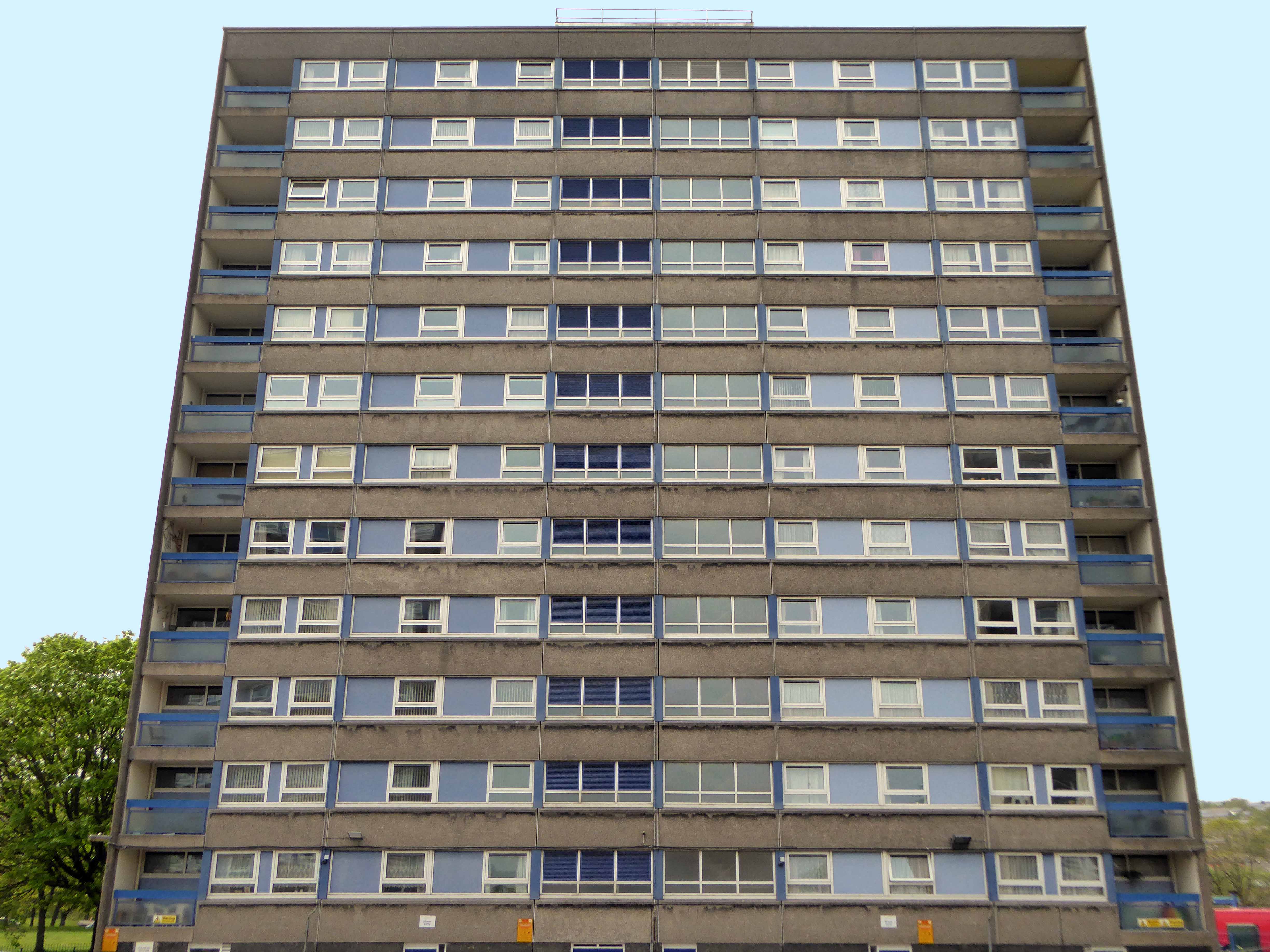
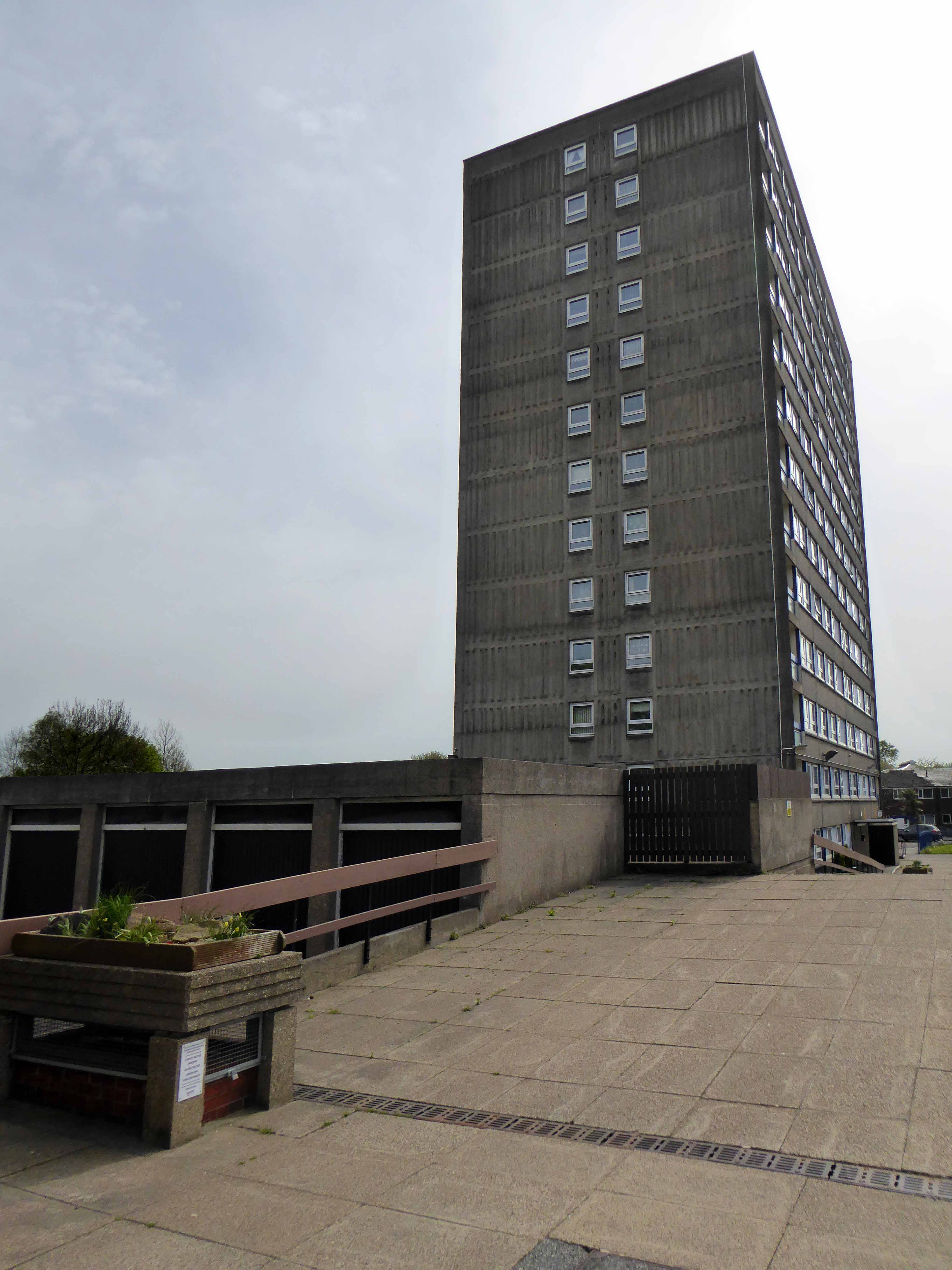
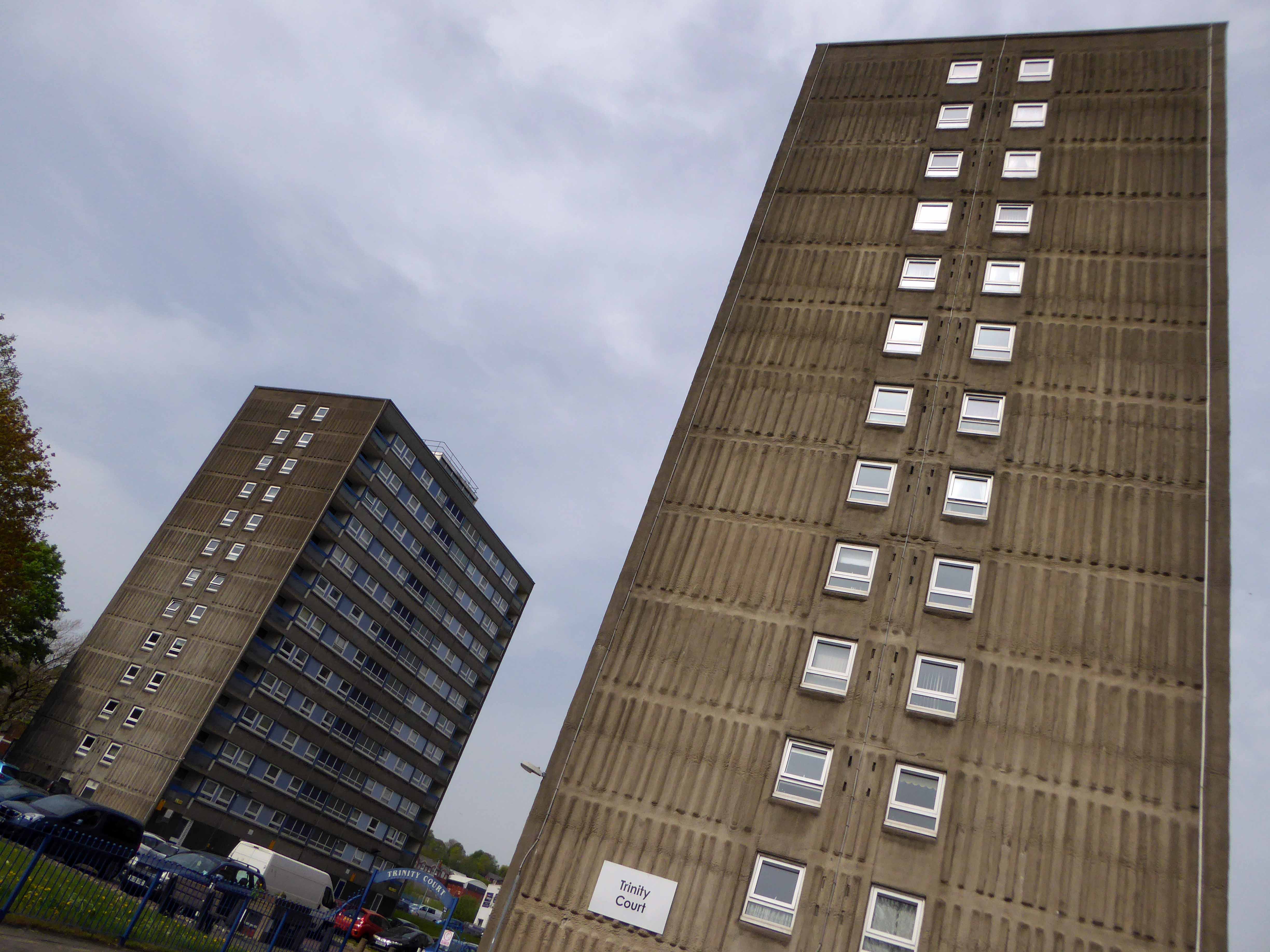
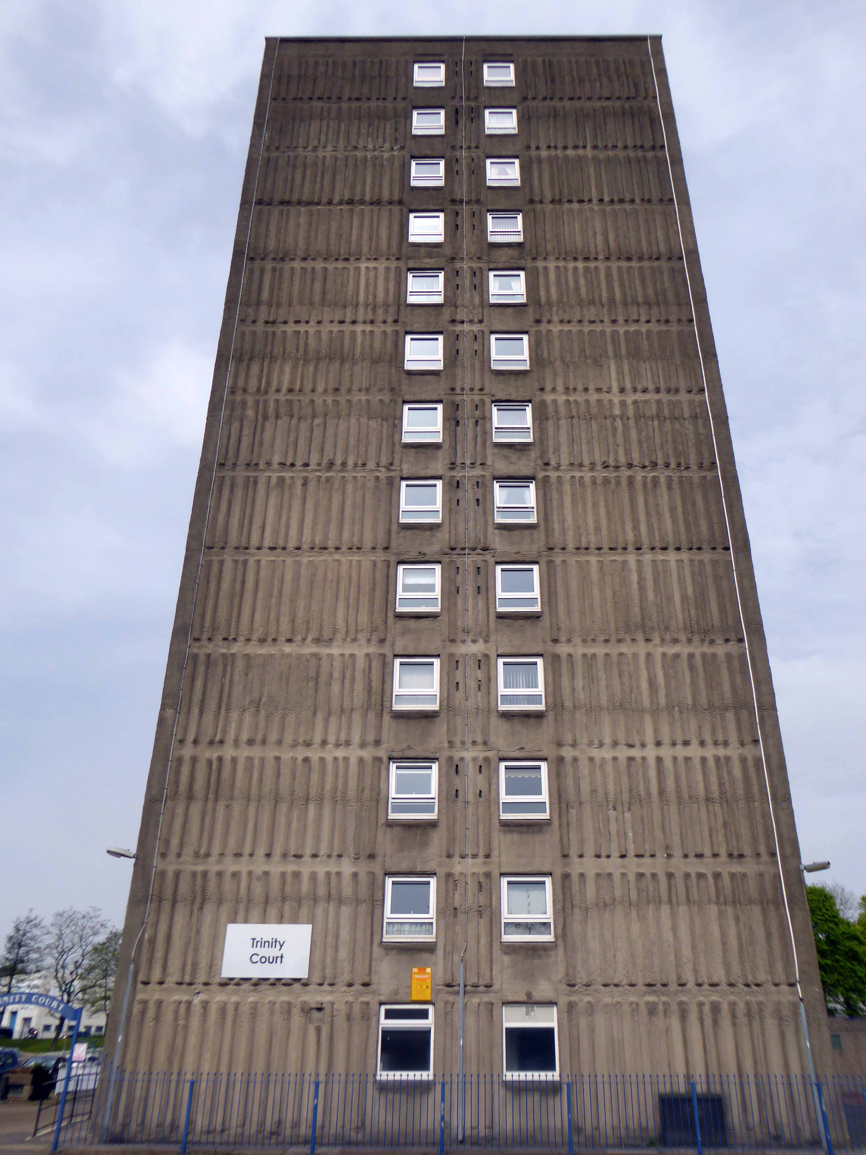
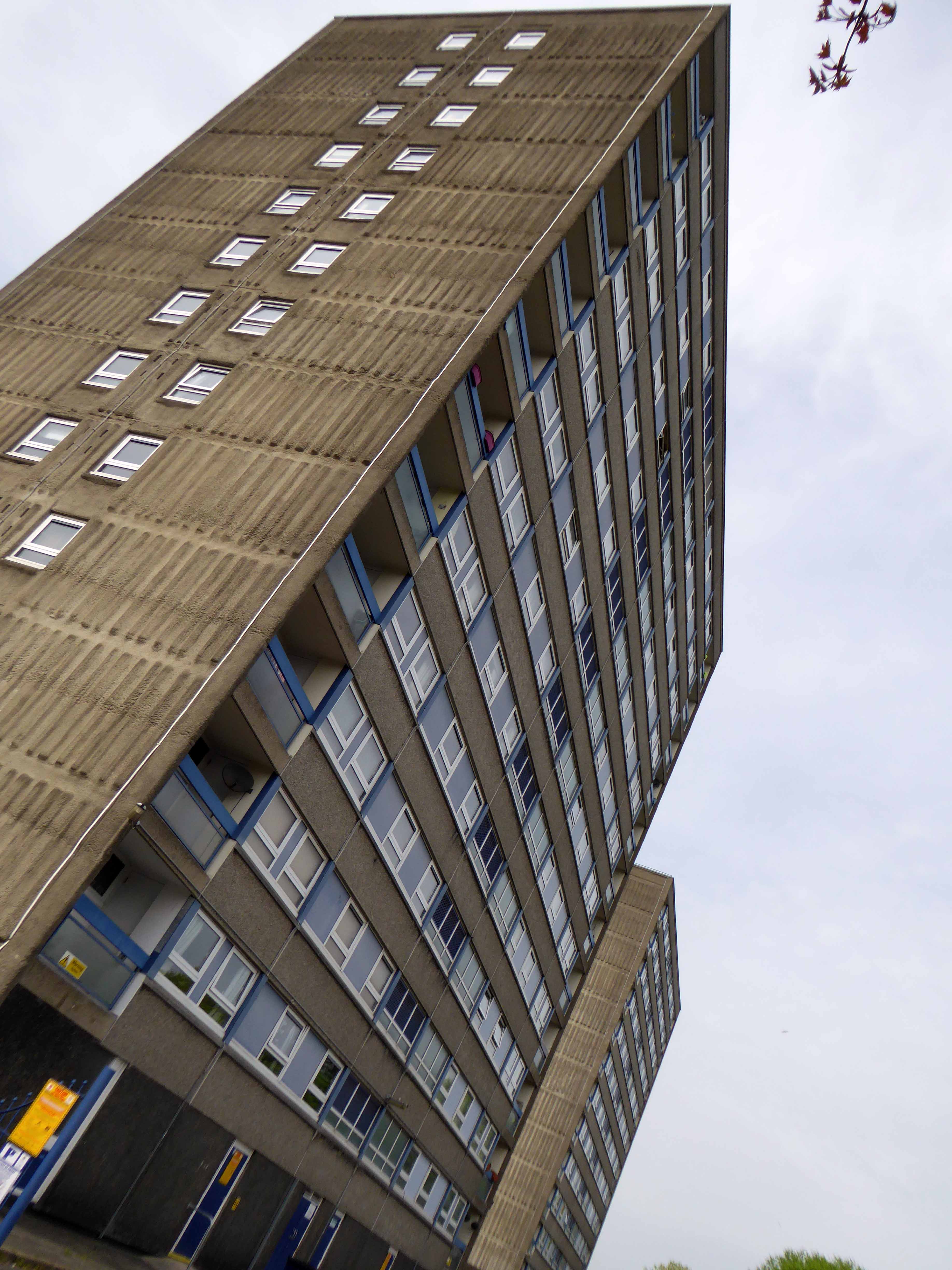
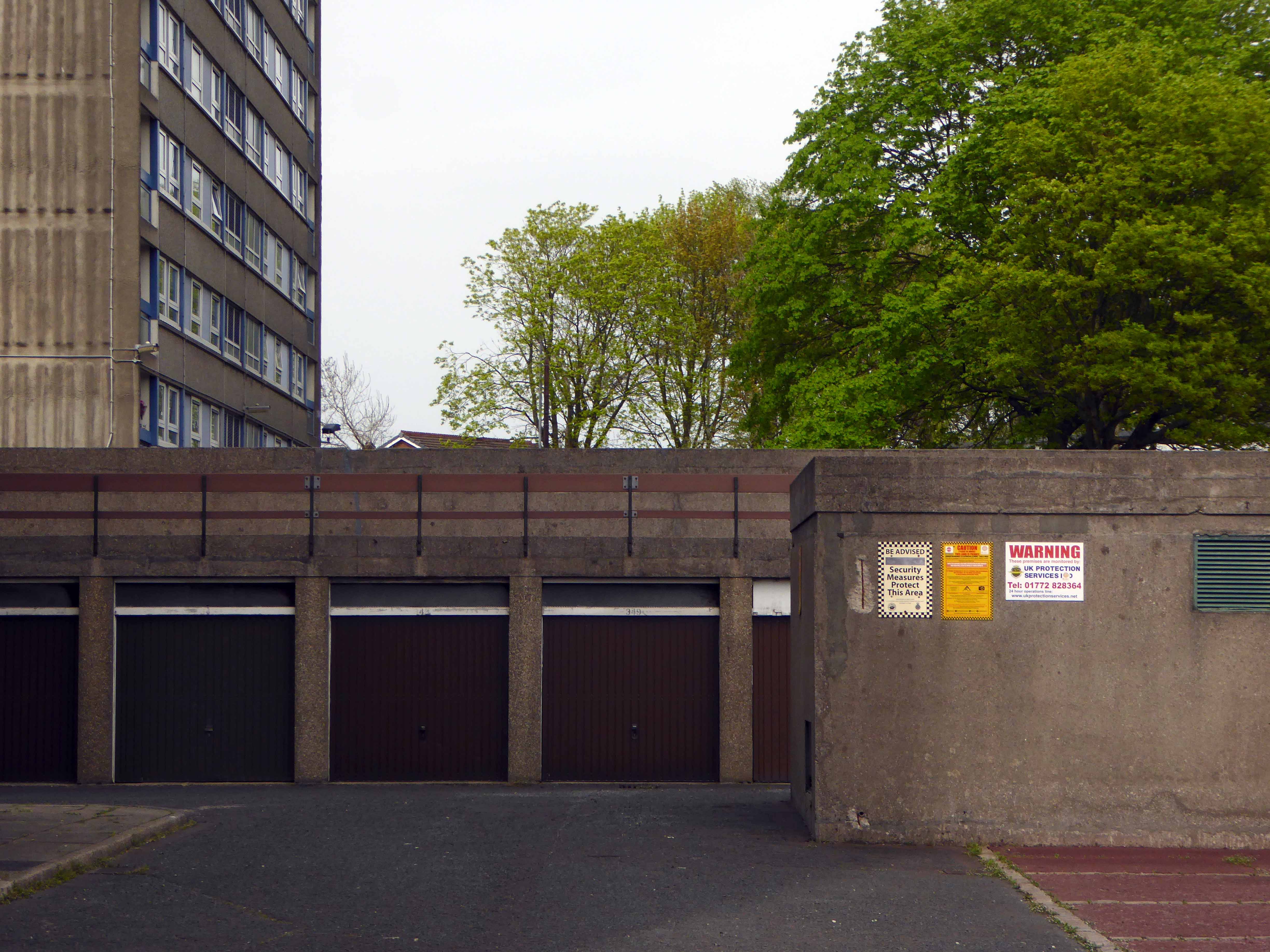
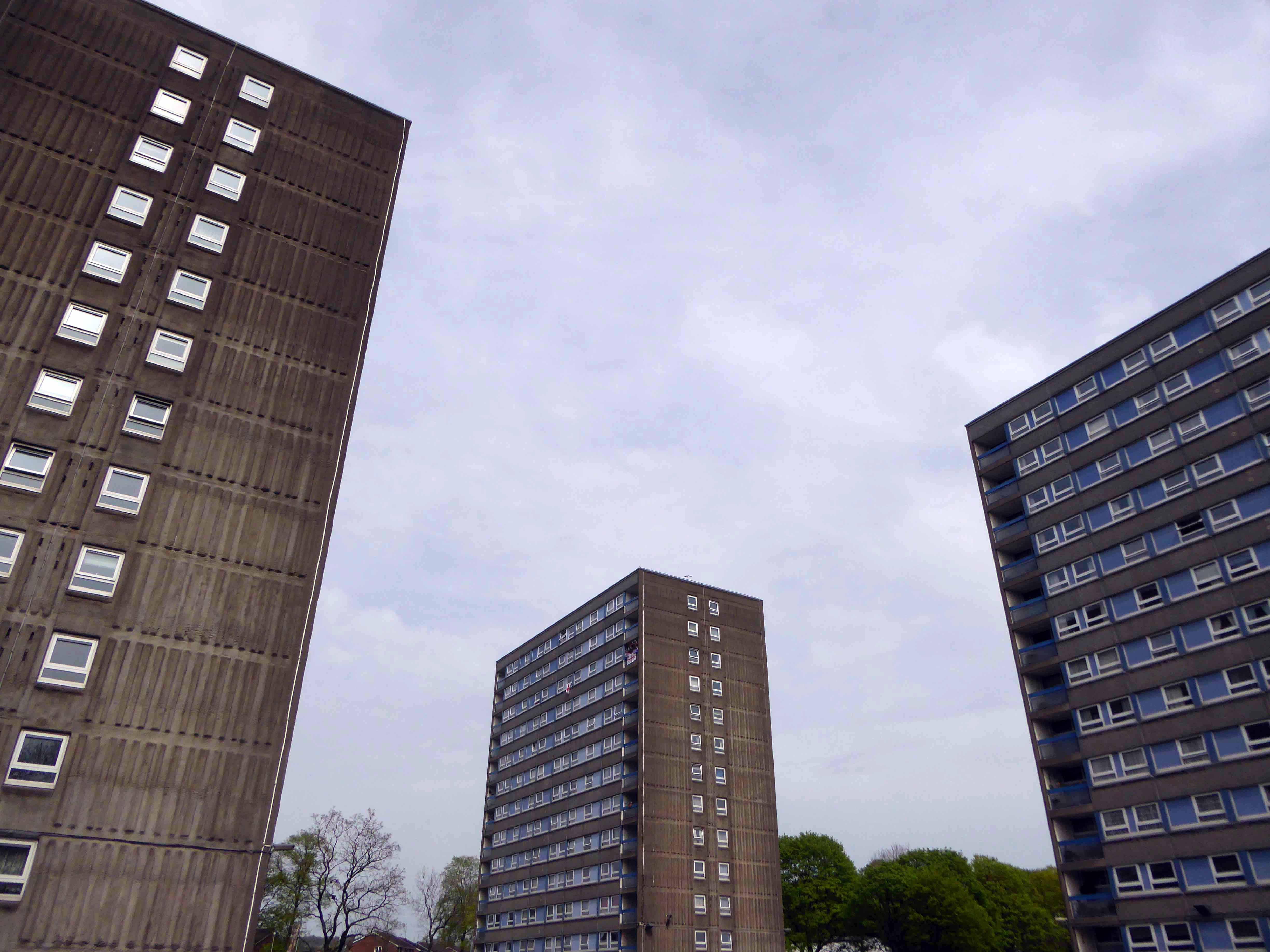
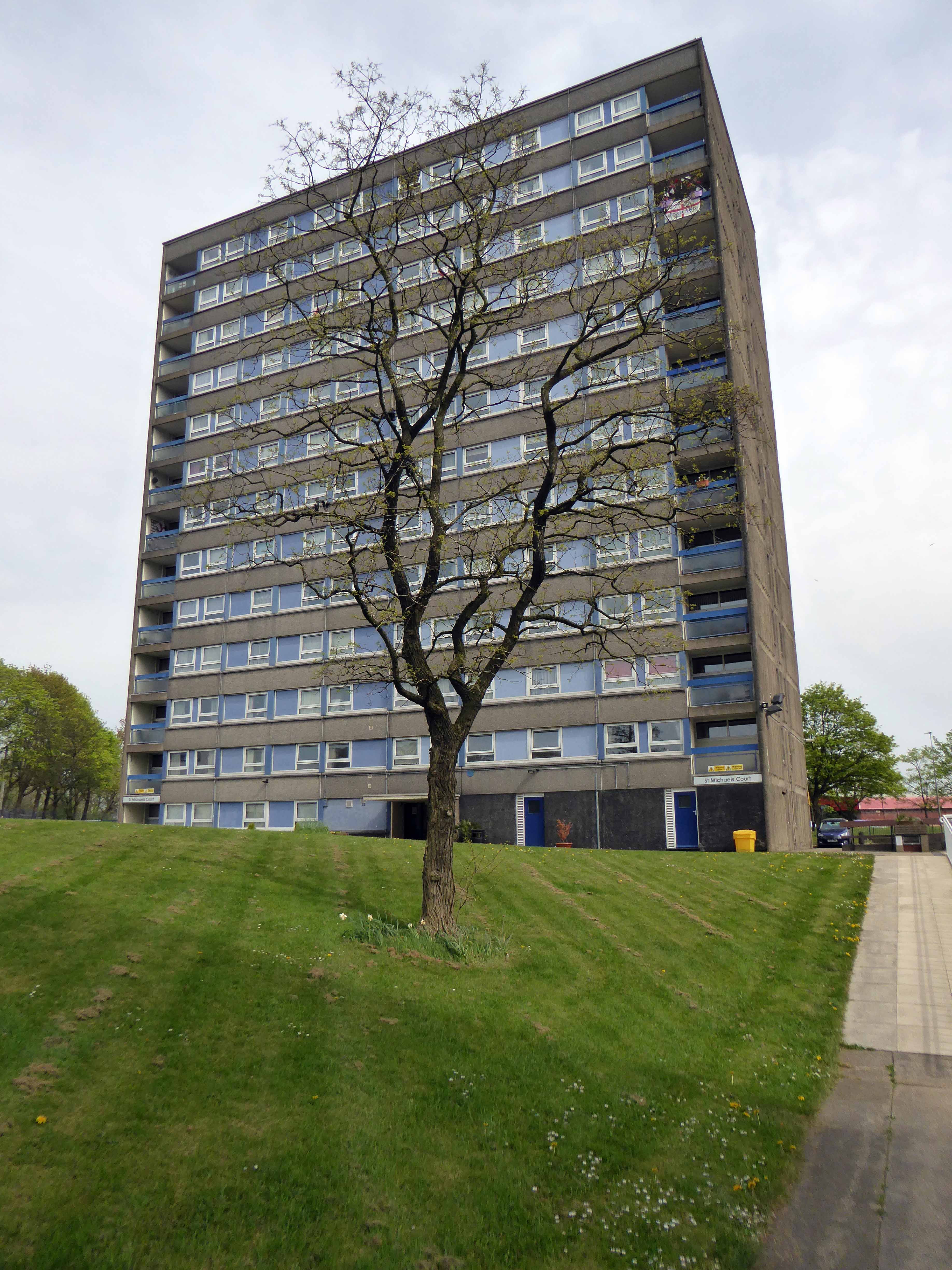
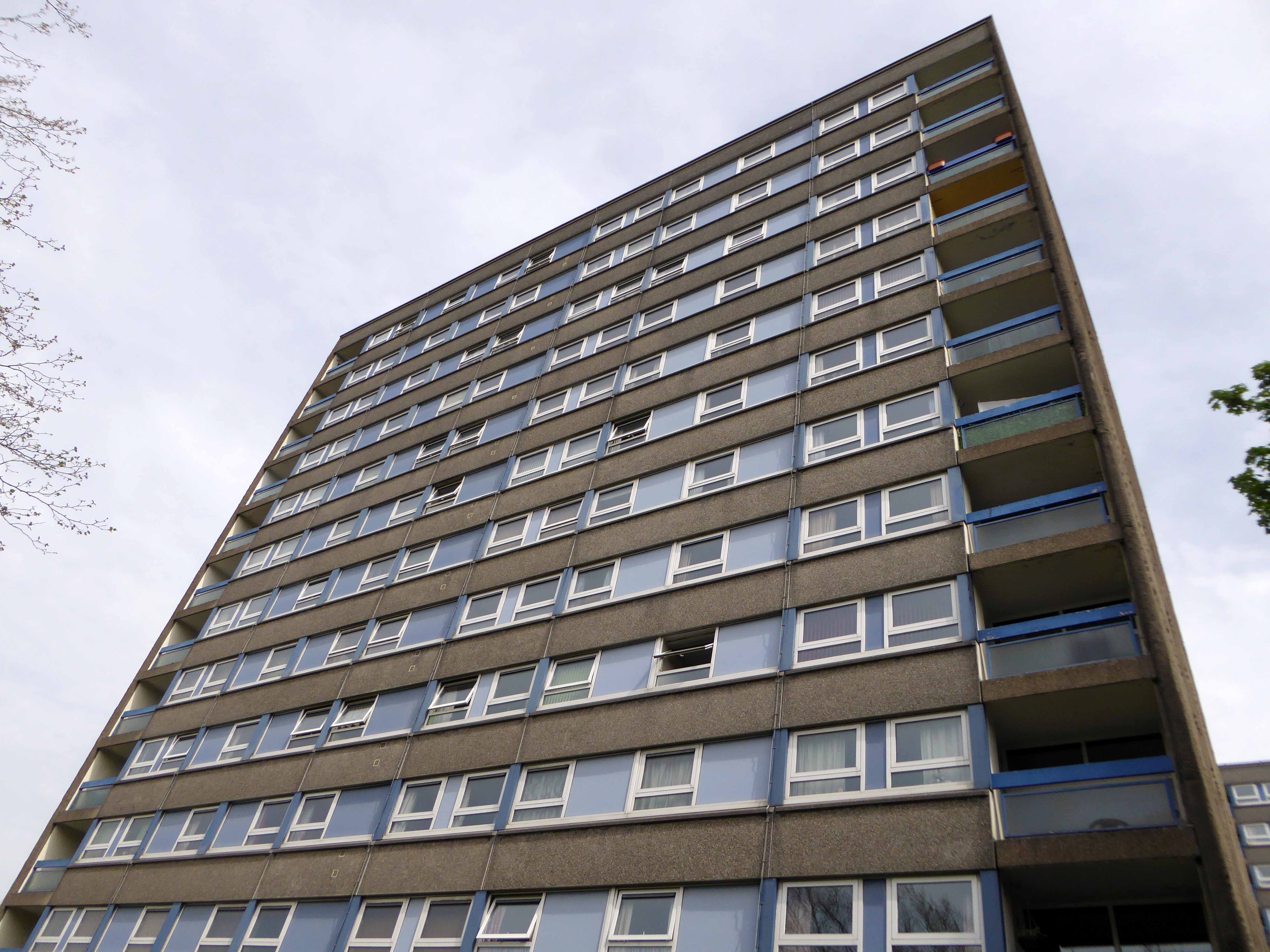
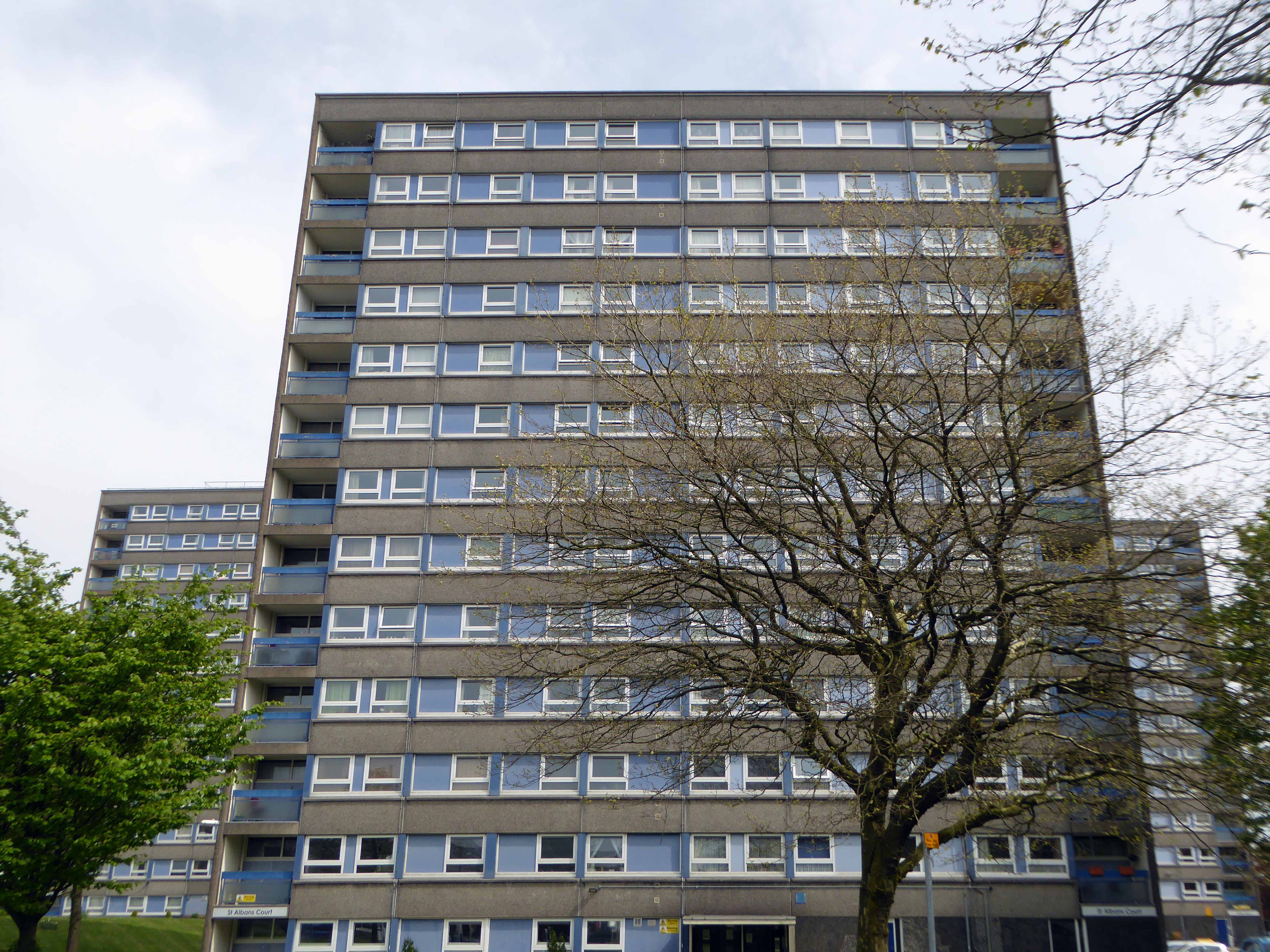
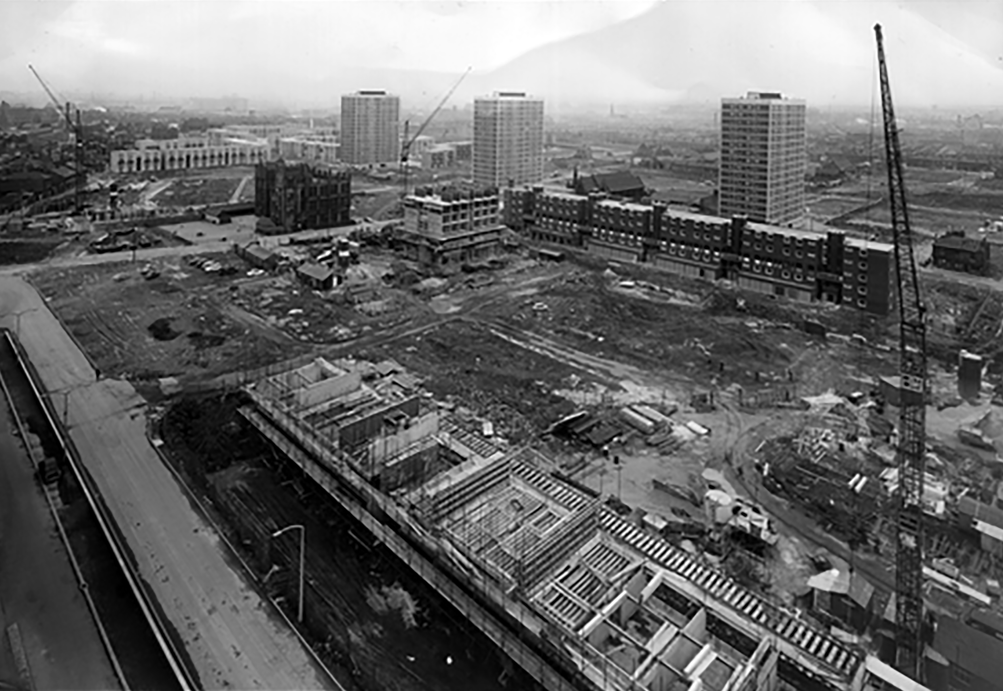
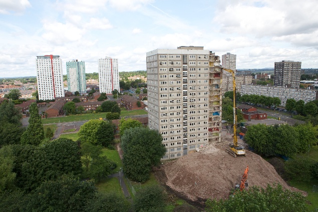
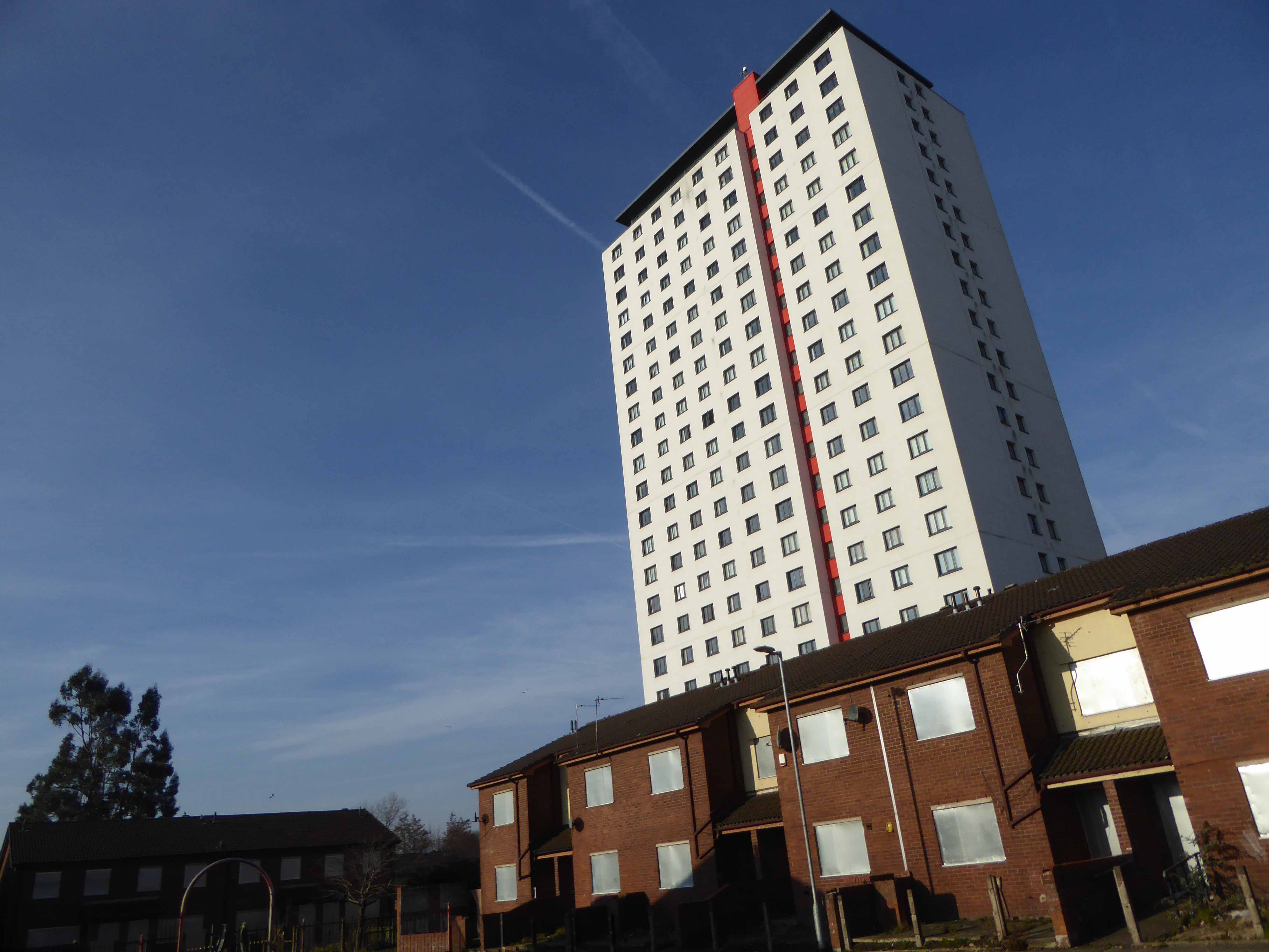
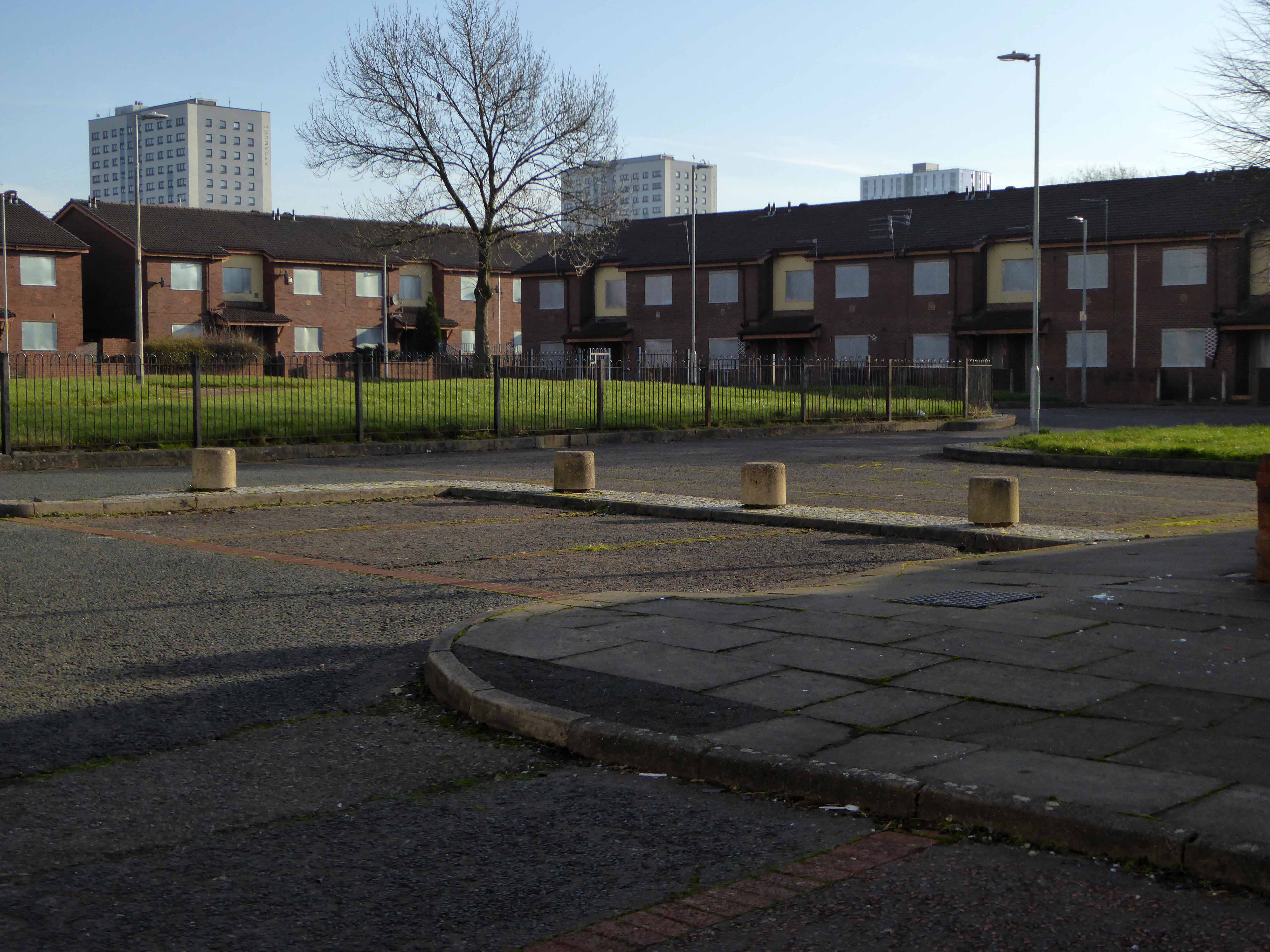
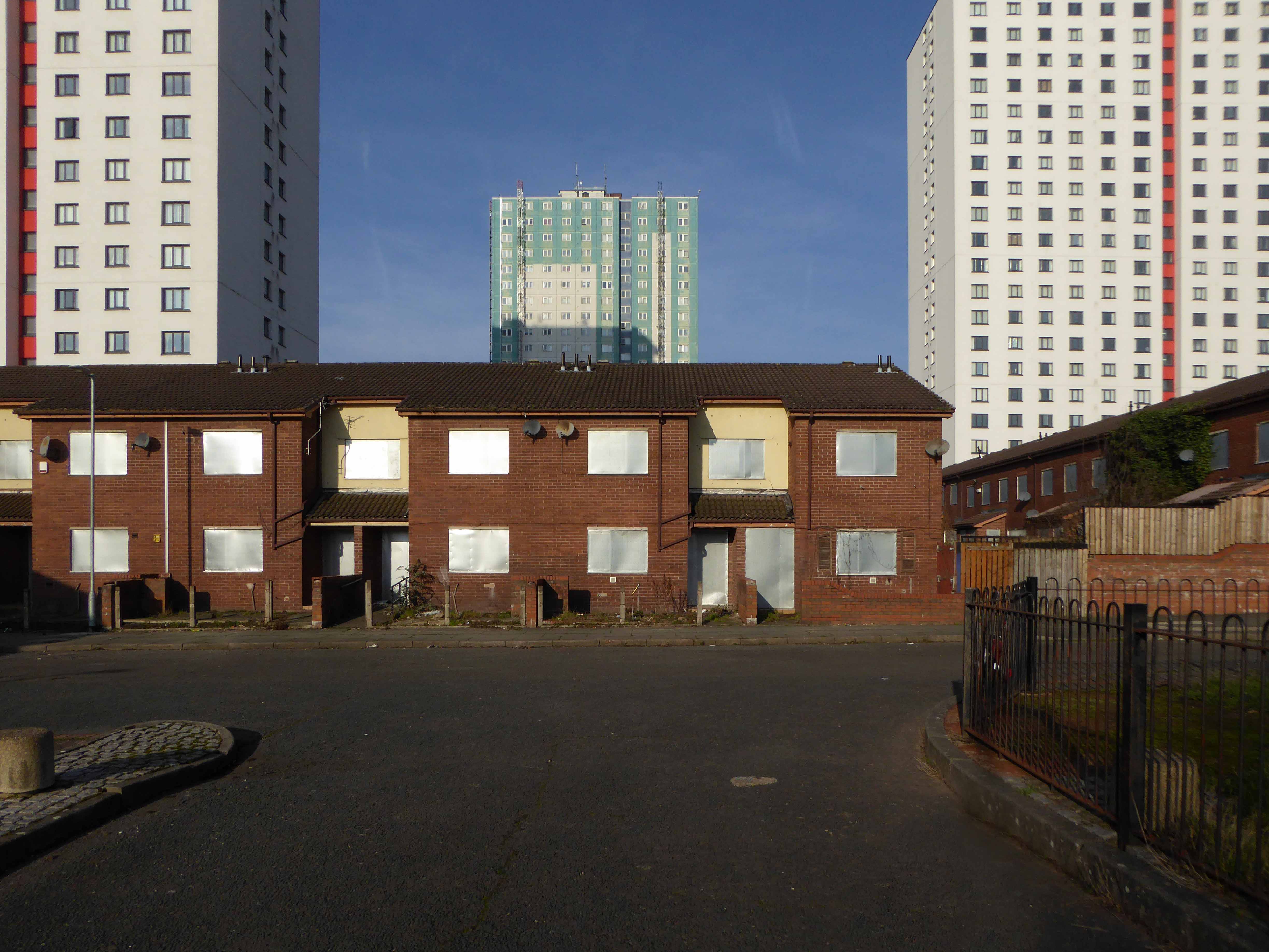
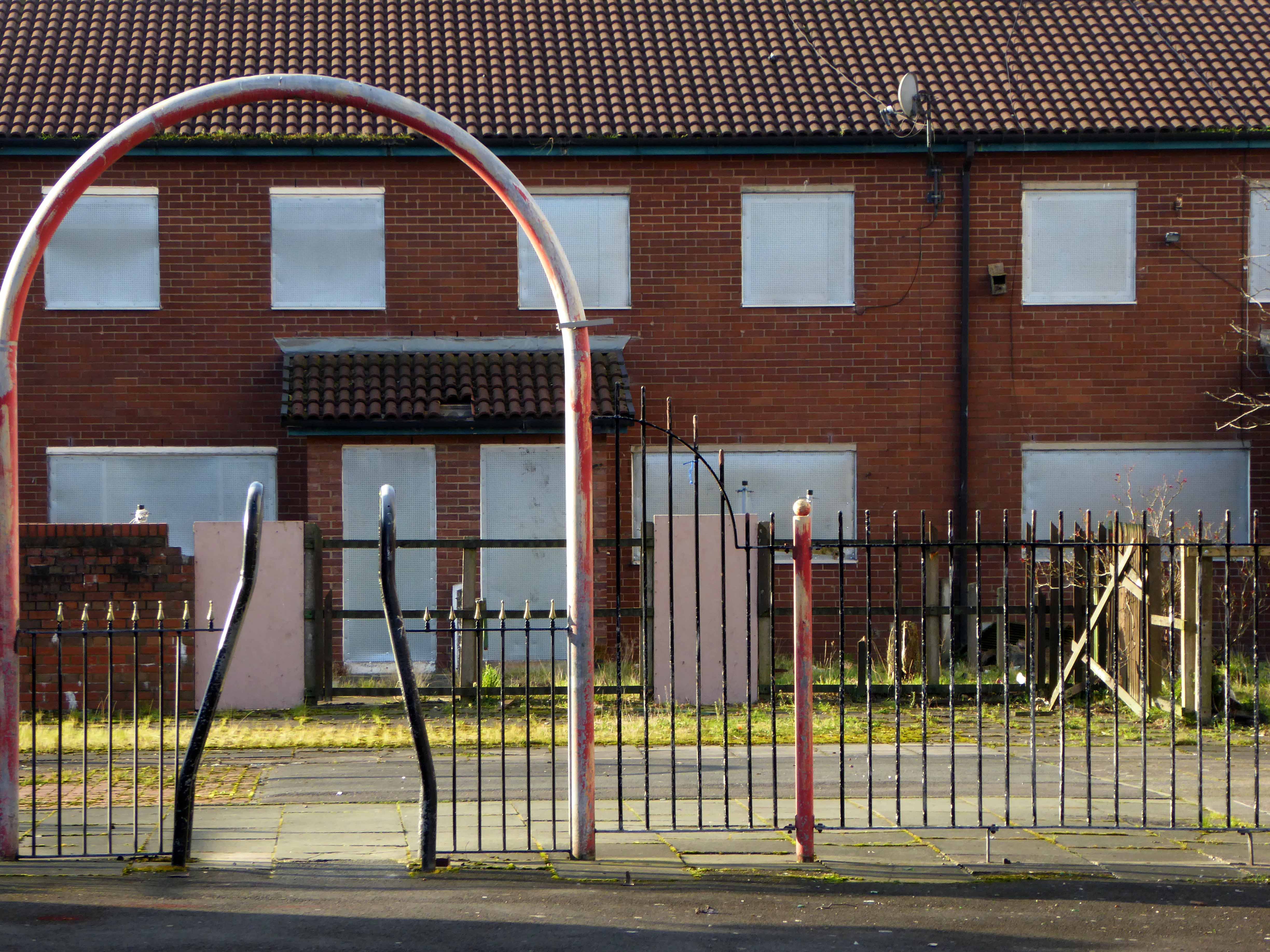
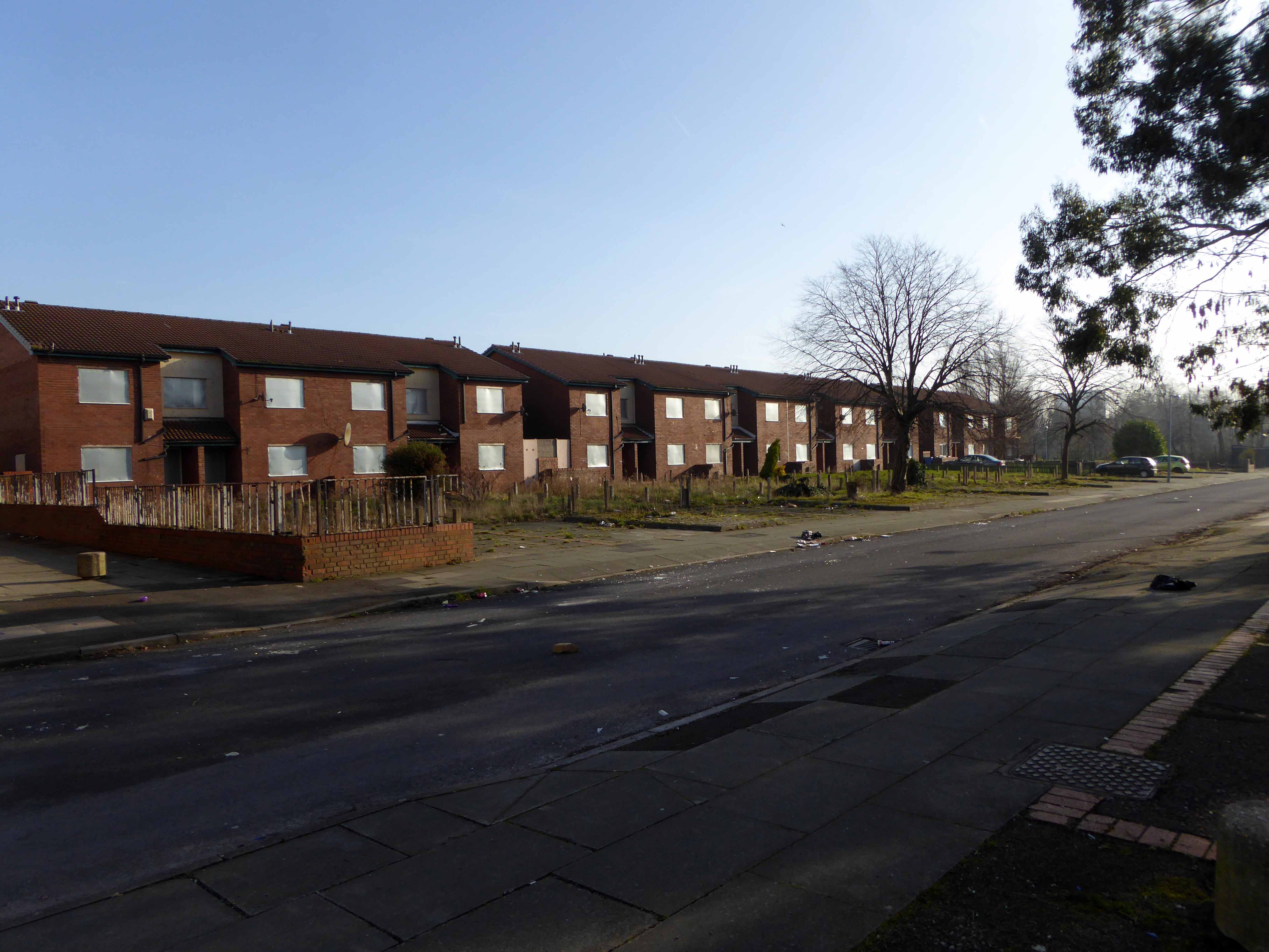
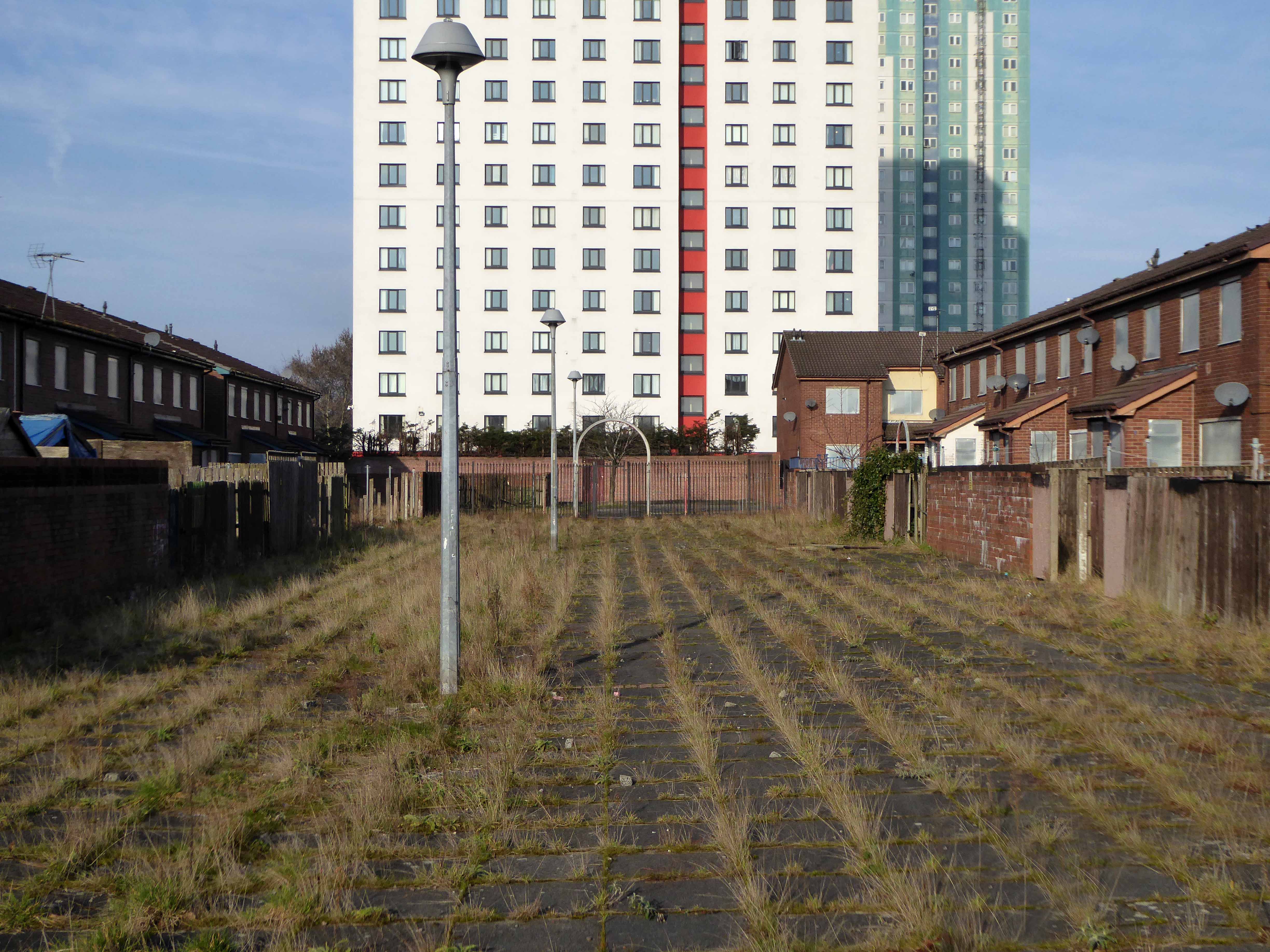
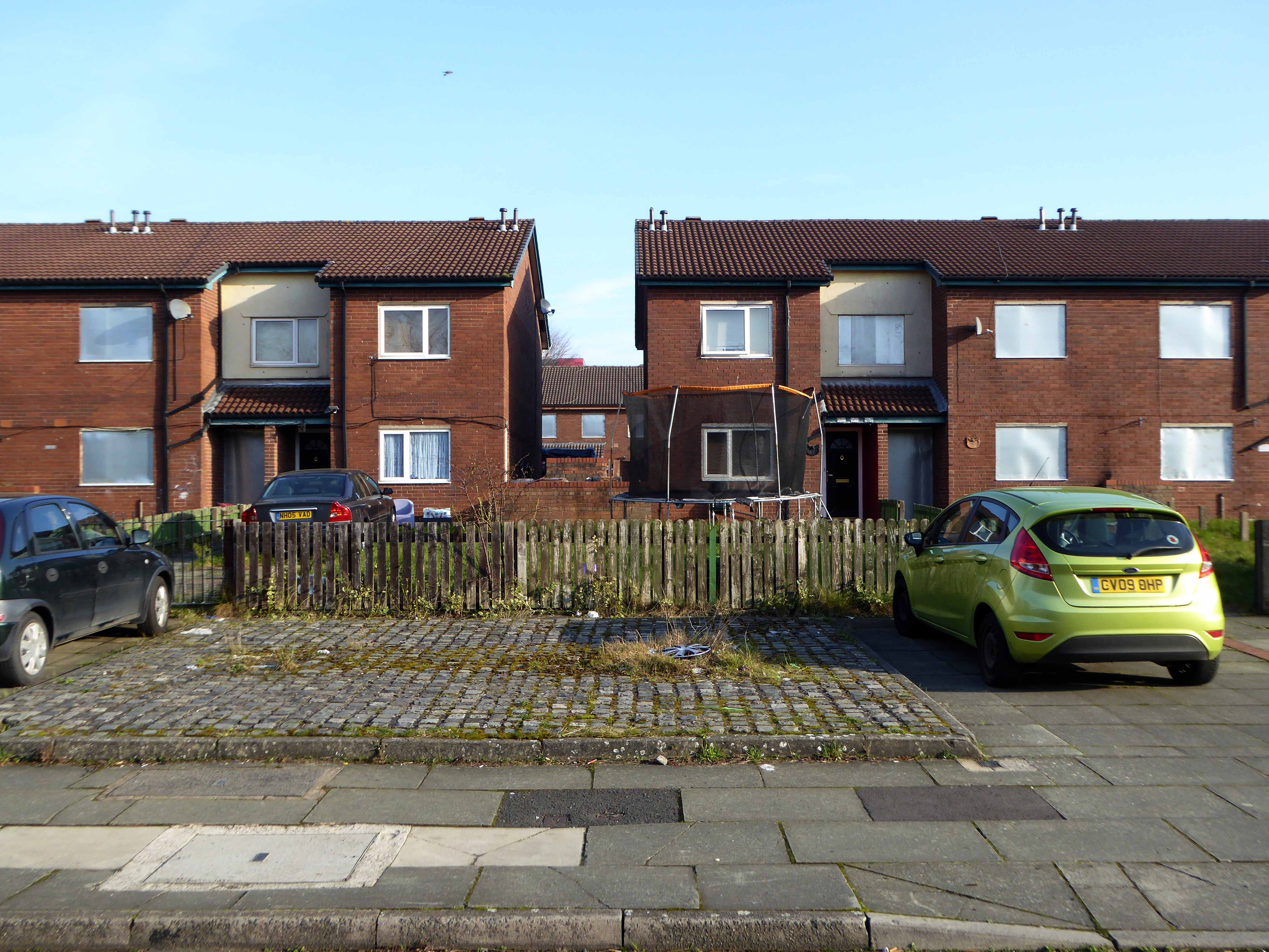
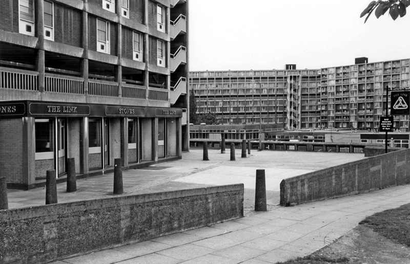
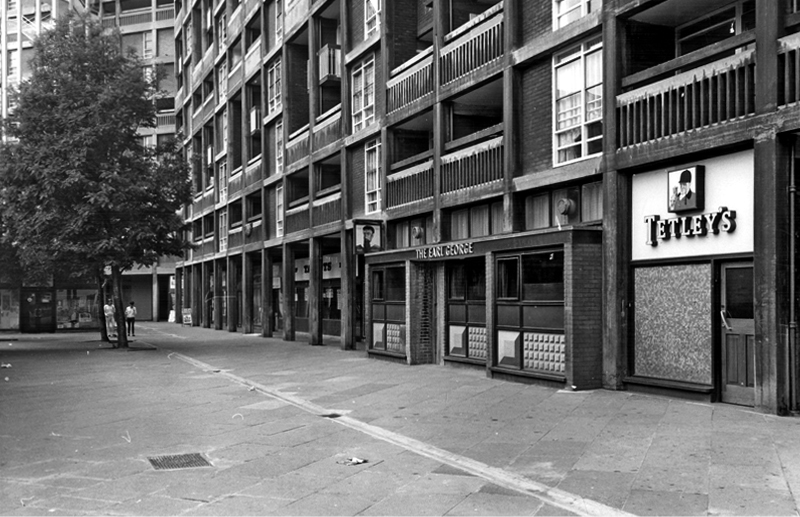
Then the 1960s saw a huge programme of slum clearance in Manchester and whole communities across the Square and nearby Hulme were moved, rehoused in a thoroughly modern milieu.

webmedia-3.php copy

webmedia-1.php copy

hulme-redevelopment-mid-1960s-c-mmu

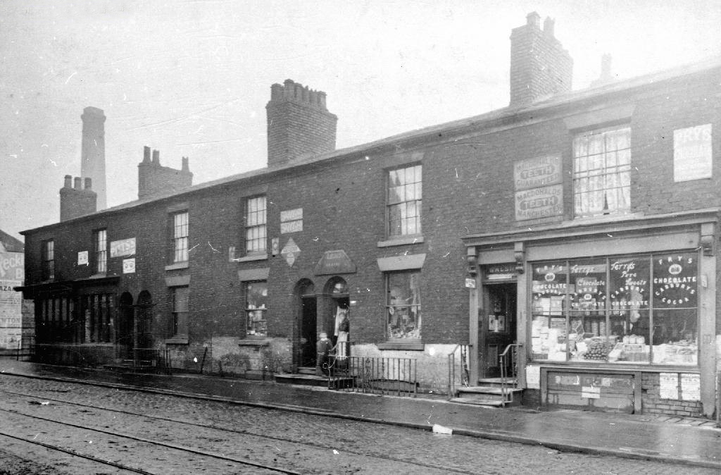
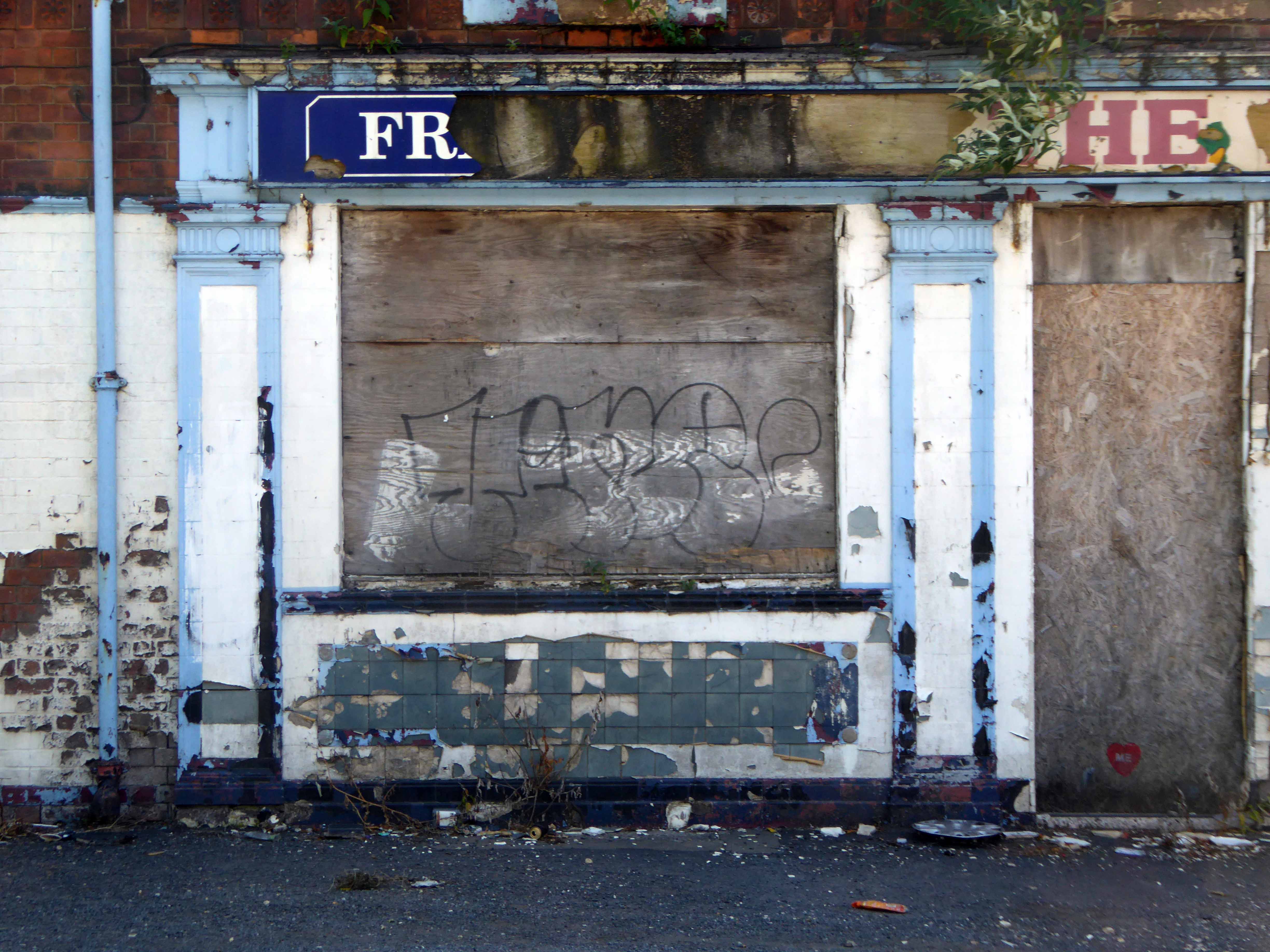
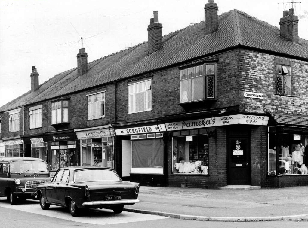
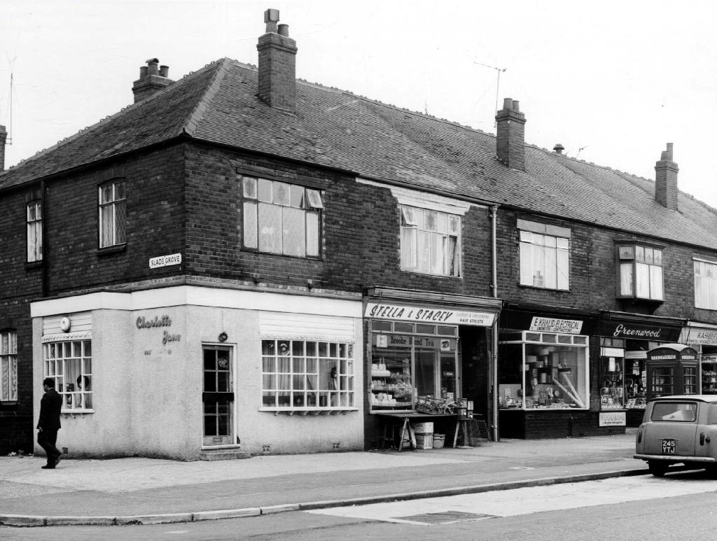
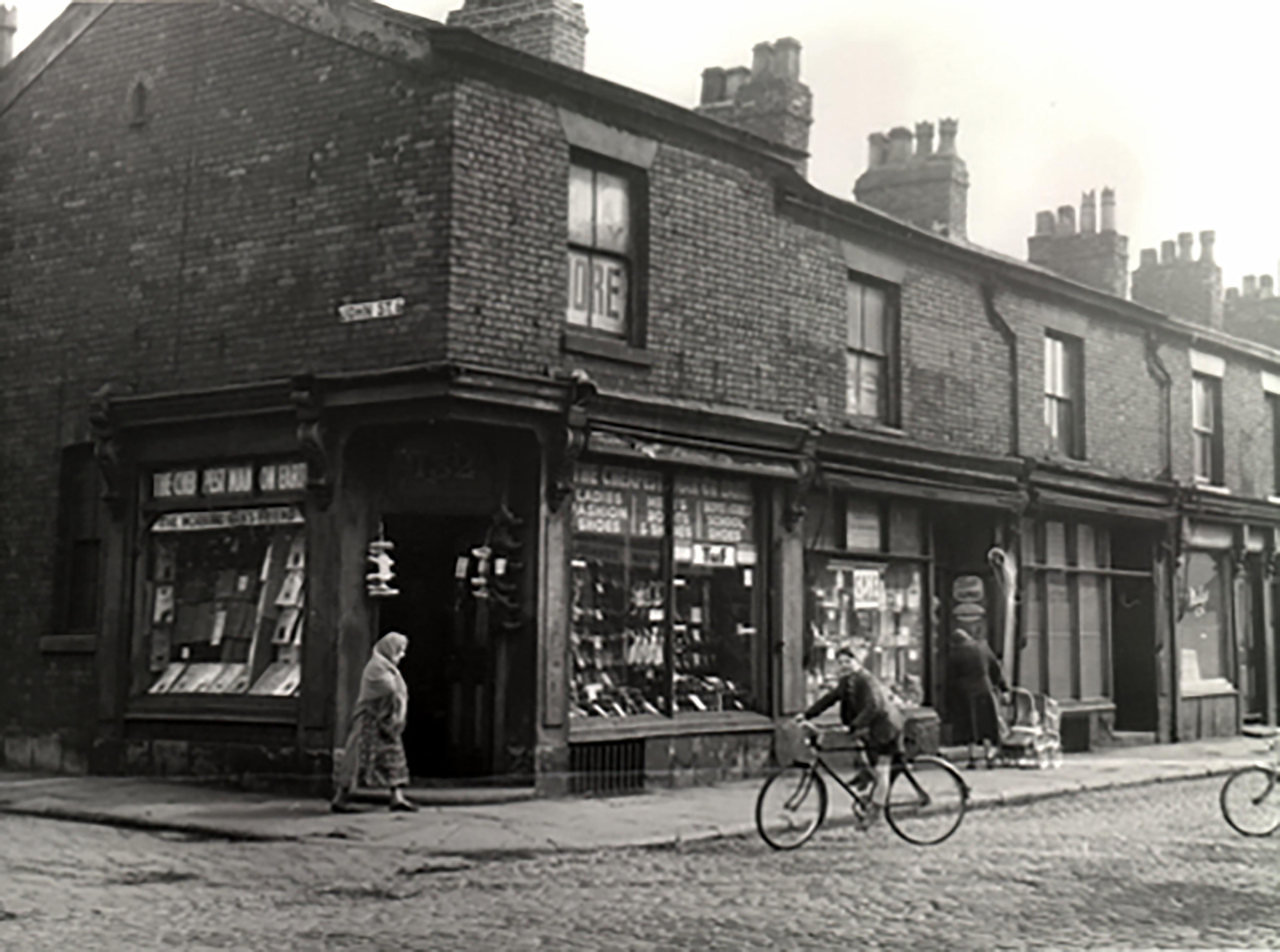
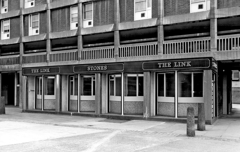
Shops came and went.

webmedia-1.php

webmedia-6.php

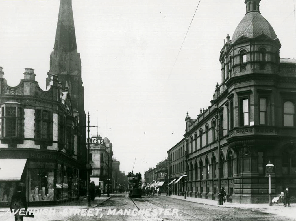
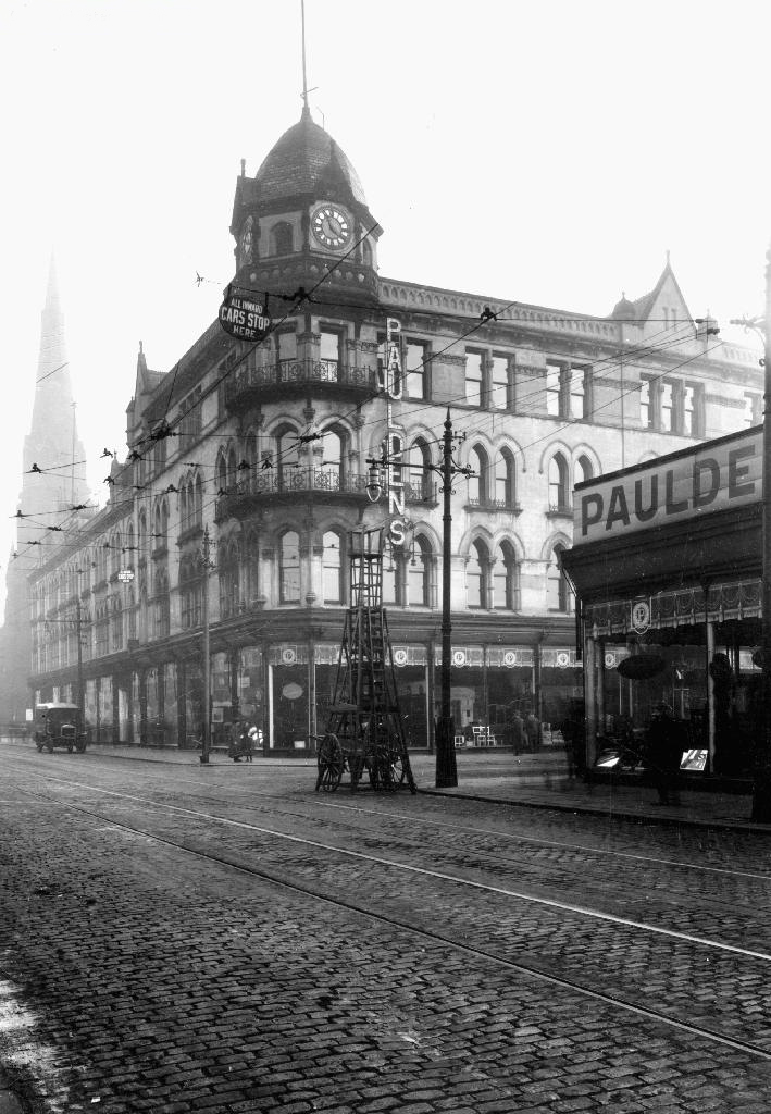
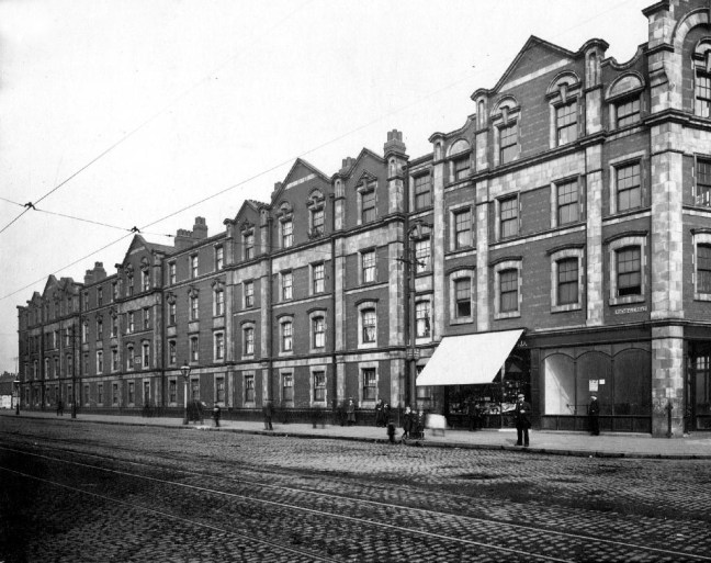
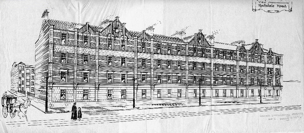
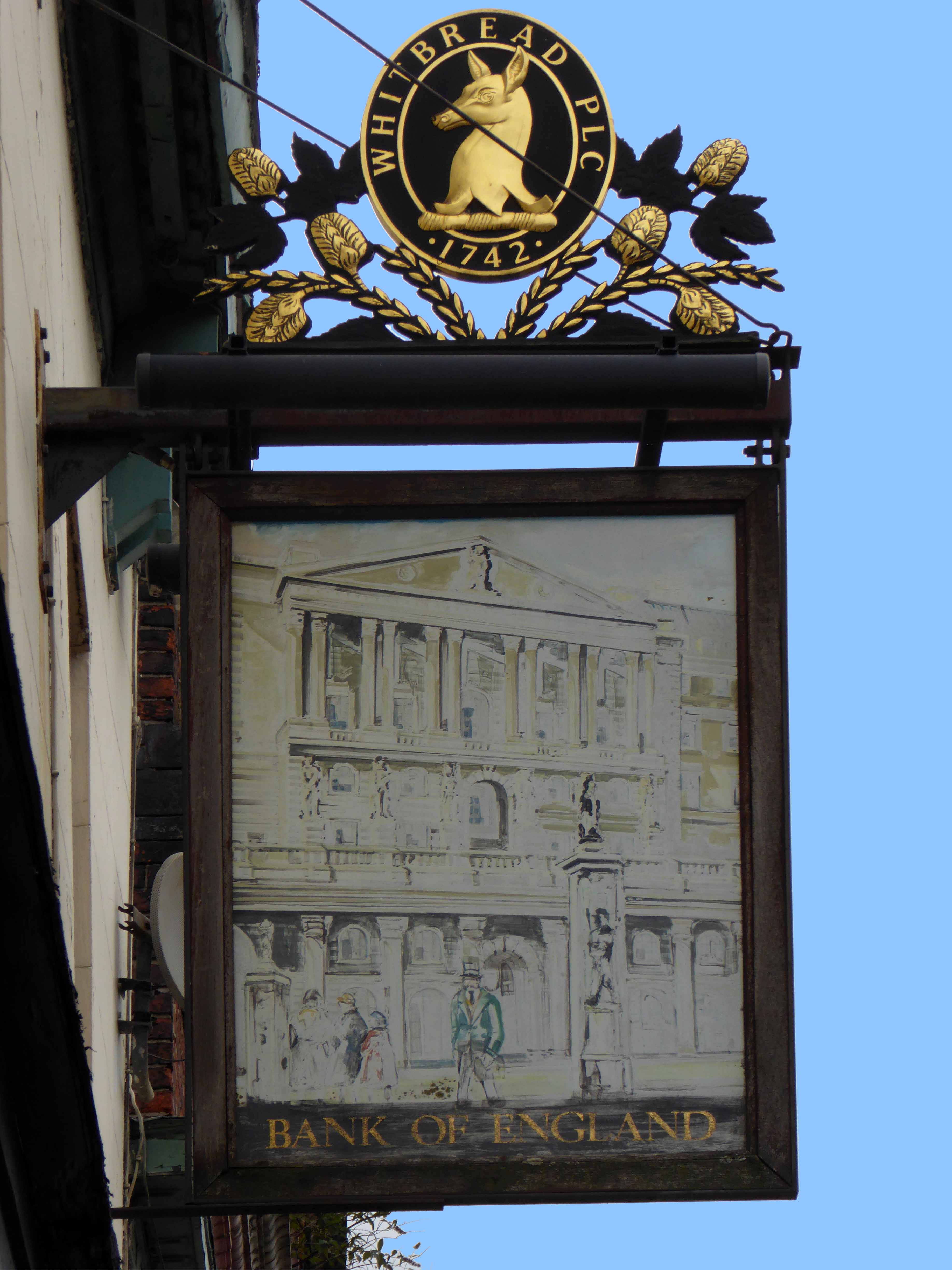
Paulden’s magnificent store was destroyed by fire in 1957

webmedia-4.php

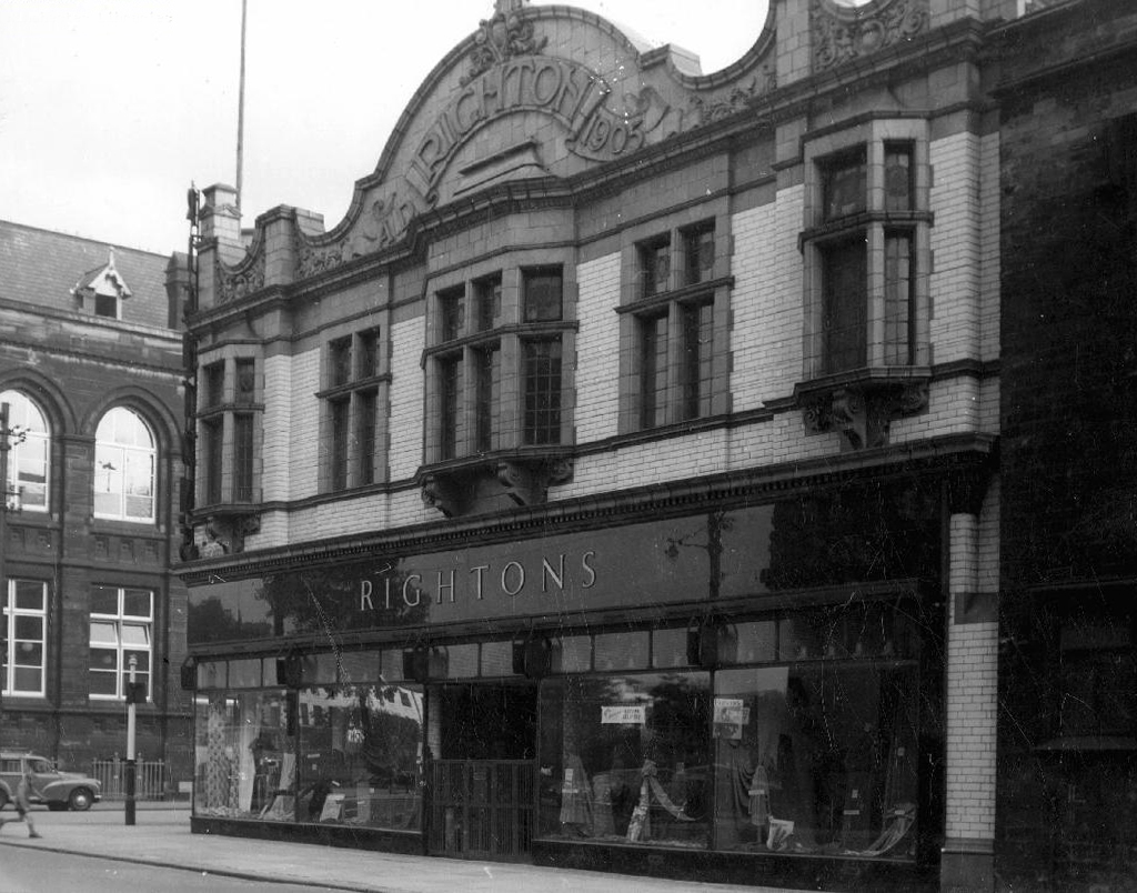
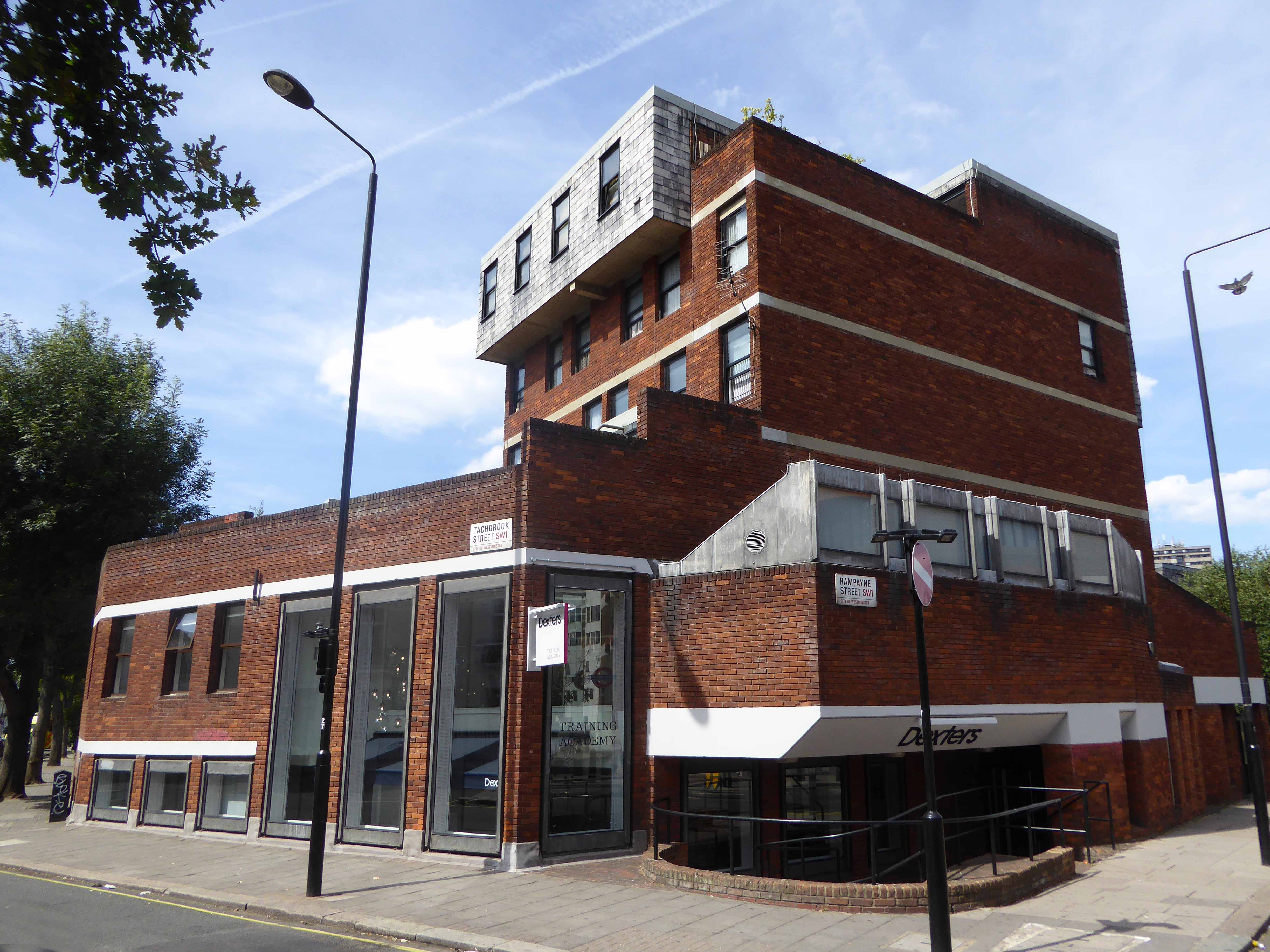
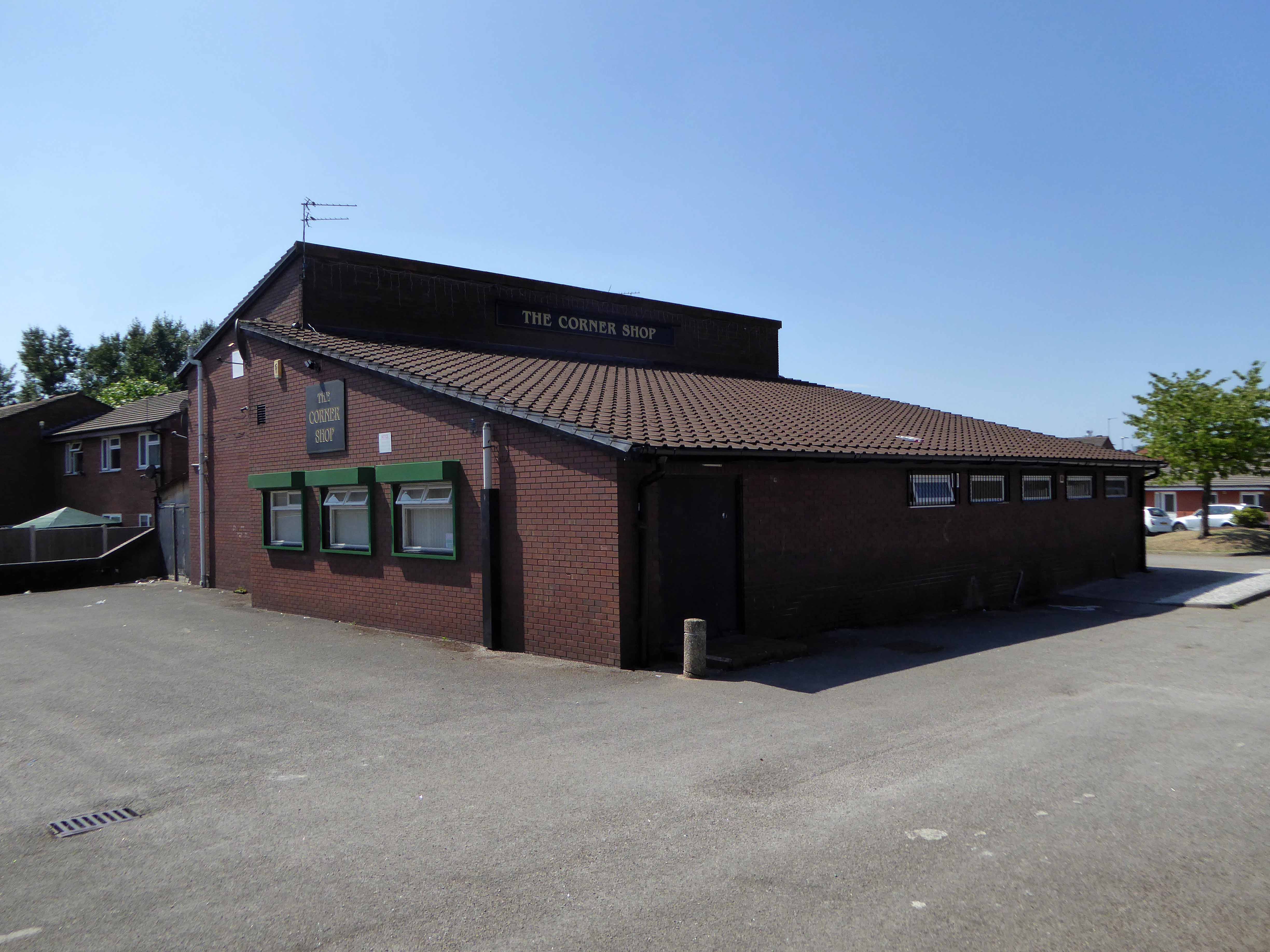
Rightons haberdashers has survived though no longer haberdashing, having been amalgamated into MMU.

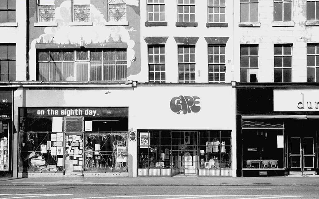
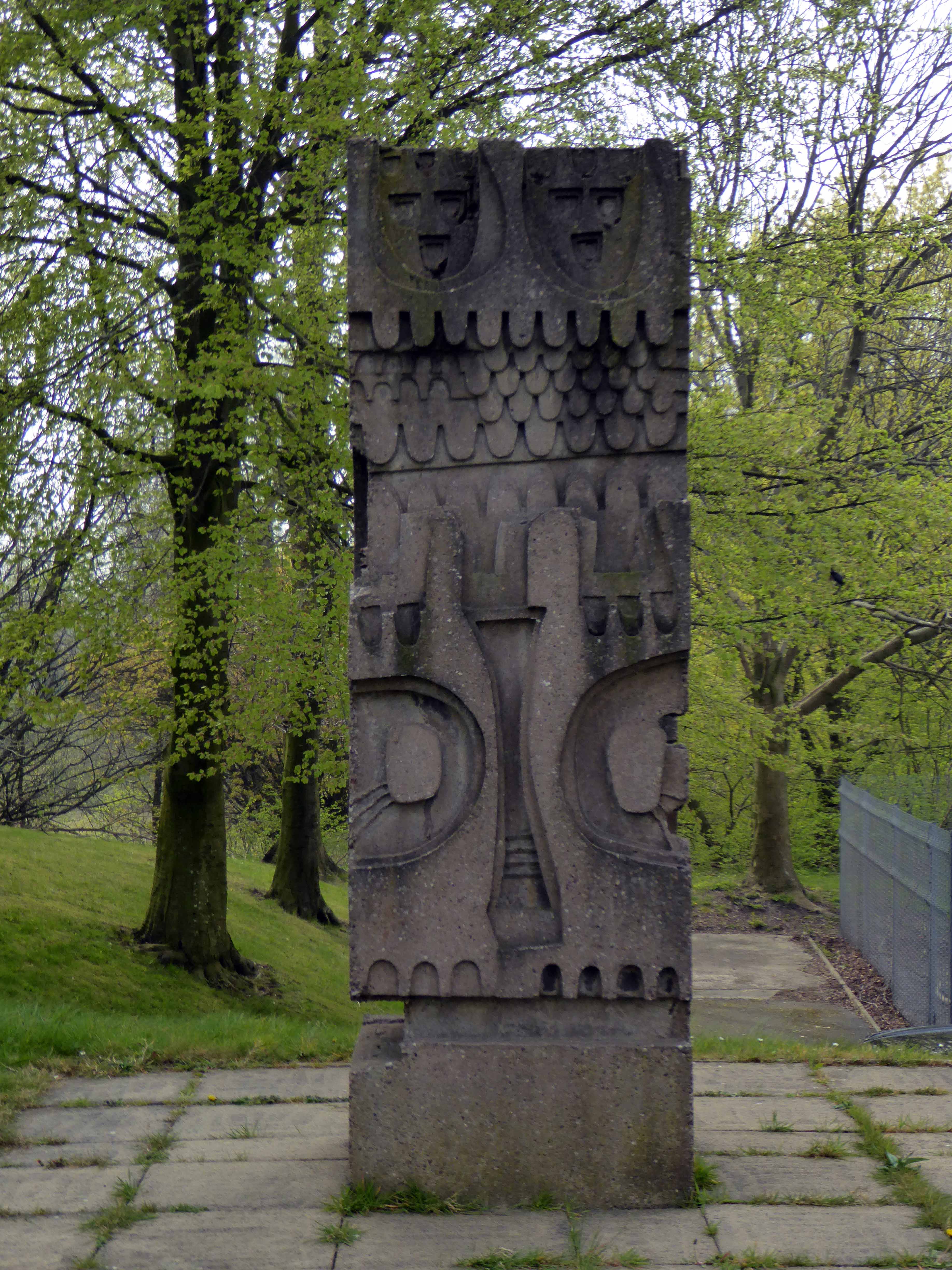
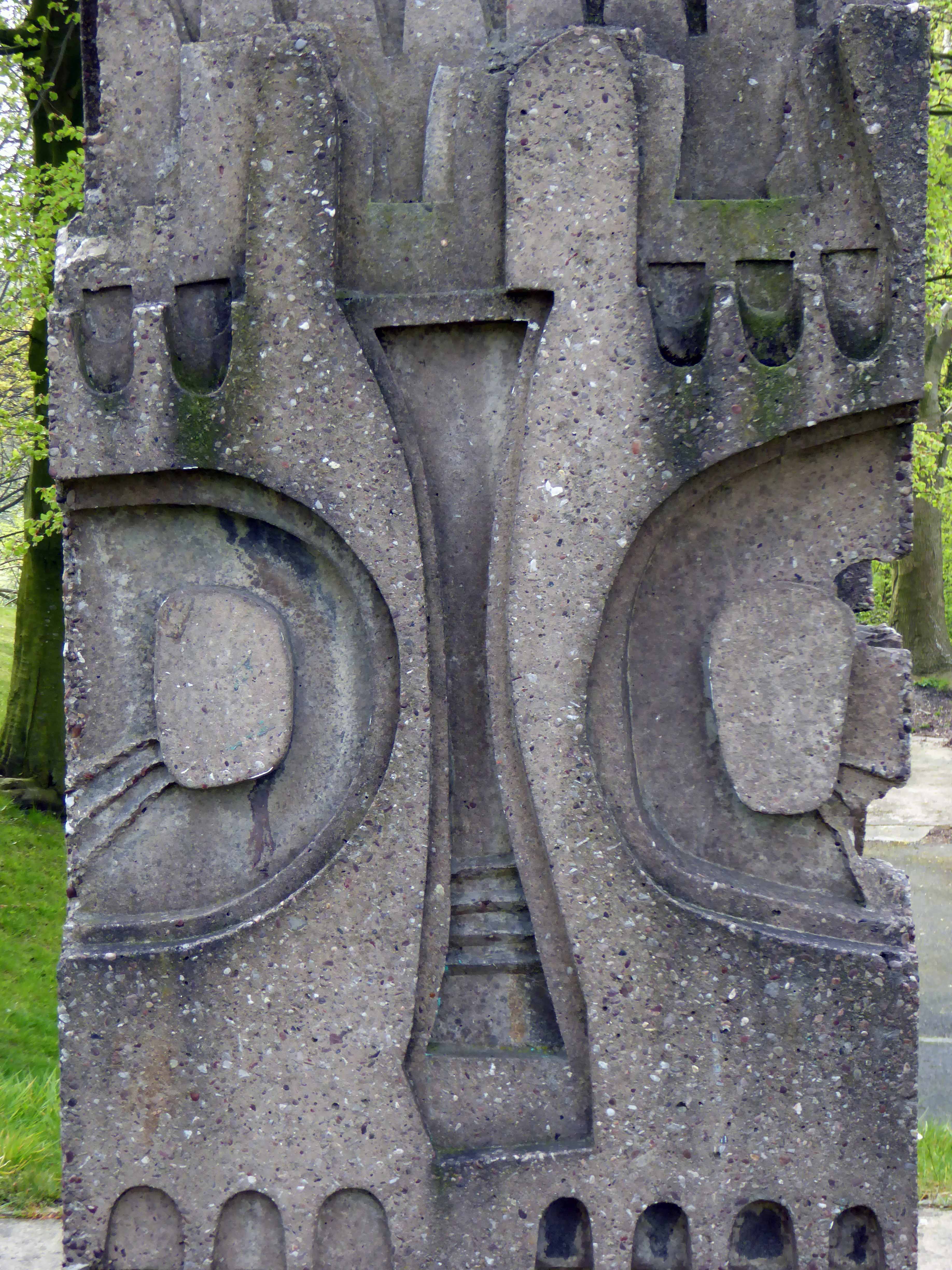
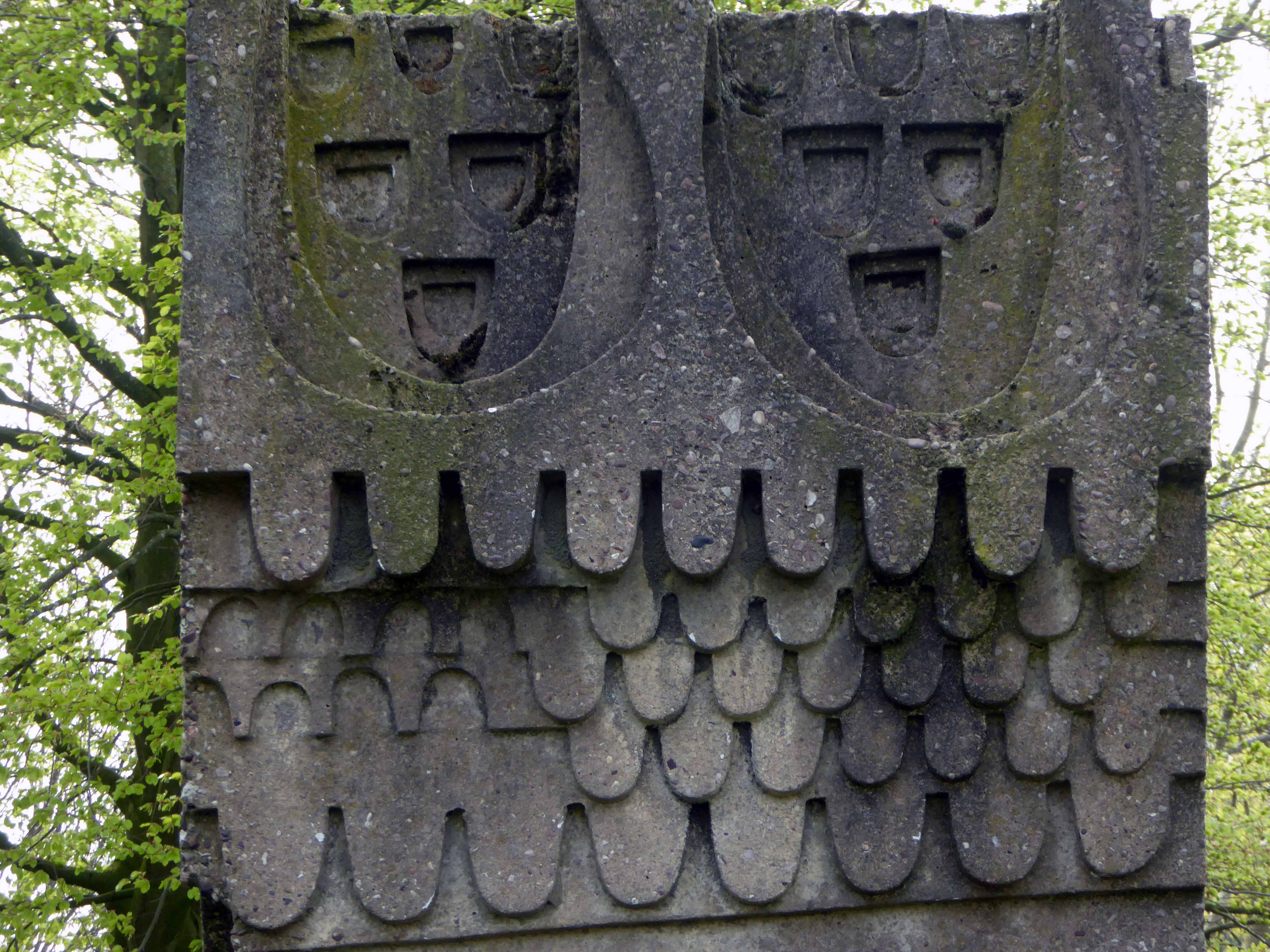
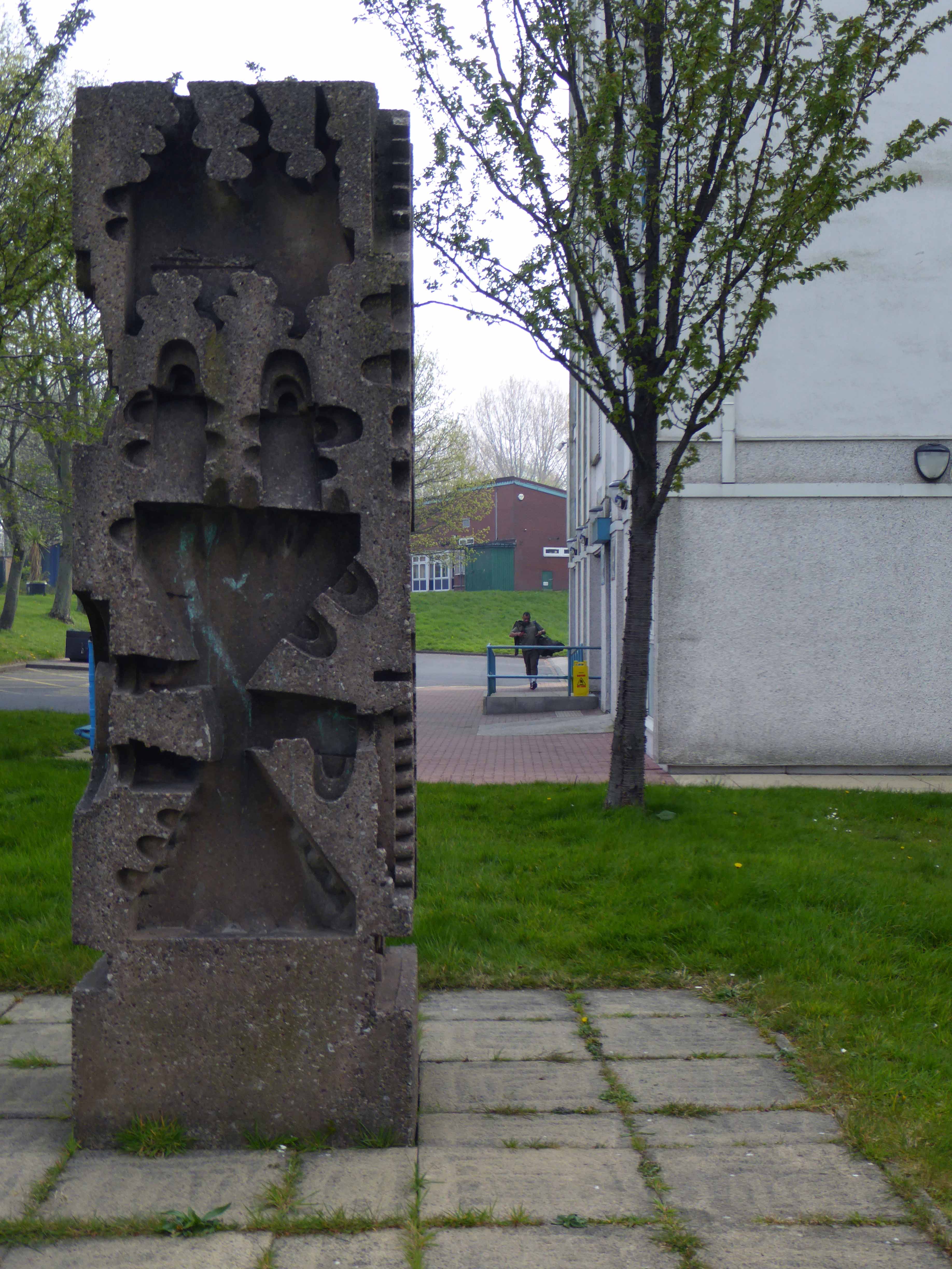
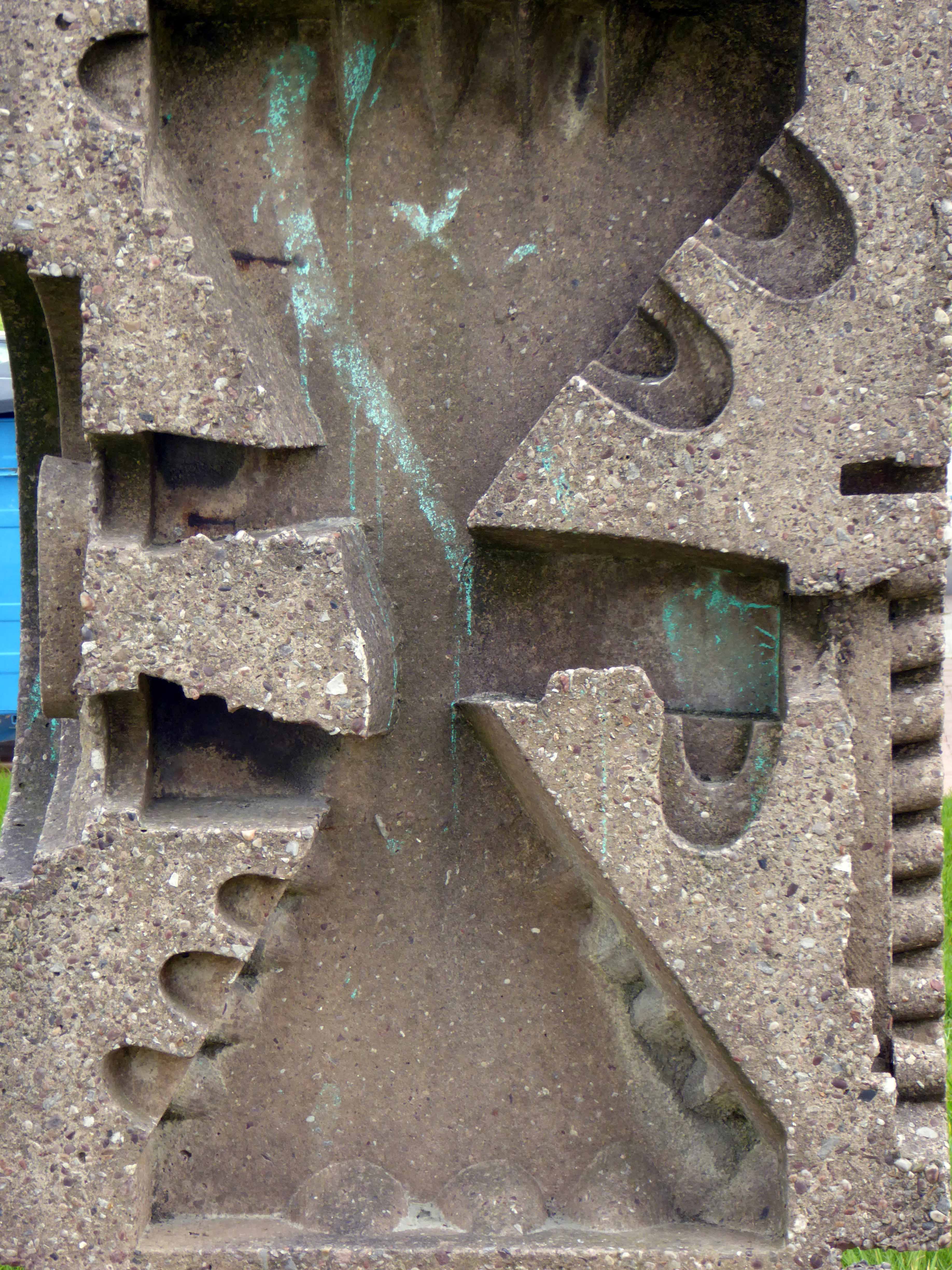
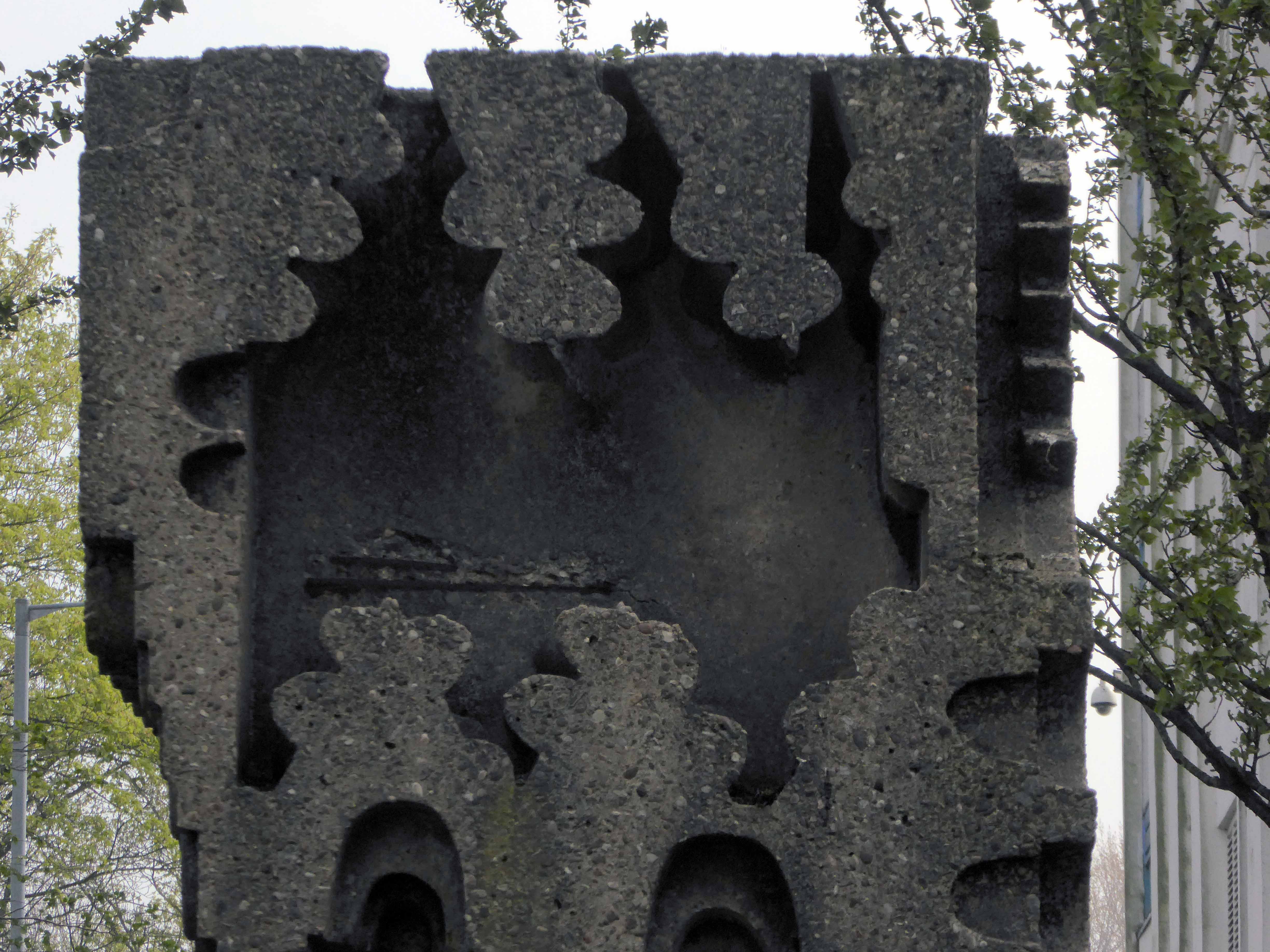
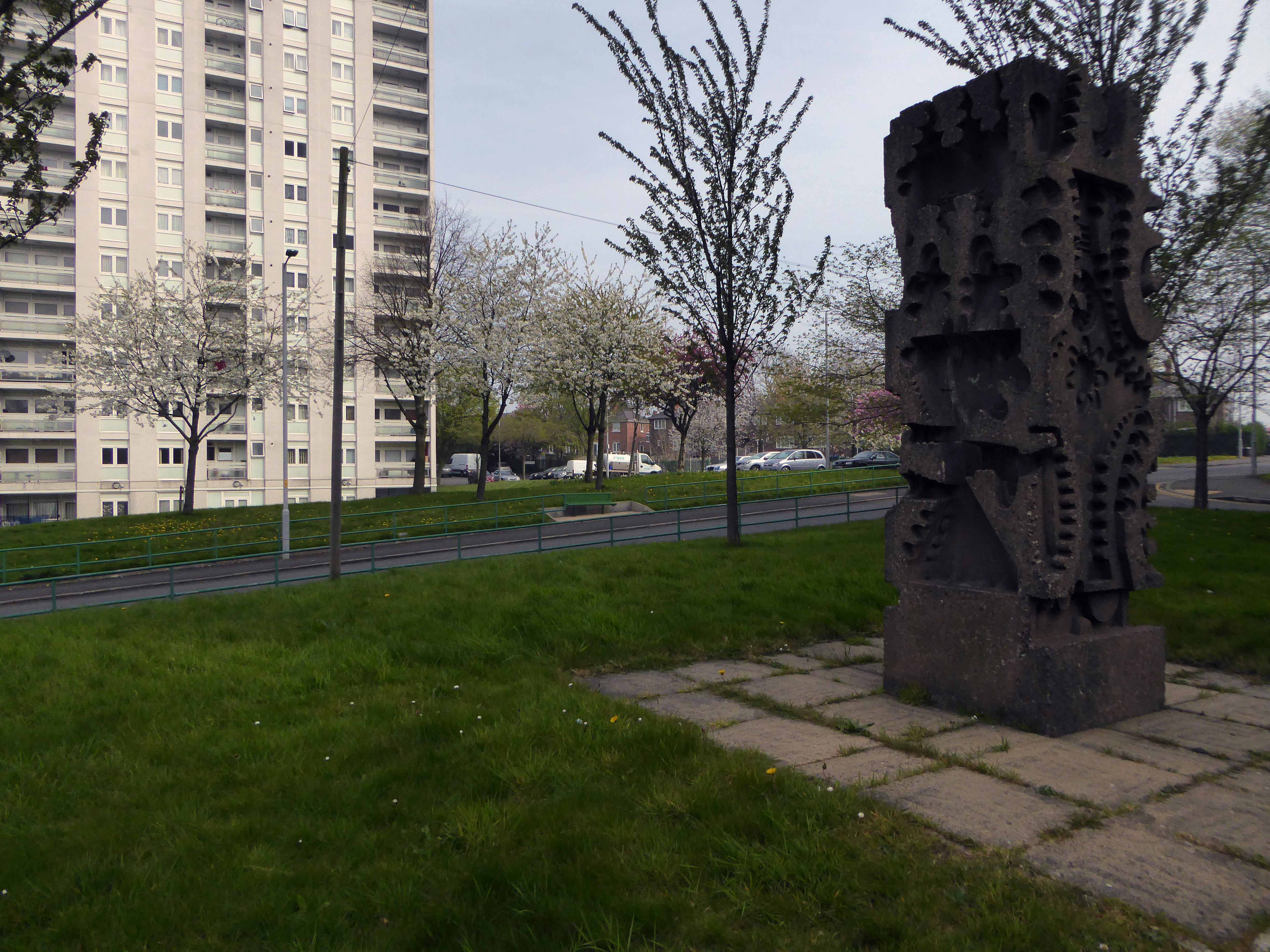
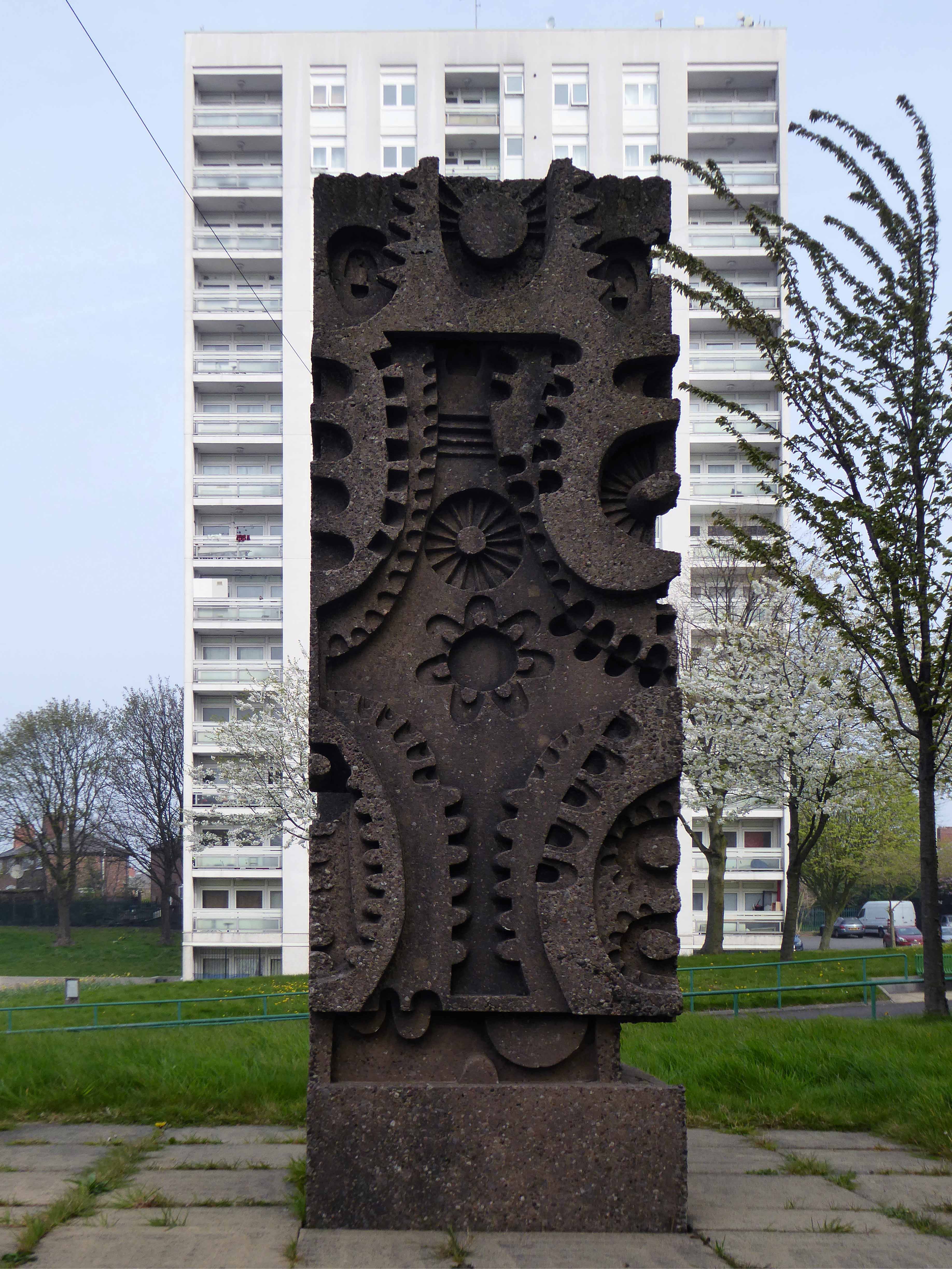
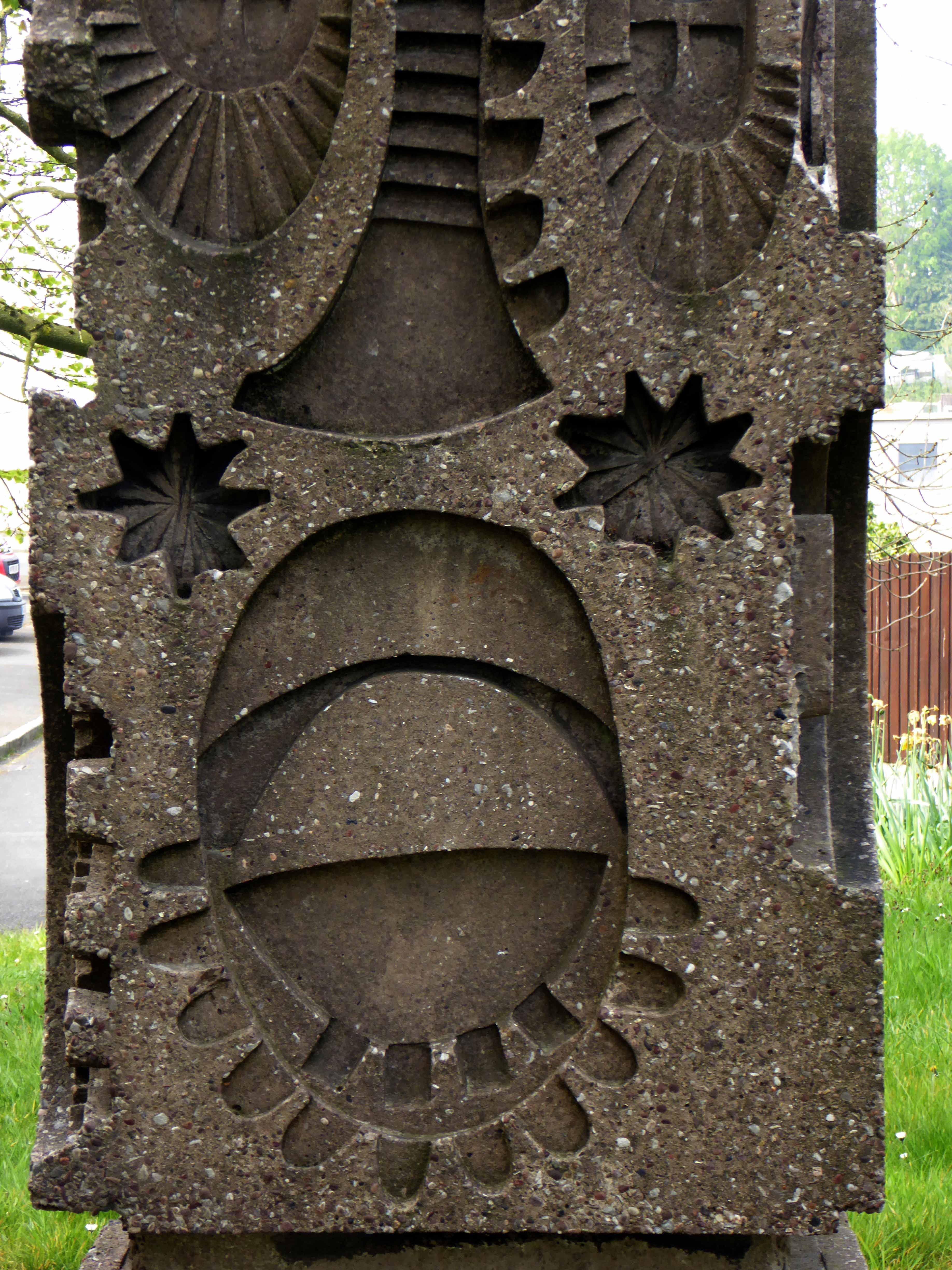
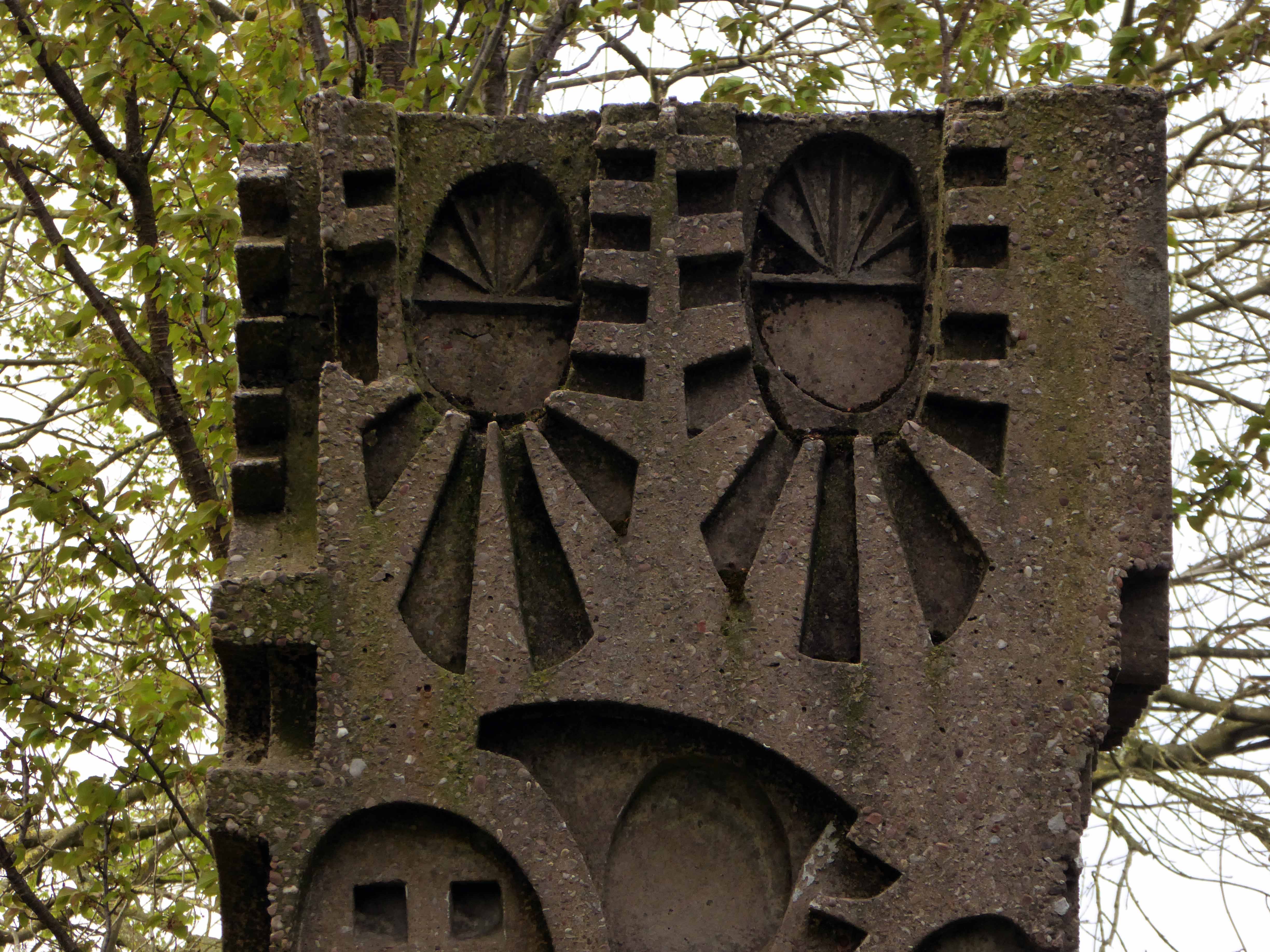
One day On The Eight day moved a little to the left

webmedia-3.php

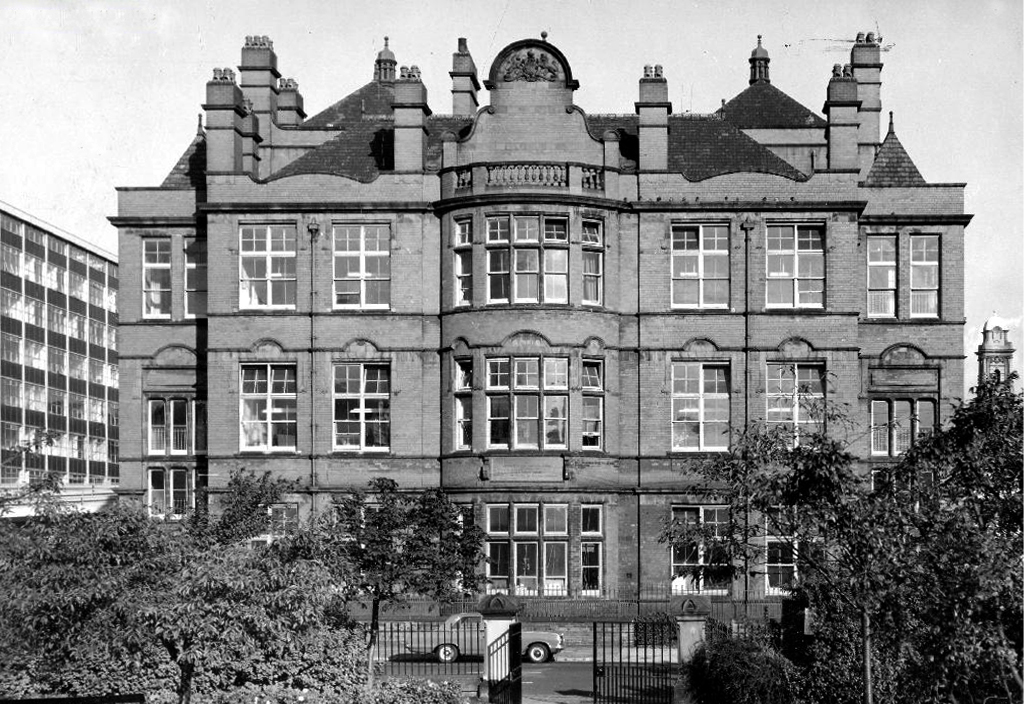
The Manchester Municipal School of Art was built in Cavendish Street in 1880–81 to the designs of G.T.Redmayne.

webmedia-7.php

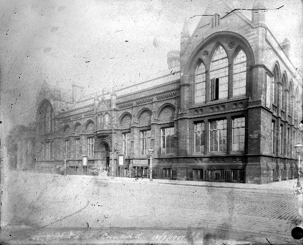
The fascia has been retained but the name has not been changed to protect the innocent.

Next door the Chorlton on Medlock town hall still has its portico in place, the adjacent Adult Education building has been surgically removed.

webmedia-10.php

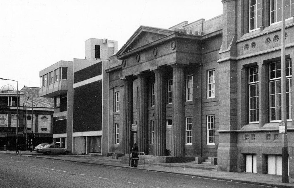
Richard Lane, the architect of the Friend’s Meeting House on Mount Street, designed the Chorlton-on-Medlock Town Hall on Grosvenor Street.  It continued in  that role from 1831 until 1838 when Chorlton-on-Medlock became part of the city of Manchester.  In the years that followed it was used by the local community for a variety of functions but the redevelopment of the area meant that the local population diminshed and the building became redundant.  In 1970, the interior was removed, a new structure added to the rear and it became part of the Polytechnic which became the Manchester Metropolitan University.

The Fifth Pan African Conference was held there between October 15th and 21st in 1945. Ninety delegates from across Africa, Europe and the Caribbean, attended the meeting and among the delegates were a number of men who went on to become political leaders in their countries including: Hastings Banda, Dr Kwame Nkrumah, Obafemi Awolowo and Jomo Kenyatta.

Manchester History

ormond 1972

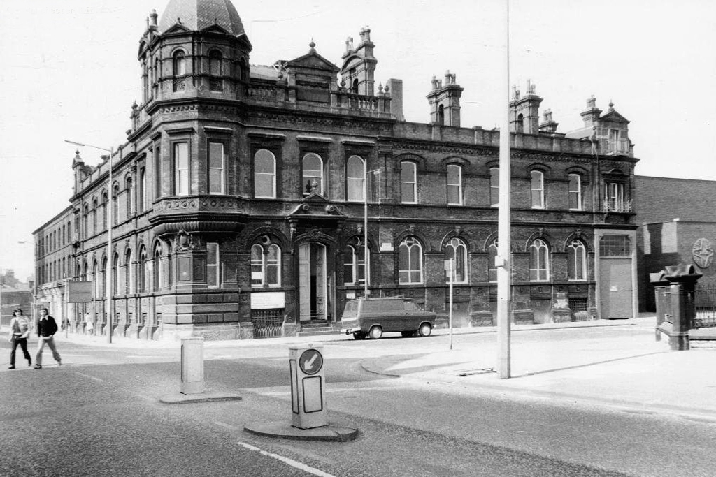
Former Chorlton Poor Law Guardian’s HQ then Registry Office, now the Ormond Building of Metropolitan University – and at the far right edge St Augustine RC.

webmedia-3.php

webmedia-2.php

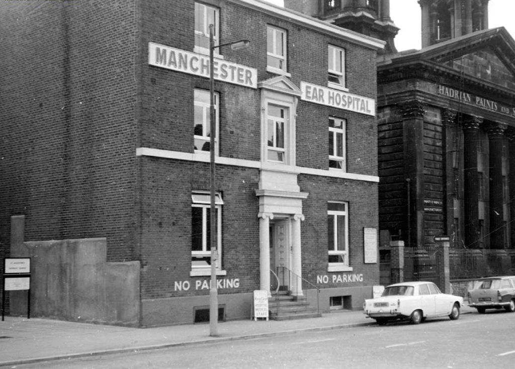
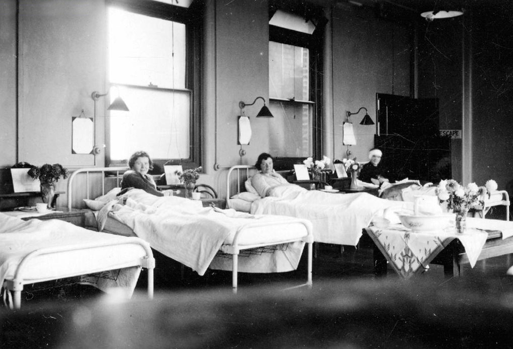
The Manchester Ear Hospital on Lower Ormond Street, shortly before being transferred to Manchester Royal Infirmary. Most of the building was demolished, but the facade retained as part of MMU’s Bellhouse Building.

To the right the Presbyterian Church.

webmedia.php

Cavendish Street School

Screenshot 2018-12-05 at 13.59.22

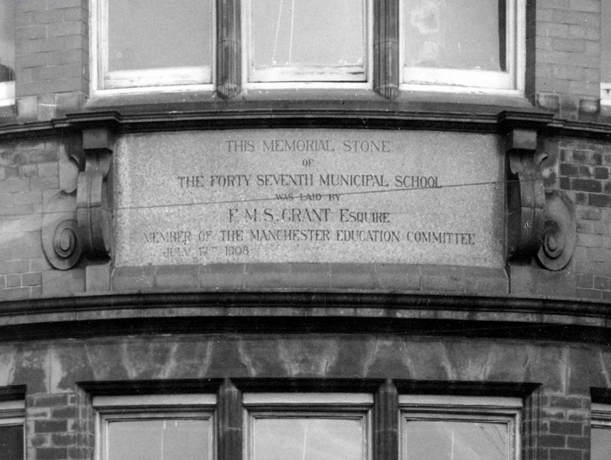
The memorial stone on the front of the school, laid on June 17th, 1908,  declared that it was the Forty Seventh Municipal School.  Strangely, it seems that it was called the Cavendish Street School despite the fact that it wasn’t on Cavendish Street.

Manchester History

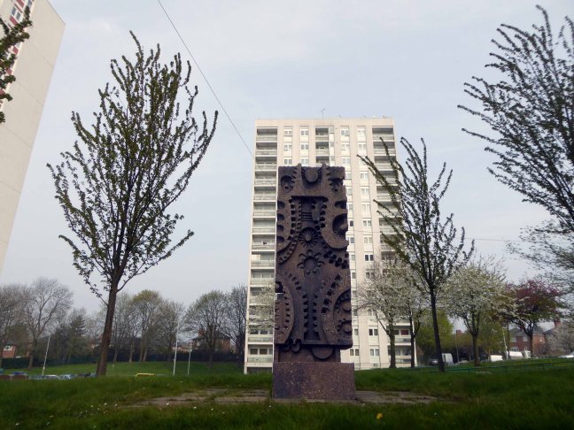
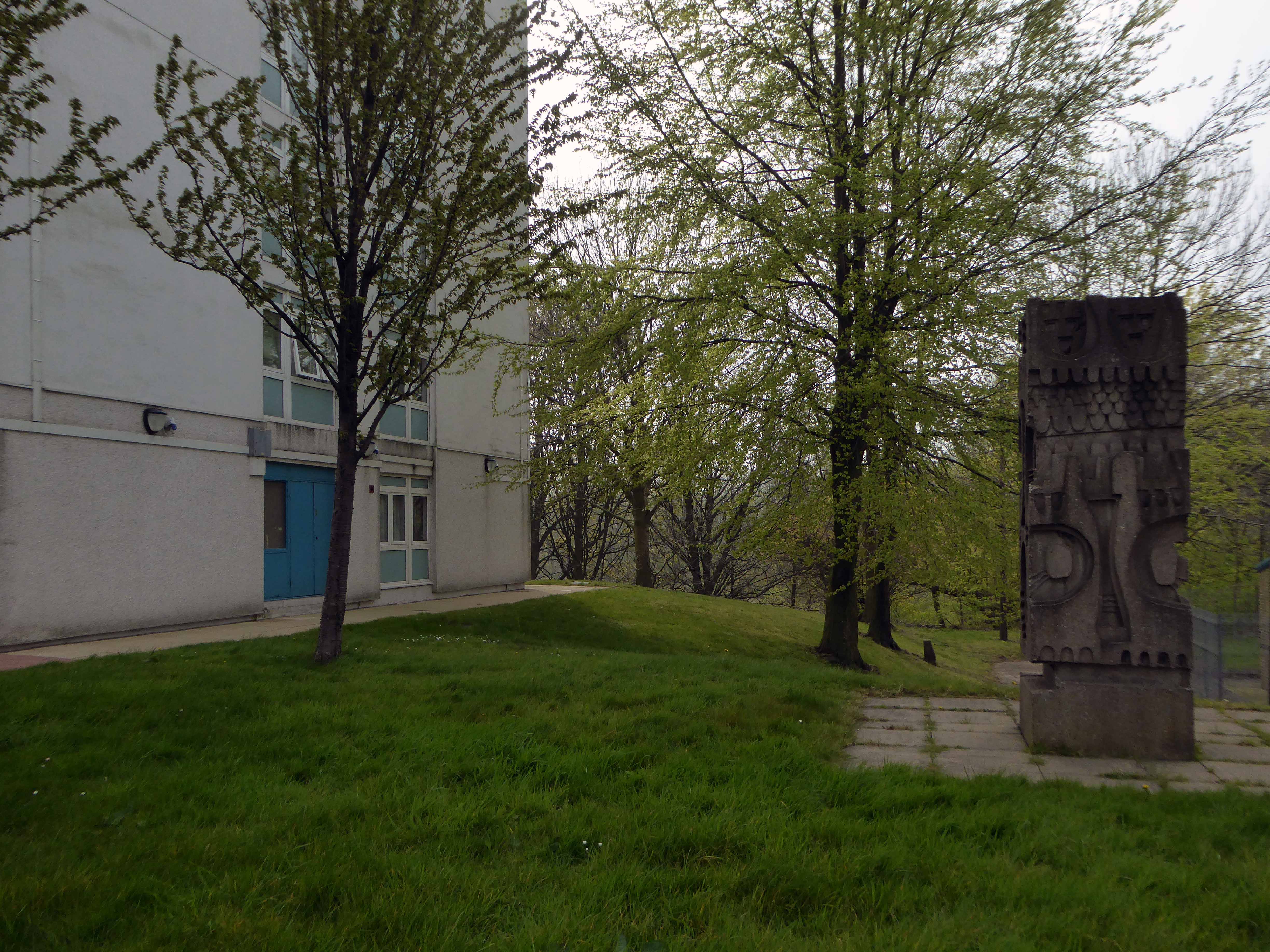
It was subsequently utilised by the Polytechnic sculpture department – then demolished to make way for something else of an educational nature.

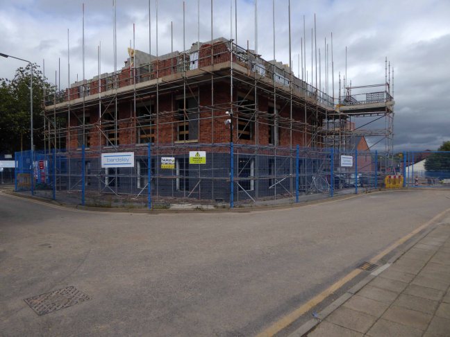
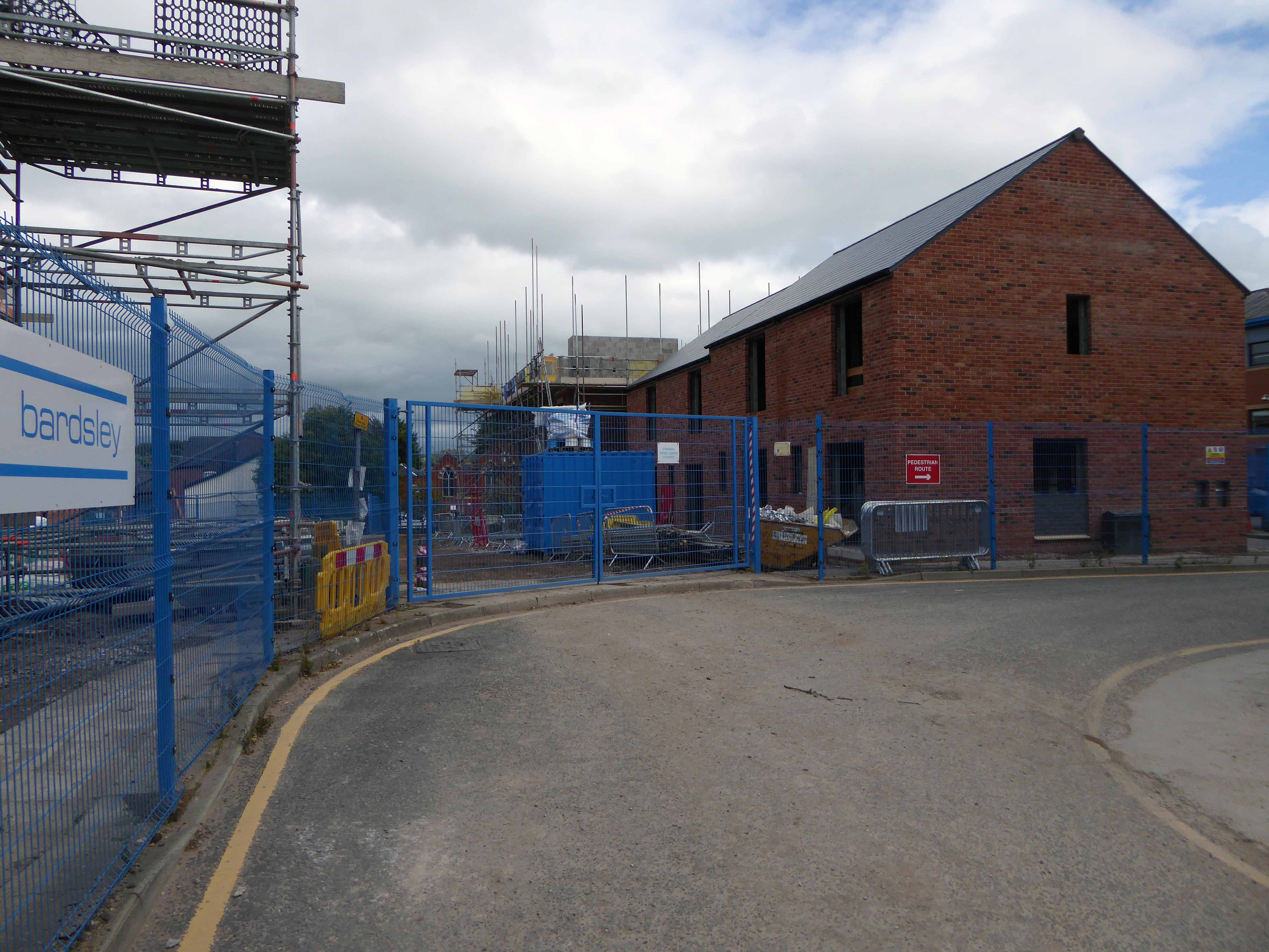
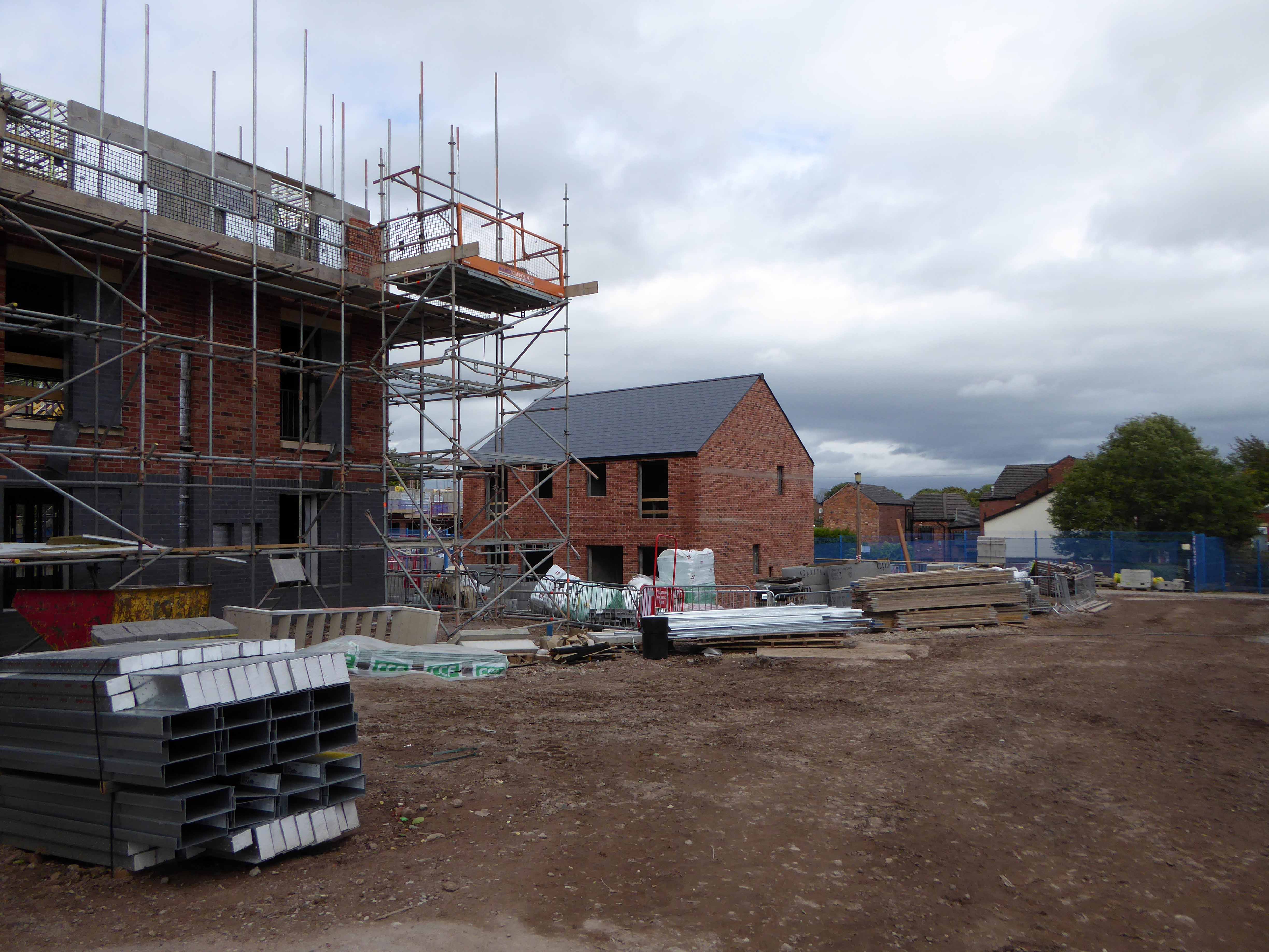
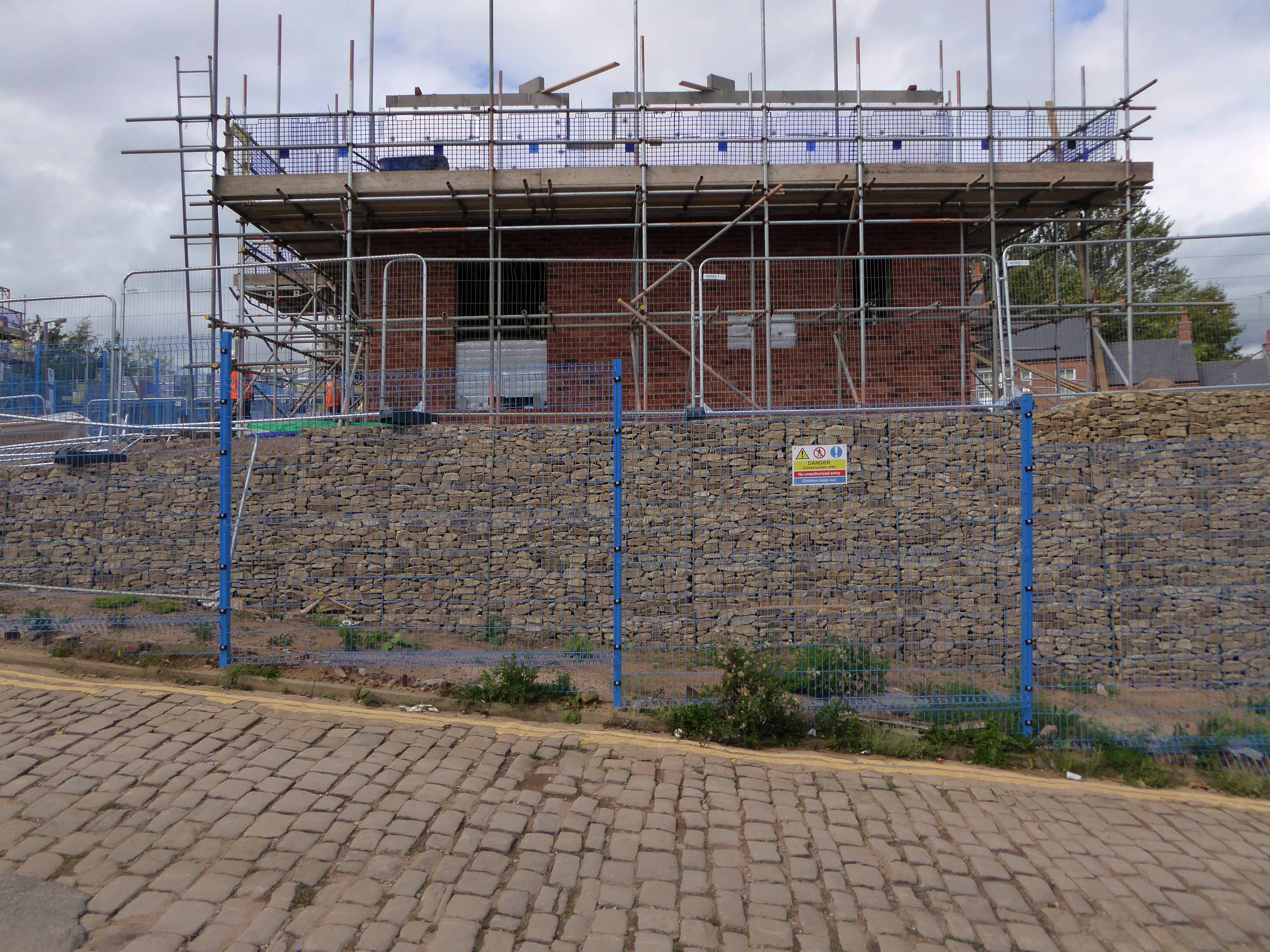
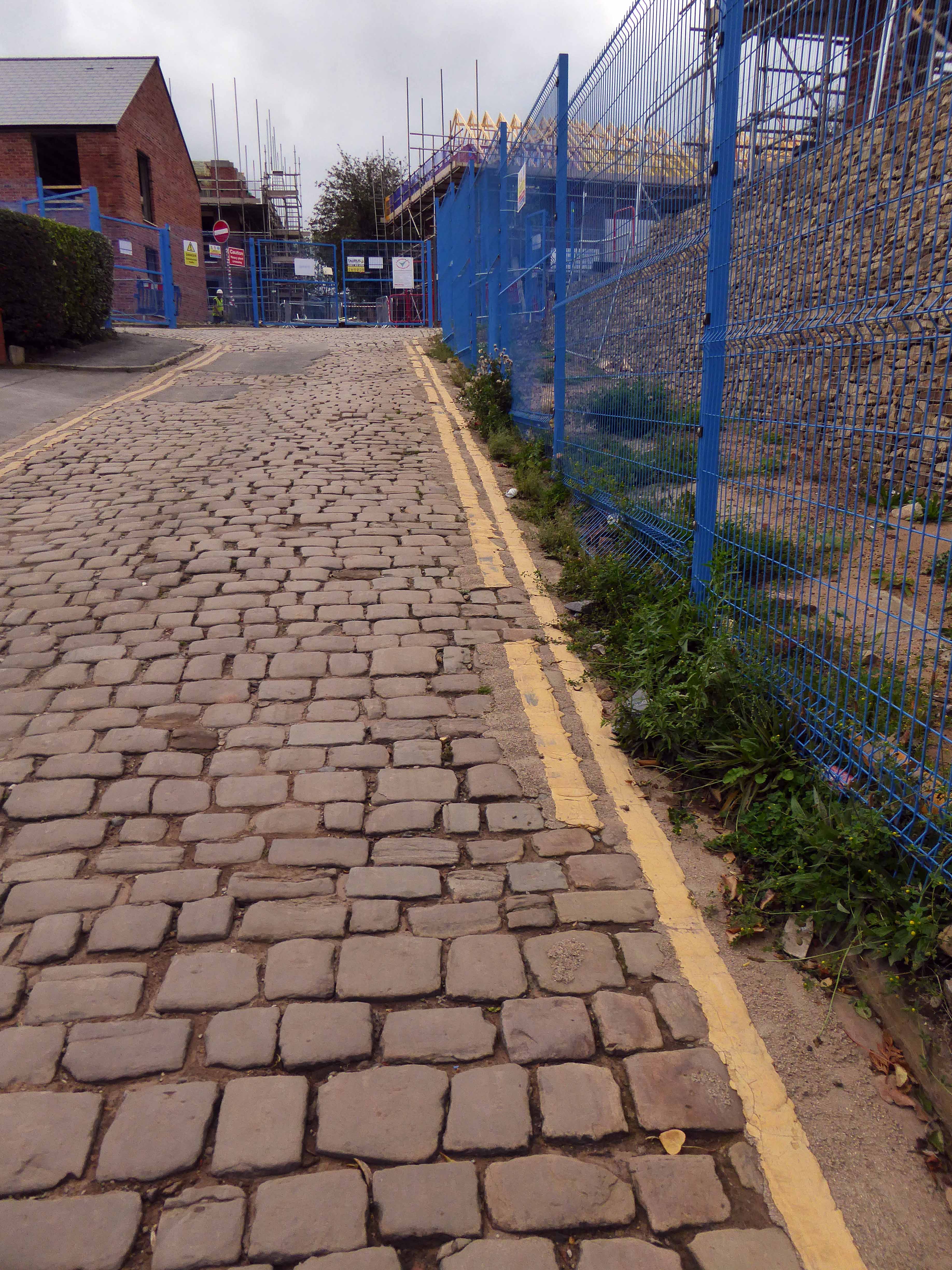
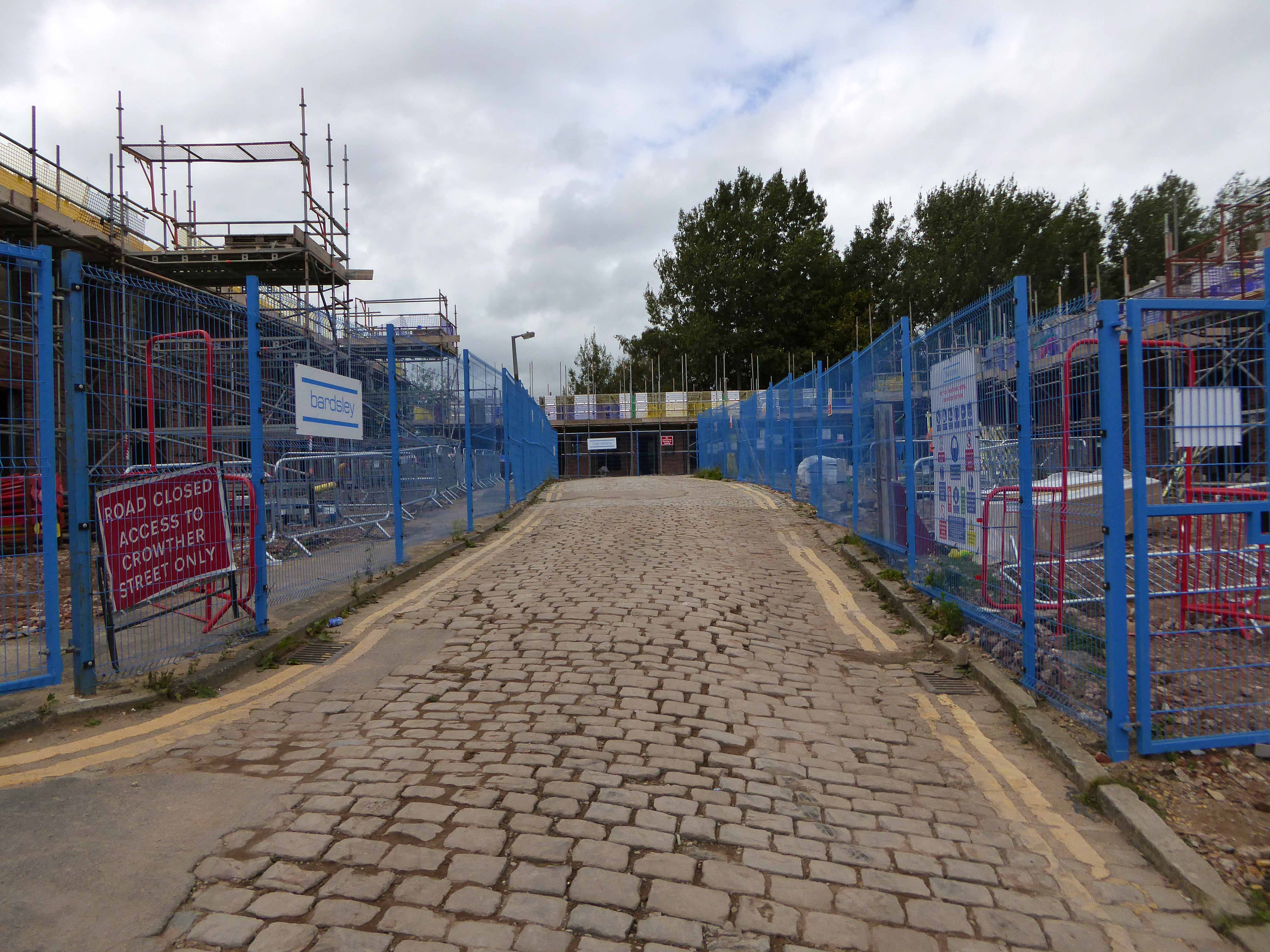
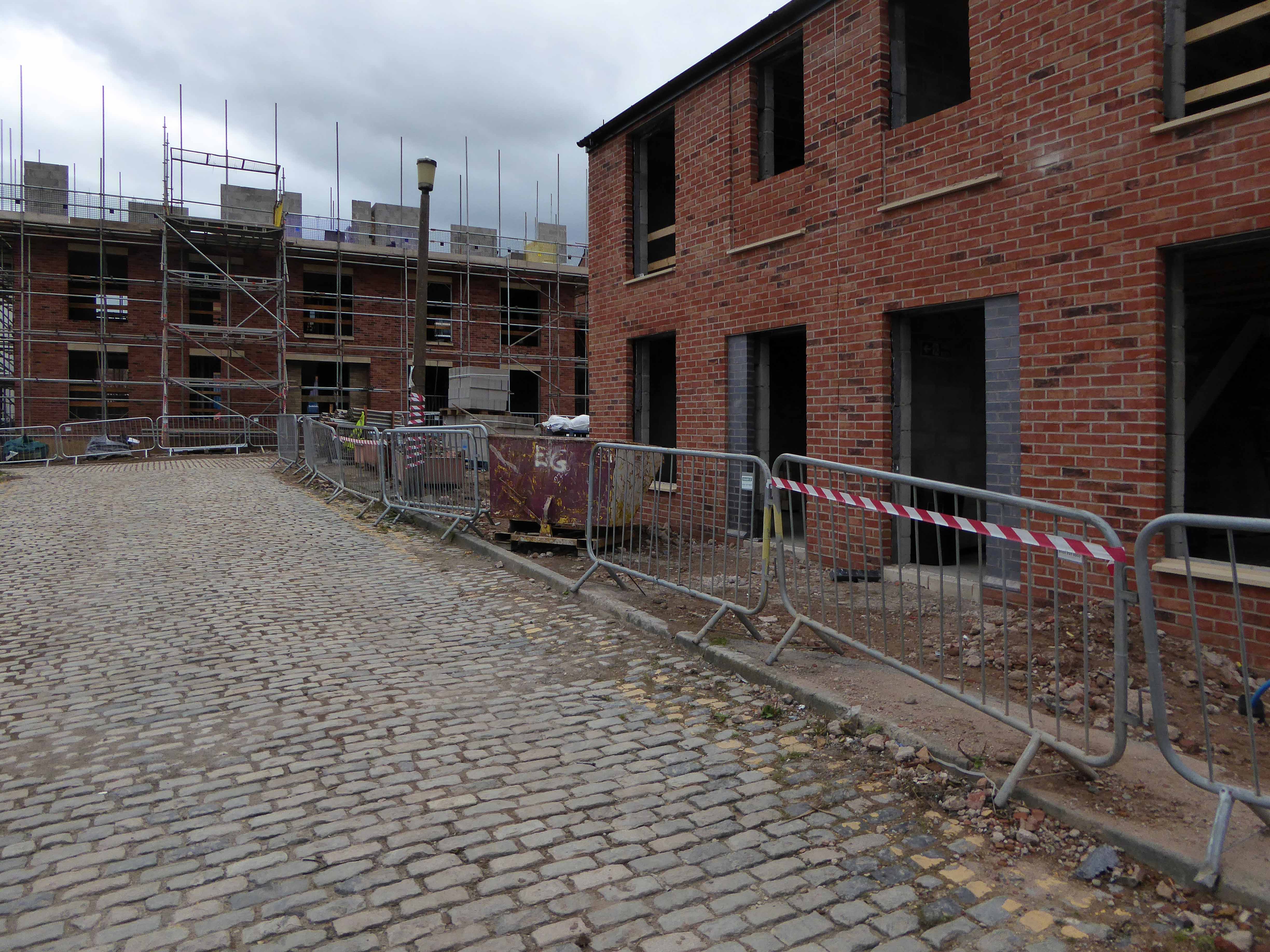
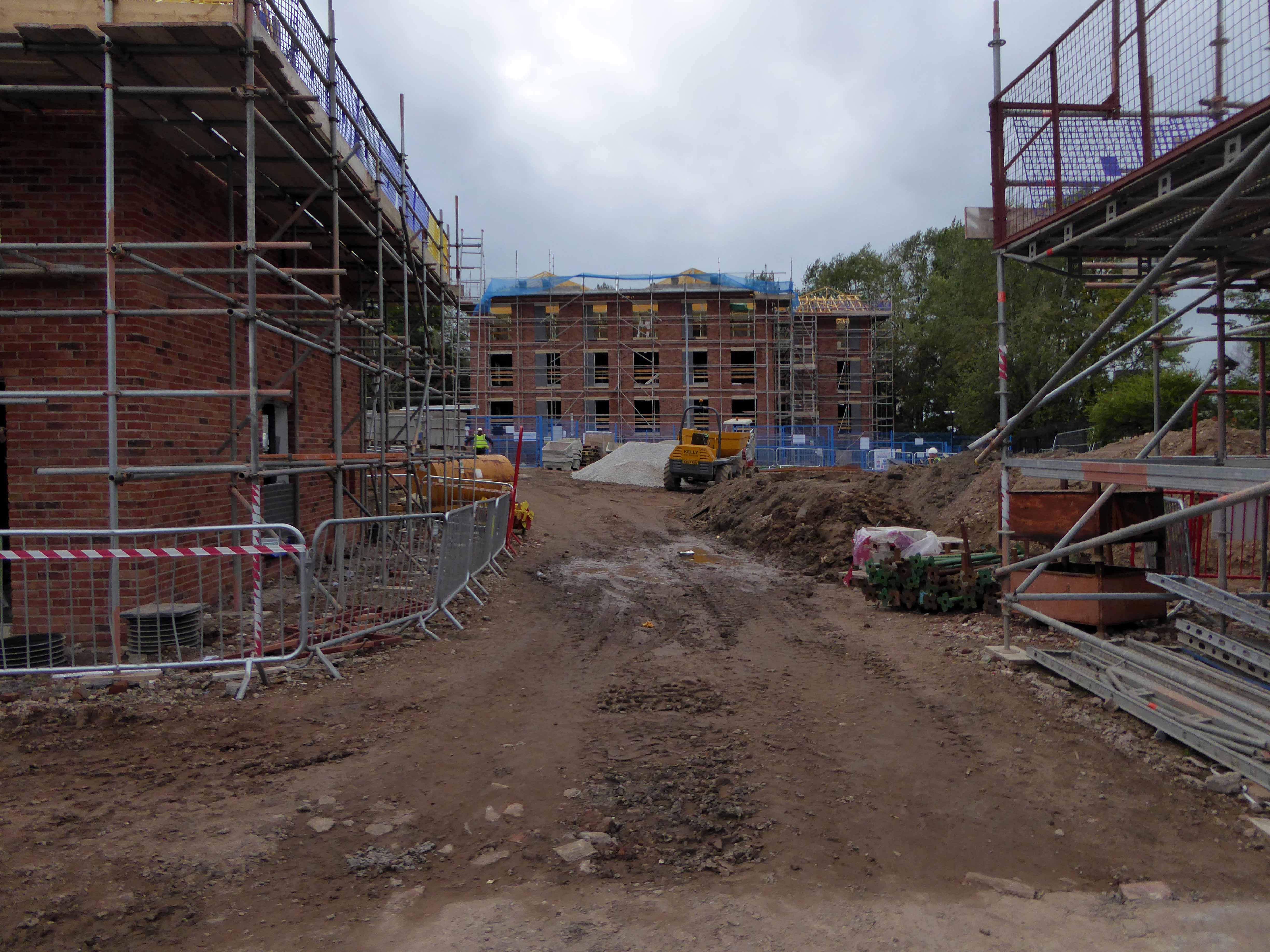
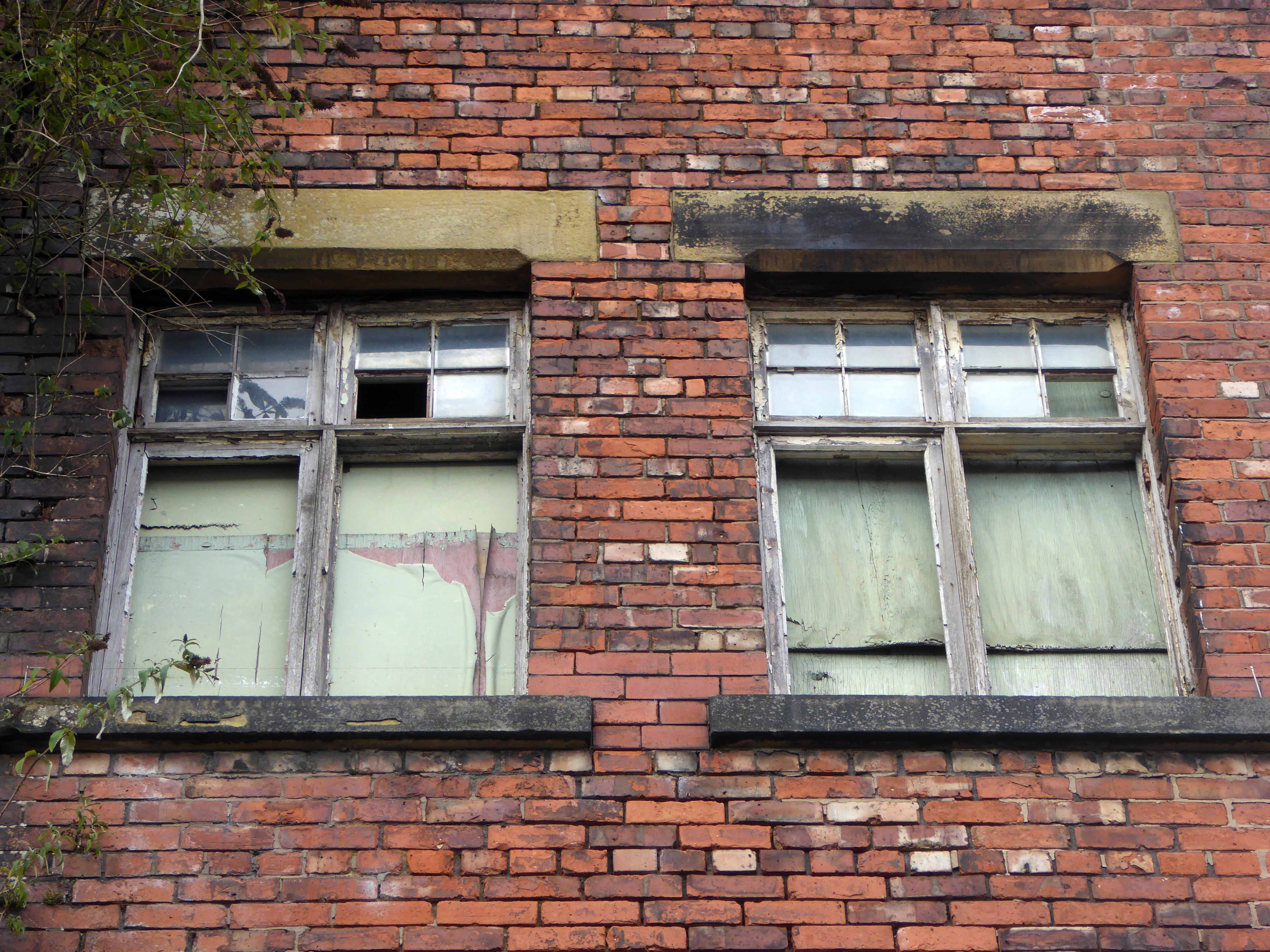
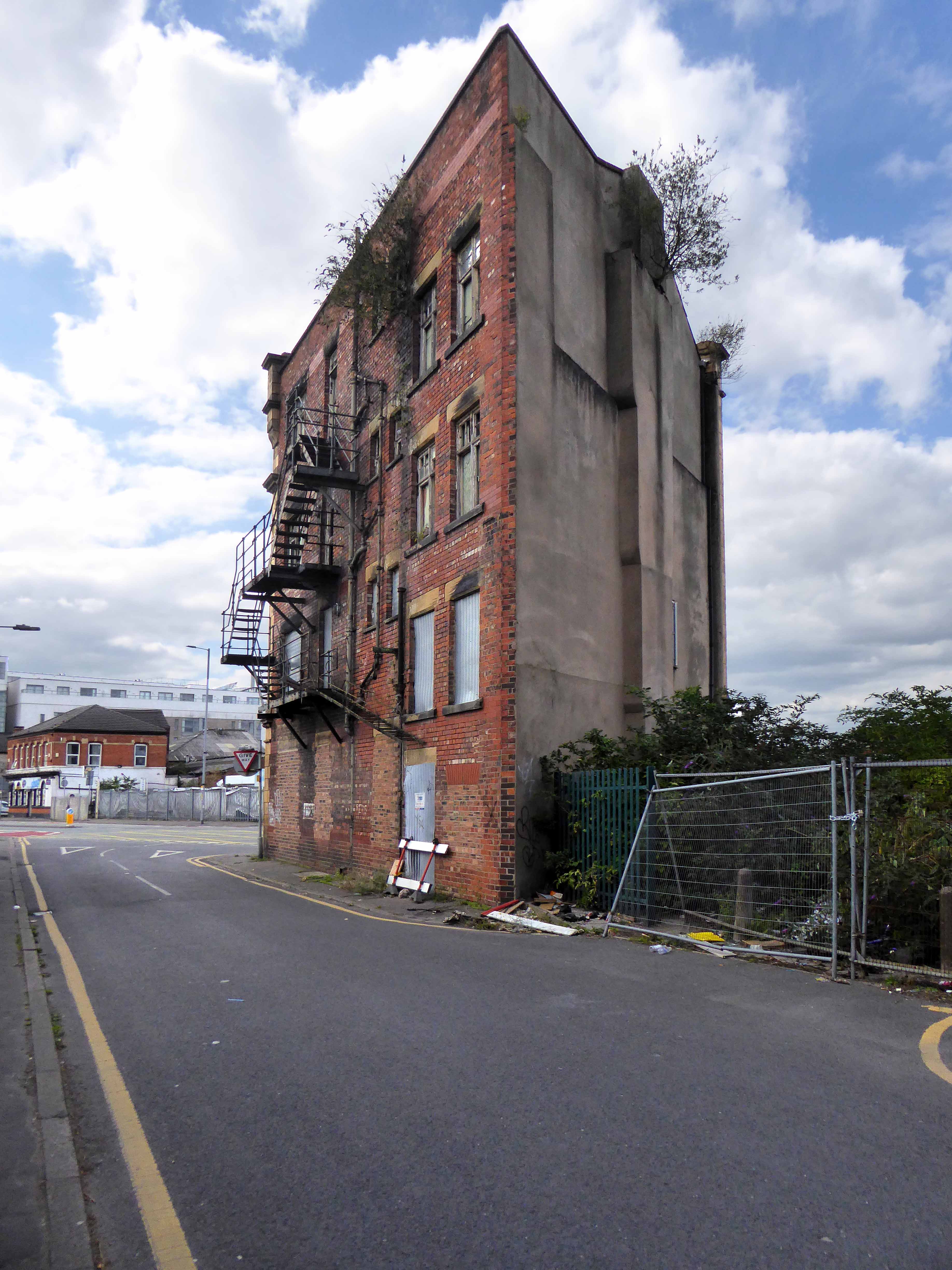
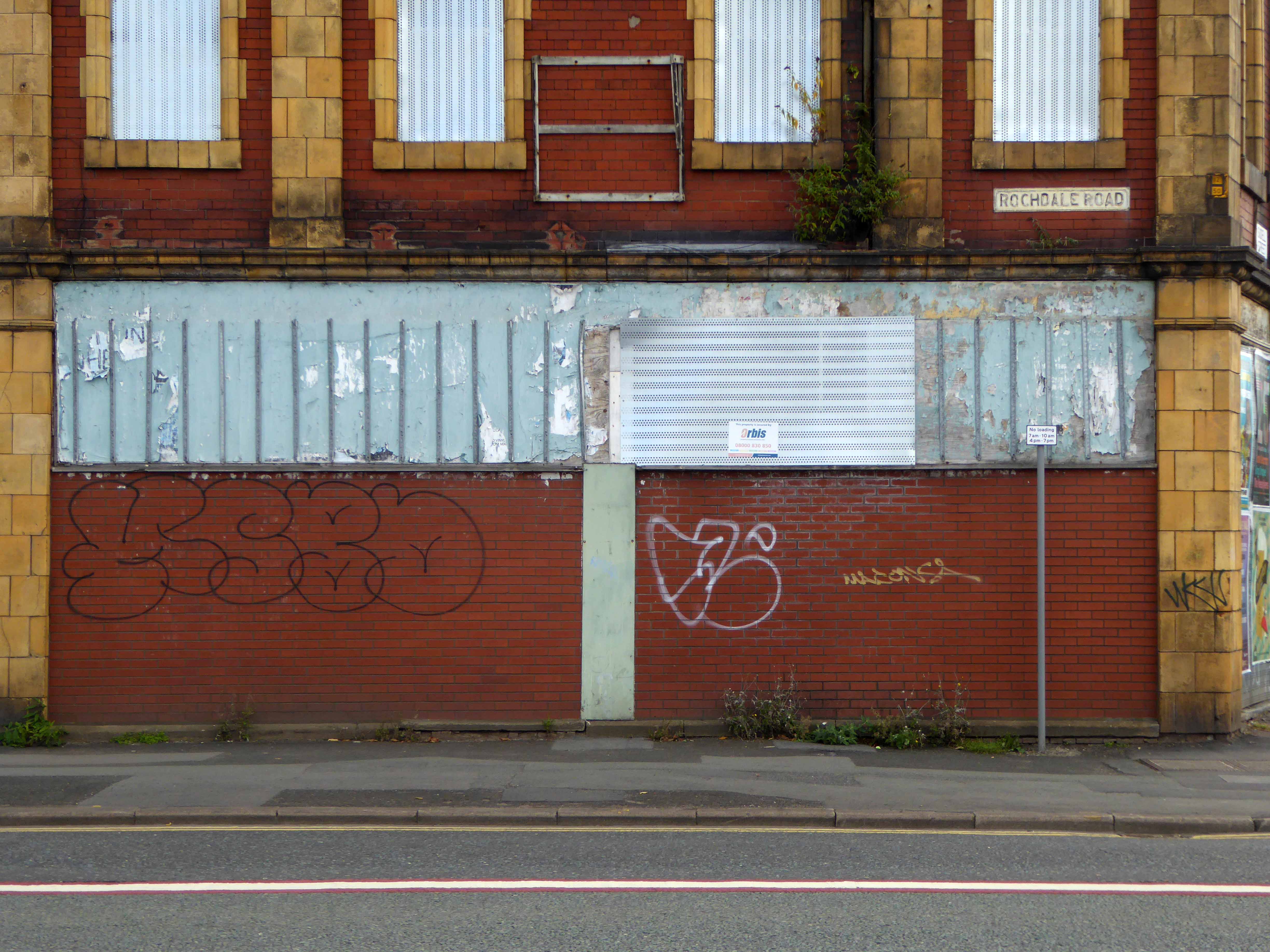
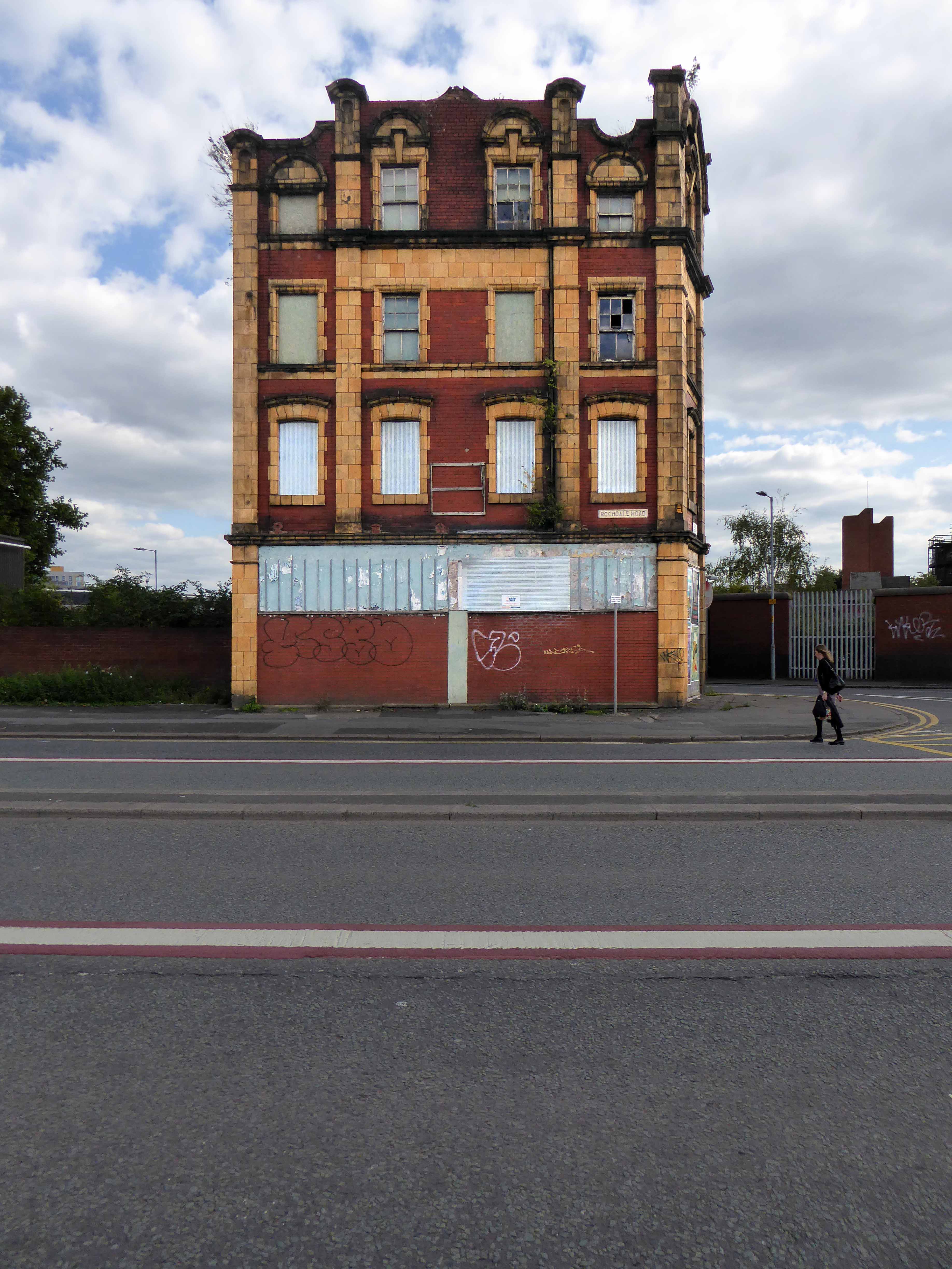
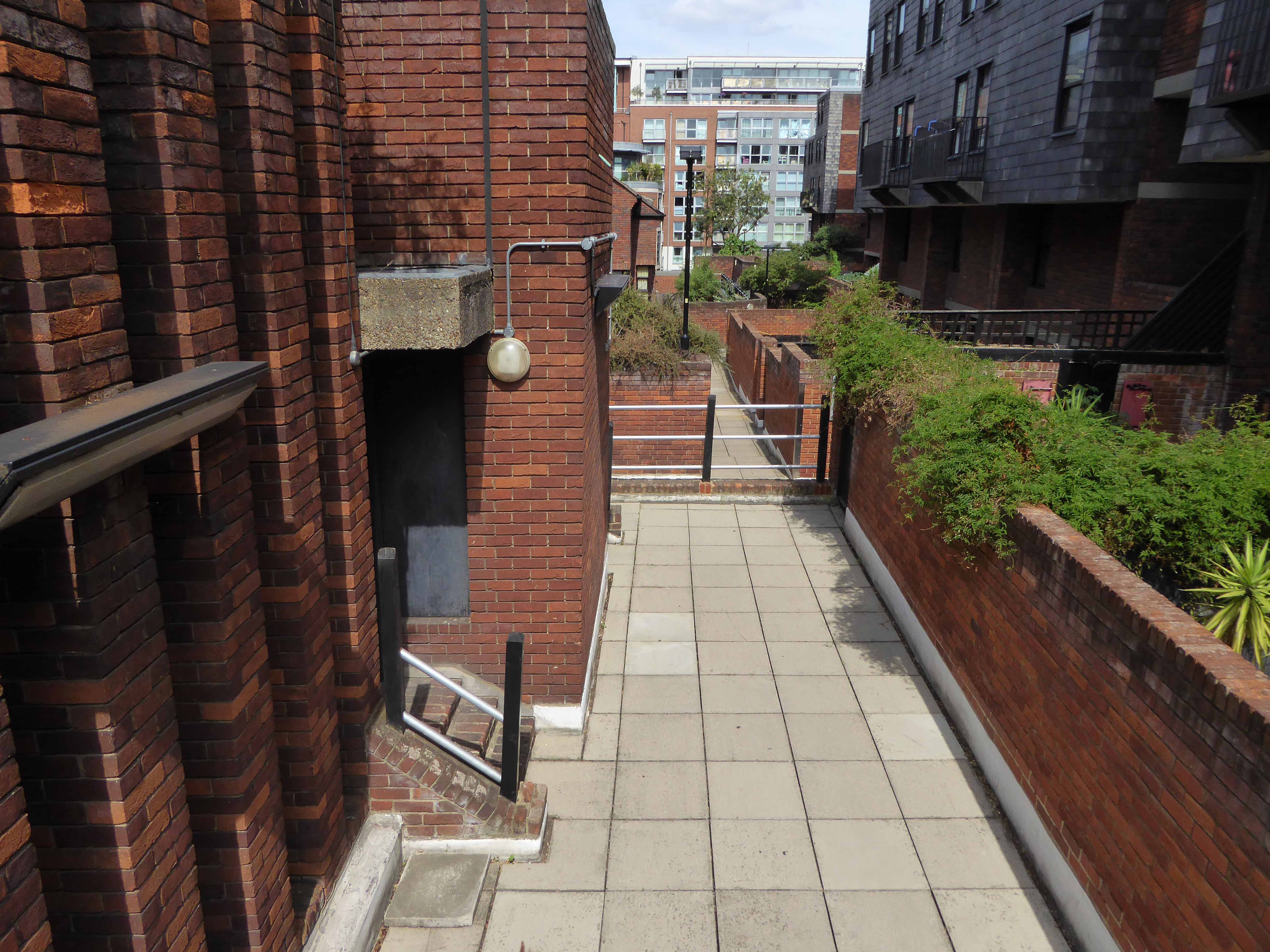
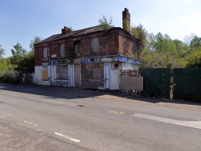
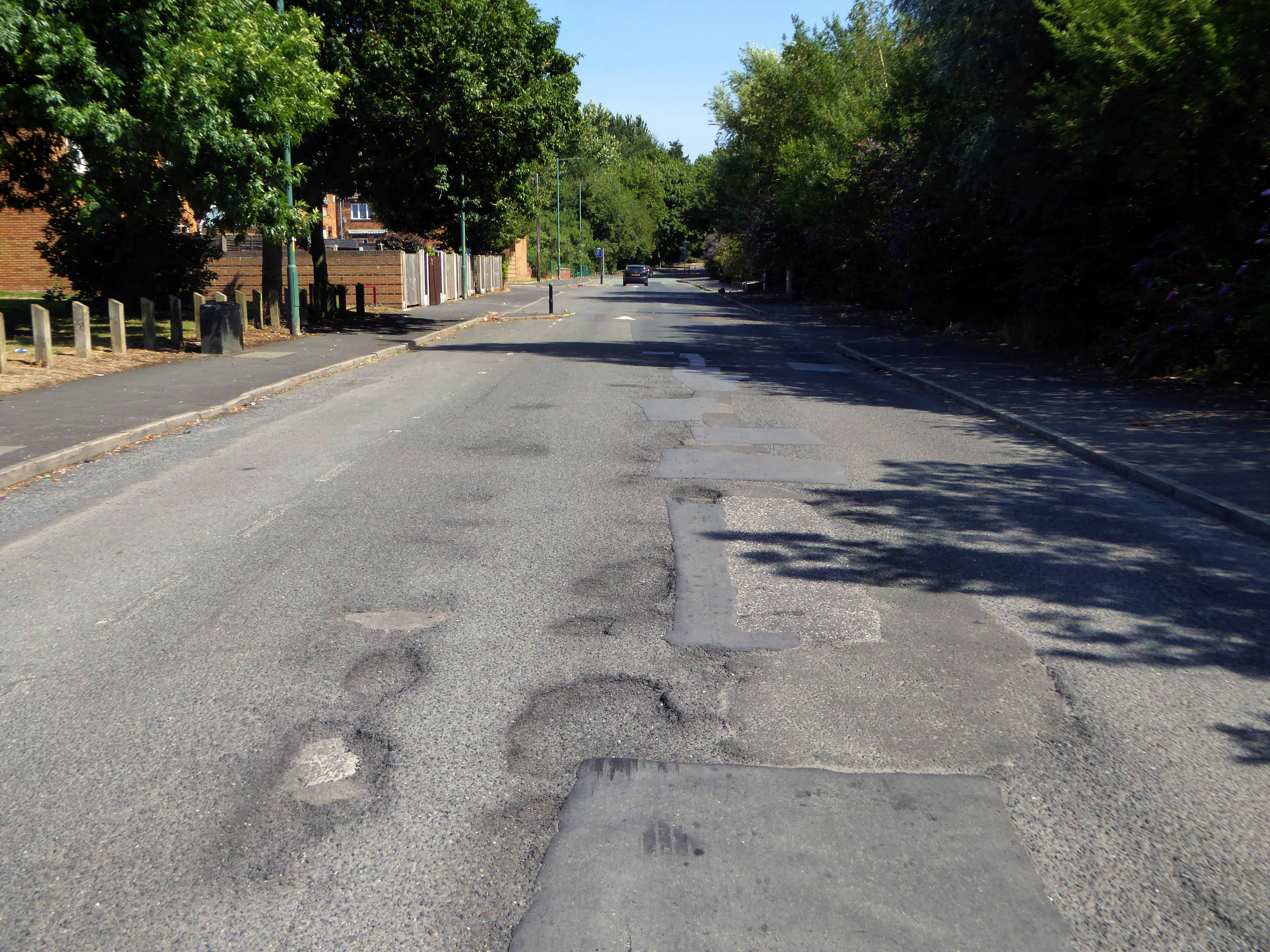
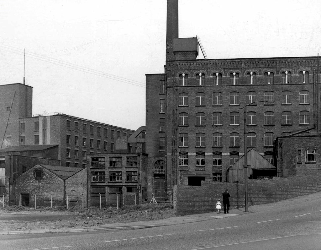
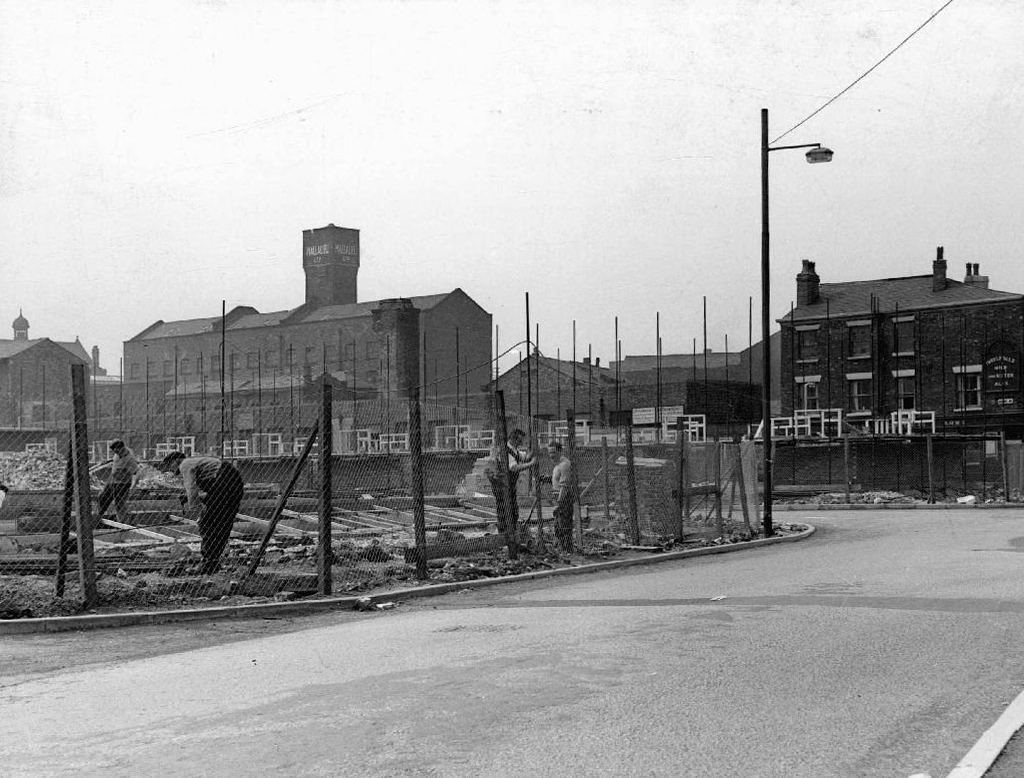
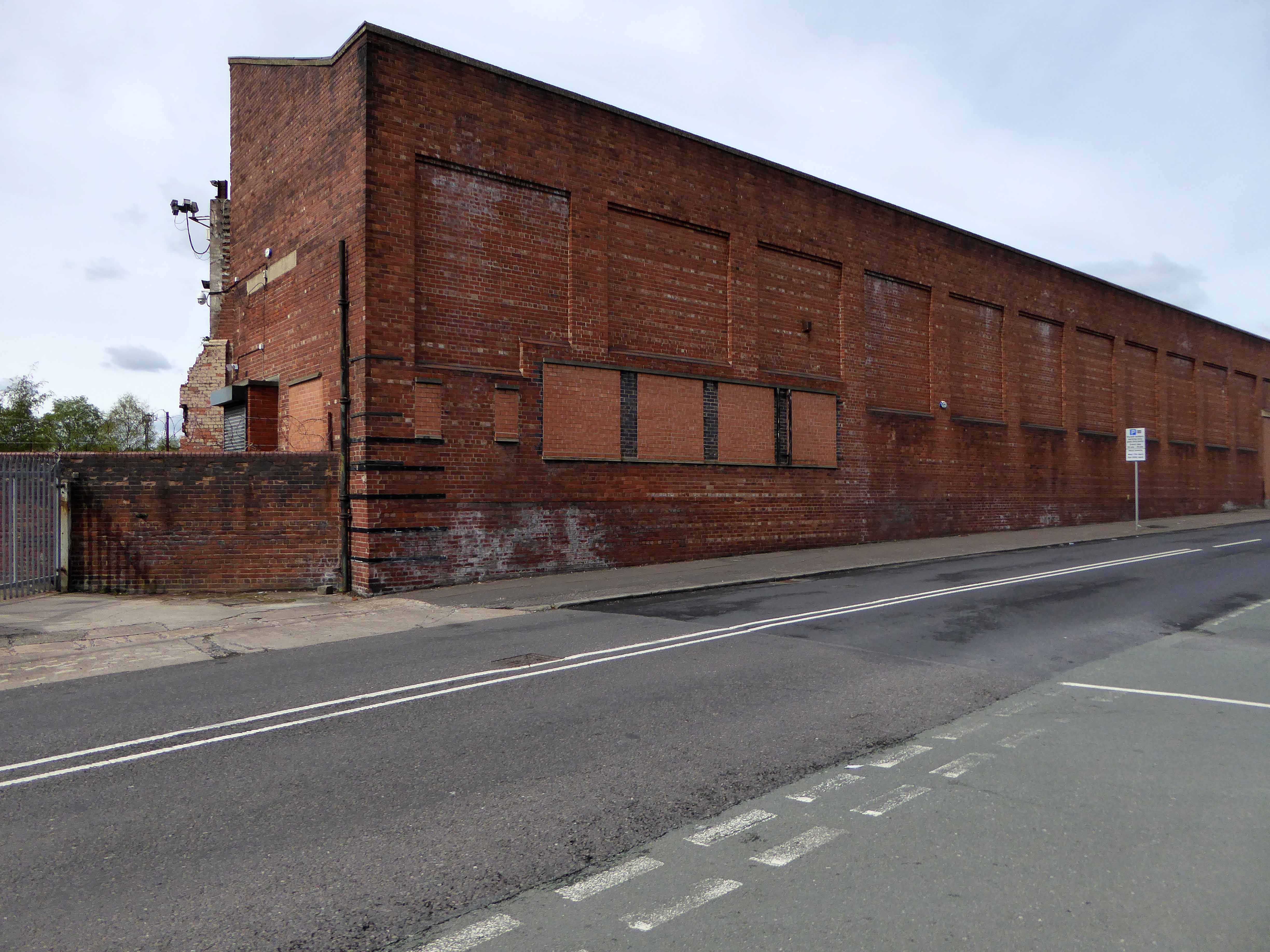
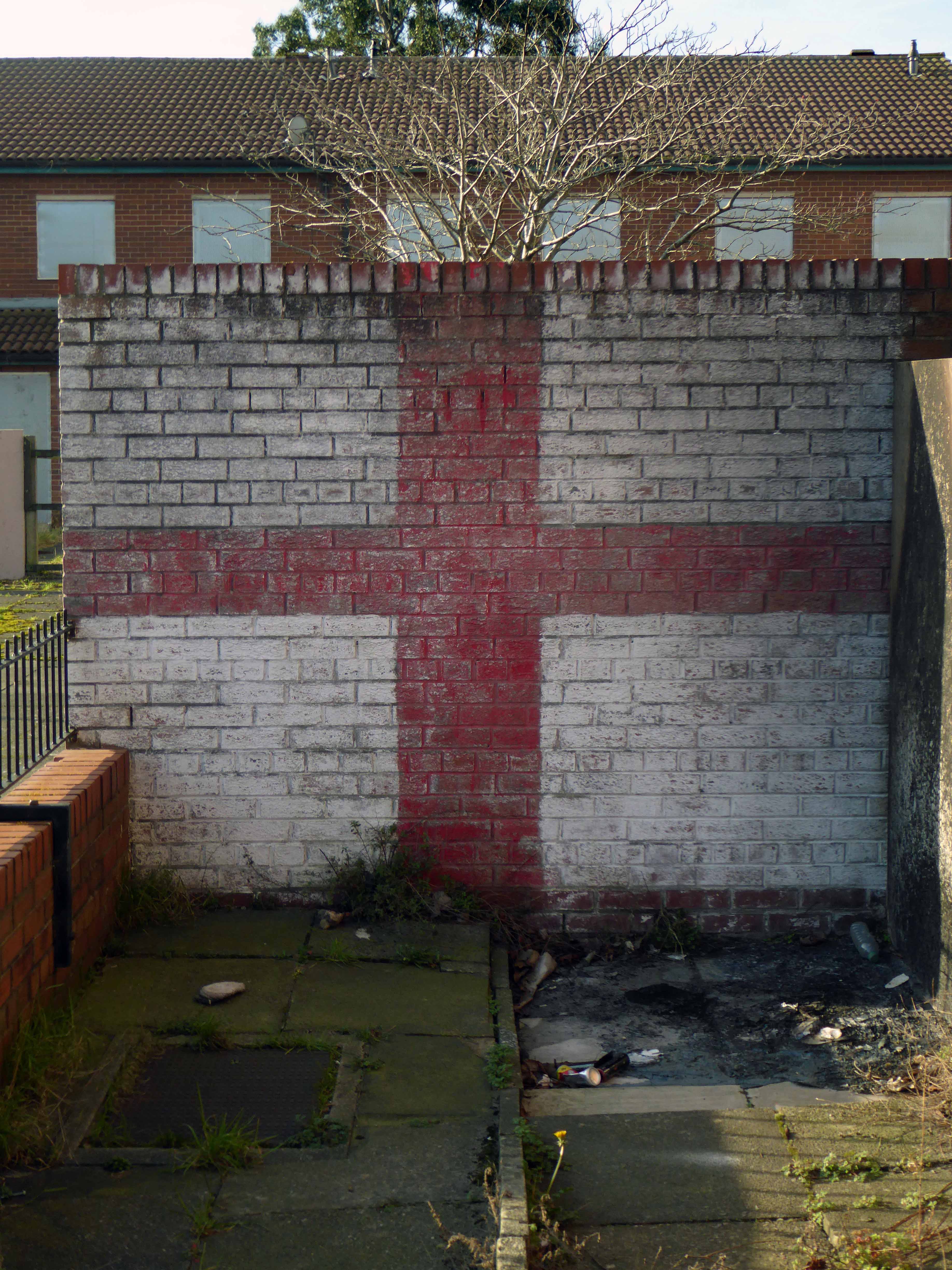
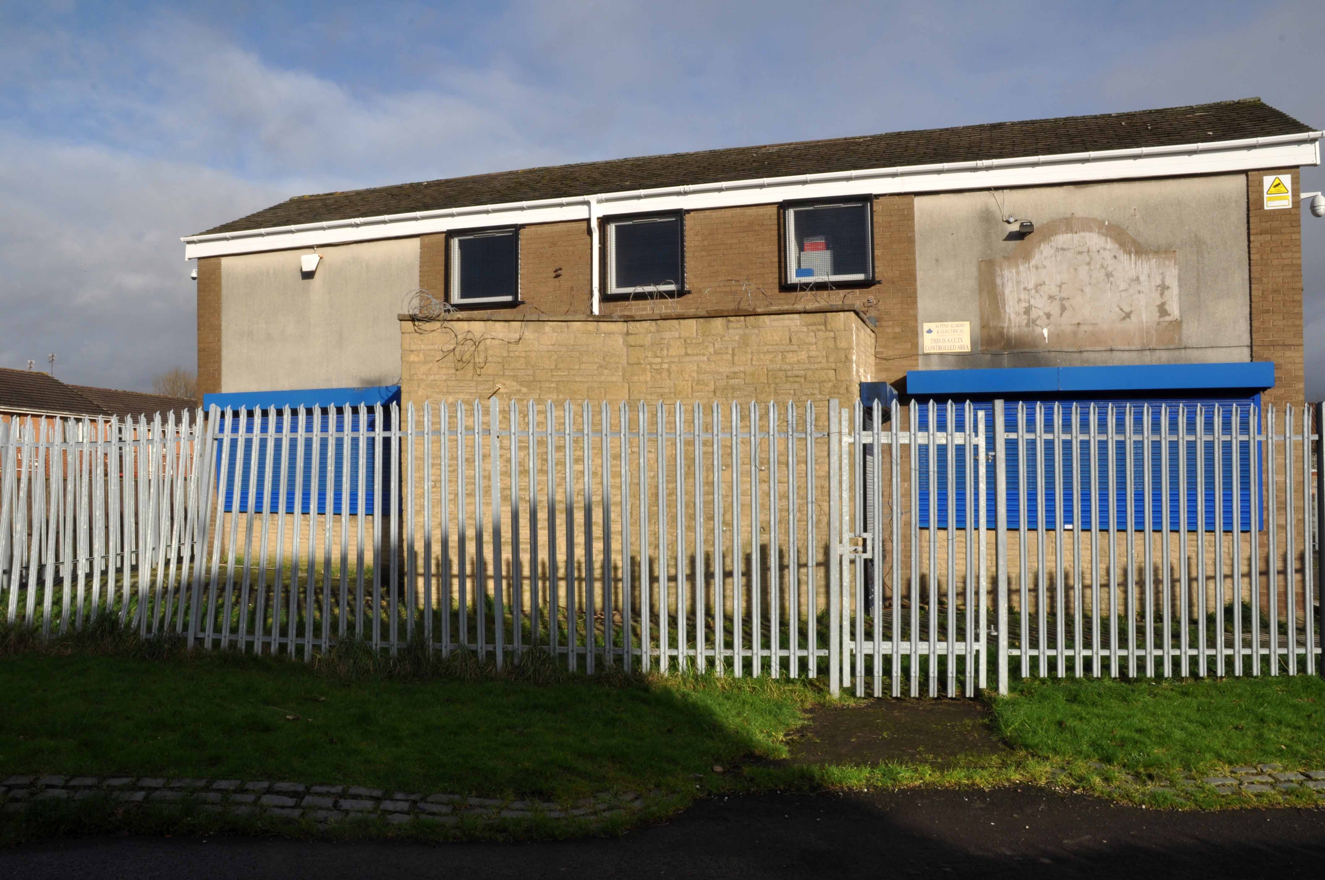
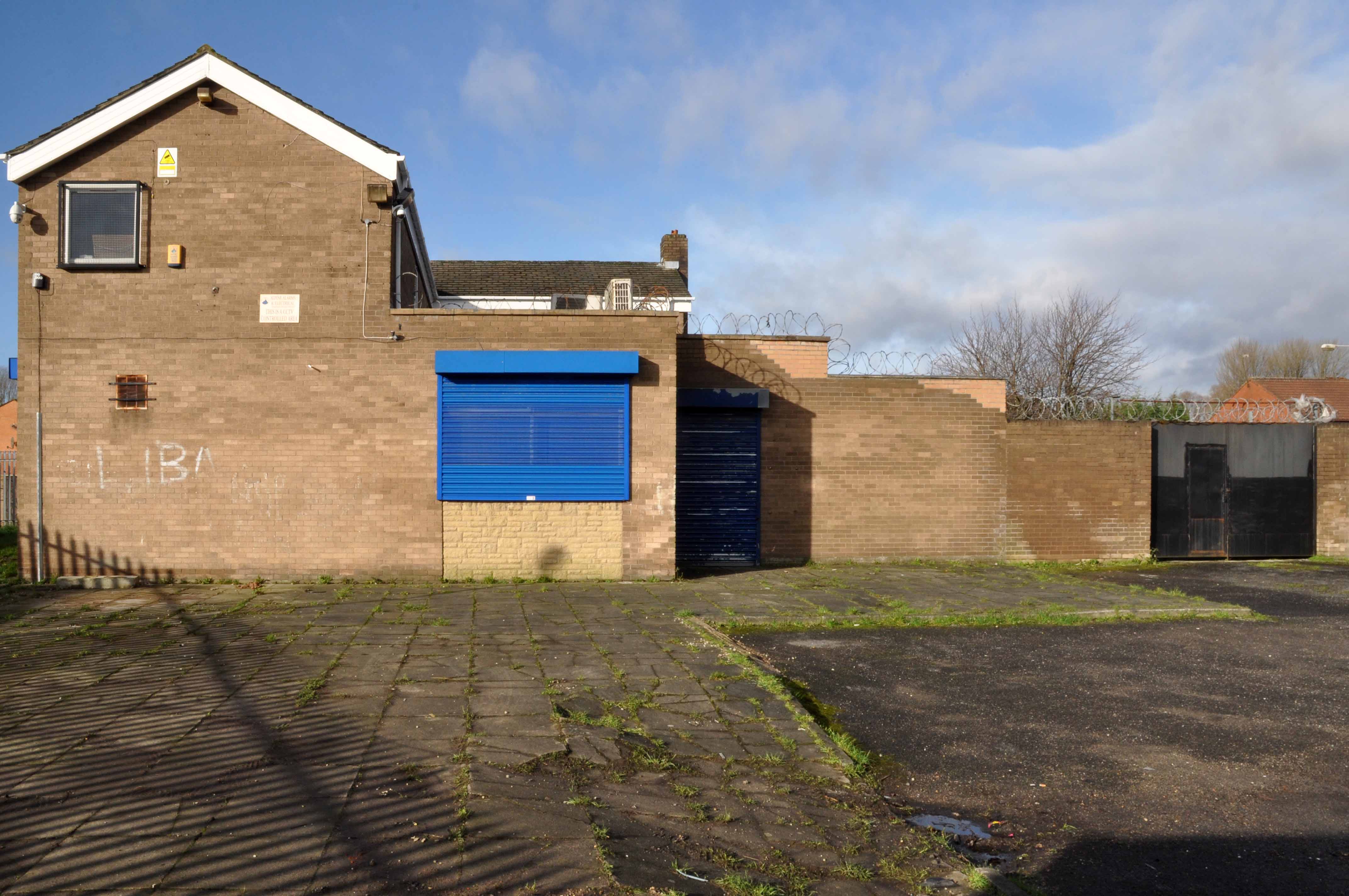
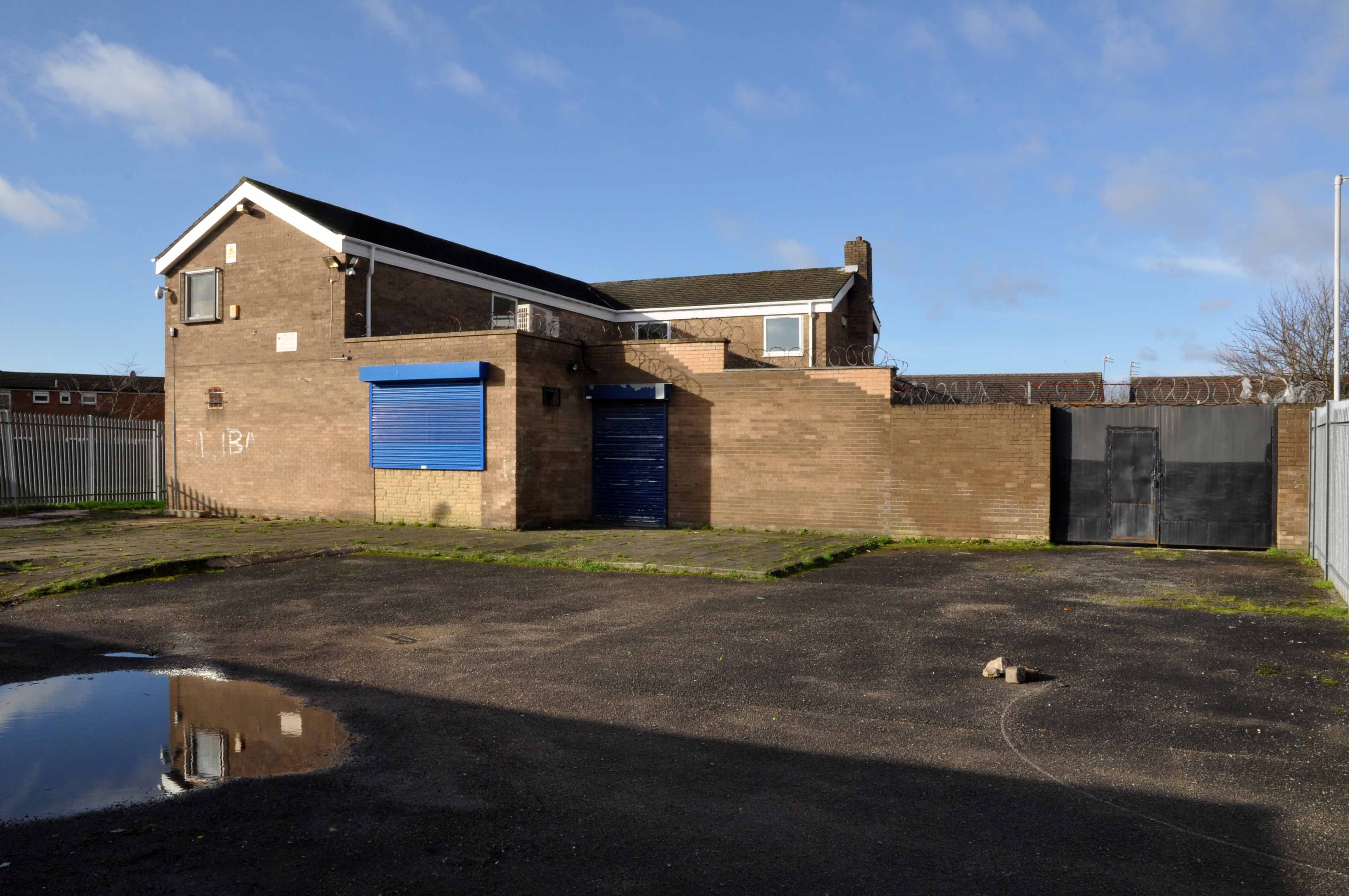
Some or all of our social and architectural history has been overwritten, lost or swept aside by the tide of history.

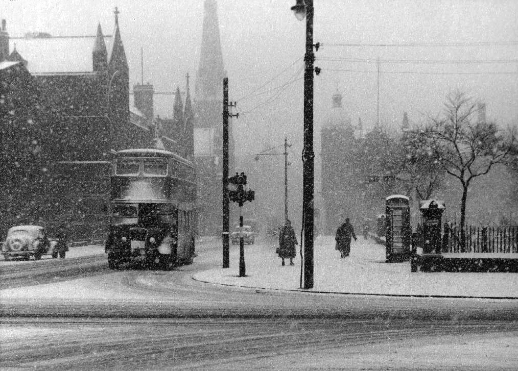
Though on a dark snowy night you can still make out the bright red corporation buses,  passing by in a dark cloud of diesel.
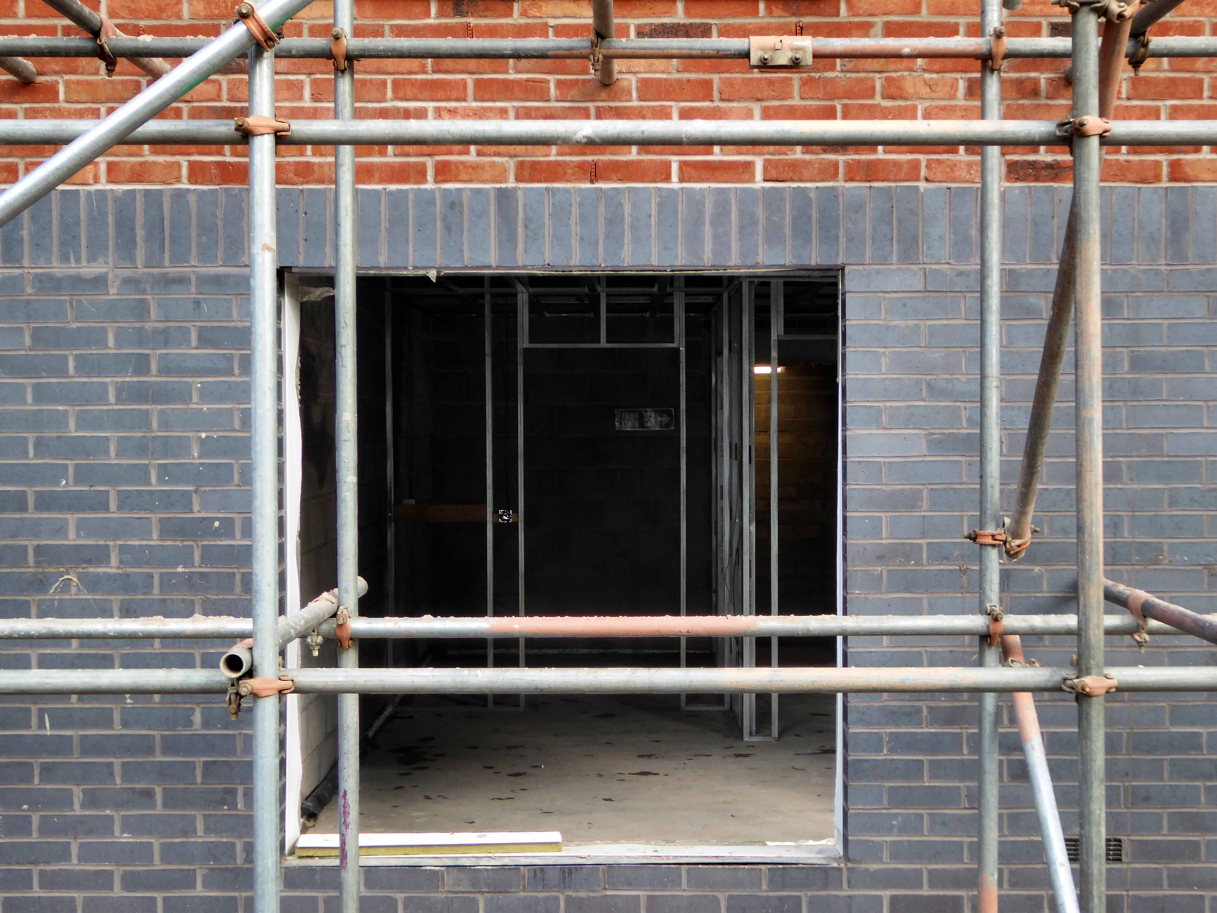
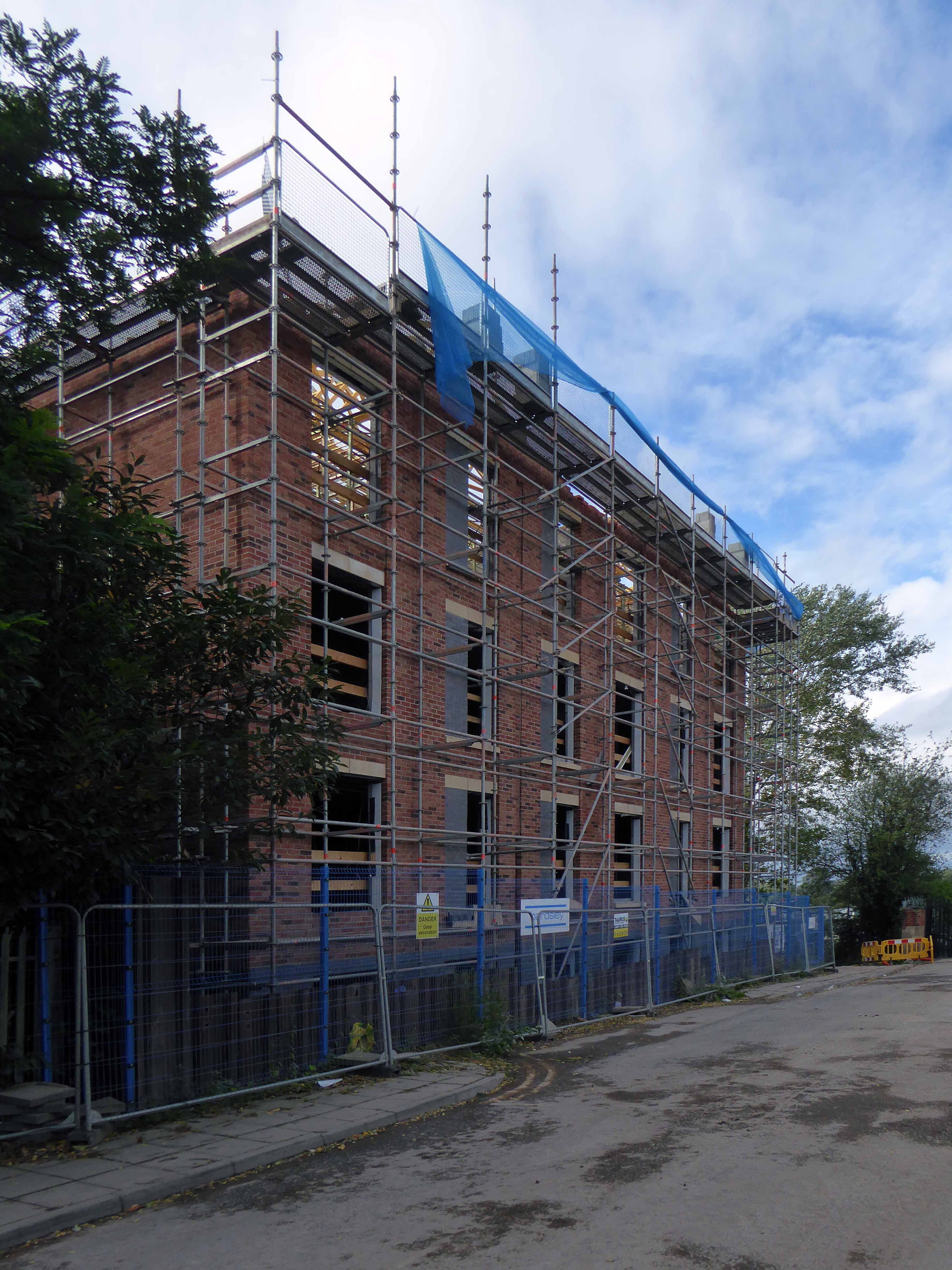
Room on top.

webmedia-5.php

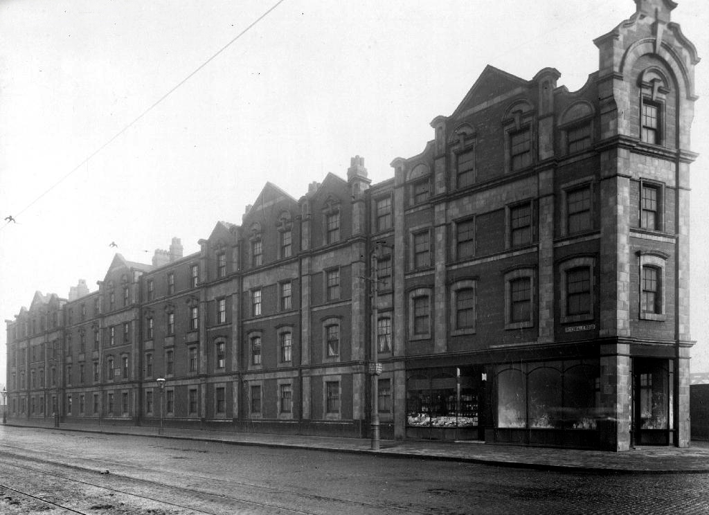
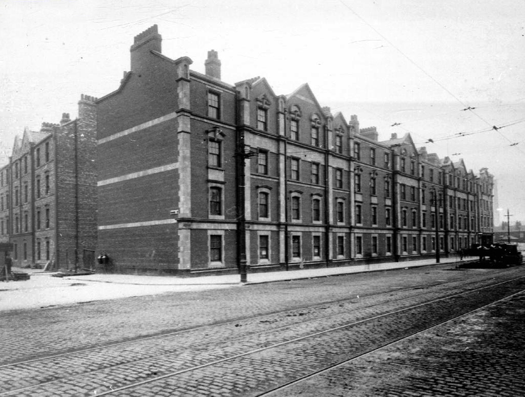
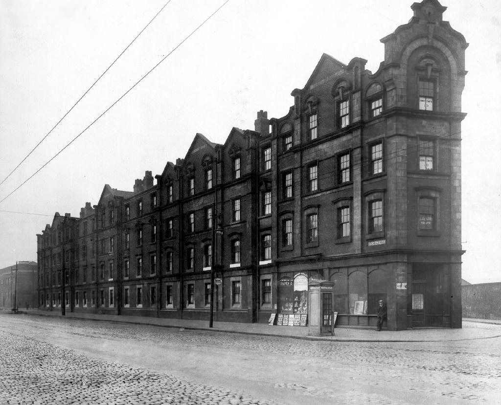
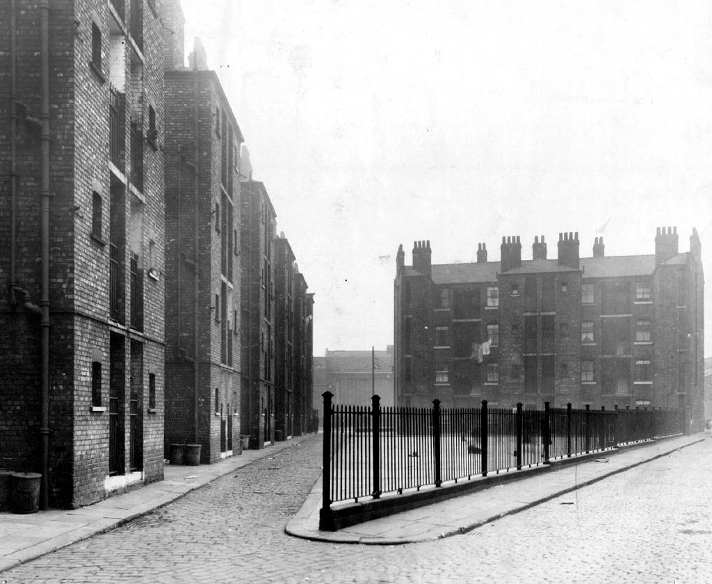
Archive images Local Image Collection

Grey Mare – Longsight

Exeter Close/Warmington Drive Manchester Longsight M12 4AT

Once there was this.

Once there was that.

Then there wasn’t.

That’s just the way of it.

Screenshot 2018-11-12 at 12.57.23.png

A dense web of streets awash with back to backs, jobs for all – in conditions perceived to be unfit for purpose.

Of a total of 201,627 present dwellings in Manchester, some 54,700, or 27.1 per cent., are estimated to be unfit. A comparison of slum clearance action taken by six major local authorities, Manchester, Leeds, Birmingham, Liverpool, Sheffield and Bristol, shows that for the five years ending 30th June, 1965, Manchester was top of the league, both in compulsory purchase orders confirmed and the number of houses demolished or closed.

Manchester’s figures -13,151 houses demolished or closed .

Alfred Morris MP Hansard
webmedia-6.php

Along came a wrecking ball and left the pub bereft

webmedia-3.php

The original Grey Mare on Grey Street

Whenever mass slum clearance was carried out, the pubs tended to remain, often for just a short time  because – the story goes – demolition workers refused to touch them, as they wanted somewhere to drink during and after their shift.

webmedia.php

Then along came the cavalry – the bold boys from Fort Ardwick – Coverdale Crescent Estate

webmedia-1.php

A new dawn – and a new pub.

This vision of municipal modernity was short lived, the estate was demolished in the 1980s and the new Coverdale Estate was constructed on the site in 1994.

Screenshot 2018-11-12 at 13.30.46

Image – Pubs Galore

Built in 1972 the pub outlived the system built blocks that surrounded it.

Screenshot 2018-11-12 at 12.57.53

Another new gold dream, another day.

DSC_0066

Despite the high hopes embodied by the low rise rebuilding of the new estate.

The Grey Mare shuts its doors – forever.

DSC_0039

DSC_0040


DSC_0042

DSC_0043

DSC_0044

DSC_0046

DSC_0047

DSC_0048

DSC_0049

DSC_0050

DSC_0051

DSC_0053

DSC_0054

DSC_0056

DSC_0057

DSC_0058

DSC_0059

DSC_0061

DSC_0062

DSC_0063


Park Hill Pubs – Sheffield

I’m a virtual visitor to the four pubs that served the population of Park Hill Estate.

I arrived late on the scene from not too distant Manchester, sadly much too late to stop and have a pint in The Parkway, Scottish Queen, Link or Earl George.

Built in the 1960s when municipal architecture spoke of optimism and innovation, the story of the estate is an oft told tale of decline and renovation.

Grade II* listed the building’s structure has prevailed, the original social structures, tenants and consequently their pubs have not.

DSC_0049 copy

Bewitched by the fragments which I photographed on my belated visits, I have searched the archives of Picture Sheffield, Postcard Cafe and Little Bits Of Sheffield.

Piecing together photographs and the distant reminiscences of those that lived, breathed and drank in their pubs beneath the streets in the sky.

The Link on Park Hill had some colourful characters.

If you want any info on the Link next time you are in town see the man selling fishing tackle outside Castle Market ,he is called Chris Hardy his dad ran the link in the 60’s they used to have the Sun Inn on South St before Park Hill was built, tell Chris that Alan Betty’s cousin told you about him.

I once did a job outside the Scottish Queen and had a lump of concrete thrown at me! it landed about 2m away, that made me jump!

Joe Fox used to be the landlord in the George in the 70s, didn’t stand for any messing about.

Sheffield Forum

Earl Francis! Of course! That was driving me mad; I was just going to ring my mum and ask her if she could remember what it was called. I think it closed in the early 90s, at the same time as the renovations of Hyde Park Walk and Terrace – 1990/1991, if I remember correctly.

The Earl Francis was still open in 1994 – the last time I went in there, but was dying on its feet.

Park Hill is empty, and due to be refurbished.

It’s amazing to think that each complex had all these pubs and people actually went in them! Drove past Park Hill a few months ago at night and it didn’t look like a soul lived in them.

Not surprised the Tavern has closed down. Don’t know whether people are happy or sad about it…They looked like an absolute dive, but I’ve always wanted to go and have a look around them to see what they’re like close up!

Why is it amazing to think that?

Sheffield Forum

The Parkway

s21979

Picture Sheffield 1965

Picture Sheffield © S Cole 2011

SONY DSC

sdscf0757e

sdscf0759e

The flats and in particular the Parkway Tavern were used in the 2014 film ’71 – which was set in Northern Ireland.  So this photograph showing the bar with a packet of crisps is actually slightly misleading because the crisp bag was only a printed film prop and what looks like broken glass on the bar is fake! – Mr C

sdscf0760e

sdscf0768e

sdscf0773e

sdscf0778e

sdscf0783e

sdscf0789e

© Little Bits of Sheffield

The Scottish Queen

s21985

s24491

s21984

5bf62d22a42f5e6e3bdebc9c073fdacc

a5a522862a866a1f06e484b2716c9ff5

A new pub could open on the site of what was once voted Britain’s second most dangerous watering hole. The Scottish Queen at Park Hill was notorious for violence, with only the most hardy drinkers brave enough to cross its threshold.

ec6d8981fcb209d3058c7f9228f61b919c181421

April 2015 saw the launch of a new exhibition space in Sheffield, housed within the former Scottish Queen pub at the Brutalist icon that is the Park Hill estate. The Scottish Queen hosted a temporary programme of exhibitions, events and residencies in partnership with a range of artists and organisations from across Sheffield supported by S1 Artspace.

Possibly the second toughest art space in Britain.

The Link

s21978

s21976

Picture Sheffield

matt surgeon

© Matt Surgeon

sheffield history

Sheffield History

s_1060819e1

s_1060824e

s_1060825e

s_1060856e

s_1060865e

P1020447.JPG

© Postcard Cafe

The Earl George

s21980

Picture Sheffield

In the 1960s 70s I used to go in the Link pub, I liked the Scottish Queen pub as well.

Do you think they’ll open all the pubs again when all the work is finished?


Sunday Walk – Park Hill Sheffield

My thanks to all those happy souls who braved the cold winds, sunshine and threat of snow on Sunday 28th October 2018 – Steve.

Sharing ideas, memories and animated conversation, as we circumnavigated the fenced perimeter of Europe’s largest listed structure. In search of a personal photographic response to the site.

This was the online outline plan.

These are the results.

Lynne Davis


Gary Wolstenholme


Jenny Owen


Peter Clarke


Brian Parkinson


Jacqui Dace


John Gibson


Michael Ford


Julia Beaumont


Ruth Robson


Linus Westwood


Covent Garden Stockport – Remake Remodel

I’ve been here before to record the beginning the middle and the end of Covent Garden flats – now there is a new beginning, beginning.

If you’re ready to start the next exciting chapter of your life, come and experience Nuvu Living at Covent Garden, Stockport. You will find our stunning new development that sits perfectly in this modern and vibrant community. Ideal for first time buyers and growing families, Covent Garden offers a fantastic collection of 74 spacious and contemporary 2 and 3 bedroom homes and 1 and 2 bedroom apartments.

Screen Shot 2018-09-25 at 17.44.00

Nuvu Living for the nuvu people in the cheerful anonymity of none-architecture.

Lifestyle_01-1920x1080

Replacing the old with bigger, better shiny homes at a cost yet to be disclosed.

Another history overwritten.

1658494_10152745685231600_6897842633724575569_o

Goodnight sweet flats.

With the bustling heart of Stockport just a few minutes’ walk away, this contemporary development sits perfectly in this modern and vibrant community. An ideal location for singles, couples and families, all the amenities you will ever need, including supermarkets, schools, bars, restaurants and more are all close to home. Plus, the centre of Manchester is just 7.5 miles away and easy to get to by road or rail. So, if you are ready to start the next exciting chapter in your life, come and experience Nuvu Living at Covent Garden, Stockport.

P1290745

P1290746

P1290748

P1290749

P1290750

P1290751

P1290752

P1290753

P1290754


P1290757

P1290759

P1290760

P1290761

P1290762

P1290763

P1290764

P1290765


Rochdale Road – Manchester

Each and every time I wandered by, I wondered.

The whys and wherefores of your seemingly unknowable comings and goings.

Standing alone, aloof and unloved on the corner of Rochdale Road and Sudell Street.

Something was missing.

I was missing something.

1813

In 1813 there’s a field

1836

In 1836 something’s there, but not it’s you.

Yet.

1900

By 1900 the days of the two up, two downs are numbered – sanitary dwellings are the order of the day, plans are drawn up, the local council have decreed that workers dwellings are to be built.

webmedia-2.php

1905

1912

1932

back 38

Local Image Collection

Known as Alexandra Place or The Dwellings.

You must have been home to many too many to recall, then you were gone again.

Save for one old triangle, refusing to jingle jangle to the modern dance.

I do not know what fate awaits you, I only know you must be strong.

A change is gonna come.

P1290088 copy

P1290089 copy

P1290090 copy

P1290357

P1290358

P1290359

P1290360


P1290362

P1290363

P1290364

P1290365

P1290366

P1290367

P1290368


The Bank Of England – Manchester

Standing stately on the corner of Carruthers and Pollard Street, safe as houses.

As safe as the houses that are no longer there, along with the other public houses, along with the jobs, along with the punters – all long gone, it’s a long story.

Look out!

Mind that tram, full of the boys and girls in blue, off to shriek at a Sheikh’s shrine.

The Bank of England was one of Ancoats’ first beerhouses, licensed from 1830 and ten years later it was fully licensed with attached brewhouse.  The brewery did well, in fact it had another tied house, the Kings Arms near Miles Platting station nearby.  The brewery was sold off in the 1860s but continued as a separate business for a few years.

Pubs of Manchester

Bank of Enland 30s

Ancoats, the core of the first industrial city, a dense cornucopia of homes, mills and cholera – its citizens said to find respite from disease, through the consumption of locally brewed beer.

Once home to a plethora of pubs, now something of a dull desert for the thirsty worker, though workers, thirsty or otherwise are something of a rarity in the area.

One worker went missing, some twenty years ago Martin Joyce was last seen on the site, the pub grounds were excavated – nothing was found.

JS101647765

Manchester Evening News

When last open it was far from loved and found little favour amongst the fickle footy fans.

Screen Shot 2018-09-03 at 14.14.03

To the north a tidal wave of merchant bankers, to the east redundant industry.

The Bank of England has gone west.

So clean the mills and factories 

And give me council houses too

And work that isn’t turning tricks

Like building homes and making bricks.

Danny Moran

P1290007

P1290009

P1290010

P1290011

P1290012

P1290013

P1290014

P1290015

P1290016

P1290017

P1290018

P1290019


Lillington Gardens Estate – Pimlico

Formerly an area of high density terraced housing.

Screen Shot 2018-08-19 at 18.01.29

Lillington Gardens is an estate in the Pimlico area of the City of Westminster, London, constructed in phases between 1961 and 1980 to a plan by Darbourne & Darke. The estate is now owned and managed by City West Homes.

The estate was among the last of the high-density public housing schemes built in London during the postwar period, and is referred to as one of the most distinguished. Notably, seven years before the Ronan Point disaster ended the dominance of the tower block, Lillington Gardens looked ahead to a new standard that achieved high housing density within a medium rather than high-rise structure. It emphasised individuality in the grouping of dwellings, and provided for private gardens at ground and roof levels.

The estate’s high build quality, and particularly the planted gardens of its wide roof street, blend sympathetically with the surrounding Victorian terraces.

The estate’s high quality design was acknowledged by a Housing Design Award 1961, Ministry of Housing and Local Government Award for Good Design 1970, RIBA Award 1970 and RIBA Commendation 1973. Nikolaus Pevsner described it in 1973 as “the most interesting recent housing scheme in London”.

The site surrounds the Grade I listed Church of St James the Less, built in 1859–61. The entire estate, including the church, was designated a conservation area in 1990.

Screen Shot 2018-08-19 at 17.44.59

Lillington and Longmoore Gardens Conservation Area Audit

On the day of my visit, London in the grip of a July heatwave, the open areas, narrow alleys, byways, steps, stairs and roof gardens and play area were largely empty, citizens preferring the cooler interior environment of their homes.

The materials, warm brown brick and sheet-metal cladding, form complex interlocking shapes and volumes, creating a variety of heights and spaces. This makes exploration and navigation of the estate quite an adventure, disorienting at first, until one grasps an overall sense of the development’s structure.

Lillington Gardens provides homes, community, green space and an exciting range of vistas, a prime example of social housing on a human scale. Leafy glades, light and shade, grassy knolls abound.

Municipal Dreams for further reading.

P1270995

P1270997

P1270999

P1280002

P1280004

P1280007

P1280008

P1280009

P1280010

P1280011

P1280012

P1280013

P1280014

P1280016

P1280017

P1280018


P1280021

P1280022

P1280023

P1280024

P1280026

P1280027

P1280028

P1280030P1280031

P1280032

P1280033

P1280034

P1280035

P1280037

P1280038

P1280040

P1280041

P1280042

P1280043

Return To Palmerston Street – Beswick

Having traced a lengthy history of the shortish Palmerston Street – I returned to take a snapshot of the current state of affairs.

So much has gone an Art Museum, Lads Club, churches, homes, schools, industry and pubs – much of this now indistinct scrubland, fenced and walled, neither use nor ornament, save as an unofficial wildlife garden for feather, fowl and flower.

There  are small groups of more recent housing developments with the promise of more on the way, though this as ever is contentious – the story of conflicted interests betwixt and between developer, local authority and the would be affordable homes and their occupants.

The council says – Manchester’s Affordable Housing Programme will ensure more than 2,200 homes by March 2021 through a £250m programme funded through a variety of sources including Homes England grant funding, Council borrowing and land or property sales and Registered Providers. The Council is also backing the programme through the release of suitable council-owned land.

Which seems barely adequate to meet the needs of those on lower incomes.

The Guardian says – Of the 61 big residential developments granted planning permission by Manchester city council’s planning committee in 2016 and 2017, not one of the 14,667 planned flats or houses met the government’s definition of affordable, being neither for social rent nor offered at 80% of the market rate.

Manchester has changed, constantly changed – often overlooking the needs of its citizens to the north and east of the city. The areas crippled by recession, deindustrialisation and demolition have yet to see the benefits of the city’s recent regeneration.

What was once a community overflowing with rough and tumble, hustle and bustle, now seems to have become a contested area for match day parking and non-existent urban renewal.

Let’s take a look down Palmerston Street.

P1280052

P1280053

P1280060


P1280063

P1280064

P1280082

P1280093

P1280096

P1280097

P1280098


P1280103

P1280104

P1280106

P1280108

P1280110

P1280112

P1280114

P1280115

P1280118

P1280119

P1280121

P1280123

P1280127

Palmerston Street – Beswick Manchester

To begin at the beginning – some years ago I traced the route of the River Medlock, I chanced upon a forlorn pub called The River, all alone, desolate and boarded up, presiding over an area that I assumed, would once have supplied ample trade to a busy boozer.

I returned last week in search of some rhyme or reason, for such a seemingly sad and untimely decline.

So here we are back at in Manchester 1813, the seeds of the Industrial Revolution sewn in adjacent Ancoats, the fields of Beswick still sewn with seeds, the trace of Palmerston Street nought but a rural track.

Screen Shot 2018-08-07 at 15.25.02

Sited on land between Great Ancoats Street and Every Street was Ancoats Hall, a post-medieval country house built in 1609 by Oswald Mosley, a member of the family who were Lords of the Manor of Manchester. The old timber-framed hall, built in the early 17th century, and demolished in the 1820s was replaced replaced by a brick building in the early neo-Gothic style.

1-P1100618

This would become the Manchester Art Museum, and here the worst excesses Victorian Capitalism were moderated by philanthropy and social reform.

When the Art Museum opened, its rooms, variously dedicated to painting, sculpture, architecture and domestic arts, together attempted to provide a chronological narrative of art, with detailed notes, labels and accompanying pamphlets and, not infrequently, personal guidance, all underlining a sense of historical development.

m08910-ancoats-old-hall-manchester-archives-photo-by-anderton

Housing and industry in the area begins to expand, railways, tramways, homes and roads are clearly defined around the winds of the river.

1870

In 1918 the museum was taken over by the city, it closed in 1953 and its contents were absorbed into the collection of Manchester City Art Gallery, as the State increasingly took responsibility for the cultural well being of the common folk.

ancoatshall-1964

The building was finally demolished in the 1960’s – just as the area, by now a dense warren of back to back terraces, was to see further change.

map

Along the way was the the River Inn, seen here with a fine Groves and Whitnall’s faience tiled frontage.

webmedia-4.php

The street also offered rest, relaxation and refreshment through the Church, Pineapple and Palmerston pubs, as recored here on the Pubs of Manchester blog.

Church Palmerston

Pineapple Palmerston St

webmedia.php copy

The River seen here in the 1970’s struggled on until 2007.

webmedia-2

Further along we find the Ardwick Lads Club, further evidence of the forces of social reform, that sadly failed to survive the forces of the free market and the consequent Tory cuts in public spending and wilful Council land-banking.

The Ardwick Lads’ and Mens’ Club, now the Ardwick Youth Centre, opened in 1897 and is believed to be Britain’s oldest purpose-built youth club still in use [and was until earlier in 2012]. Designed by architects W & G Higginbottom, the club, when opened, featured a large gymnasium with viewing gallery – where the 1933 All England Amateur Gymnastics Championships were held – three fives courts, a billiard room and two skittle alleys (later converted to shooting galleries). Boxing, cycling, cricket, swimming and badminton were also organised. At its peak between the two world wars, Ardwick was the Manchester area’s largest club, with 2,000 members.

44551888

On the 10th September 2012 an application for prior notification of proposed demolition was submitted on behalf of Manchester City Council to Manchester Planning, for the demolition of Ardwick Lads’ Club  of 100 Palmerston Street , citing that there was “no use” for the building in respect to its historic place within the community as providing a refuge and sporting provision to the young of Ancoats.

At the top turn of the street stood St Mary’s – the so called Lowry church.

marys

Screen Shot 2018-08-03 at 14.43.17

Used as a location for the film adaptation of Stan Barstow’s A Kind Of Loving

st mary's

nr003658-54_1

The homes and industry attendant schools and pubs were soon to become history, all that you see here is more or less gone. Slum clearance, the post-war will to move communities away from the dense factory smoke, poor housing stock and towards a bright shiny future elsewhere.

Whole histories have subsequently been subsumed beneath the encroachment of buddleia, bramble, birch and willow.

hillkirk

Screen Shot 2018-08-03 at 14.44.39

webmedia-3.php

webmedia-1.php

webmedia-2.php

webmedia-6.php

webmedia-7.php

webmedia.php

The land now stands largely unused and overgrown, awaiting who knows what, but that’s another tale for another day.

Archive images from the Manchester Local Image Collection.


Varna Street – Rogue Studios Manchester

webmedia-1.php

Once there was a school – from May 16th 1898, there was a school.

One of many Manchester School Board schools built in an imposing functional, triple storied style, they often seemed several times too big, for the infants which they contained.

With one thousand five hundred pupils, it was dubbed the largest school in Lancashire.

Nestled in a tight corner formed by the Lanky Cut and the train line below, surrounded by the huddled masses, in their manifold terraced homes.


1963

webmedia-1.php copy

webmedia-2.php

webmedia.php copy

Once home to cheeky monkey, soon to be Monkee Davy Jones.

davy-jones

His runaway, overnight fame made his humble Gorton home a mecca for adoring fans.

fans-congregate-outside-the-home-of-singer-davy-jones-in-clumber-road-gorton-manchester-davy-jones-died-29-2-2012-1673475a-1500

fans-congregate-outside-the-home-of-singer-davy-jones-in-clumber-road-gorton-manchester-davy-jones-died-29-2-2012-1673476a-1500

The school’s interior was a mix of wide open halls and closeted classrooms.

webmedia.php

Archive photographs from the Manchester Local Image Collection

Eventually the school bell rang for the last time, and a newer brighter home was found for the little learners.

Lights were turned off and the doors of Varna Street were closed.

But not for the last time, a new use was found for this recently listed building.

Having lost their city centre base Rogue Studios were offered the site by the local authority, and in double quick time they have created a home for artists, a community resource and project space, which will continue to prosper for years to come.

Many thanks to Ms. Jenny Steele Rogue artist for my guided tour.

P1260603

P1260607

P1260609

P1260598

P1260611

P1260612

P1260613

P1260615

P1260616

P1260617

P1260618

P1260619

P1260620

P1260624

P1260625

P1260627

P1260629

P1260633

P1260636

P1260637

P1260638

P1260640

P1260642

P1260645


Taylor Street Gorton – The Pineapple

Screen Shot 2018-06-11 at 17.33.47

To begin at the beginning or thereabouts, Taylor Street was at the heart of Gorton to the east of Manchester city centre.

webmedia-1.php

webmedia-2.php

webmedia-3.php

webmedia-6.php

webmedia-7.php

webmedia-8.php

webmedia-9.php

webmedia-10.php

webmedia.php

A typical street of tightly packed brick terraces, dotted with shops, pubs, people and industry. I worked there as van lad for Mother’s Pride bread back in the 70s and saw those shops, pubs, people and industry slowly disappear.

Beyer Peacock whose immense shed dominated the northern end of the street, simply ceased to be, as steam gave way to diesel.

As full employment gave way to a date with the dole.

Adsega opening on nearby Cross Street heralded the arrival of the super fast, self-service supermarket, and sounded the death knell of the cosy corner cupboard.

398912_3820026268527_1203084936_n

The local pub was The Bessemer – its name forging an unbreakable link with the surrounding steel industry, that eventually broke.

webmedia-5.php

To the left of the pub is the Bishop Greer High School construction site  – the first of the new build that would later dominate the area, along with wide open spaces where shops, pubs, people and industry once were.

12932970_10154152981641600_8757469207112330278_n

webmedia.php copy

webmedia-1.php copy

When the school eventually shut its doors, it became an annex of Openshaw Technical College, and I found myself working there in the 80s at the East Manchester Centre, until its eventual closure.

It’s now sheltered accommodation for the lost and lonely:

Located in a quiet suburb of Manchester with excellent links to the city centre, Gorton Parks has an exceptional range of facilities spread out across five separate houses, each offering a different care option. Melland House offers dementia residential care, Abbey Hey provides nursing dementia care, Debdale is the house for intermediate nursing care and Sunny Brow offers general nursing care.

We sought solace in The Pineapple.

Screen Shot 2018-06-11 at 17.33.25

The streets were trimmed and slimmed, much of the past a mere ghostly presence, almost imprinted on the present.

A brave new world of brand new modern housing, with an Estate Pub to match.

The_Pineapple,_Gorton

A busy bustling boozer – lots of live and local action for the lively locals, latterly seeing out time as a house of House – a real bangin’ Bashment, bass-man bargain basement.

Until time is finally called – no more four to the floor, last one out shut the door.

1512347_516327525148853_492482006_n

Nothing lasts forever and a sign of the times is an upended pub sign, lying dormant in the dust.

The Chunky no longer a great big hunk o’funk.

10 Gorton pineapple pub

The big screen TV forever failing to deliver all the action, live or otherwise.

P1050836

p1050838.jpg

Latterly transformed into Dribble Drabble.

DSC_0074

And so the beat goes on as successive waves of success and recession, boom and bust free-market economics, wash over the nation and its long suffering folk.

Its enough to drive you to drink.

Ford Lane – Northenden

And so our journey continues, leaving behind the semi-detached haven of East Didsbury.

Once again graciously greeting Mr Henry Simon and his wondrous footbridge across the Mersey – the greenest of structures on the greyest of days.

No more fords and/or ferries, say goodbye to wet feet.

webmedia-12.php

We are down by the river, a place of pleasure and practical workaday goings on – on our way to Northenden.

Northenden was mentioned as Norwordine in the Domesday Book of 1086; its name came from Anglo-Saxon Norþ-worþign – north enclosure. It was then a small farming community with a manor house and woodland.

Northenden is on a major crossing place of the Mersey on the salt road from Cheshire to Manchester. The ford was an important way into and out of and into Manchester, in 1745 Bonnie Prince Charlie’s army built a troop-bridge out of big poplar tree trunks where the B5095 now crosses the Mersey, south of Didsbury, in his abortive attempt to seize the crown of England.

The Northenden ford was unusual because its northern and southern ends were not opposite each other, but people using the ford had to wade about 500 feet along the riverbed. The Simon’s Bridge was built at the ford in 1901 to help access to Poor’s Field, and the rent from this field was used by the church to buy blankets and clothes for the needy.

webmedia-9.php

Little is known of Northenden’s Saxon origins other than that it was one of the few disembarkation points on the Mersey flood plain between Stockport and Stretford. A church was recorded here in the Domesday book of 1086. The village has grown in importance since 1641, when a ferry boat for crossing the River Mersey was installed. In 1642 a ford was also constructed, hence the names Boat Lane and Ford Lane. There was a water mill and, it is rumoured, a public house. The plan form of the village was established with properties being built along the two lanes, which intersected near the church.

webmedia-8.php

Little change occurred for the next two centuries until, by the mid 19th century, market gardens in and around the village supplied food for the rapidly expanding population of Manchester. The only routes to the City were via the ferry boat or the ford until, in 1862, Palatine Road was opened and provided a bridge crossing. Northenden was still a rural village and, towards the turn of the century, good quality semi-detached houses were built for clerks and managers who were able to commute to Manchester on the horse-drawn bus and the tram.

In the 1940s the new suburb of Wythenshawe was largely completed, and by then Northenden’s rural character had gone. Palatine Road was developed for shopping and other commercial uses, and slum clearance removed many of the village’s early cottages around the church.

The water mill, which had provided a flour-milling service for a wide area, survived until the 1950s. It was situated on the banks of the Mersey where the weir, to create the change in water level and power the machinery, is still in existence.

Northenden Conservation Area

Ford Lane affords a rural route twixt suburban settlements, tree lined and river-run.

Once the province of pleasure gardens, cruisers, boaters.

And wrestlers.

webmedia-10.php

webmedia-7.php

manchester-northenden-1901-old-antique-vintage-print-picture-MHNWCF

The lane is home to several listed buildings – the most prominent being St Wilfrids – the oldest part of the church is the tower, the rest having been rebuilt in 1873–76 by J. S. Crowther. The new part of the church is built in sandstone from Alderley Edge, with slate roofs, and is in Perpendicular style.

church

The Old Rectory and Northern House both mid to late 18th century, form a group of notable homes clustered around St Wilfrids.

webmedia-5.php

webmedia-6.php

webmedia-2.php

webmedia-13-php.jpeg

Also in close proximity were a number of public houses – most notably The Tatton Arms.

Built in 1873 by the Tatton family and originally known as The Boat House.

webmedia.php copy

webmedia-2.php copy

s-l1600

Closed in 2007 and still standing, still awaiting proposed redevelopment into an apartment complex.

1908

The Church Inn built in 1897 closed in 2006 – burnt out left for dead eventually refurbished into flats.

Spread Eagle Royle

The Spread Eagle built to replace an old pub of the same name, the Spread Eagle was the second estate-style boozer on Royle Green Road, and it outlasted the Jolly Carter by almost a decade – long gone, following a shooting in 2008, the site now developed as housing.

Happily The Crown is still standing and still serving – cyclists and walkers welcome!

Screen Shot 2018-05-29 at 08.12.25

This was once my way to work, Stockport to Northenden each and every day, the river on occasion liable to flood  – foolishly I cycled the Mersey in Spate, against the current clinging to the handrail, up to my axles in the raging torrent.

ManMerseyFlood0Y06

I lived to tell the tale.

Photographs from the Manchester Local Image Collection


Ford Lane Didsbury – Manchester

Screen Shot 2018-05-27 at 06.28.11

This a tale of a lane, a shady lane in south Manchester.

This is a tale of several Manchesters, layer upon layer of history.

Shady history.

Screen Shot 2018-05-27 at 06.12.50

Ford Bank House occupied much of what is now the Ford Bank Estate and prior to that it was believed to be farm land. Ford Bank House, probably the largest house erected in Didsbury was built in about 1823 by Joseph Birley a cotton manufacturer. The extended Birley family had a widespread influence on Manchester history even going back to the Peterloo massacre where one of the Birley ancestors led a contingent of the mounted soldiers who attacked what was a peaceful protest gathering. 

Ford Bank Residents

A tale of emergent capital and political control, rendered corporeal in brick, stone, wood, glass and slate. A cotton-rich mercantile class seeking to suppress the democratic demands of a burgeoning proletariat.

Ford Bank House was sold to Thomas Ashton in 1858, when he died in 1898. In 1919 the remaining estate was sold to Dr Herbert Levinstien who worked on mustard gas research during the first world war. In 1934 the estate was sold to Ford Bank Estates Limited who developed and built what is now the Ford Bank Estate.

A tale of a growing and aspirational professional middle class, seeking inter-war semis in a leafy Didsbury glade – and the timely response of speculative builders.

Looking cheekily over the hedge in search of a monkey puzzle.

Screen Shot 2018-05-27 at 06.12.10

Screen Shot 2018-05-27 at 06.12.31

webmedia-14.php

The ford of Ford Lane crosses the nearby River Mersey – thought to be the route of retreating Royalists following the siege of Wythenshawe Hall in 1644.

webmedia.php

In 1901 a bridge was opened at the behest of local emigres engineer and social benefactor Henry Simon – a German born engineer who revolutionised Great Britain’s flour milling industry and in 1878 founded the engineering companies Henry Simon Ltd and Simon Carves.

He and his family were a serious reforming political force in the area – instrumental in the founding and development of the Halle Orchestra, Wythenshawe Park and housing estate.

webmedia-1.php

For many years this was my route to work – cycling from Stockport to Northenden, each and every day forever. Witnessing the rise and fall of the river and the vacillating  fortunes of Manchester’s economic regeneration.

This is south Manchester where the years of austerity, central government fiscal prudence and free-market economics, have had a far from adverse effect.

In stark contrast to the malaise of the north and east of the city, here we see a constant parade of skips and scaffold, free from the fickle trick of trickle down. As extensions and mortgages are extended at an alarming rate.

The round windowed gaze of the asymmetric homes, seem endlessly surprised at the good fortune that has befallen the residents of Ford Lane.

Owner occupiers preoccupied with owning.

Semi-detached.

P1250526

P1250527

P1250528

P1250529

P1250530

P1250531

P1250532

P1250533

P1250534


Covent Garden – Stockport

Last time I was here it was there:

Covent Garden Flats Middle Hillgate in Stockport.

A small but important group of post-war council houses – very much in an inter-war European manner, homes to a settled community of cheerful, chatty residents.

screen-shot-2016-04-14-at-17-20-211

The local authority tinned them up some year ago, ahead of a series of redevelopment proposals – last week that redevelopment reached its logical conclusion.

Demolition.

Whilst accepting the necessity for change, I also recognise the need to preserve what is best of the past, rather than replacing it with the present day architecture of cautiously consensual pastiche.

p1030551-copy

P1230650

nuvu living for the nouveau be-tartaned riche:

Screen Shot 2018-03-21 at 13.37.36

So heavyhearted I circumnavigated the perimeter fence, recording forever that which was no longer there – their there replacing our there.

P1230601

P1230611

P1230613

P1230618

P1230624

P1230626

P1230630

P1230636

P1230639

P1230641

P1230633

P1230645

Screen Shot 2018-03-21 at 15.14.01