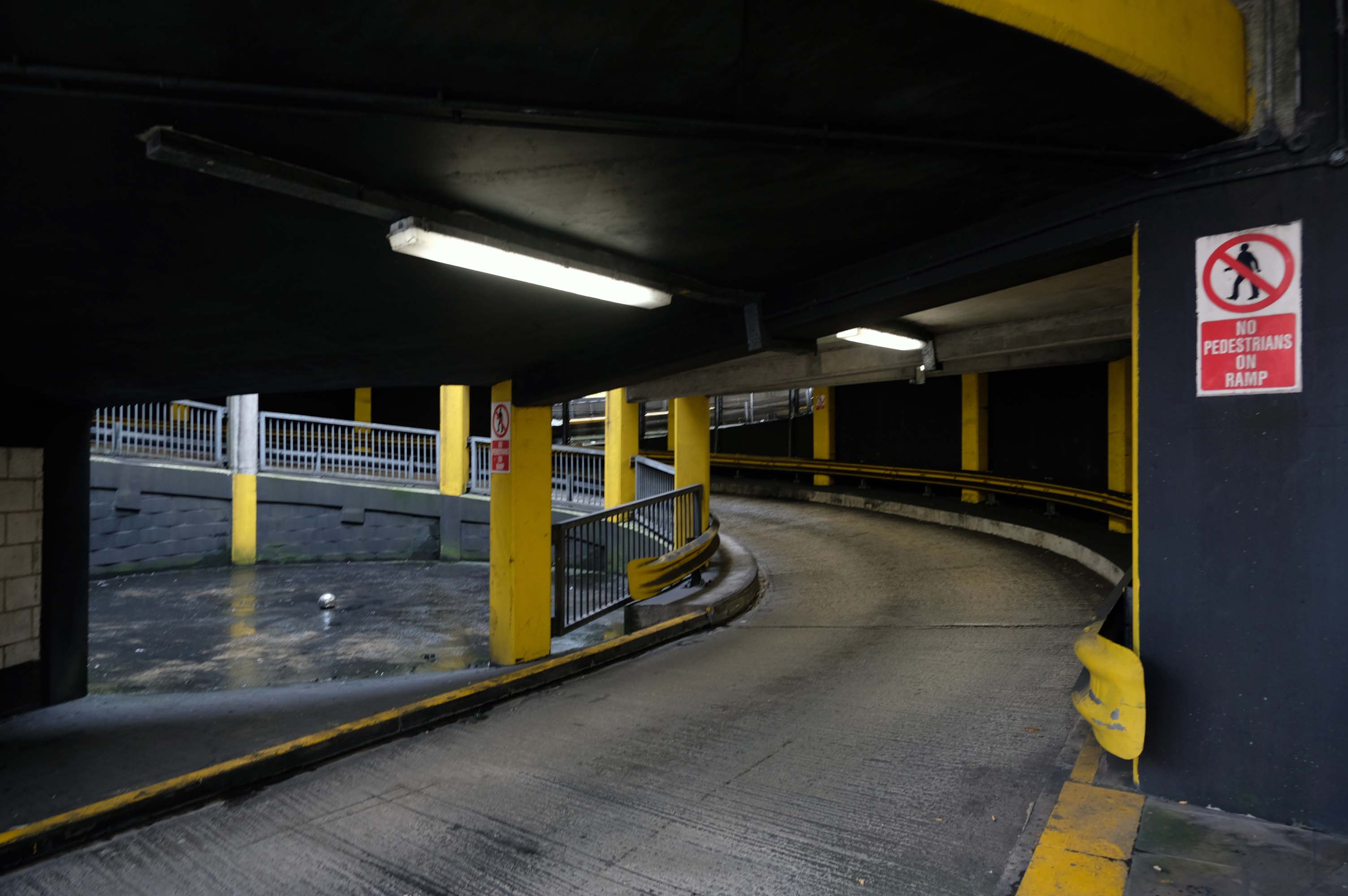
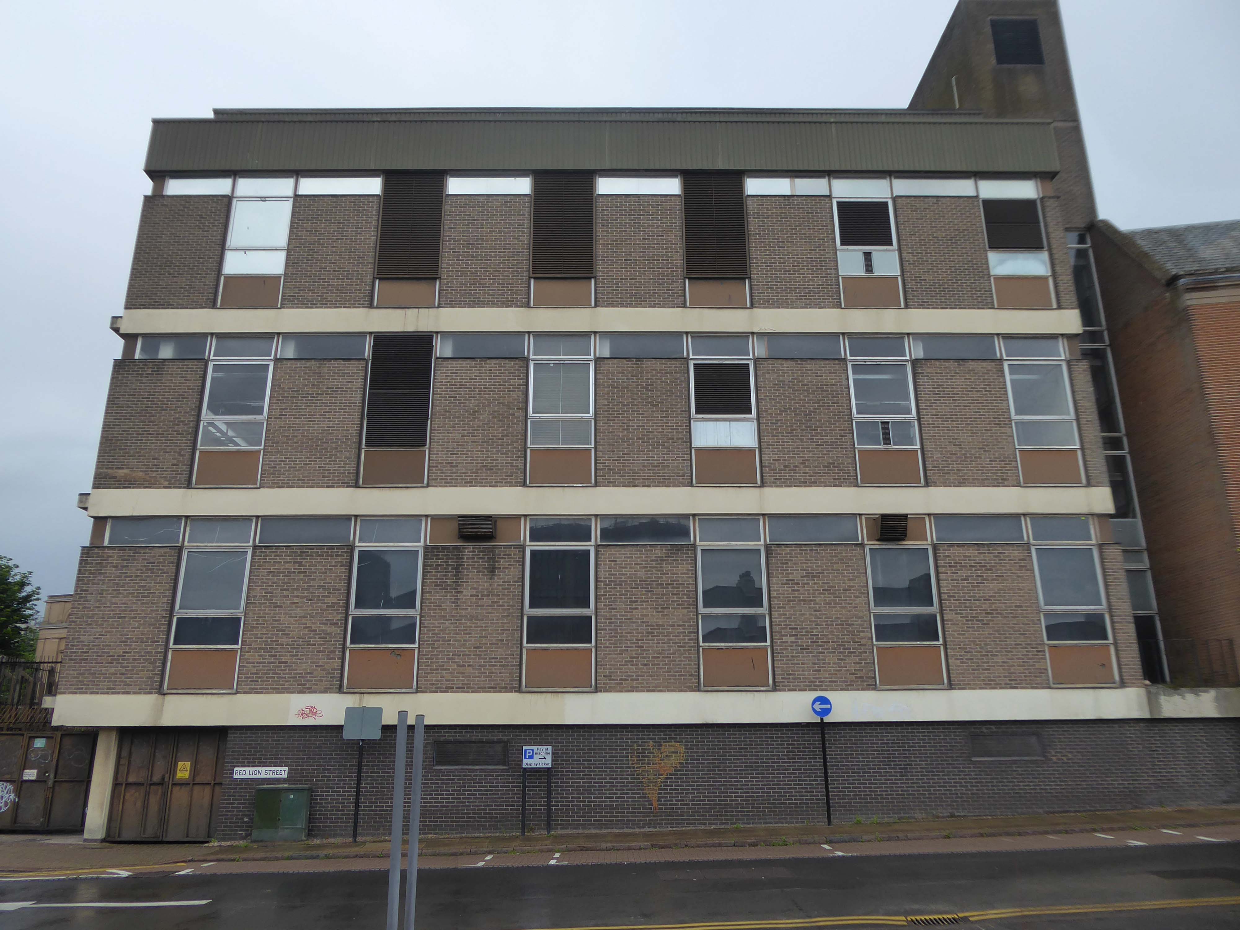
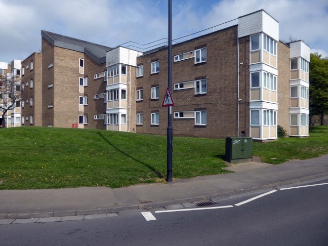
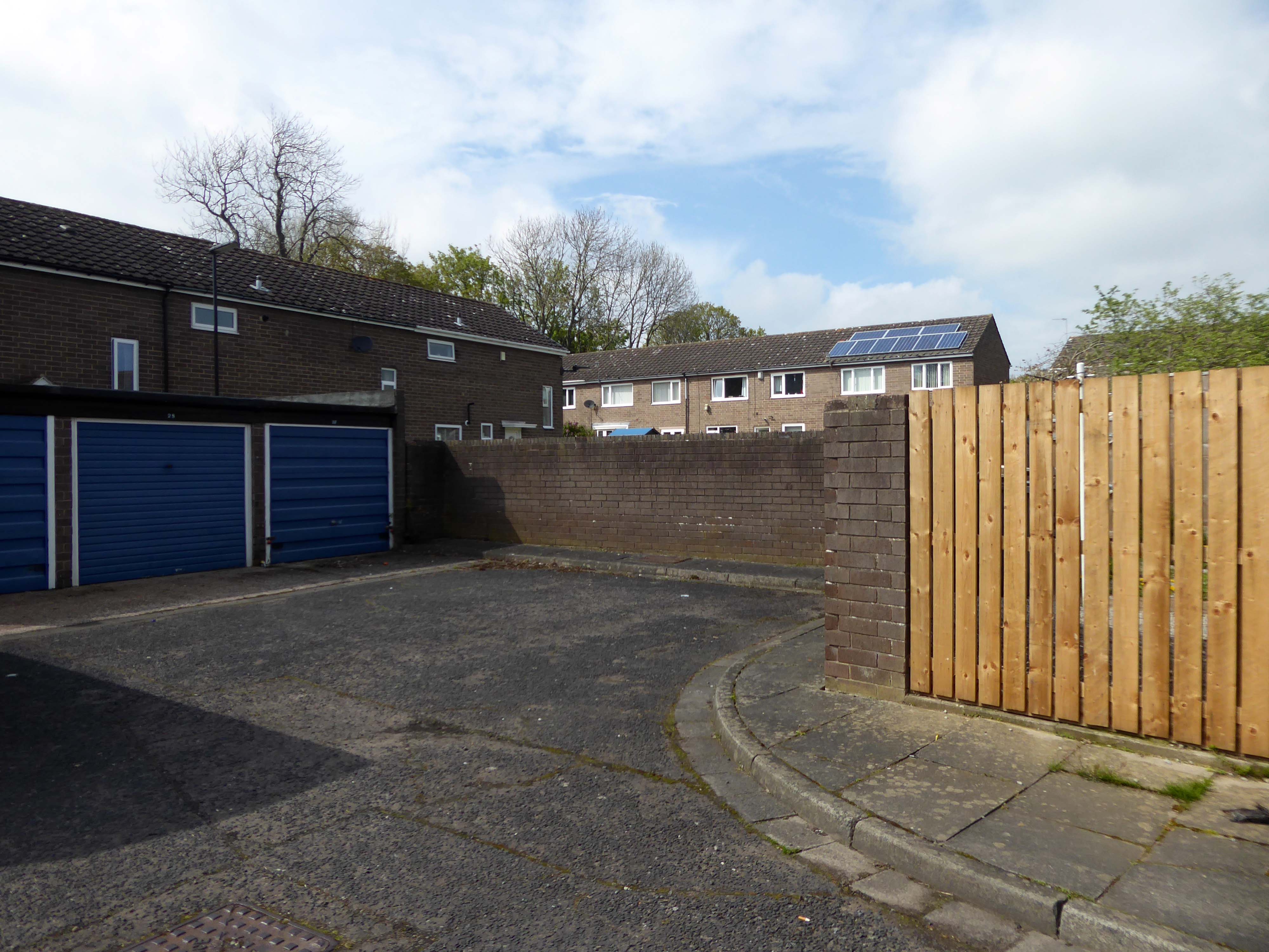
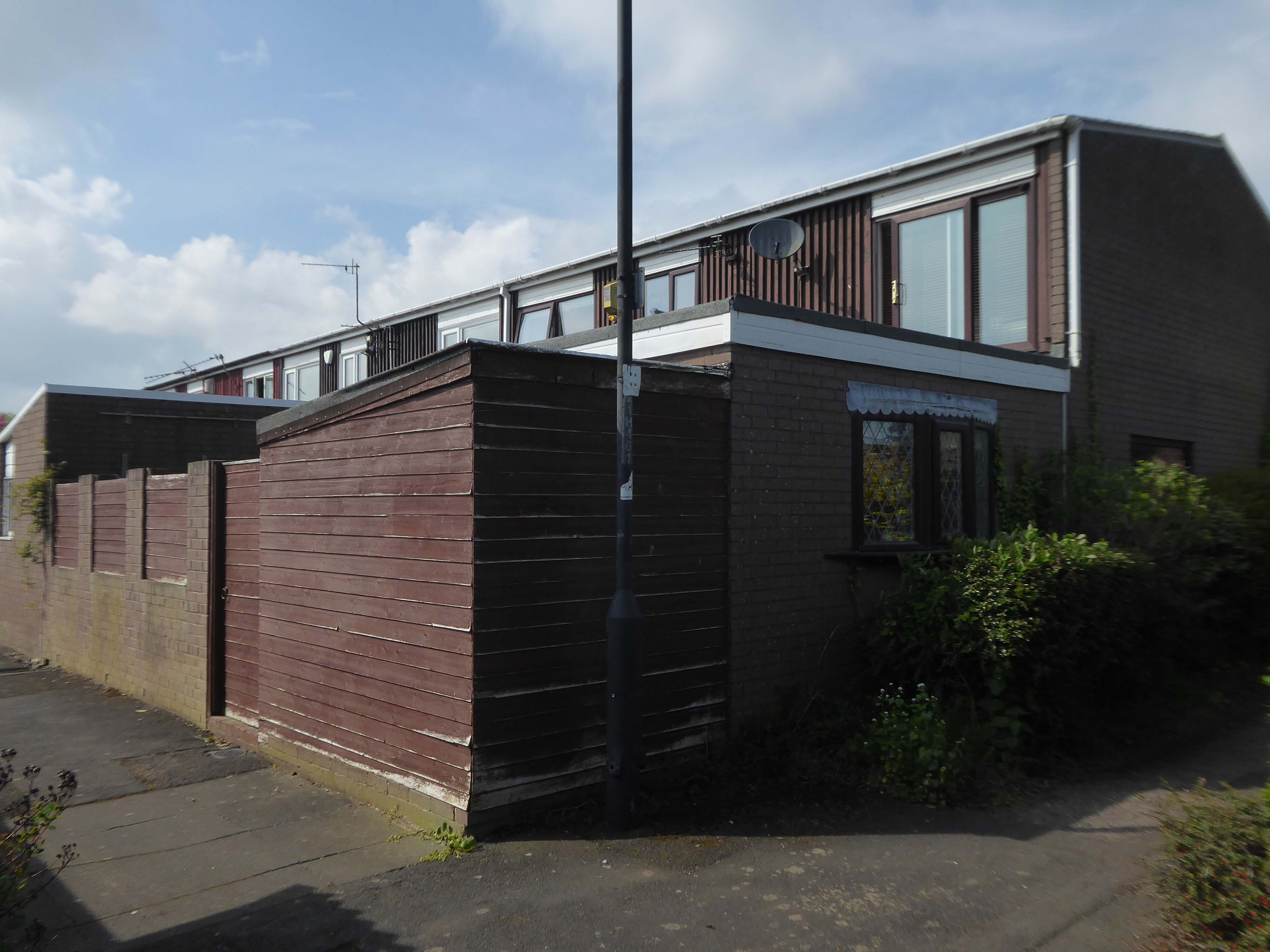
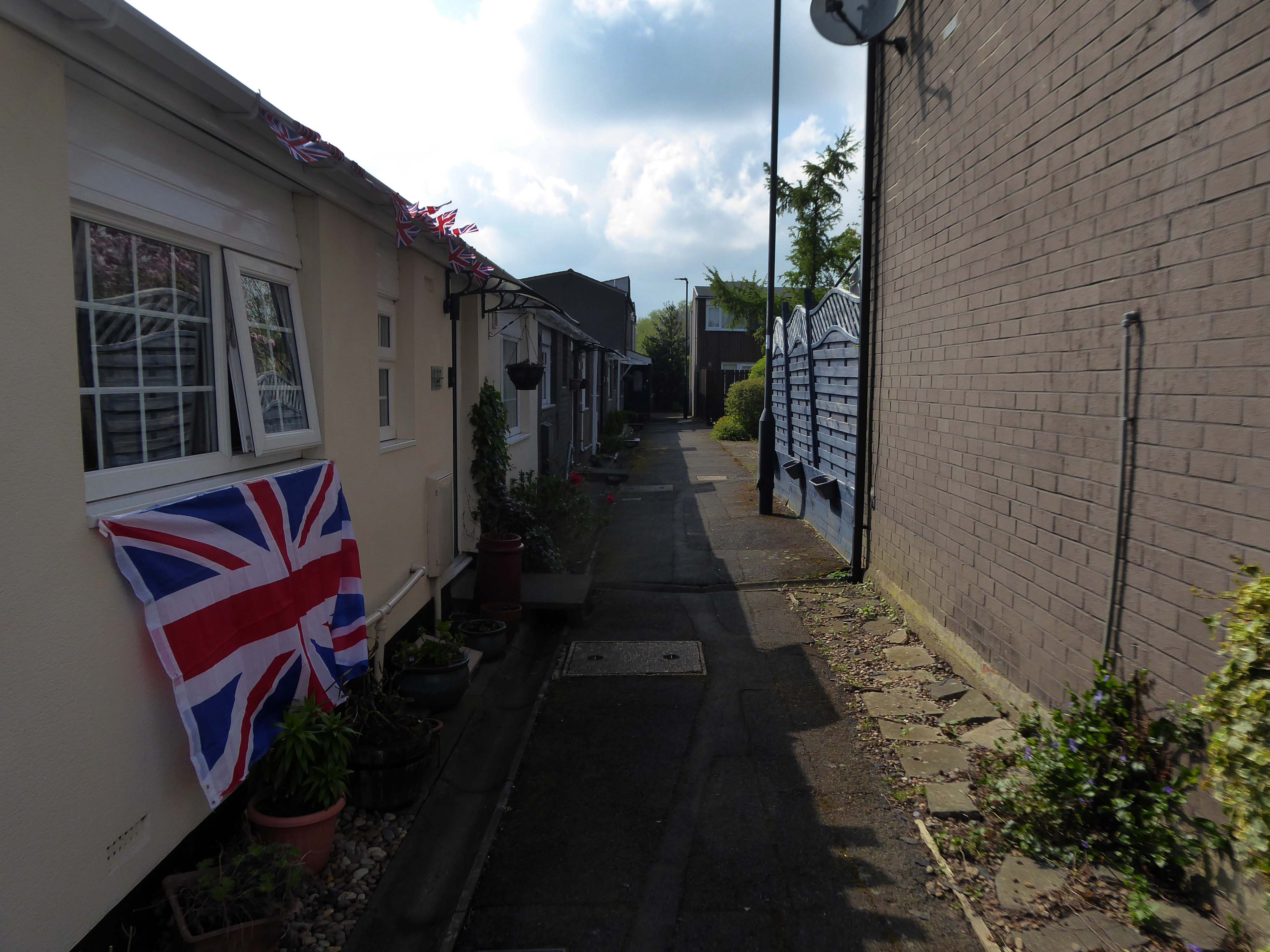
Secure and easy to find while driving, struggled to get back in through side door, had to walk up the ramp.
Expensive.
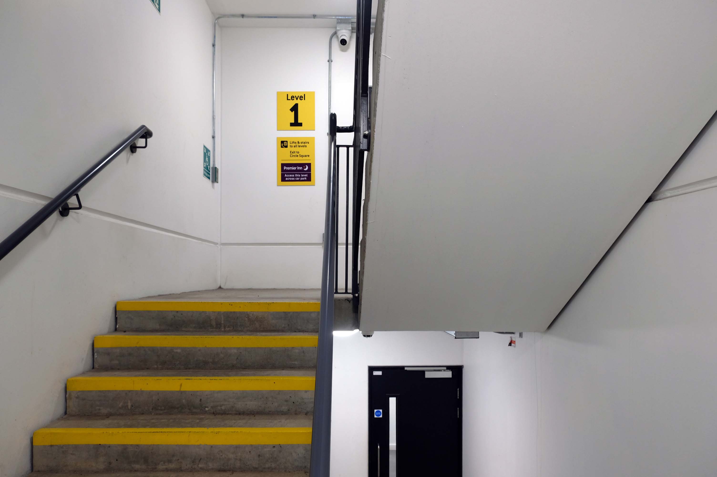
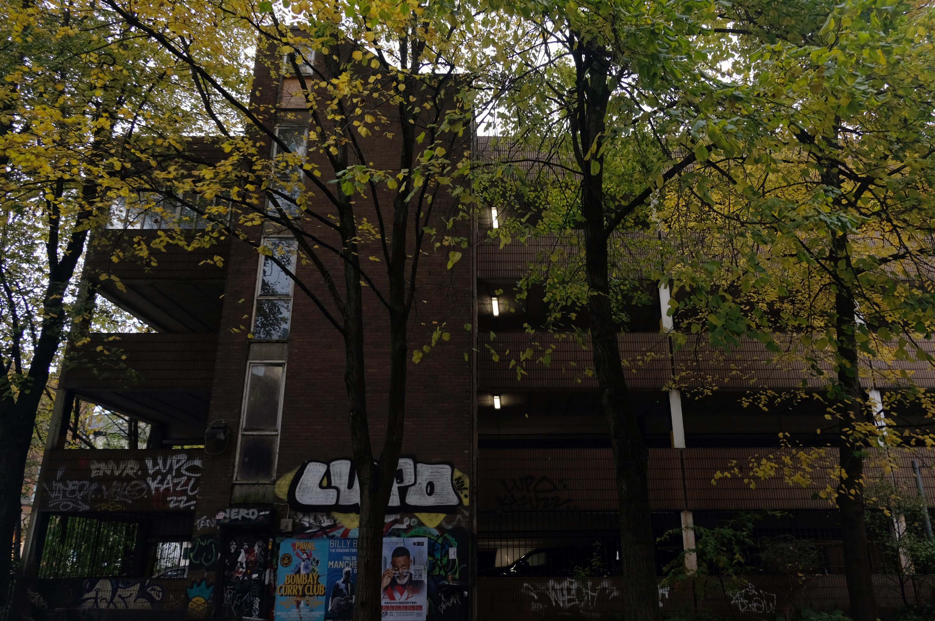
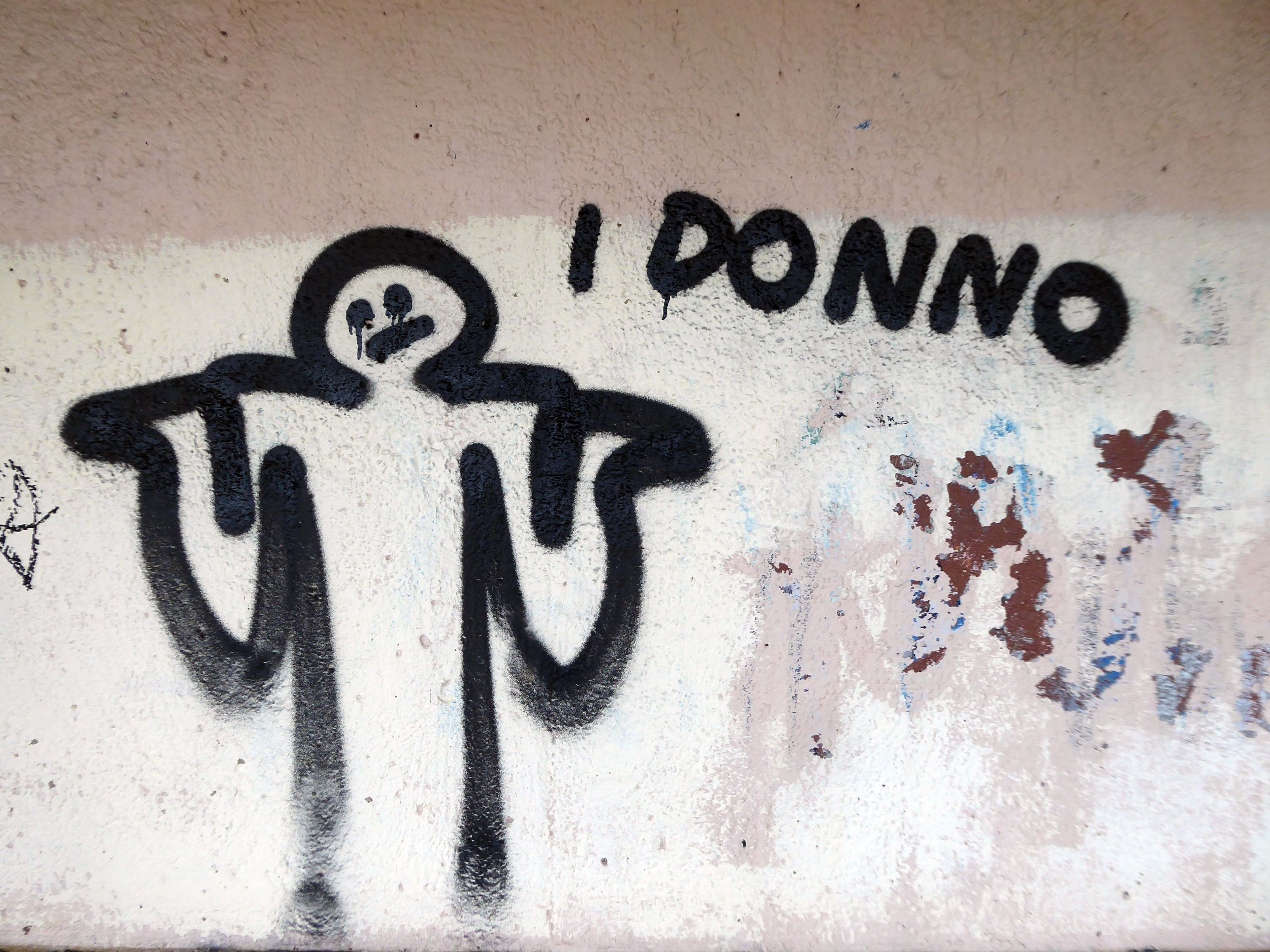
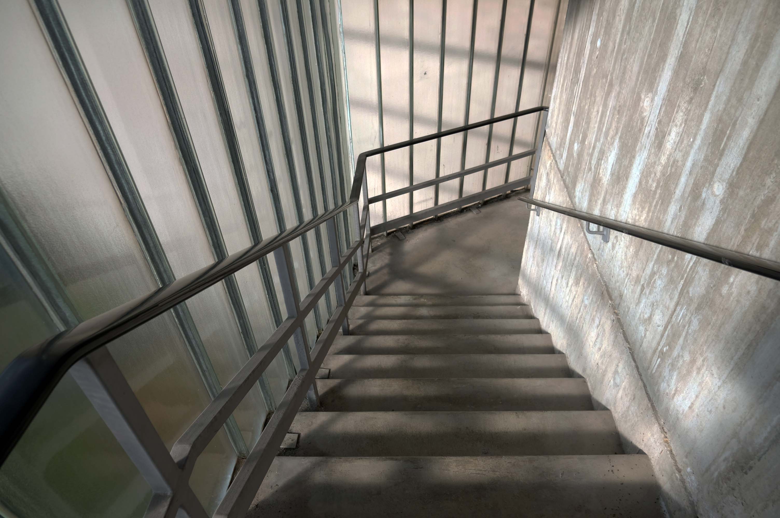
Stairwell stinks like piss and I’ve seen homeless people sitting in there, doesn’t feel safe.
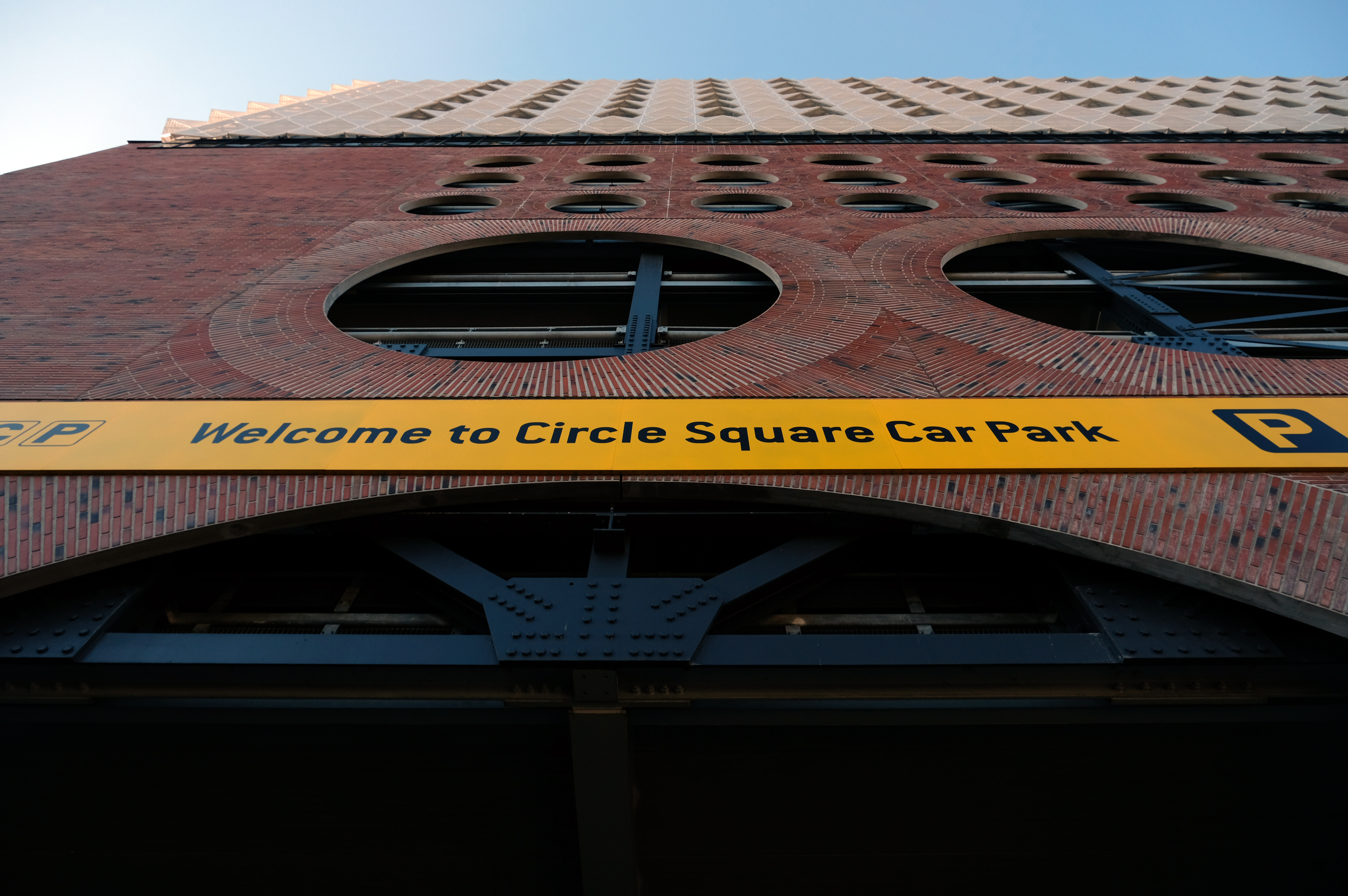
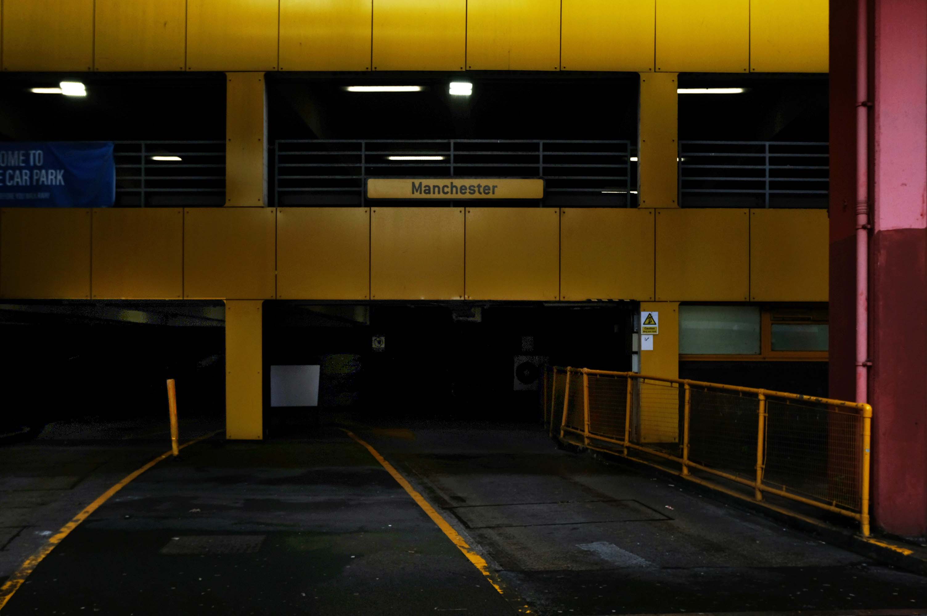
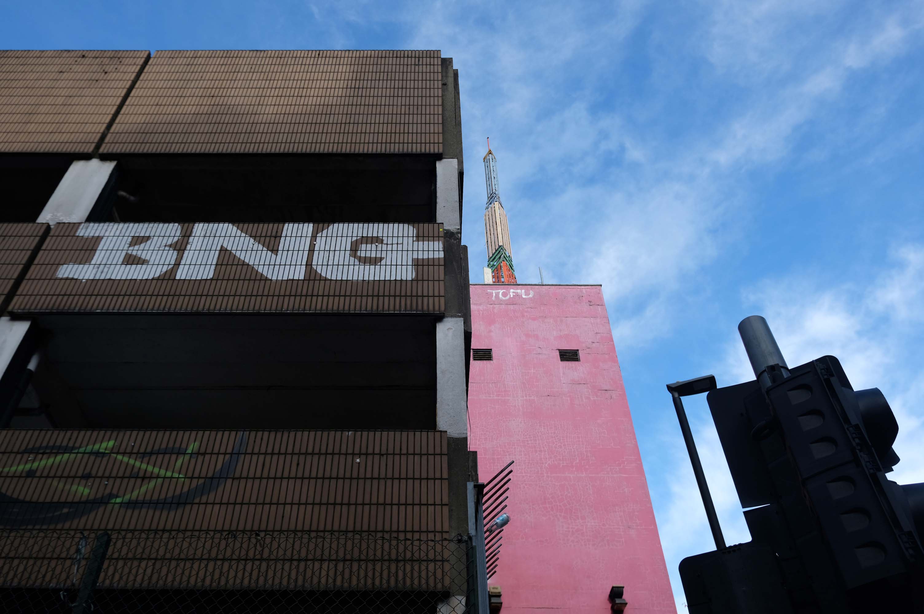
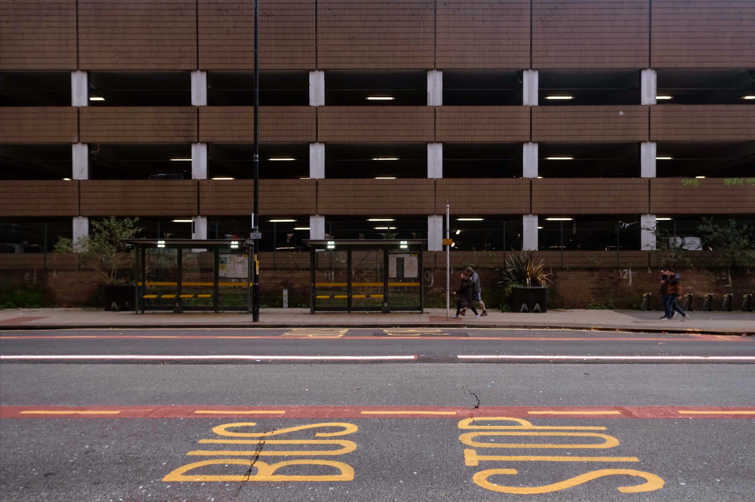
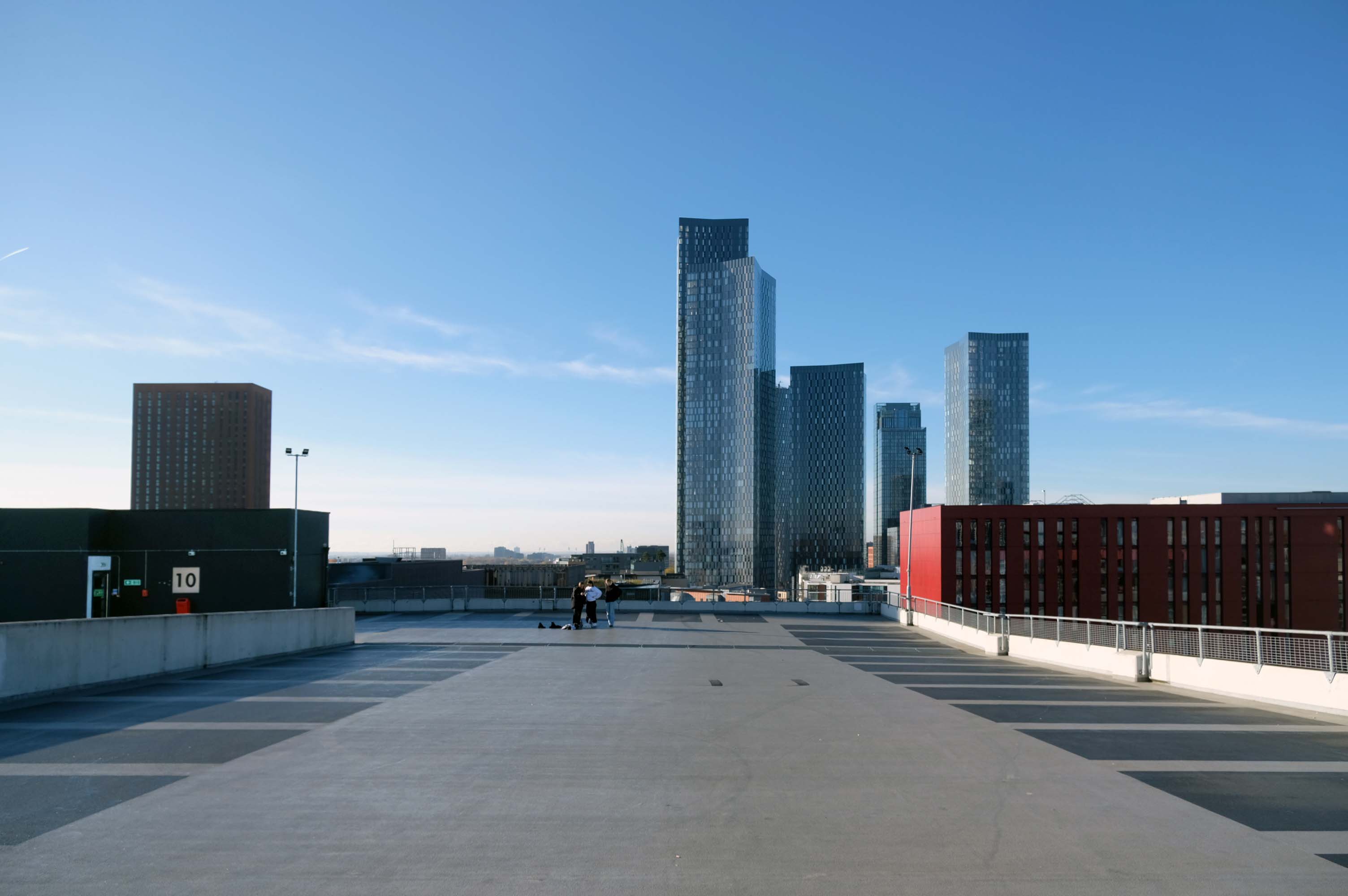
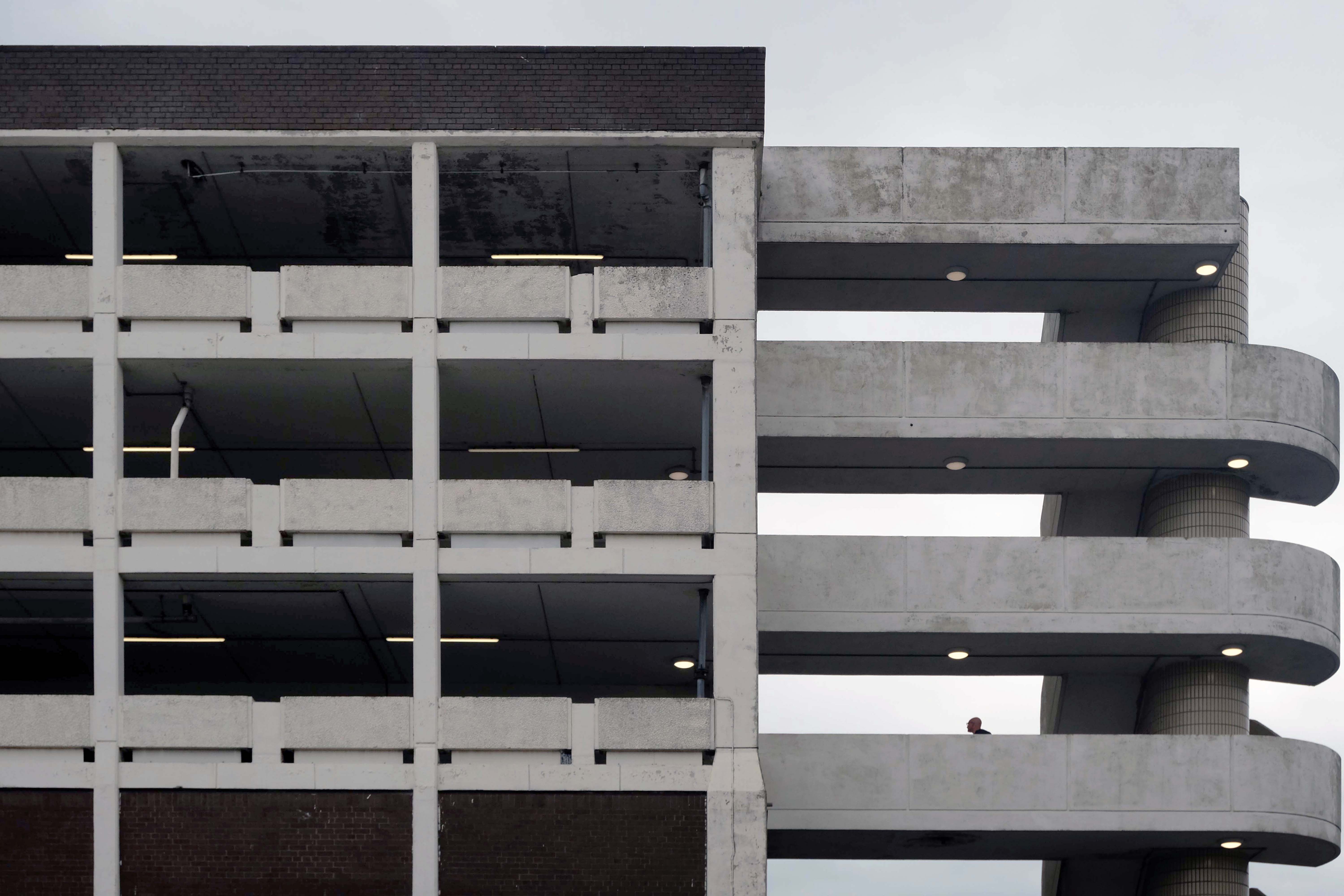
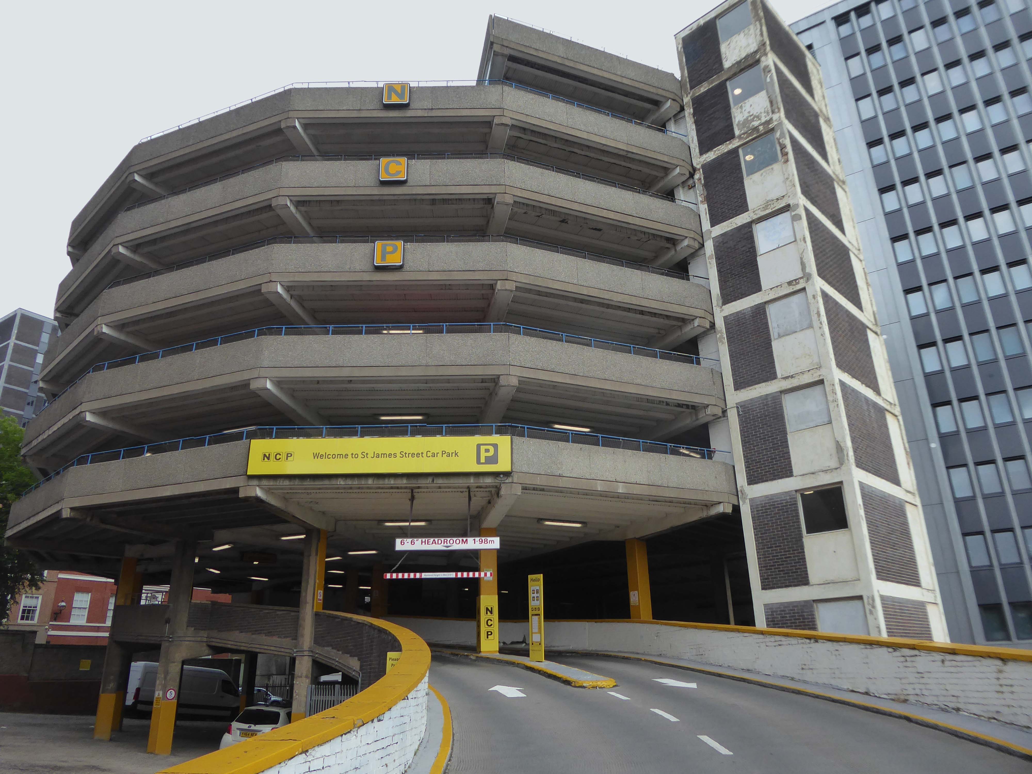
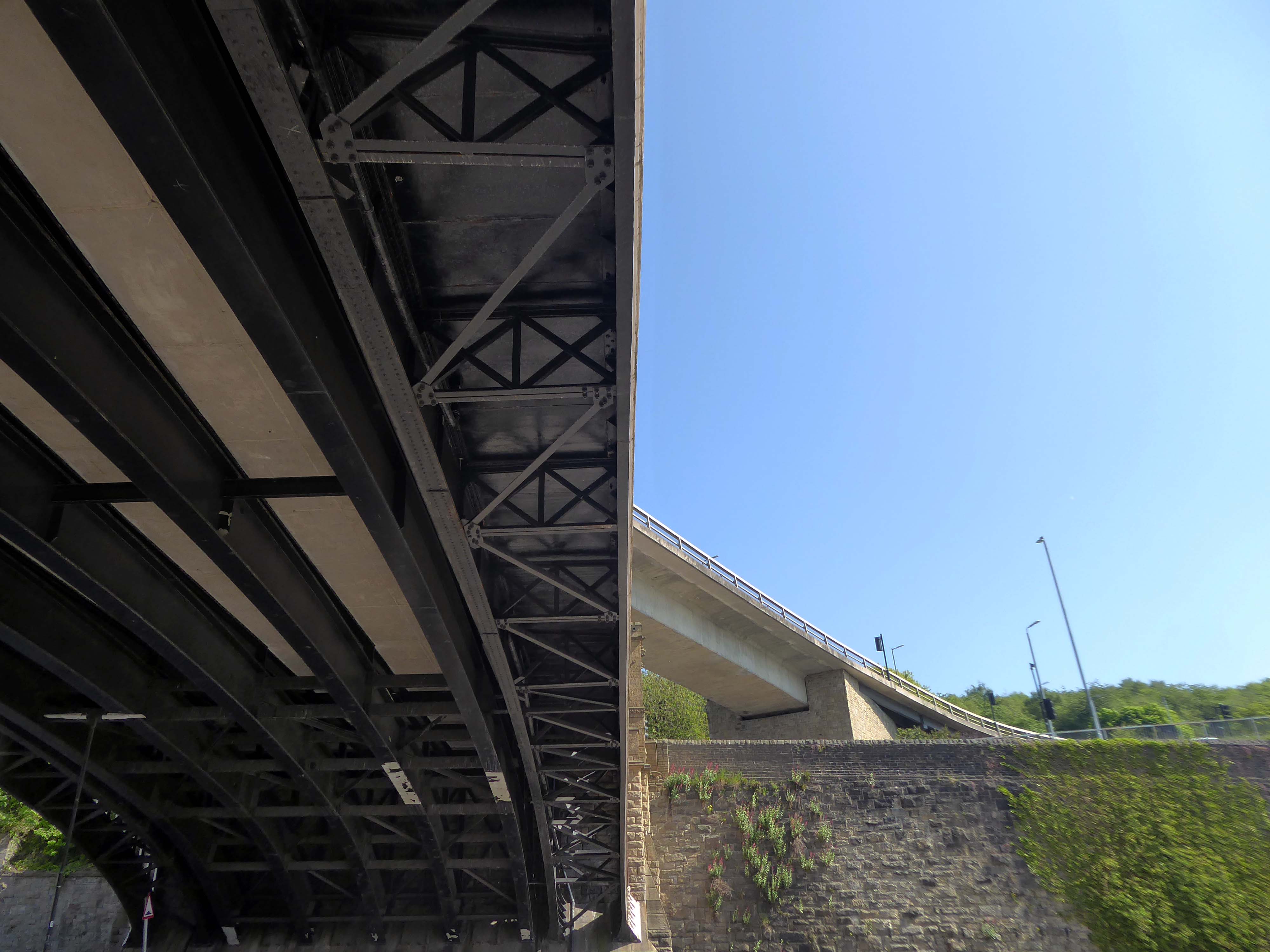
Great car park, security is great, right in the city centre, above the bus station that goes Scotland to Cornwall, Wales to Norwich and many more, Manchester city centre literally, with Piccadilly Gardens, around the corner.
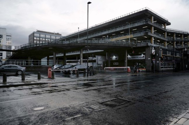
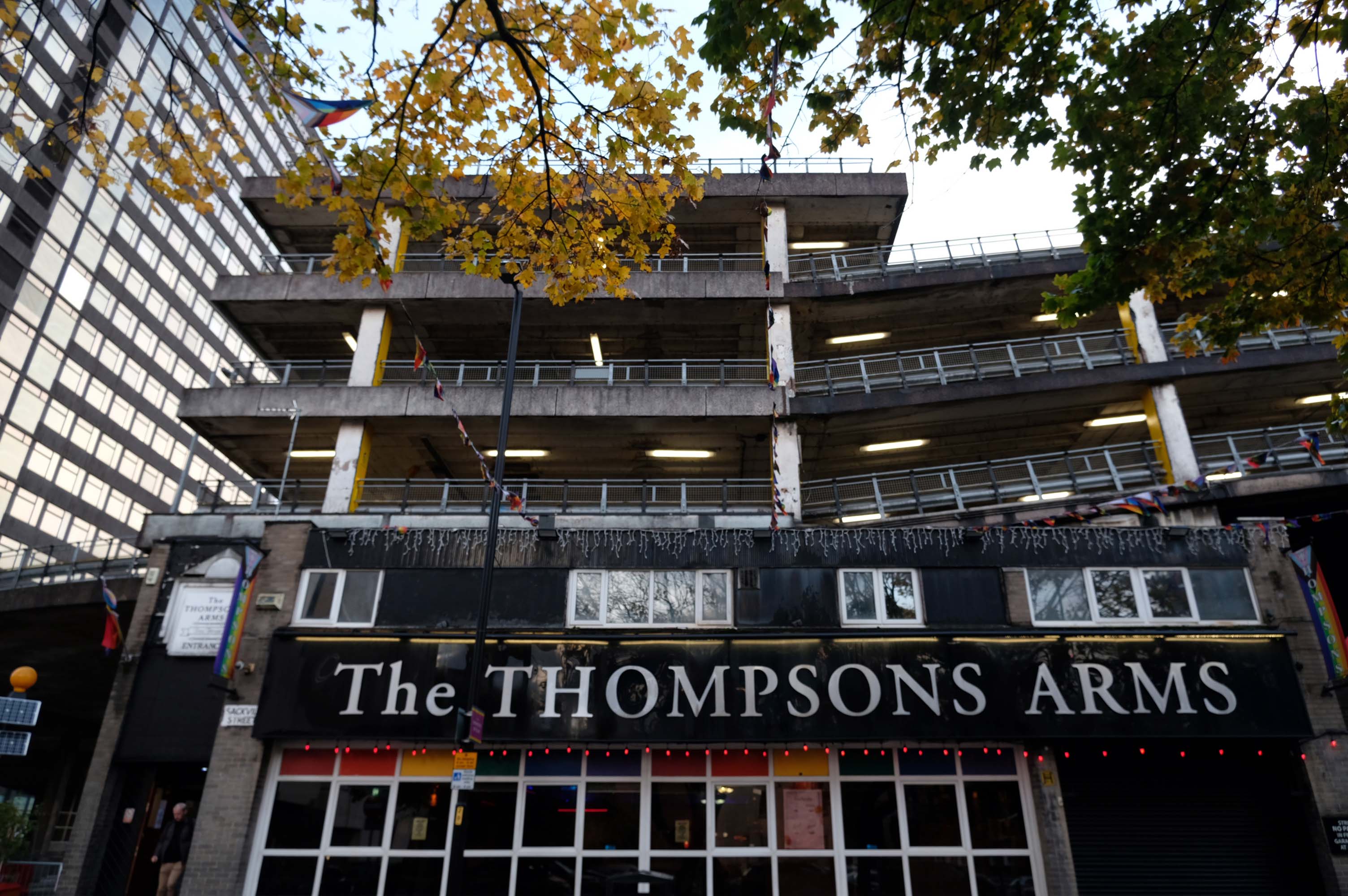
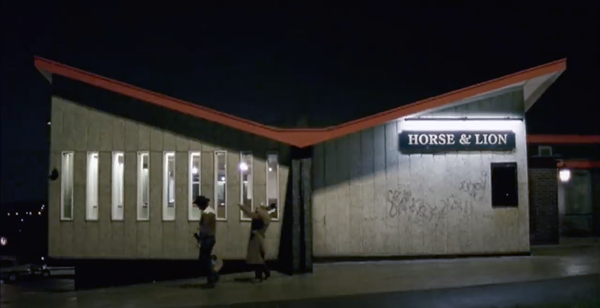
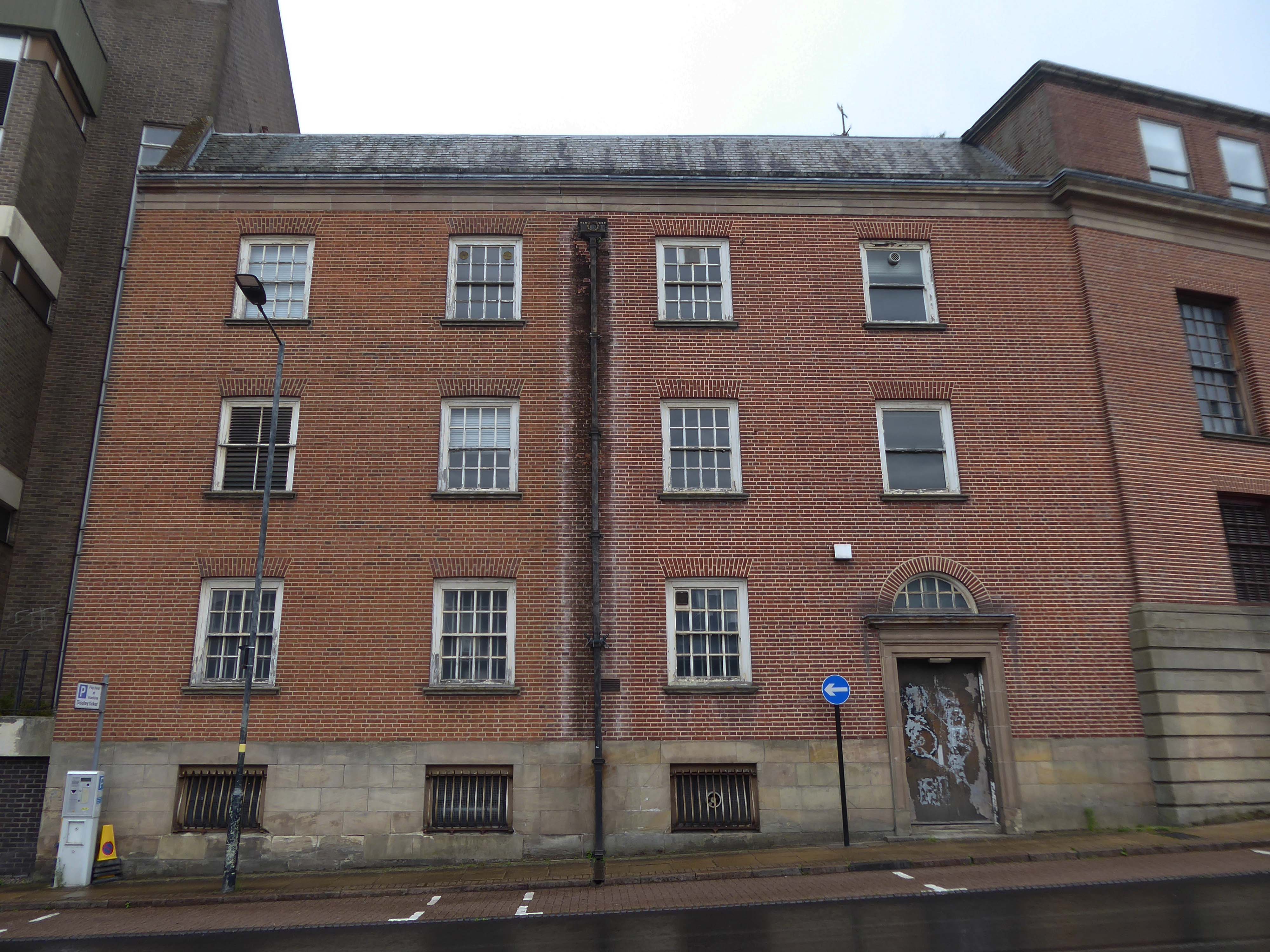
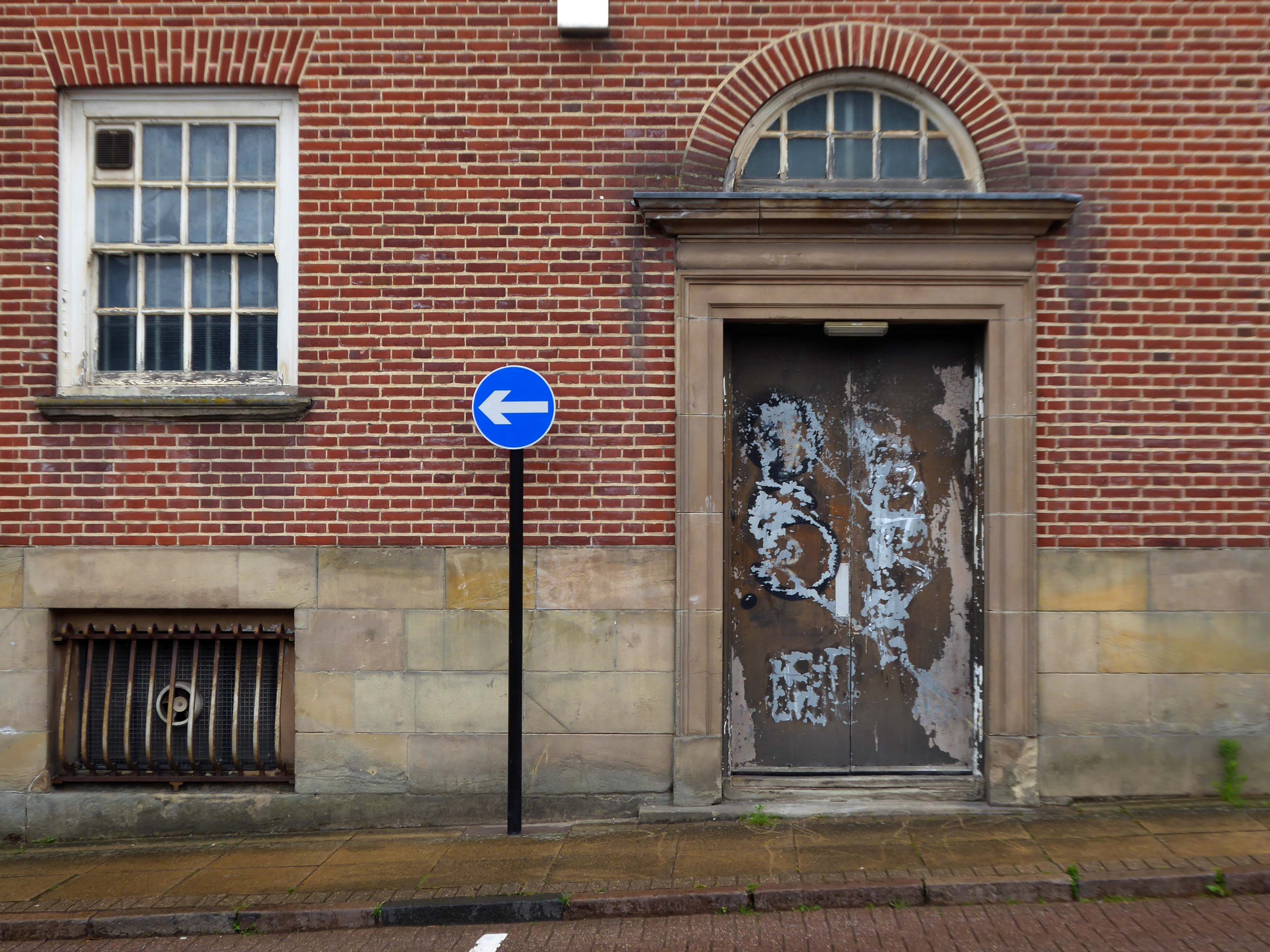
We have been snapping here afore in the guise of Mr Estate Pubs – checking out the Thompsons Arms.
For this is a car park with coach station and boozer attached.
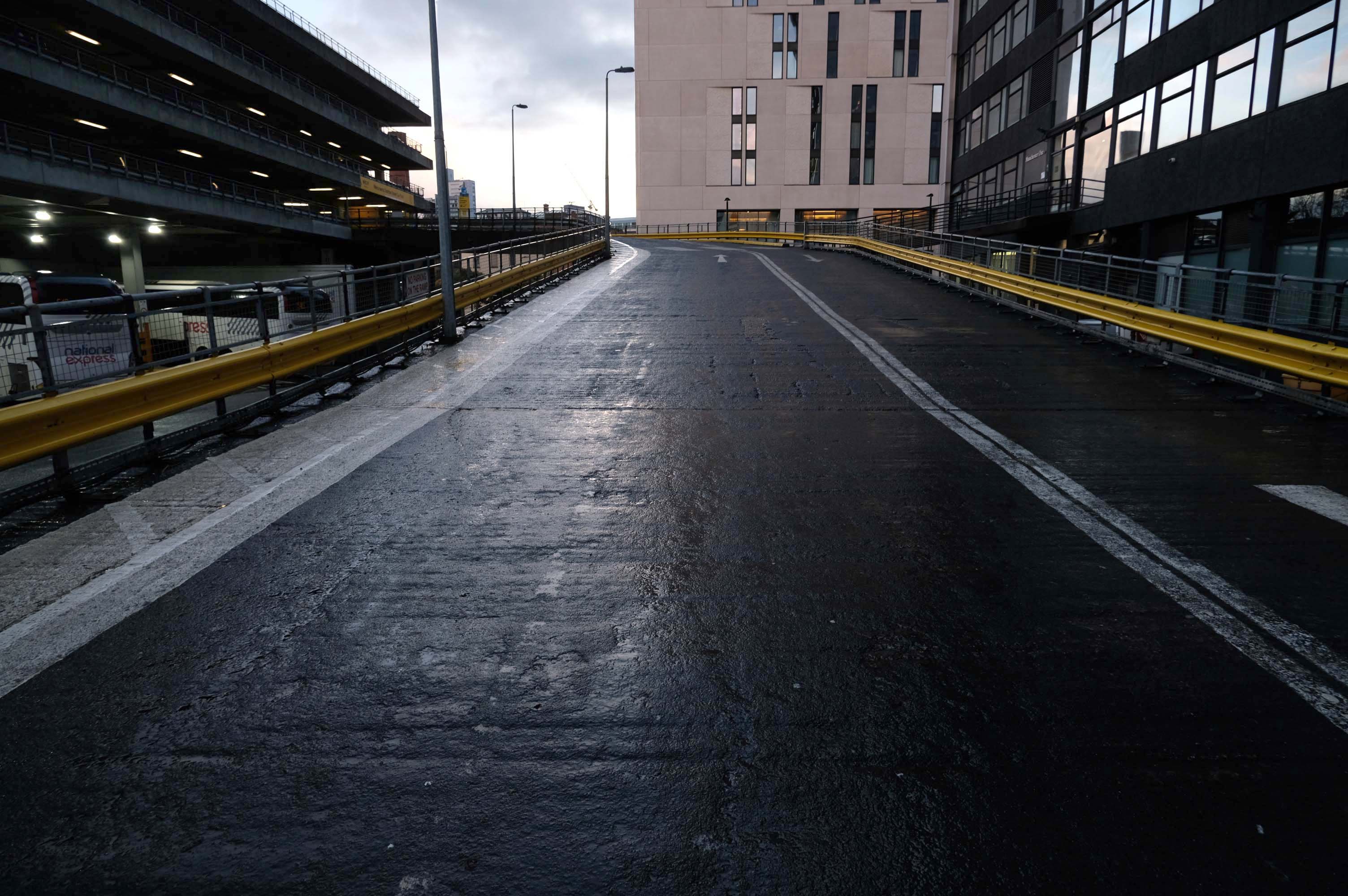
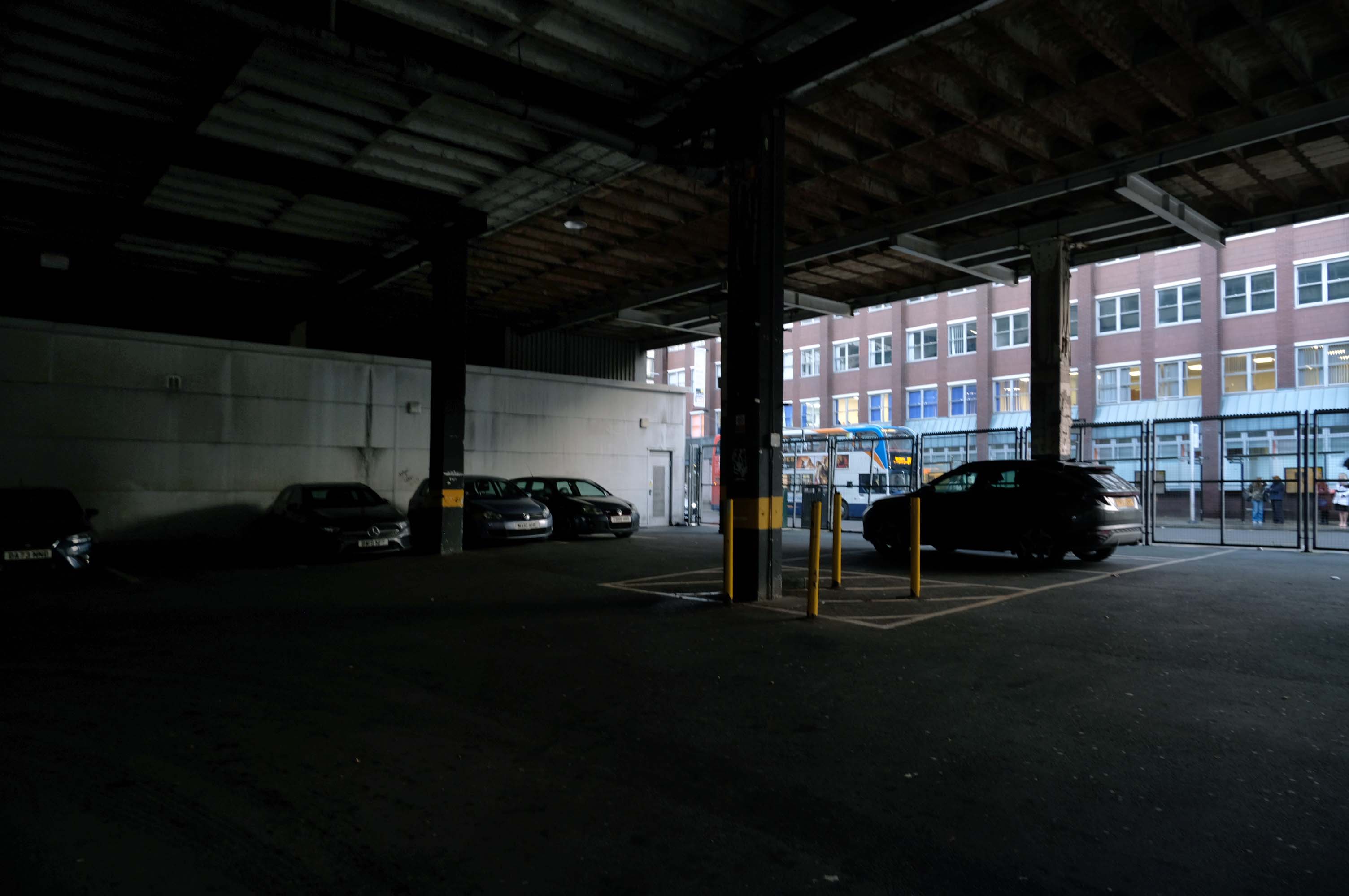
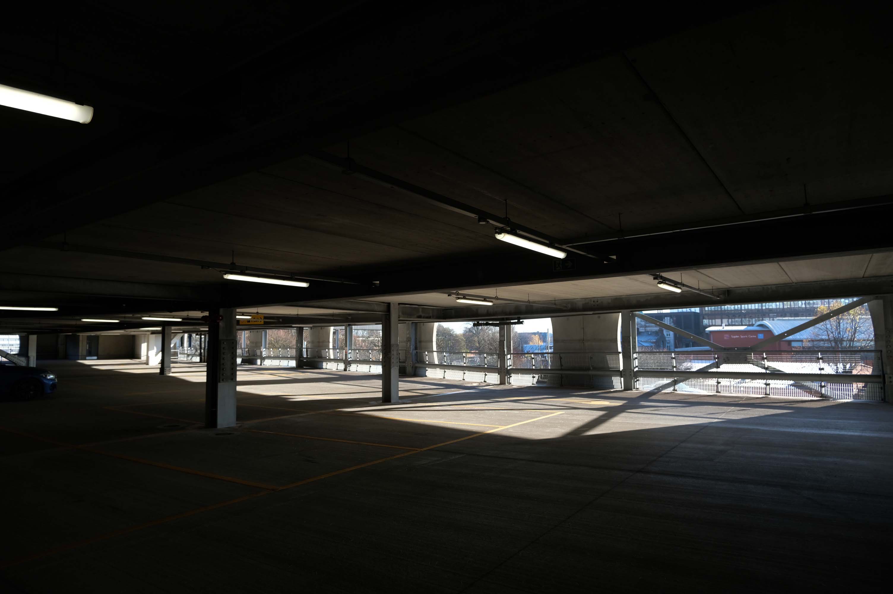
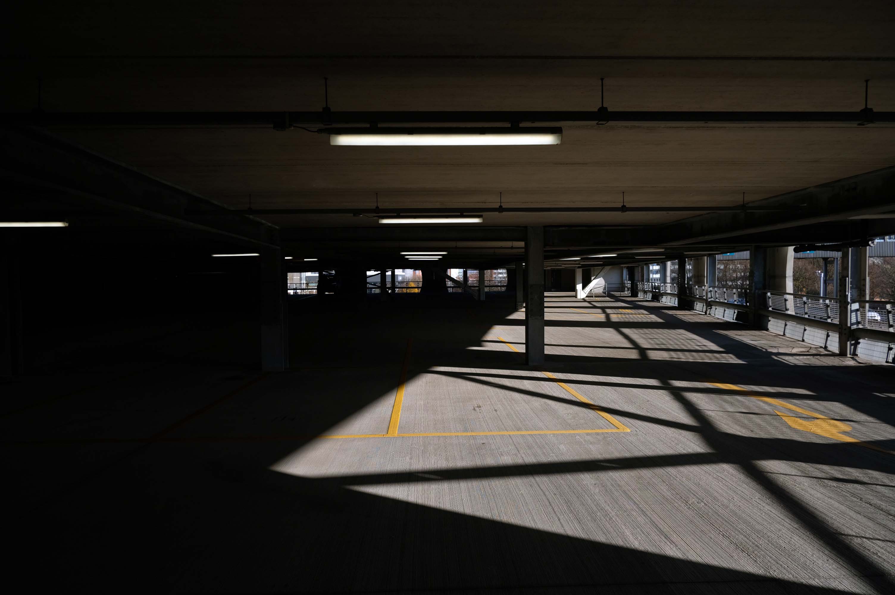
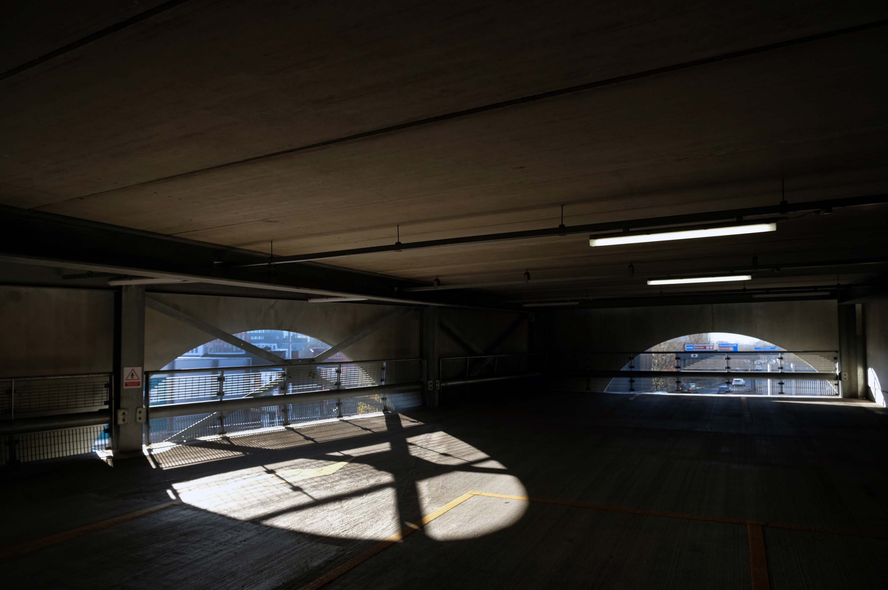
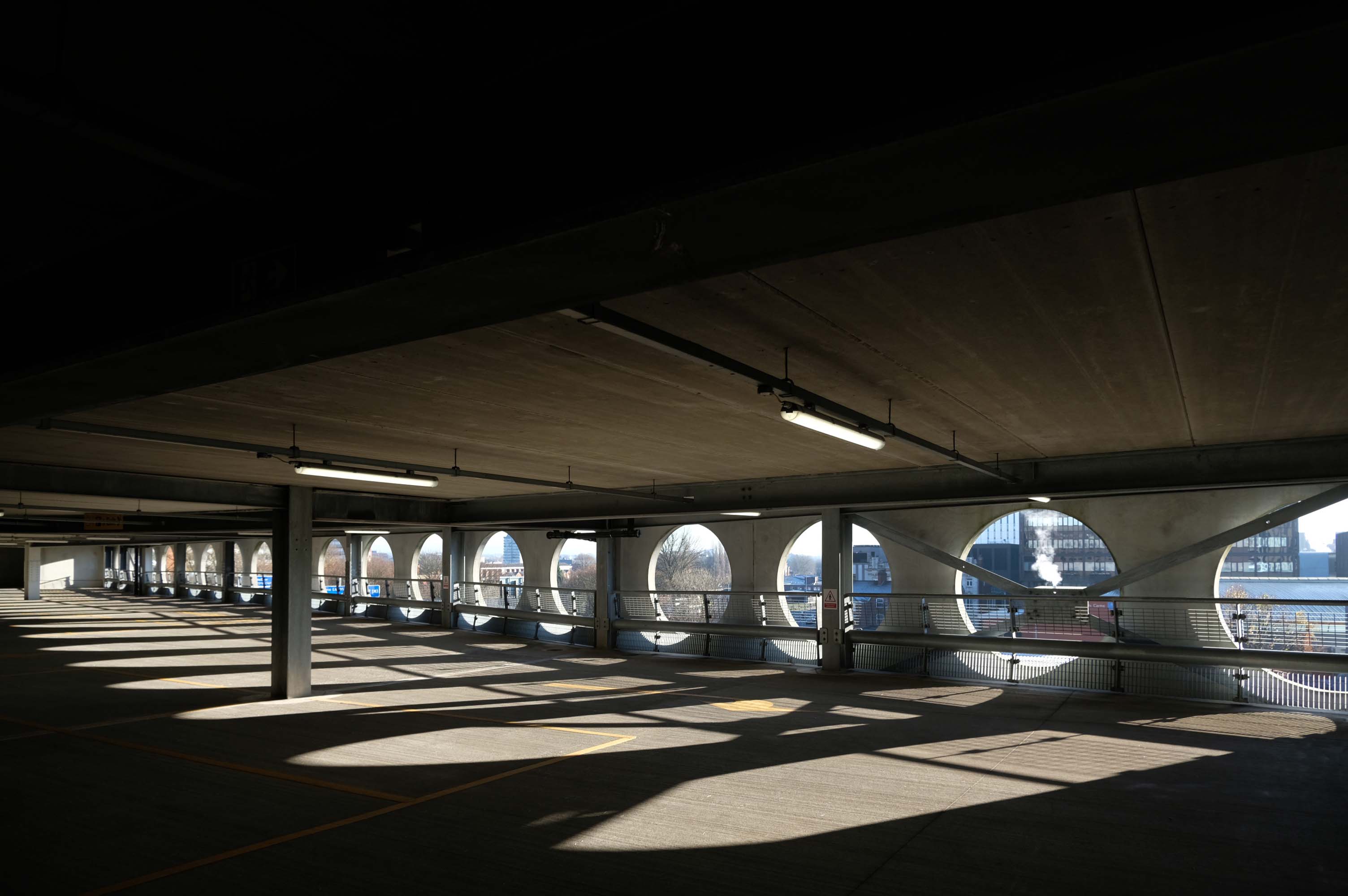
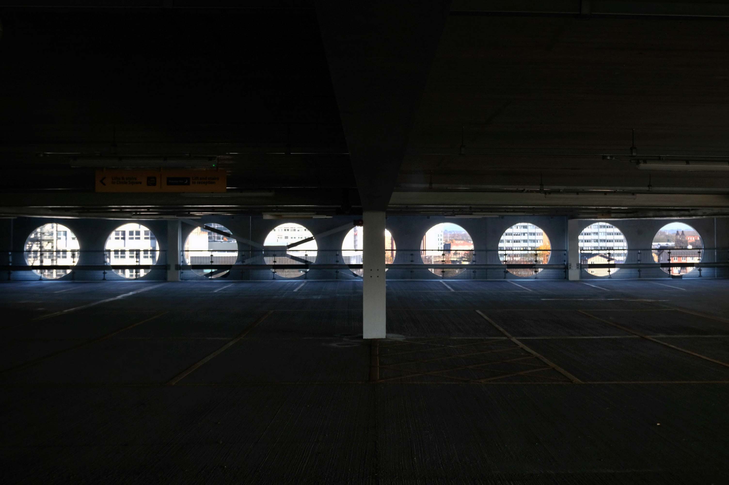
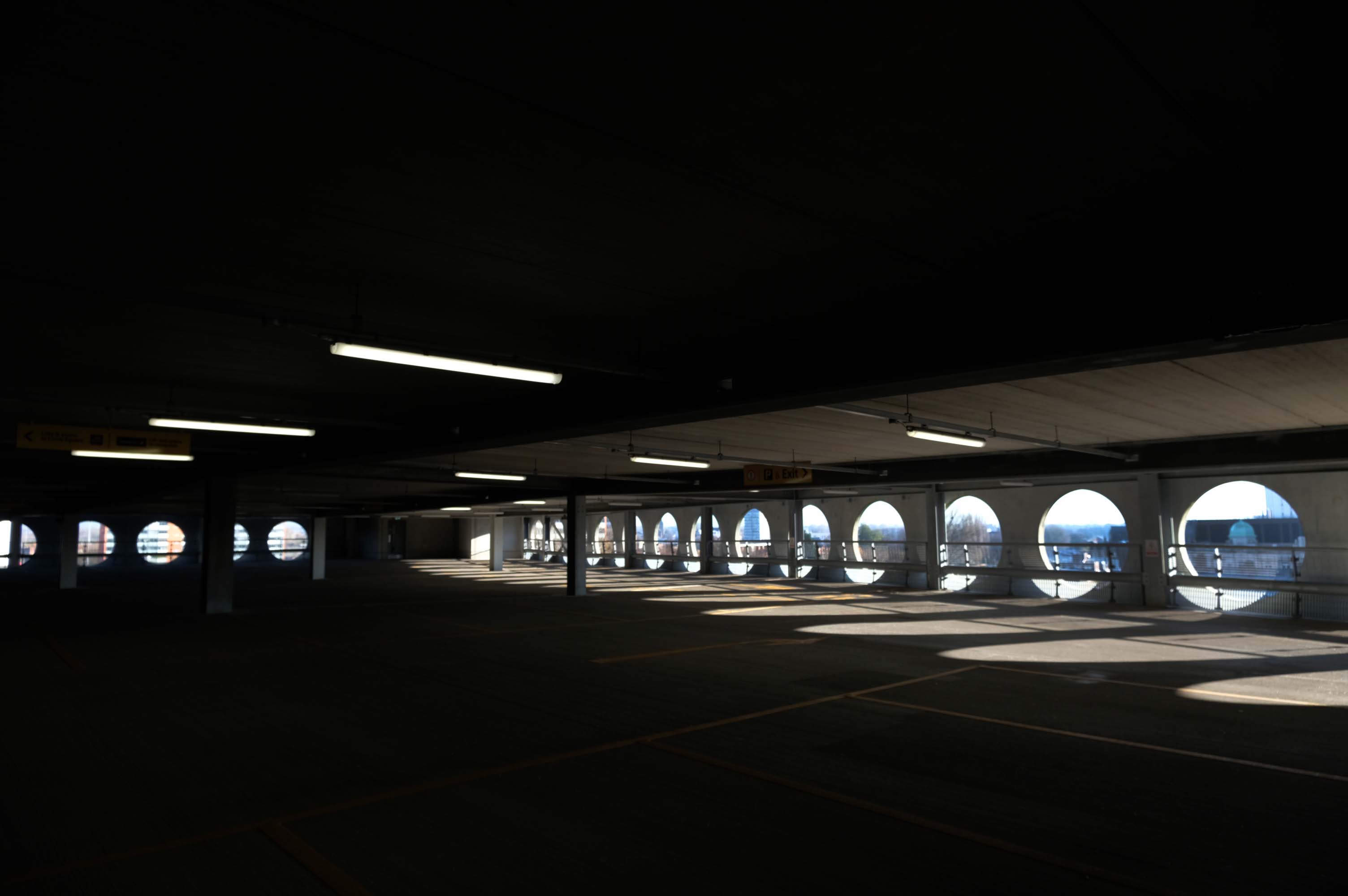
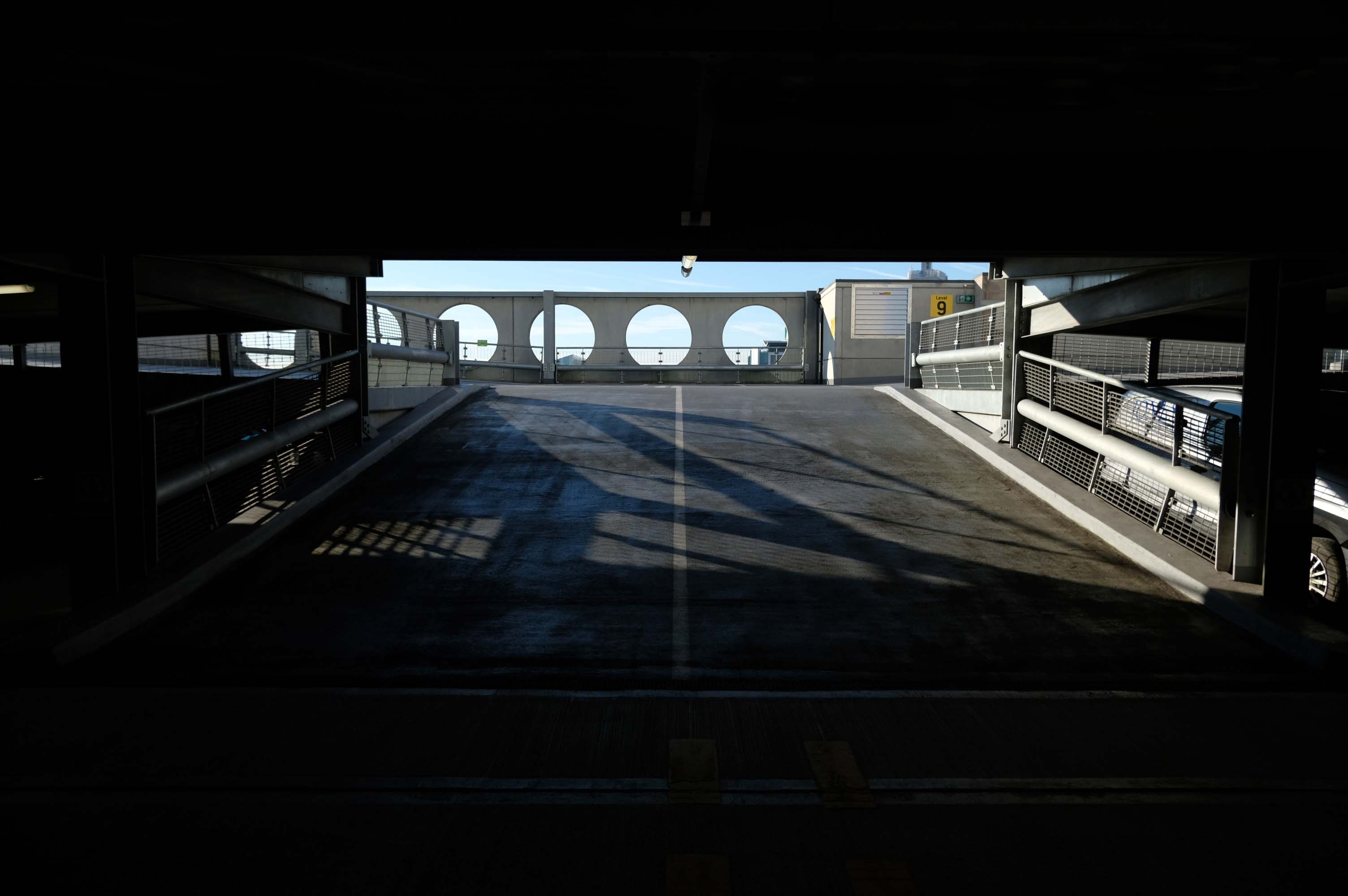
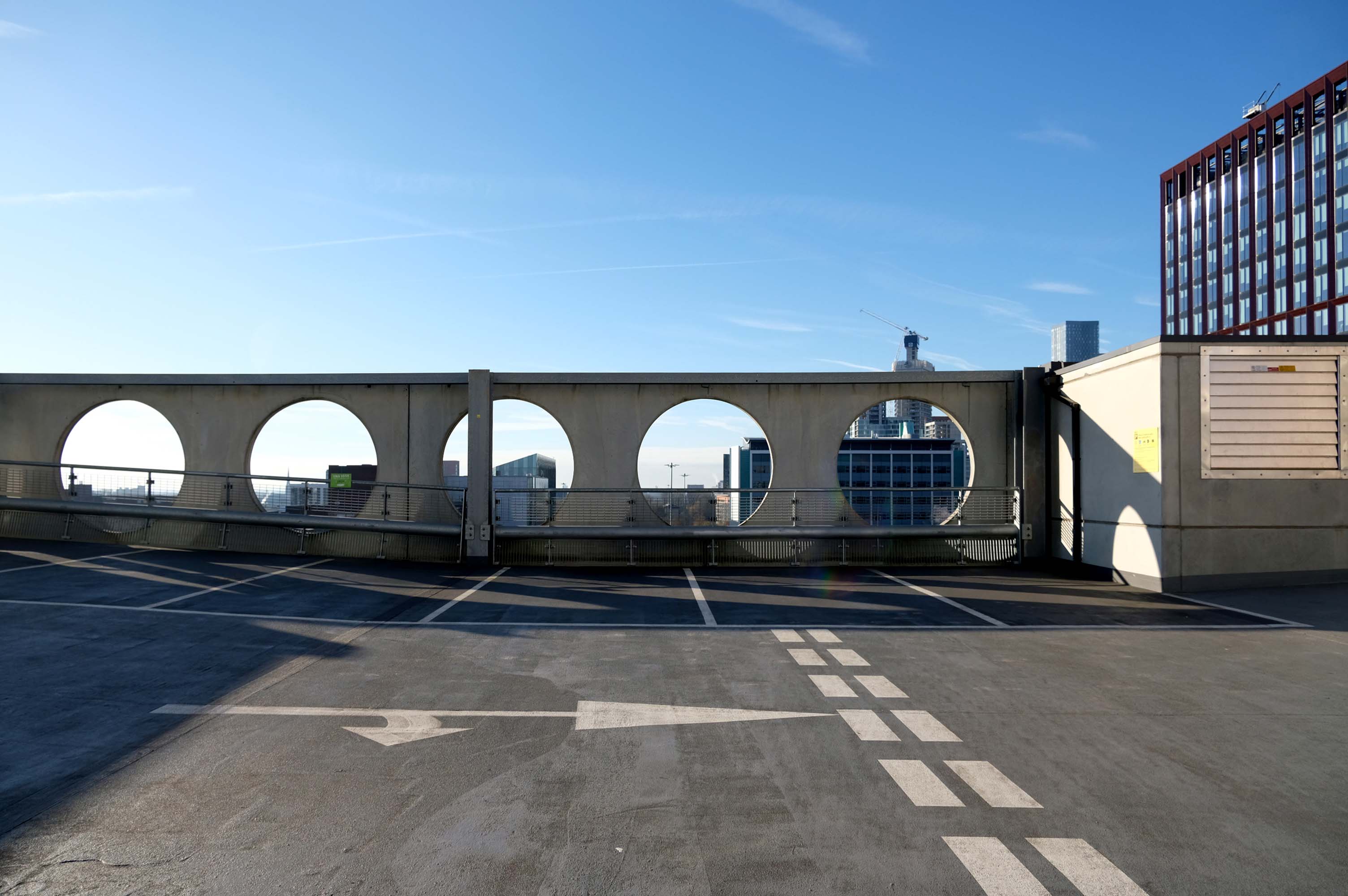
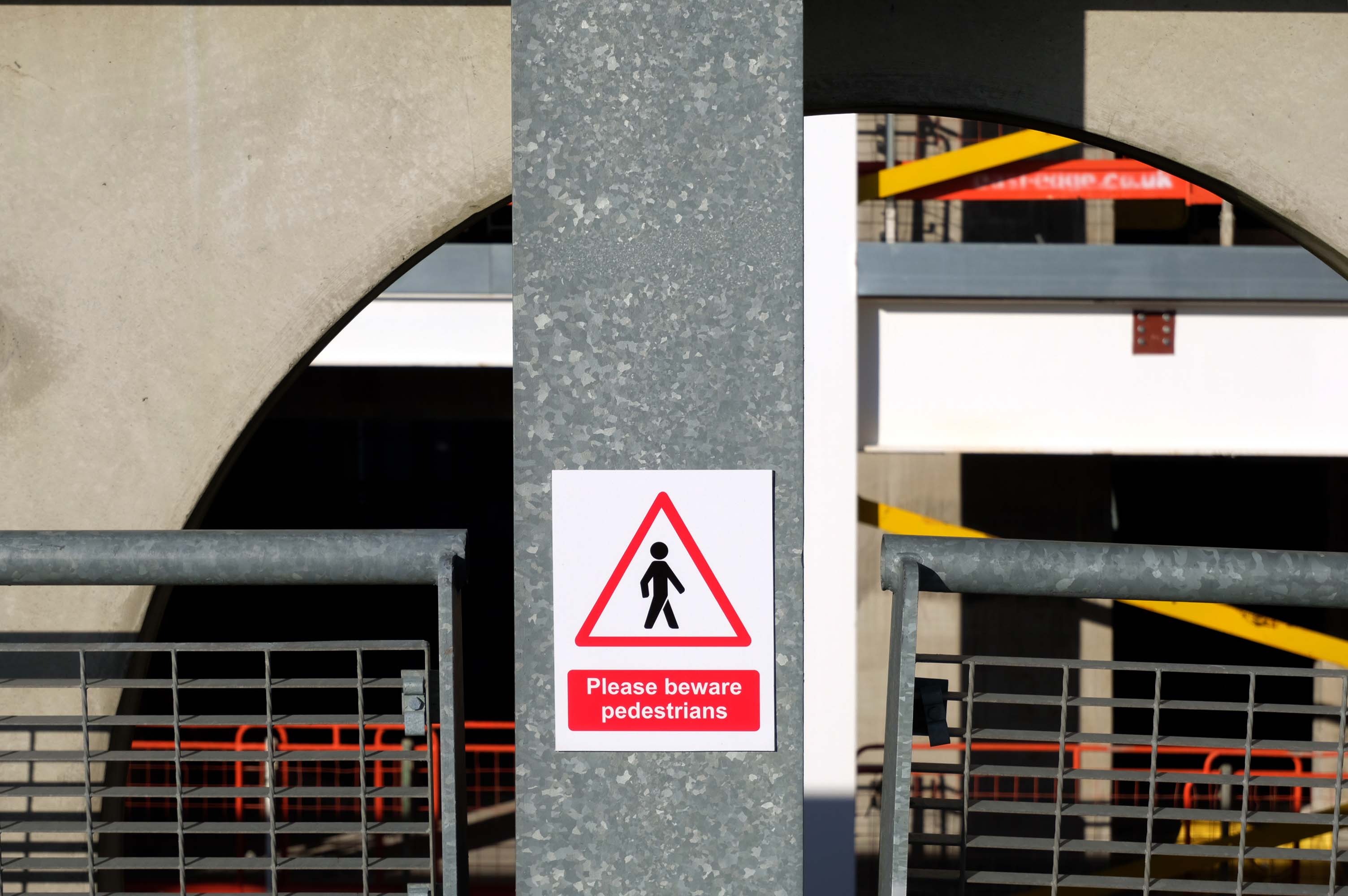
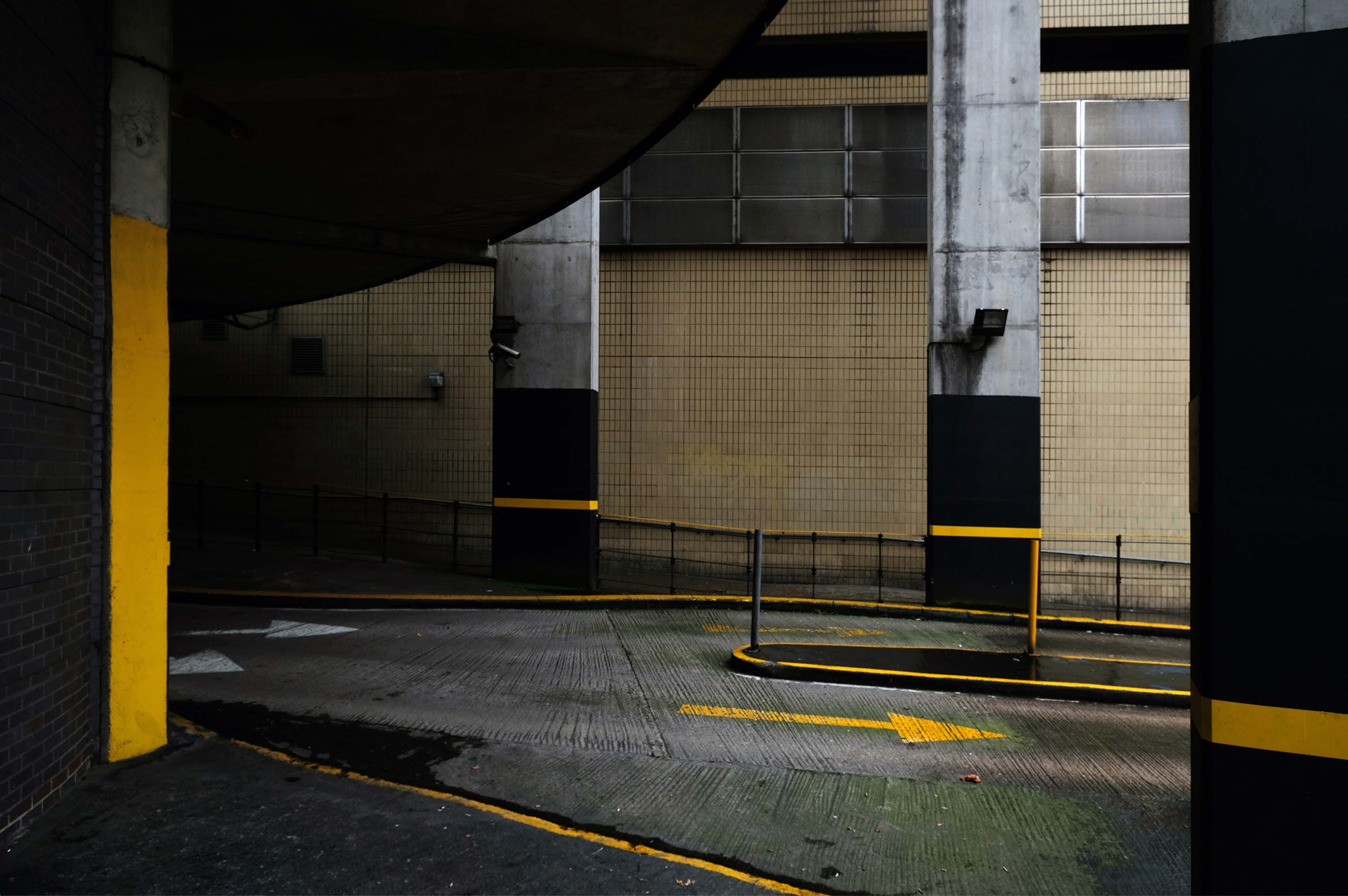
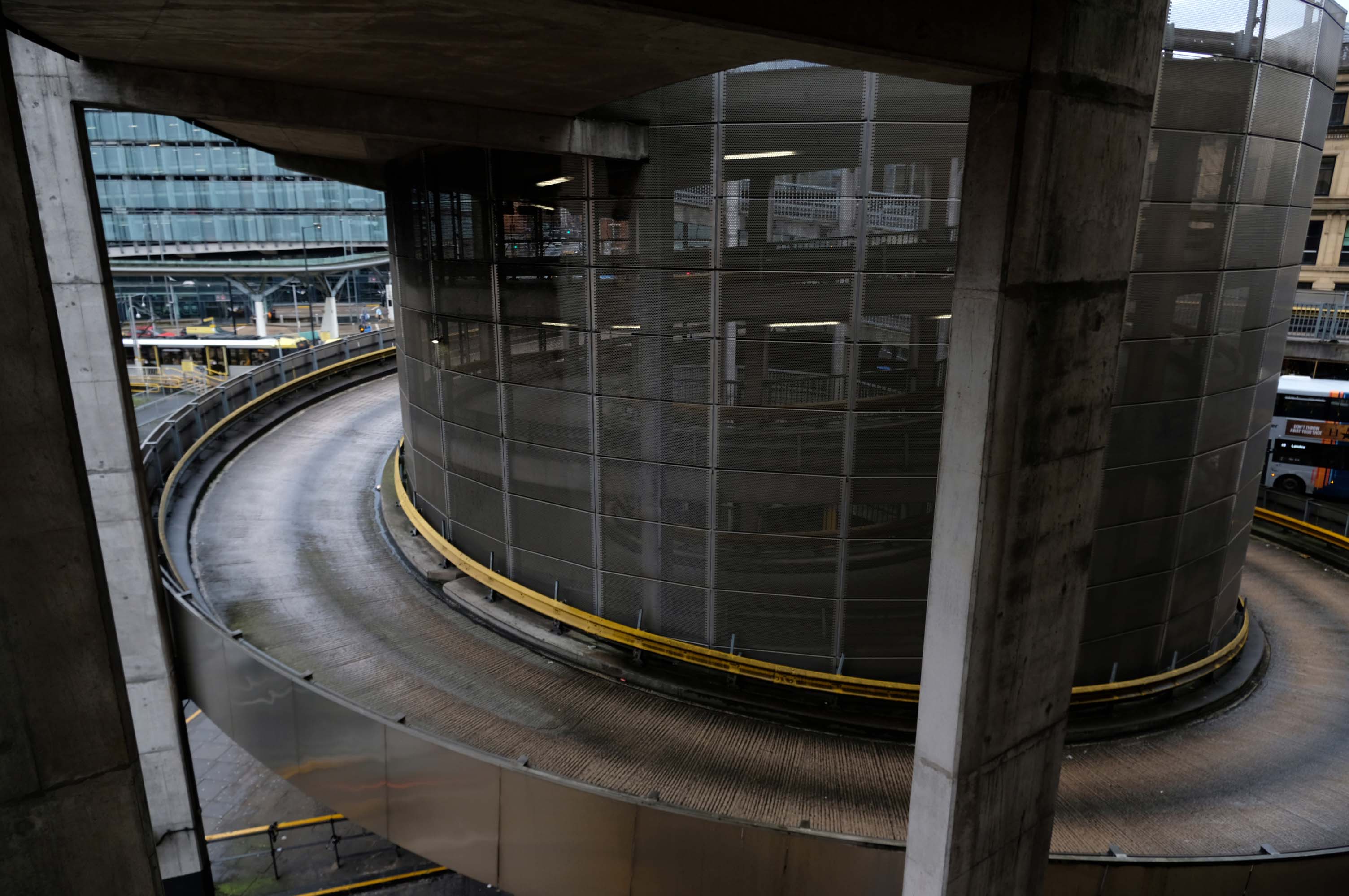
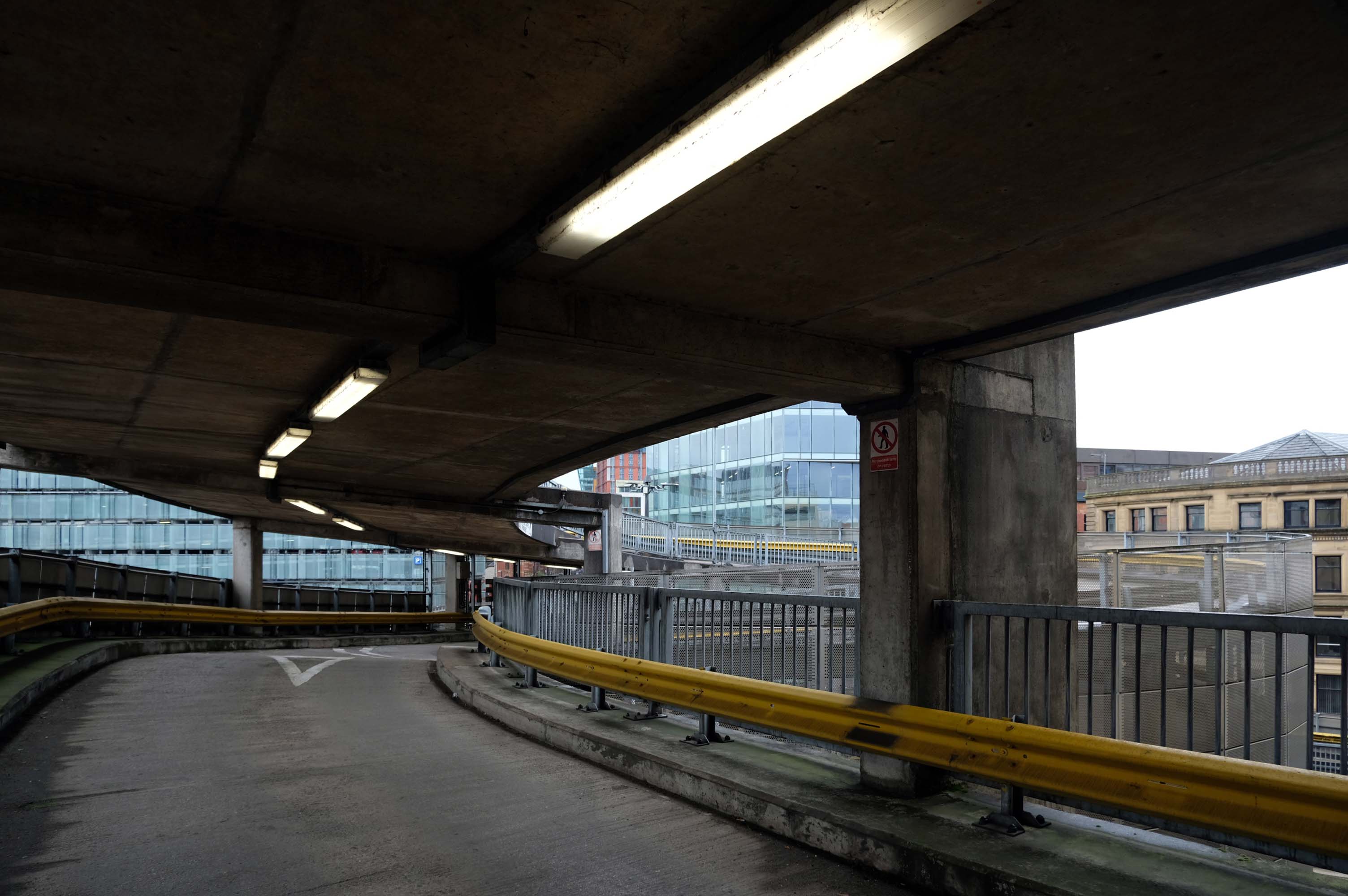
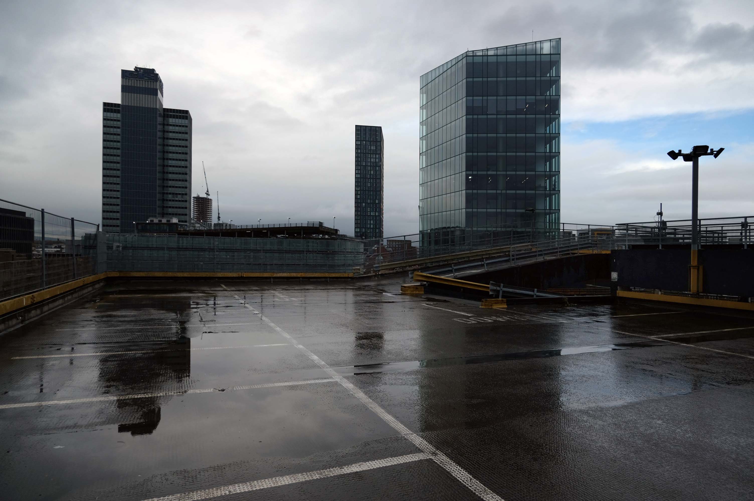
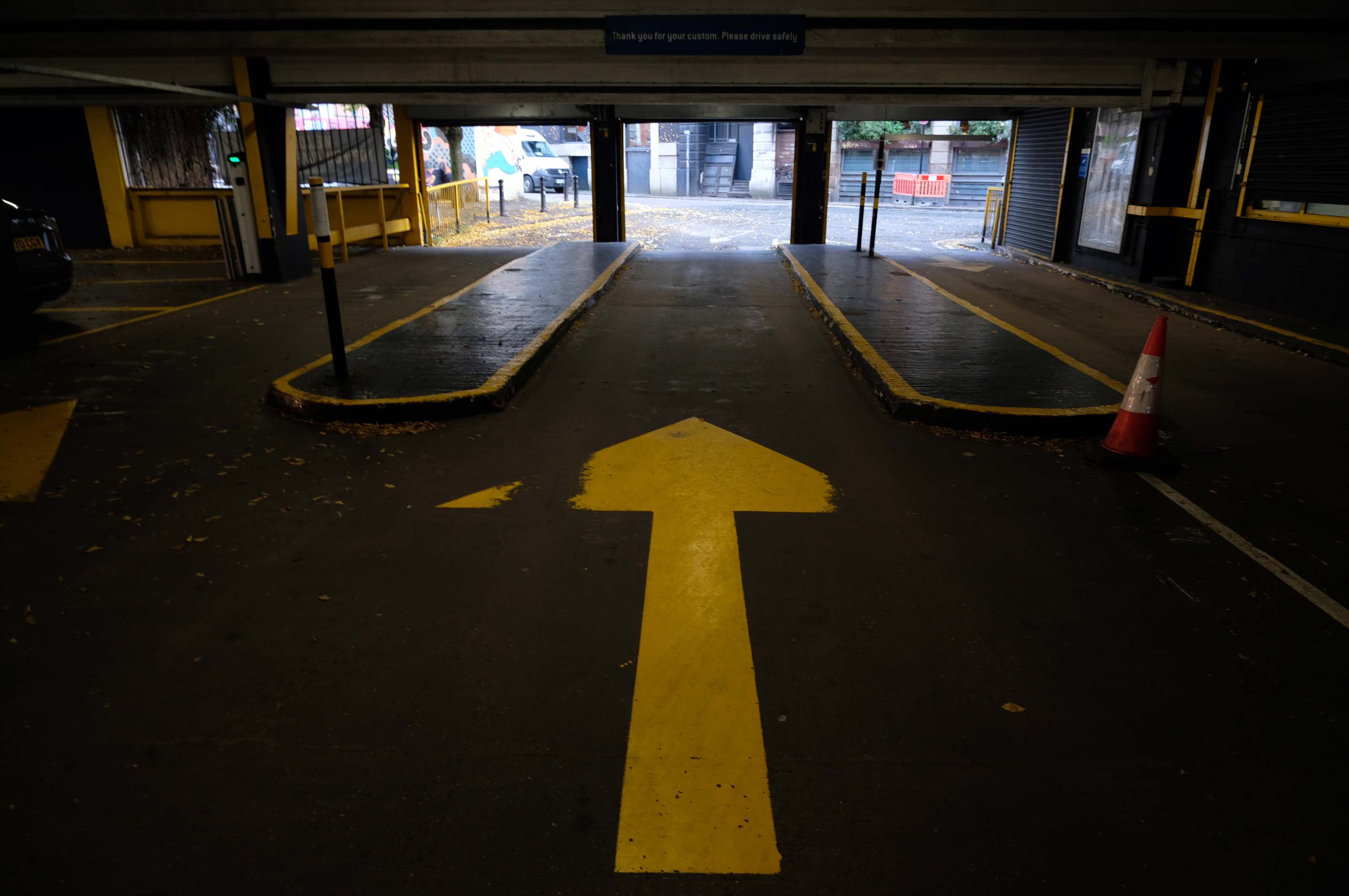
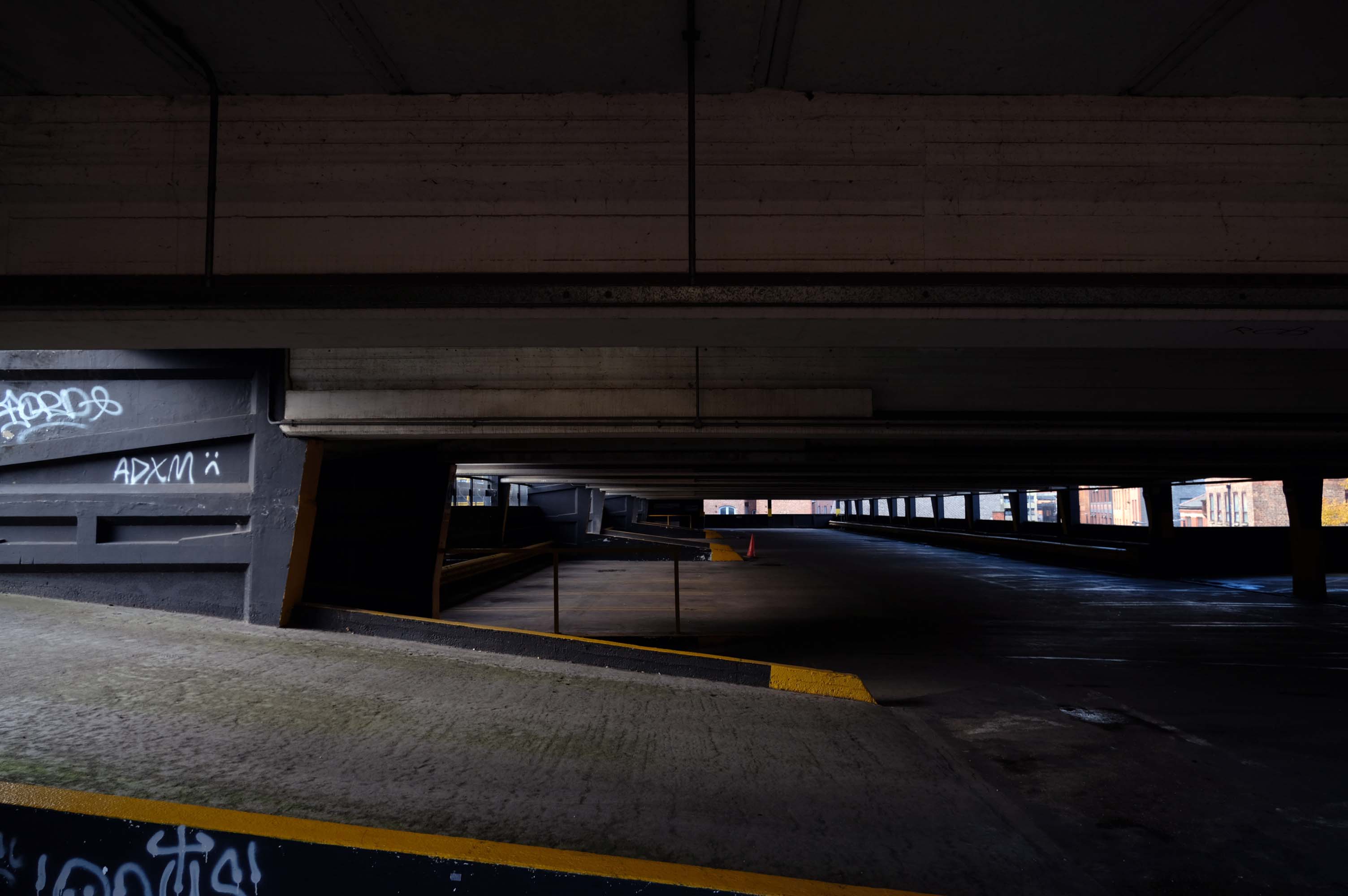
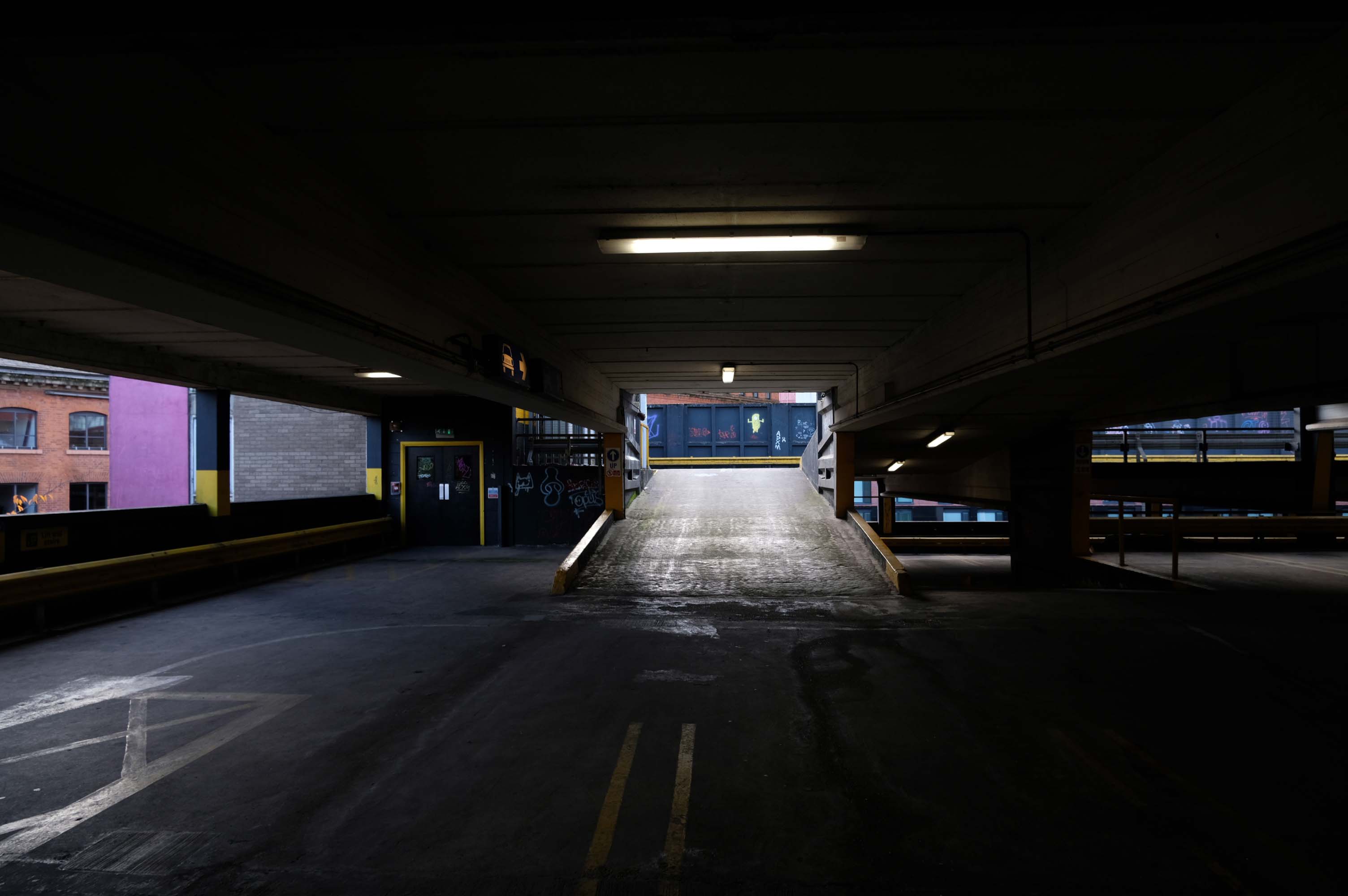
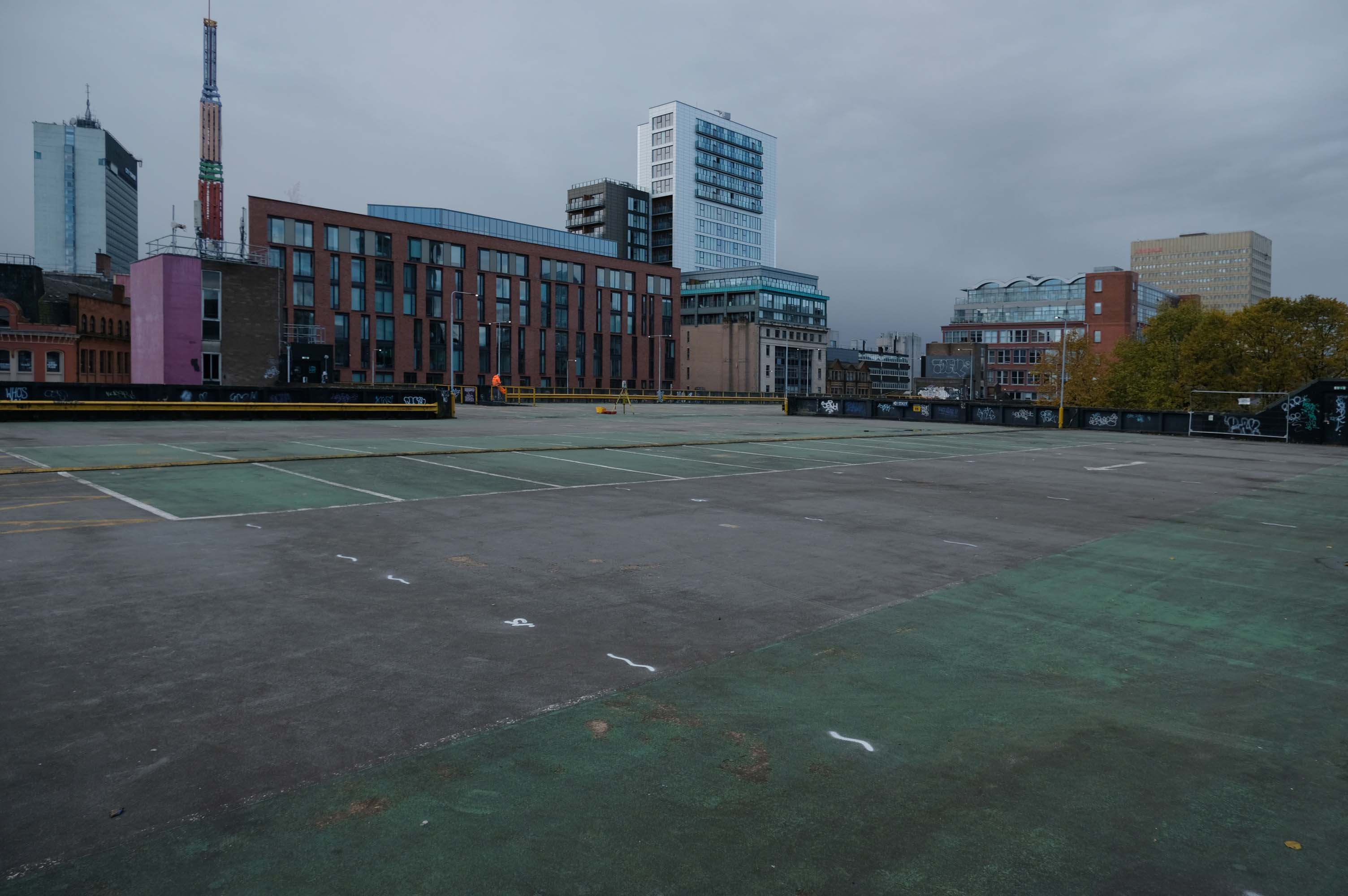
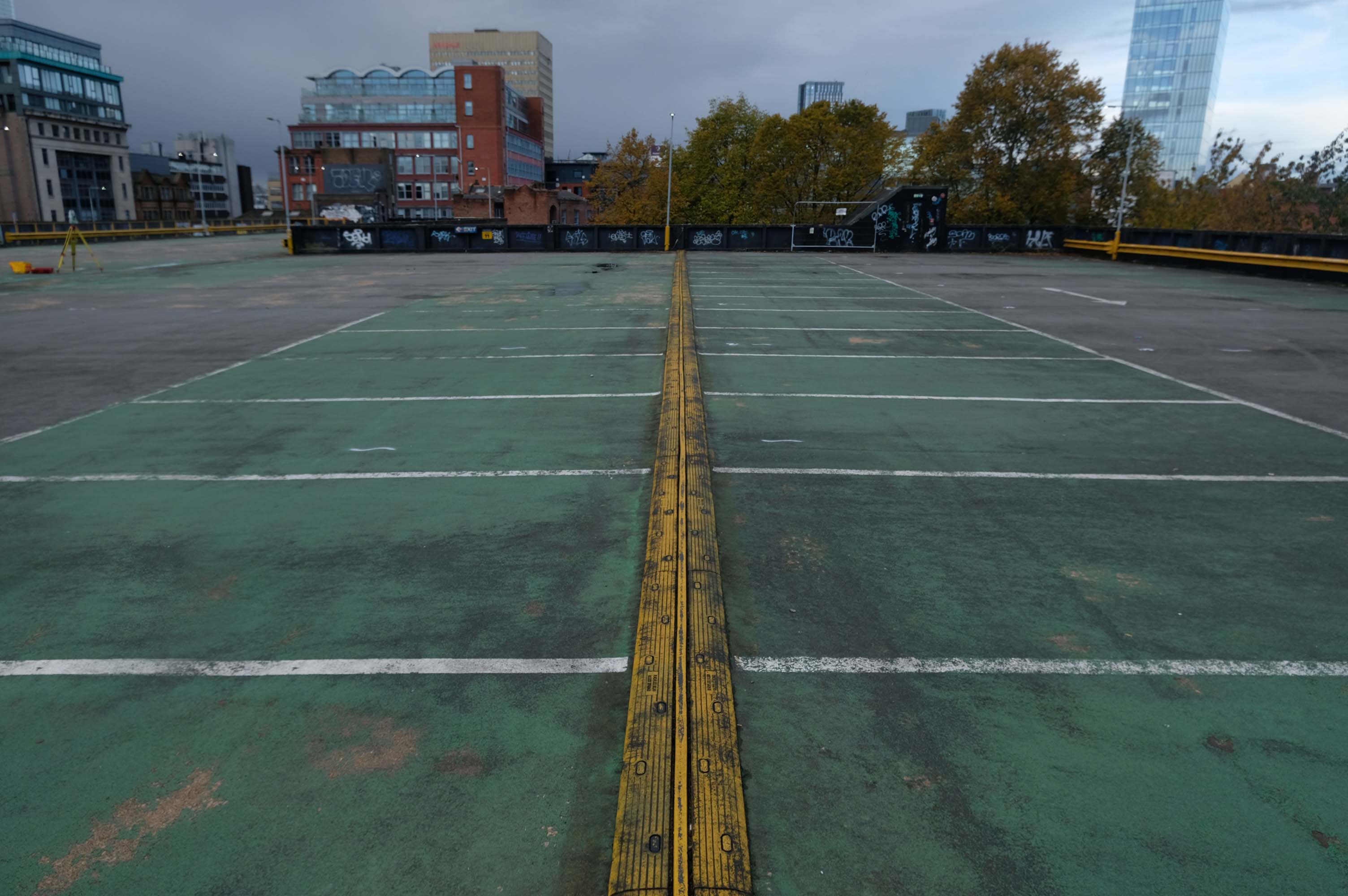
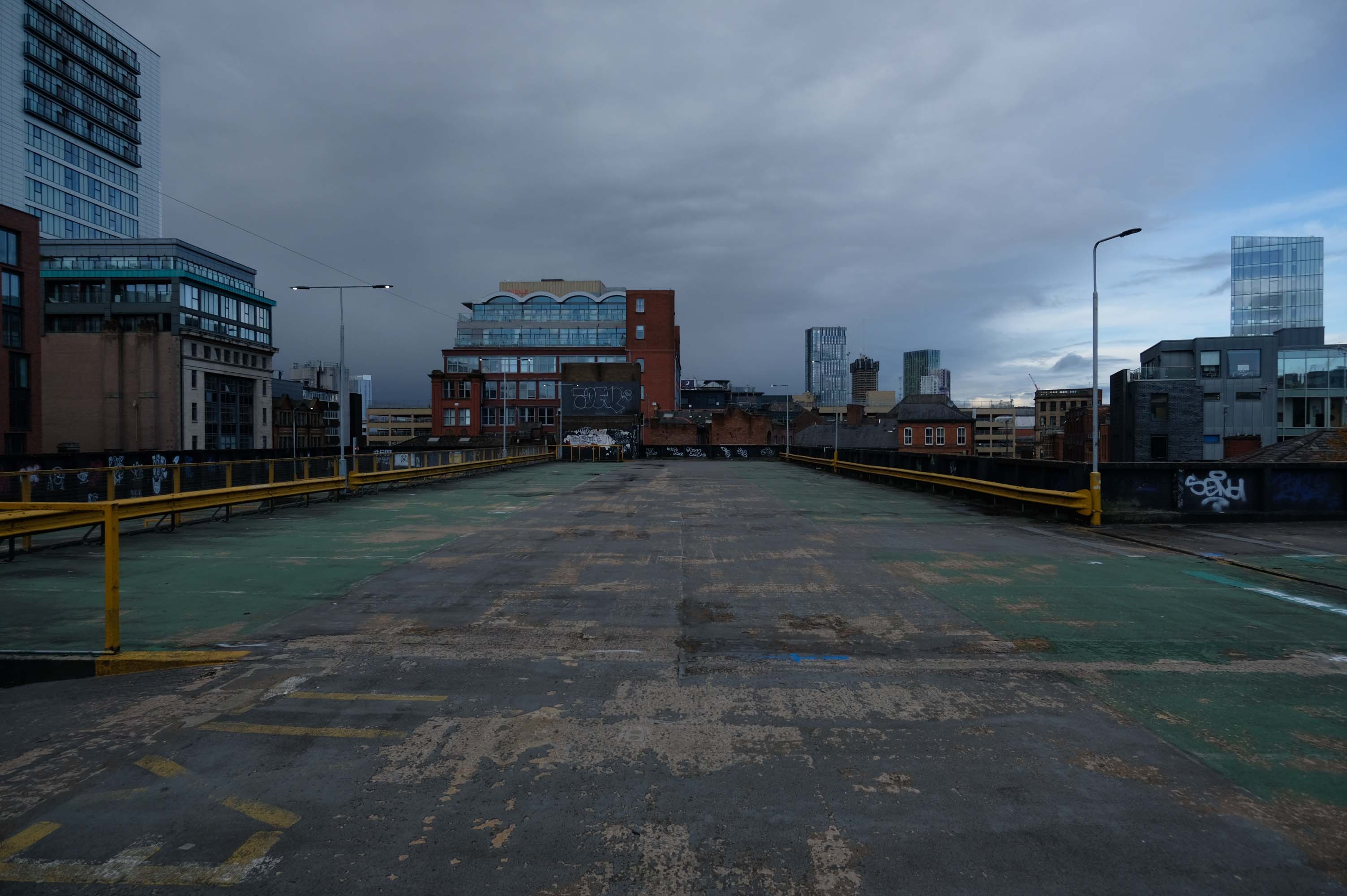
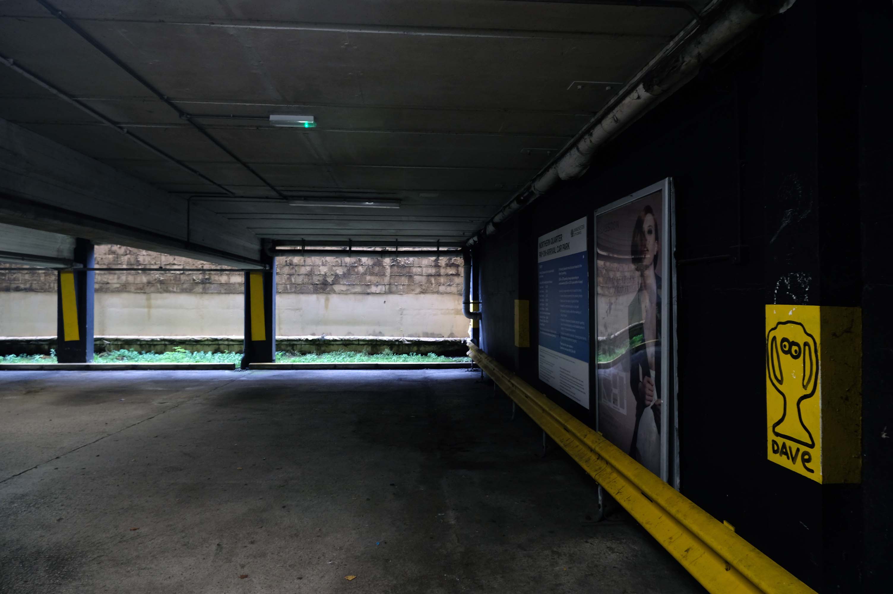
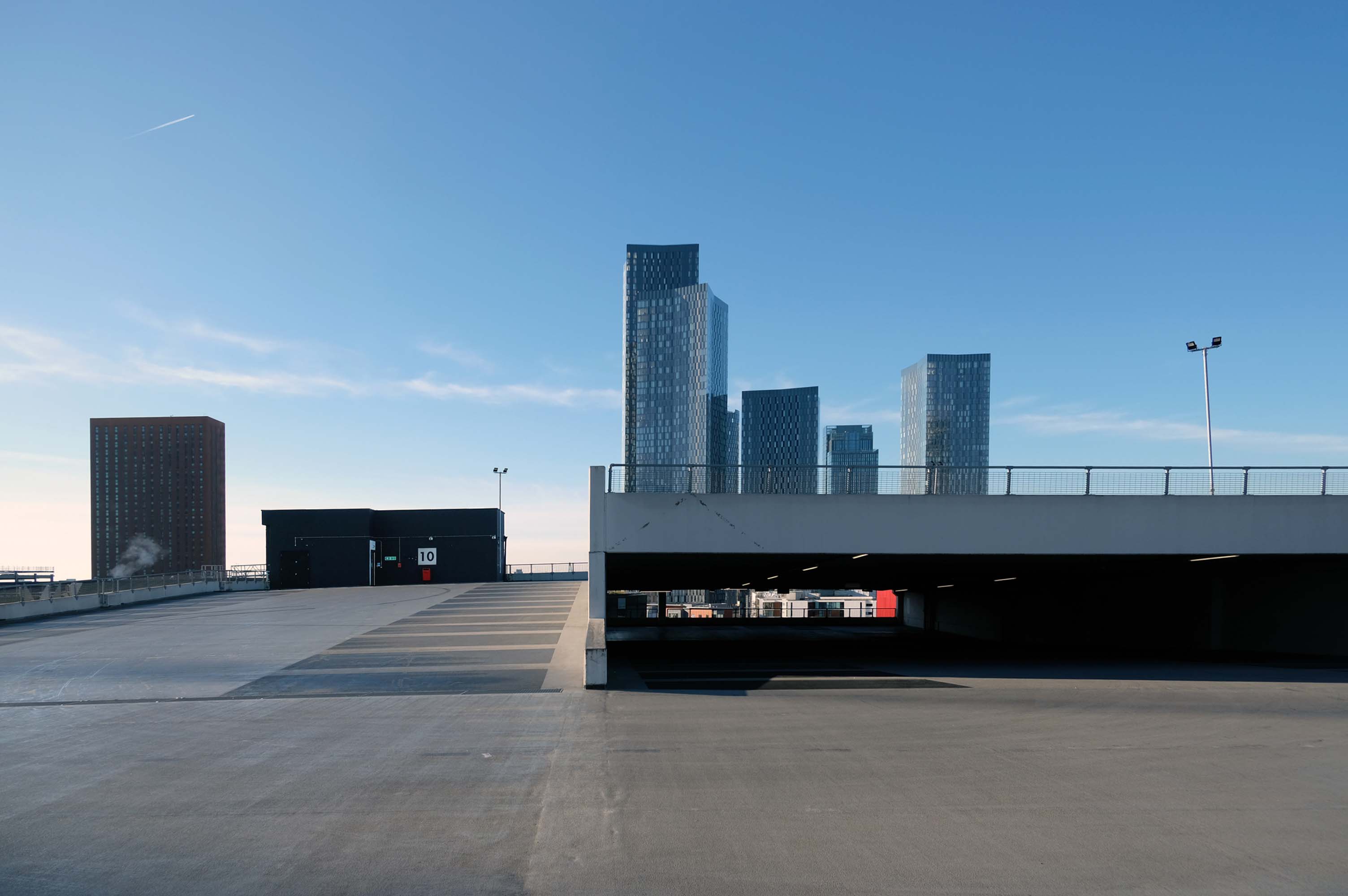
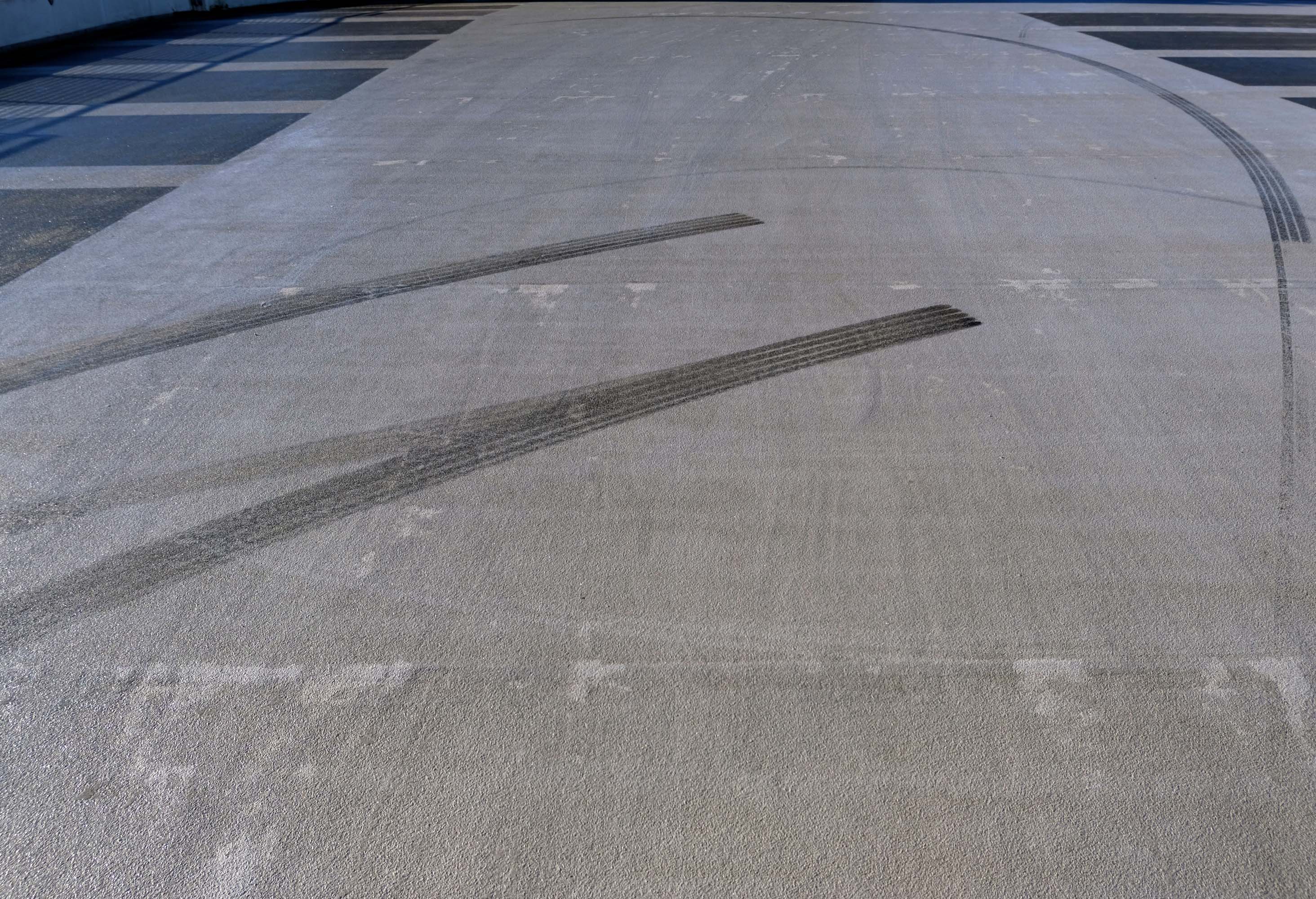
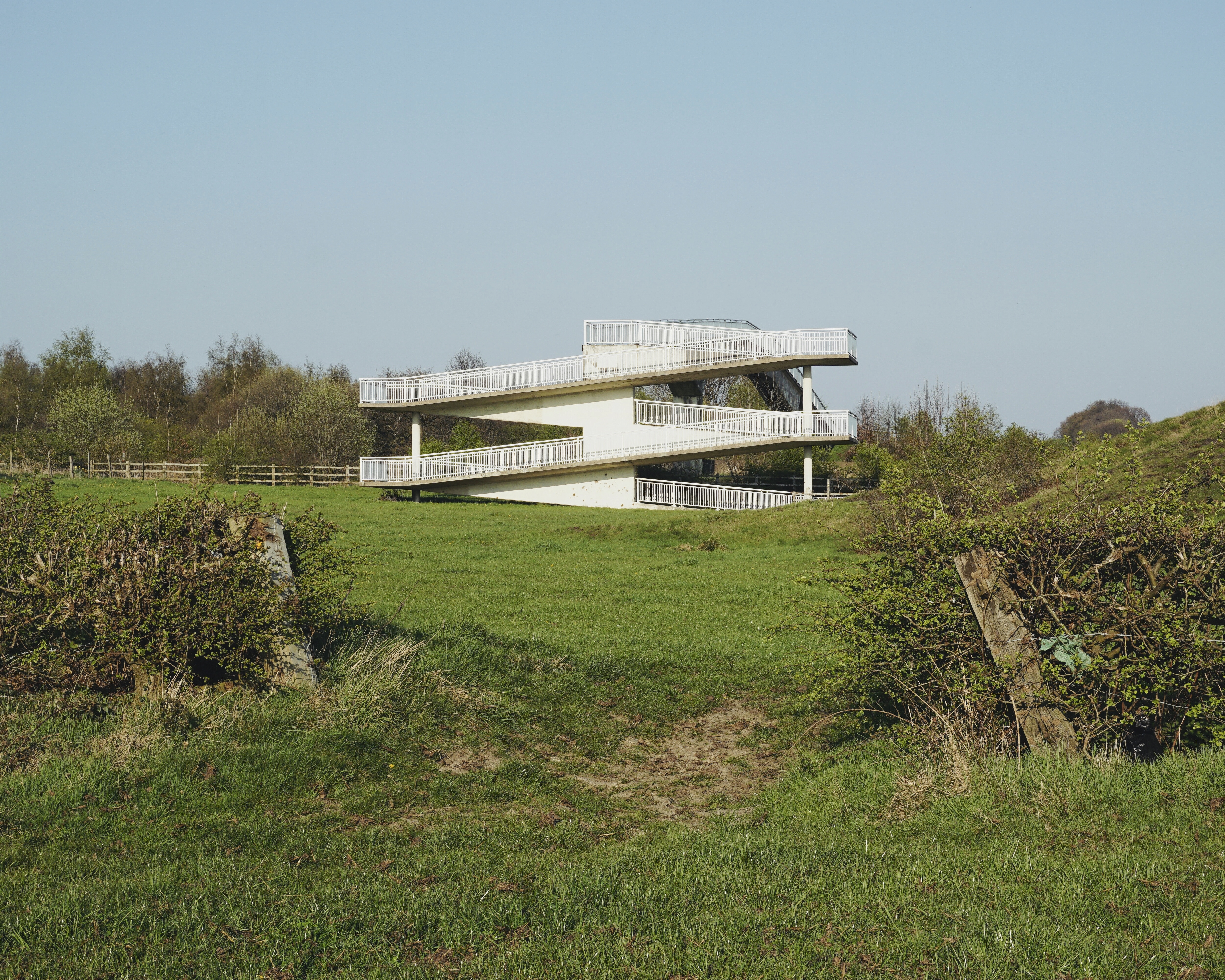
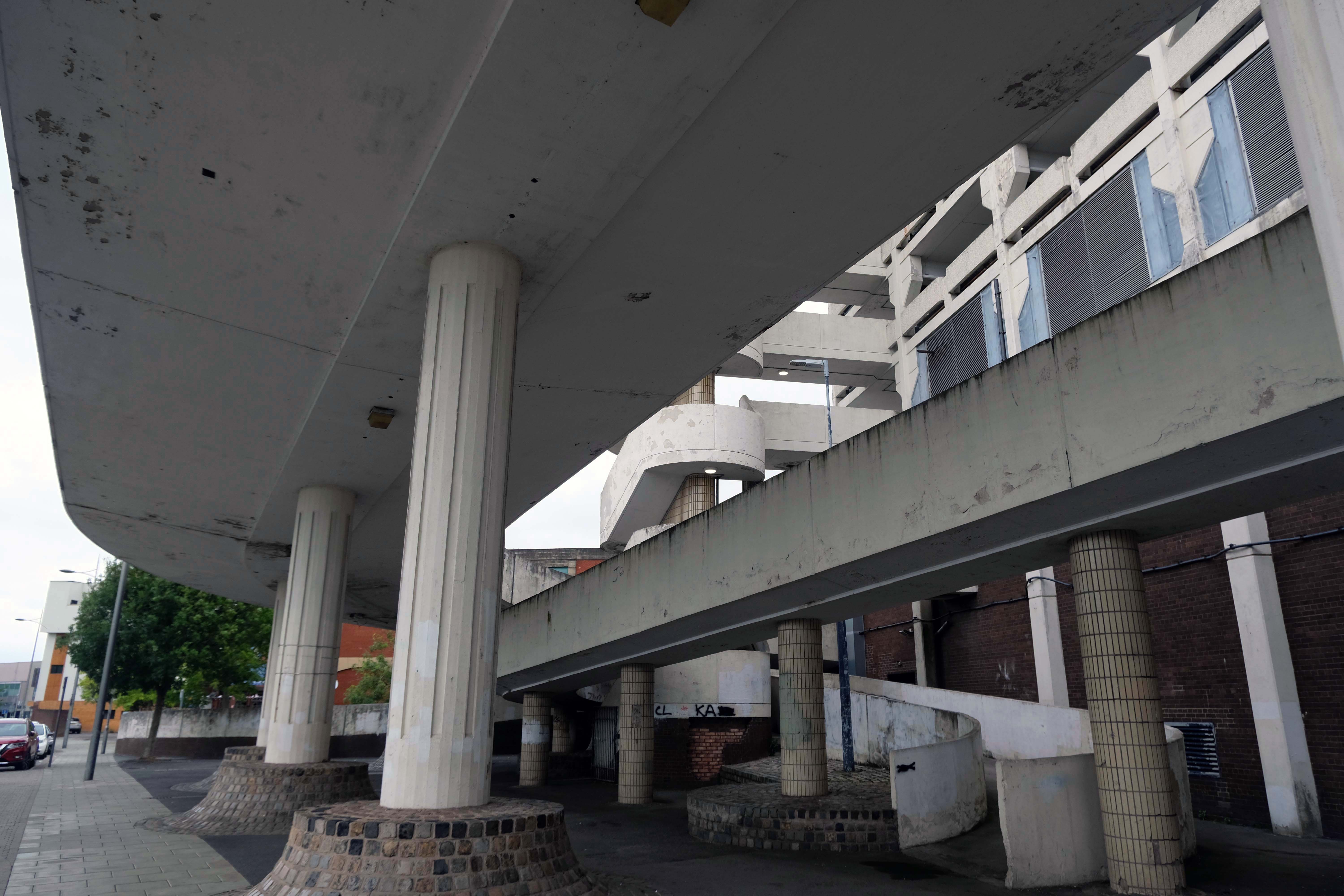
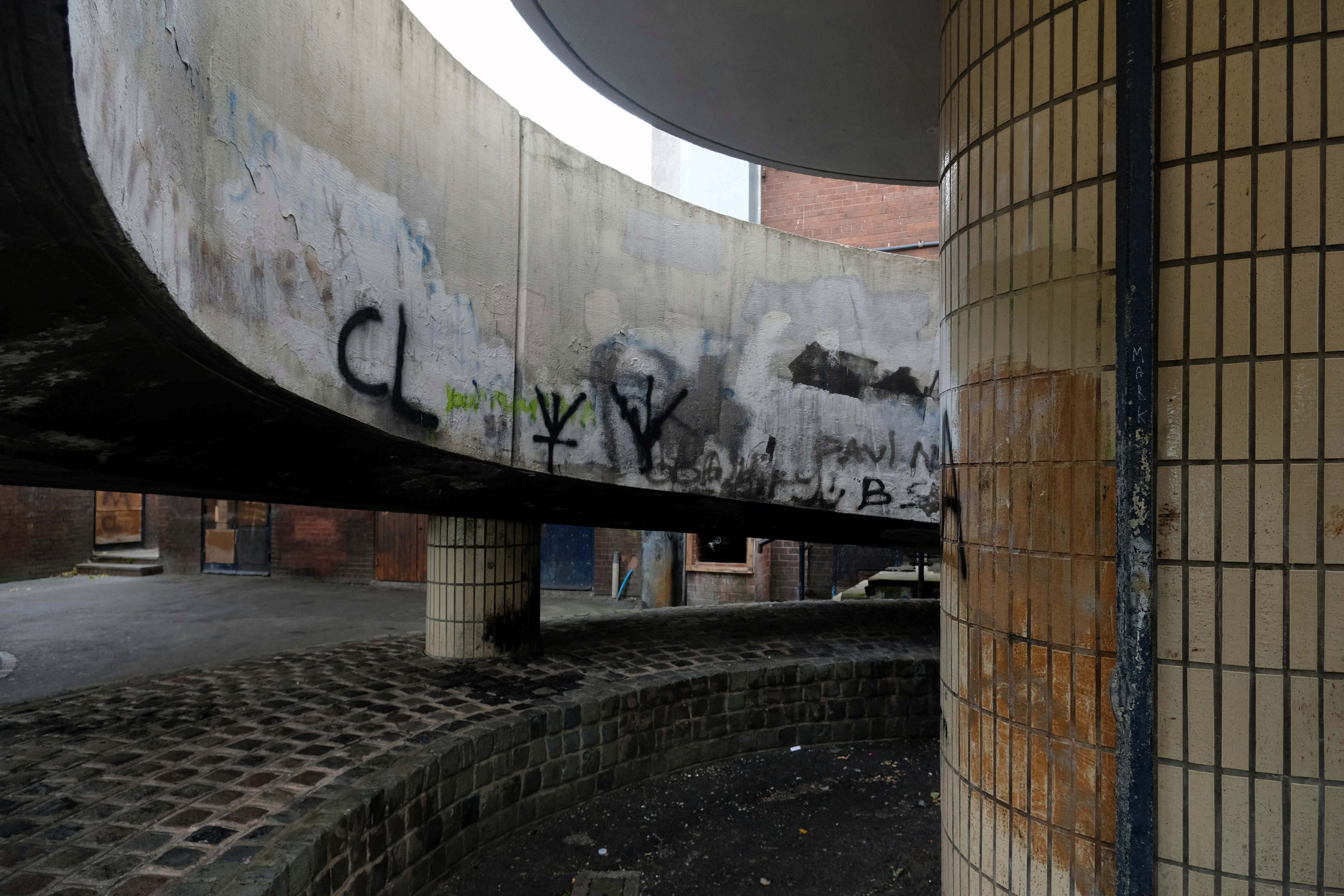
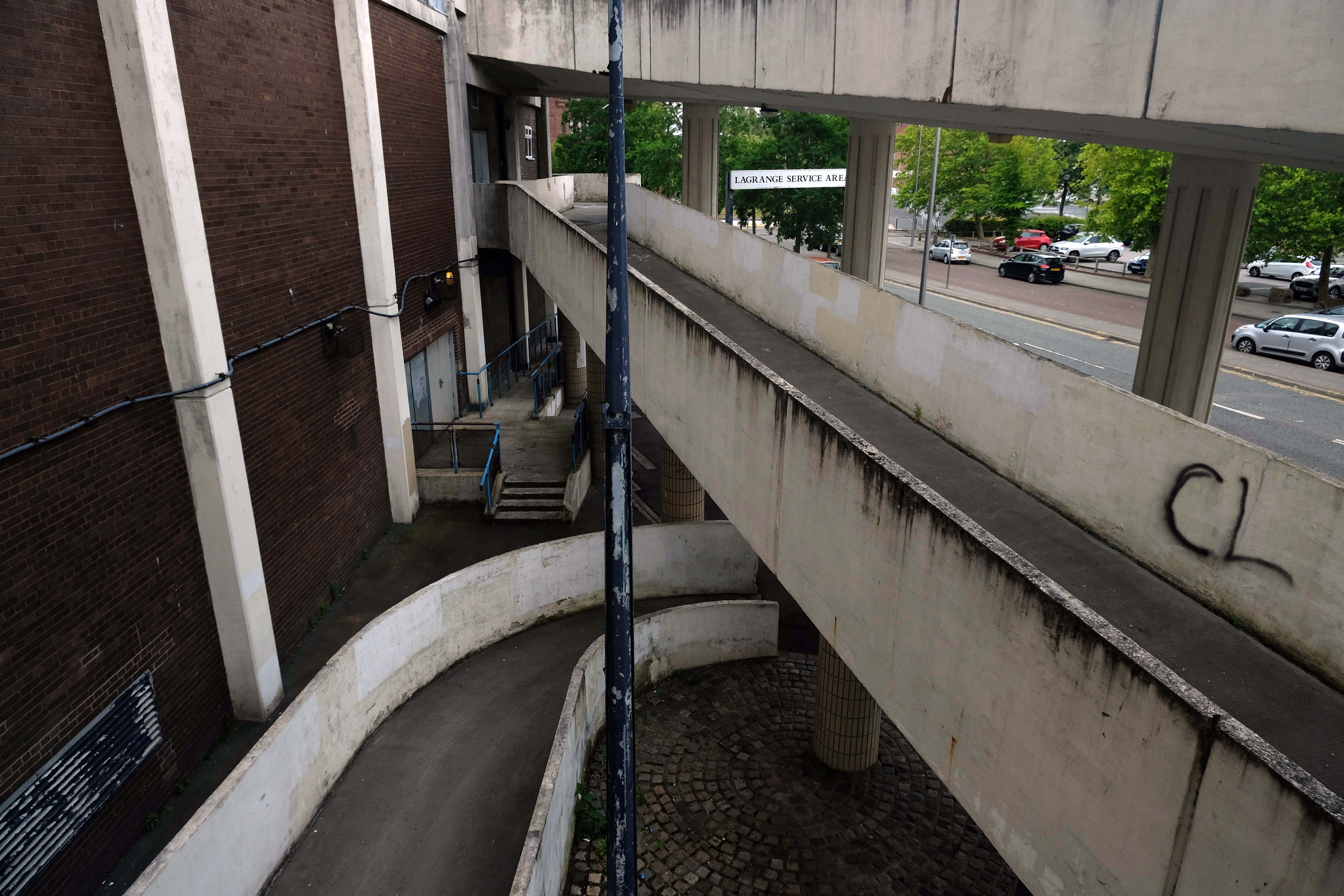
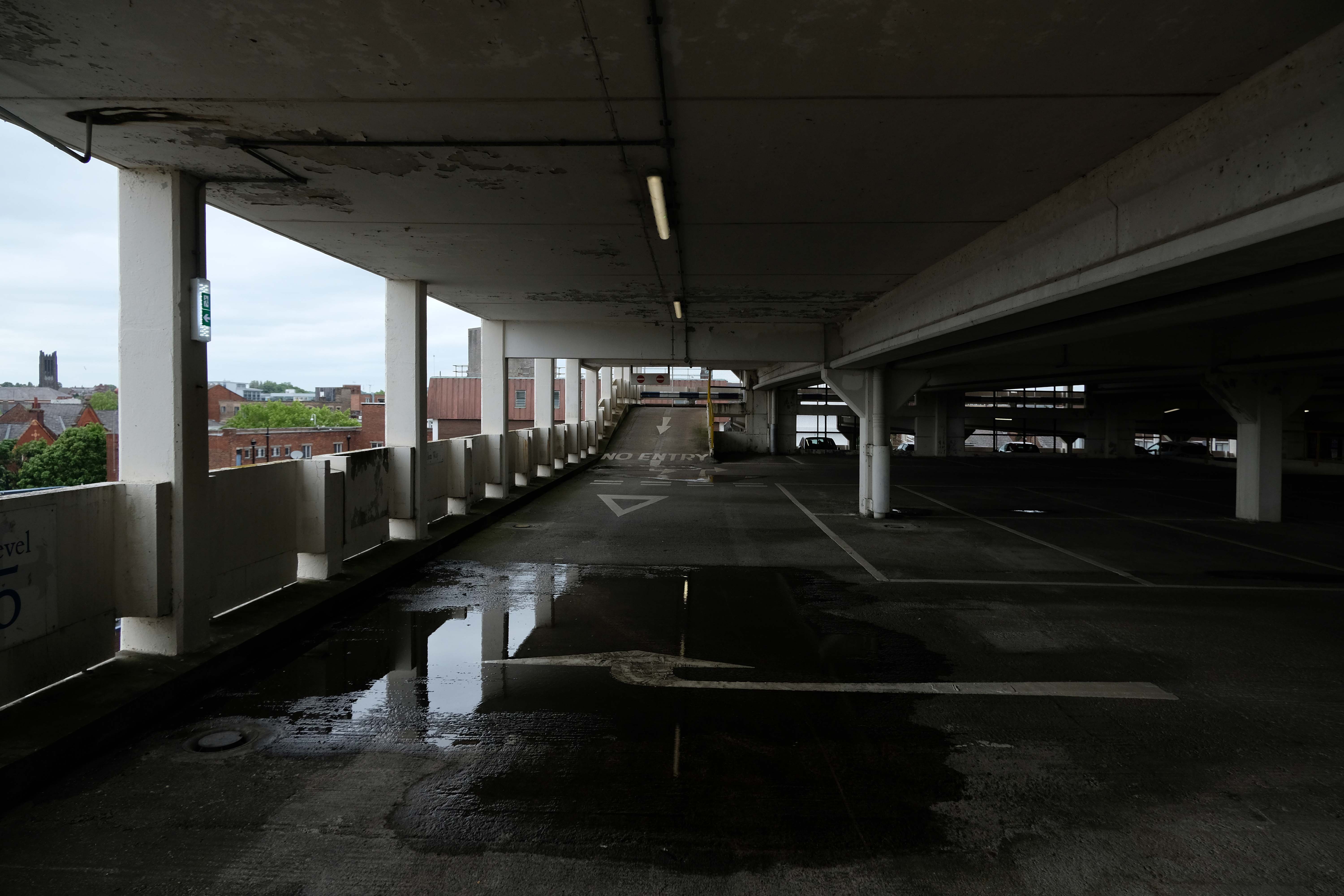
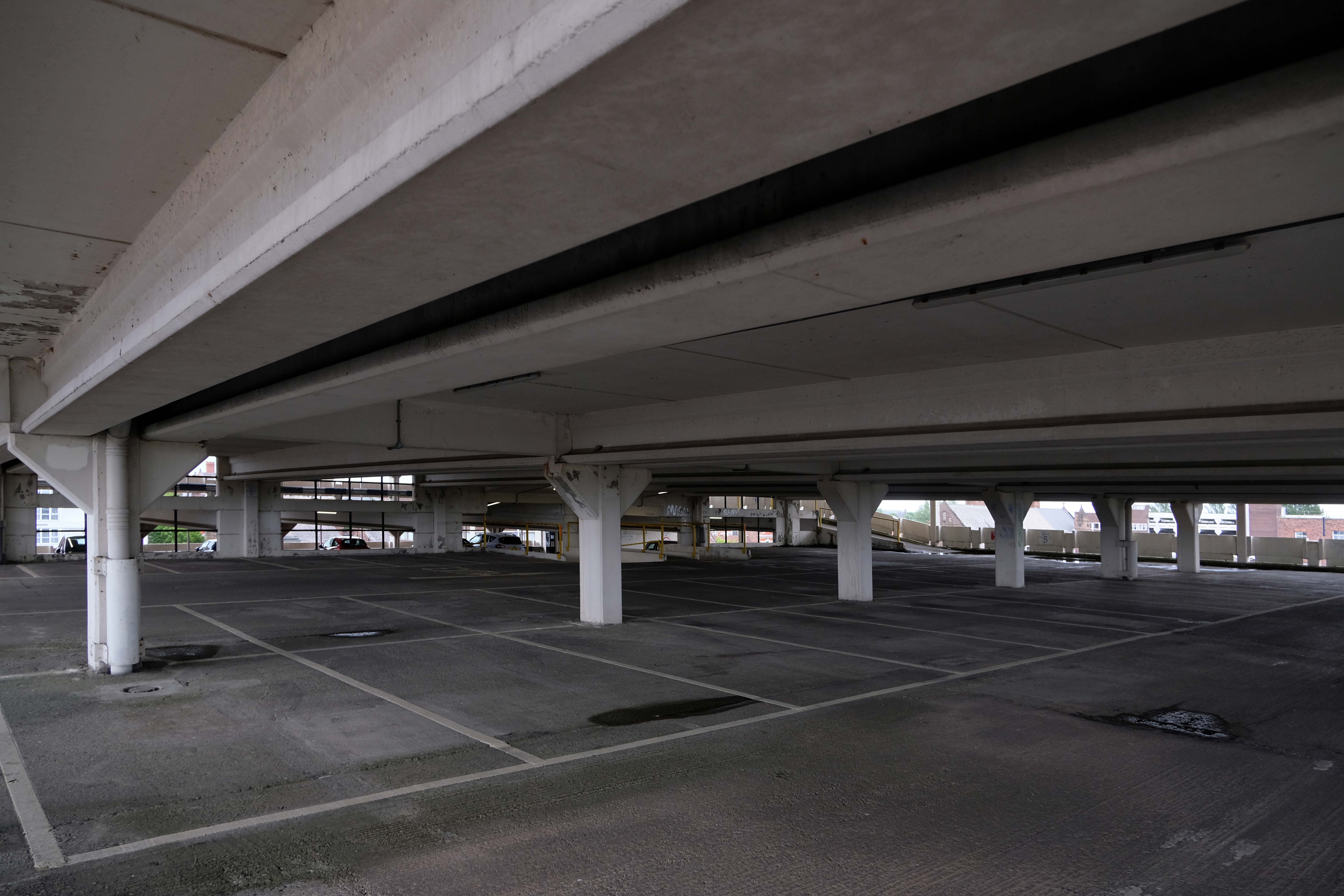
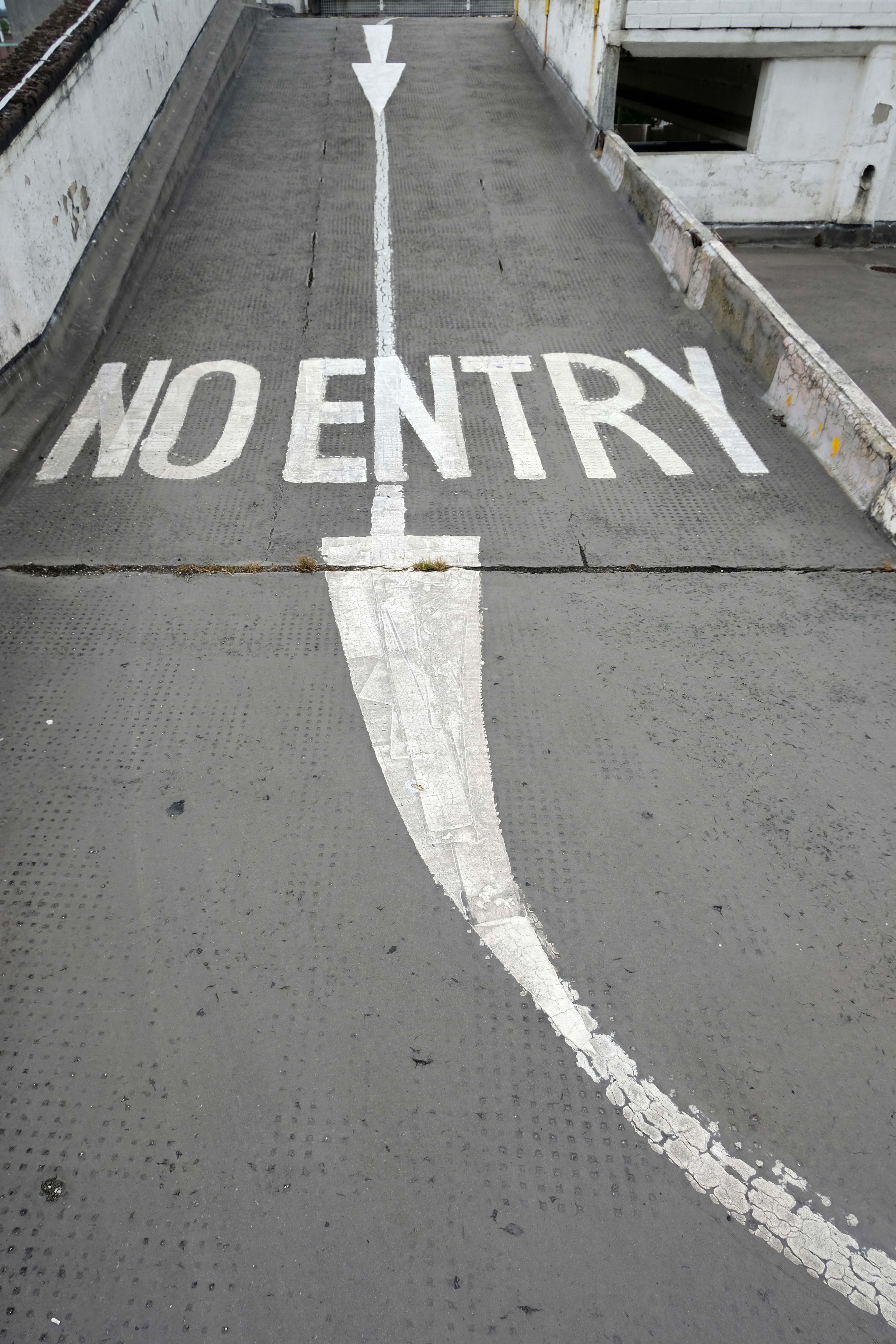
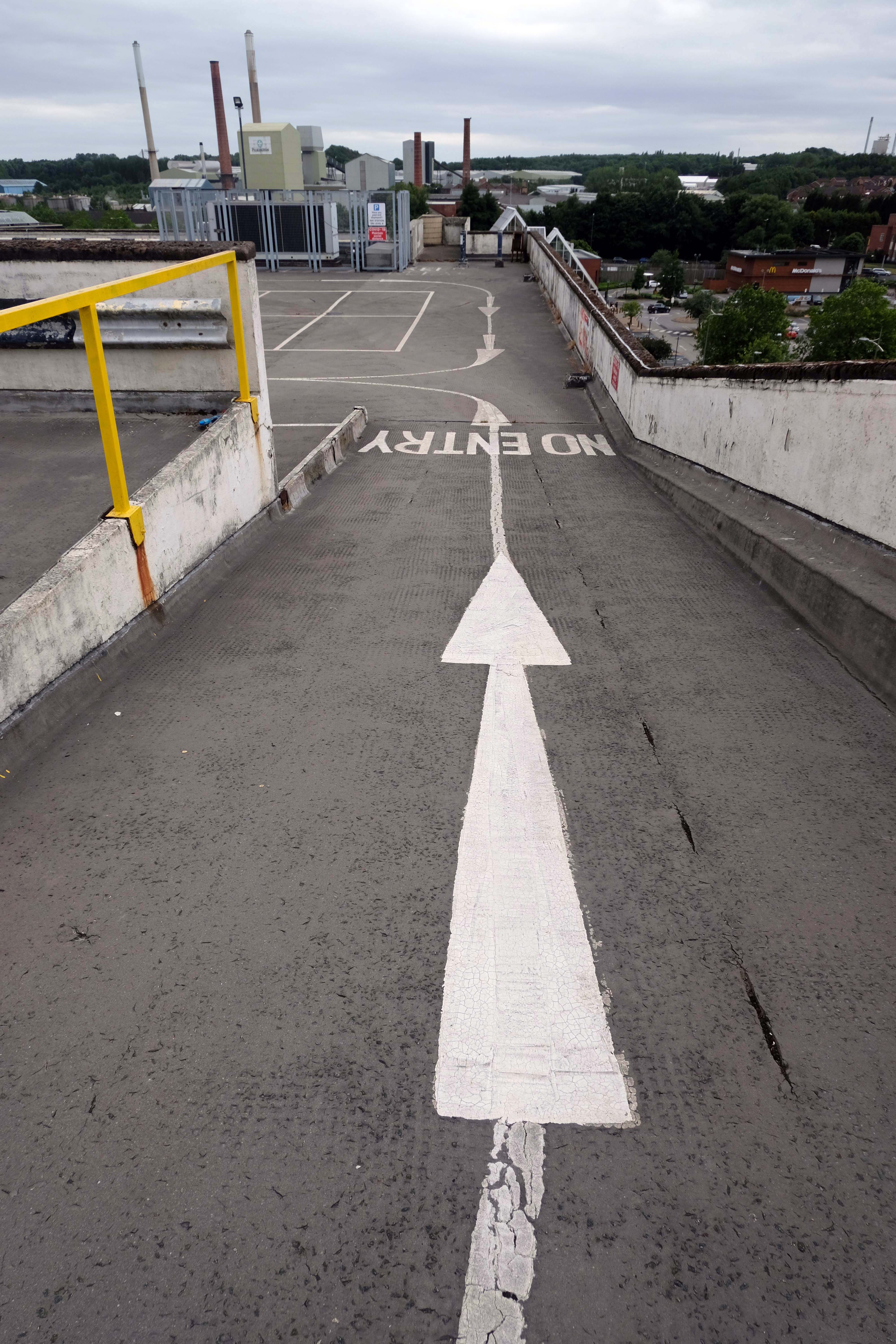
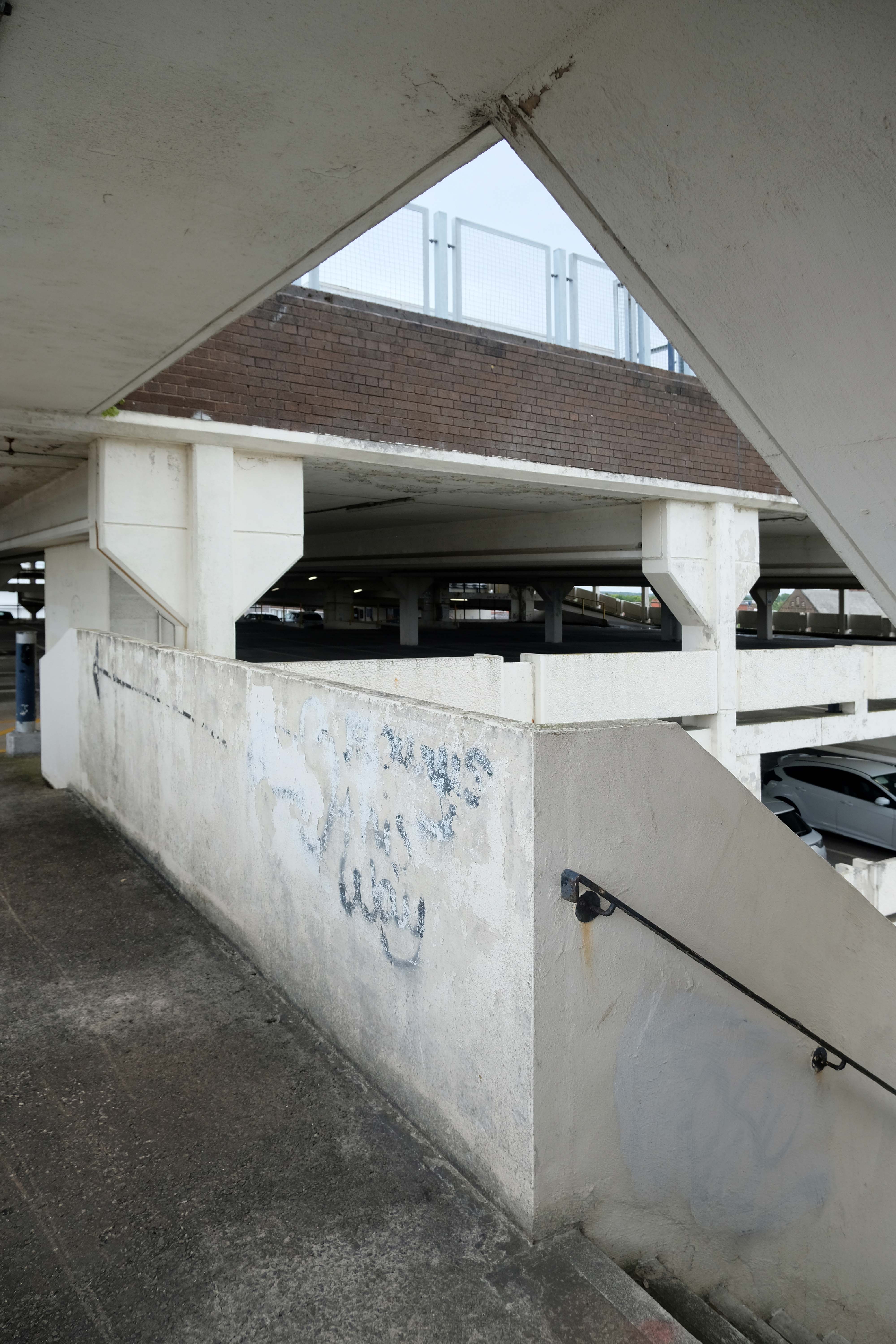
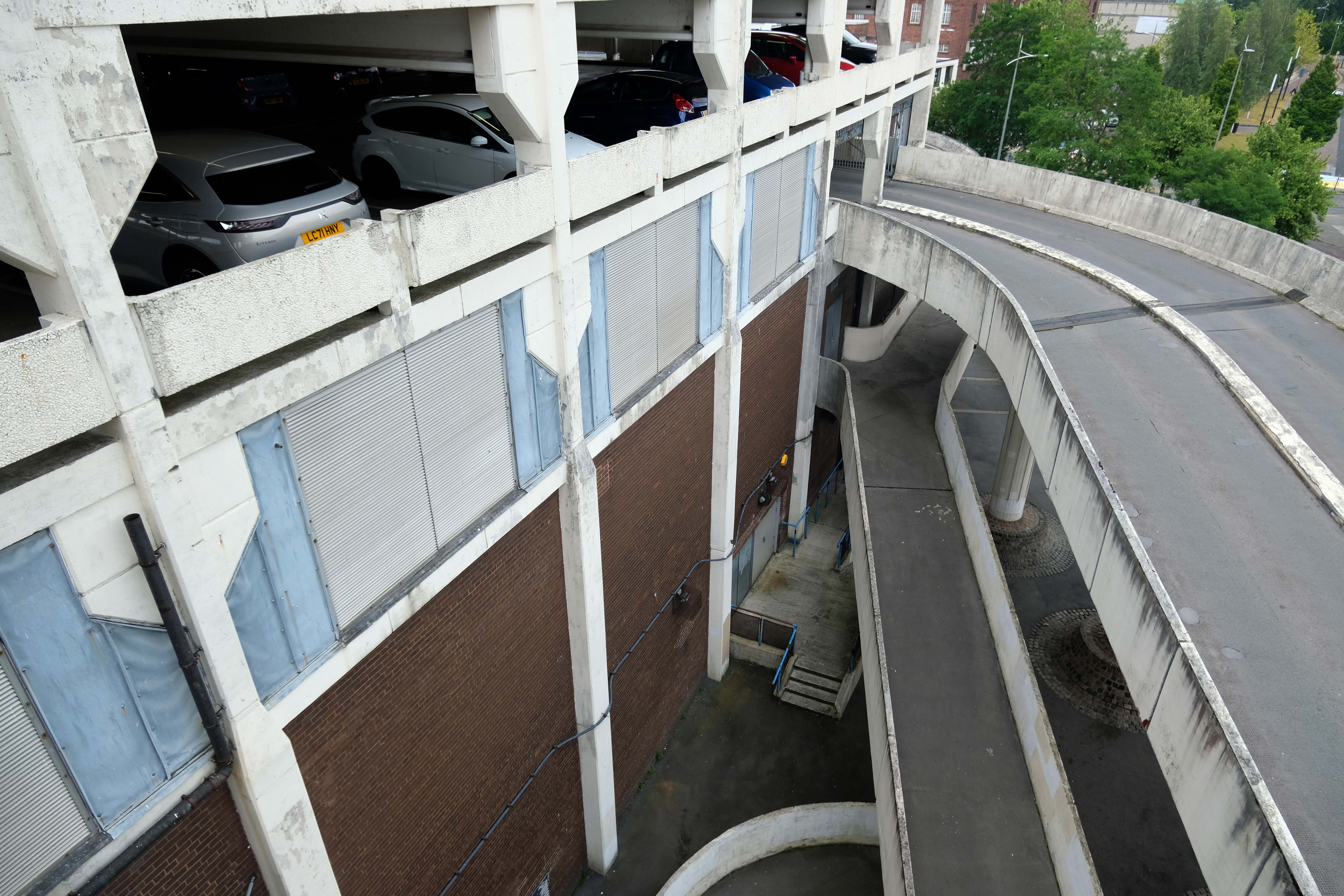
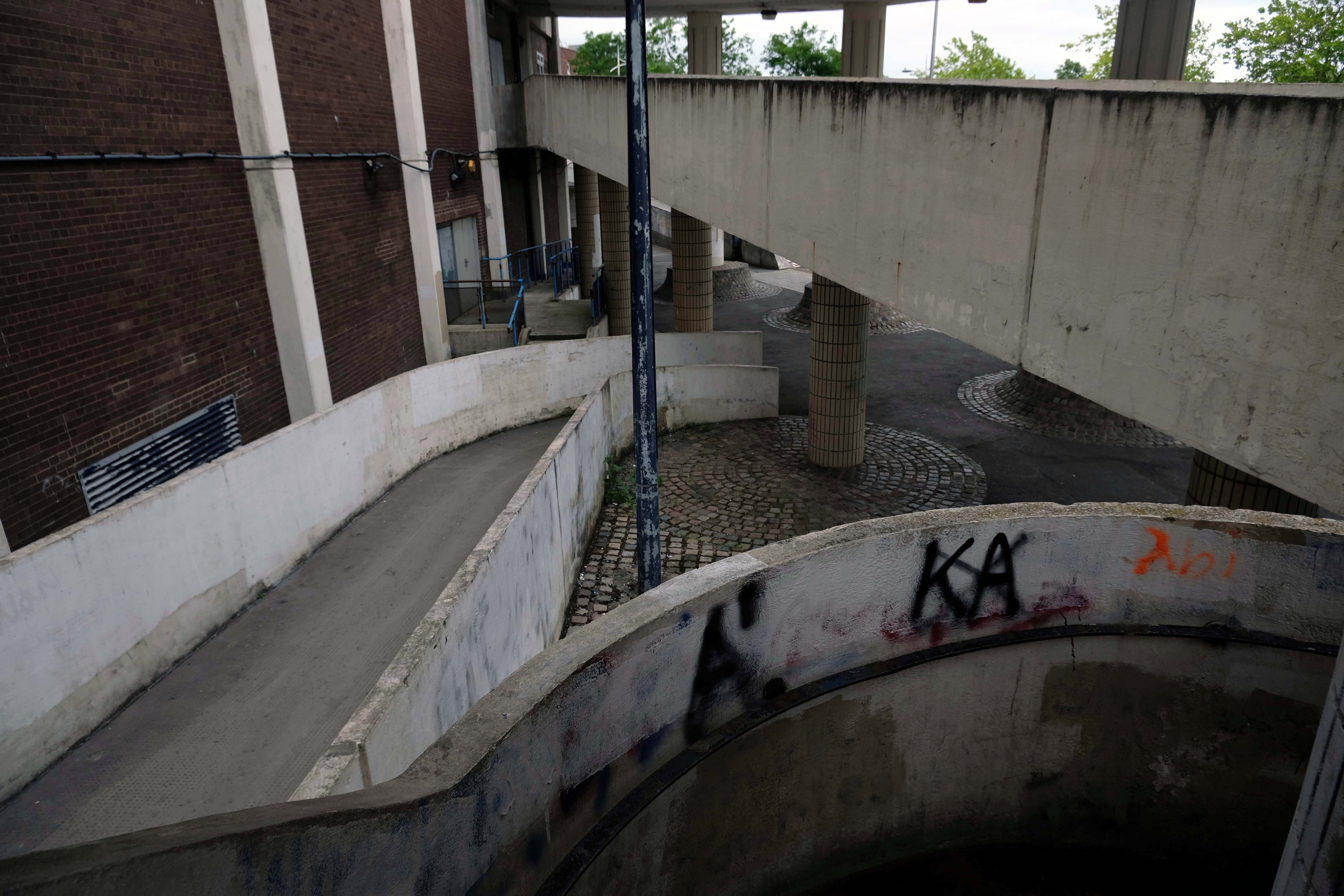
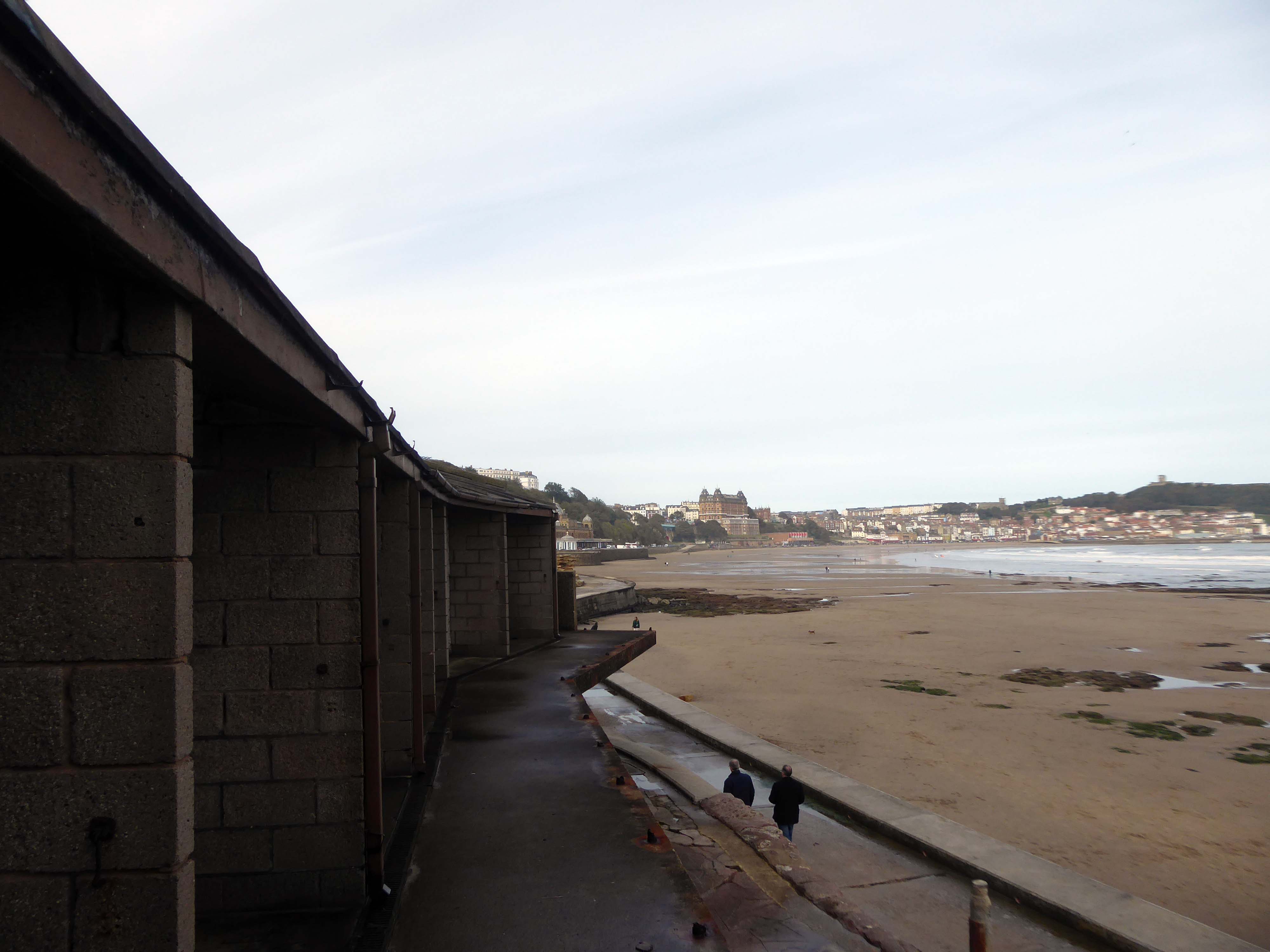
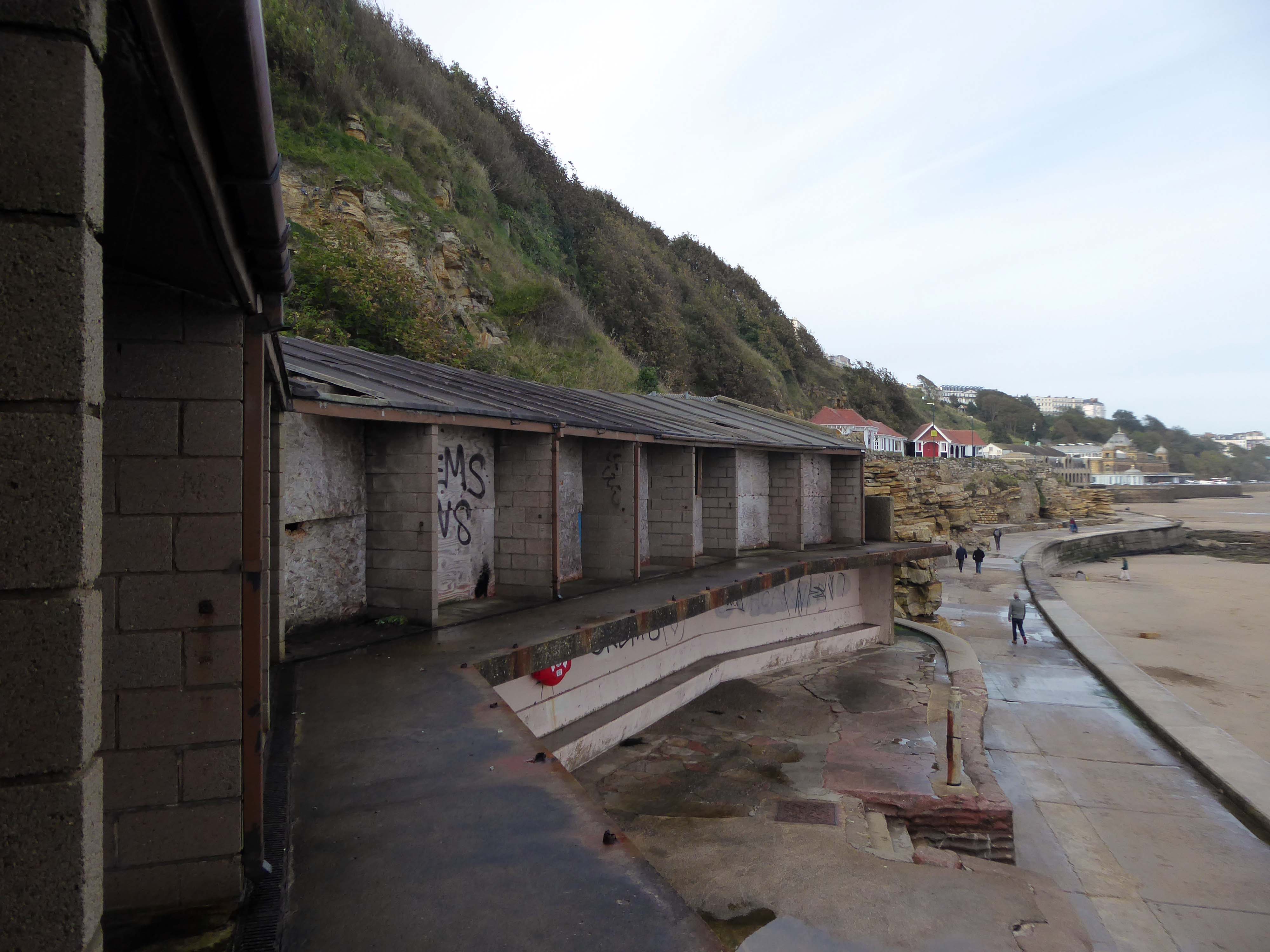
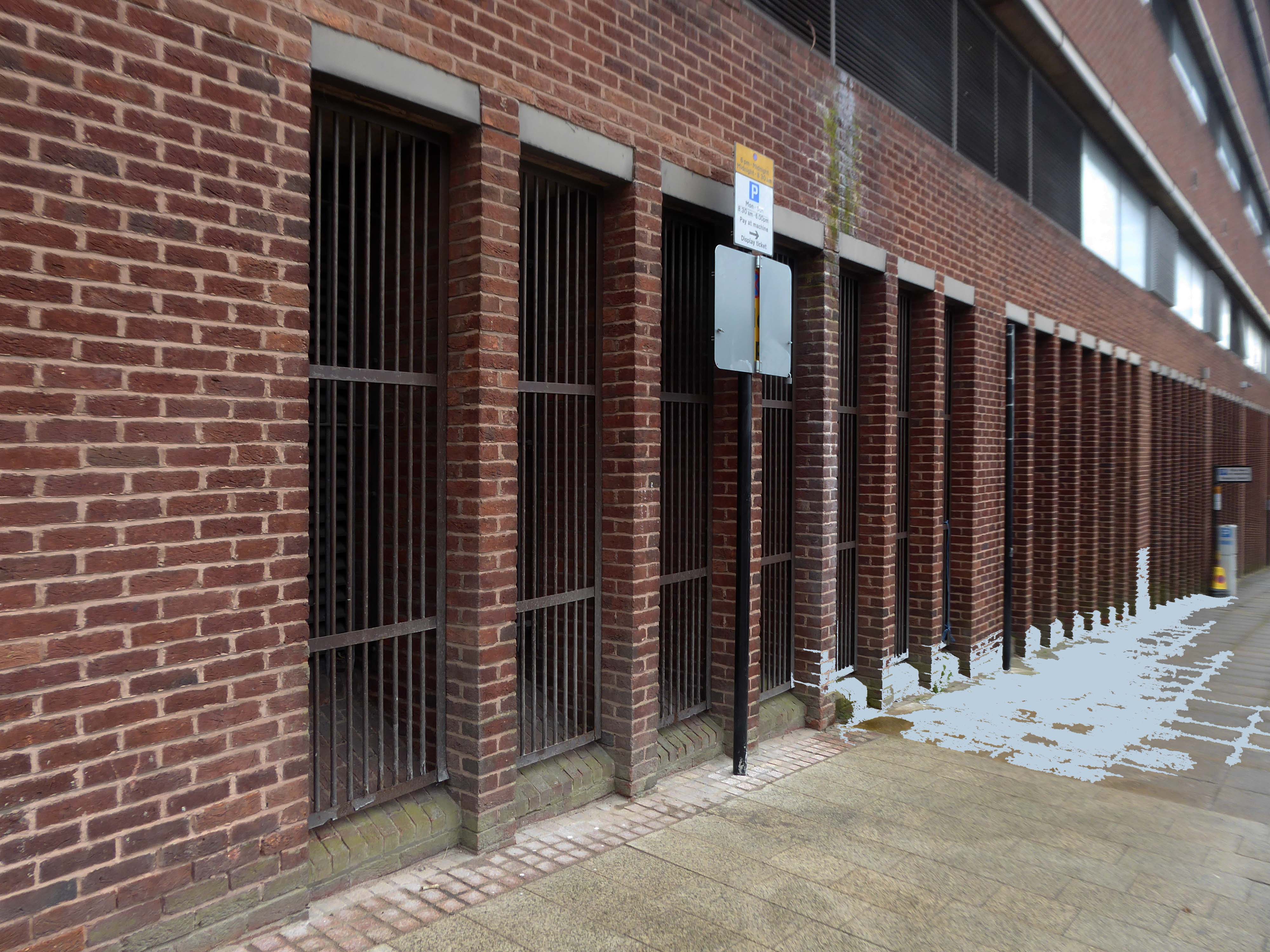
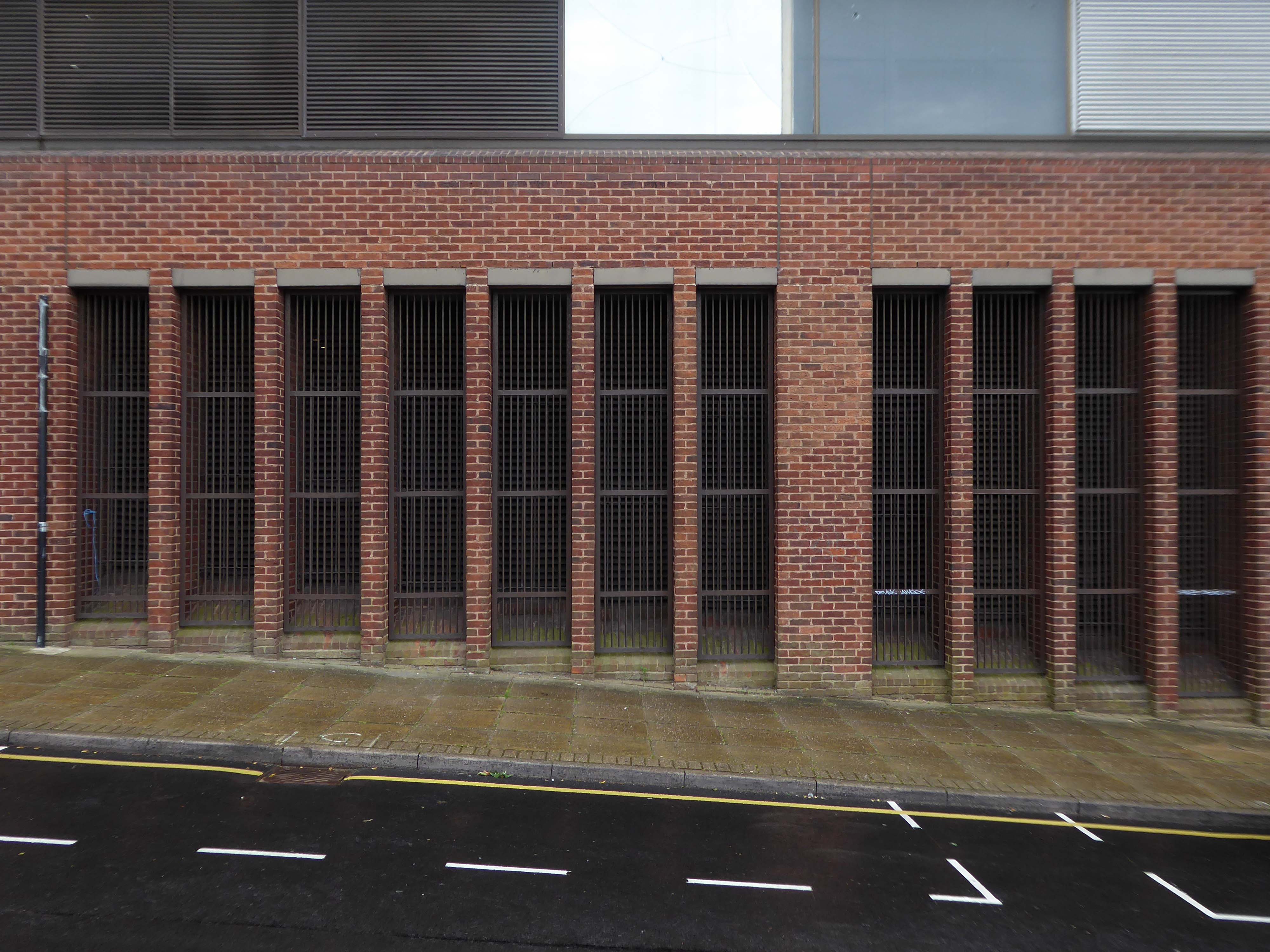
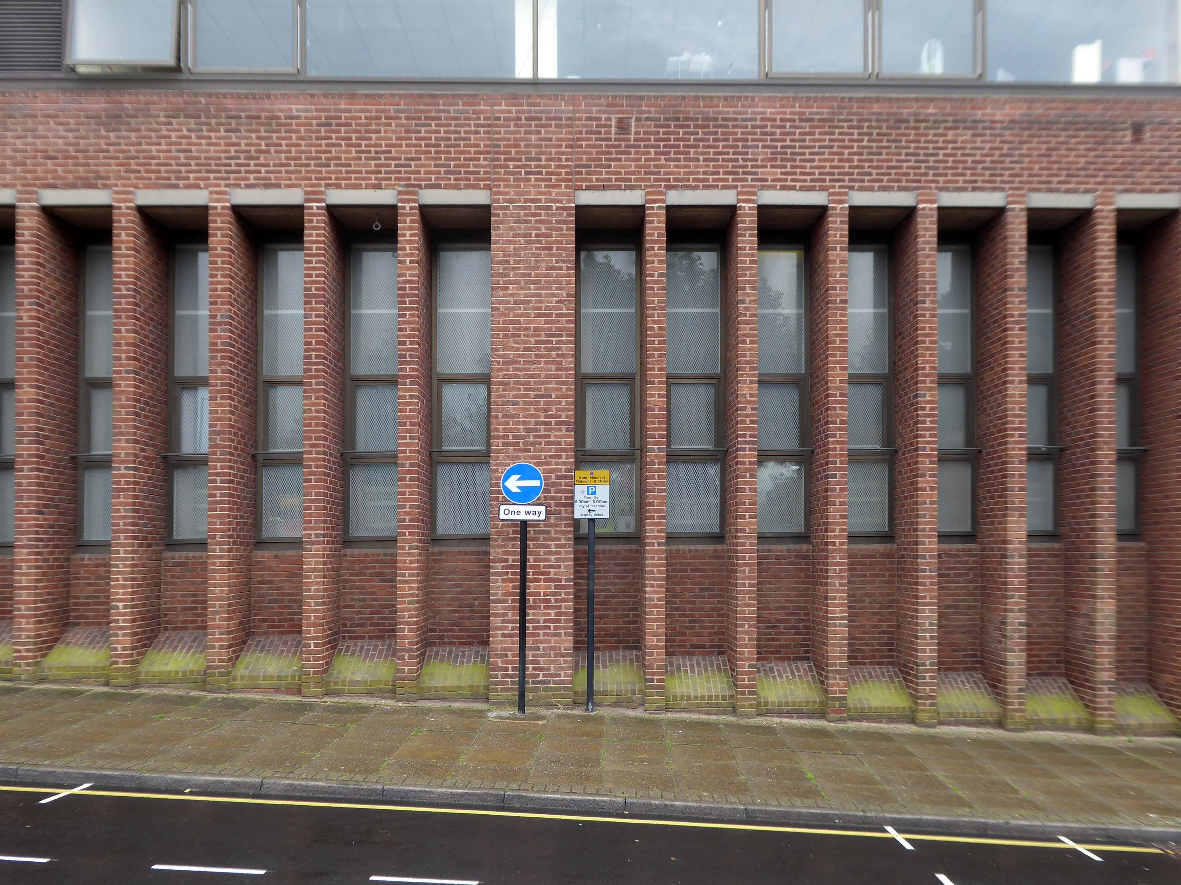
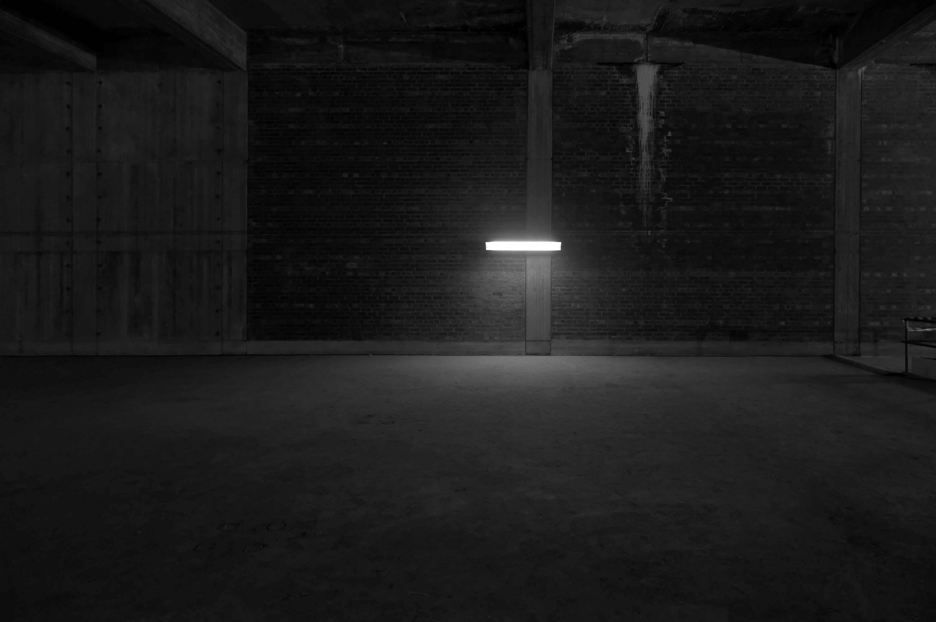
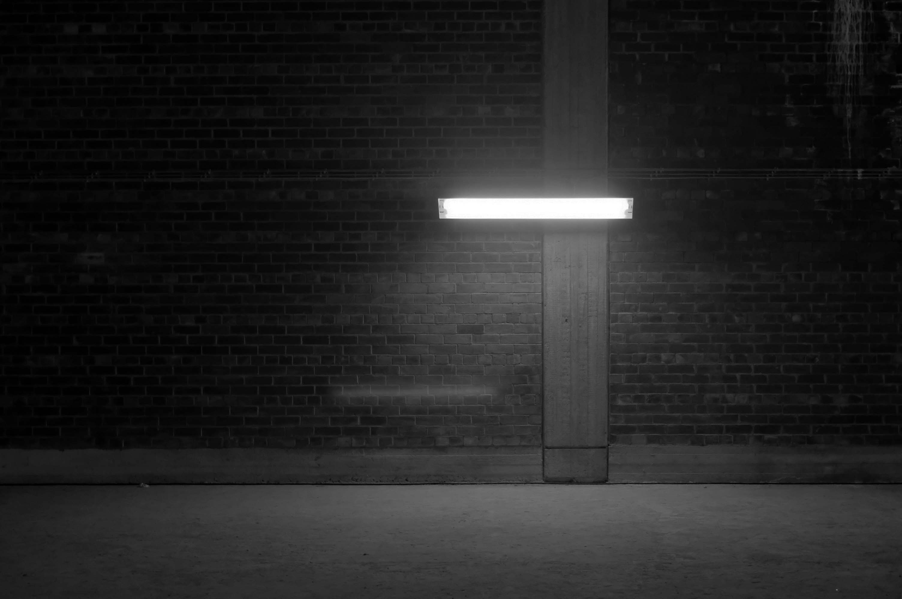
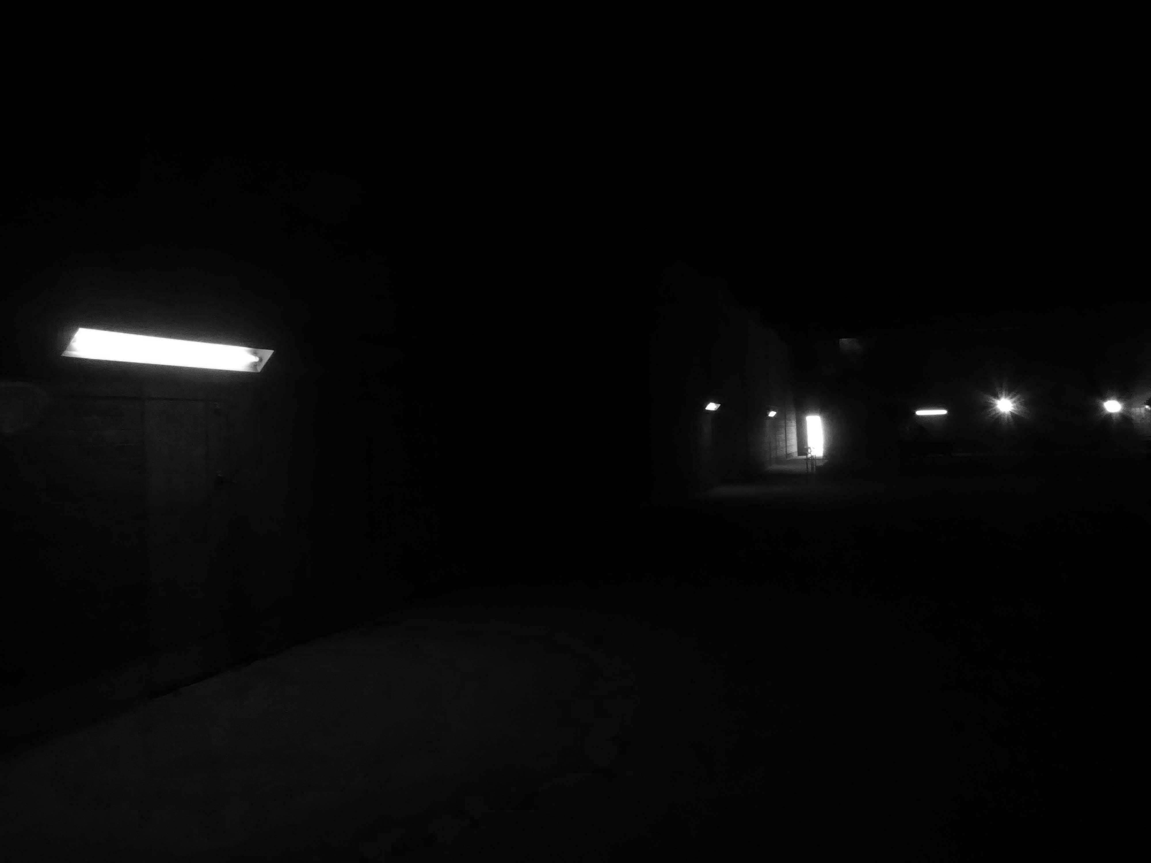
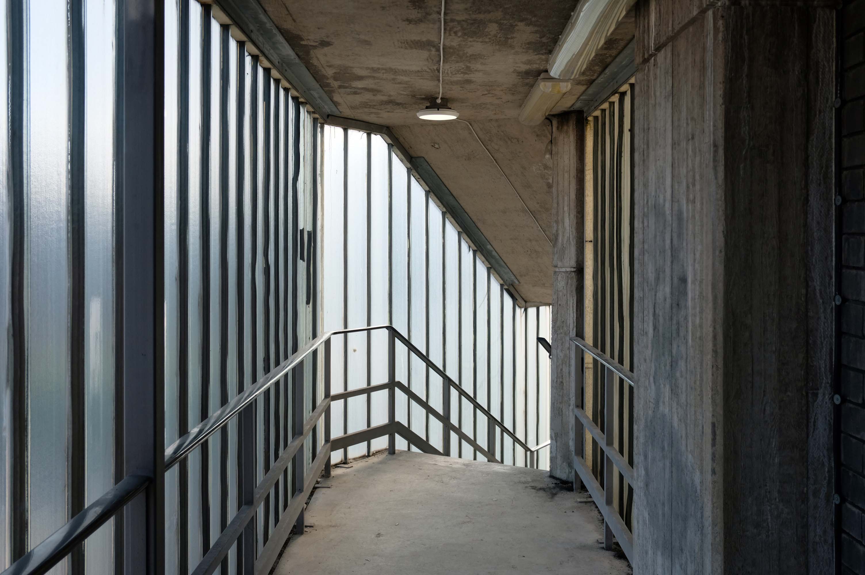
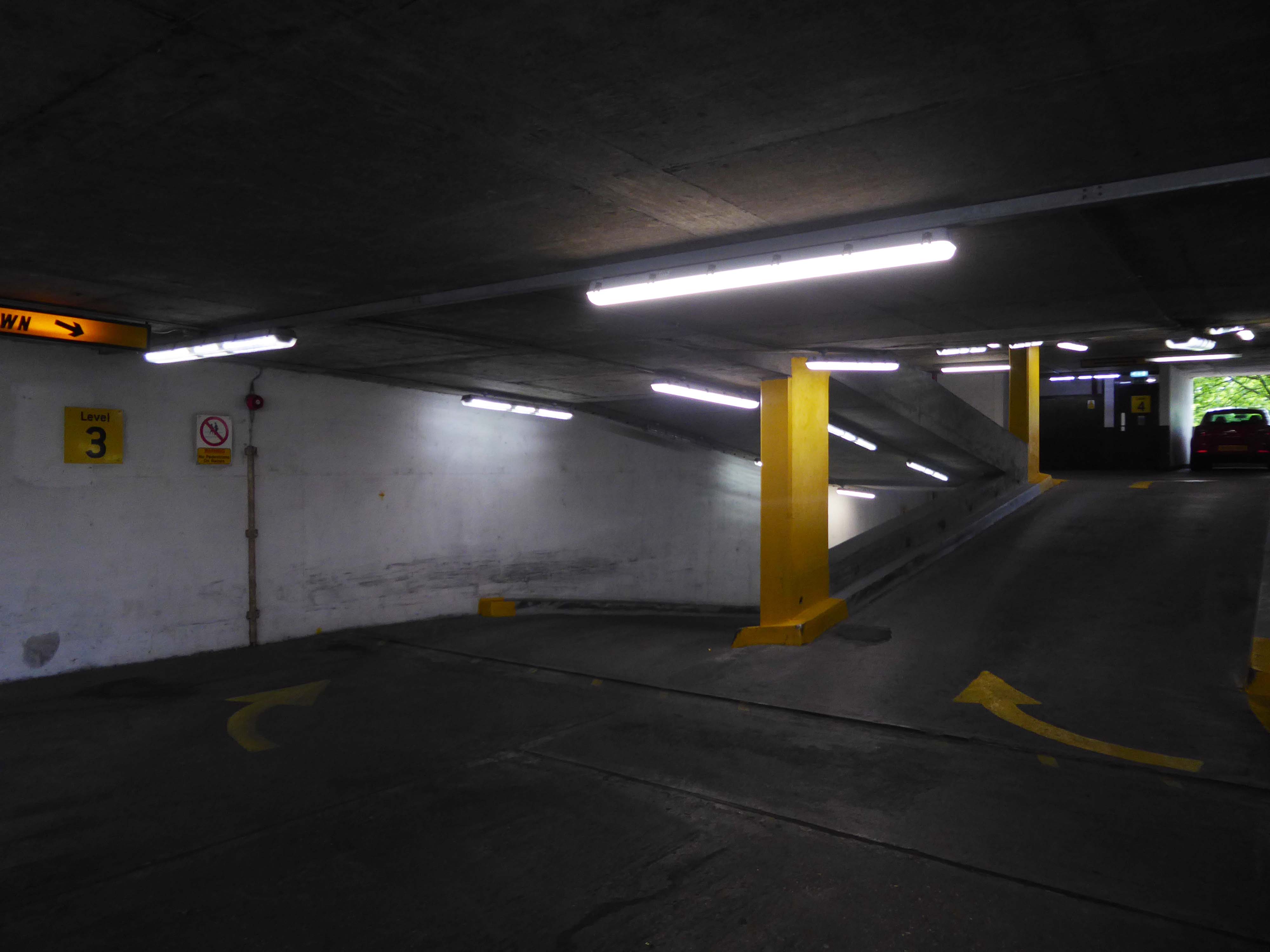
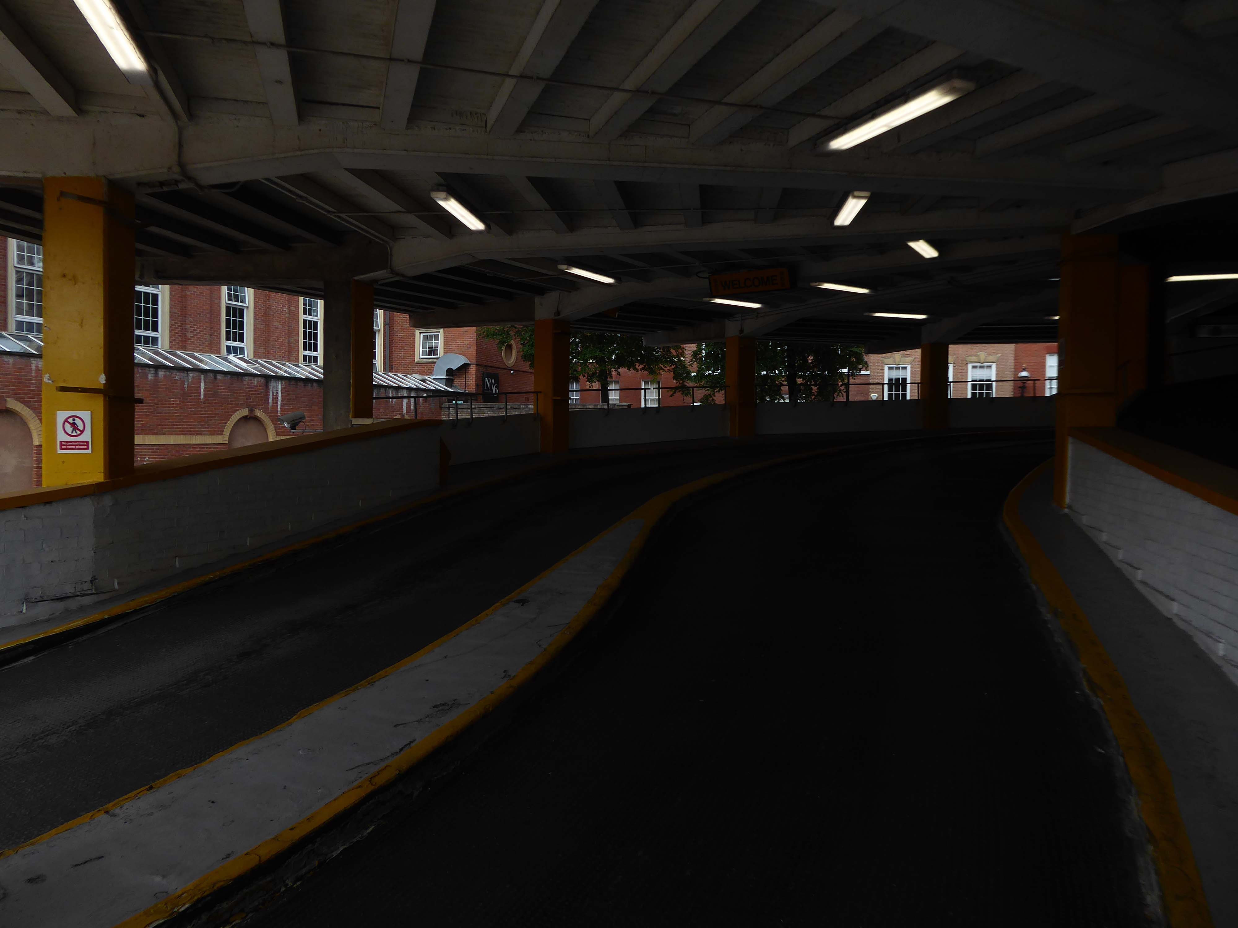
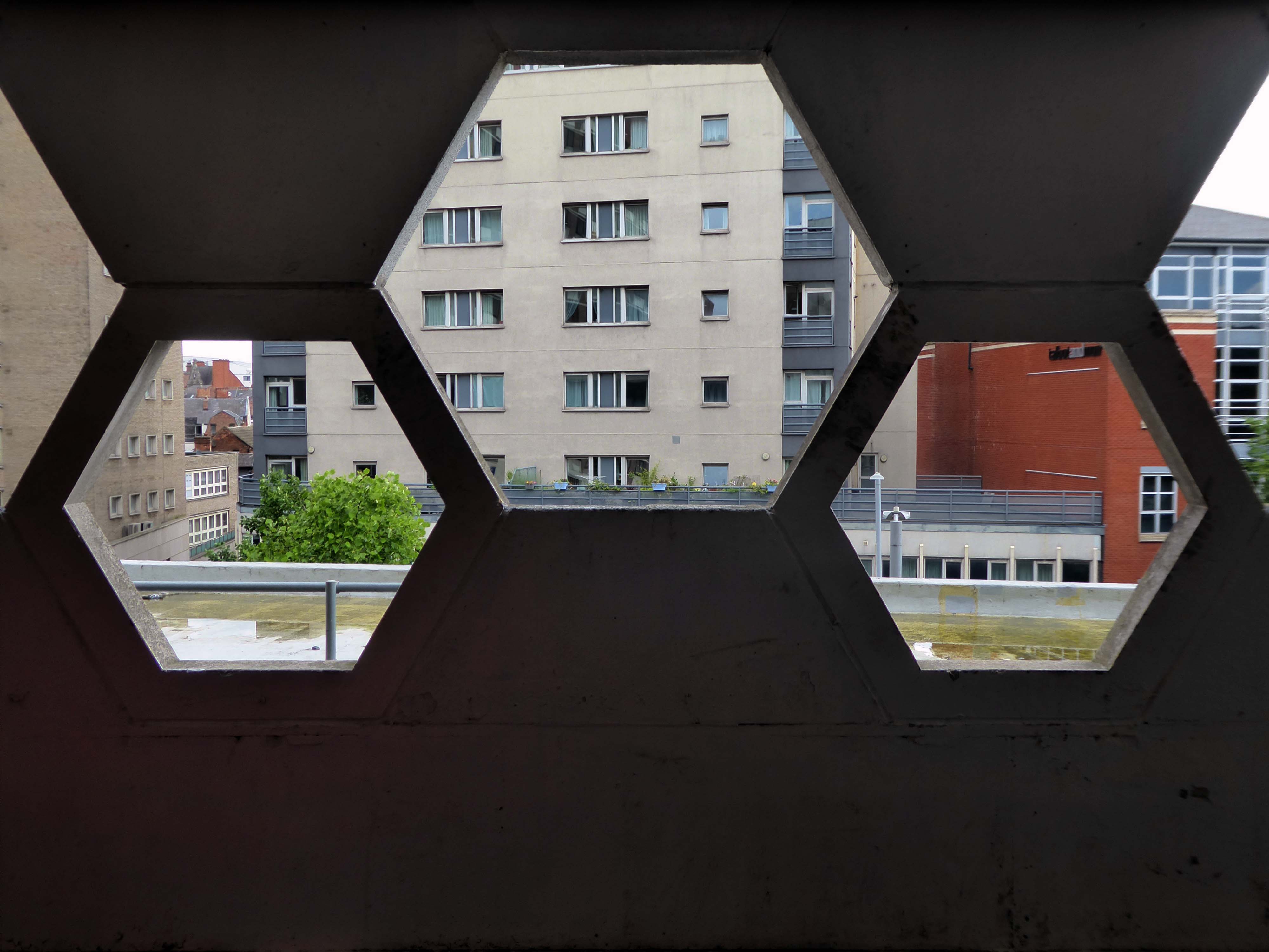
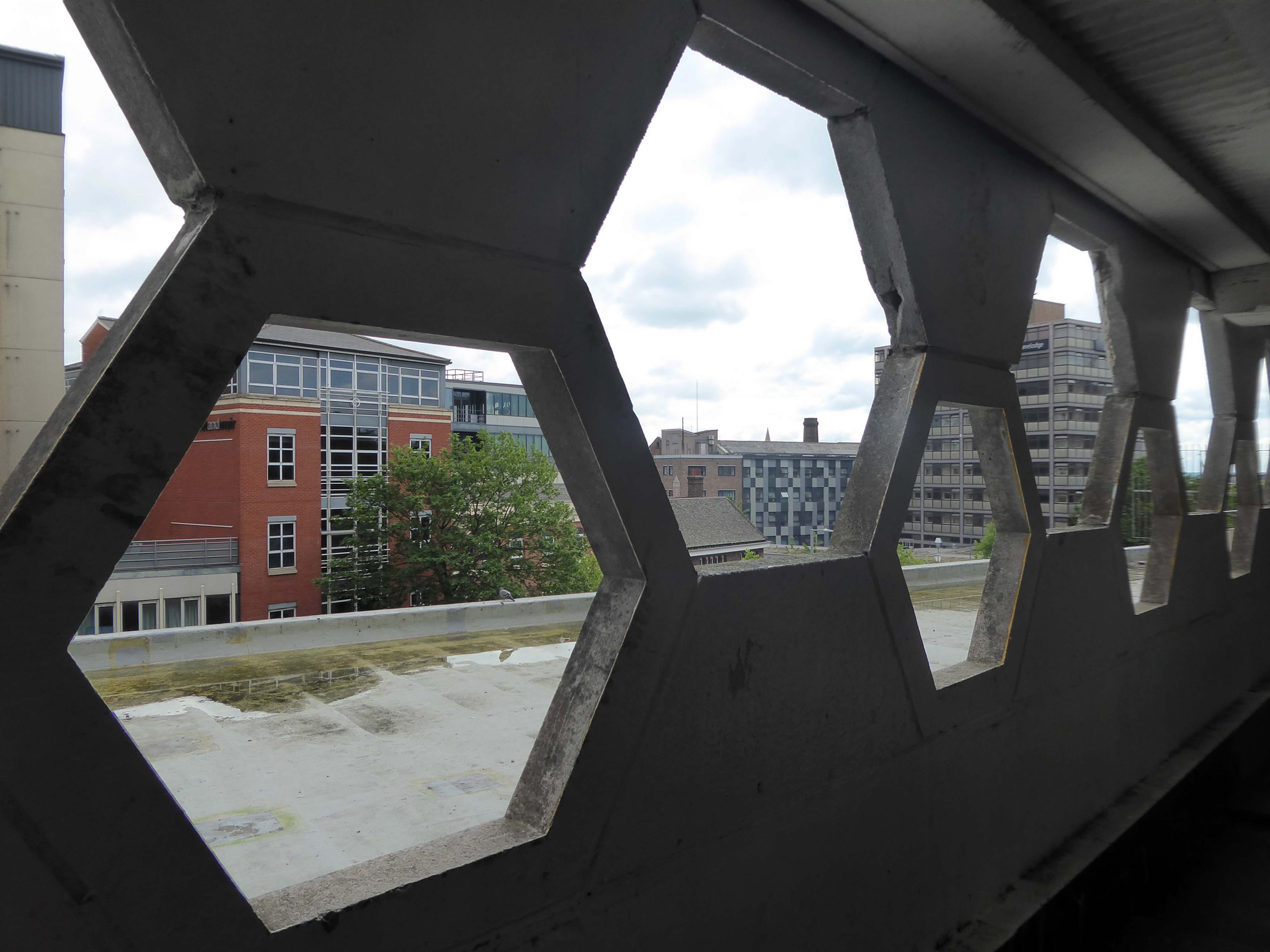
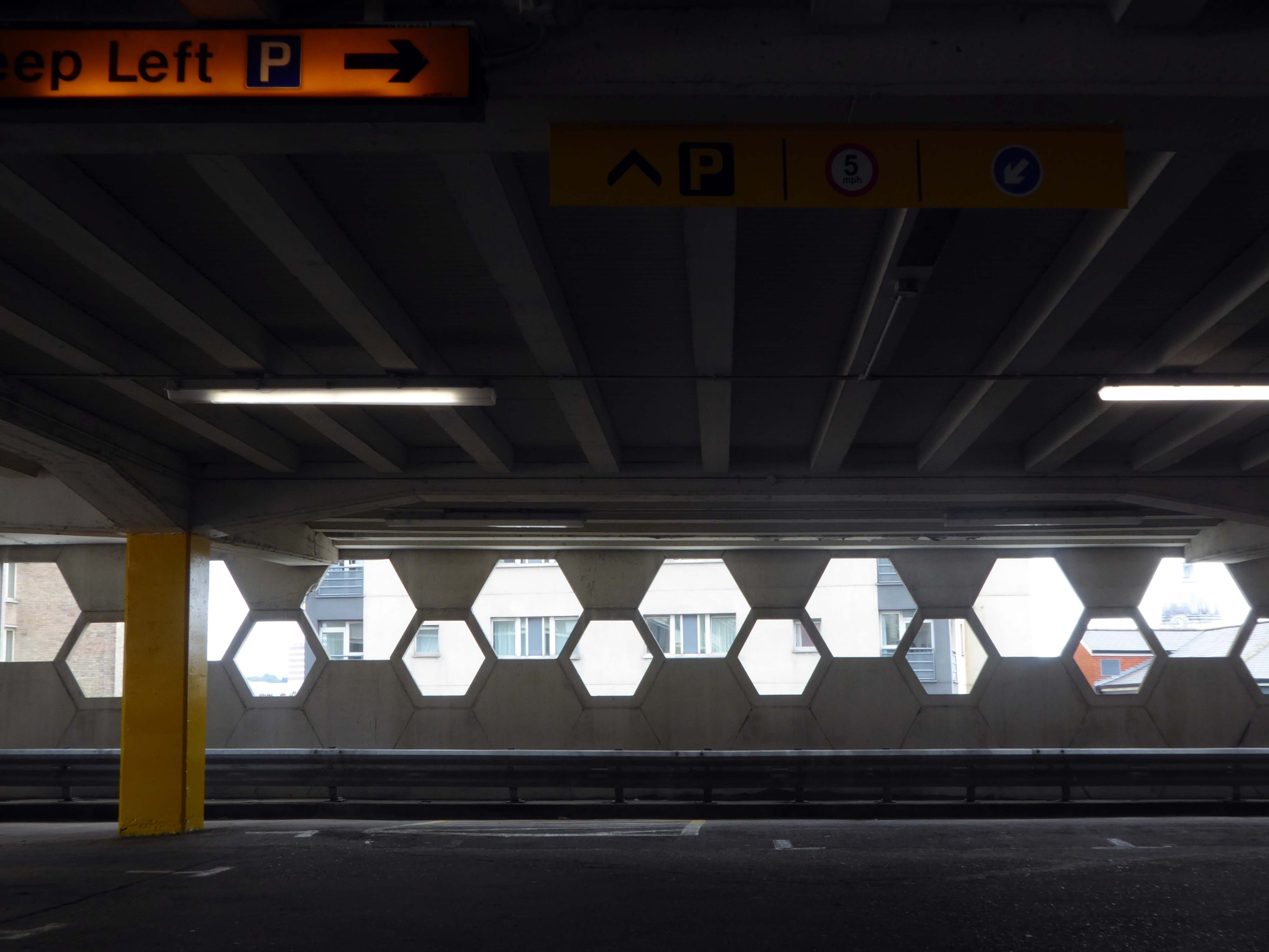
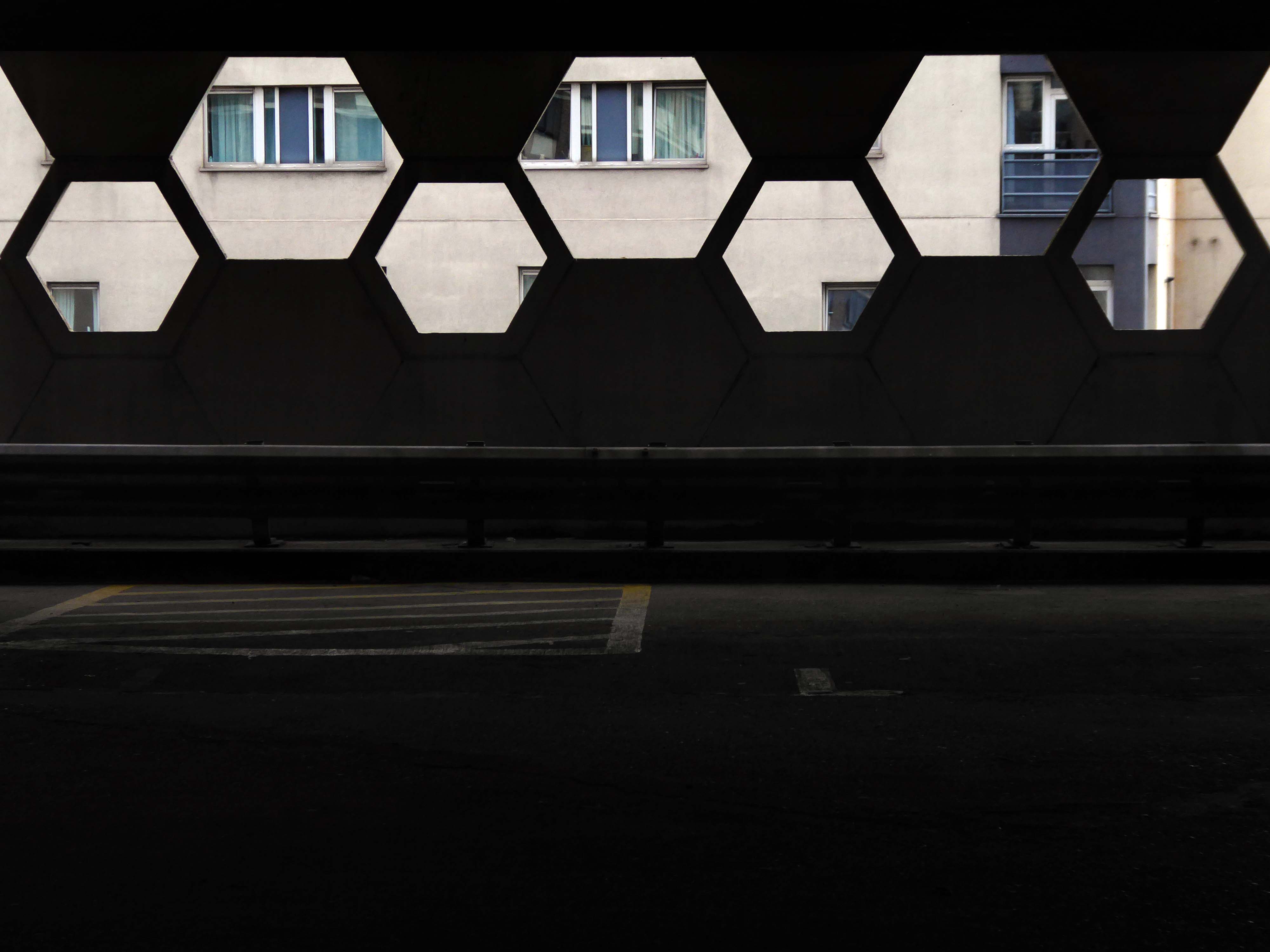
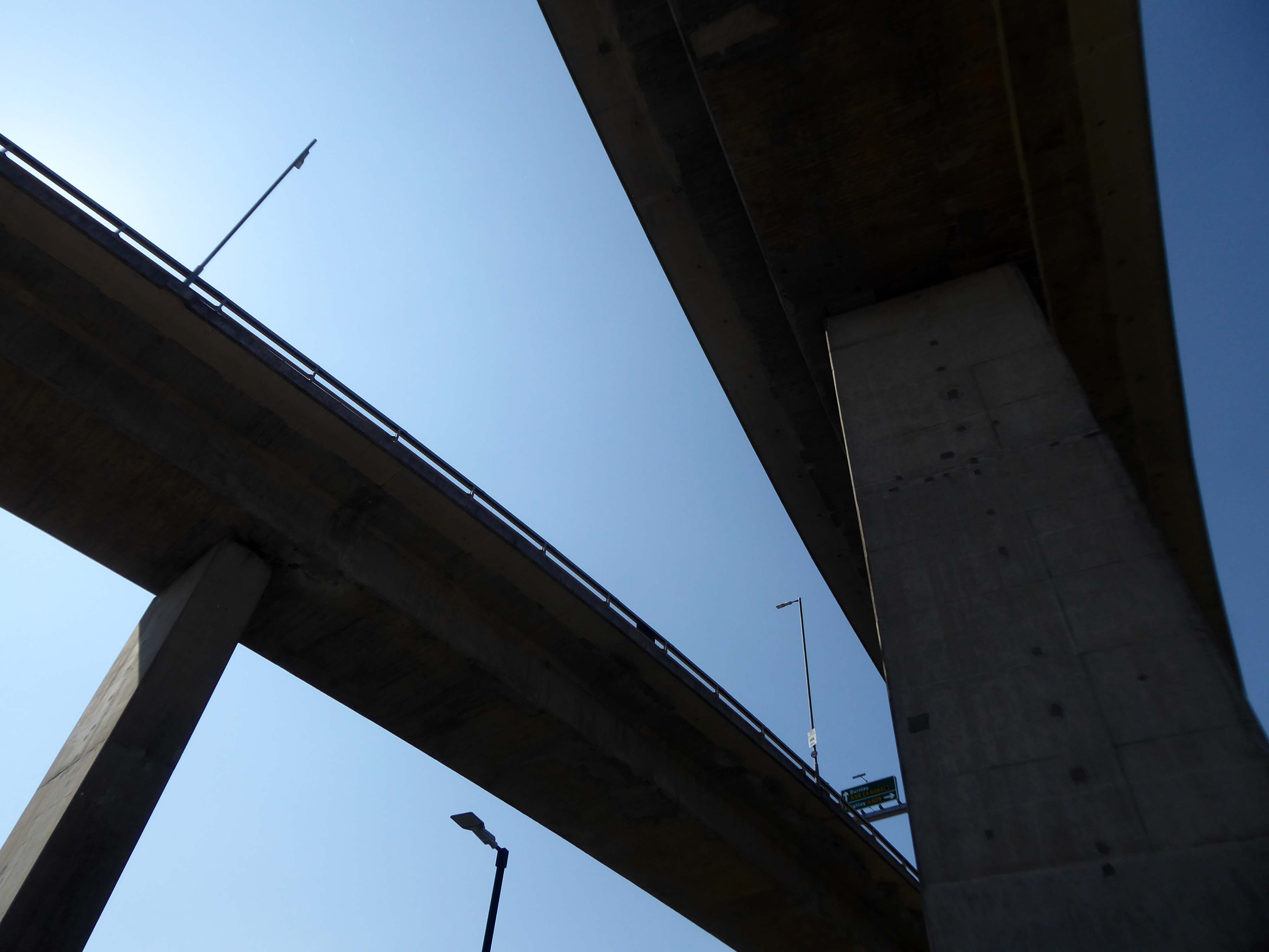
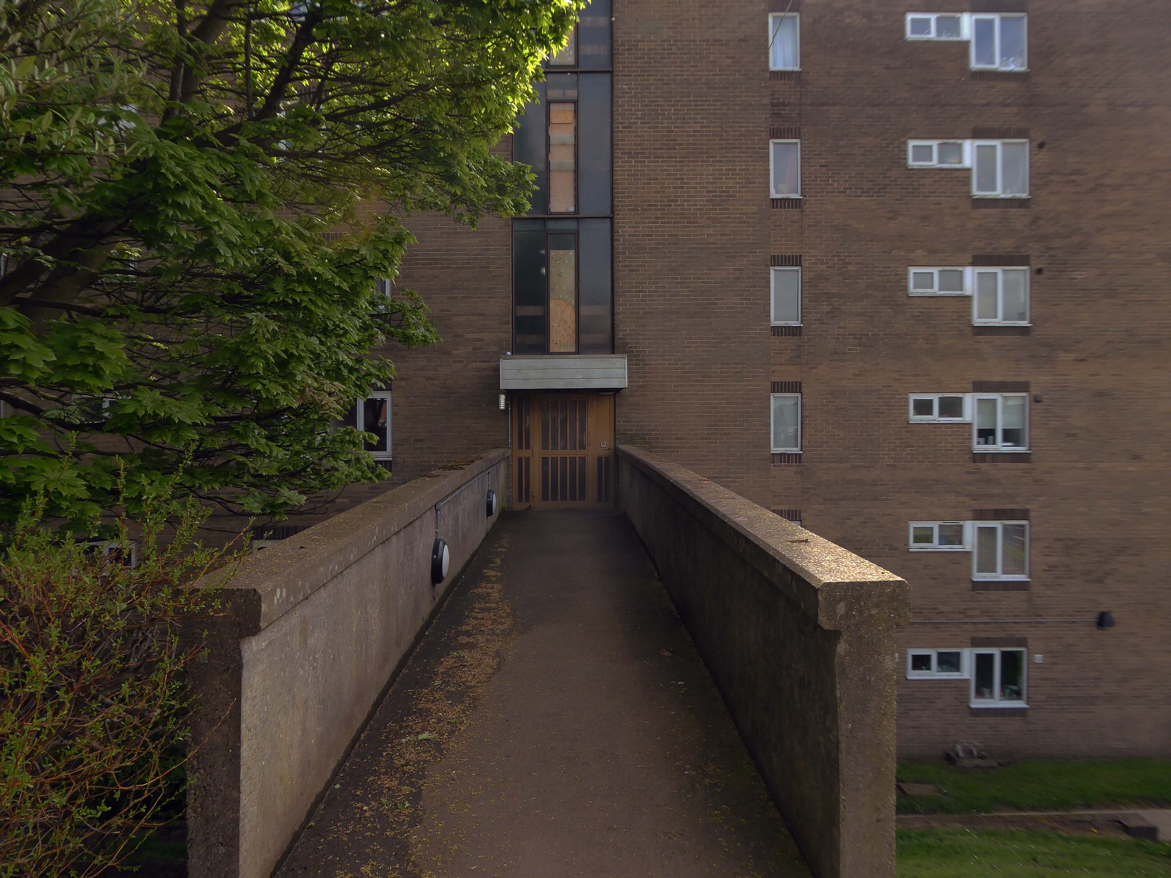
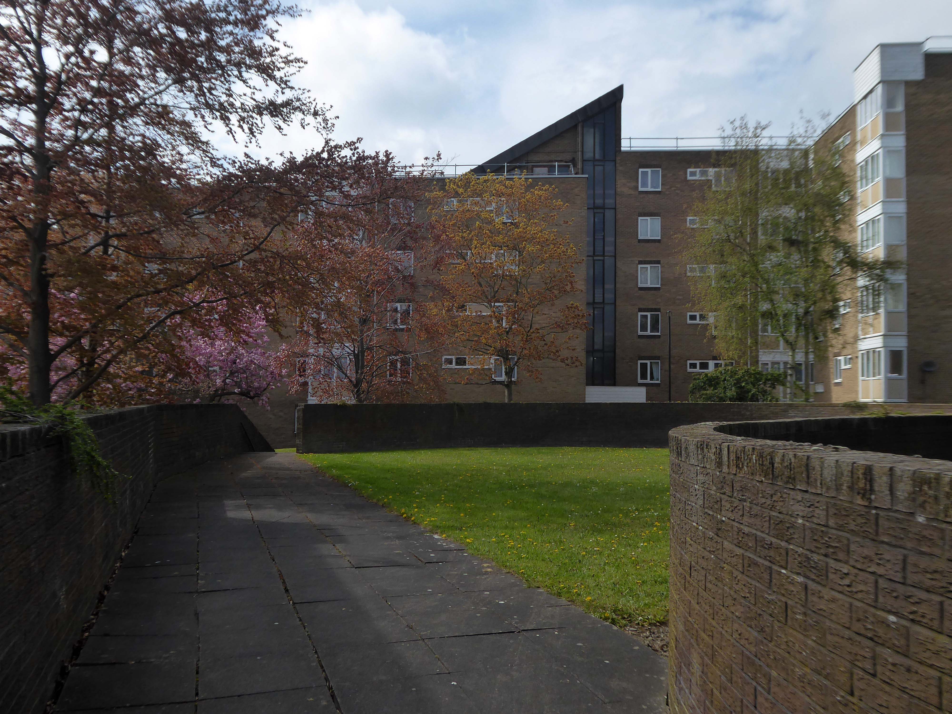
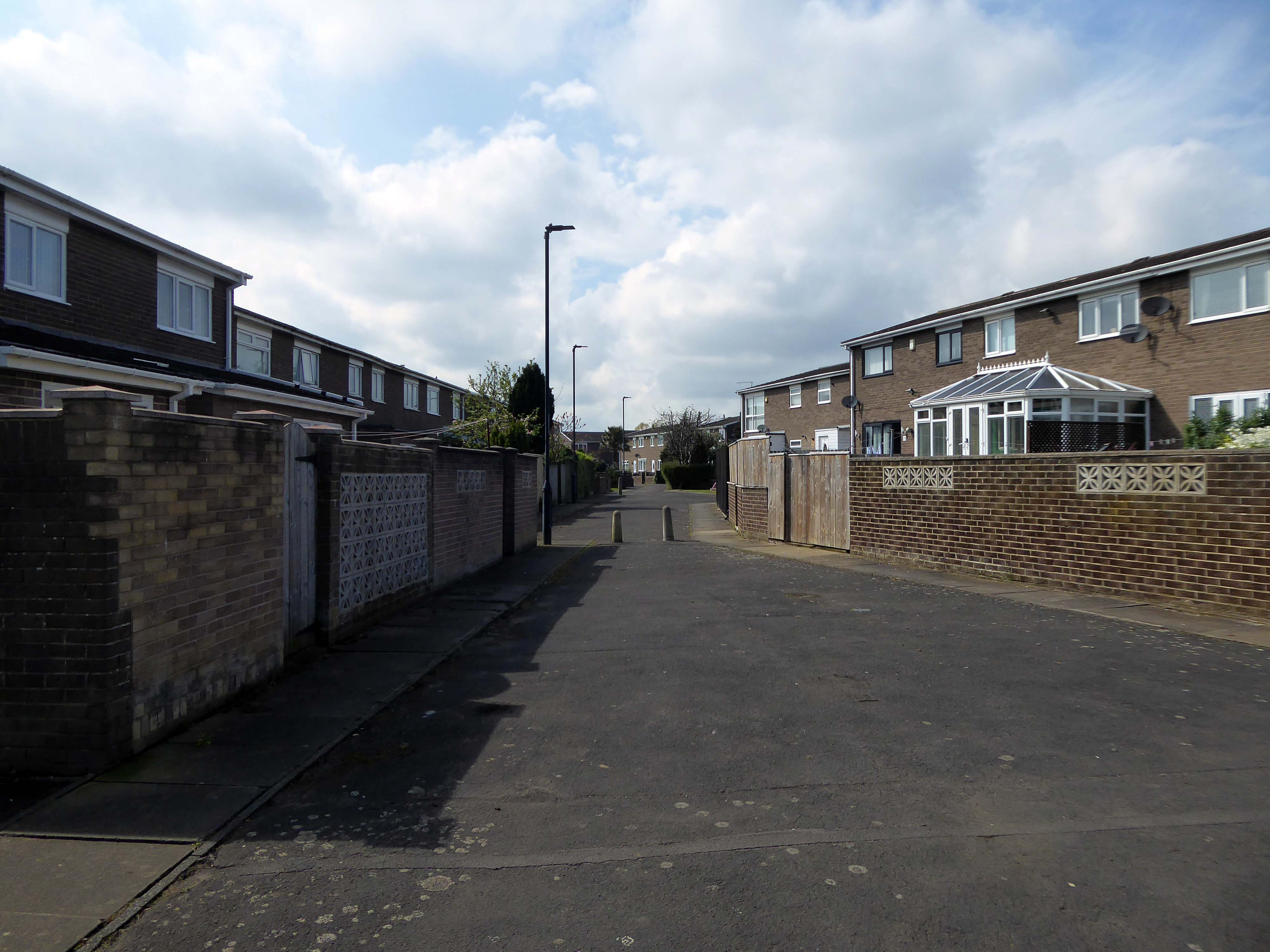
The pedestrian in a car park approaches cautiously – along the ramp.
Retreating the better to circumnavigate the site.
I was quickly losing light – so I called it a day.
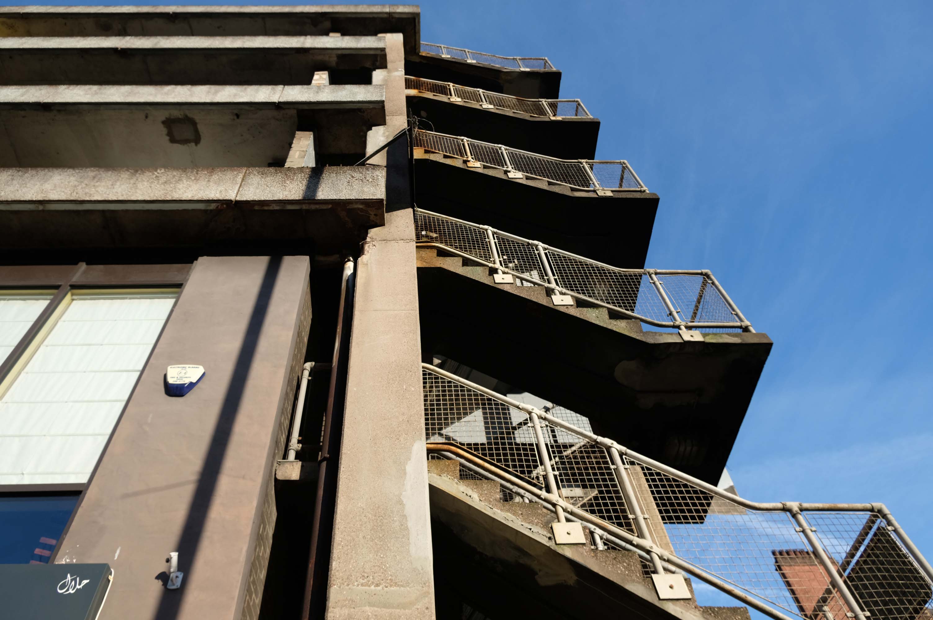
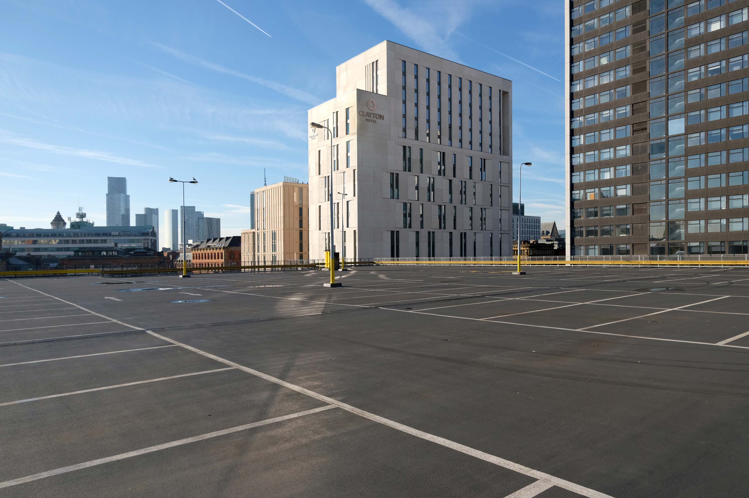
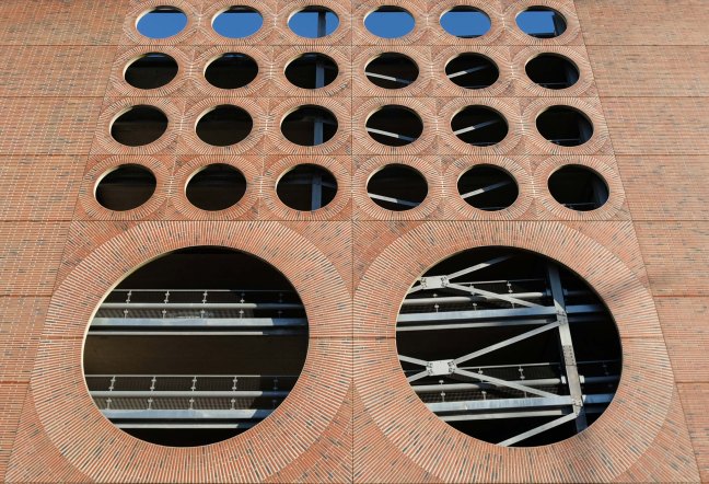
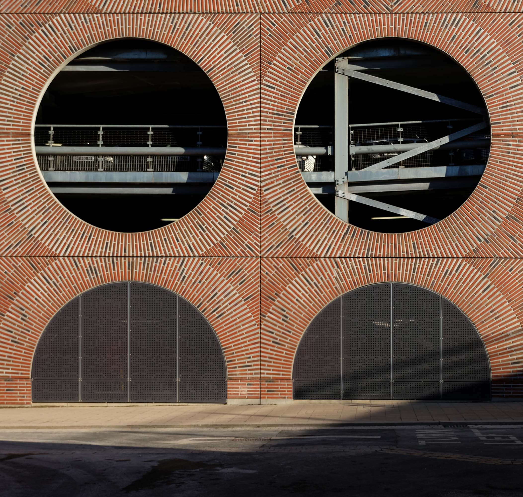
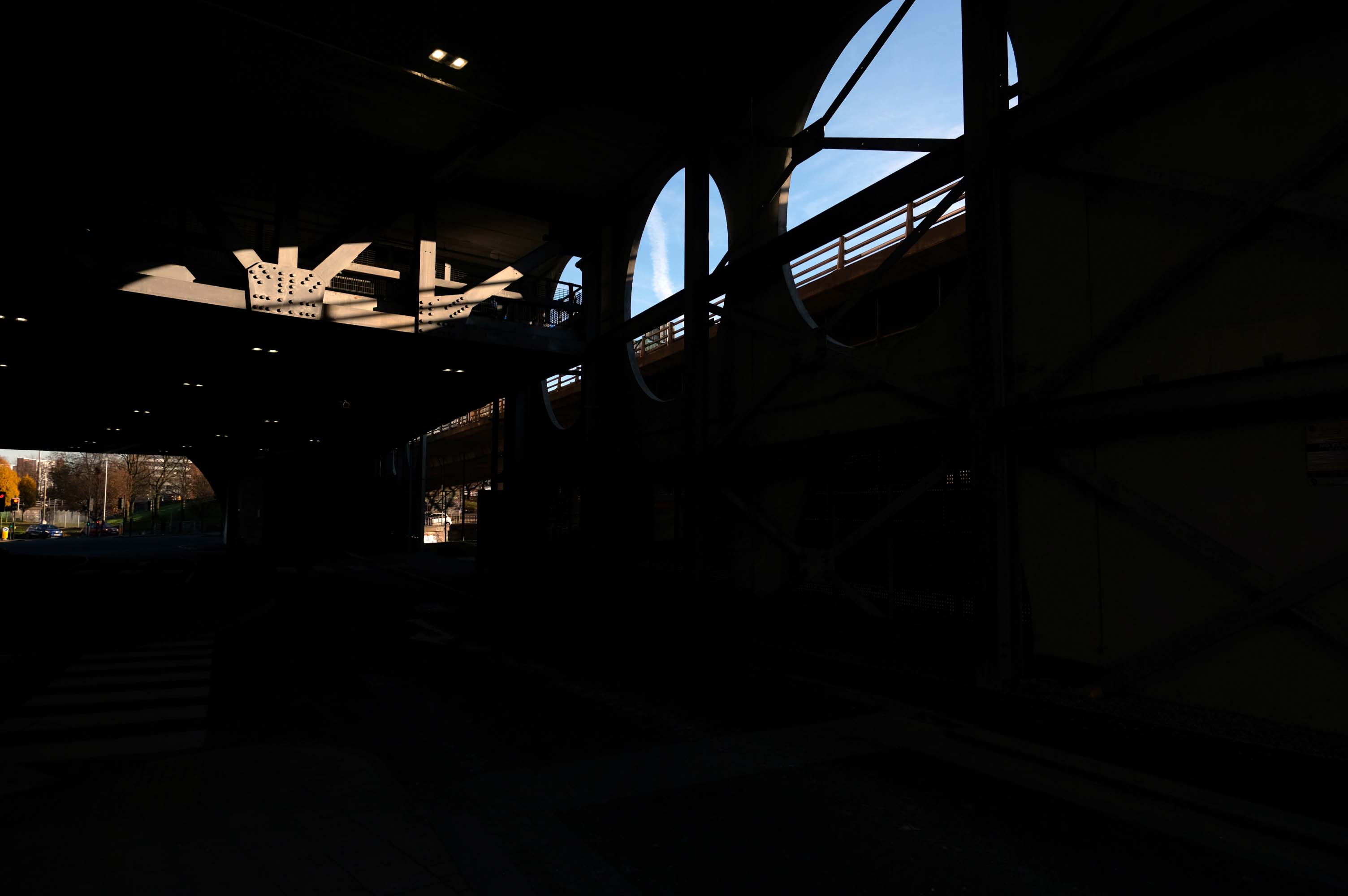
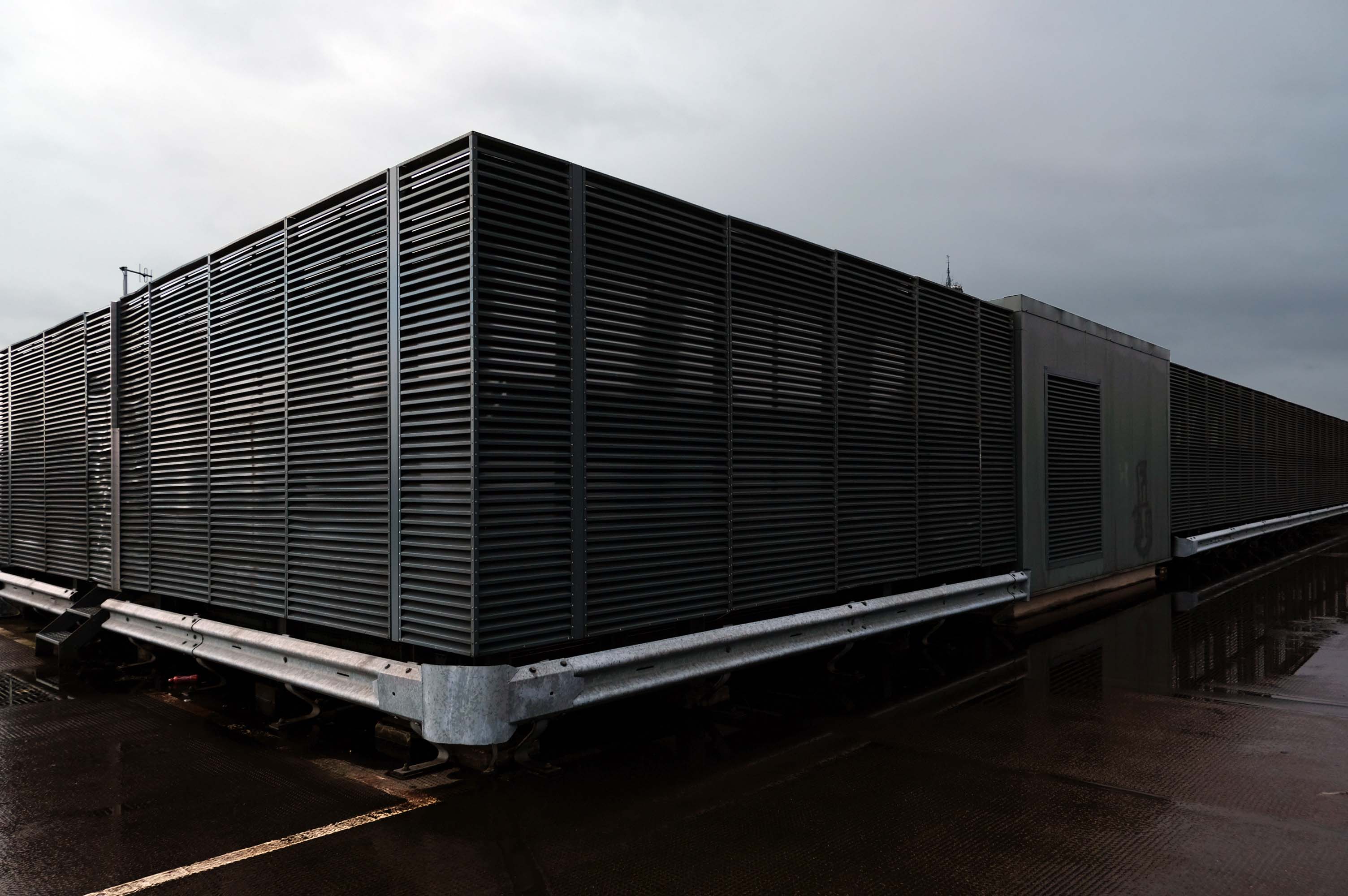
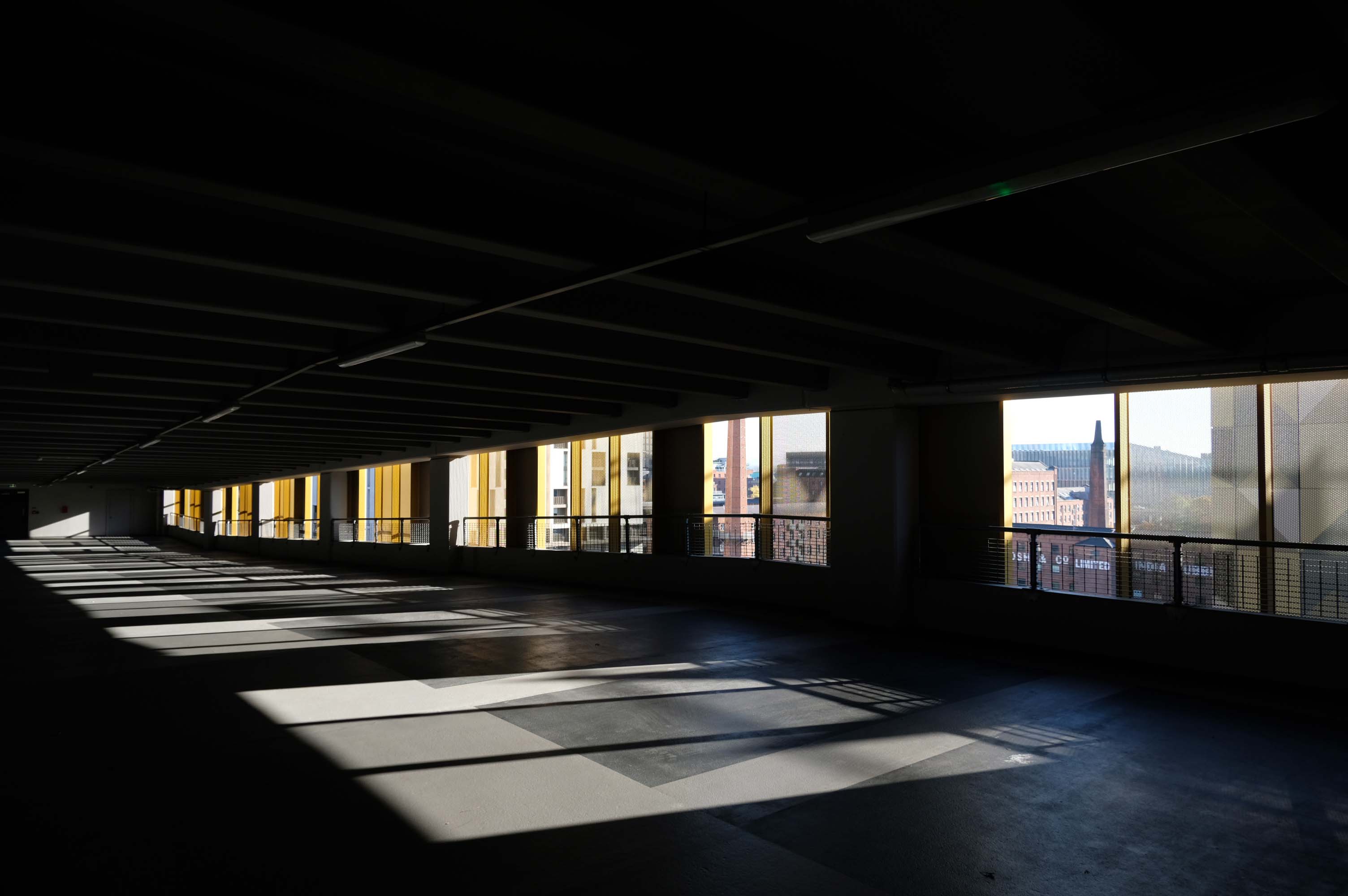
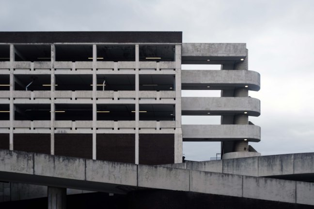
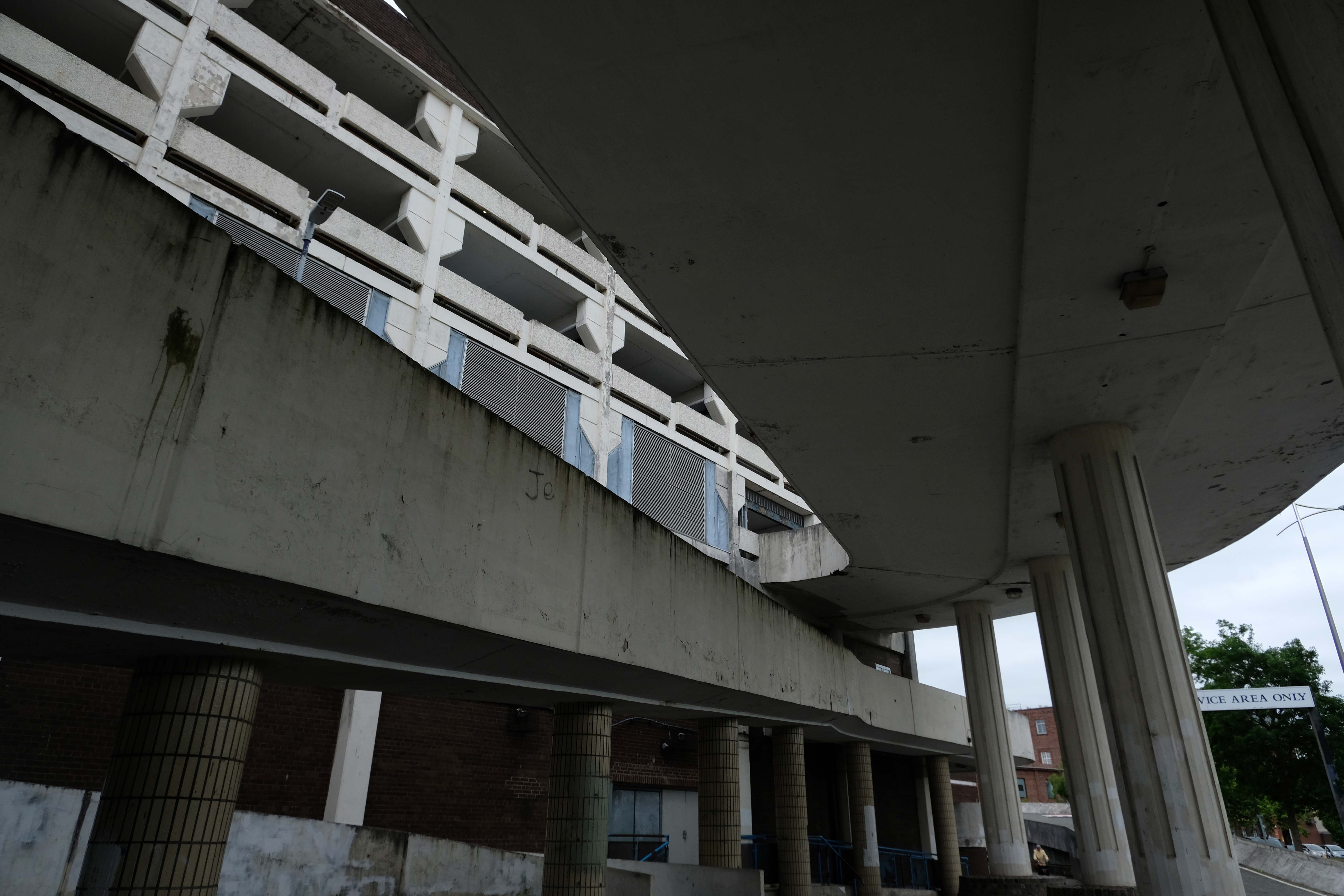
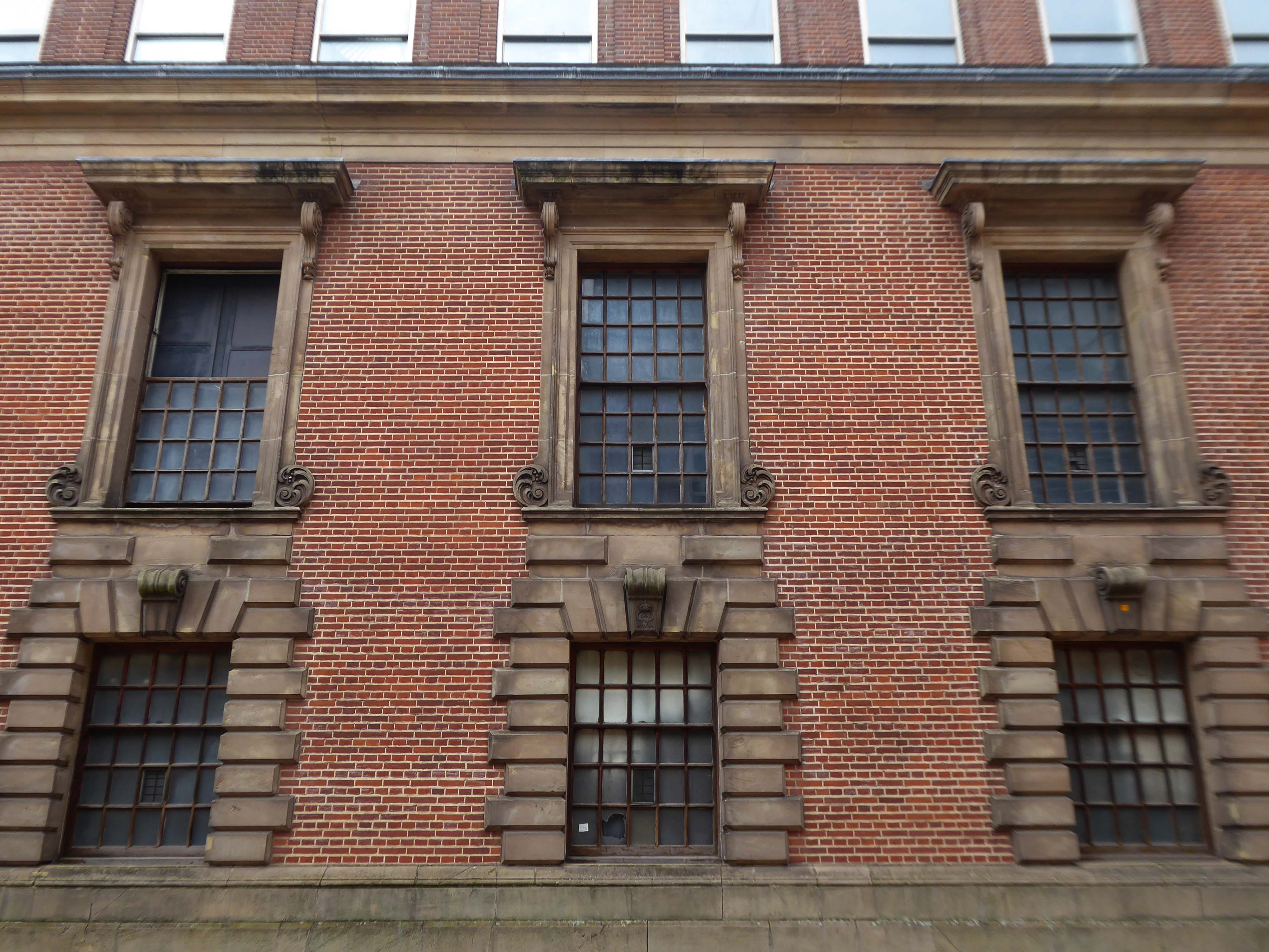
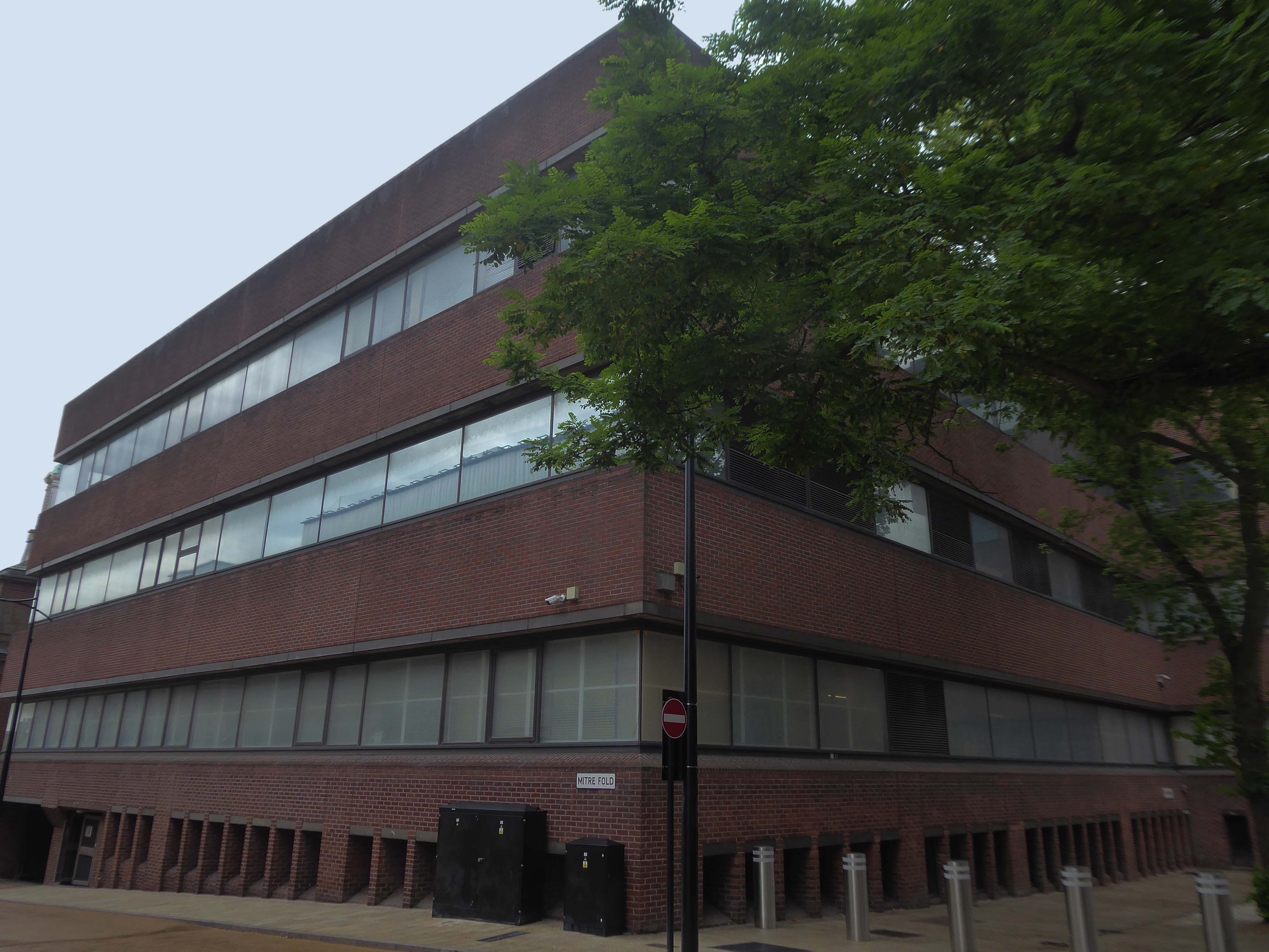
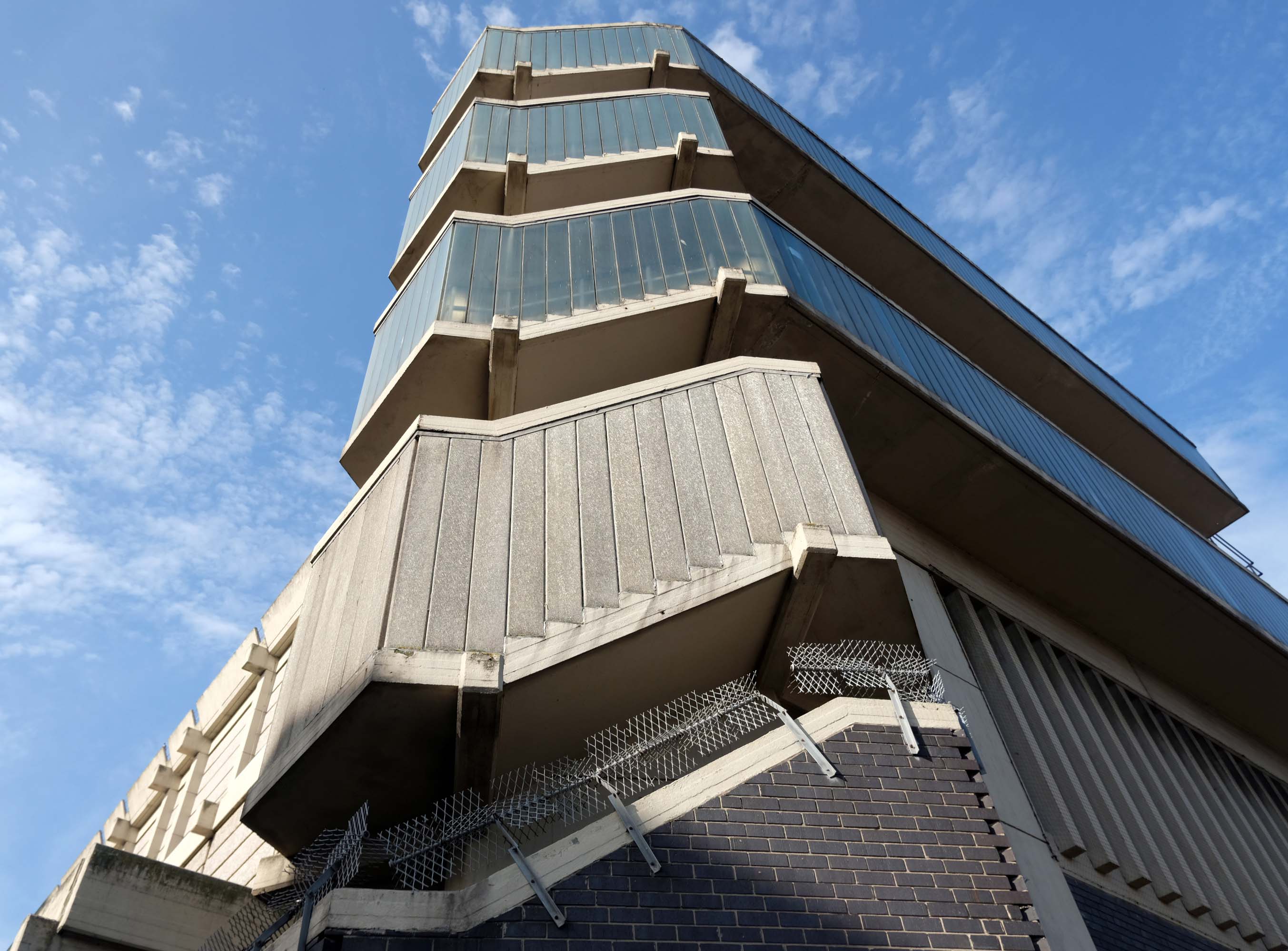
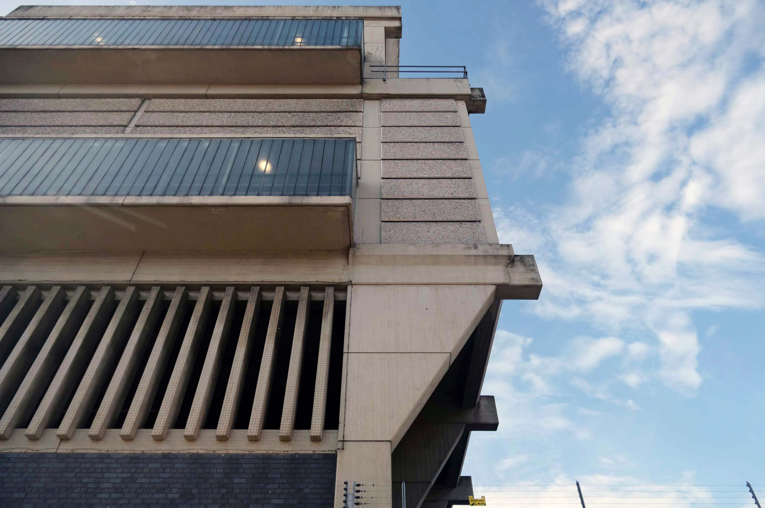
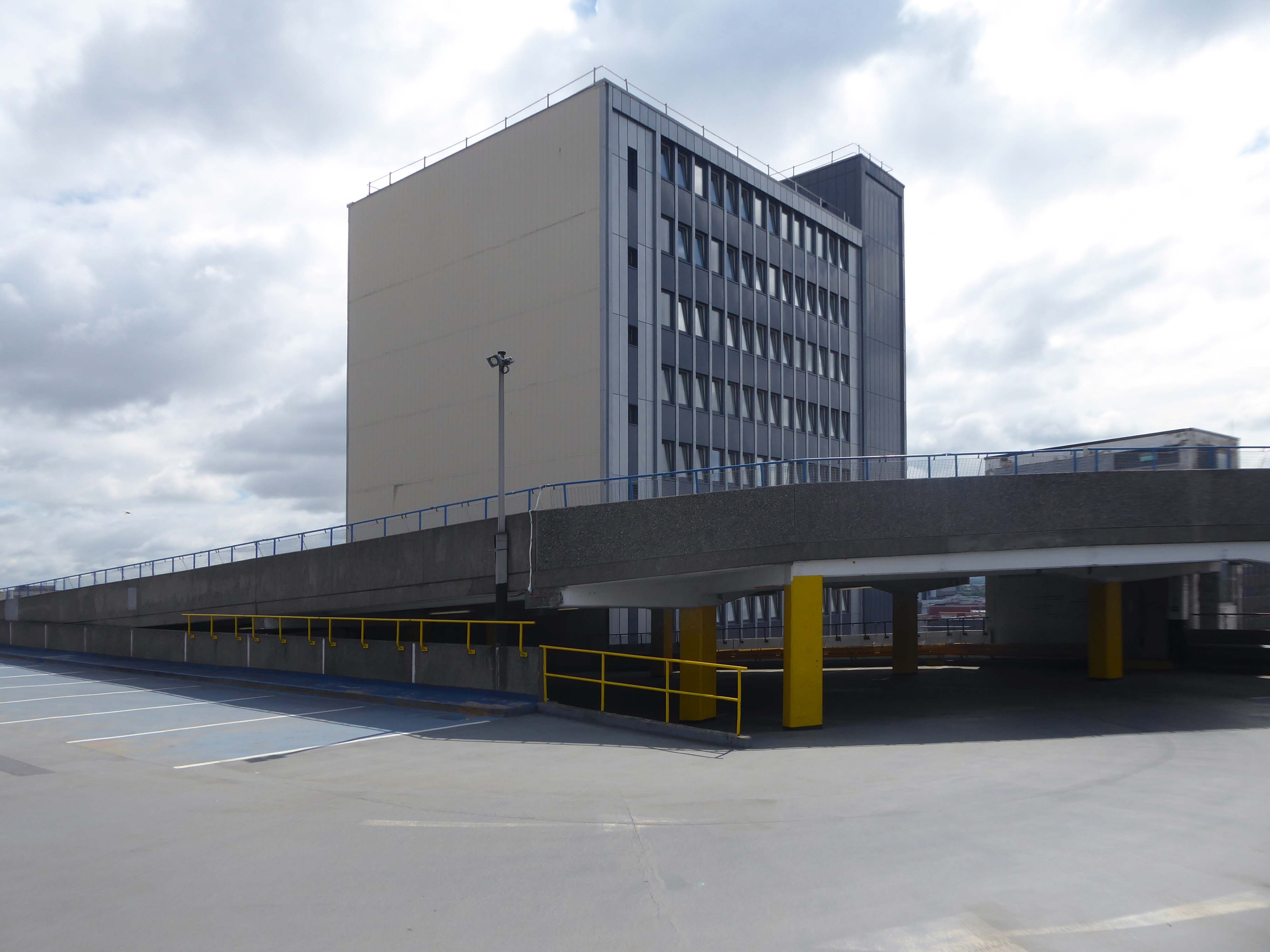
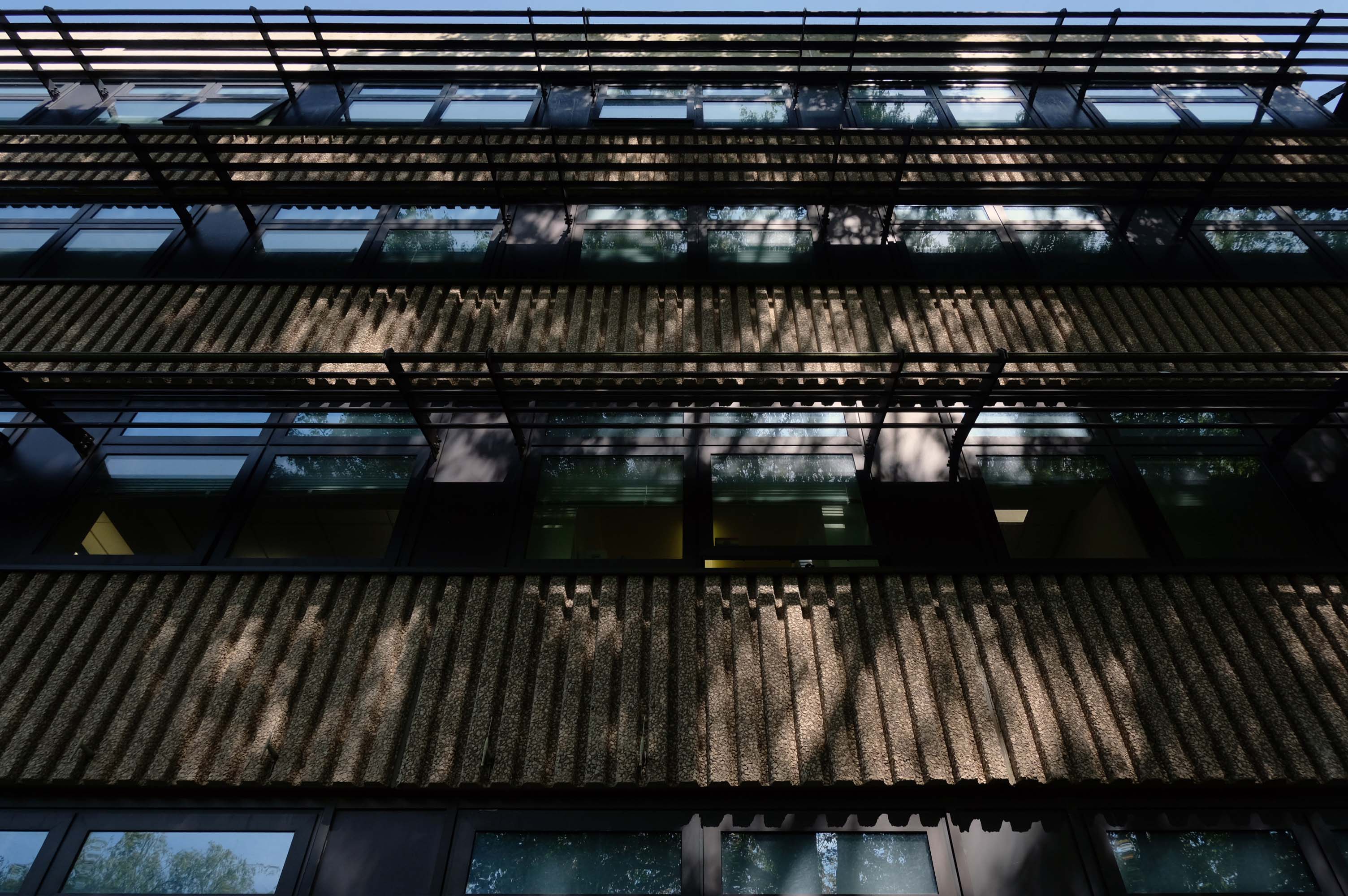
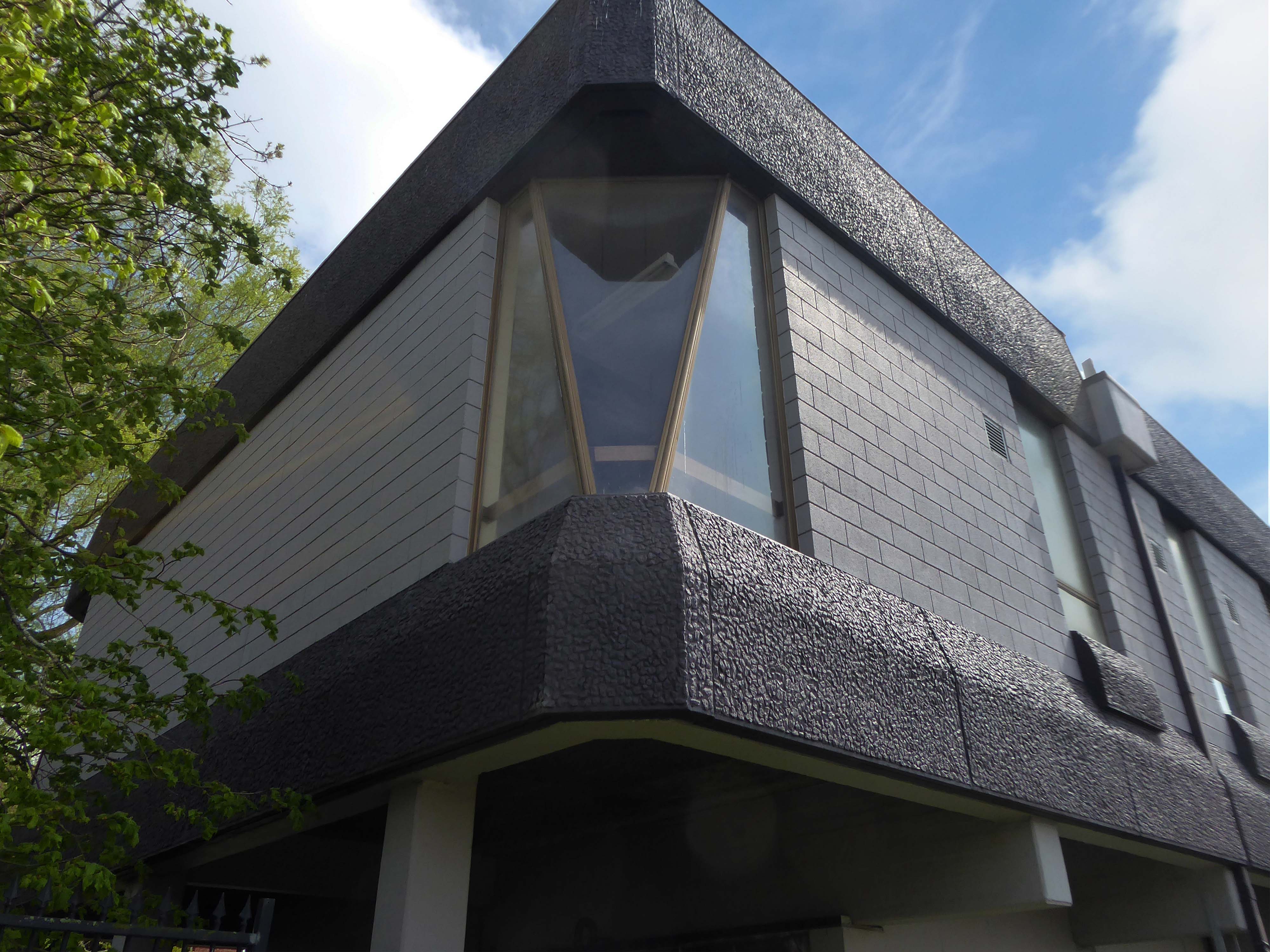
Fielden Clegg Bradley were concept architects while Leach Rhodes Walker were delivery architects.
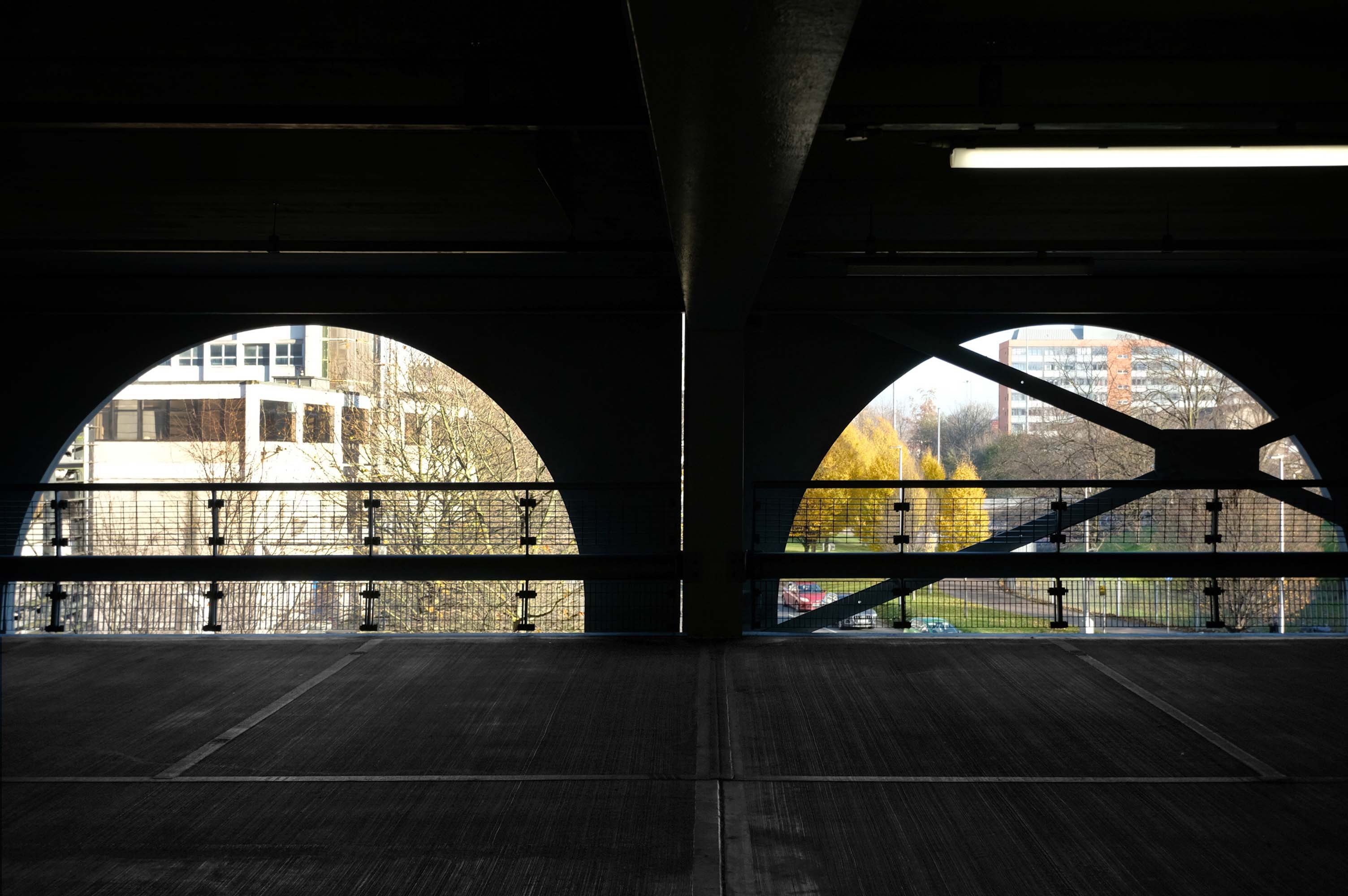
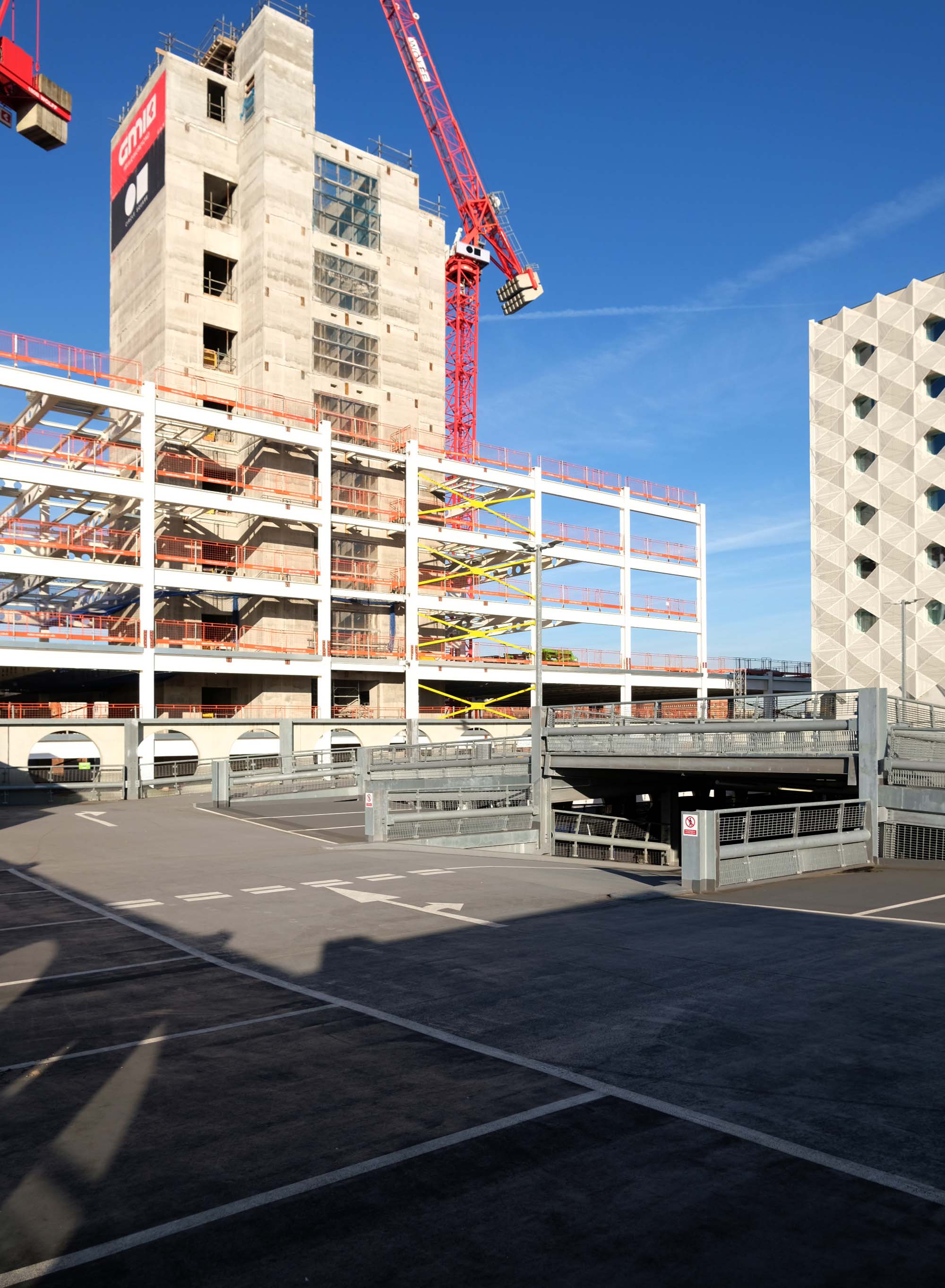
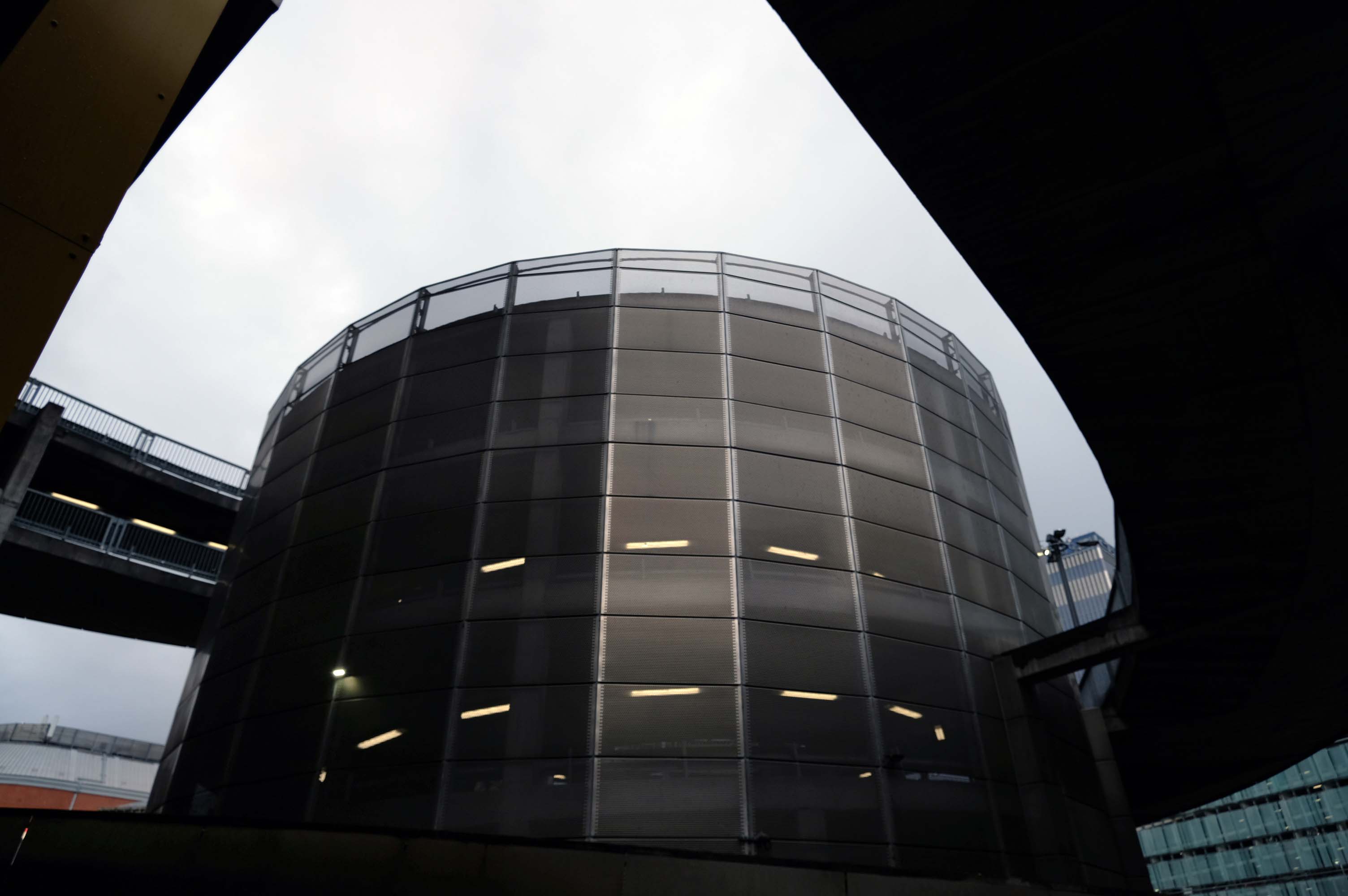
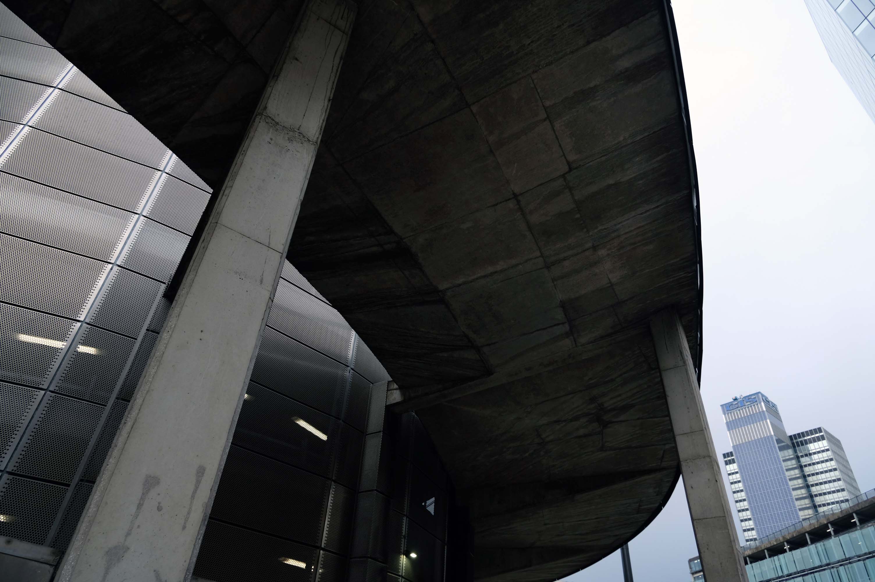
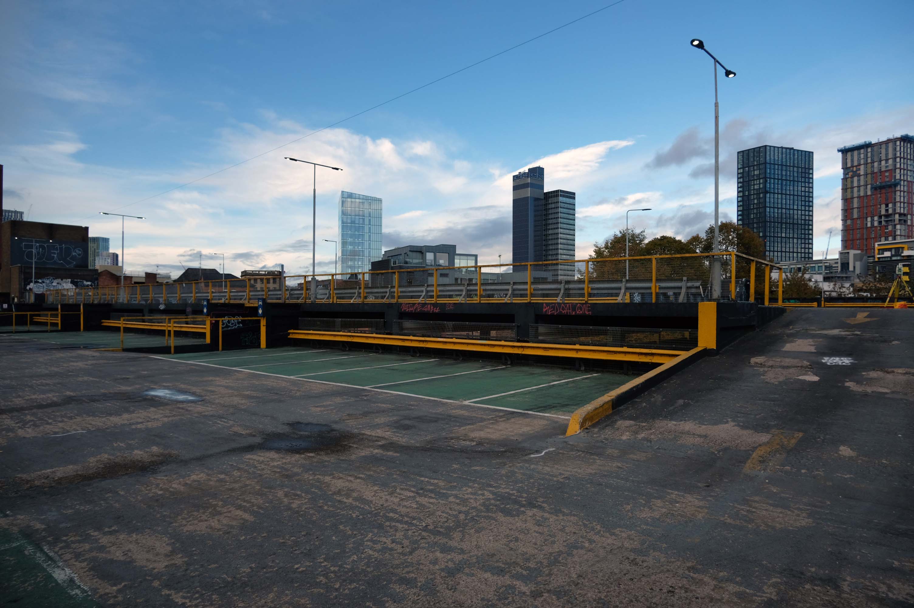
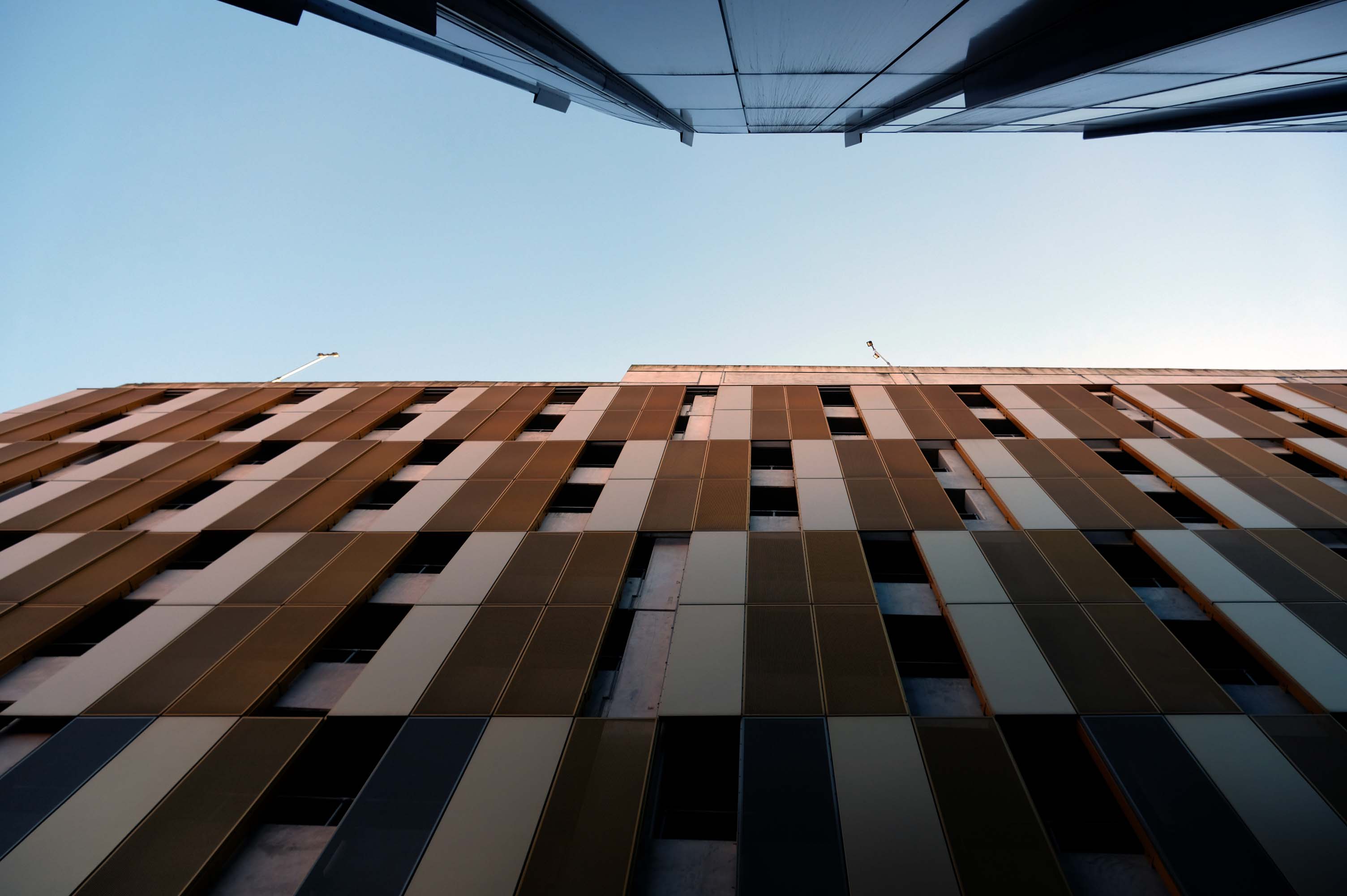
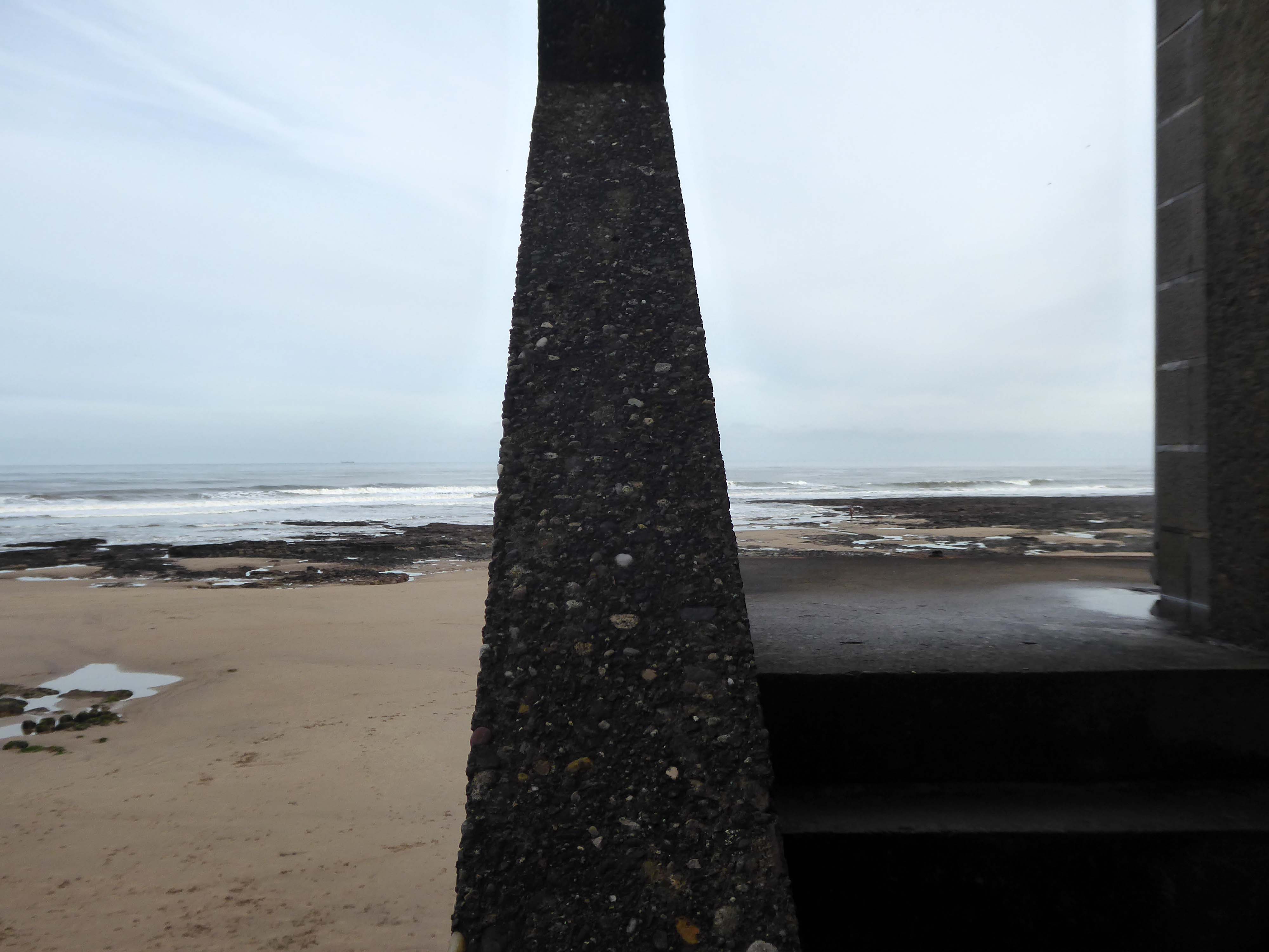
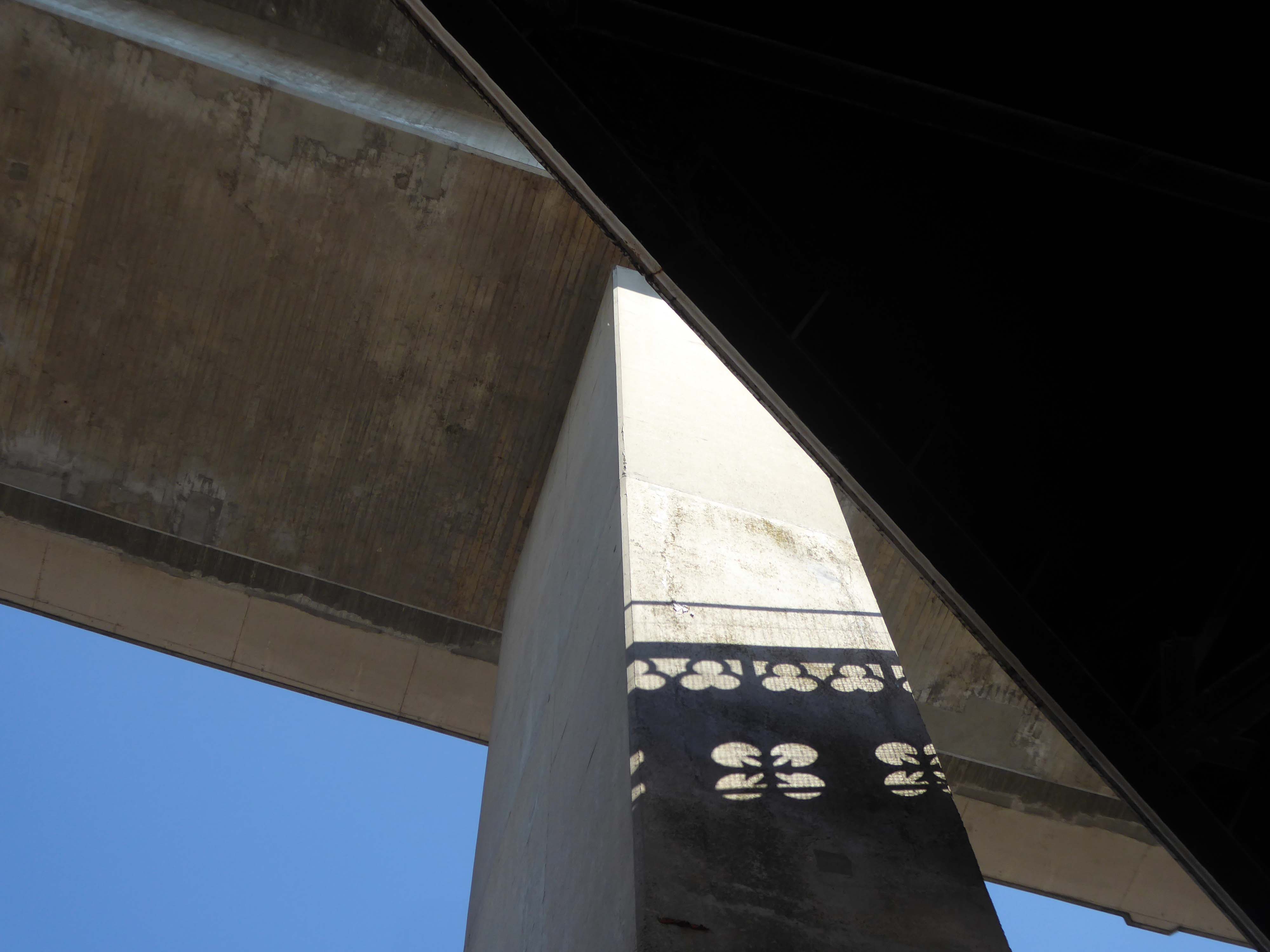
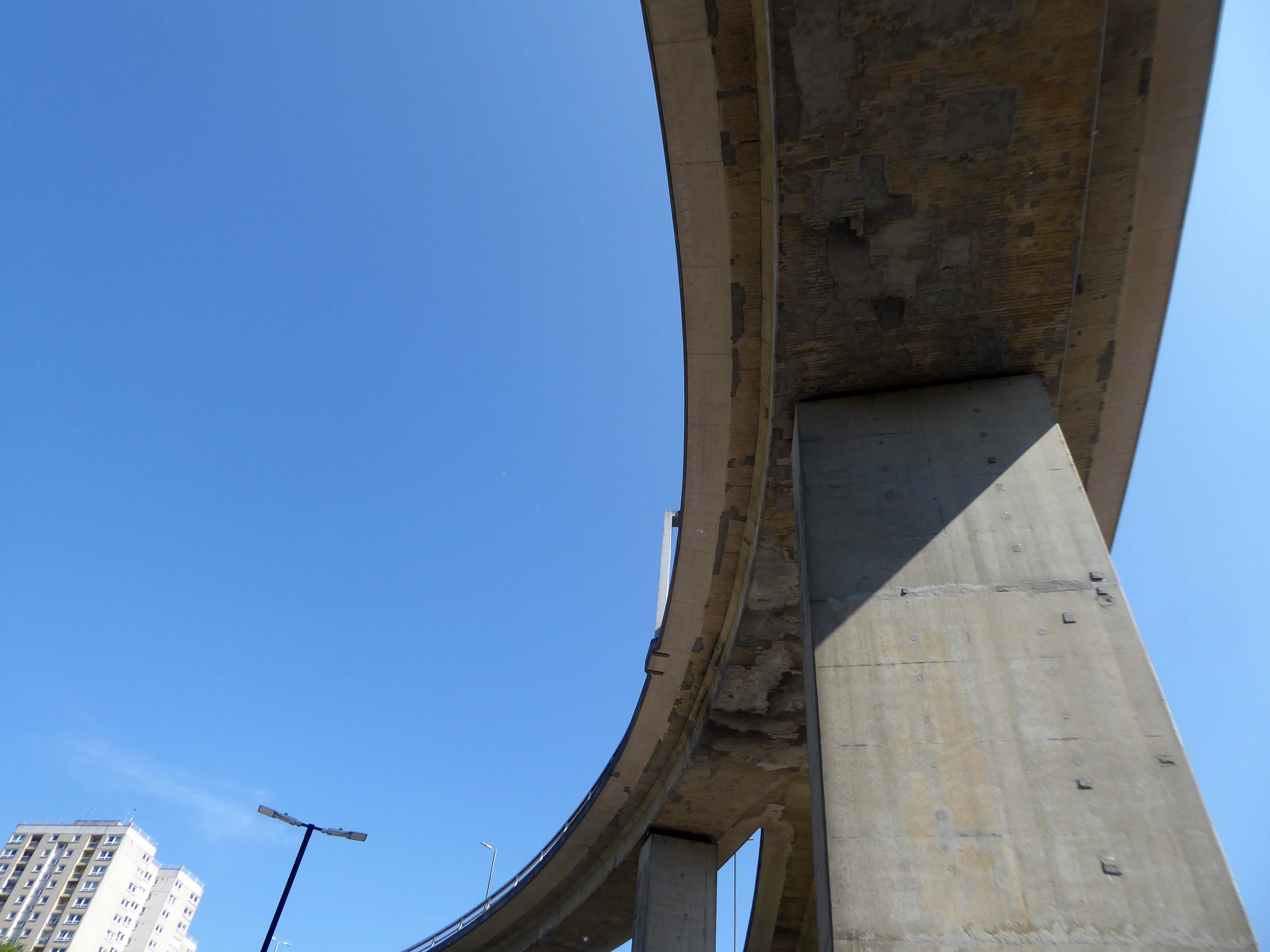
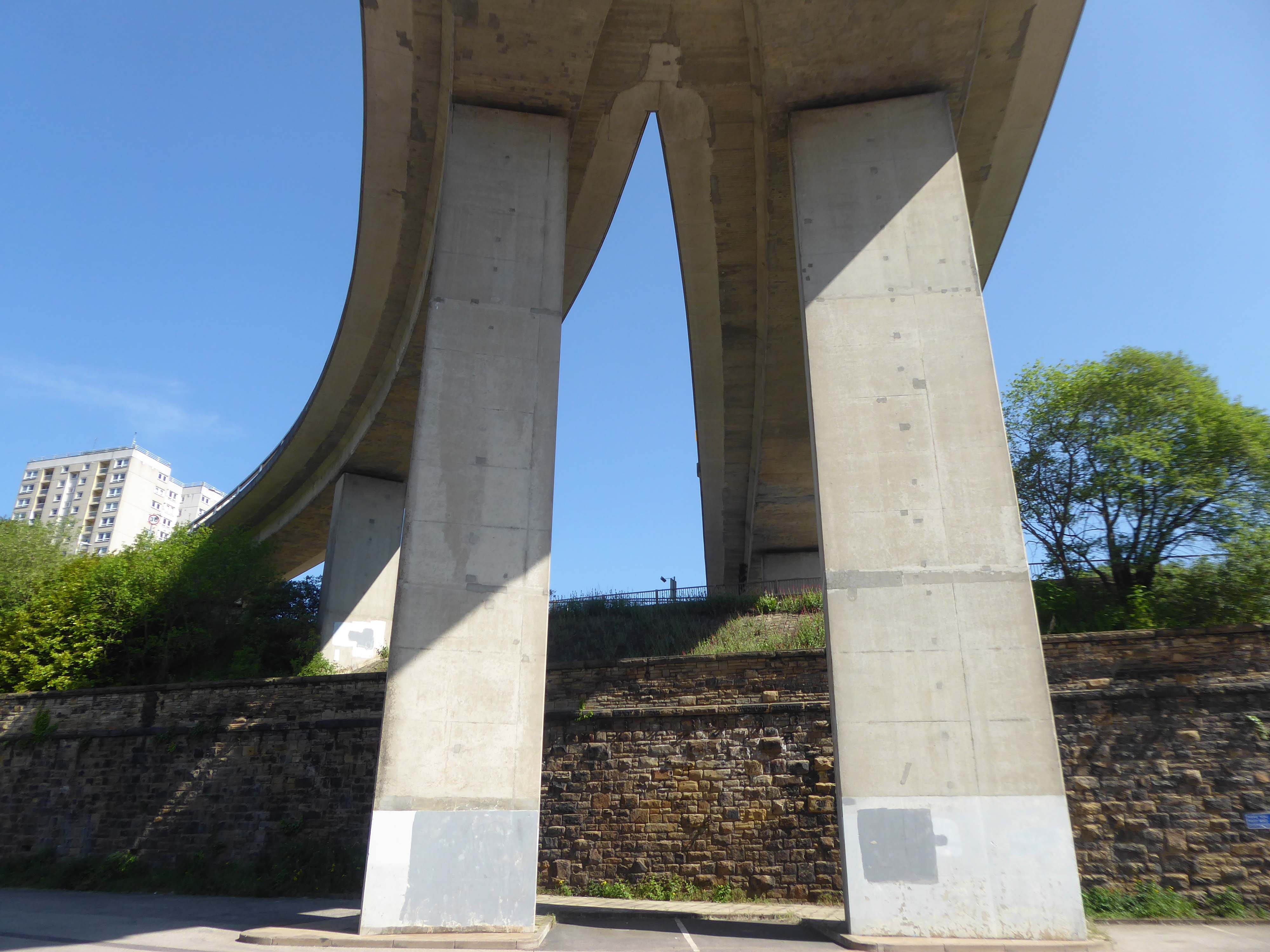
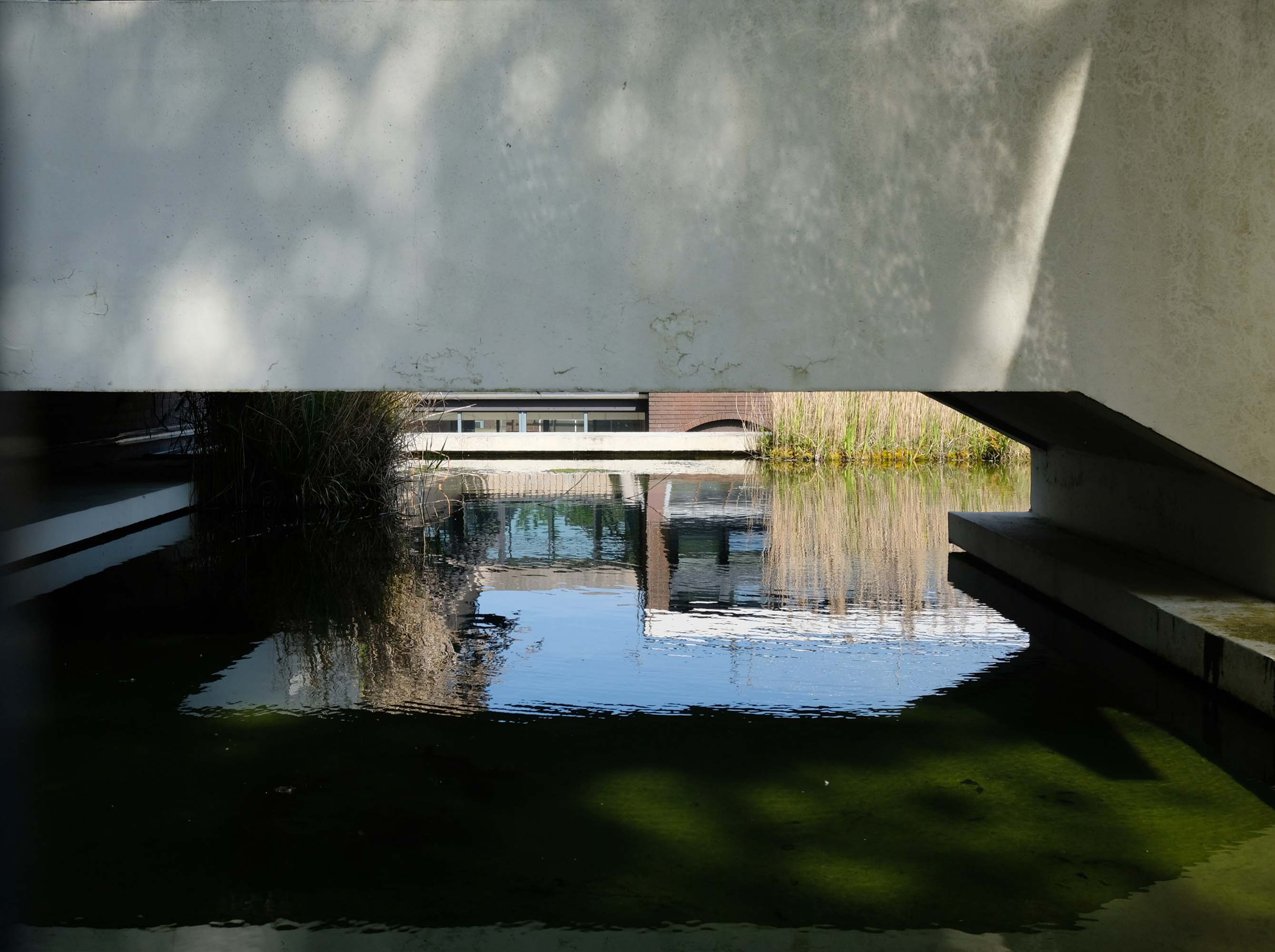
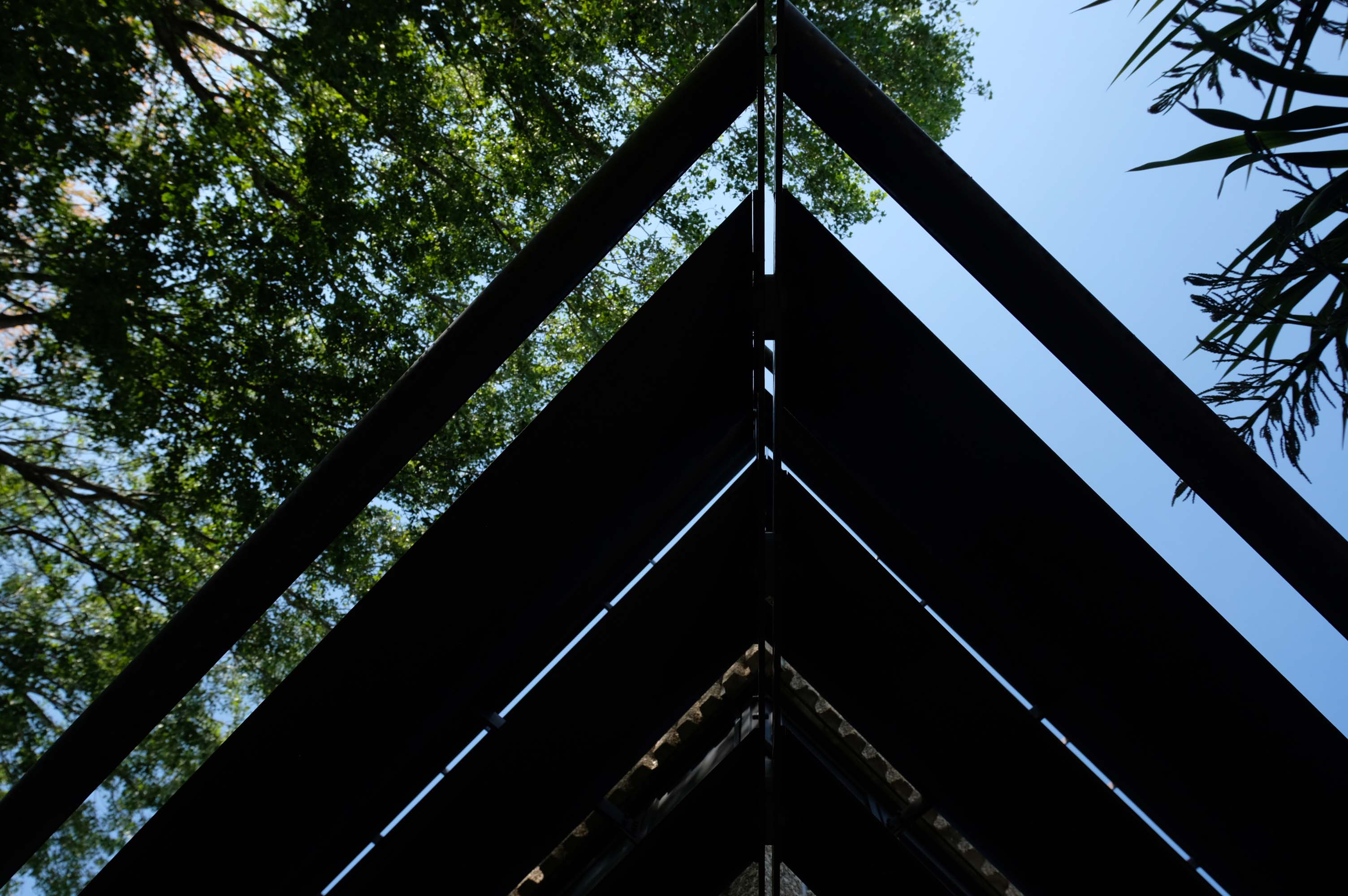
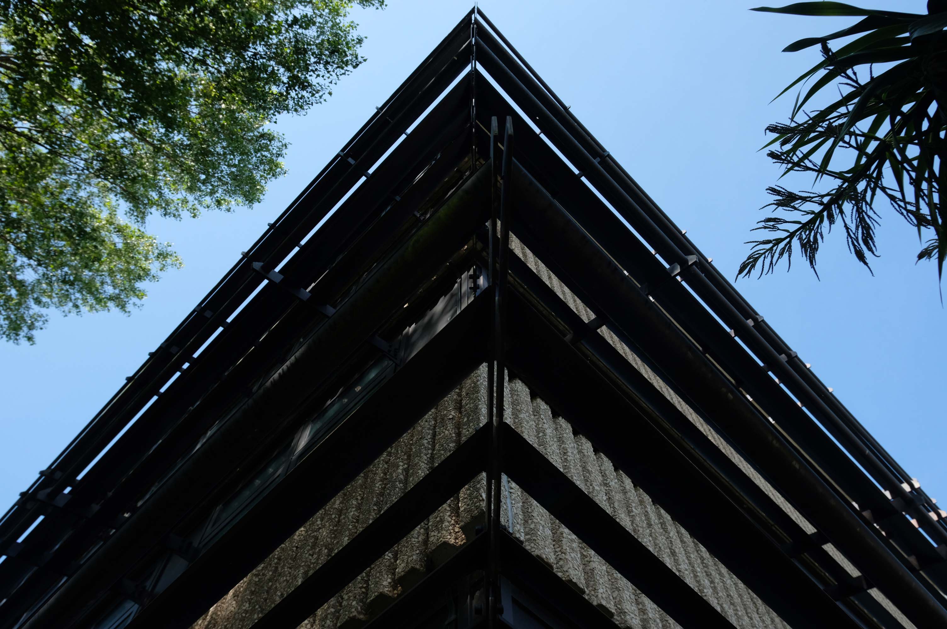
A series of four × two-storey-deep lattice girders and a single one-storey girder, all measuring up to 27m-long, span over the zone where the underground pipes are located. In these parts, the car park has no first-floor level as the local water board needed a 5m ground-to-ceiling clearance in case they had to undertake any maintenance works. Consequently, the first floor is only a partial level and is set within the depth of the larger lattice girders, as is the second floor, while the third level is supported on top of these members.
Supporting a hotel would be challenging enough, however the design has also had to incorporate large bridging elements as there are two subterranean 600mm-diameter water pipes crossing the site. “It’s a very unusual design and one that was originally designed as a concrete-framed structure,” says James Killelea Senior Structural Engineer Charlie Twist. “However, the bridging parts would have proven to be too difficult to build and consequently a steel-framed solution was chosen for the car park, which in turn supports a precast concrete hotel.”
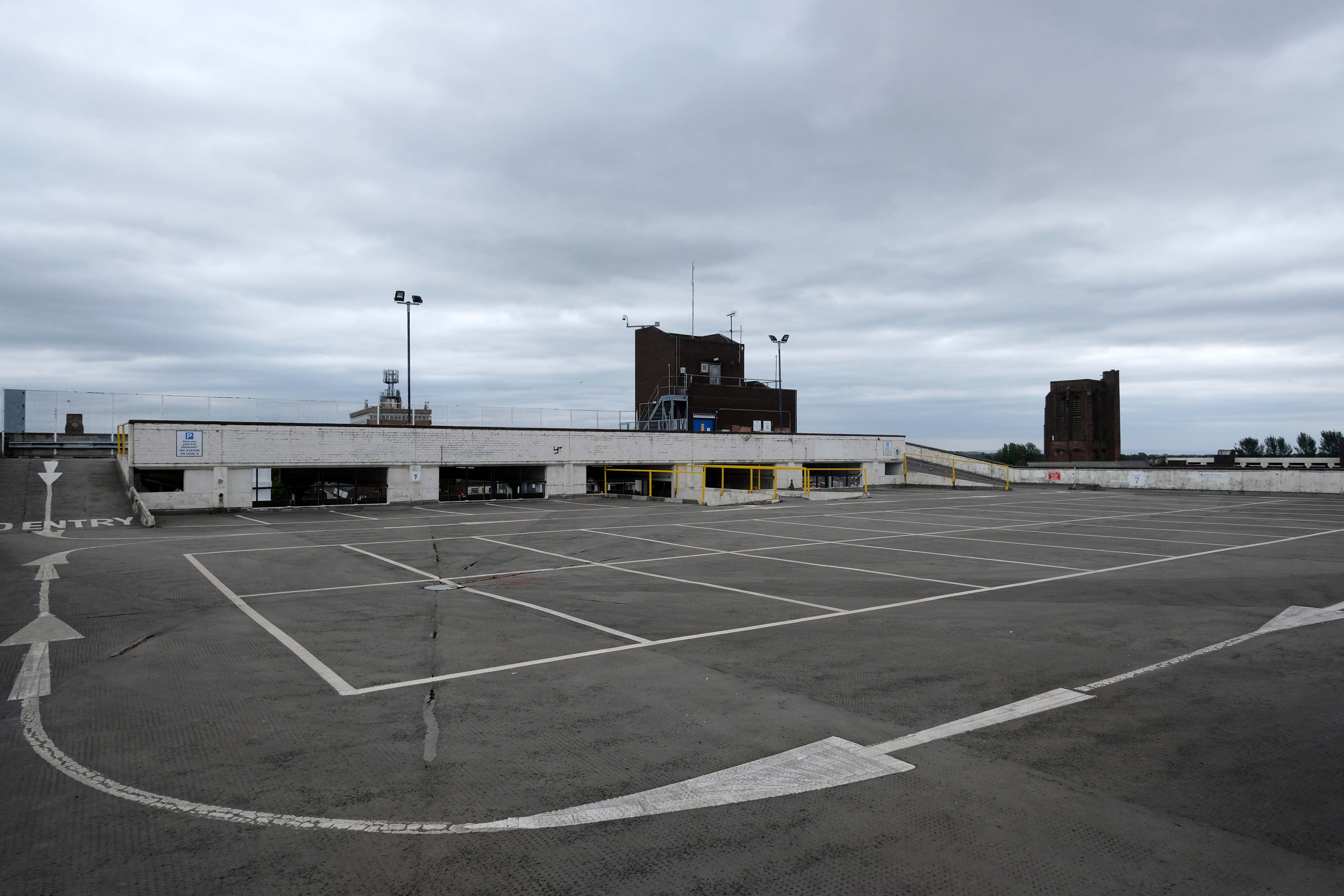
This car park is one of the cleanest and most well maintained in Manchester.
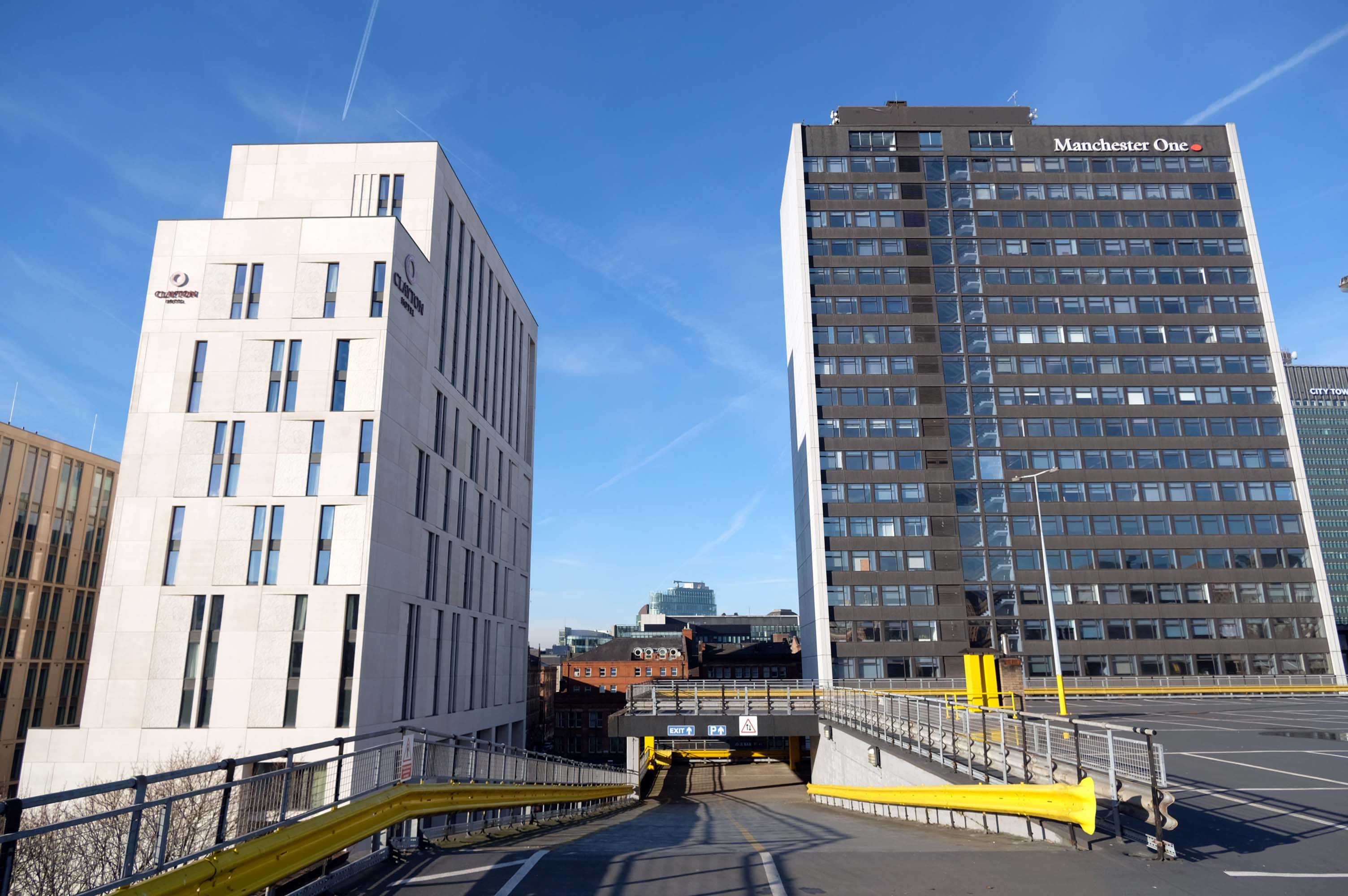
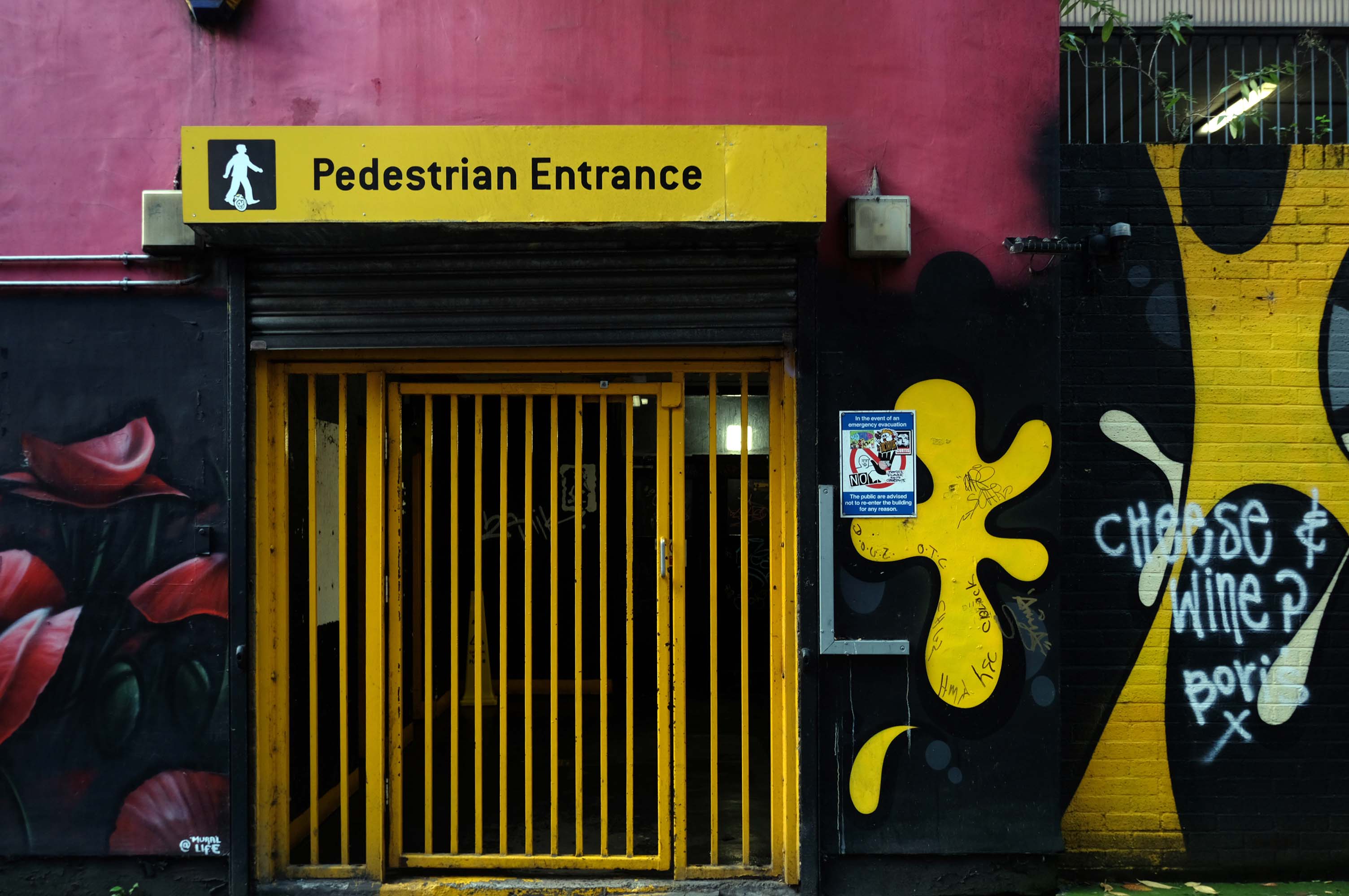
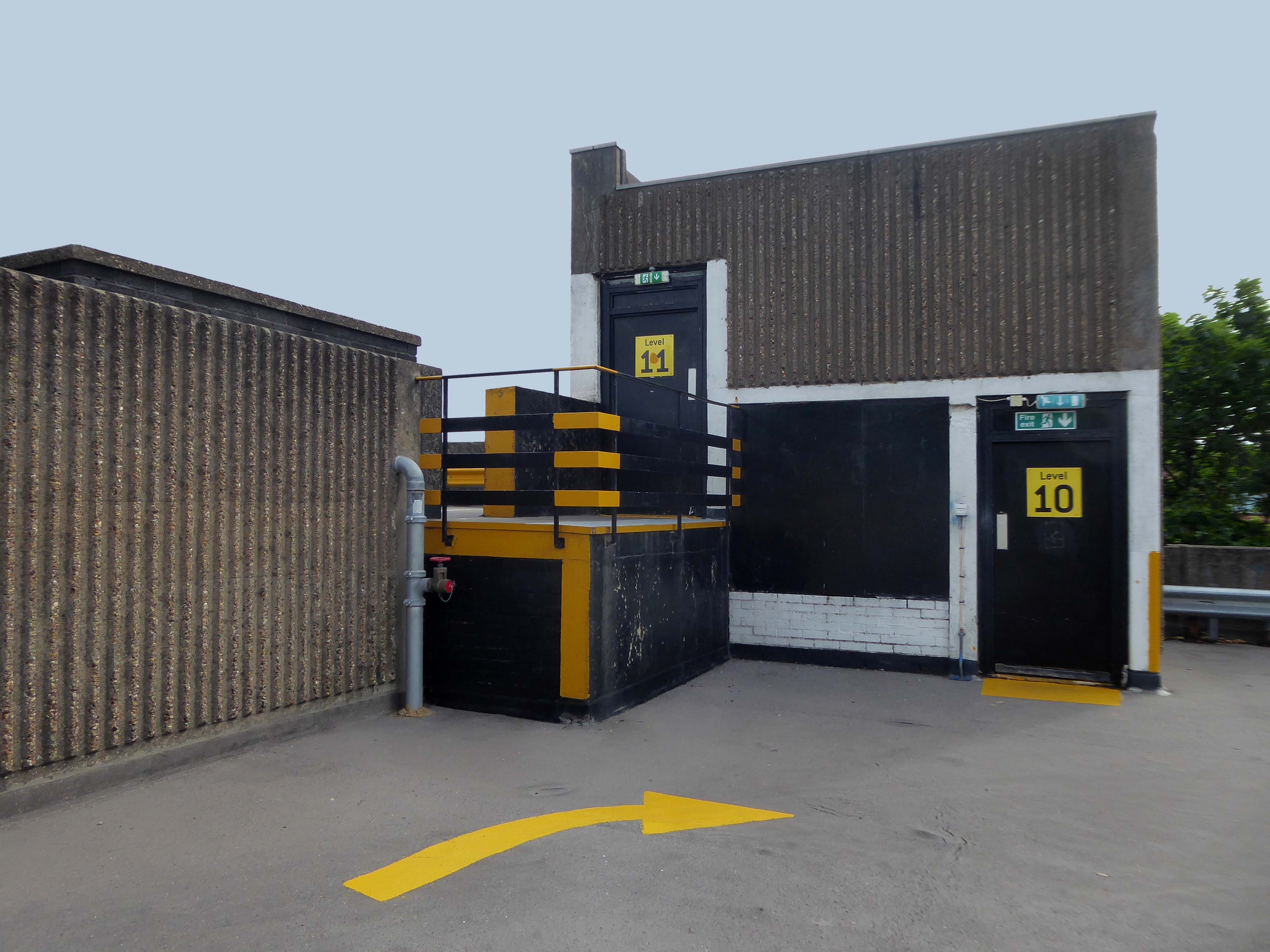
What a refreshing change for the pedestrian in a car park!
As a coda my hero Bob Mould late of Hüsker Dü posted this pic this week!
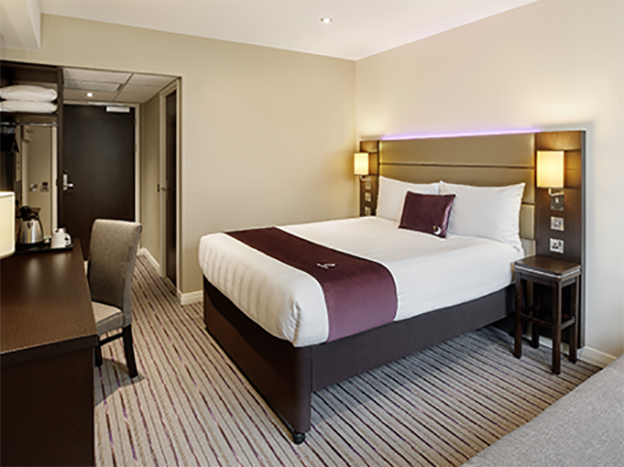
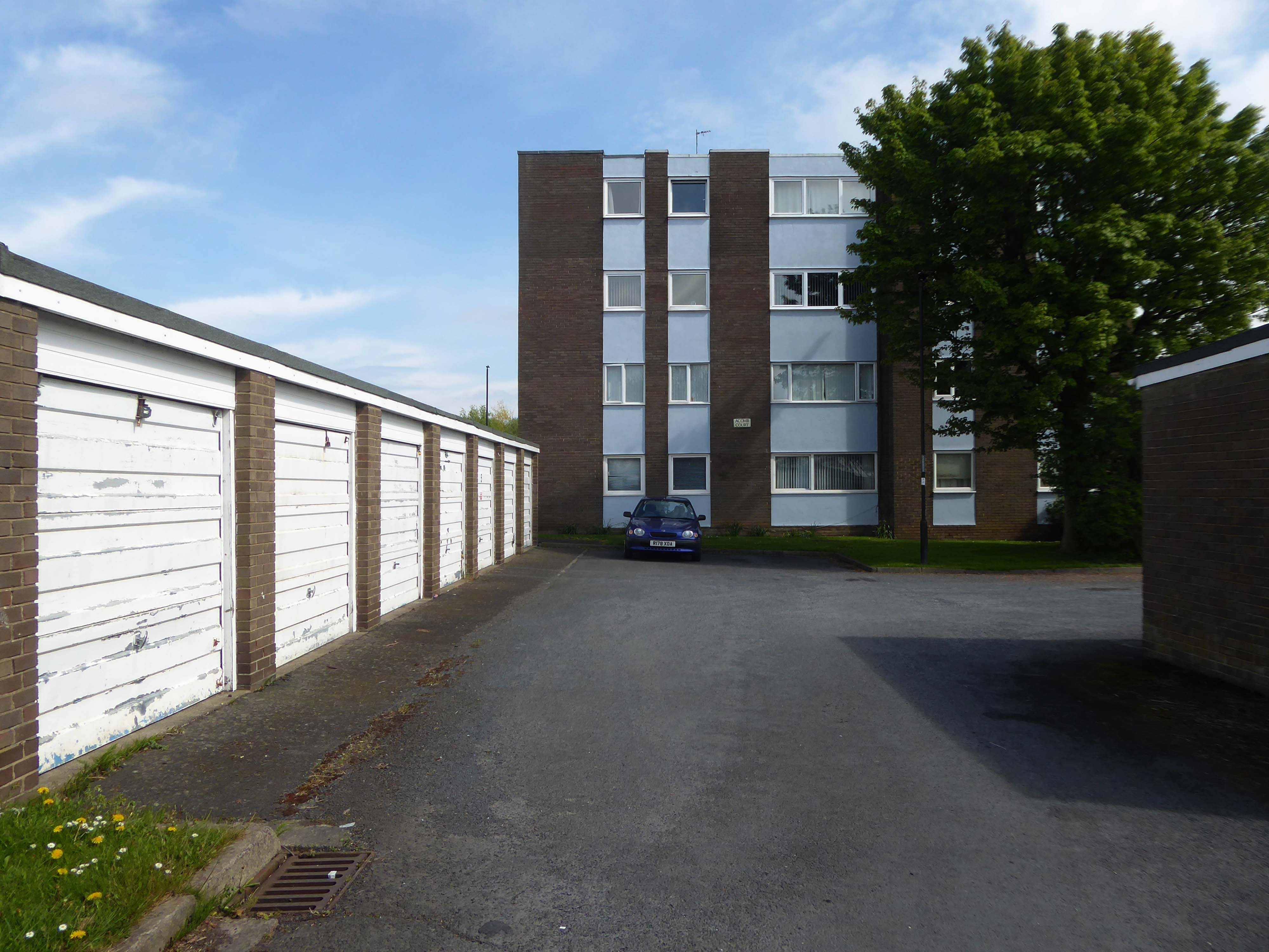
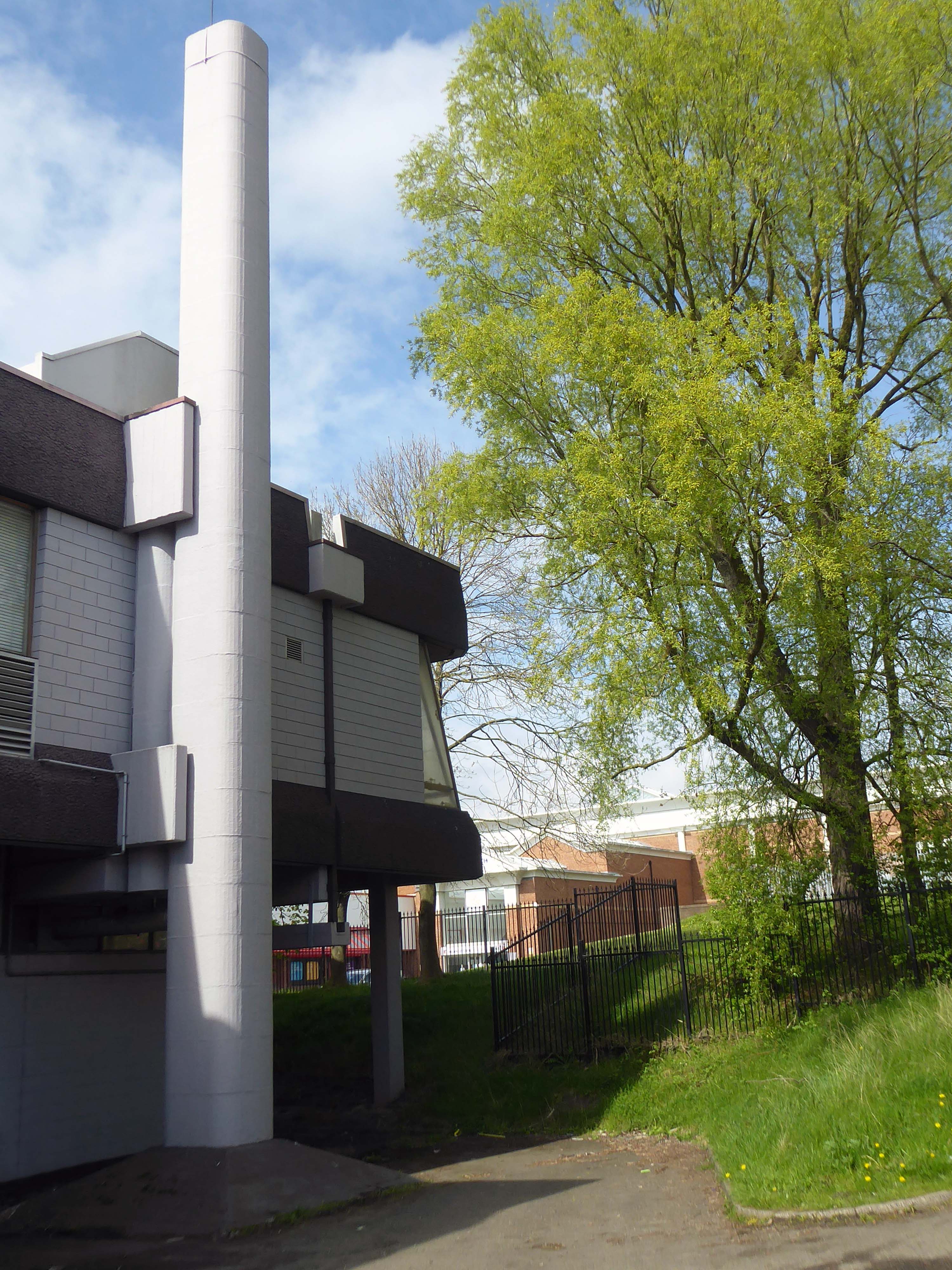
I assume that he was staying in the Premier Inn which sits atop the car park.
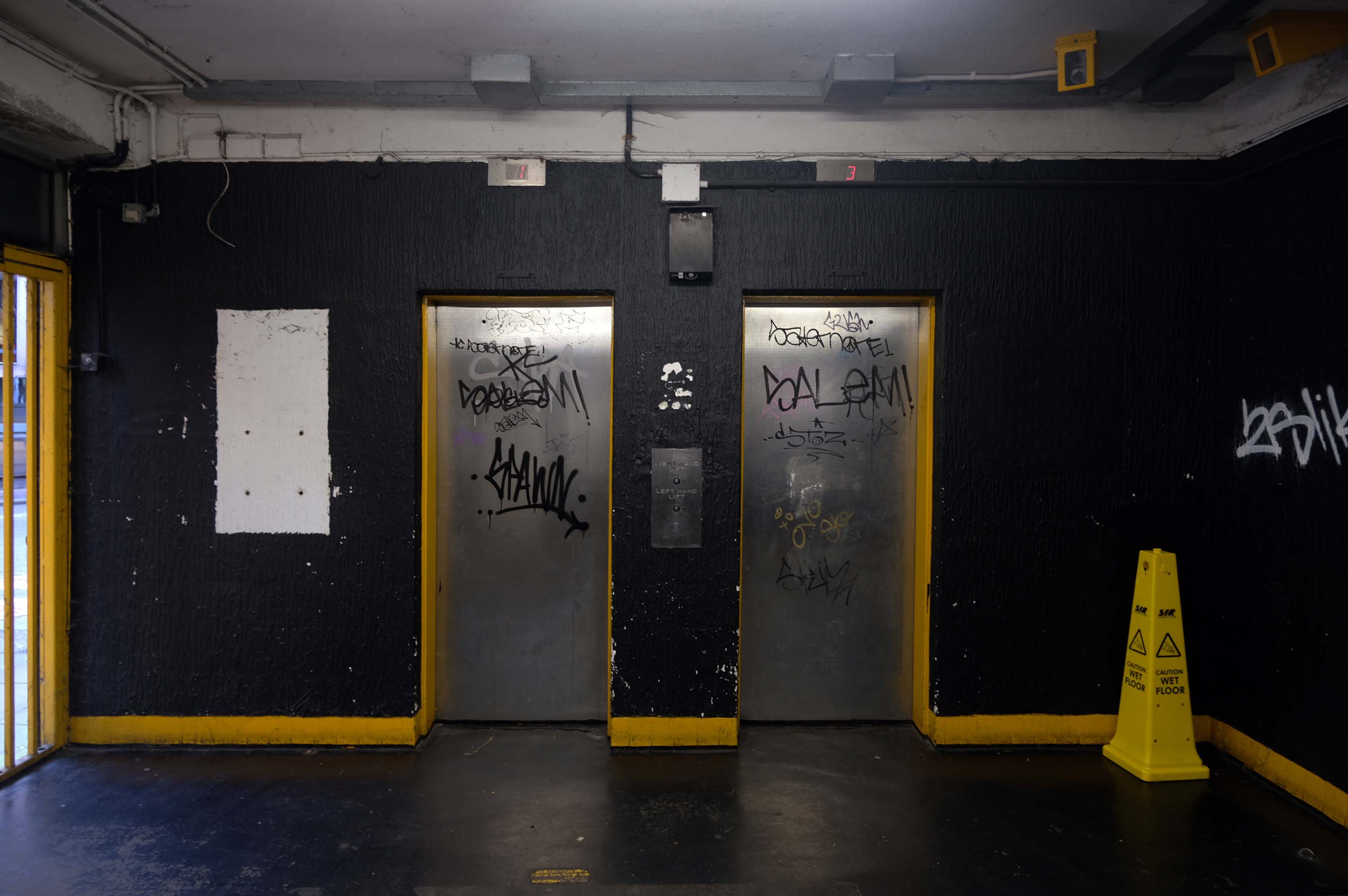
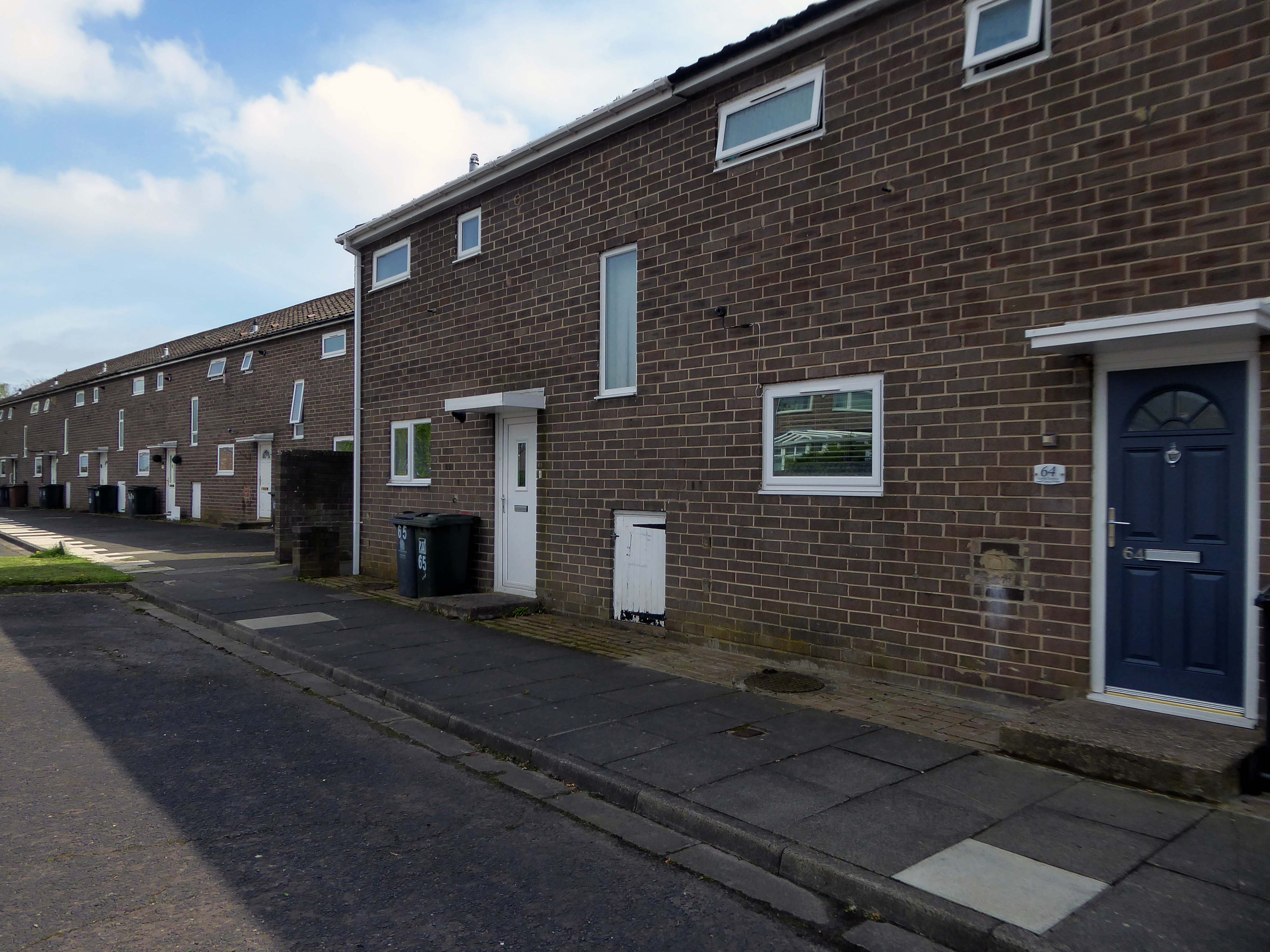
Good location but the access to the shopping centre is dirty. Lifts dirty – discarded soiled underwear, urine, spit and rubbish in the lifts, car park also full of litter.
The most unnecessarily complicated ticketing system I have ever seen for a car park. Designed to fail so that the system can fine you. Beware, better avoided for overseas visitors.
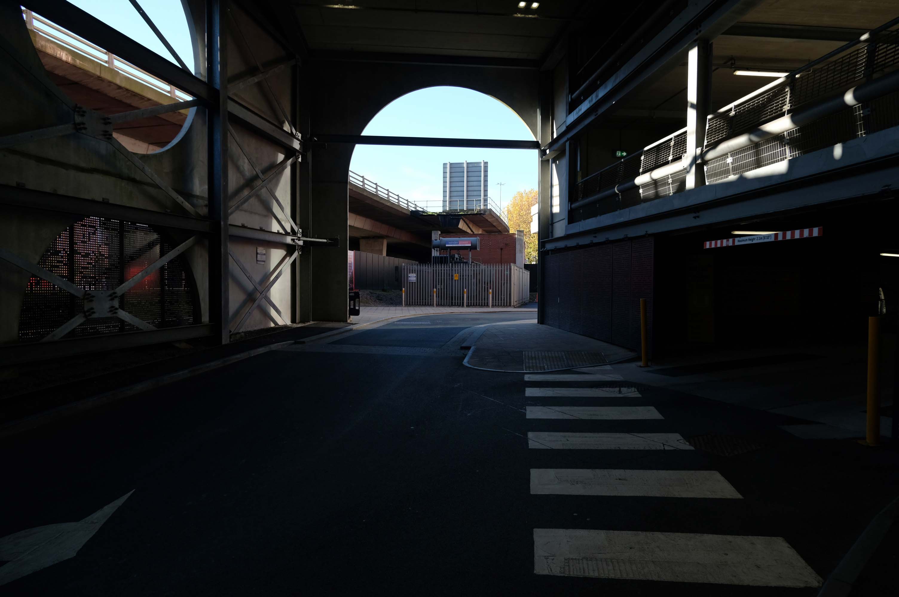
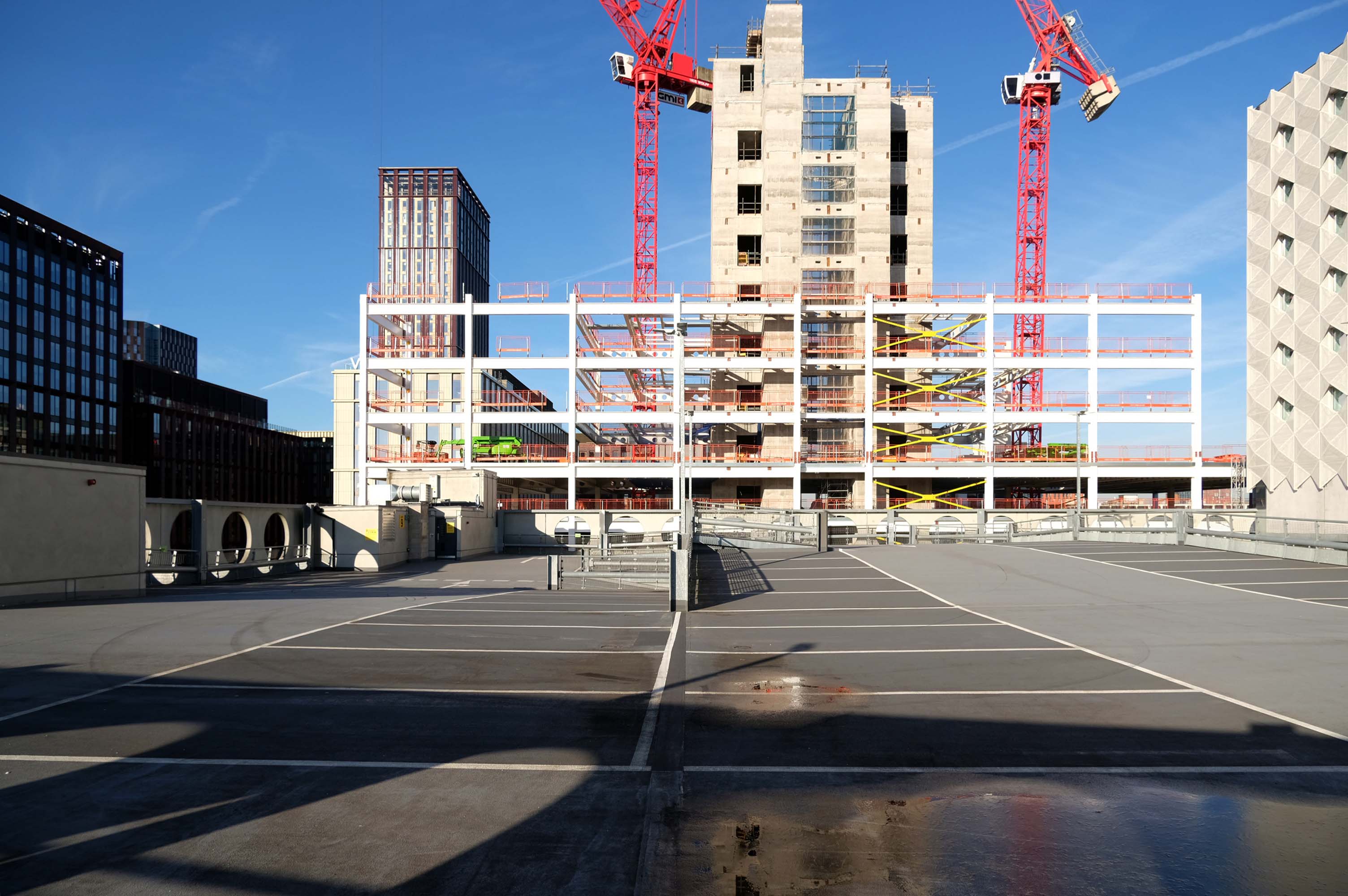
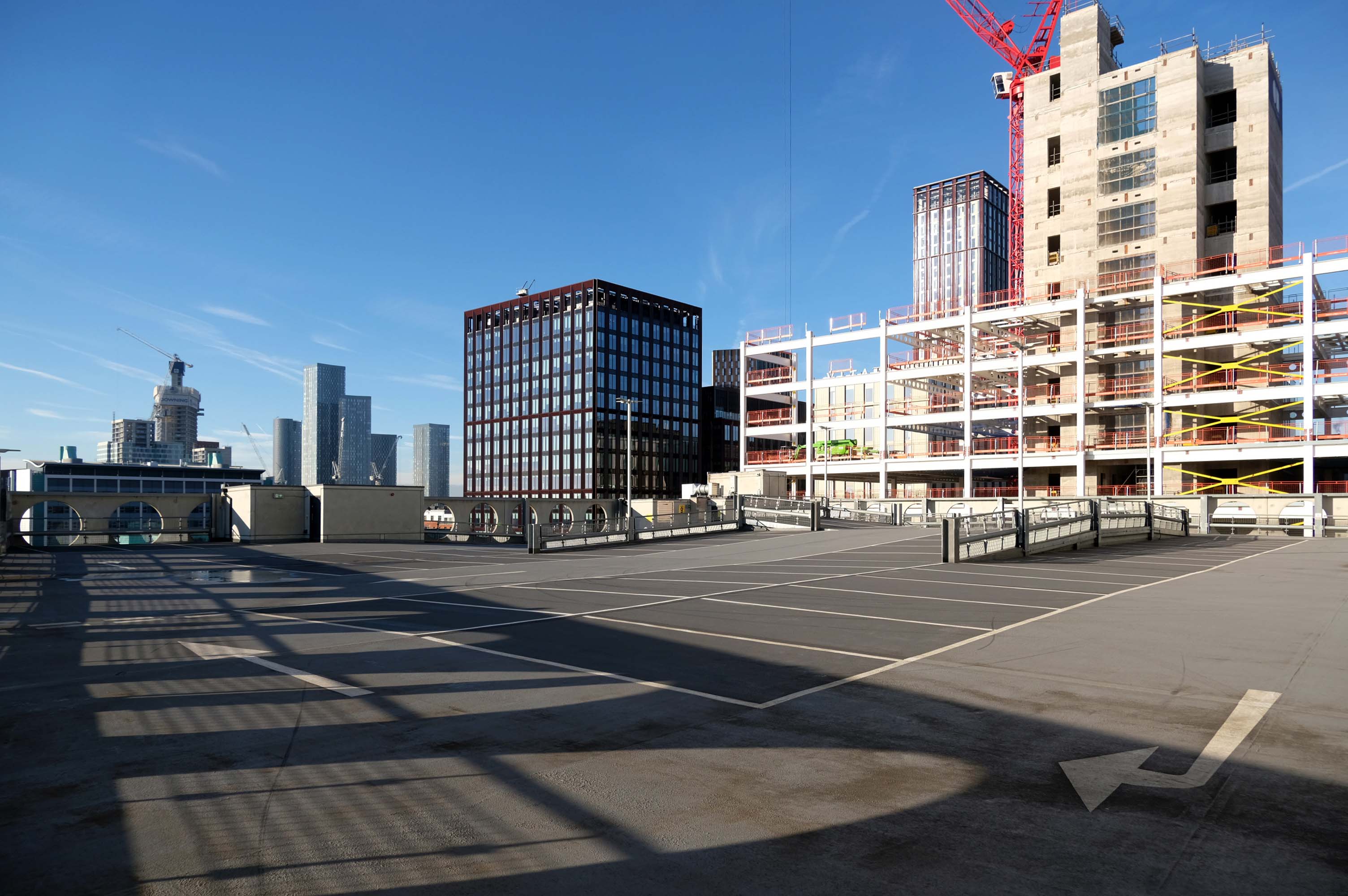
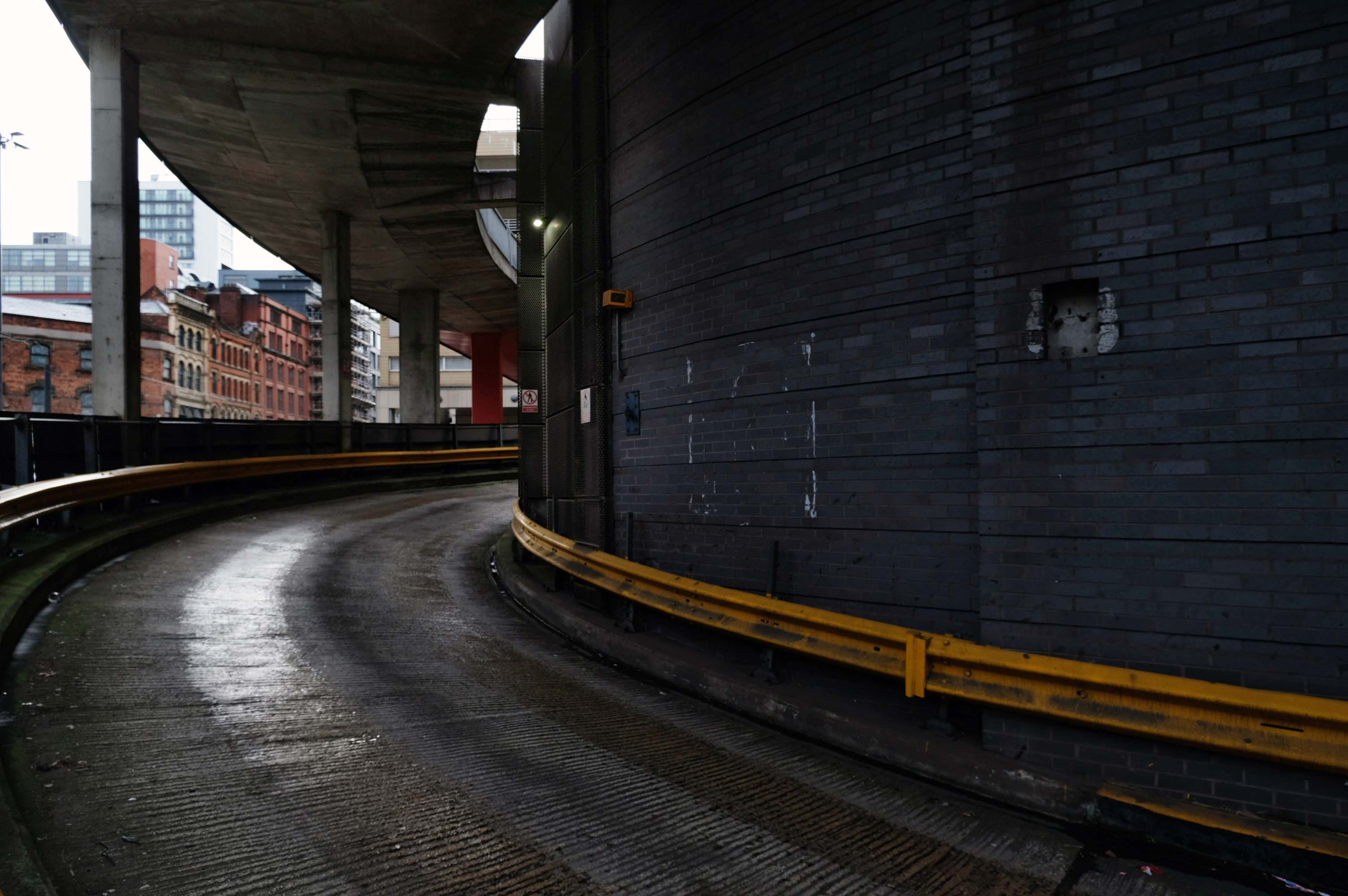
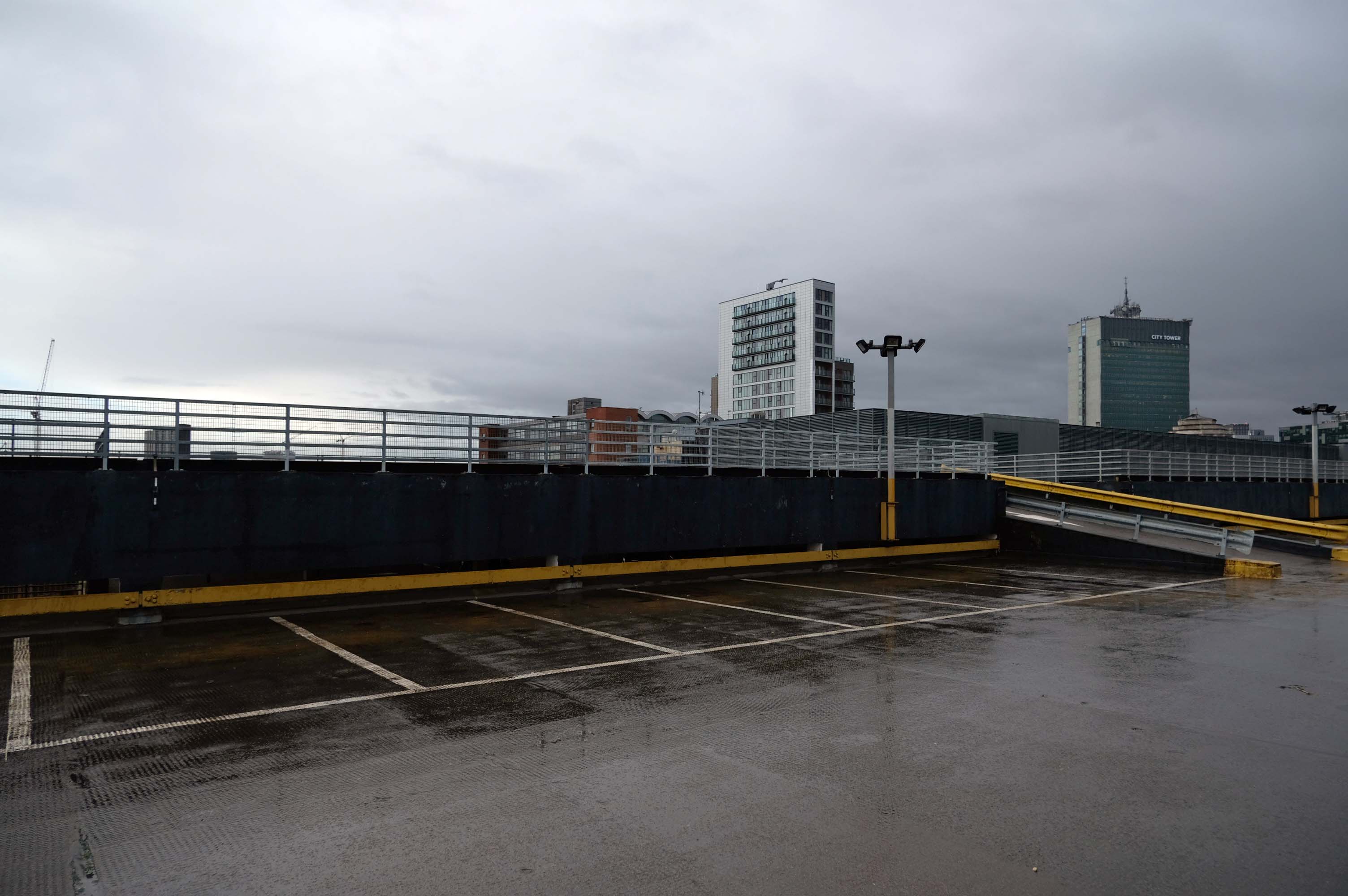
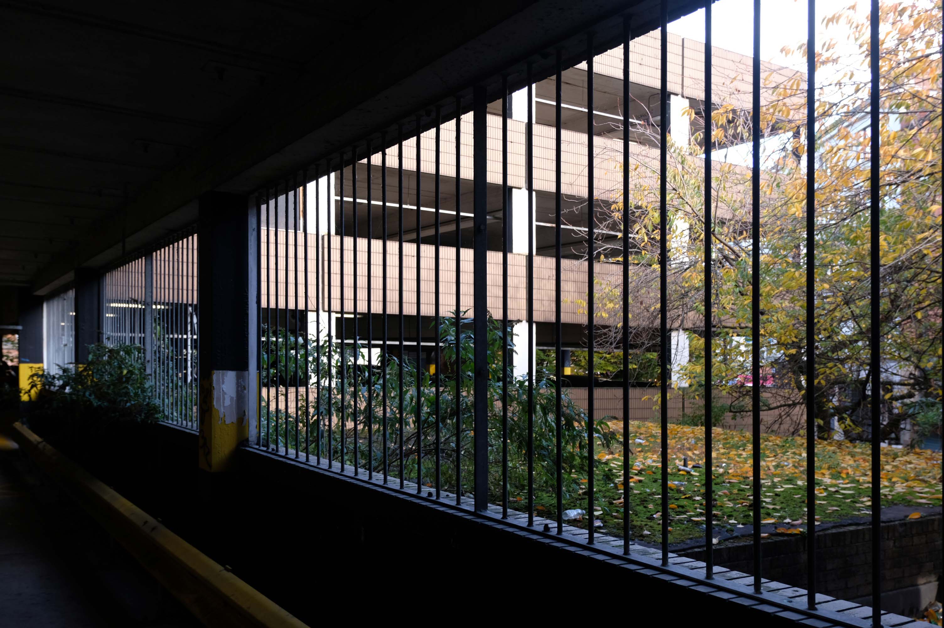
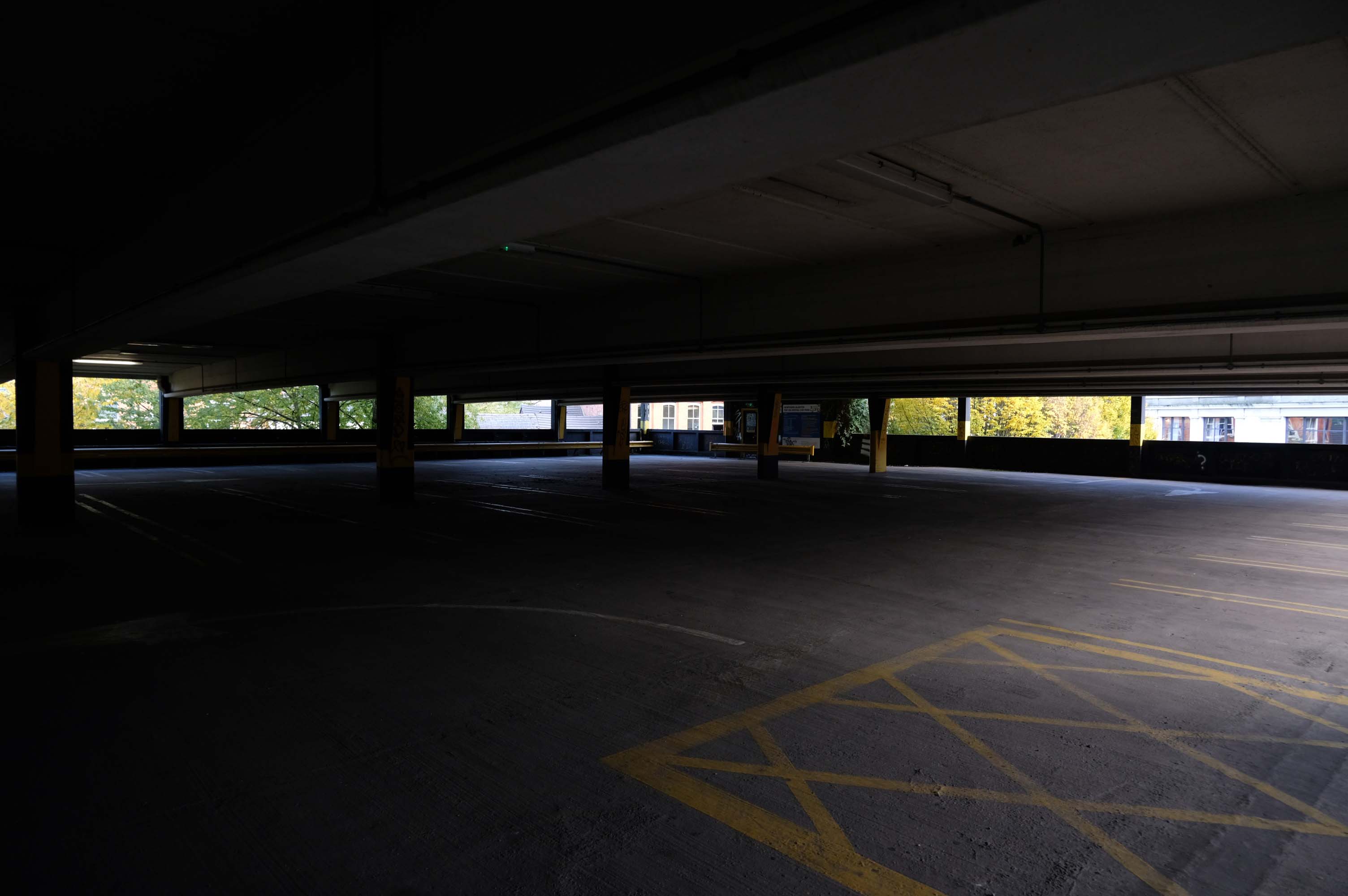
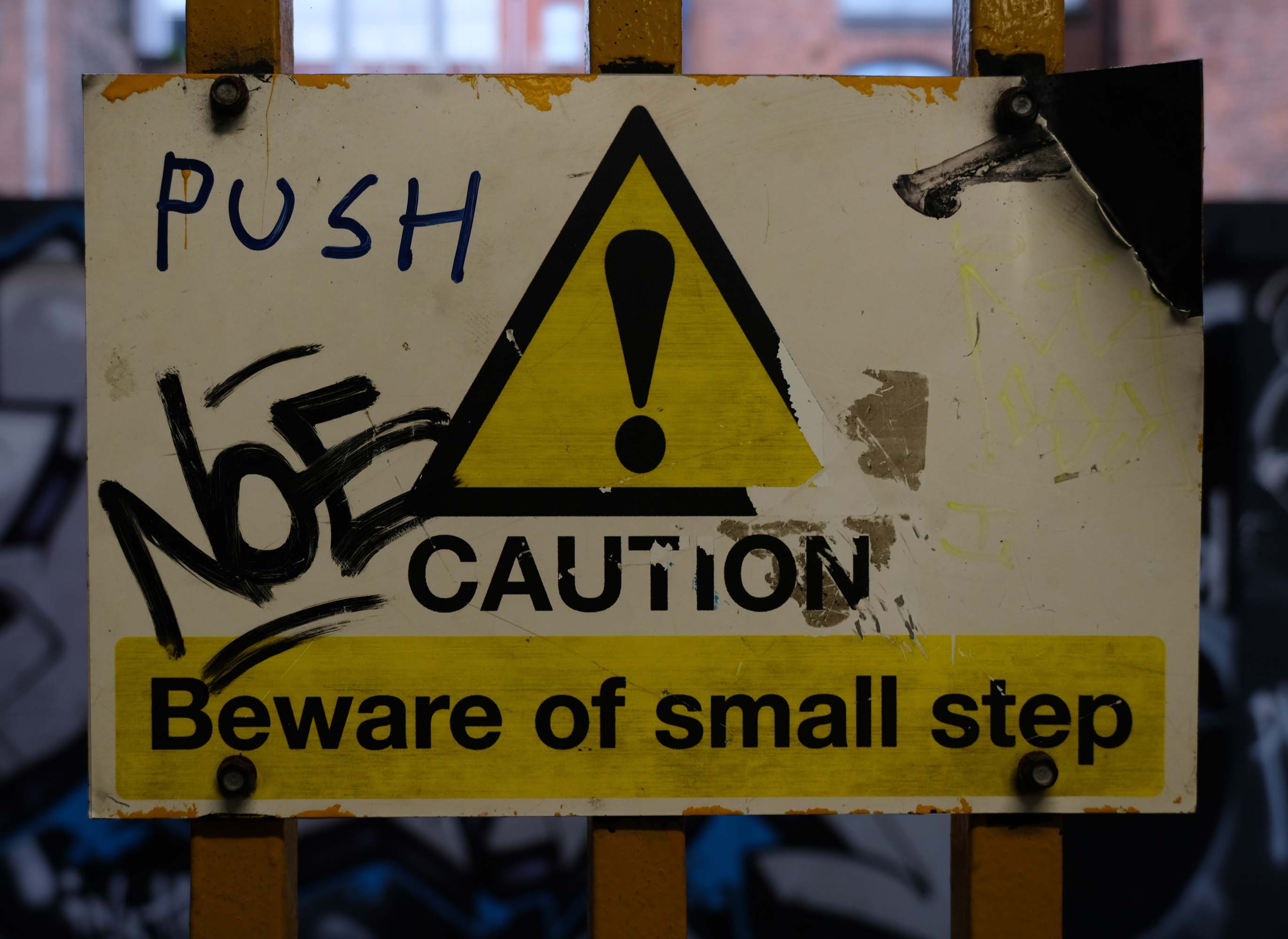
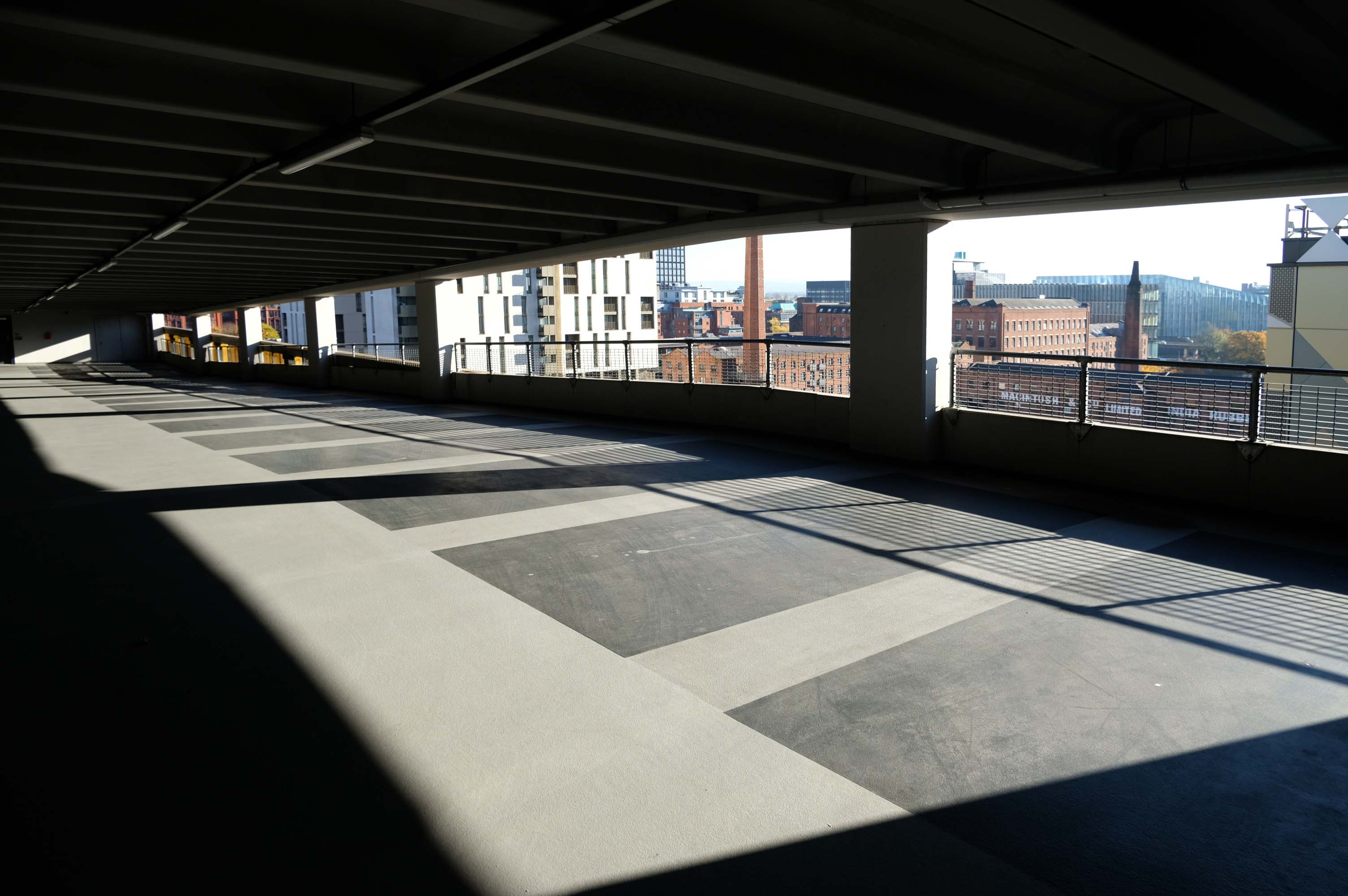
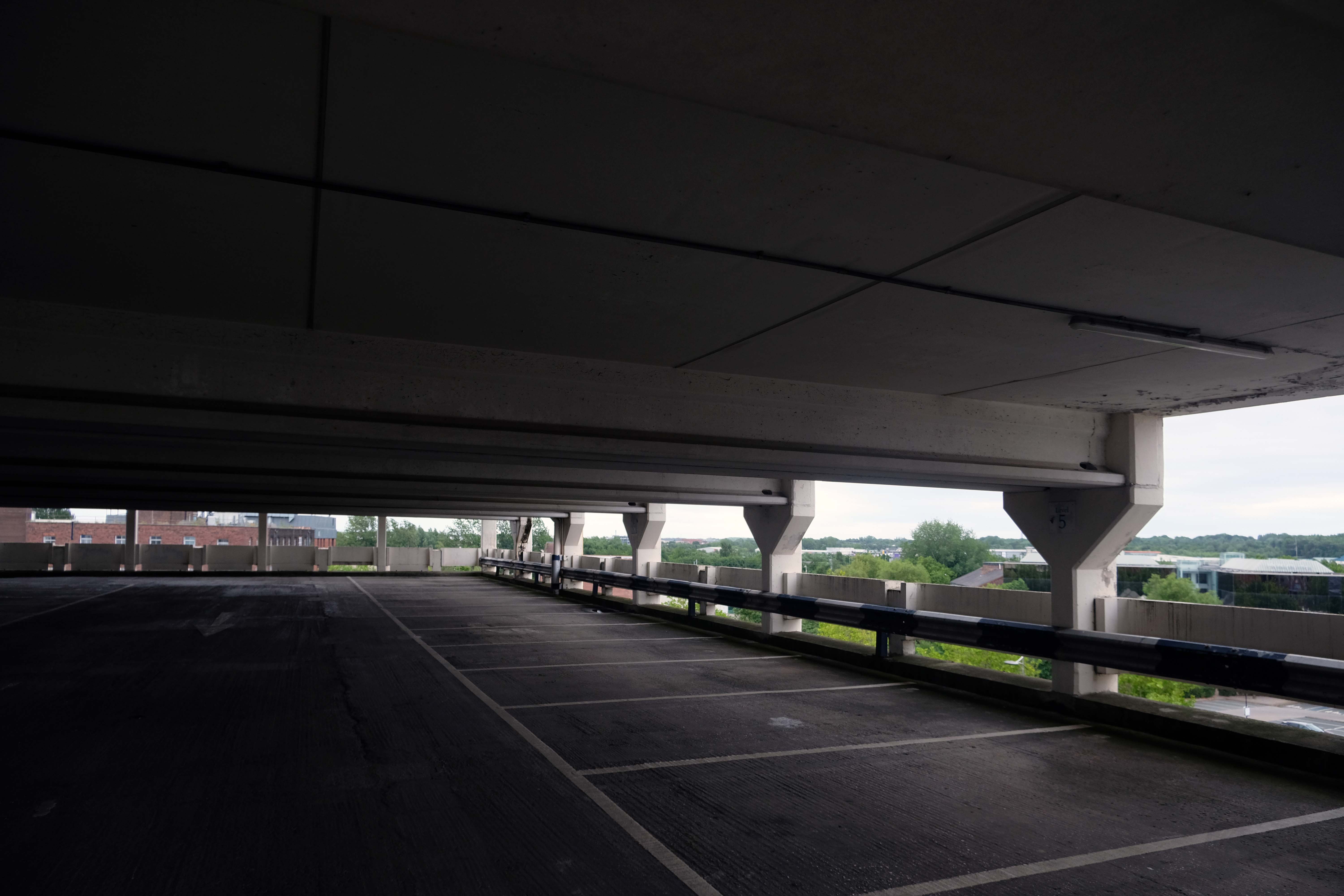
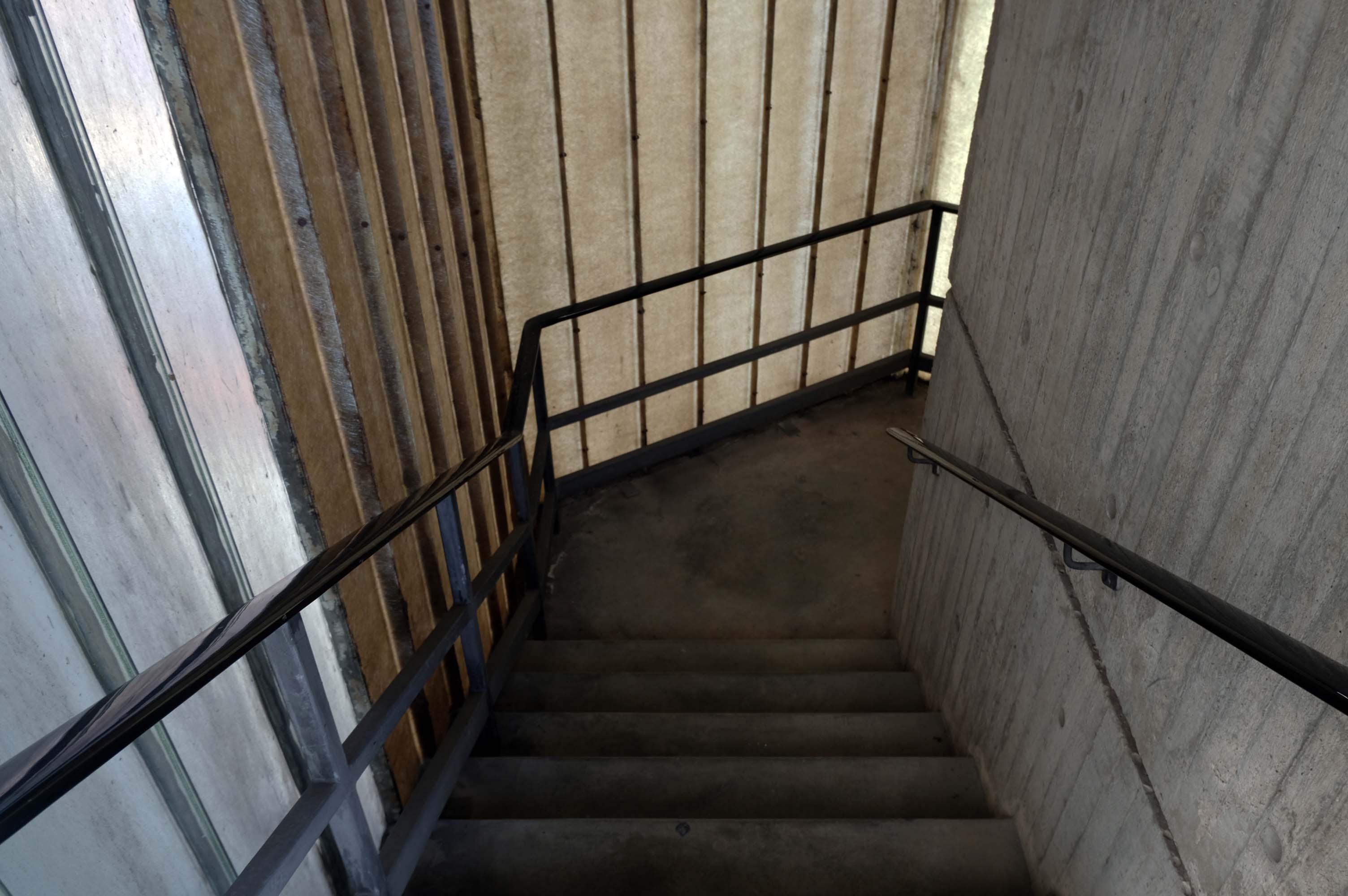
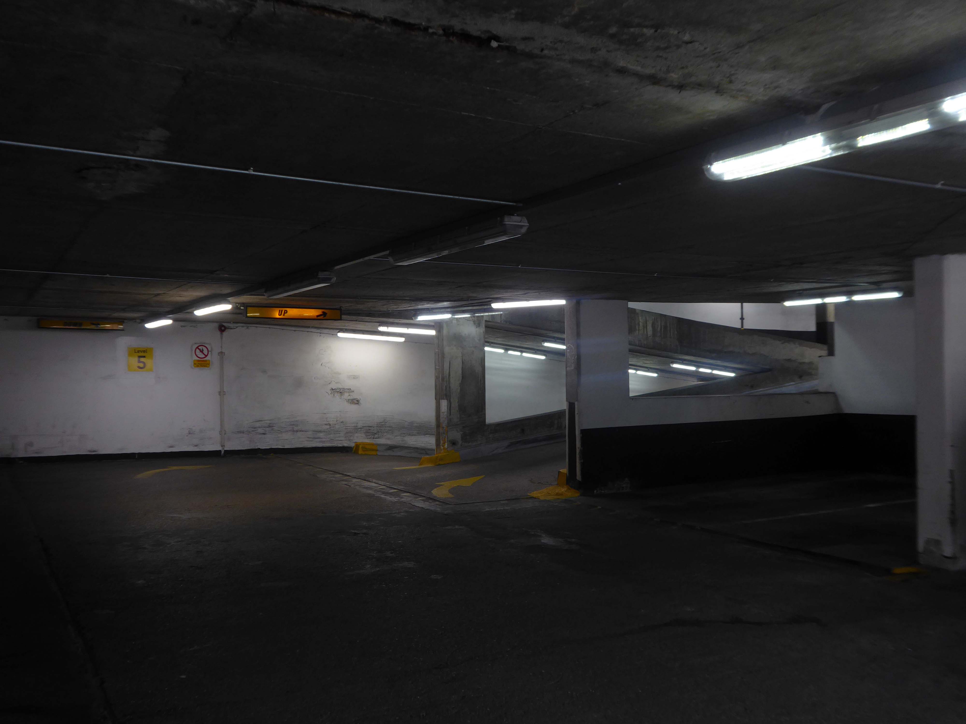
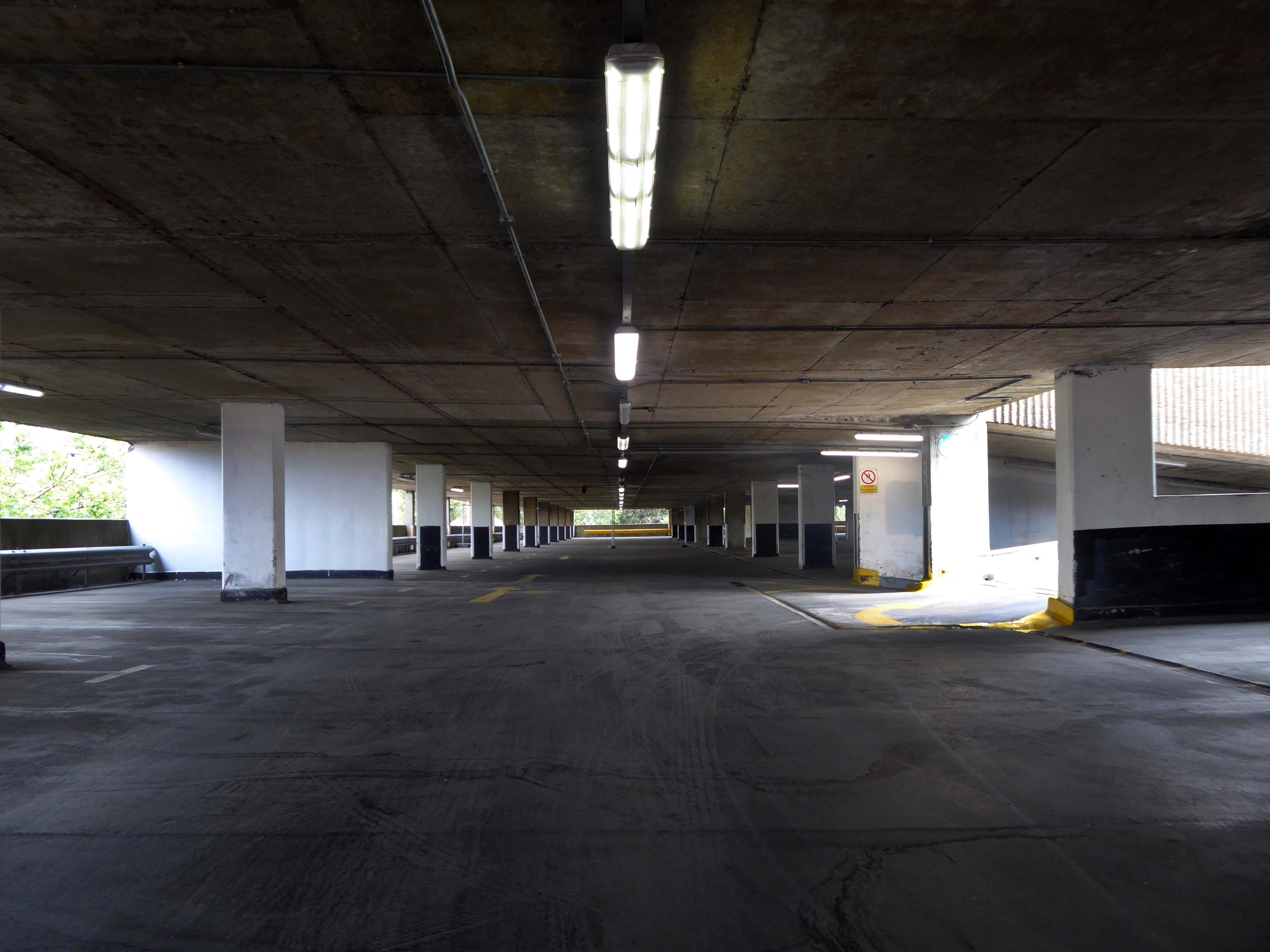
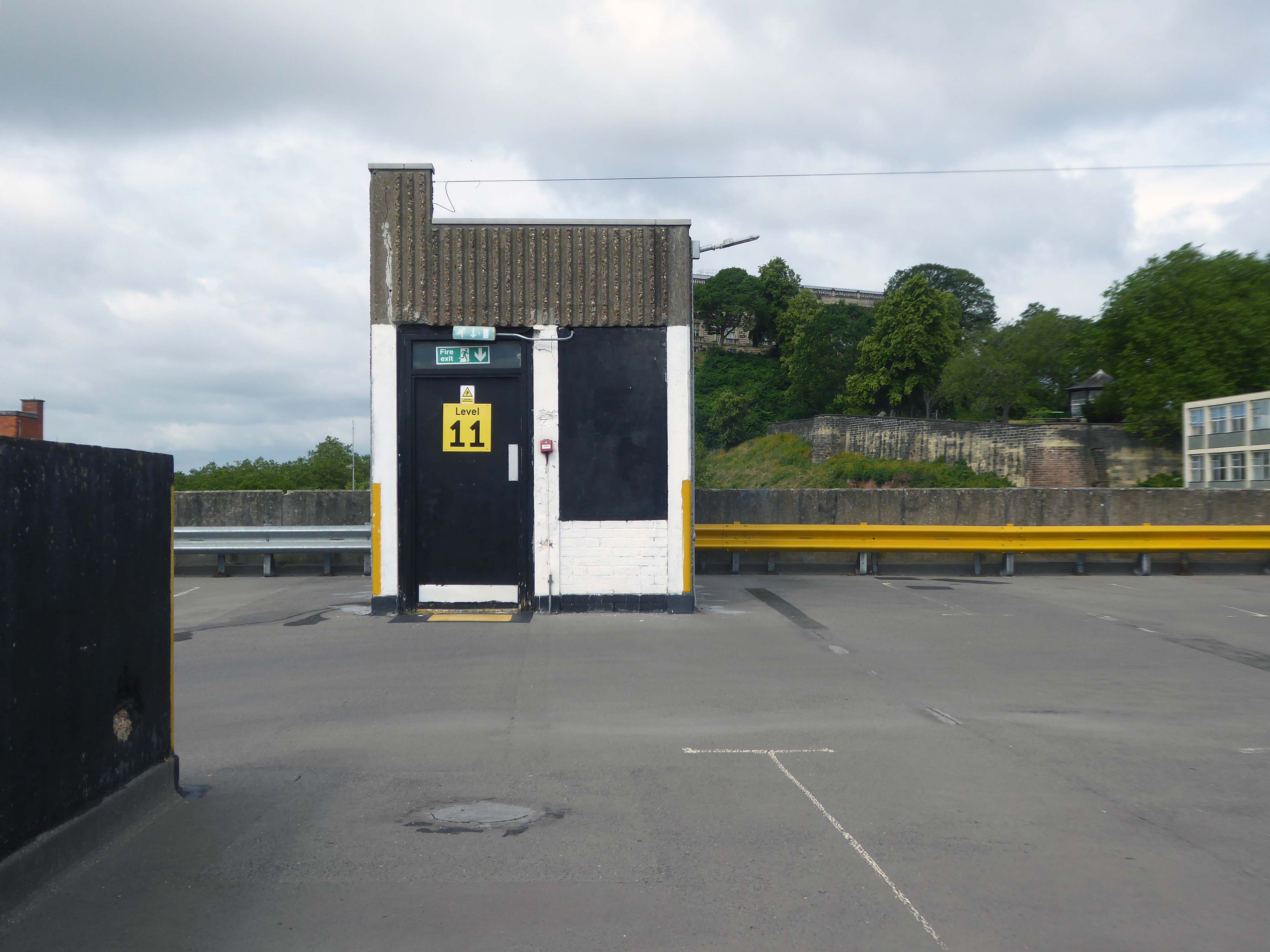
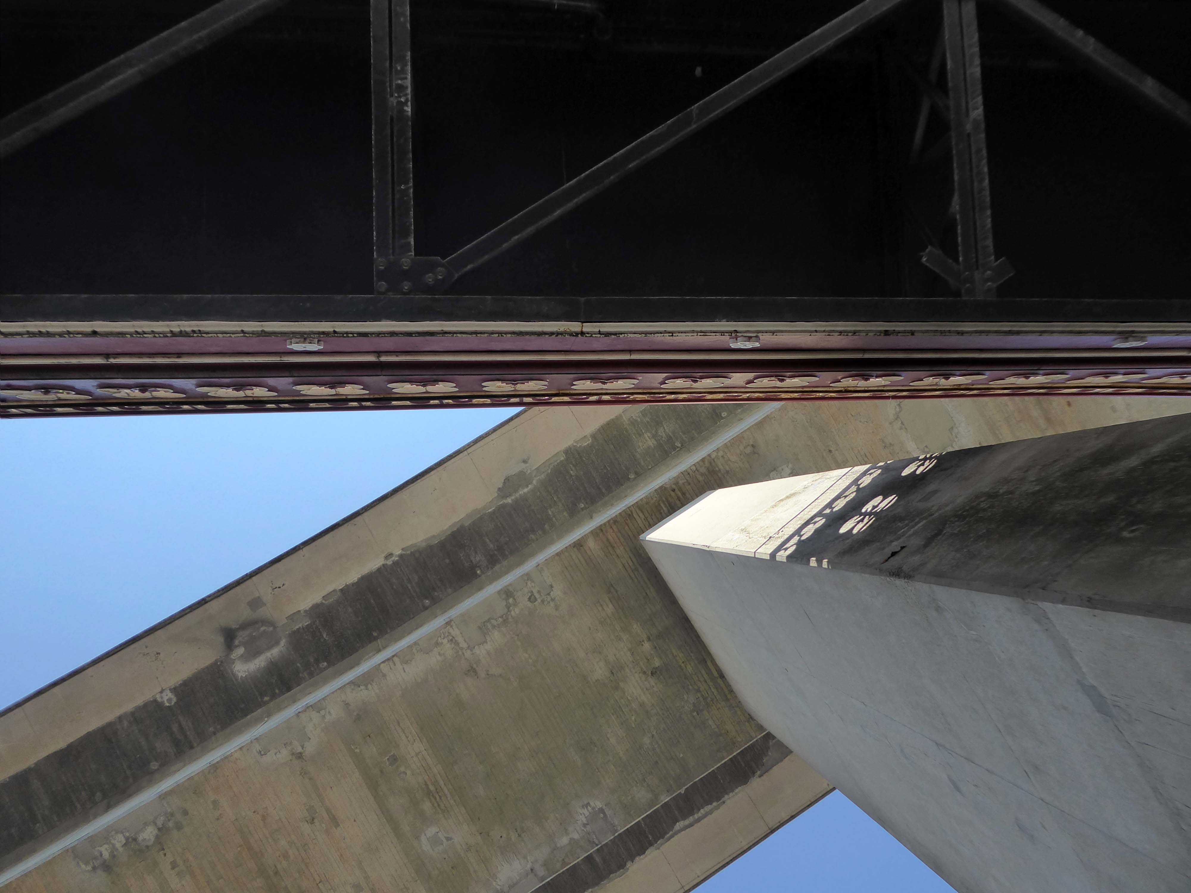
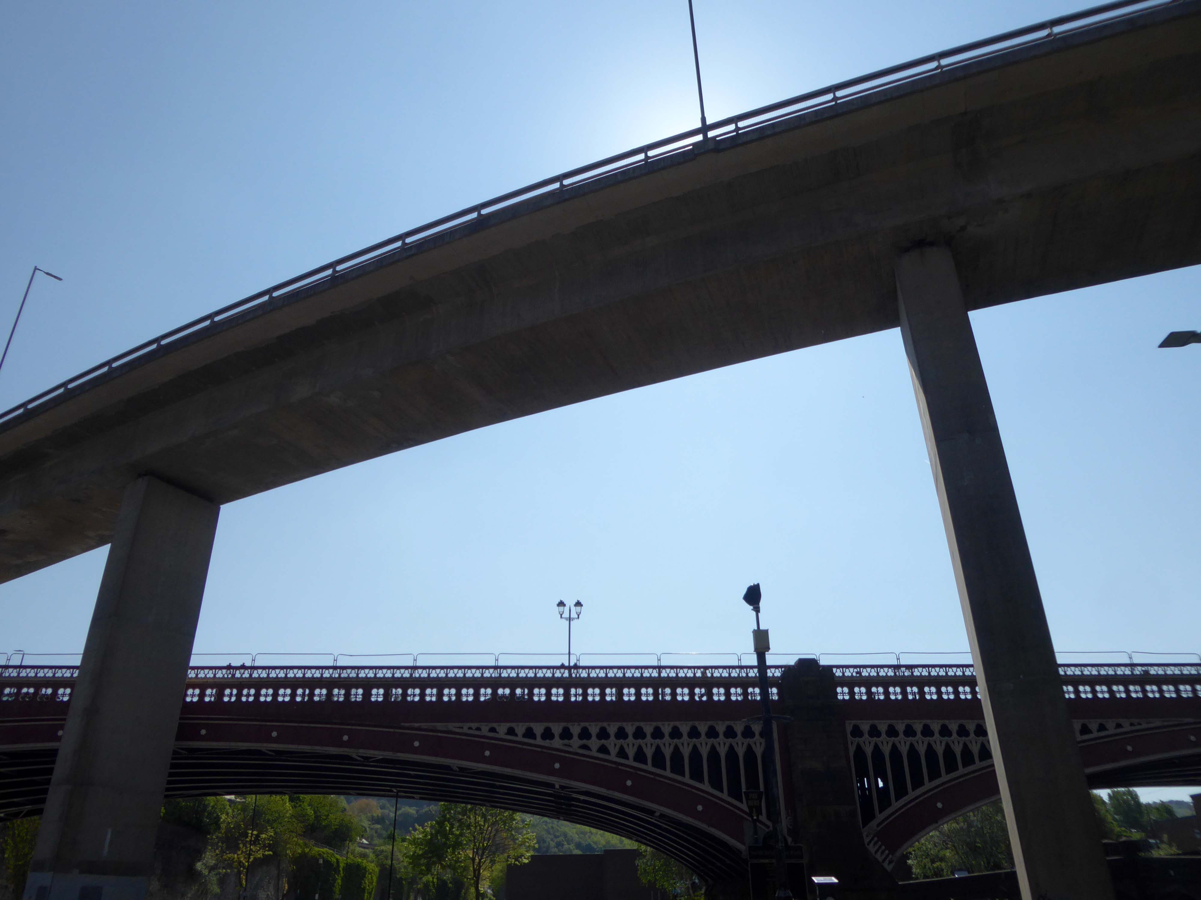
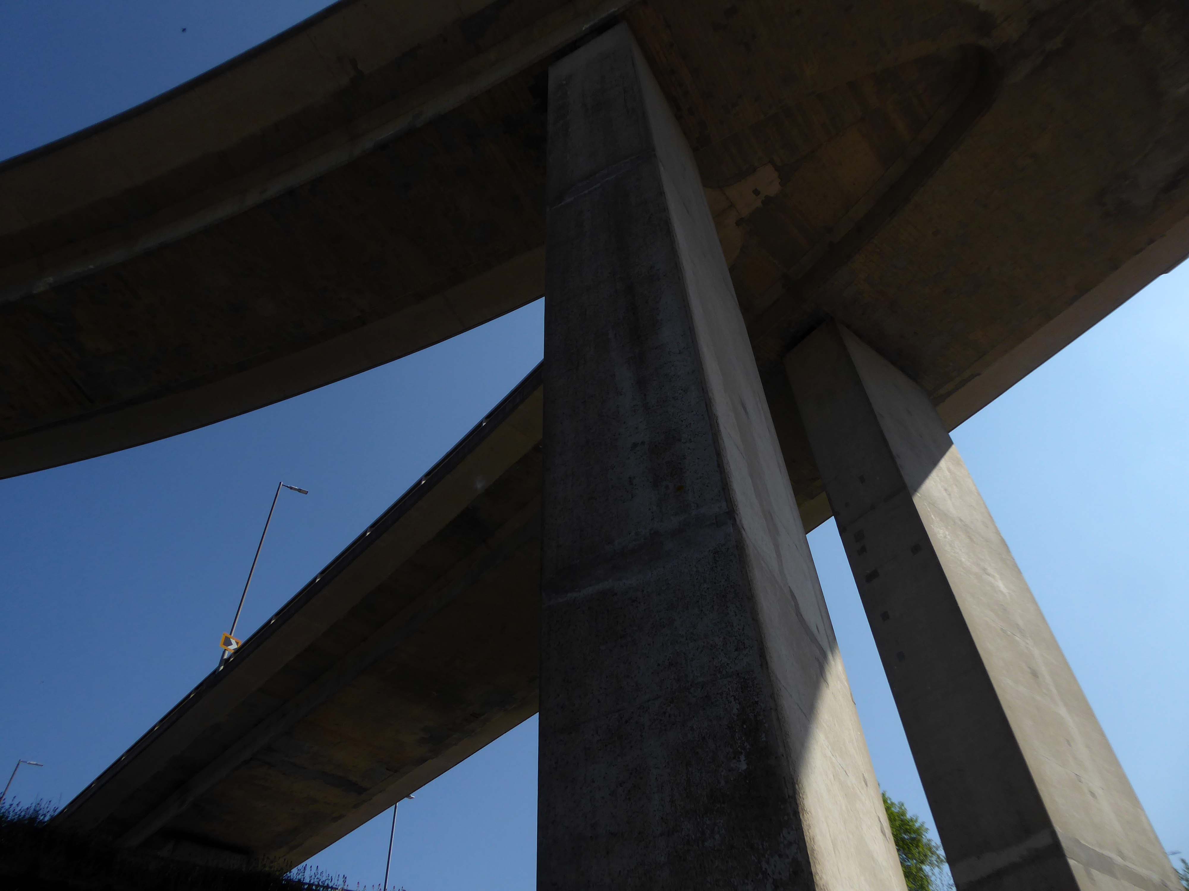
The pedestrian in the car park presses on – encountering structural engineers along the way, who have given the concrete construction a clean bill of health.
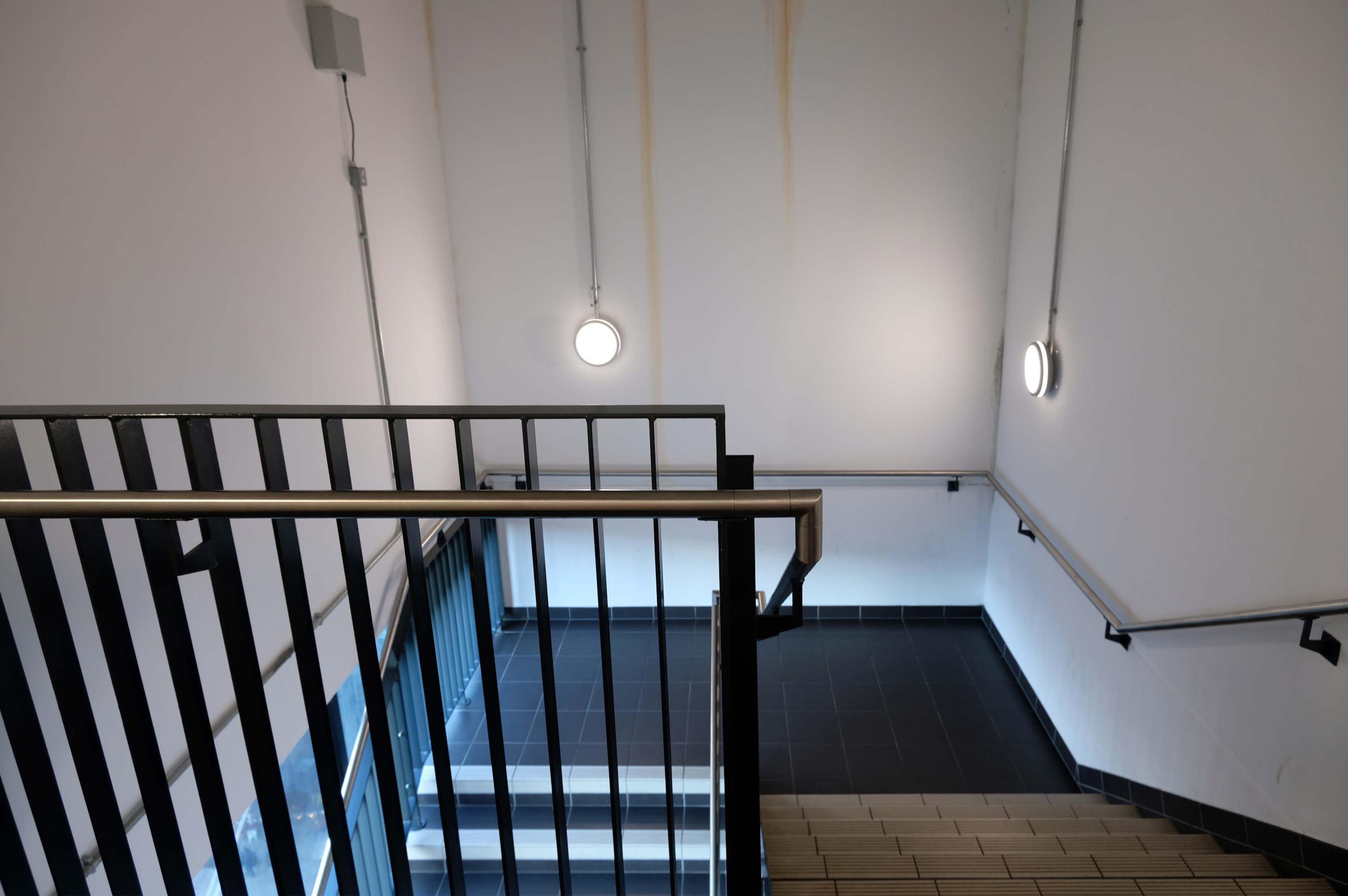
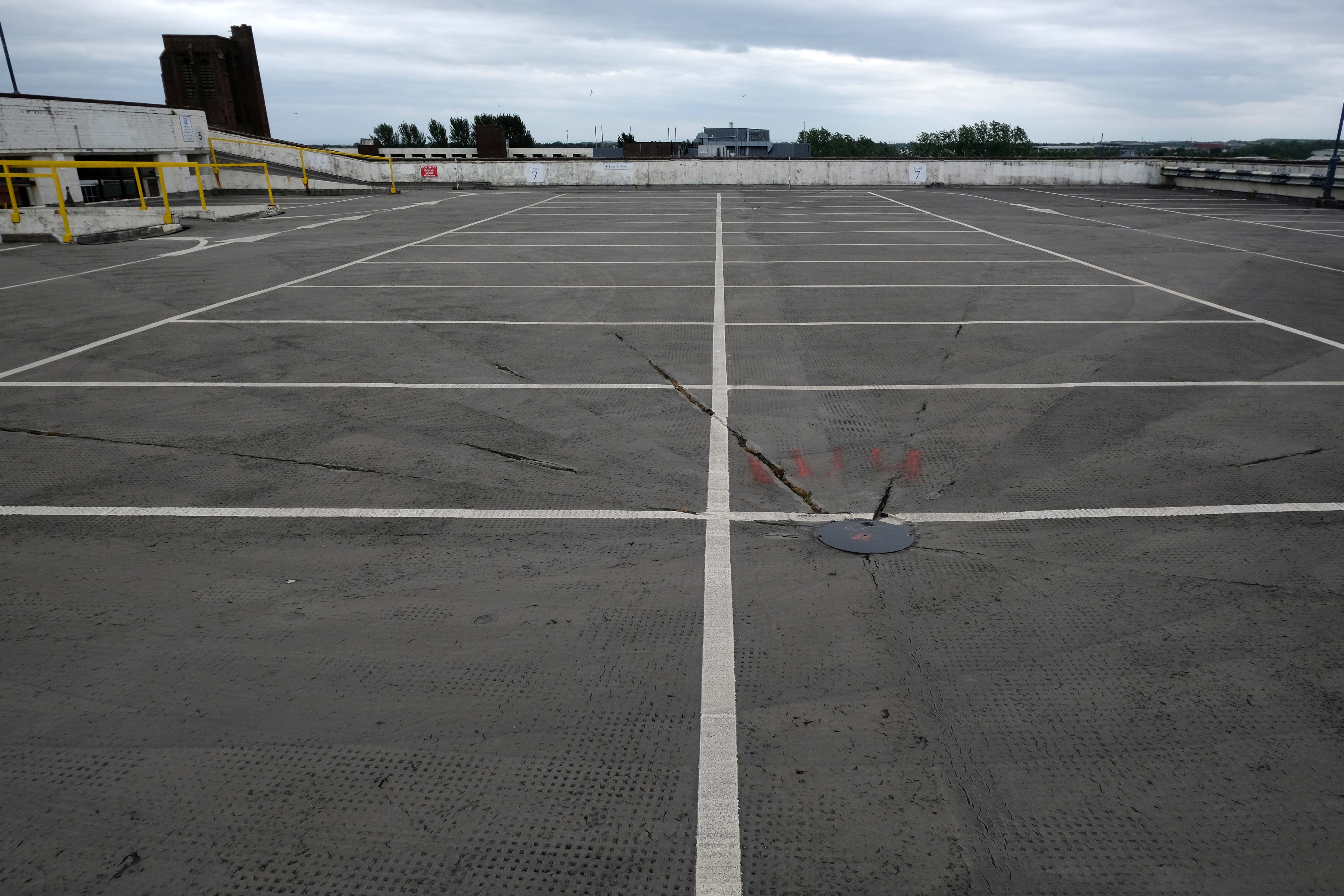
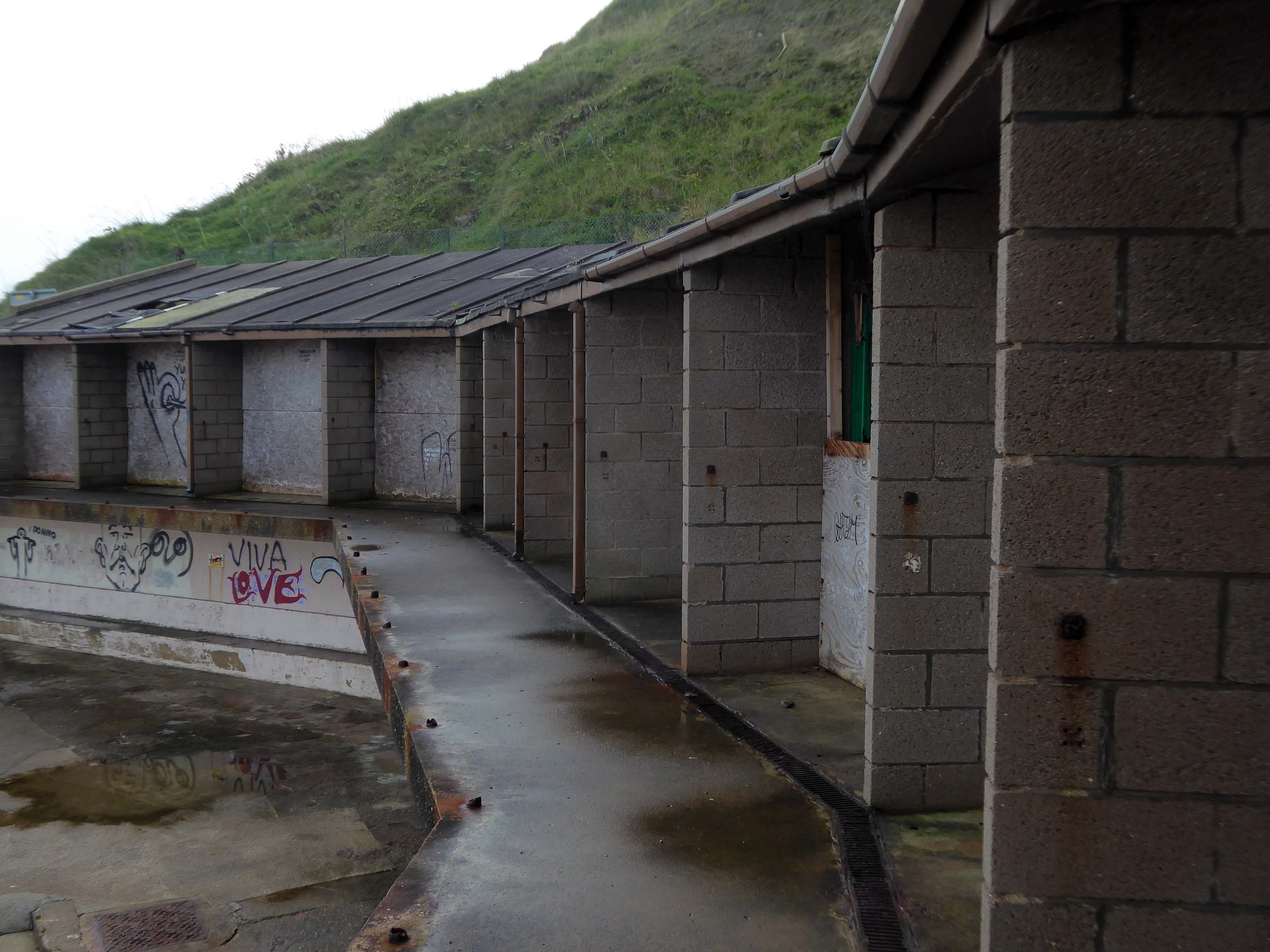
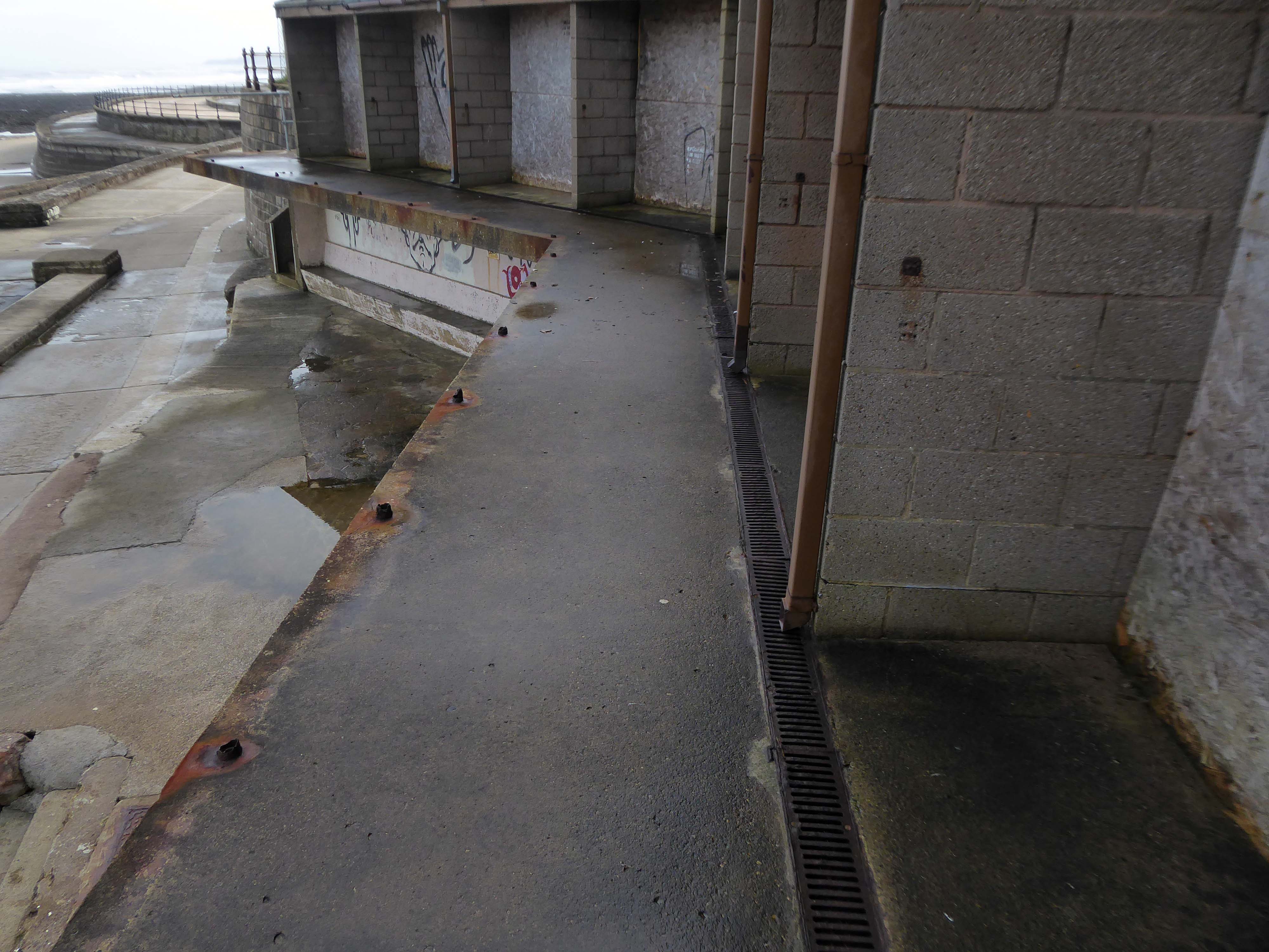
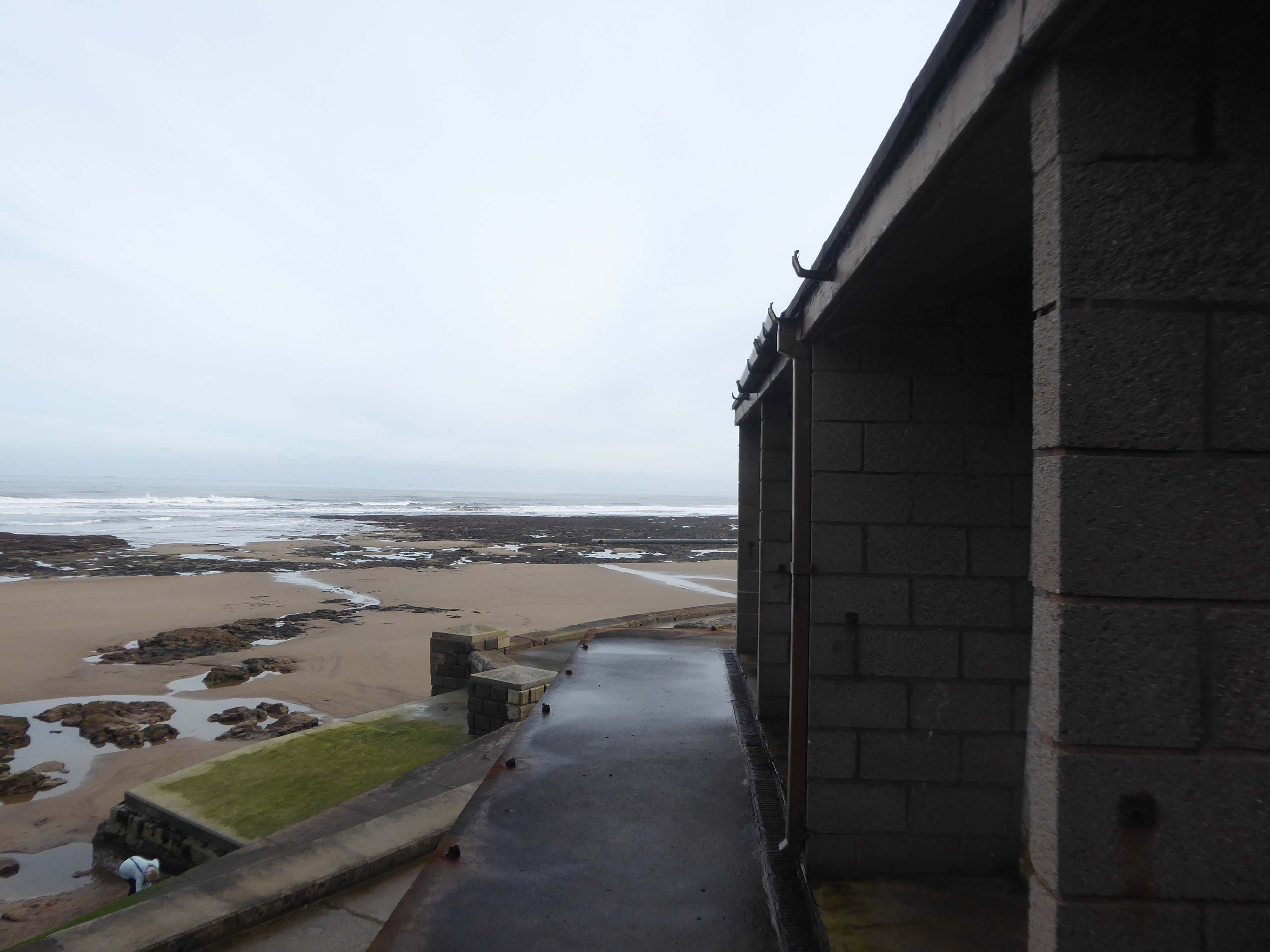
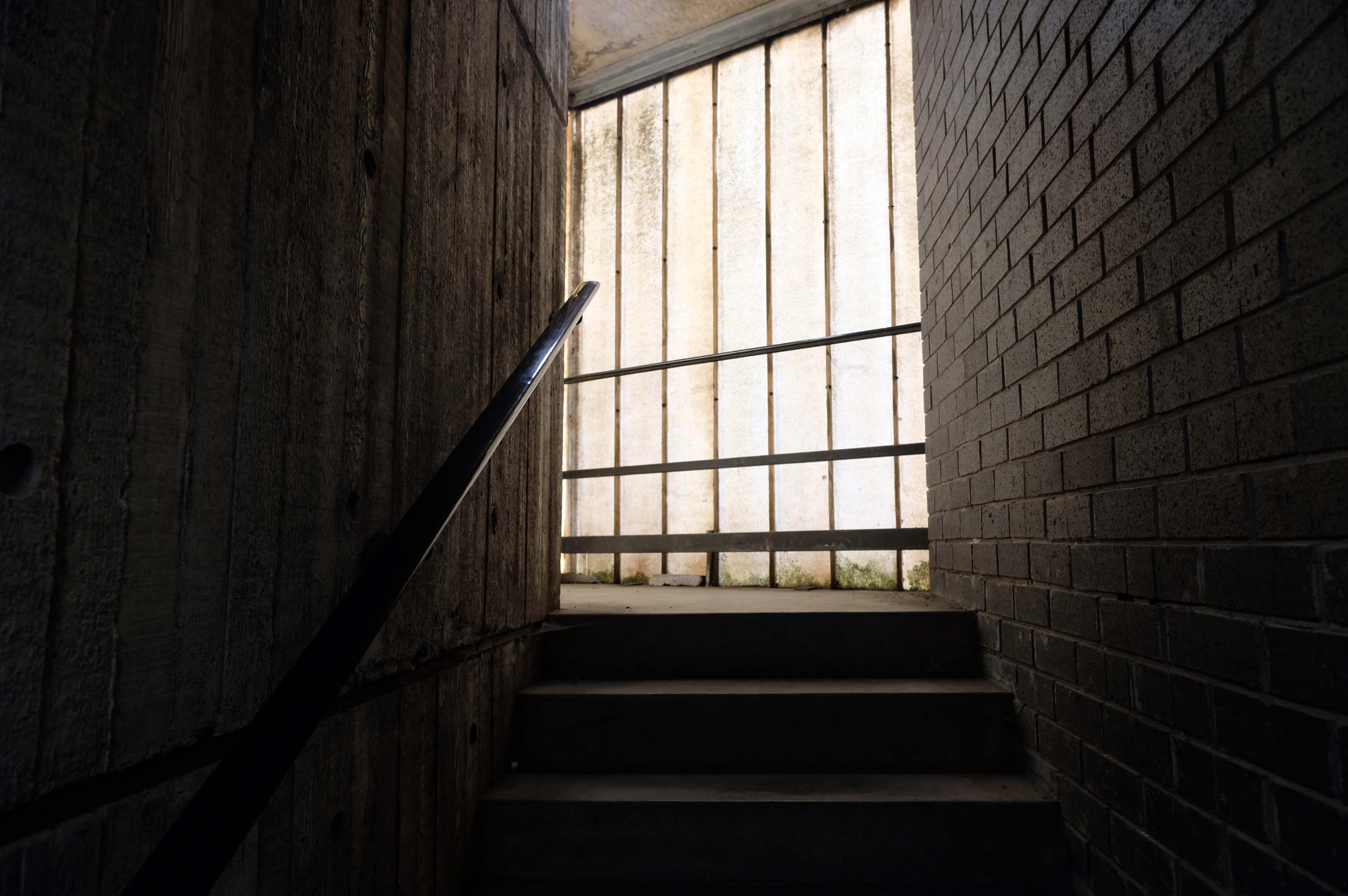
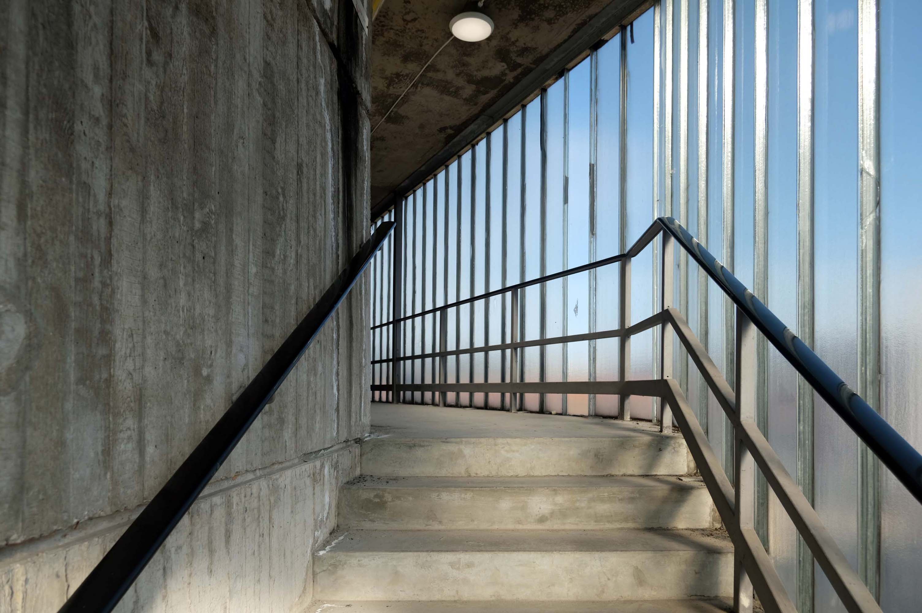
On the day of my visit building surveyors were measuring up the upper tier for resurfacing – the stairwells were unclean, and an air of dank neglect permeated my hesitant ascent.
Immerse yourself in the eclectic vibe of the Northern Quarter, the heartbeat of art, culture, and urban lifestyle. Whether you’re heading to its vintage shops, art studios, or chic cafes, finding the cheapest, best parking is paramount.
Stairs smell of stale urine and cannabis.
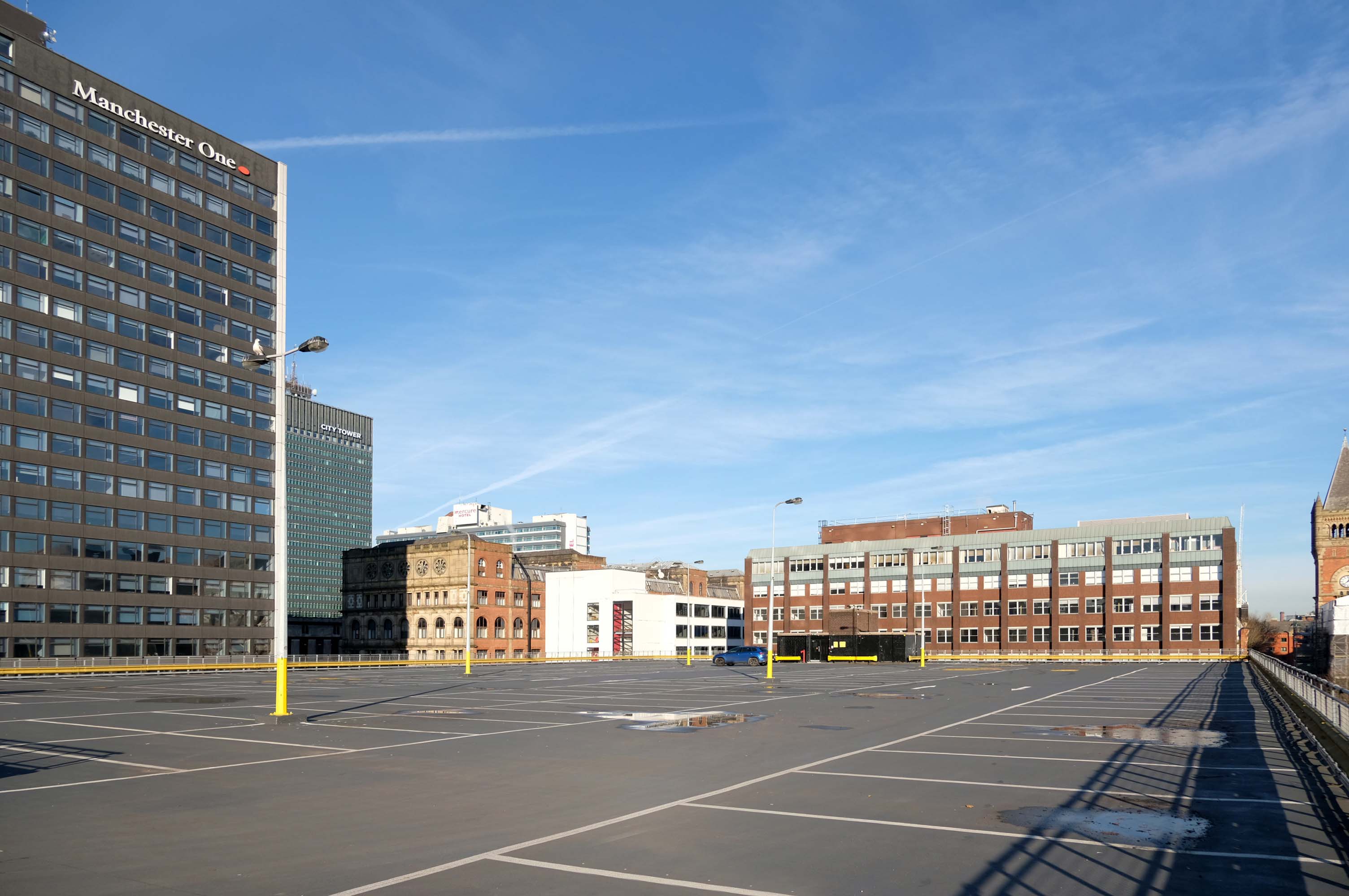
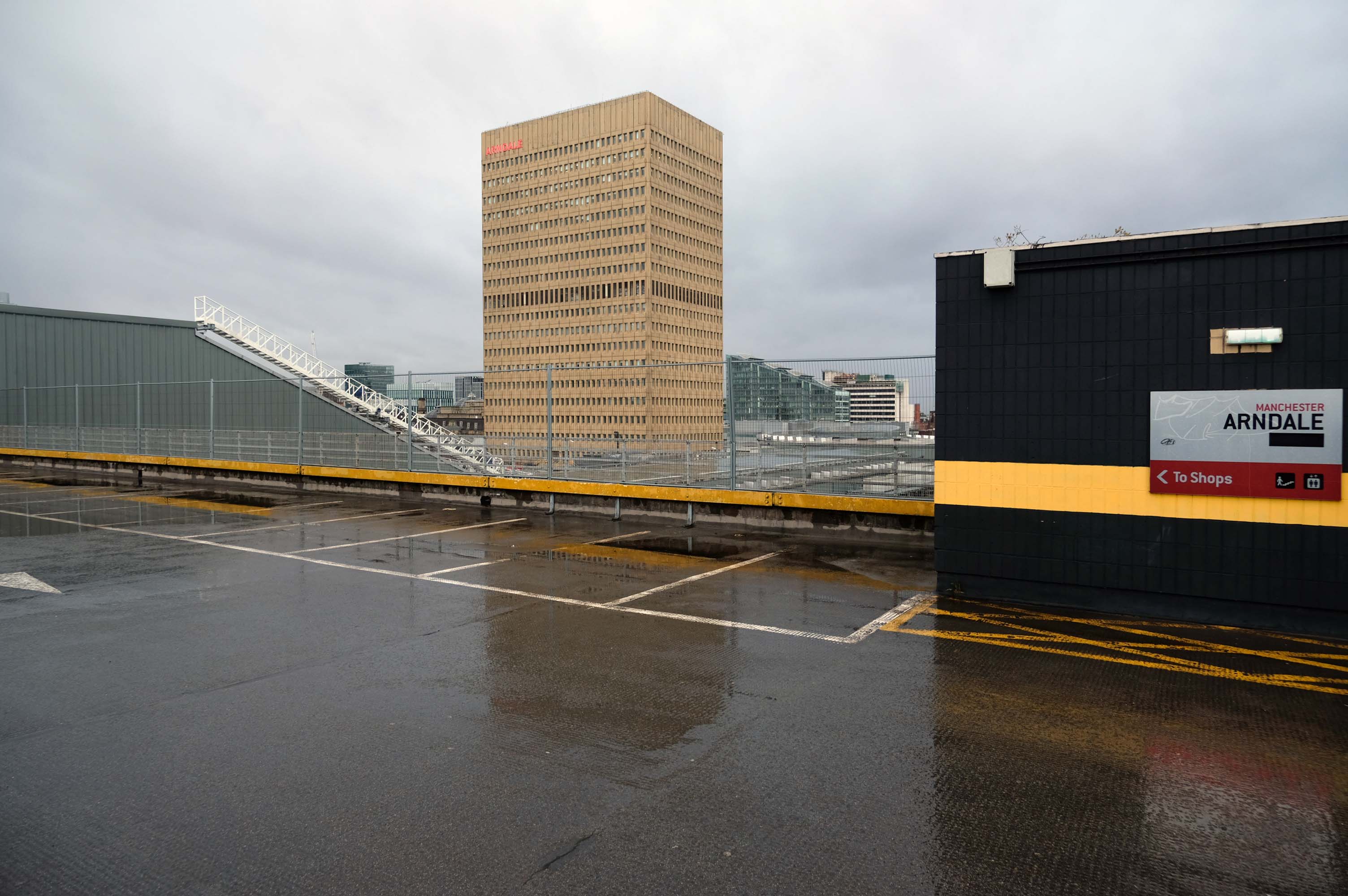
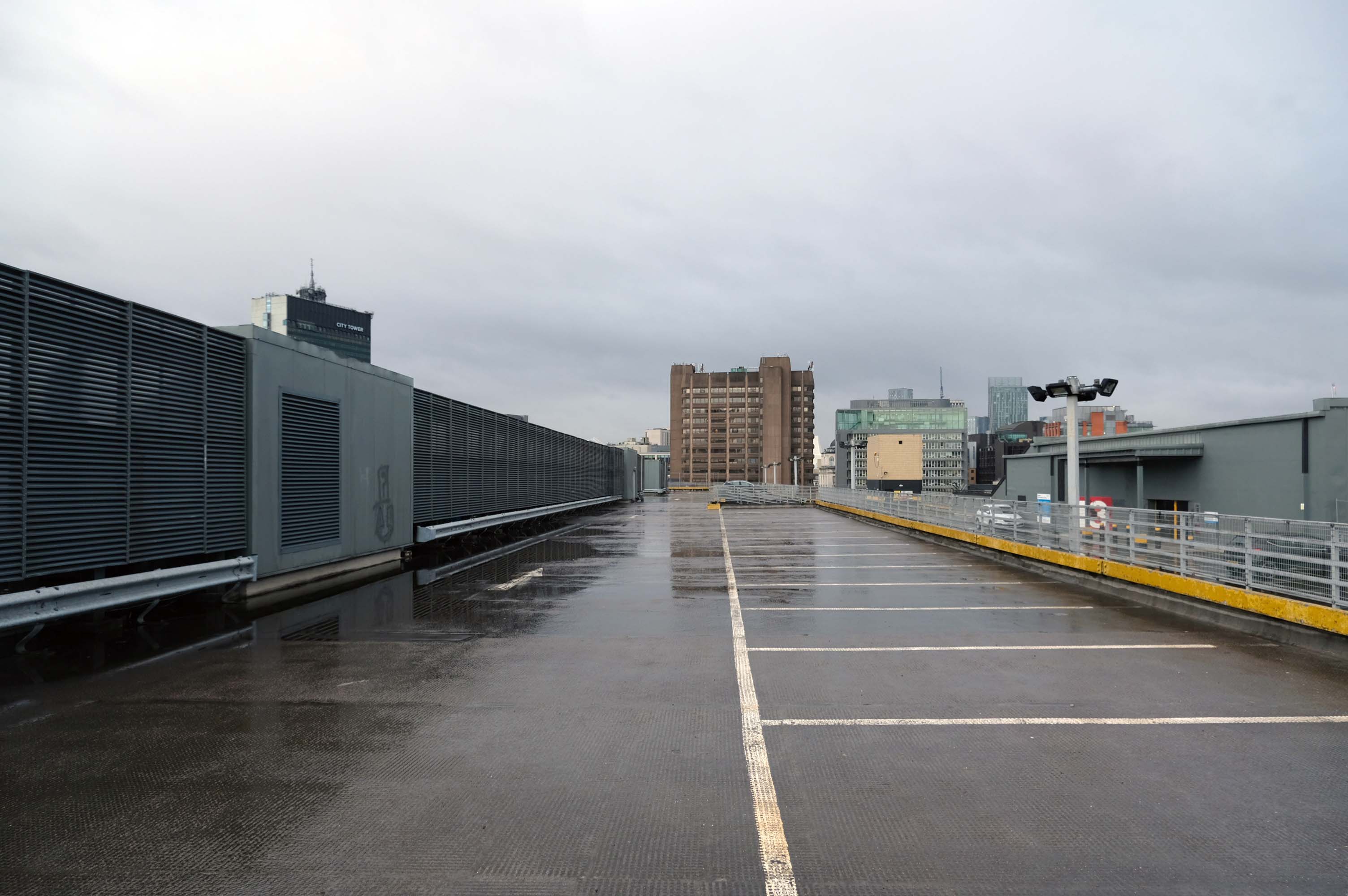
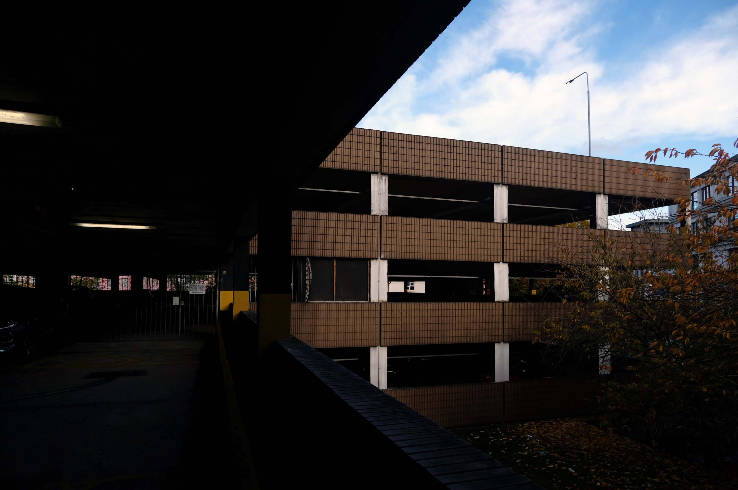
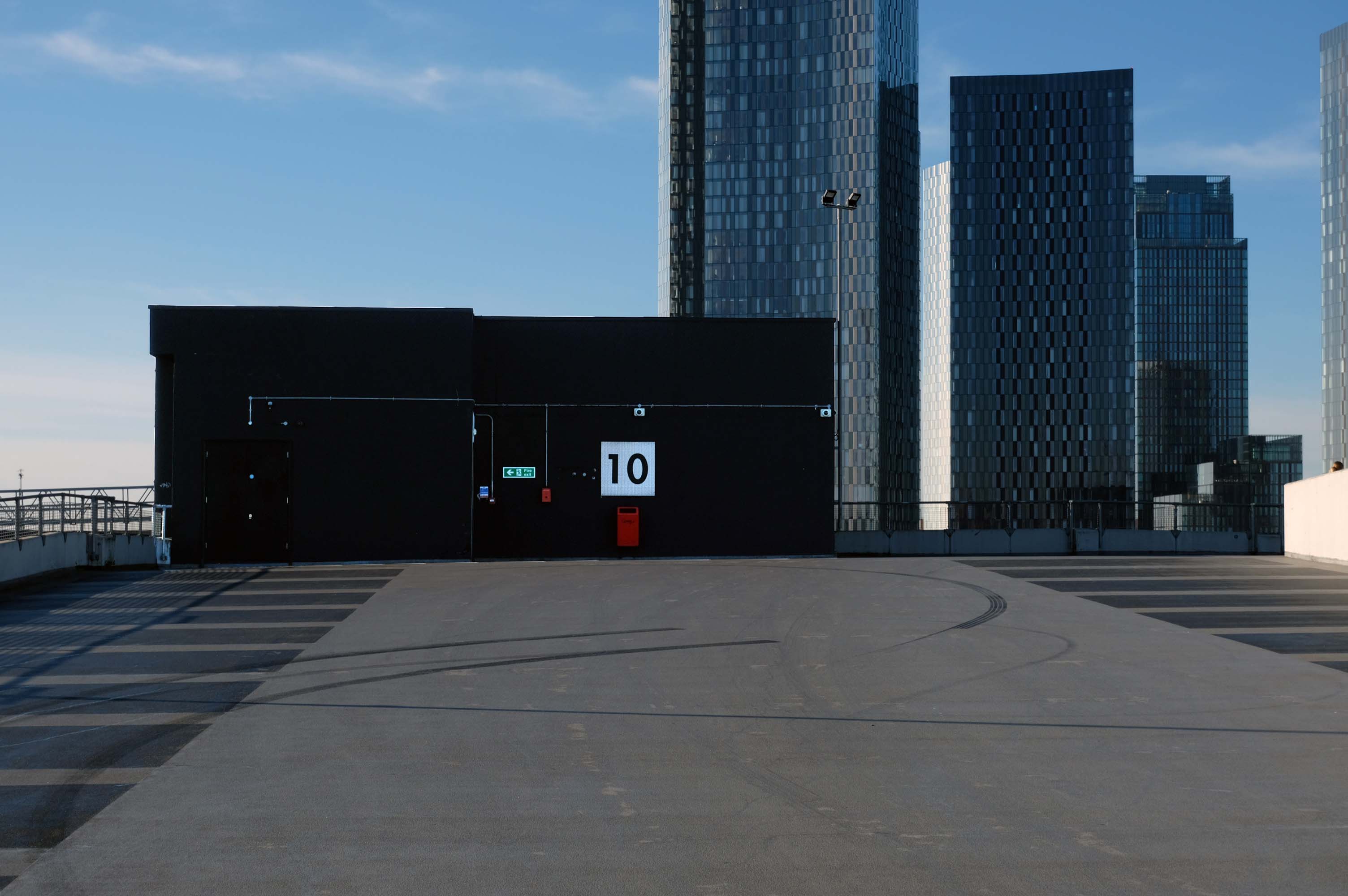
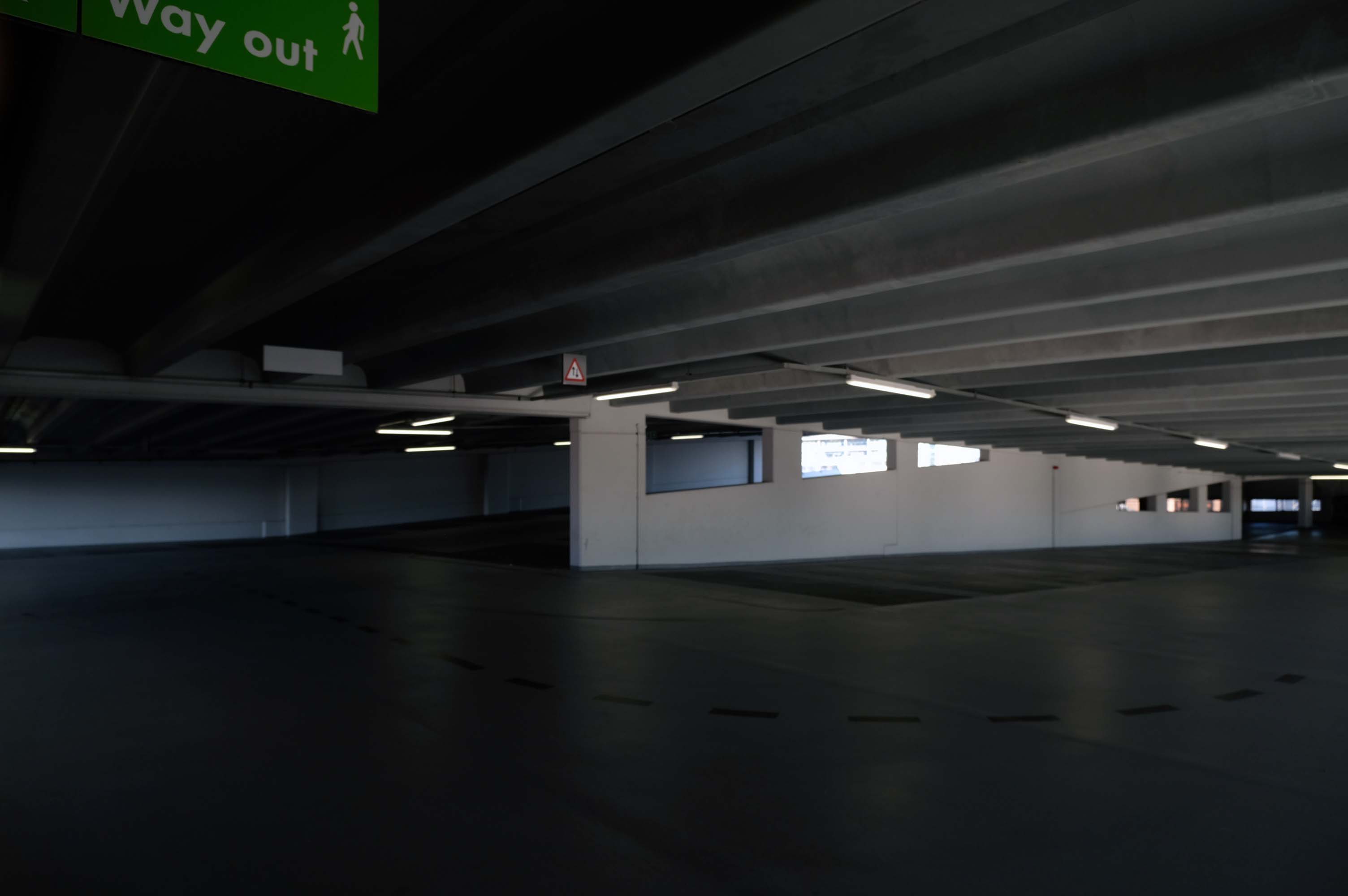
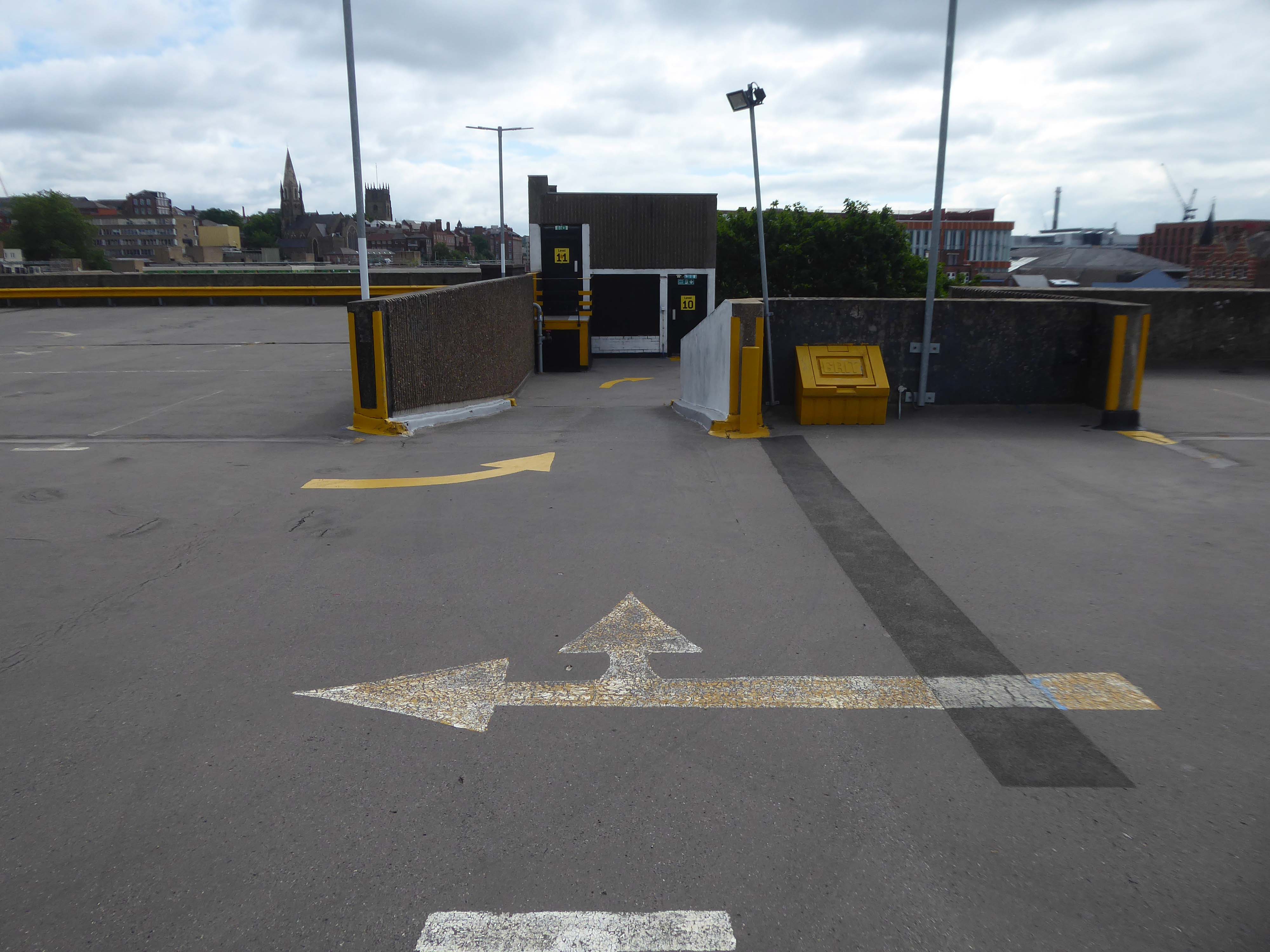
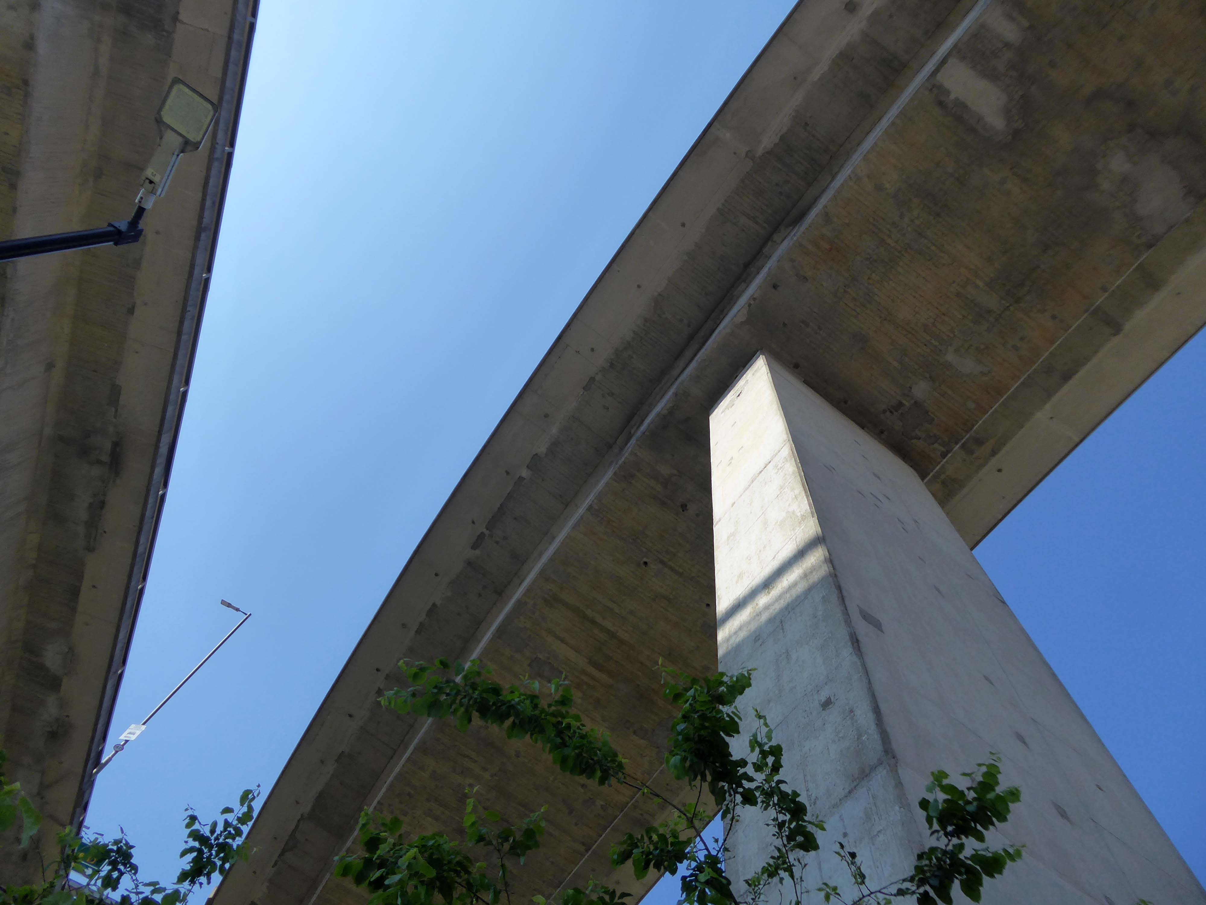
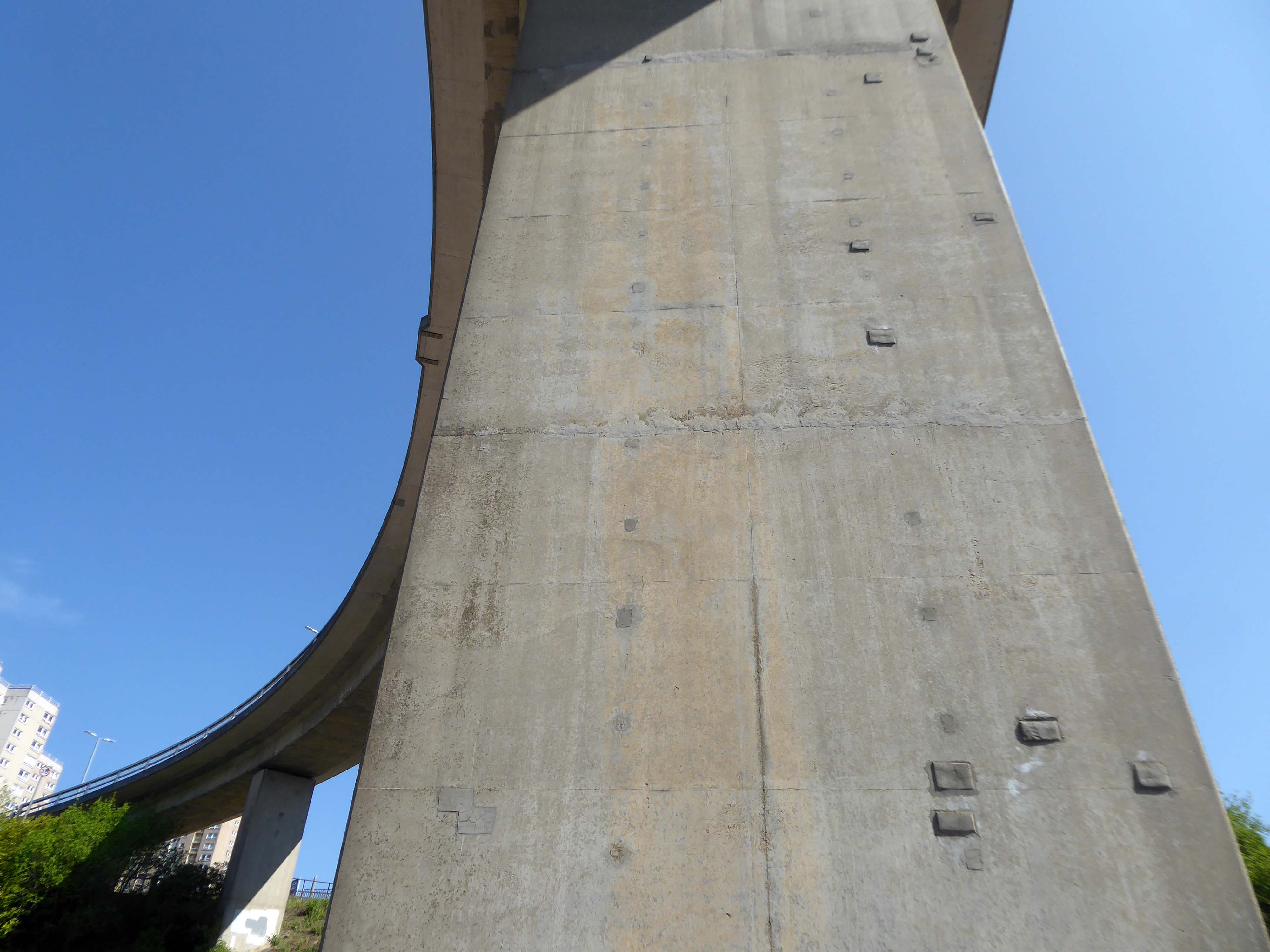
The pedestrian in the car park carries on regardless!
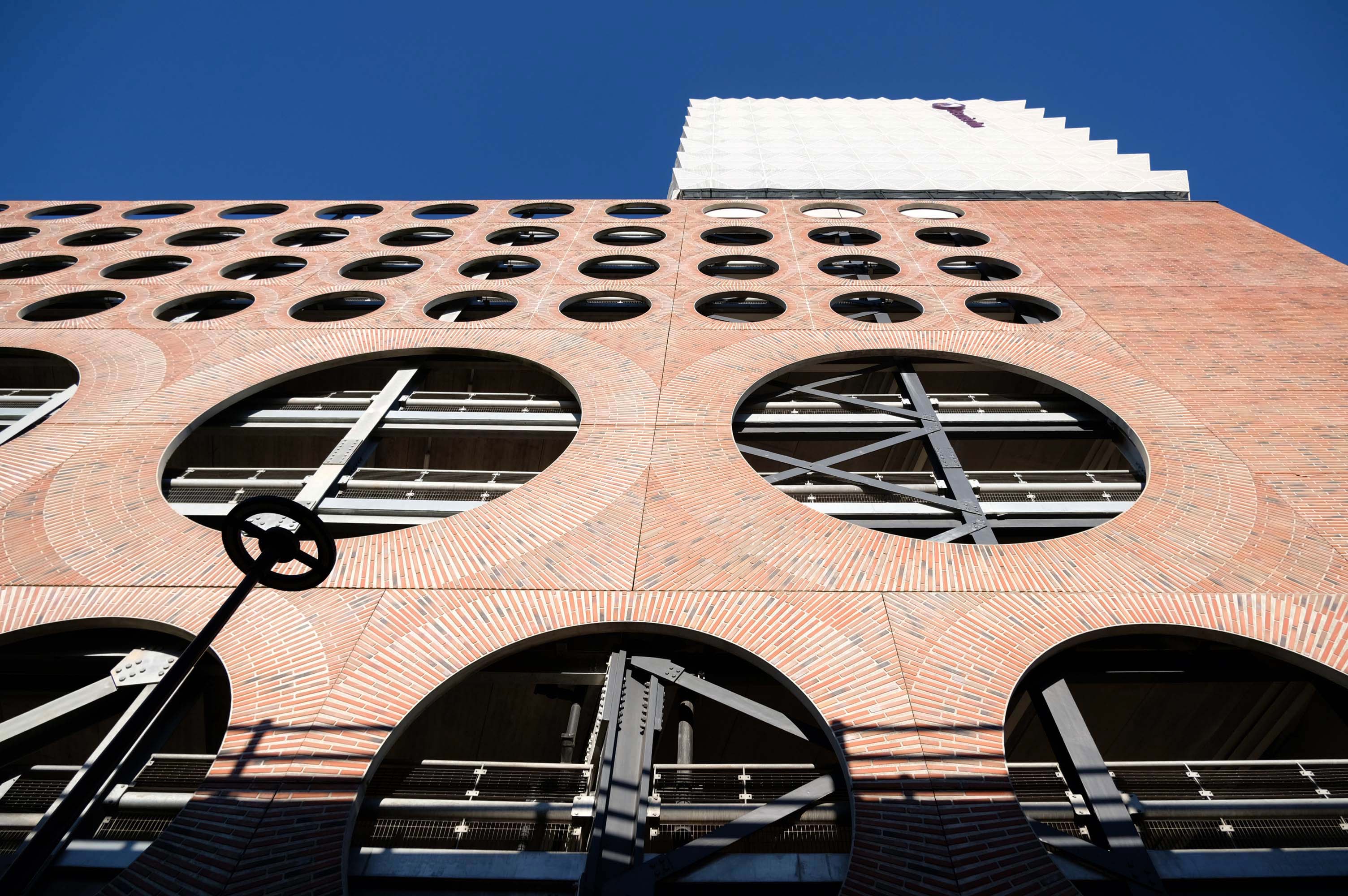
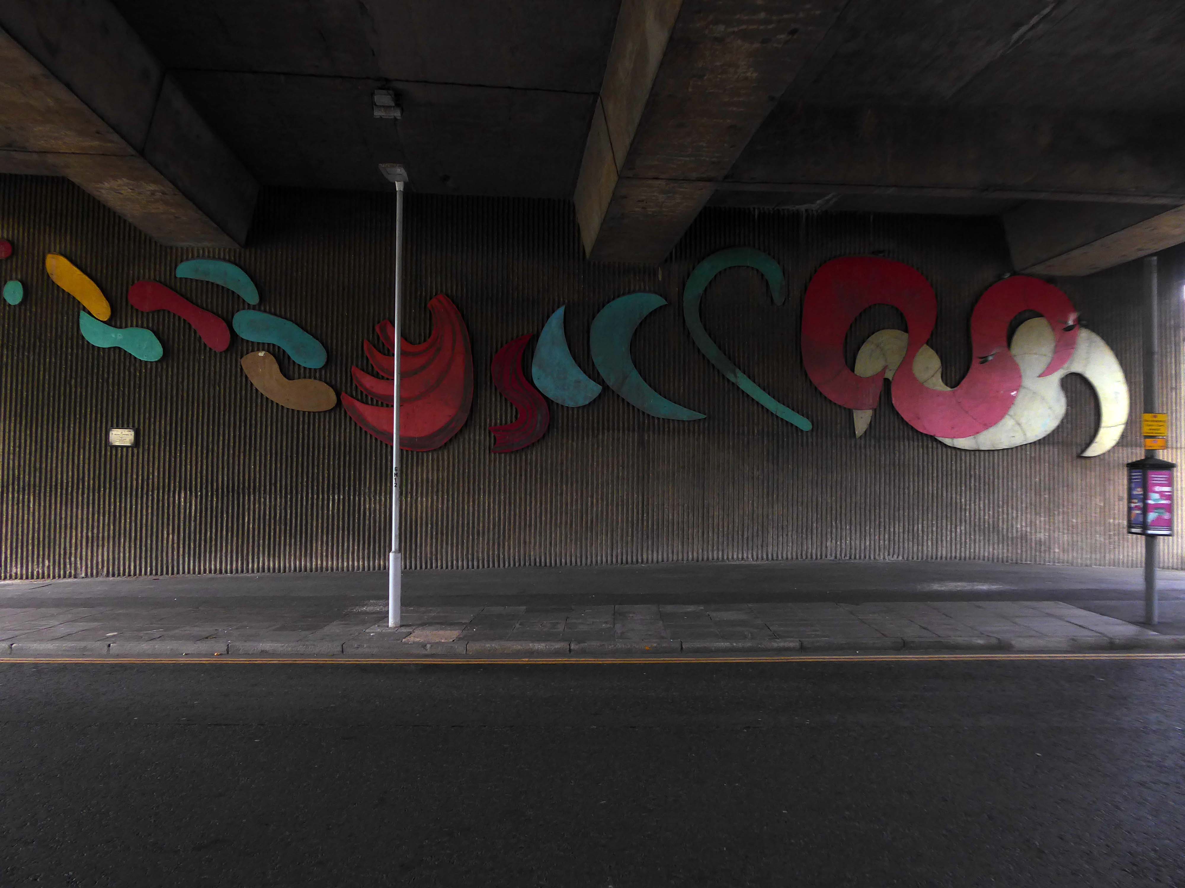
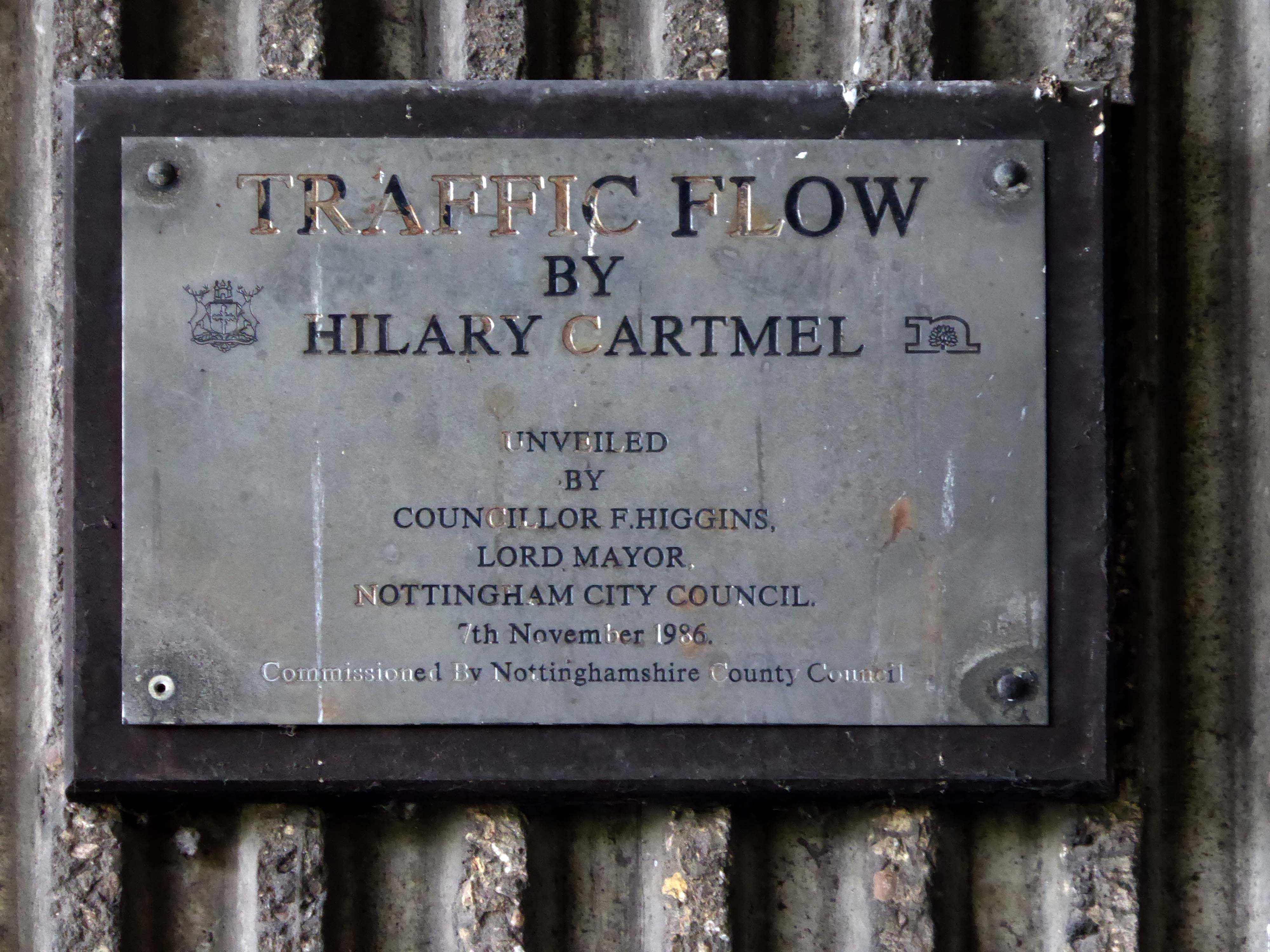
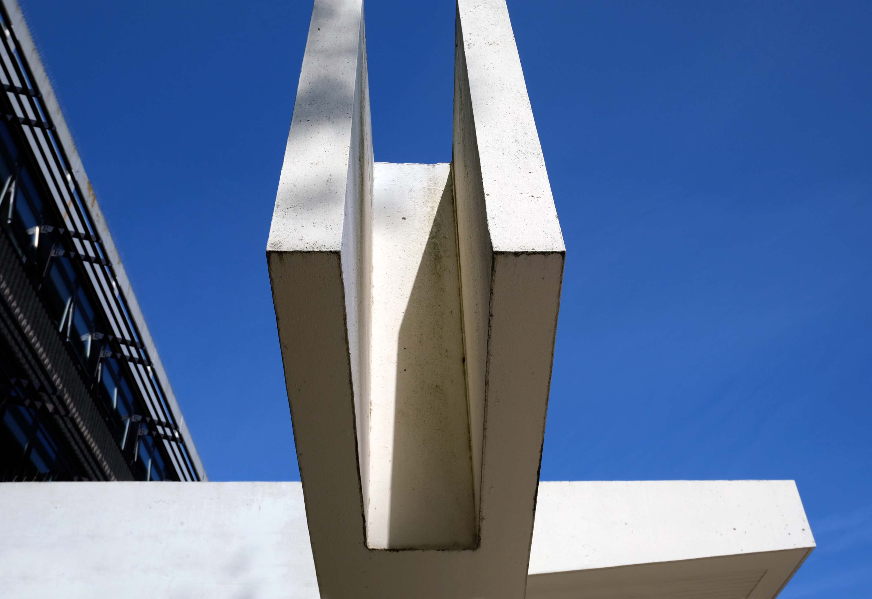
The sculpture is called Big Boys Toys – the work of artist Peter Freeman.
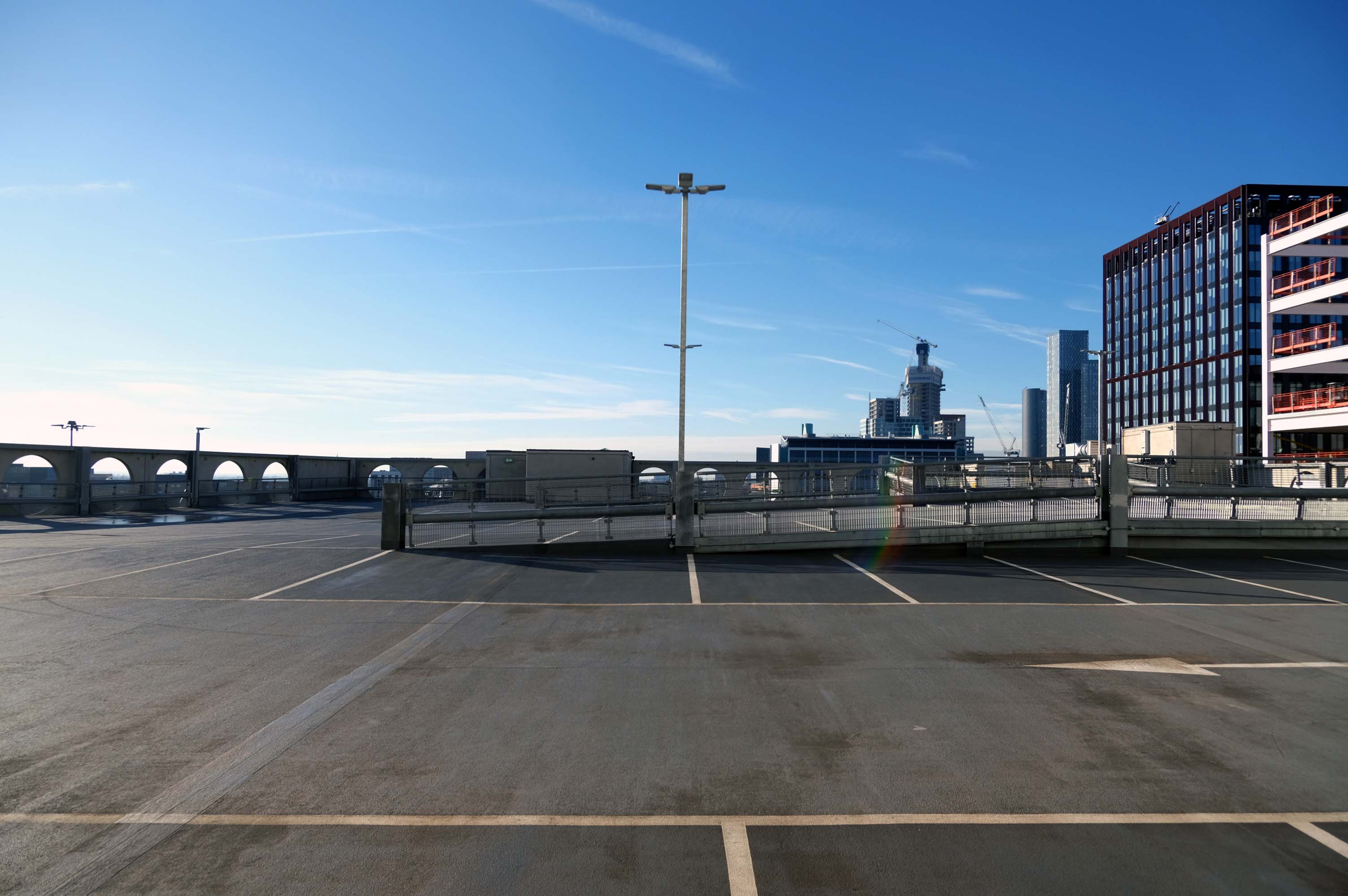
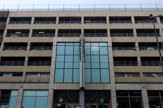
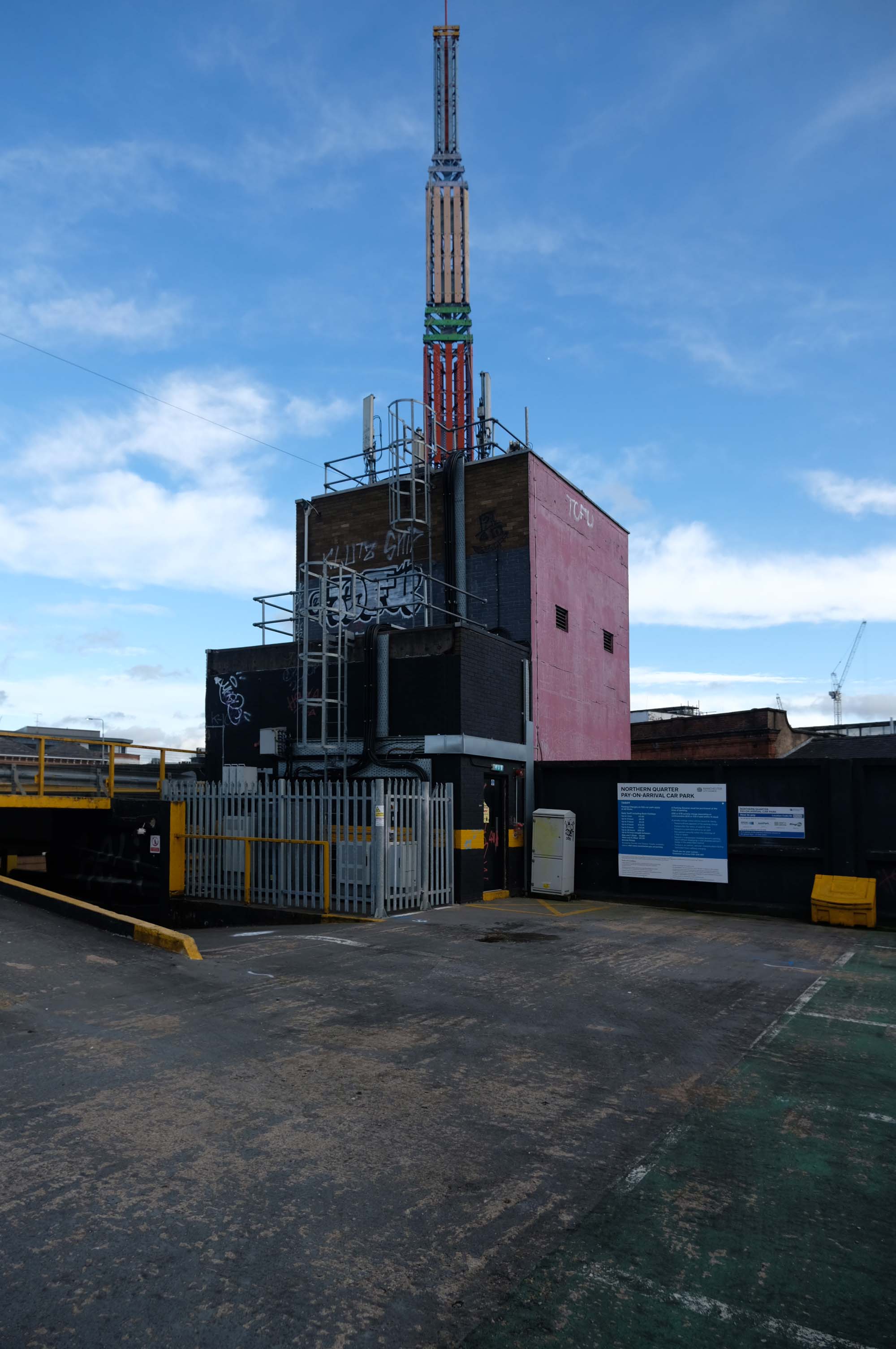
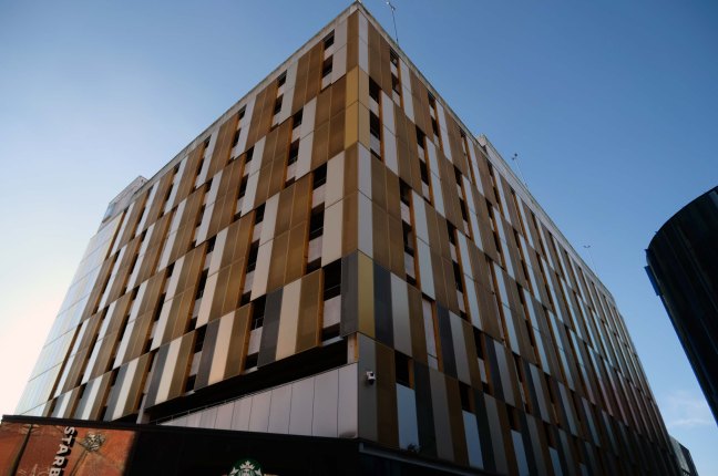
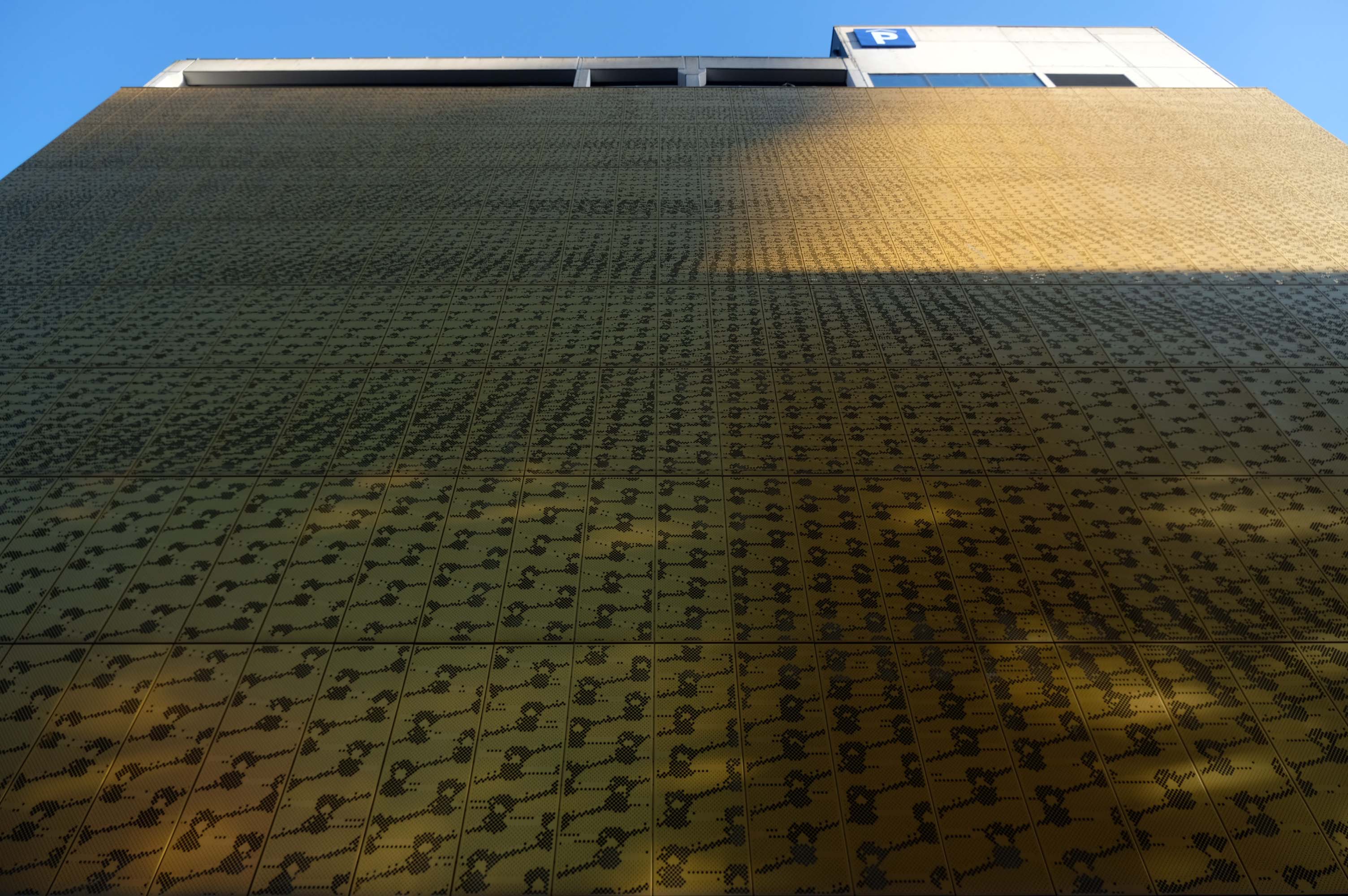
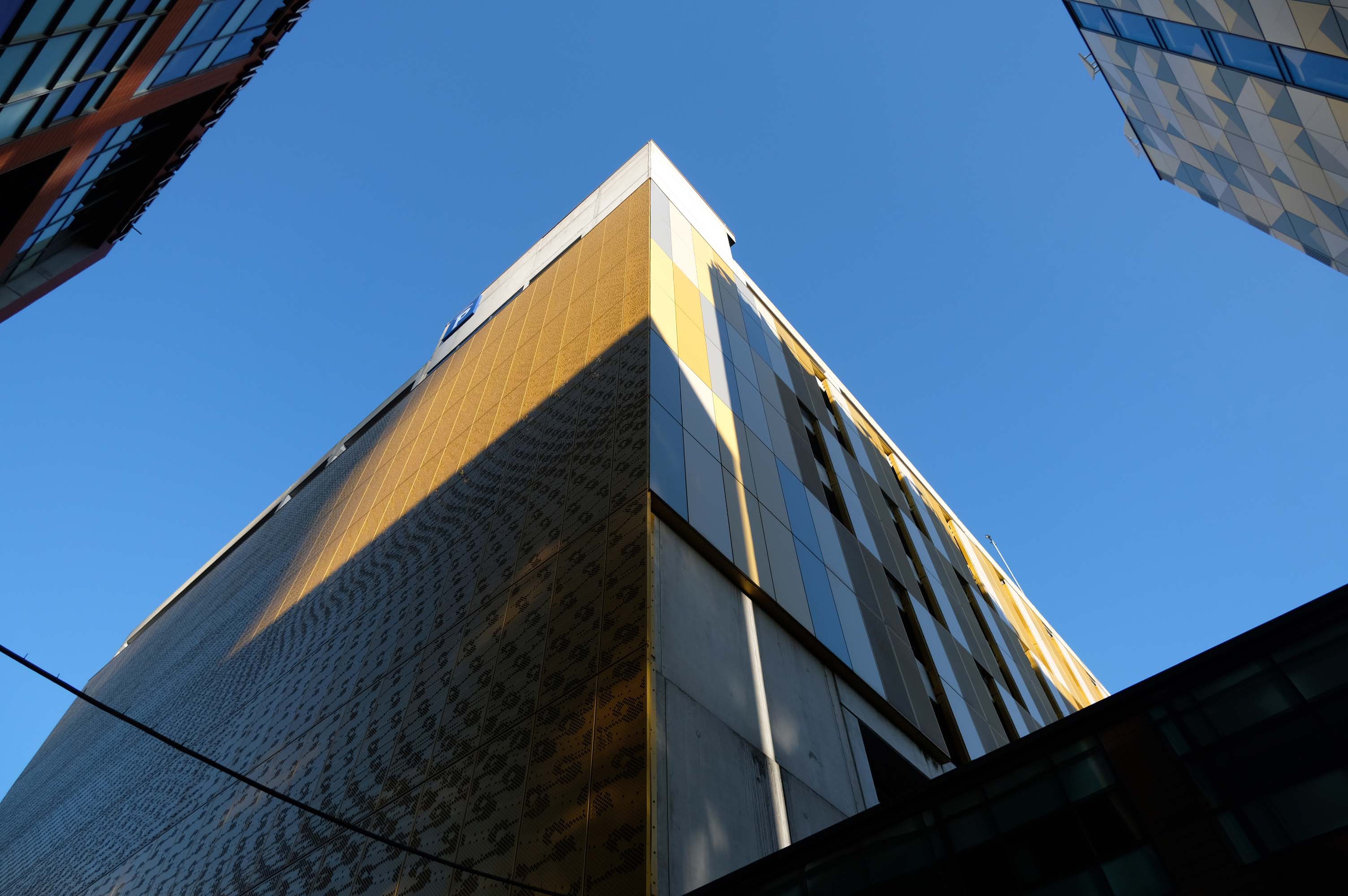
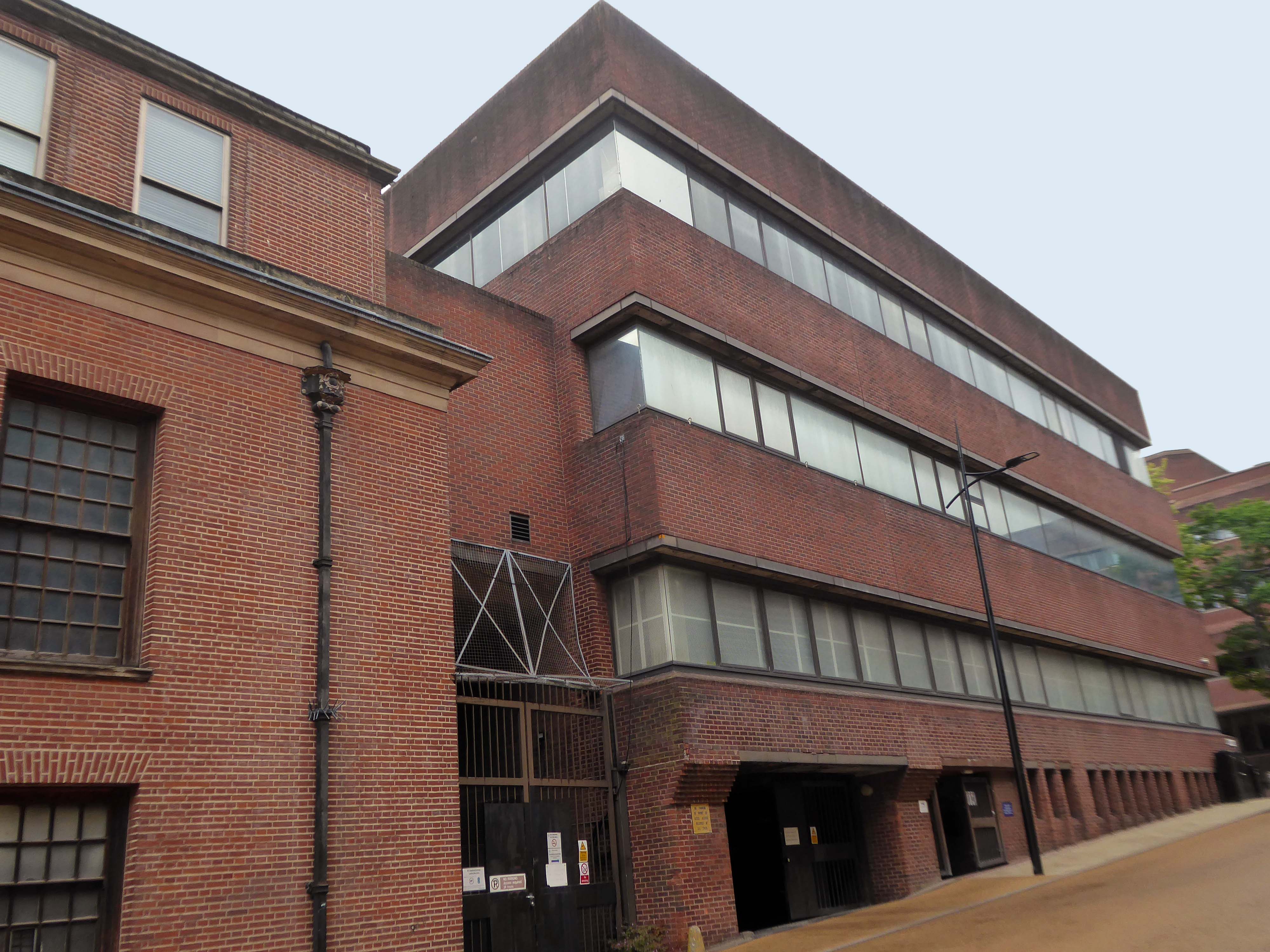
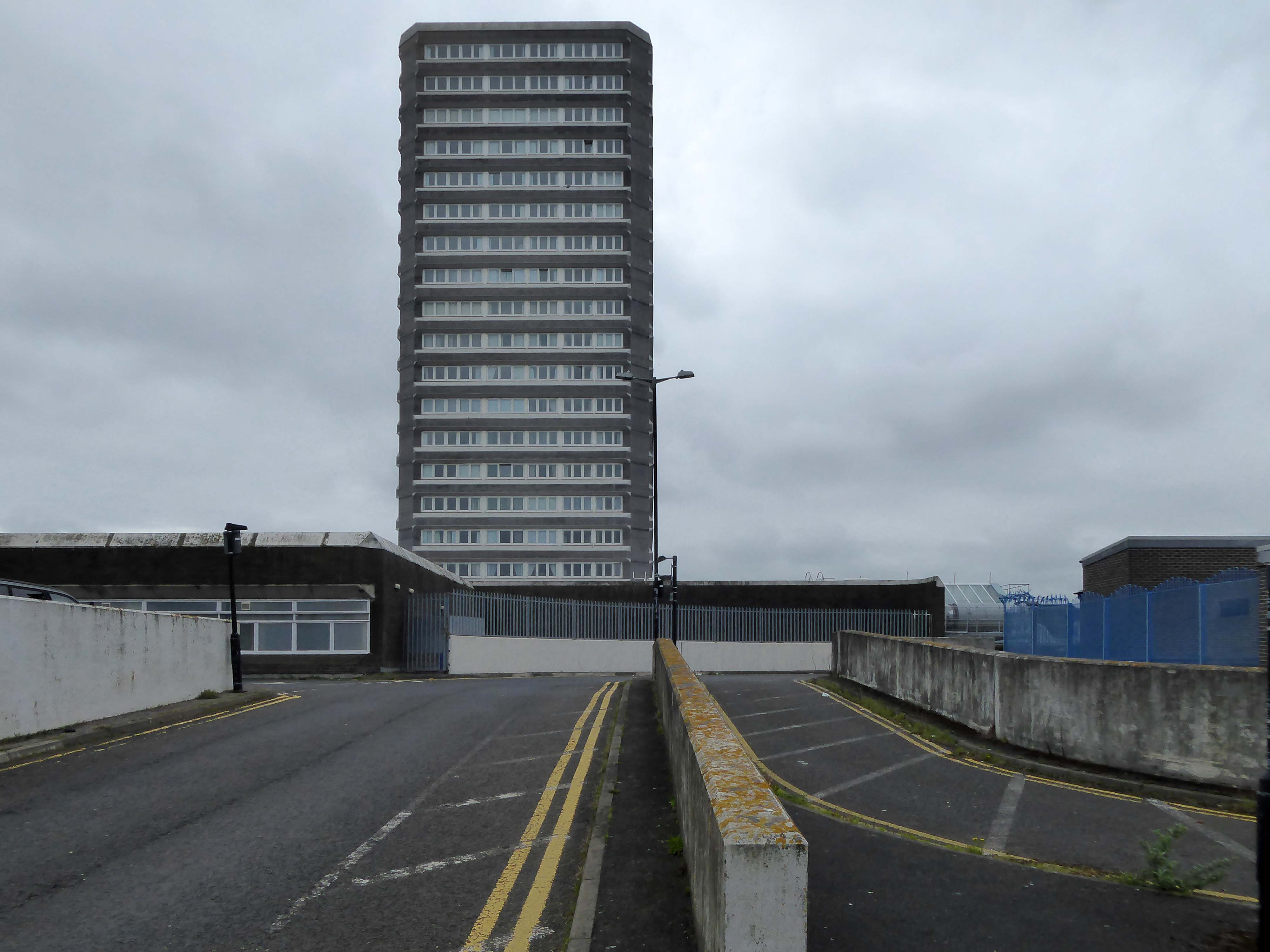
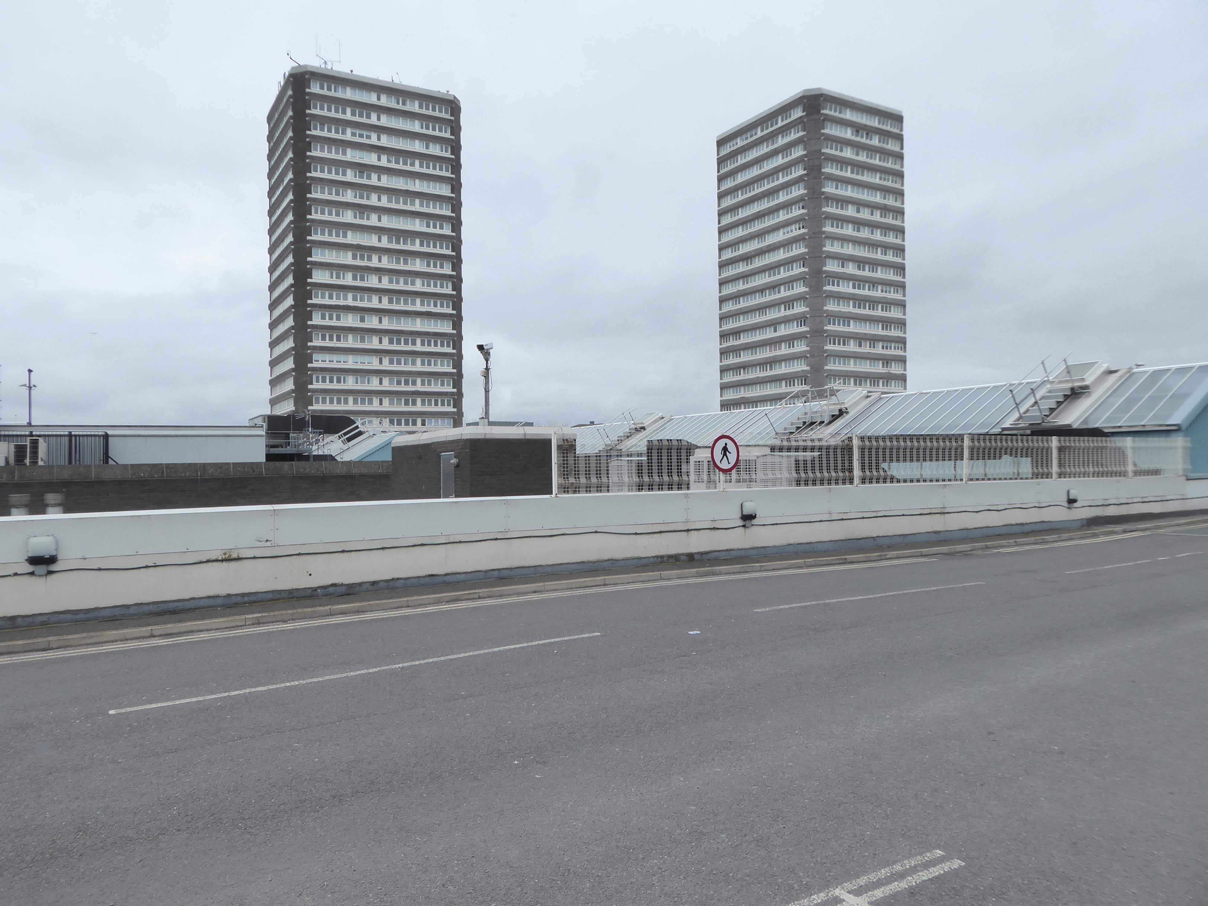
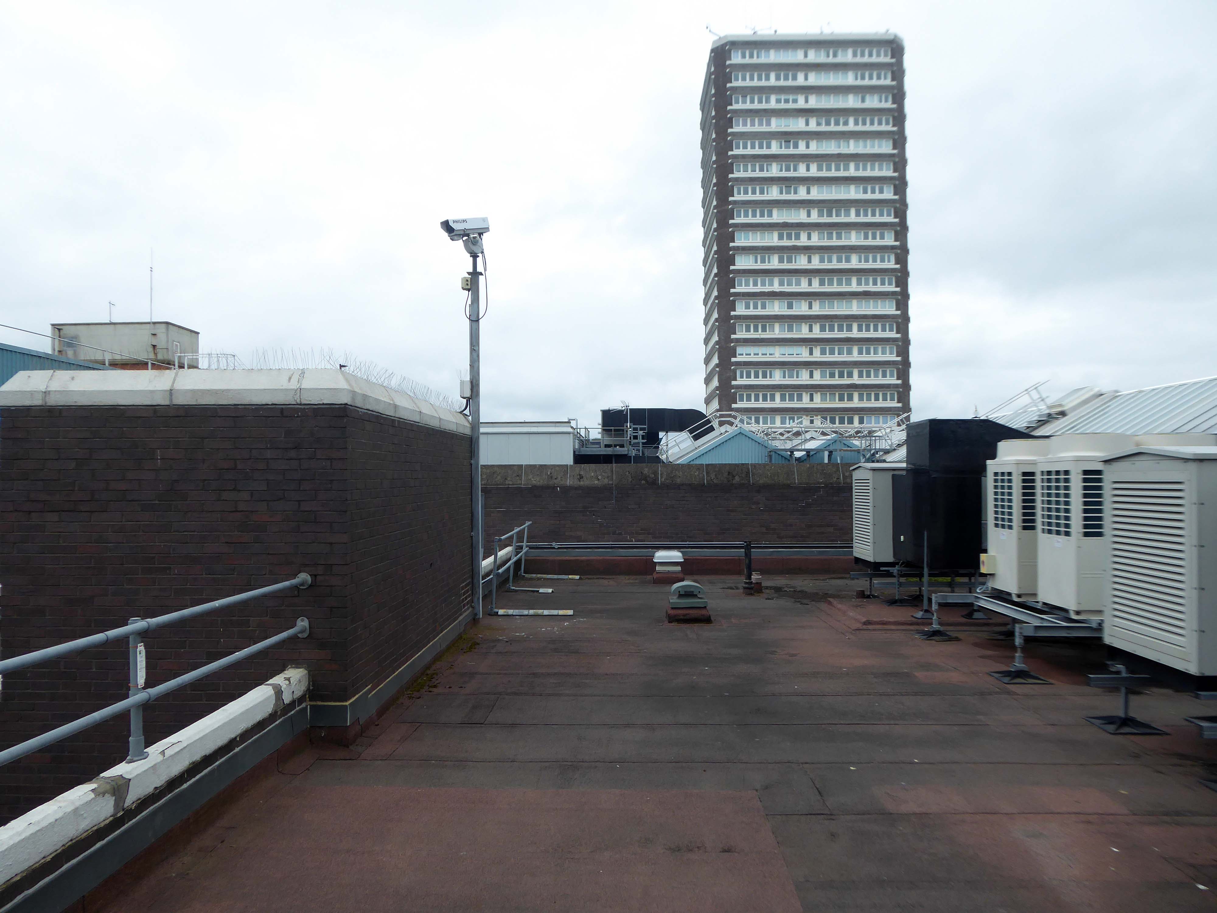
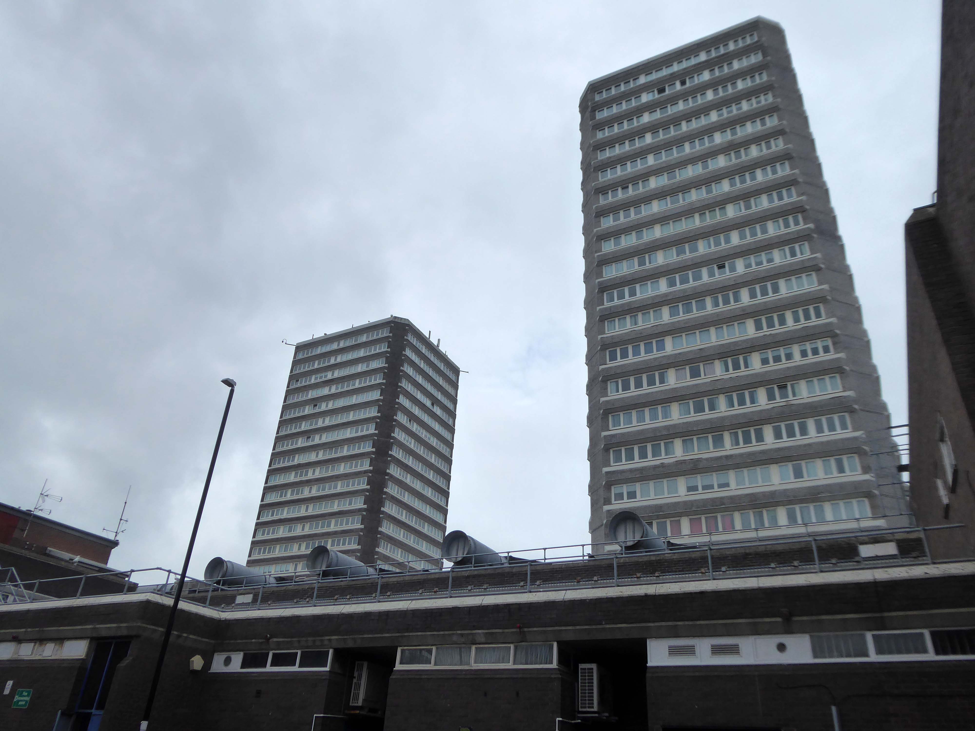
Q-Park First Street is a multi-storey car park within the up and coming First Street development. The safe and secure facility is a short walk away from HOME Theatre, Innside by Melia, Bridgewater Hall and the Manchester Central Convention Complex.
VIP spaces are available to book online.
Achieving Park Mark Plus demonstrates that this Q-Park car park has achieved the highest parking facility standards with exceptional customer services and ambience. Only good management can ensure that measures are in place to reduce crime and the fear of crime, enforce disabled parking for the benefit of those that need accessible bays and care for the environment at the same time.
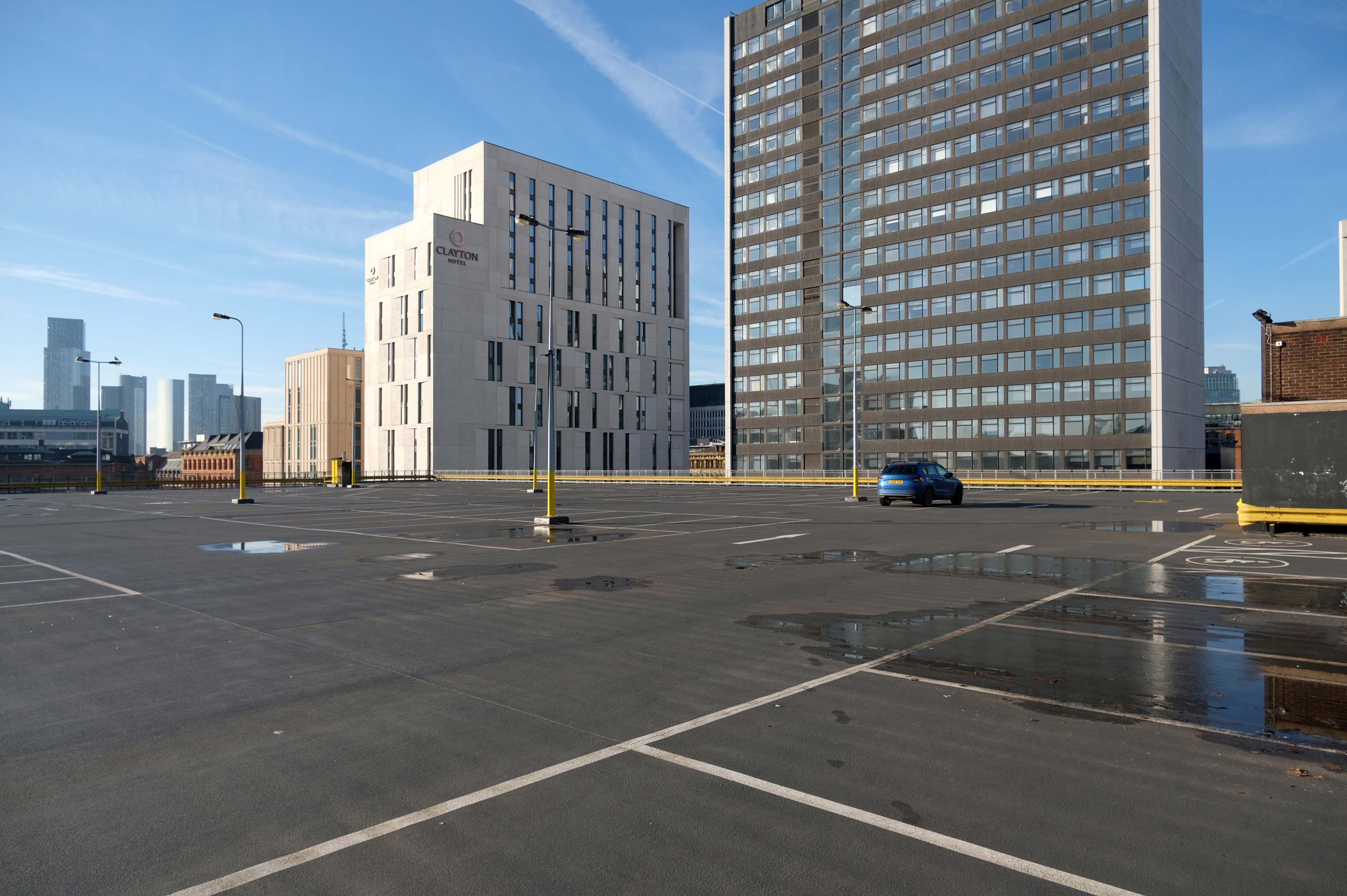
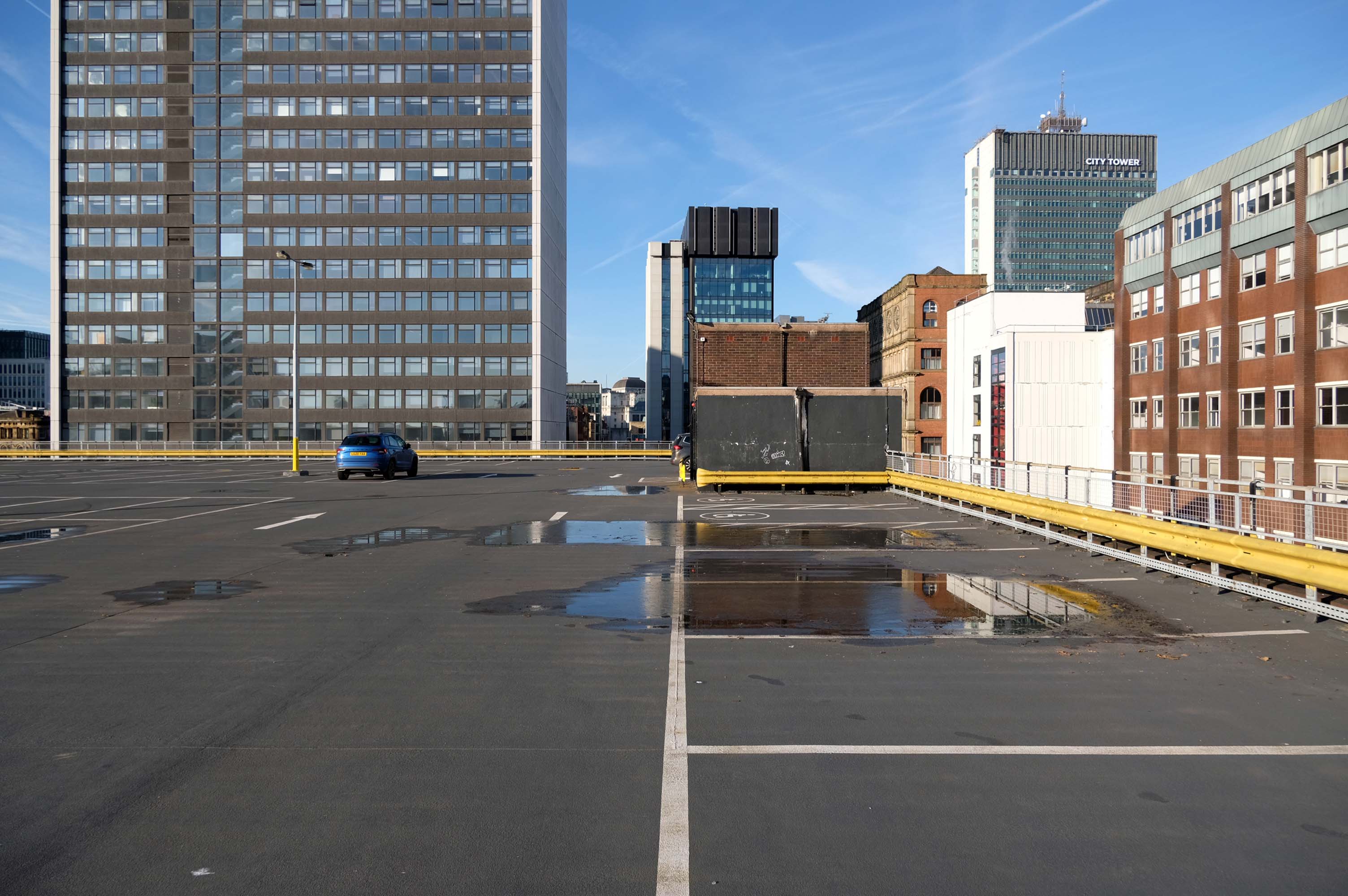
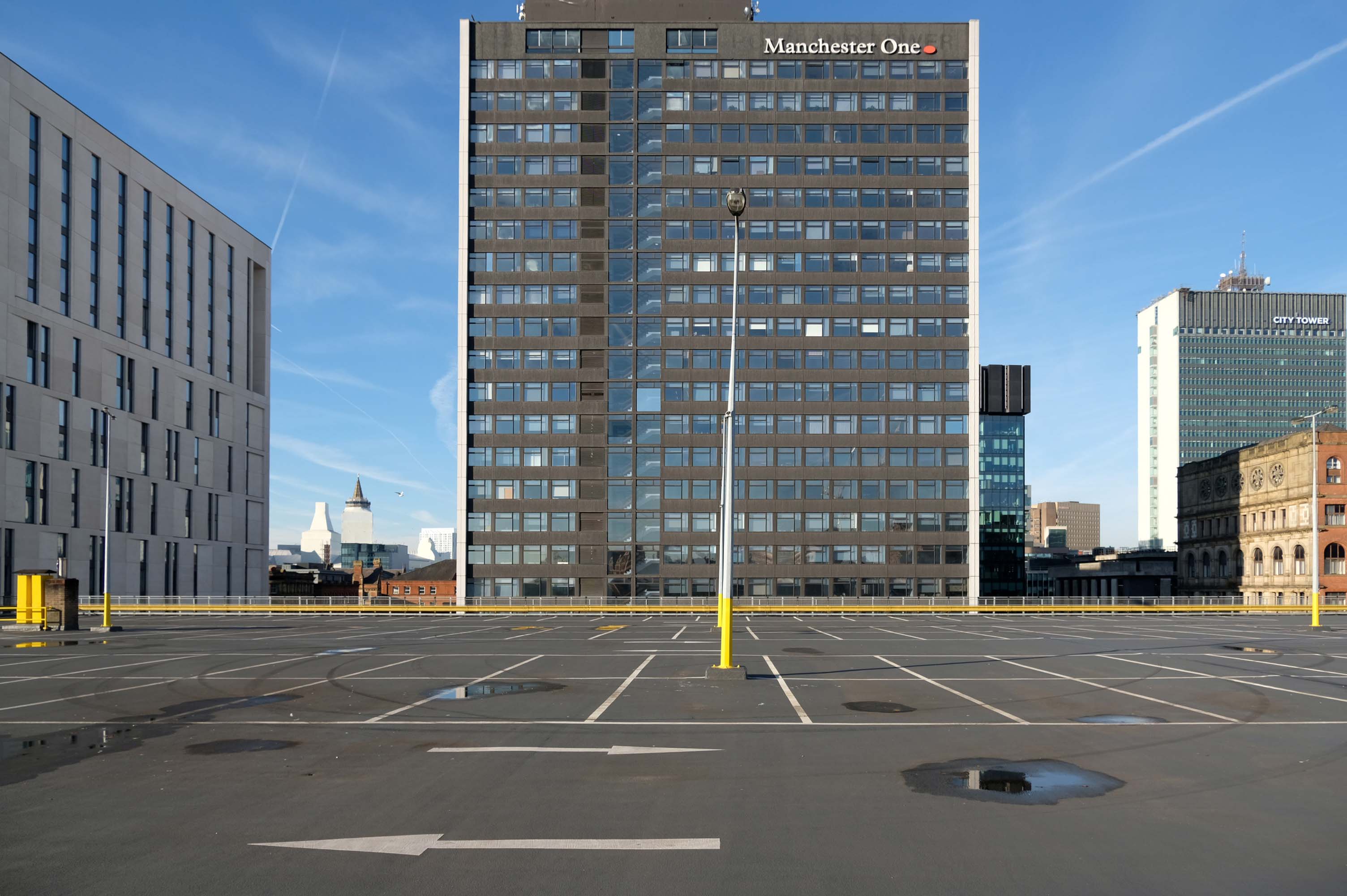
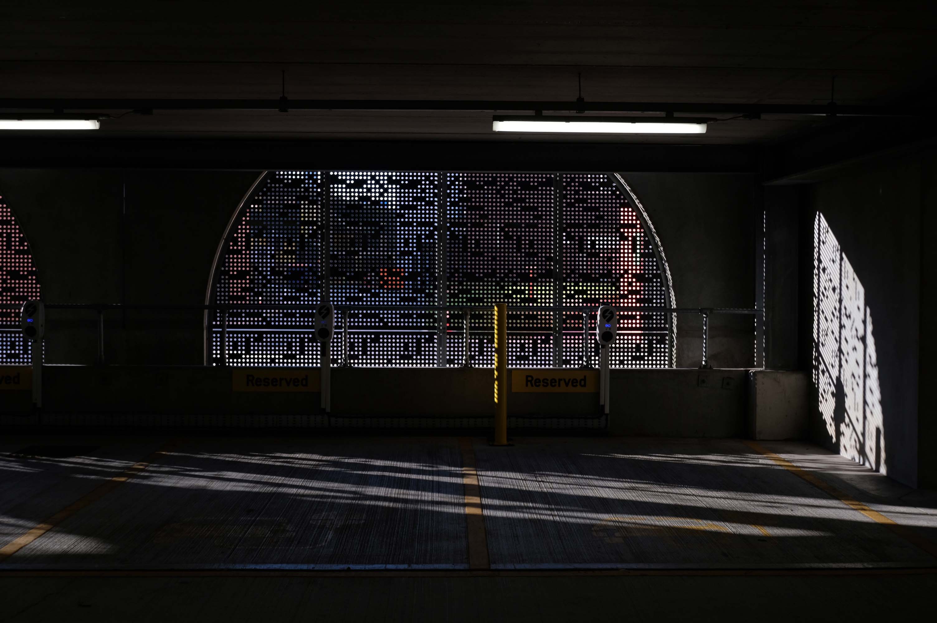
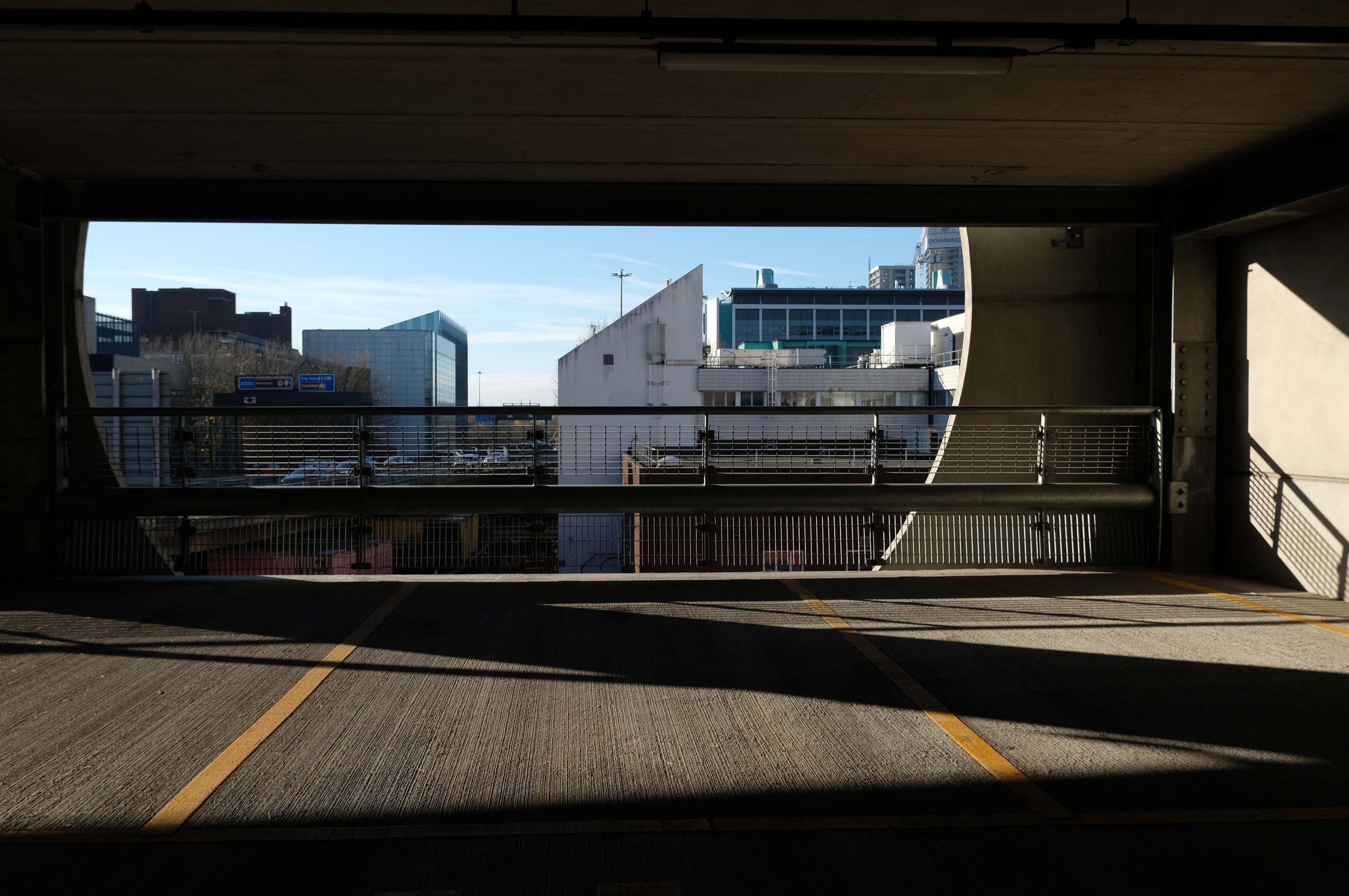
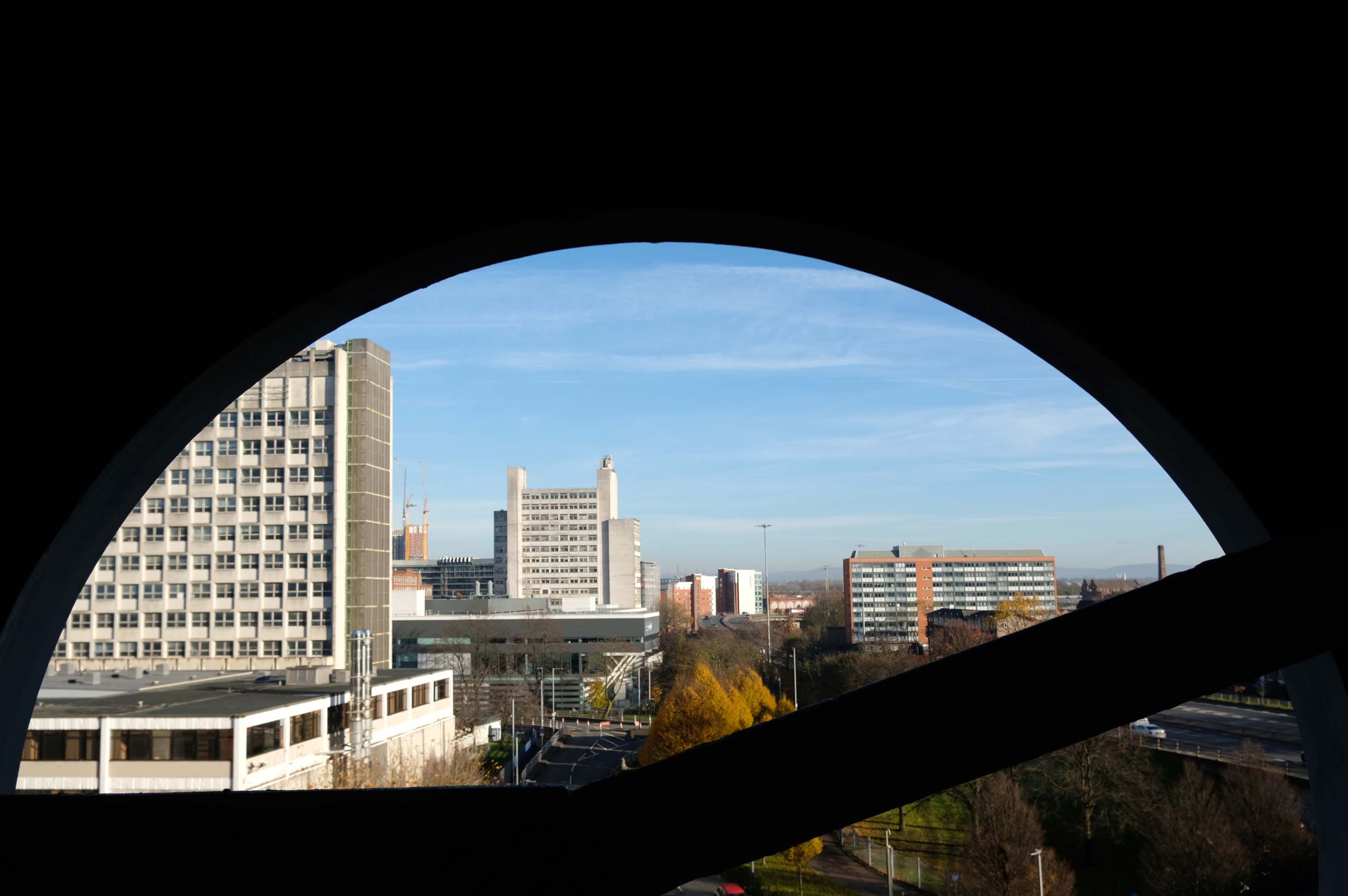
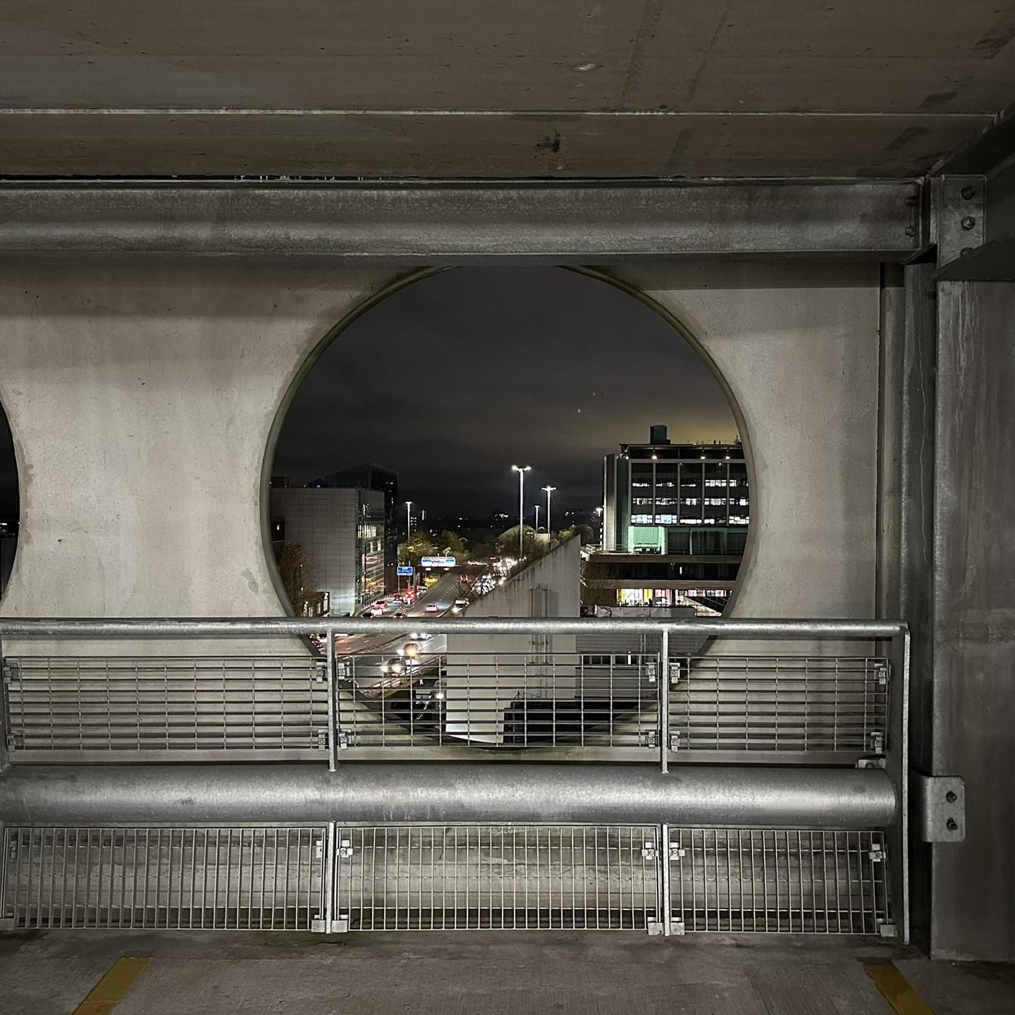
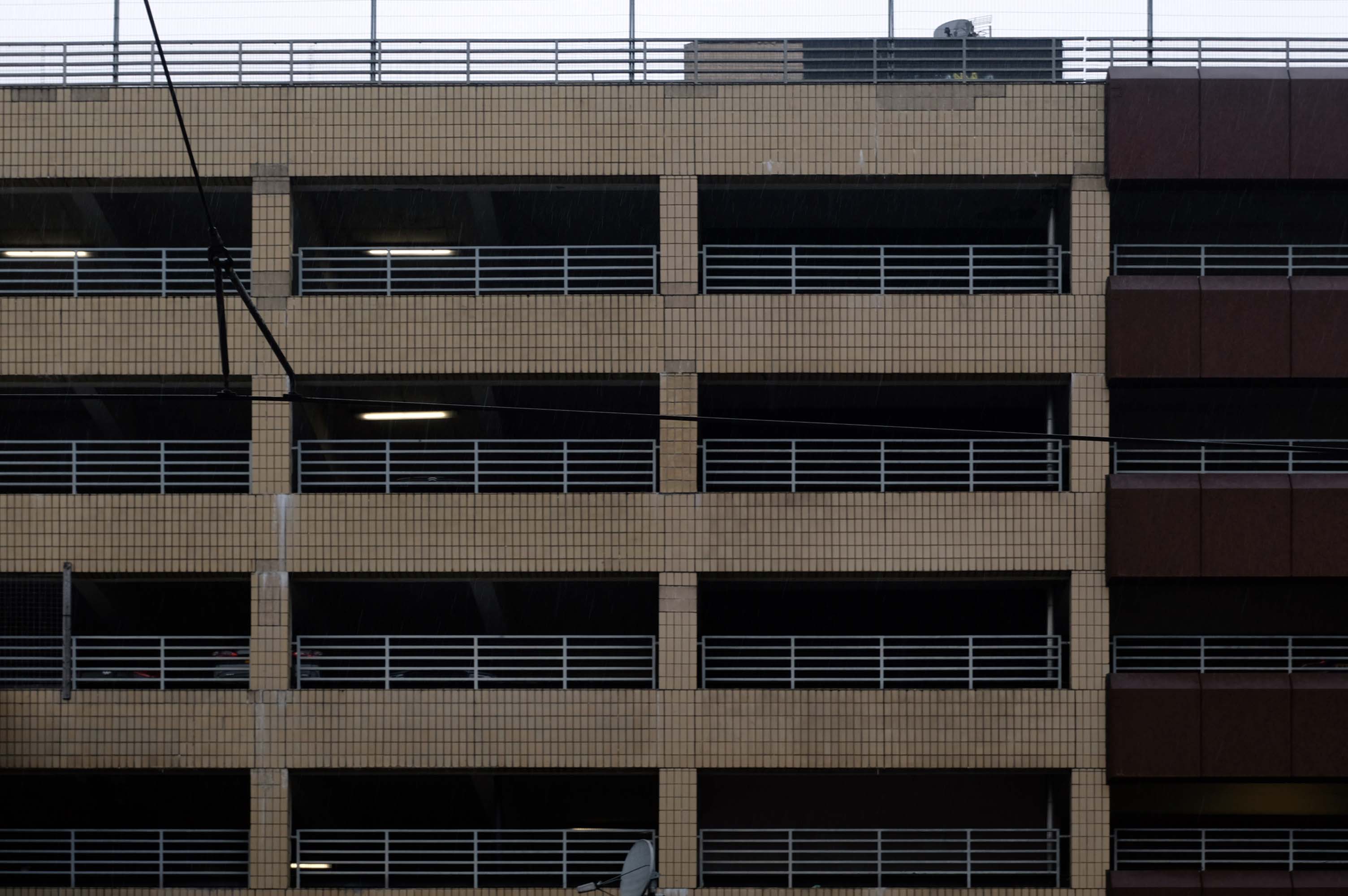
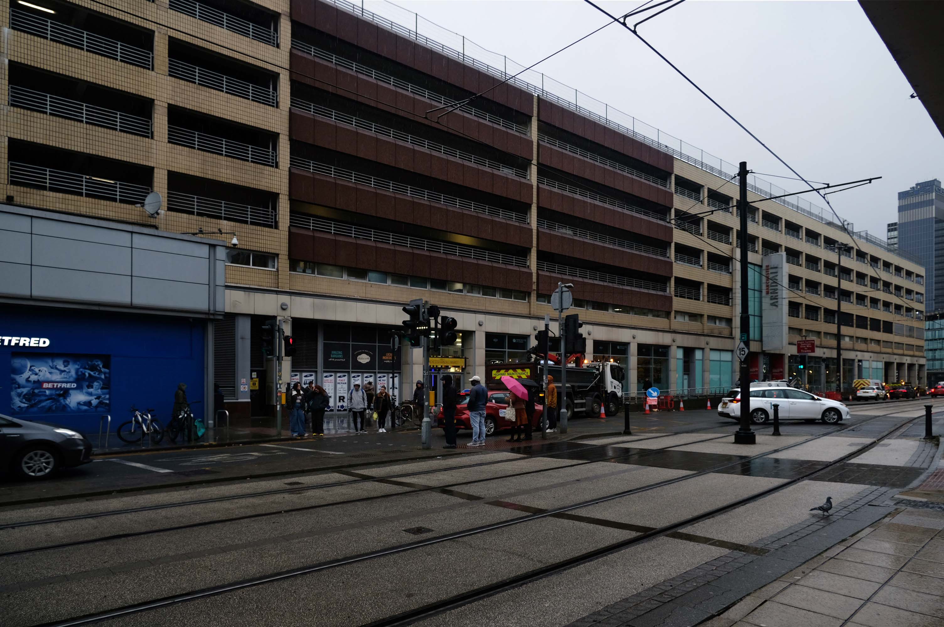
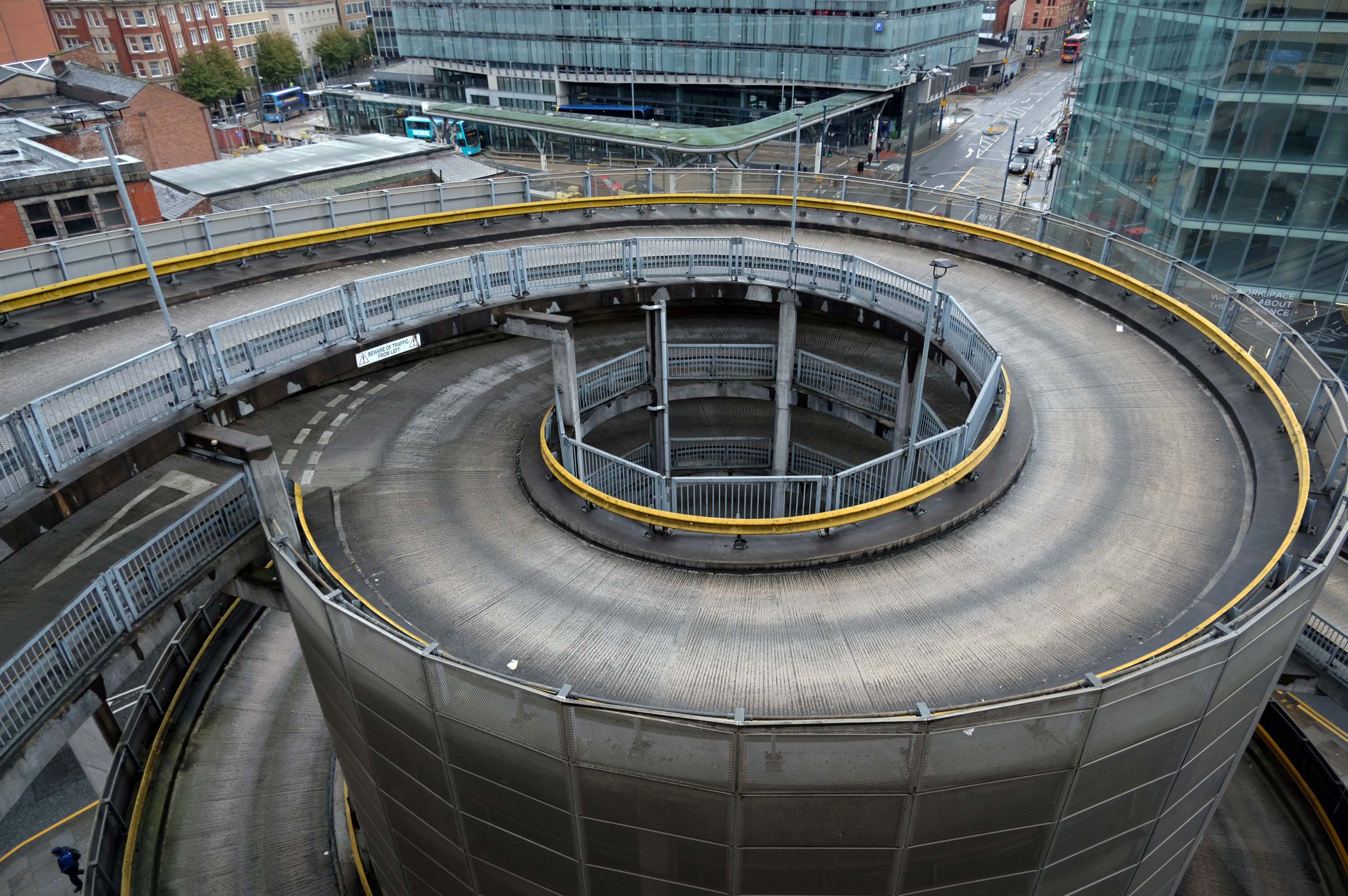
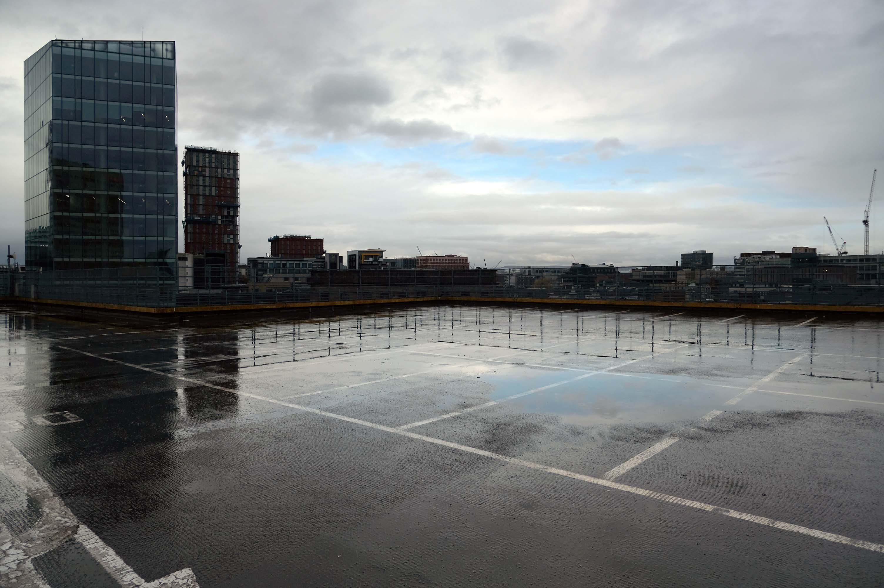
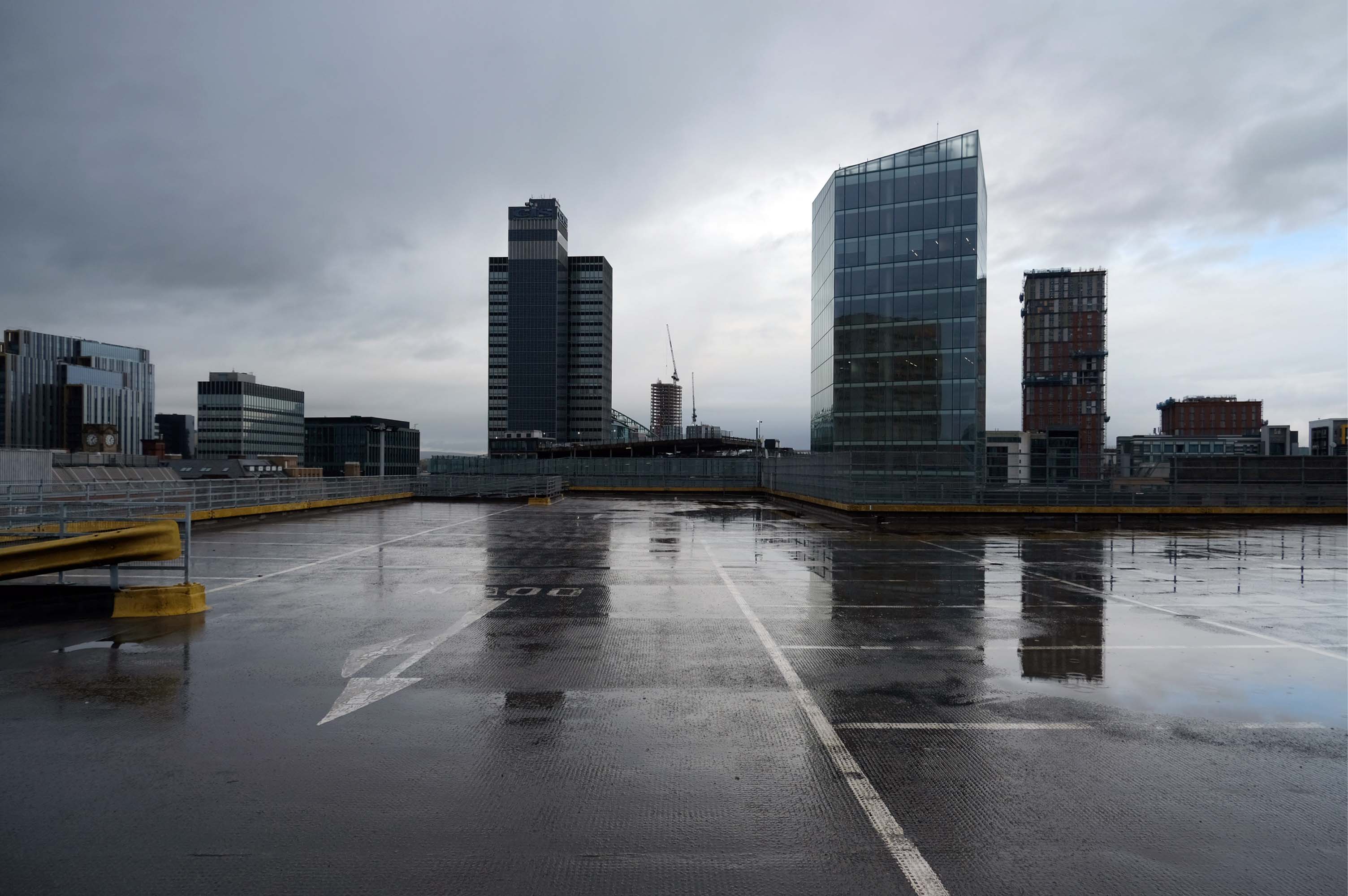
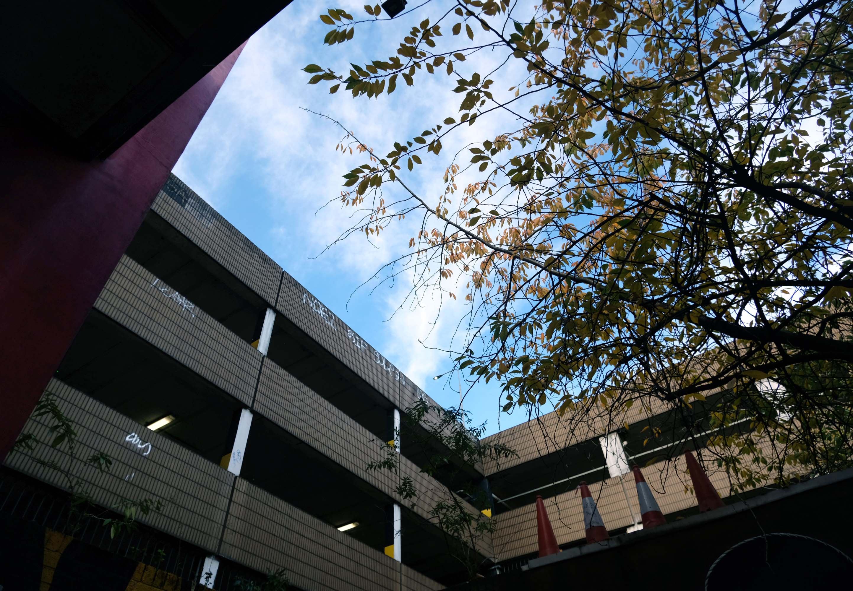
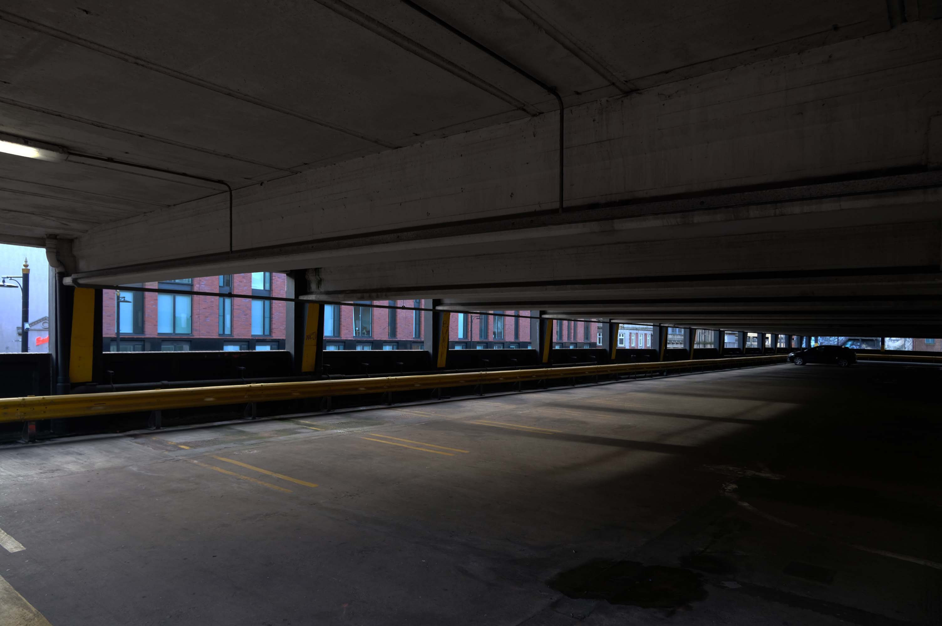
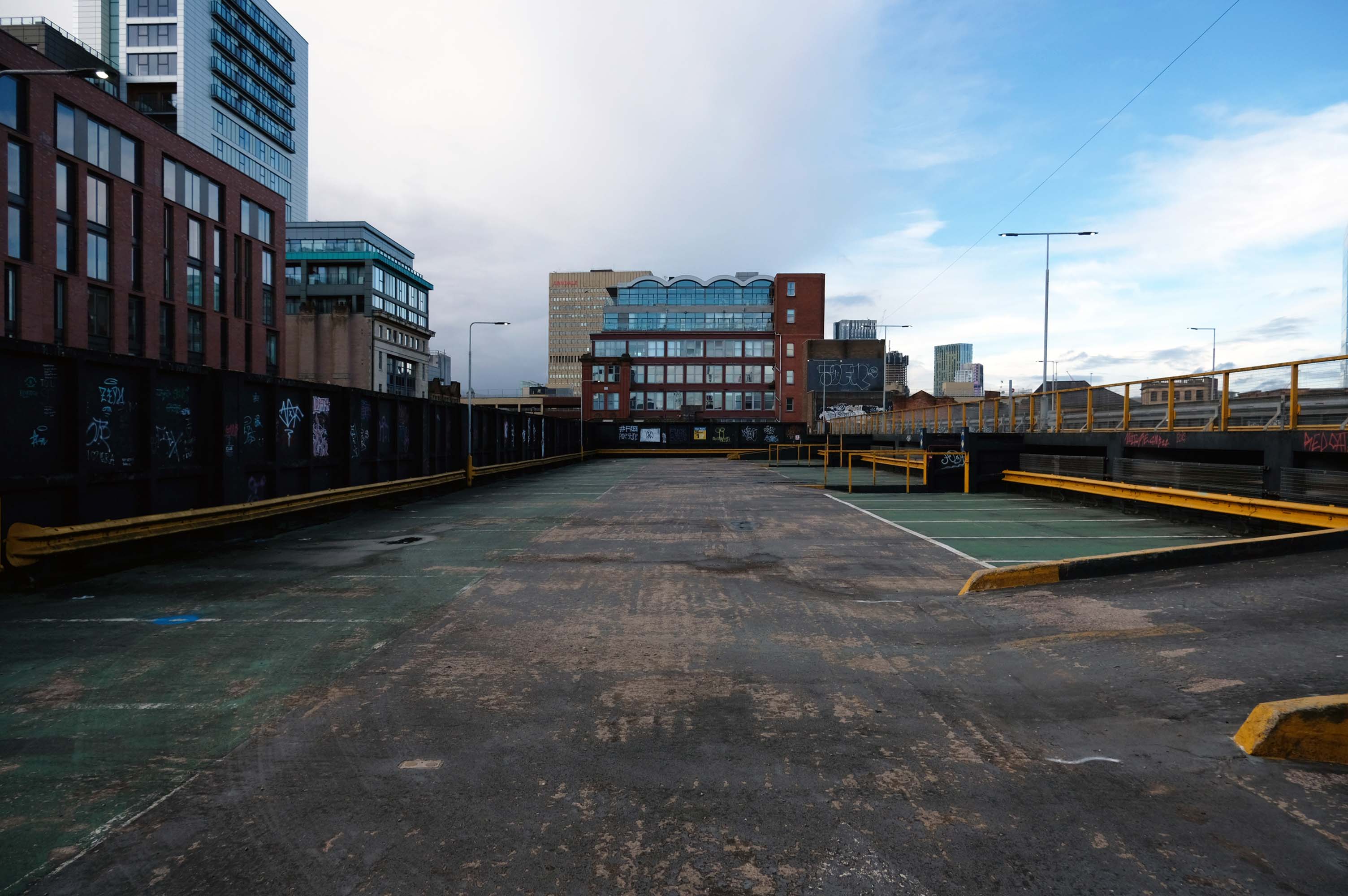
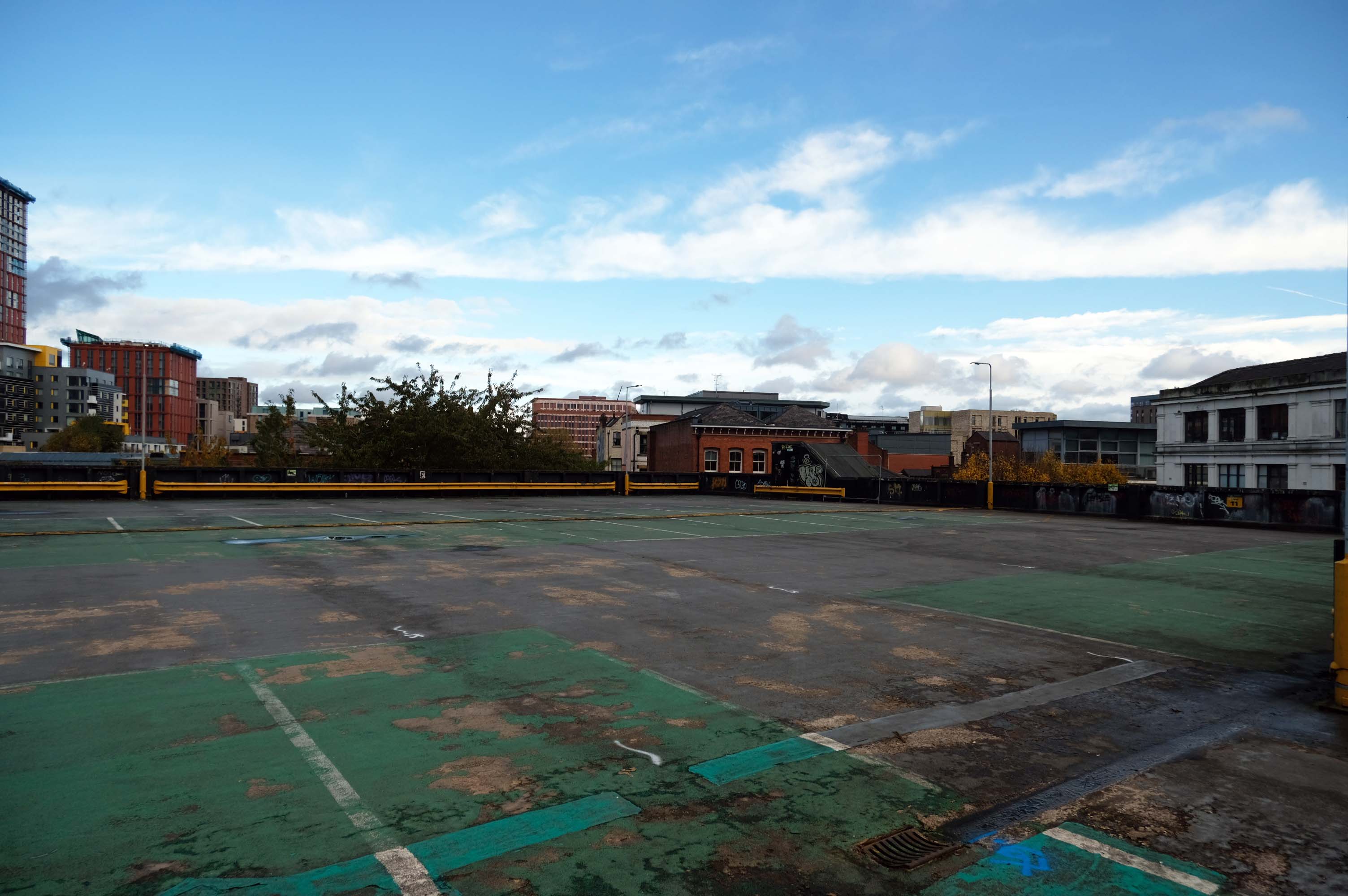
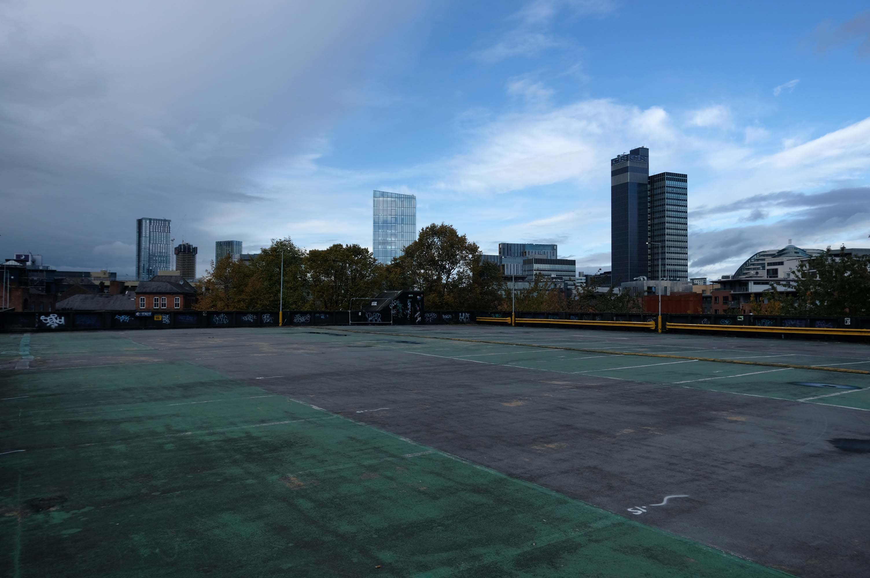
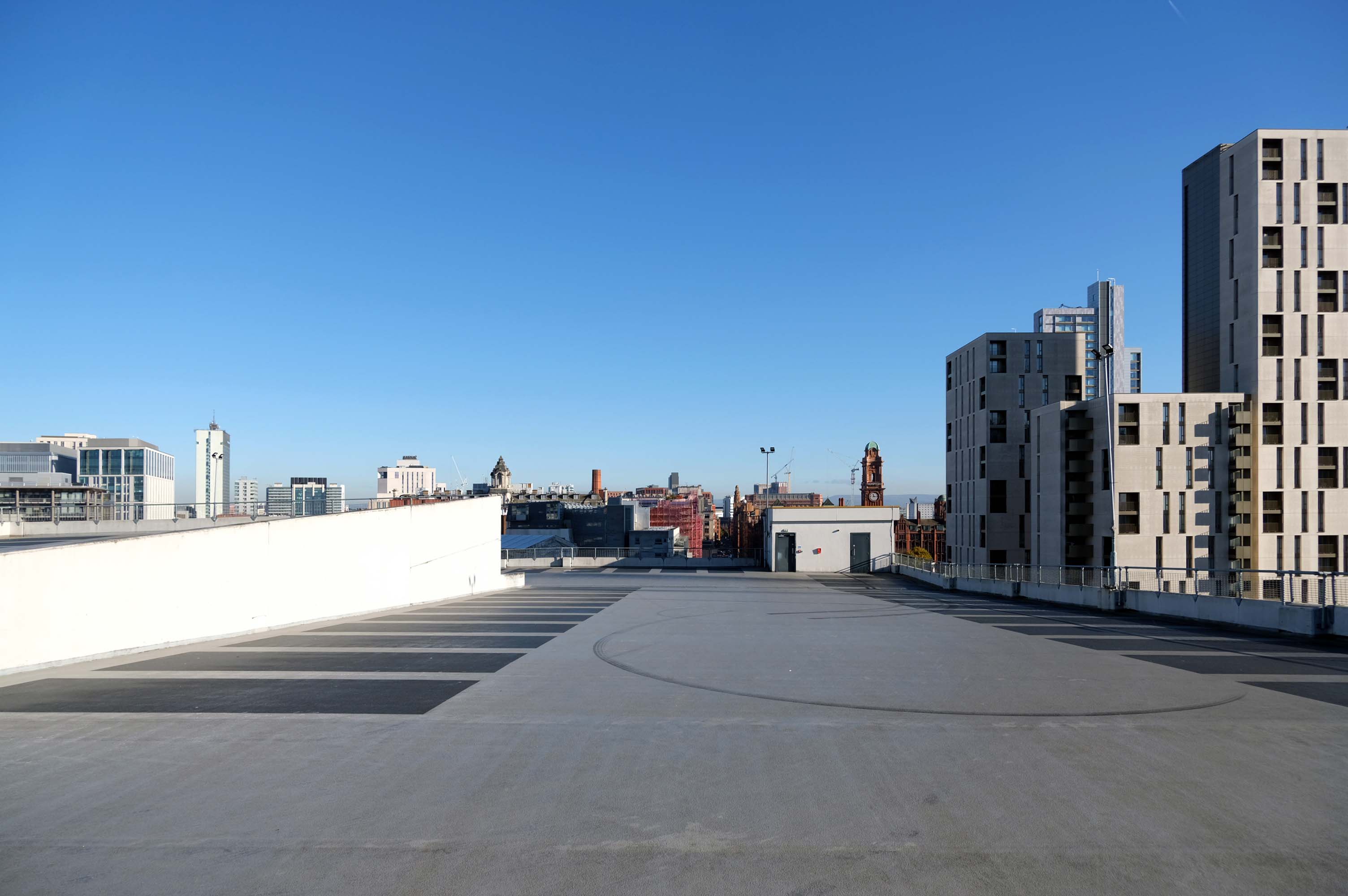
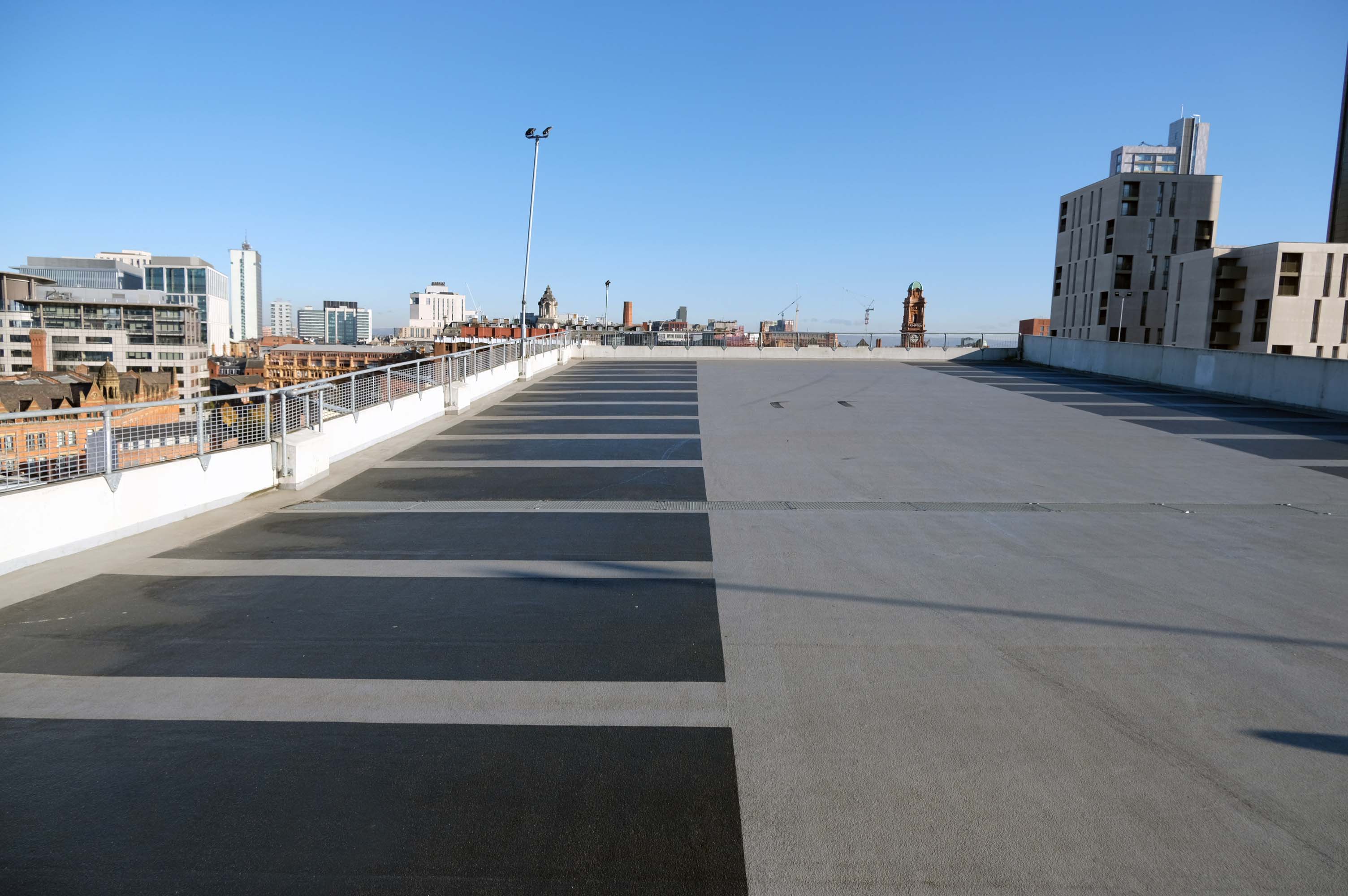
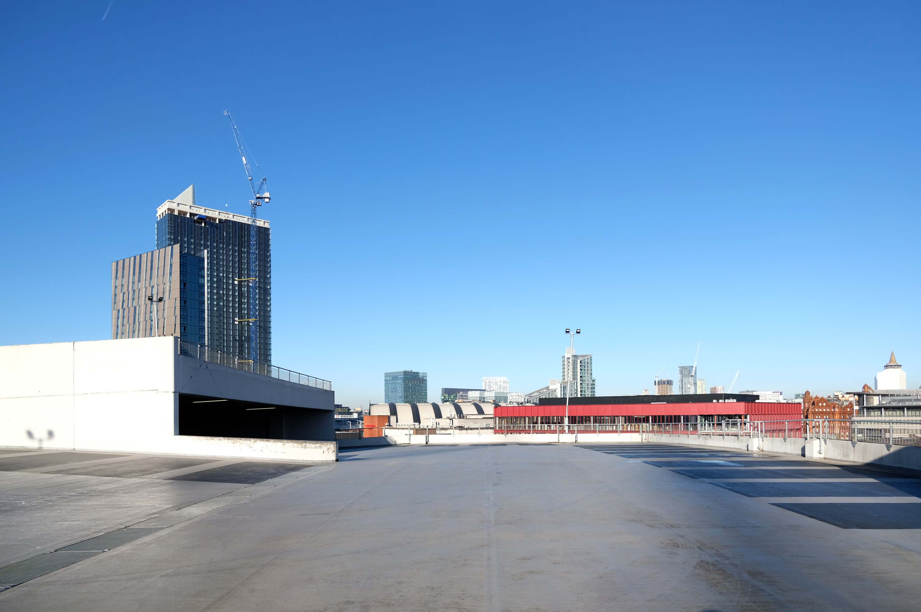
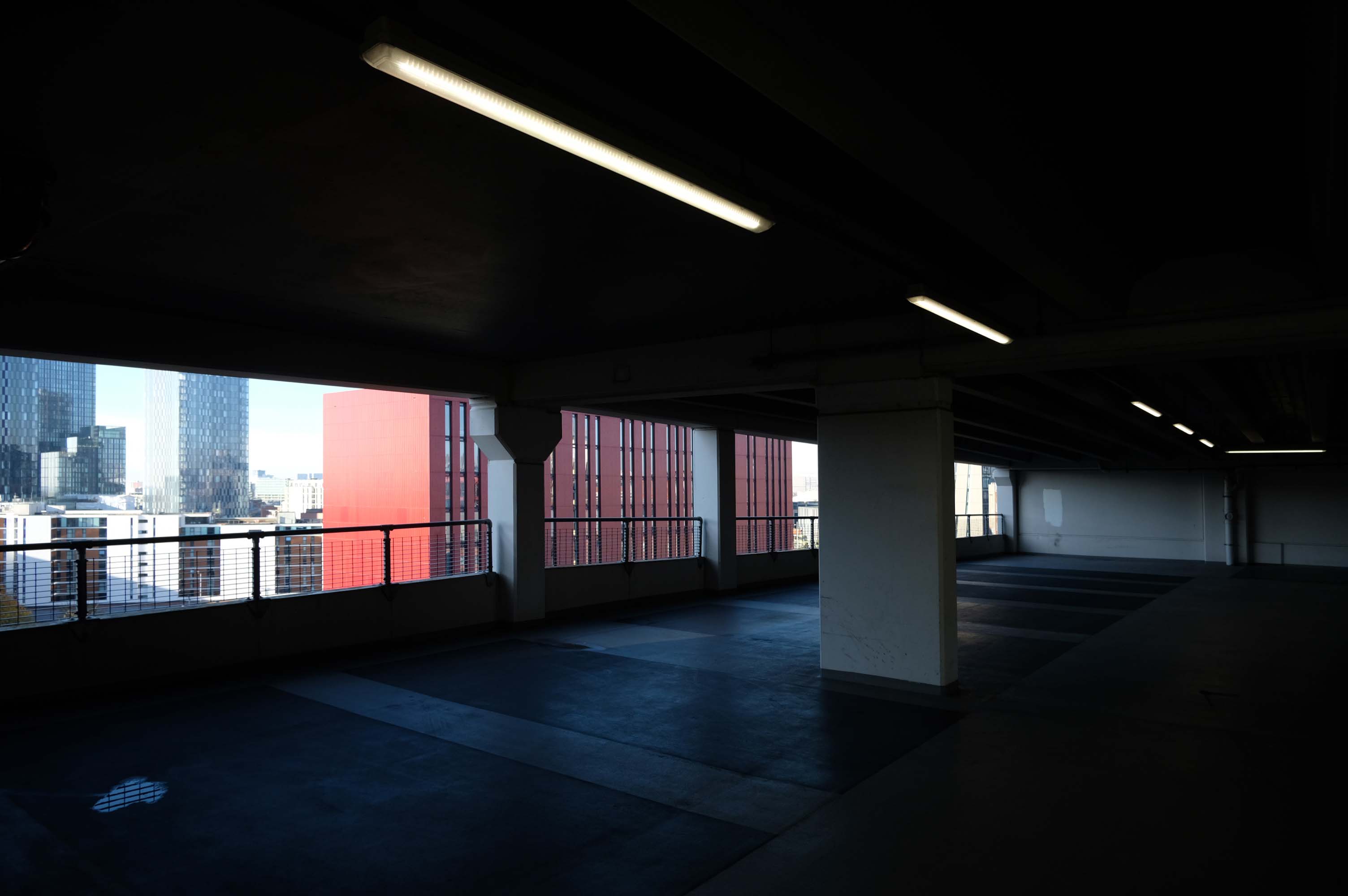
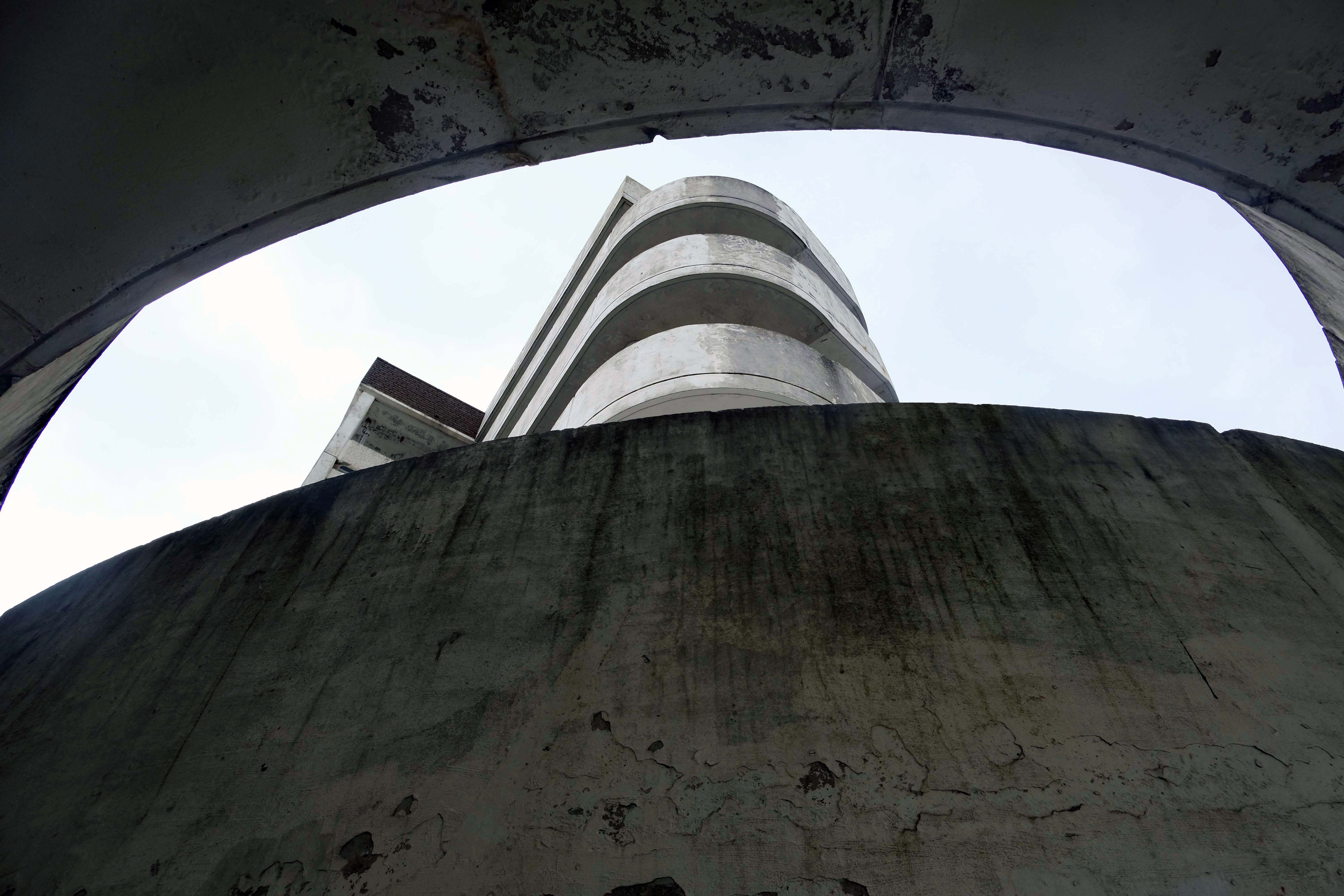
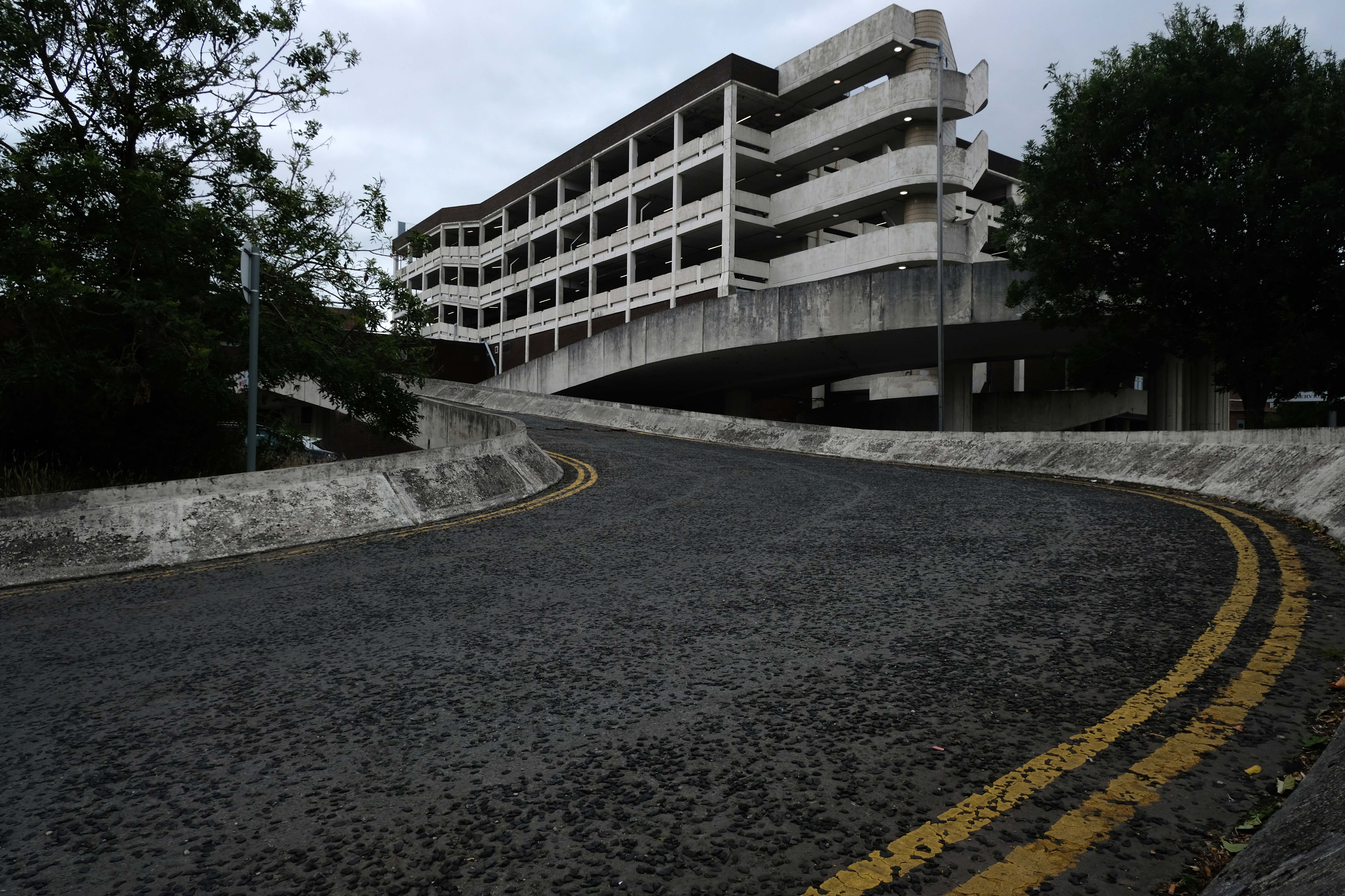
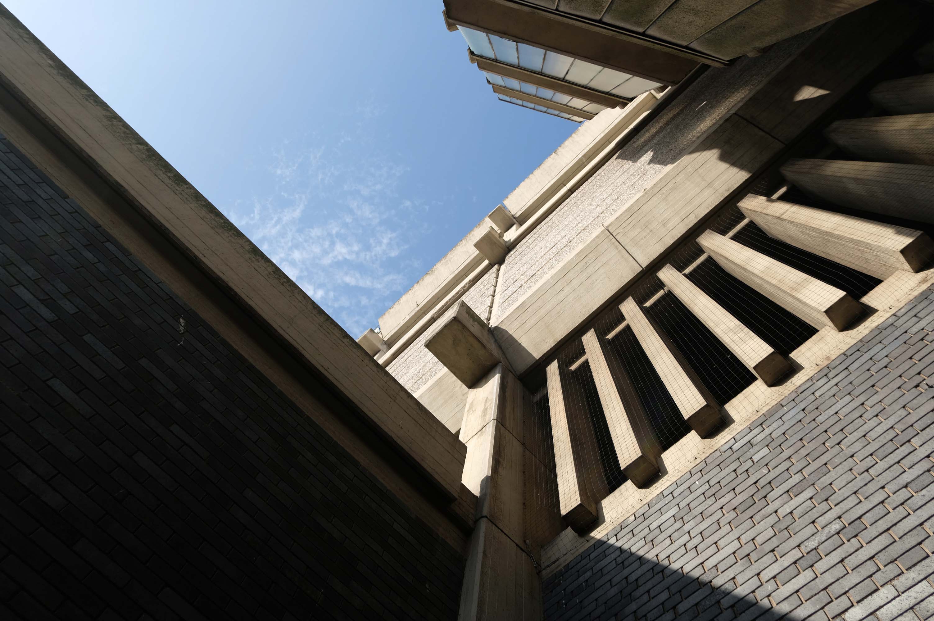
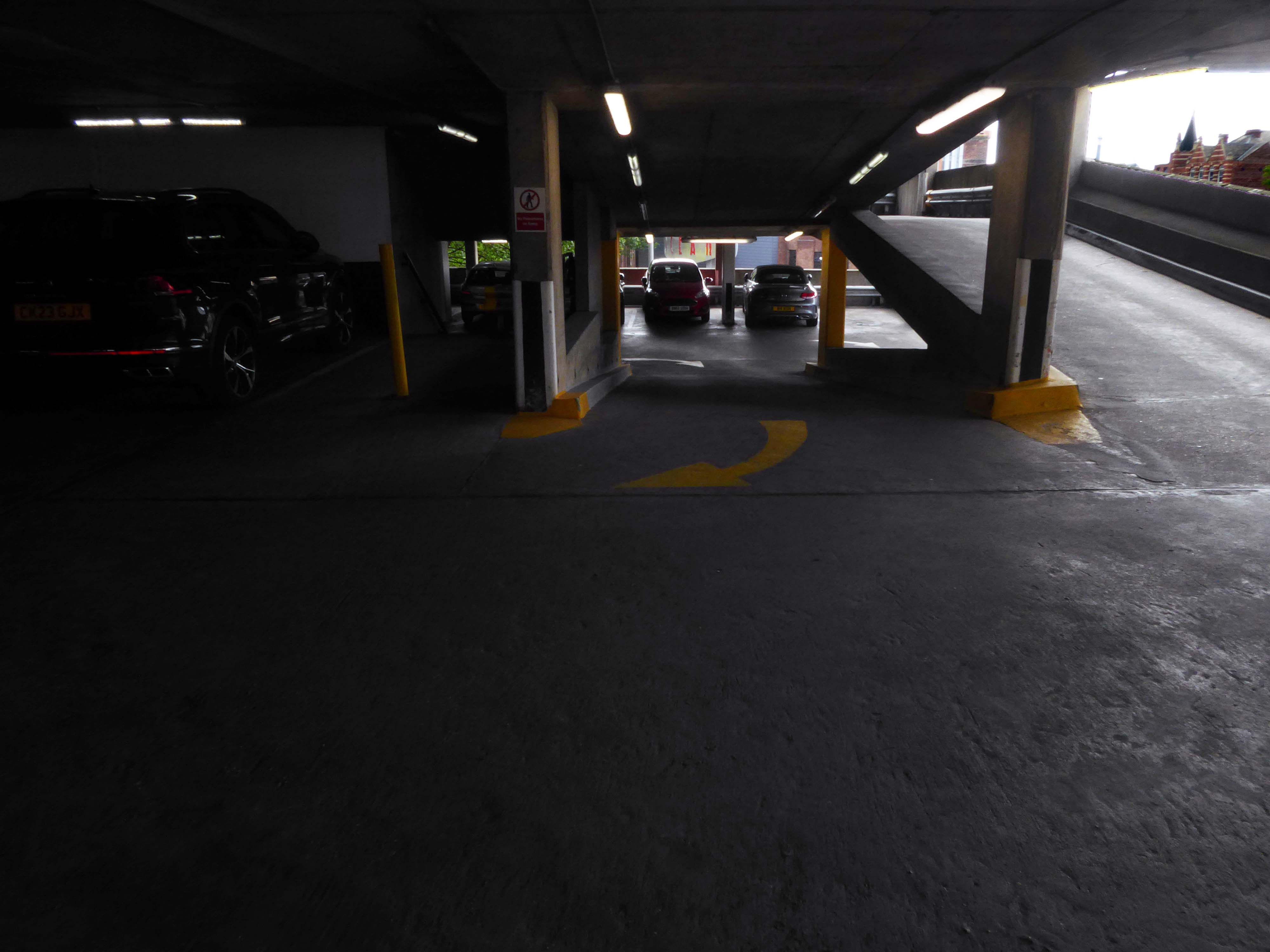
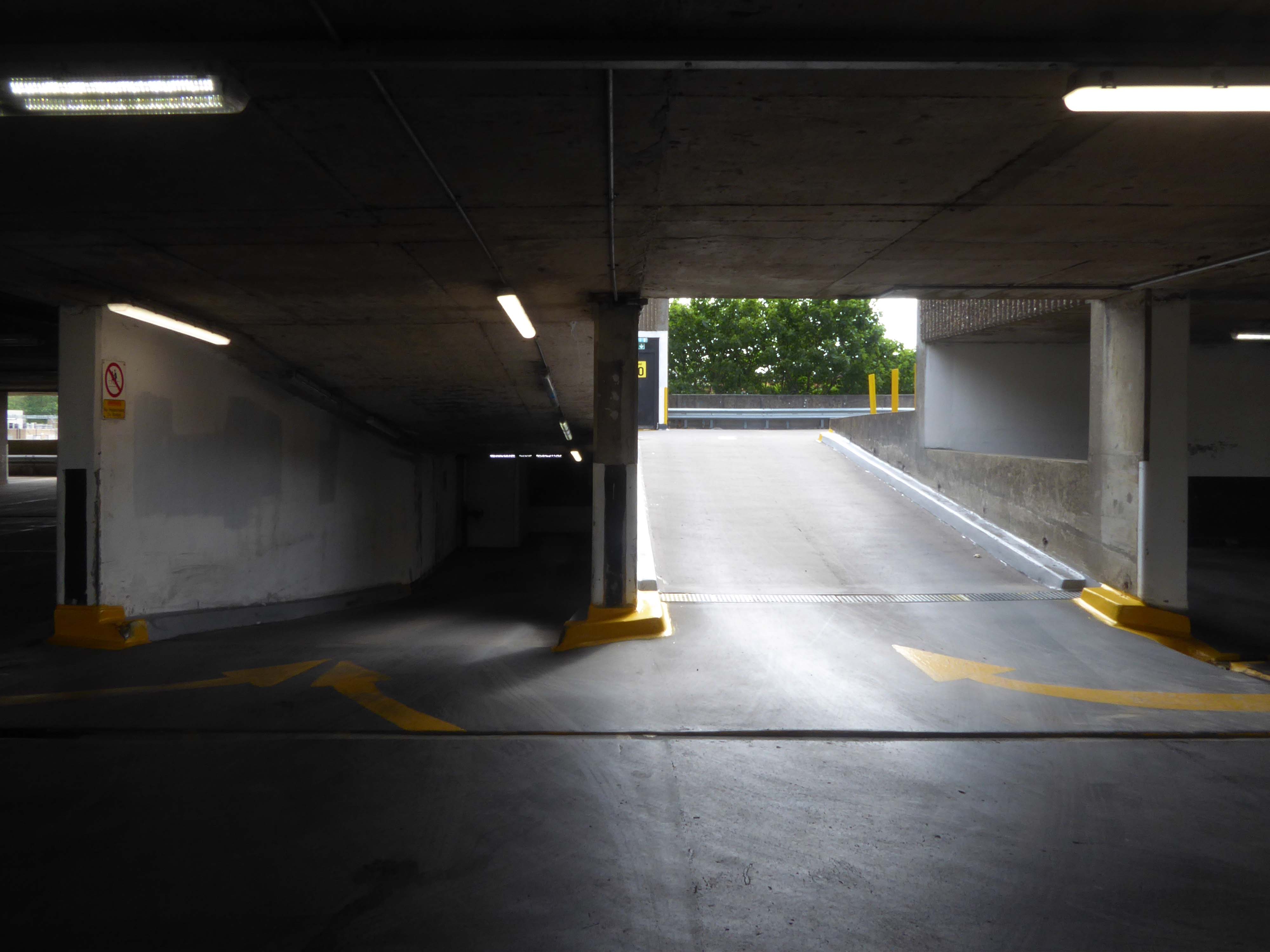
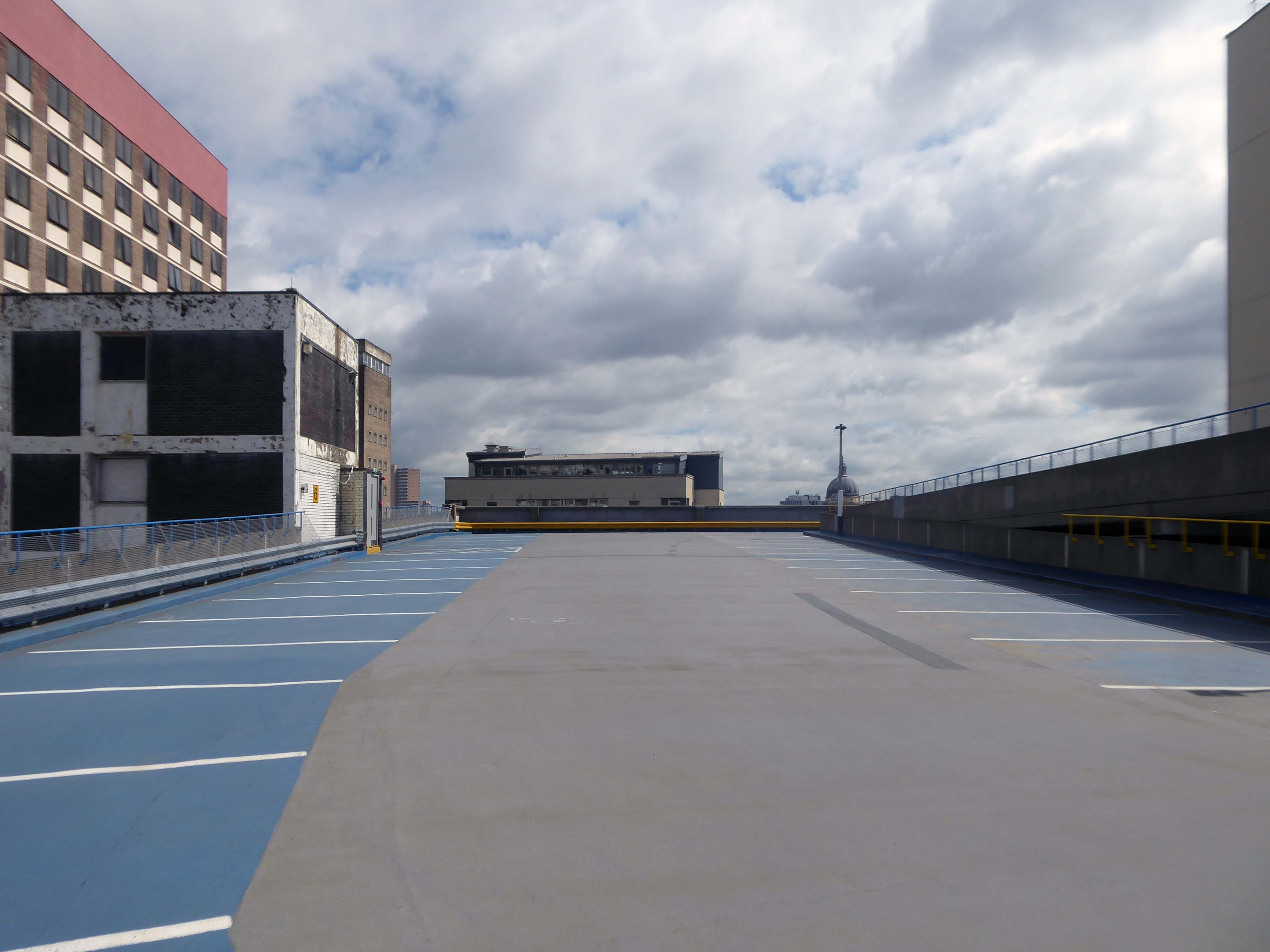
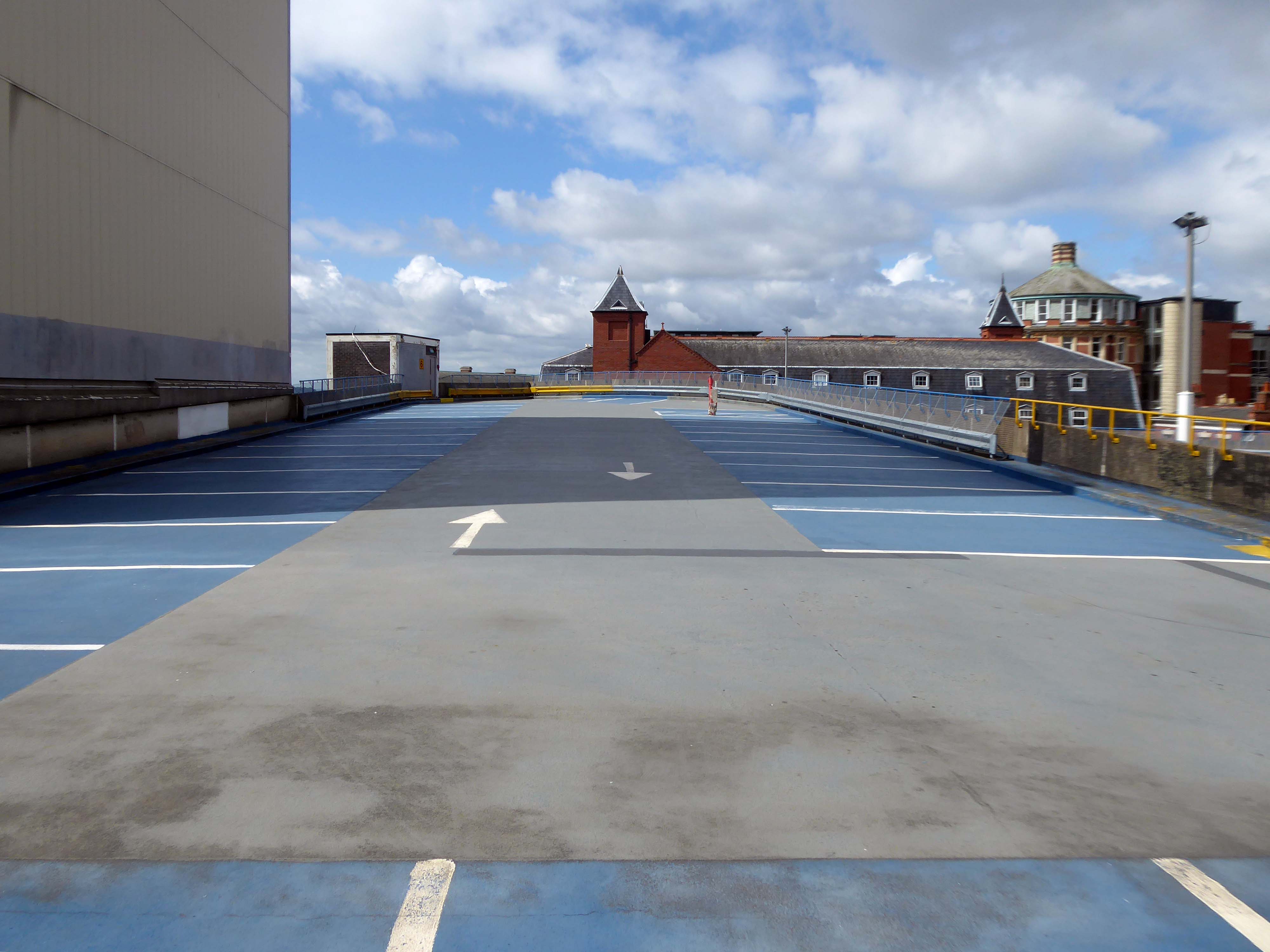
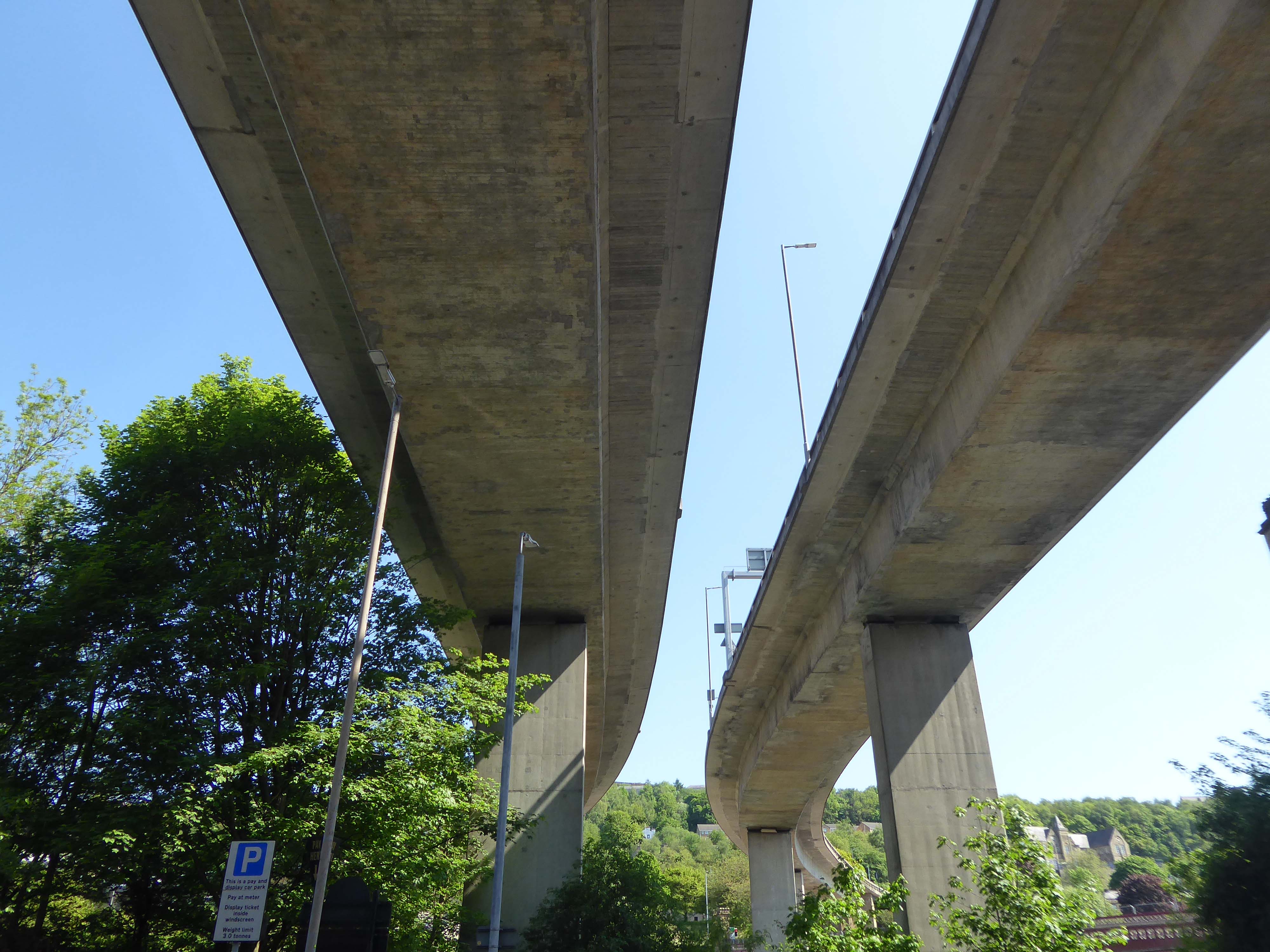
The pedestrian in a car park ventures forth into a part of town rarely visited, discovering a clean and modern environment, affording extensive views over an ever expanding city.
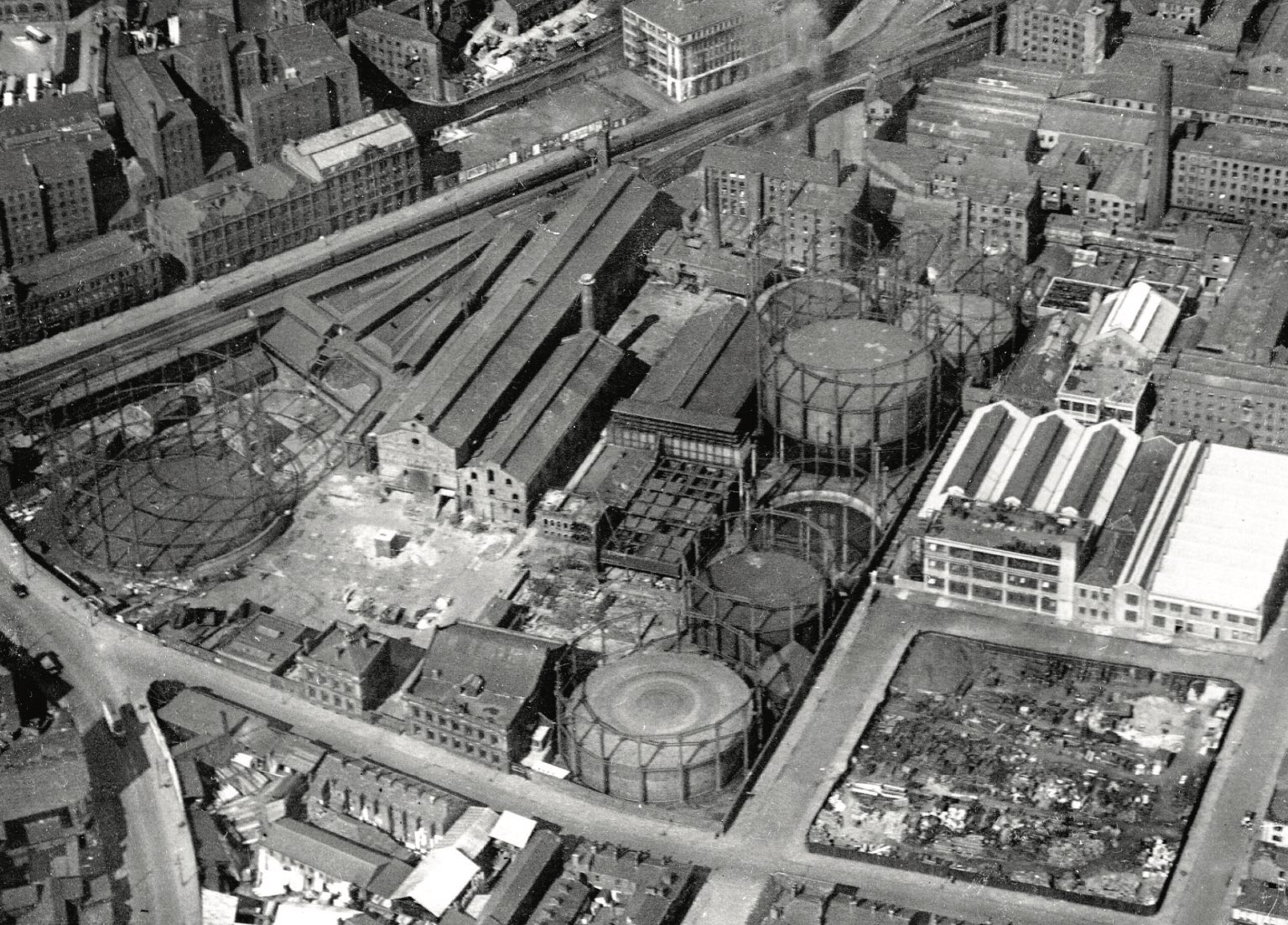
As part of the redevelopment of the Gaythorn Gas Works site, First Street has successfully managed to create a new thriving neighbourhood in Manchester. The development continues to seamlessly integrate cultural spaces with commercial offices, retail spaces, a hotel and multi-storey car park.
Cundall has provided multidisciplinary engineering services spanning several years and multiple buildings including, Q-Park MSCP.
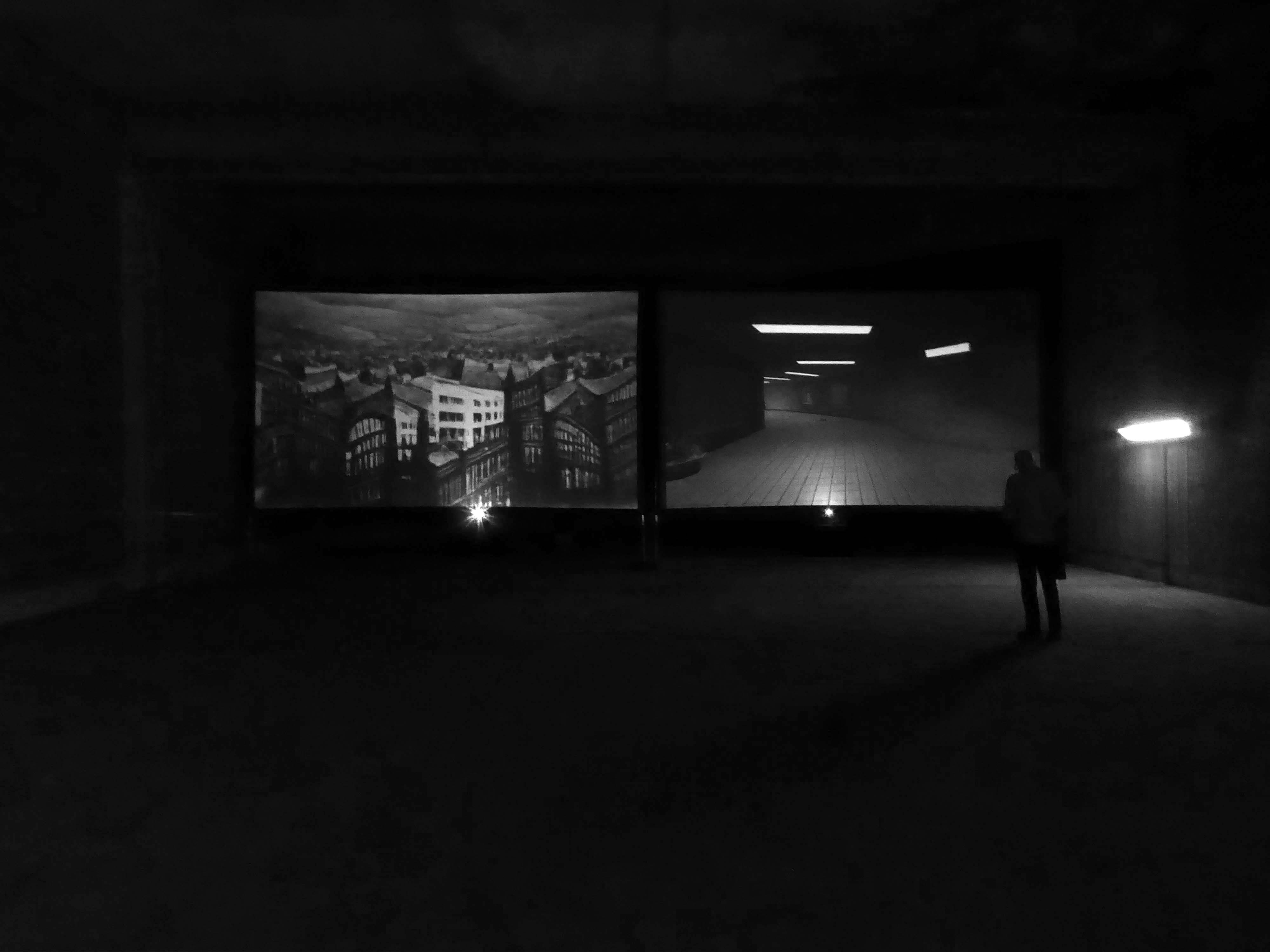
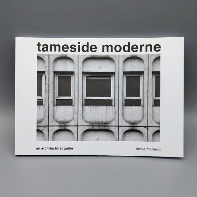
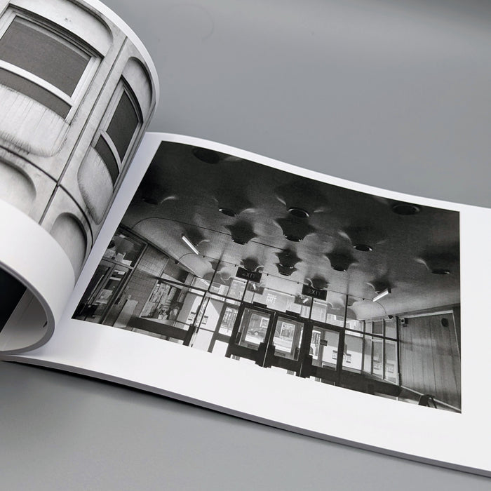
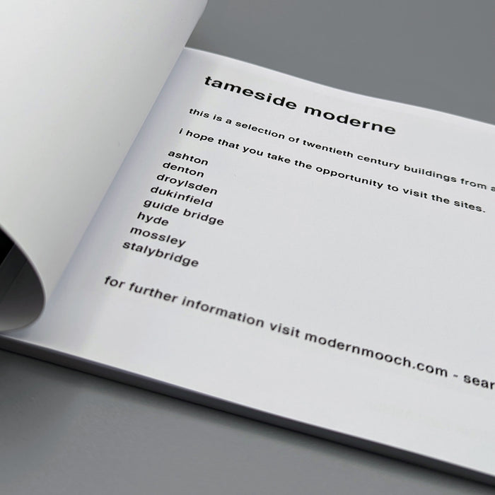
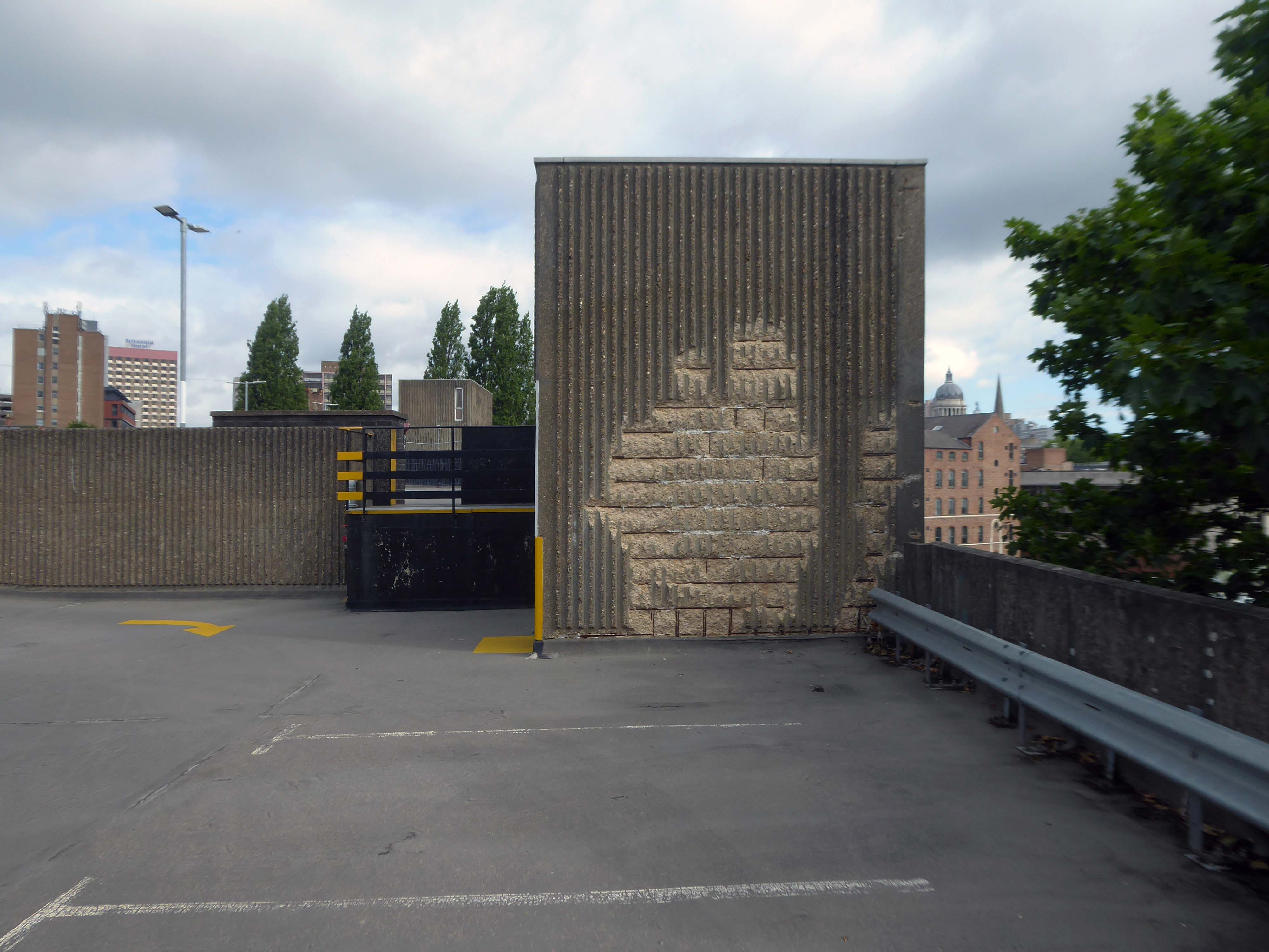
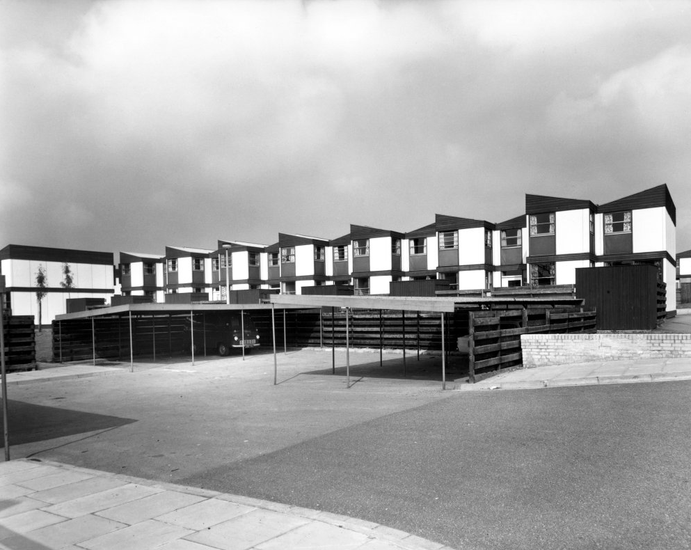
Illustrating a wide range of building types in and around Sheffield sheltering beneath the broad umbrella of Modernism.
By way of context the photographs are all Topographic in nature – in which a landscape subject is photographed, devoid of people, framed orthogonally and lacking artifice or effect.
Practiced most famously by the 1970s New Topographics photographers, including Robert Adams, Lewis Baltz, Nicholas Nixon, and Bernd and Hilla Becher.
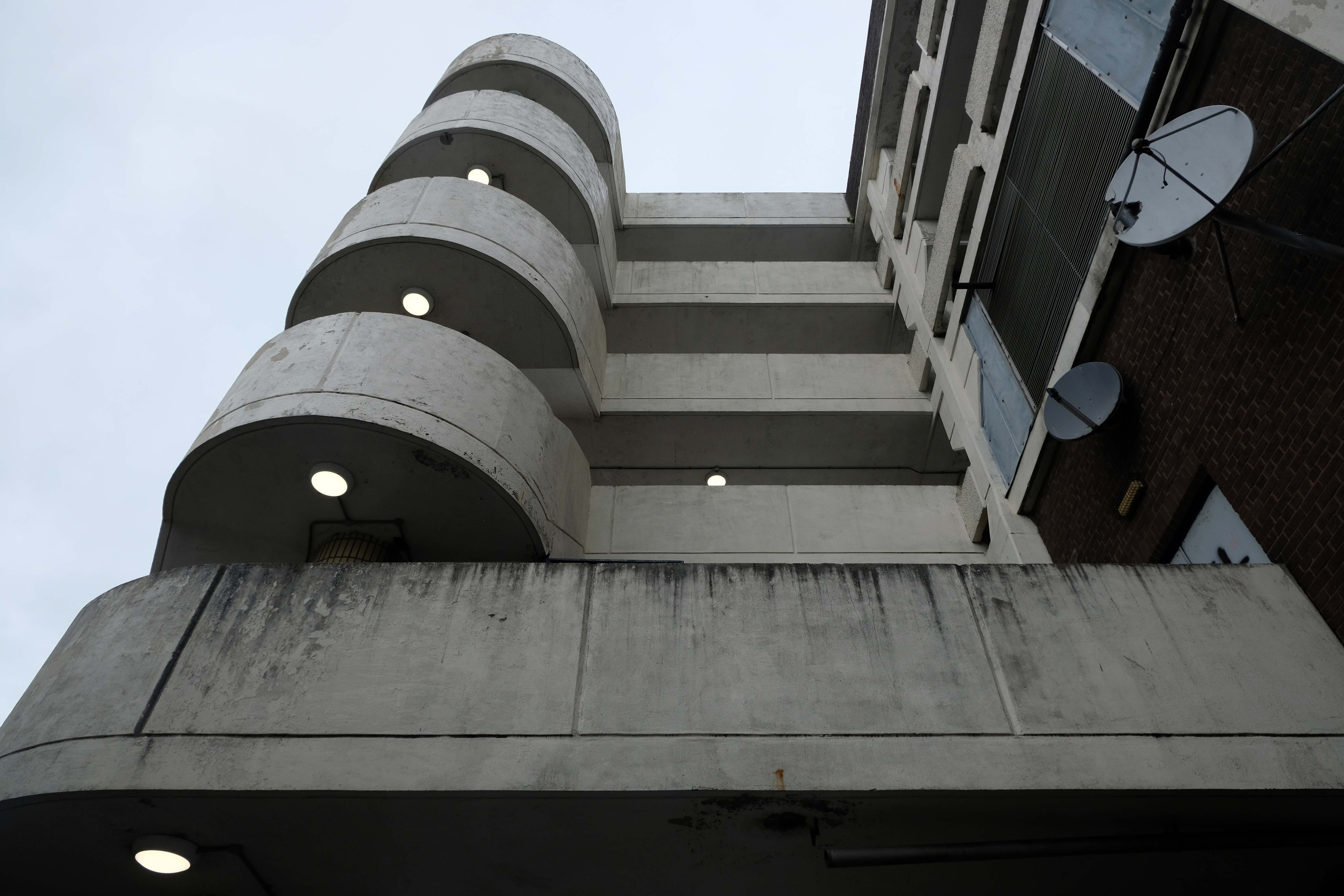
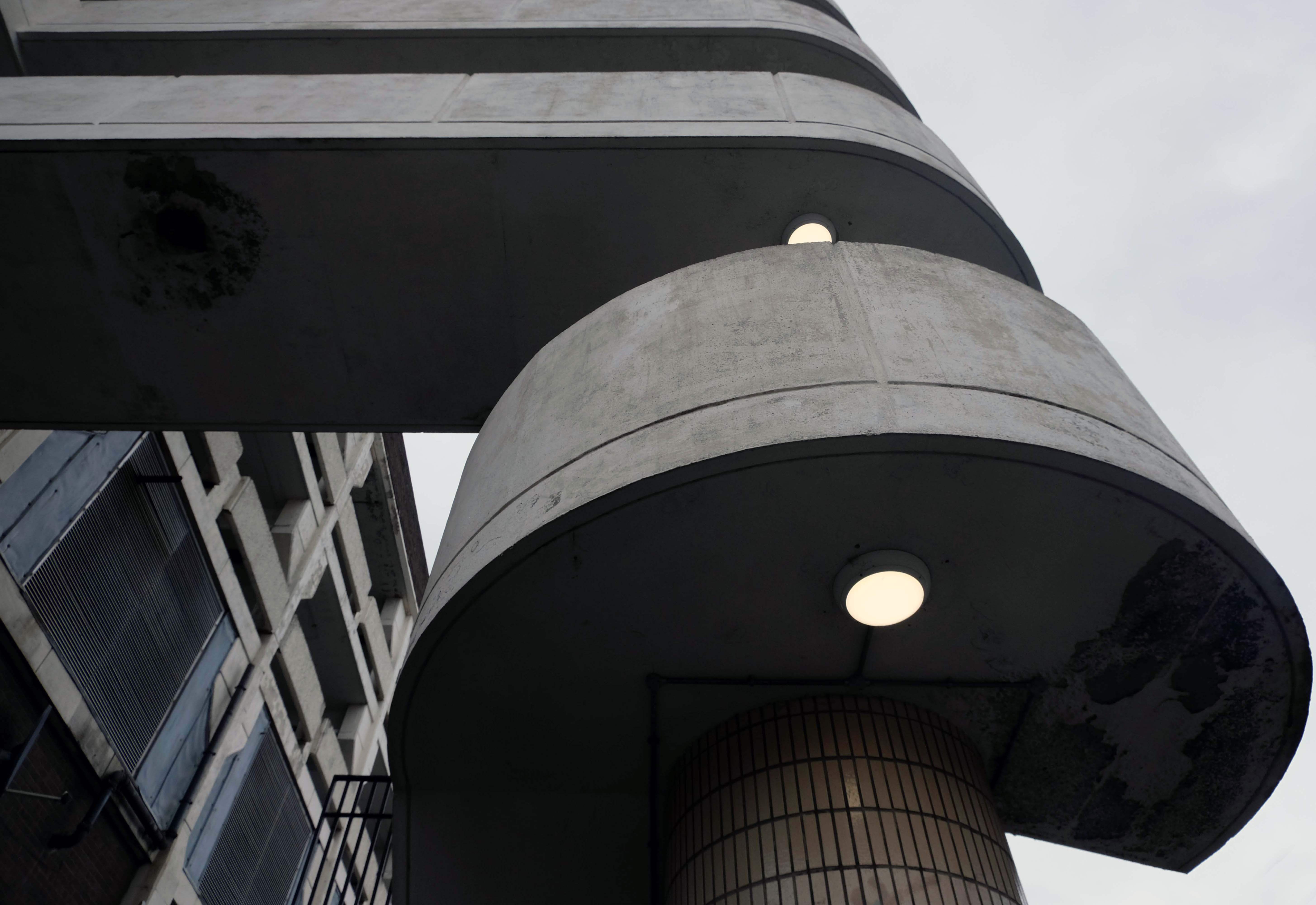
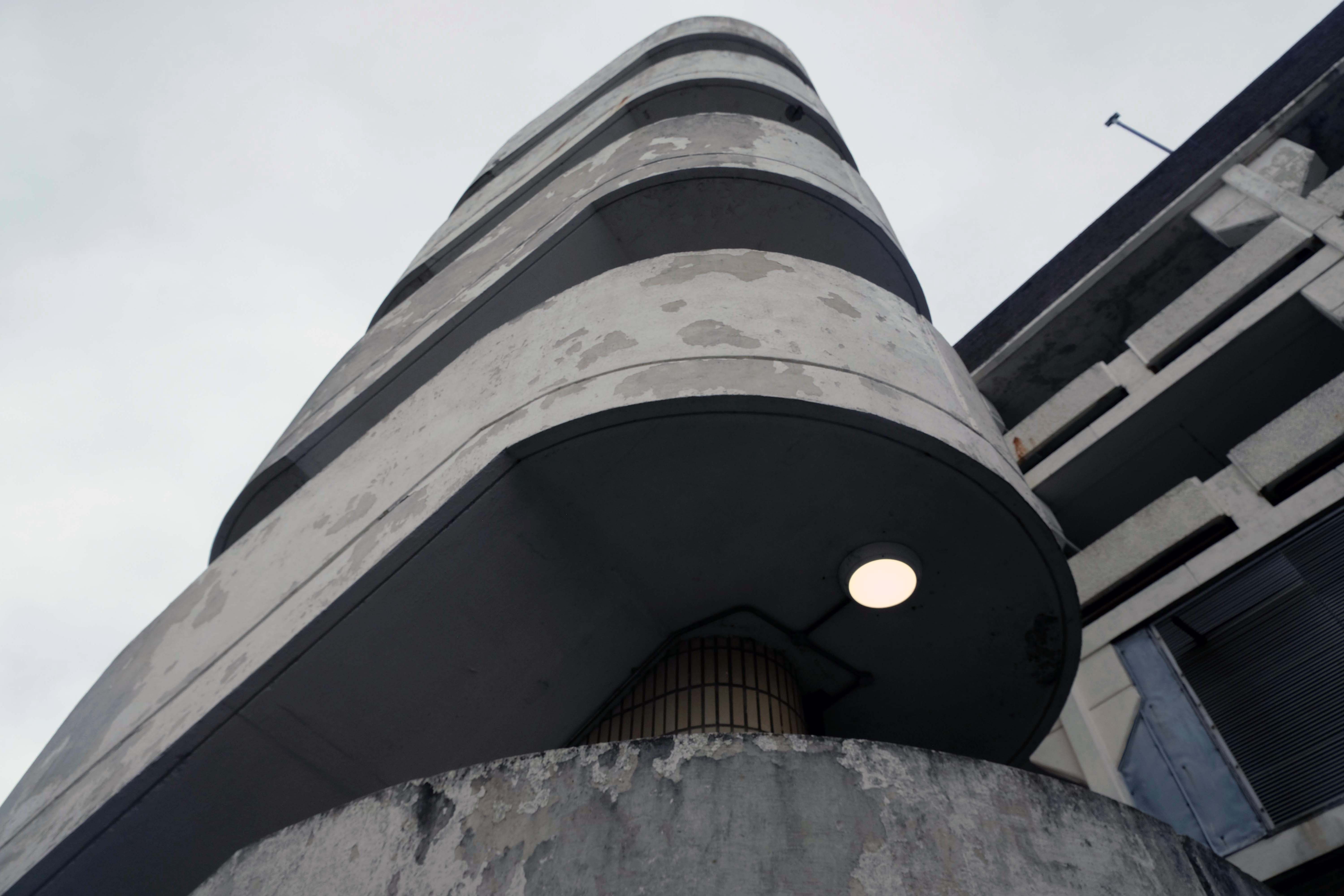
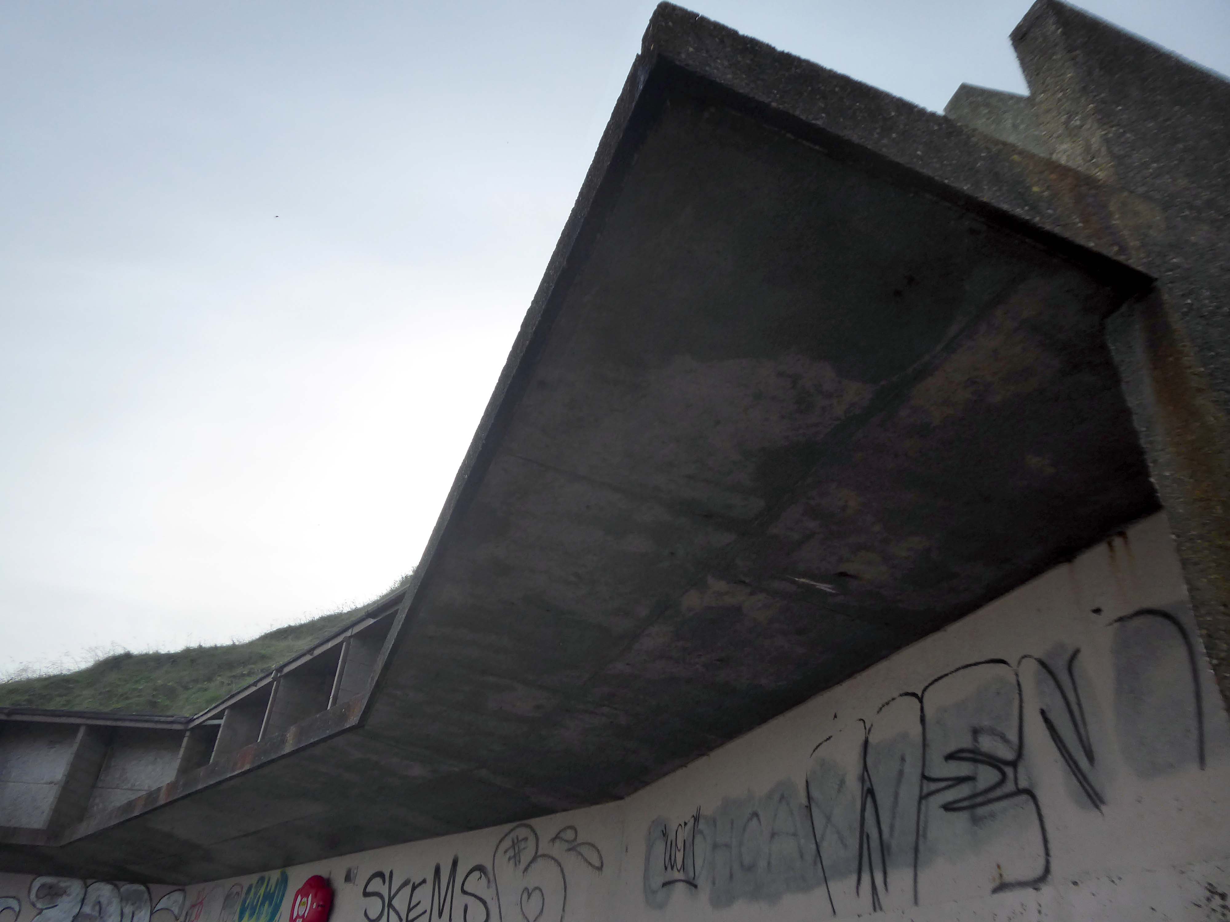
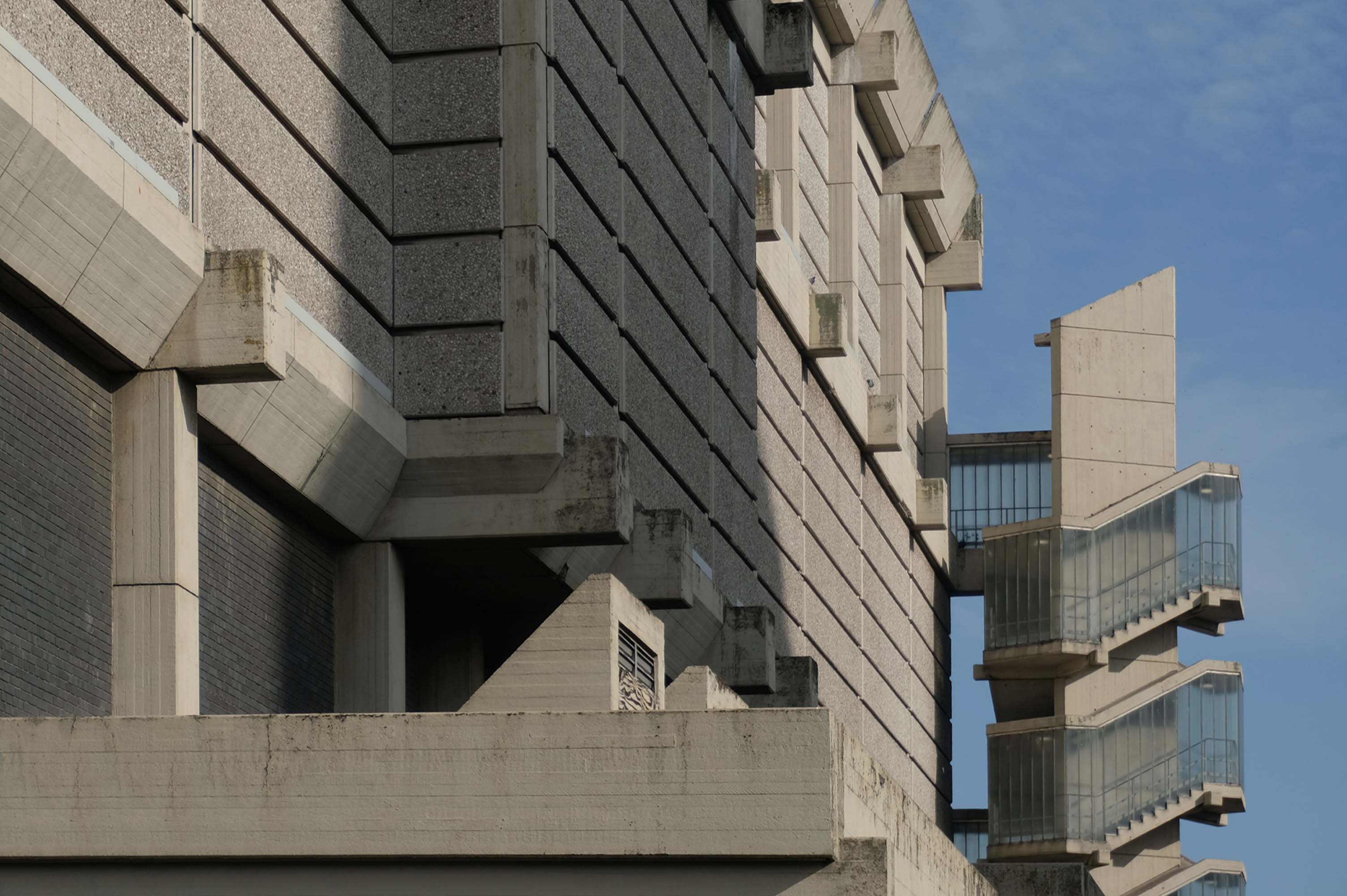
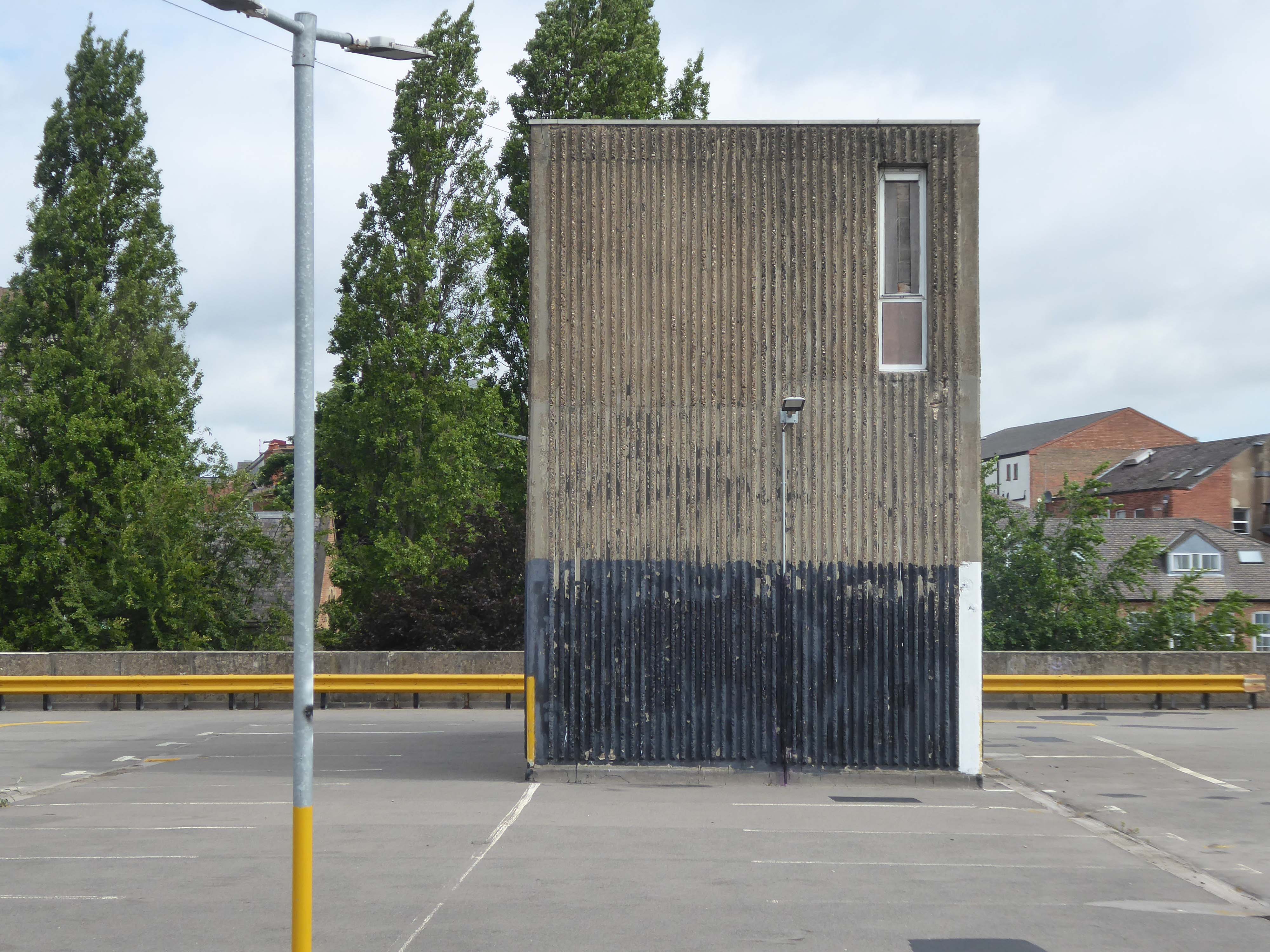
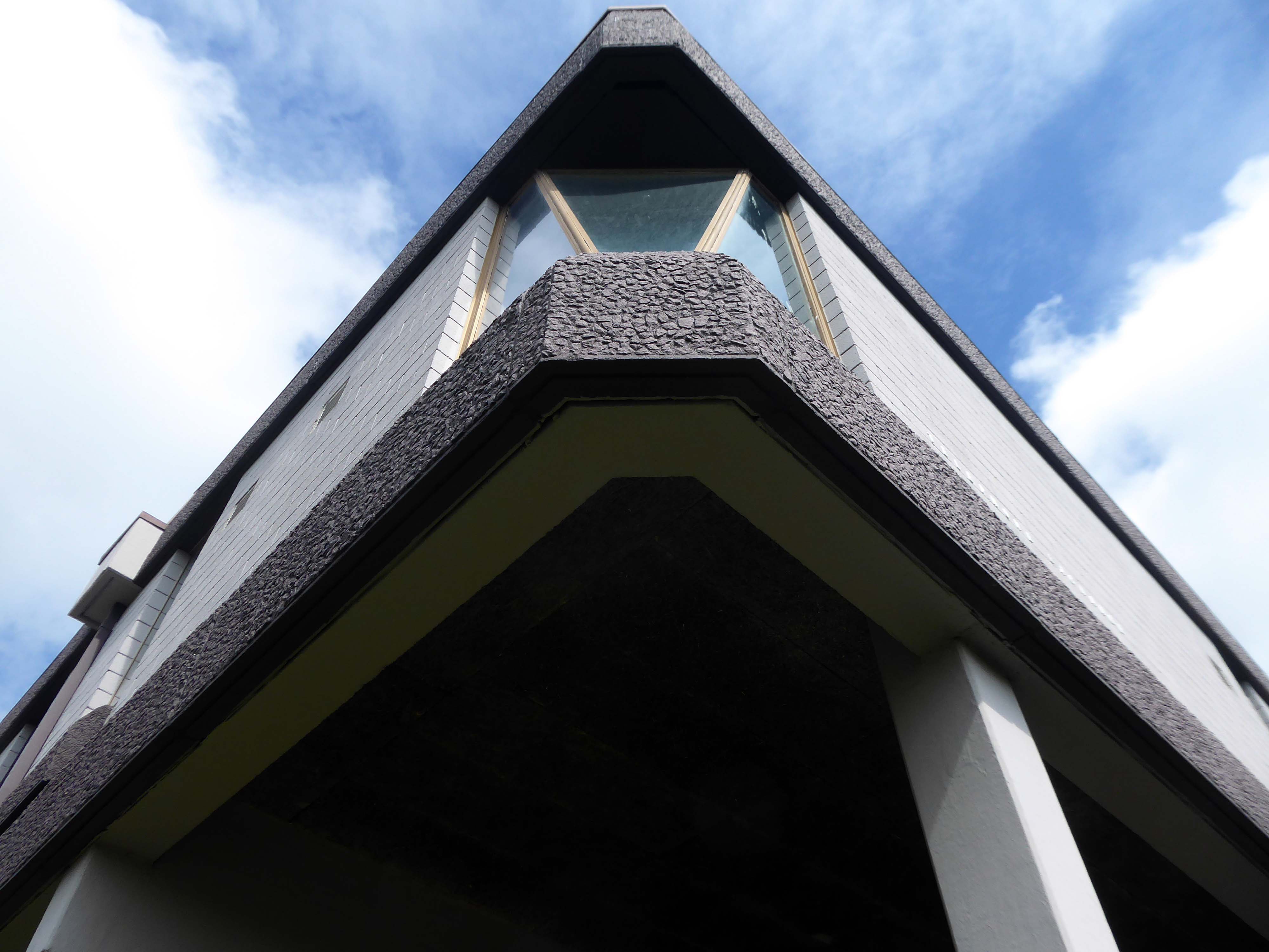
A shocking paroxysm of a building, an explosion in reinforced concrete, a bunker built with an aesthete’s attention to detail, a building which is genuinely Brutalist in both senses of the term.
With a hyper parabolic roof a doubly-curved surface that resembles the shape of a saddle, that is, it has a convex form along one axis, and a concave form on along the other.
Featured in the video for the Arctic Monkeys’ 2006 number one hit – When the Sun Goes Down at 1.21.
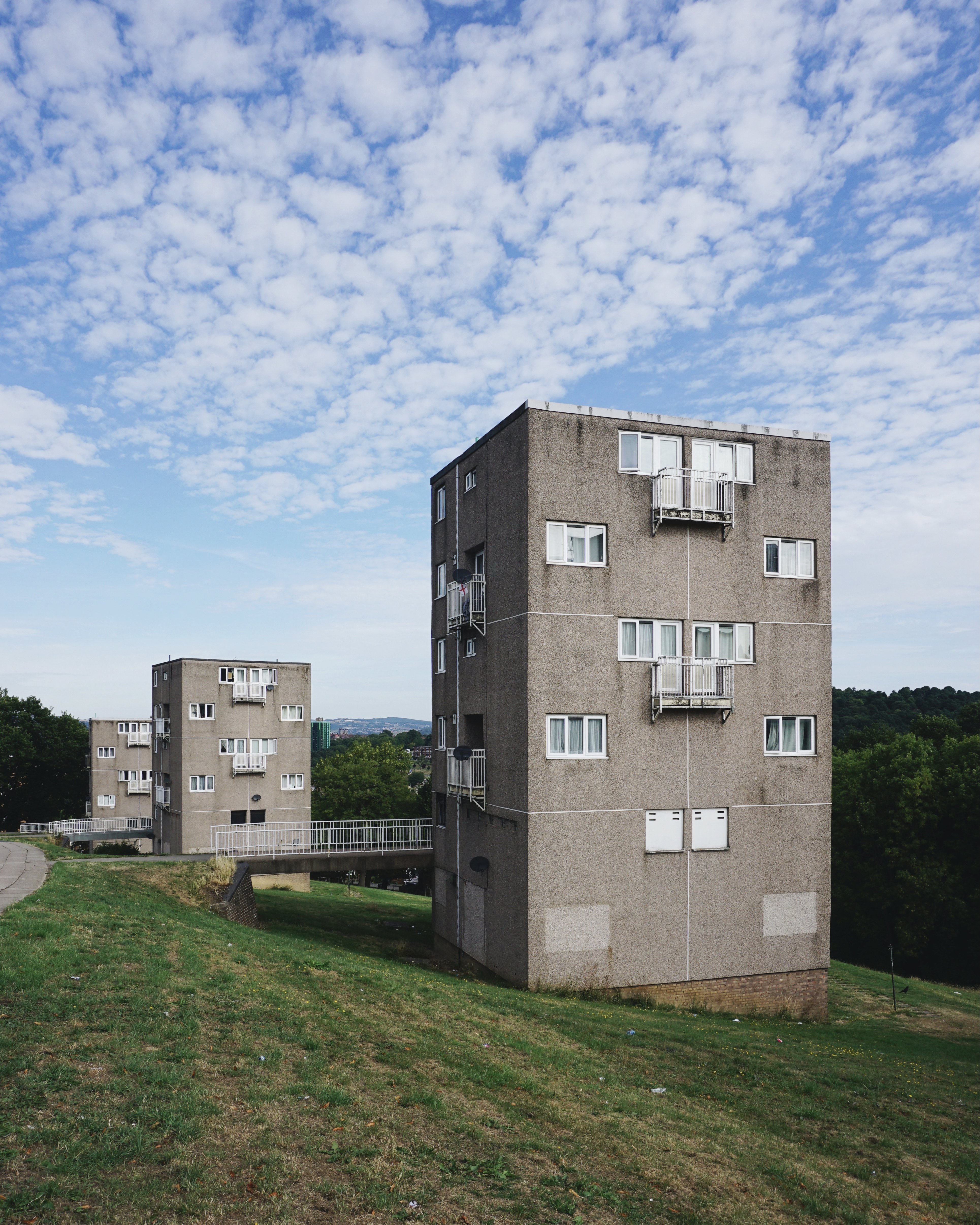
5 Park Hill – 1957 and 1961 Jack Lynn and Ivor Smith under the supervision of JL Womersley,
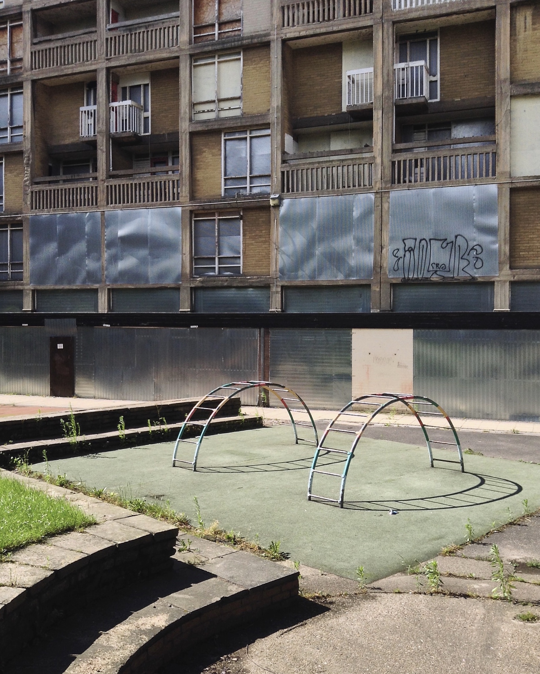
Grace Owen Nursery – with two Wicksteed climbing frames
The Play Ground should not be put in a corner behind railings, but in a conspicuous and beautiful part of a Park, free to all, where people can enjoy the play and charming scenery at the same time; where mothers can sit, while they are looking on and caring for their children.
The Sheffield Blitz in December 1940 killed almost 700 and damaged some 82,000 homes, over half the city’s housing stock. As the city looked to rebuilding, its 1952 Development Plan estimated the need to replace 20,000 unfit homes and build a further 15,000 to cater for the natural increase of population.
Supreme, but often overlooked, achievement … is the Gleadless Valley Estate which combined urban housing types and the natural landscape so effectively that it still looks stunning, especially on a bright winter’s day.
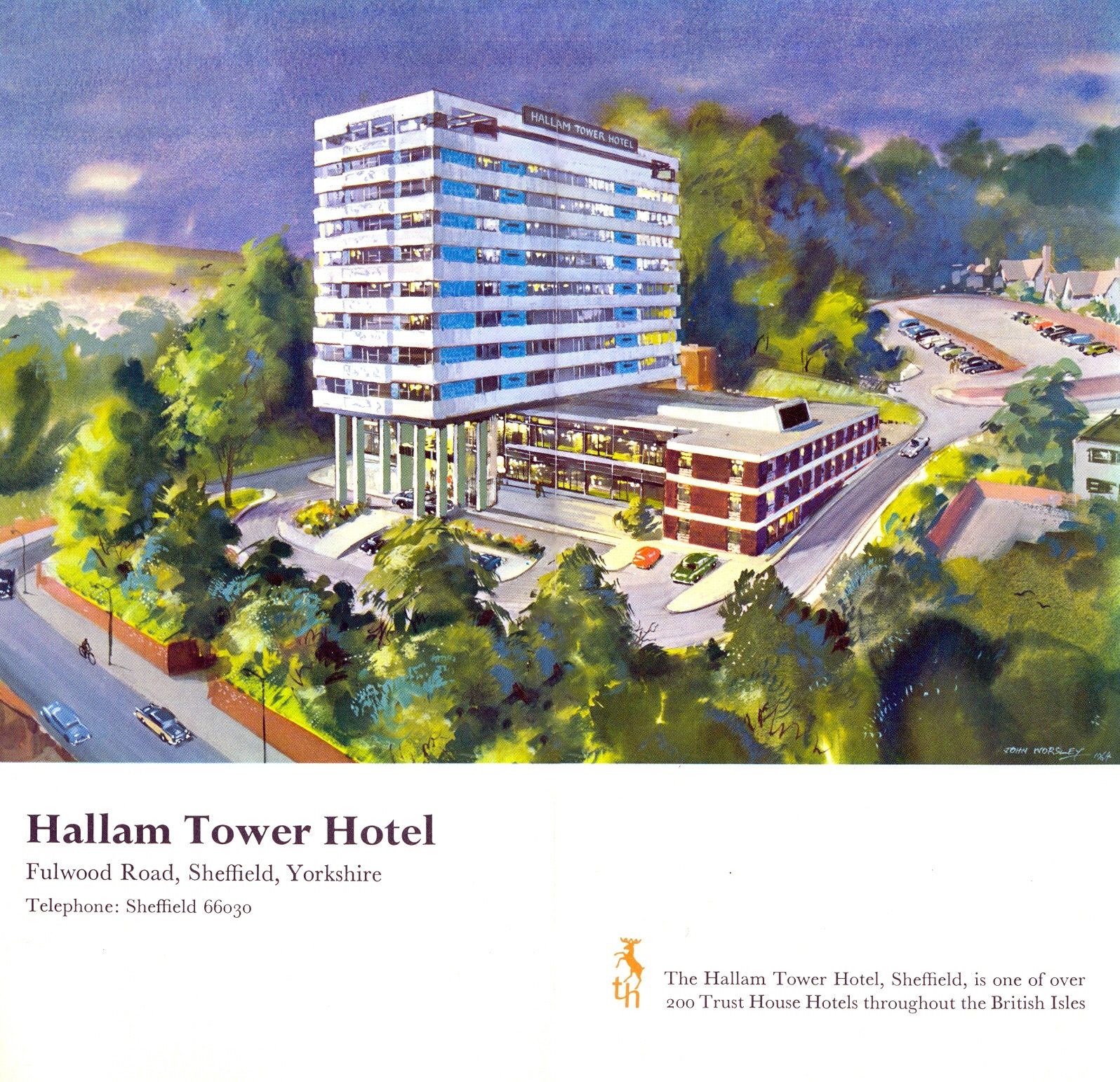
7 Hallam Tower Hotel 1965 Nelson Foley of Trust House Architectural Department
It opened officially on 24th March 1965 and was the first luxury hotel to be built in the north of England since the Second World War. The exterior was designed to complement Sheffield’s post-war modernist developments; the interior by Colefax and Fowler of Mayfair offered warm, gay colours to contrast with the black and grey tones of the city.
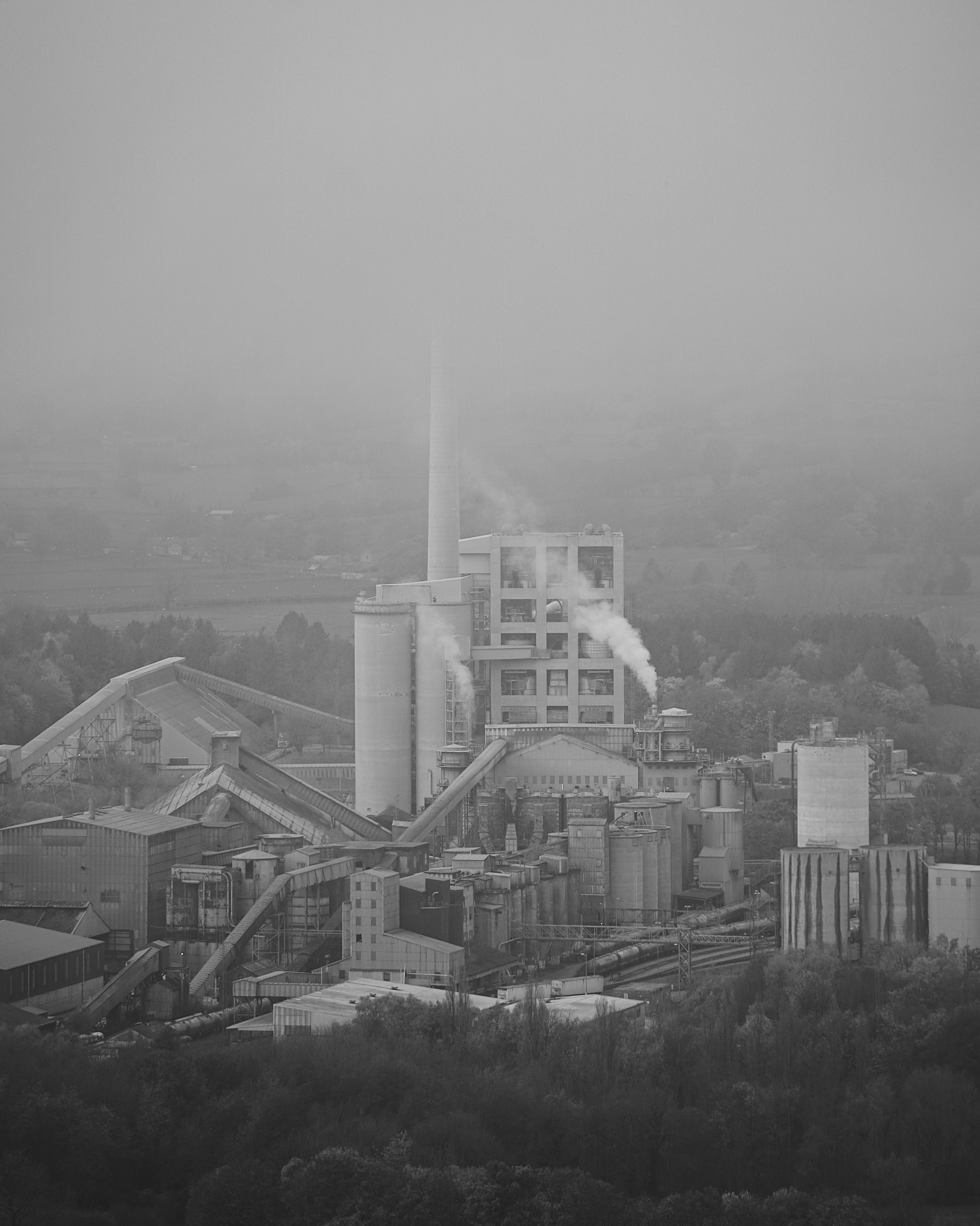
The plant started its first full year of production in 1929
The plant was located at Hope, because it is at the edge of where carboniferous limestone of the Monsal Dale Group, meets Edale Shale, the two main components of finished cement.
Since 1951, when the Peak District National Park was created, most of the outbound traffic from the plant has been exported by rail.
Colleagues in the team included Bill Varley, Ron Bridle, Sri Sriskandan and FA Joe Sims. The team was responsible for the introduction of a great deal of new computing technology into bridge design, as well as for some of the most imaginative bridge engineering going on anywhere in the country. Their design efforts were supported by close involvement in research and testing work, for example, on half-joints and concrete hinges. All the above named engineers went on to considerable seniority, some in the Department of Transport, and Sims and Bridle in particular have published various papers and contributed to books on the history of Britain’s motorway development.
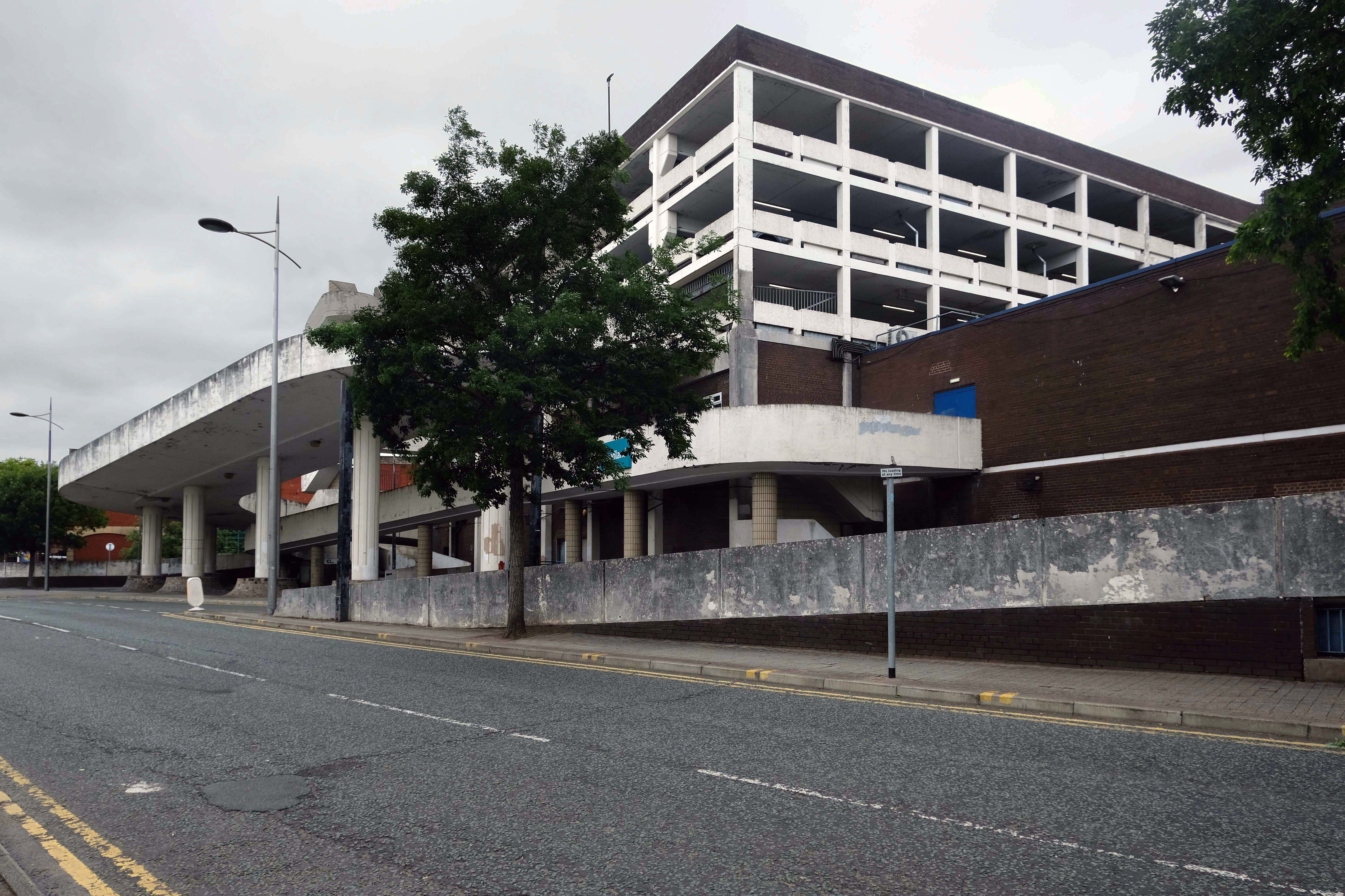
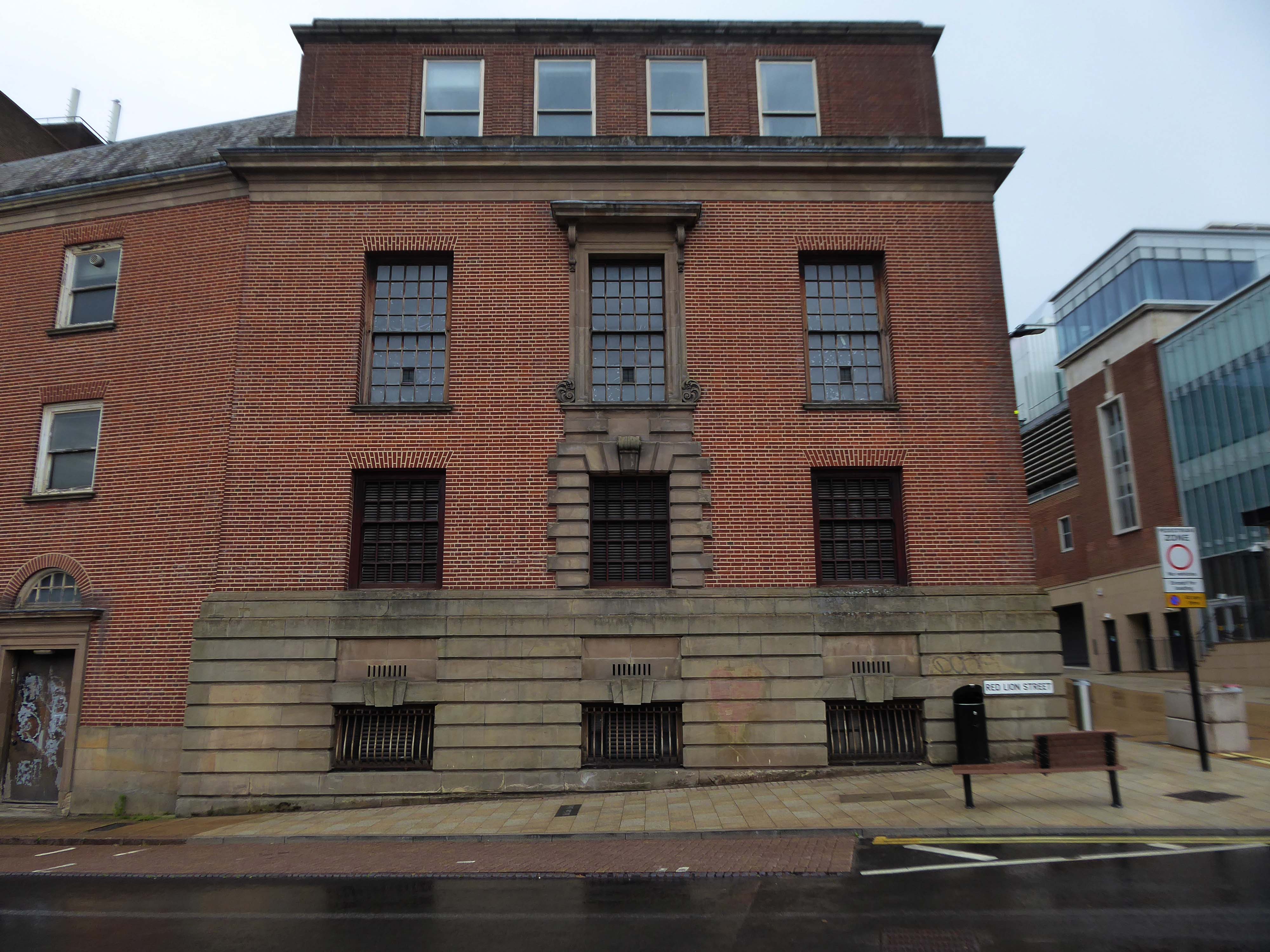
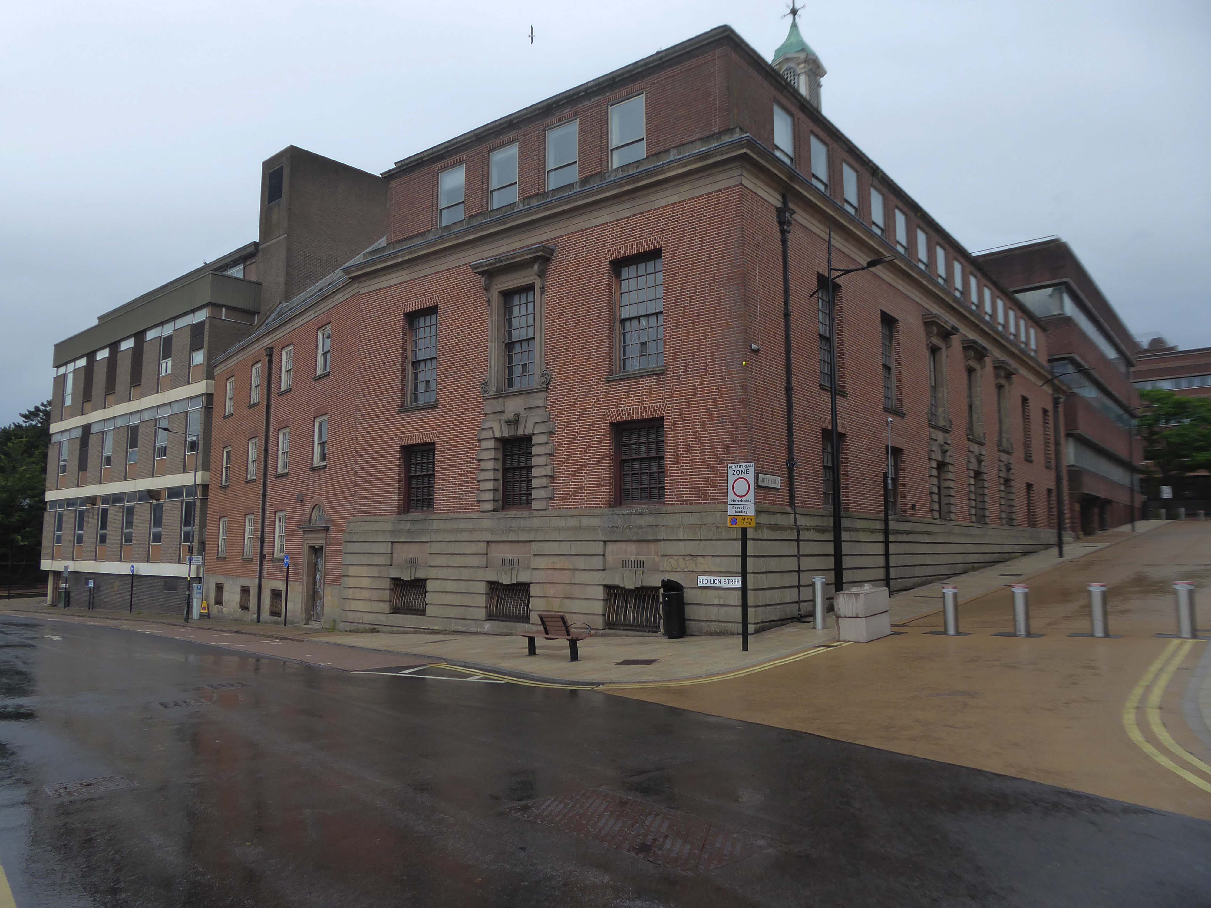
Tontine car park, the 255-space multi-storey car park in Exchange Street, St Helens, has been closed since February this year for a revamp.
This has seen a new lighting system, new signage and re-lined parking spaces installed throughout following an investment by St Helens Borough Council.
In a statement, the local authority said:
Old and failing pay on foot equipment has also been replaced with brand new pay and display machines which take cash.
St Helens Star 2020
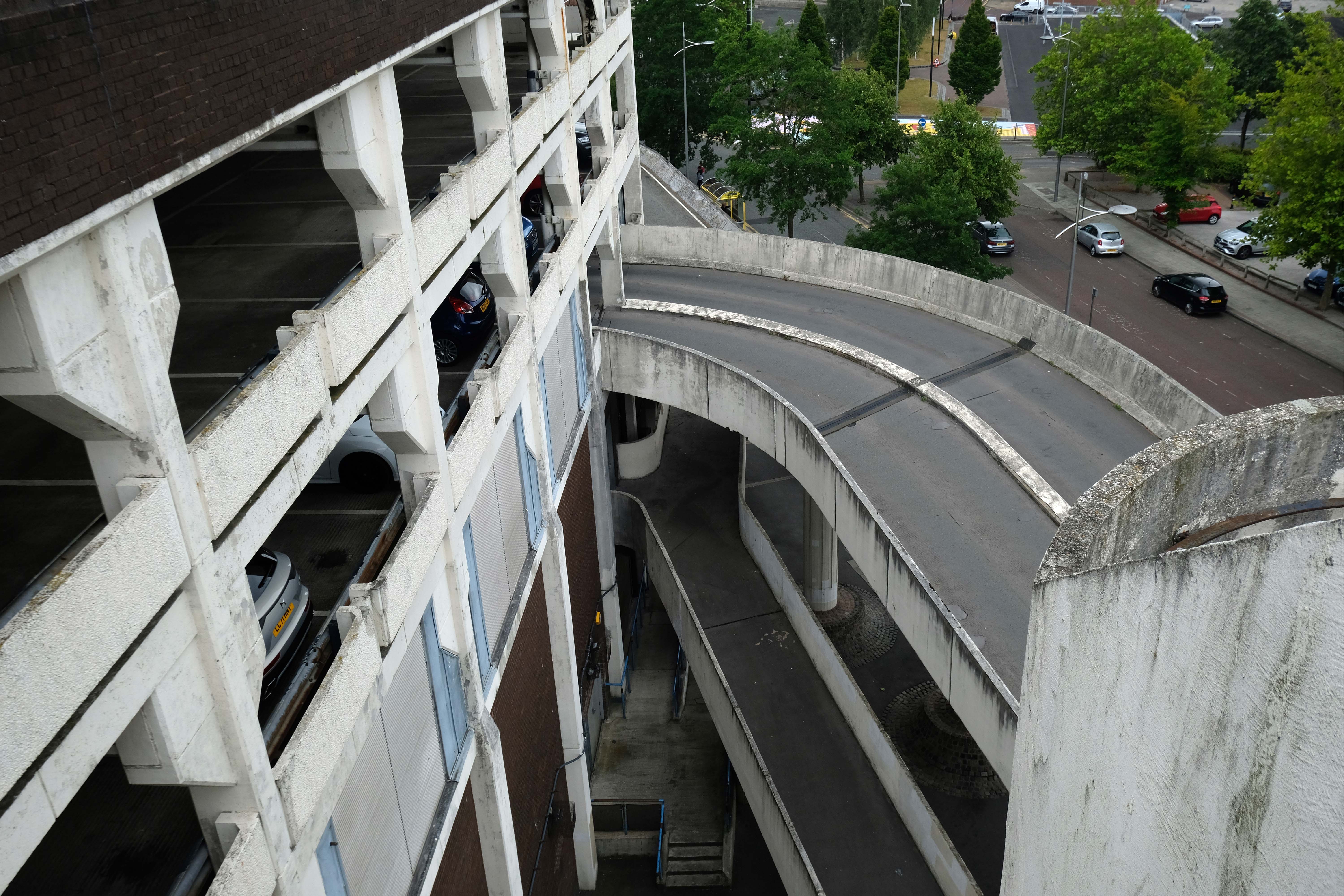
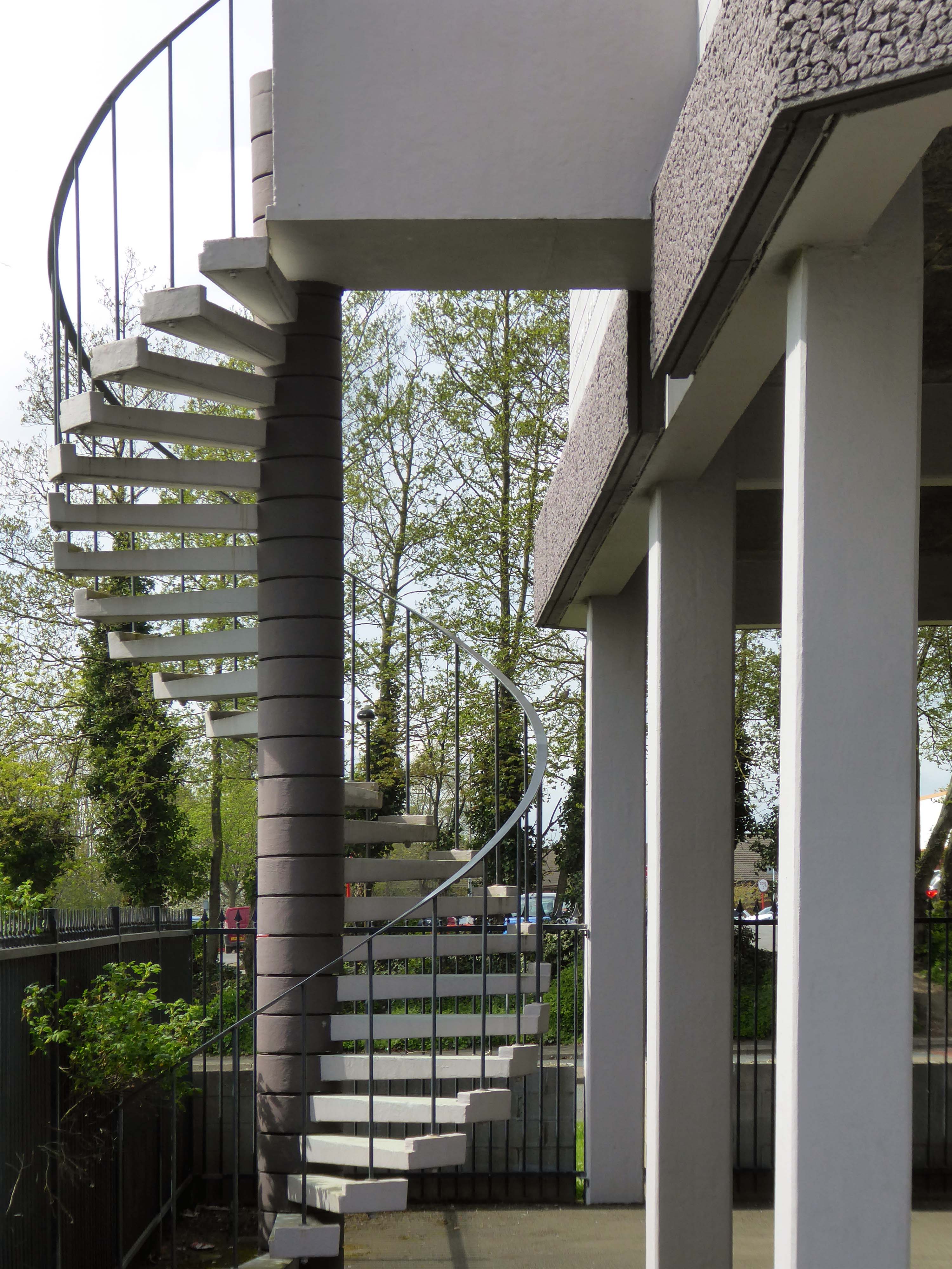
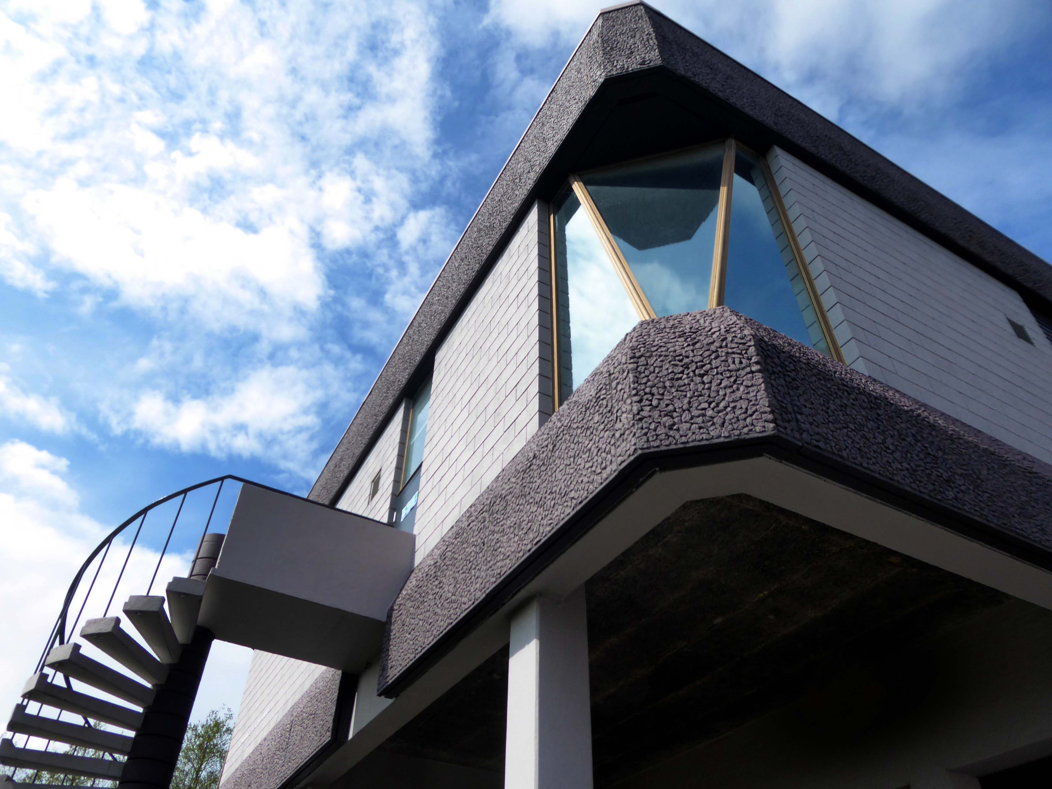
Well that there Bauhaus has a whole heap to answer for – with its curves and its concrete.
Influencing the sweeps and swoops of the car ramps and pedestrian walkways.
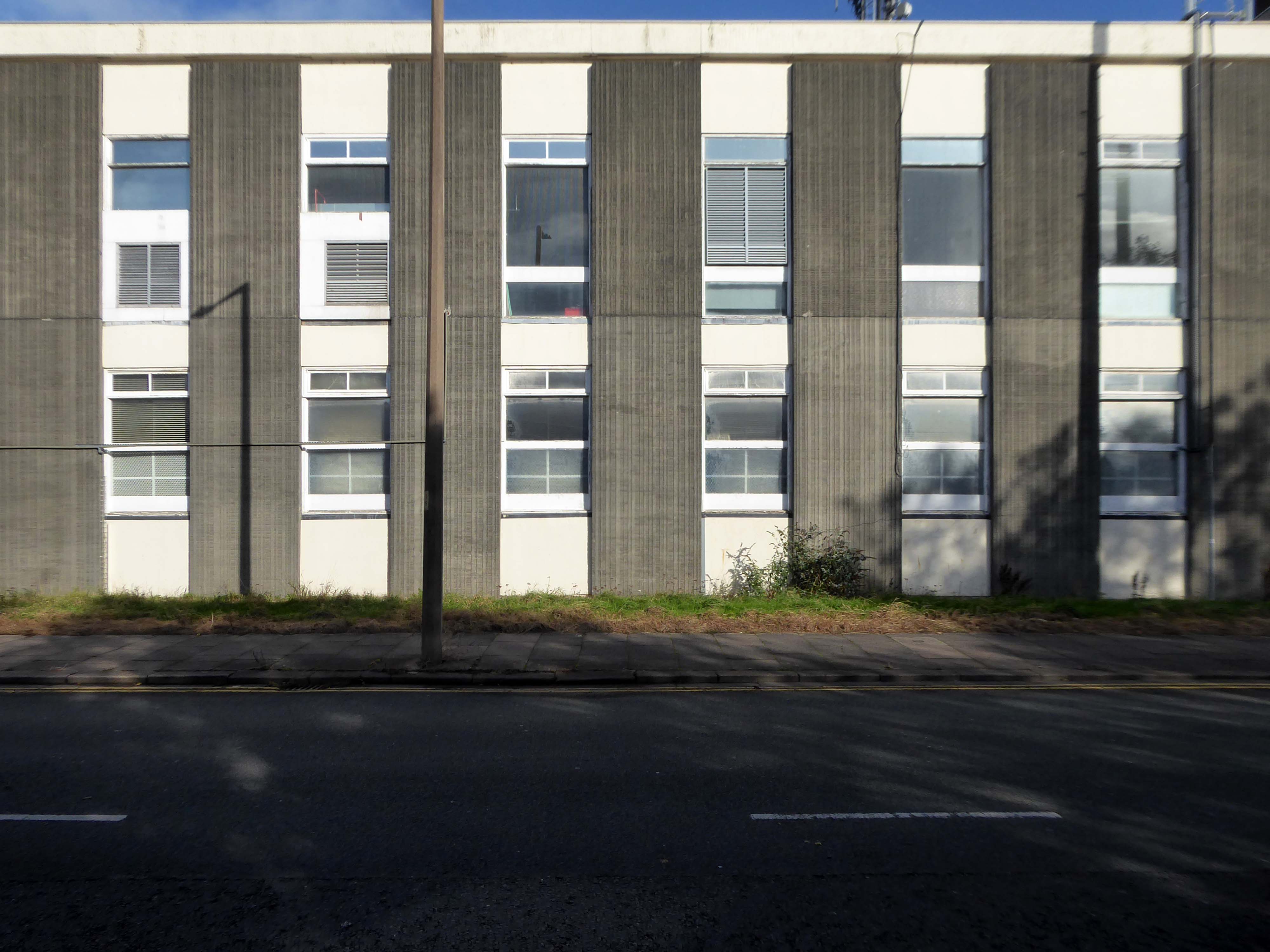
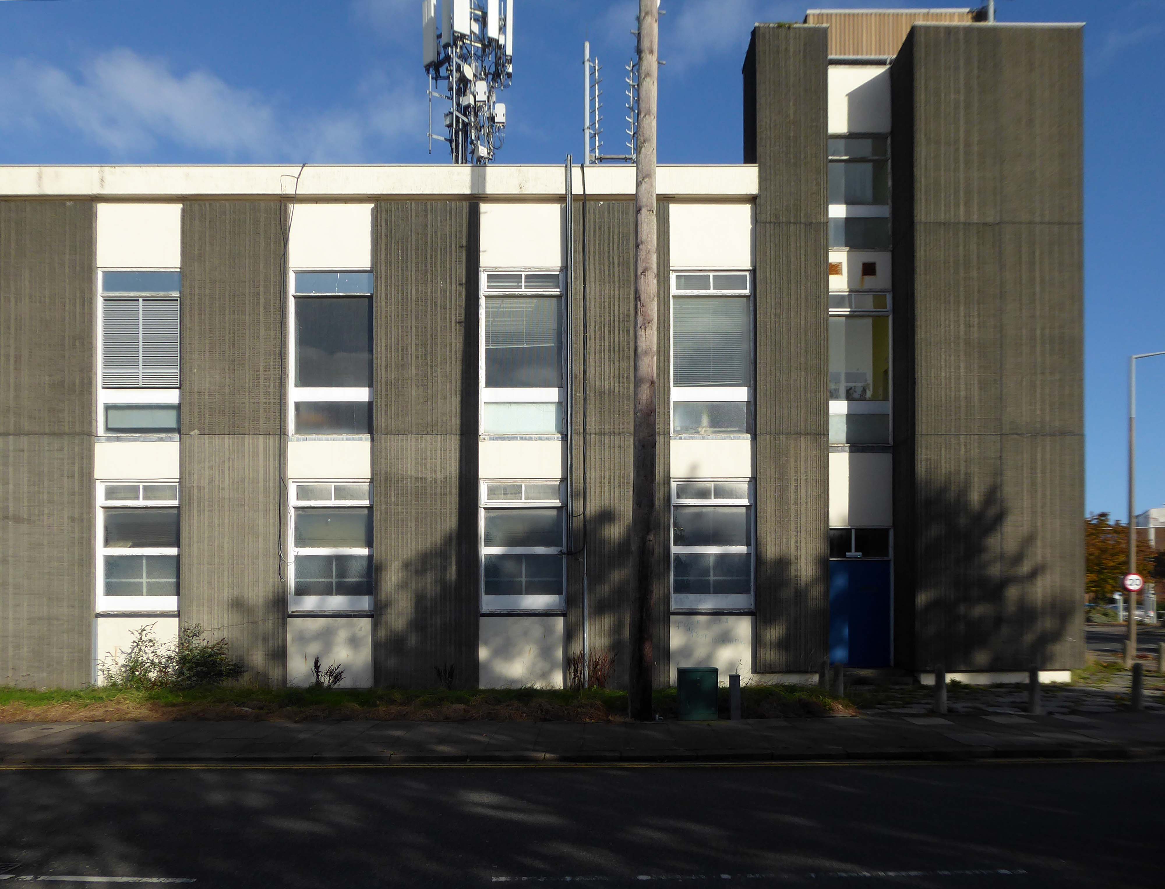
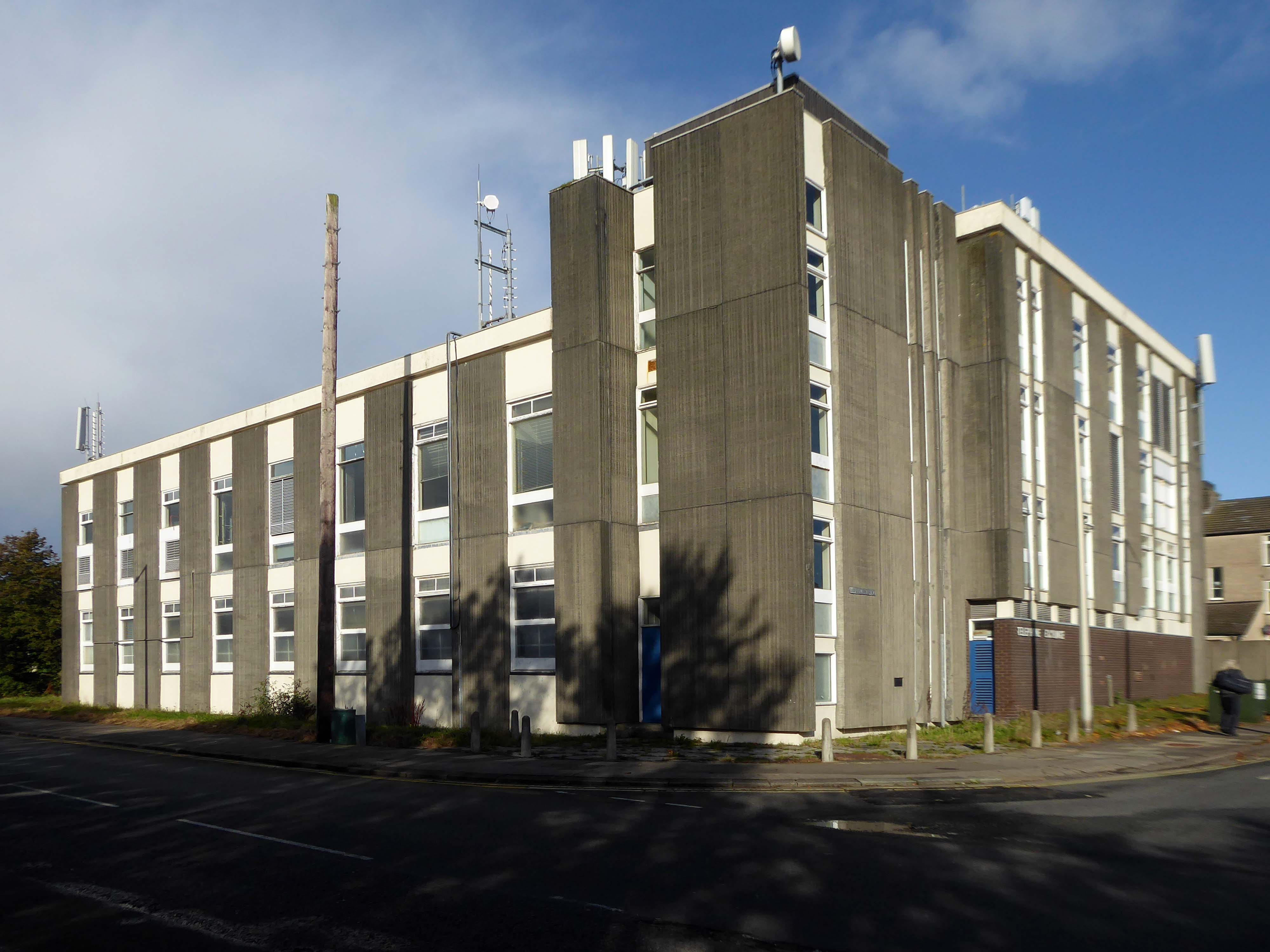
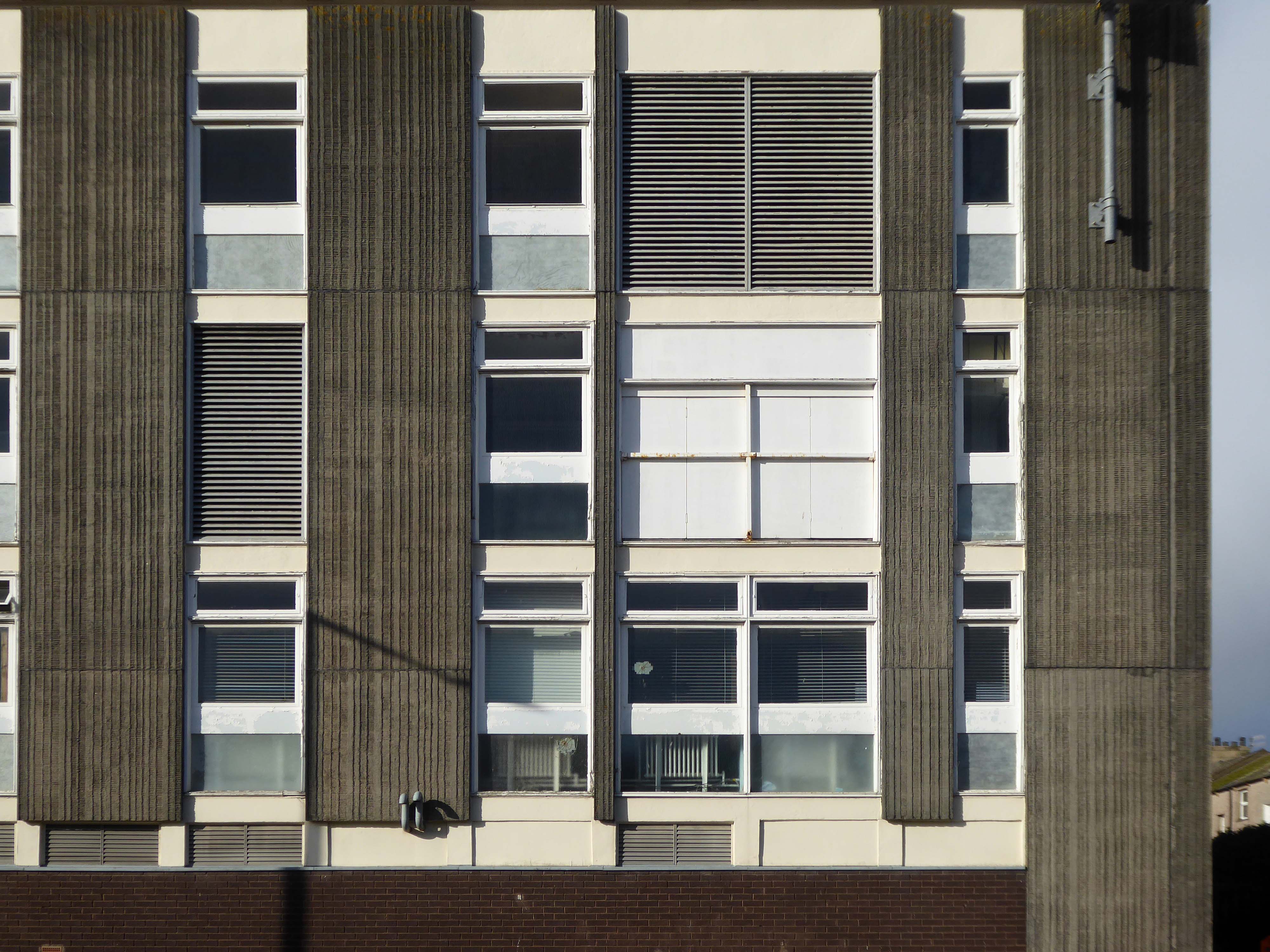
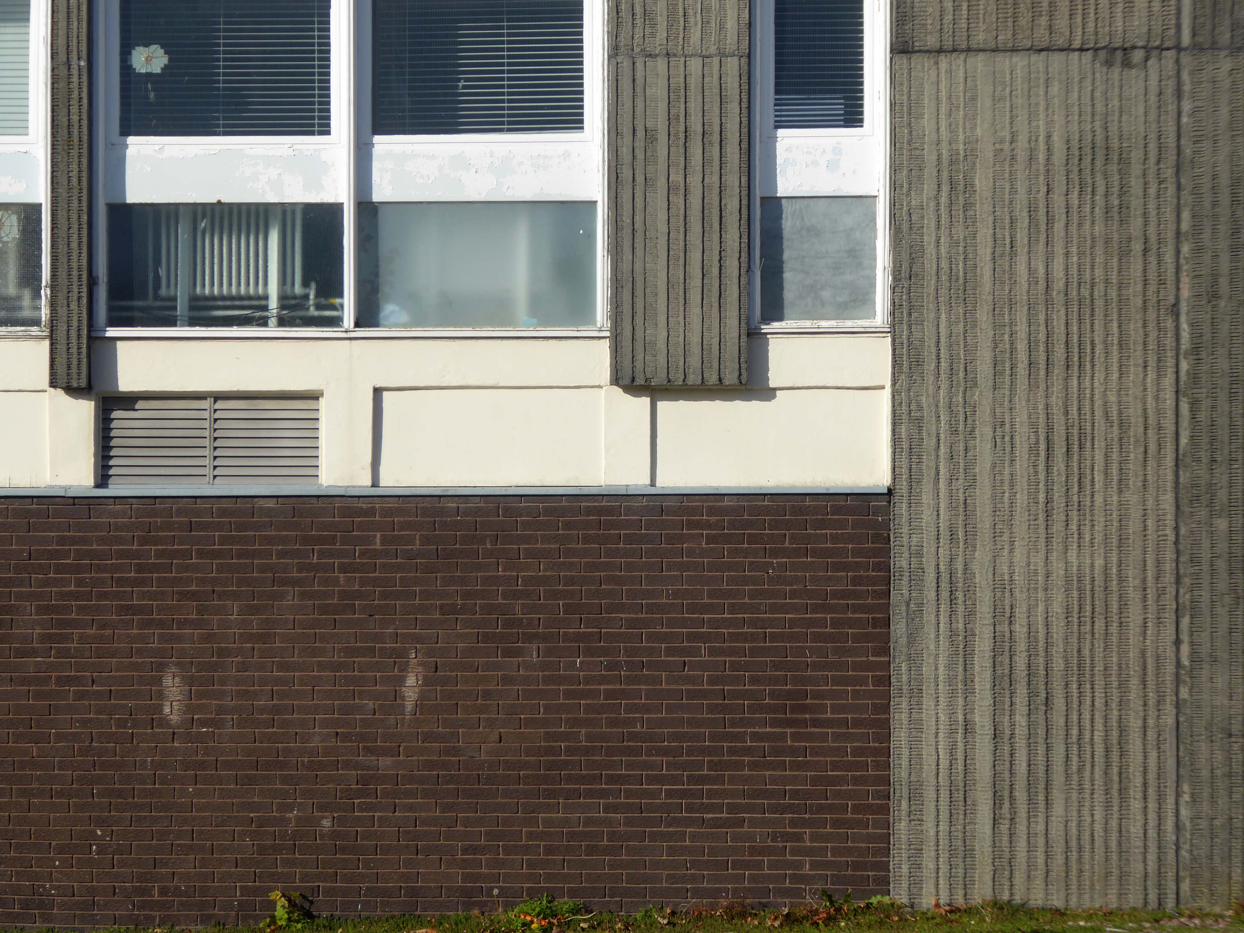
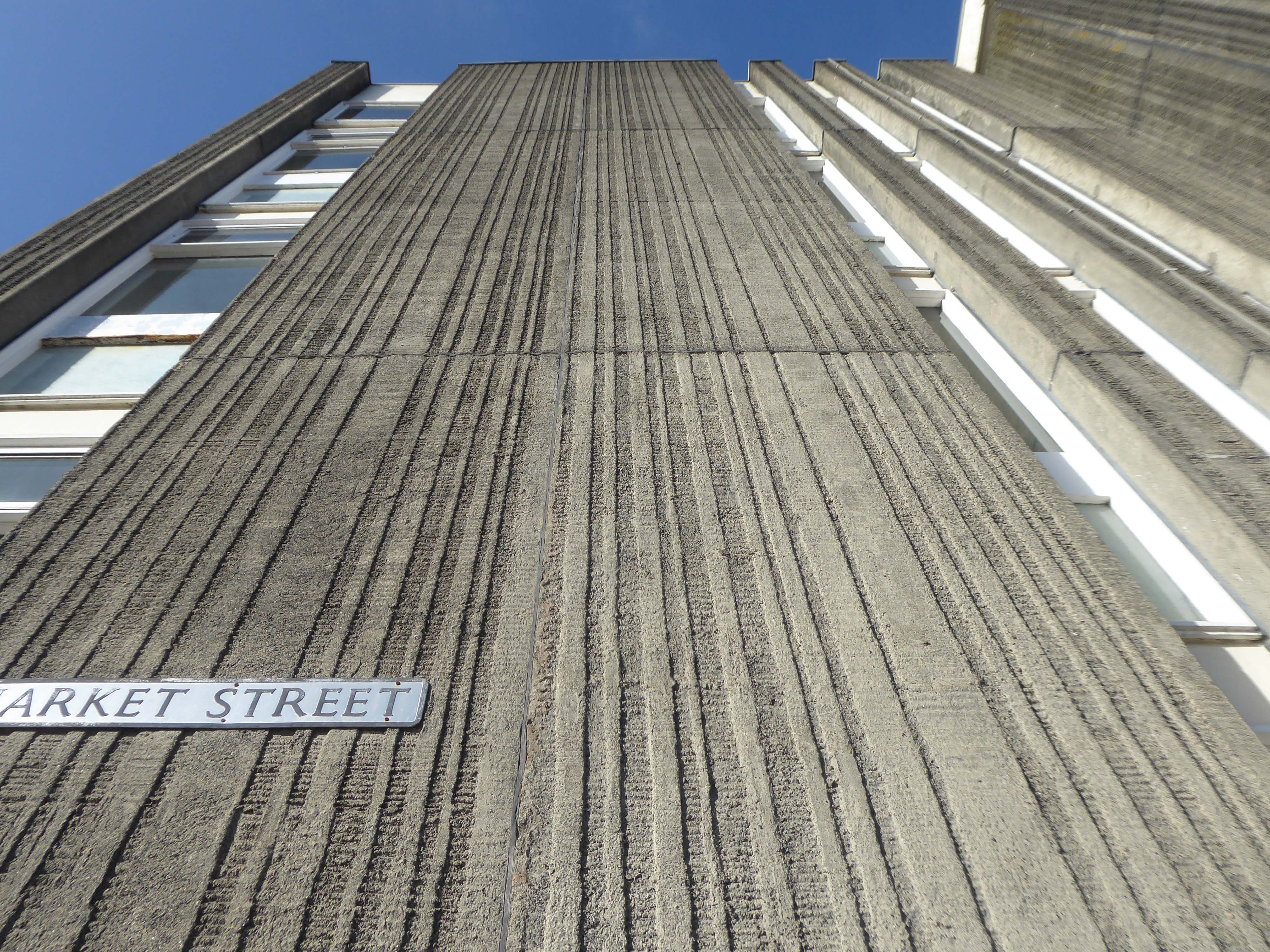
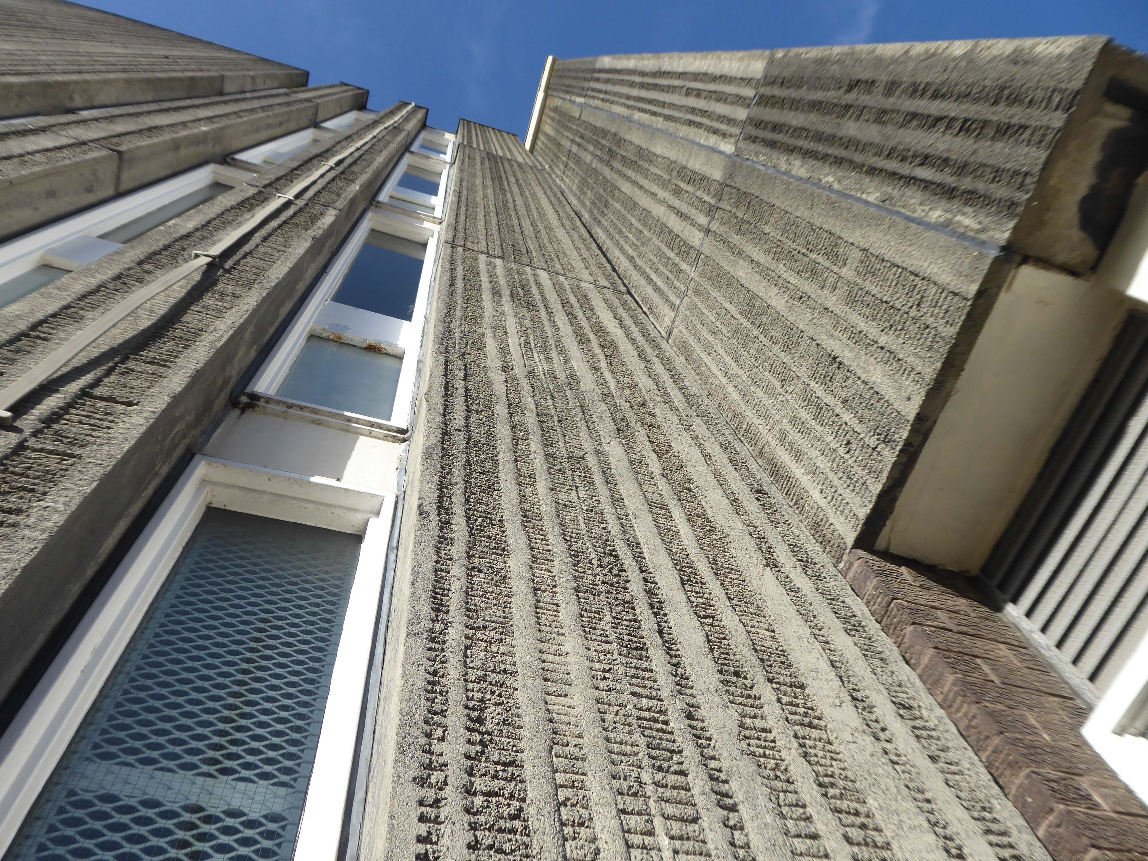
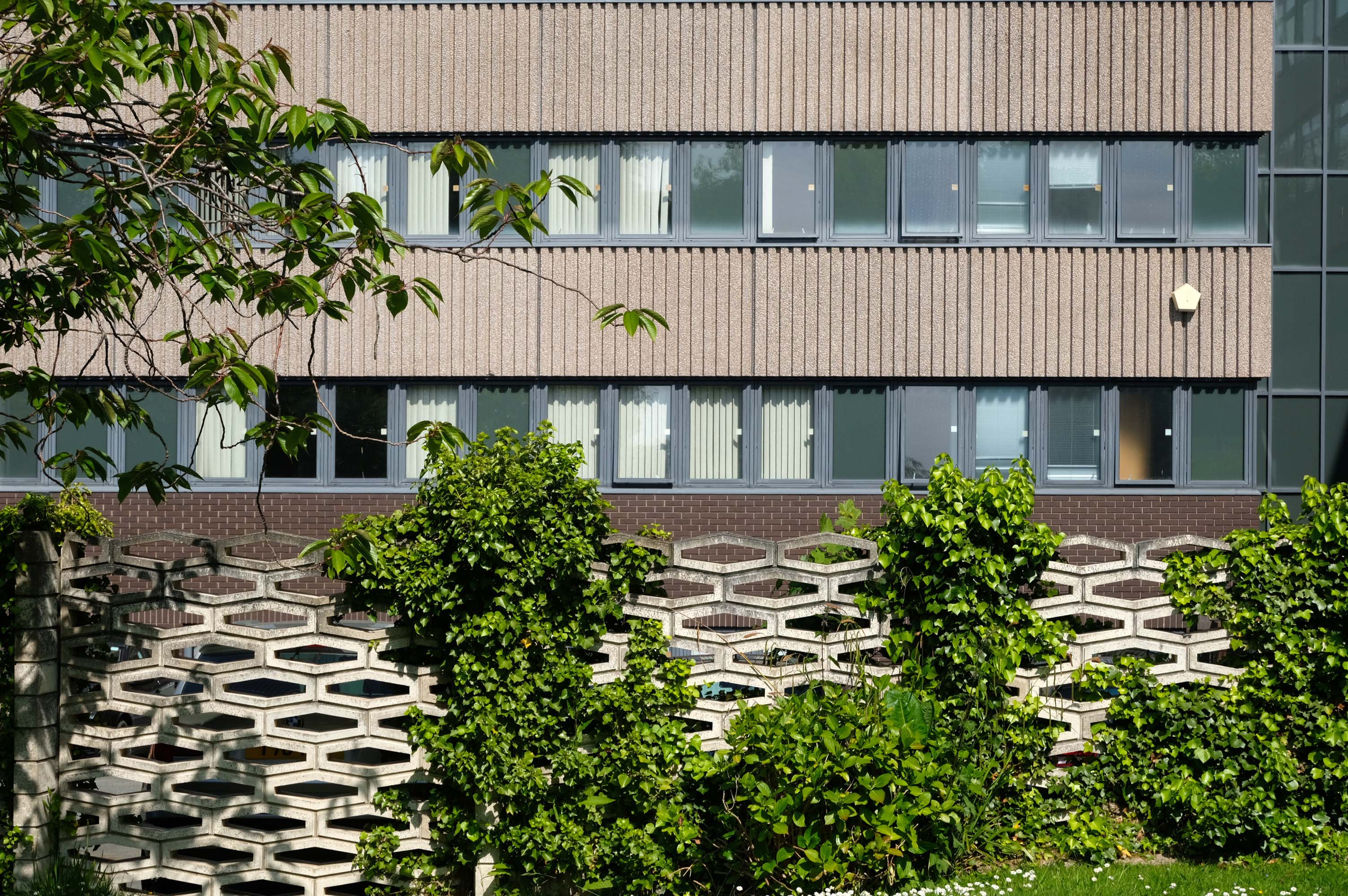
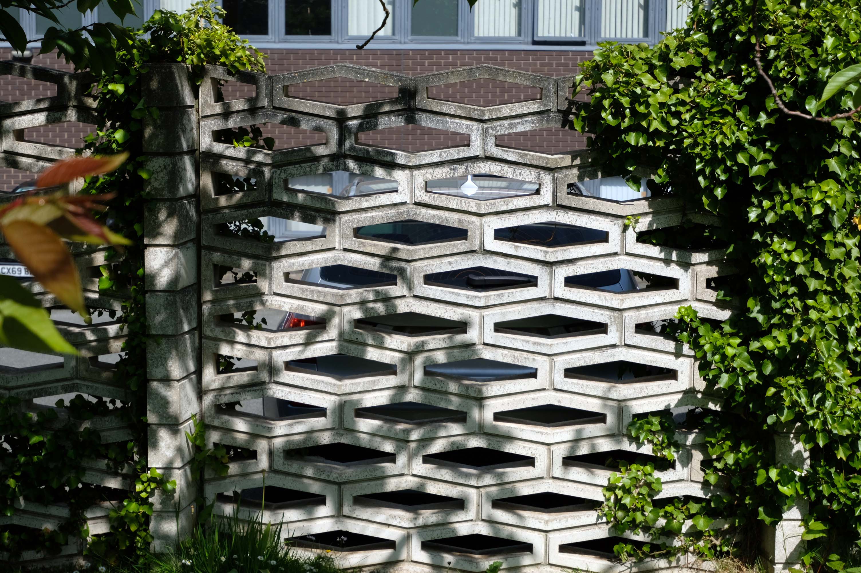
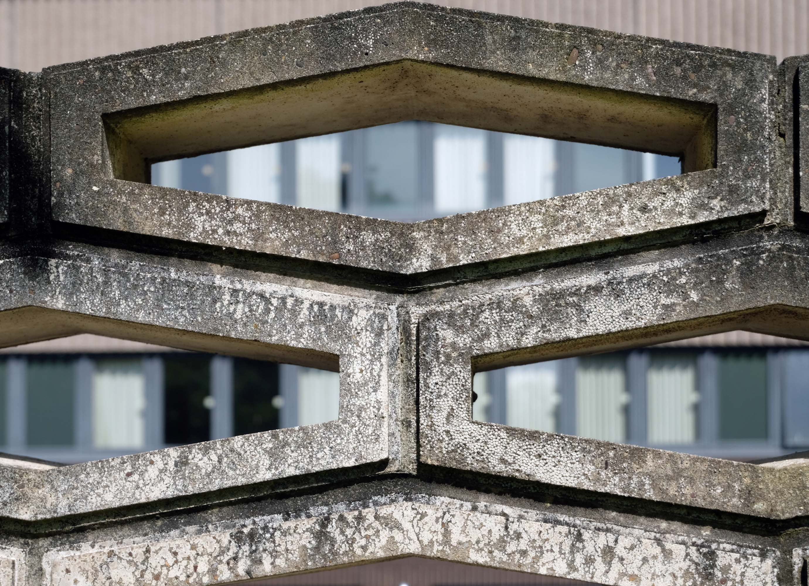
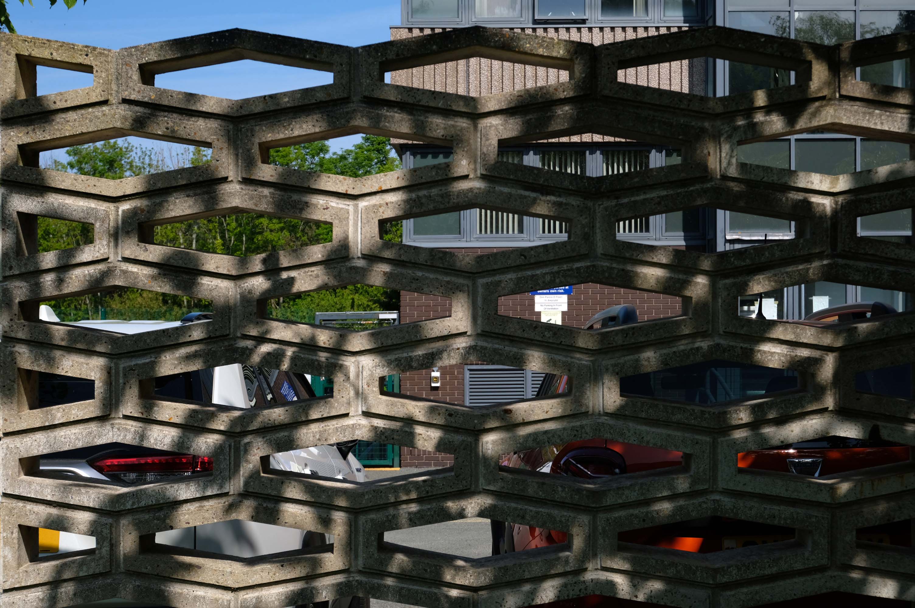
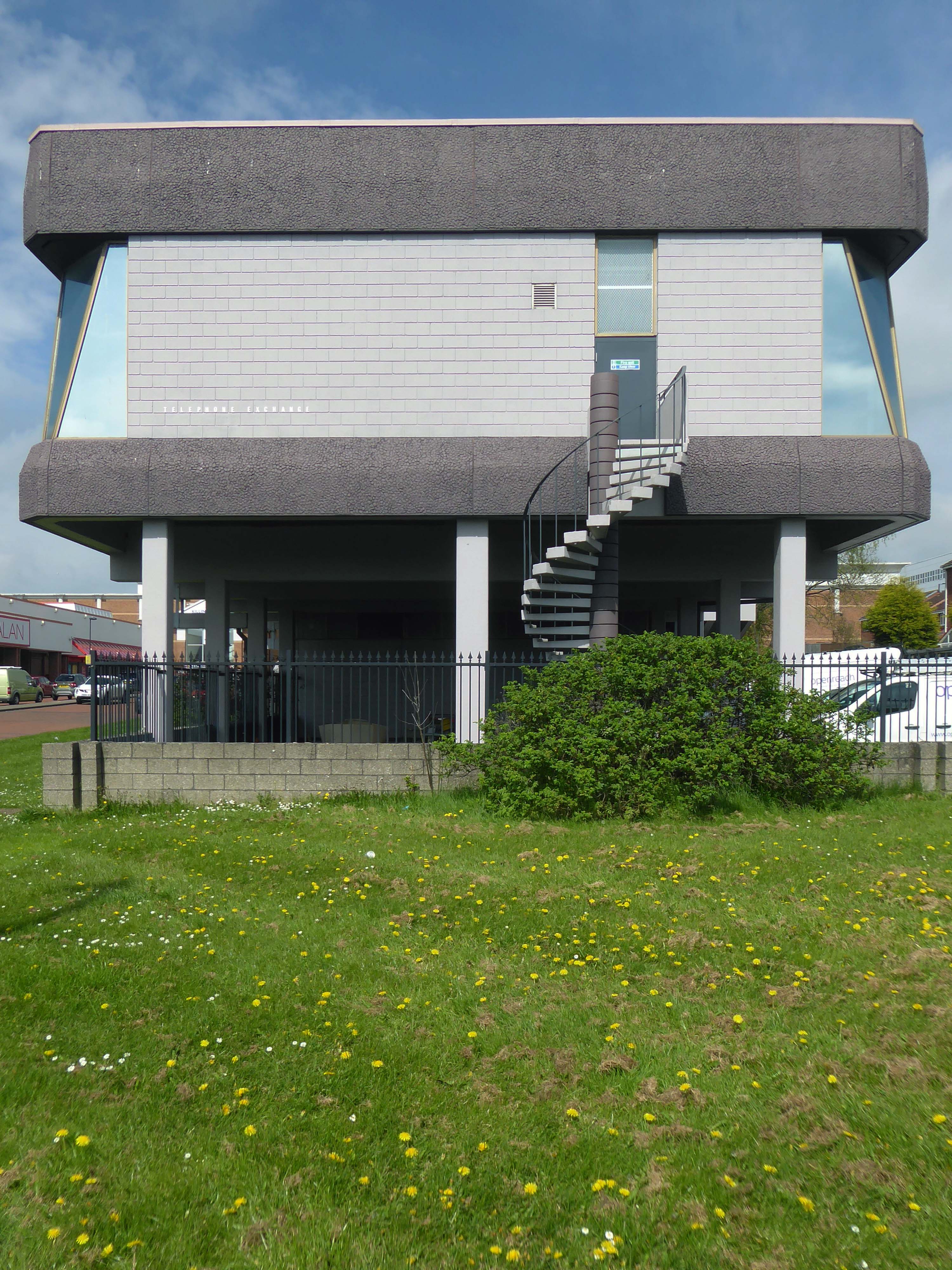
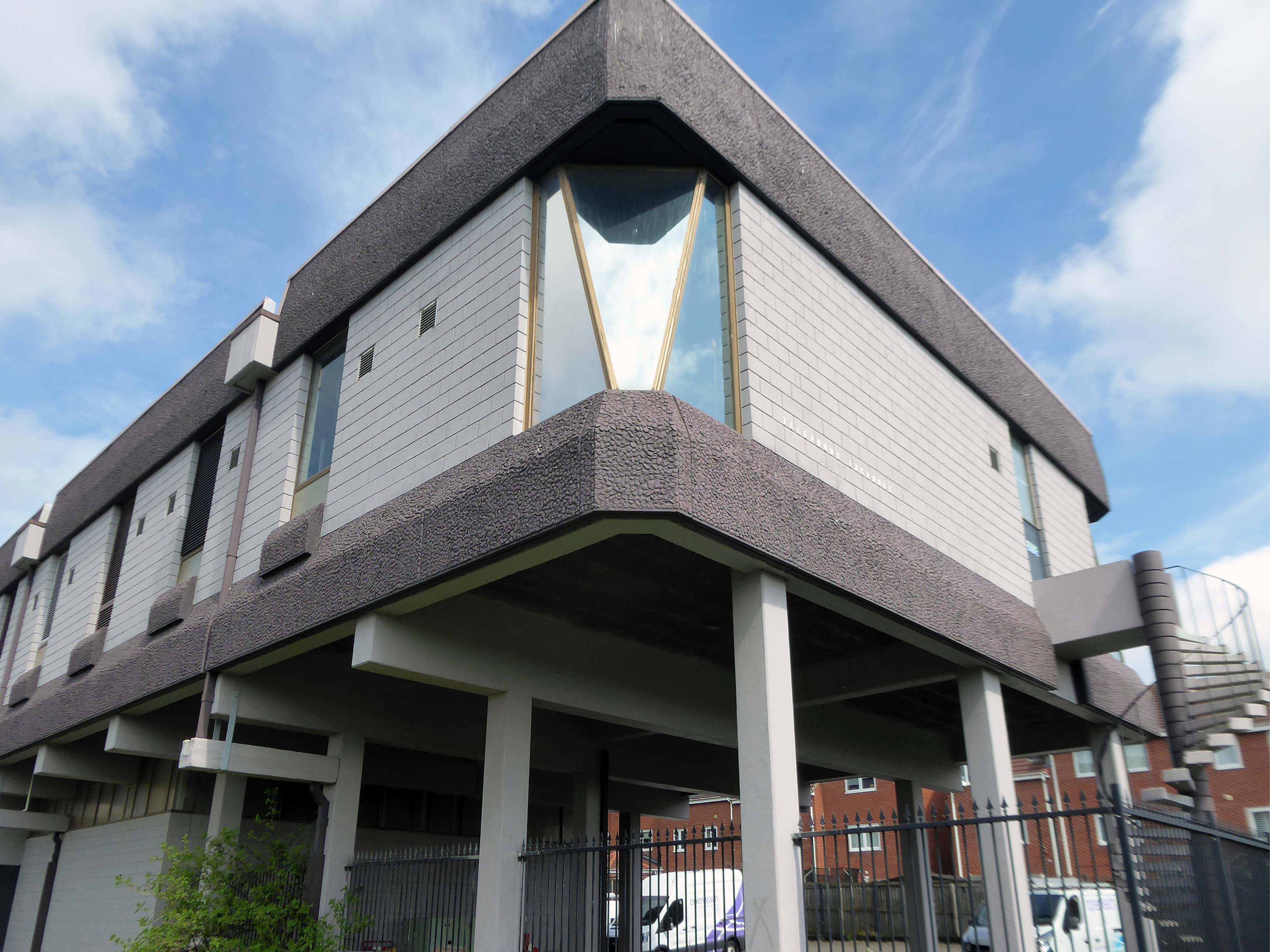
Drawings of the original building are dated around 1937 and are simply signed by the Ministry of Works, Preston. Drawings of a small extension dated 1961 are signed by HG Swann at the Ministry of of Works. However – the drawings dated 1970 seem to be the ones of interest. I found elevations detailing the various textured cladding panels, signed by Senior Architect LC Stuart, Job Architect BJ Burroughs and drawn by RJW, Ministry of Public Building and Works at Prince Consort House, London.
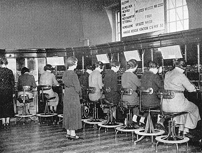
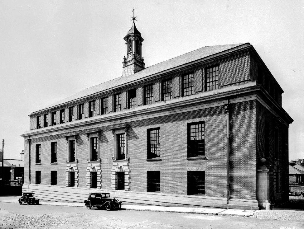
In the 19th century, telephones were mainly used by businesses and wealthy individuals. The first telephone exchange in Europe opened in August 1879, soon followed by another in Manchester, both operated by The Telephone Company Limited. Around the same time the Midland Telephone Company opened an exchange in Birmingham on the corner of New Street and Stephenson Place.
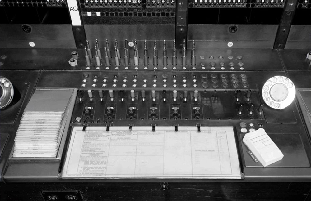
In July 1880 the company installed Wolverhampton’s first telephone exchange in a room in the Free Library in Garrick Street. Making a call was a long-winded affair. In order to connect the telephone to the exchange, a white button was pressed. The operator would ask if a telephone call was about to be made, and the user would tell the operator the name and number of the person to be contacted. After making the connection, the operator waited for the person at the other end to pick-up the earpiece, and then told the caller to proceed. When the telephone call had ended, the caller had to inform the operator, who would then remove the connection. Although this was time consuming, there were very few users, and so it worked adequately.
The first telephone line in Wolverhampton, about a mile long, was laid between Moses Ironmonger’s rope and twine factory at 272 Brickkiln Street, and the company’s office in High Street. Moses Ironmonger, the Chief Magistrate of Wolverhampton, and Mayor in 1857 to 58, and again in 1868 to 69, was also president of the Wolverhampton Chamber of Commerce in 1873 to 74, and a friend of Alexander Graham Bell, the telephone pioneer. The Ironmonger’s telephone line was tried out by some of the local councillors, who appear to have been impressed.
Before the end of July 1880 Monmore Green and Ettingshall were connected to the exchange. By October between fifty and sixty calls were made daily. Wolverhampton’s next exchange was set up in 1903 in a large house next to the Town Hall, where the Civic Centre is today. The house had previously been occupied by John Freer Proud, a surgeon. As the number of users increased, the old manual telephone exchanges could no longer cope and so automatic exchanges were developed.
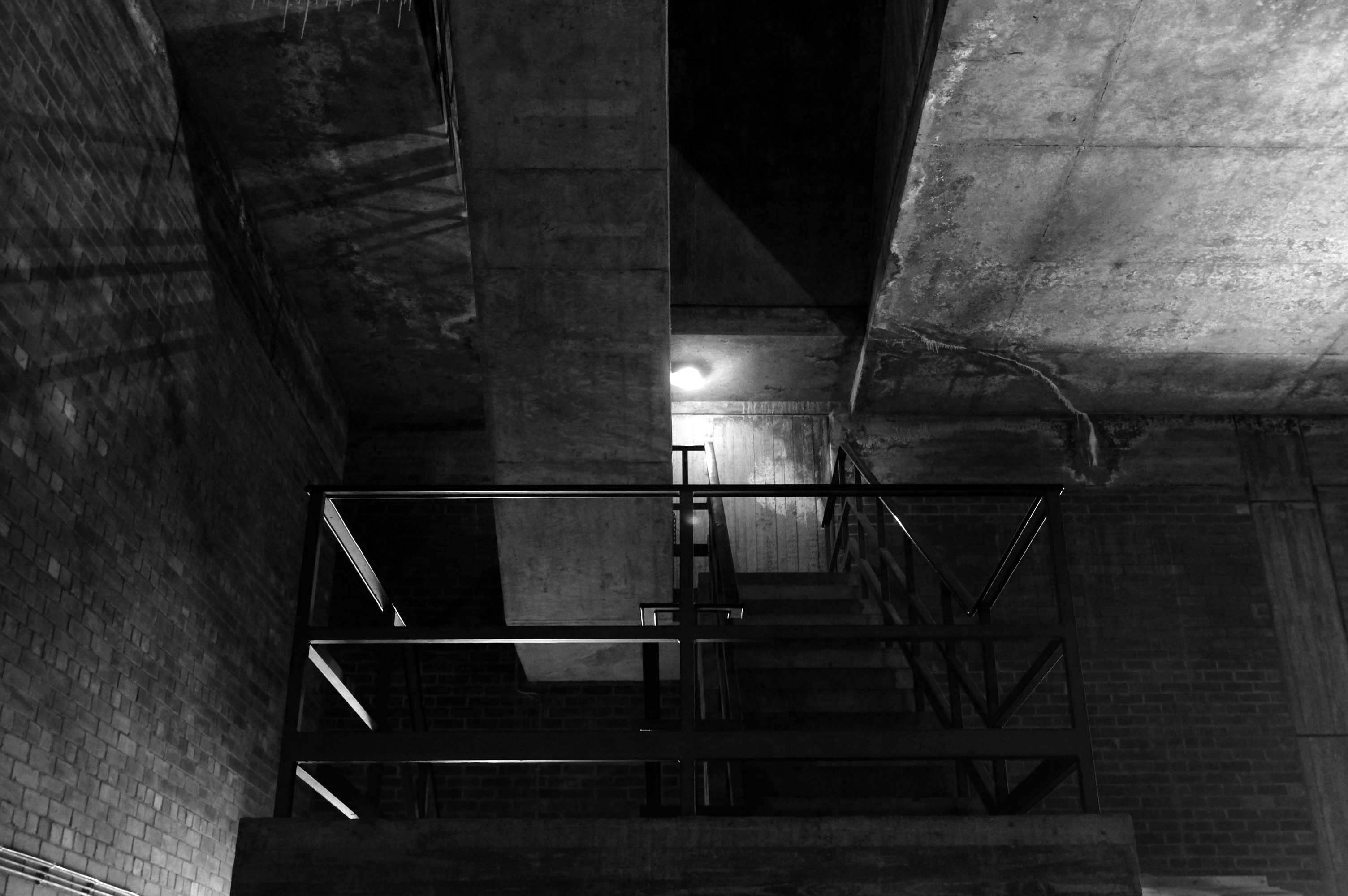
I have walked around the exterior on more than one occasion.
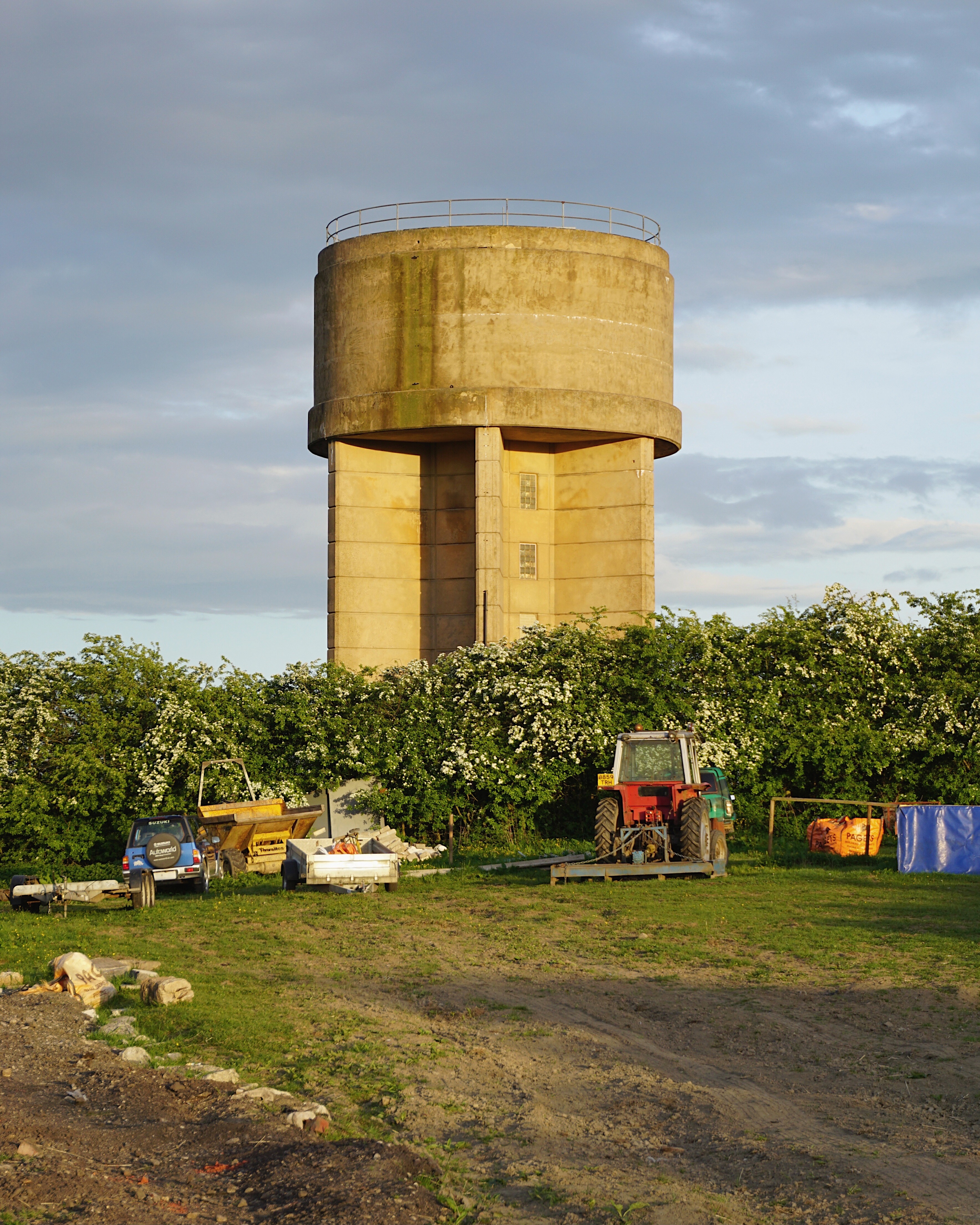
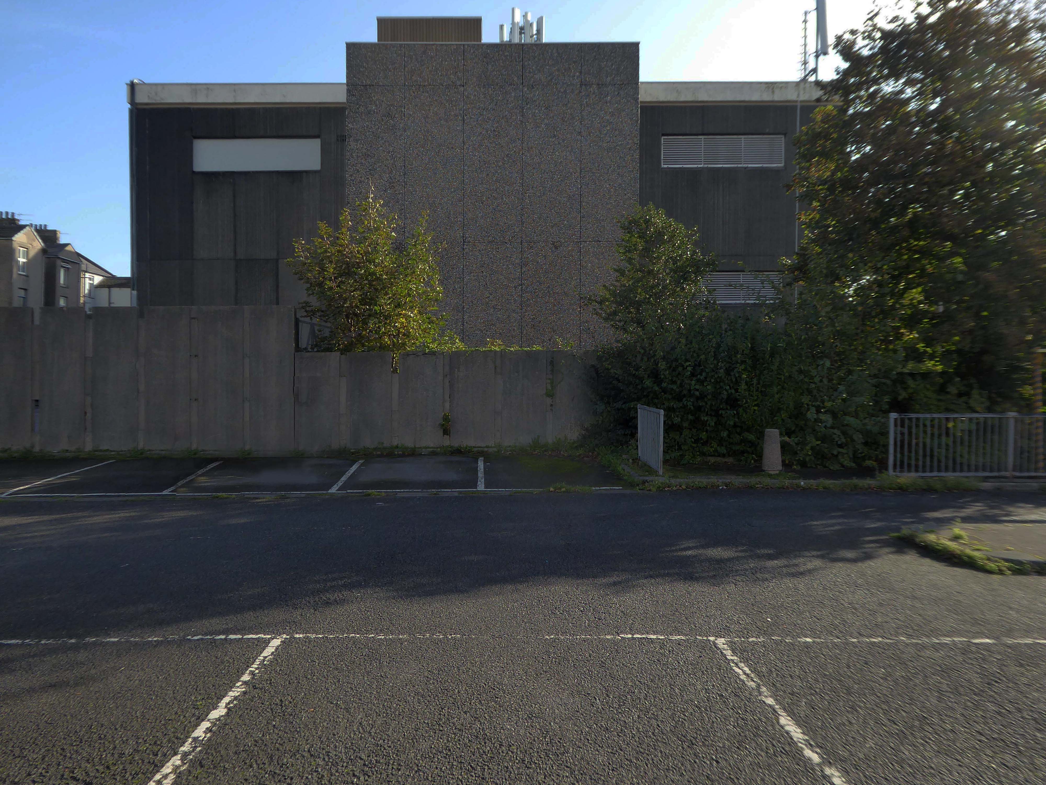
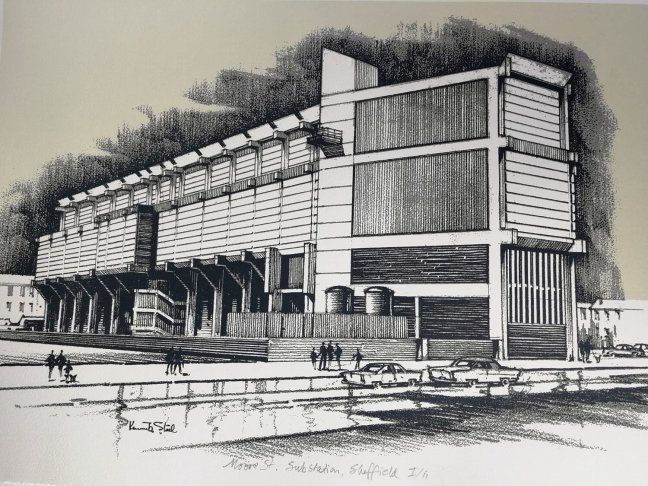
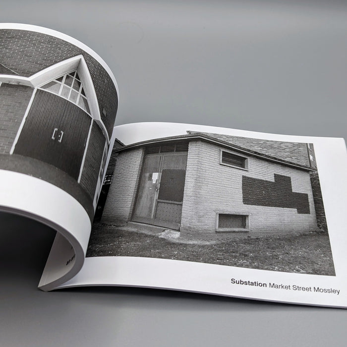
This concrete enclosed, collection of transformers and switchgear.
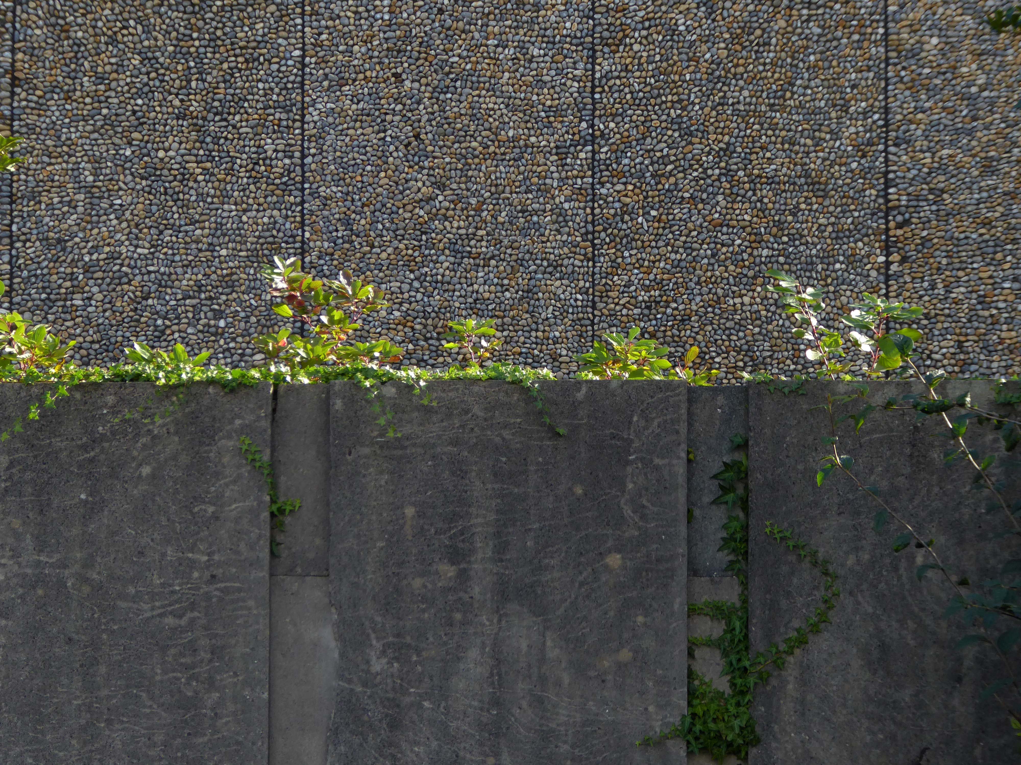
Electricity substation. 1968 to designs by consulting architects Jefferson, Sheard and Partners, Sheffield, led by Bryan Jefferson, in association with the Regional Civil Engineers’ Department of the CEGB North East Region. Contractors, Longden & Sons Ltd, Sheffield. Reinforced concrete frame with board-marked finish with formwork bolt marks, construction and daywork joints emphasised, concrete floor slabs, blue engineering facing bricks, cladding panels of Cornish granite aggregate.
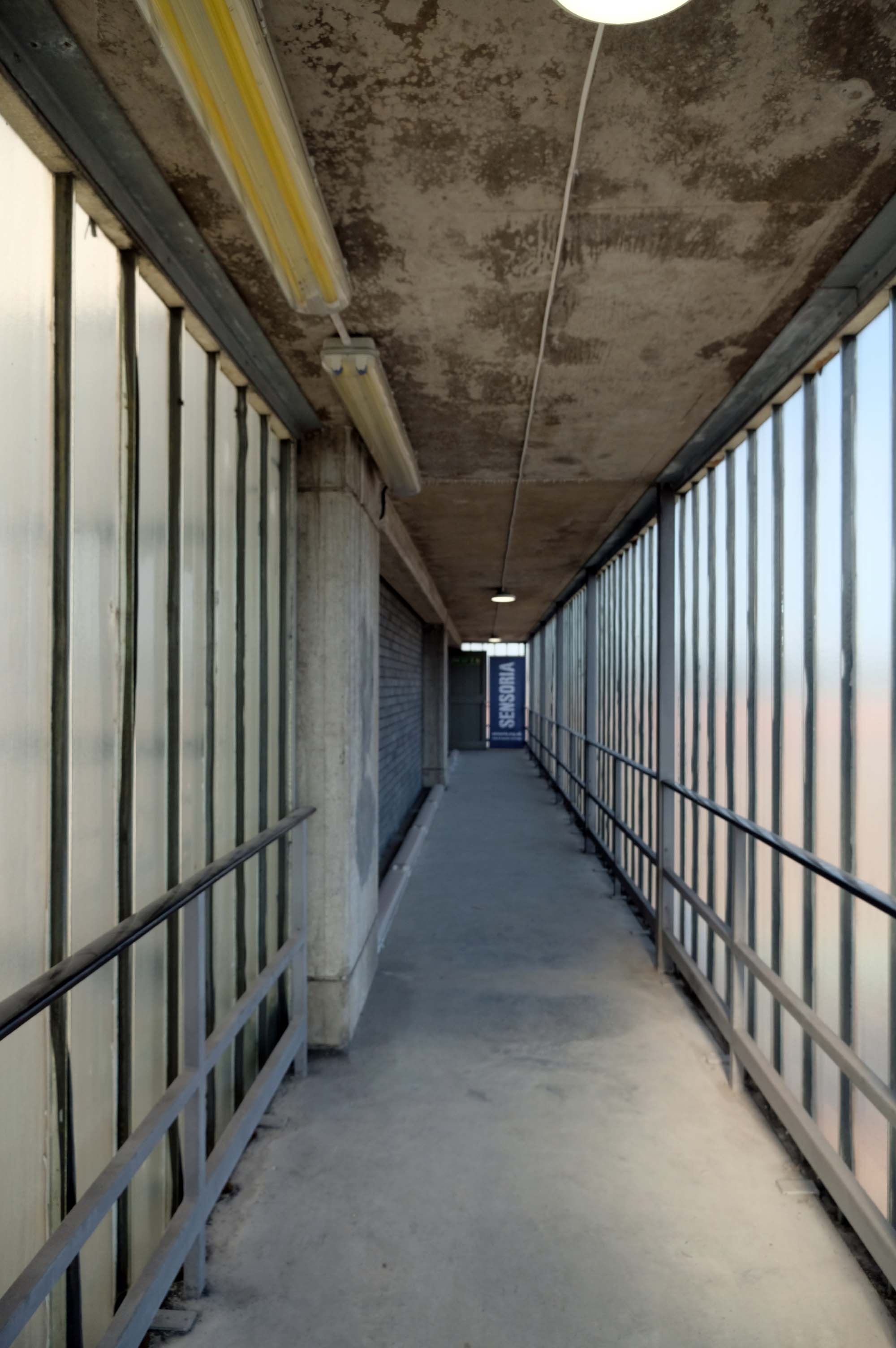
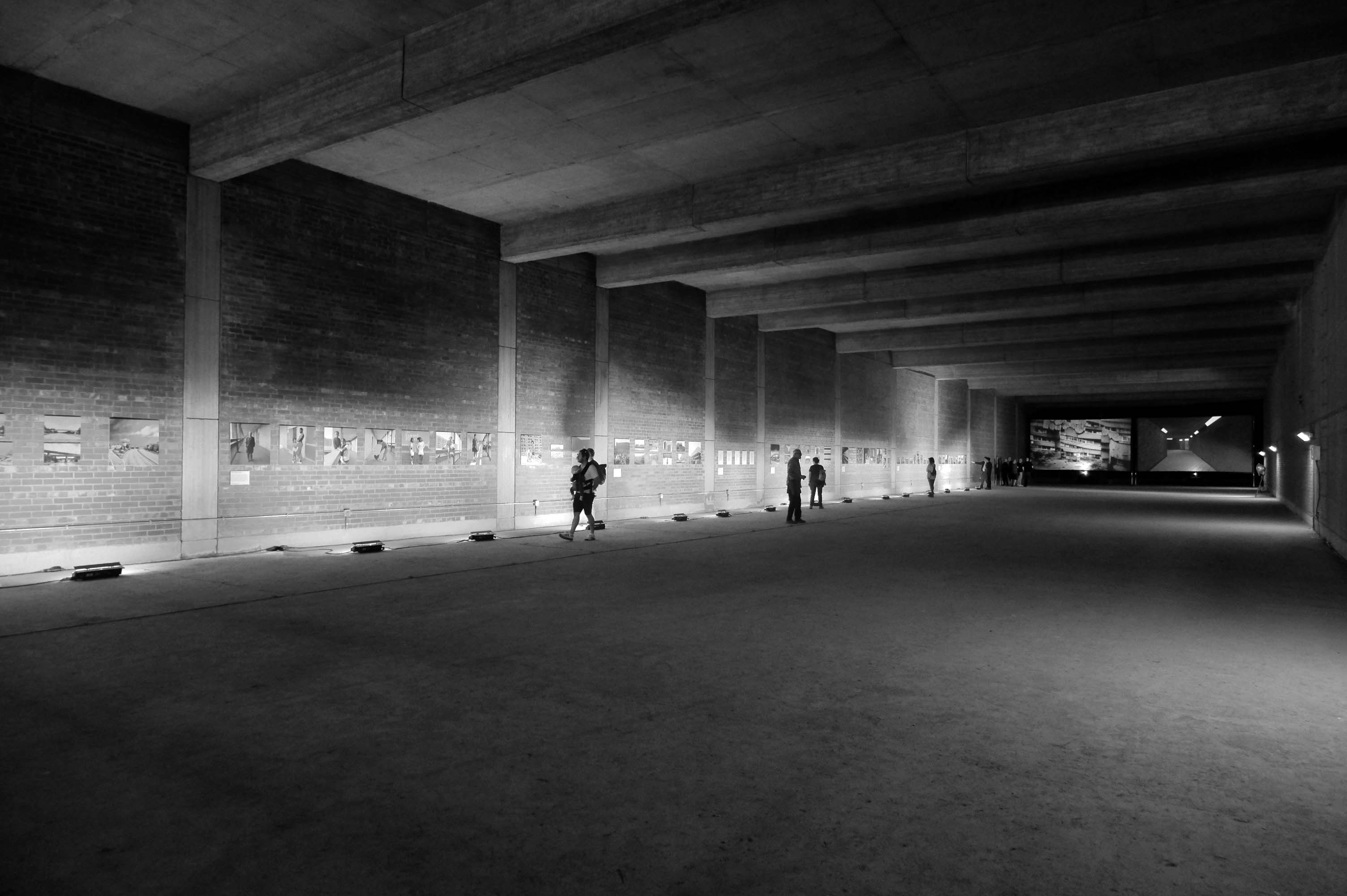
The good folk at Sensoria and The Black Dog staged My Brutal Life inside the building – using the void created by the non-expansion of expanded demand for electricity.
The exhibition features work byBill Stephenson, Mick Jones, Mandy Payne, Martin Dust, Scott Amoeba, Richard Davis, Jen Orpin, Alun Cocks, Human Studio, Sean Madner, Helen Angell and The Black Dog.
Like many of the original Odeon Theatres built by Oscar Deutsch, the site chosen was a little out of the main town centre – where land prices were cheaper, and the Odeon Morecambe is a good example of this. It is located at the corner of Euston Road and Thornton Road in this Lancashire seaside town. The Odeon was opened on 2nd September 1937 with Sandy Powell in “It’s a Grand Old World”. It had seating provided for 1,084 in the stalls and 476 in the circle.
Taken over by the Classic Cinemas chain in December 1967, it was re-named Classic Cinema, and was closed on 28th February 1976 with Kenneth Williams in “Carry On Behind”.
The stunning Moderne style exterior much of which including the projectionists walkway is now much deteriorated.
Next to the Police Station another Roger Booth building – recently seen on the small screen in The Bay.
Backtracking to take in the Crescent Café entrance.
Which became Hart’s Restaurant now trading as the Black Thai.
Into the town centre to look at the former Centenary HouseCo-op 1927.
Bought by the city council as part of the West-End Masterplan, the intention is to refurbish the building’s upper floors to provide affordable housing and accommodation for local arts businesses, retaining the Co-op late shop that occupies one-half of the ground floor.
Let’s take a look along the front – where we find a former Woolworths.
Along with other stores from the same period.
Alongside sits the former Littlewoods.
By 1939 there were 24 stores. A number of these were purpose-built for Littlewoods to designs by J S Quilter & Son. John Salmon Quilter – 1841-1907 was, in fact, long dead, but his architectural practice had been continued by his son Cecil Molyneux Quilter – 1879-1951. Quilter specialised in commercial architecture, notably public houses. He designed a new Blackpool store for Littlewoods, on the corner of Church Street and Corporation Street, which was faced in Empire stone. He also designed a store in Chester, and may have been responsible for the one in Morecambe. This faience-clad art deco building is the best surviving example of a pre-war Littlewoods store – indeed, it may be the best surviving Littlewoods of all time – even preserving diamond L motifs on the entrance lobby floors. These clearly copied Woolworth’s diamond W.
Finally to the Midland Hotel 1932-3 by Oliver Hill
Concrete and rendered brickwork, painted white. Curved plan, with convex side facing west towards the sea. Three storeys. Windows are steel-framed casements with rendered surrounds. Above each storey are projecting horizontal bands. The entrance front has a rounded left-hand corner, and a convex central staircase projection rising above roof level. This projection has a tall window of steel casements above the doorway, divided into three by mullions, both of which are capped by sea horses, painted red, which were carved by Eric Gill. Projecting at the right is a single-storey cafe of circular plan, now known as the Ravilious Restaurant. The west side has a single-storey projecting sun lounge, which is an addition, its windows replaced in PVC-coated steel. Between the solid centre and ends of the facade the 1st and 2nd floors have their walls recessed to form balconies.
Interior: above the cantilevered circular open-well staircase is a ceiling panel carved in low relief by Eric Gill and painted by Denis Tegetmeier. They were also responsible for the pictorial map of north-west England in what was originally the children’s room at the south end of the building. Also in this room is Eric Gill’s Portland stone panel, originally in the lounge, carved in low relief with a representation of Odysseus and Nausicaa. It was moved to its present position when internal walls were demolished during the 1970s. The cafe walls were originally painted with frescoes by Eric Ravilious, representing morning and evening in an idyllic seascape setting. These deteriorated rapidly because the plaster and paint used were incompatible and were obliterated within 2 years of completion, but were repainted in the late 1980s using photographic evidence.
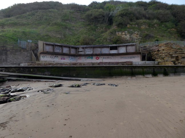
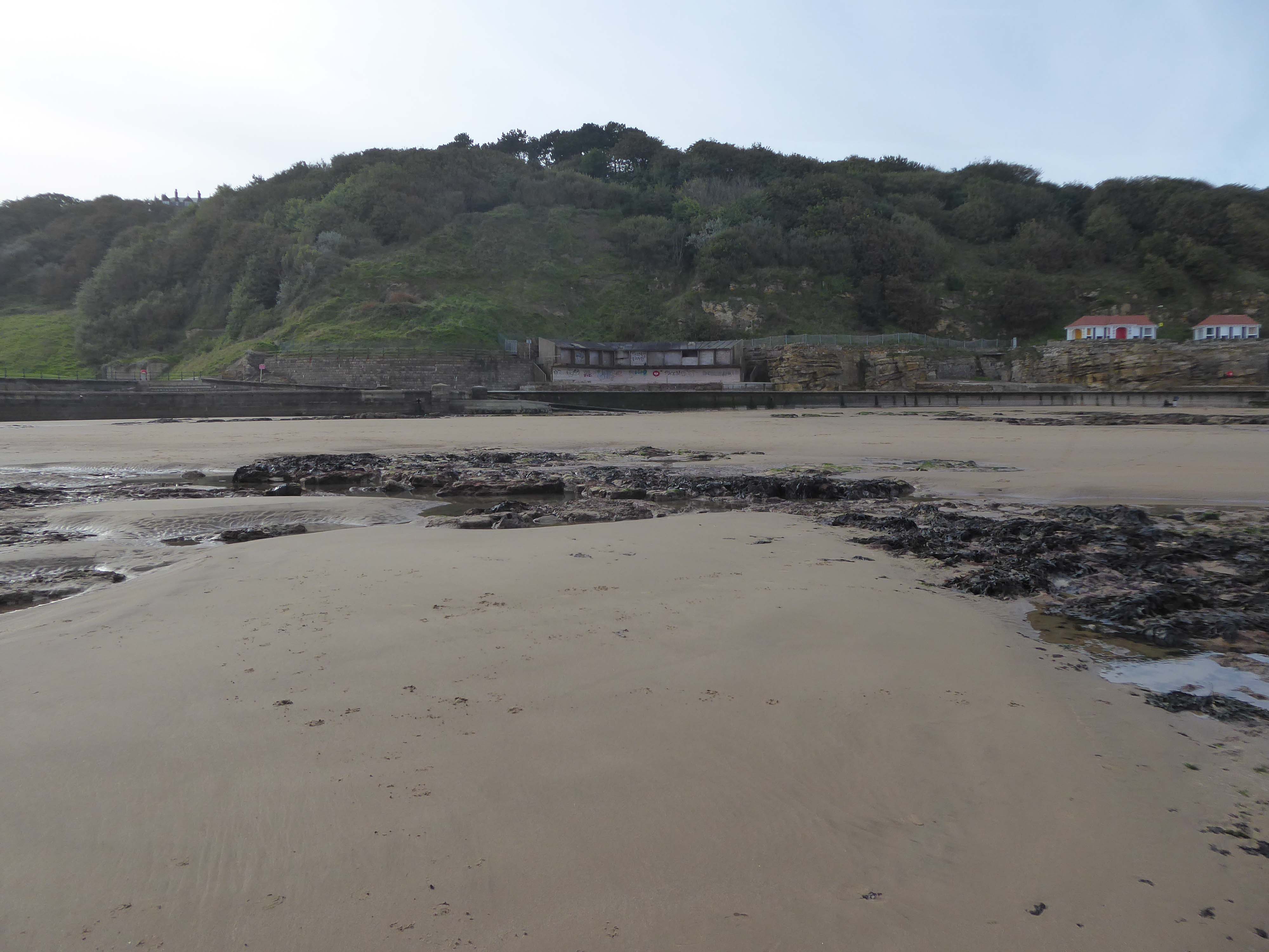
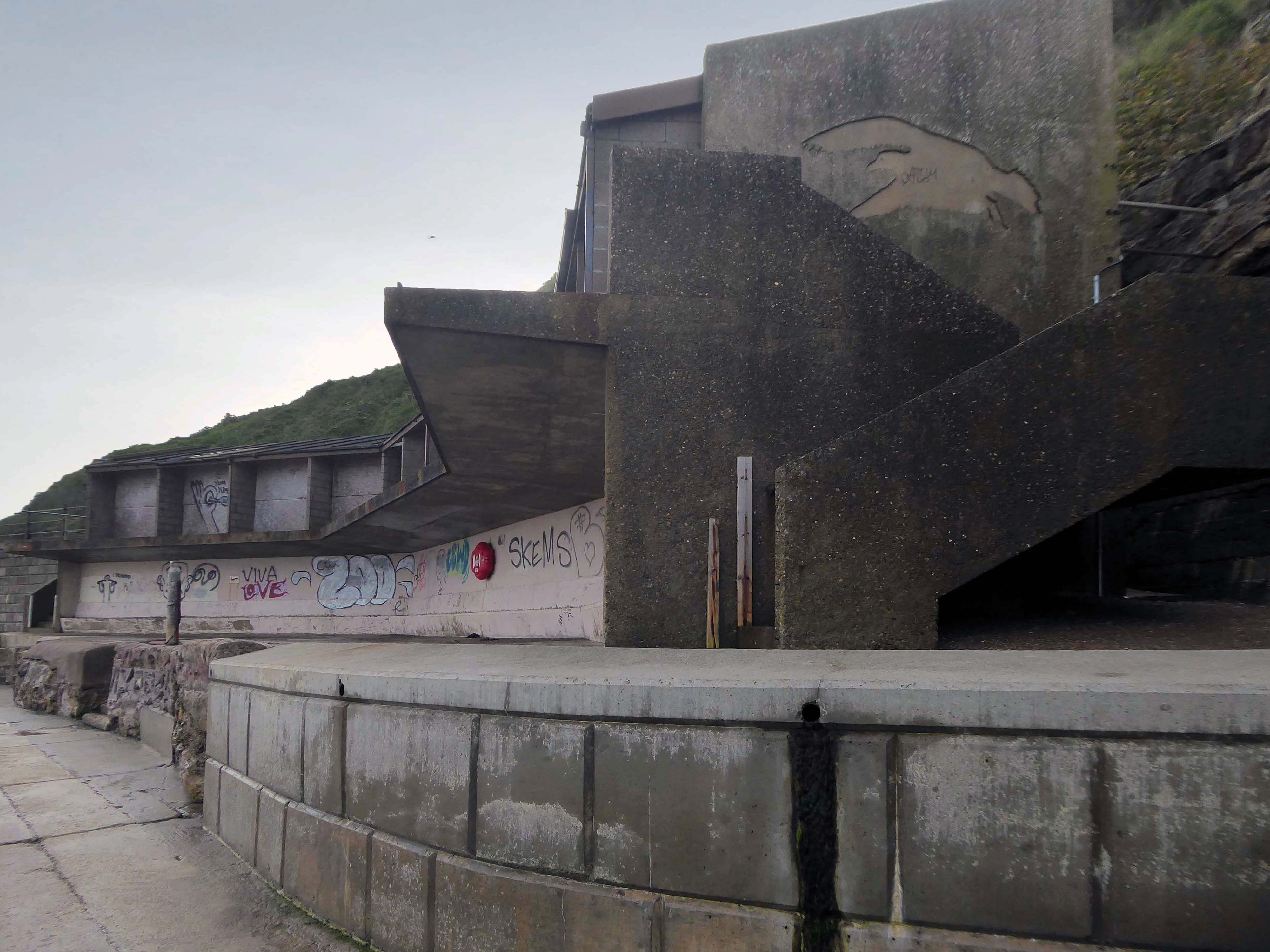
The Super Swimming Stadium at Morecambe, Lancashire, was one of the grandest of the 1930s modernist seaside lidos. This massive structure measuring 396ft. by 110ft. was said to be the largest outdoor pool in Europe when it opened in 1936, accommodating some 1200 bathers and 3000 spectators. Unusually for an inter-war lido, it was designed not in-house by a Borough Engineer but by two architects, Kenneth MB Cross and Cecil Sutton, who styled it to harmonise with the Streamline Moderne of Oliver Hill’s adjacent Midland Hotel.
The stadium was closed down in 1975 on grounds of structural problems and demolished just a year later.
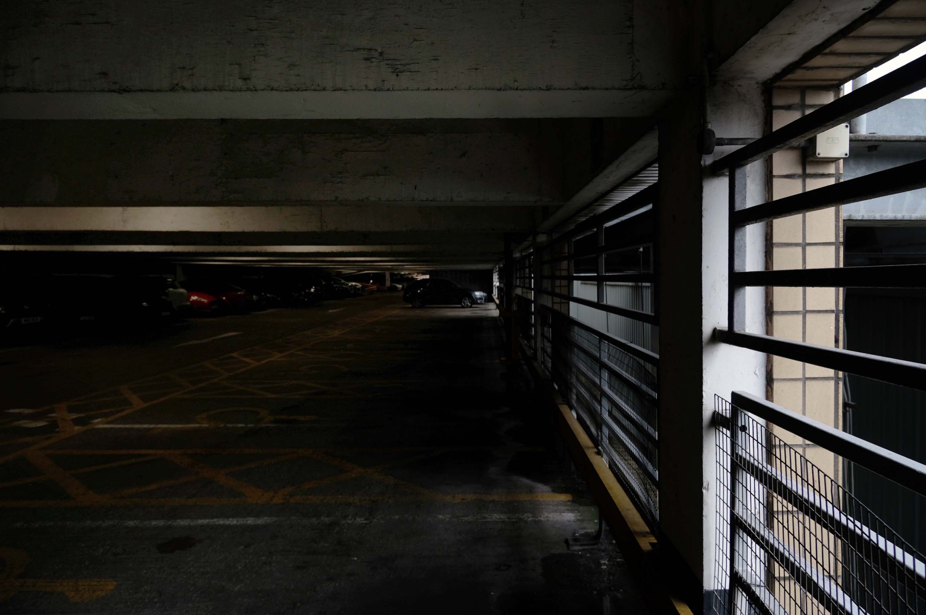
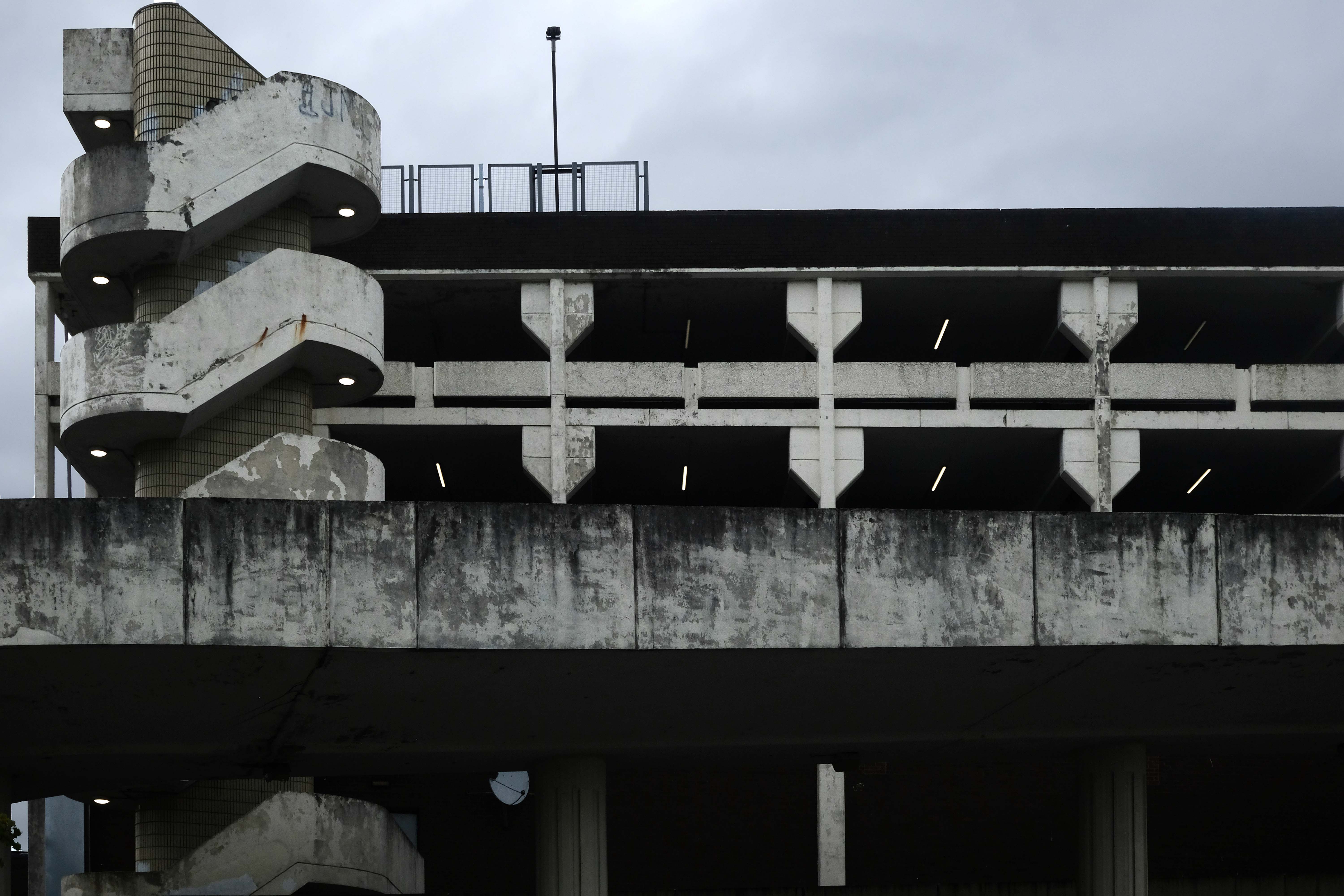
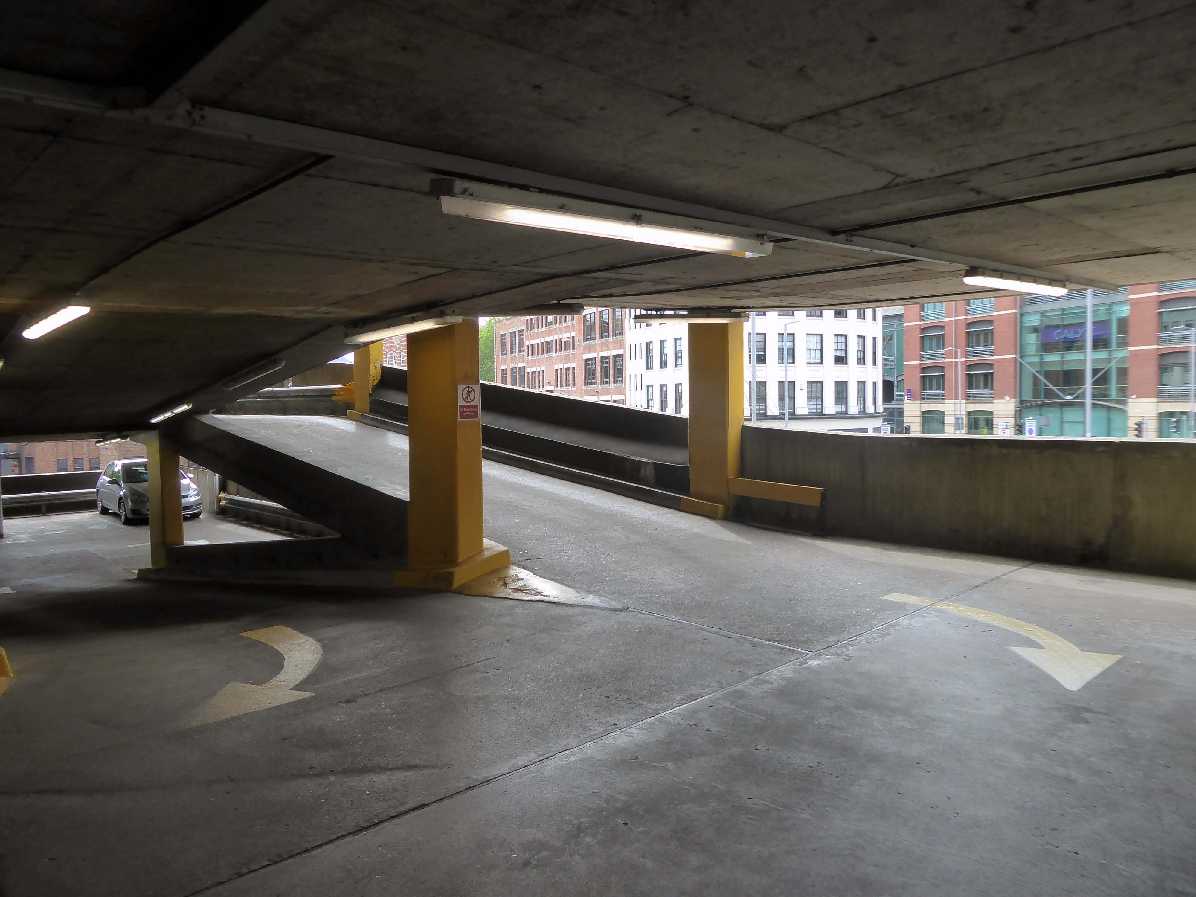
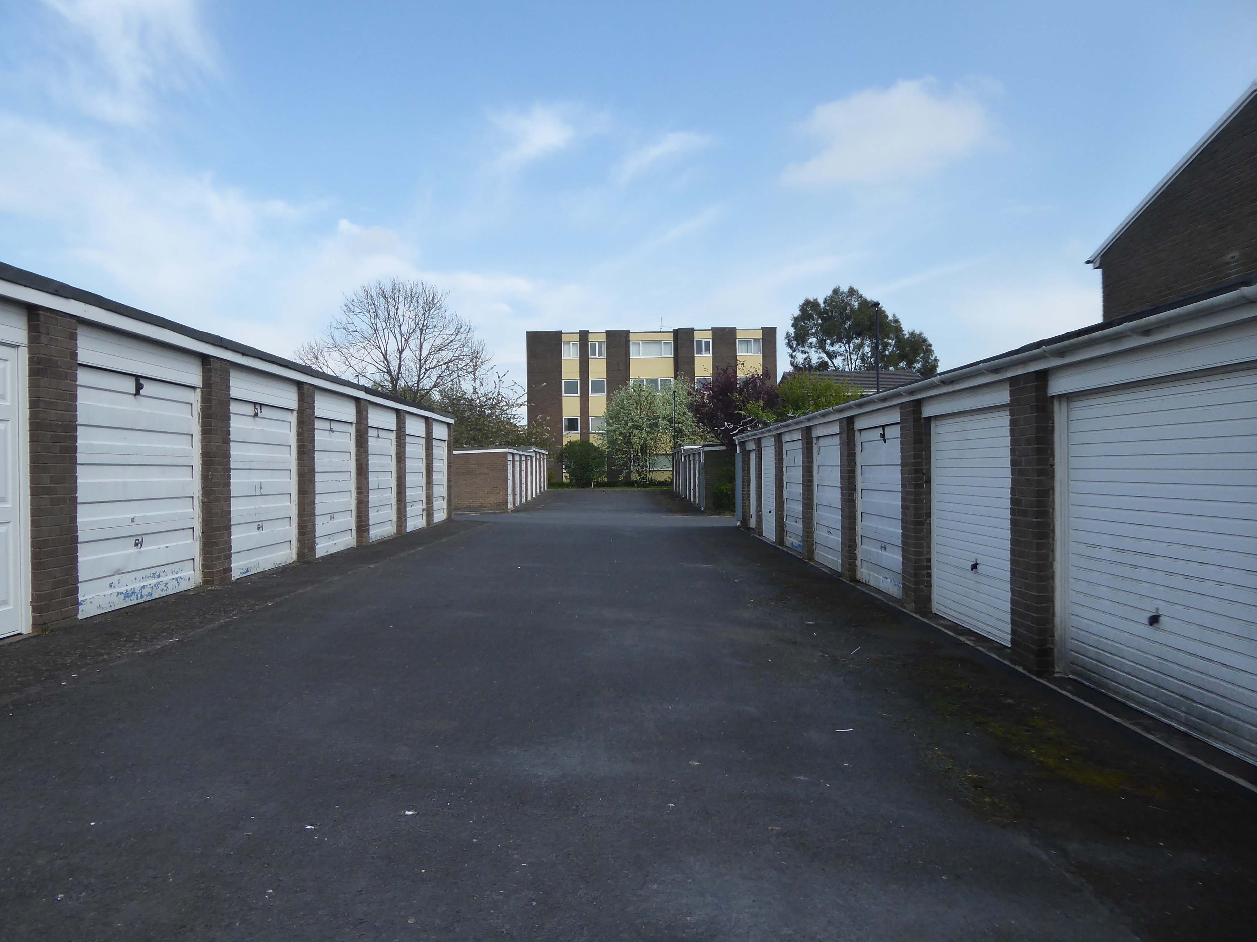
This has narrow ramps up and down, and narrow parking spots.
One ticket machine upon entry wouldn’t dispense – the other was covered with a bag but did work, very weird.
Becky T
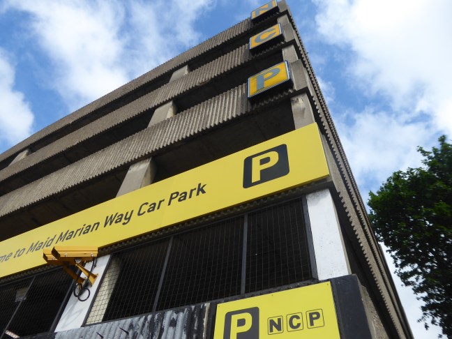
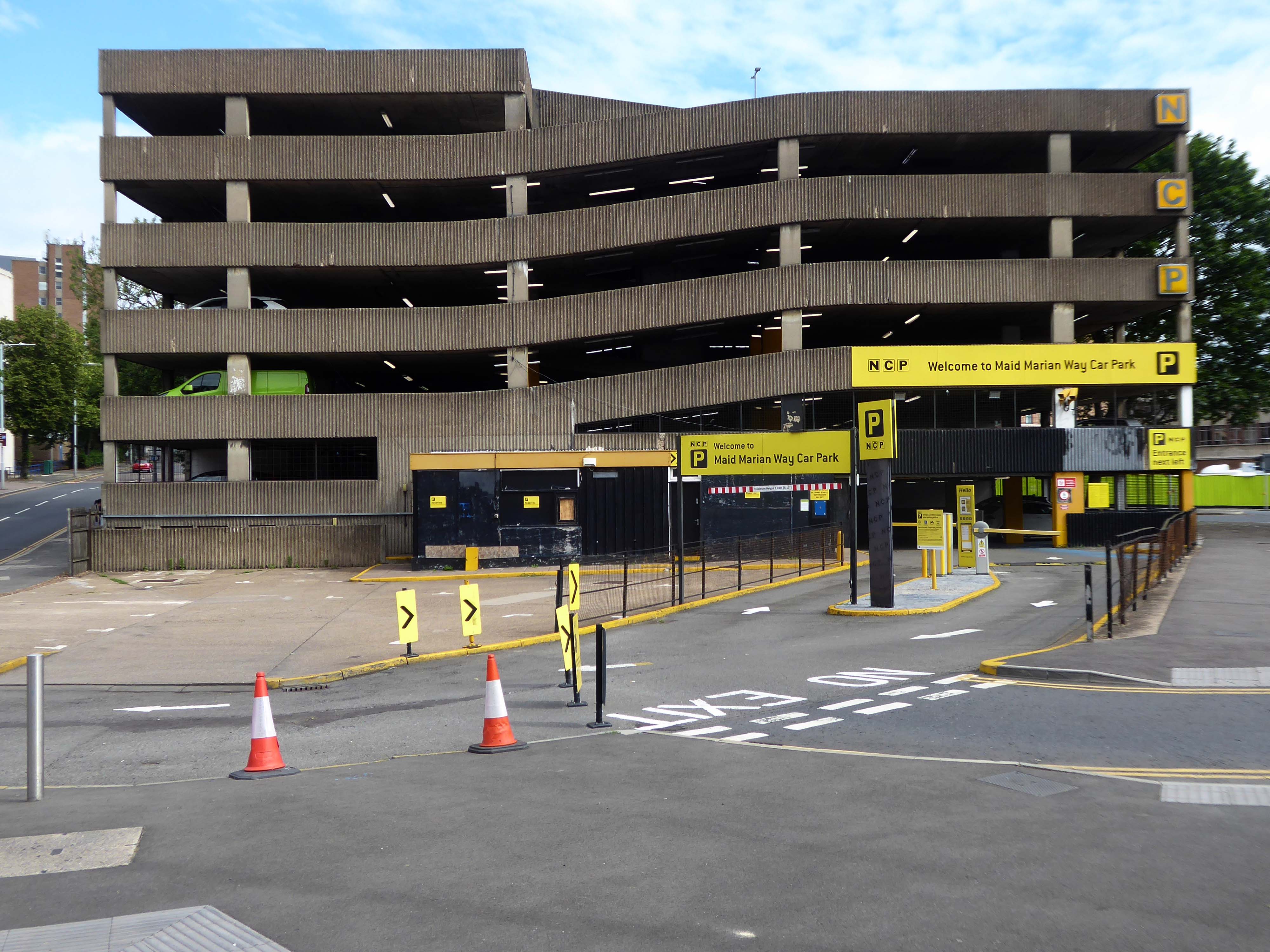
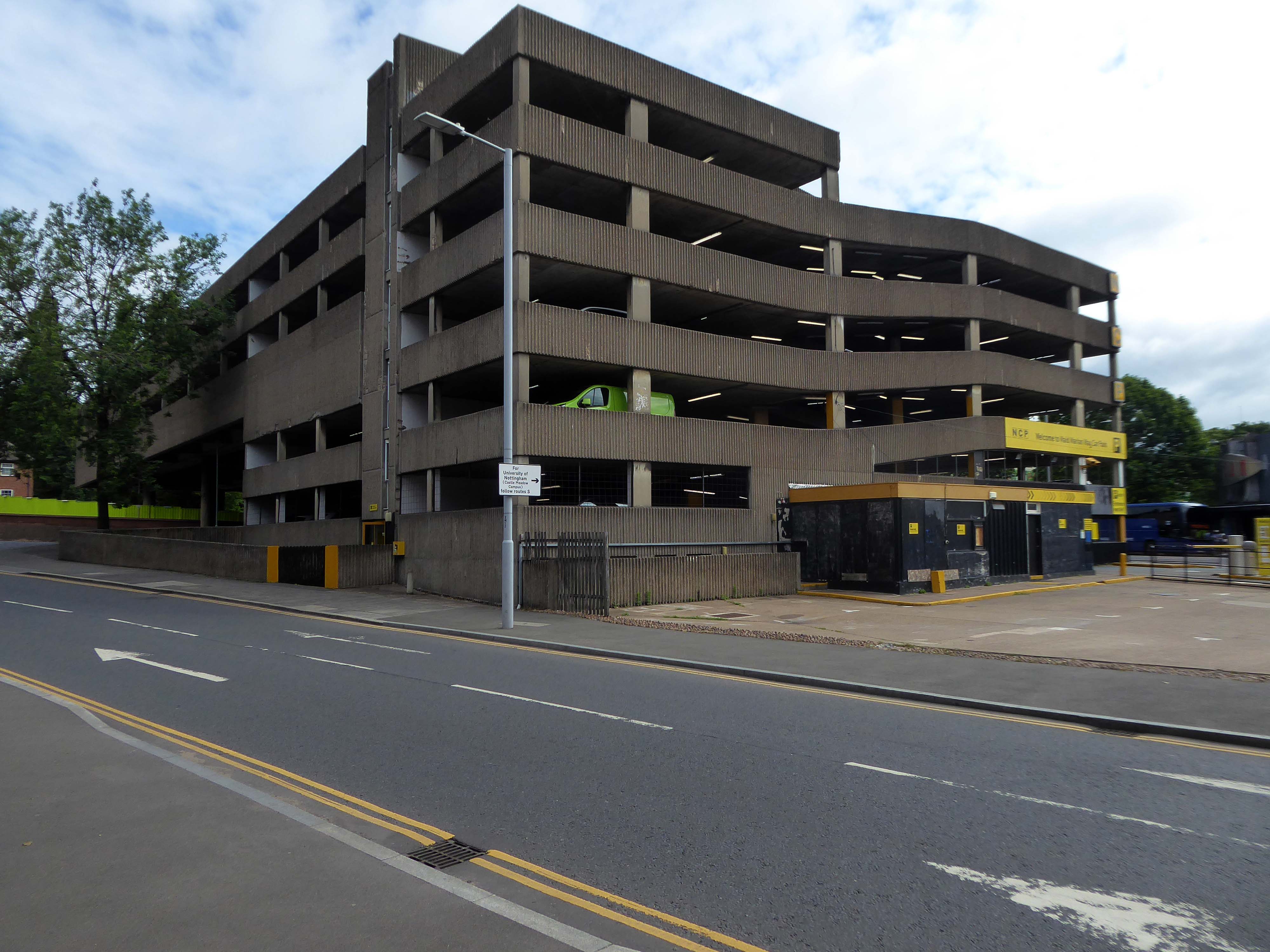
Anyway, a way must have a name, so why not Maid Marion?
Olivia De Havilland
Maid Marian is the heroine of the Robin Hood legend in English folklore, often taken to be his lover. She is not mentioned in the early, medieval versions of the legend, but was the subject of at least two plays by 1600. Her history and circumstances are obscure, but she commanded high respect in Robin’s circle for her courage and independence as well as her beauty and loyalty. For this reason, she is celebrated by feminist commentators as one of the early strong female characters in English literature.
Robin Hood and DH Lawrence apart it seems most apt – so Maid Marion Way it is then.
In November 1945, the city council decided to ask Parliament for the go ahead for a scheme likely to cost more than half a million pounds.
However, it would cut a swathe through medieval streets, wiping some from the map and spelling the end of a community life which had thrived for centuries.
The arguments, discussions and negotiations rumbled on for years. It would be 1963 before work finally got underway and the new road was built.
Less than two years after it was completed, it was given a label that has stuck over the past four decades — the ugliest street in Europe.
Dual carriageways mean cars, cars mean car parks and car parks mean business.
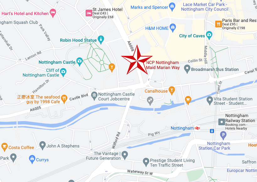
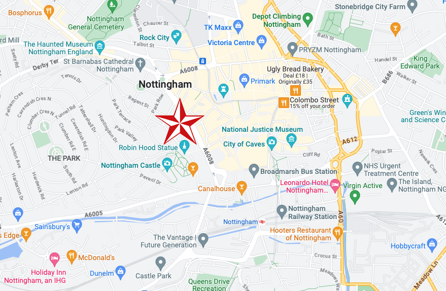
Whether you’re visiting a student or are one yourself, parking at our car park on Maid Marian Way gives you easy access to the University of Nottingham.
For those who want a bit of retail therapy, look no further than the Intu Victoria shopping centre. Located within easy walking distance of our Maid Marian car park and right in the heart of the city centre, you’ll have a choice of over fifty shops to browse.
If you’re a bit of a history buff then Nottingham Castle should definitely be on your ‘to do’ list. Park near the castle at Maid Marian Way, and you’re just minutes away from reliving tales of the past as you explore the original hidden caves equipped with a dungeon. Make sure you don’t leave without taking a picture with Nottingham’s most famous resident, Robin Hood, found just outside the castle.
Had a lovely conversation with a lady in the machine after my parking ticket was swallowed and learnt lots about the poor acoustic in car parks. They charged me twice to park my car which made me feel lots of negative emotions towards them. So all in all, a bit of rollercoaster. Highly recommend this experience for anyone looking for somewhere to park that enjoys conflict and has lots of money they don’t need.
Very expensive, dirty and with rough sleepers lying on each stairs landing.
Felt very unsafe.
Parkopedia
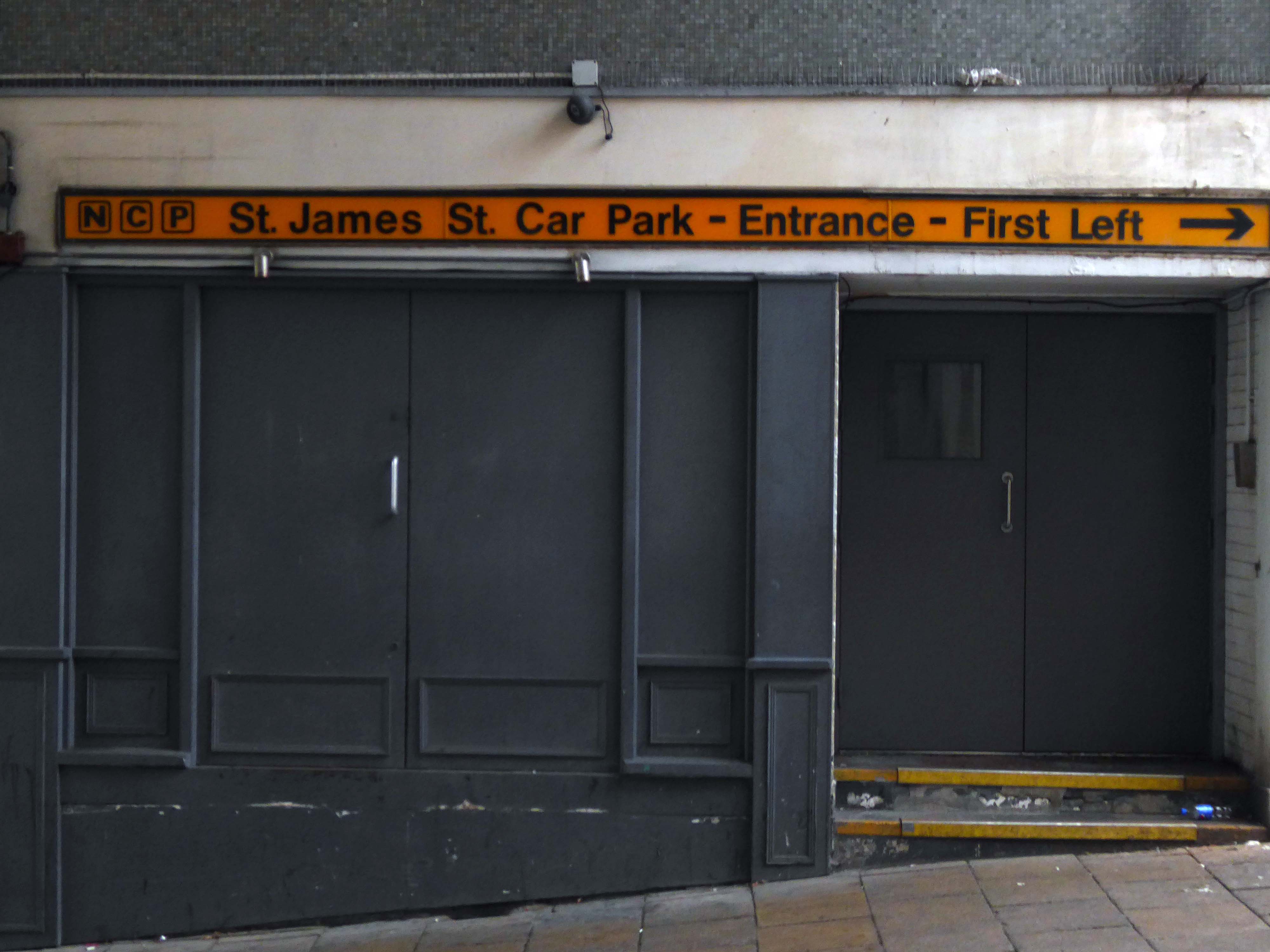
Located in the heart of Nottingham, our parking on St James Street puts you right in the historical centre of this ancient city. Get your picture taken with the legendary Robin Hood Statue, then take a tour of the Castle, Museum and Art Gallery before staying in the stylish boutique accommodation of St James Hotel.
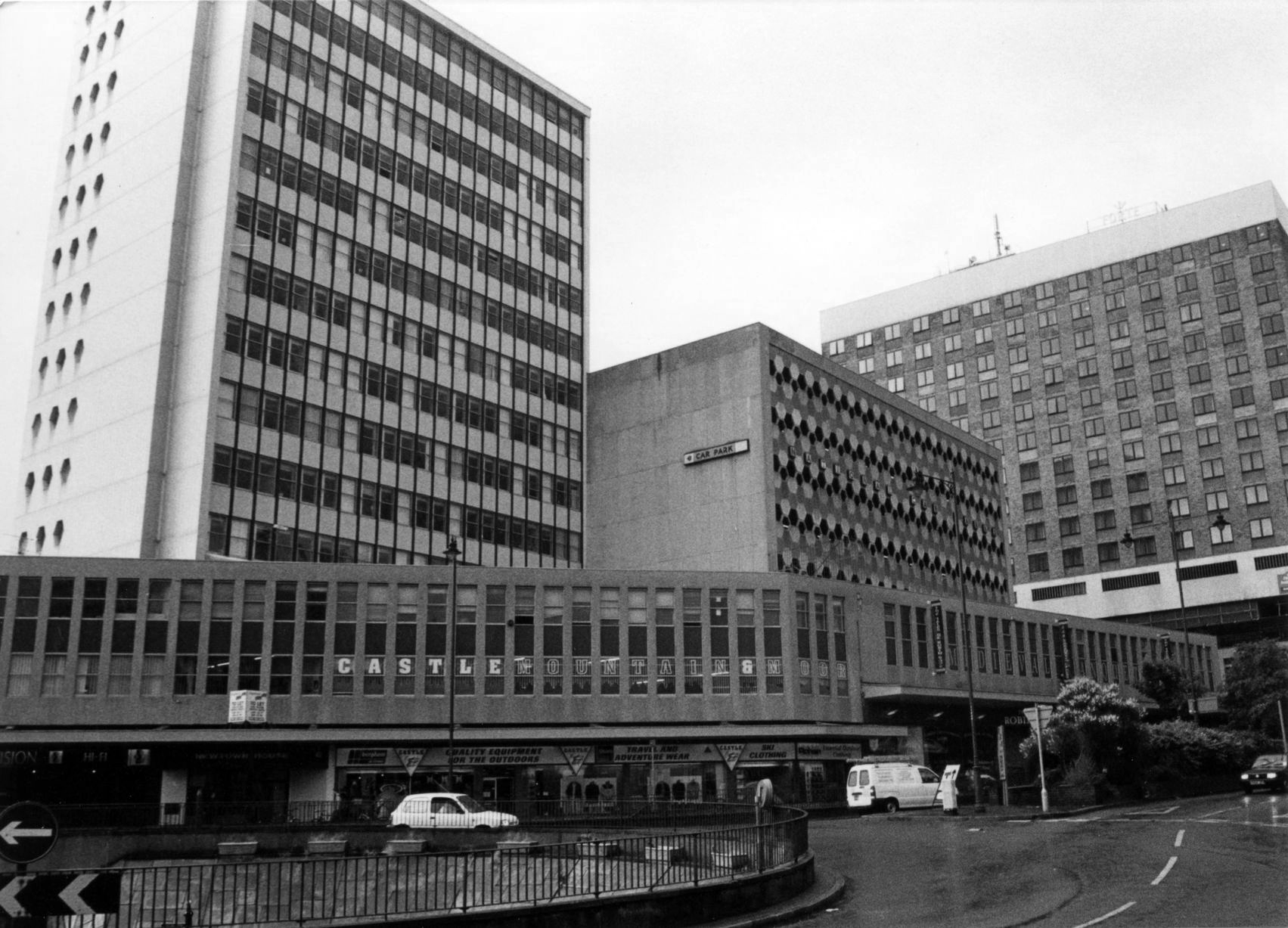
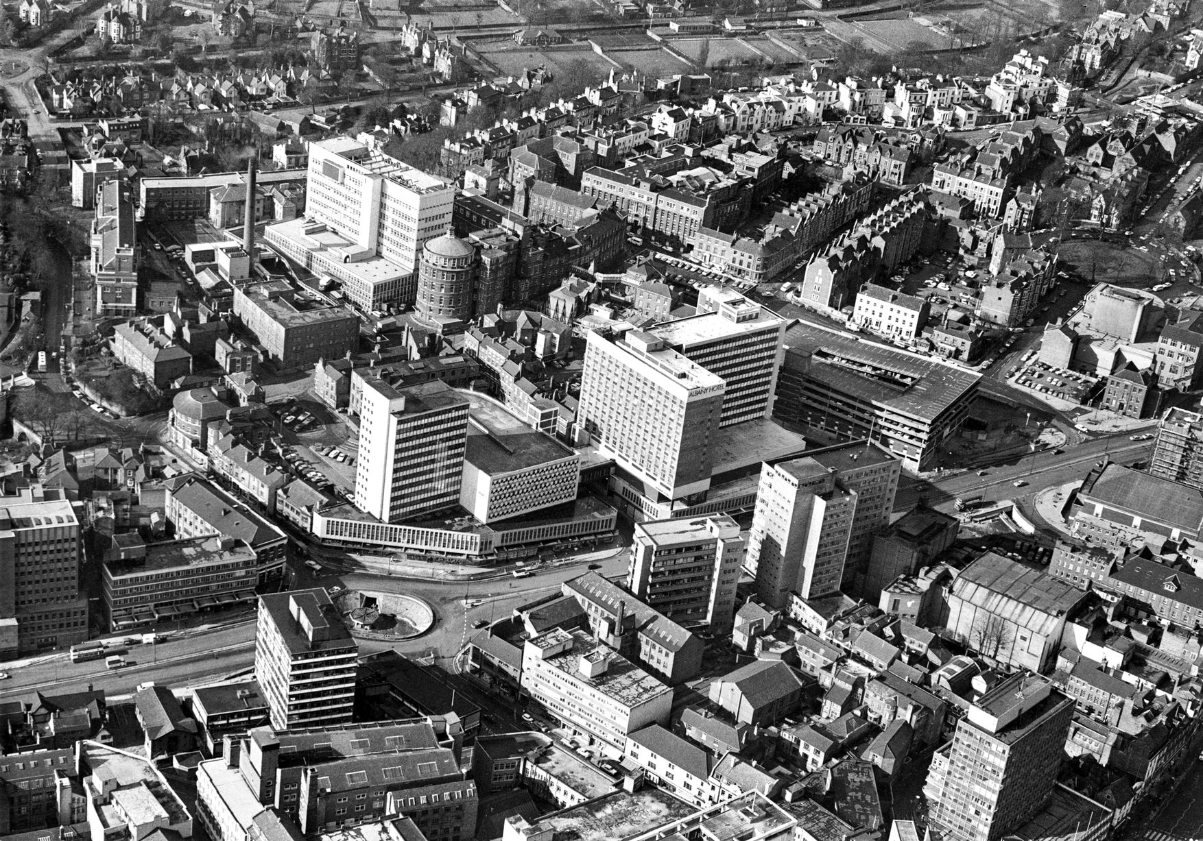
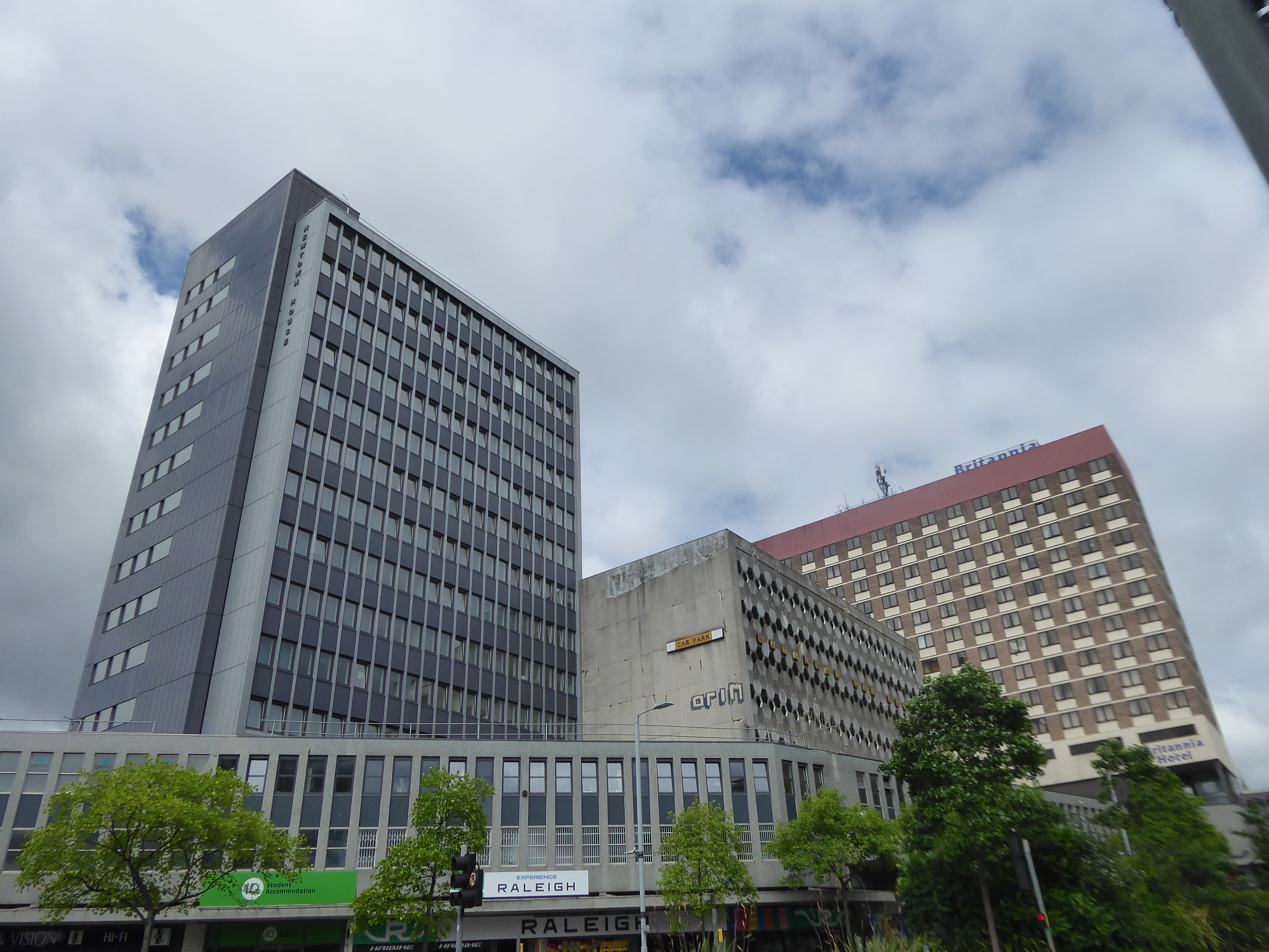
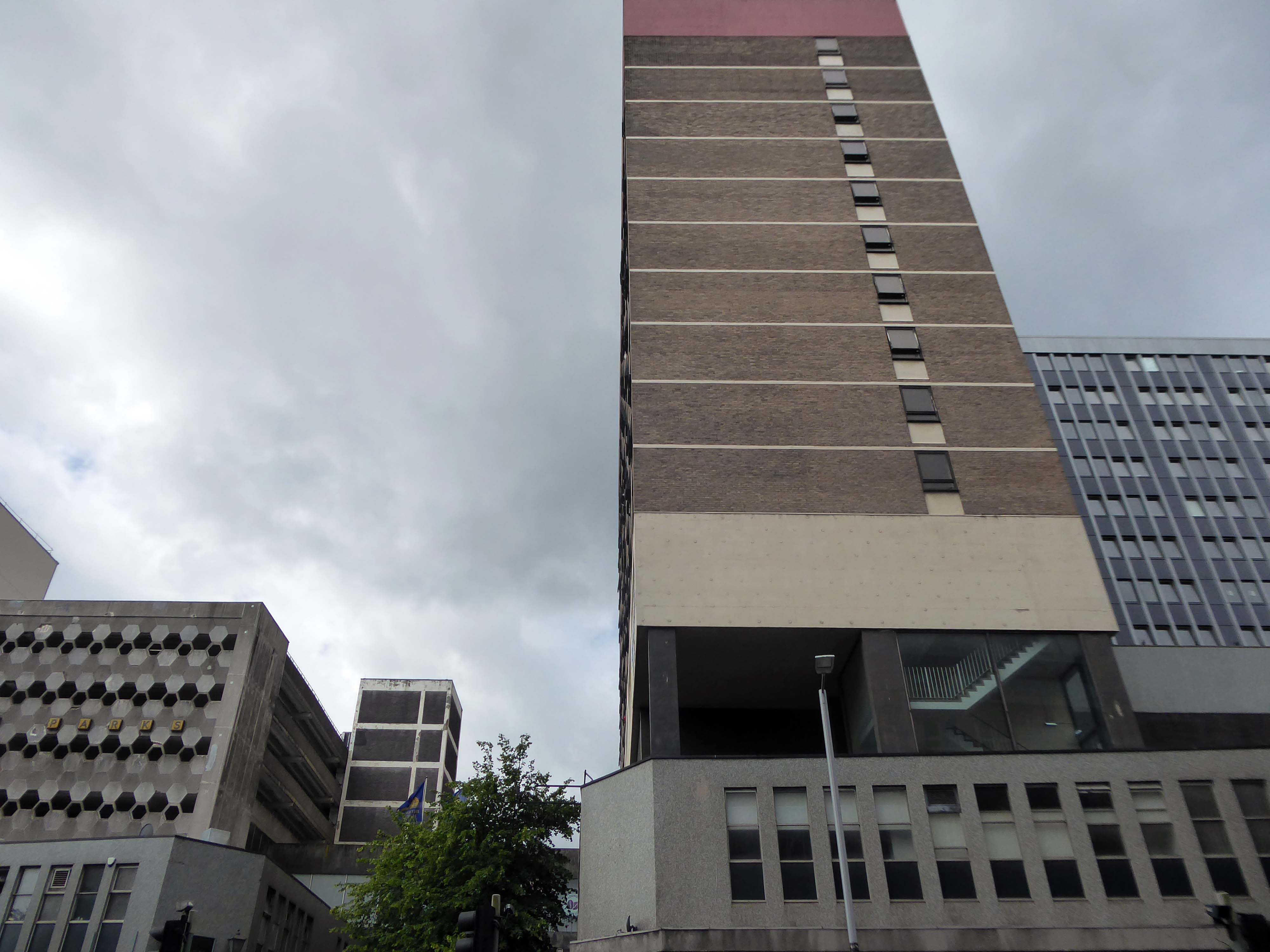
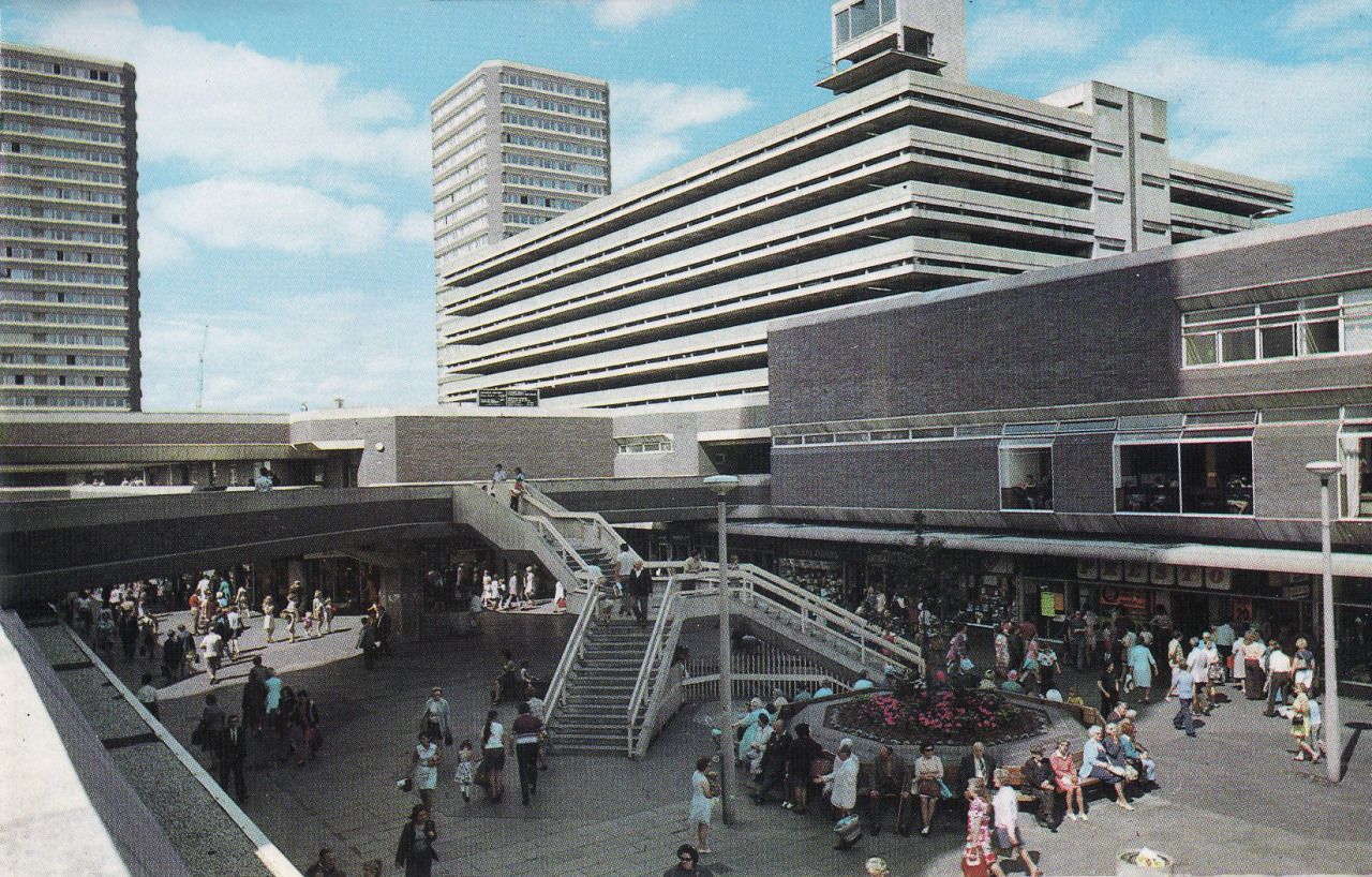
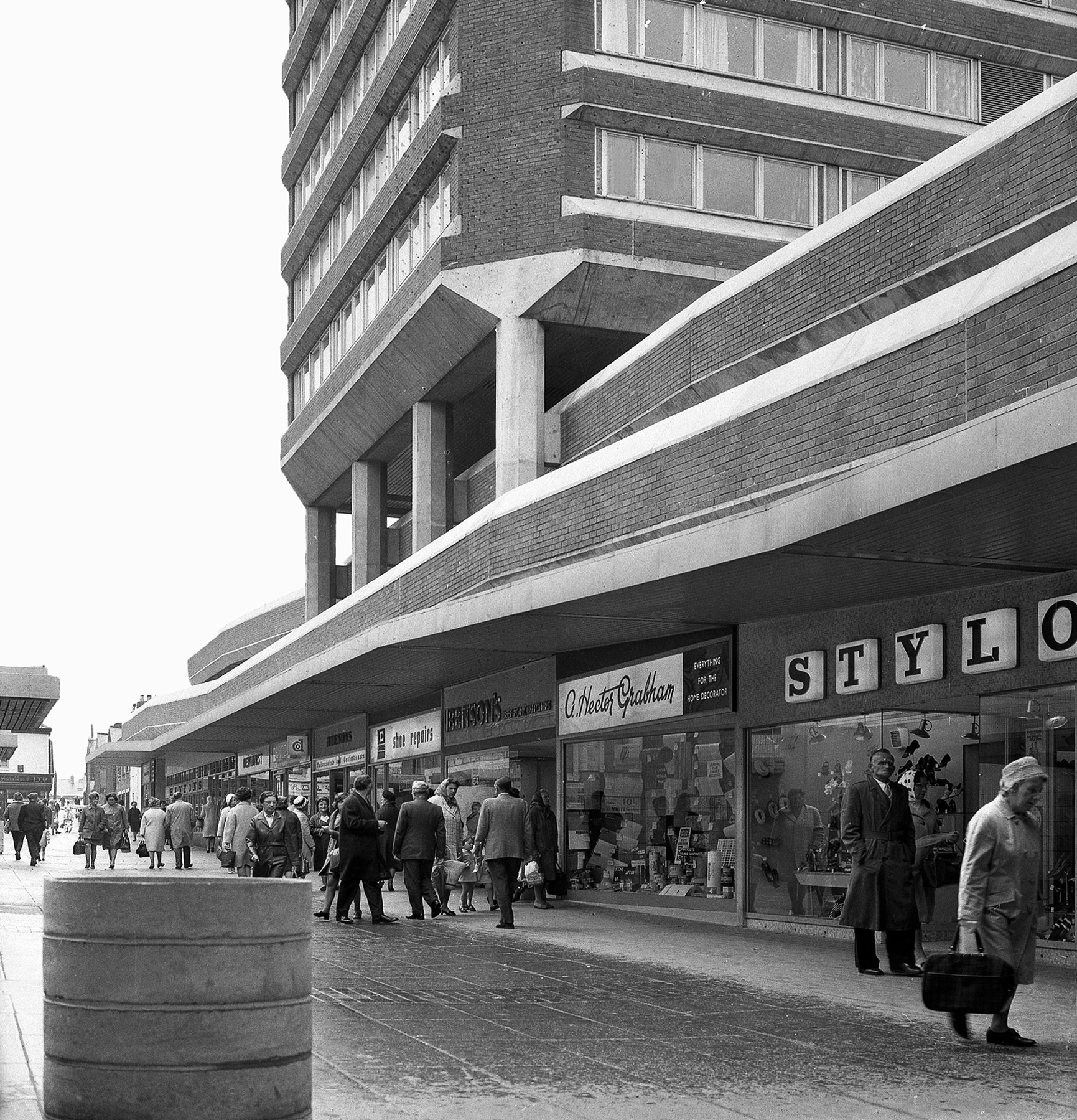
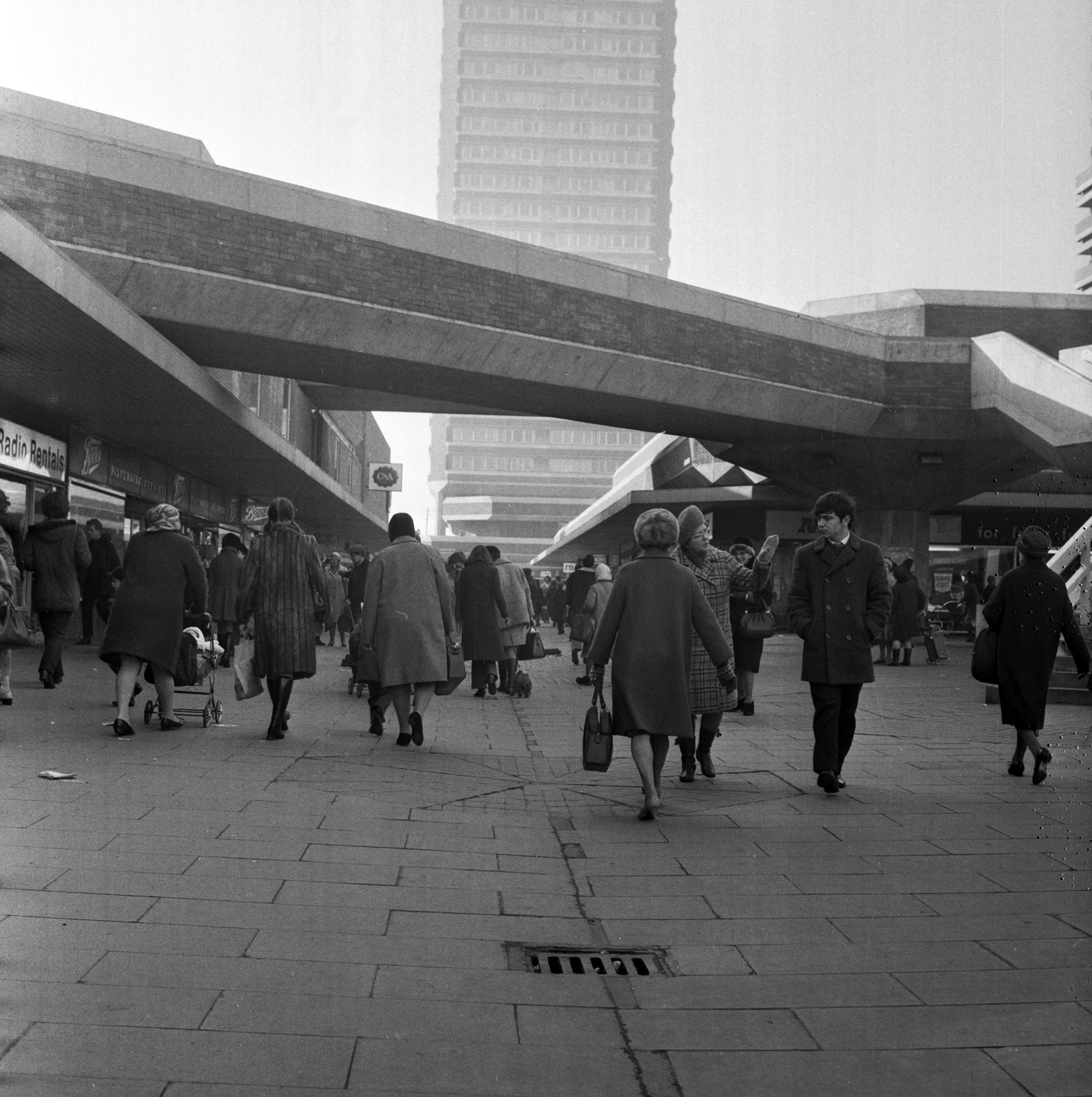
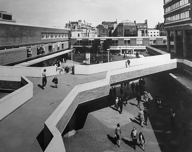
An overwhelming three-part development by John P Osborne & Sons. Phase 1 has a multi-storey car park 1962 above shops; followed by the fifteen-storey Britannic Hotel 1966, elevations by James Roberts.
Elain Harwood
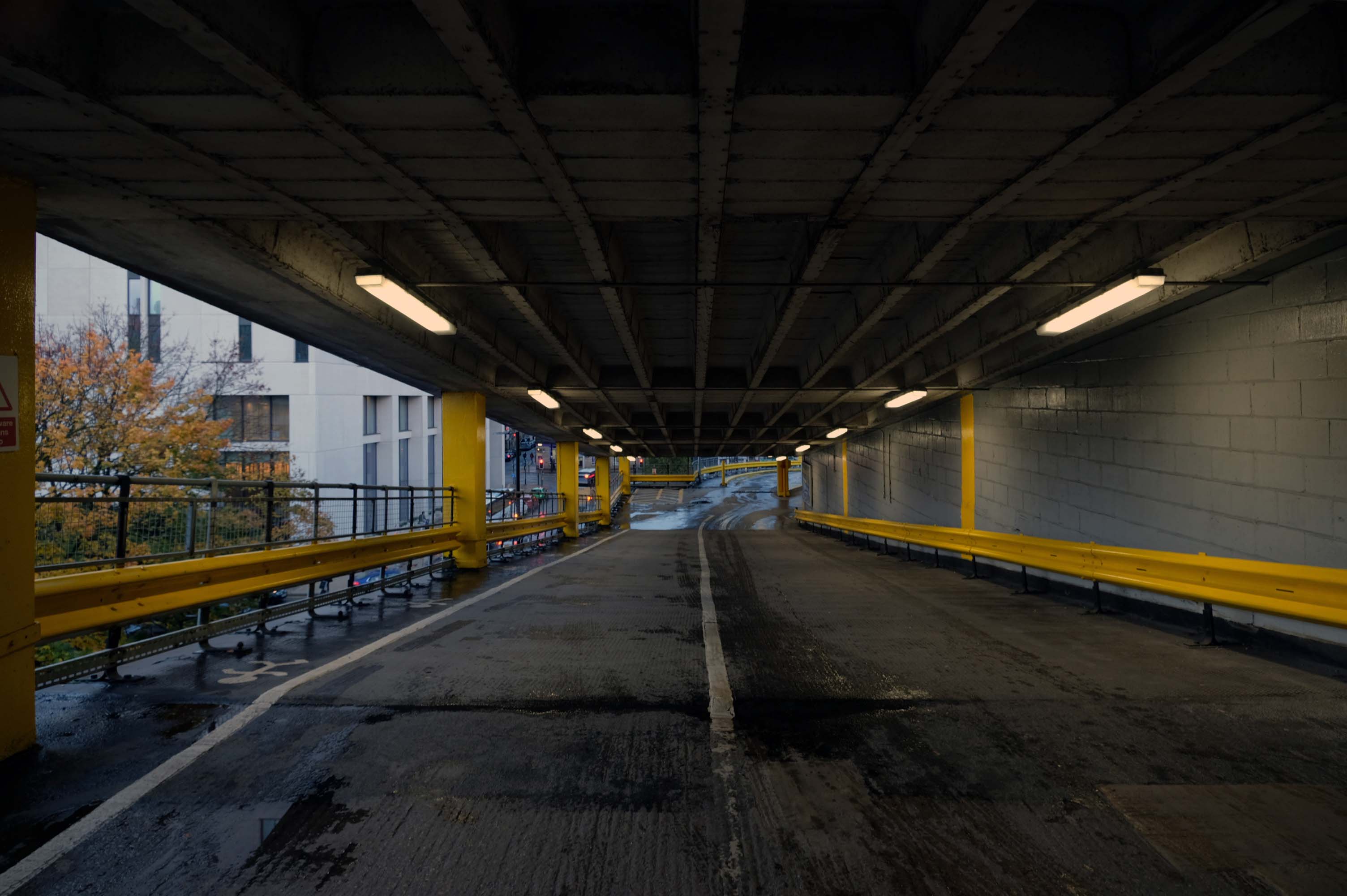
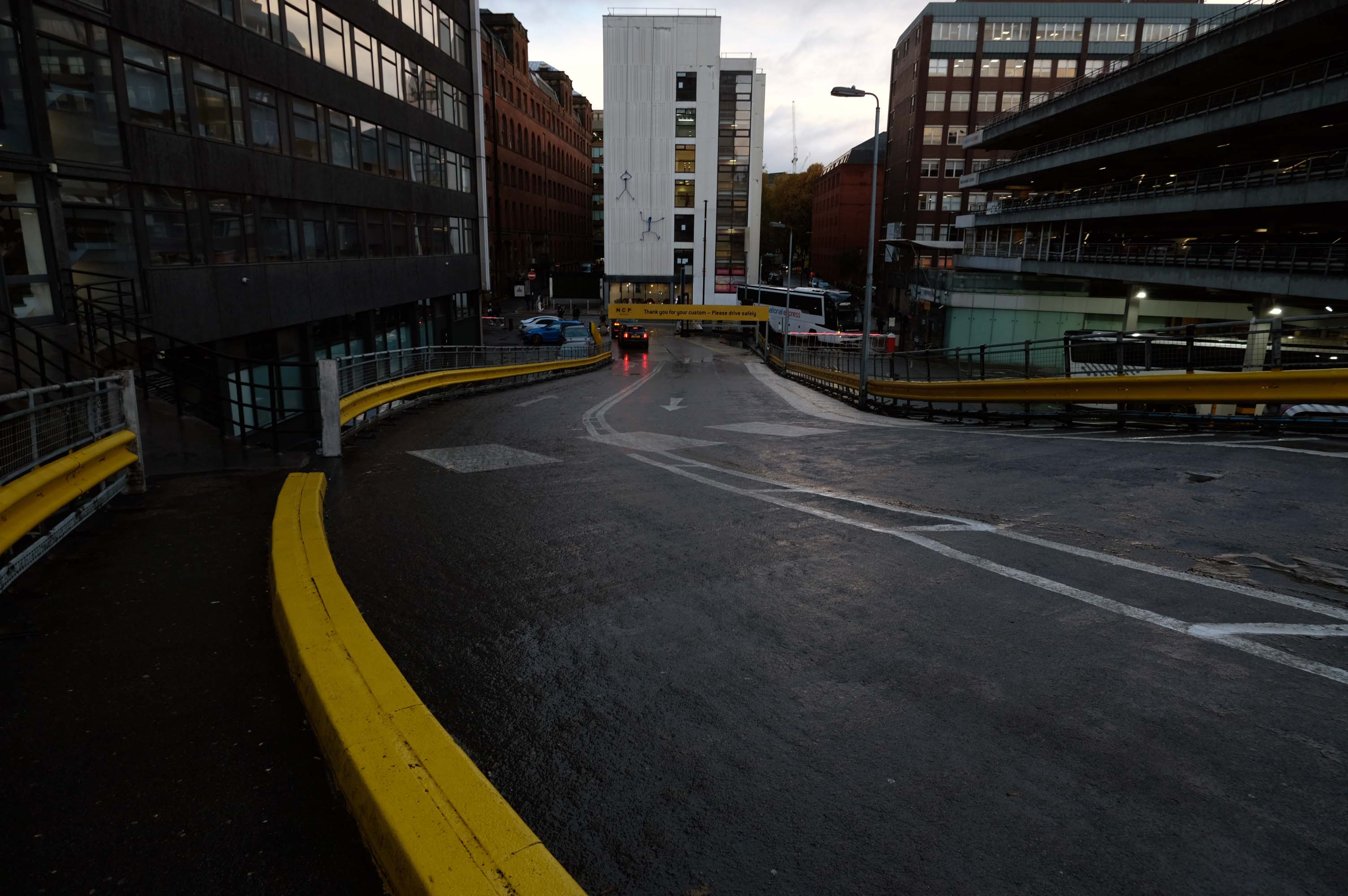
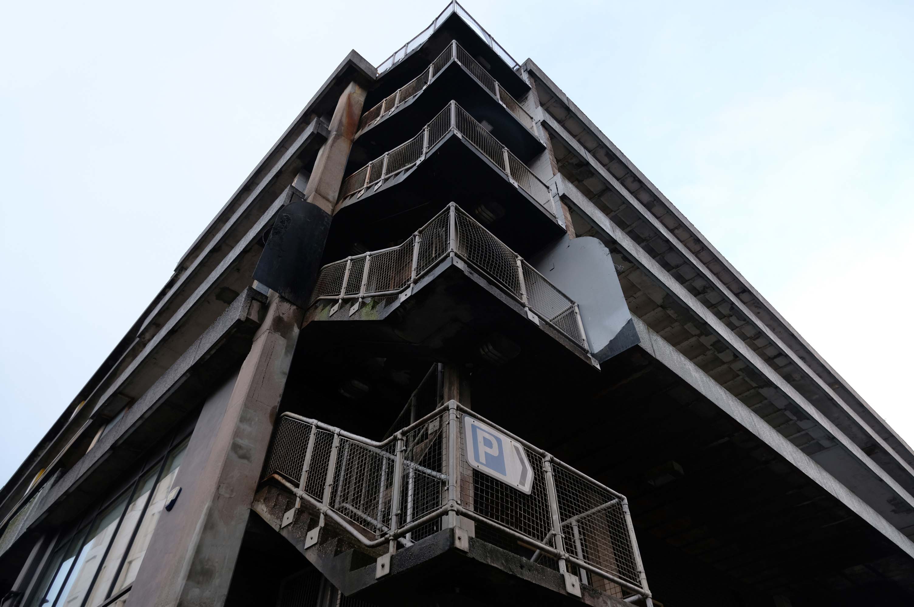
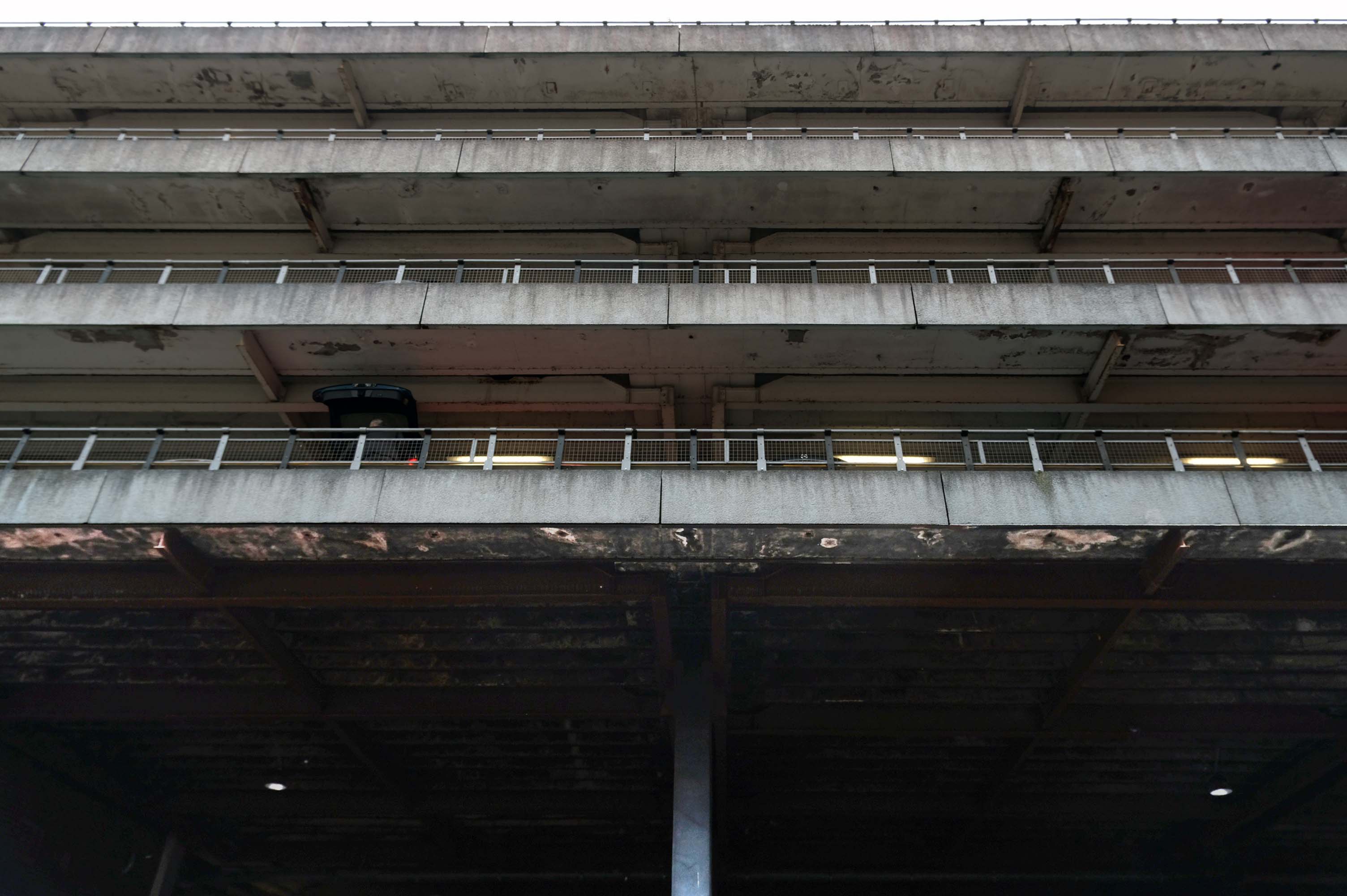
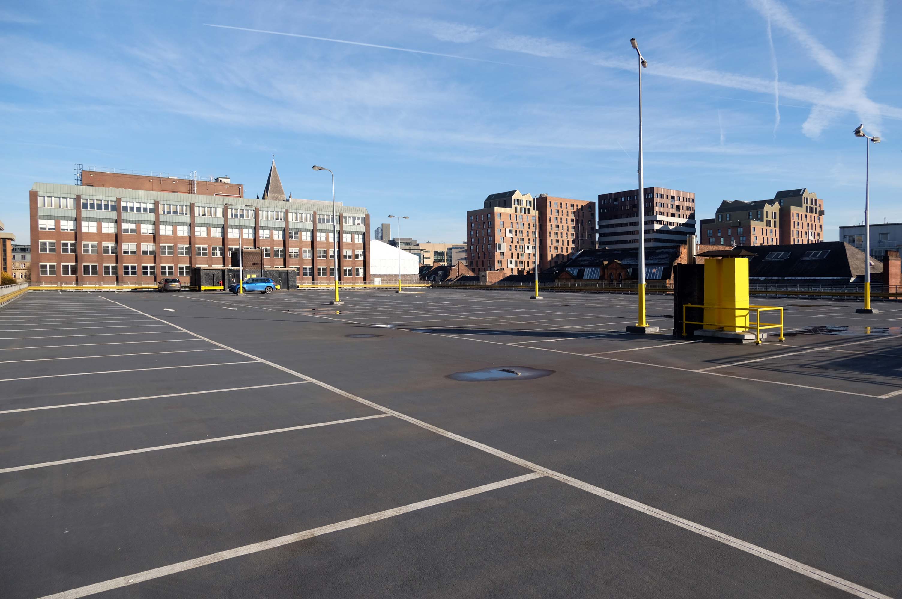
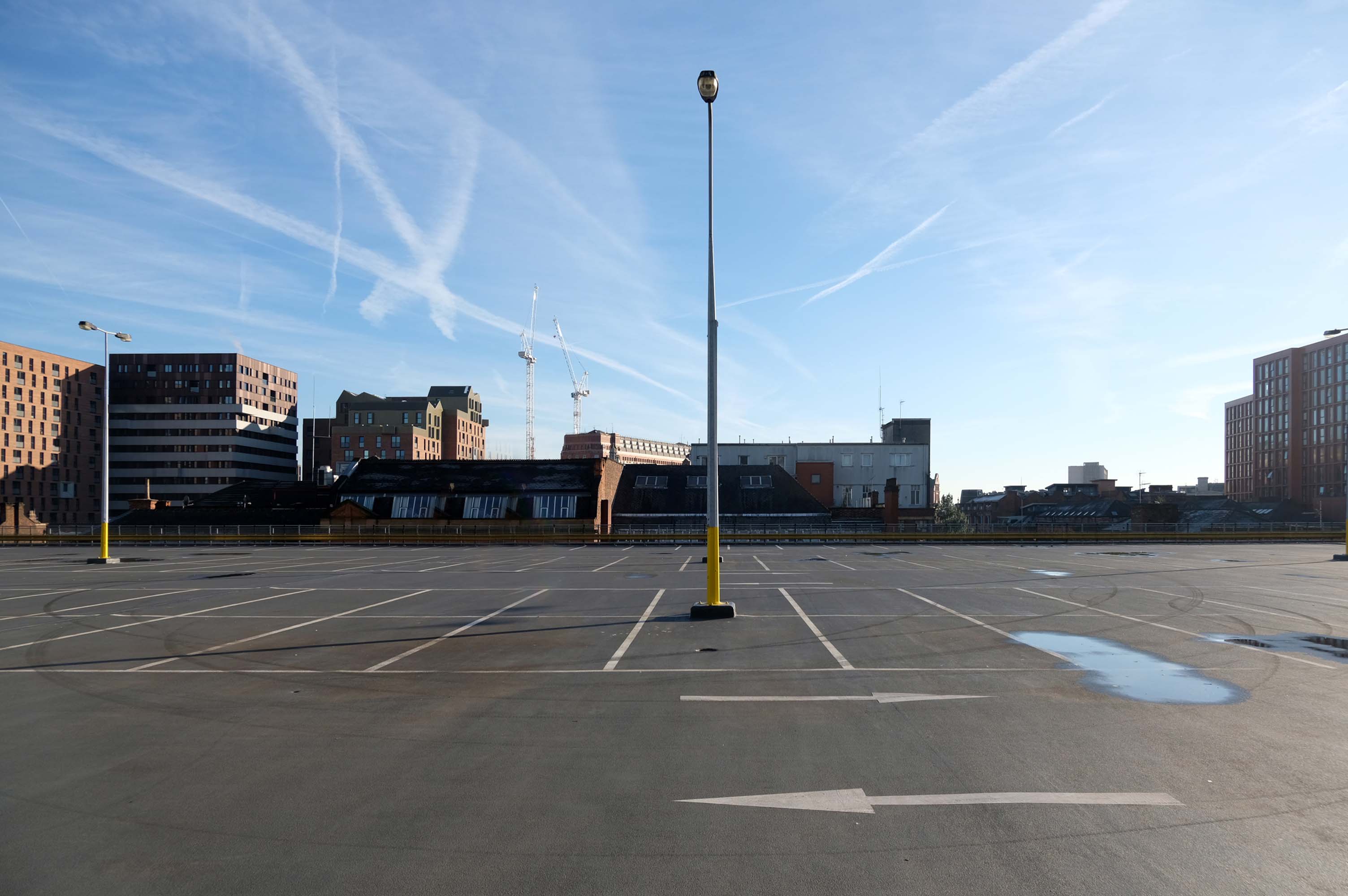
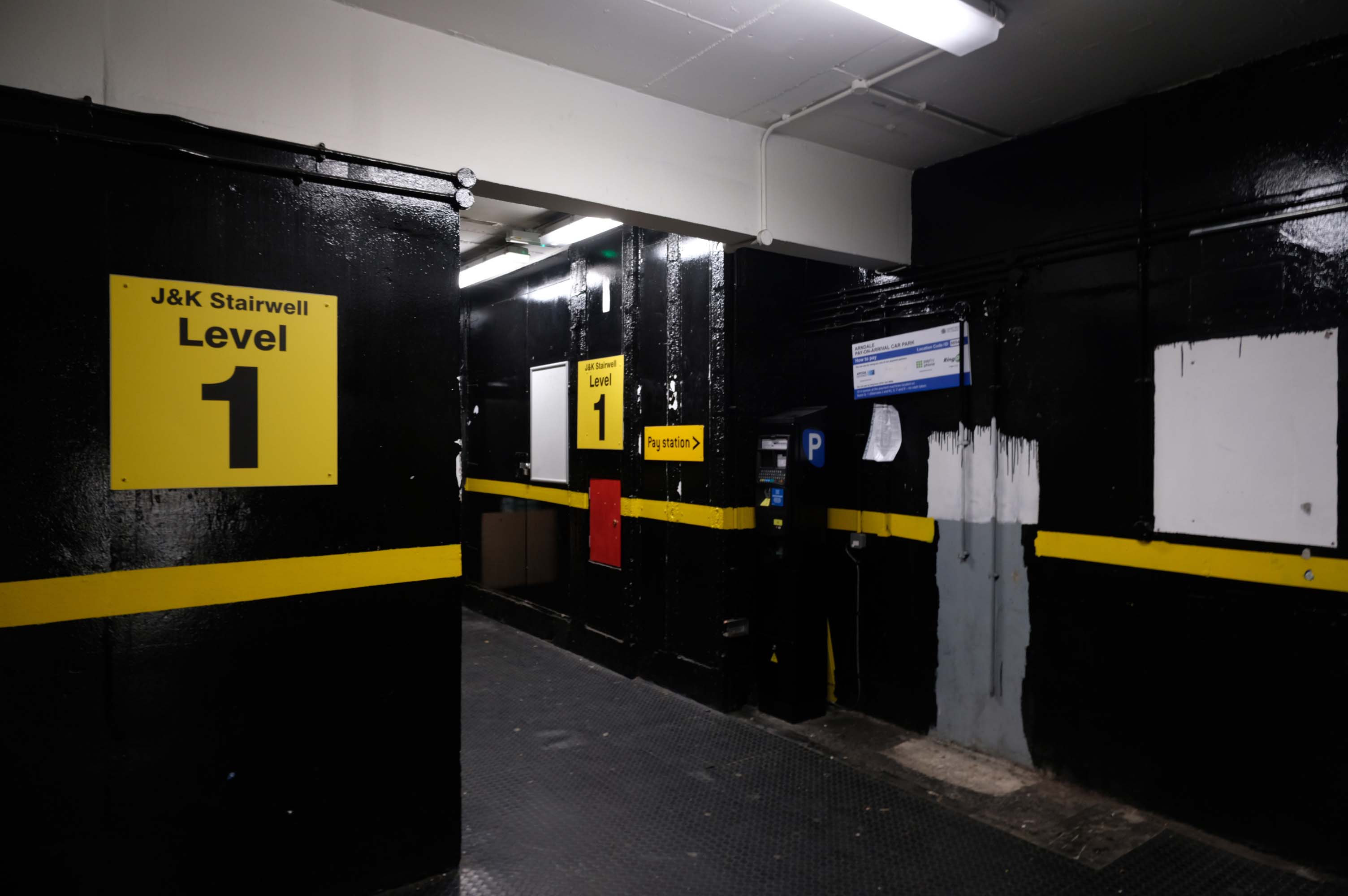
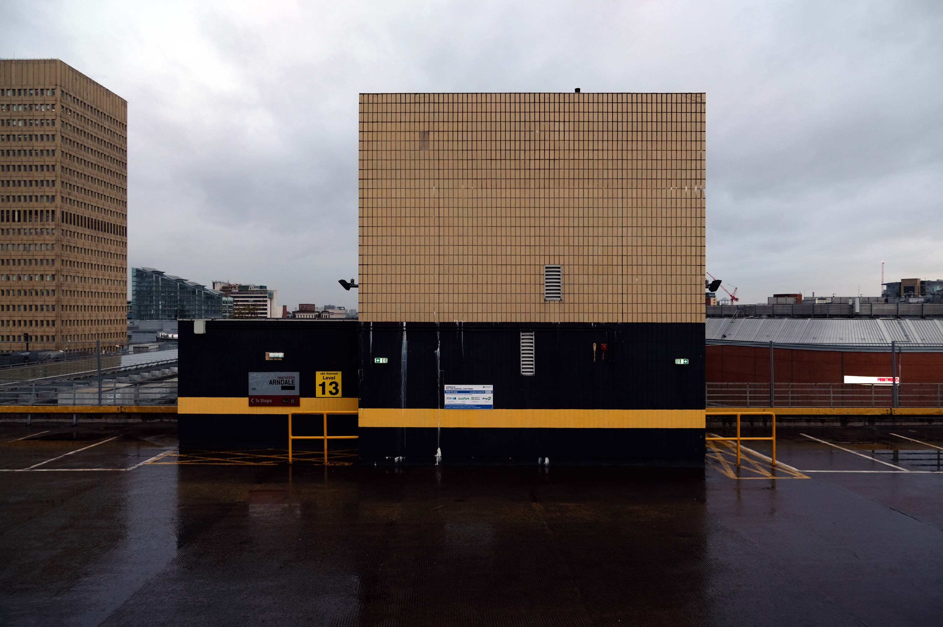
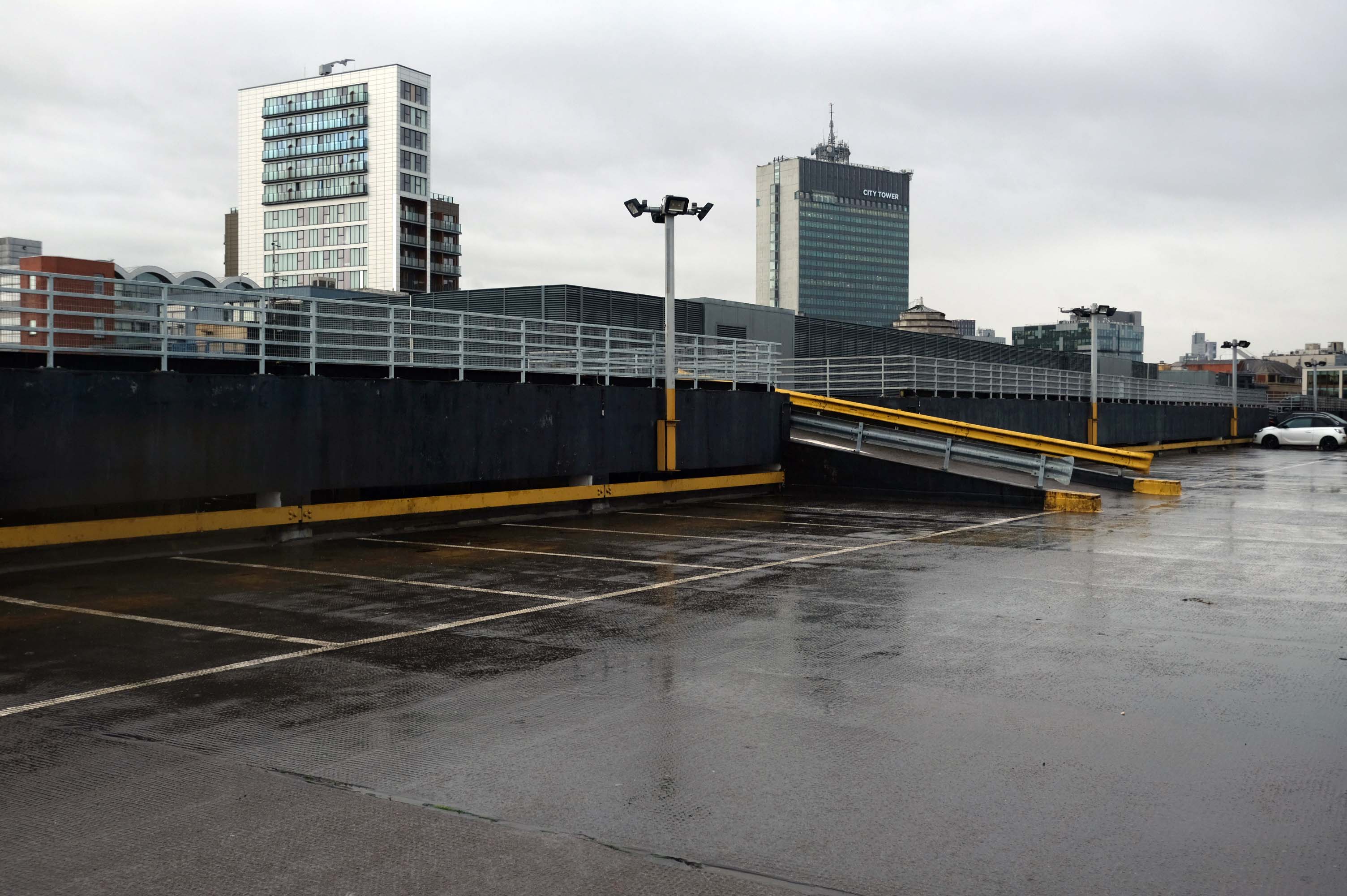
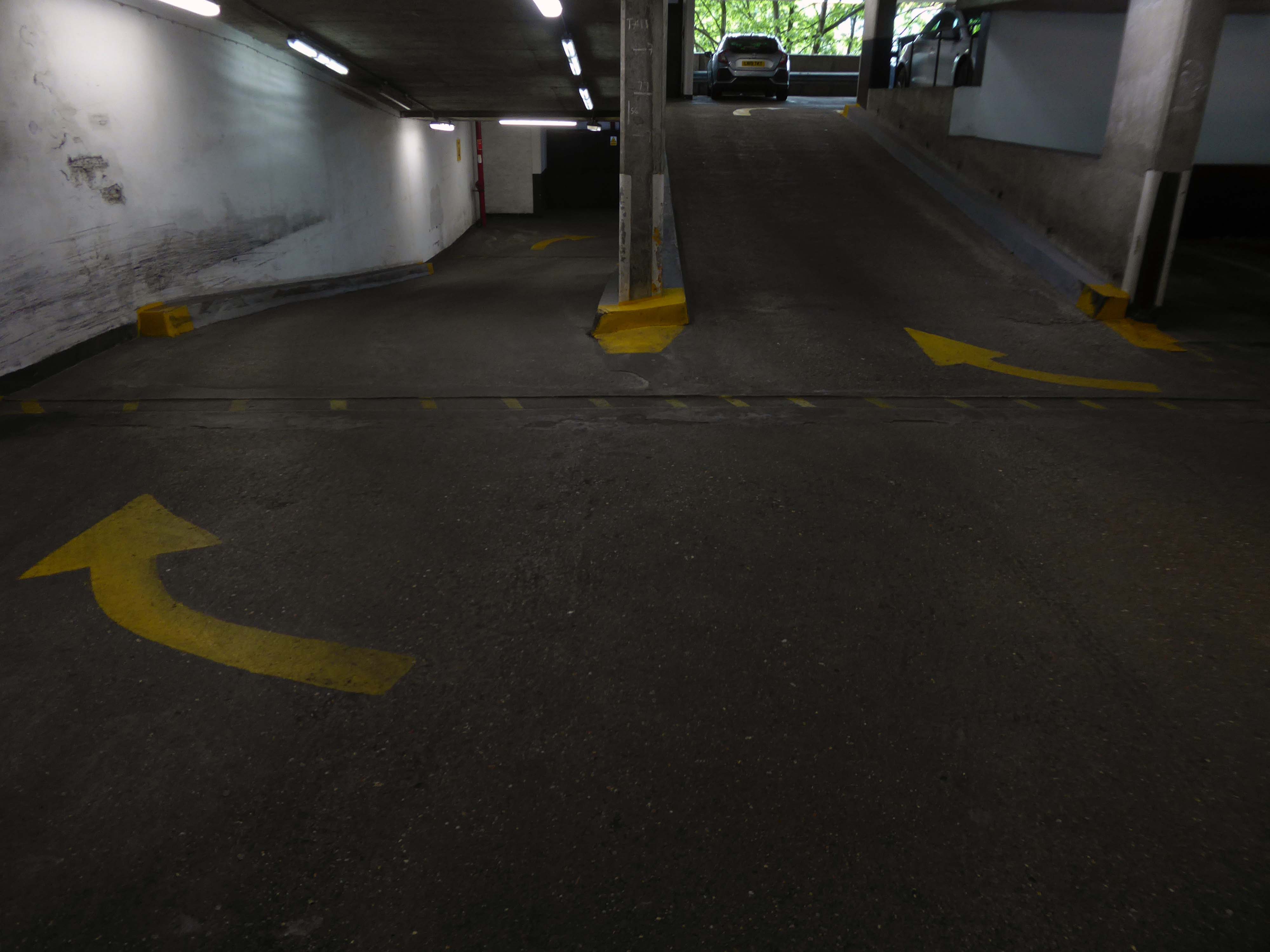
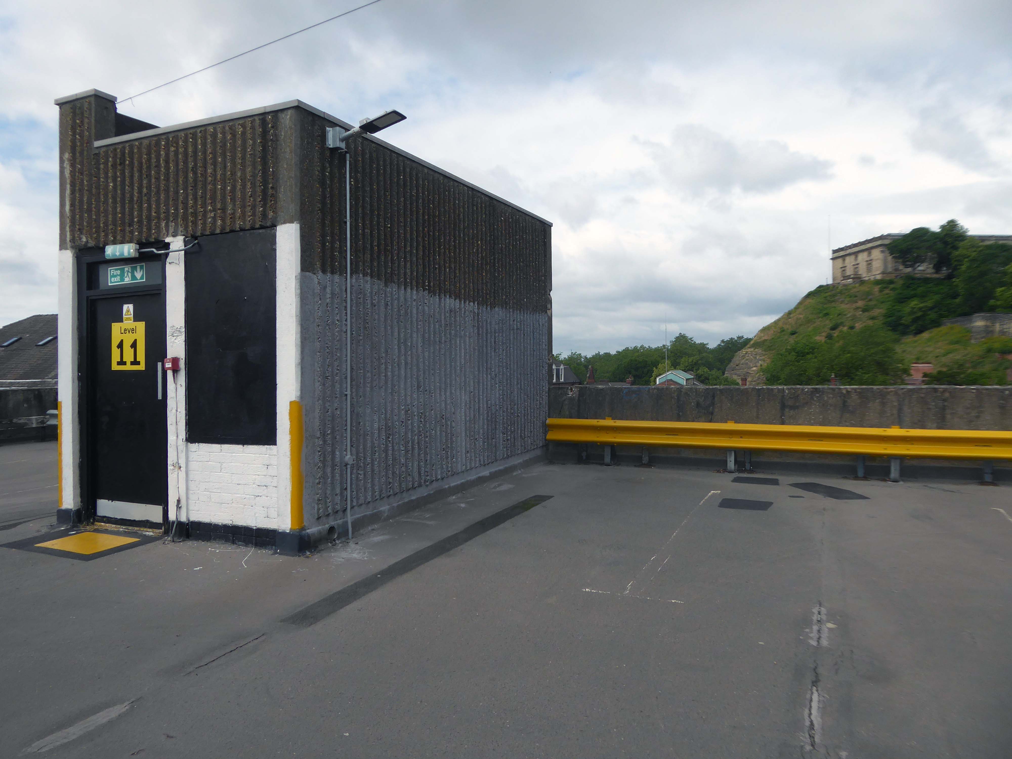
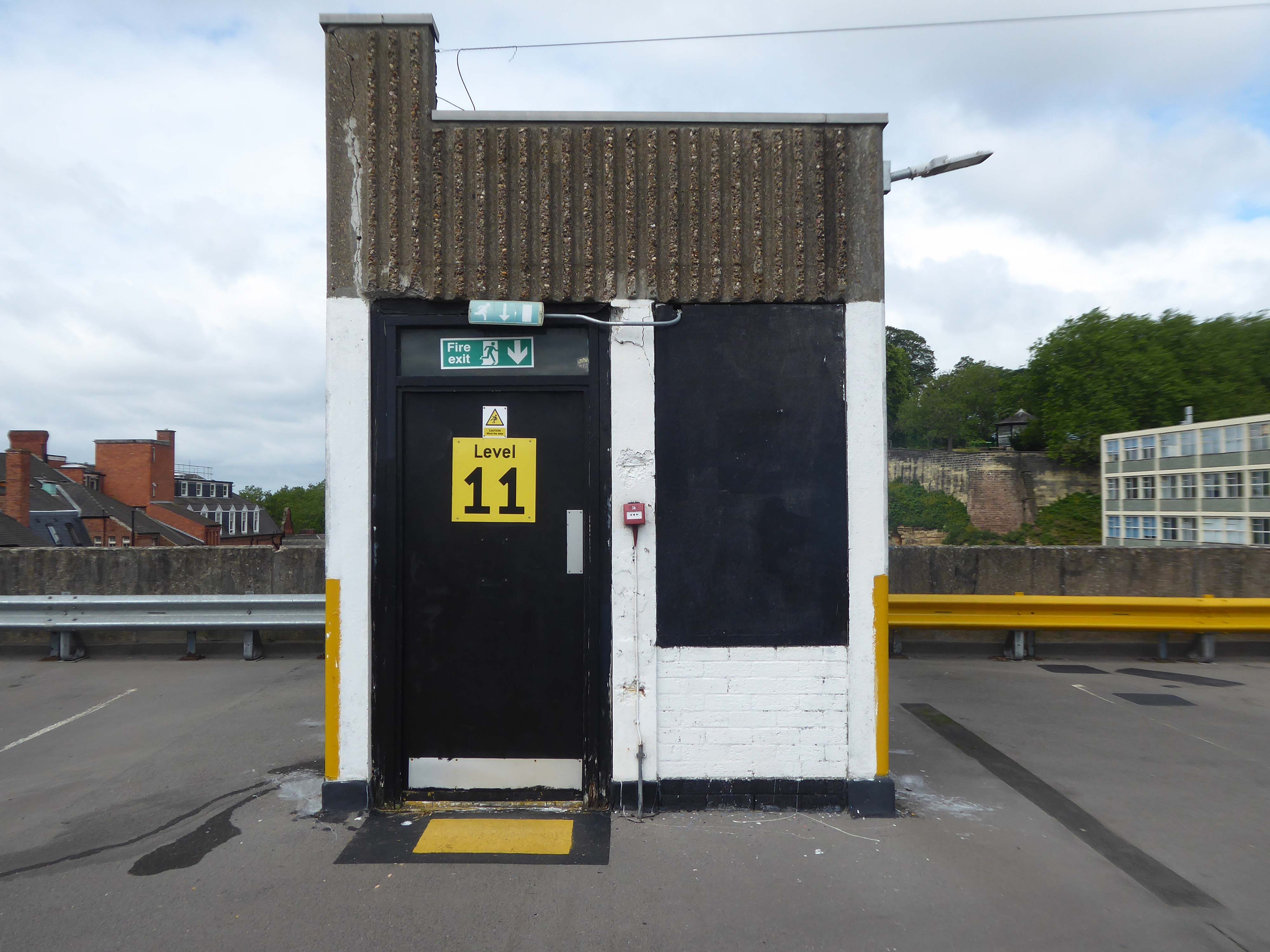
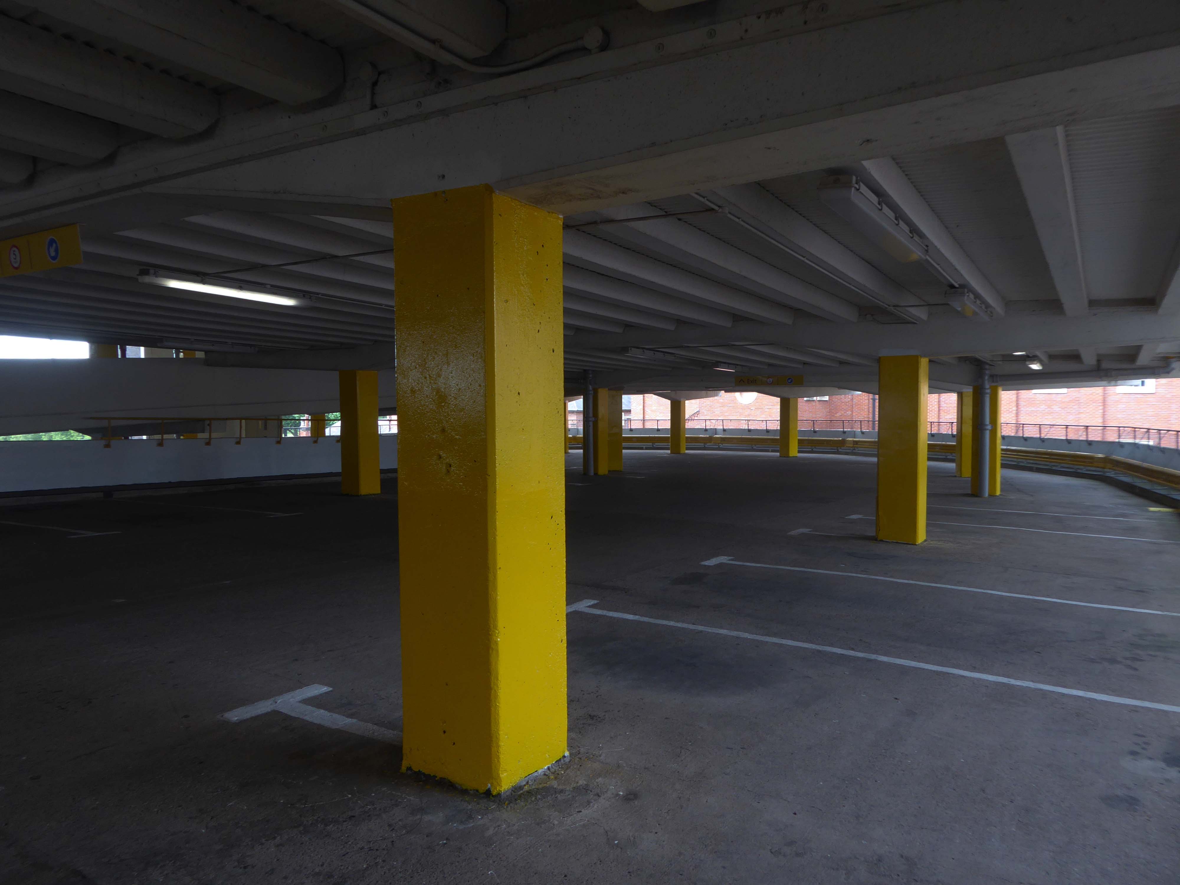
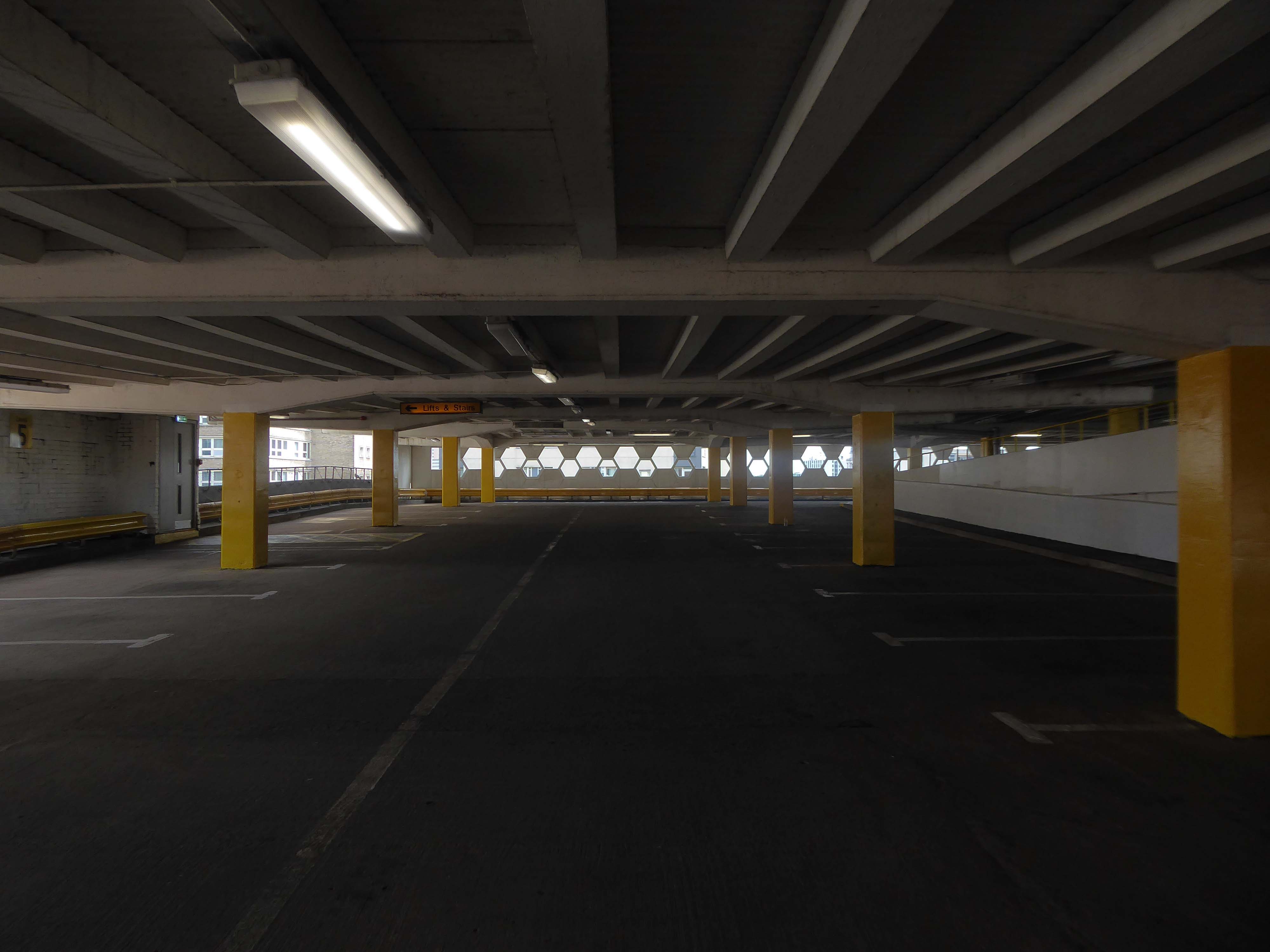
Eschewing the pedestrian entrance, I ascended the ramp – walk like a car!
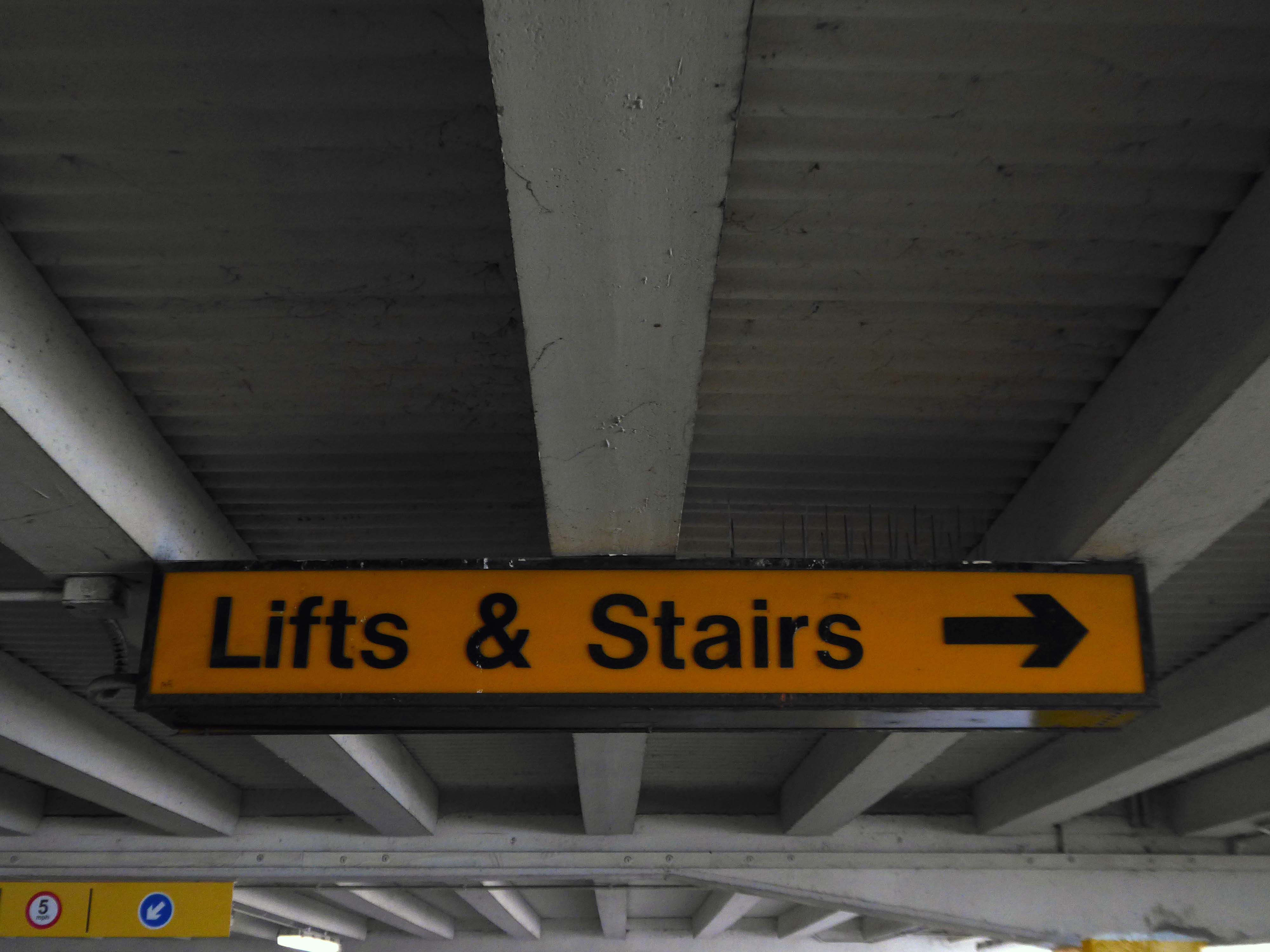
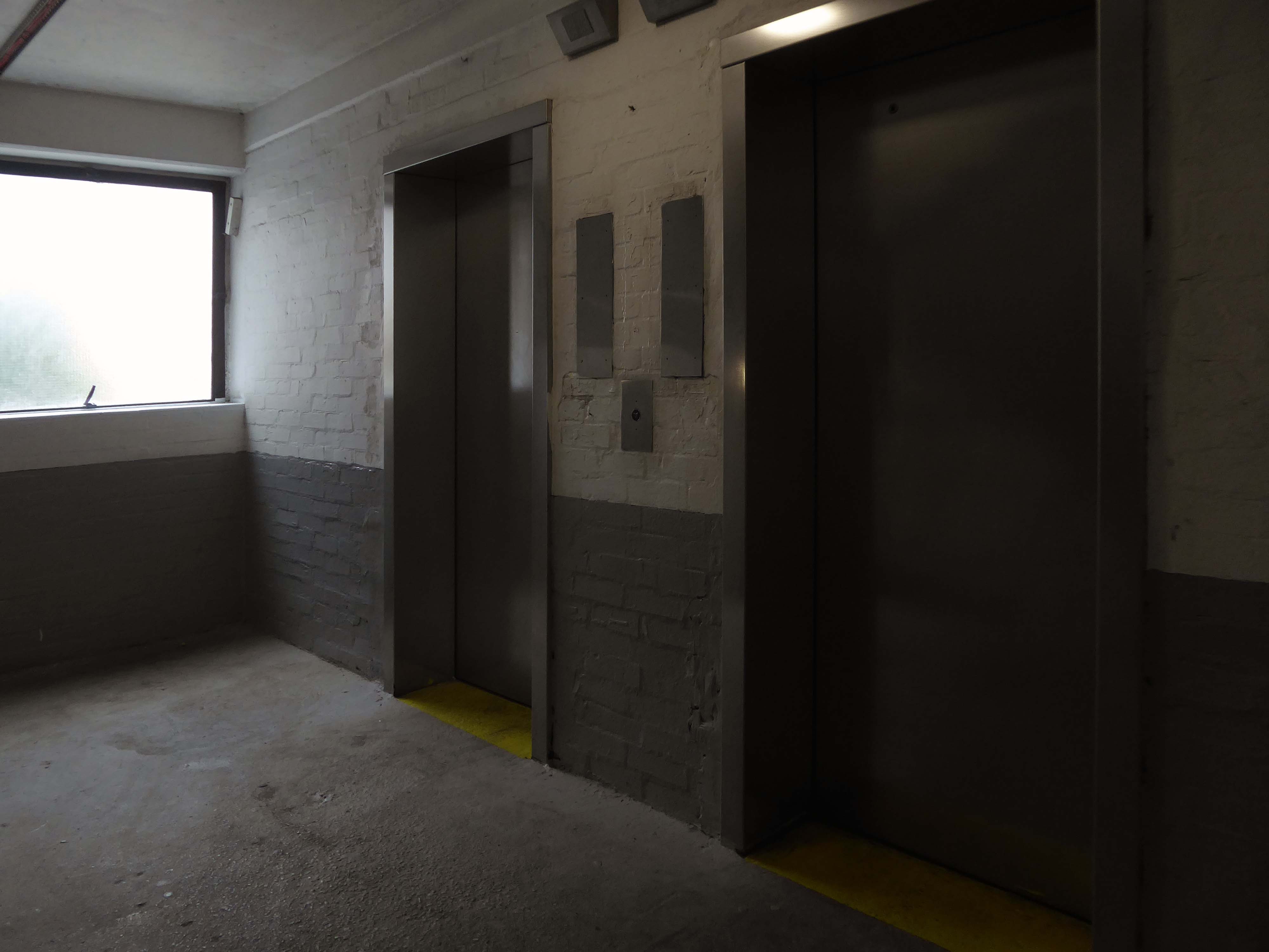
Weaving between yellow pillars, taking care on the stairs.
I’m on the top of the world lookin’ down on creation And the only explanation I can find Is the love that I’ve found, ever since you’ve been around Your love’s put me at the top of the world
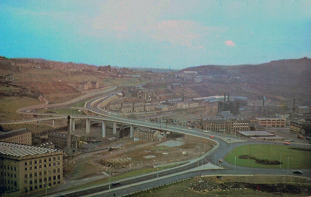
One man who saw the wisdom of building a road infrastructure to deal with high volumes of traffic passing through Halifax and to provide convenient links to the M62.
That man was prominent town councillor John Burdock.
Burdock Way, the modern flyover system, was opened in 1973 to take the A58 and A629 traffic over the River Hebble.
Faced with the problem of very high volumes of through traffic in its town centre, and with the impending construction of the M62 too far to the south to provide relief for the town, Halifax needed a bypass. The steep sided valley that the town centre inhabits prevented a conventional road from being built around the town, and so in the early 1970’s construction began on Burdock Way – one of the most adventurous relief road schemes built in Britain, certainly by a town the size of Halifax.
Only one phase of the futuristic road was ever built, but what exists is a partially grade-separated dual carriageway that runs through deep trenches and over tall viaducts close to the heart of the town. At its eastern end is a truly byzantine piece of traffic engineering that stretches the definition of a roundabout to its limit.
In October 1971 the official celebrations went anything but according to plan. It had been decided to give the people of Halifax a half day holiday so they could attend the opening, but there were not enough police on duty to control the sightseers. It was impossible to get complete silence for the speeches and arrangements to tell the artillery guns at Southowram Road when to fire broke down. They were fired prematurely while an archdeacon was offering prayers. The Mayor, HC McCrae, finally managed to announce that the bridge was officially open and he scurried back to the town hall where he hosted a banquet.
Burdock Way has never been fully completed as it is missing certain sections envisaged in the early 1960s plans. There are a number of reasons for this, but it is mainly owing to West Yorkshire County Council’s cost cutting in the 1970s.
Yorkshire Post
This is the Valley of the Gwangi in the West Riding – minus the dinosaurs.
An urban chasm, the gulf between everything and nothing.
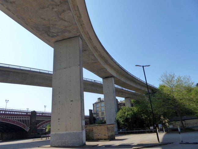
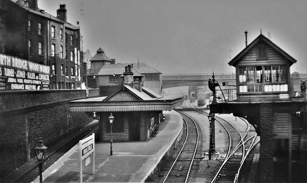
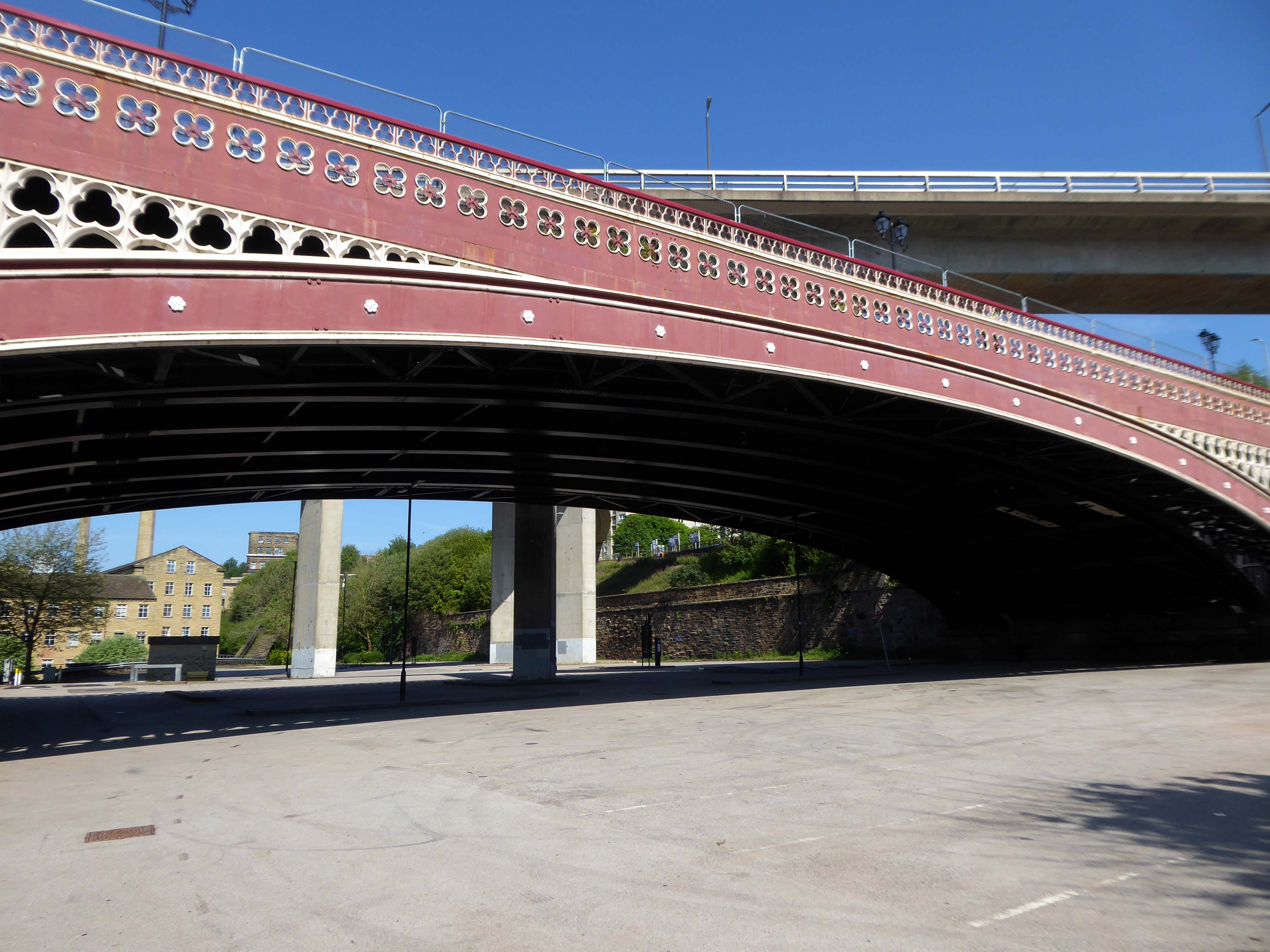
North Bridge is a Victorian iron and stone bridge crossing the valley of the River Hebble, connecting the town to roads to Bradford and Leeds. Replacing an earlier six arch stone bridge it was raised to allow the subsequent construction of the Halifax High Level Railway beneath it, along with an adjoining station.
Opened in 1871 amid chaotic crowd scenes it carried increasingly heavy traffic until it was by-passed by the Burdock Way in 1973.
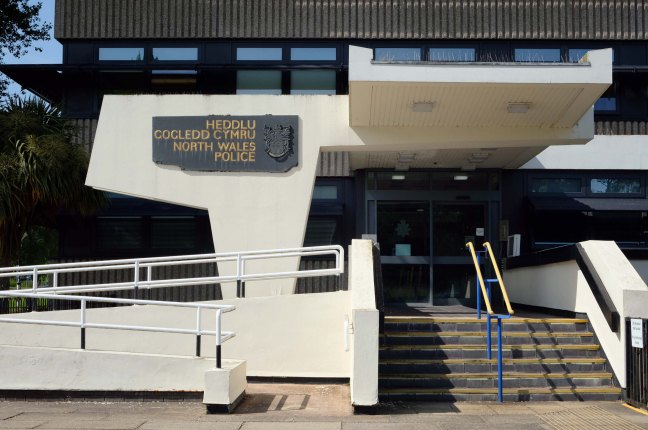
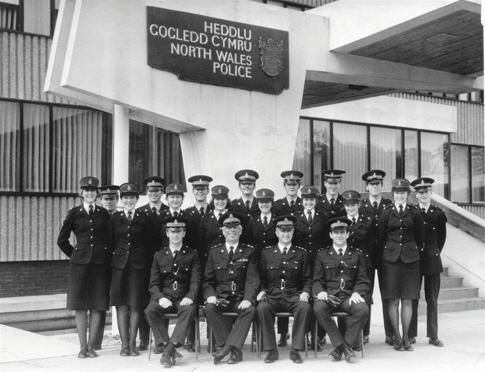
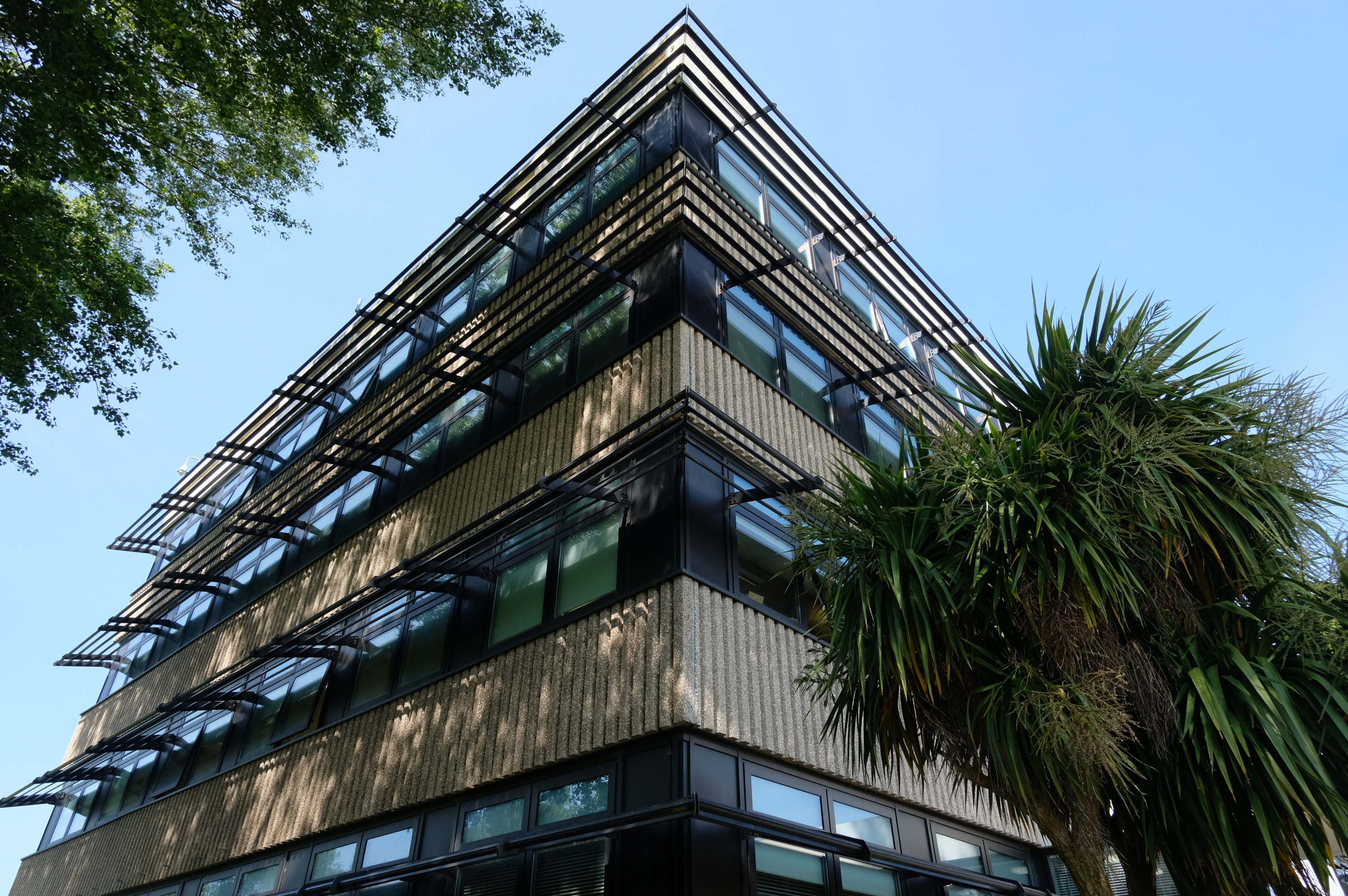
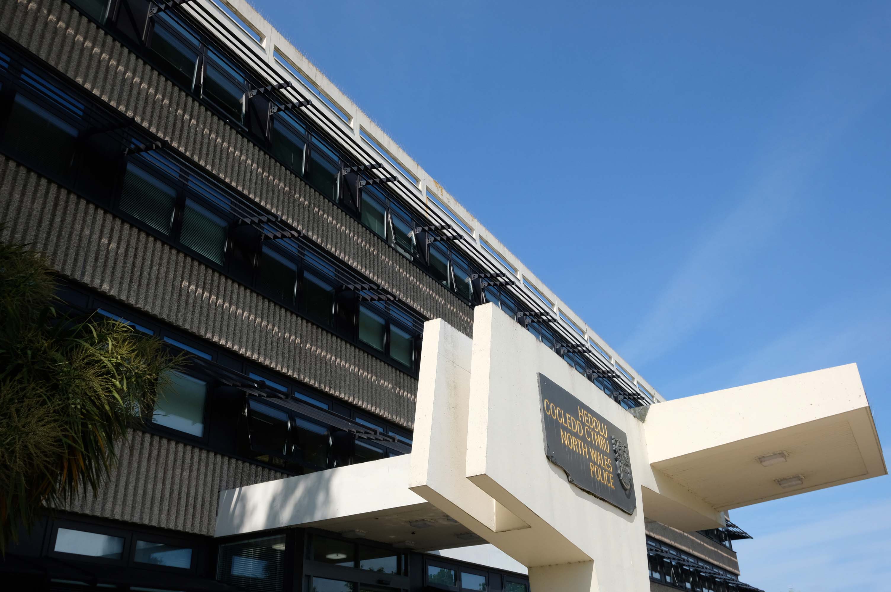
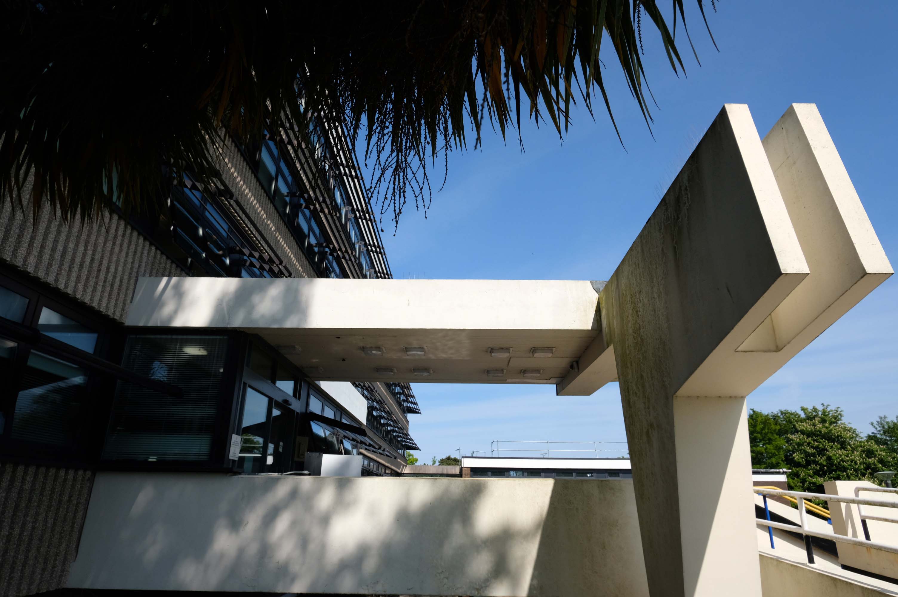
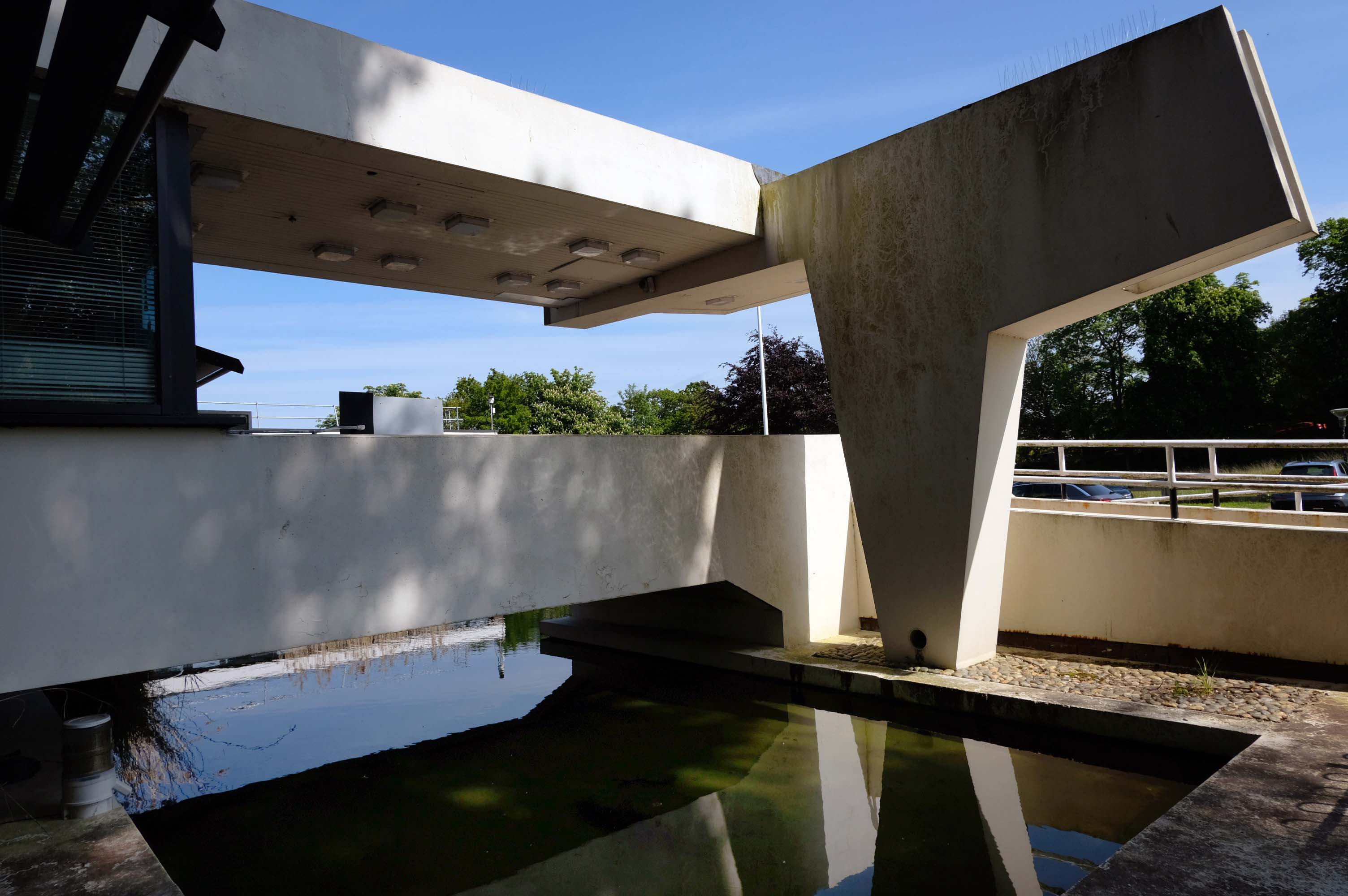
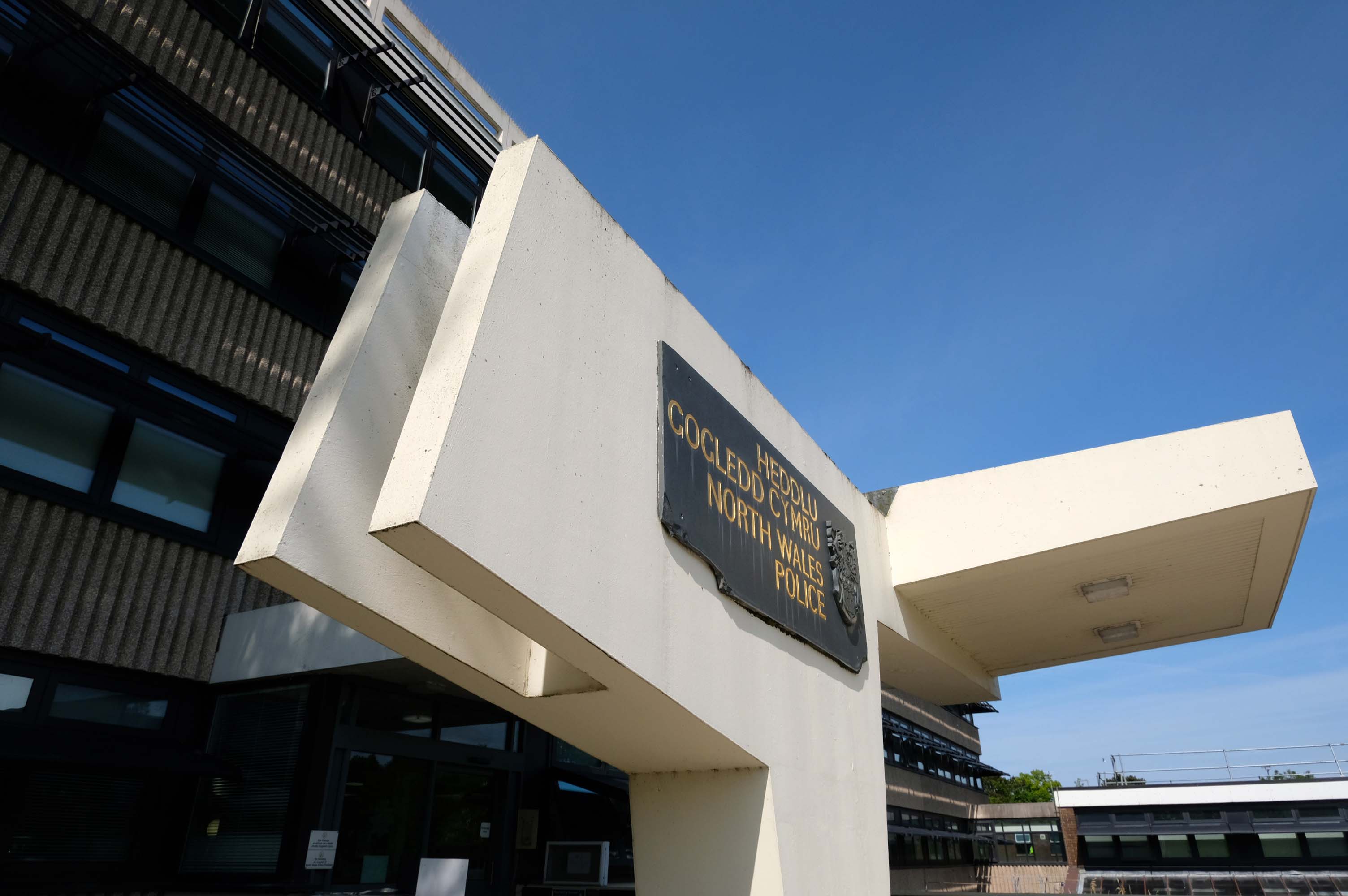
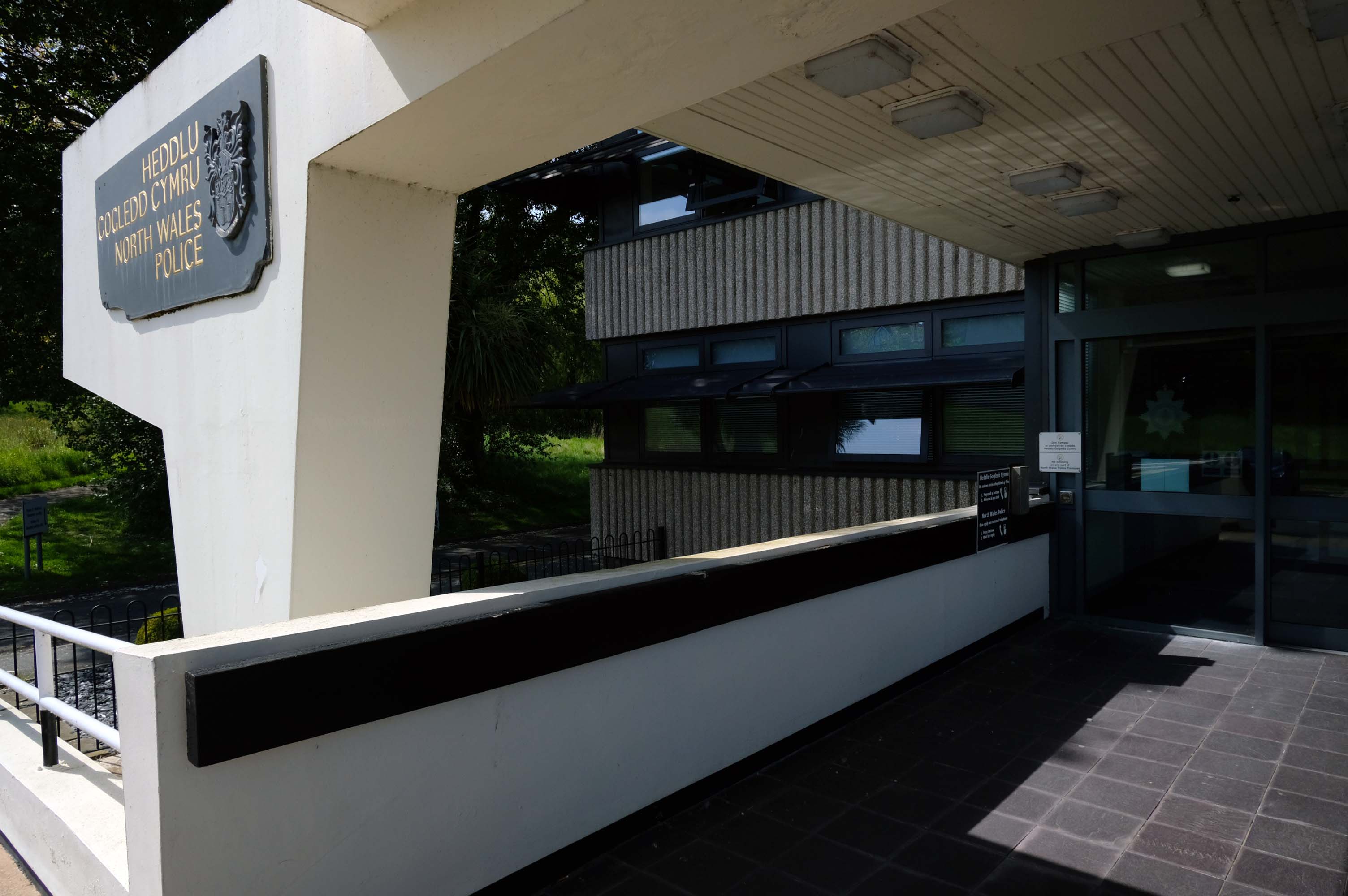
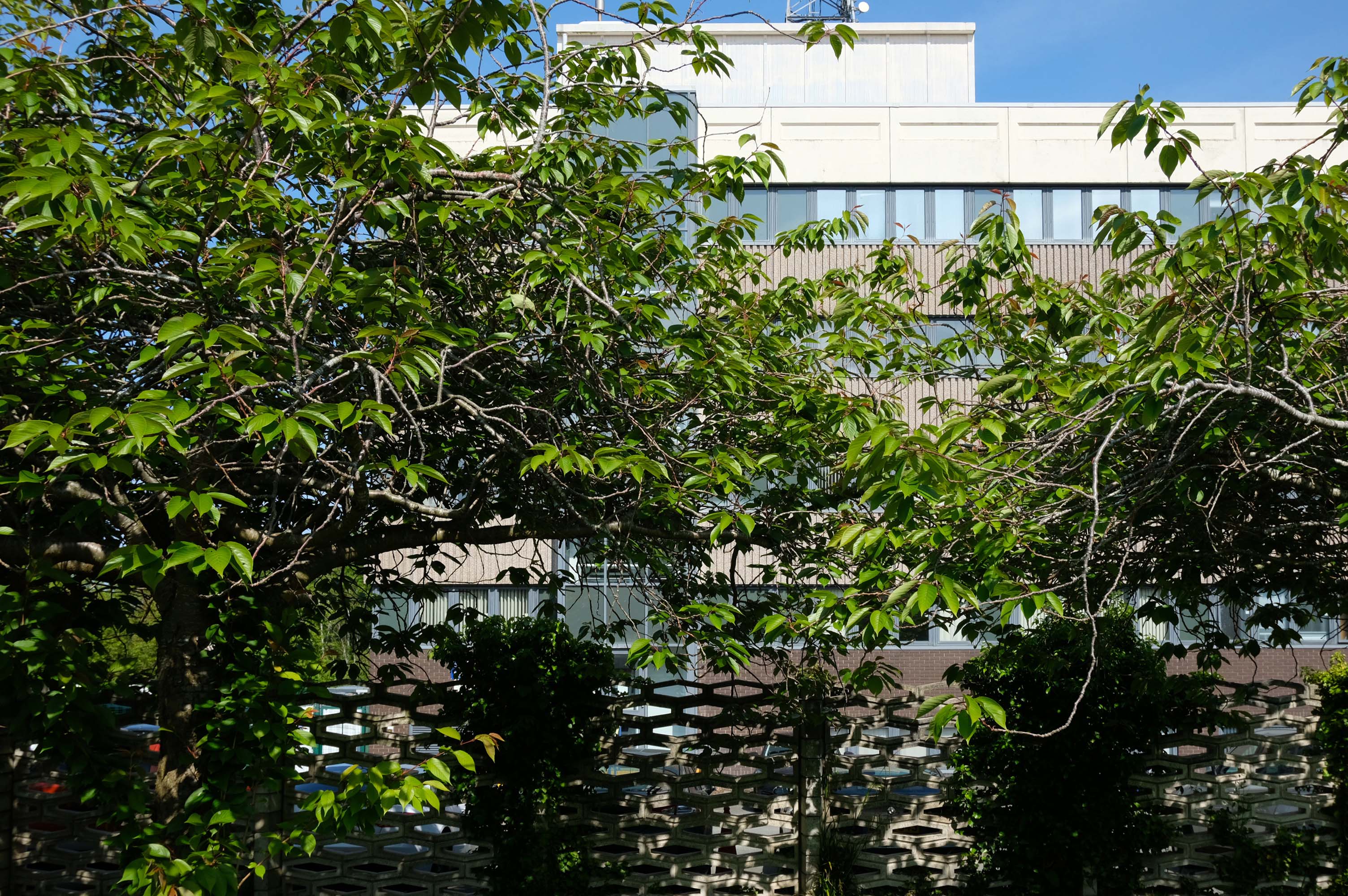
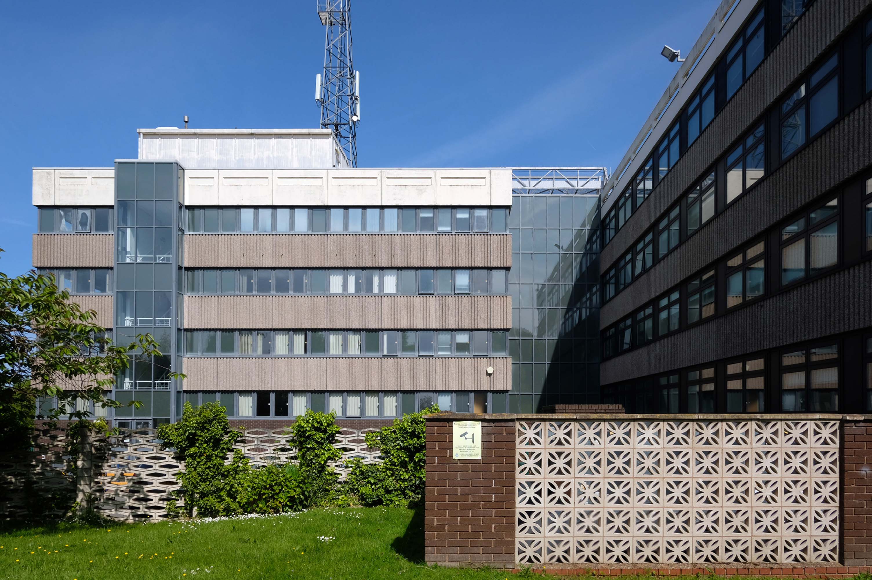
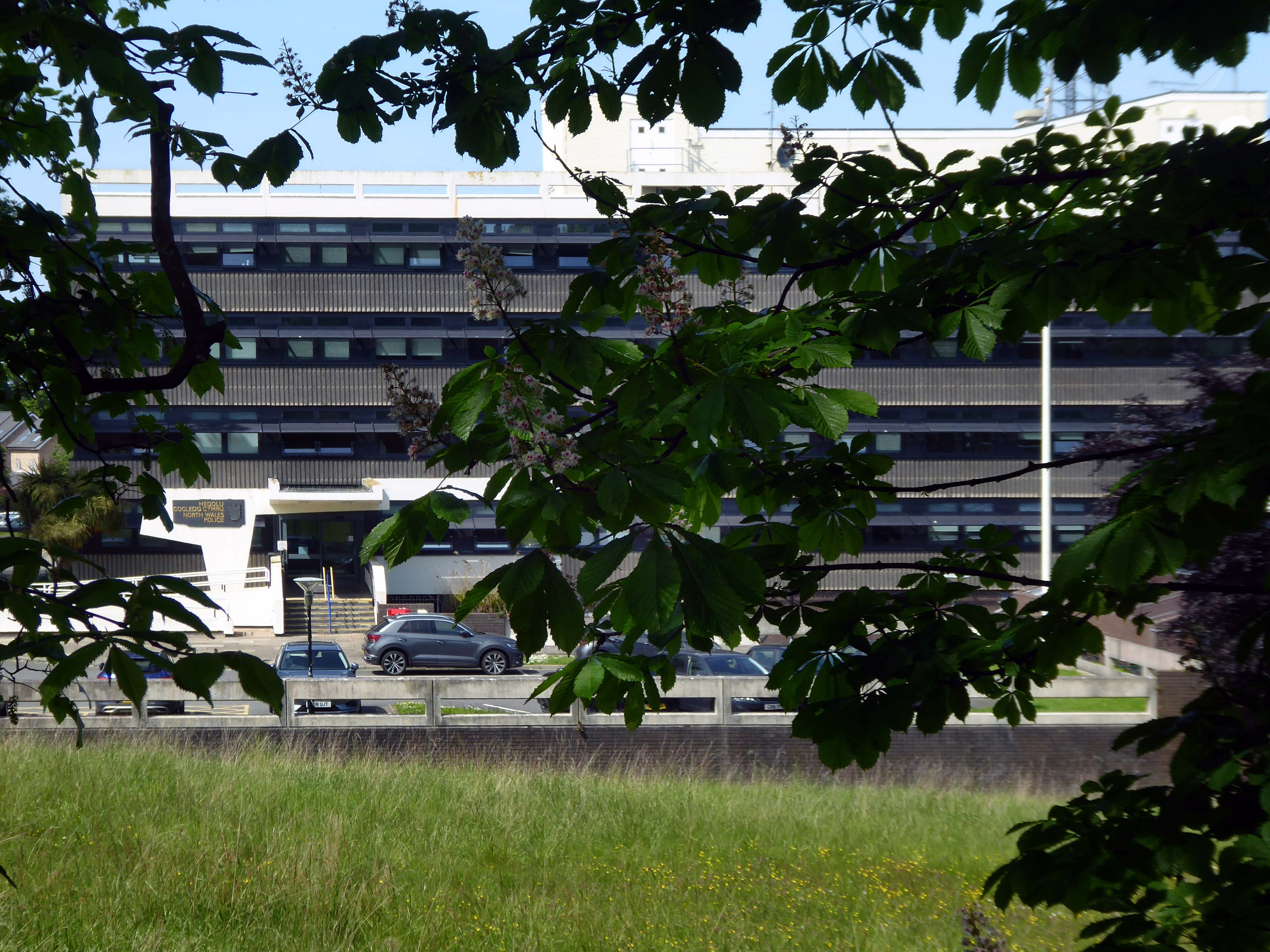
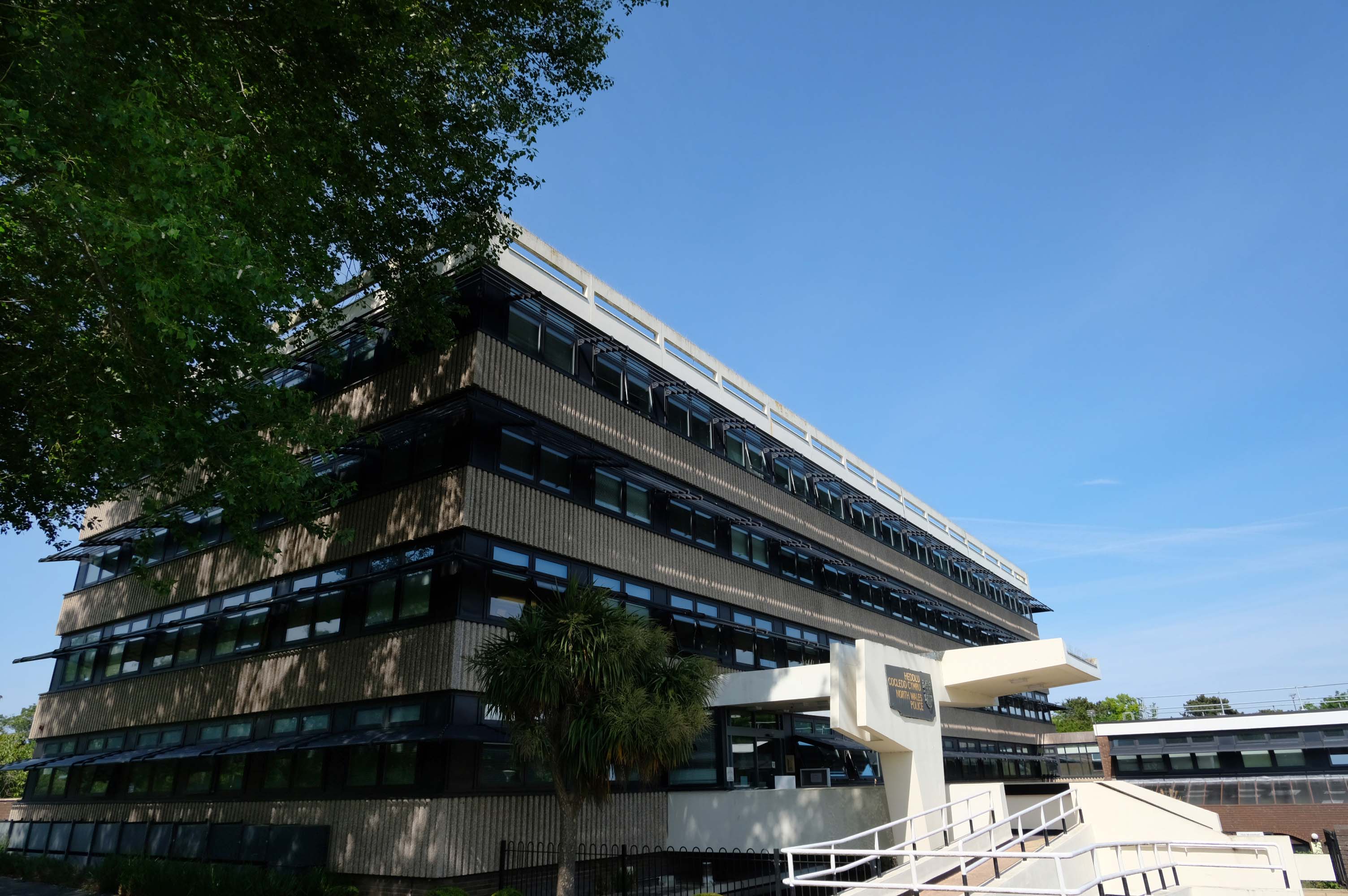
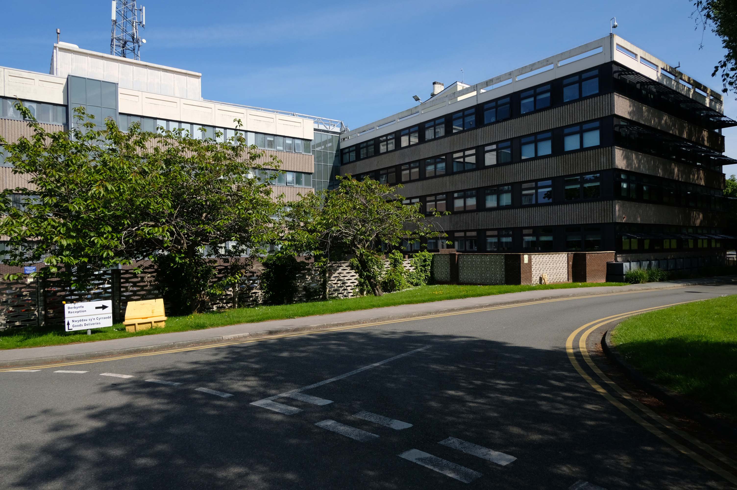
North Wales Police – Heddlu Gogledd Cymru is the territorial police force responsible for policing North Wales.
Photo: Gareth Ellidge
As of March 2020, the force has 1,510 police officers, 170 special constables, 182 police community support officers, 71 police support volunteers, and 984 staff.
Having cycled from Prestatyn, I popped into reception to ask permission to photograph the exterior of the HQ.
Following a short wait, I was granted permission.
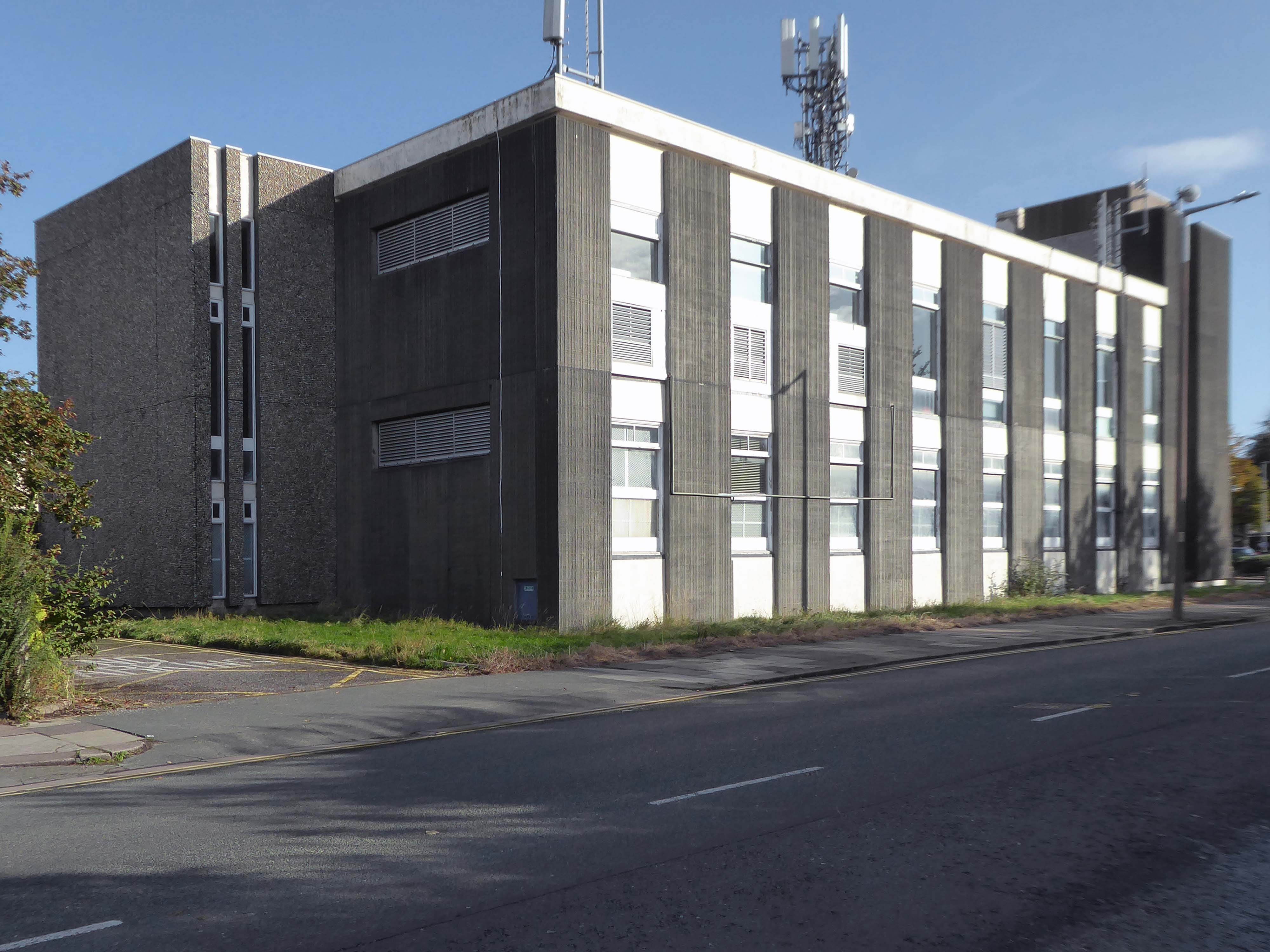
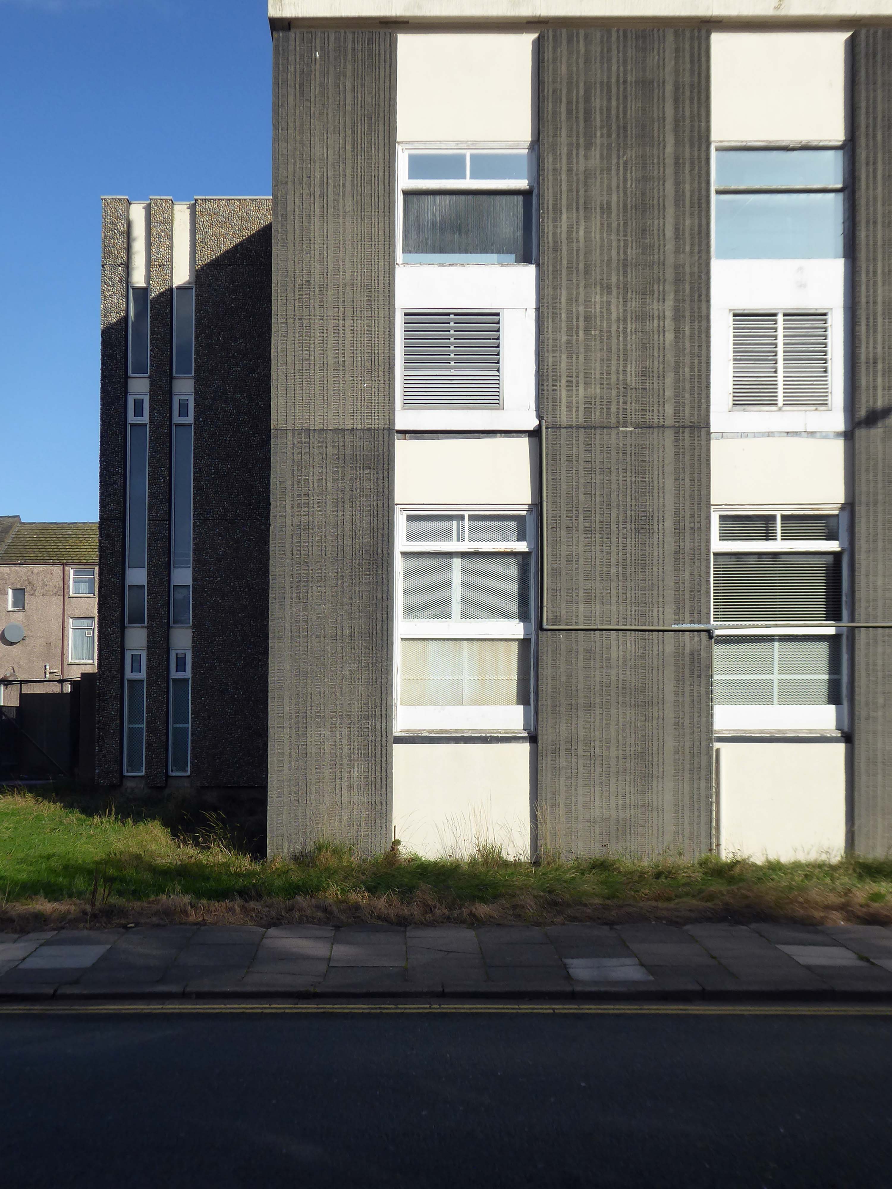
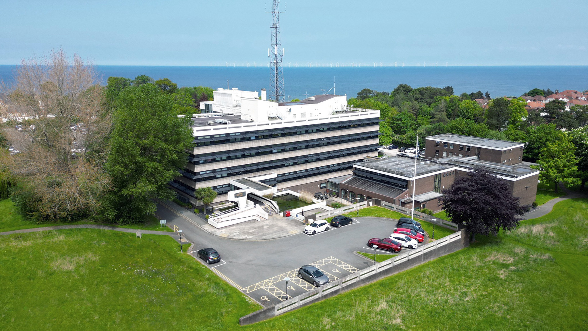
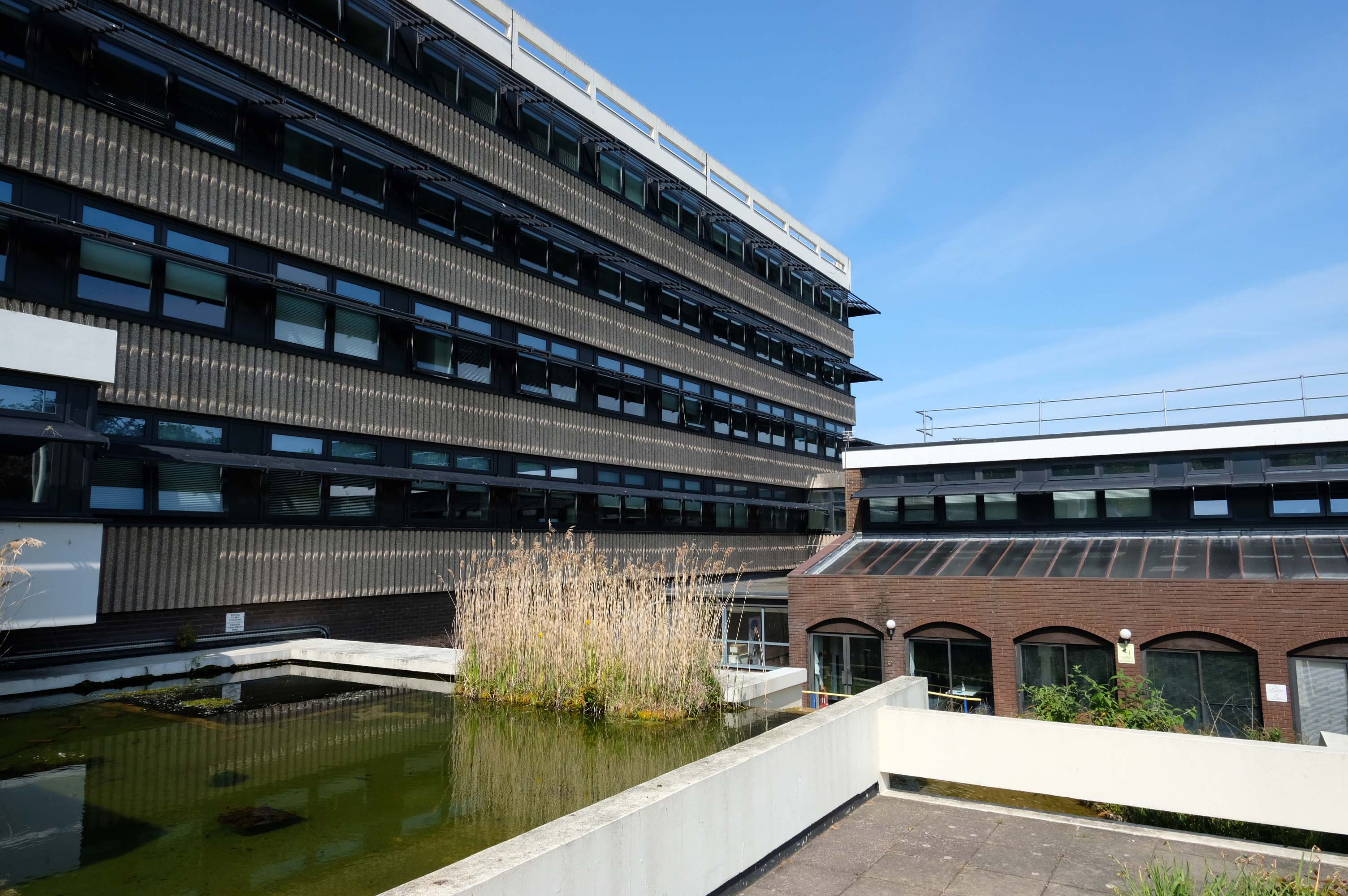
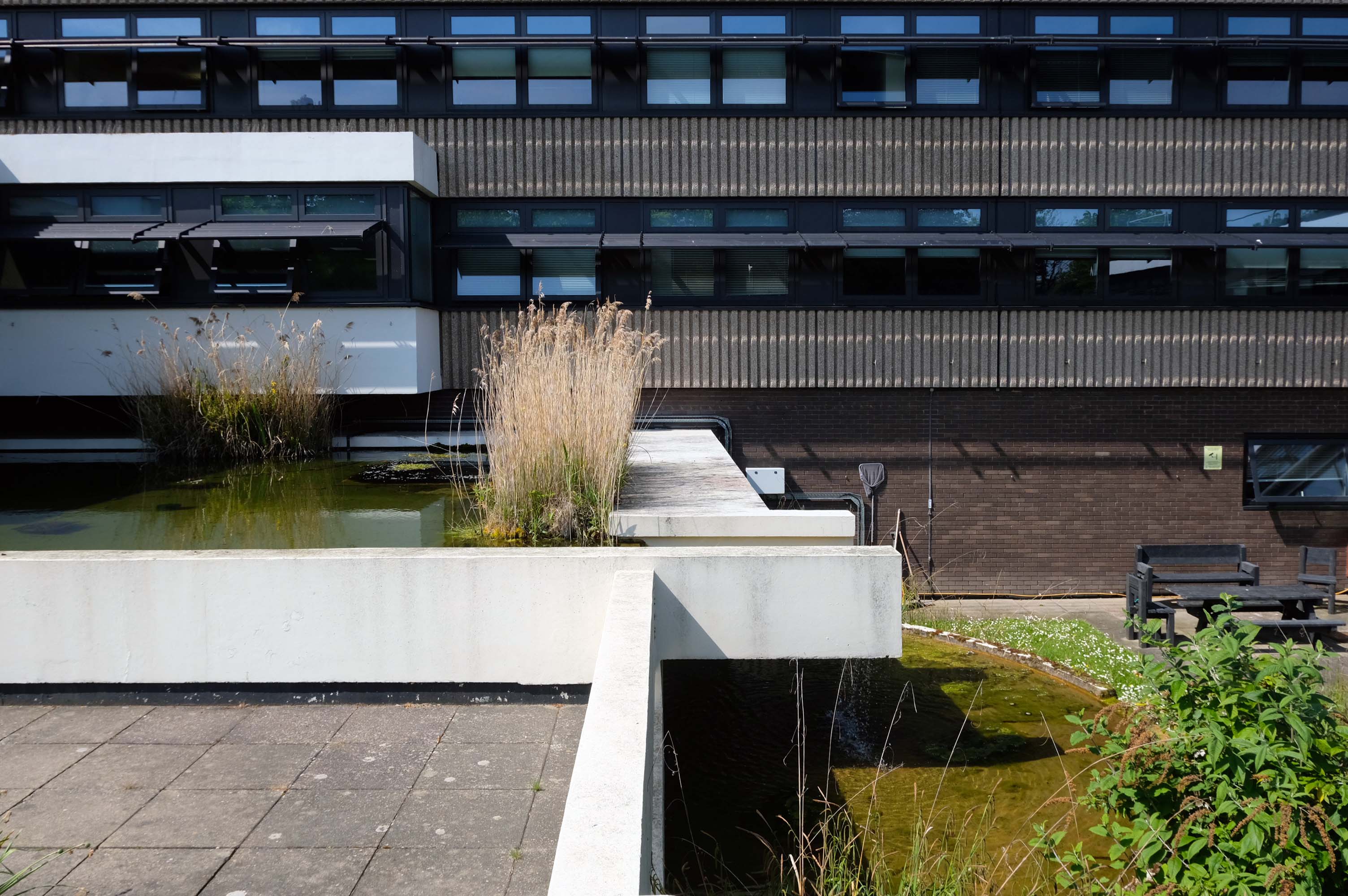
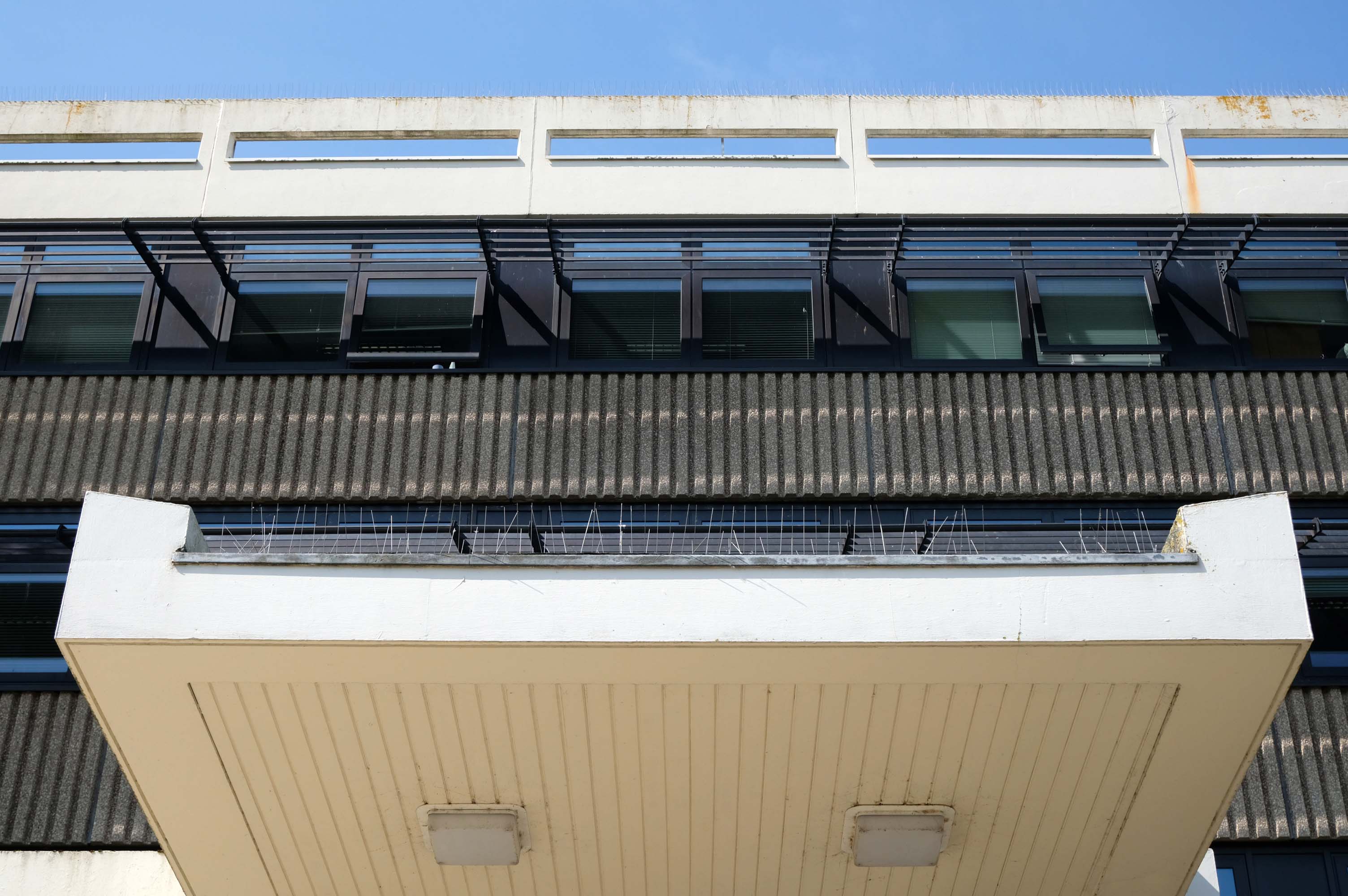
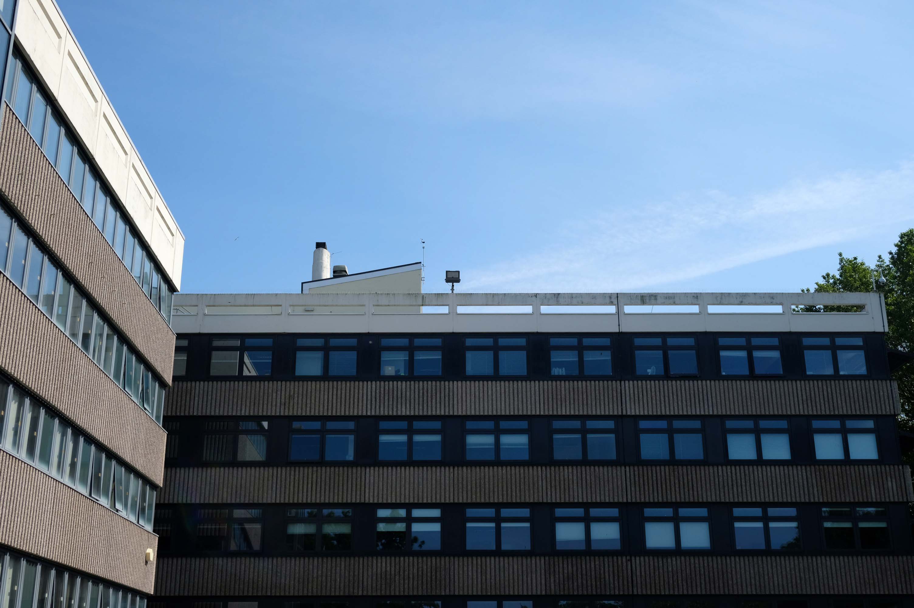
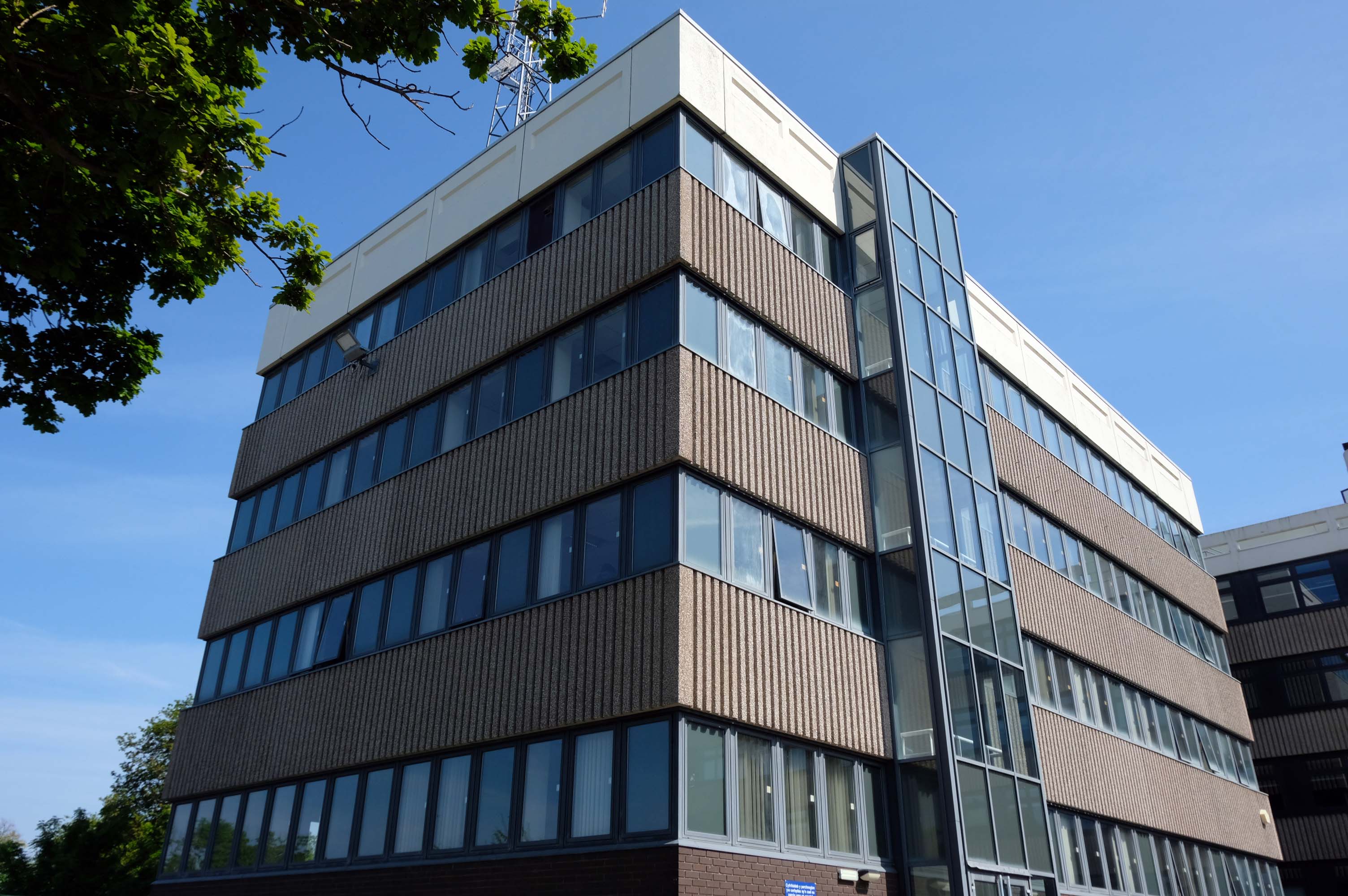
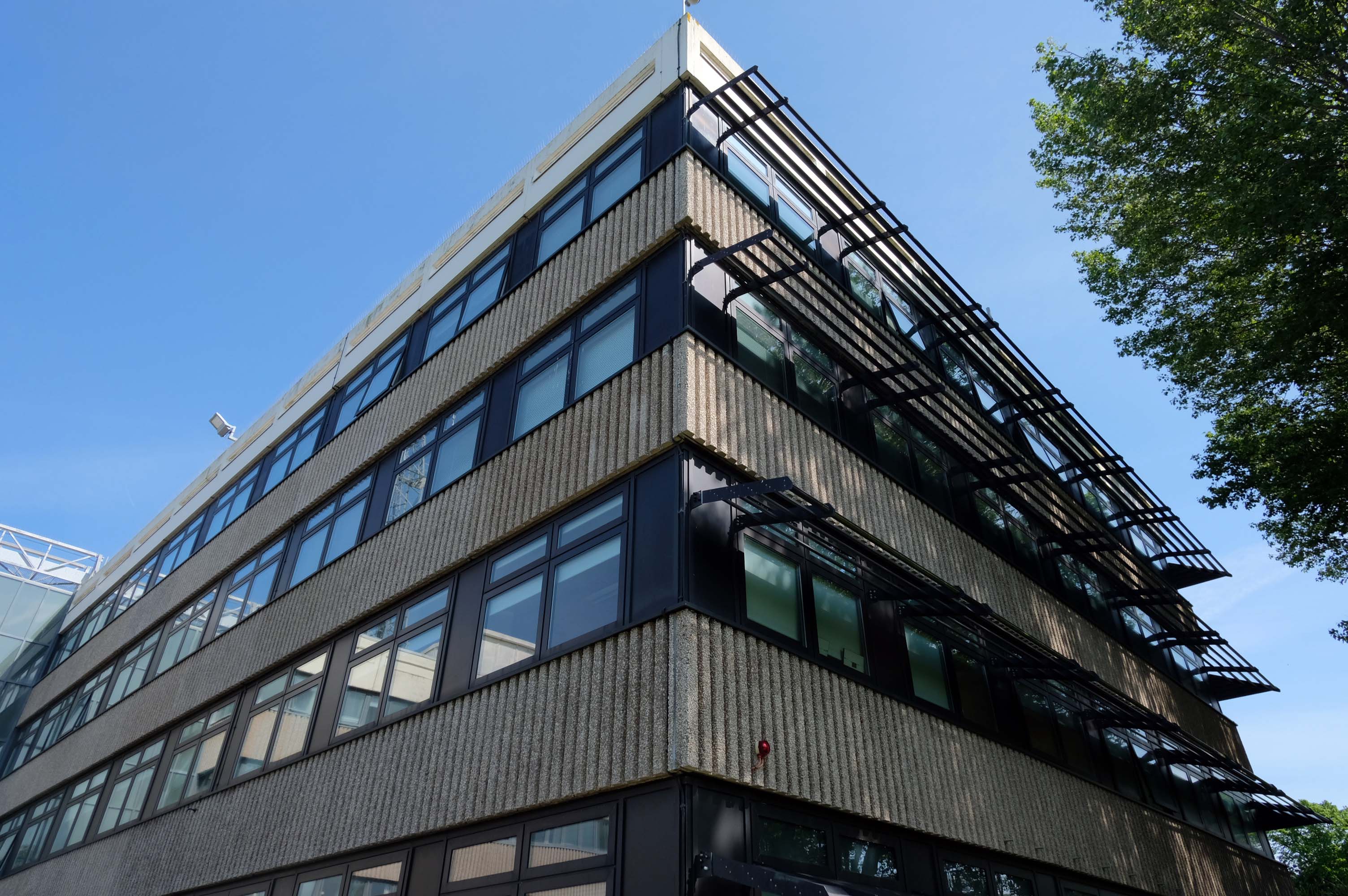
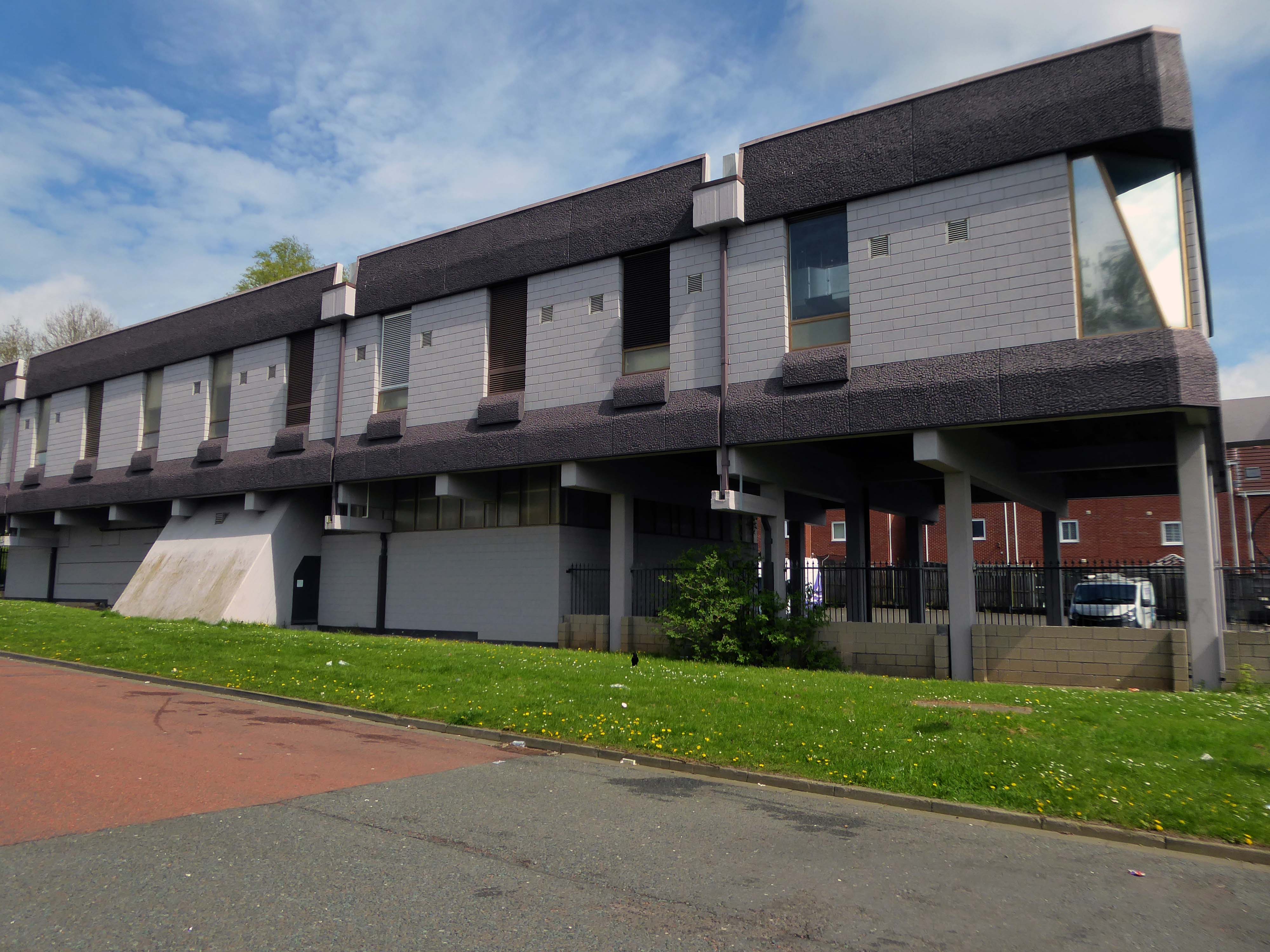
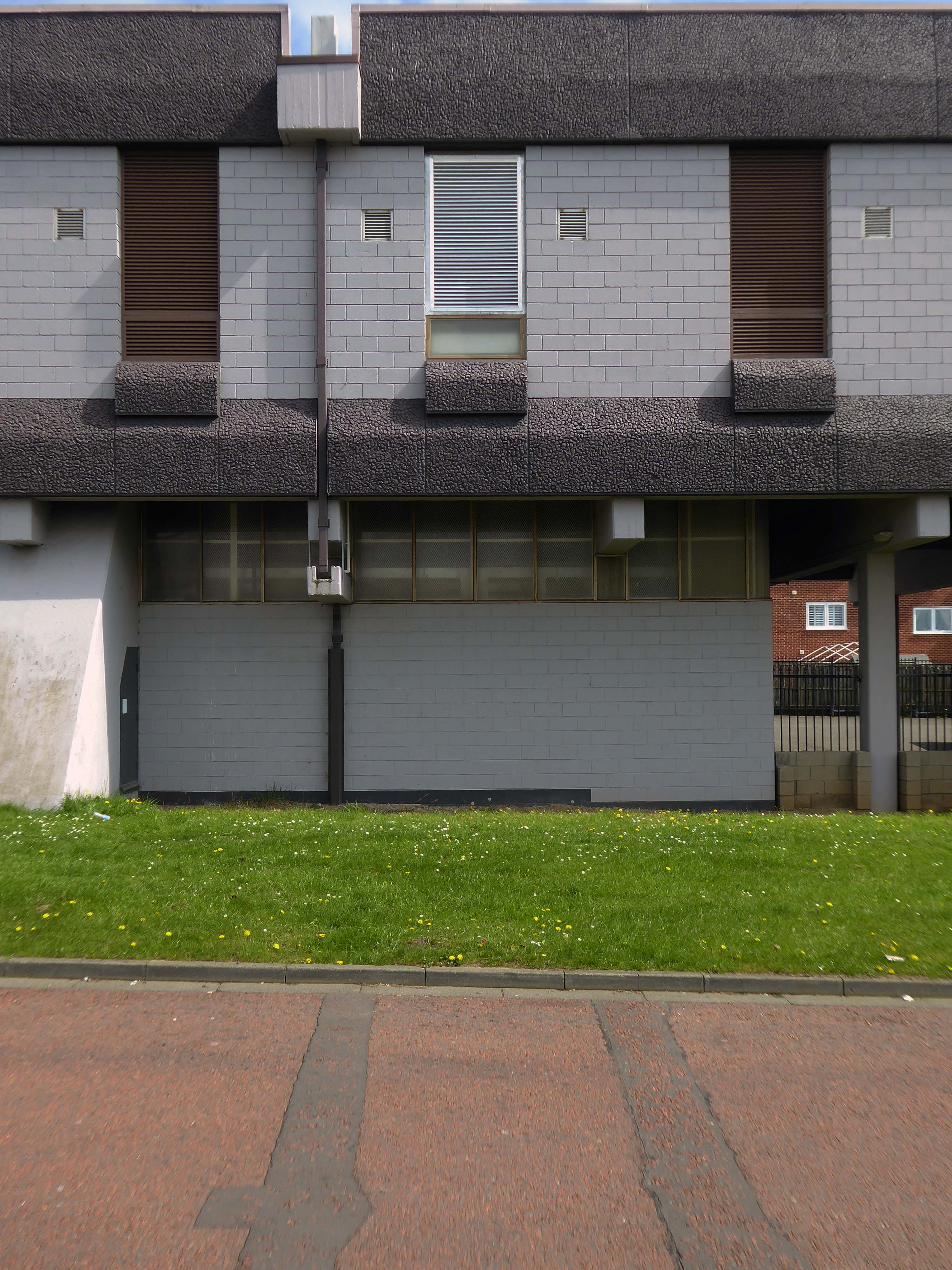
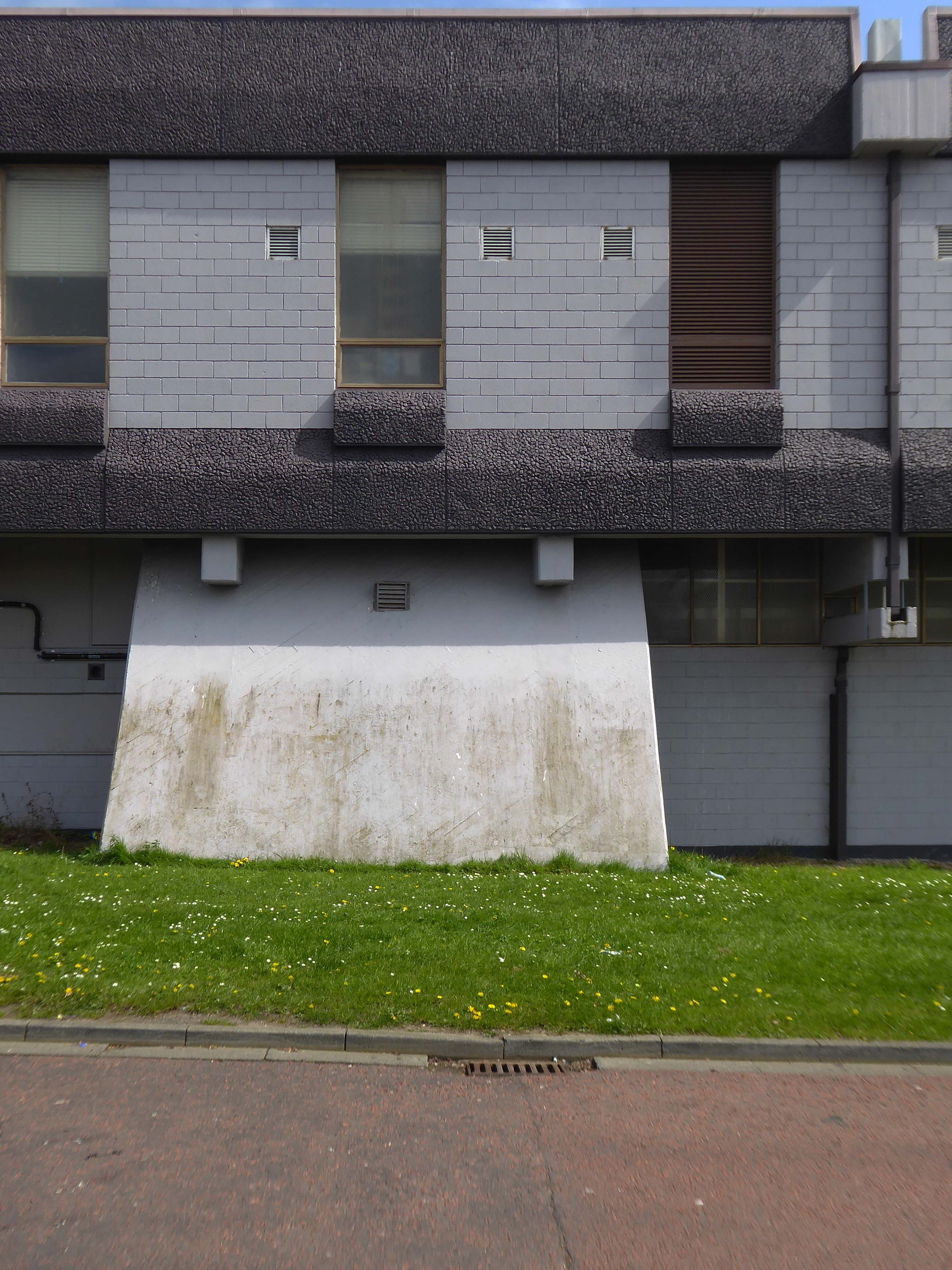
The building is an imposing steel, concrete and glass system built structure of 1972, with brick outliers on a grassy site.
It has undergone adaptation to modern eco-standards.
The administration building for North Wales Police, located in Colwyn Bay, was typical of the breed: a 1970s leaky and draughty concrete-framed building with high solar gains, especially on the South and West facades. It consumed a lot of energy and delivered very poor comfort conditions.
The budget for the refurbishment was set at around £2.4 million. North Wales Police appointed Capita Symonds as the Project Manager with the design team comprising FSP Architects, Buro Happold, WS Atkins, and Faithful+Gould.
A system of brise-soleil solar shading was provided for the East, South and West facades. Combined with the reduced area of glazing, the brise soleil reduced the solar gains enough to avoid the need for mechanical cooling and for the natural ventilation strategy to be retained.
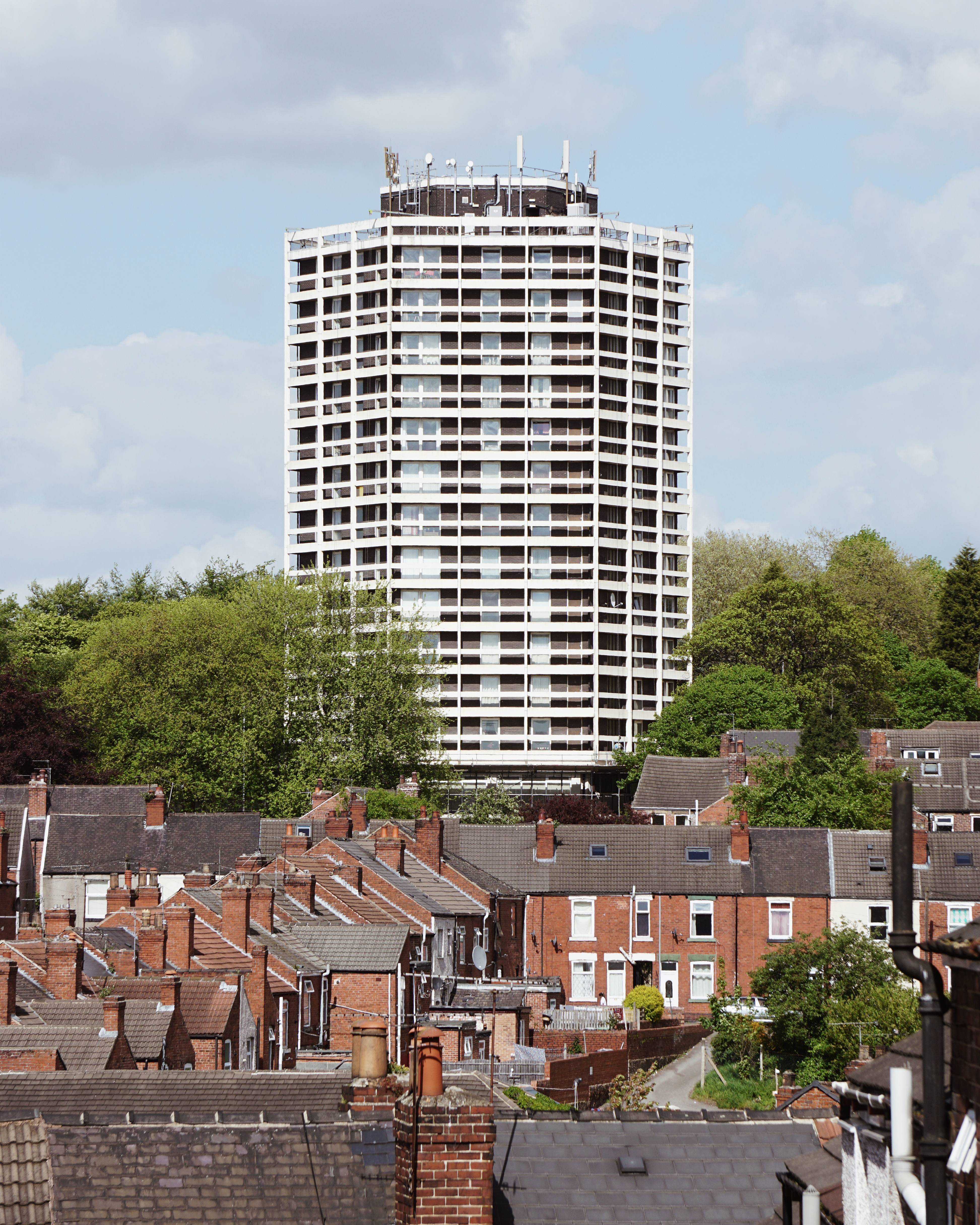
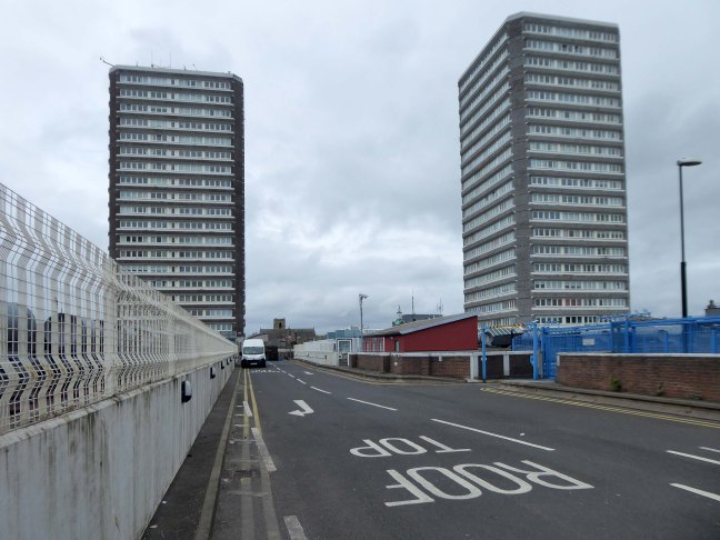
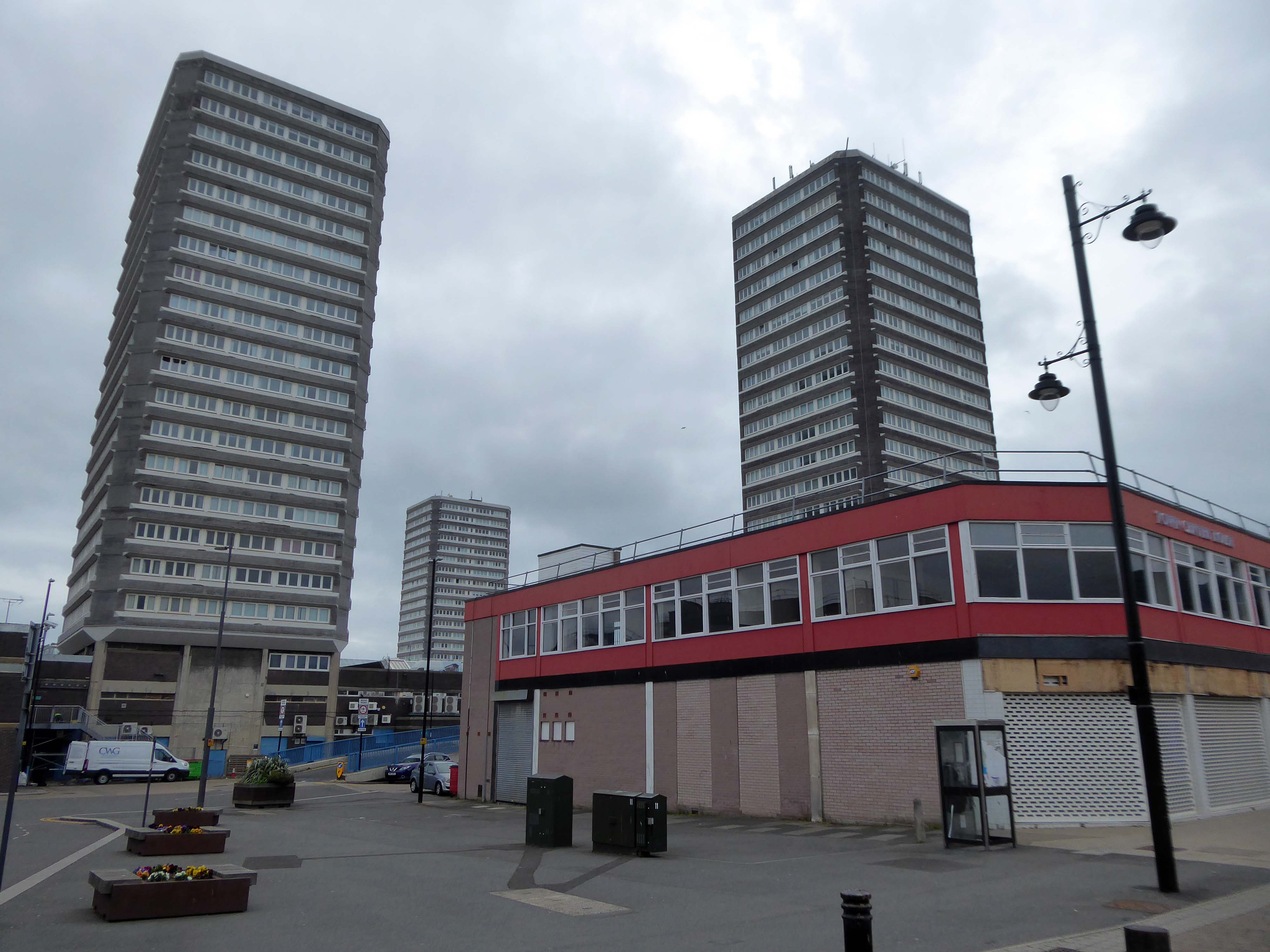
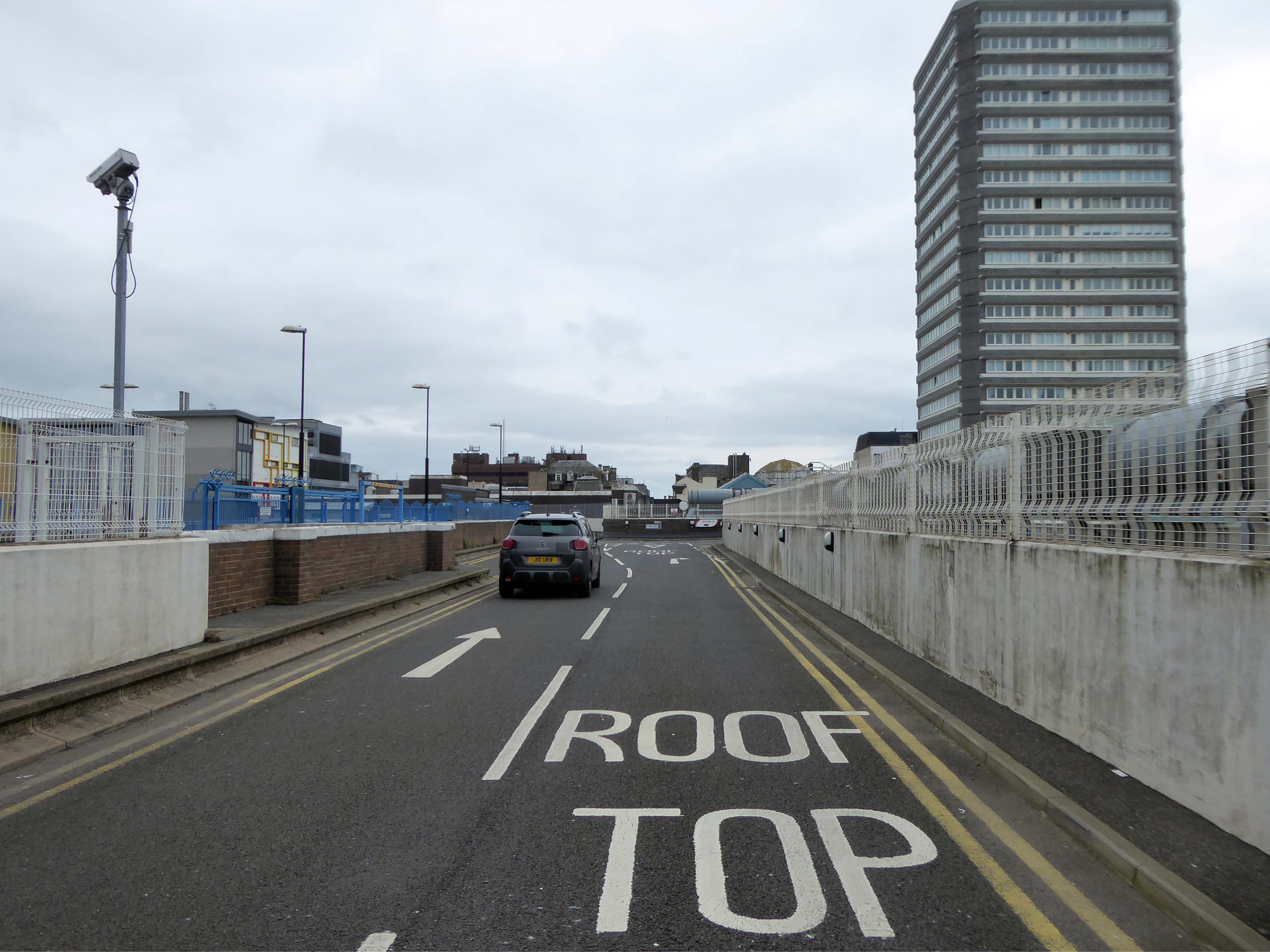
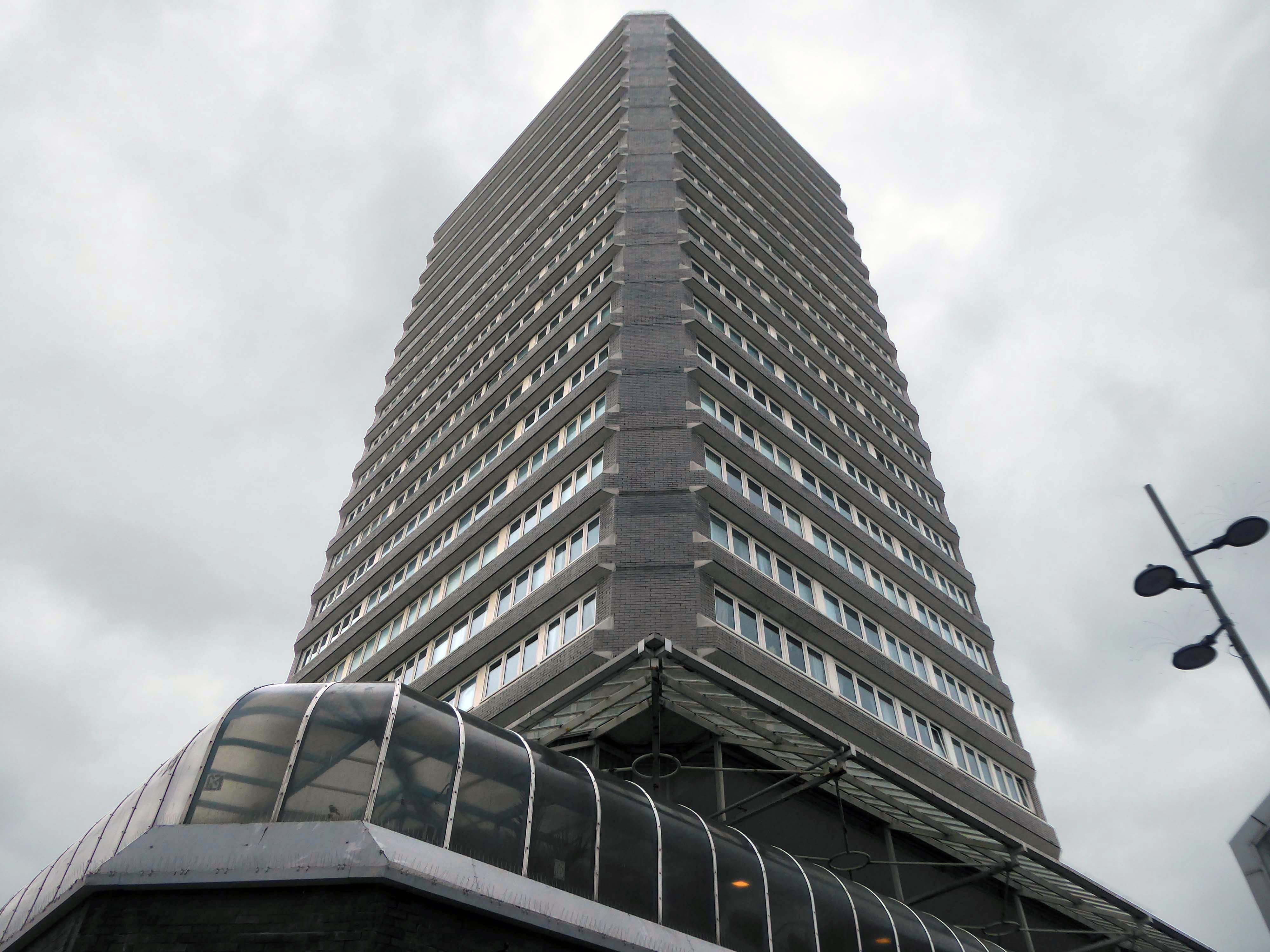
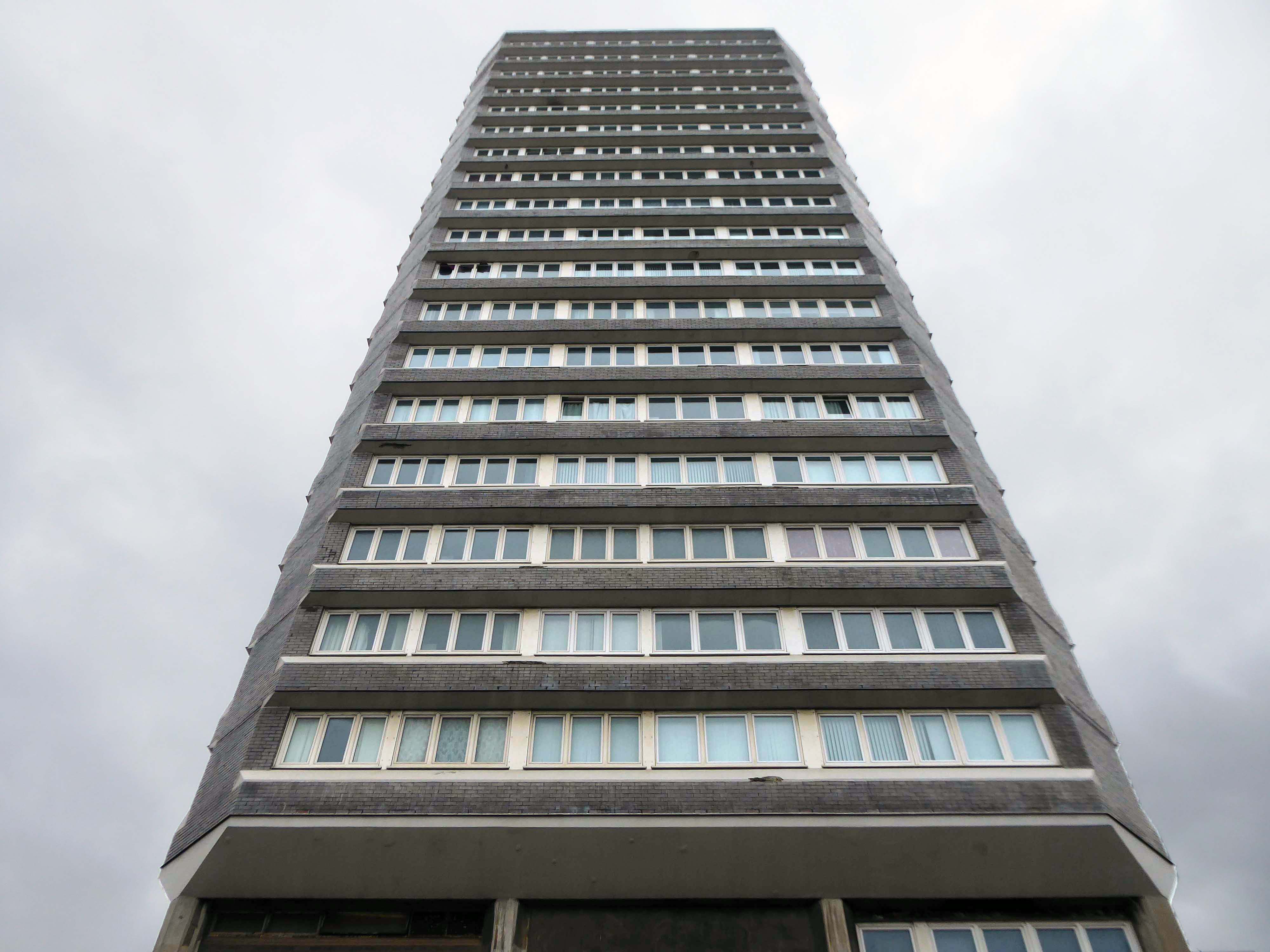
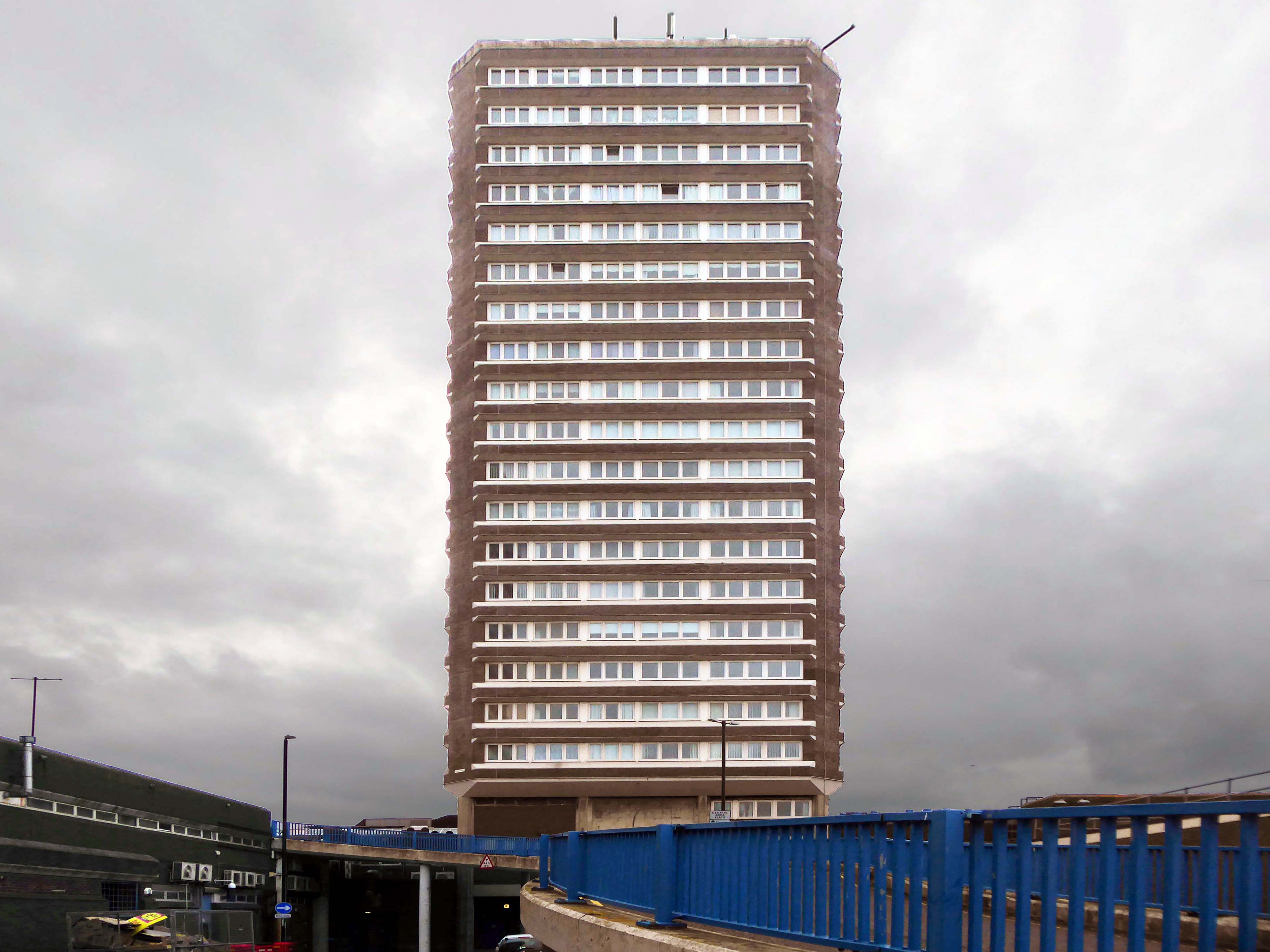
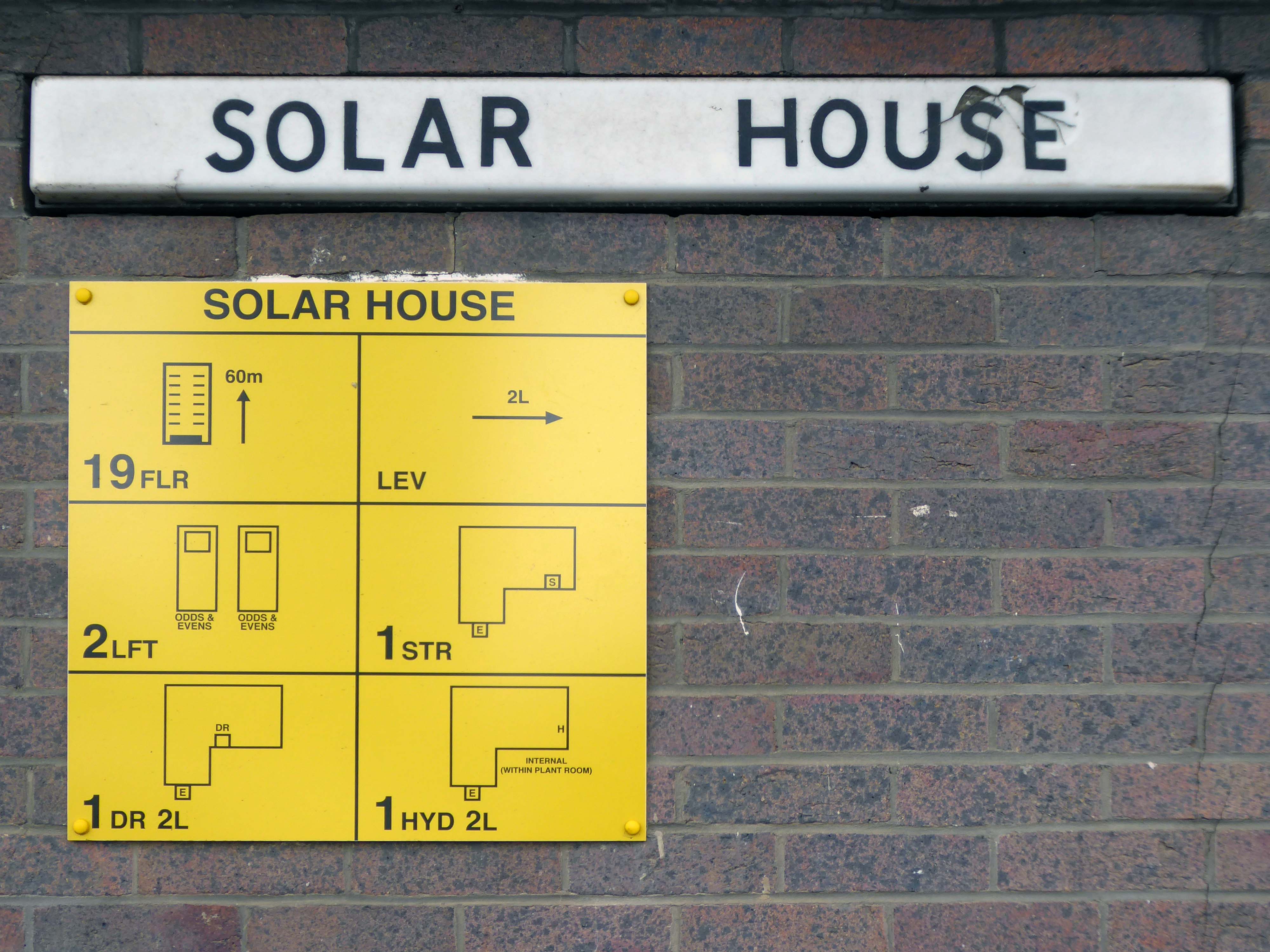
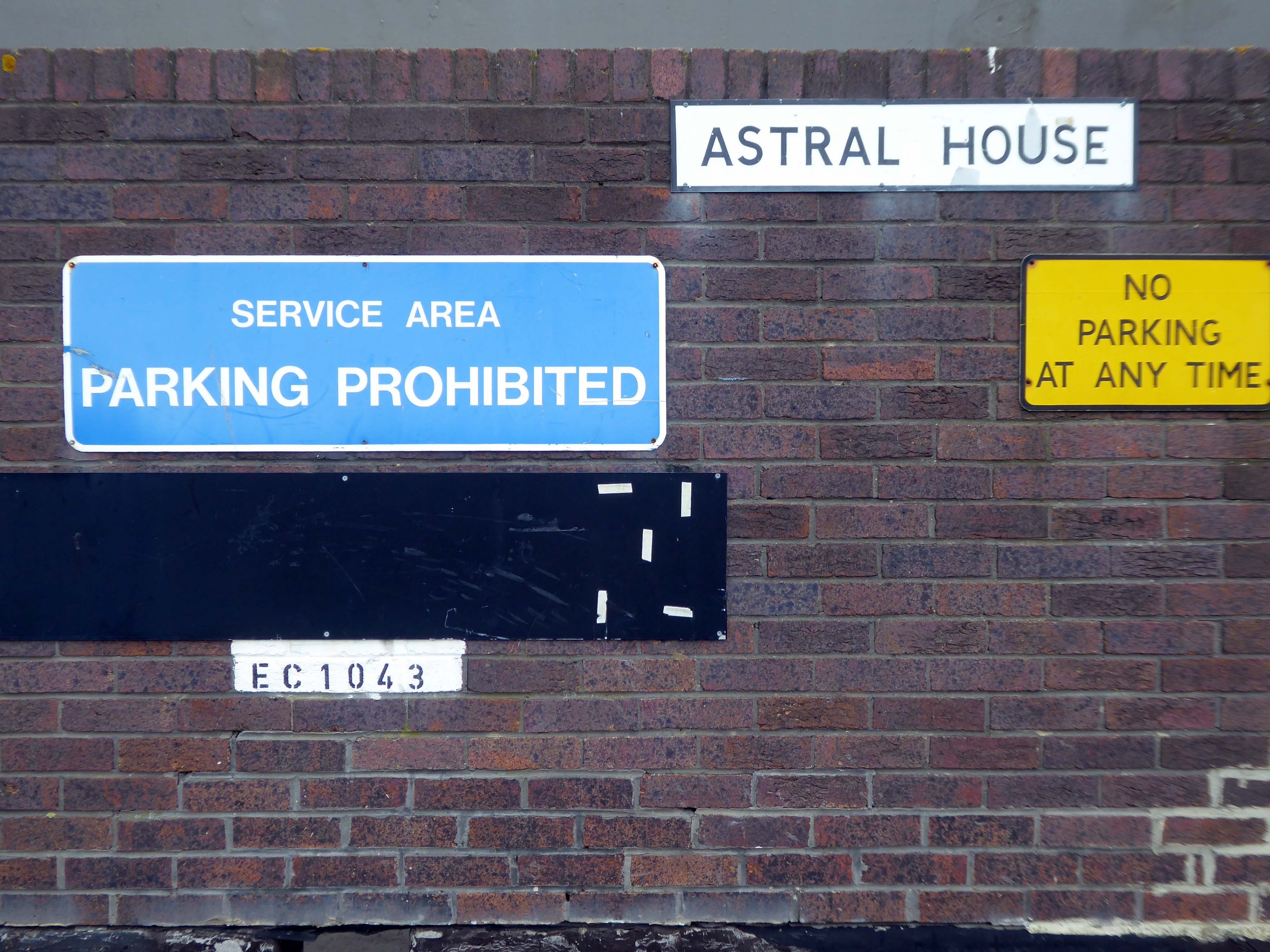
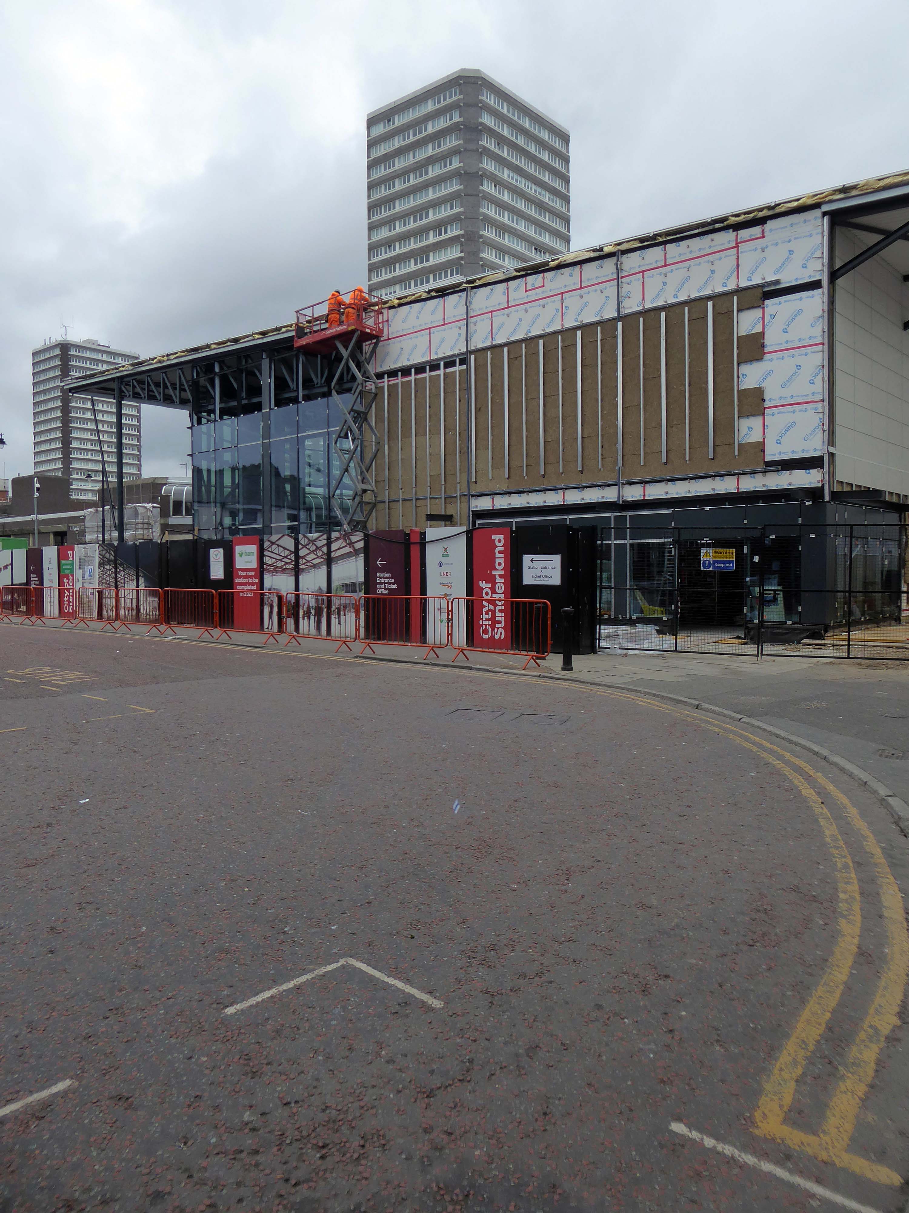
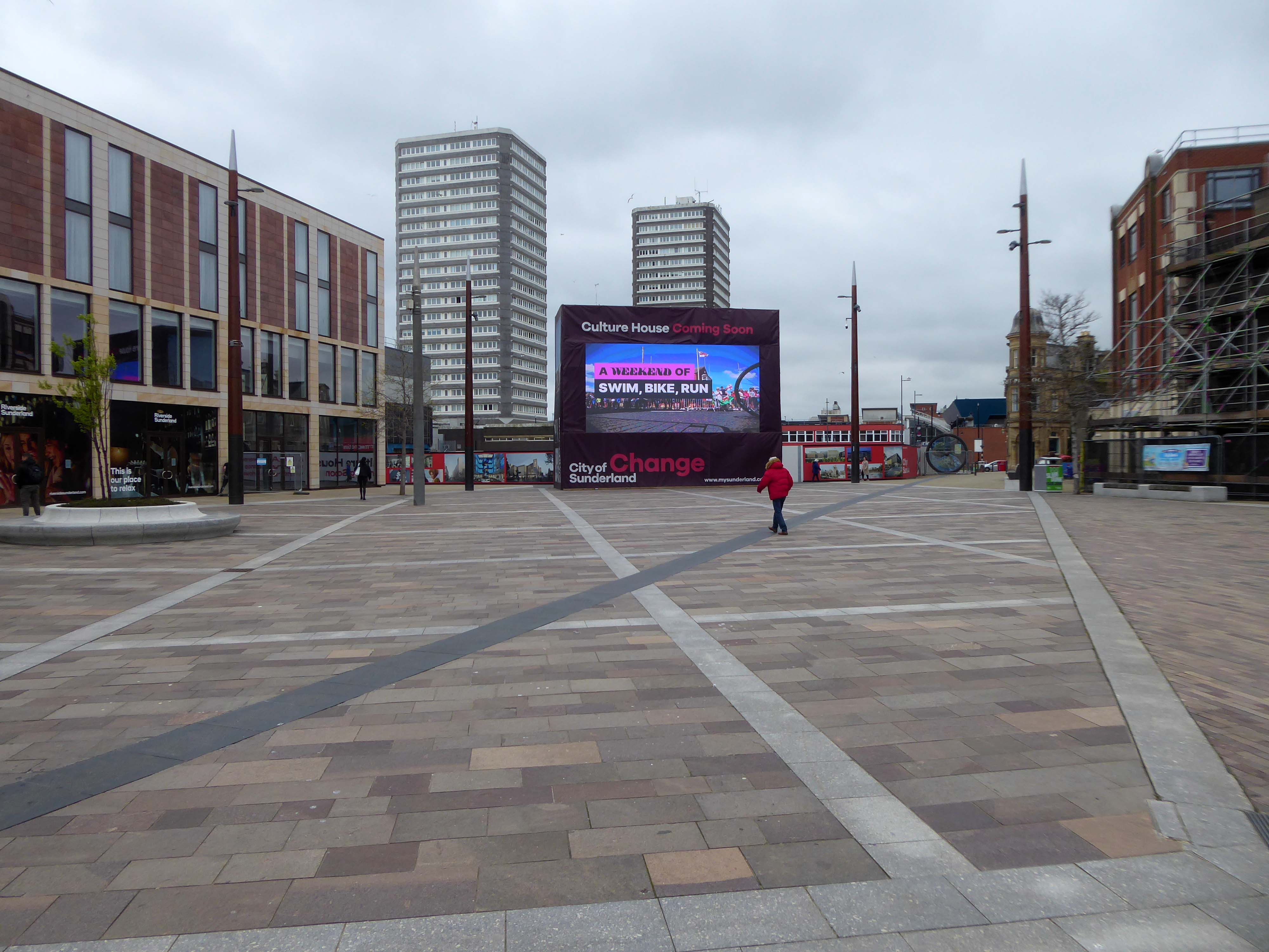
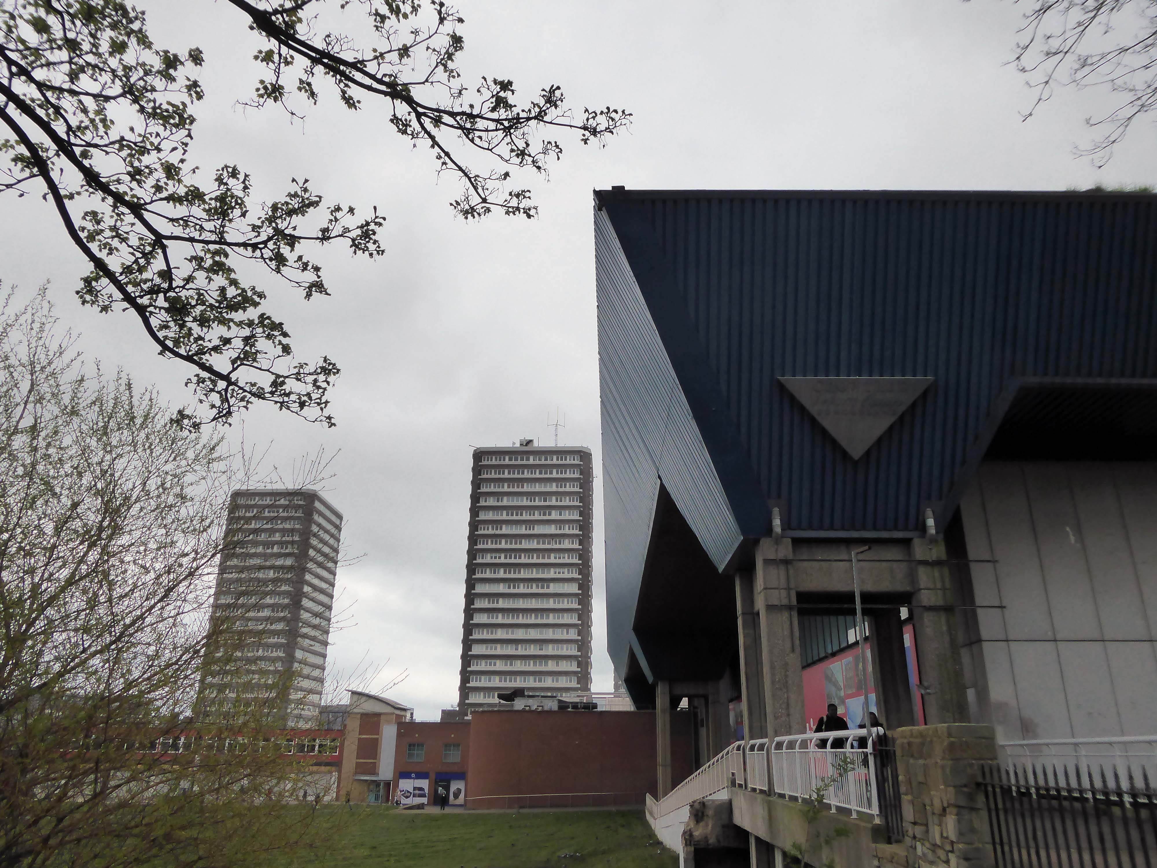
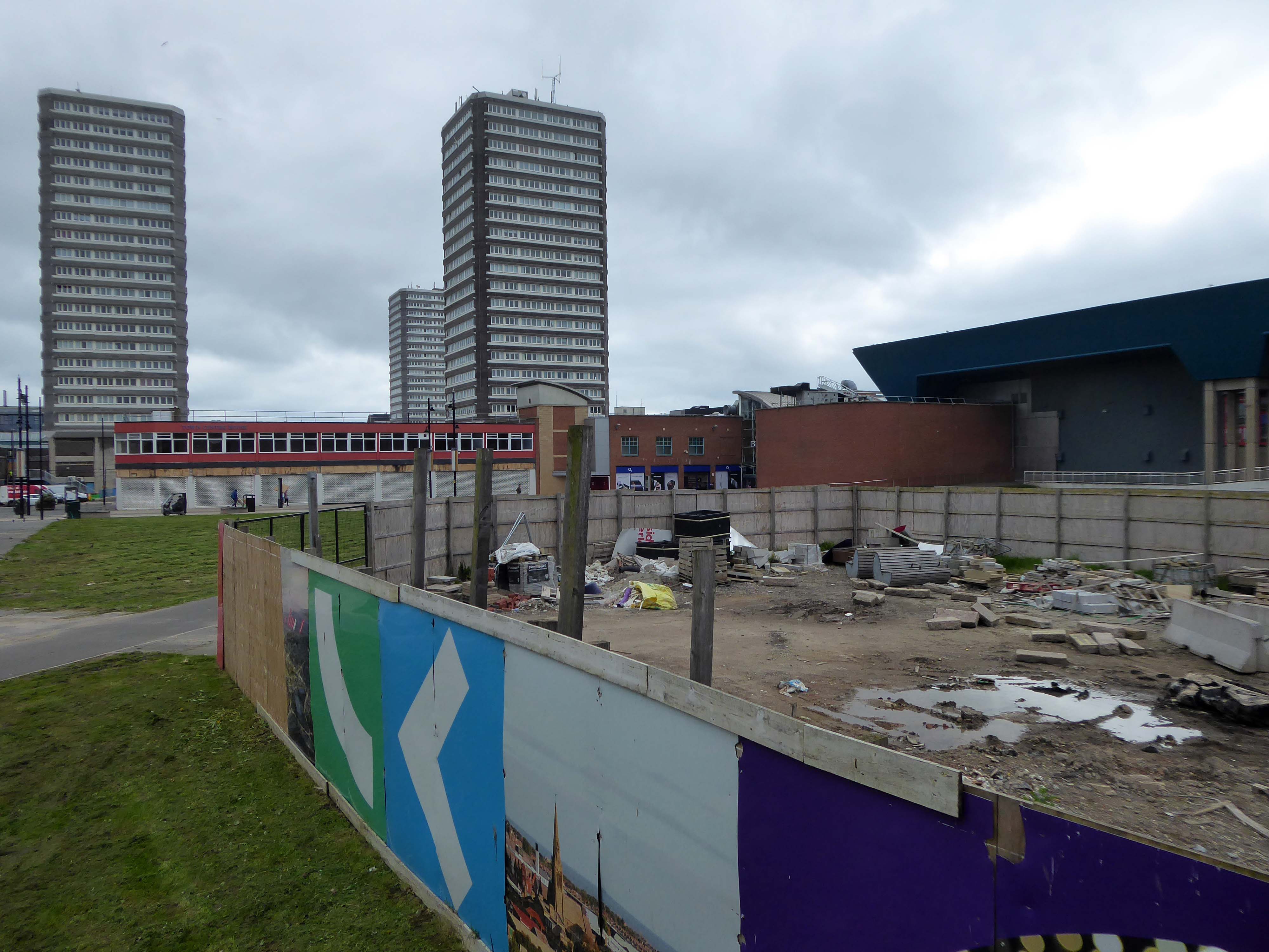
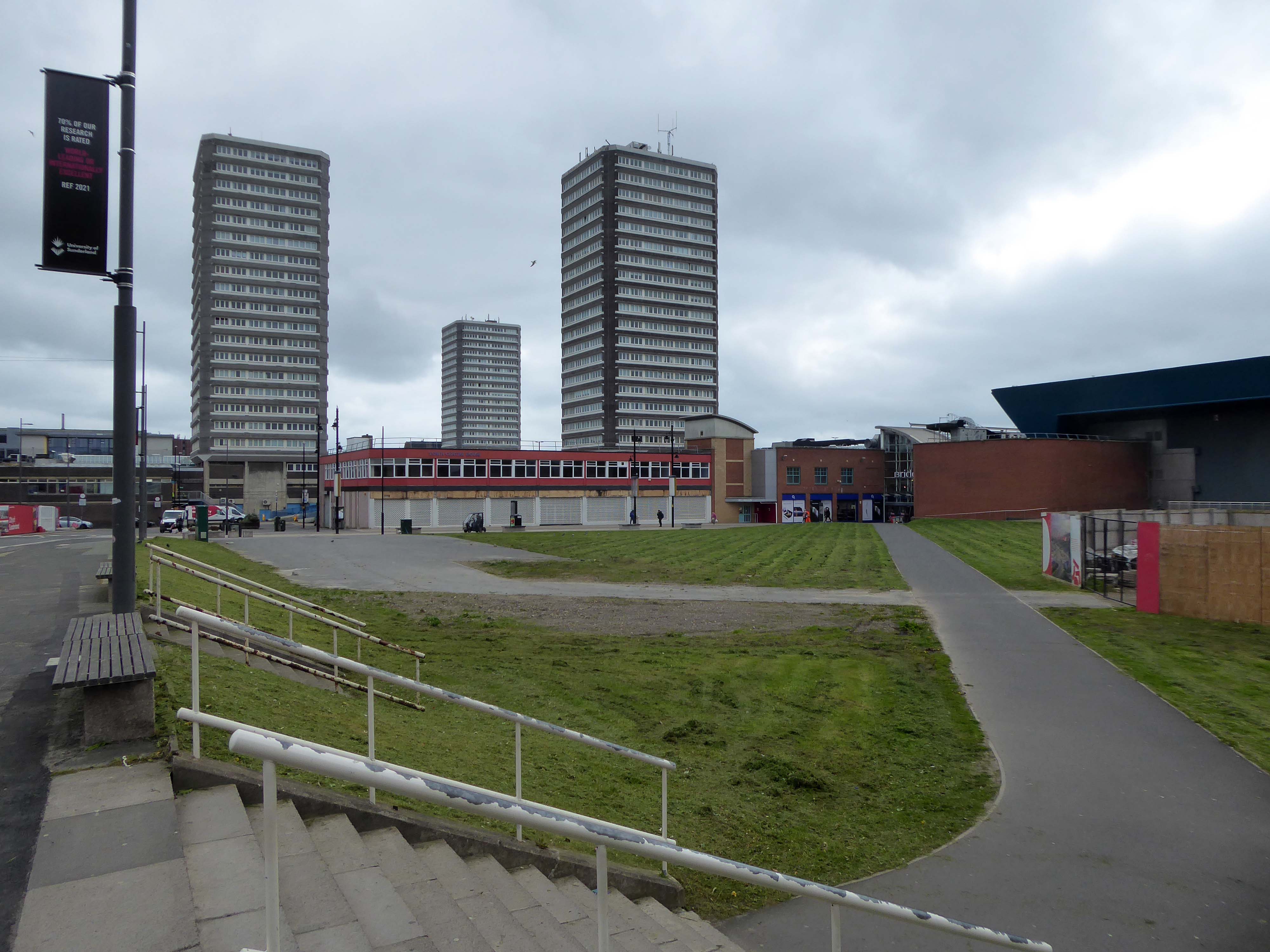
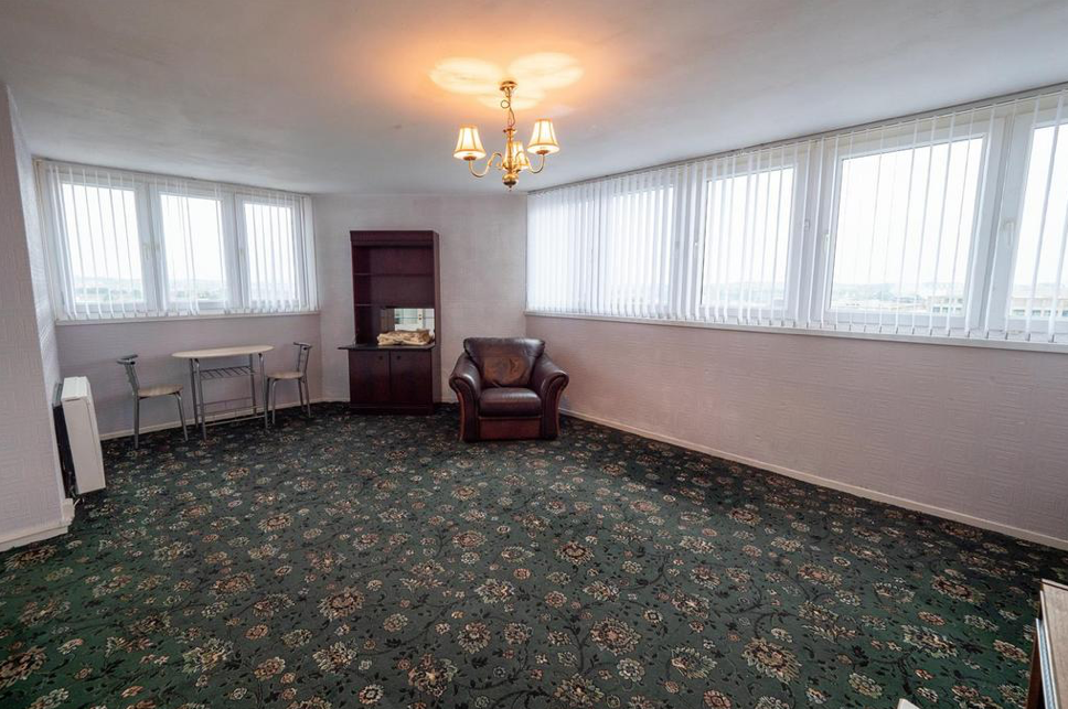
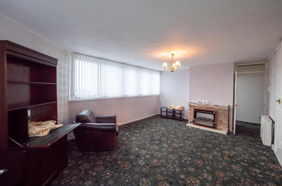
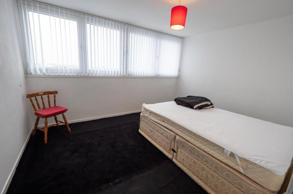
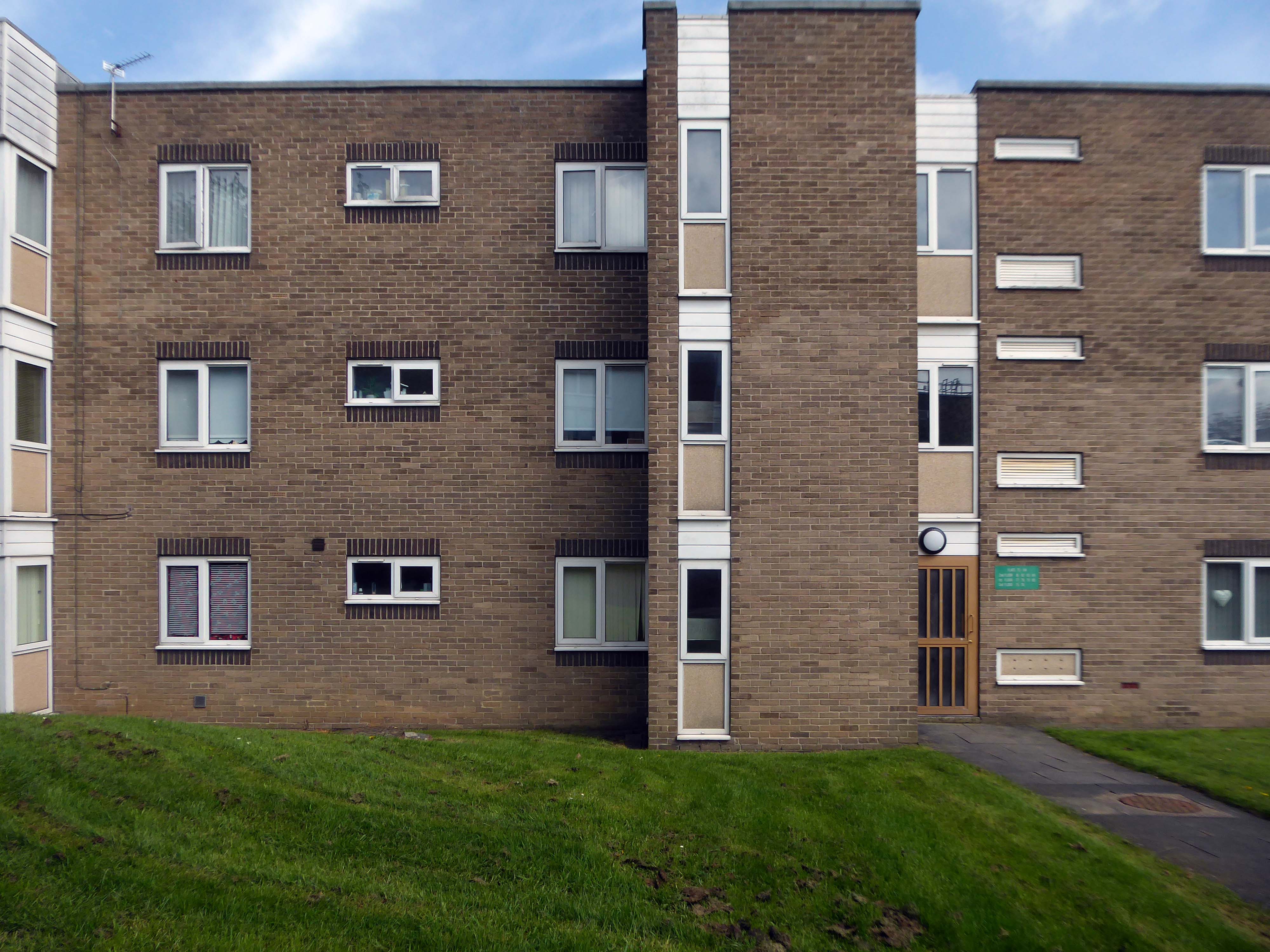
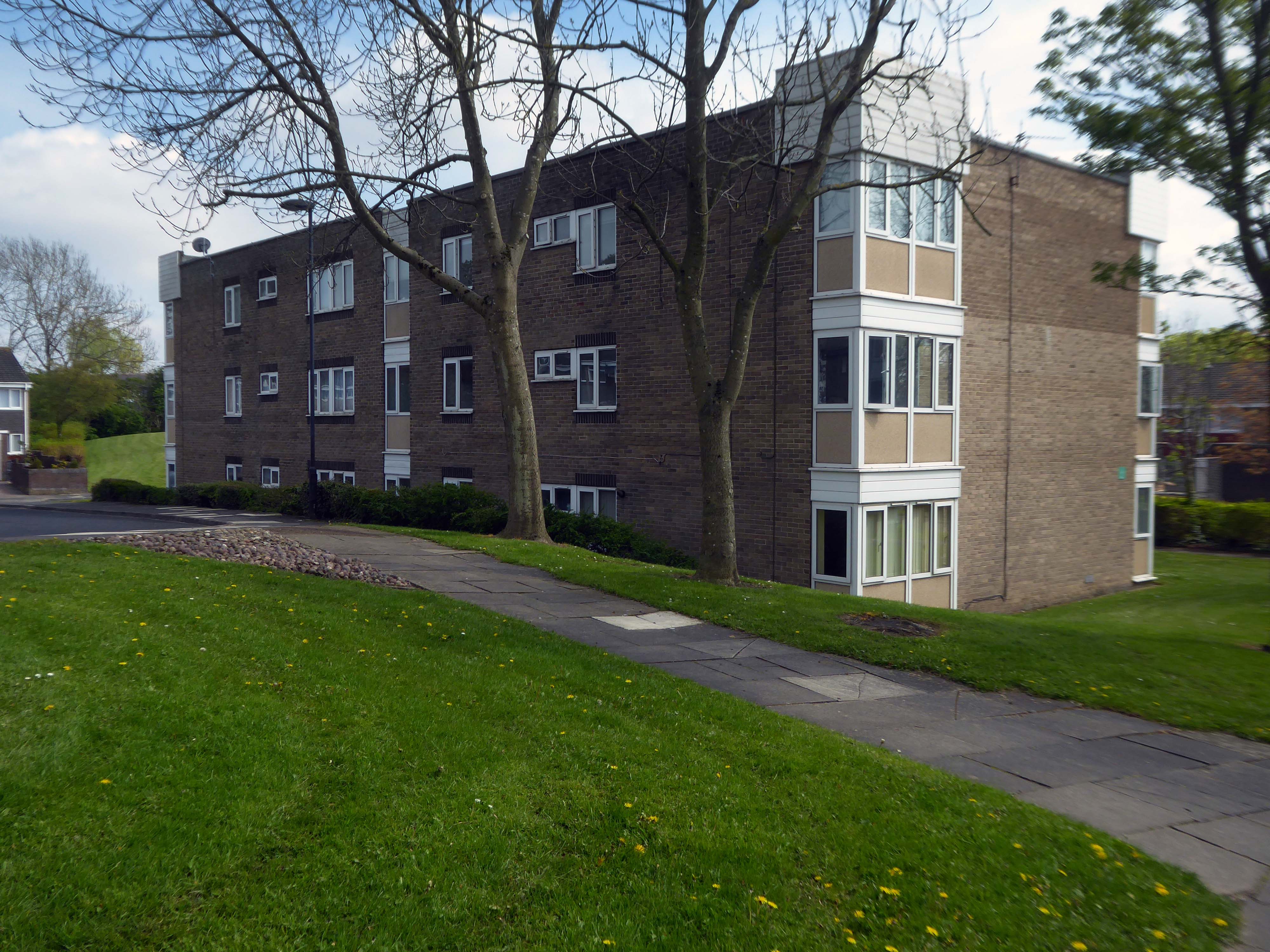
Three nineteen-storey point blocks built as public housing as part of the redevelopment of Sunderland town centre. The blocks contain 270 dwellings in total. Construction was approved by committee in 1967.
The blocks were constructed by Sunderland County Borough Council.
The developers of the Town Central Area were Town and City Properties Ltd. It is believed that they contributed £38,600 to the development of the blocks.
Ian Frazer and Associates were the architects for the sub-structural works only.
Llewelyn, Davies, Weeks and Partners were the structural and mechanical engineers in addition to being the architects for the tower blocks.
Gilbert-Ash Northern Ltd.’s tender for the contract was £959,258 – construction began in March 1967.
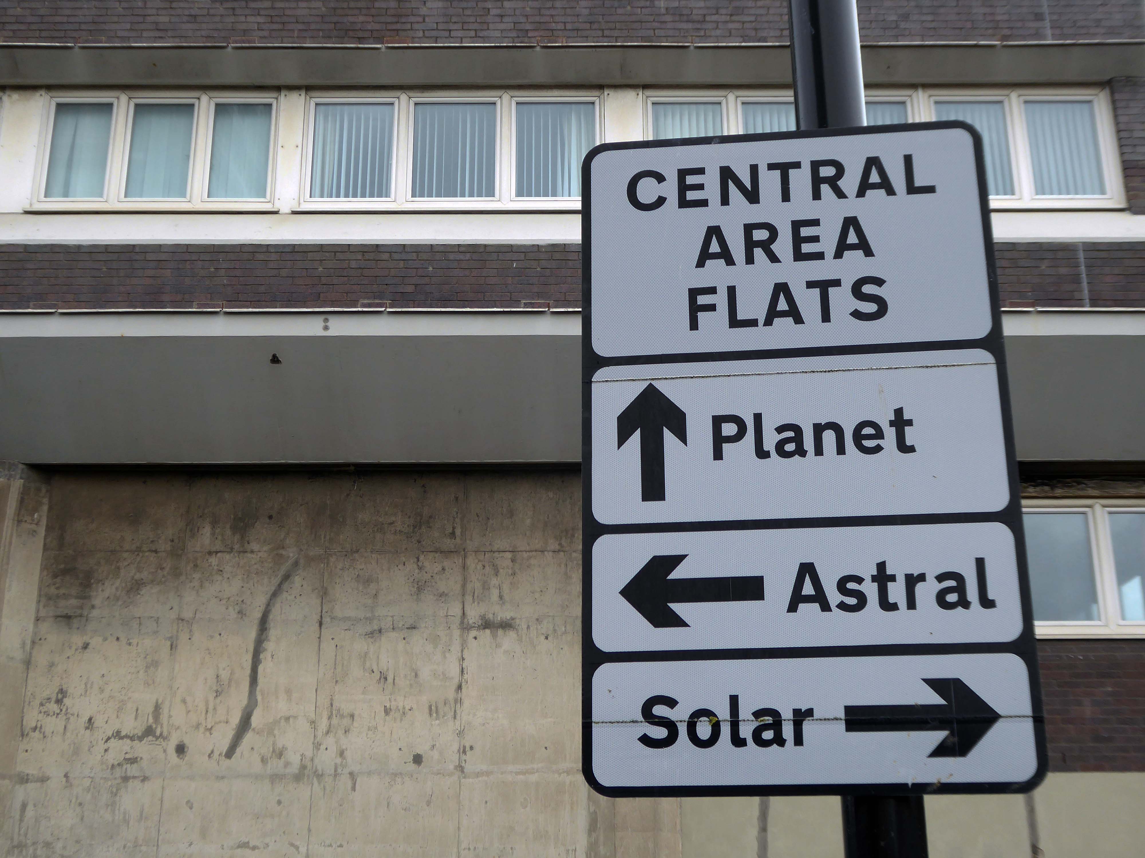
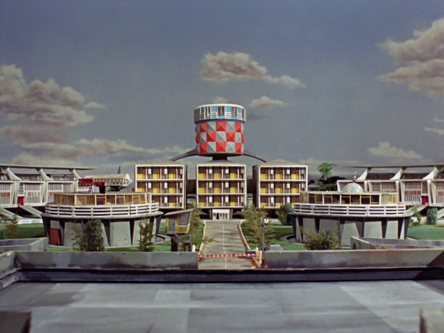
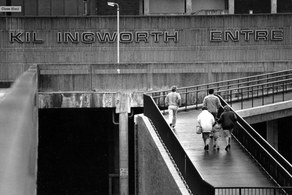
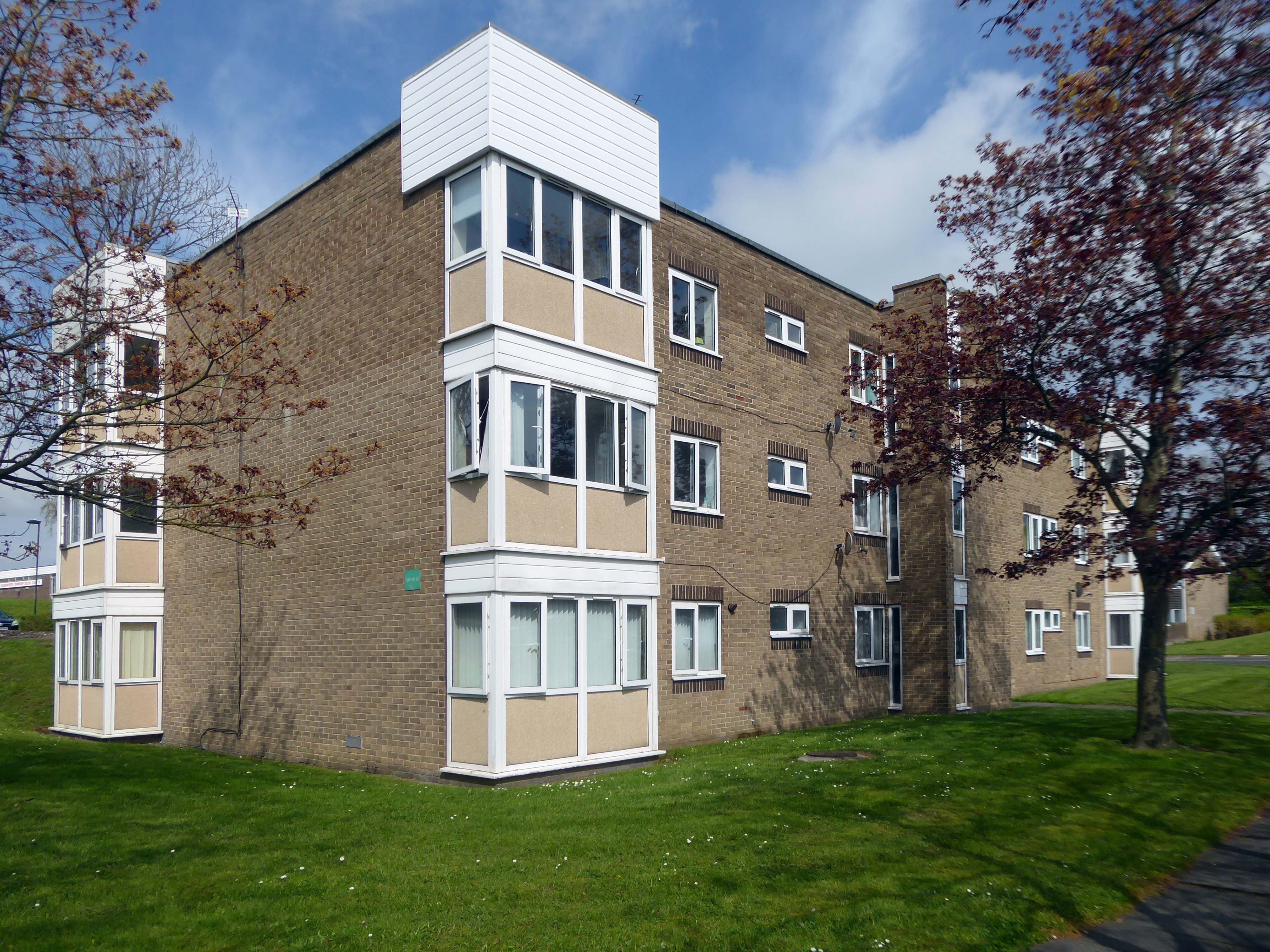
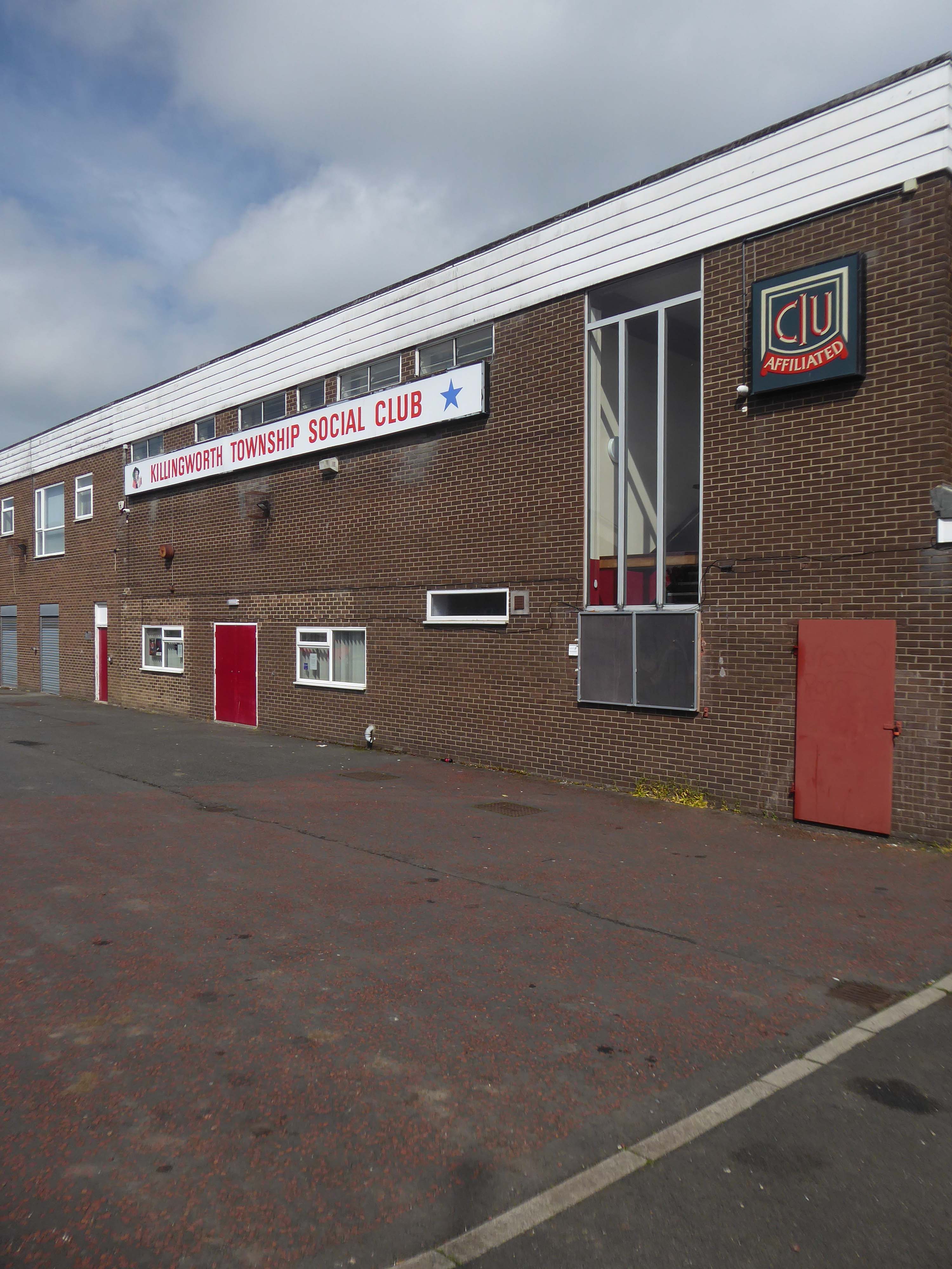
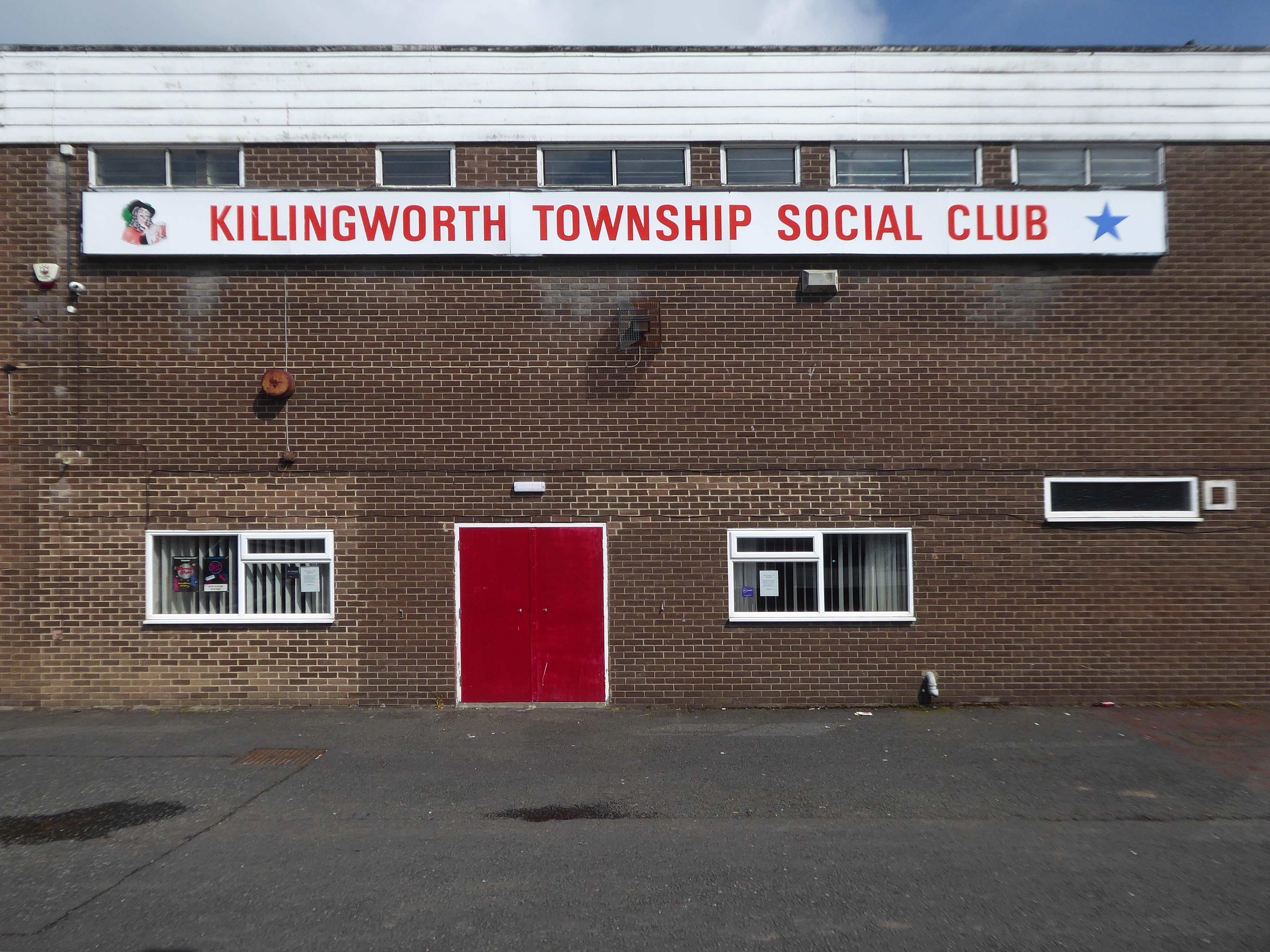
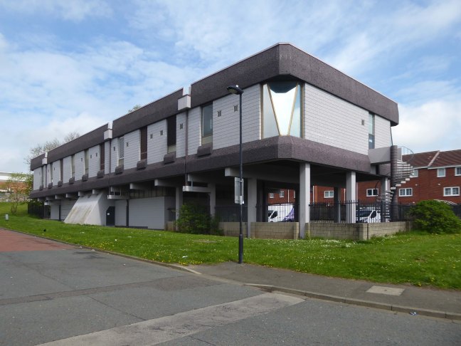
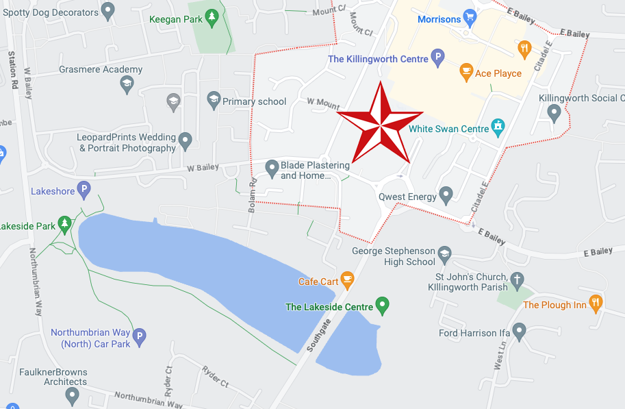
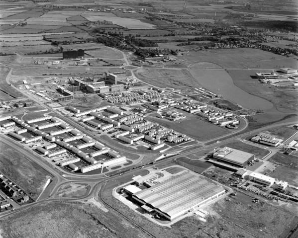
Construction of Killingworth, a new town, began in 1963. Intended for 20,000 people, it was a former mining community, formed on seven hundred and sixty acres of derelict colliery land near Killingworth Village. The building of Killingworth Township was undertaken by Northumberland County Council and was not formally a New Town sponsored by the Government.
Unlike that town, Killingworth’s planners adopted a radical approach to town centre design, resulting in relatively high-rise buildings in an avant-garde and brutalist style that won awards for architecture, dynamic industry and attractive environment.
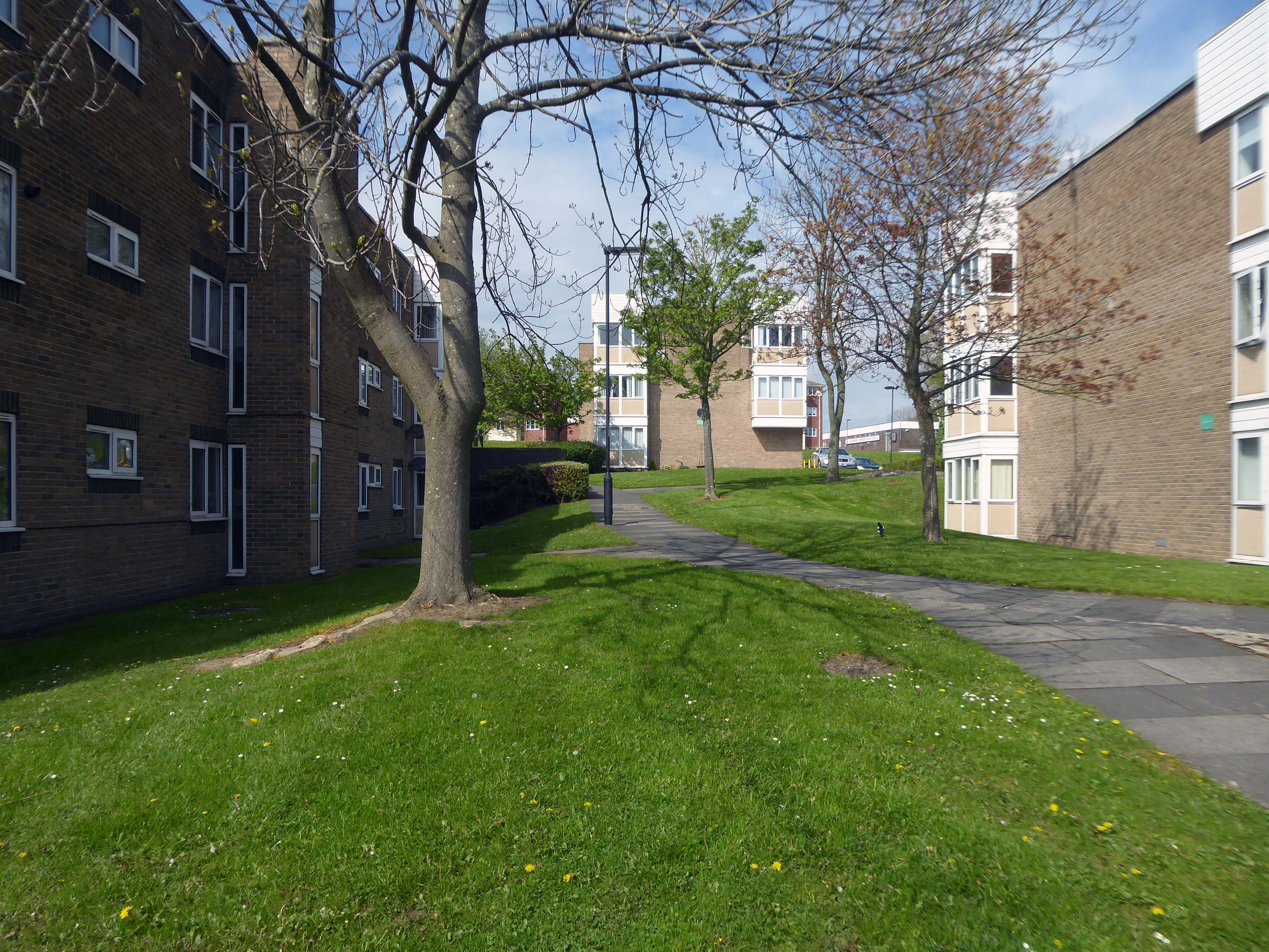
This new town centre consisted of pre-cast concrete houses, with millions of small crustacean shells unusually embedded into their external walls, five to ten storey flats, offices, industrial units and service buildings, which often consisted of artistic non-functional characteristics, shops and residential multi-storey car parks, interconnected by ramps and walkways. These made up a deck system of access to shopping and other facilities, employing the Swedish Skarne method of construction.
Originally named Killingworth Township, the latter part was quickly dropped through lack of colloquial use.
Killingworth is referred to as Killy by many residents of the town and surrounding areas.
Around 1964, during the reclamation of the derelict pit sites, a fifteen acre lake south of the town centre was created; spoil heaps were levelled, seeded and planted with semi-mature trees.
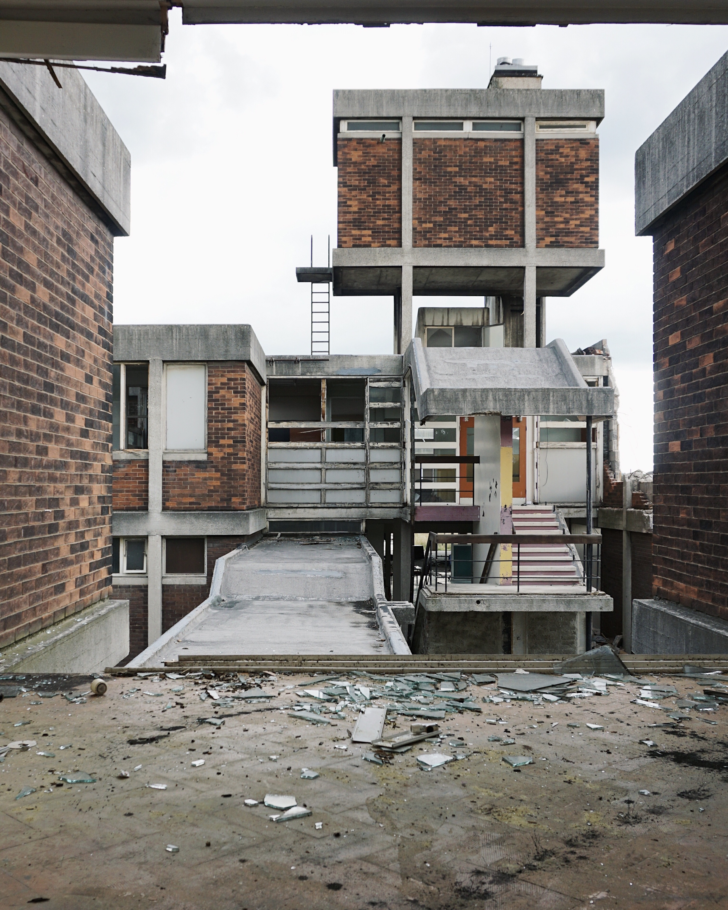
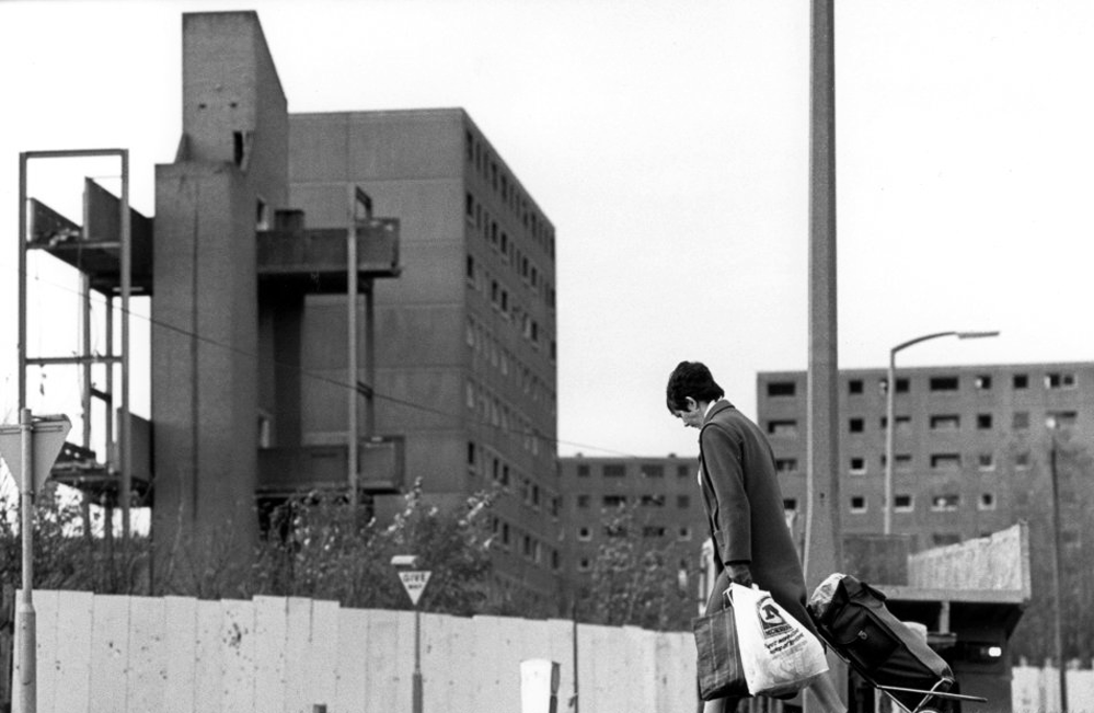
In 1987 the demolition of this three-tier housing estate of the township was undertaken by the Architects’ Department of the Metropolitan Borough of North Tyneside.
Photo: Philip Wolmuth
Once the wrecking ball arrives new town can begin to look like any old town.
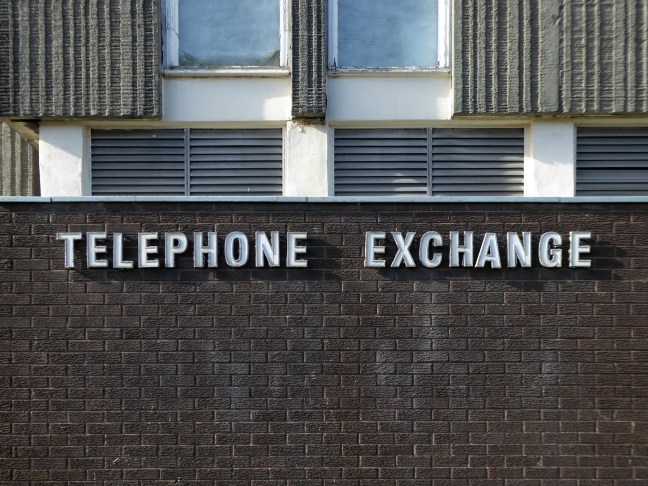
Following Euan Lynn’s suggestion – I went to take a look around.
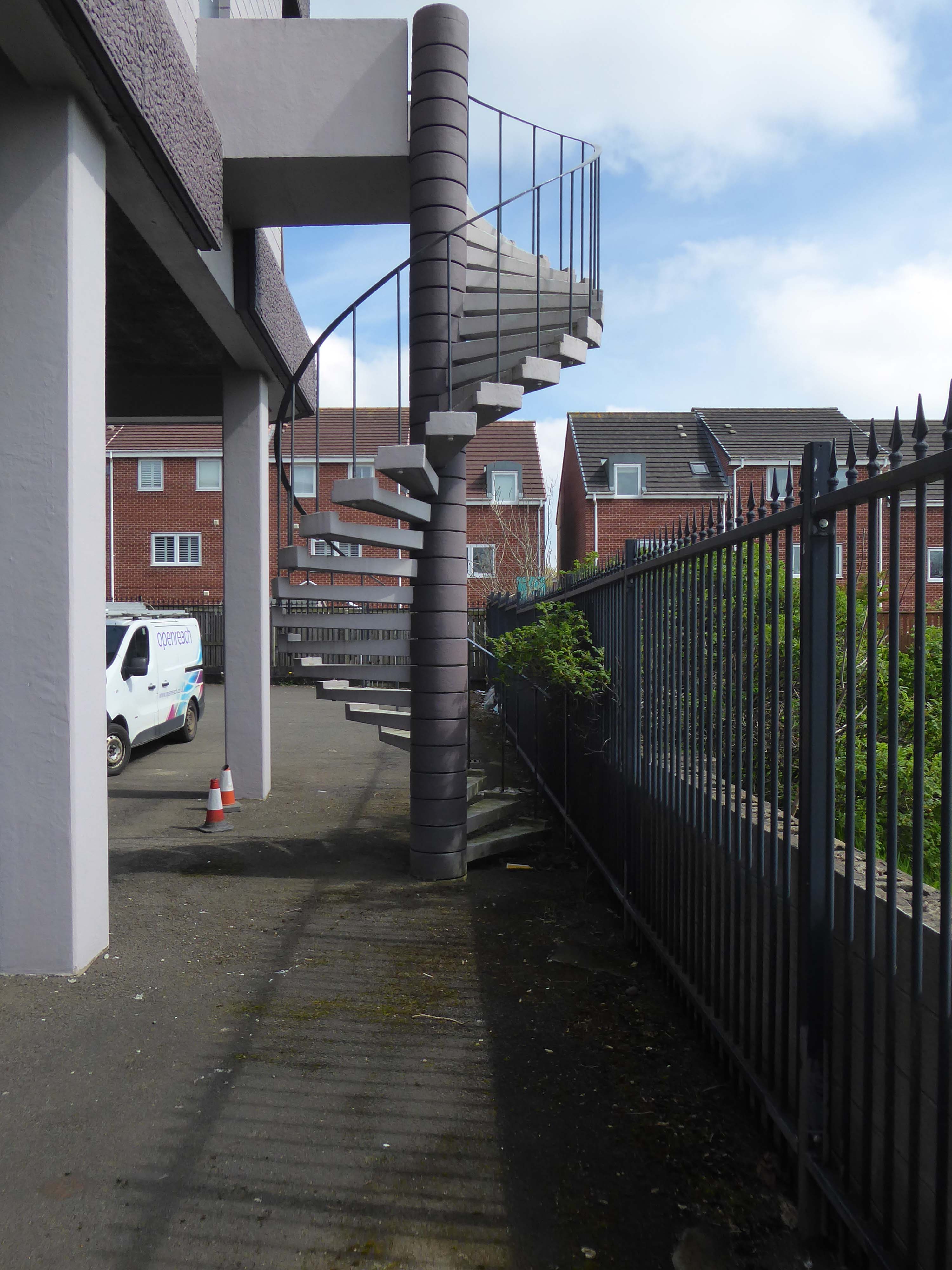
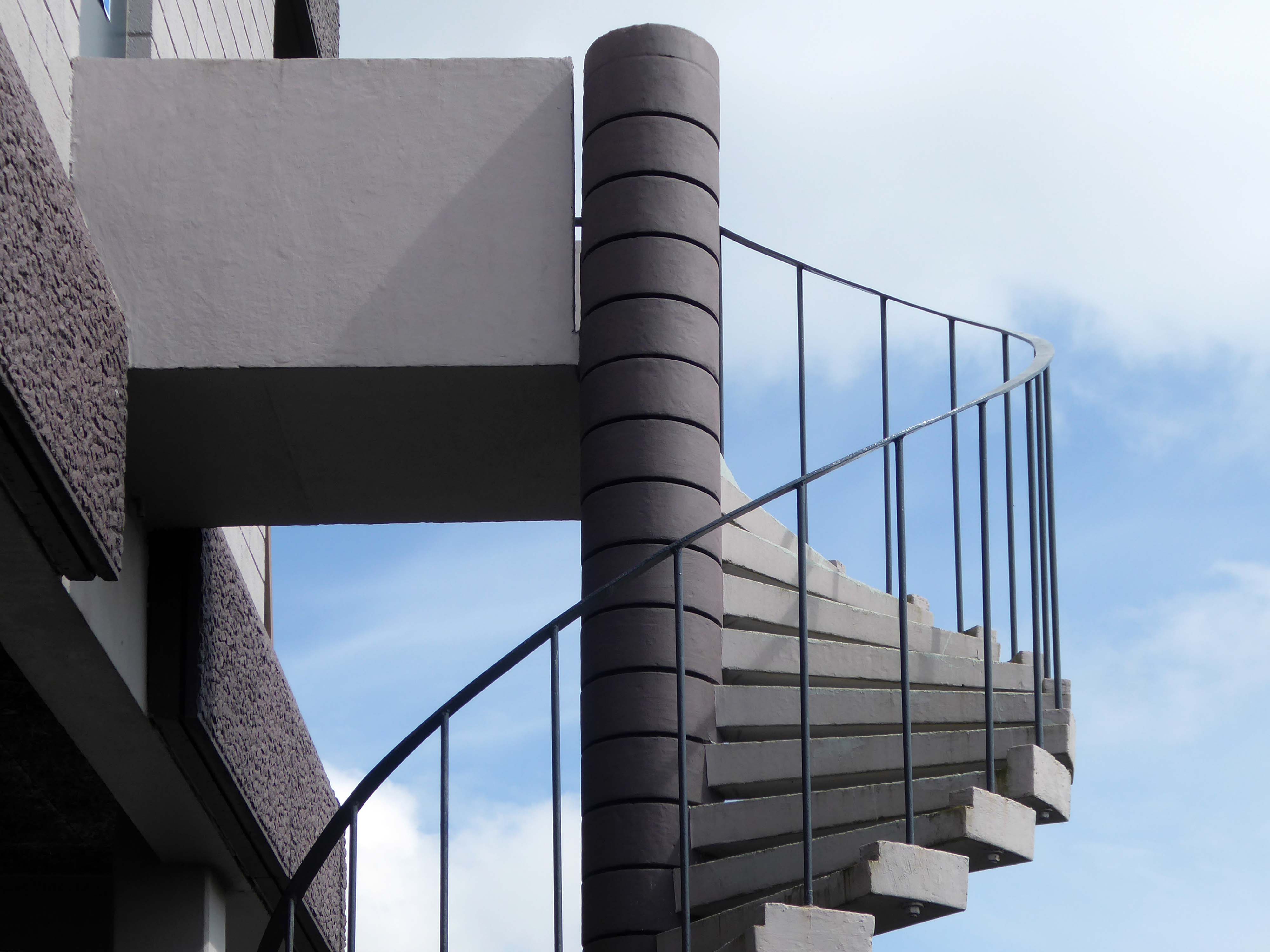
From the window of the 52 bus, I saw an enchanting Telephone Exchange.


