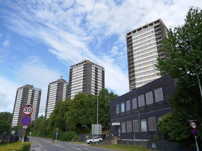
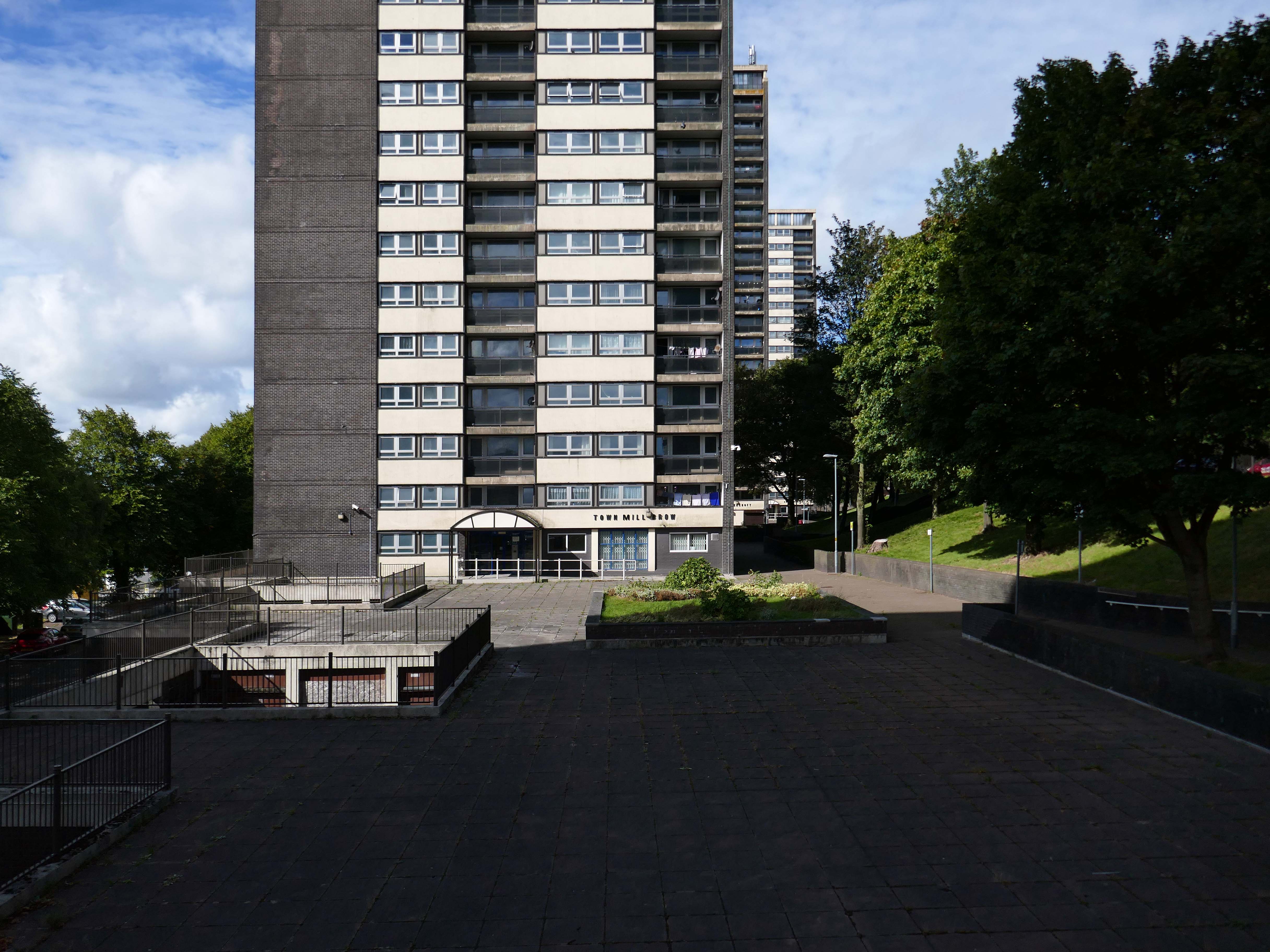
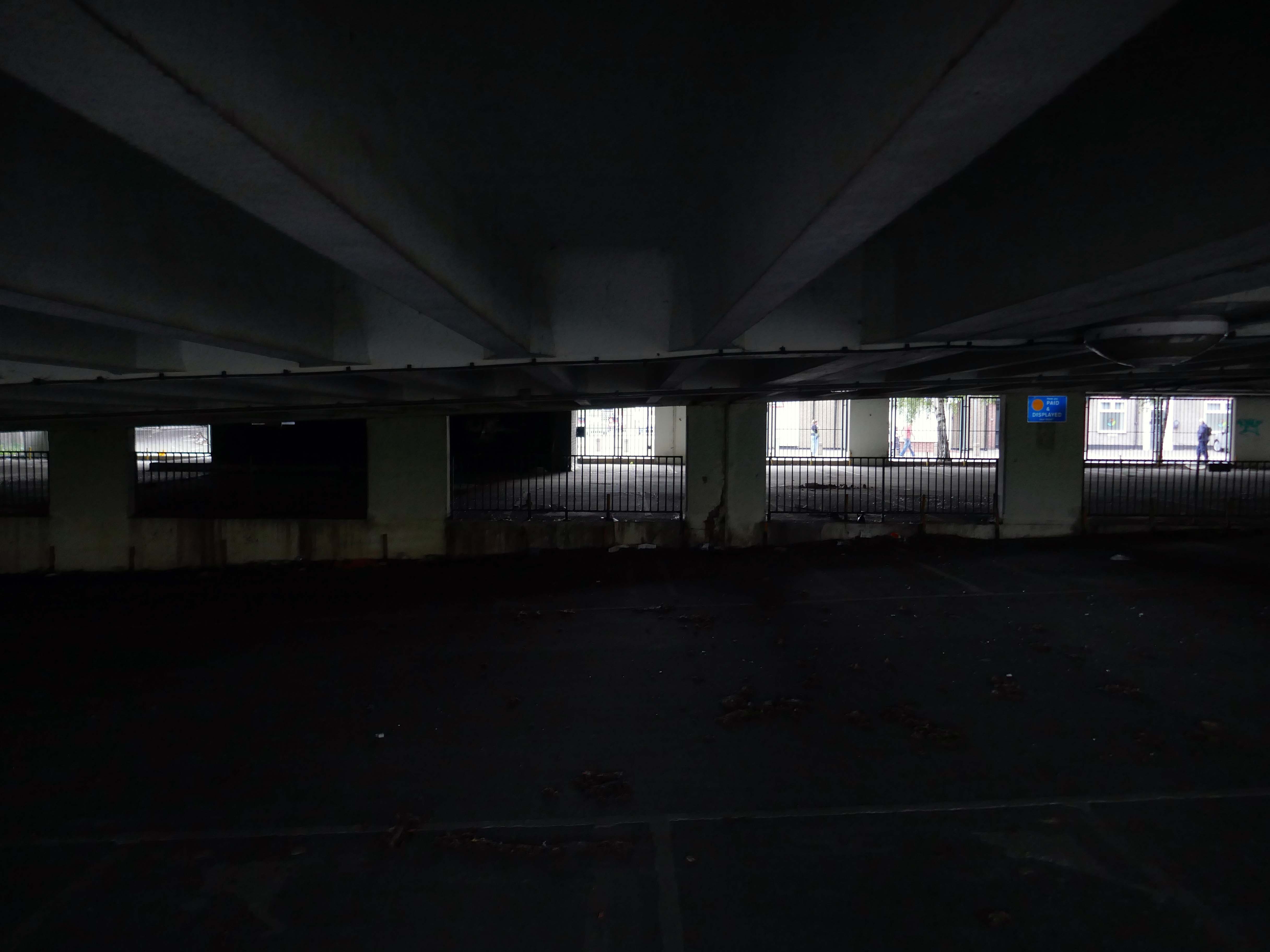
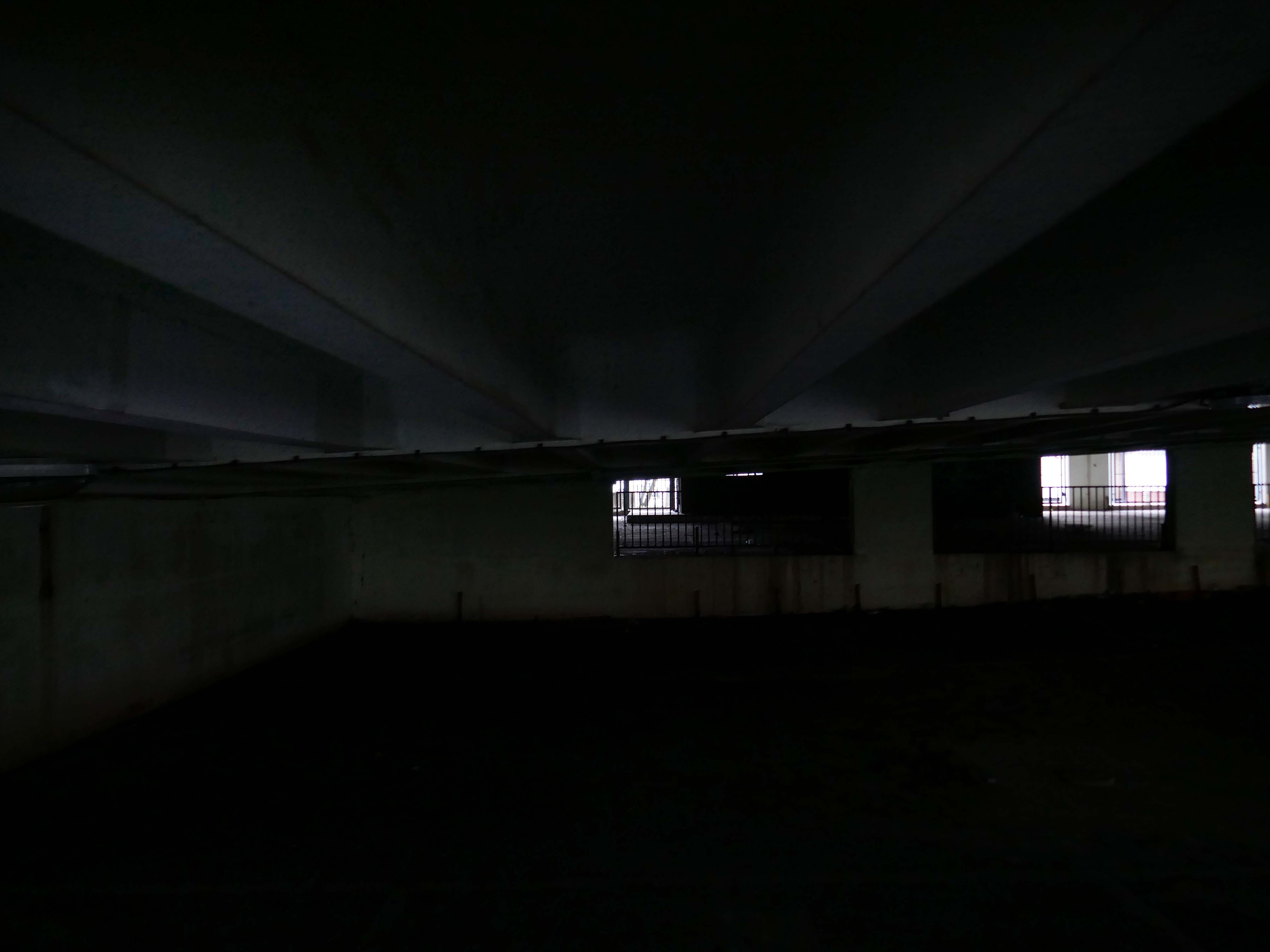
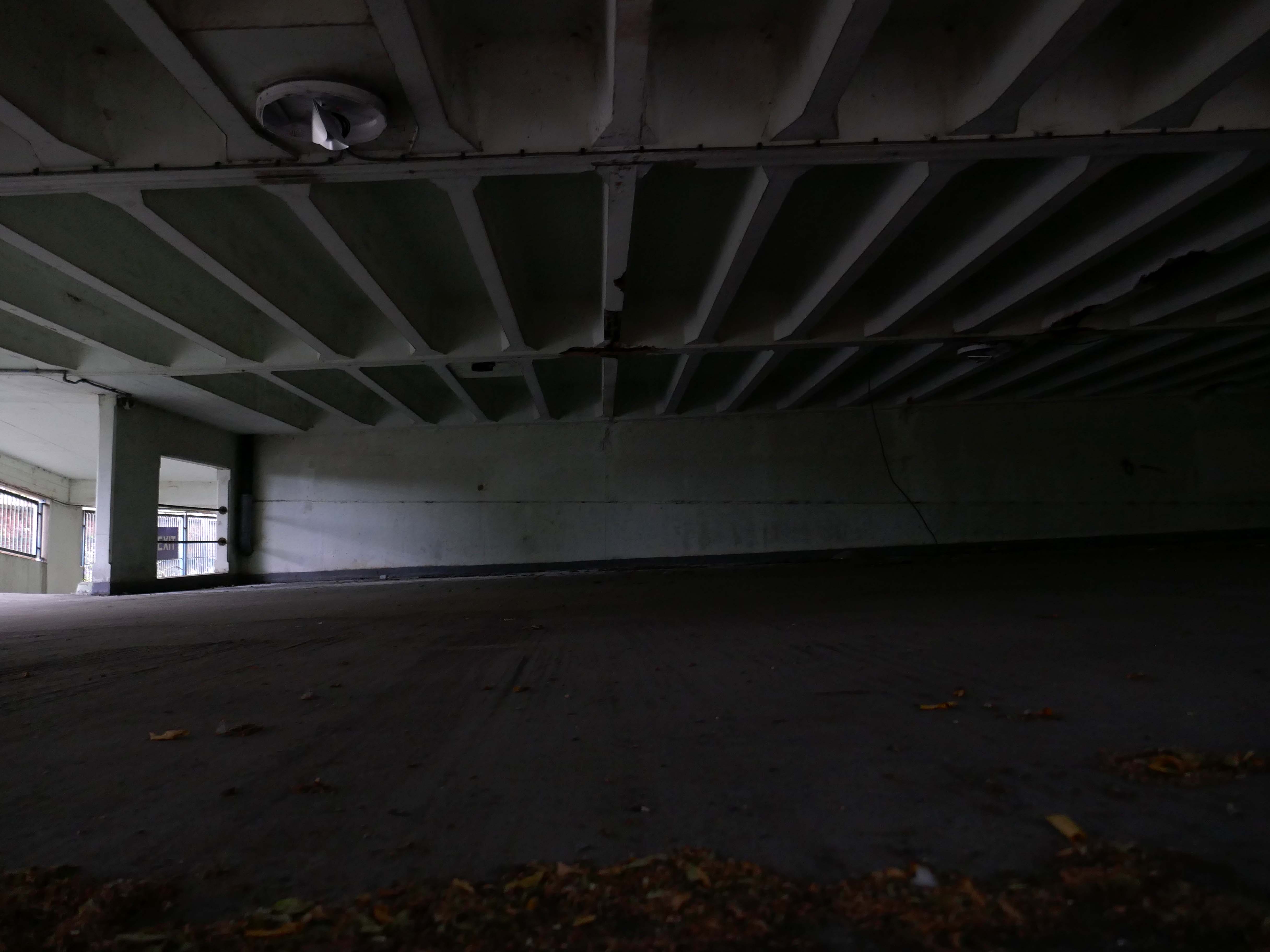
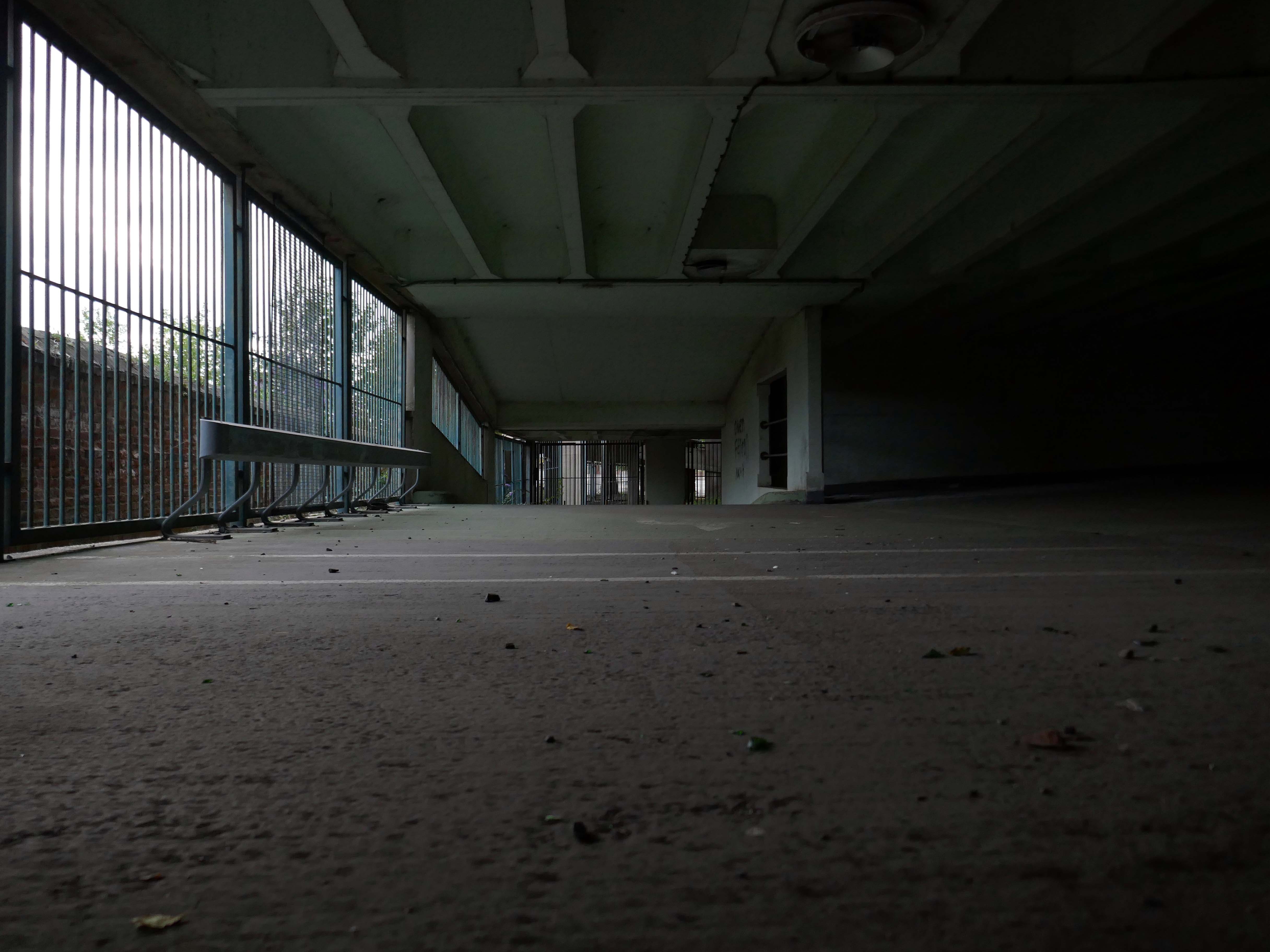
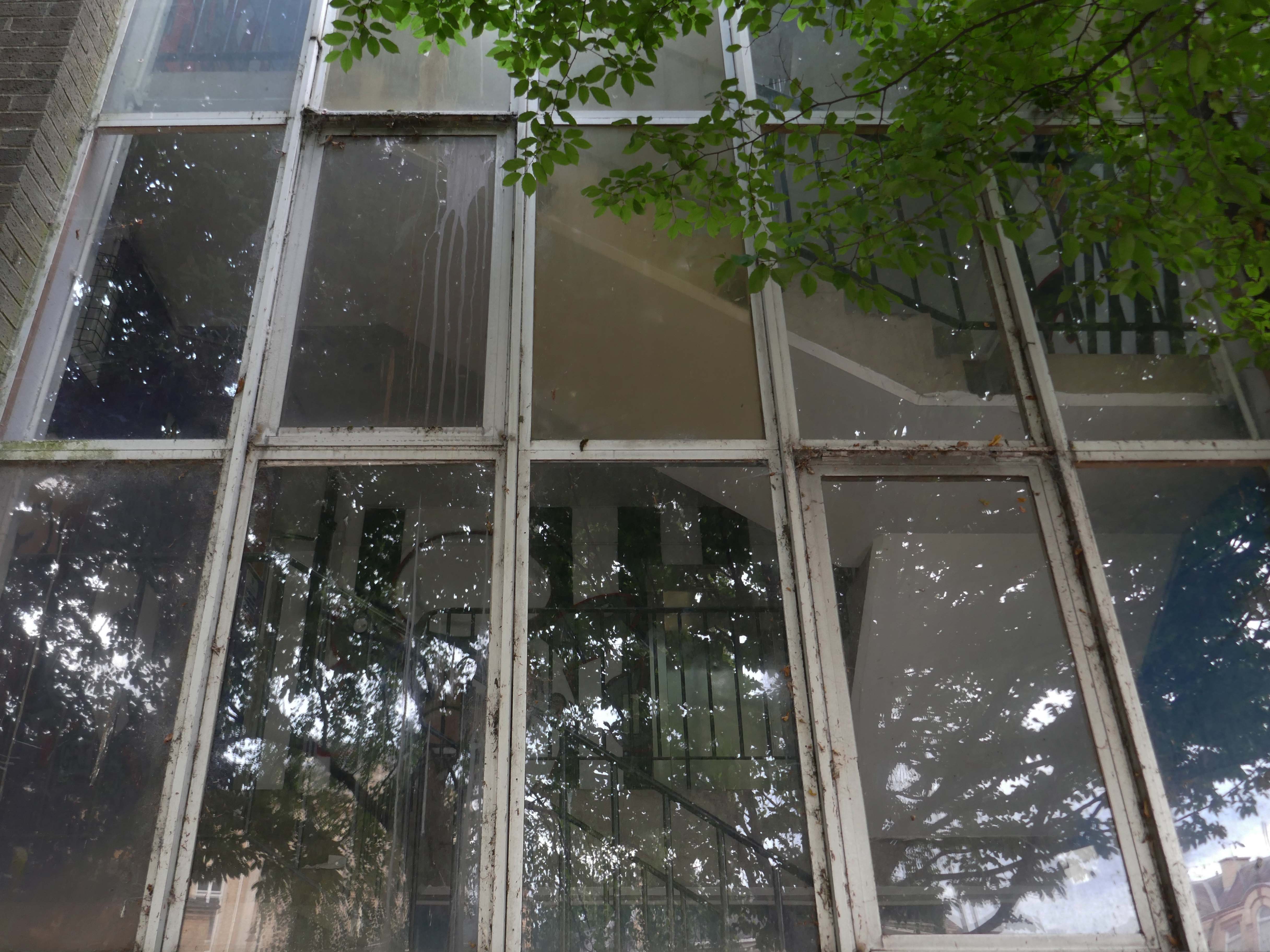
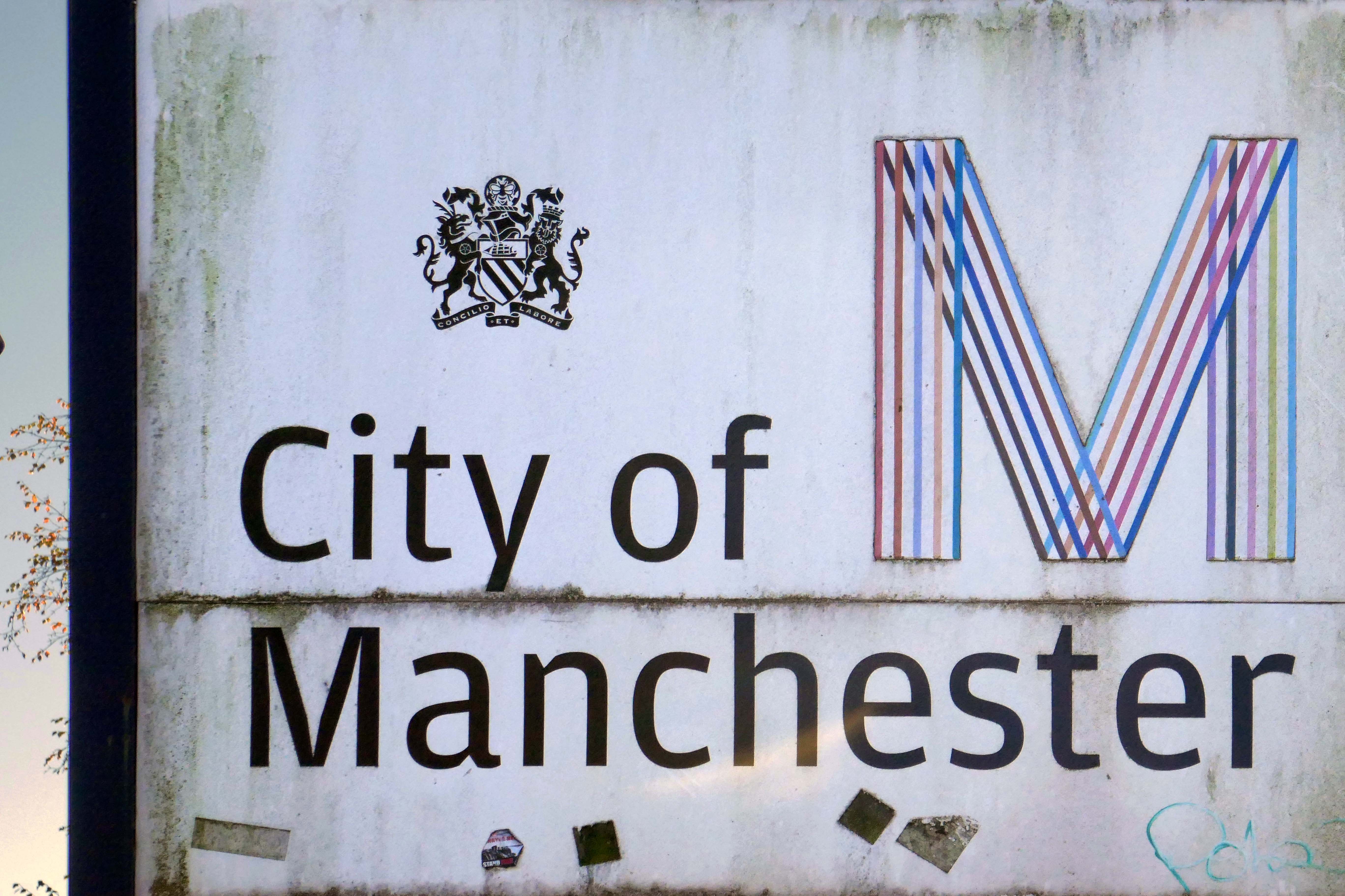
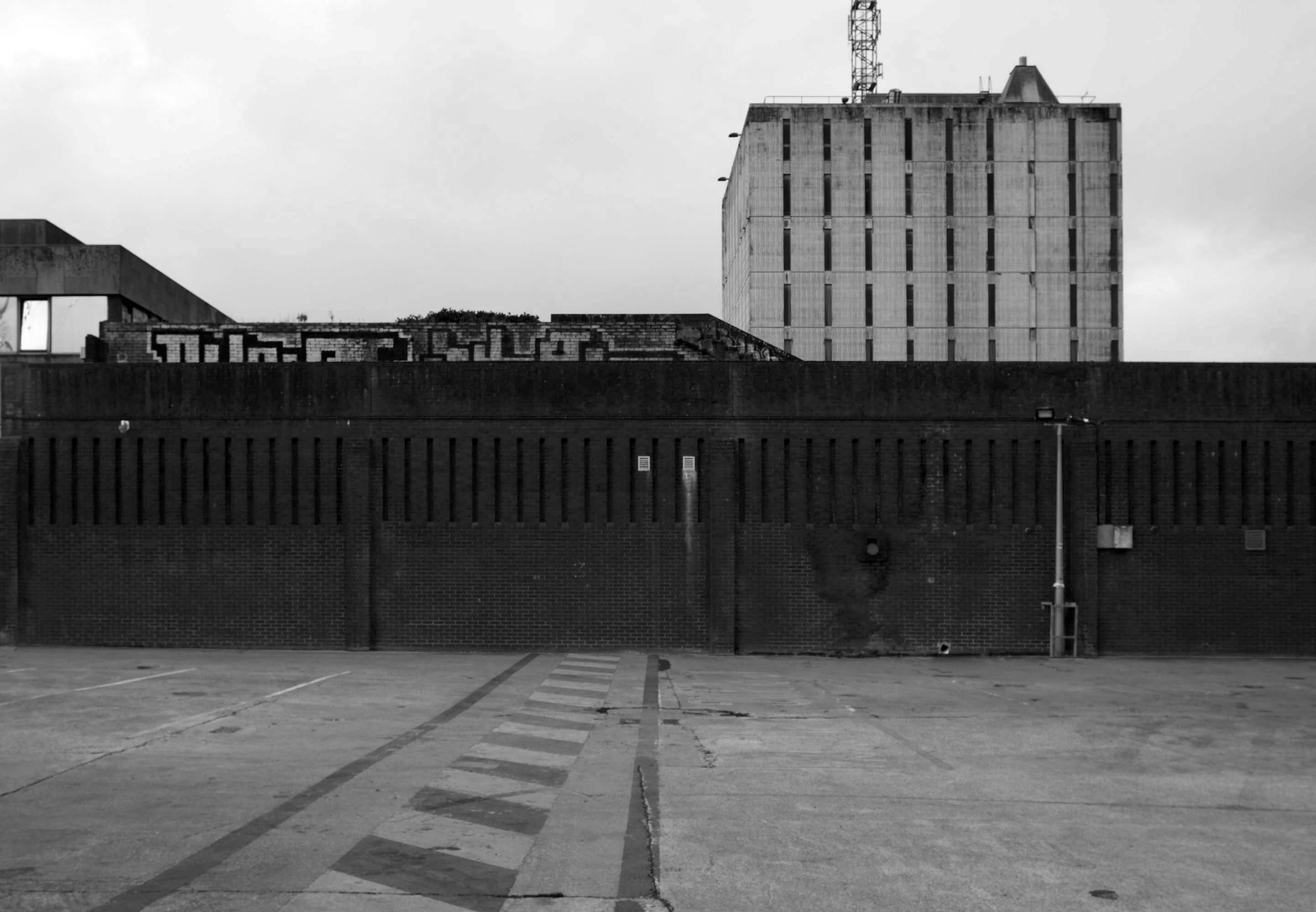
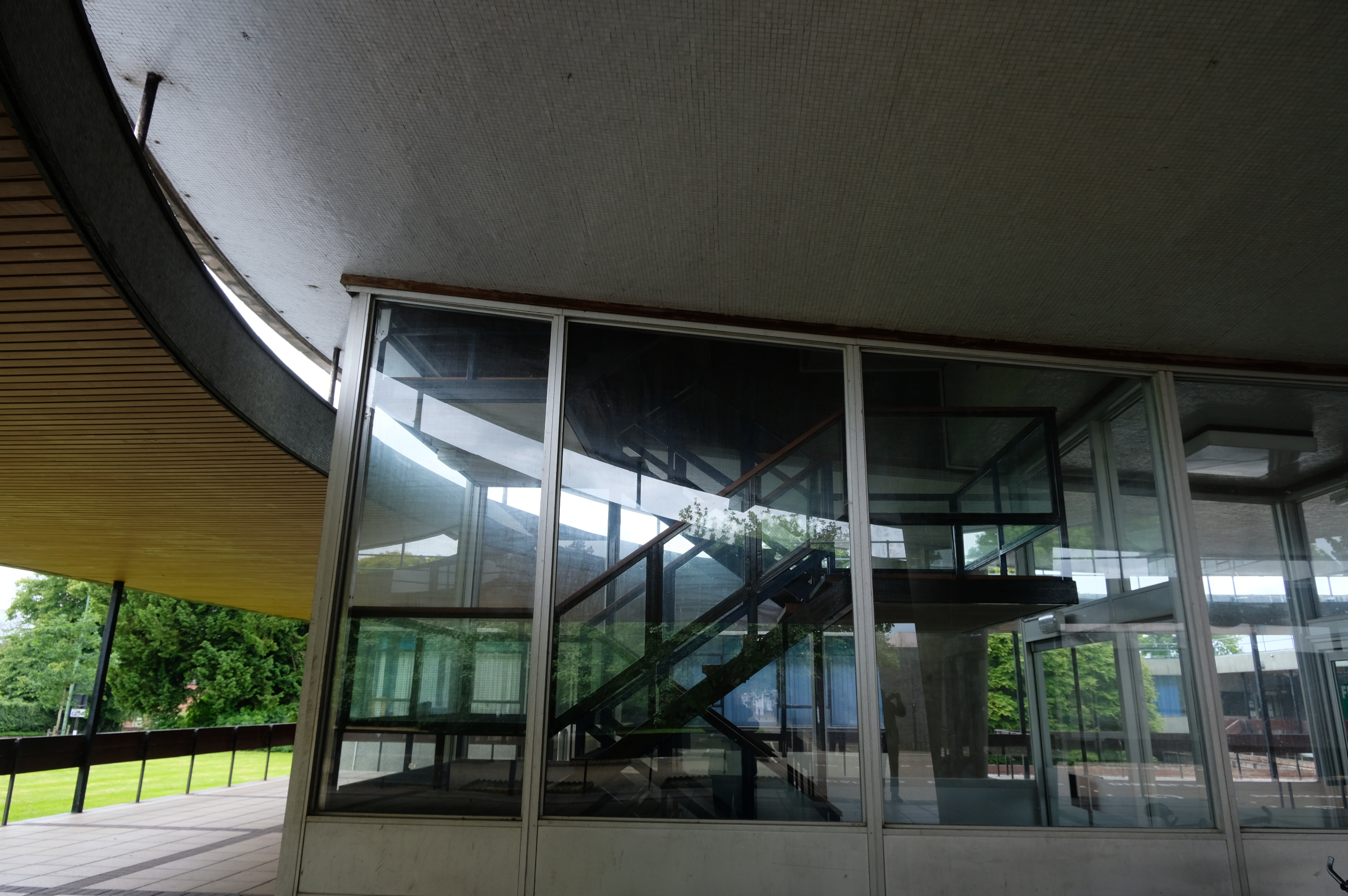
In recent years these homes have been under threat of both demolition and refurbishment.
Rochdale Boroughwide Housing – RBH had sought help from a developer to pay for its £107m plans to refurbish the College Bank high-rise apartments, known in the town as the Seven Sisters.
But the social housing landlord has been unable to reach a commercially viable agreement to help improve the blocks where 250 people live.
Amanda Newton, RBH chief executive said the lack of a deal was disappointing but all options for the future of the site would still be explored.
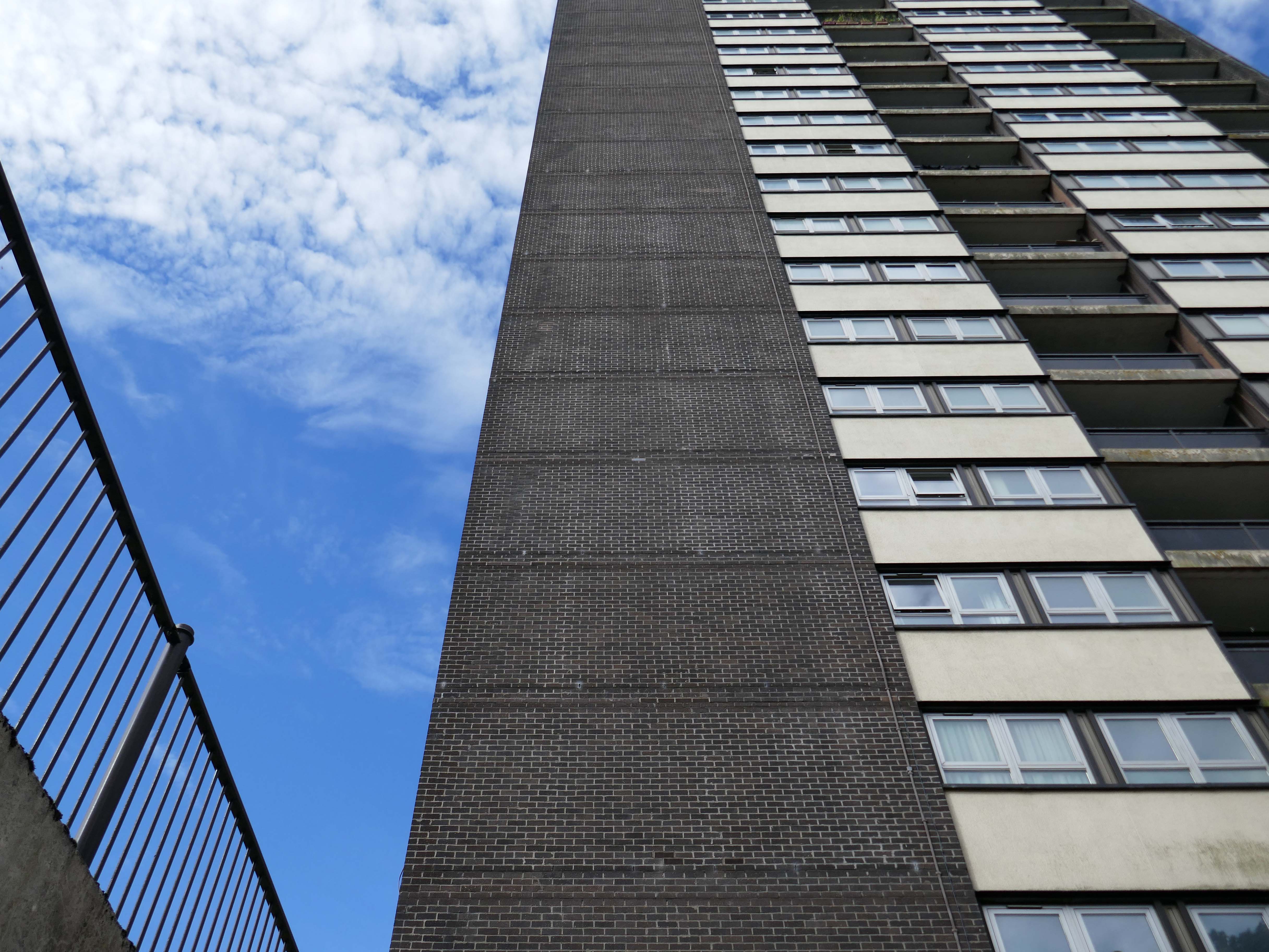
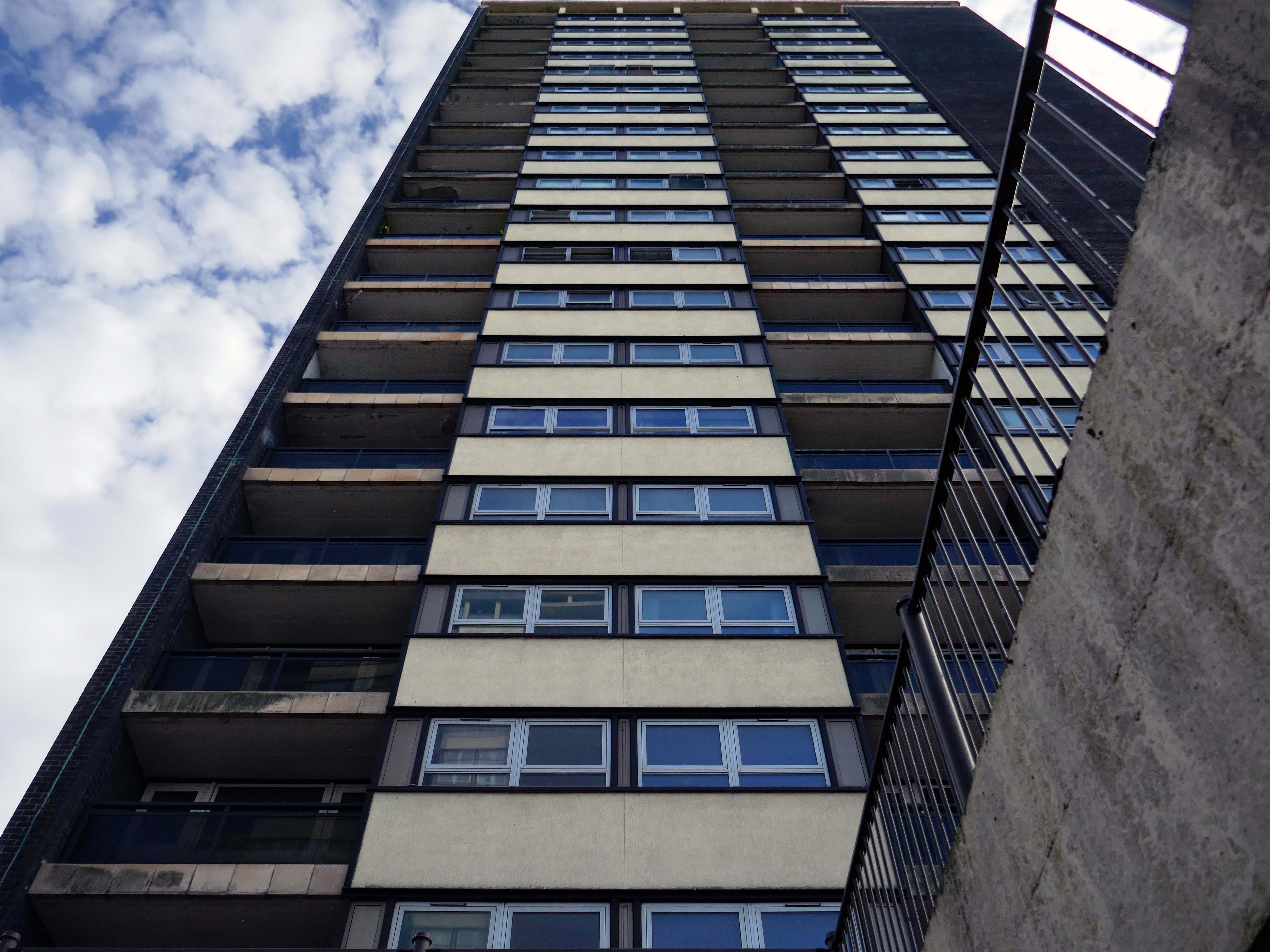
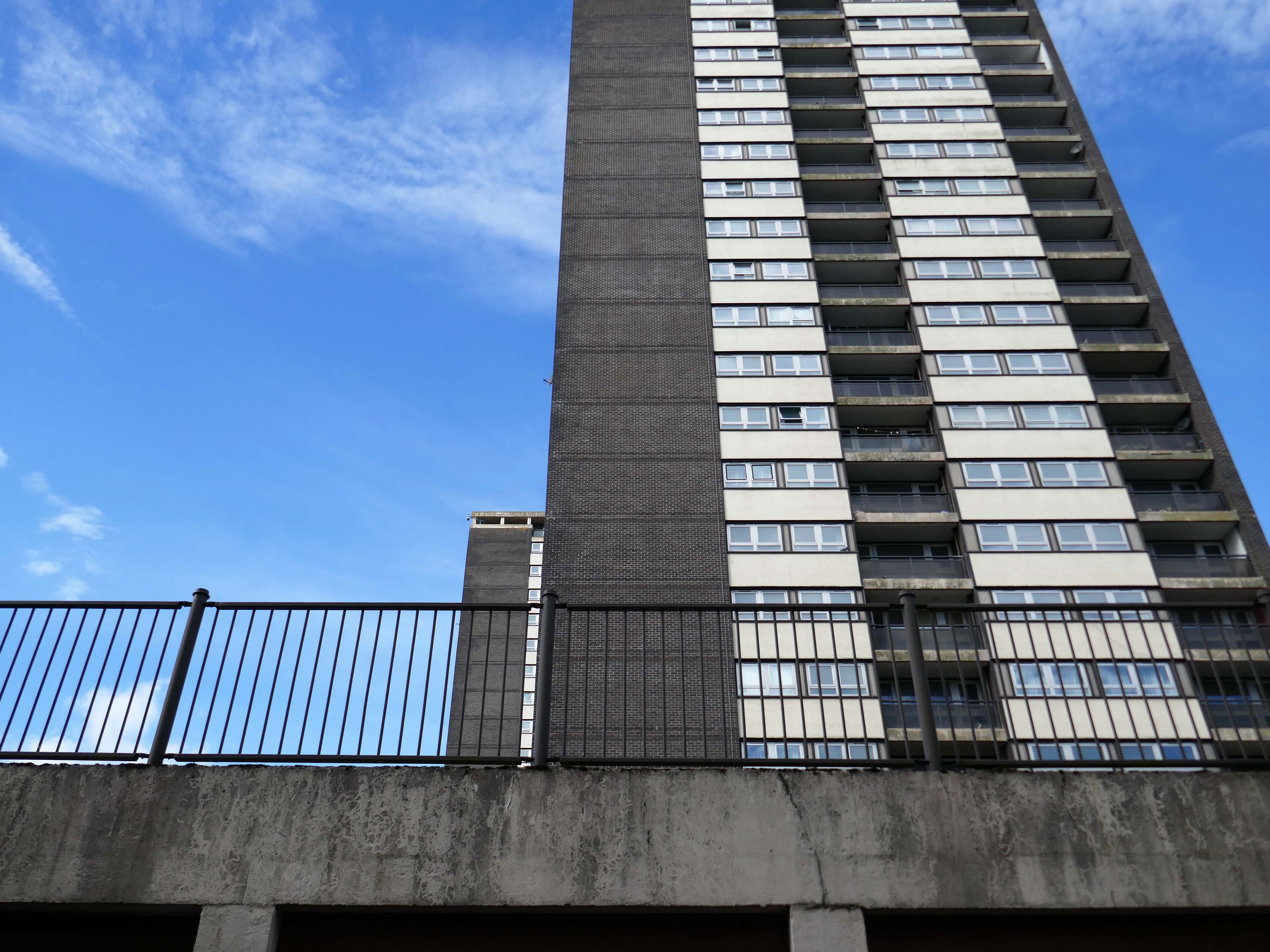
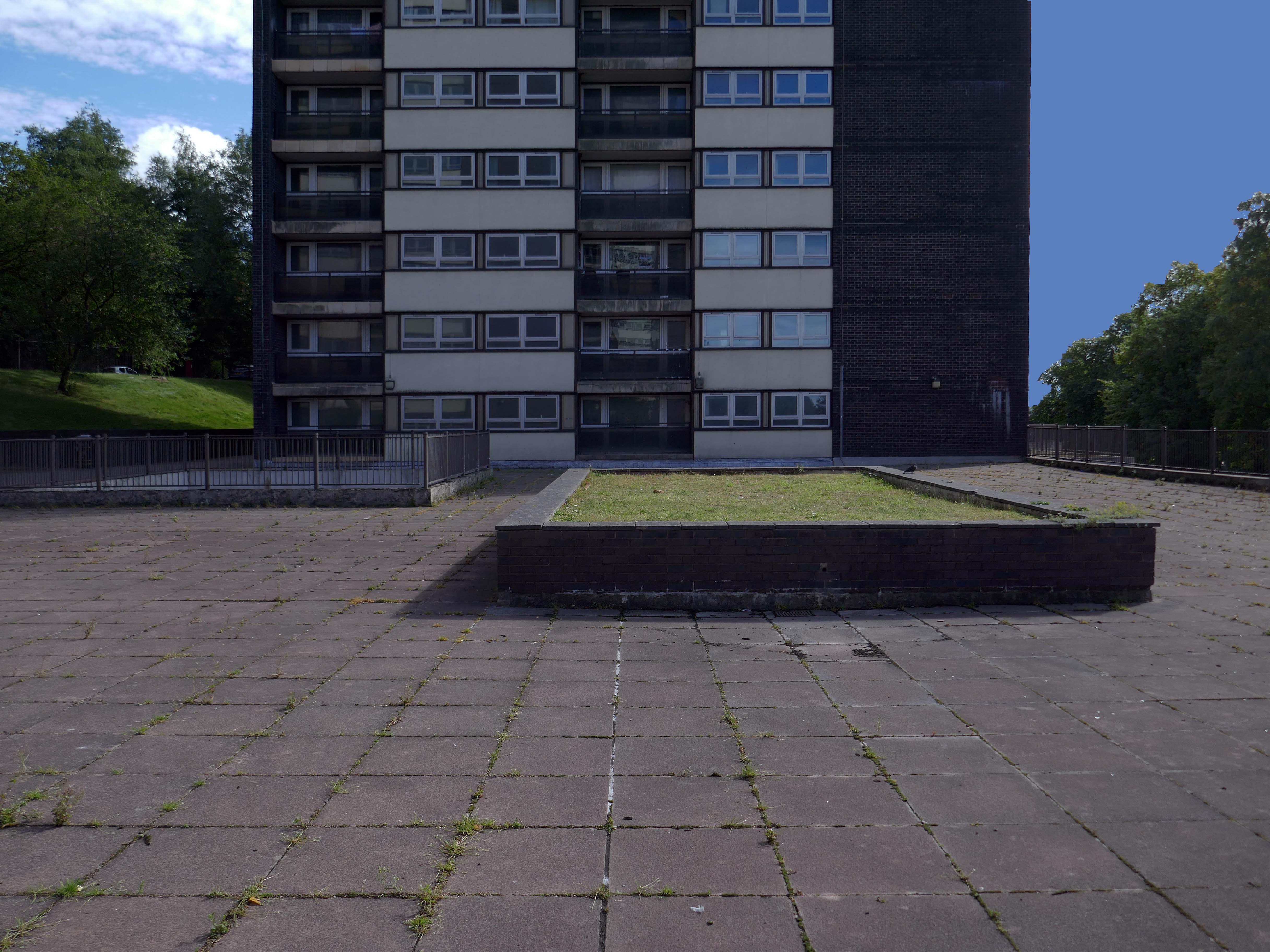
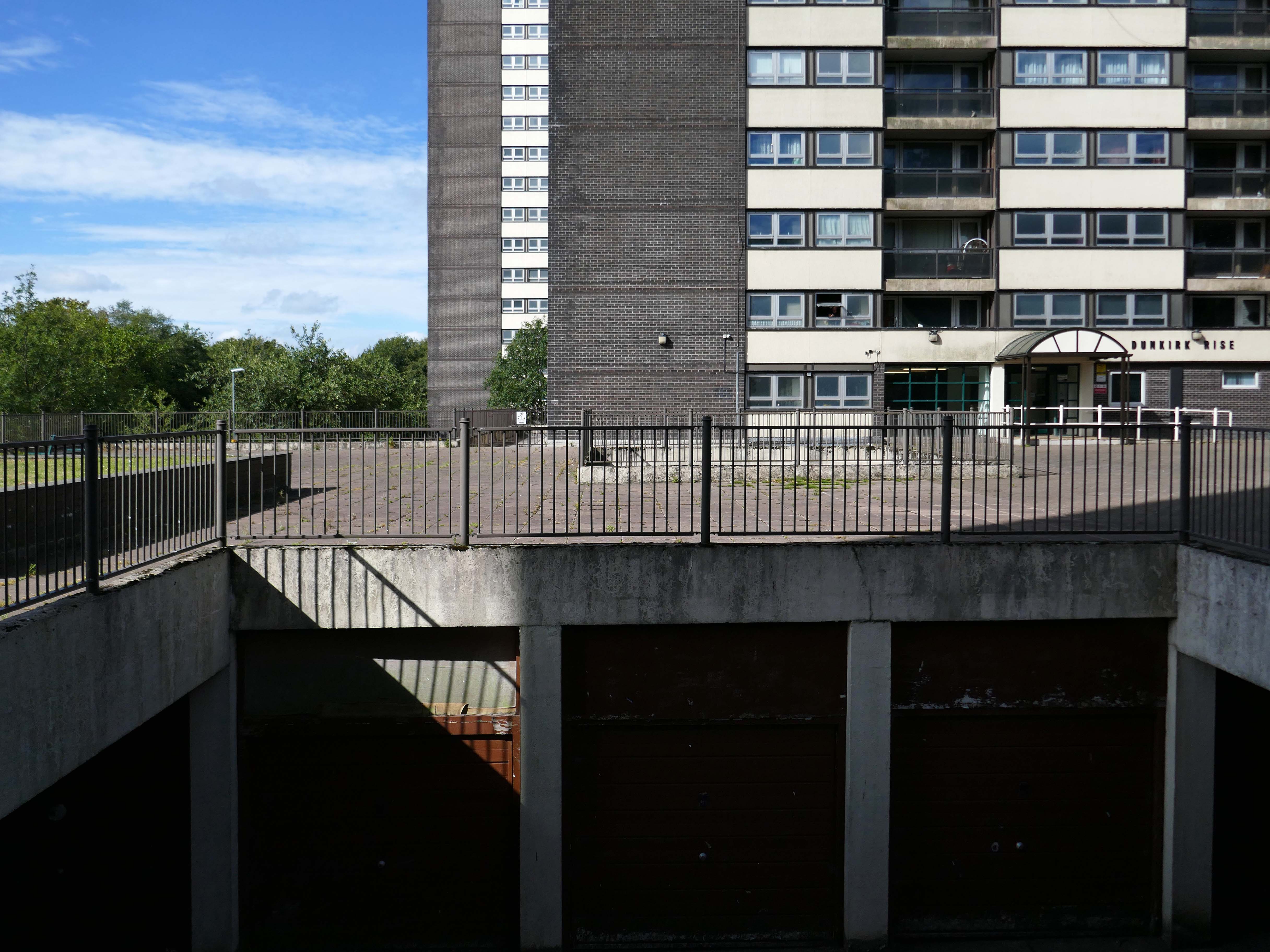
Many of the apartments spread across the Seven Sisters remain unoccupied after a plan was announced to demolish four of the blocks in 2017, leading to an exodus of hundreds of tenants. RBH later reconsidered the plan, and instead signed a deal with developer Legal & General Affordable Housing last year, to find a viable way of refurbishing the apartments.
All 700 flats in the 1960s blocks were set to be redeveloped under the plans, but the pair’s agreement has now come to an end without a solution emerging.
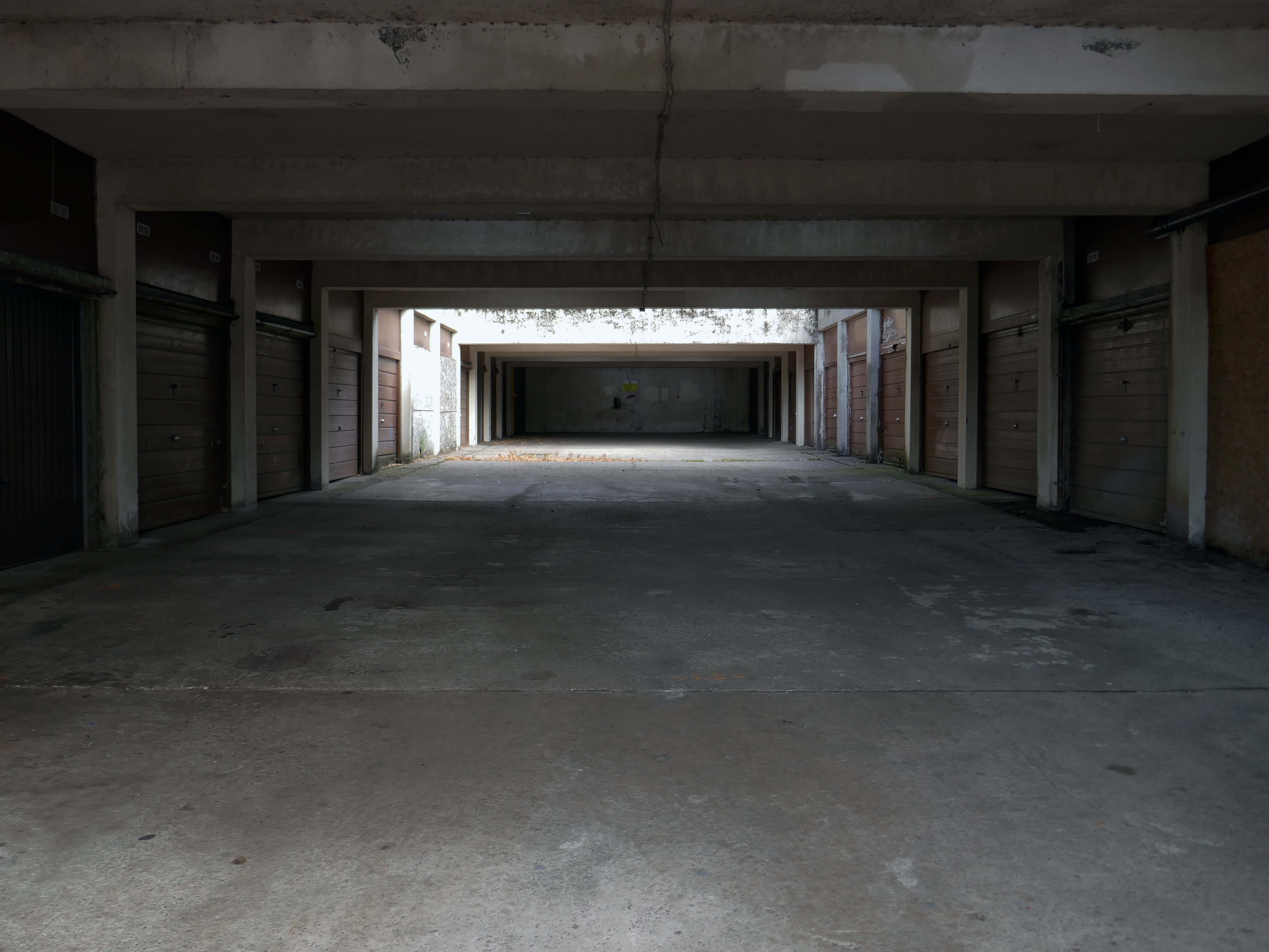
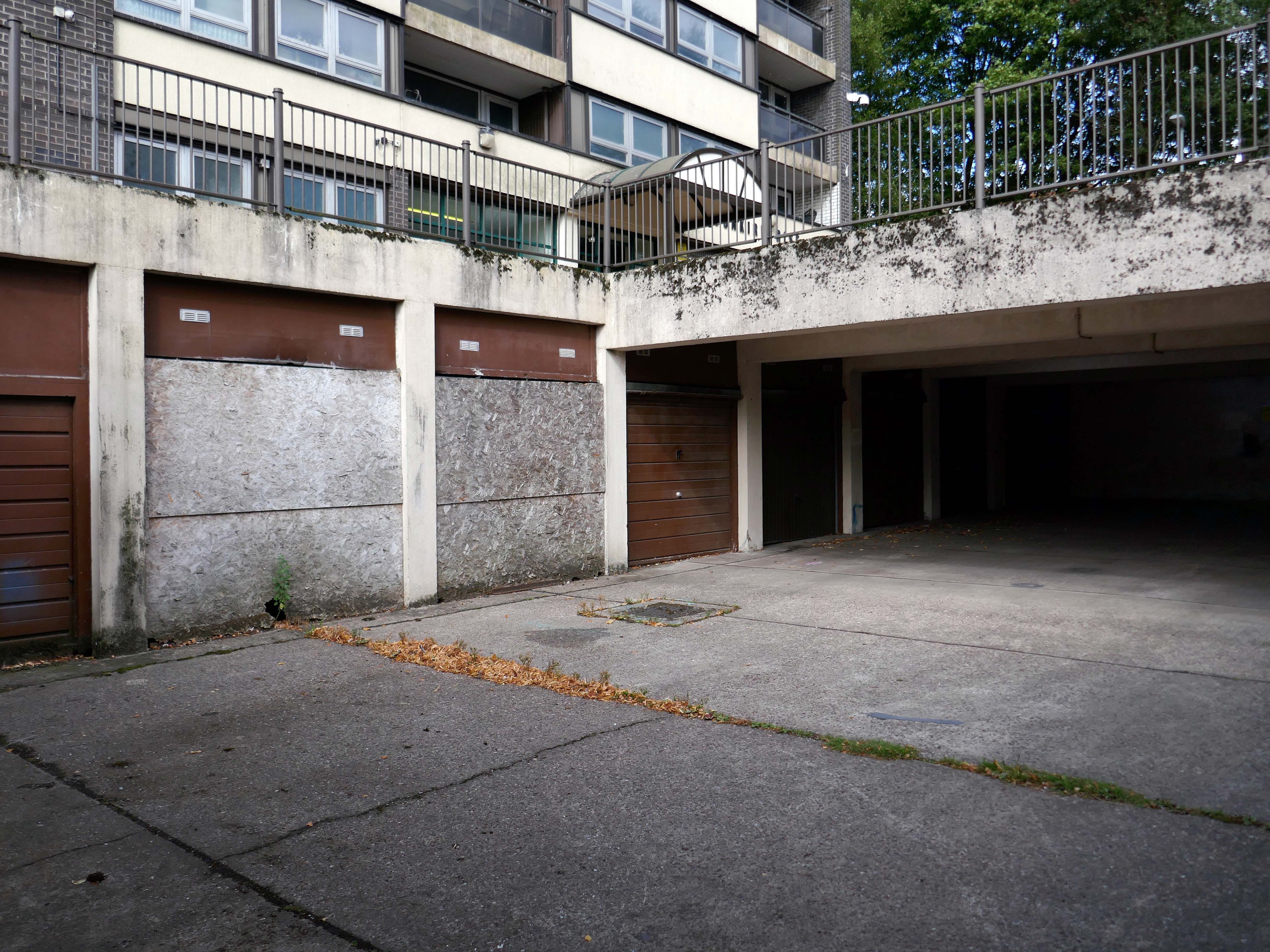
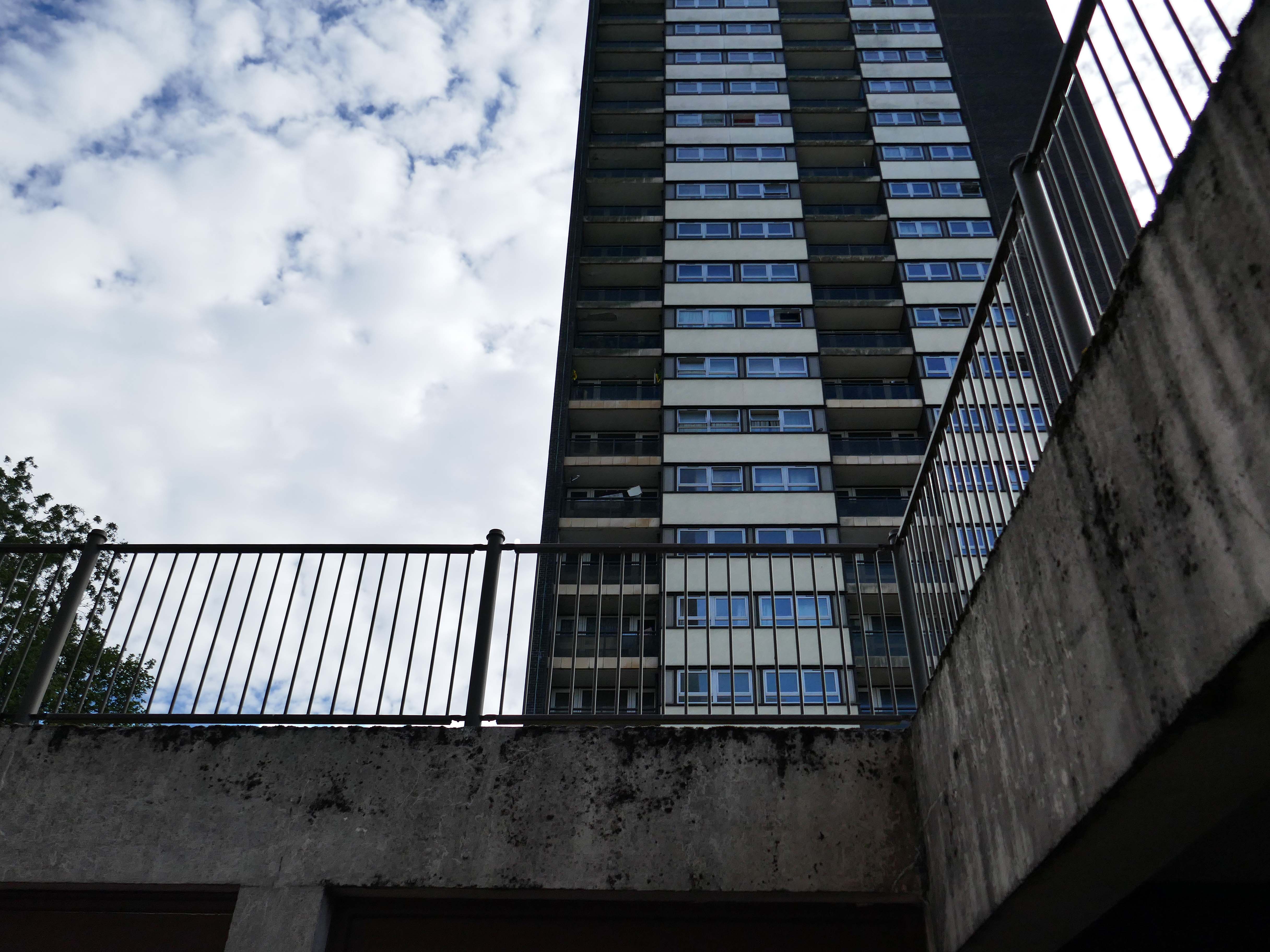
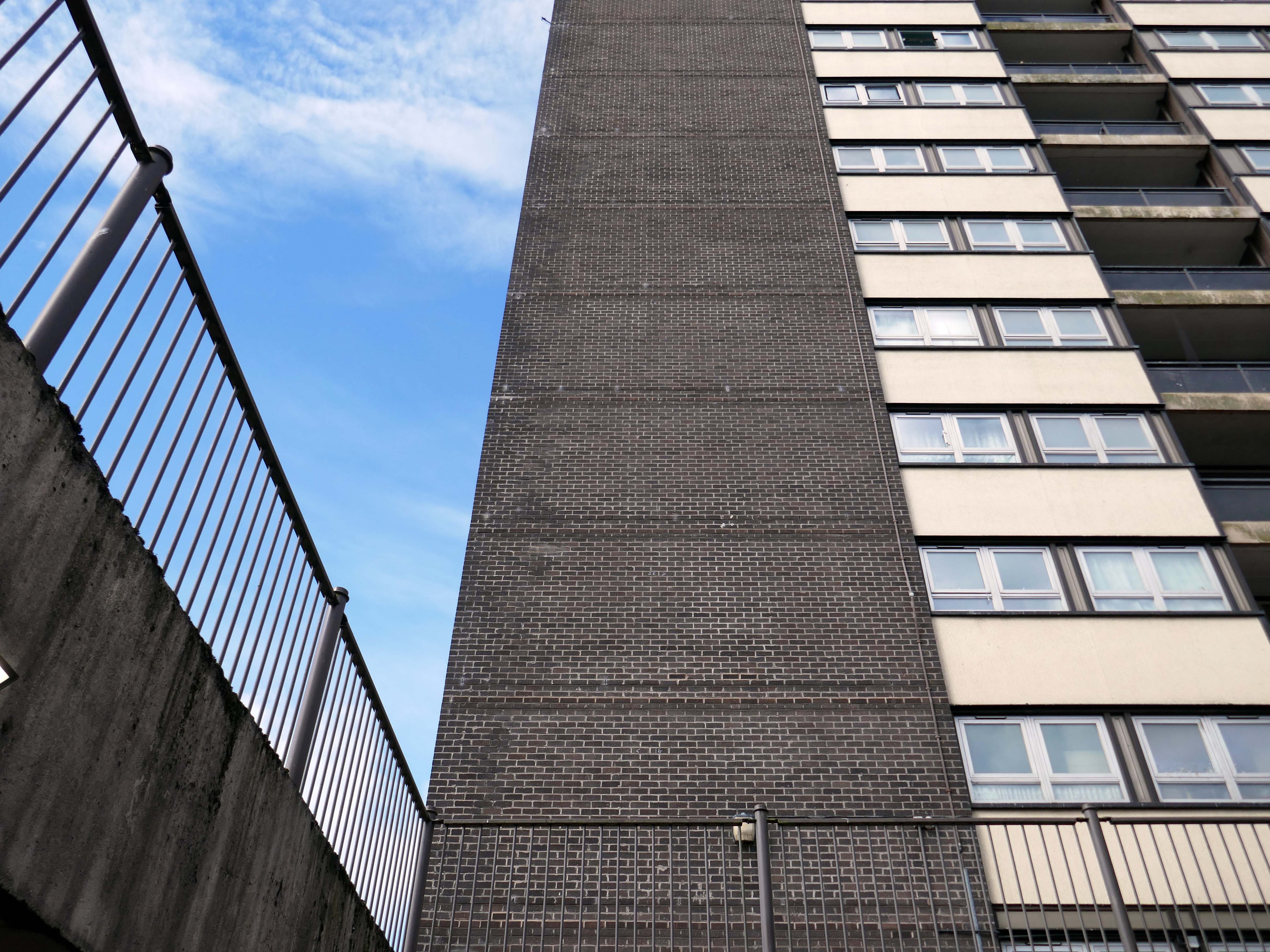
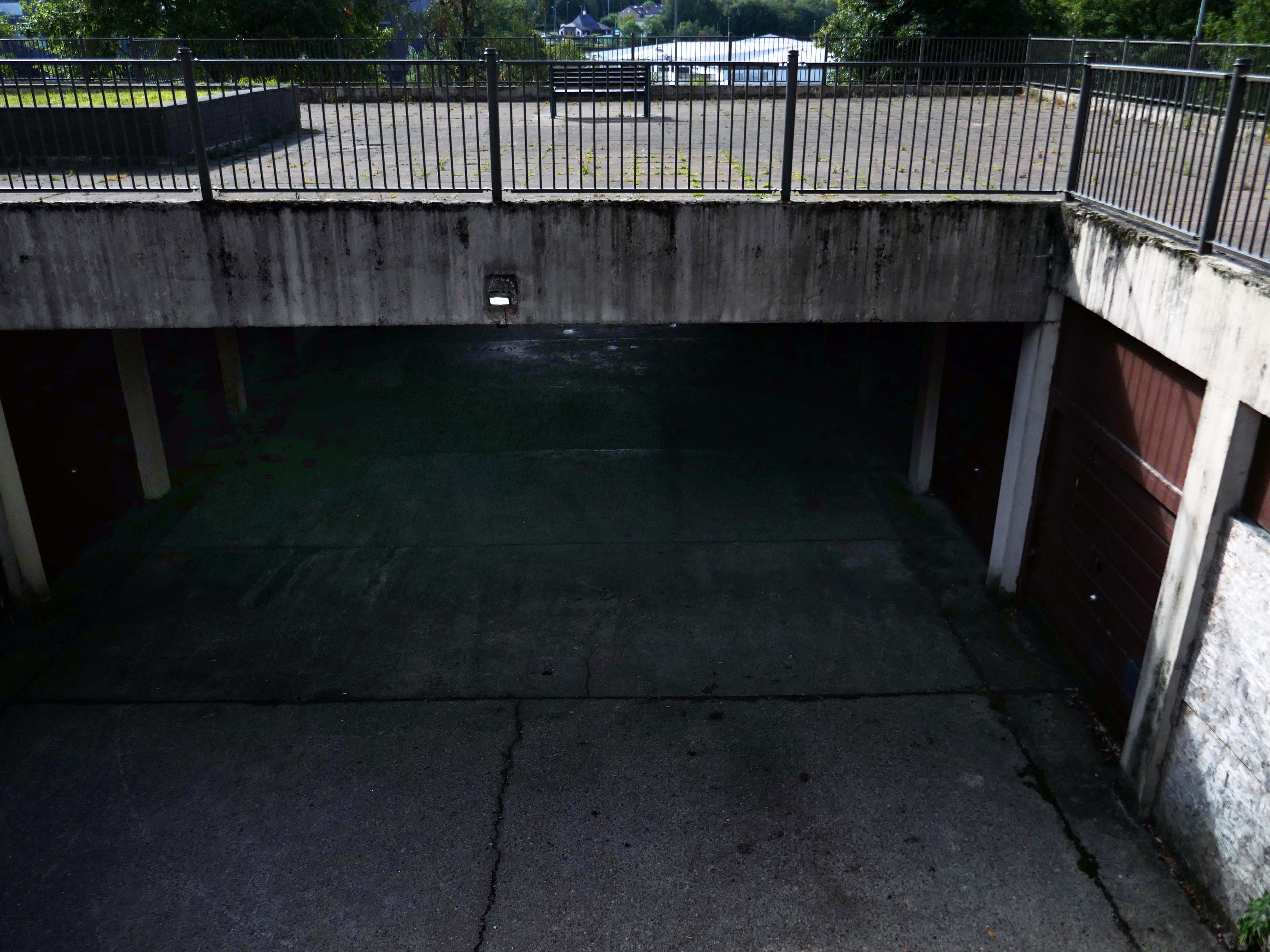
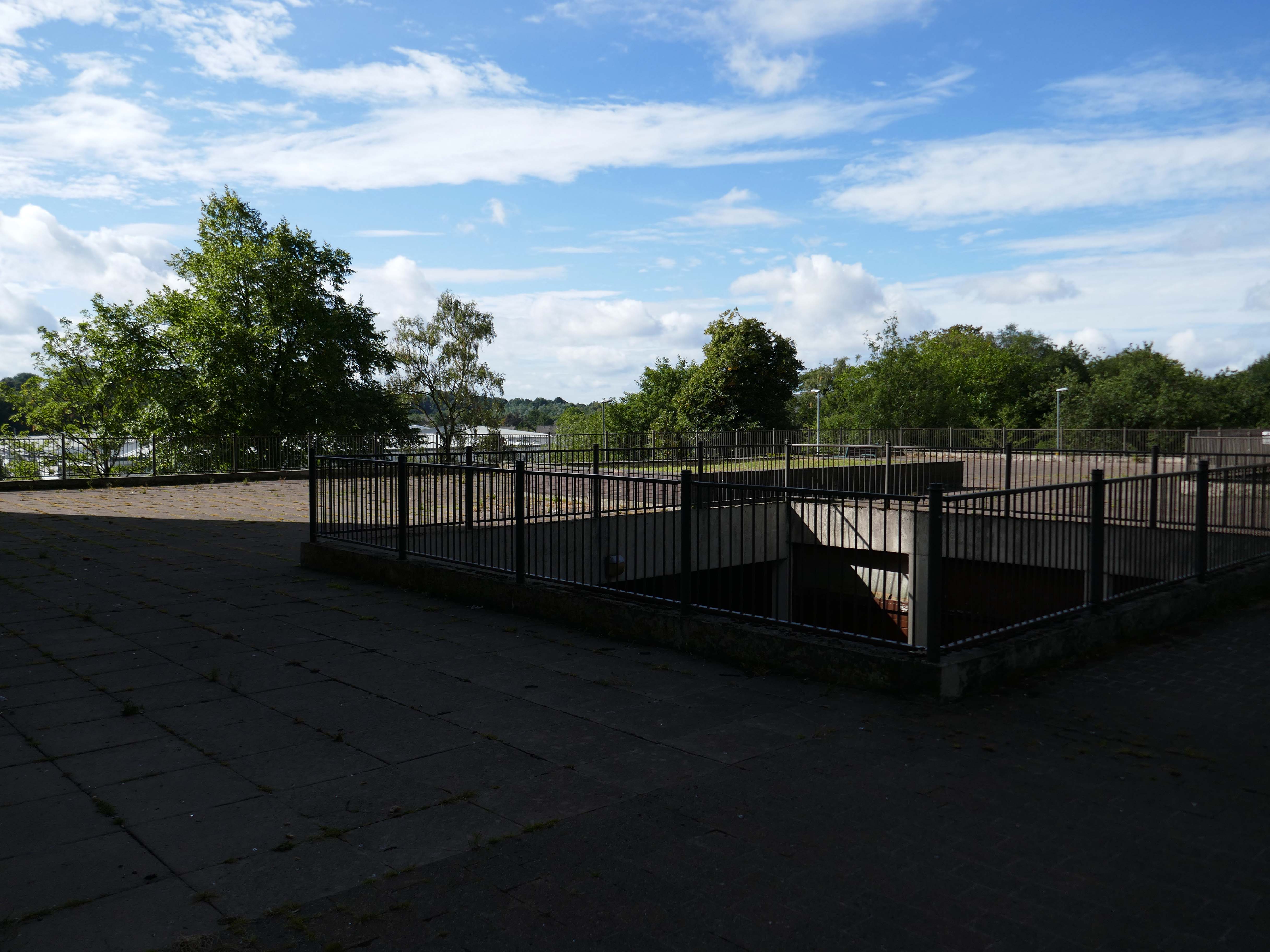
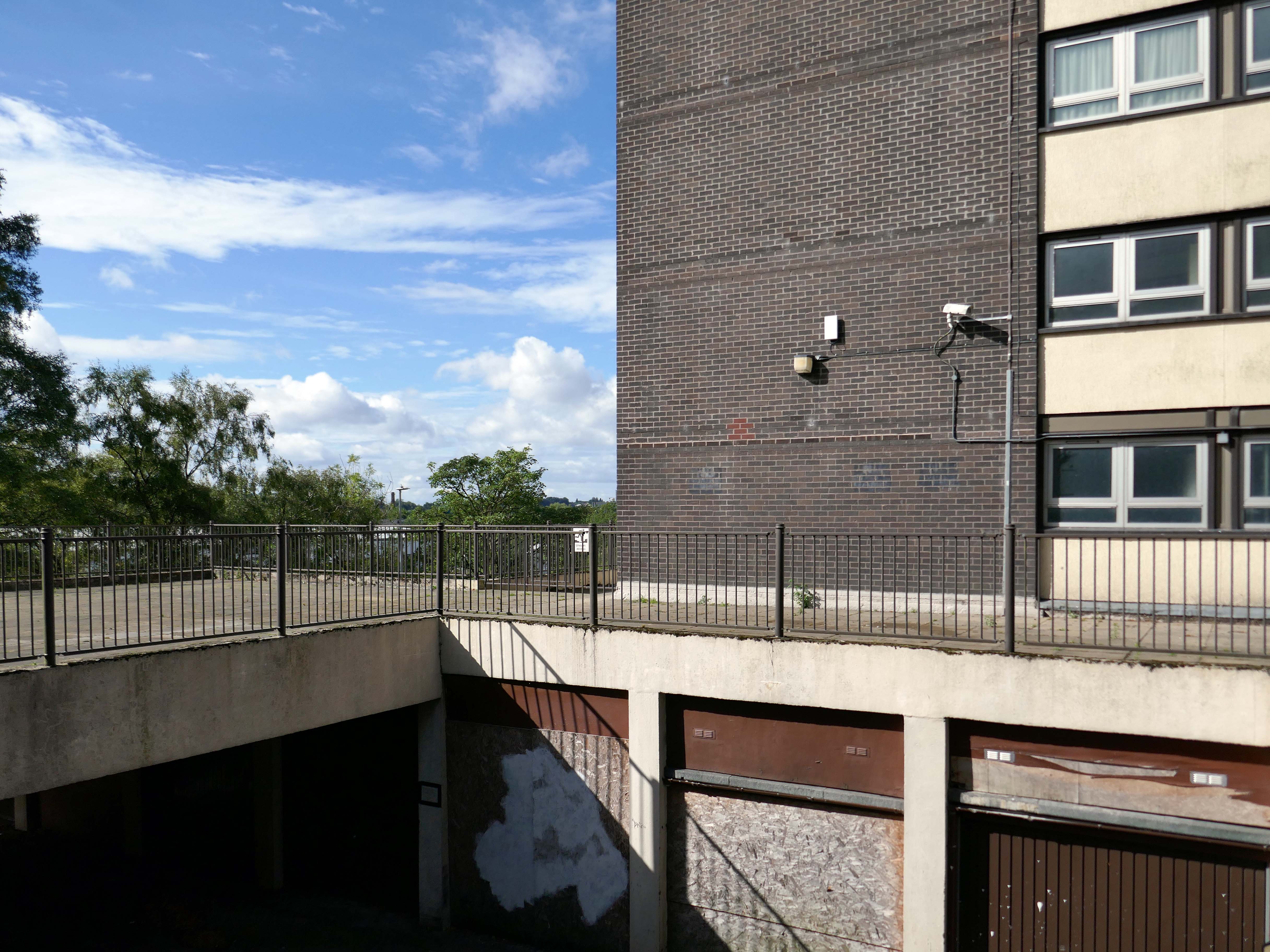
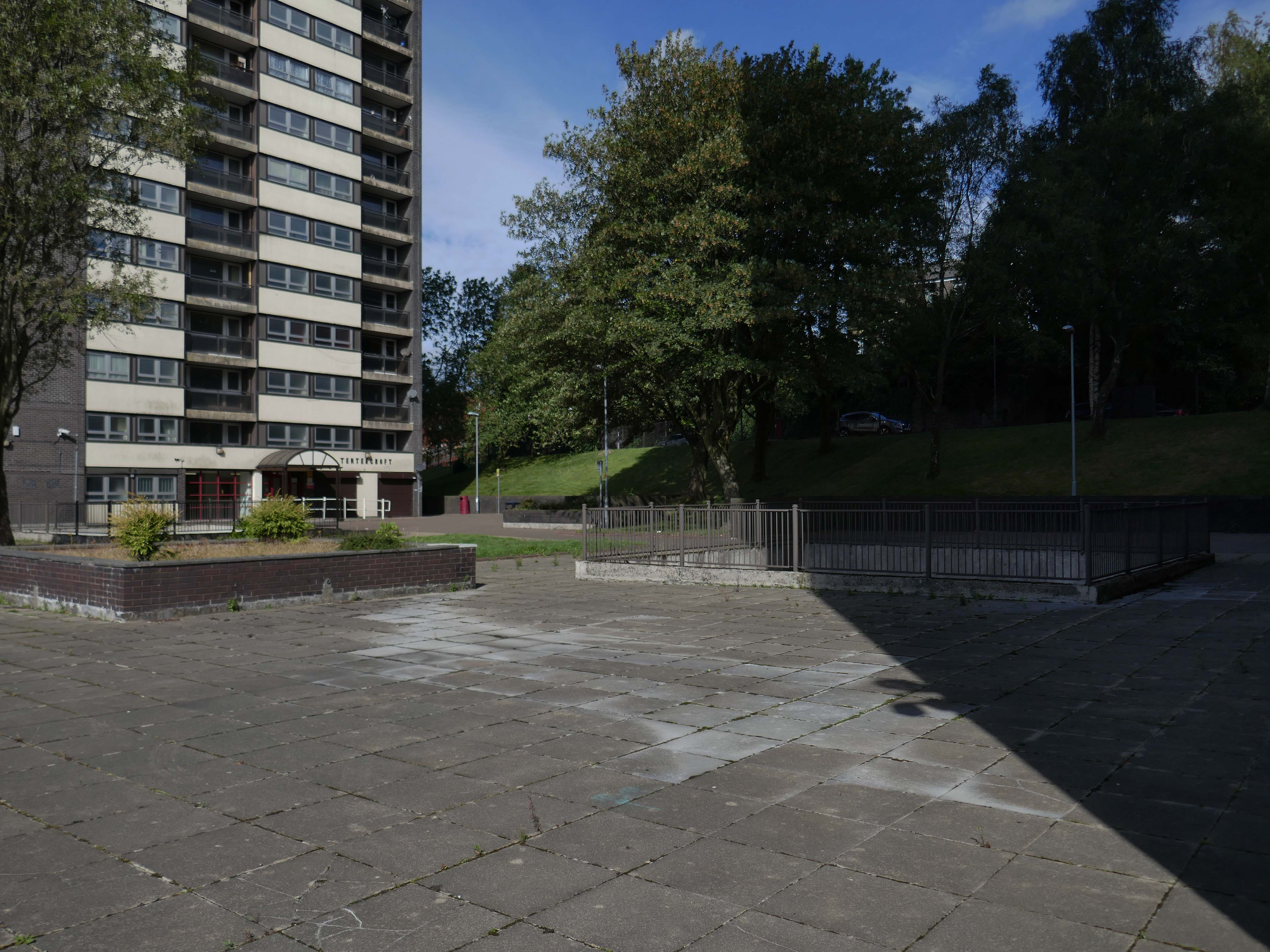
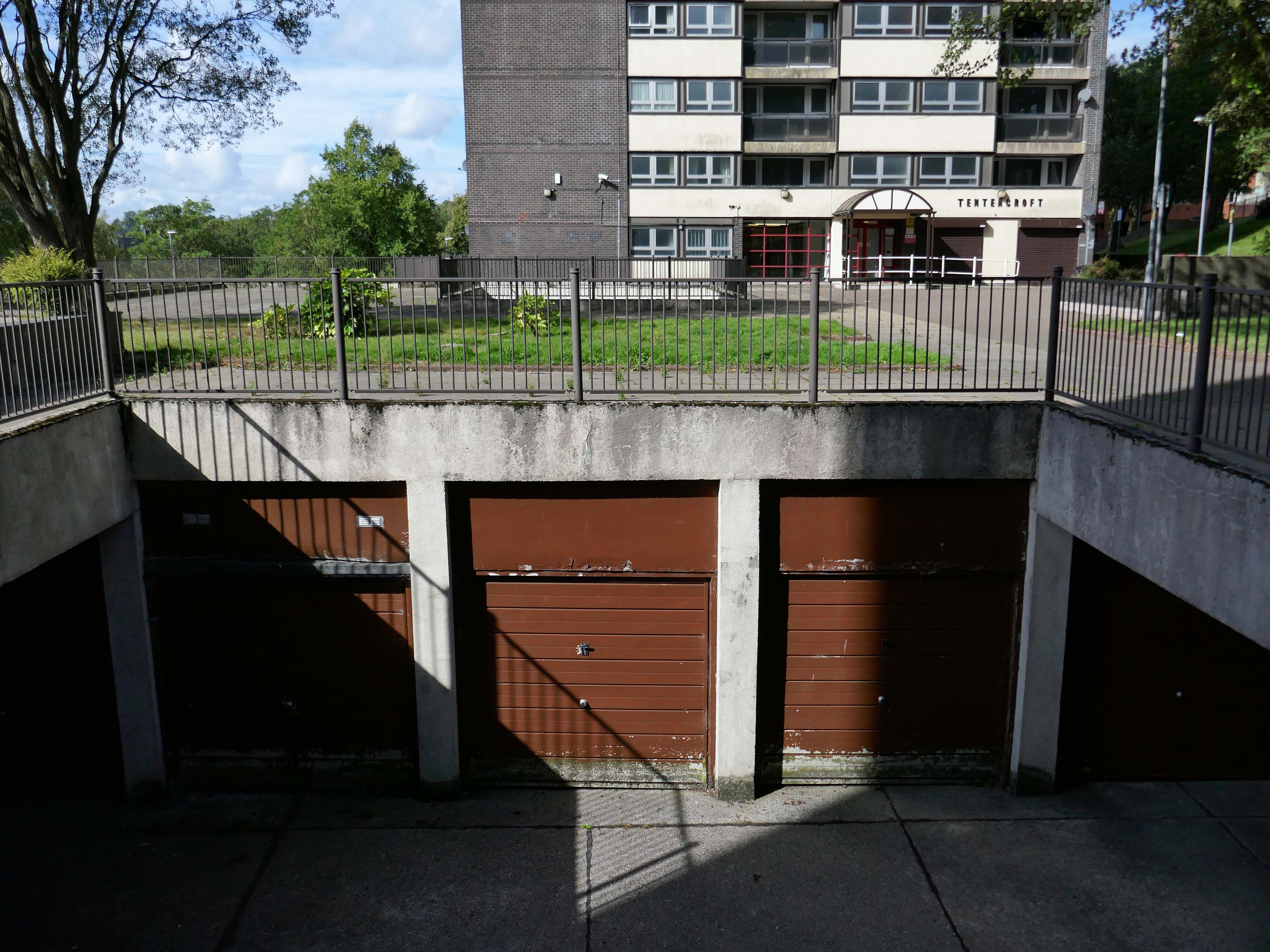
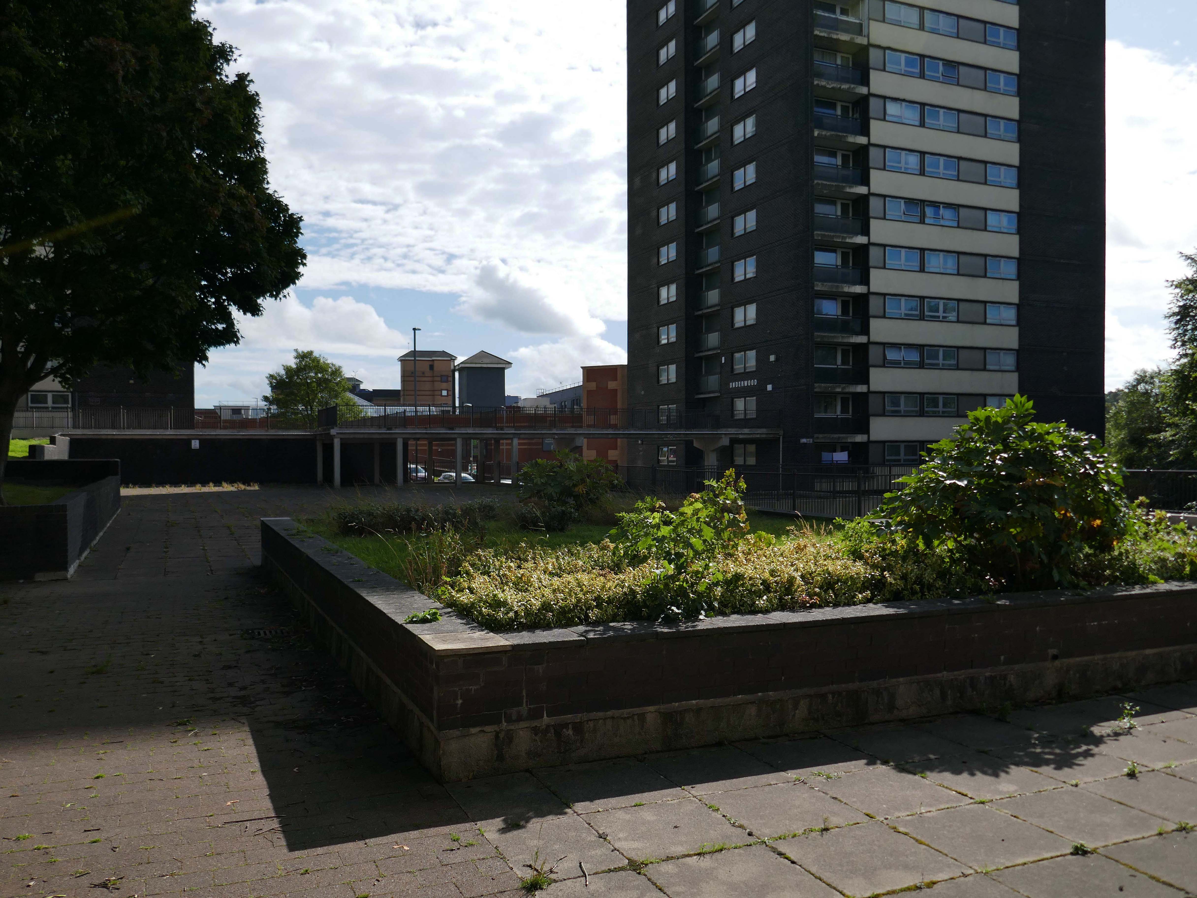
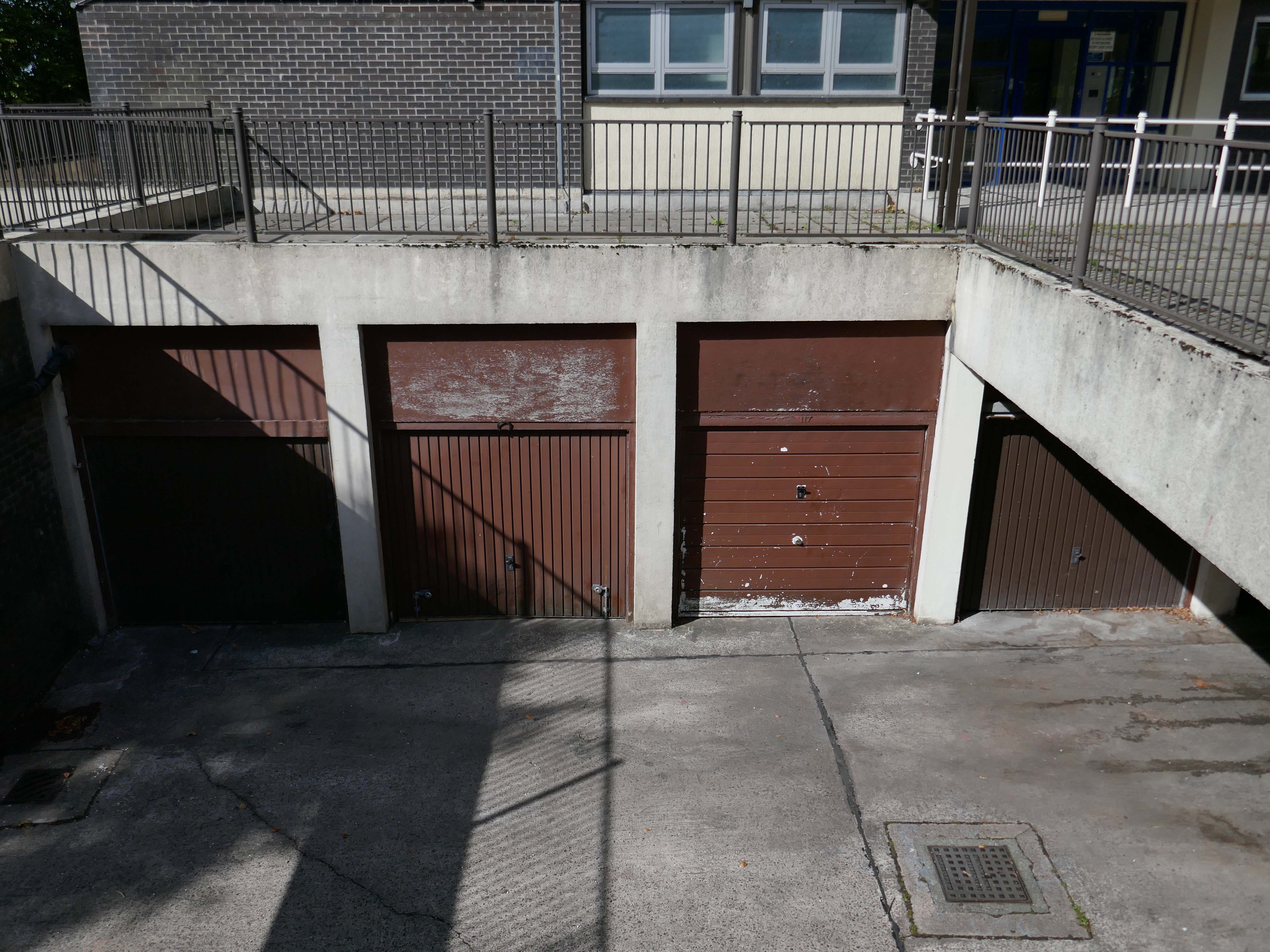
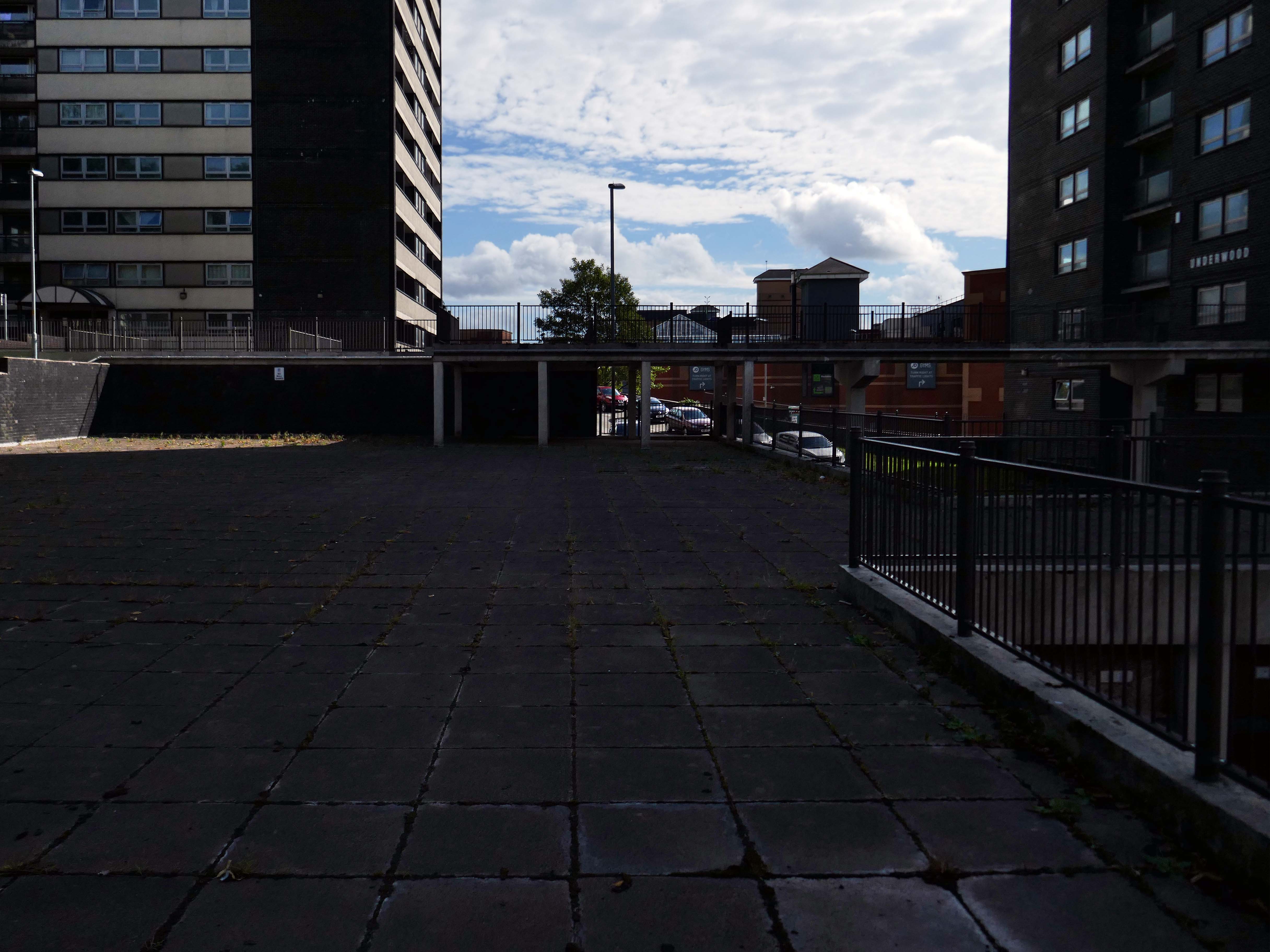
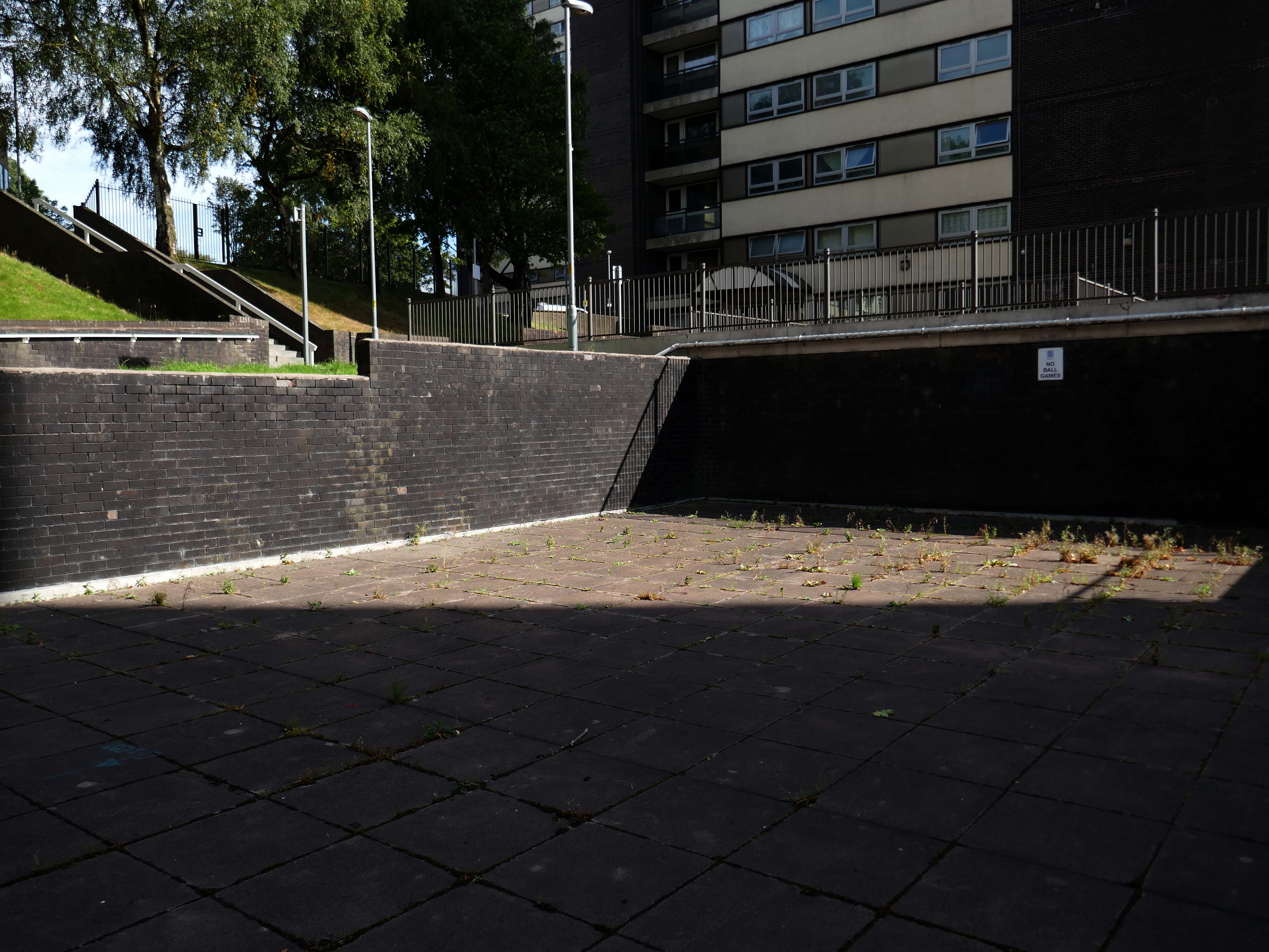
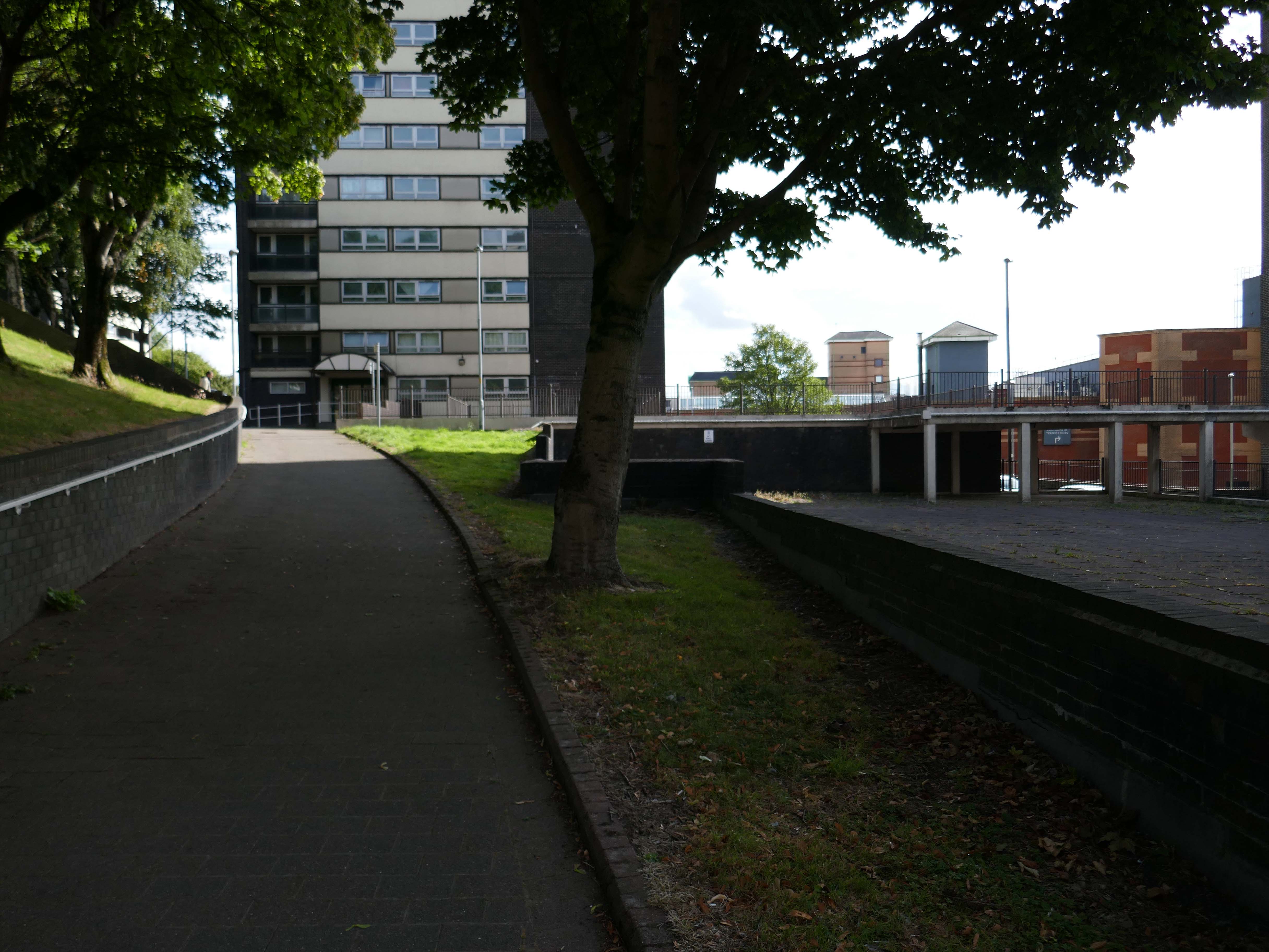
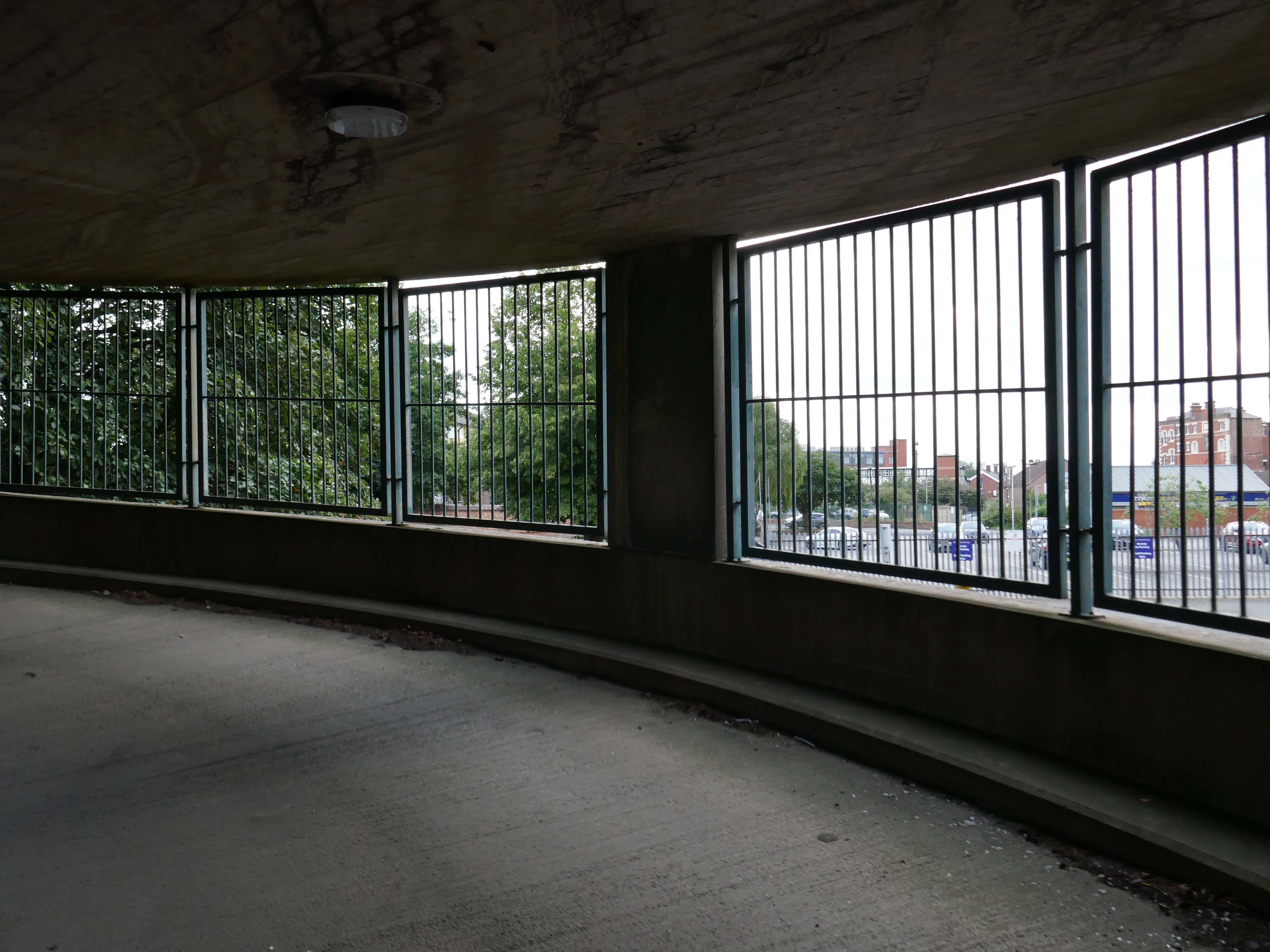
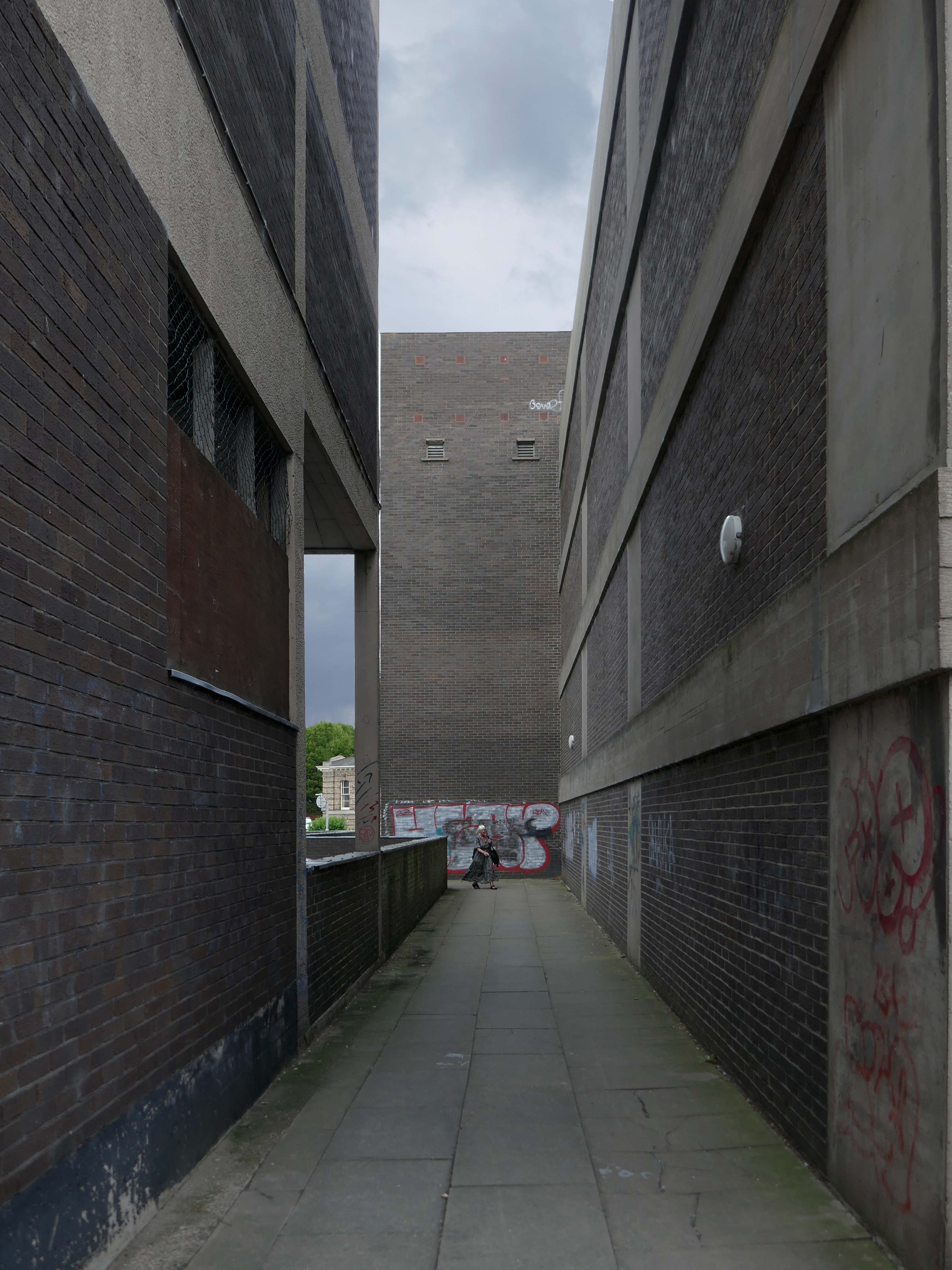
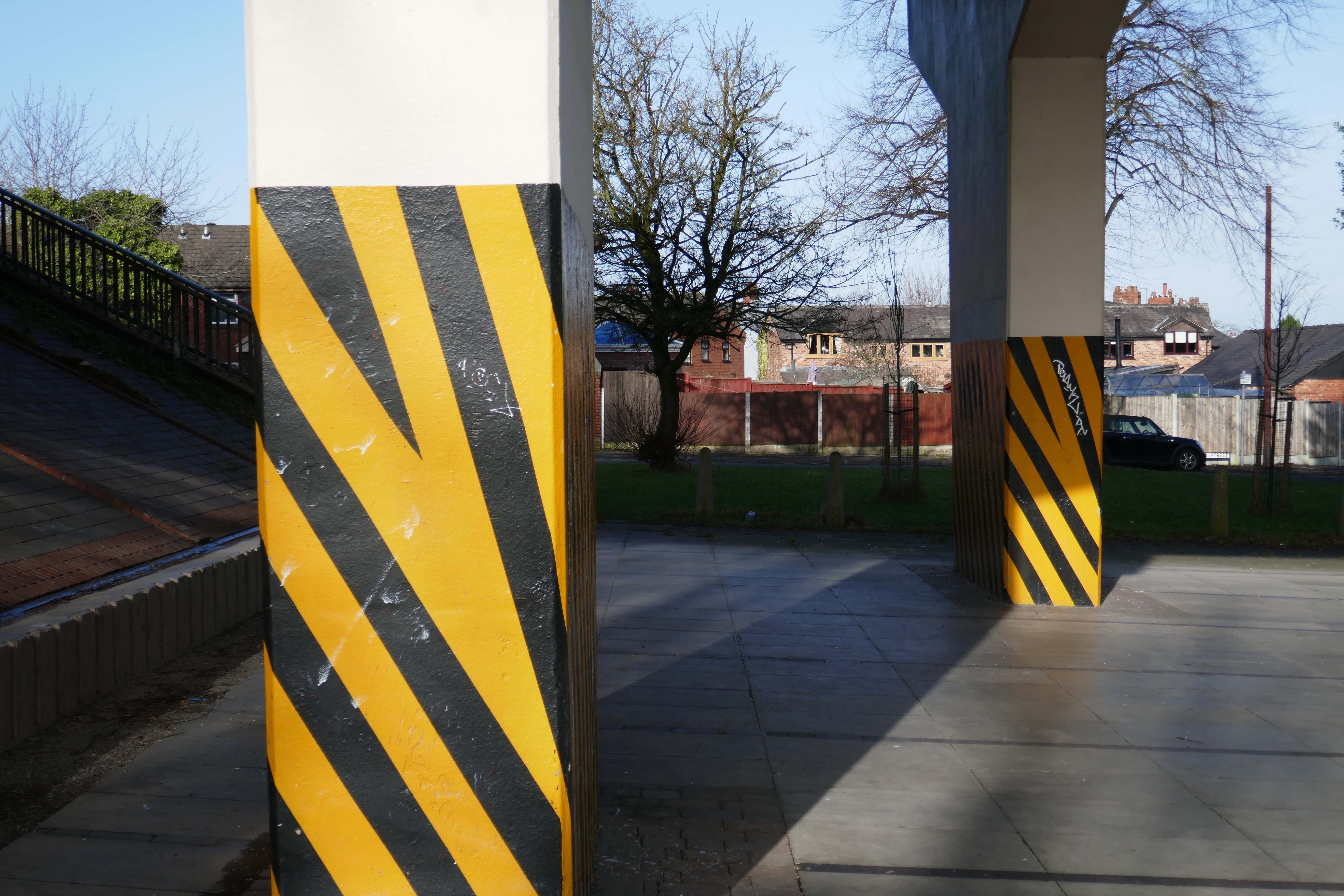
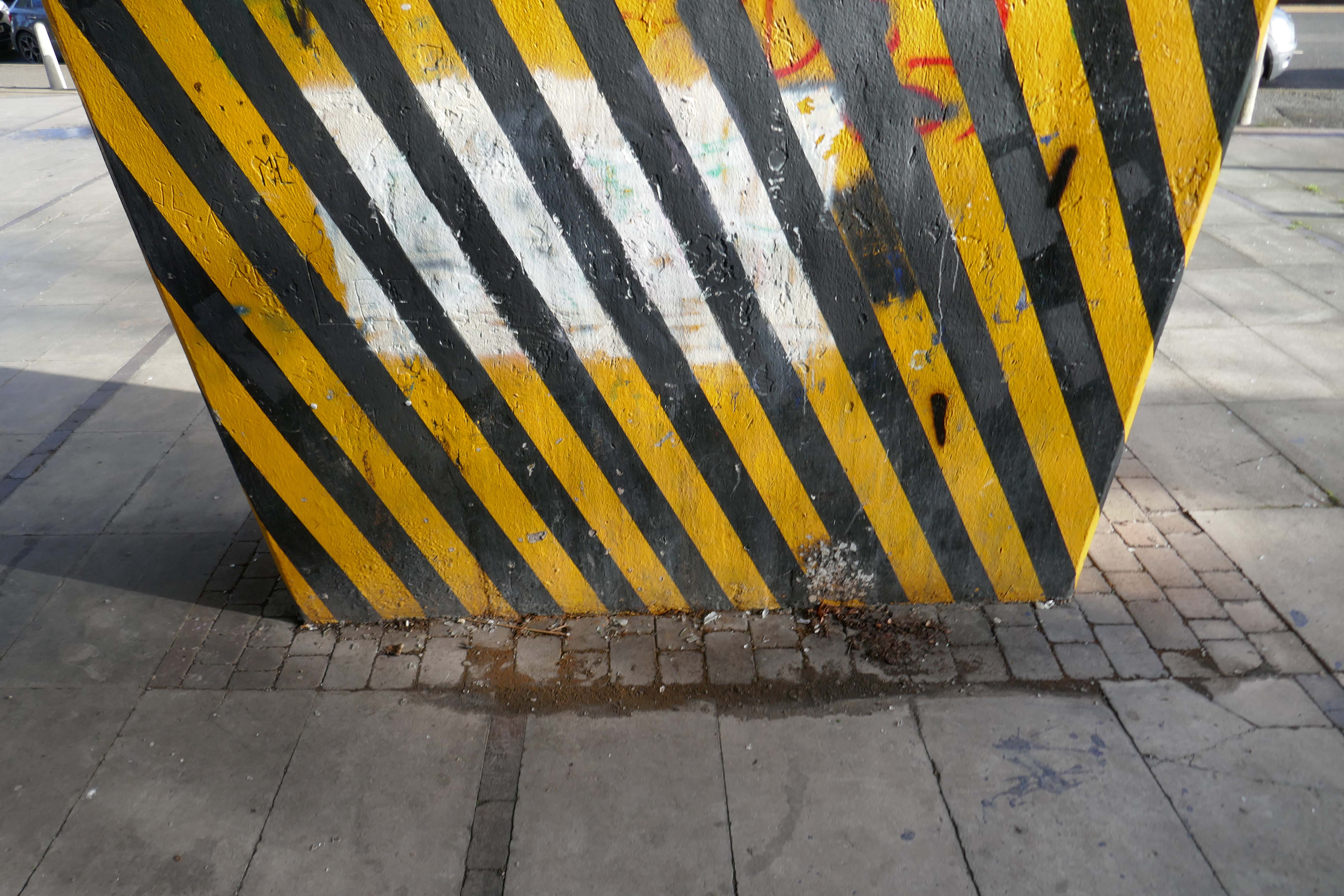
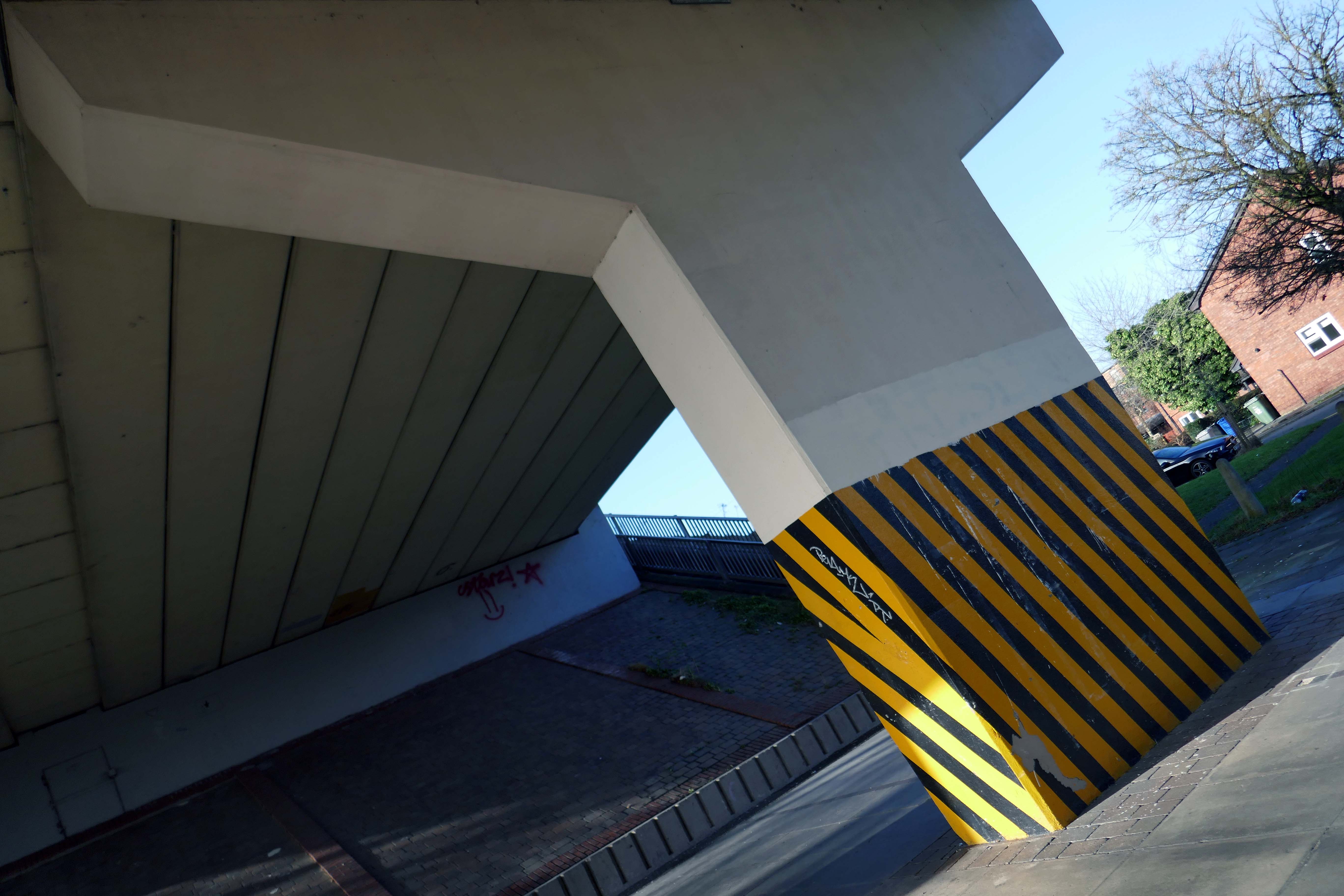
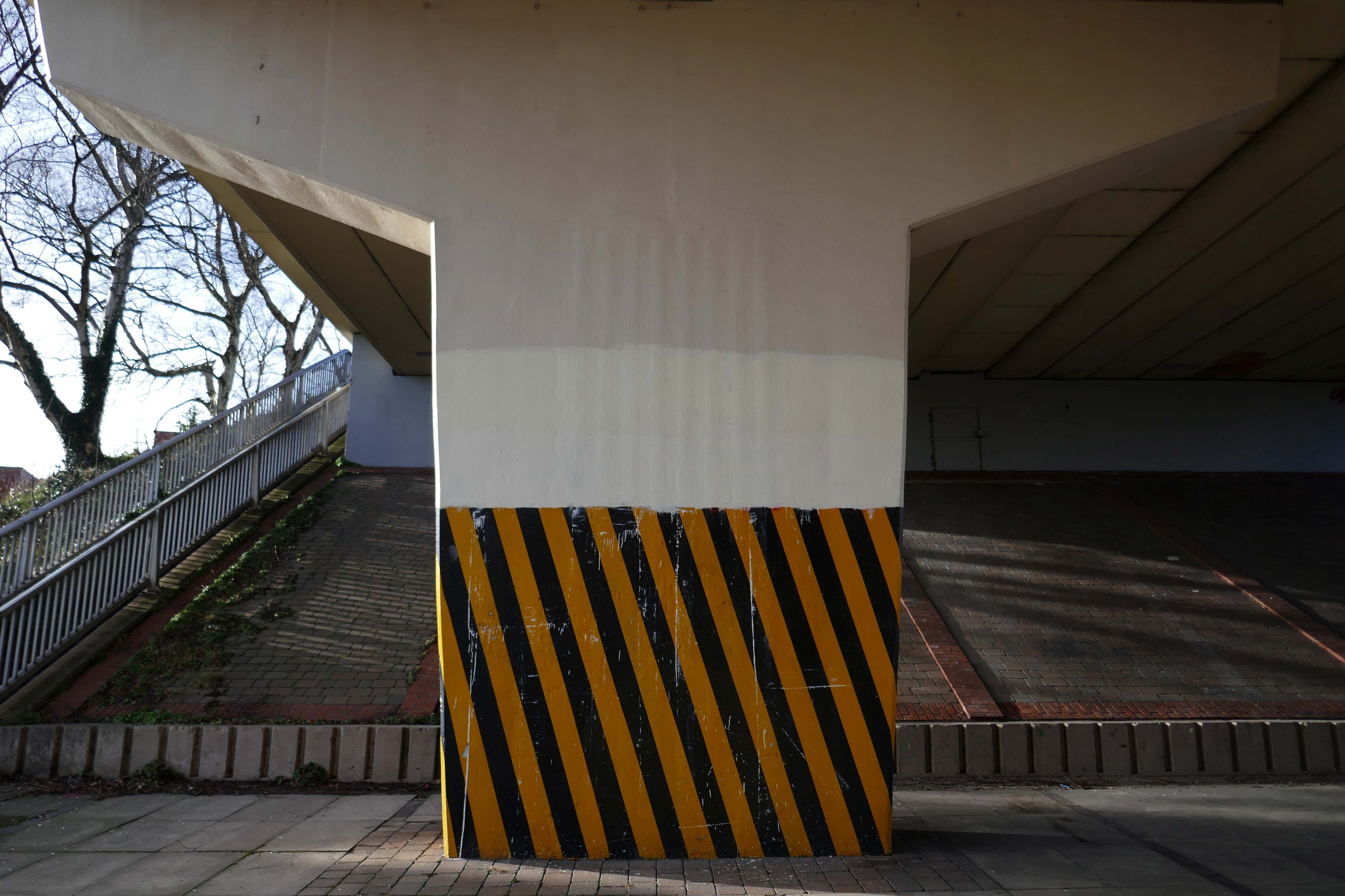
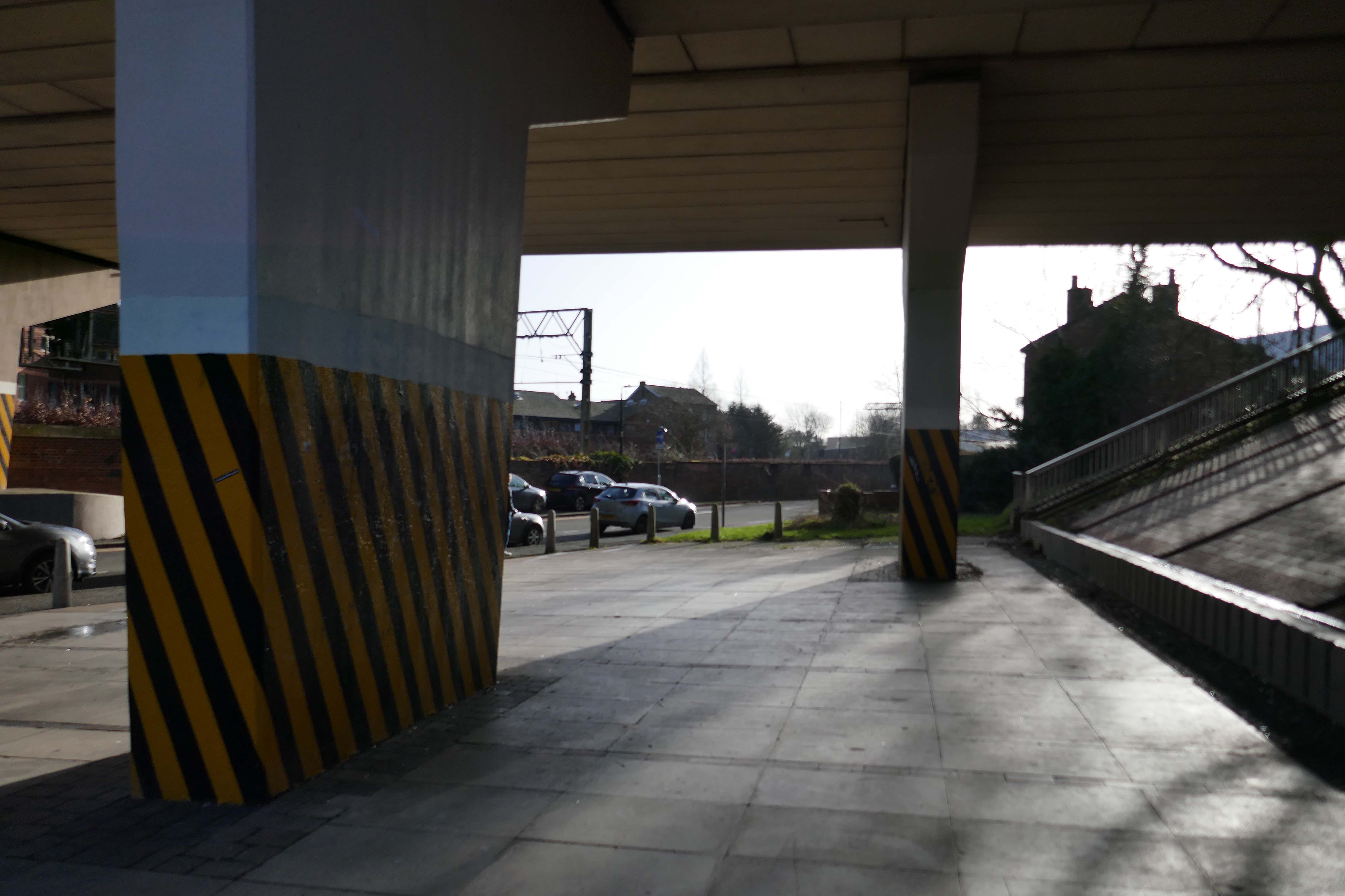
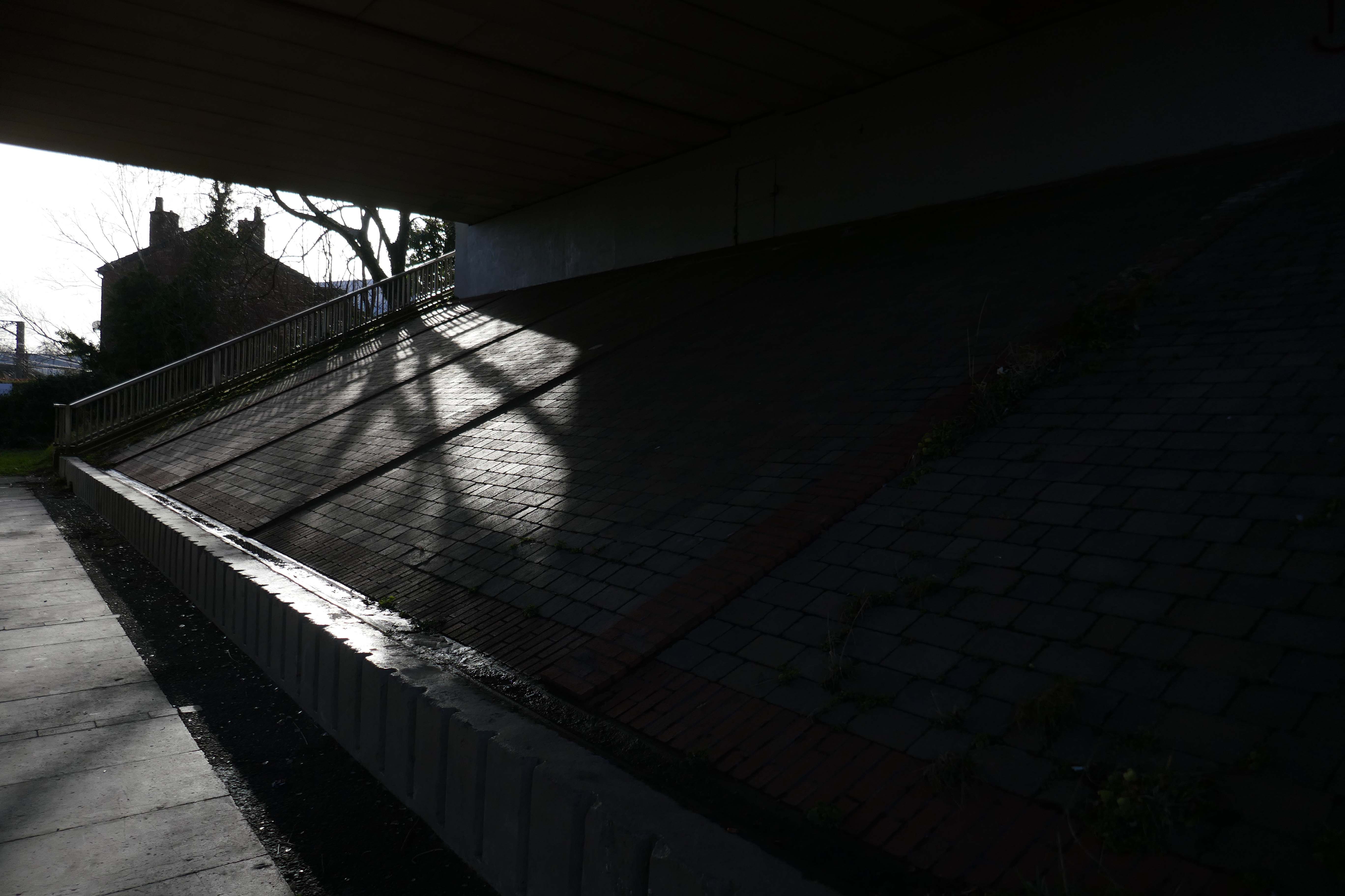
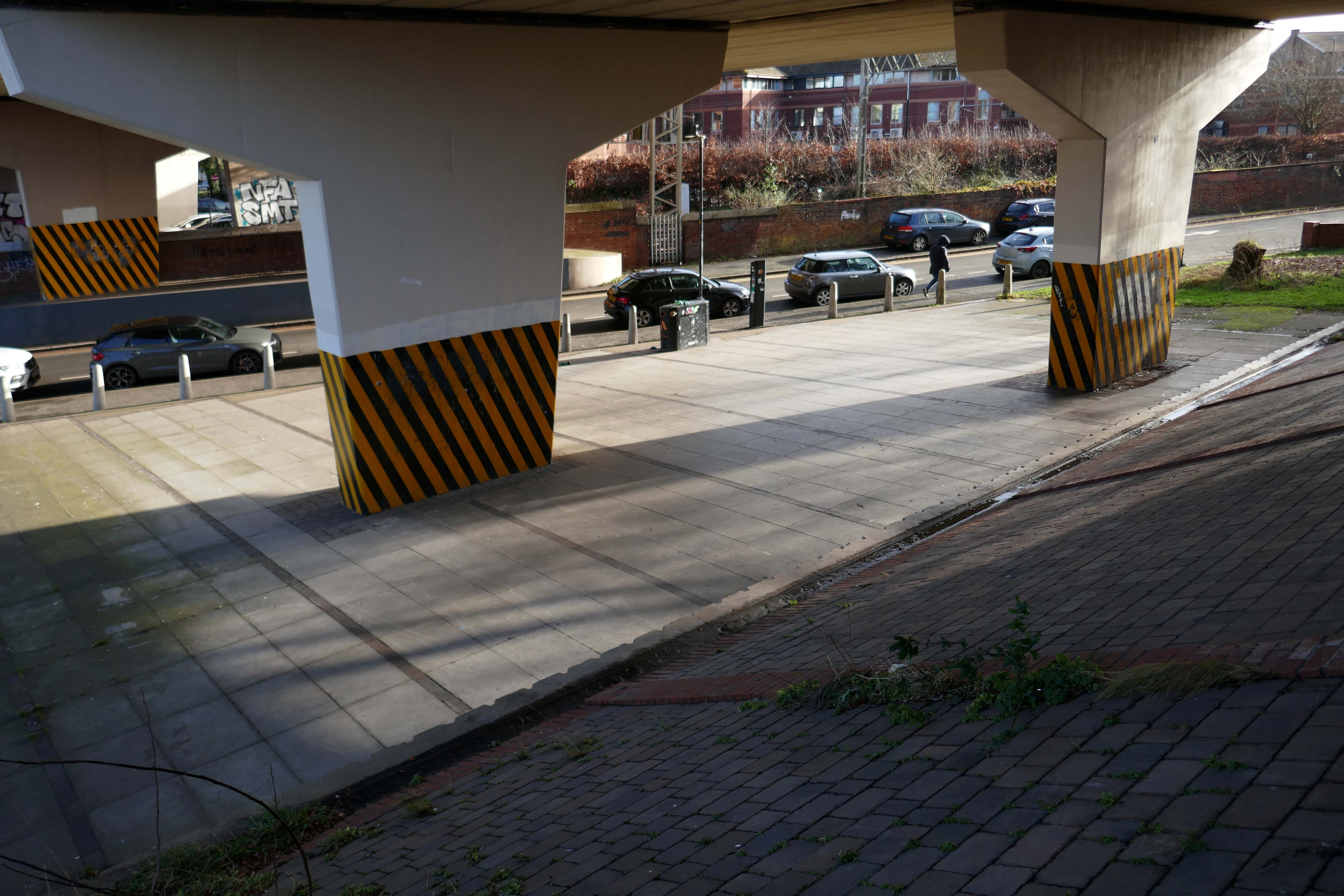
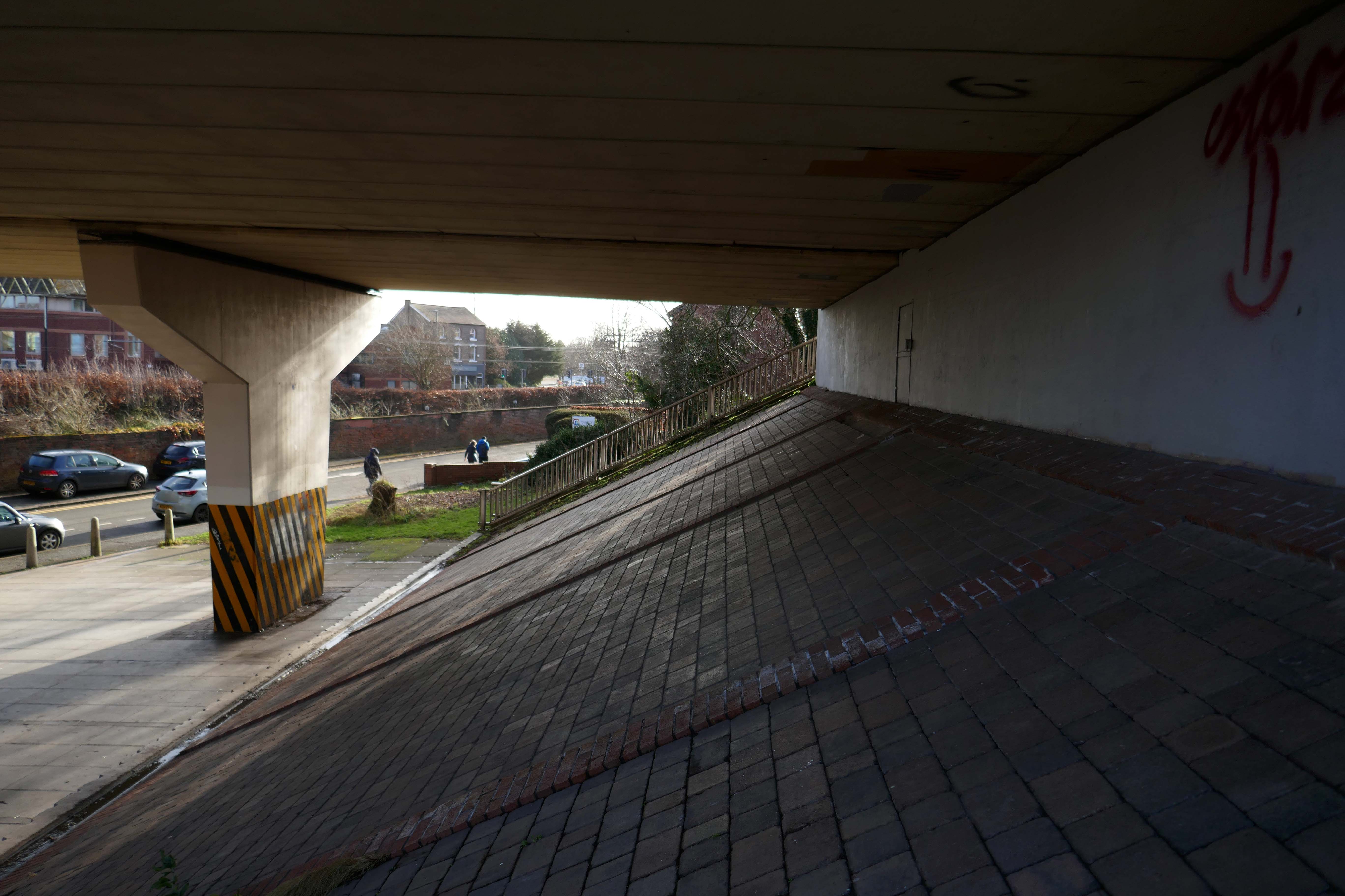
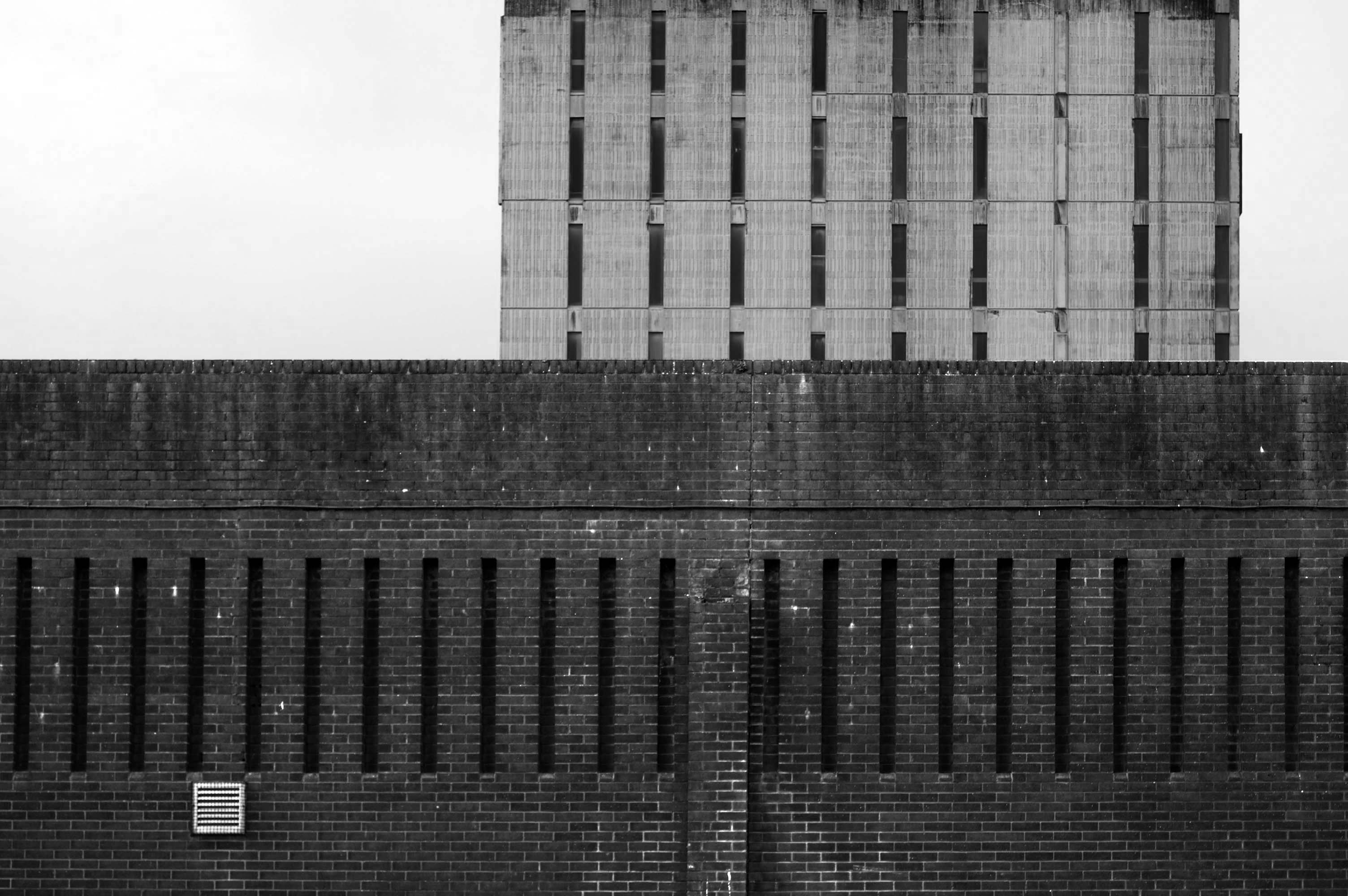
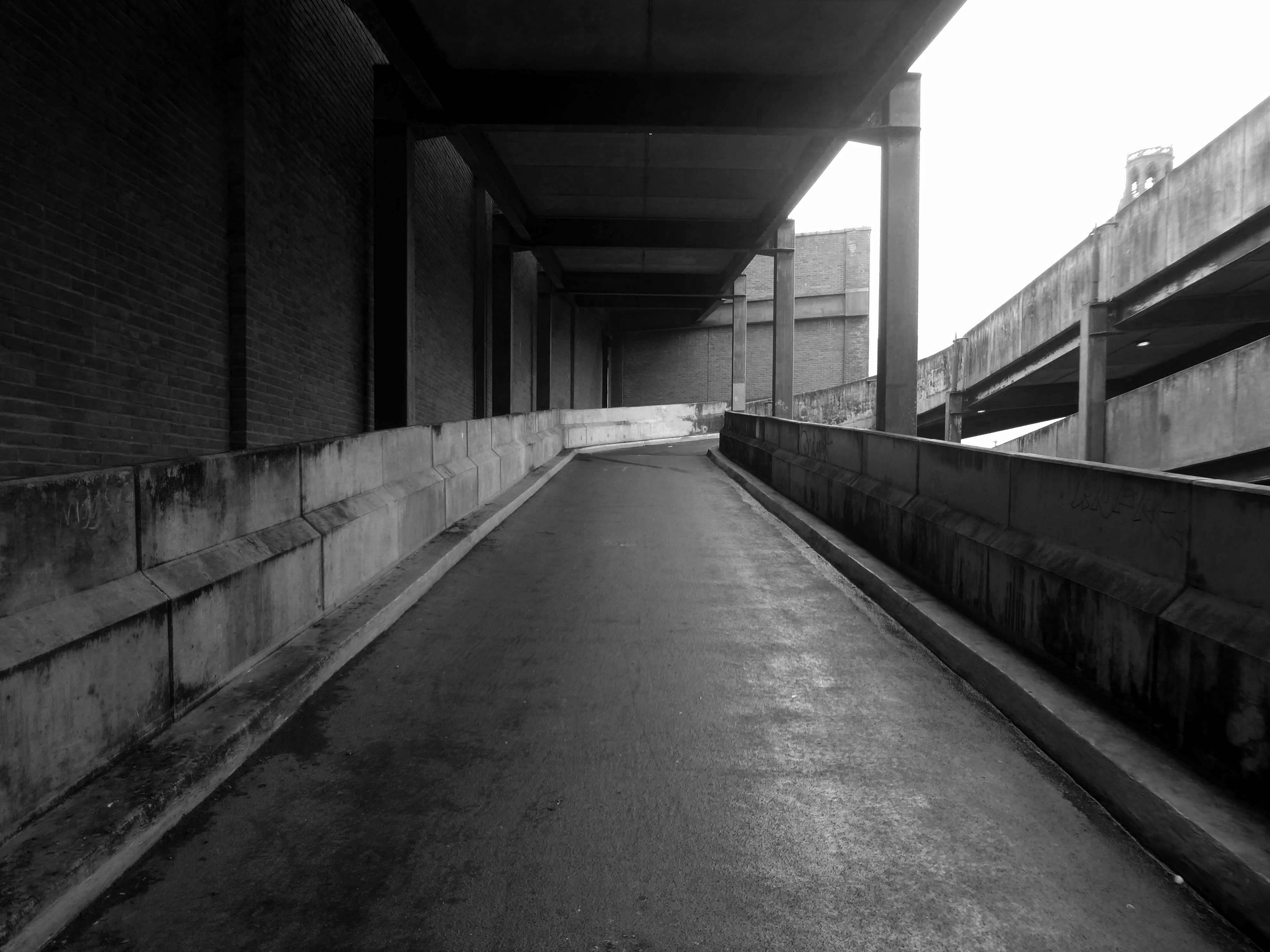
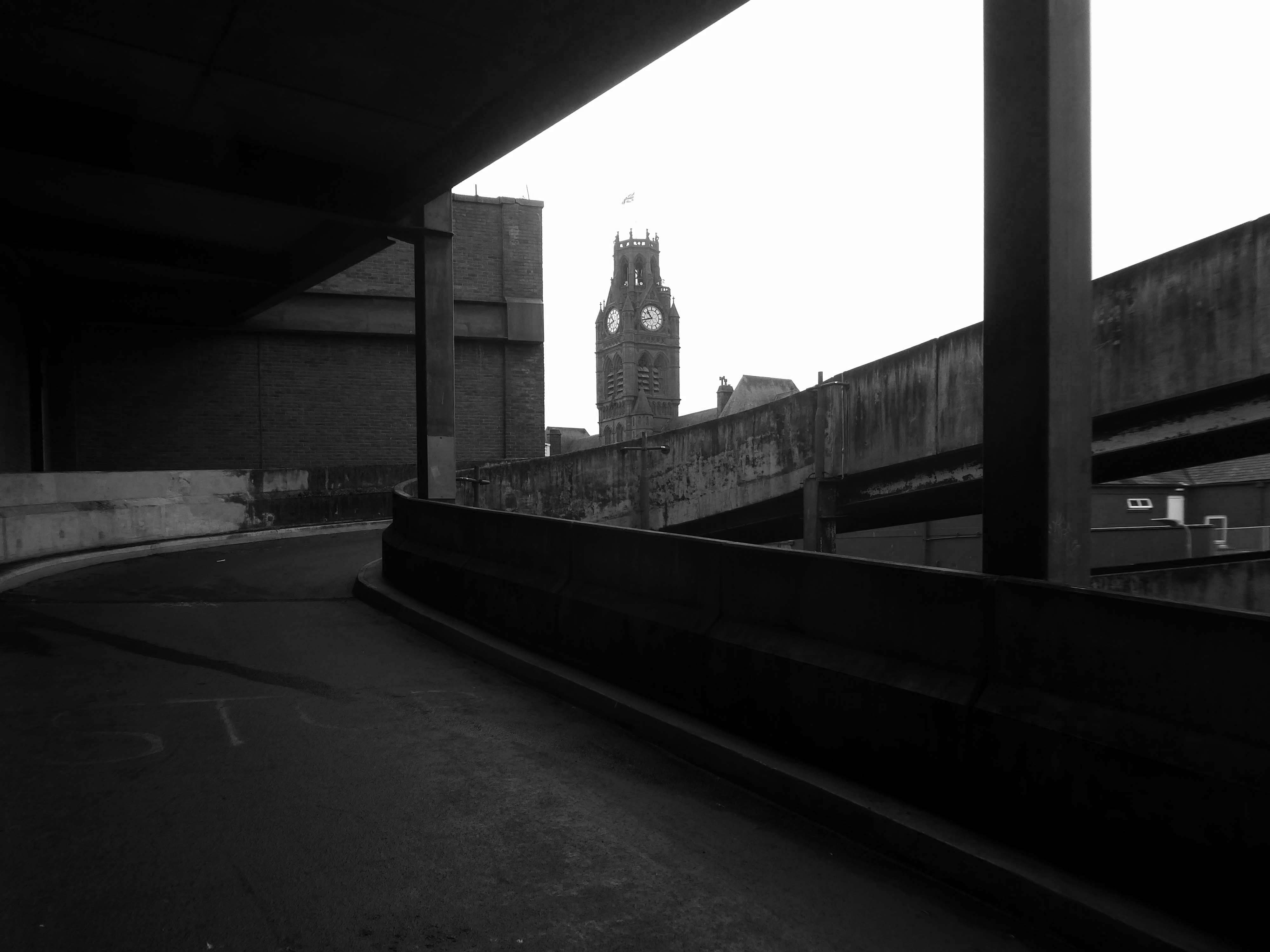
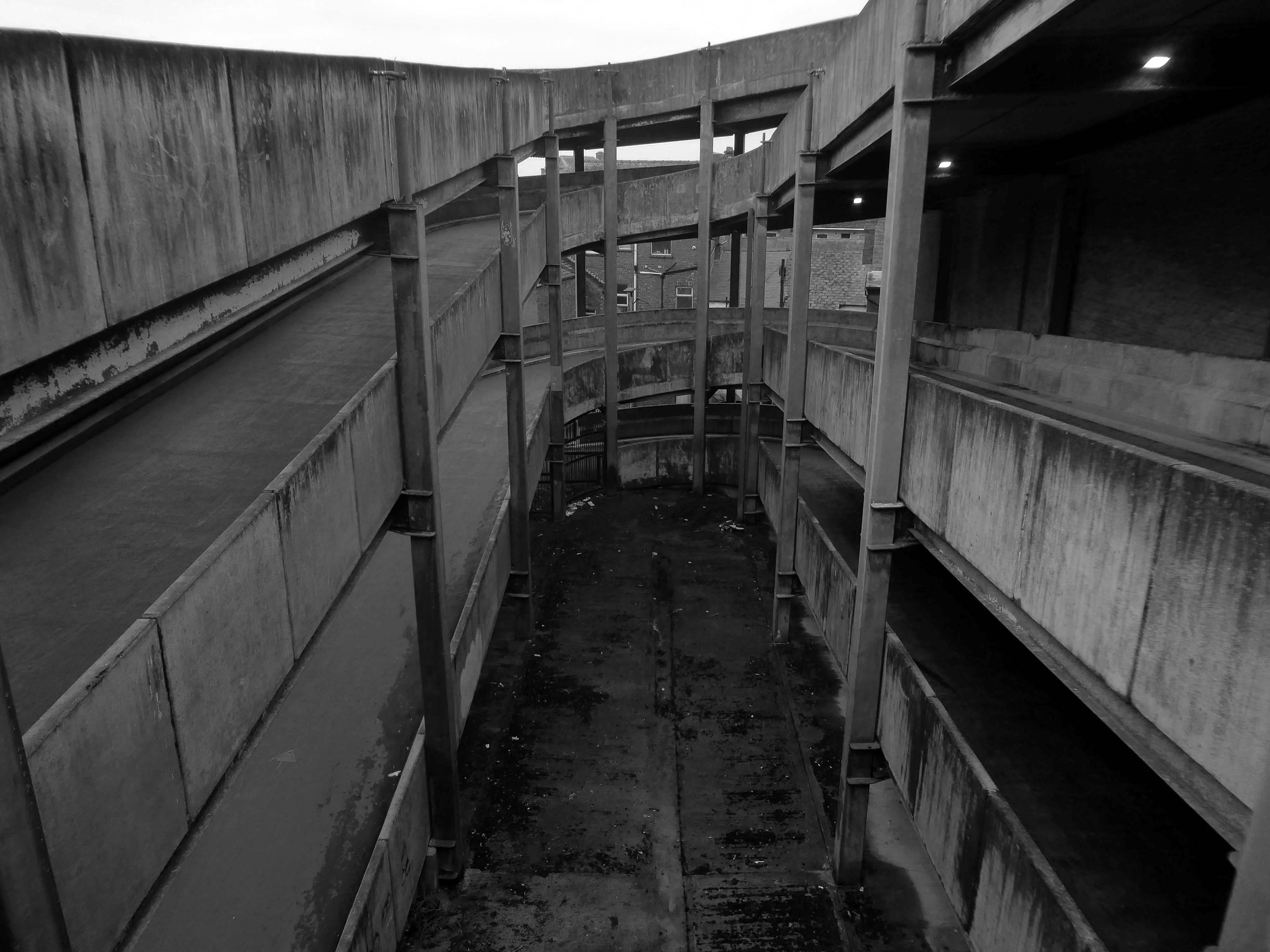
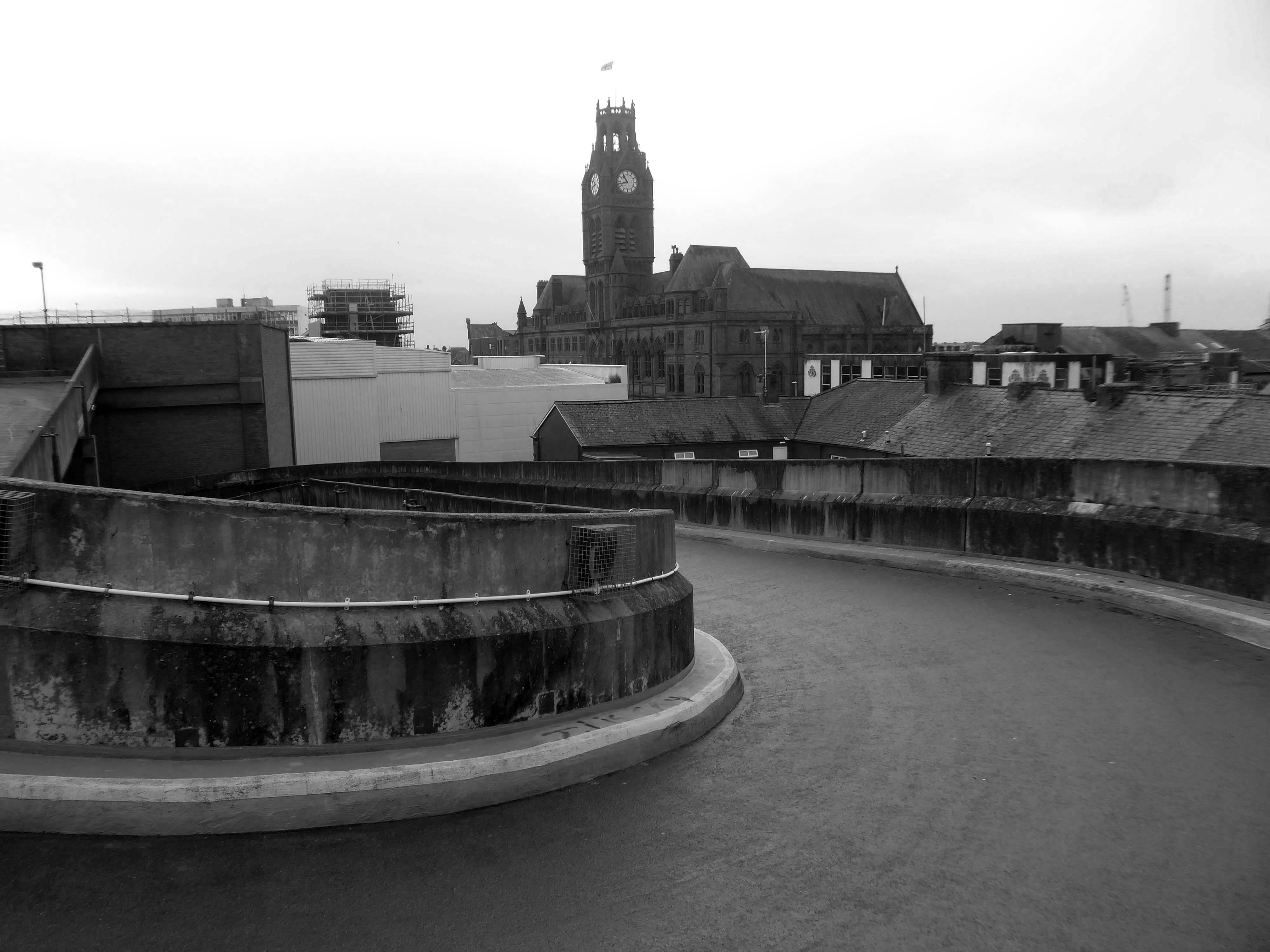
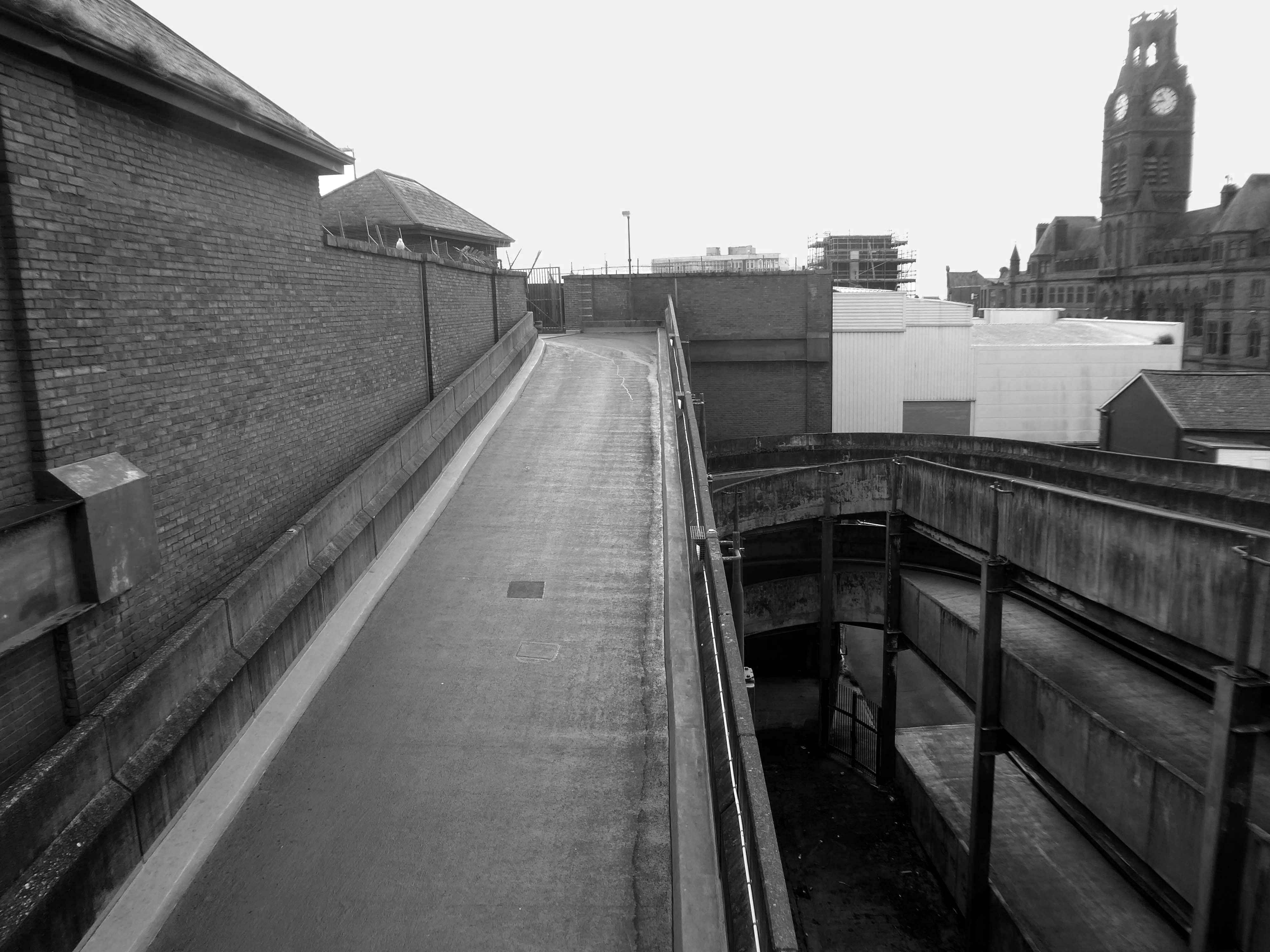
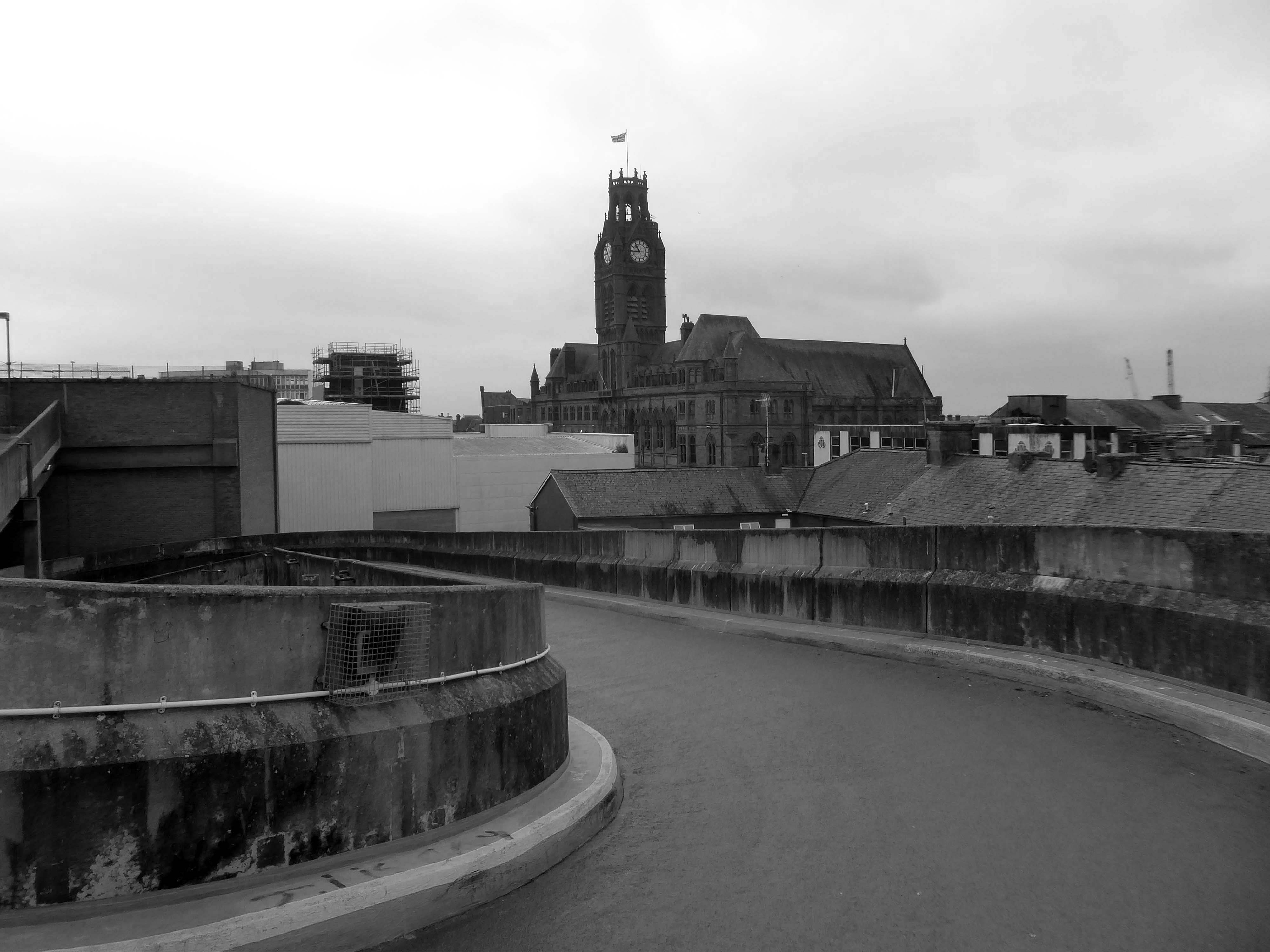
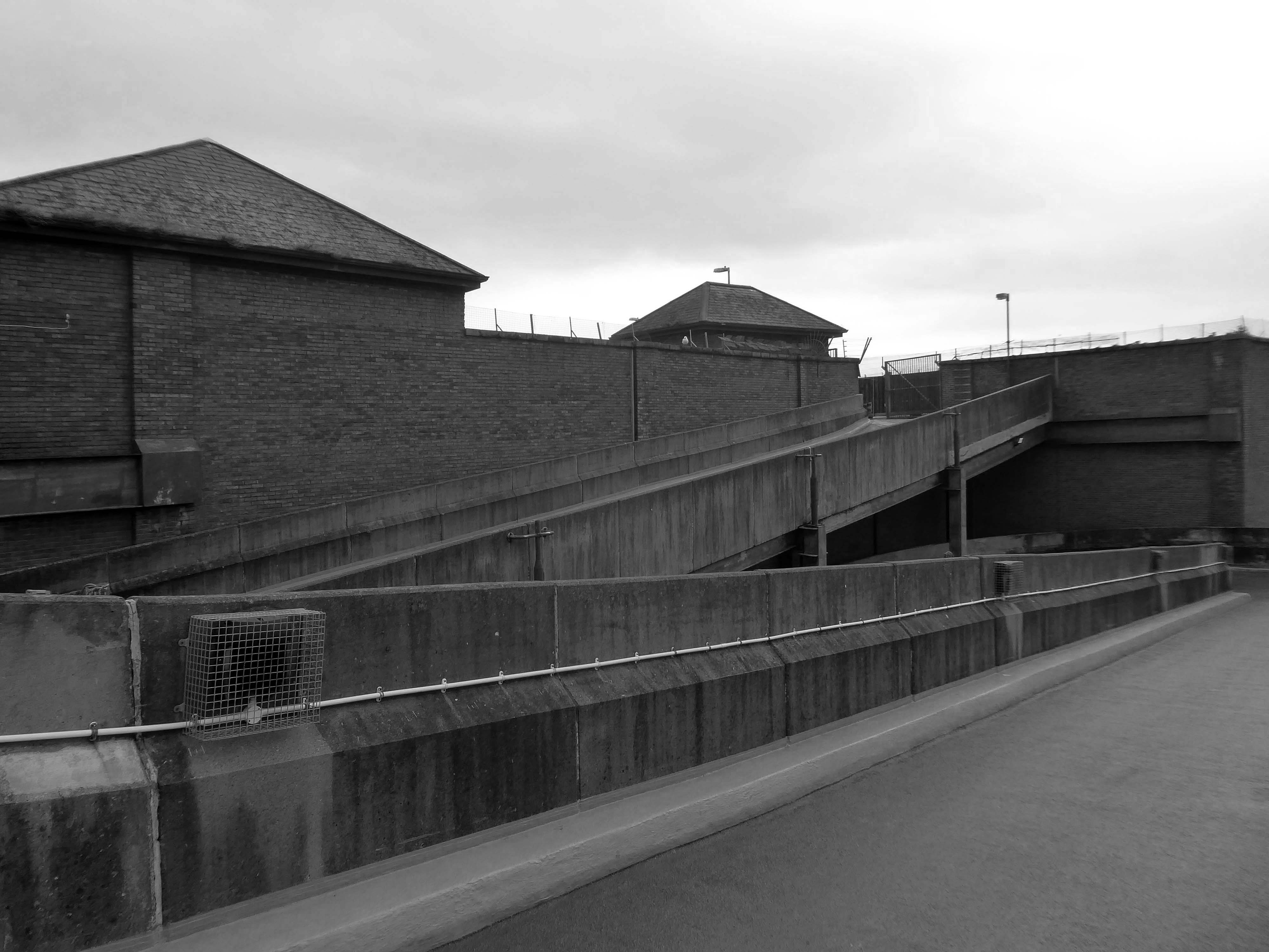
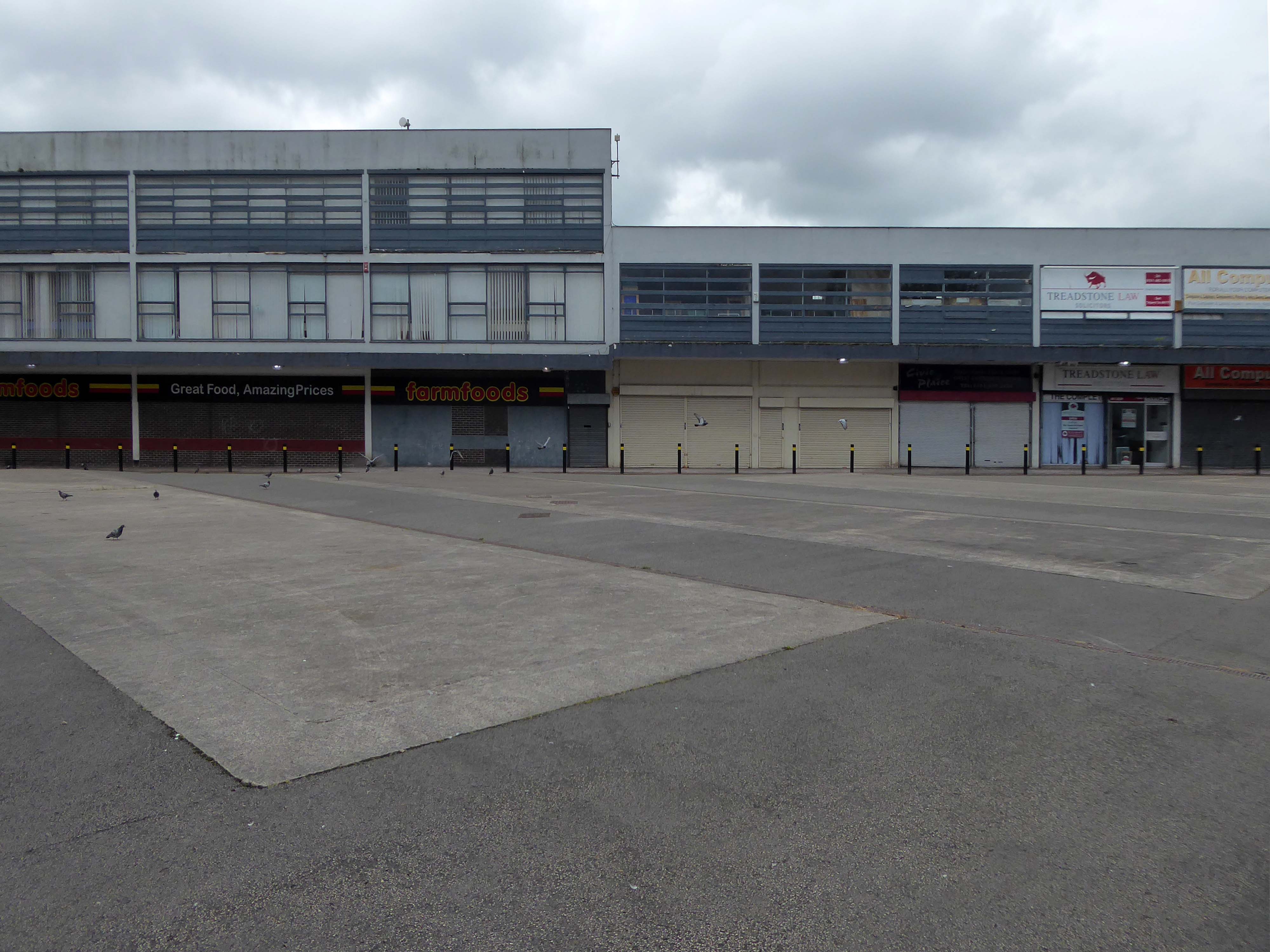
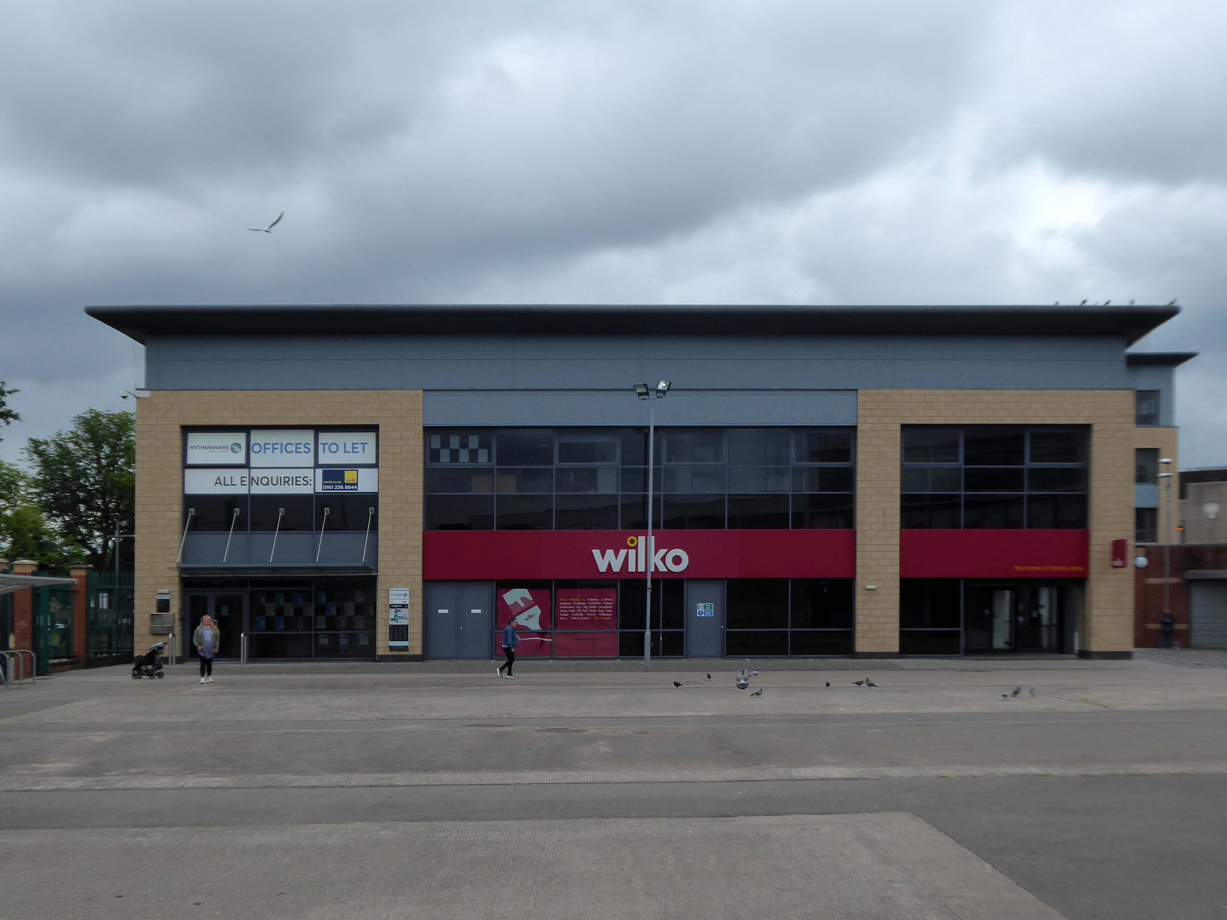
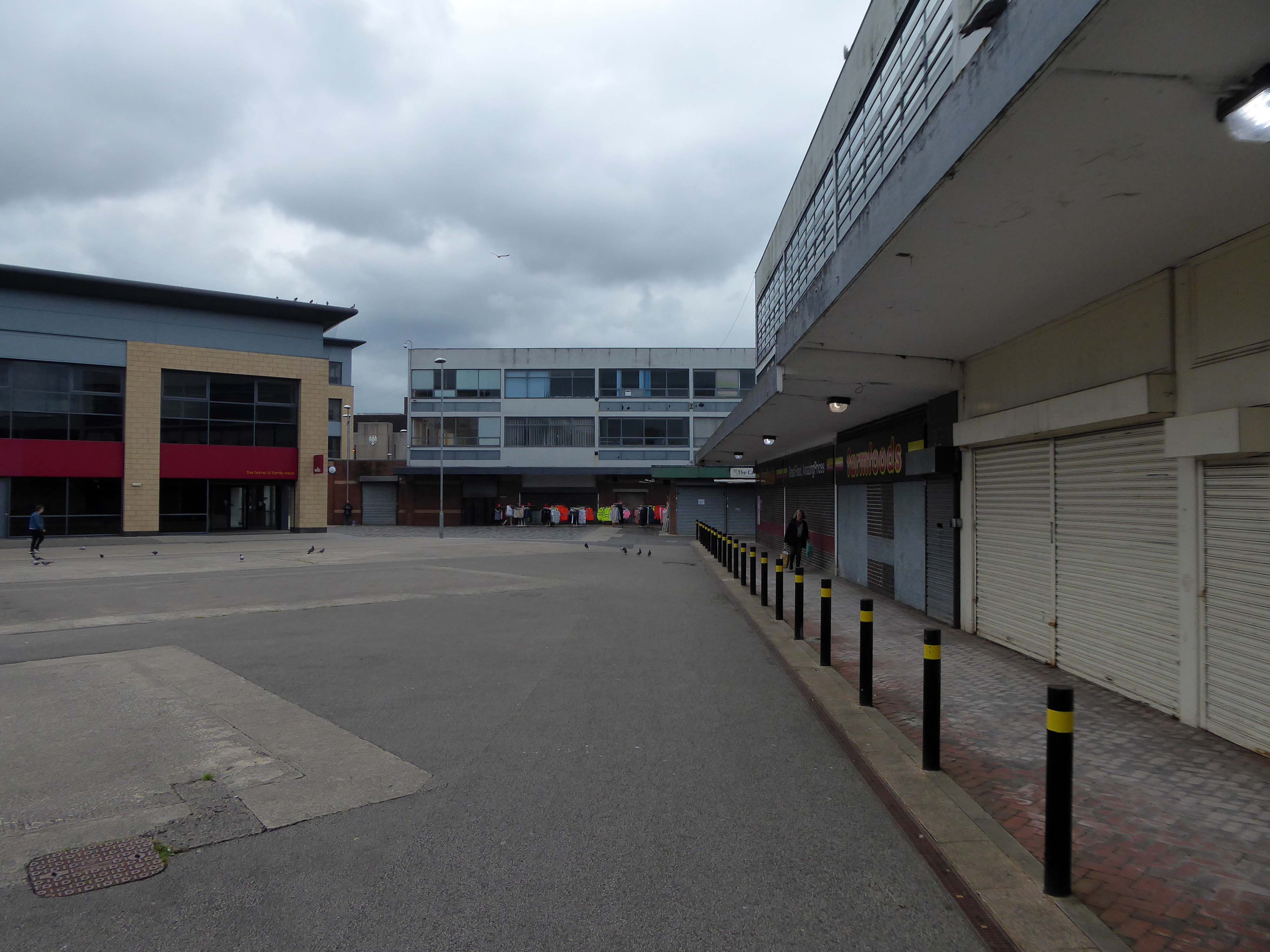
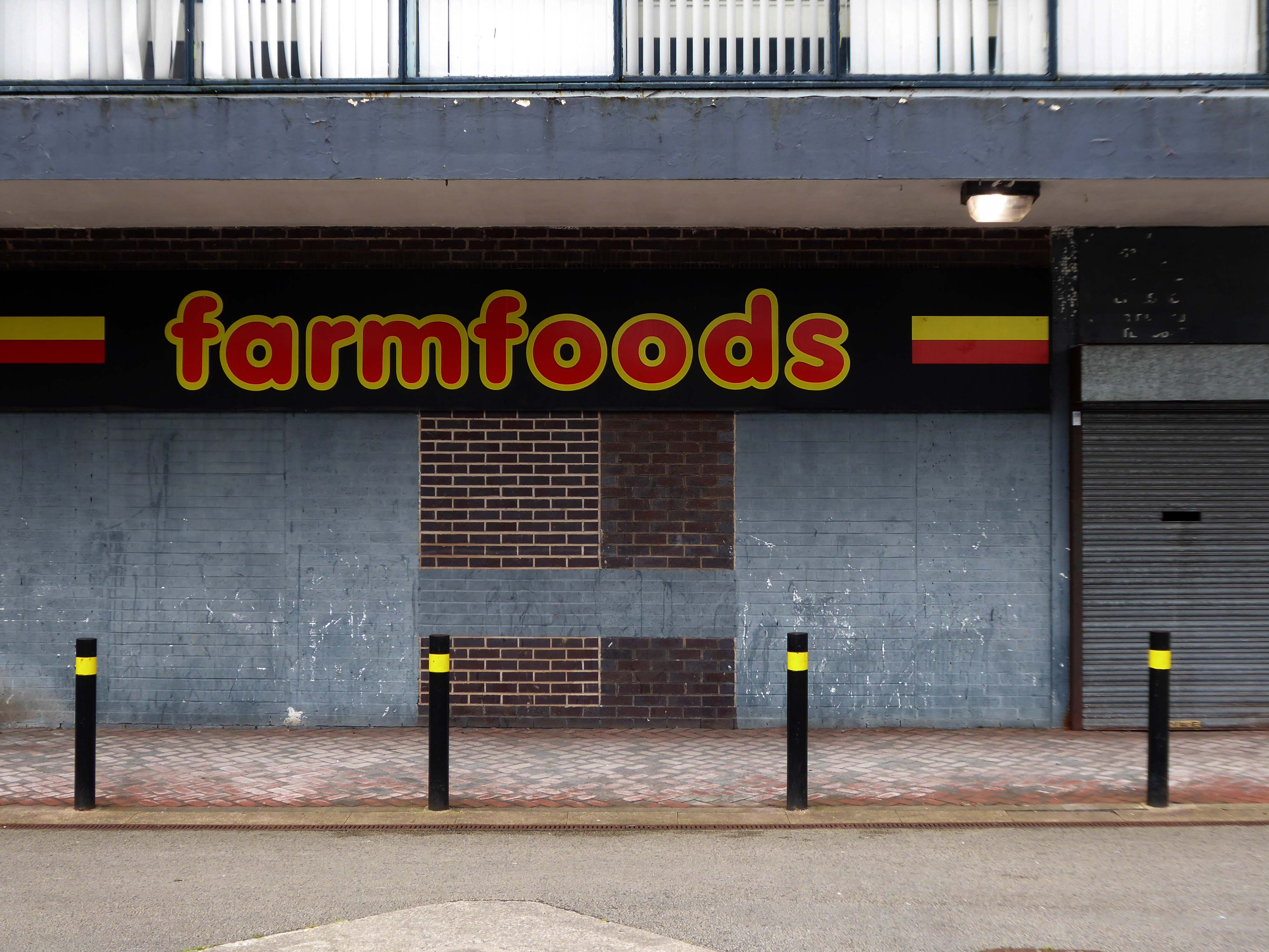
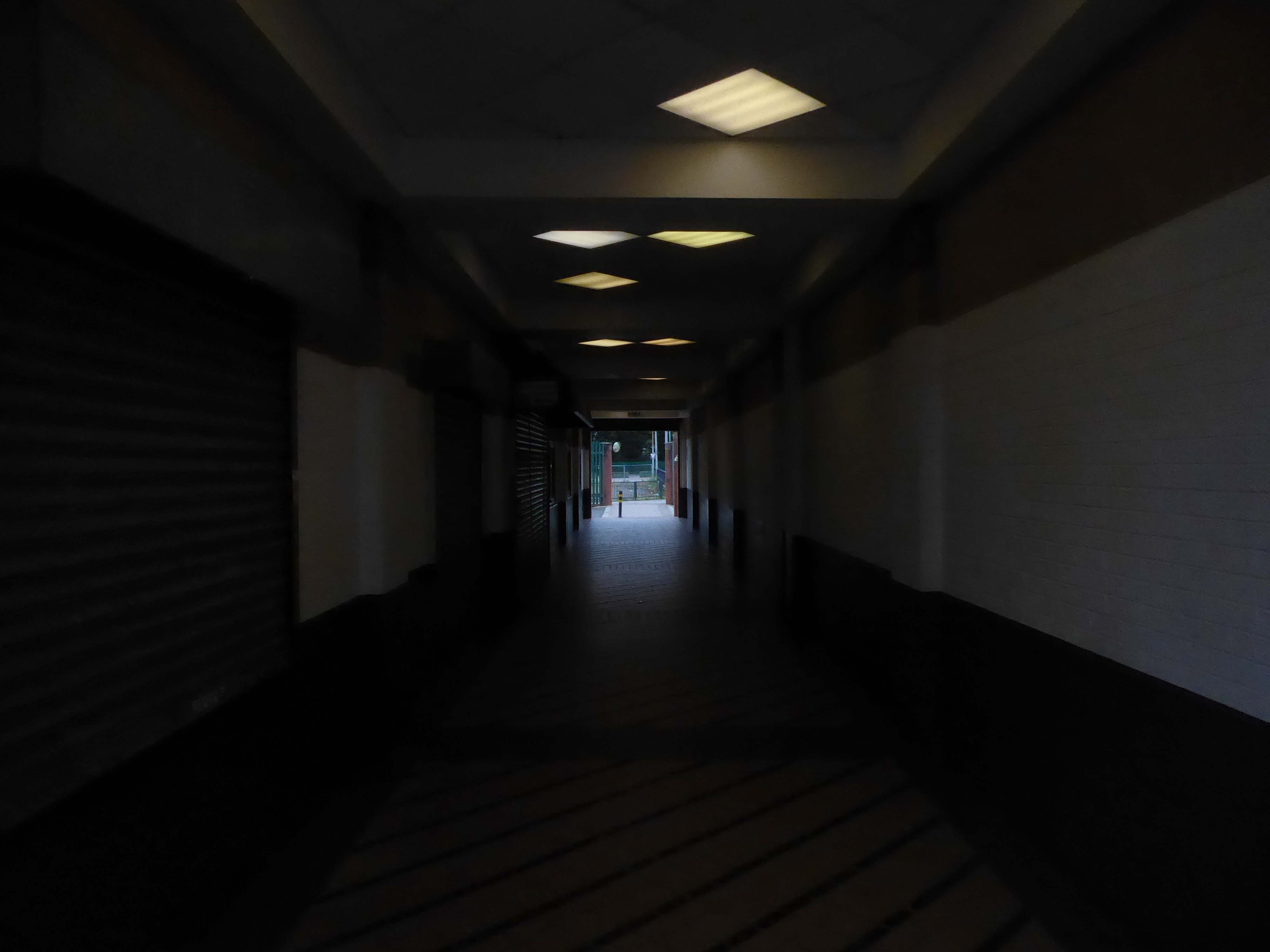
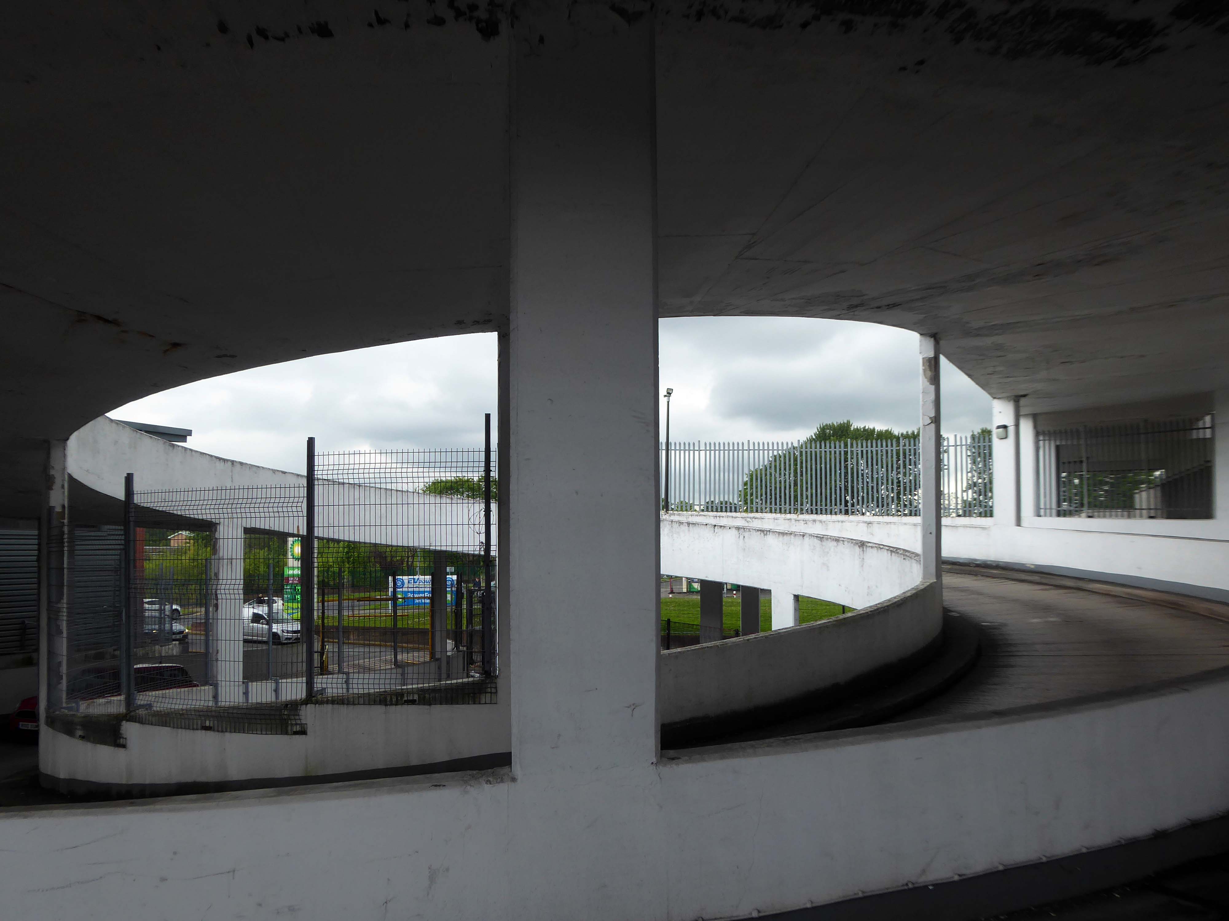
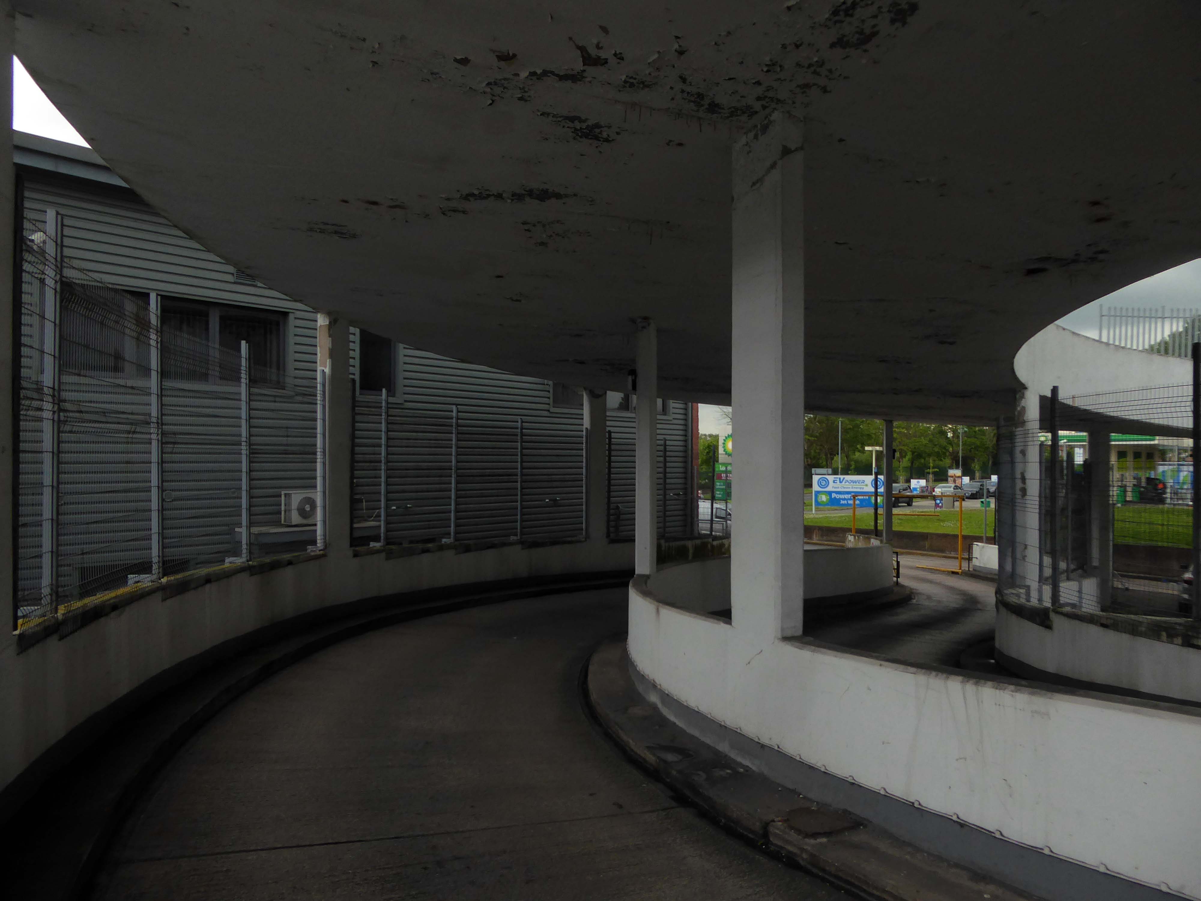
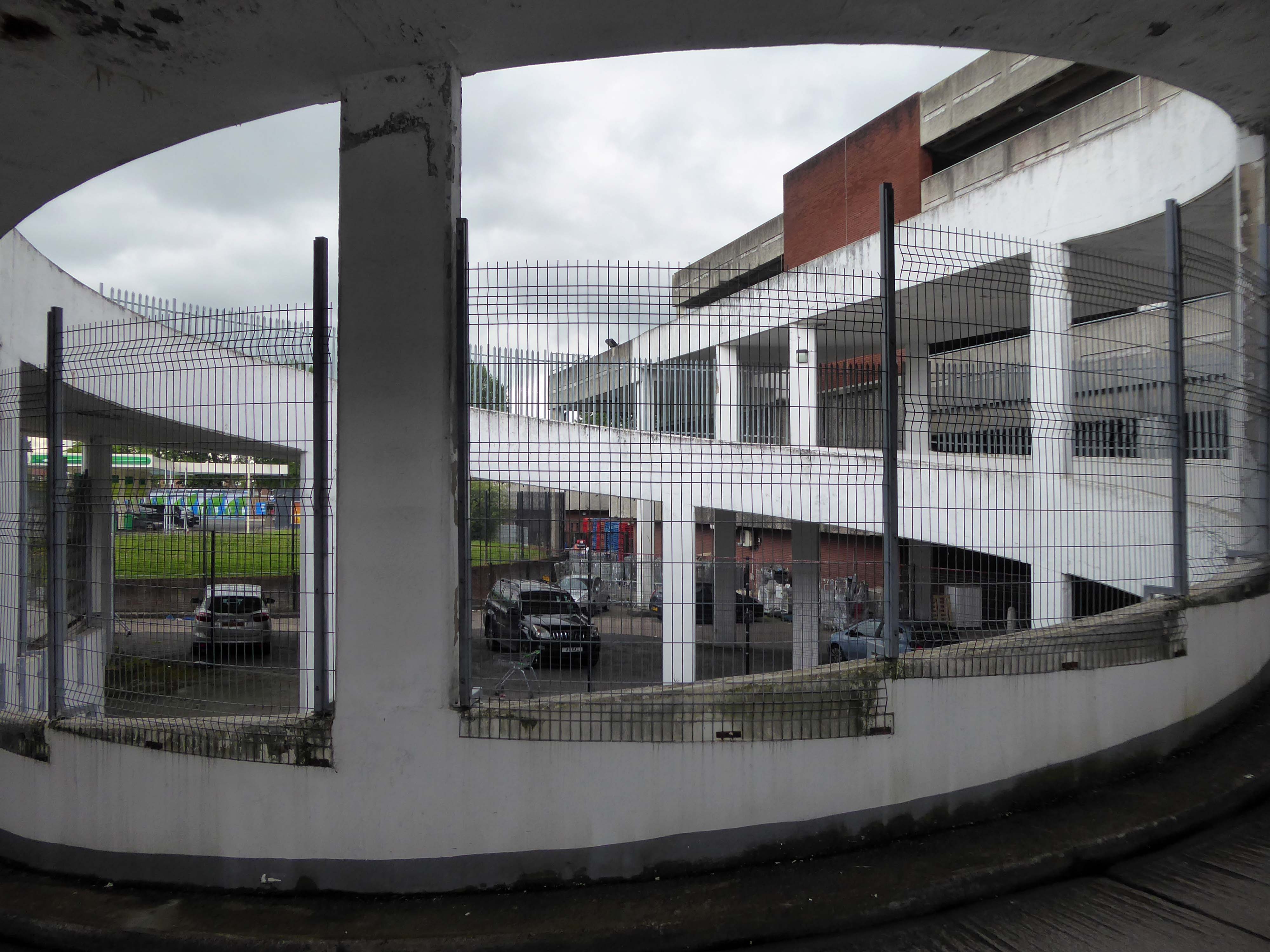
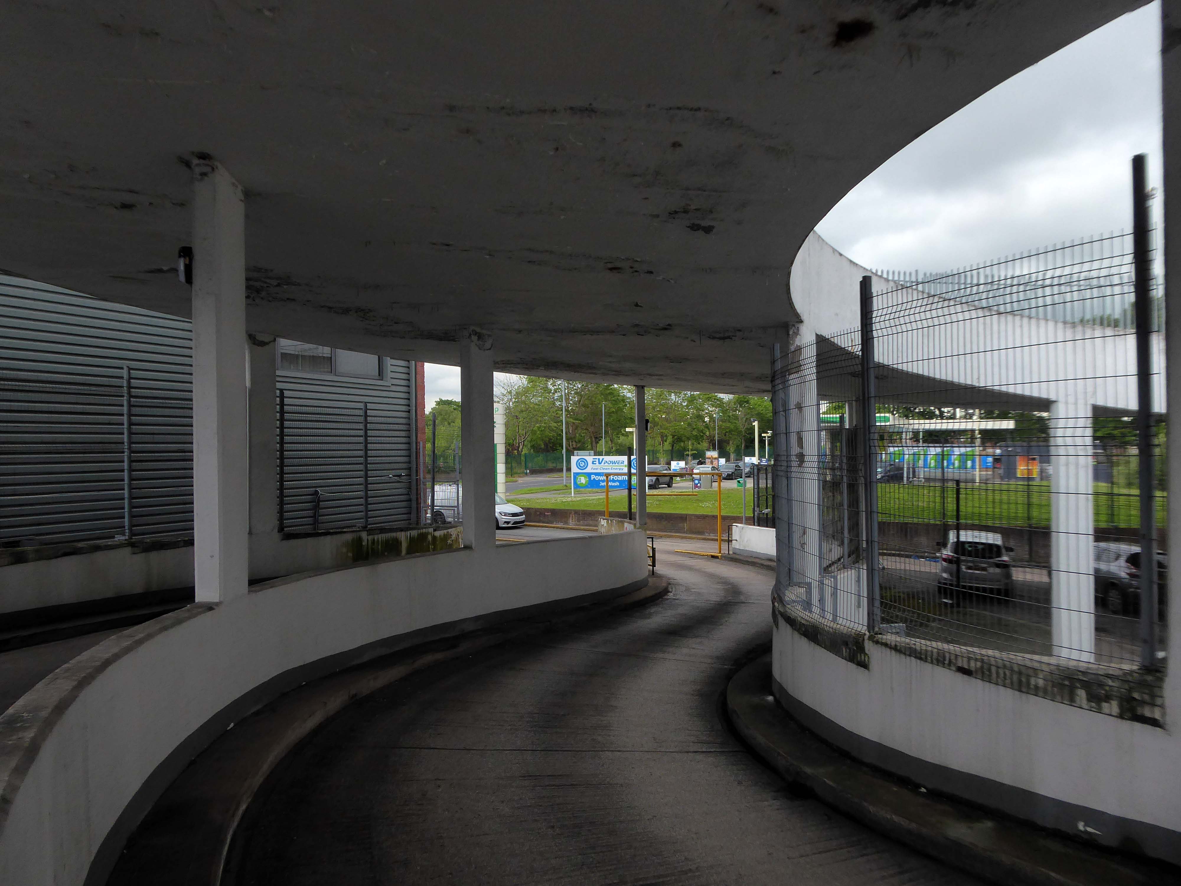
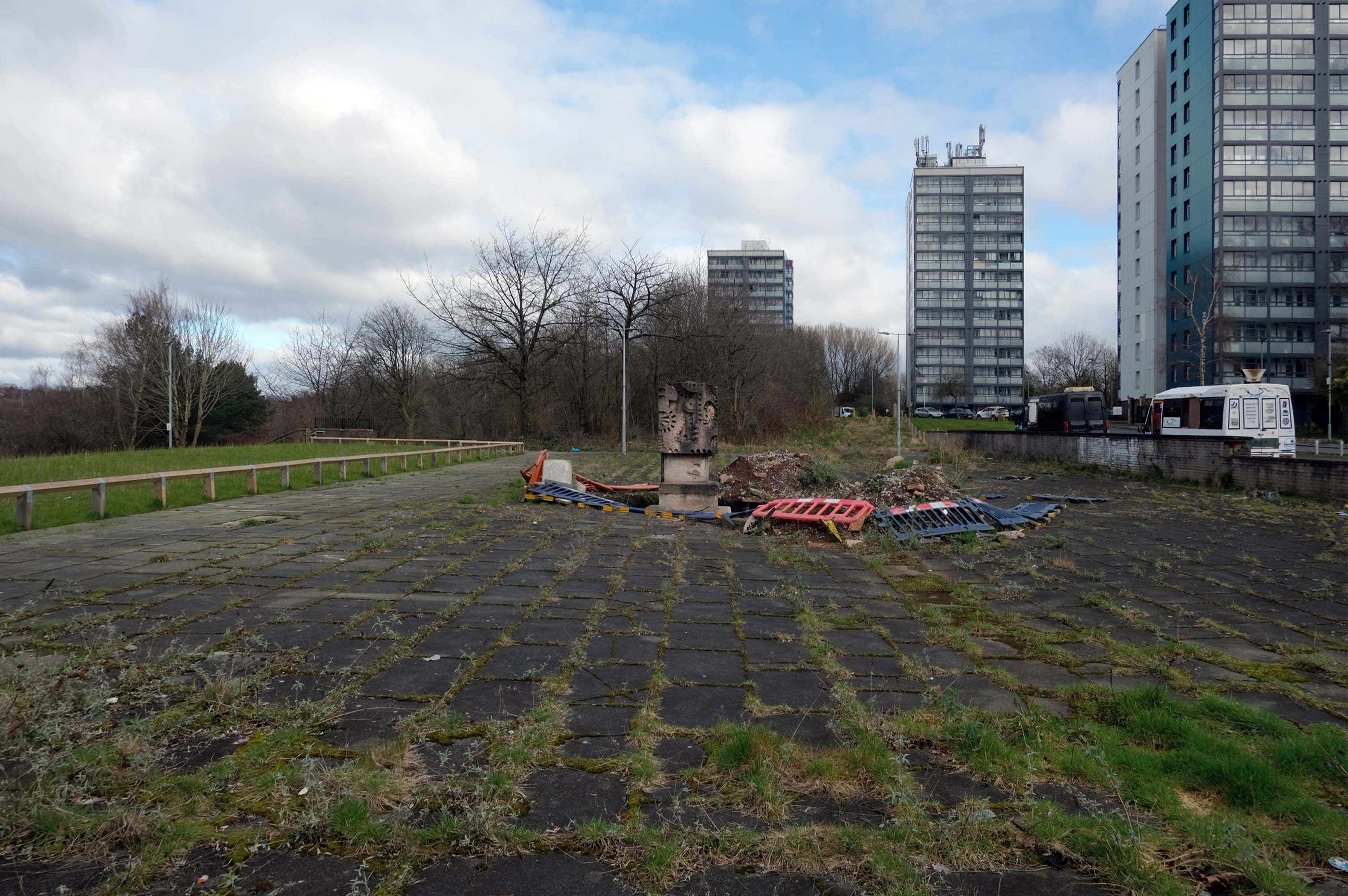
So an unsatisfactory stasis prevails across the windswept piazzas, podium garages and towering towers.
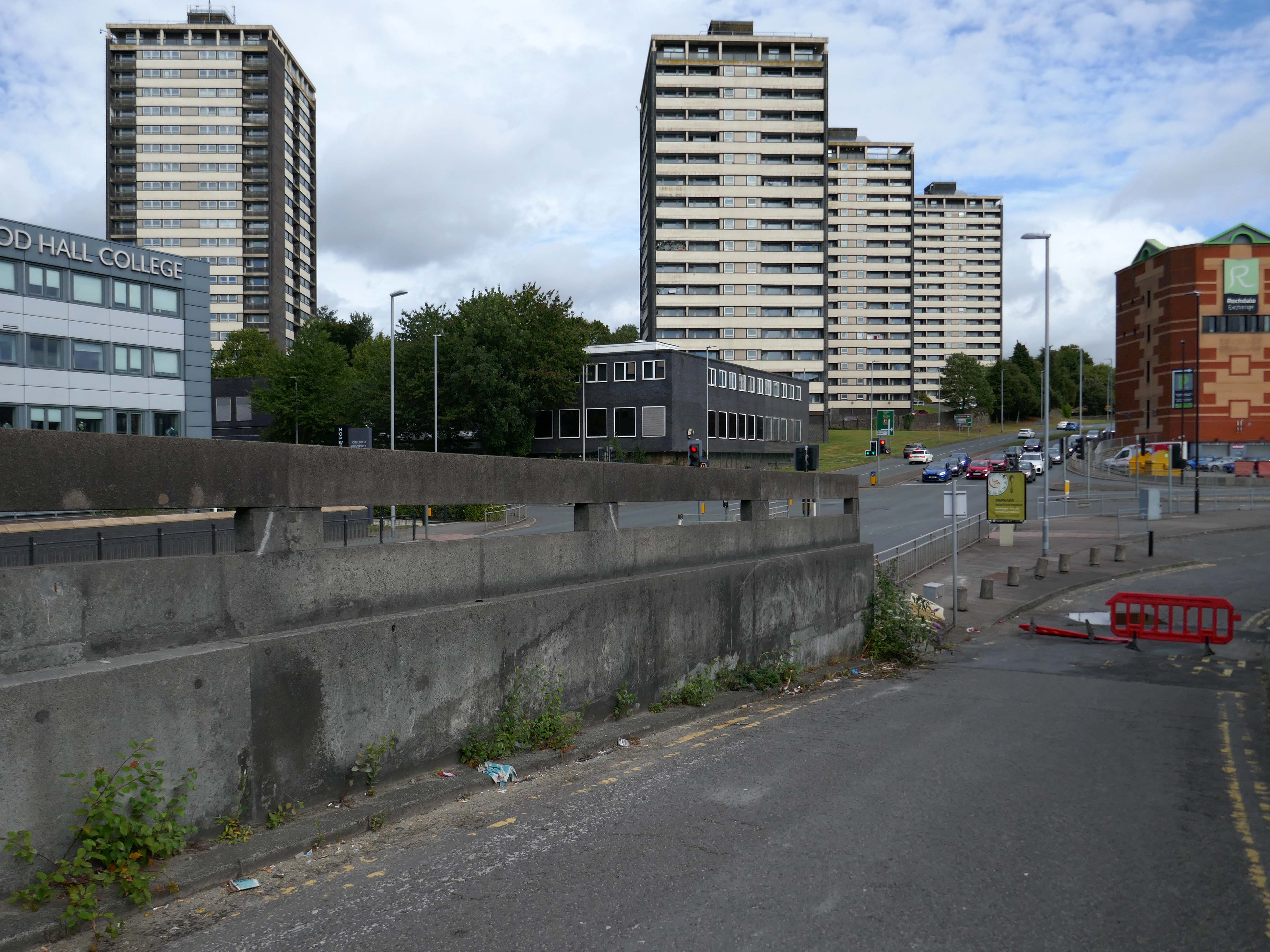
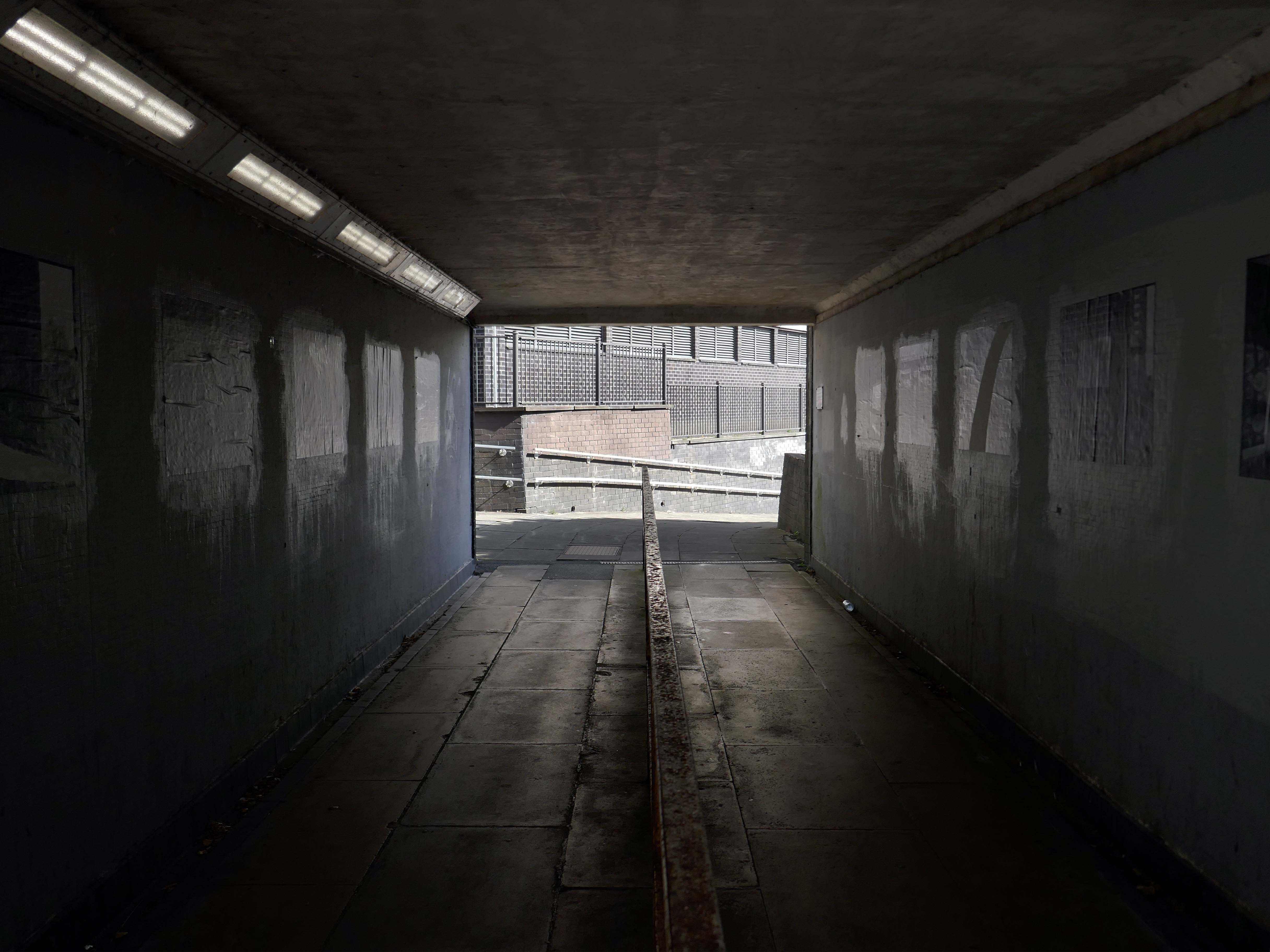
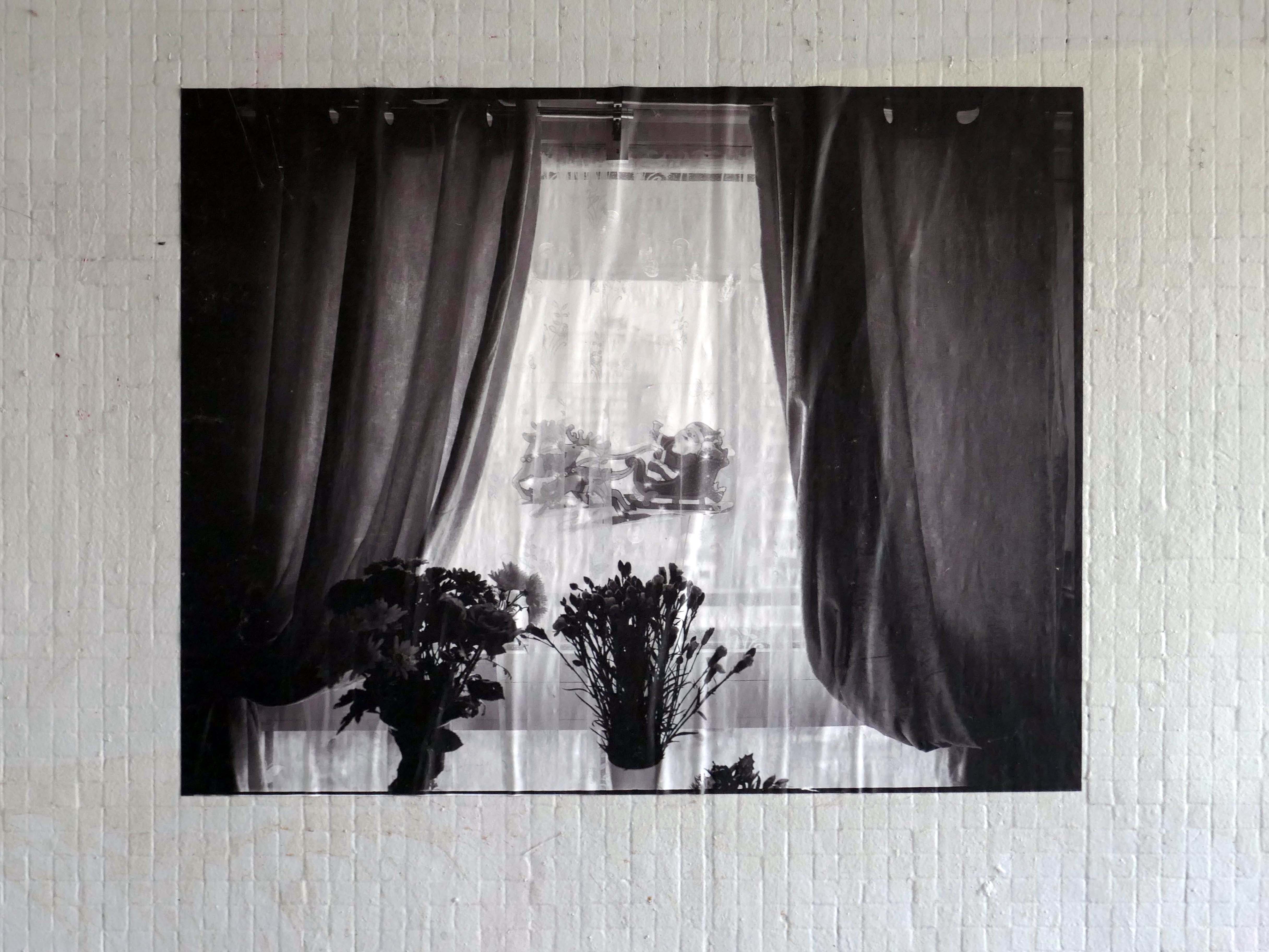
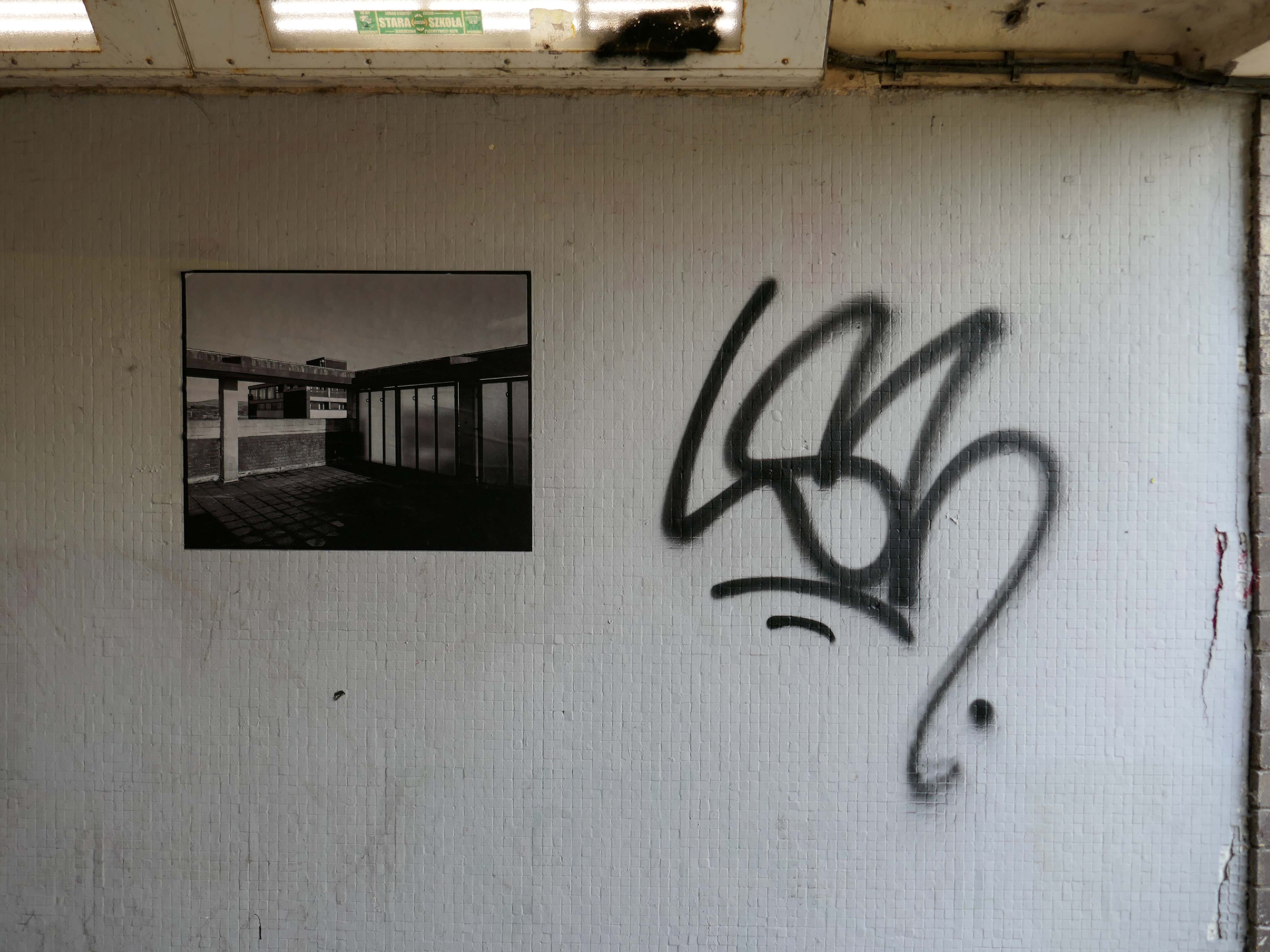
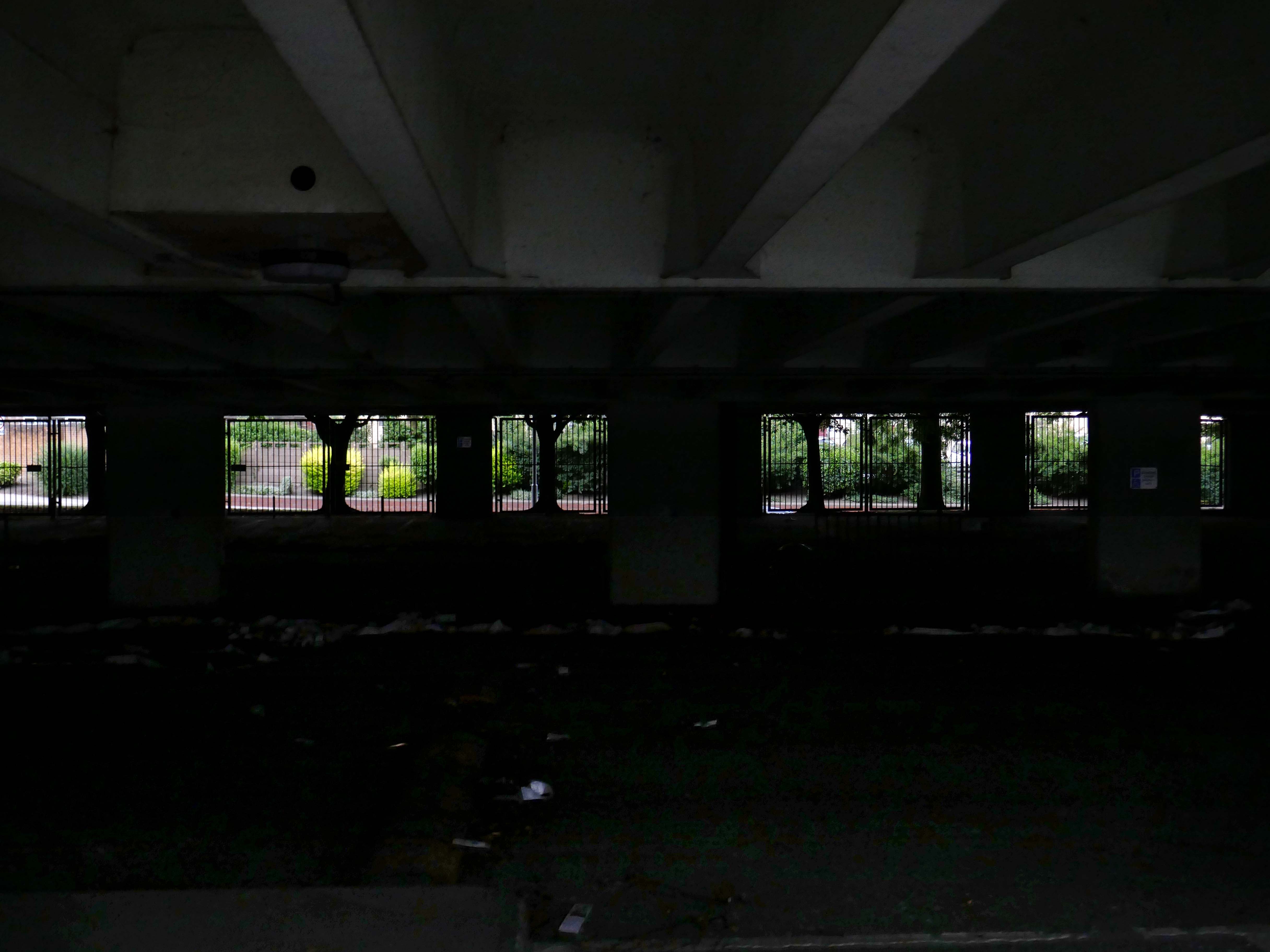
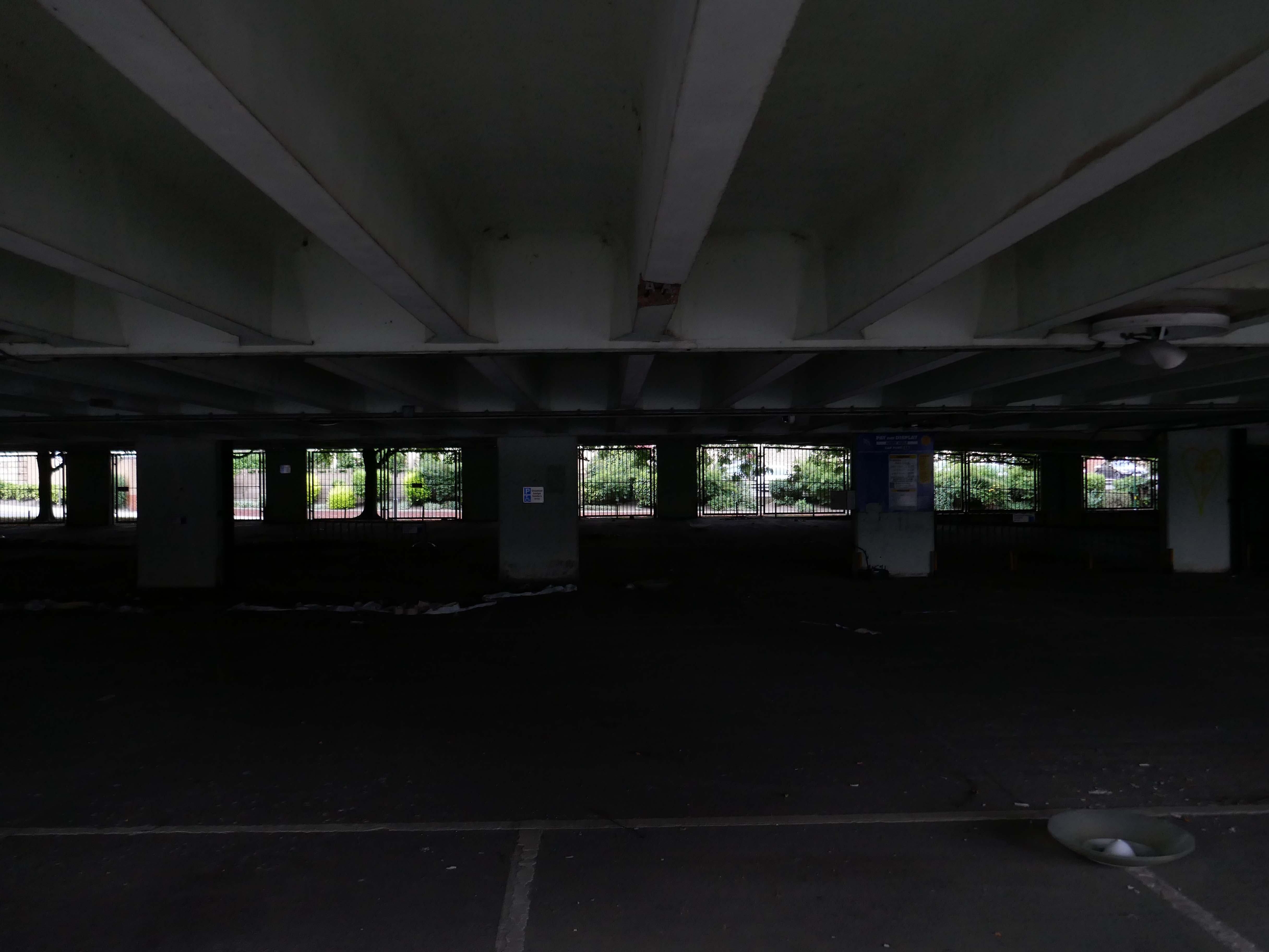
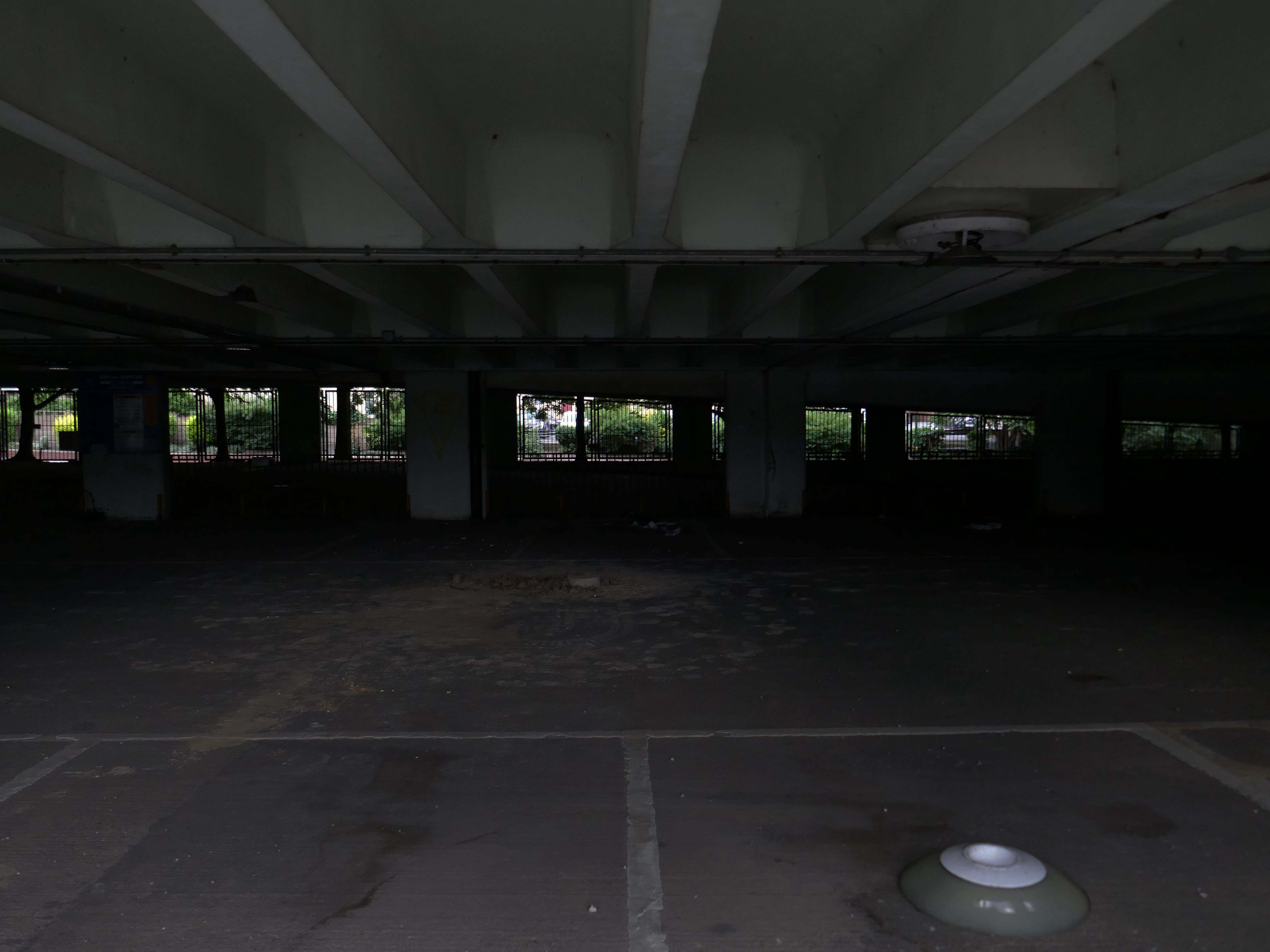
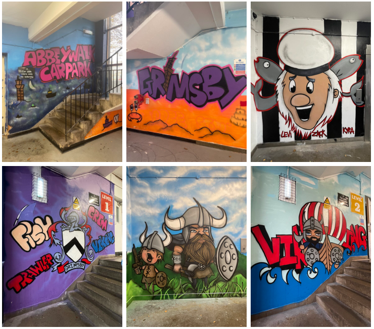
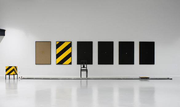
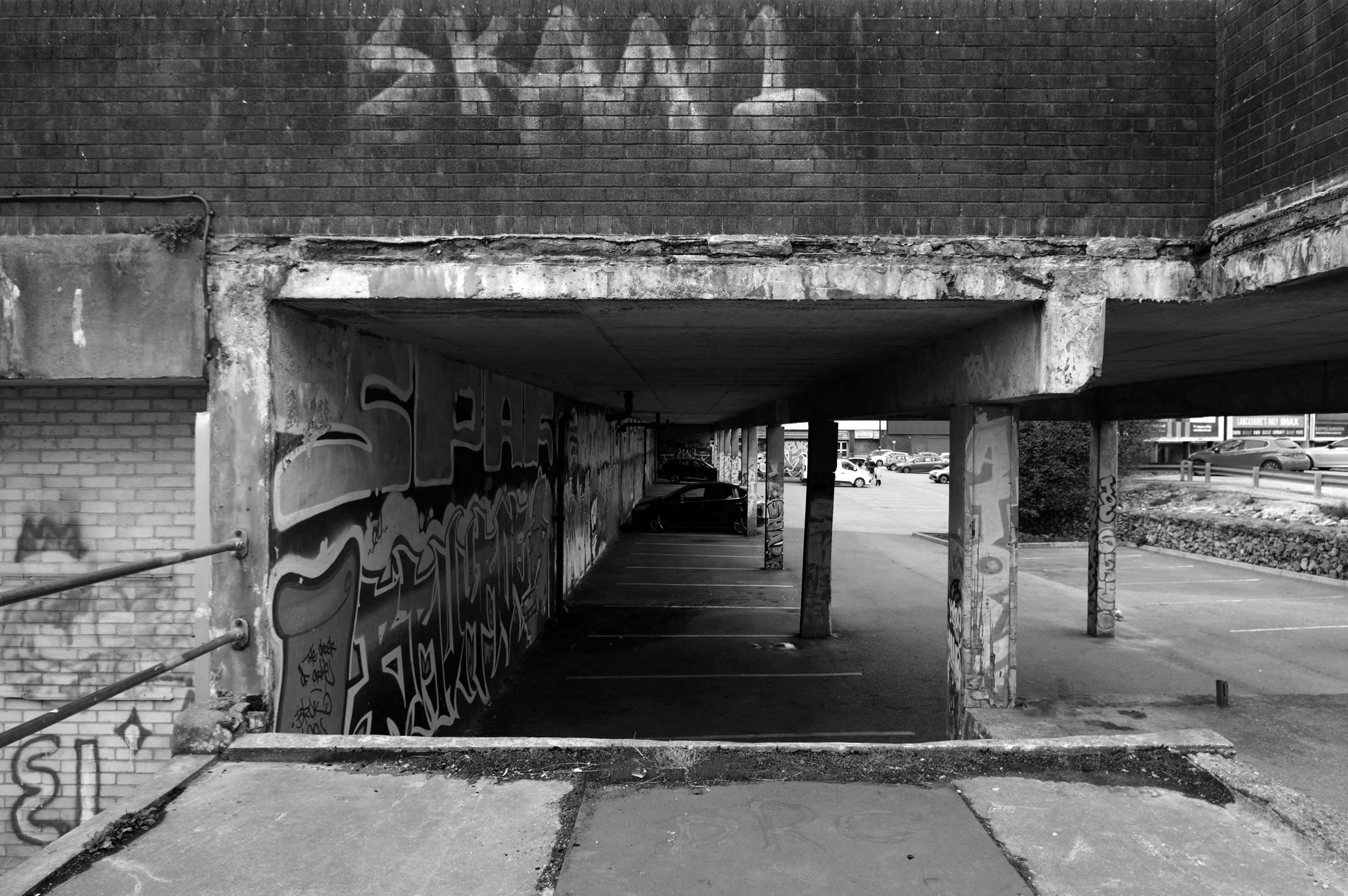
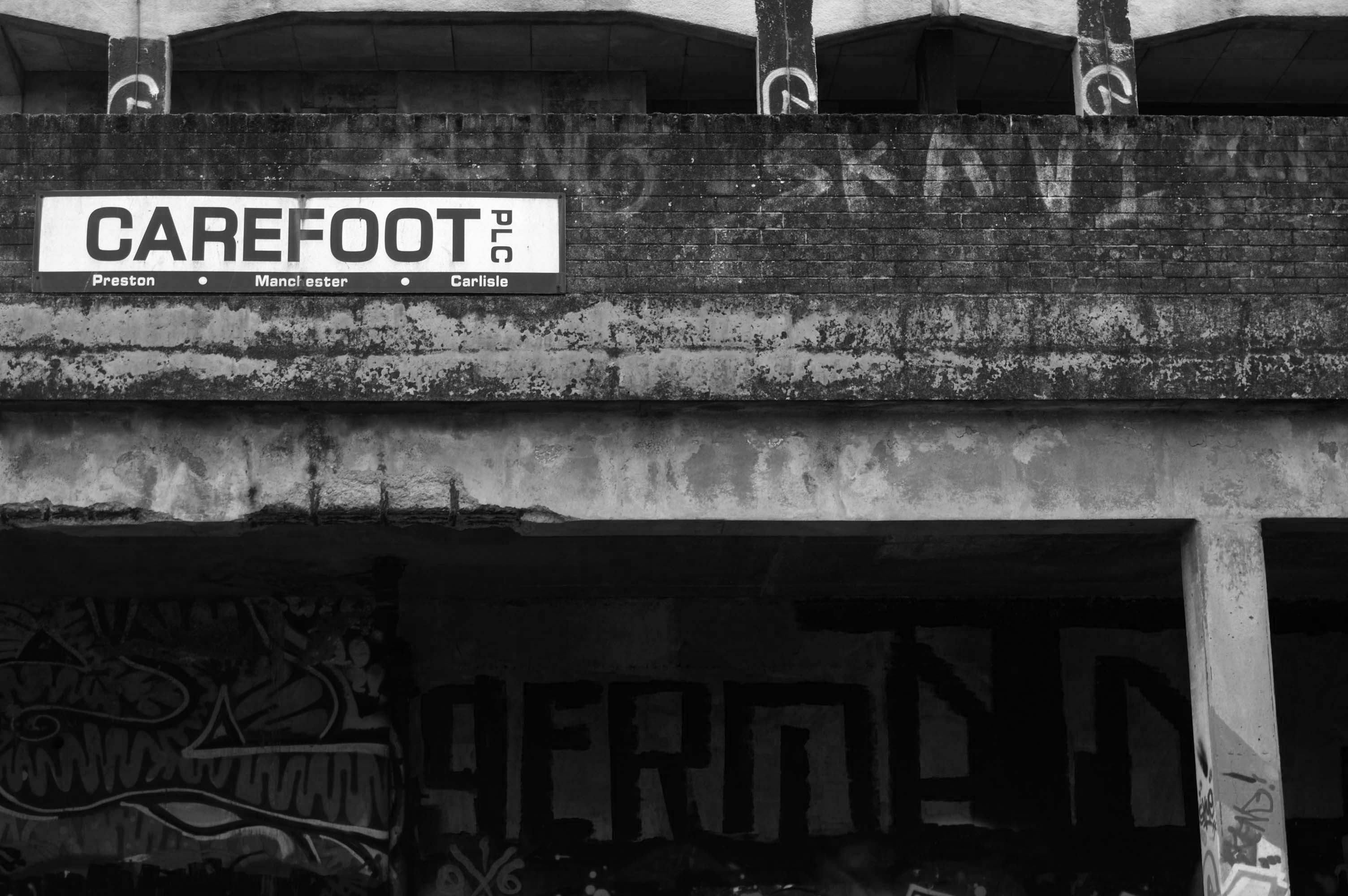
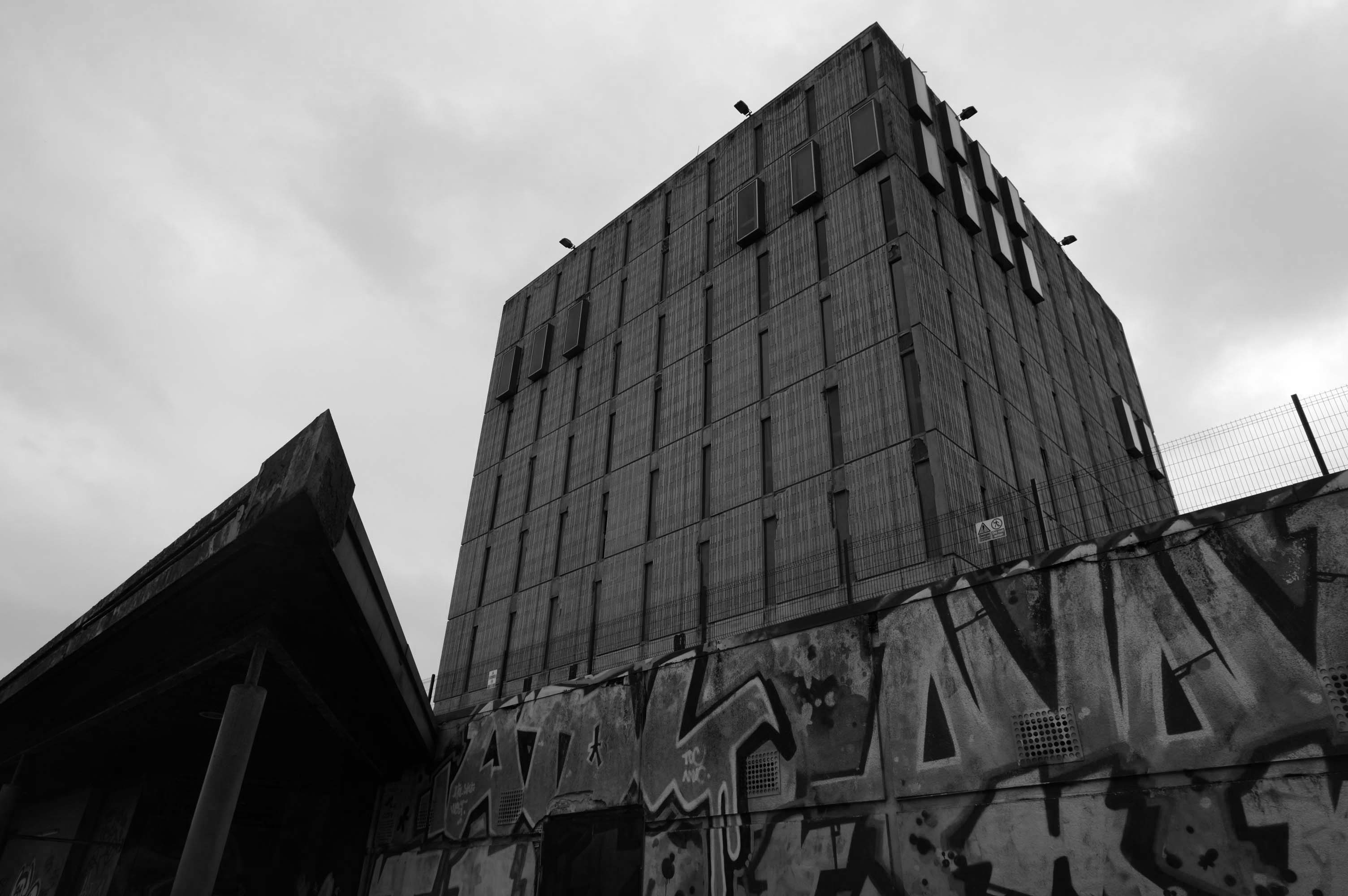
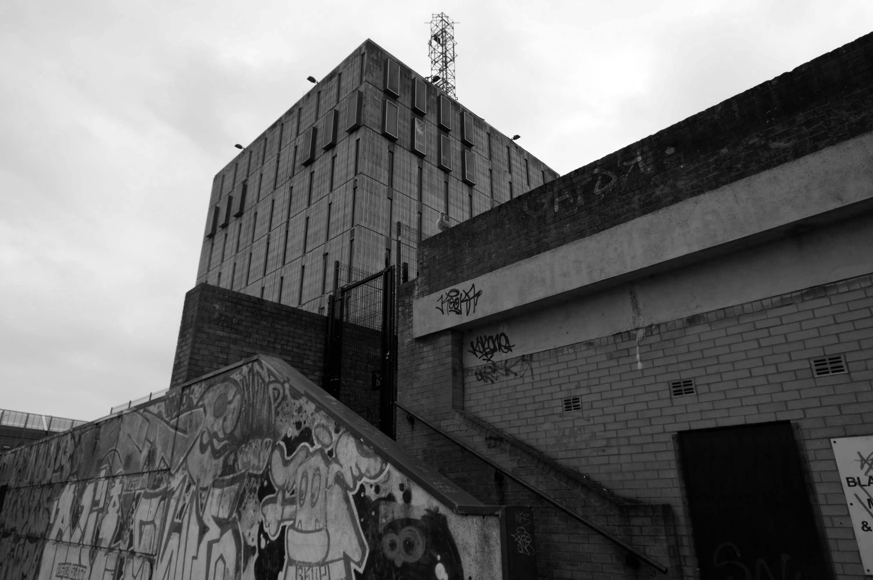
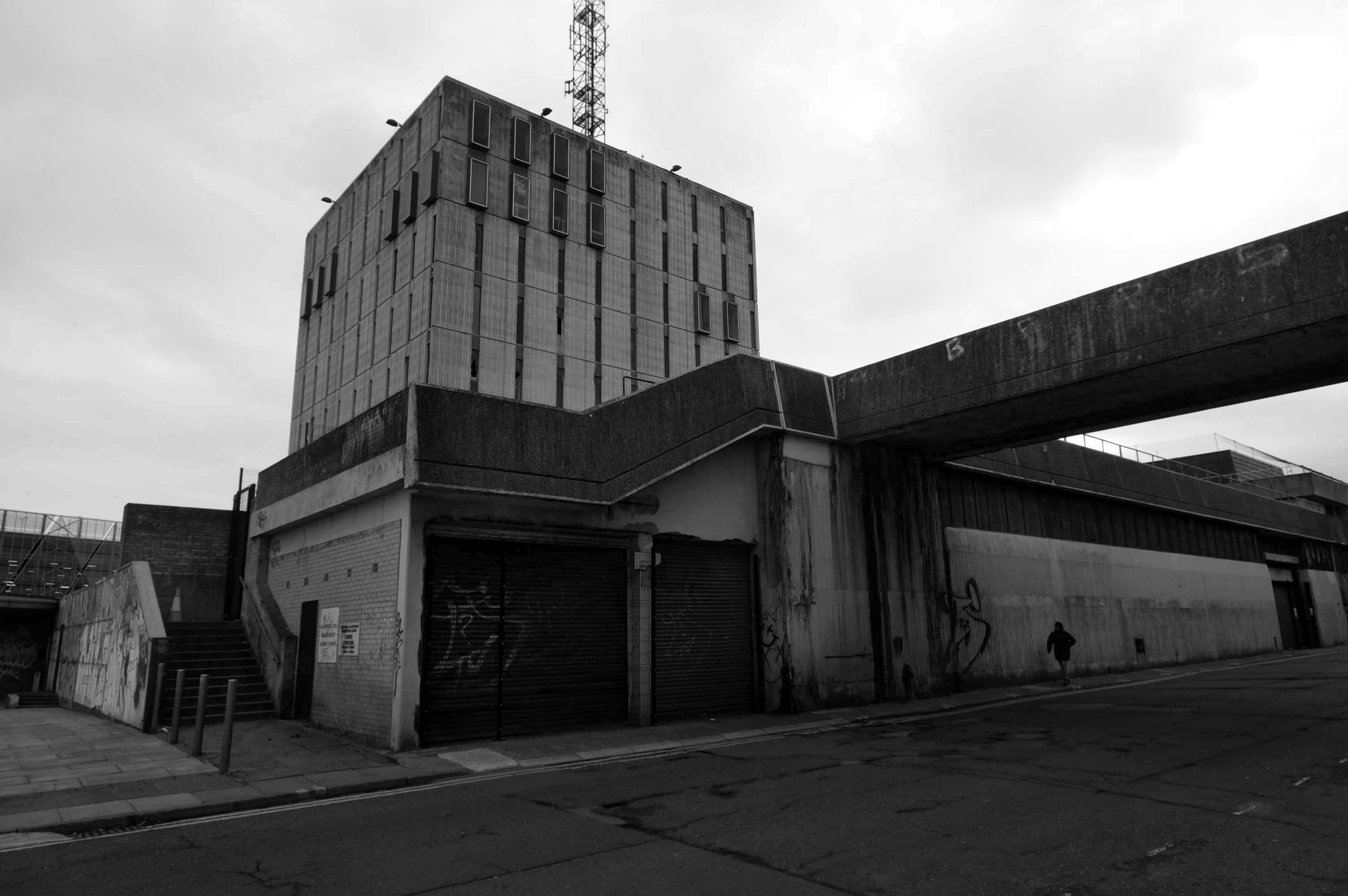
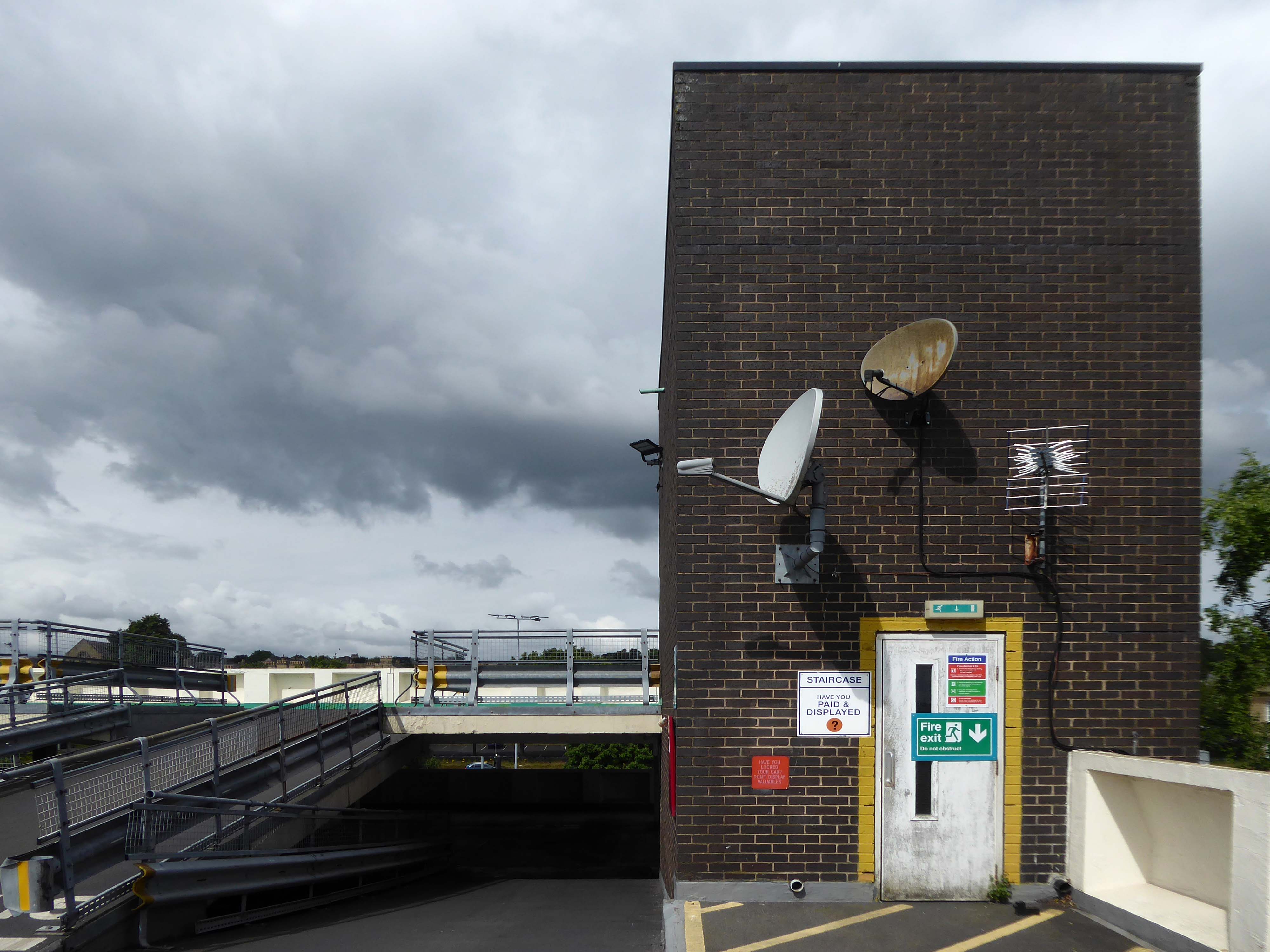
Local photographer Ellie Waters has her pictures of the flats displayed in the underpass.
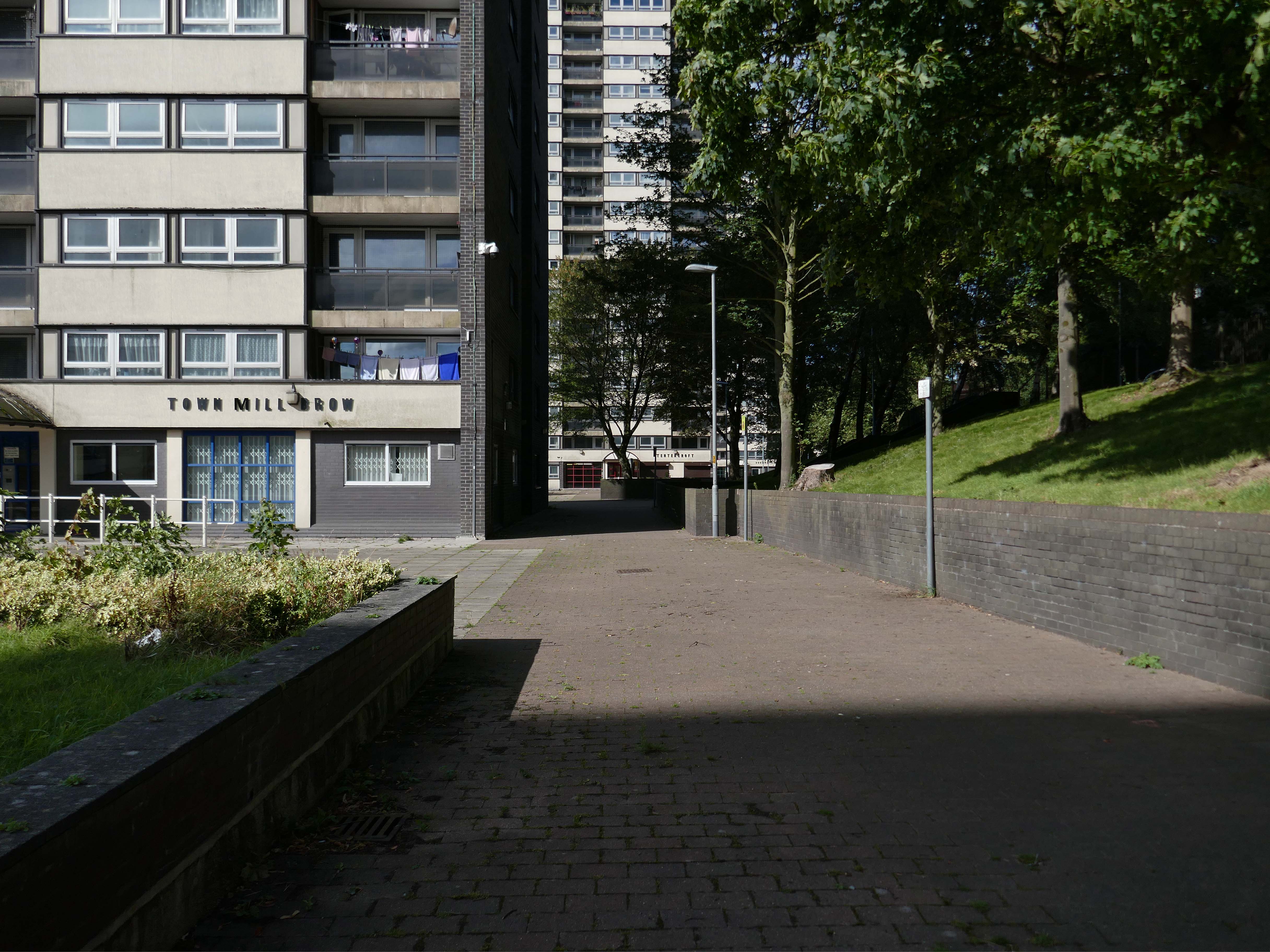
Notes From College Bank is an ongoing project which documents the College Bank buildings in Rochdale, Greater Manchester. Known locally as ‘The Seven Sisters’, College Bank is formed of seven high-rise social housing blocks, four of which have come under recent threat of demolition.
Drawing from found imagery and photographs taken by my late Grandfather – M J Burgess – who like me grew up in Rochdale, I’ve been working with past and present residents to create a collective record of life in and around College Bank.
This project is ongoing, if you would like to share your stories of College Bank please get in touch via email – notesfromcollegebank@gmail.com
Here is a recent post from Municipal Dreams outlining the history state of play – Rochdale Housing Part II.
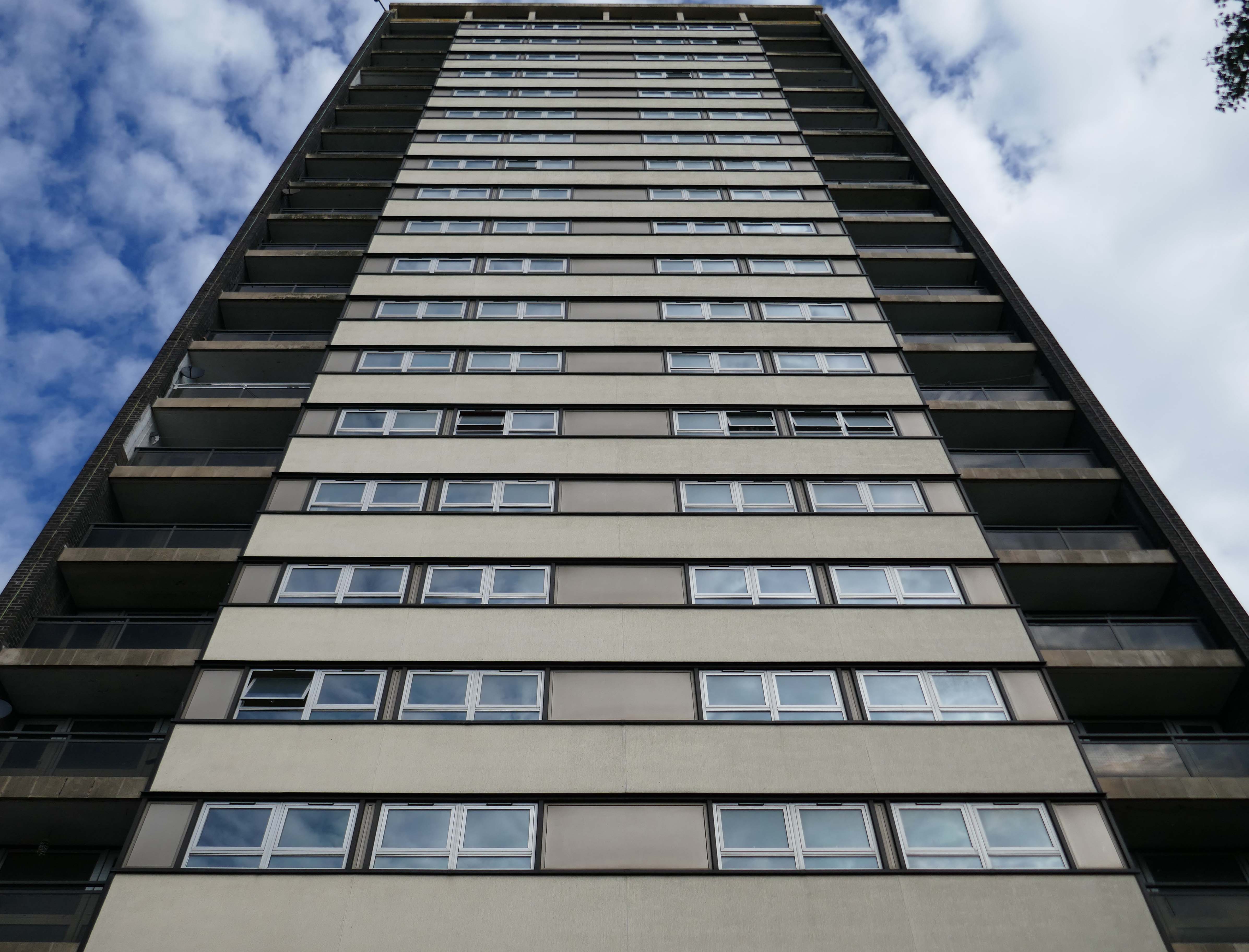
Fast forward to the present, the Seven Sisters still stand – an impressive architectural statement in the heart of Rochdale and, to my mind, as powerful a testament to municipal endeavour and aspiration as the town’s nearby town hall. But much has changed. In the slow evolution that affected council housing more broadly, the flats became less desirable, even, in some eyes, a ‘sink estate’. In Robin Parker’s view, the Council started re-housing people in the blocks ‘not suitable for high-rise living’ – a typical occurrence when the most vulnerable on the waiting list and those with least choice are allocated to so-called ‘hard to let’ estates.
Here we are again, six years after the first visit.
What’s been happening hereabouts in the interim?
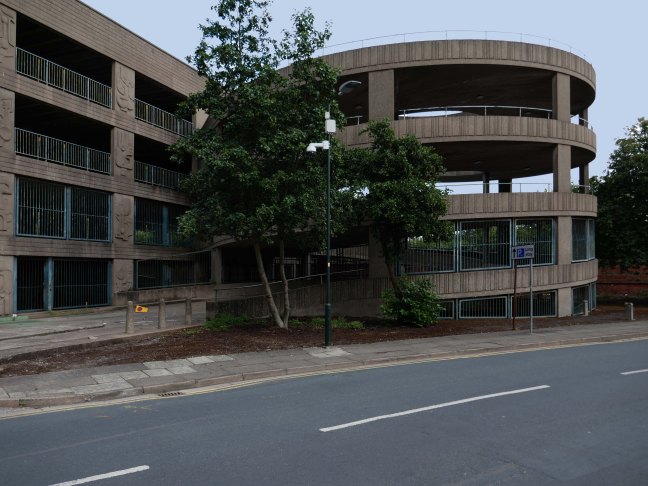
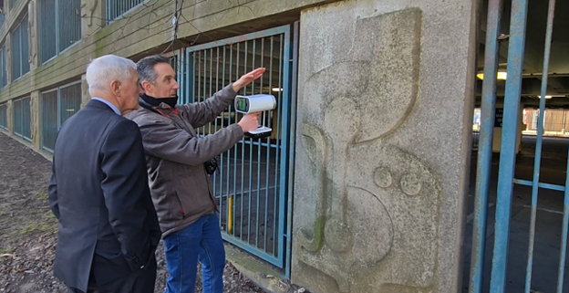
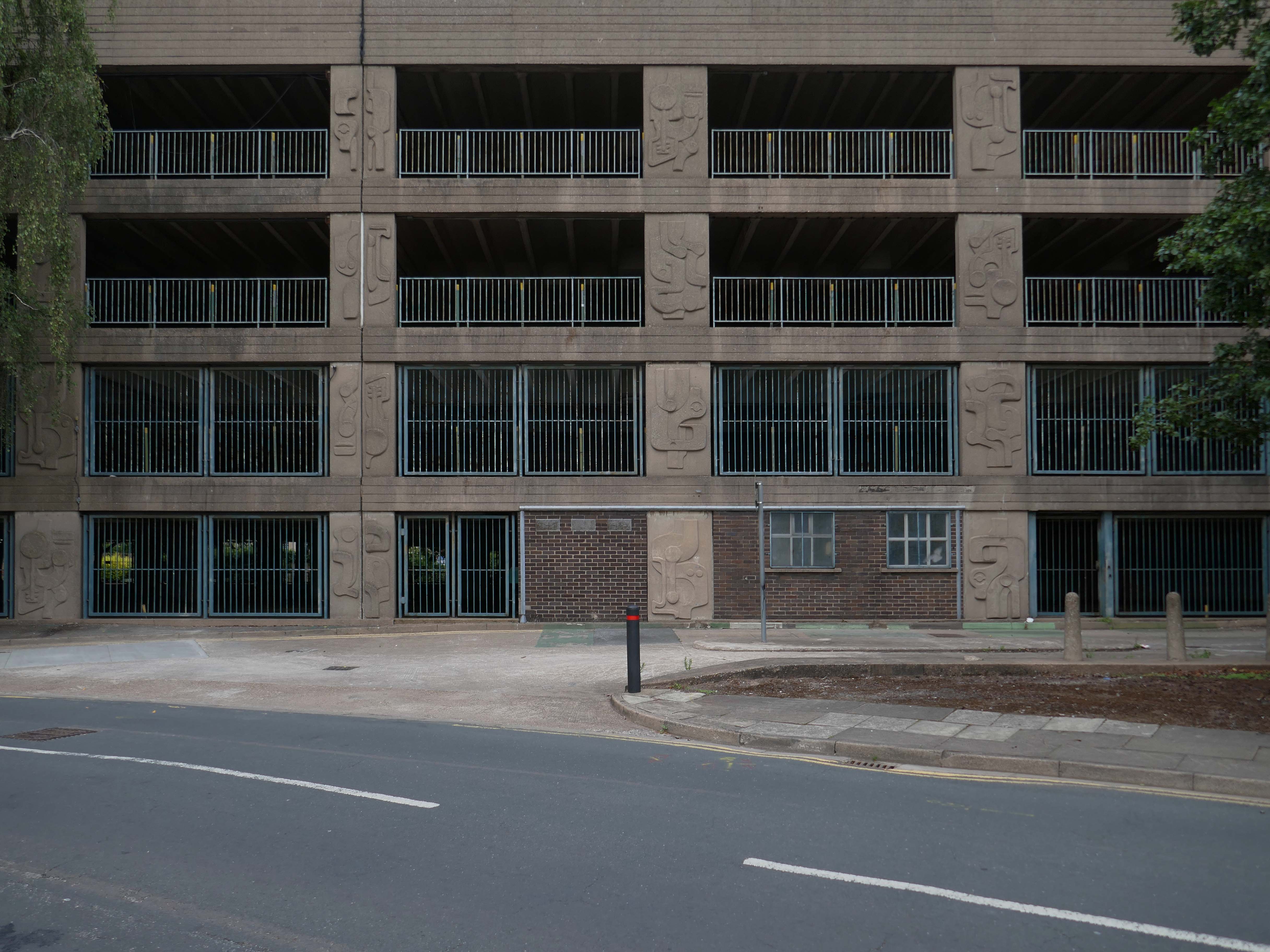
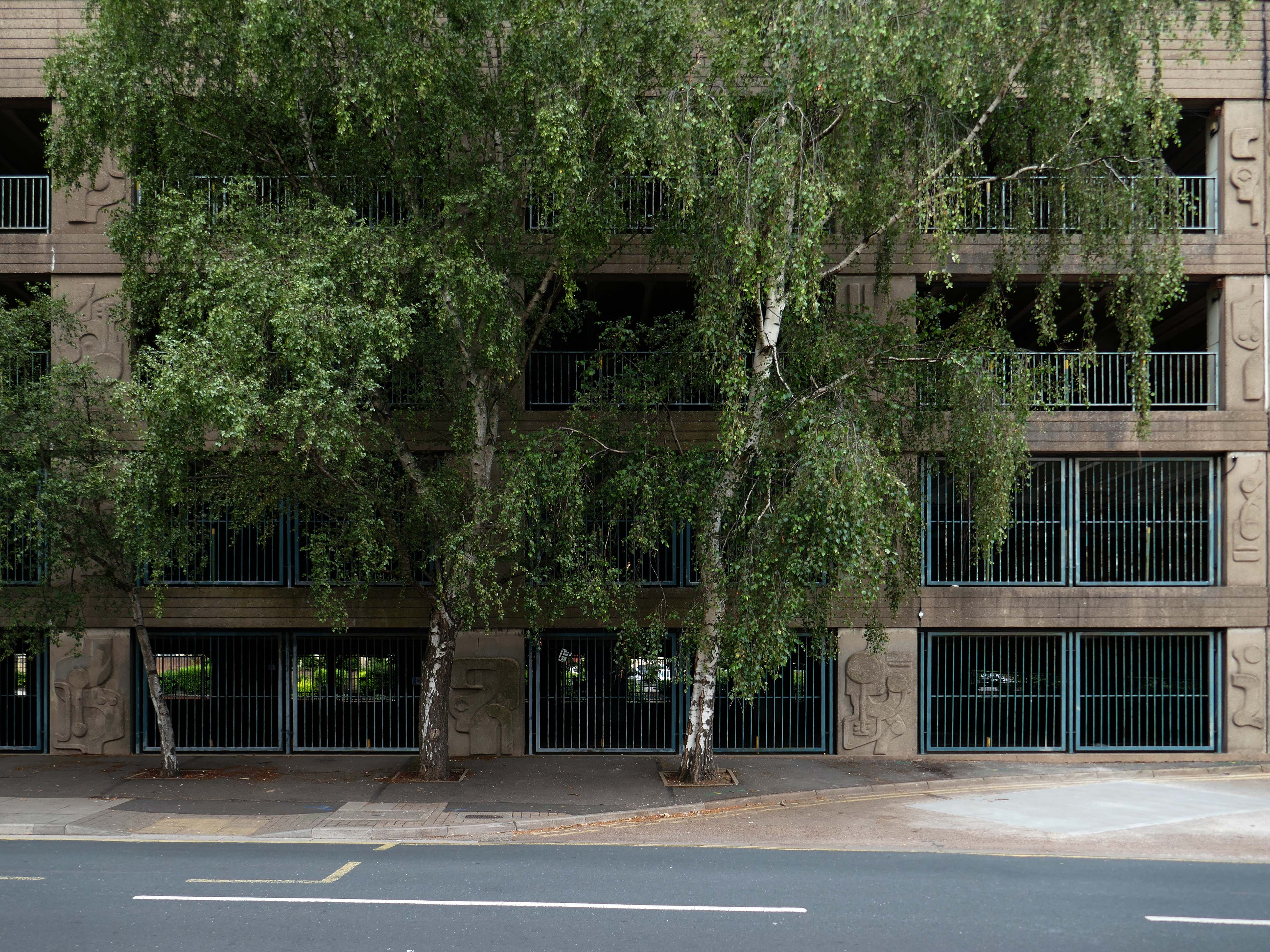
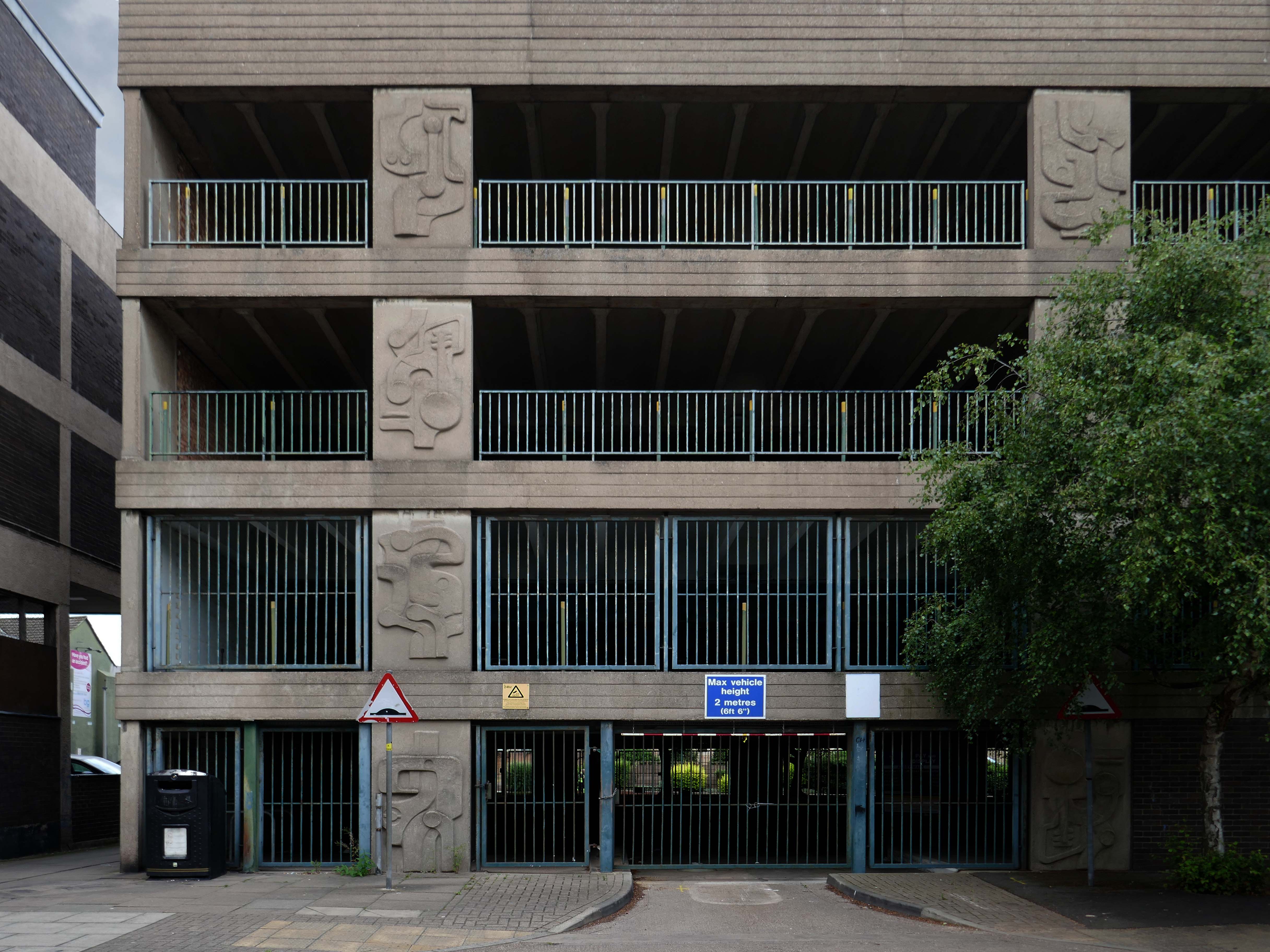
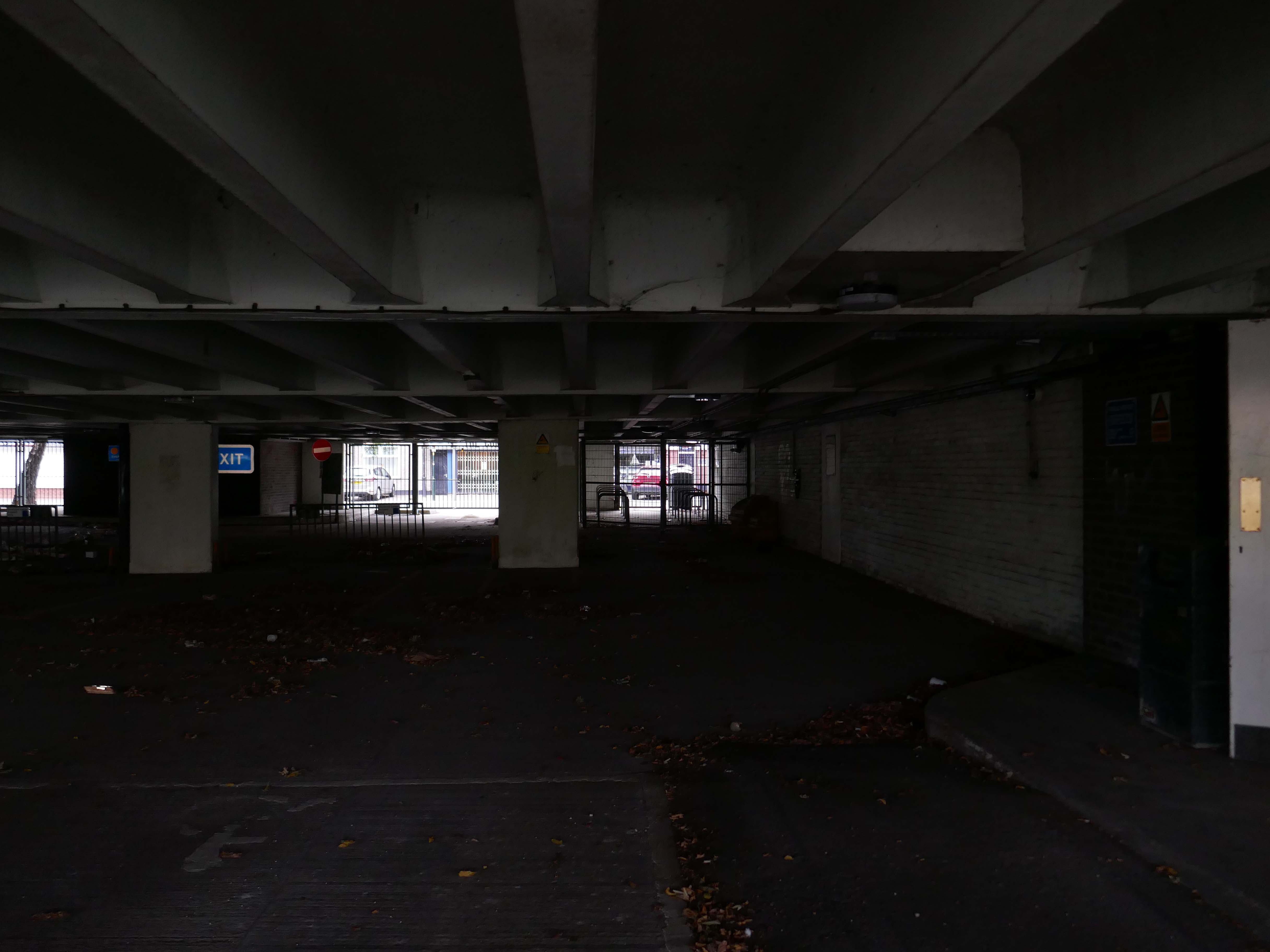
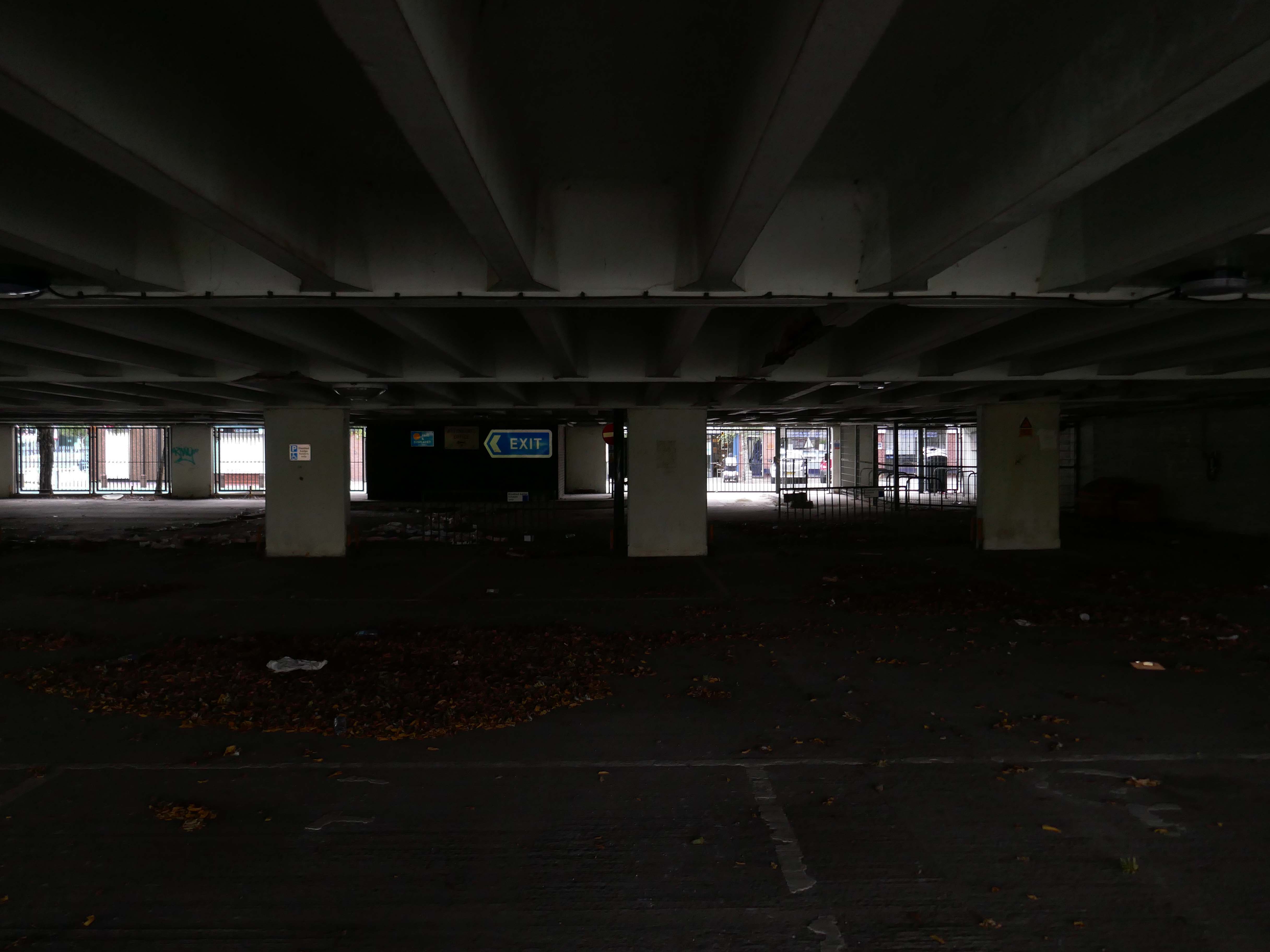
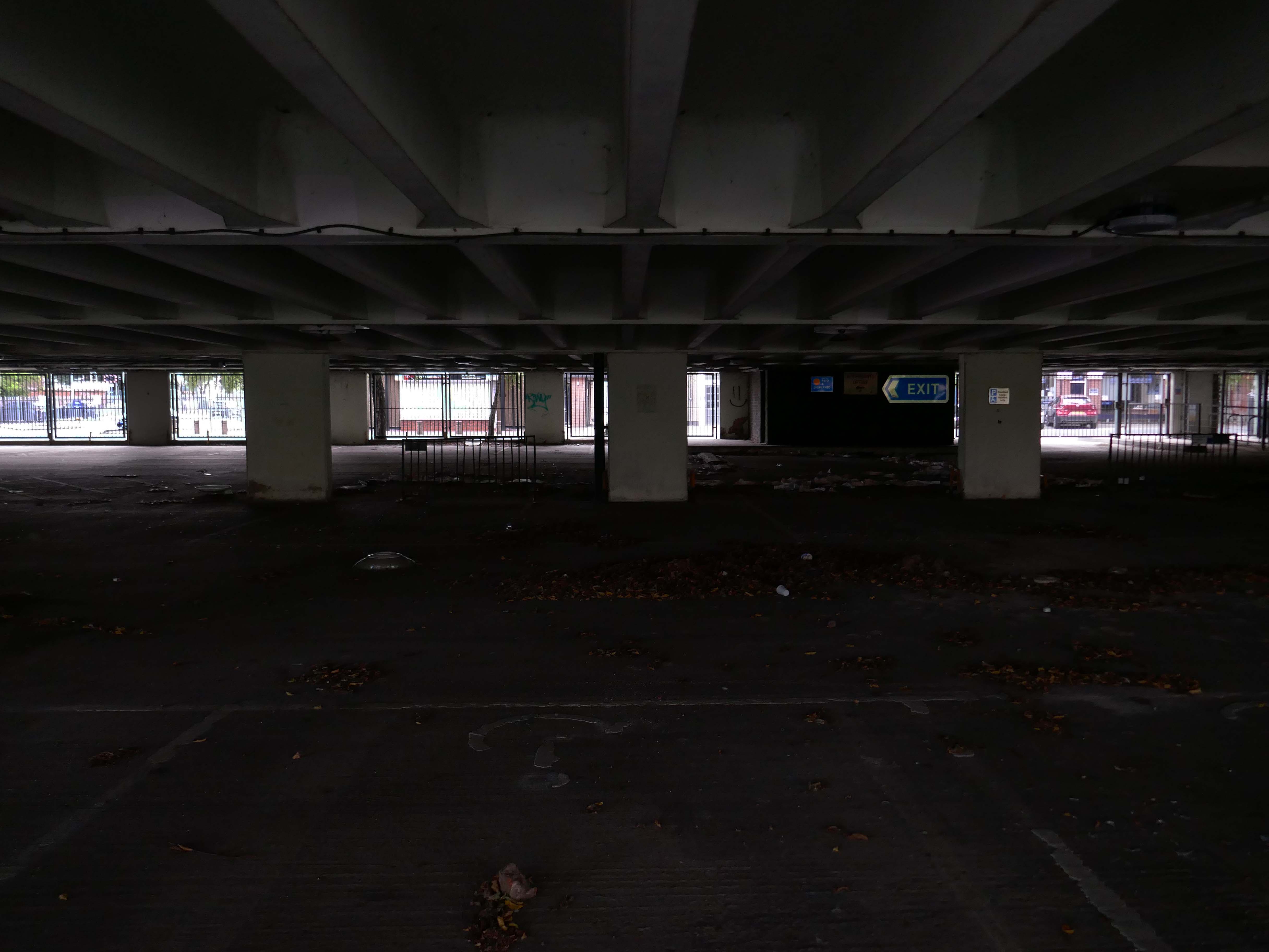
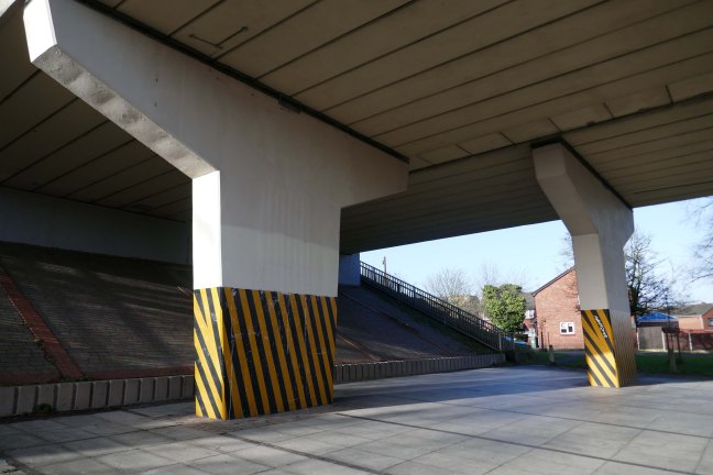
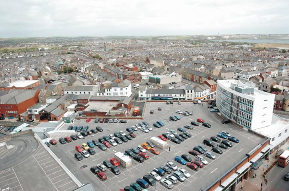
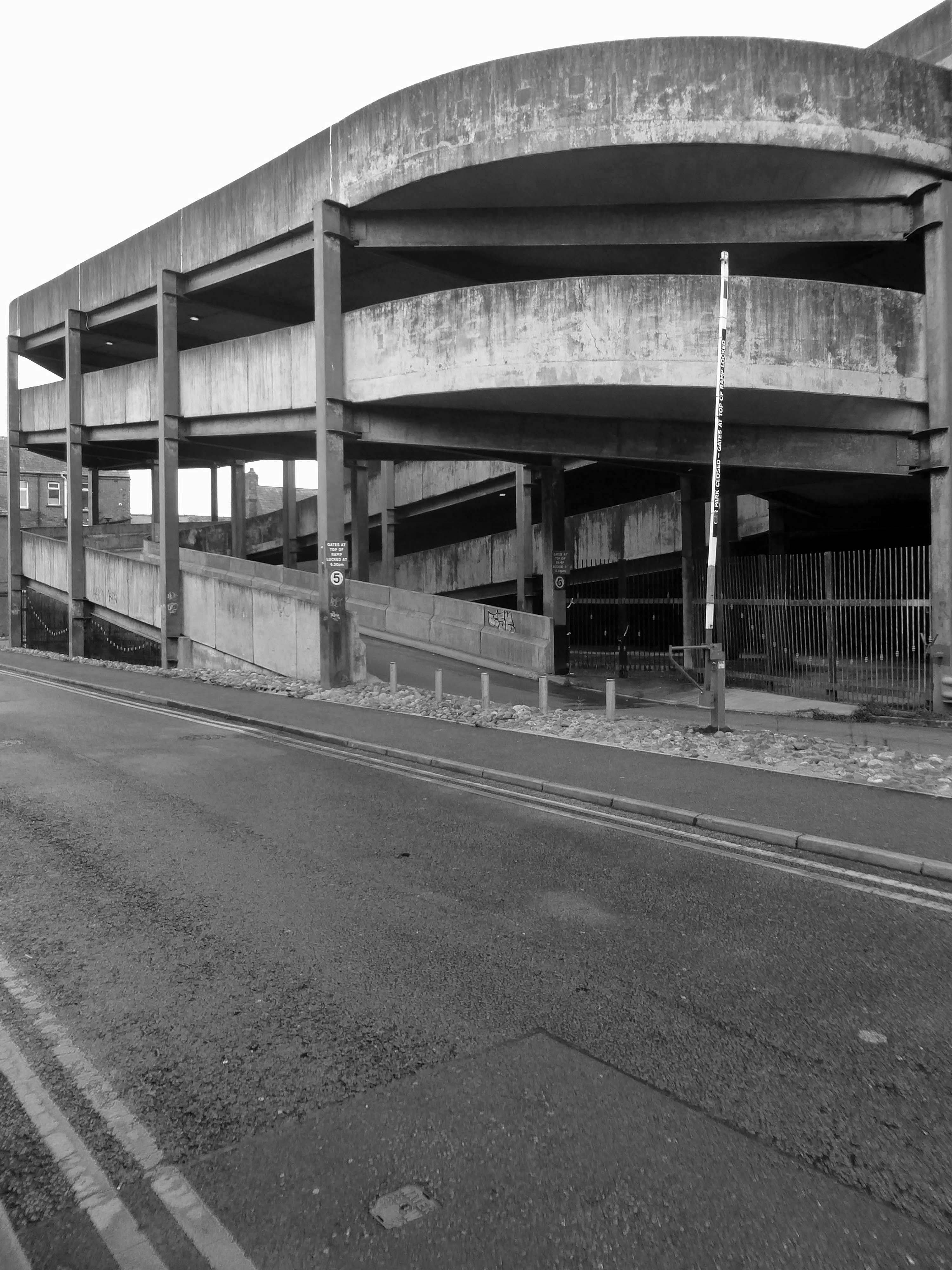
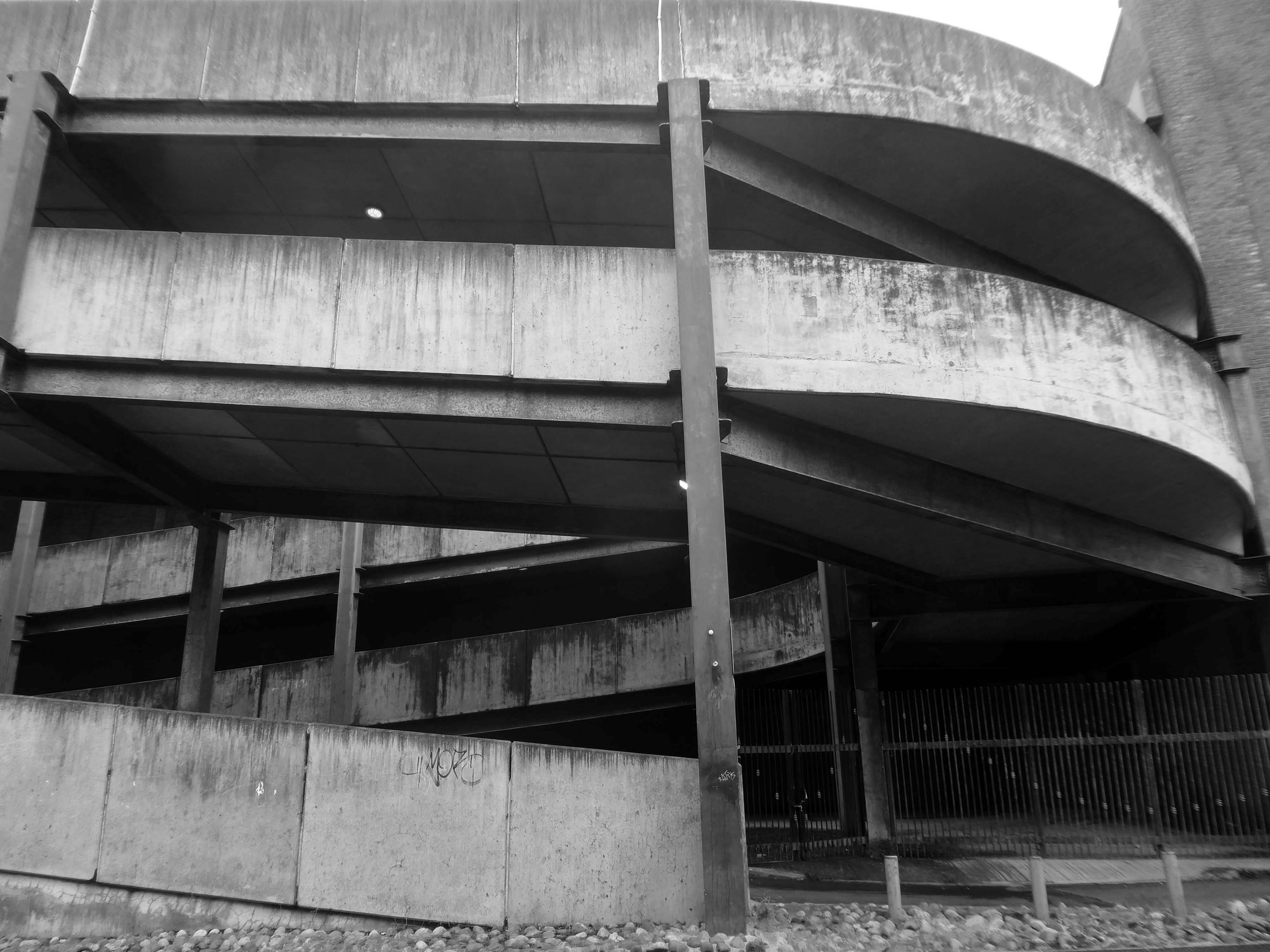
The Abbey Walk car park was built in 1969 by Holst & Company of Scunthorpe at a cost of approximately £200,000.Whilst a key asset for the town centre, the car park was closed in May 2024, after structural defects were found. This was water ingress into key structural supports, making the car park potentially unsafe to use.
It has now been approved to proceed with plans to demolish the car park, and replace it with a 120-space surface car park, but with the capability in the foundations of being built on in future years if needed.
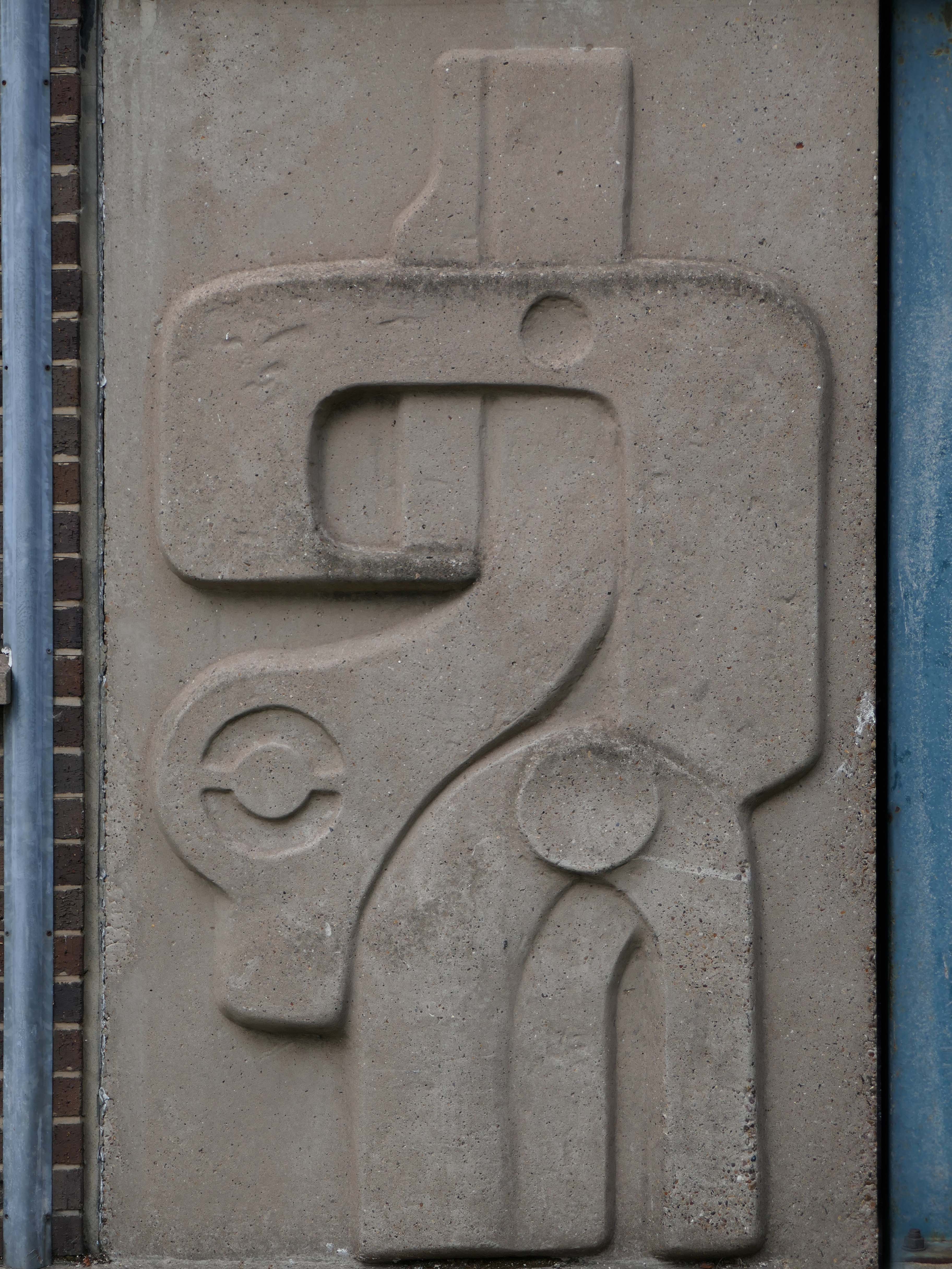
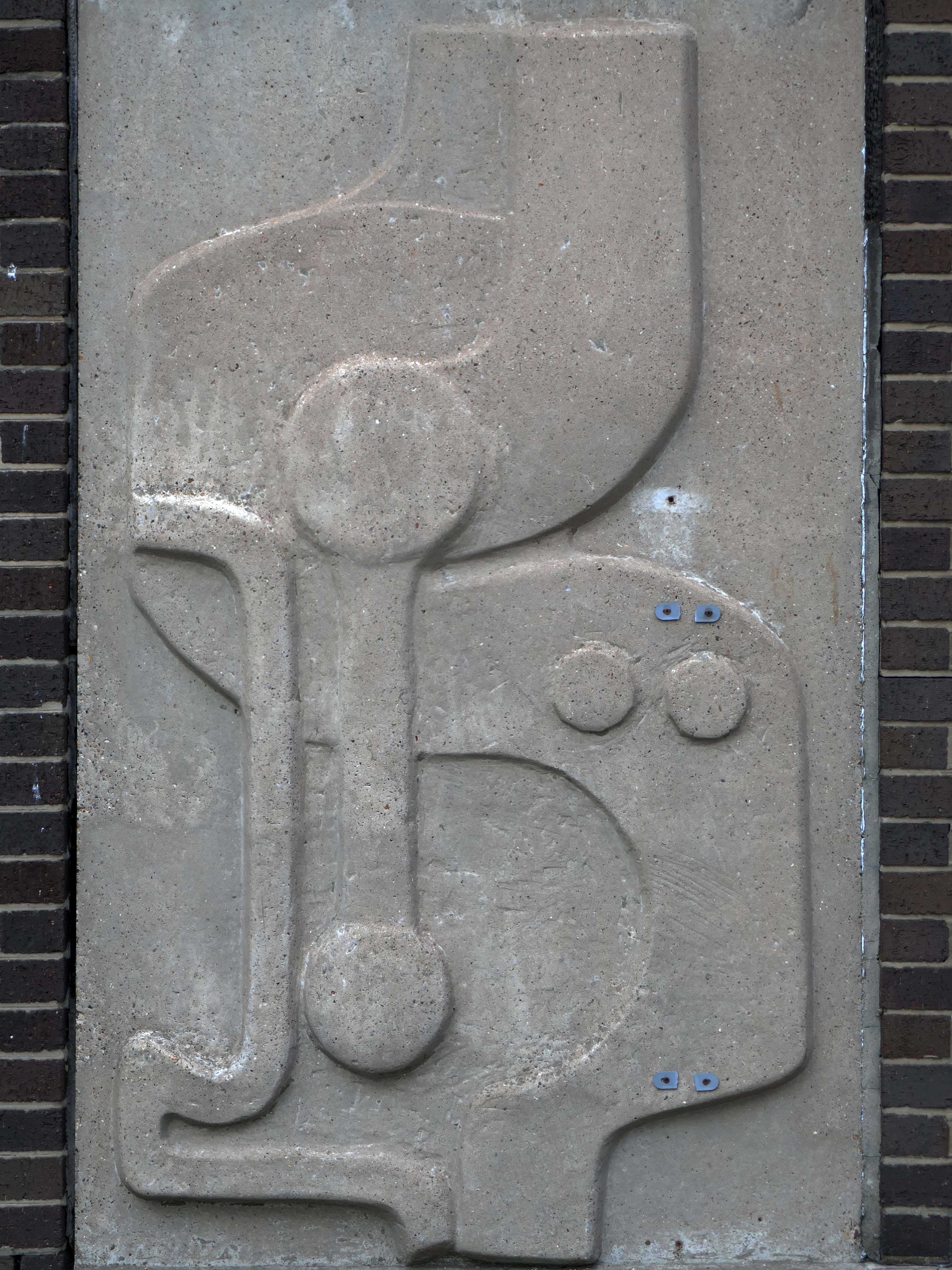
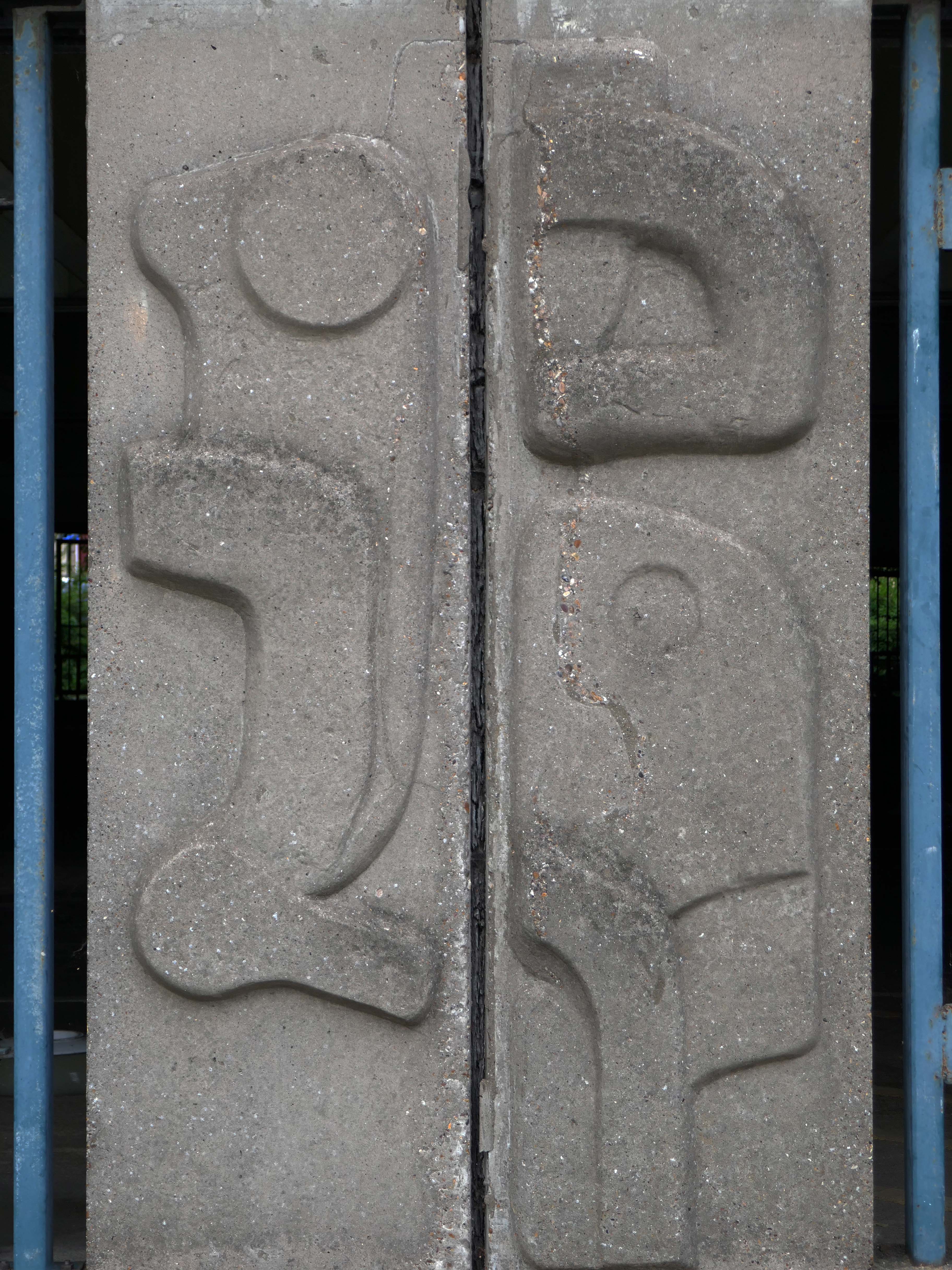
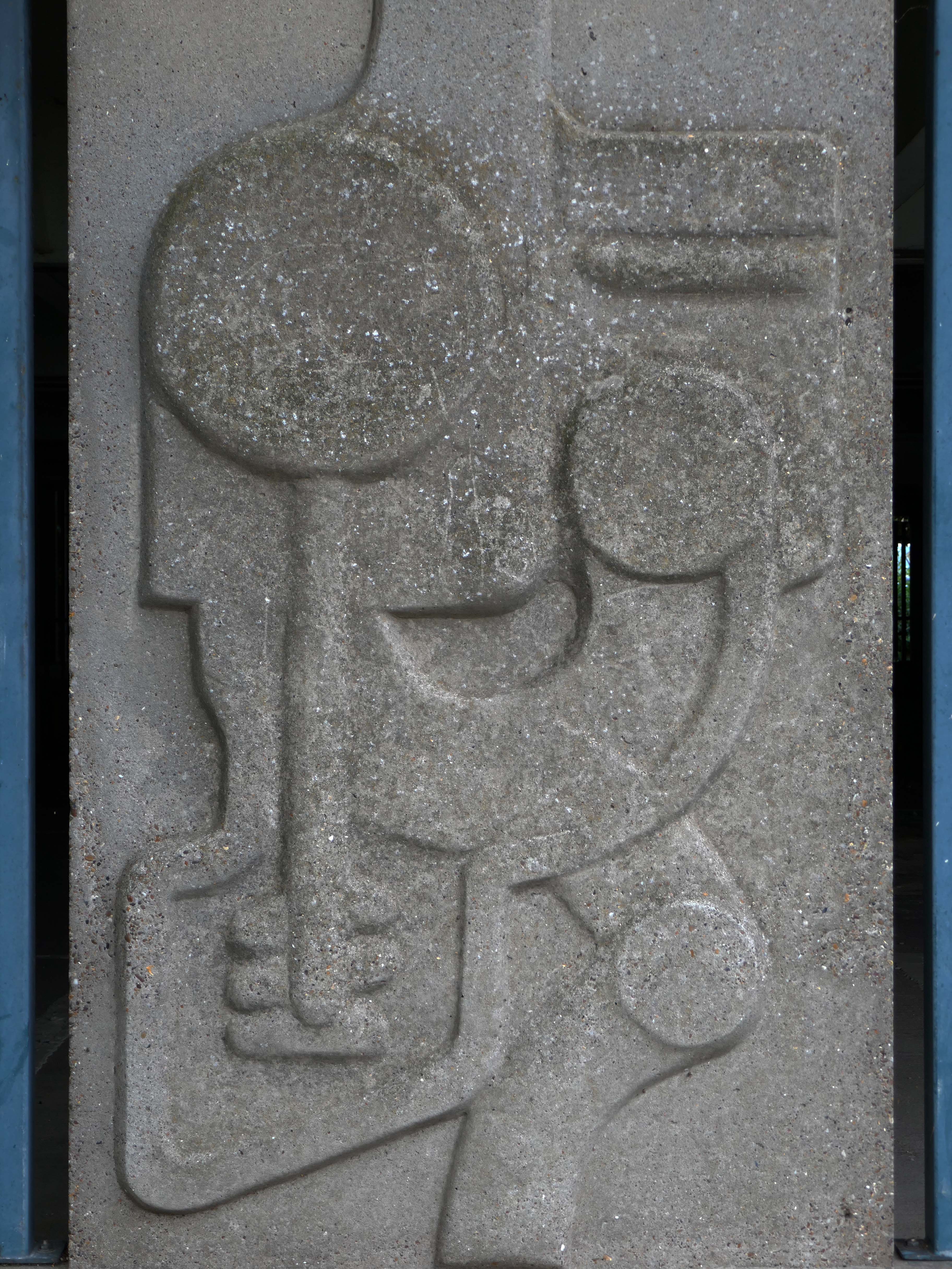
But what of the unique concrete relief panels, you may ask?
The four abstract concrete reliefs depict parts of a car, which were inspired by drawings in the handbook of the artist’s Austin Cambridge estate car, and were installed when the building was constructed.
Designed in the 1960s by artist and sculptor, Harold Gosney, having been asked to carry out the car park commission by the architects, Nicholson and Rushton.
These panels were cast in situ, with metal bars running through them, which were integral to the car park structure, which is likely to make removal of the artwork incredibly difficult.
Last month, it was confirmed conservationists from the University of Lincoln had 3D scanned the sculptures to create digital 3D models to preserve them.
Which is all well and good, but will they ever be really remade and reinstated anywhere?
Only time will tell.
In 2023 the car park stairwell was transformed by young people from the local area, as part of a project by North East Lincolnshire Council and local artist Lynsey Powles, to try to tackle graffiti and anti-social behaviour.
Abbey Walk multistorey car park in Grimsby has been the site of a number of incidents of anti-social behaviour and graffiti in recent years.
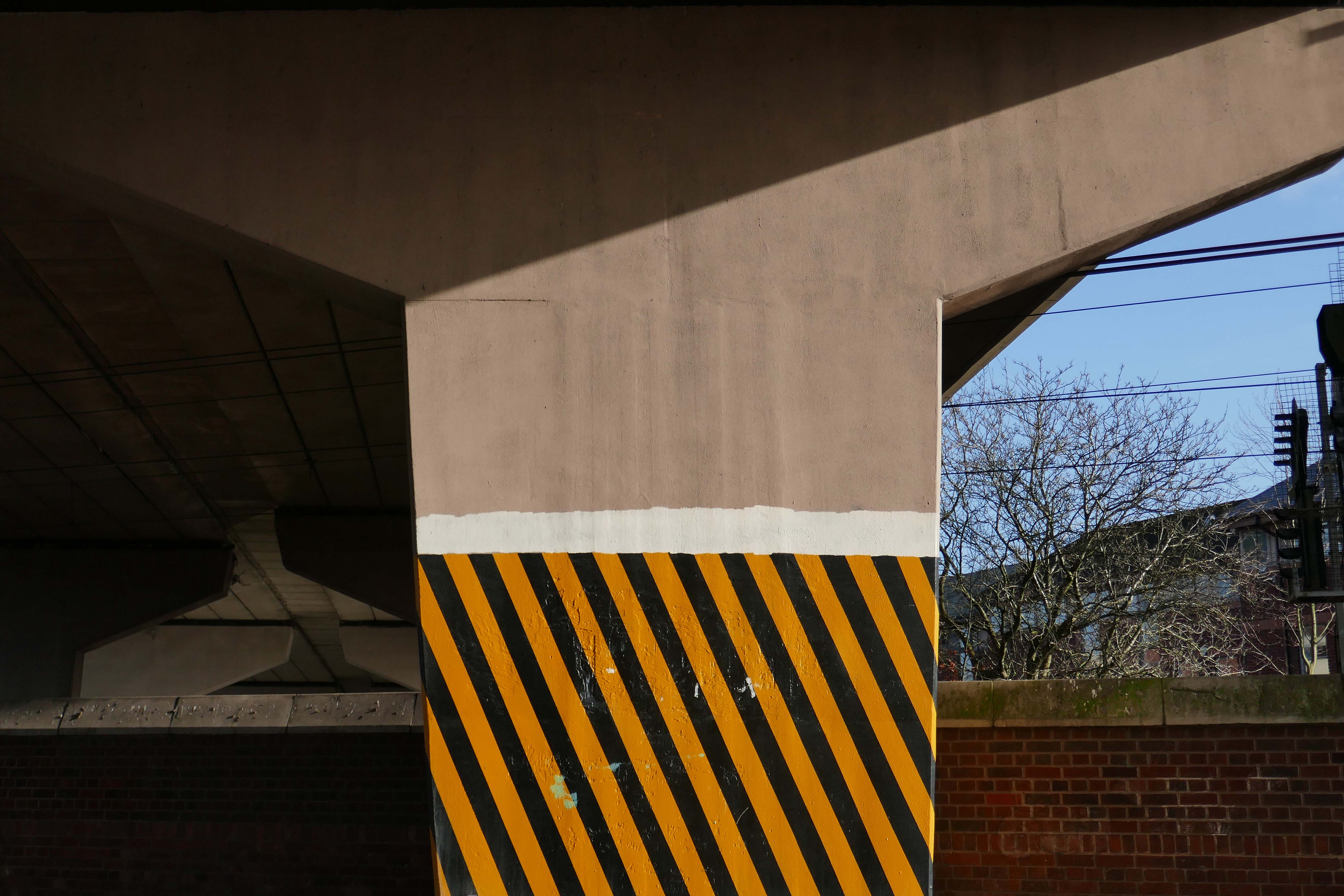
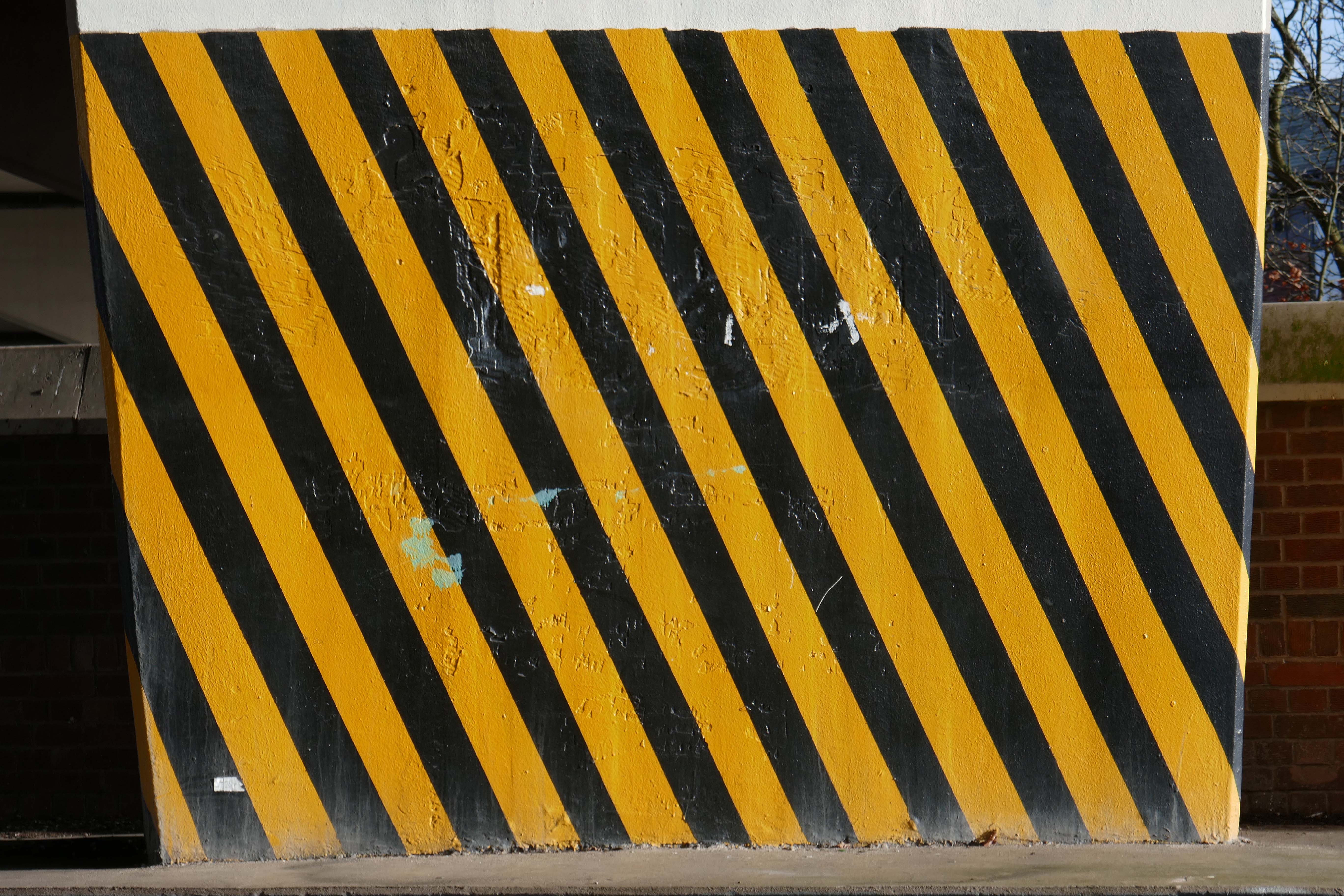
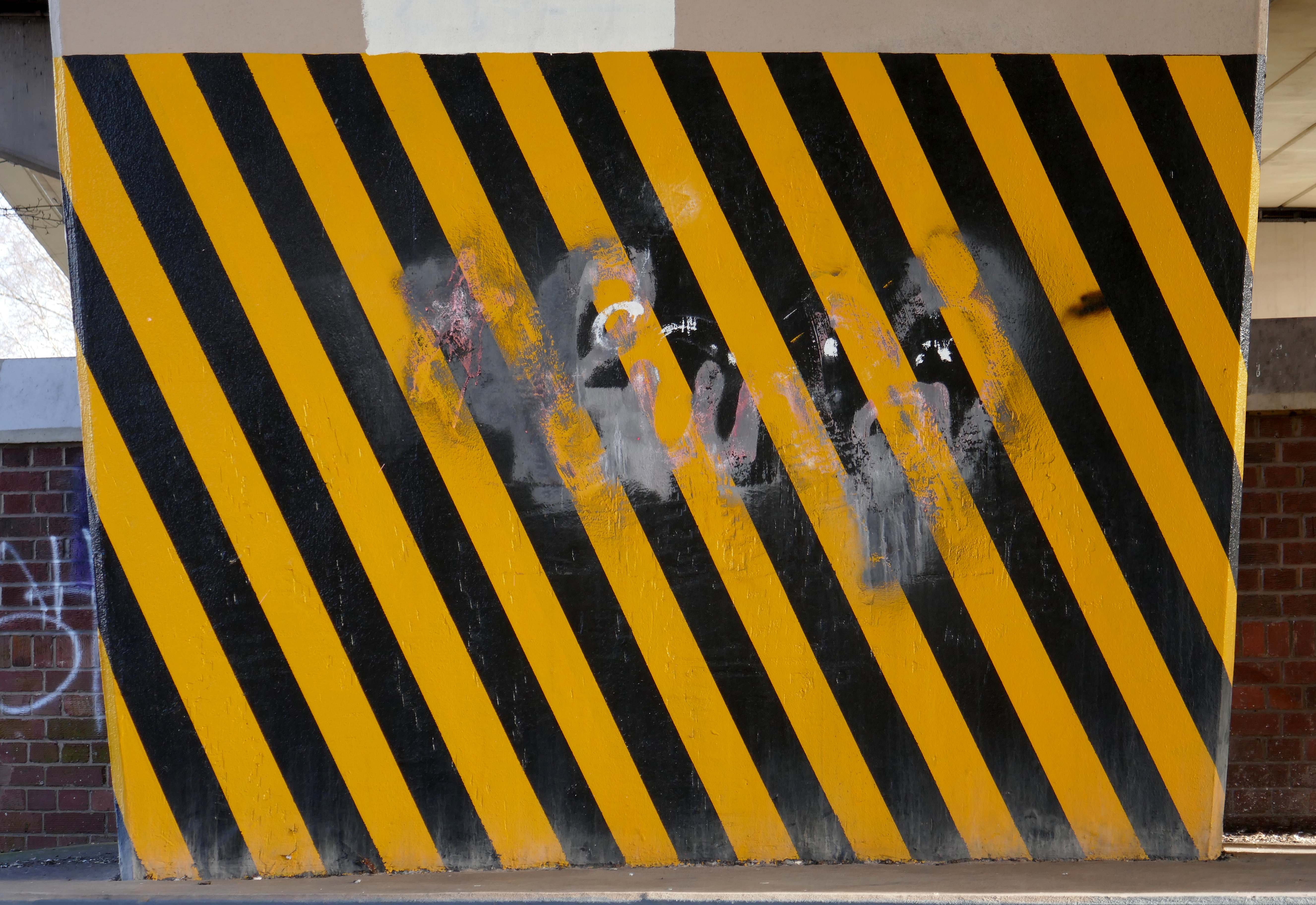
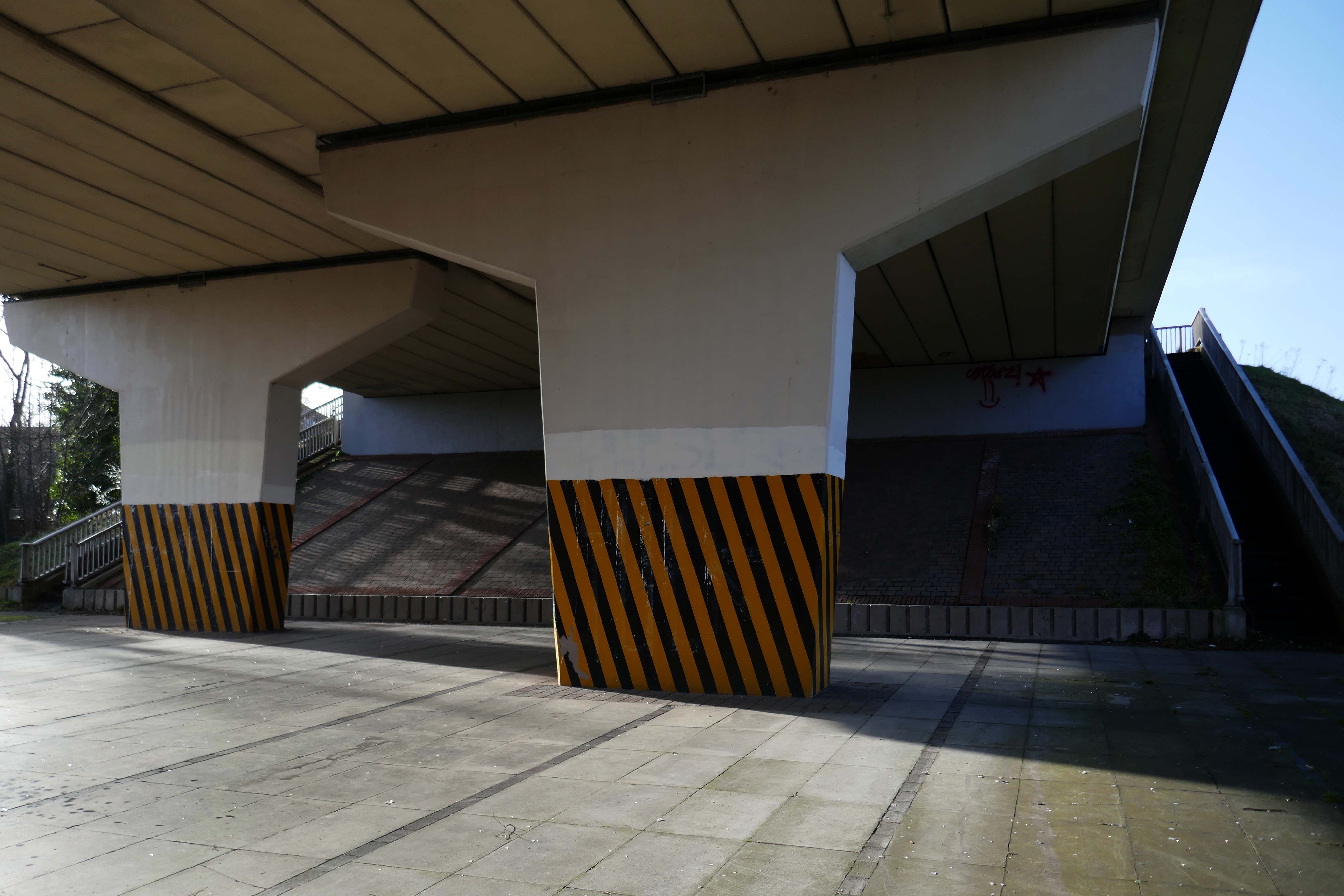
Health and safety regulations state that markings should be placed around obstacles or dangerous locations. This includes where any of the following present a risk:
people tripping or falling
objects falling
people or vehicles colliding with objects
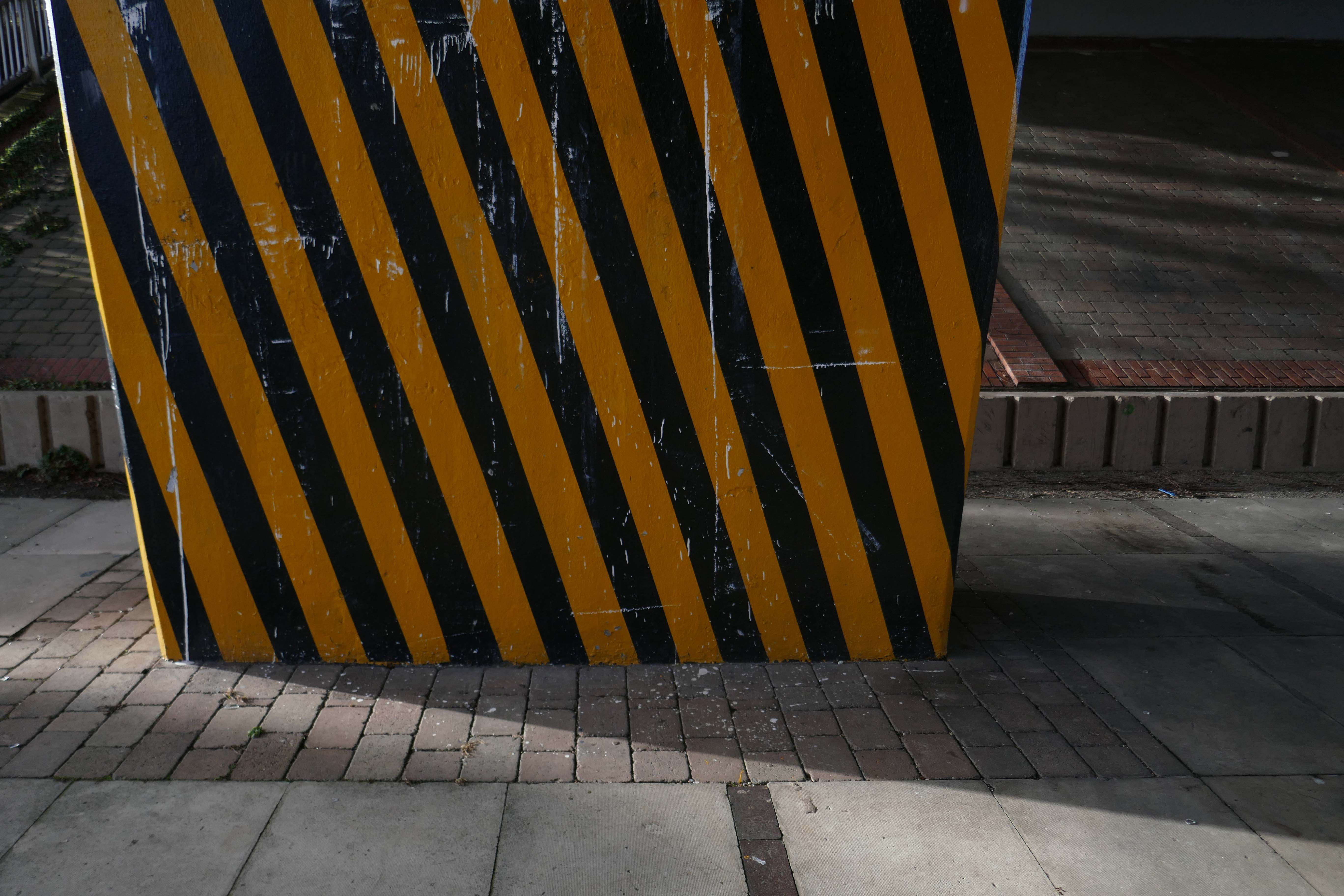
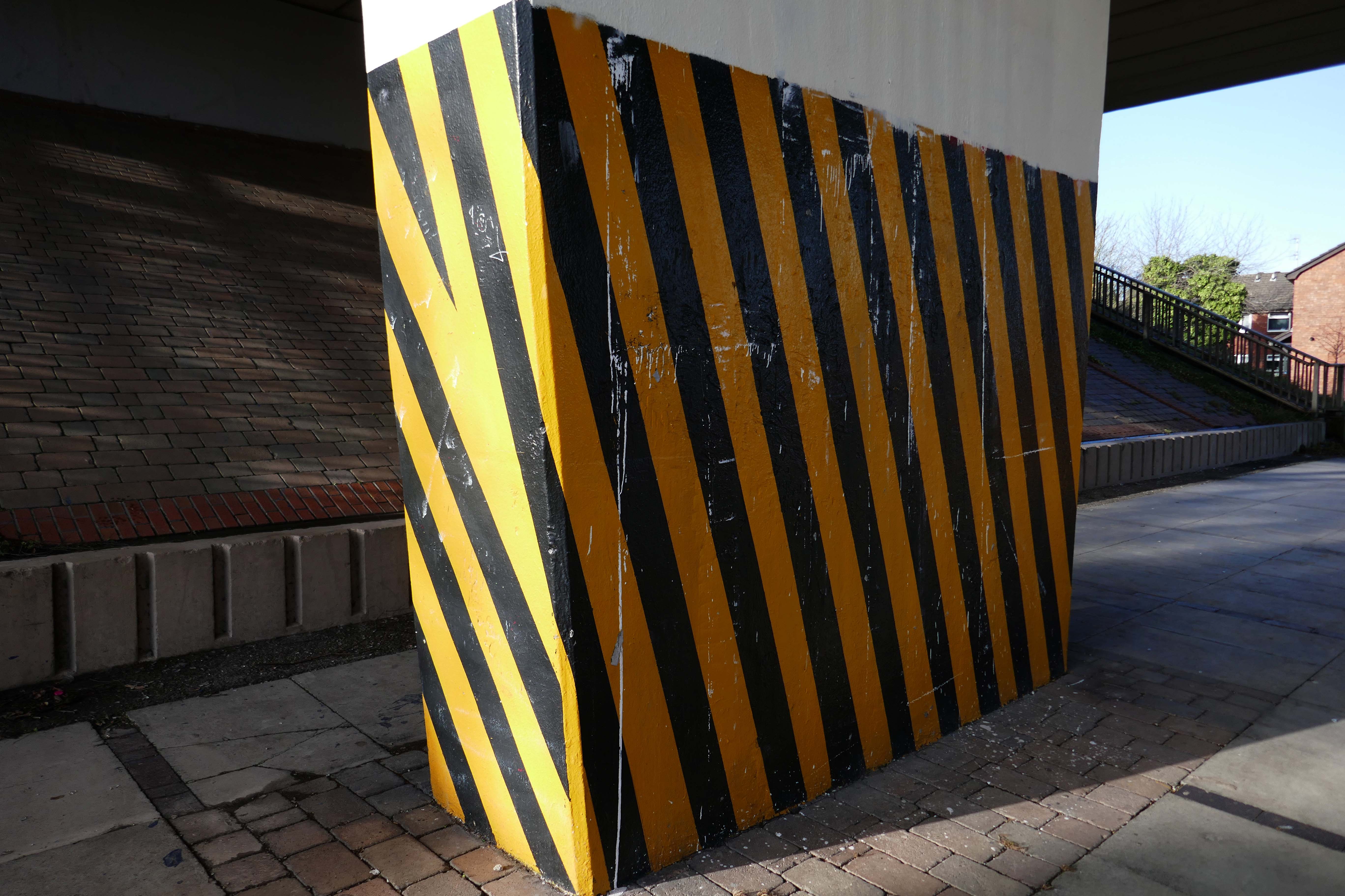
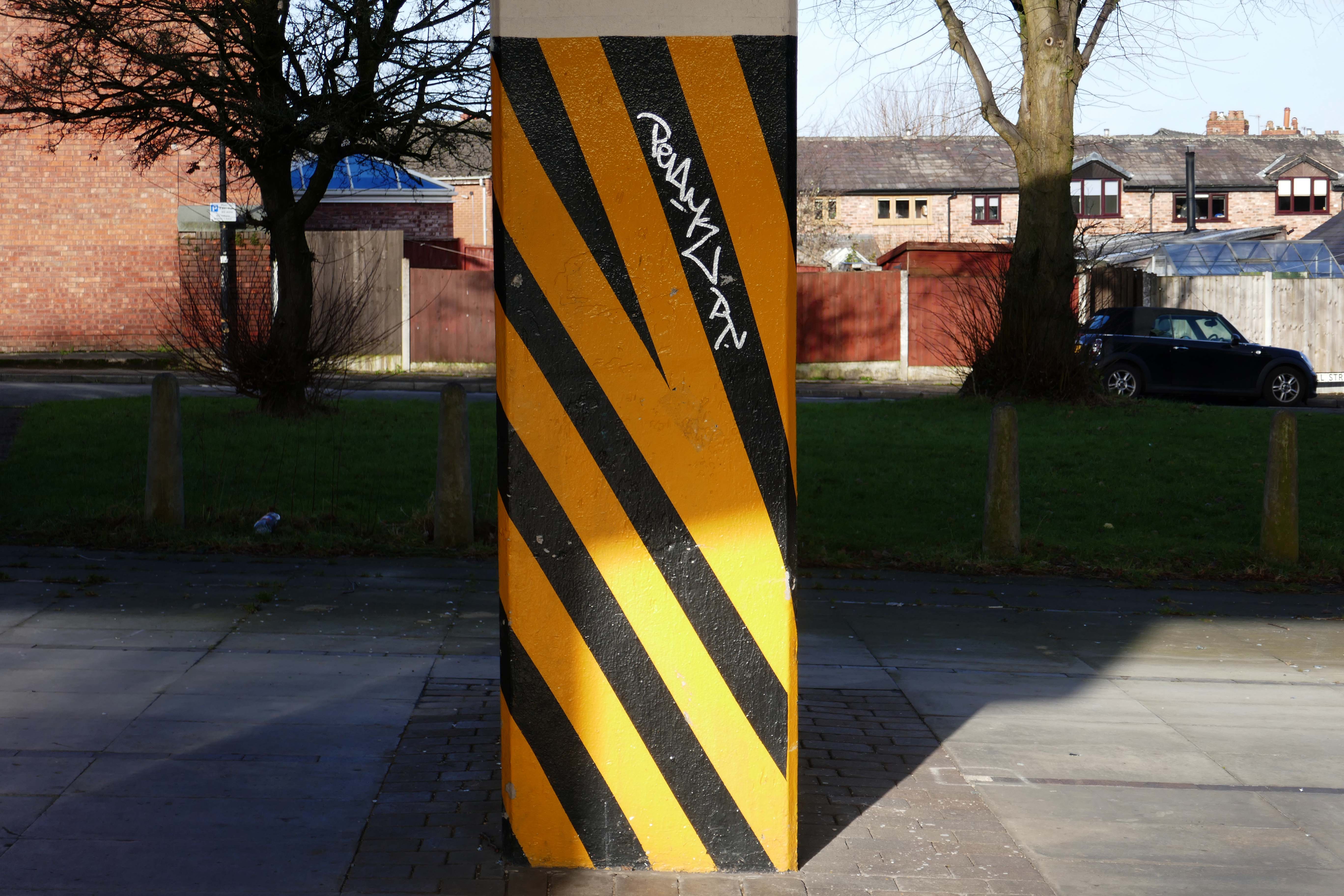
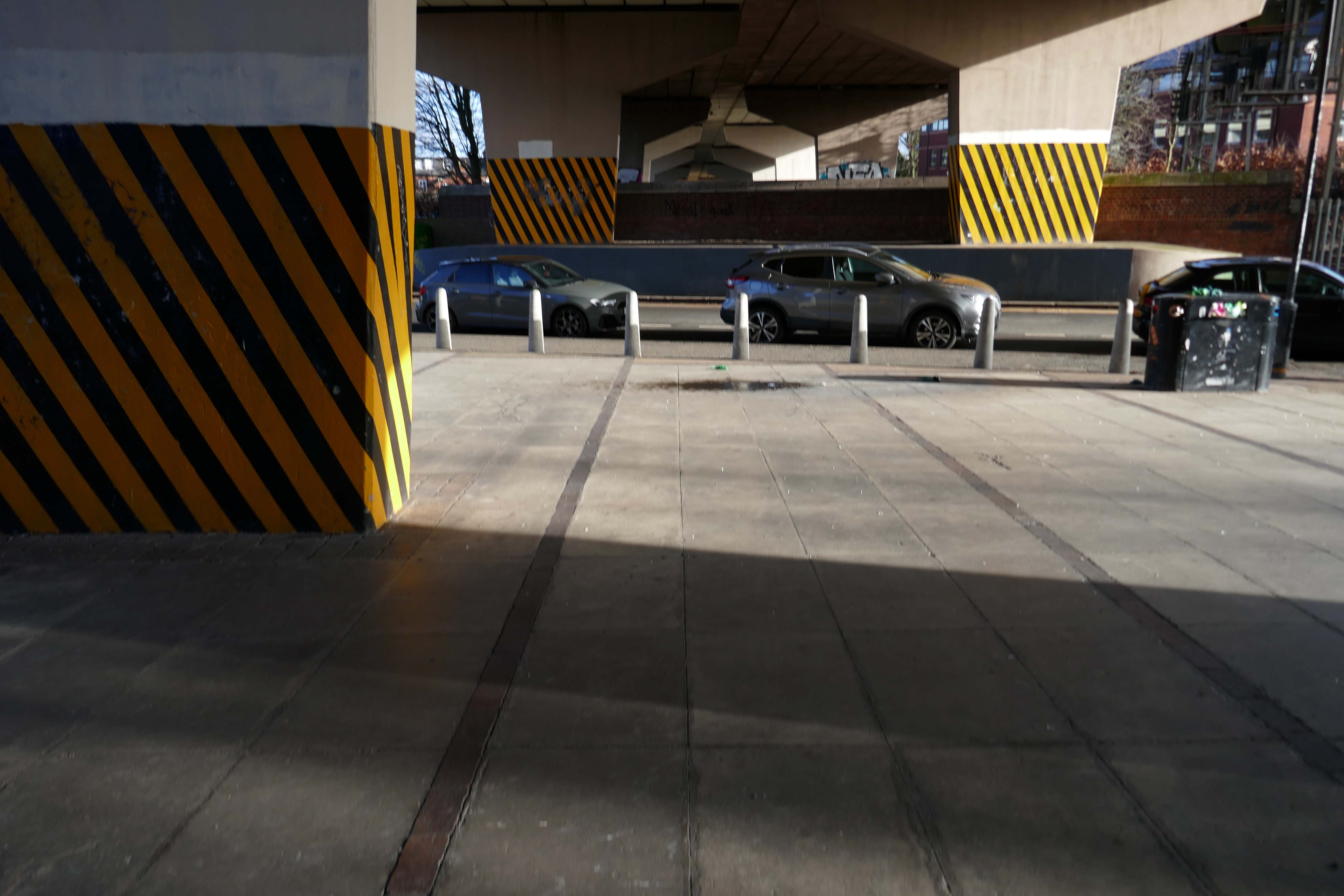
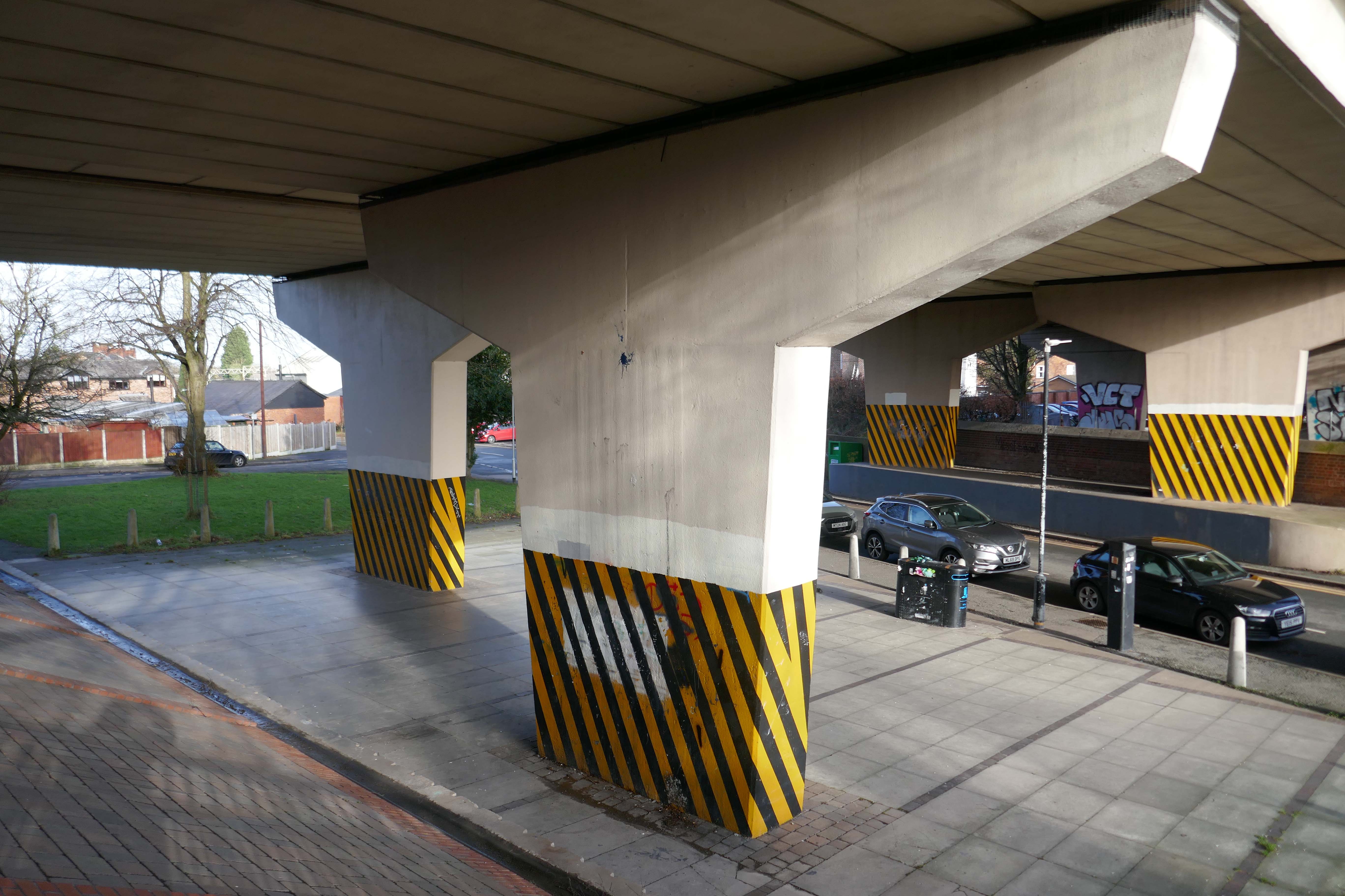
These markings should be made up of alternating red and white or yellow and black stripes of equal size at a 45 degree angle. Barricade tape can be used to satisfy this requirement as long as the tape is “commensurate with the scale of the obstacle or dangerous location in question”
I hereby lay claim to this symbol, sign, icon, the combination of black and yellow, wherever it may appear, in this or any other world, in whatever shape, form, pattern or composition, be it civil or military. I hereby claim to be its originator and owner.
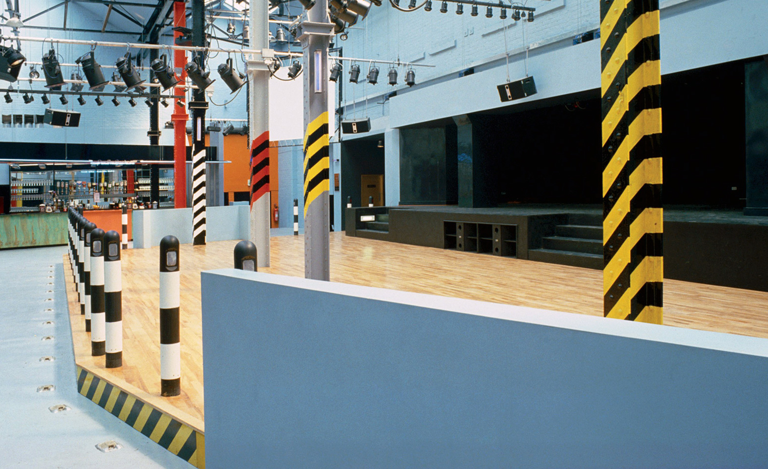
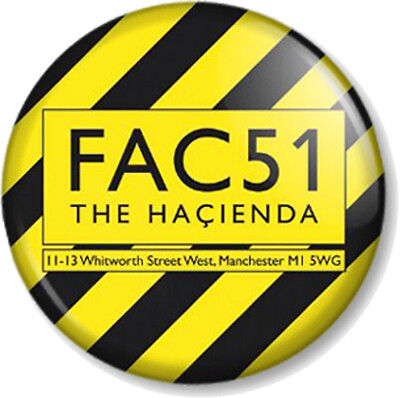
Designed by Ben Kelly, upon recommendation by Factory graphic designer Peter Saville, upstairs consisted of a stage, dance area, bar, cloakroom, cafeteria area and balcony with a DJ booth.
The Haçienda was opened on 21 May 1982, when the comedian Bernard Manning remarked to the audience:
I’ve played some shit-holes during my time, but this is really something.
His jokes did not go down well with the crowd and he returned his fee.
The black and yellow stripes on Manchester City’s away shirts were meant to be an uplifting homage to Manchester’s cultural heritage, but the choice of design now risks becoming a chip on the team’s shoulders.
The team’s jersey is embroiled in a controversy after Ben Kelly, the man who originally designed the stripes for famed Manchester nightclub the Haçienda, complained in a recent interview to Gaffer magazine that he was not credited or consulted by the creators of the football apparel.
When Manchester City and Puma launched the team’s 2019/20 kit last July, they said in a press release that the uniform paid tribute to the “Madchester” years of the late 1980s and early 1990s, when the city in north-west England became a hub of alternative music and dance culture.
The concrete and the clay beneath my feet Begins to crumble But love will never die
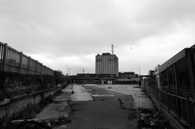
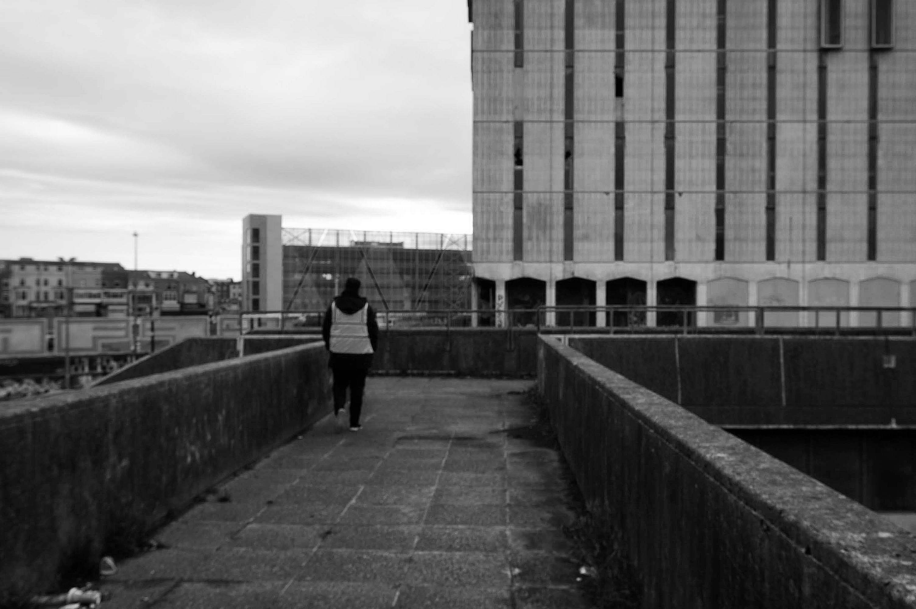
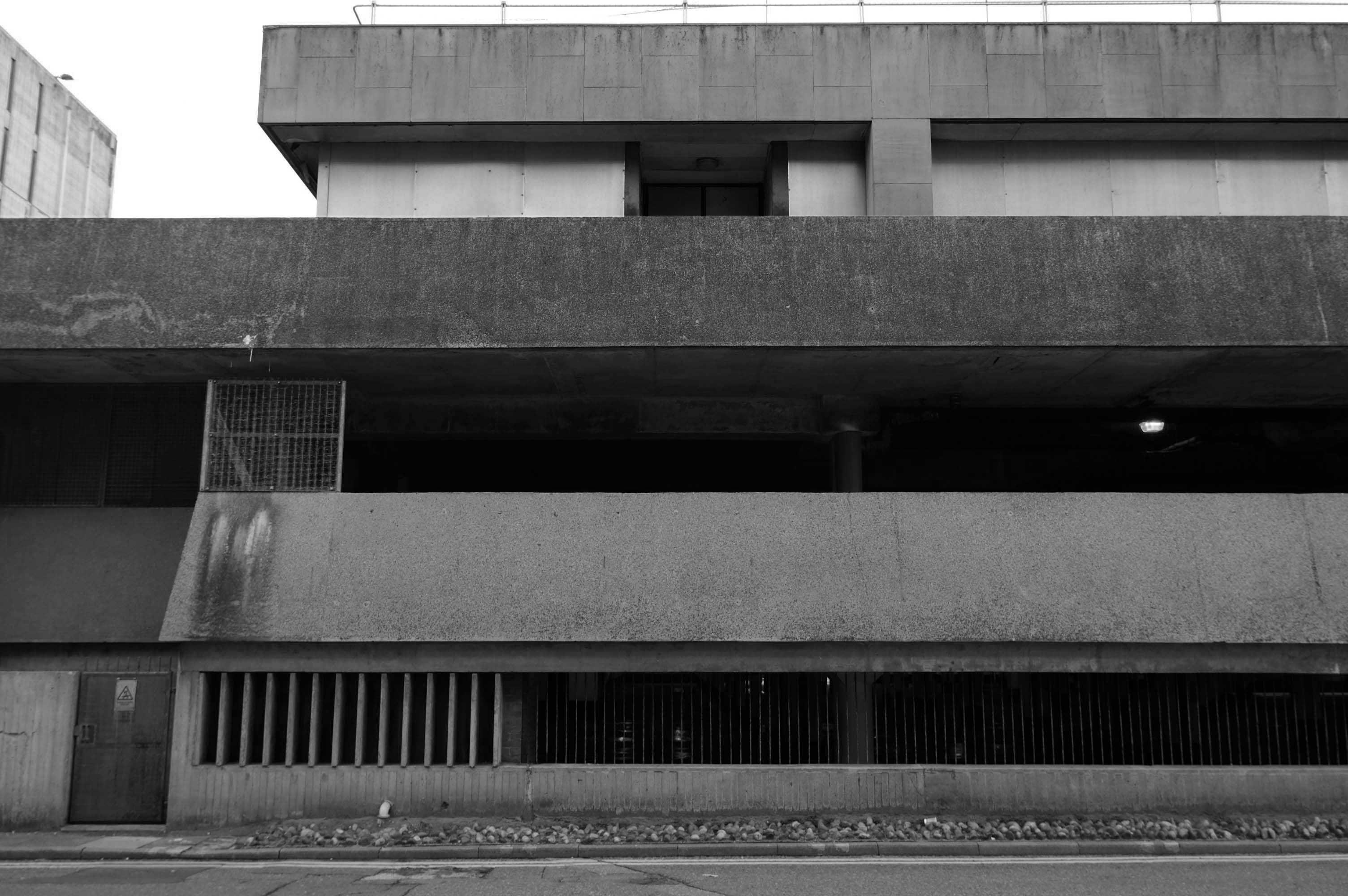
Doomed to face the demolition crew – the anti-social intrusions and falling masonry have enforced a fence, an impenetrable fence.
My requests for unforced entry were politely rebuffed by the hi-vis vest security guards.
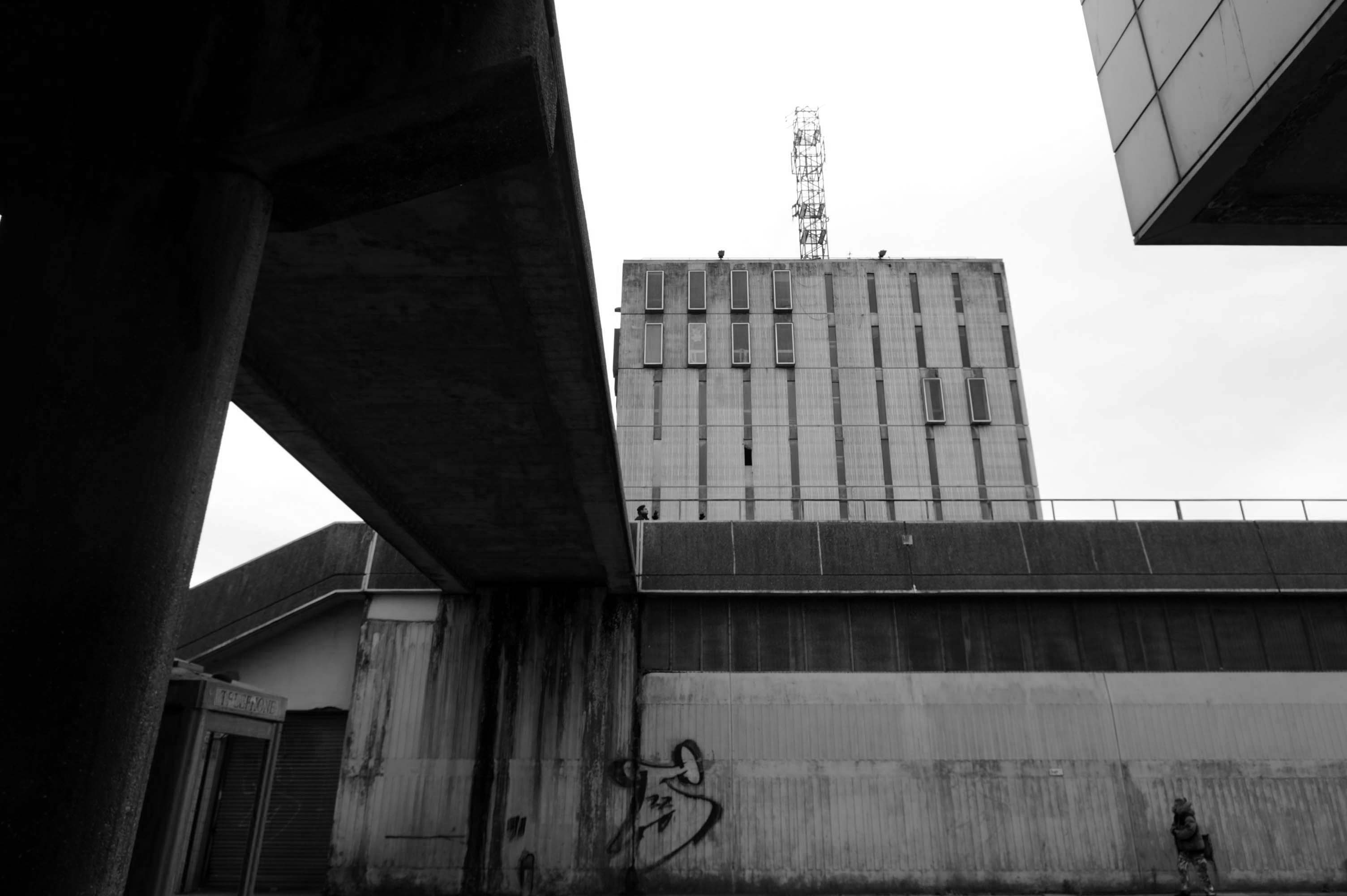
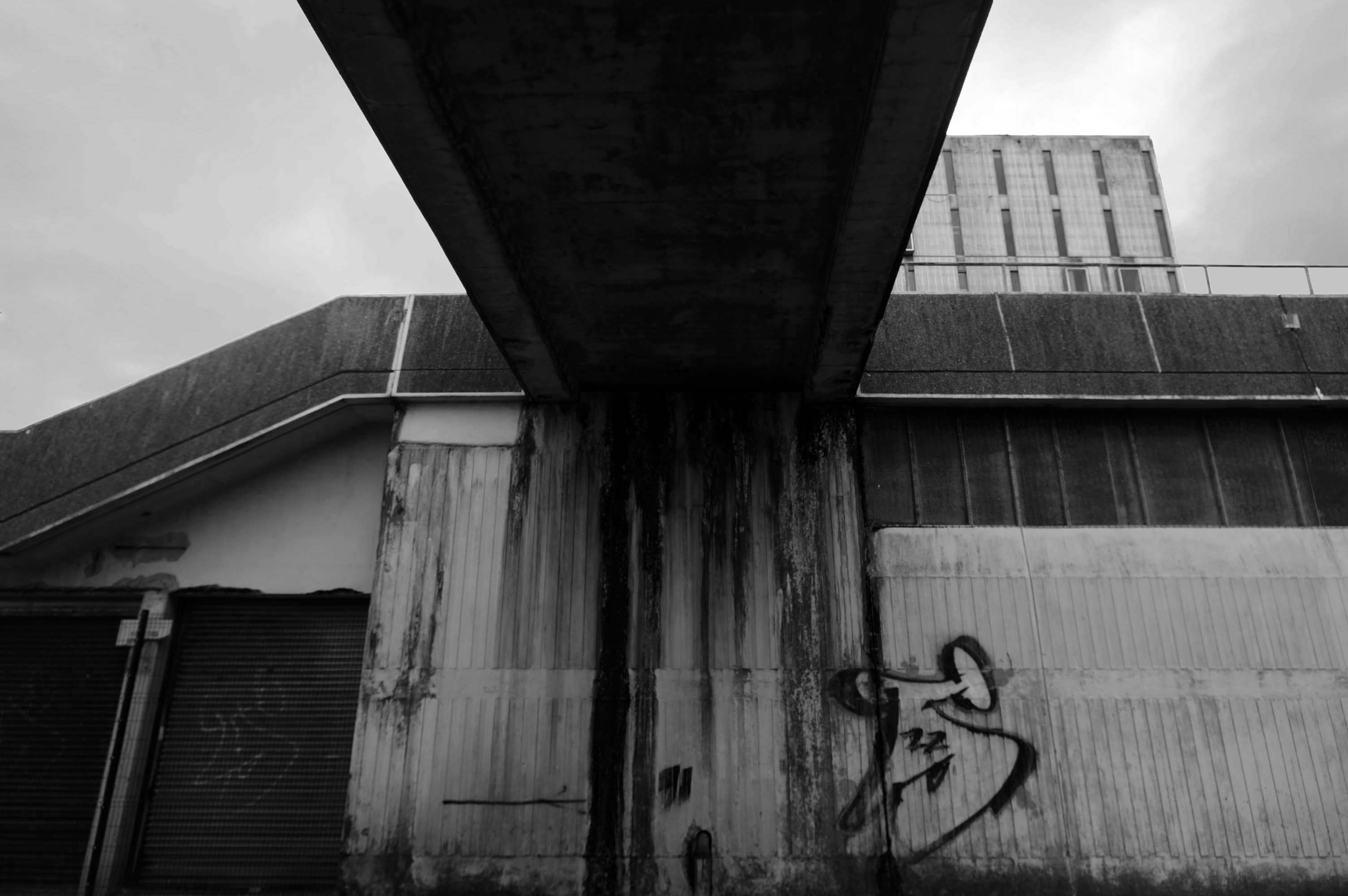
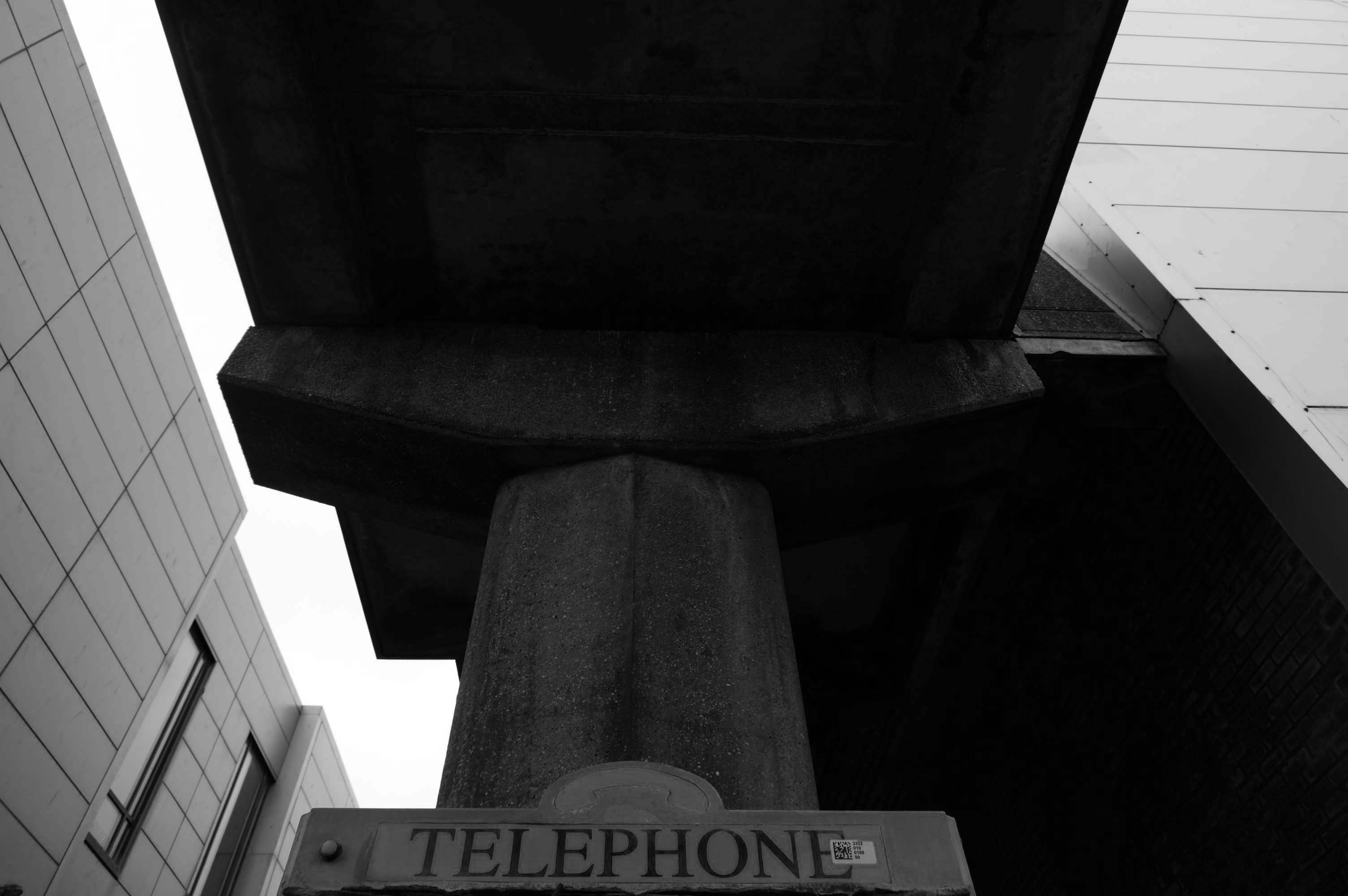
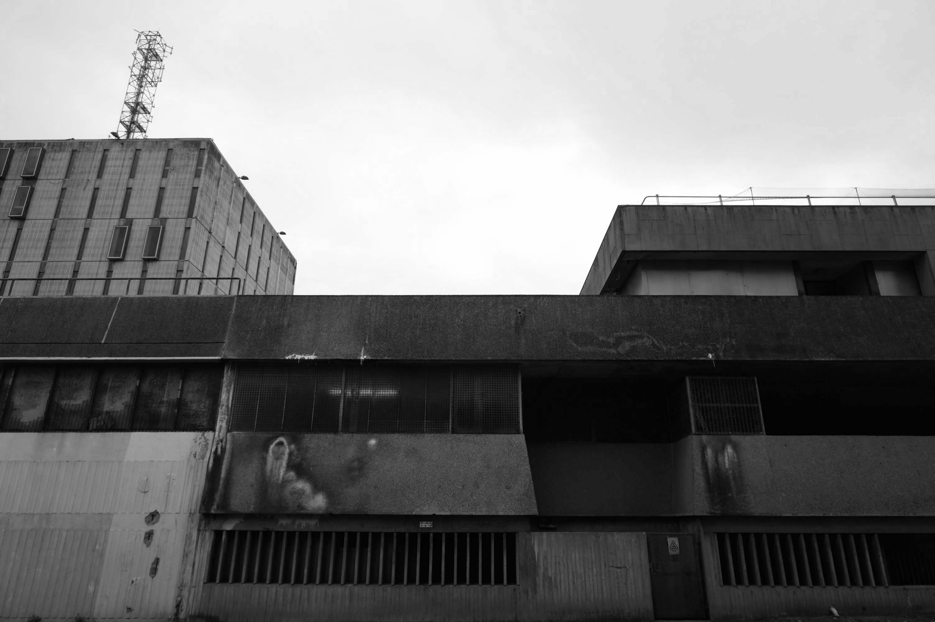
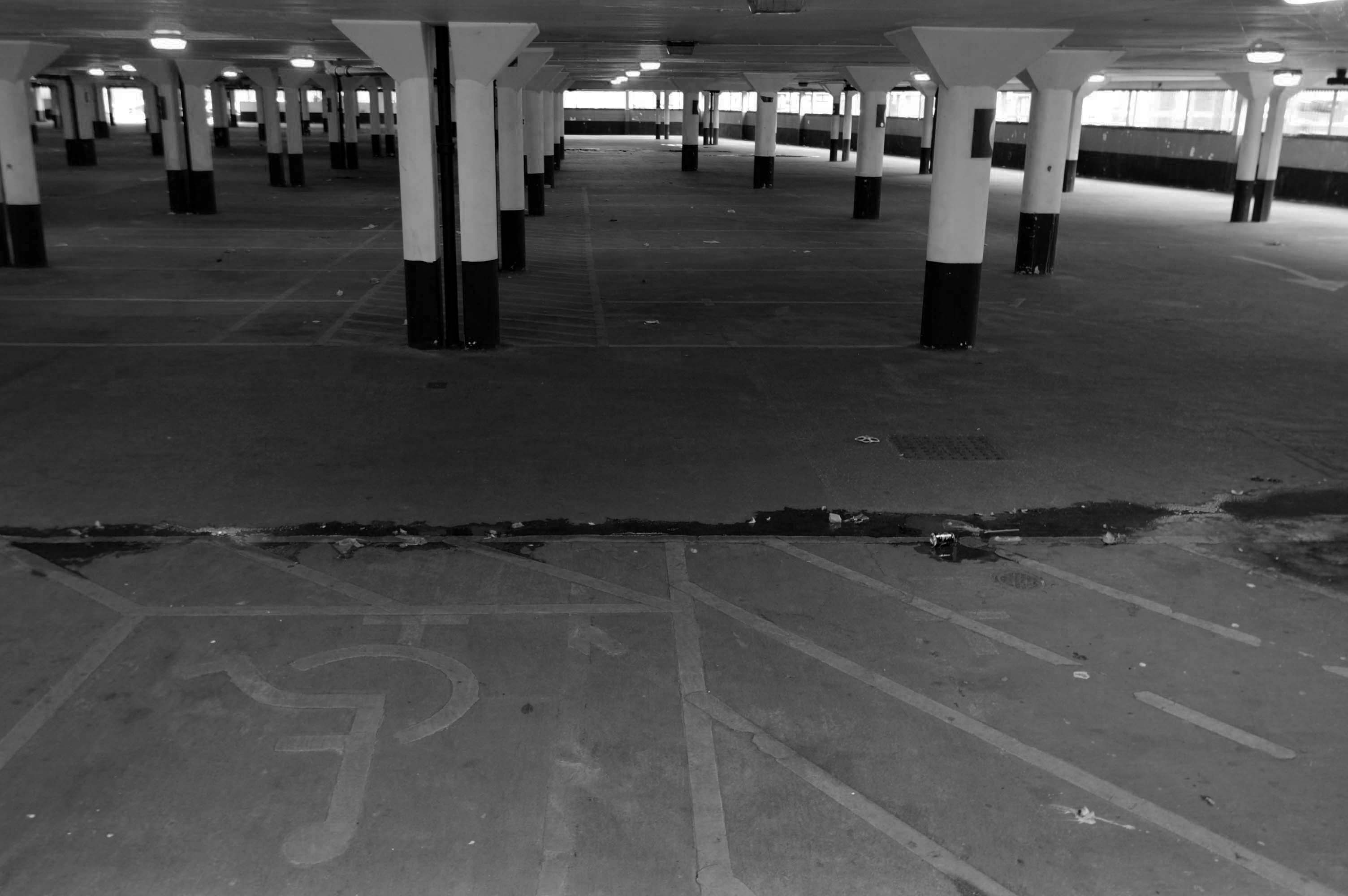
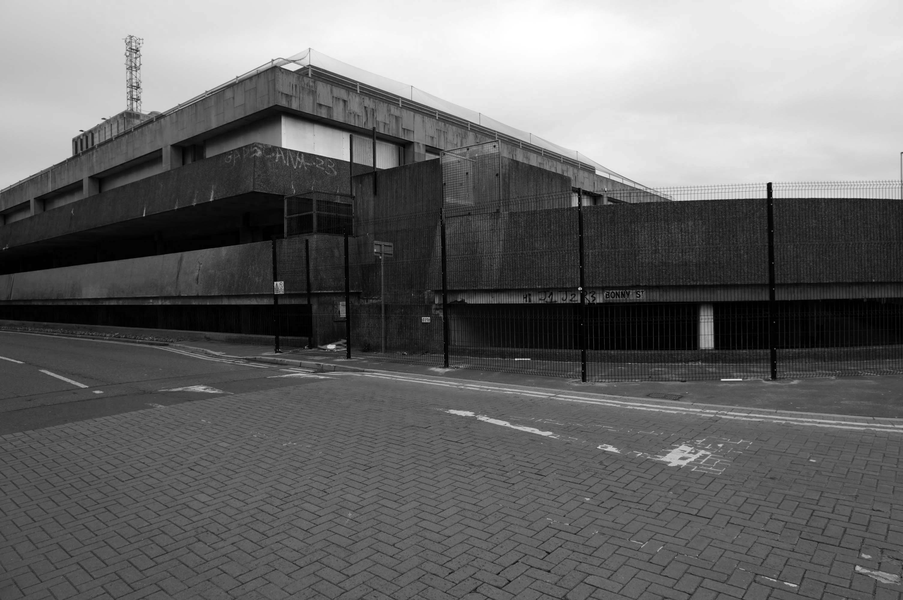
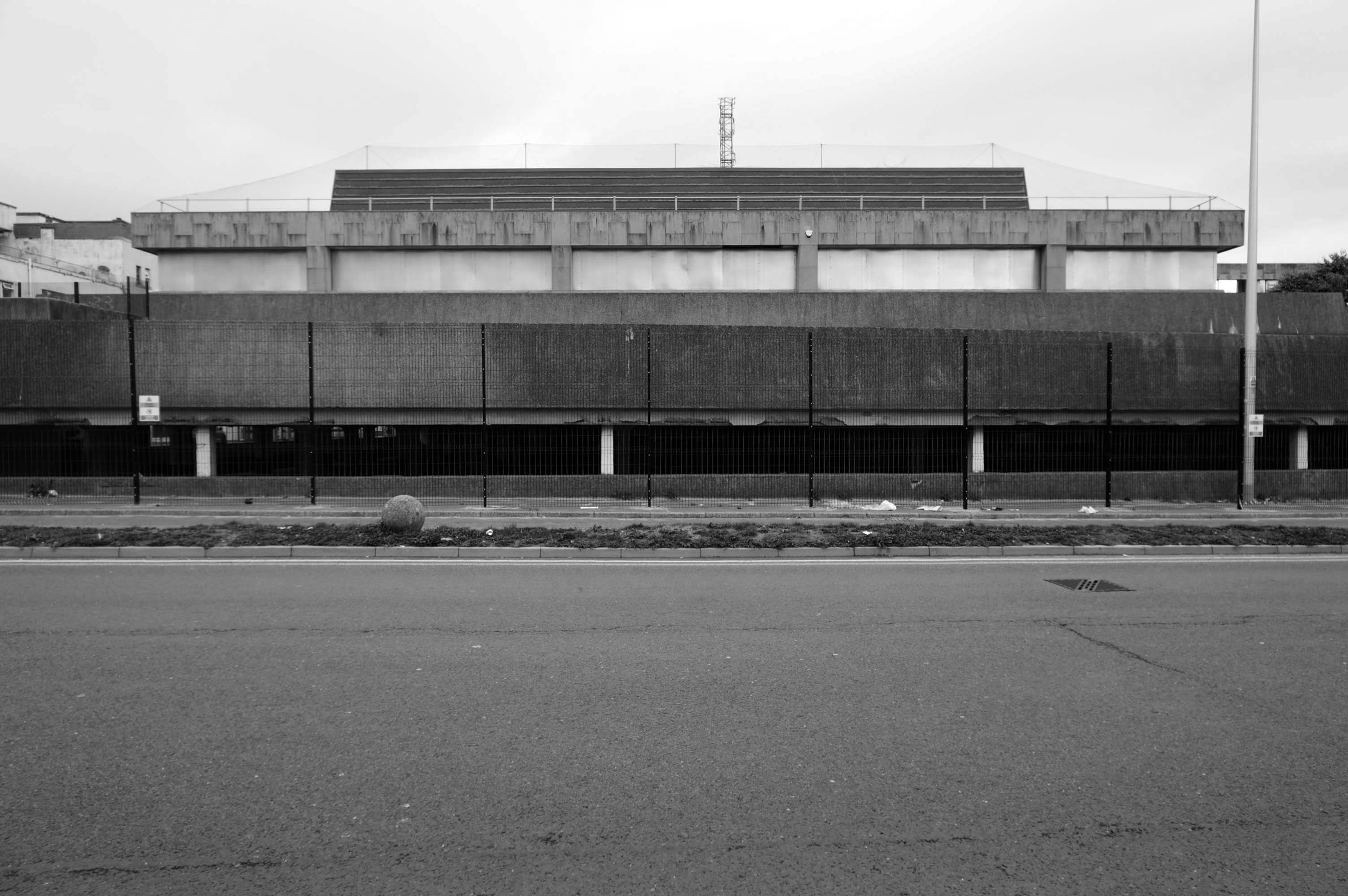
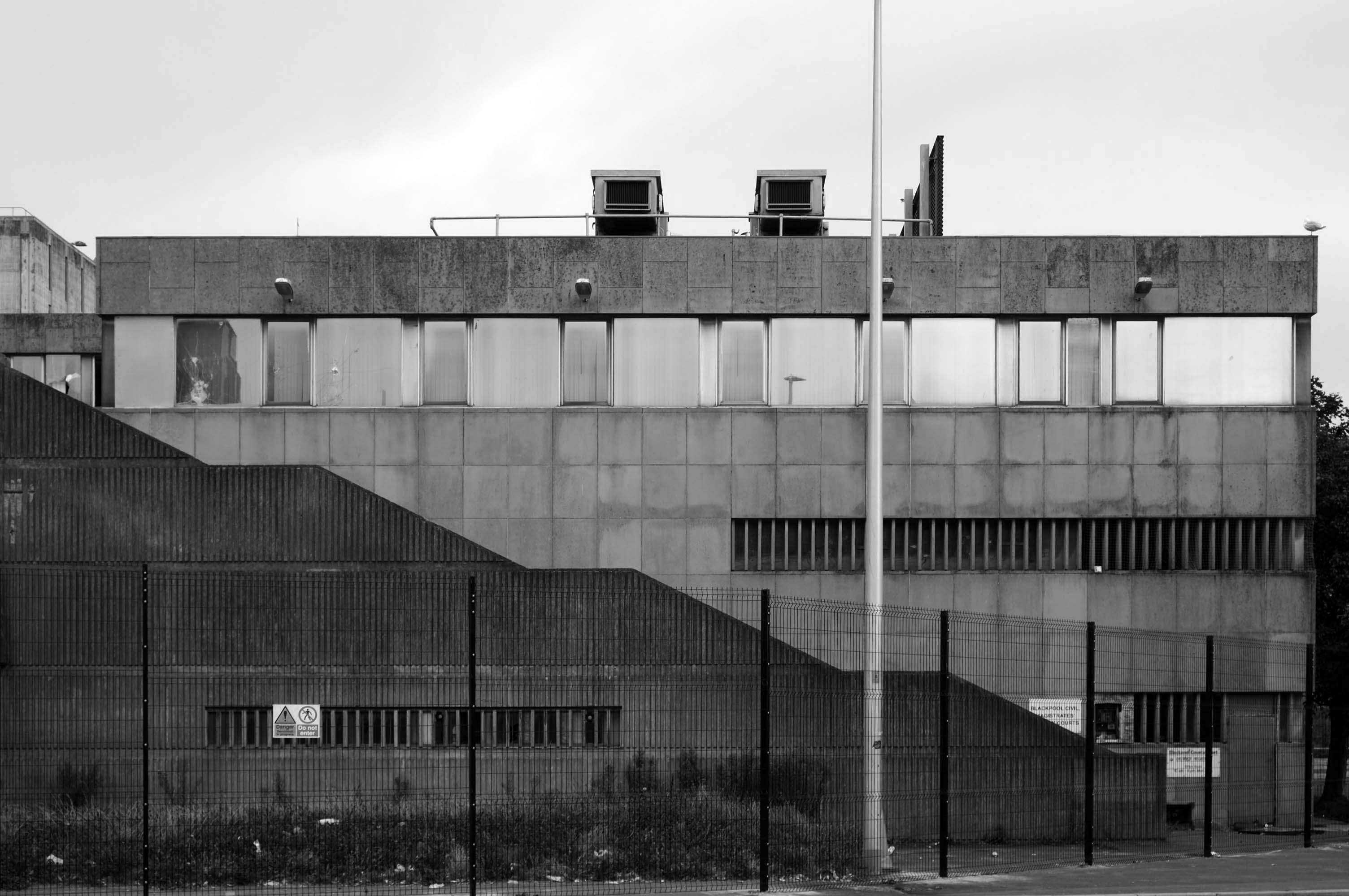
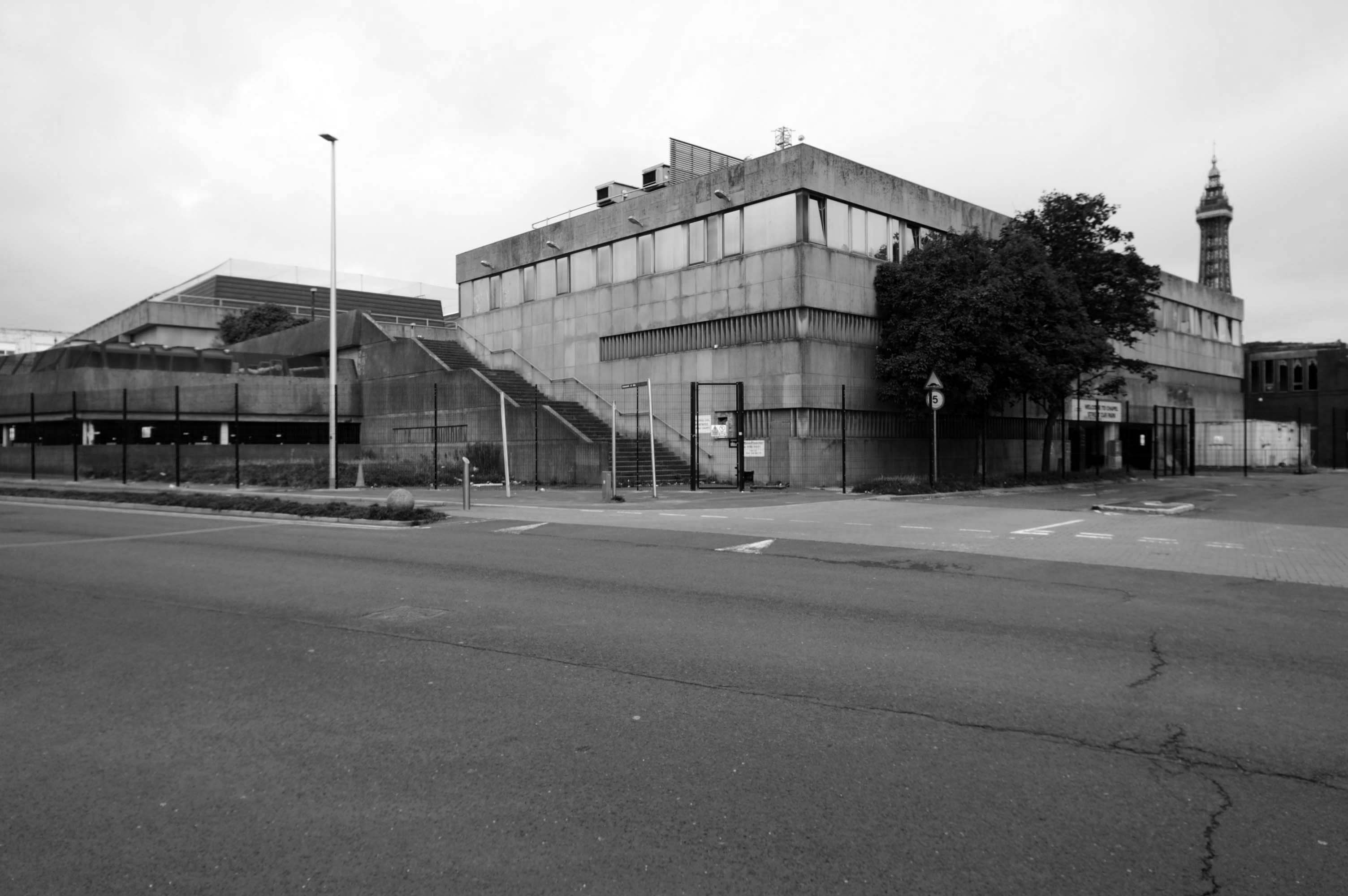
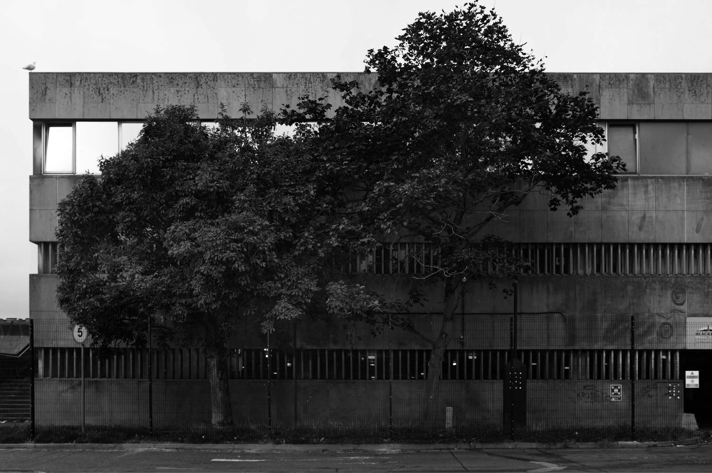
A former police station could finally be demolished this autumn after closing six years ago when officers moved to new headquarters.
Blackpool Magistrates’ Court, which is part of the same complex, will also be bulldozed after crumbling concrete was discovered in the building in January.
In recent months, the empty Bonny Street police station has become a target for anti-social behaviour.
Clearance of the site will pave the way for investment in leisure facilities including hotels and indoor theme parks by developer Nikal.
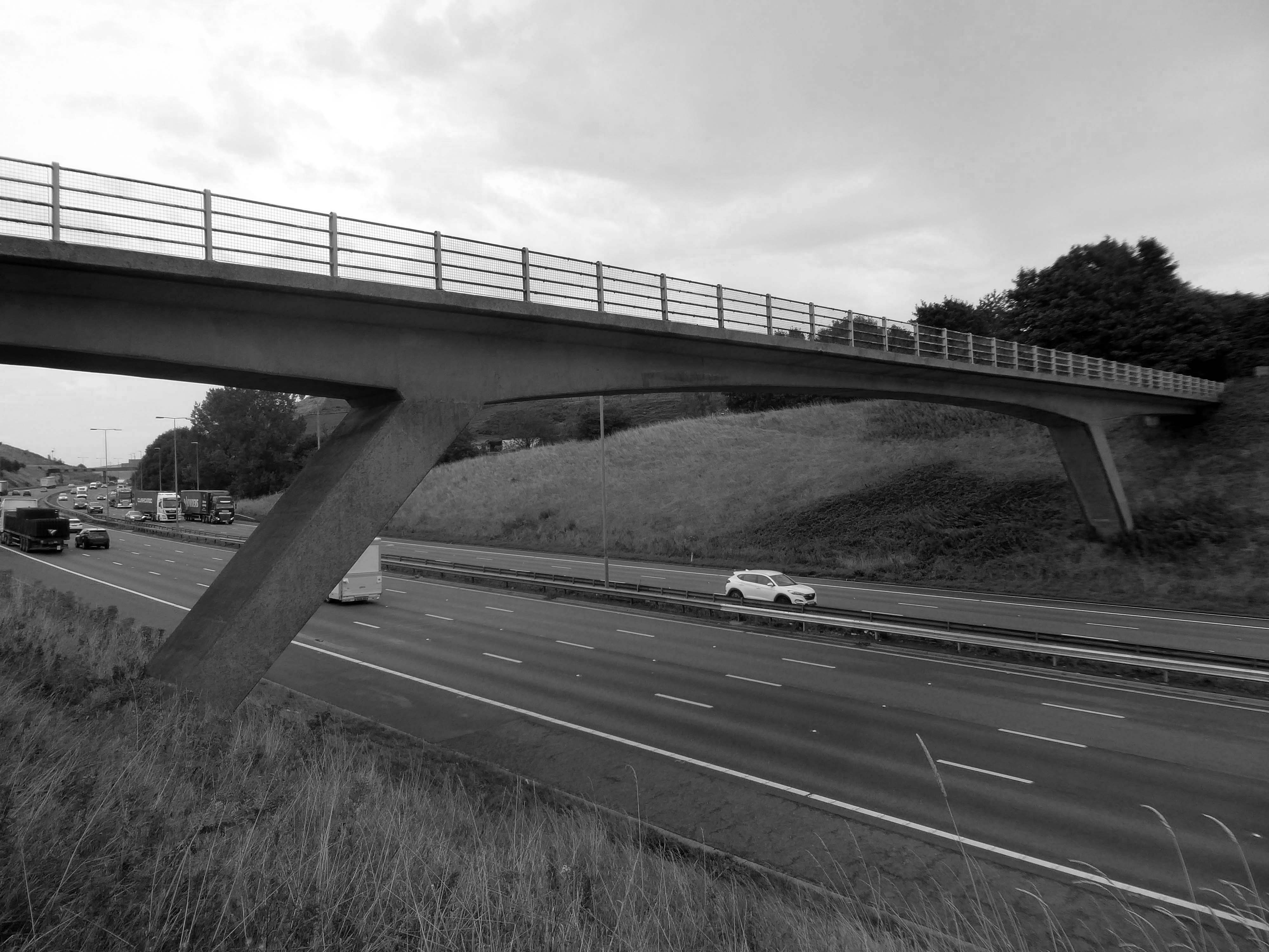
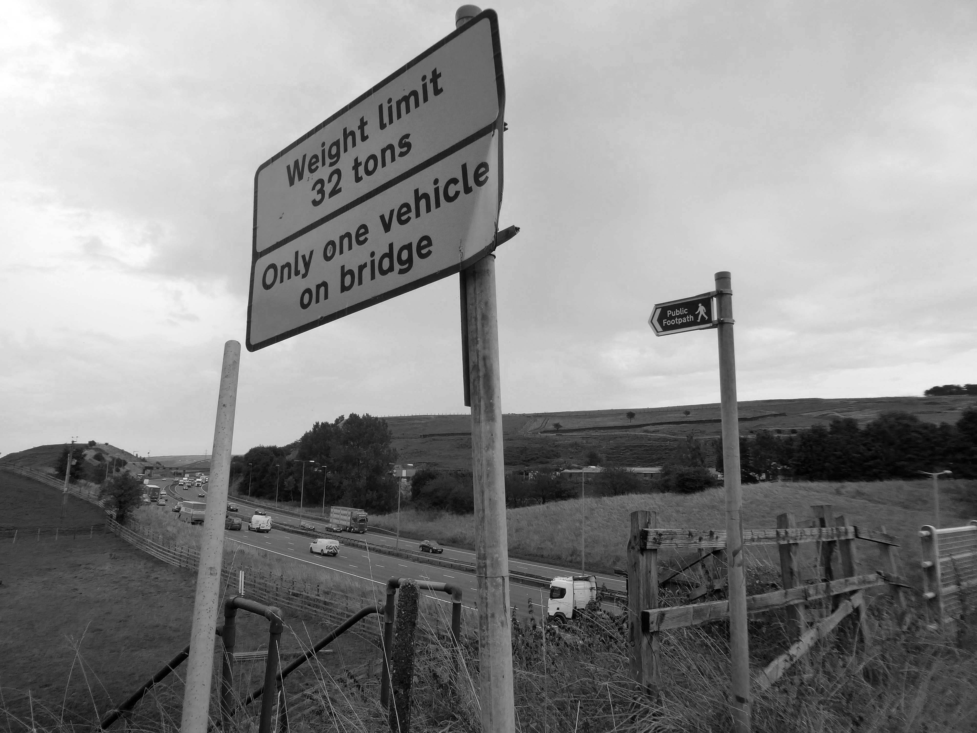
The M62 is a 107-mile-long west–east trans-Pennine motorway, connecting Liverpool and Hull via Manchester, Bradford, Leeds and Wakefield; 7 miles of the route is shared with the M60 orbital motorway around Manchester.
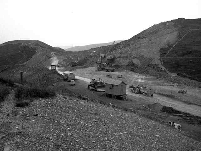
The motorway, which was first proposed in the 1930s, and conceived as two separate routes, was opened in stages between 1971 and 1976, with construction beginning at Pole Moor near Huddersfield and finishing at that time in Tarbock on the outskirts of Liverpool. The motorway absorbed the northern end of the Stretford-Eccles bypass, which was built between 1957 and 1960. Adjusted for inflation to 2007, its construction cost approximately £765 million. The motorway has an average daily traffic flow of 144,000 vehicles in West Yorkshire, and has several sections prone to gridlock, in particular, between Leeds and Huddersfield and the M60 section around Eccles.
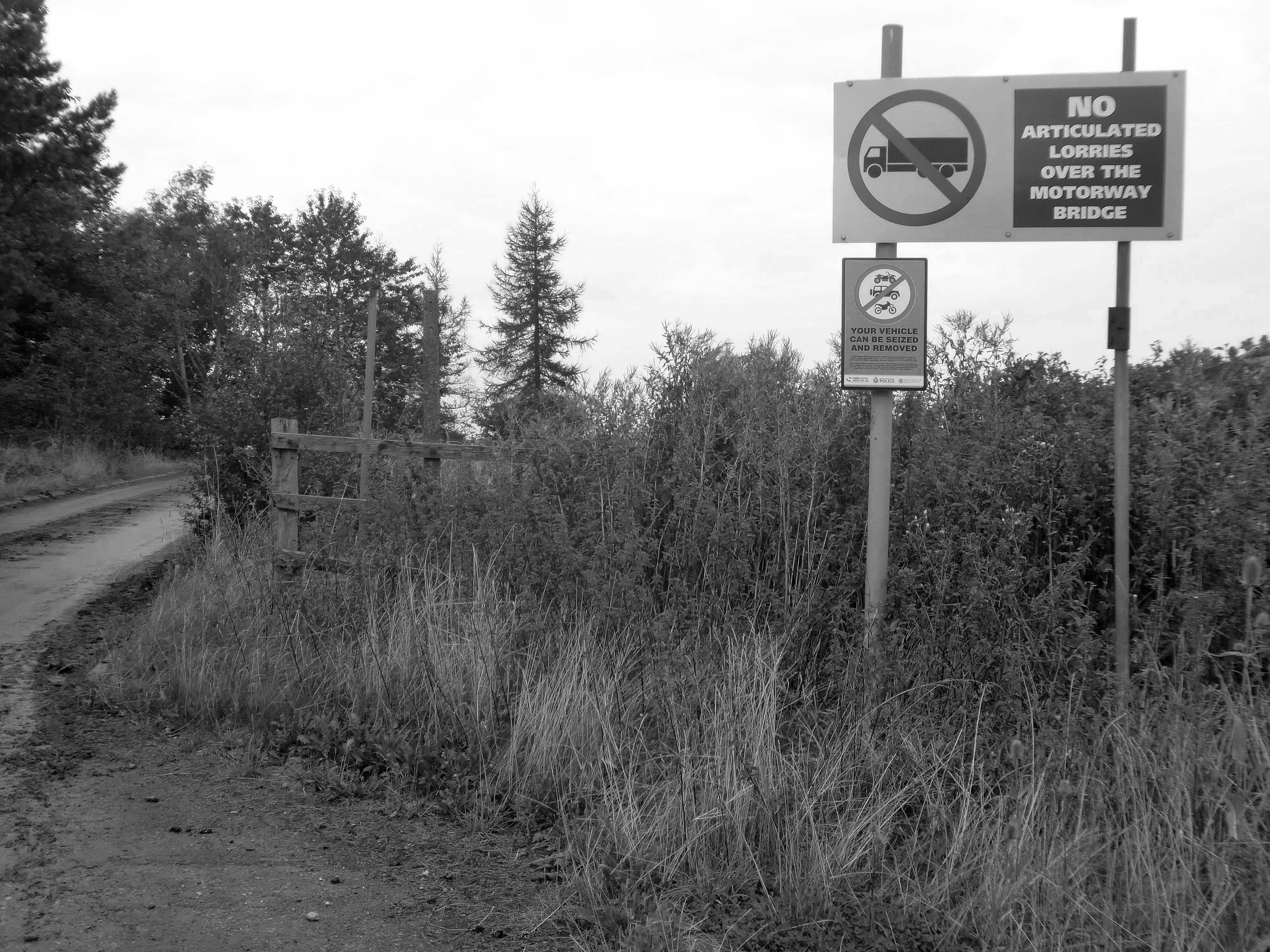
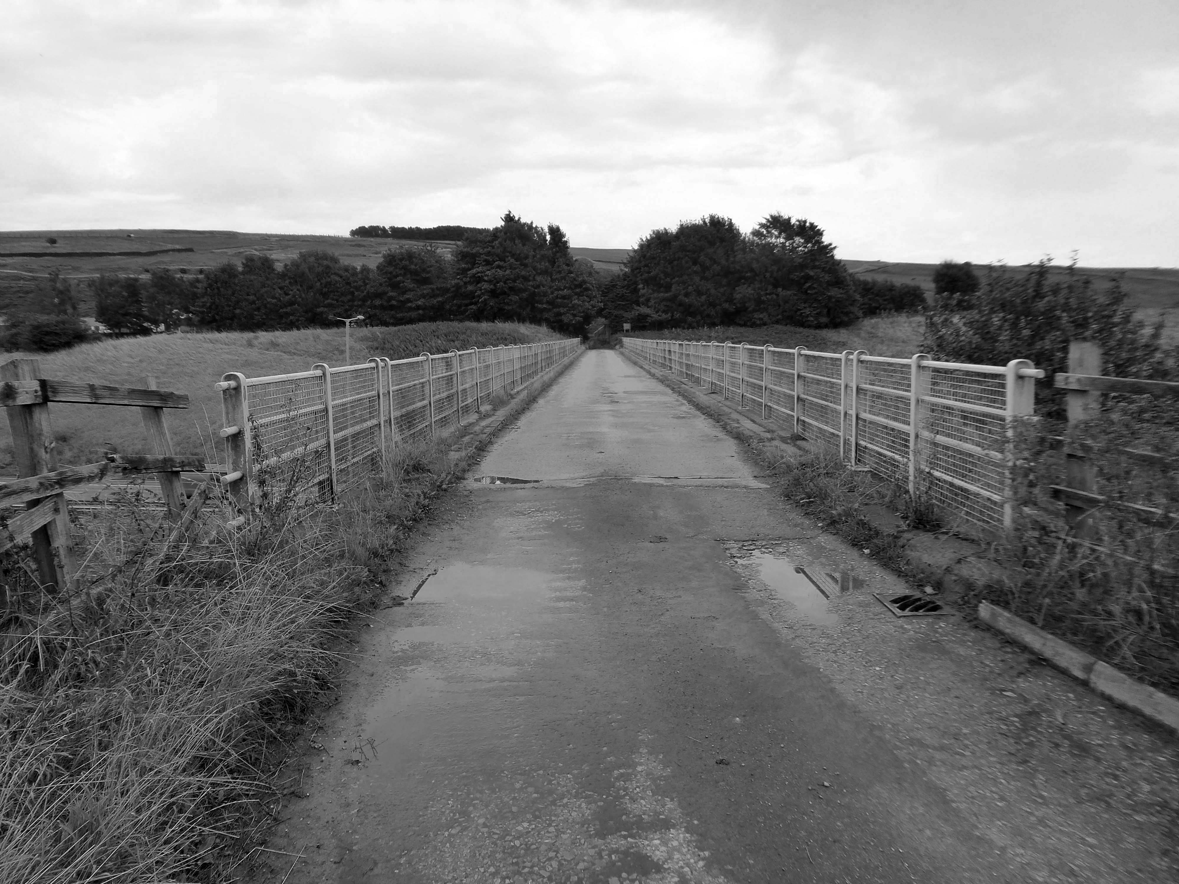
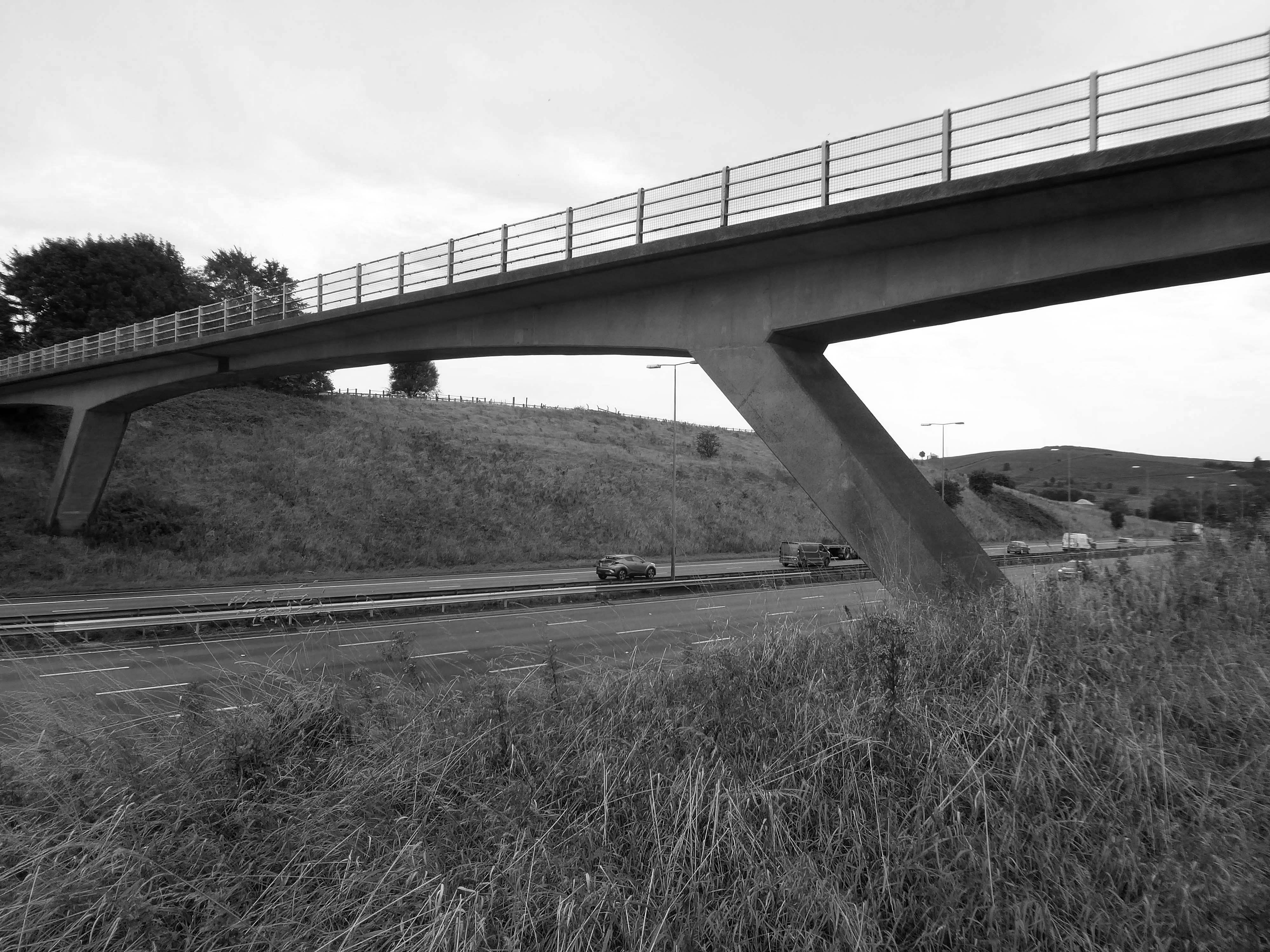
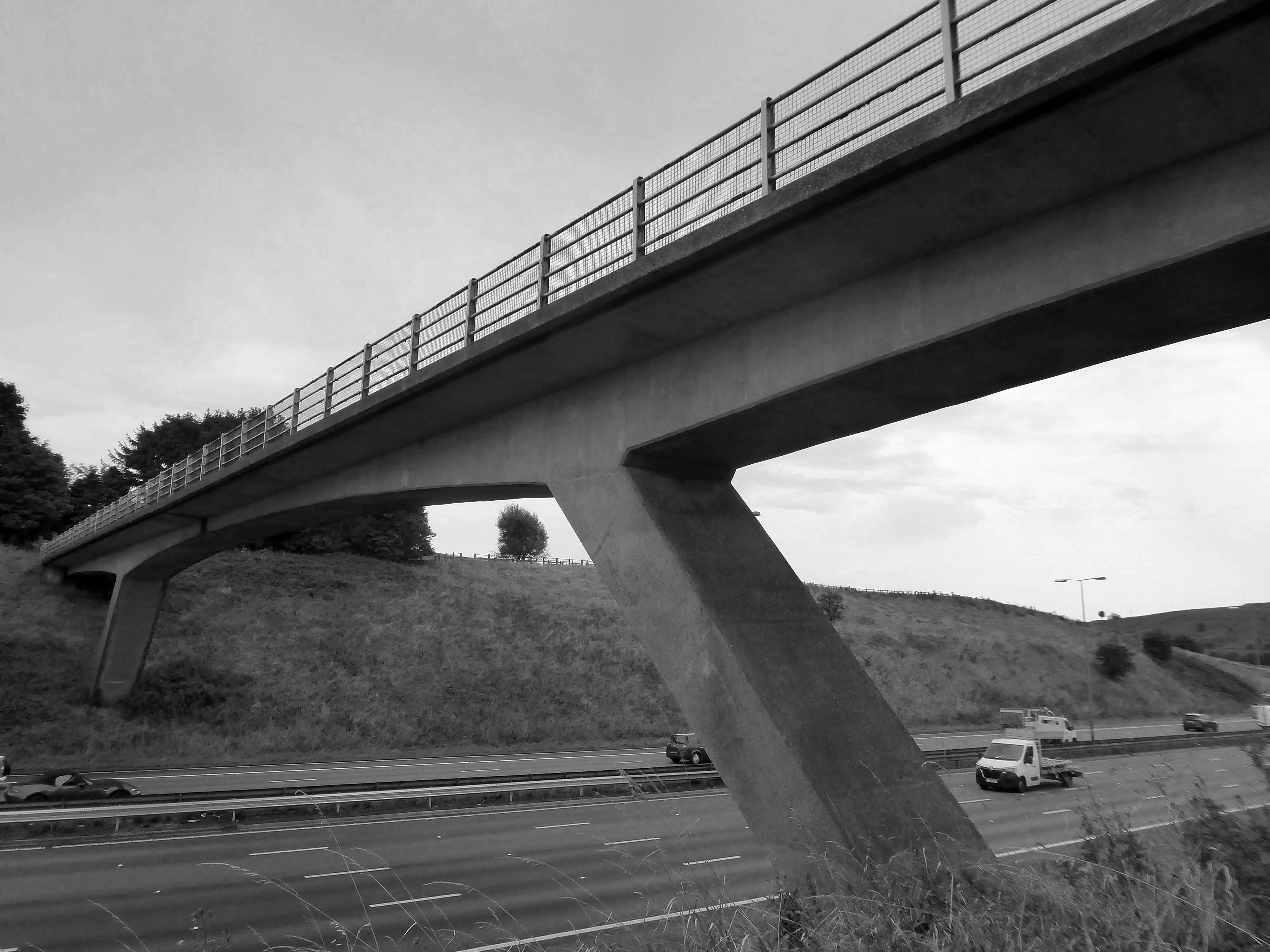
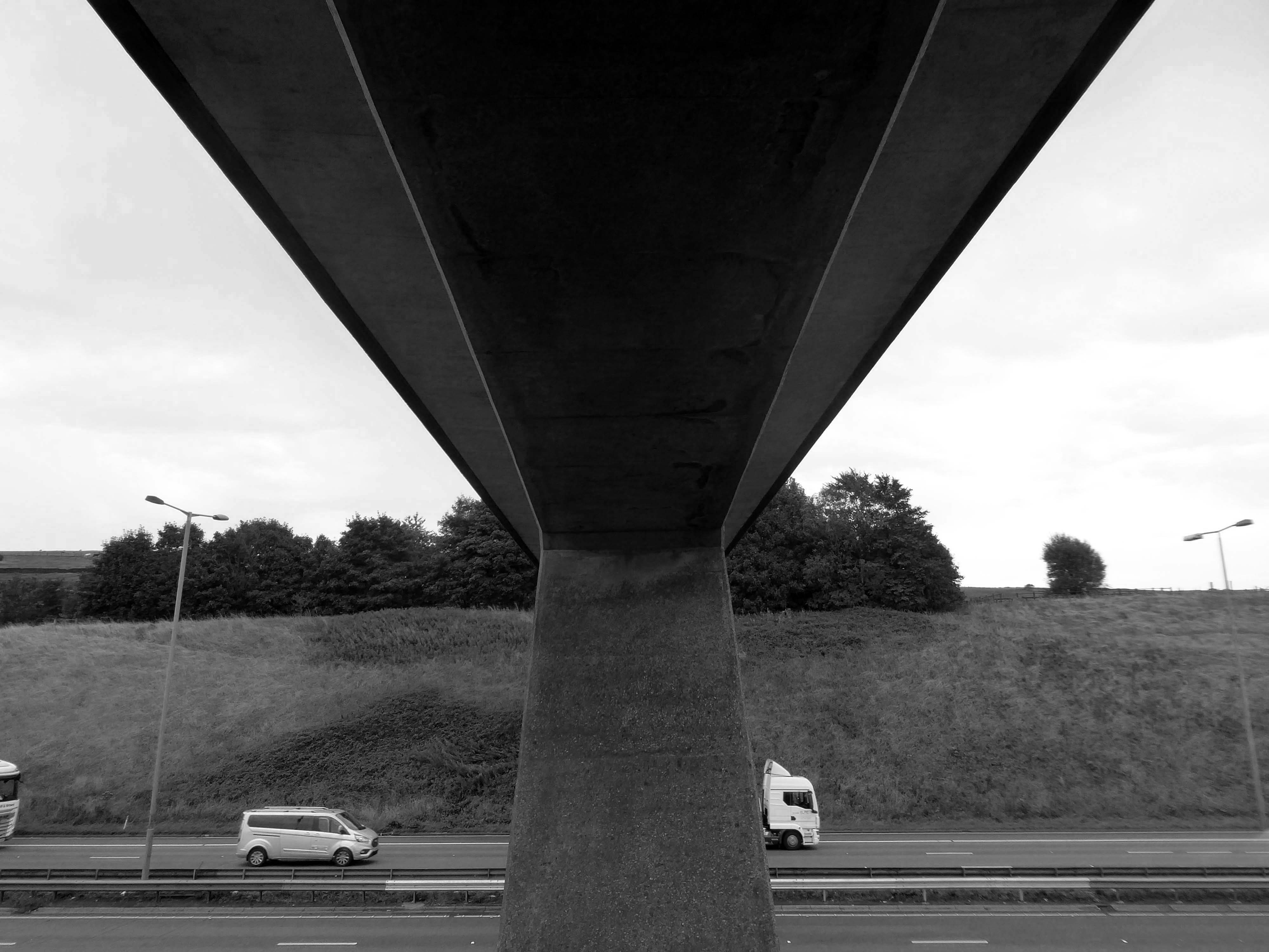
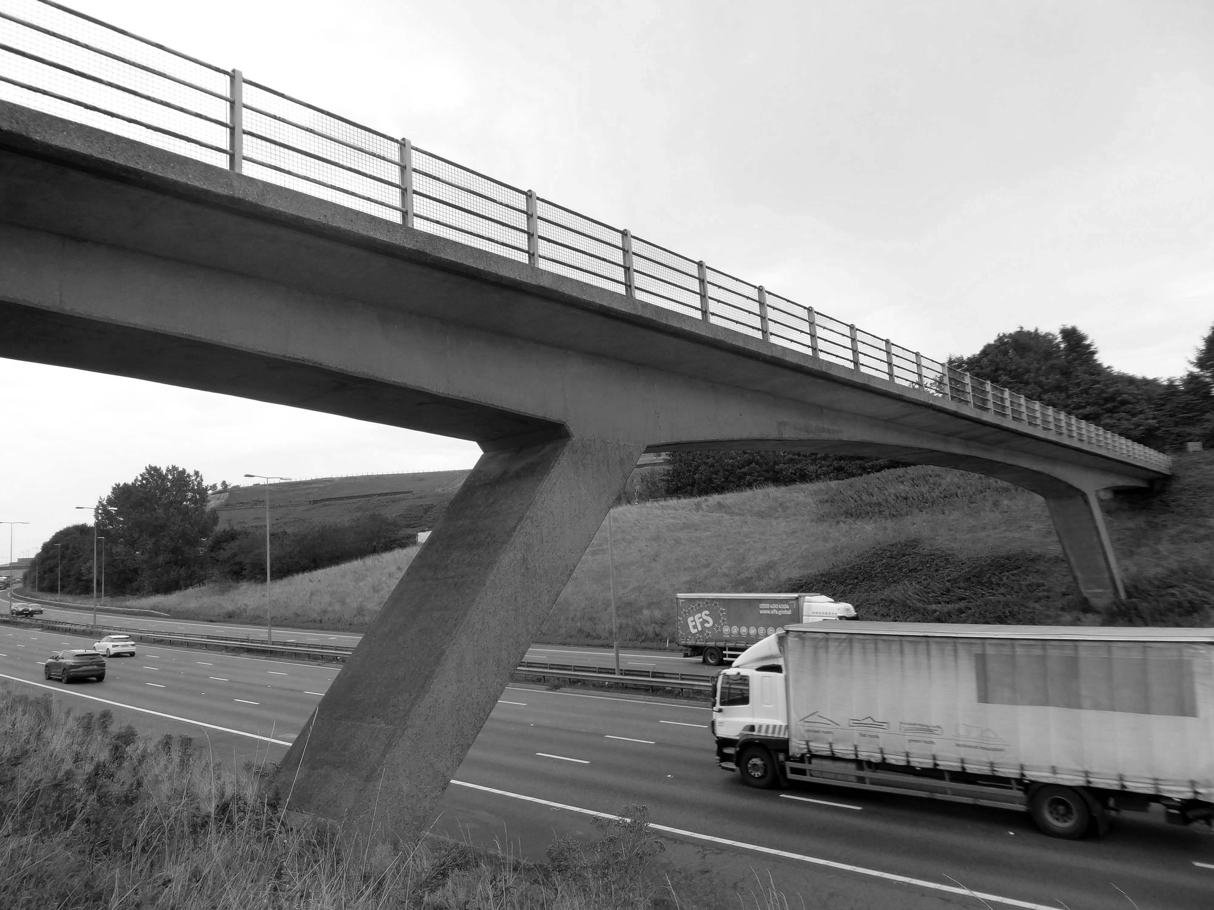
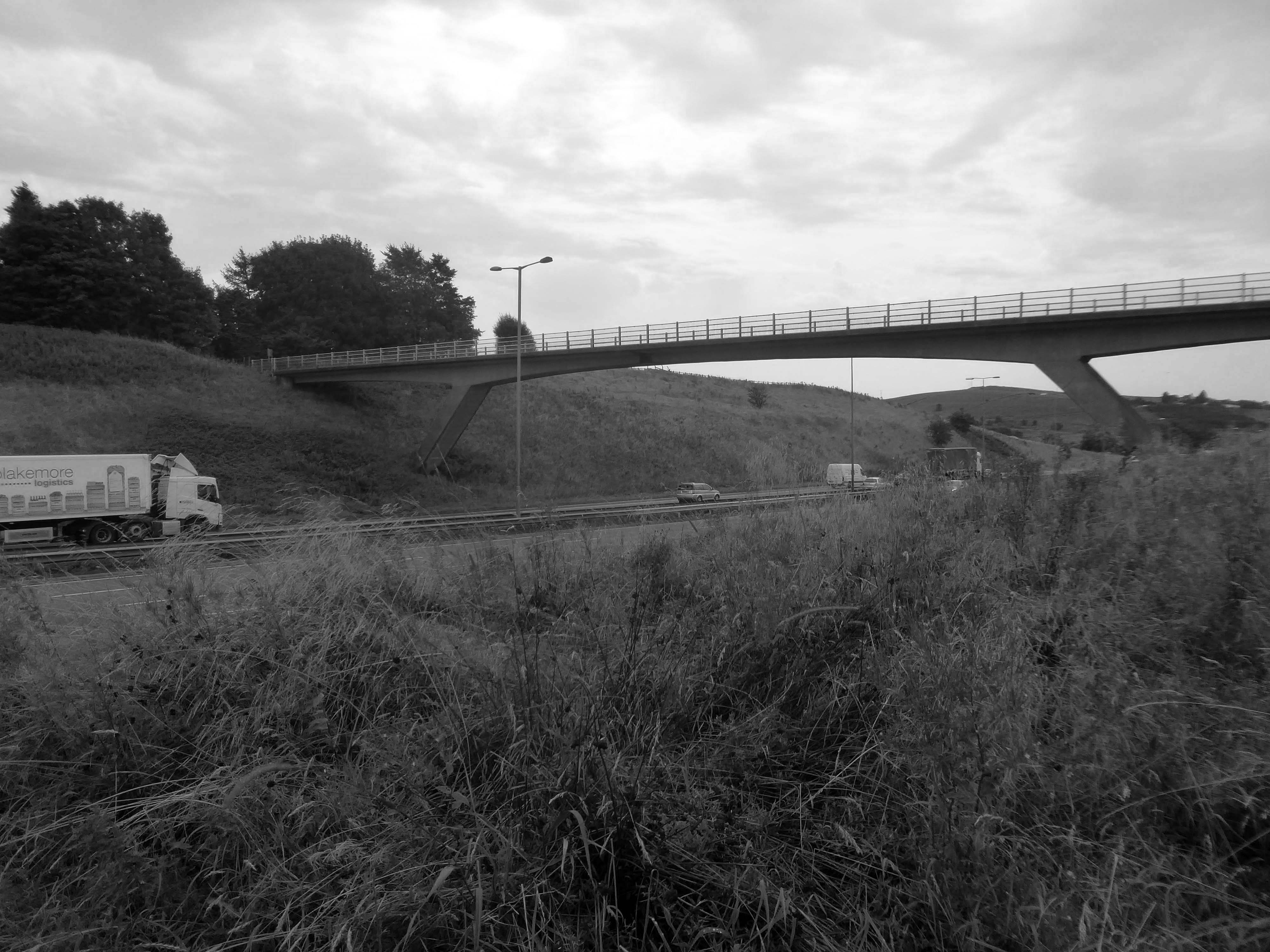
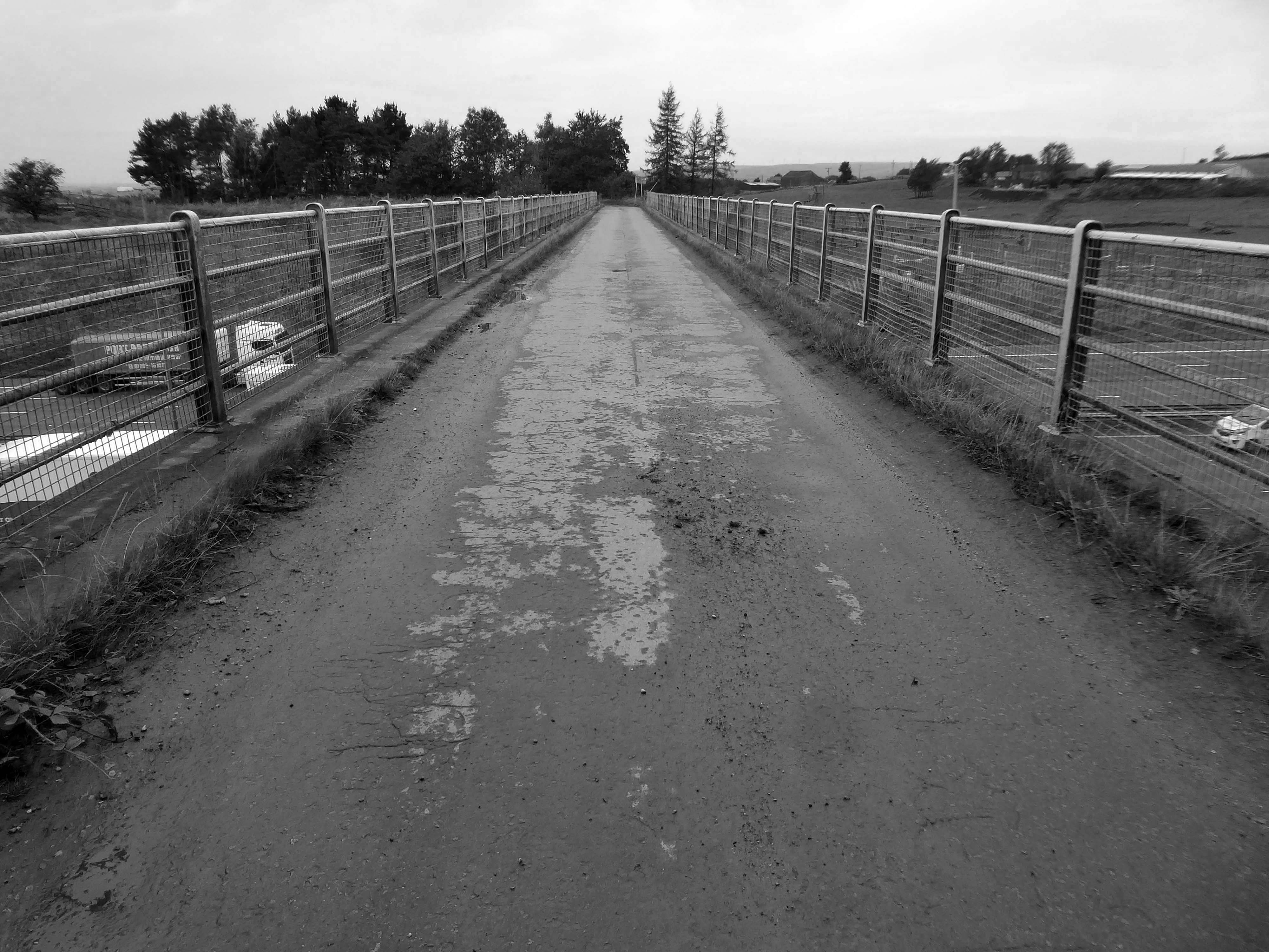
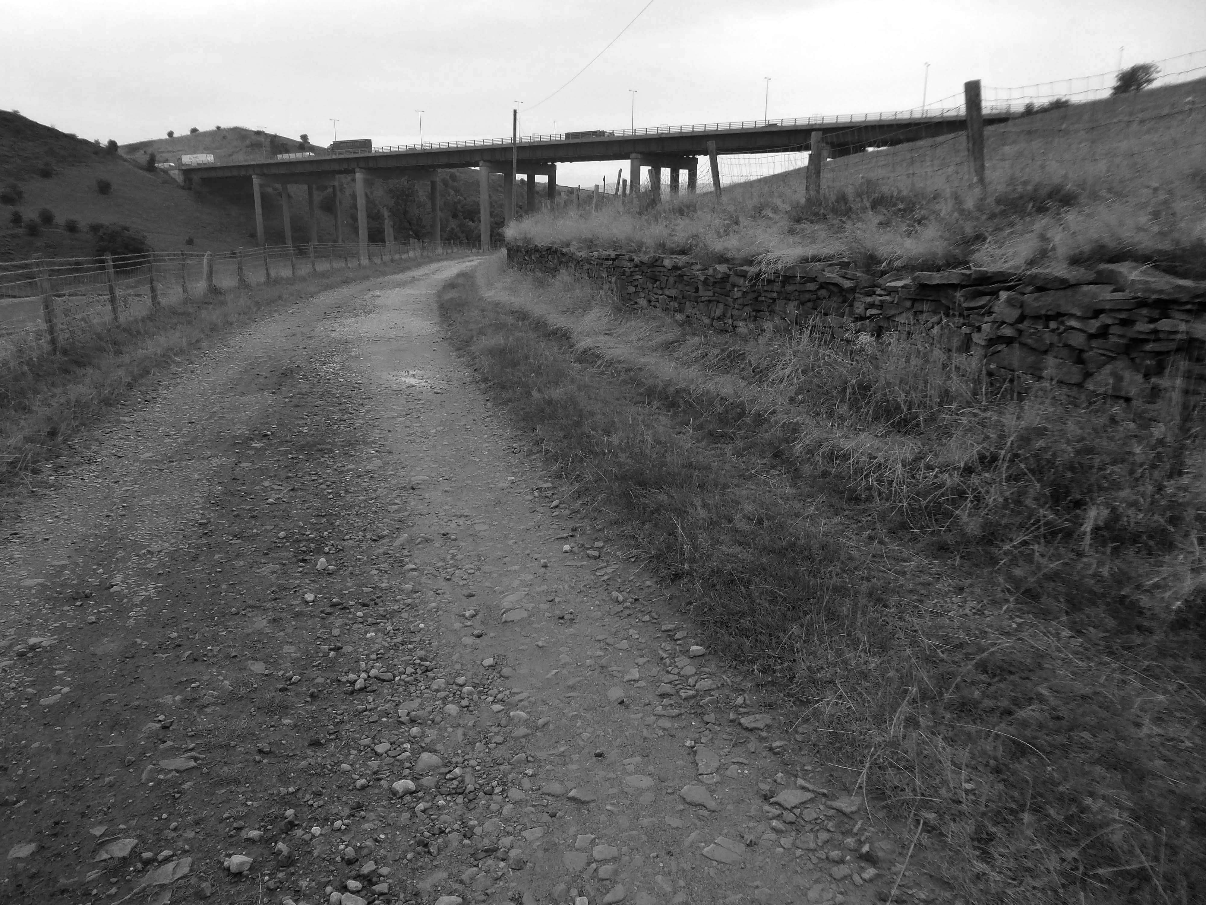
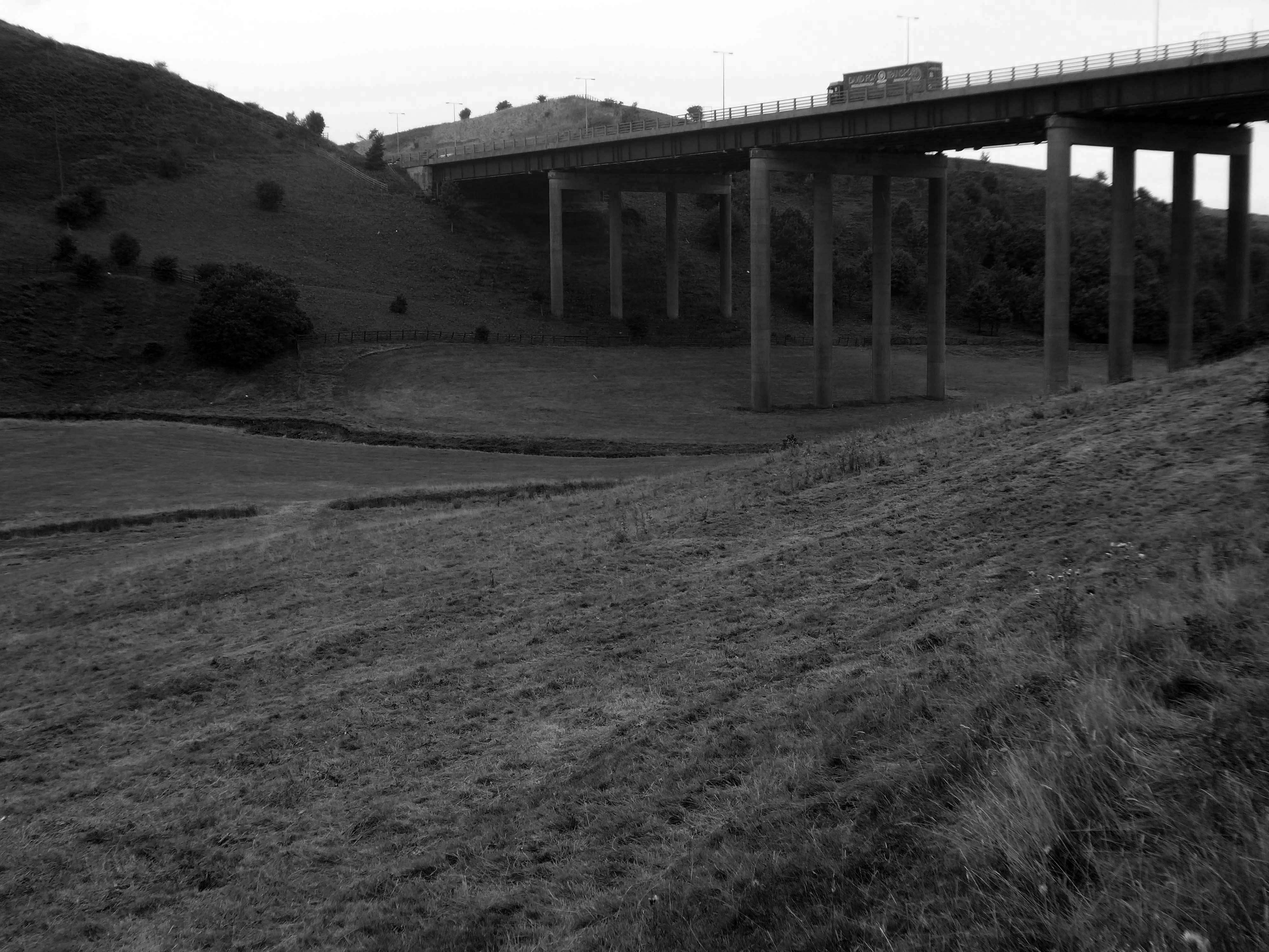
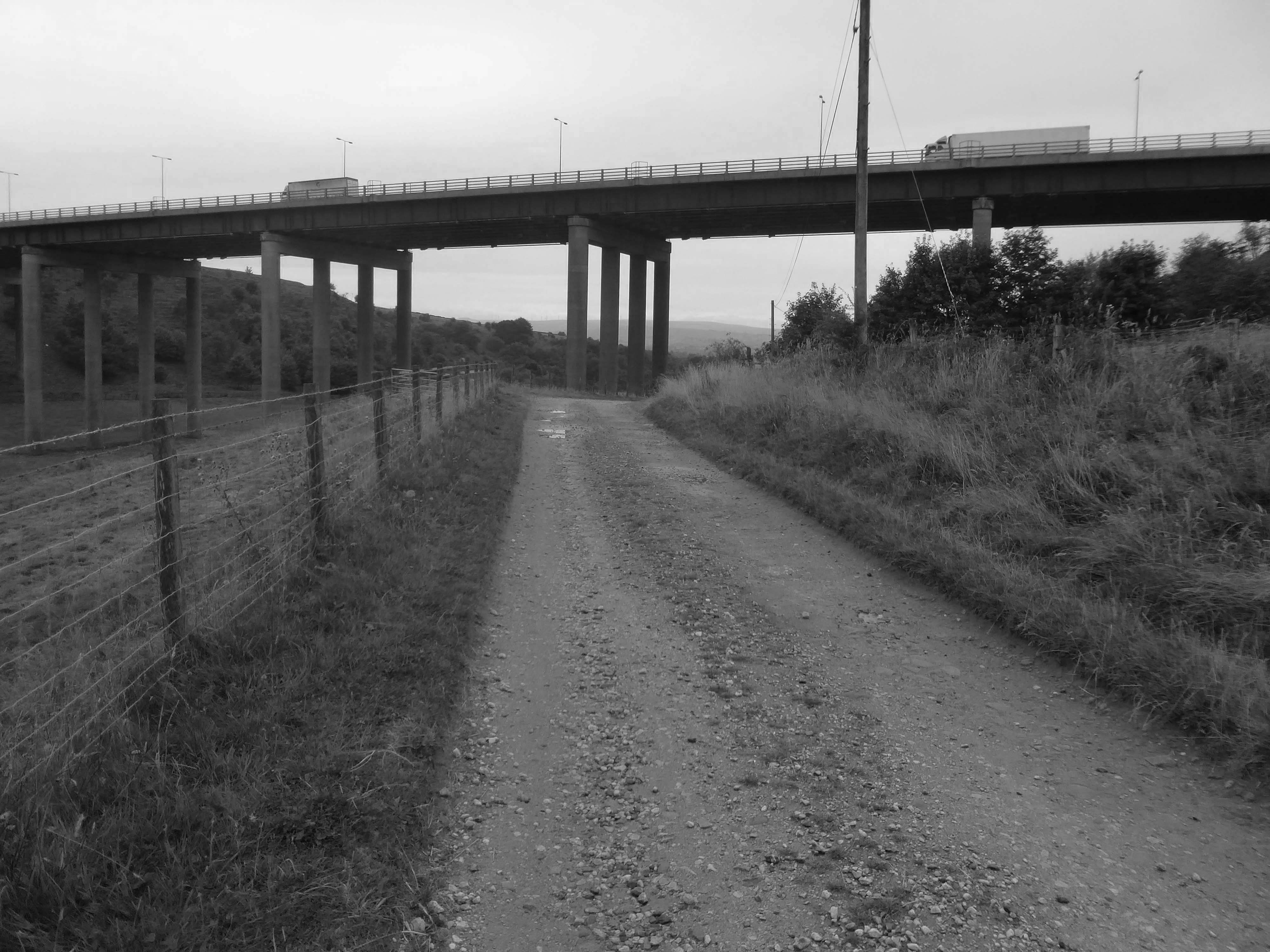
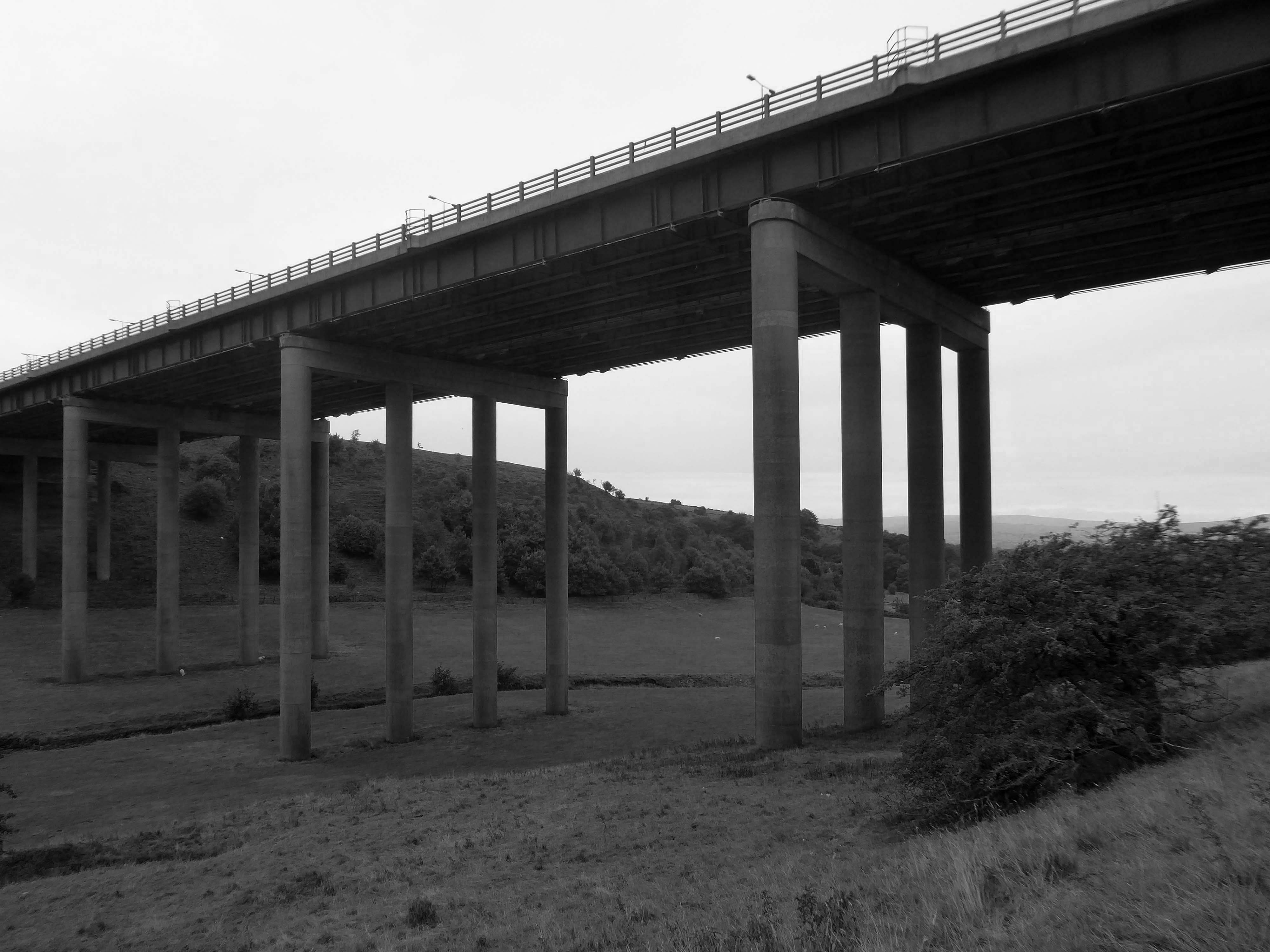
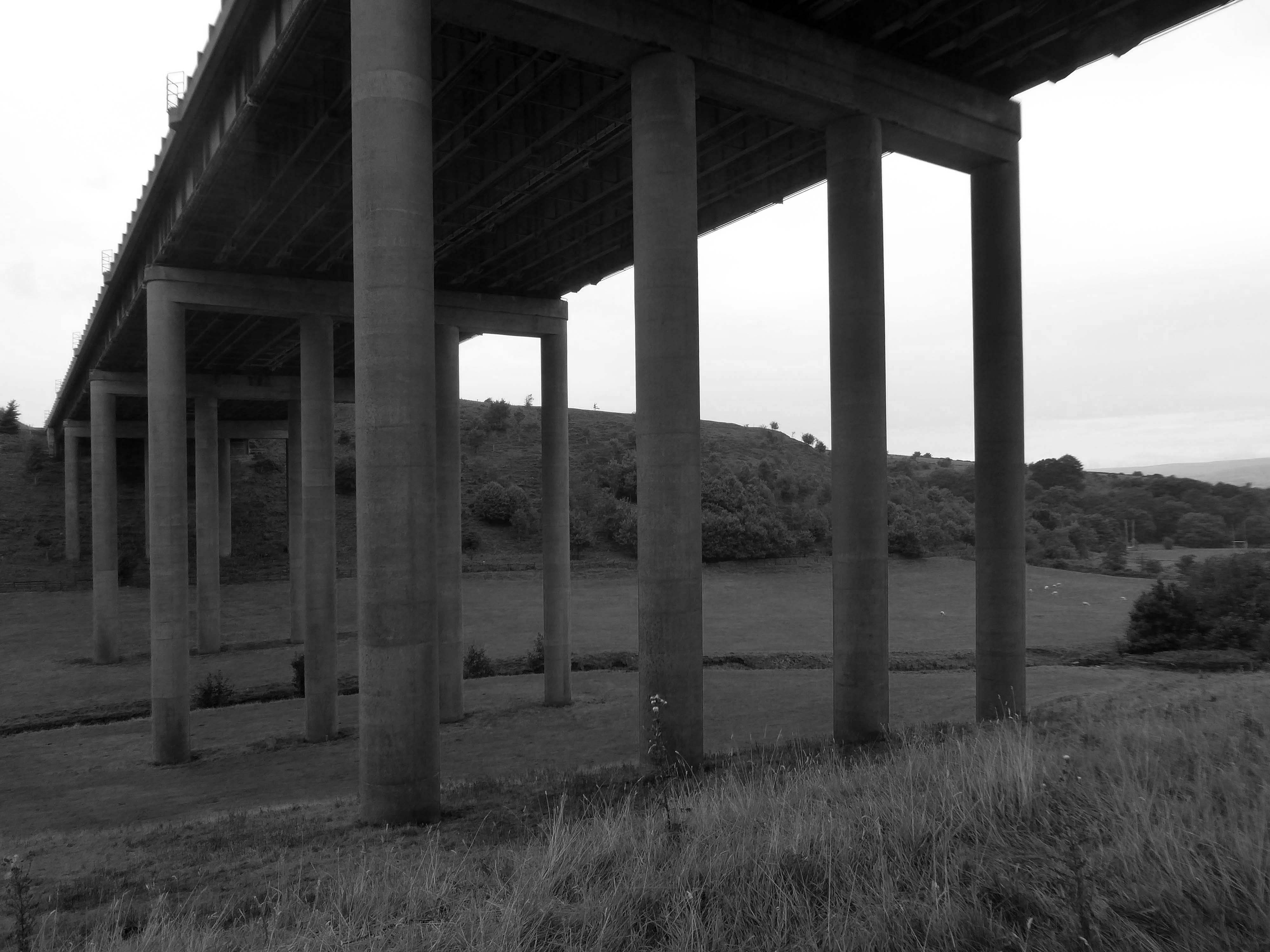
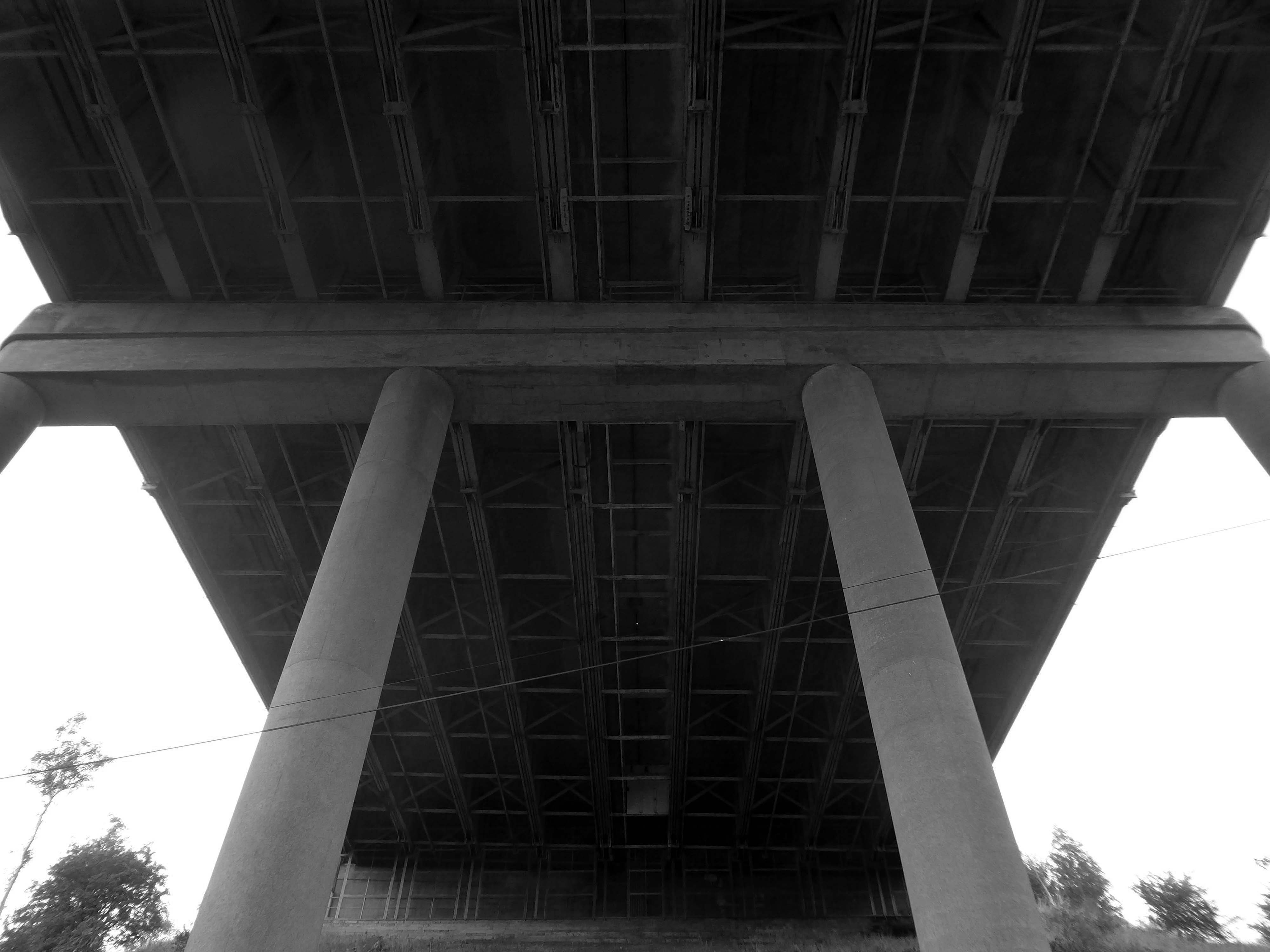
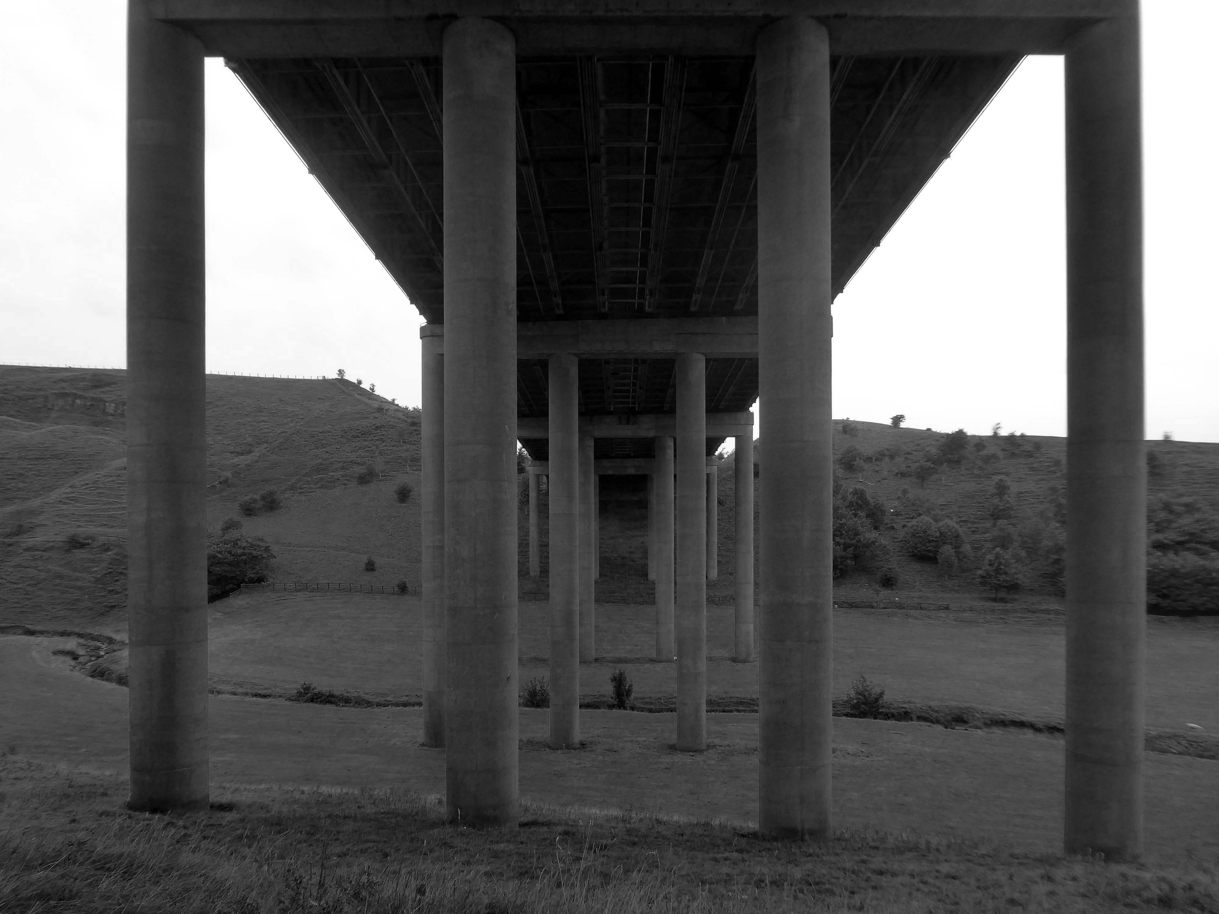
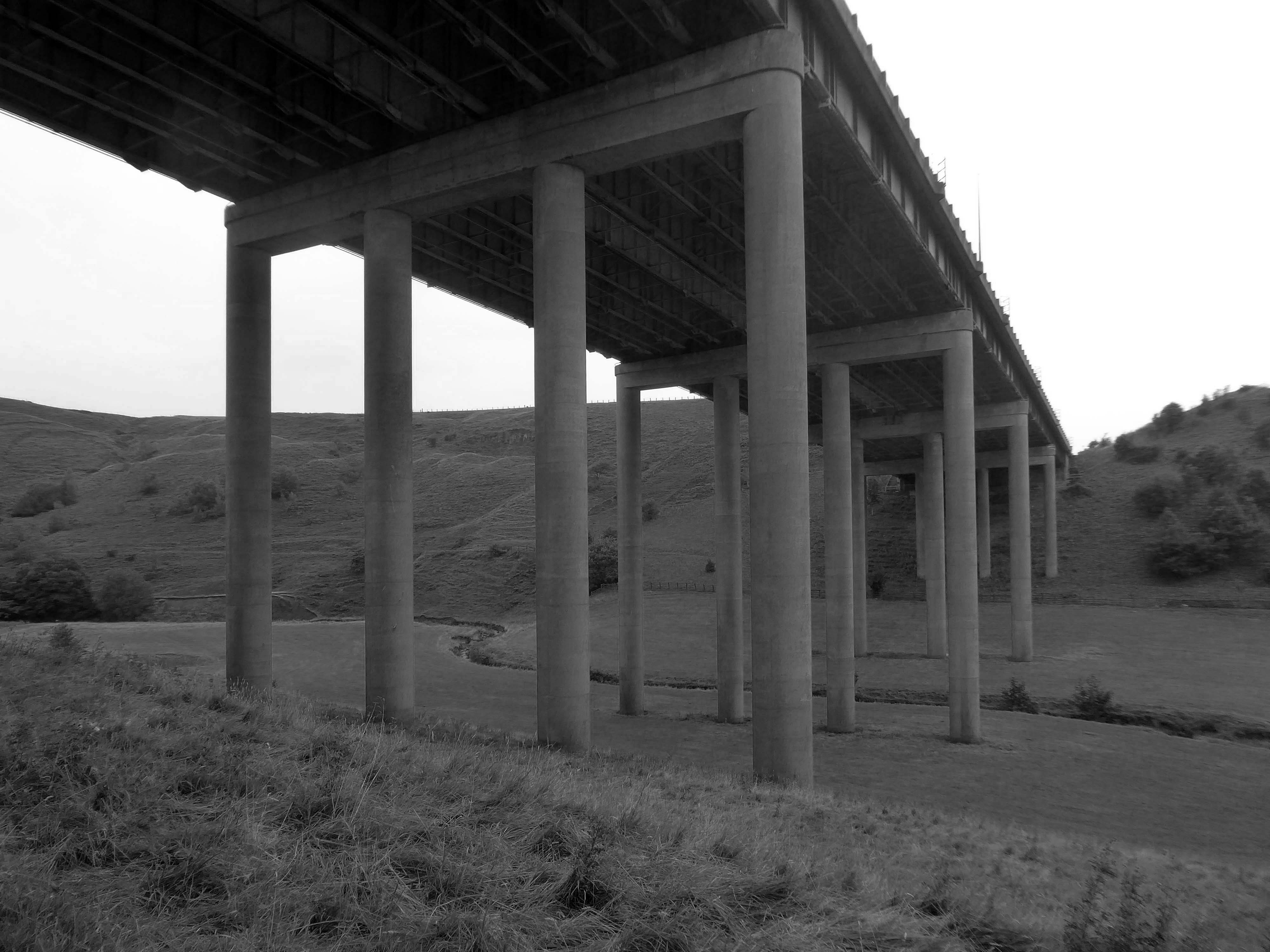
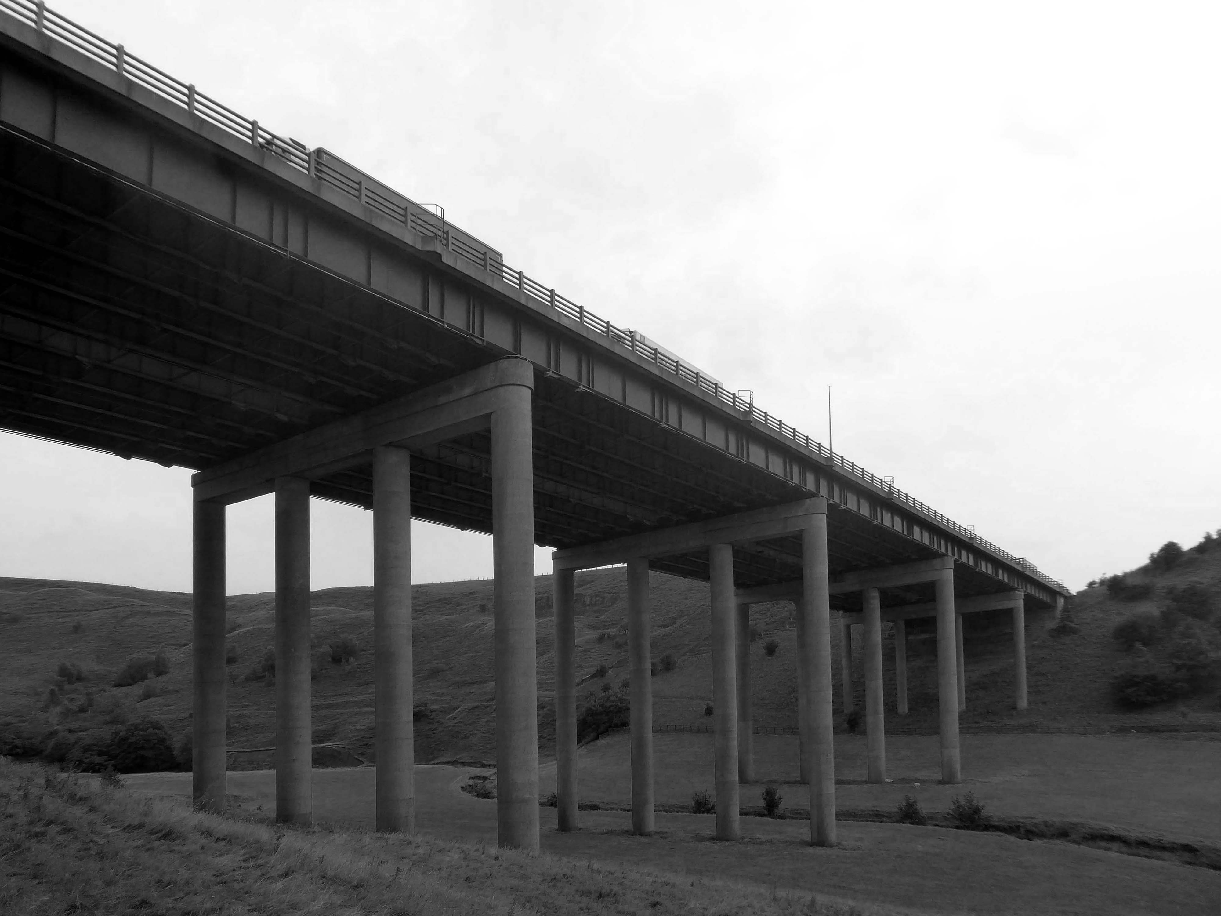
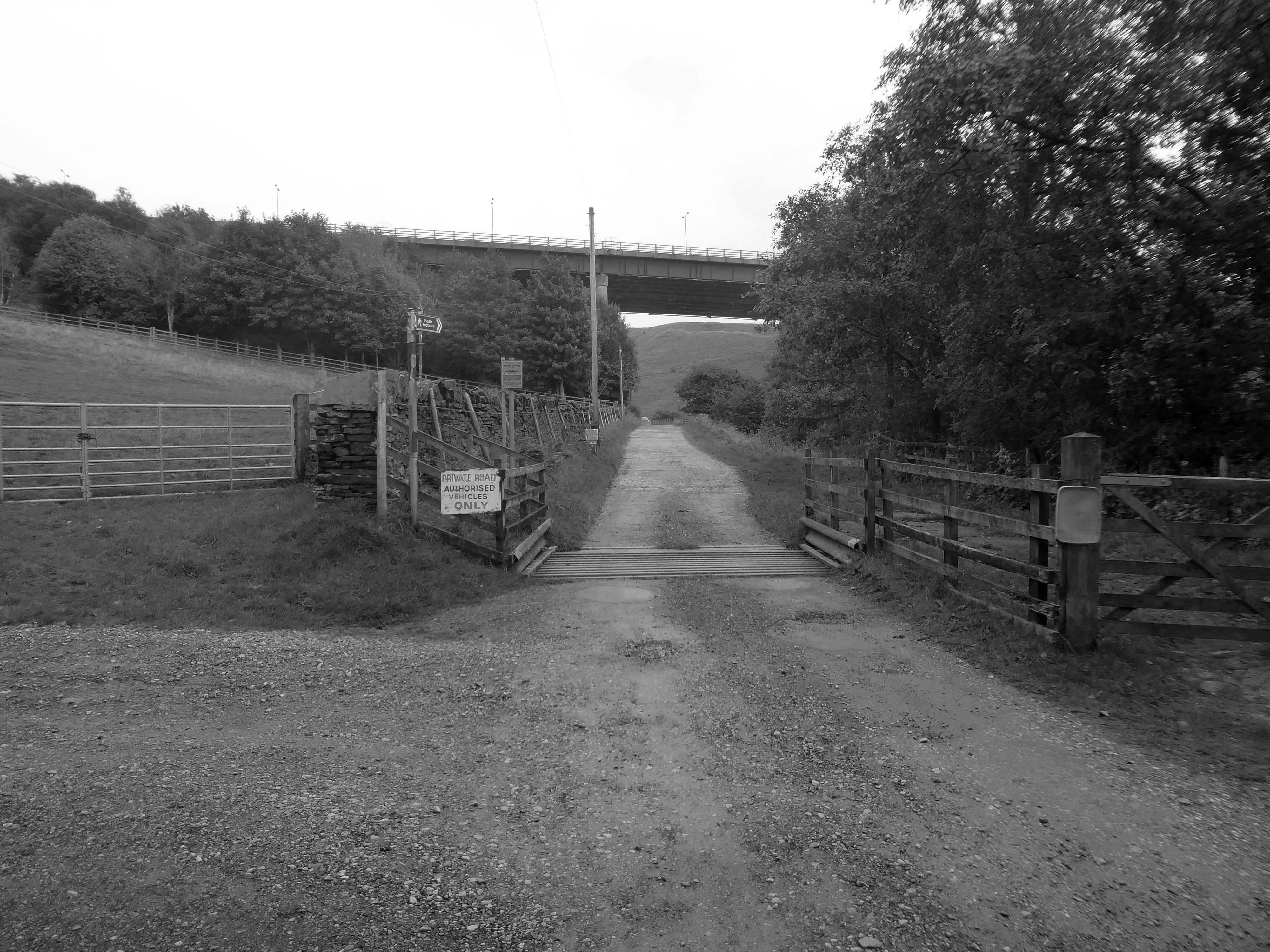
We were walking along Tunshill Lane on our way to the Piethorn Valley, our crossing of the M62 facilitated by this elegant road bridge.
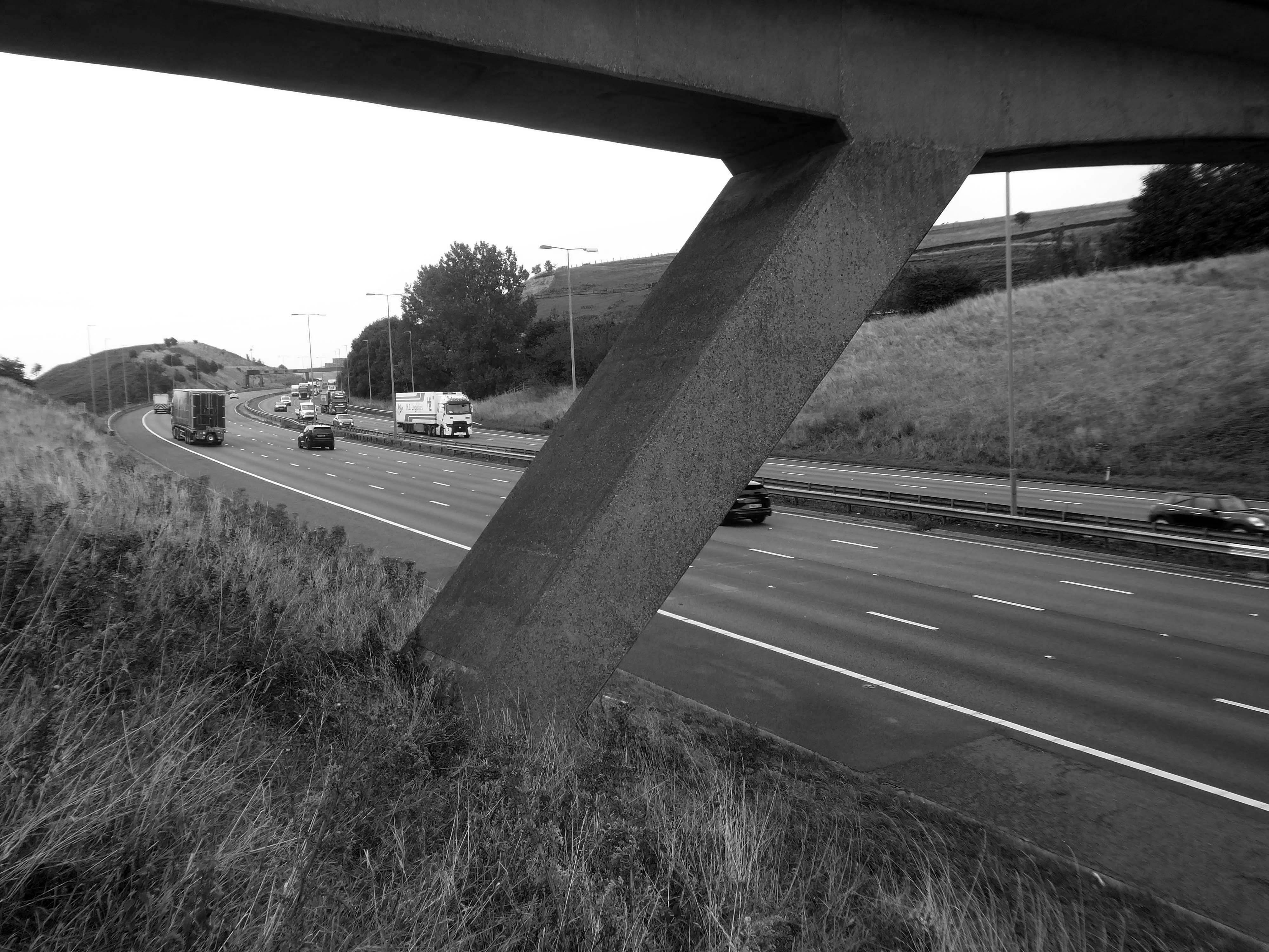
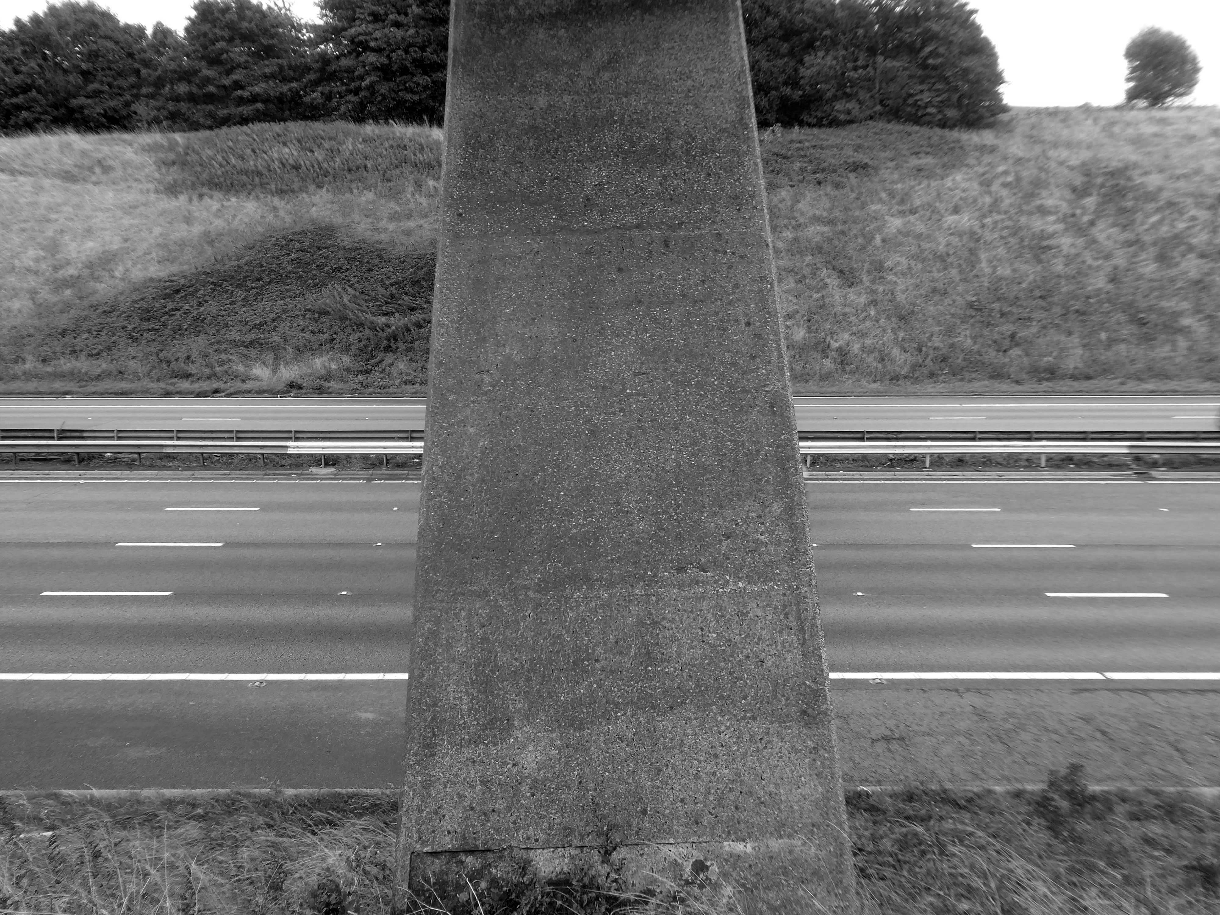
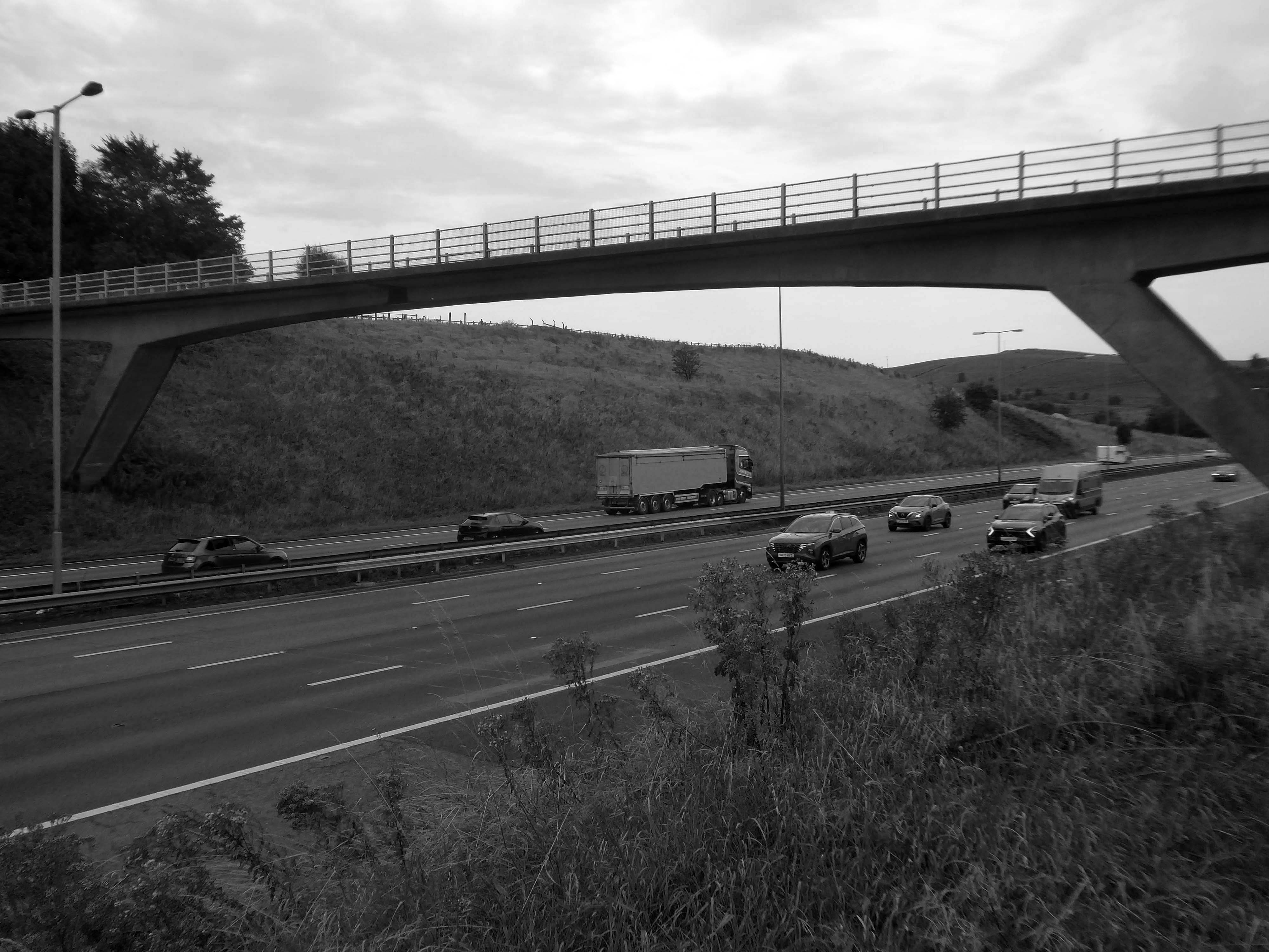
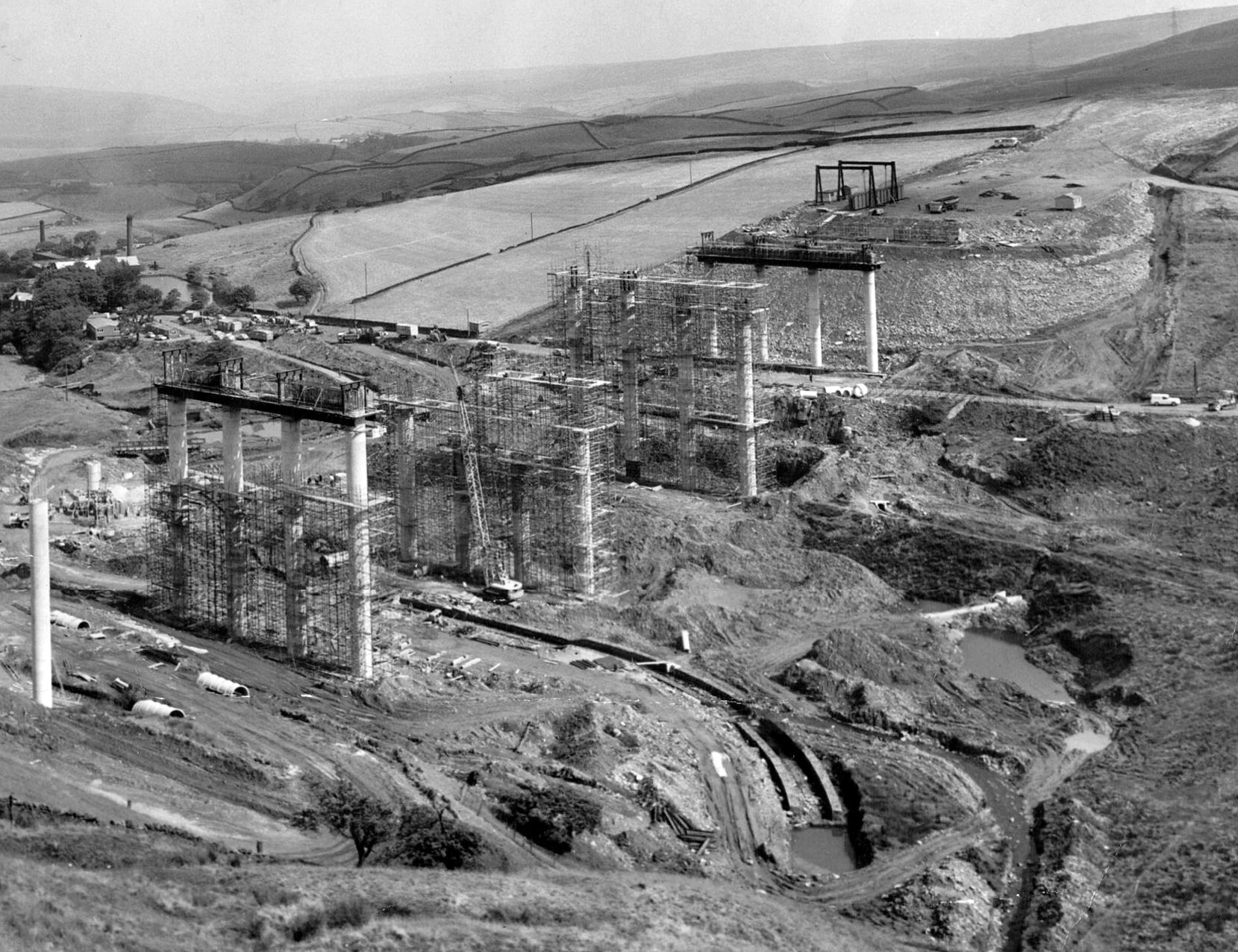
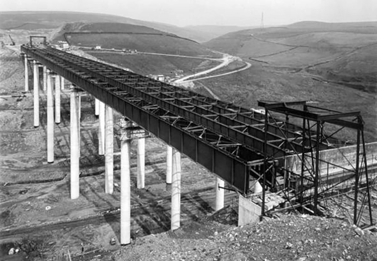
A notable structure between junctions 21 and 22 on the uphill section towards Windy Hill is the Rakewood Viaduct which carries the road over the Longden End Brook.
The viaduct is 280 yards long and 140 ft above the valley floor. It was built in 1966 by Reed & Mallik and opened to motorway traffic in October 1971. It has a sister bridge, the Gathurst Viaduct in Wigan, which carries the M6 motorway over the Leeds & Liverpool Canal, the Manchester-Southport line and the River Douglas and was constructed before the Rakewood Viaduct.
The steelwork deck was subcontracted to Robert Watson Steelwork of Bolton.
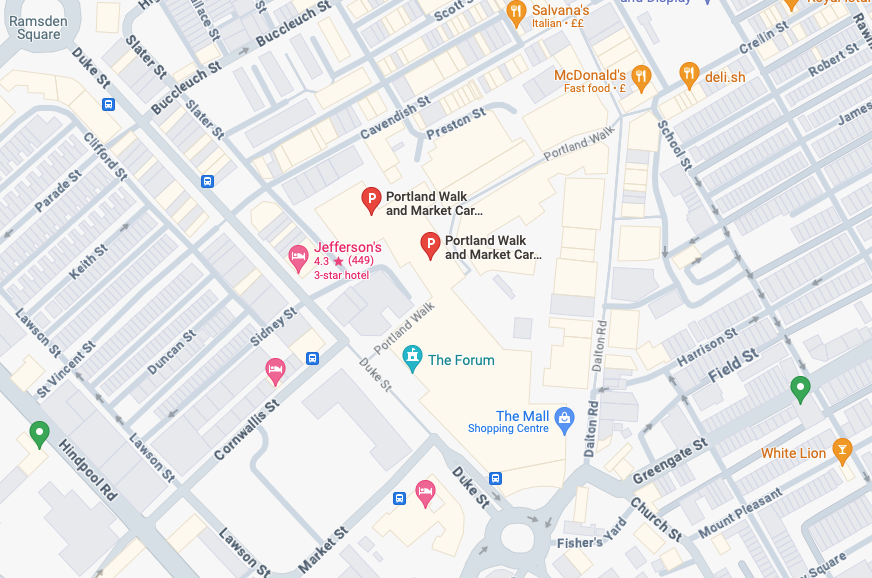
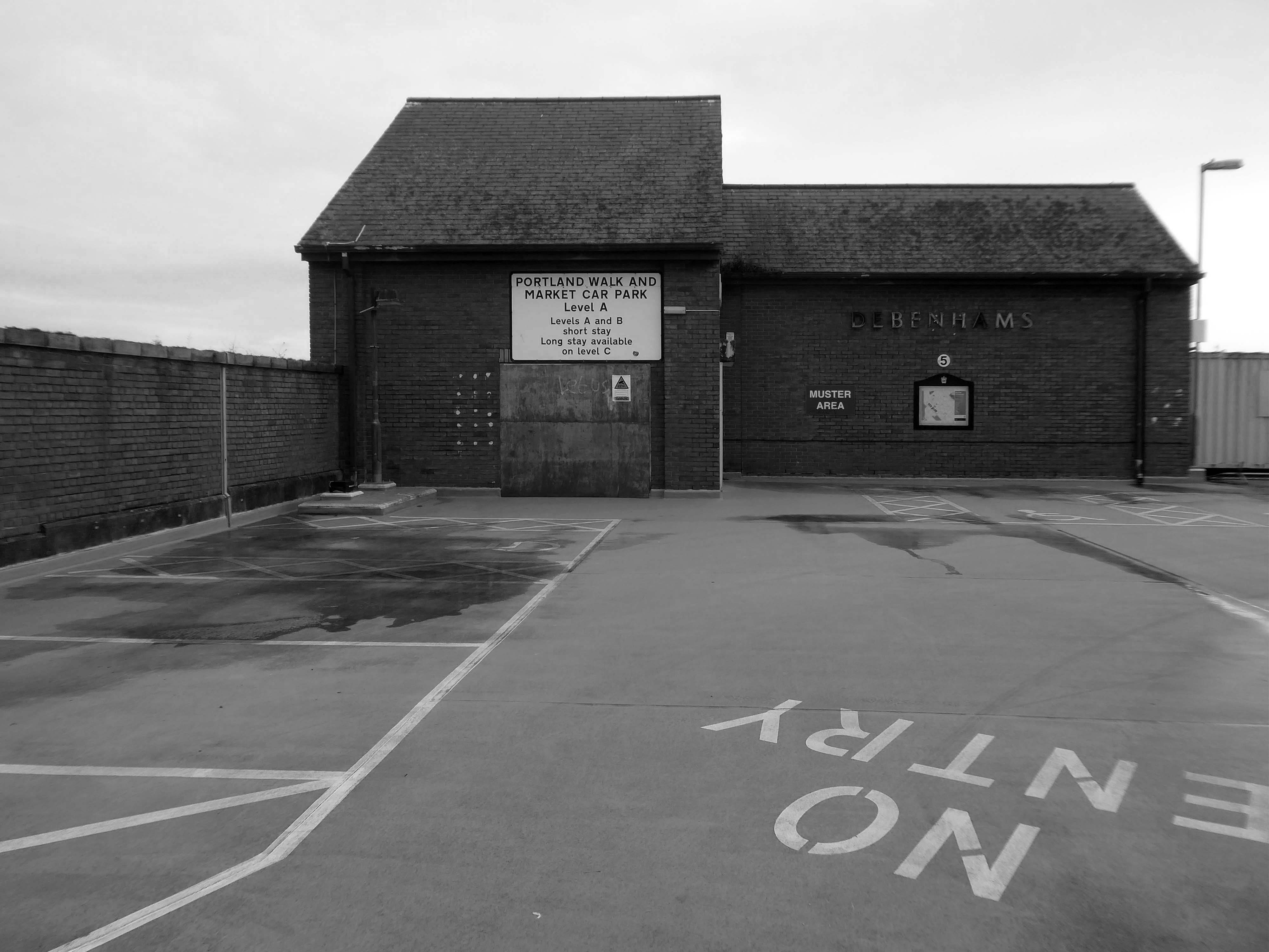
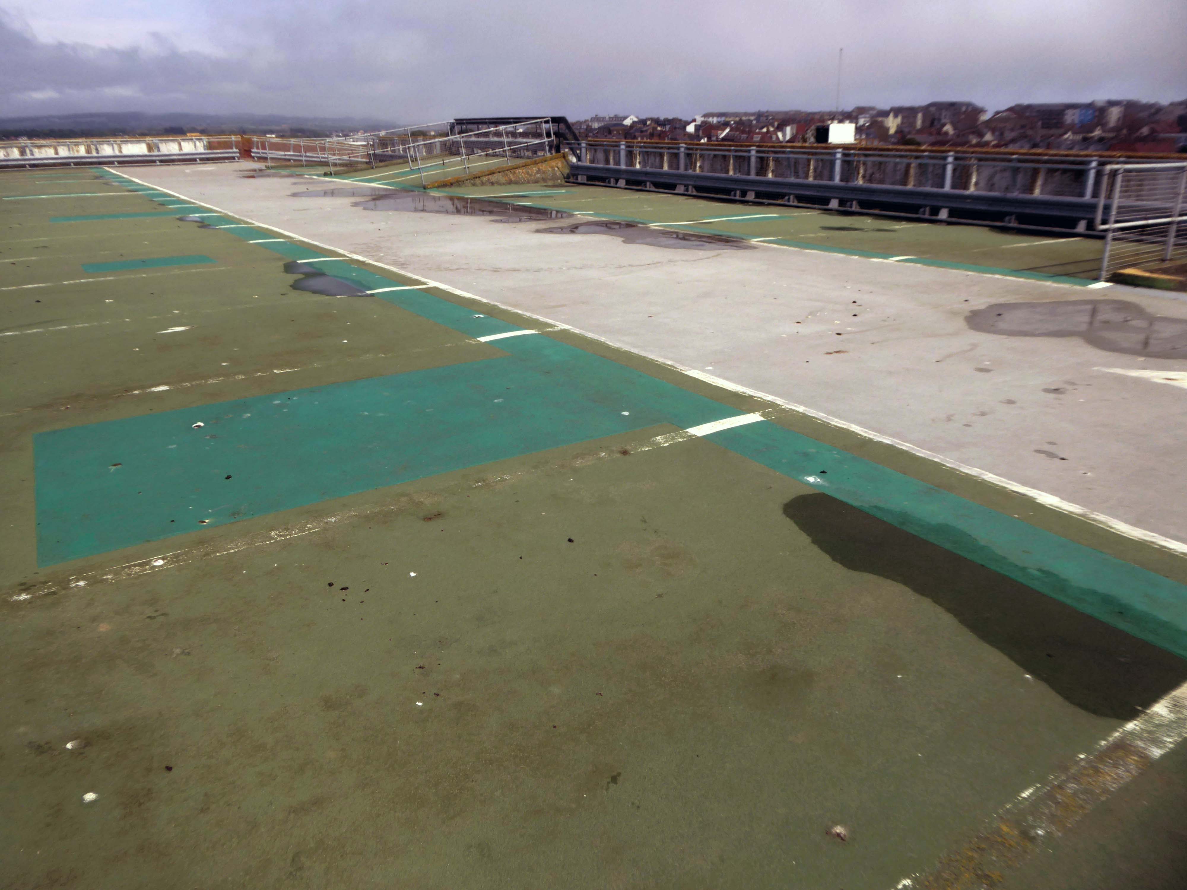
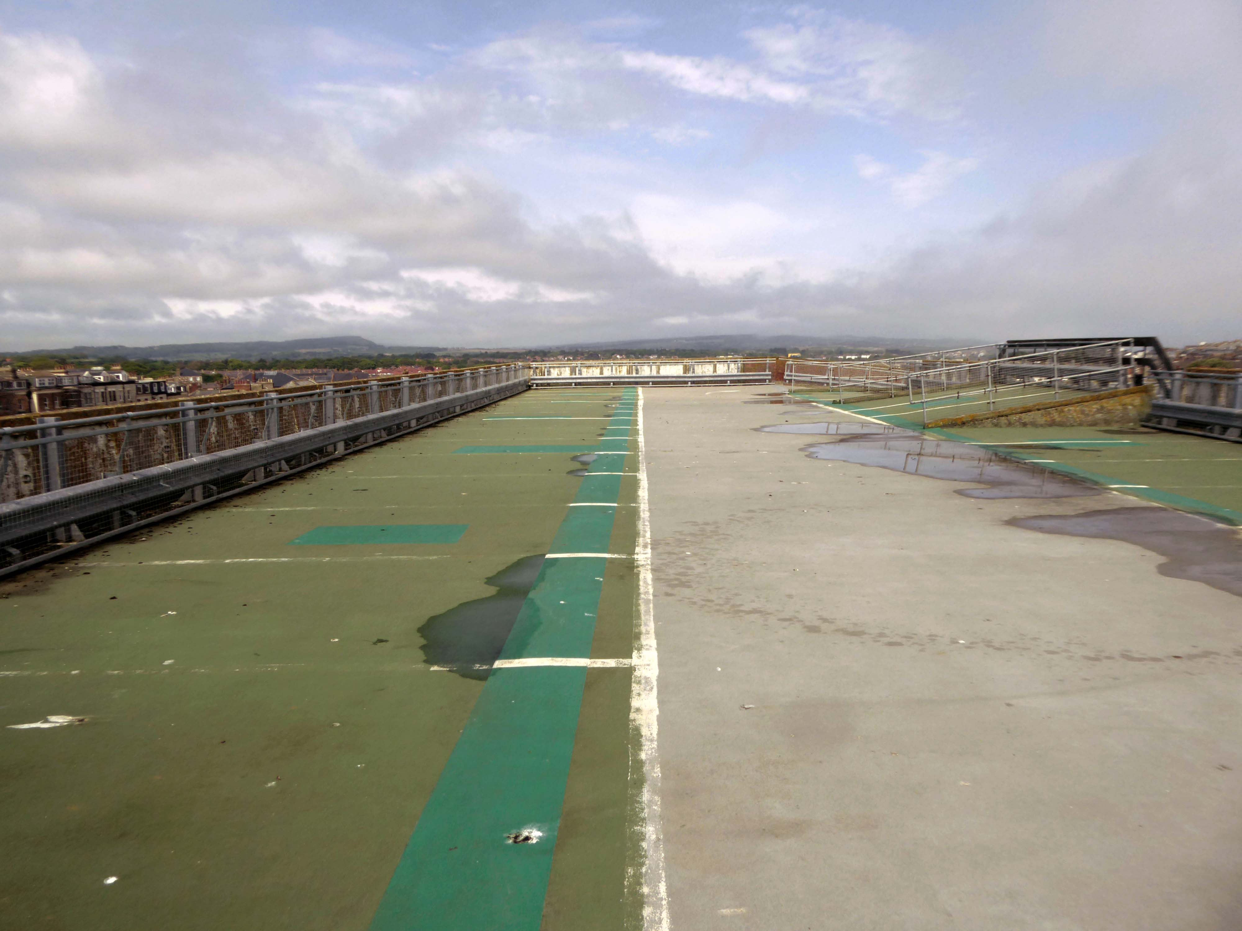
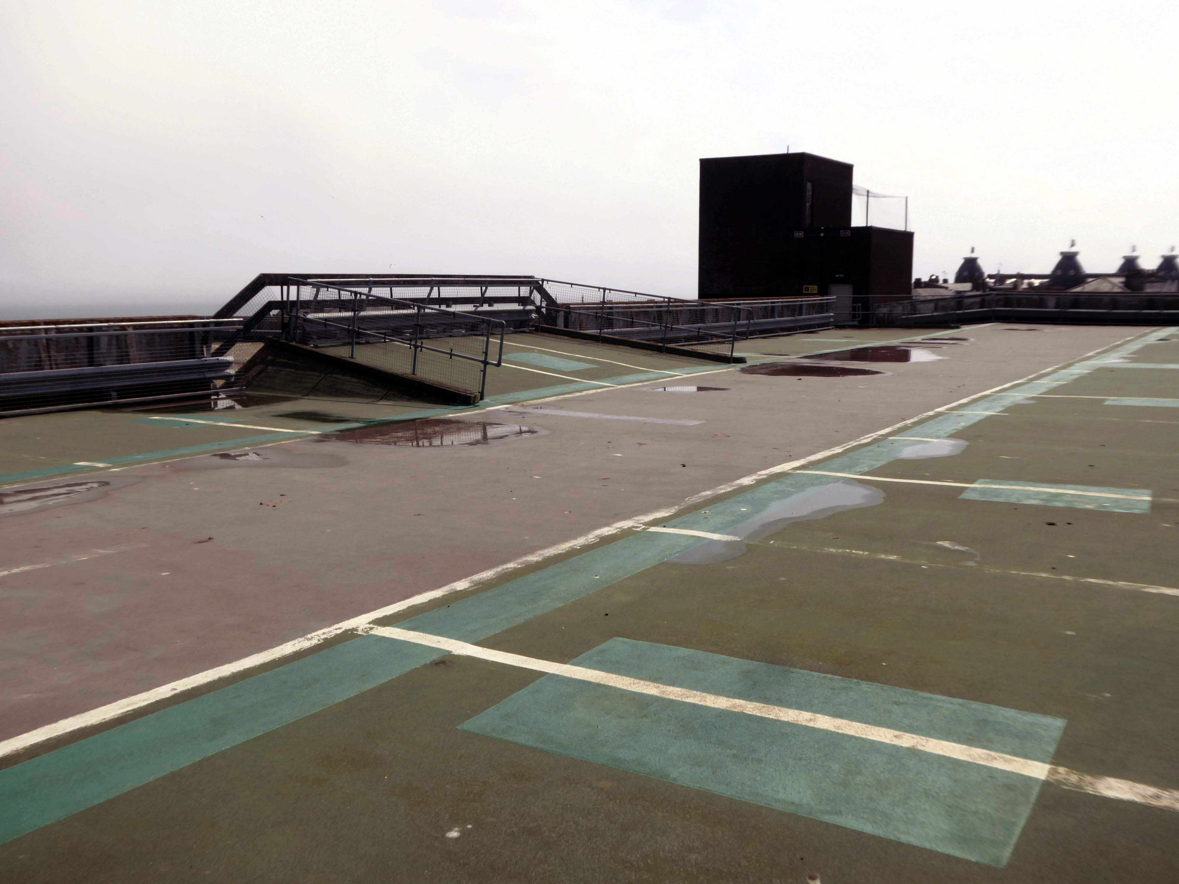
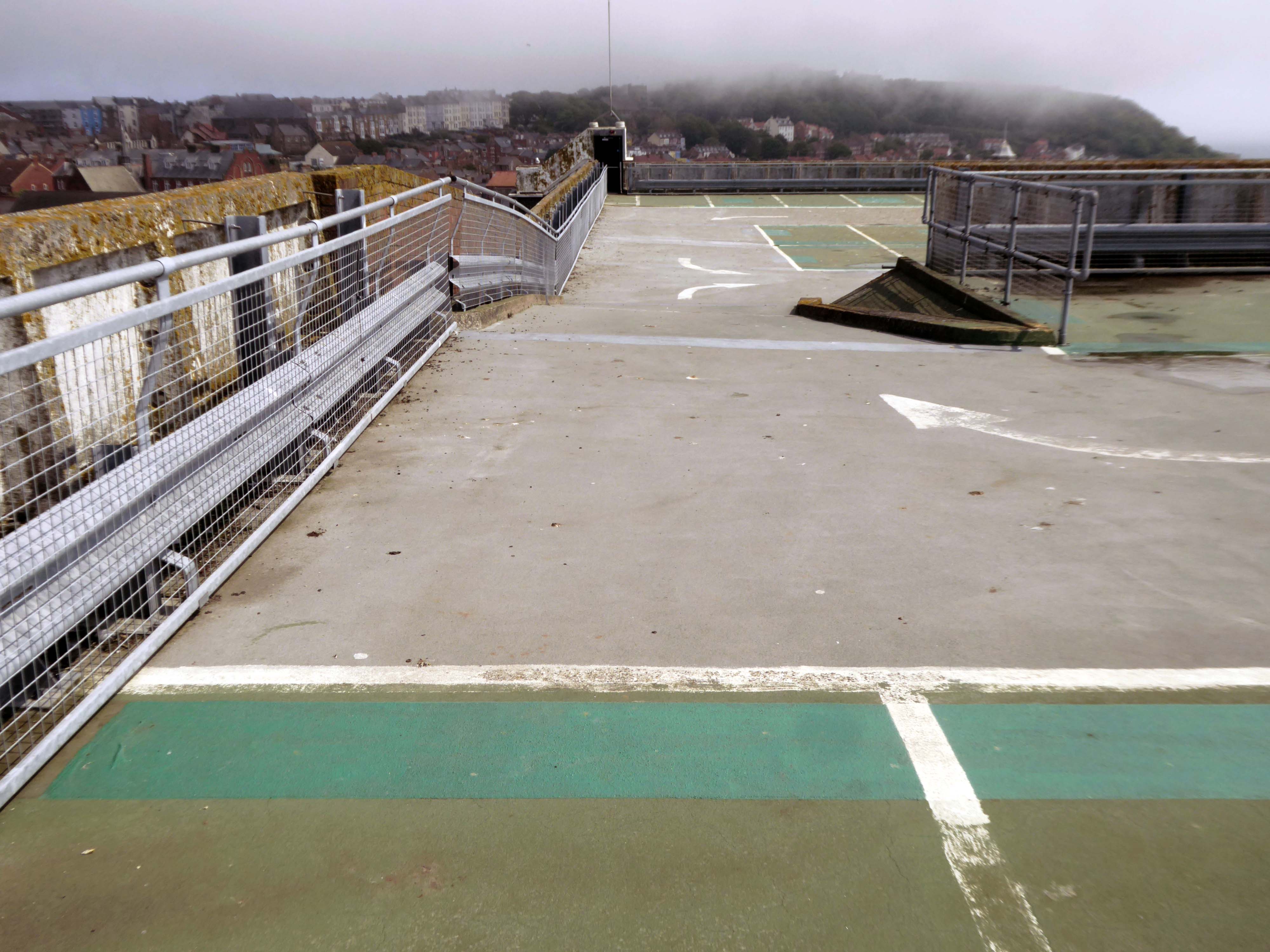
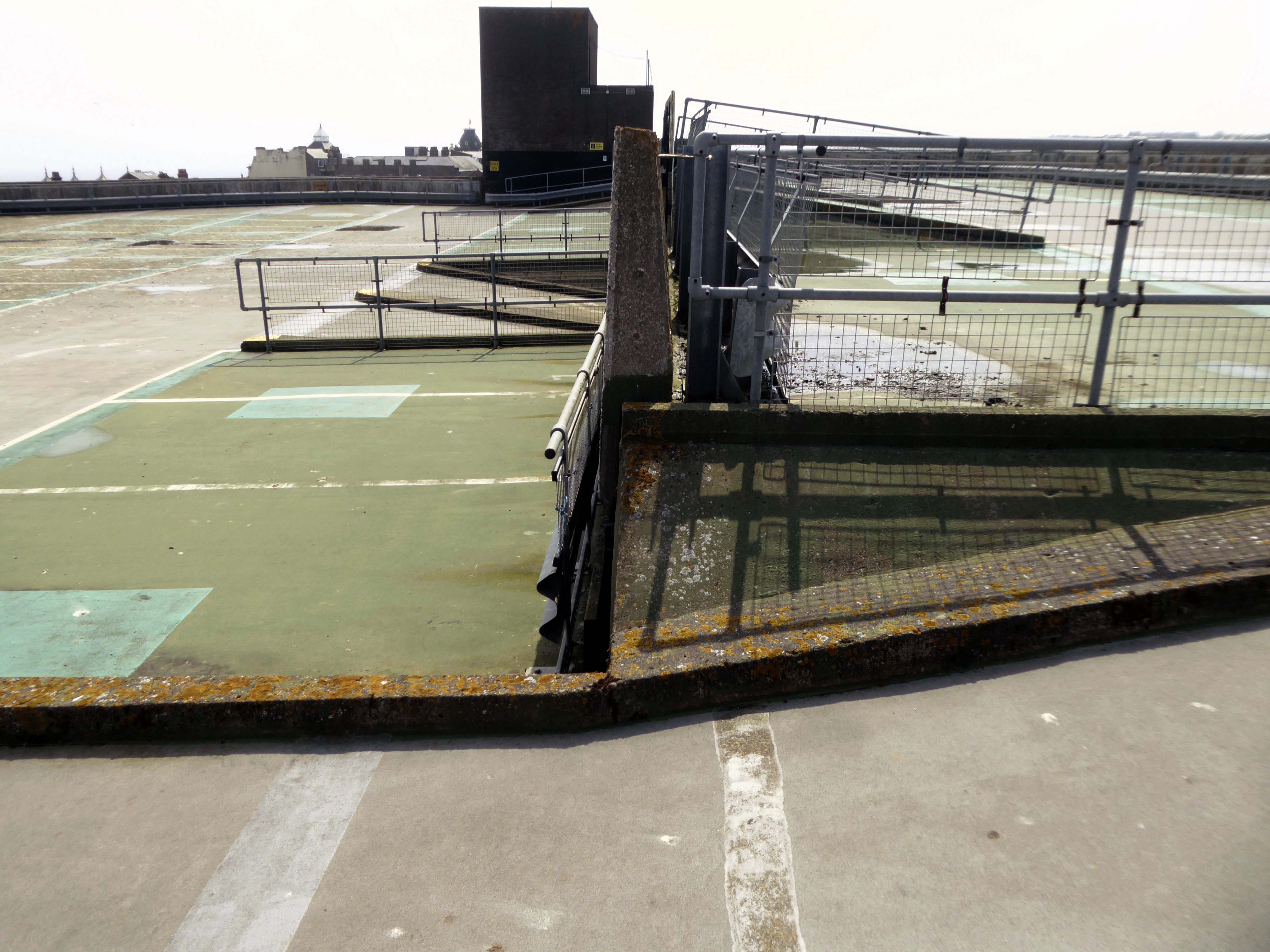
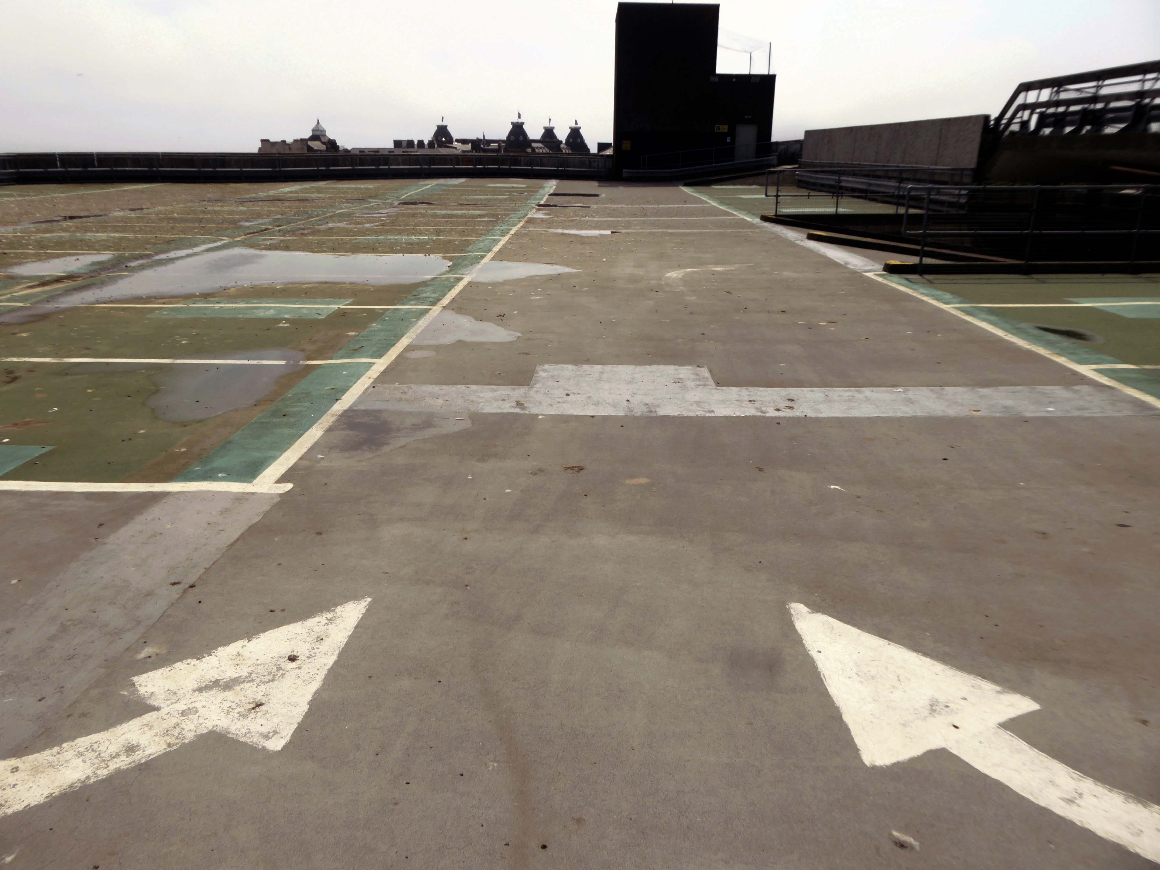
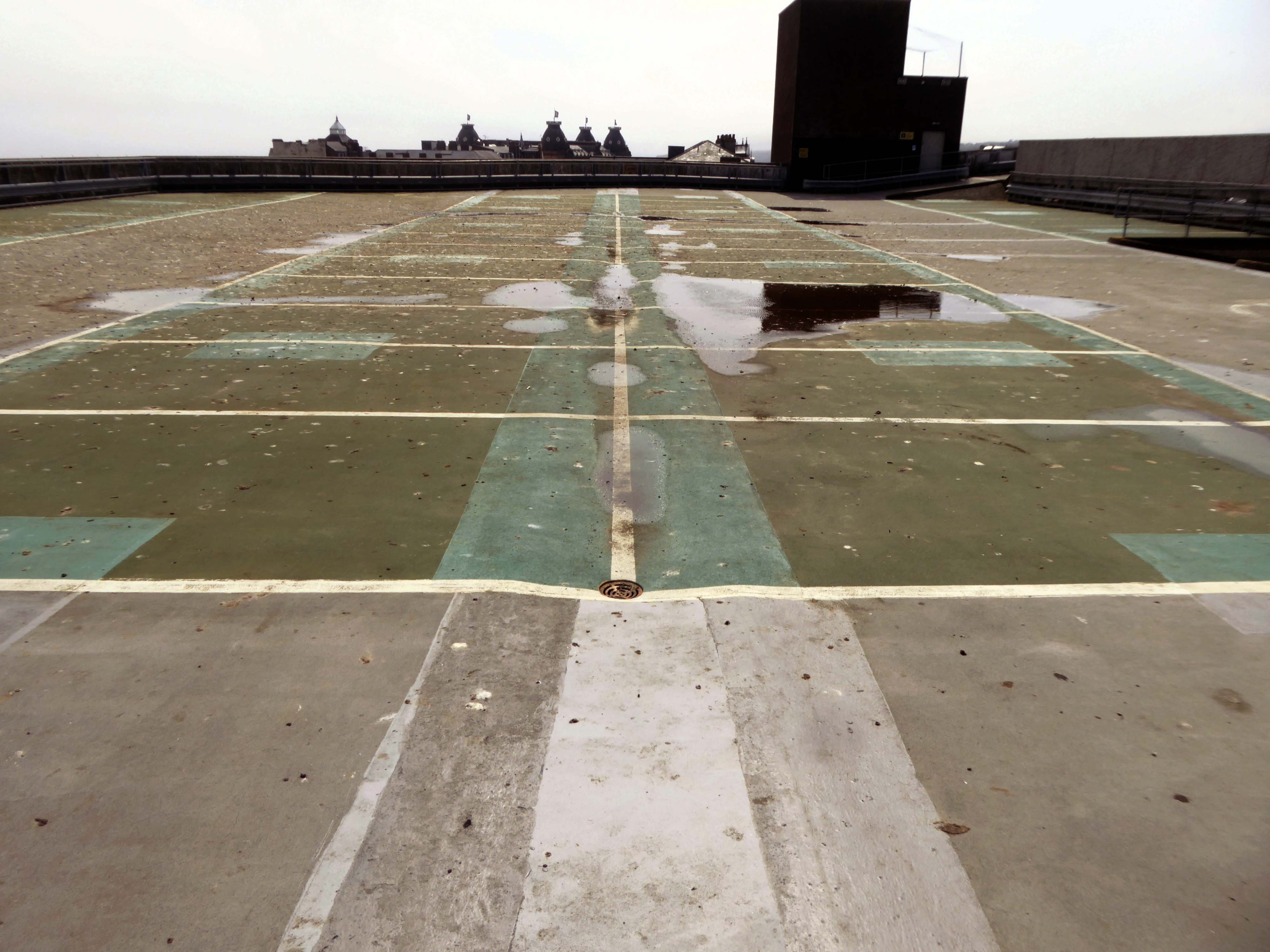
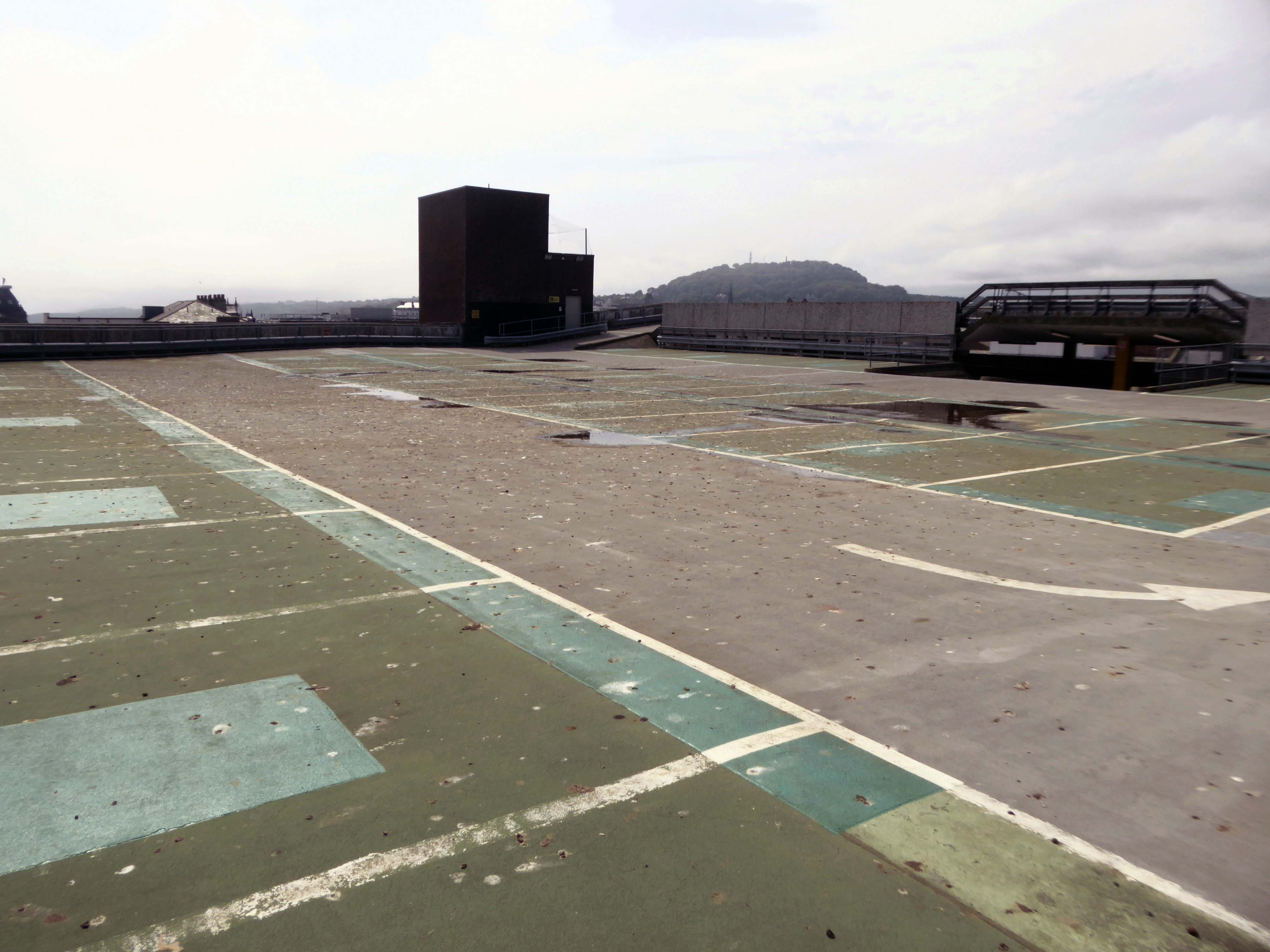
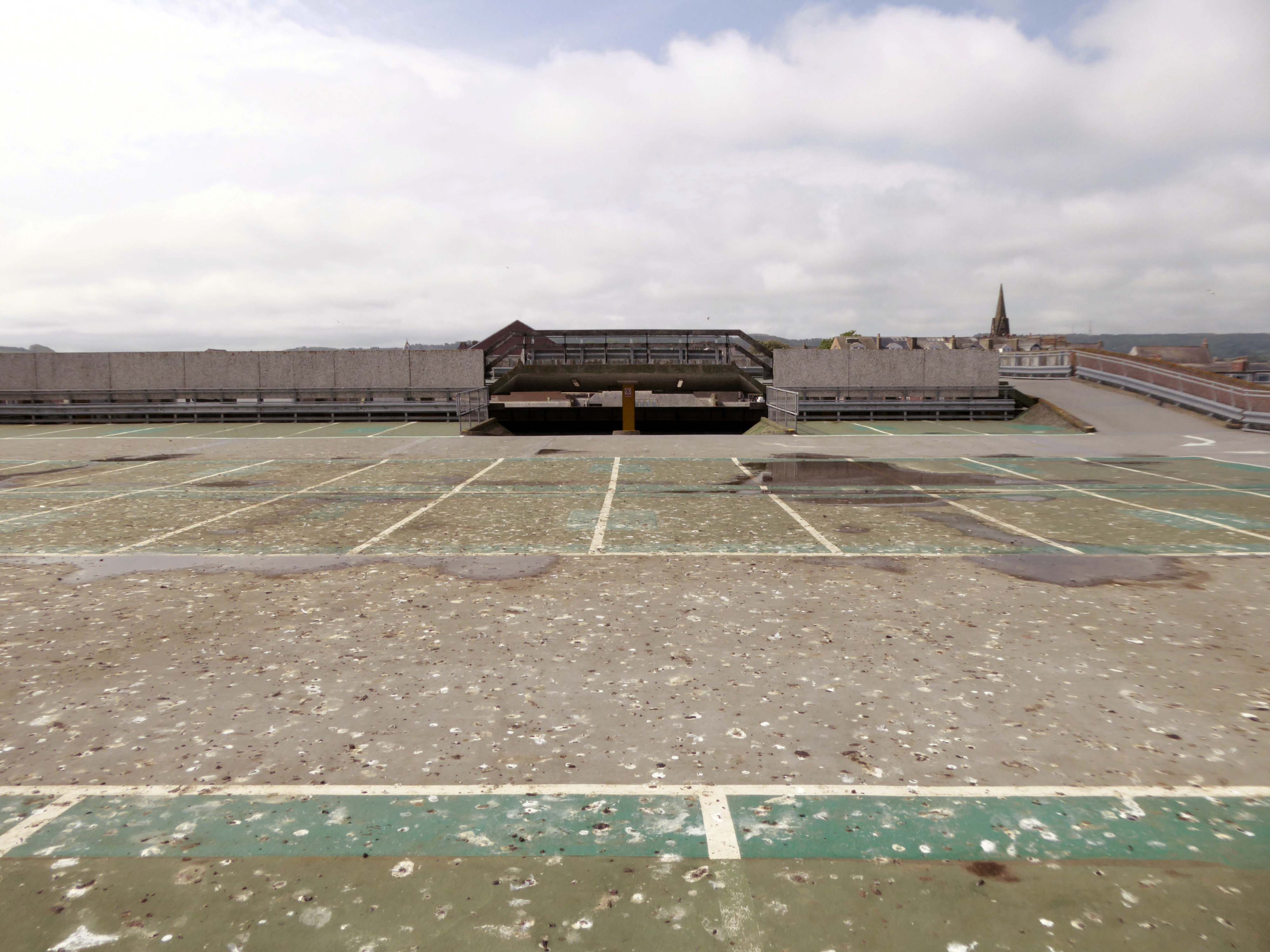
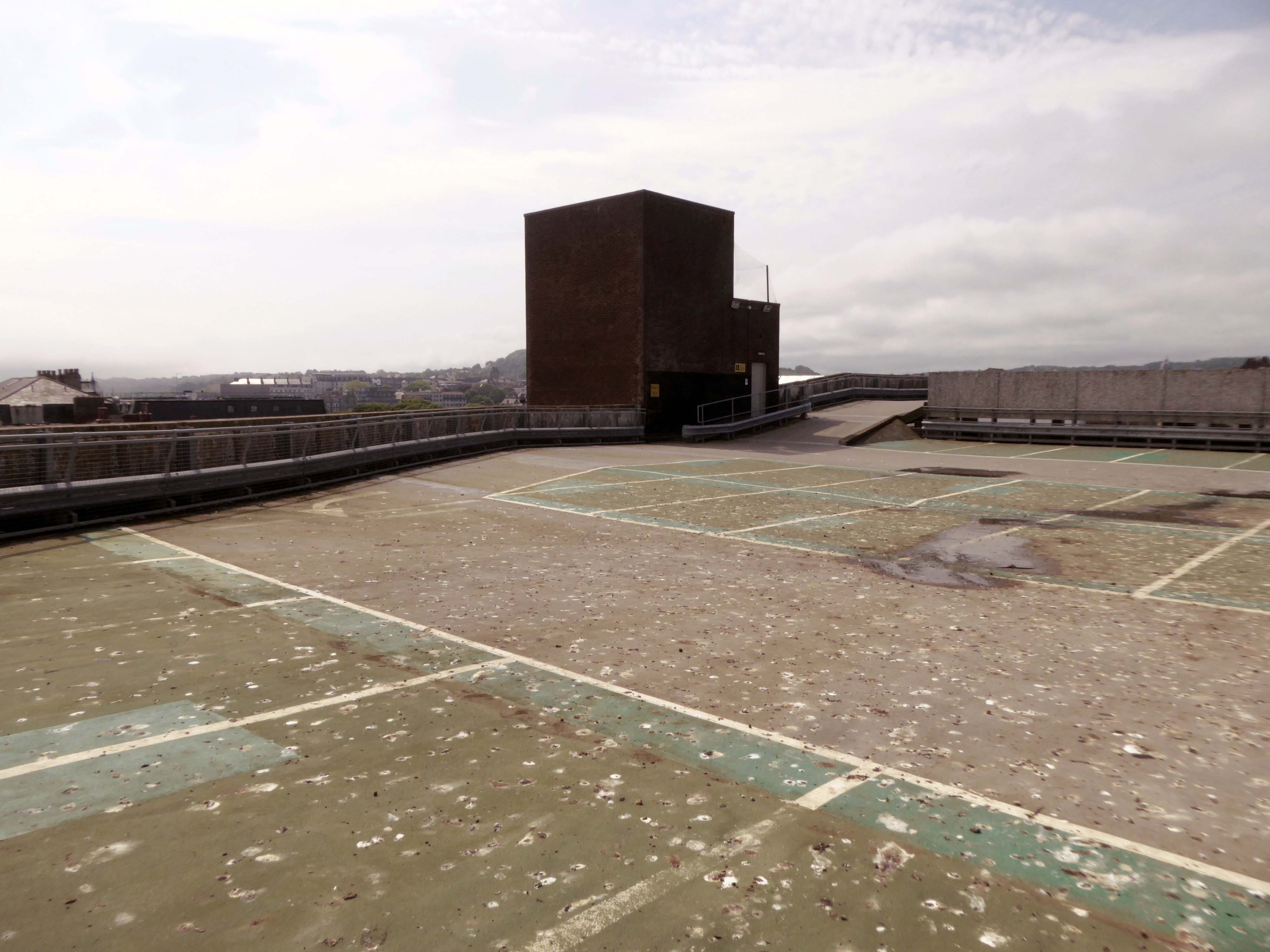
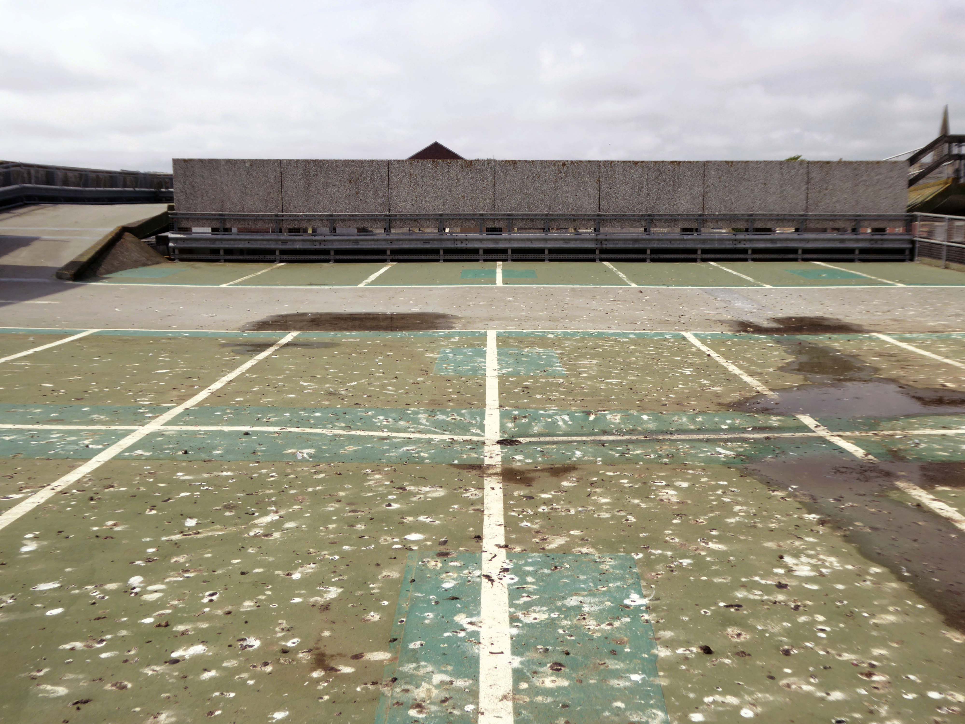
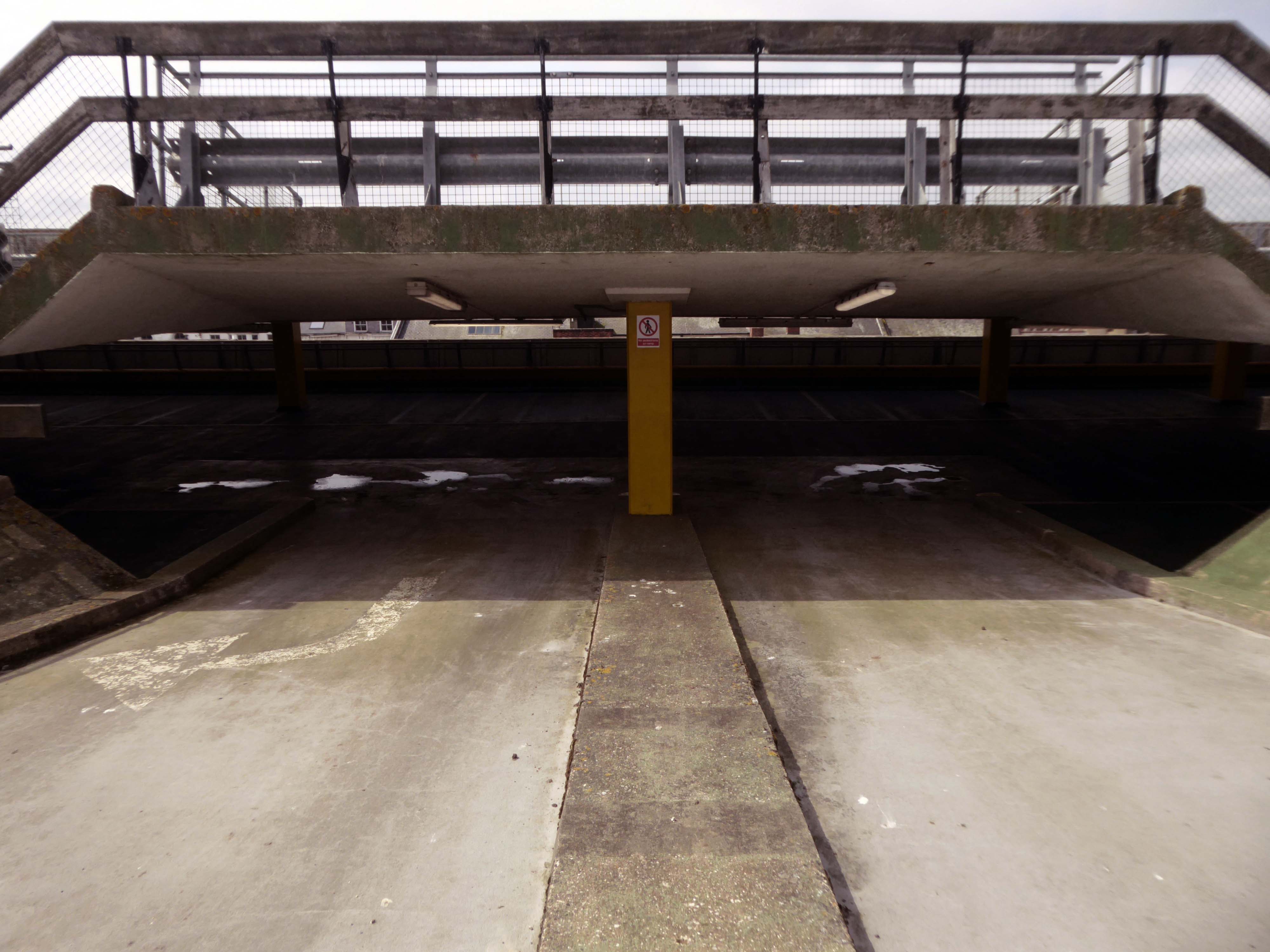
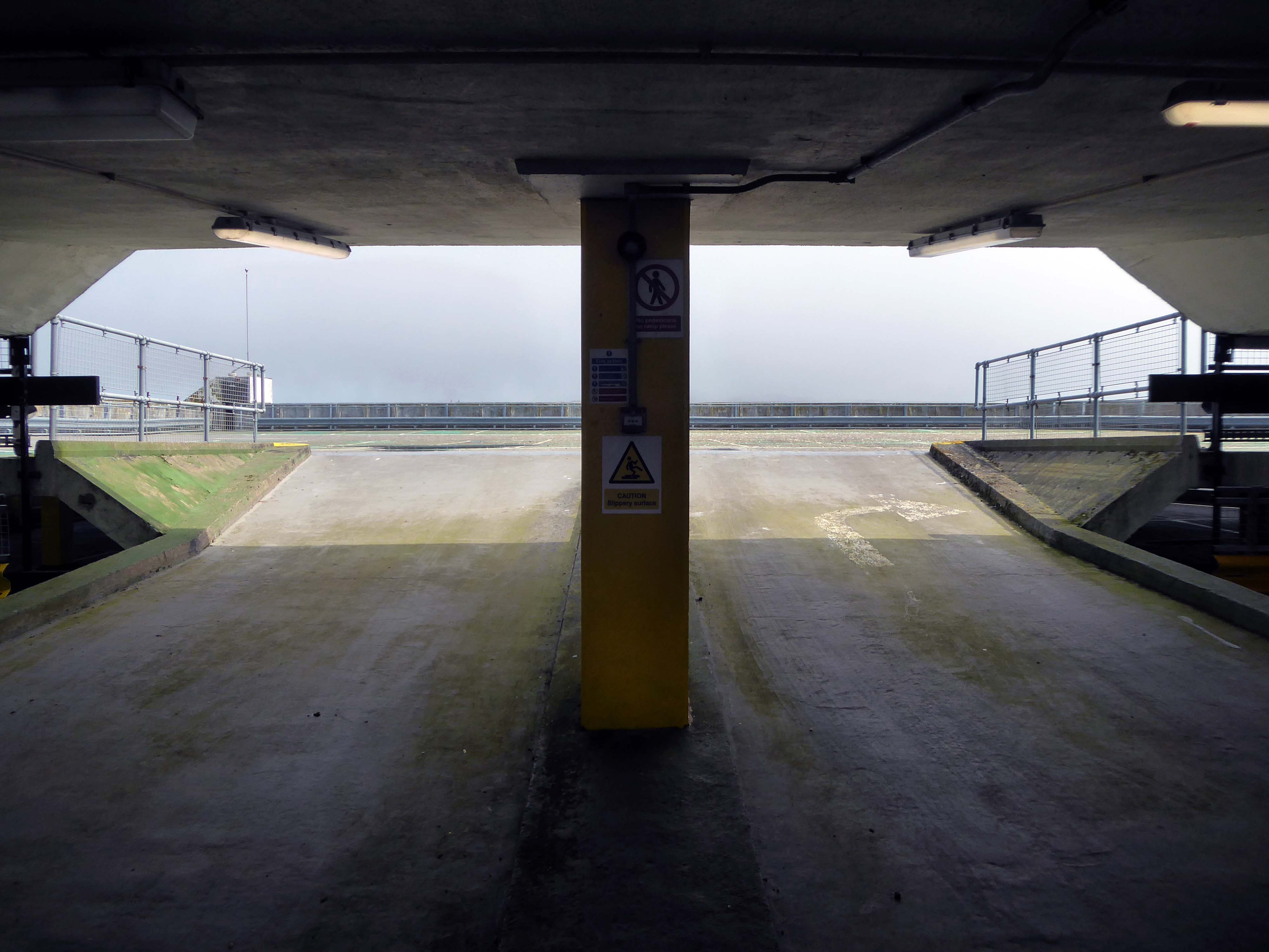
Westmorland and Furness Council said Portland Walk car park will close from the start of July.
In a statement the council revealed the rooftop car park will permanently close from July 1 following a review which found said it had ‘very low usage’.
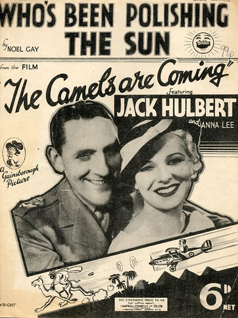
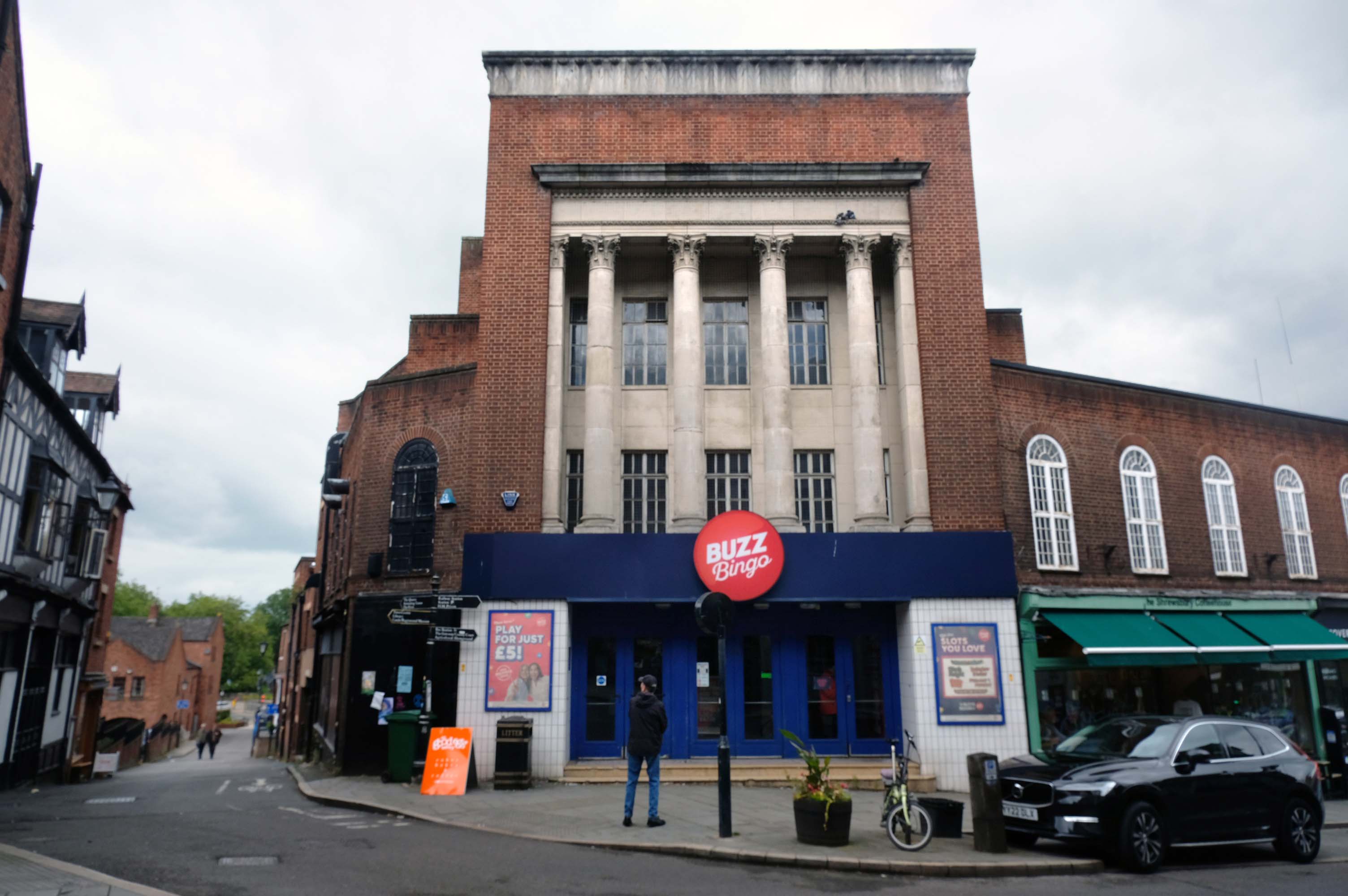
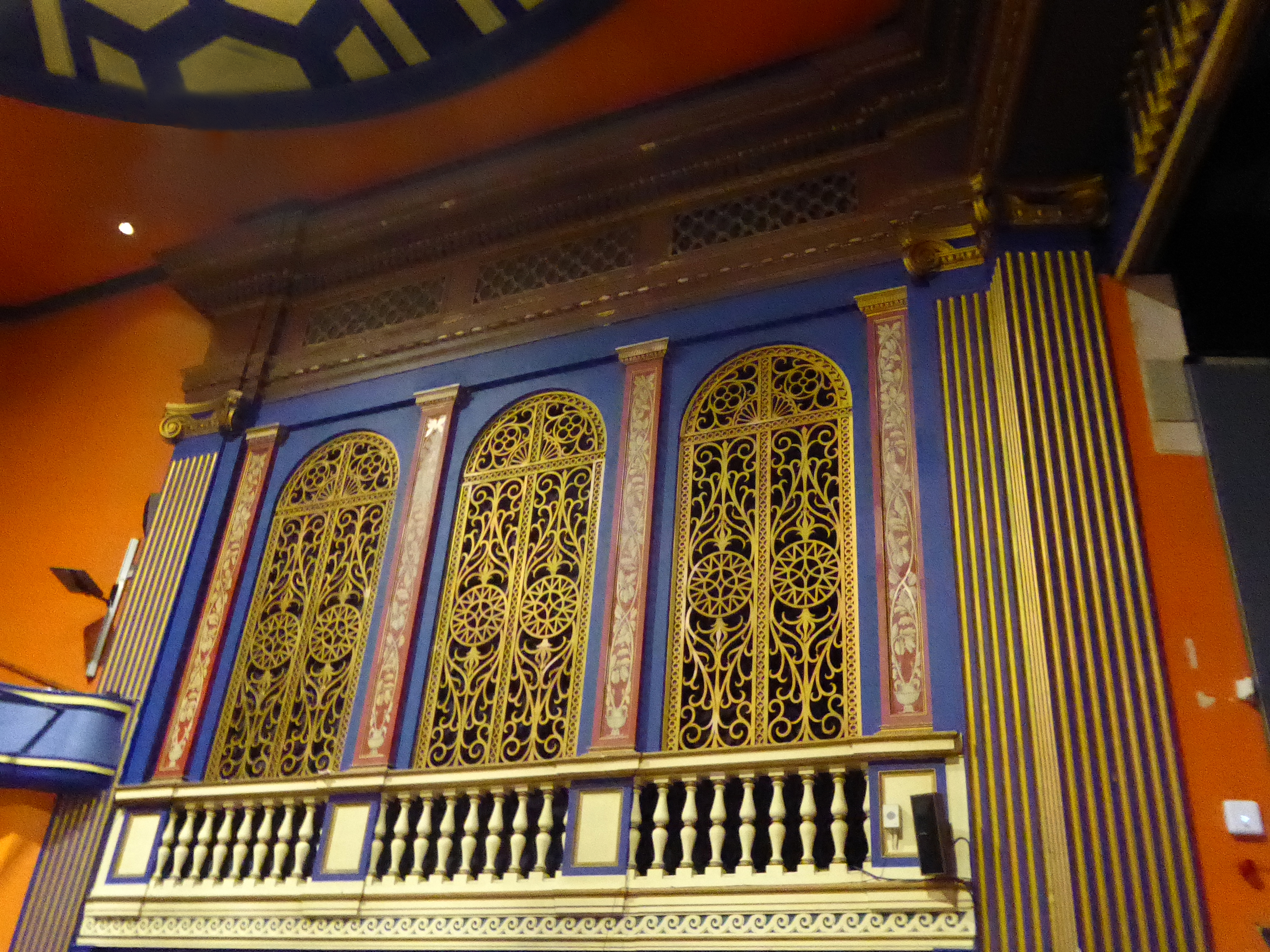
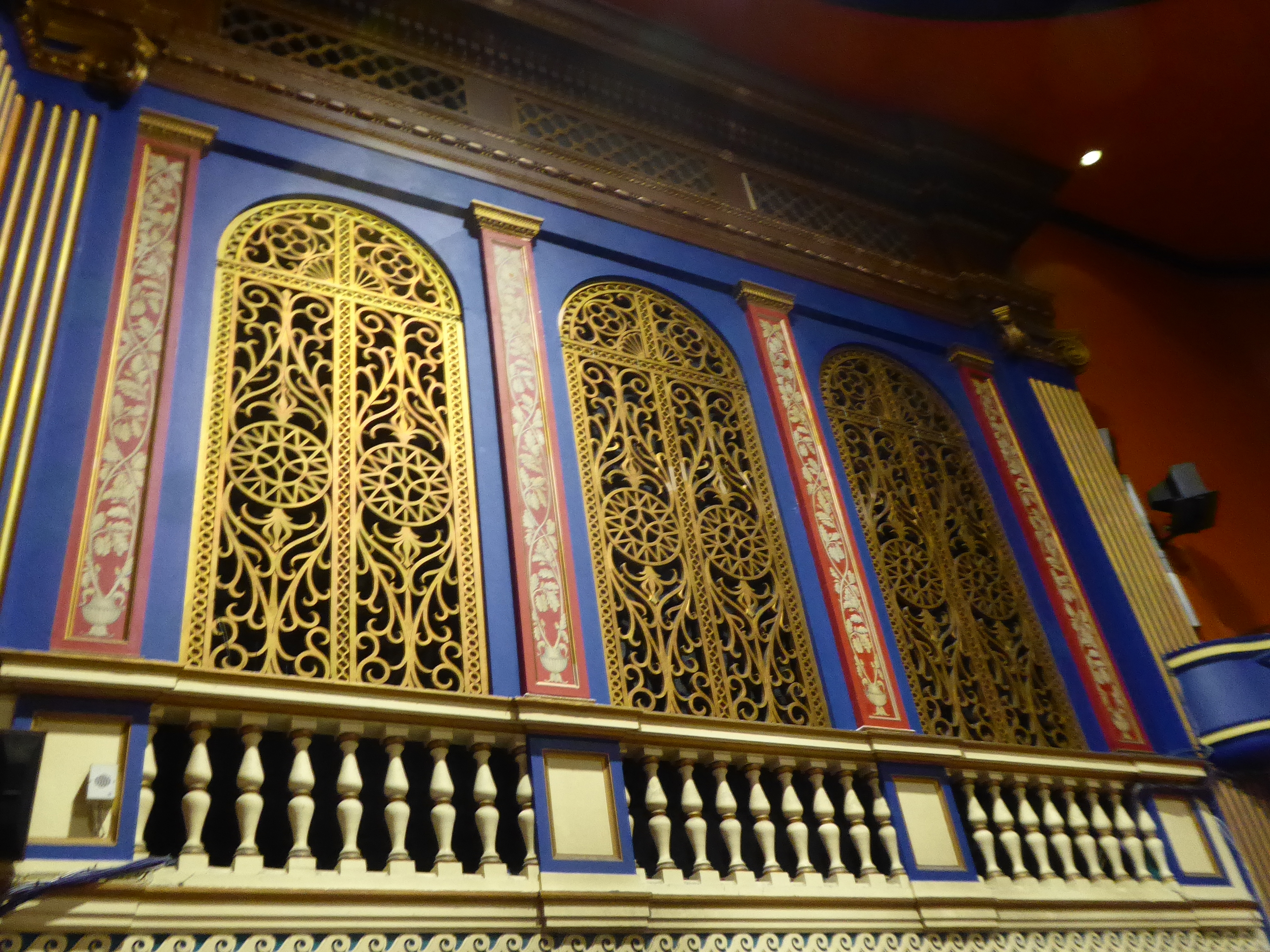
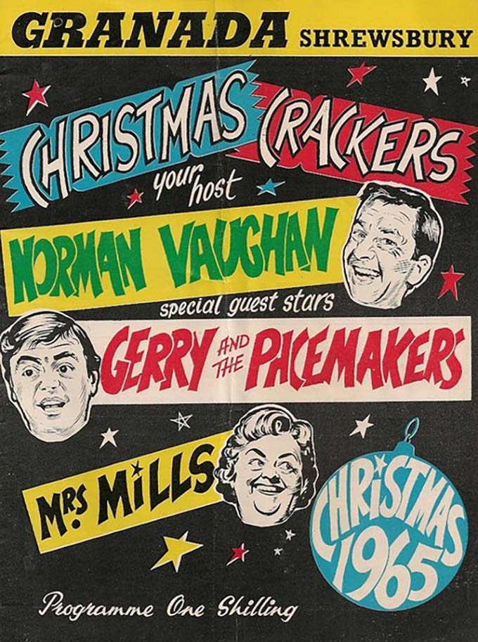
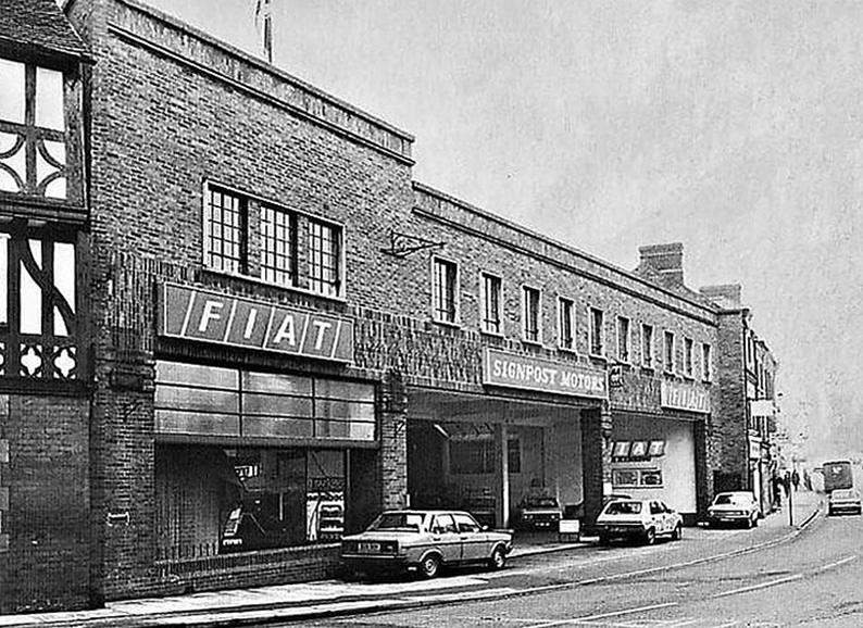
Built and operated by Shrewsbury Empires Ltd, the Granada Theatre opened on 14th November 1934 with Jack Hulbert in The Camels Are Coming.
It closed as a cinema on 31st March 1973 with Charles Bronson in The Valachi Papers and Anatomy of a Pin-Up.
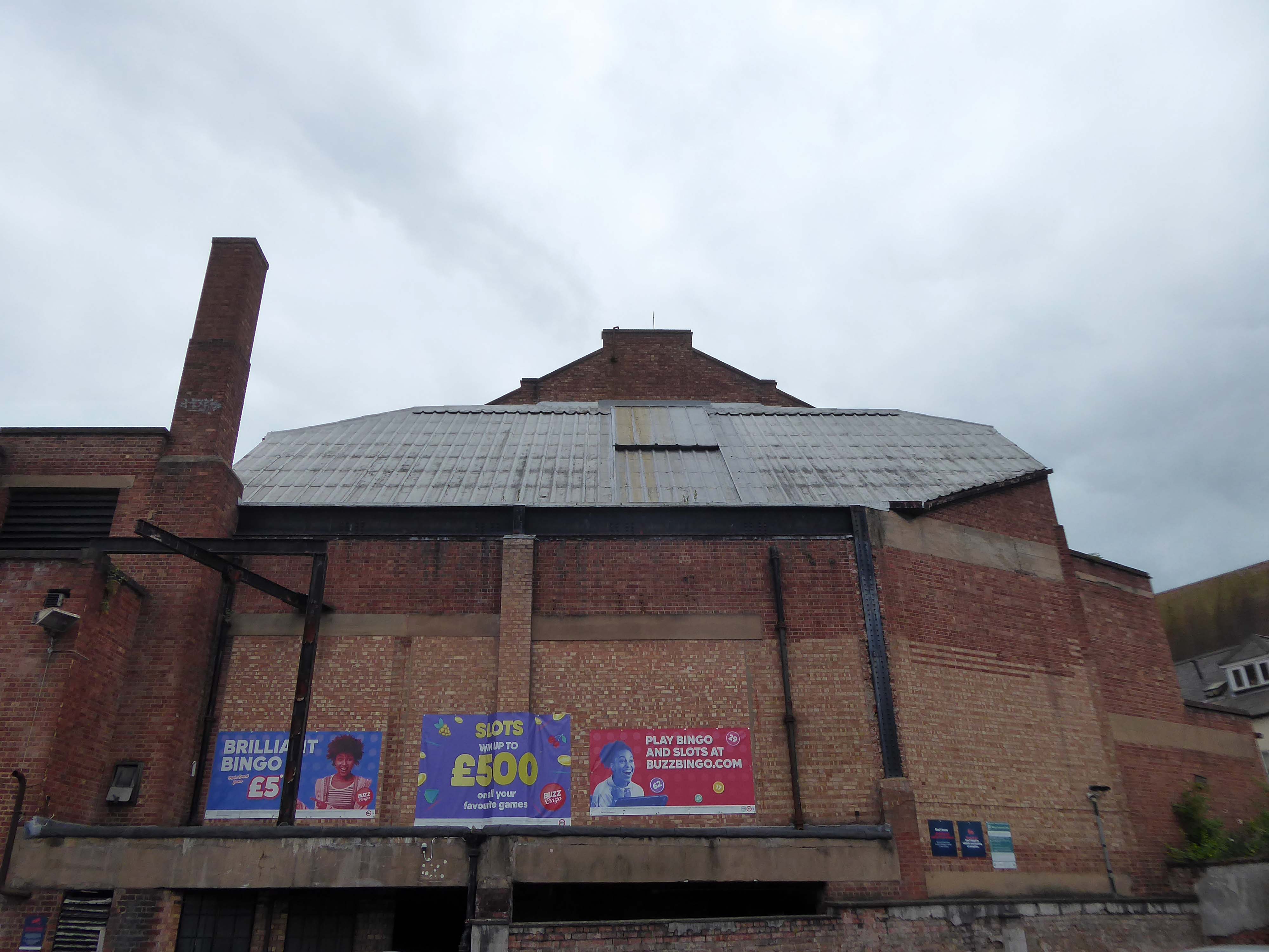
The Granada circuit was famous for its lavishly decorated interiors created by a Russian émigré called Theodore Komisarjevsky, the most famous examples of which are at Woolwich and Tooting – both now operate as bingo halls. The Shrewsbury Granada was by far the best cinema in the area, and in addition to Komisjarevsky, the scheme was designed by Cecil Massey, with some work being carried out by a local architect called Arthur Williams. The architecture of the Shrewsbury hall is often referred to as being a “standard” Granada, and the interior was very similar to the Granadas at Bedford now demolished and Maidstone which wasdestroyed by sub-division. There were less than 20 theatres built for the circuit, of which Shrewsbury was number five, although many existing cinemas were taken over and renamed, making the Granada Theatres an important group, although in numbers they were far behind Odeon and ABC.
On 17th November 1995, the Granada Theatre was designated a Grade II Listed building by English Heritage.
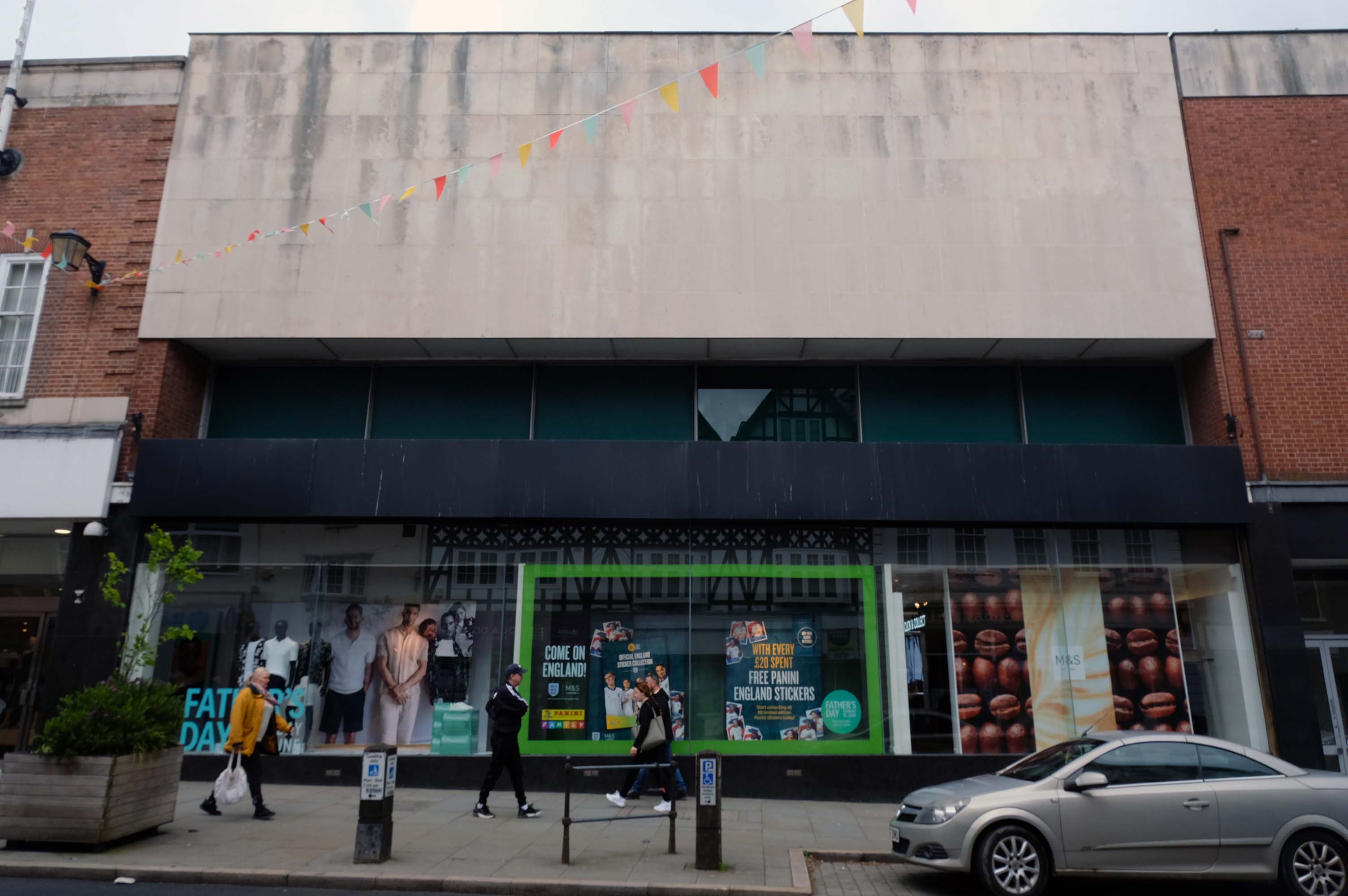
Many thanks to the staff of Buzz Bingo for allowing us access.
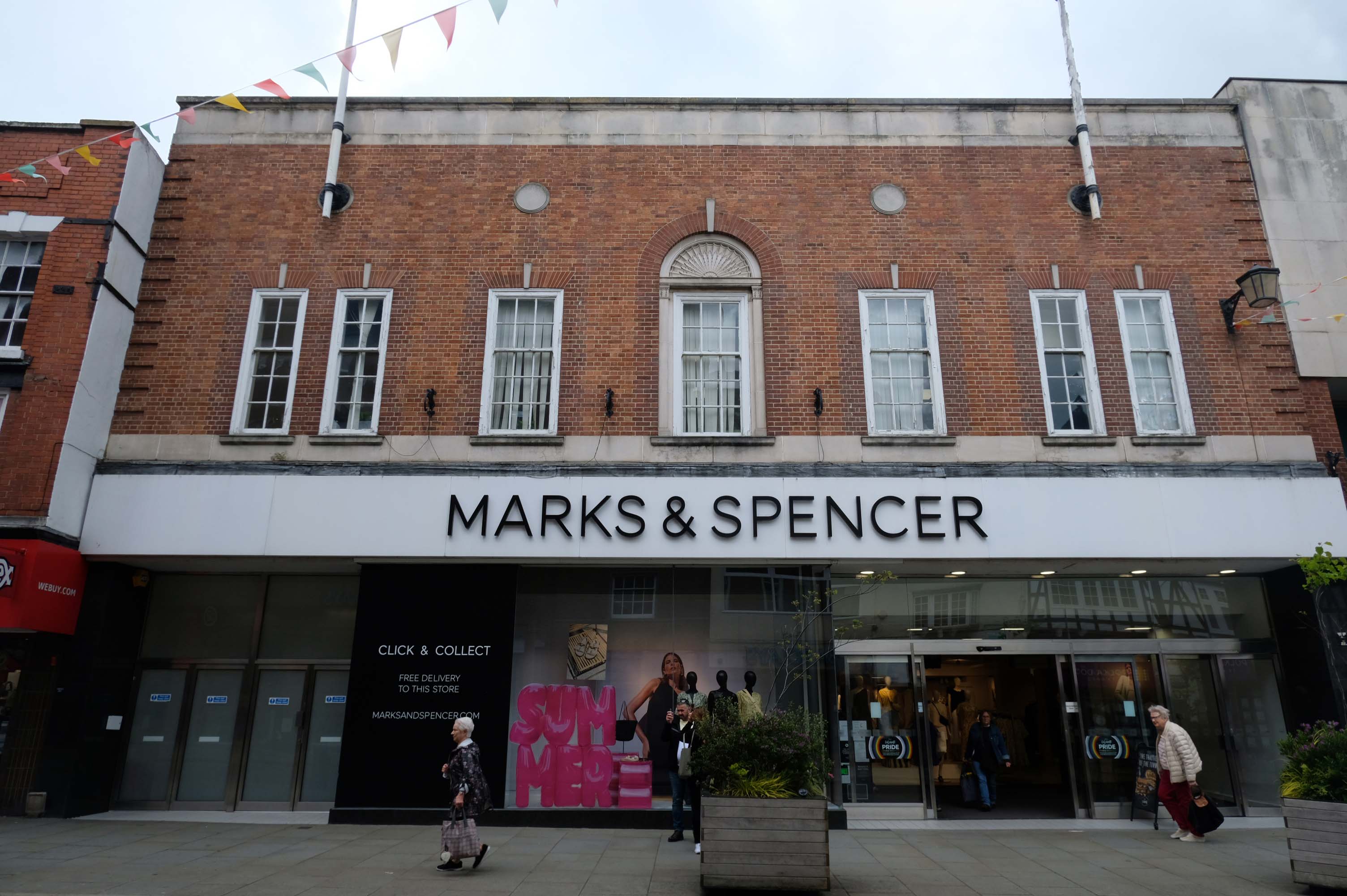
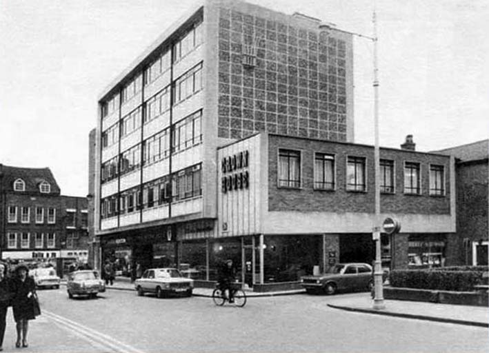
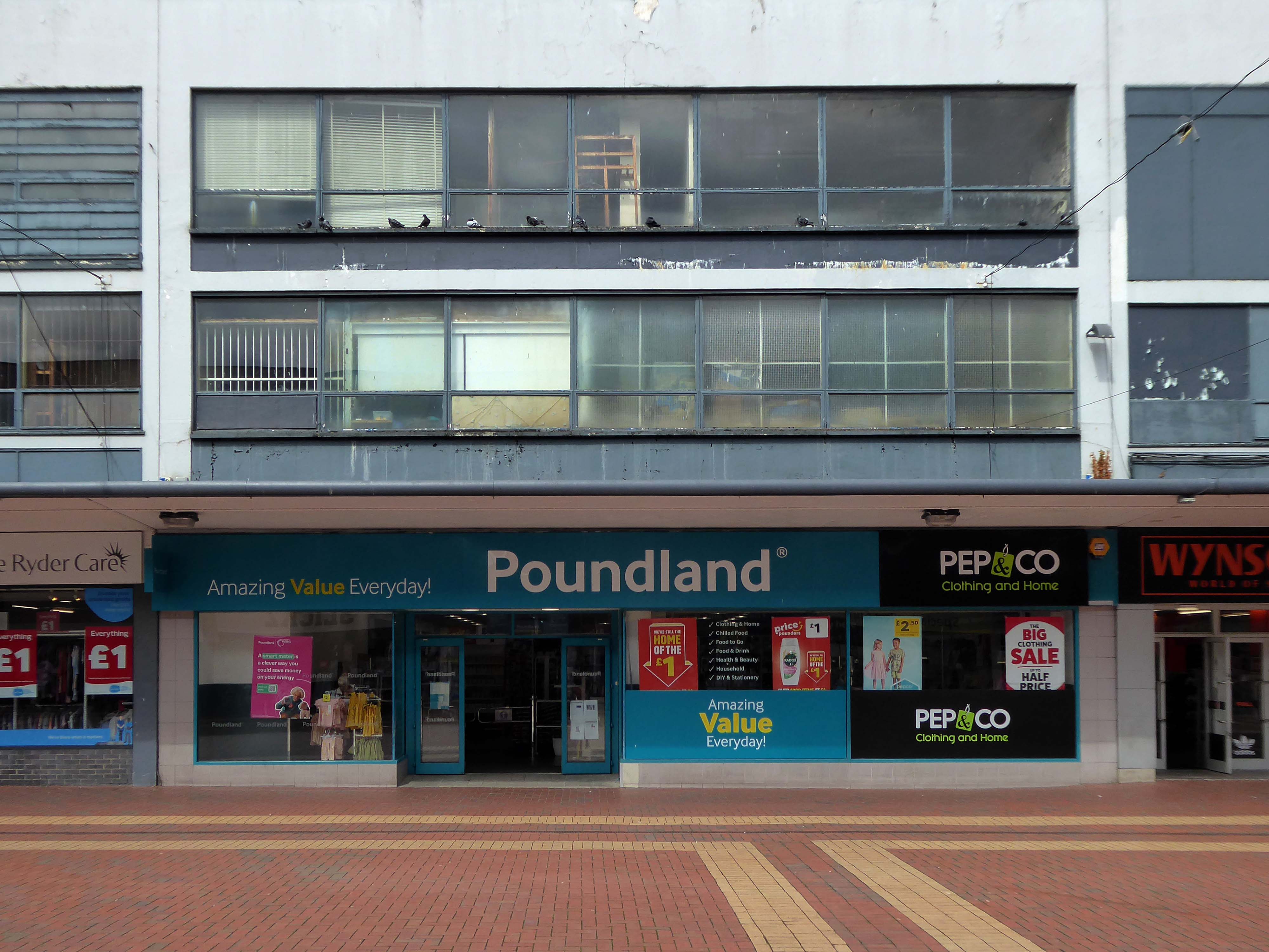
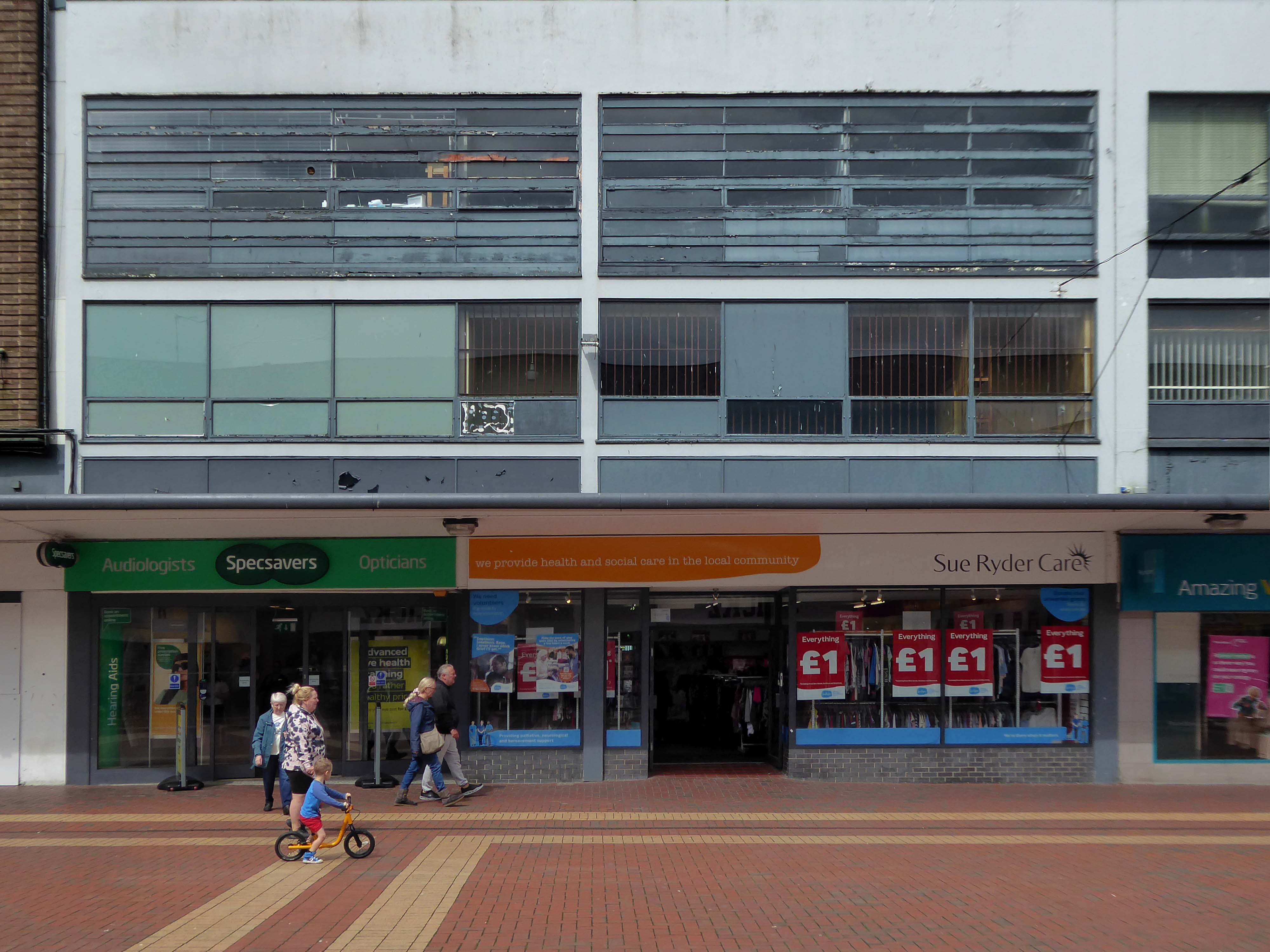
Next up is a Marks & Spencers store very much a shop of two halves – marrying post-war Brutalism with interwar Classicism, unified by a glazed ground floor.
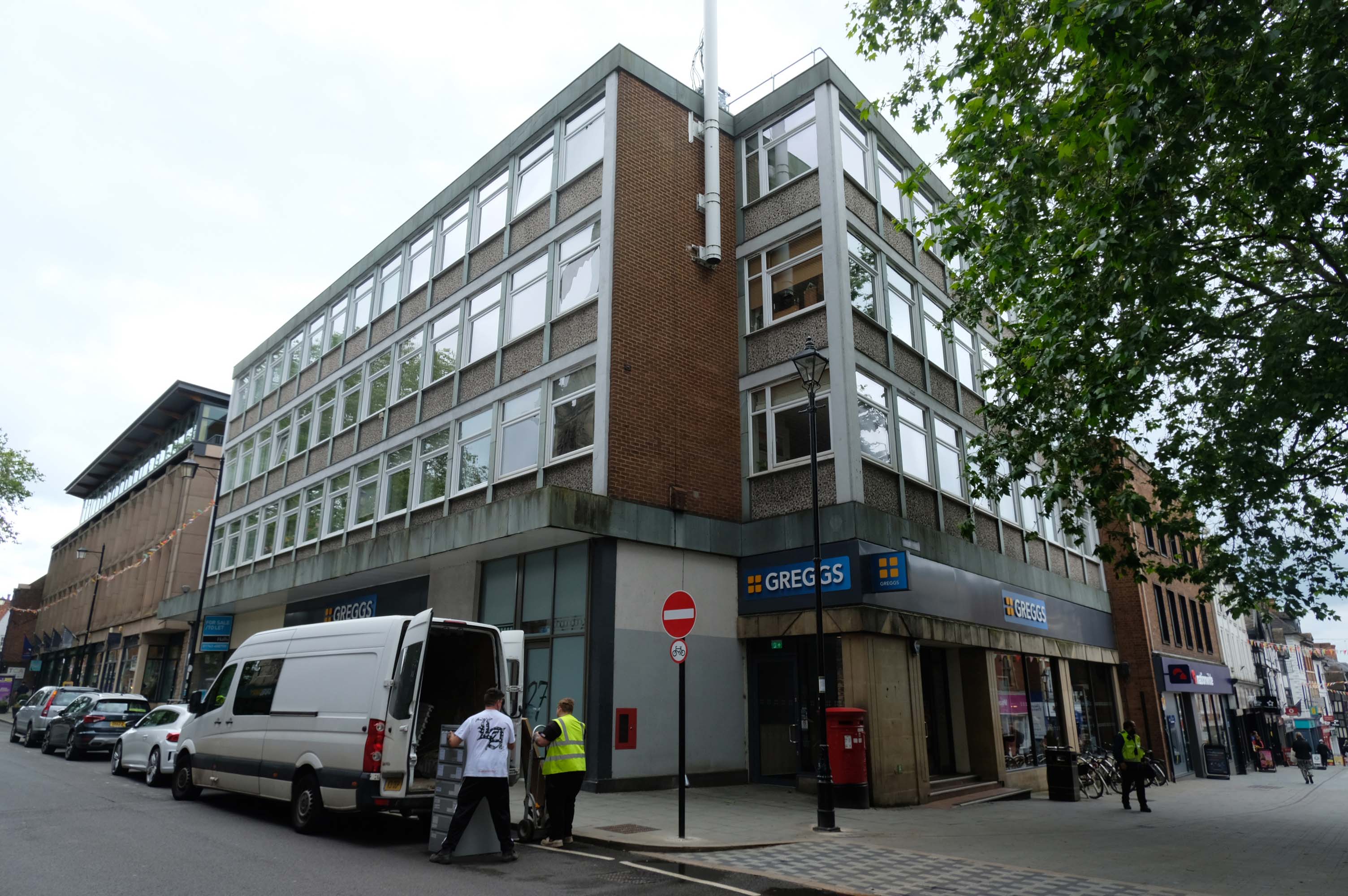
Across the way, a 60s corner site development, with a dual-entry Greggs.
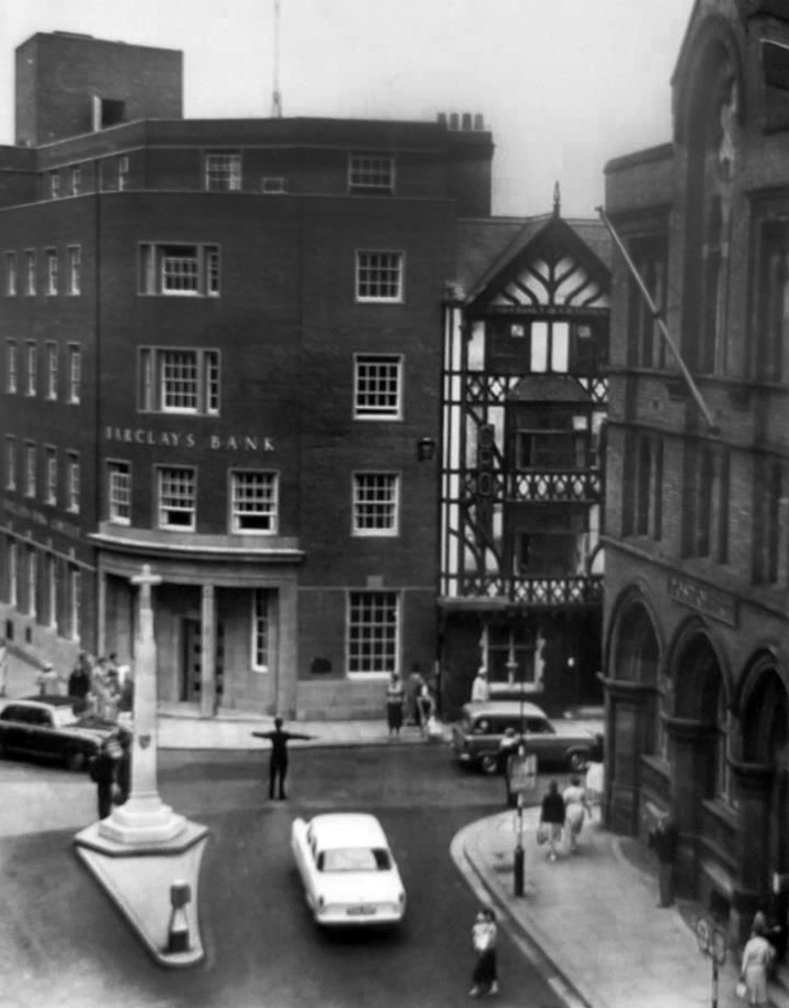
Formerly the site of the Post Office – demolished in 1959, and next to the Barclays bank the long gone Crown Hotel.
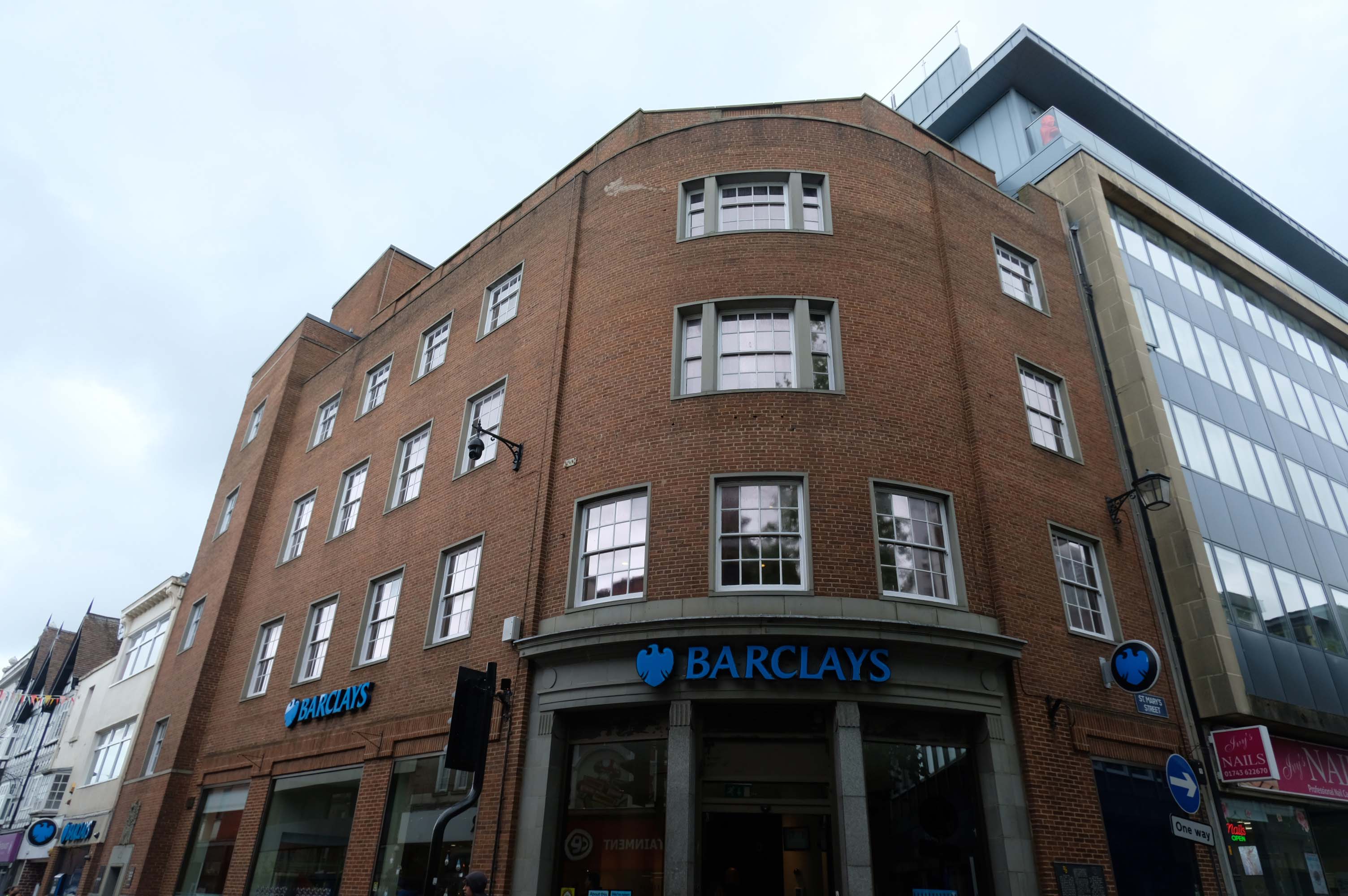
On the adjacent corner a curvaceous Barclays Bank, built in the post war Ministry of Works manner.
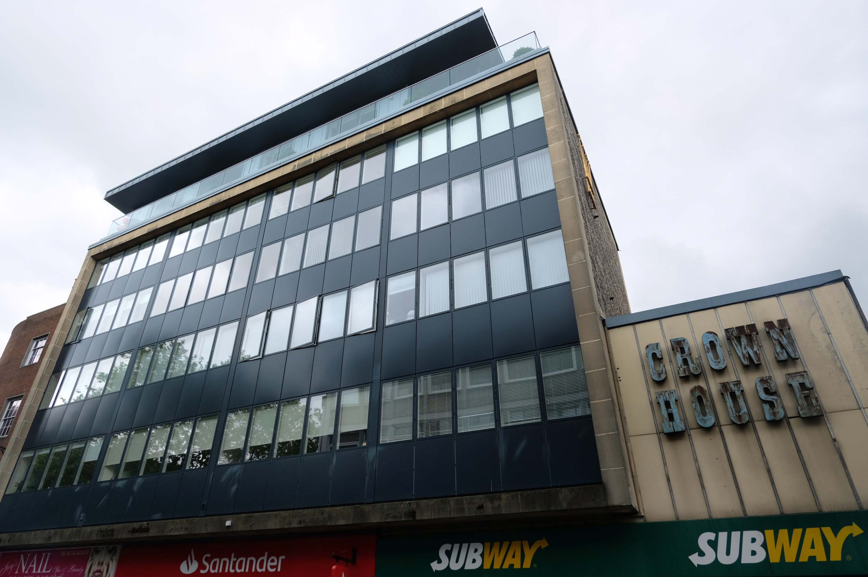
Next door is Crown House – refurbished but with it’s architectural type intact.
One of Marshall Structures’ biggest projects to date was the conversion of Crown House from a tired office block to a complex featuring 14 luxury apartments, providing a much-needed improvement to the site. The work involved in this project included large amounts of steel work and timber design.
The biggest challenge faced during the completion of this project was trying to fit an additional storey without loading quite an old existing structure. To do this, the new storey was designed out of a lightweight timber frame. By doing this, the client’s brief could be met while also ensuring that the existing 1950s building wasn’t overloaded in the process.
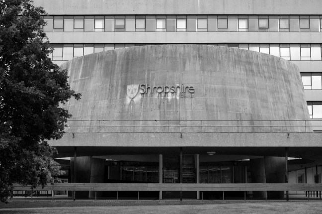
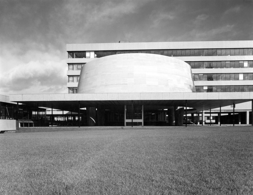
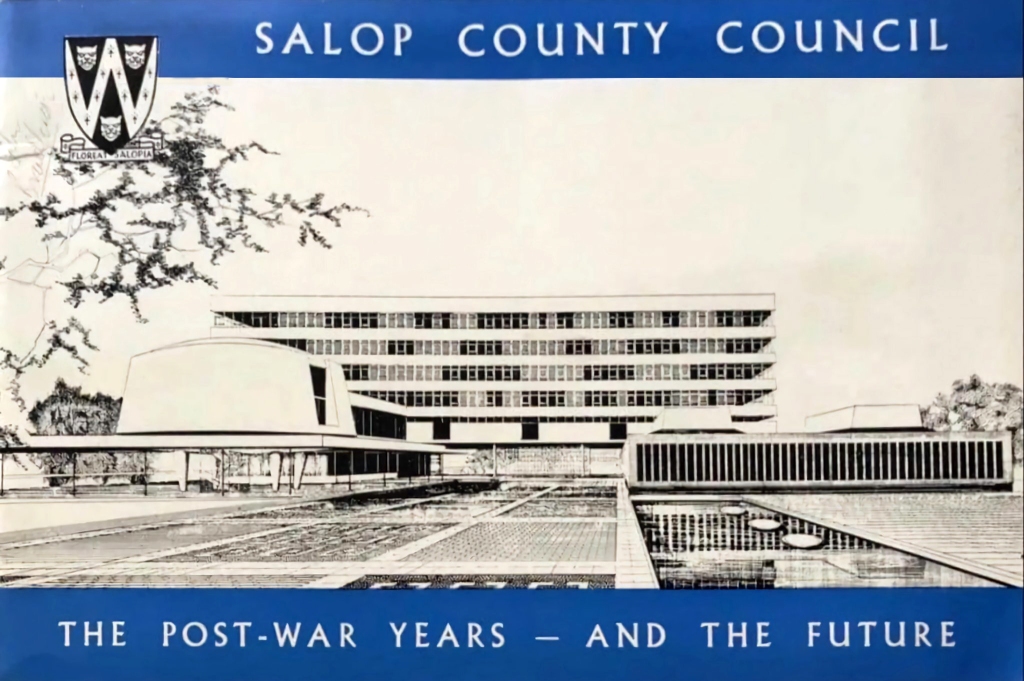
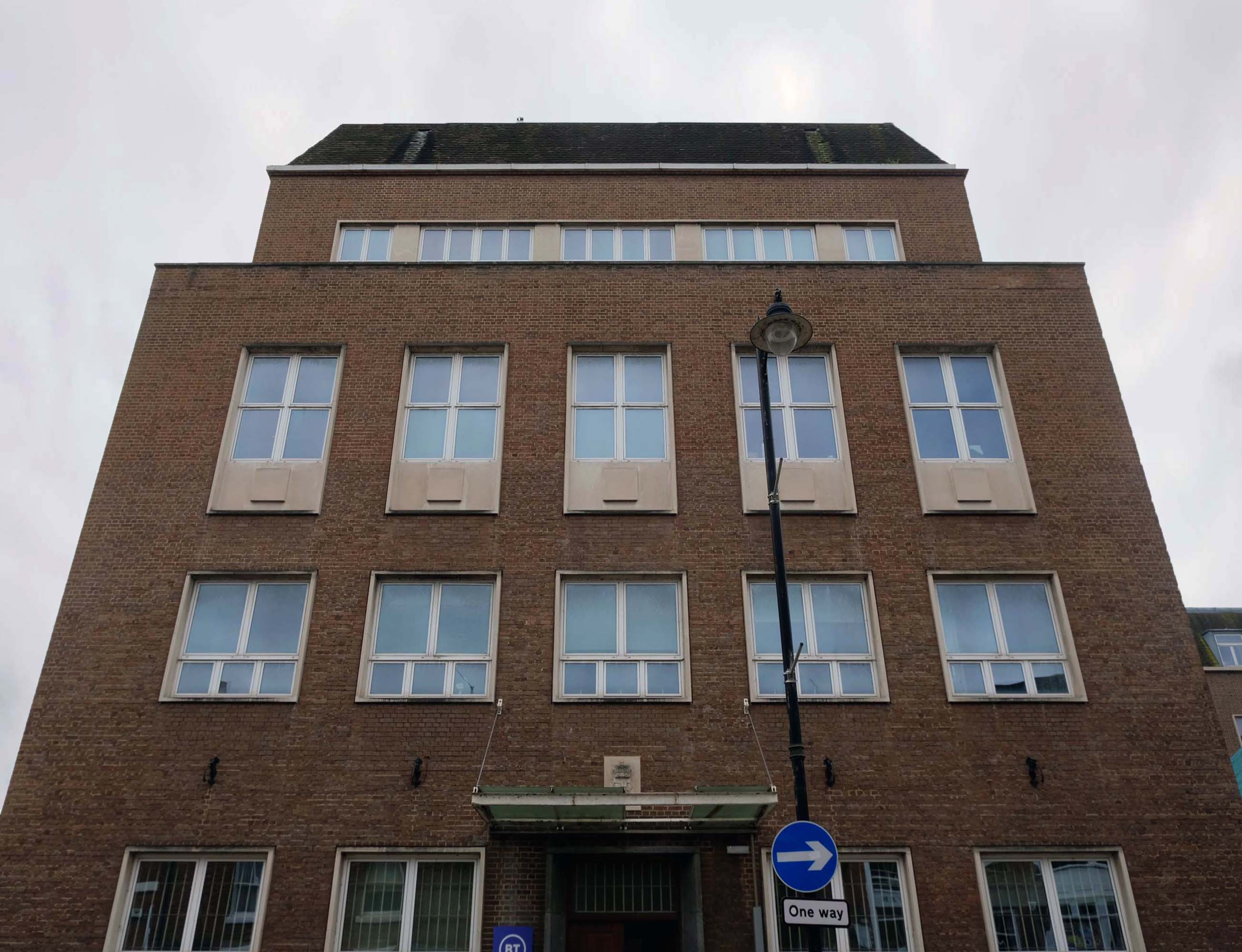
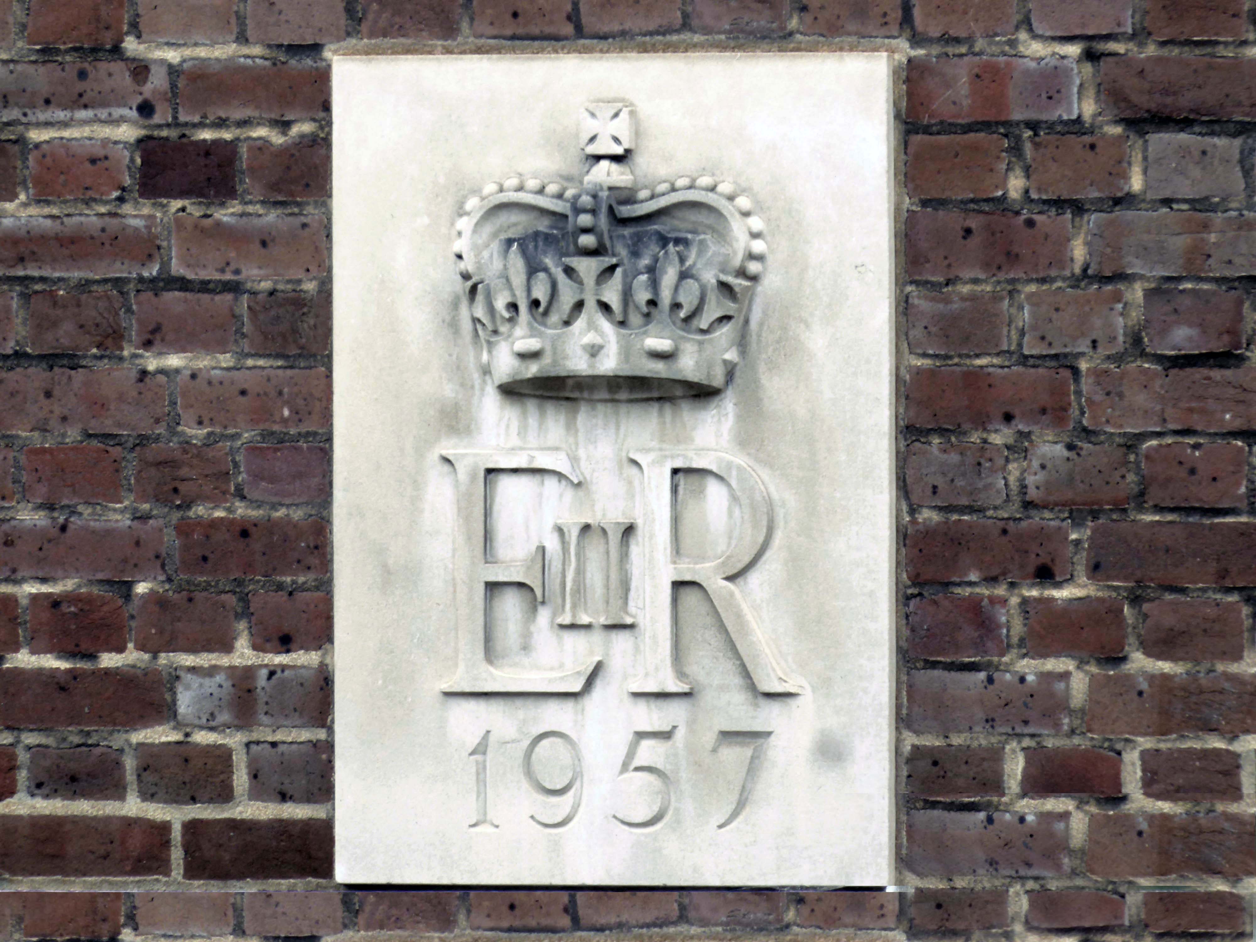
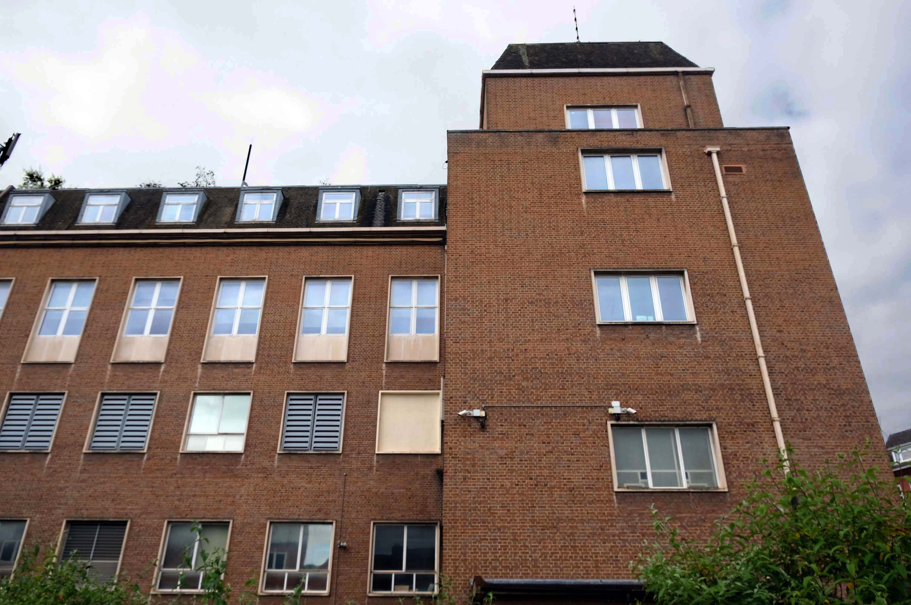
The foundation stone for the new building was laid by Sir Offley Wakeman, a former chairman of the county council, on 25 July 1964. It was designed by Ralph Crowe, the County Architect, in the Modernist style, built at a cost of £1.8 million and was completed in April 1966.
Pevsner described the building as – the major monument to post-war modernism in the county.
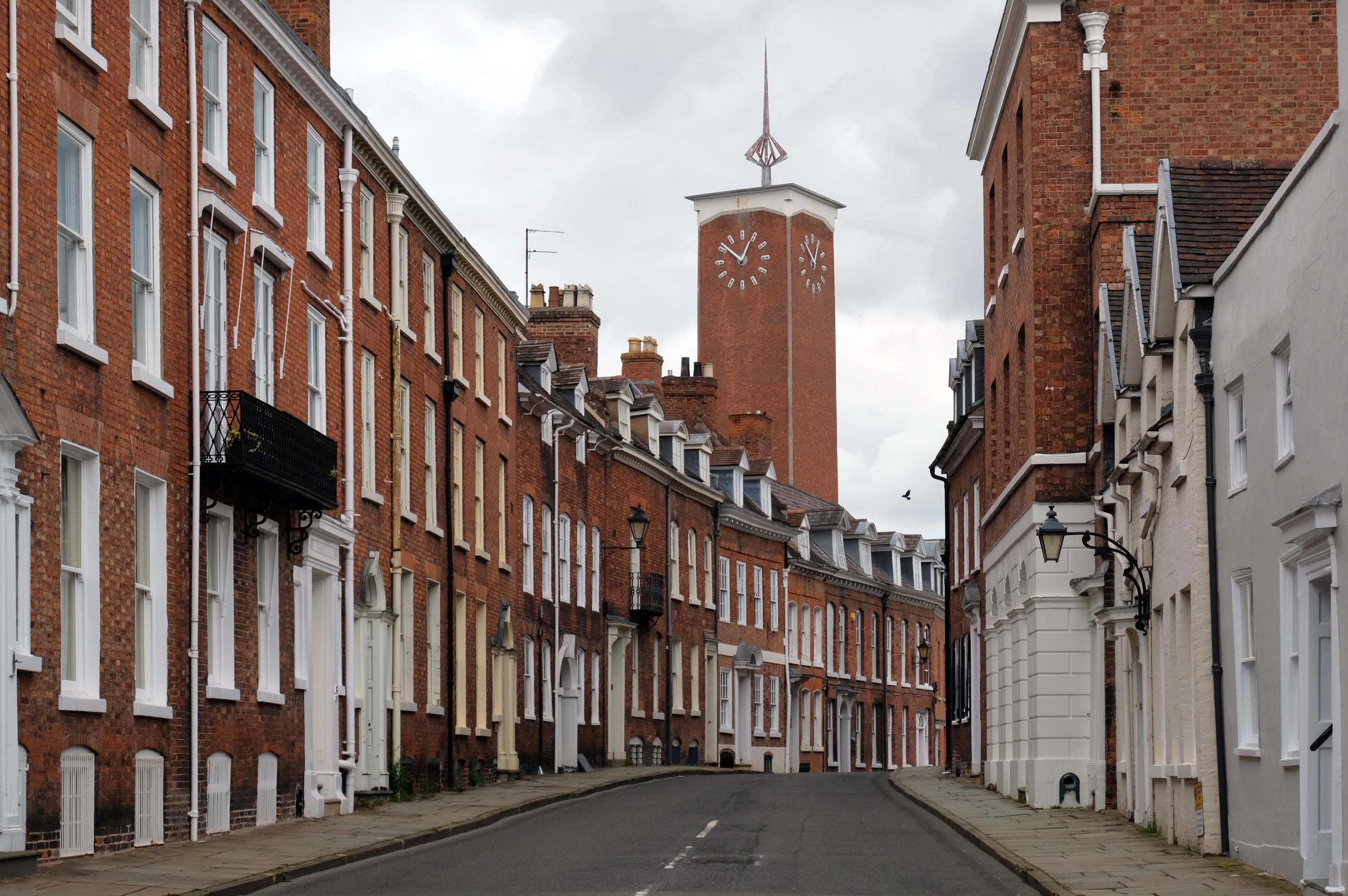
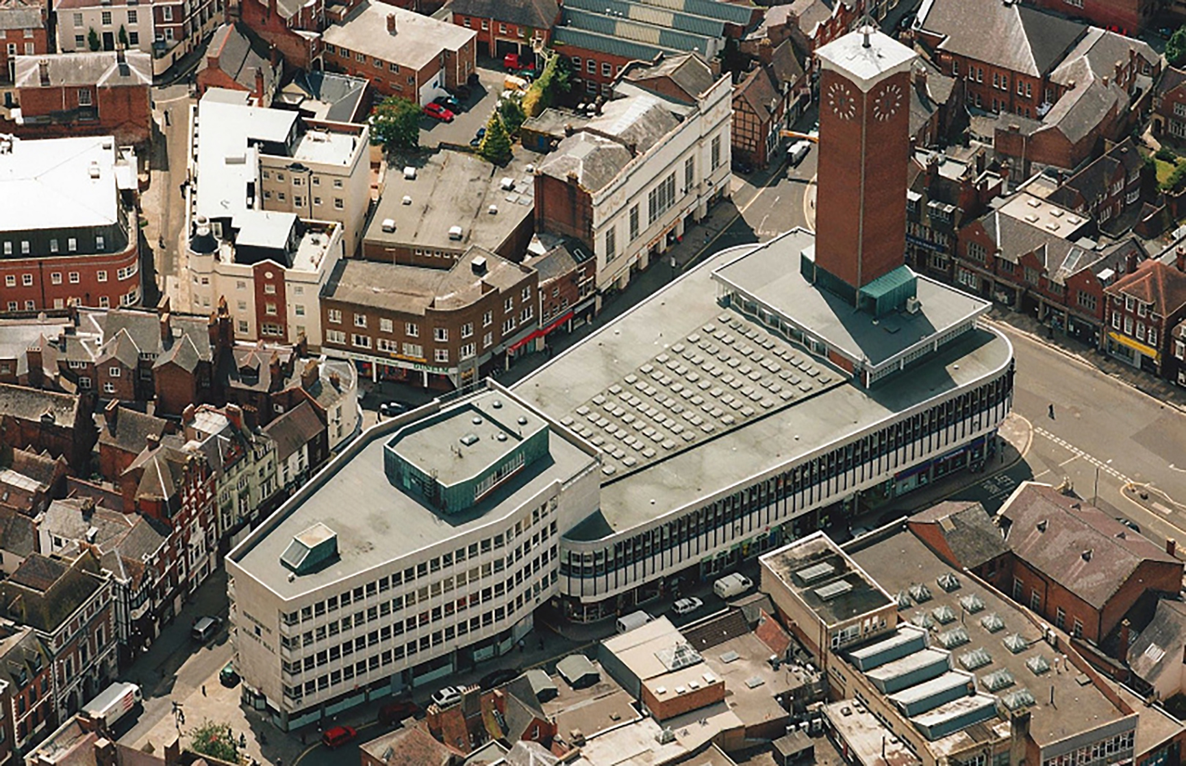
The Market Hall, which includes the town’s 240ft clock tower, an indoor market and a ground-floor shopping centre, was hailed the most modern building in Shropshire when it opened in September 1965.
Developed by the Second Covent Garden Property Company Ltd to replace an ailing Victorian market hall, it cost £1 million to build and was designed by award-winning architect David du Roi Aberdeen who also famously designed the Trade Union Congress headquarters, Congress House, in London, and the Swiss Centre in Leicester Square.
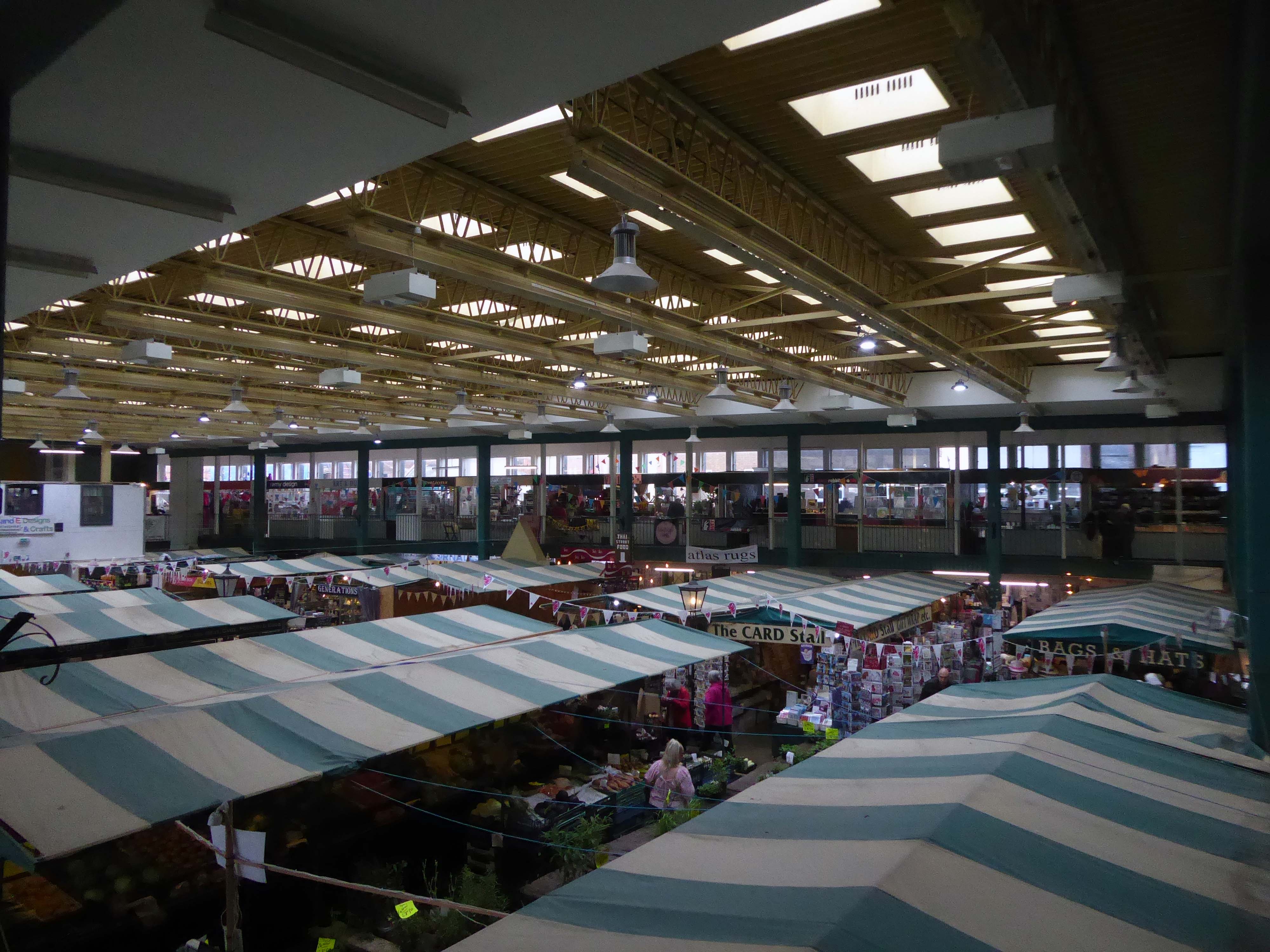
Today the Market Hall’s 1960’s architecture might not be to everyone’s taste, but its indoor market is thriving with over 70 small businesses ranging from popular contemporary cafes and gift retailers to artisan producers and traditional market stalls selling fresh produce.
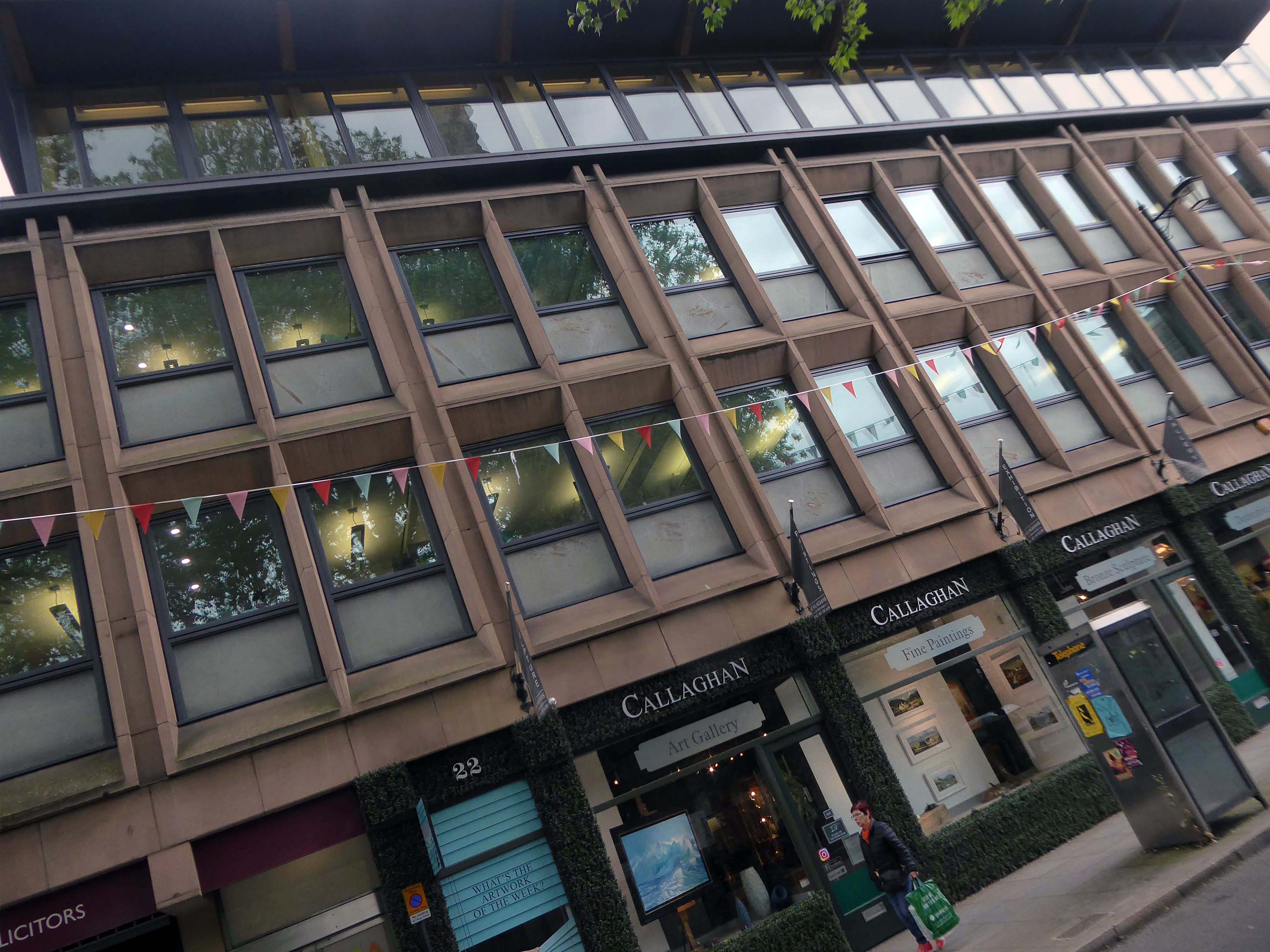
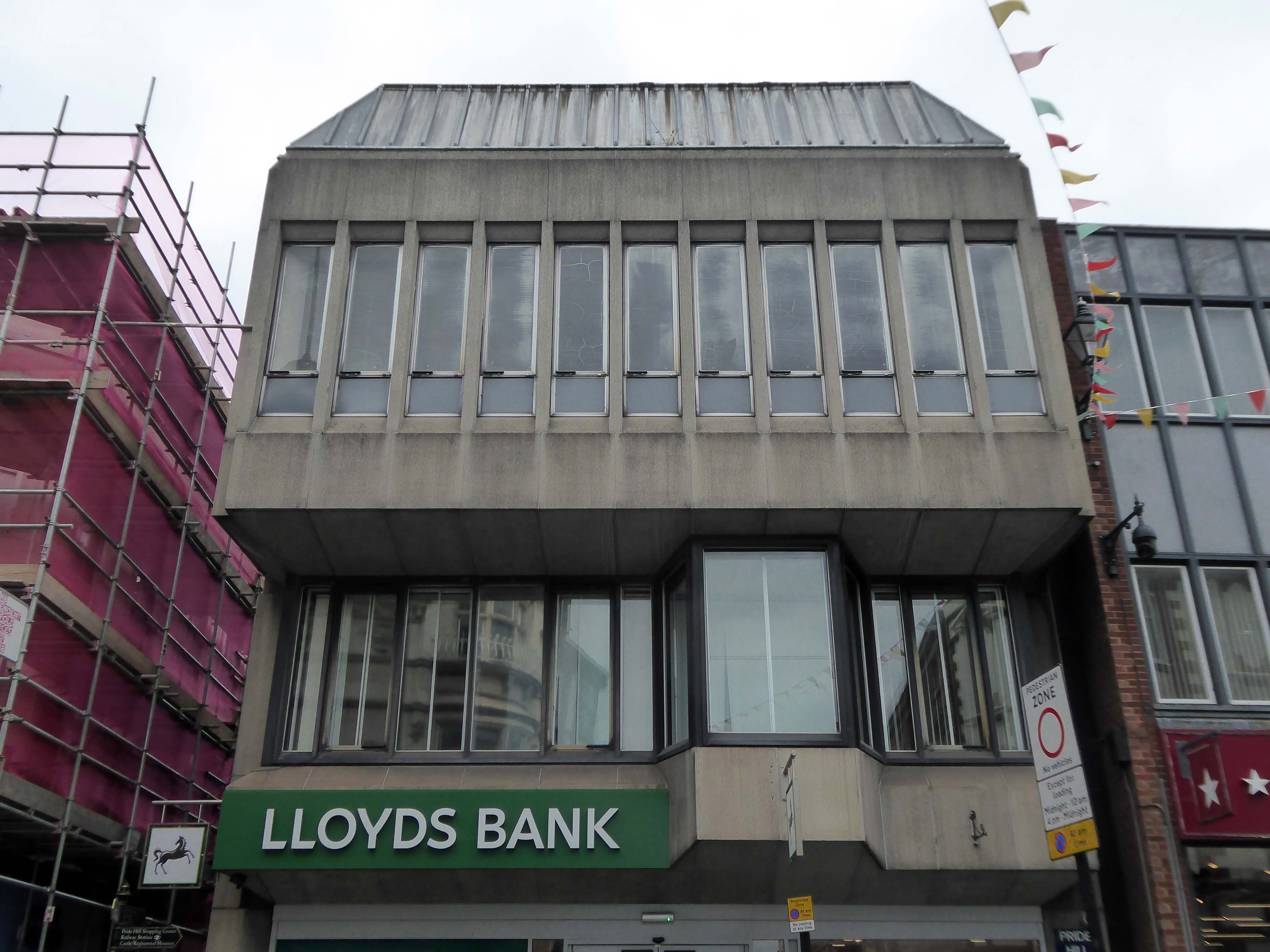
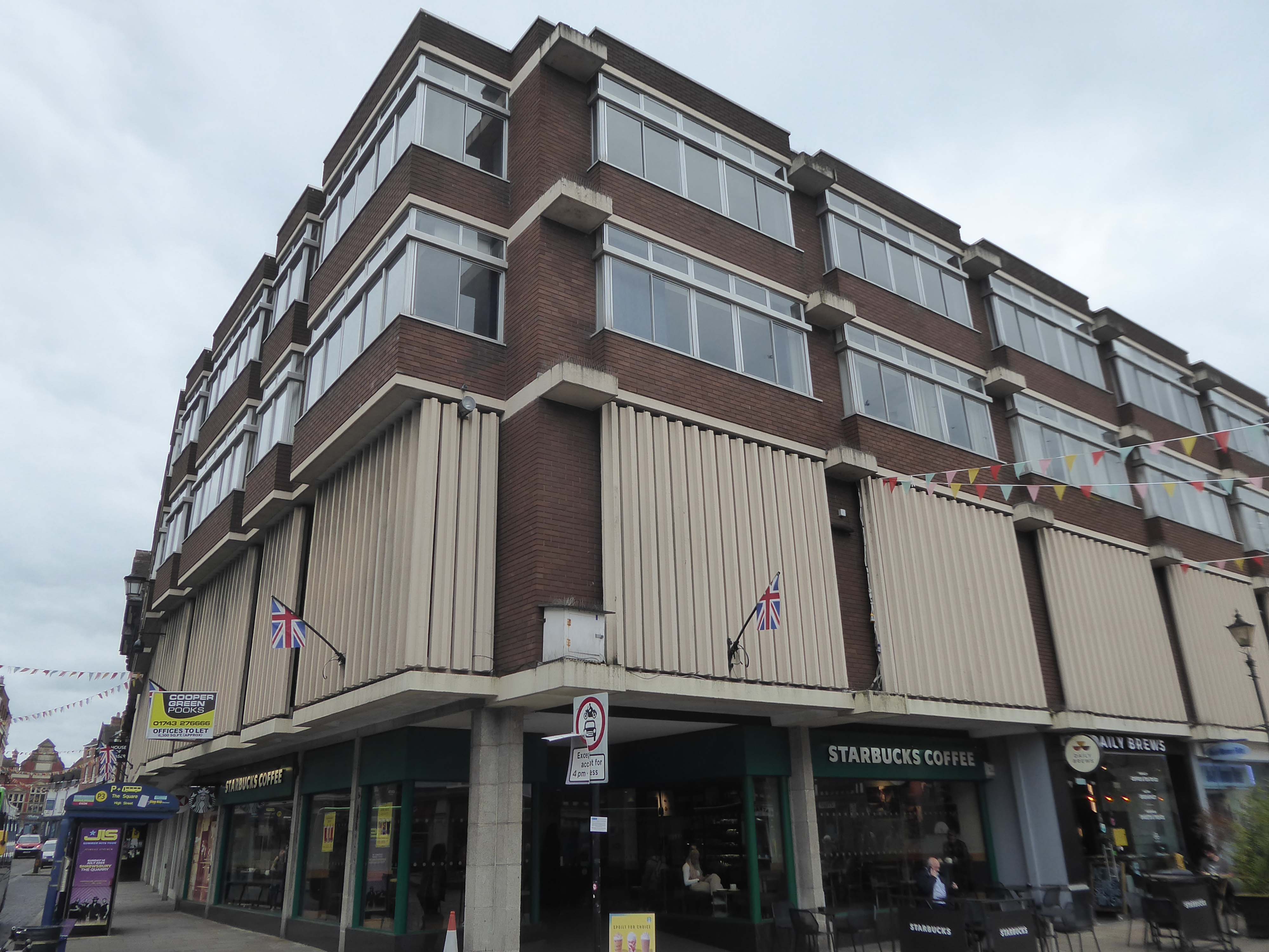
Bobbing toward the centre – a striking Lloyds Bank.
A conscious effort to reflect the nearby Tudor architecture of Ireland’s Mansion and Pride Hill. Lloyds Bank is considered a good example of Brutalist architecture, and proof that bold modern buildings can be successfully slotted into traditional historic streets.
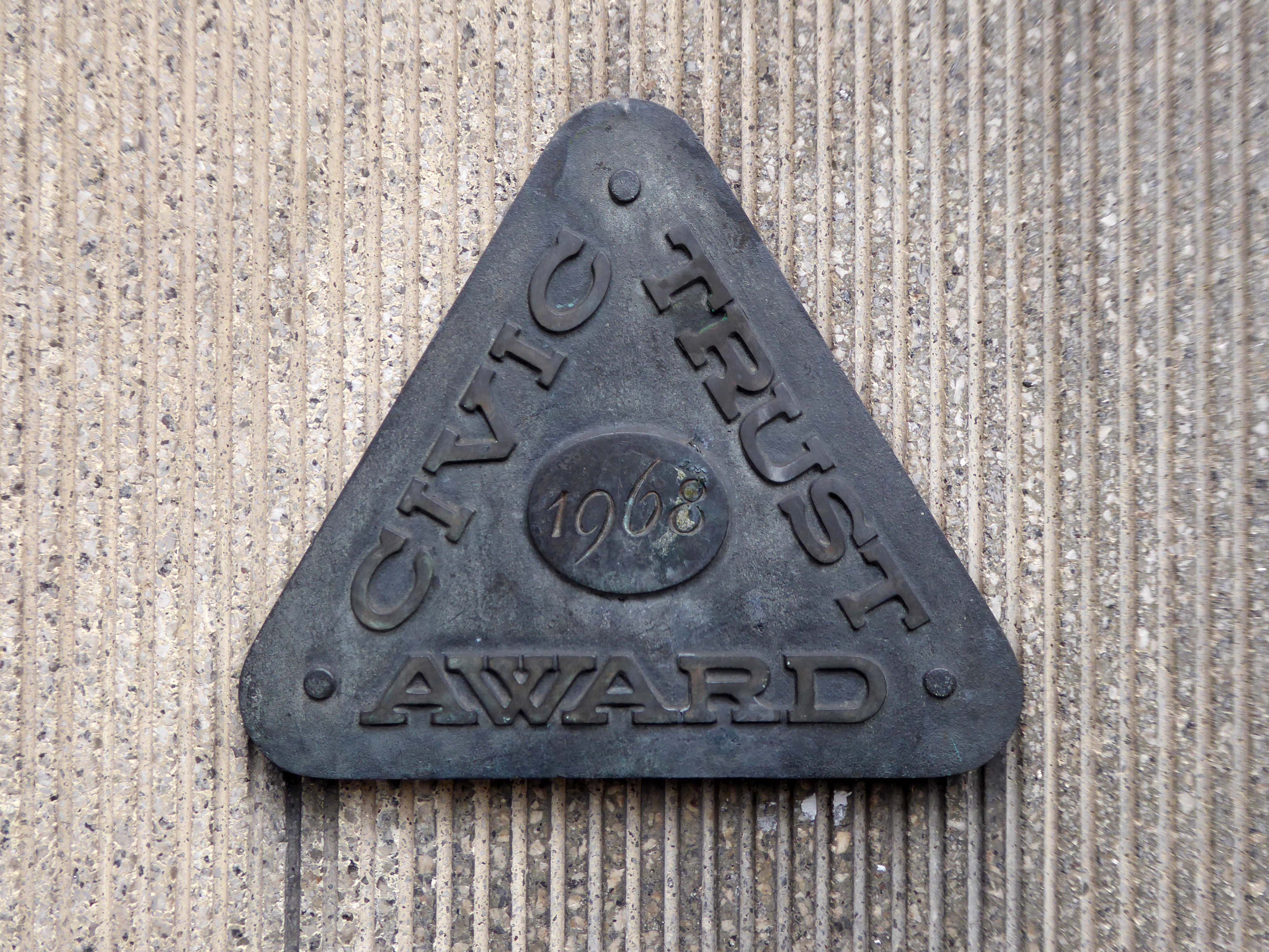
Possibly Shrewsbury’s finest post-war building, but of course it has its detractors. It was well received by critics of the period including the assessors for the Civic Trust who bestowed an award in 1968. They noted the quandary that the architects faced of building in such a historic setting and terminating the vista along one of the town centre’s main streets. In their opinion the architects ‘faced the problem squarely and their building, brave in its conception and immaculate in its detail’ and that it was ‘uncompromisingly of today but beautifully sympathetic to the great buildings it rests with’. Pevsner’s original assessment of it being the ‘boldest modern response to the town’s half-timbering’ was not shared by the authors who revised the Shropshire edition and viewed it as an ‘aggressive display of exposed and textured concrete’.
It was also shortlisted for the European Cement Association awards, one of only two British buildings to make the grade. Opting to draw on the Tudor traditions of the town, partner W Marsden, working with project architect W Allan Clark and assistants Malcolm Lovibond and Keith Maplestone, used cantilevered floors, vertical structural and sub-structural members, oriel windows and a black and white tonal palette deploying anodized aluminium window frames against finely ribbed concrete panels. The standing seam zinc roof adopted the town’s norm of pitched roofs without gables in order to blend with the street scene. Concrete Quarterly referred to it as ‘a skilful bridging of the centuries in a way that would not offend a purist’ . The main contractor was Henry Willcock and Company Limited.
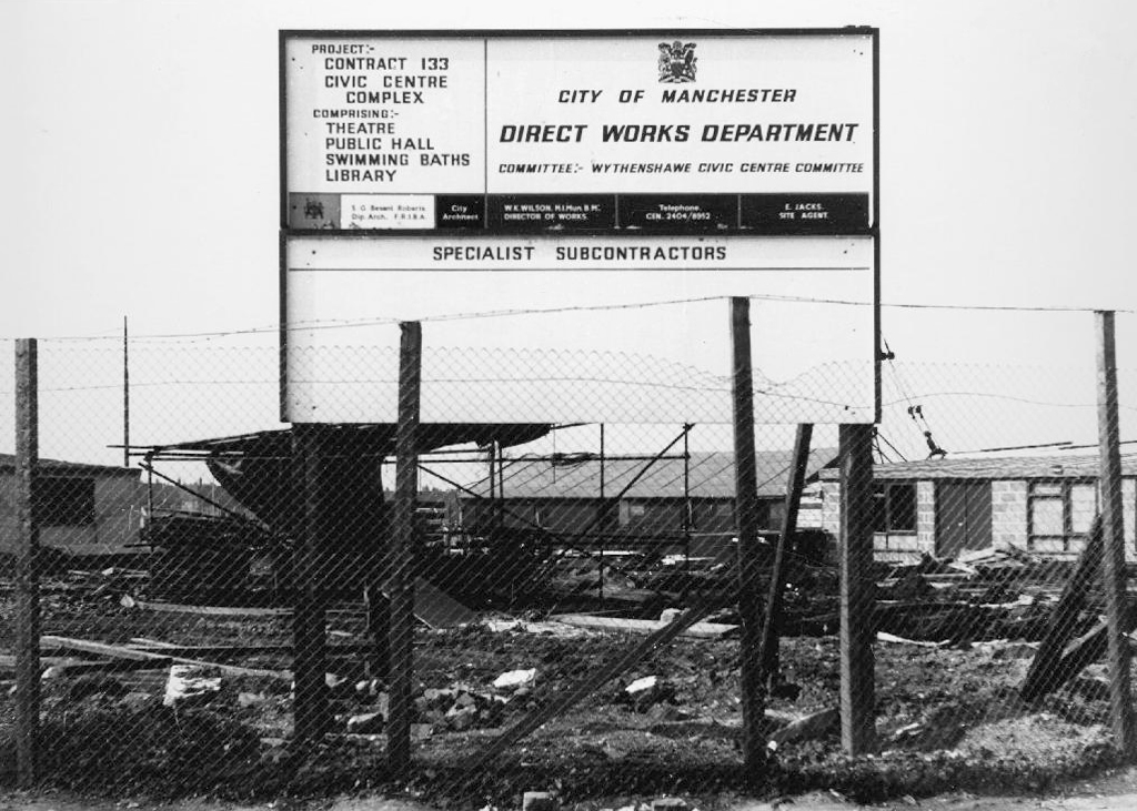
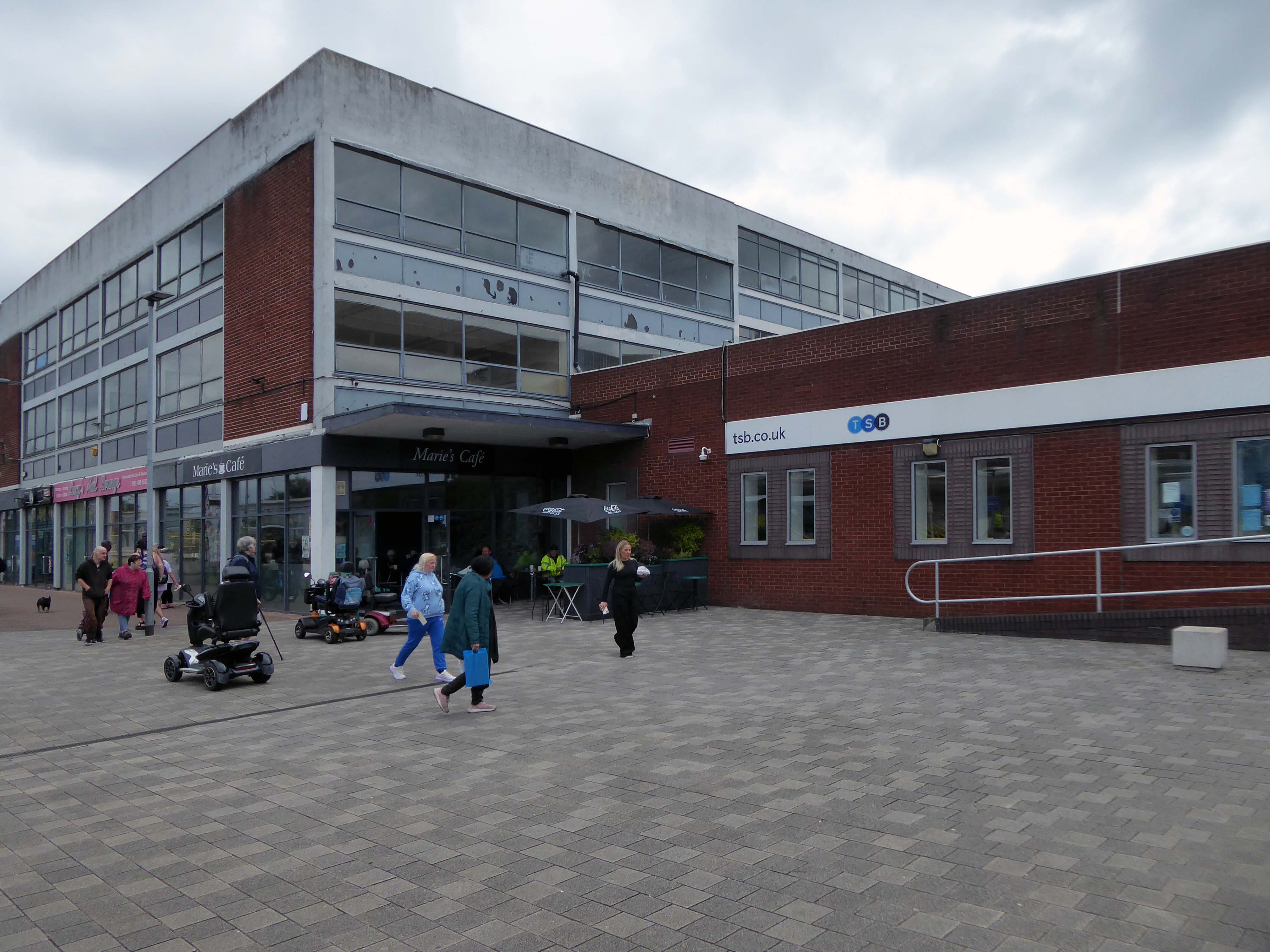
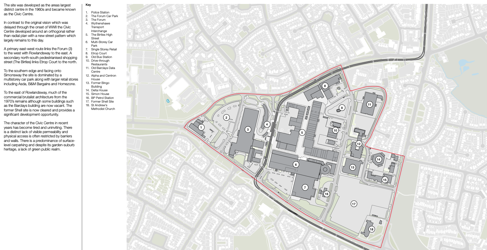
Work began in the interwar years, and continued following the hiatus of 1939-45. The shopping centre named the Civic Centre was open in 1963, the actual Civic Centre containing a swimming pool, theatre, public hall and library in 1971.
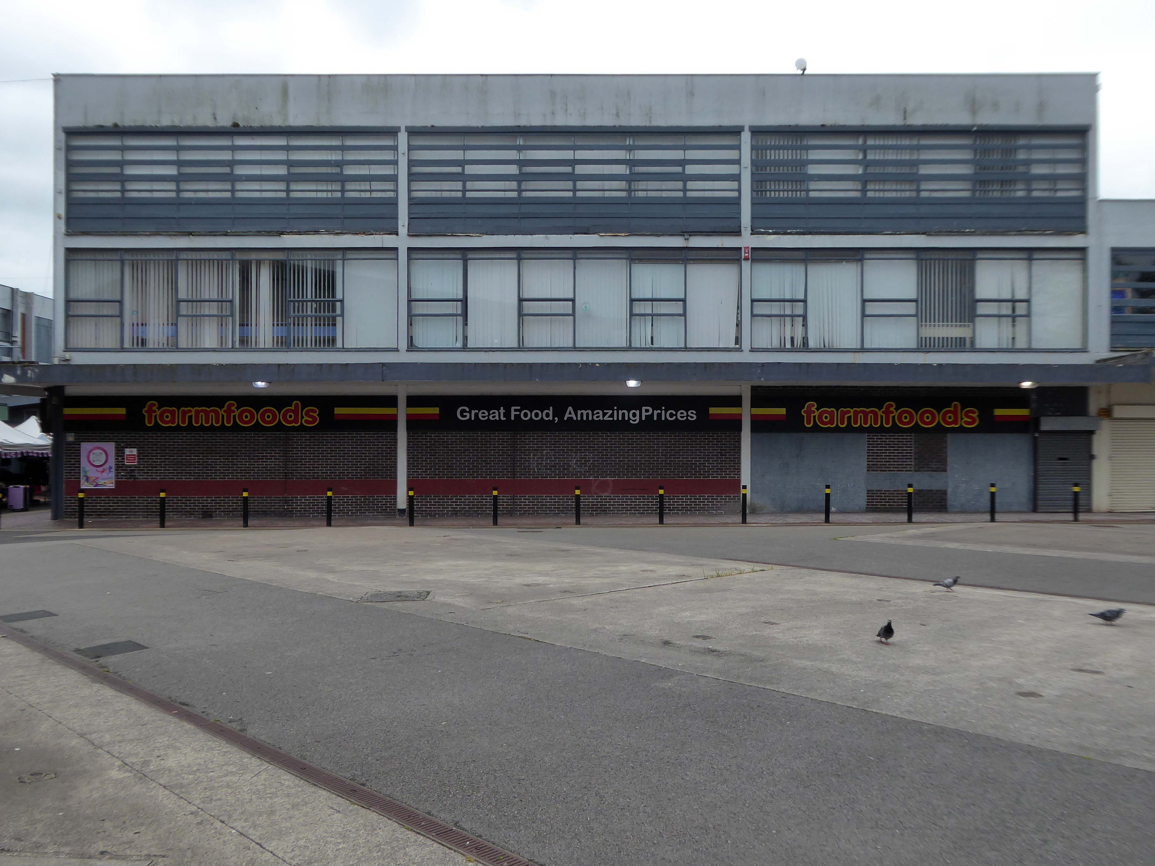
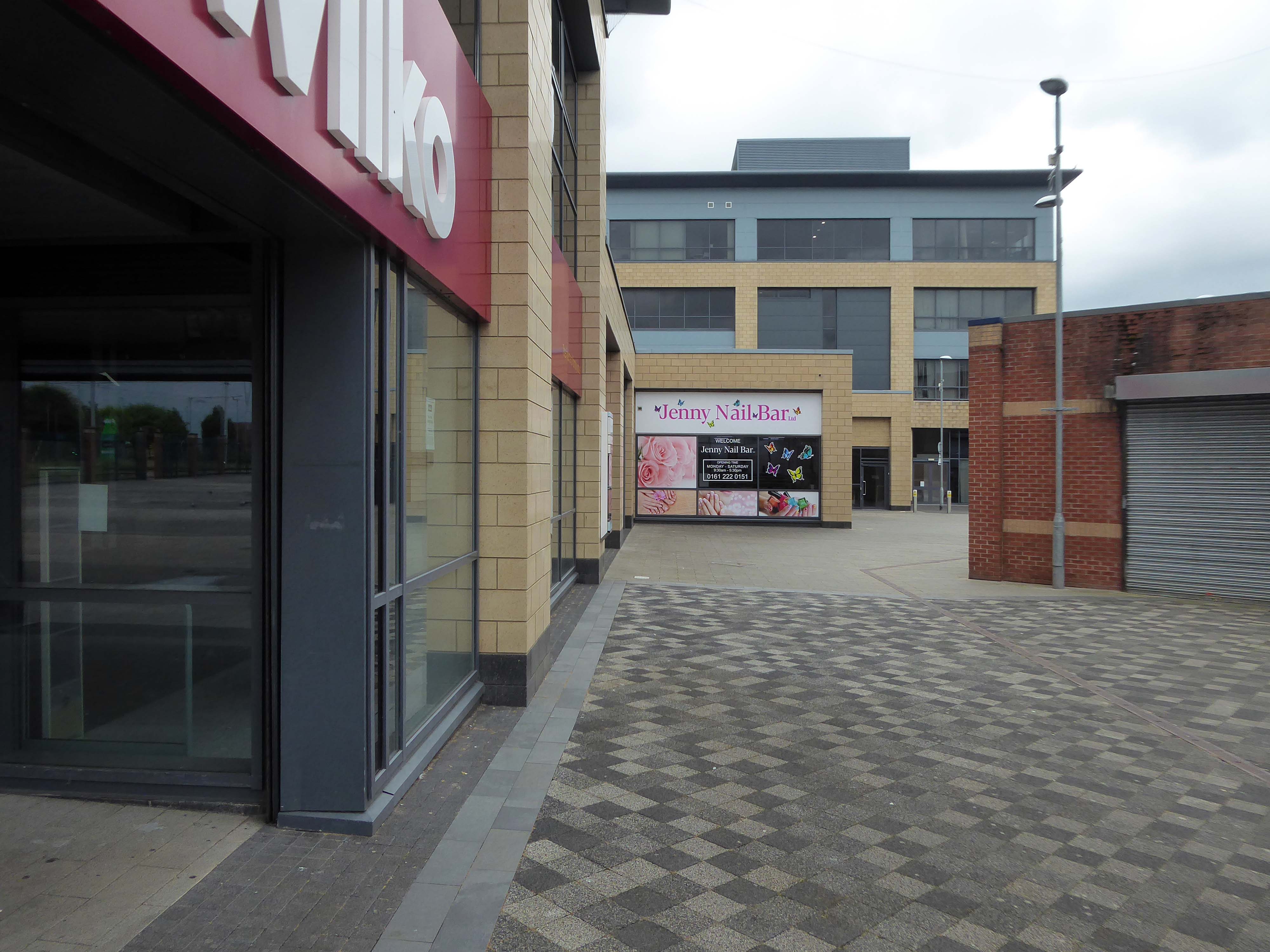
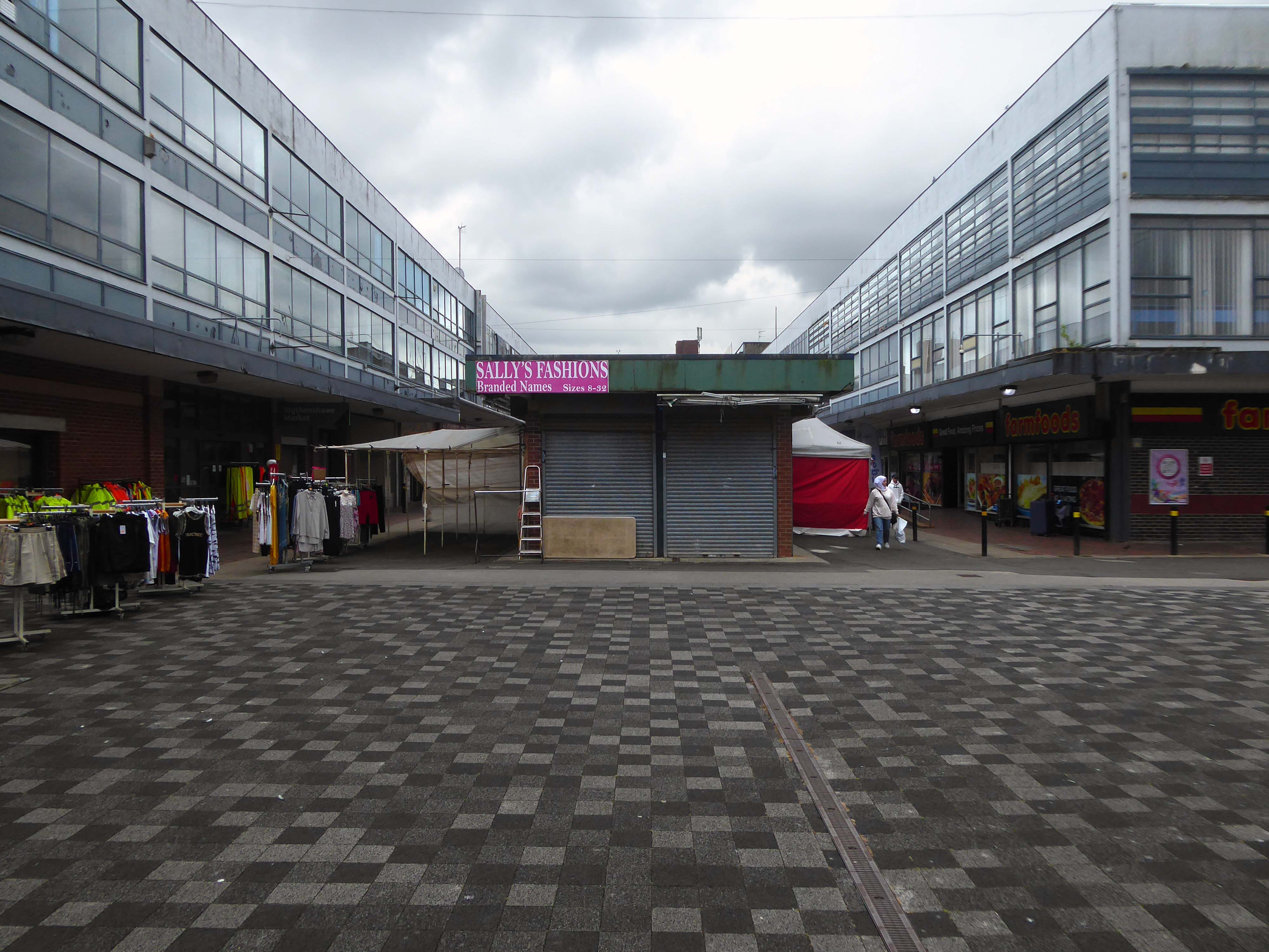
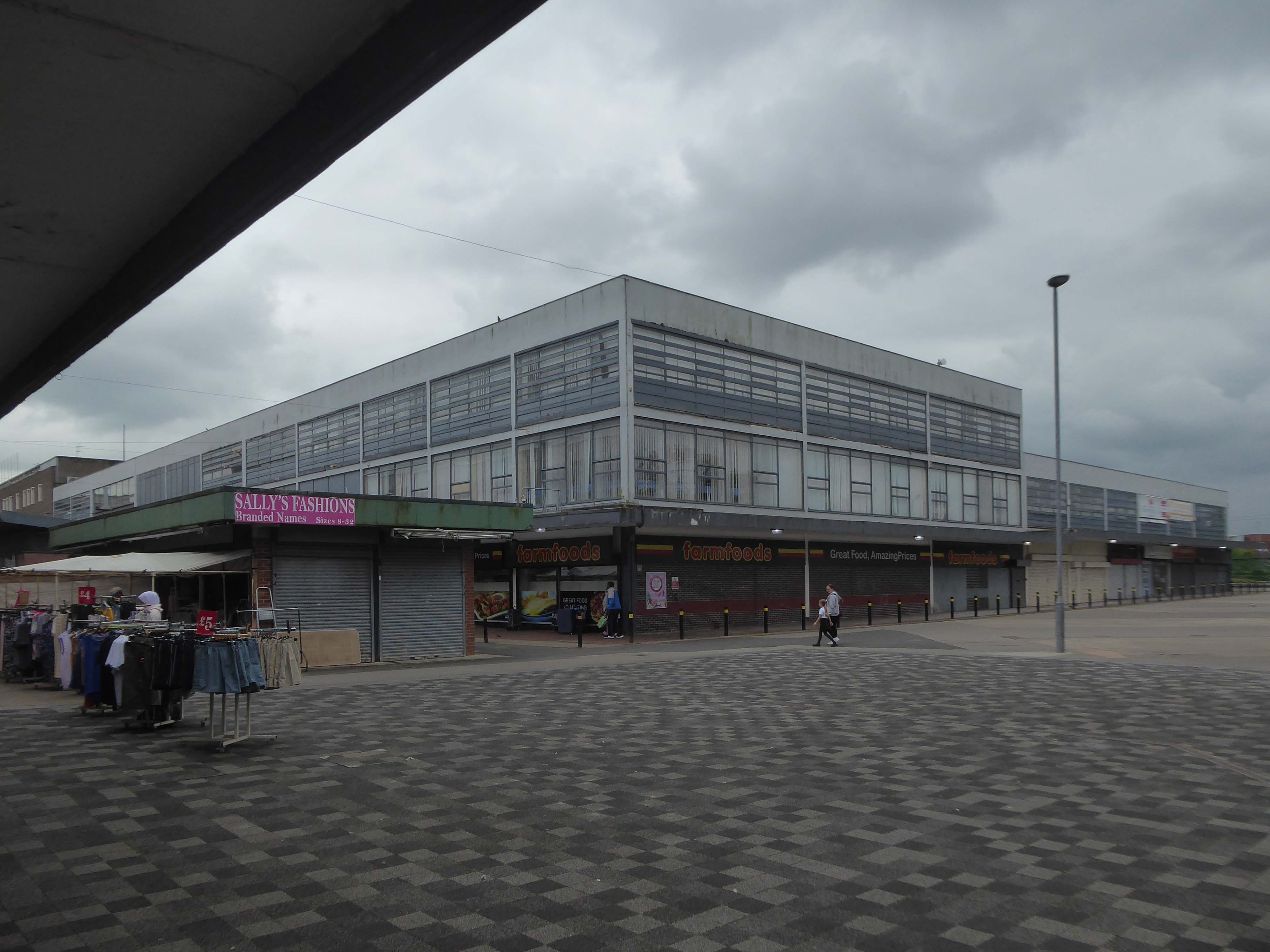
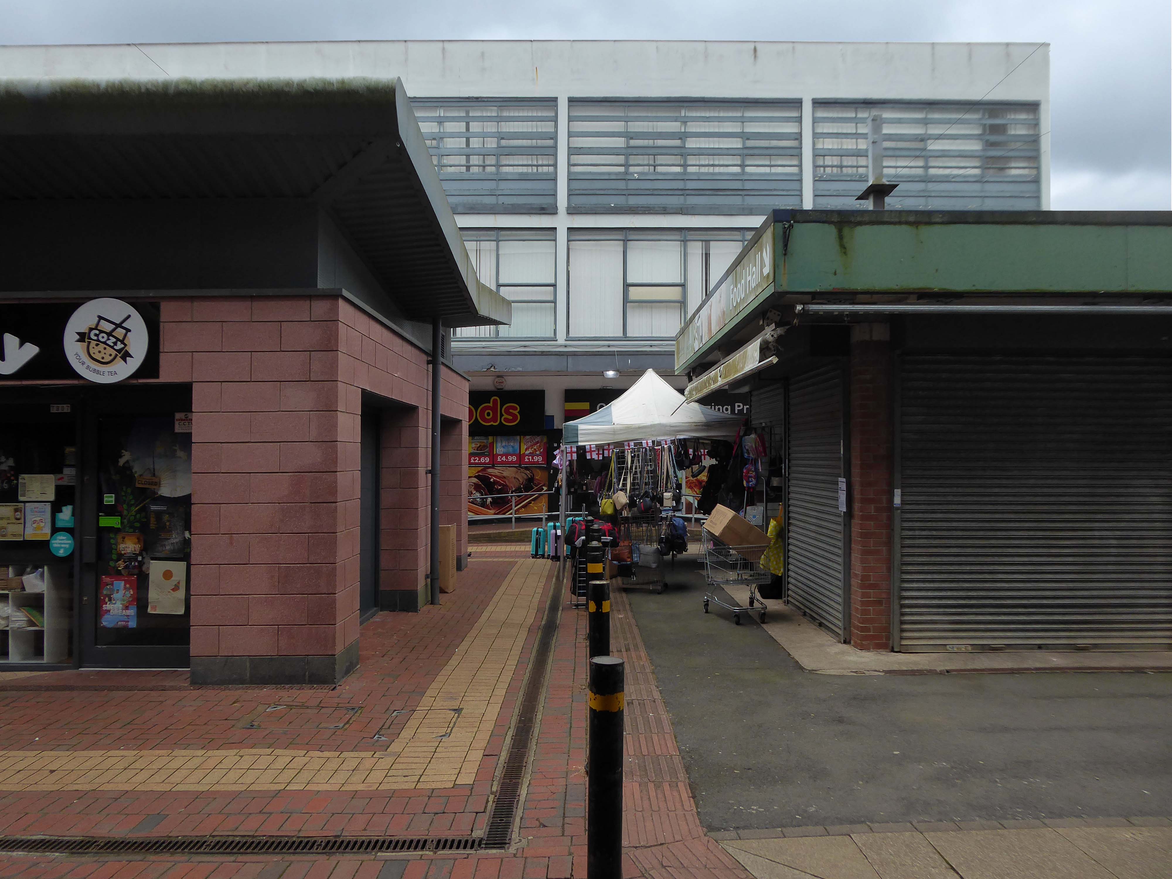
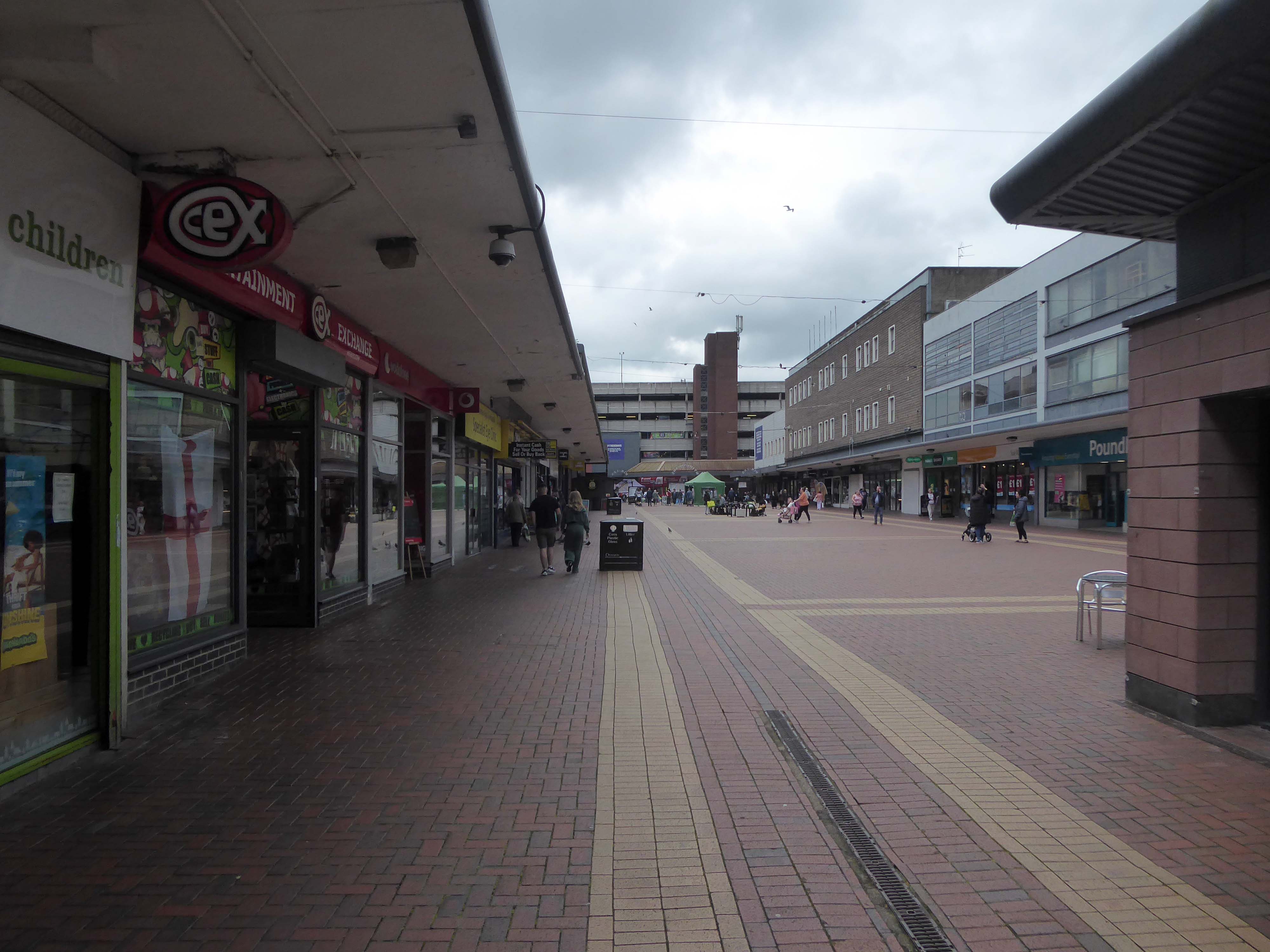
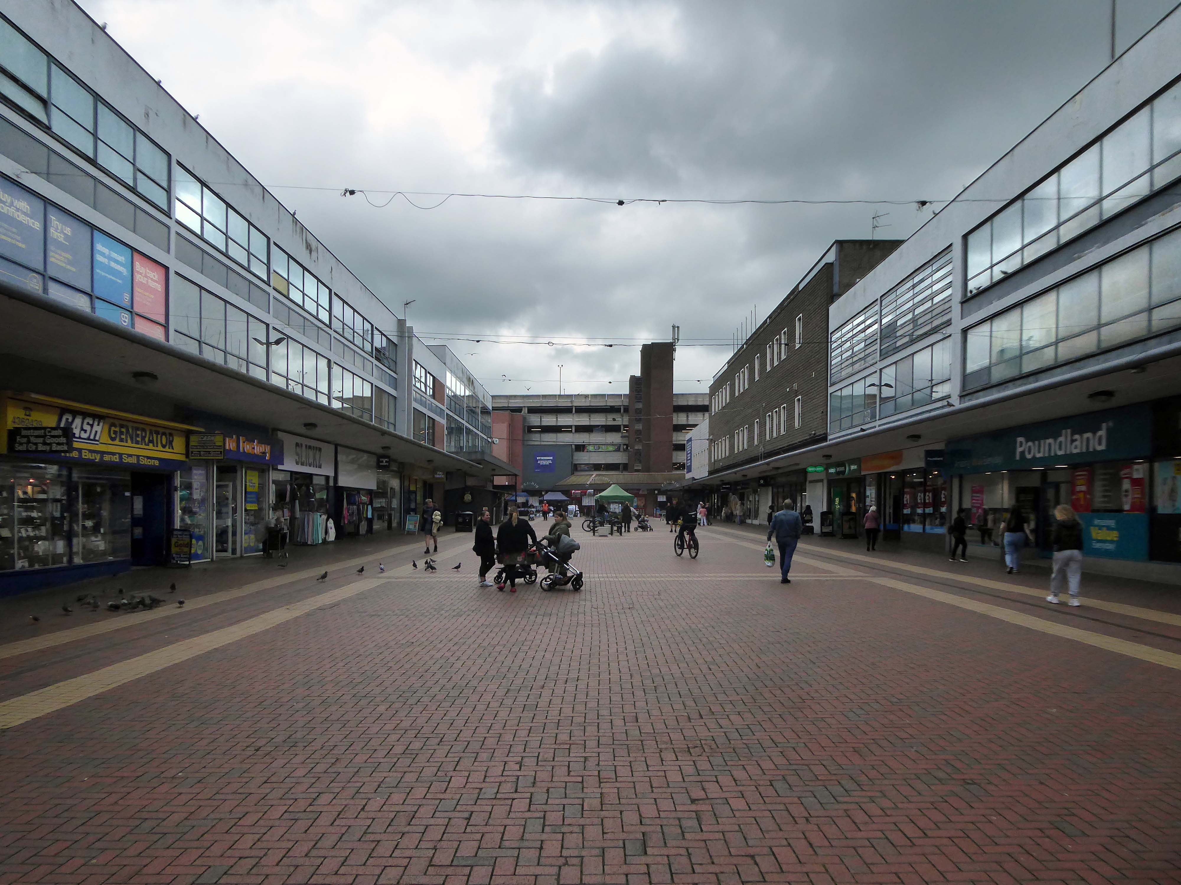
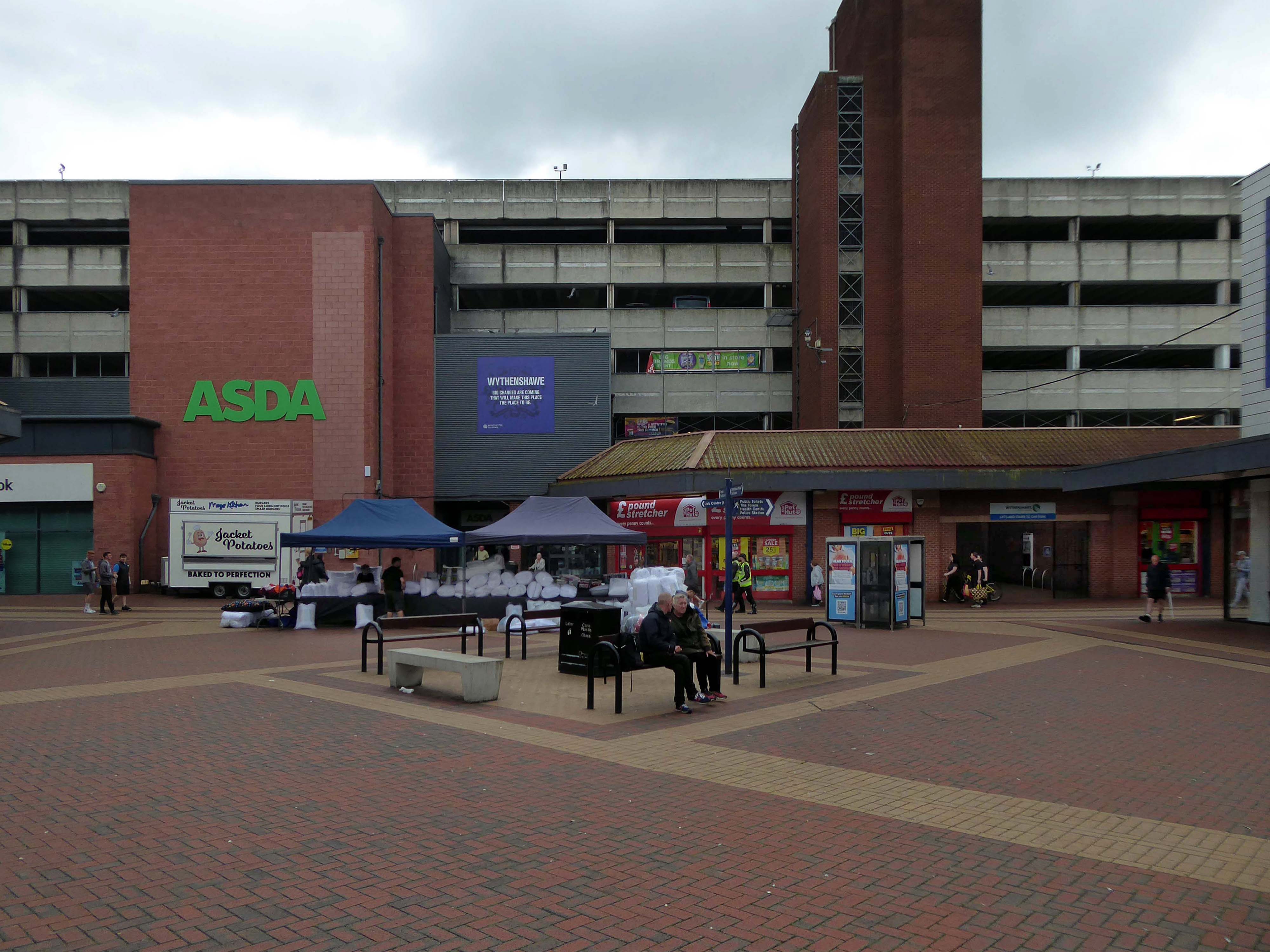
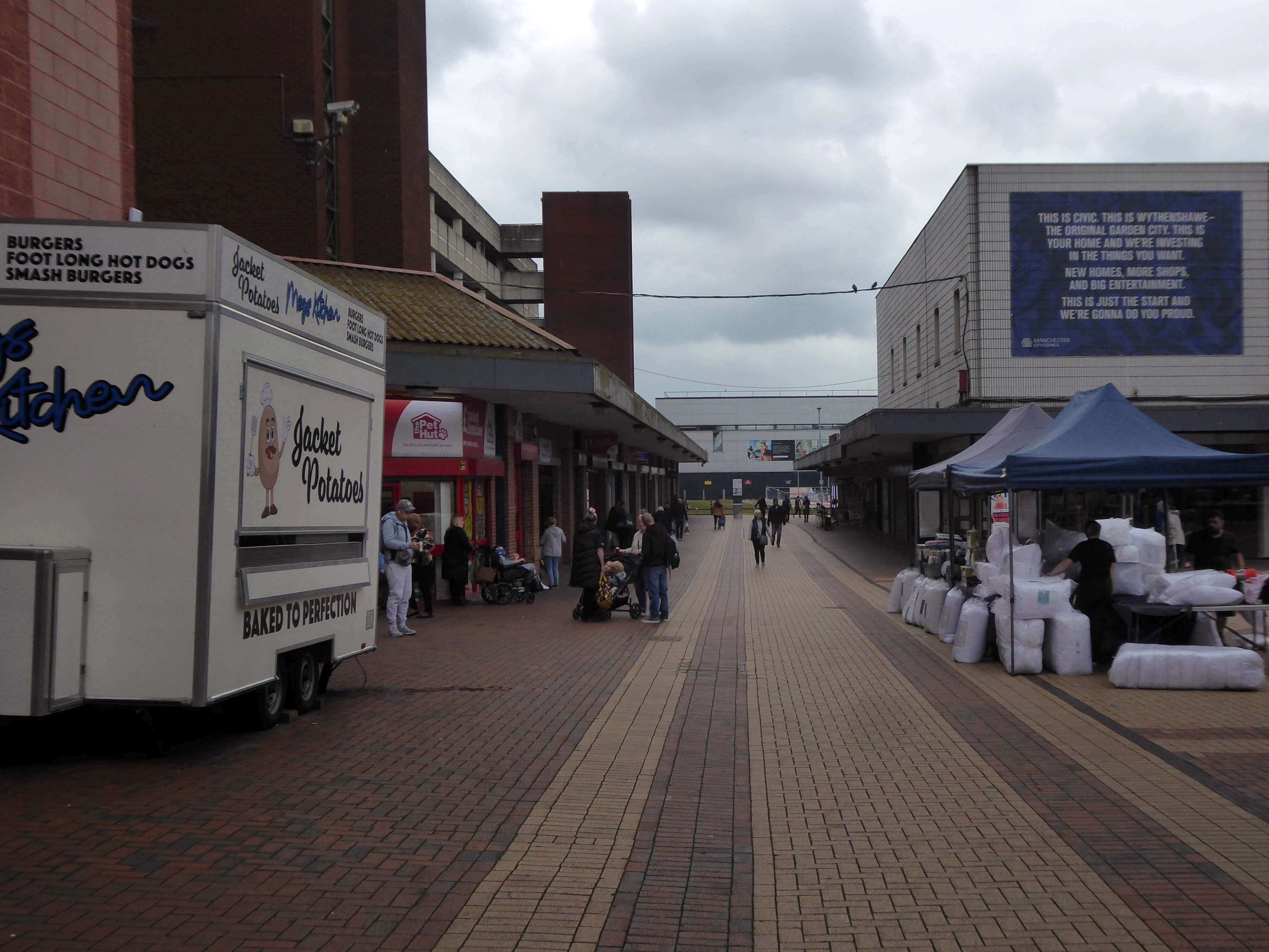
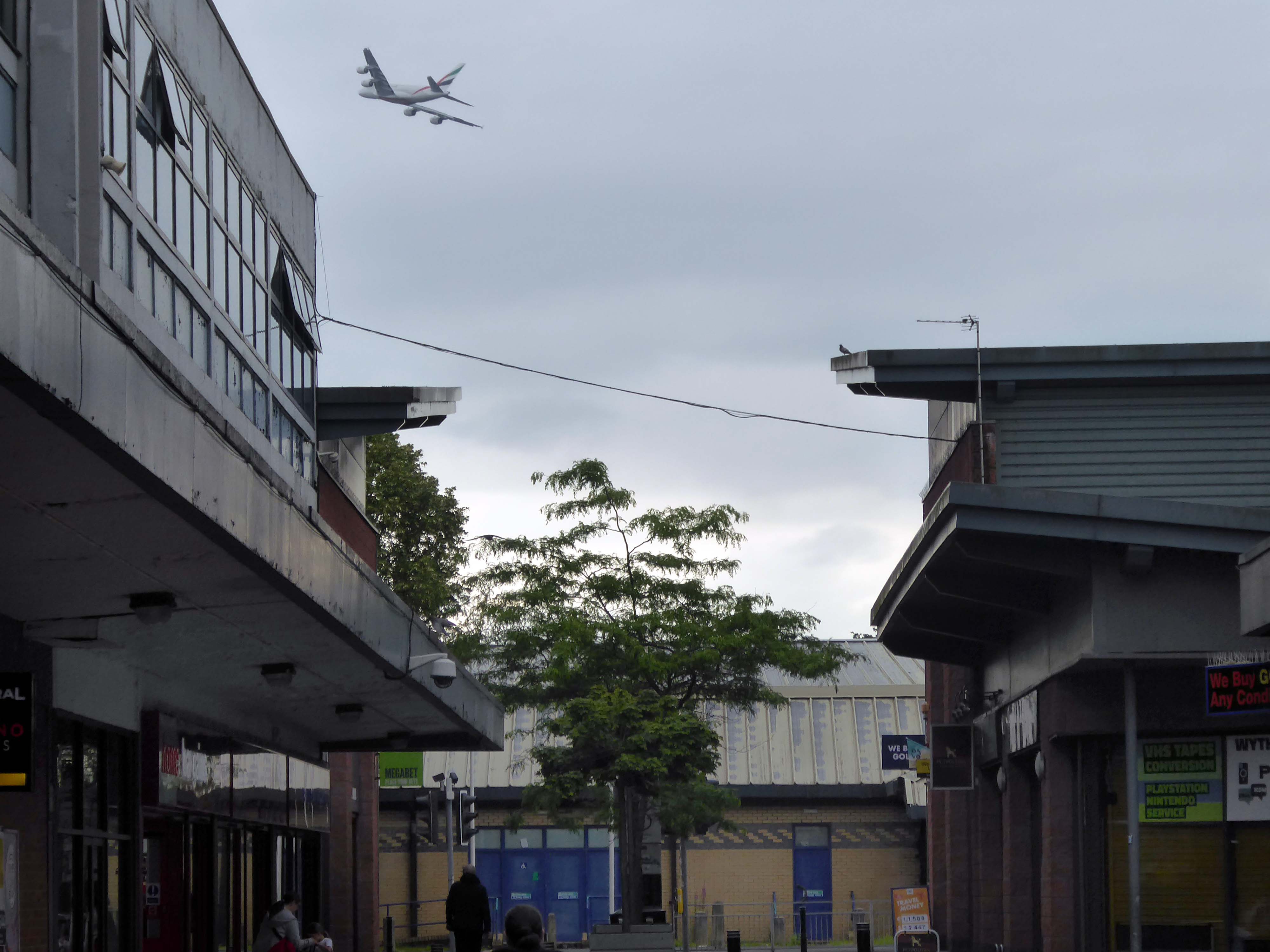
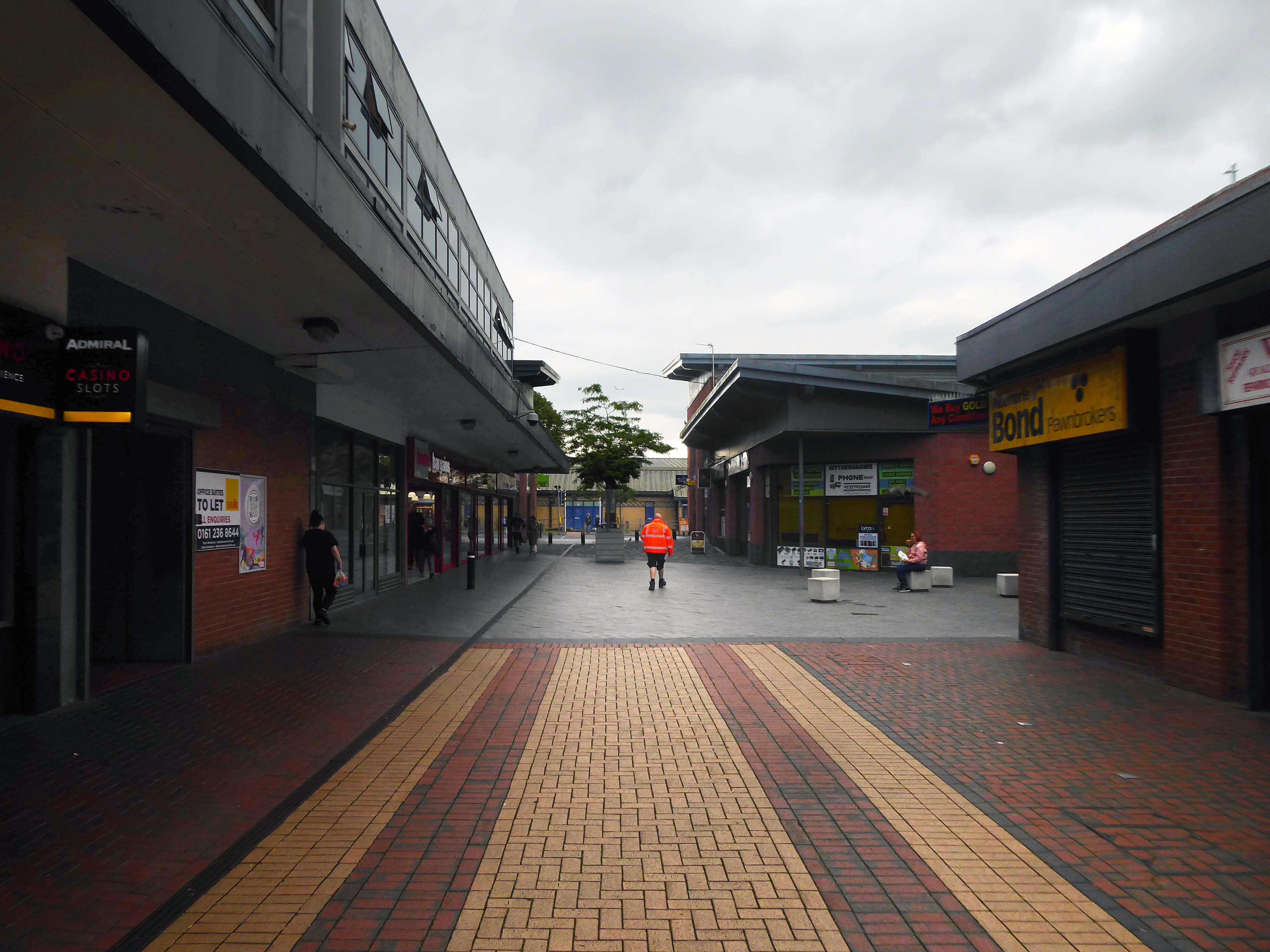
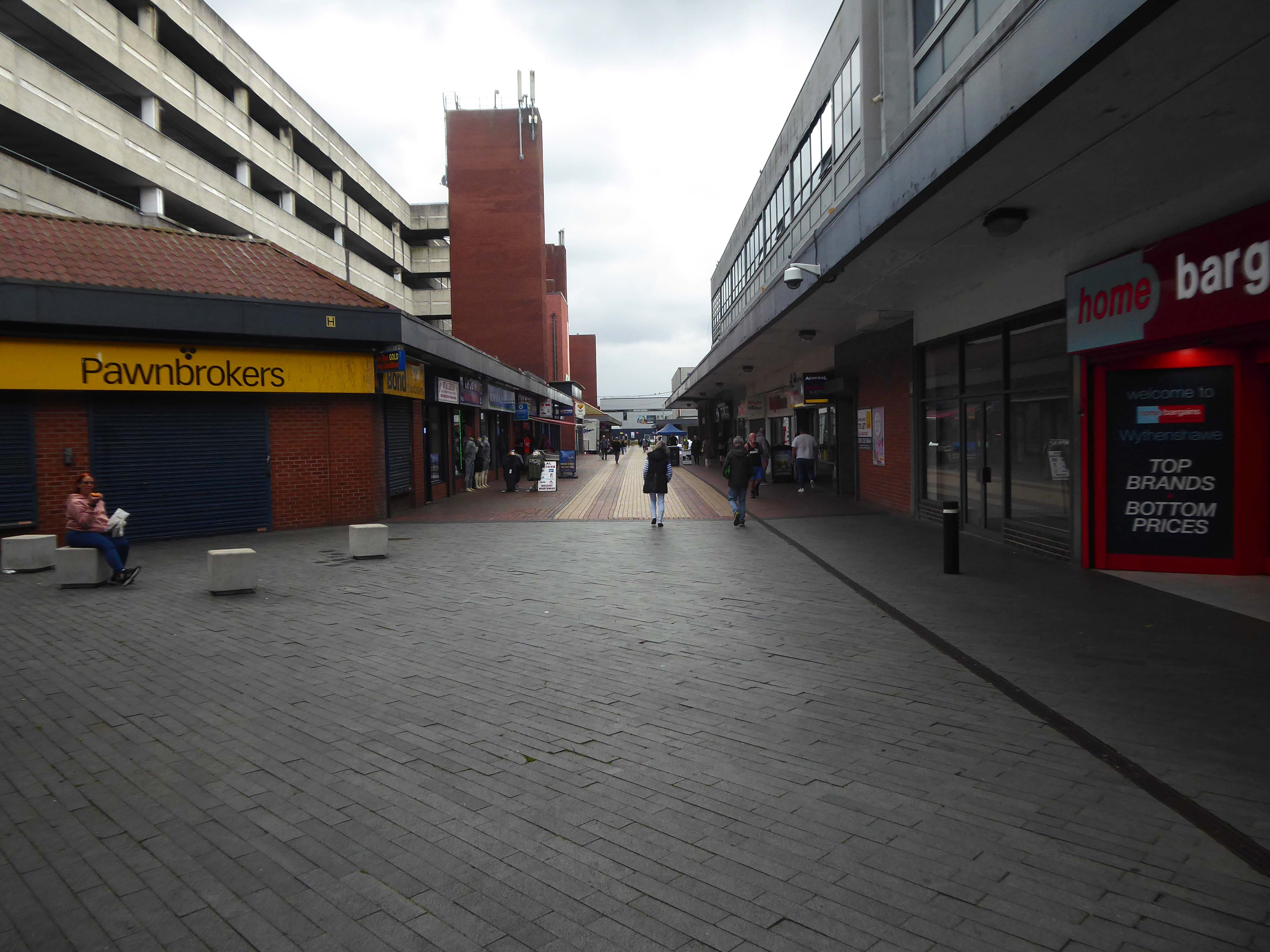
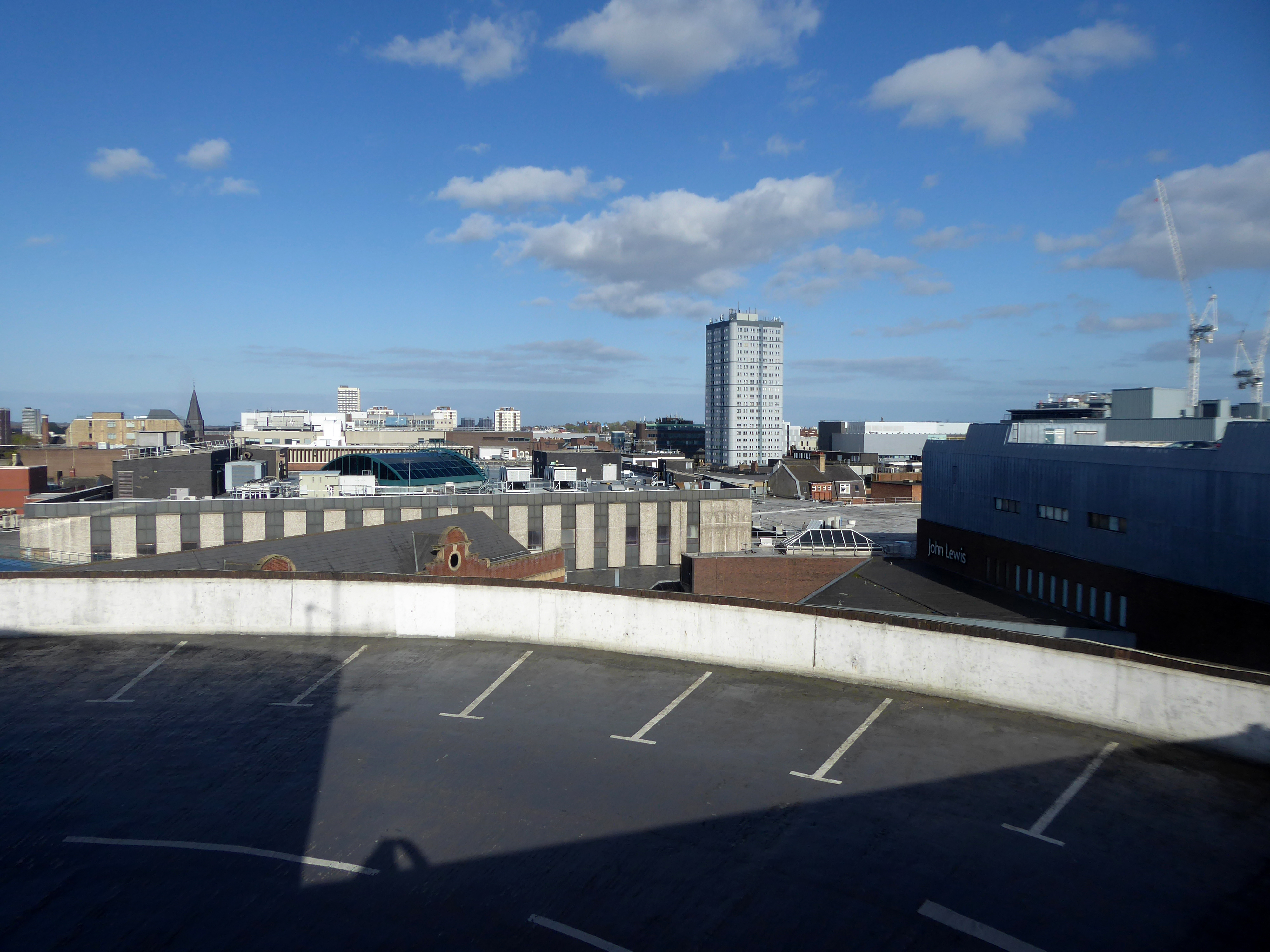
Here I am again four years later, taking a look at how it looks today.
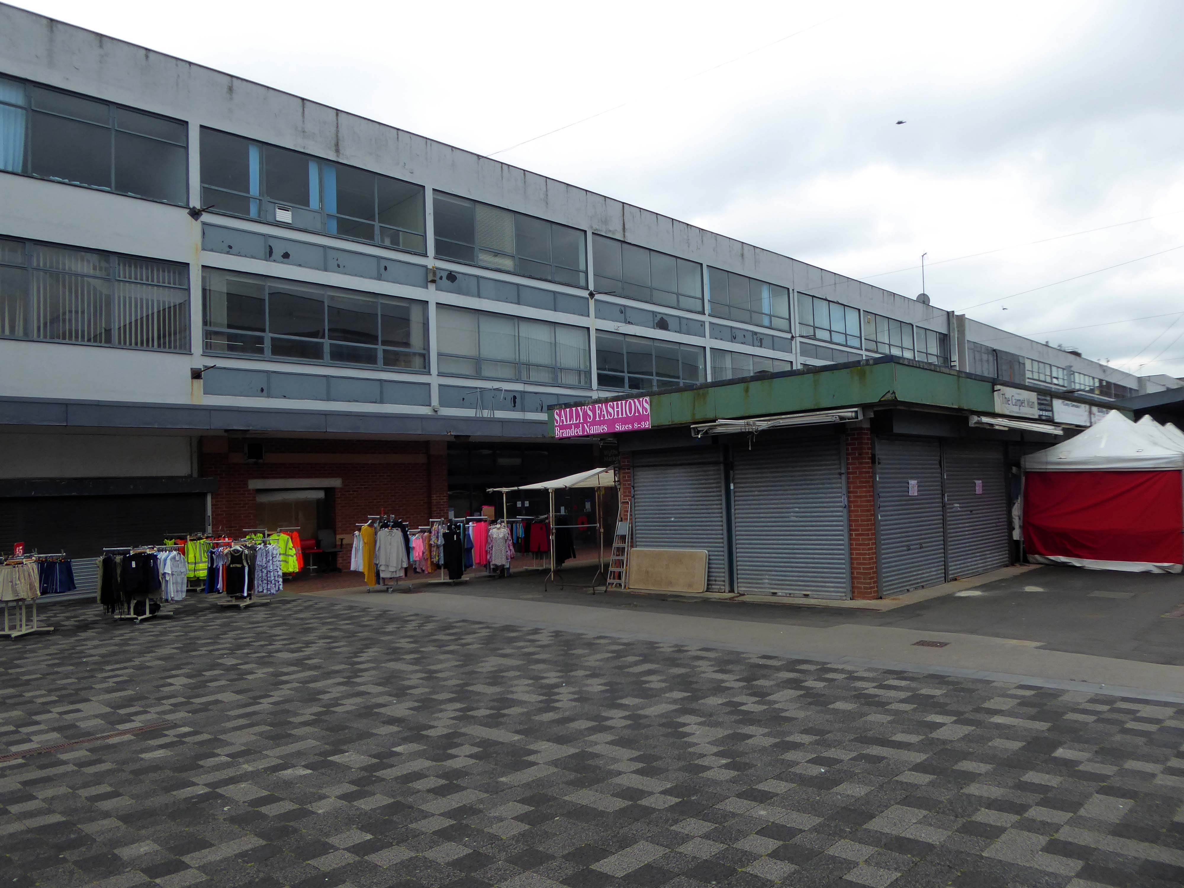
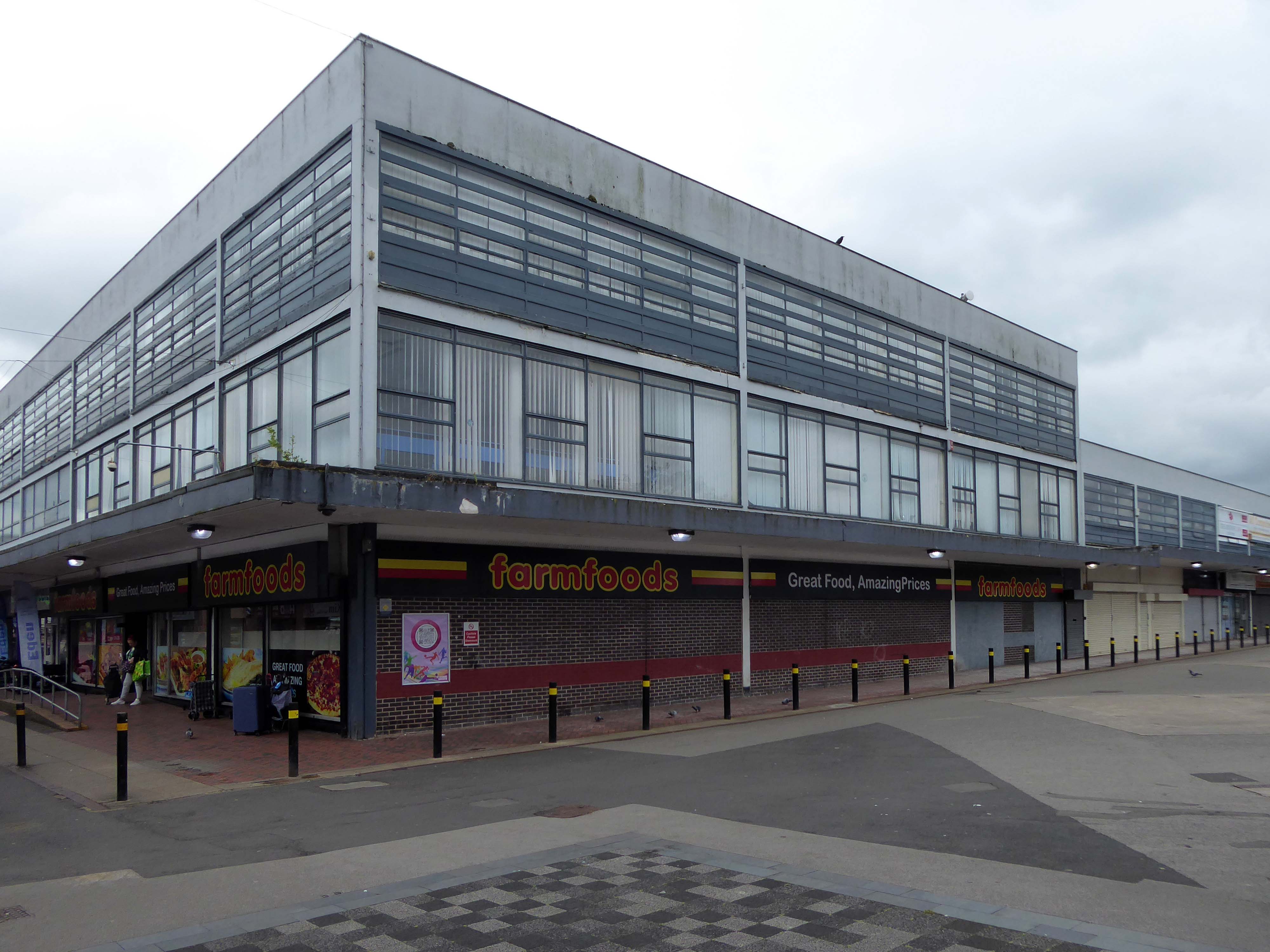
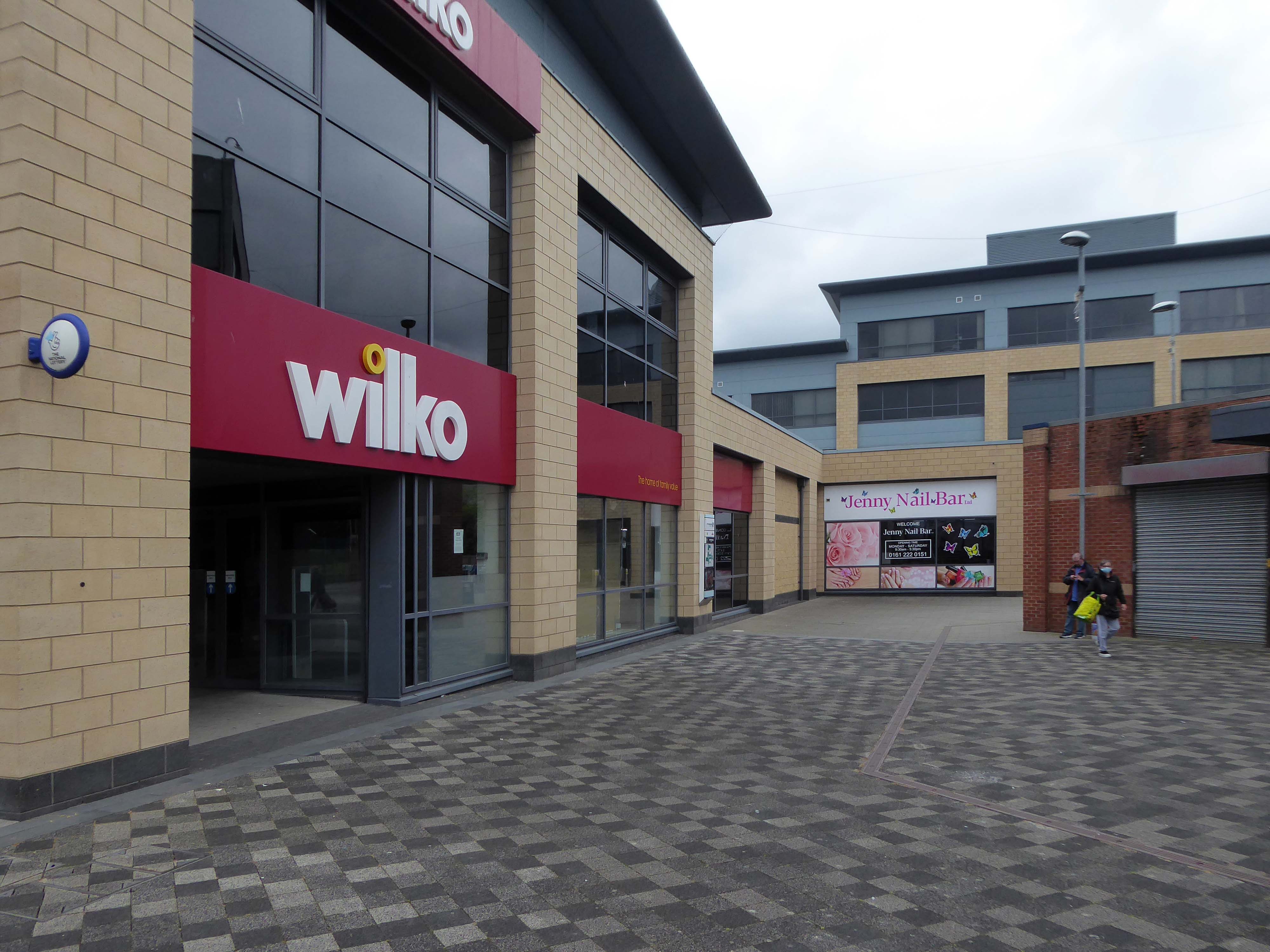
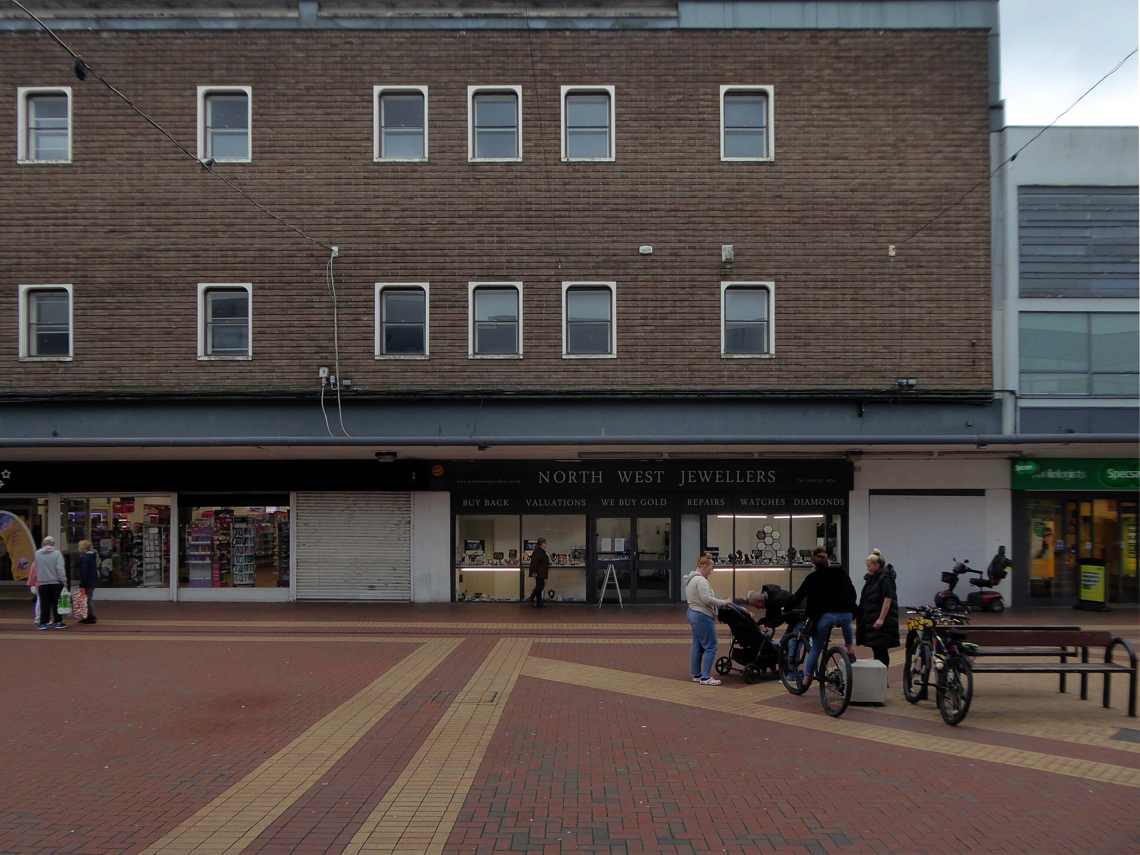
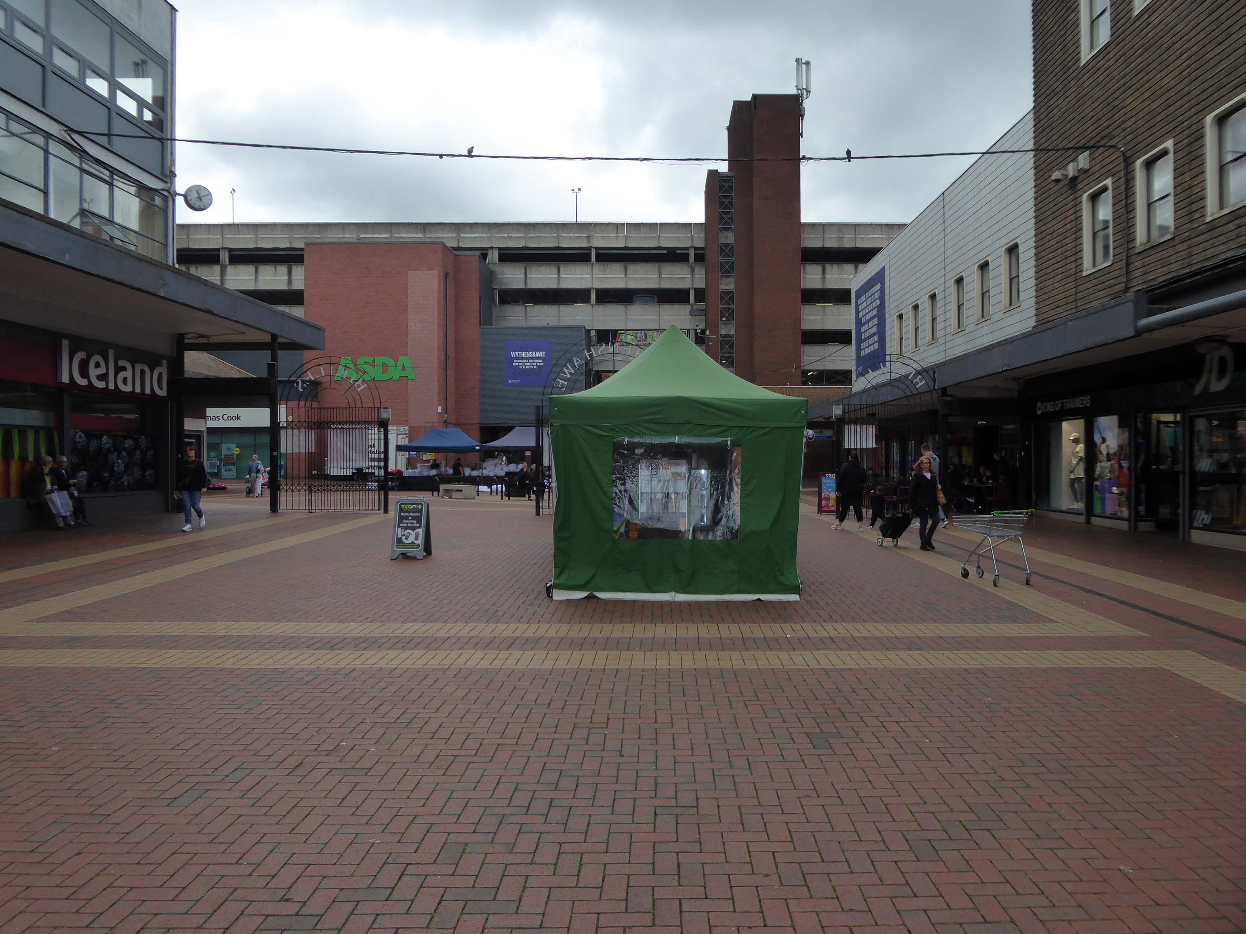
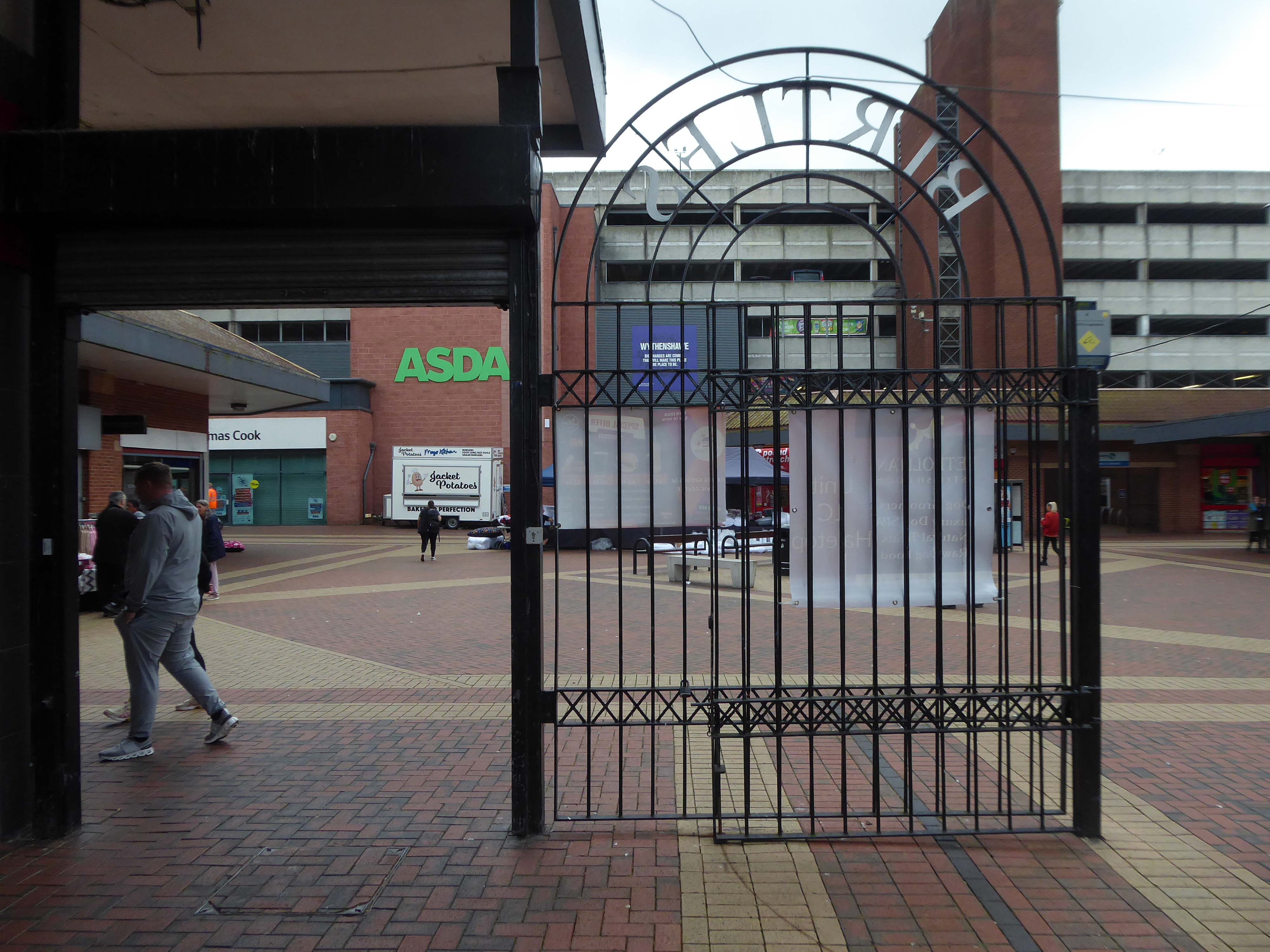
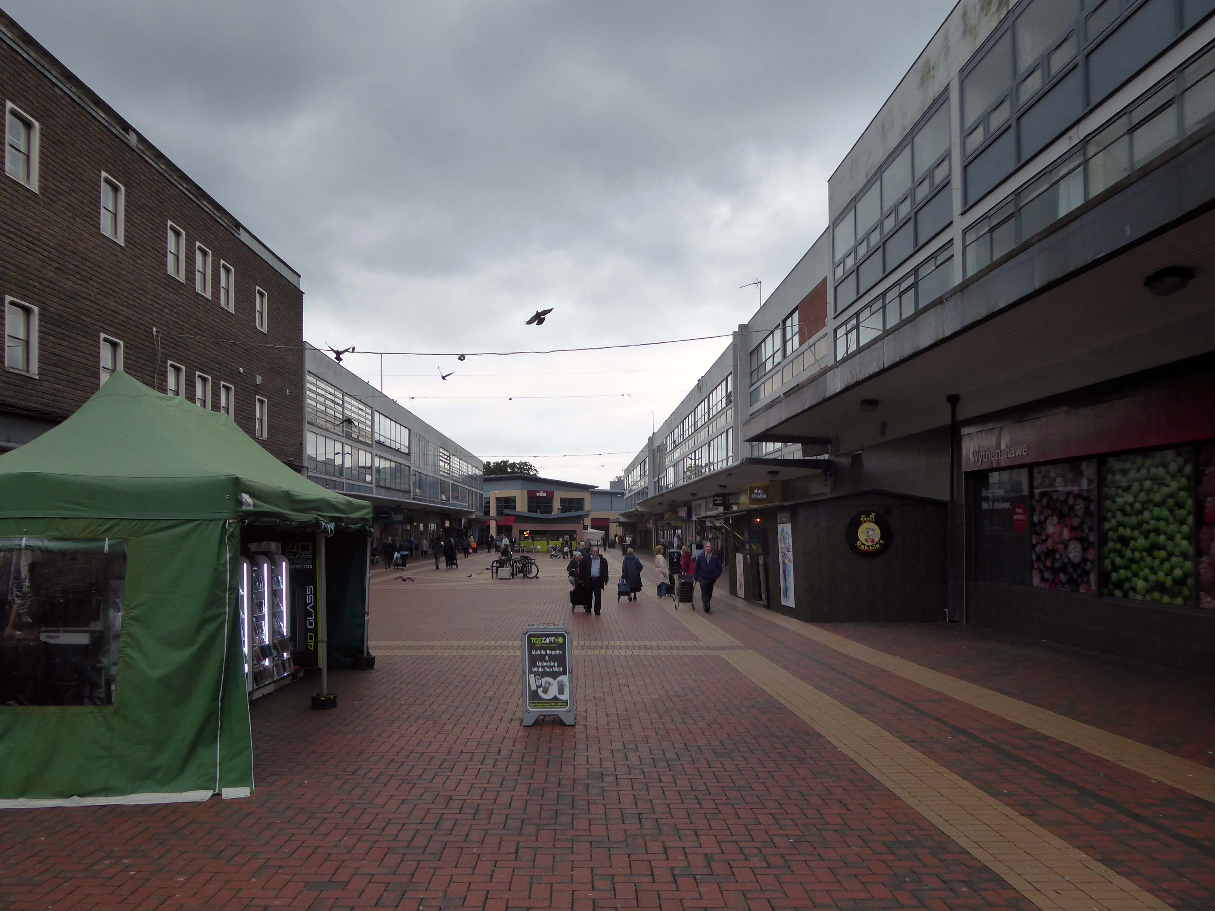
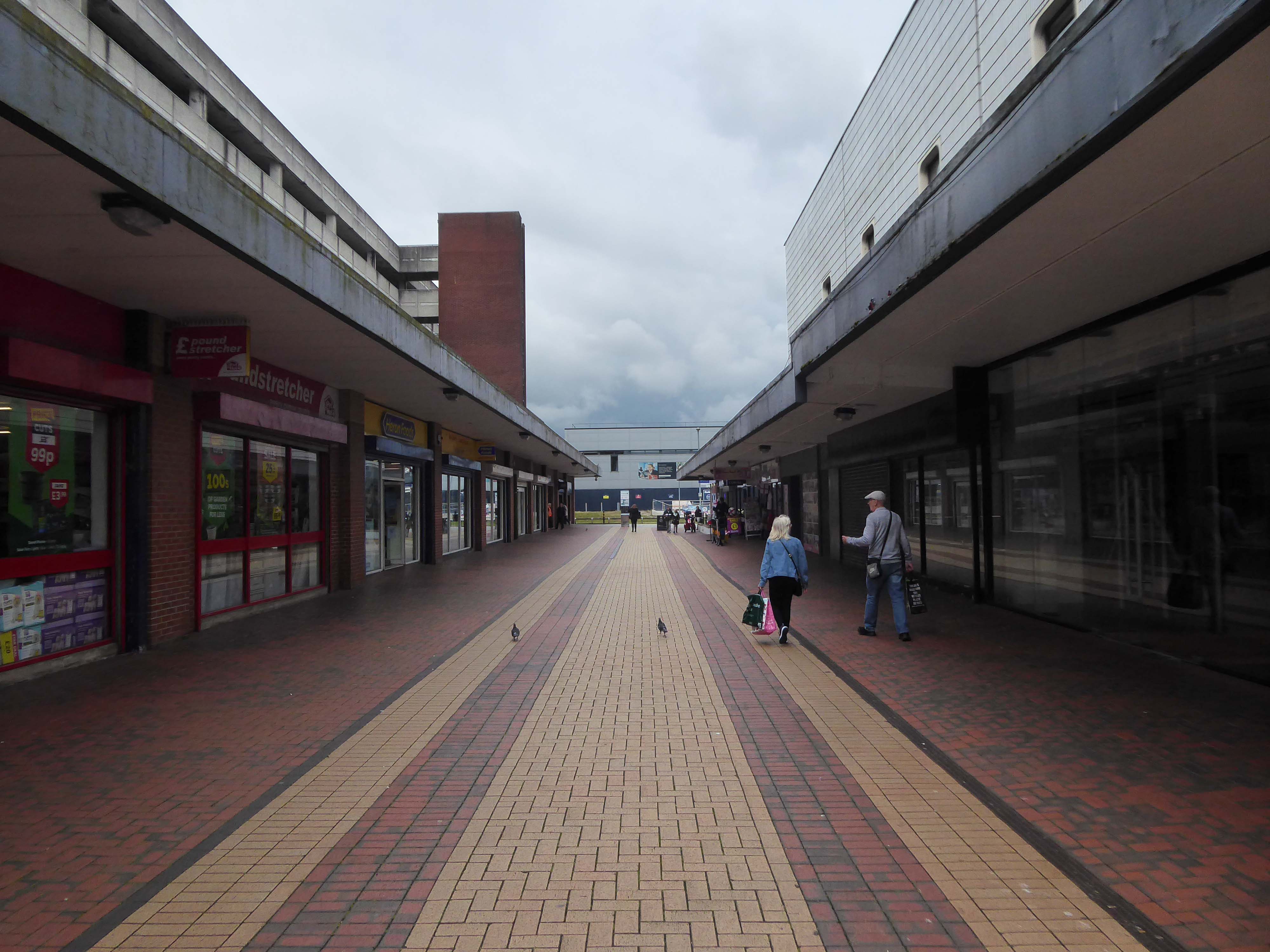
ASDA remains the anchor store, Wilko having left a Wilko sized hole in the precinct. On an overcast Friday morning there was sufficient footfall to sustain the wide variety of smaller shops and larger retail chains. As with many other towns within the central Manchester orbit, the easy proximity fills those busy trams and buses, which are leaving the area.
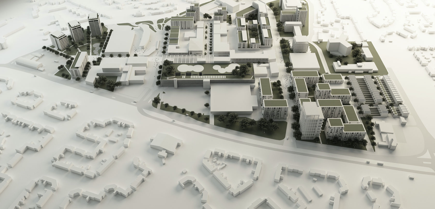
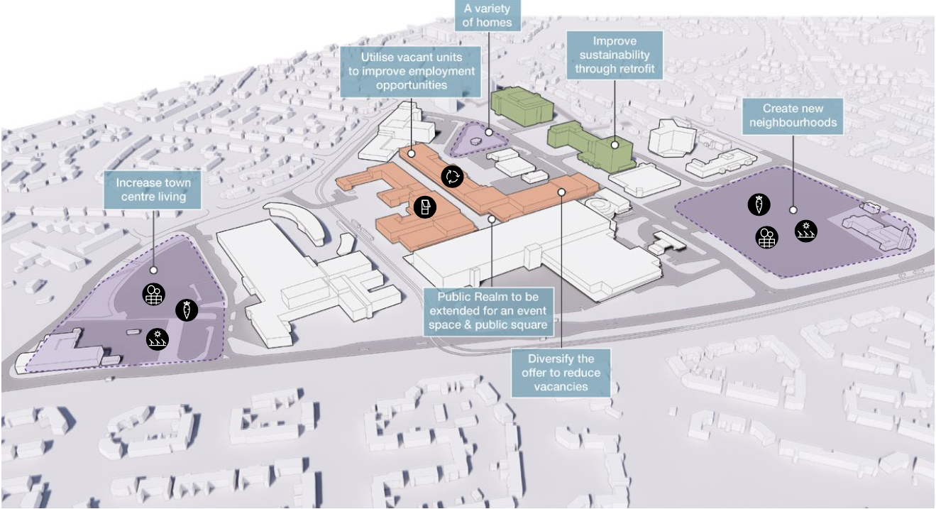
There are plans in place to regenerate the area, in the form of a Masterplan – which can be downloaded here.
Between 1991-2002 there have been some architectural changes, including new stores and office developments. Some of the interventions included significant adaptions which further increased retail into the existing buildings high street.
The interventions included significant adjustments to the multi-storey car park with the aim of reducing parking numbers whilst providing additional lettable space. Further Transport Hub Arrival commercial development was created to the north of the site with the construction of Etrop Court, despite there being significant commercial vacancy across other parts of the estate.
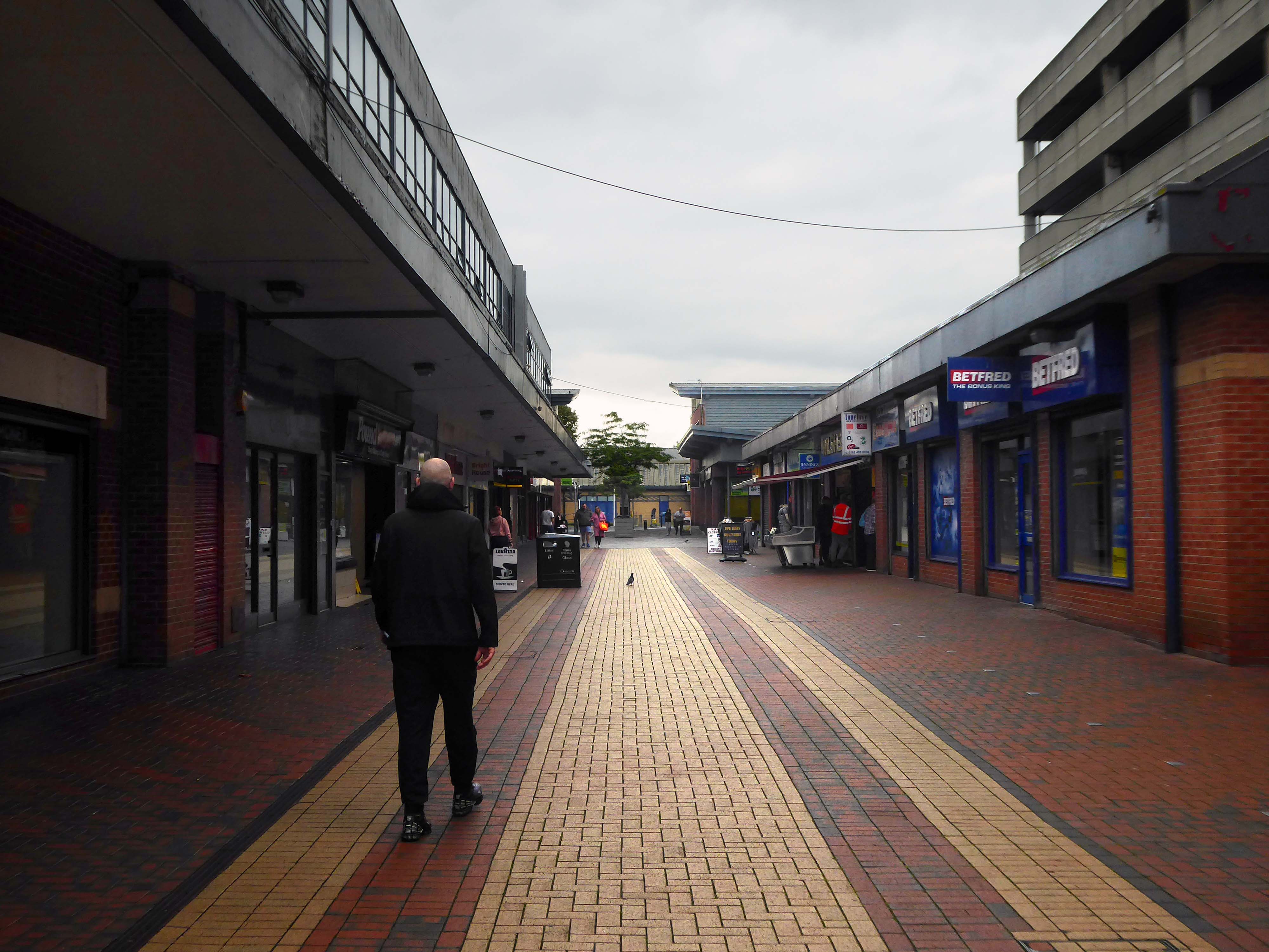
Whilst there has been significant incremental intervention, the character of the area has not fundamentally changed from its founding concept. However the cumulative impact of the various changes have had a negative impact on the functionality and suitability of place, so much so that the centre is in many ways no longer fit- for purpose.
The site today is surrounded by surface car parks, with a total of around 2,500 car parking spaces, 1,700 of which are contained within the multi-storey car park. Many of the retail units, the upper floor office spaces along the Birtles and Hale Top, and buildings to the east are vacant.
Typically, the levels of vacancy are consistent with the changing demands of the high street, where typically modern and successful retail centres are now more diversified and focussed on creating a visitor or destination-based experience. In this sense, we anticipate a need to diversify the high street and to promote a smaller more concentrated retail core, whilst supplementing the offer with more meanwhile and permanent uses and activities based on culture, food and creative workplace.
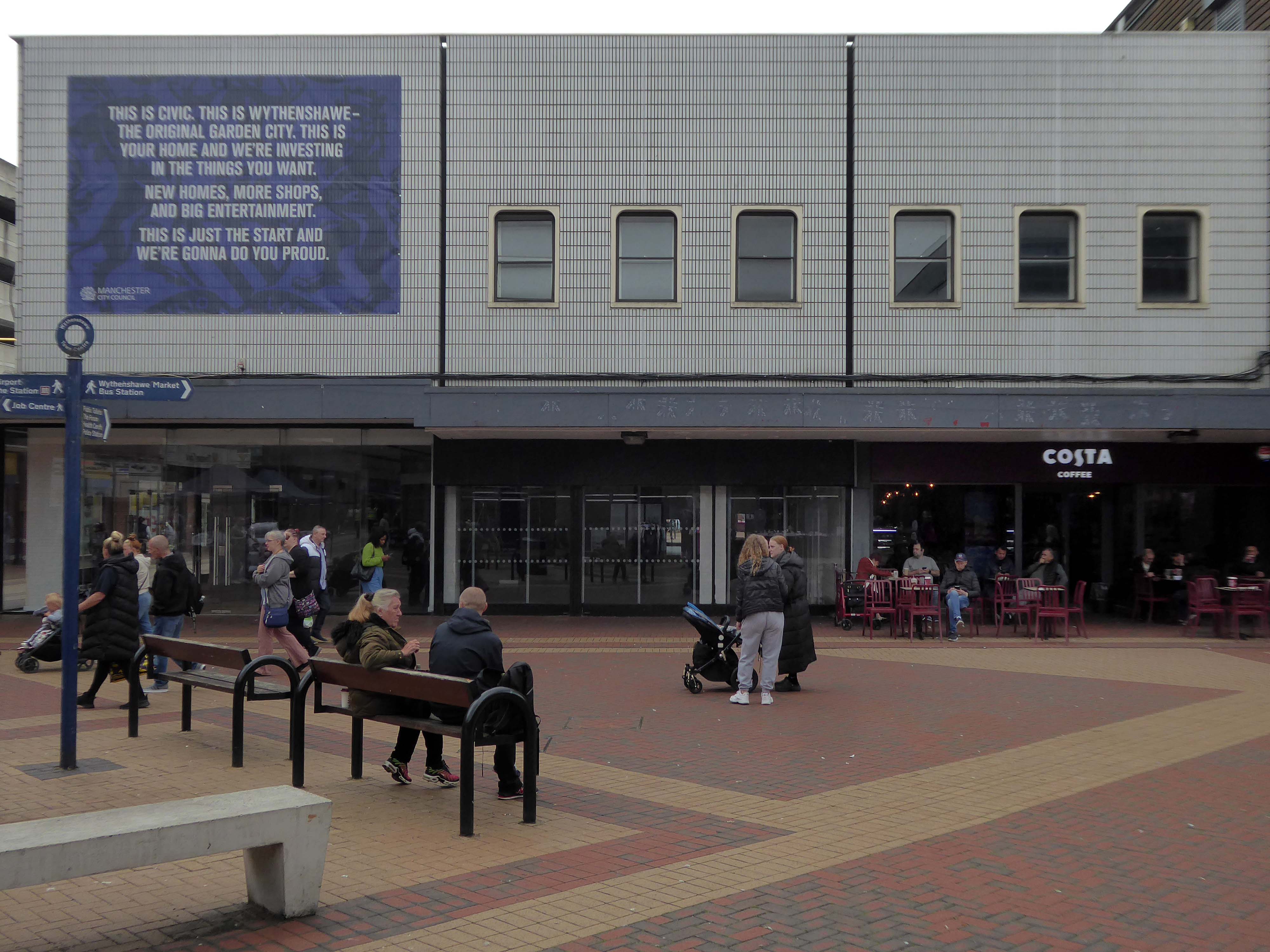
The gateway to the Civic Centre on arrival from the Transport Interchange is very poor. Access to the high street isn’t obvious and the route through to the high street isn’t clear. Much of the site is surrounded by fencing, barrier and gates and whilst they are open during the day, they are locked at night to prevent vandalism. This barricaded aesthetic does nothing to promote an easily accessible and family friendly environment as well as preventing any opportunity to promote a much needed night- time economy.
Currently, the Civic Centre appears to only cater for those with a need to visit for a particular purpose, rather than capitalising on an opportunity to create a place to visit and dwell.
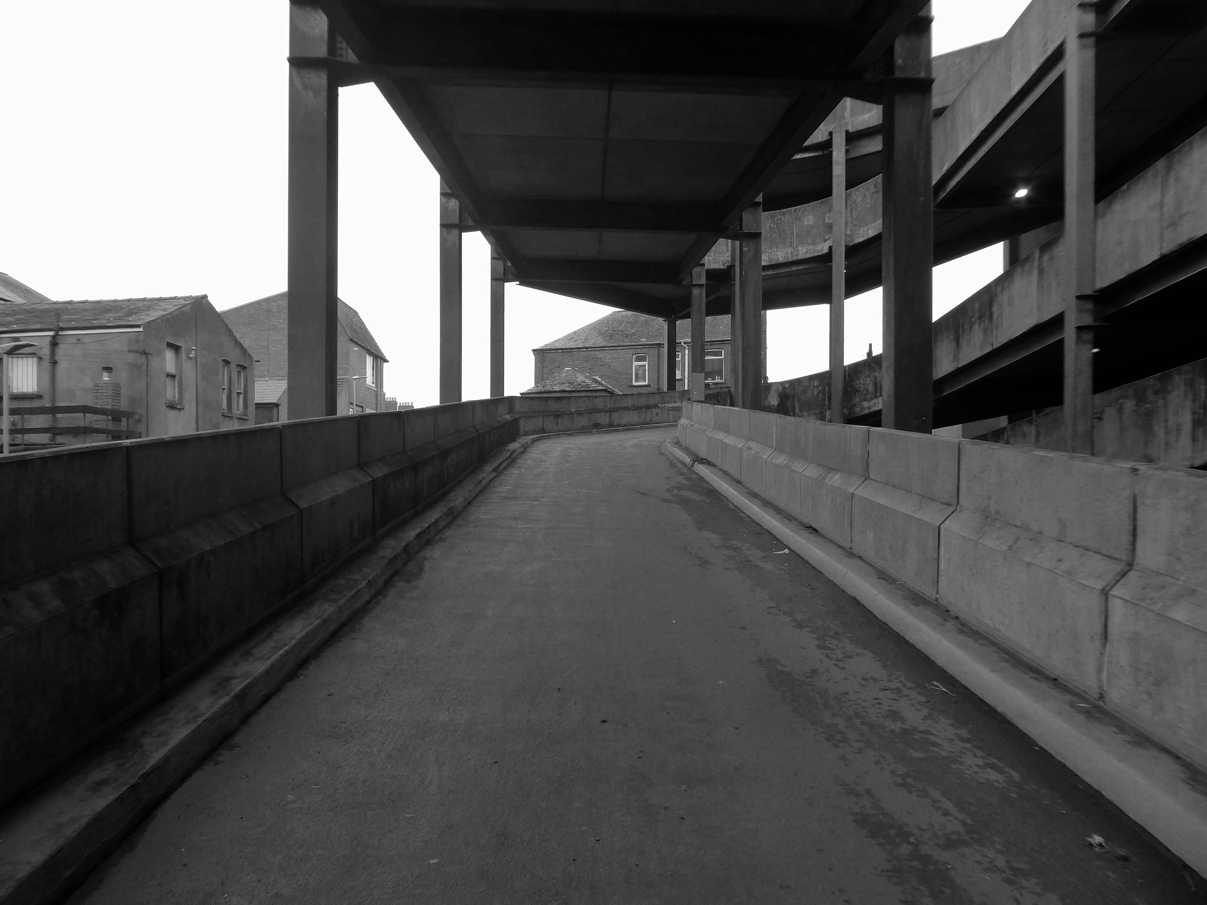
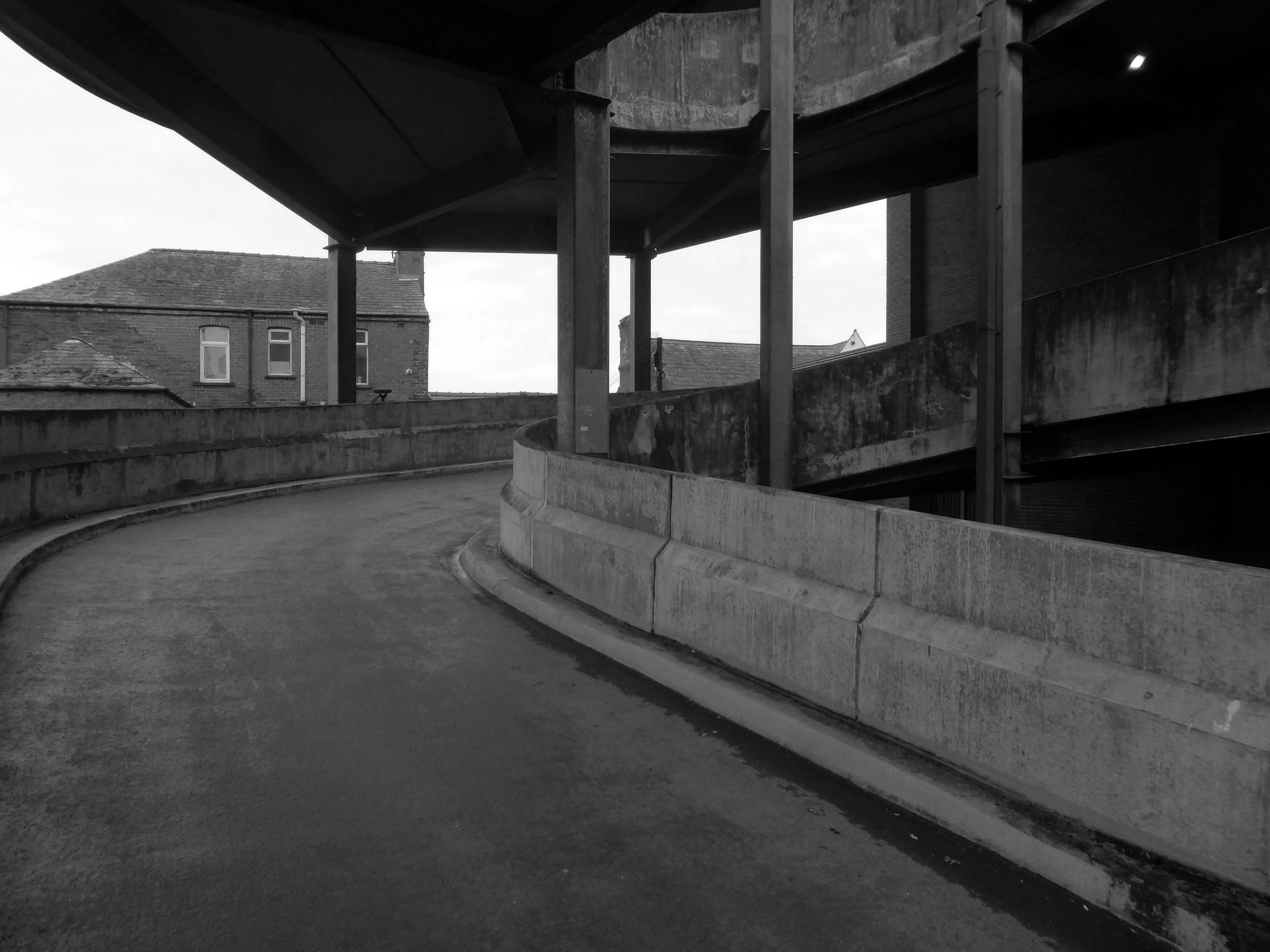
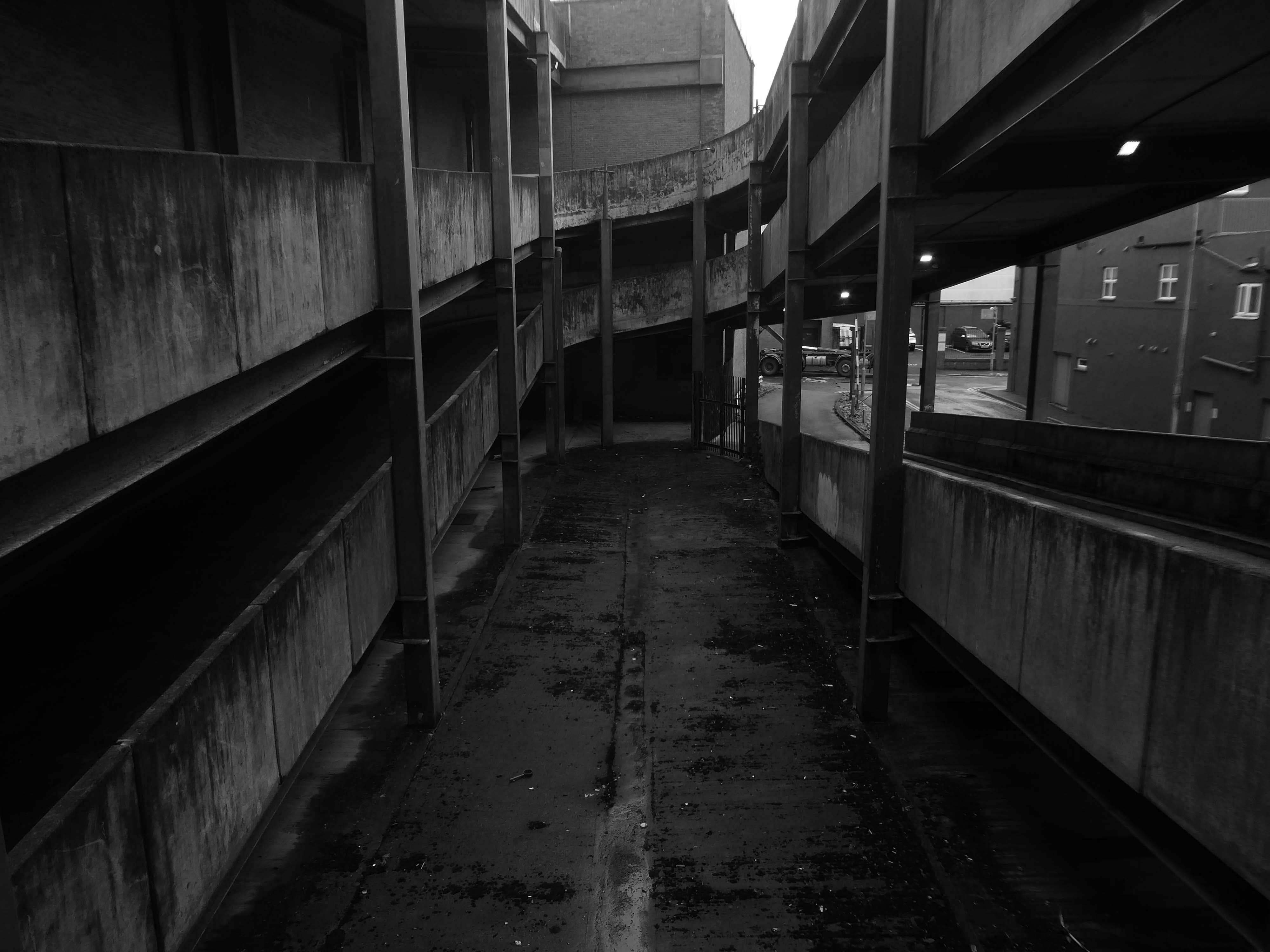
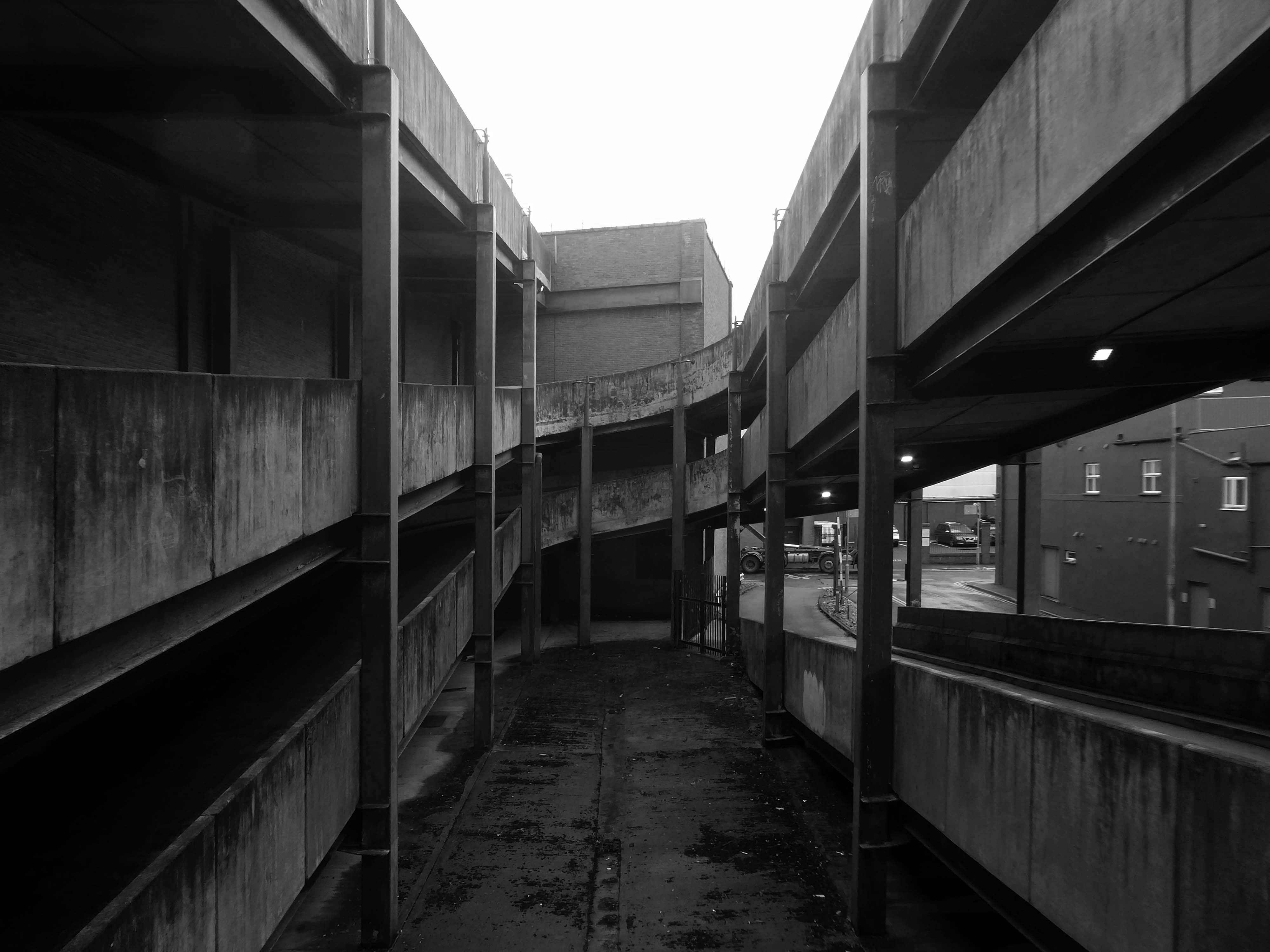
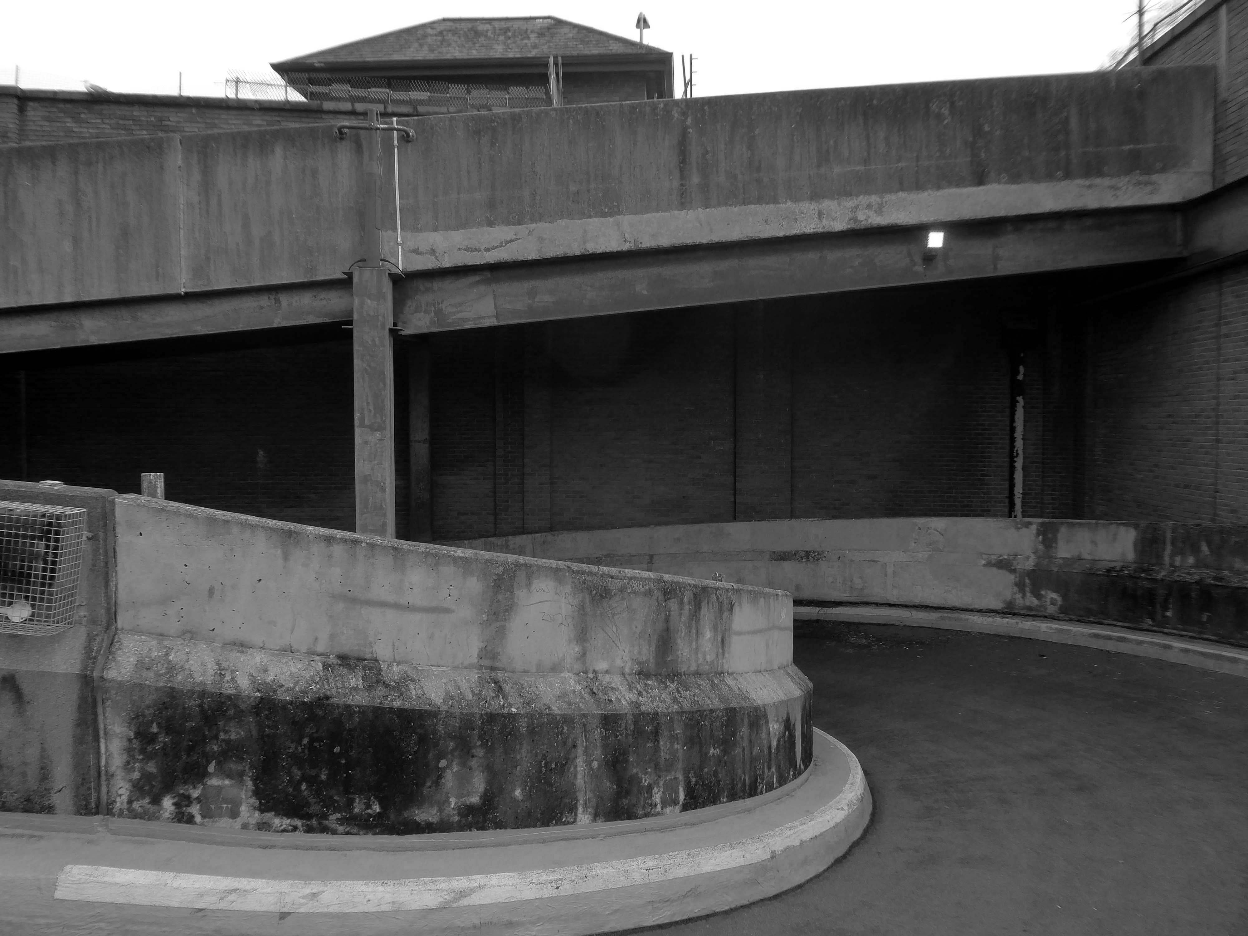
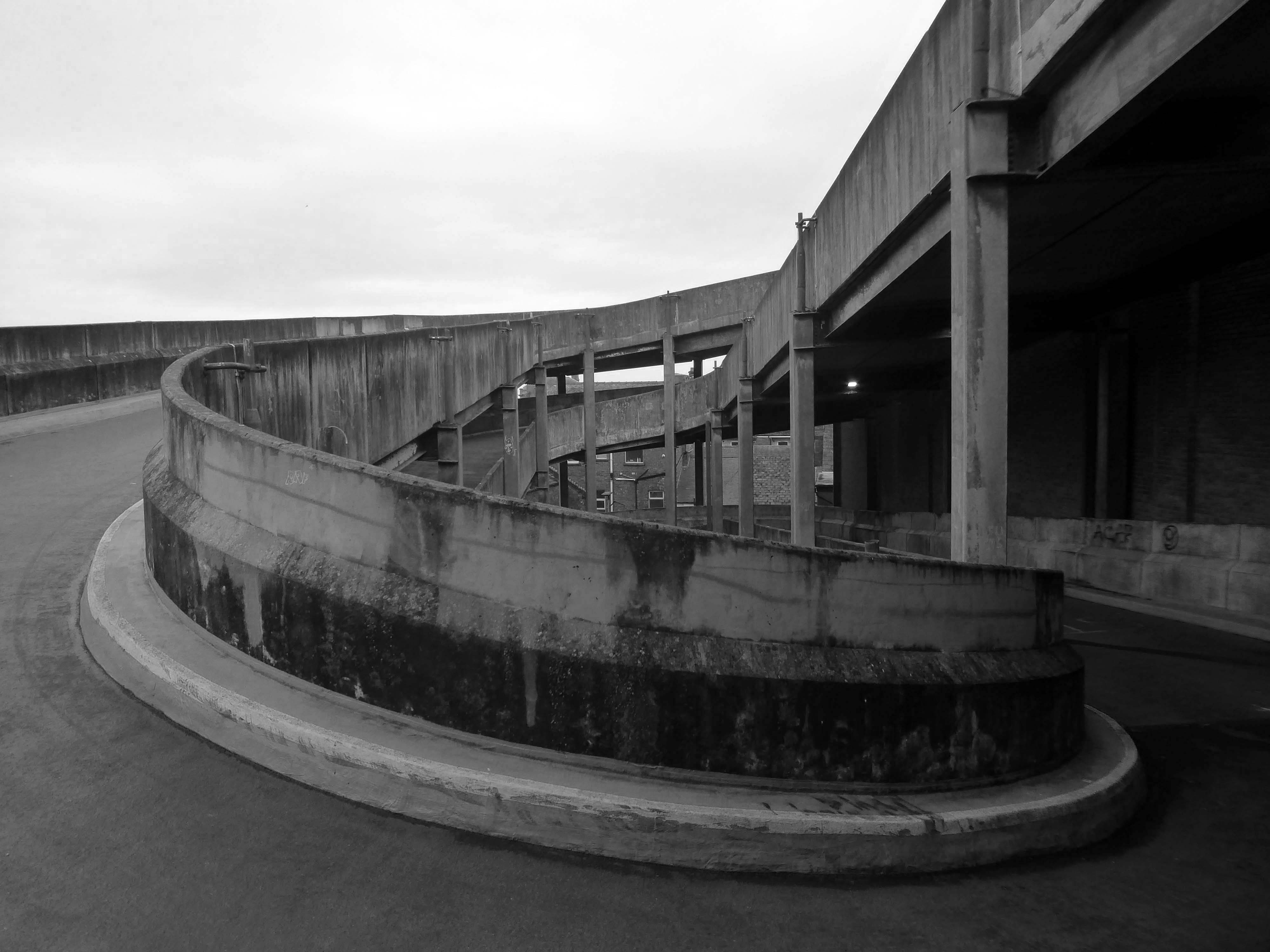
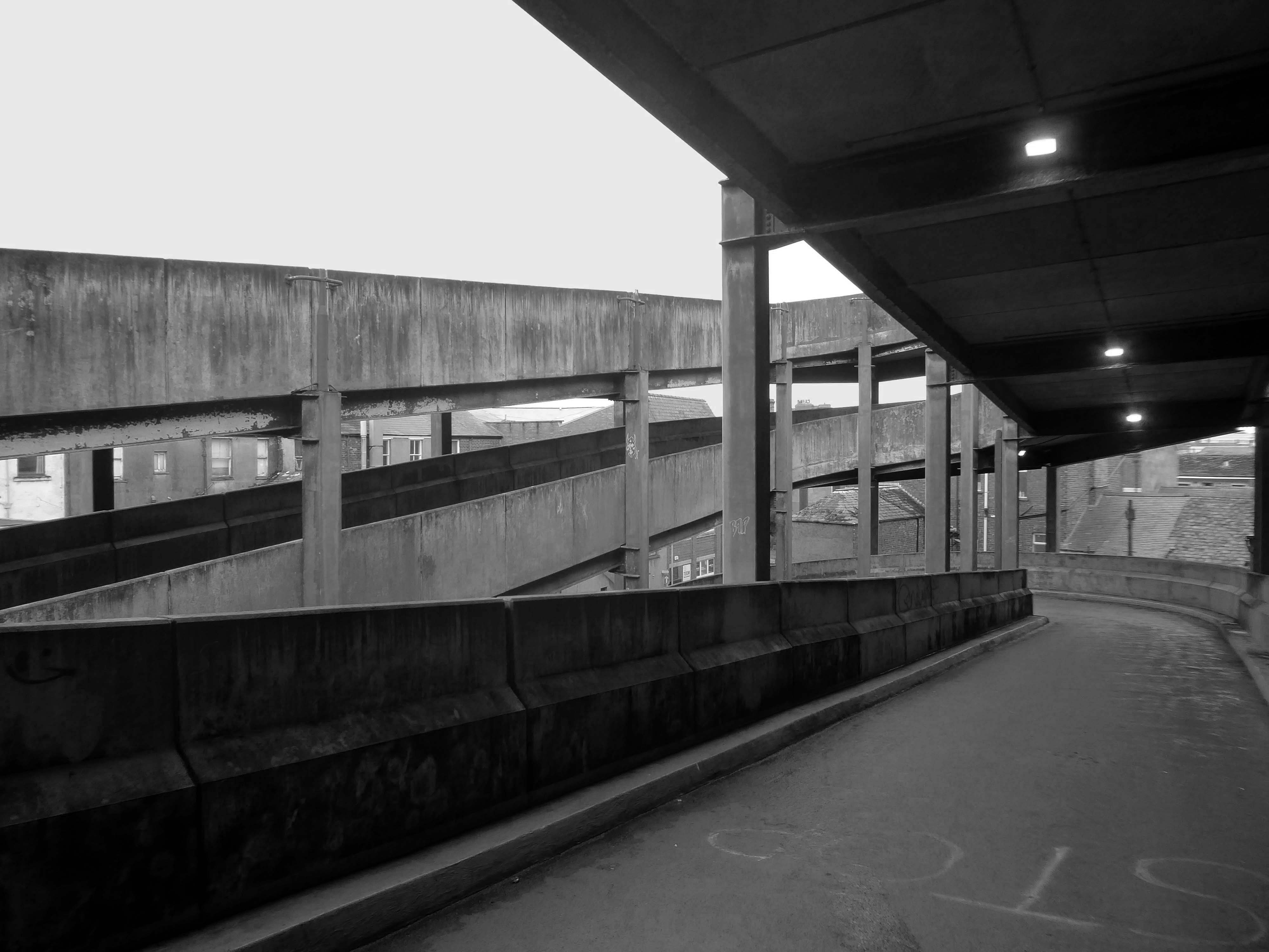
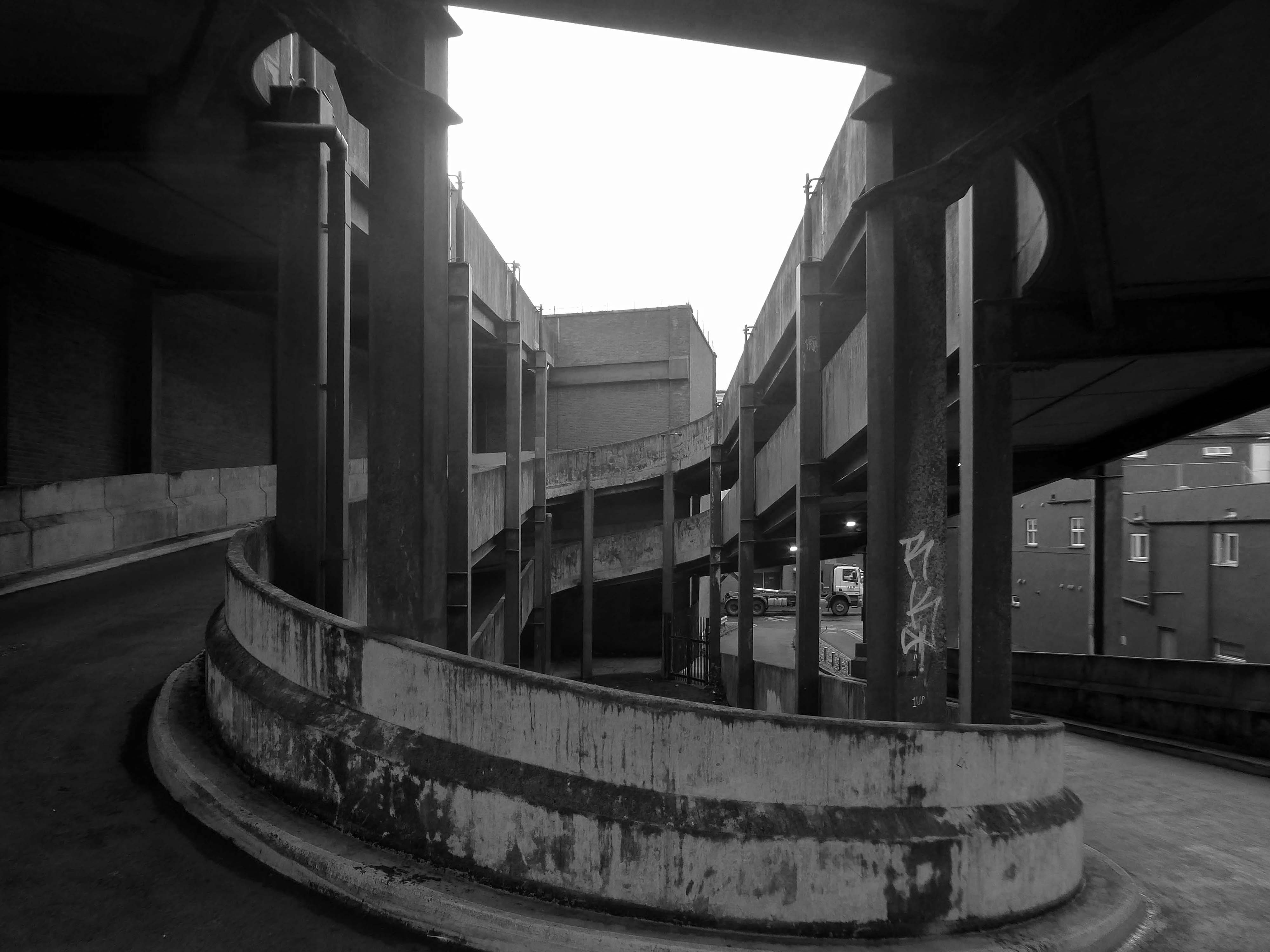
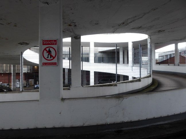
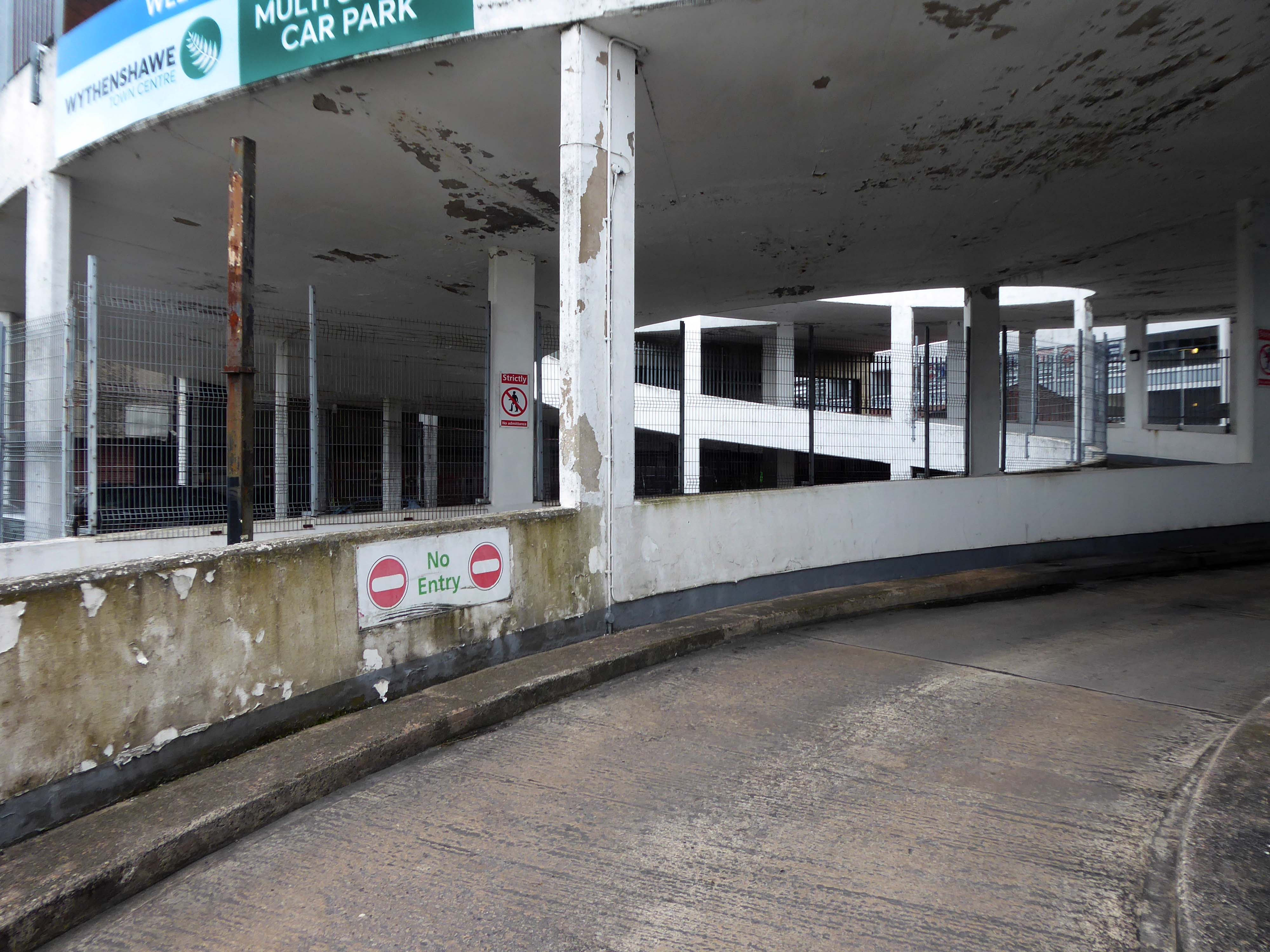
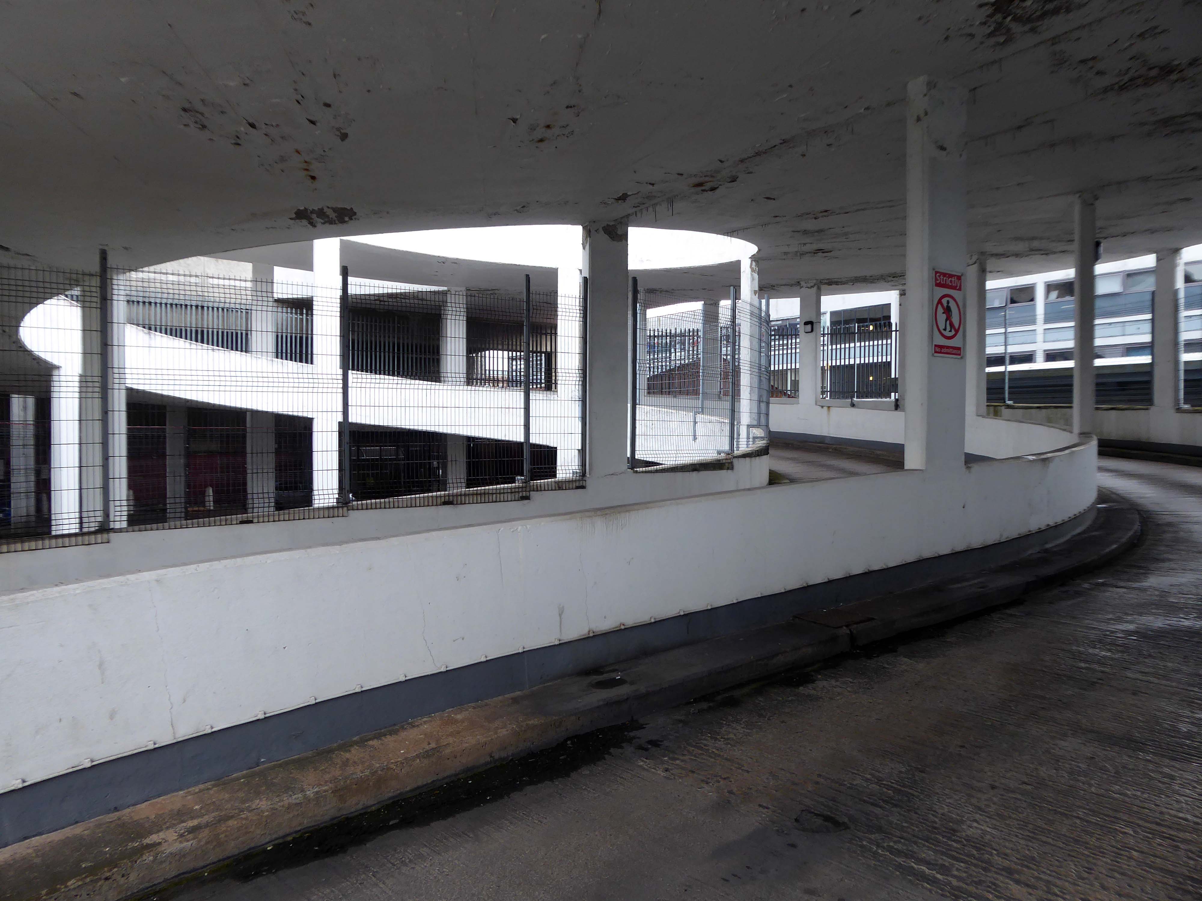
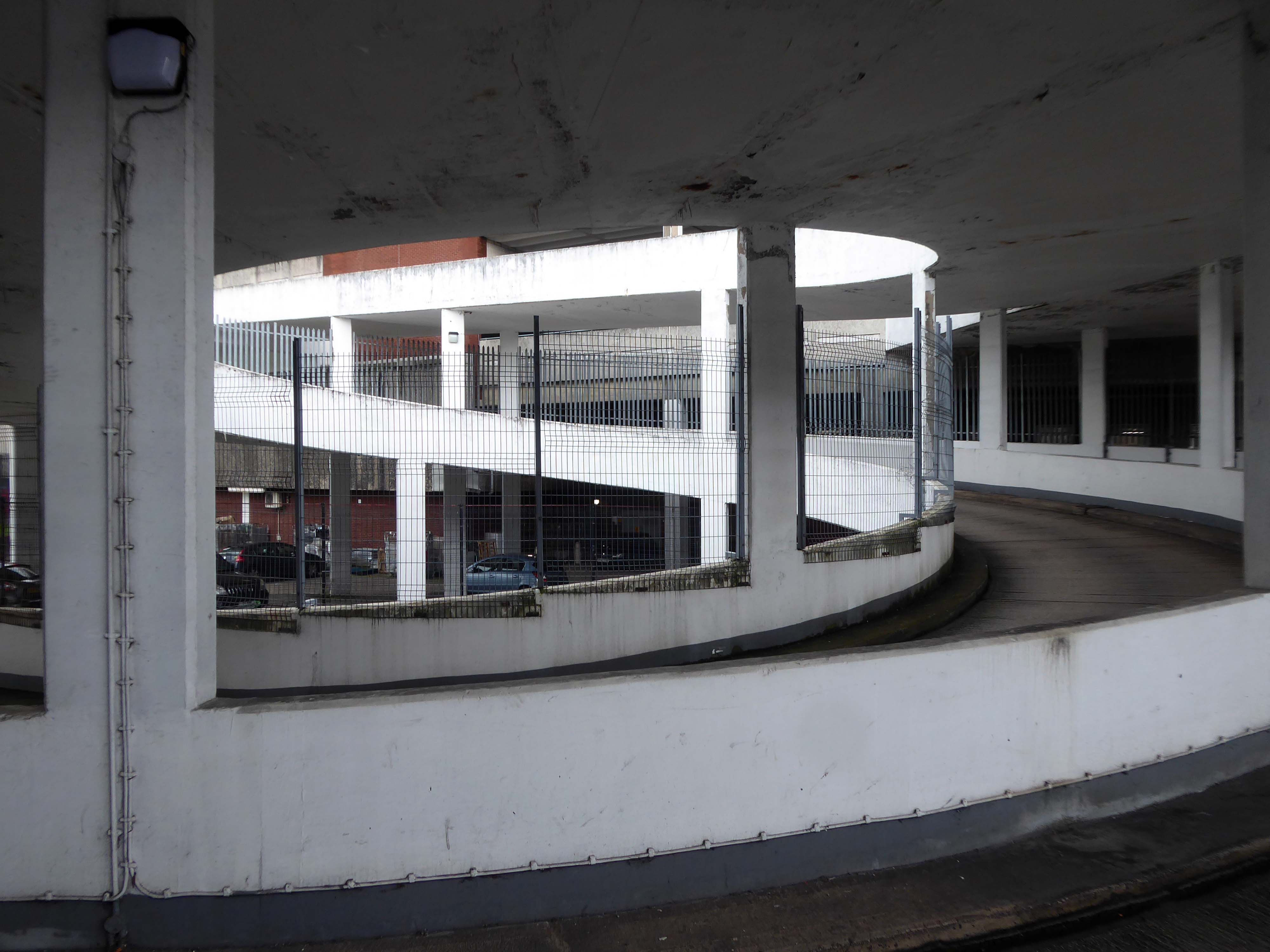
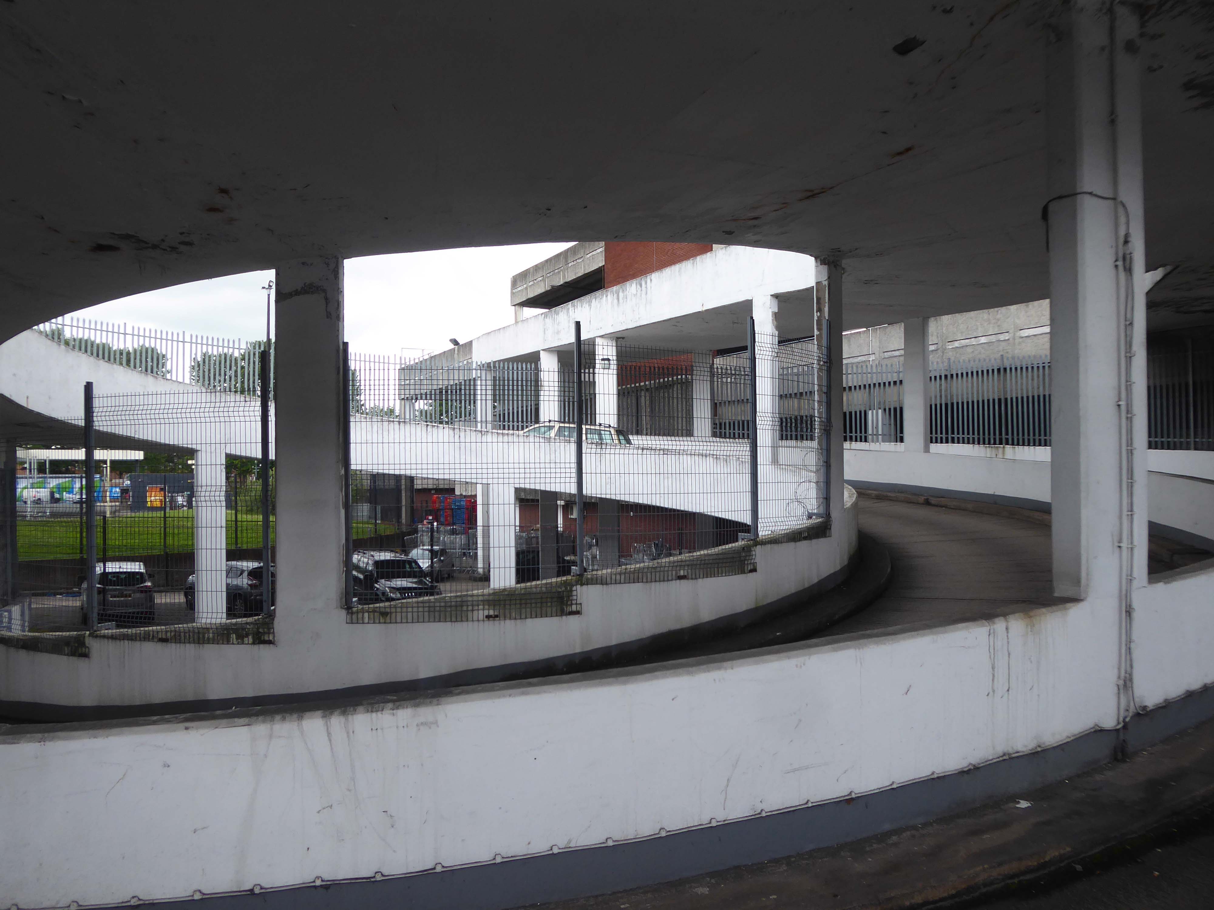
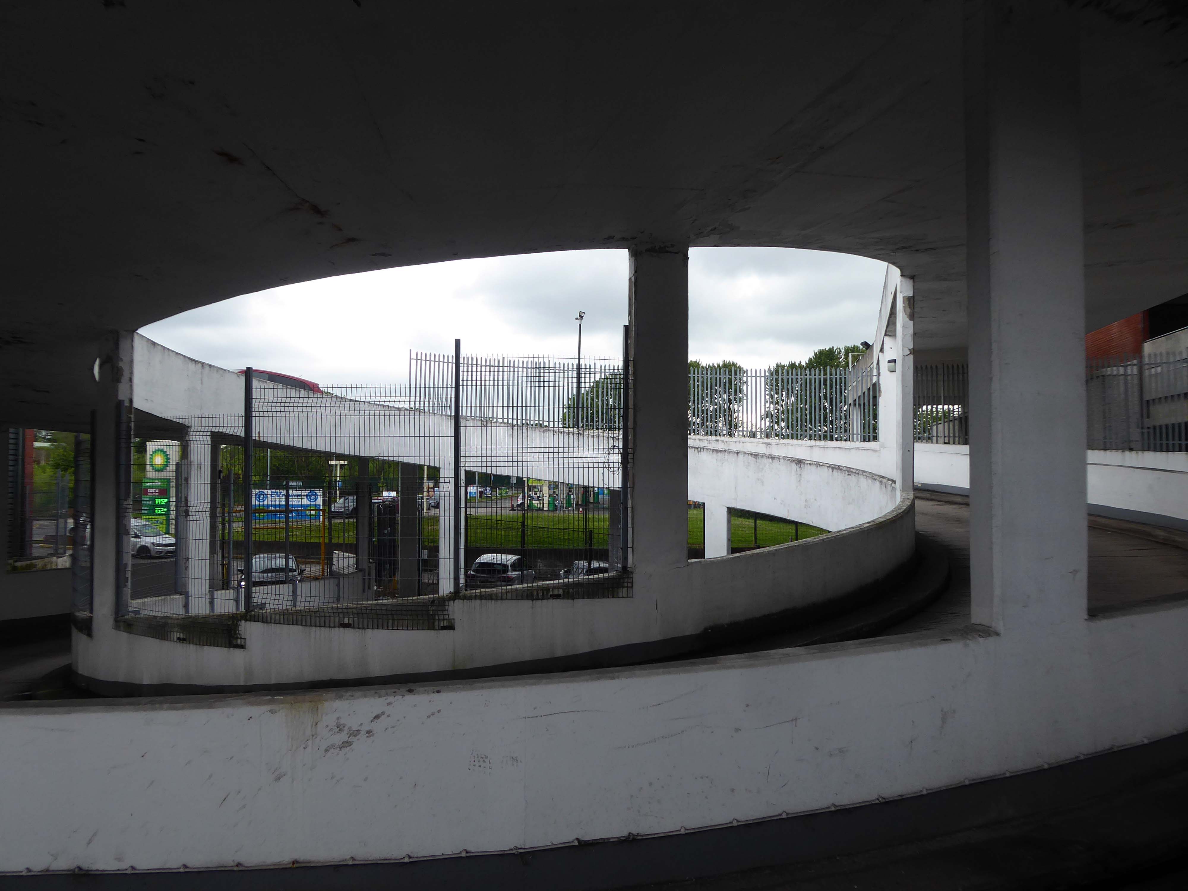
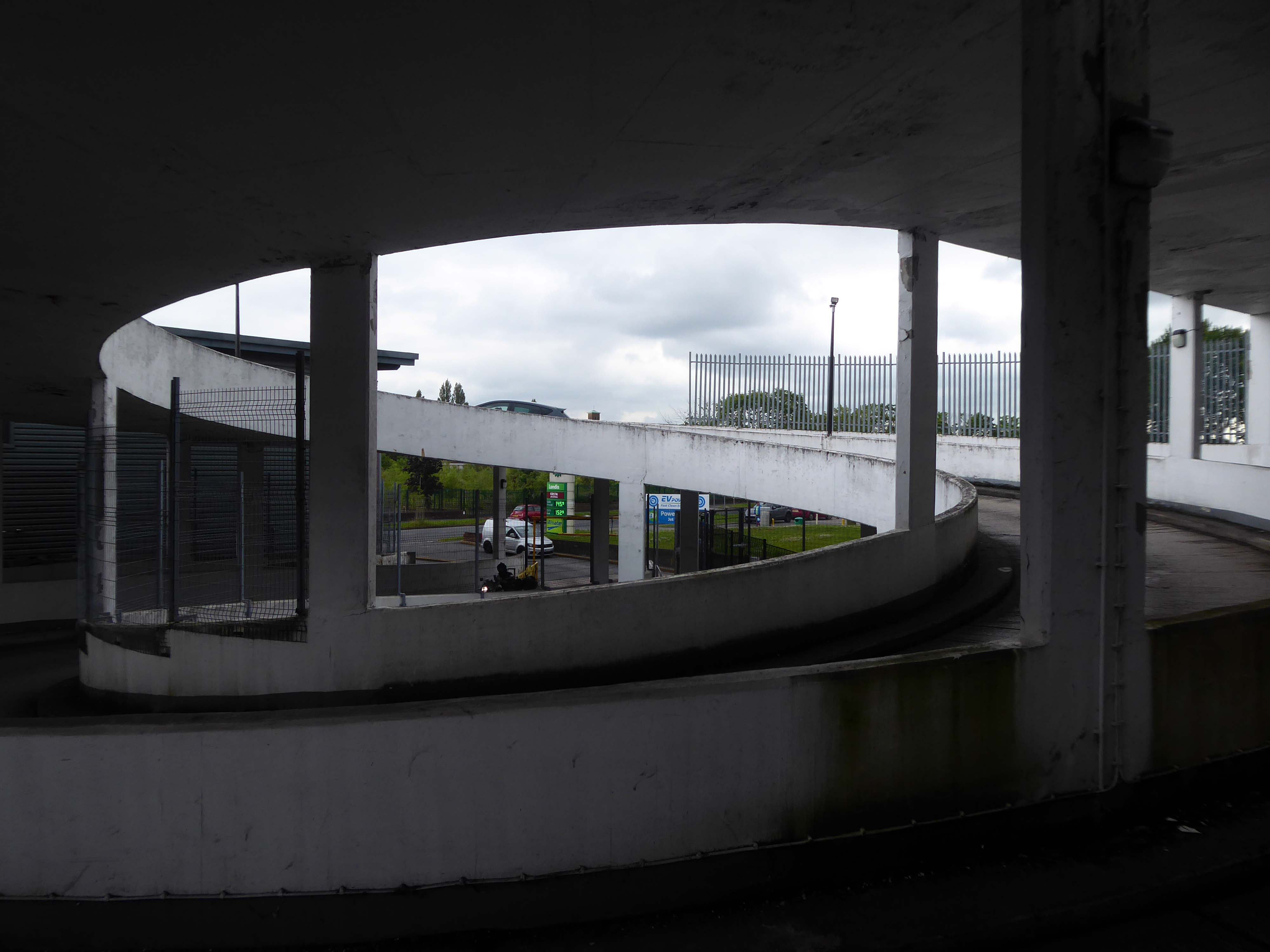
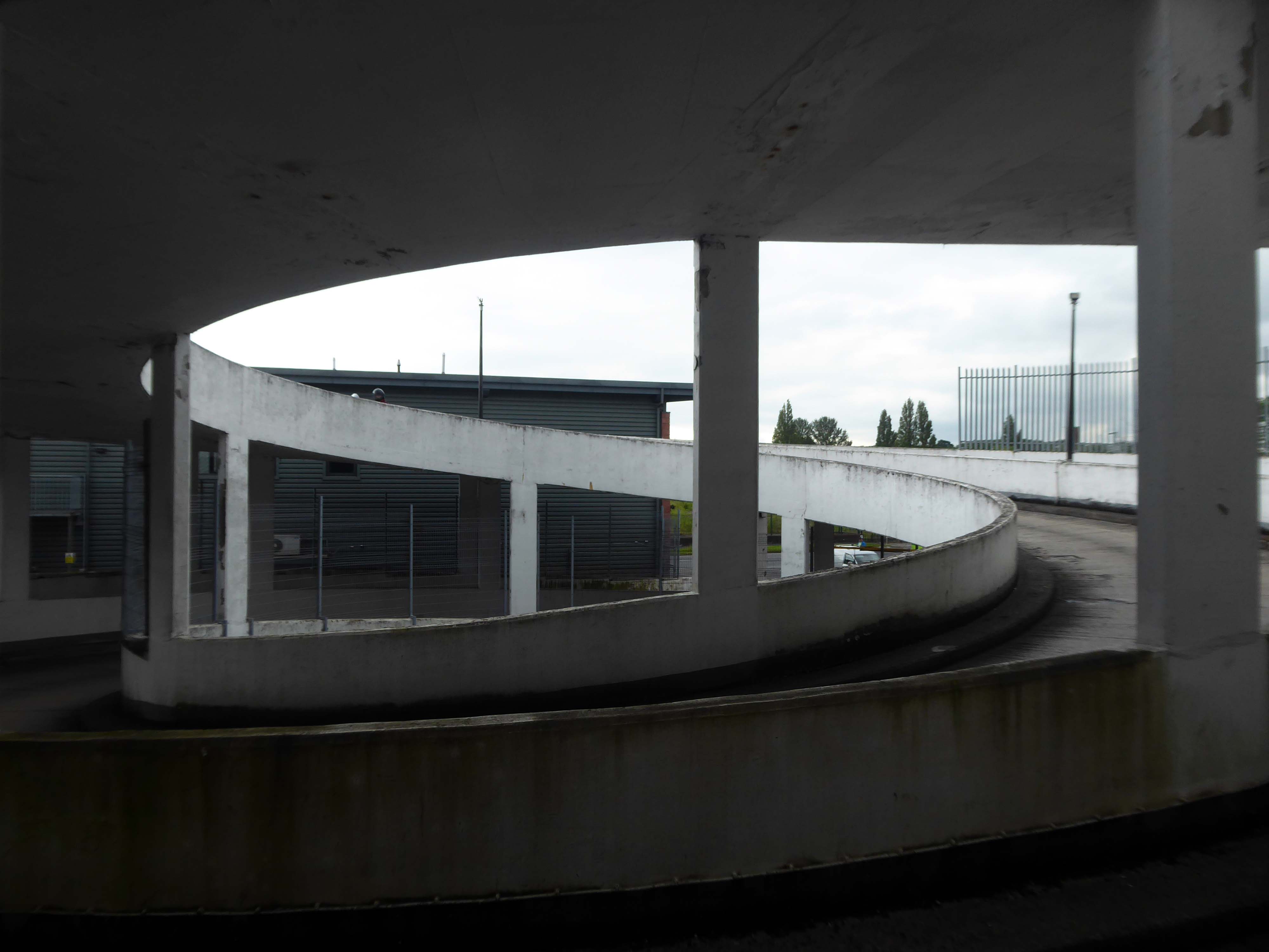
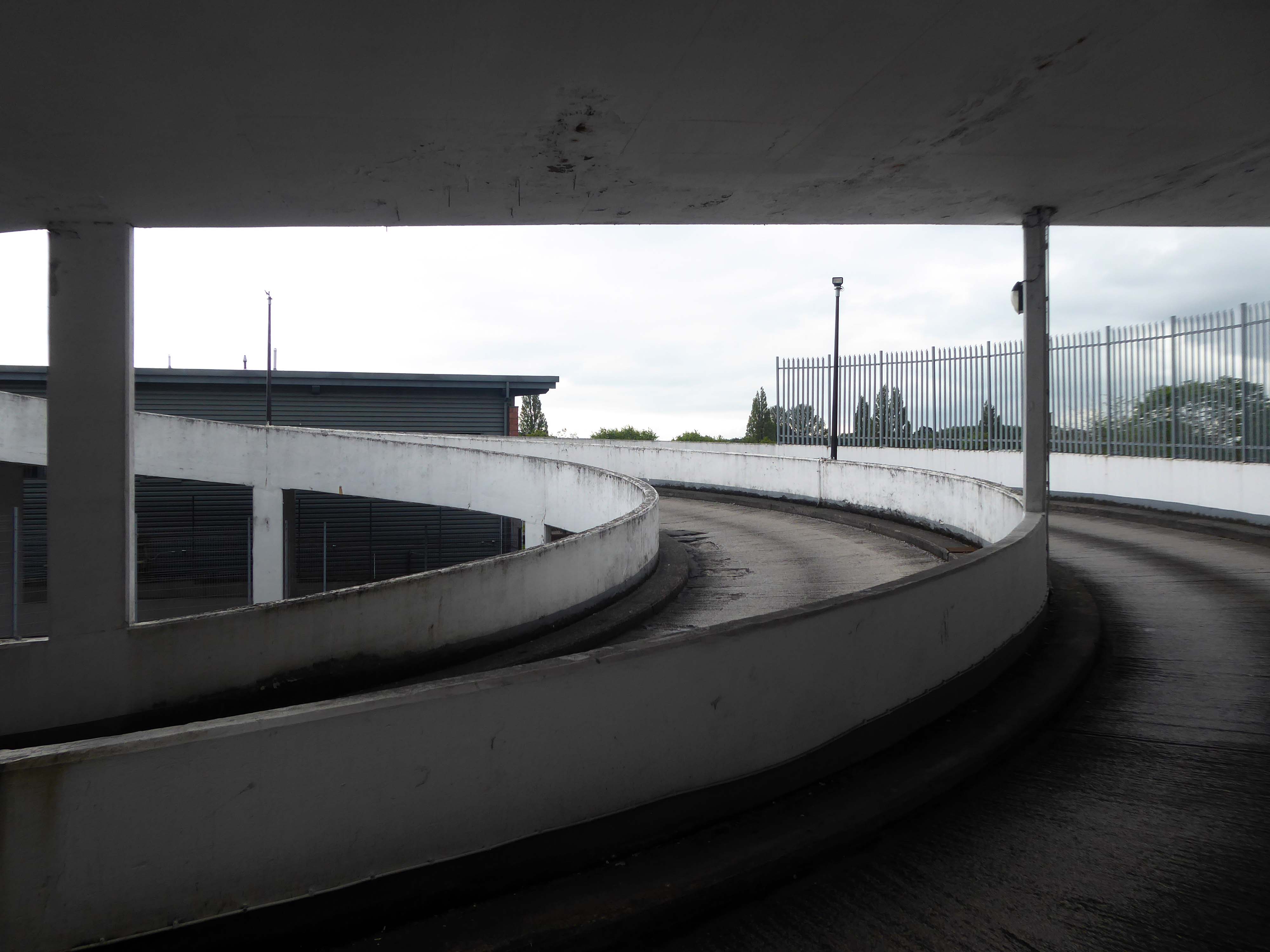
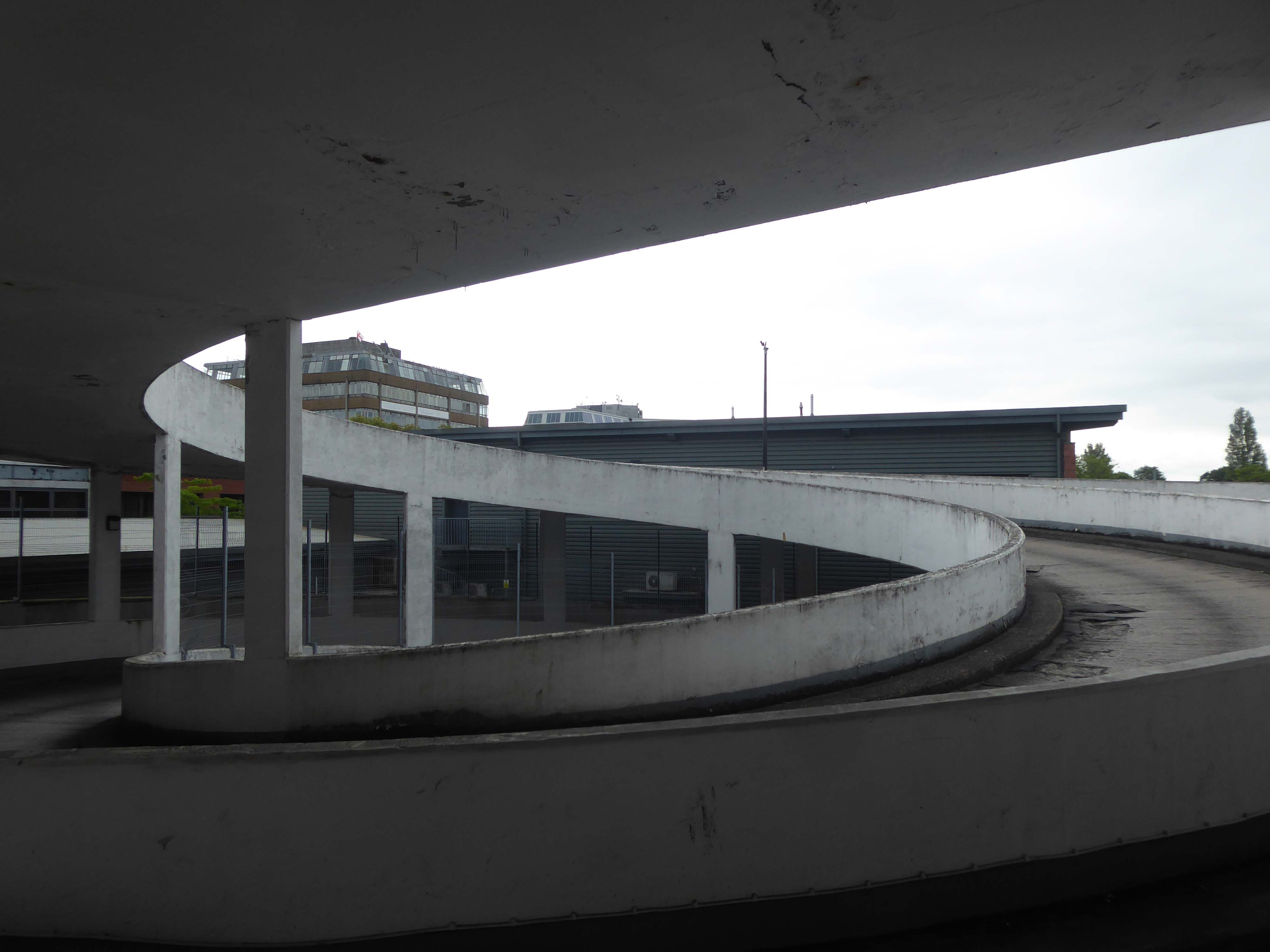
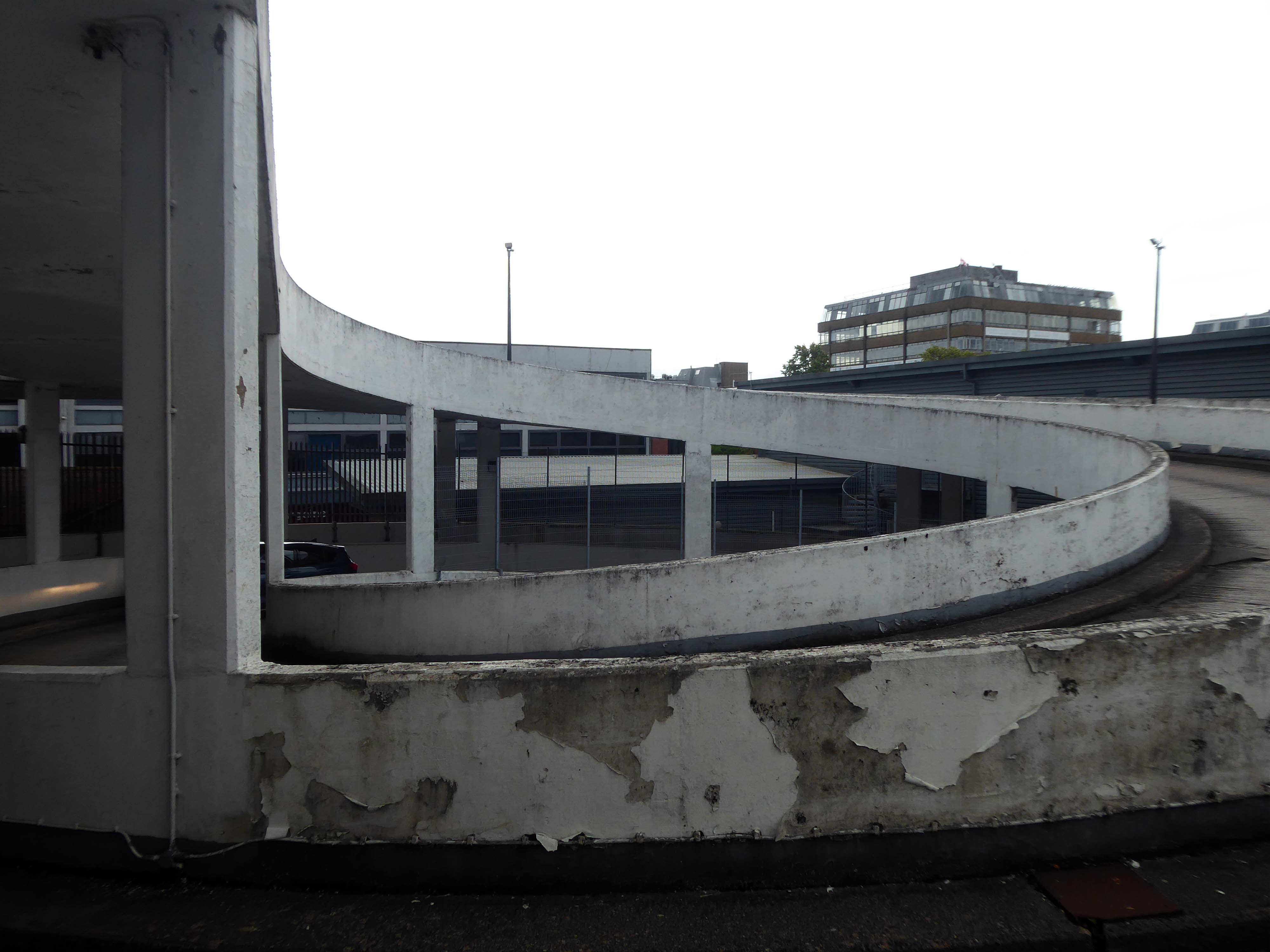
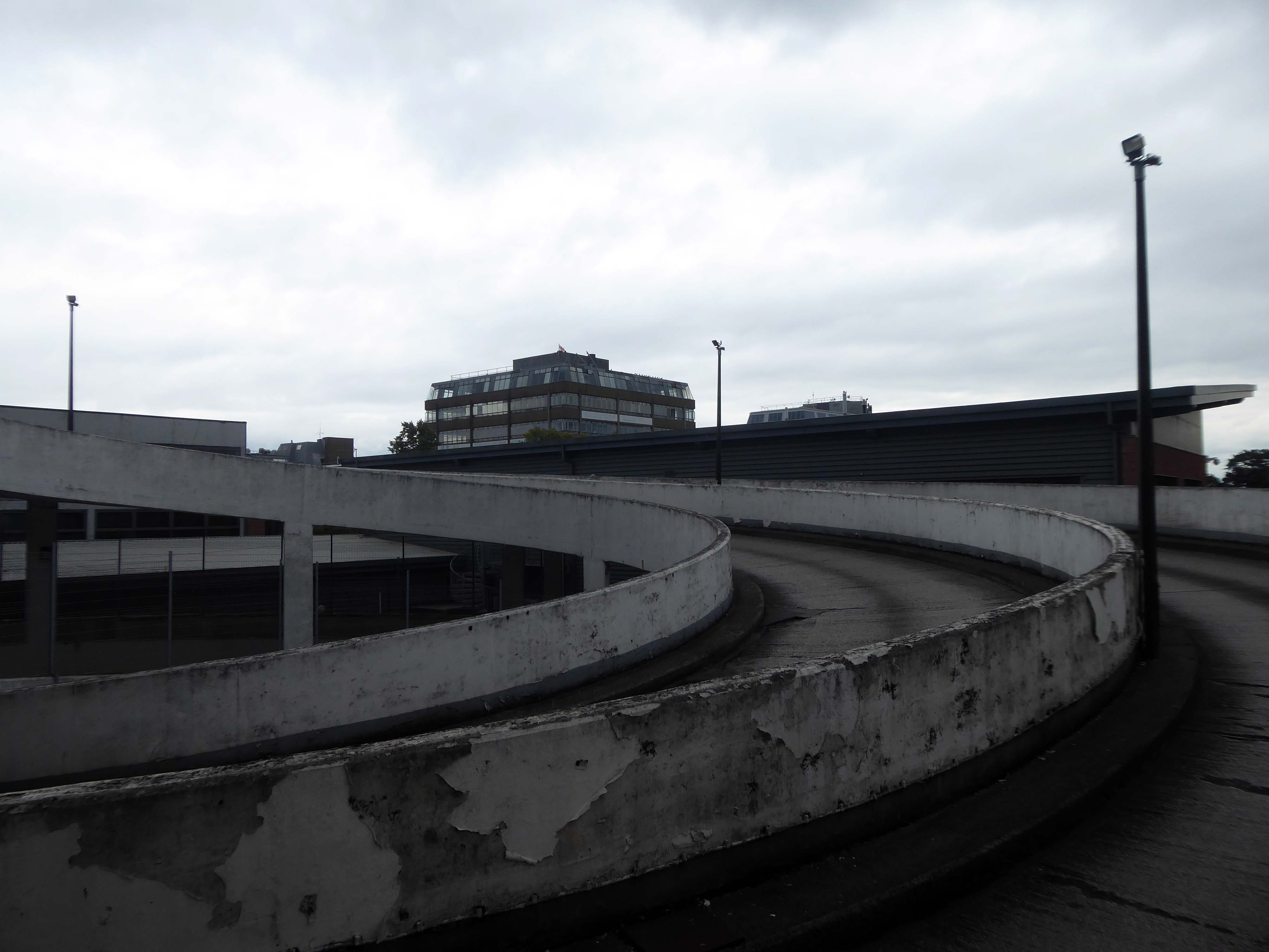
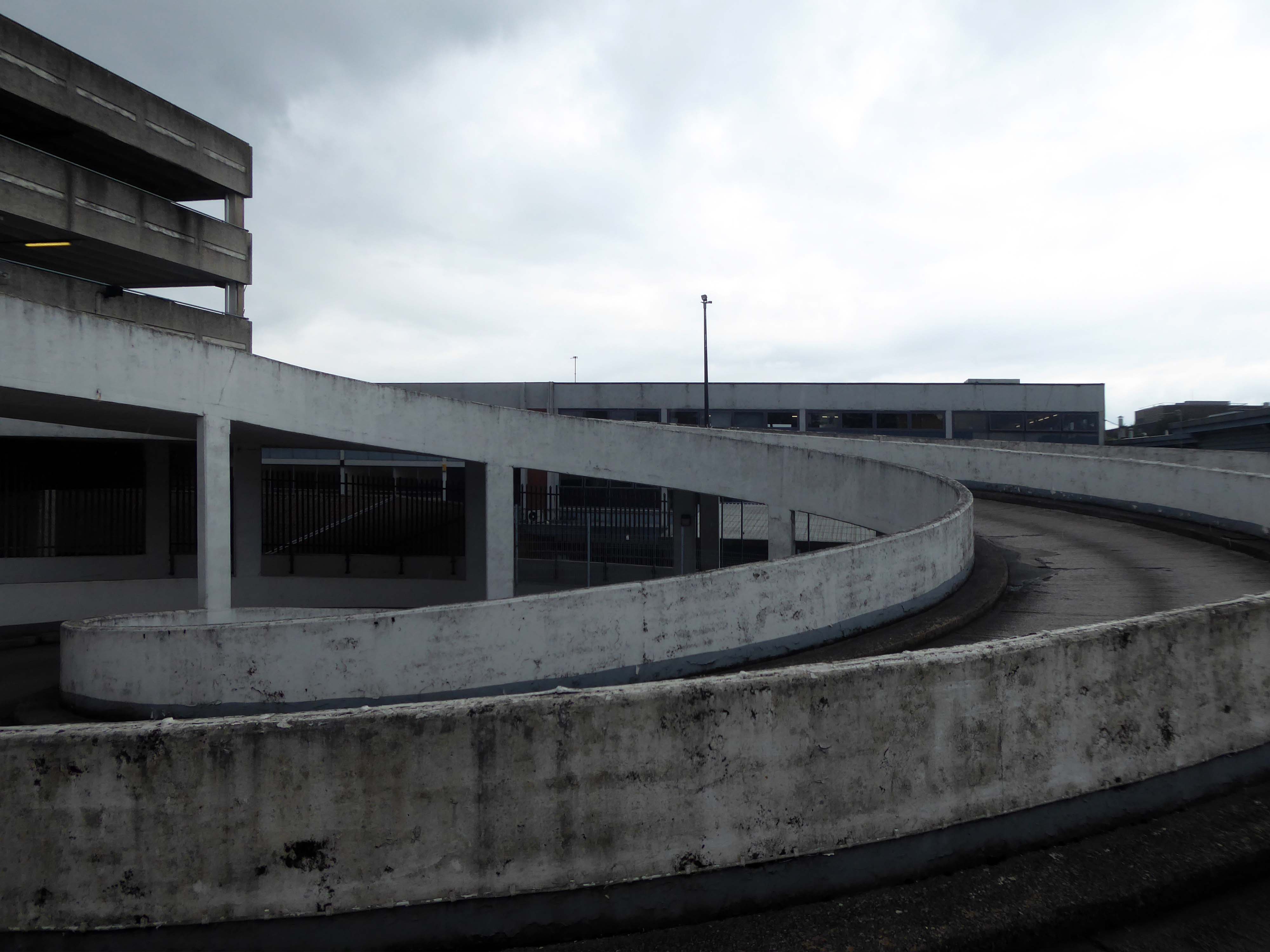
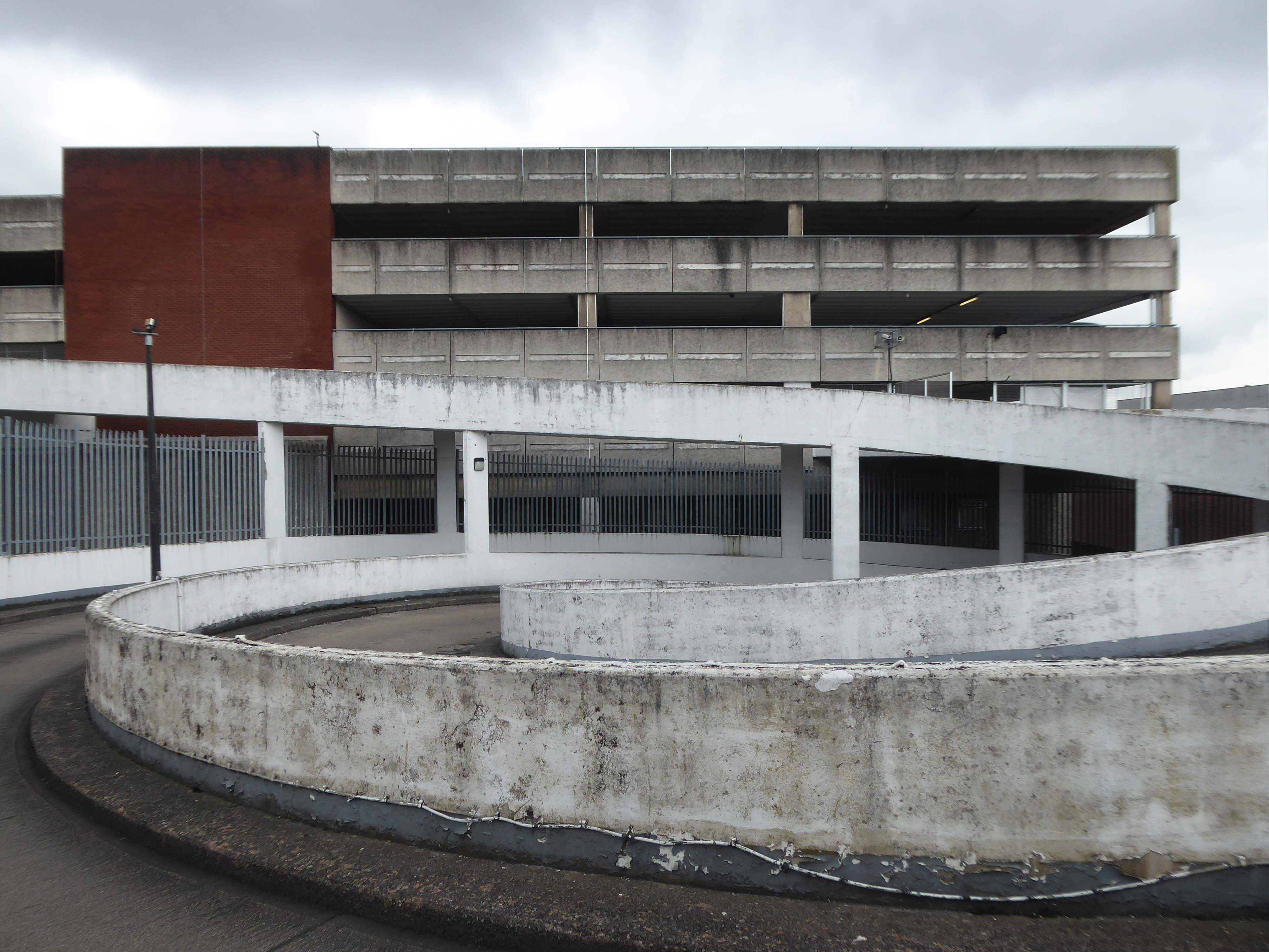
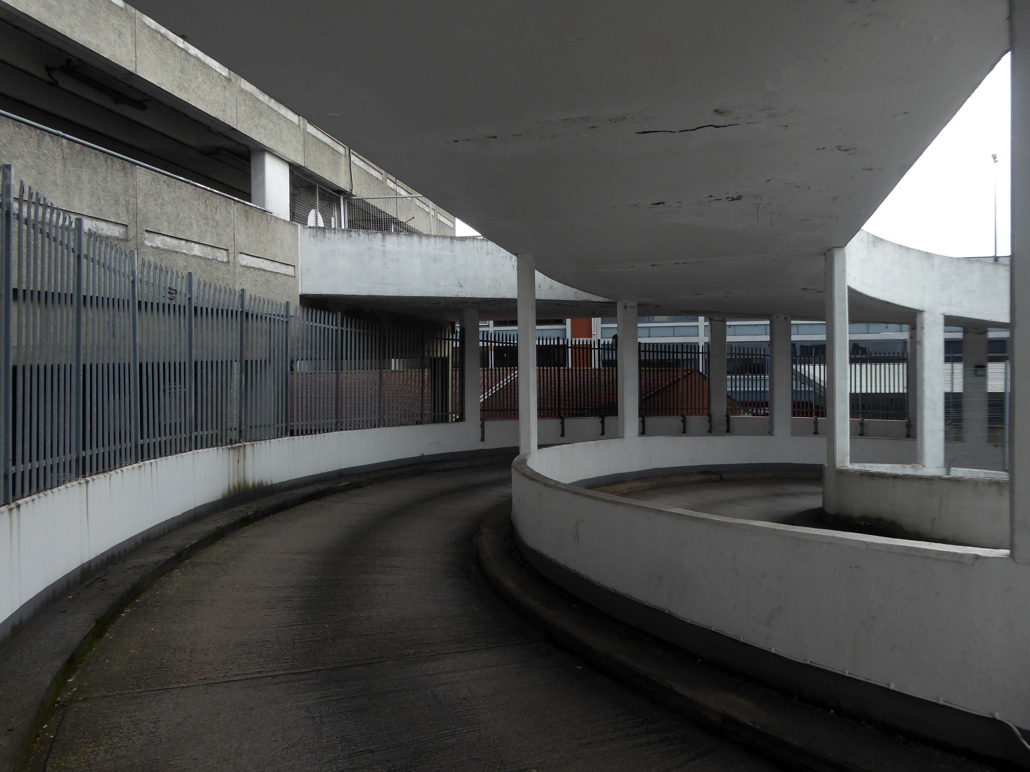
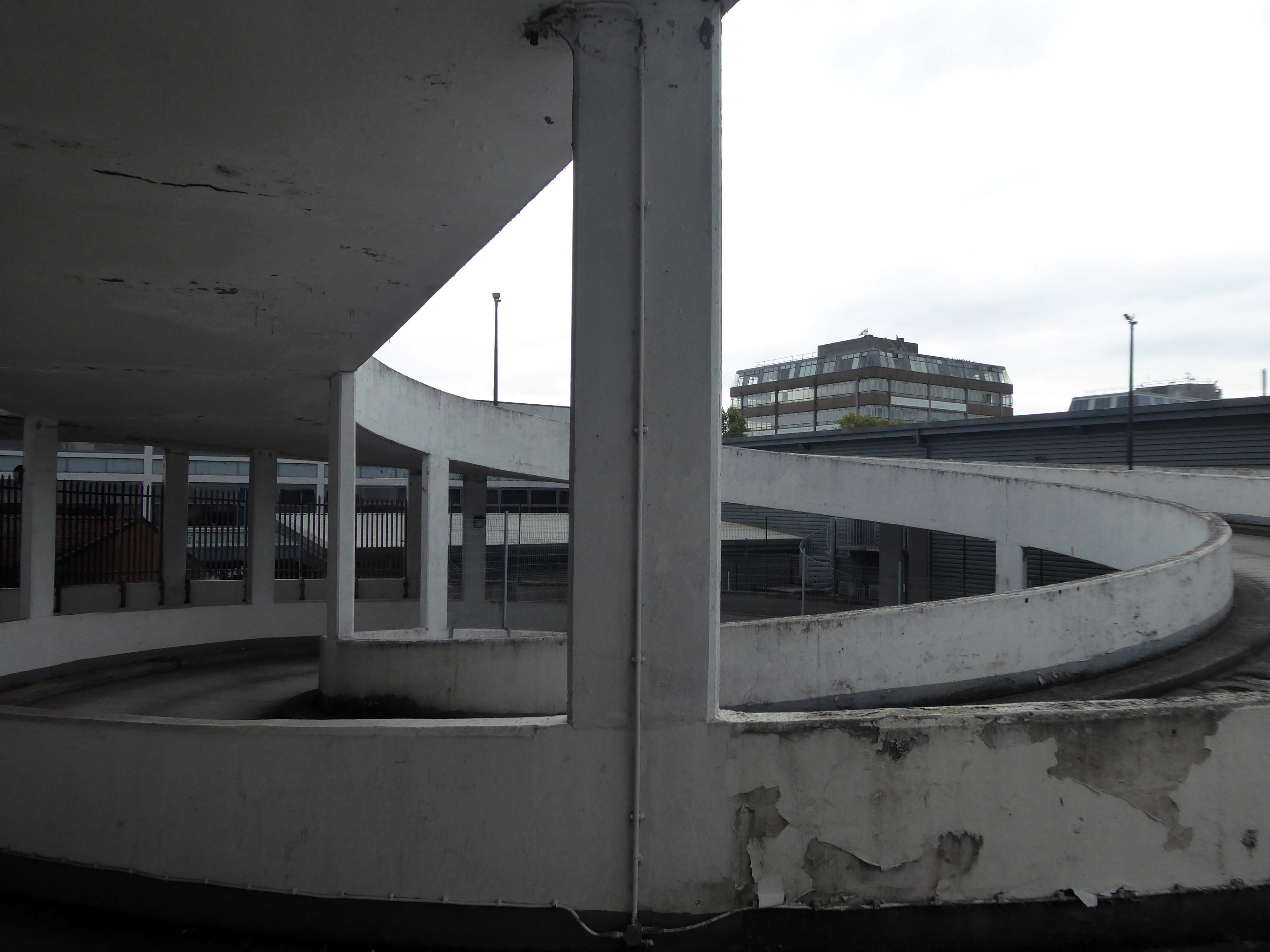
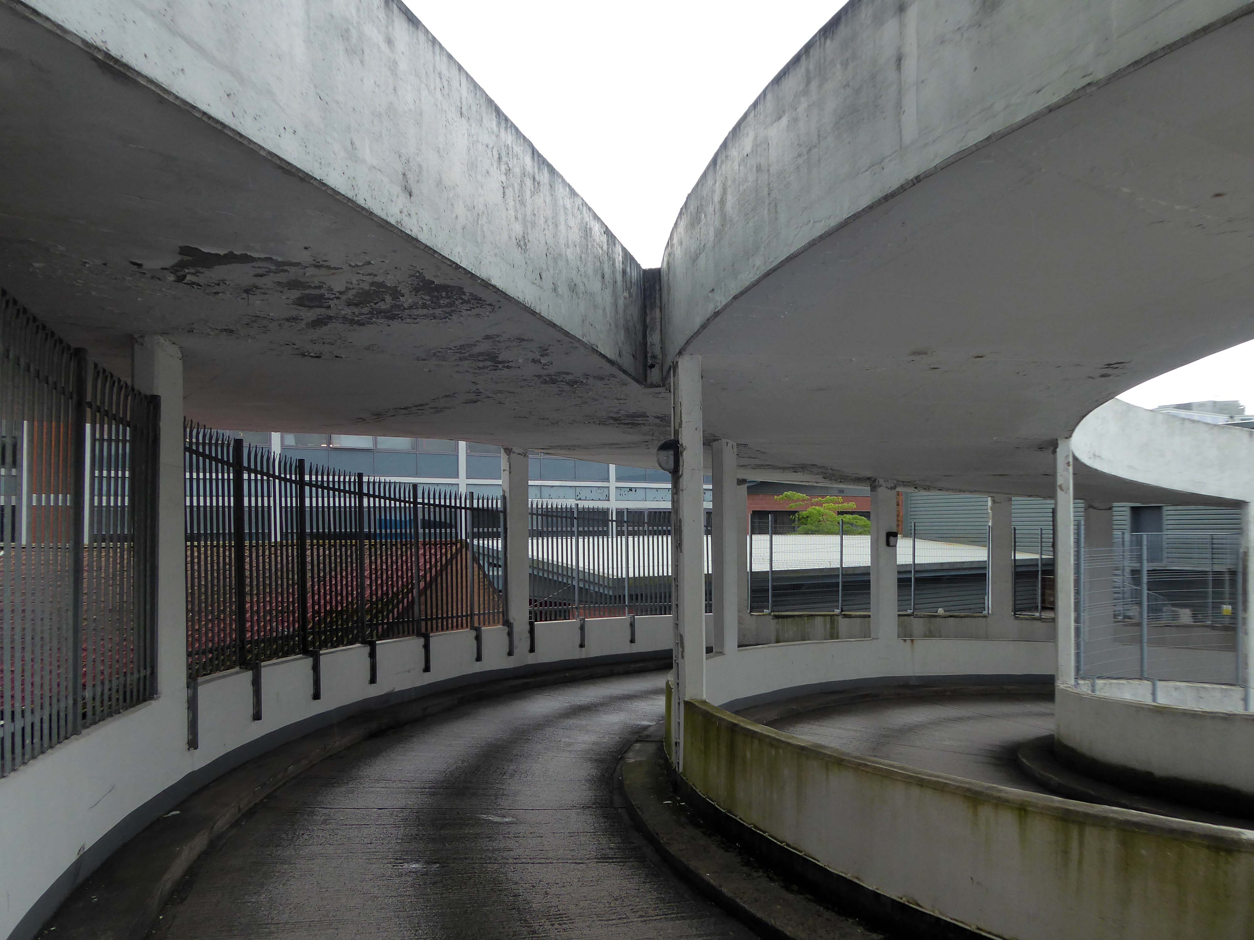
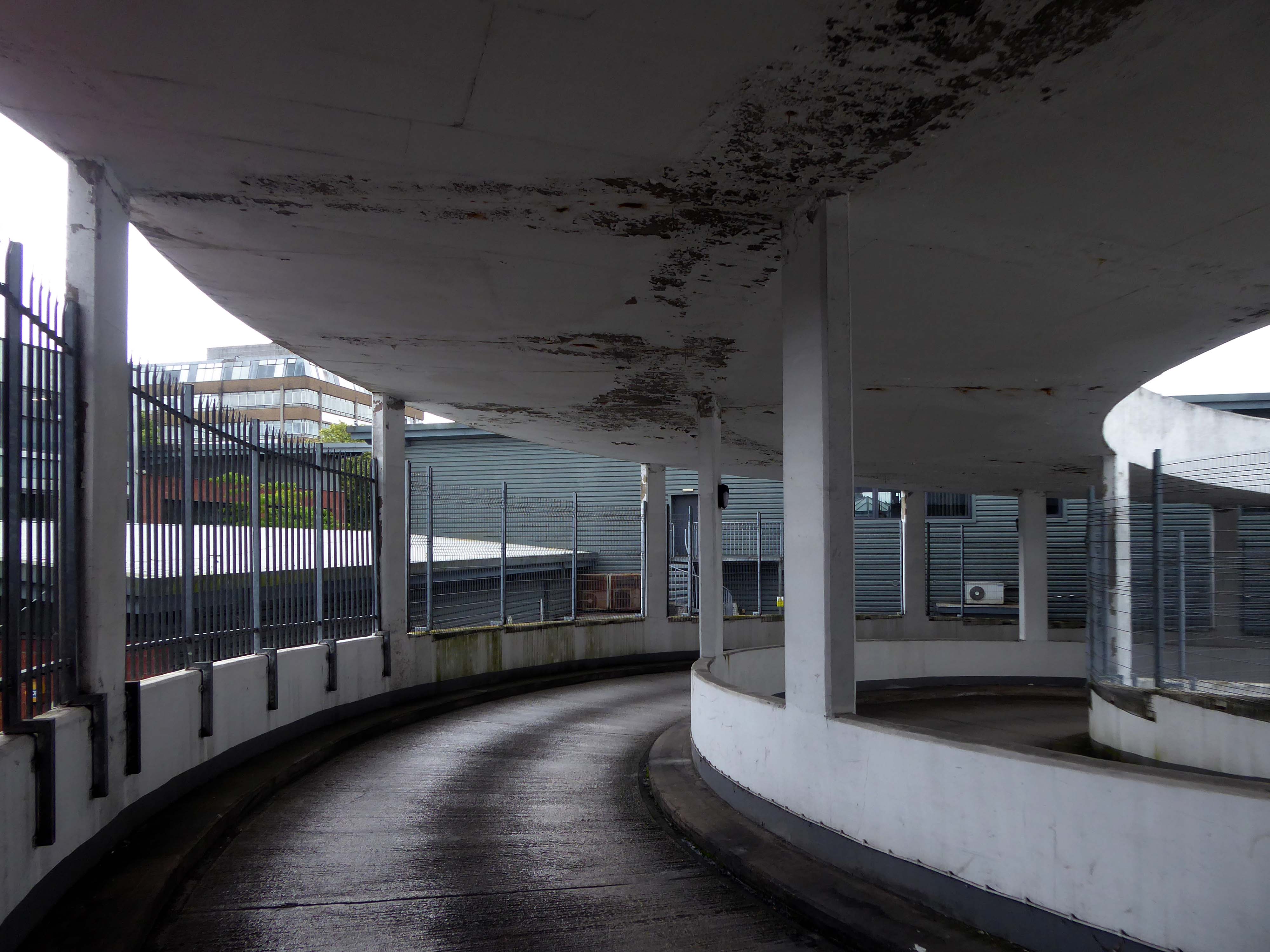
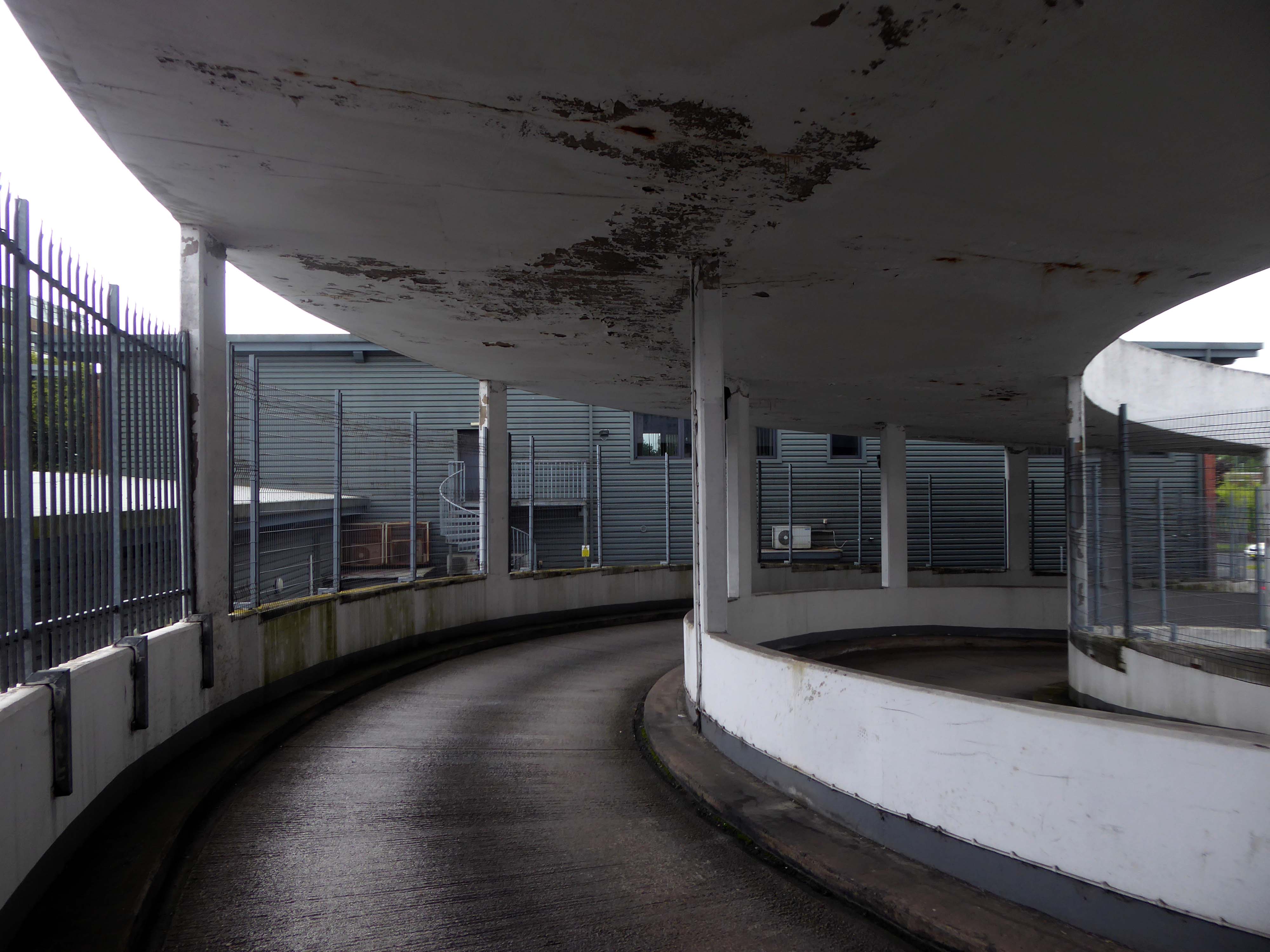
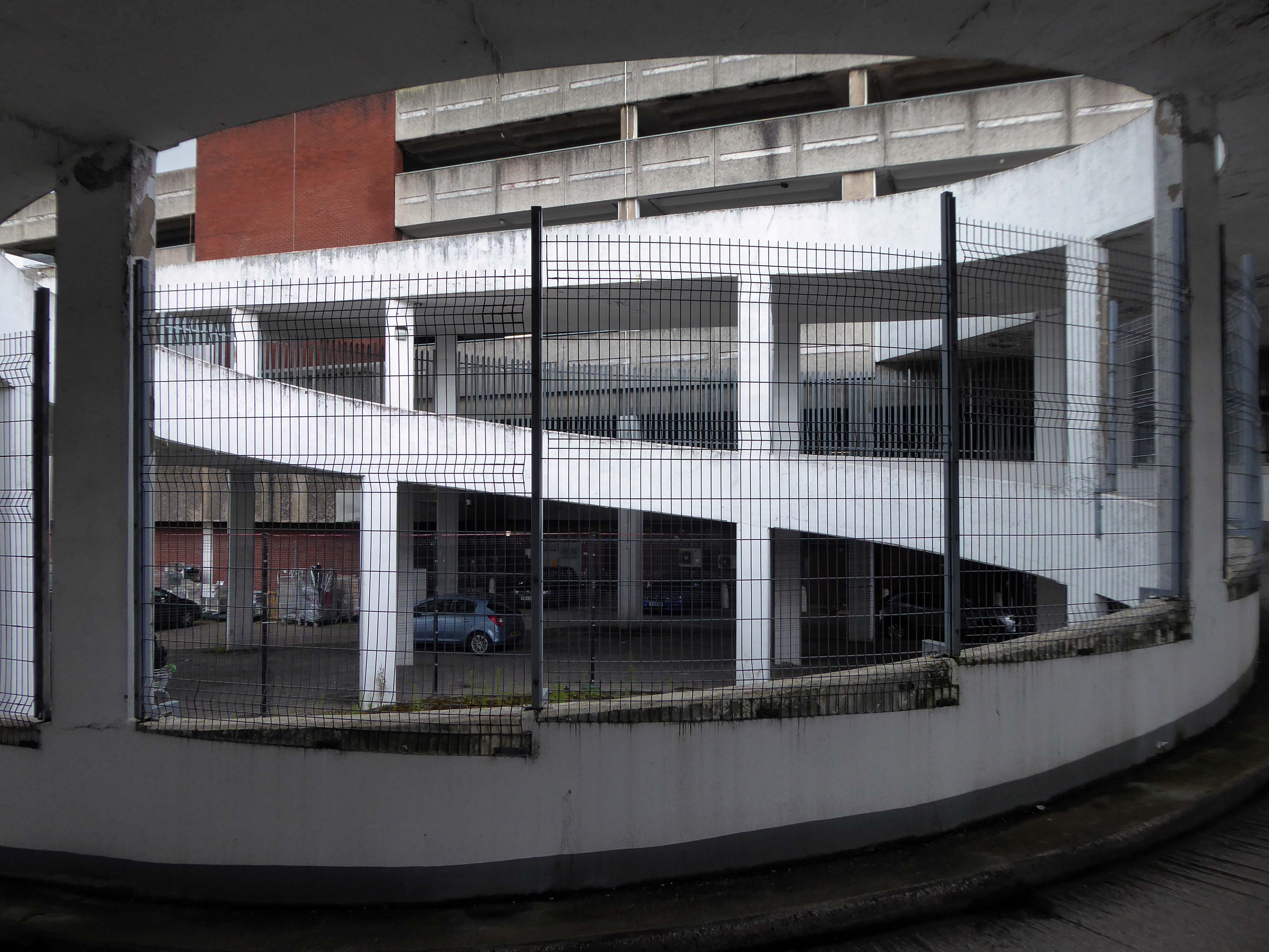
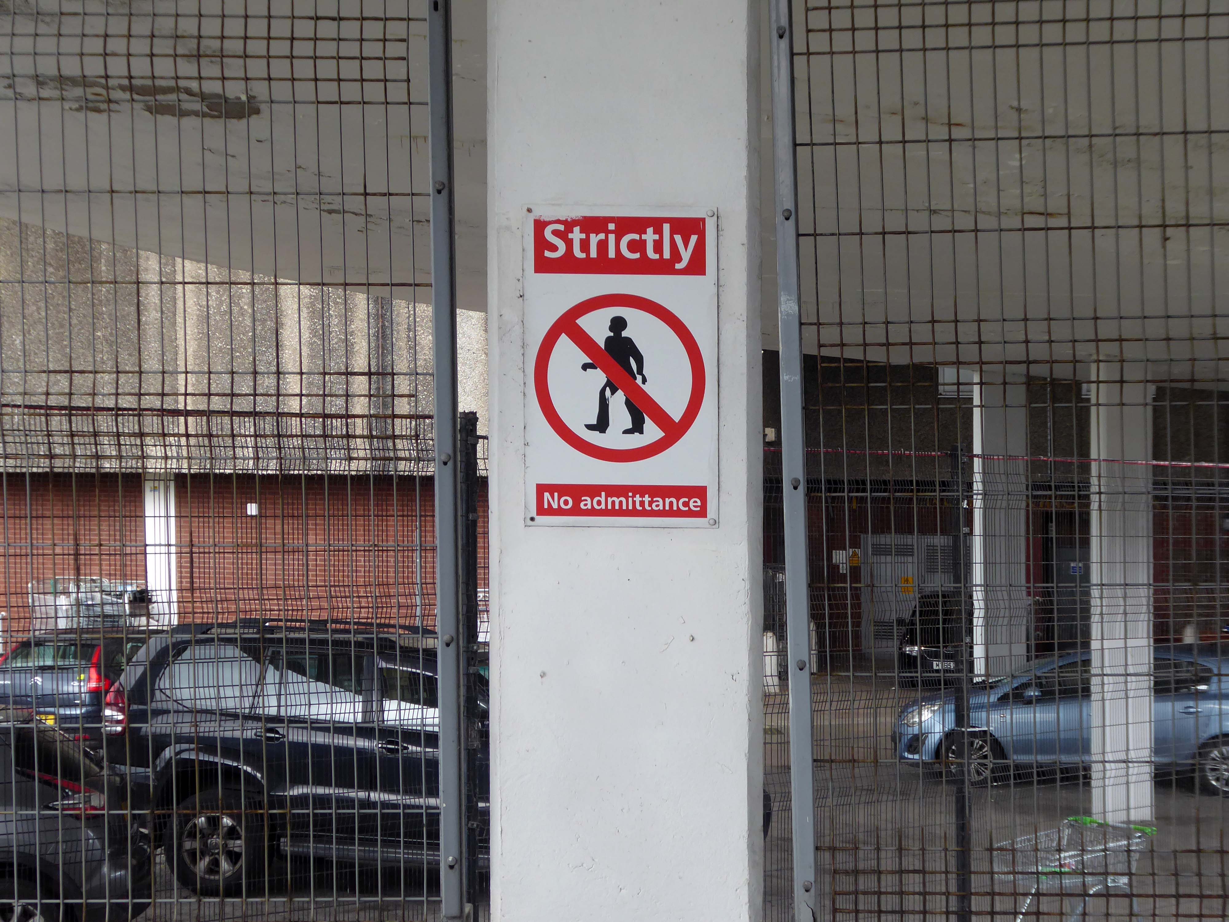
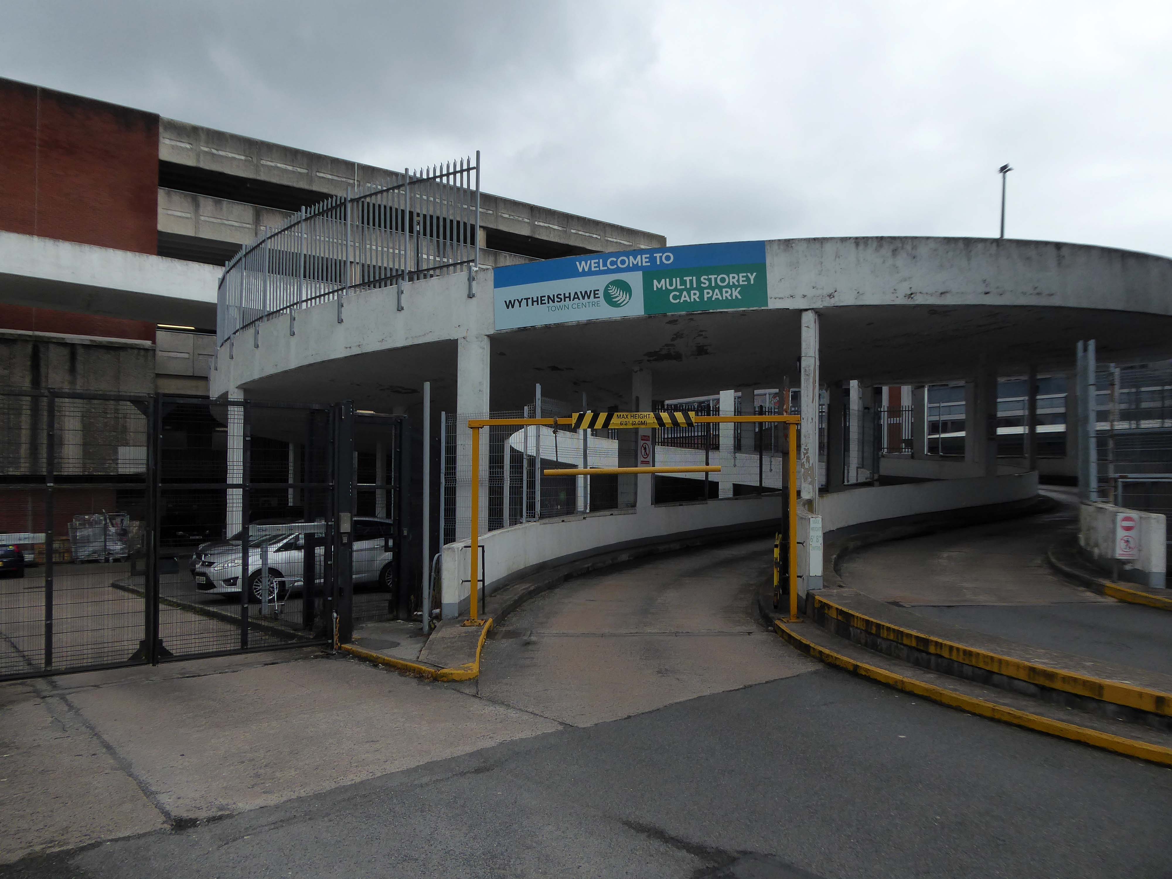
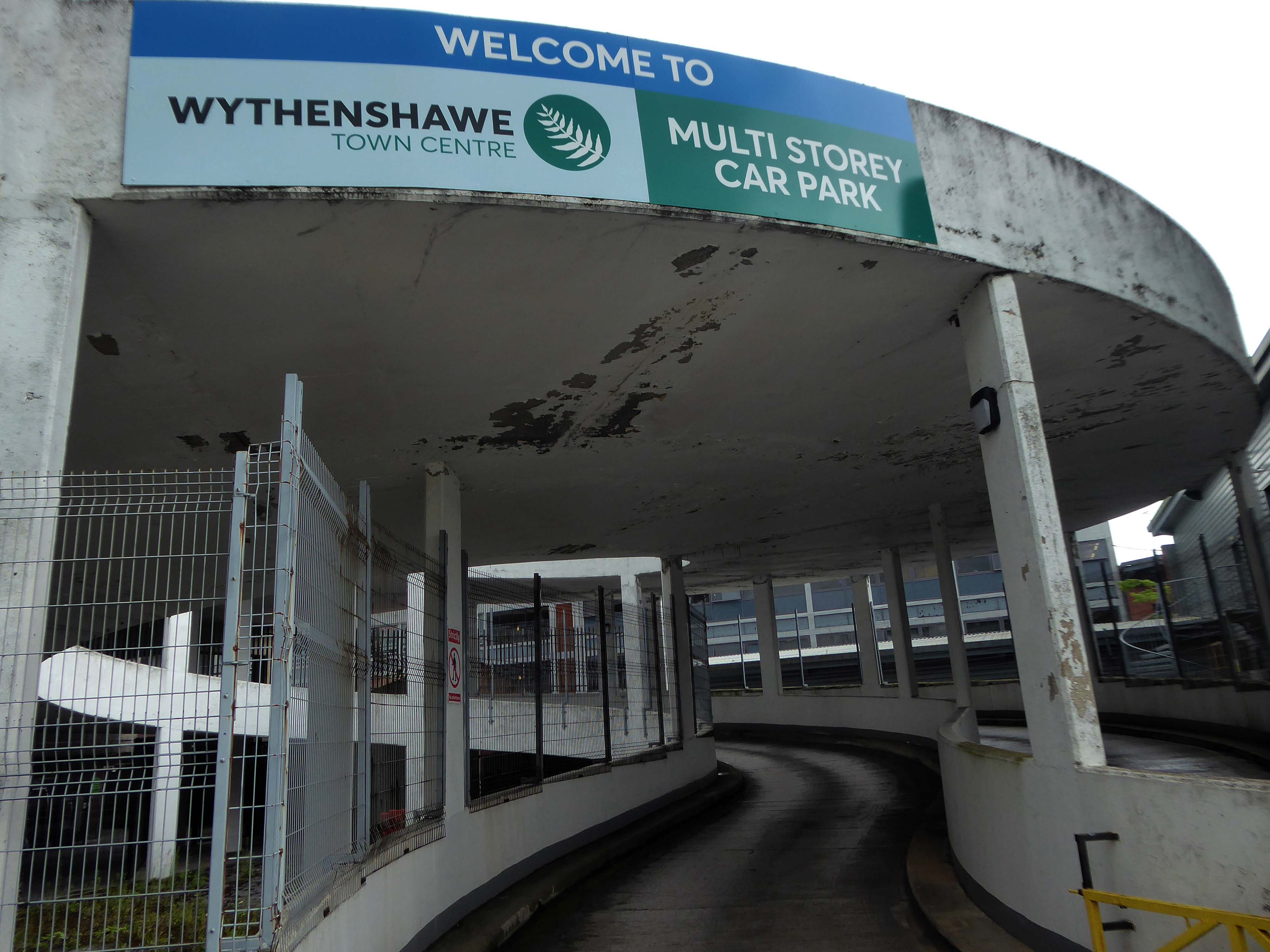
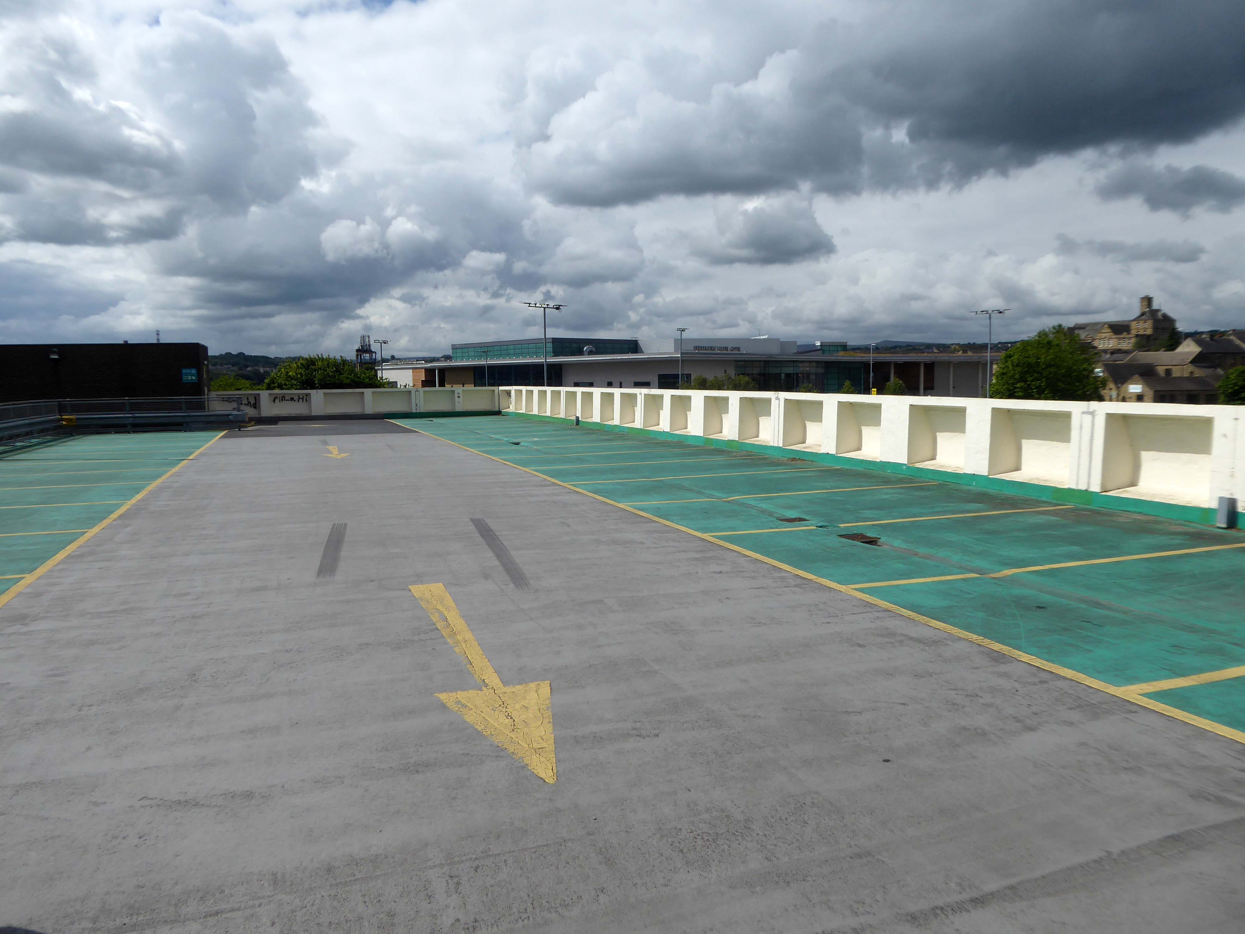
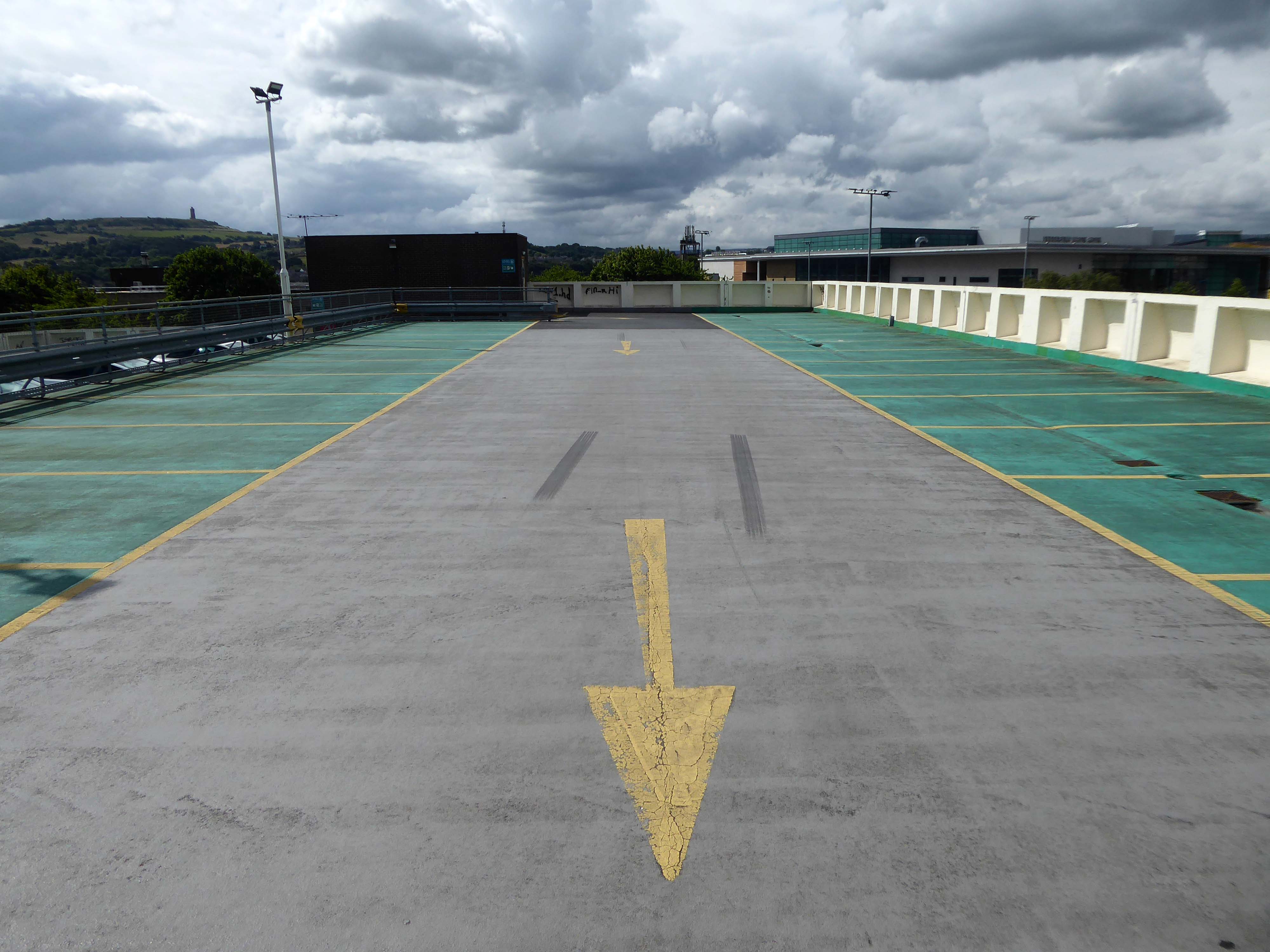
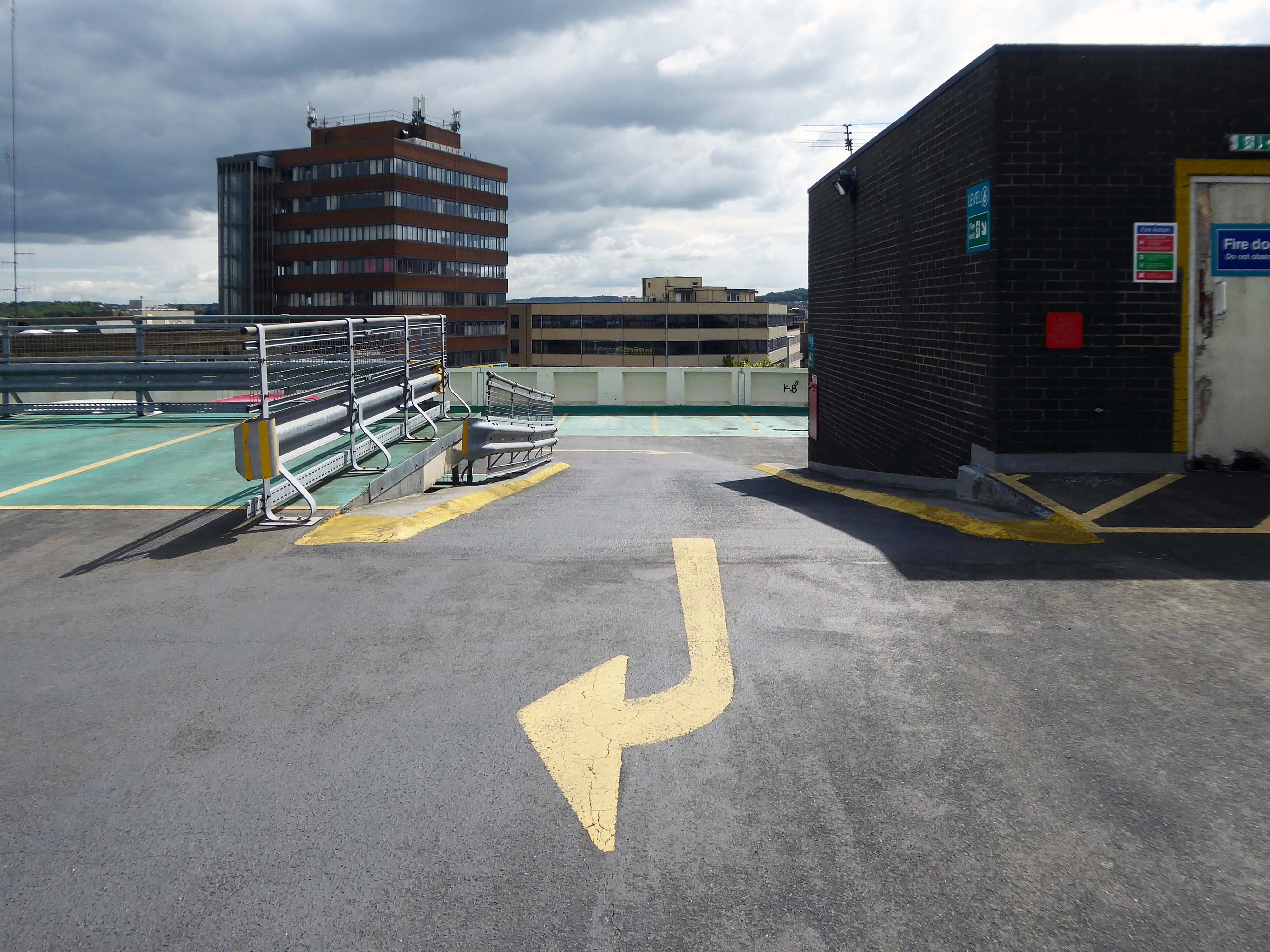
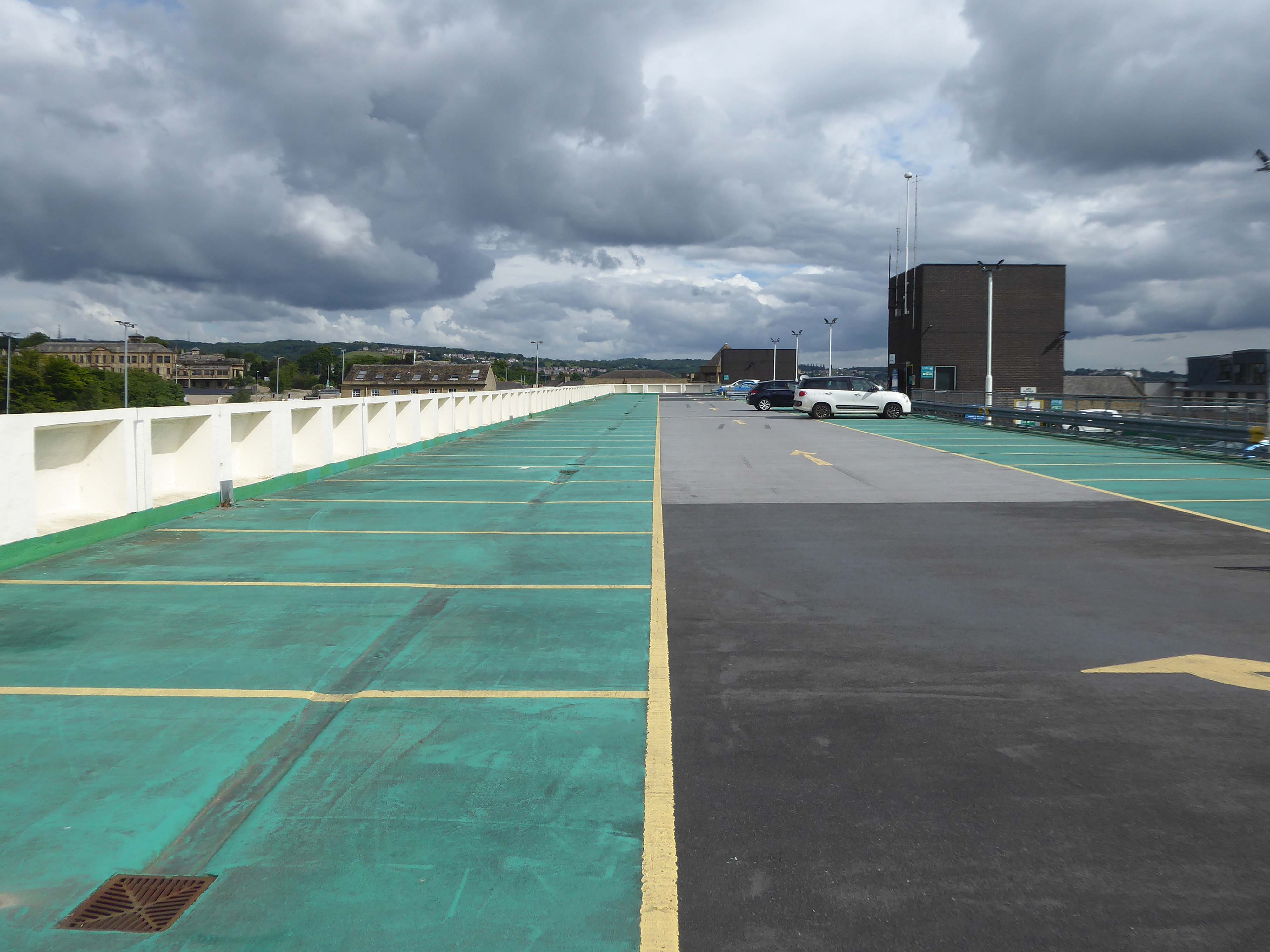
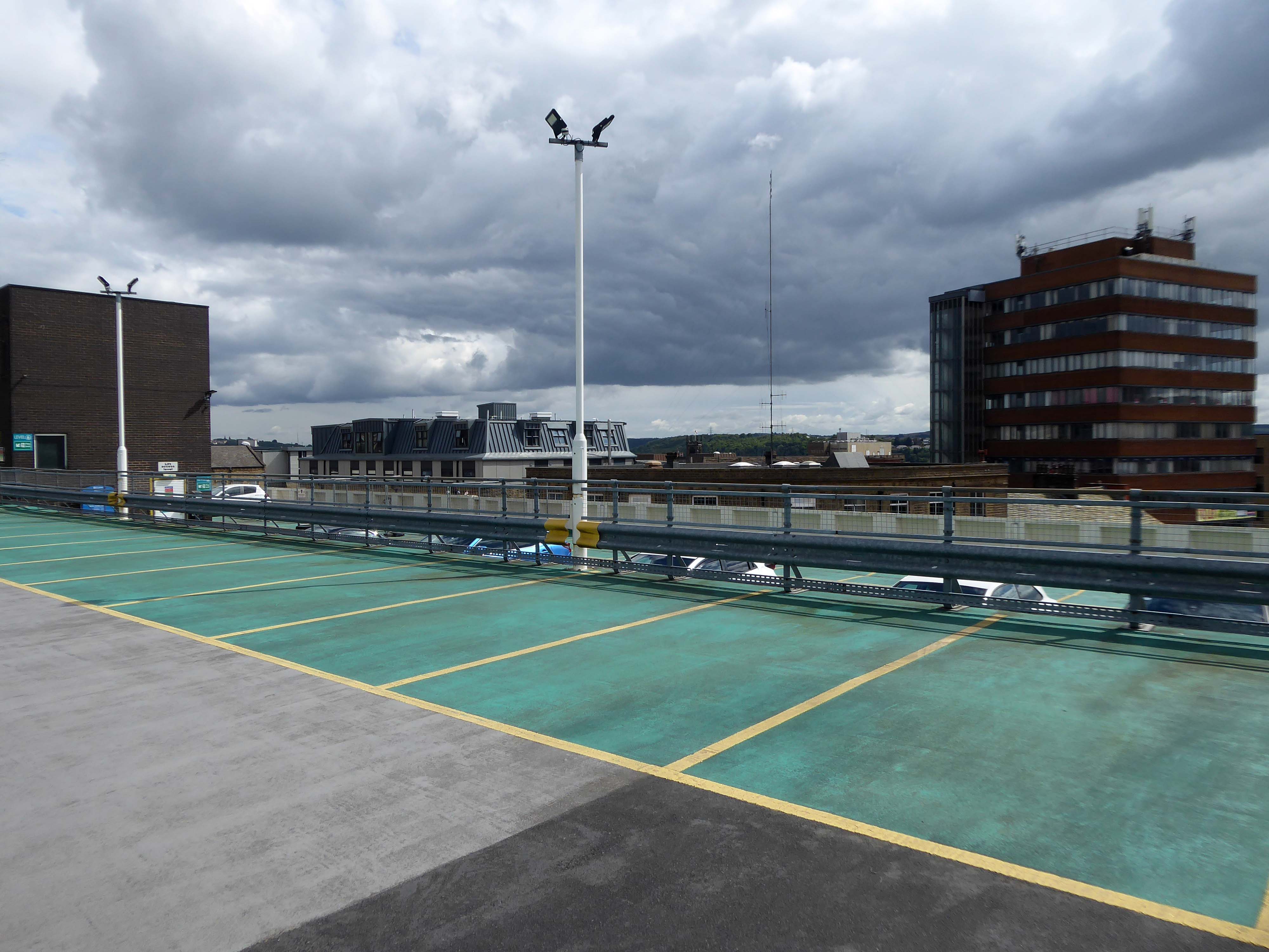
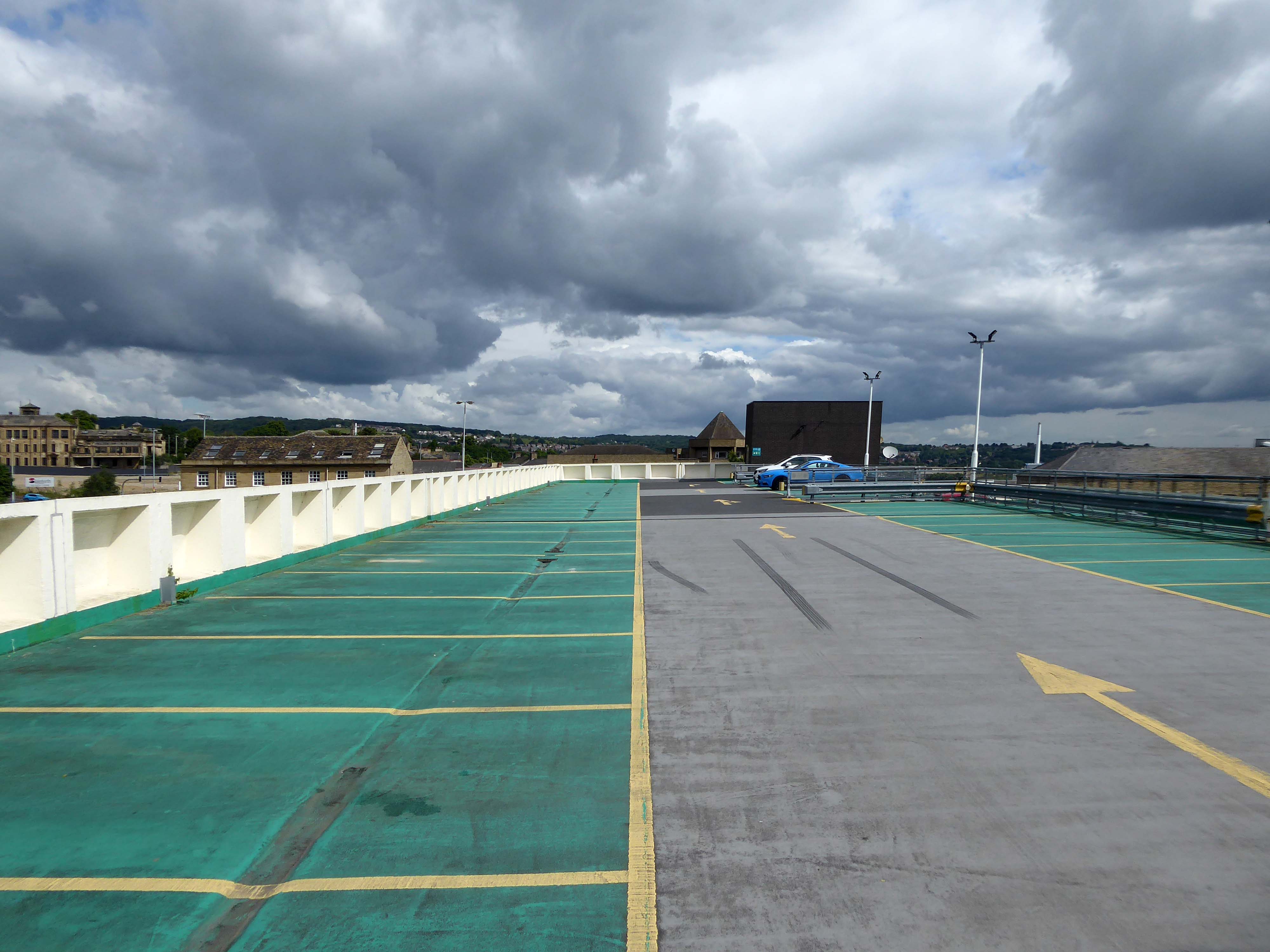
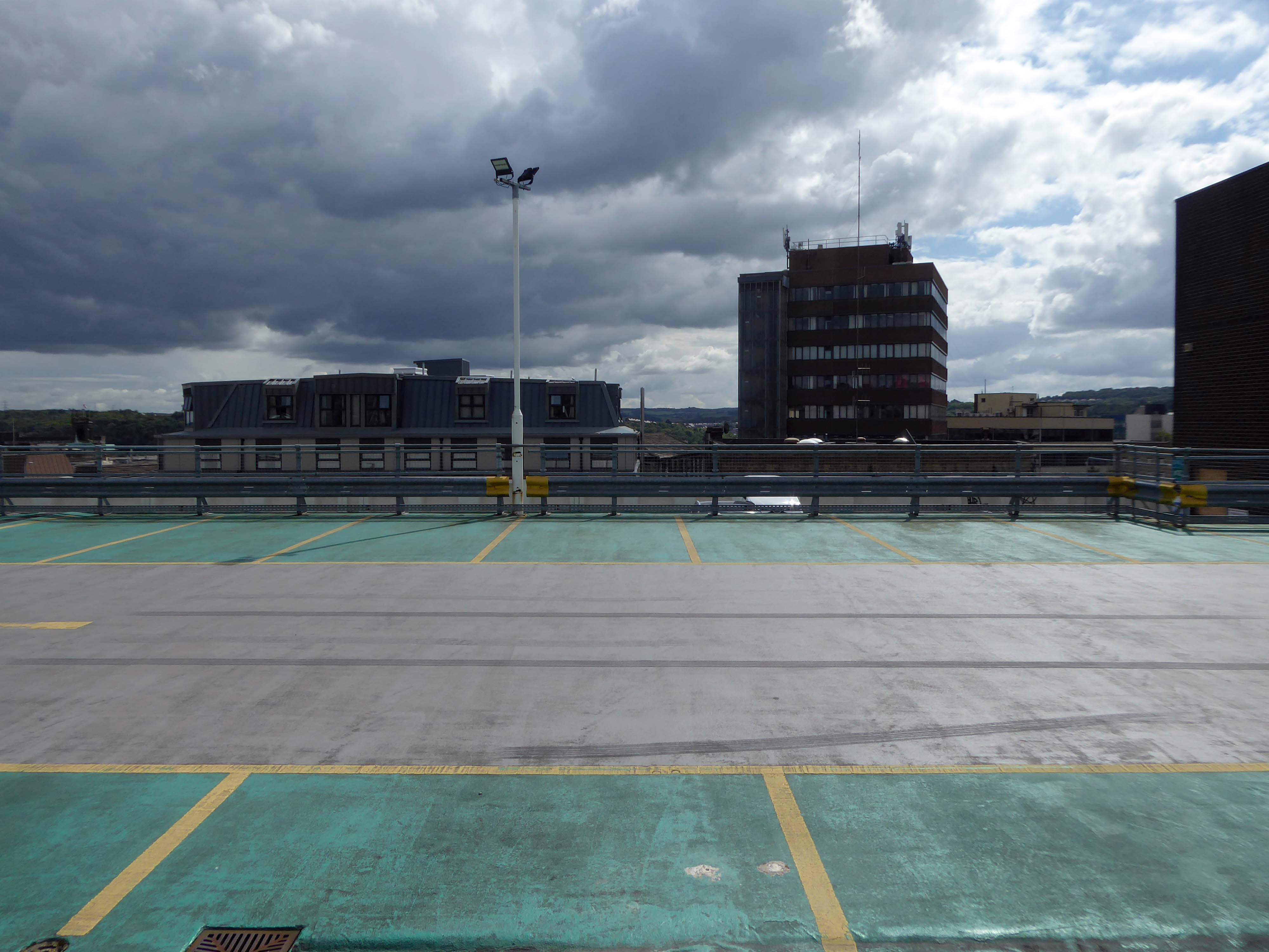
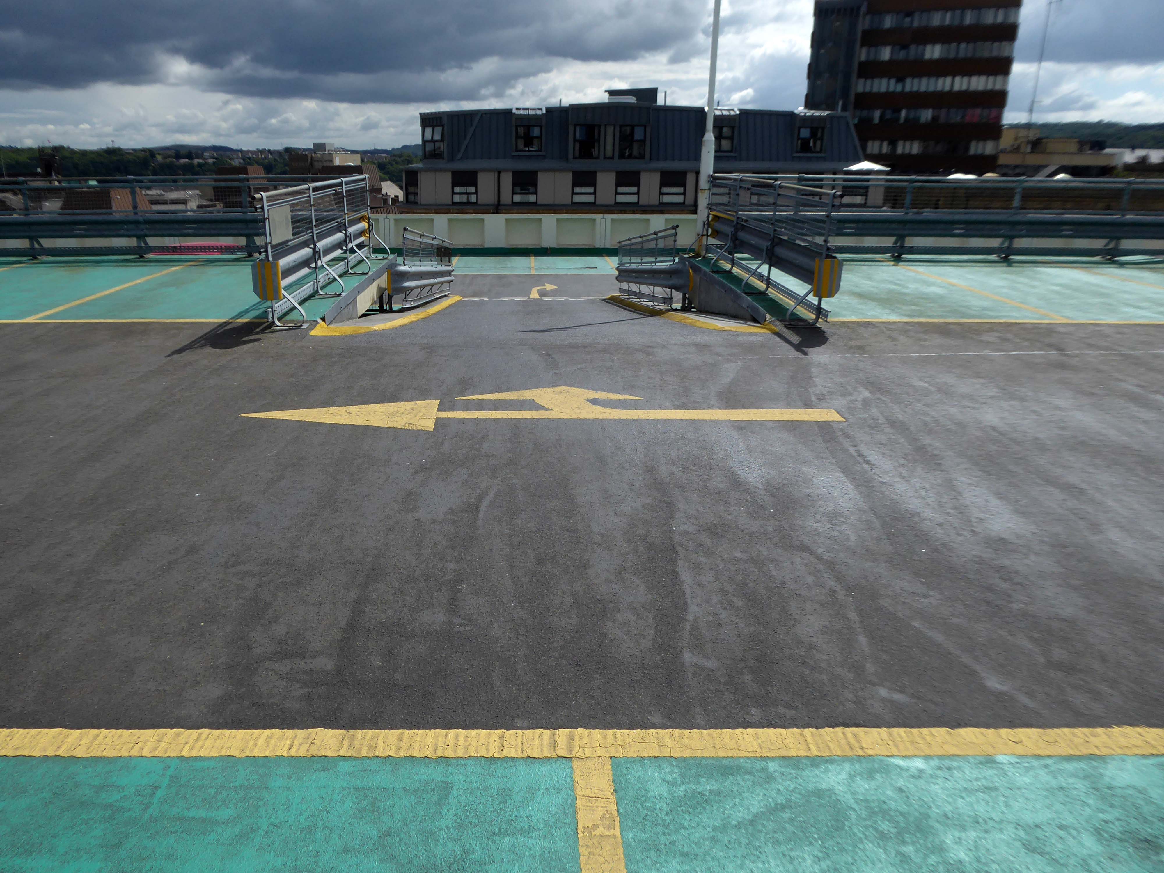
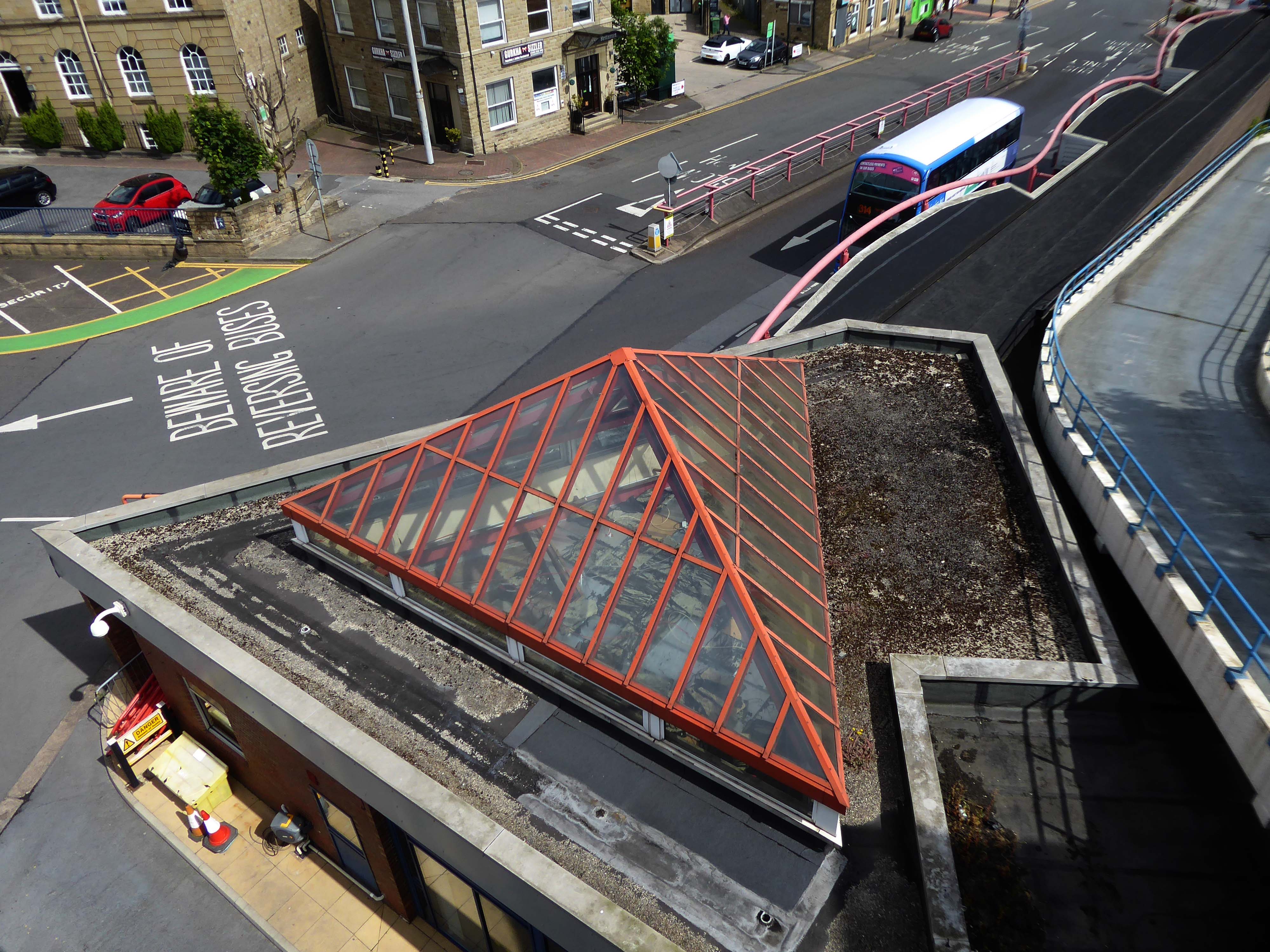
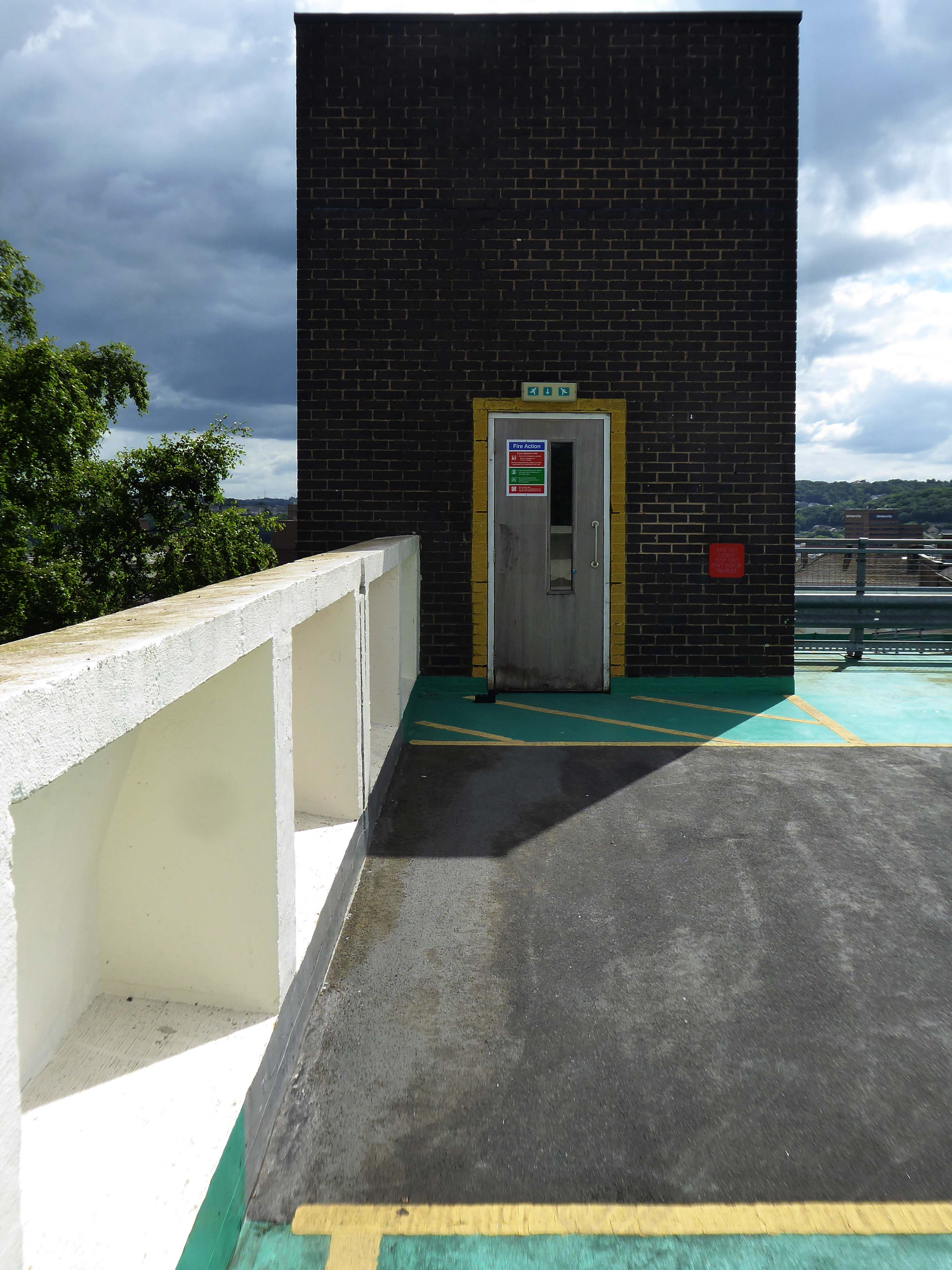
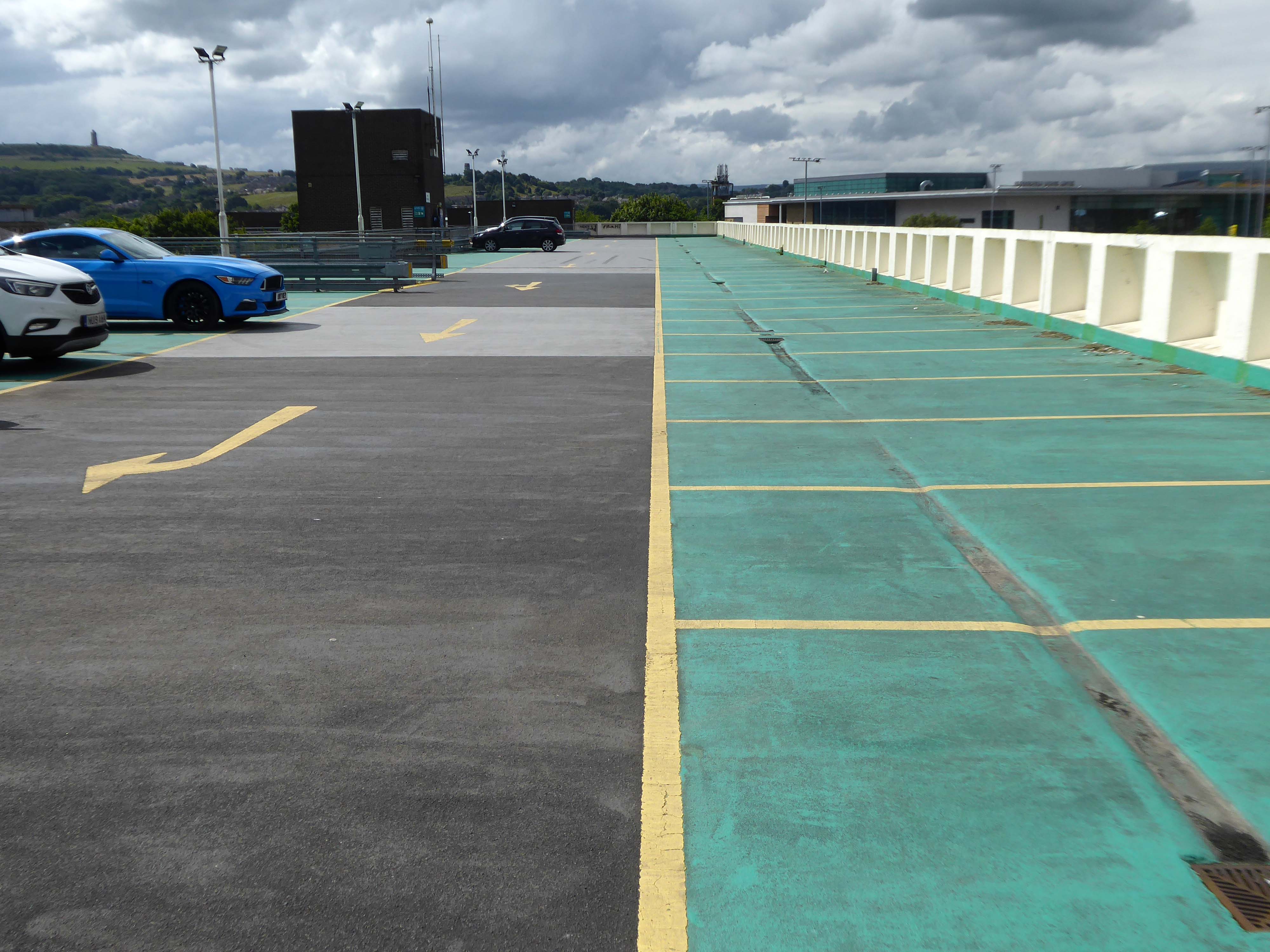
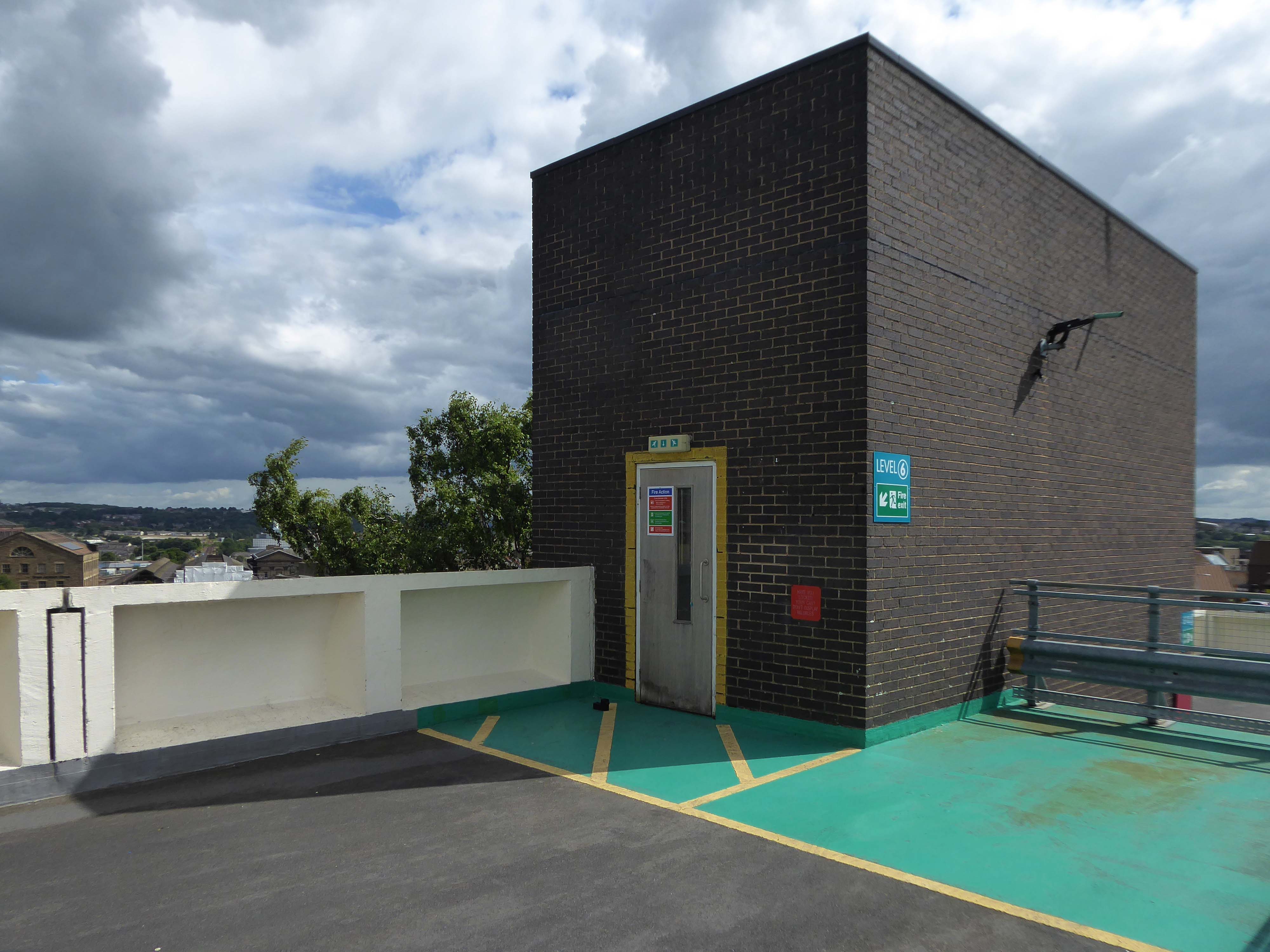
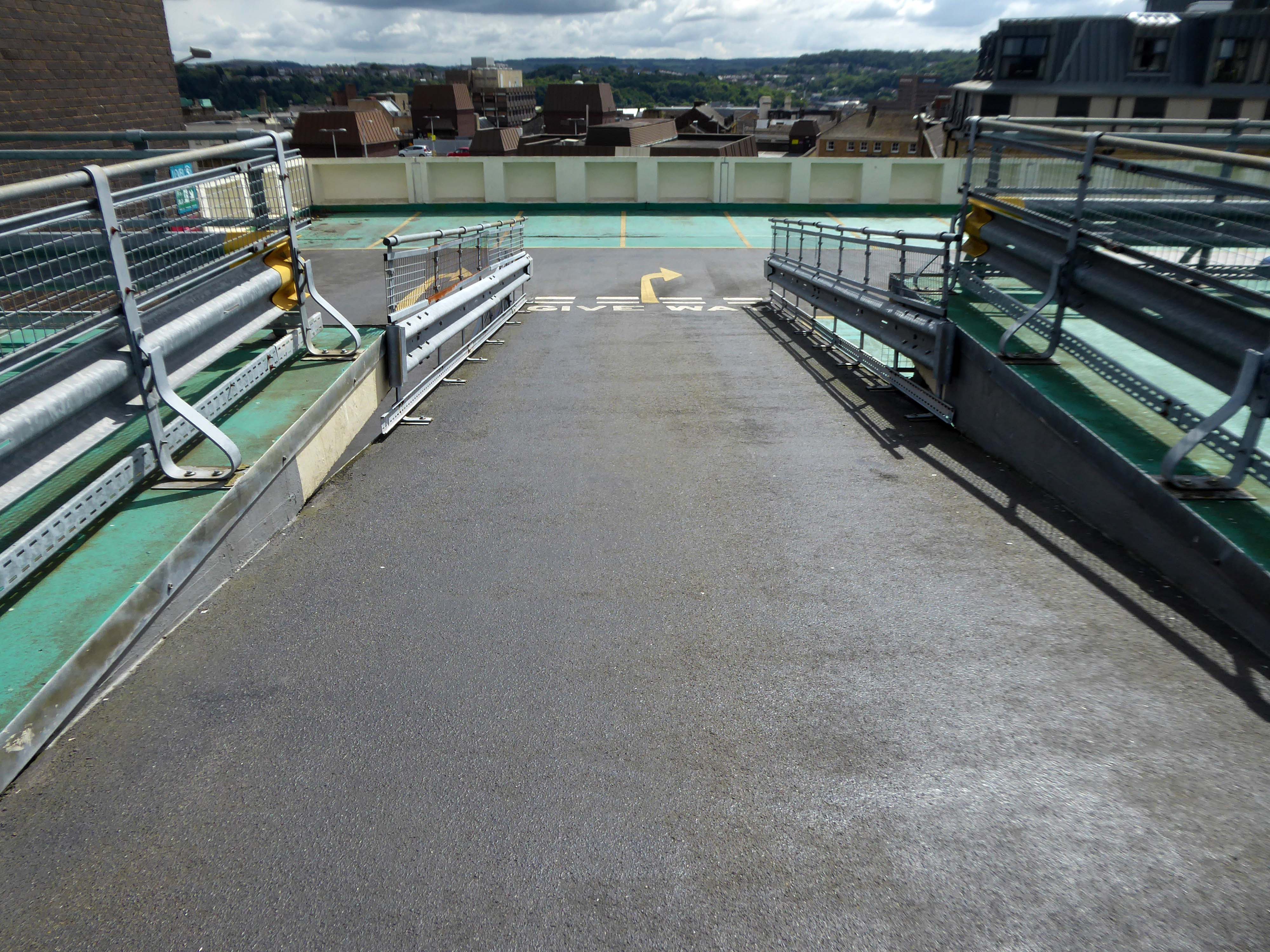
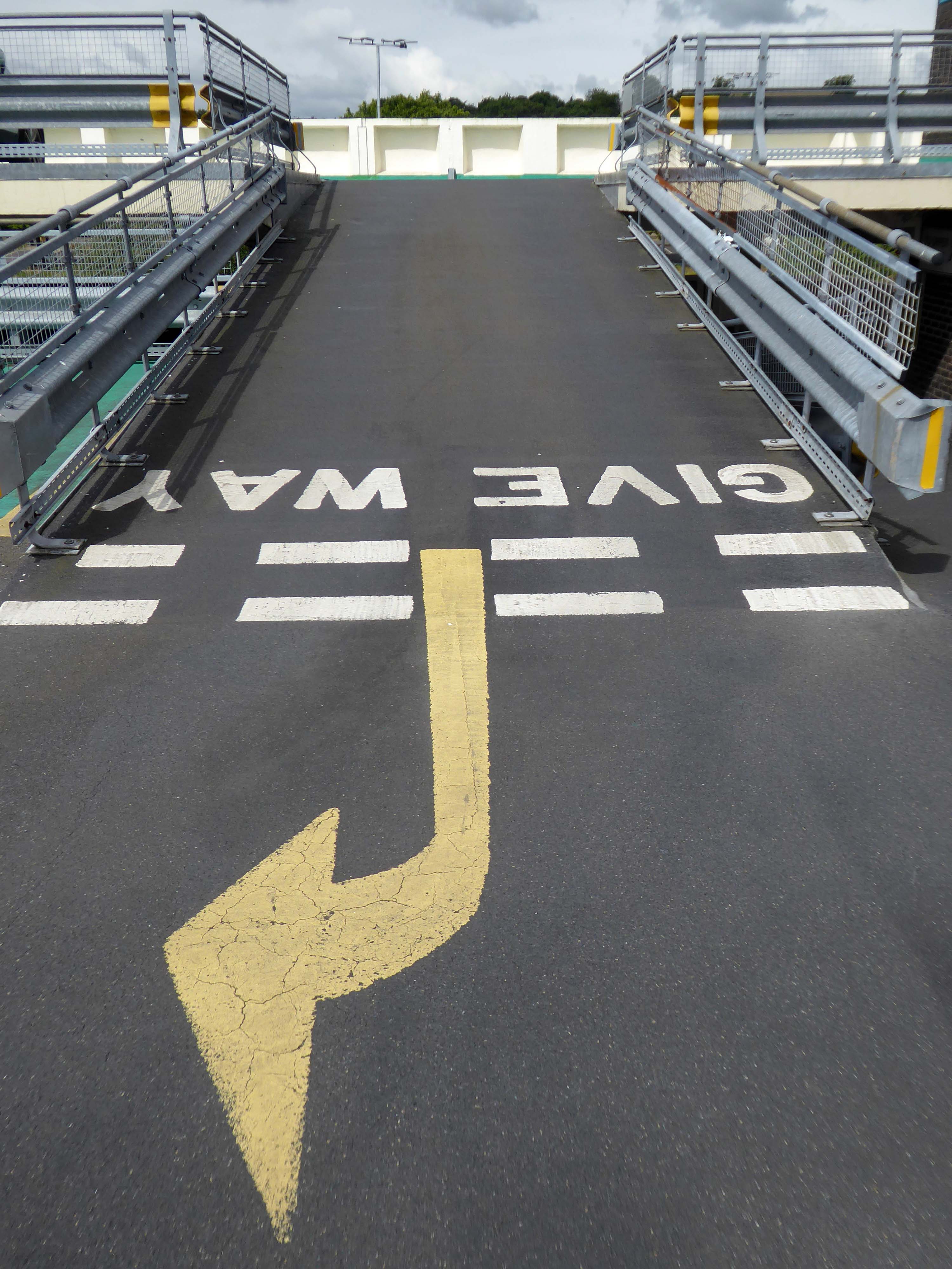
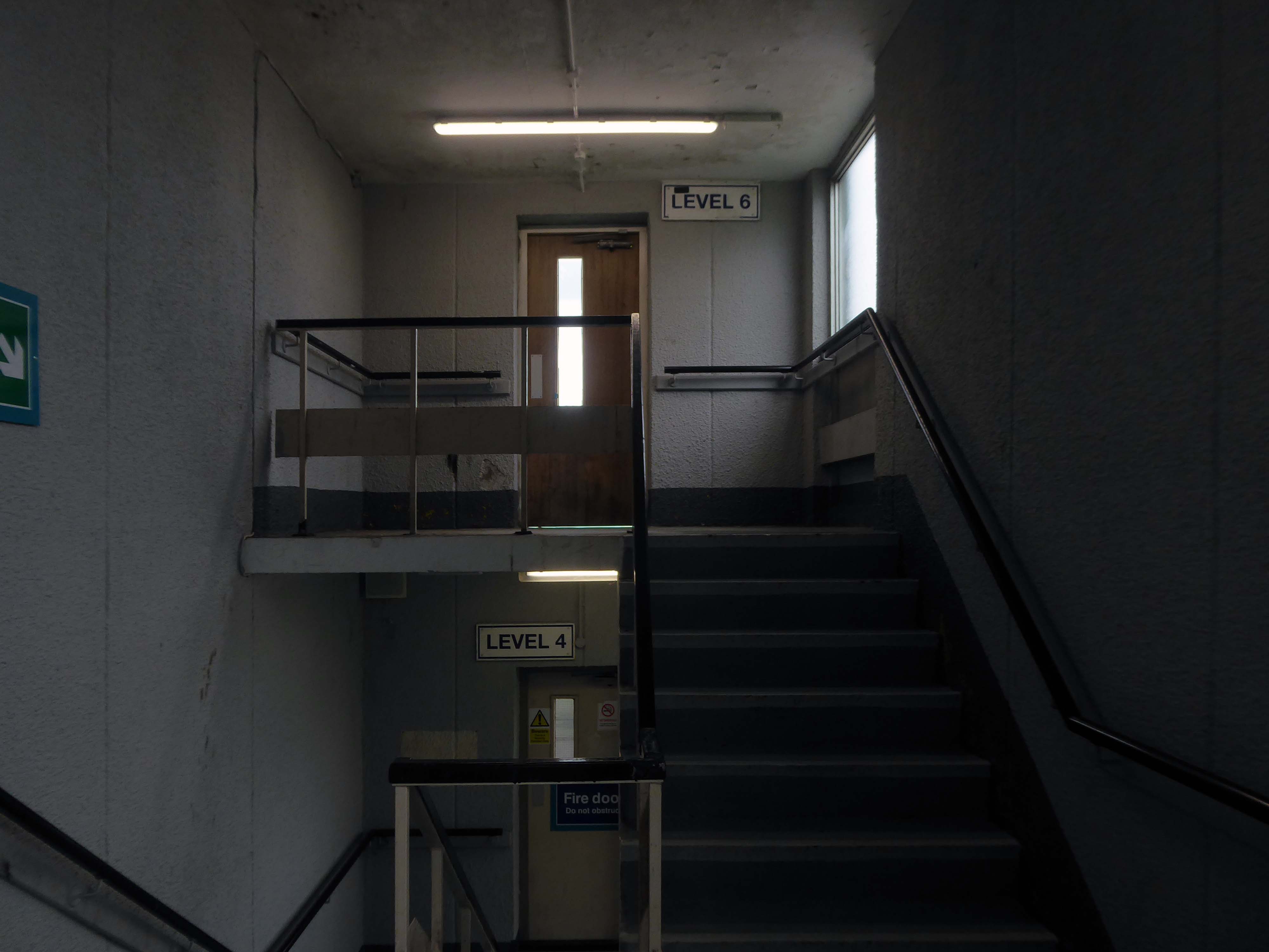
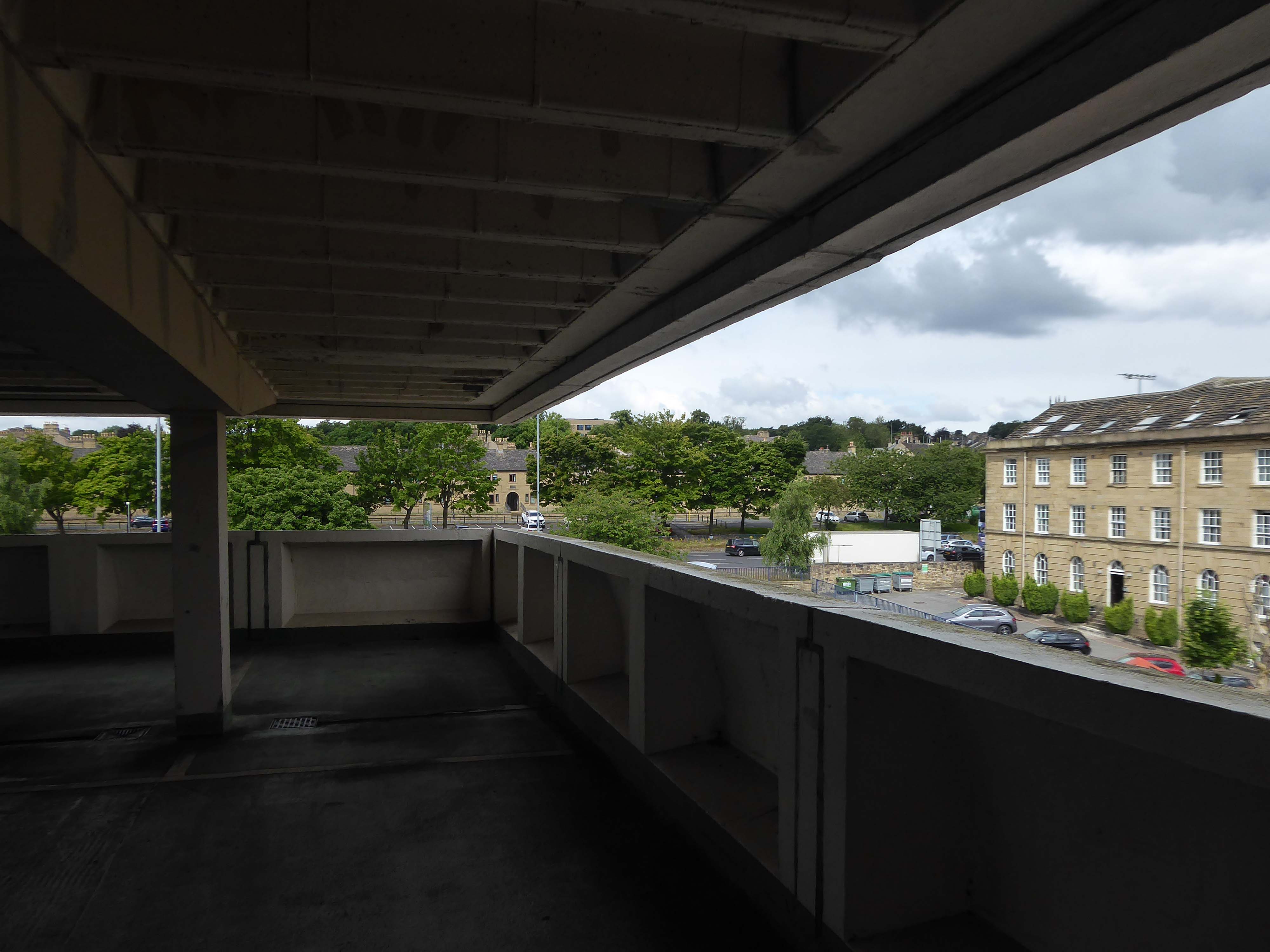
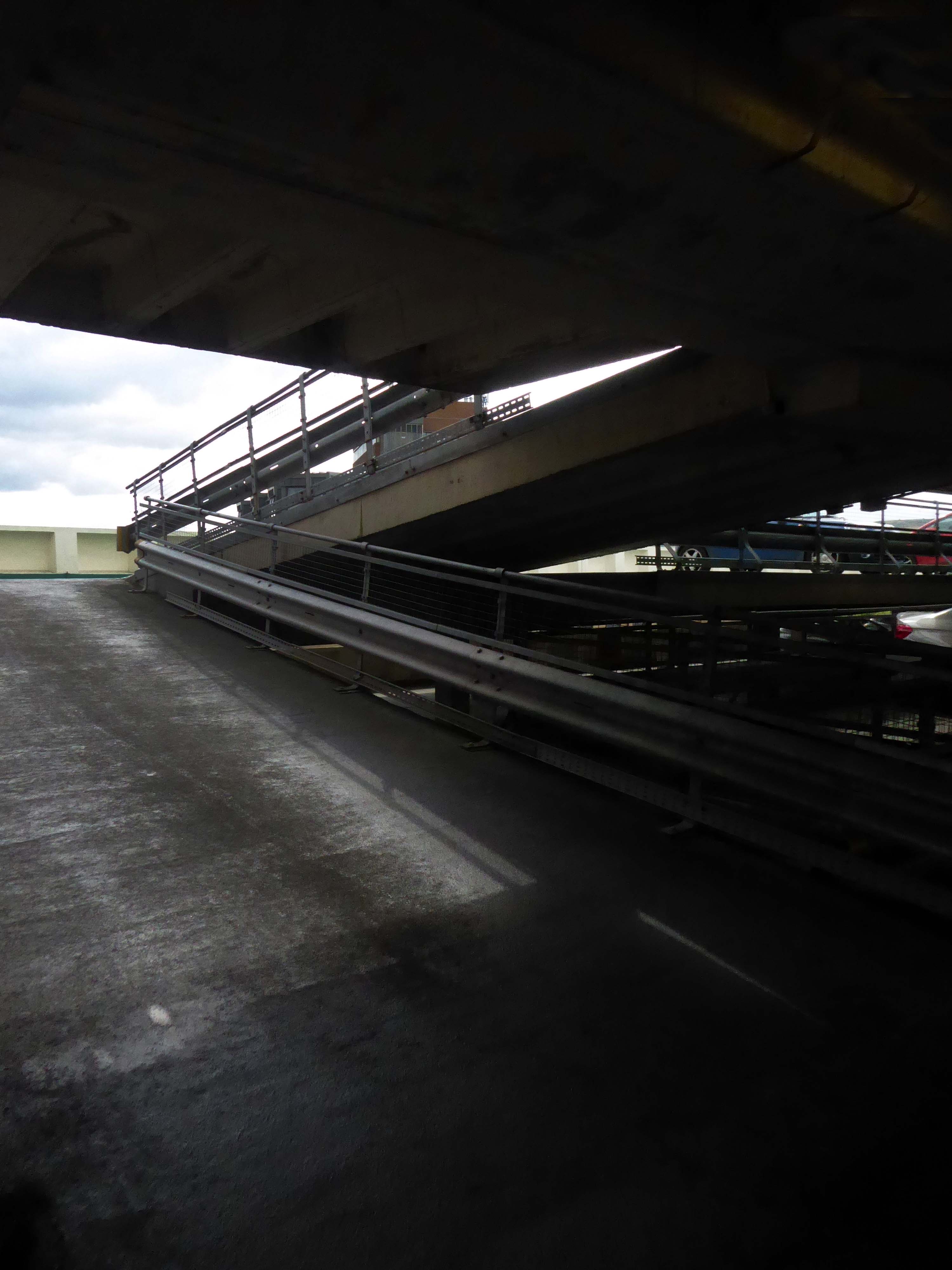
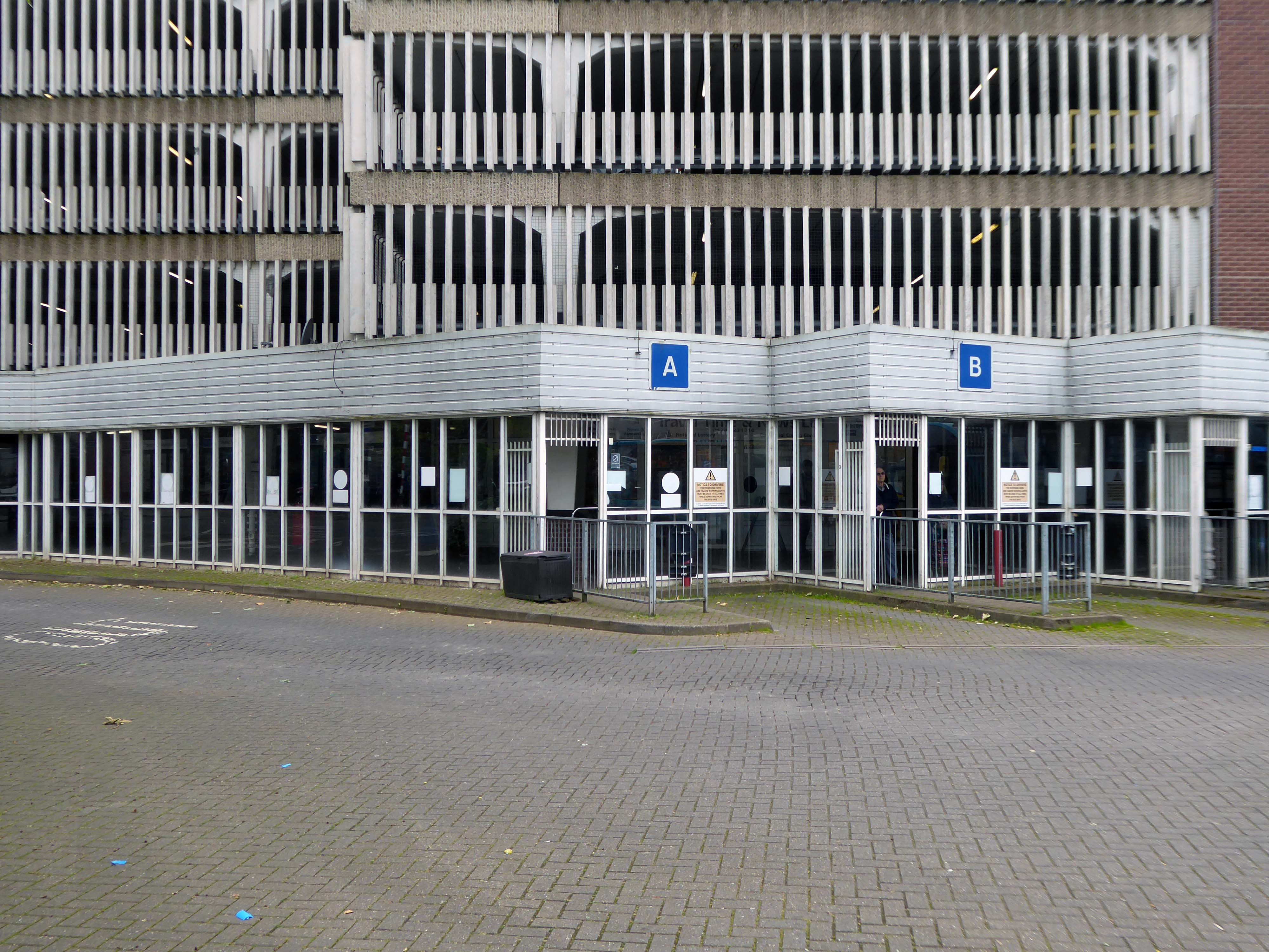
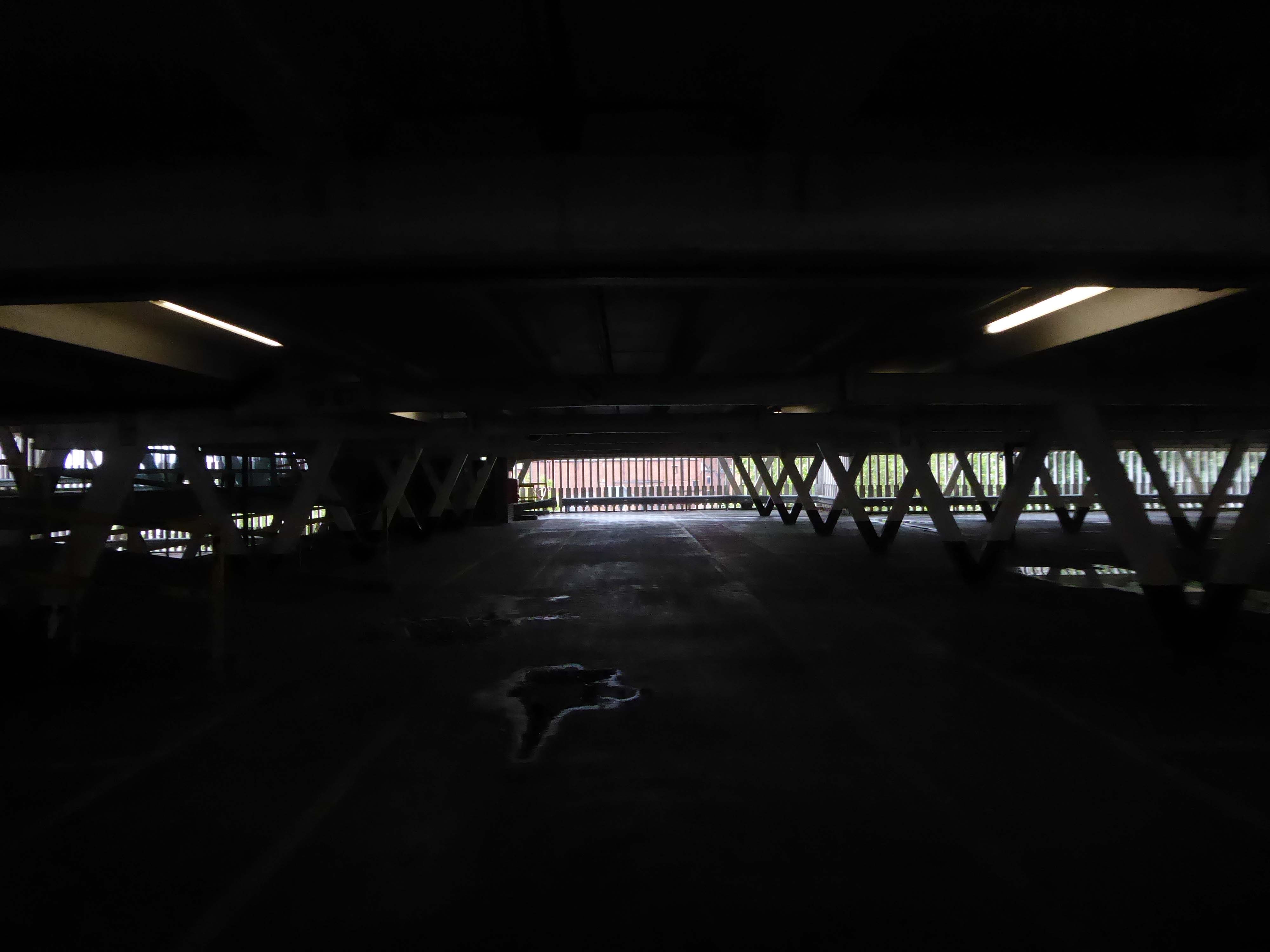
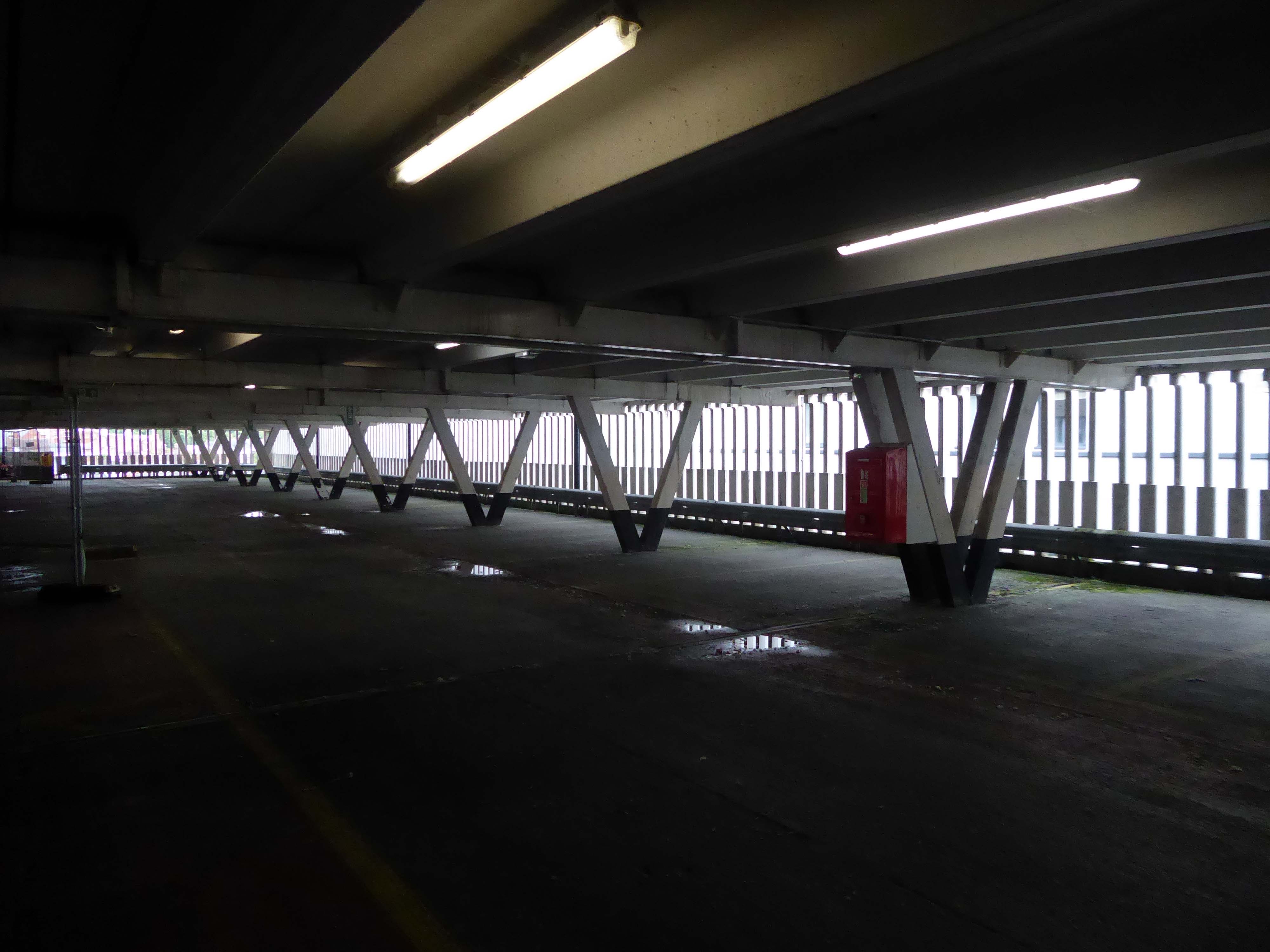
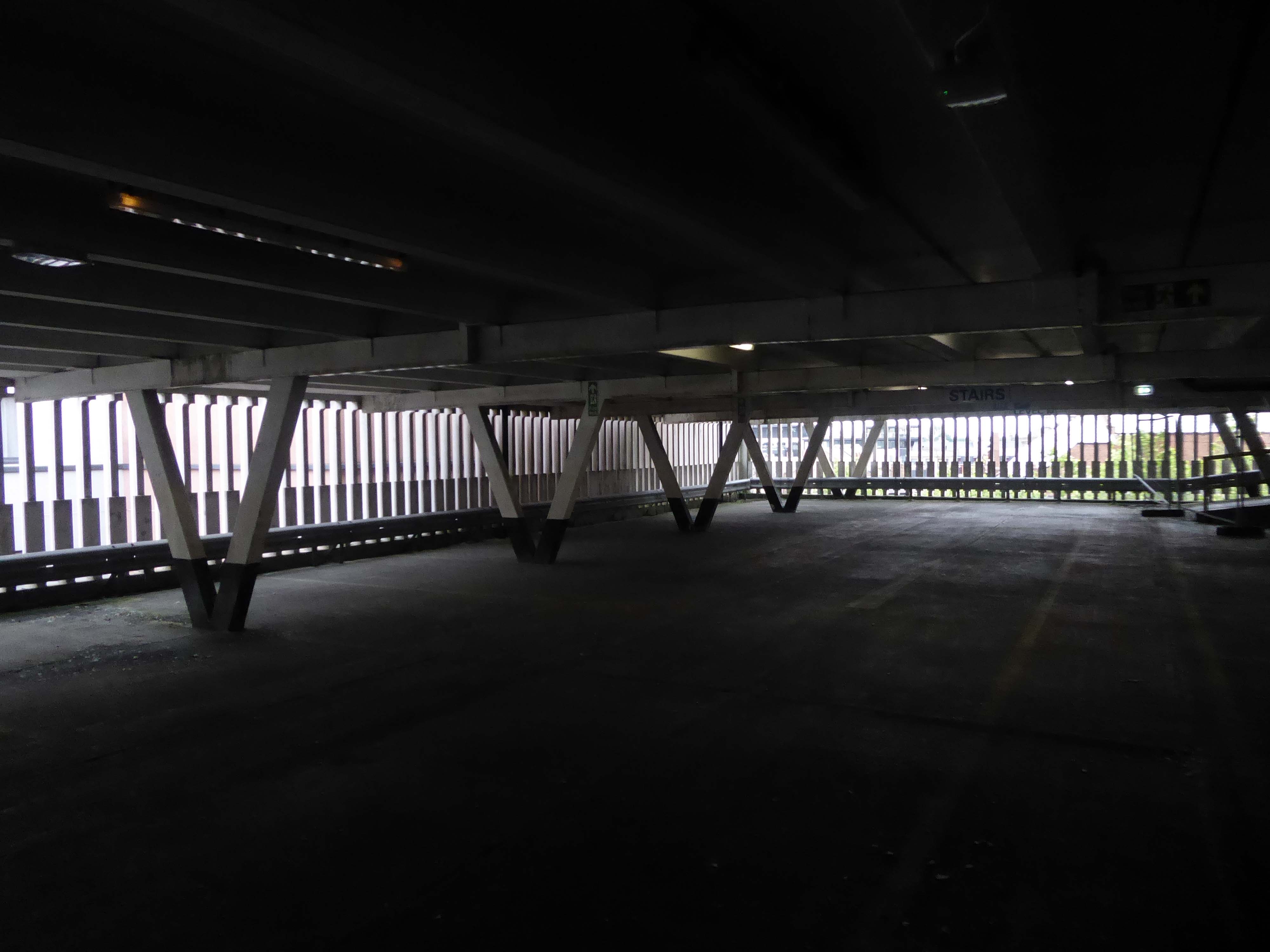
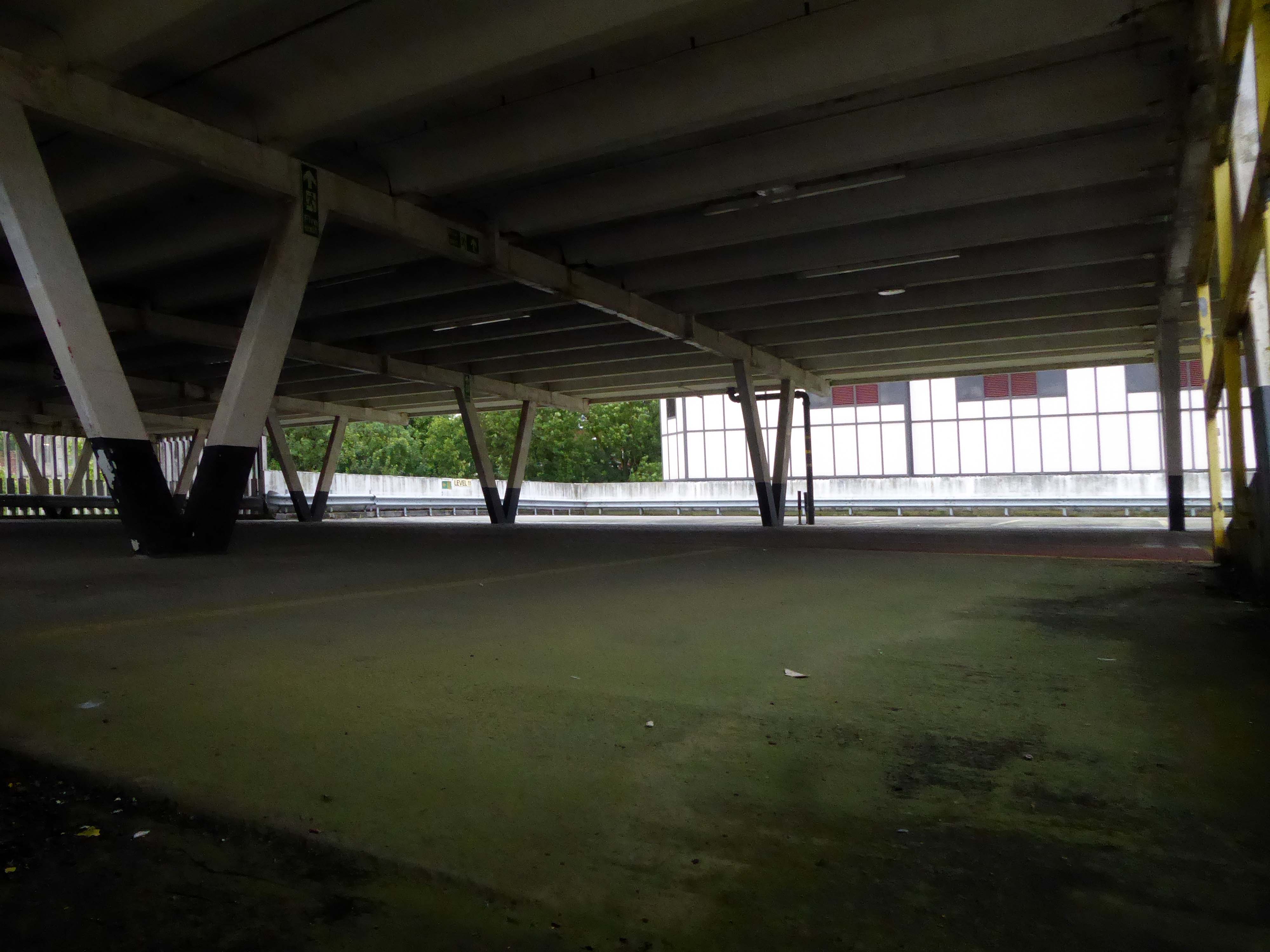
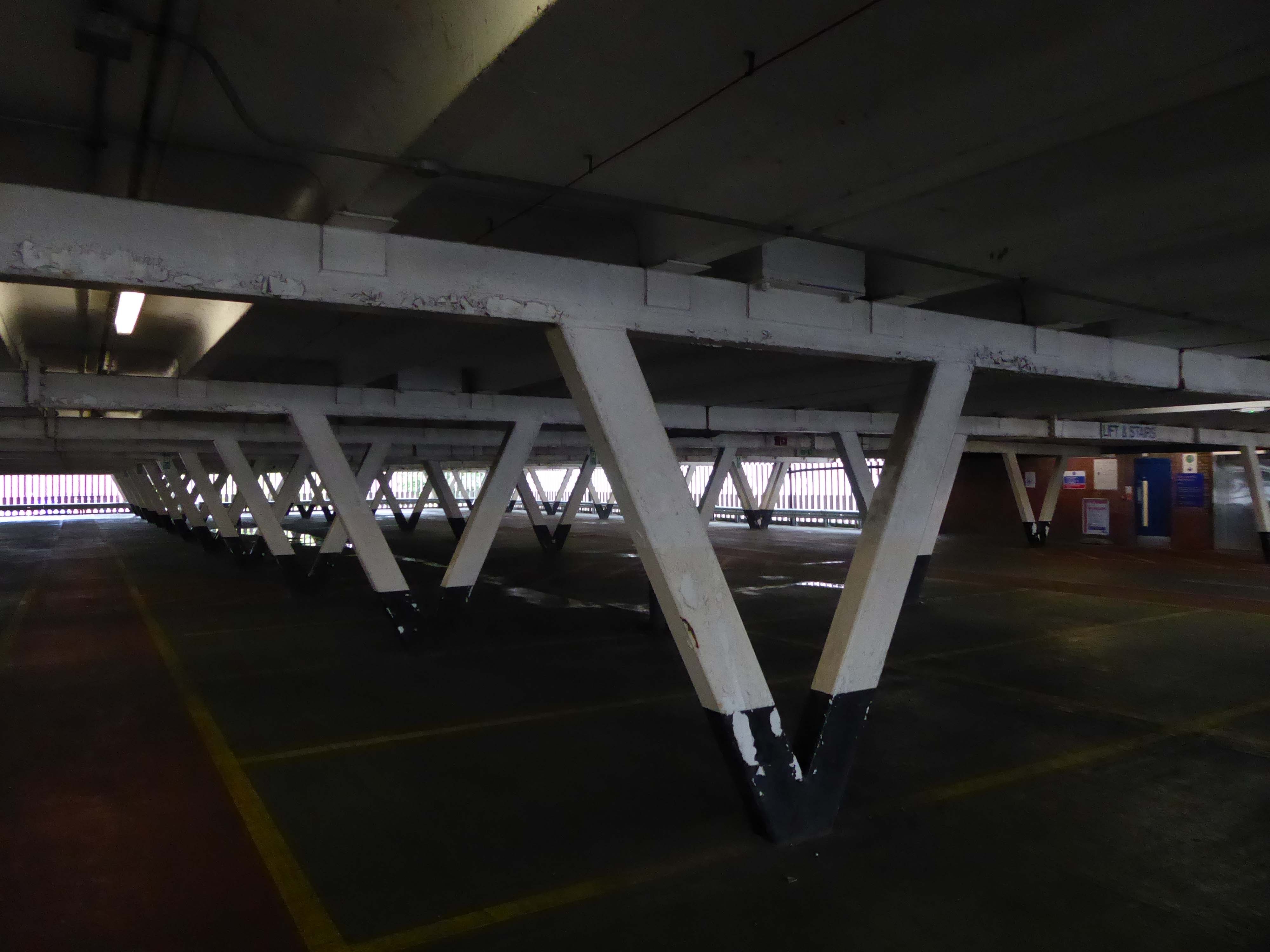
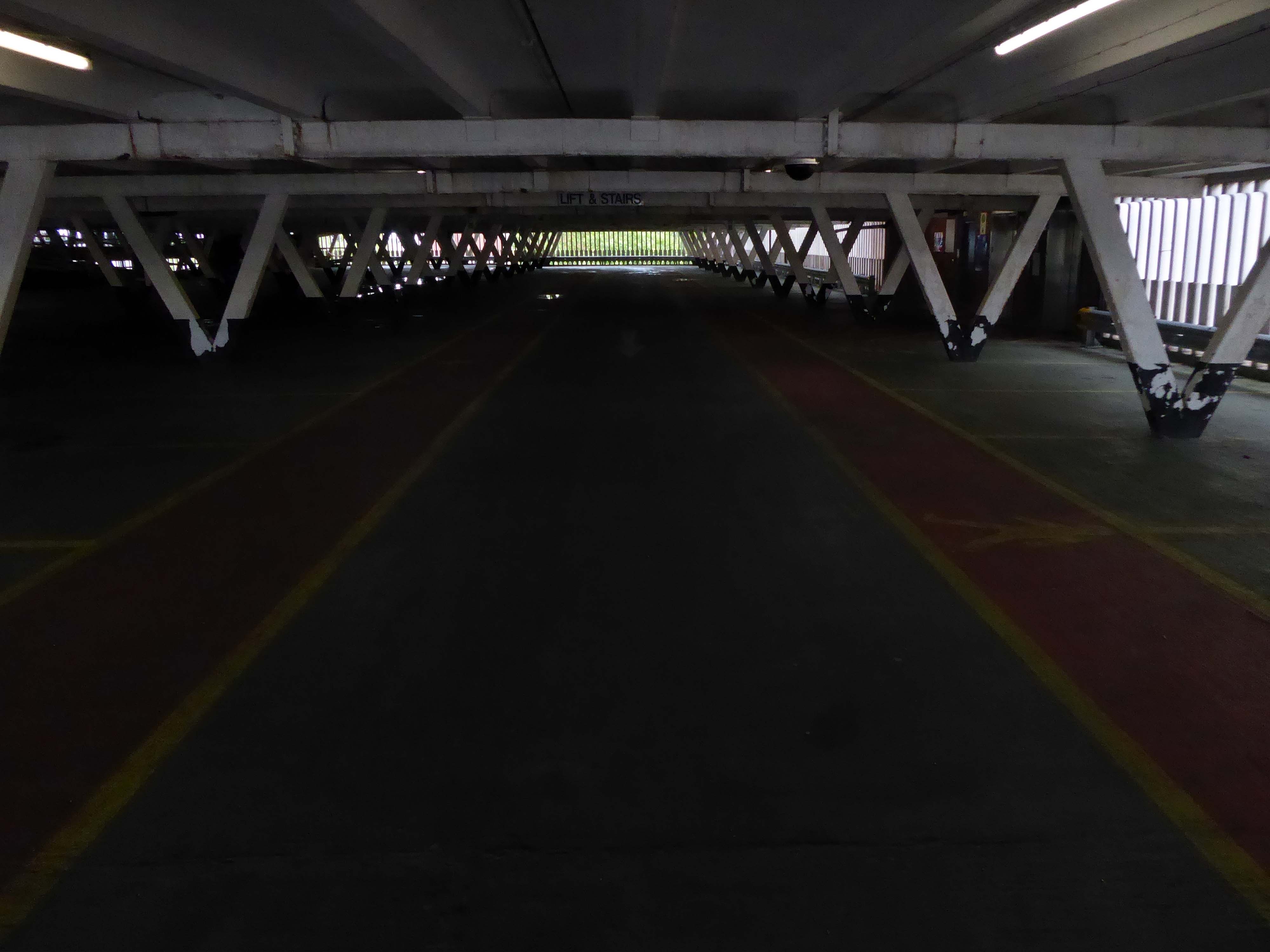
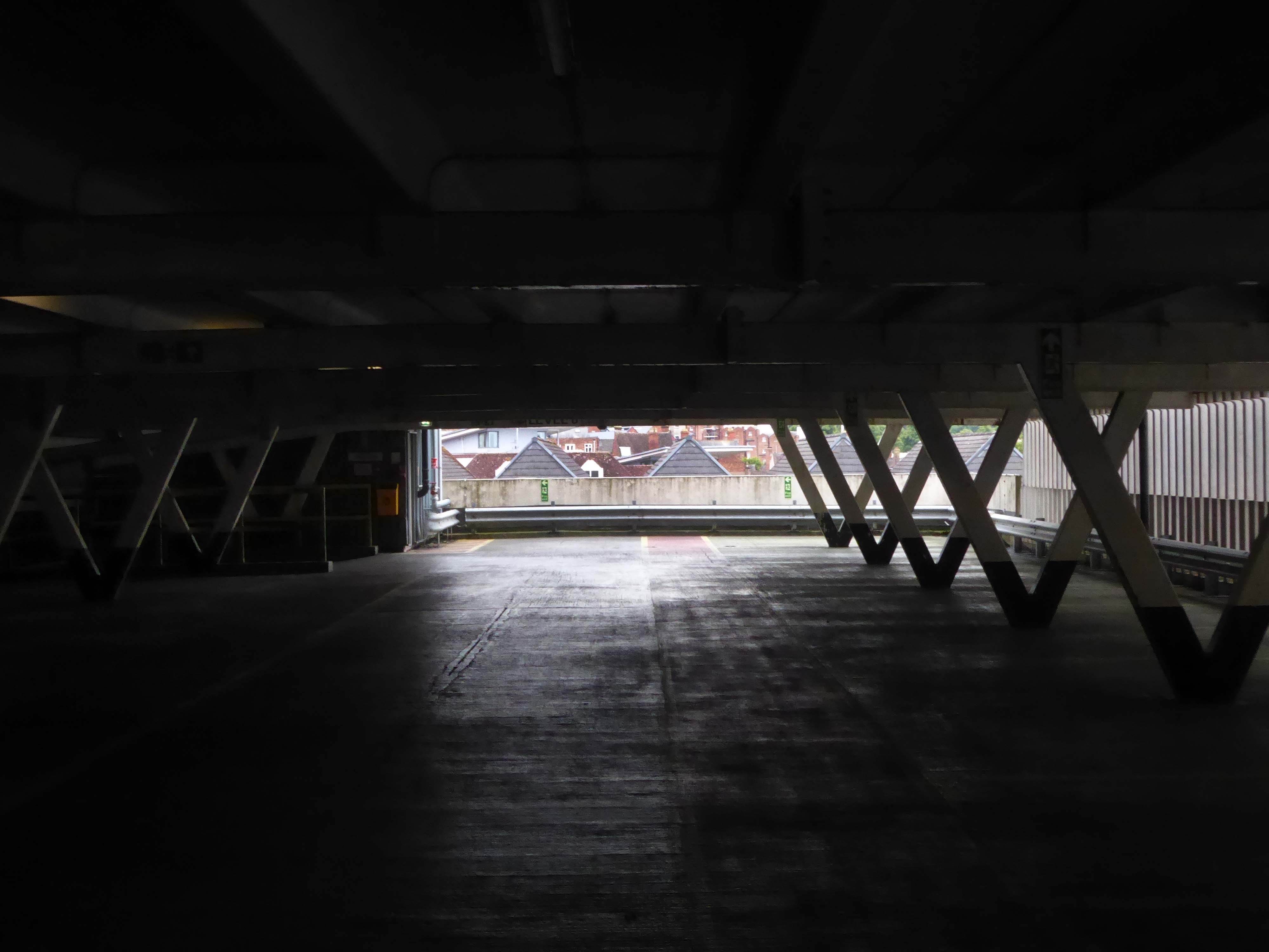
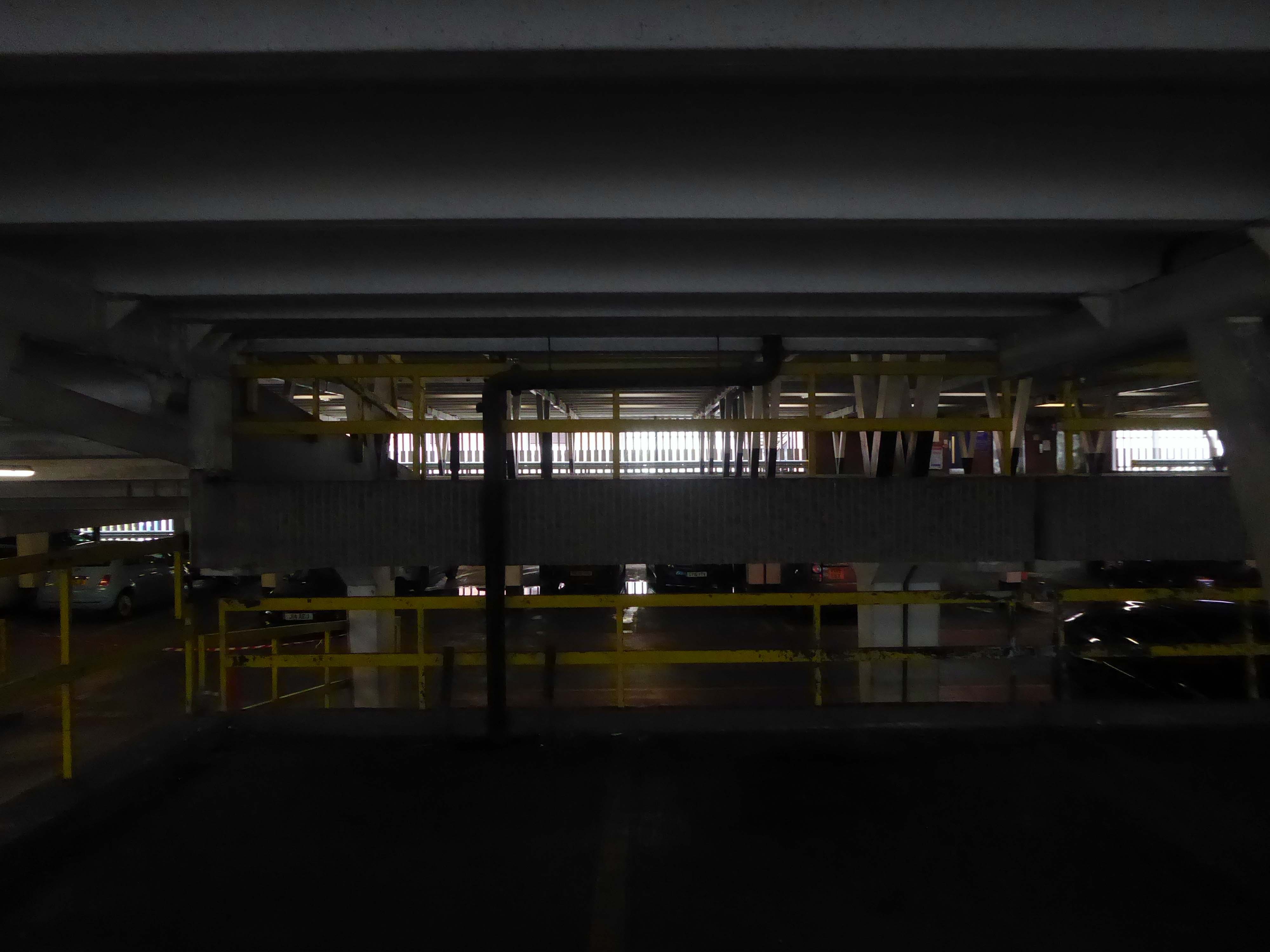
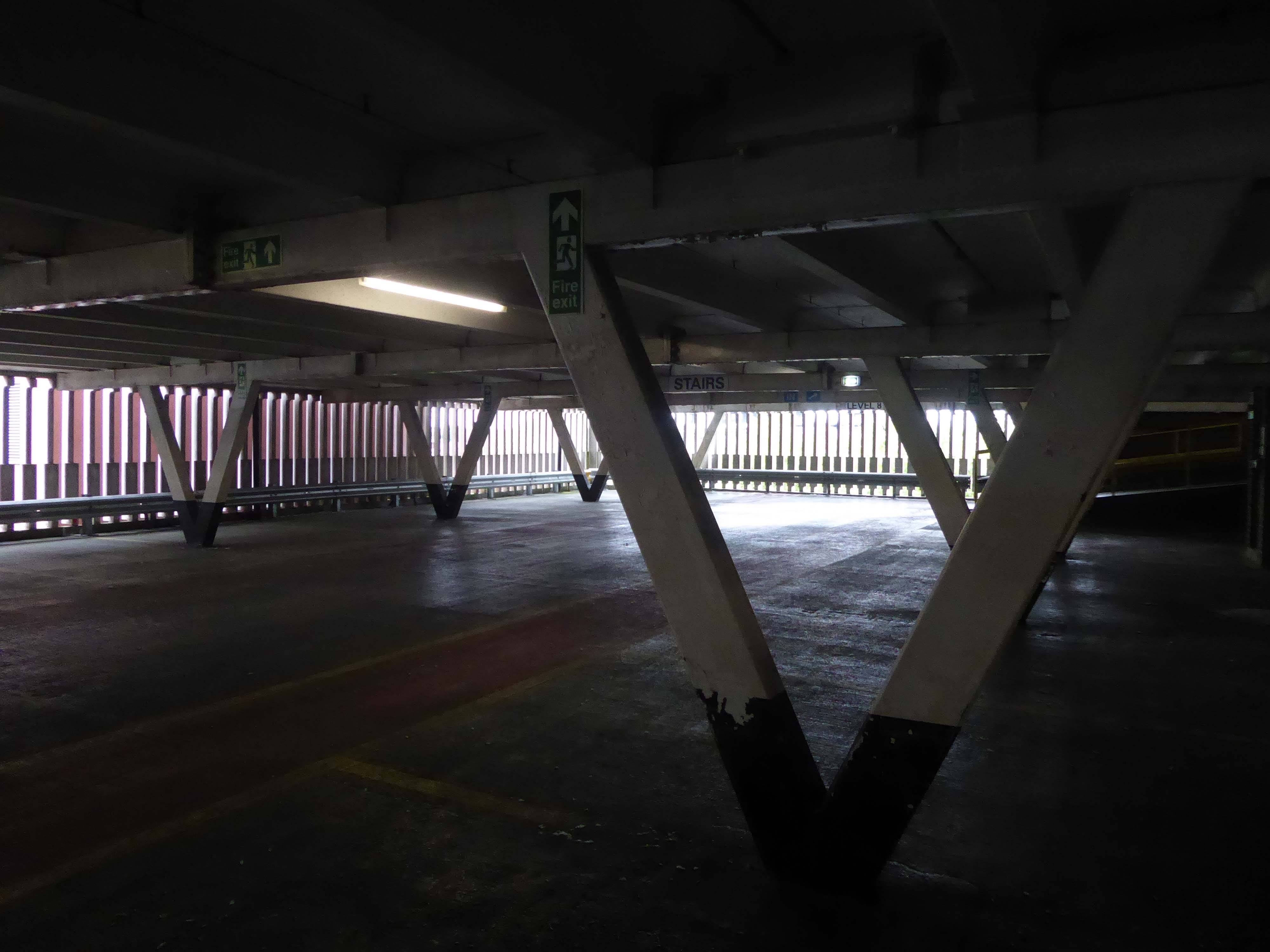
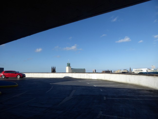
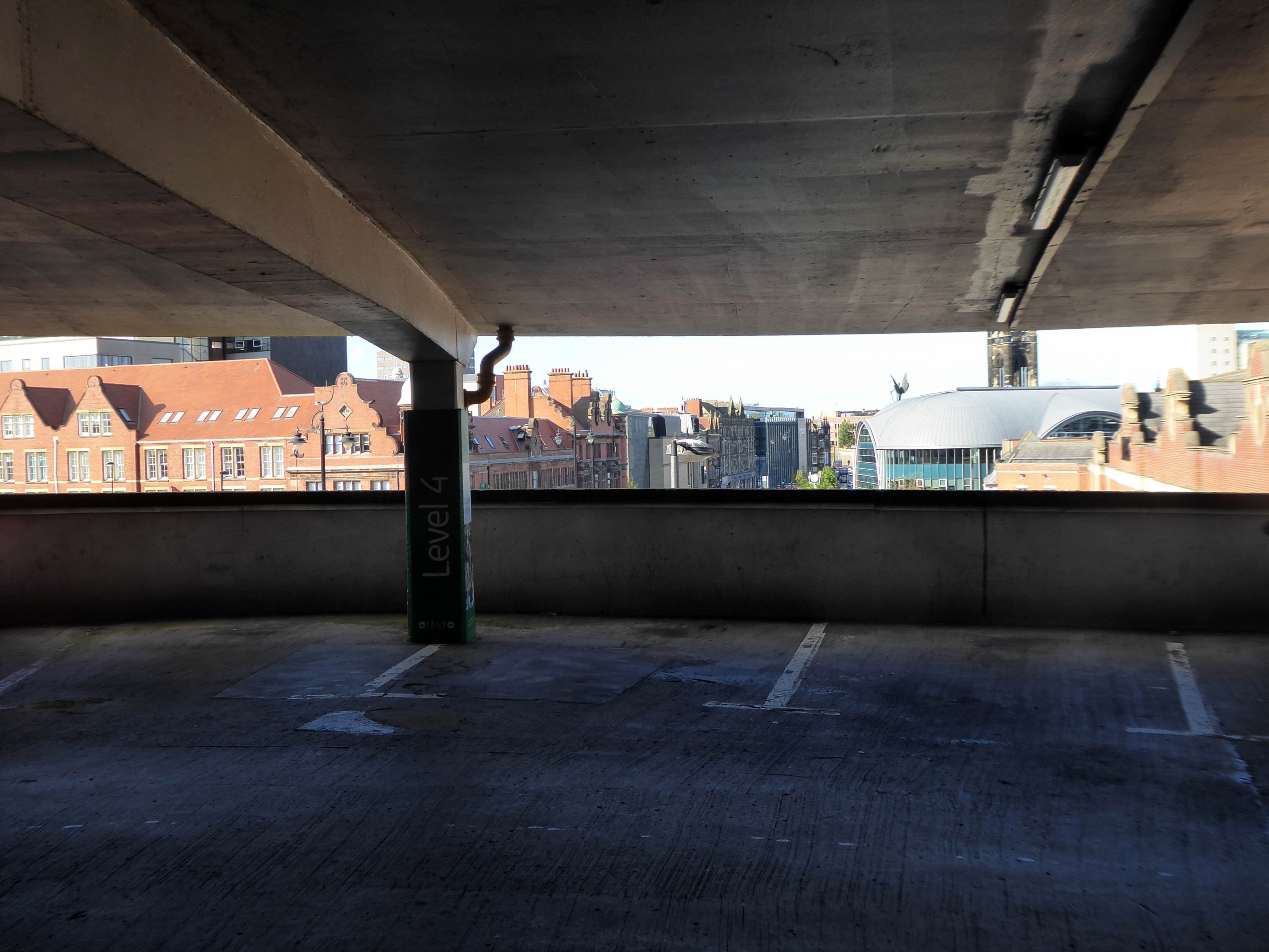
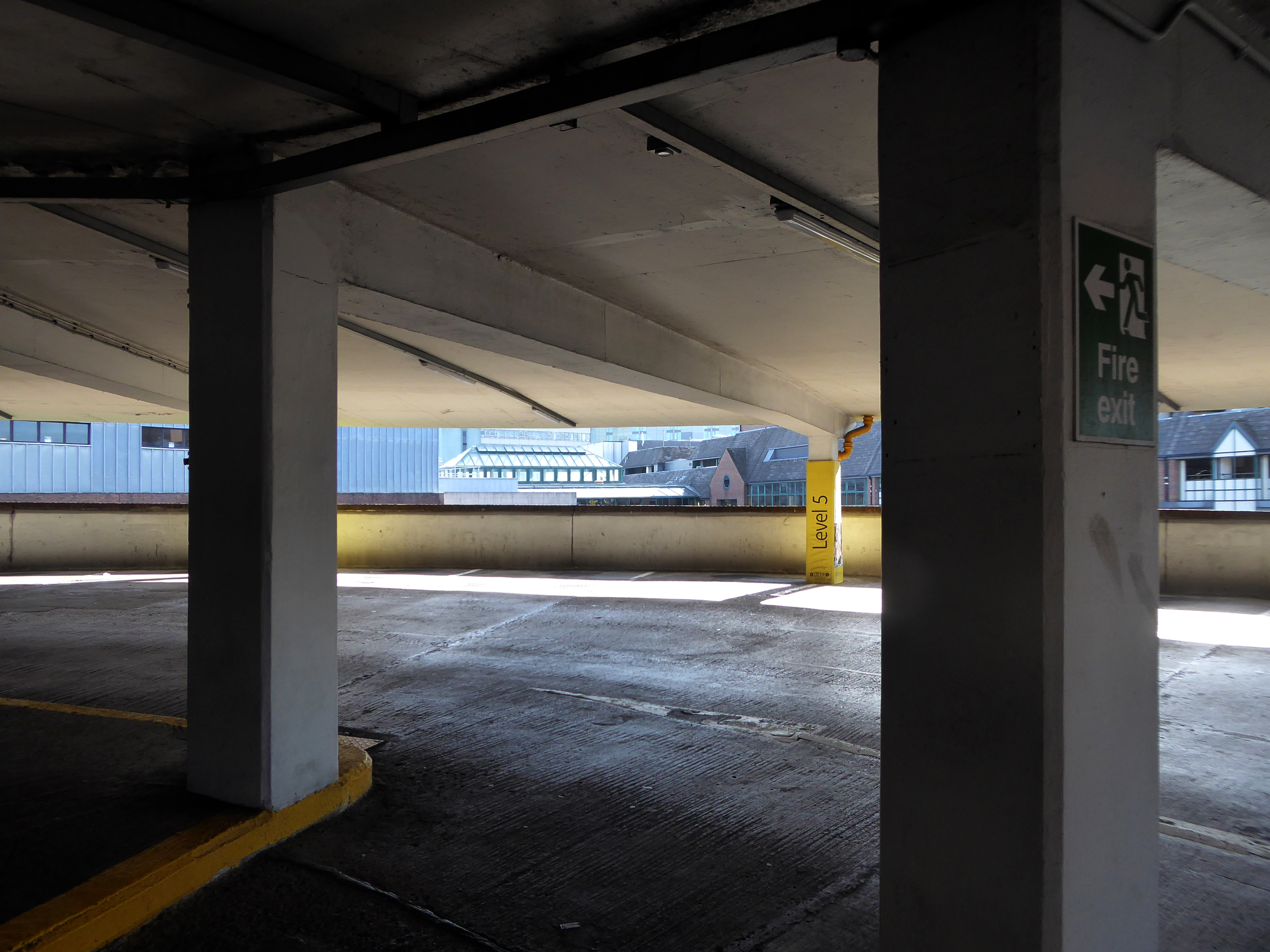
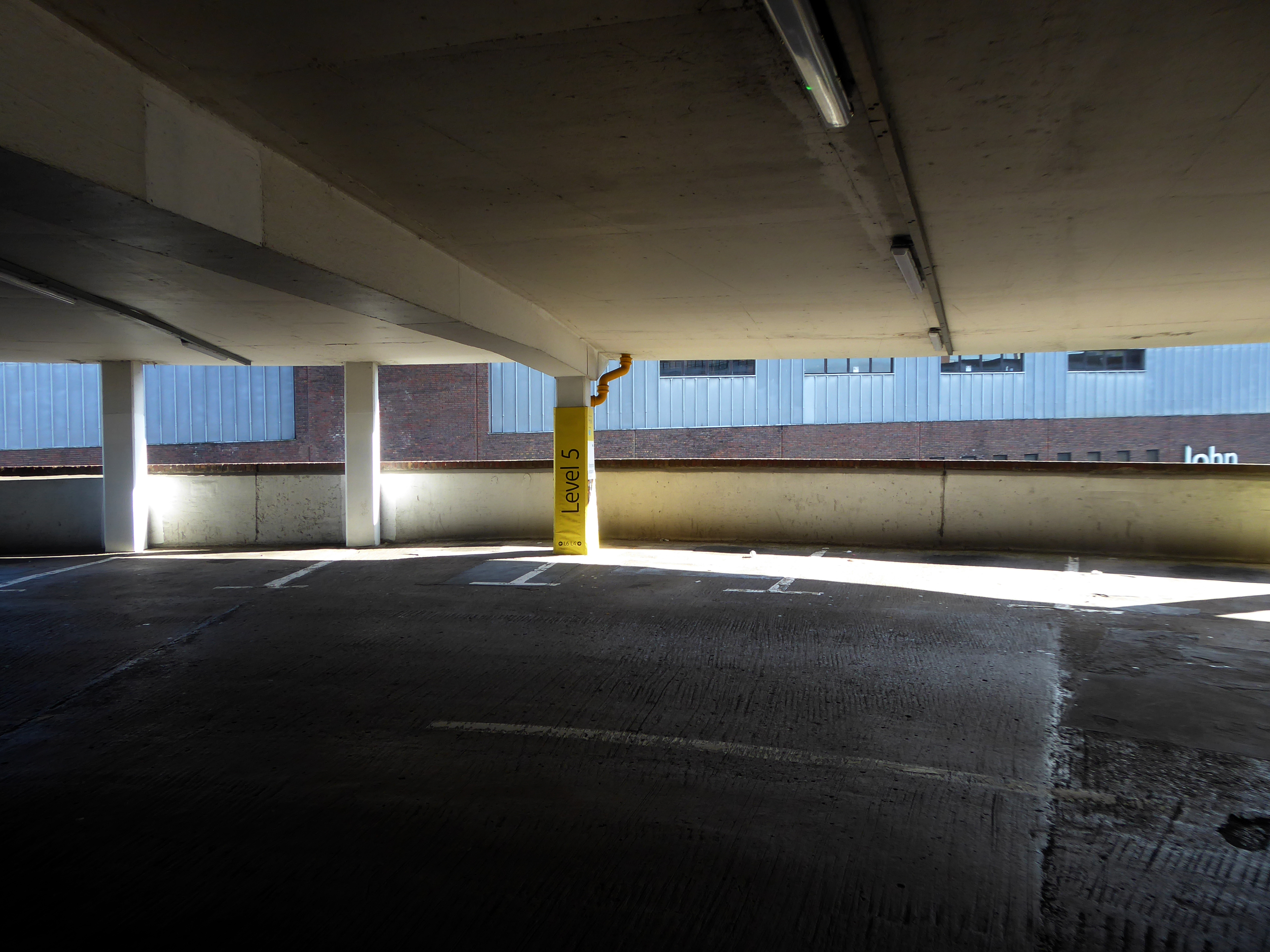
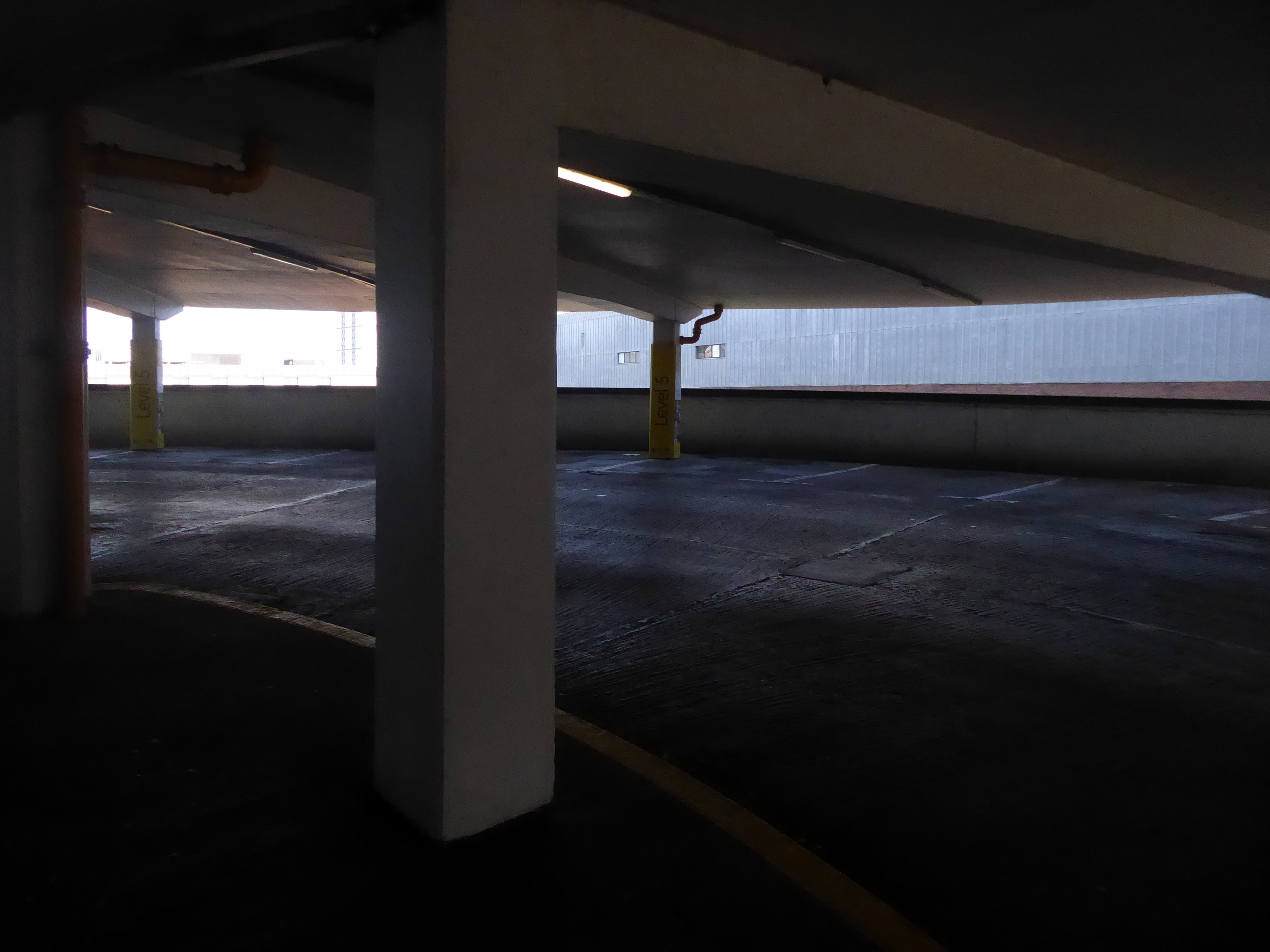
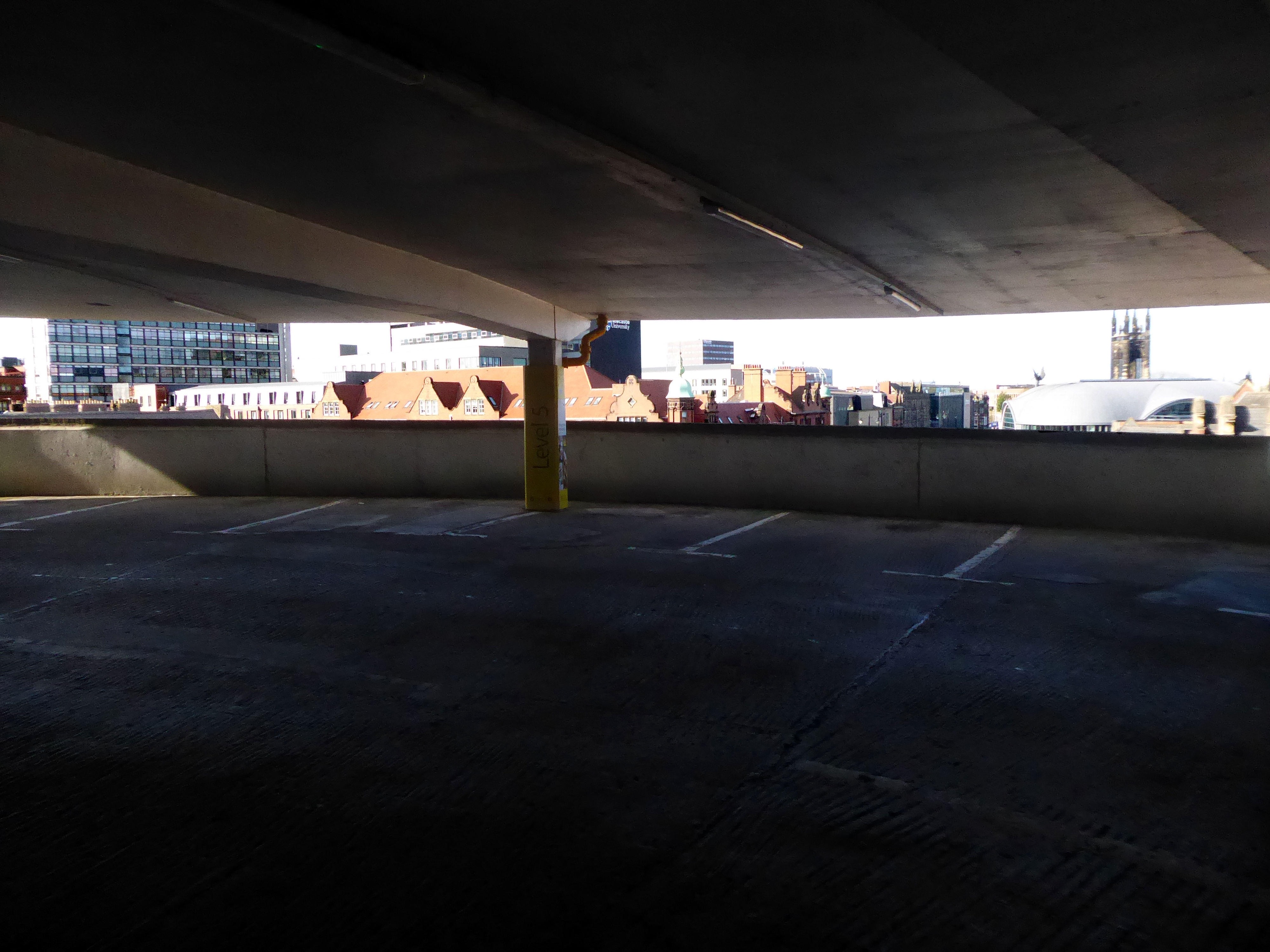
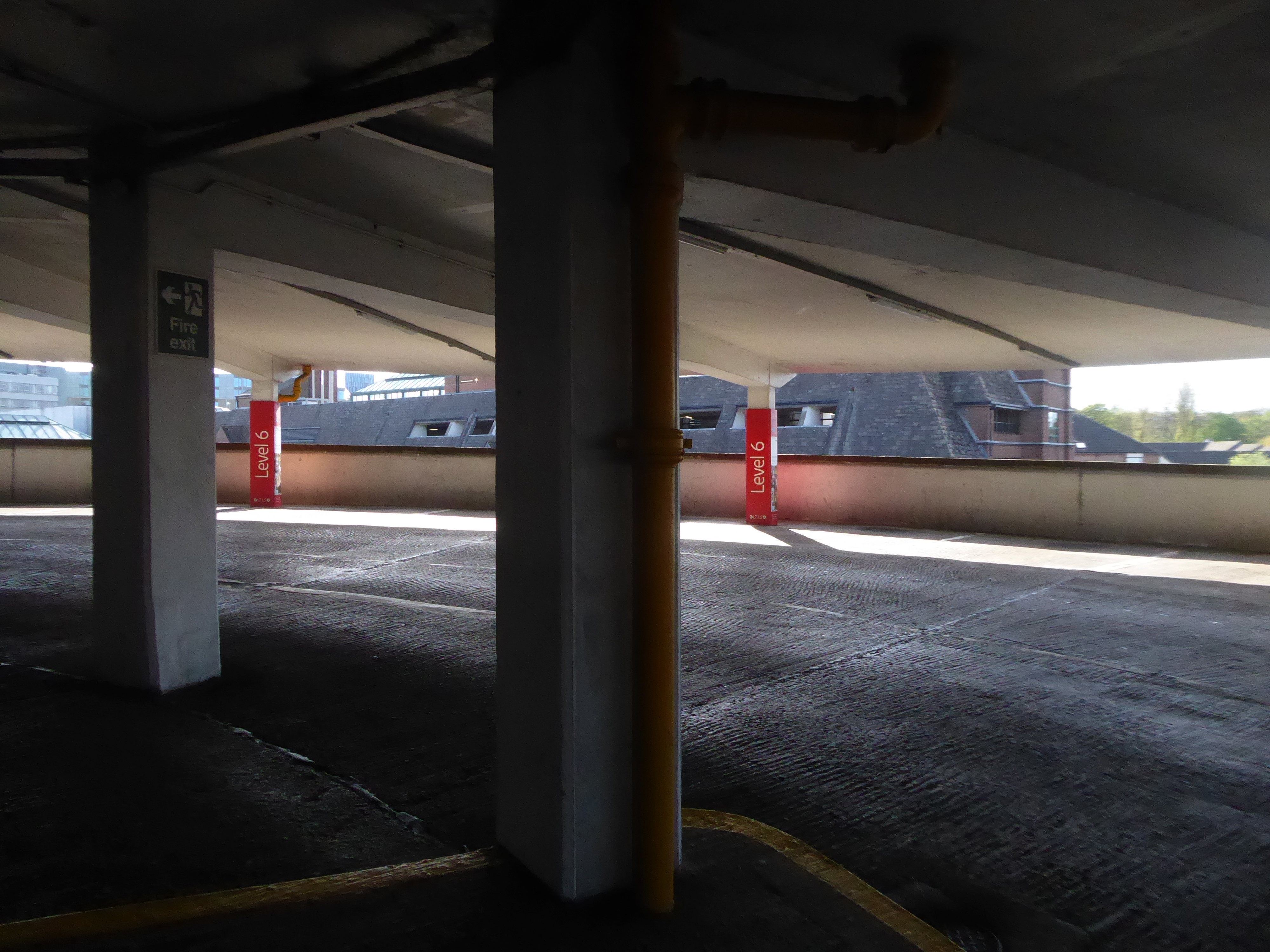
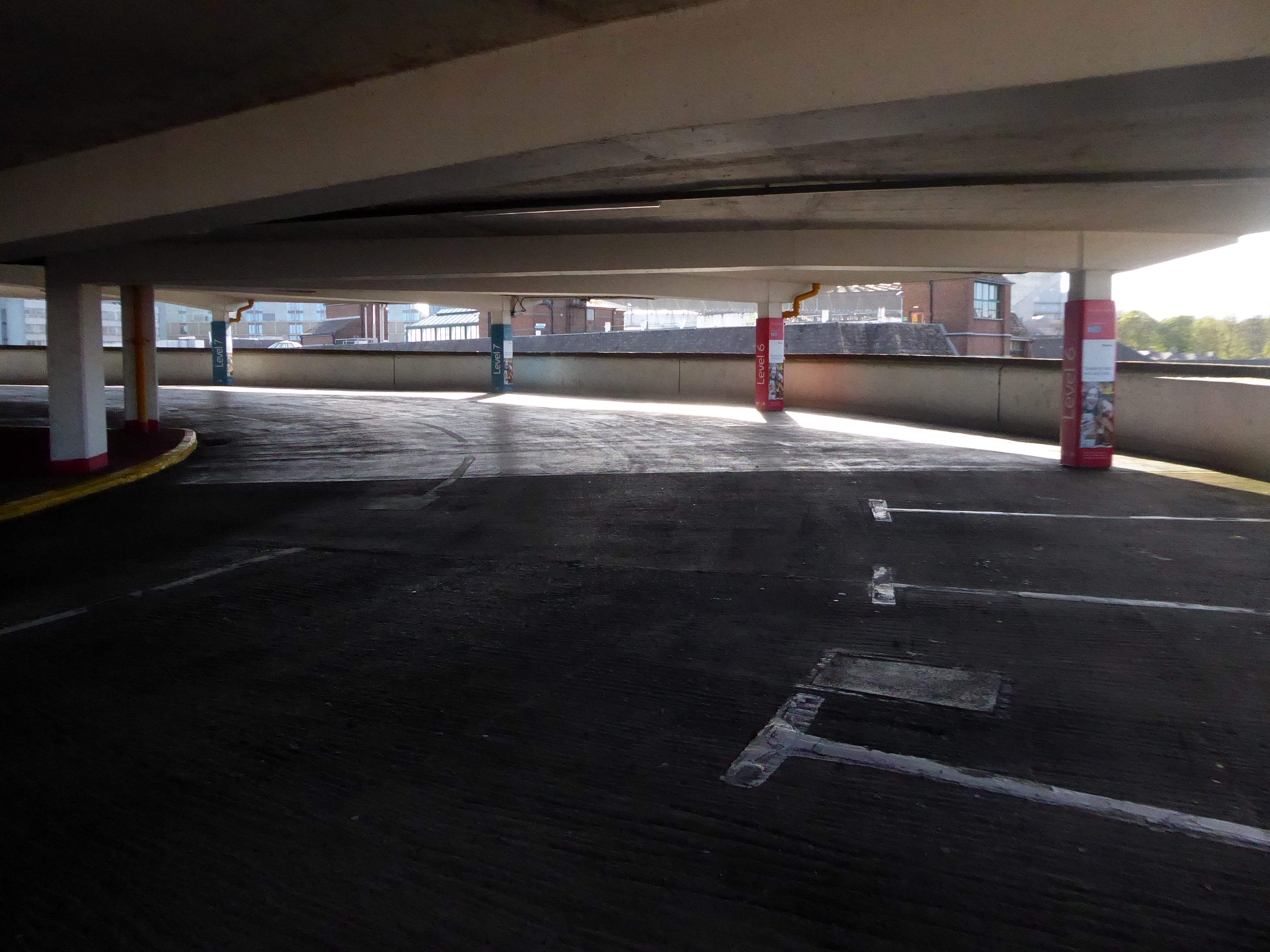
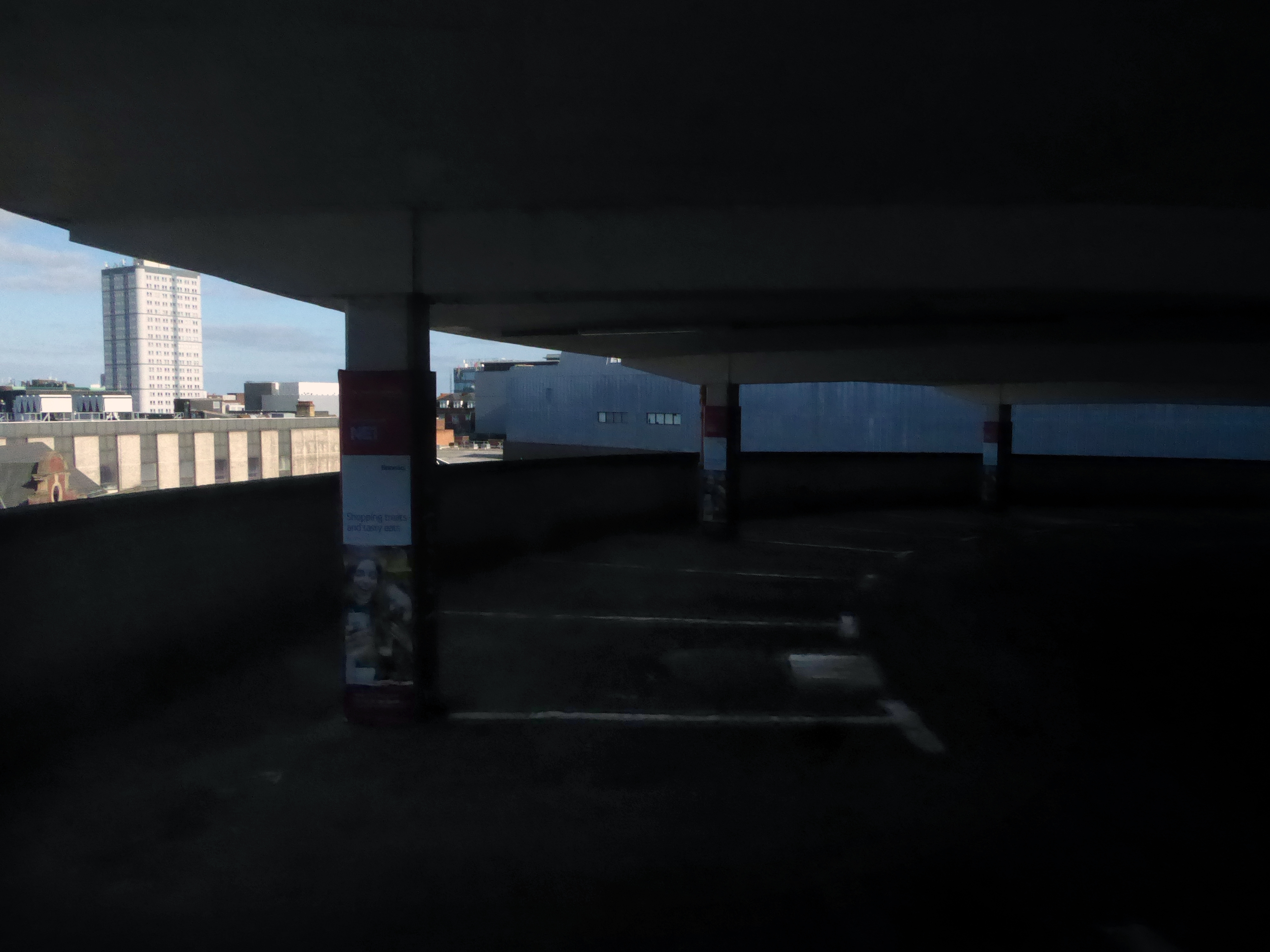
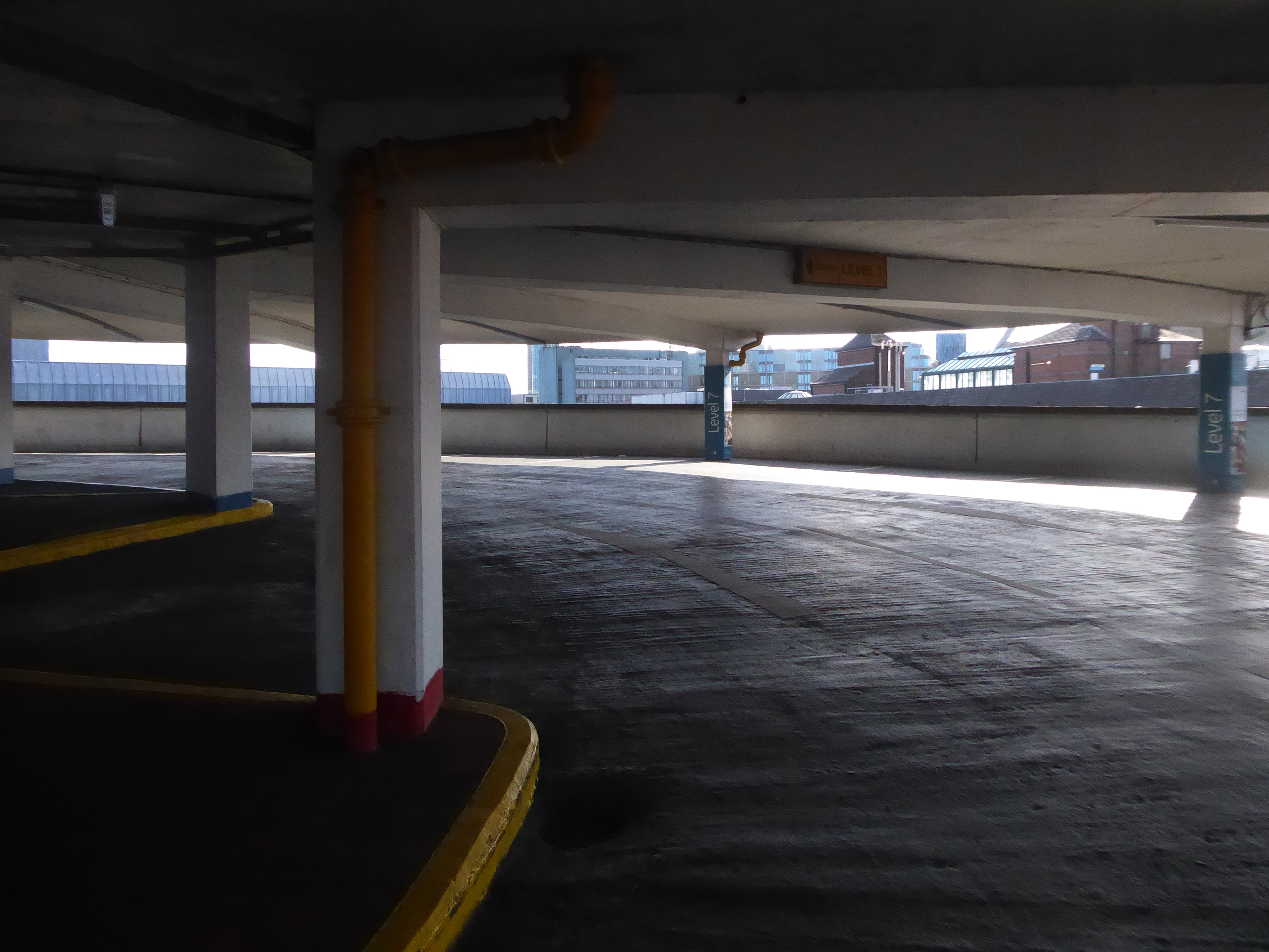
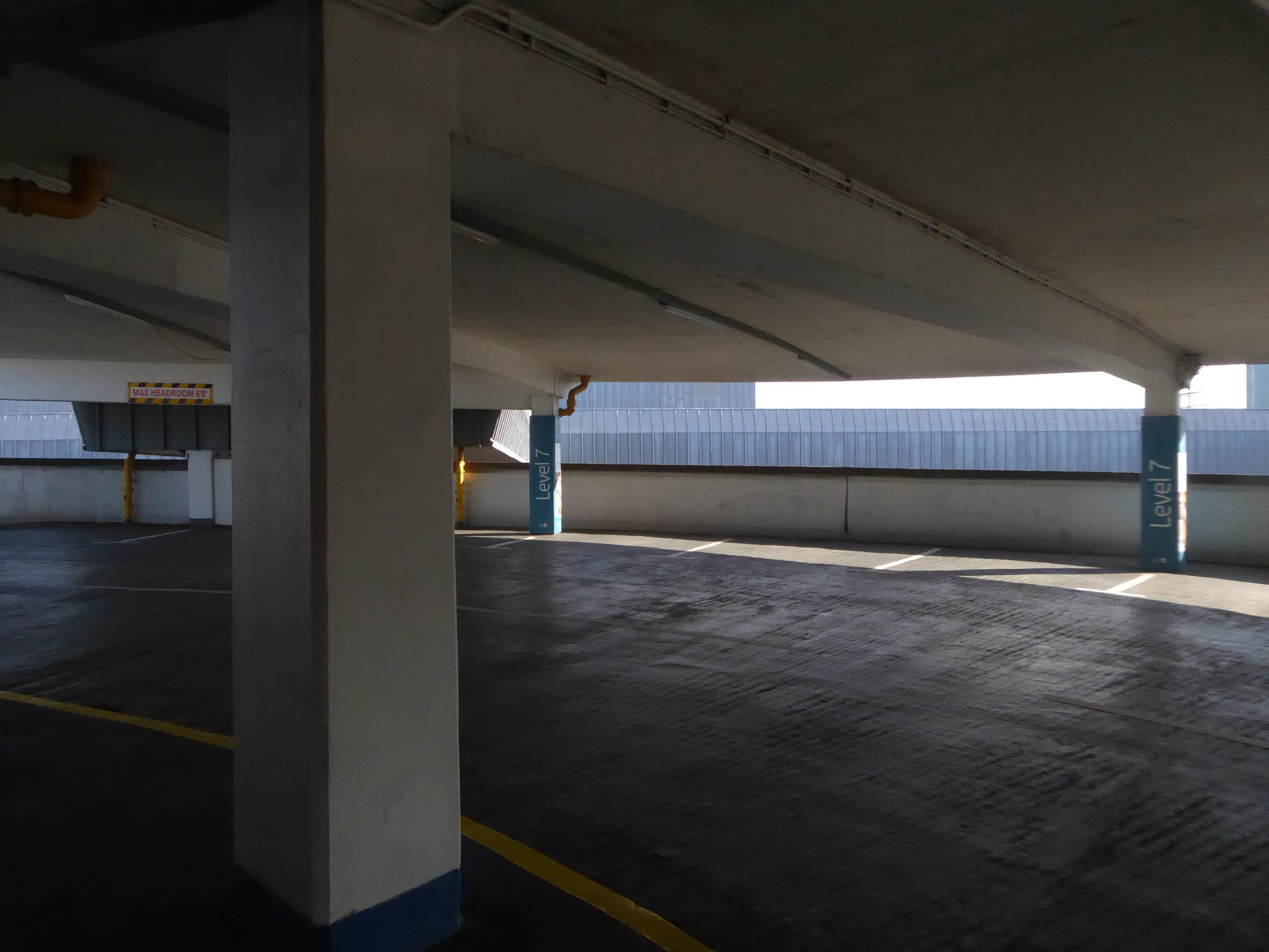
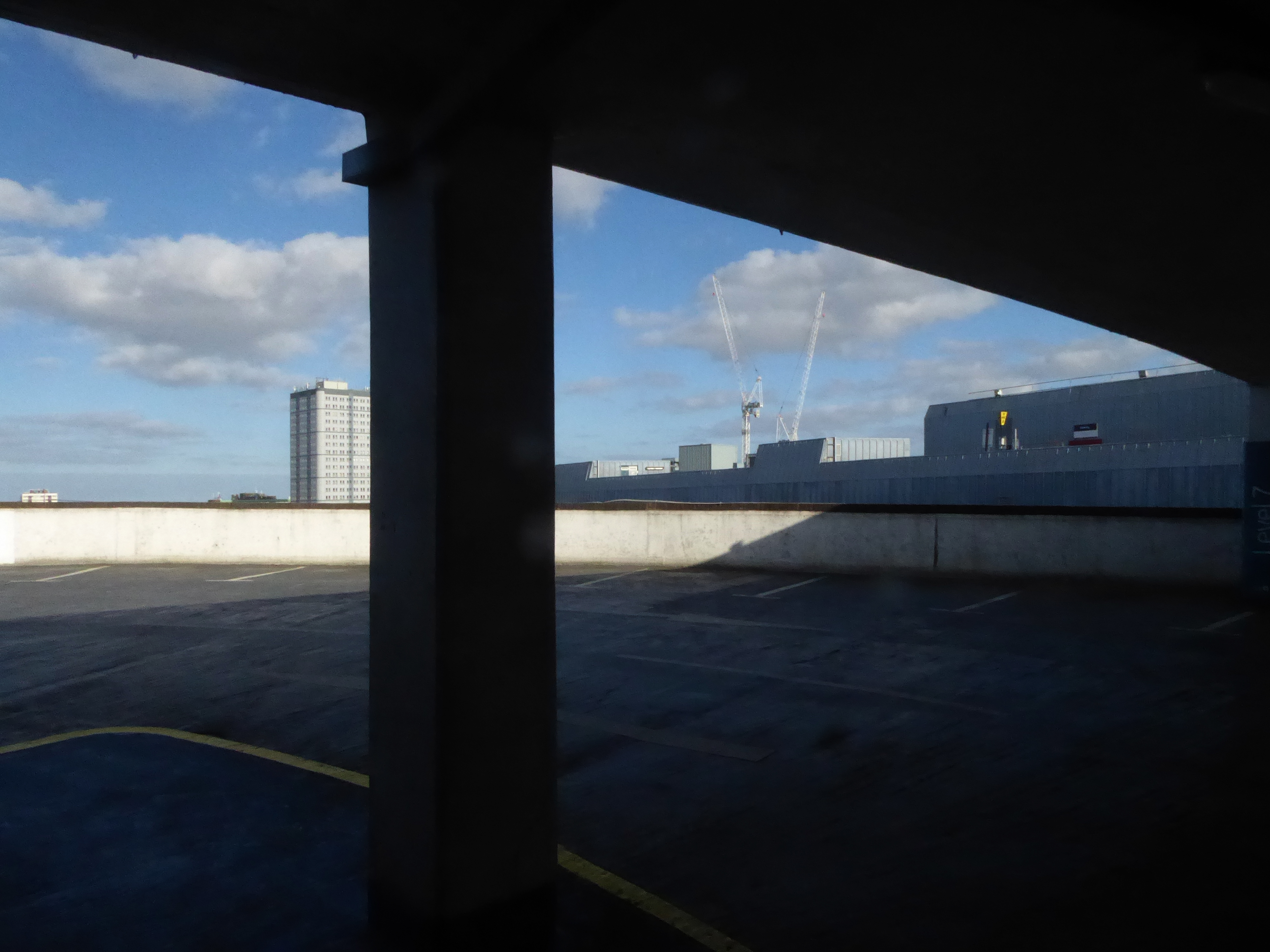
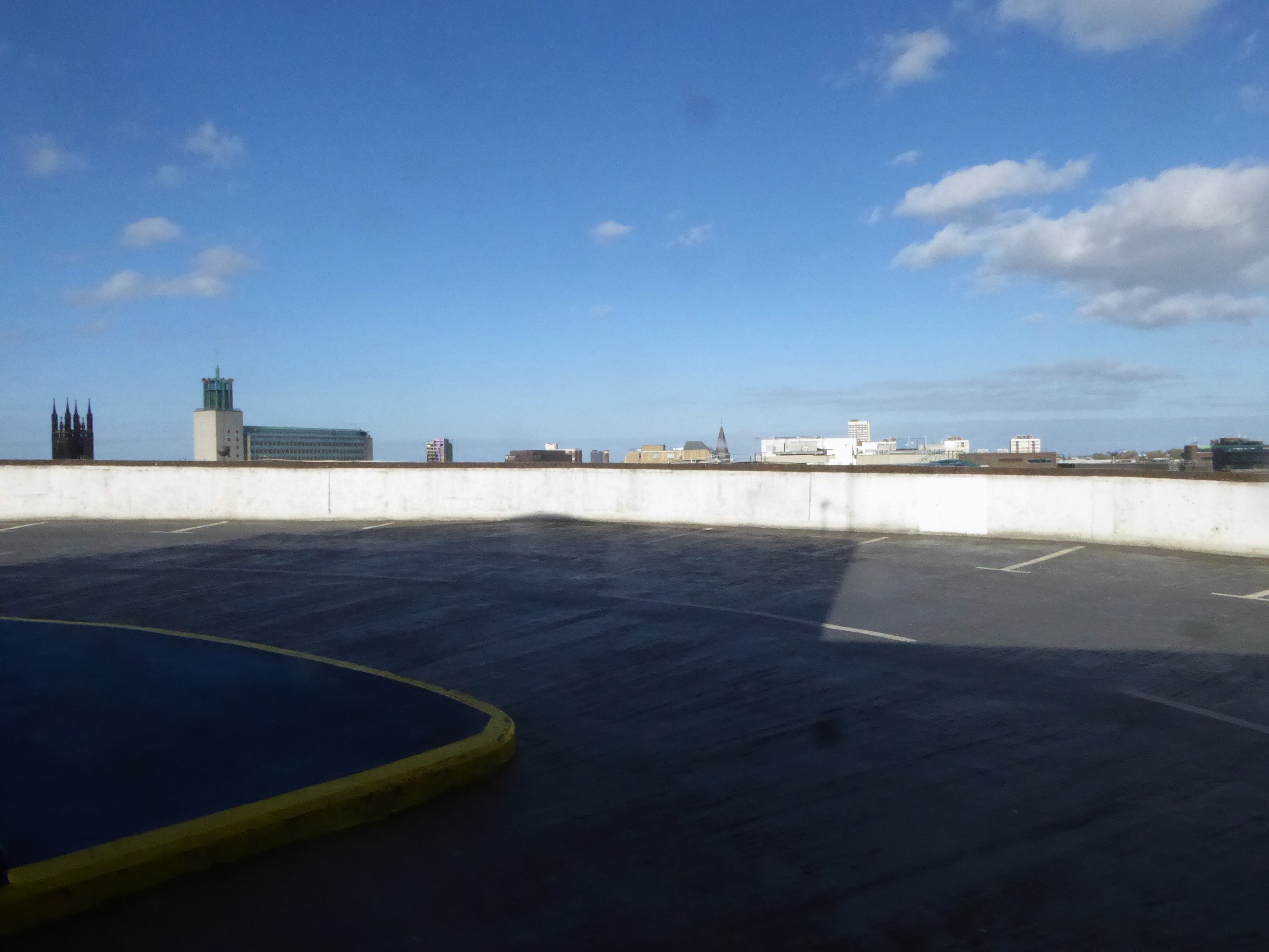
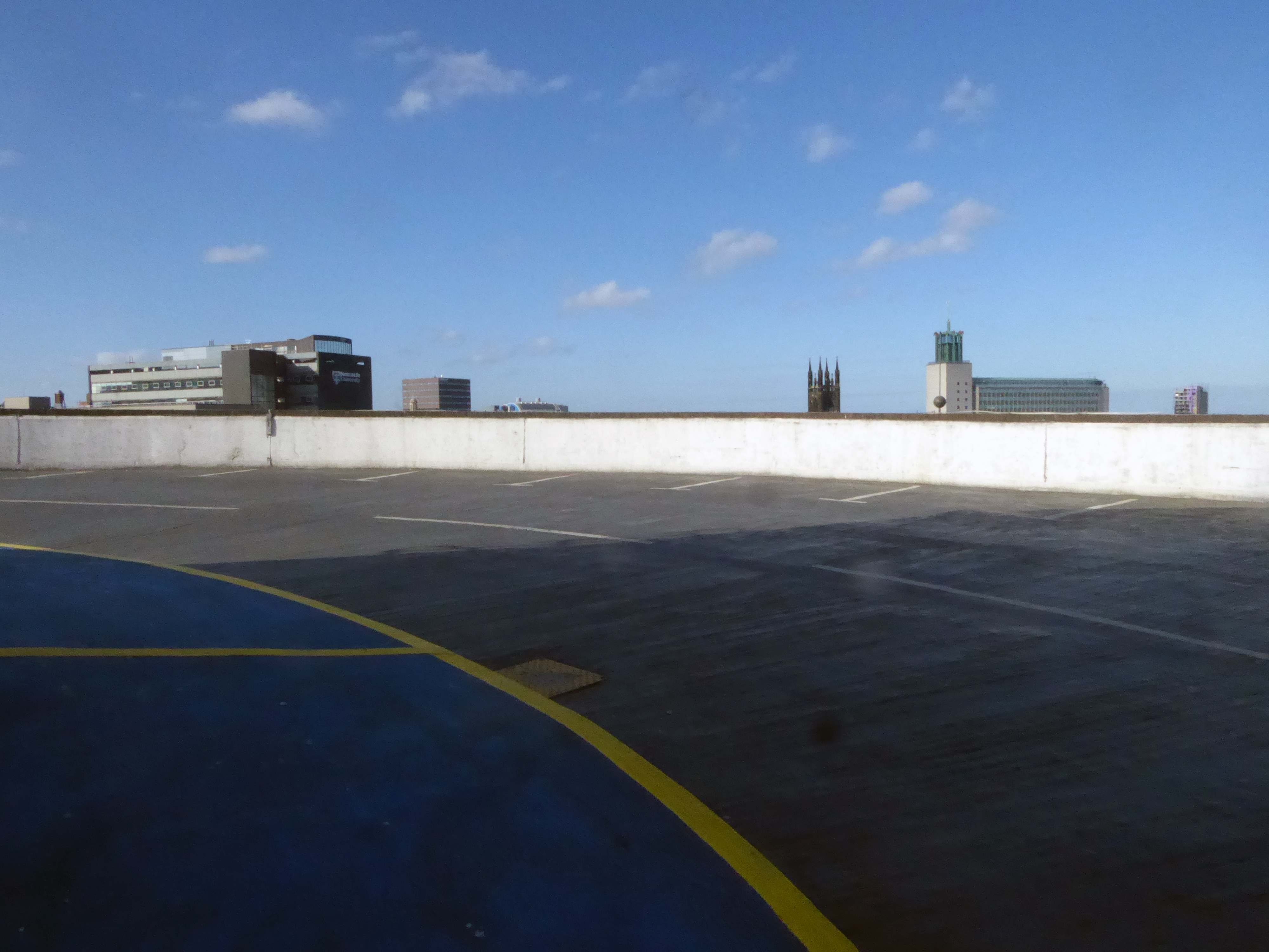
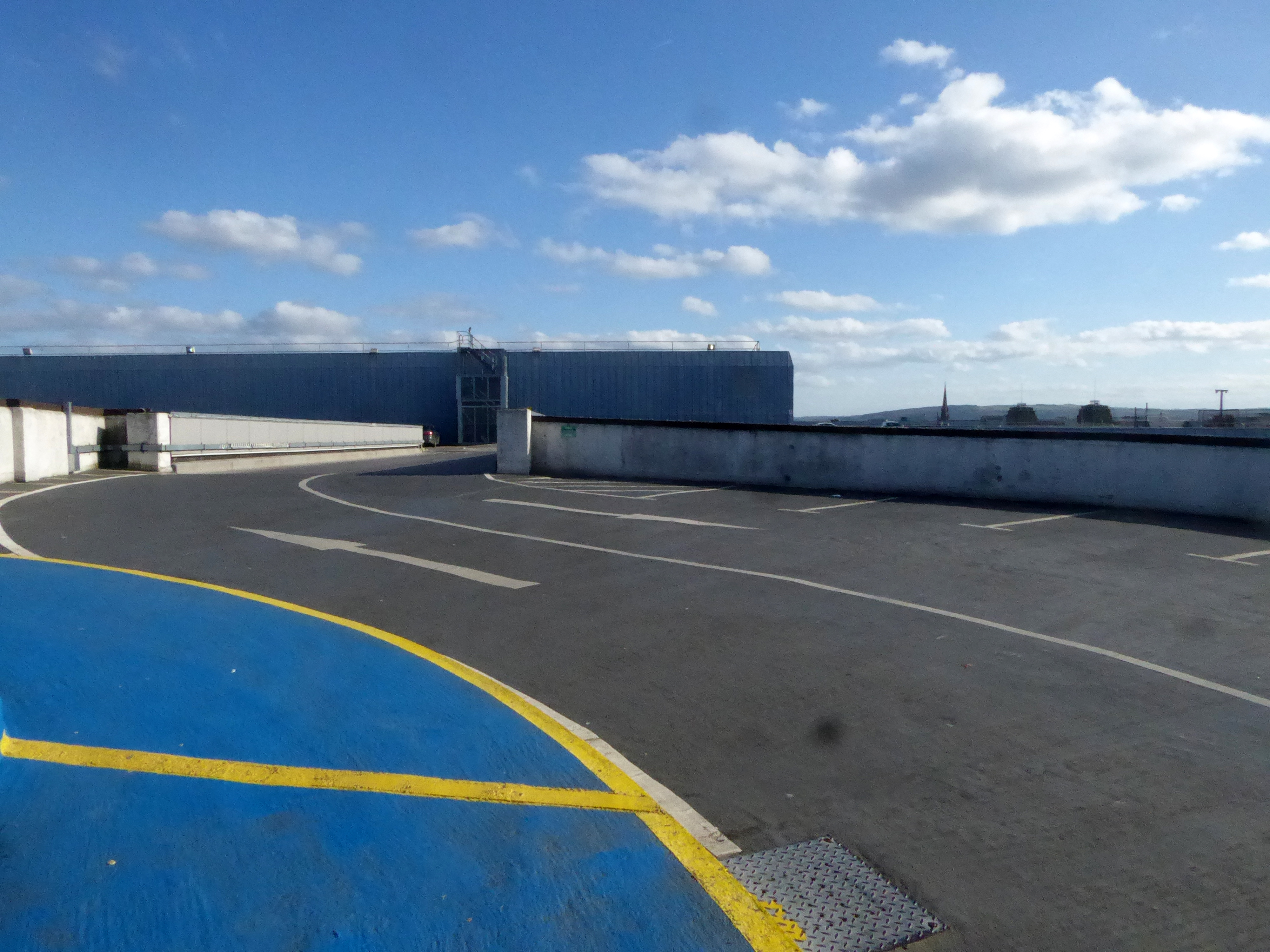
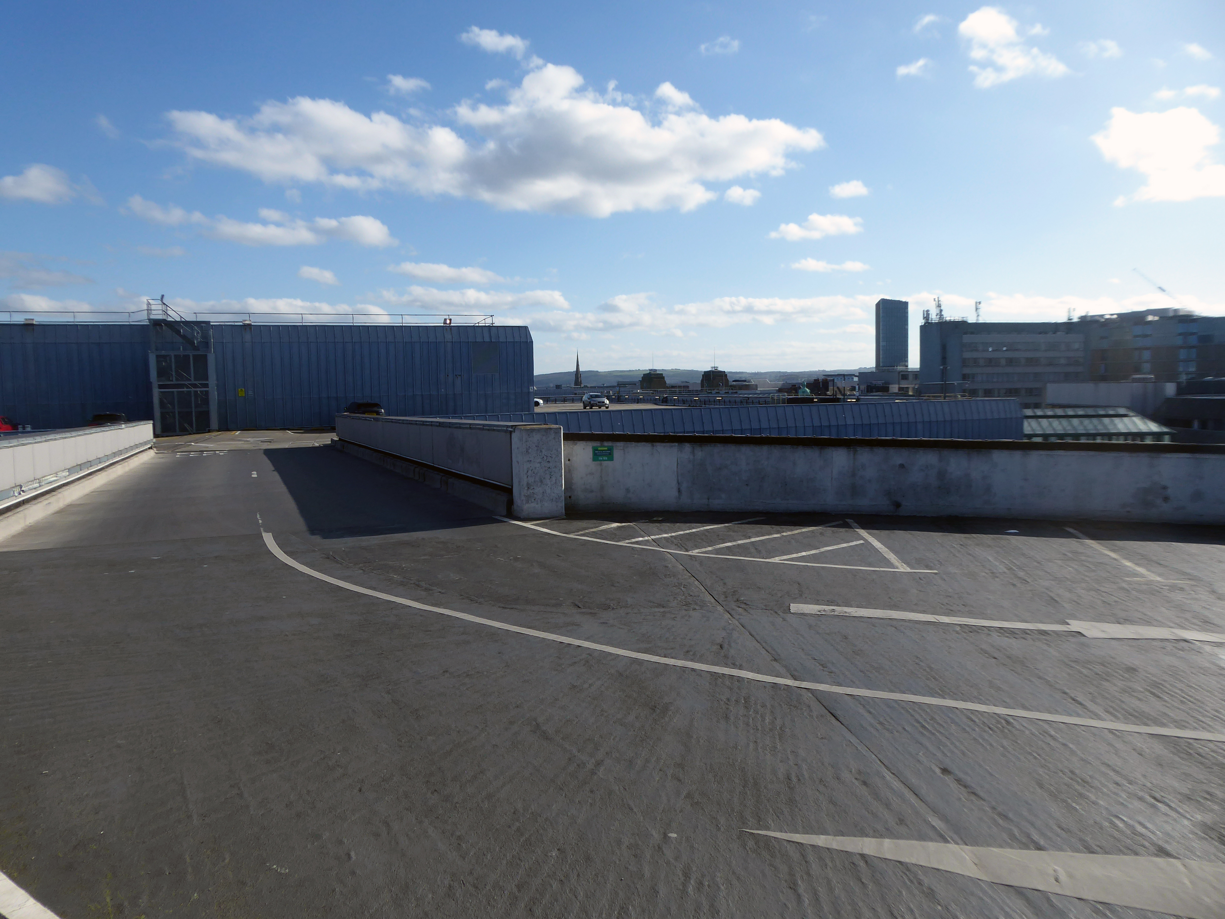
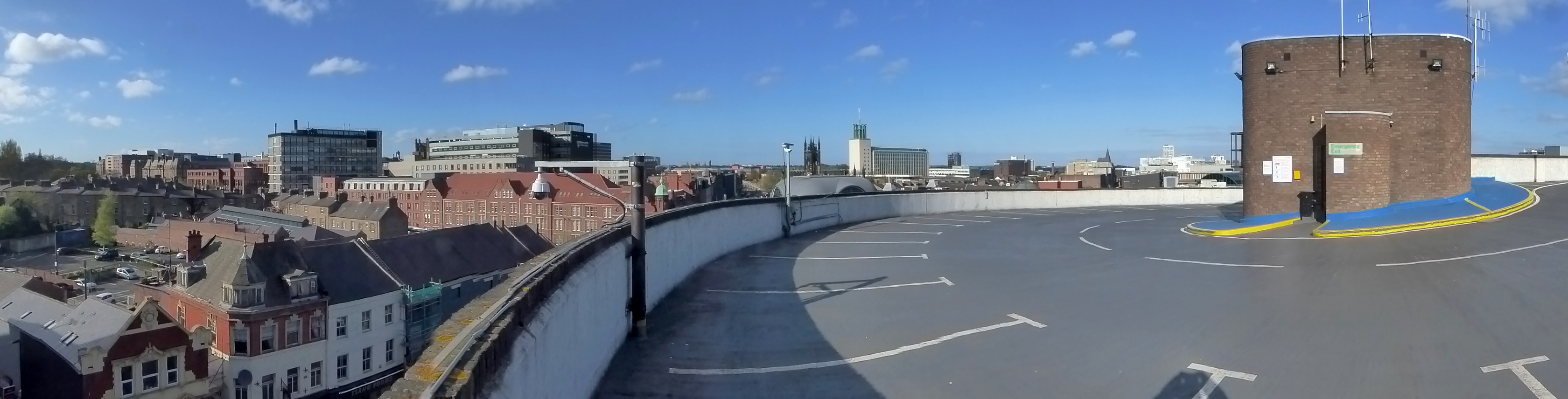
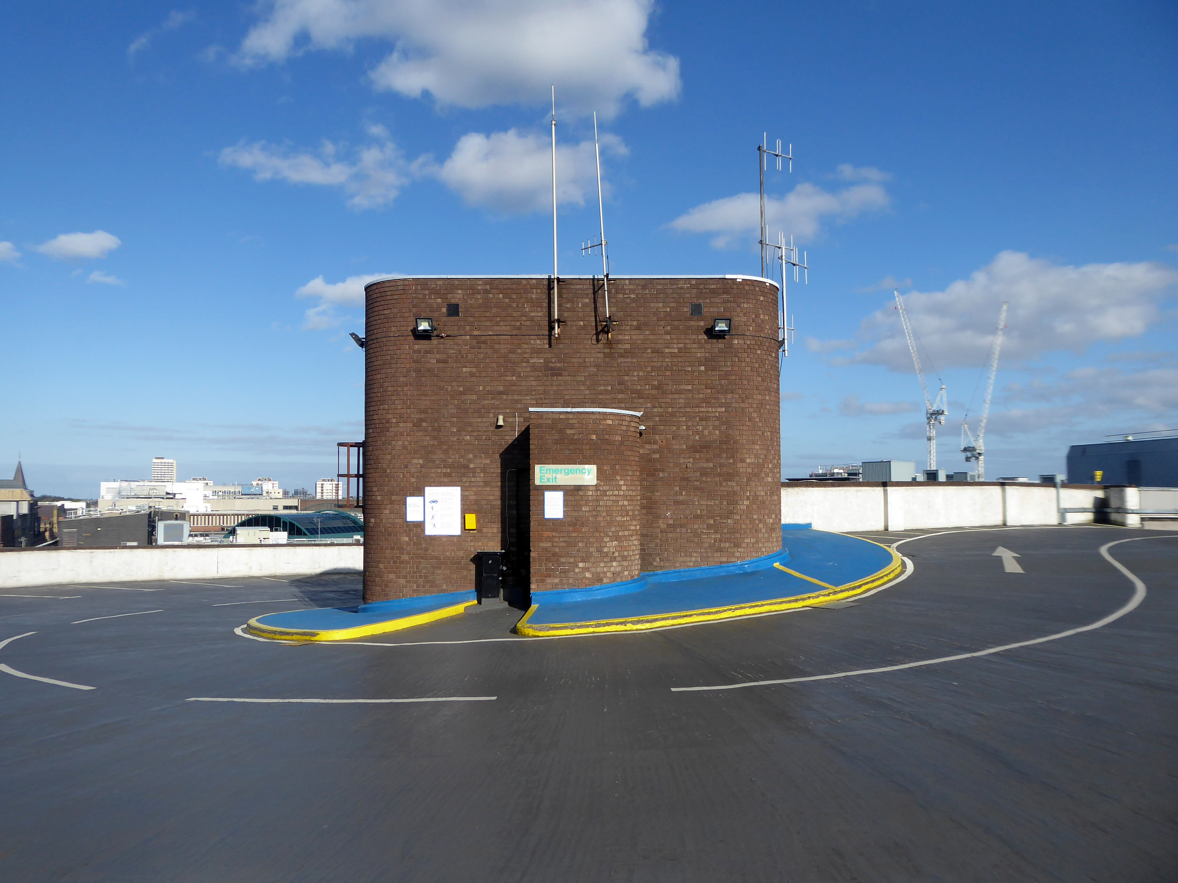
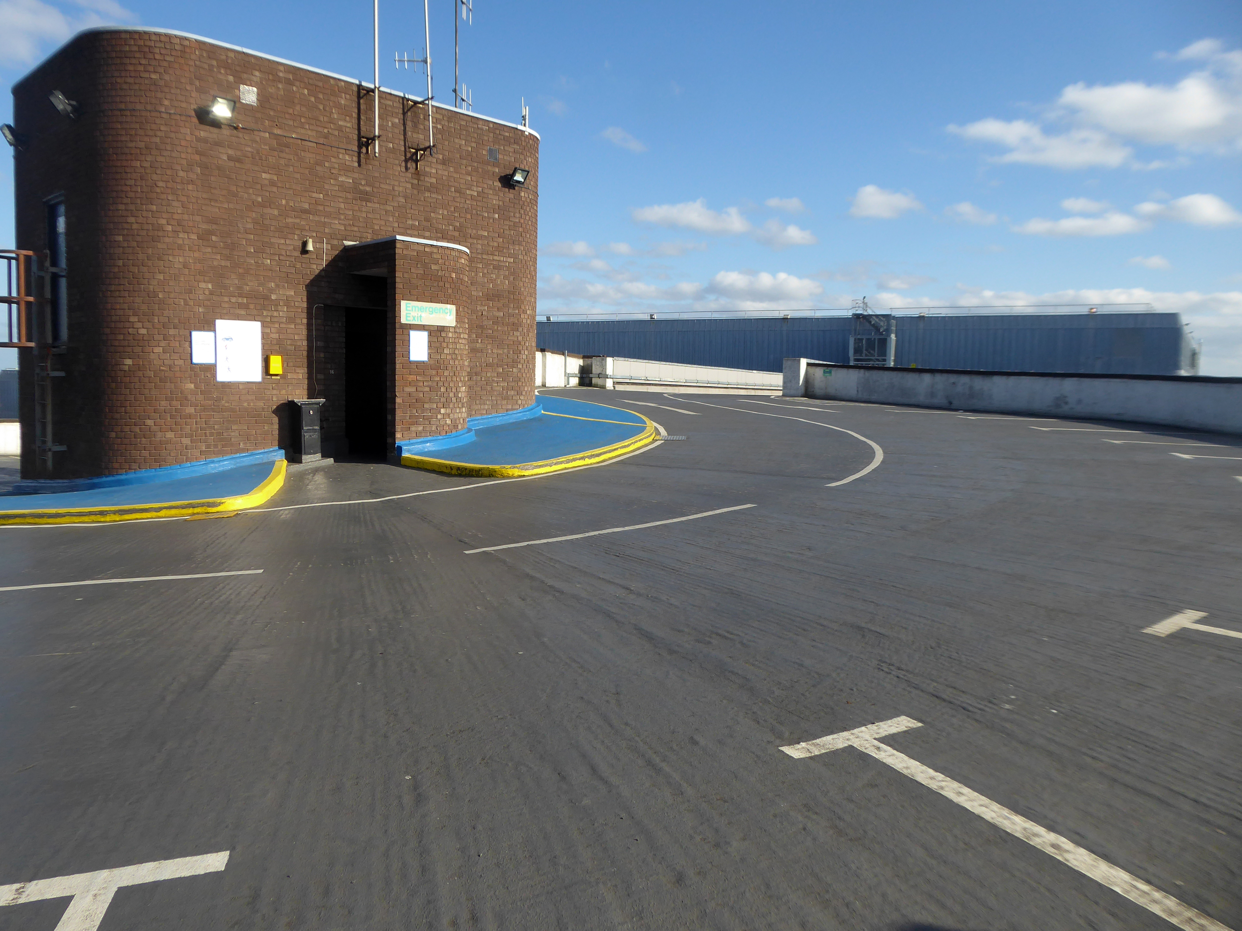
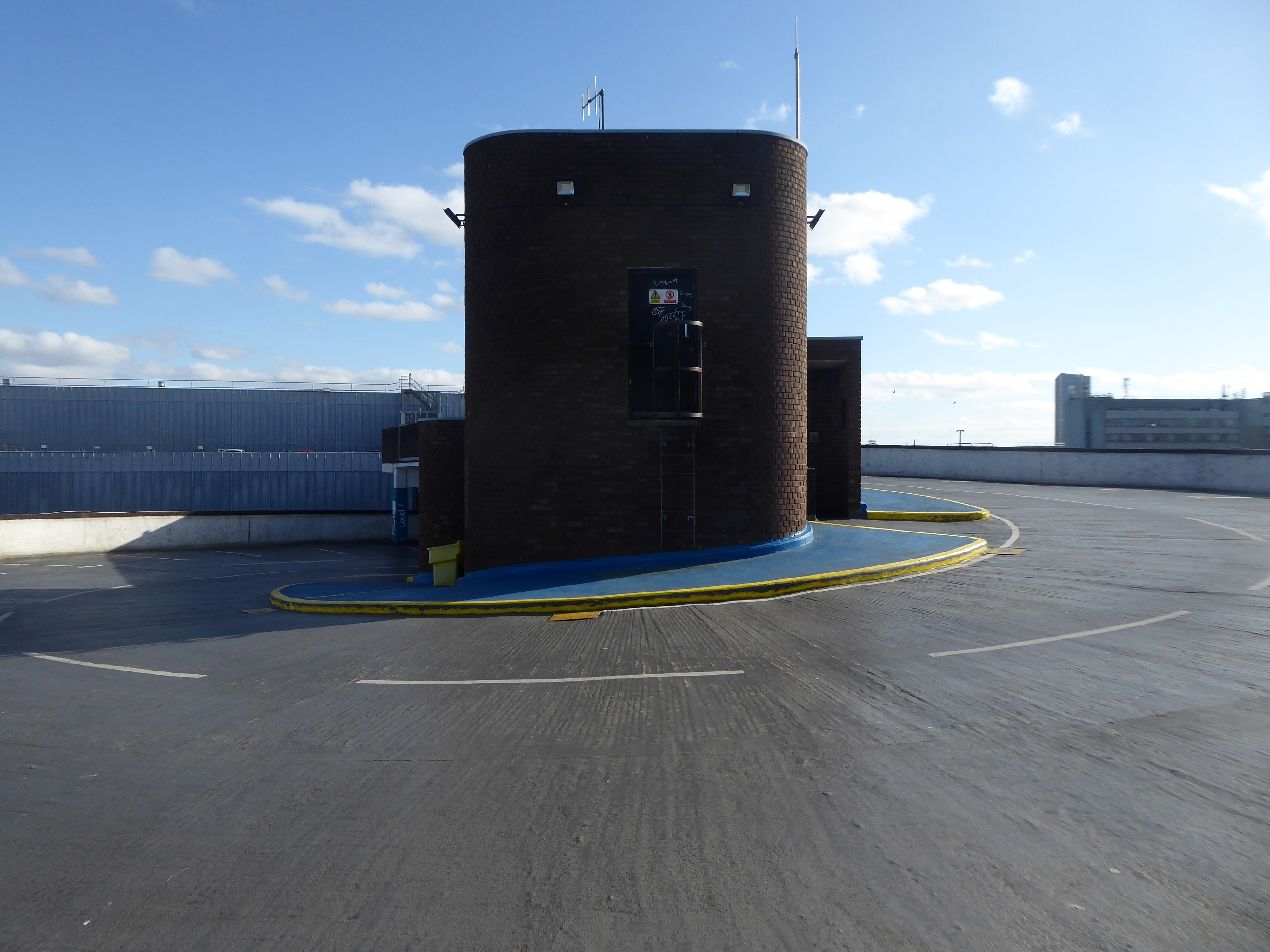
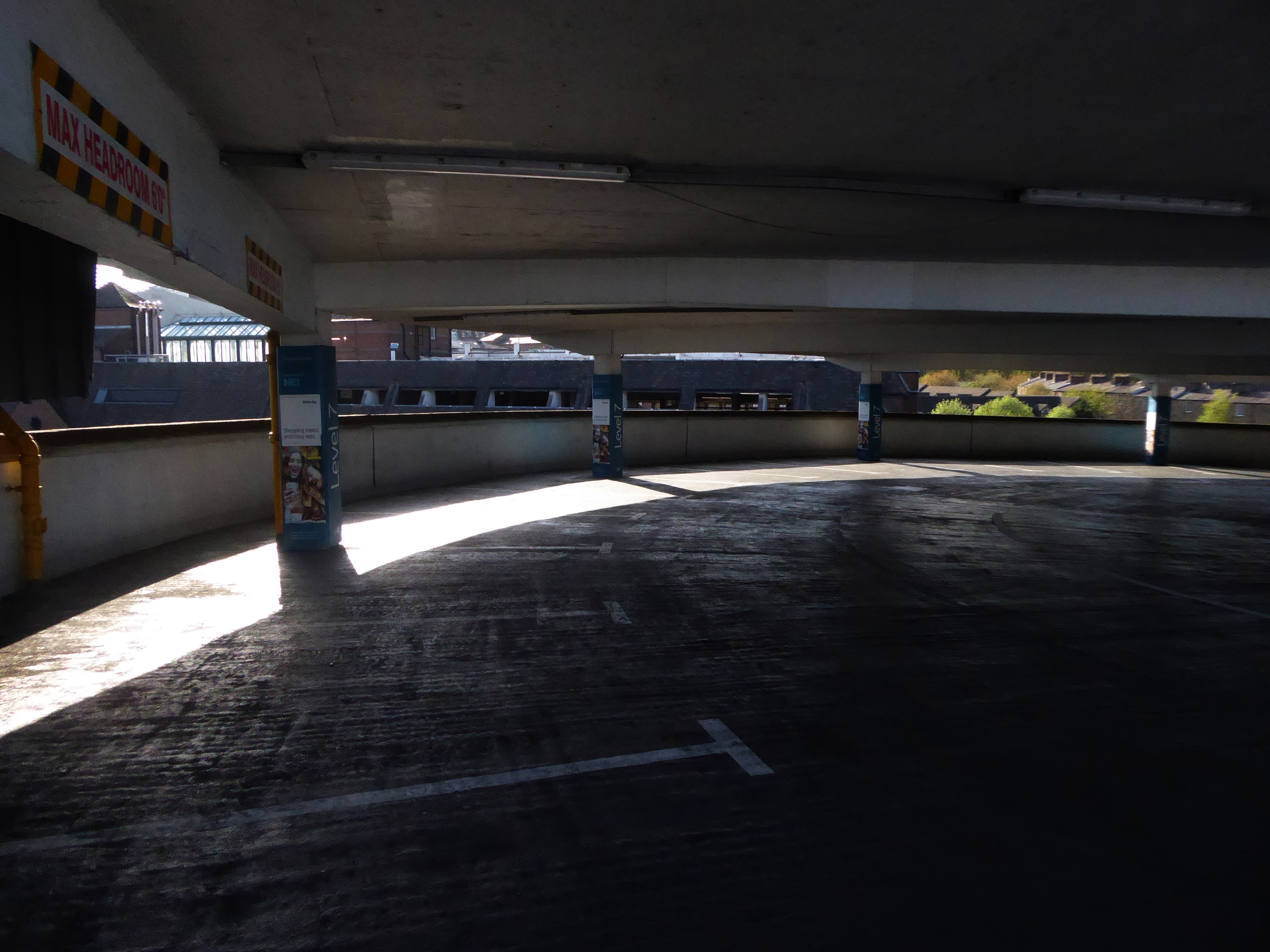
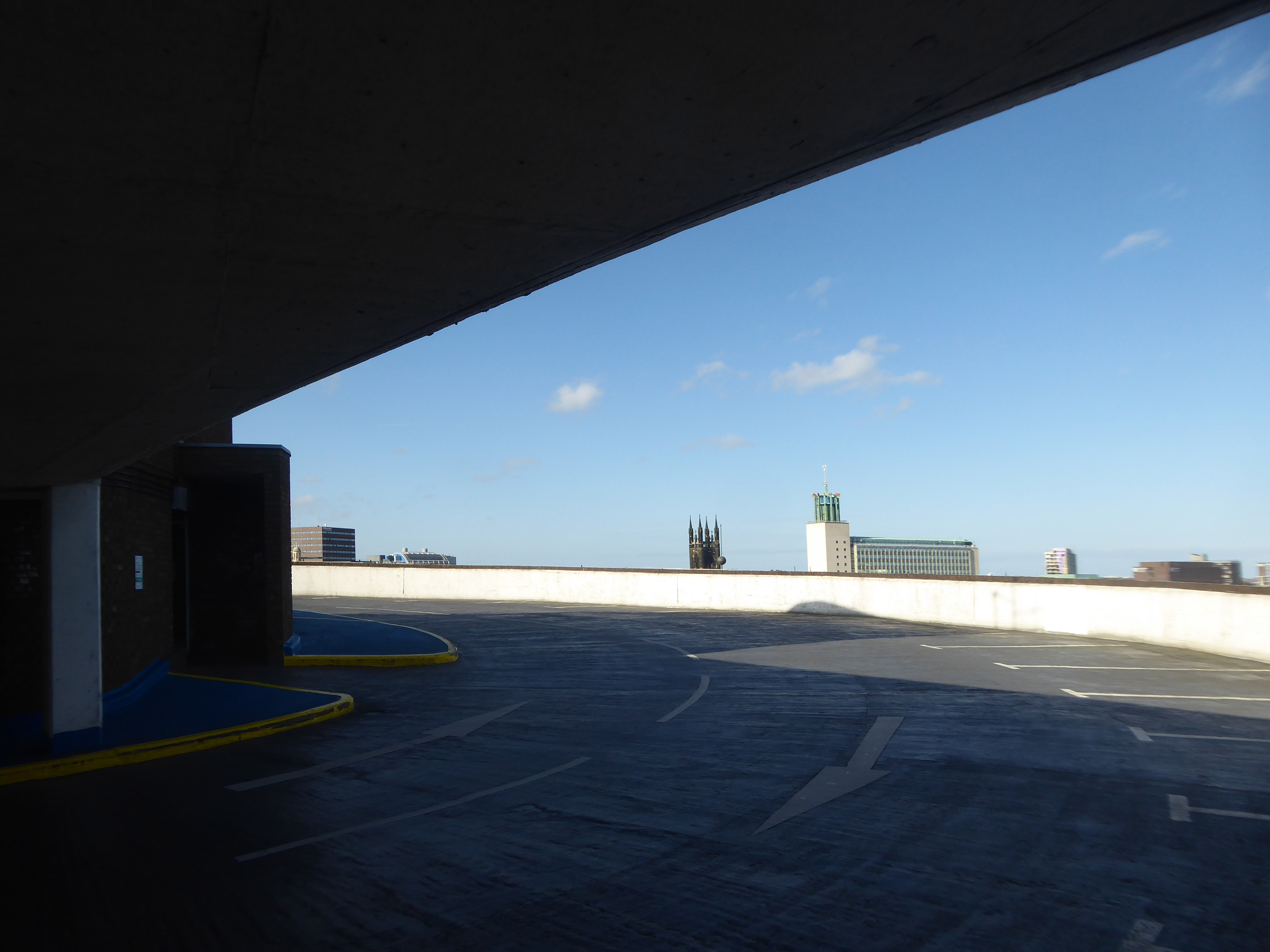
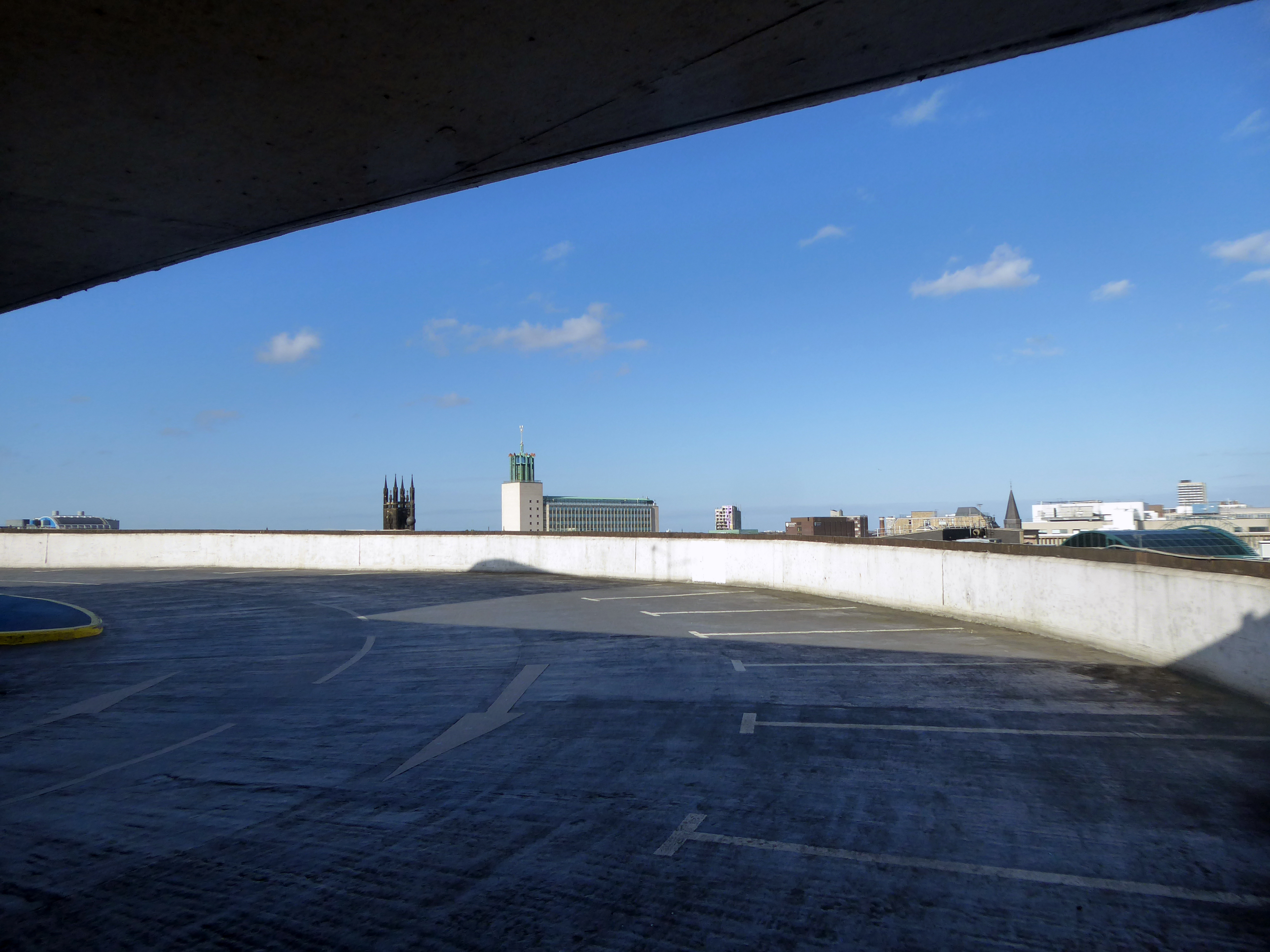
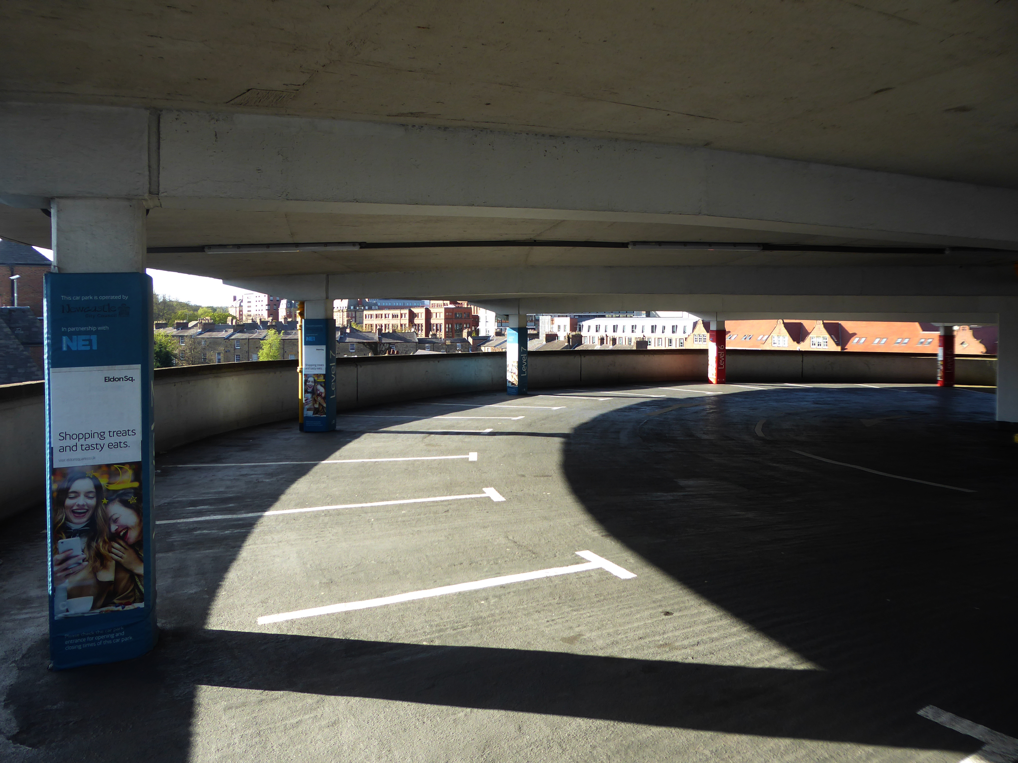
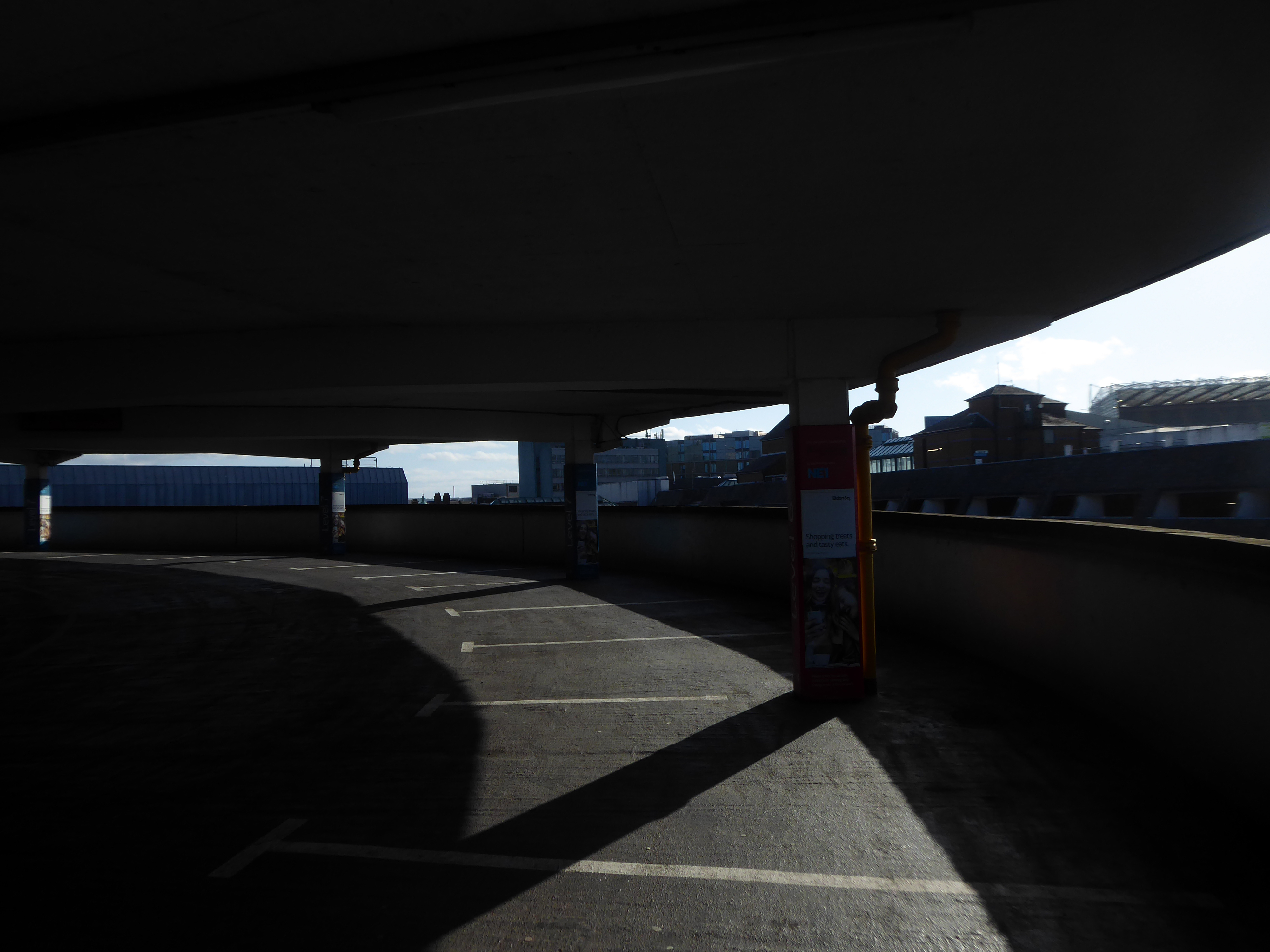
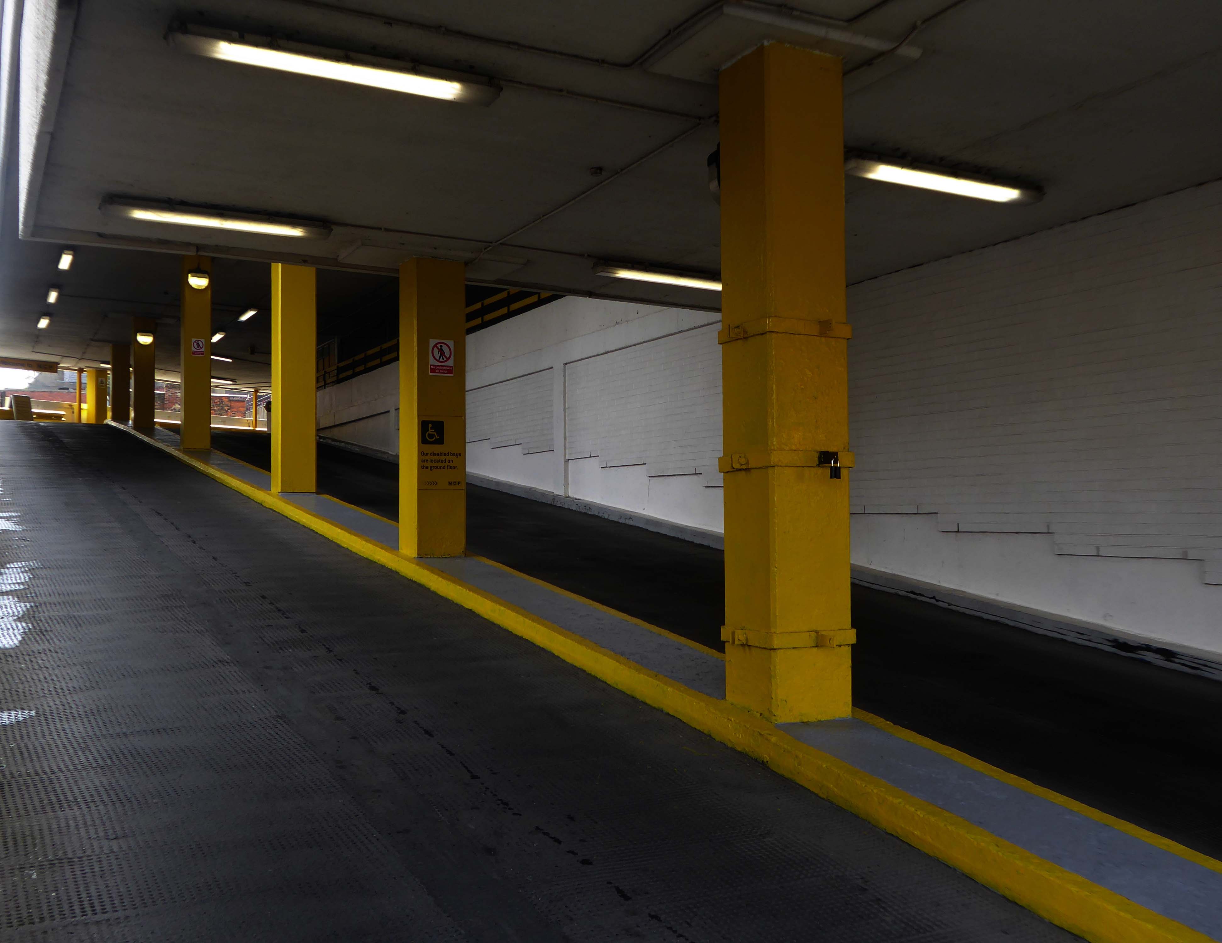
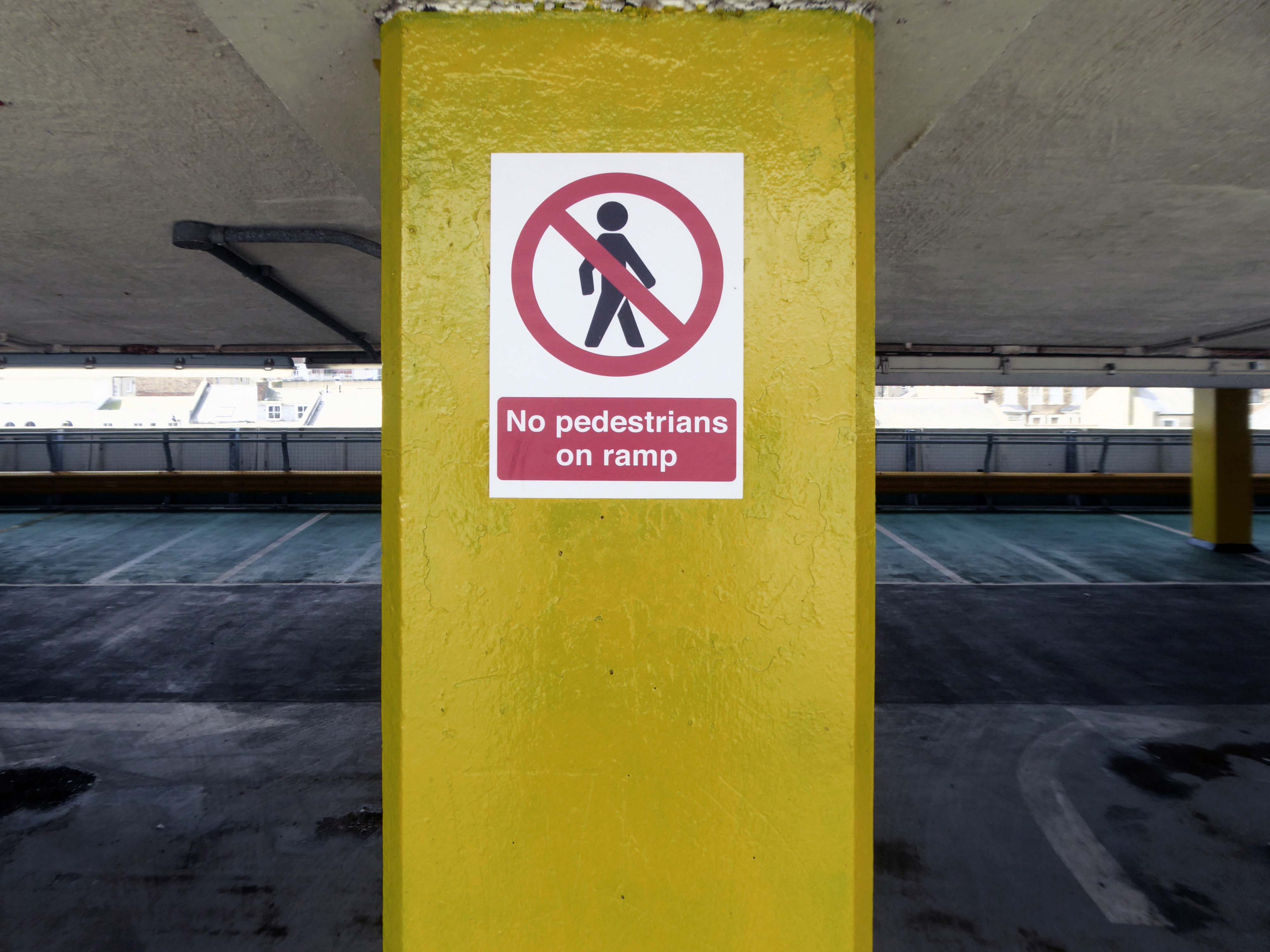
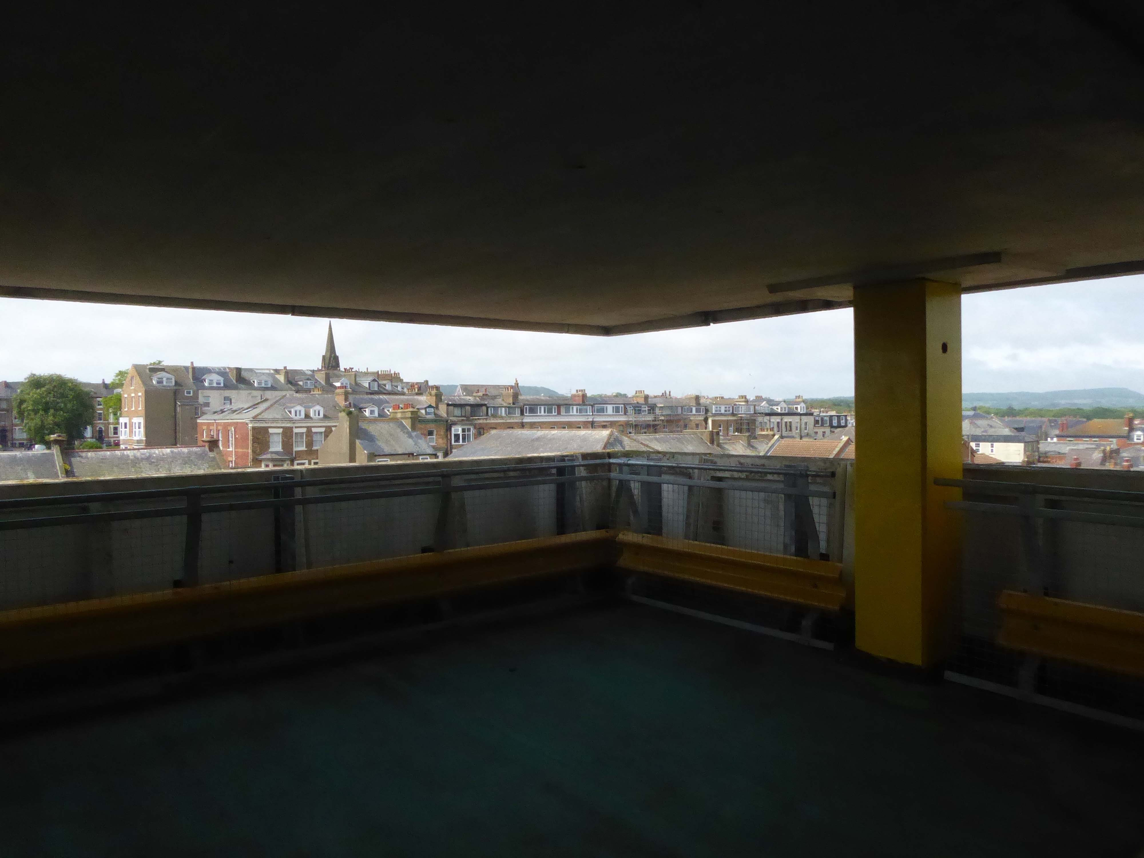
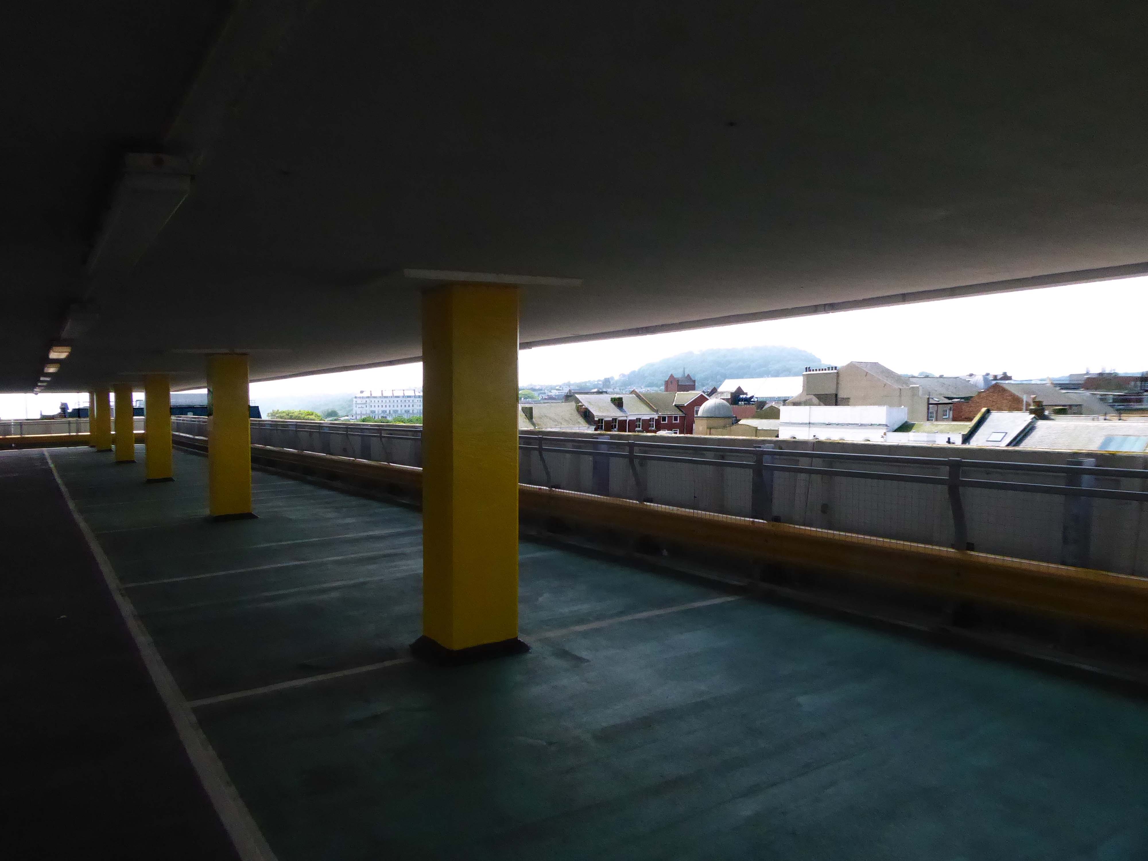
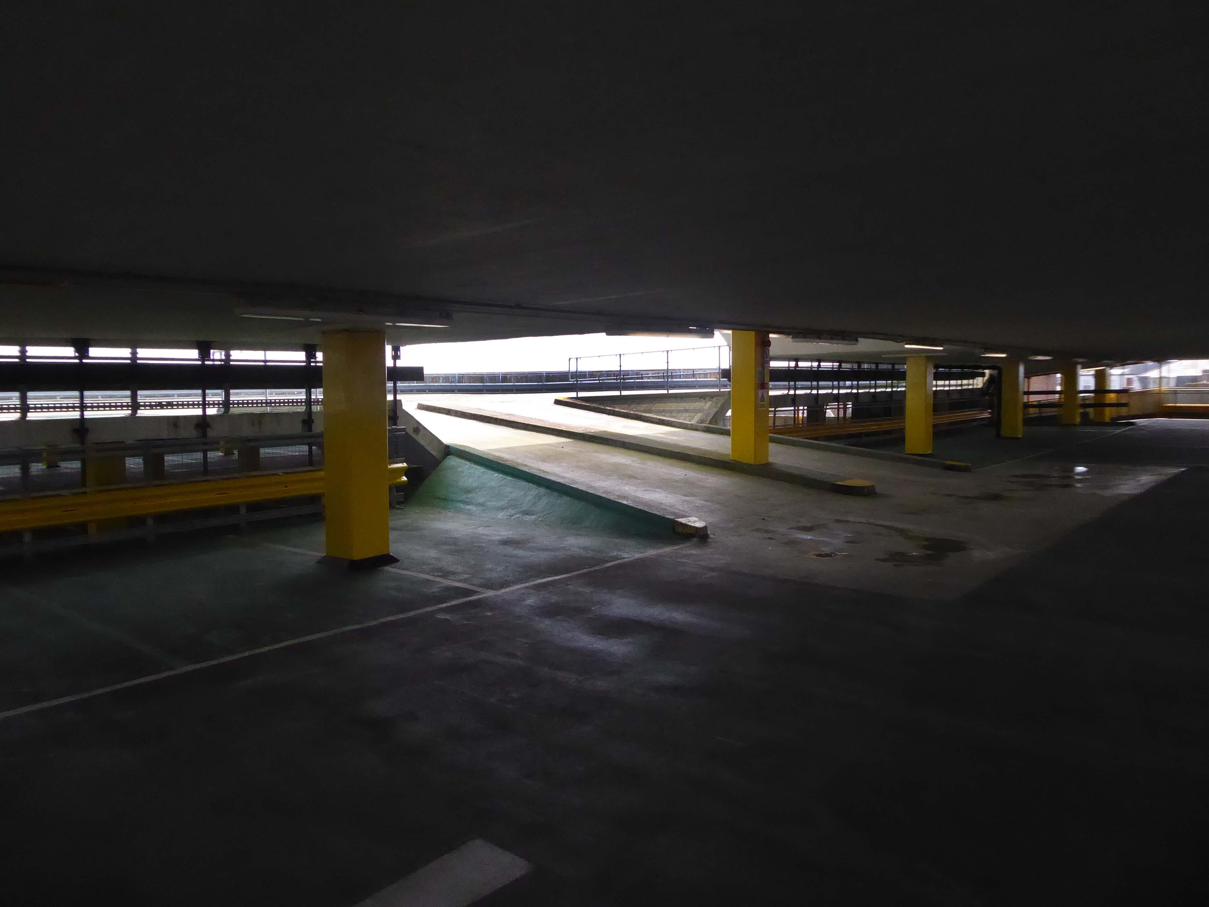
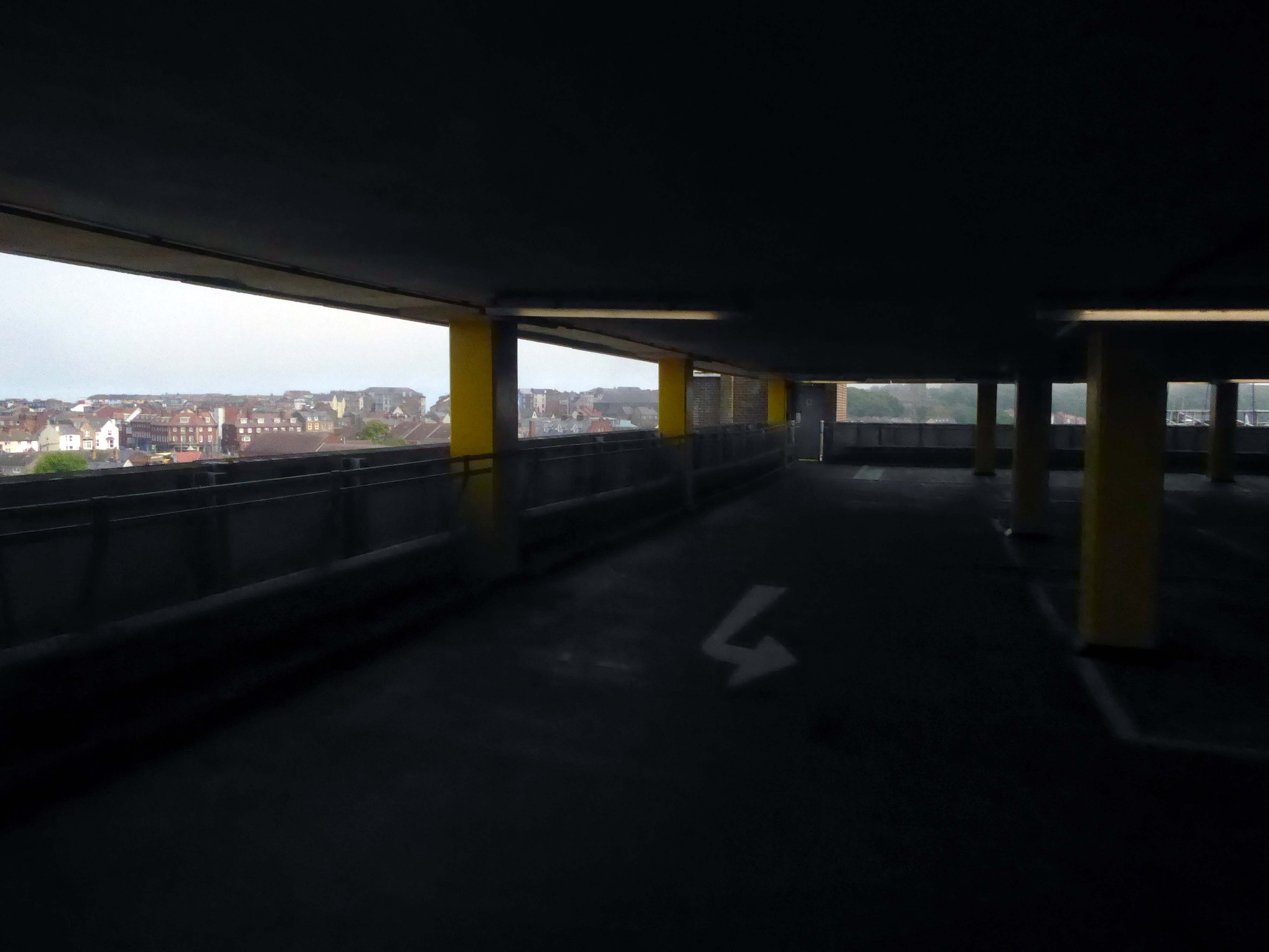
Multi Storey Car Park Rowlandsway Manchester M22 5RG
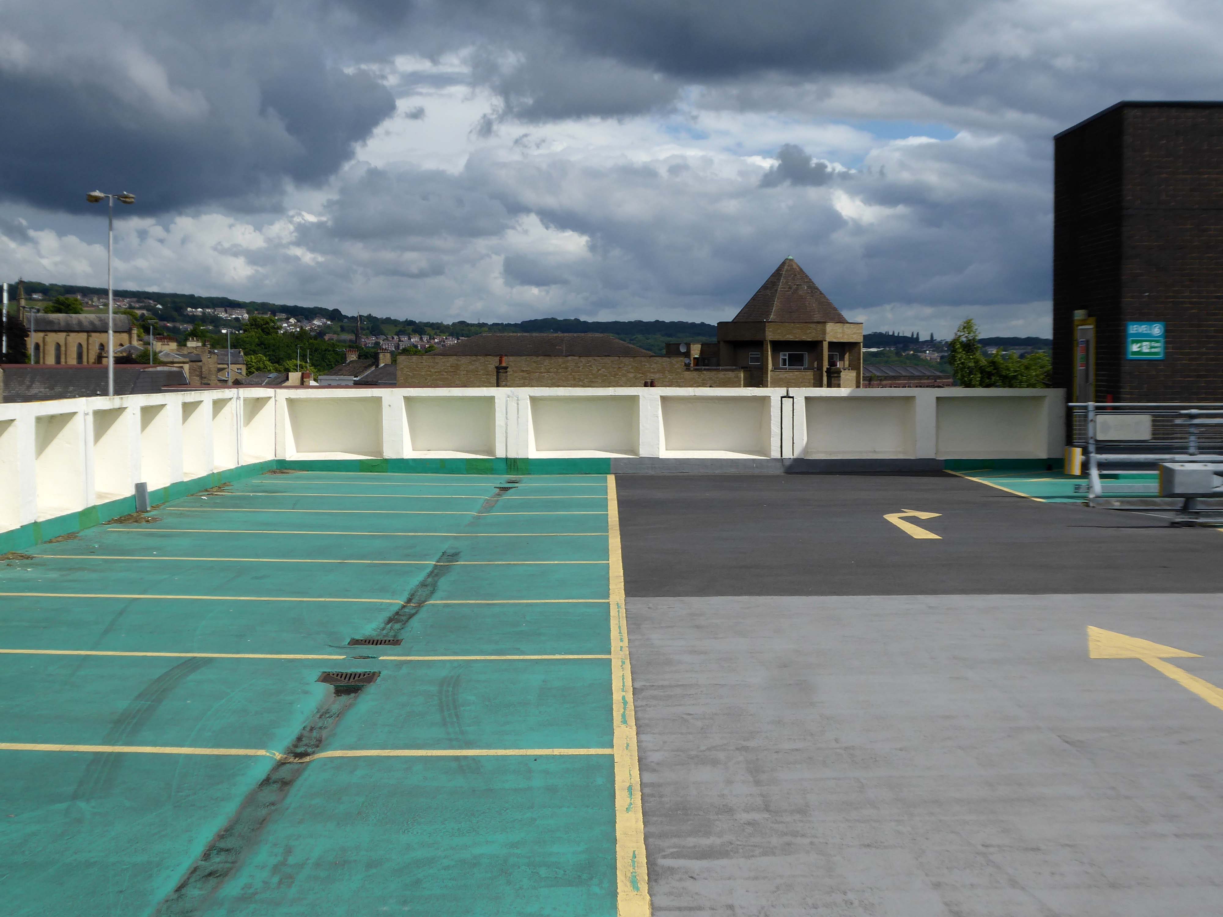
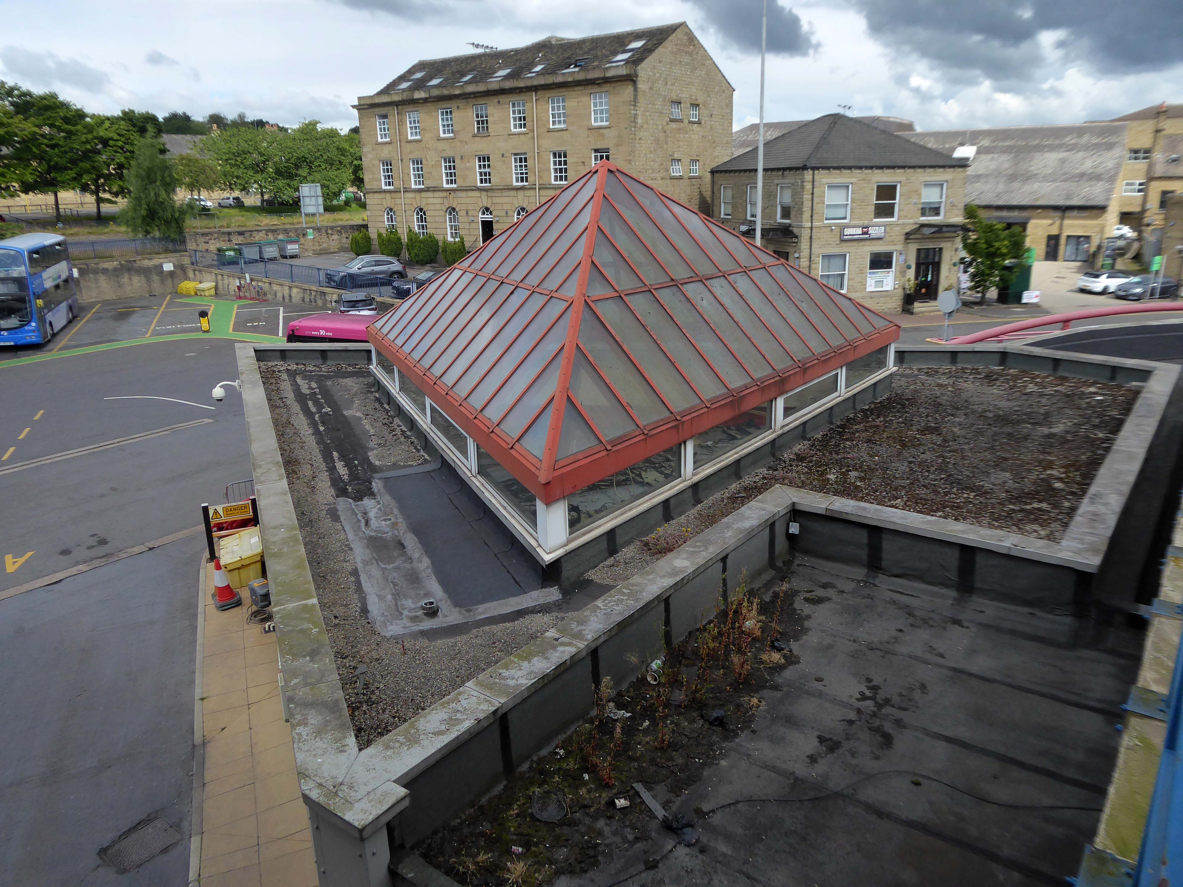
I’ve lost count of the countless times I have visited countless car parks.
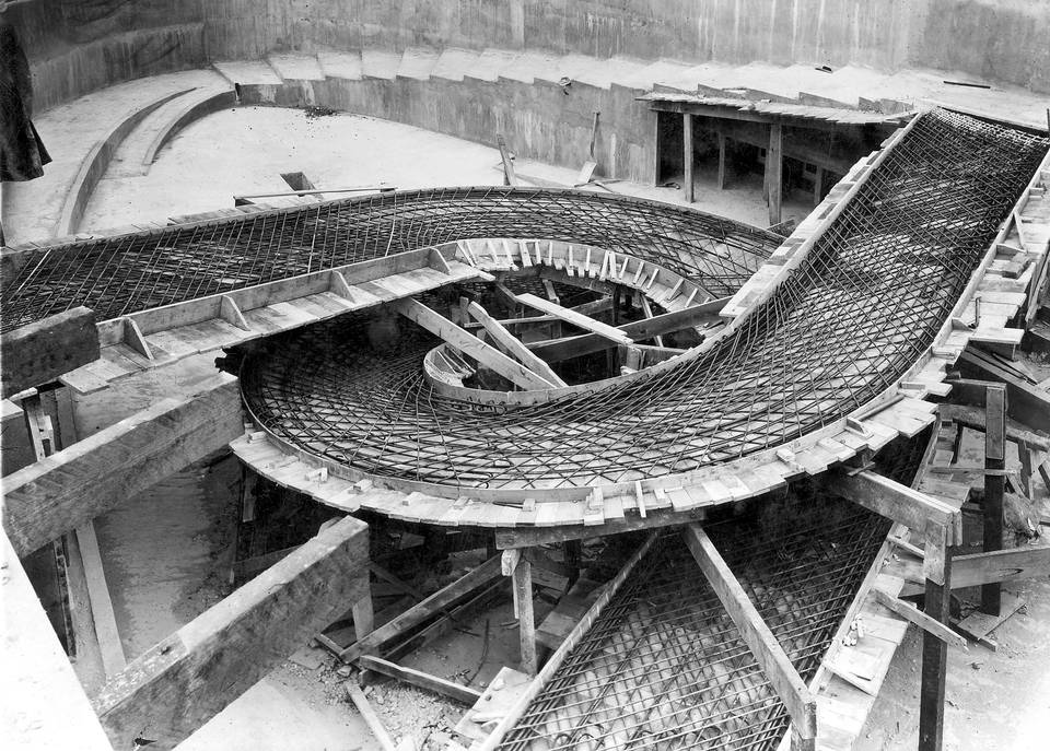
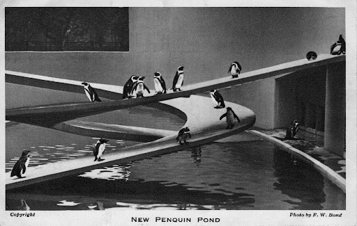
I do have a fondness for ramps – particularly helical ramps, one of my most memorable early modernist encounters, was with Lubetkin’s penguin pool.
The cast concrete taking on a truly sculptural dimension.
There is also the Proustian recollection of a collection of geometry lessons and Helix instruments.
It has all left a lasting impression and I have subsequently taken every opportunity to waddle penguin like up and down several concrete car park ramps.
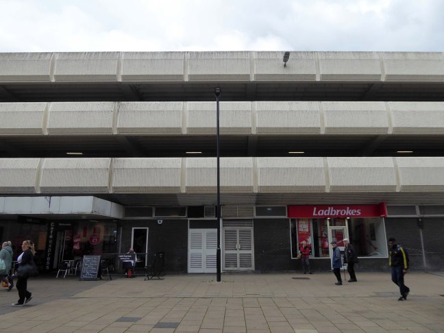
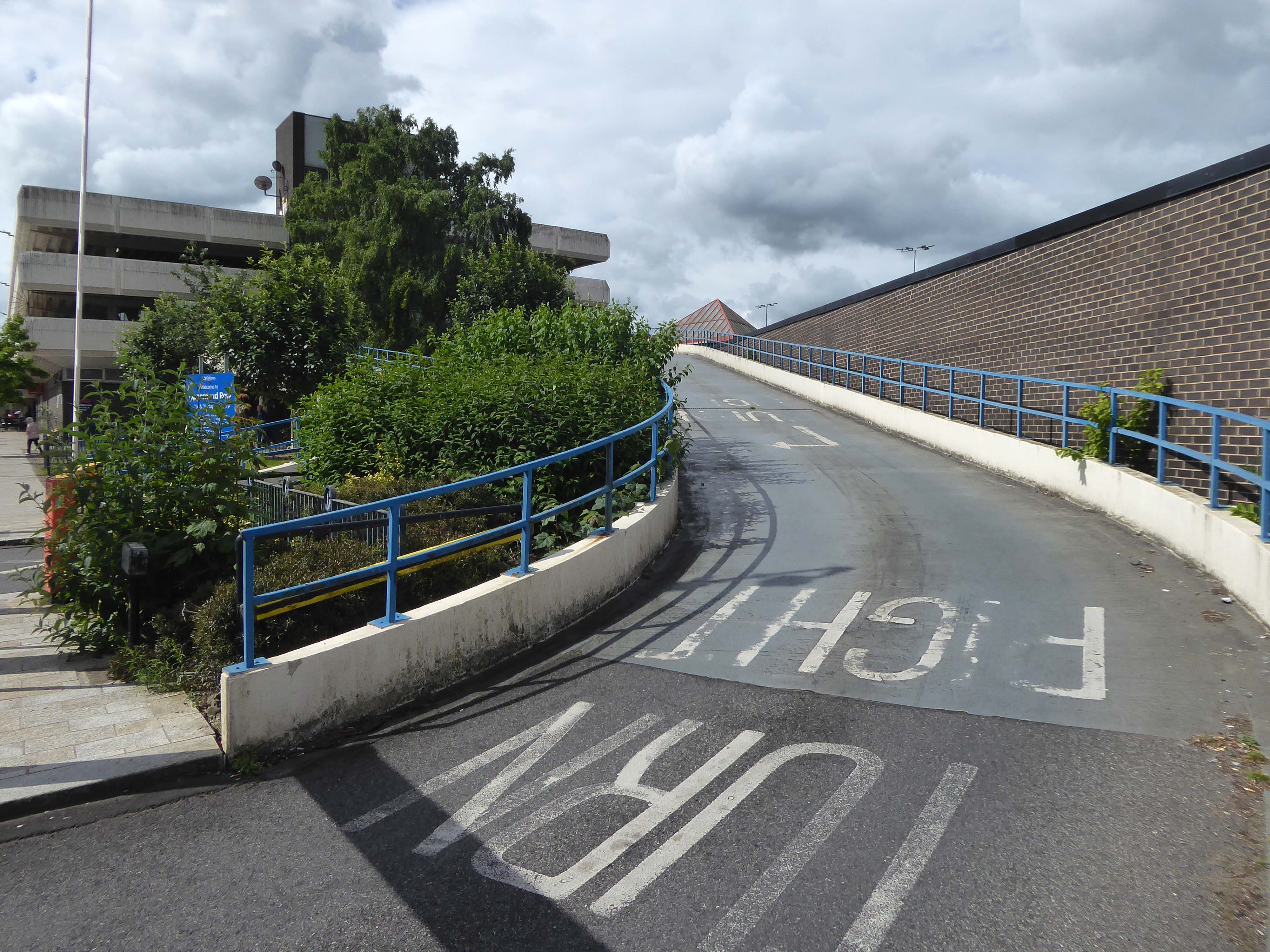
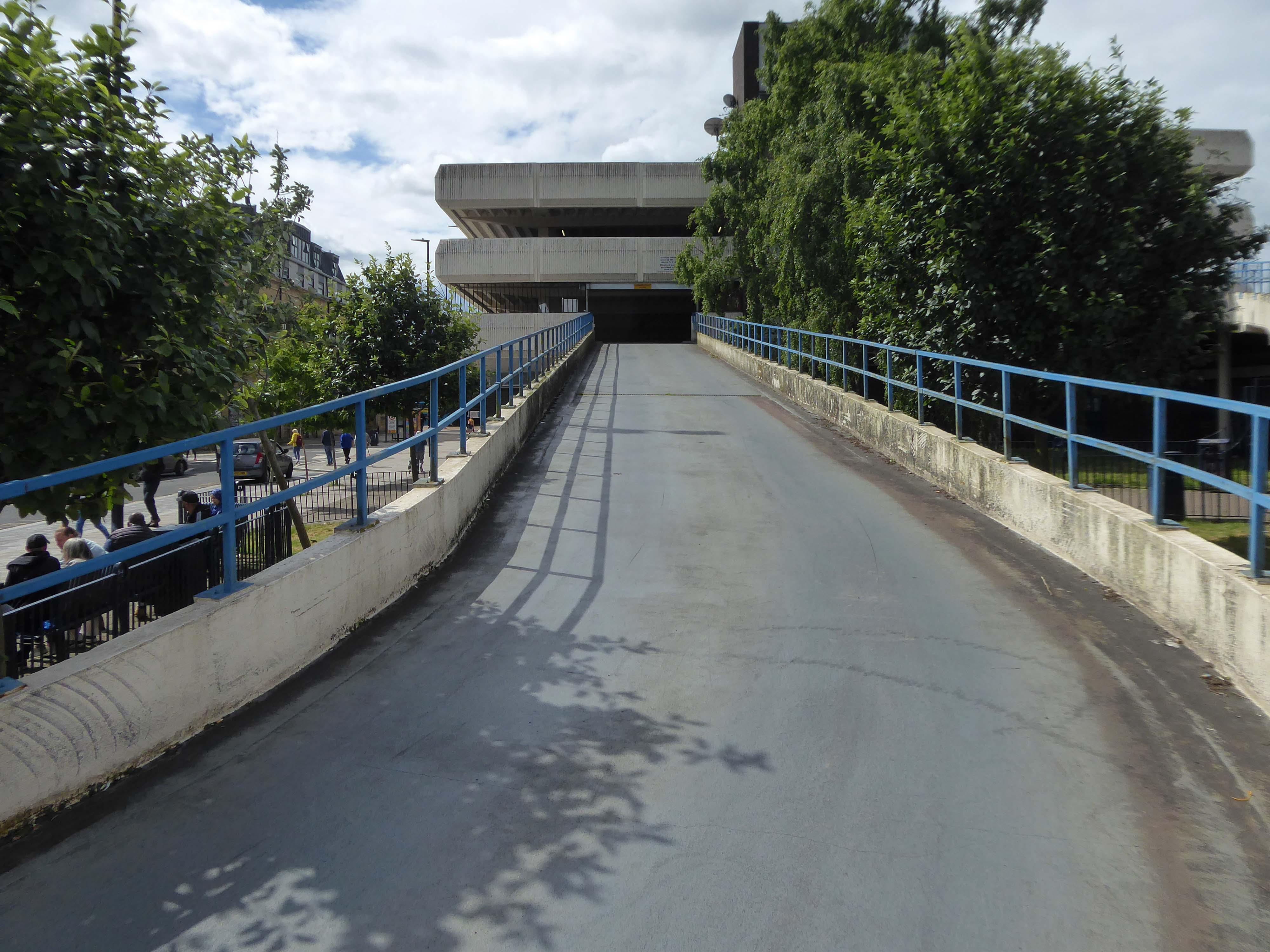
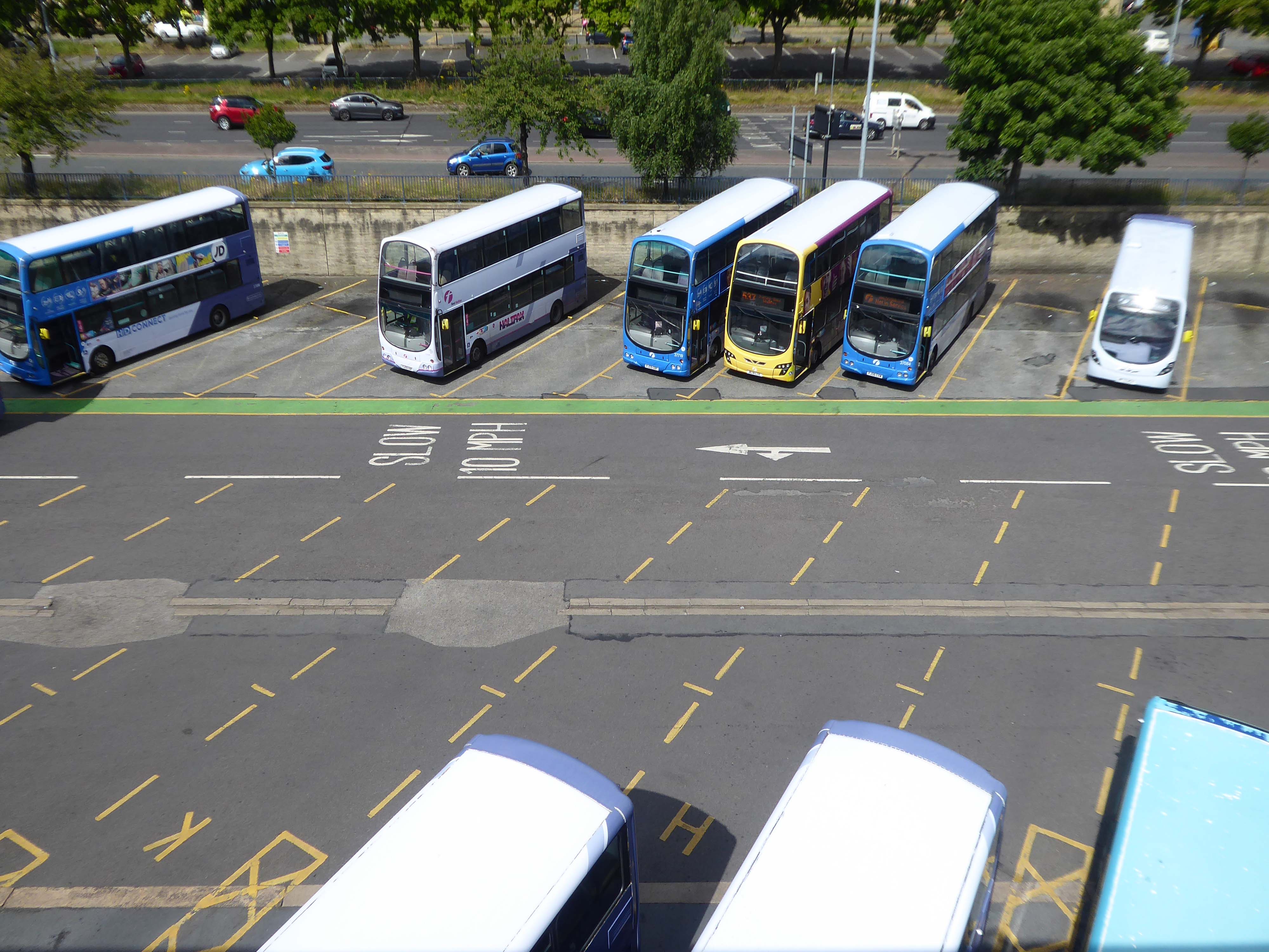
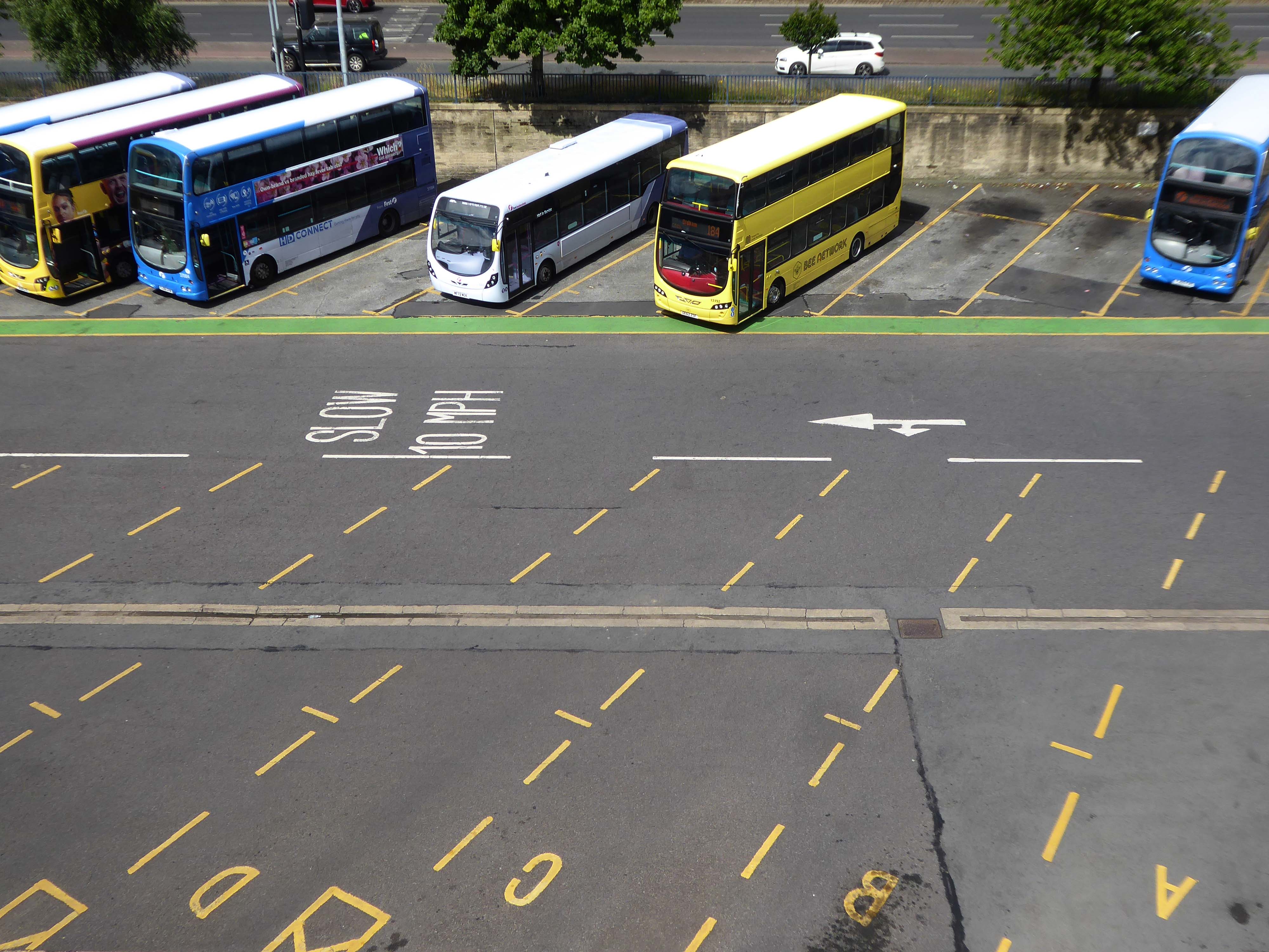
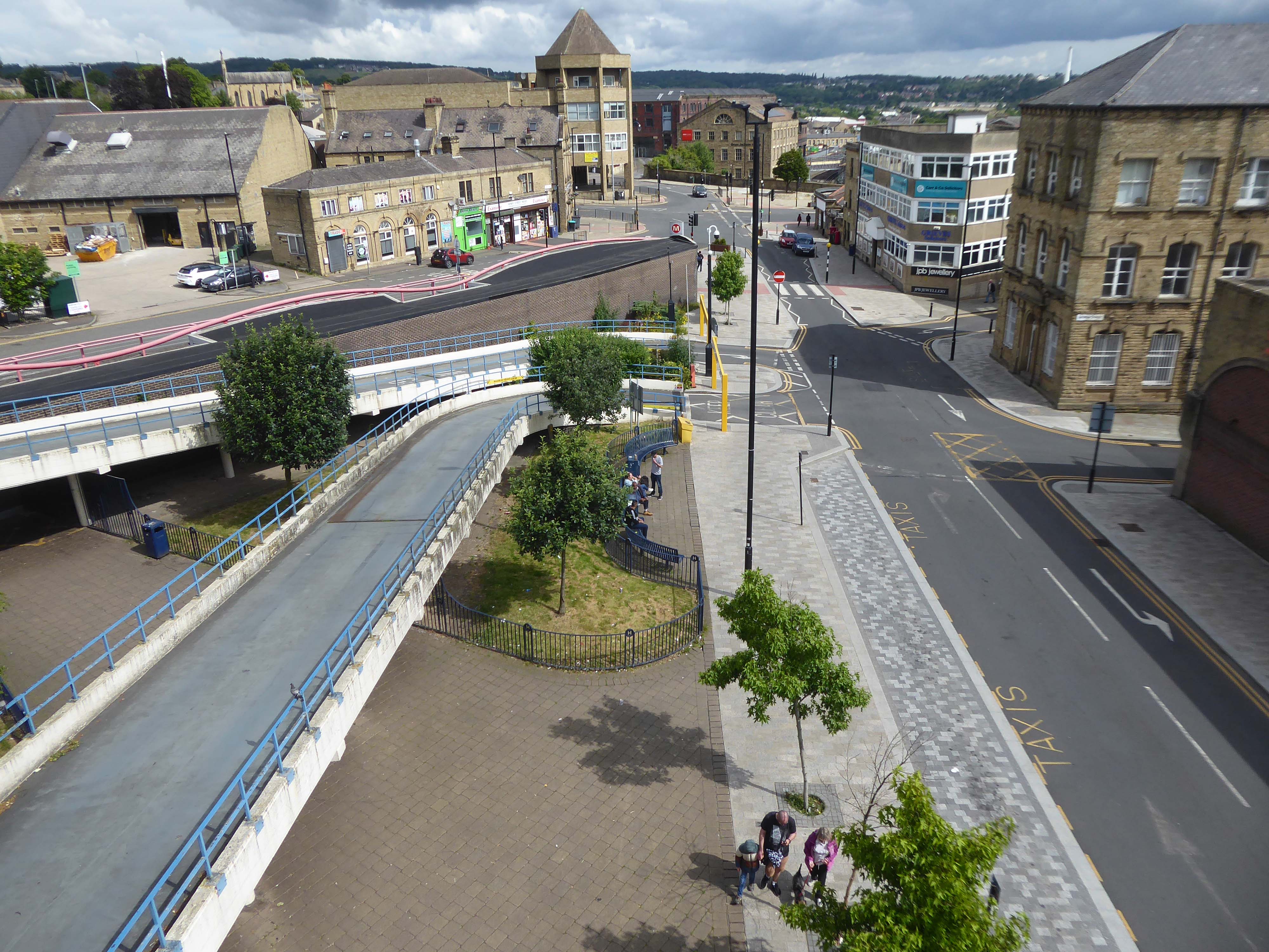
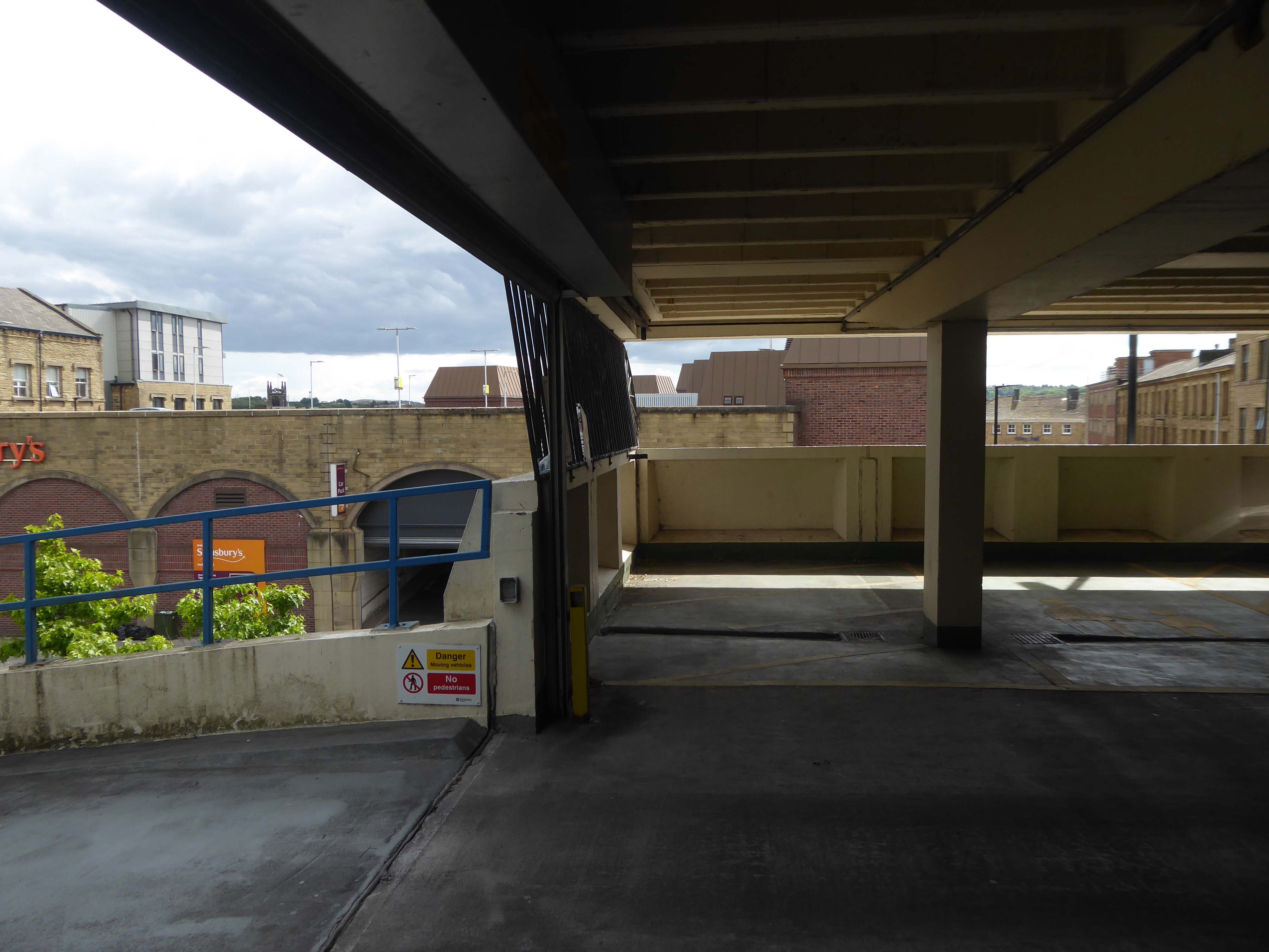
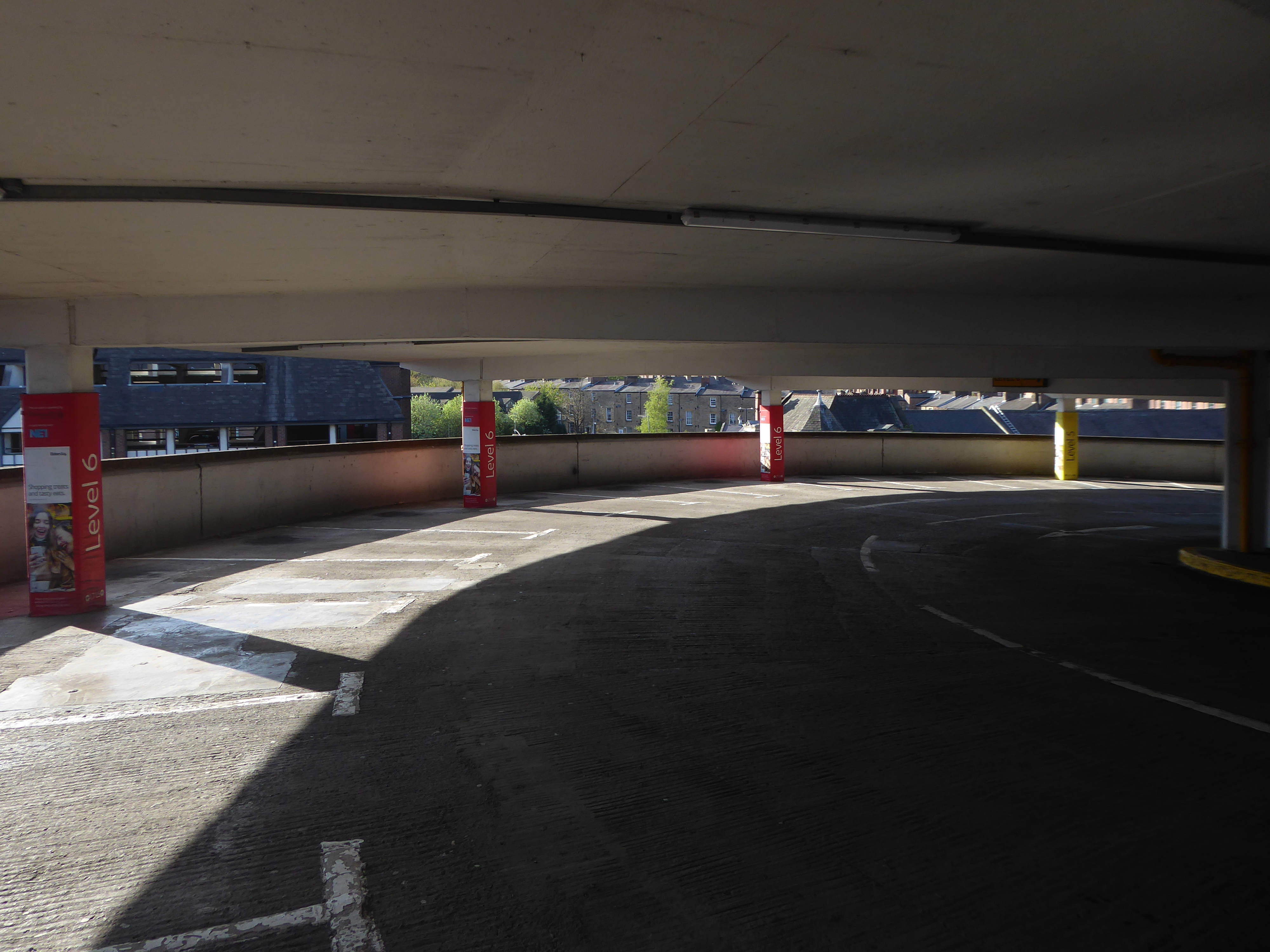
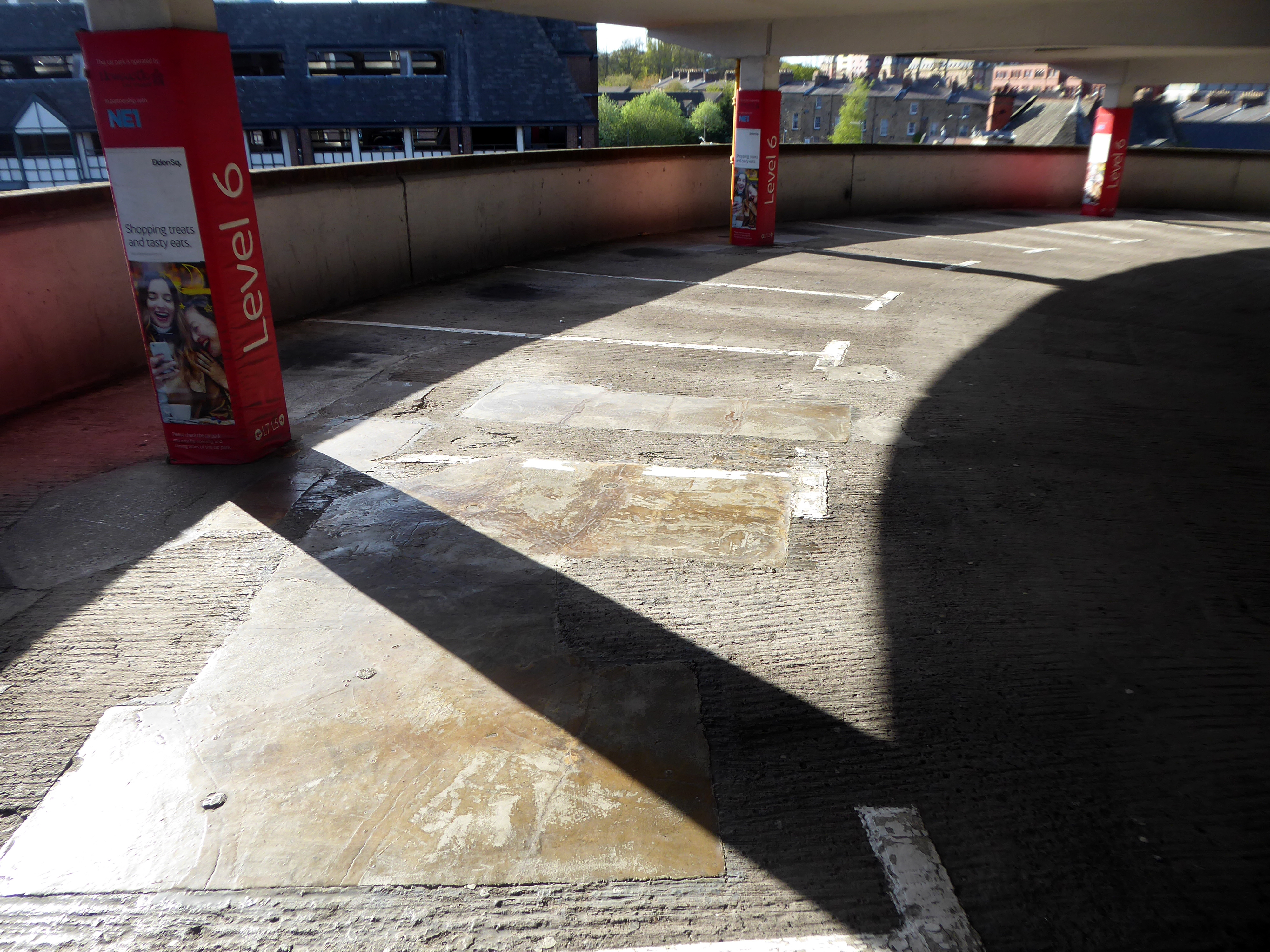
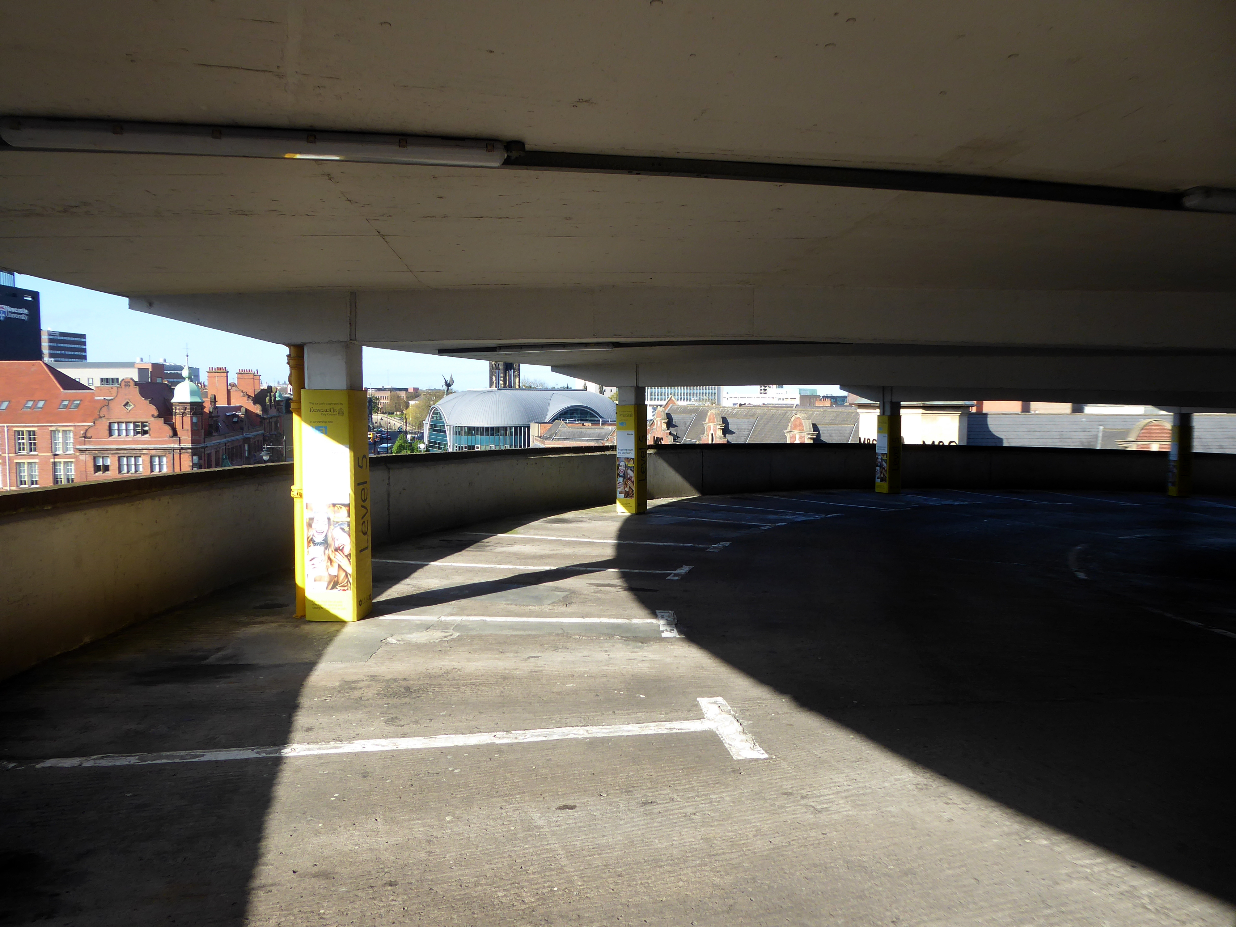
I was informed by the seriously erudite Christopher Marsden that the bus station and car park were the work of Derek C W Vane: Borough Architect 1972-1974.
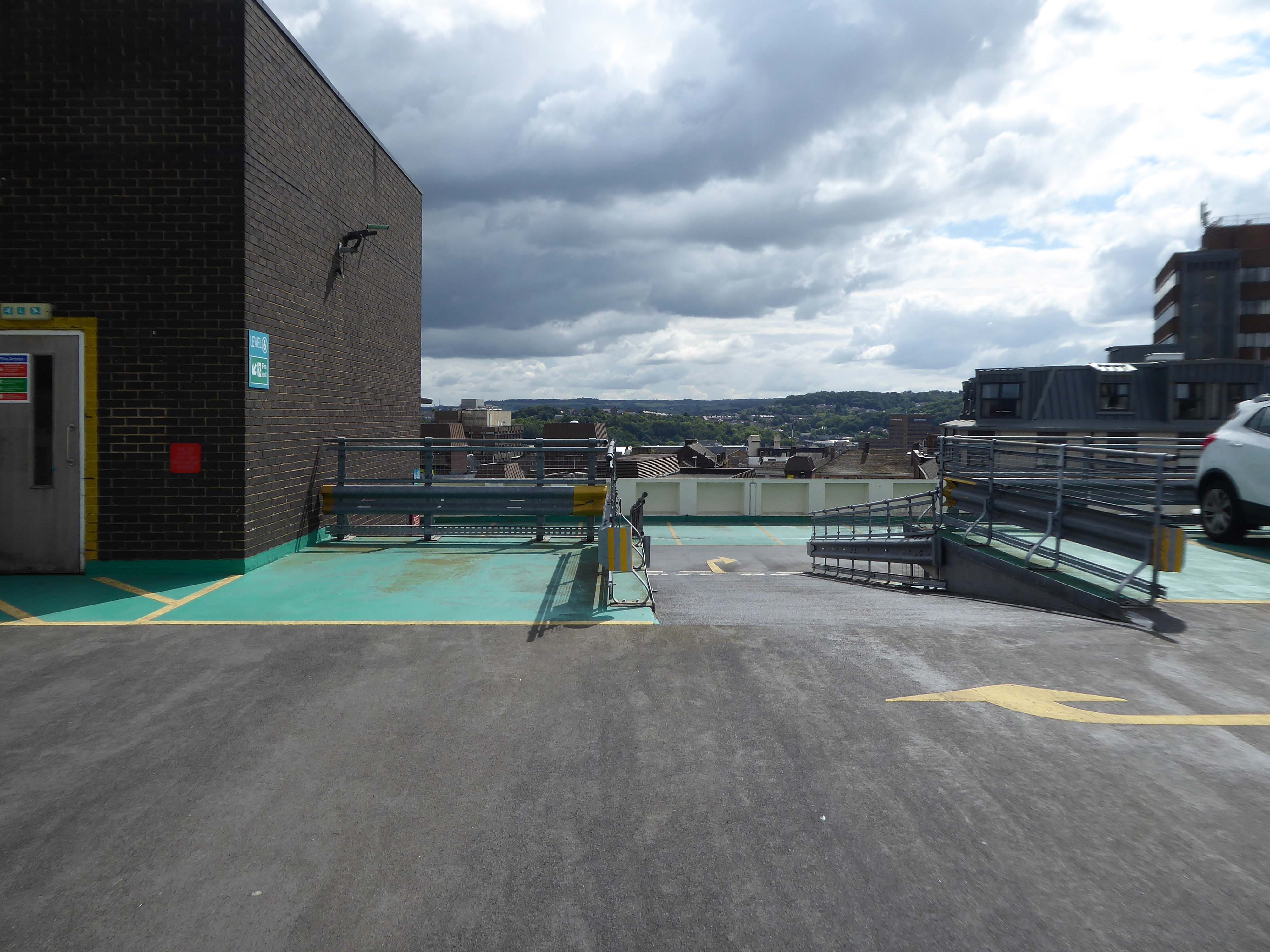
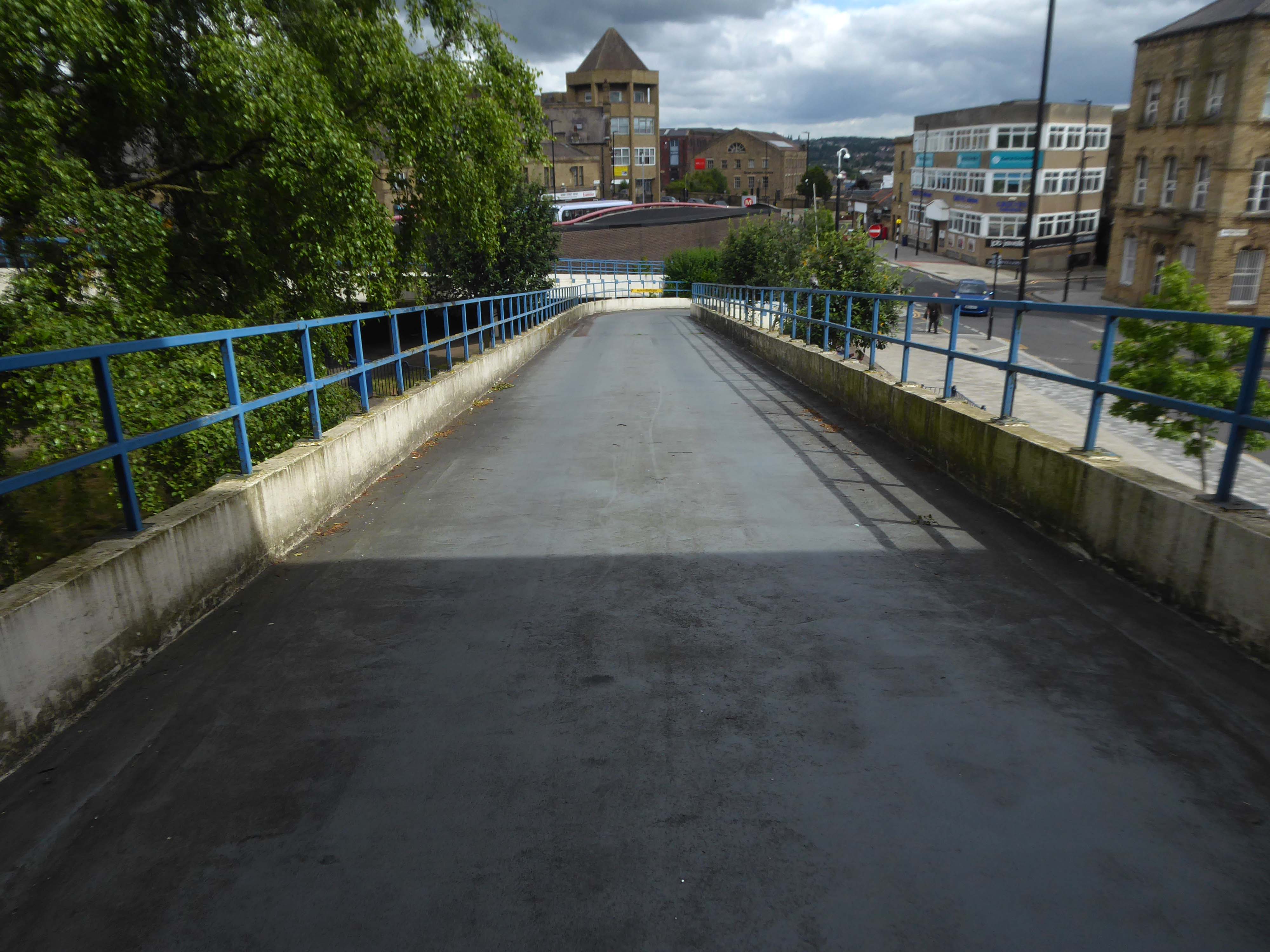
Having visited and photographed the bus station in 2016 I thought that it was about time I went up in the world, to the top level of the car park.
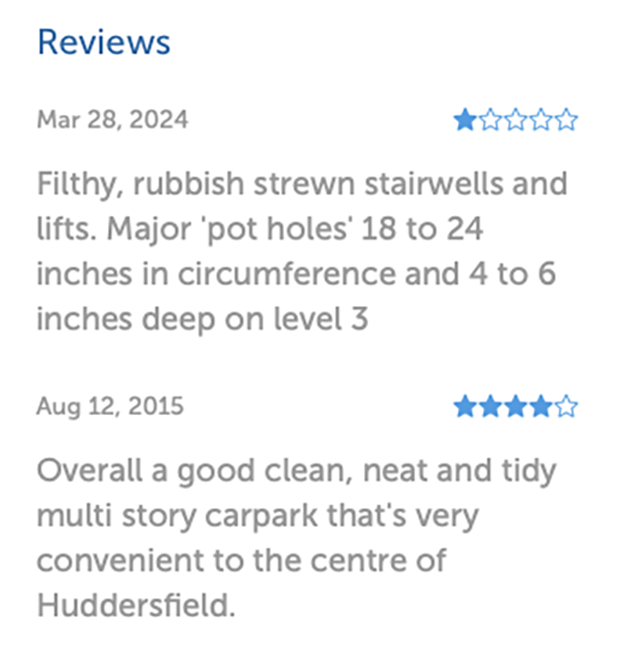
Mixed opinions from Parkopedia reviewers – let’s take a look around.
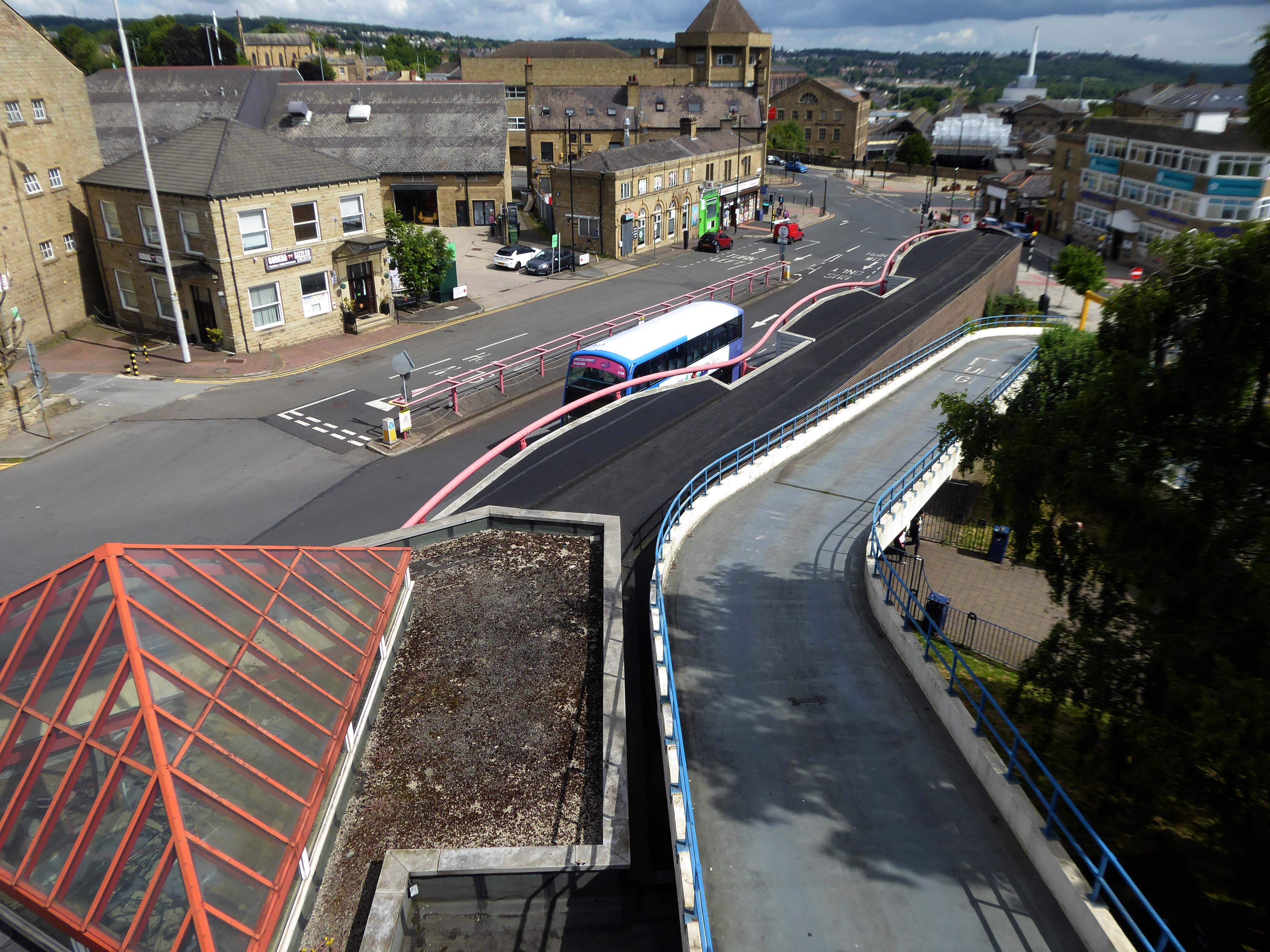
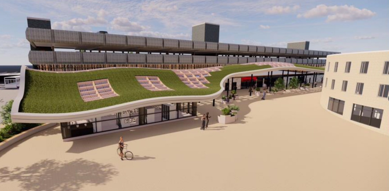
There are plans for refurbishment outlined in 2022 in the Huddersfield Hub.
The bus station will undergo a major revamp both inside and out and the most striking feature will be a sweeping canopy with a living grass roof which will run right across the main frontage from Macaulay Square to Upperhead Row.
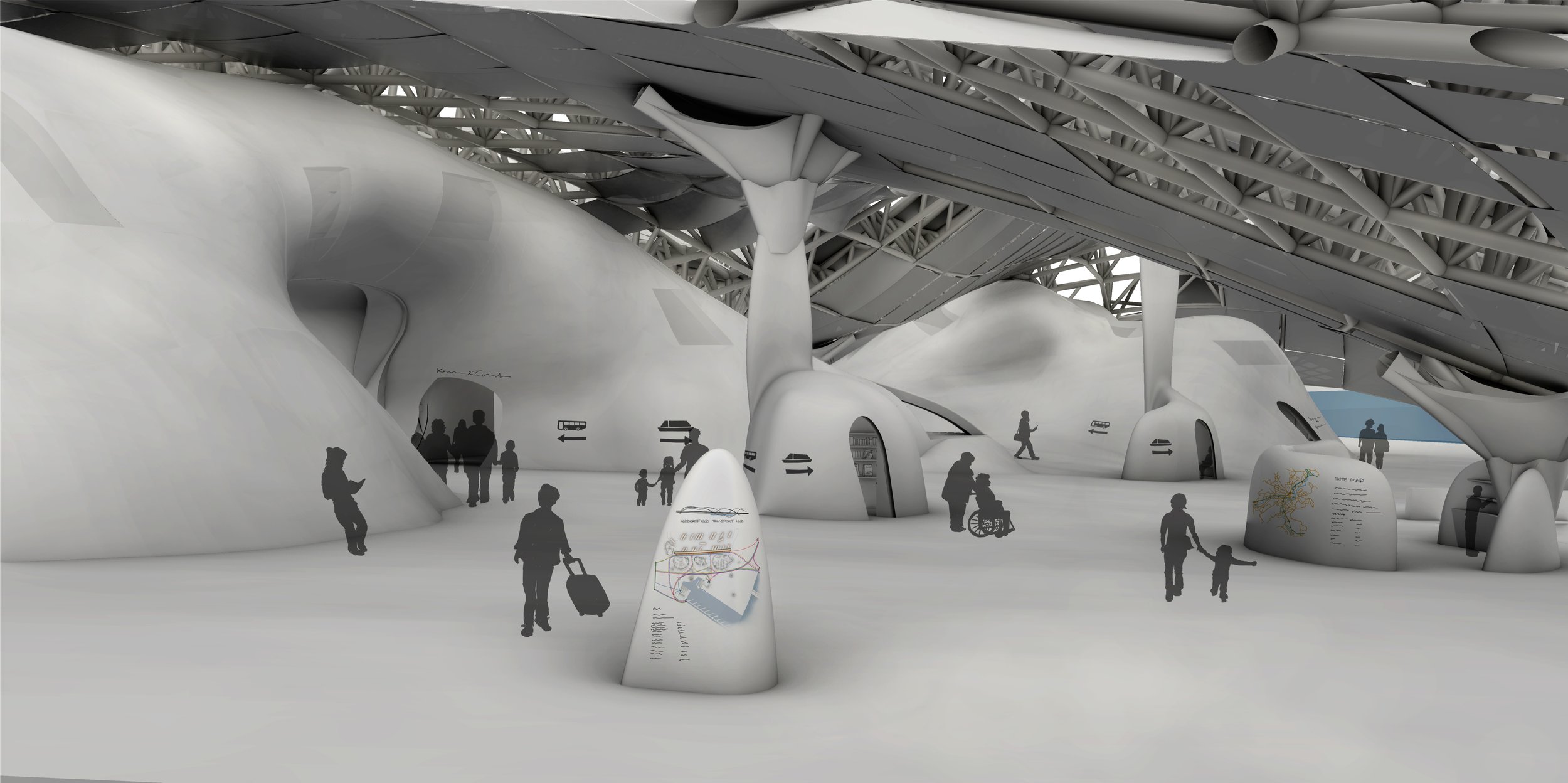
Also of note a project by Kate Matthews to seriously rethink the role and design of the space.
The starting point for this project was the Welcoming Water group scenario, involving the controlled flooding of areas of the town.
The new interchange includes facilities for cycling, walking, and public transit. The basin and marina on the new lake allow for an increased focus on water-based transport, including a new bus-boat. The main Transport Hub sits below an undulating roof and contains not only the bus bays and ticketing facilities, but also co-working and relaxation spaces. The curves of the roof, trying to confuse the binary of floor and ceiling, are just one example of the ambiguity throughout the scheme.
This project was nominated for the Architects for Health Student Design Award in 2021.
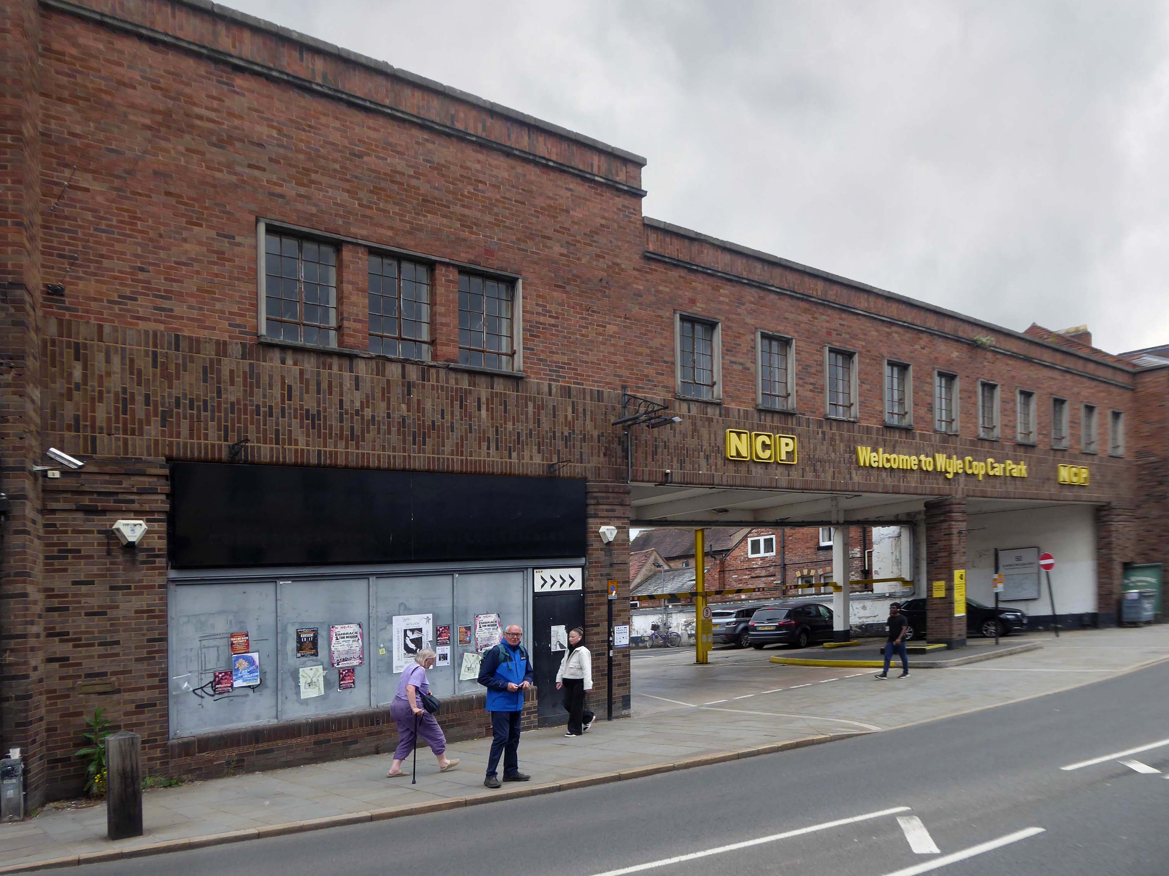
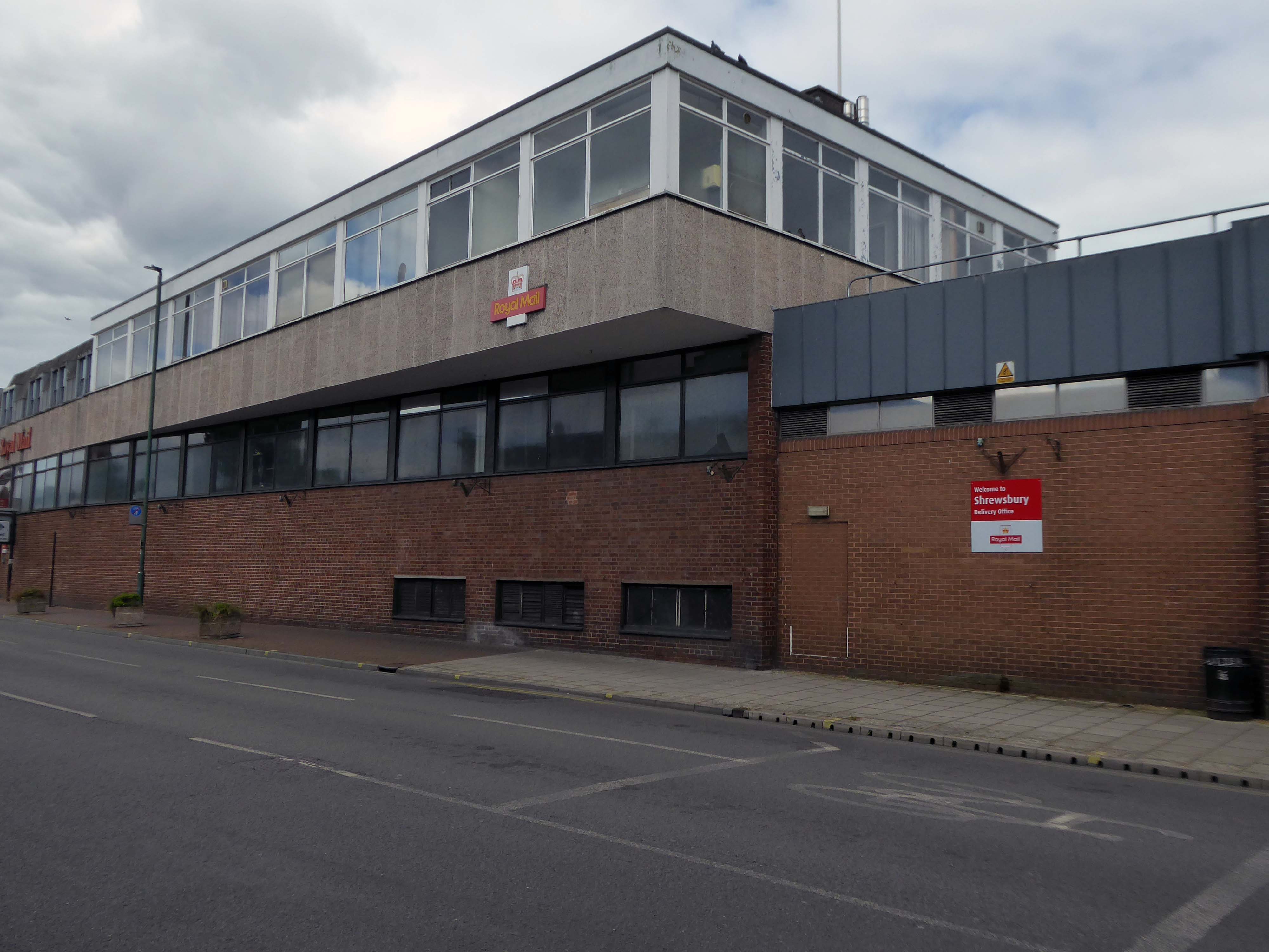
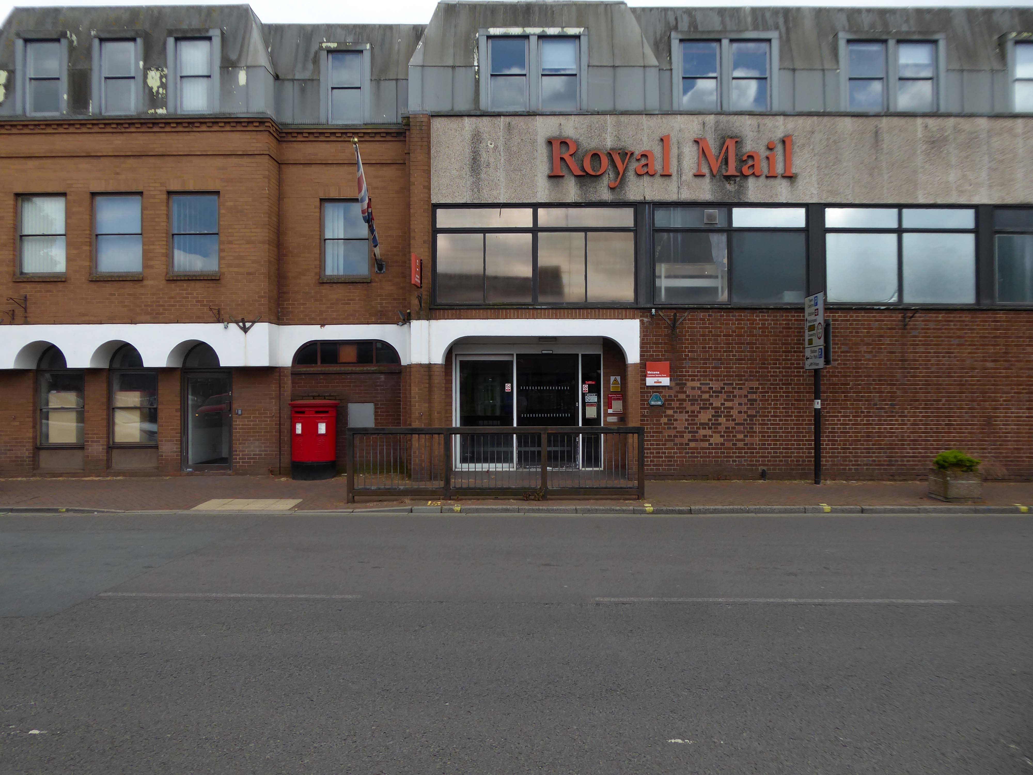
Shropshire Council Raven Meadows Shrewsbury SY1 1PL
Built by Truscon Ltd. – 1969
I am a disabled driver and found a lot of the direction signs worn away. When I came to leave I wanted to use the machine on the ground floor. This was out of order, as a lot of other people found. The office was empty as the staff were outside smoking. I then had to negotiate stars back to the 7th floor where the next machine was located. There was no sign on the ground floor machine telling it was out of use and where the next machine was located.
If staff want to have a smoke they should at least leave someone in the office.
Most of the parking spaces are very tight and I would not recommend the use of this car park unless you have a small car and a crystal ball to find the disabled parking and the payment meters.
The rudest man at the kiosk, that I have ever had an encounter with, over a ticket that was blurred. He had a go at me for not going to him straight away – I went when I went to leave and it wouldn’t work. He also had a go at me because I pressed the buzzer on the intercom. Very strange unhelpful man. Made an issue for no reason! Awful to deal with I never write reviews, but I hope this gets back to him and with hope he will gain some manners.
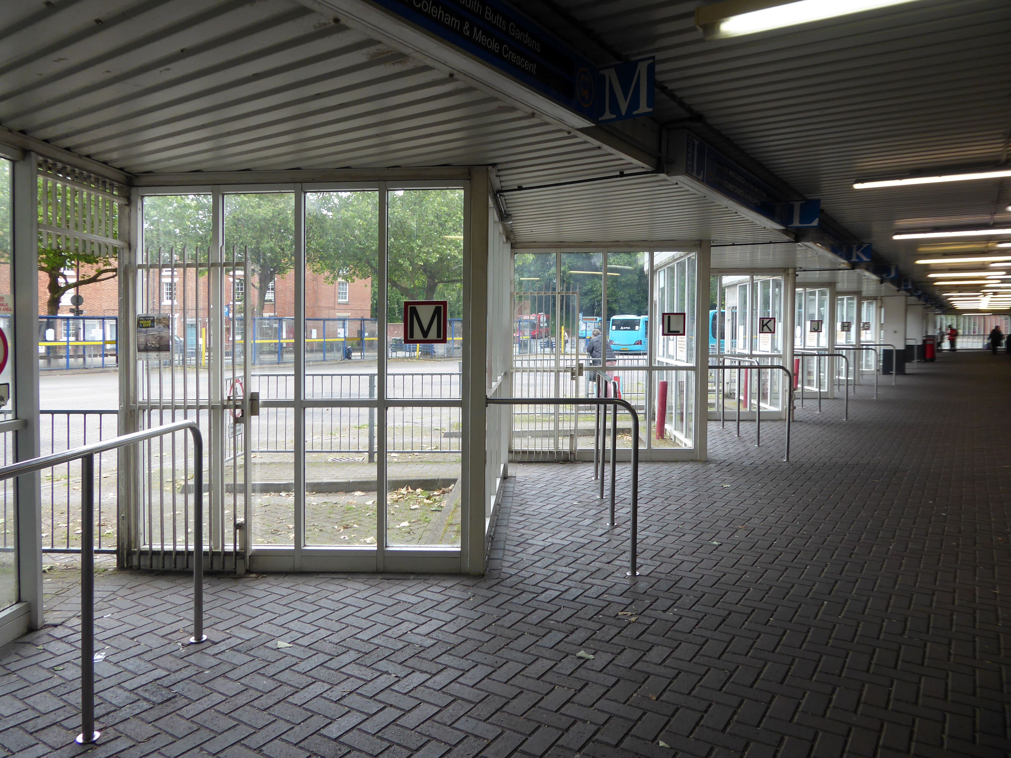
Being a pedestrian, I entered through the bus station on foot.
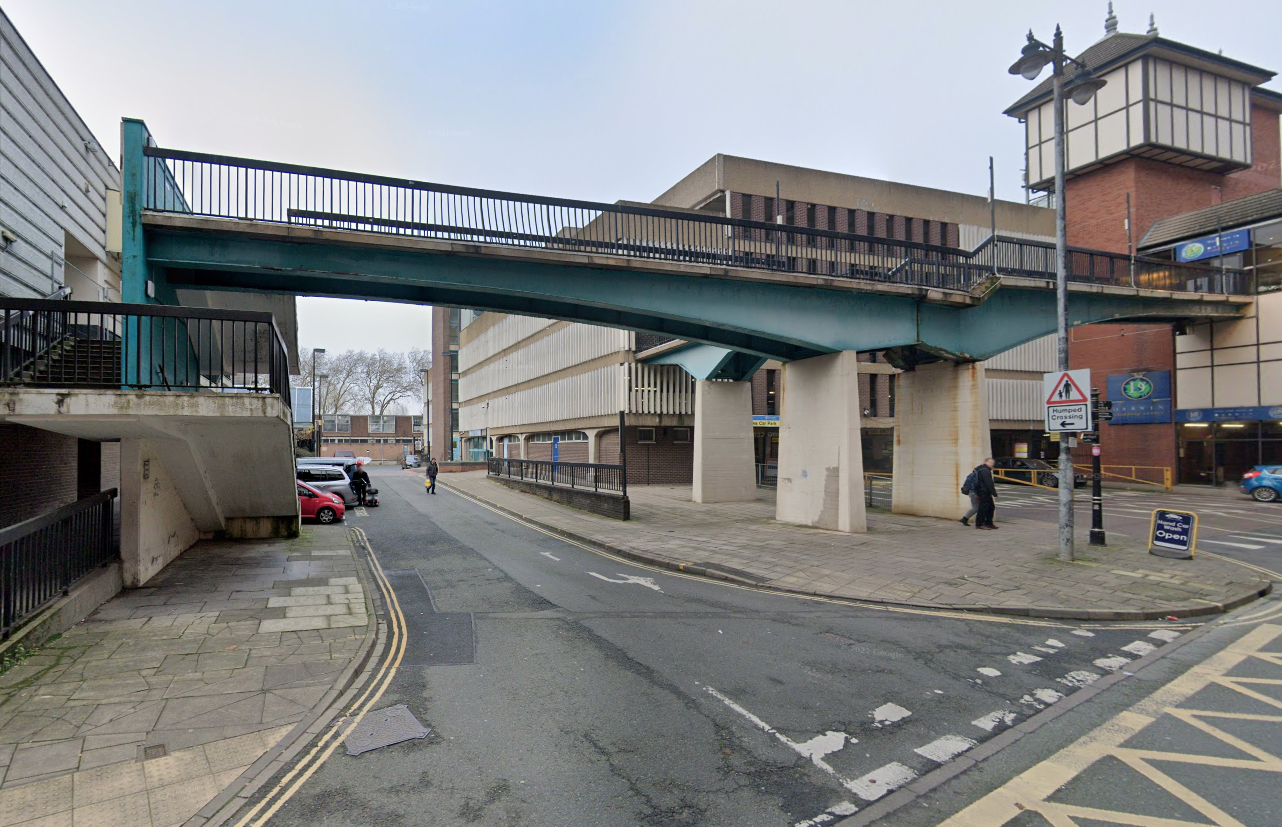
The station is considered to be dated due to its 1980s architecture partially under a 1960s multi-storey car park. There have been plans for the station to be modernised and rebuilt, or even demolished completely, as part of the town’s Big Town Plan. The demolition of the station would mean the town would not have a central bus terminus and would instead use smaller sites on the town’s Park and Ride routes.
Shrewsbury Bus Station is a disgrace. I am embarrassed to use it. I don’t feel comfortable with using it. Yet, it is the bus hub for our county. It is one of the main gateways into Shrewsbury and Shropshire for those travelling by public transport.
New bus hubs and interchanges have been developed around the country. Shropshire Council meanwhile ignores Shrewsbury Bus Station. It promises a new bus interchange, but that is in Phase 4 of its plans to redevelop Shrewsbury town centre between Pride Hill and the riverfront. In the current financial climate and with the council stretched to the limit on existing funding, Phase 4 is probably more than a decade away.
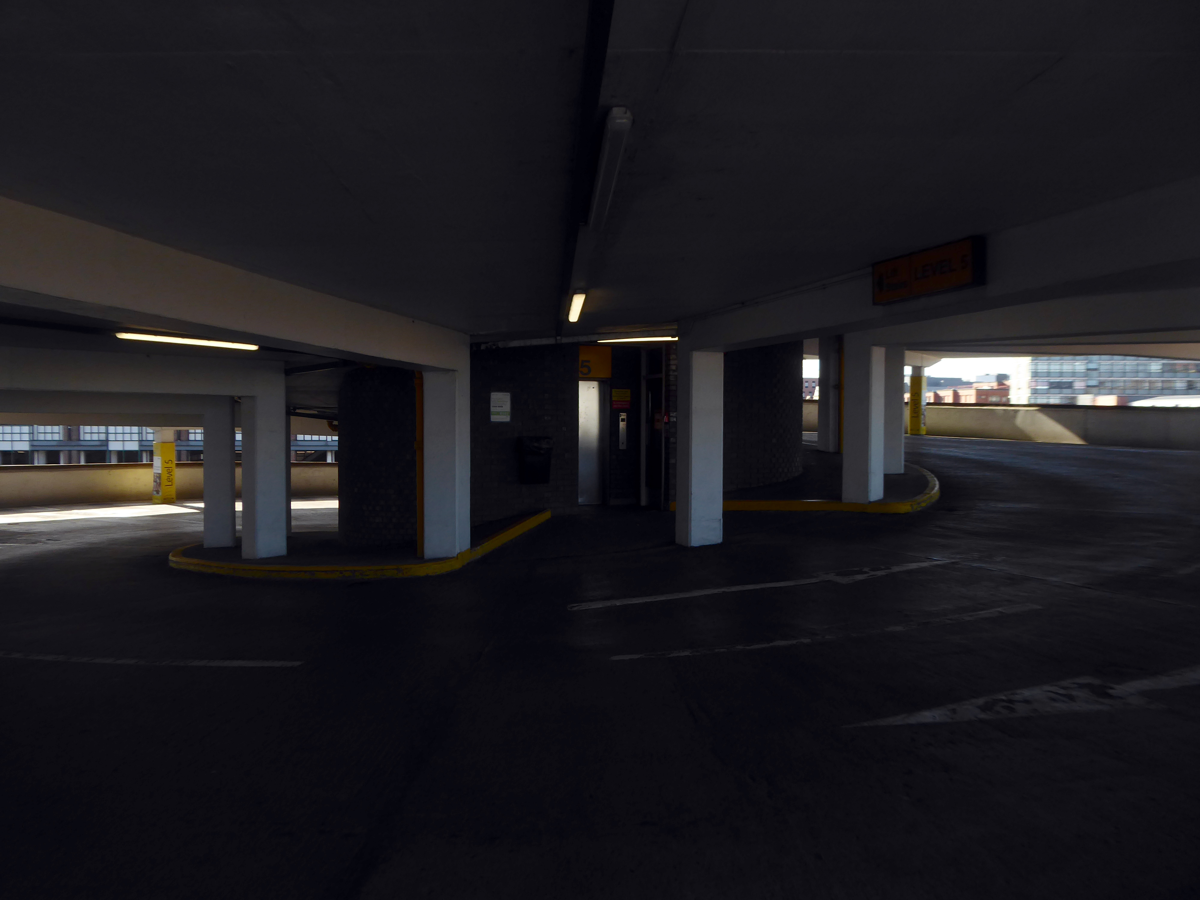
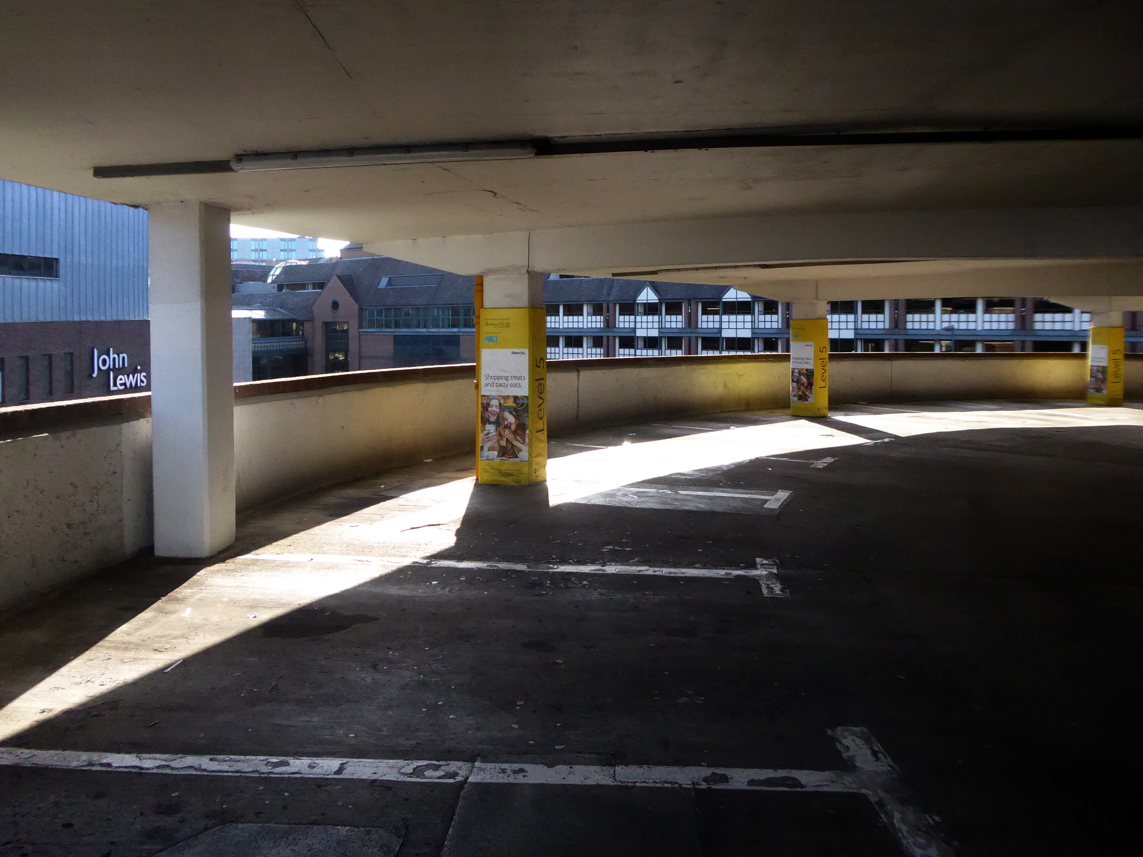
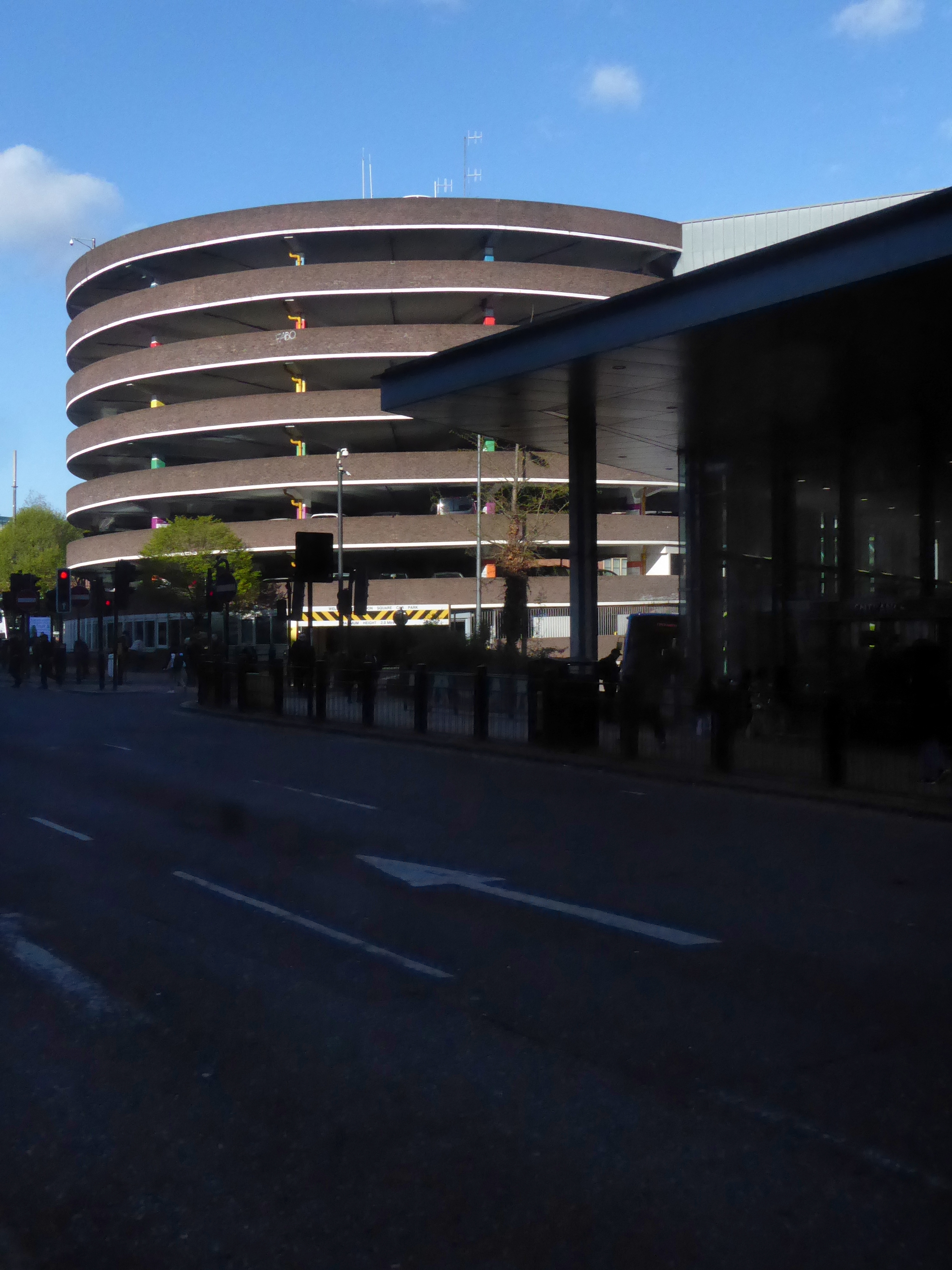
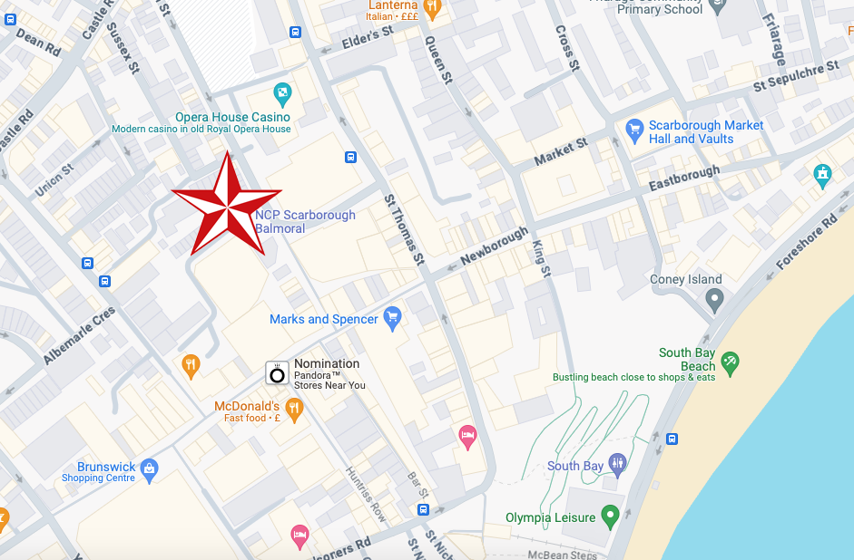
Last day of the holidays and we’re off to Balmoral!
No not that Balmoral the other Balmoral, the car park attached to the Balmoral Centre, built in 1974 – with little or no reference to the Highland baronial.
Though the old Balmoral Hotel had to be removed in 1973.
Scarborough is a beloved seaside resort and we’re pleased to have secured these well-known, popular parades, bringing them into our in-house portfolio.
We are committed to focusing our efforts on regional retail centres and neighbourhood parades where we can see there is incredible potential. The Balmoral Centre and Bar House provide us with significant opportunities to add significant value and we are already looking to identify how we can revitalise these centres further. We hope to make announcements on how we can achieve this over the next few months.
The staff at this car park are always friendly and really helpful.
You can tell they take pride in their car park.
We stay in this car park every time we come to Scarborough and stay in Britannia hotels, we find it safe and secure to park your car, the staff are very helpful and polite and keep the car park in tip top condition.
We will always park here great opening and closing times also five minute walk to Royal and Grand Hotel and shops.
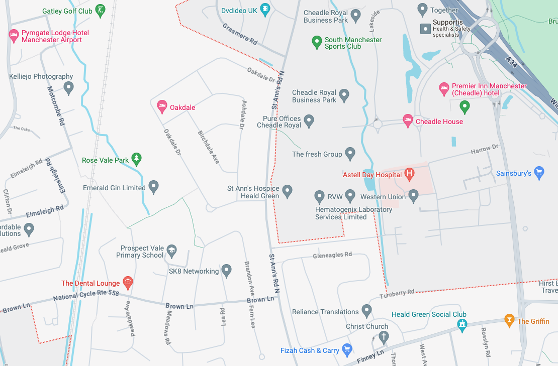
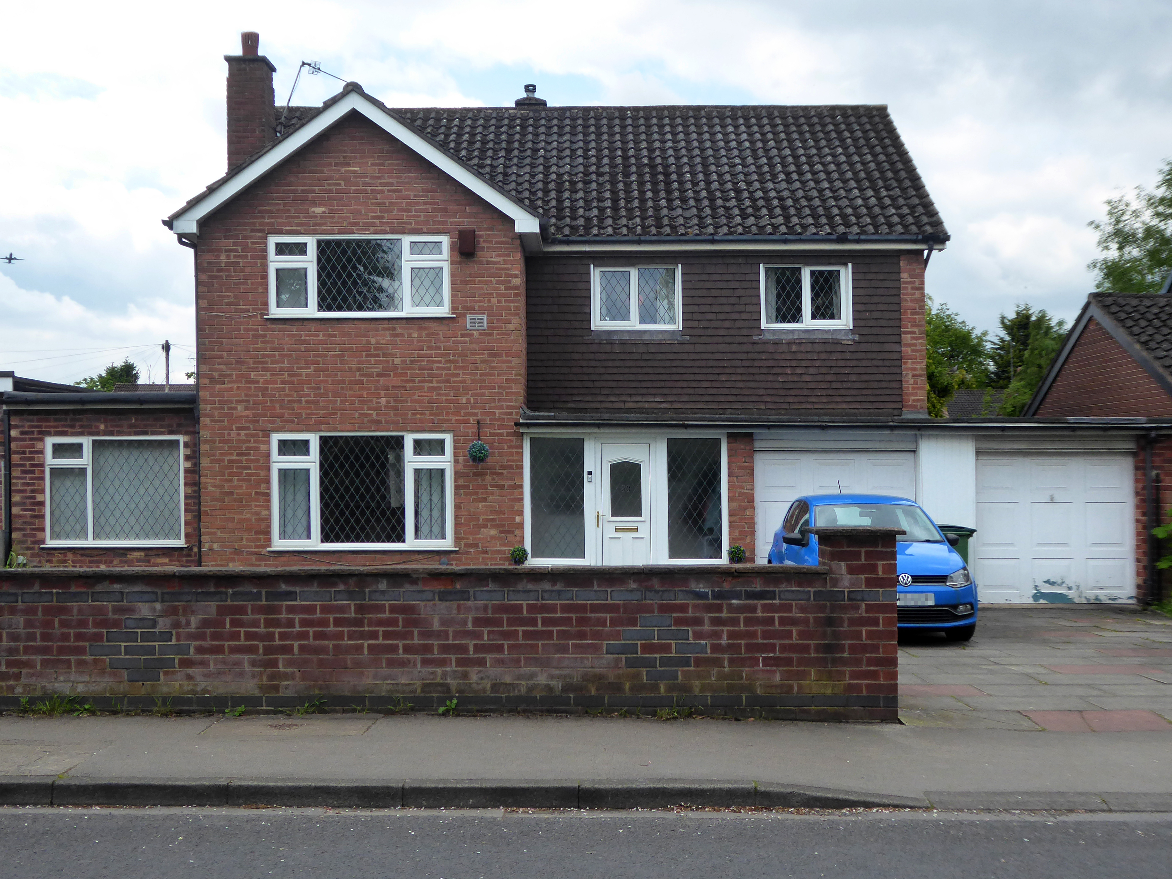
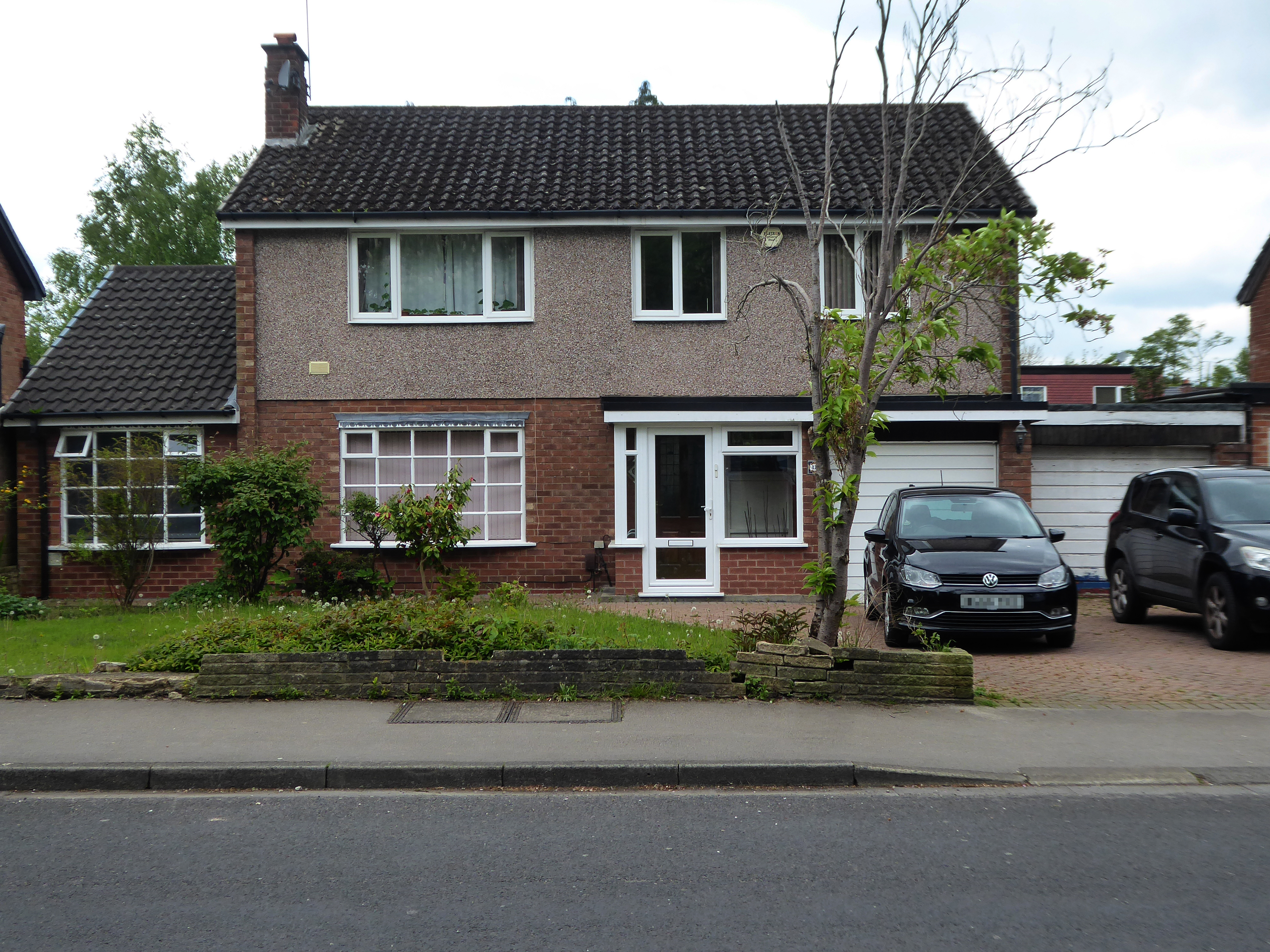
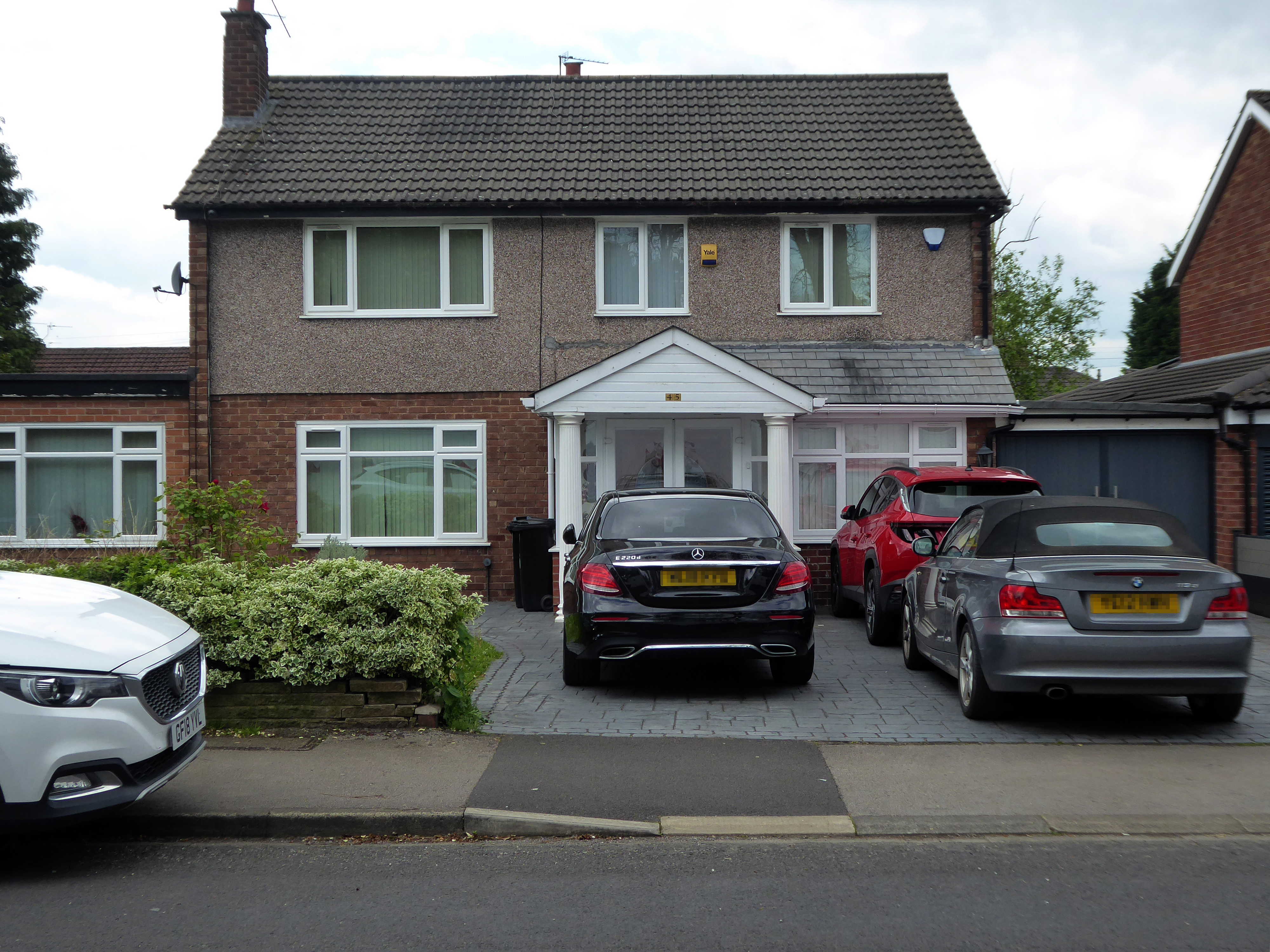
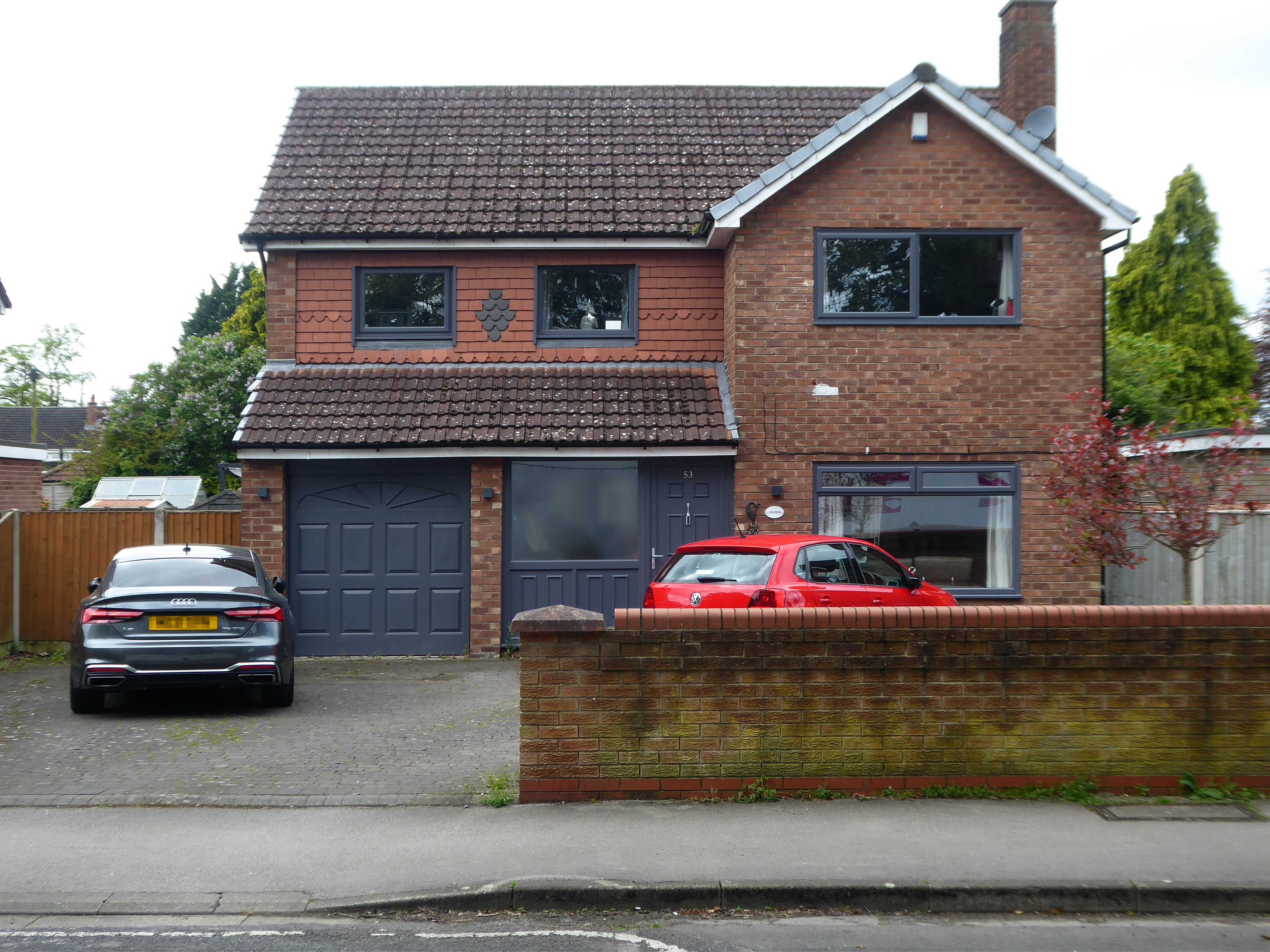
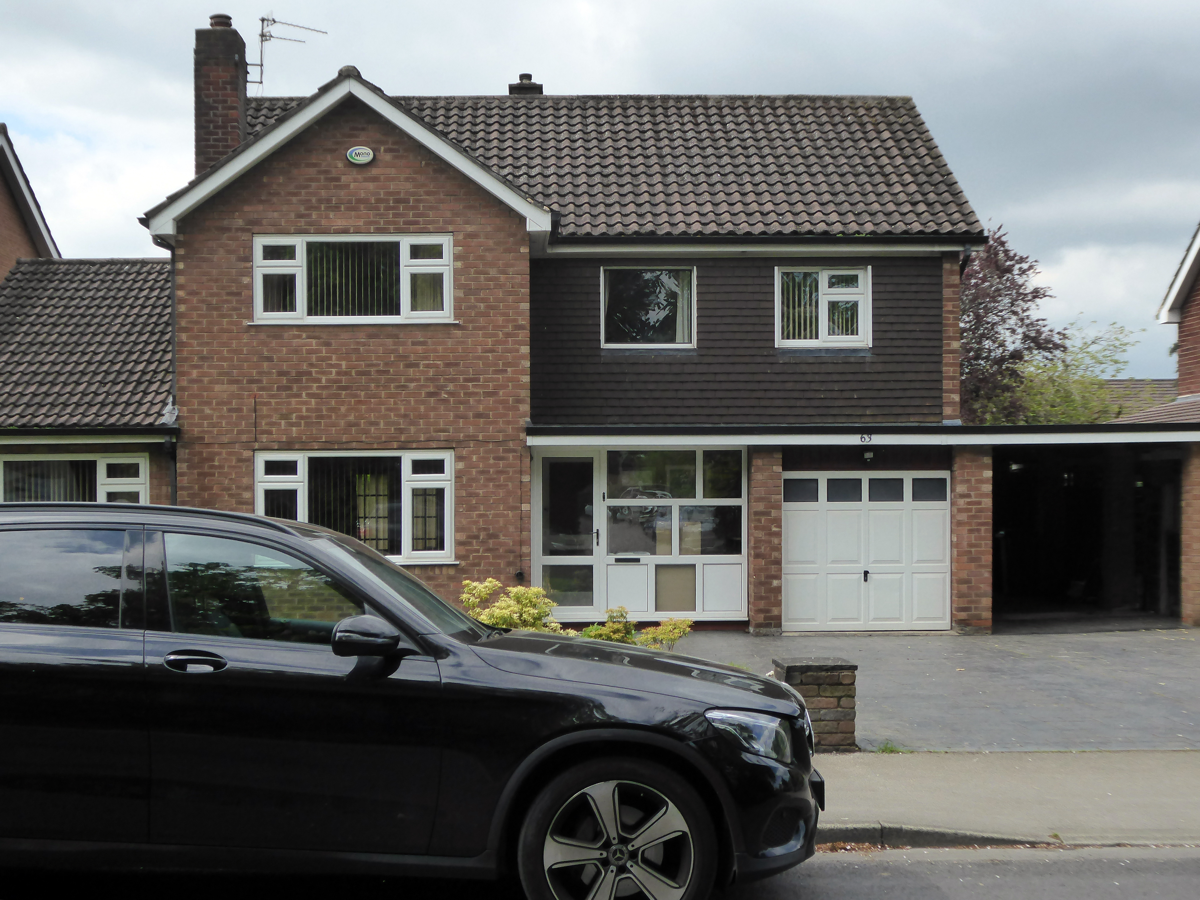
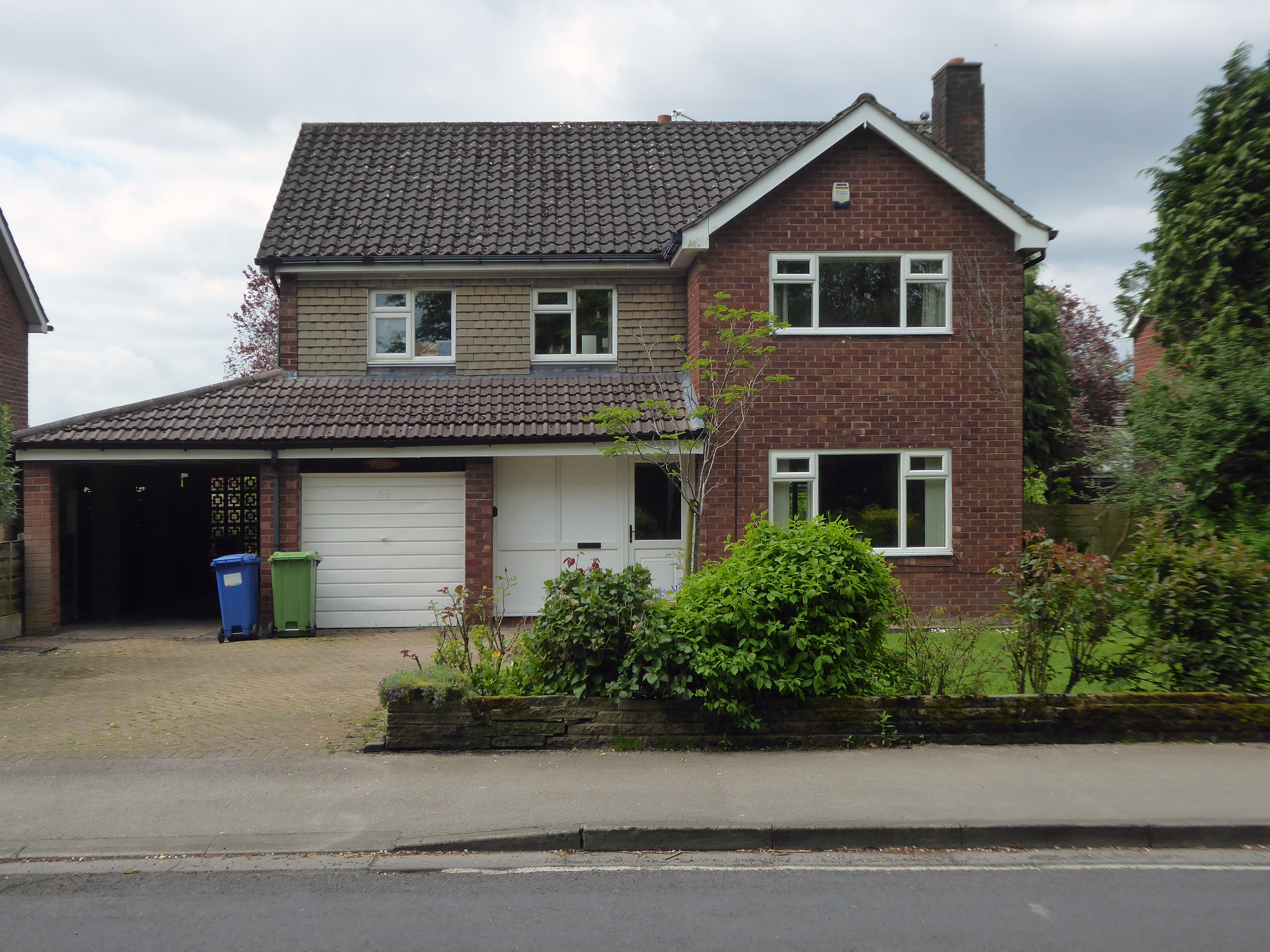
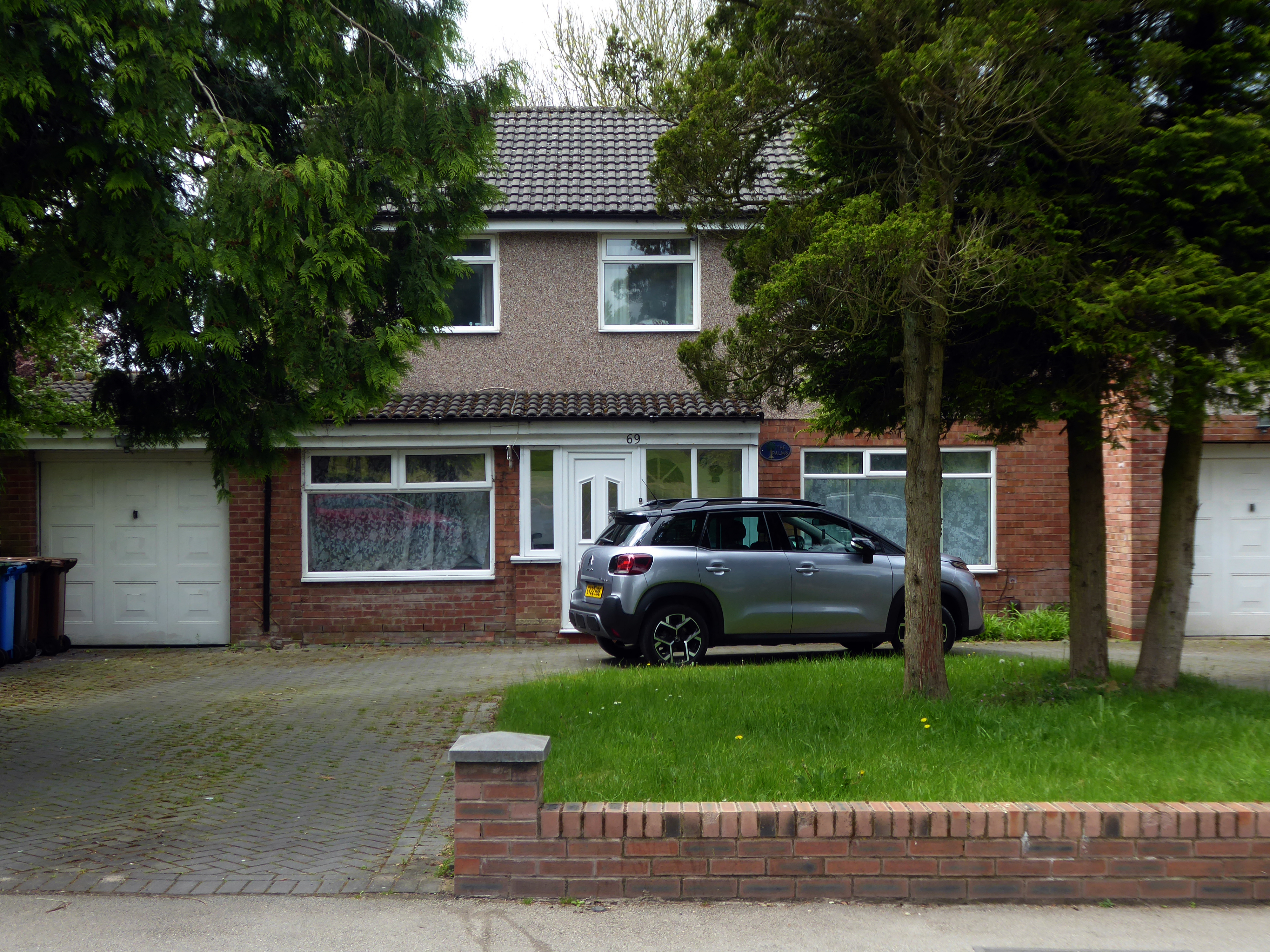
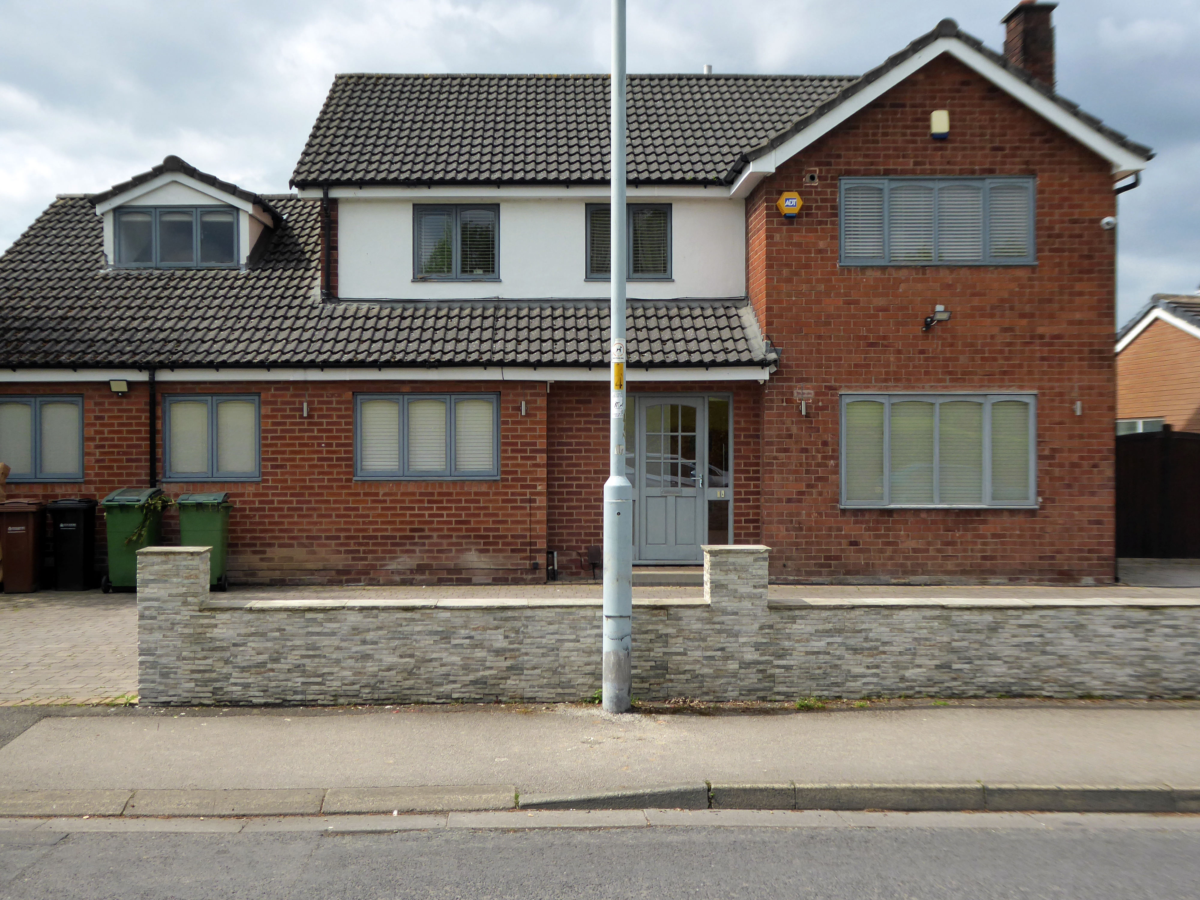
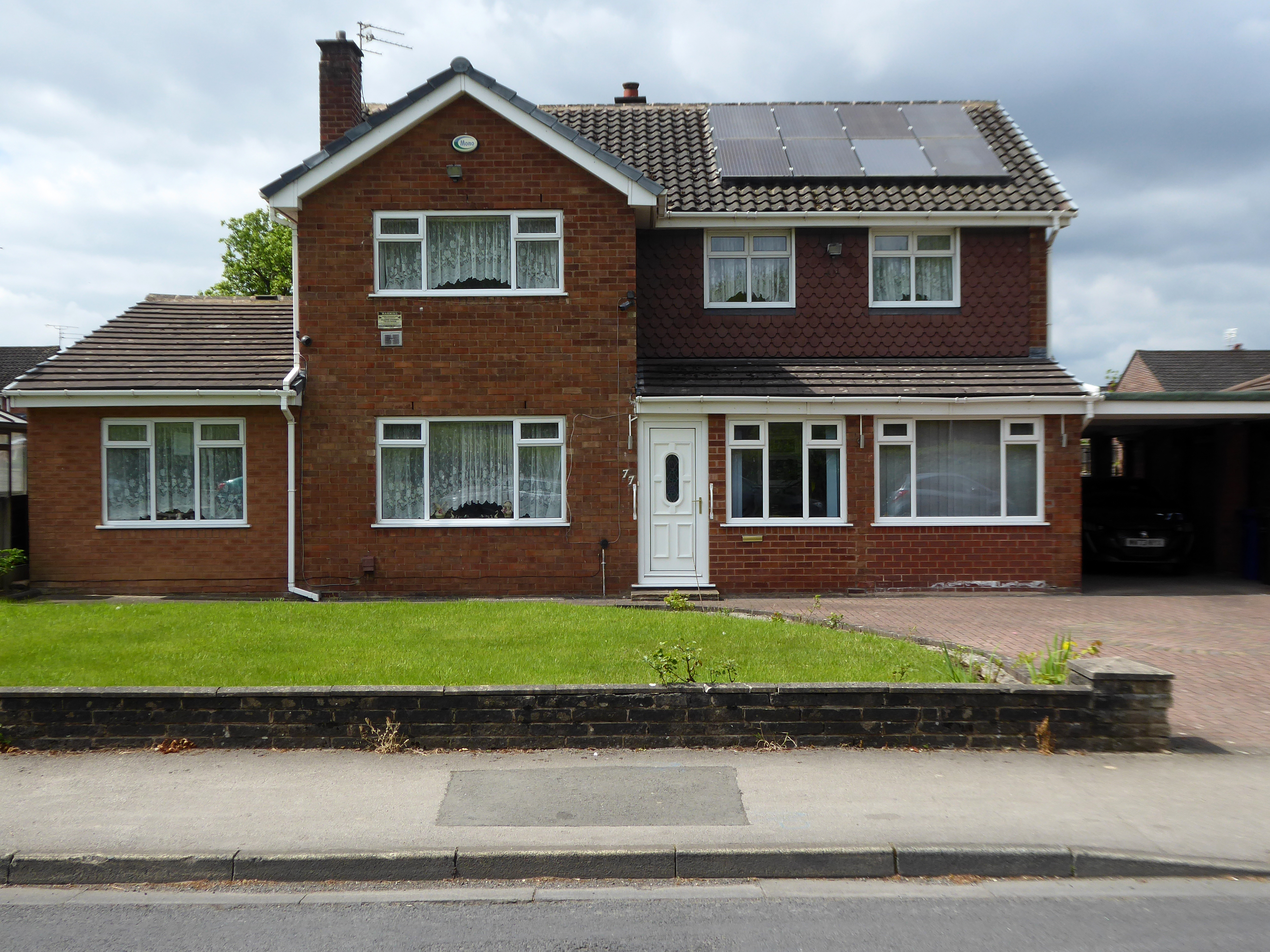
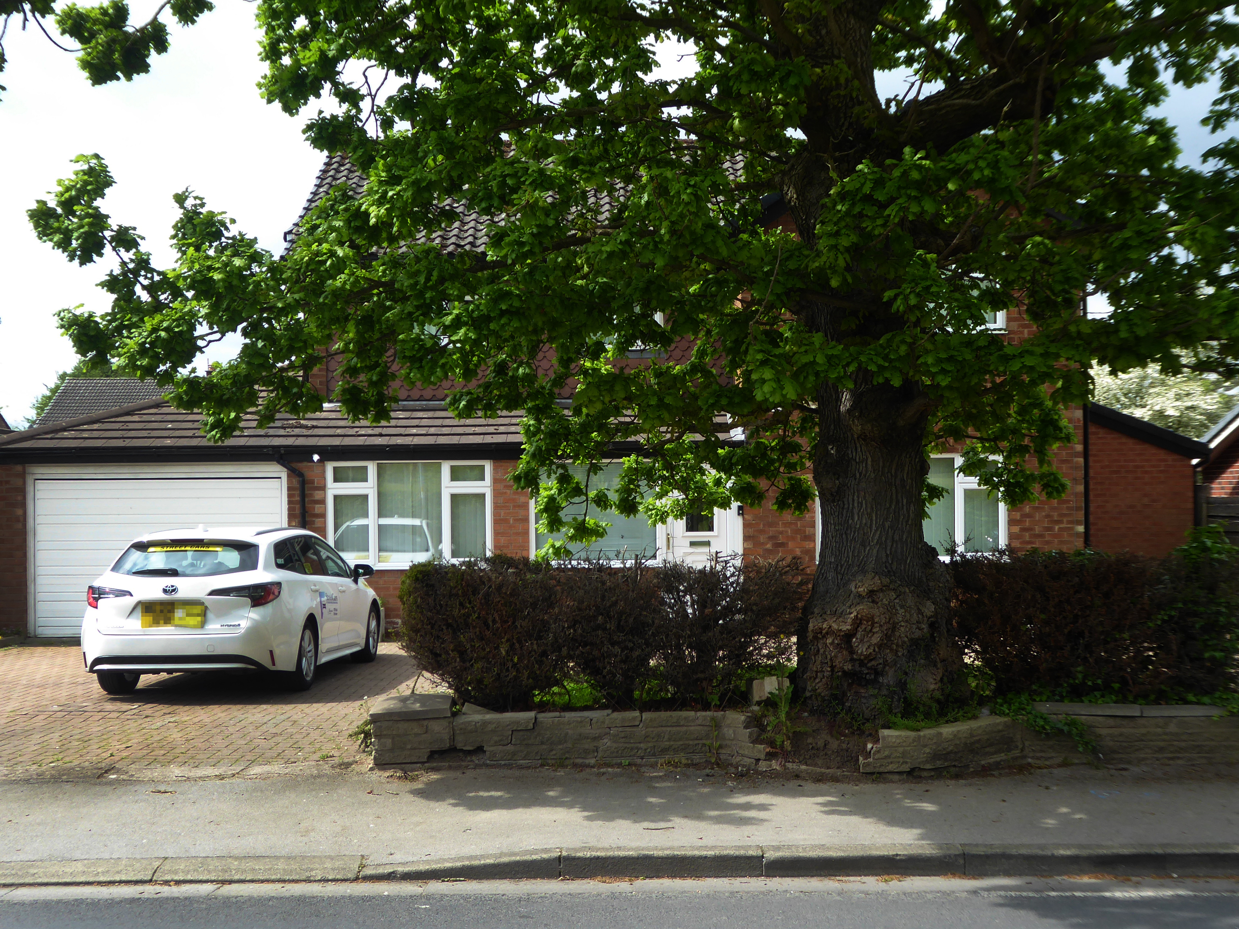
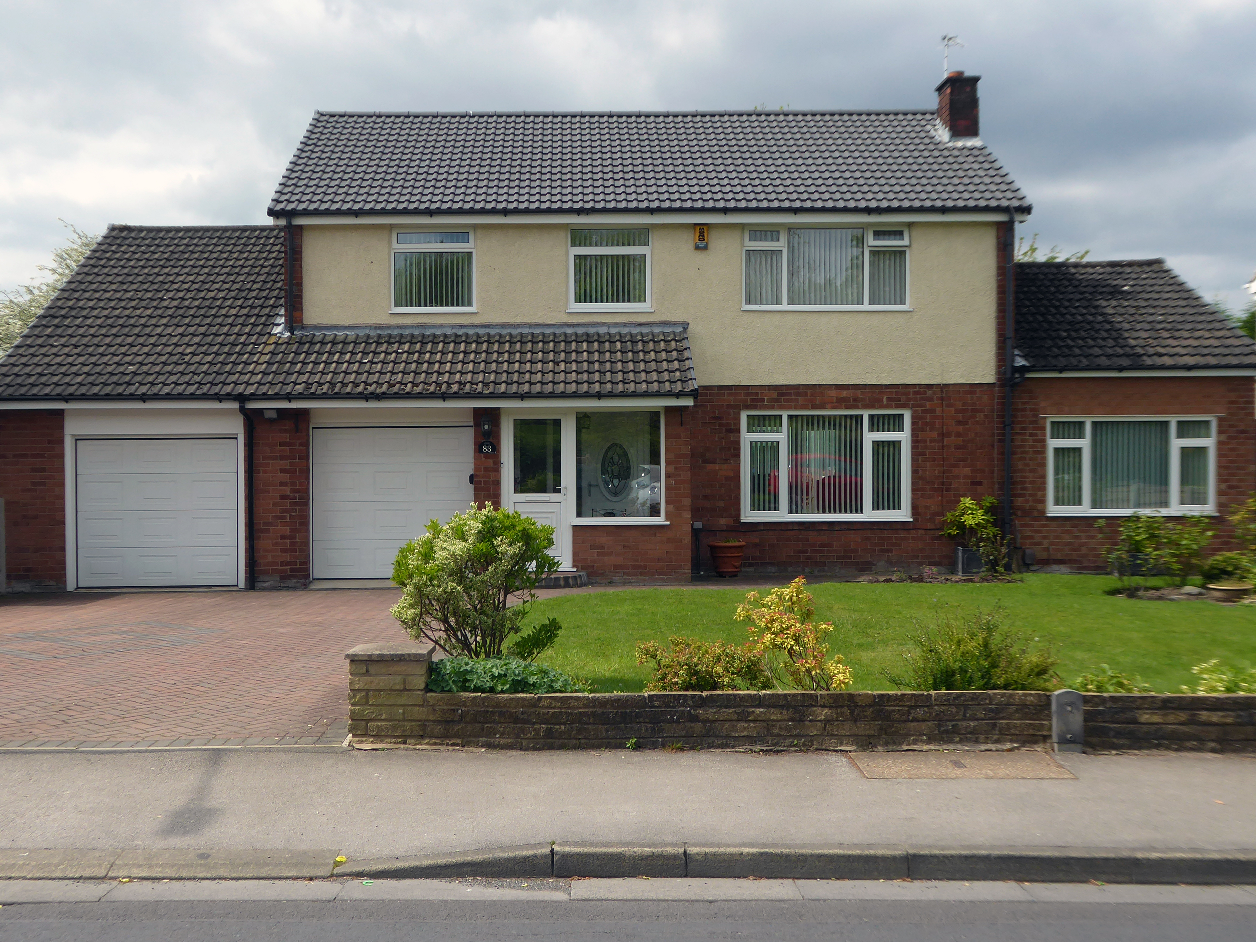
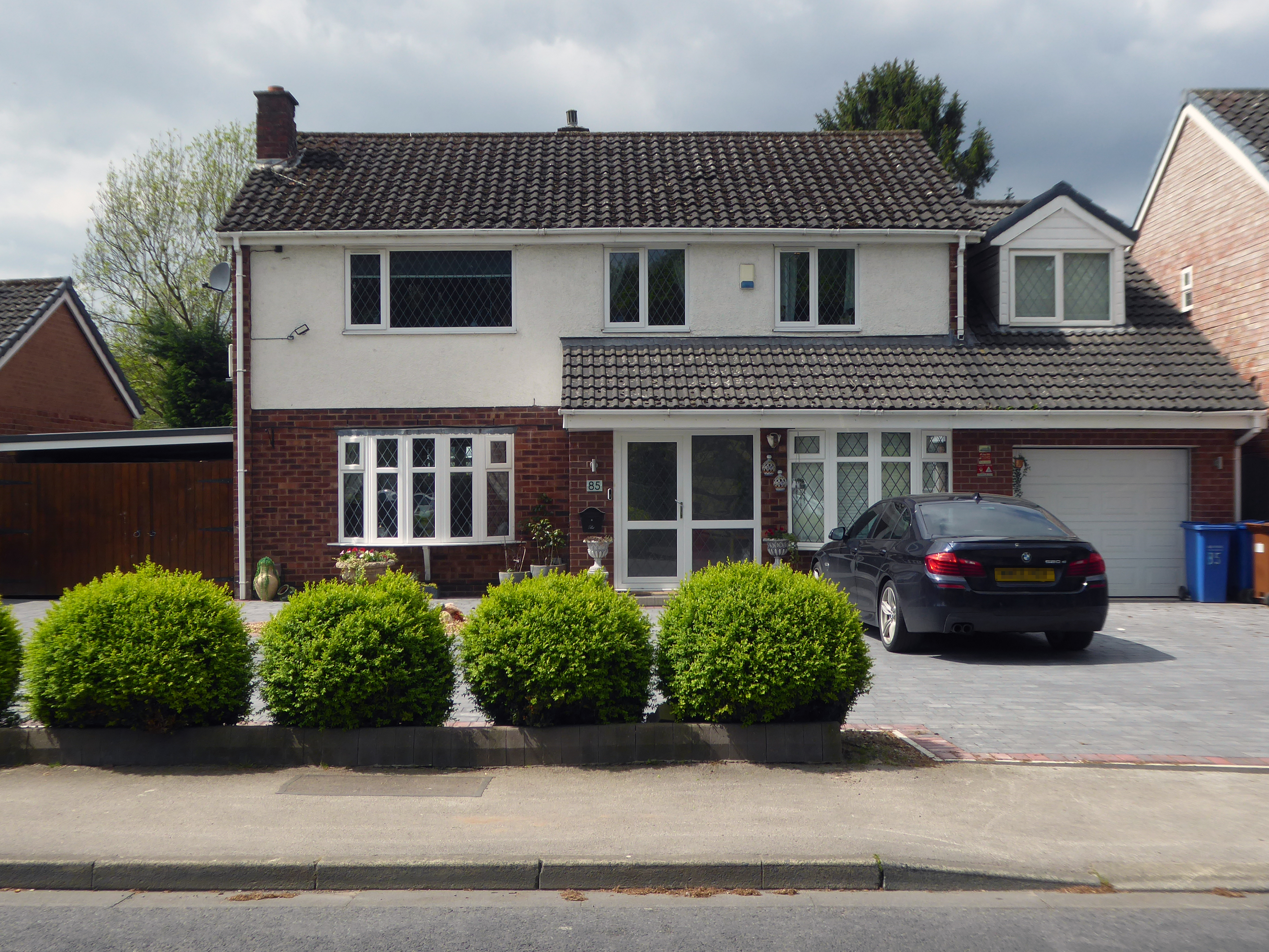
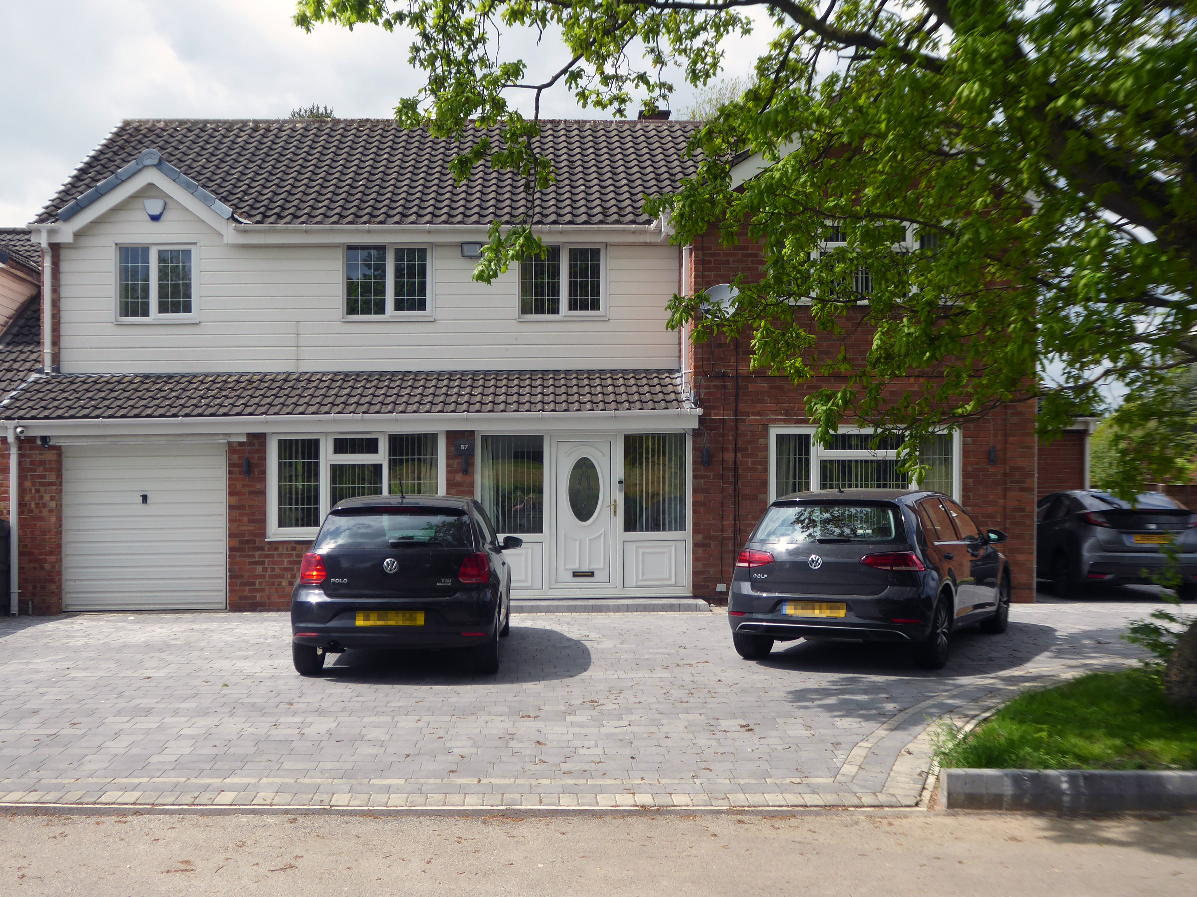
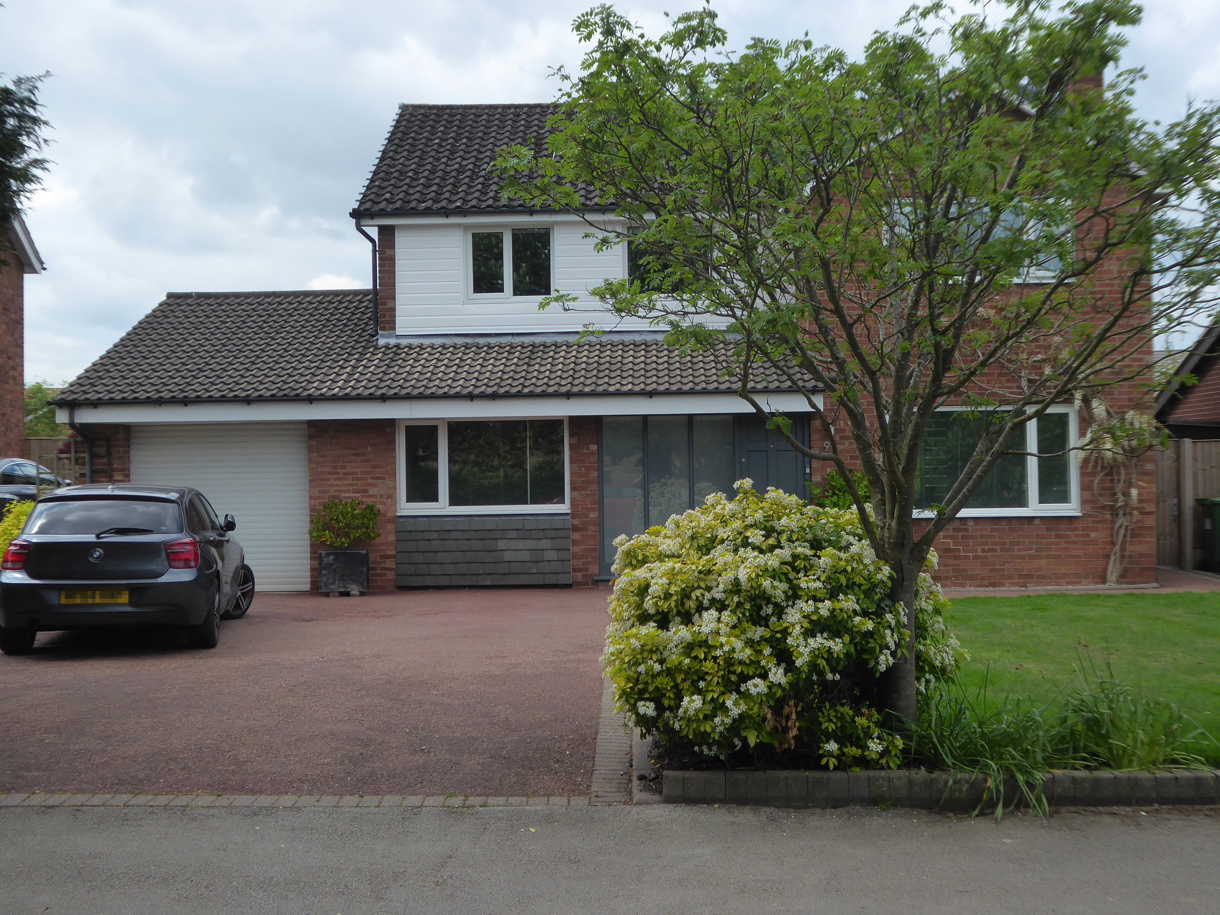
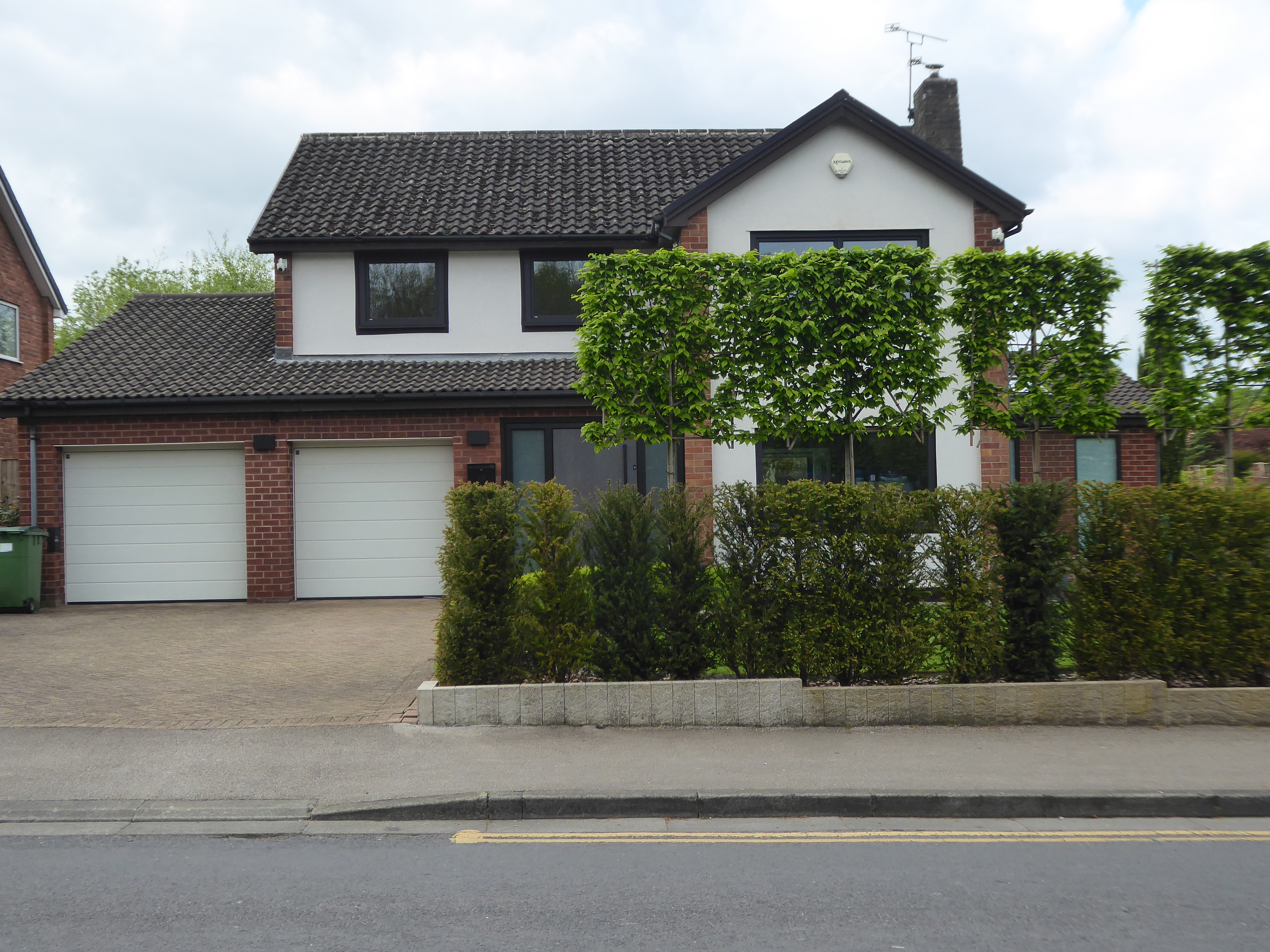
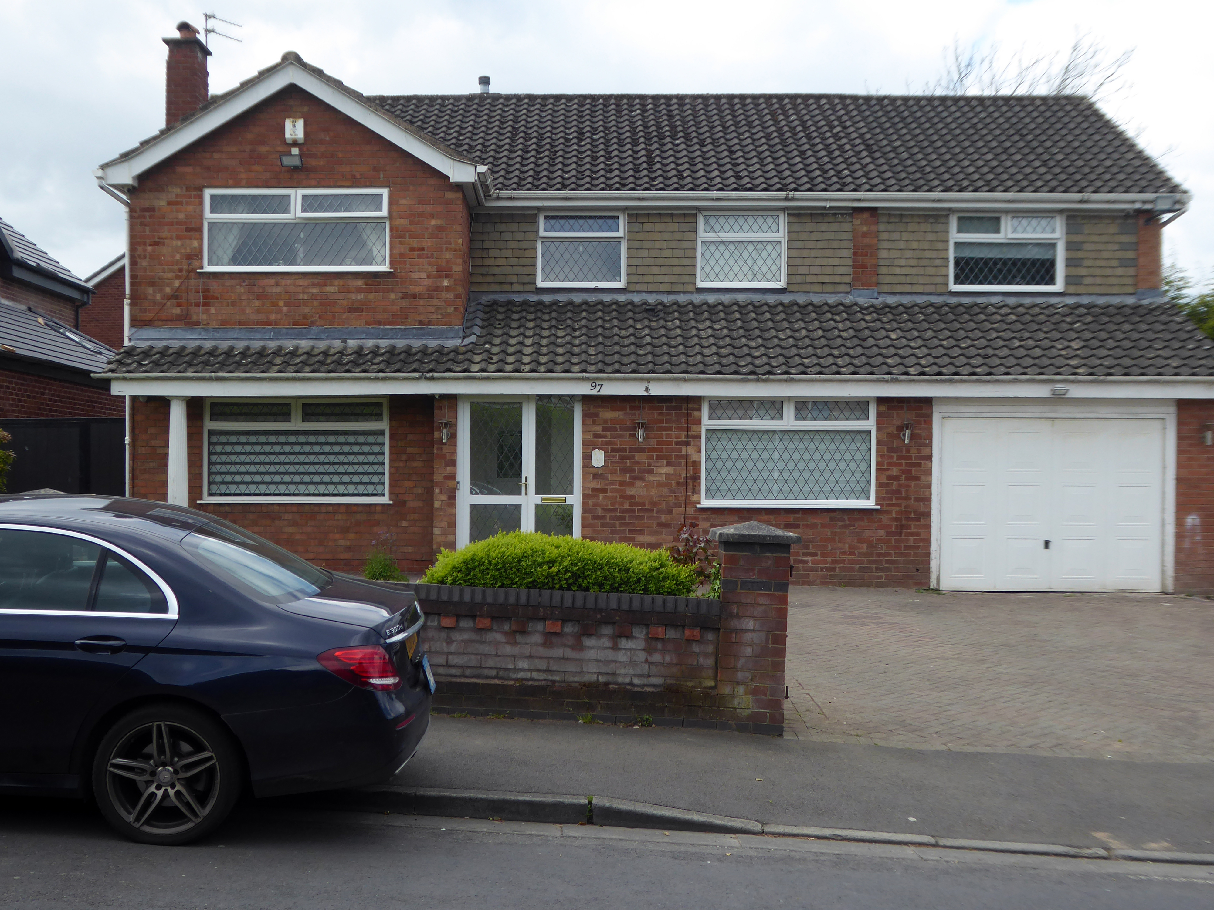
St. Anns Road North in Heald Green is in the North West region of England. The postcode is within the Heald Green ward/electoral division, which is in the constituency of Cheadle.
This area was once described to me as built by Cowboys for Indians – though statistically there are more Pakistani residents.
This is a dormitory suburb of Manchester and nearby Stockport and is oh so close to the airport, polite and professional well presented and aspirational.
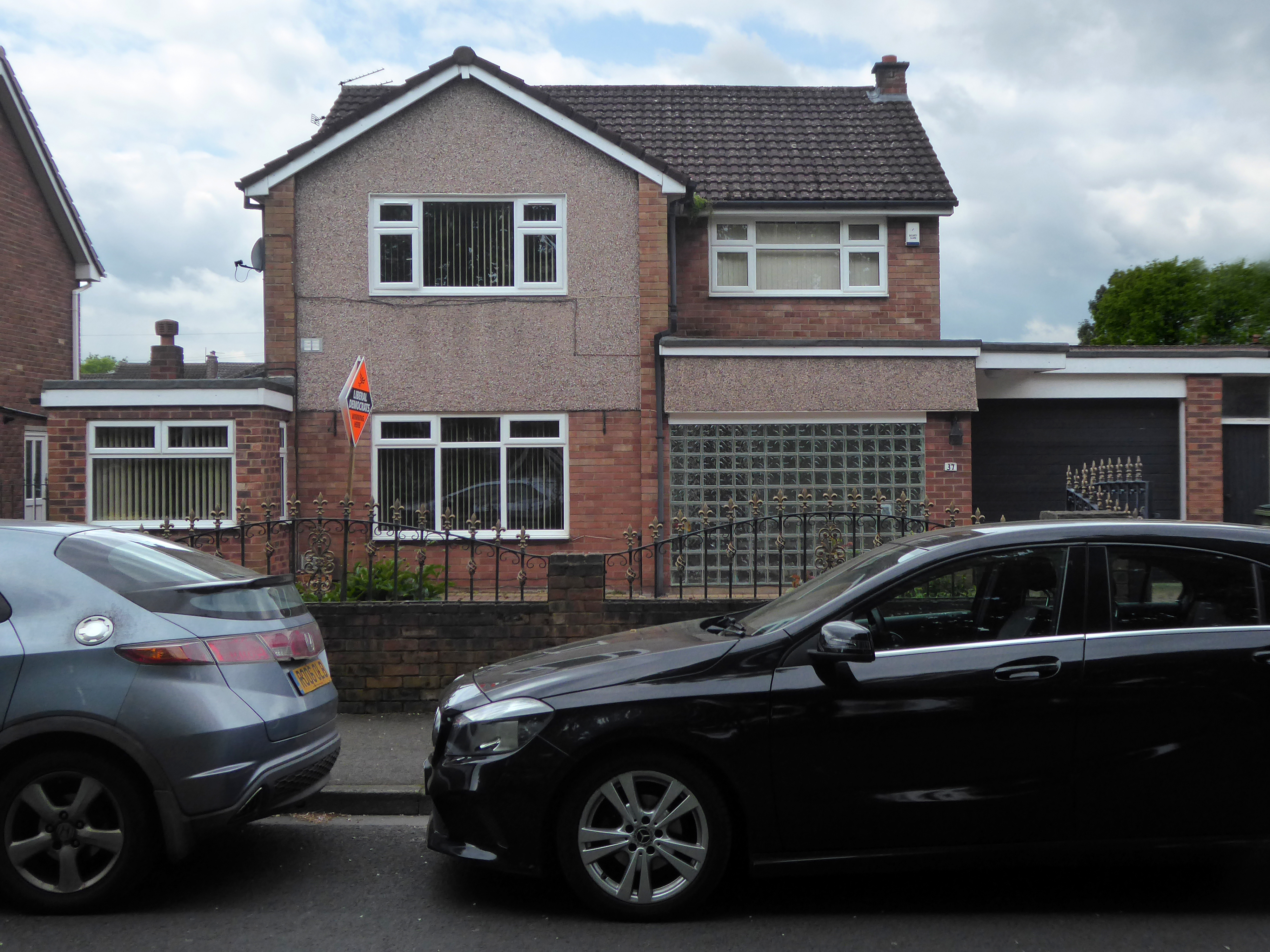
Once this was a Modern paradigm.
Subsequently the plaything of the upwardly mobile – extending in all directions, adding period details way out of period, or embracing the current vogue for the refined and smoothly rendered grey-ification of their homes.
Welcome to the land of the performance vehicle, impressive impressed drive, carriage lamp and bay window, overlooking a well clipped lawn.
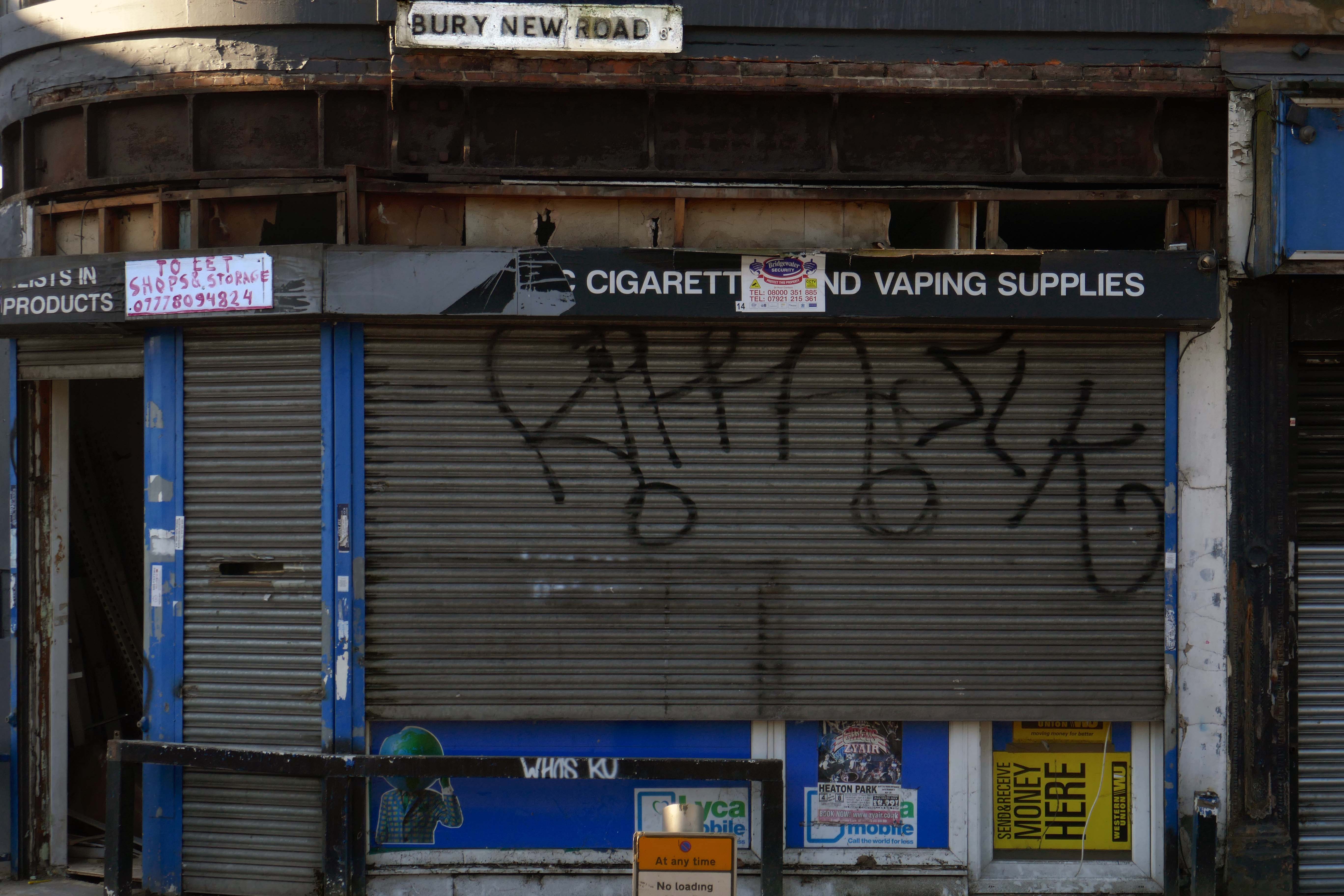
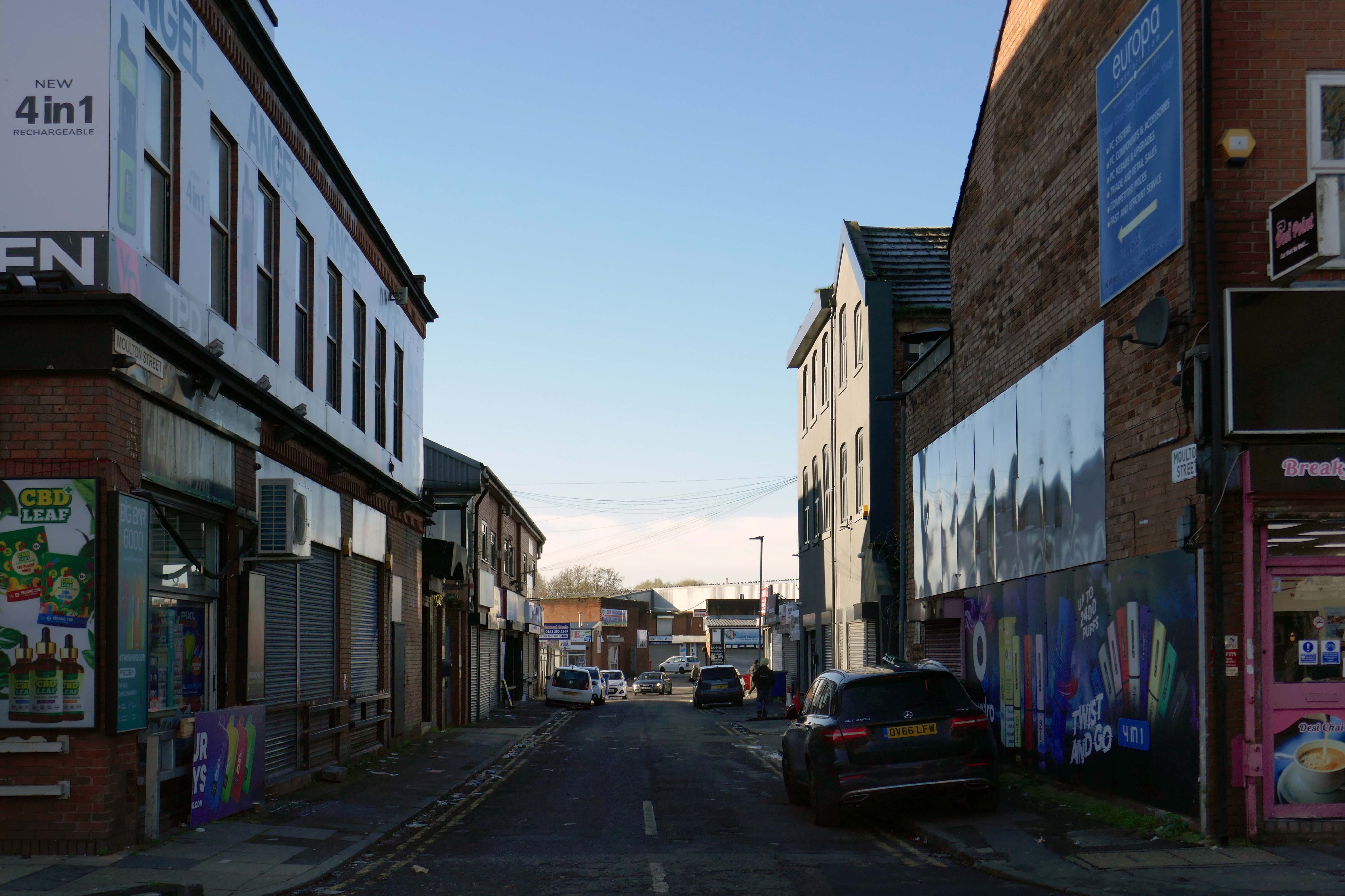
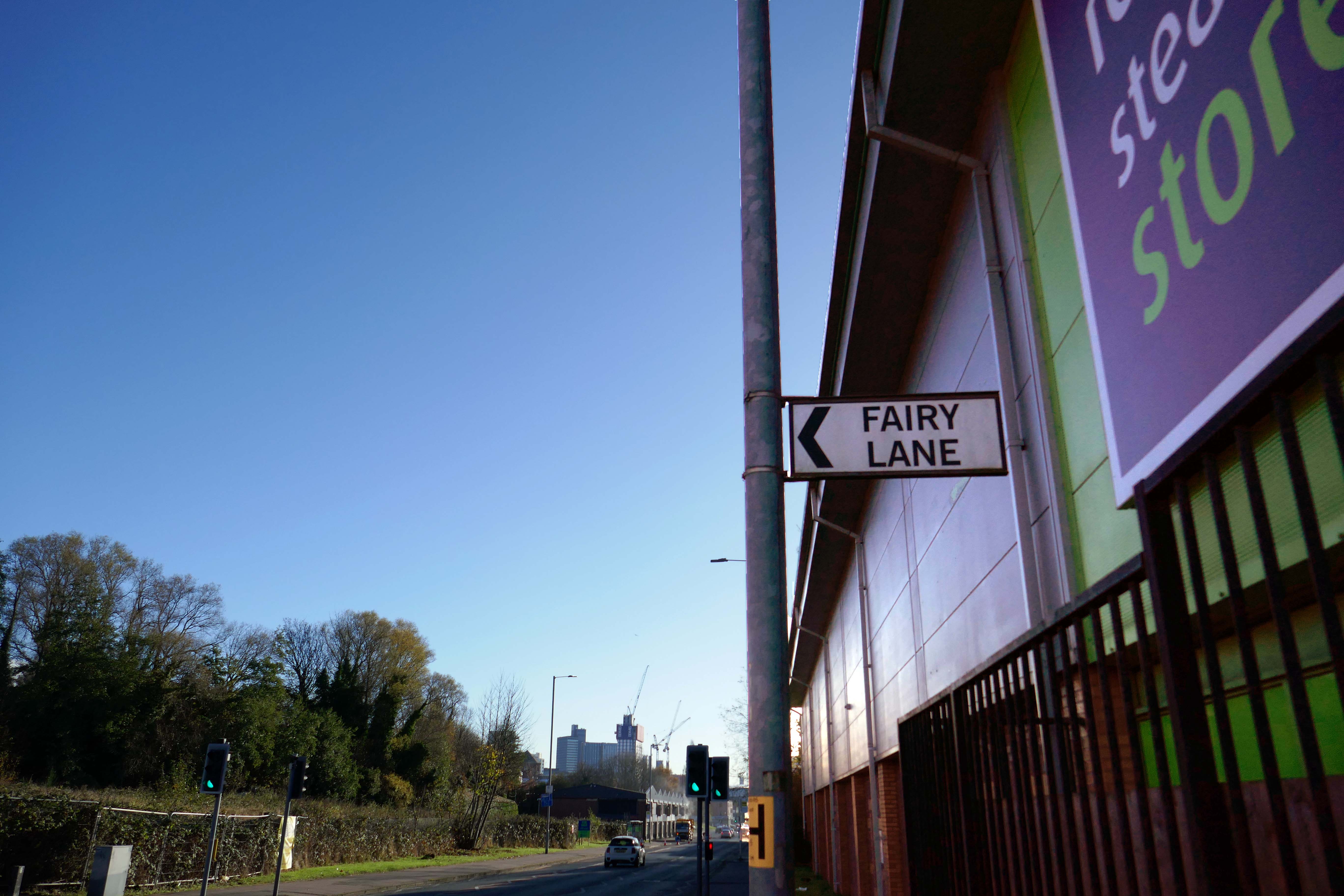
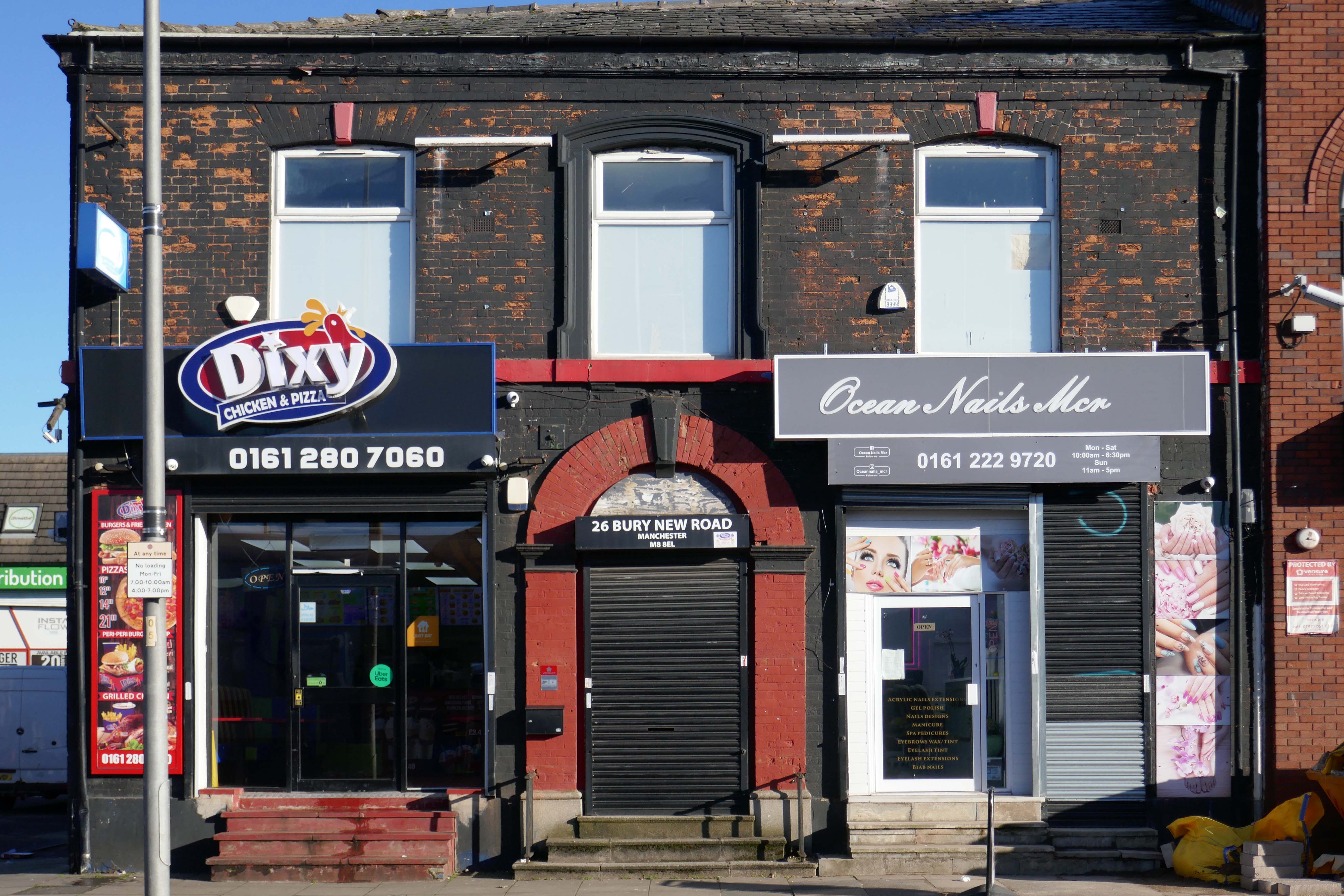
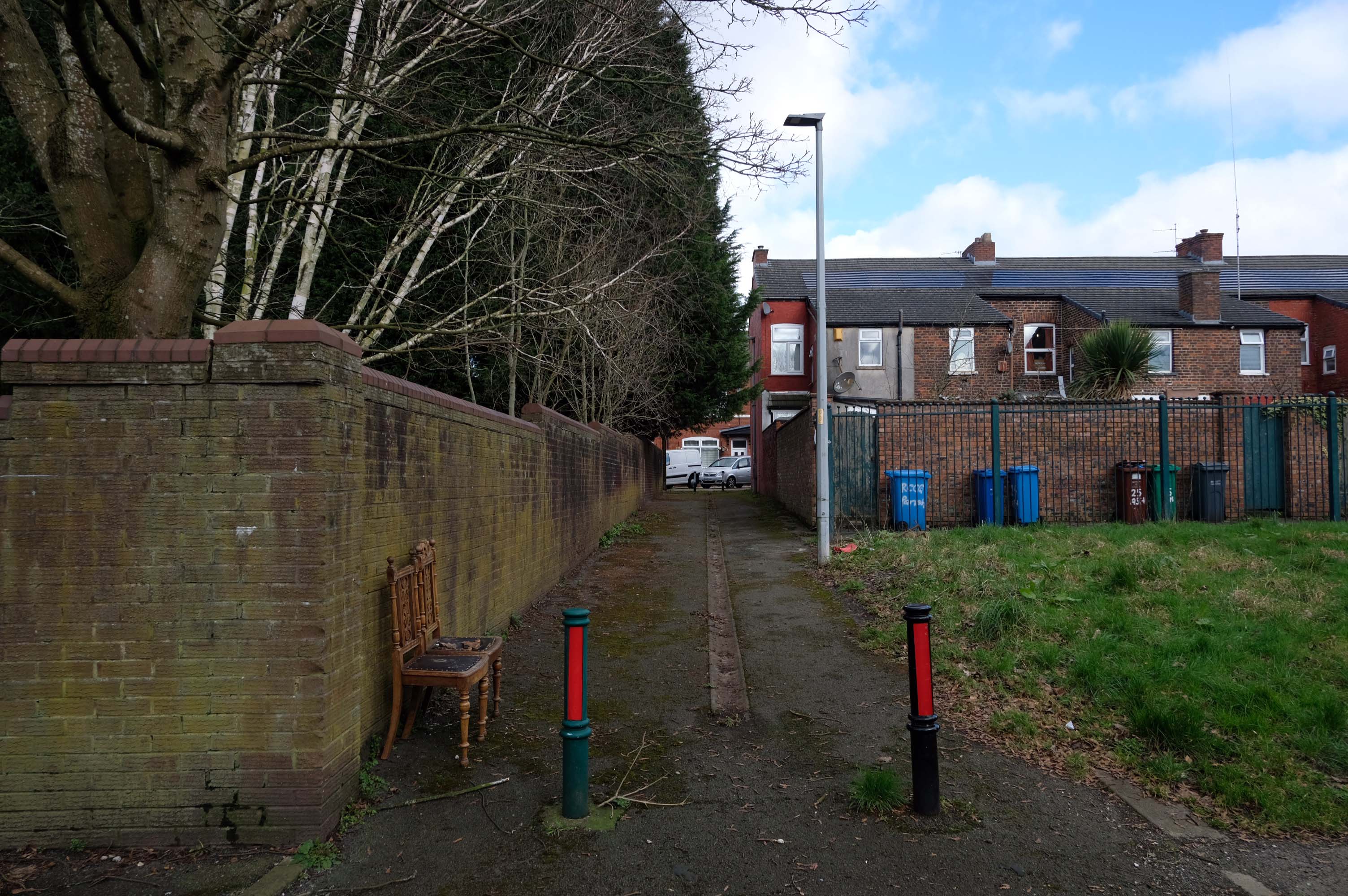
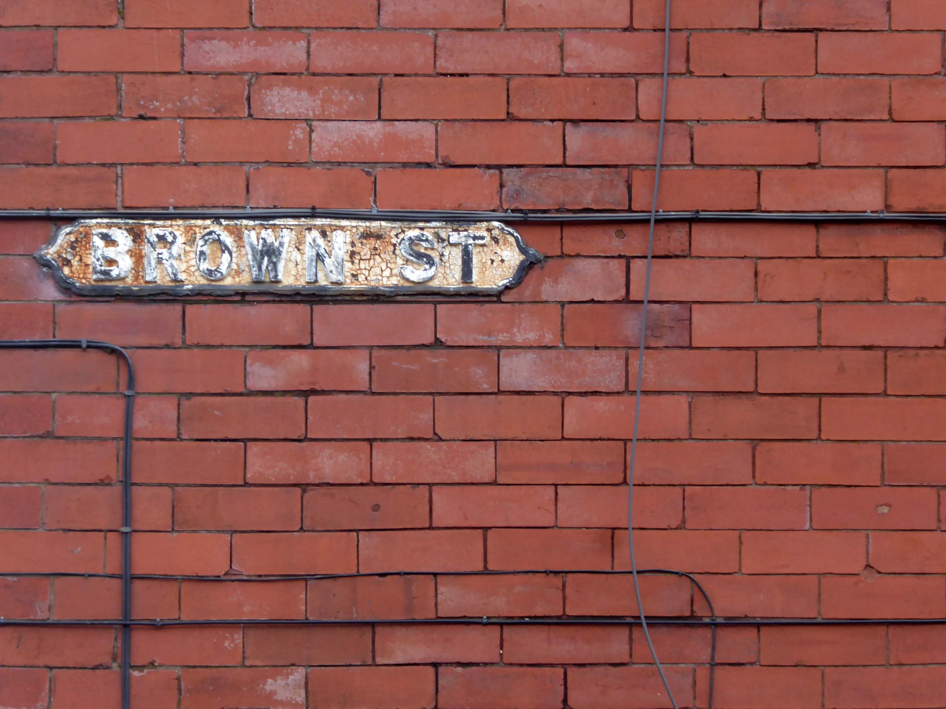
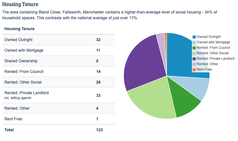
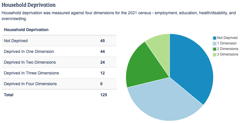
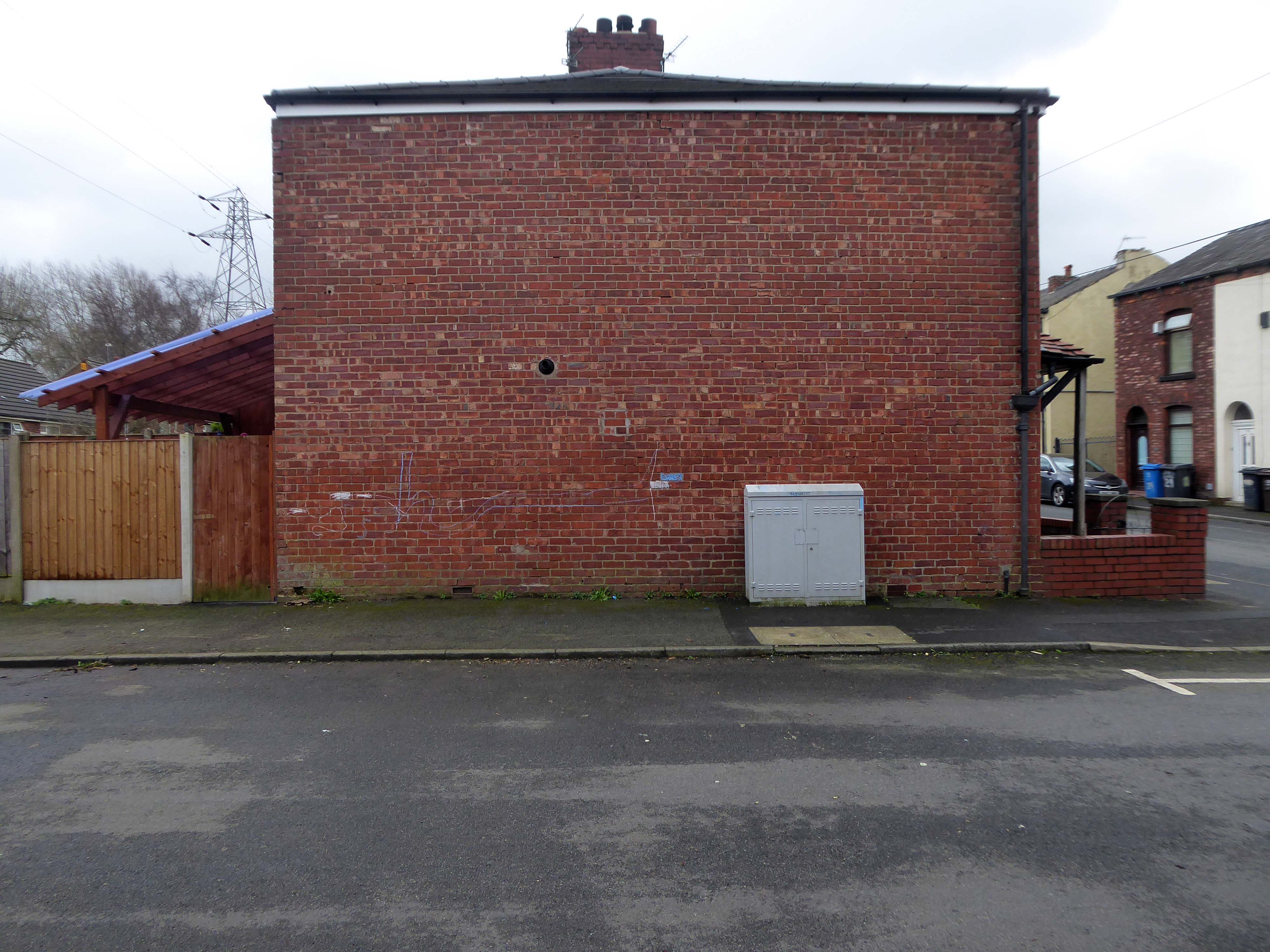
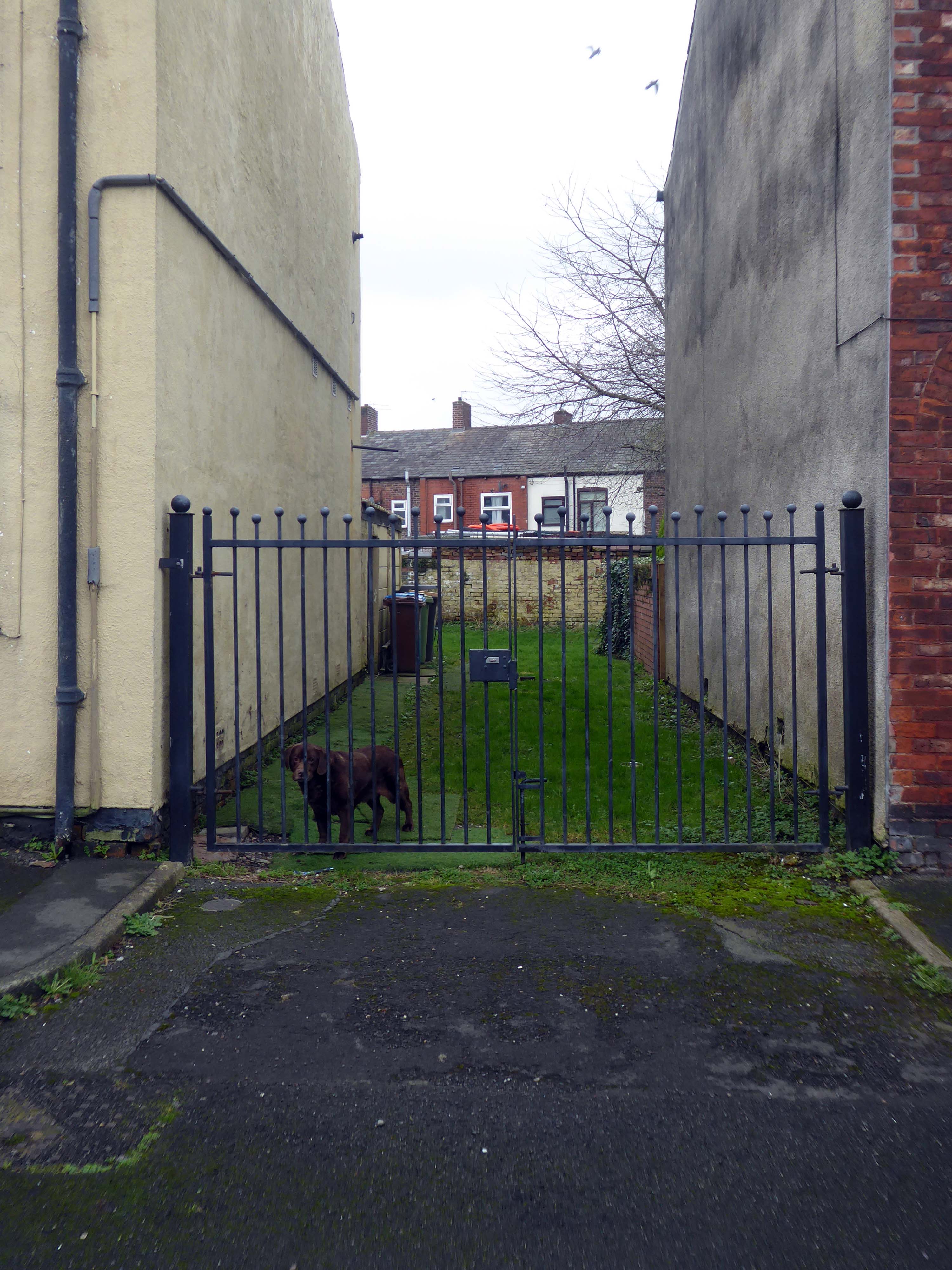
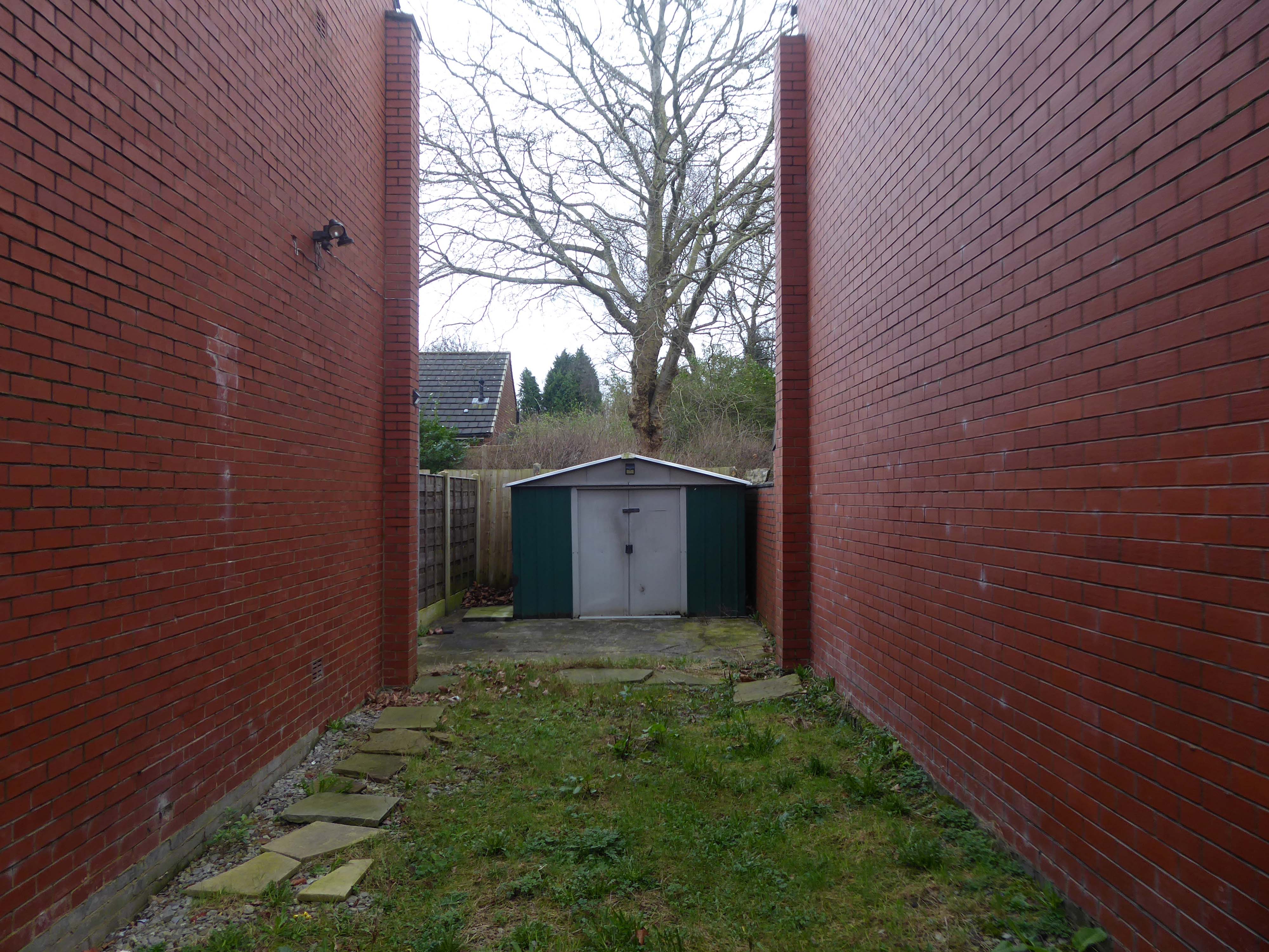
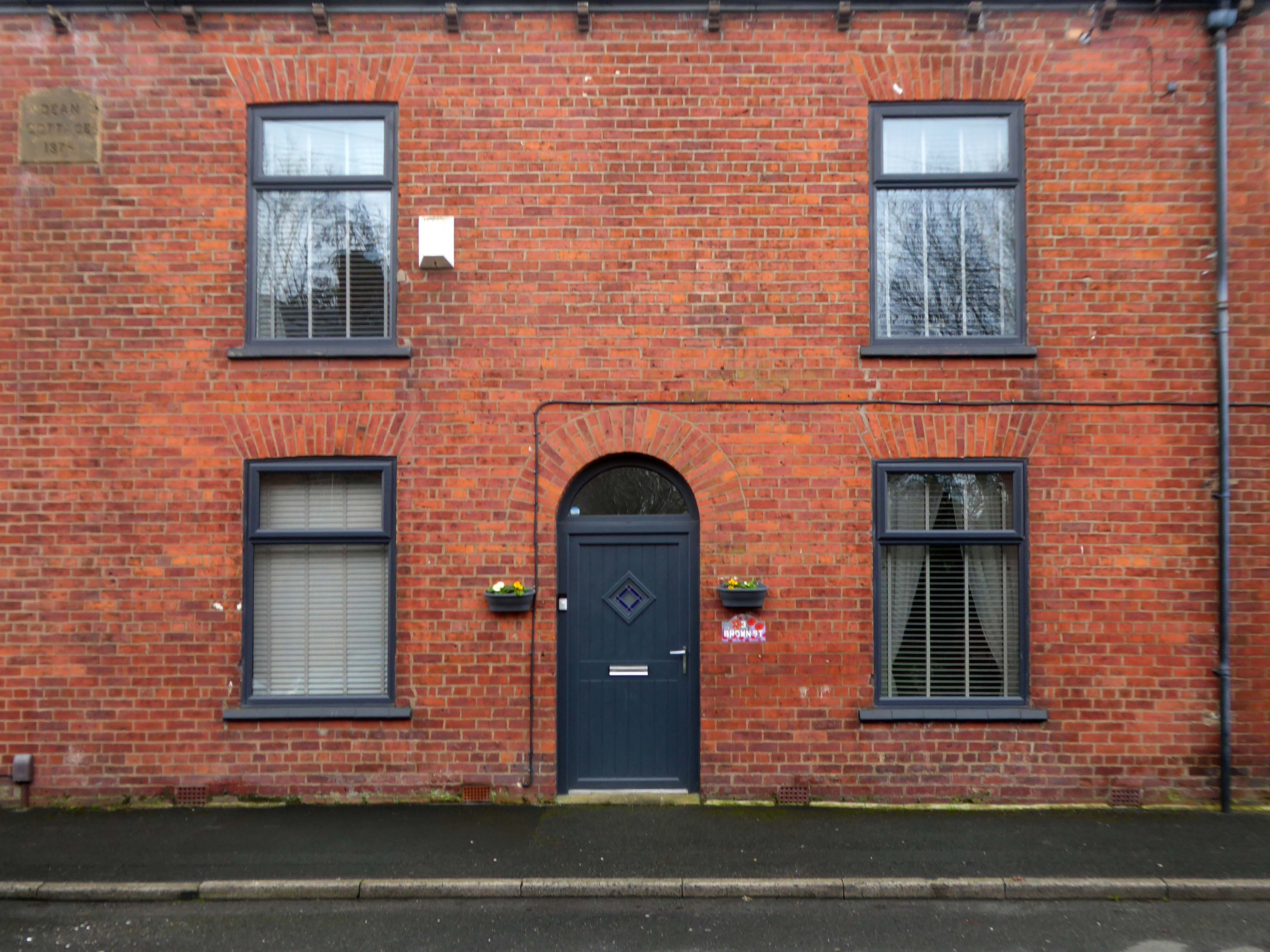
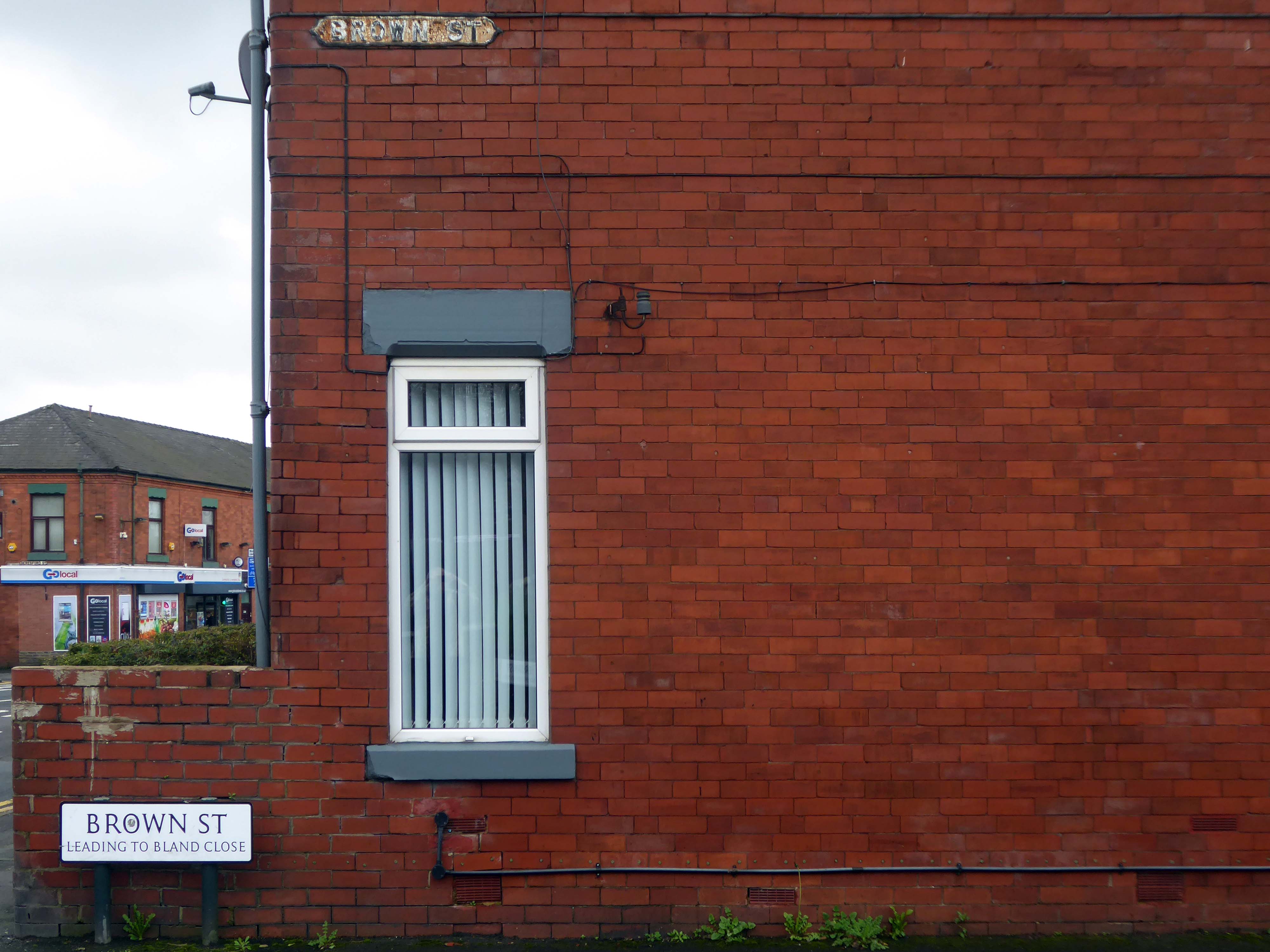
Walking along Rochdale Road yesterday, I was suddenly arrested by the Pleasant Street street sign.
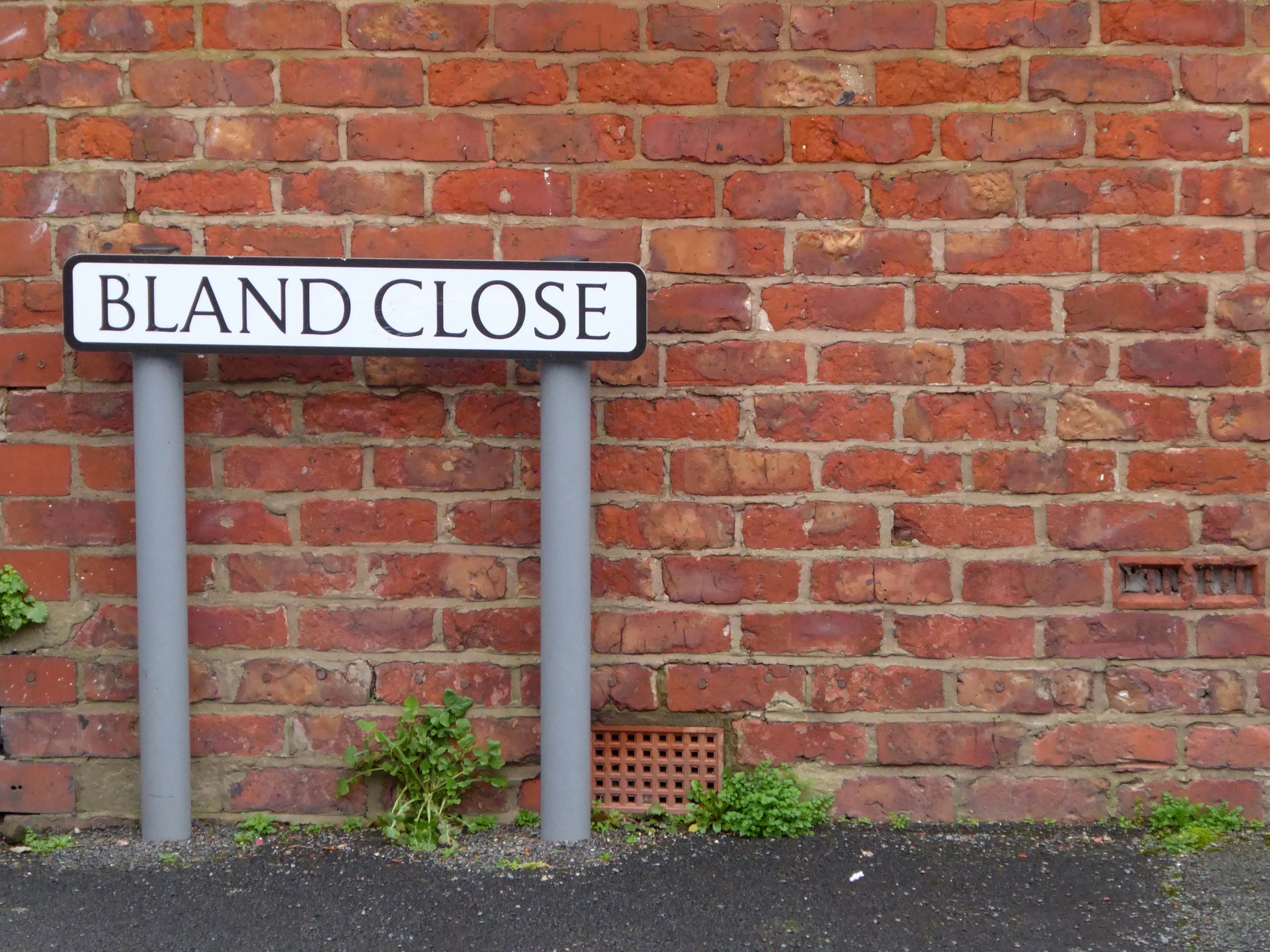
Having already been suddenly arrested last week, by the Bland Close street sign.
With my expectations defined by the above definition, I ventured along the street in search of happy satisfaction.
Coincidentally – The 18th century entrepreneur Josiah Wedgwood pioneered many of the marketing strategies used today, including the satisfaction or you money back guarantee, on the entire range of his pottery products. The money-back guarantee was also a major tool of early US mail order sales pioneers in the United States such as Richard Sears and Powel Crosley Jr. to win the confidence of consumers.
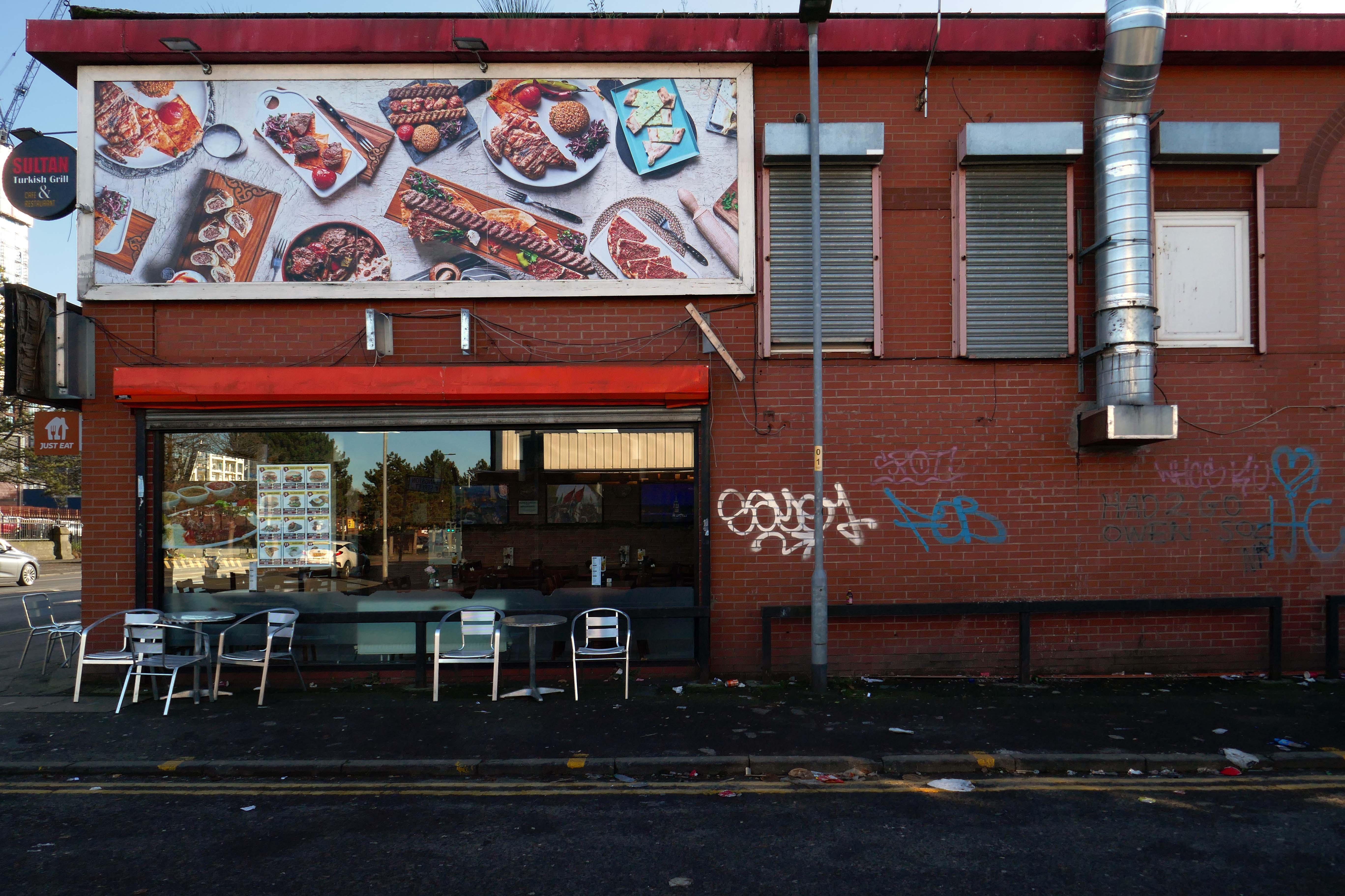
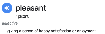
However at someone between 1968 and 2024 the housing had been cleared away – also missing in action is the Golden Lion pub adjoining Pleasant Street on Rochdale Road.
The Golden Lion was a proper old pub on the very busy rochdale road in the Harpurhey area of Manchester. Once inside there was a decent lounge and a basic bar i had a drink in the lounge and this was quite a comfy room.
This pub was a Whitbread tied house and there were two real ales on the bar I had a drink of Chesters bitter and this was a nice drink the other beer was Chesters mild. I thought this was quite a nice pub but sadly this pub has now been pulled down in the name of progress.
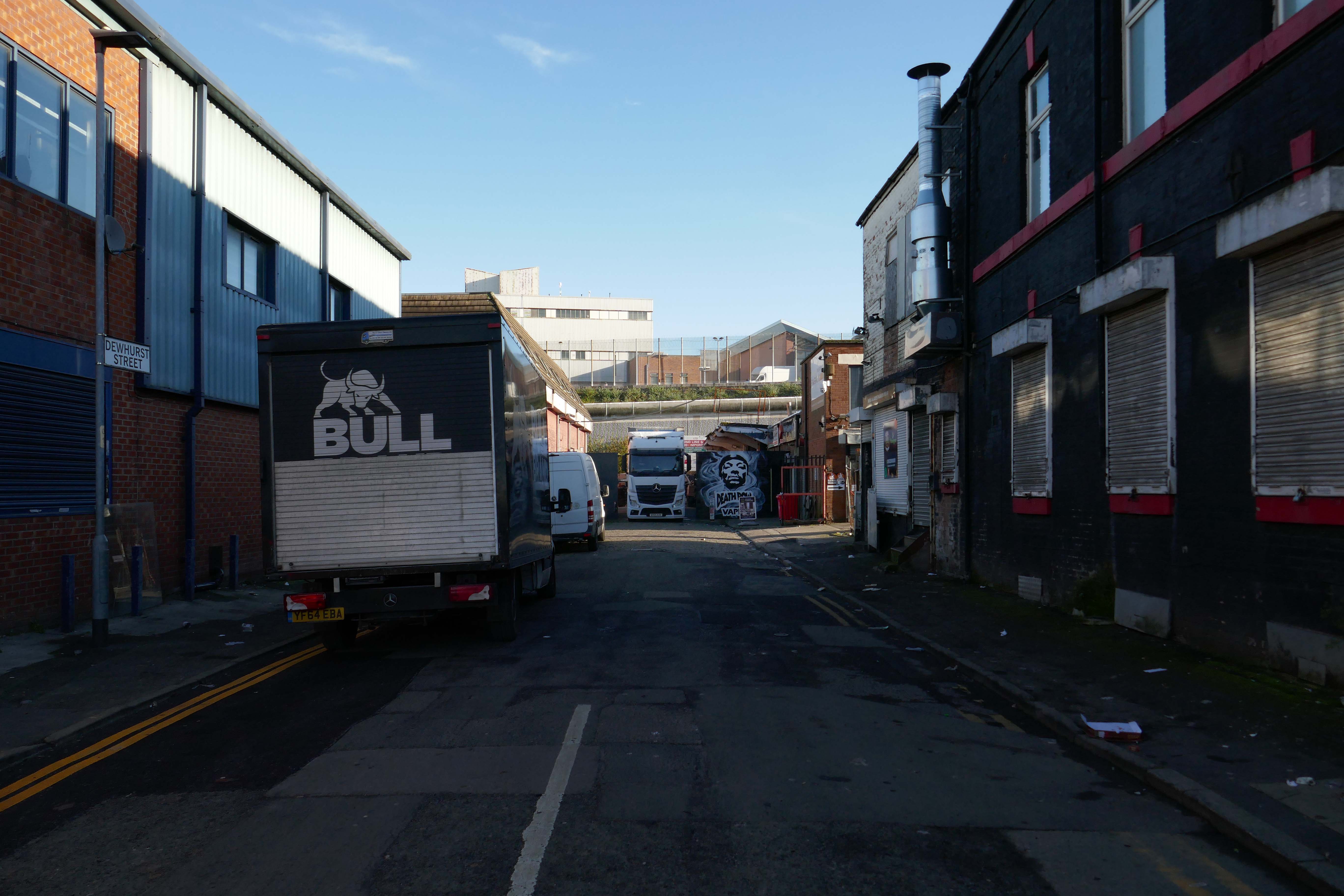
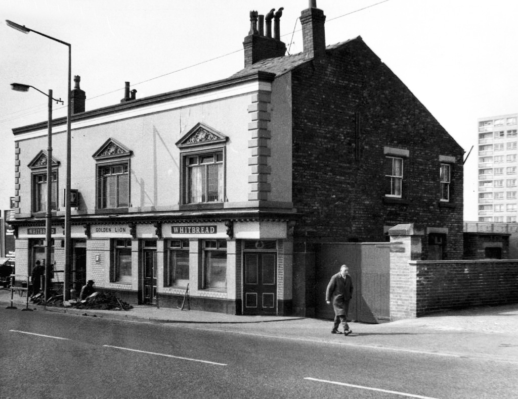
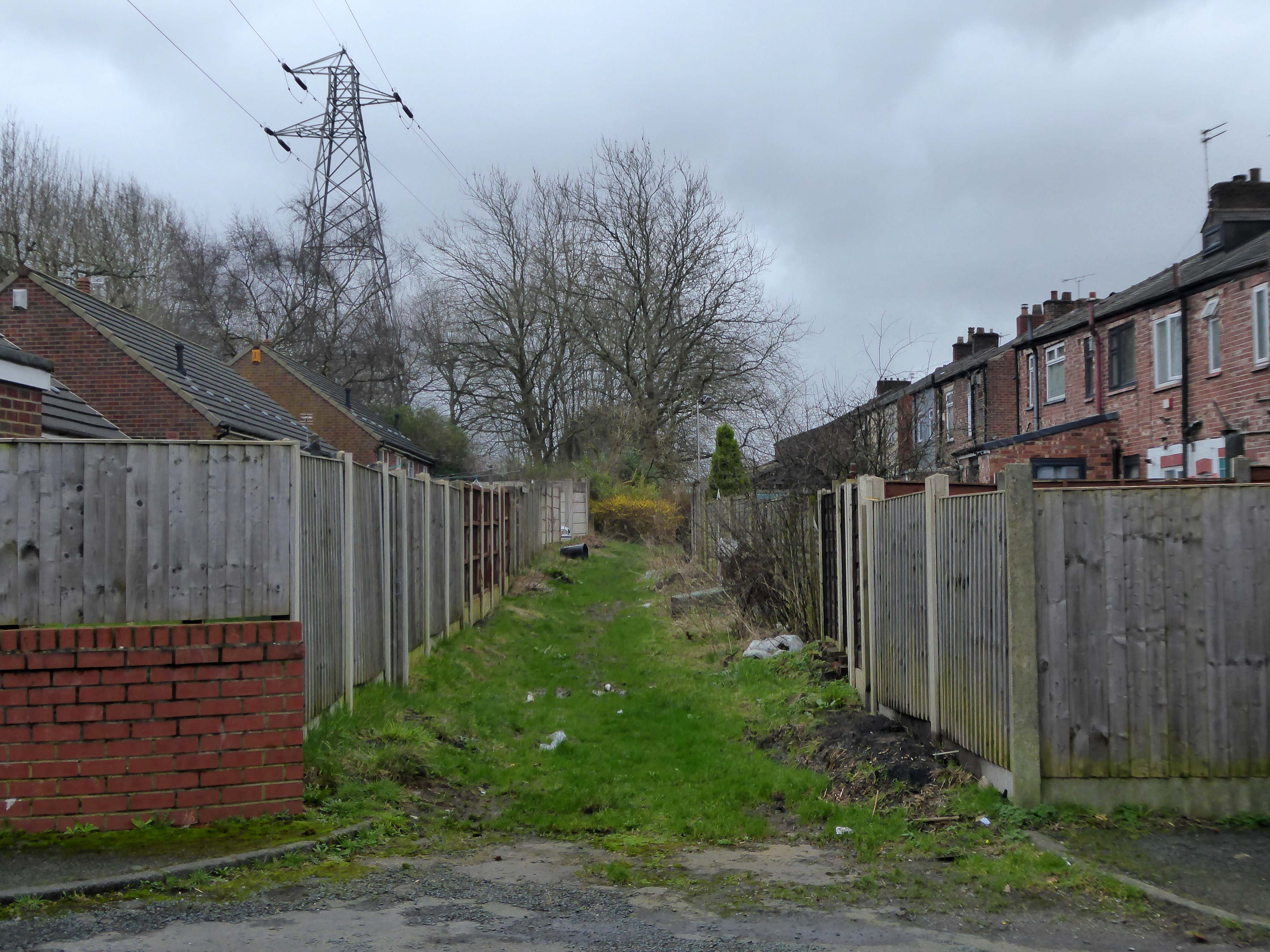
So here we are here today – yesterday has long gone and tomorrow never knows no how.
What’s left to see?
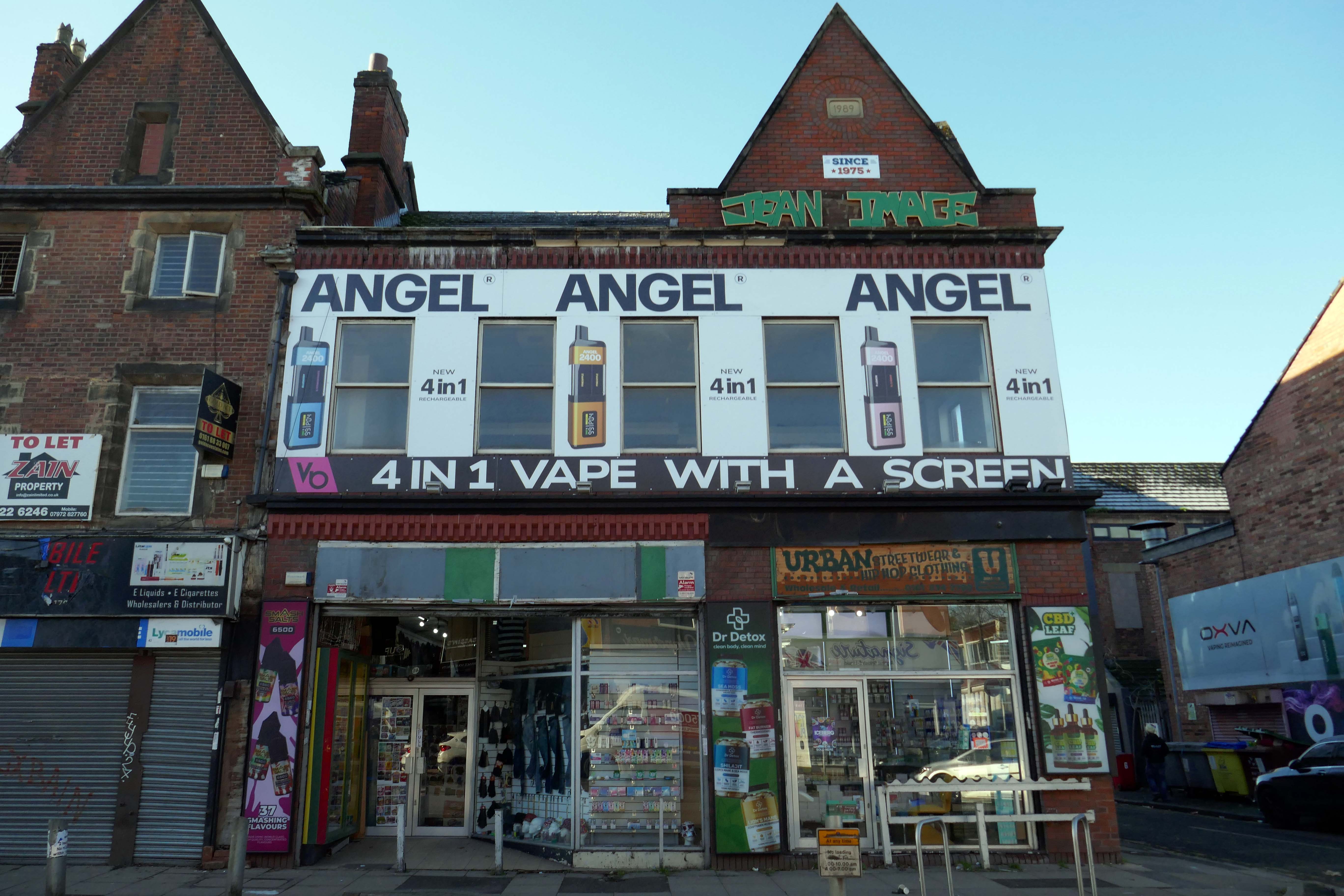
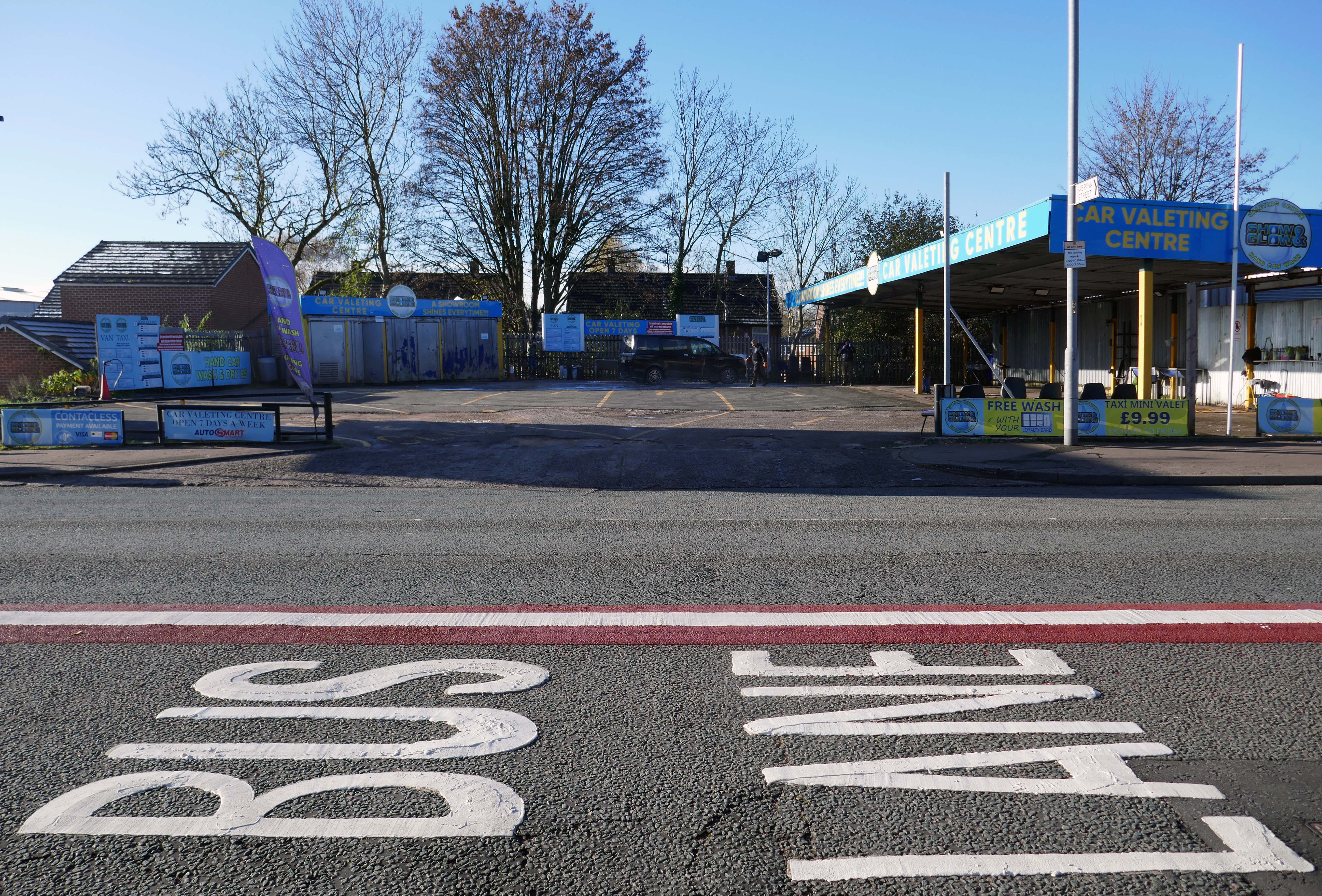
Manchester Hand Car Wash
Manchester Tyres
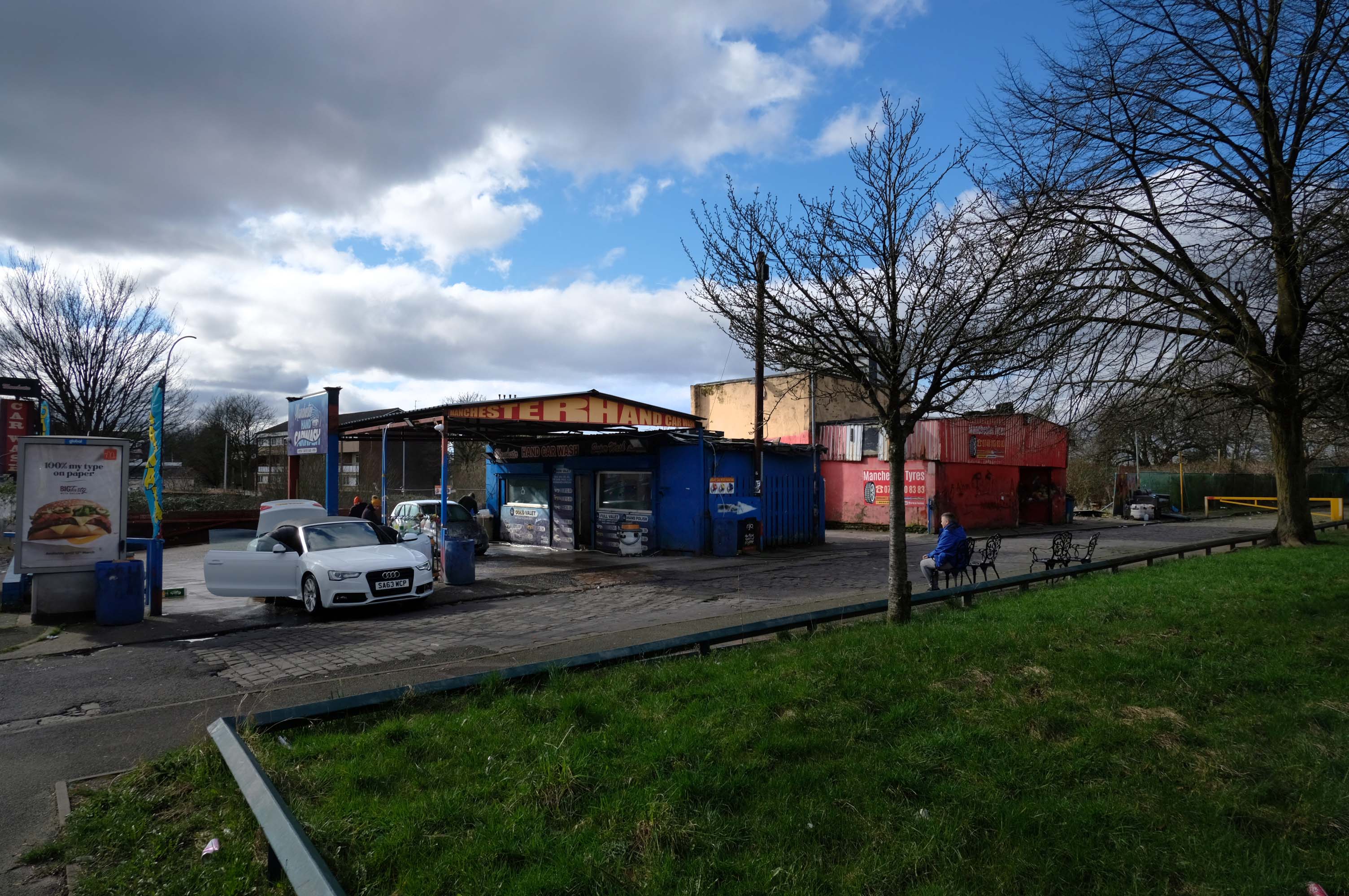
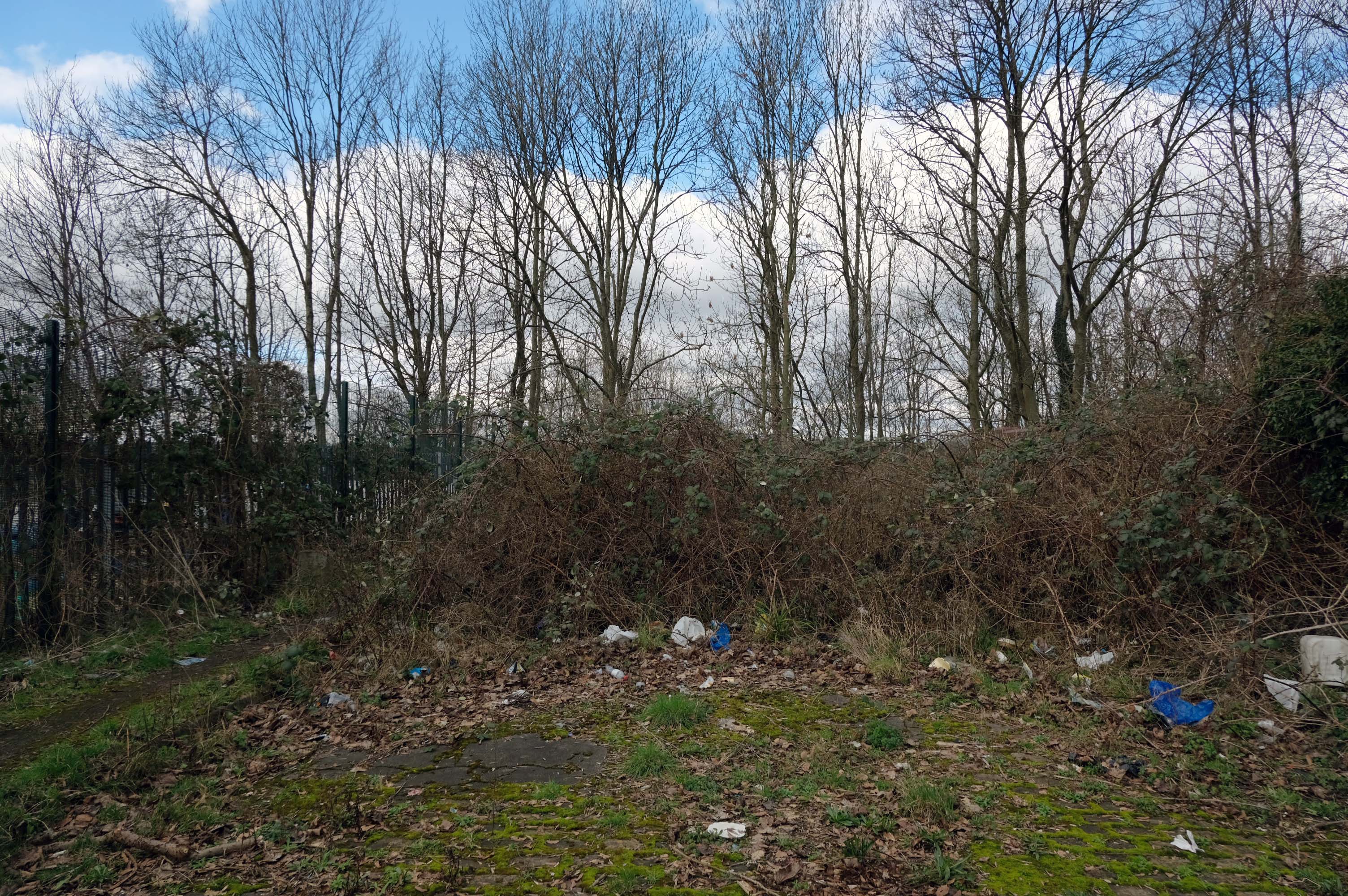
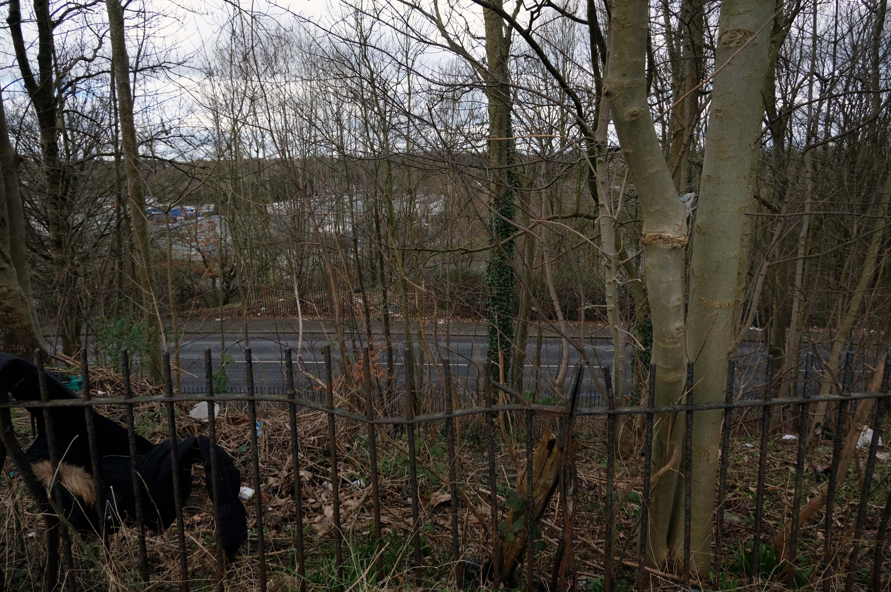
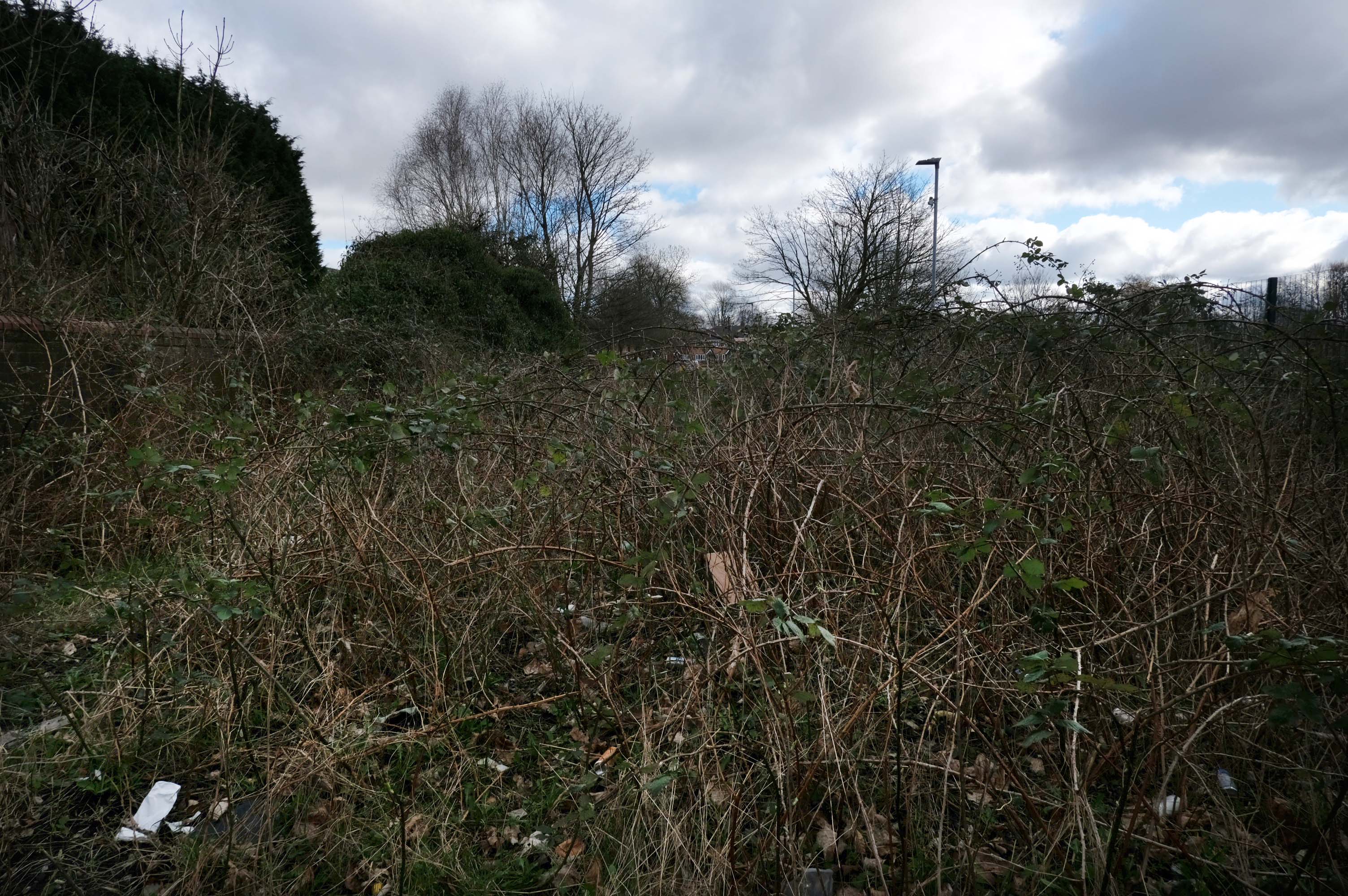
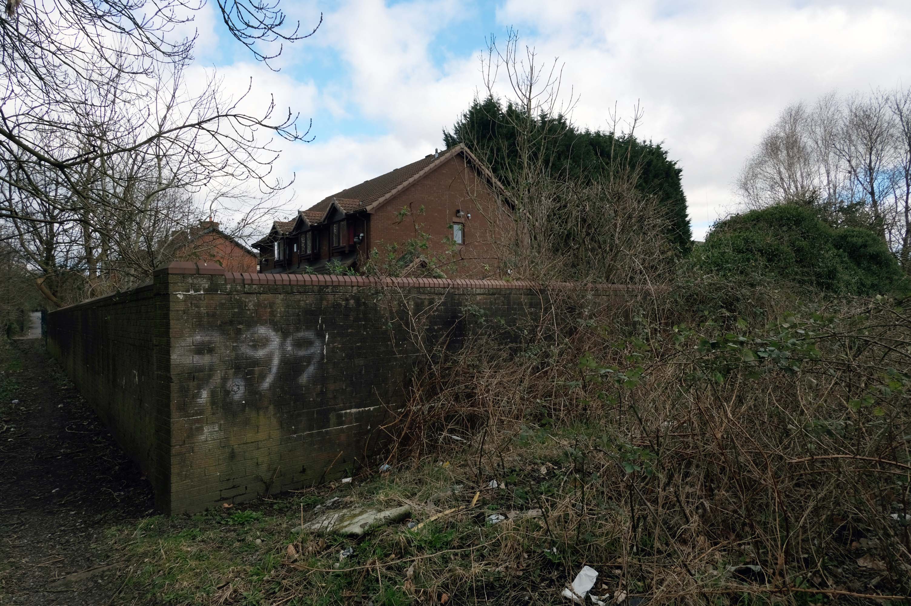
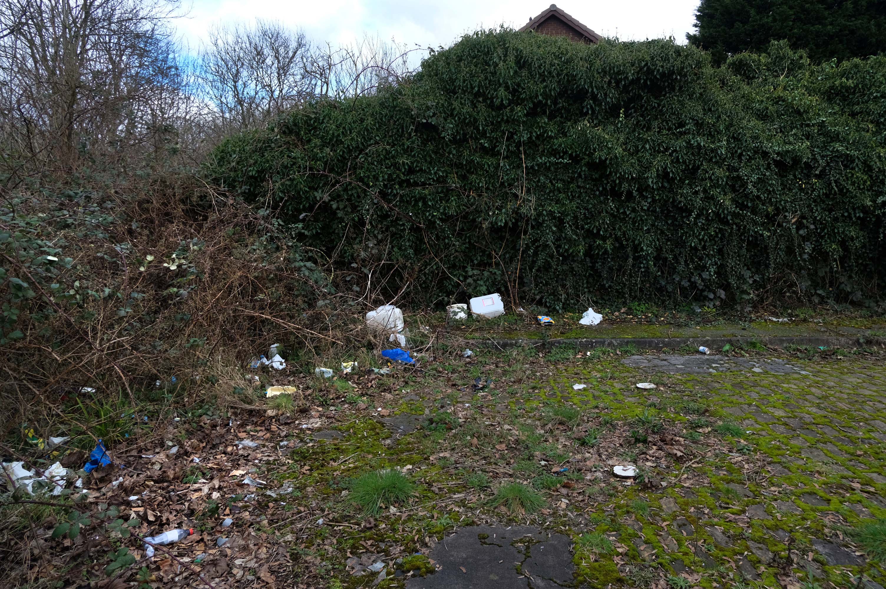
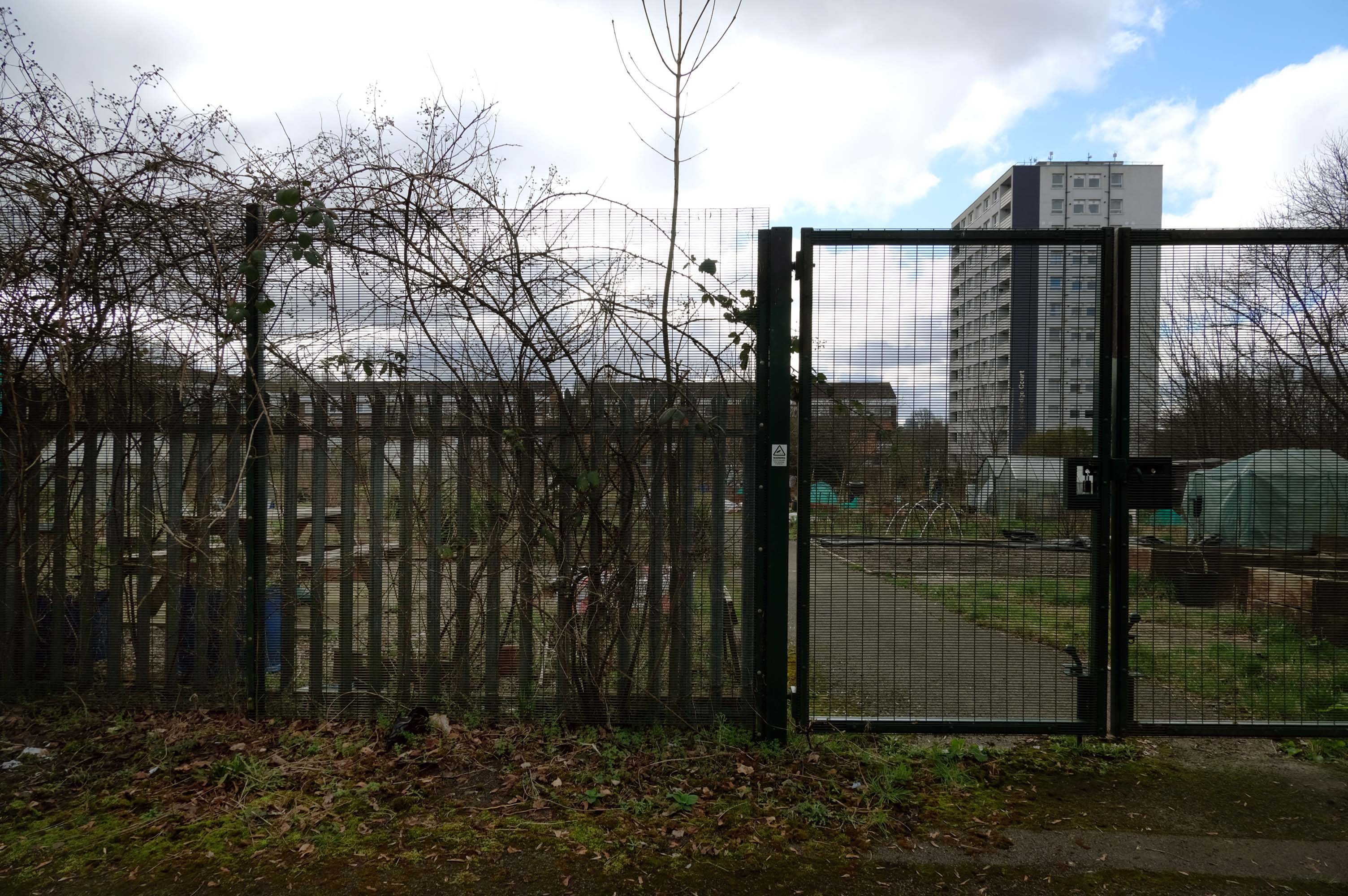
Pleasant Street Allotments
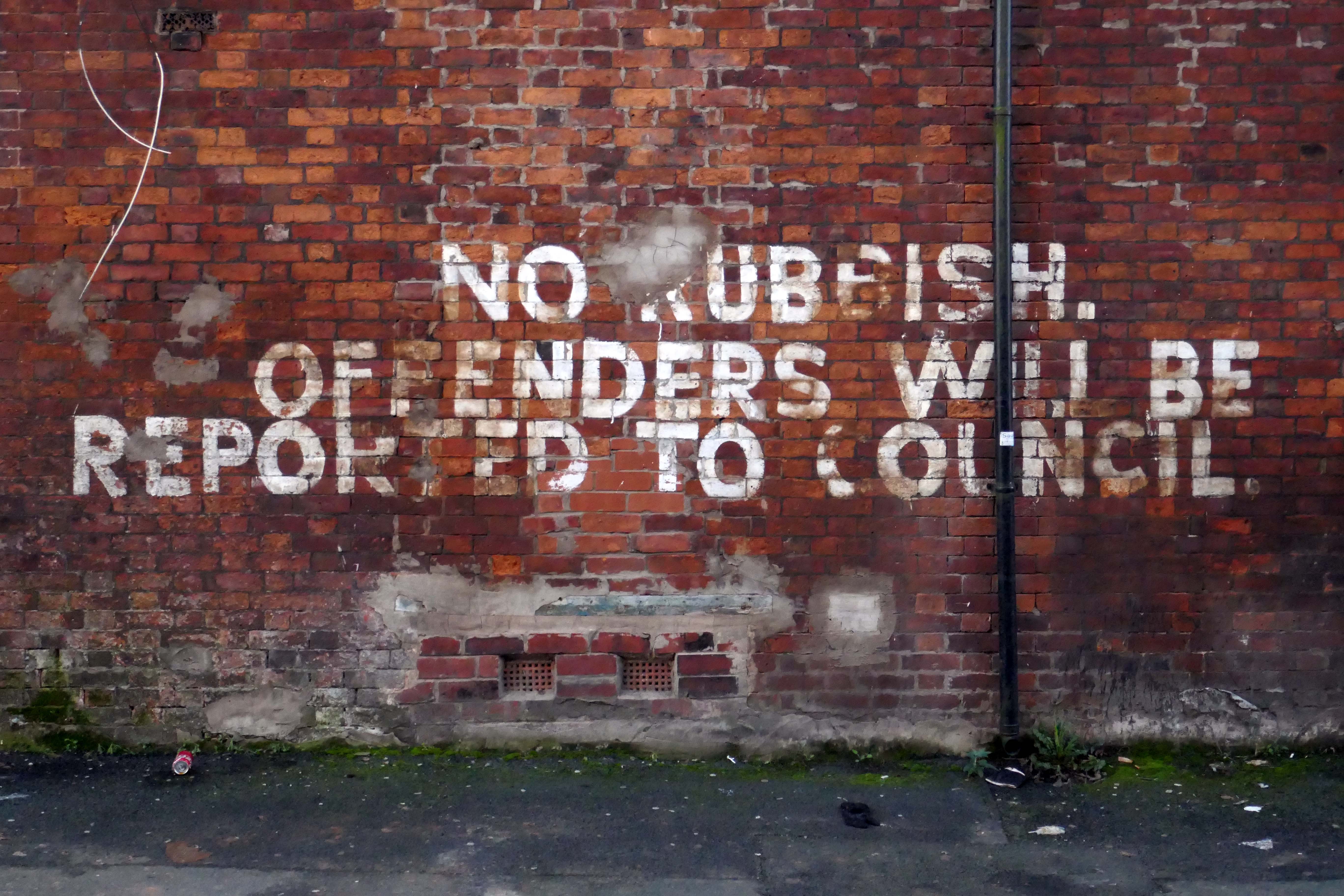
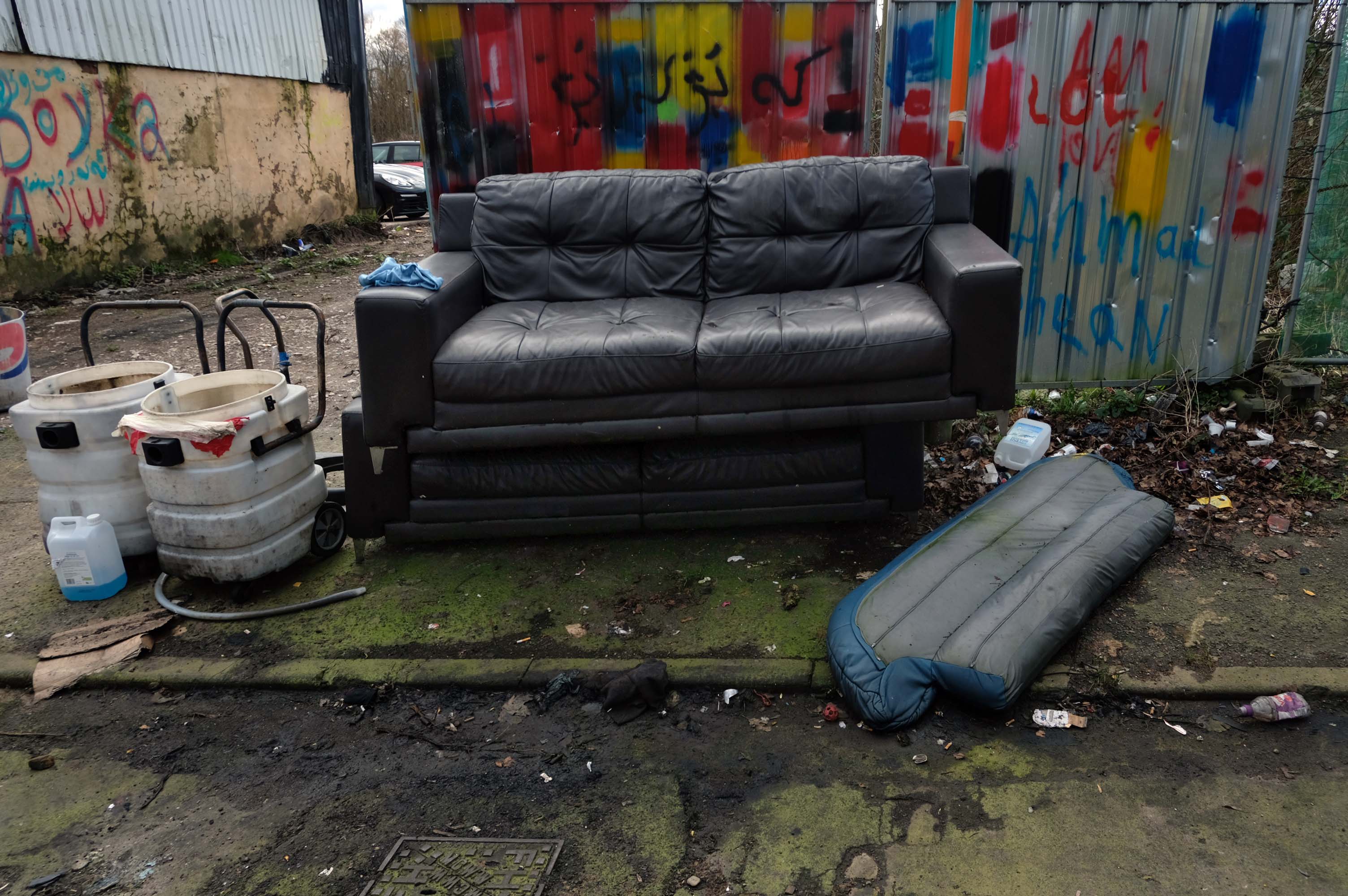
The allotments have had issues with fly tipping back in 2021.
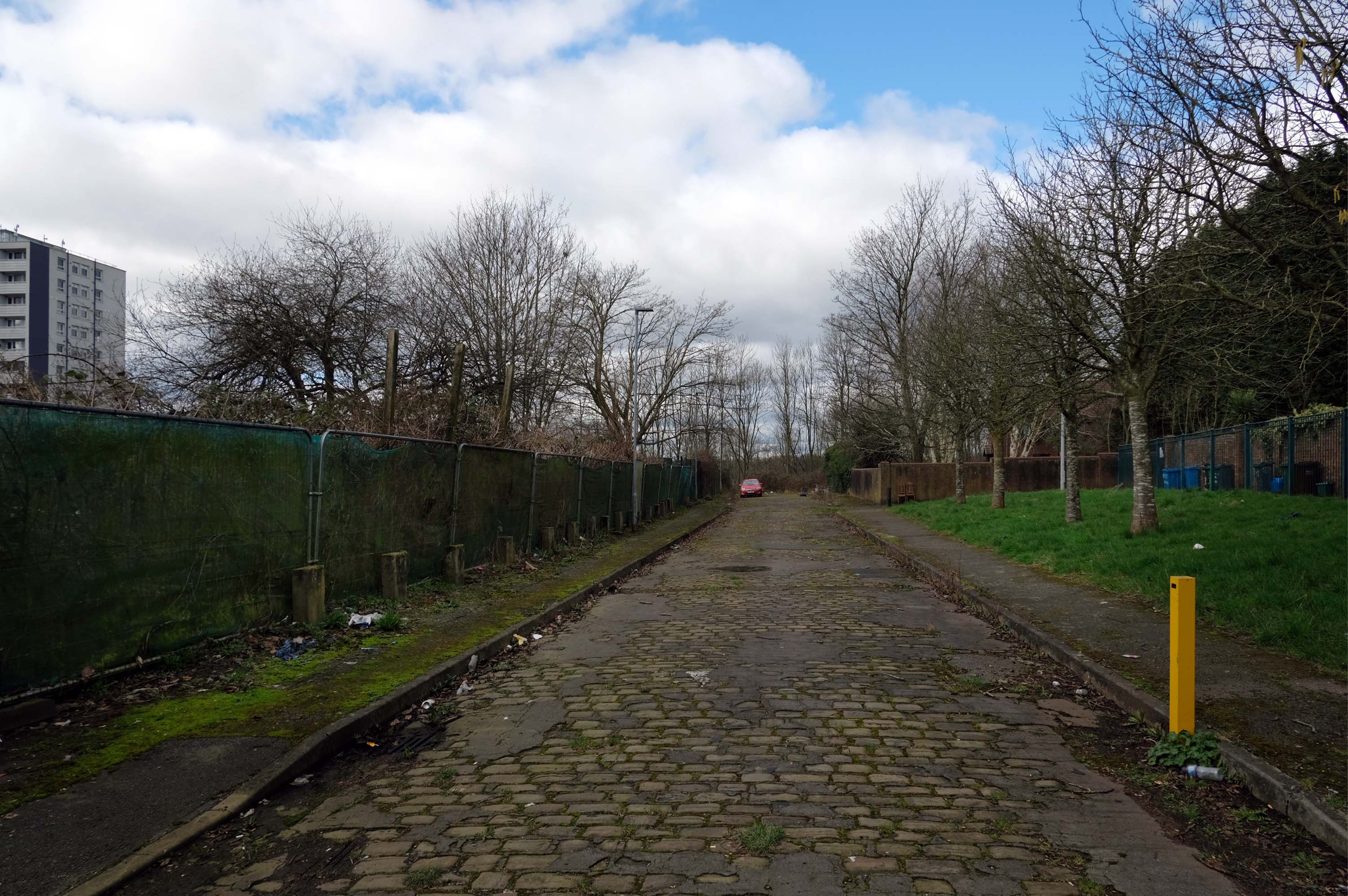
There is now a lockable barrier in place on the cobbled cul-de-sac.
Photo – Howard Bristol
It is understood that the heaps of rubbish, including bin bags full of waste and unwanted wood and cardboard, have been growing in recent weeks.
Howard Bristol, the Secretary of the Pleasant Street allotments committee, said the situation has been ongoing for some time but has worsened since the removal of nearby CCTV cameras.
He told the Evening News that the road has been – piling high with rubbish, and that the area also had issues with the woodland behind the allotments being used for drug dealing during summer.
Pat Karney, councillor for Harpurhey tweeted about the flytipping on Sunday, calling it – unbelievable and disgraceful.
He added that those responsible should be – locked up in Strangeways for a long time, before adding that the council will – get it cleared.
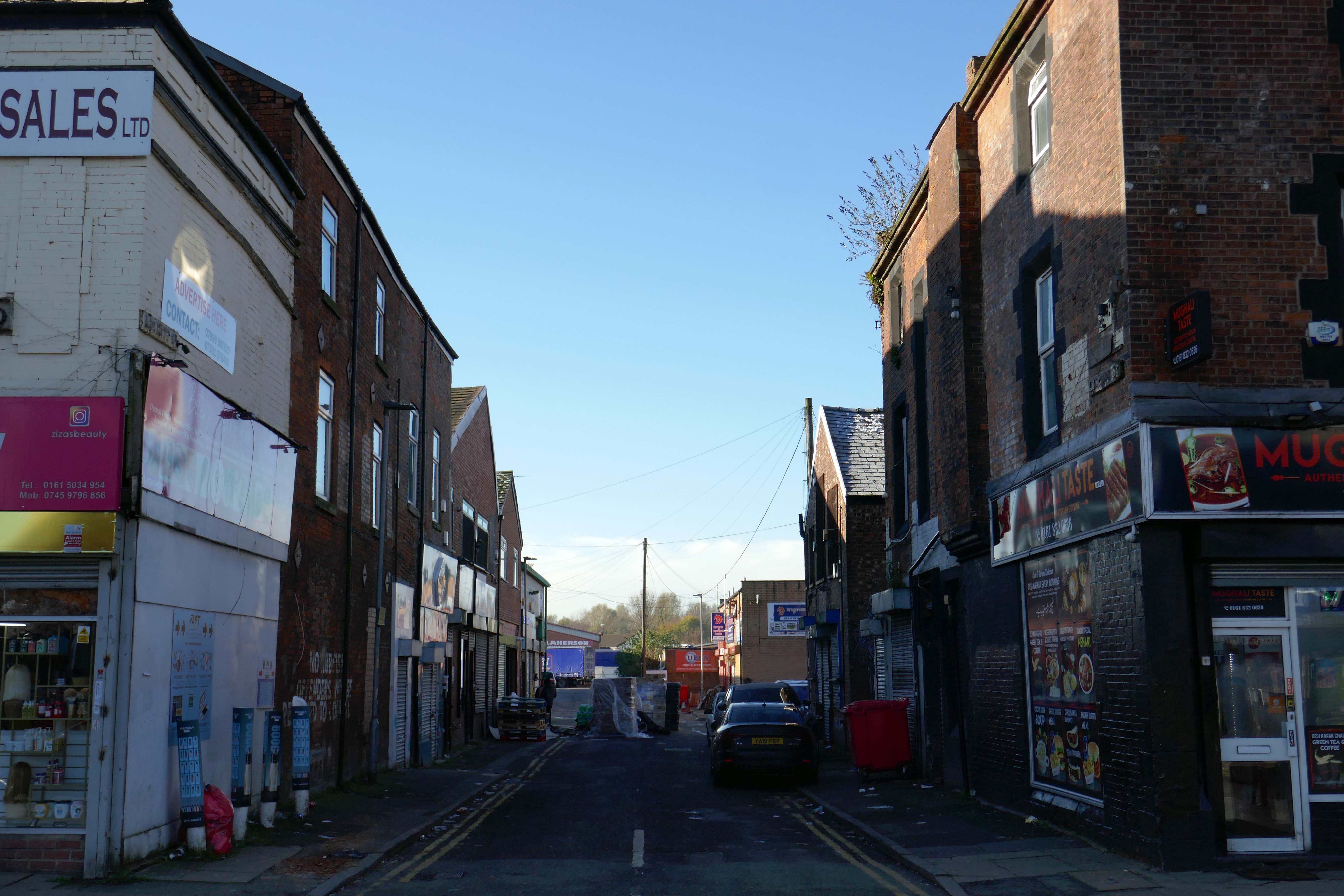
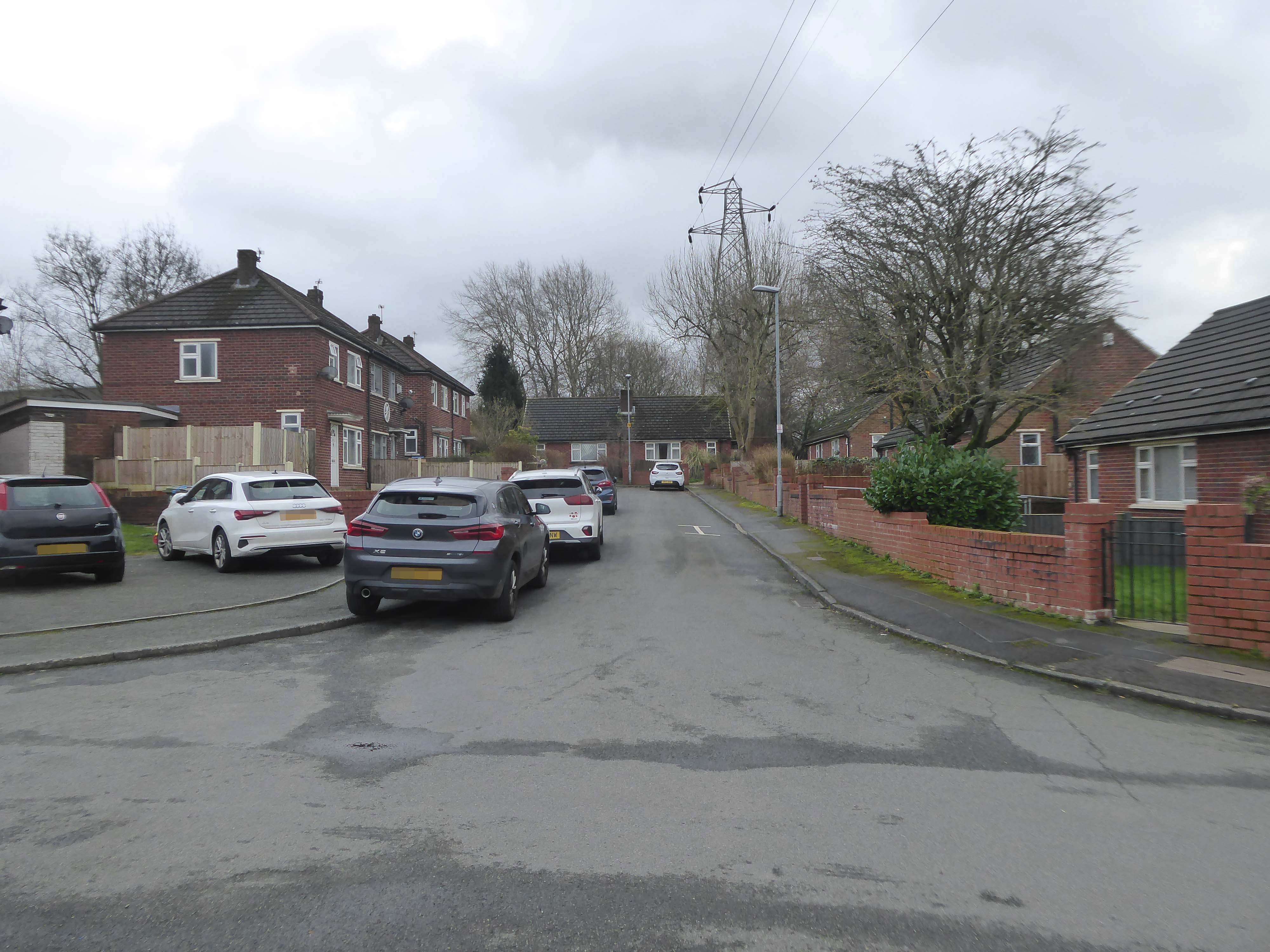
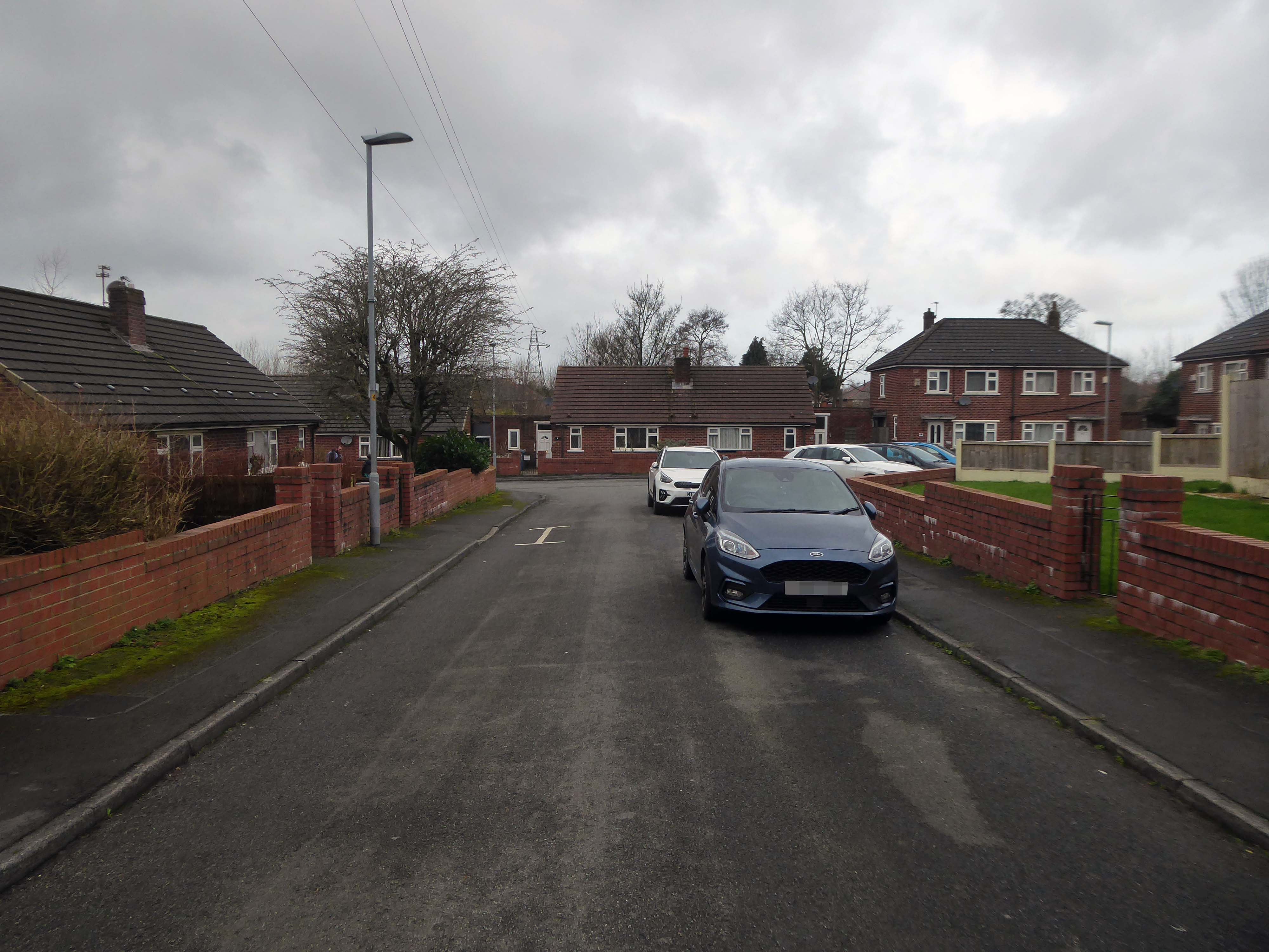
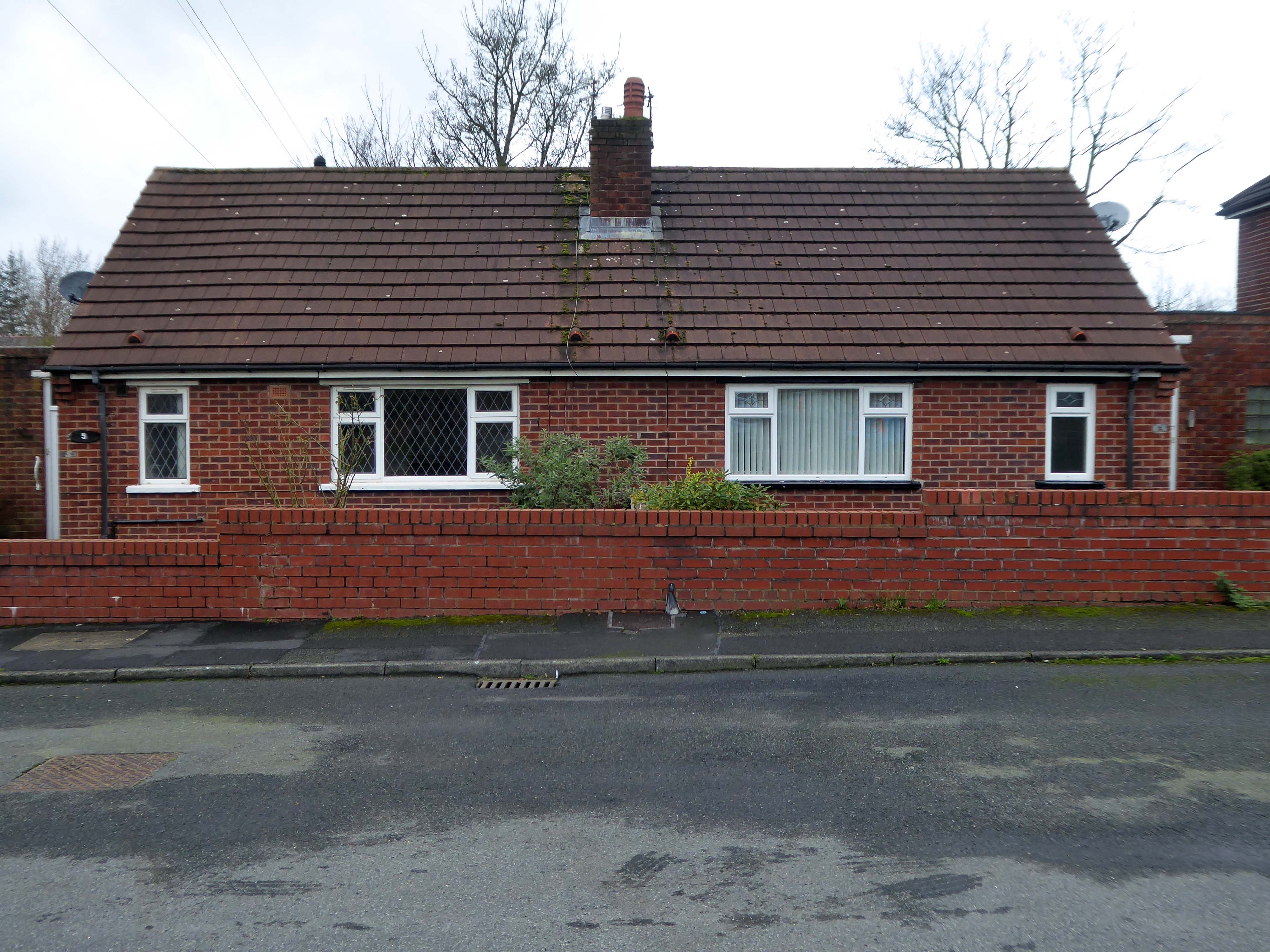
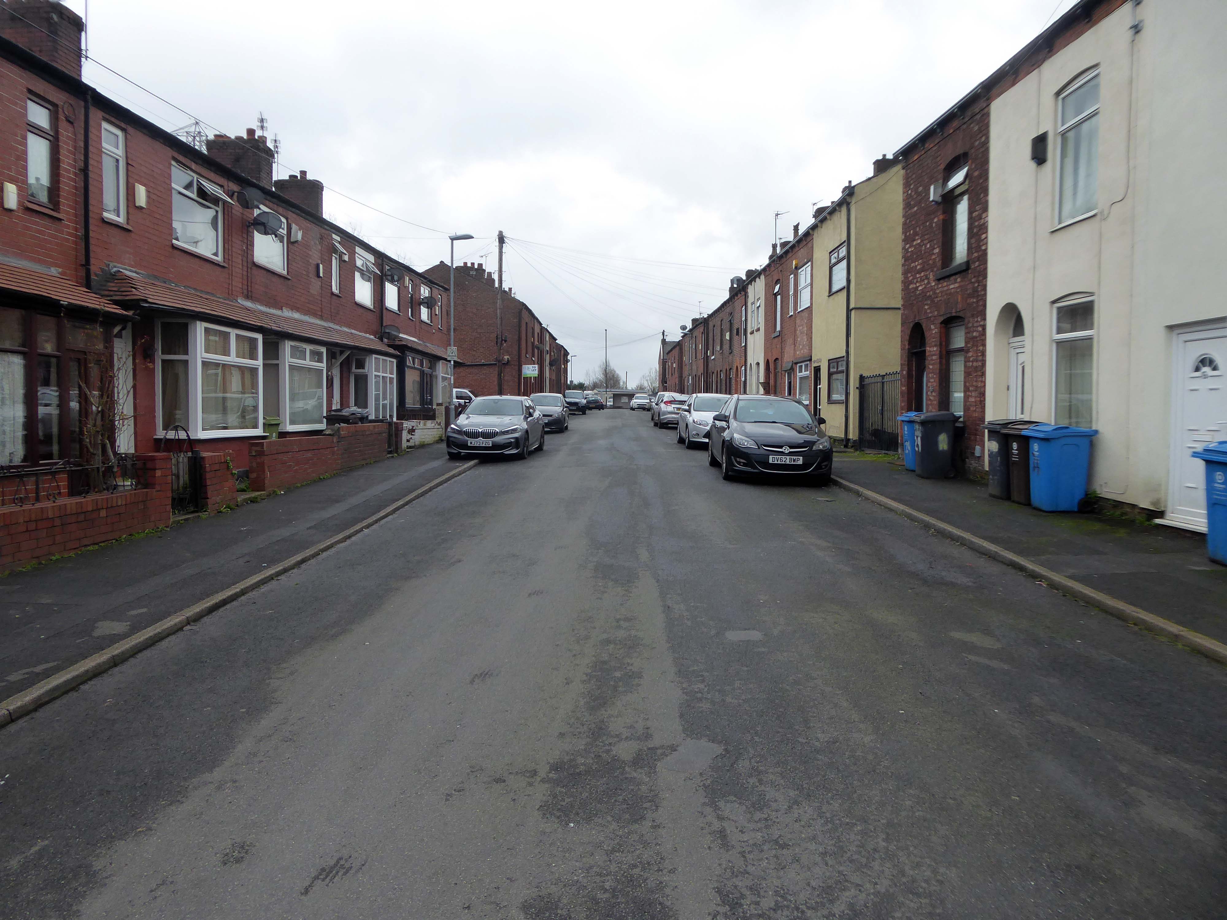
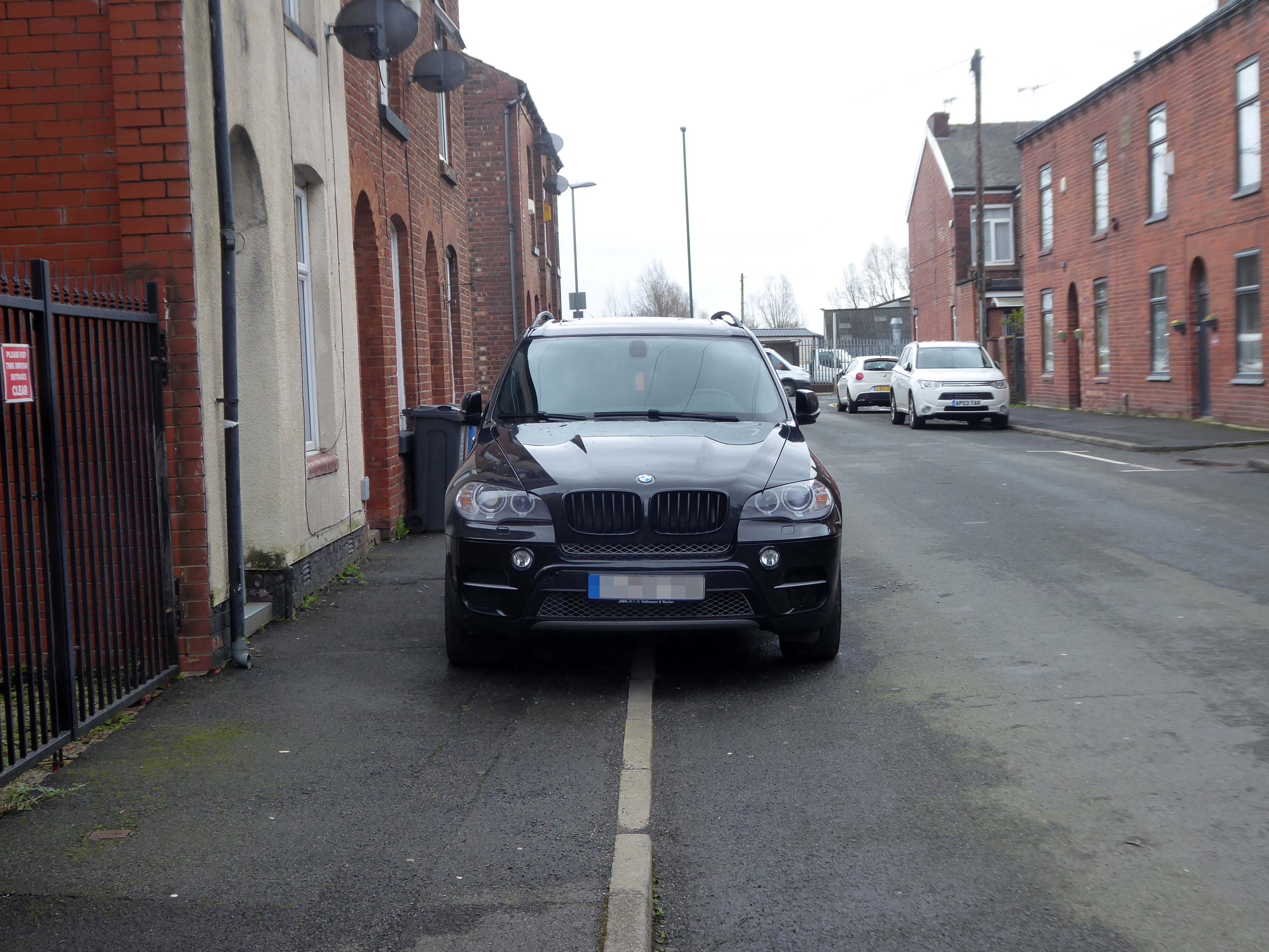
On a February morning the streets were well behaved and consisted of a typical mix of nineteenth century terraces and postwar semis, the residents chatty and welcoming, whilst they went about their business.
There are different causes that can make a street name controversial:
A person, organisation or event who or which was once honoured with a street name is subsequently thought to not or no longer deserve one, for example because that person later turned out to be a criminal.
A group of street names – for example in a residential area, is deemed to be unrepresentative for the population of that place, region or country because some demographics are overrepresented and others underrepresented, for example, because a disproportionate number of streets are named after men, and few after women.
Research has found that if you live on Pear Tree Lane your property is more likely to attract potential buyers and a higher price, than those living in a similar property on Crotch Lane.
What are the guidelines for street naming?
The exclusion or inclusion of certain numbers for cultural or religious reasons
The use of building names without numbers
New building or street names should not begin with The
The use of street names which include numbers that can confuse, for example – 20 Seven Foot Lane sounds the same as 27 Foot Lane
The use of the names of deceased people in the adoption of any street names. The reason for choosing a person’s name should be established in the council’s policy
The use of the name of a living person – it’s not recommended
The adoption of historic connotations by developers – guidance on this should be provided by the council to all developers through close liaison with local historic societies.
The use of national or local historic figures or events
The use of a name with Royal connotations – the Lord Chamberlain’s office must be contacted if a name has any reference to the Royal family or if the word ‘Royal’ is suggested.
The use of names and their combination with numbers that could be considered rude, obscene, and racist or contravene any aspect of the council’s equal opportunities policies
The use of names and their combination with numbers that could be easily vandalised or changed into any of the above, for example – Canal Turn
The use of names that can cause spelling or pronunciation problems
The use of names that can be construed to be used for advertising or commercial gain
The use of names would lead to variations in the use of punctuation as these can confuse or result in early demands for a change of address from occupiers.
So in summary the name Bland does not in my opinion represent the close’s appearance and may in fact detract from the value of the property and possibly the perception of the area.