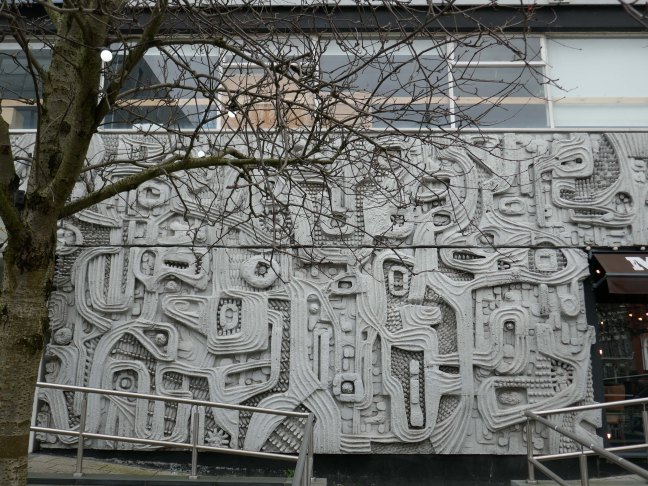
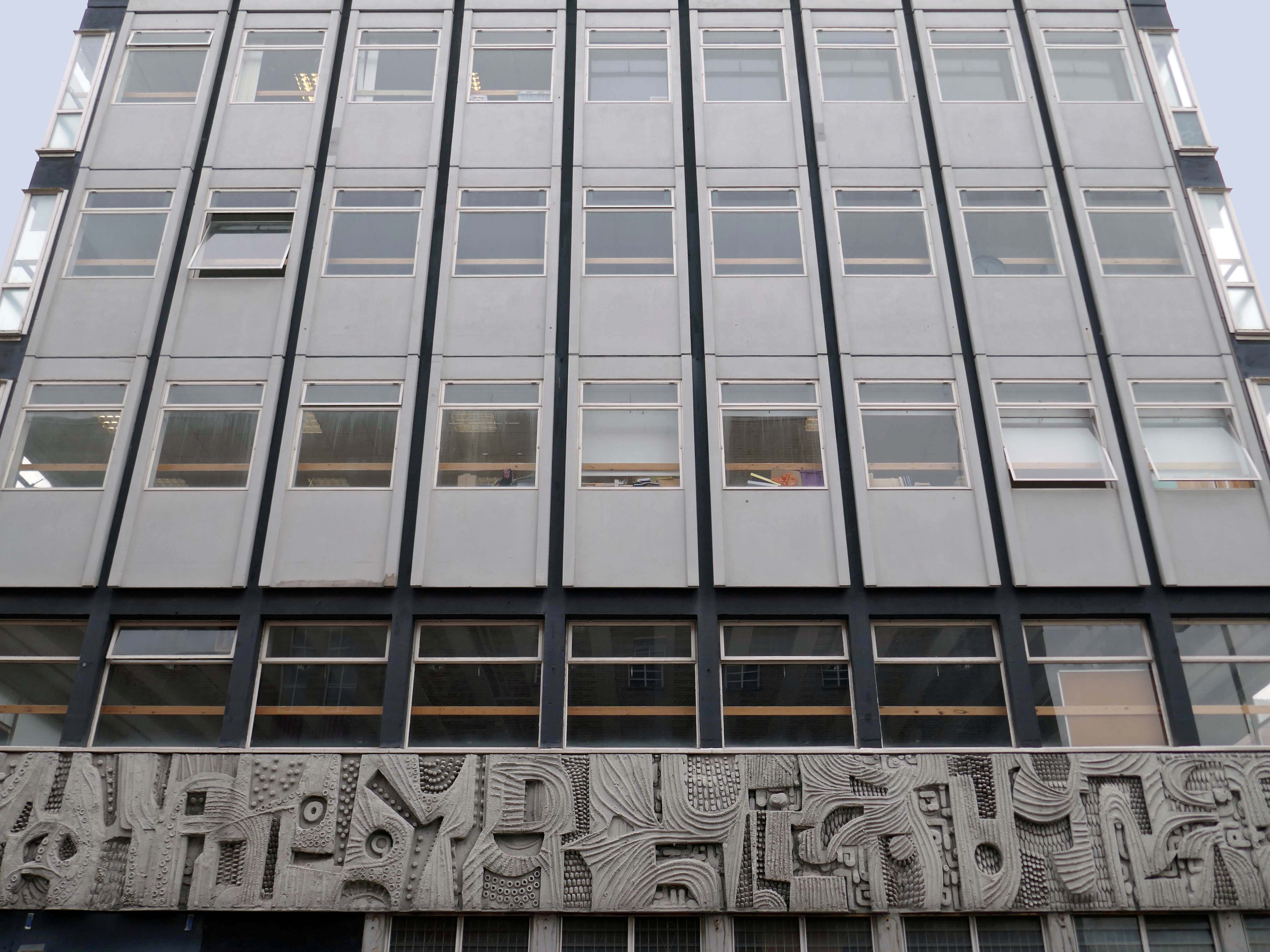
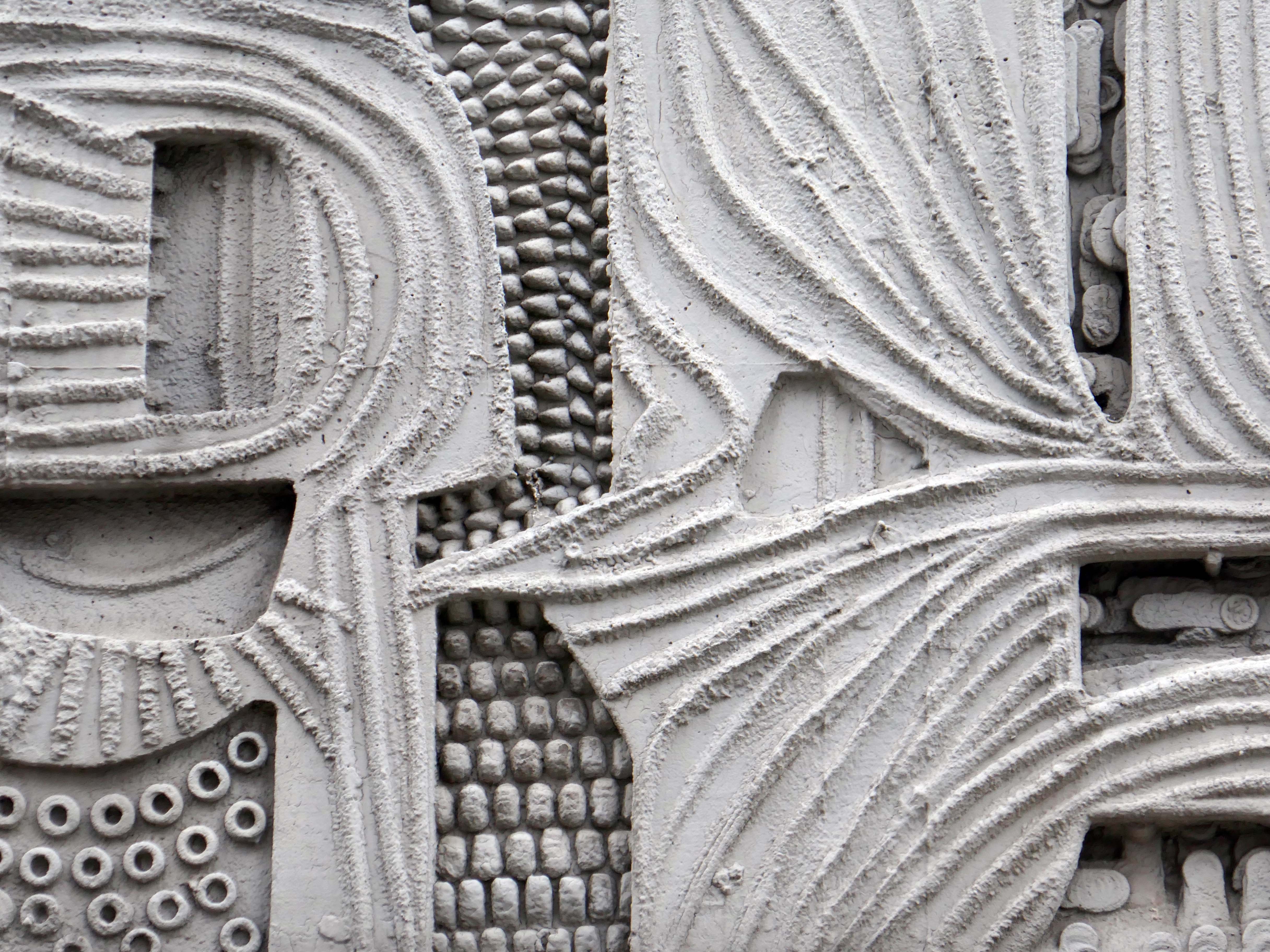
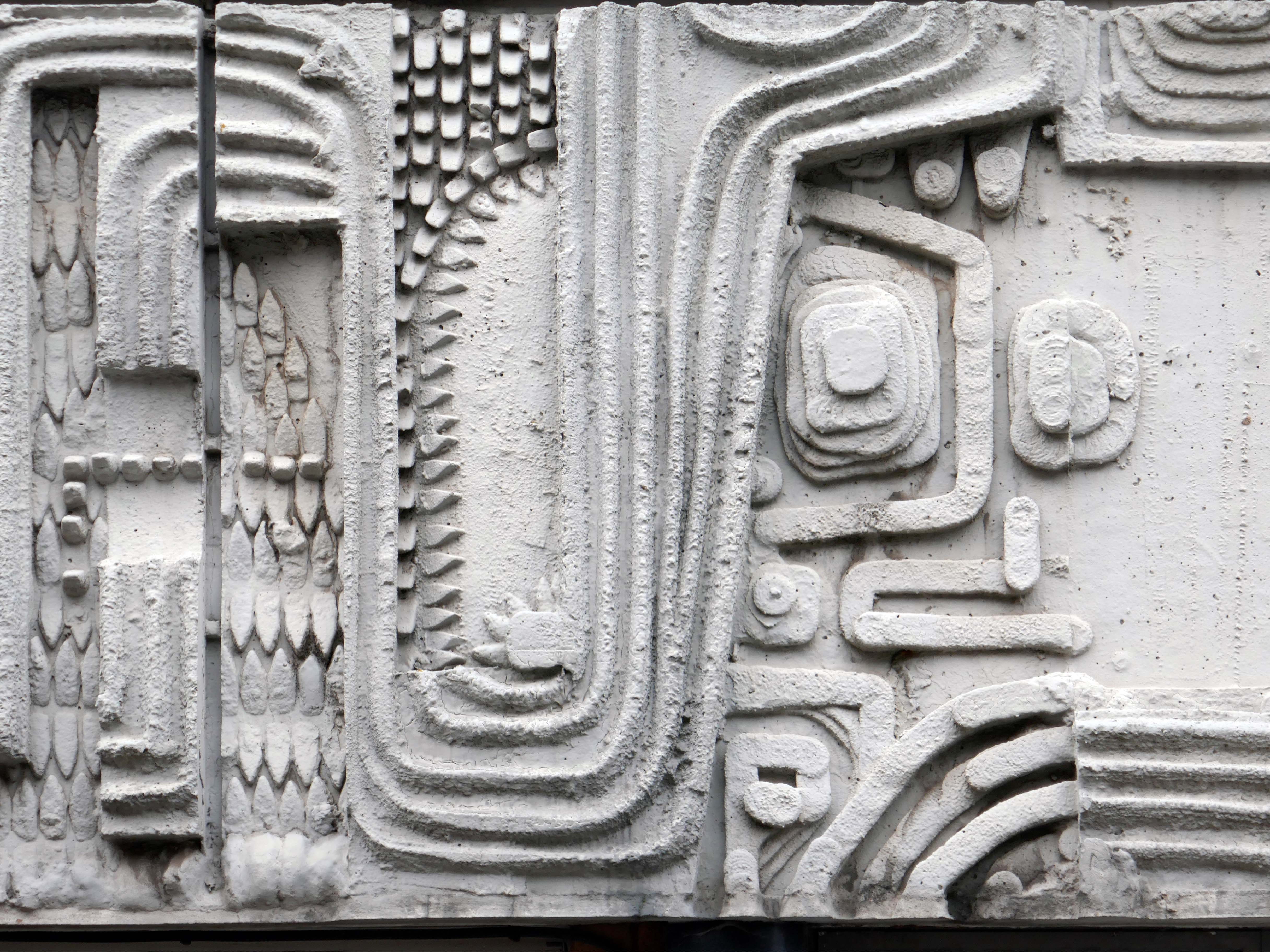
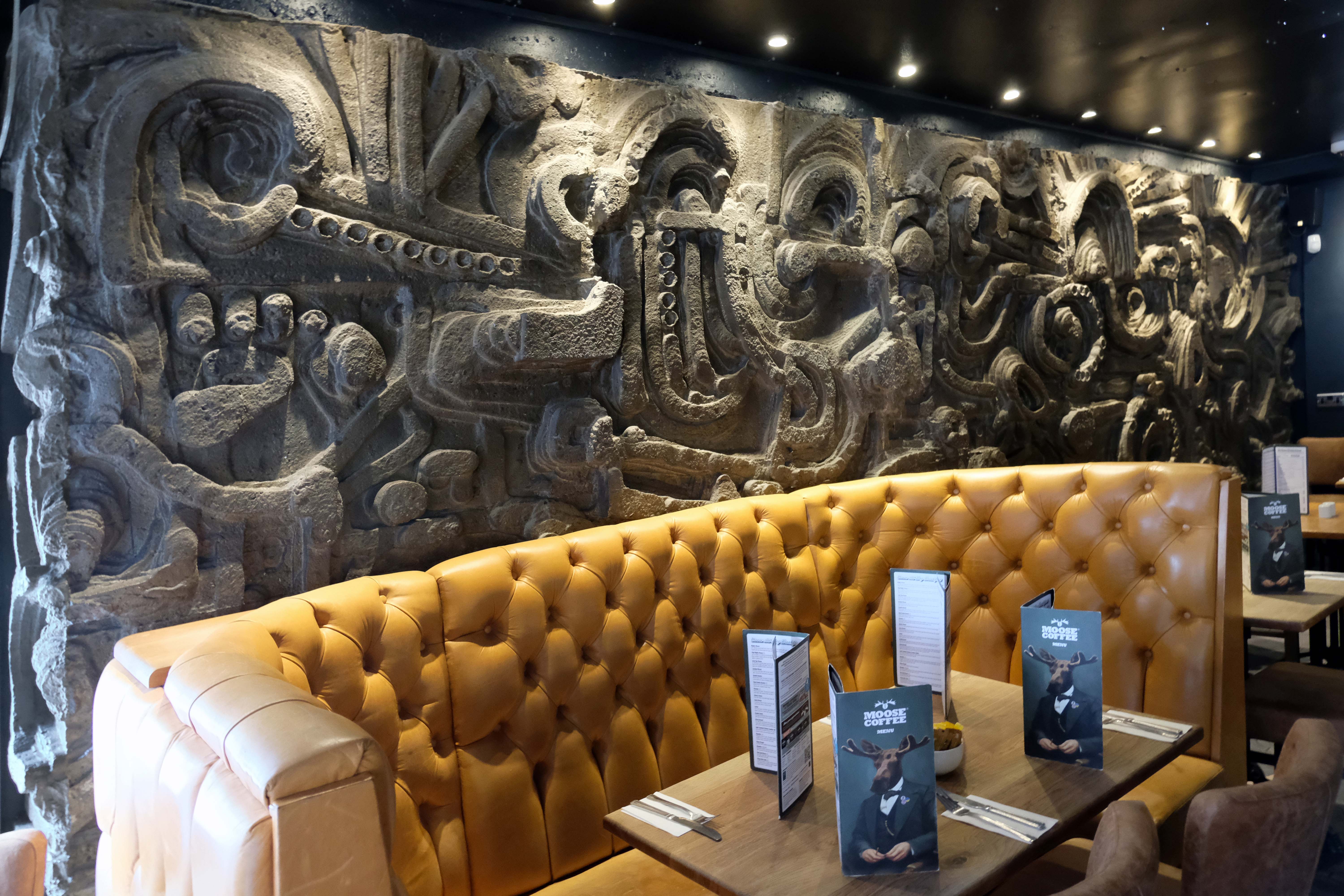
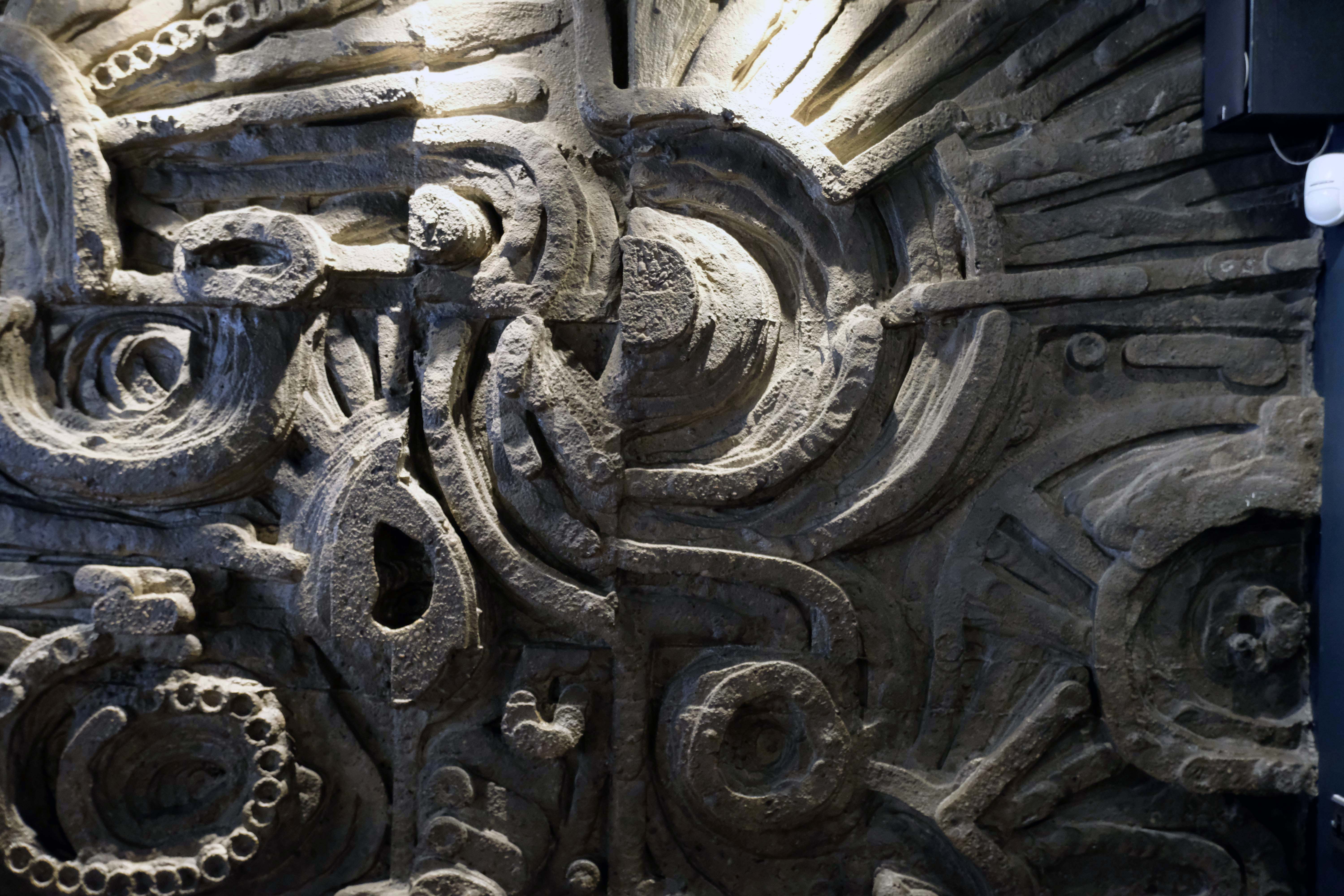
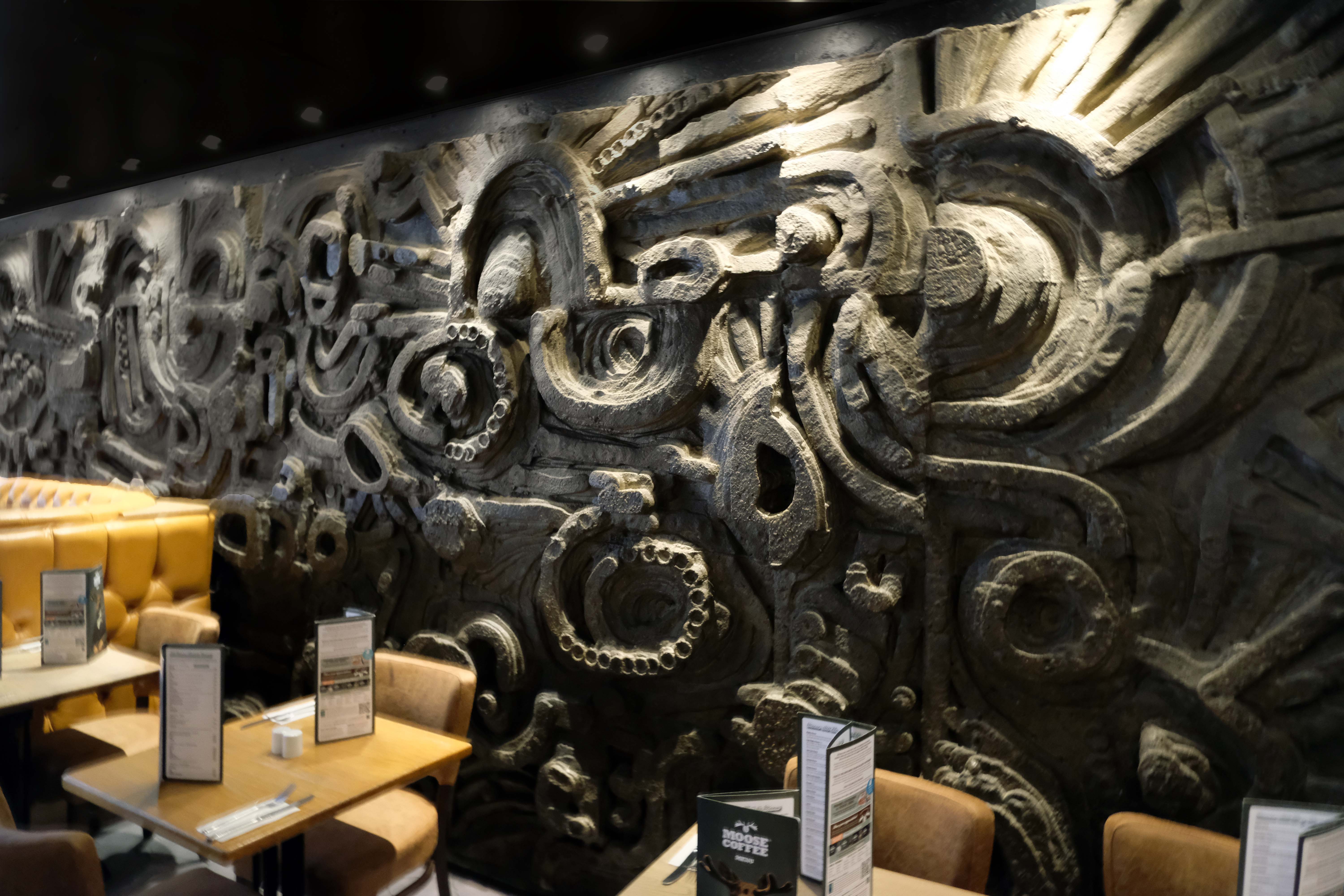
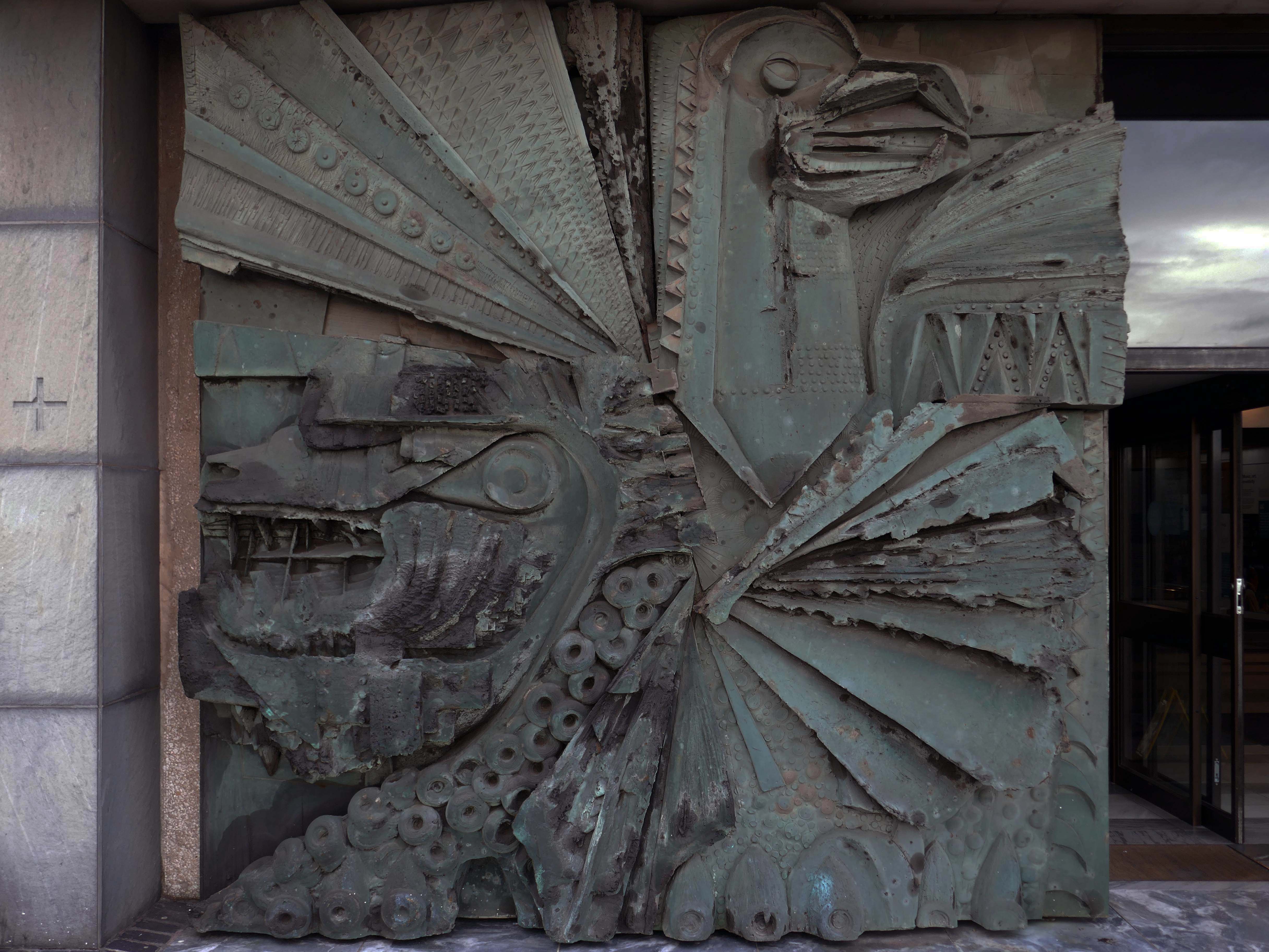
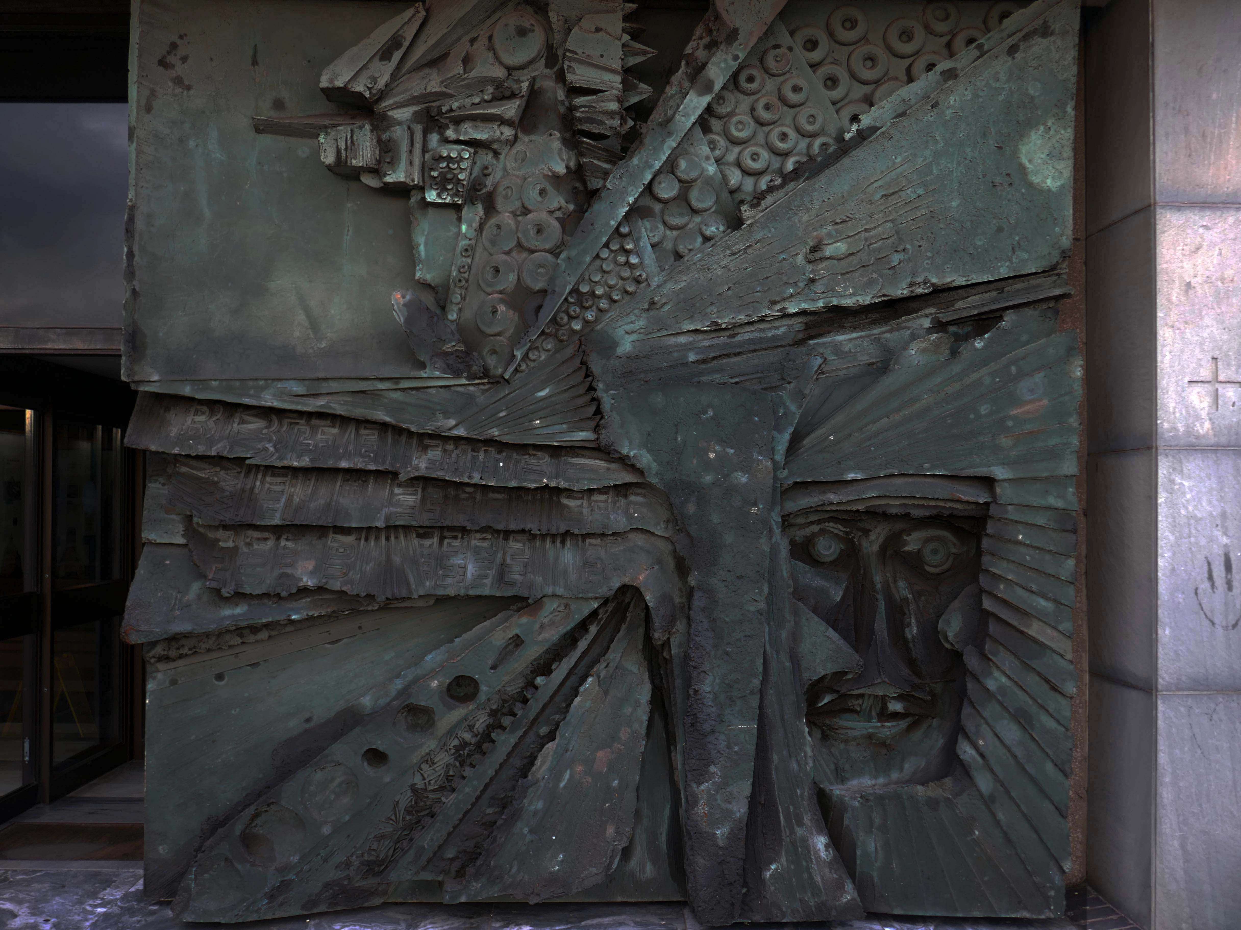
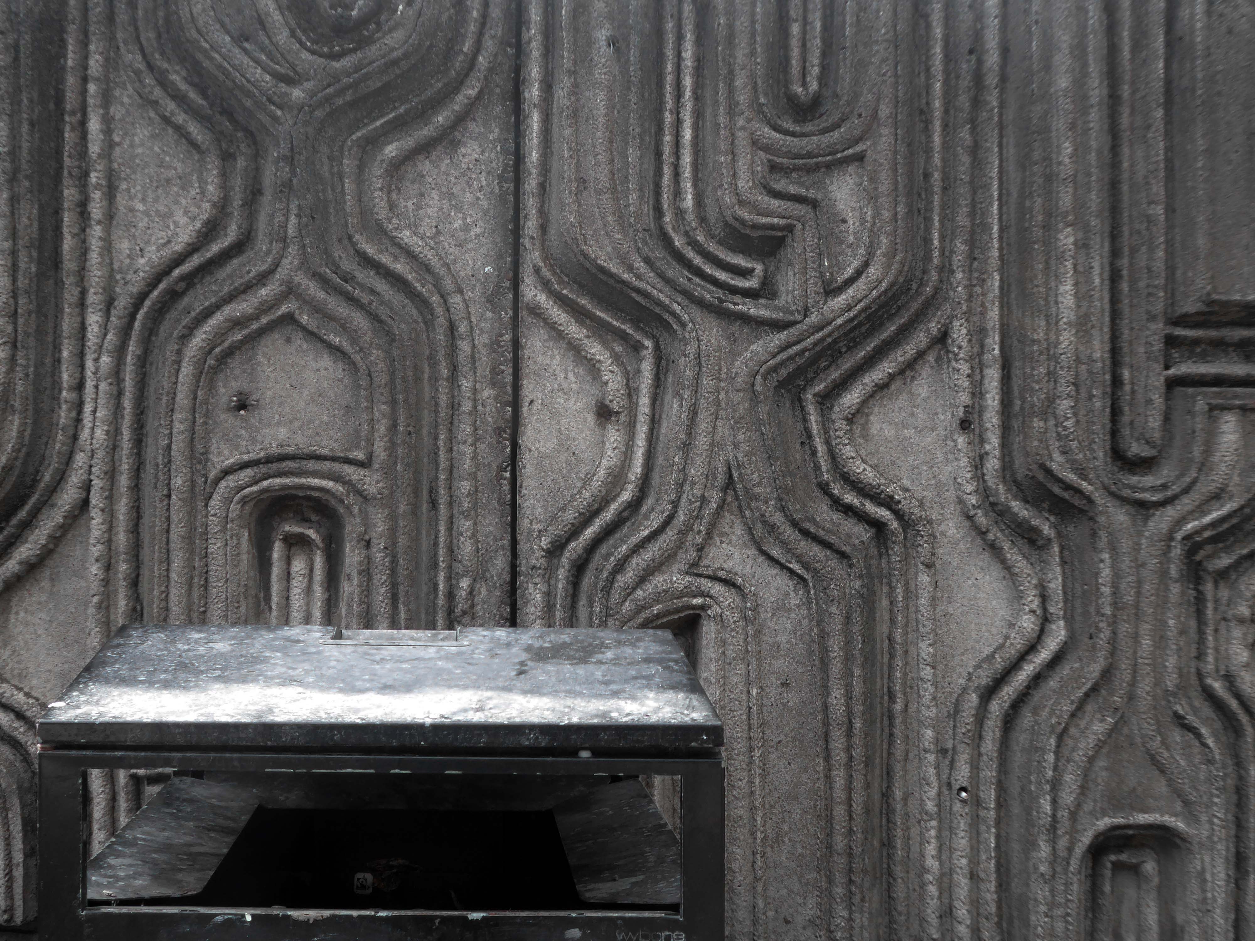
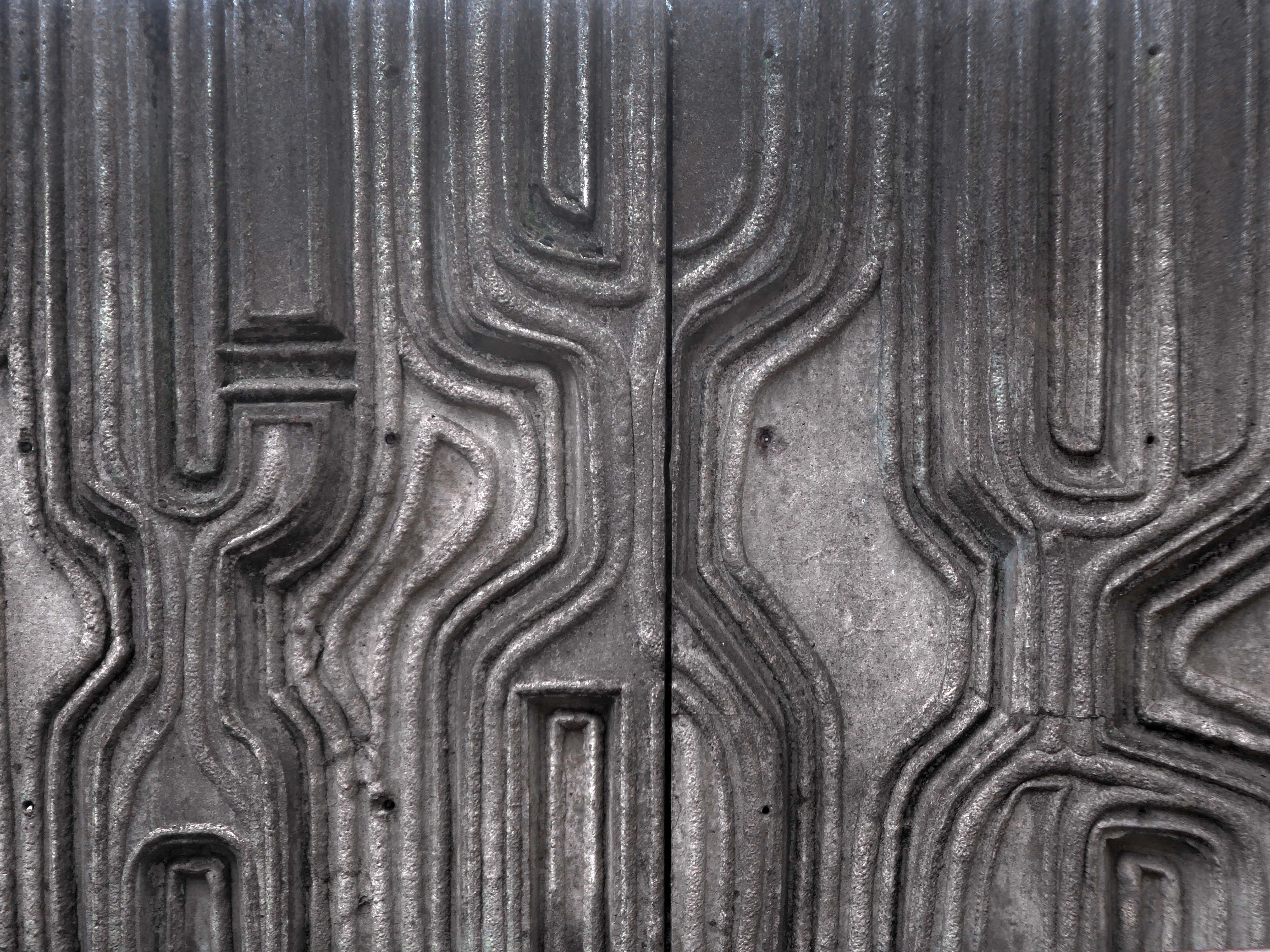
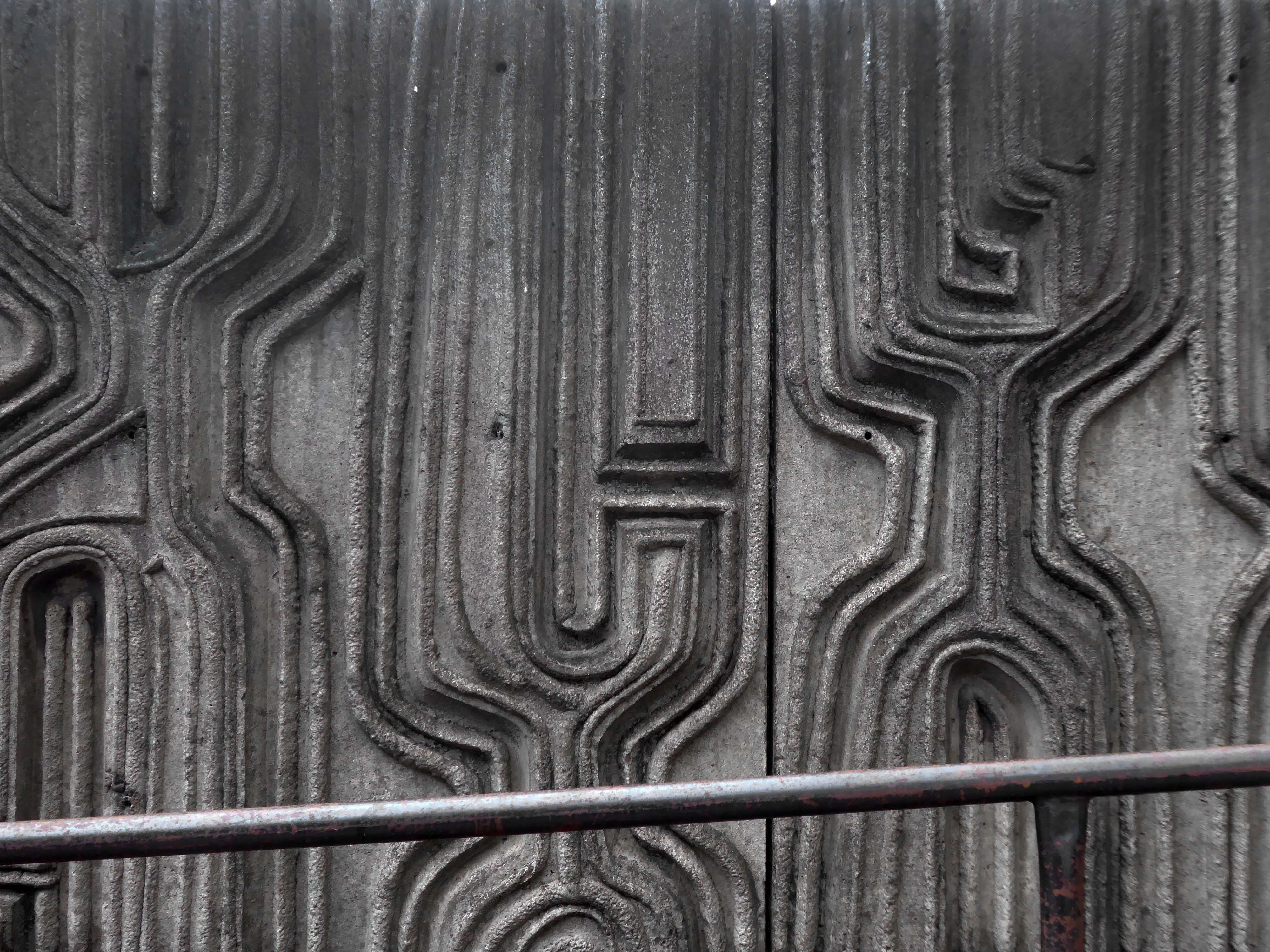
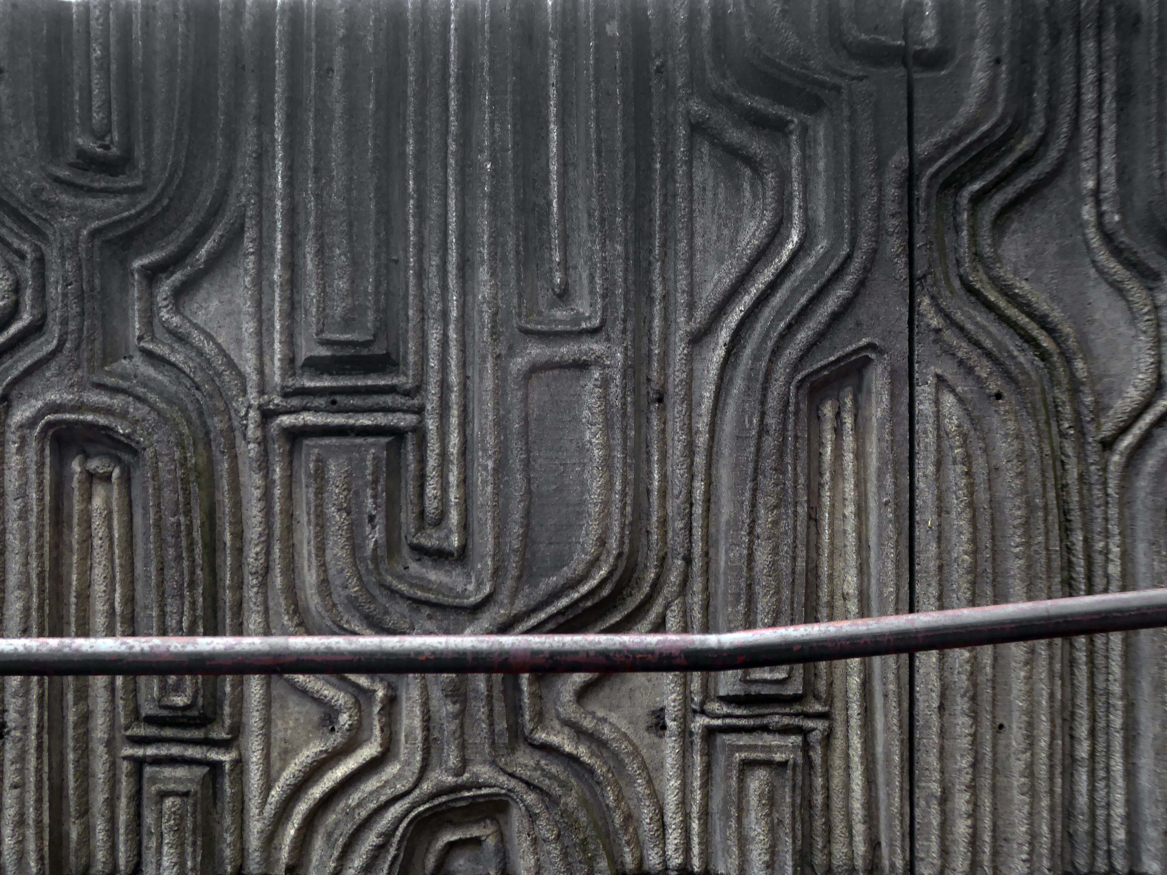
Sculptor and designer, born in London 1925, where he continued to live. Studied at Southern College of Art in Portsmouth, at Royal College of Art and at British School in Rome; was an Abbey Award-winner. Went on to lecture widely and was a member of the design advisory board, Hammersmith College of Art and Trent Polytechnic. Also did work for Concrete Society and completed a frieze for Swiss Cottage Library.
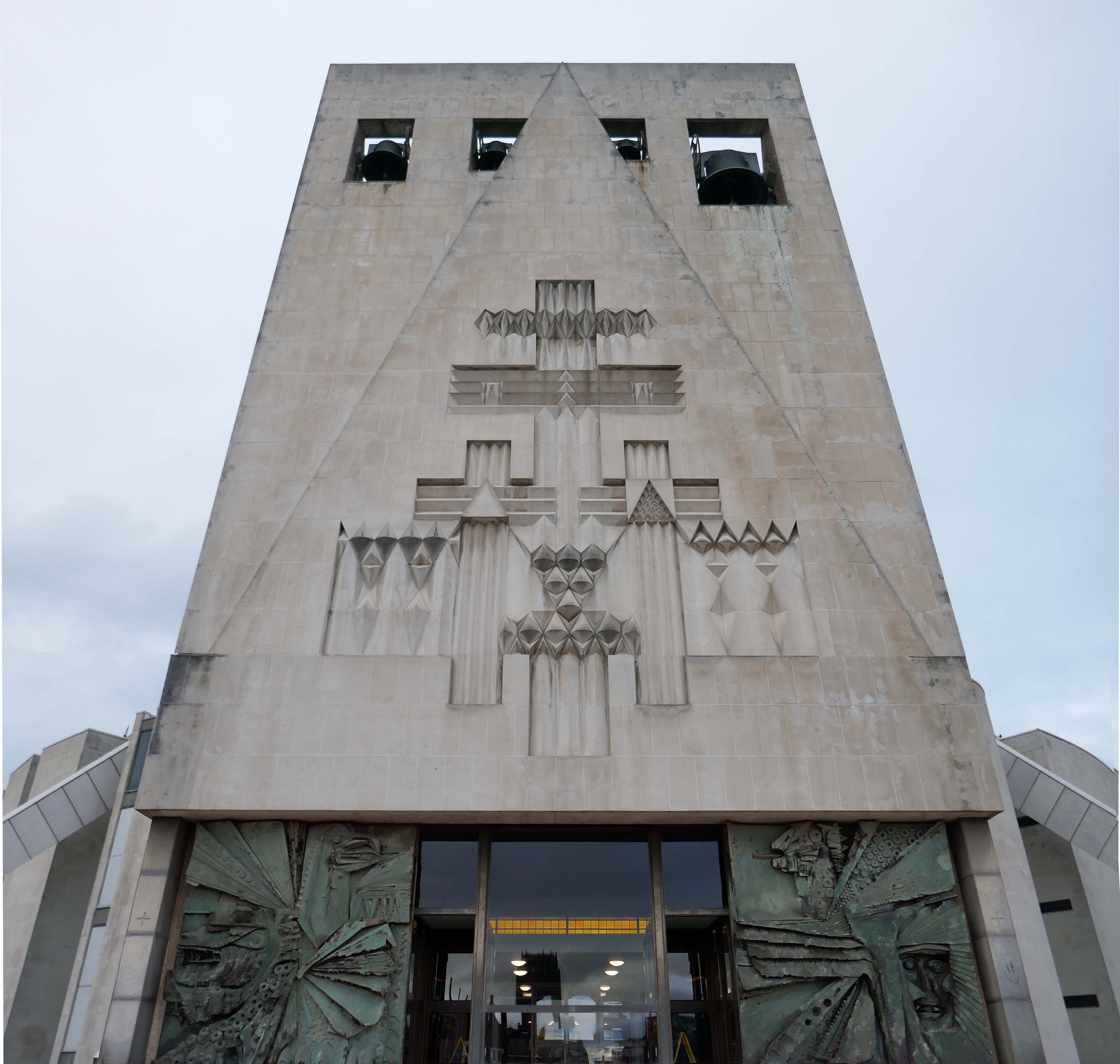
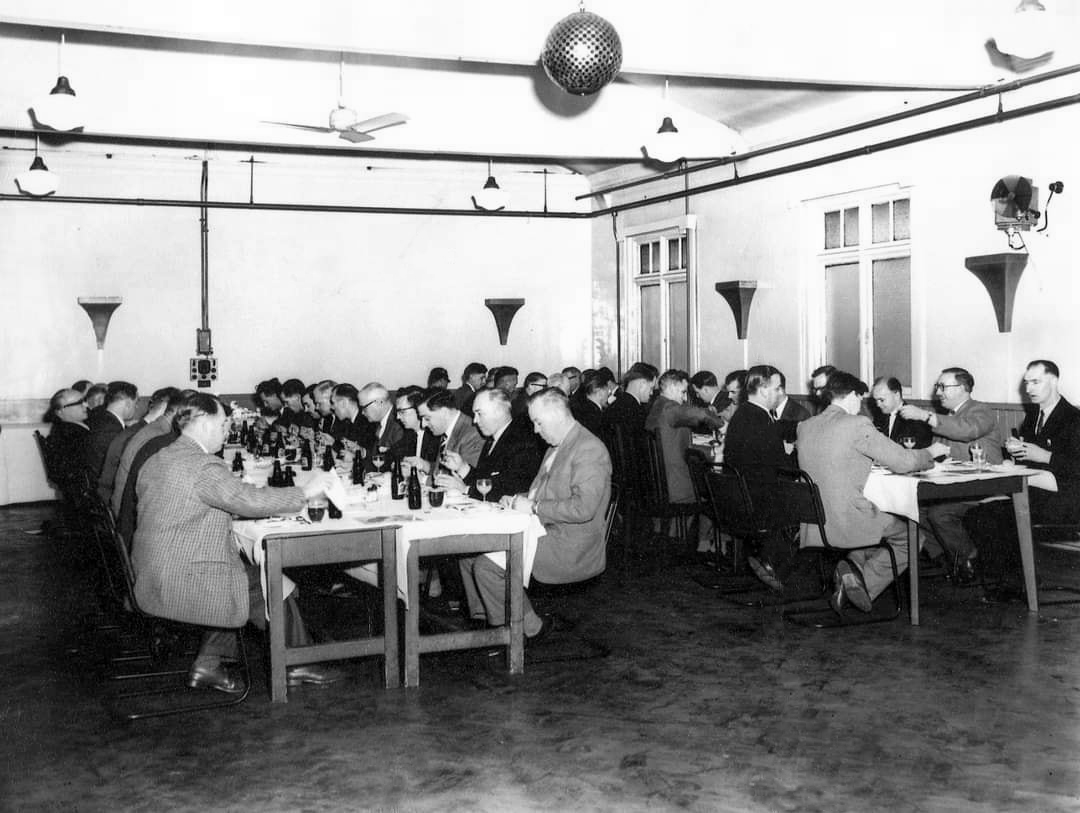
Federation House – 1965-66 Gilling Dodd & Partners
Originally home to the National Federation of Building Employees Investments.
Now how in part to The Shandon Bells – named for the chimes of St. Anne’s Church in Cork.
The church is noted for its eight bells, immortalised in the song The Bells of Shandon by Francis Sylvester Mahony. The largest weighs a little over one and a half tons and was originally cast by Abel Rudhall of Gloucester.
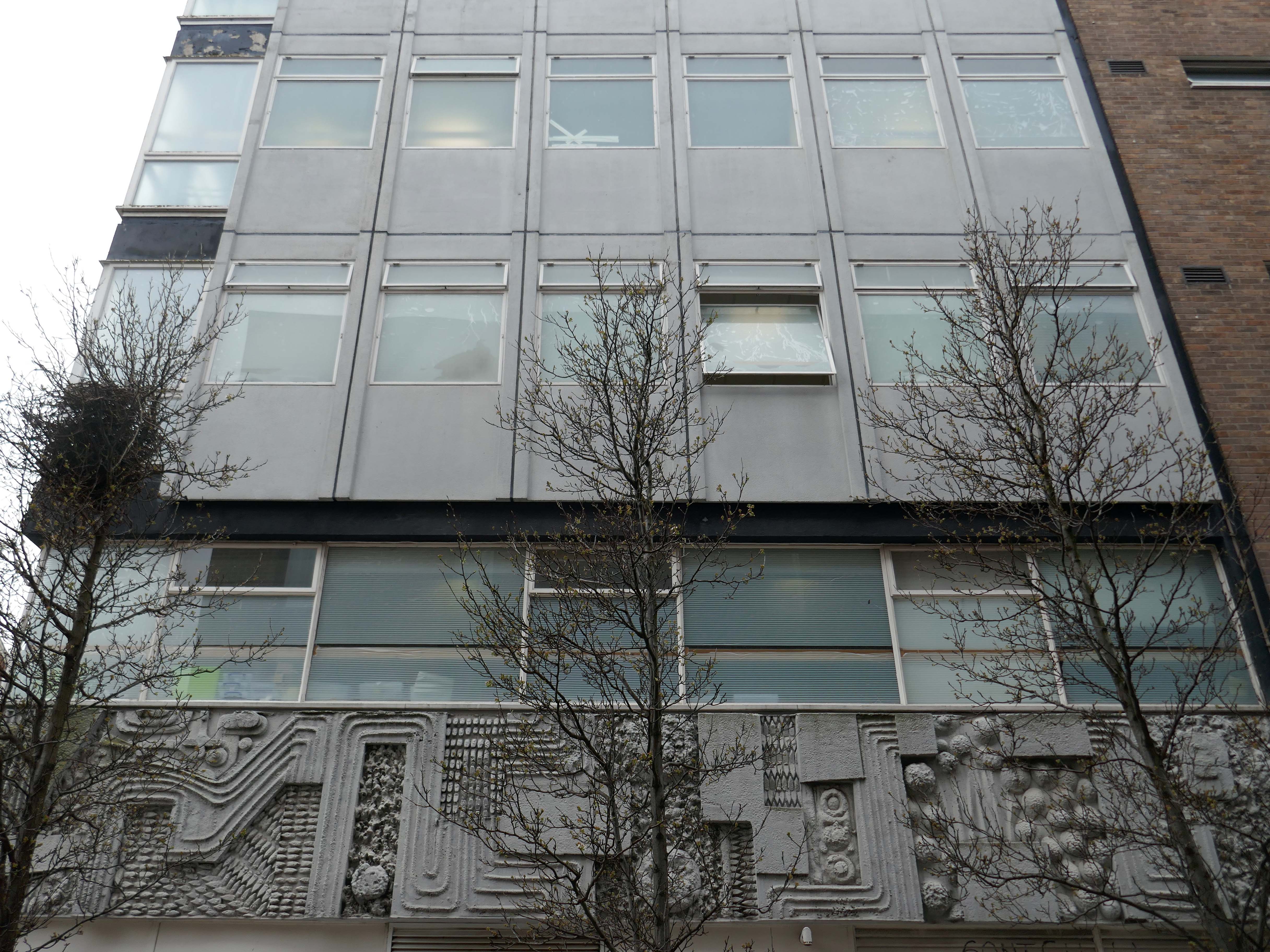
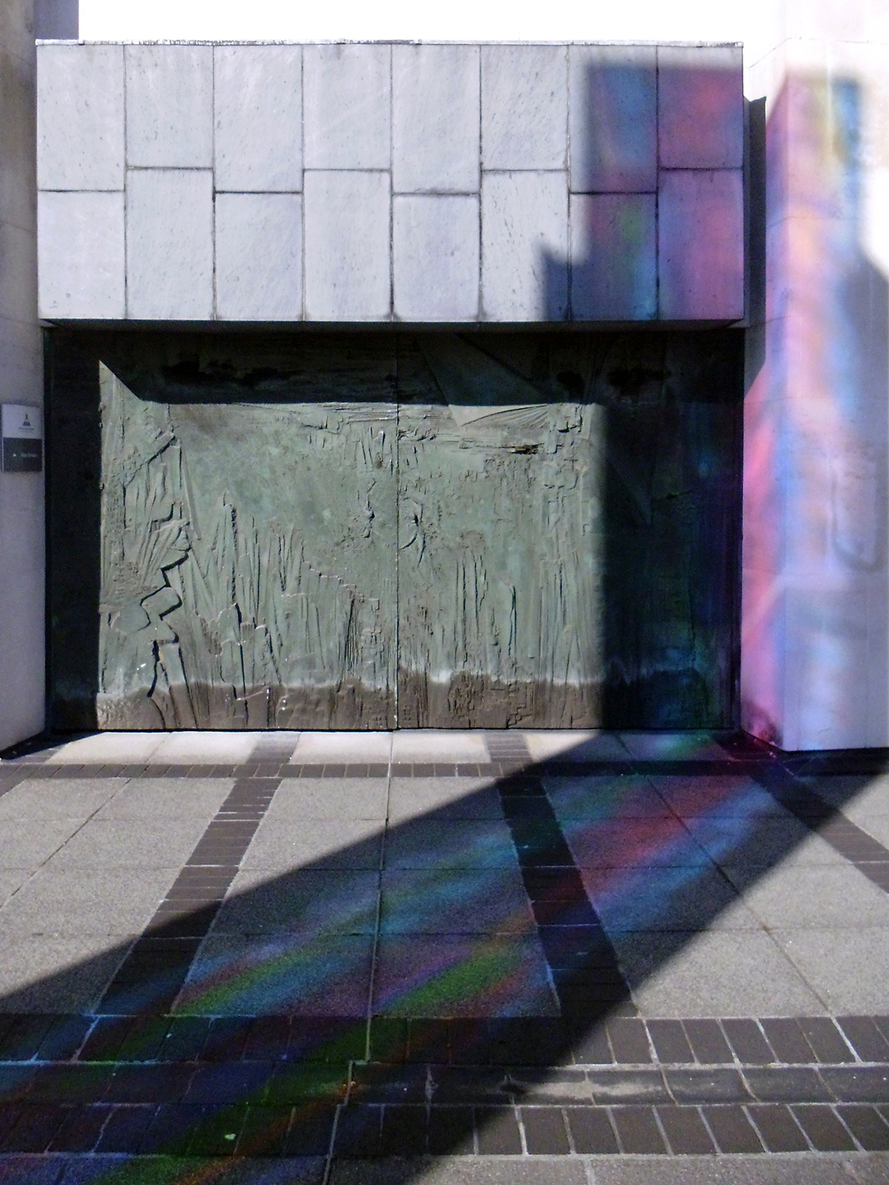
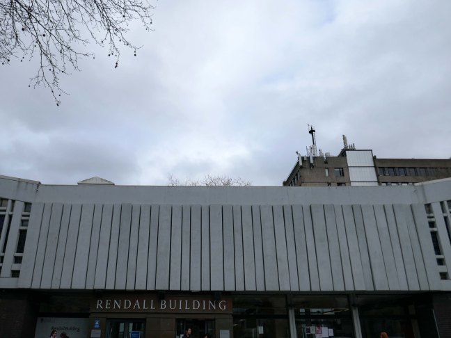
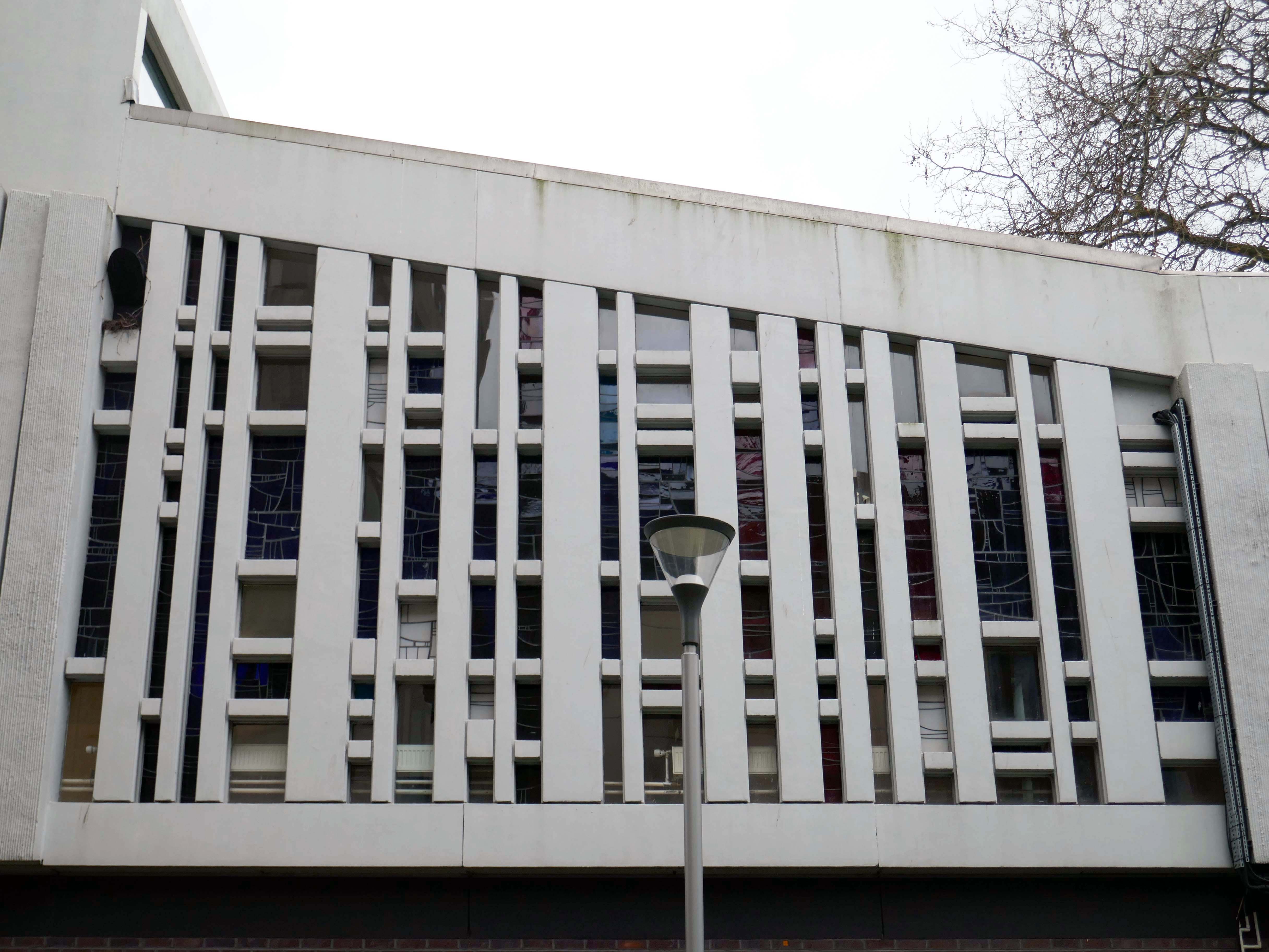
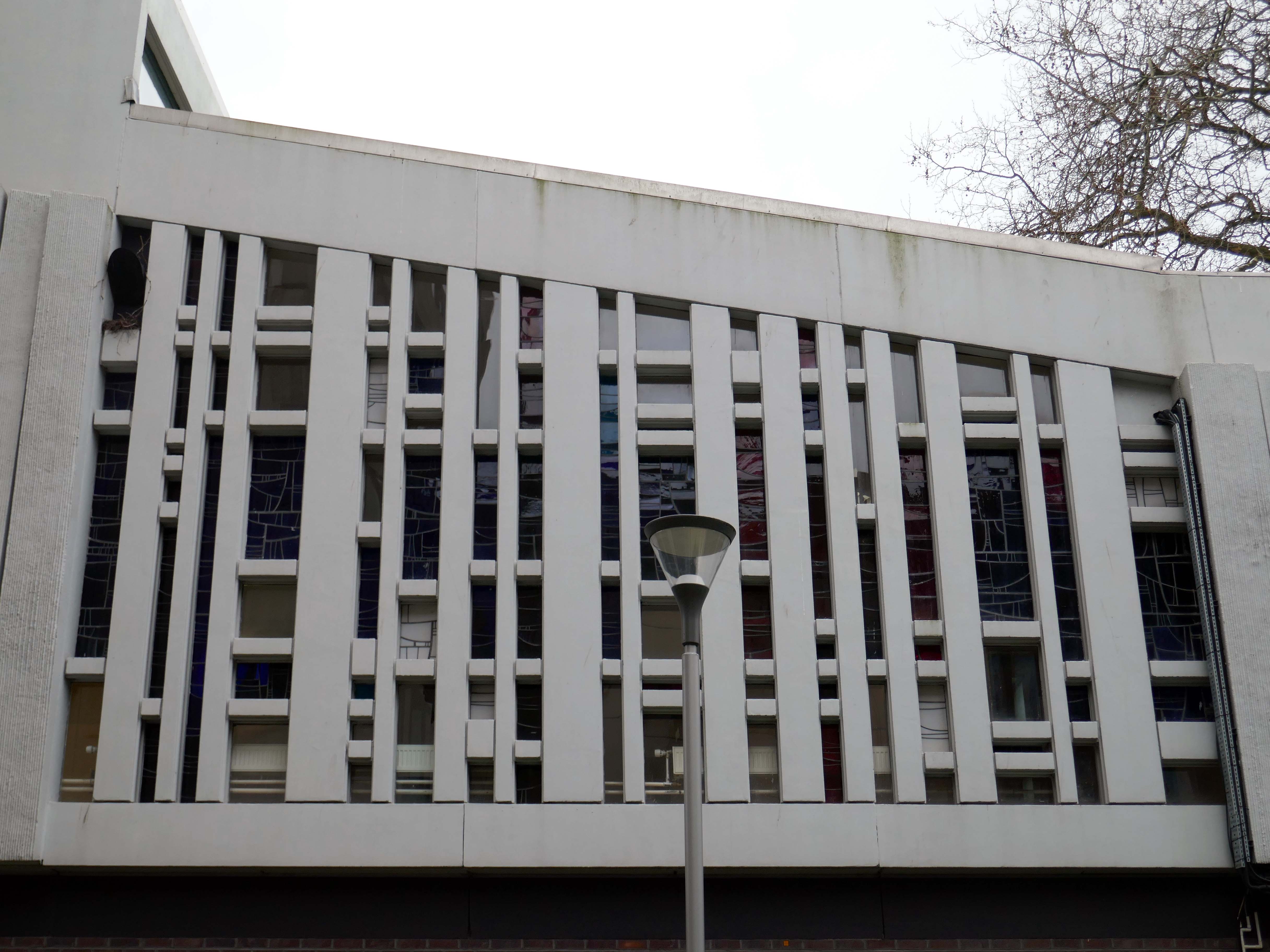
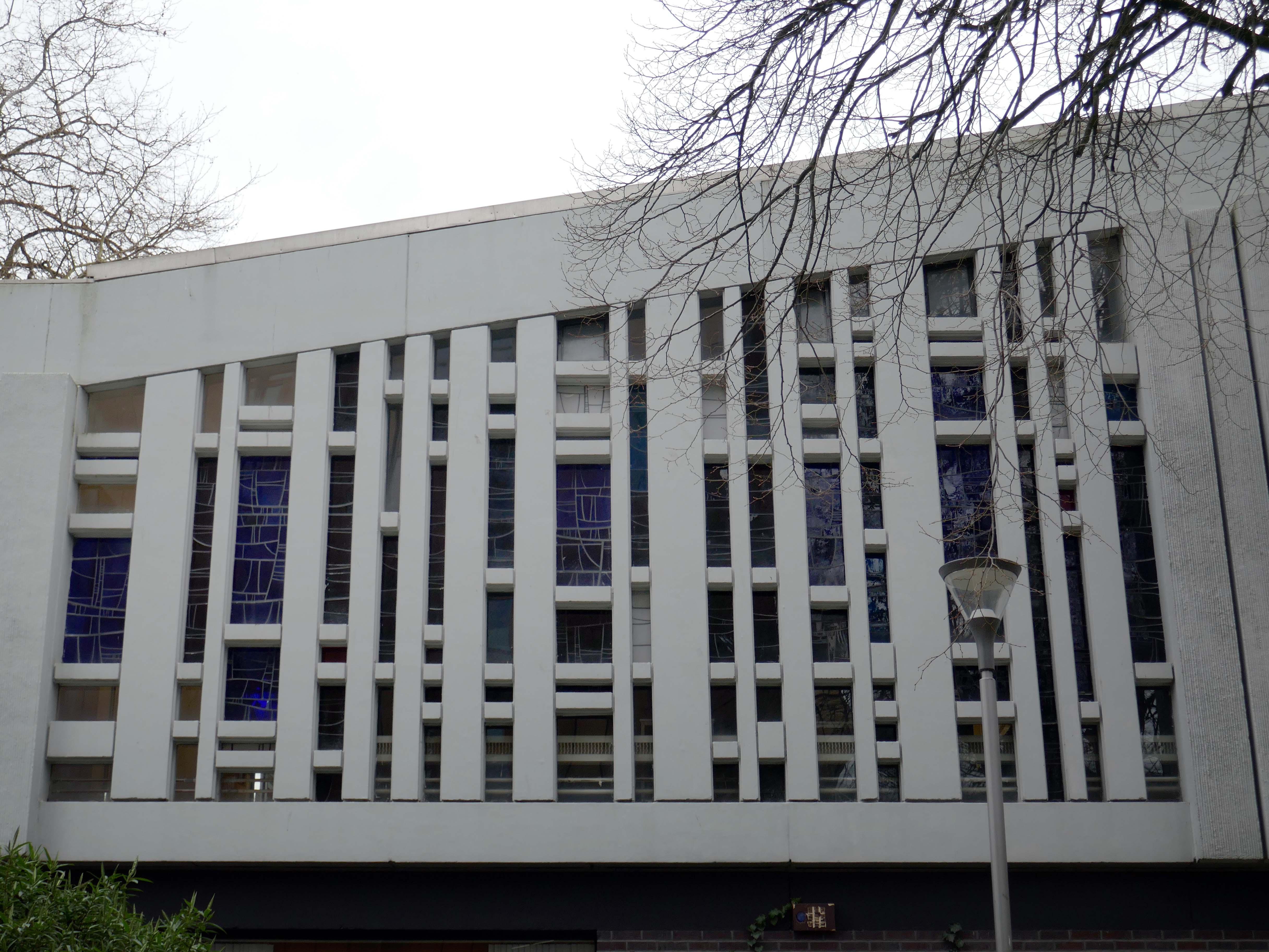
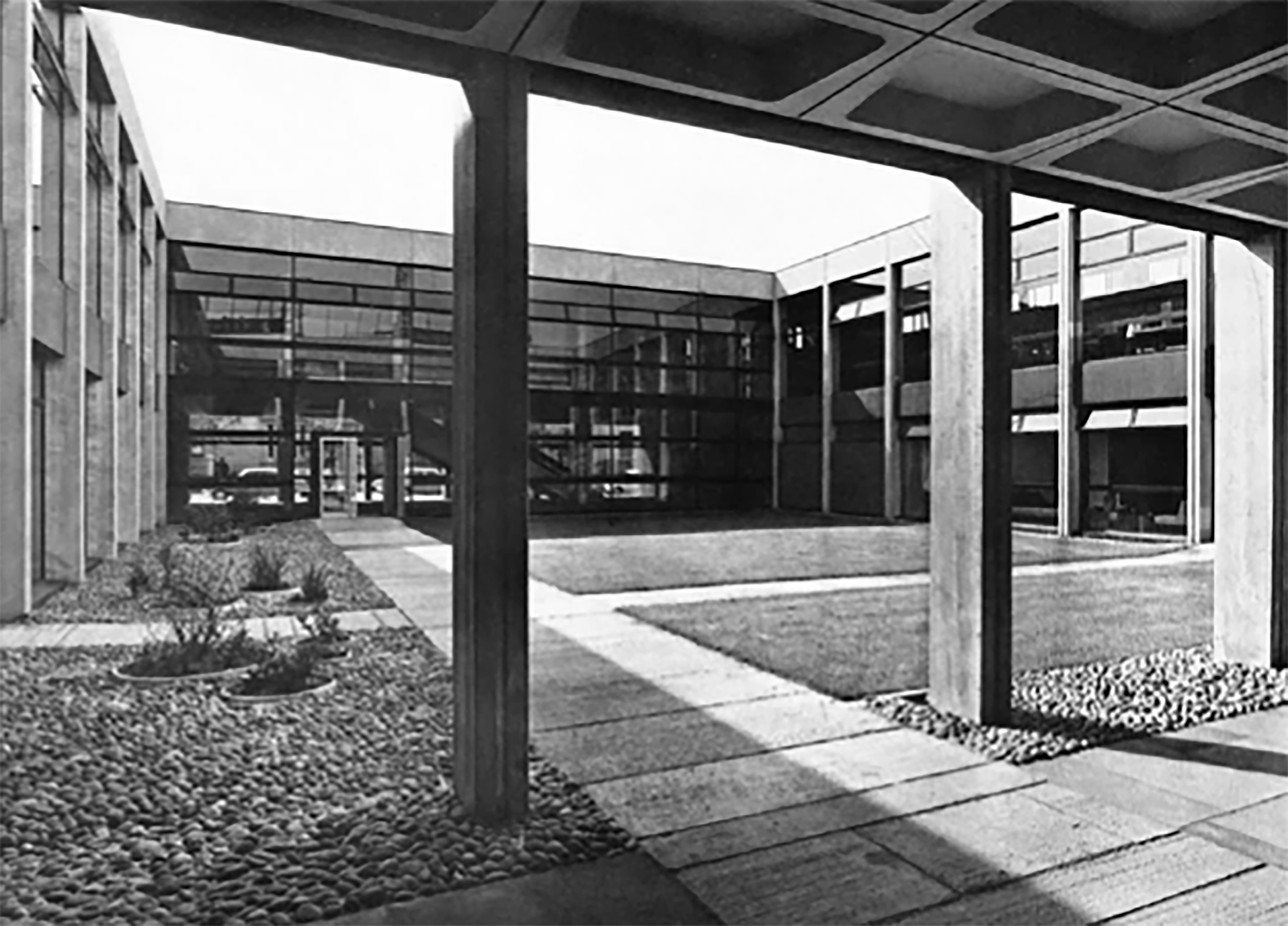
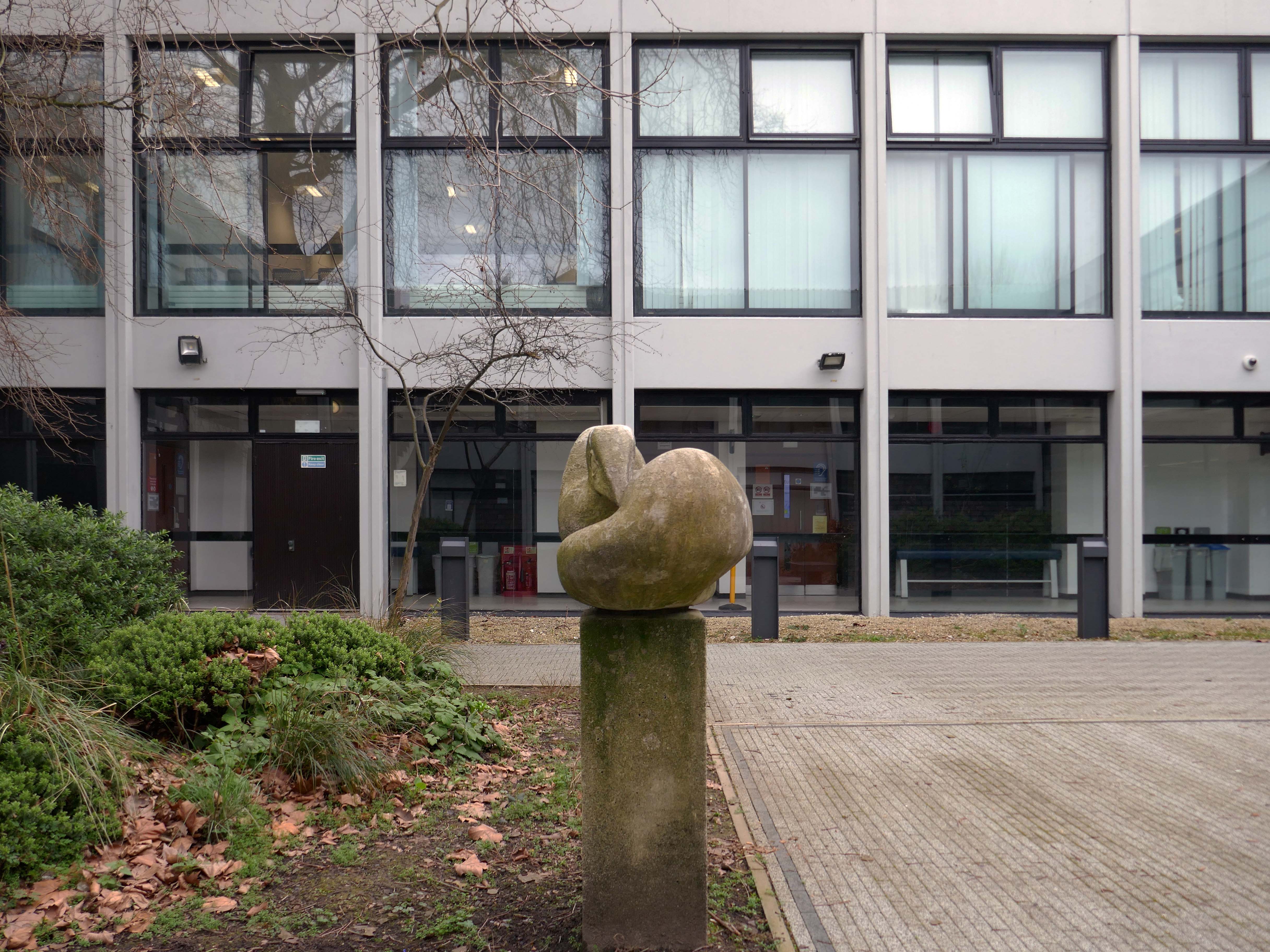
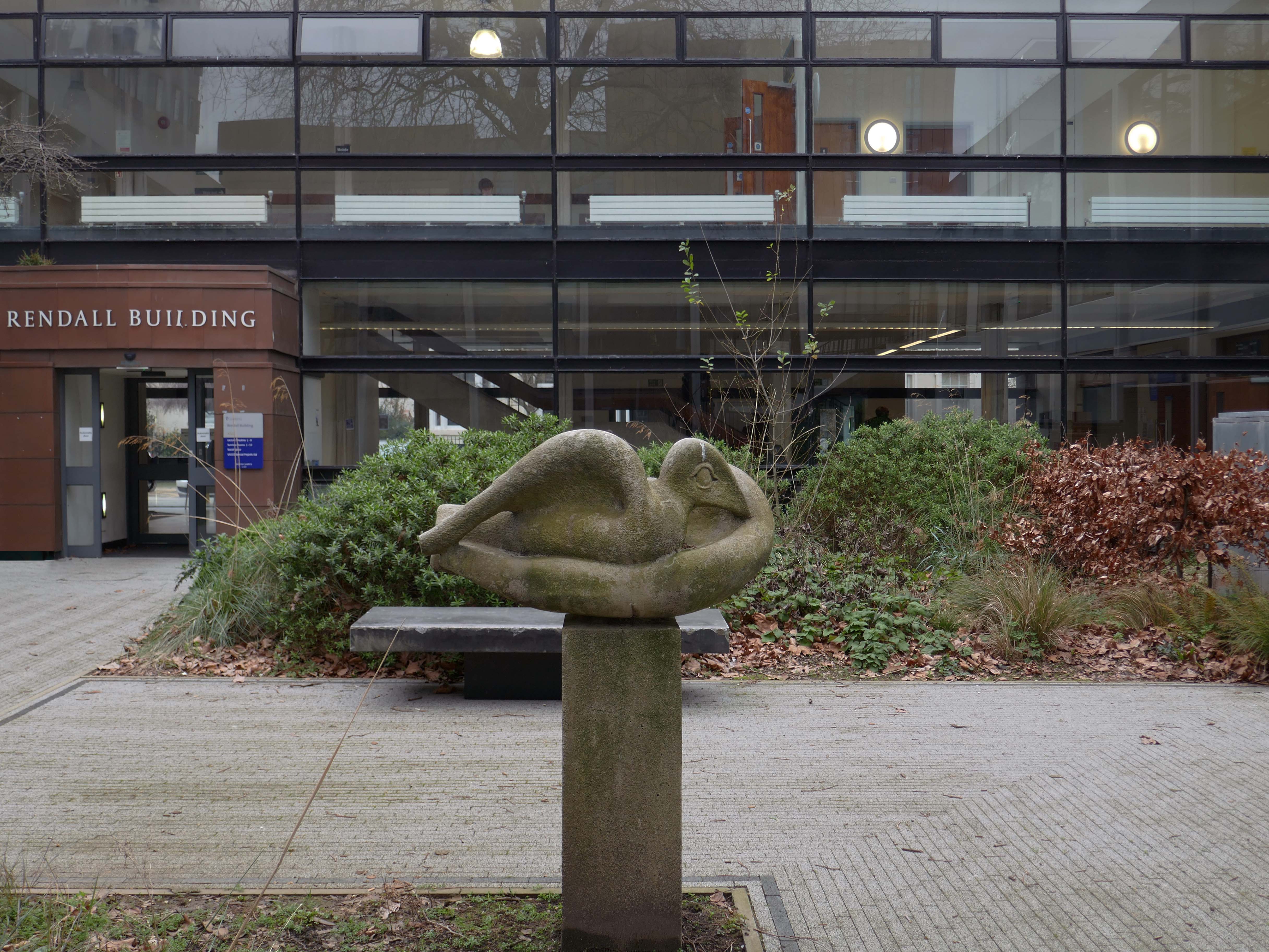
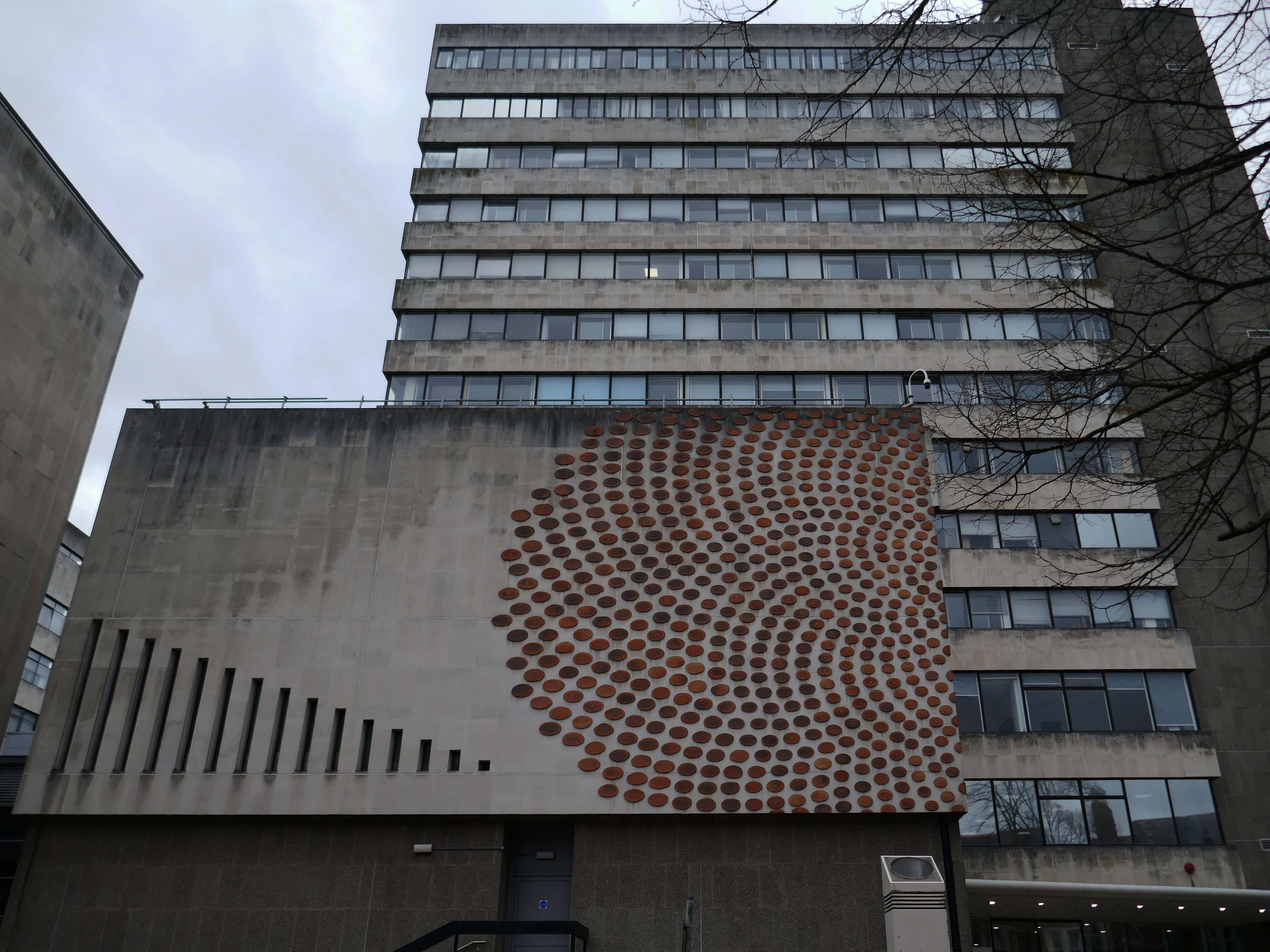
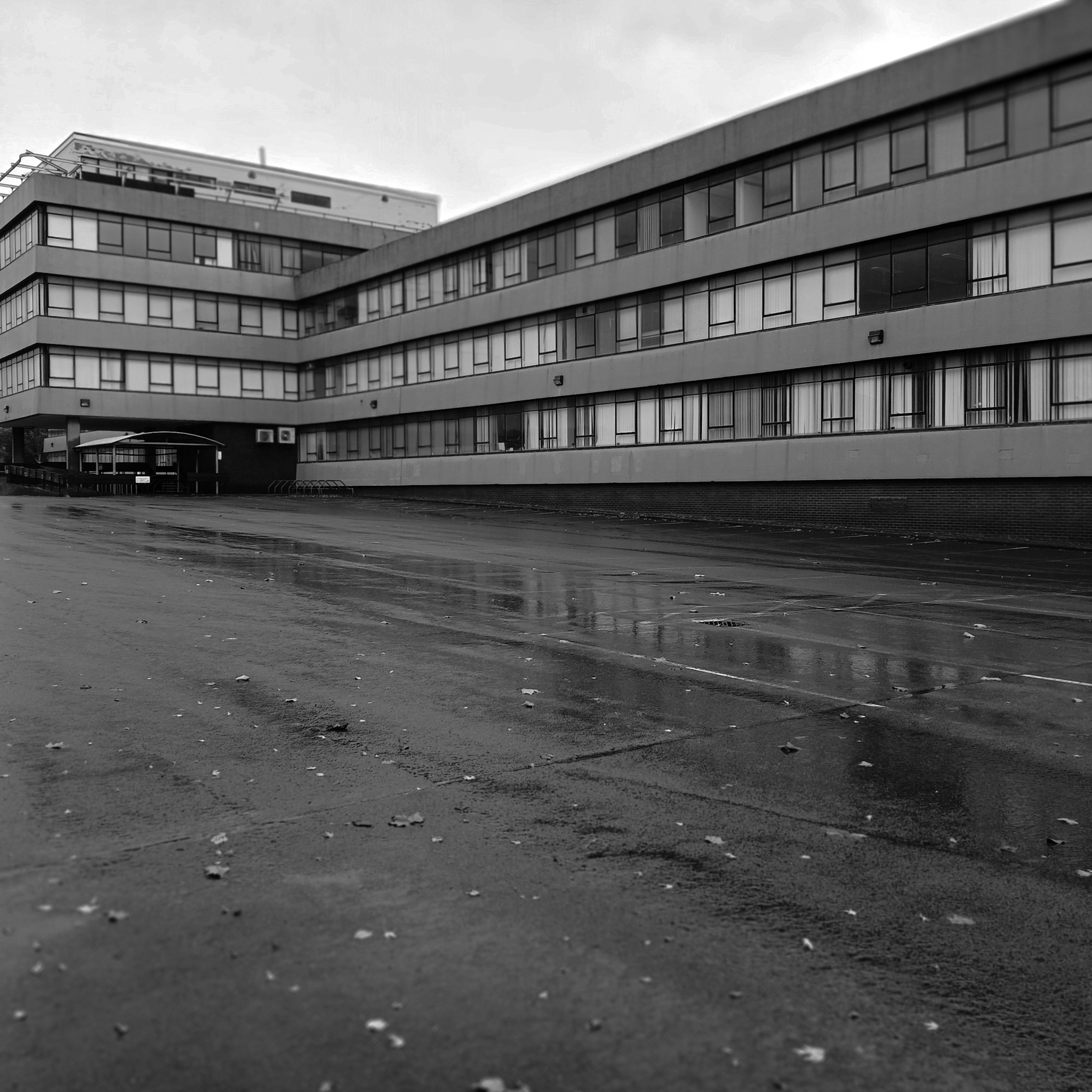
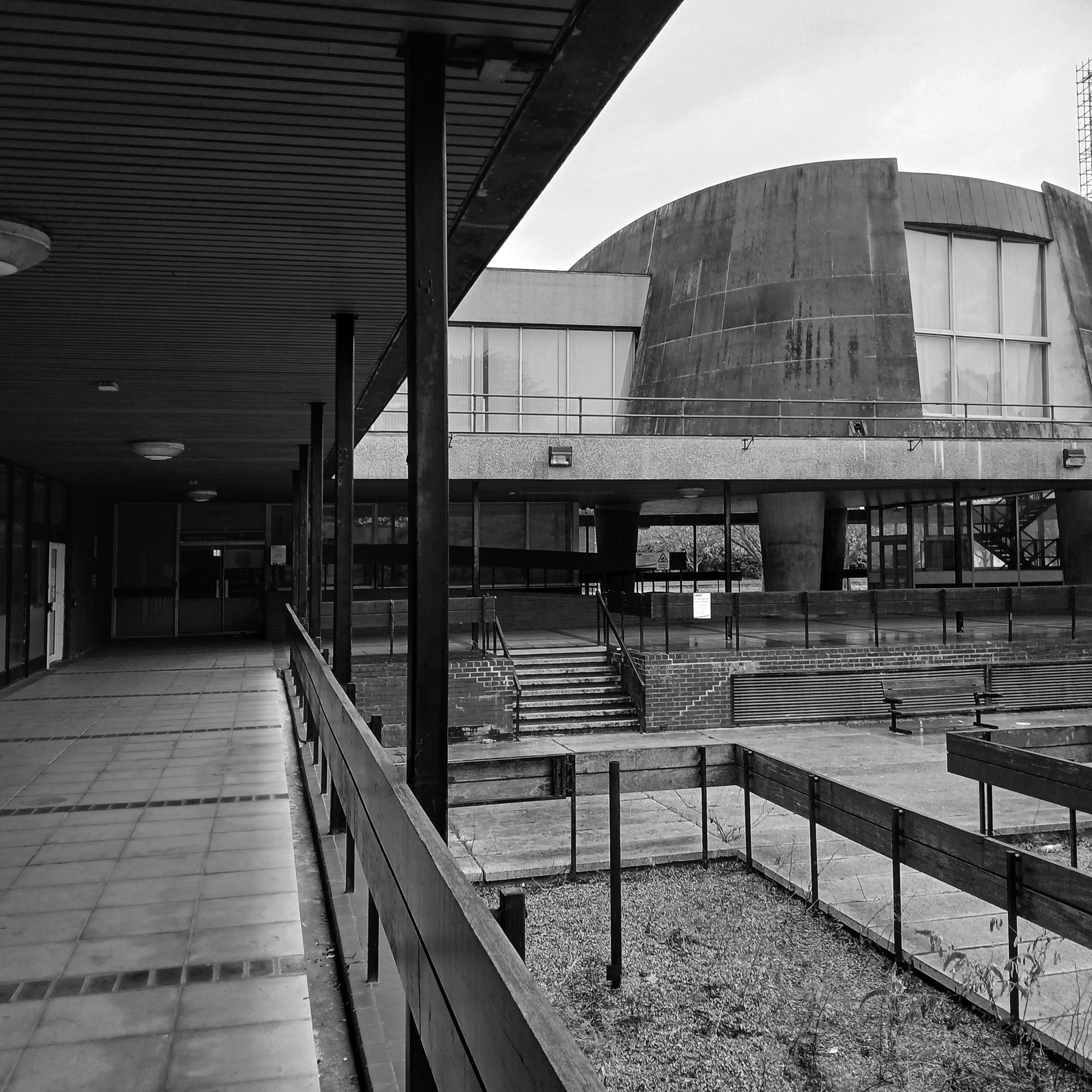
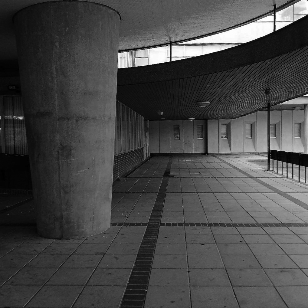
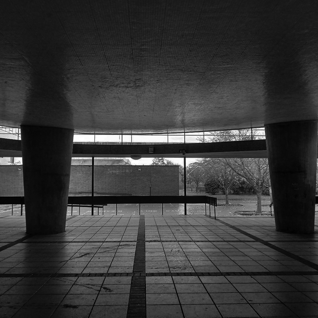
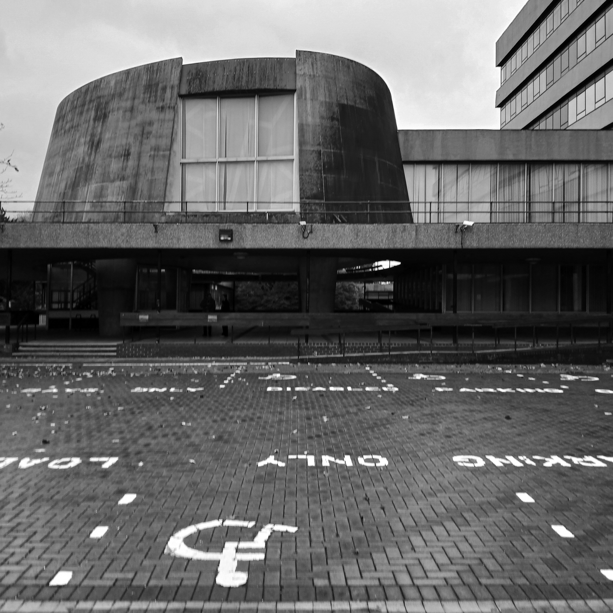
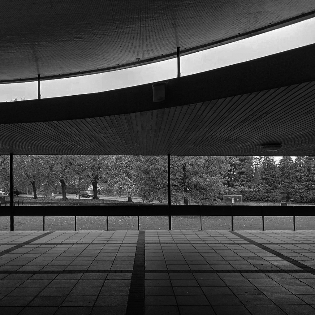
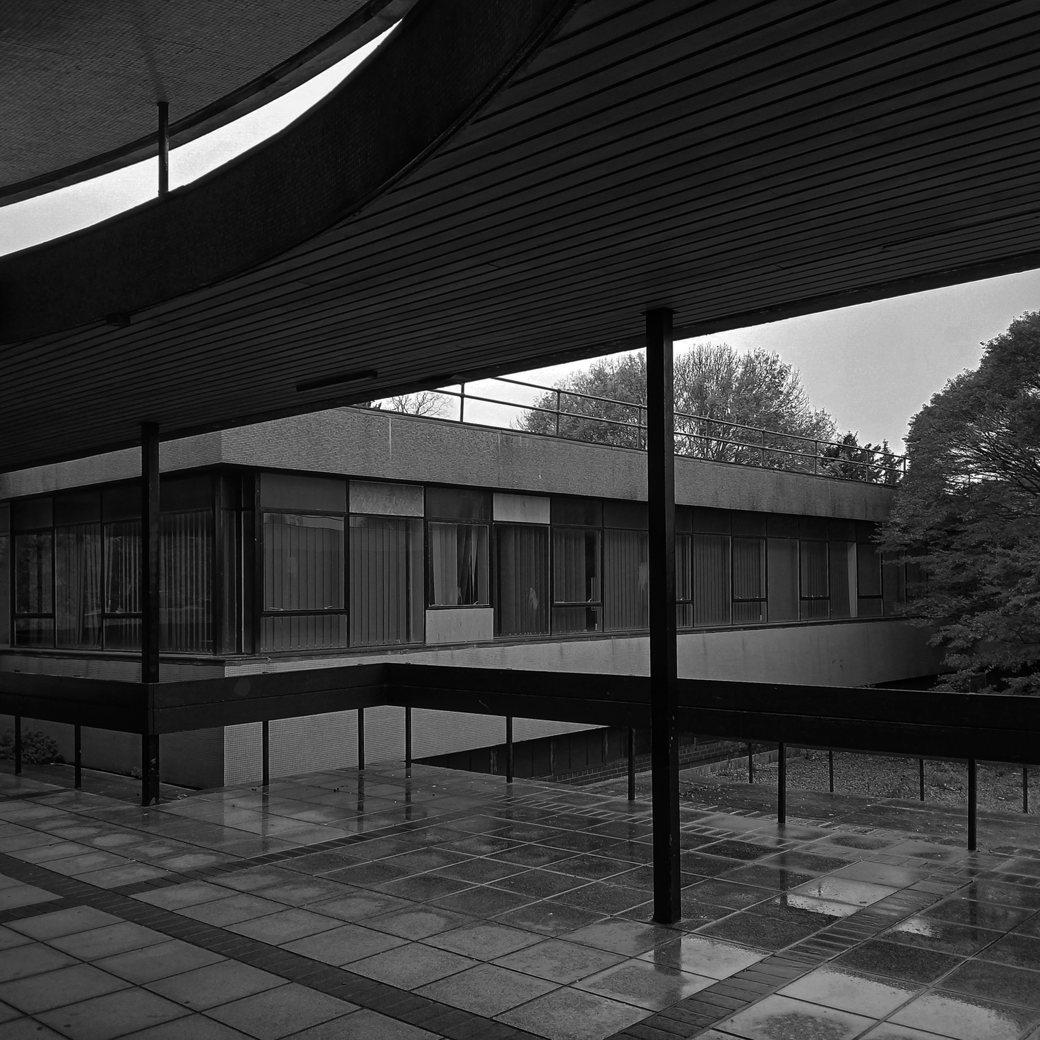
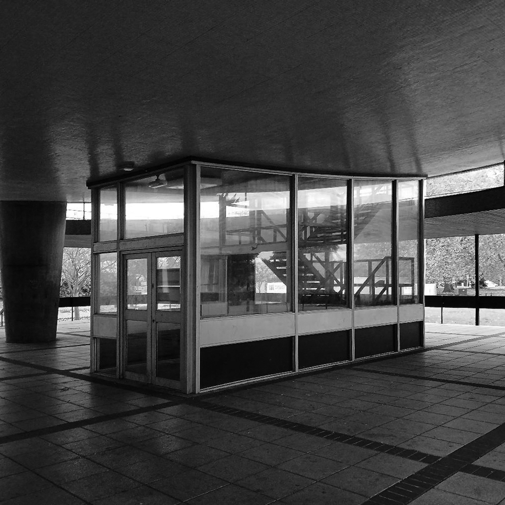
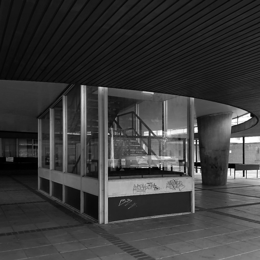
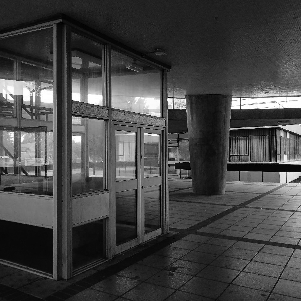
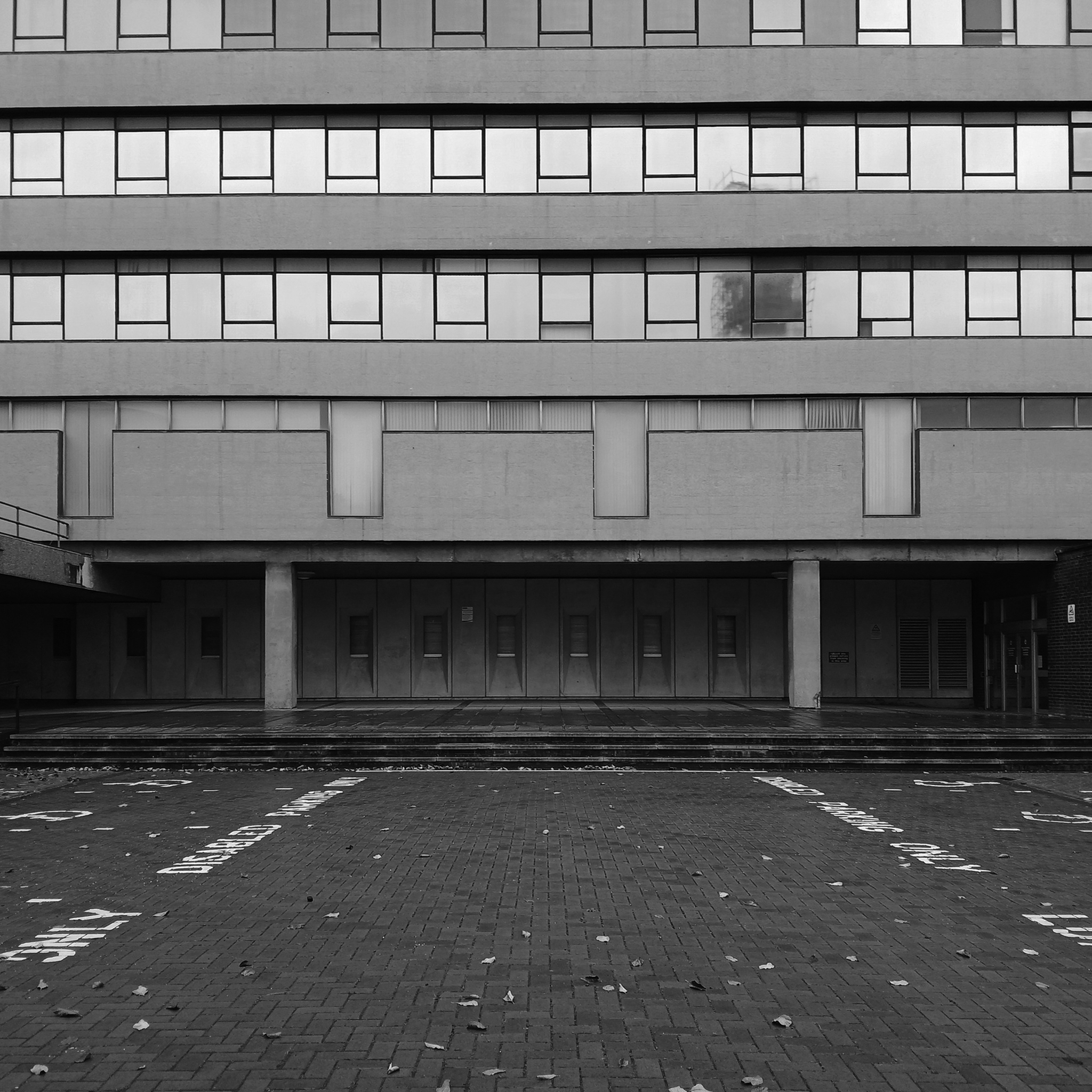
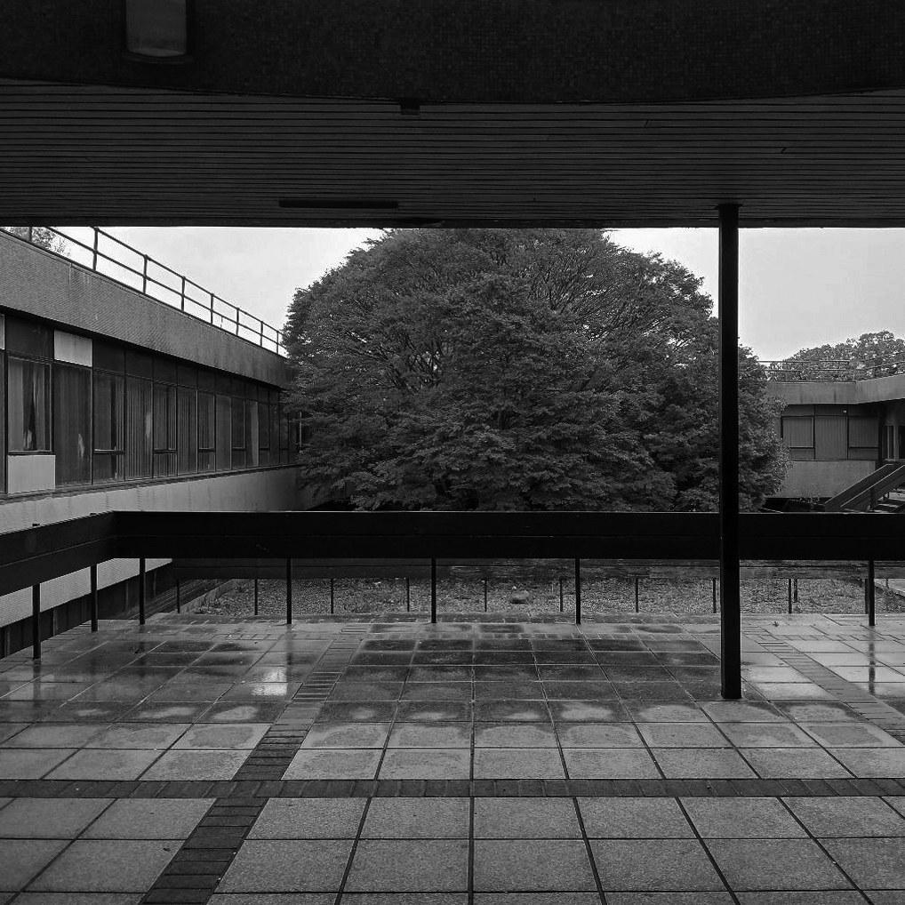
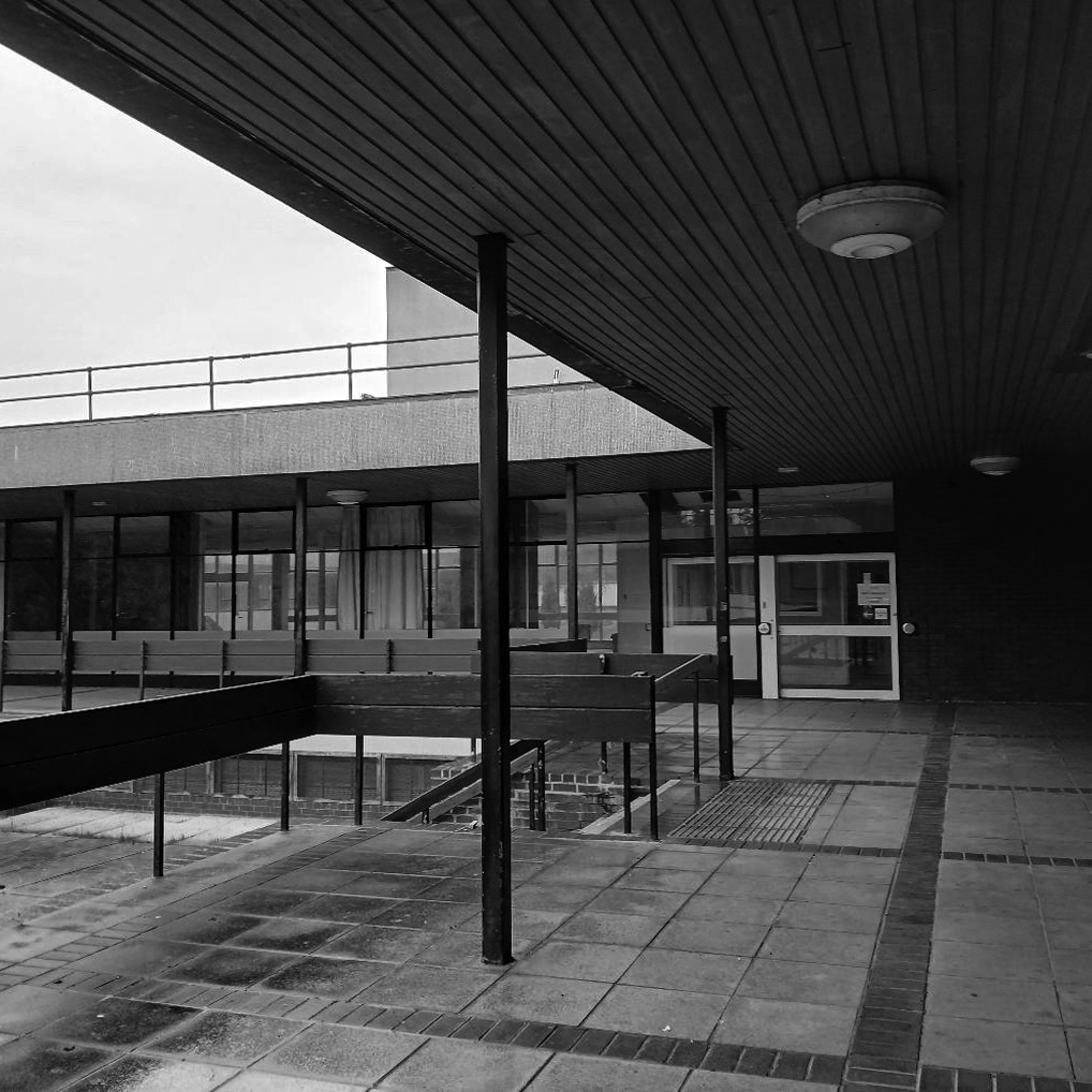
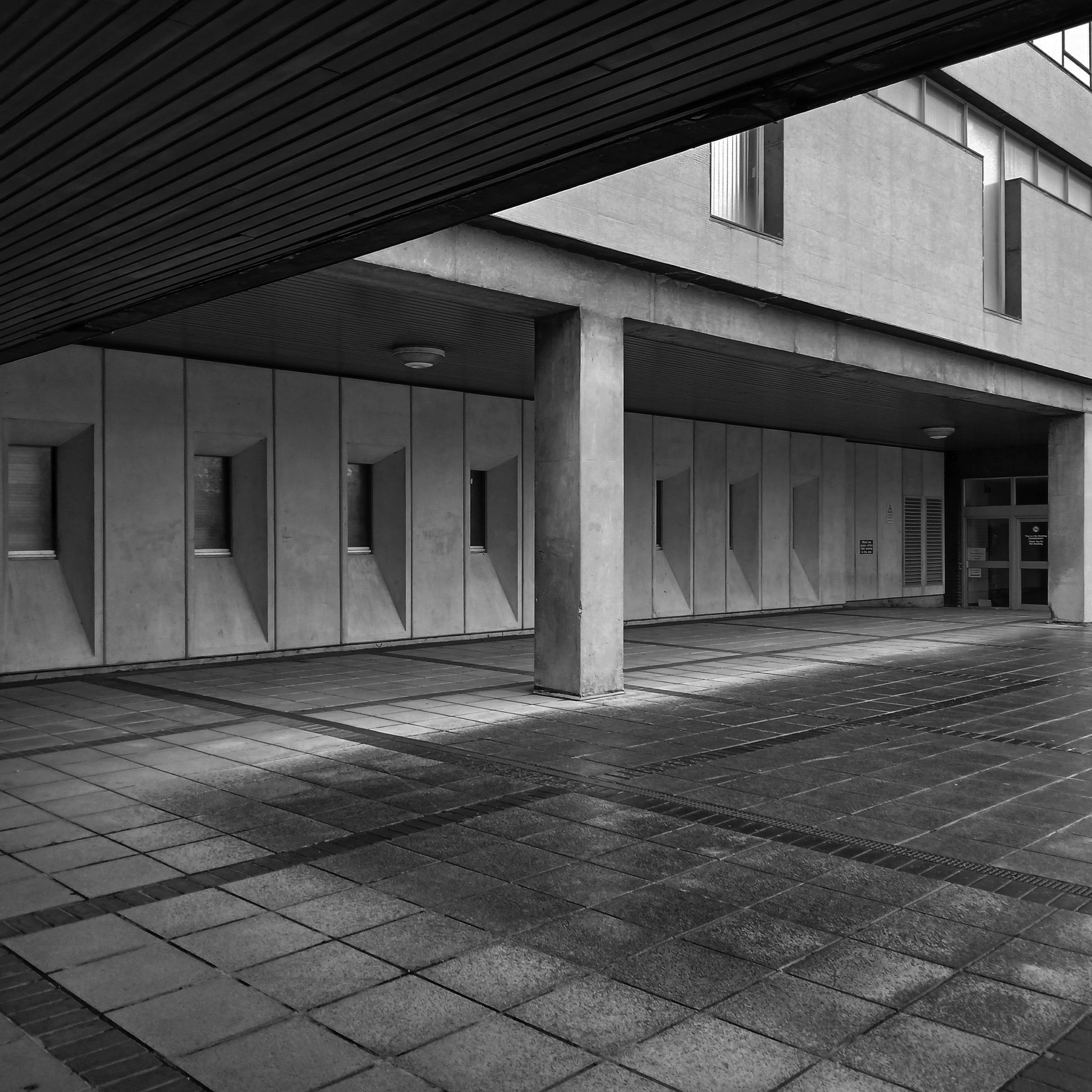
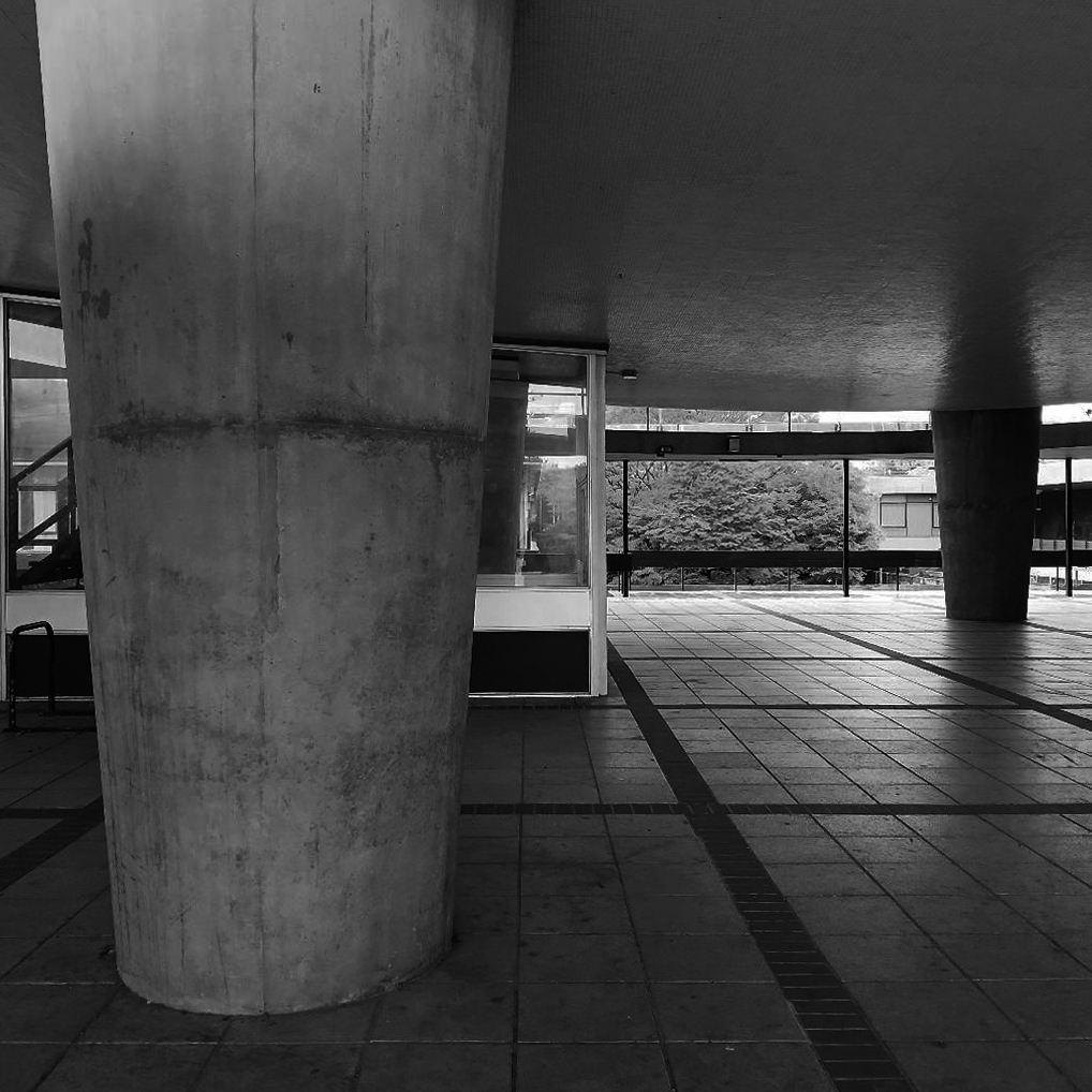
Rendall Building by Bryan & Norman Westwood, Piet & Partners 1964-6
Named after Gerald Henry Rendall who was an English educator and college administrator.
He was principal of University College Liverpool.
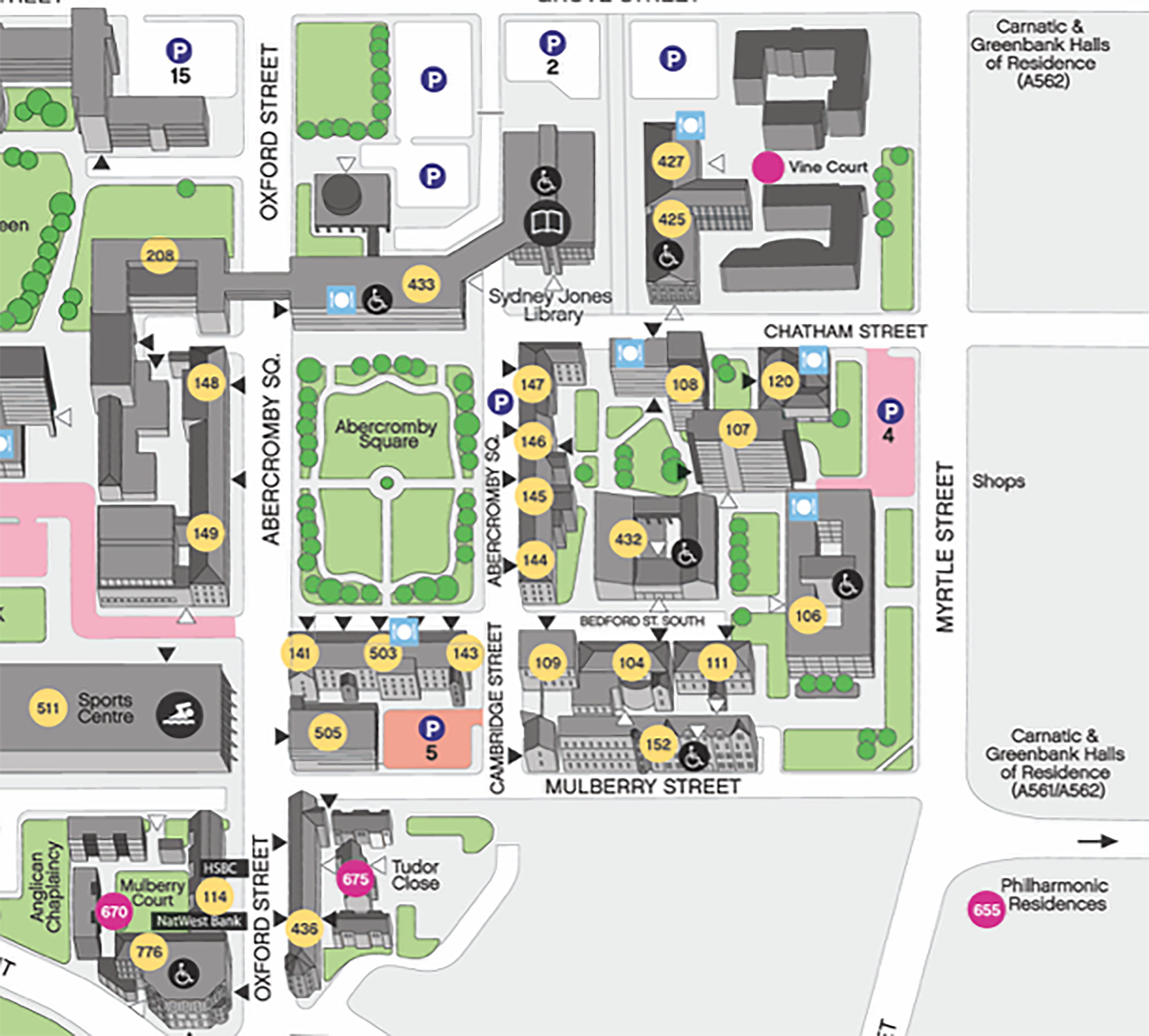
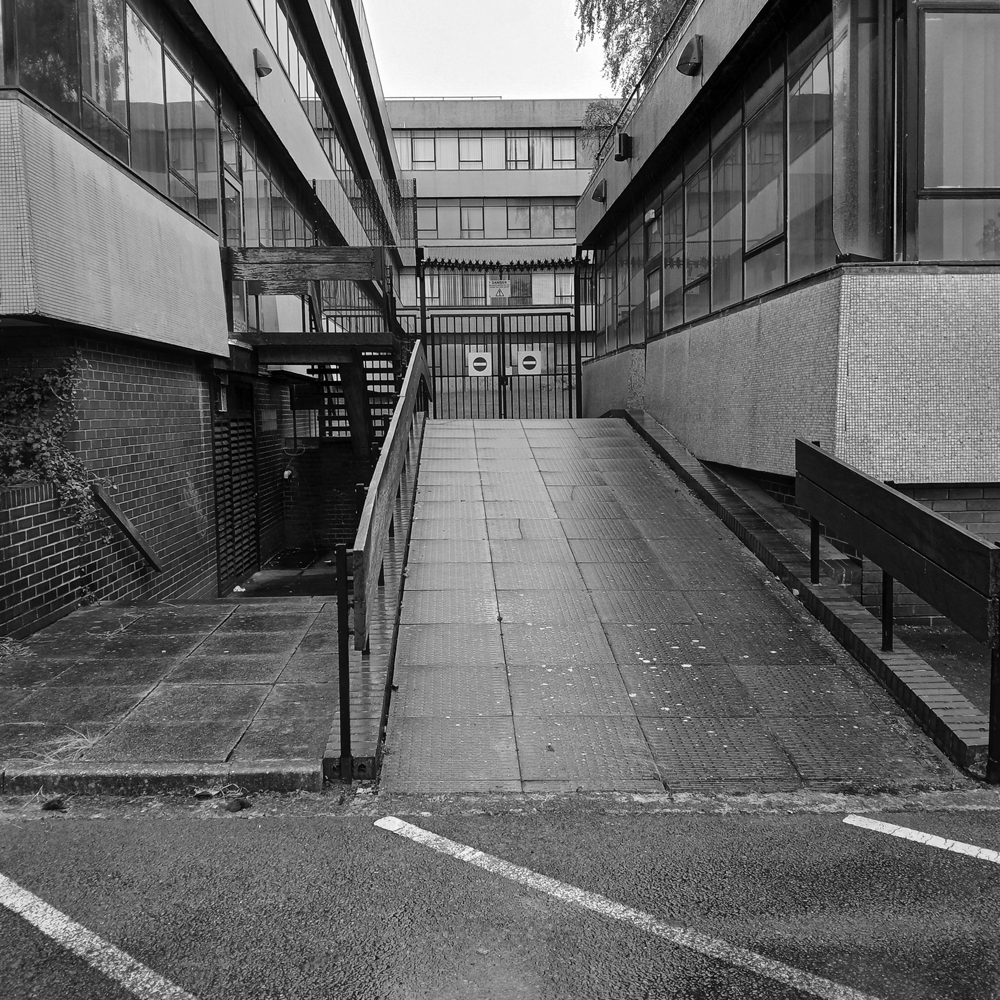
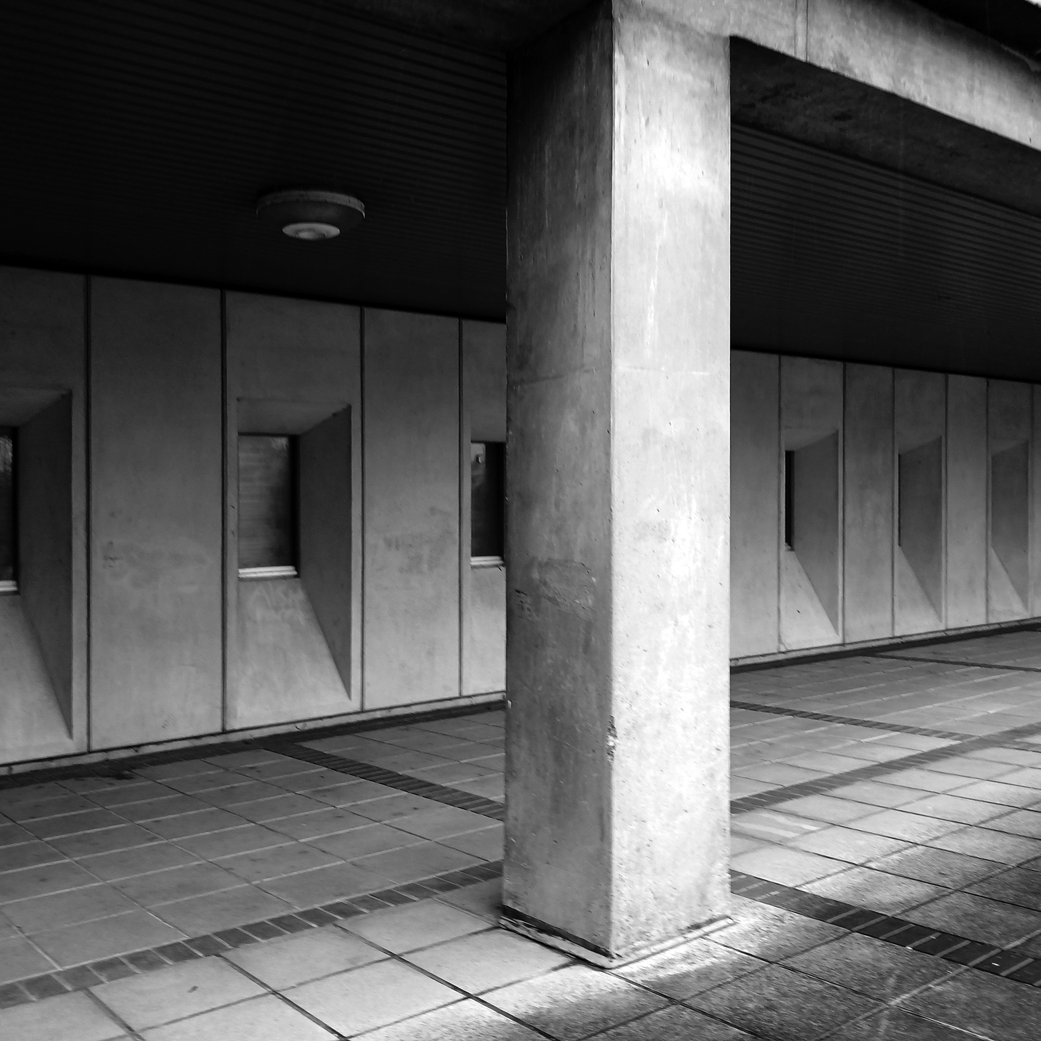
We have been here before at liverpool-university, exploring the space betwixt and between the two cathedrals.
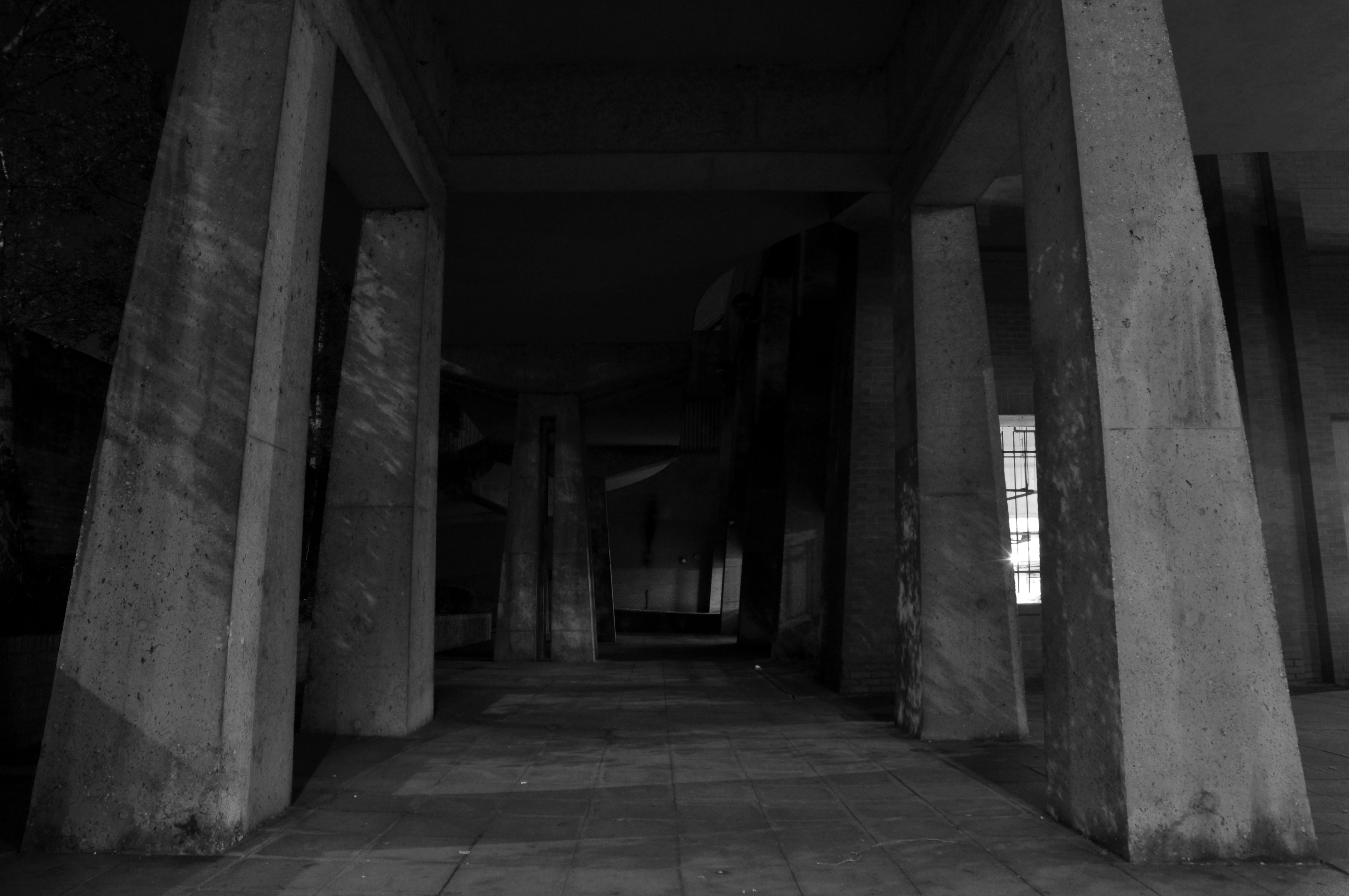
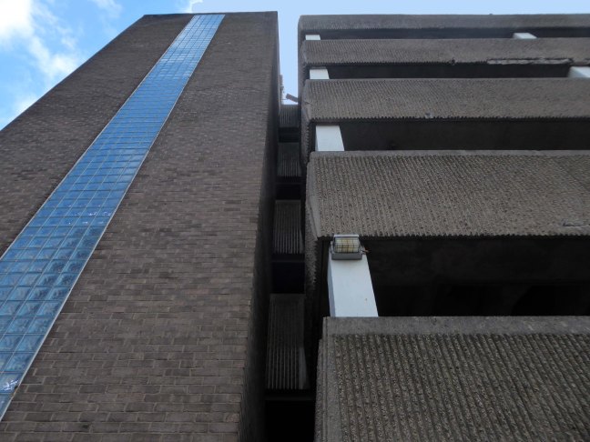
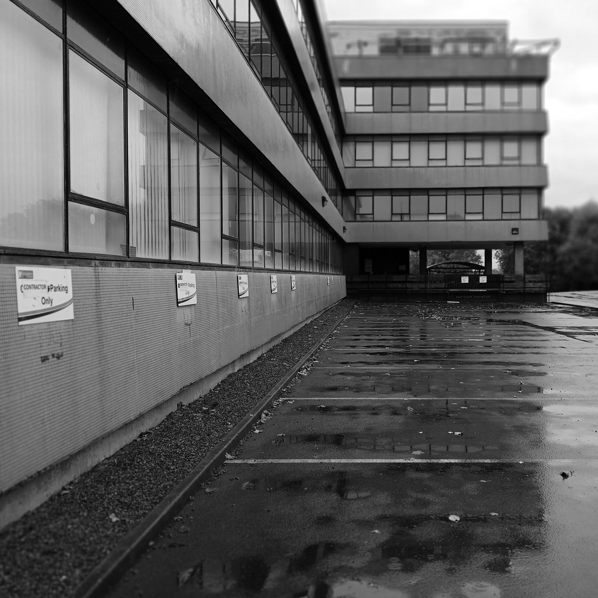
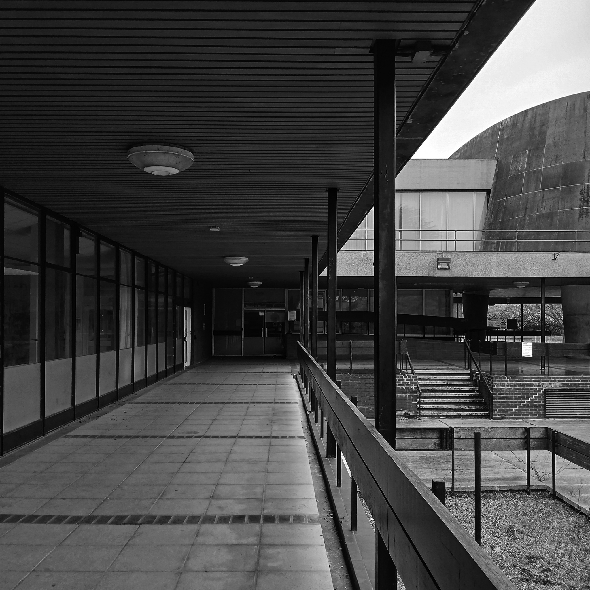
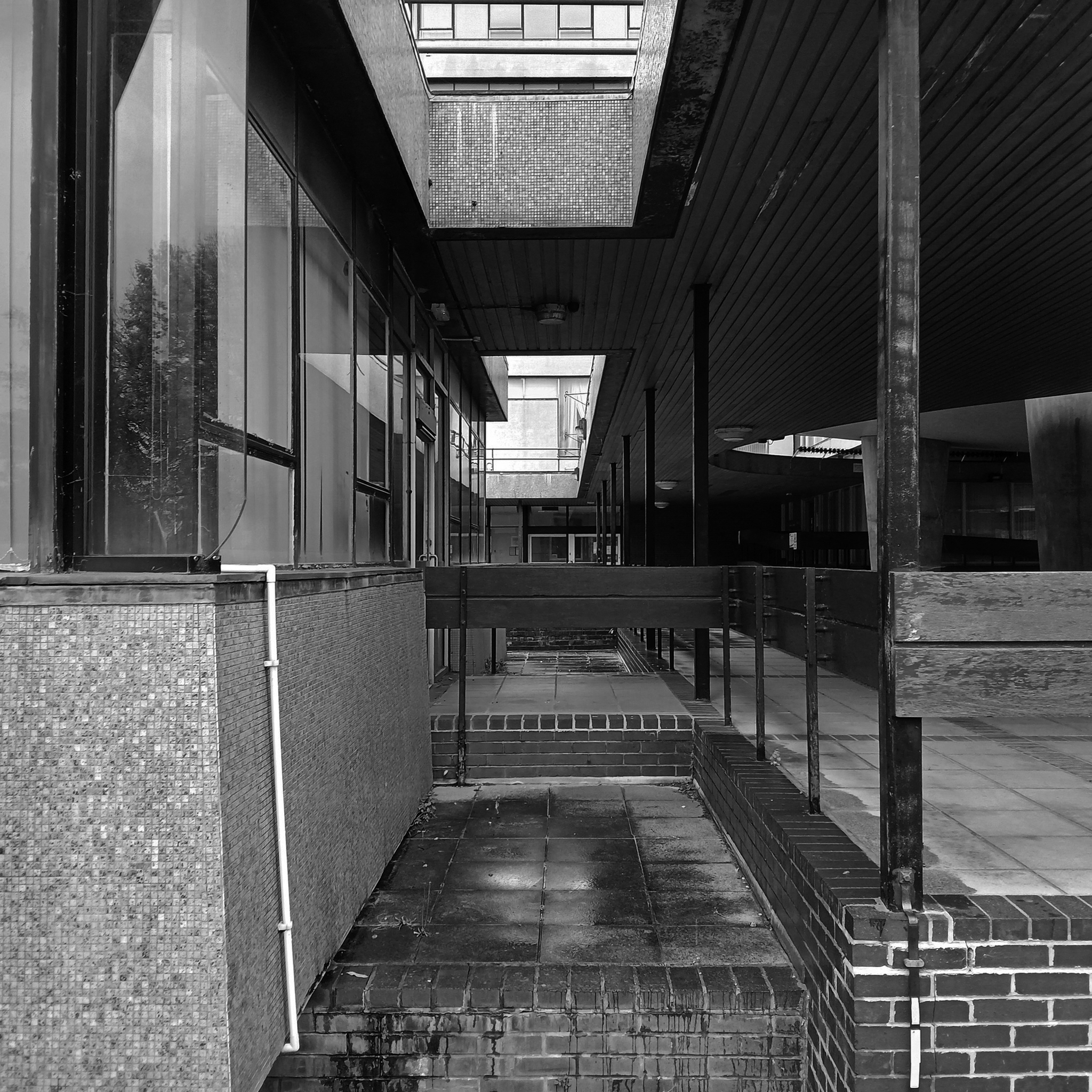
On this occasion, I wish to draw attention to this relatively small but perfectly formed building – #432 on your maps.
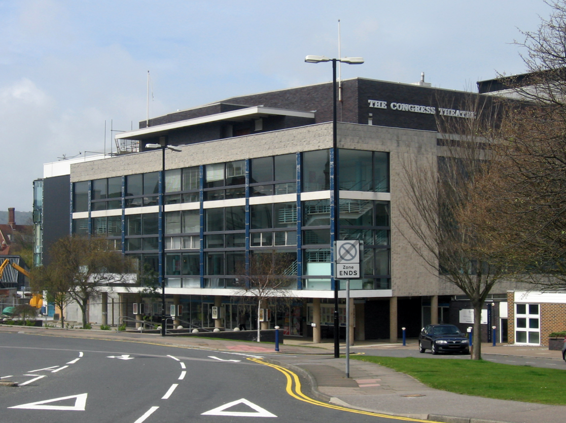
Westwood, Piet & Partners were well-known architects during the post-war period in Britain and built a body of varied work including army barracks, retail and theatre design. An example of their work is the Congress Theatre in Eastbourne – Grade II* listed.
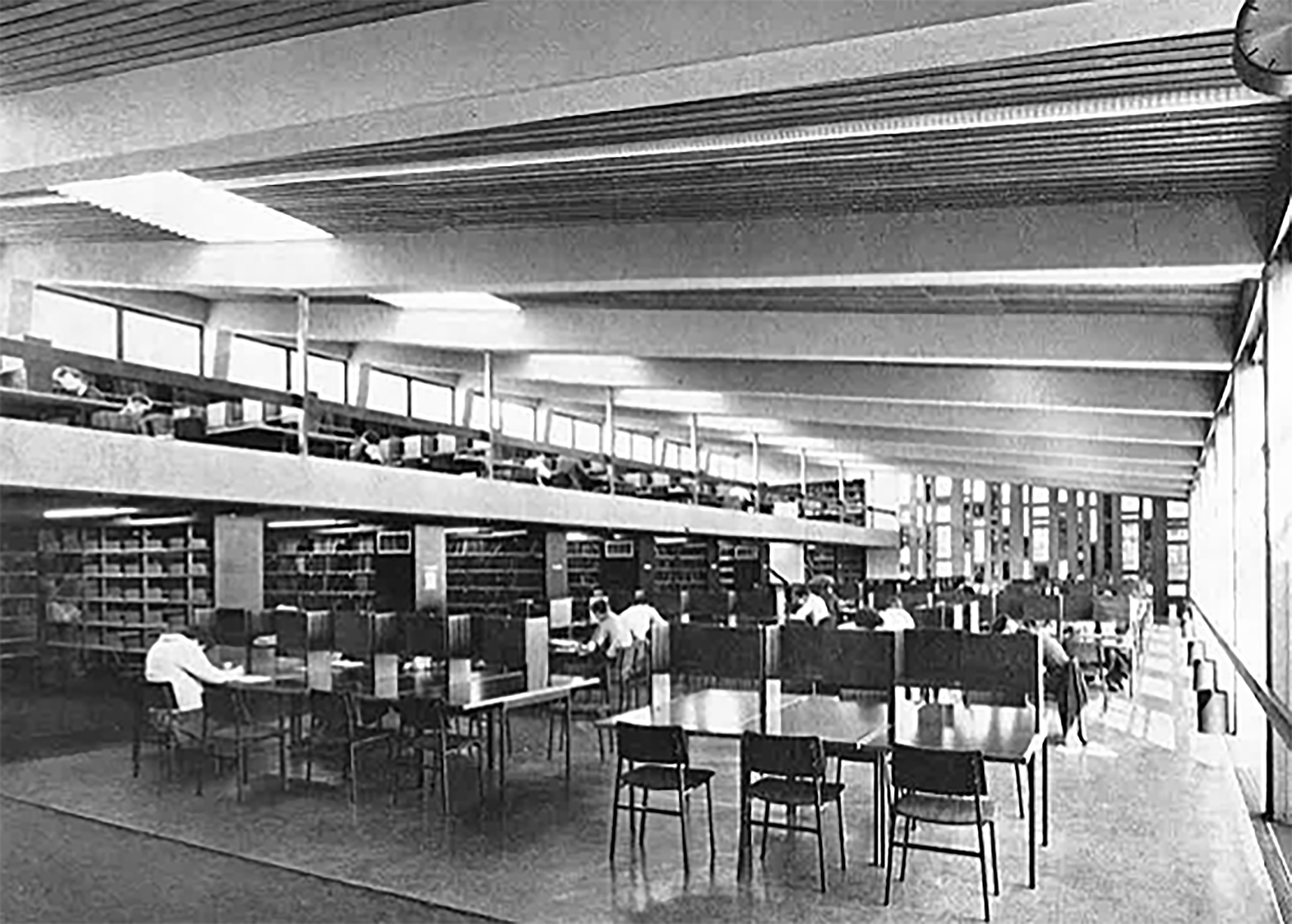
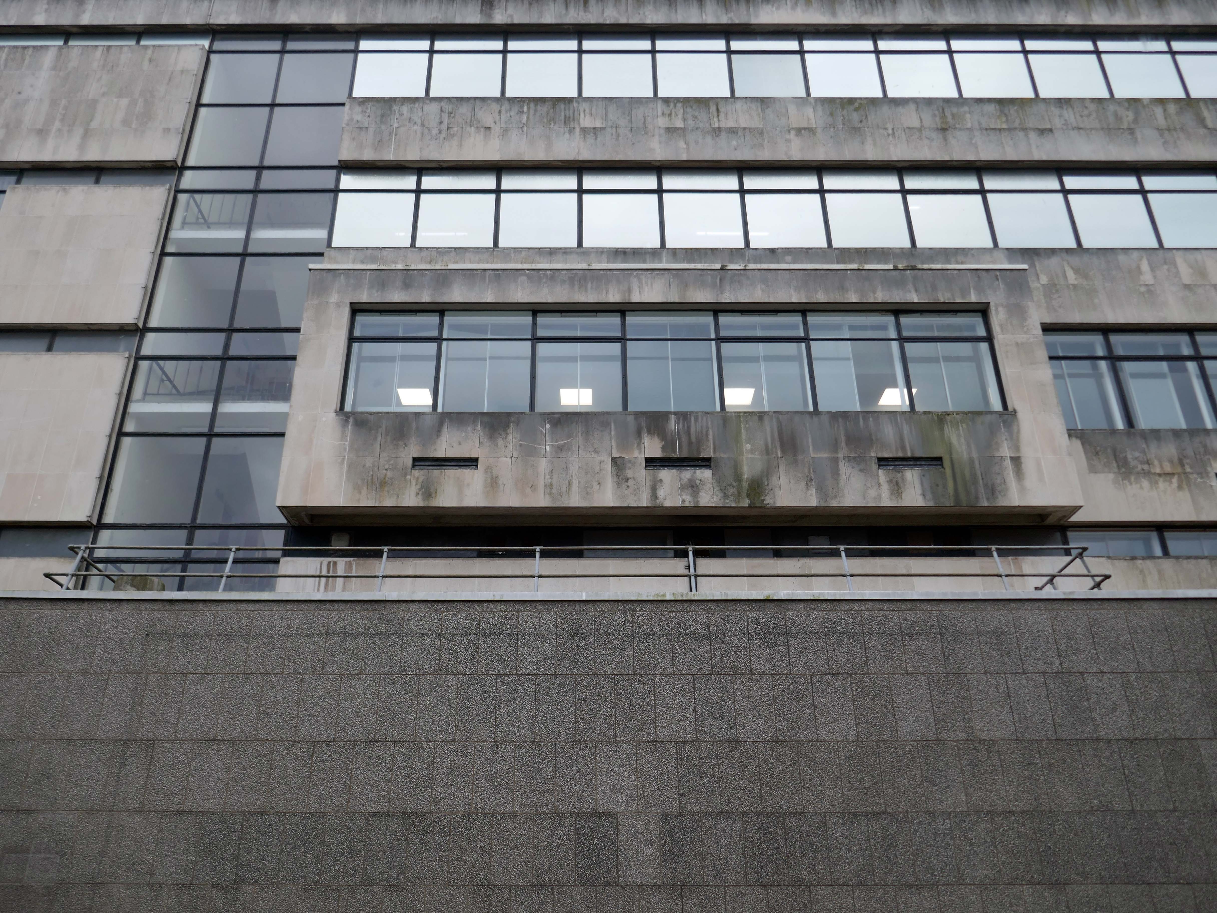
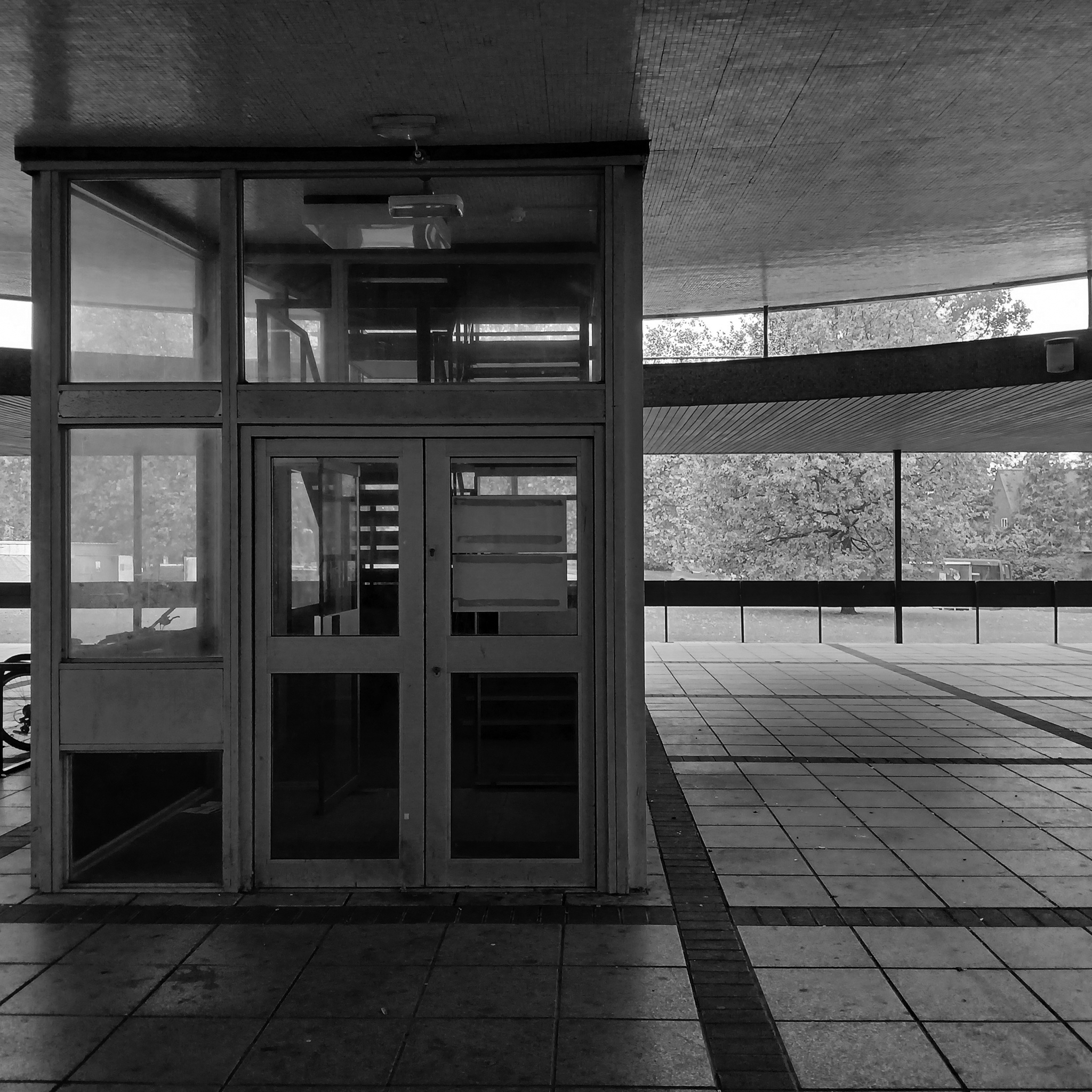
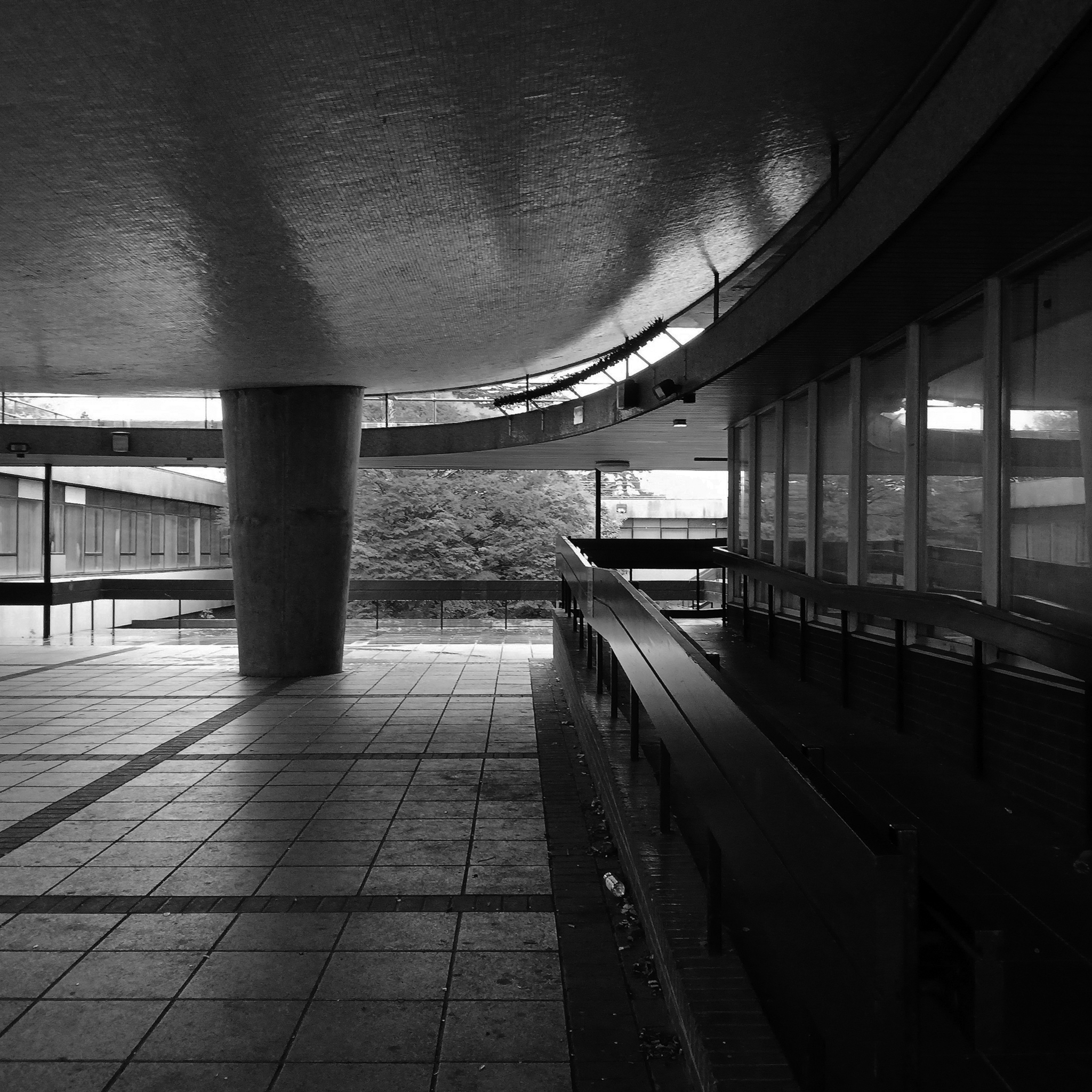
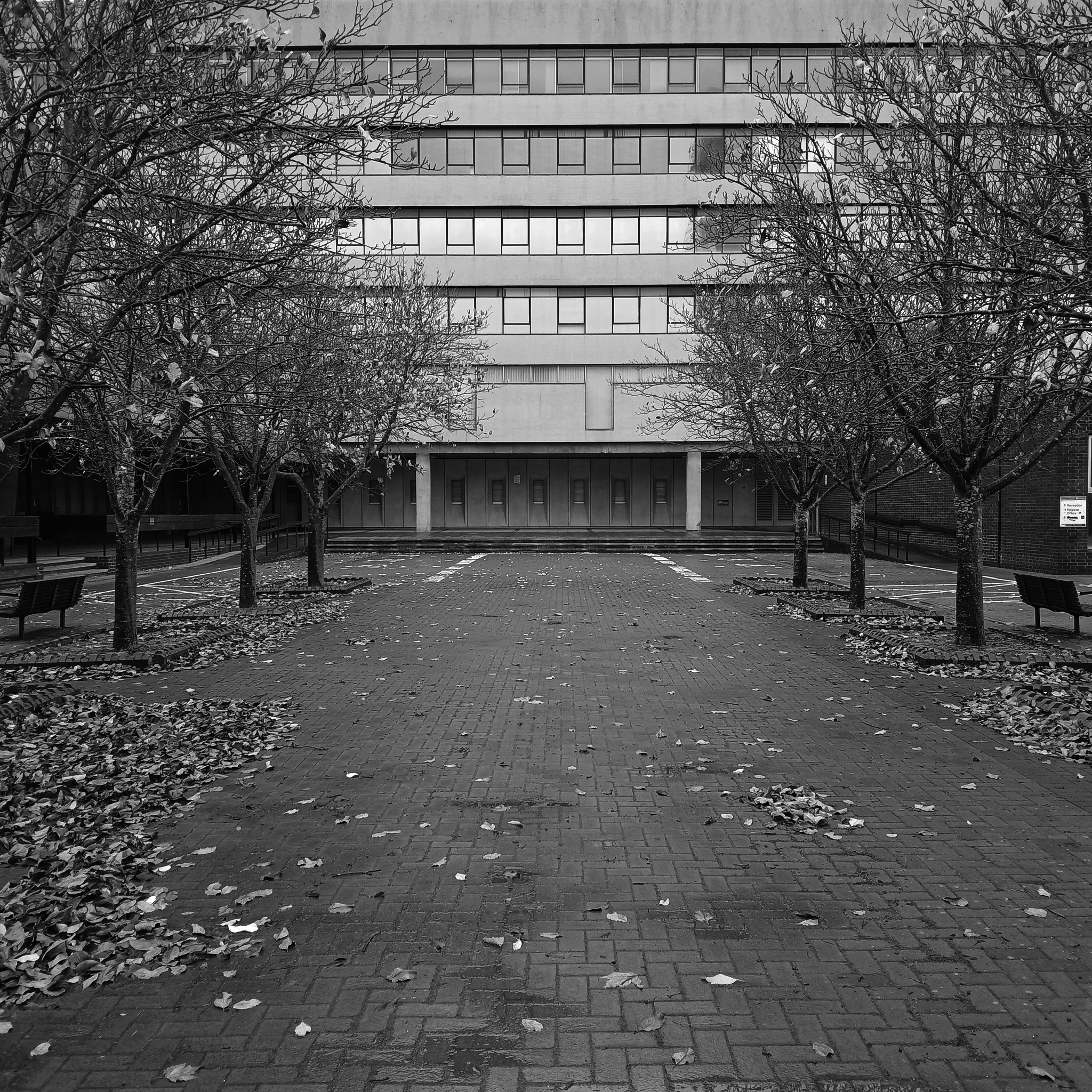
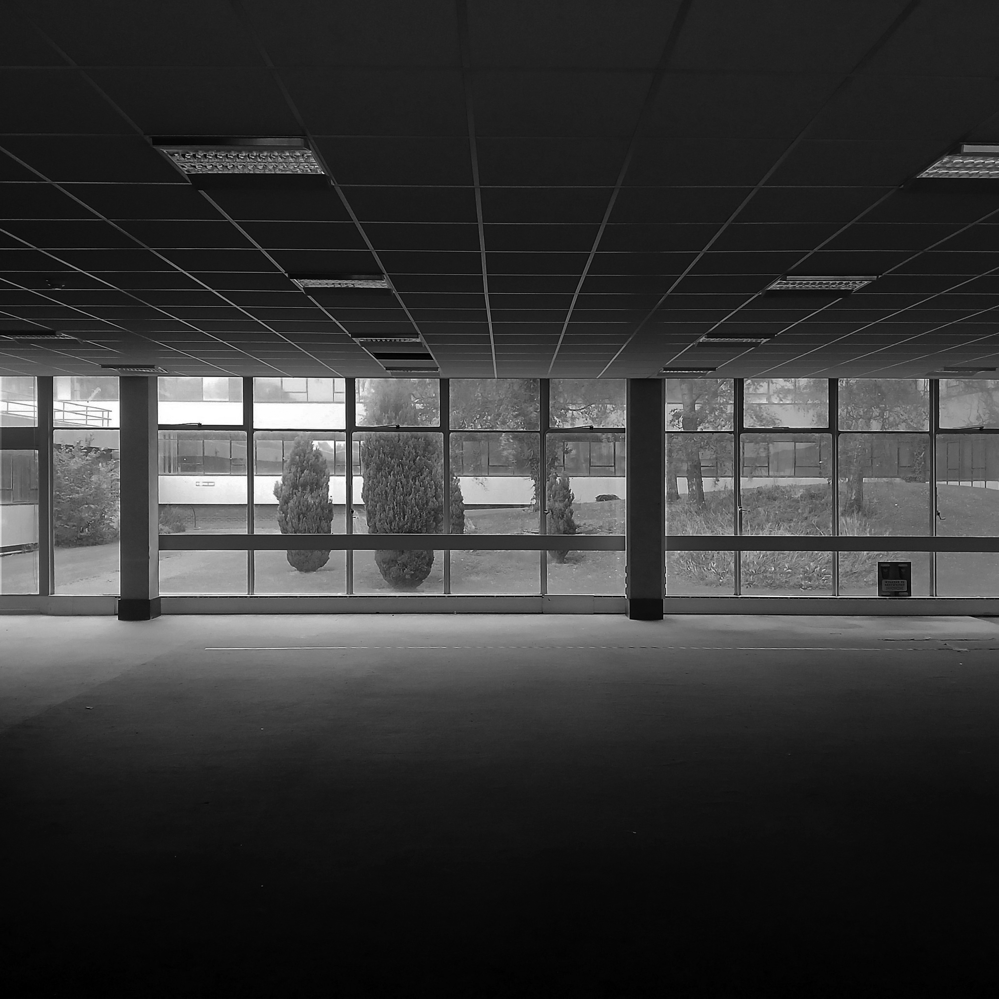
Originally built to accommodate the arts library and lecture rooms on the south campus as the University grew to accommodate larger numbers of students.
The current use as lecture and seminar rooms maintains the building’s use as a key learning space on campus.
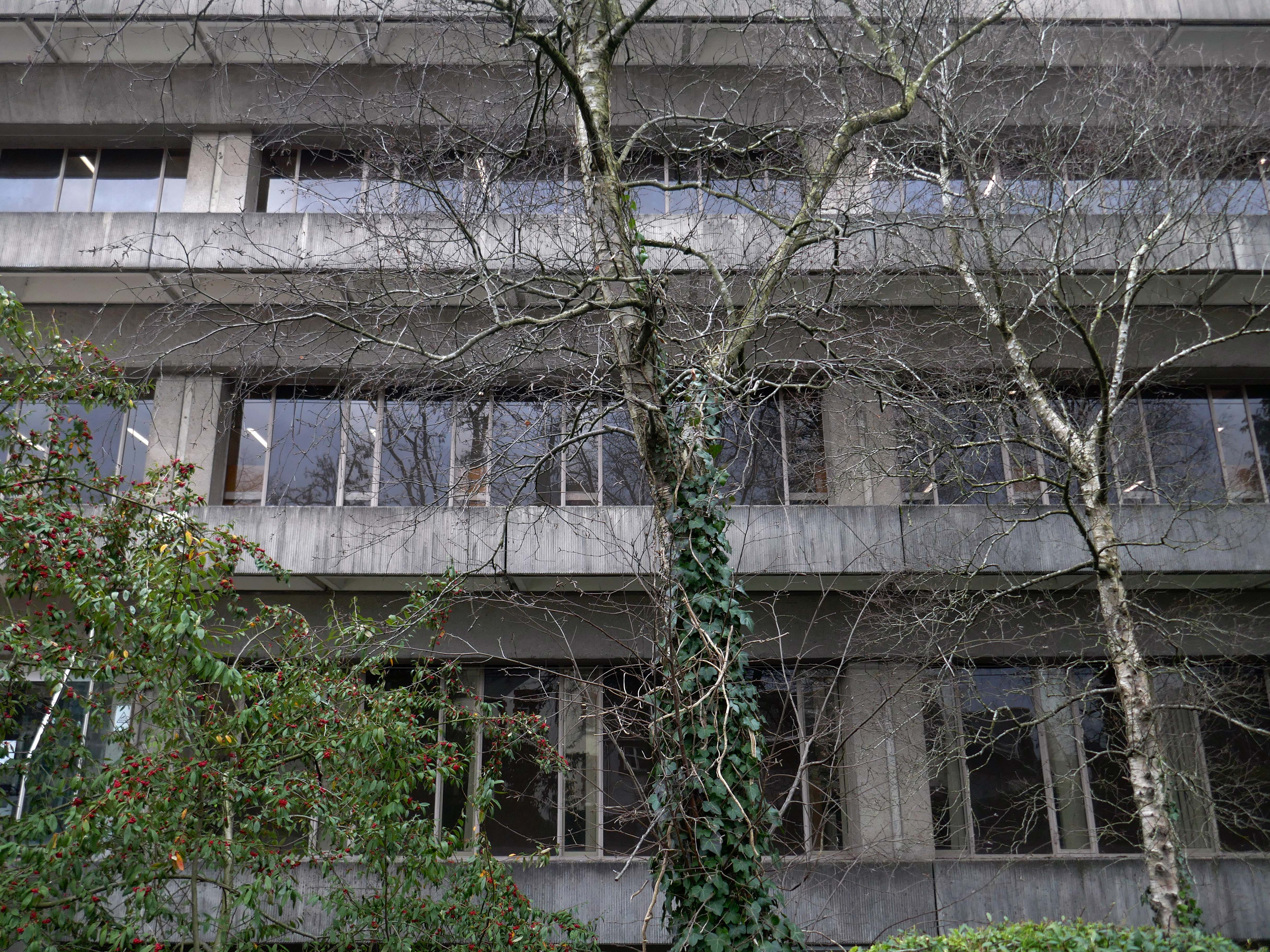
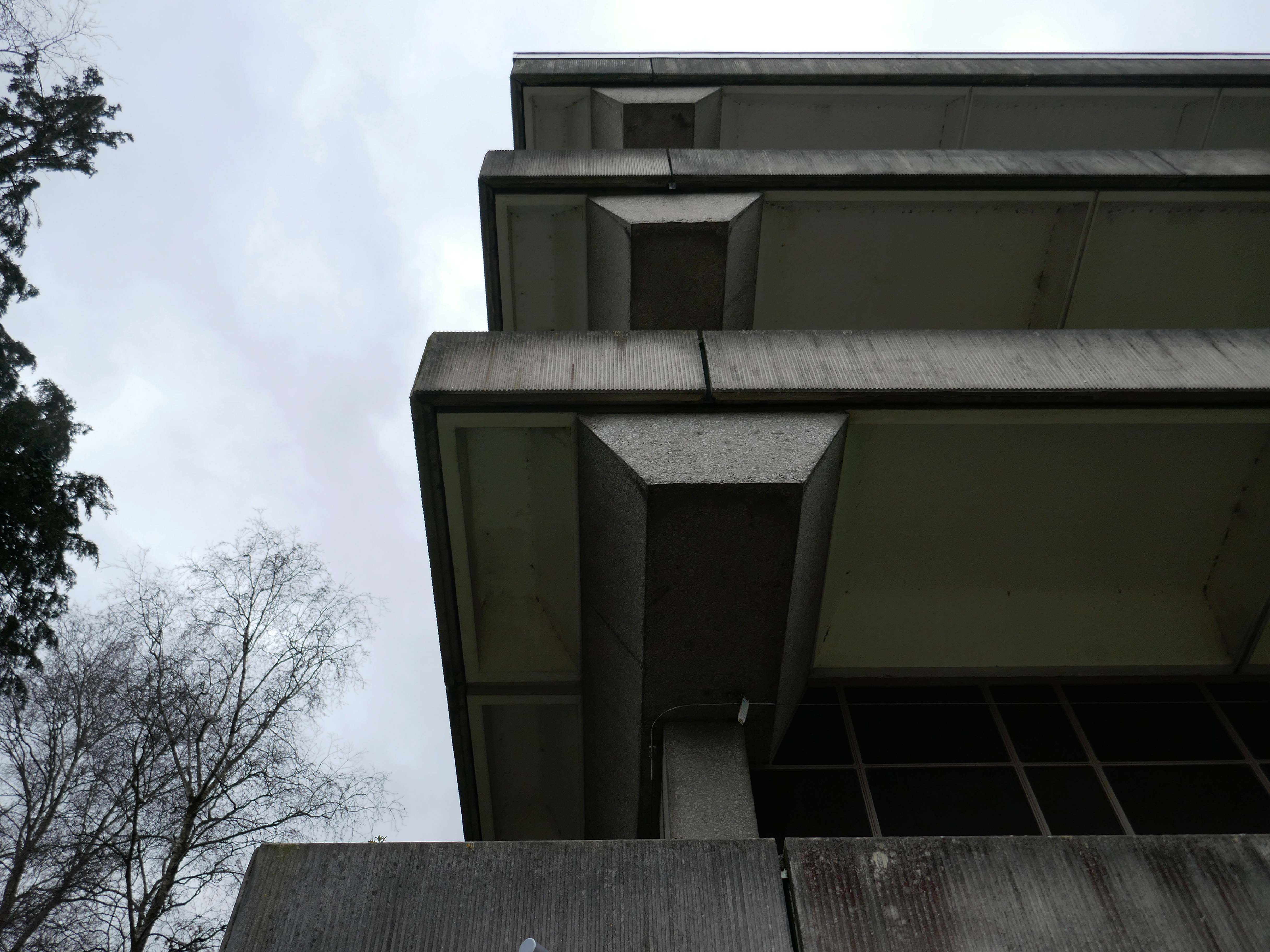
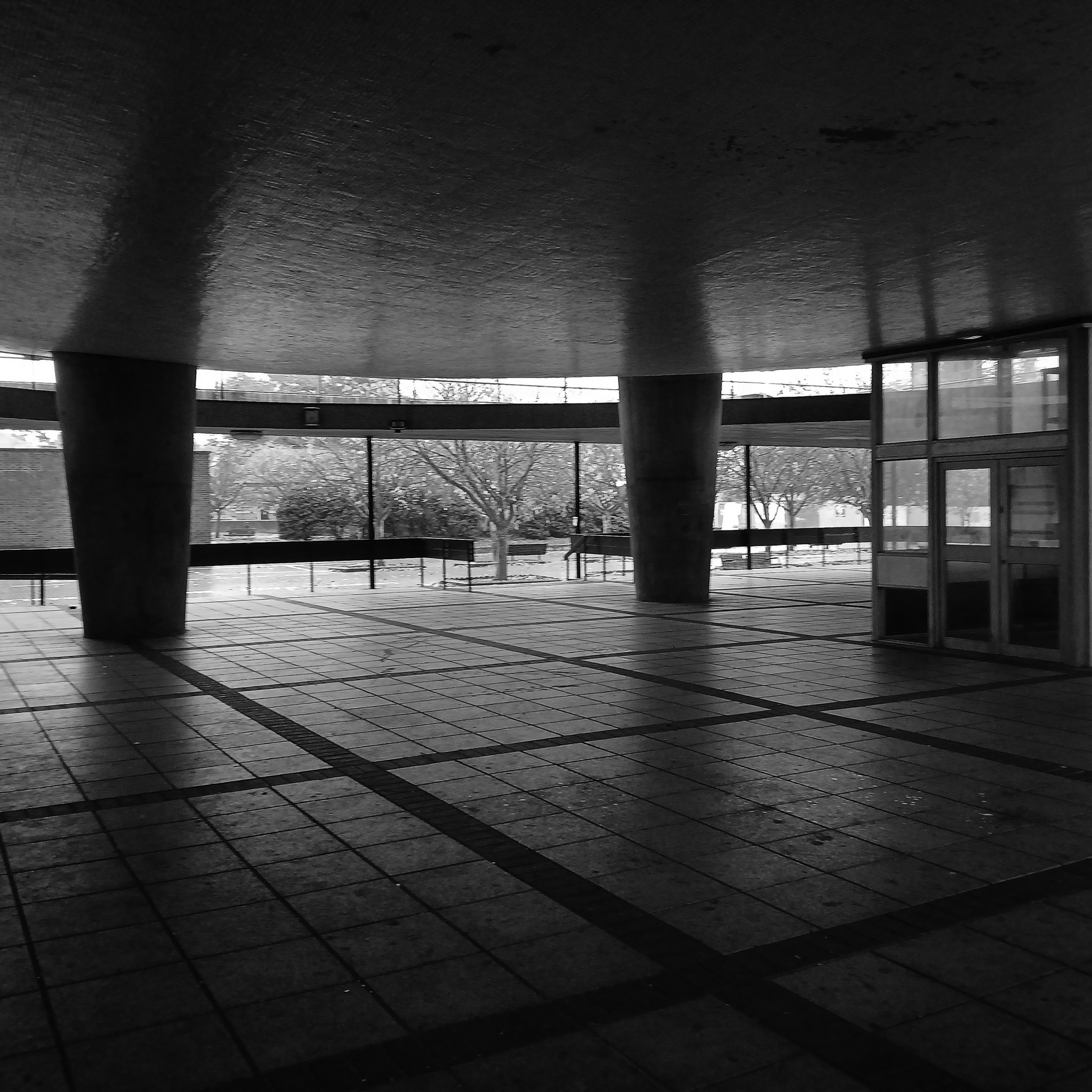
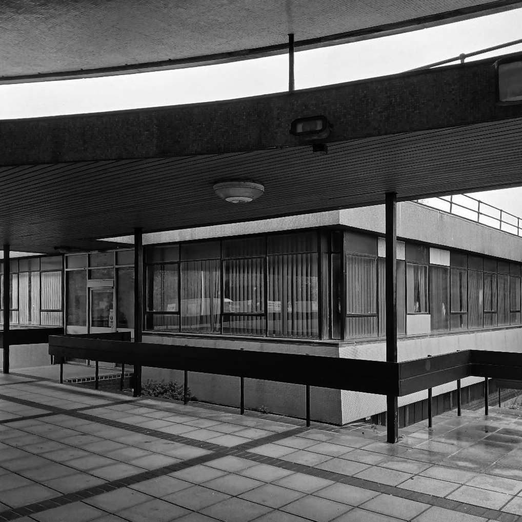
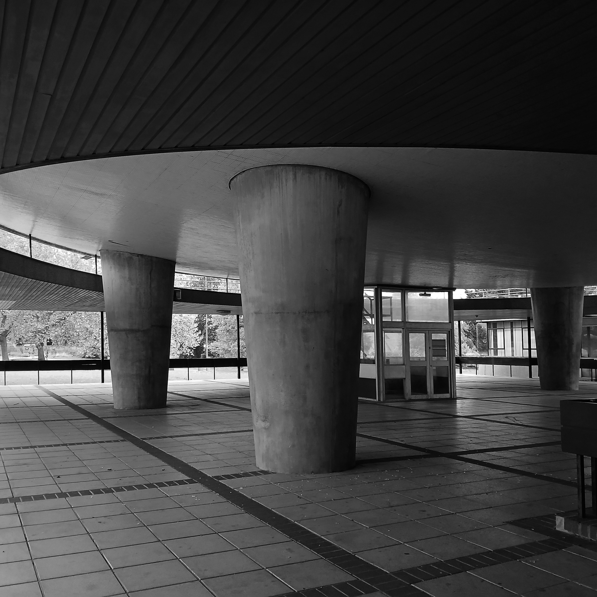
Located in an area of the southern campus where Westwood, Piet & Partners designed four blocks resulting in a group which Pevsner described as the
Most coherent and satisfying part of the precinct. The massing and materiality of the external is complementary and respectful to the surrounding Georgian buildings.
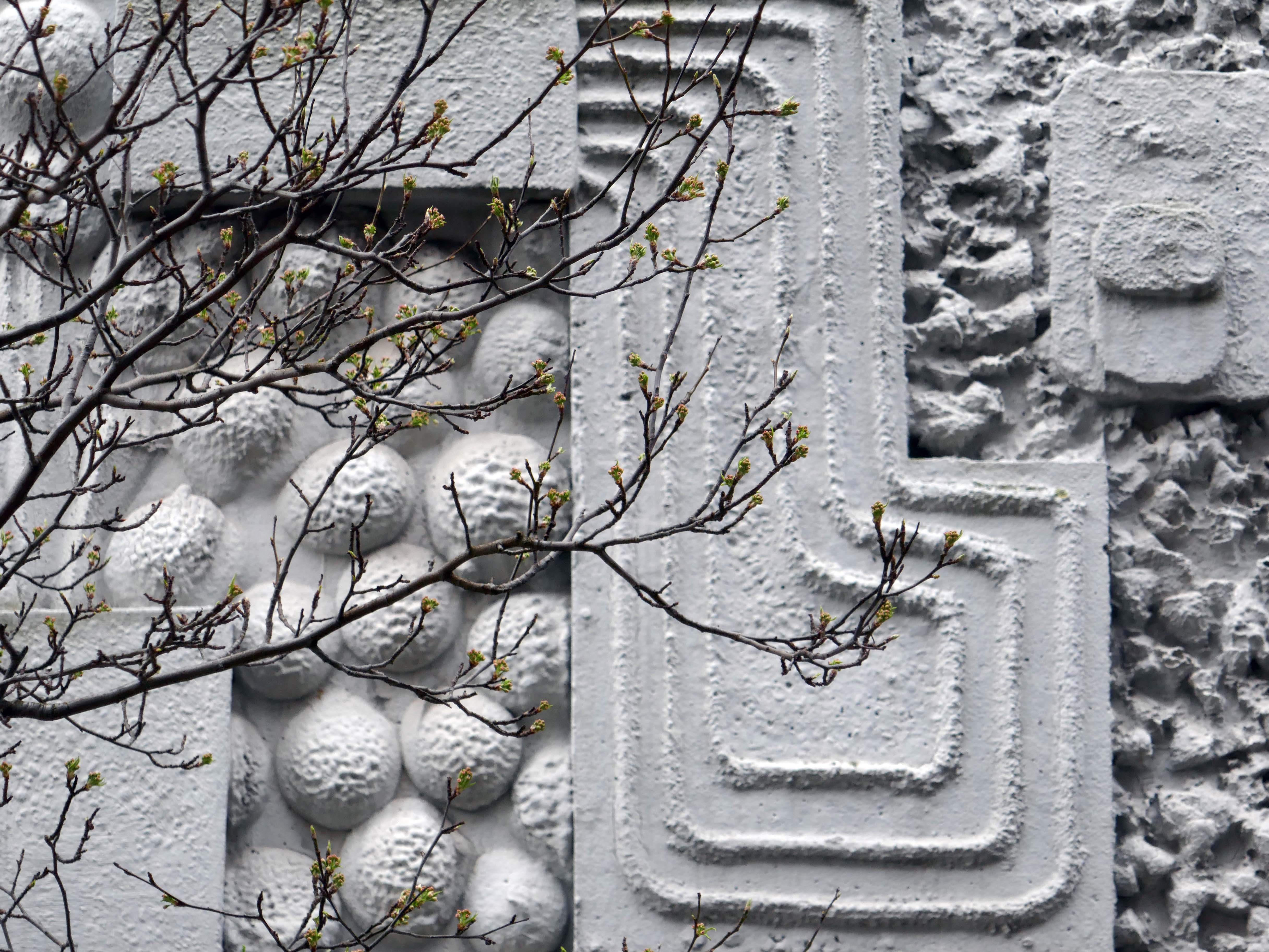
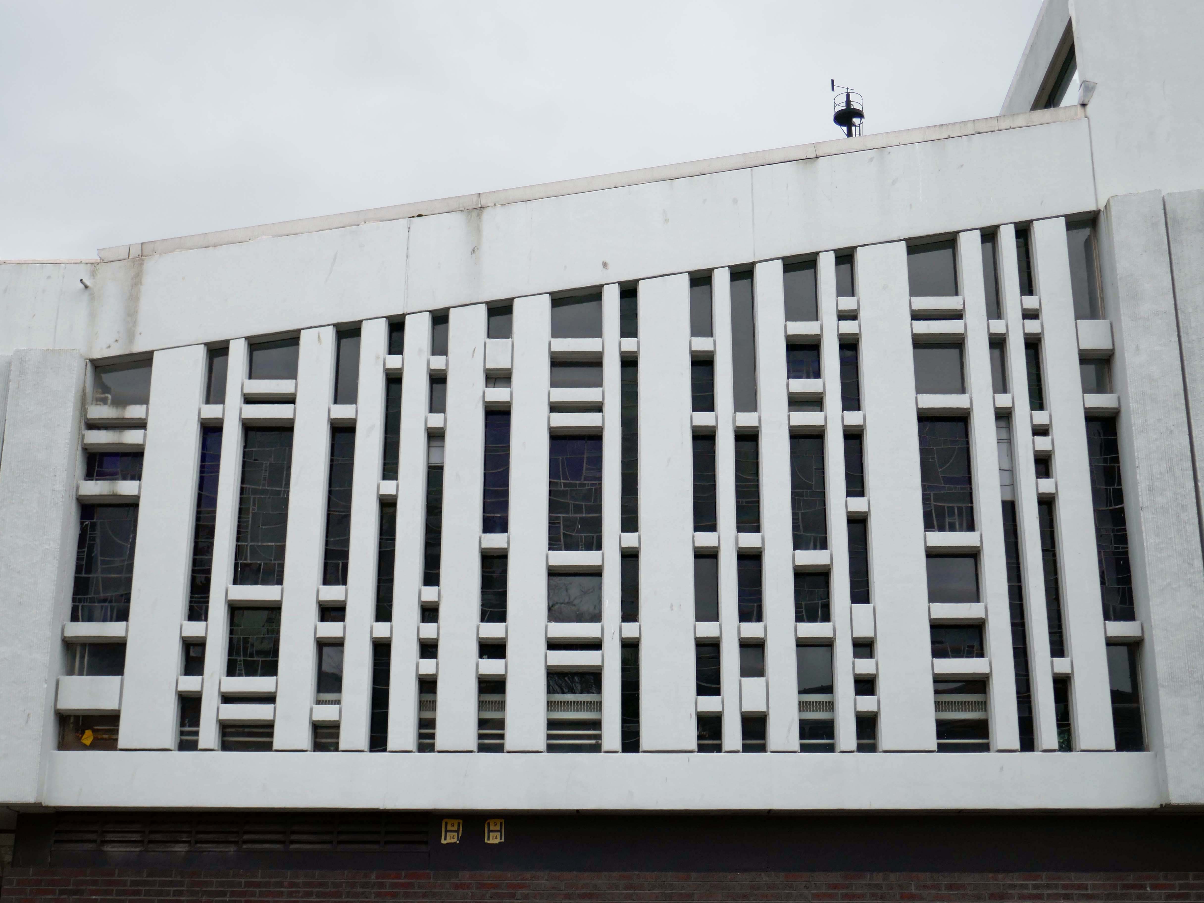
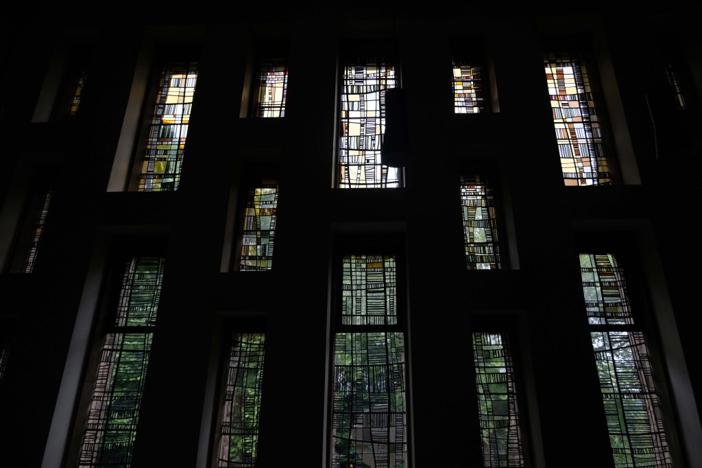
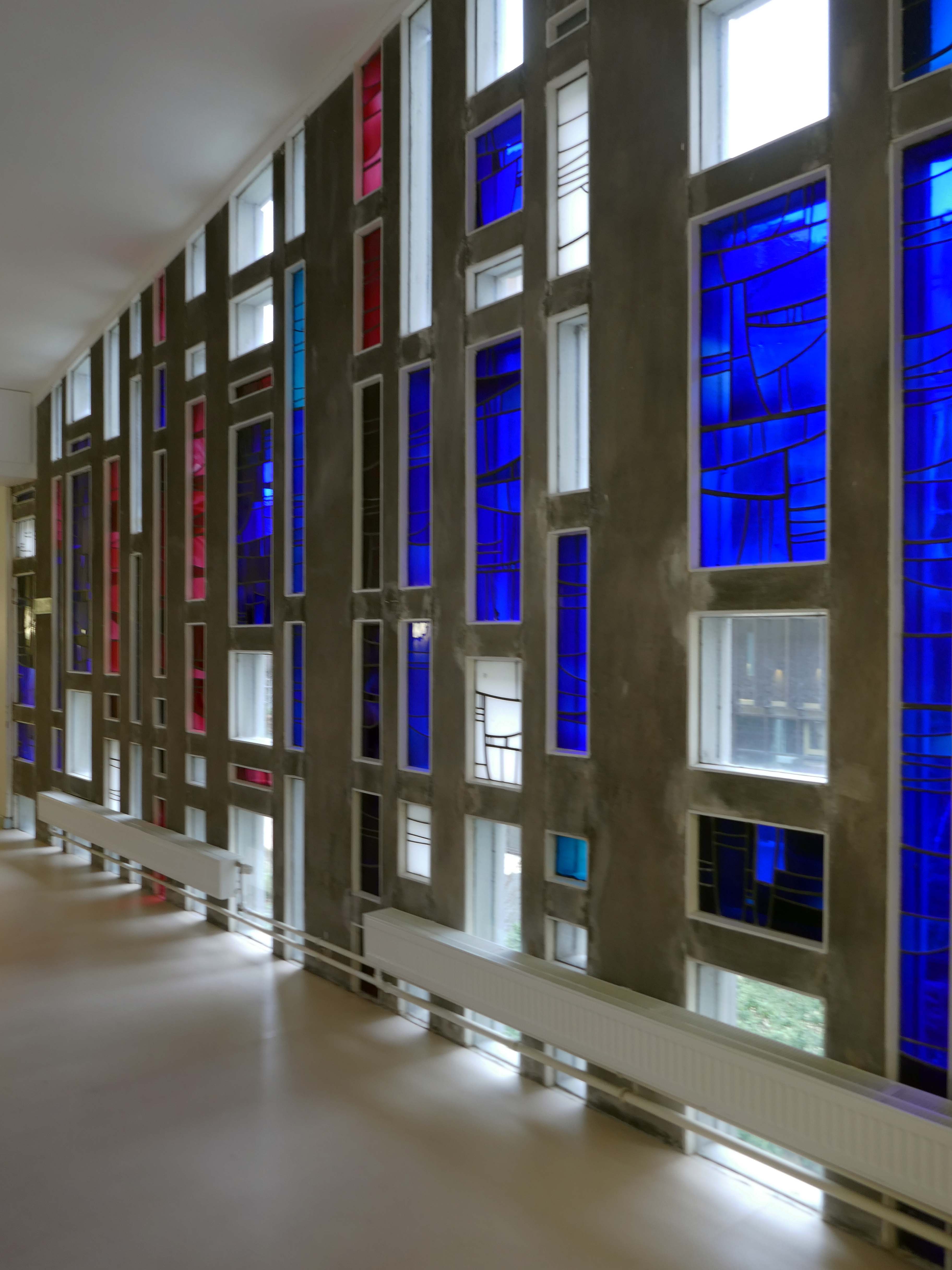
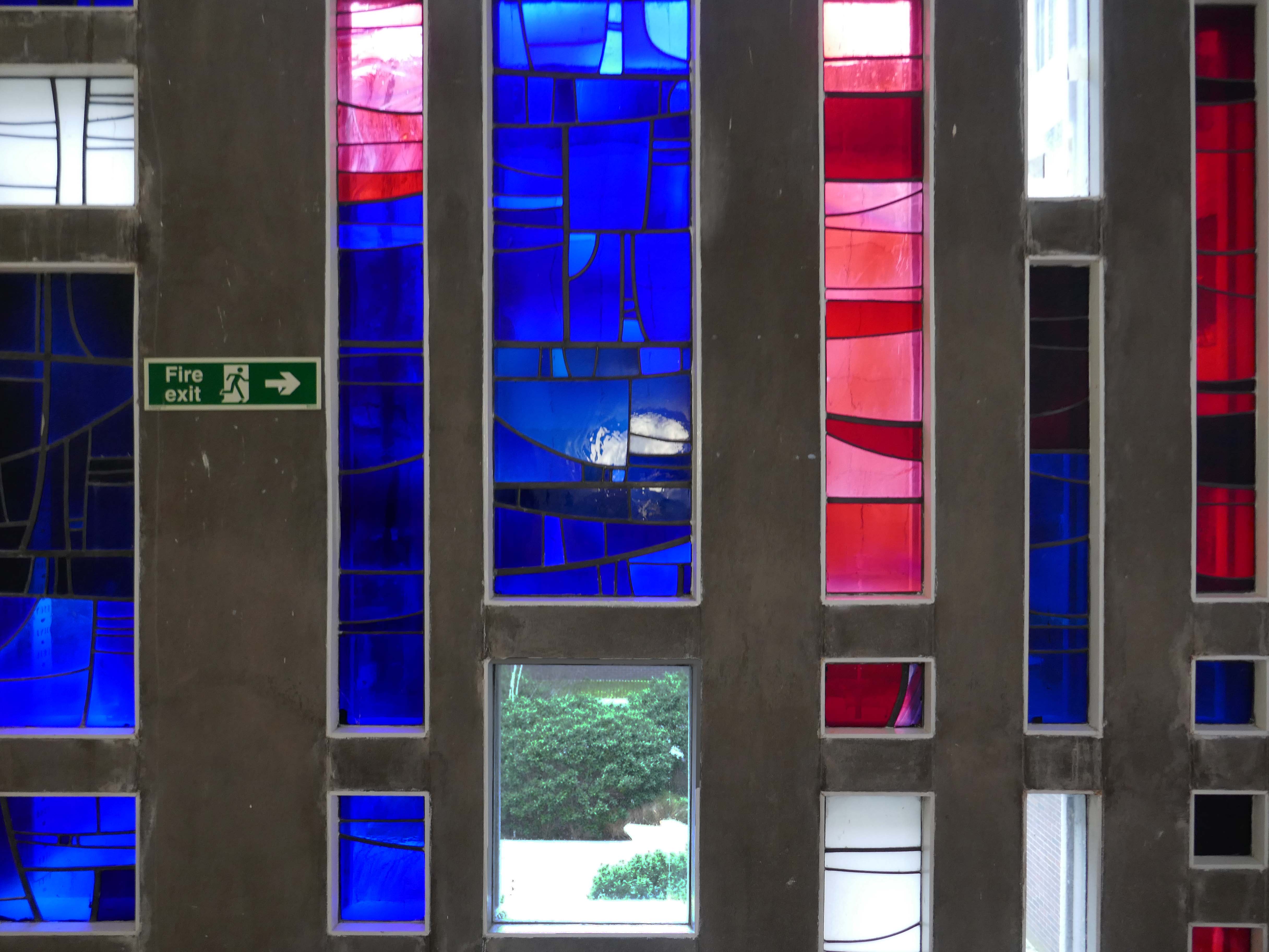
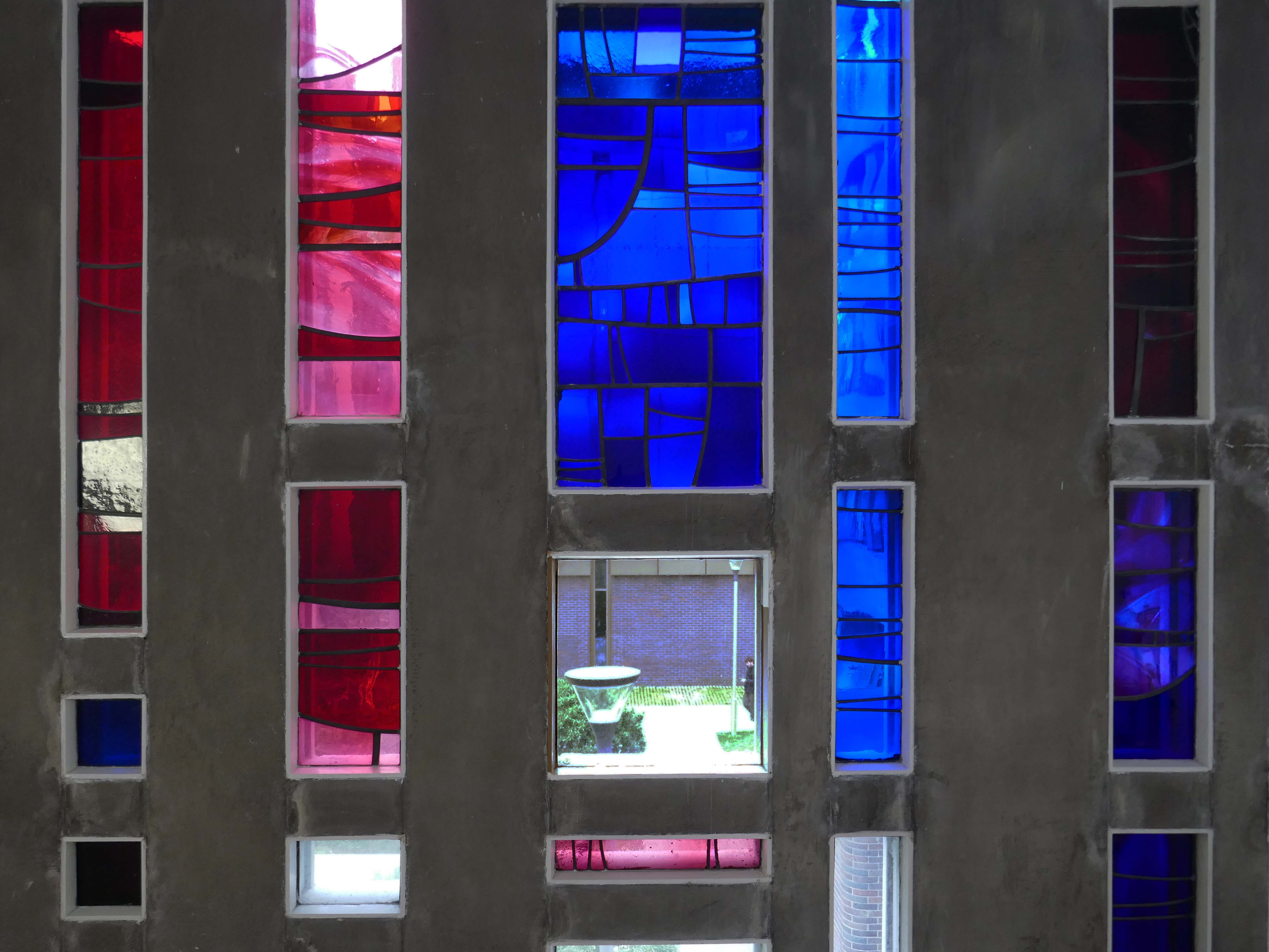
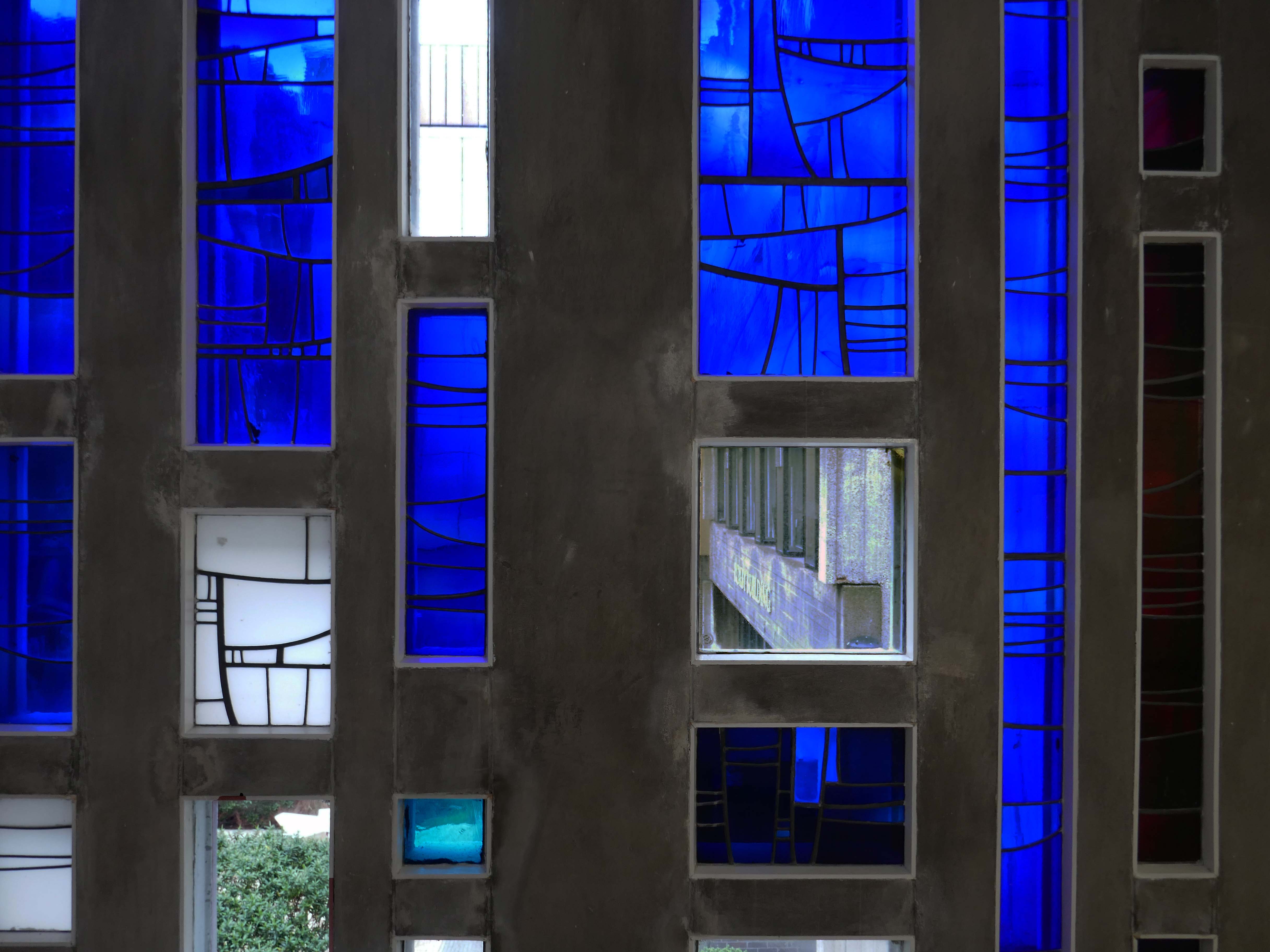
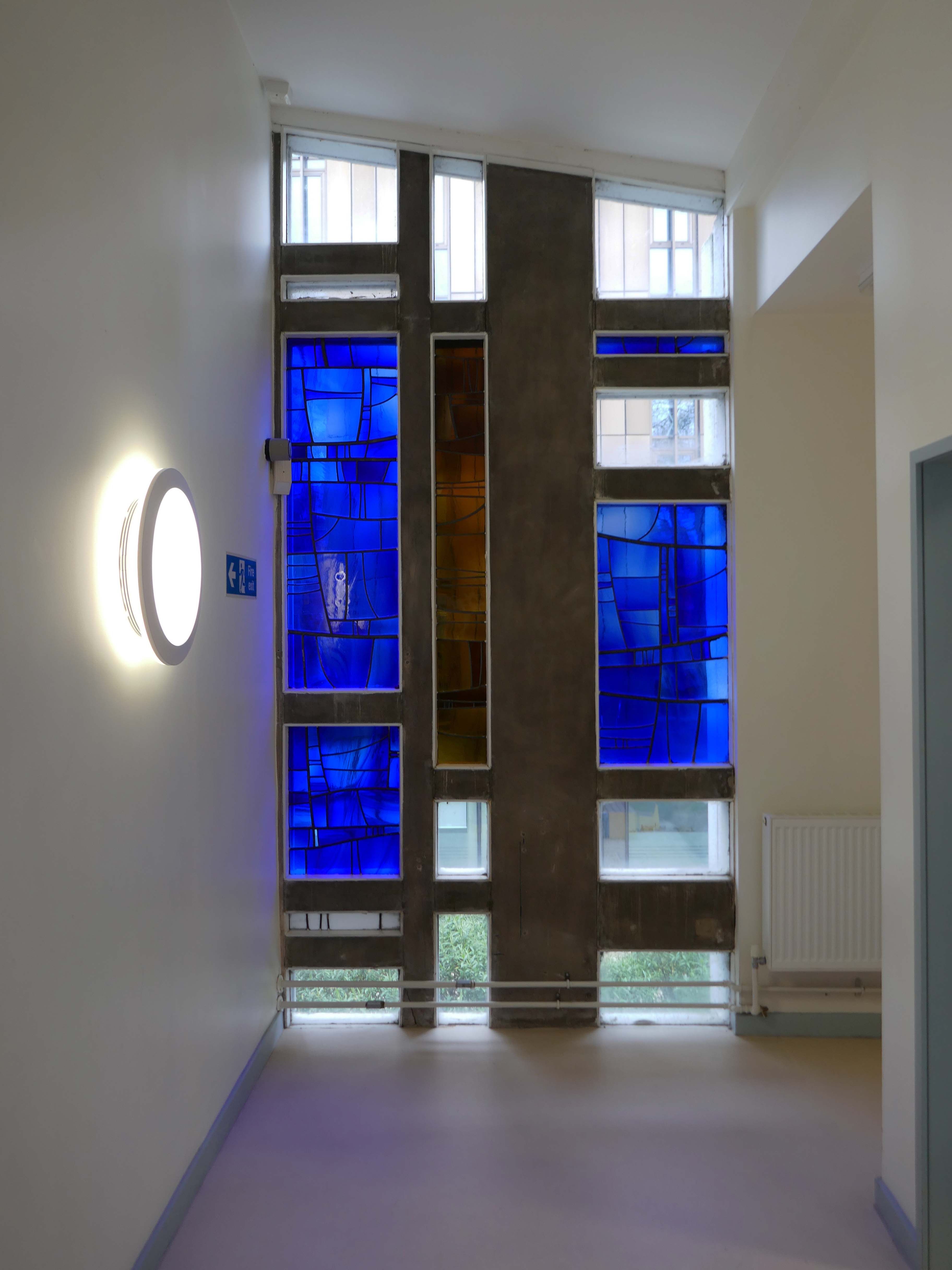
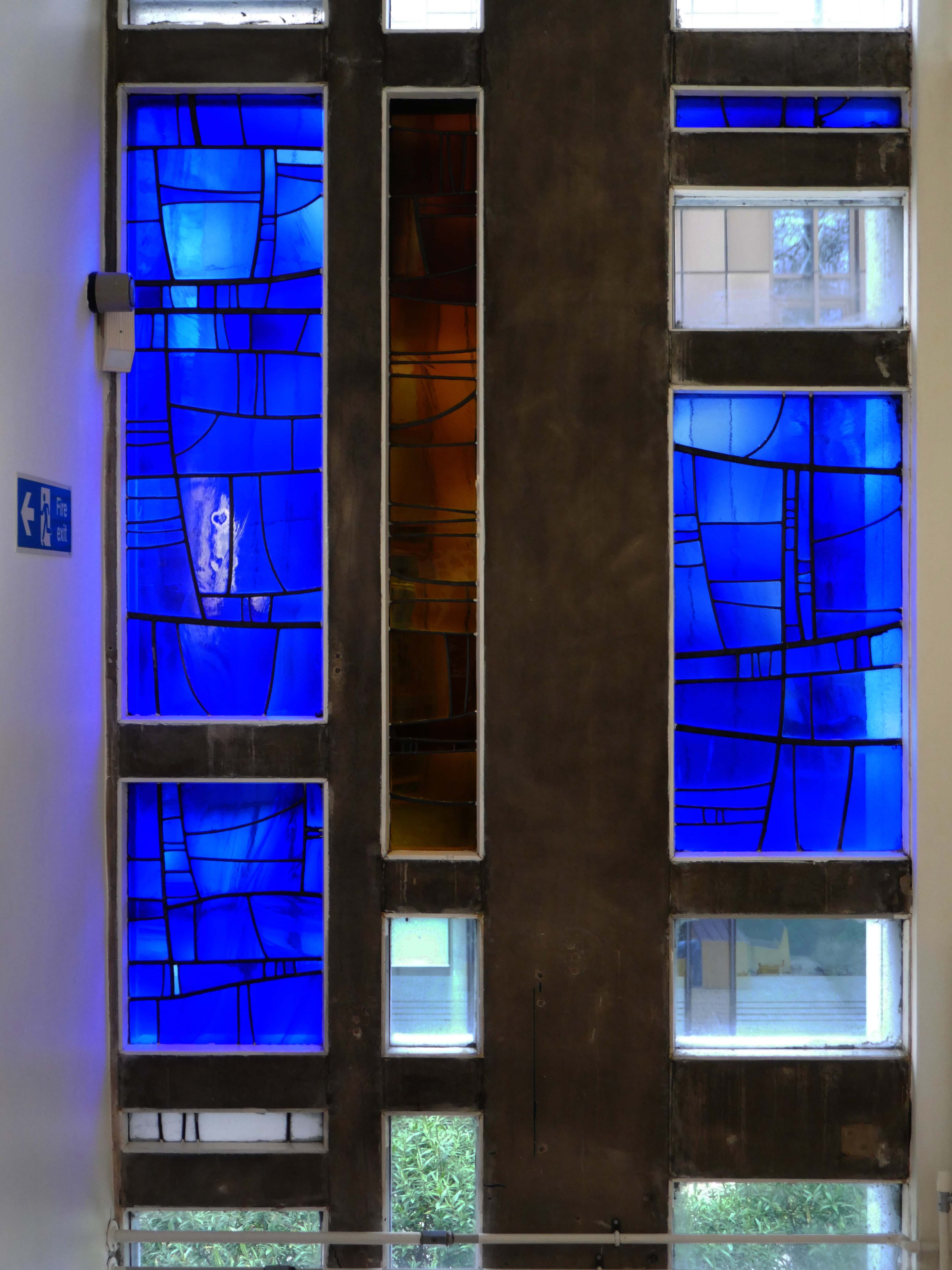
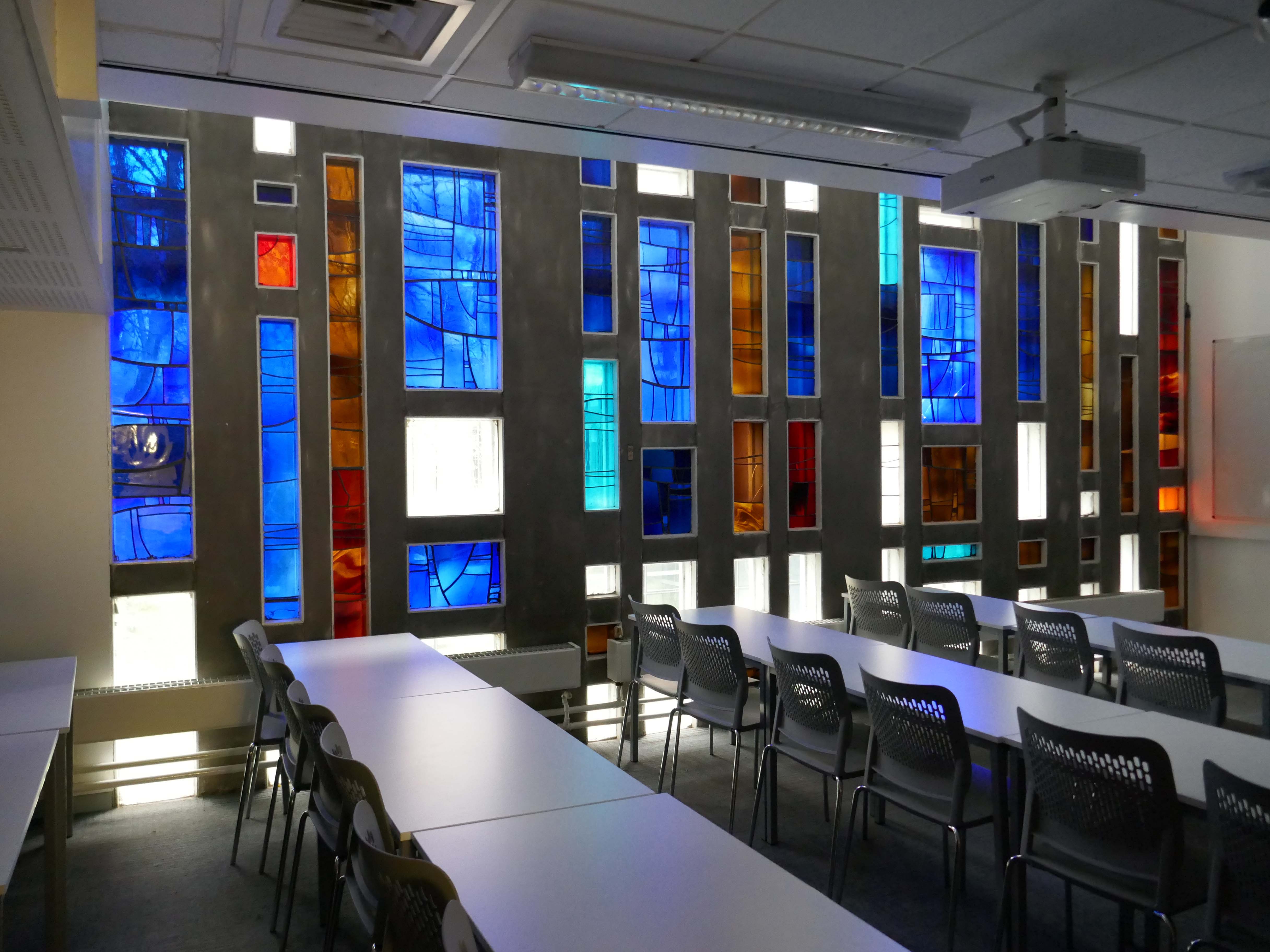
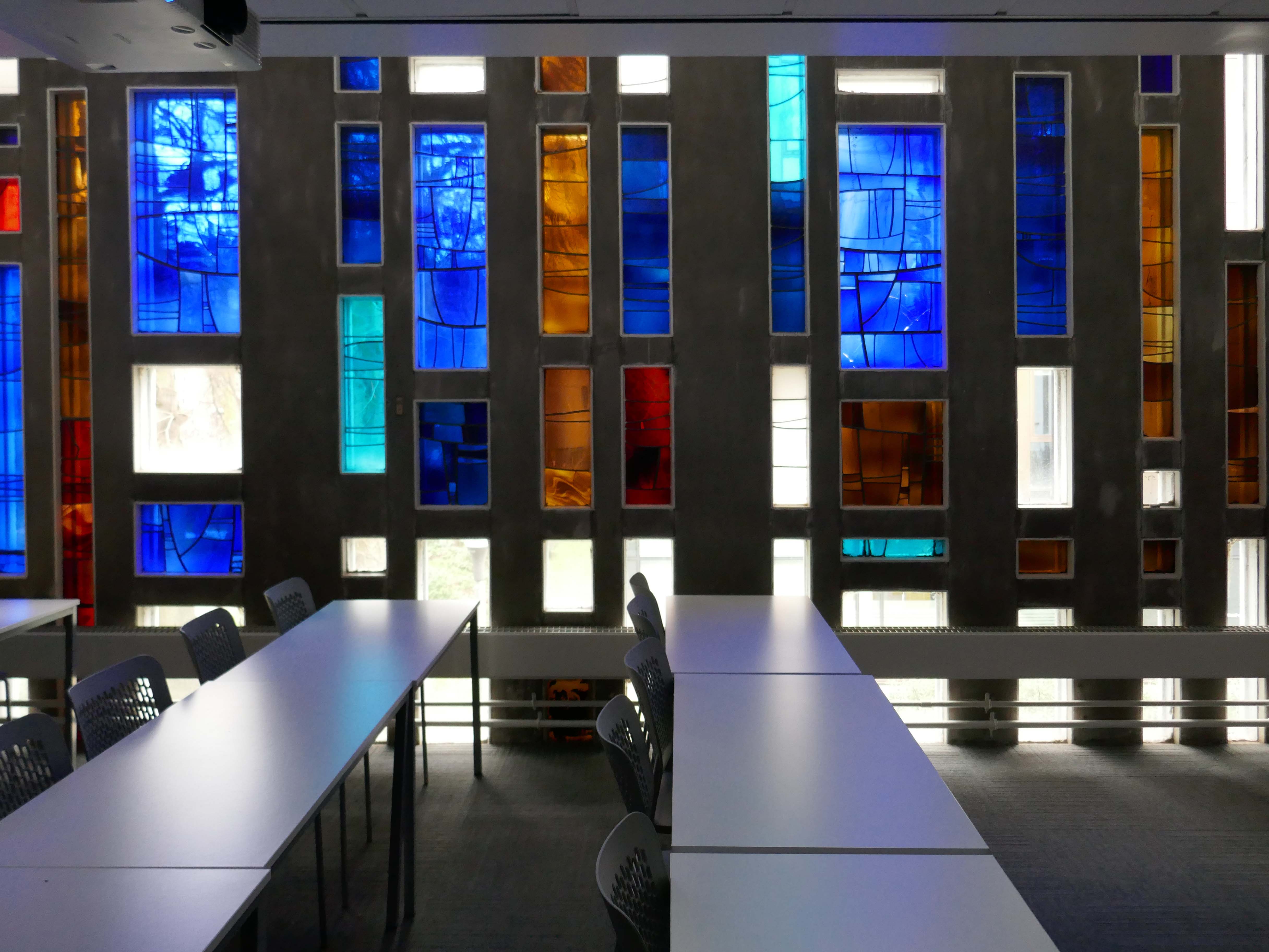
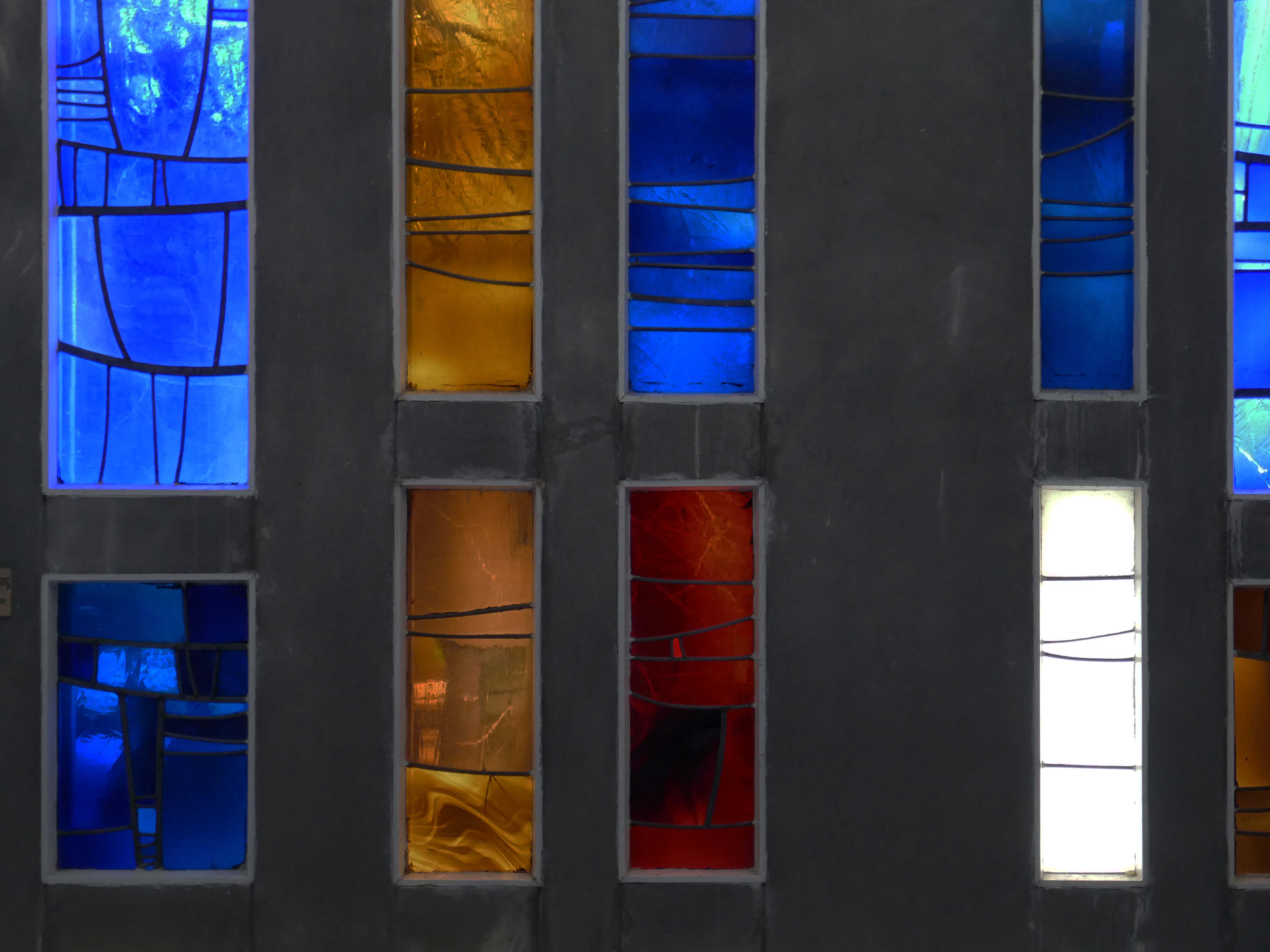
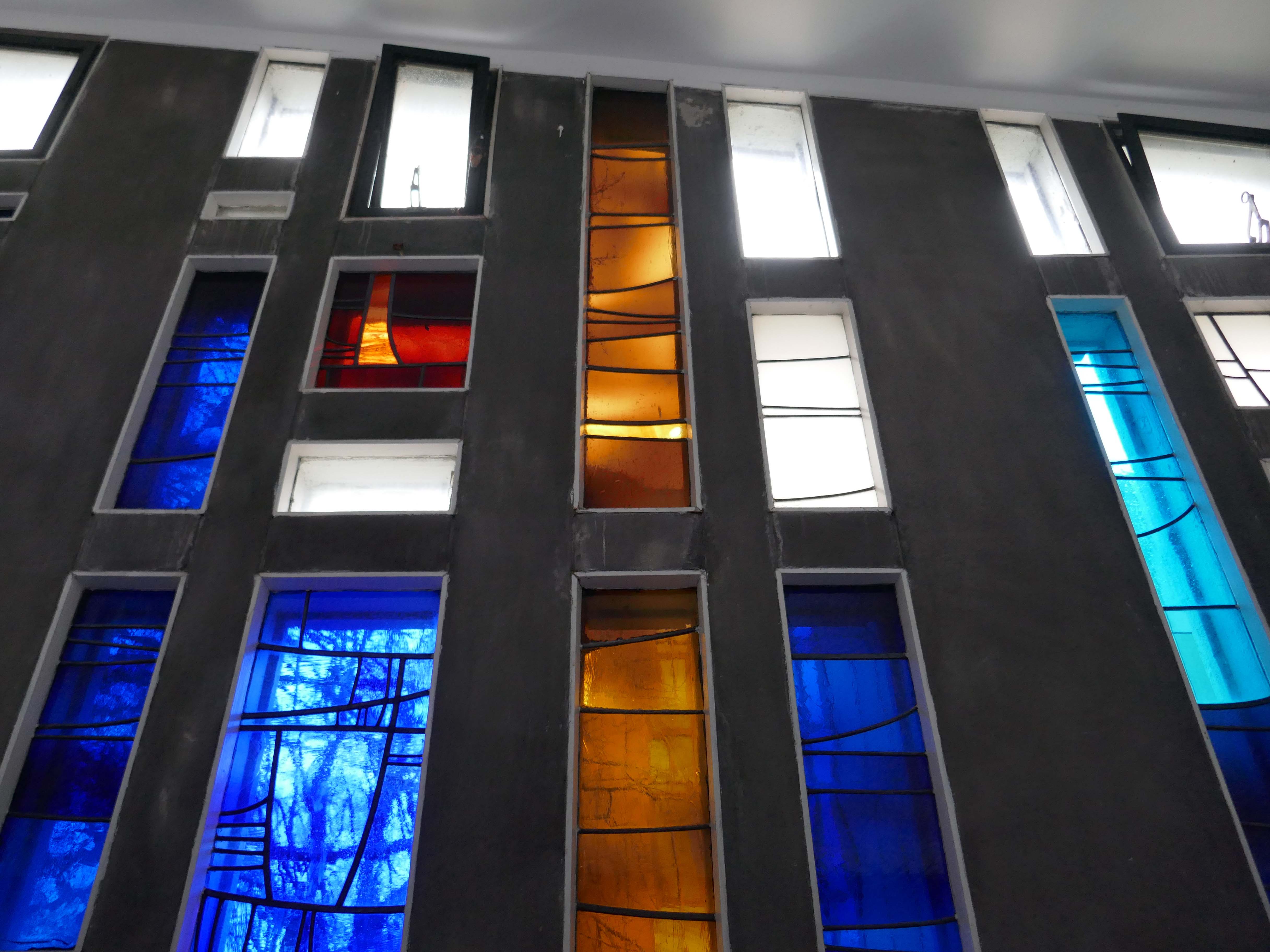
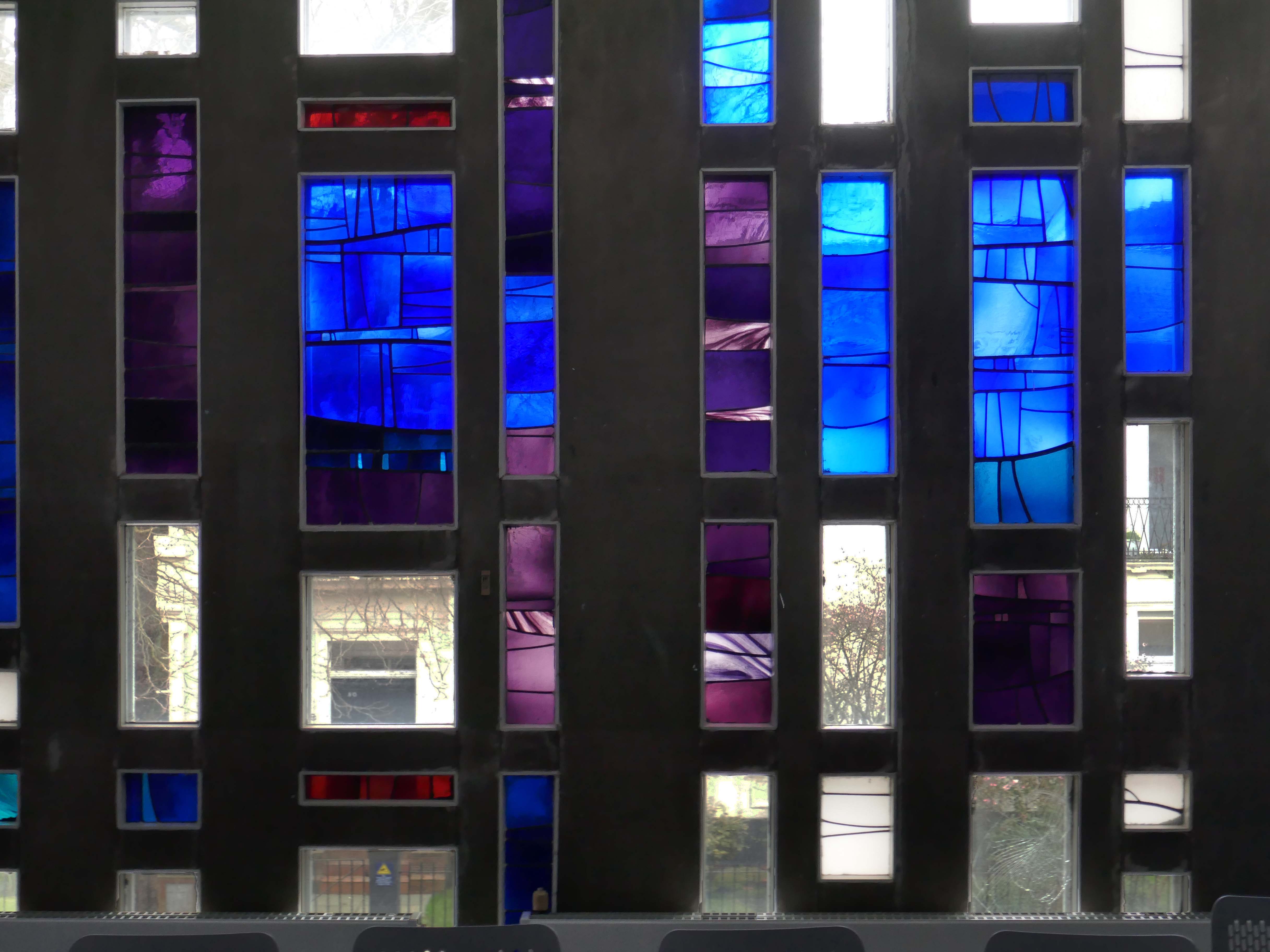
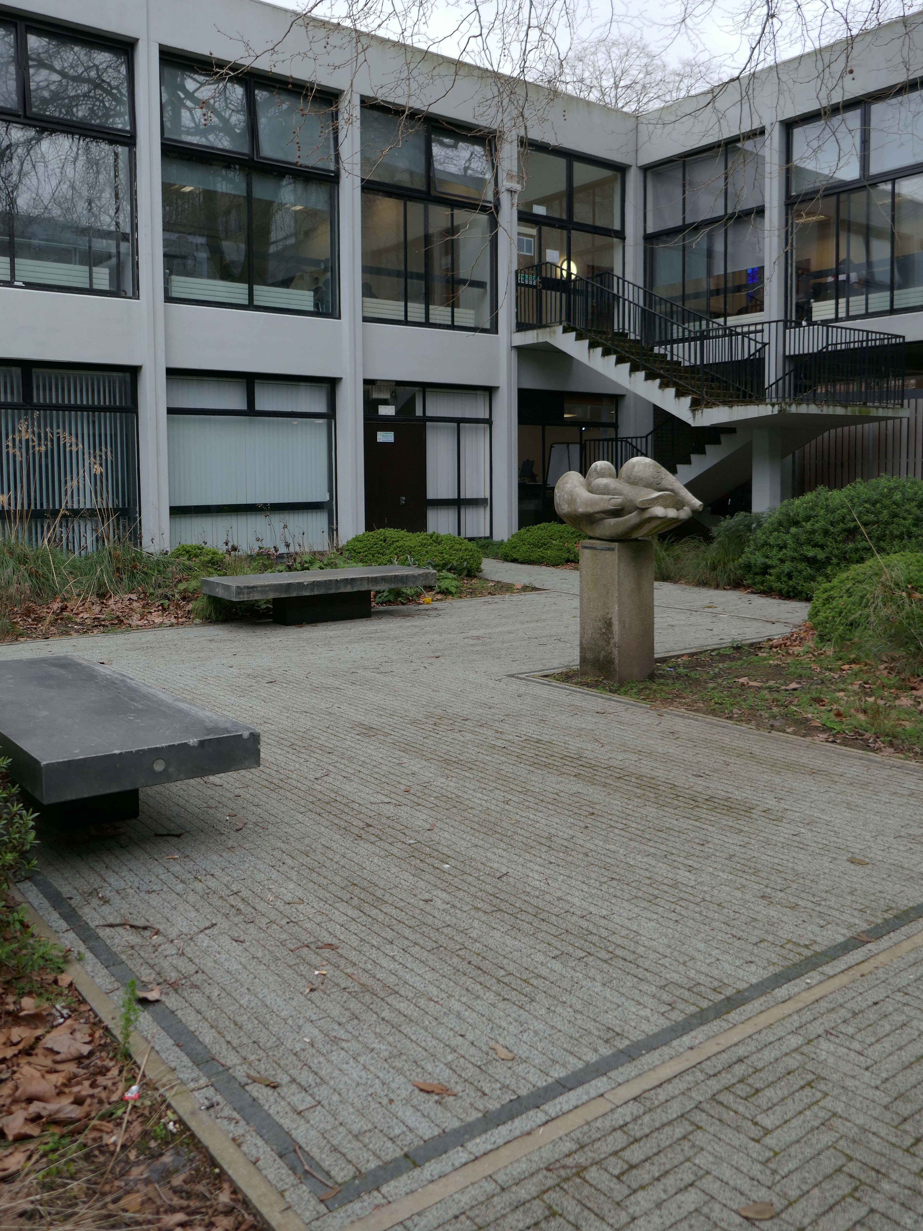
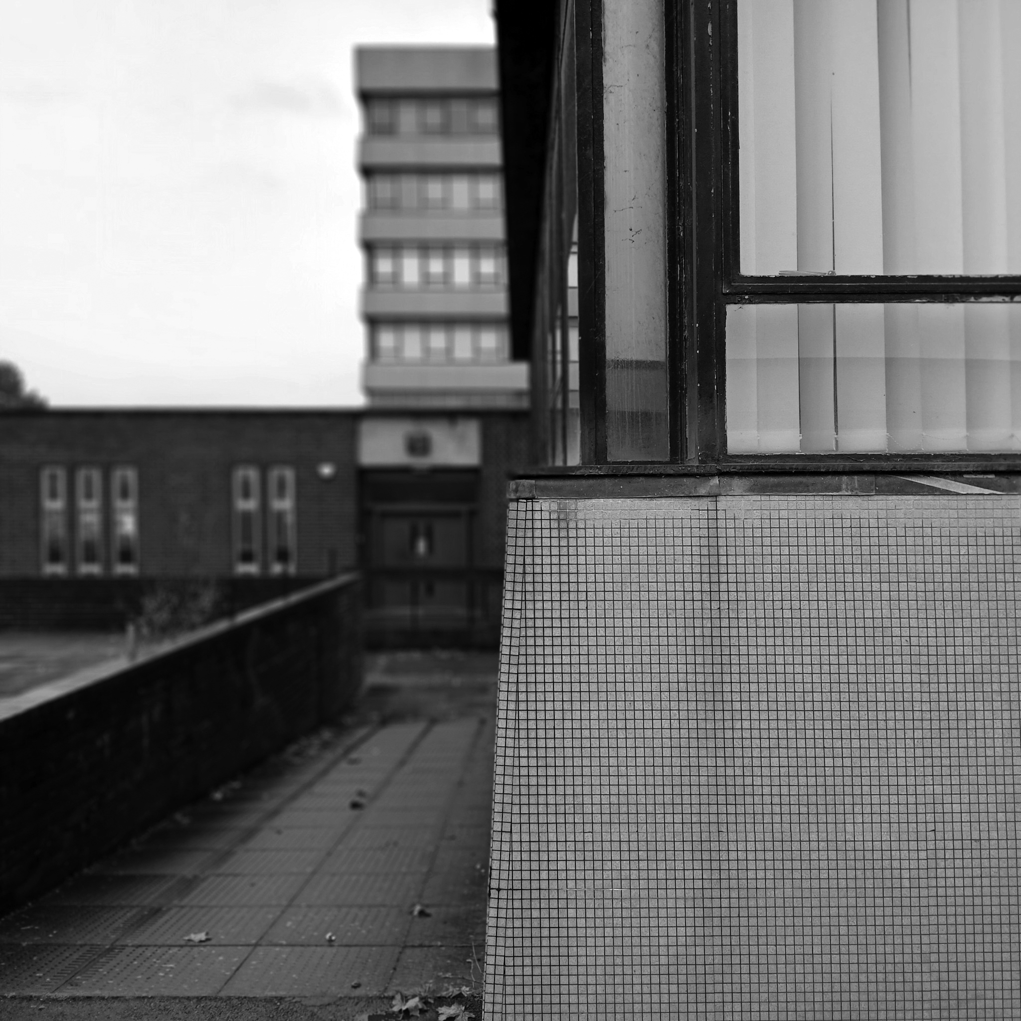
Between the concrete is ‘dalle de verre’ stained glass by Gillian Rees-Thomas.
she was also responsible for the side chapel windows at St Mark’s Broomhill Sheffield.
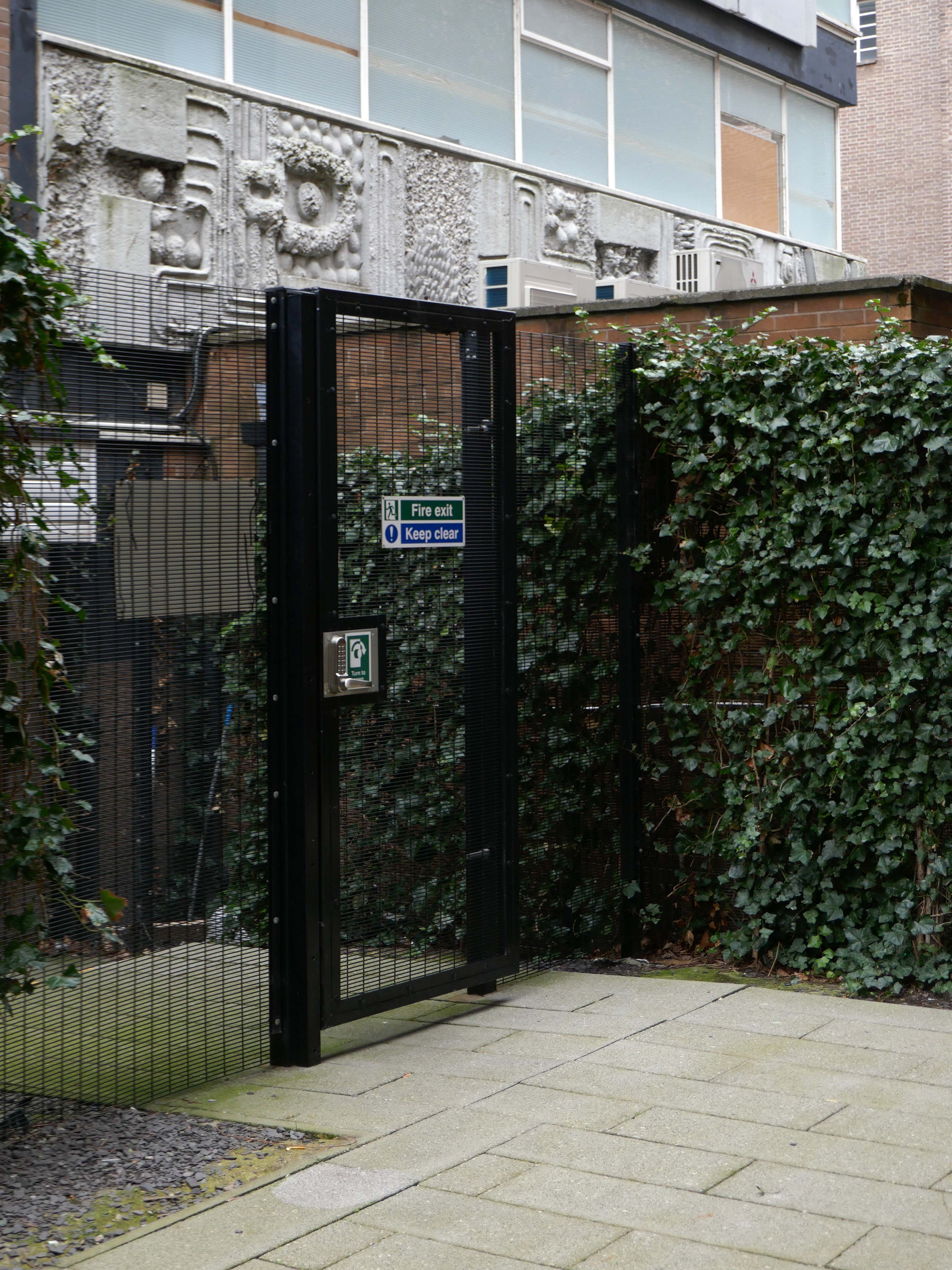
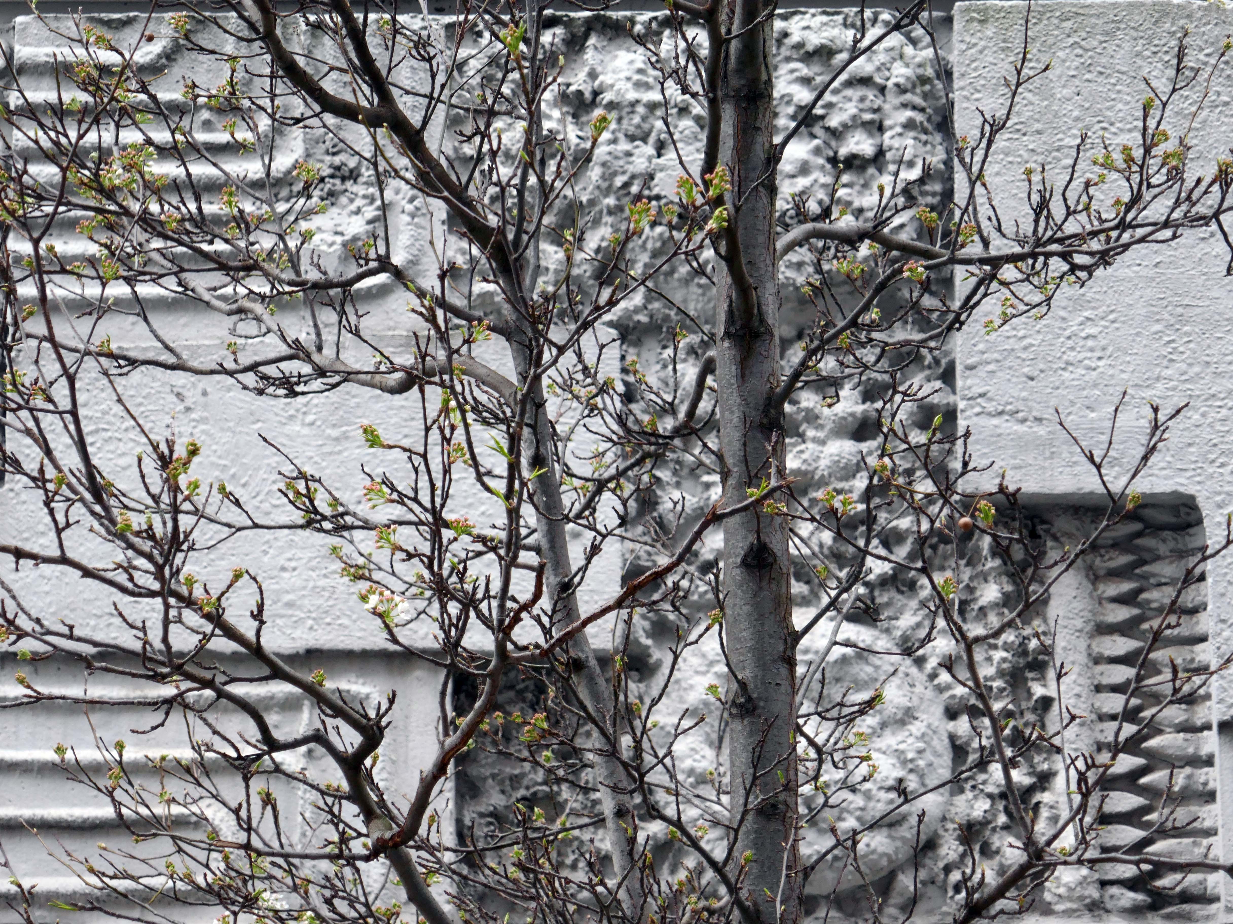
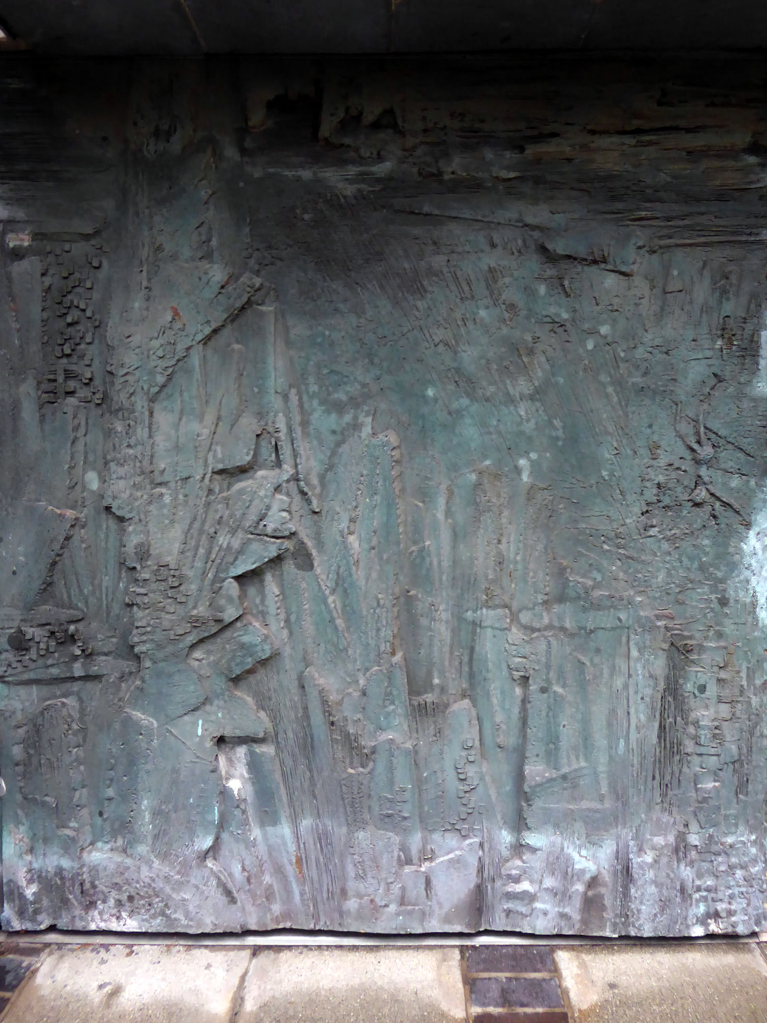
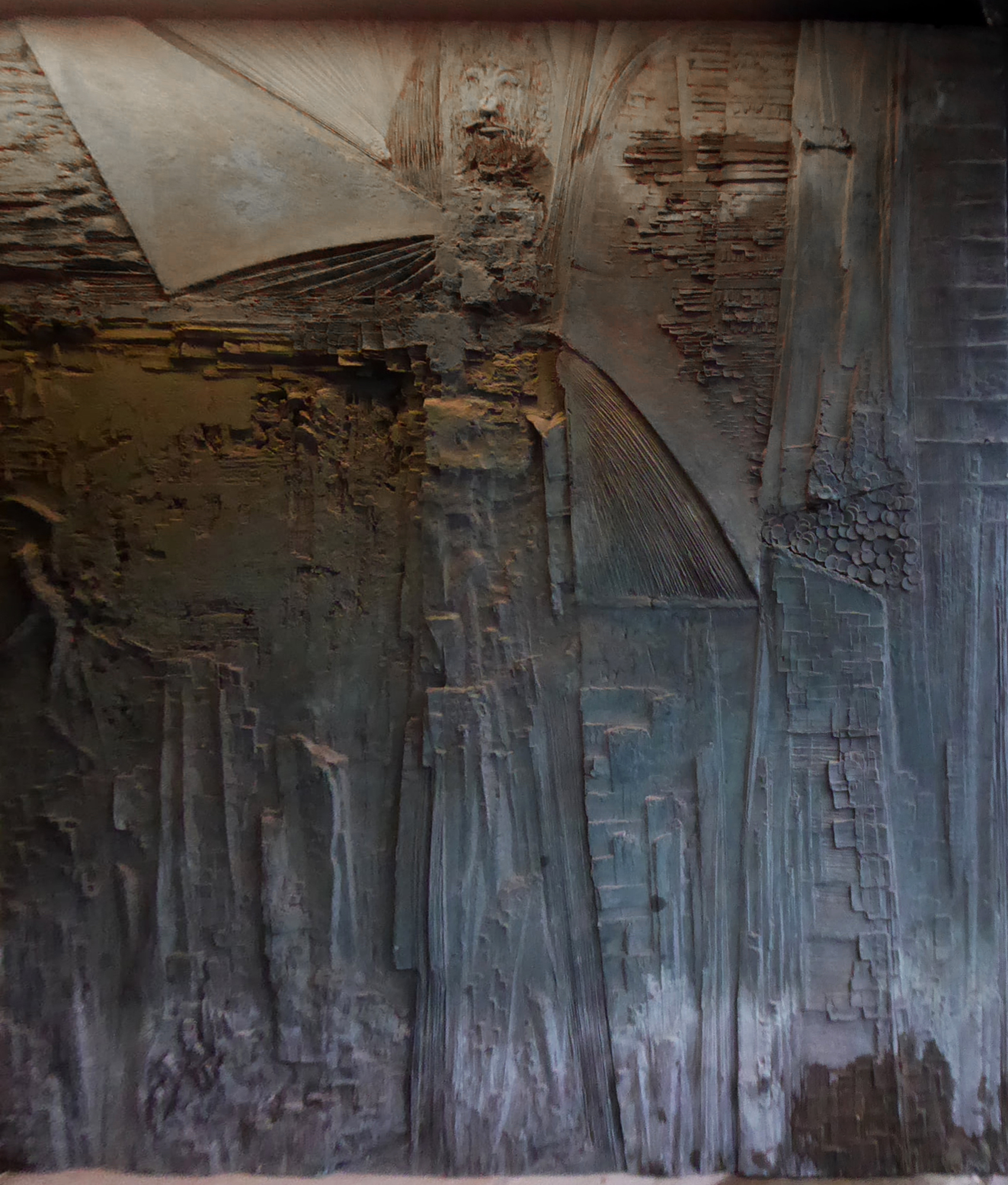
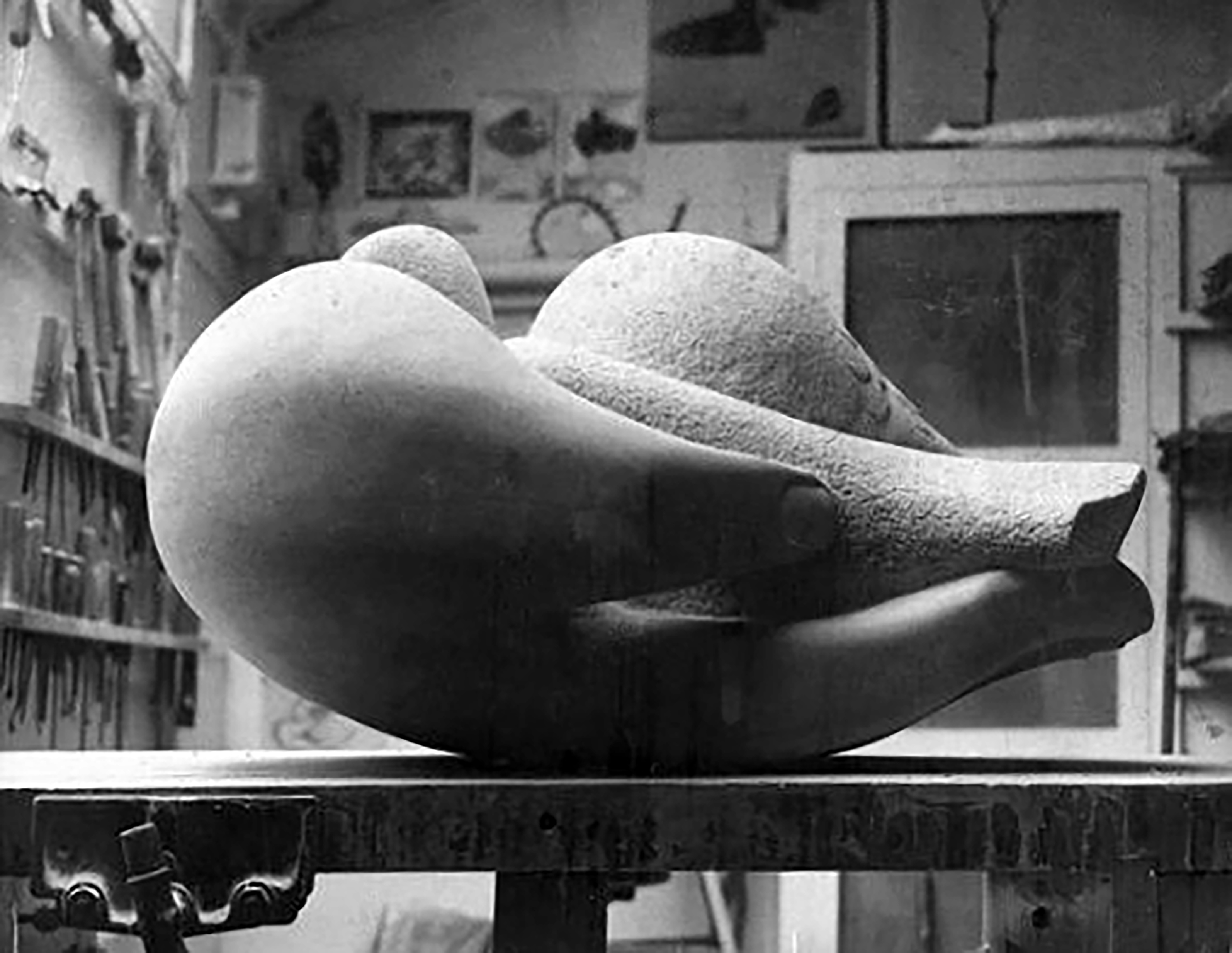
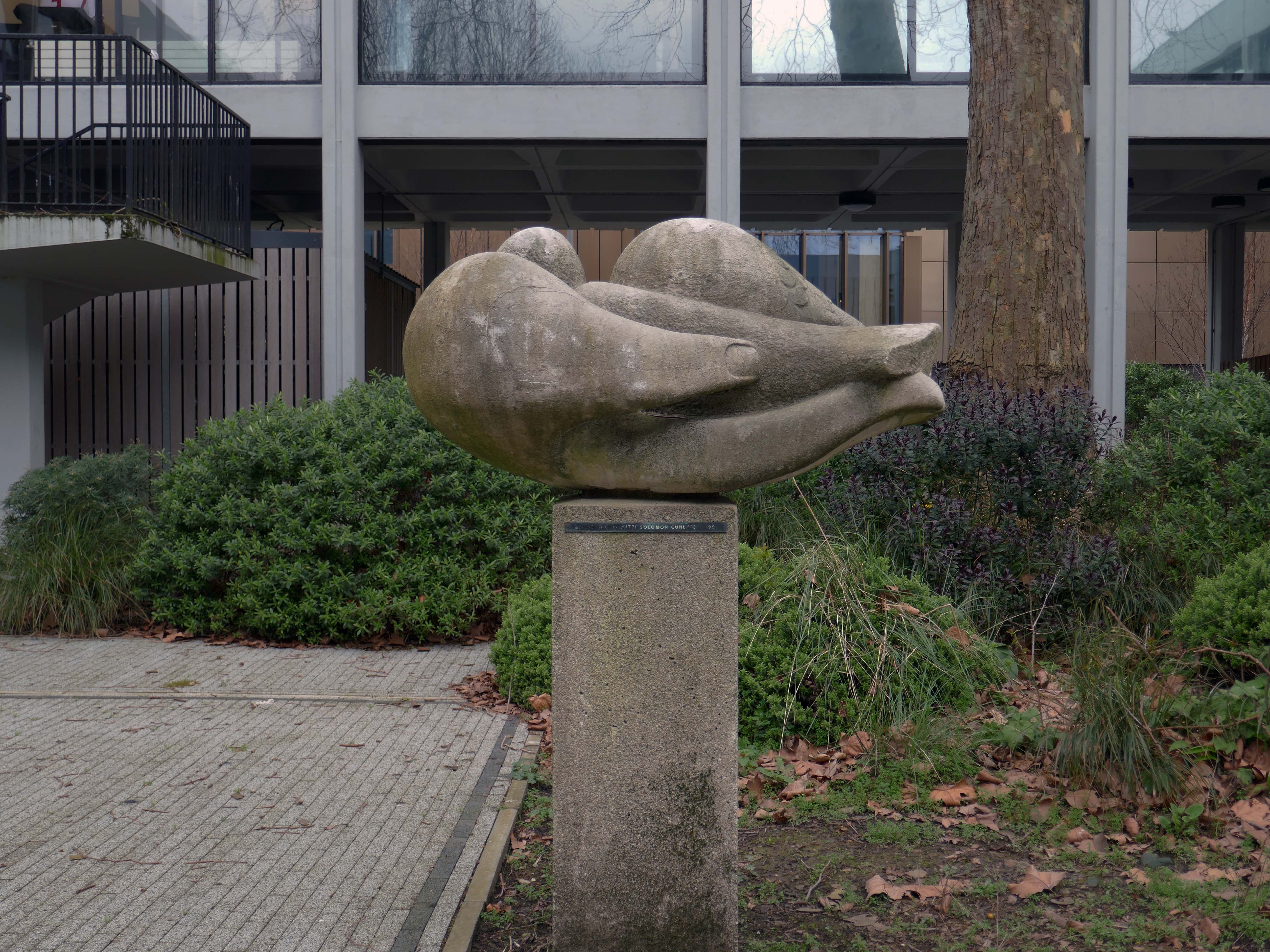
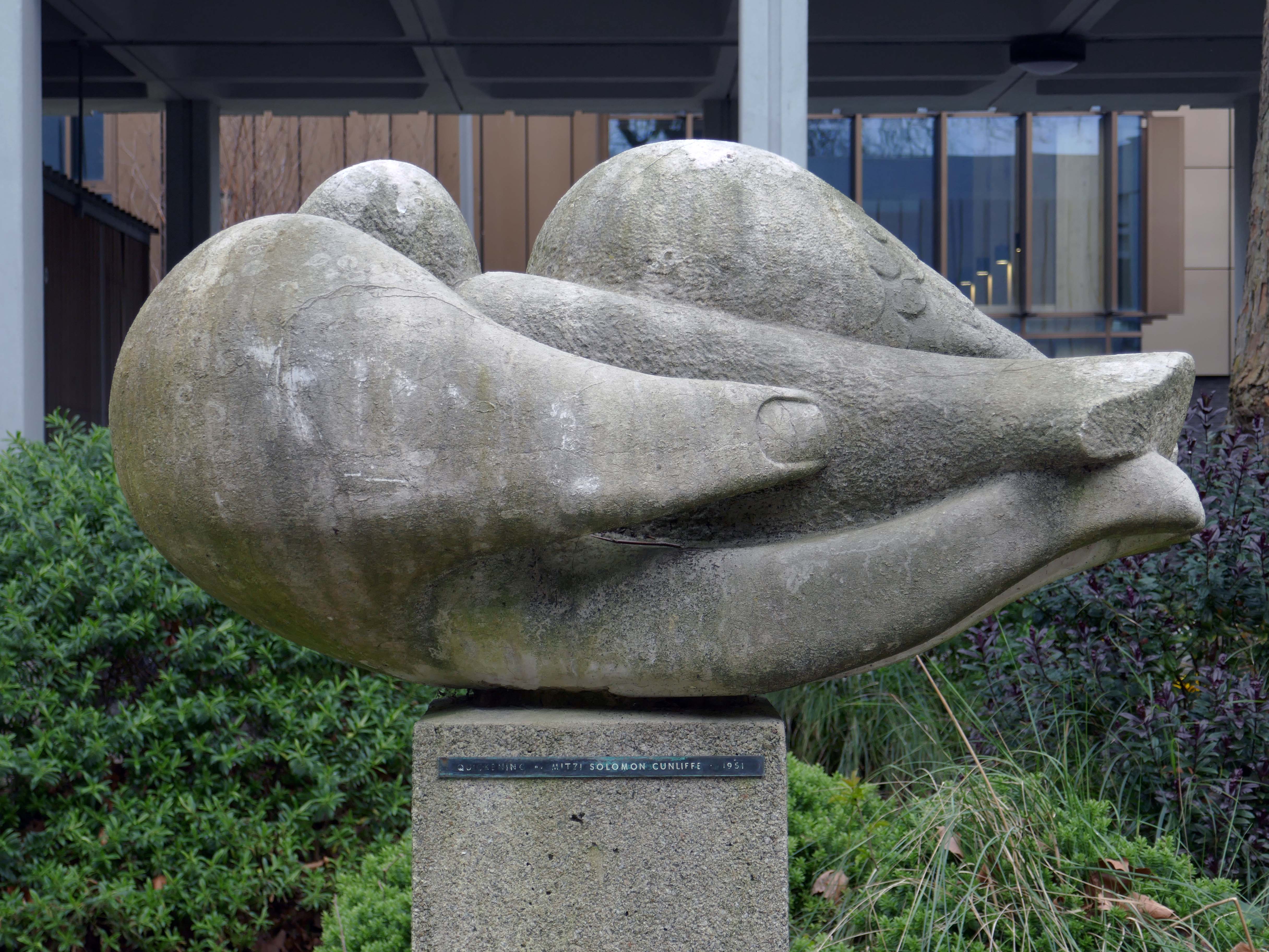
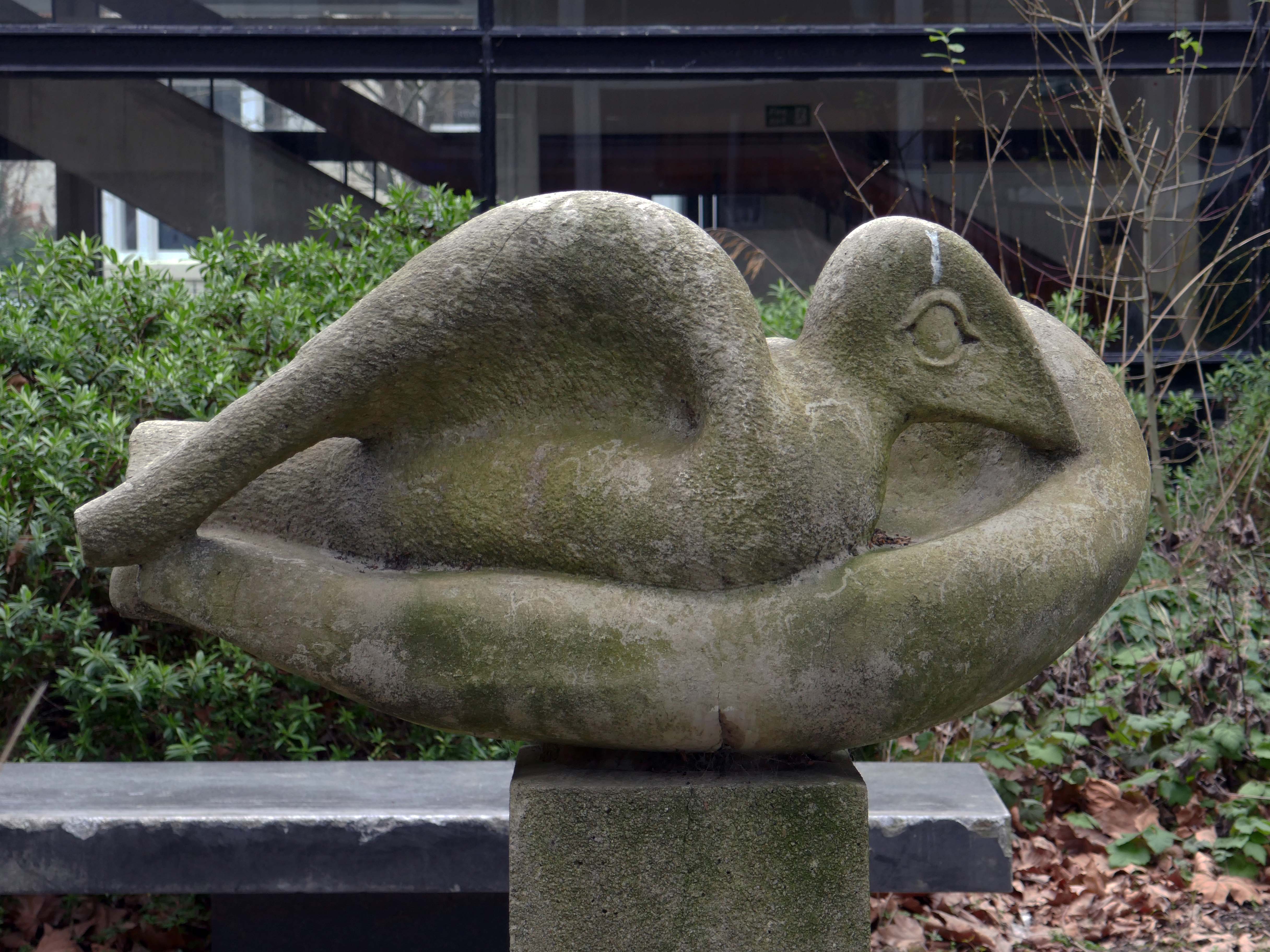
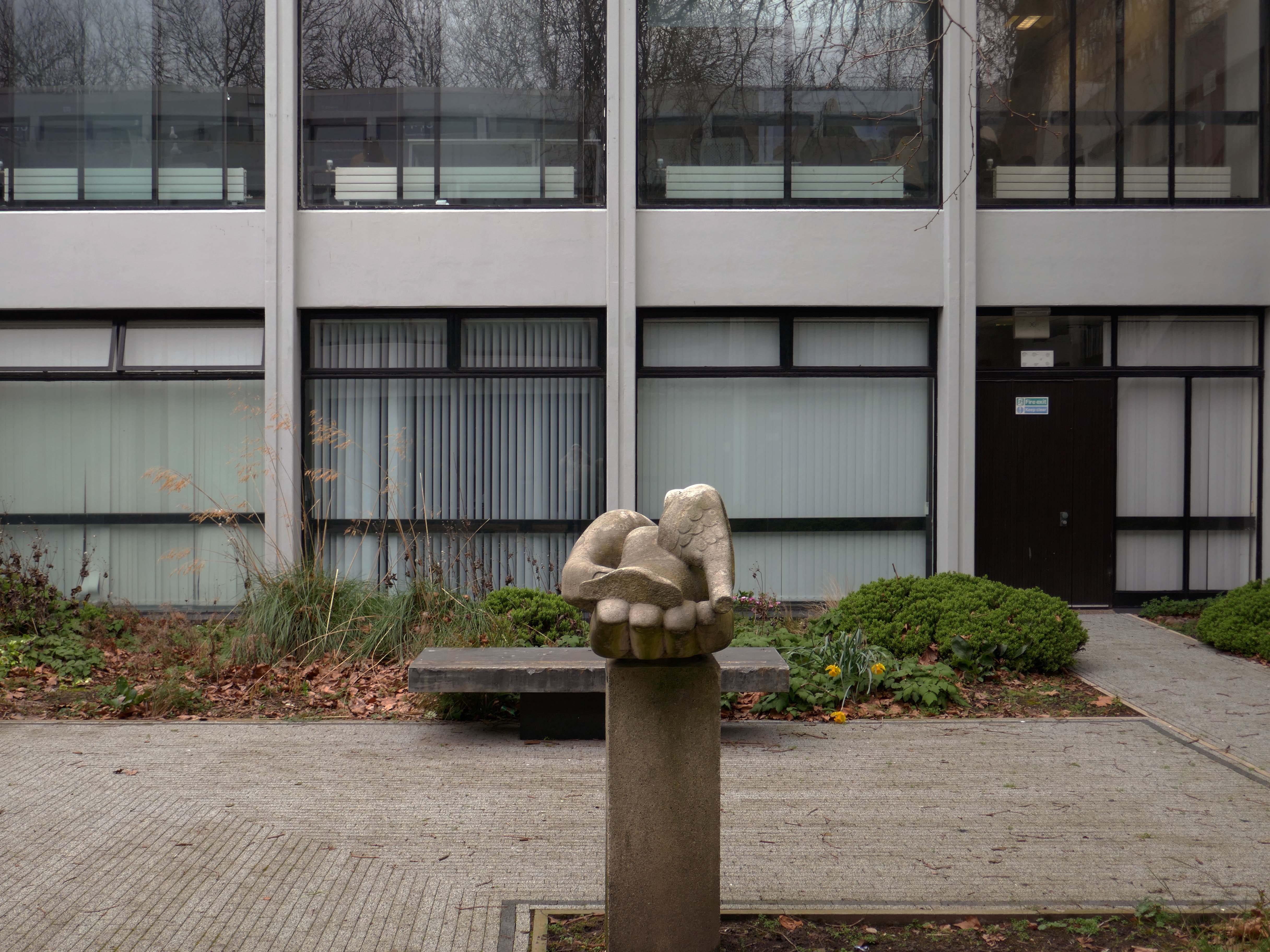
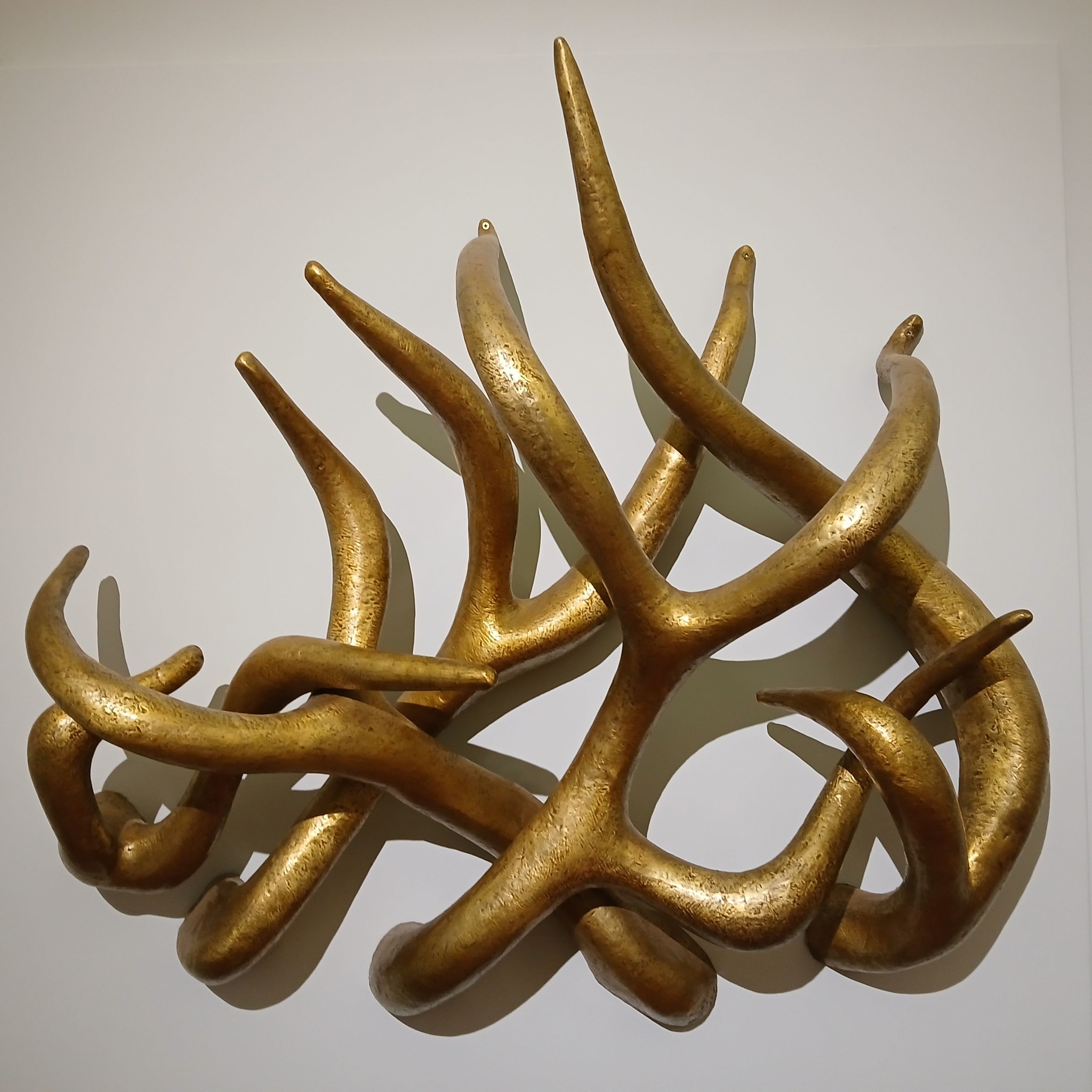
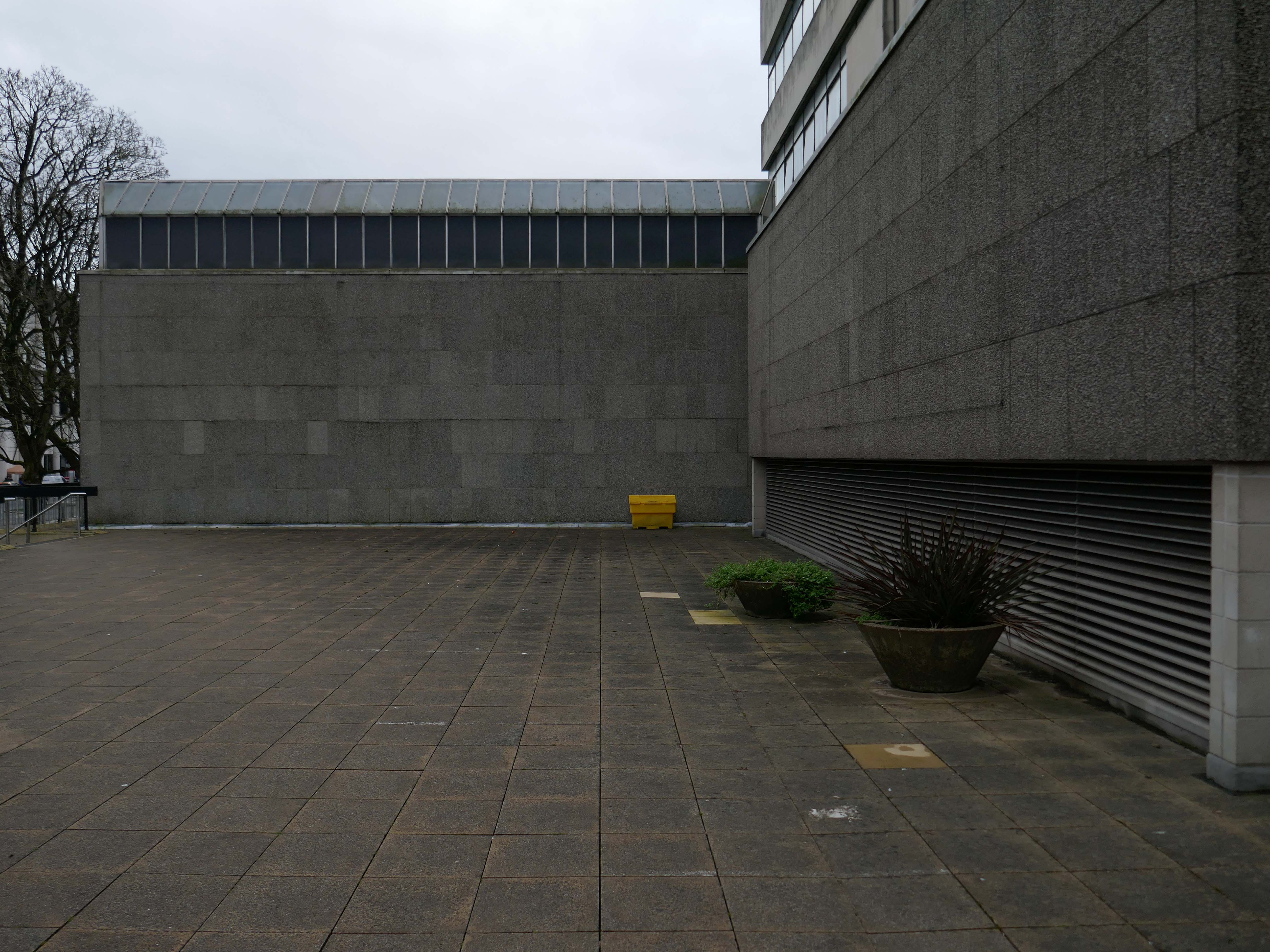
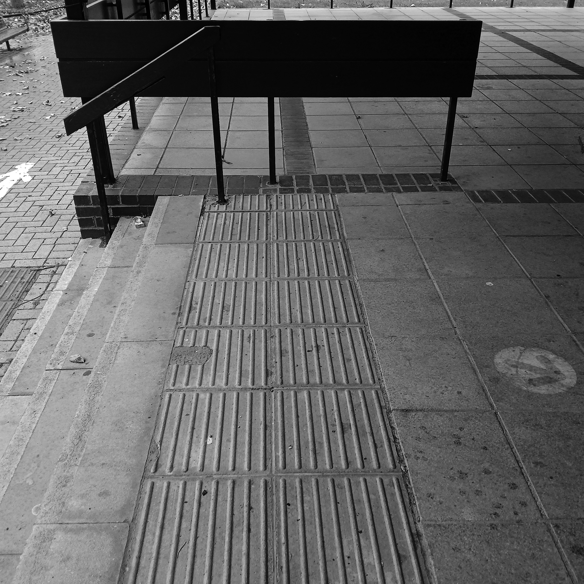
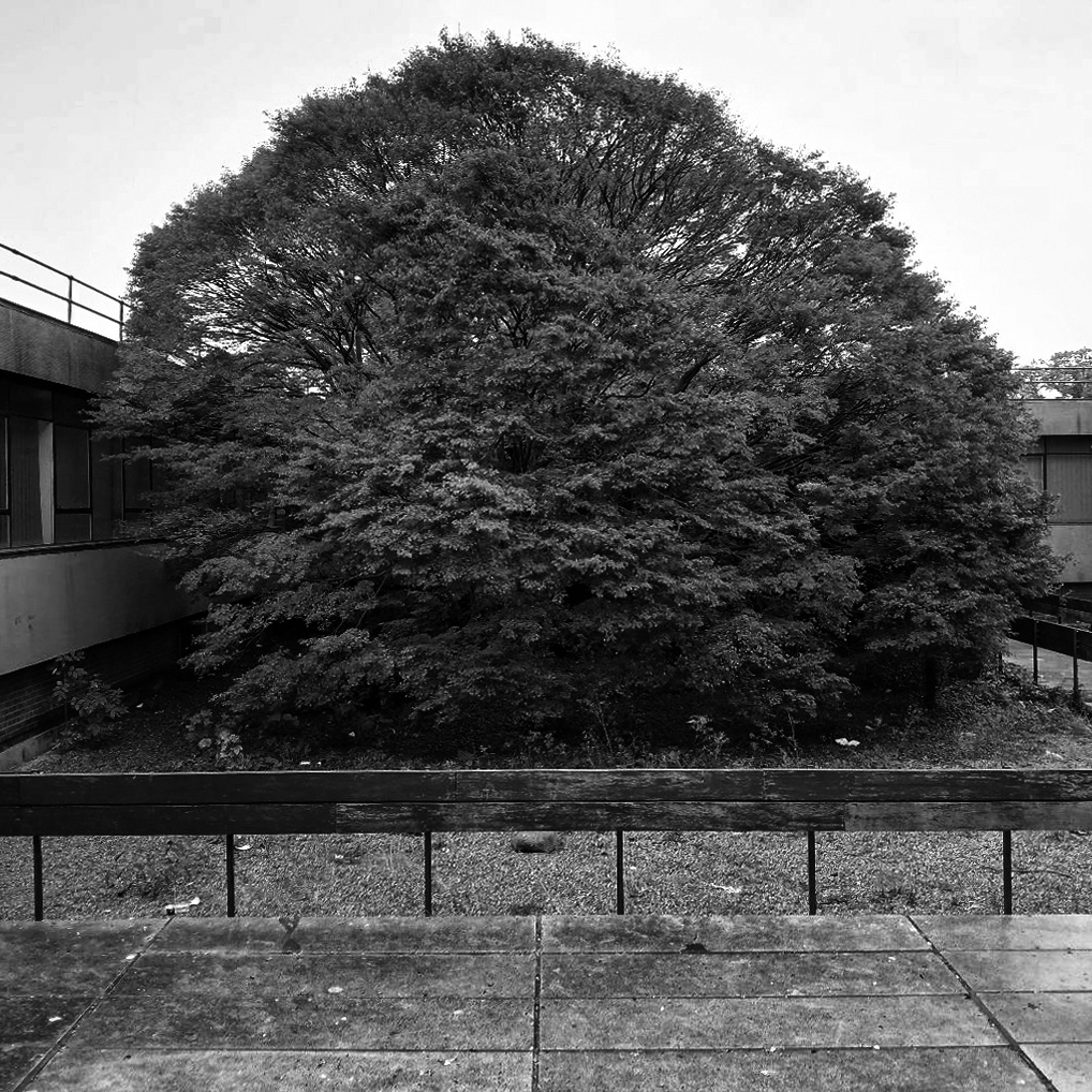
The courtyard contains a sculpture by Mitzi Solomon Cunliffe – The Quickening previously located behind the School of Architecture.
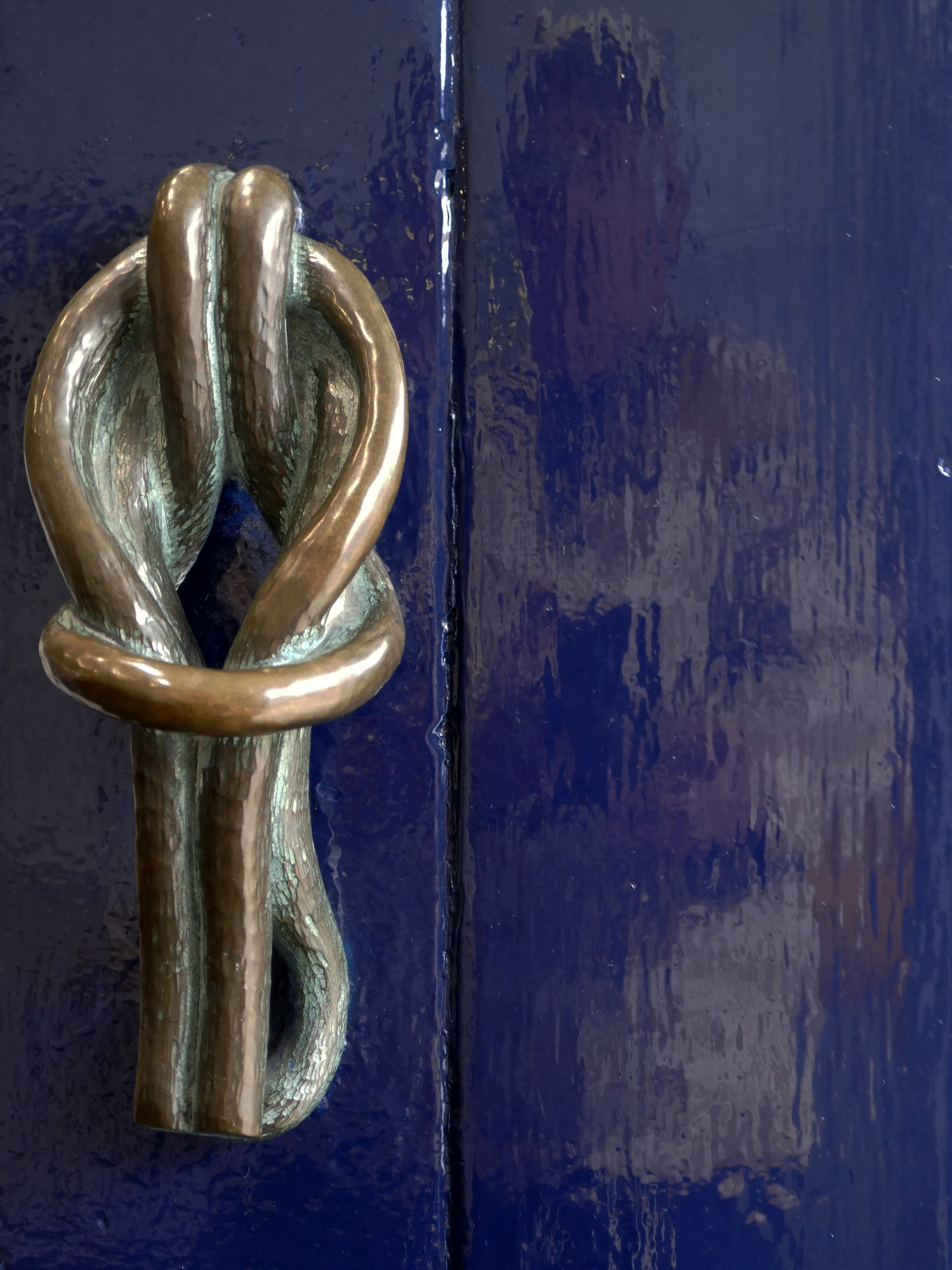
Somebody at the University of Liverpool saw Mitzi’s work at the Festival of Britain and took note. She was immediately commissioned to create three items for the University: a public sculpture to go in the courtyard of the School of Civic Design’s new building, a decorative sculpture for the inside the building and the handles for its front-door.
The public sculpture, is in the form of a hand gently holding a dove. It stood in its original position for sixty-nine years until sent away for conservation and then relocated across campus in 2020, to outside the Rendall Building.
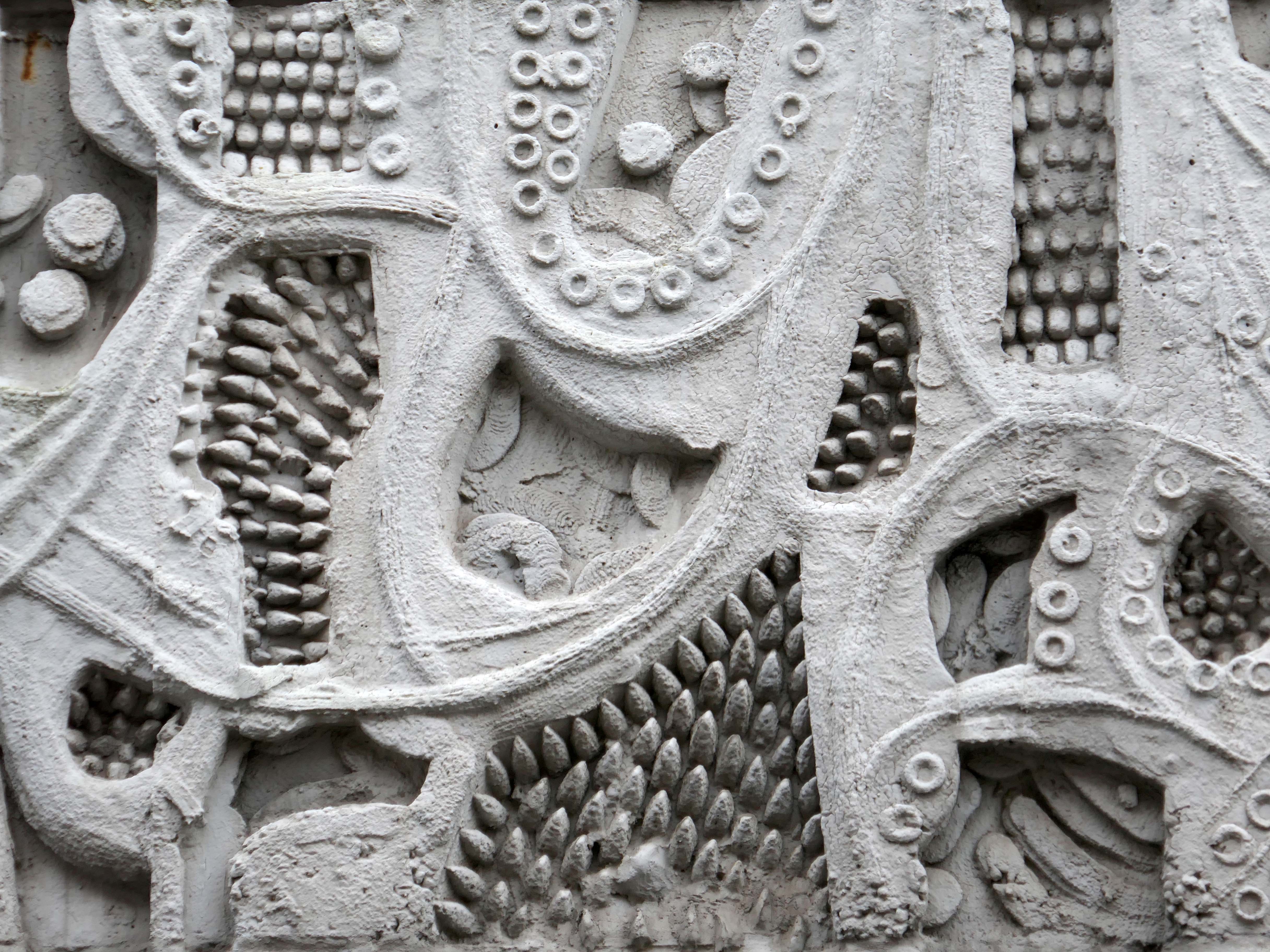
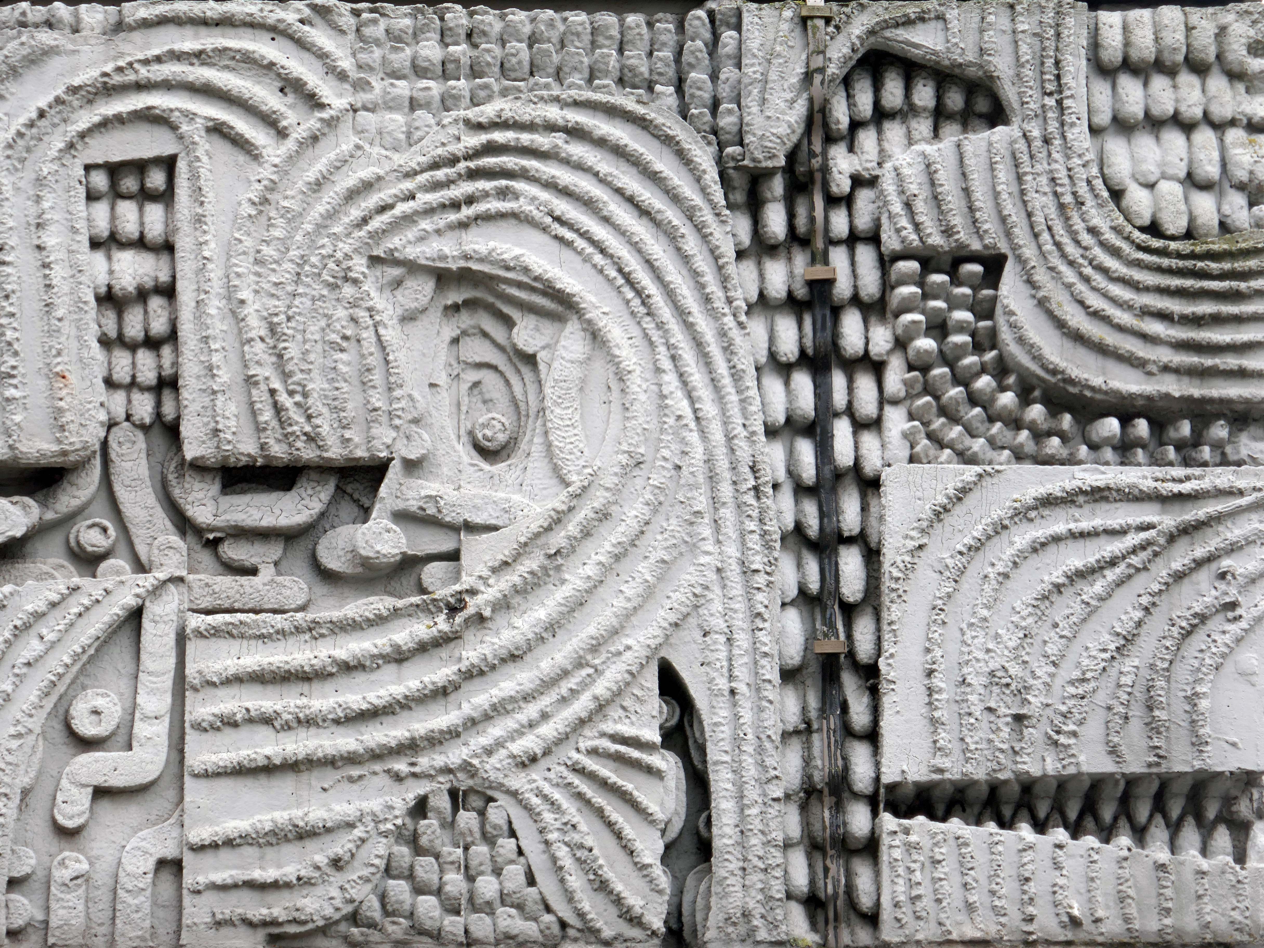
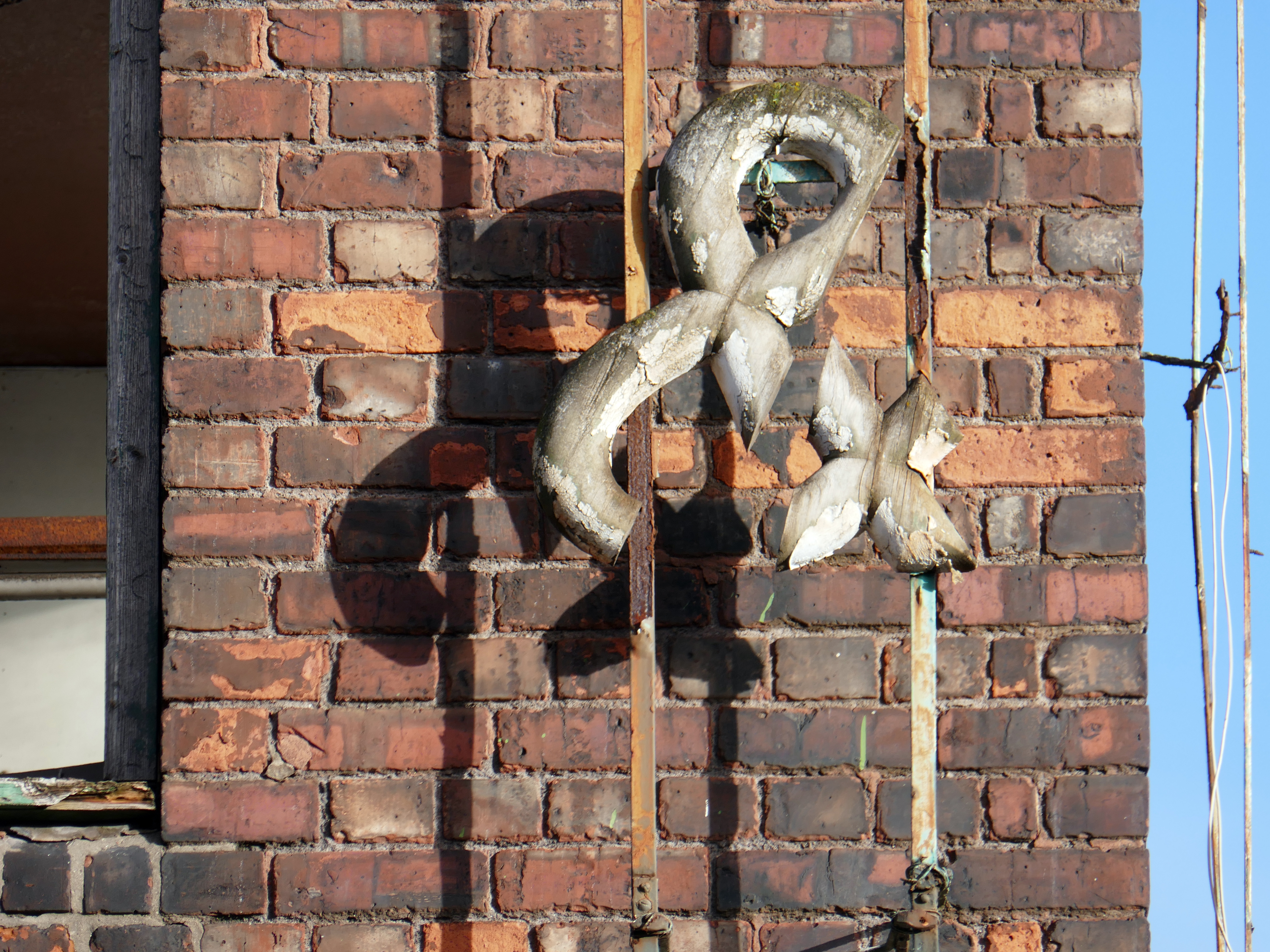
The other sculpture that Mitzi created for the building is easily the spikiest thing in our art collection. ‘Loosestrife’ is a number of tentacle-like arms that intertwine and project outwards. For many it looks like an assemblage of golden deer antlers but it may be based on spires of the flower called loosestrife.
‘Loosestrife’ had been recorded on its arrival as being made of bronze and had turned completely black over the years, probably because it was hung in an area where students smoked back in the day. When it was removed from the School of Civic Design building in 2018 and sent for cleaning, it was revealed to actually be made of brass. It is very heavy and takes four technicians with lifting gear to hang it for display.
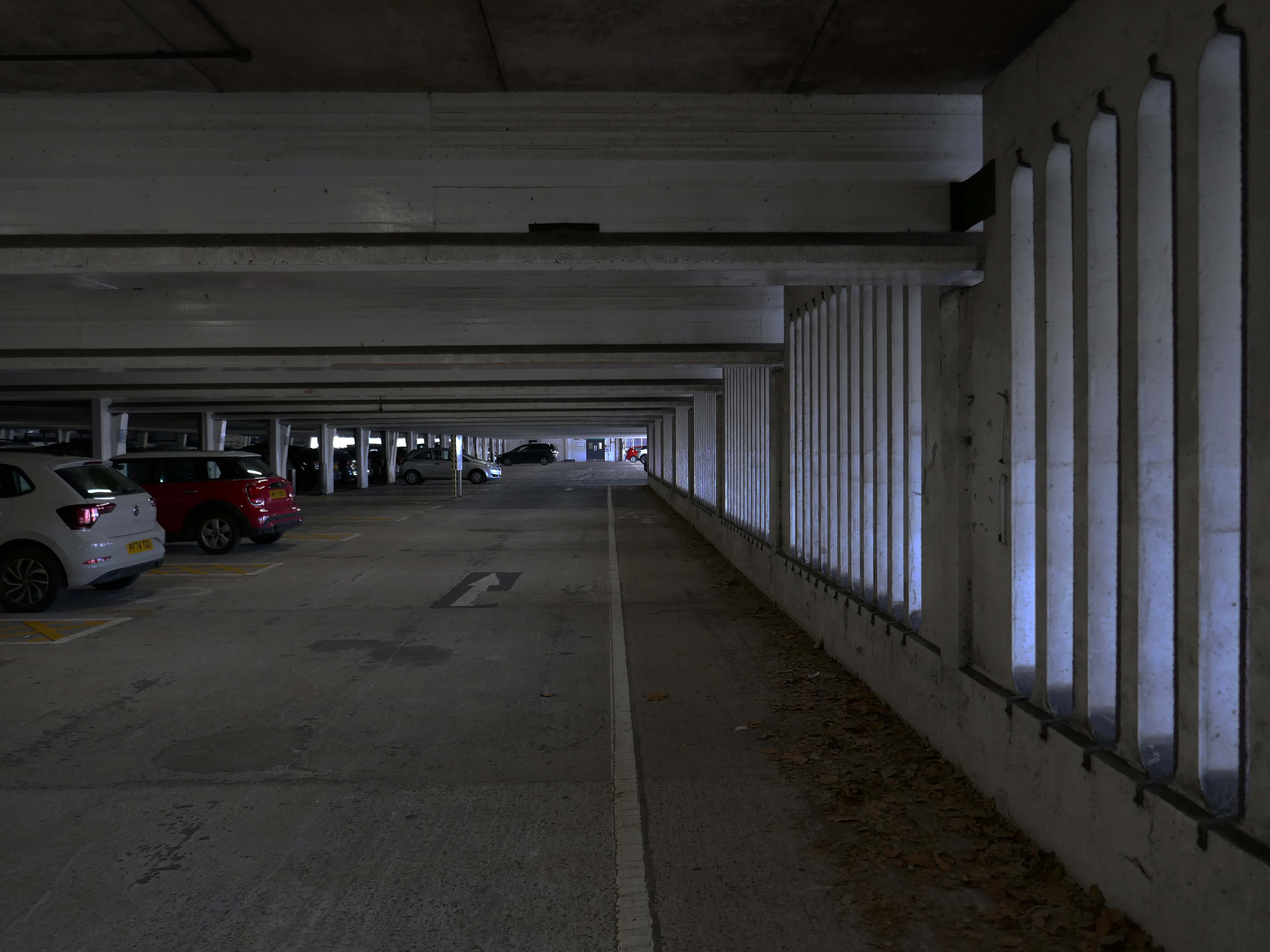
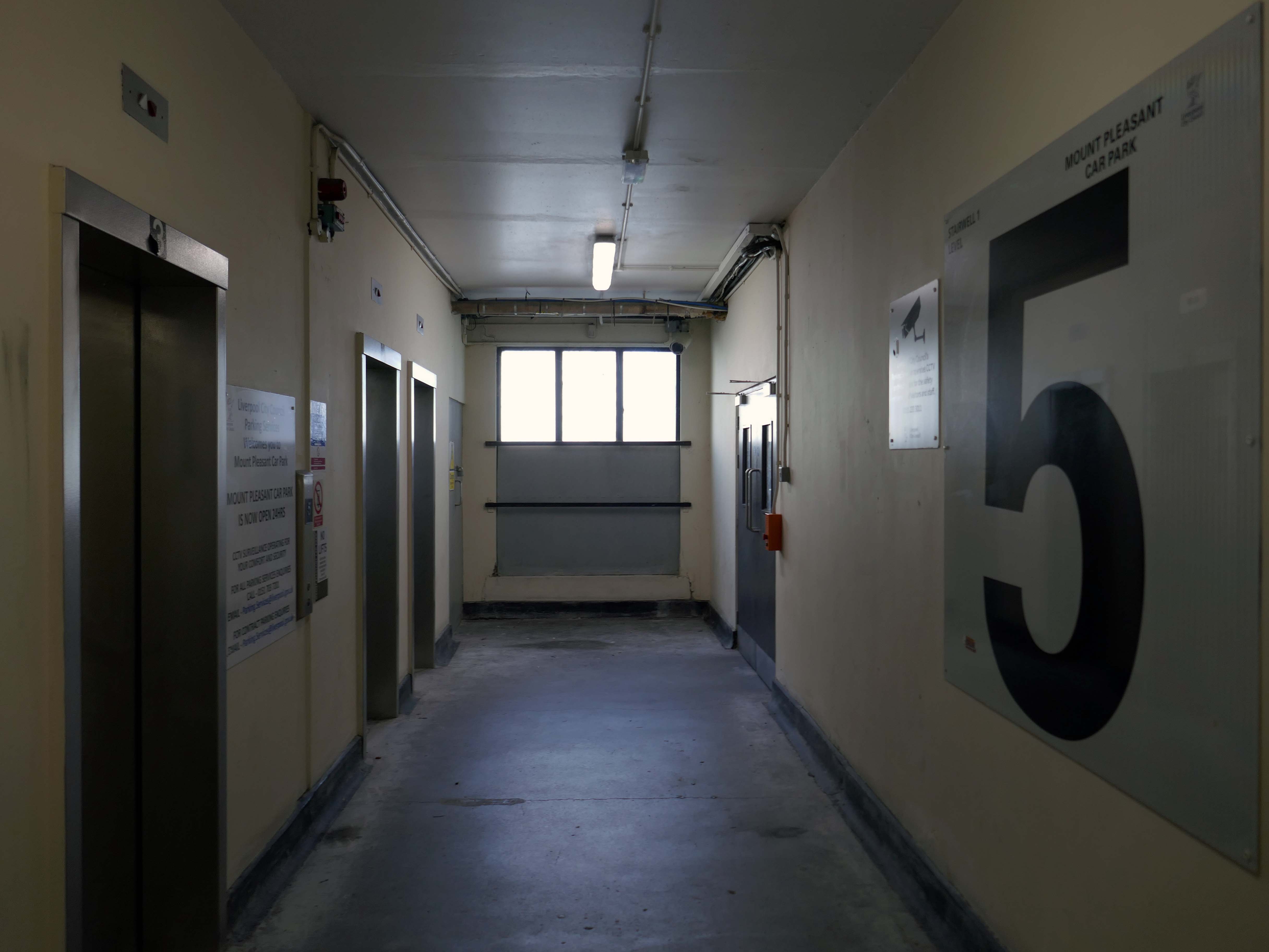
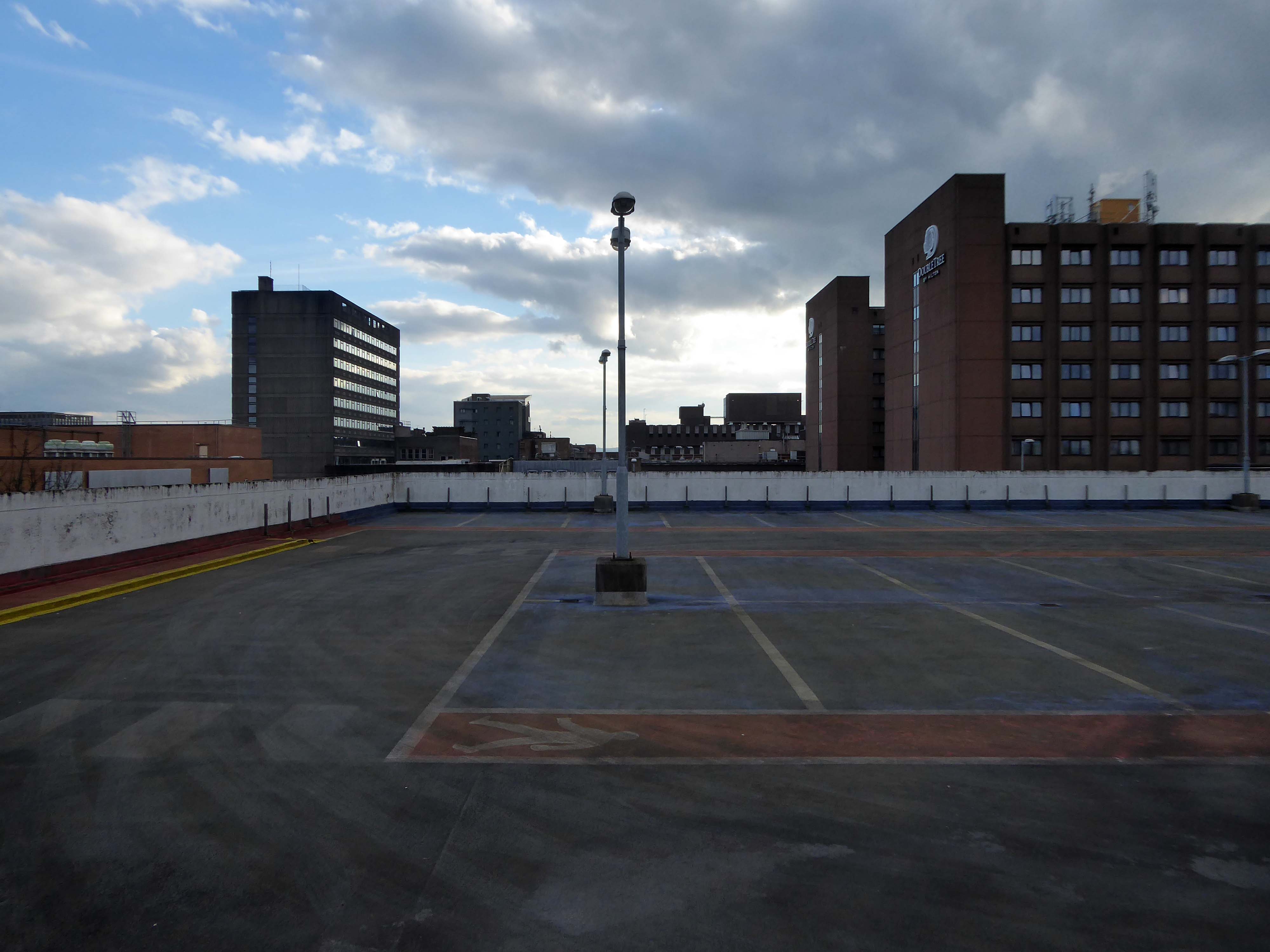
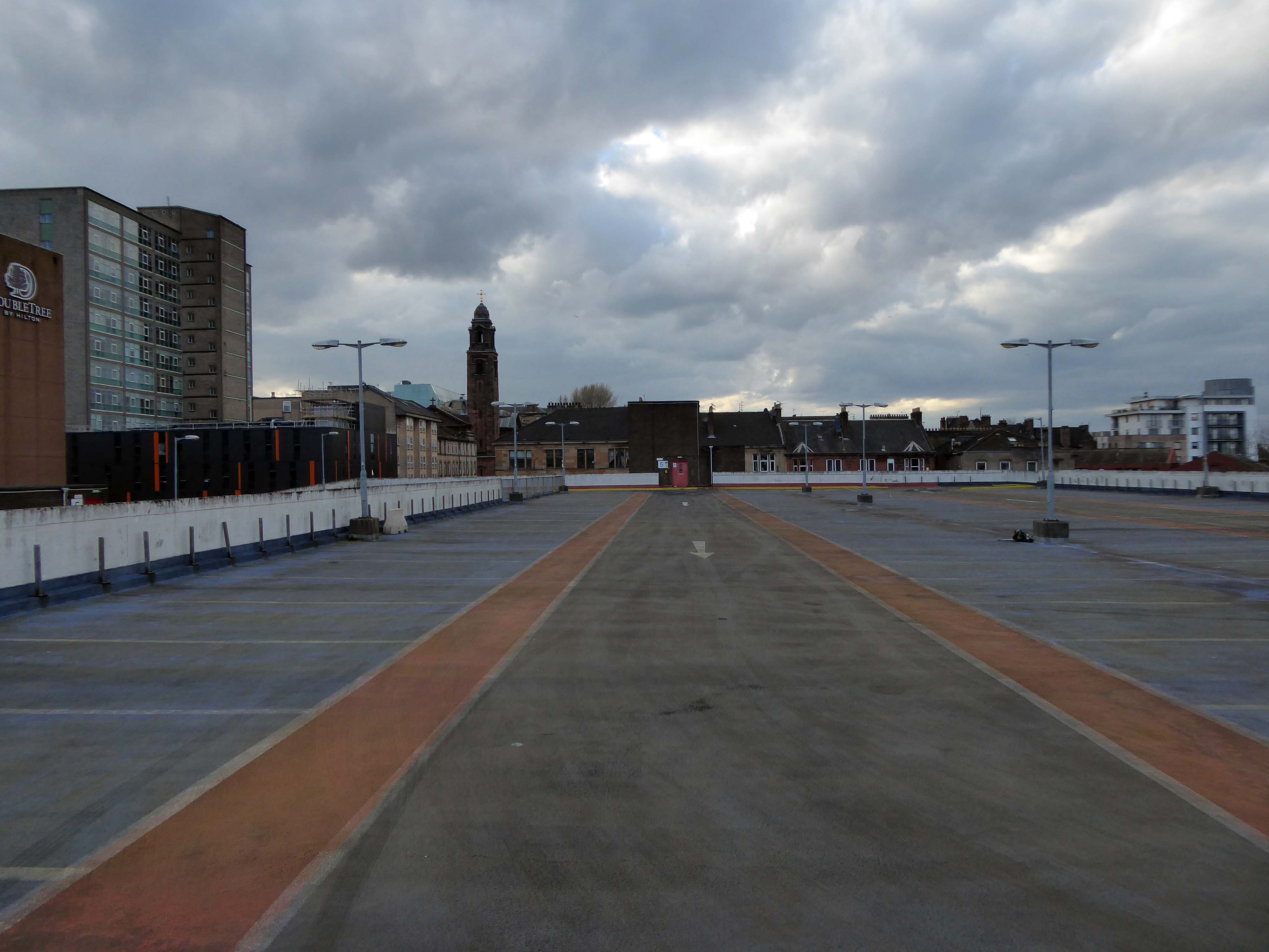
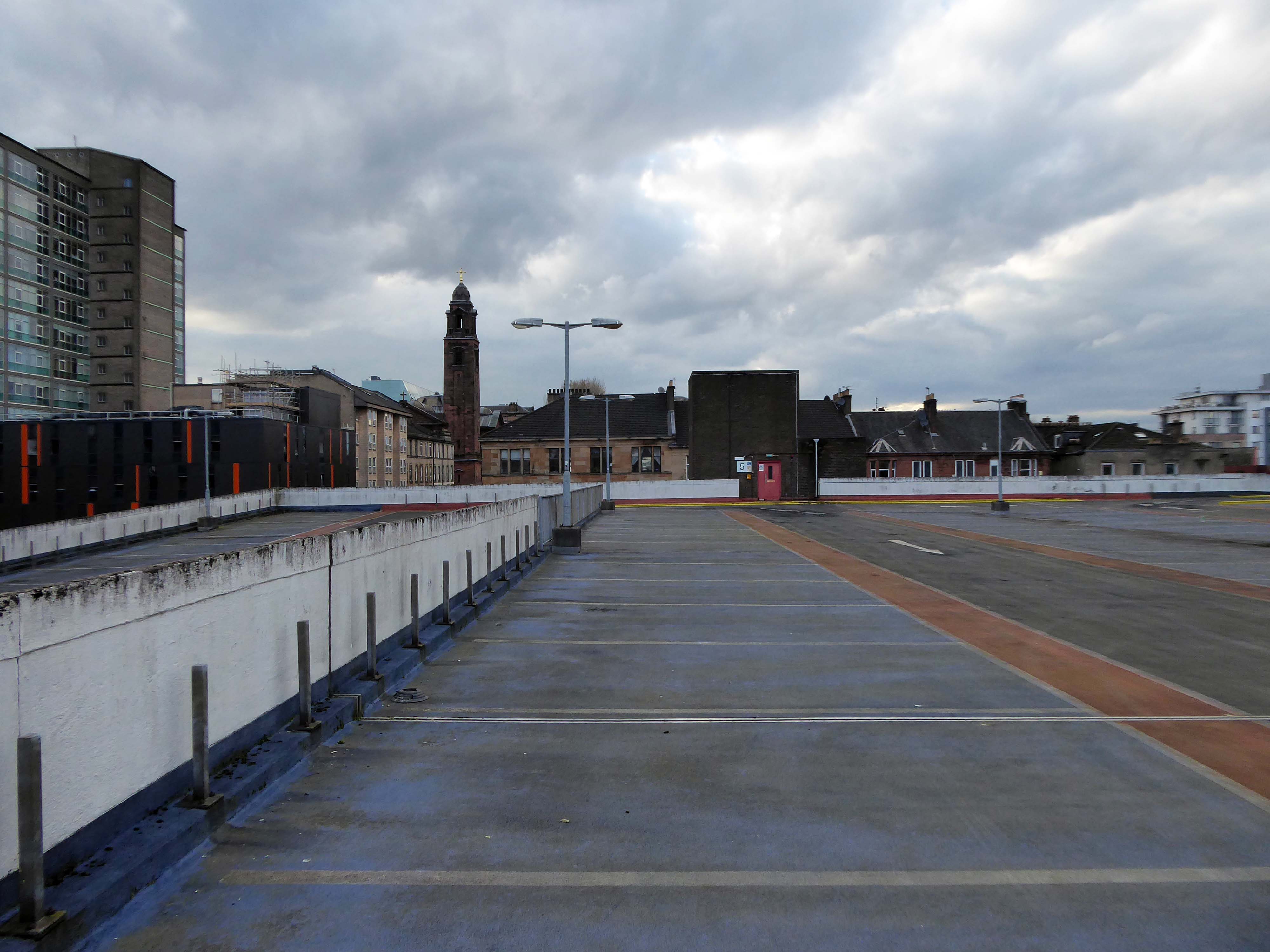
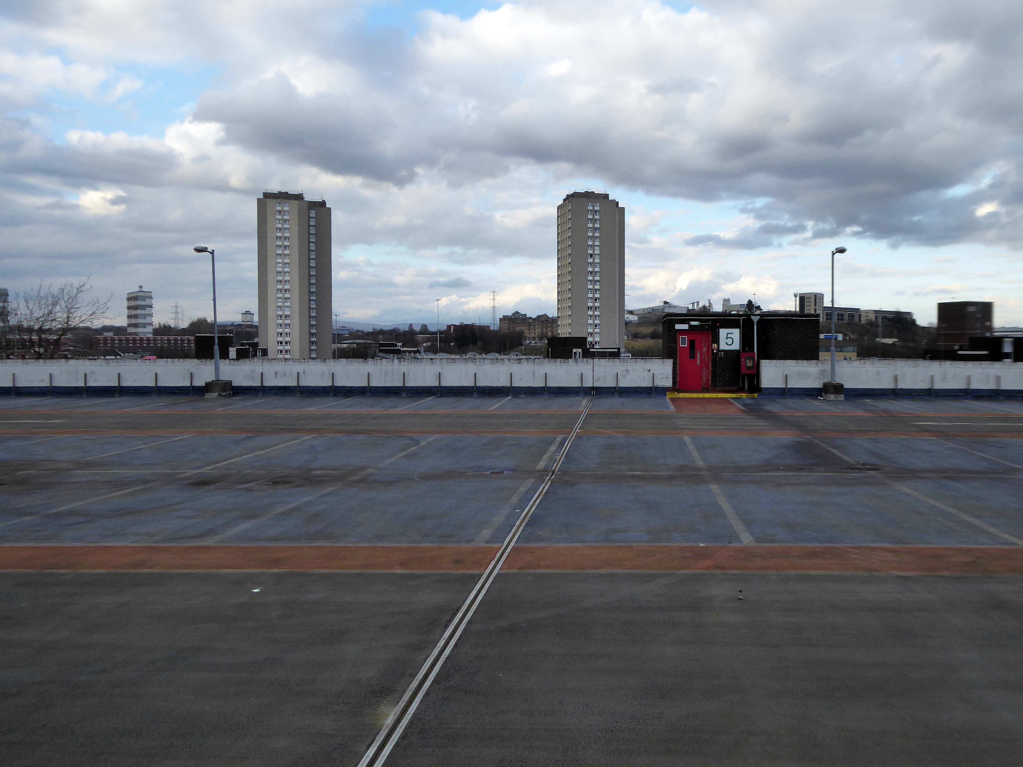
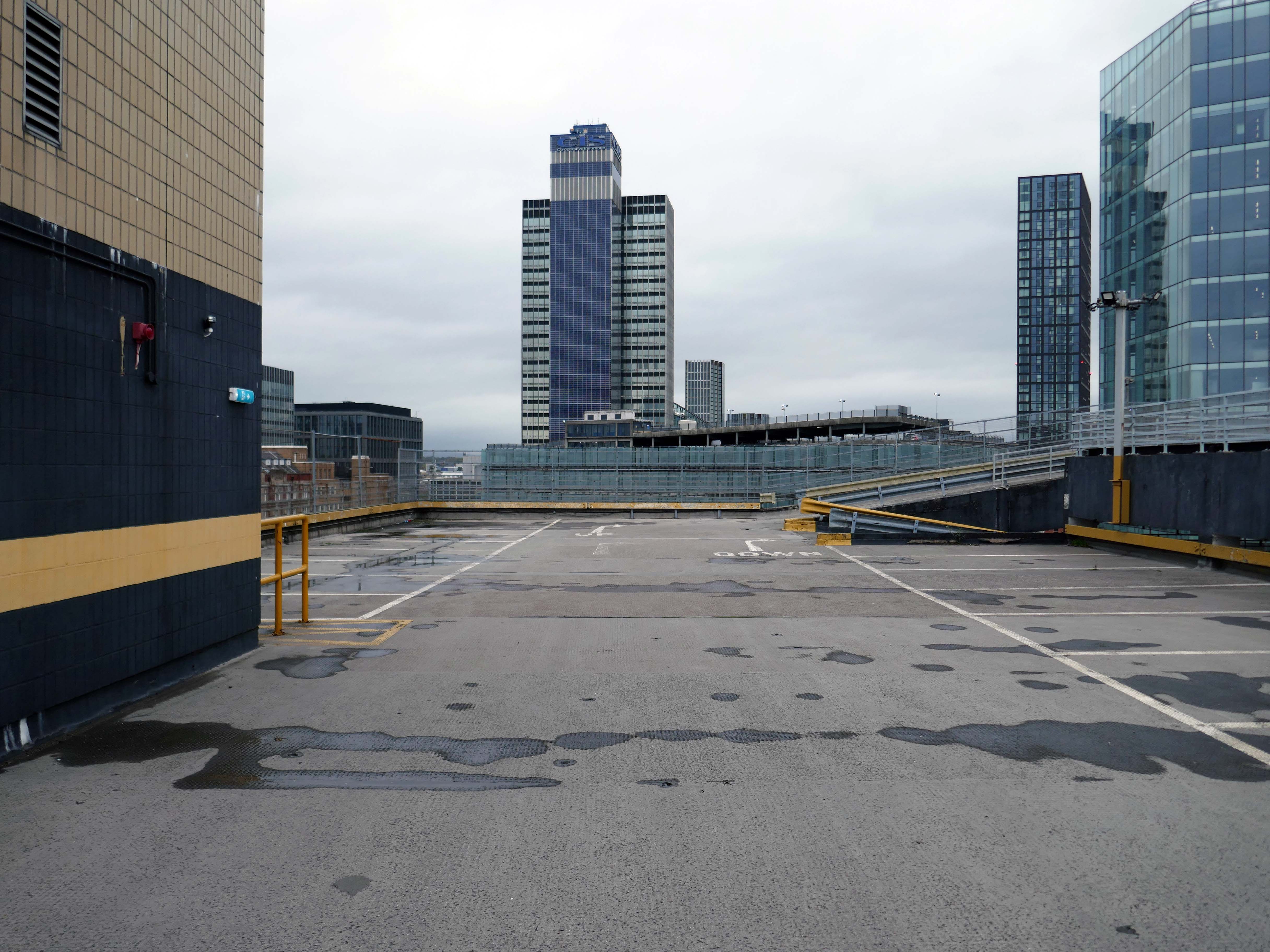
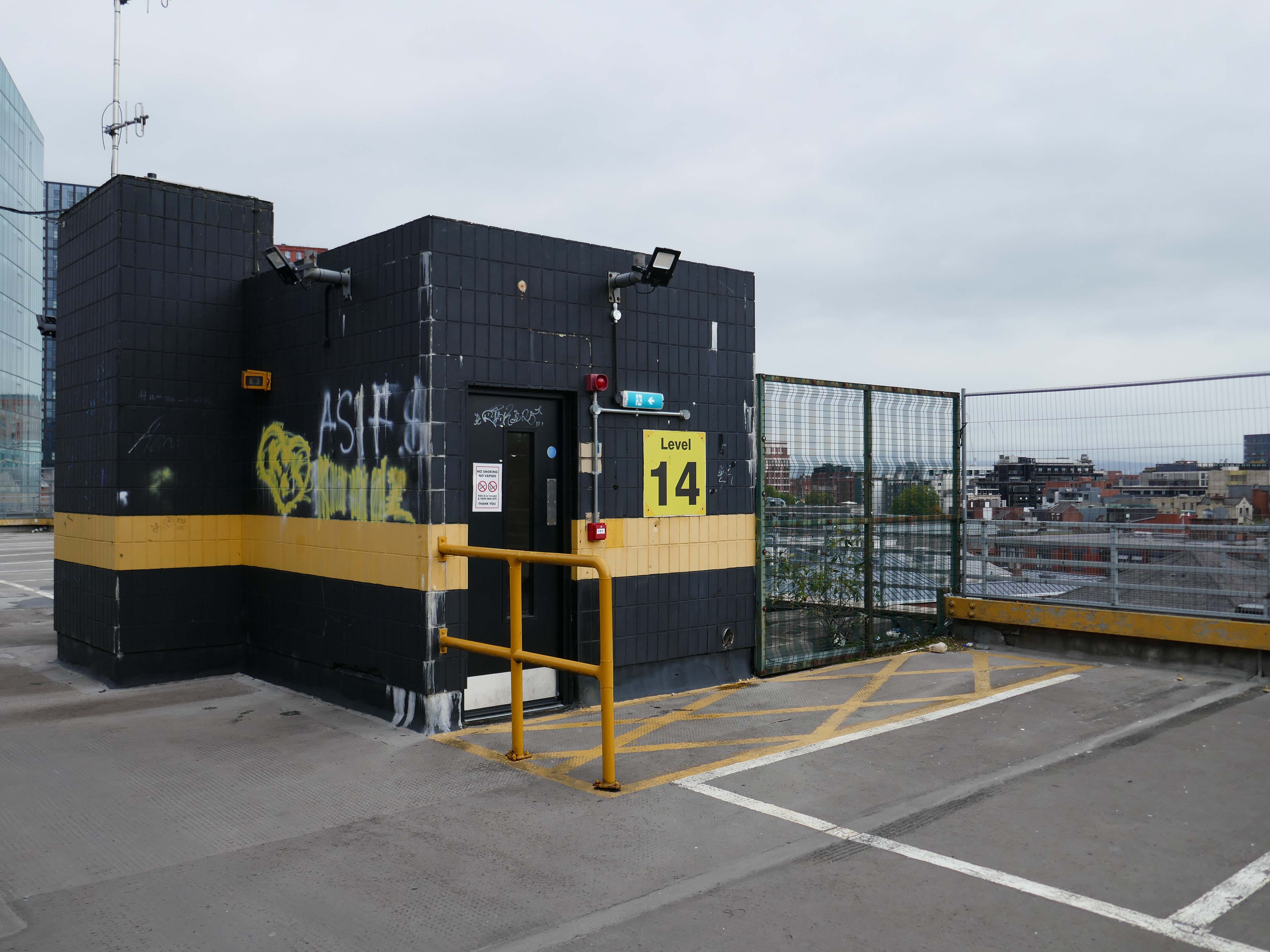
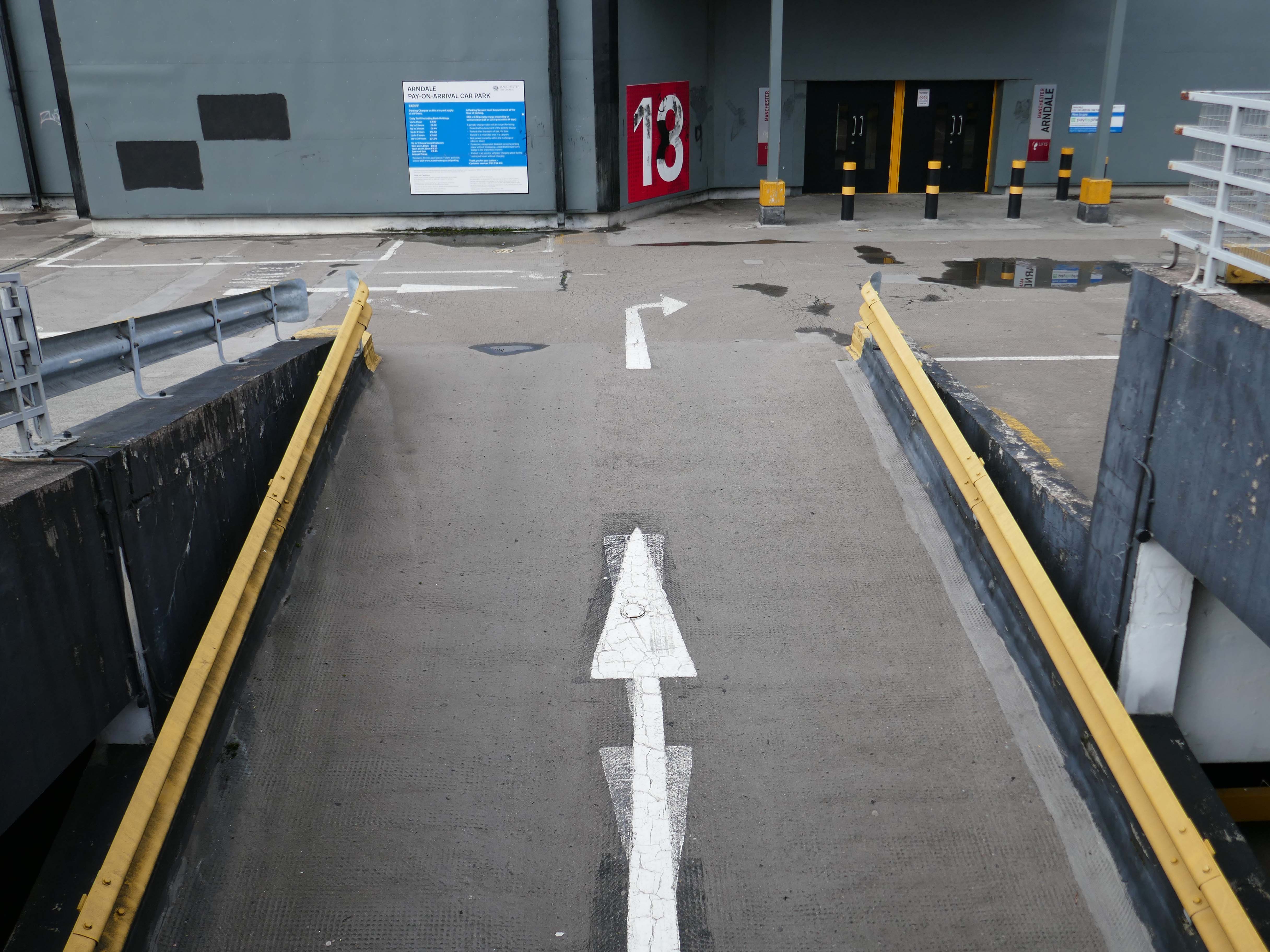
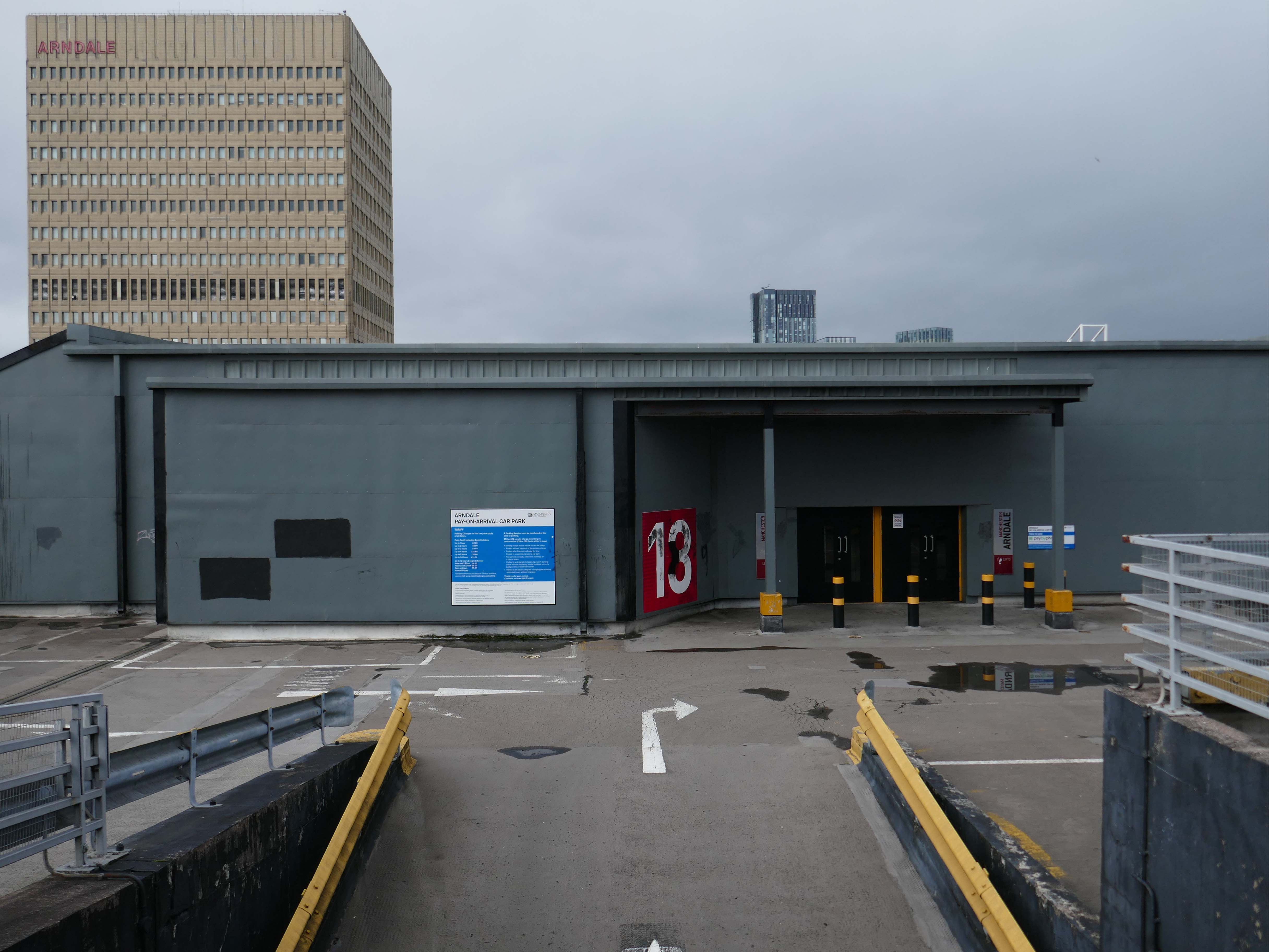
Excellent price – max £4 for whole day. Awkward to exit on foot, it needs more signage, but worth a bit of faffing around for the very reasonable cost. Really easy to pay by phone, although it costs an extra 20p to do this. As other have said, it closes at 8pm, but great for daytime adventures!
2017
Open 24 hours, no lifts but cheap. Always managed to find a space.
2023
Parkopedia
Crosville buses DVG279 and ENL826 head out of Liverpool past the multi-storey car park and AUEW offices in Mount Pleasant.
One of Liverpool’s traditional “Freddie Boswell” street sweepers is going down the hill with his dustcart.
Photo 1985 Chris Palmer
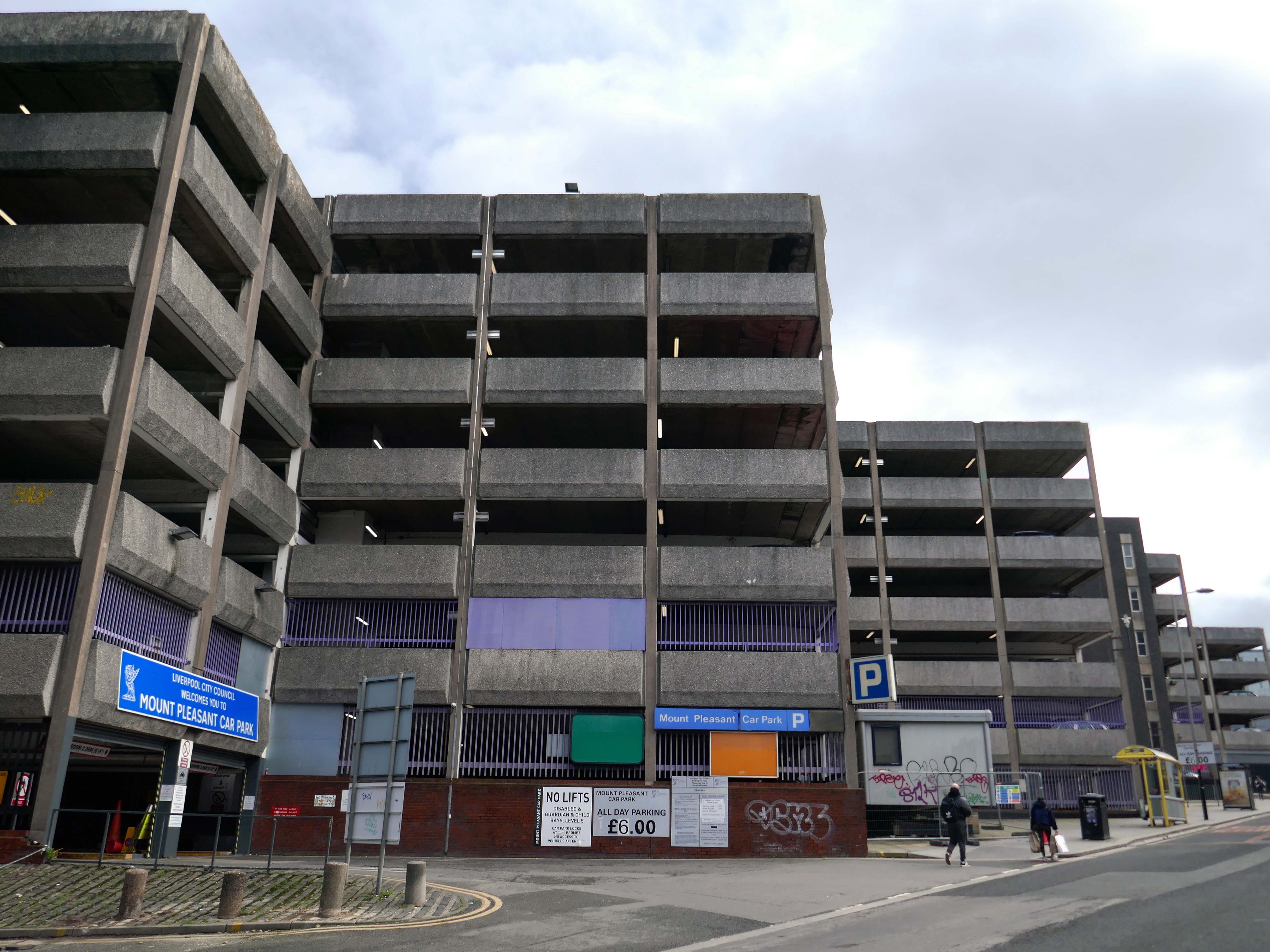
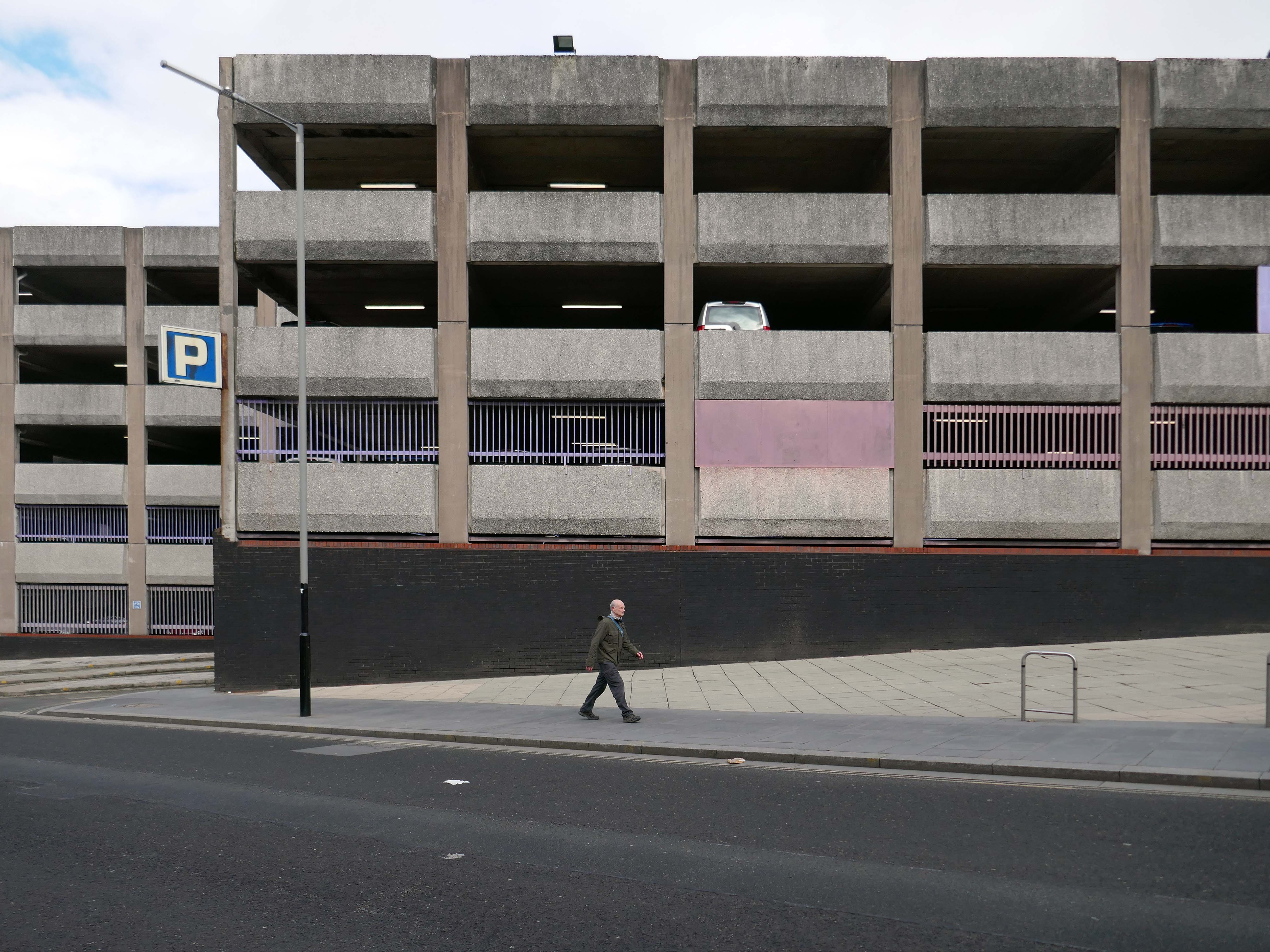
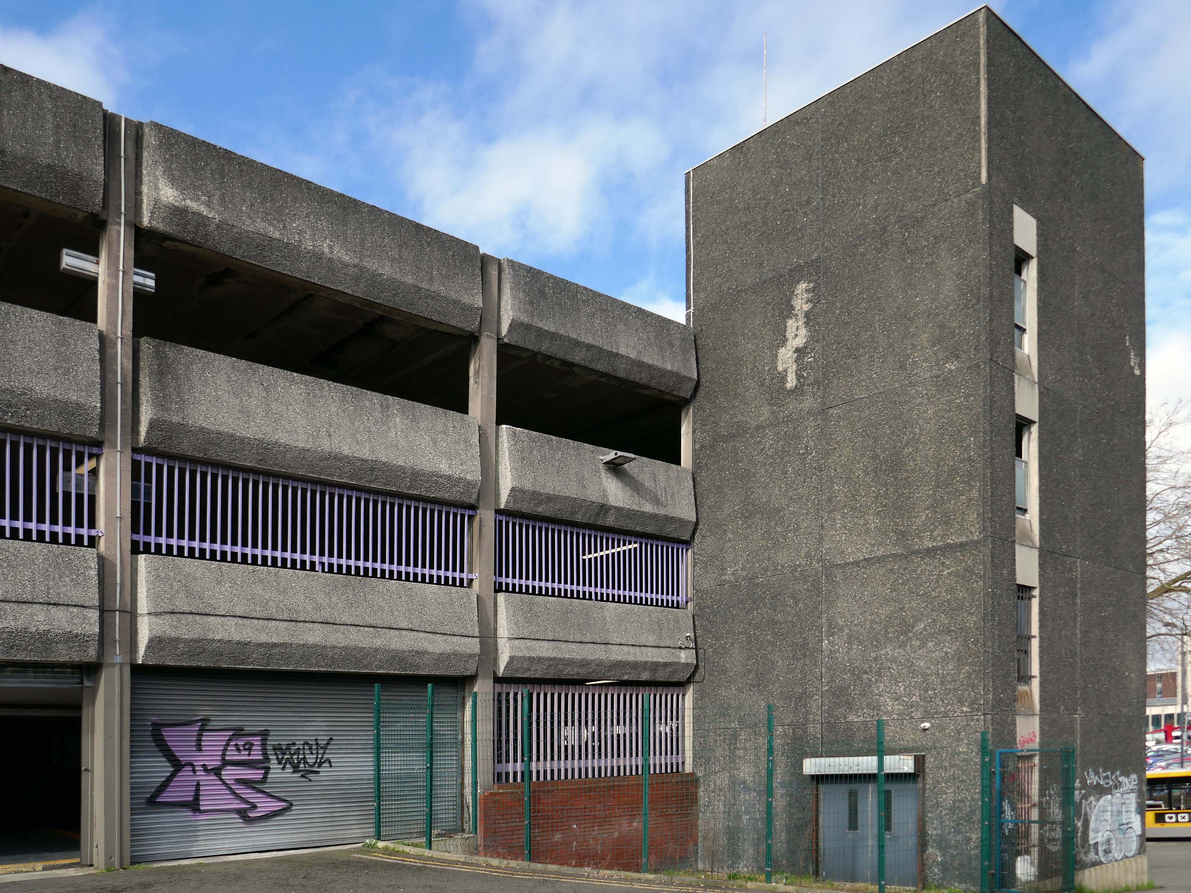
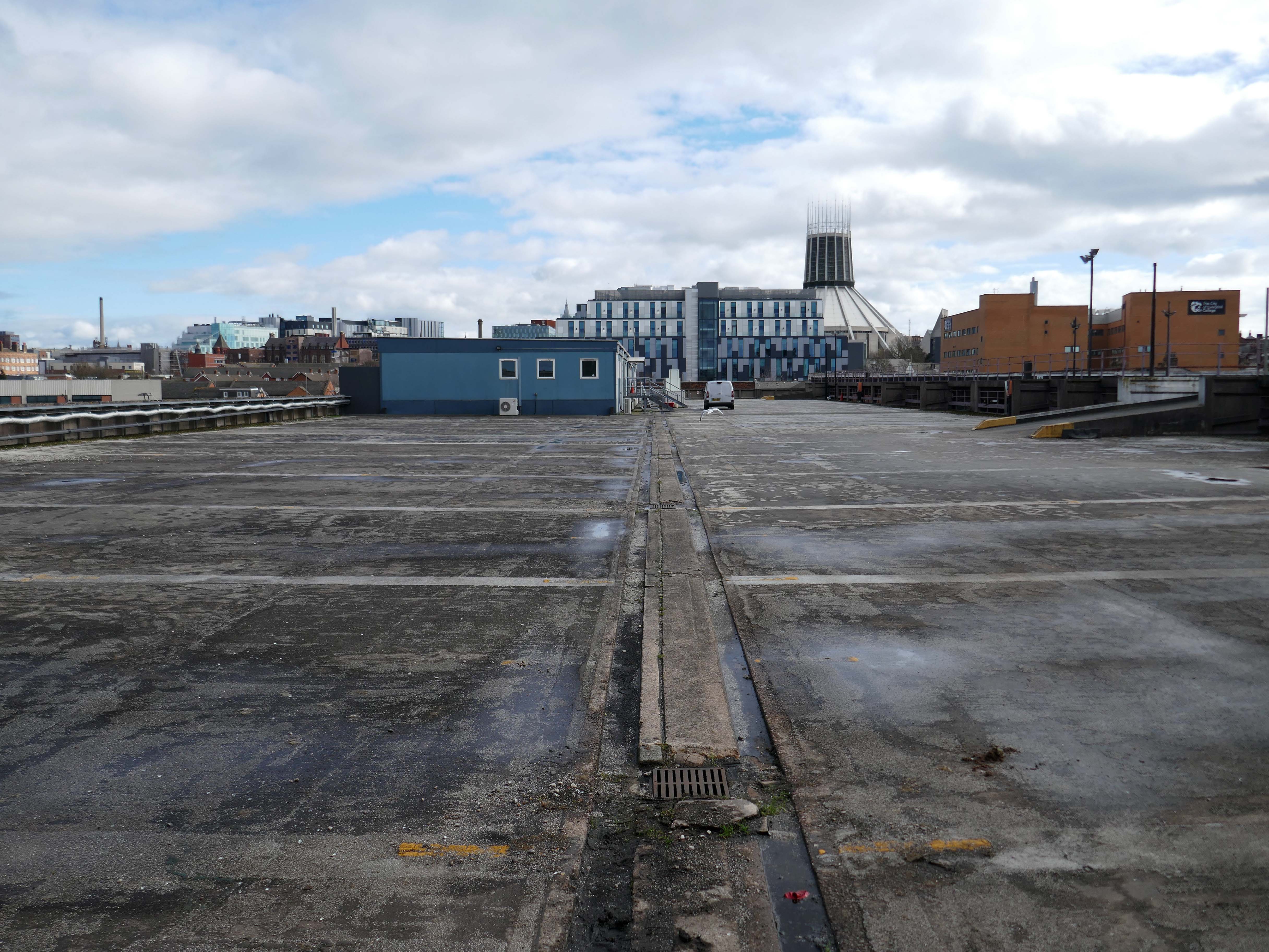
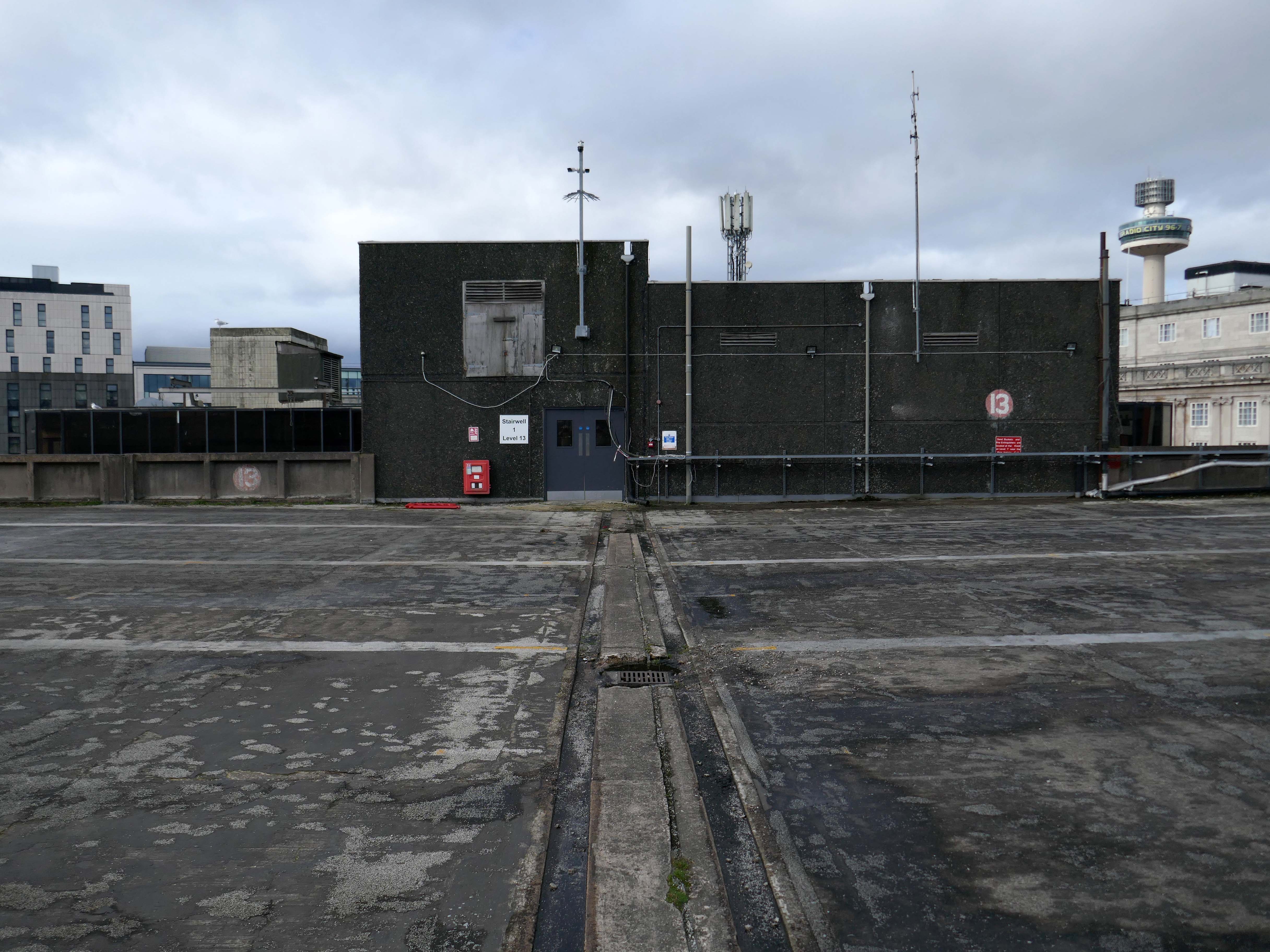
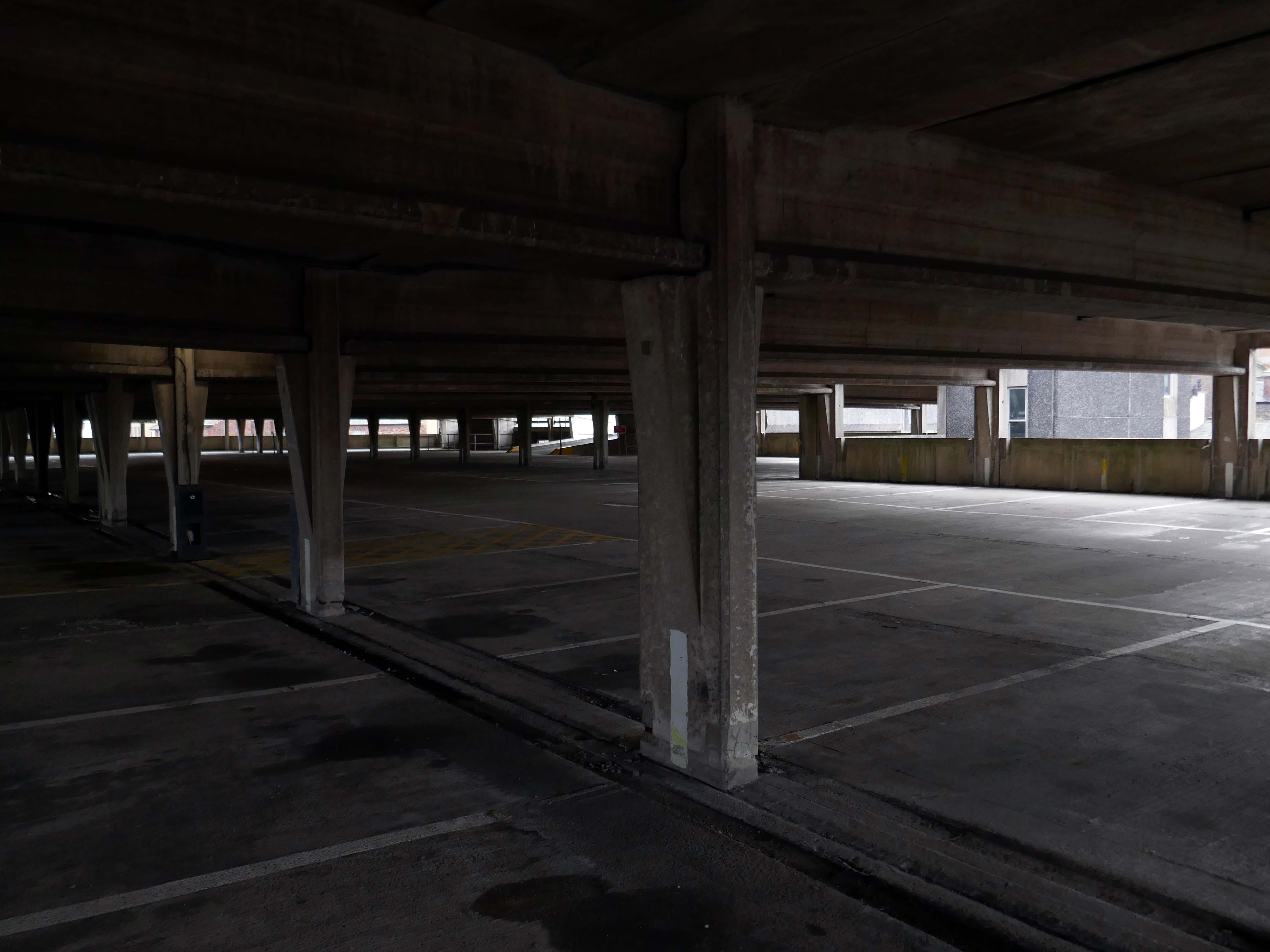
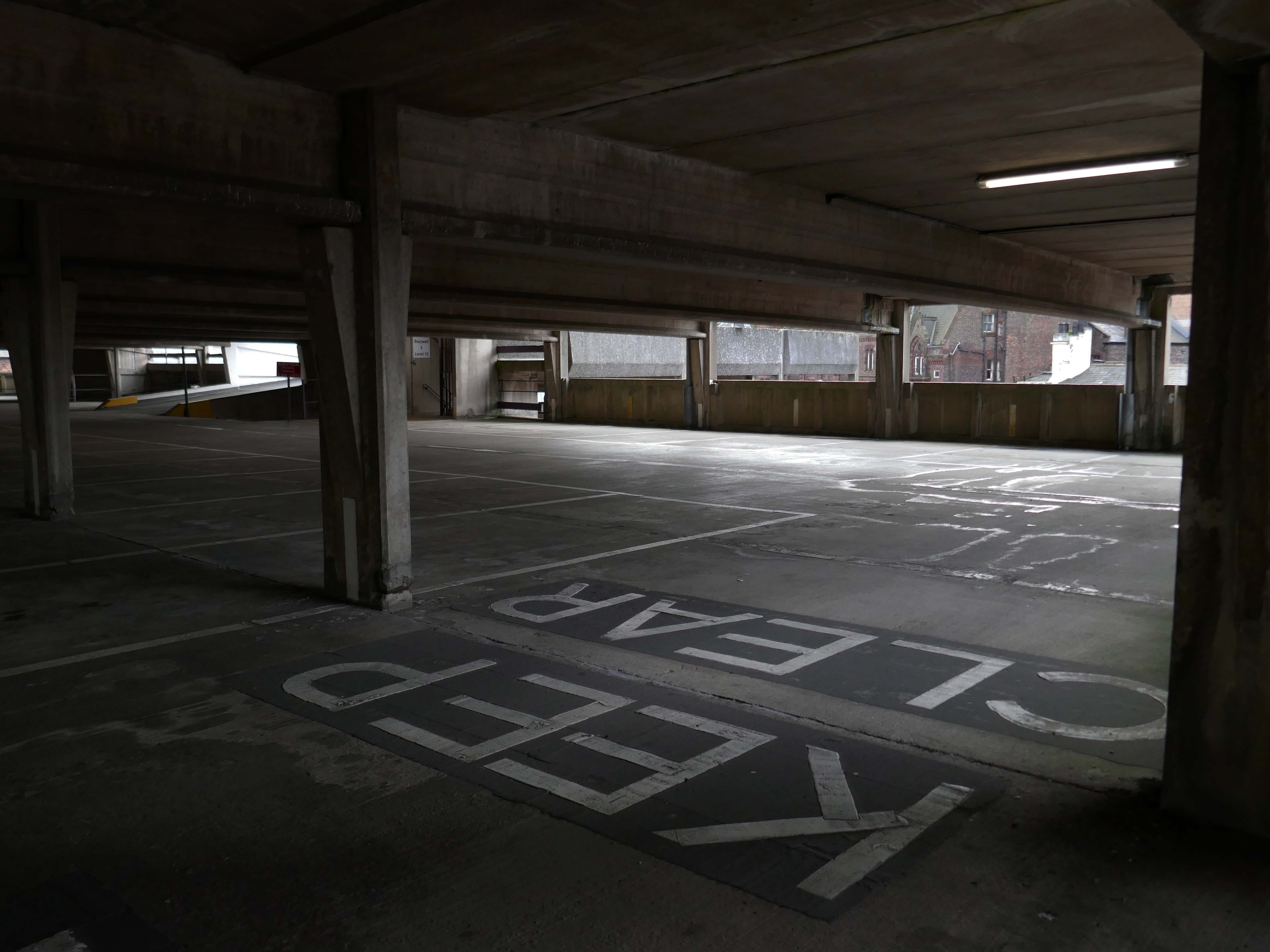
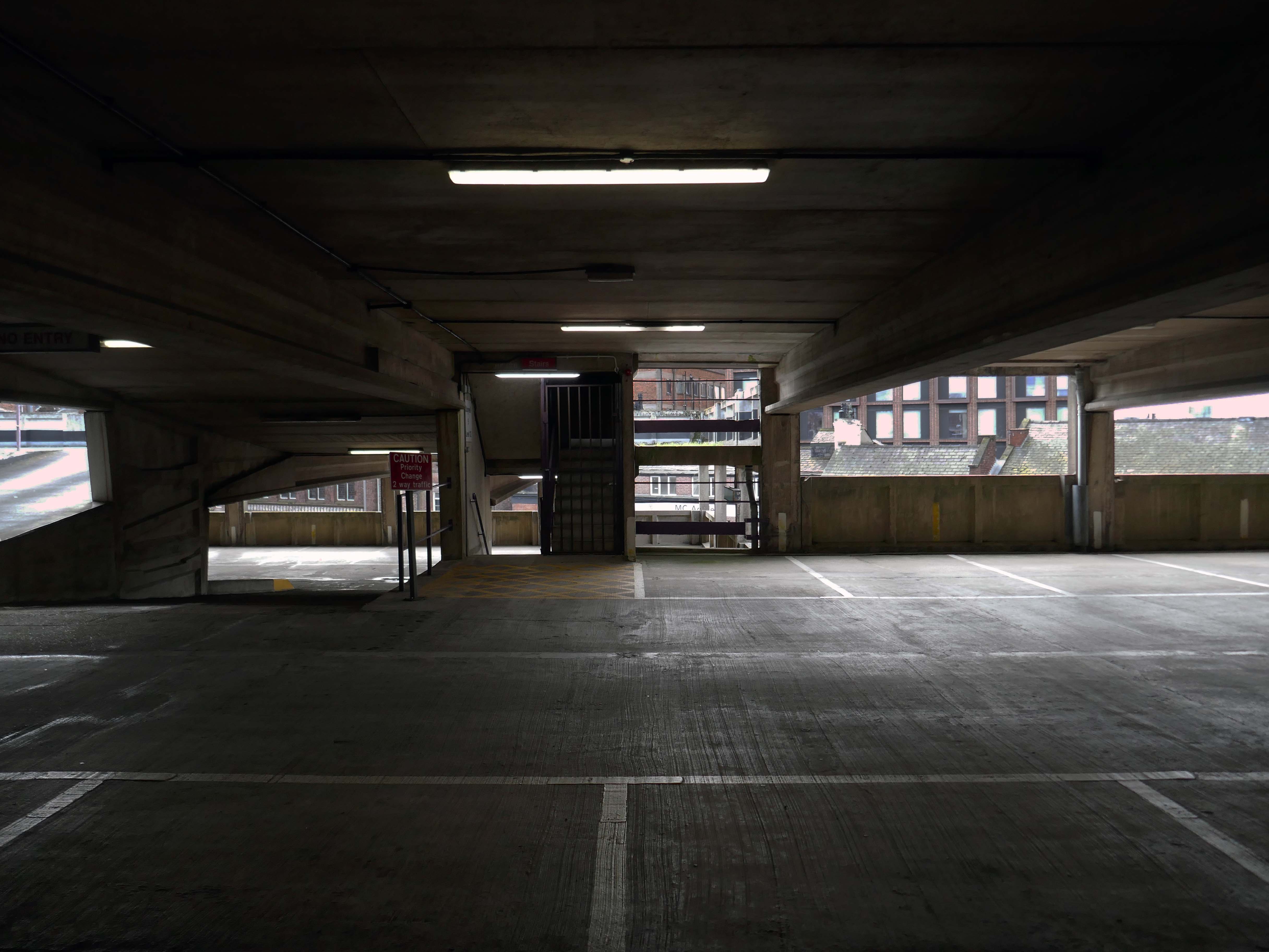
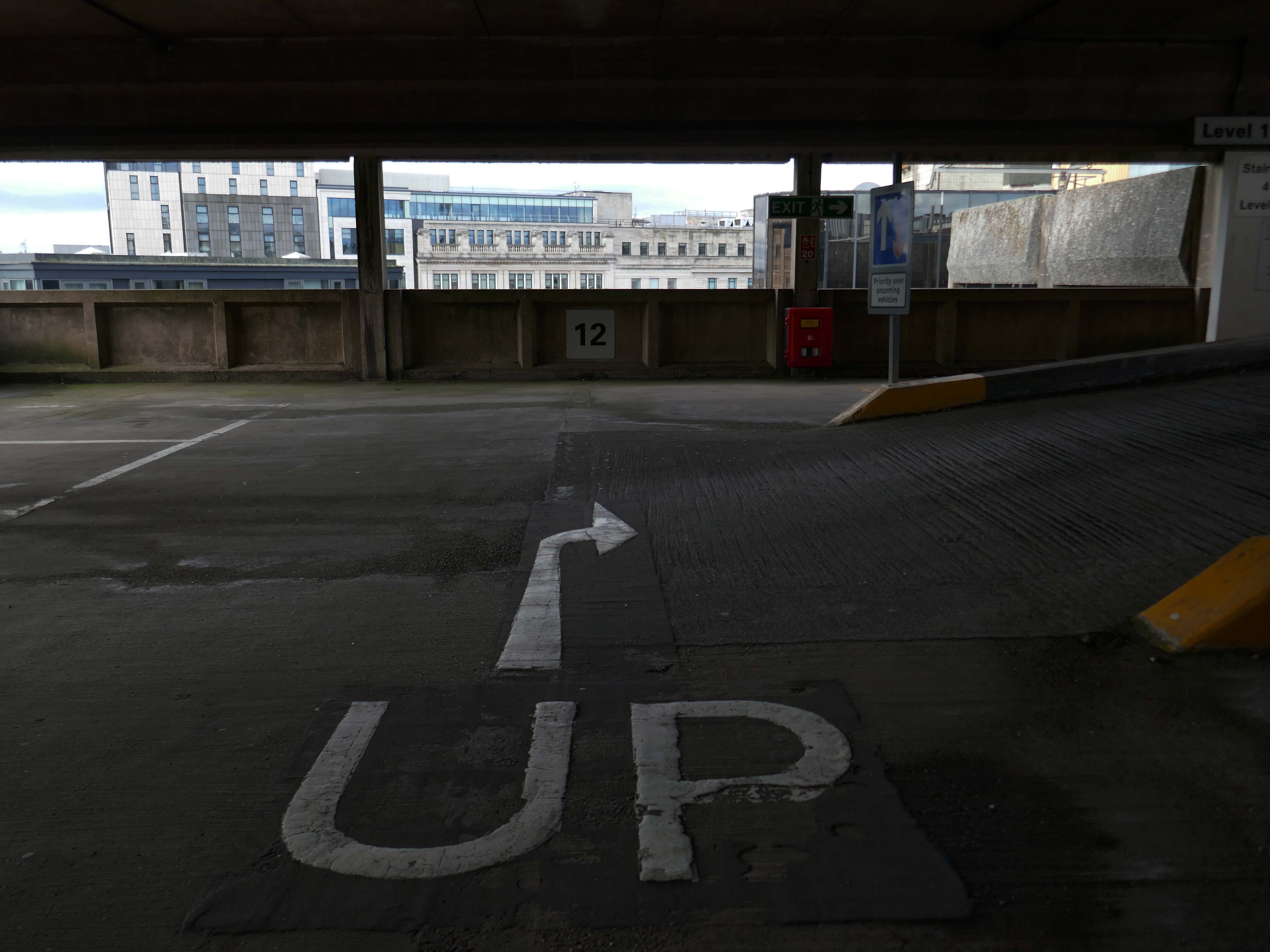
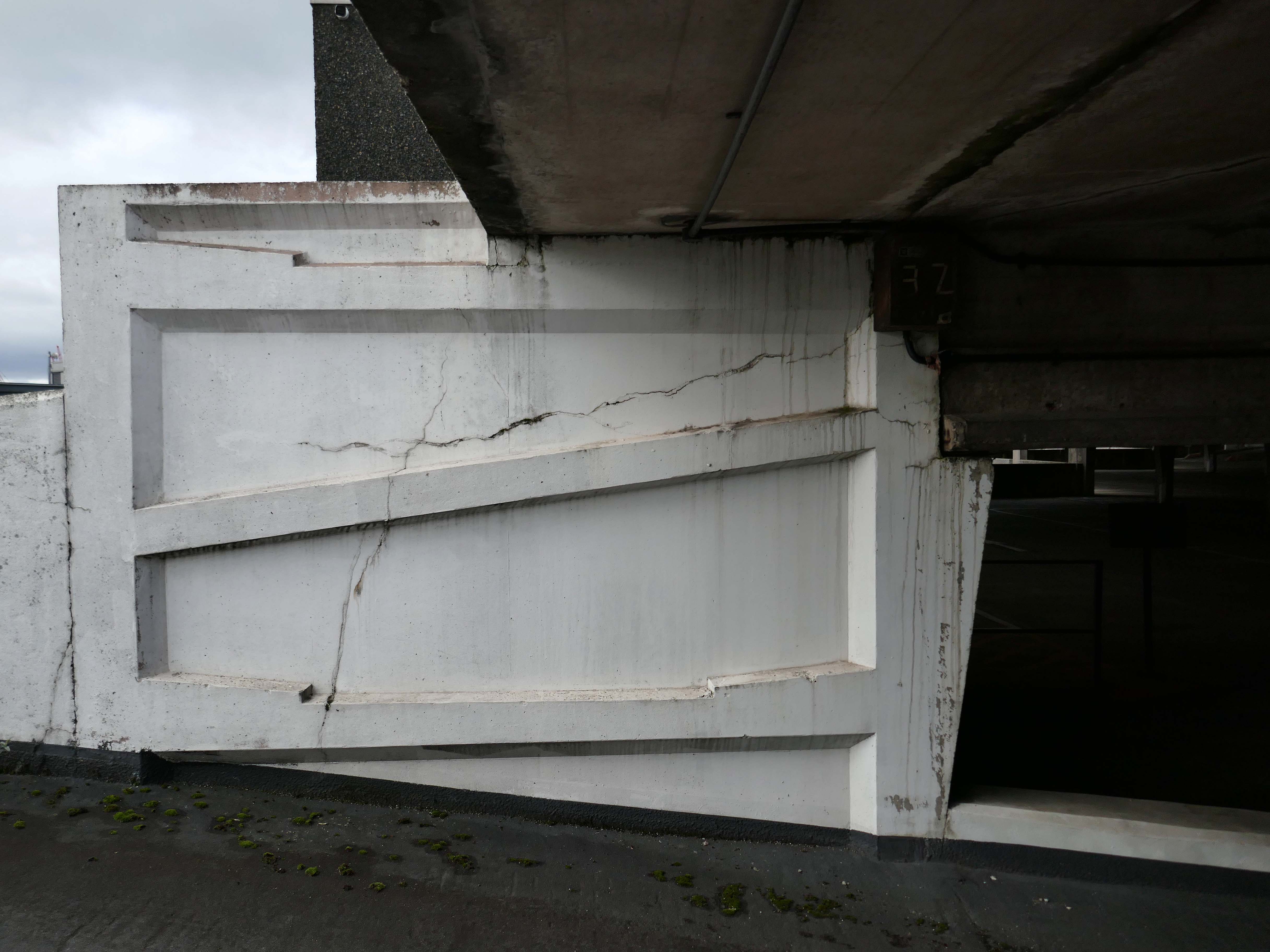
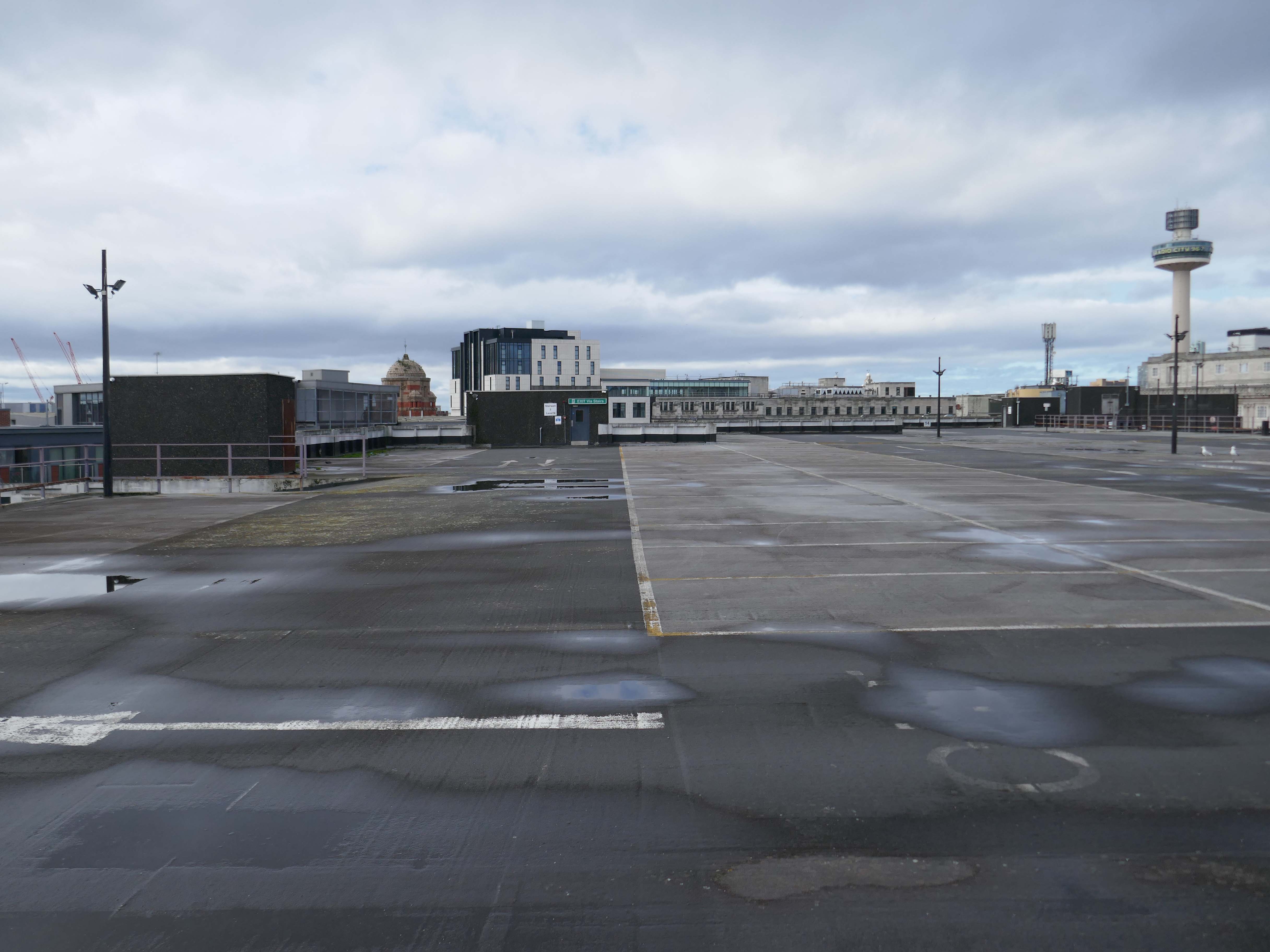
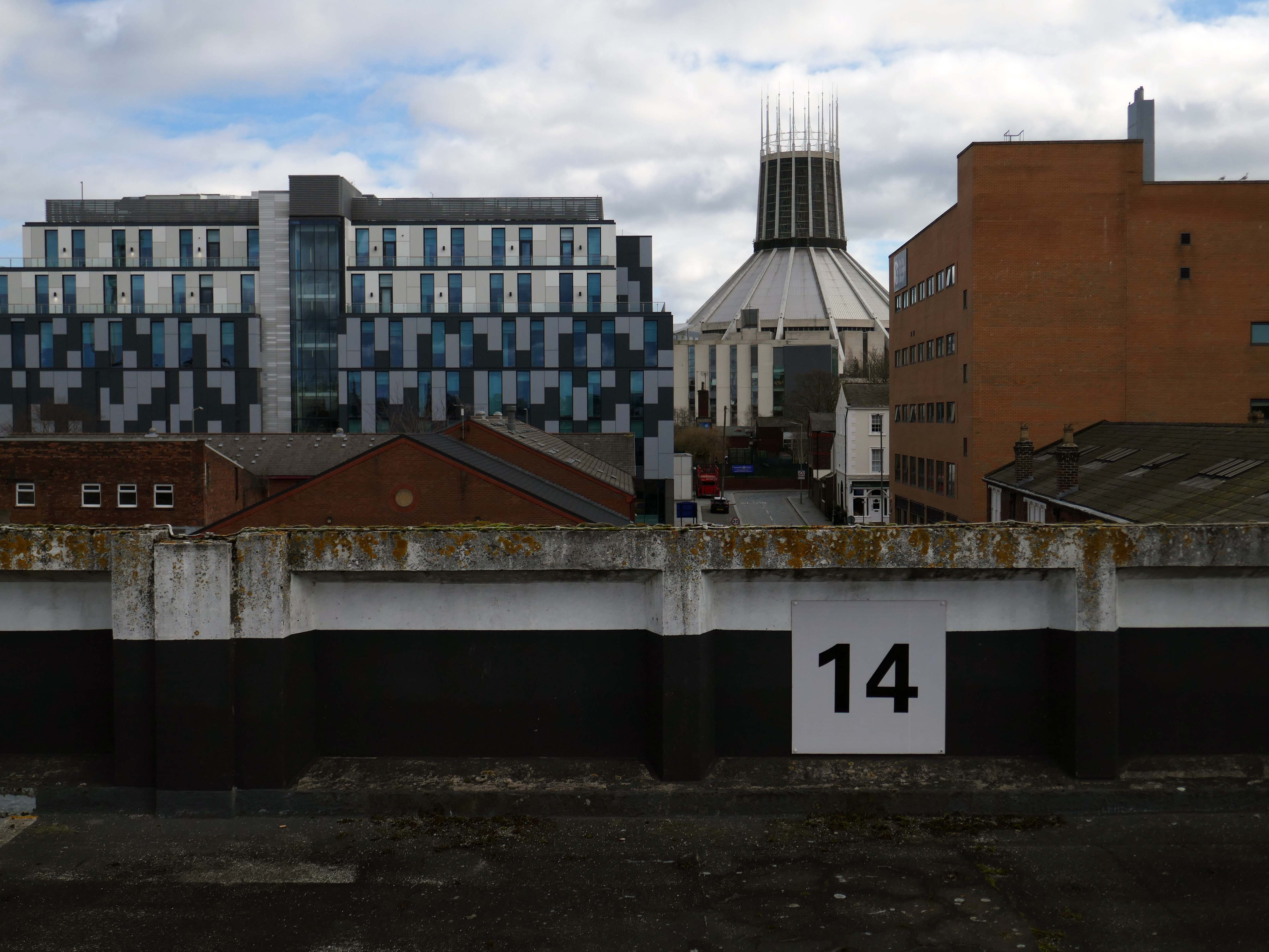
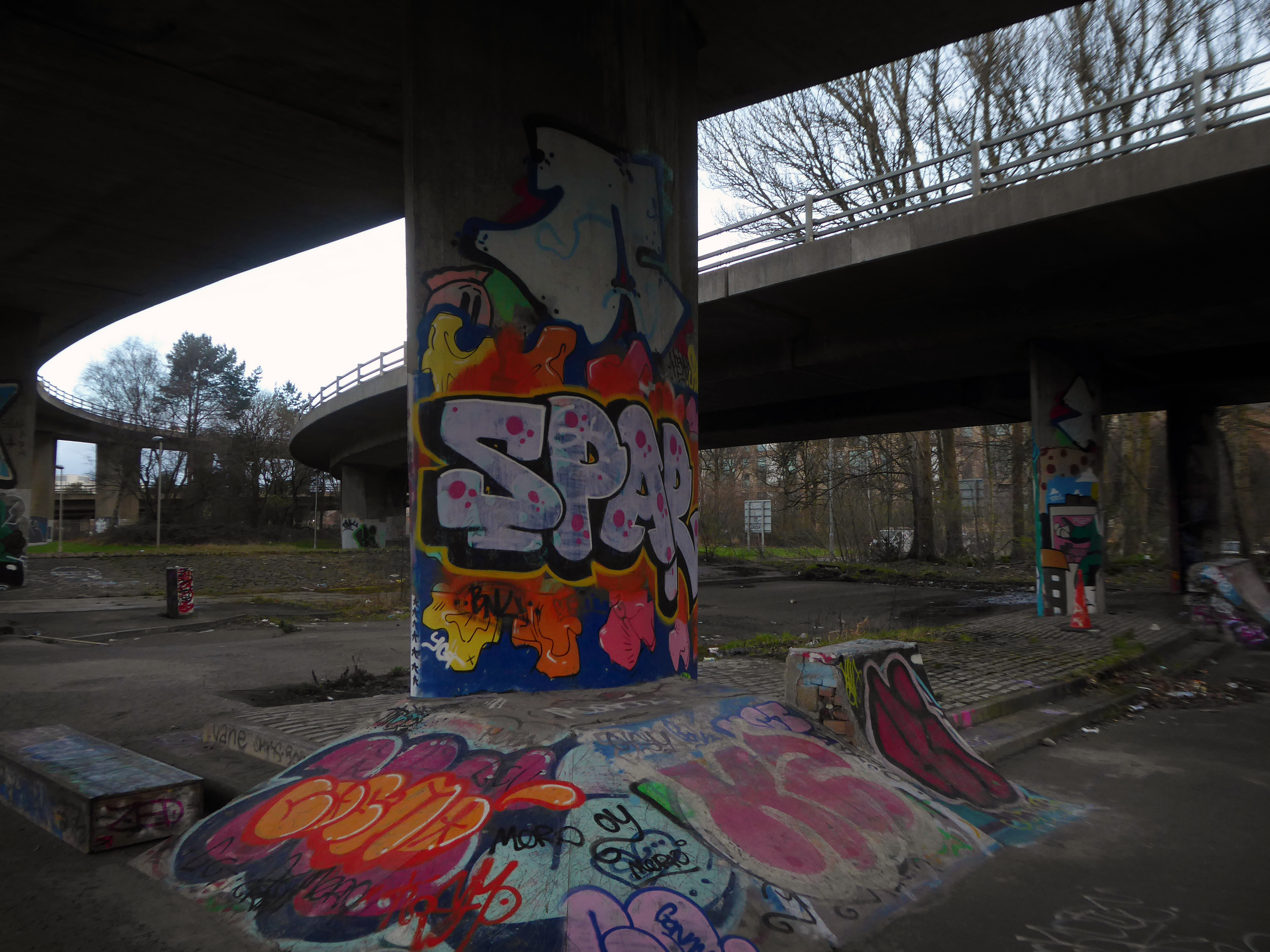
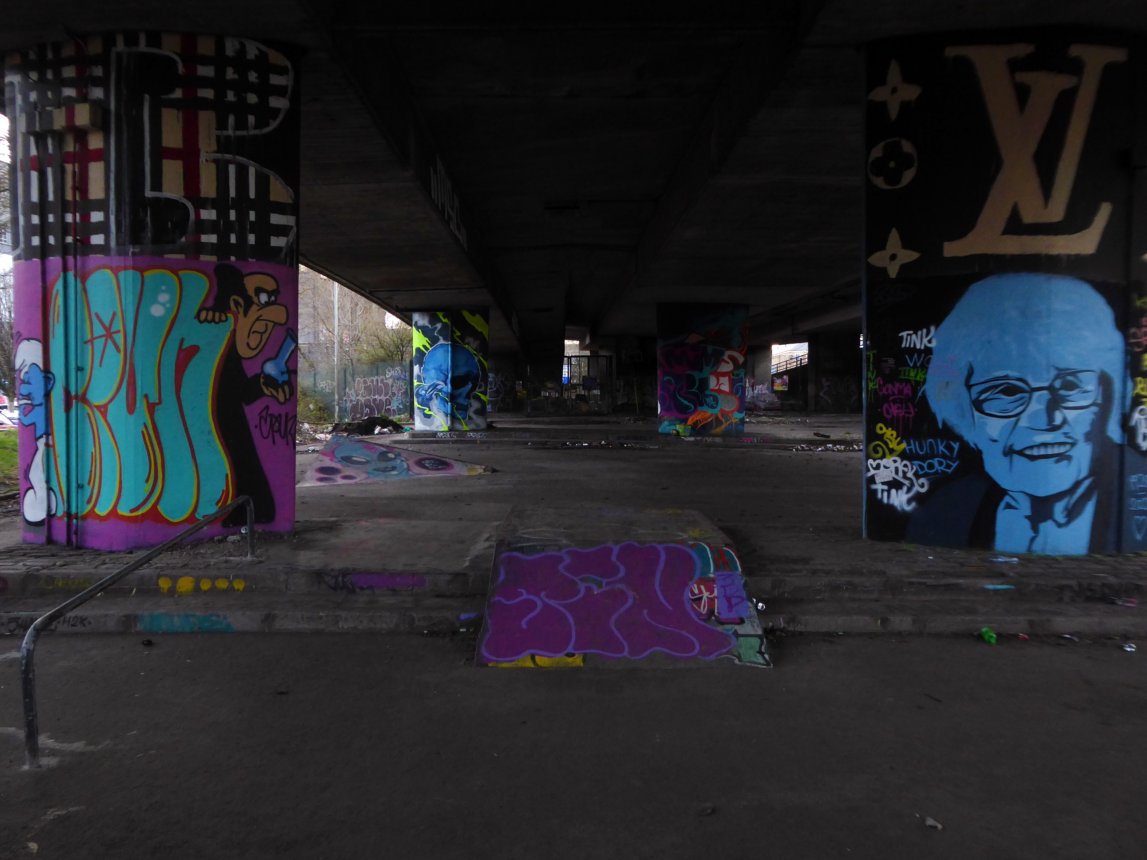
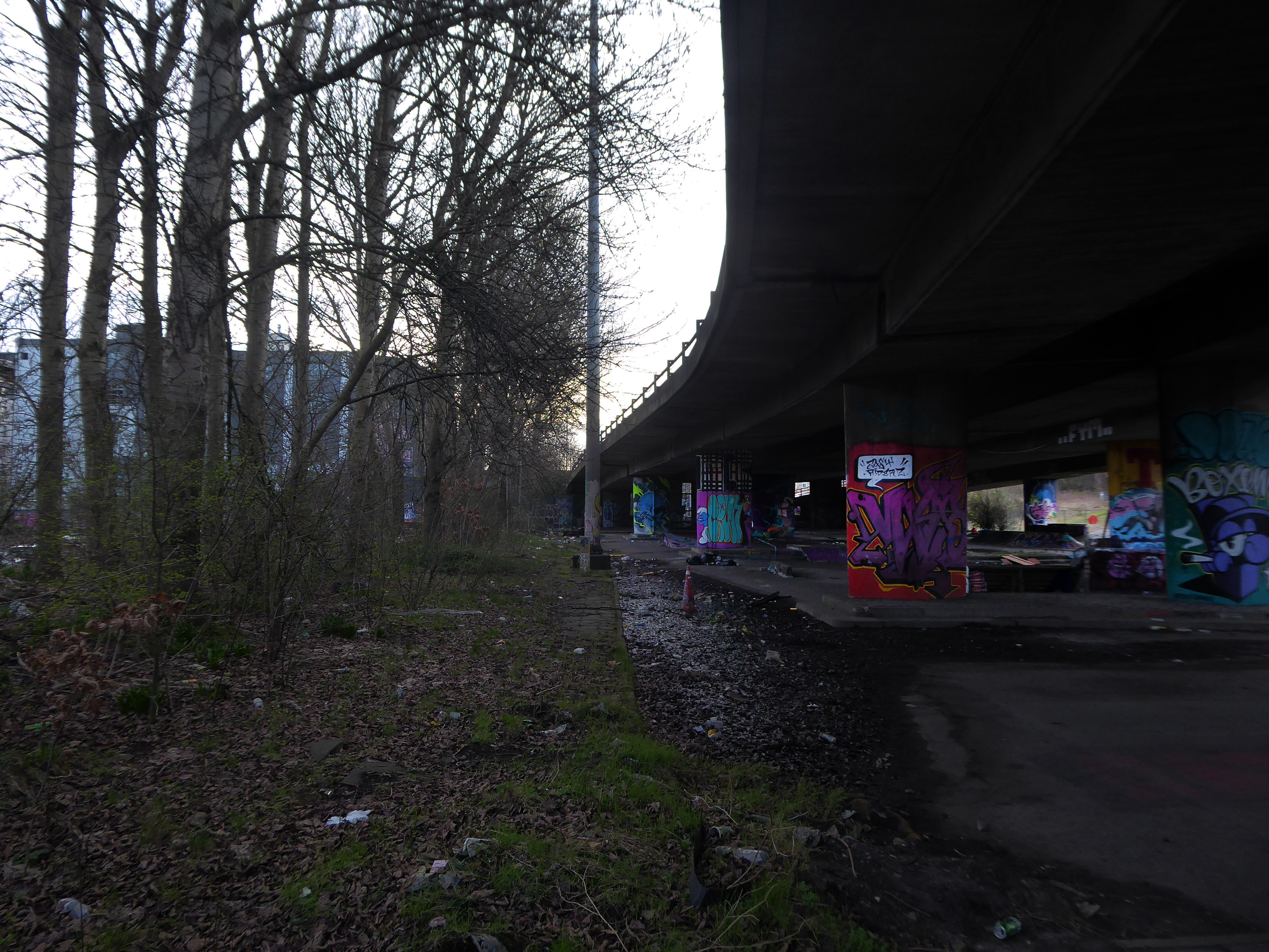
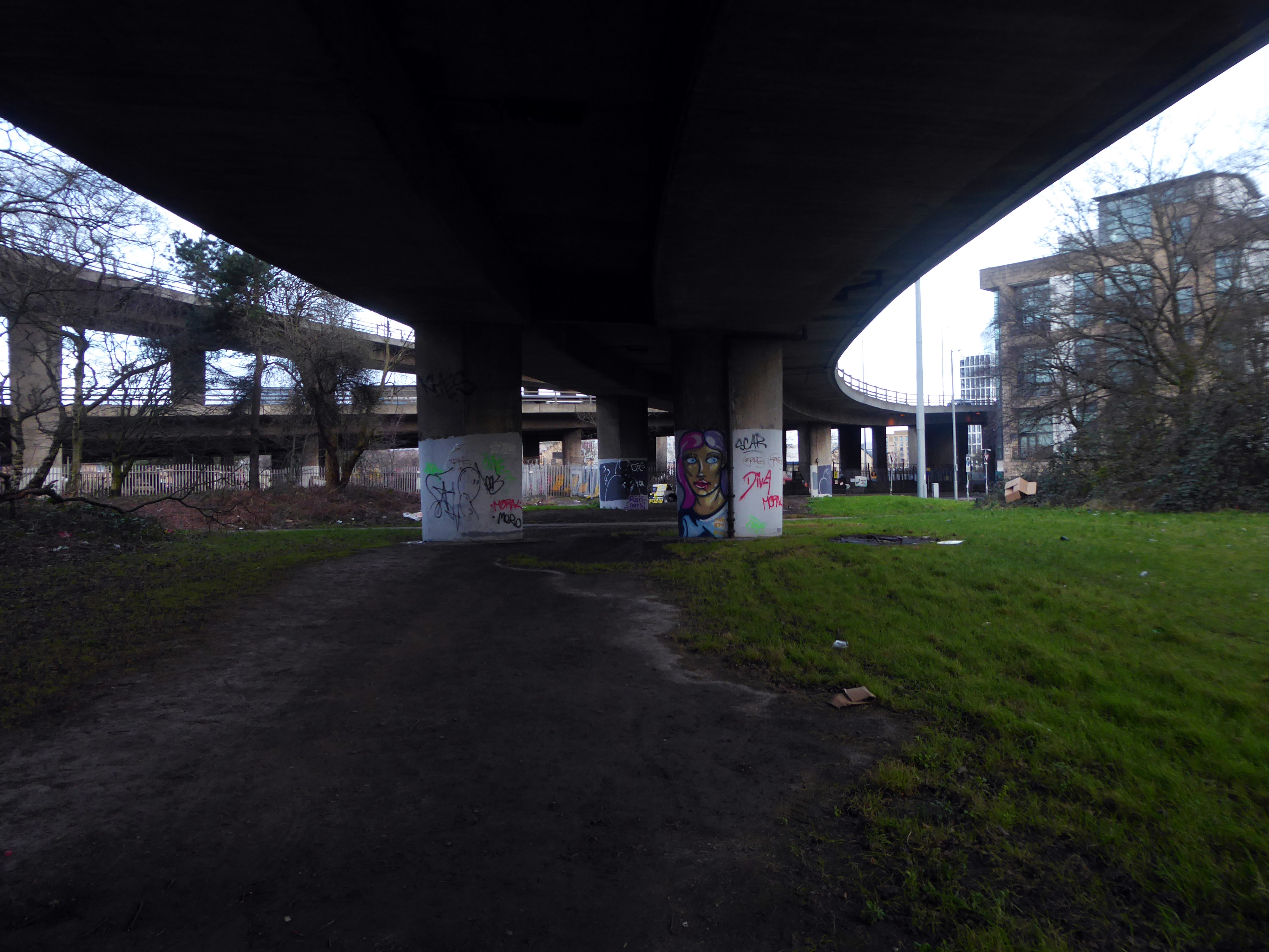
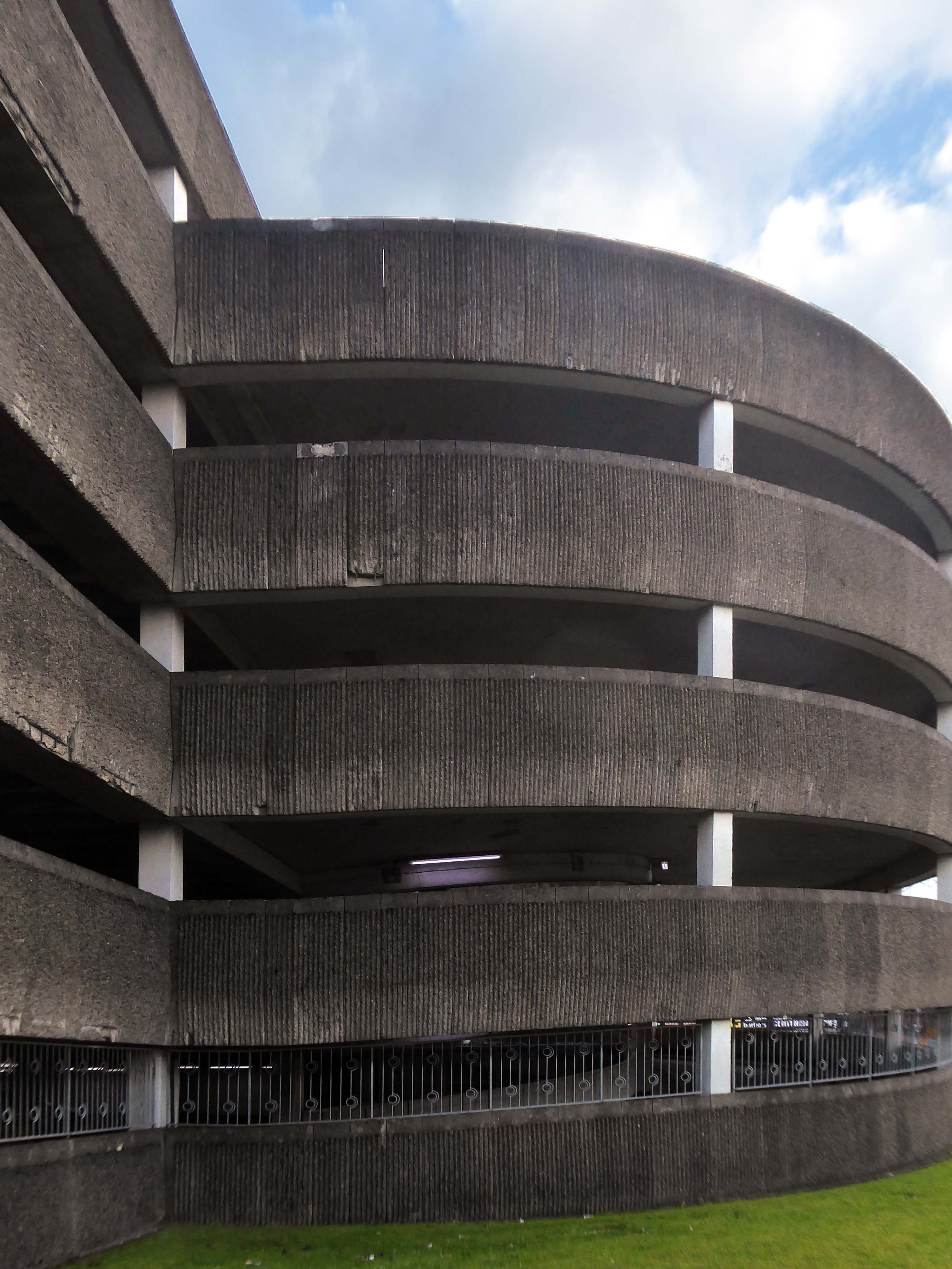
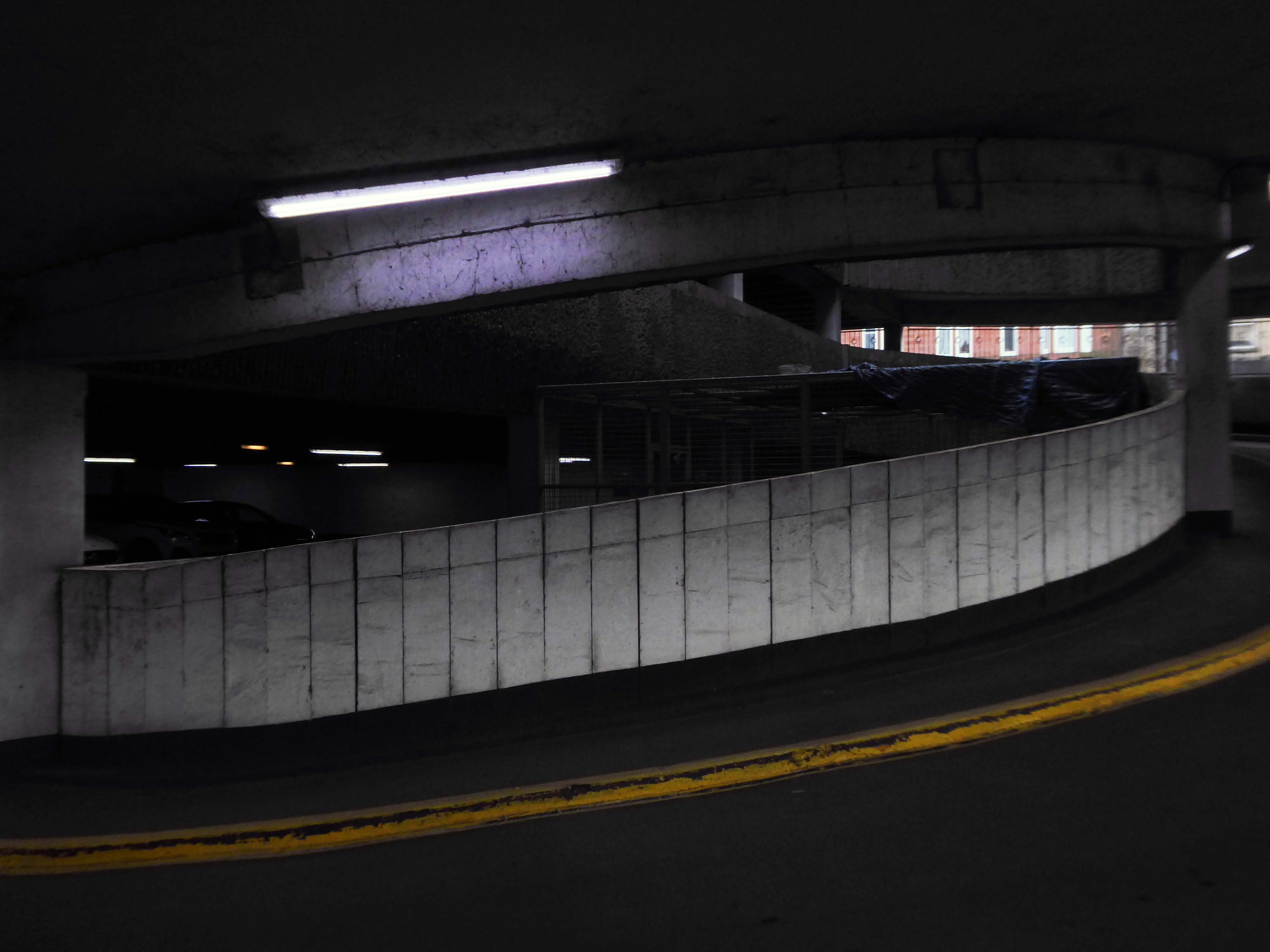
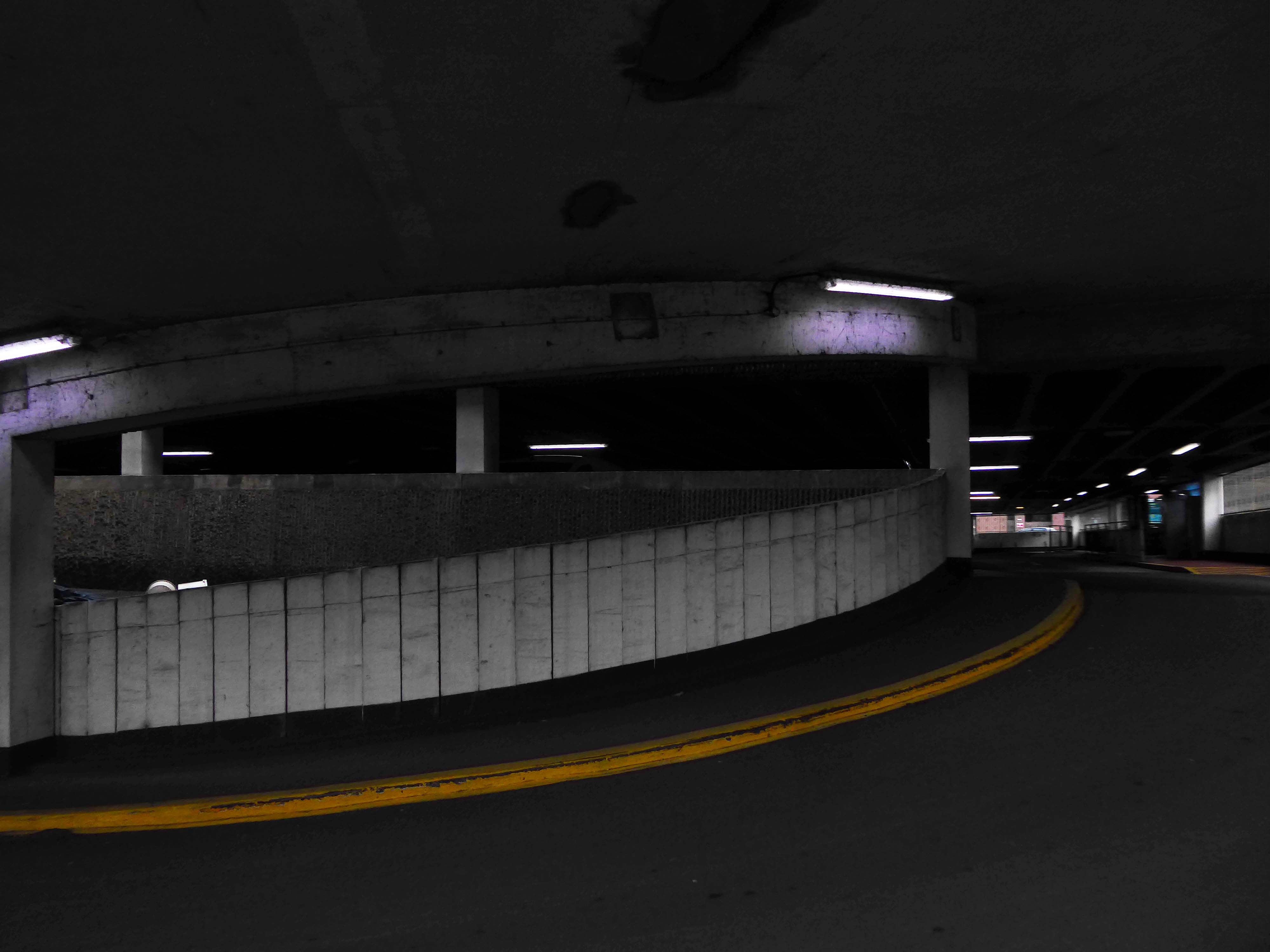
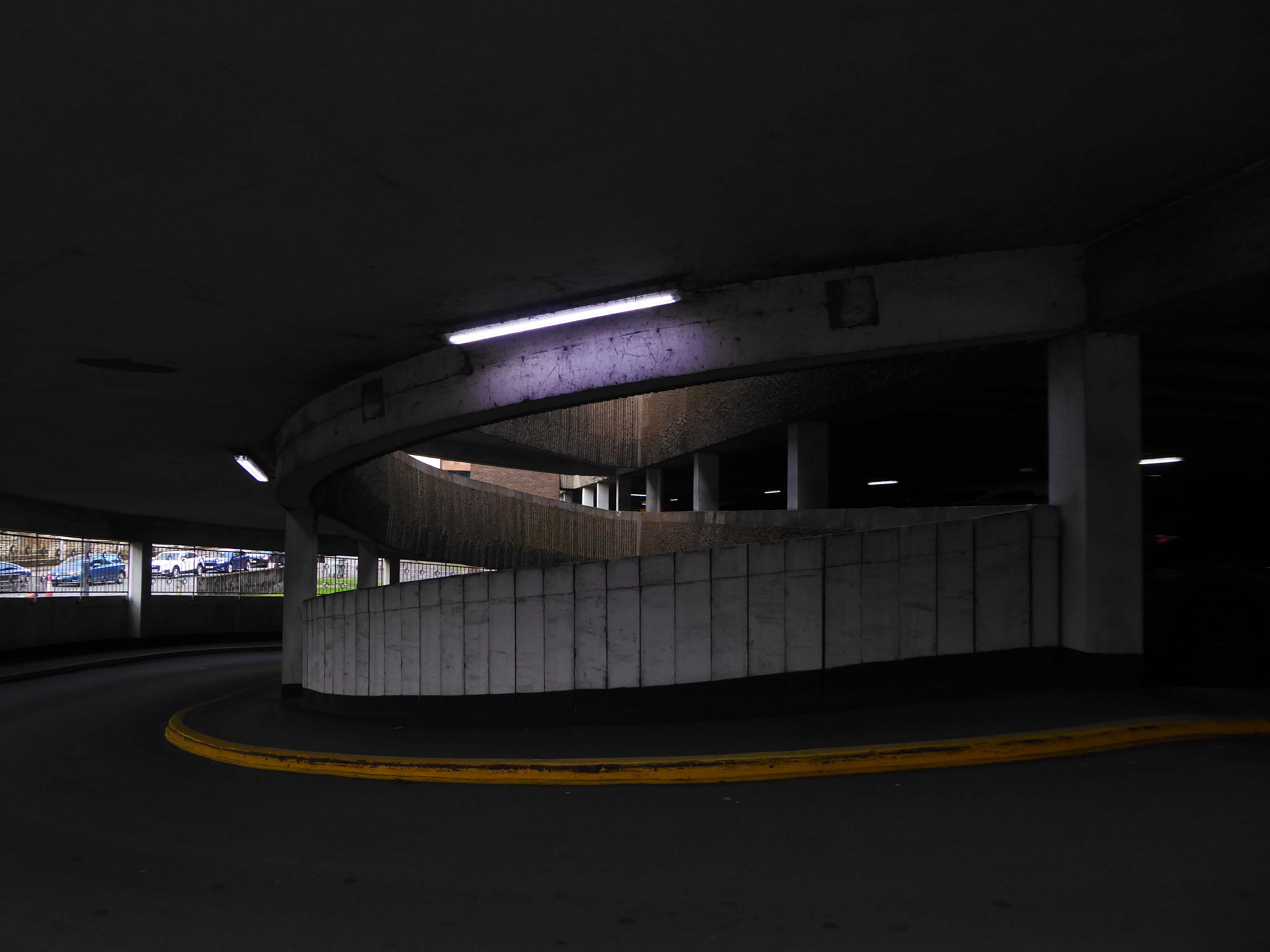
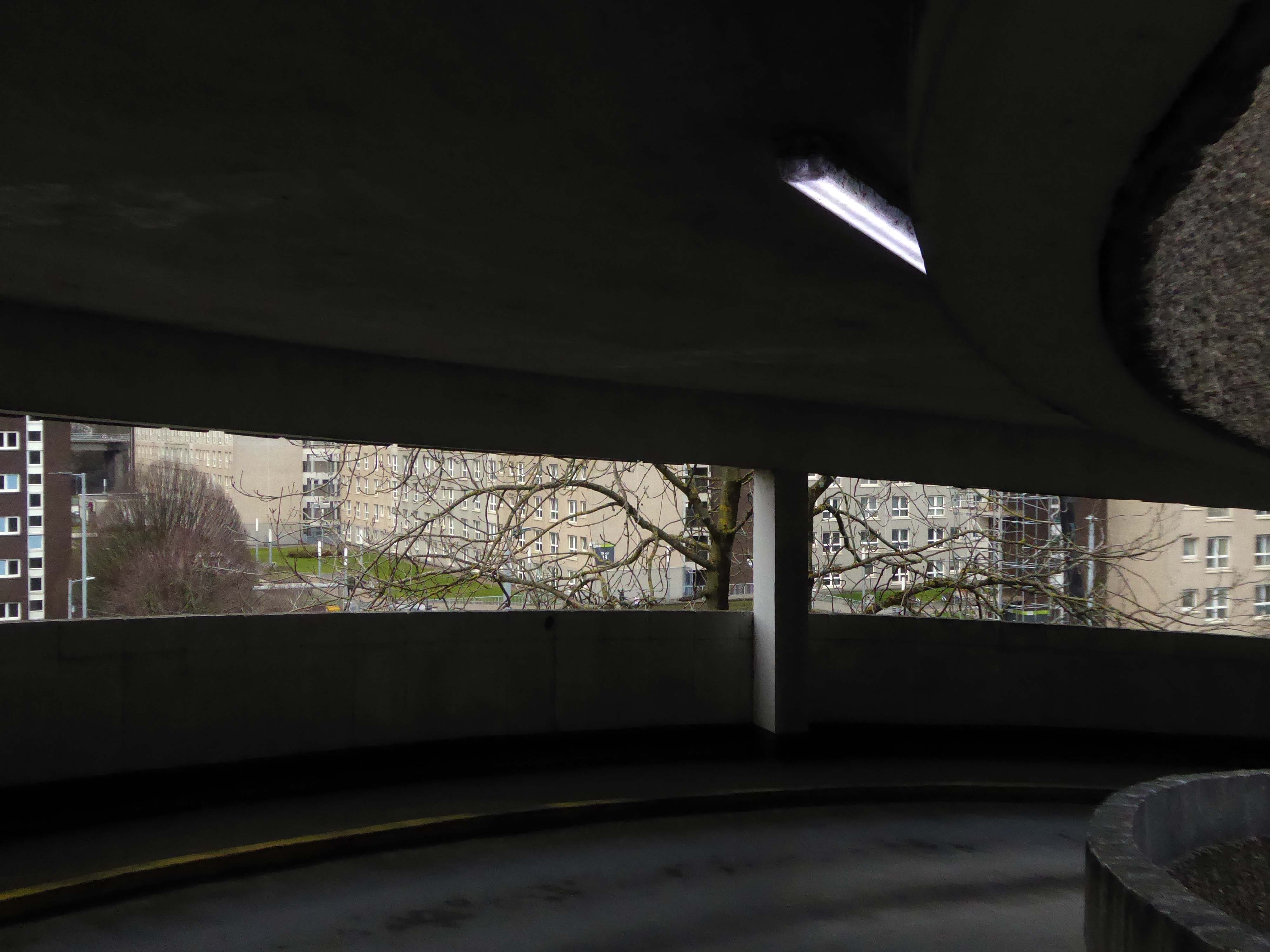
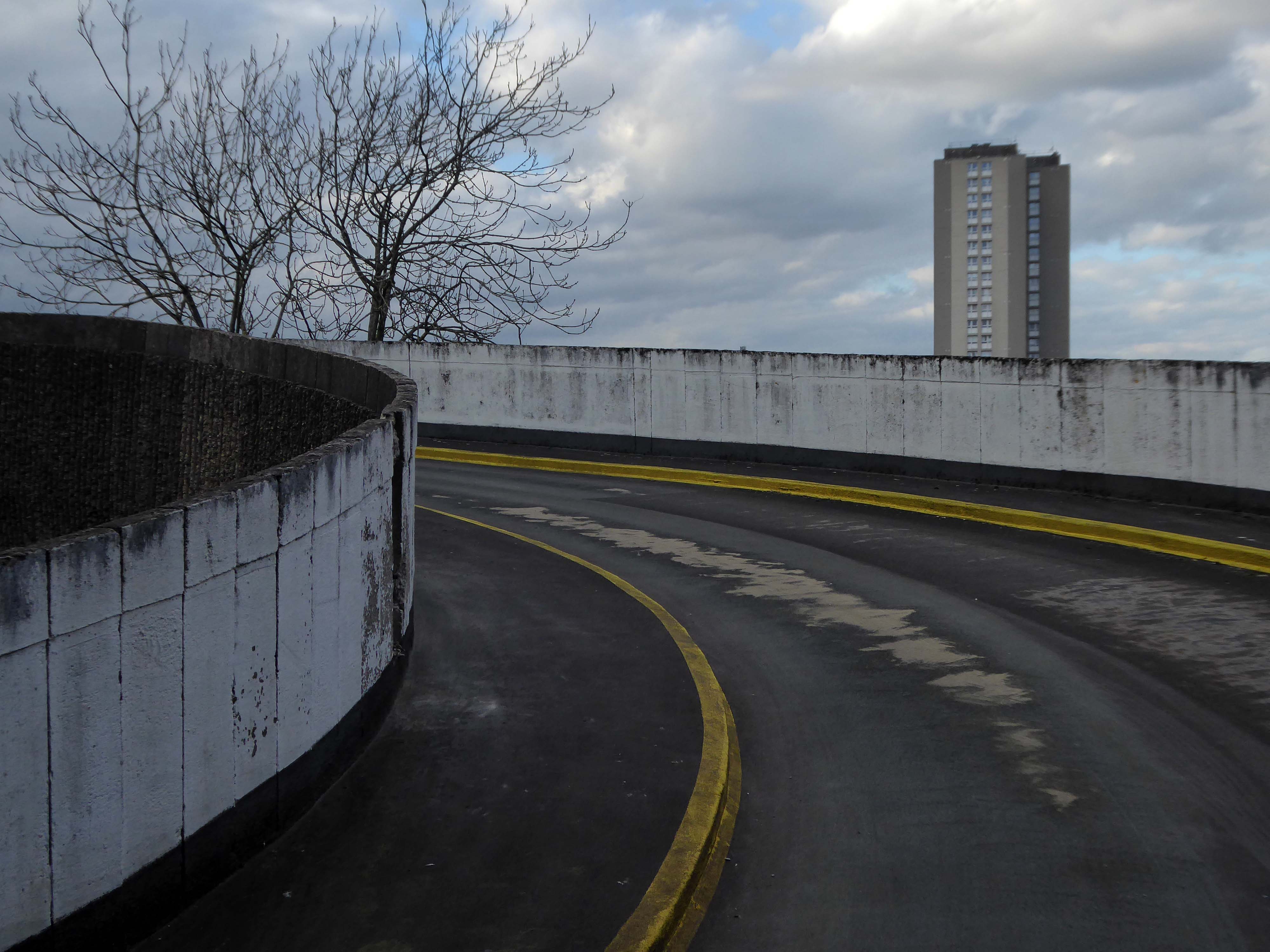
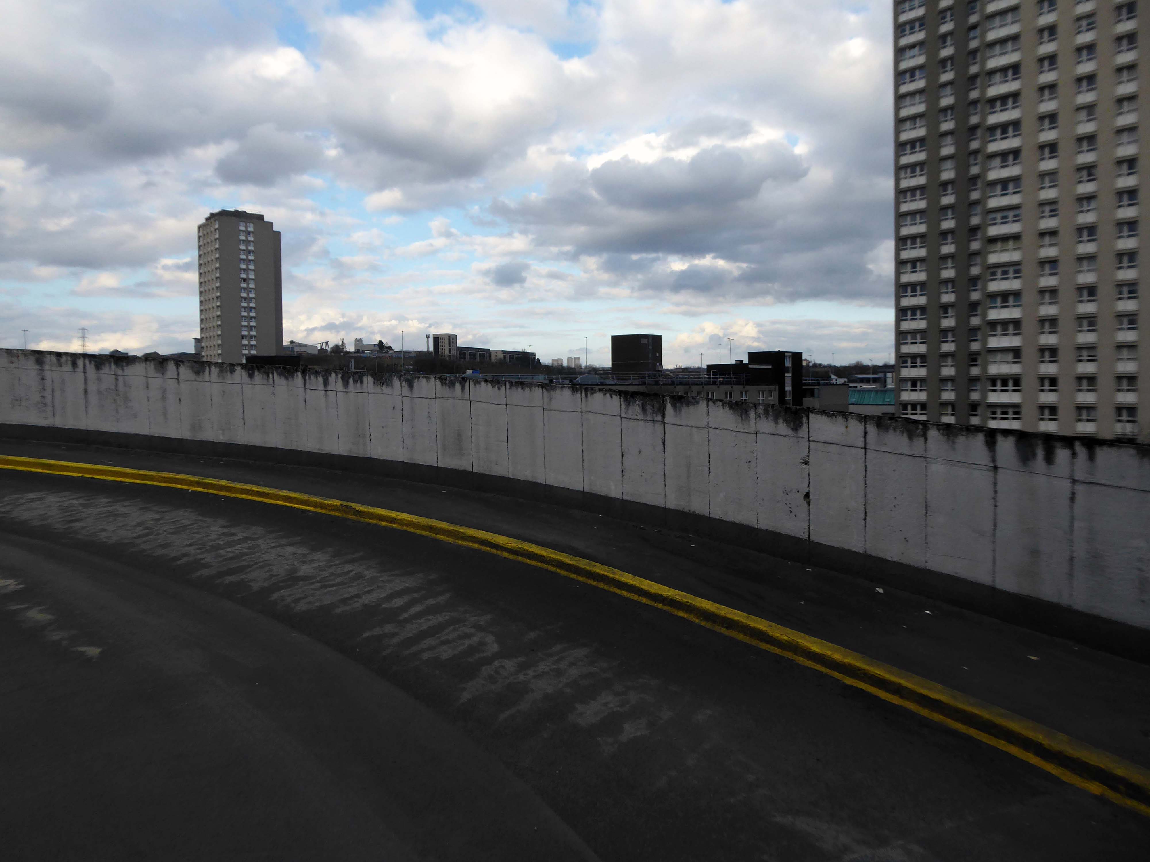
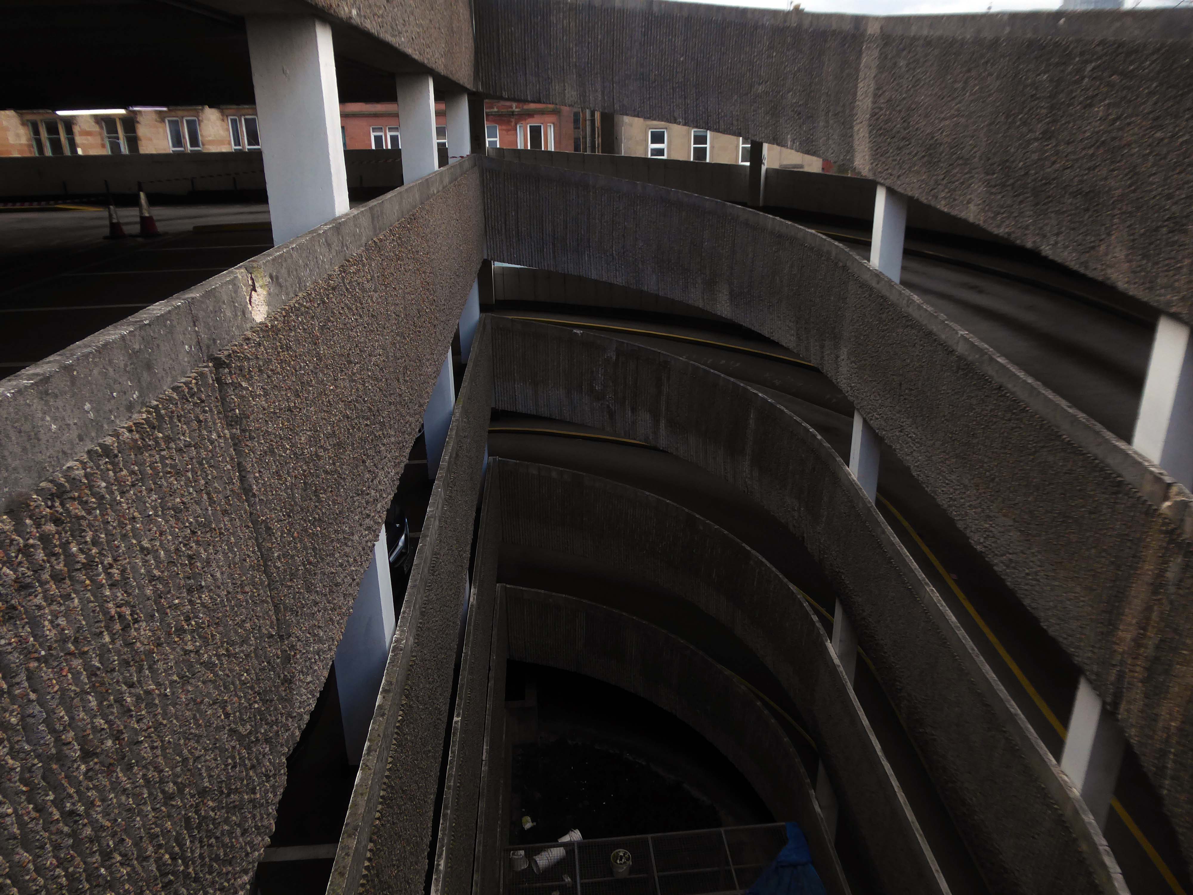
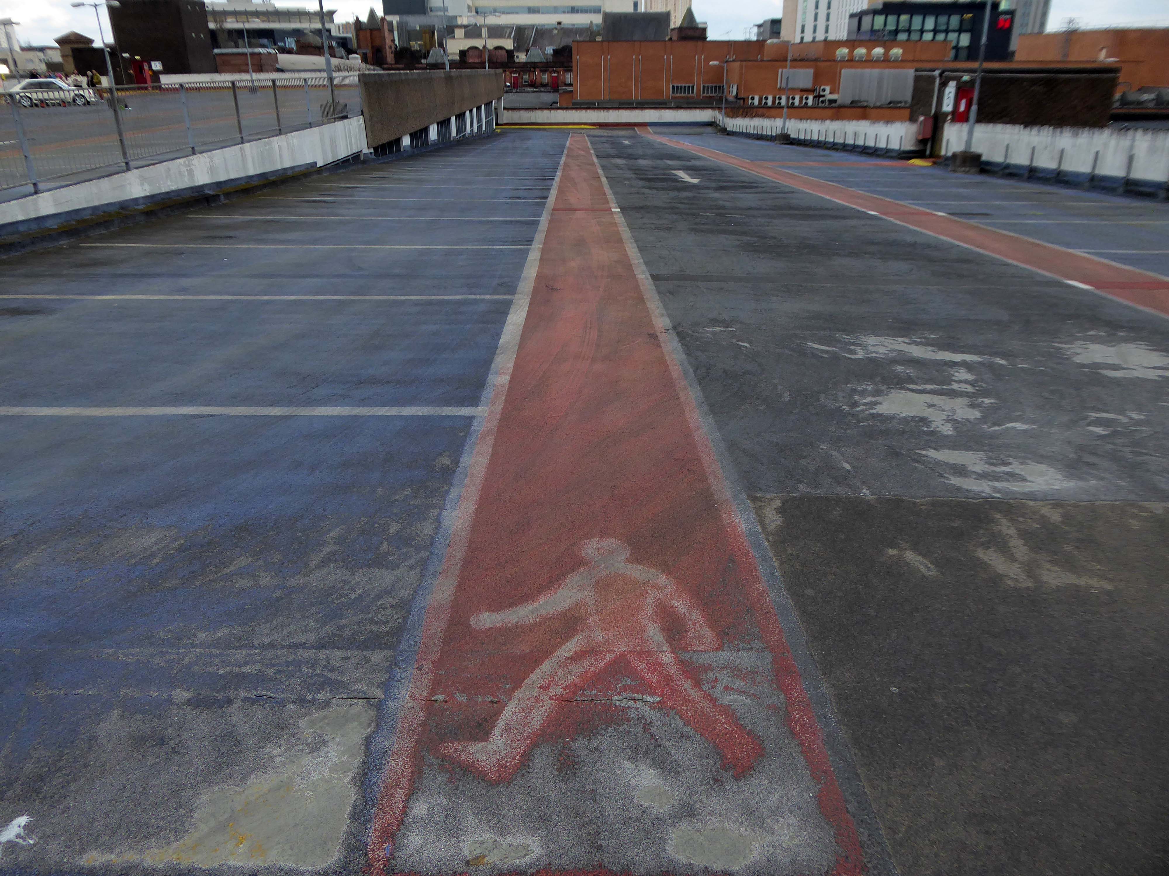
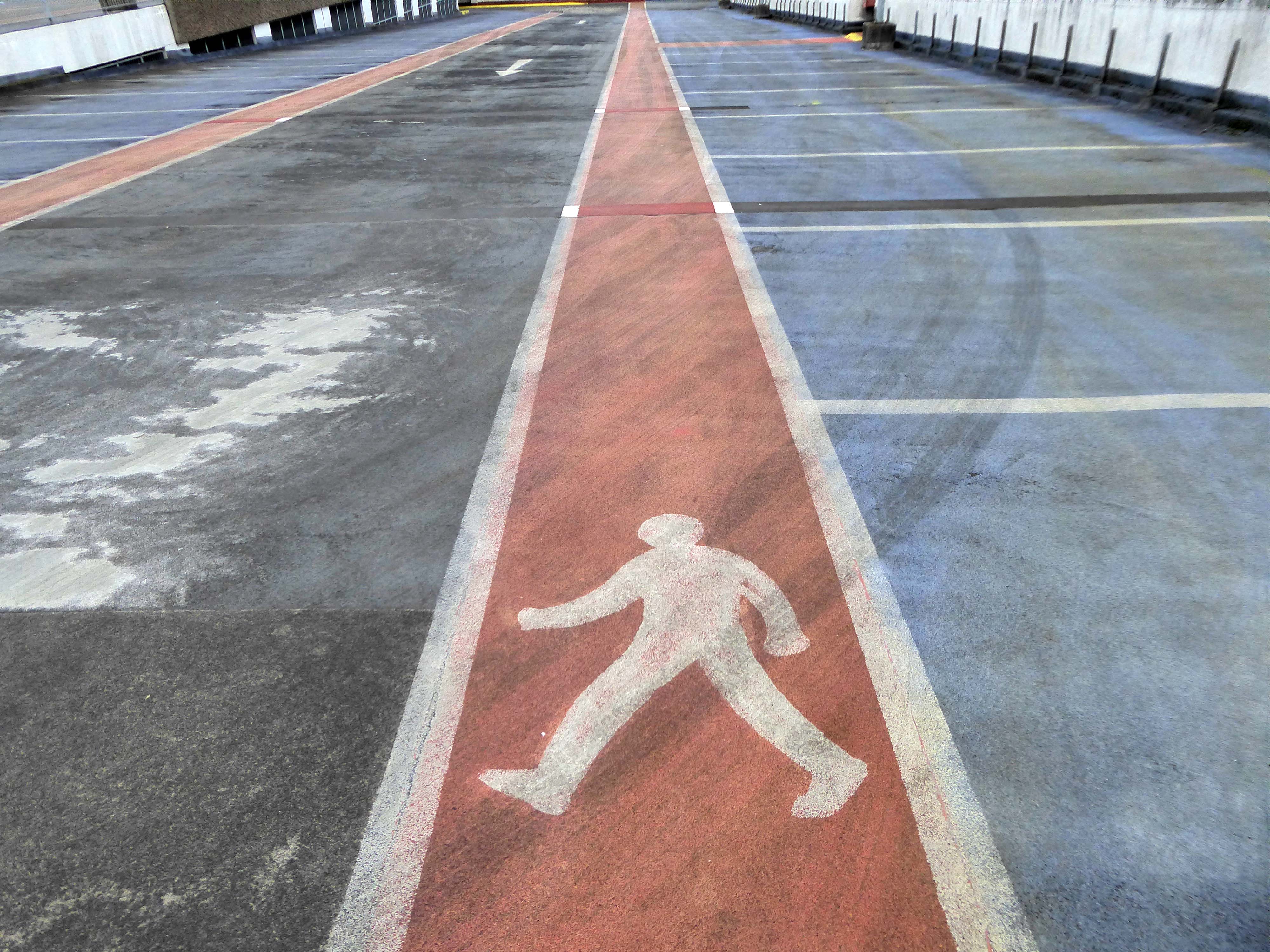
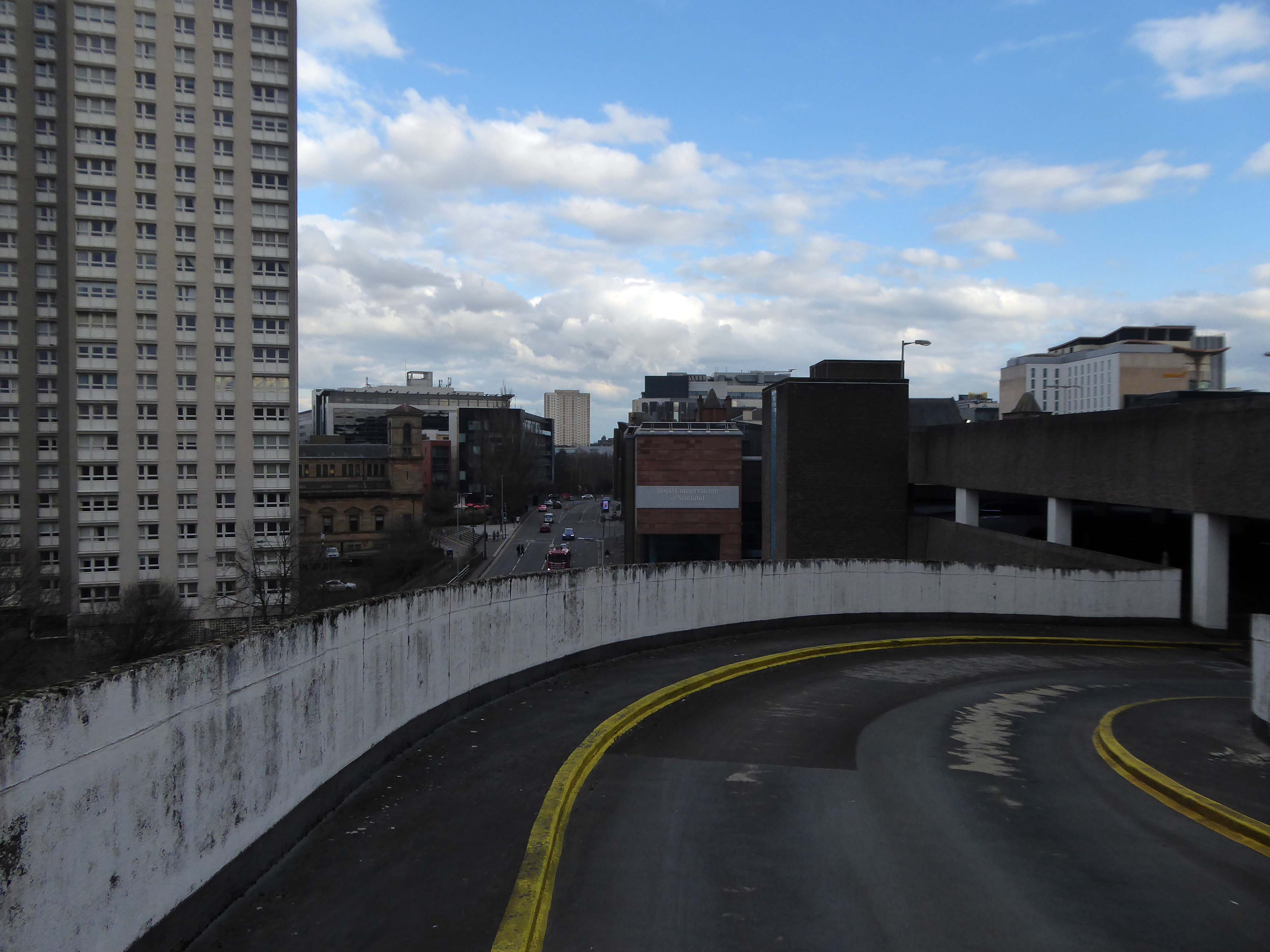
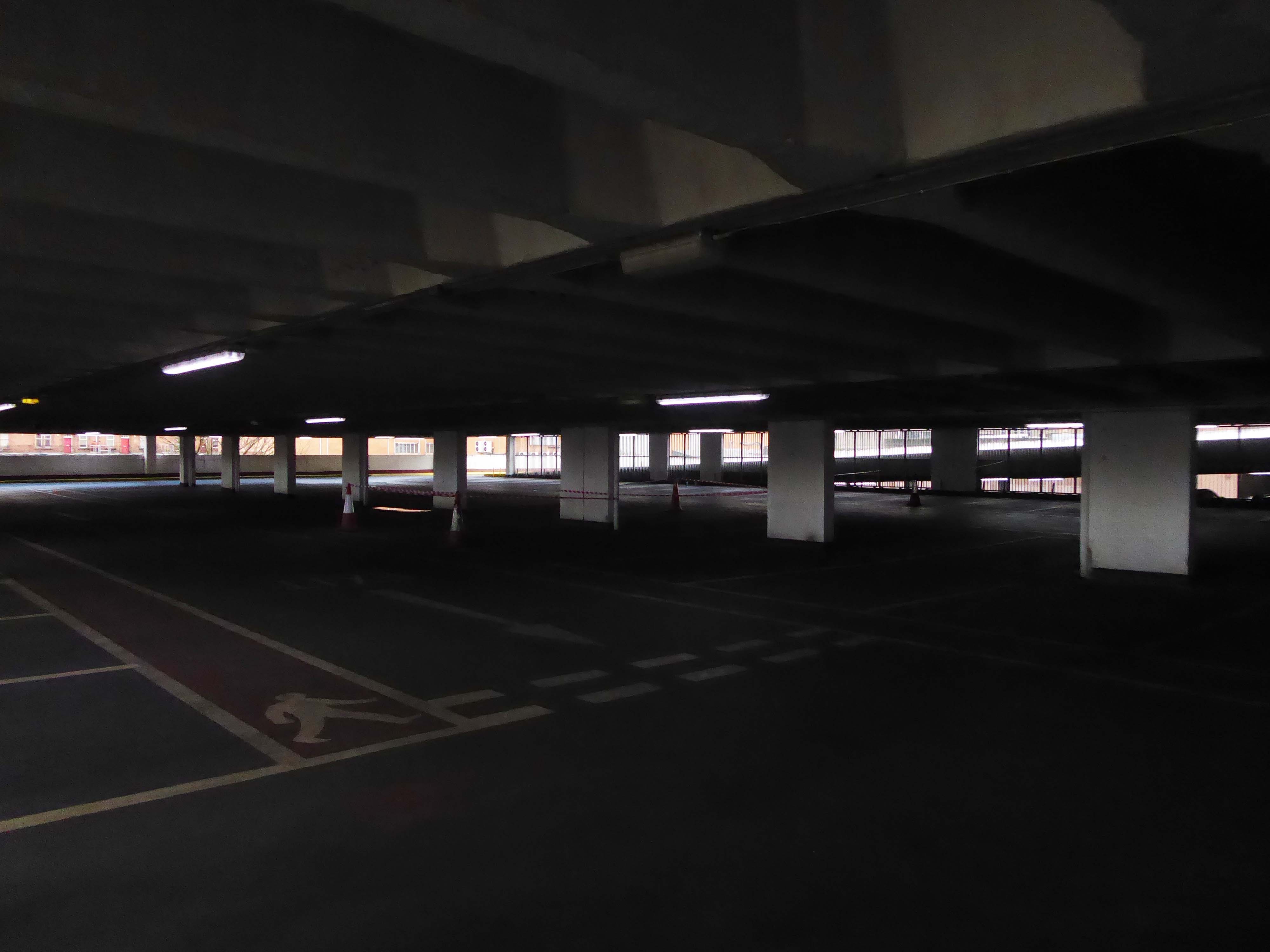
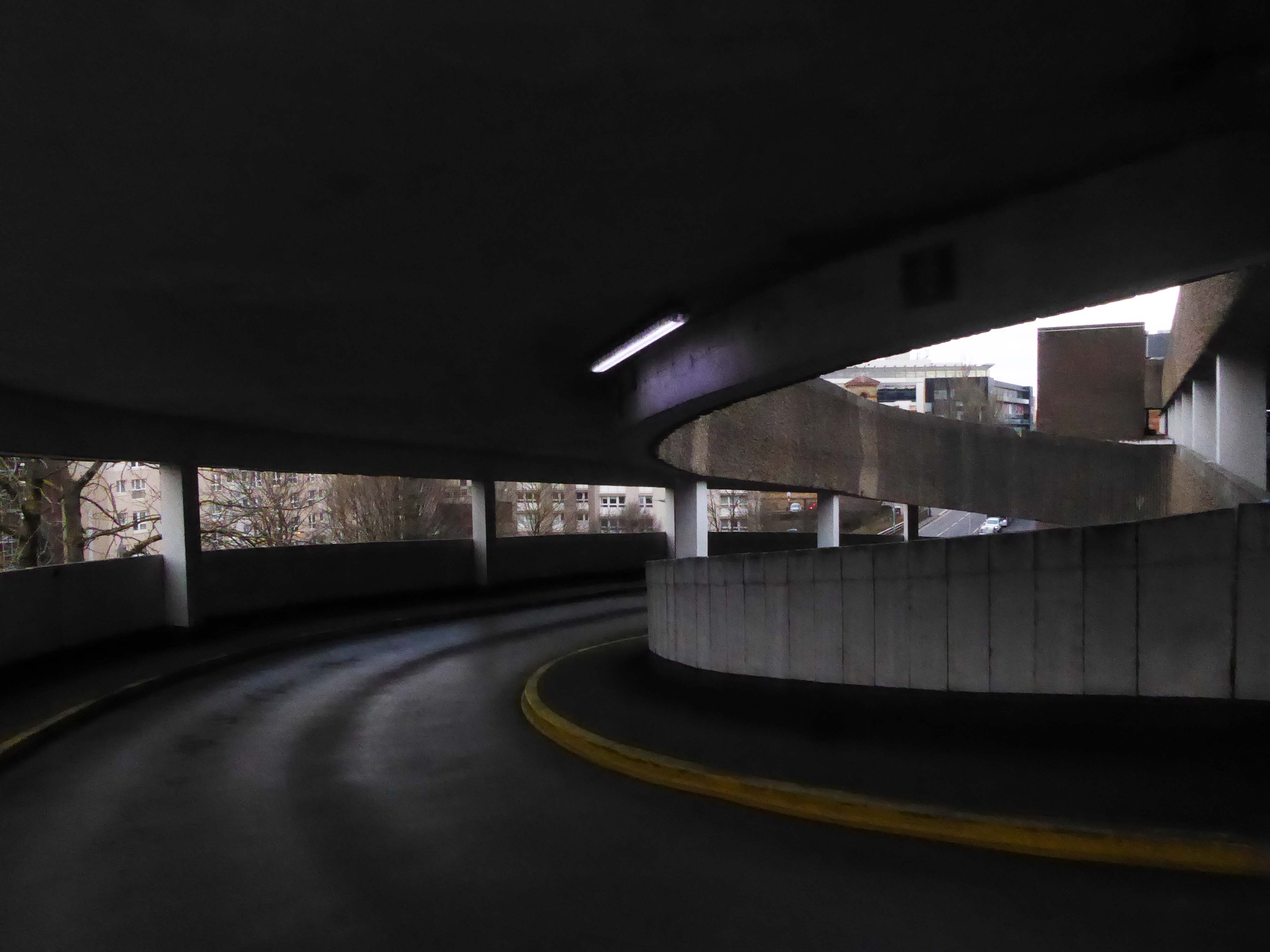
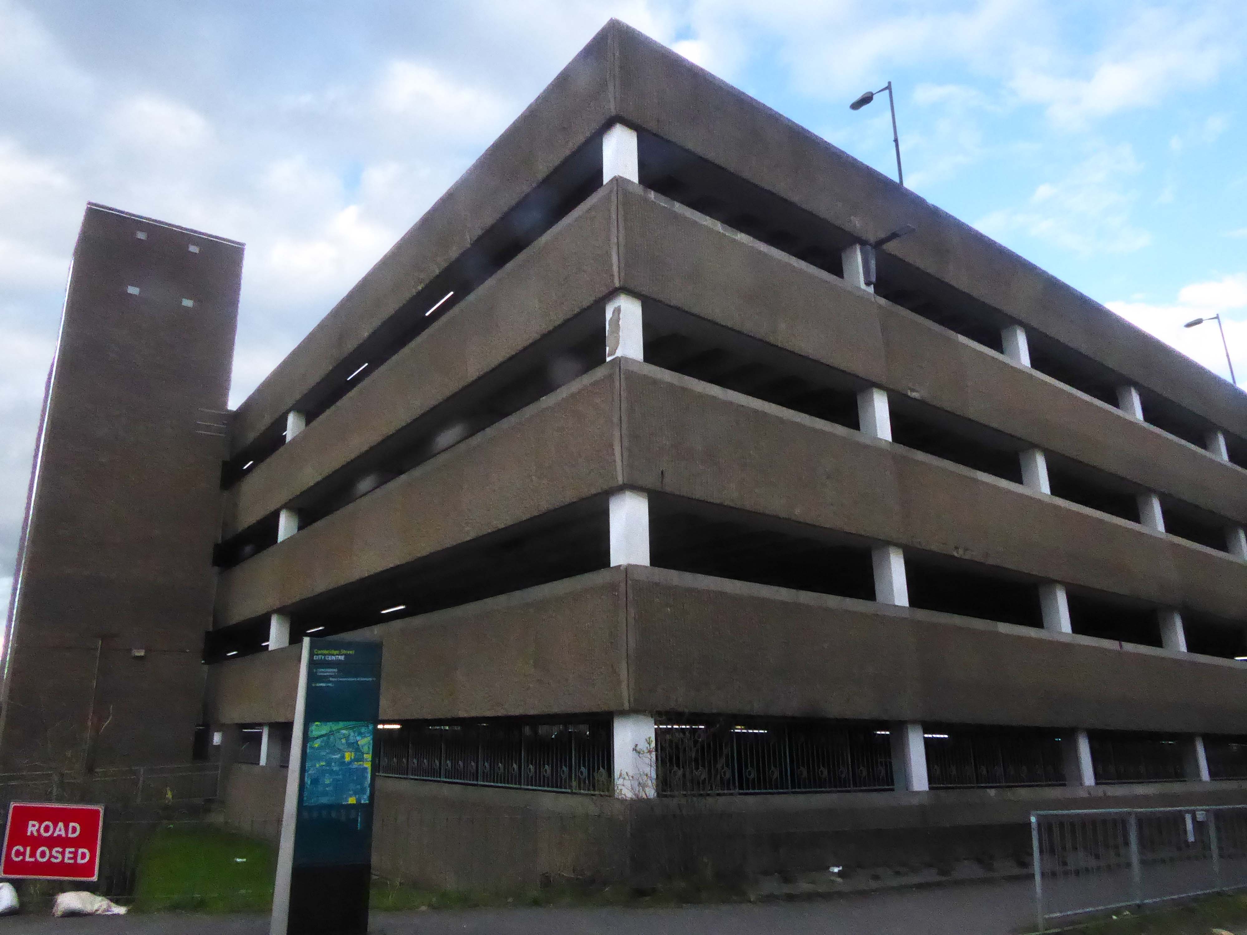
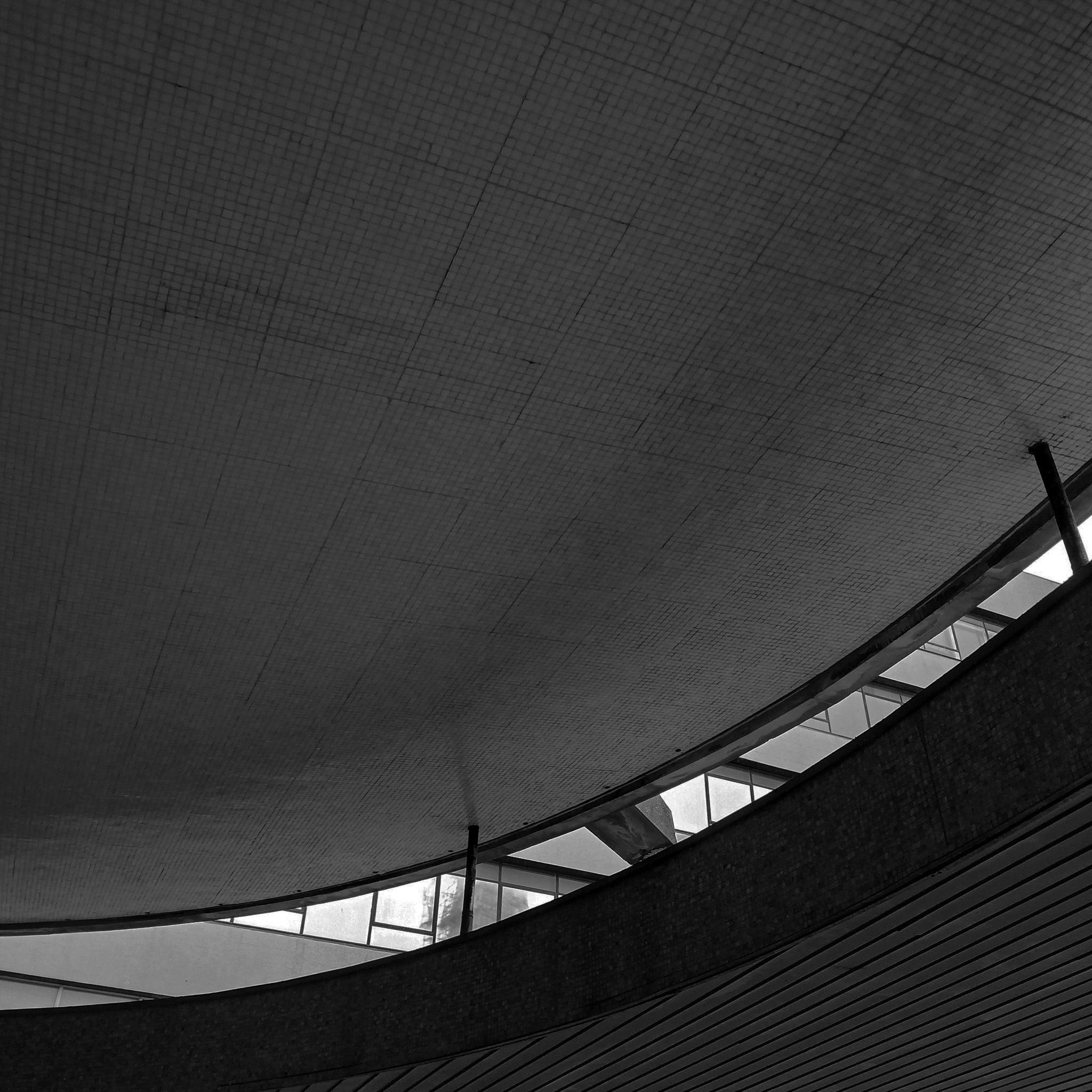
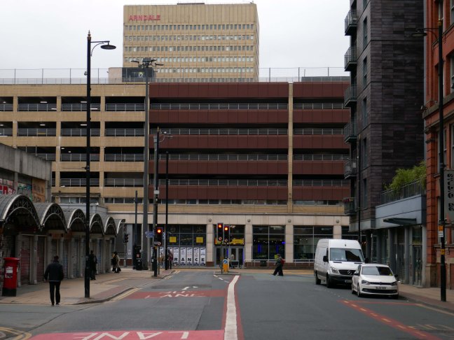
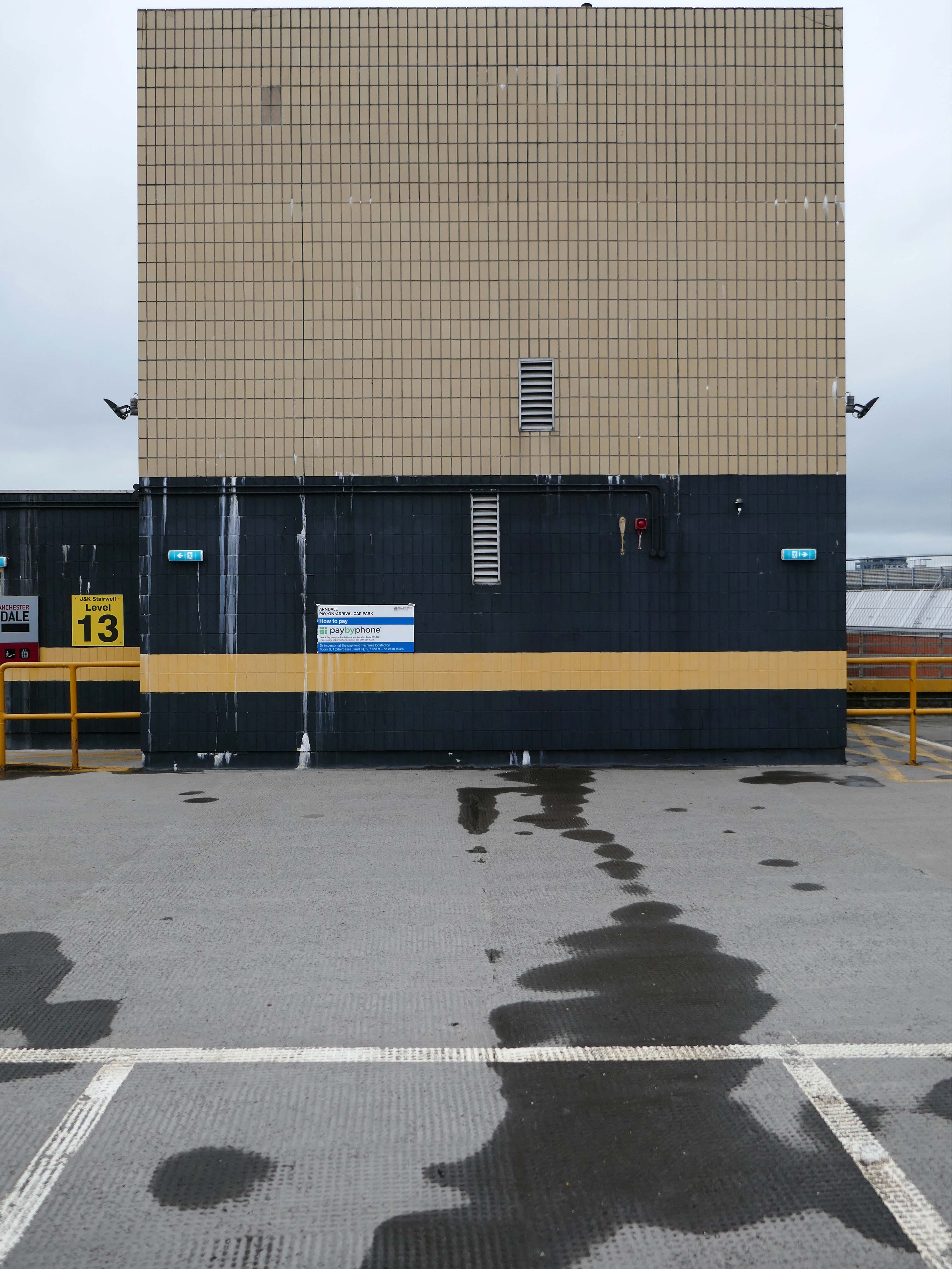
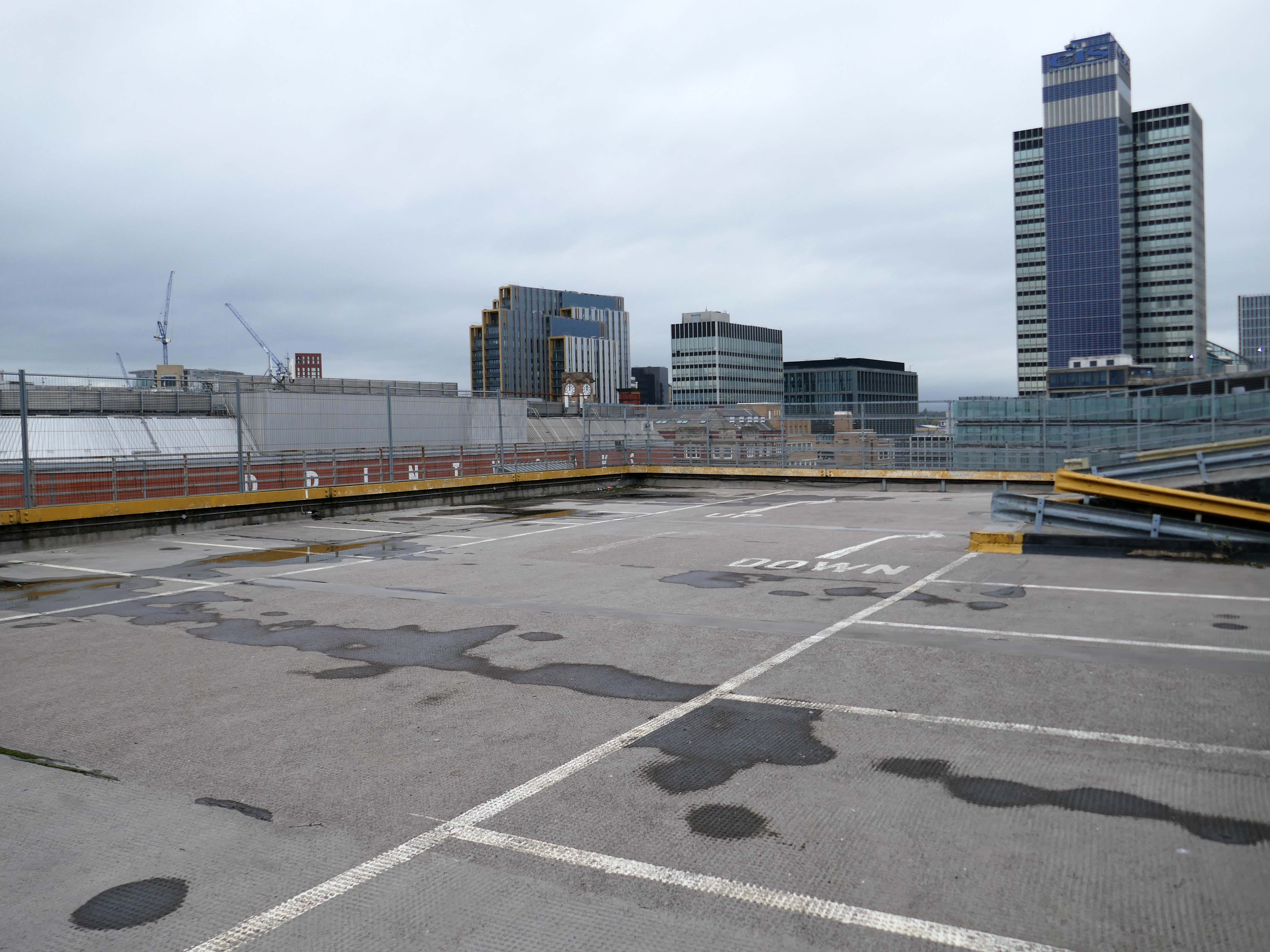
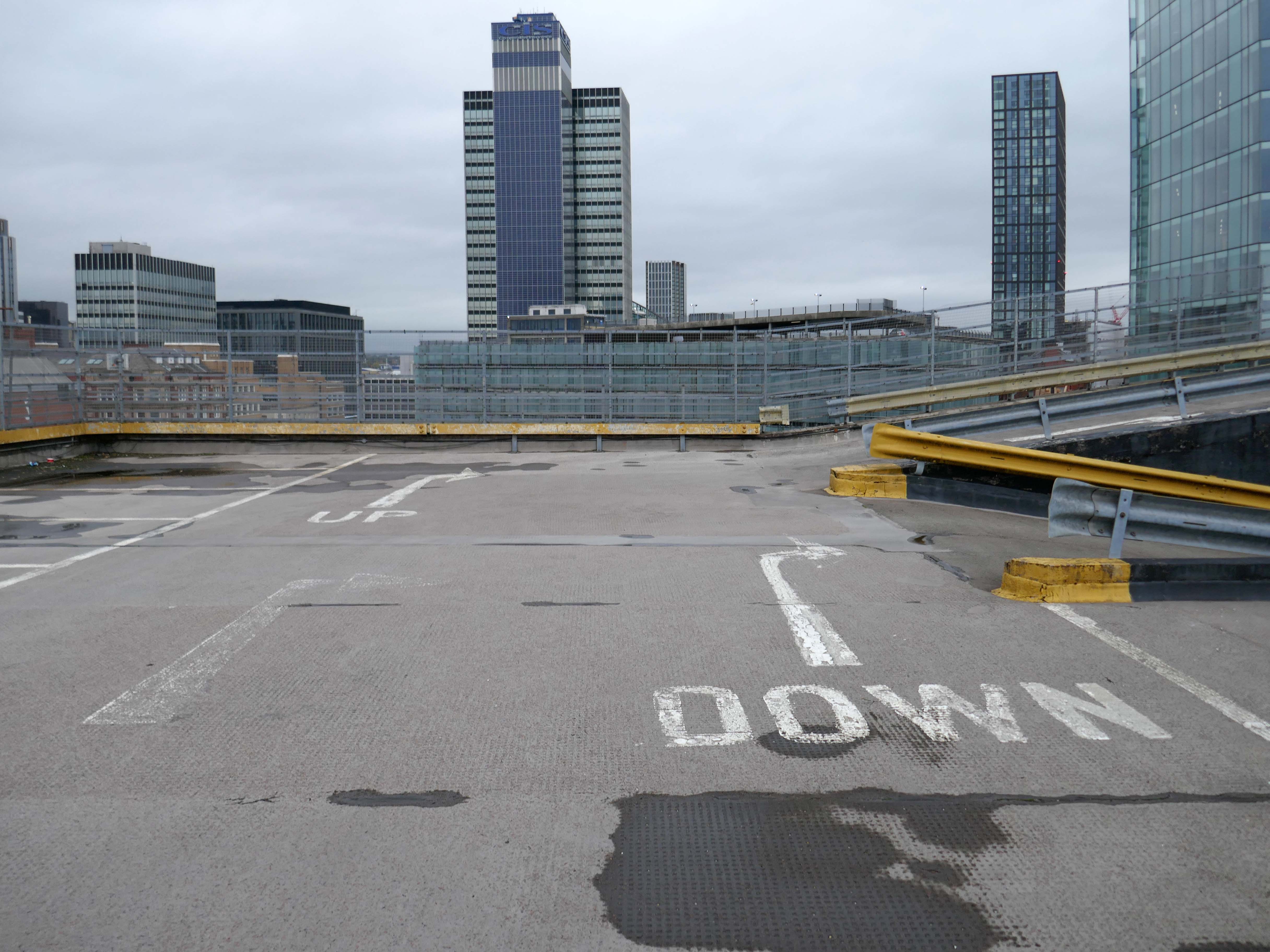
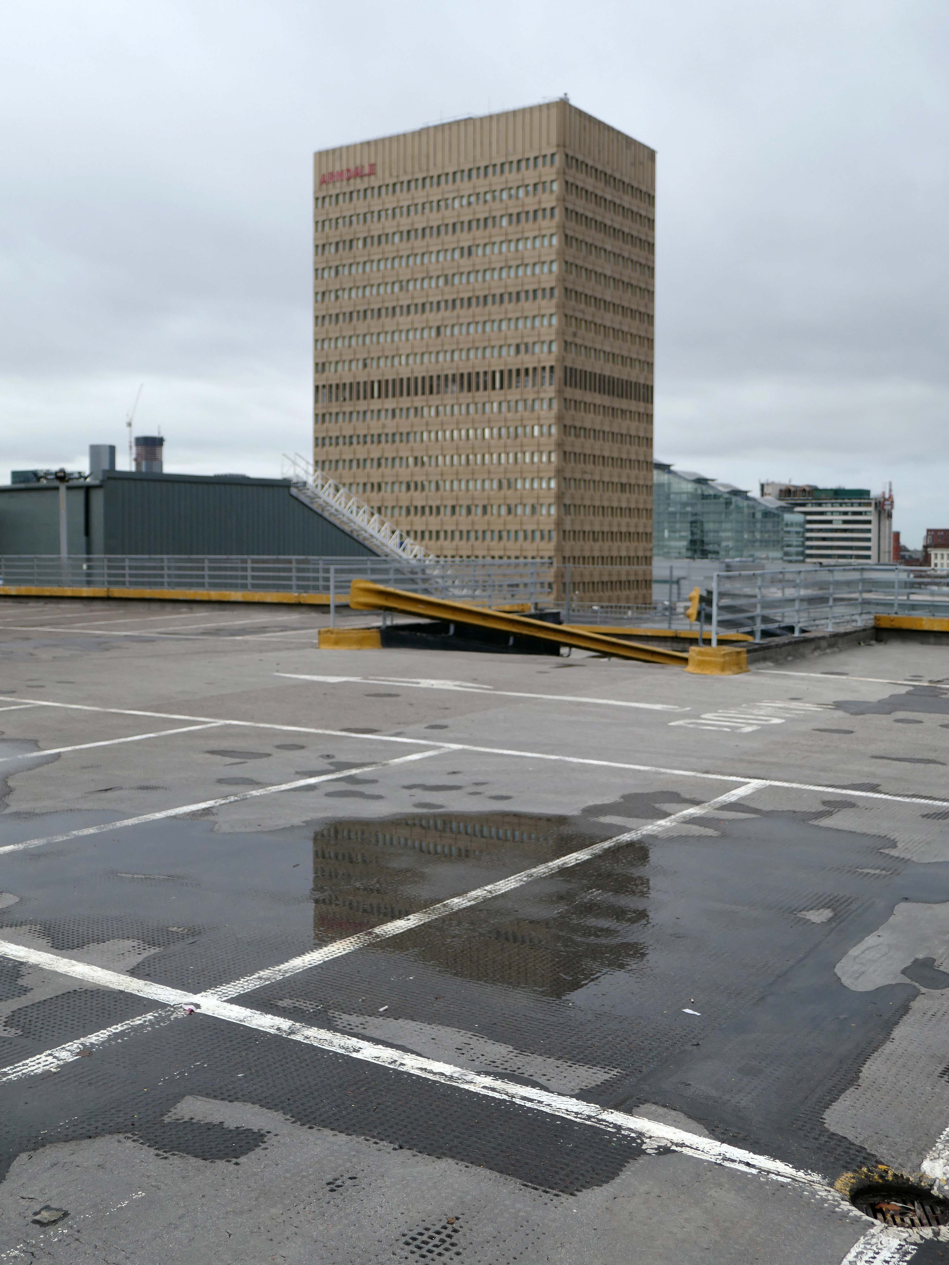
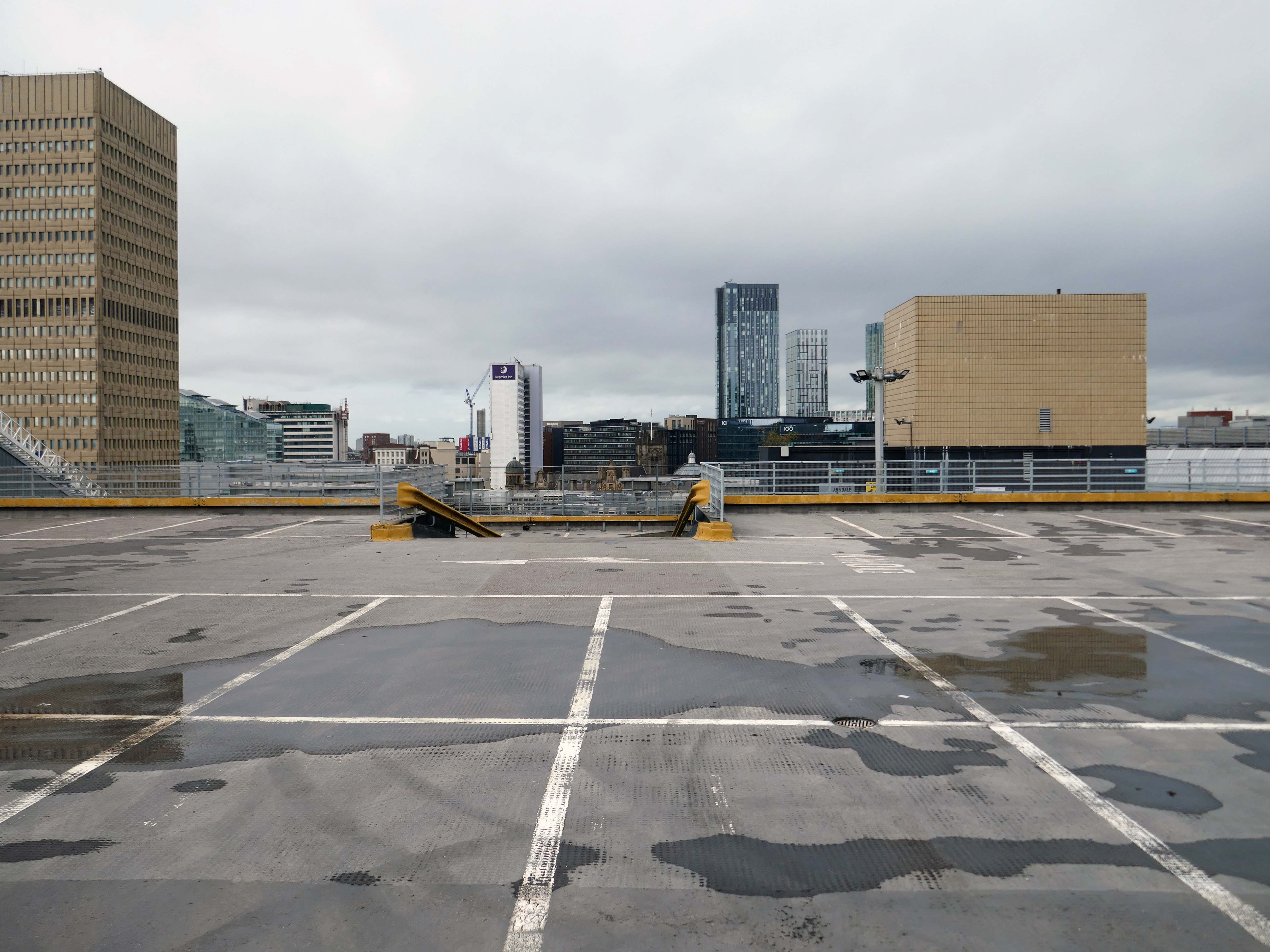
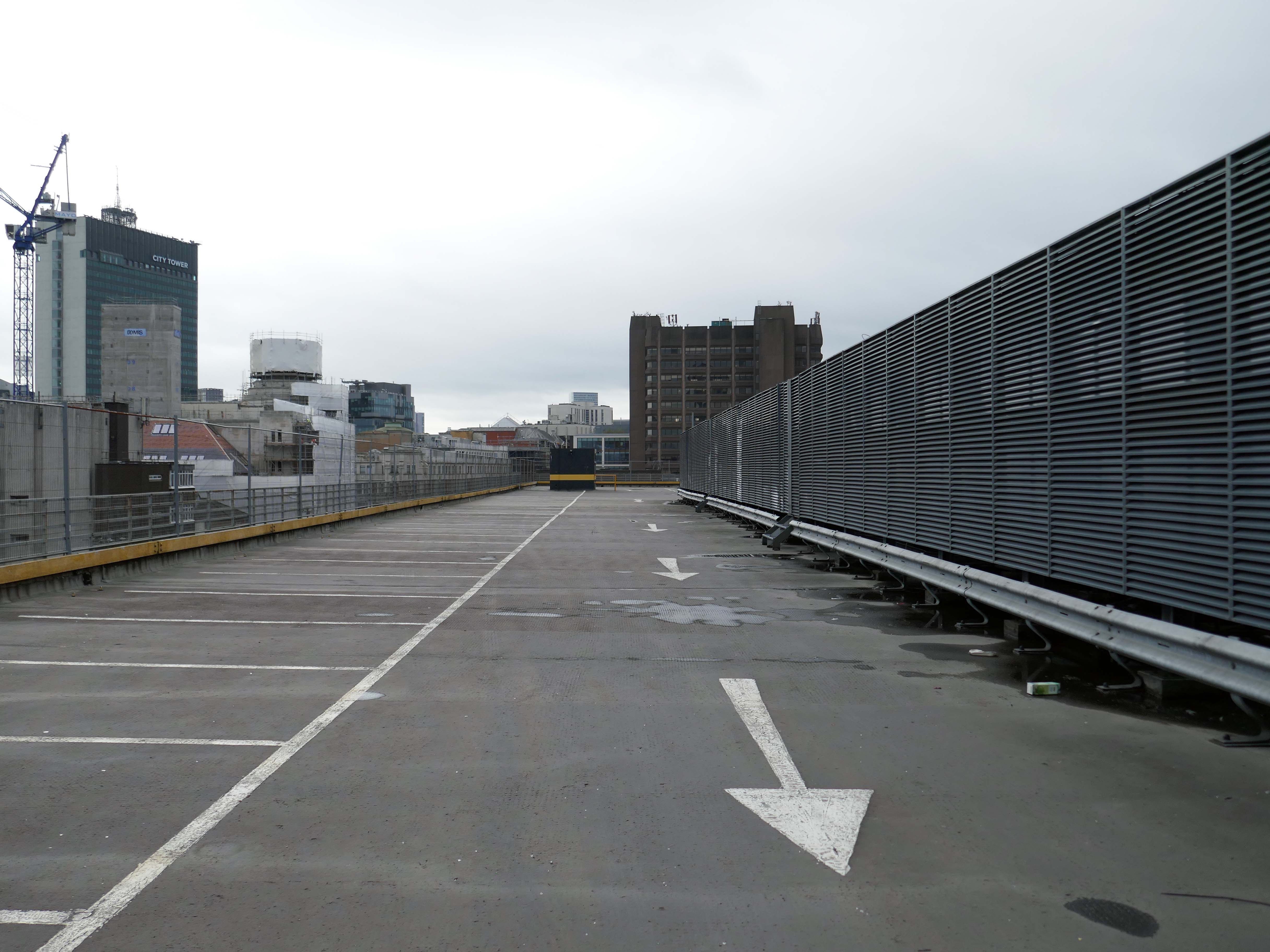
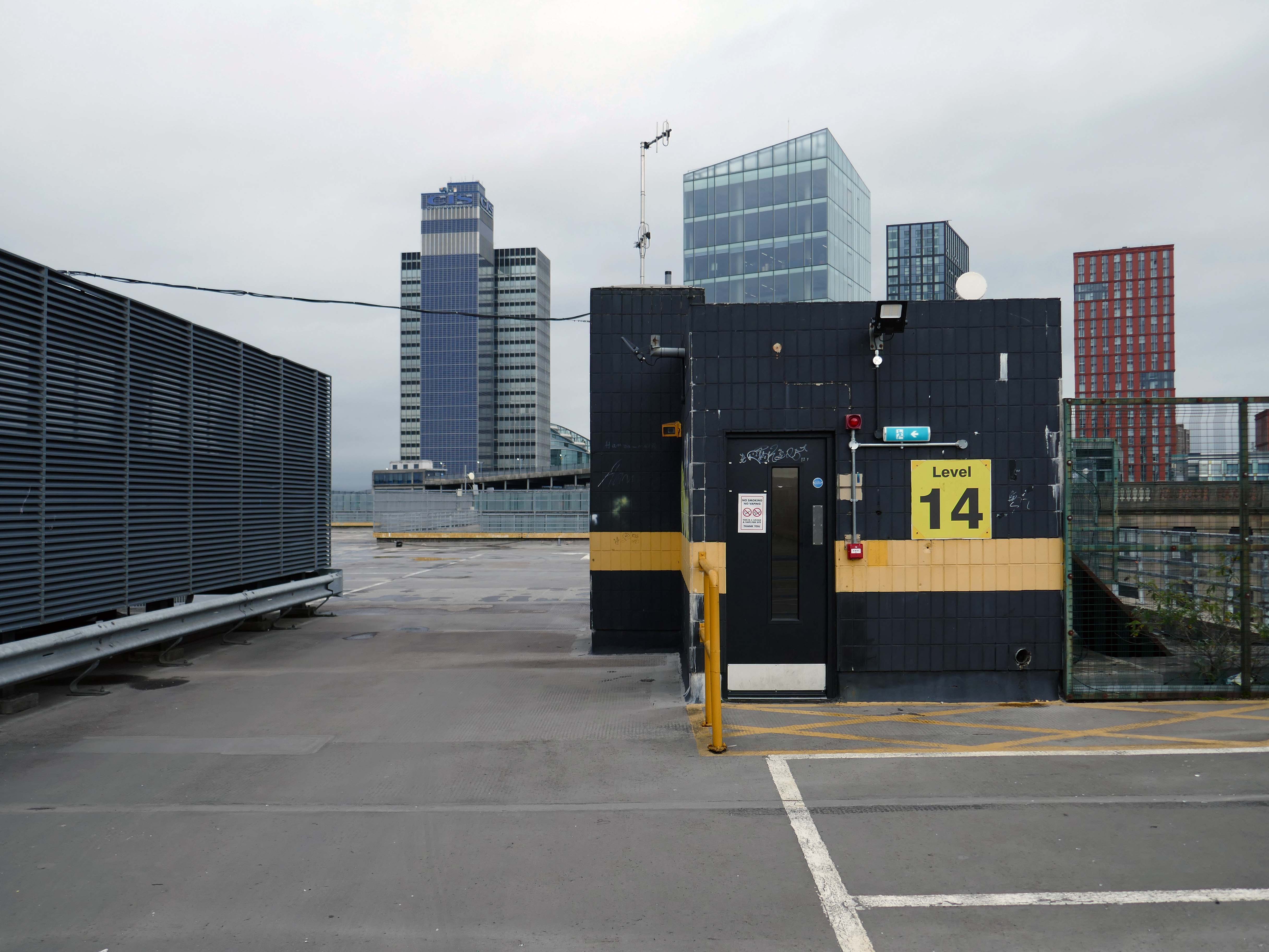
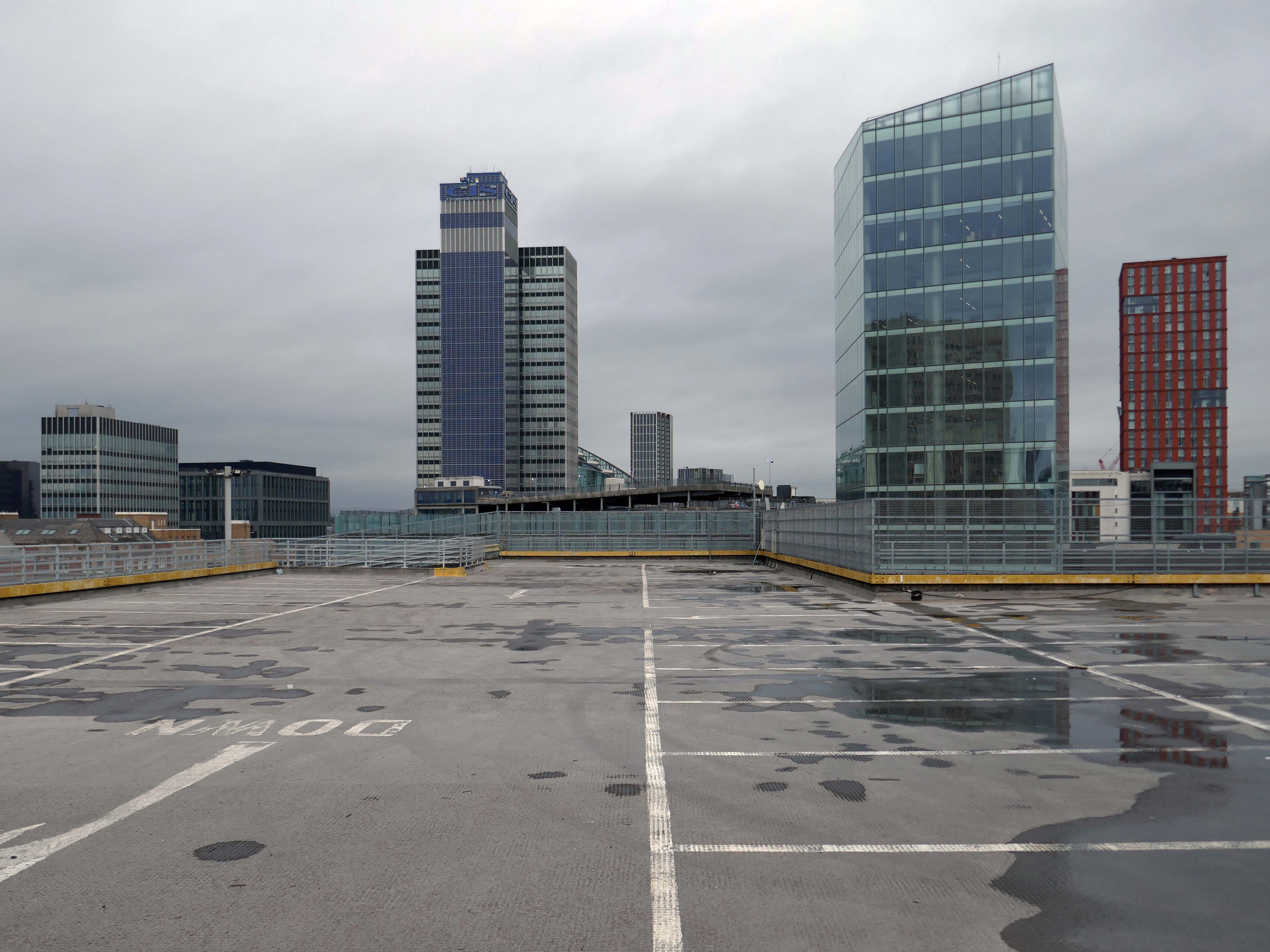
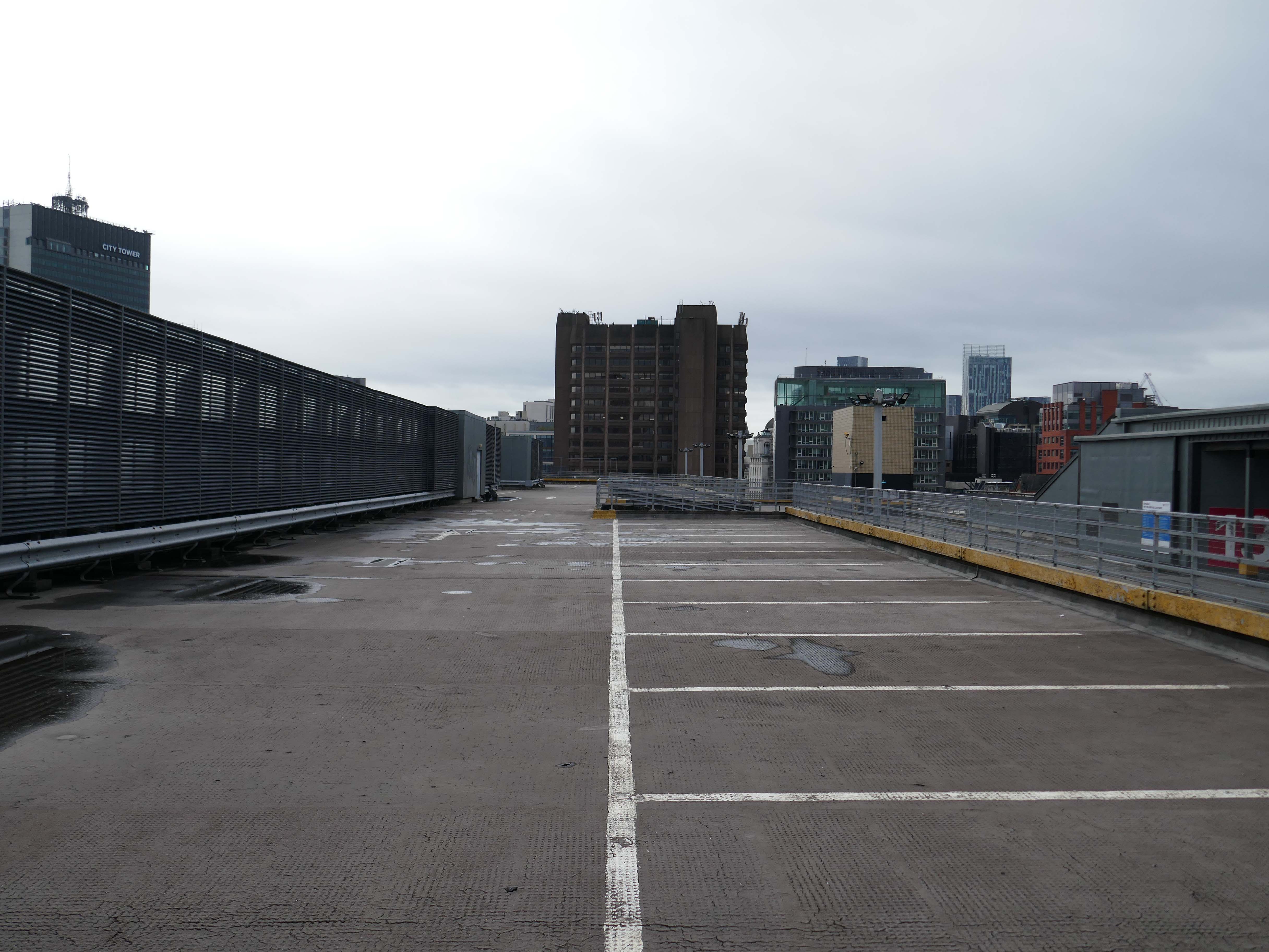
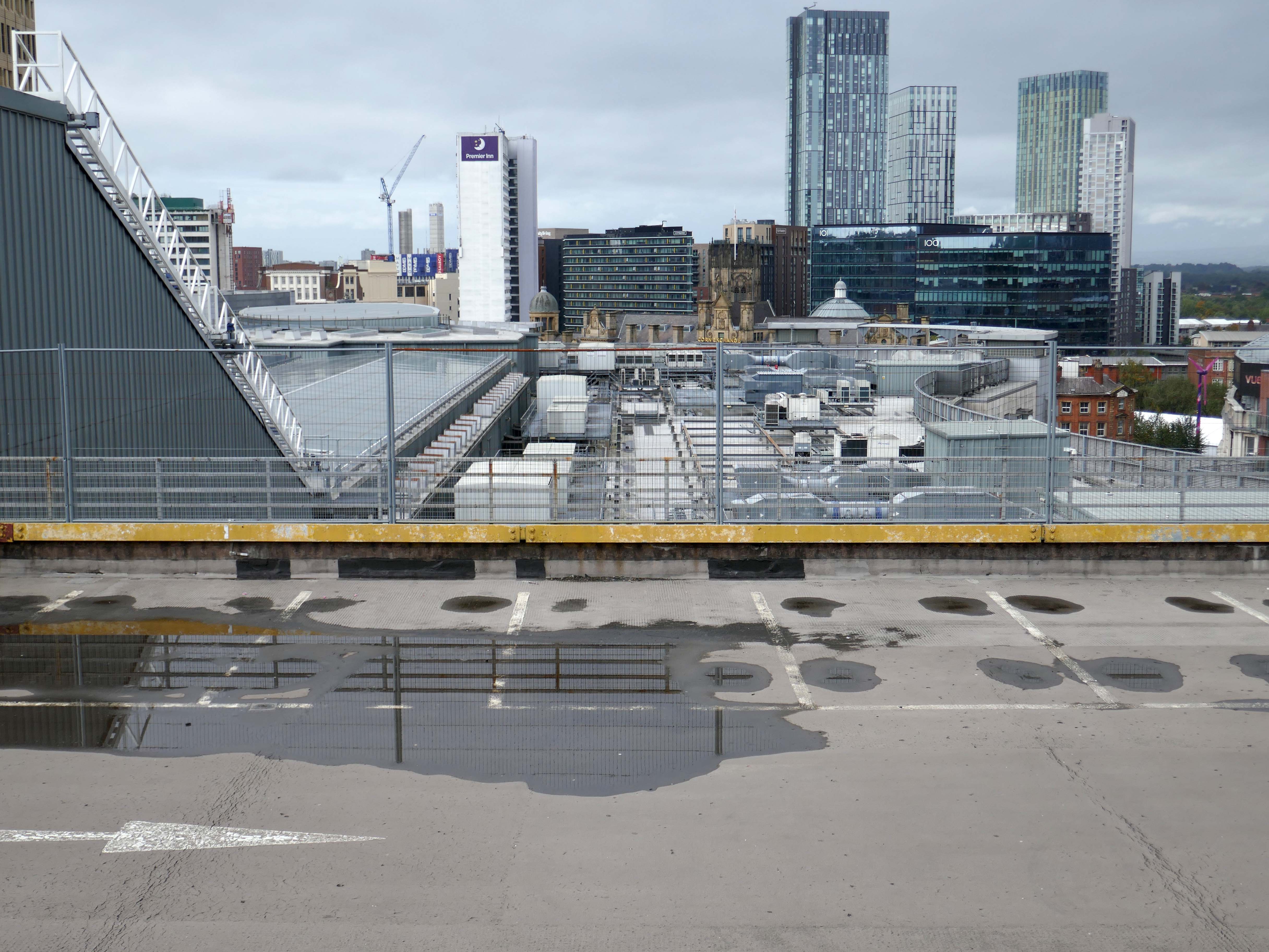
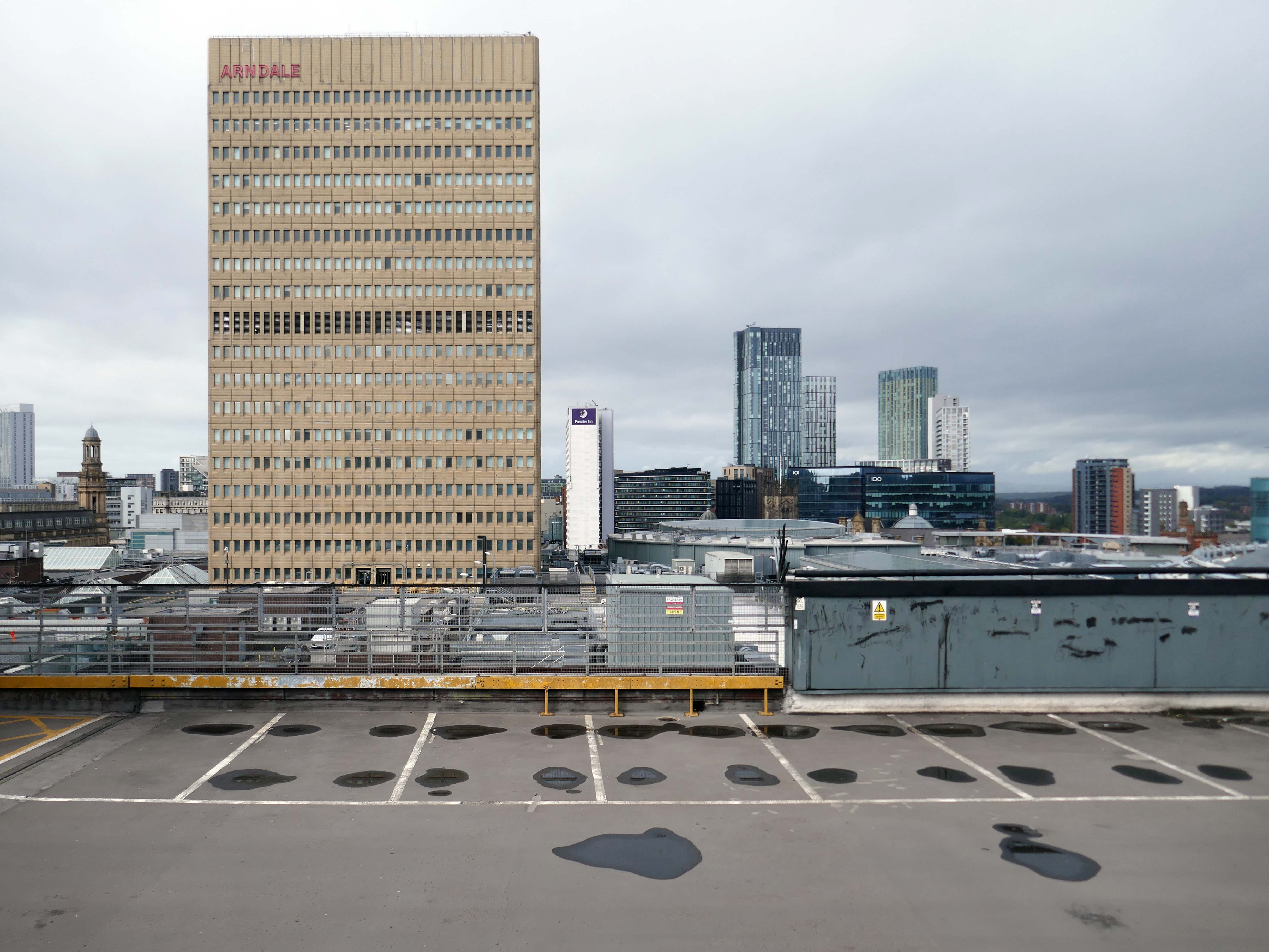
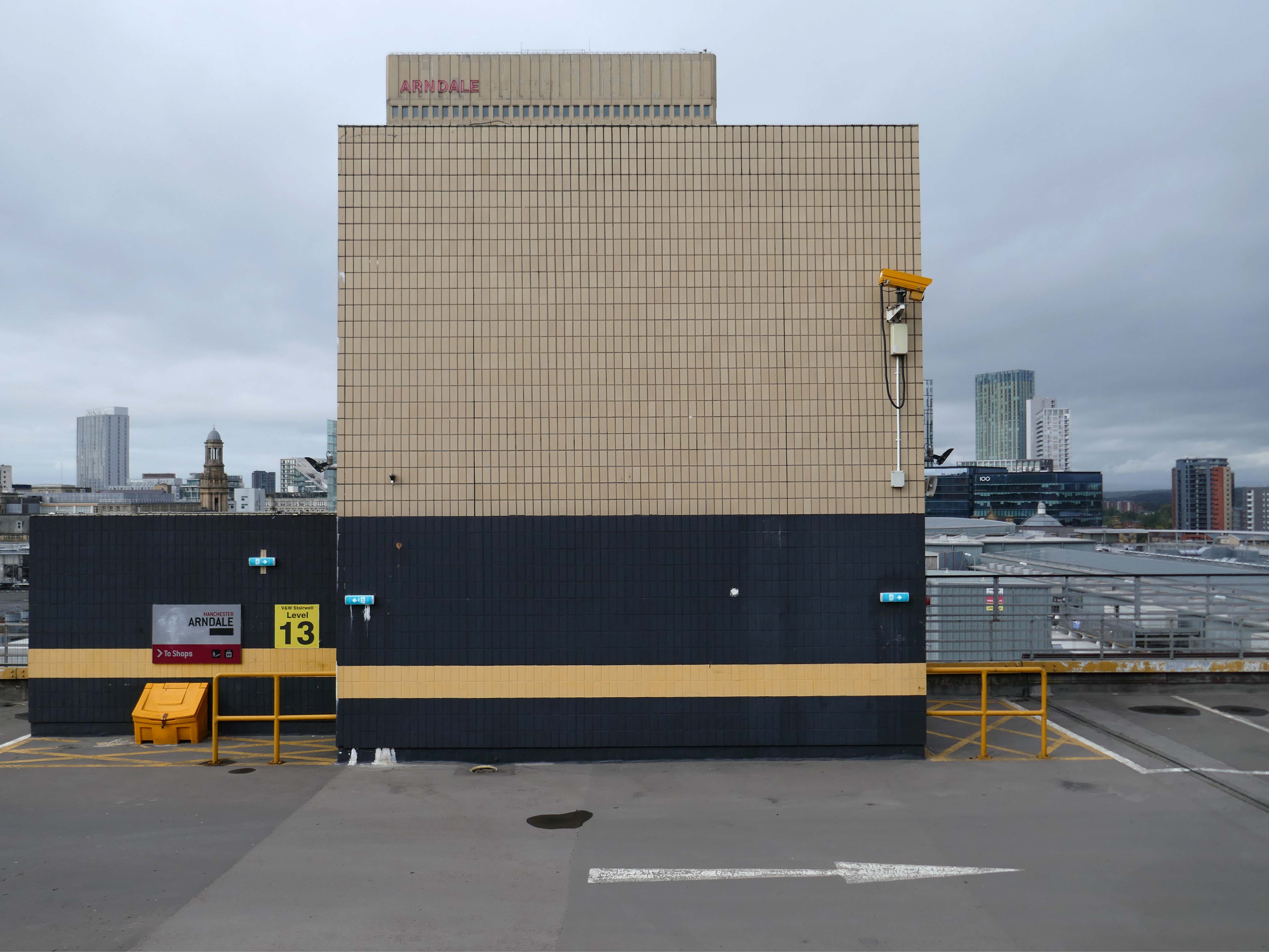
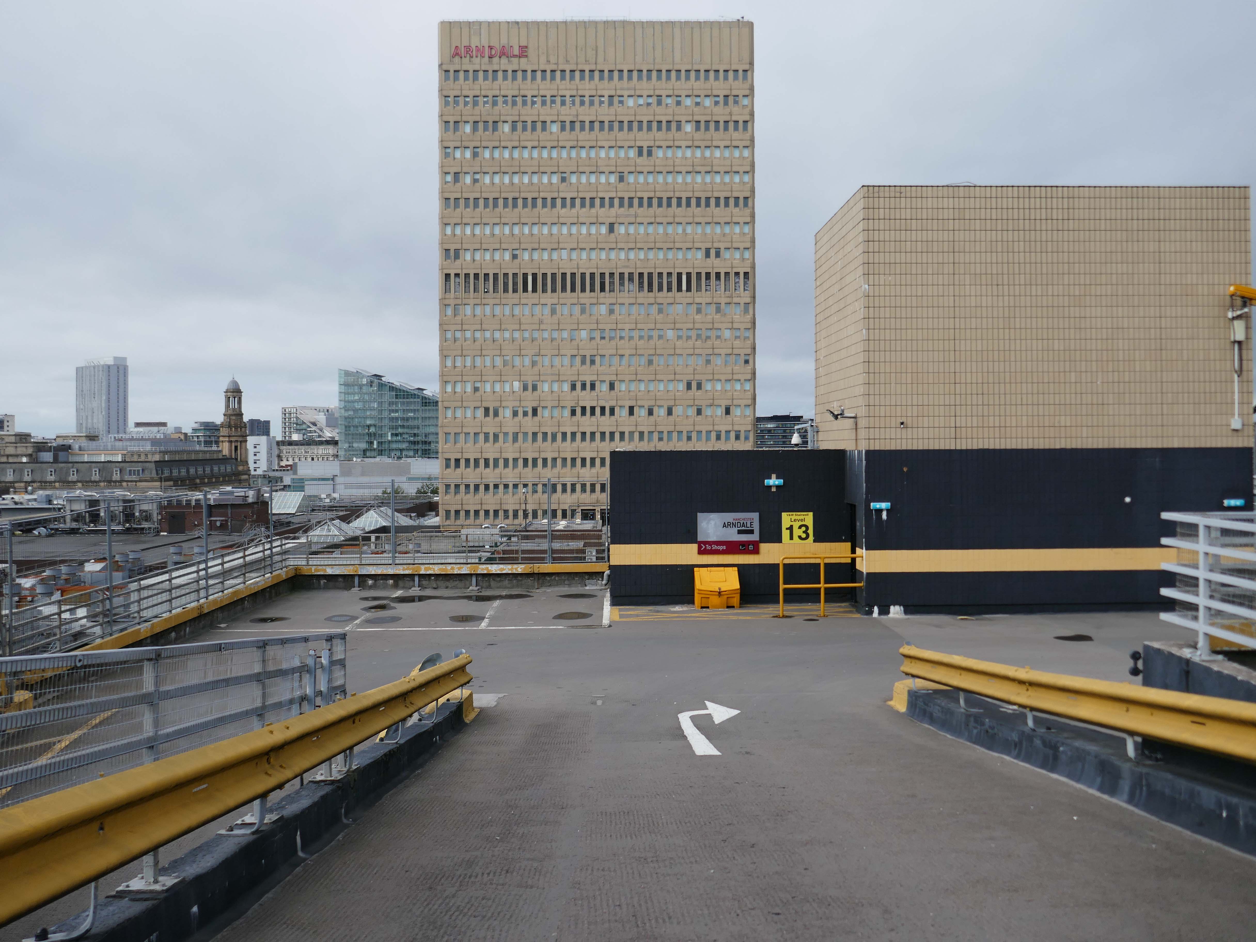
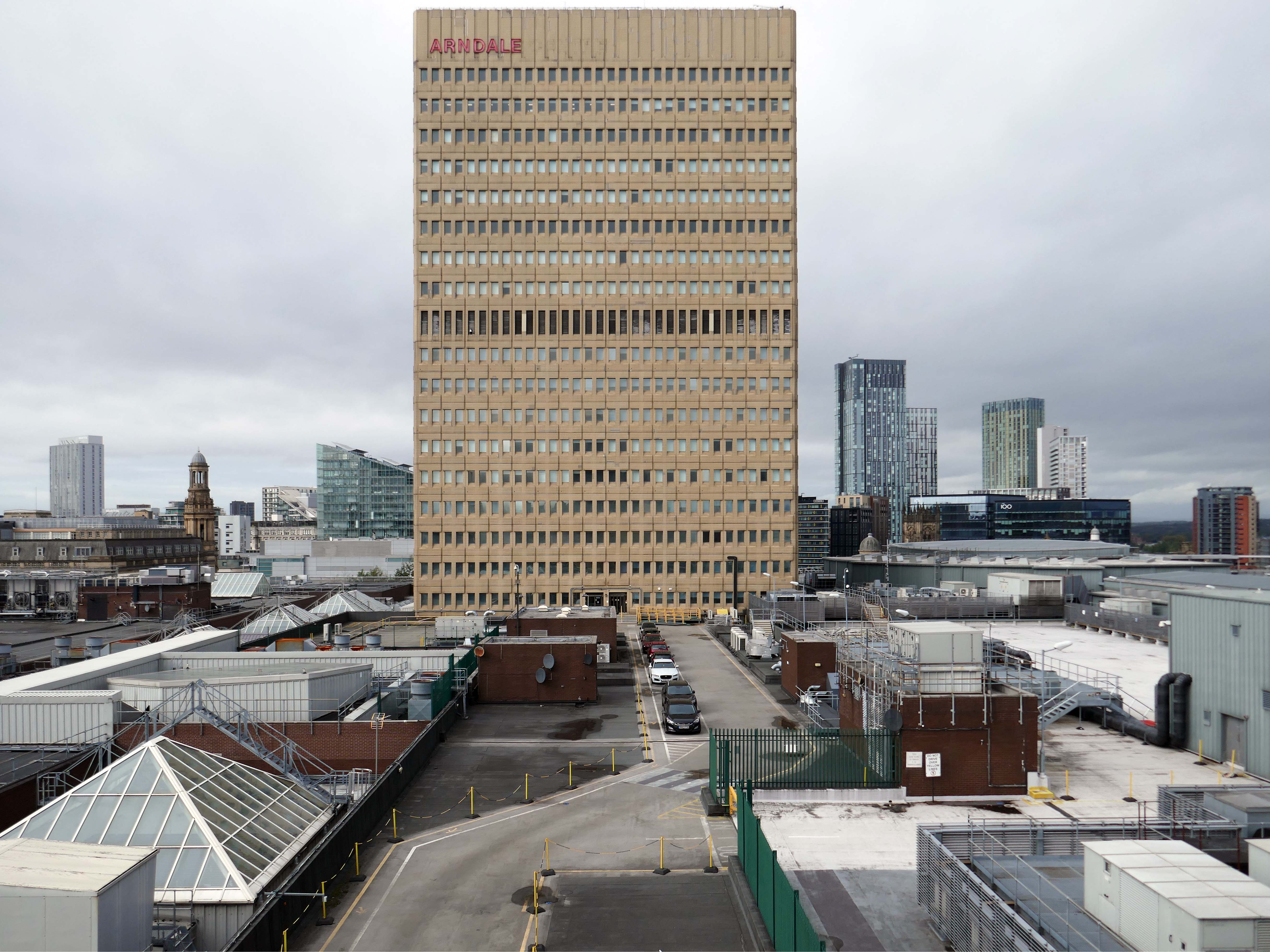
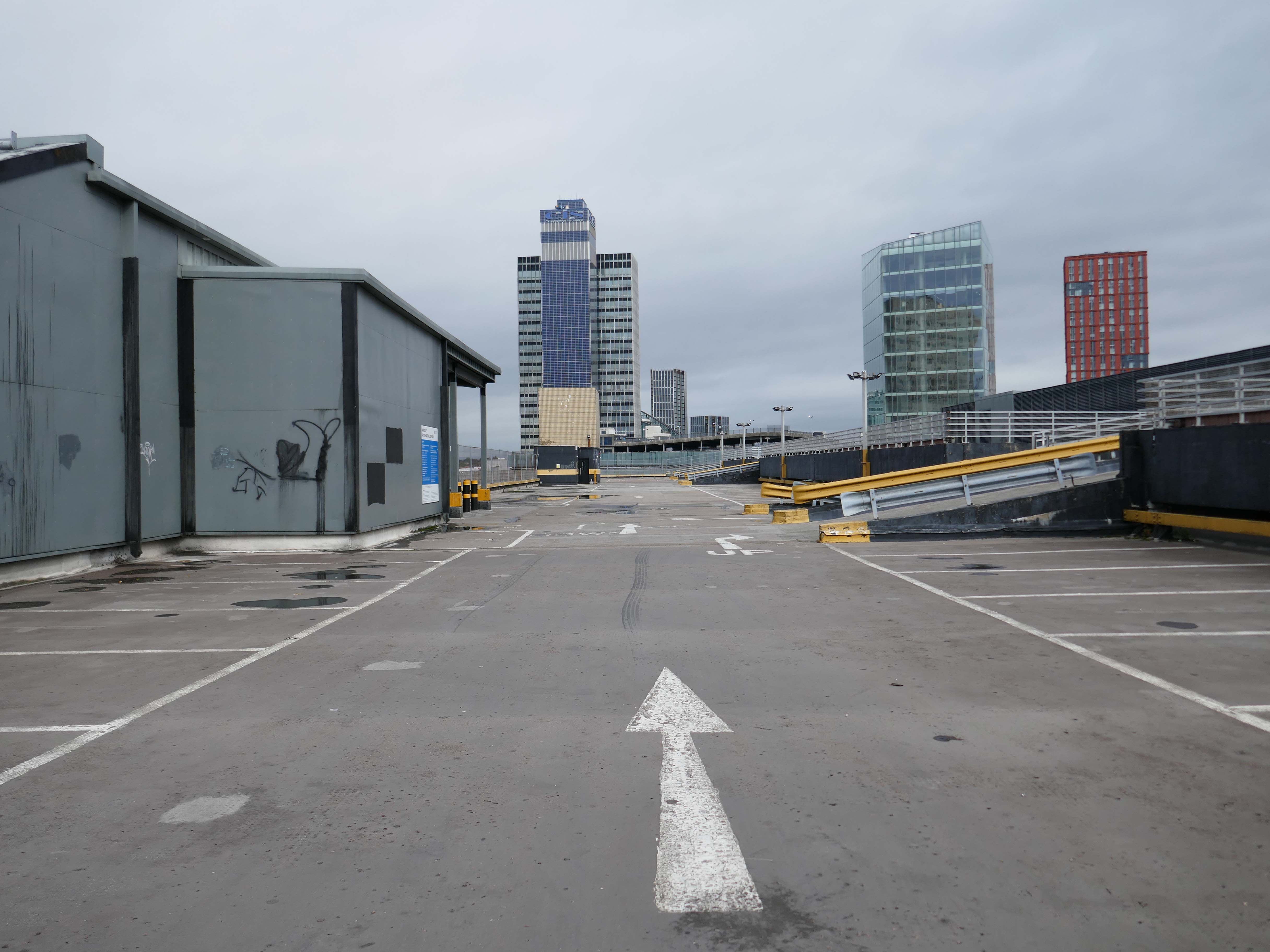
On my way somewhere else, took a left off Lime Street to walk around and about this monumental concrete car park.
I was on my way to see Ed Ruscha amongst other things.
Volare Digital Camera
I think he would have admired the view.
No fancy cladding and a limited pedestrian access, should you happen to be sans auto.
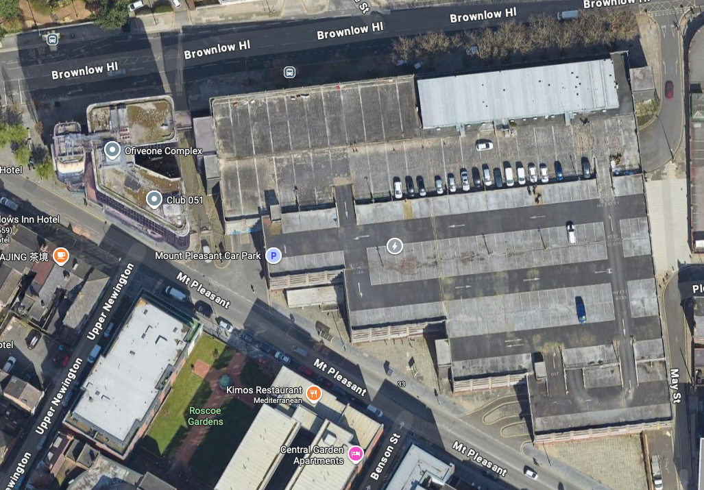
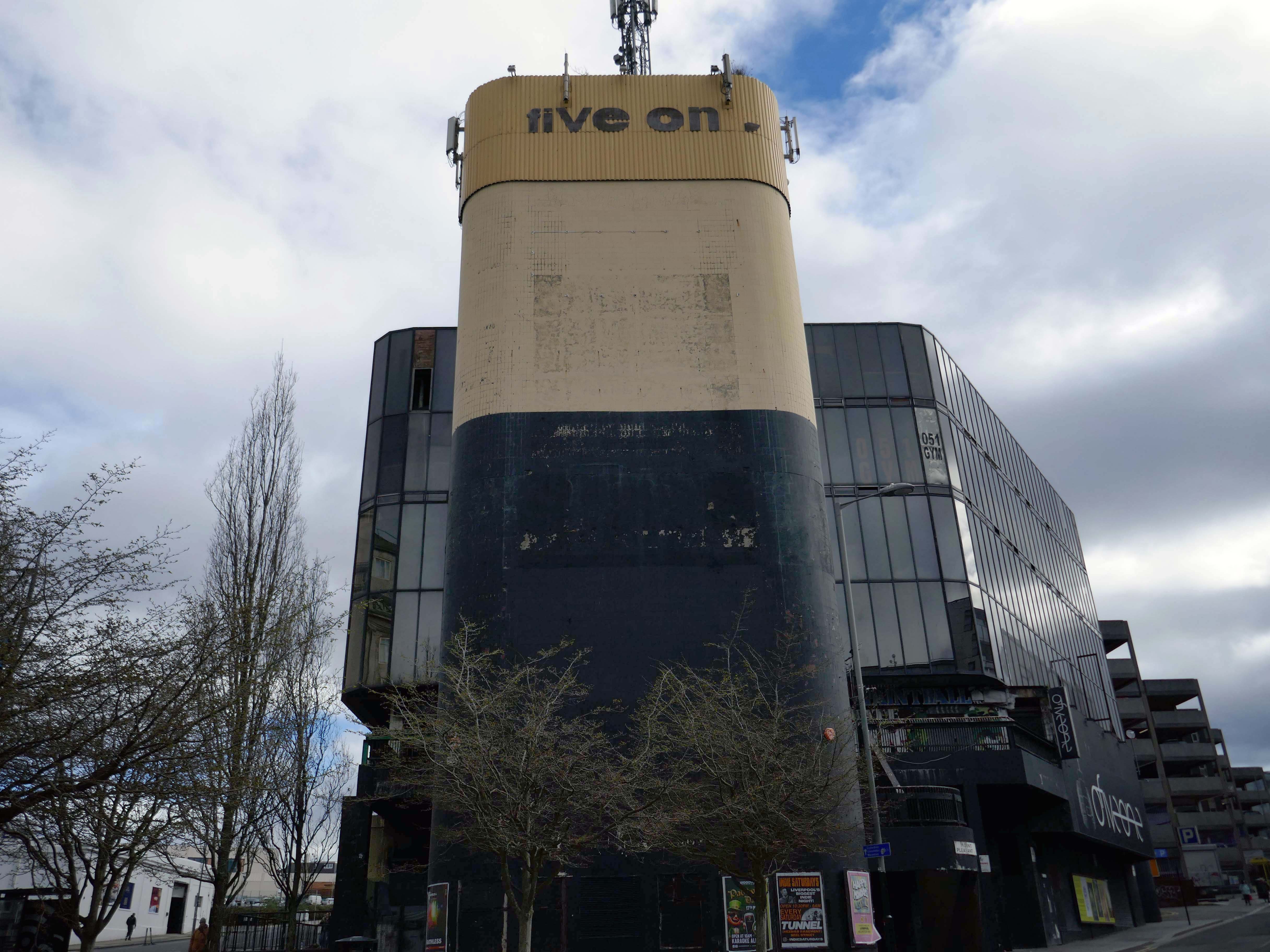
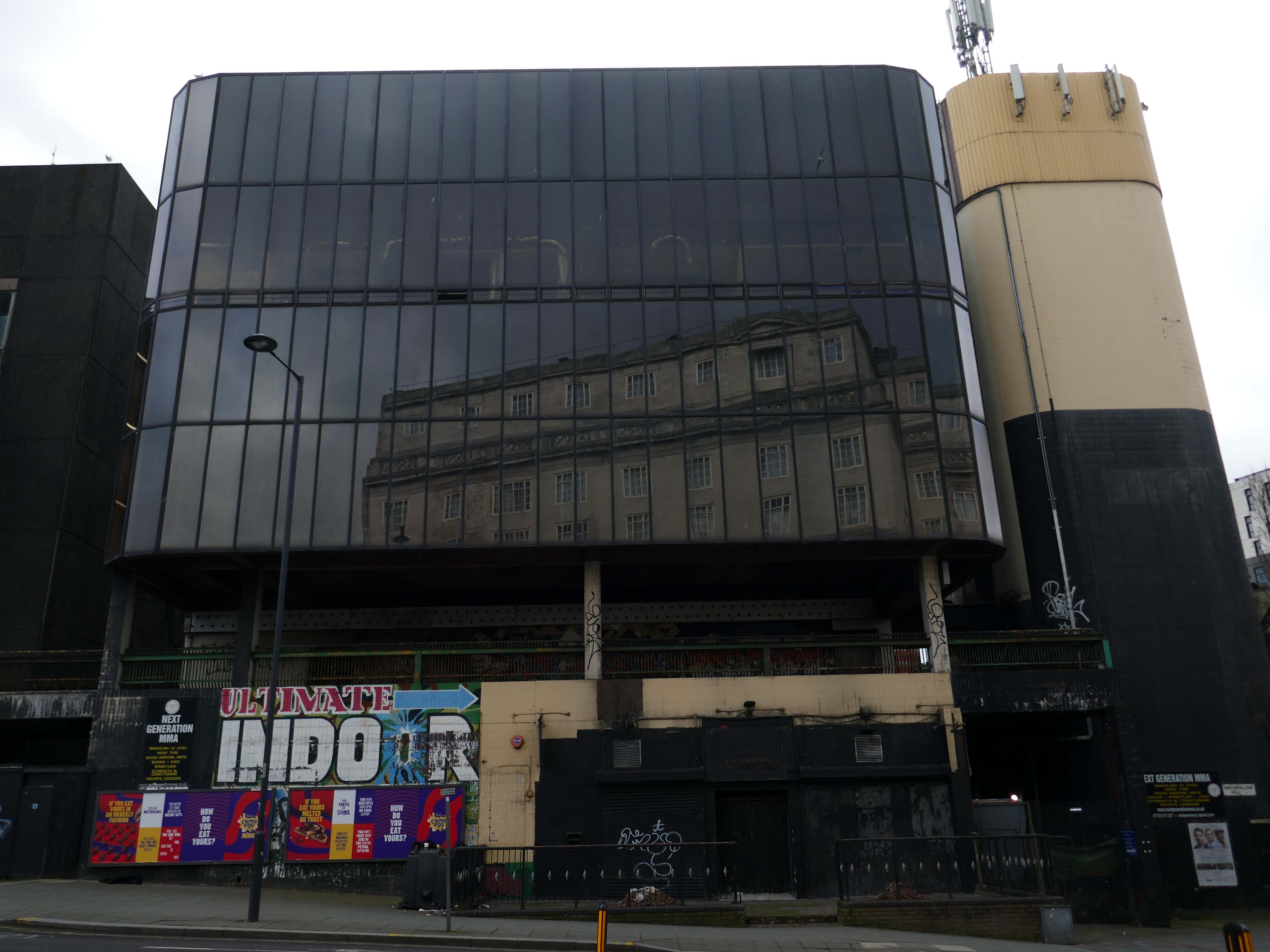
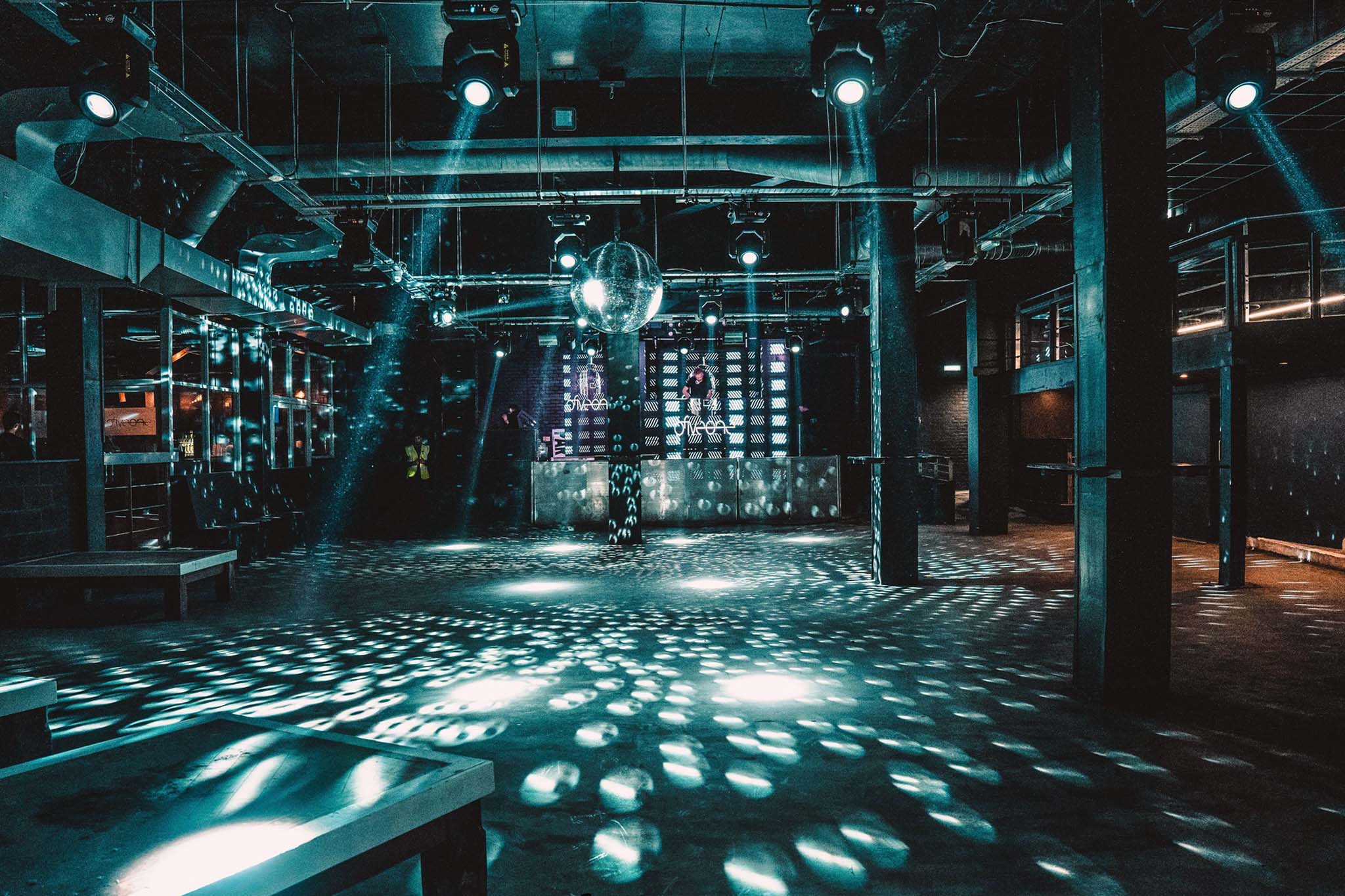
Attached to the car park is the 051 Complex – made for the Liverpool dialling code.
Club 051, ofiveone, The 05’…
Whatever you wish to call it, this iconic venue has touched the hearts of literally hundreds of thousands of clubbers spanning its illustrious history. Those infamous stairs down to the dance floor are truly part of clubbing folklore for those who have walked them, and now because of a team of people who dared to dream, you can once again enjoy the spine chilling ofiveone experience!
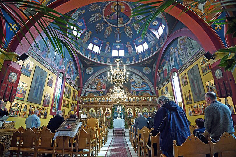
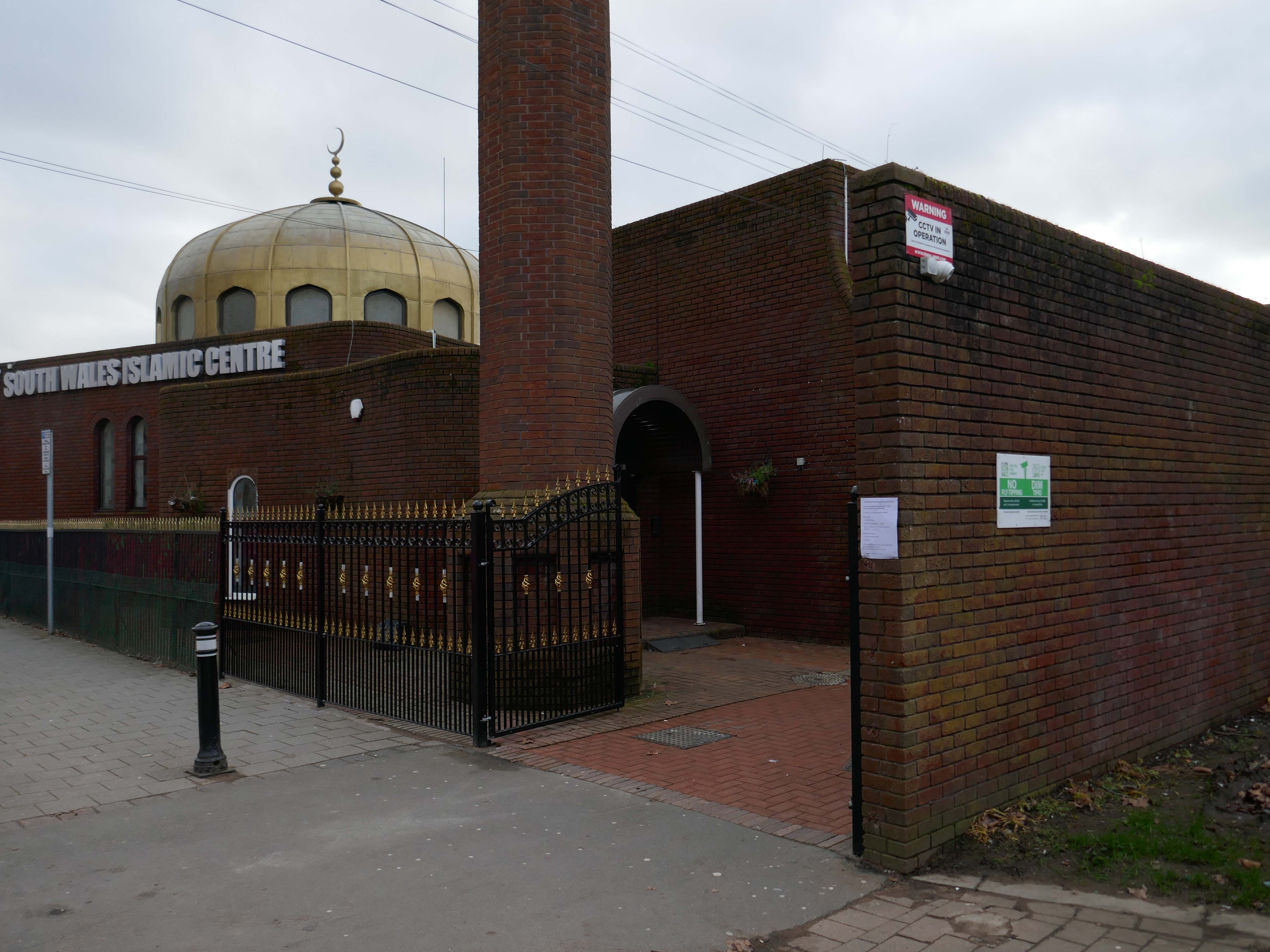
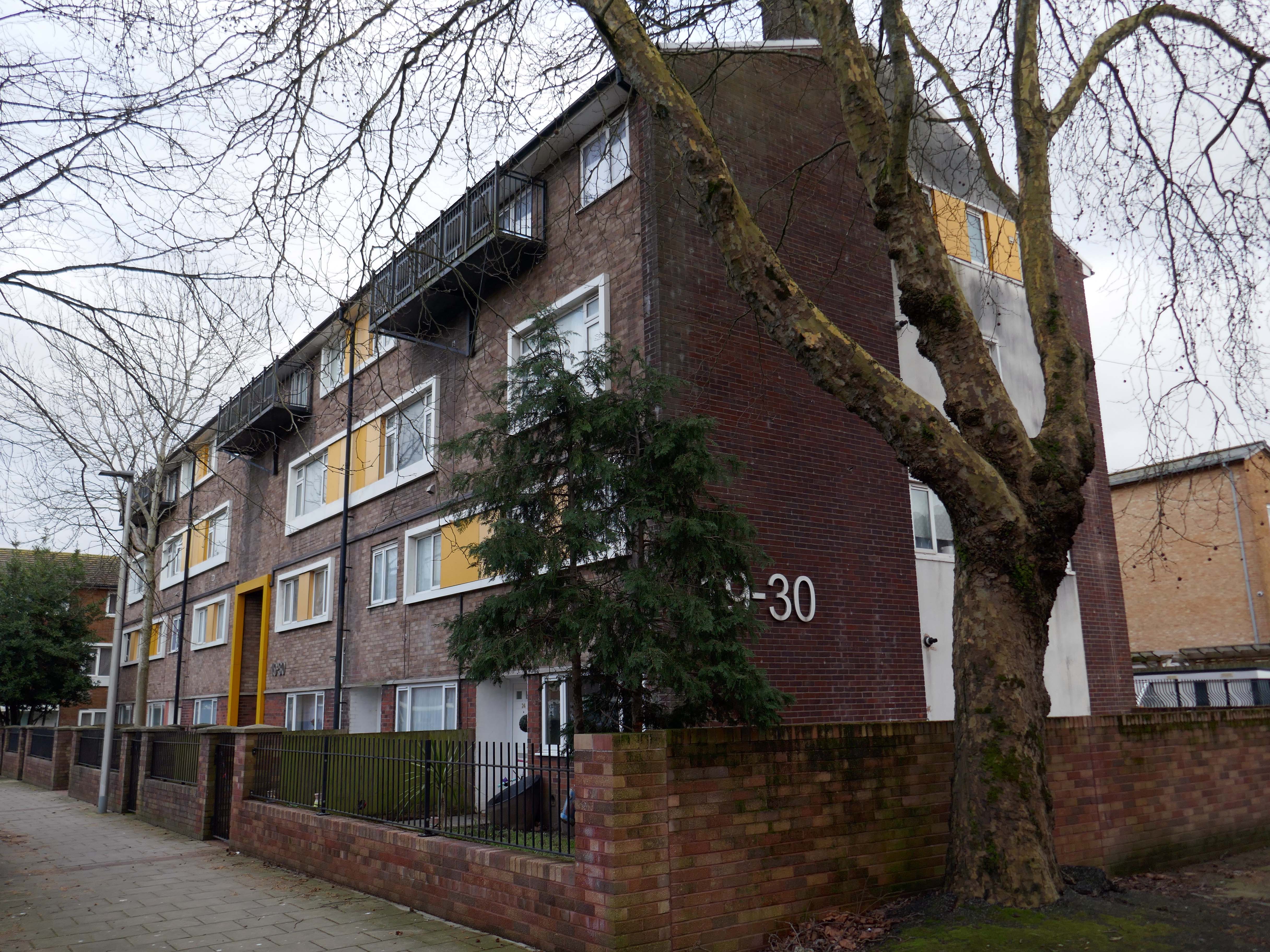
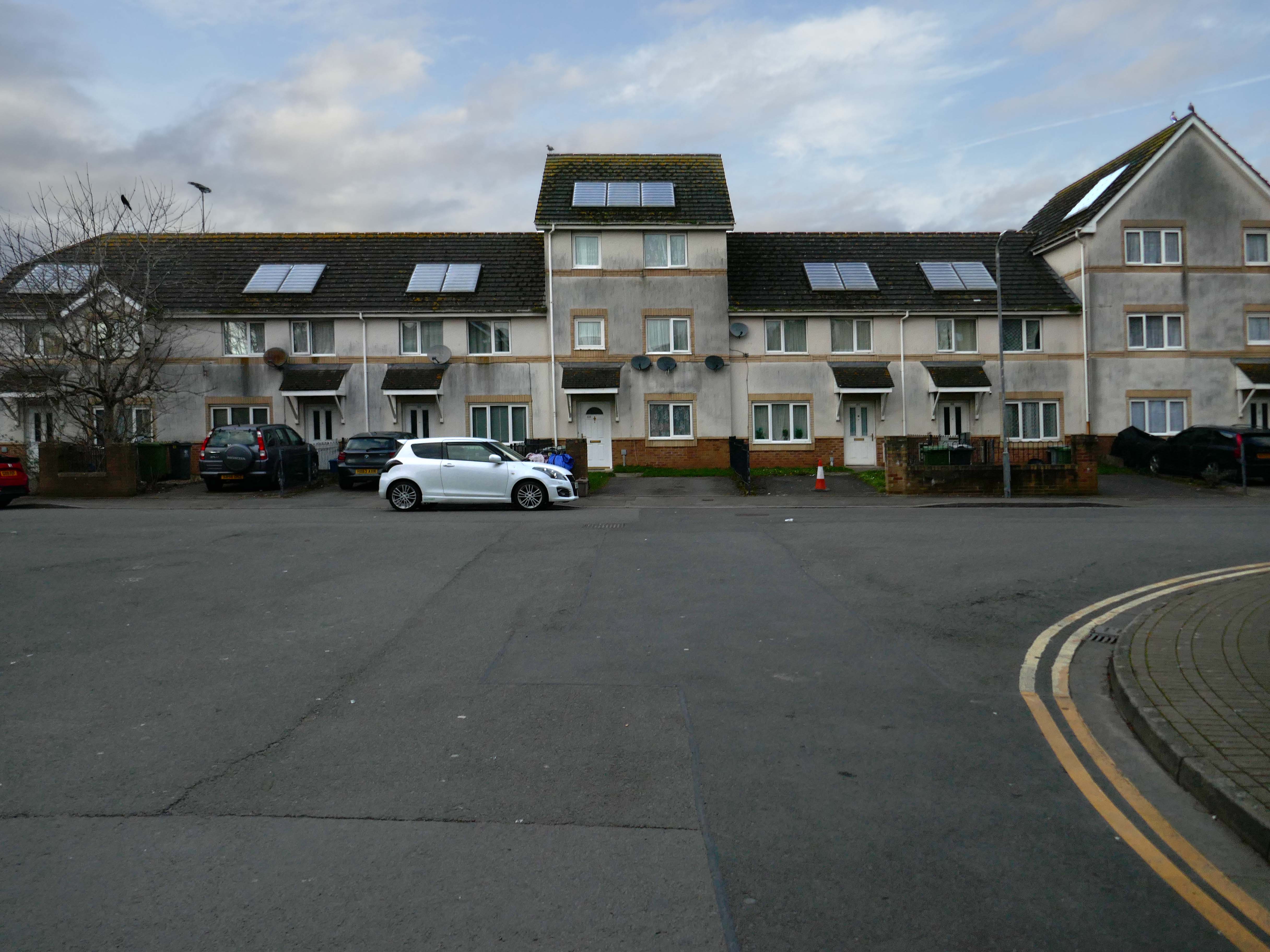
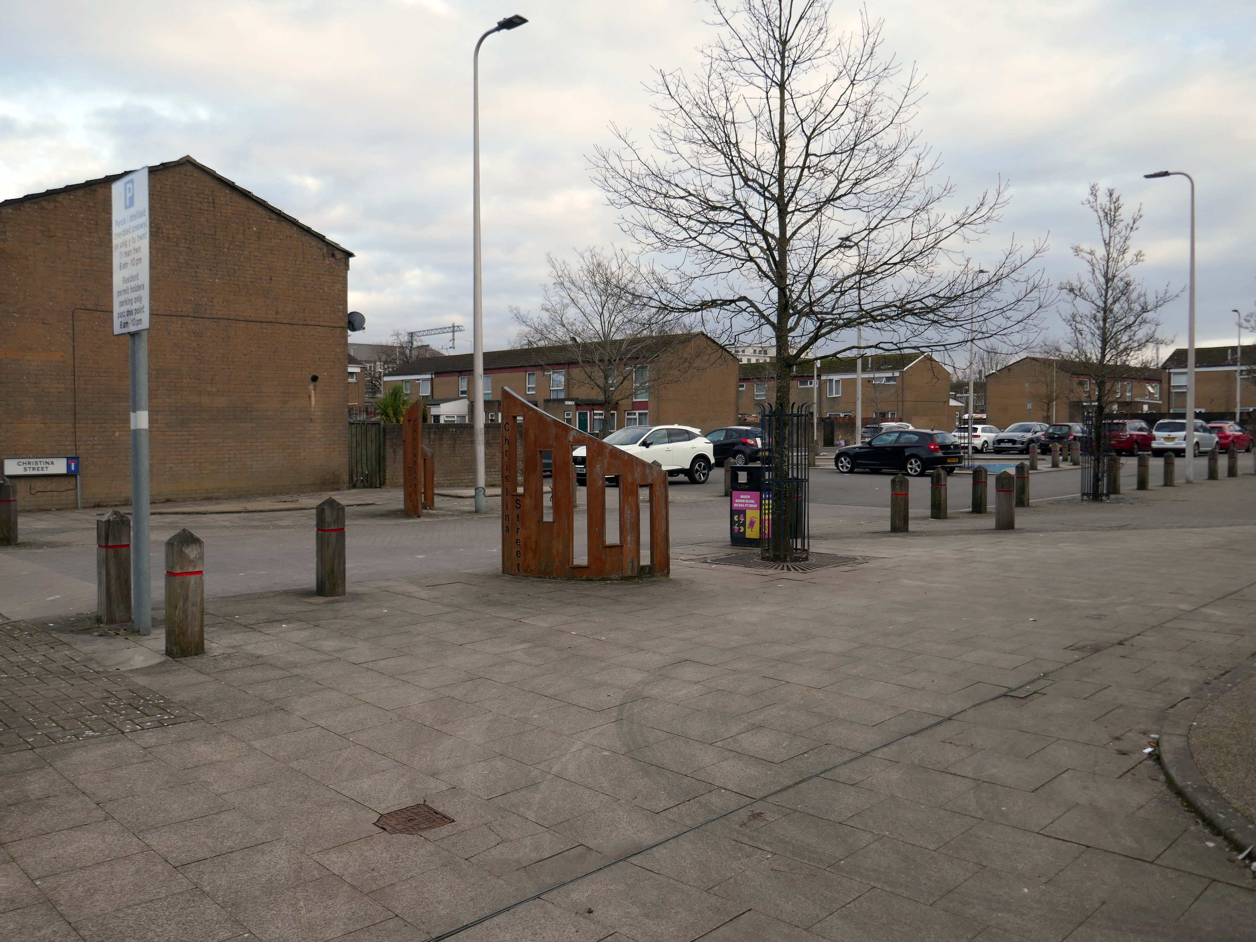
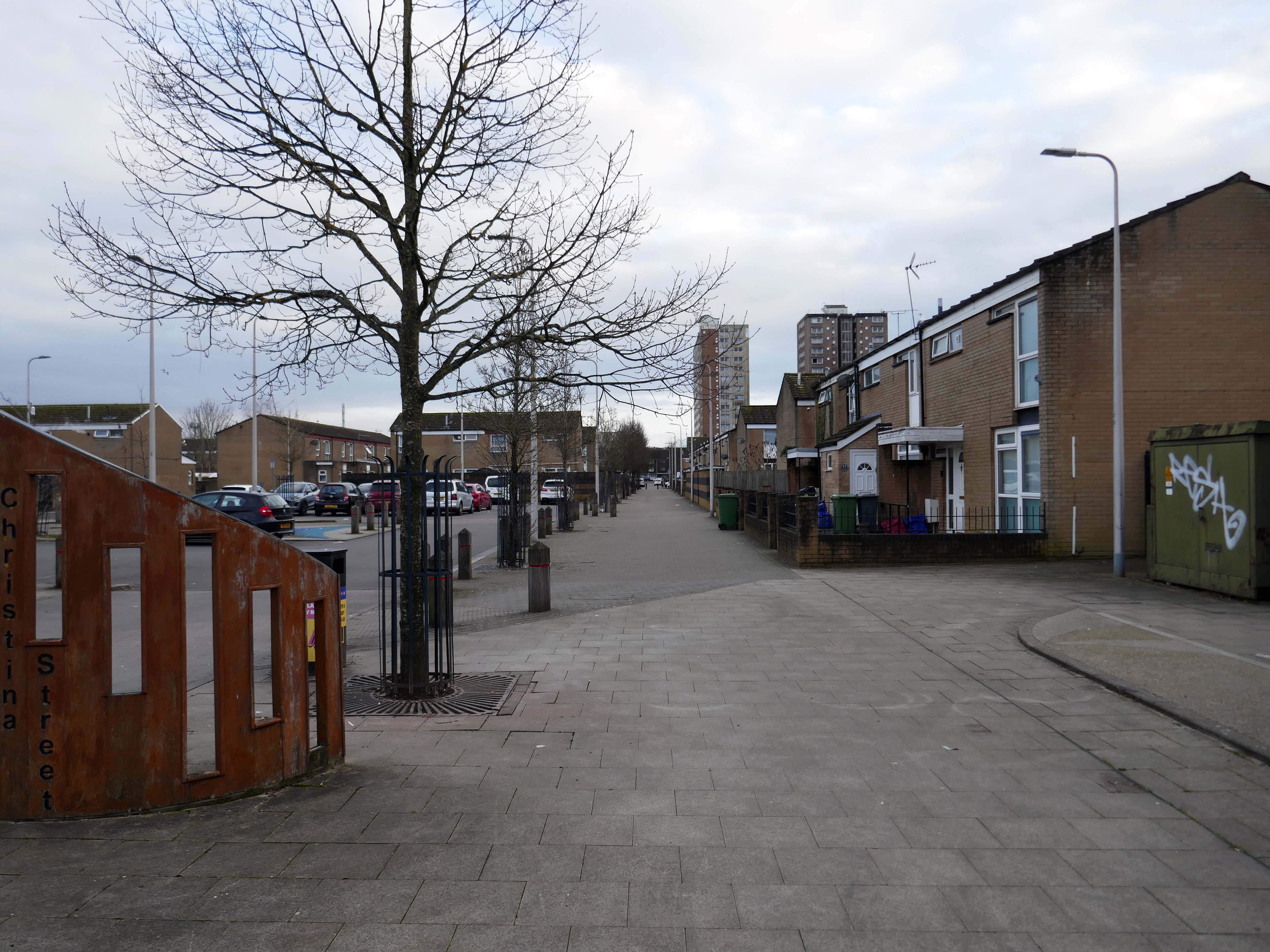
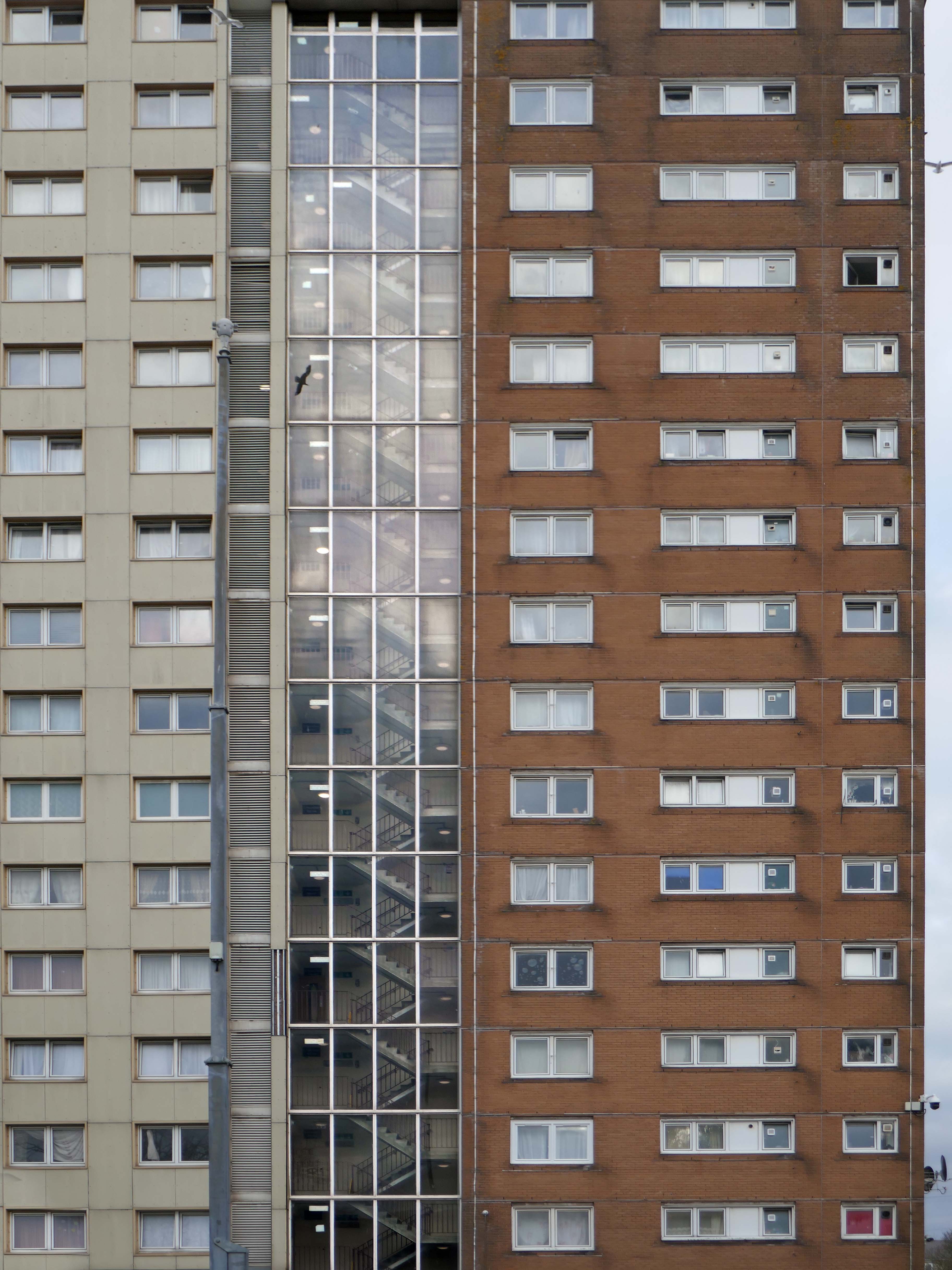
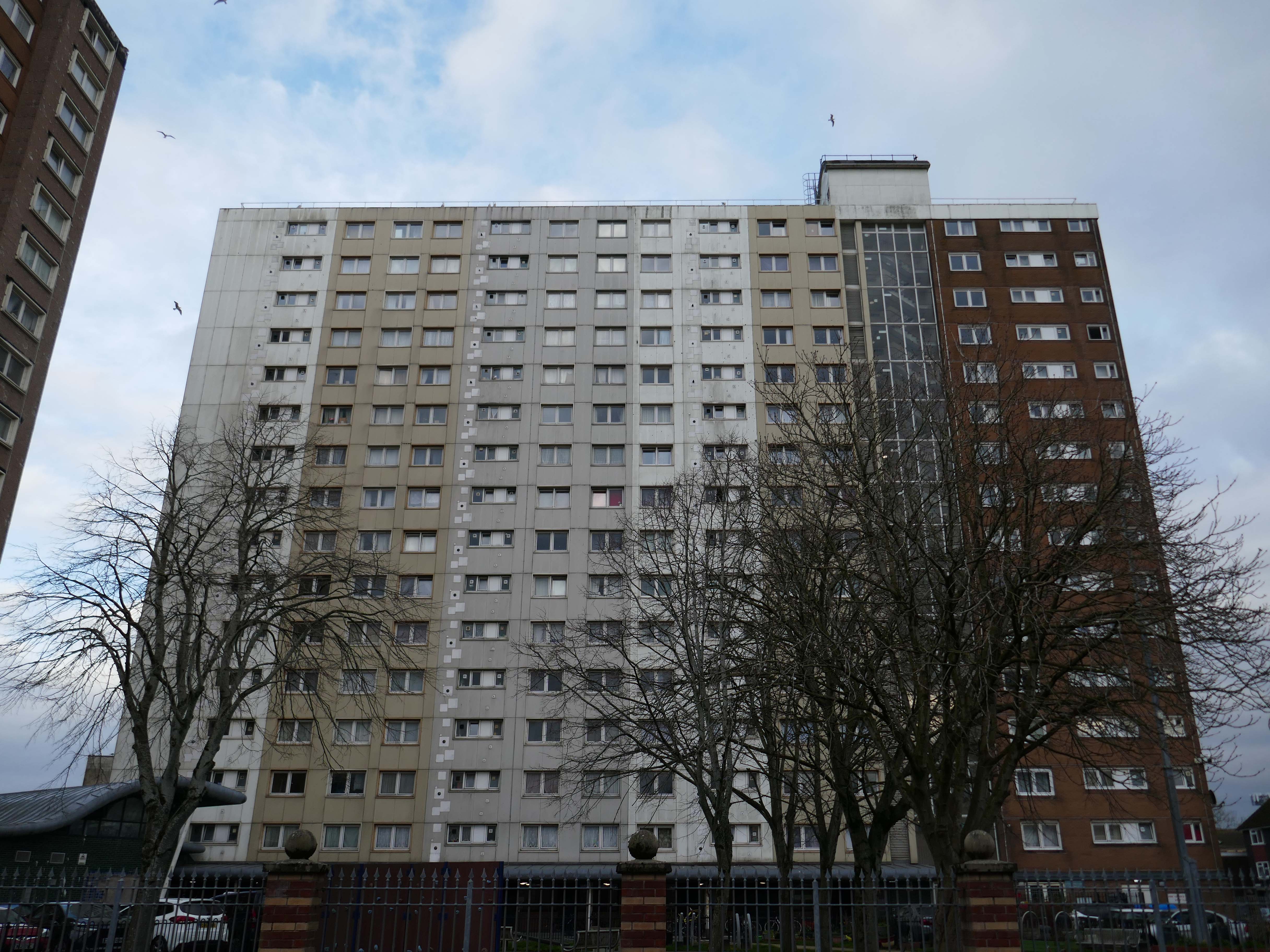
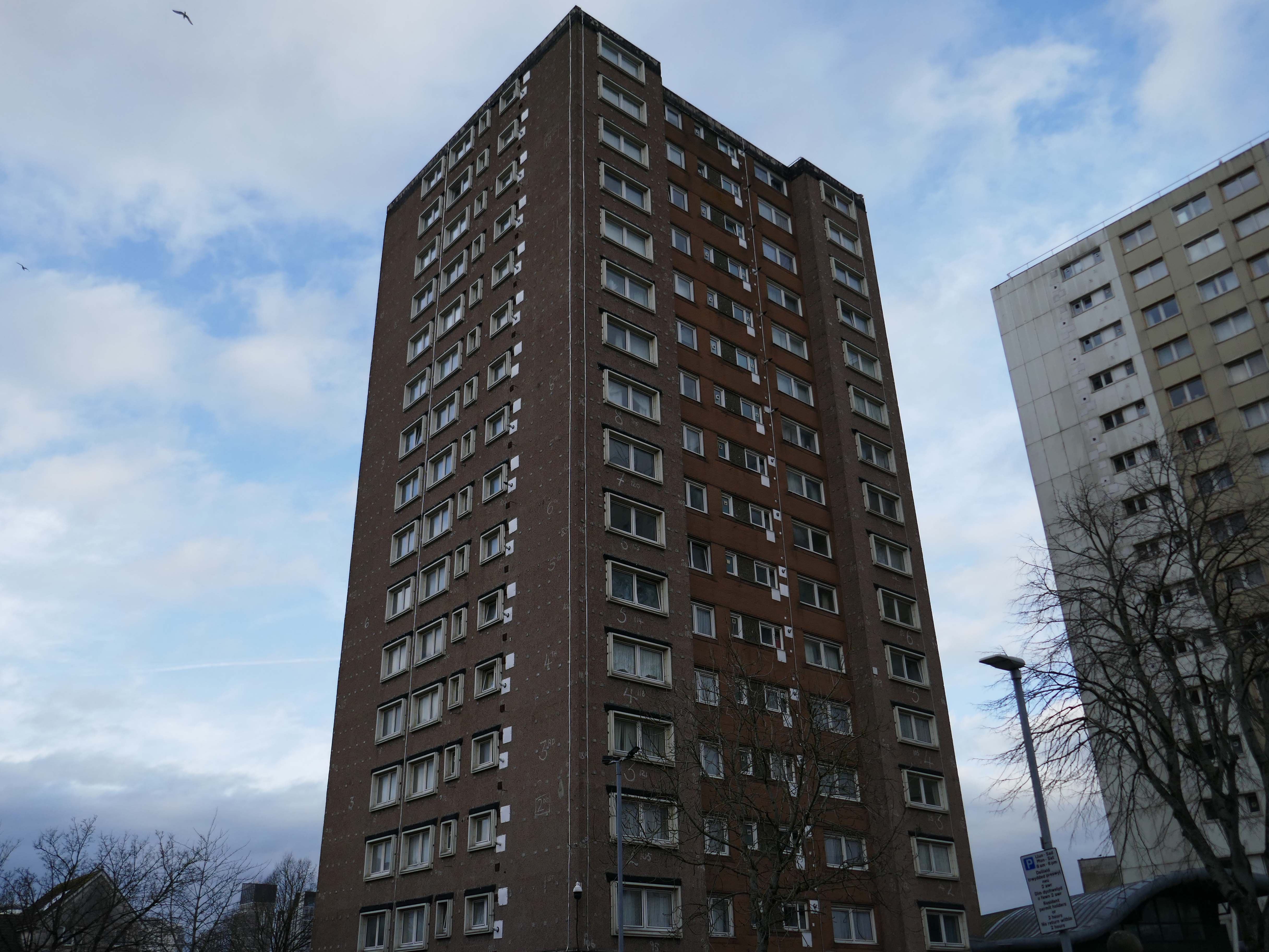
Butetown – or The Docks Tre-biwt is a district and community in the south of the city of Cardiff. It was originally a model housing estate built in the early 19th century by the 2nd Marquess of Bute, for whose title the area was named.
Commonly known as Tiger Bay, this area became one of the UK’s first multiculturalcommunities with people from over fifty countries settled here by the outbreak of the First World War, working in the docks and allied industries. Some of the largest communities included the Somalis, Yemenis and Greeks, whose influence still lives on today.
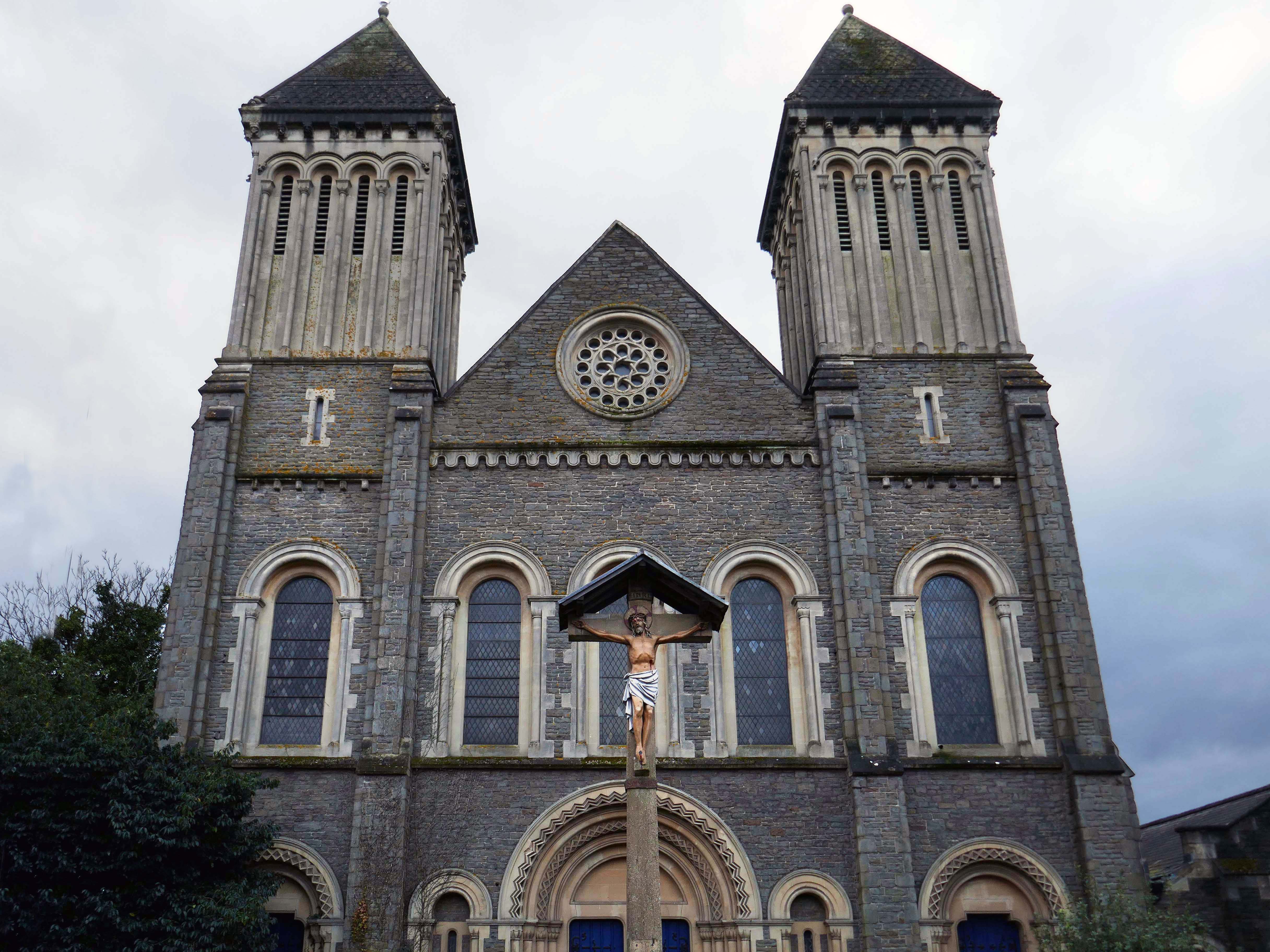
In 1906, work began on the present-day church, which also serves the Russian Orthodox community in south Wales. Designed by local architects, James and Morgan, it is located on a site provided by the 4th Marquess of Bute, to the west of Bute Street. The modestly-sized building is of Byzantine style with a domed nave and an apse at the east end. It retains the original dedication to StNicholas. The interior is very ornate, with a lot of carved woodwork. The dome and upper walls have painted Biblical scenes in vivid colours with gold decoration.
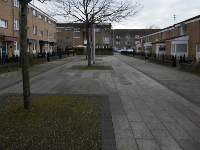
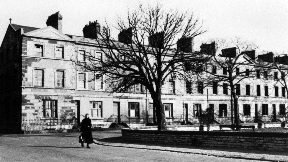
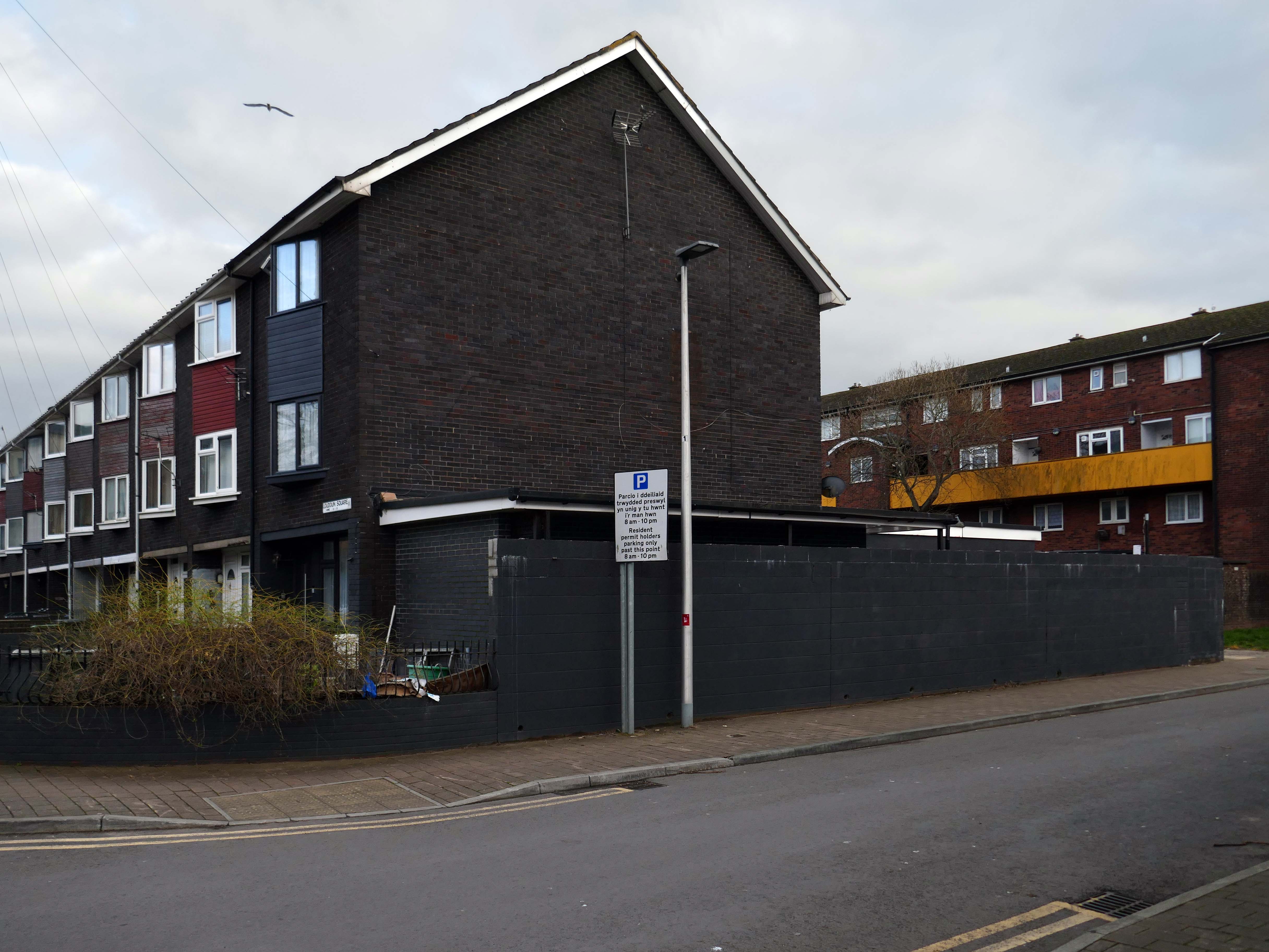
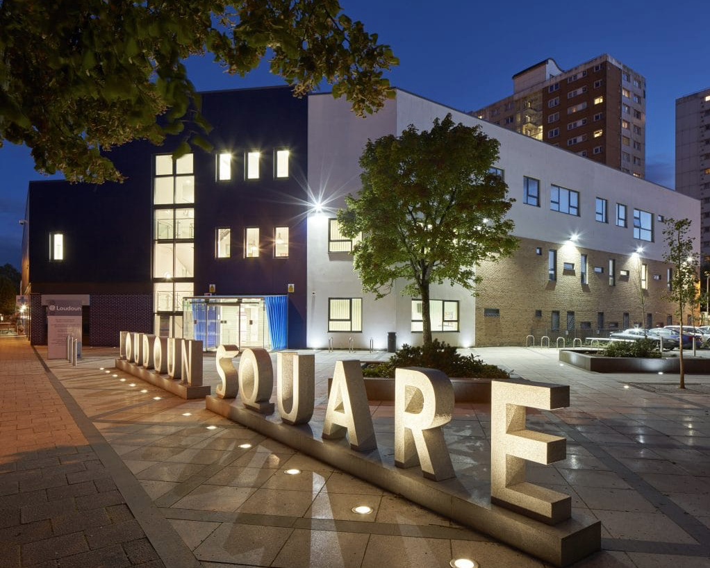
Loudoun Square was originally built in the mid-1850s as upmarket homes for merchants, mariners, ship brokers and the like around a central park.
Photo 1962
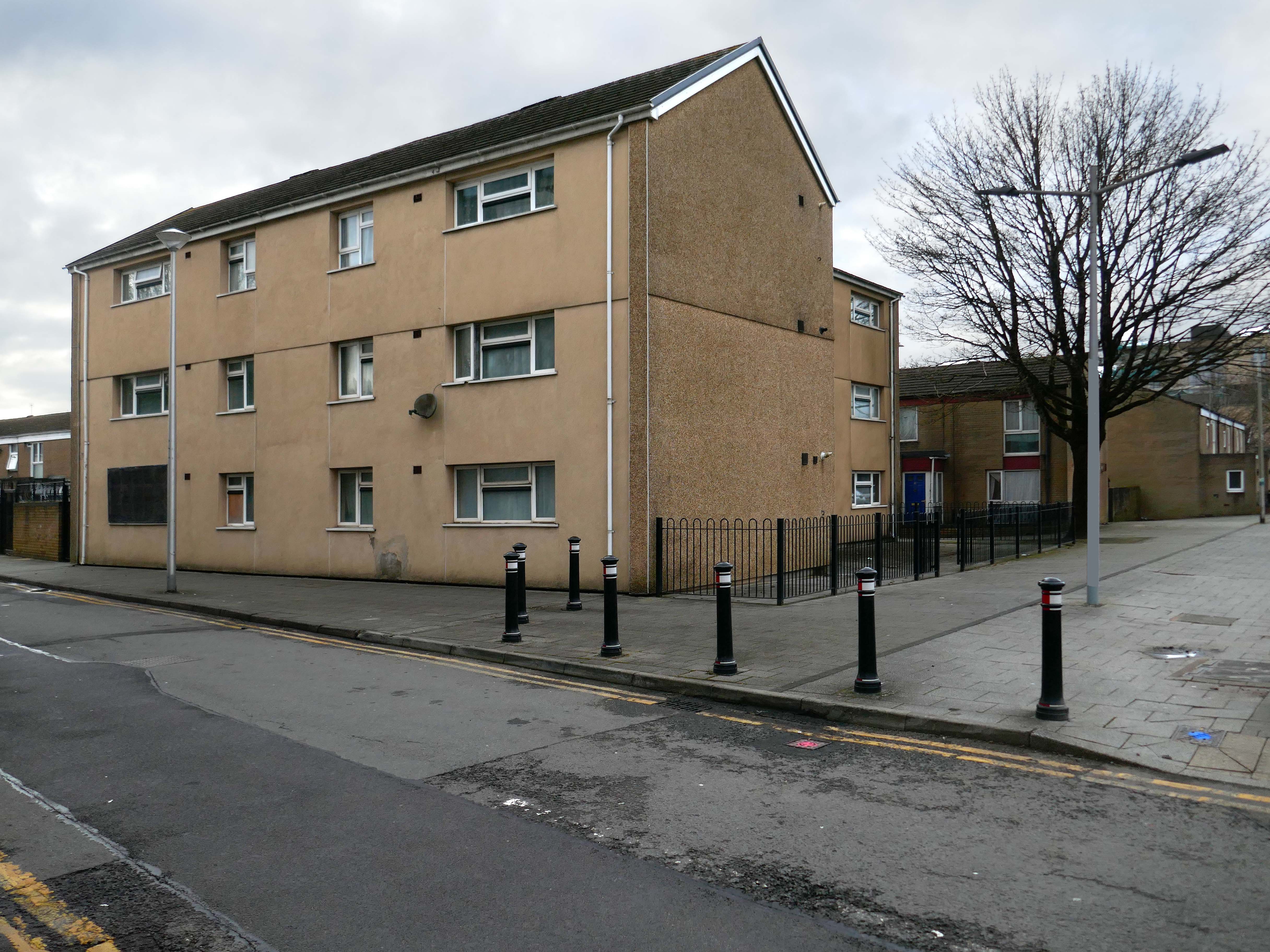
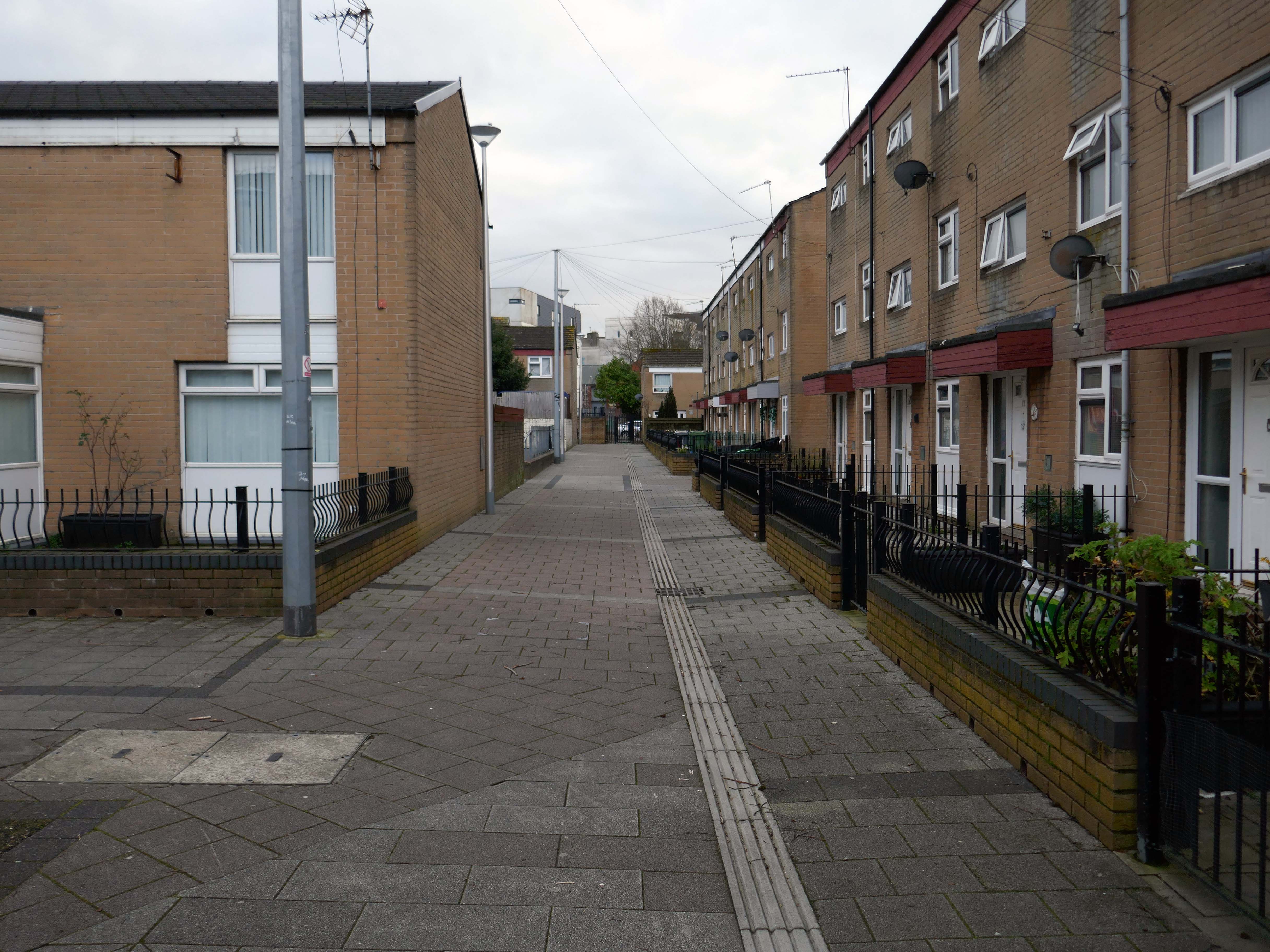
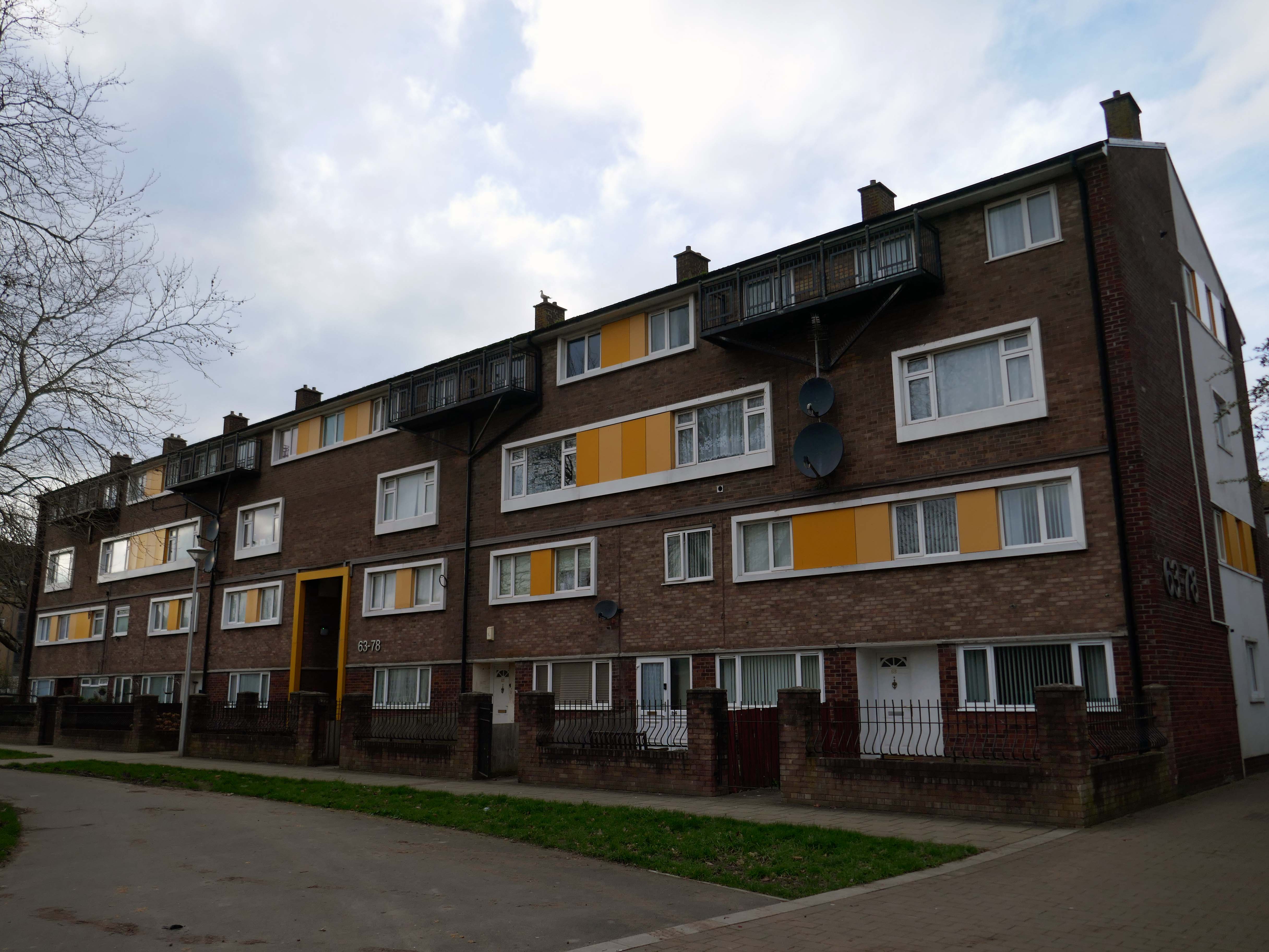
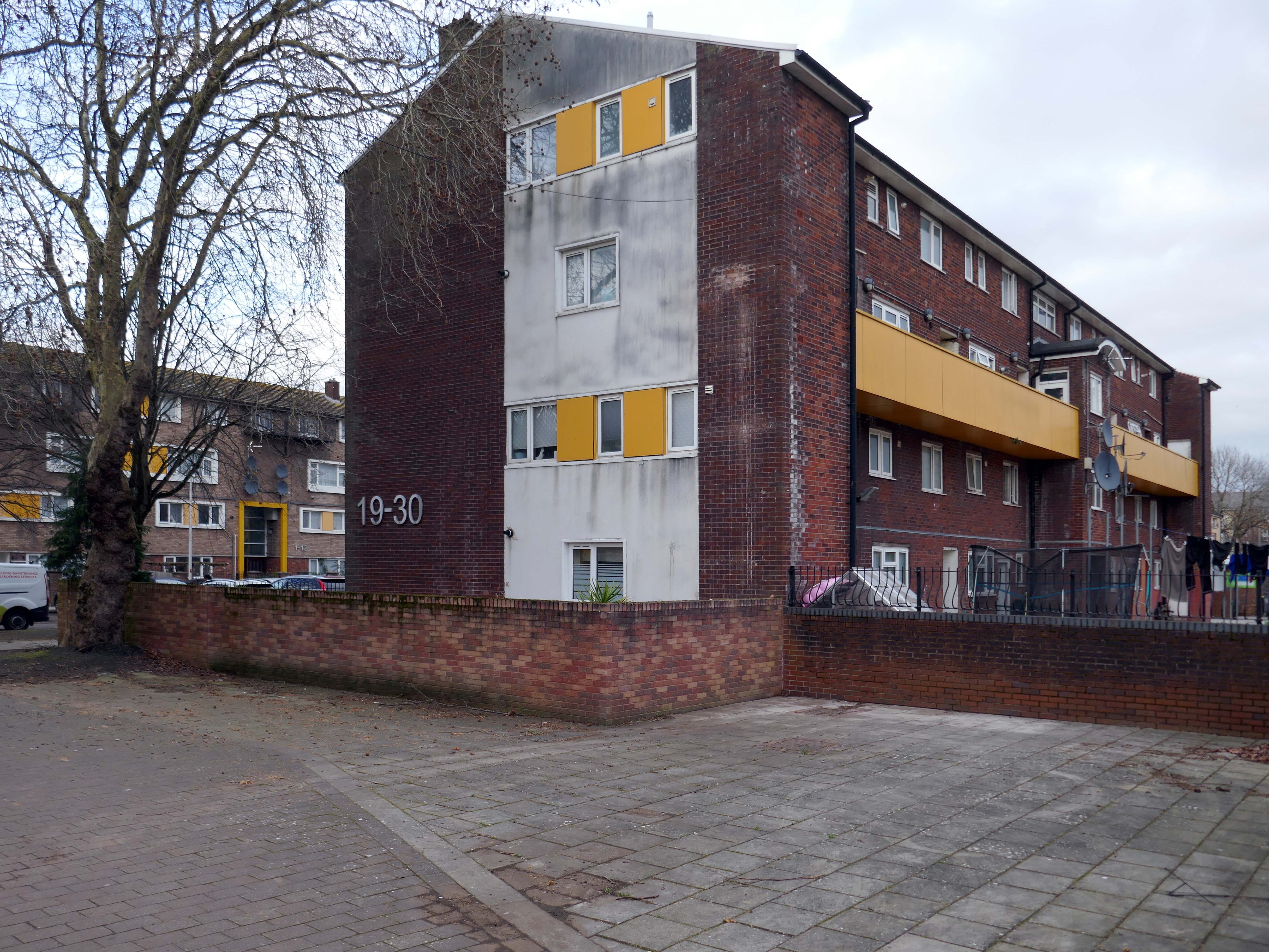
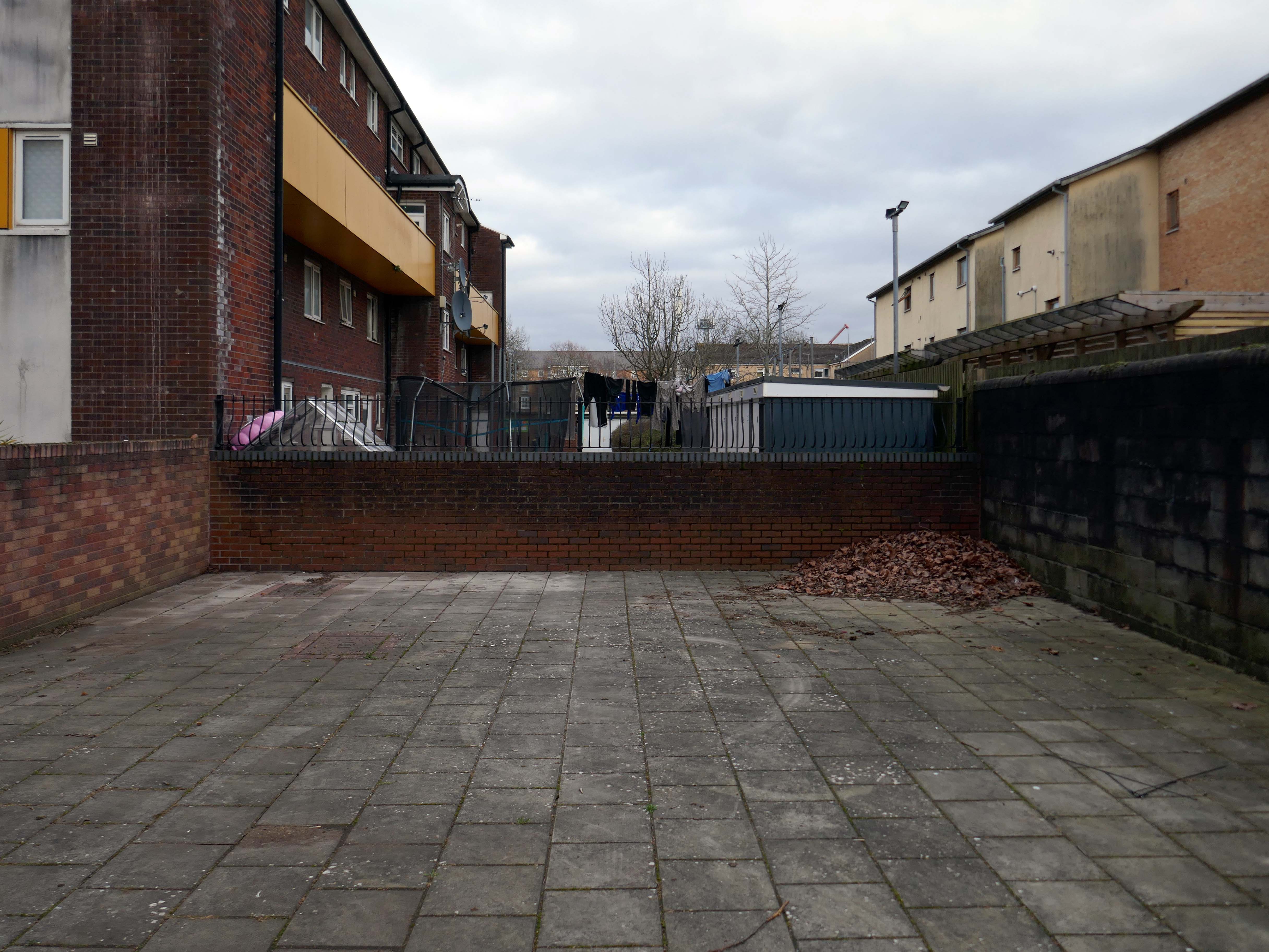
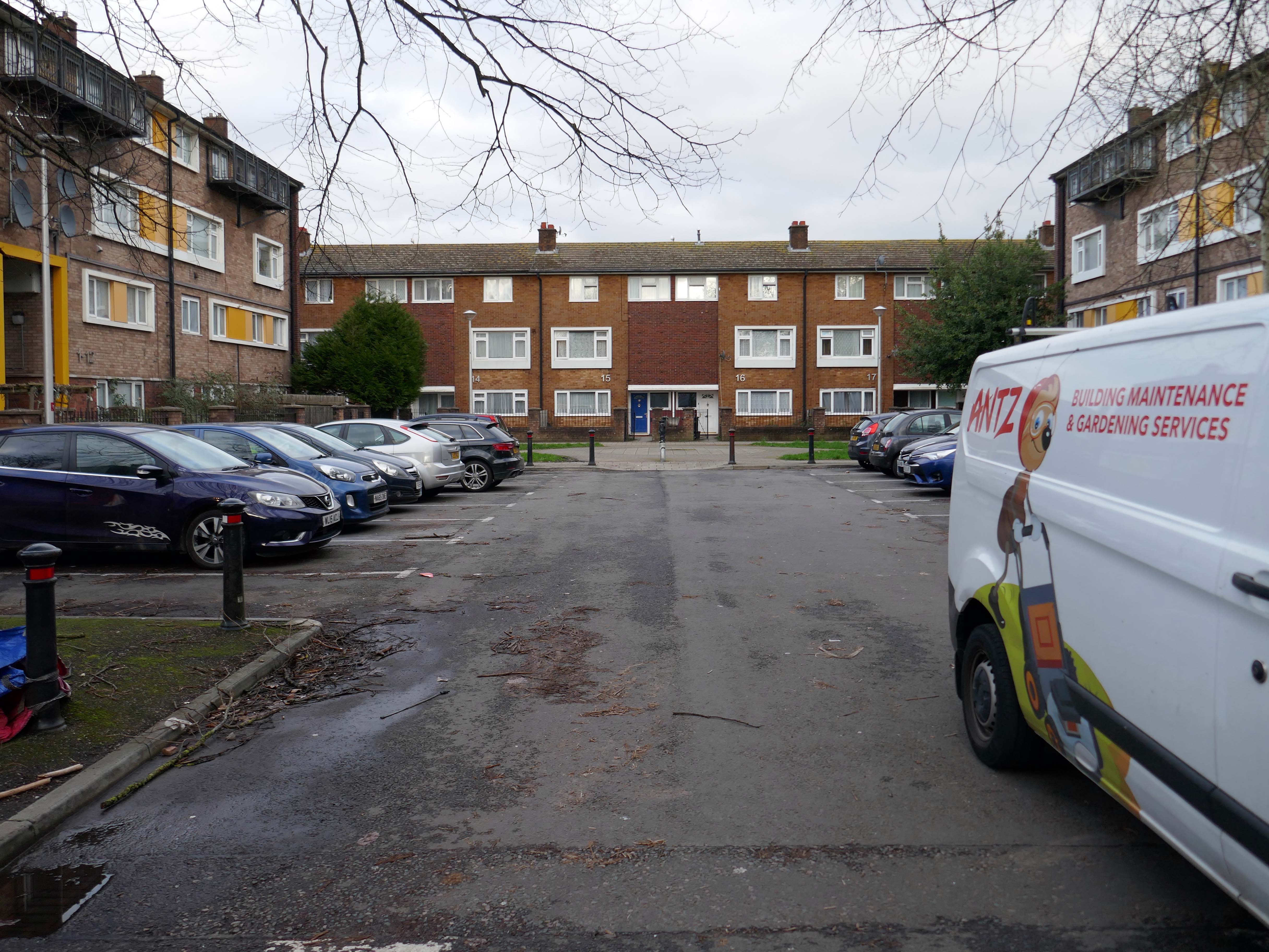
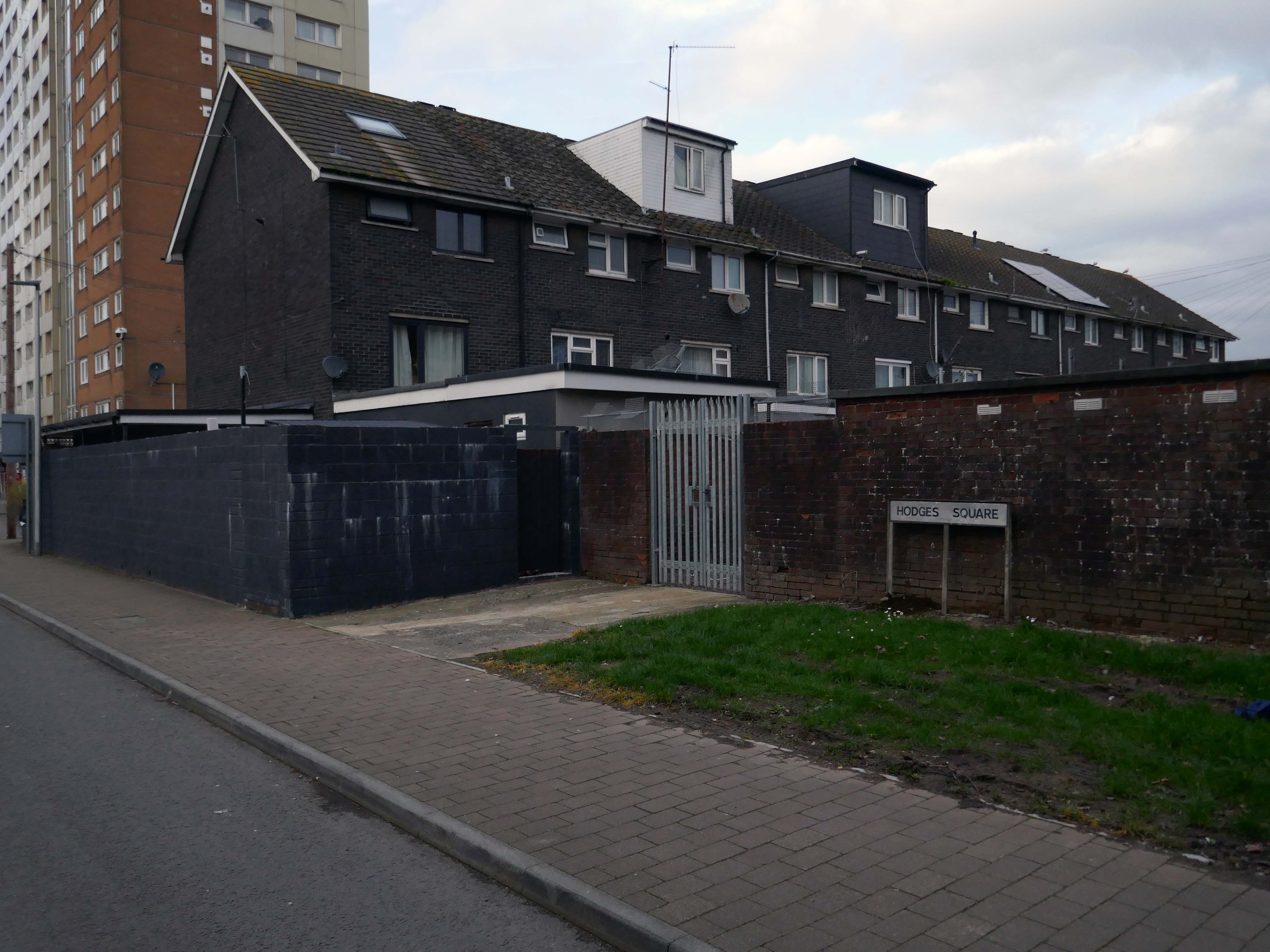
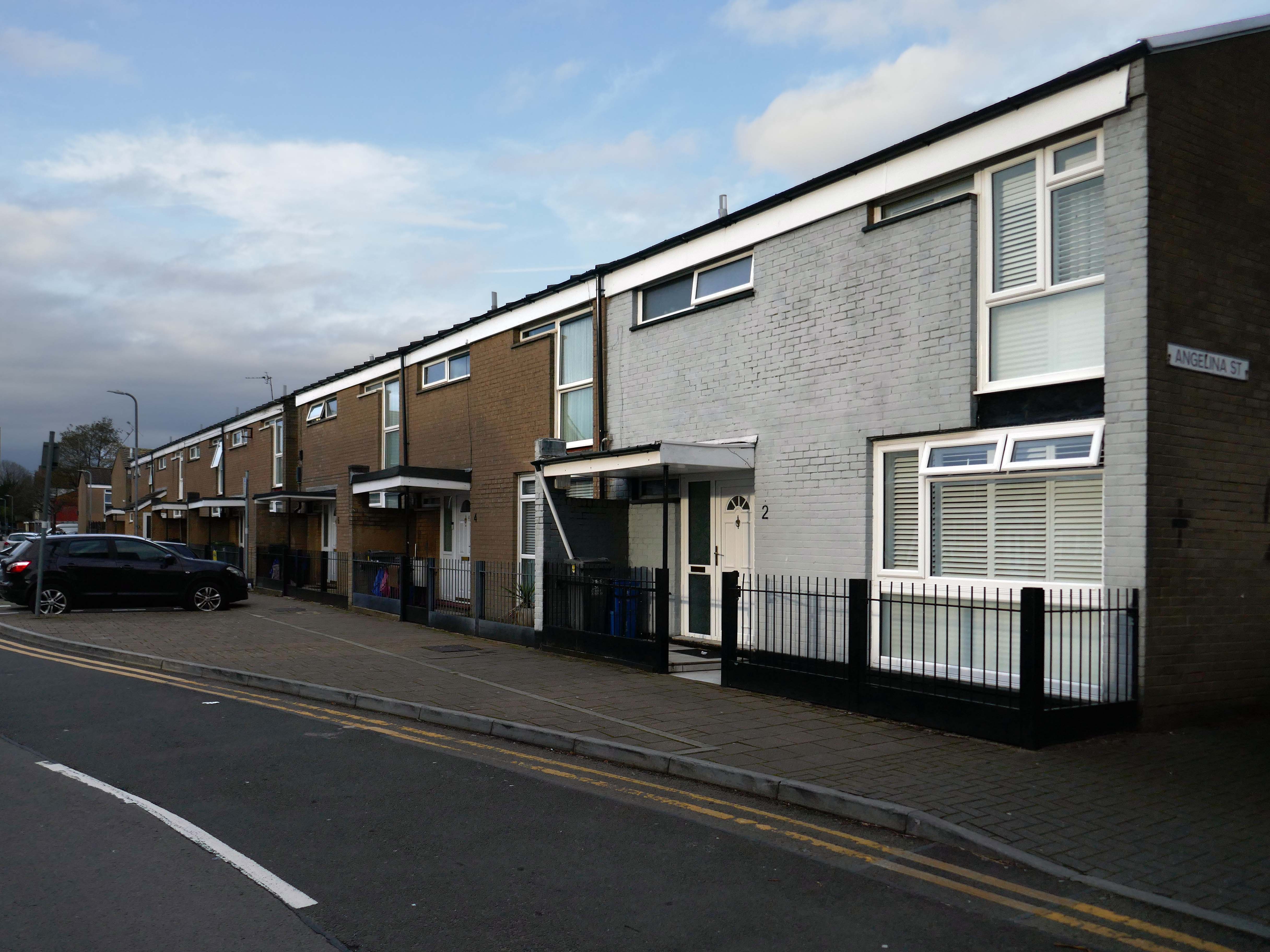
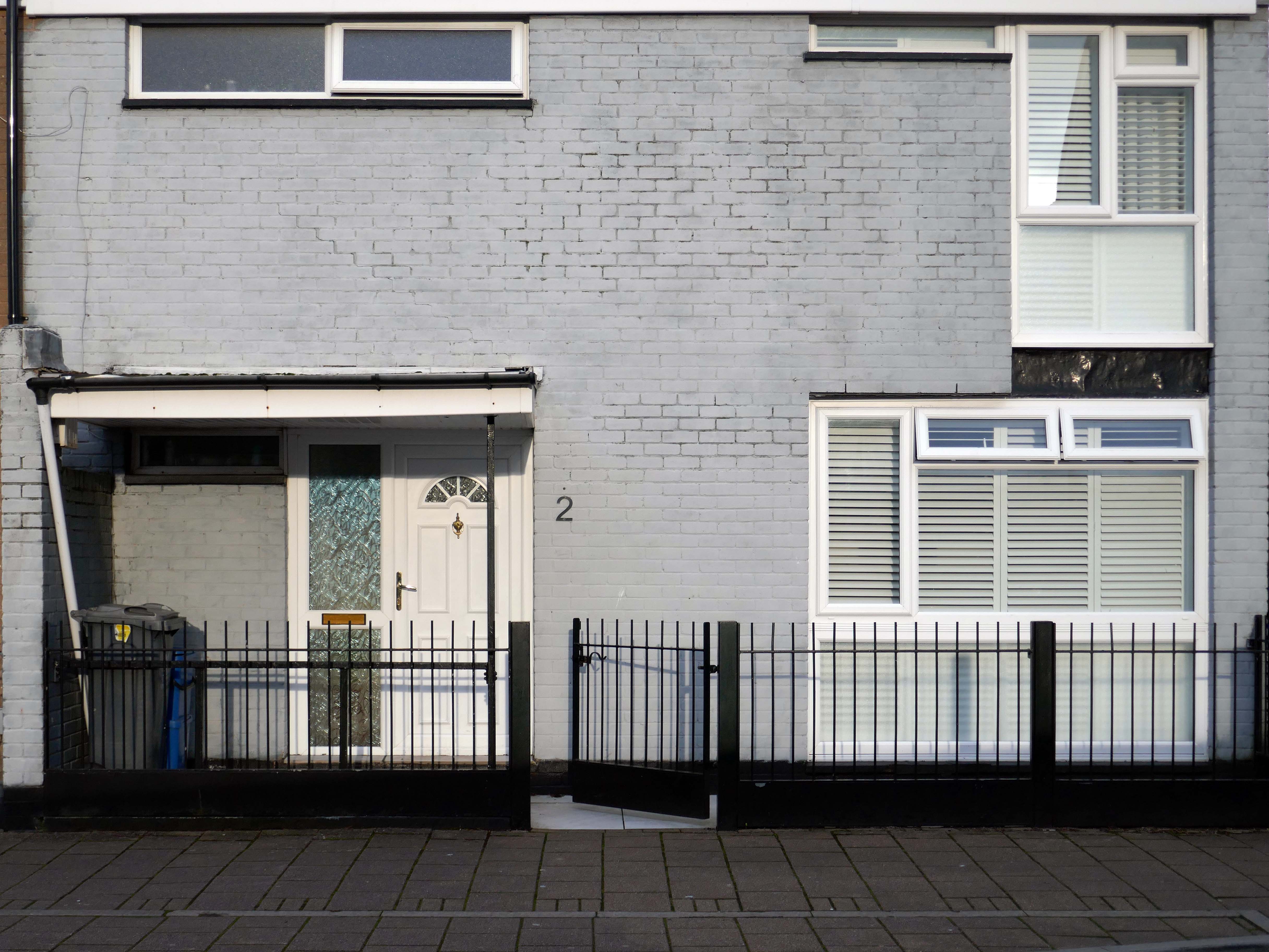
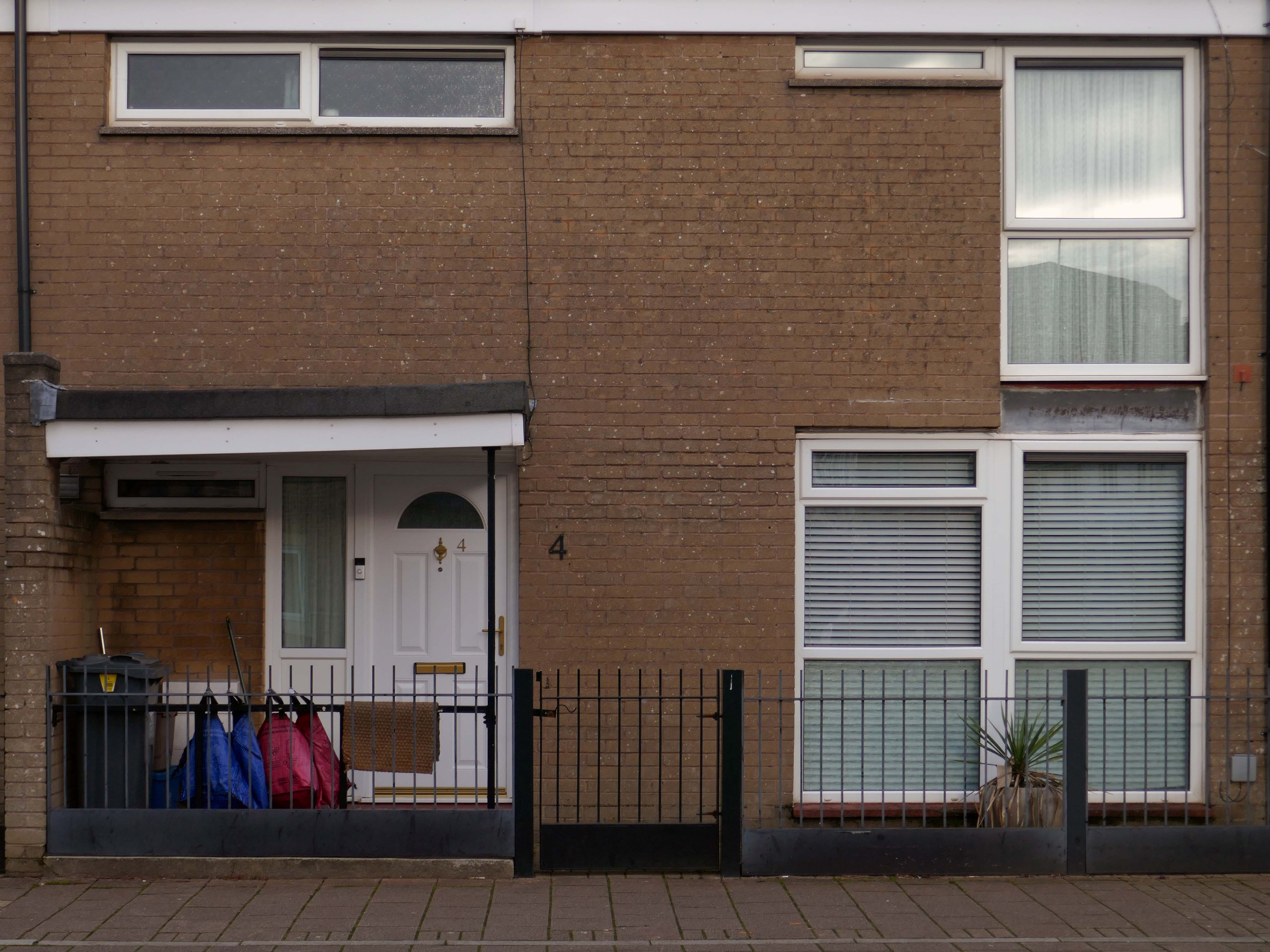
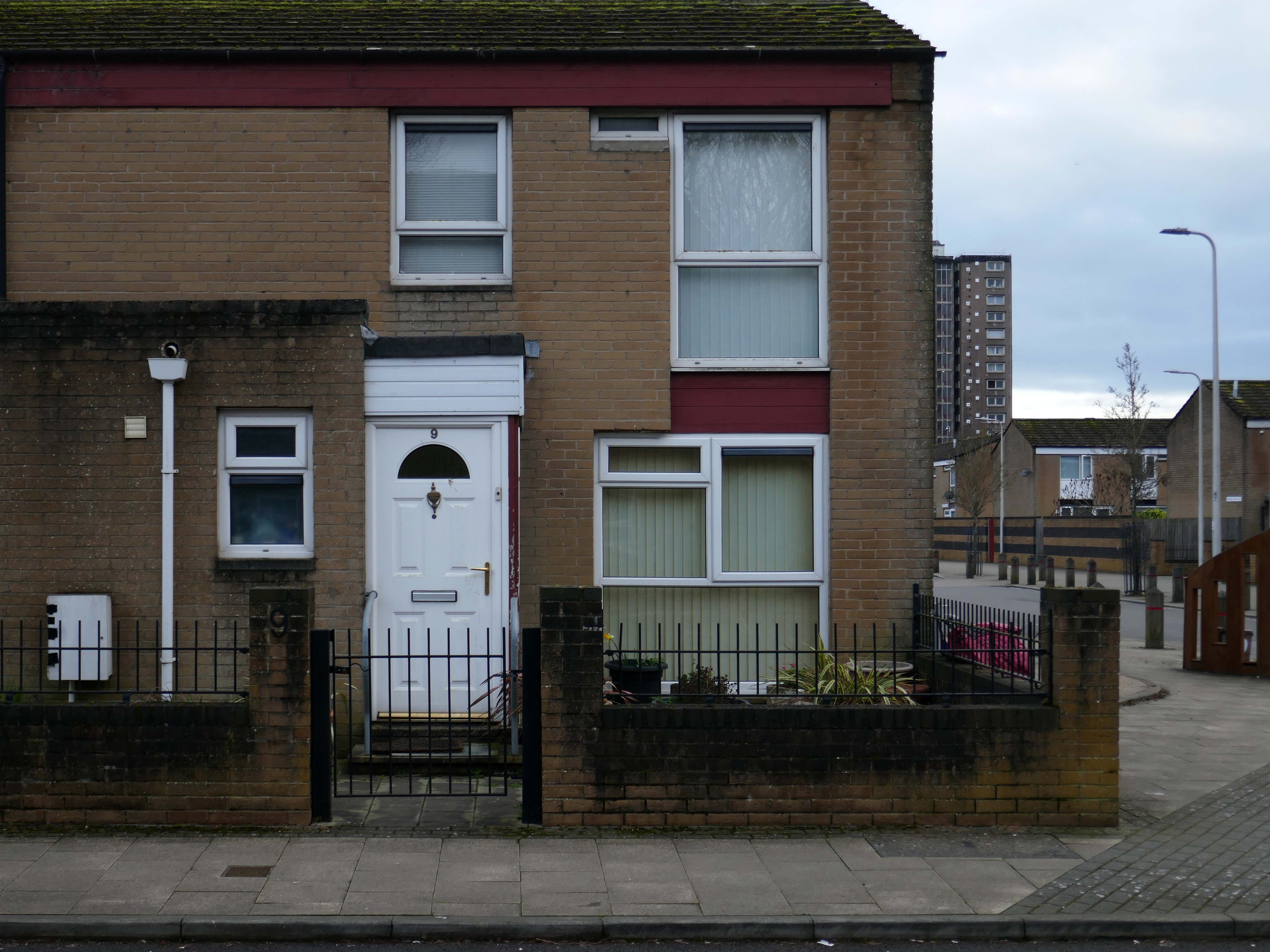
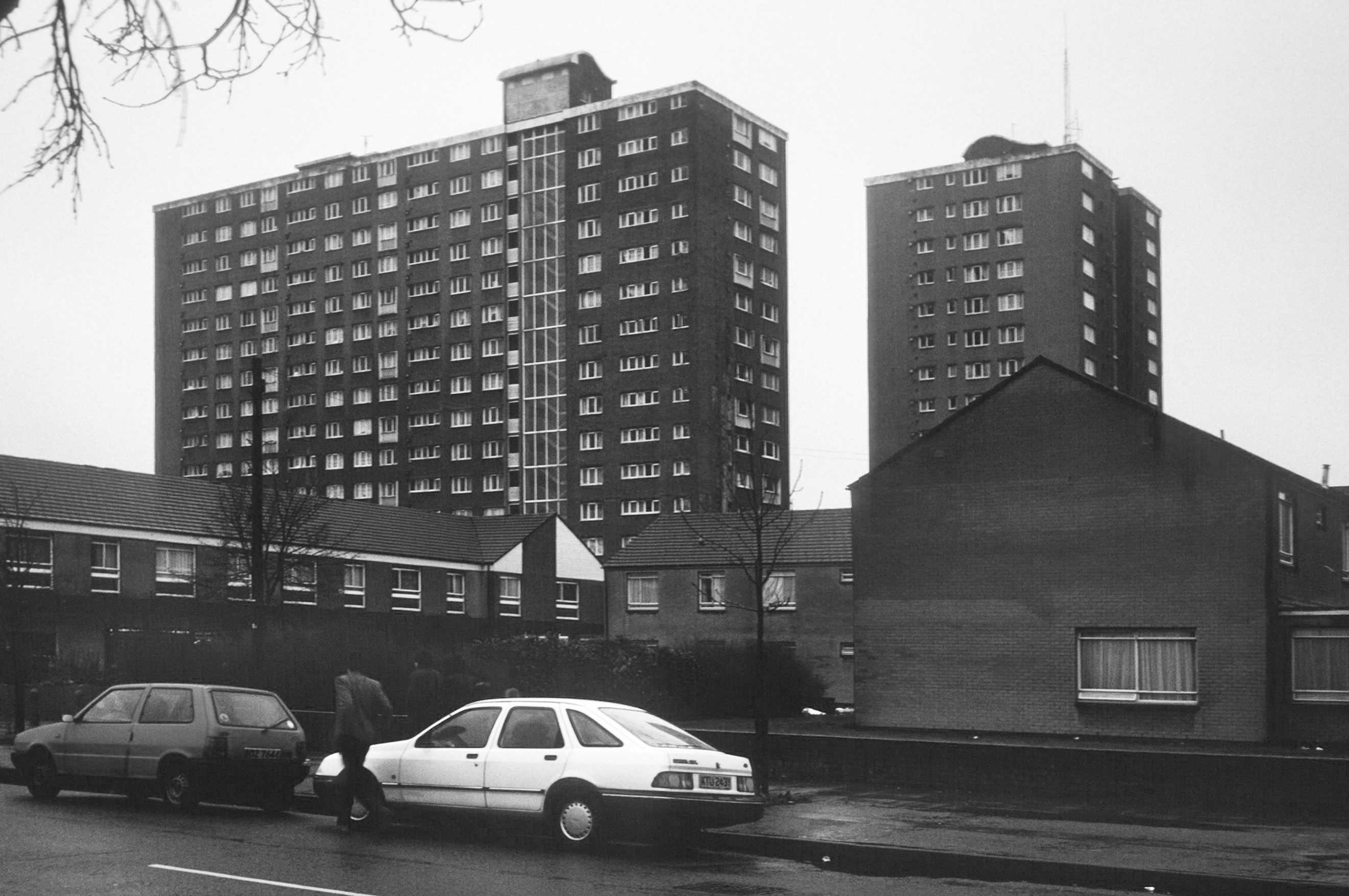
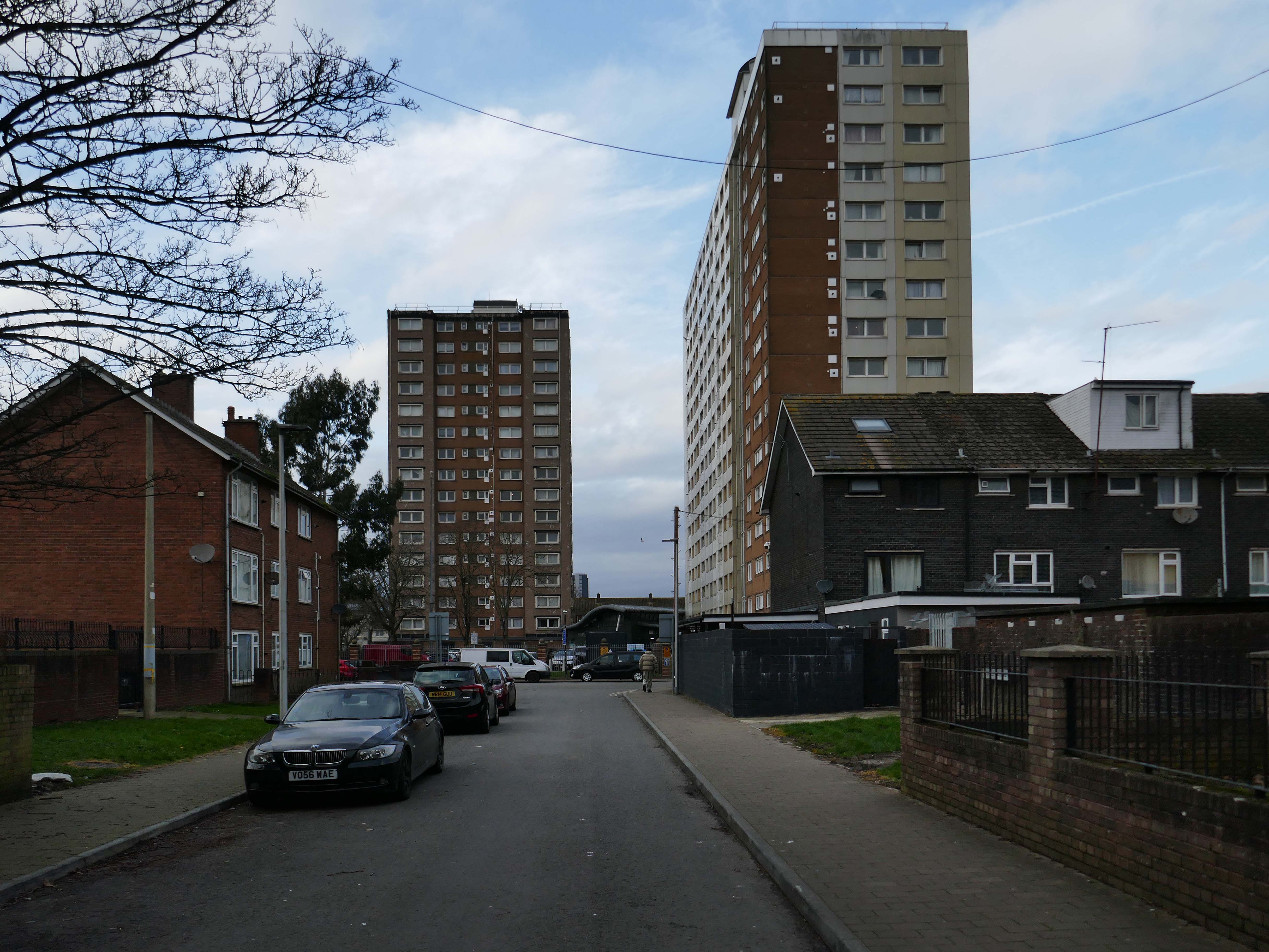
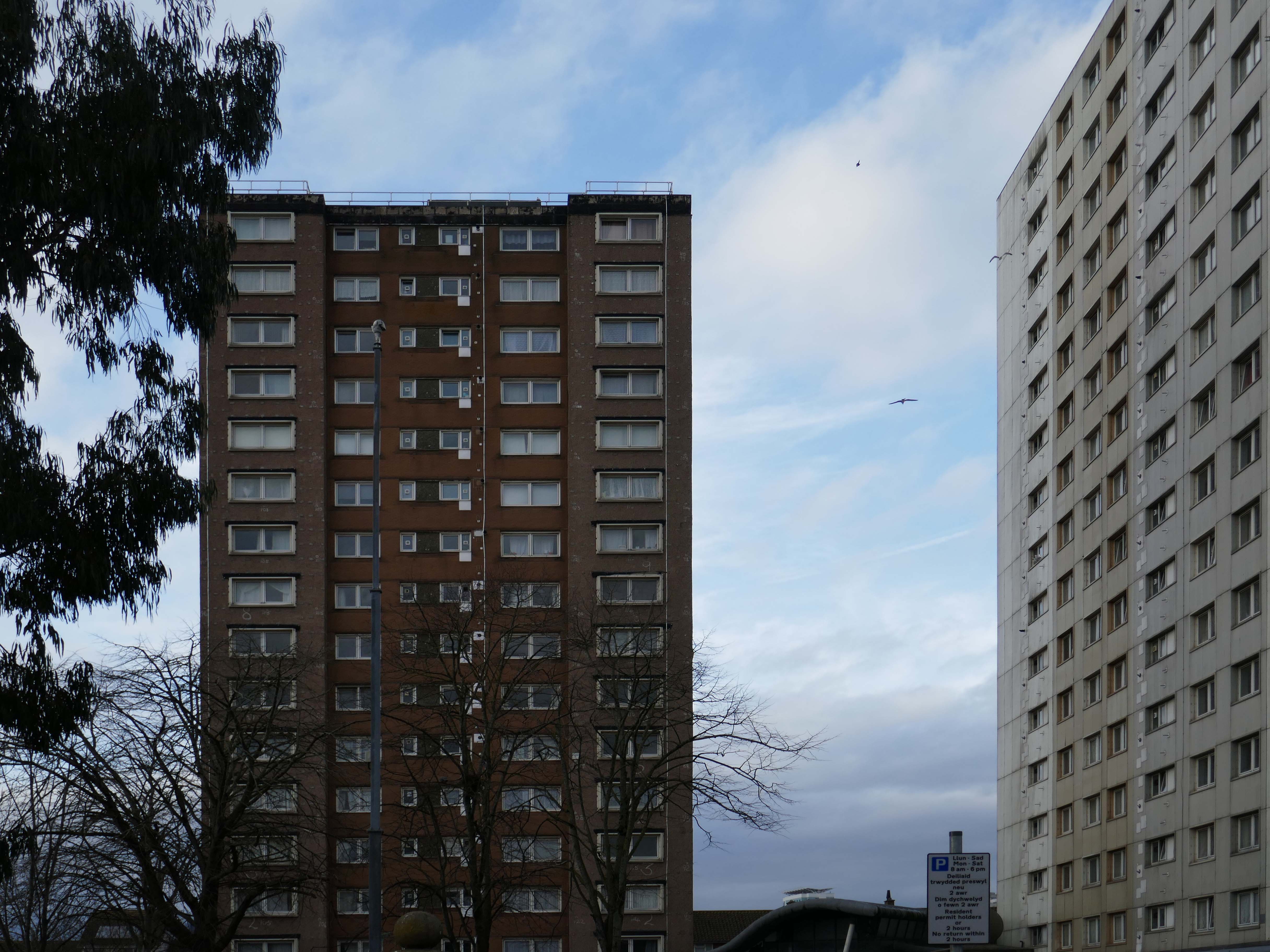
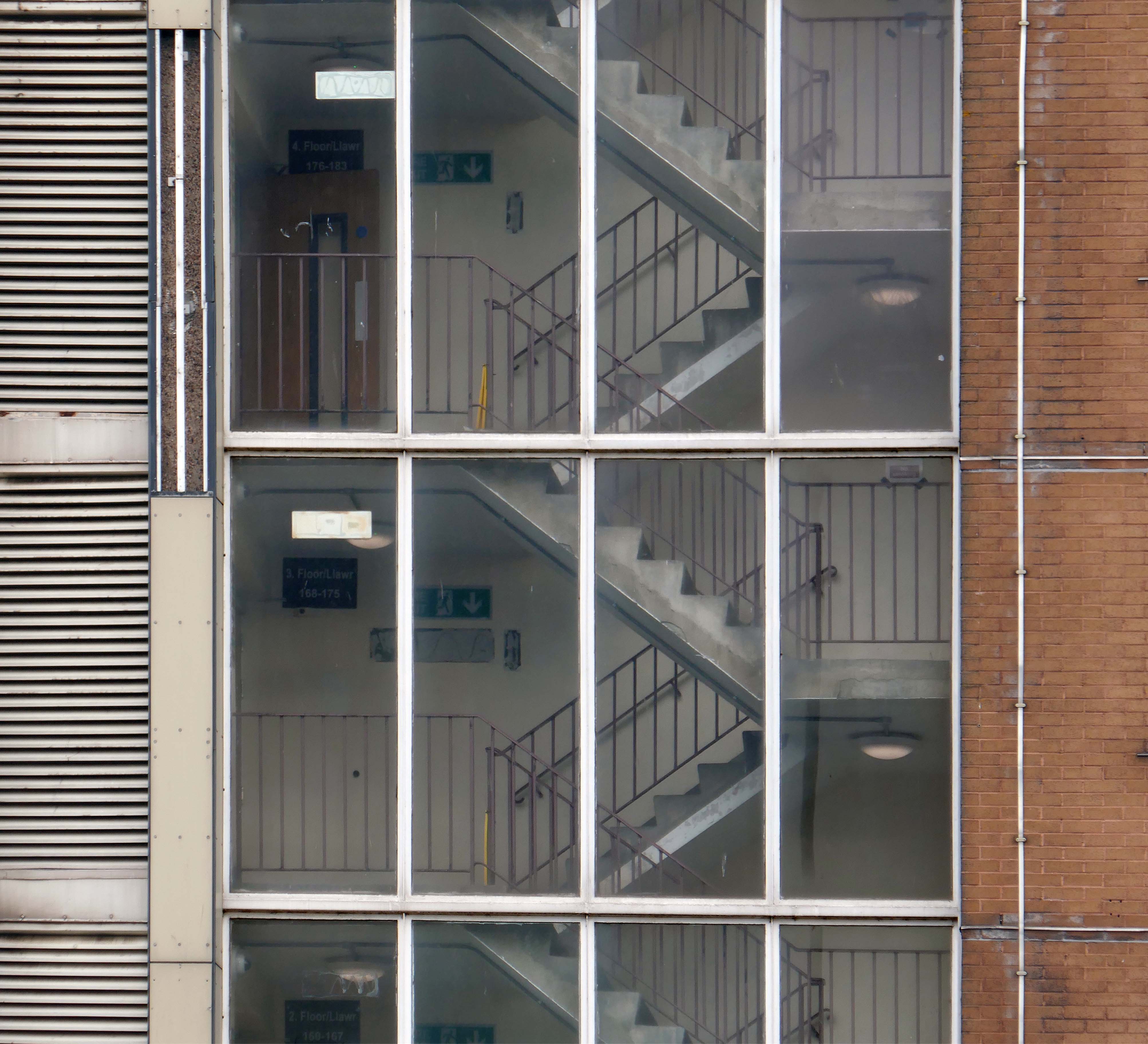
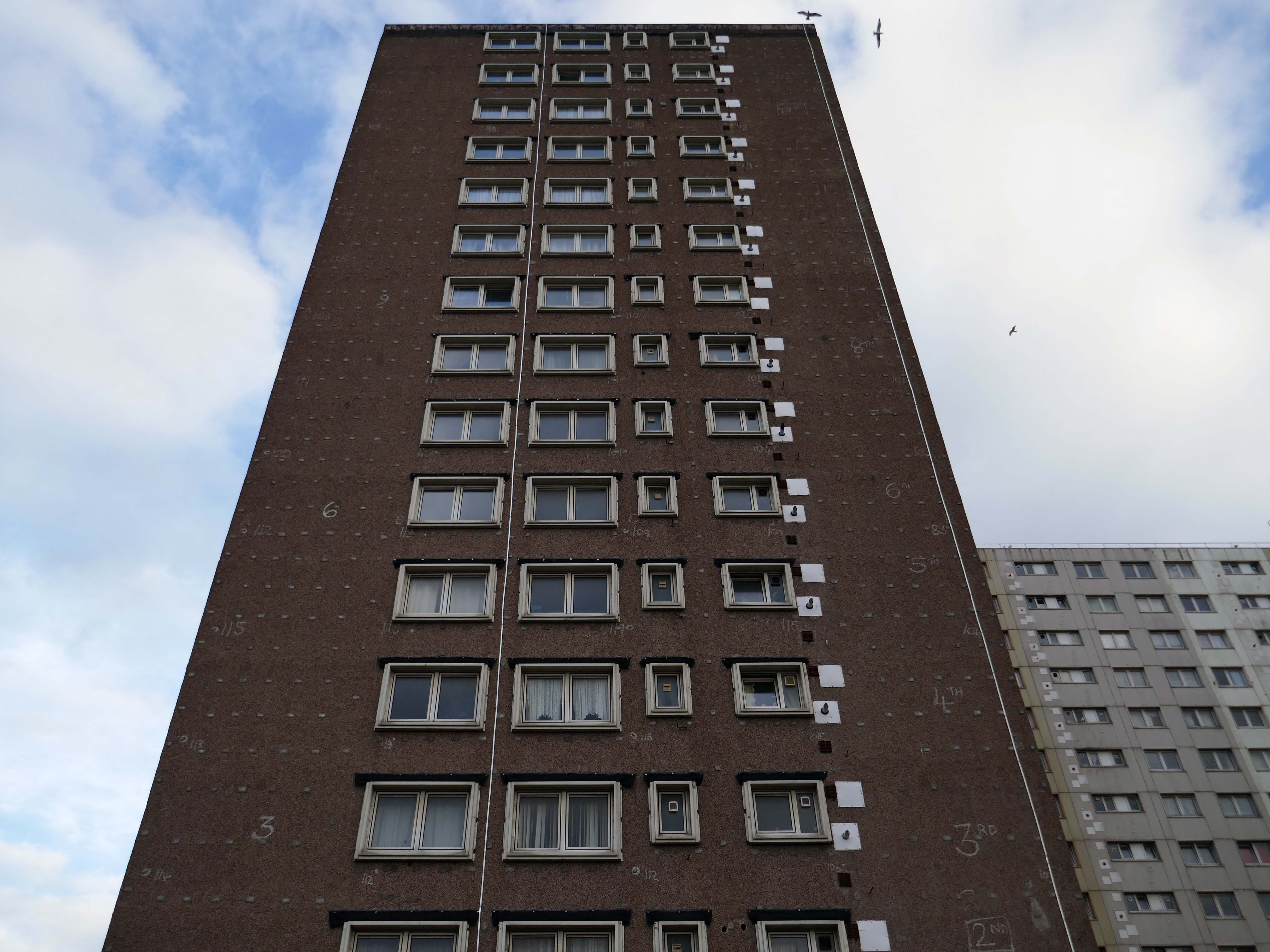
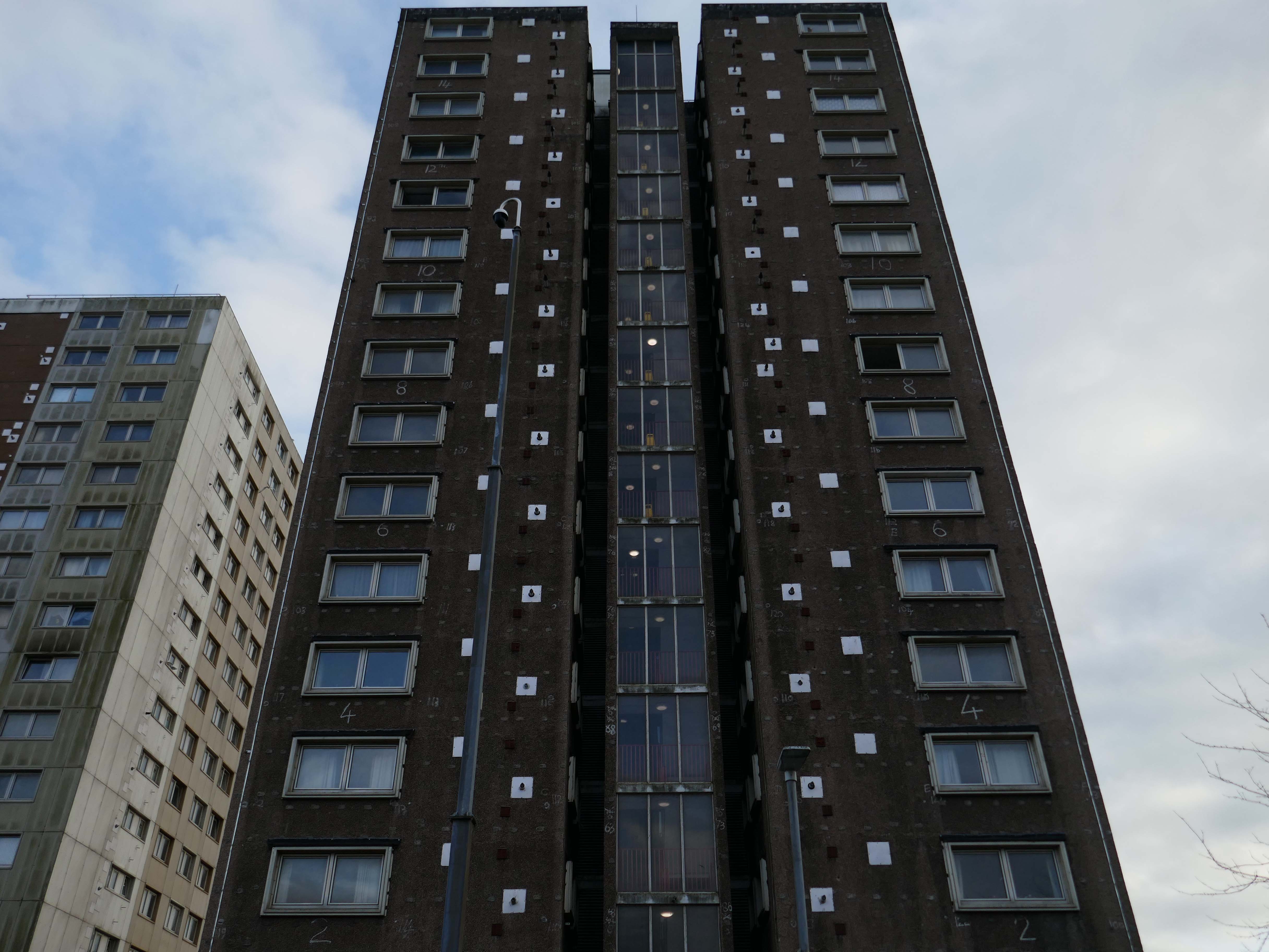
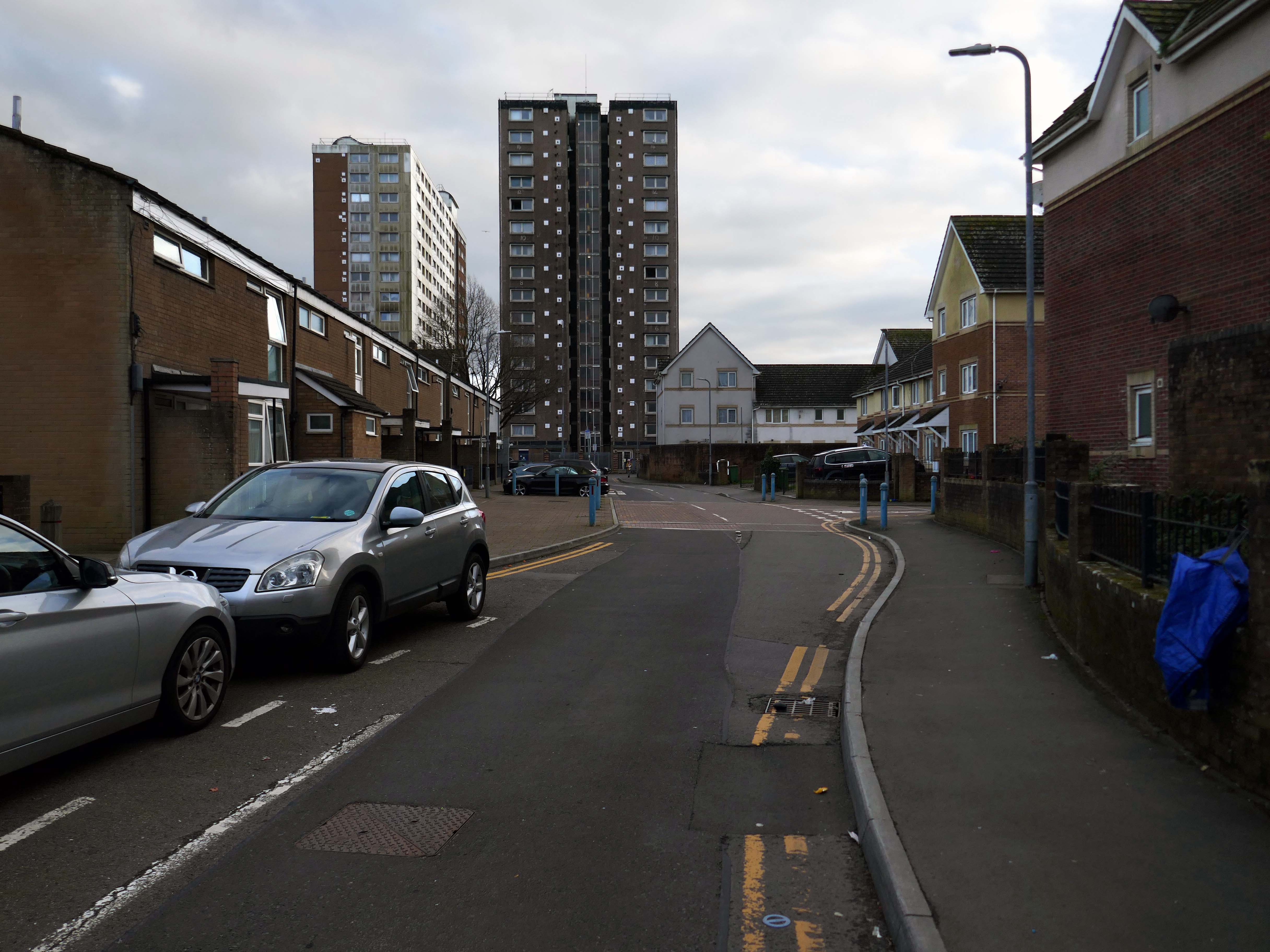
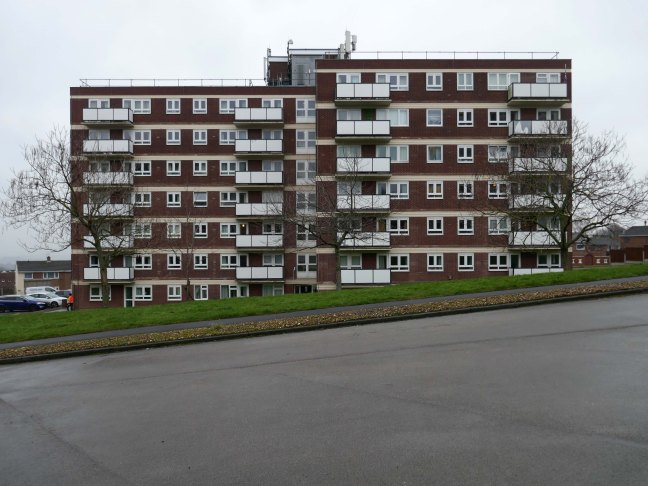
In the 1960s, most of the original housing was demolished including the historic Loudoun Square, the original heart of Butetown. In its place was a typical 1960s housing estate of low-rise courts and alleys, and two high-rise blocks of flats.
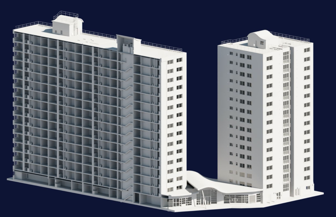
Between 1960 and 1966 two sixteen-storey tower blocks, Loudoun House and Nelson House, were built on the centre of Loudoun Square
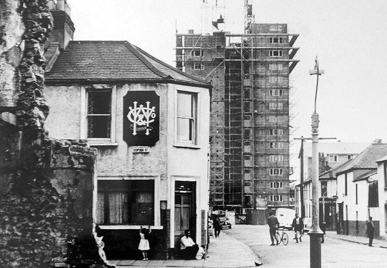
The demolition of the old buildings in Bute Street gets under way in 1963.
Surveybase have undertaken detailed scanning and modelling prior to the planned post Grenfell re-cladding.
The Loudoun Square regeneration project is a collaboration between Cardiff City Council, Cardiff Community Housing Association, Cardiff Local Health Board and Cardiff and Vale NHS Trust. The site is located between Cardiff City Centre and Cardiff Bay, and was previously occupied by an existing health centre and local shops, together with a vacant area of land.
The area has been regenerated with the creation of new modern facilities to serve the local community and include a new health centre, shops, affordable homes and community facilities.
Lead architect Ivan Dale Owen of Sir Percy Thomas & Partners also responsible for the site’s 1960 masterplanning.
He then spent over a year working for Walter Gropius’s practice, The Architects Collaborative, in Cambridge, Massachusetts.He returned to Britain, where he became a senior architect/planner with William Holford & Partners in London, where he worked on plans for the reconstruction of London after the war.
He returned to Wales with health problems and in 1958 was hired by Percy Thomas & Son as an associate in their Cardiff office. By 1964, Percy Thomas & Son had become Sir Percy Thomas & Partners and Owen had become a partner. He changed the philosophy of the practice, transforming it with a contemporary modernist style.
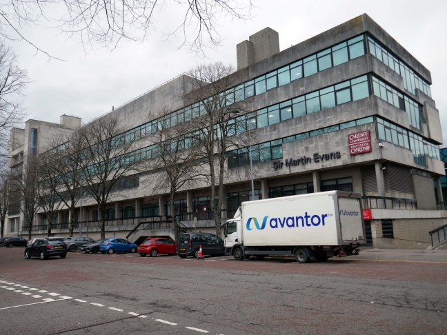
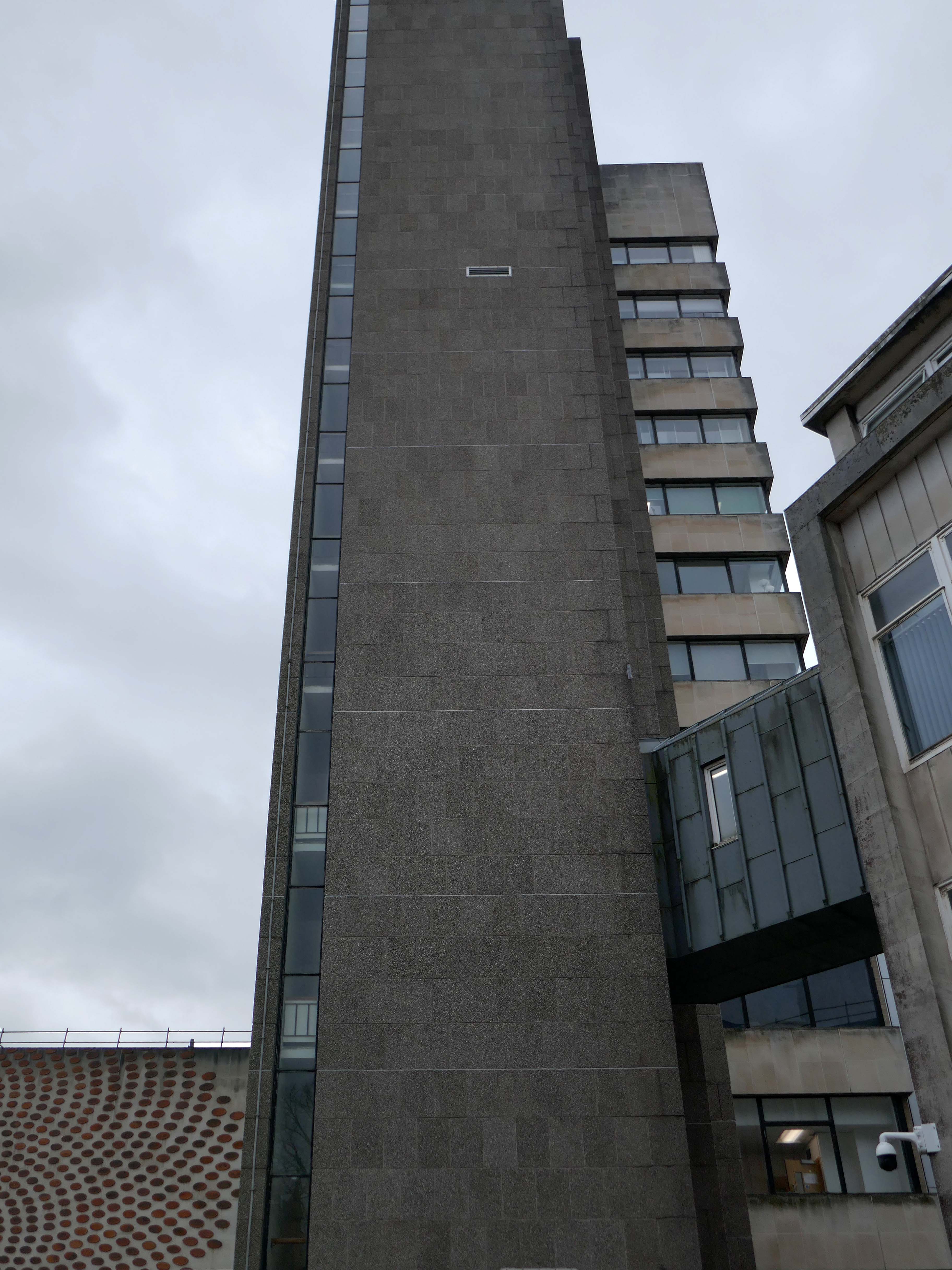
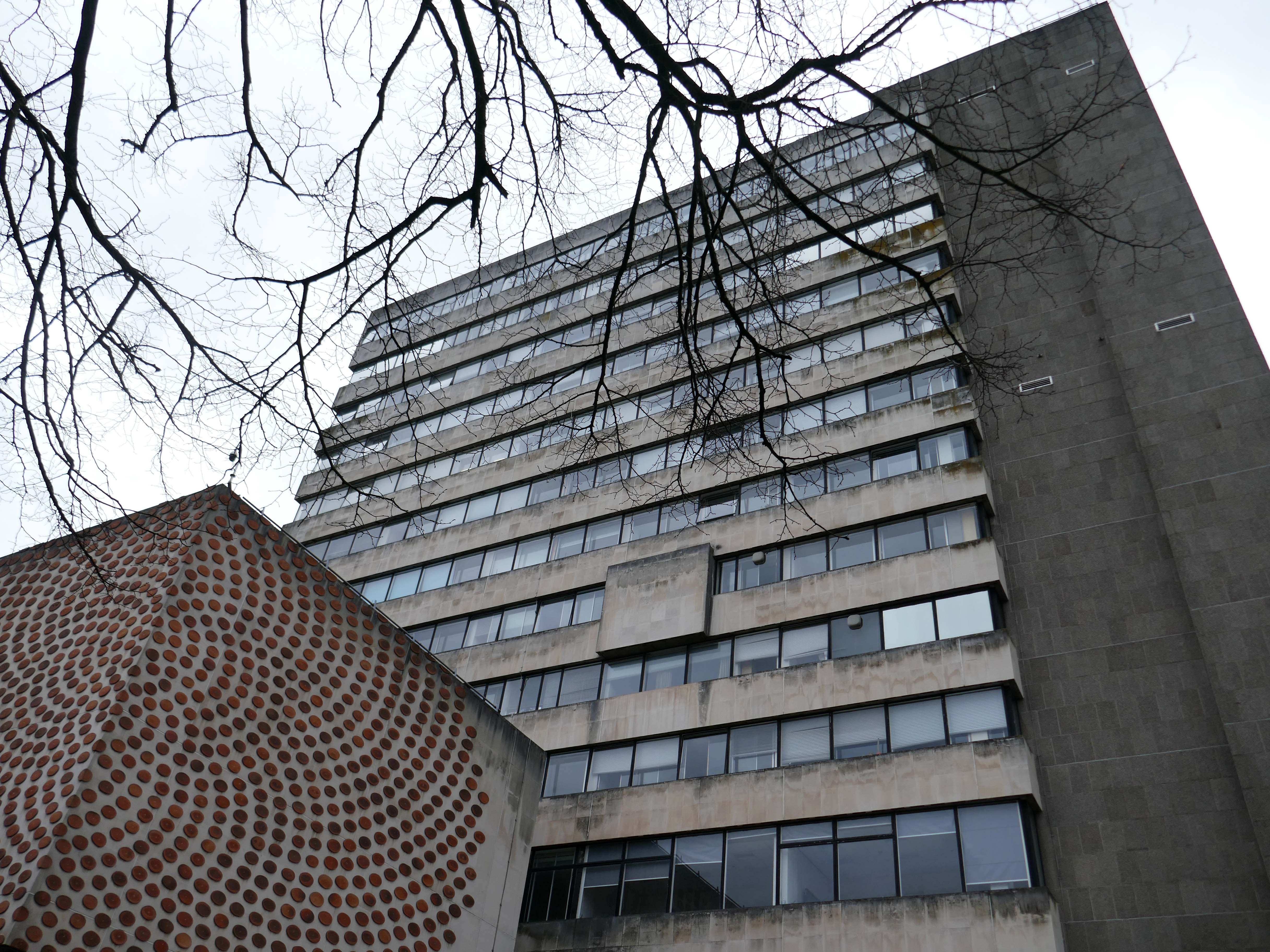
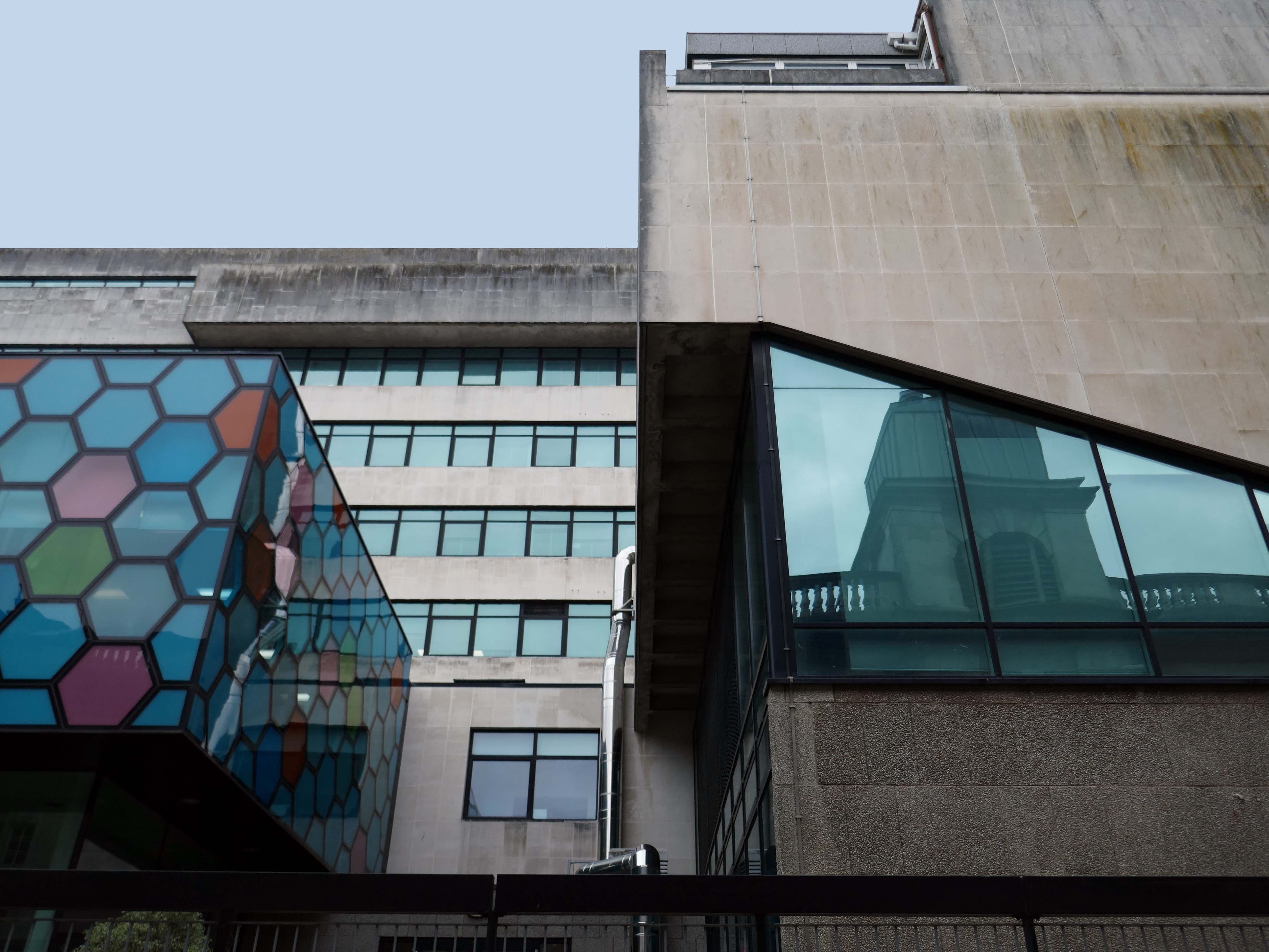
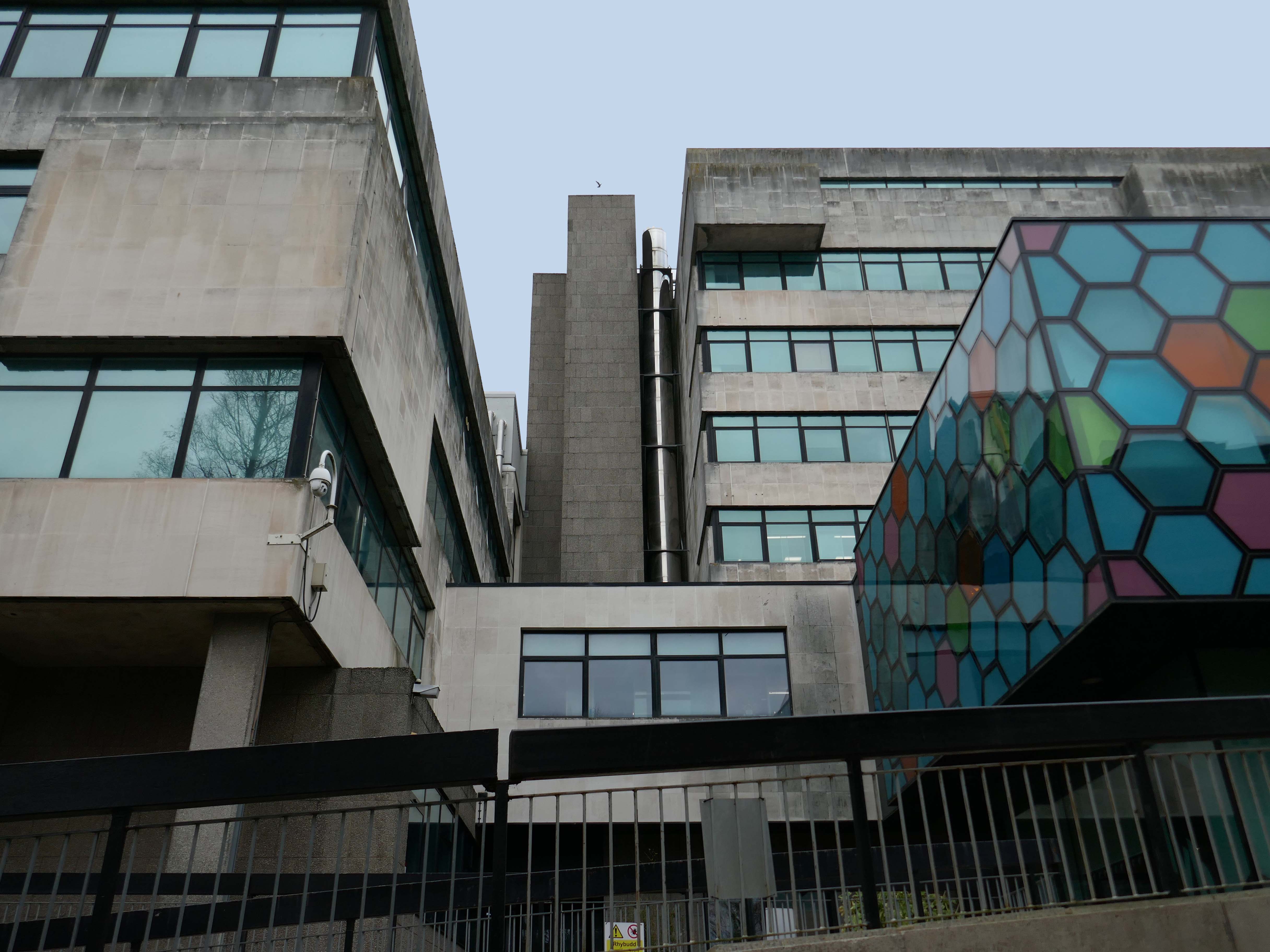
Rio Architects worked with Cardiff University designing visually attractive, innovative and cost-effective buildings. The Rio team are enthusiastic and dedicated, taking time to meet the client Departments at all stages of the project to ensure that an informed and good working relationship is developed and maintained the innovative design of the new podium development for the School of Bioscience incorporates hexagonal shaped glass panels was developed in conjunction with Solaglas.
Ian Lomer
Director of Estates Development, Cardiff University
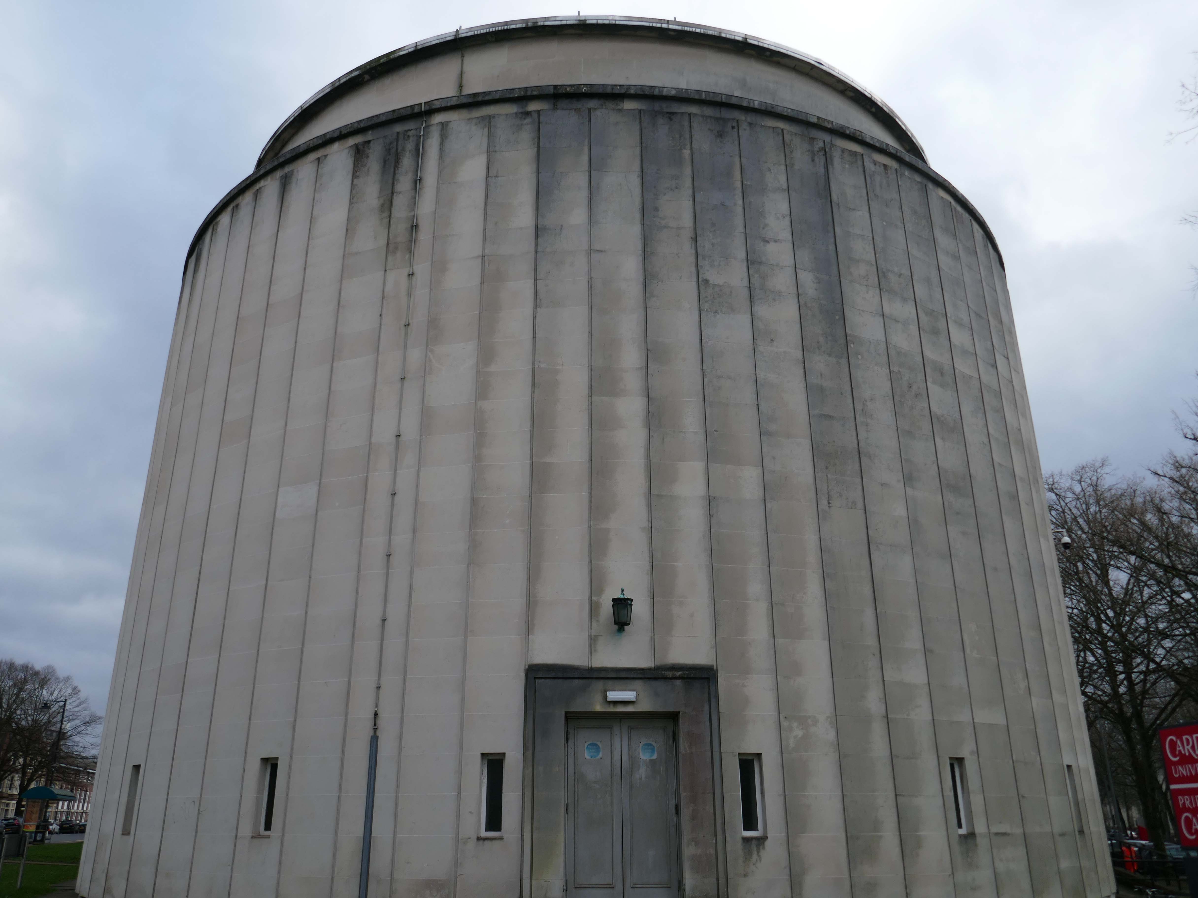
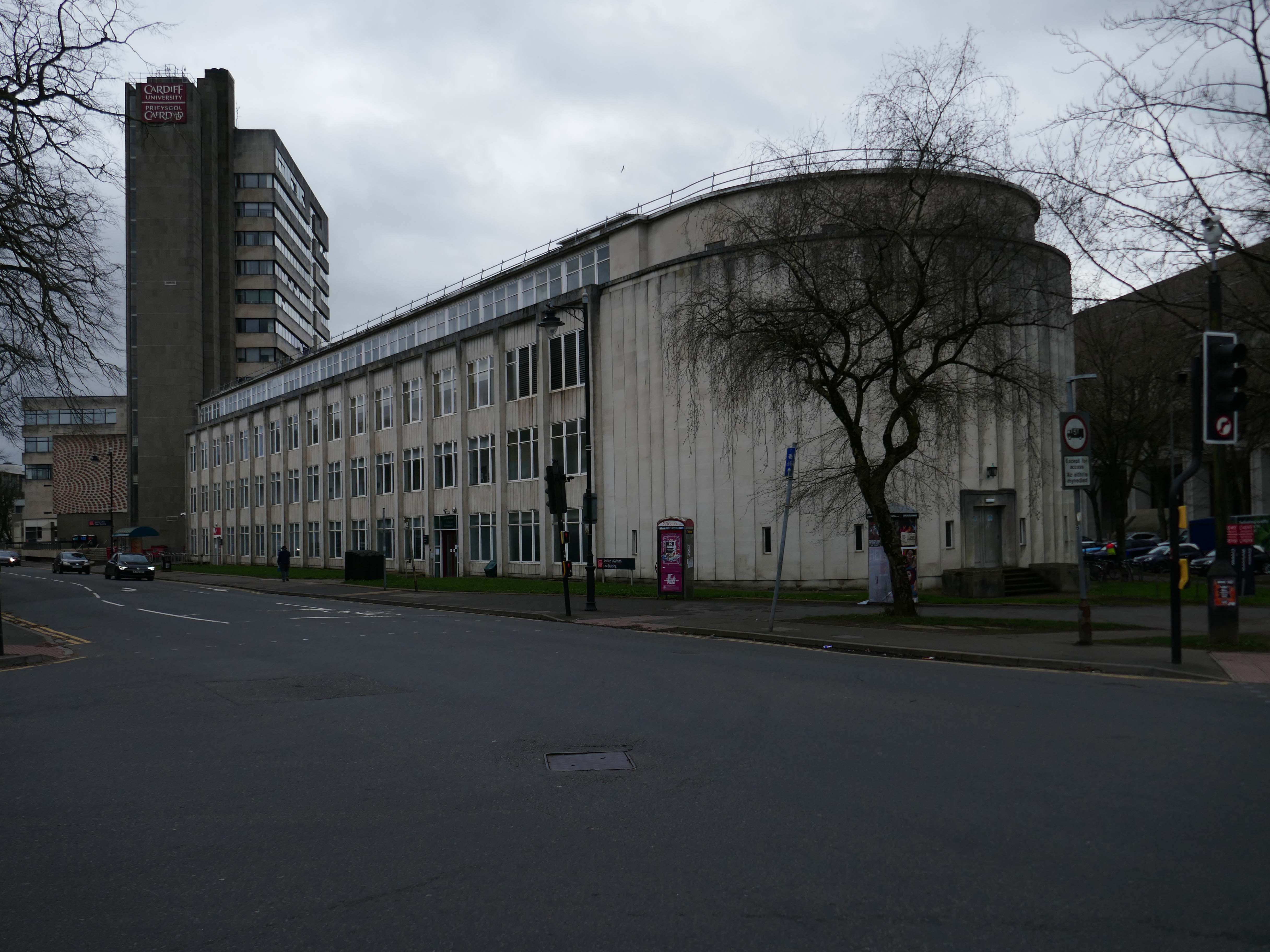
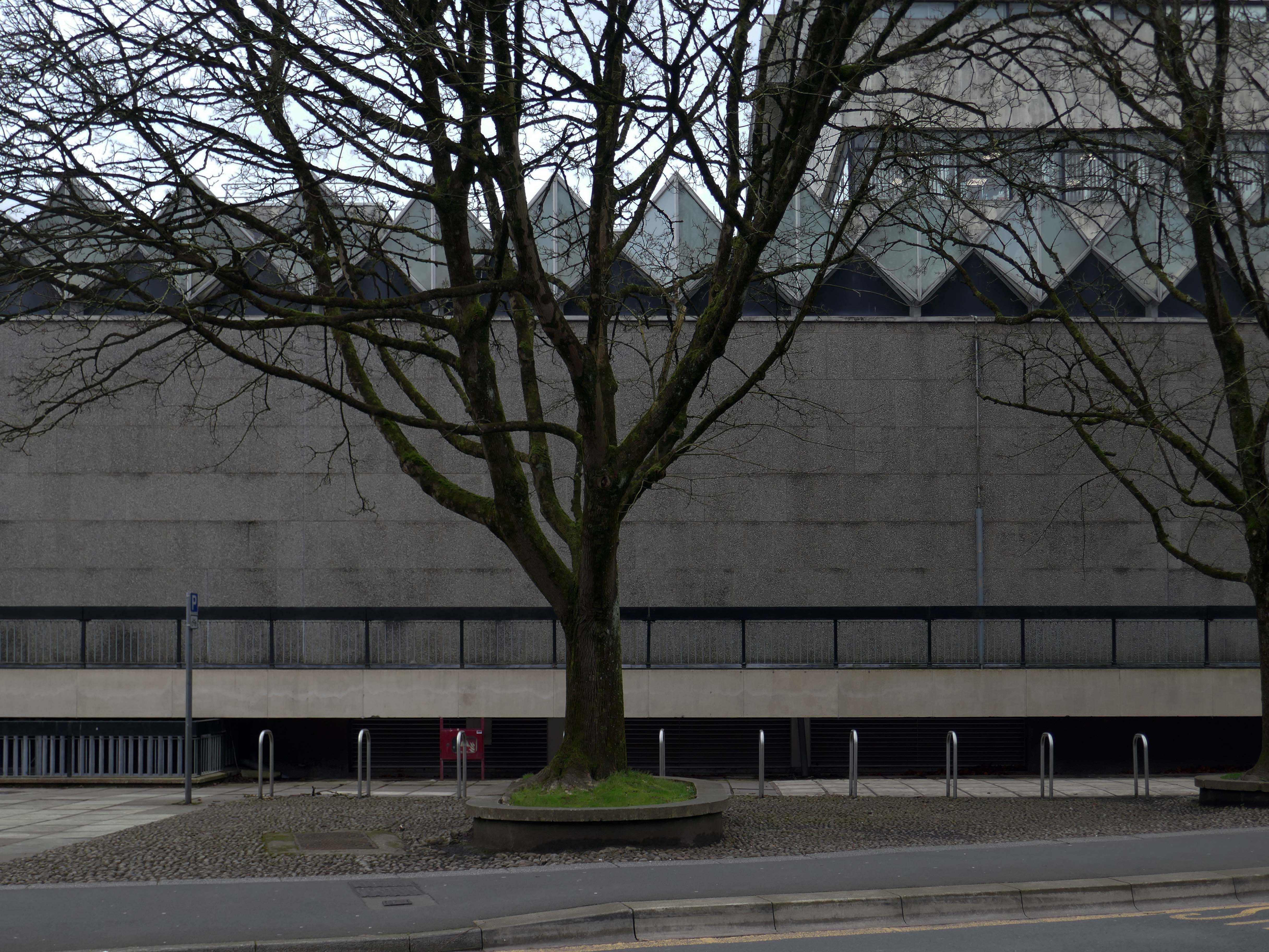
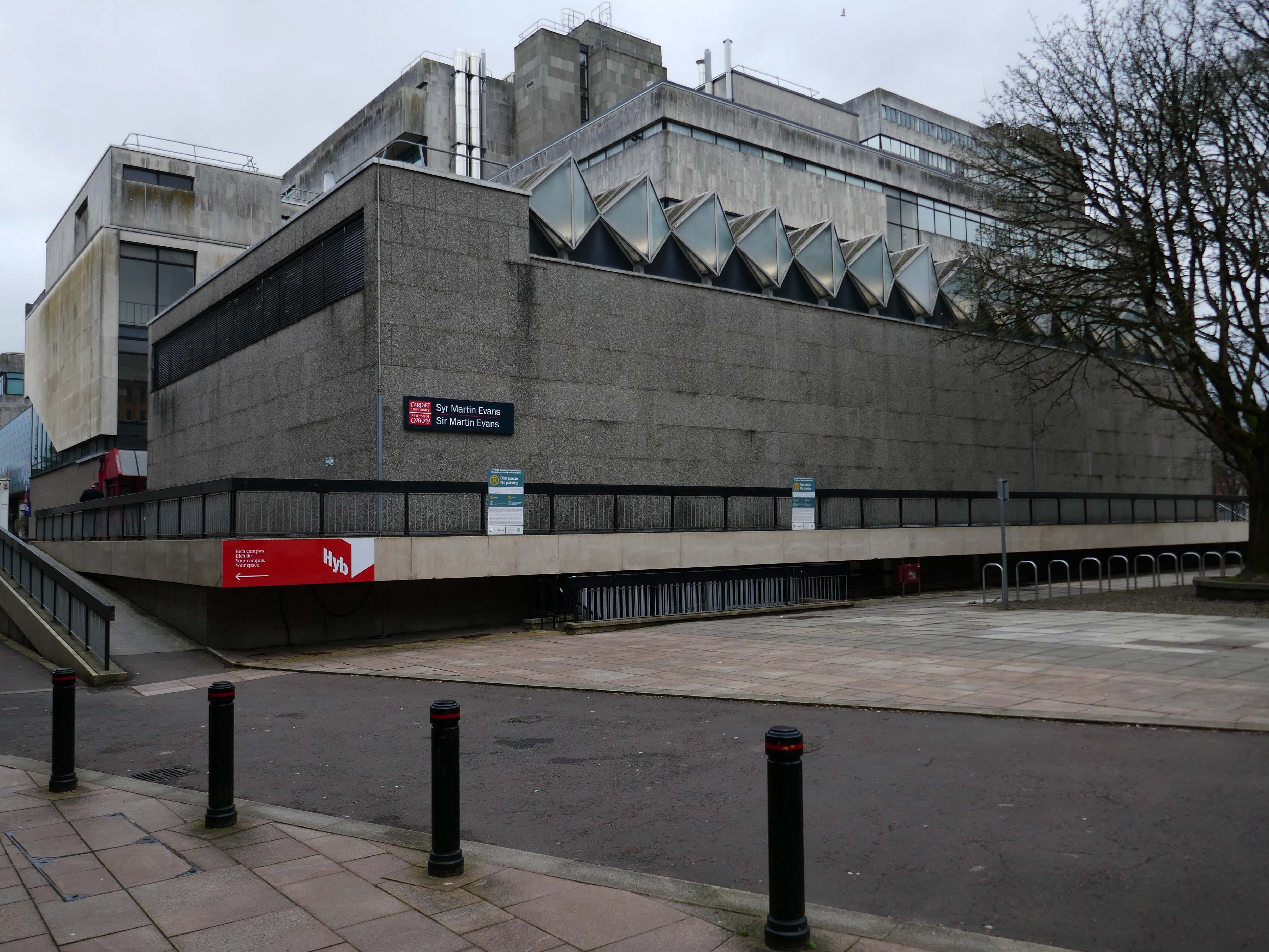
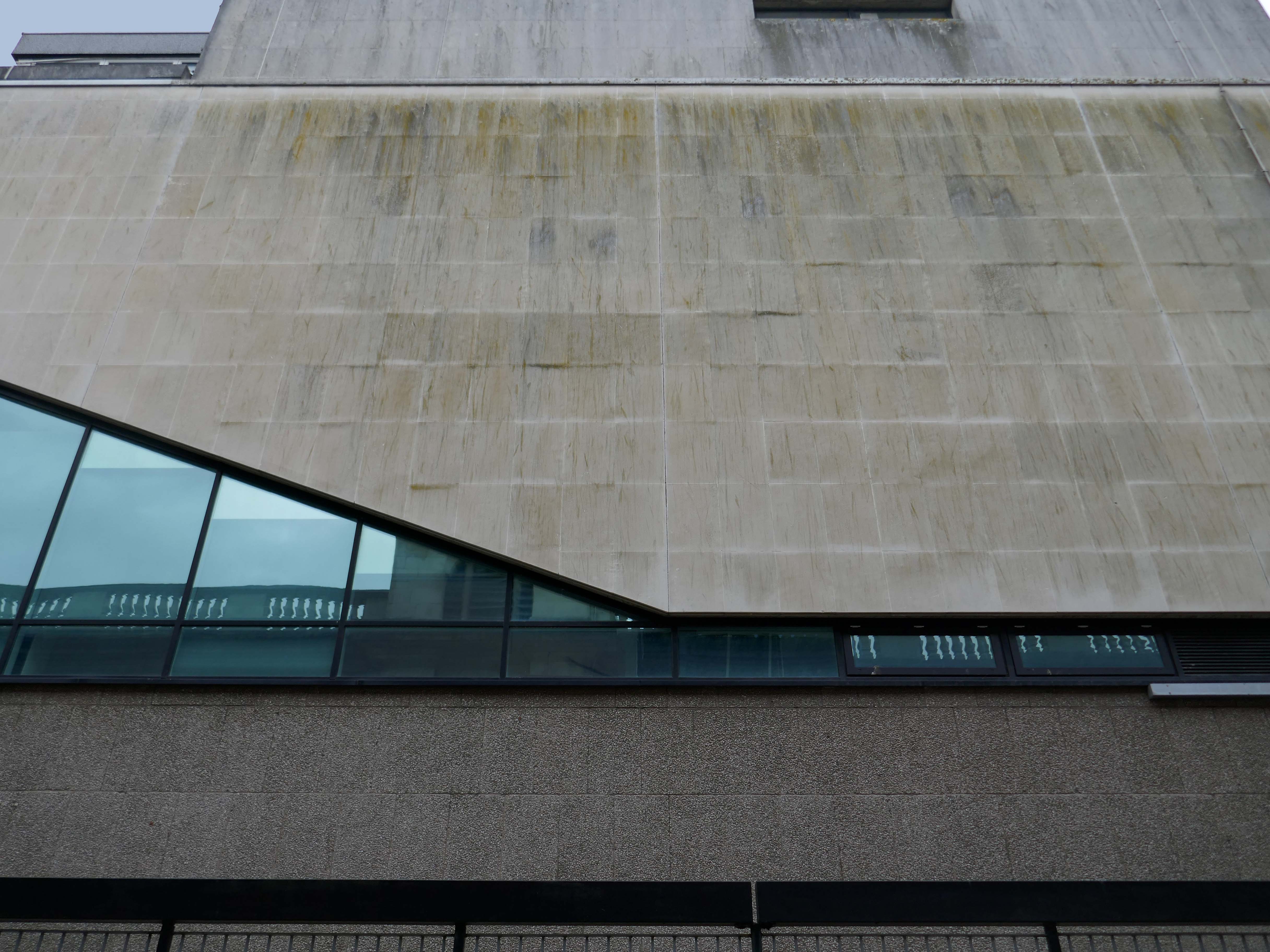
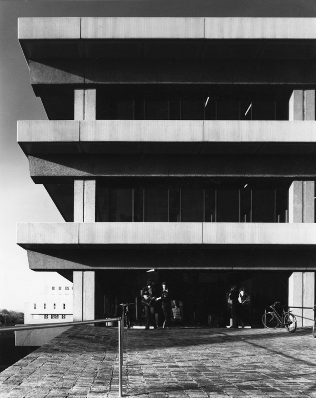
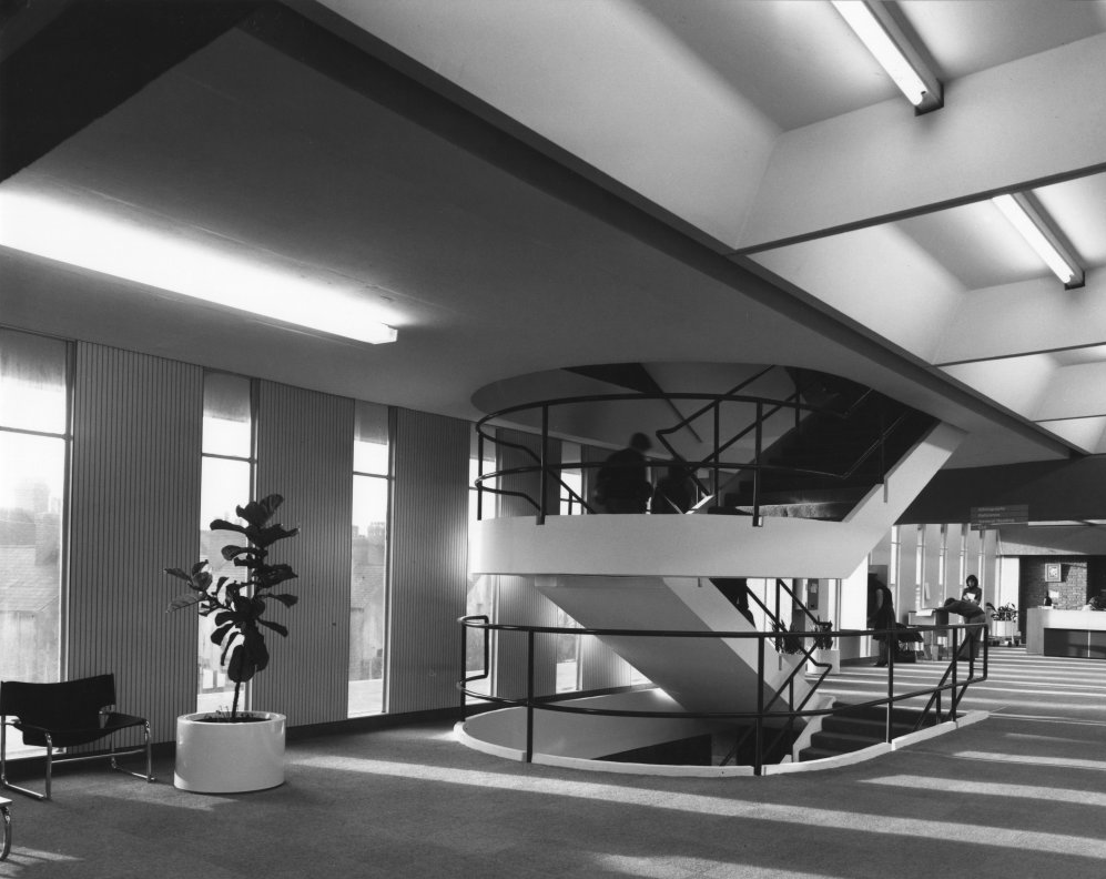
Arts and Social Studies Library designed by Faulkner-Brown Hendy Watkinson Stonor 1976
RIBA pix Josephine Reid
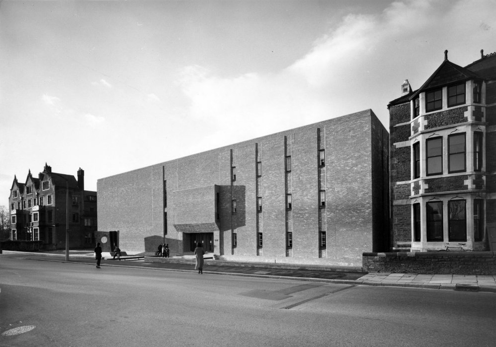
Music Department 1971 Alex Gordon Partnership.
RIBA pix Stanley Travers
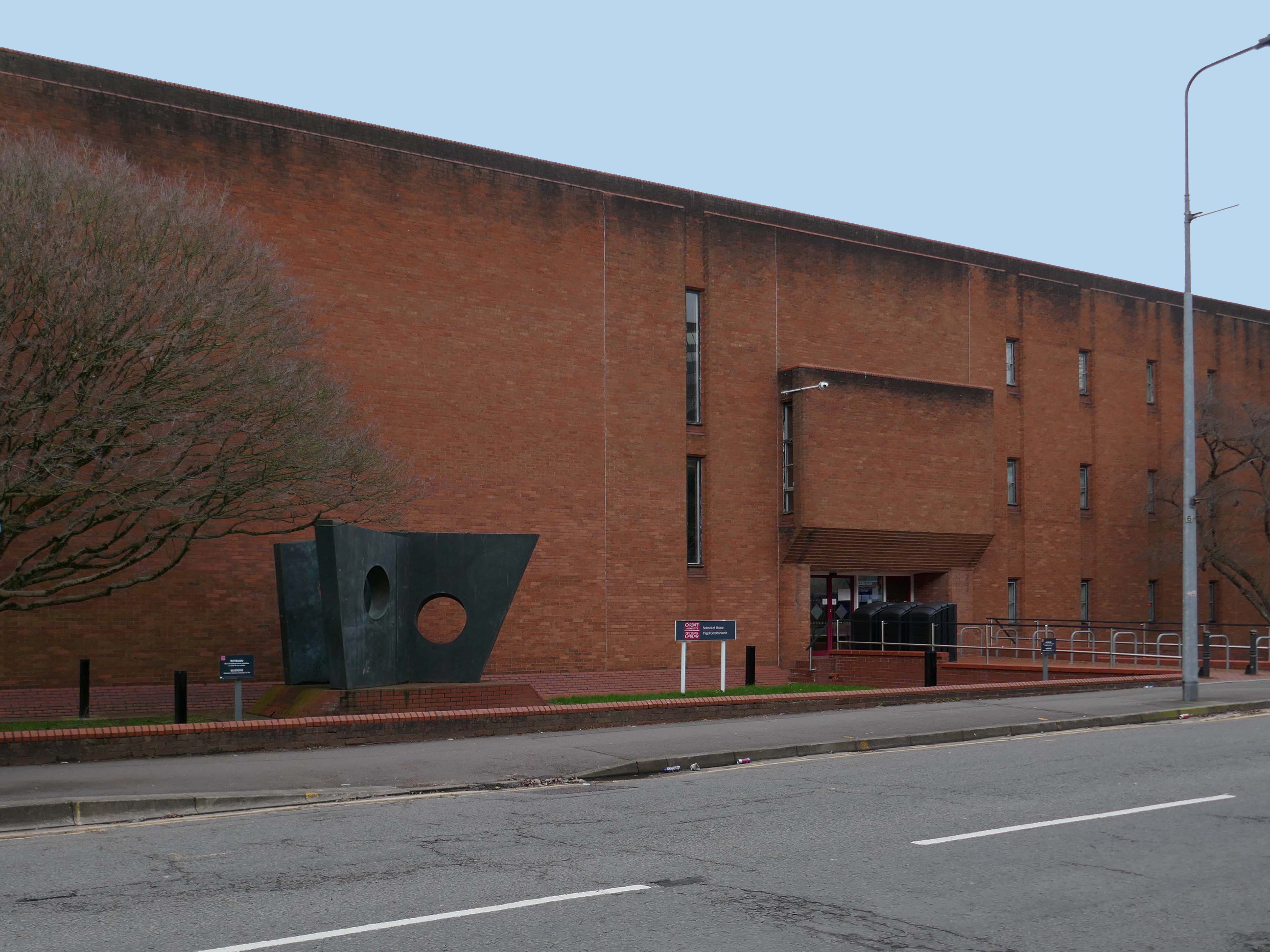
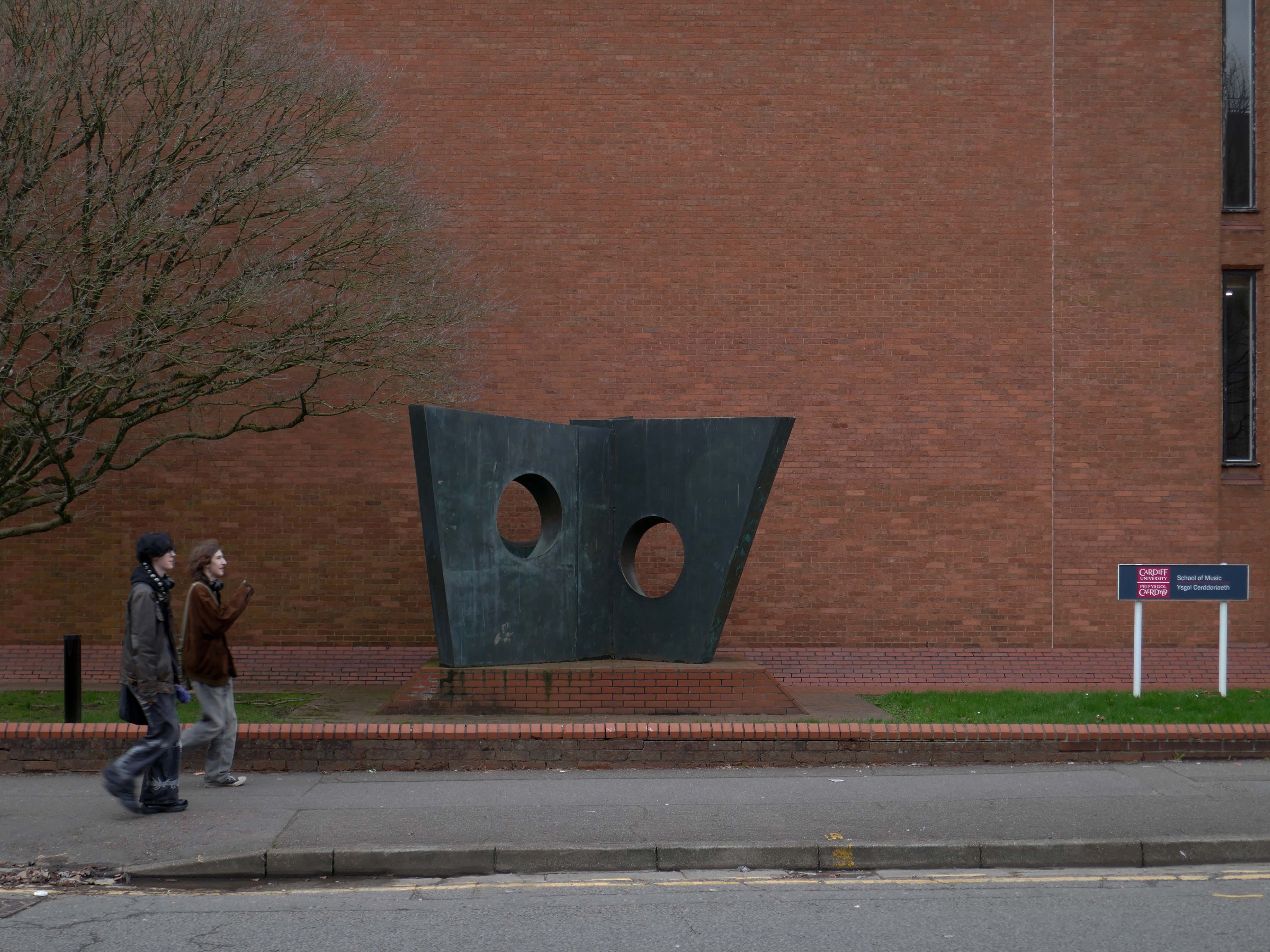
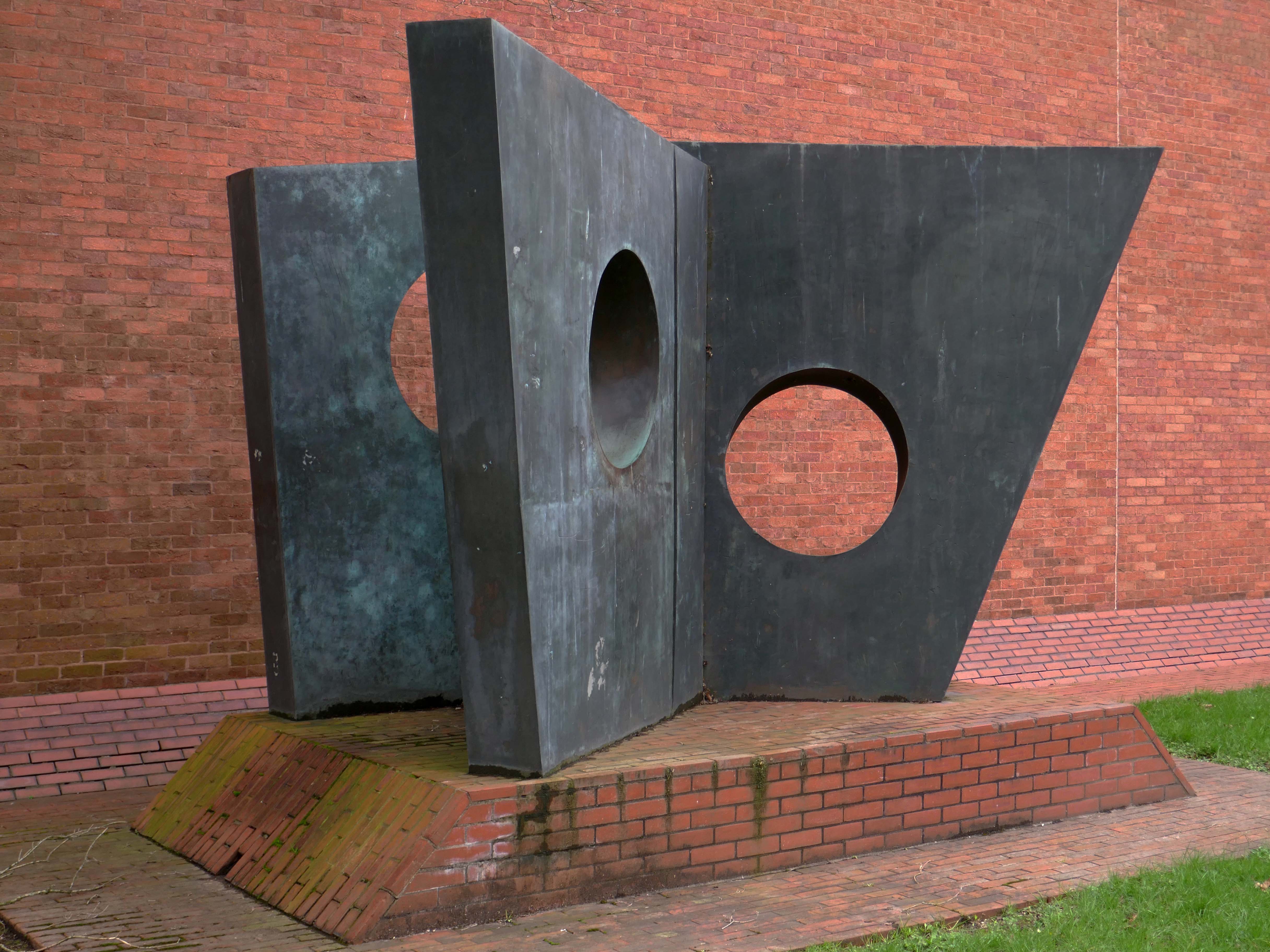
Three Obliques – Walk Inis a 1968 sculpture by Barbara Hepworth. Three casts exist; two are in private collections and a third is displayed outside the Cardiff University School of Music.
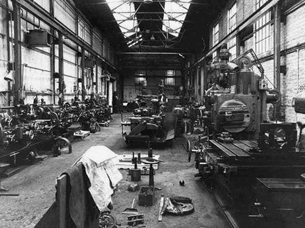
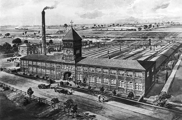
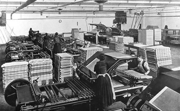
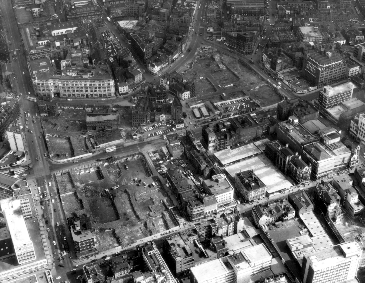
Manchester Guardian Printing Works owned by Taylor Garnett & Evans & Co. Ltd- a view of factory dated 1902.
Lithographic Printing Dept 1902.
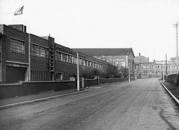
CWS Printing Works – formerly the Guardian Print Works showing a view from the road dated 1972.
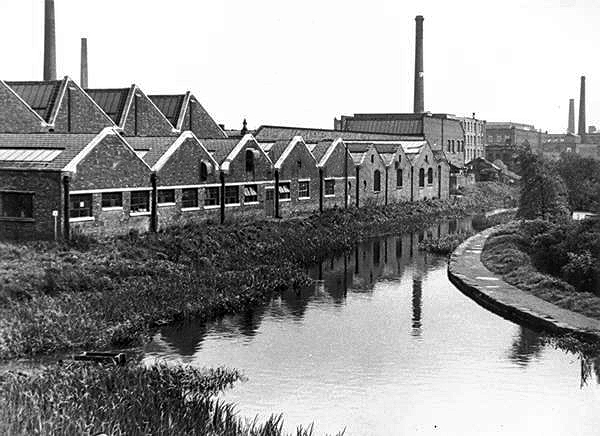
CWS Printing Works showing a rear view with canal in the foreground.
The Stockport Branch Canal was a five mile branch of the Ashton Canal from Clayton to Stockport.
An important cargo was the supply of grain to William Nelstrop & Company’s Albion Corn Mill at Stockport Basin.
In its early days there was passenger carrying on the Ashton Canal and one of the routes was between Manchester and Stockport.
Commercial carrying ceased in the 1930s but it lingered on into the 1950s’ as a barely navigable waterway. At one stage in the 1950s it was dredged but this improvement did not attract any traffic. Stockport Basin was the first section to be filled in but it was not until 1962 that the canal was officially abandoned by the British Transport Commission, who had been responsible for it since 1948.
It took many years to fill in and this was a disagreeable procedure for people living along its length.
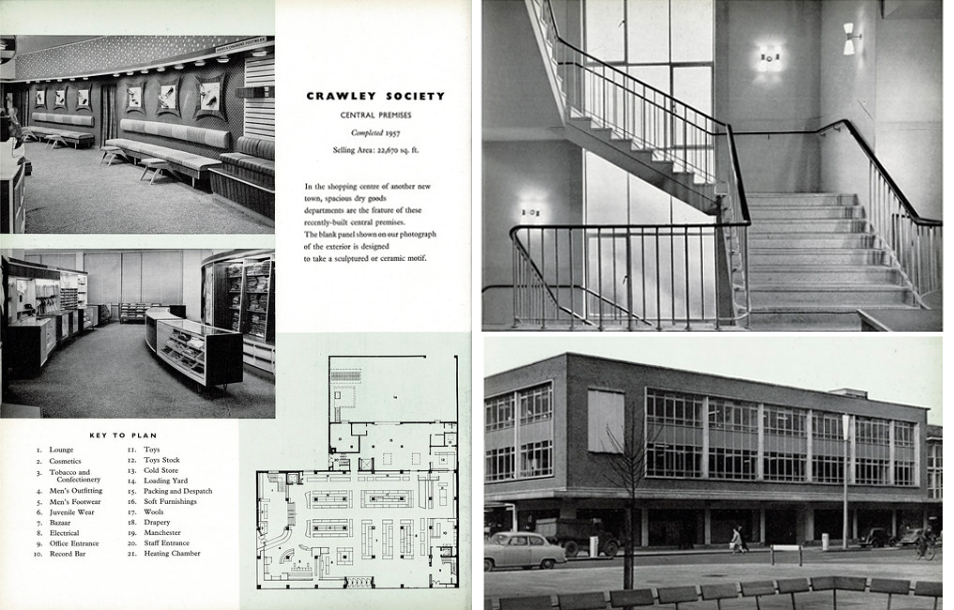
From a very lavish production, printed of course by the CWS’s own Printing Works at Reddish, is a description of the new flagship department store for the Crawley Co-operative Society that was opened in 1959. The elevations and facade are very much of their day, quite ‘Festival of Britain in style, and the store was a prominent feature of the planned New Town’s centre.
The wide variety of printed material which the CWS required, created a need that could not be met locally by a single source, another large print works was required in Longsight.
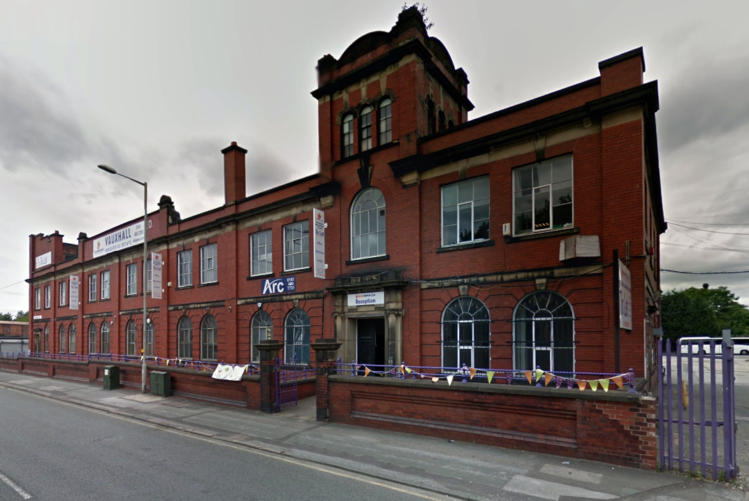
Craven Brothers Works 2008
1900 – Further growth prompted the construction of the Vauxhall Works at Reddish, near Stockport. The company kept the works at Osborne Street, Rochdale Road, with about 500 employees, open until 1920. The 1915 O.S. map shows Vauxhall Engineering Works with its south-east corner on Osborne Street, Collyhurst, and bounded on the north by streets of terraced houses and to the south by the L&YR Manchester-Normanton line.
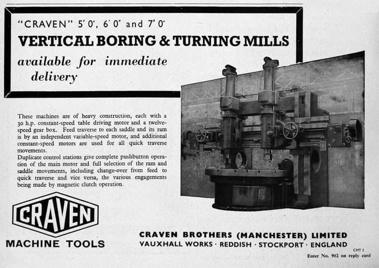
The Developement of Reddish – quite a number of Manchester firms are prospecting the neighbourhood of Reddish, writes a correspondent, while Messrs. Heywood are about to erect electrical engineering works in Sandfold-lane, and Messrs. Rowley and Co, boiler-makers, are fitting works in the neighbourhood. Messrs. Craven Brothers, engineers, of Salford, have purchased 14-acres of land near the Reddish Station, on the estate of Mr. H. P. Greg, on which they intend to erect large engineering works.
The first sod was cut on Thursday afternoon by Mr. William Craven, in the presence of his brother directors in 1900.
ARC began in 1995 at Greek Street, Stockport under the name of MAPS and moved to the Vauxhall Industrial Estate Craven Works building in early 1997. Arts for Recovery in the Community or ‘Arc’ was then launched in 2005. The Arc Centre in its current form, including gallery servung refreshments and public programme has been running since 2016.
Of course, we are sad to say goodbye to the old Craven Brothers factory and the Reddish community as our base. We are so grateful to the local residents and businesses who have supported us for so long. Please, don’t be strangers! We made the building our own over the years and take with us many, many great memories.
Looking to the future at Wellington Mill, we will have exclusive use of several rooms on the floor accessed via the A6 and Hat Works Museum shop. This will include a large art studio, ceramics studio, offices and storage spaces. We will also share the large cafe, events and retail space with the Hat Works museums team and work together to build a bigger audience for both organisations and hopefully a Stockport town centre creative arts hub.
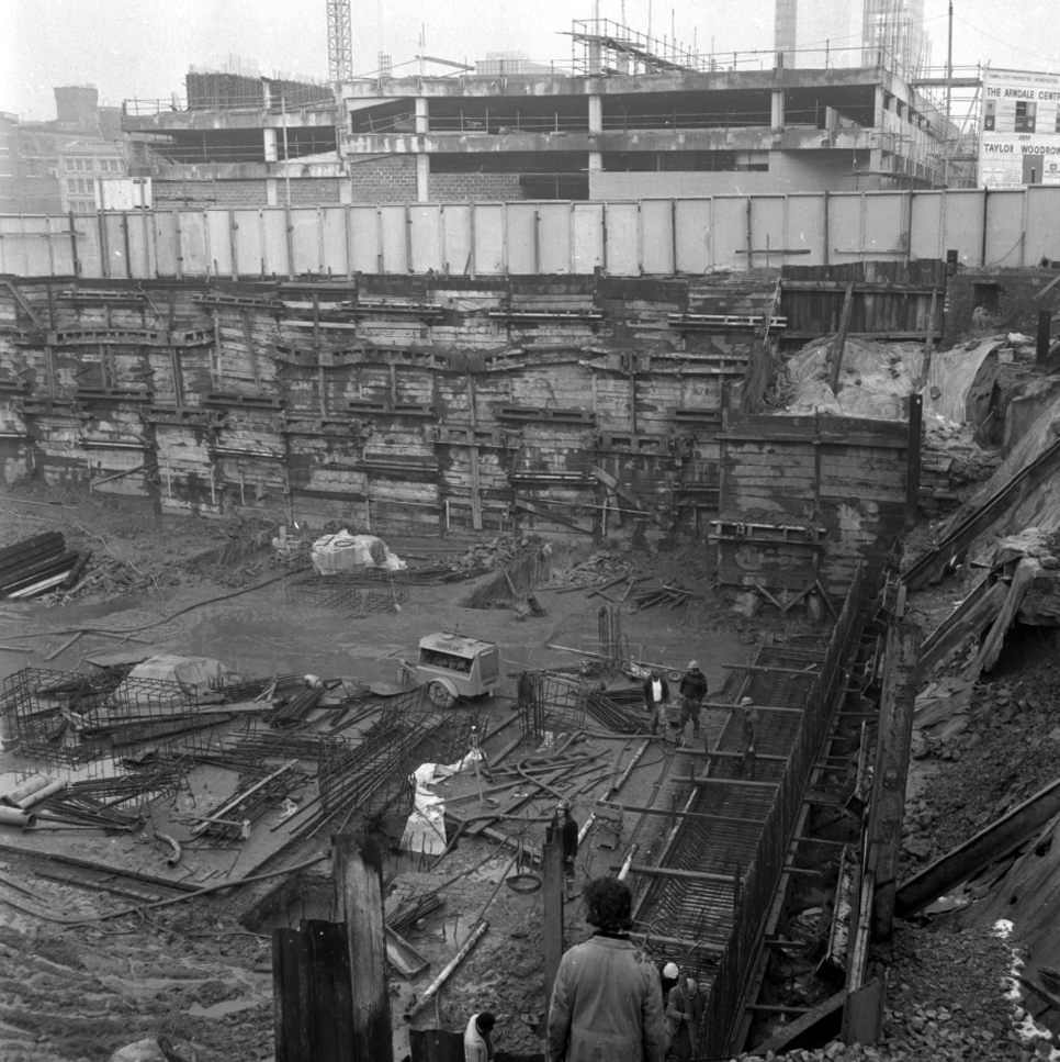
And lo, it came to pass, from the onset of the Industrial Revolution to today, a whole world of work is dismantled. A transport infrastructure is literally filled in, and the former homes of industry demolished.
The CWS is no longer the global behemoth it once was, and print technology has changed beyond recognition.
With it goes a whole series of social relationships and identities bound up in shared occupations.
Our excavations at Vauxhall Industrial Estate, undertaken in advance of the redevelopment of the site by RECOM Solutions and Vauxhall Industrial Estate Ltd, revealed a number of features associated with the Craven Brothers’ Works. Two excavation areas were opened, targeted on features shown on historic mapping but no longer surviving: Area 1 in the north, targeting a small chimney and outbuildings adjacent to the machine shops; and Area 2 in the south targeting a chimney and part of the footprint of Building 3. In Area 1, the archaeological remains had been heavily truncated by the installation of chemical vats in the late 20th century after Craven Brothers closed; however, the foundations of the targeted outbuildings and the chimney were uncovered, as well as the remains of a railway track running alongside the machine shops, represented by in situ sleepers.
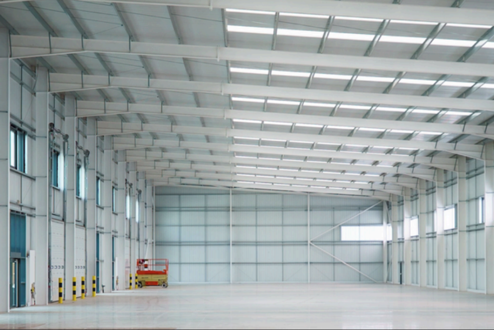
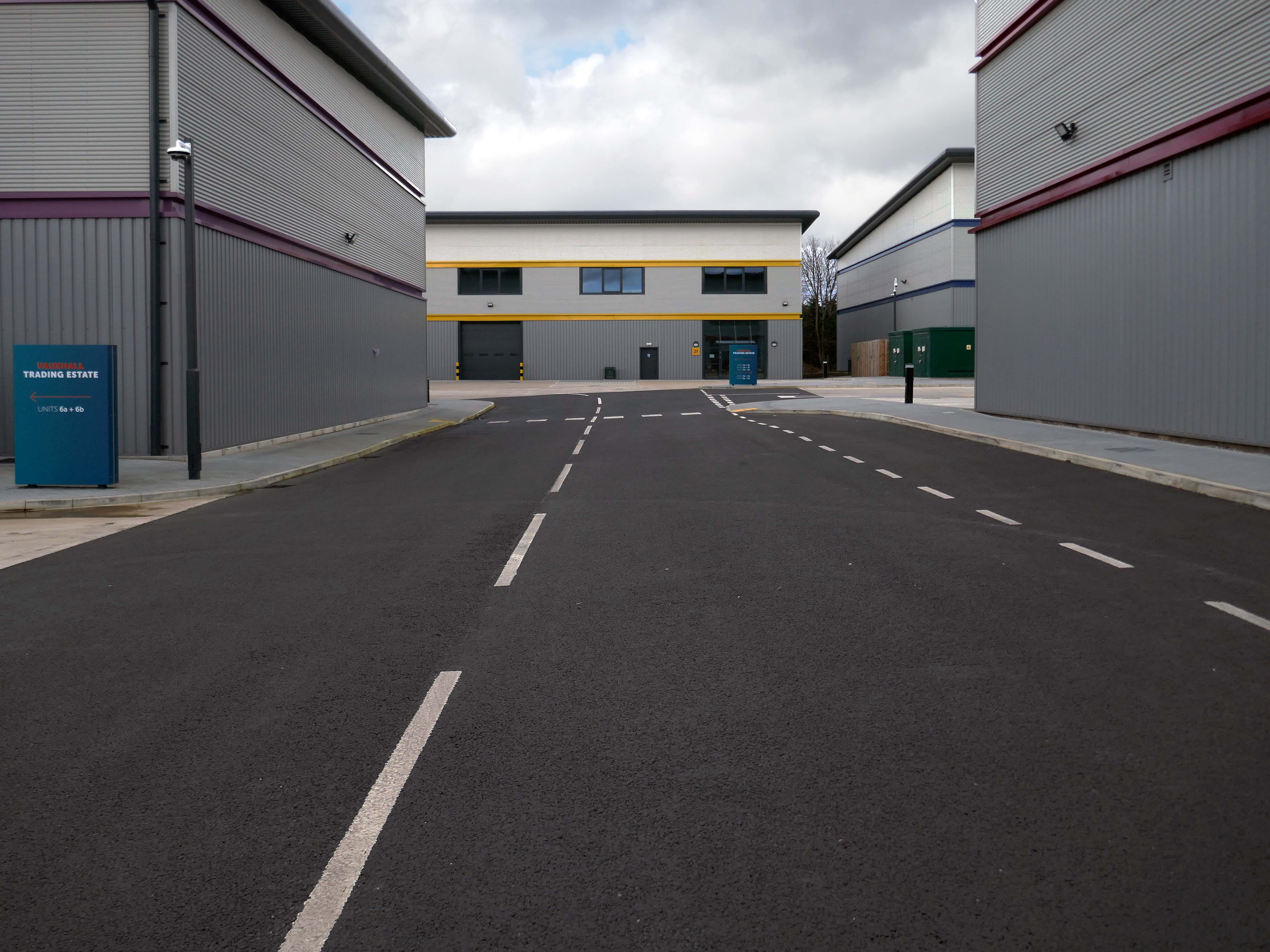
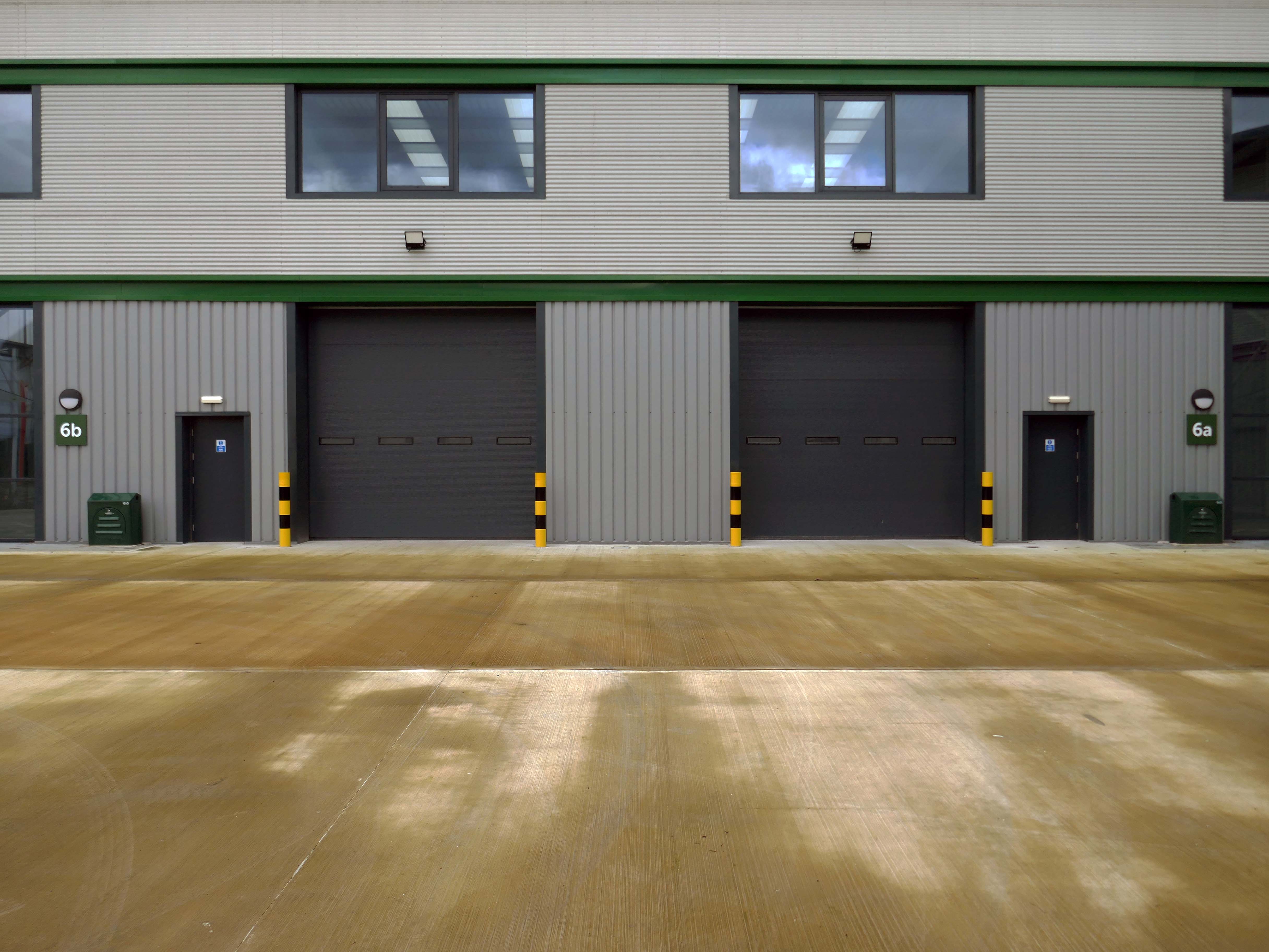
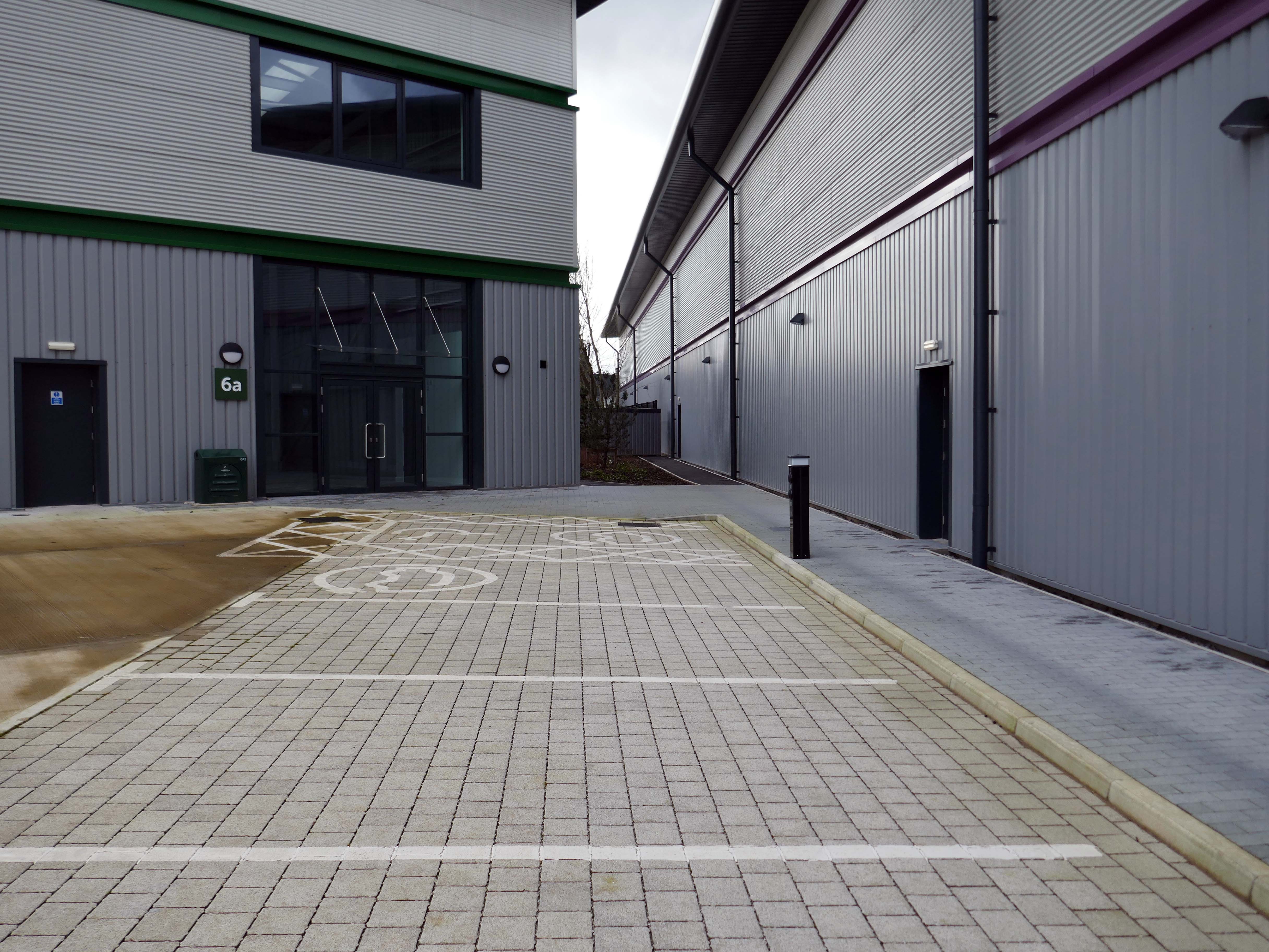
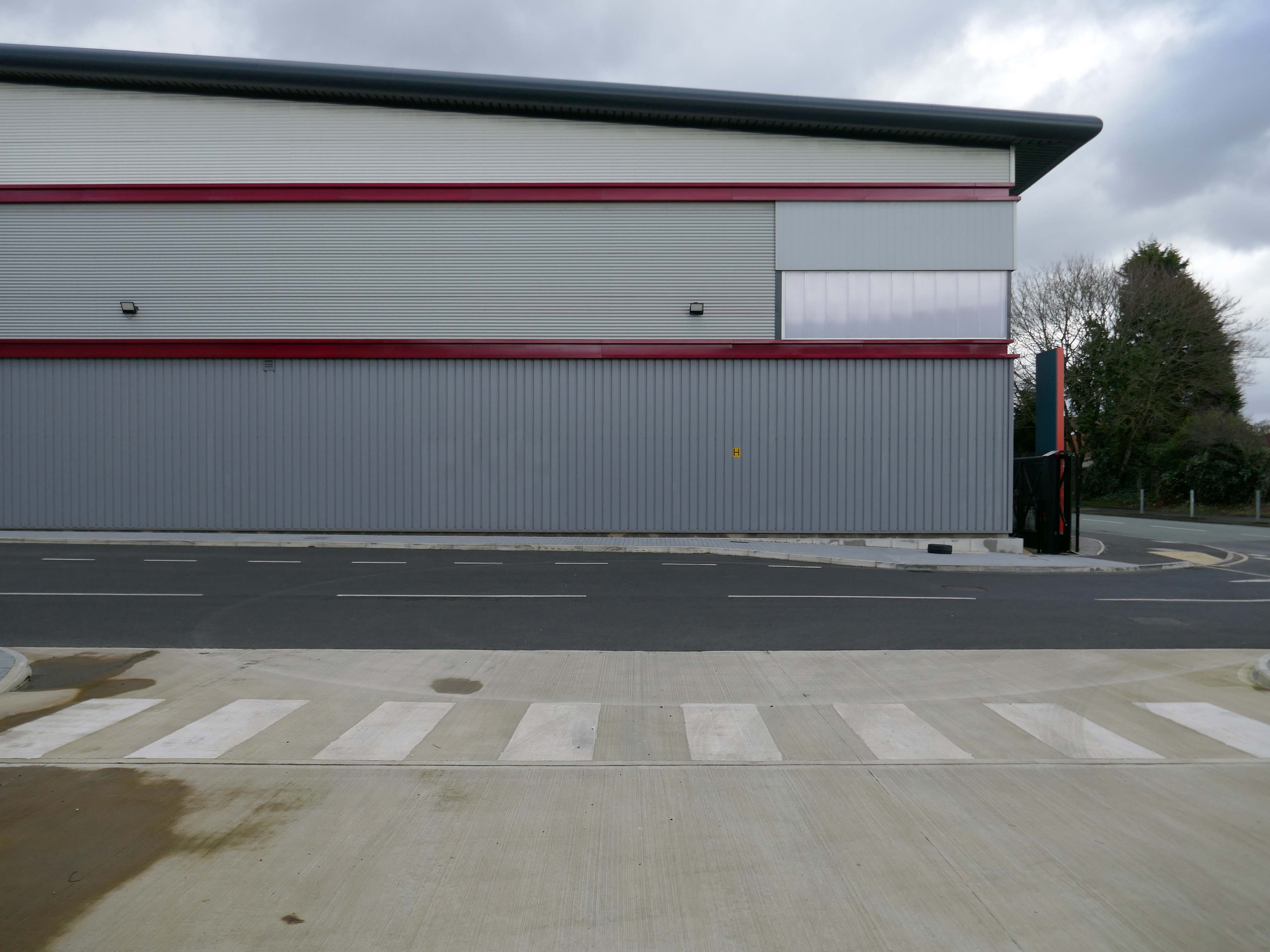
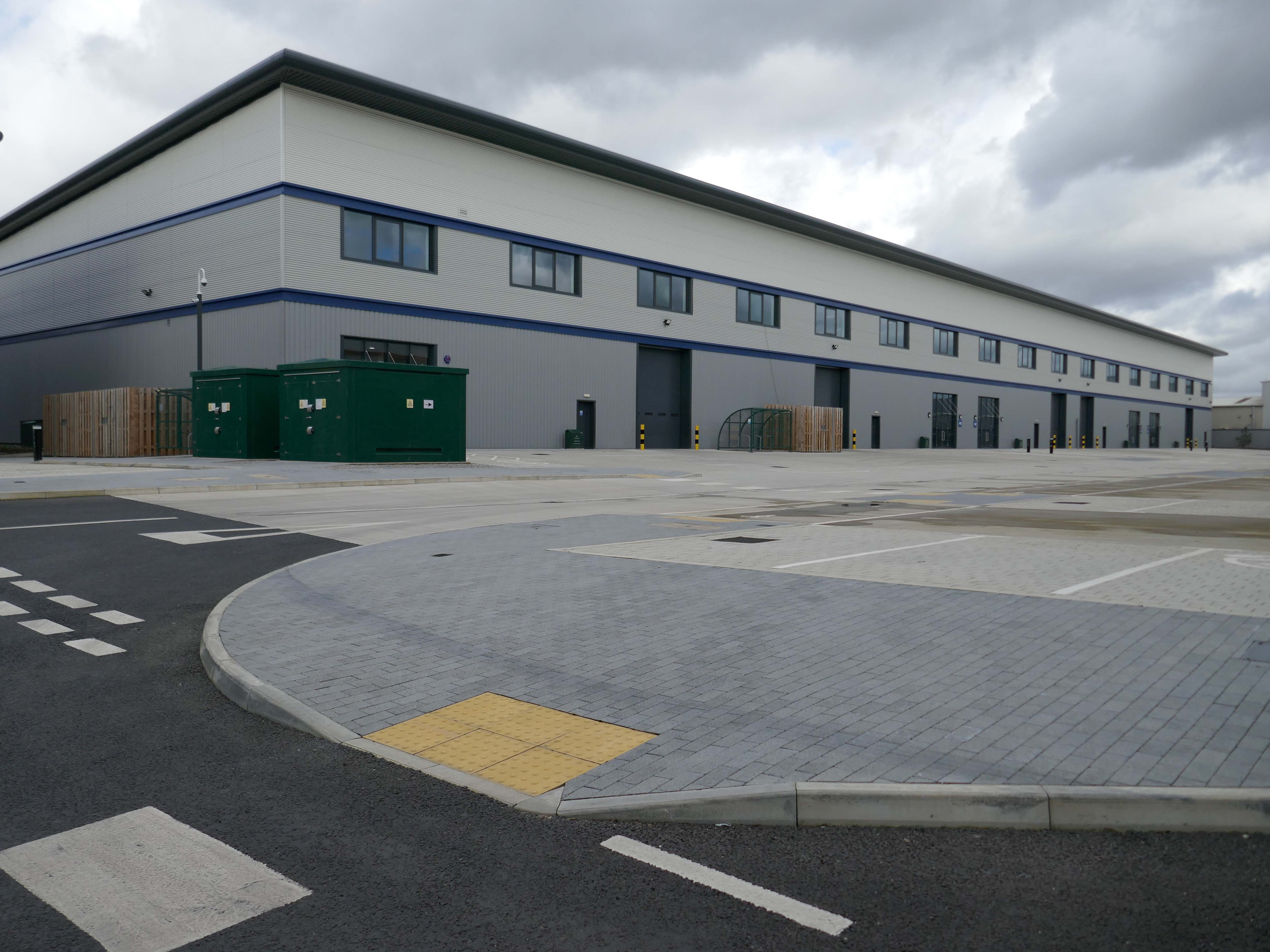
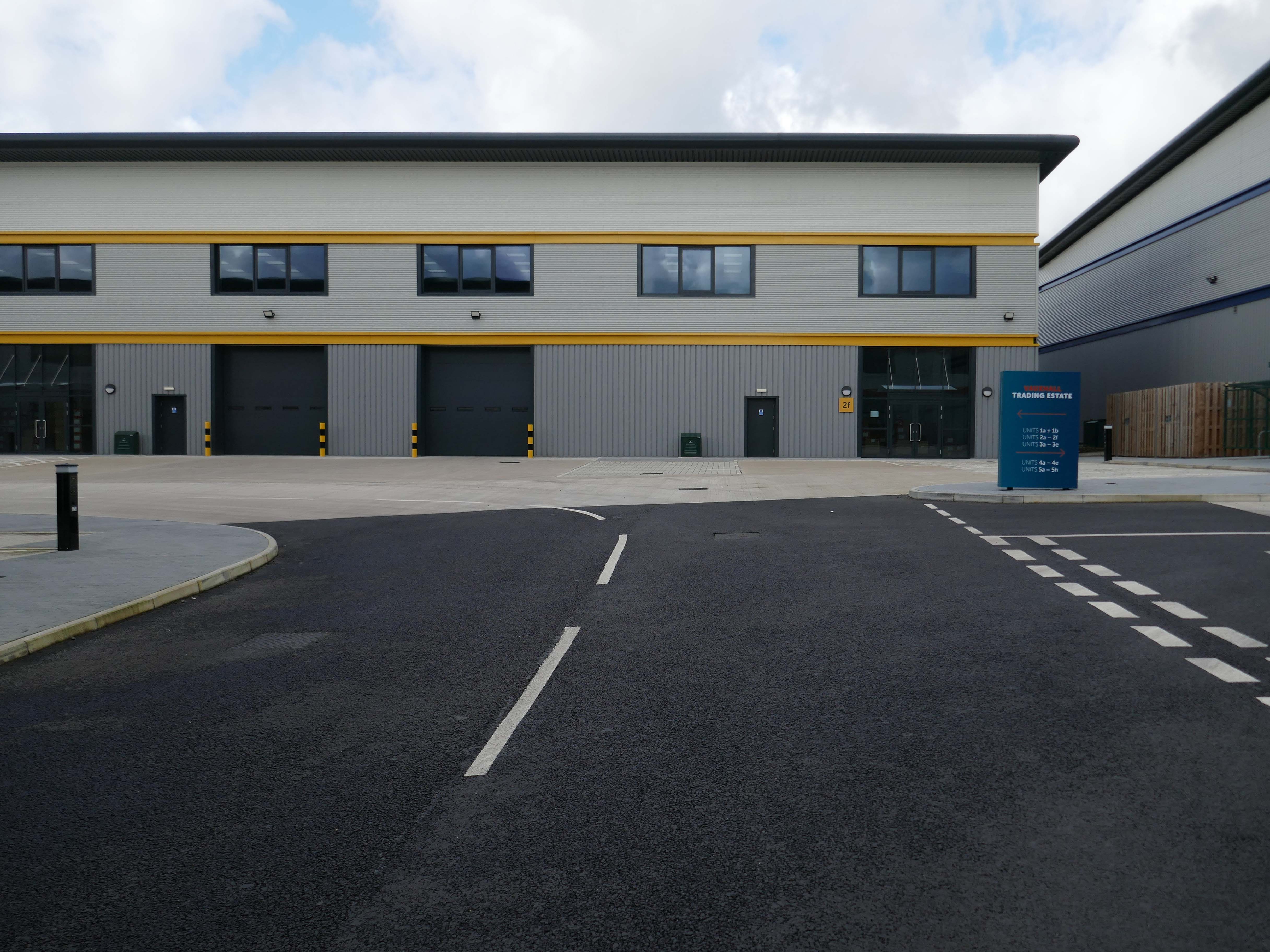
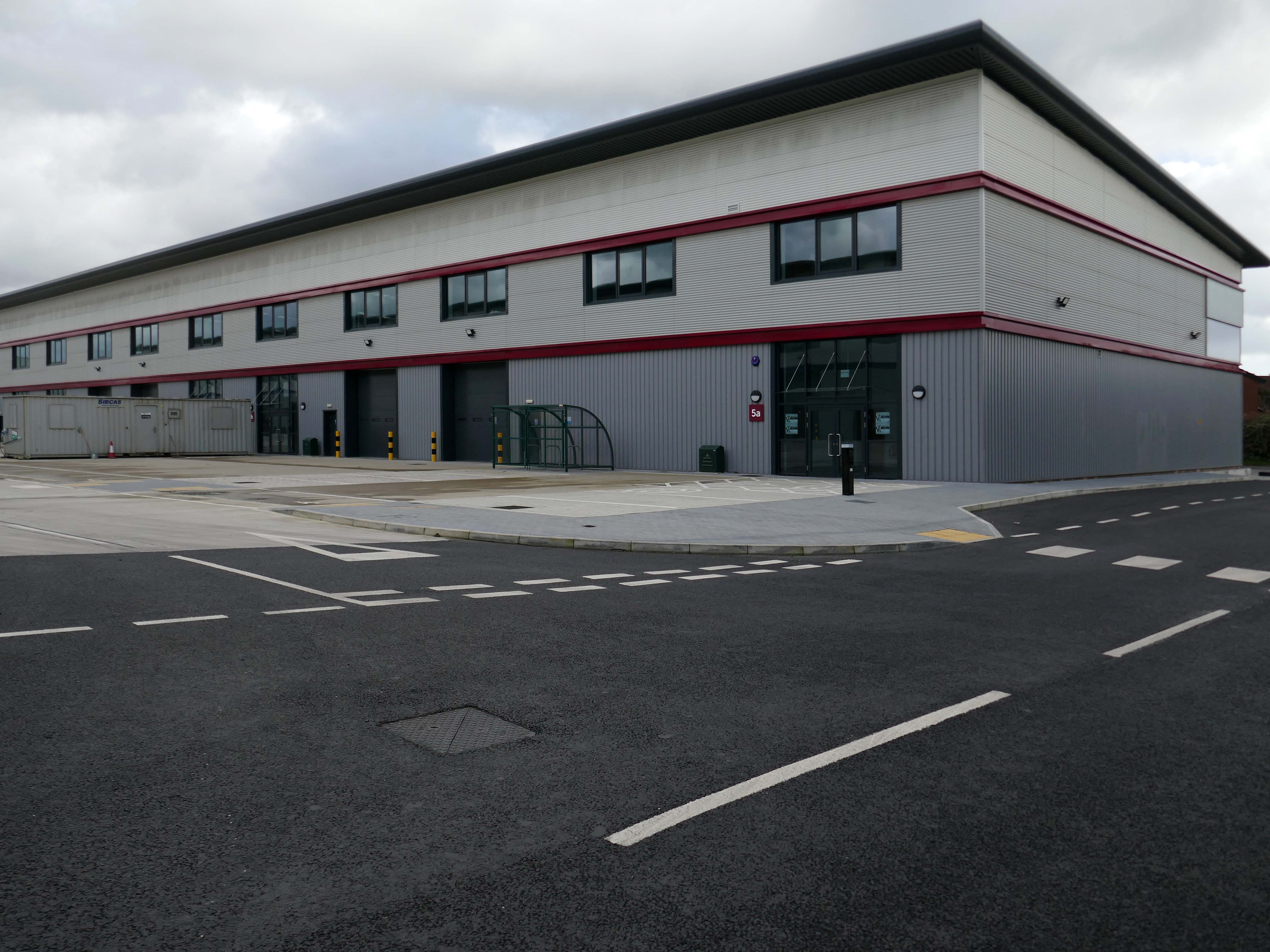
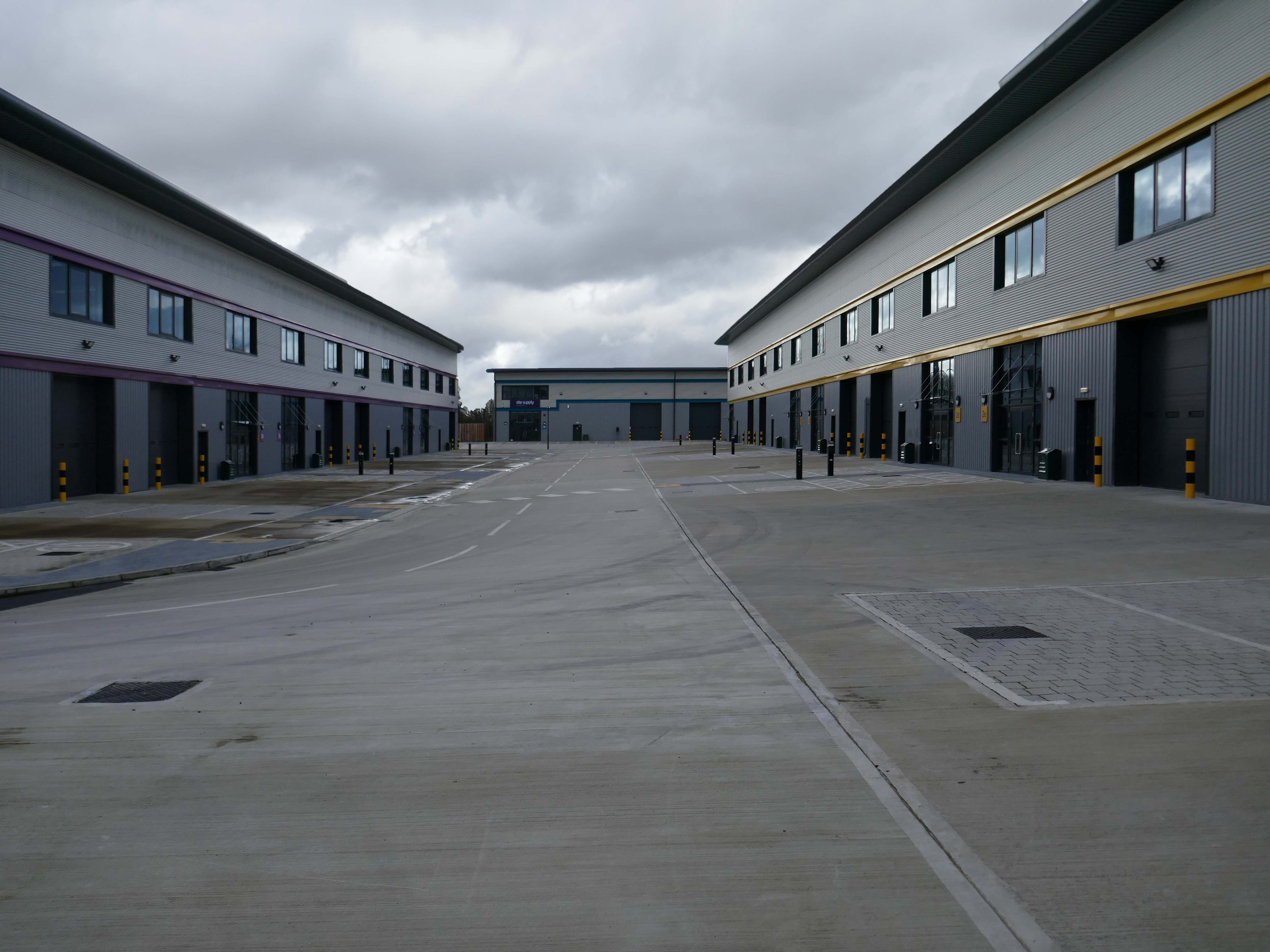
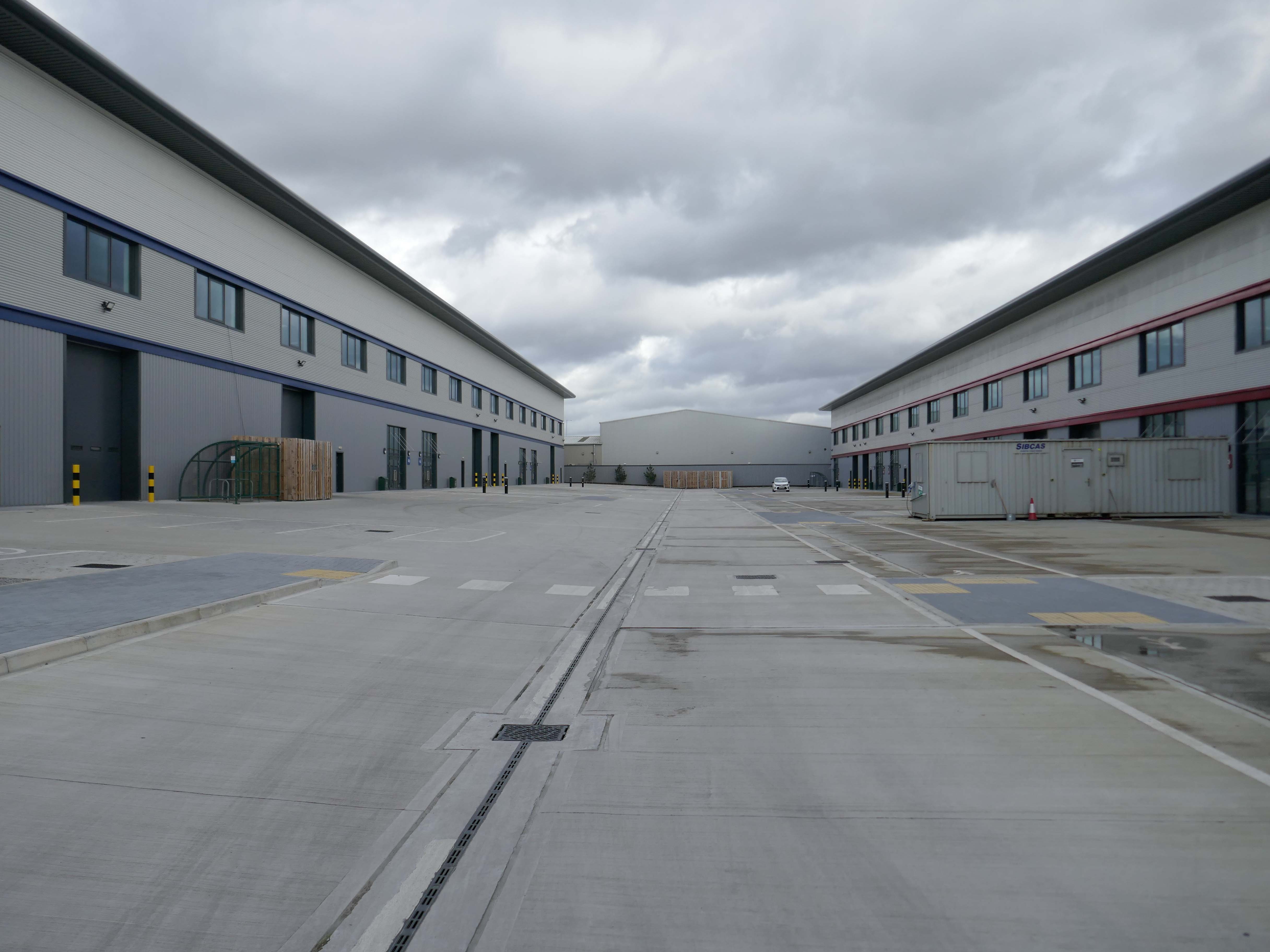
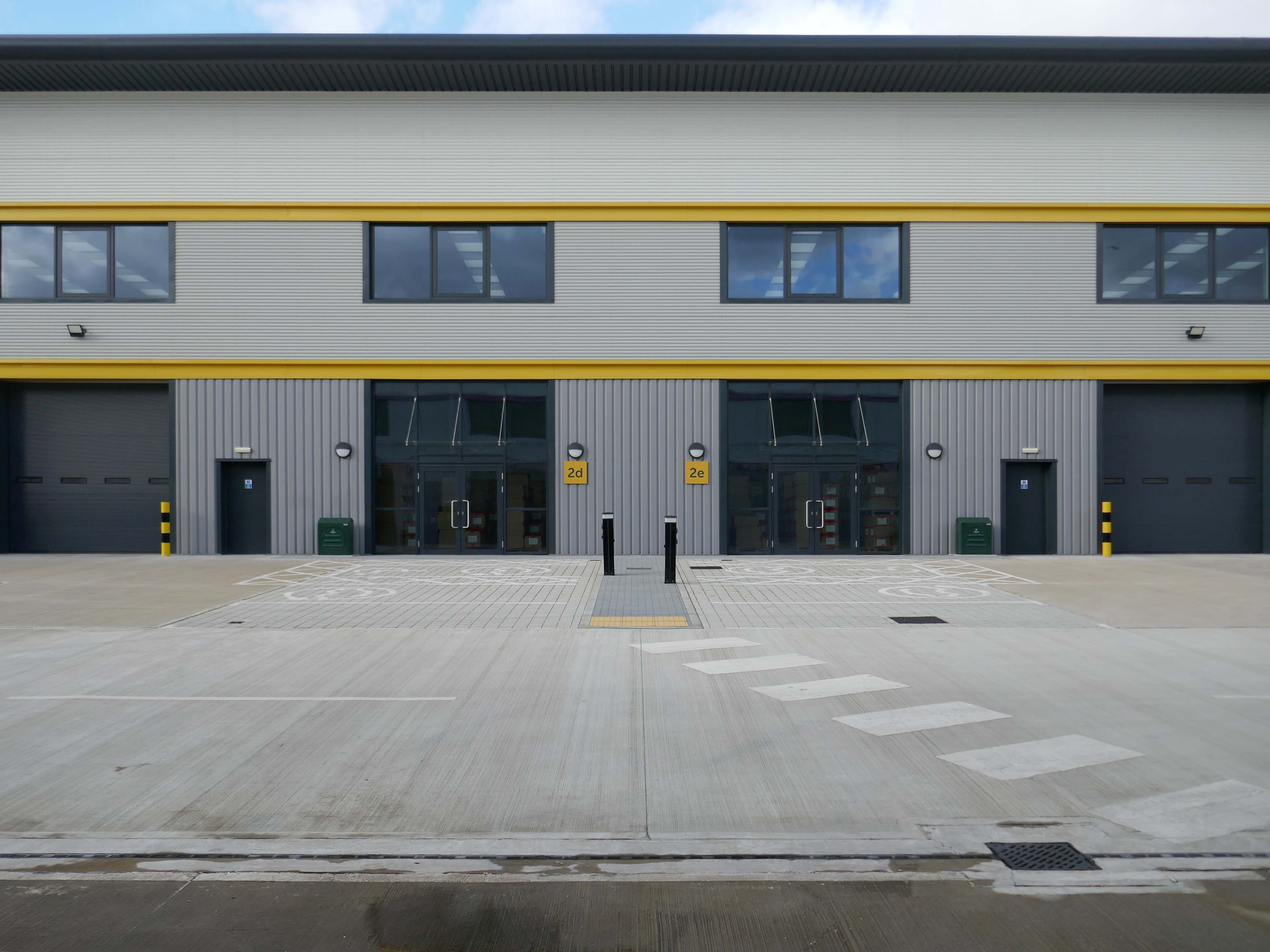
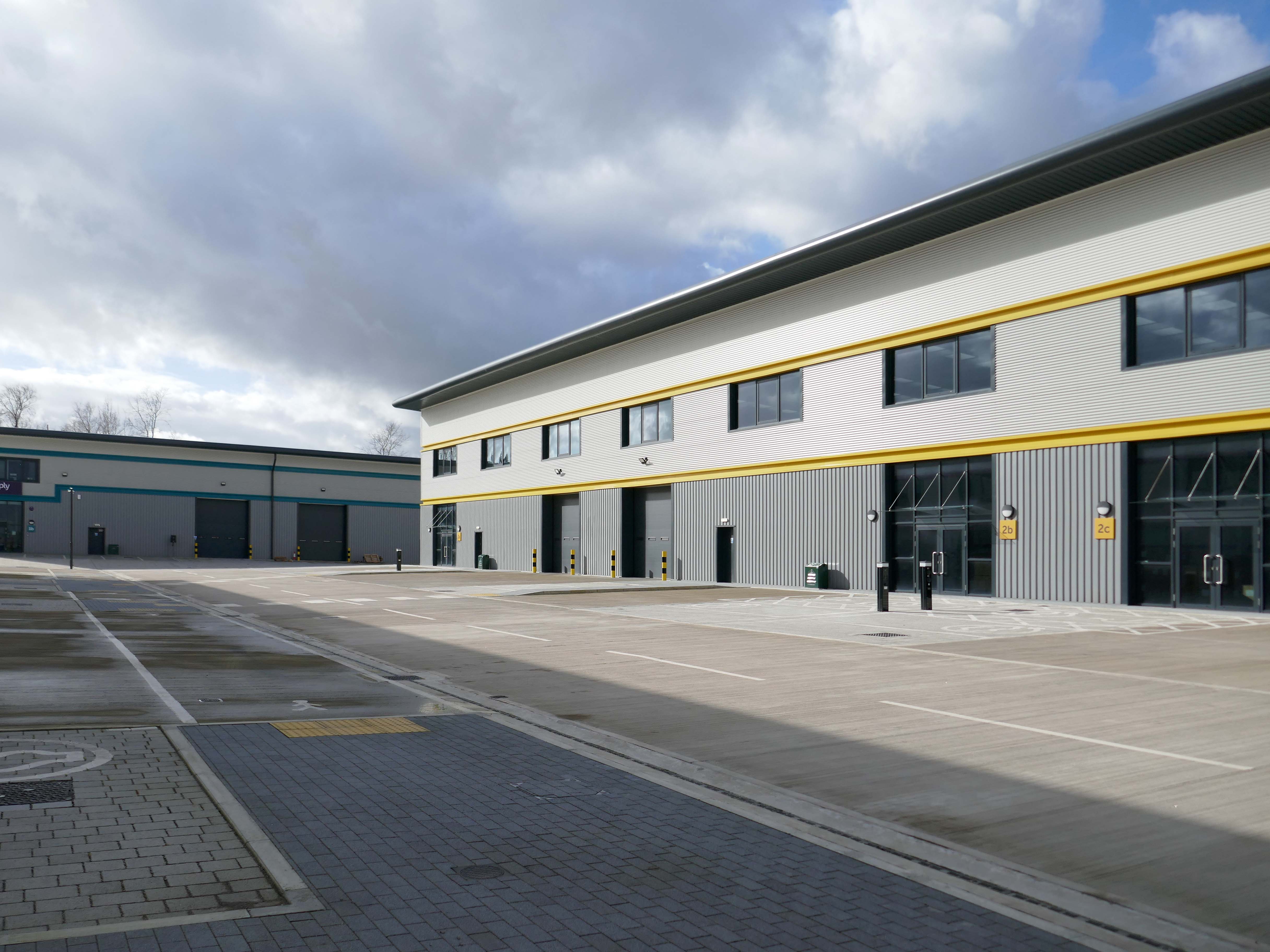
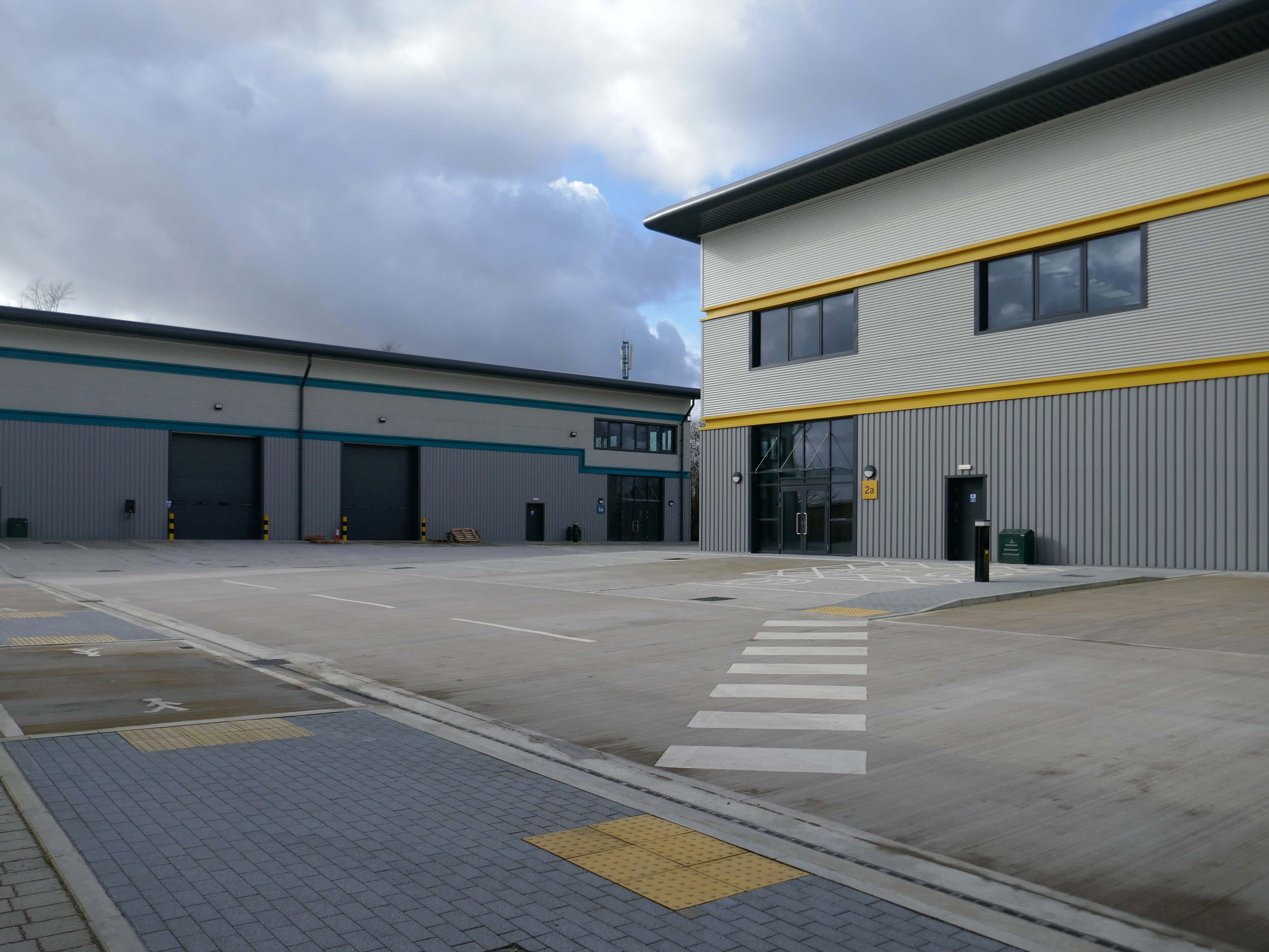
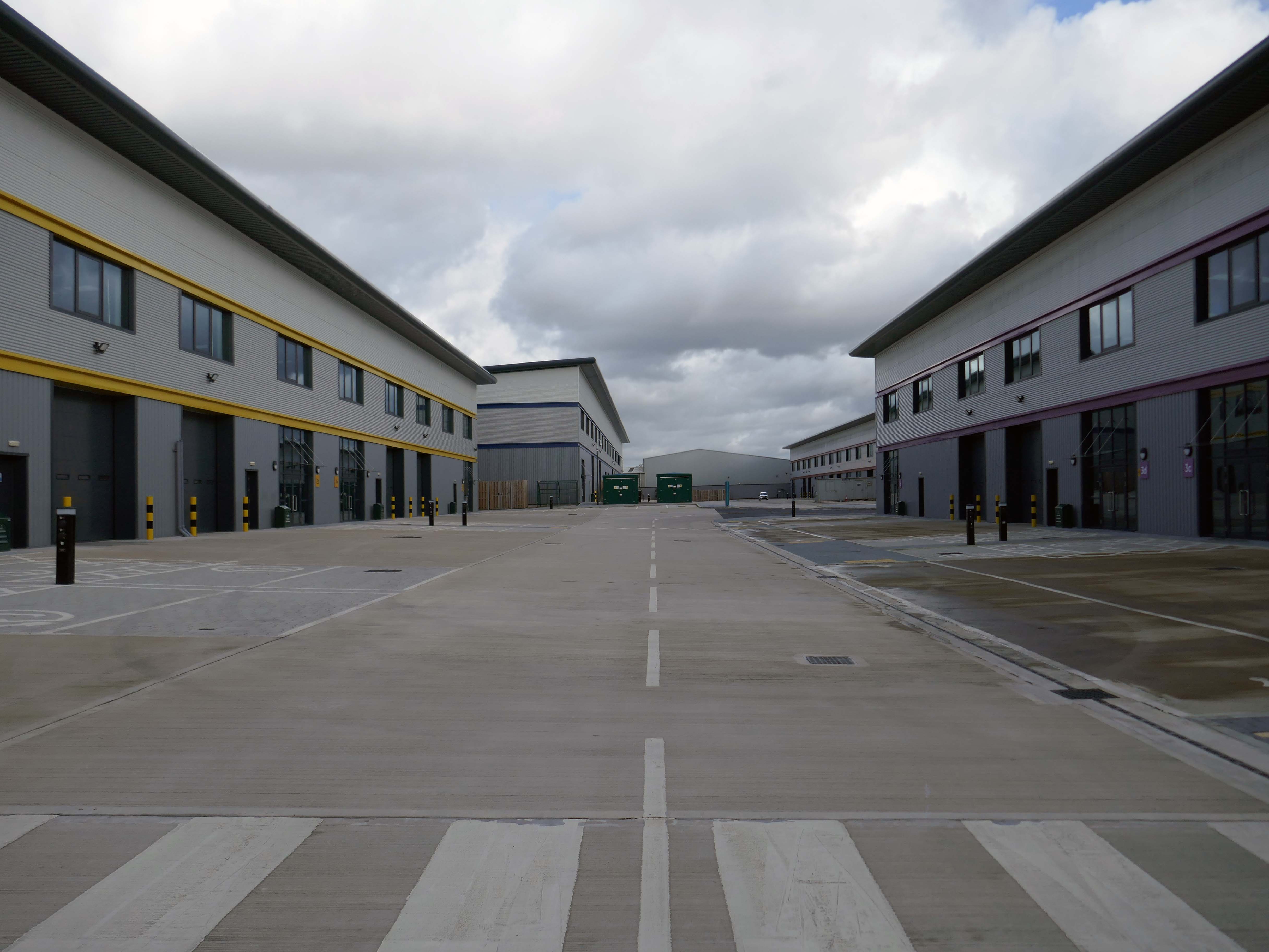
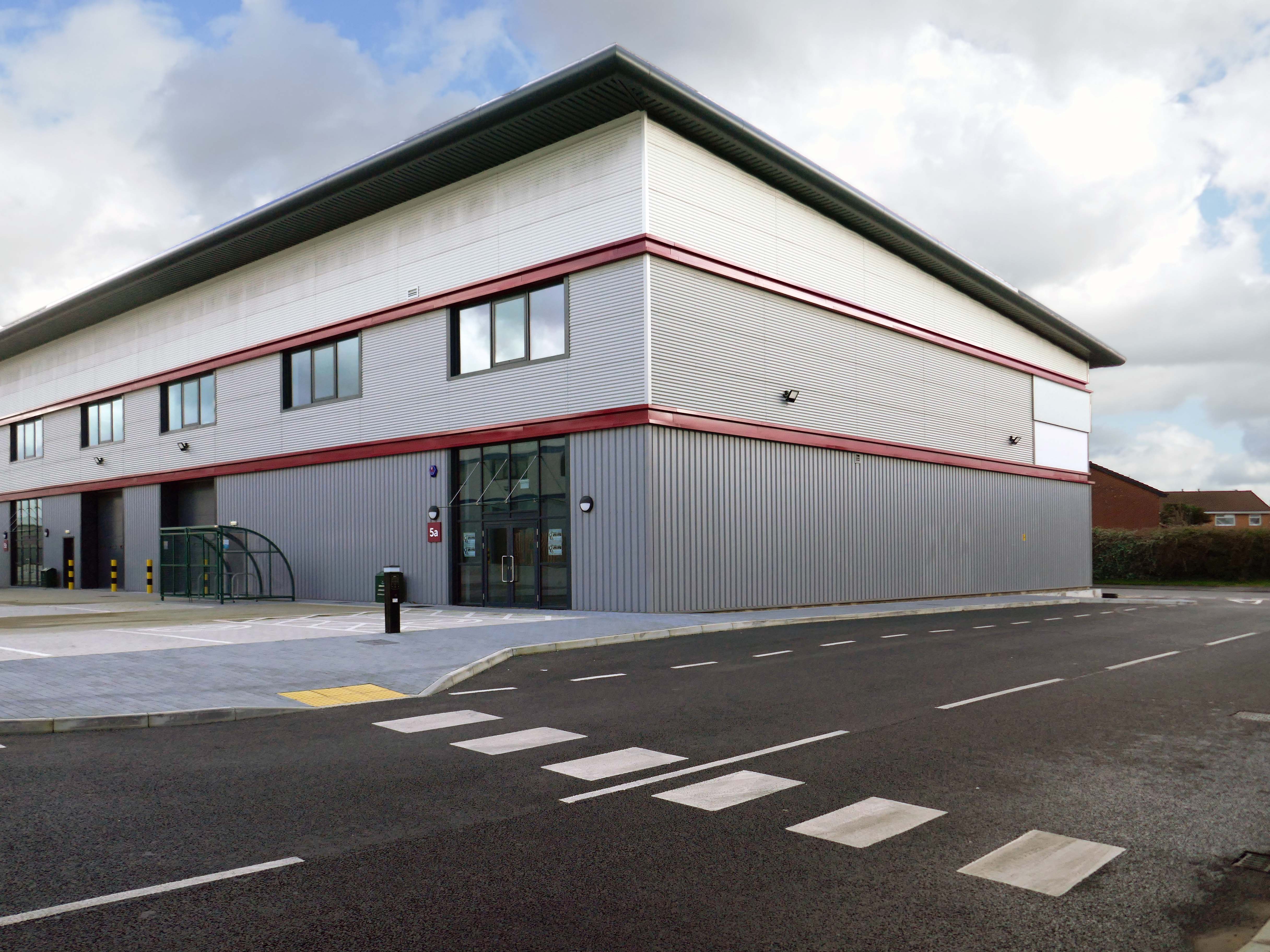
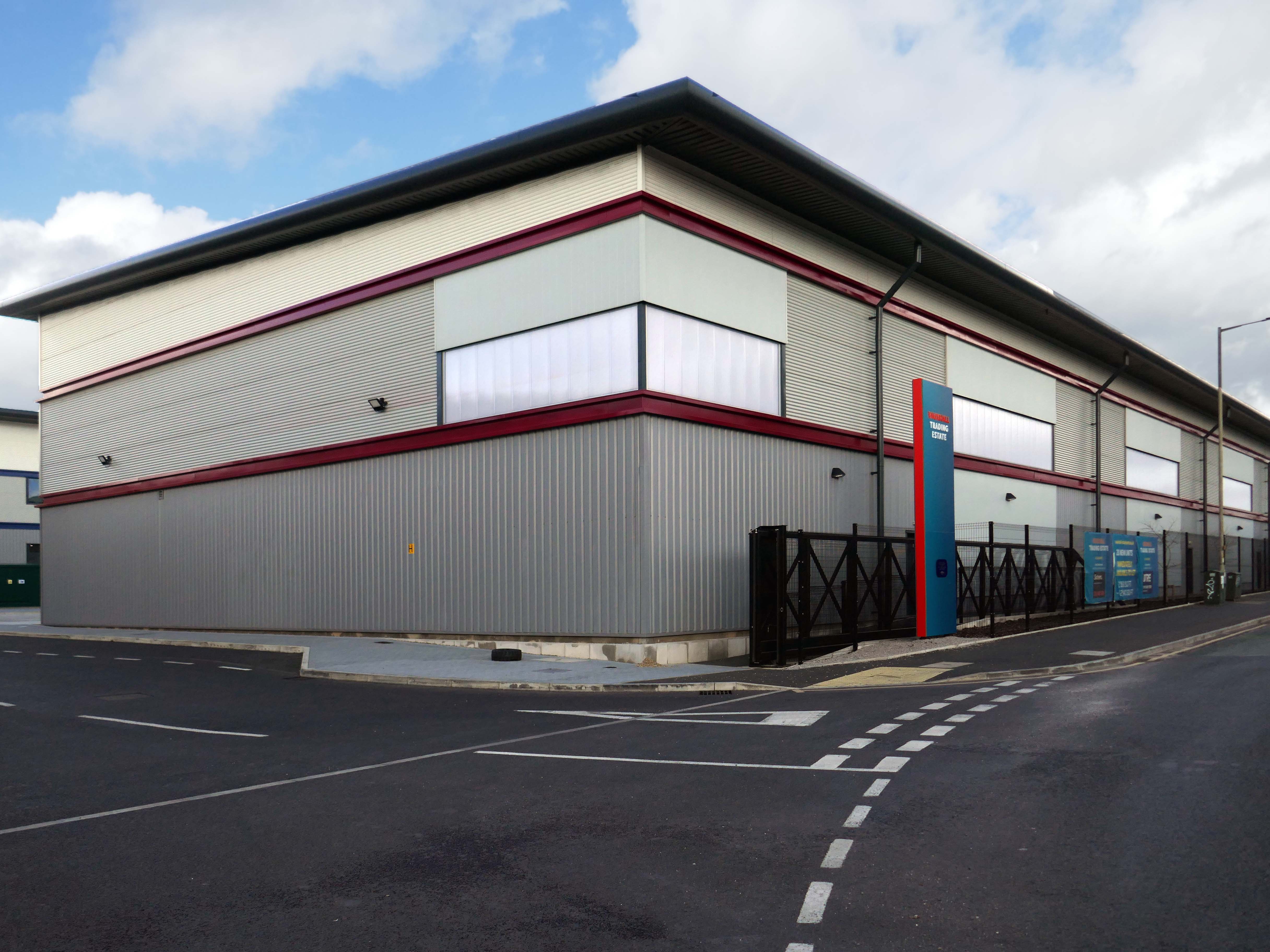
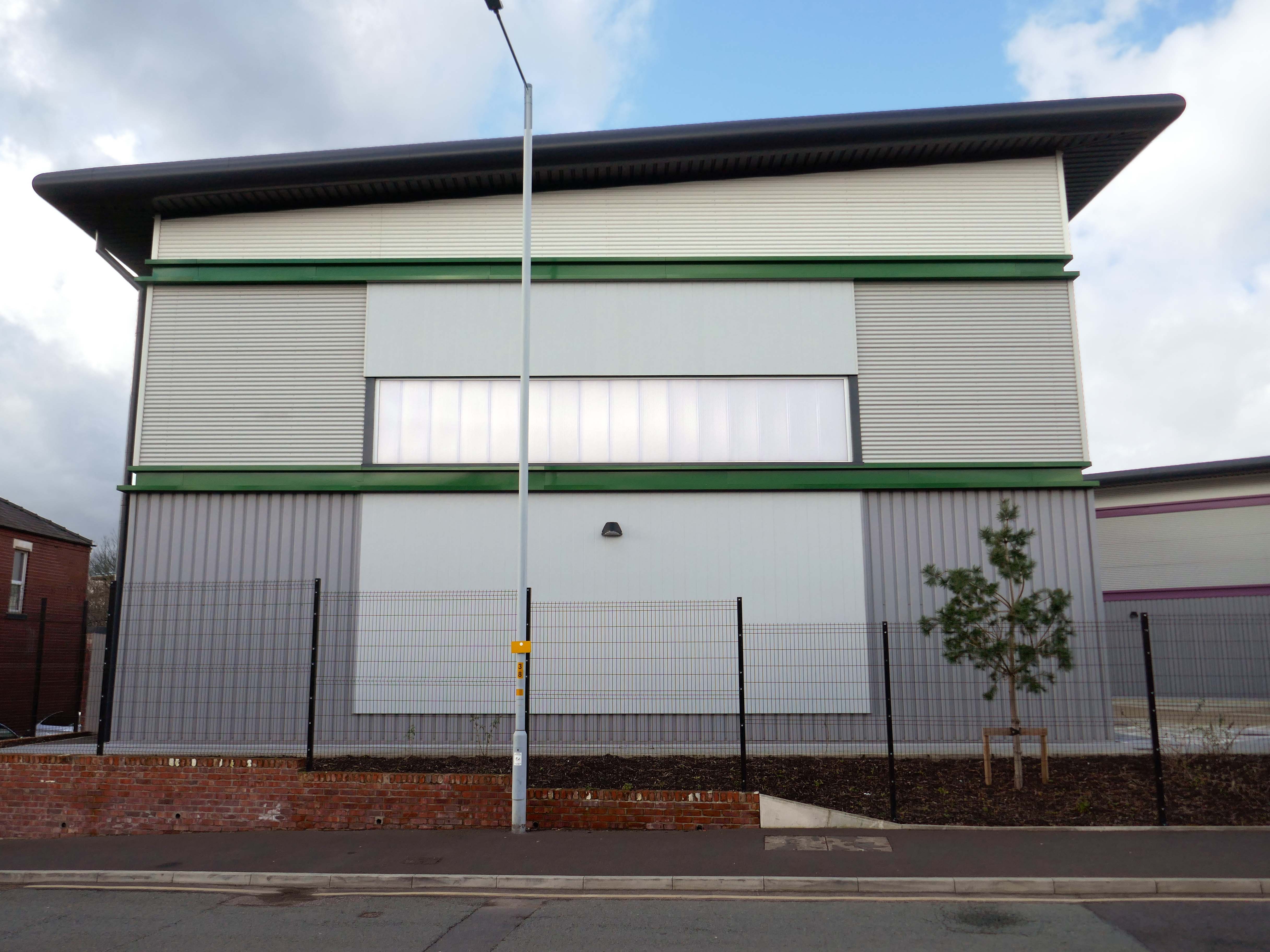
Vauxhall Trading Estate, formerly Vauxhall Industrial Estate, was a collection of dilapidated old industrial buildings, which have been demolished and new modern industrial units provided. RECOM provided project management services to demolish all previous buildings and prepare the site for the main contractor, achieve planning consent, enter a BAPA with Network Rail, tender and appoint the successful main contractor and then provide the Employer’s Agent service throughout the construction phase.
We worked with the design team to produce project specific Employer’s Requirements, ensuring that the client’s brief to provide high quality industrial units was delivered. We ensured the client’s interests were maintained throughout the project, making objective decisions that aligned with the client’s goals. In order to de-risk the project prior to entering into the main contract, we advised the client on what site investigations, enabling works and surveys needed to be undertaken. As the Employer’s Agent, we ensured that the conditions of the contract were adhered to, managing claims from the contractor,ensuring that the client’s position was protected.
Demolition works and embodied carbon created through construction works, is being offset against the sustainable energy created post occupation including: mix of air-source heat pumps and gas-fired radiant tube heating for heating and cooling, and photovoltaic solar panels installed on rooftops to generate green electricity for occupiers.
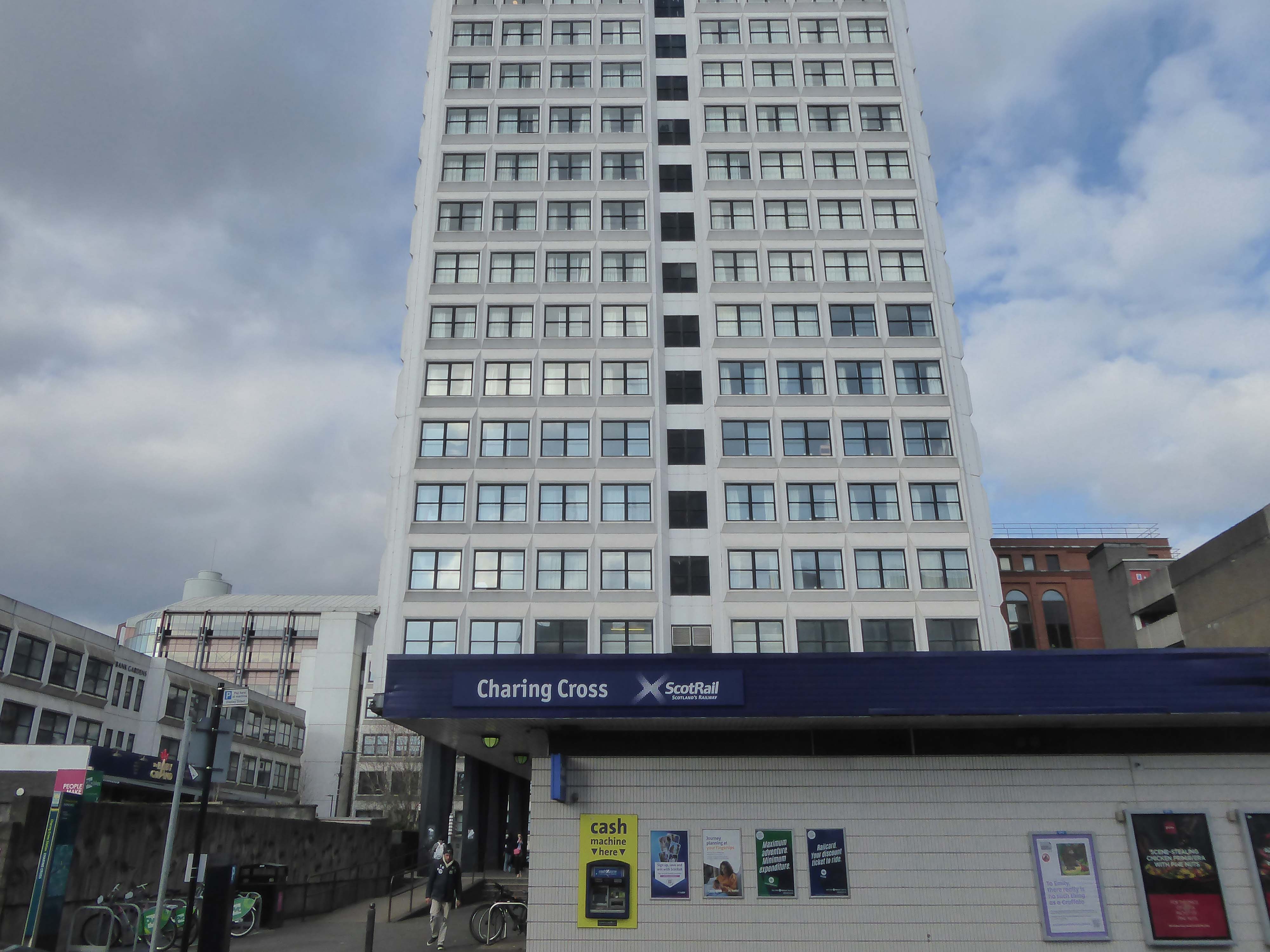
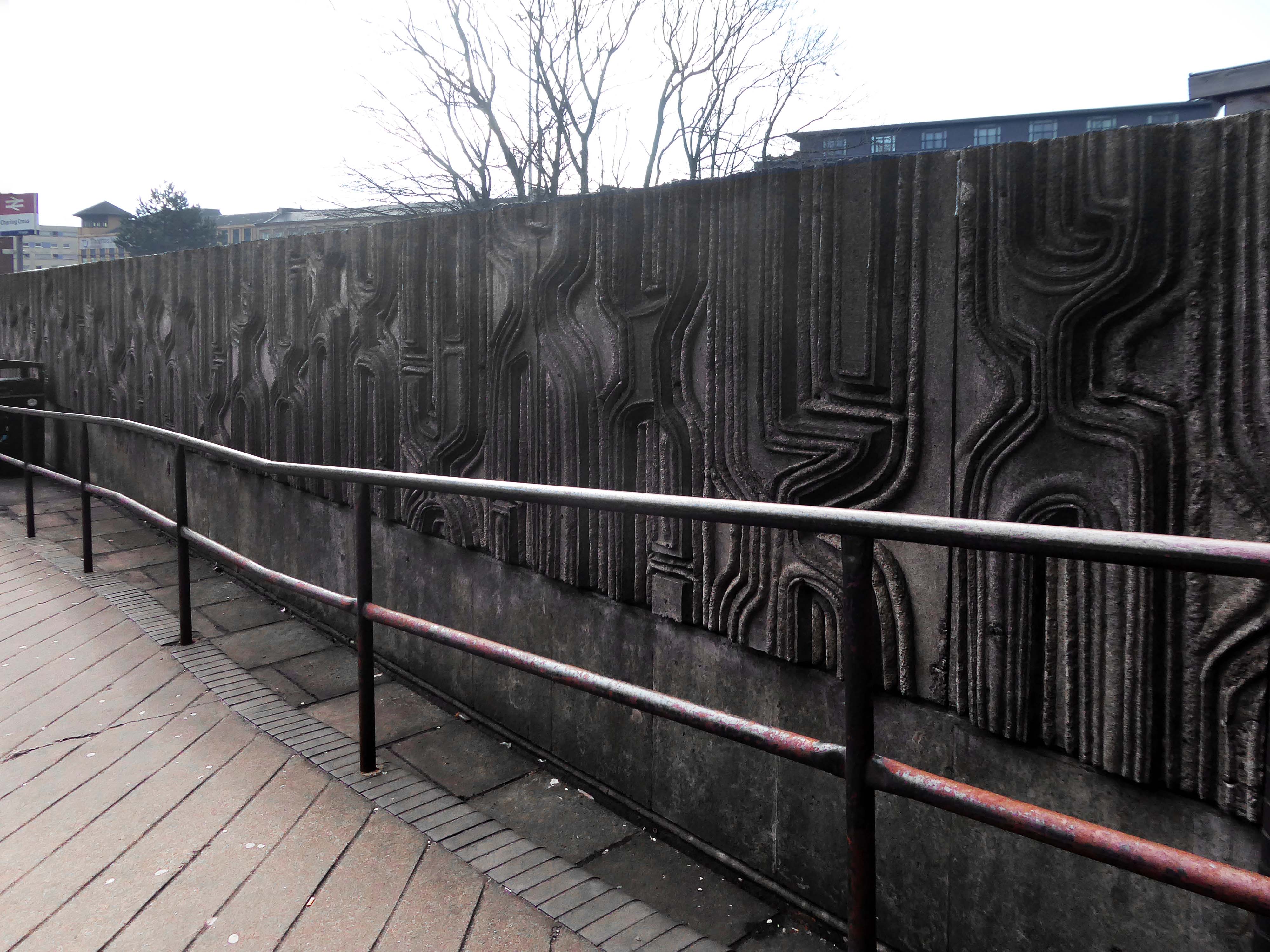
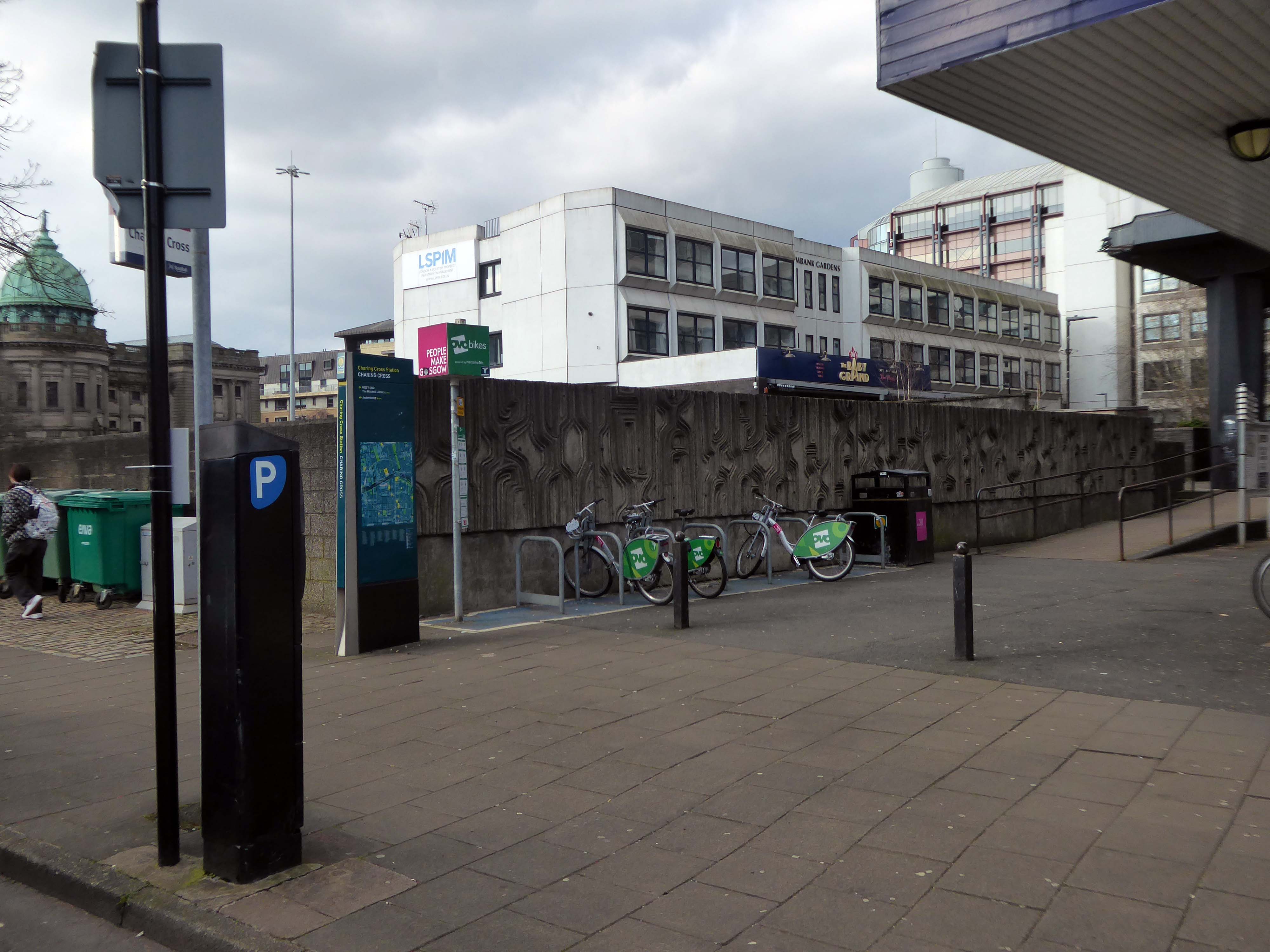
Dating from 1886, it was originally part of the Glasgow City and District Railway, the first underground railway in Scotland, and as such the station is built below the surface of the surrounding streets. The station was built using the cut and cover method, with the original walls being visible on the open air section at the western end of the platforms.
In 1968 it was demolished due to it being in the path of the new Glasgow Inner Ring Road, and the surface access to the station was moved to its eastern end, with a new surface building constructed as part of the Elmbank Gardens office complex in 1971 – the building was designed by the Richard Seifert & Partners.
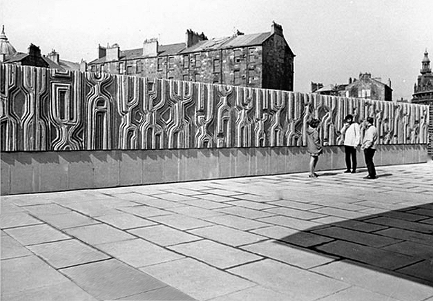
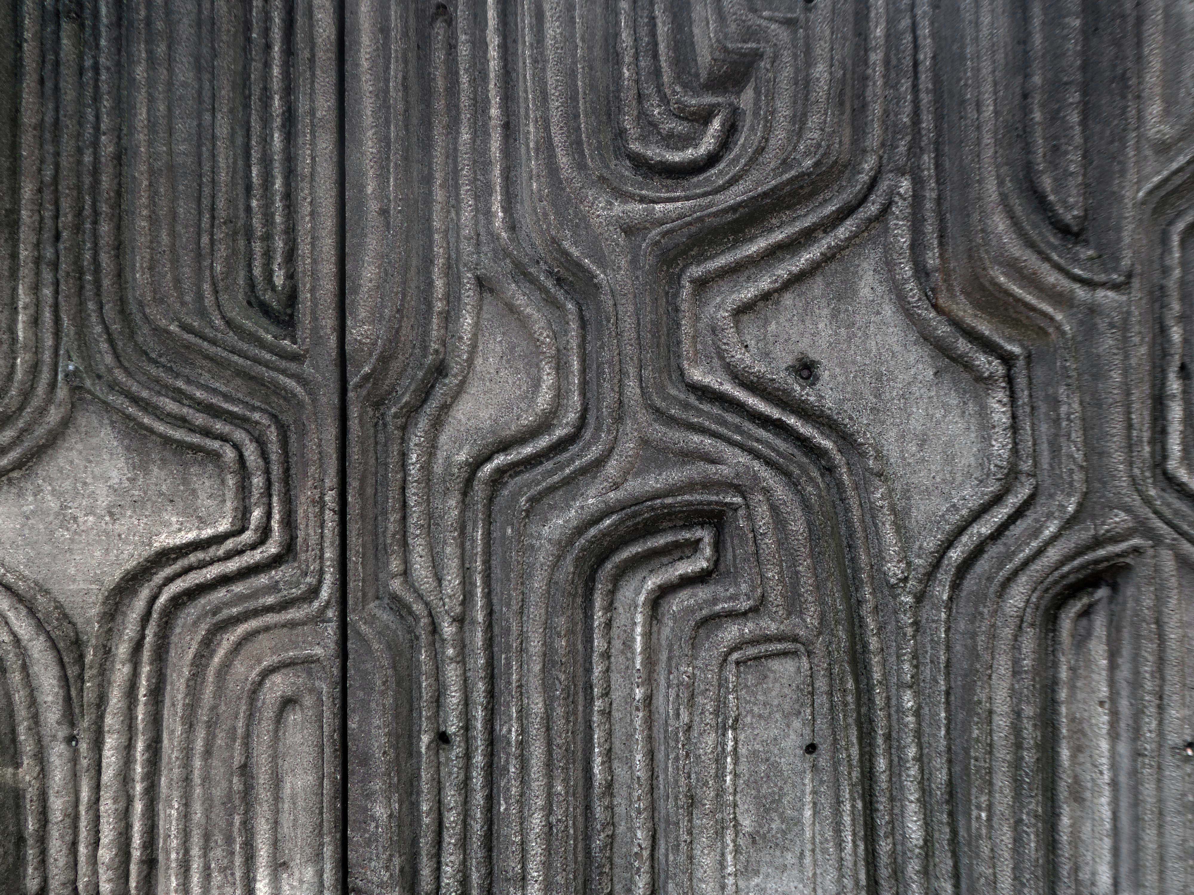
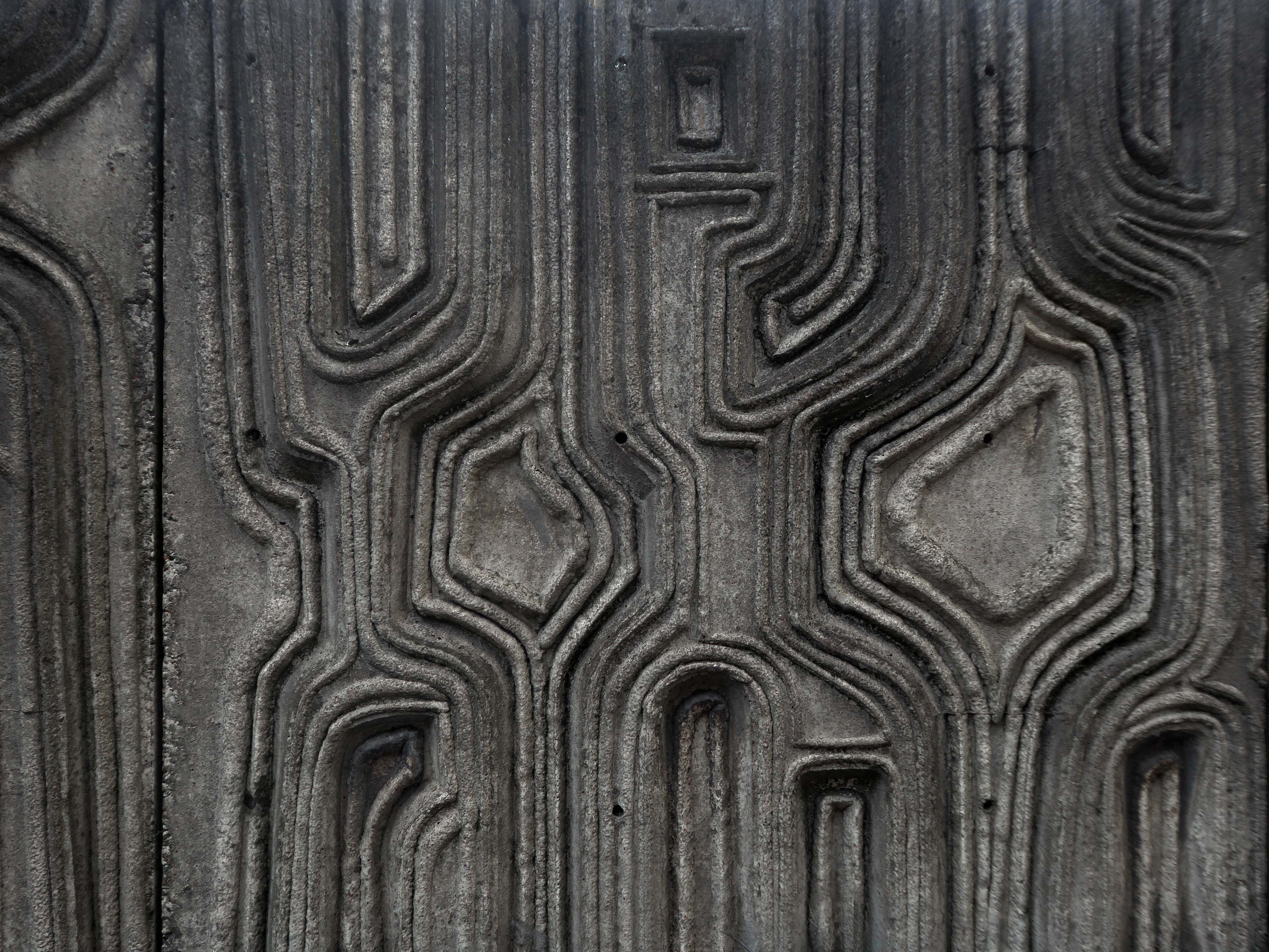
I was there in 2024 to photograph the Charles Anderson mural.
Constructed in situ – one third has now been removed at the northern end
Charles Anderson studied drawing and painting at Glasgow School of Art under David Donaldson, Mary Armour etc, graduating with Diploma in 1959. The following year he entered The Royal Scottish Academy painting competition for Post Graduate students and won the Chalmers Bursary. Joan Eardley – one of the adjudicators- took a keen interest in his work and encouraged him to exhibit at the RSA the same year.
Following a period of five years teaching art, He worked as a professional mural painter and sculptor for the next thirty years on major art and design projects throughout the United Kingdom, carrying out commissions for a wide variety of clients including local authorities, property developers, banks and major insurance companies. His most prestigious commission to date was the result of winning a national sculpture competition to provide a bronze figurative group which is entitled “The Community” for Livingston New Town in 1996. In early 1997 he returned to the painting of easel pictures and contributed to the annual exhibitions of The Royal Glasgow Institute, the Royal Scottish Society of Painters in Watercolours, The Royal Scottish Academy and The Paisley Art Institute. He has works in various private collections throughout the U.K. and abroad.
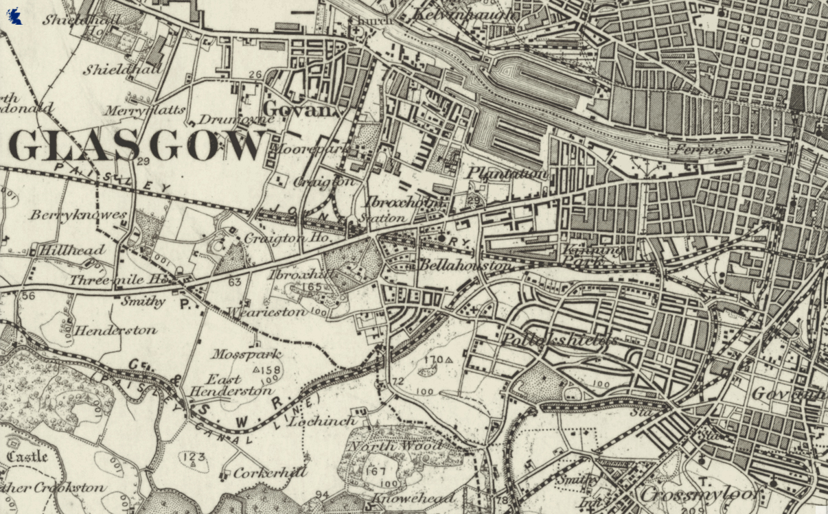
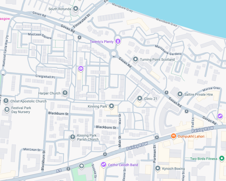
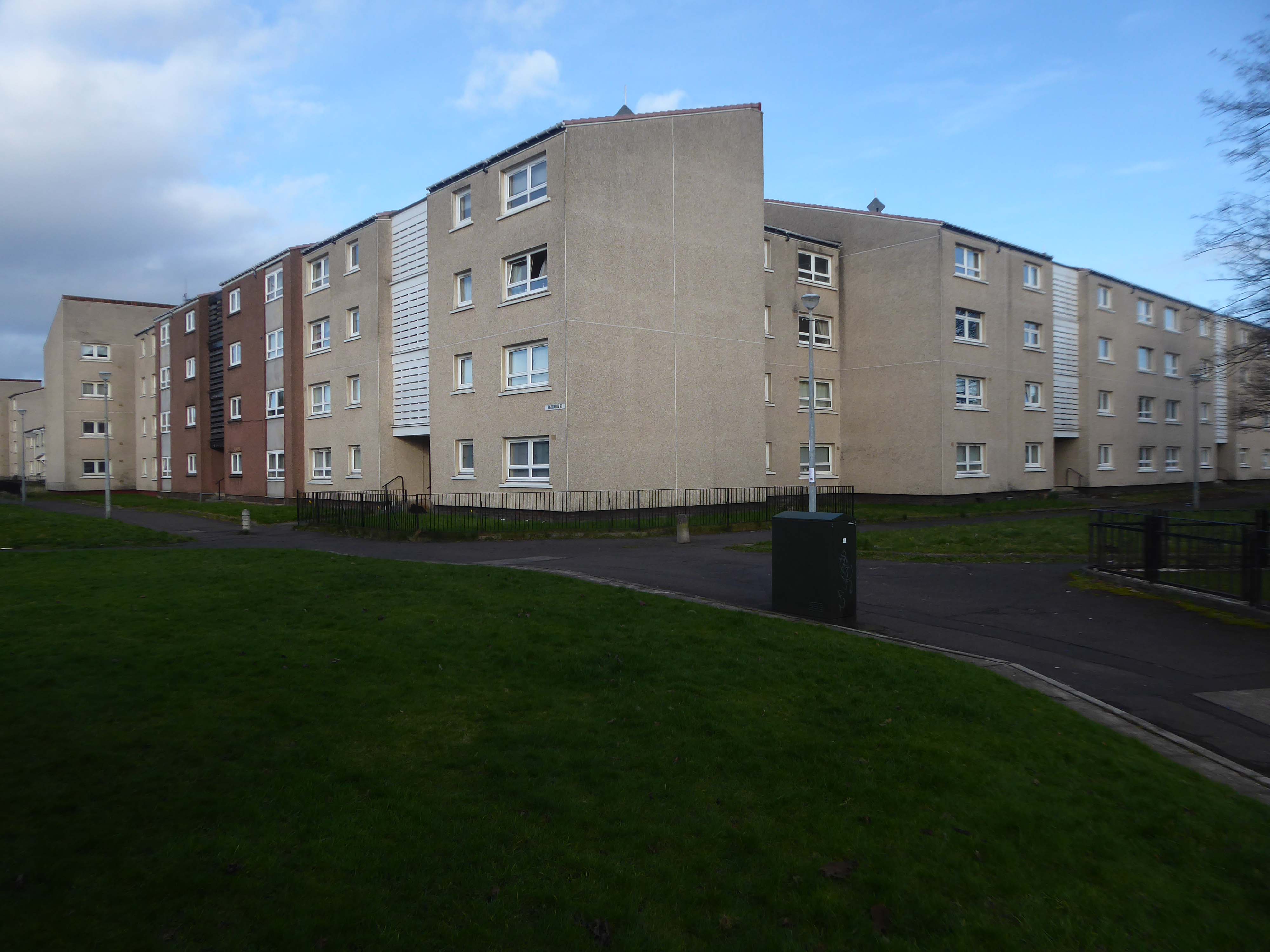
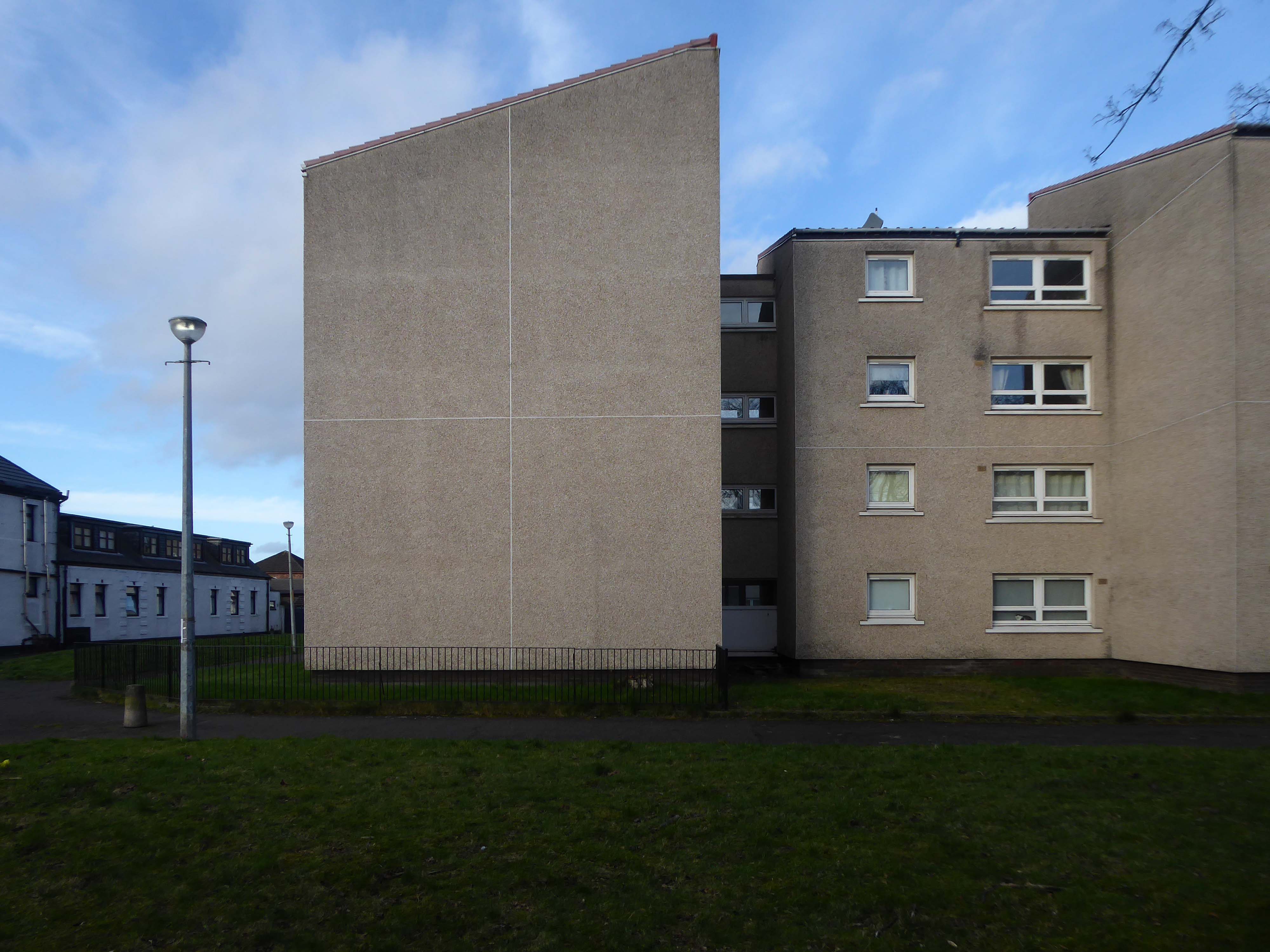
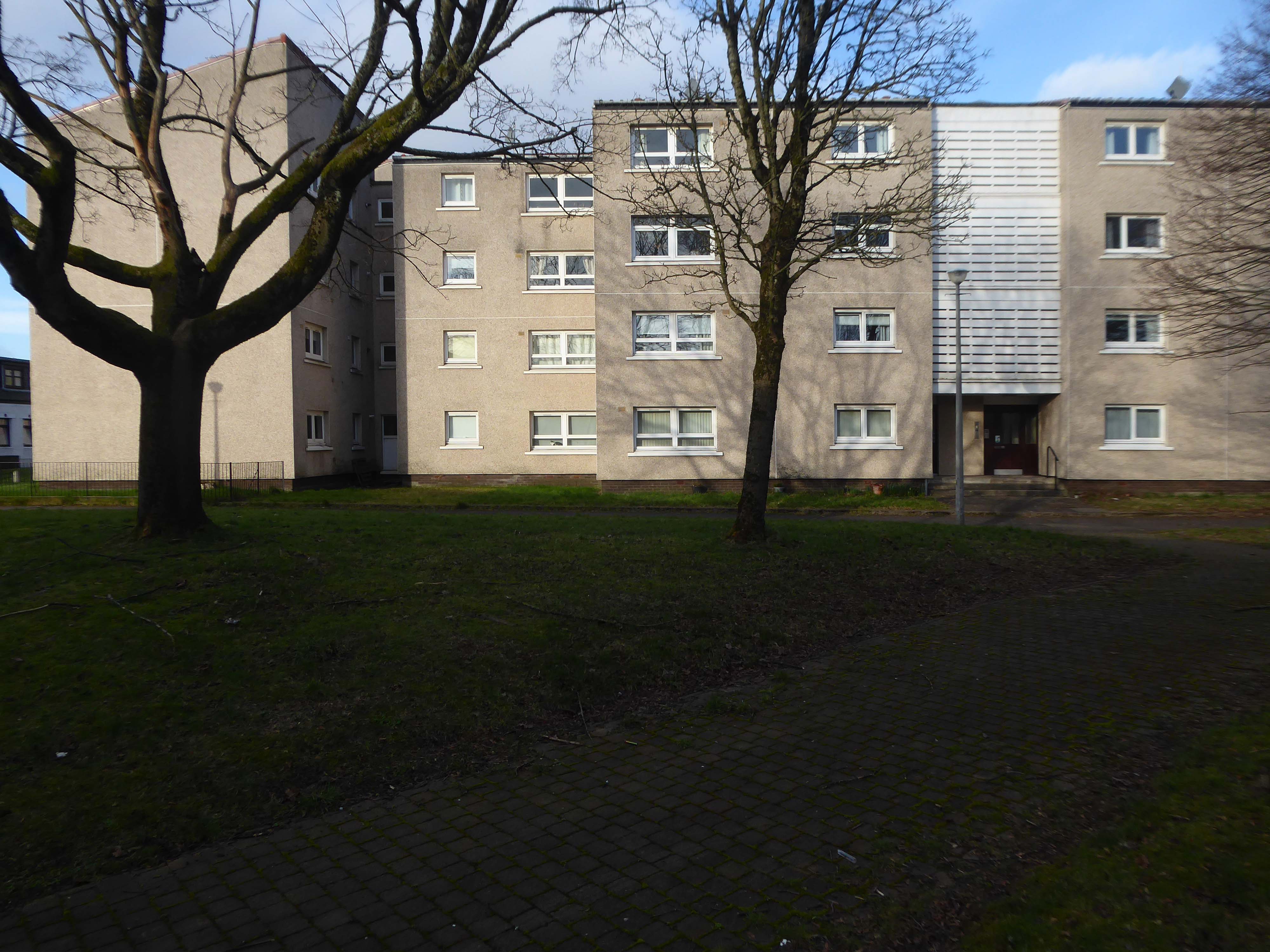
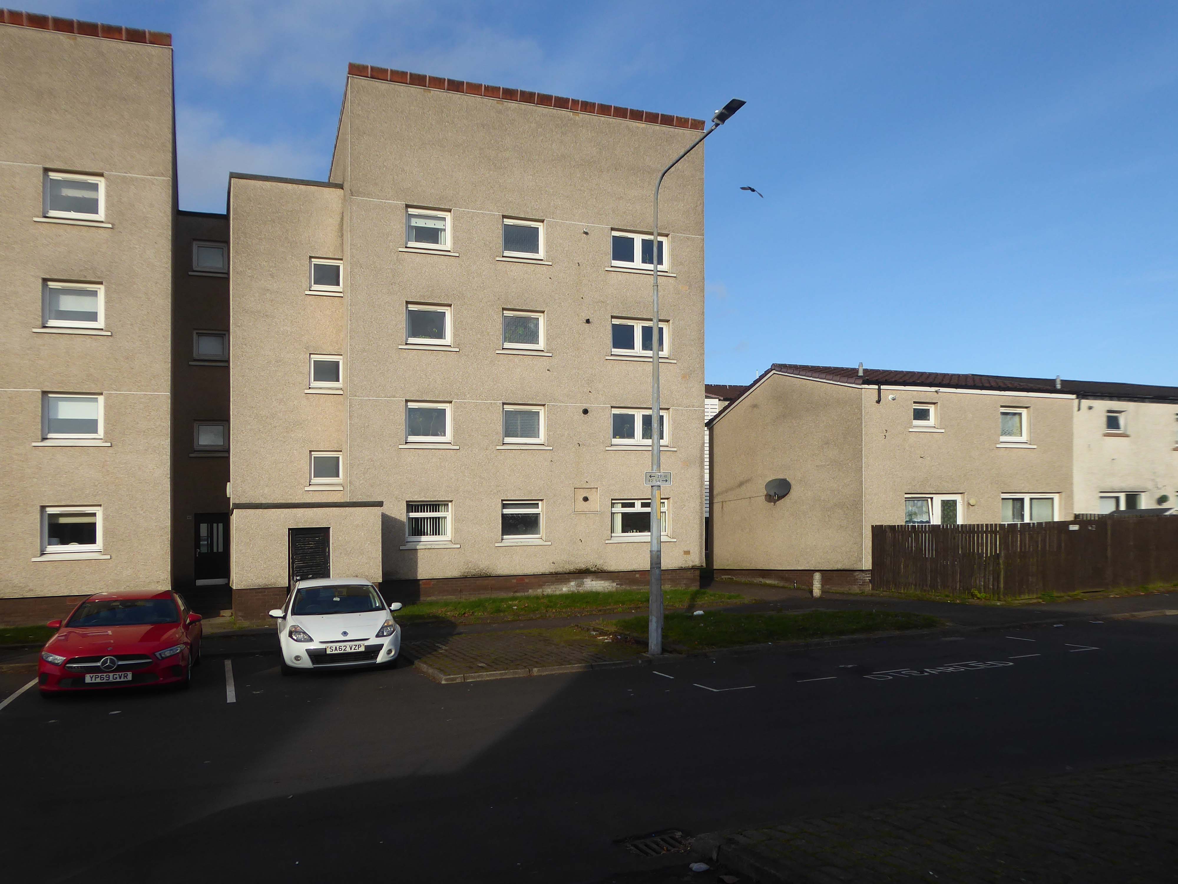
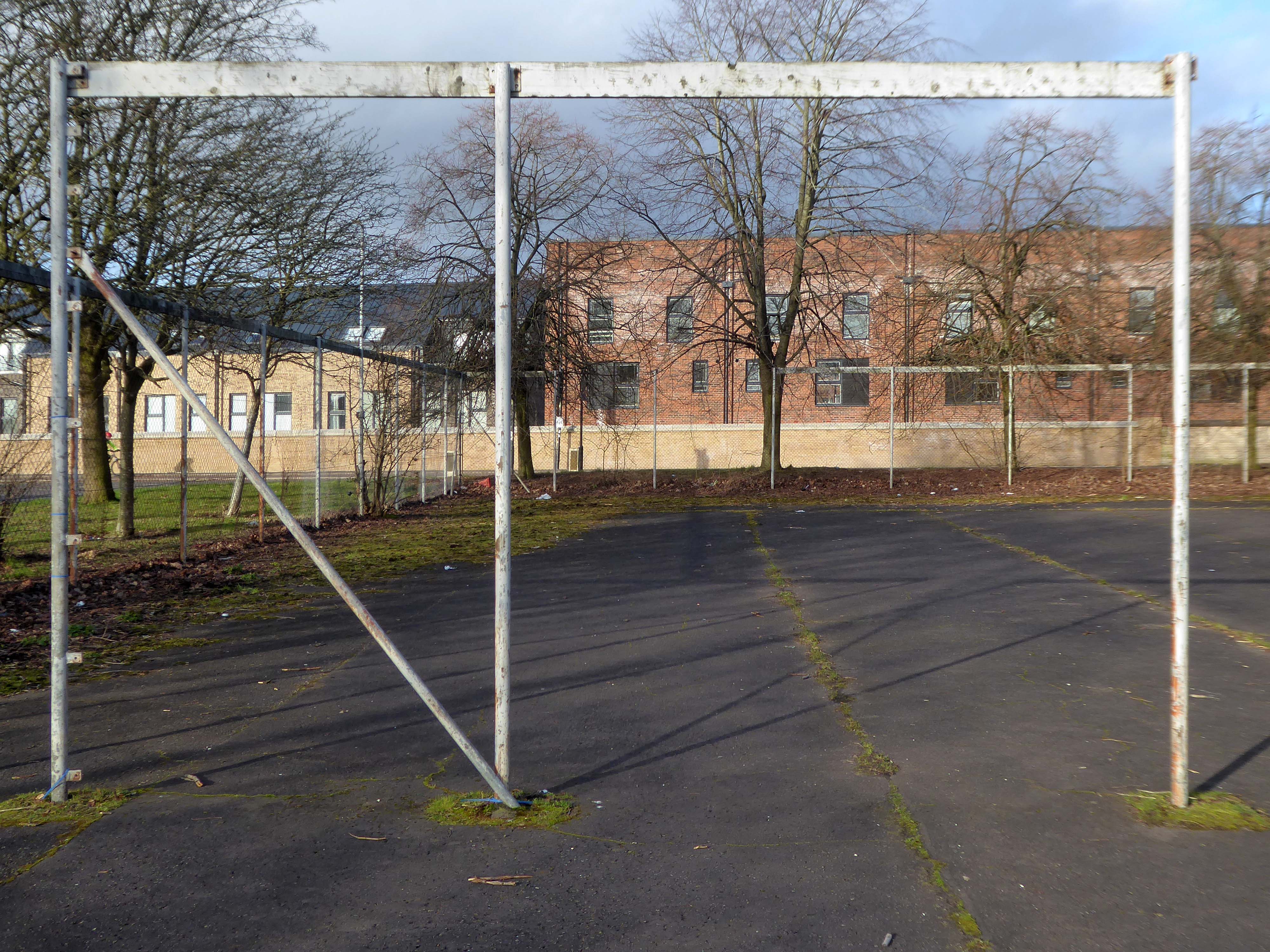
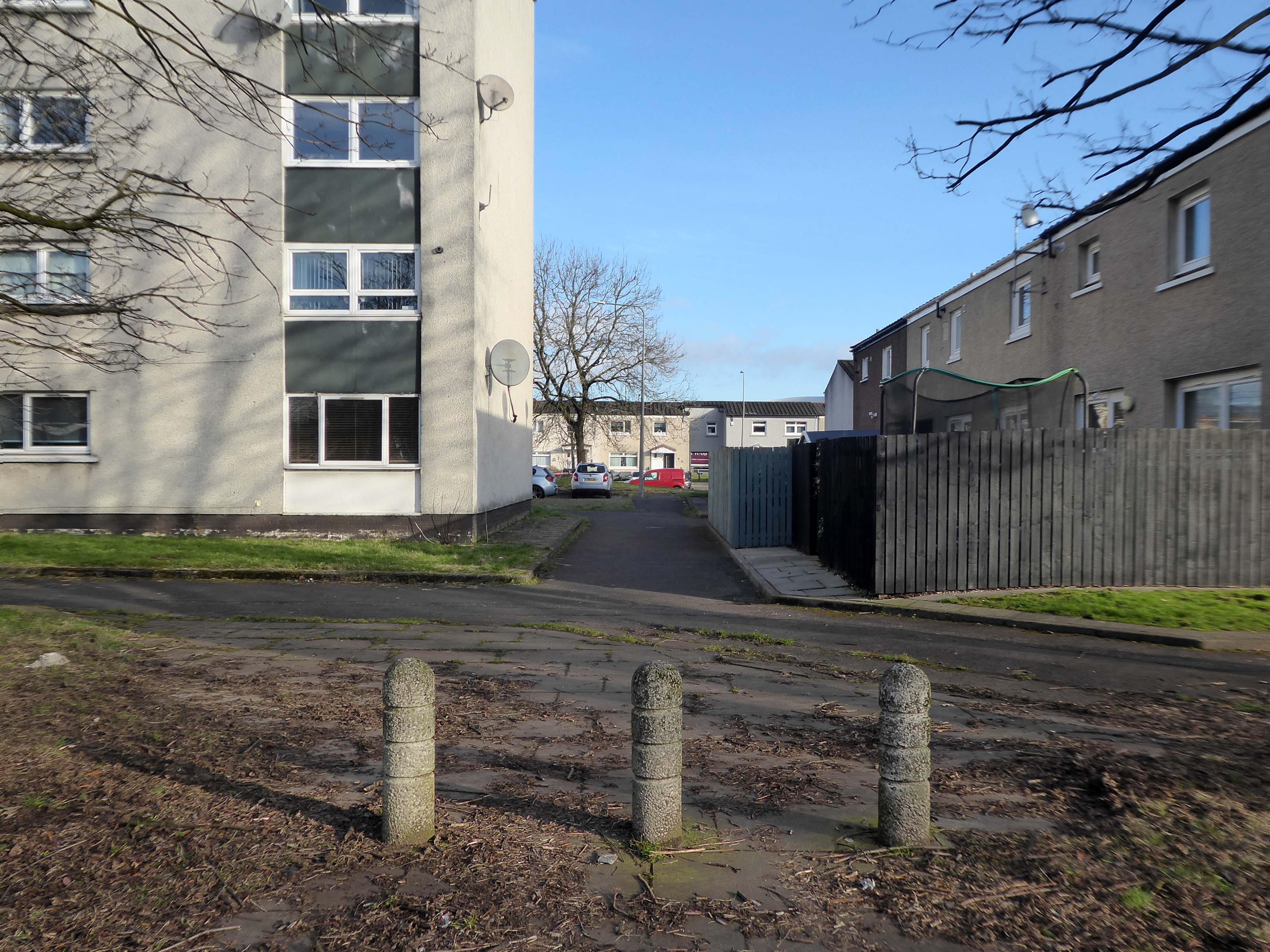
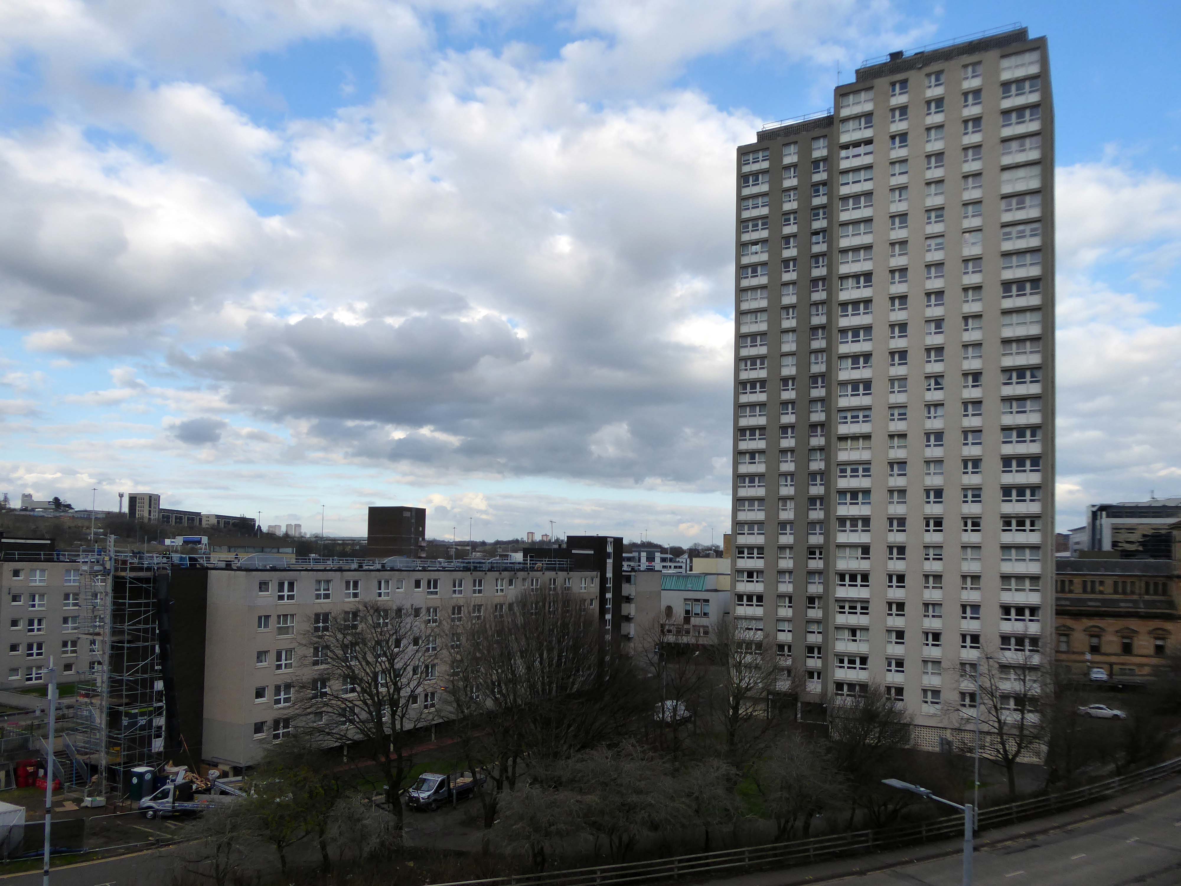
Plantation is an area in the city of Glasgow, Scotland. It is situated south of the River Clyde and is part of the former Burgh of Govan. It lies approximately between the areas of Cessnock and Ibrox to the west, Kingston to the east, and Kinning Park to the south.
The 80-acre Craigiehall estate, previously three smaller properties, was bought in 1783 by John Robertson, a cashier in the Glasgow Arms Bank, who with his brothers owned cotton and sugar plantations in the West Indies. He renamed it Plantation, possibly as a reminder of the West Indies plantations. It then, in 1793, passed to John Mair, a merchant who developed the building and gardens. Plantation passed to the Maclean family, in 1829, in the person of William Maclean, a Glasgow Baillie.
In the years that followed, the estate was bisected by the railway to the south, with the shipbuilding yards of The Clyde Trust cutting off the estate from the river. Plantation was laid out for tenement houses in the 1870s and Maclean, Plantation, Mair and Craigiehall Streets refer to the history of the old estate.
Plantation Quay formed part of the site for the Glasgow Garden Festival in 1988 and subsequent Glasgow Science Centre.
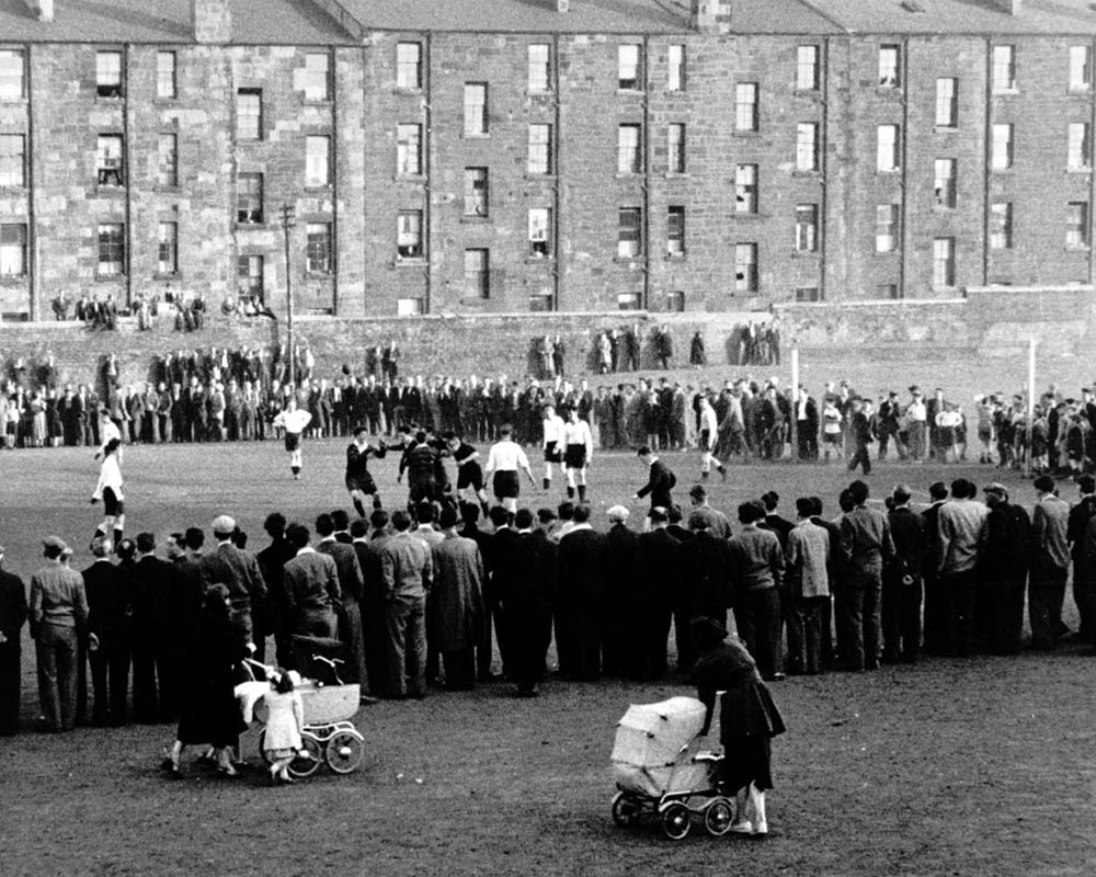
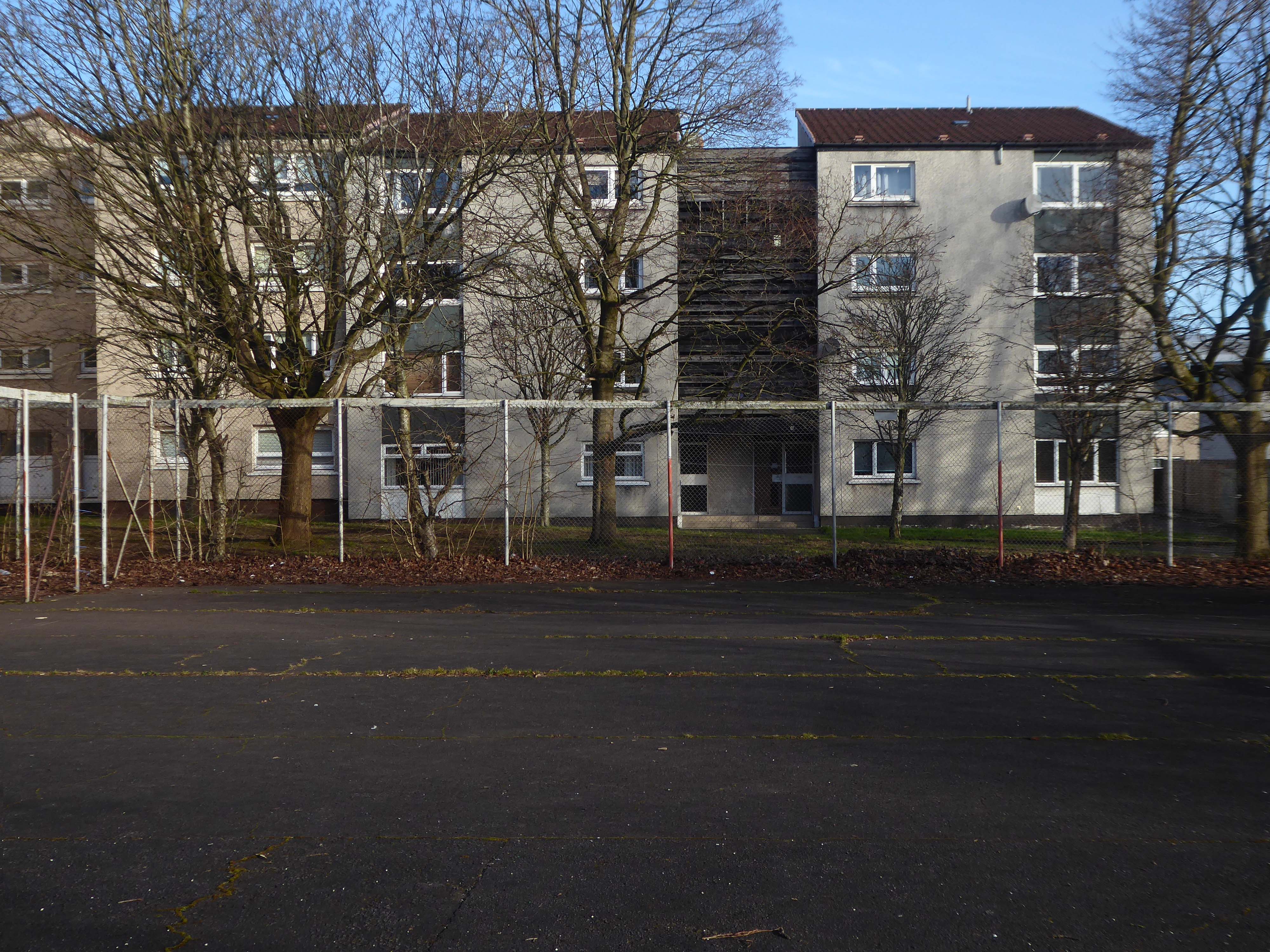
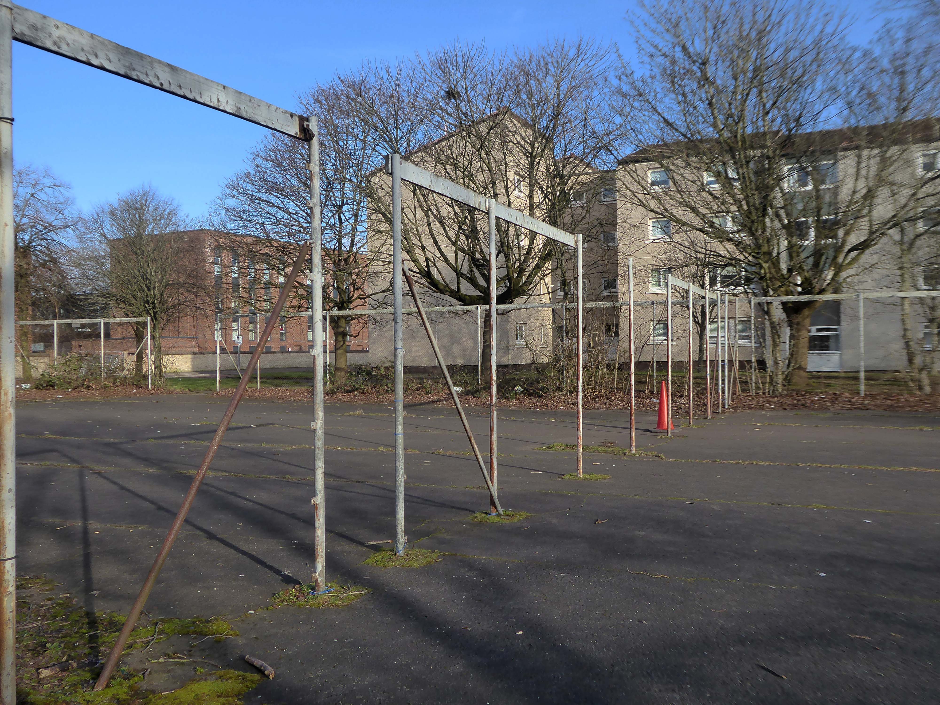
A crowd gathered to watch a football match at Plantation, 1955. The players in dark jerseys appear to be celebrating a goal.
The mostly male spectators are focused on the game, while in the foreground a couple of women pass by with prams. The tenements in the background provide their inhabitants with a bird’s-eye view of the match. Other spectators are perched on top of a high wall separating the tenement back courts from the football pitch.
In 1955 Partick Camera Club set out to create a photographic survey of Glasgow. As the project progressed, other camera clubs joined and each was allocated a district of the city to photograph. Glasgow Museums exhibited the photographs at Kelvingrove Art Gallery and Museum and at the People’s Place, and in 1956 the exhibition was shown at the Palace of Art in Bellahouston Park. The photographs are now part of Glasgow Museums’ collections.
So the folks, homes, industry and streets of the past have been and gone.
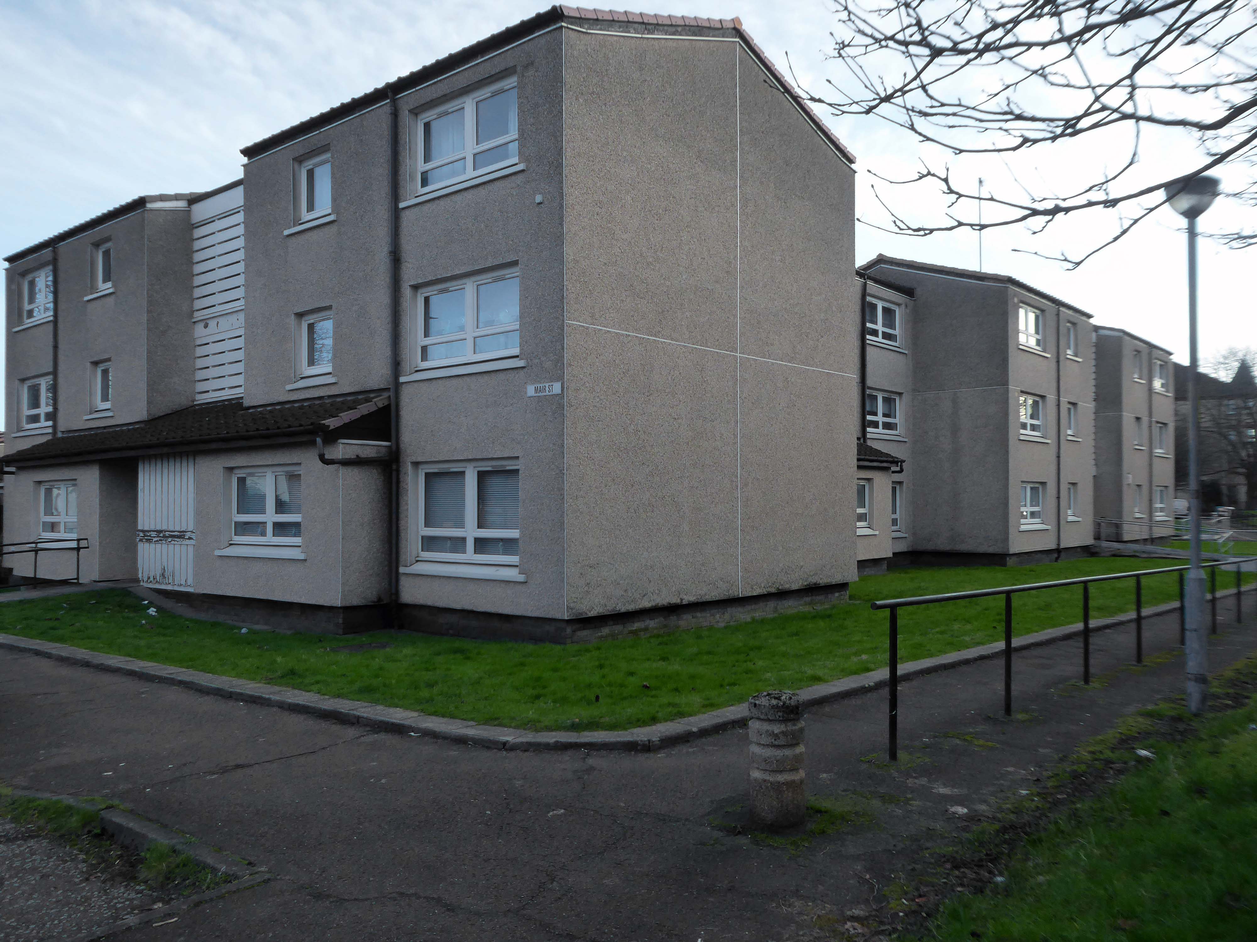
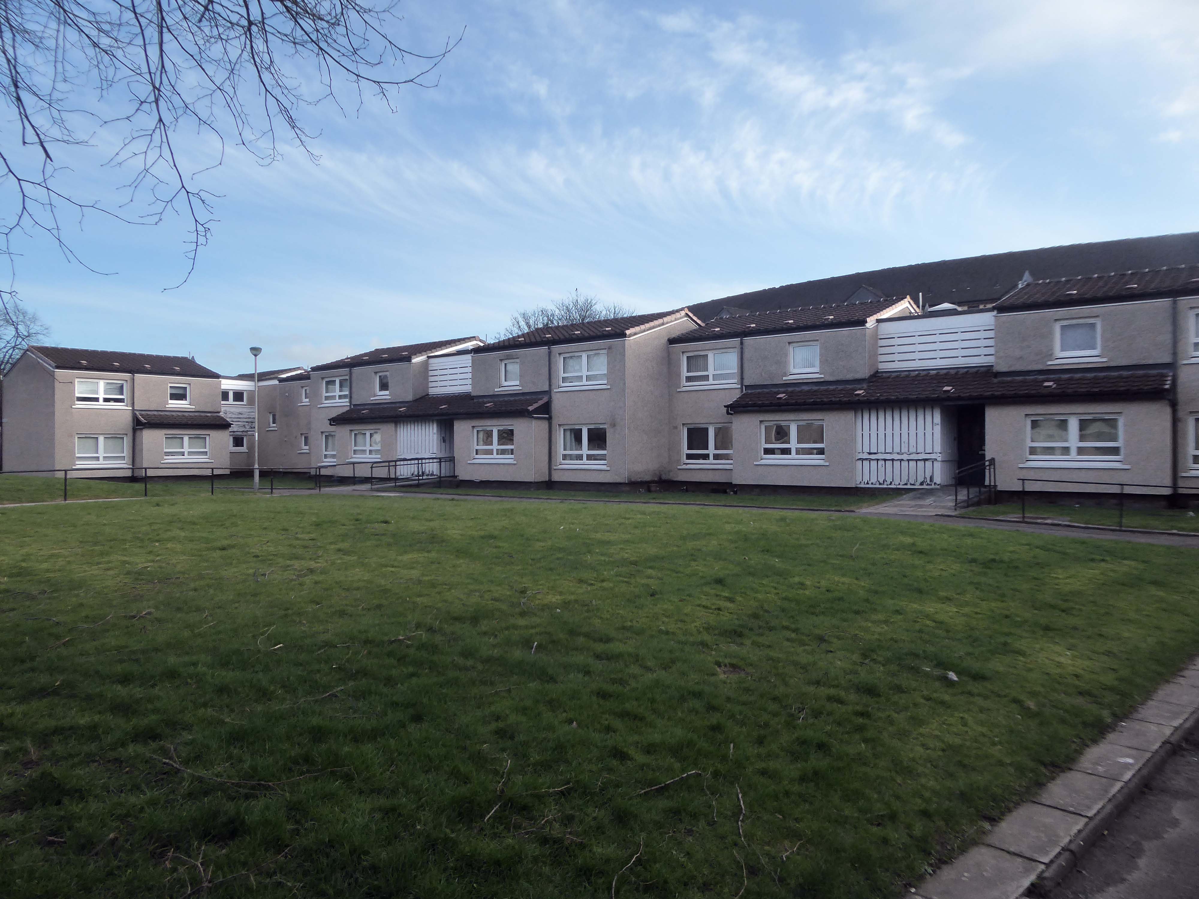
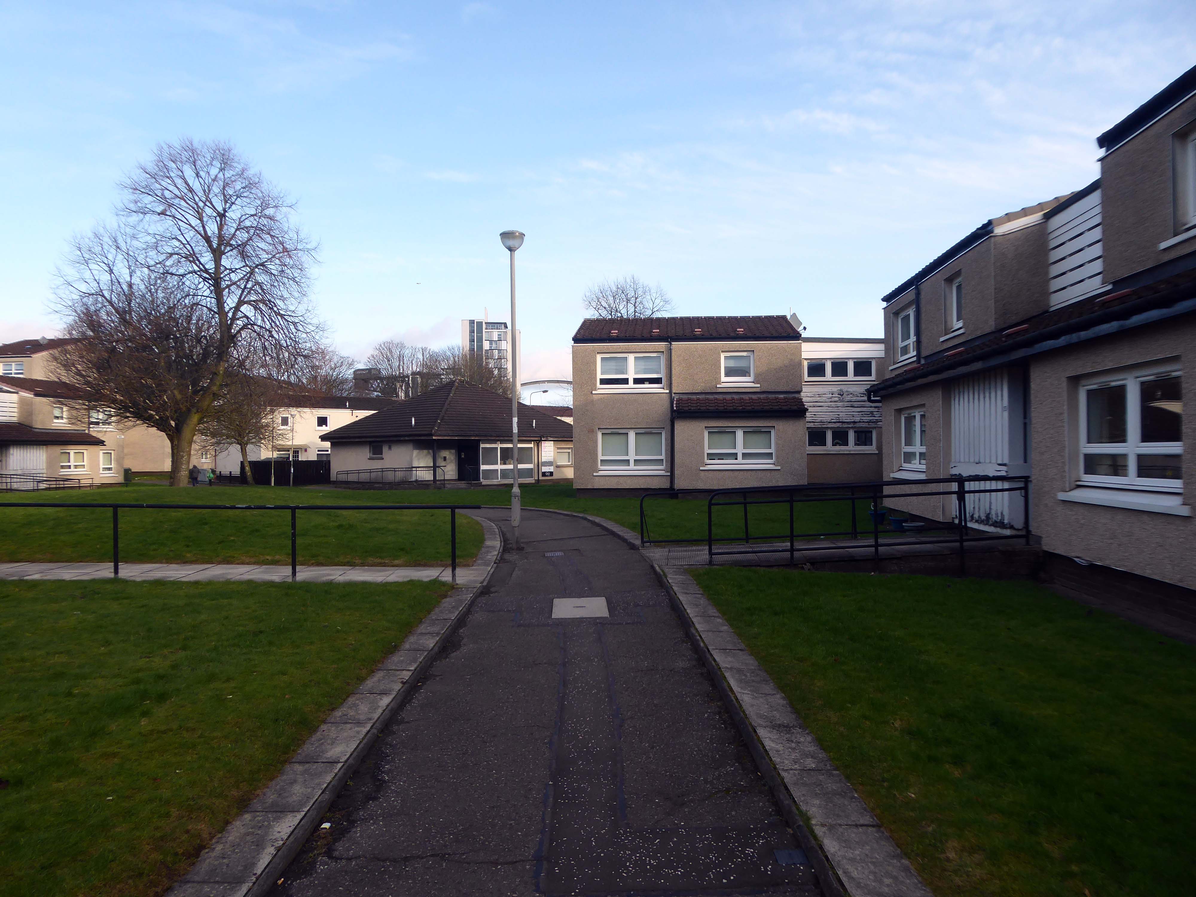
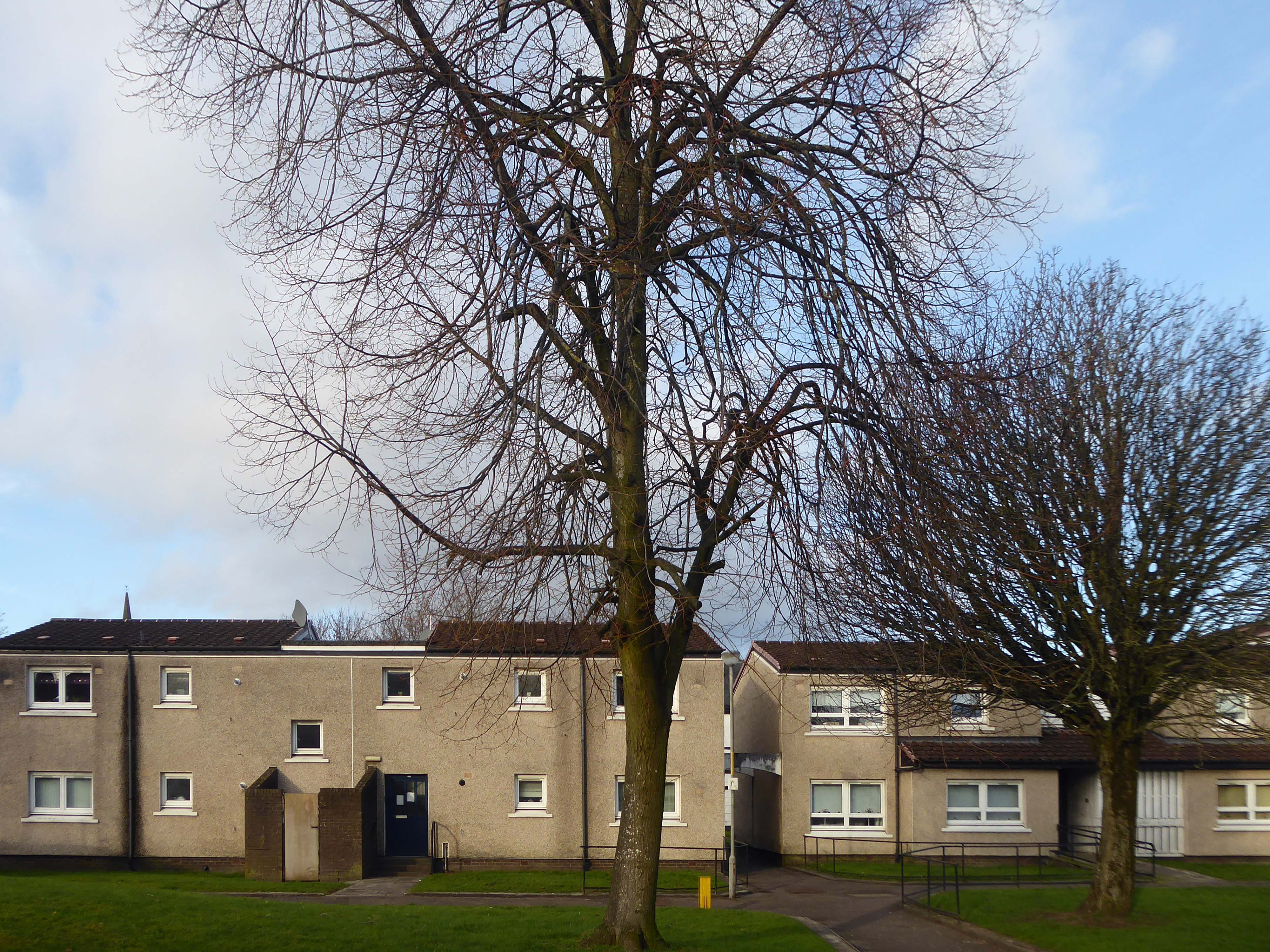
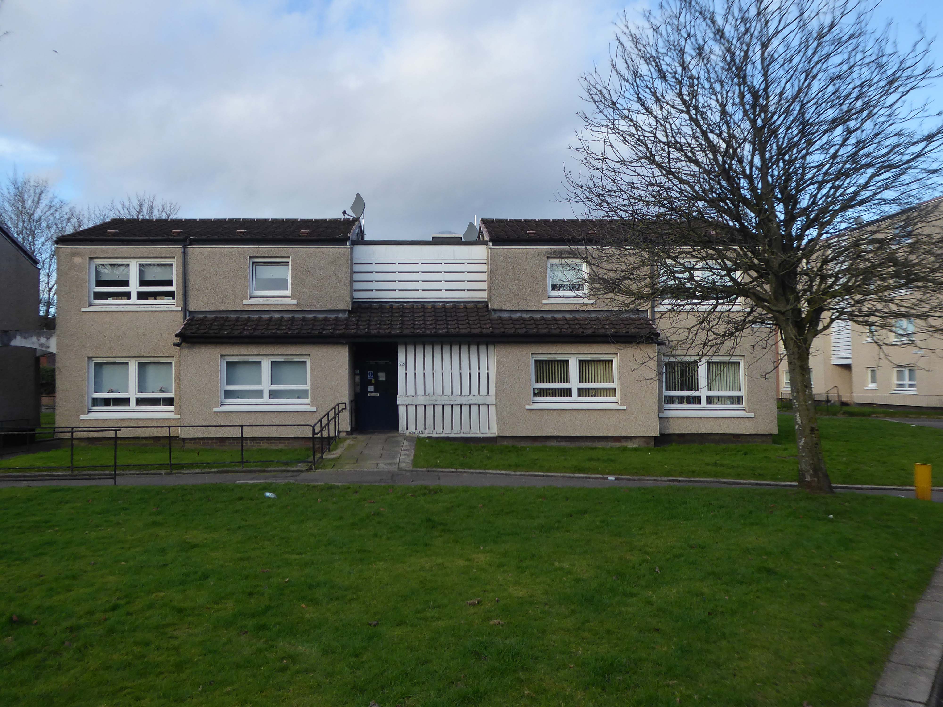
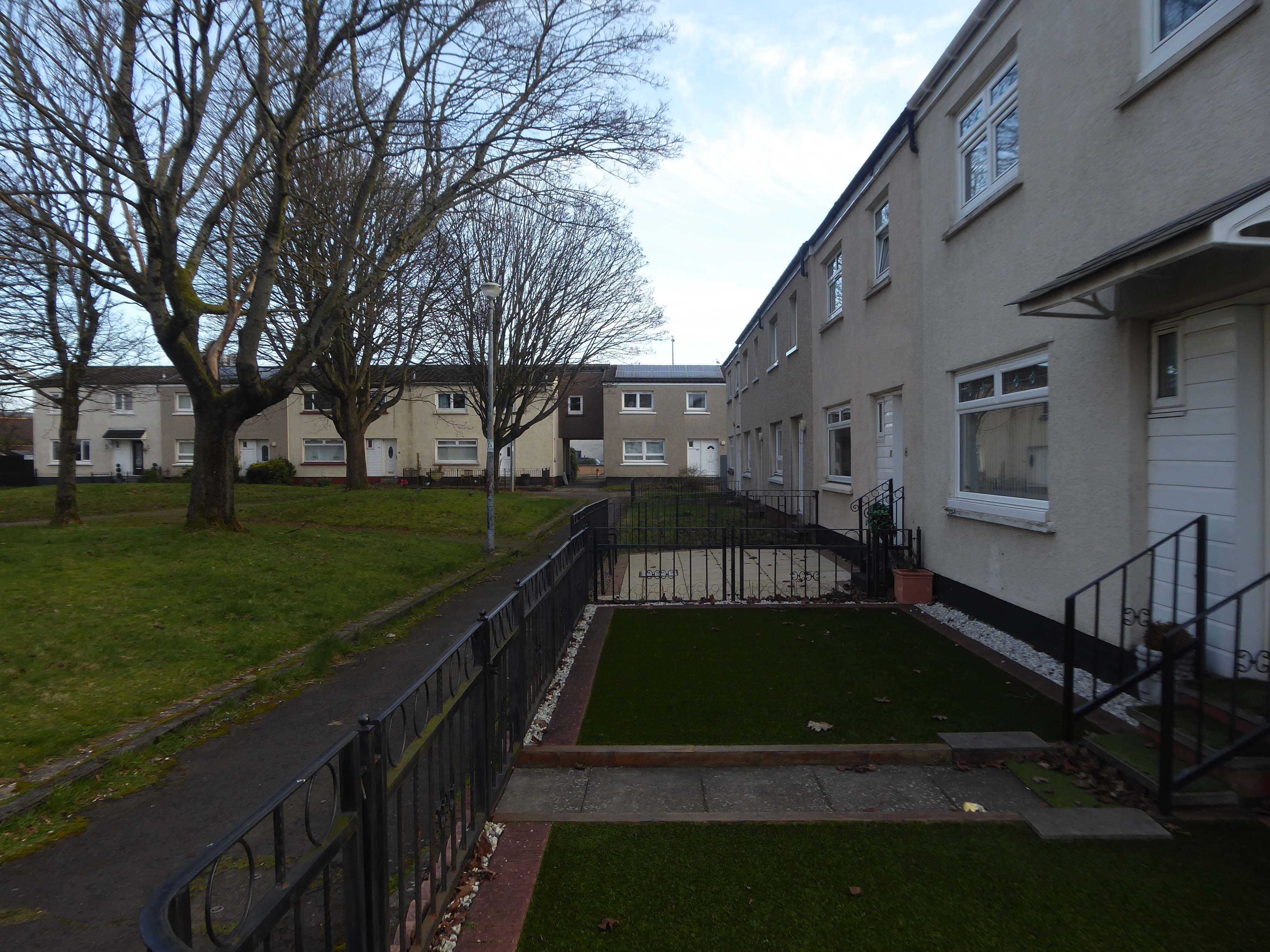
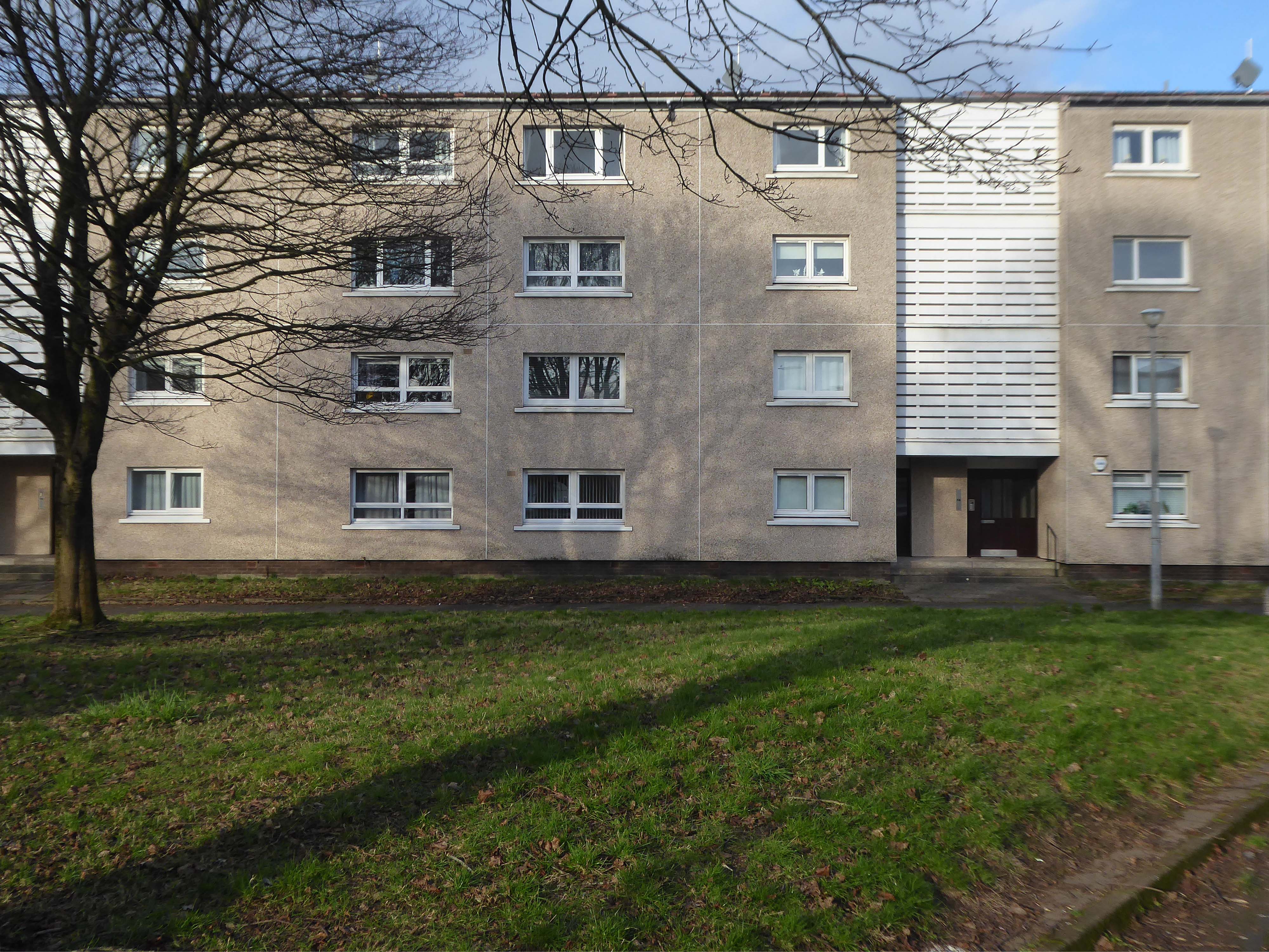
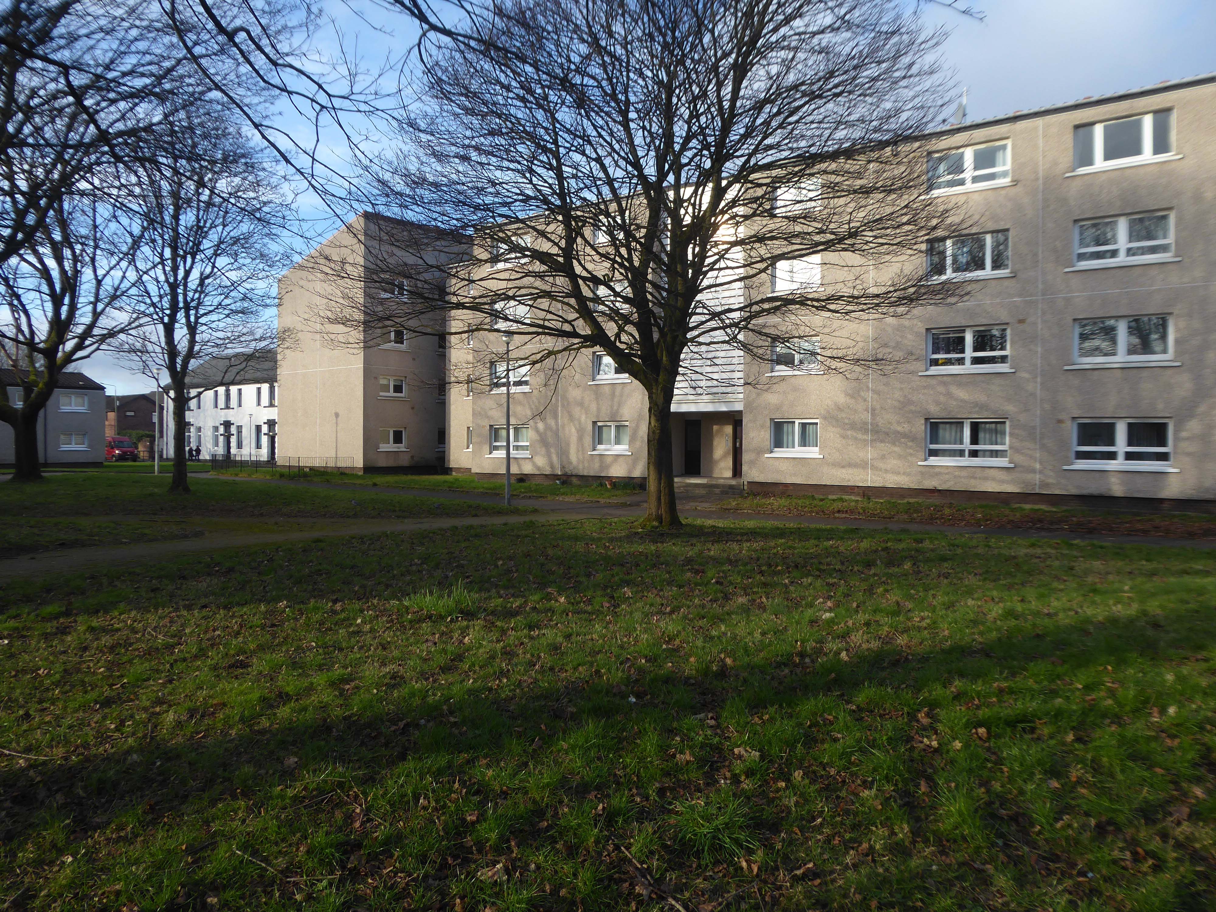
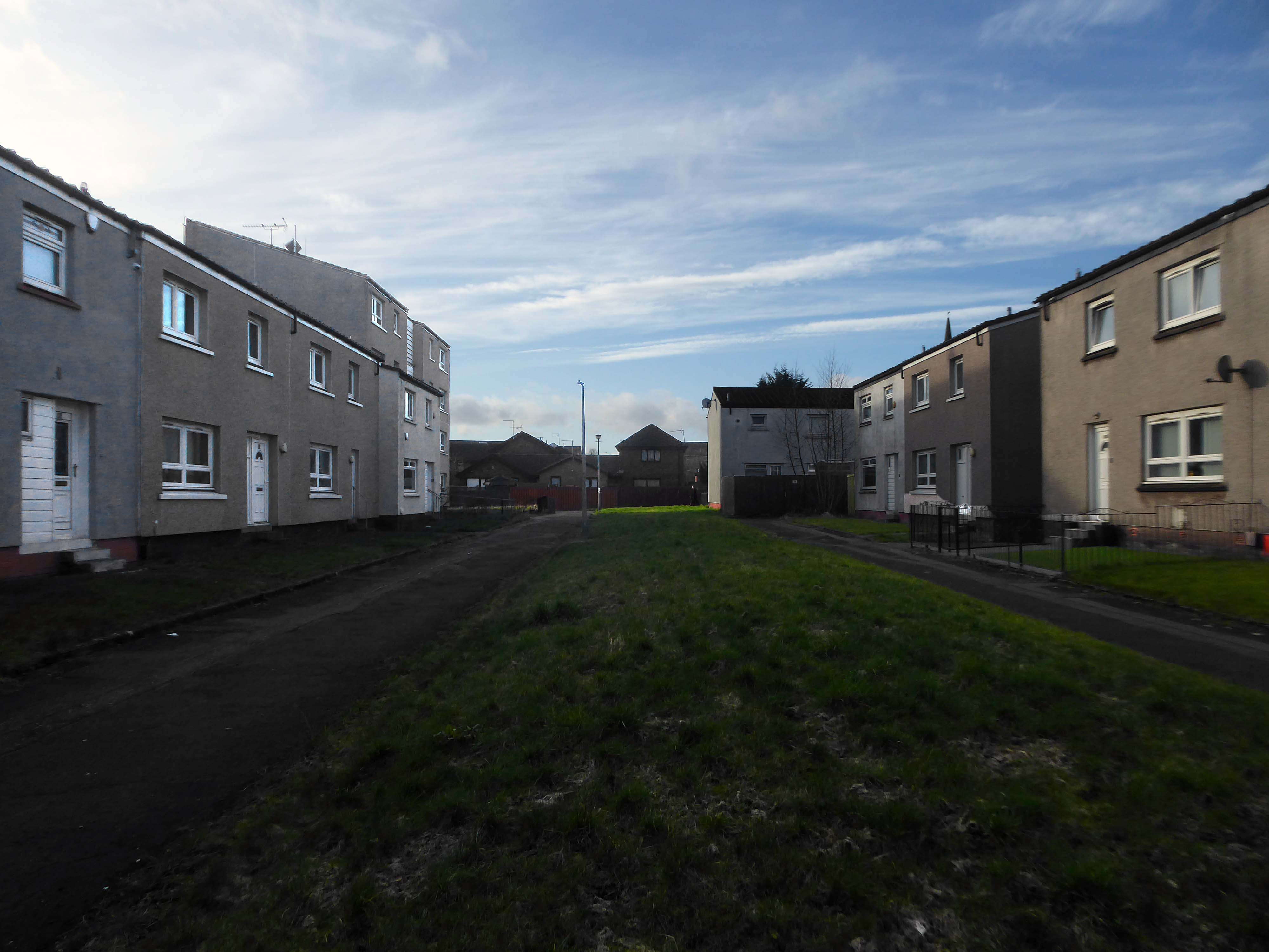
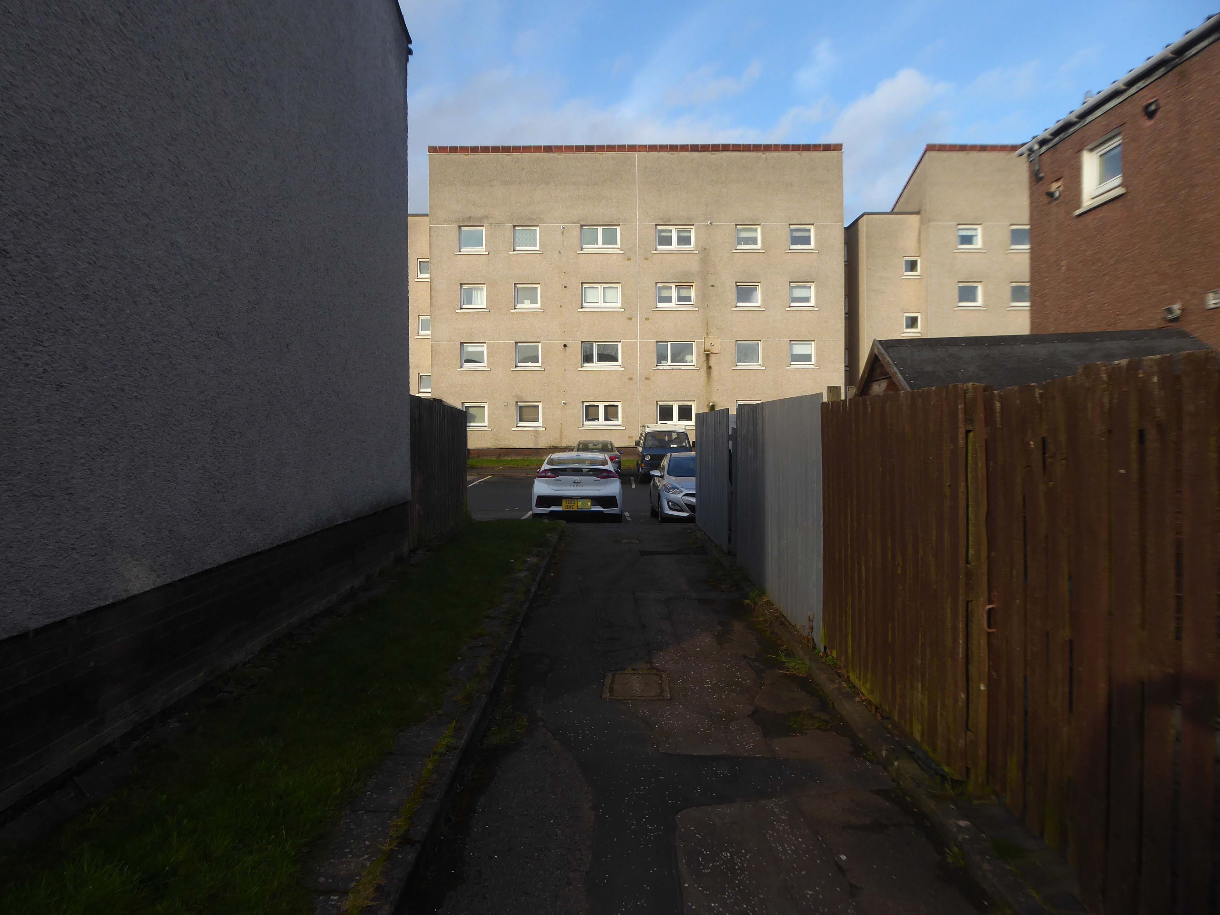
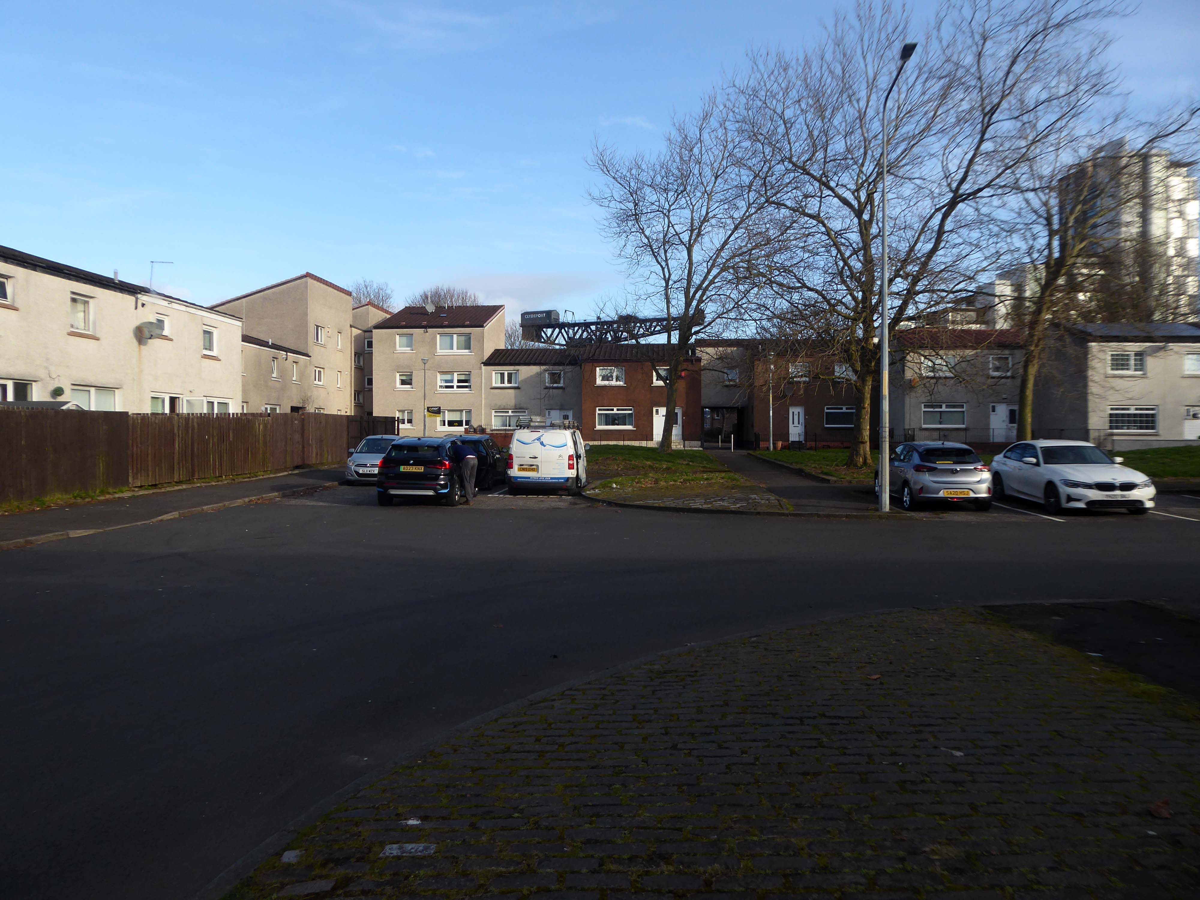
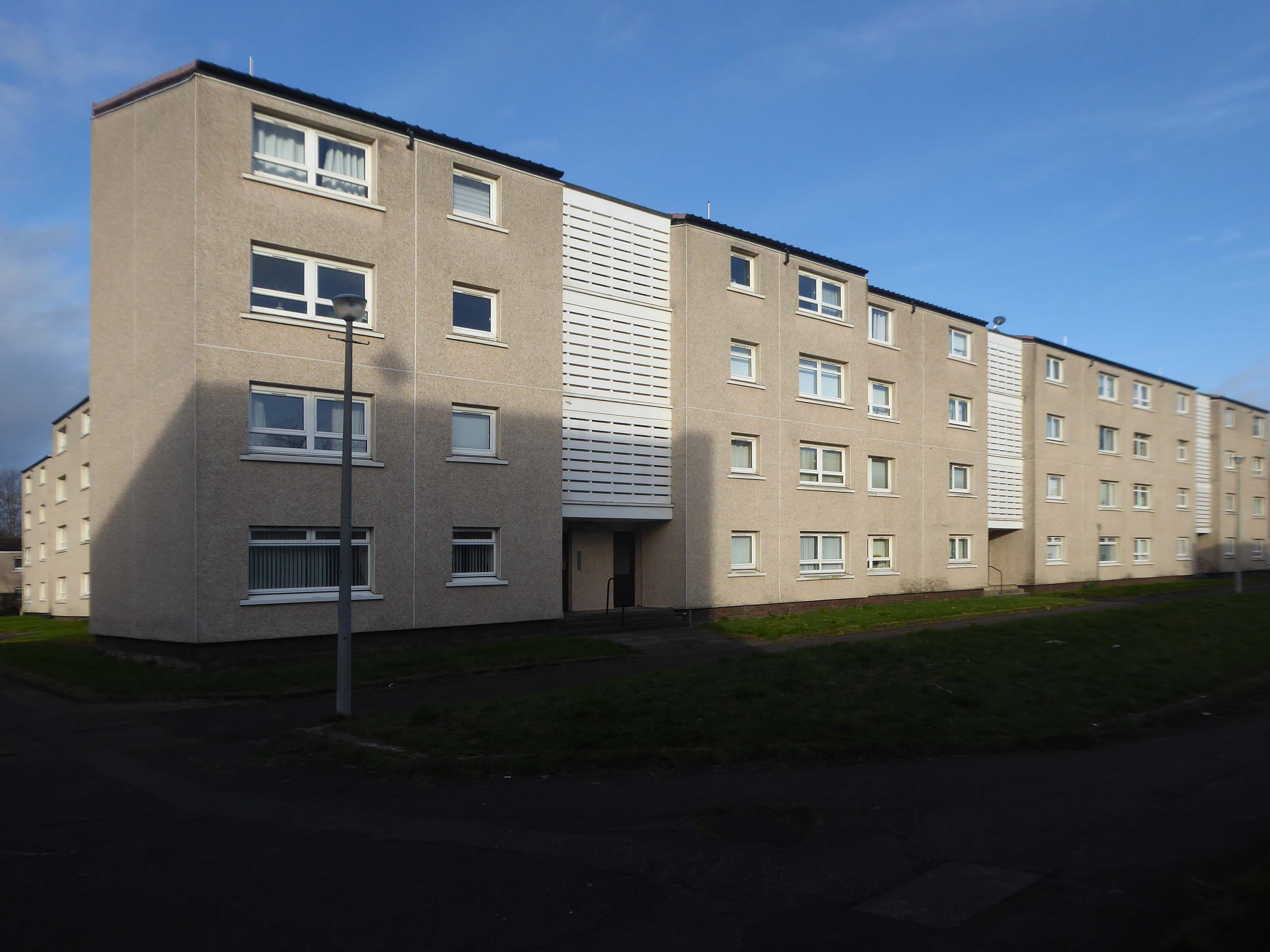
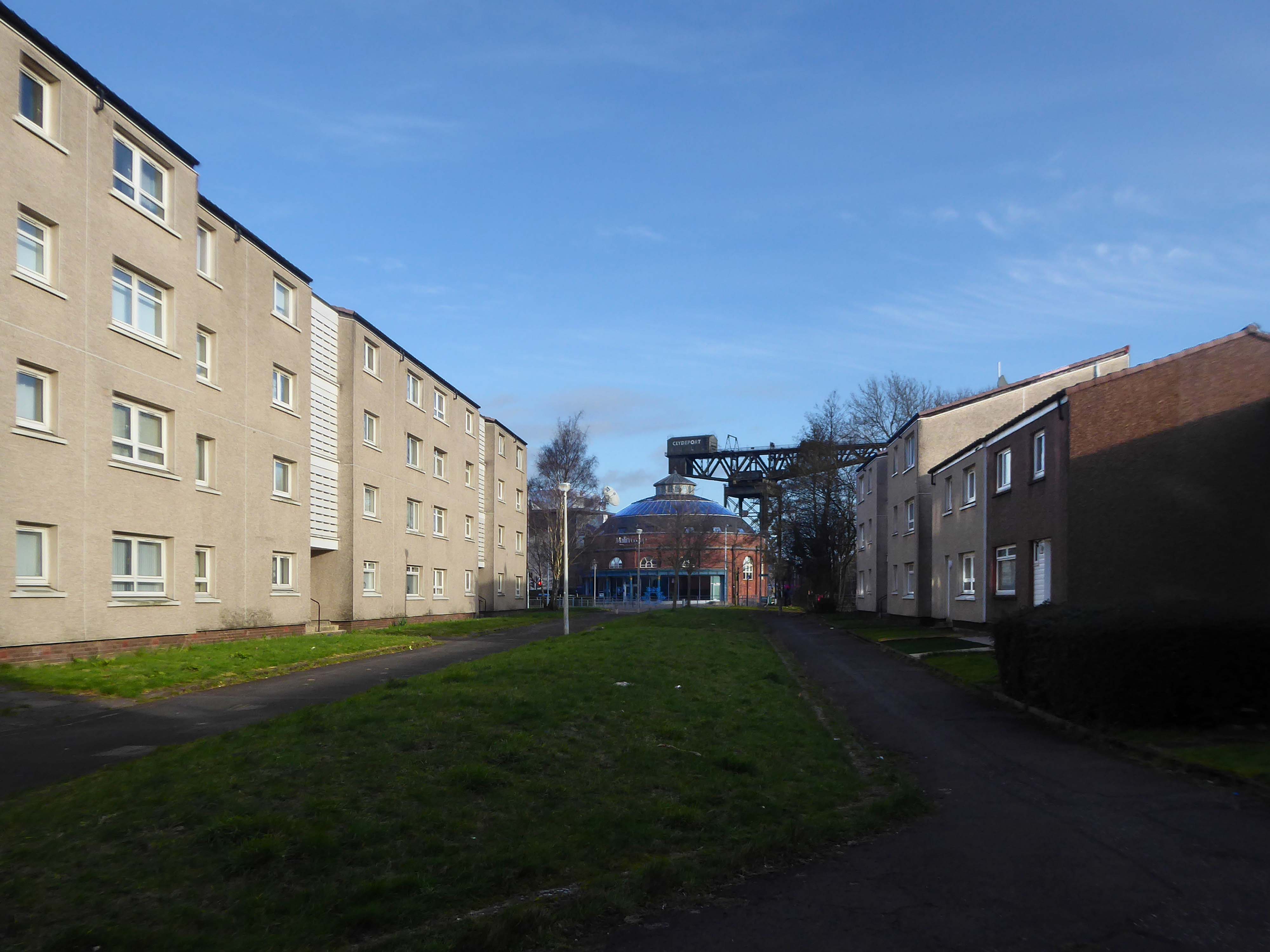
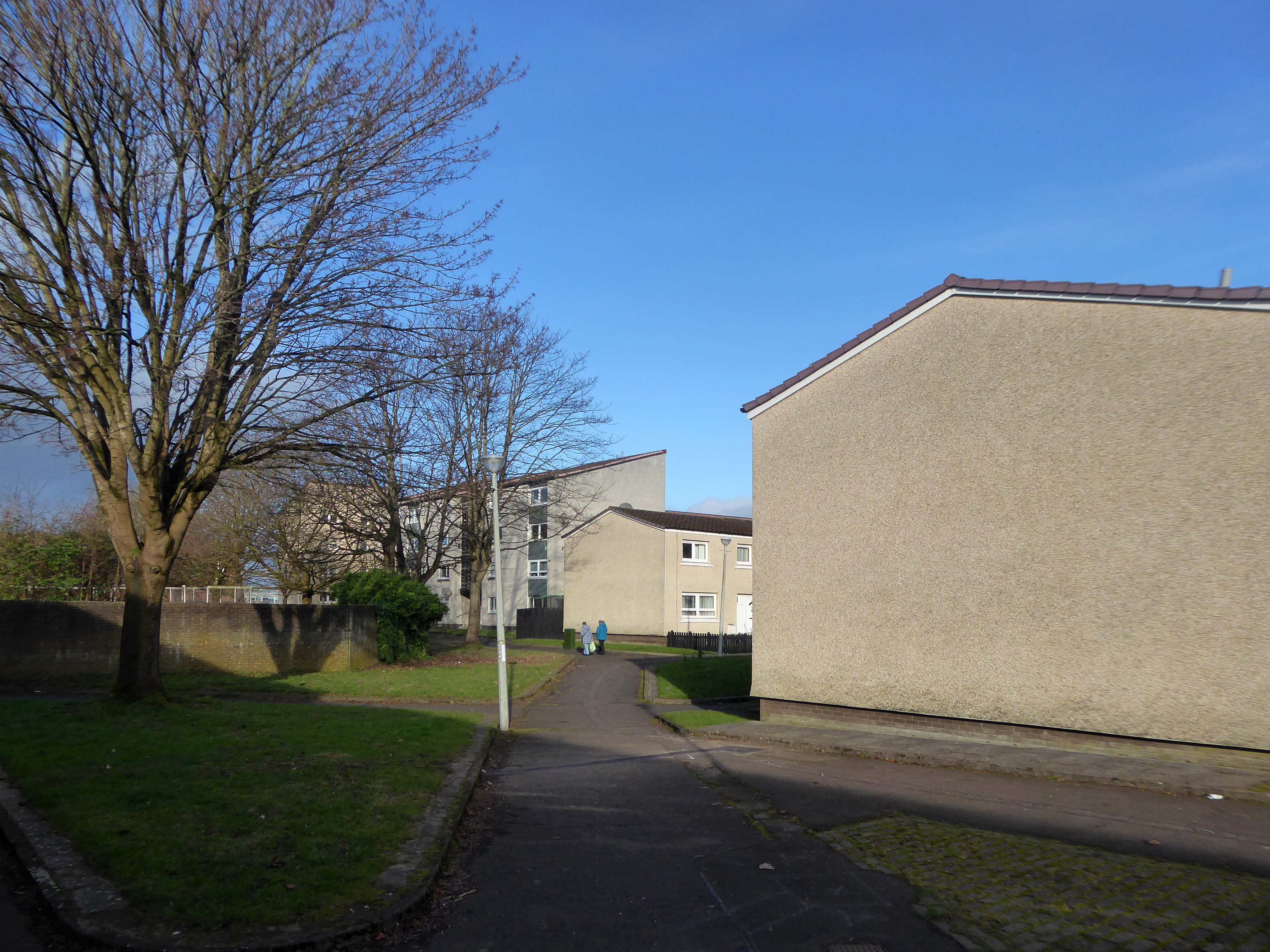
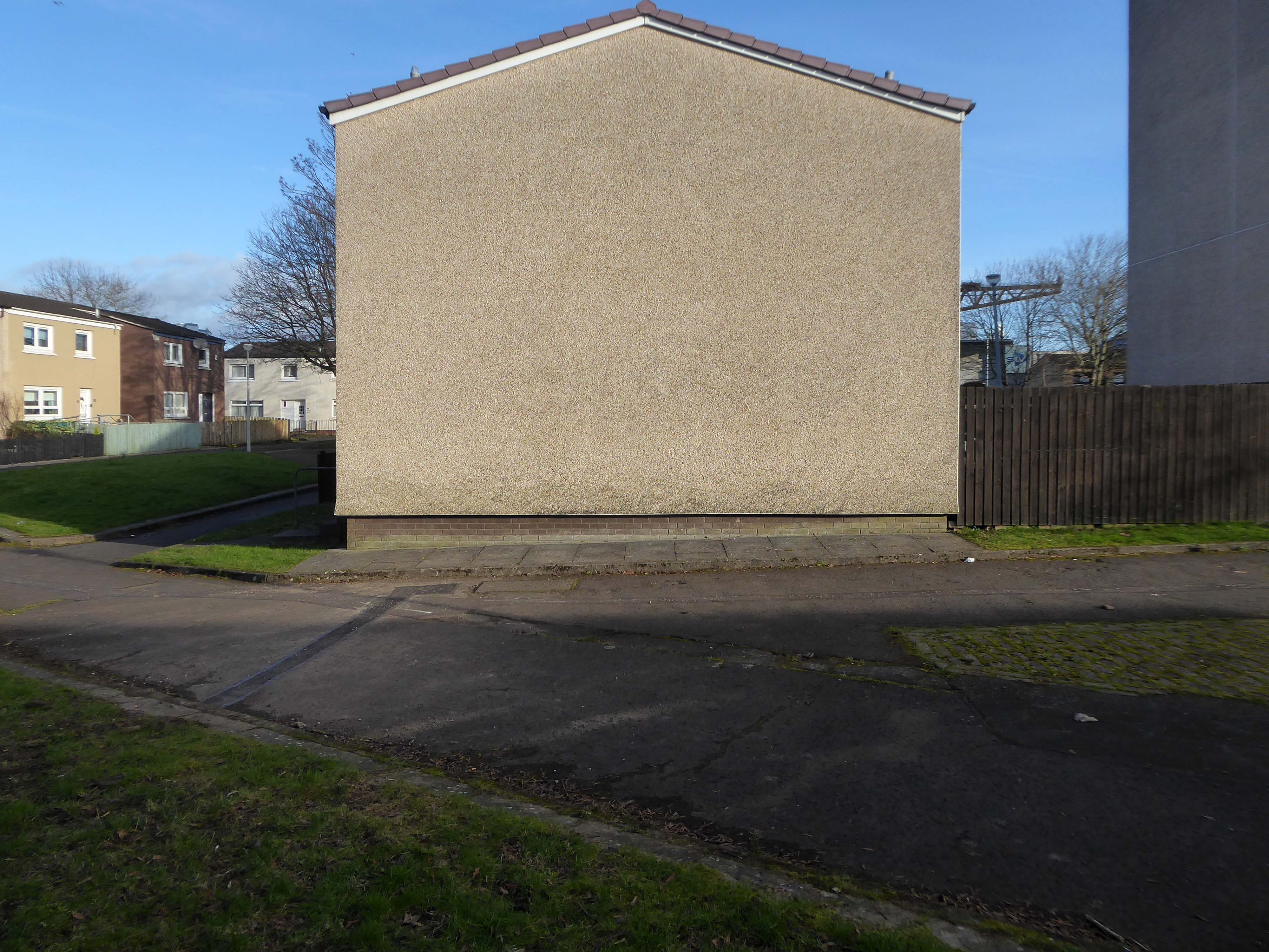
I was walking through the area in March 2023 one quite quiet morning, and attracted by the neat rows of austere grey terraces, low rise blocks and maisonettes, which have replaced the tenements.
The estate is clean and well maintained, open areas of grass criss crossed with pedestrian paths, surrounded by mature trees, motor cars have discrete parking areas.
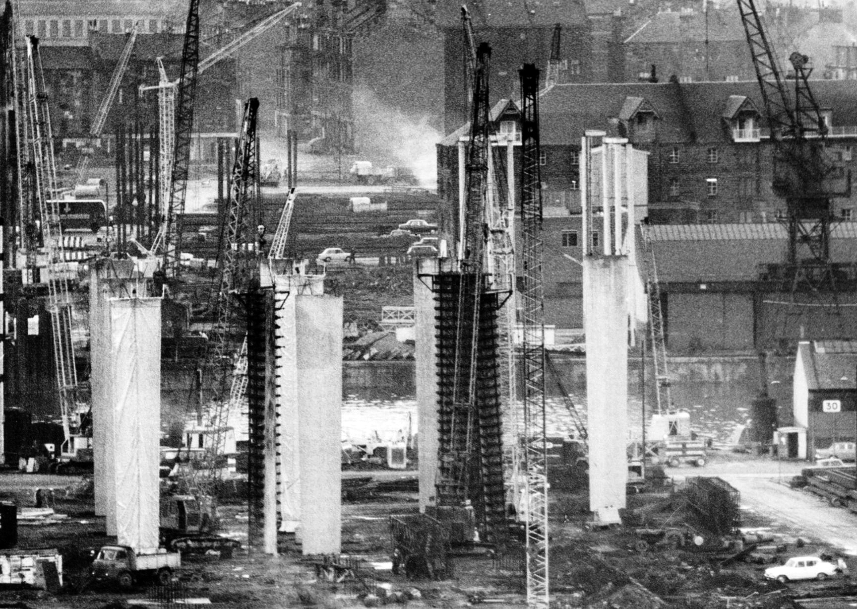
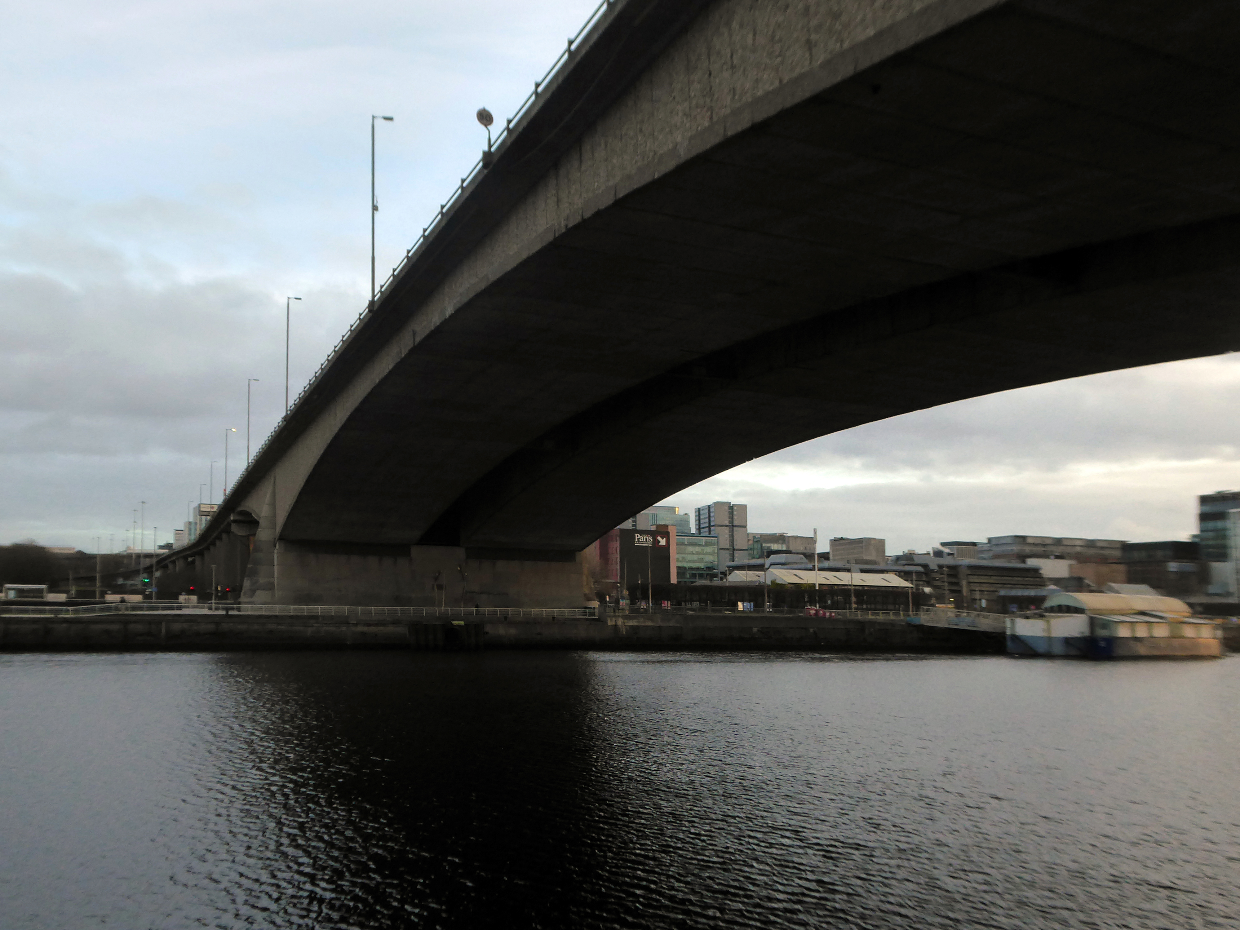
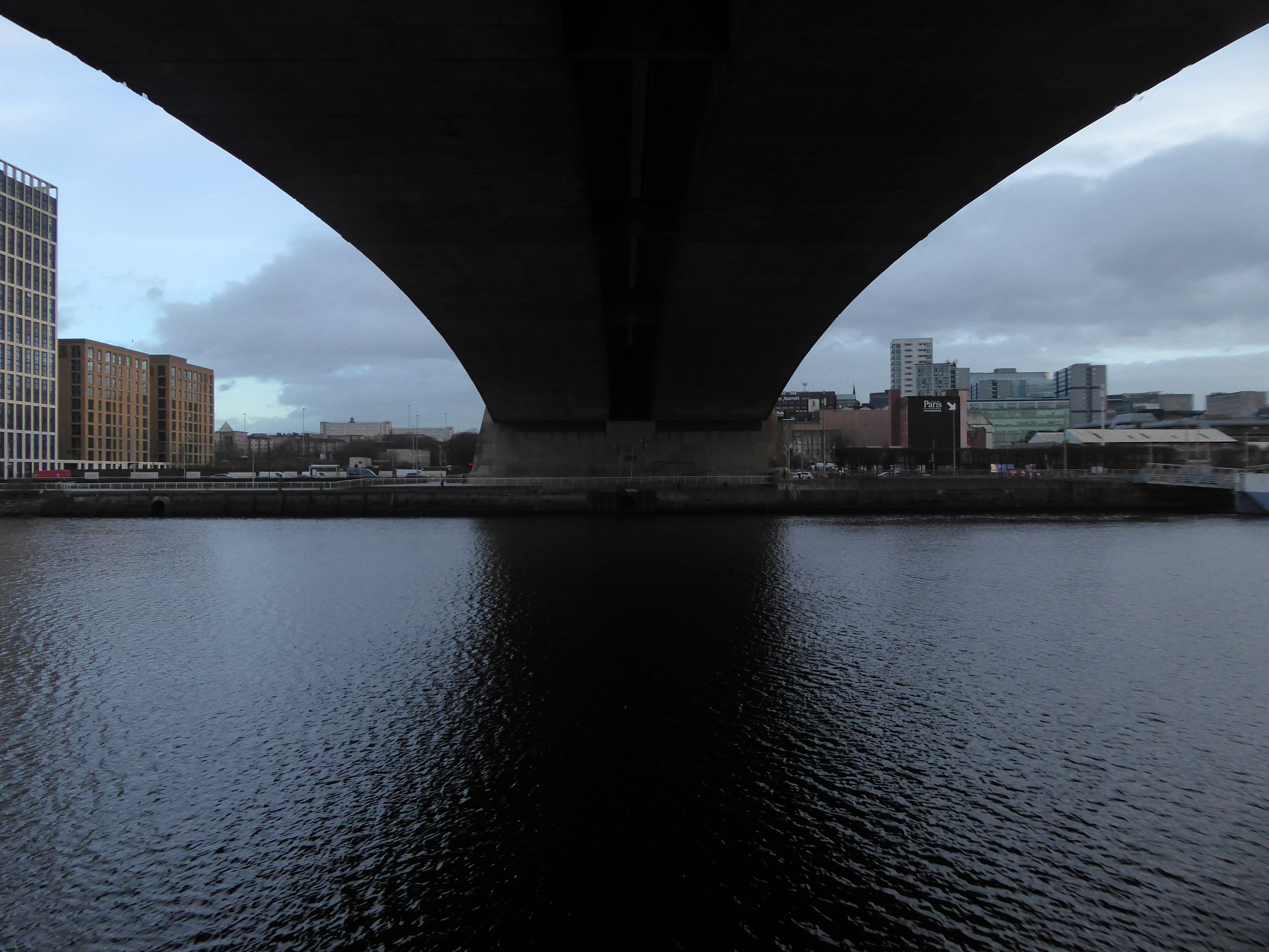
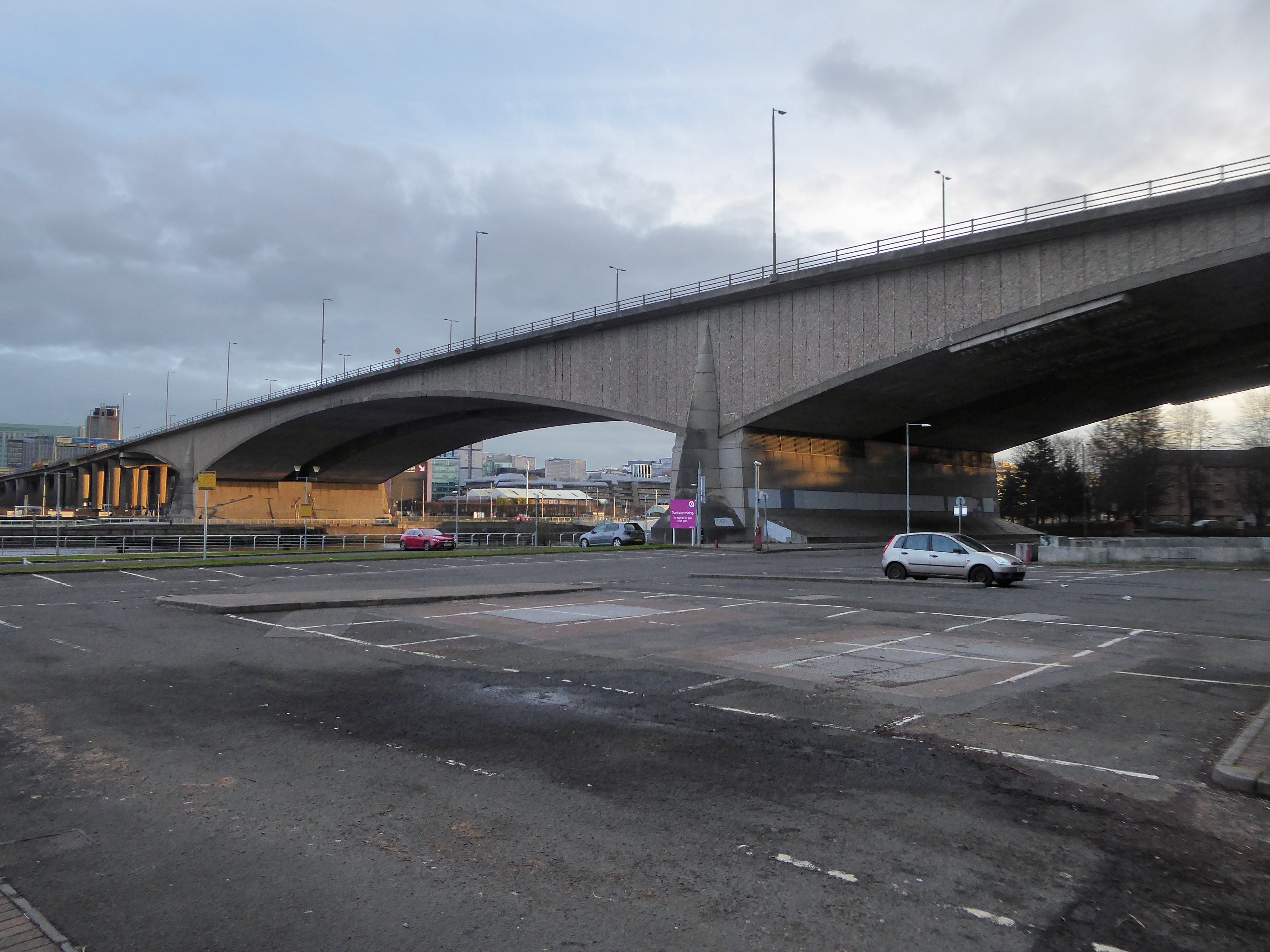
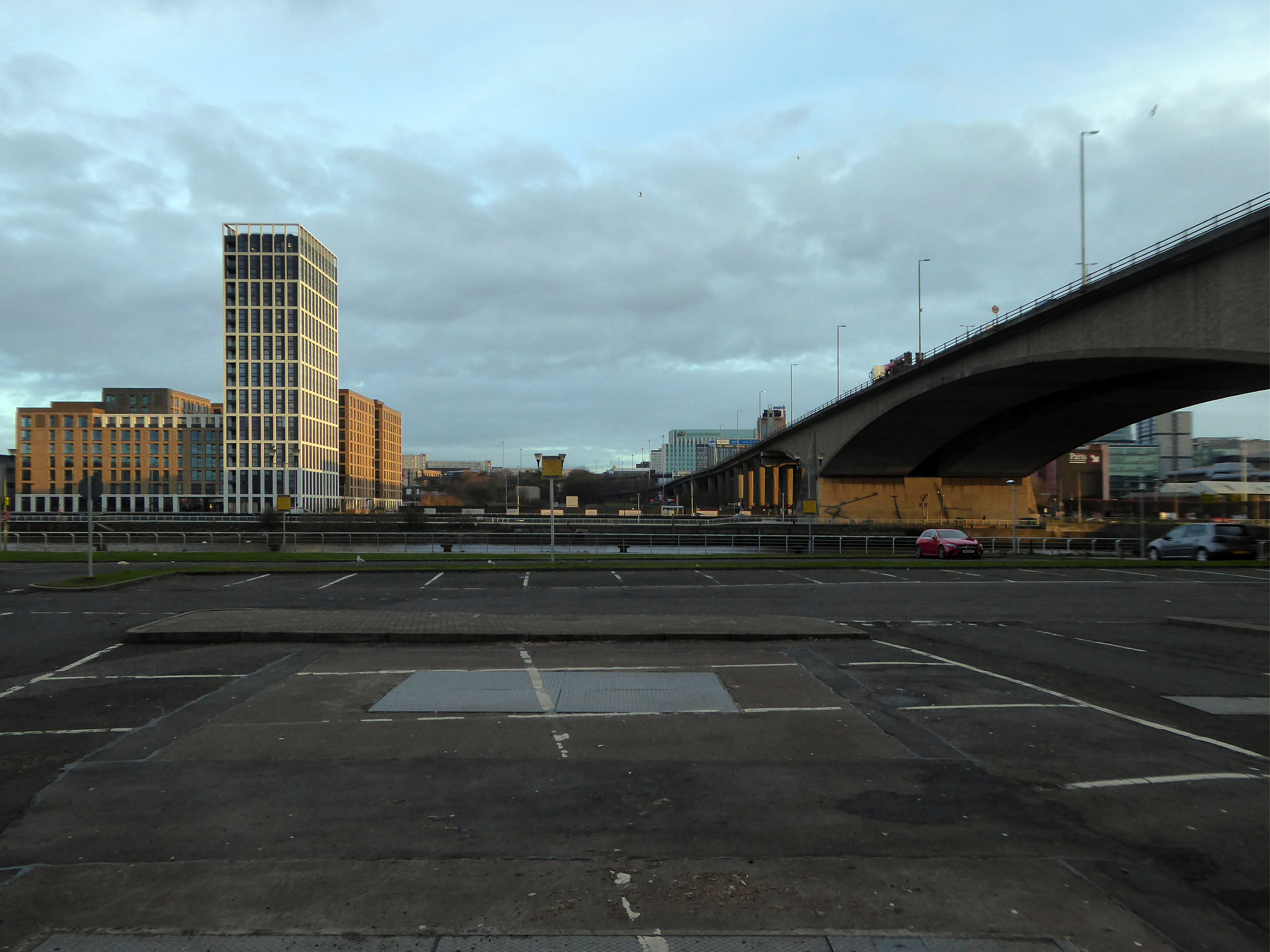
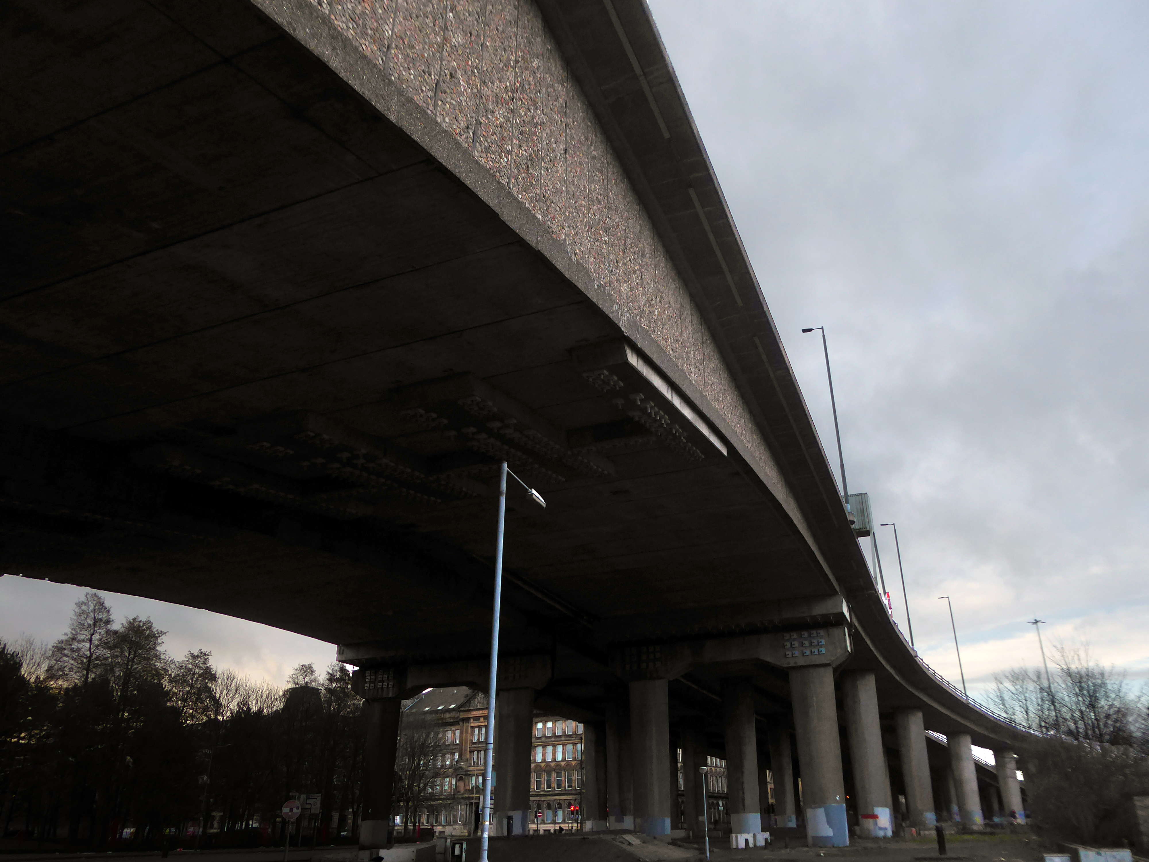
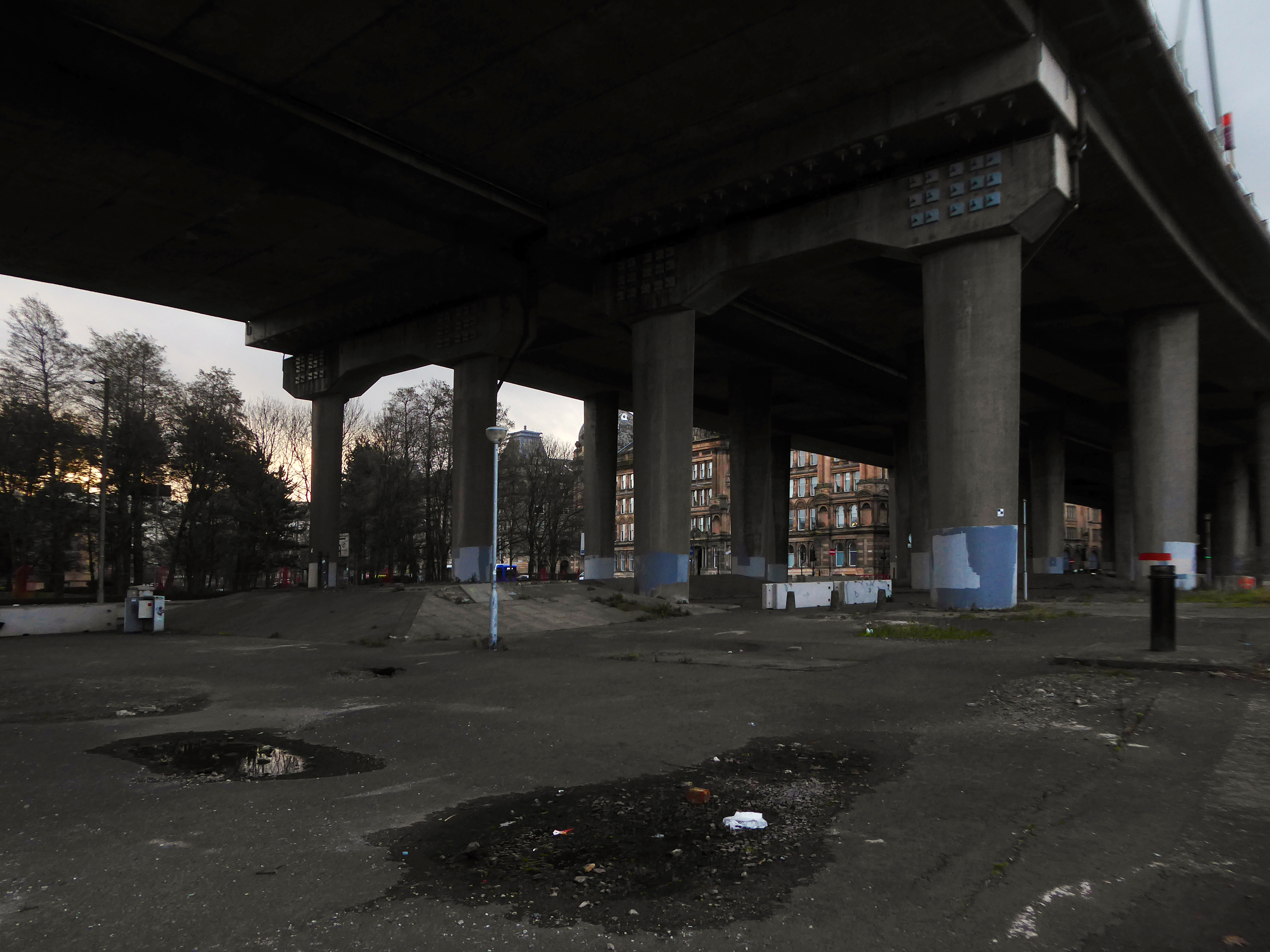
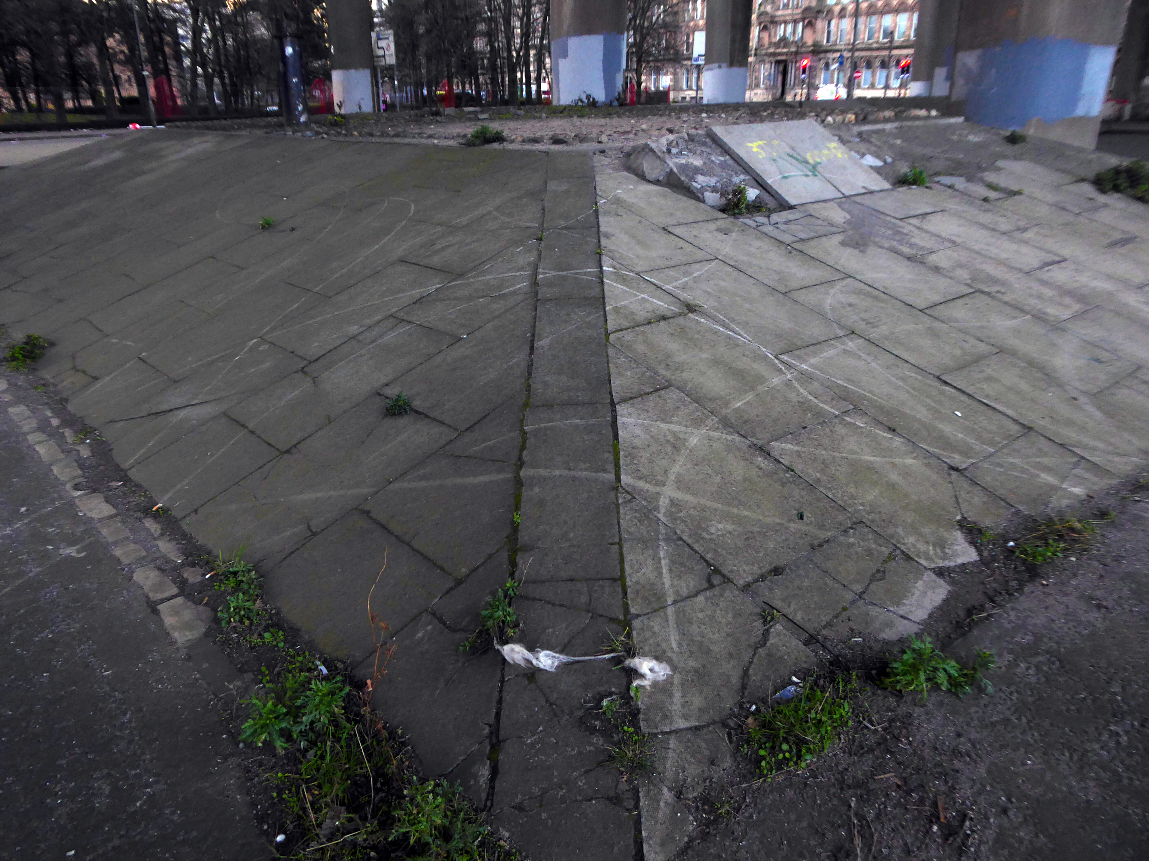
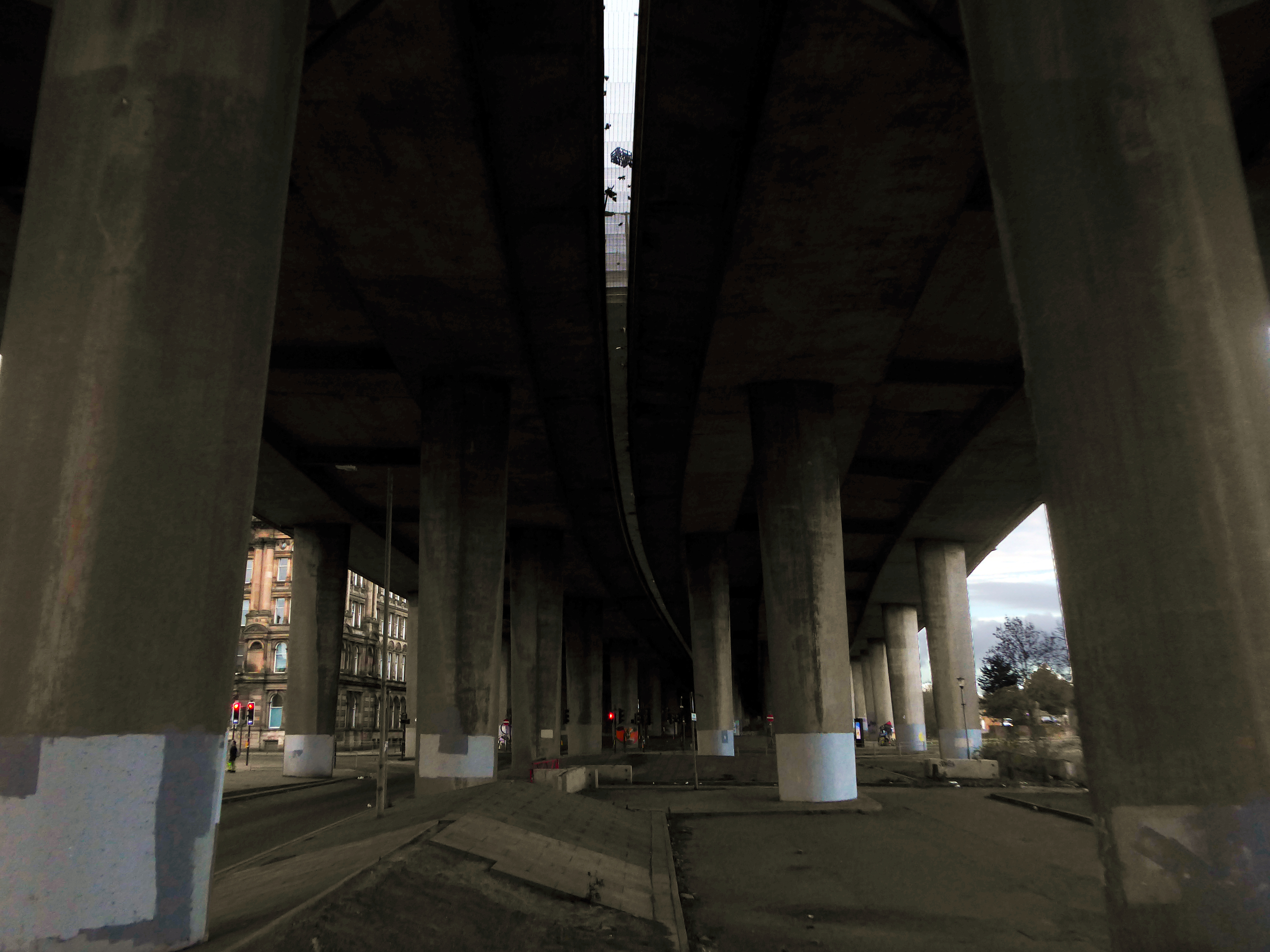
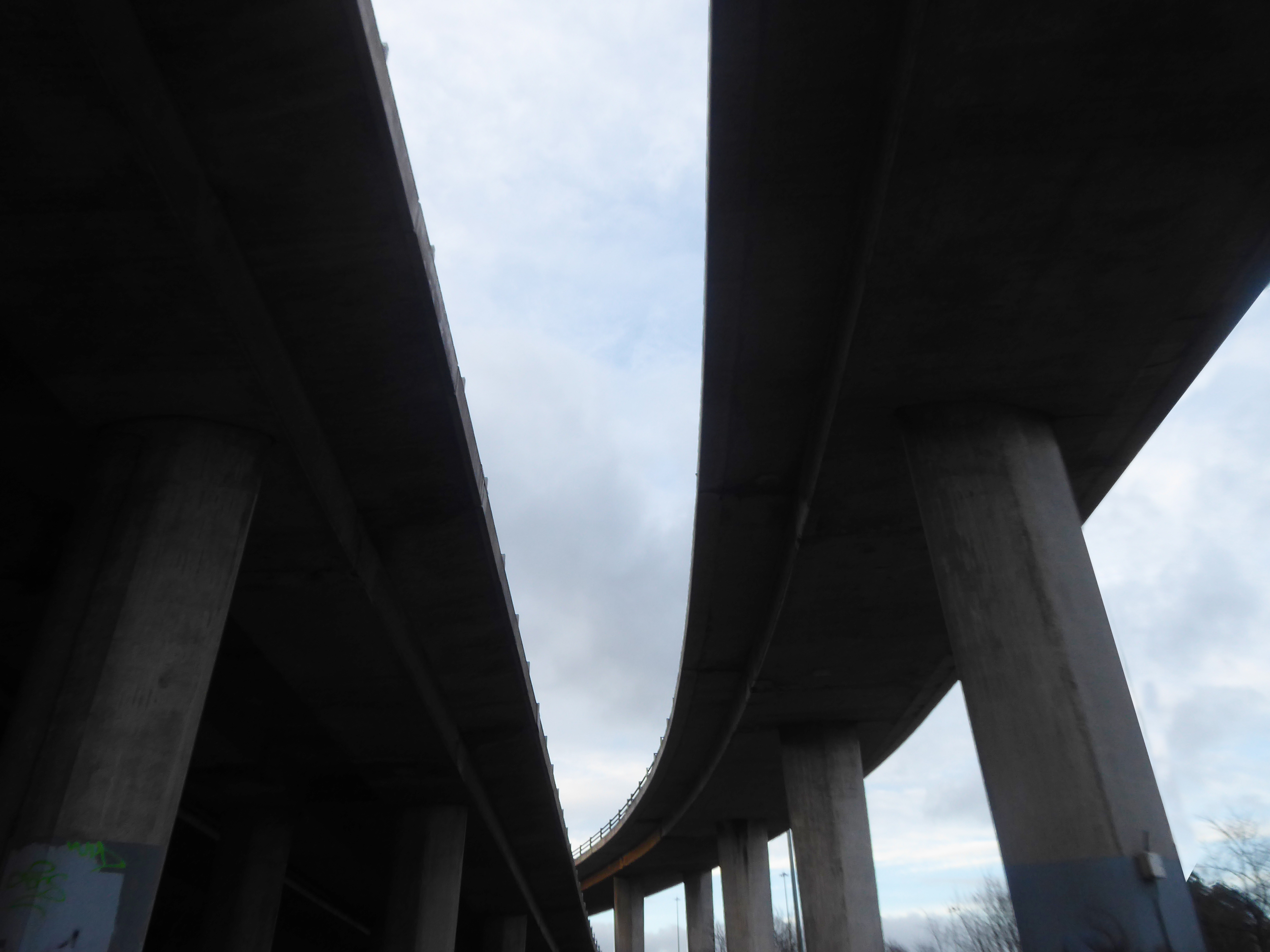
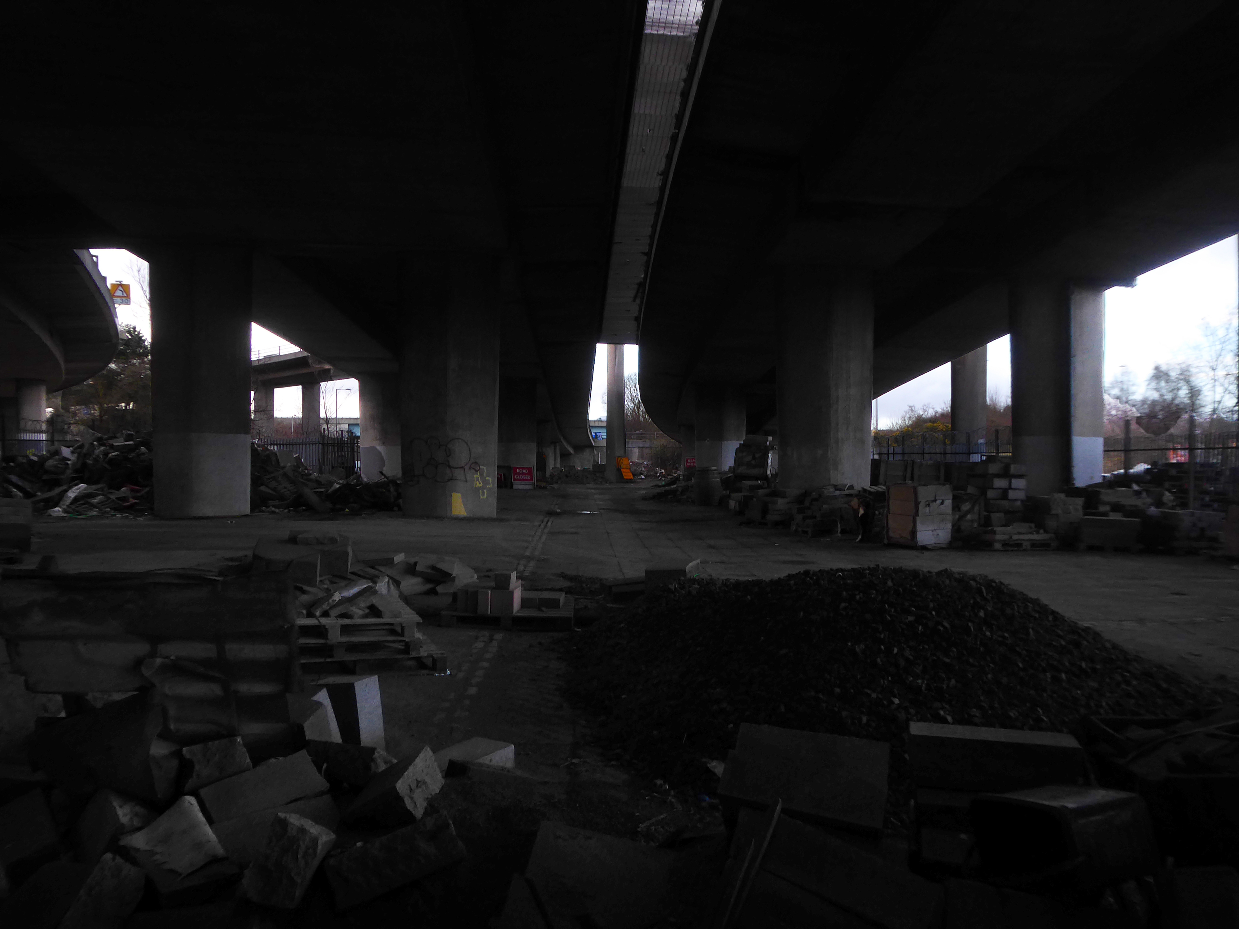
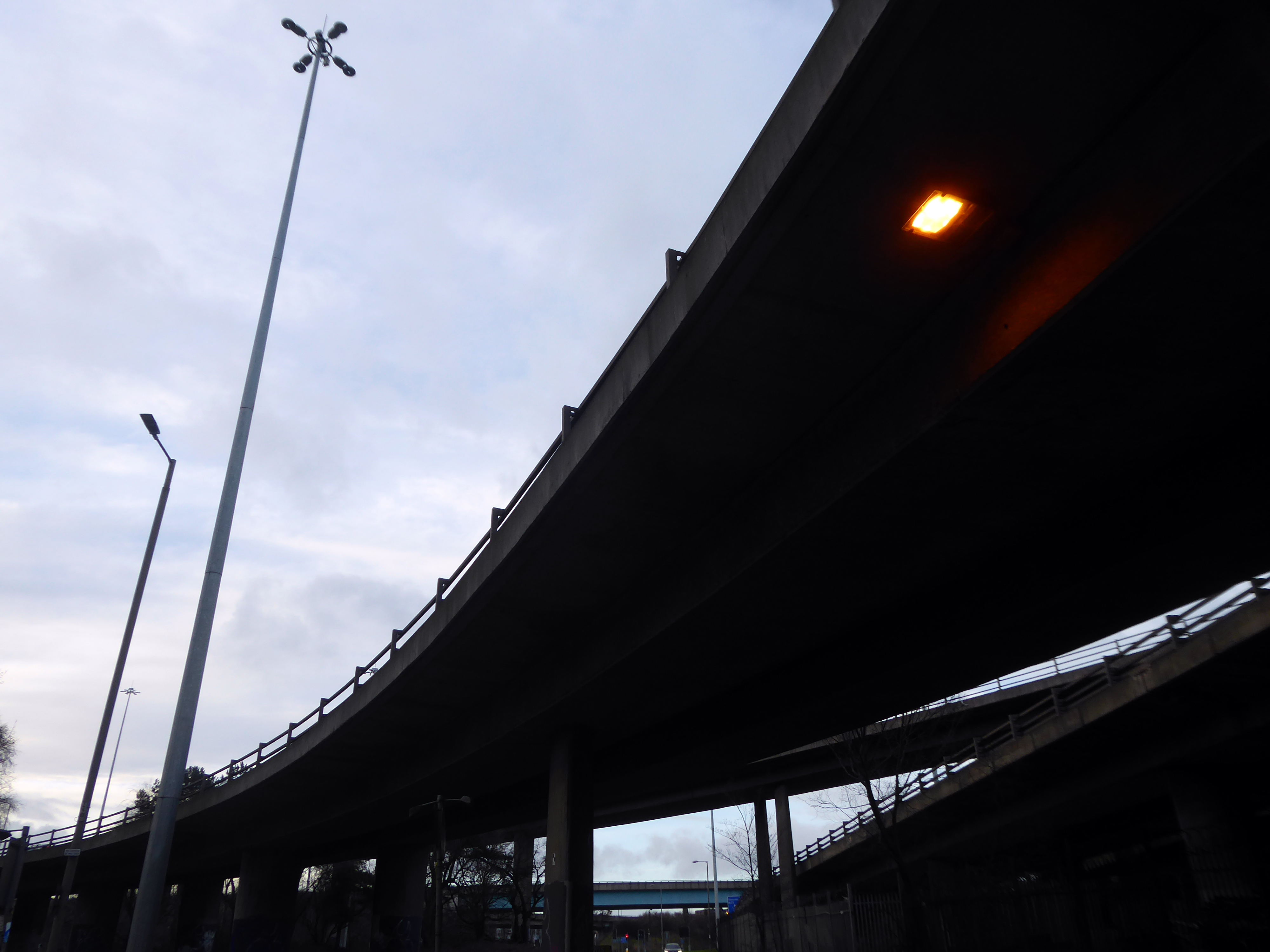
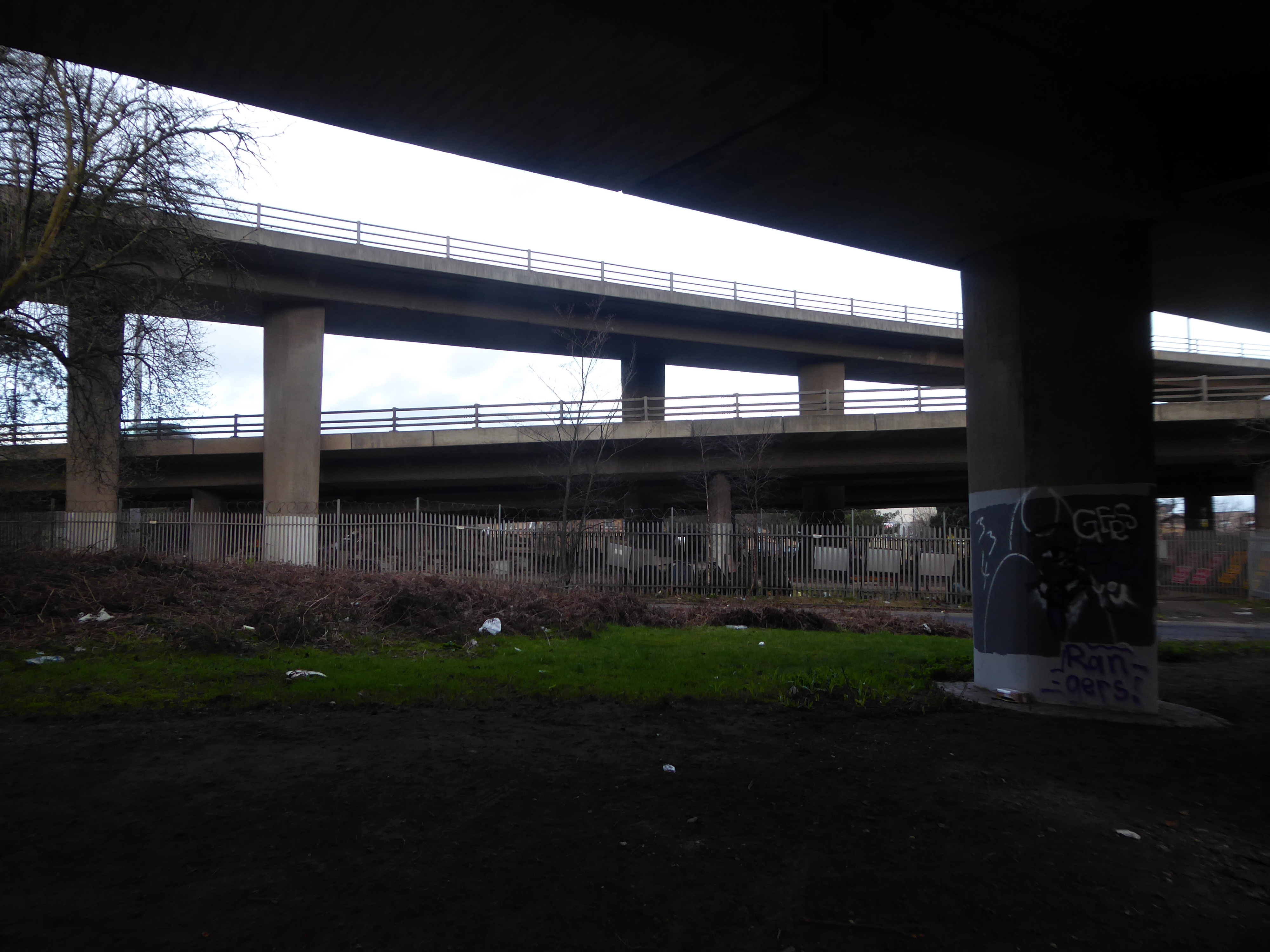
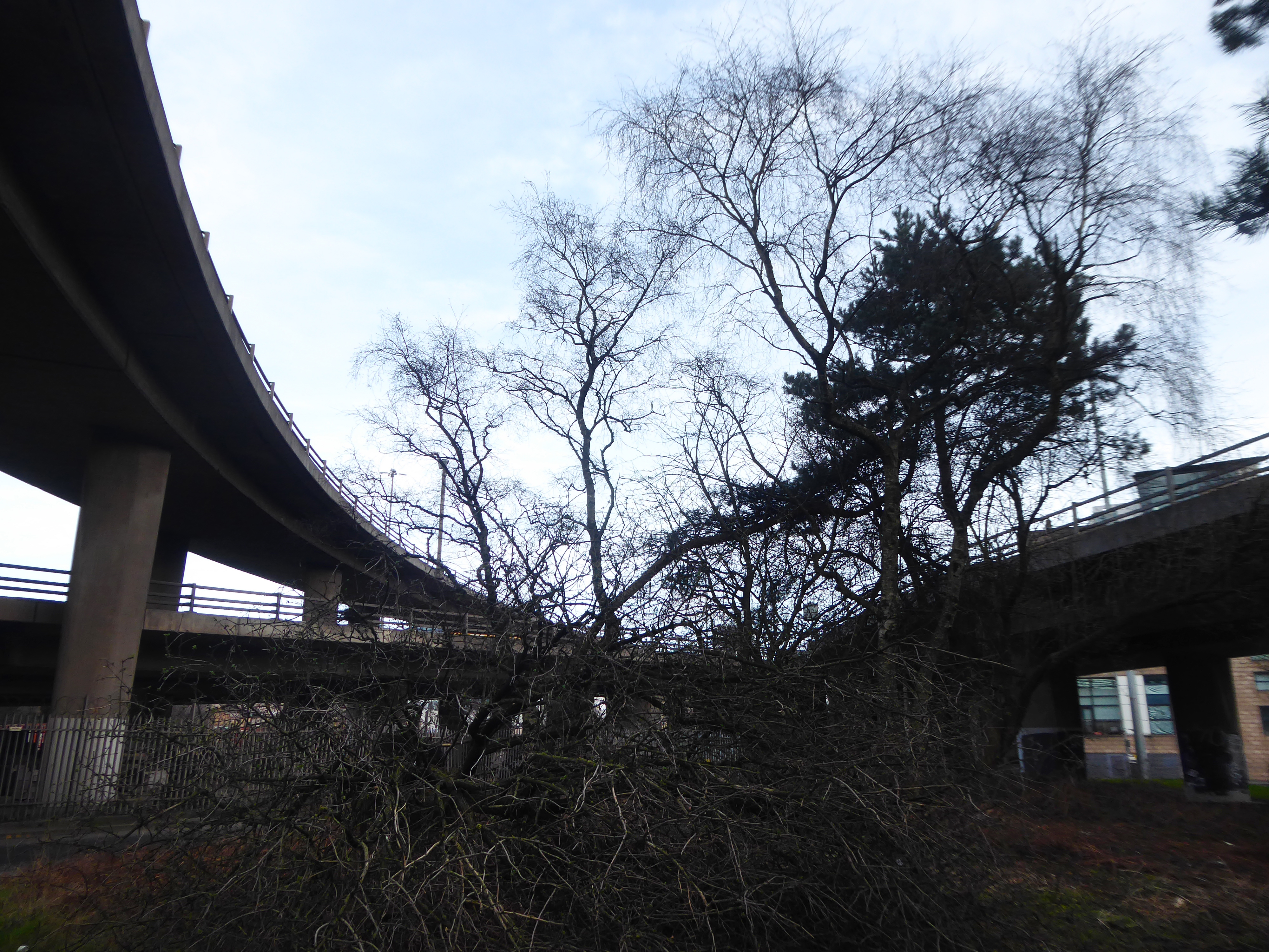
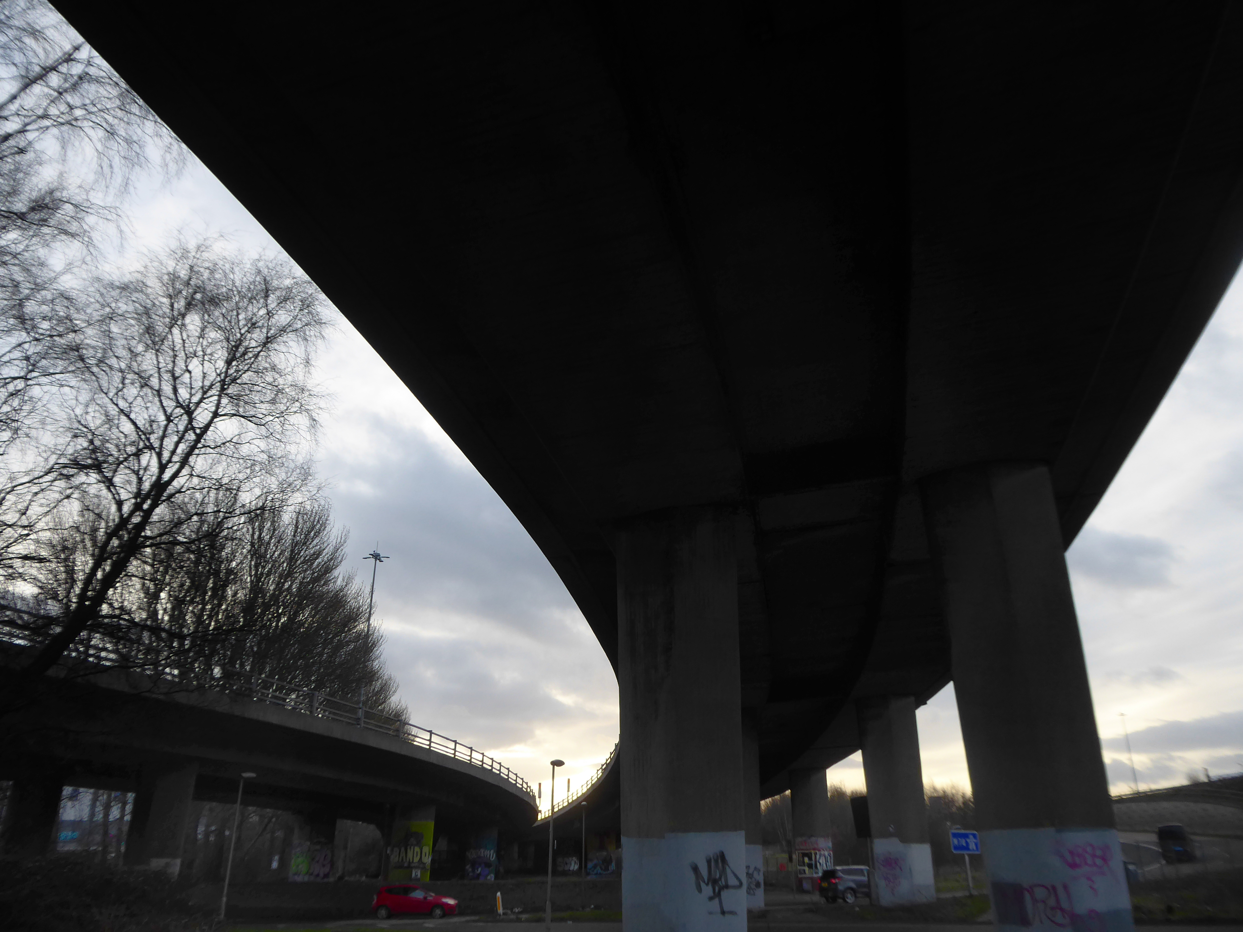
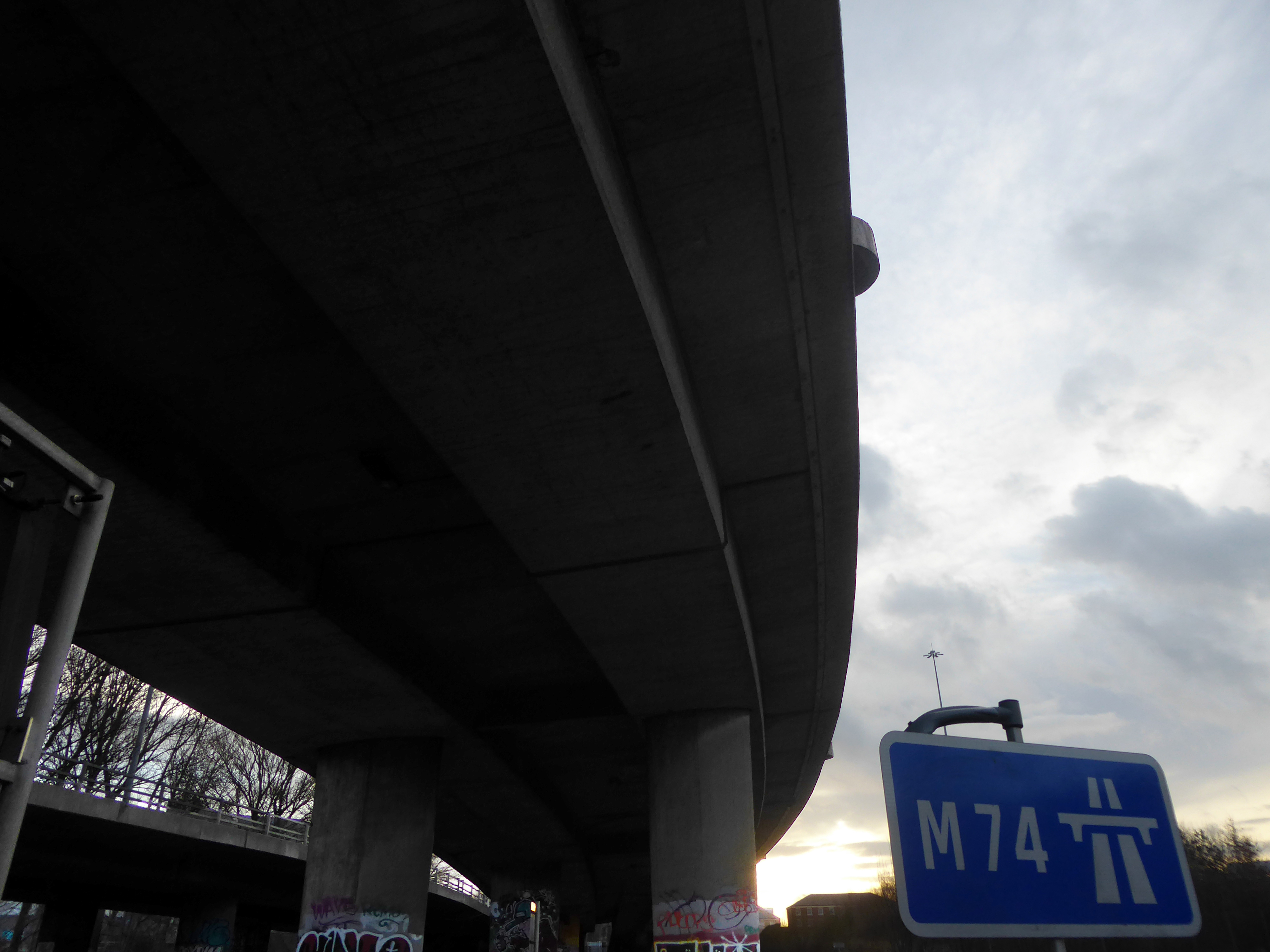
The bridge on the River Clyde – and access to the city’s motorway system.
The Kingston Bridge is a balanced cantilever dual-span ten lane road bridge made of triple-cell segmented prestressed concrete box girders crossing the River Clyde.
Carrying the M8 motorway through the city centre, the Kingston Bridge is one of the busiest bridges in Europe, carrying around 150,000 vehicles every day.
The bridge was first proposed in 1945 as part of the Glasgow Inner Ring Road scheme. After feasibility studies were carried out, William Fairhurst was appointed consulting engineer for the design of the bridge and its approaches and on 15 May 1967 construction began; this was a joint venture between Duncan Logan Construction Ltd and Marples Ridgway.
The eventual cost was £2.4m excluding the approach viaducts or around £11m in total.
On 26 June 1970 Kingston Bridge was opened by Queen Elizabeth the Queen Mother.
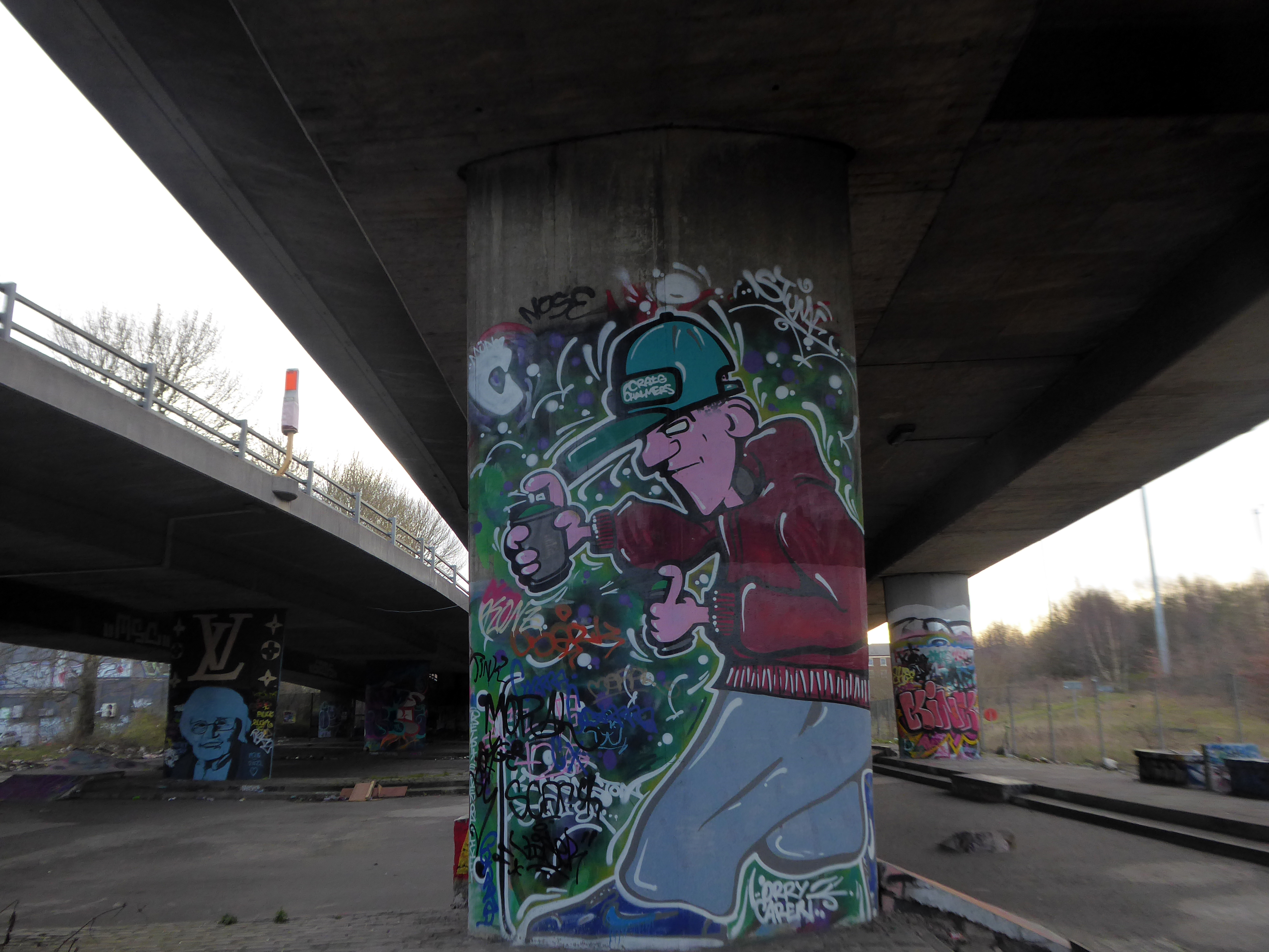
Co-operative House was the former headquarters of the Scottish Co-operative Wholesale Society and today is a mixed residential and commercial development.
There is a dubious urban myth that the fourth man in the Williamwood bank robbery, Archie McGeachy, is buried in the pillars of the bridge.
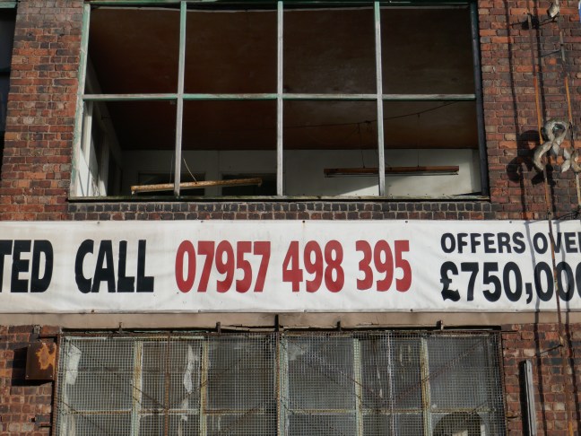
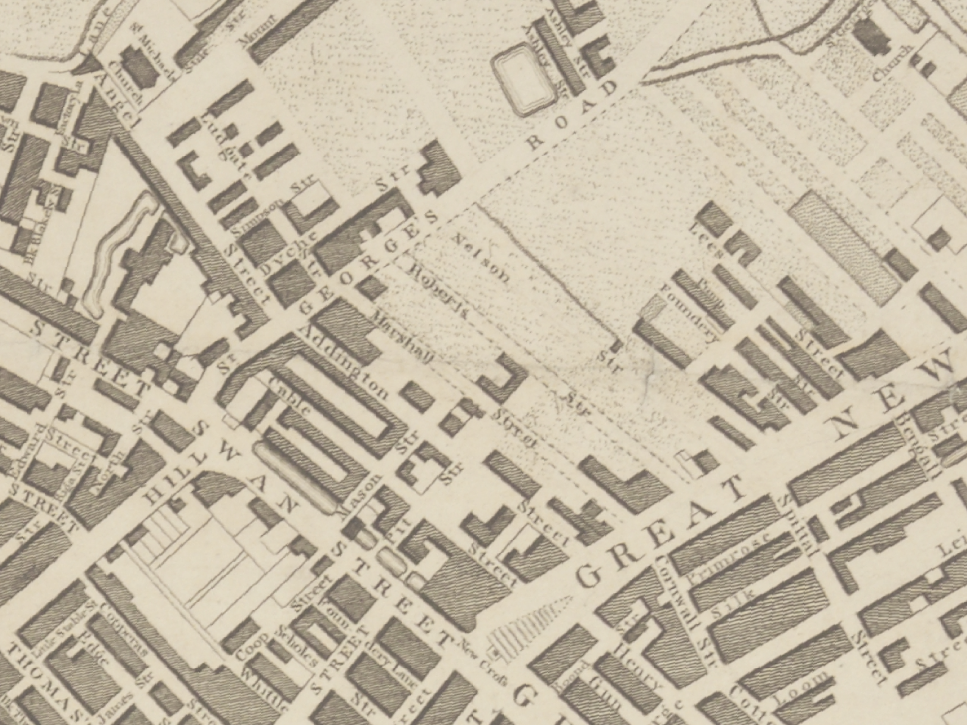
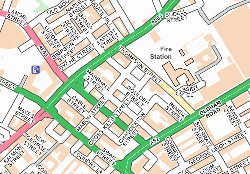
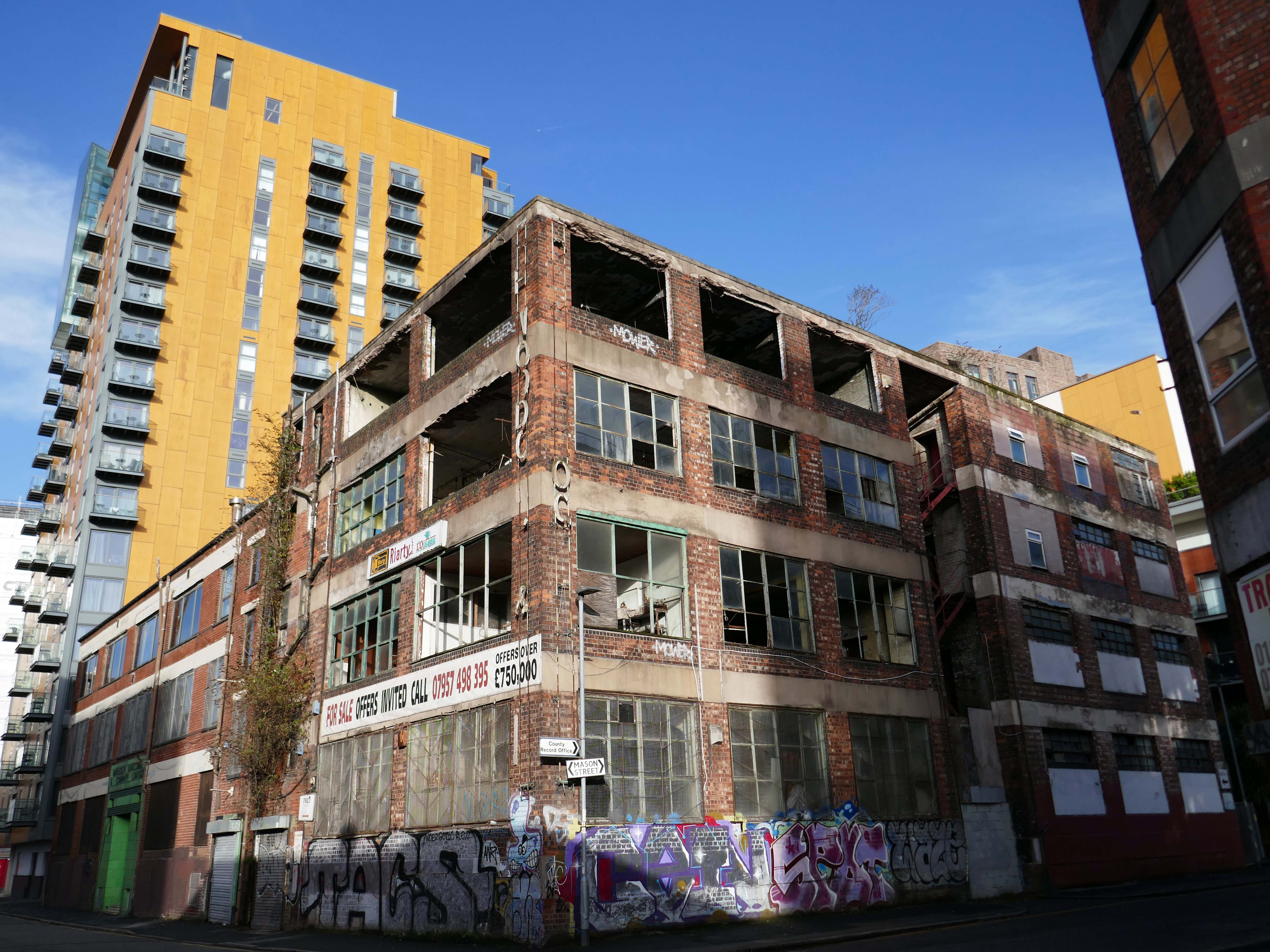
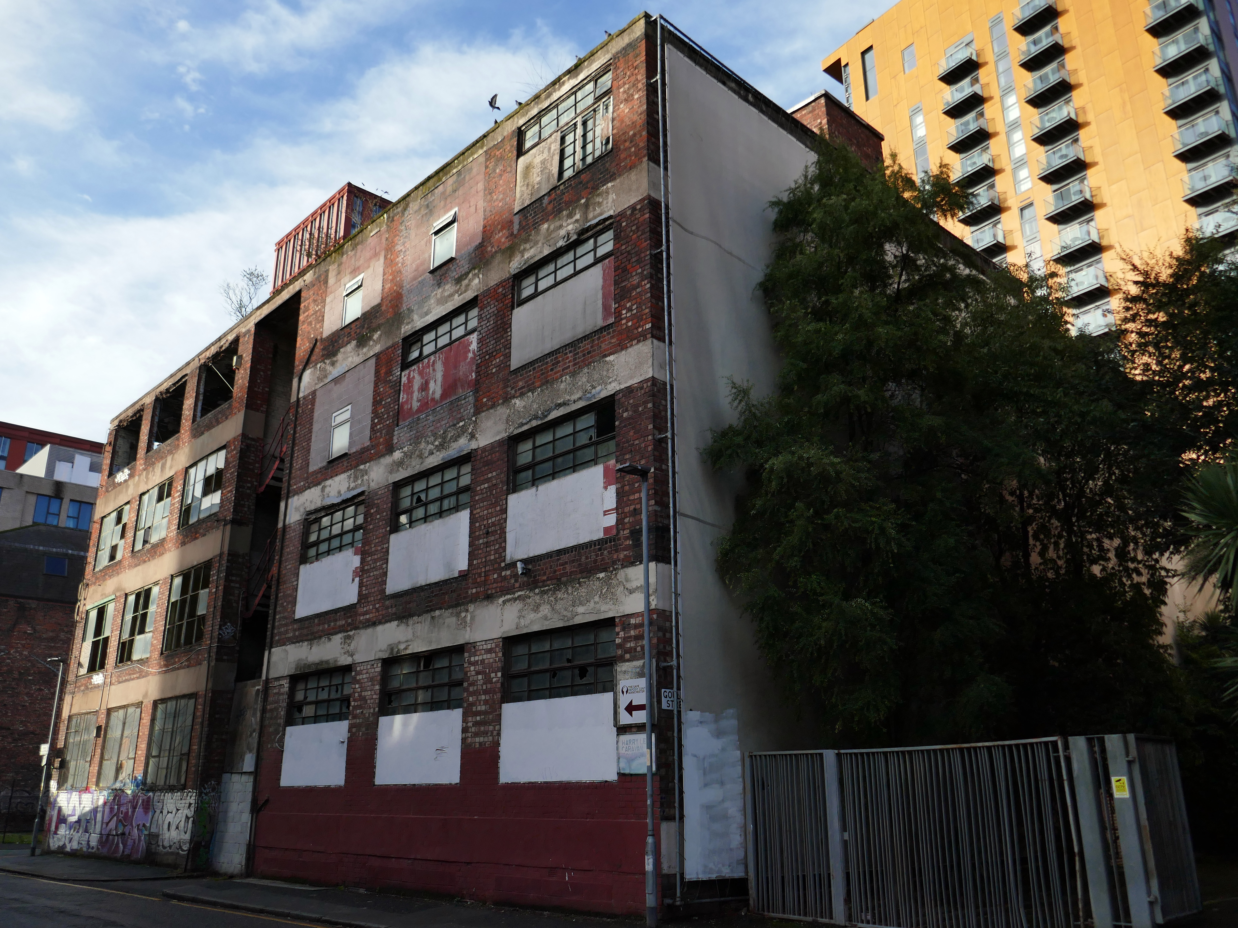
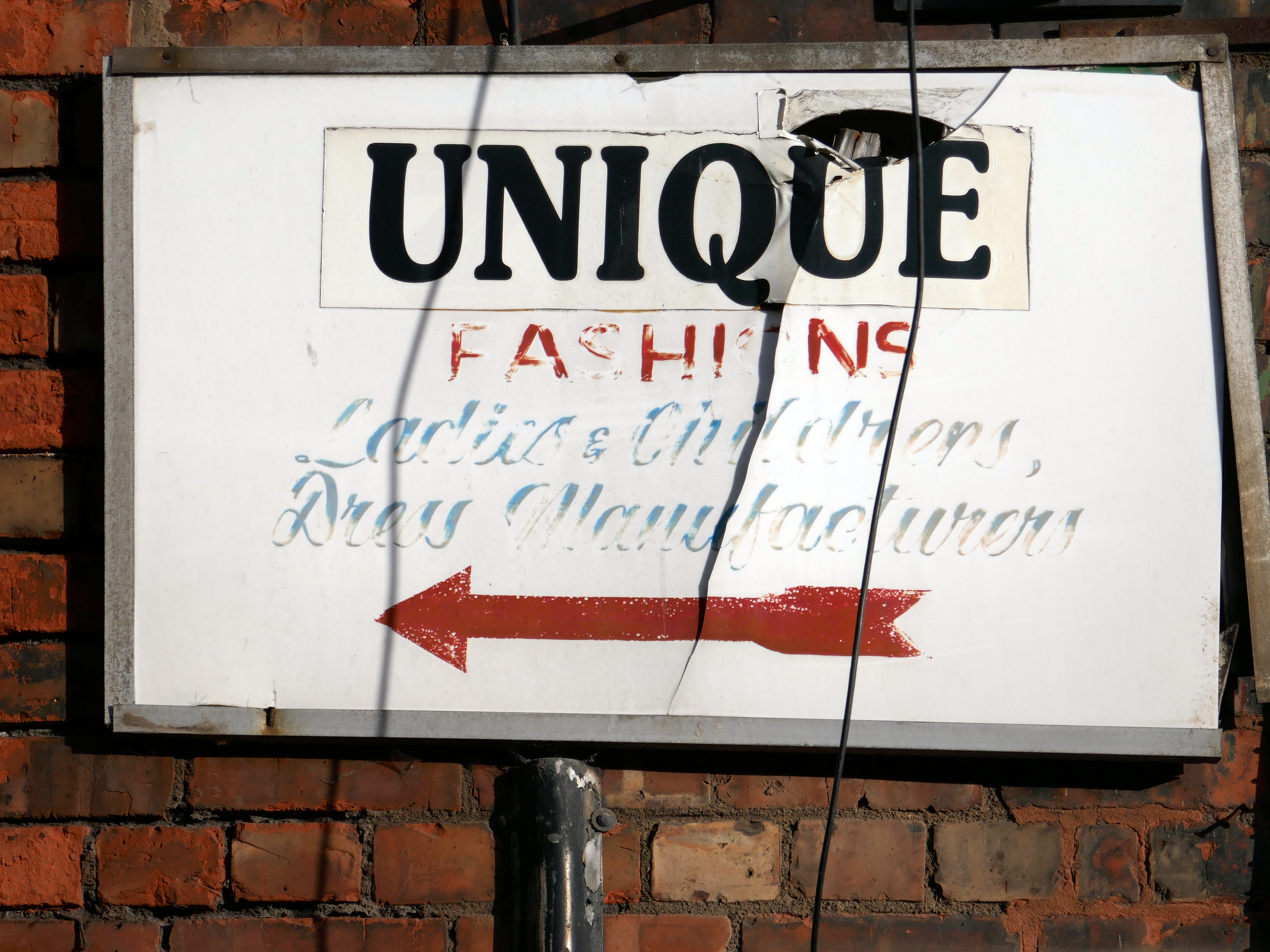
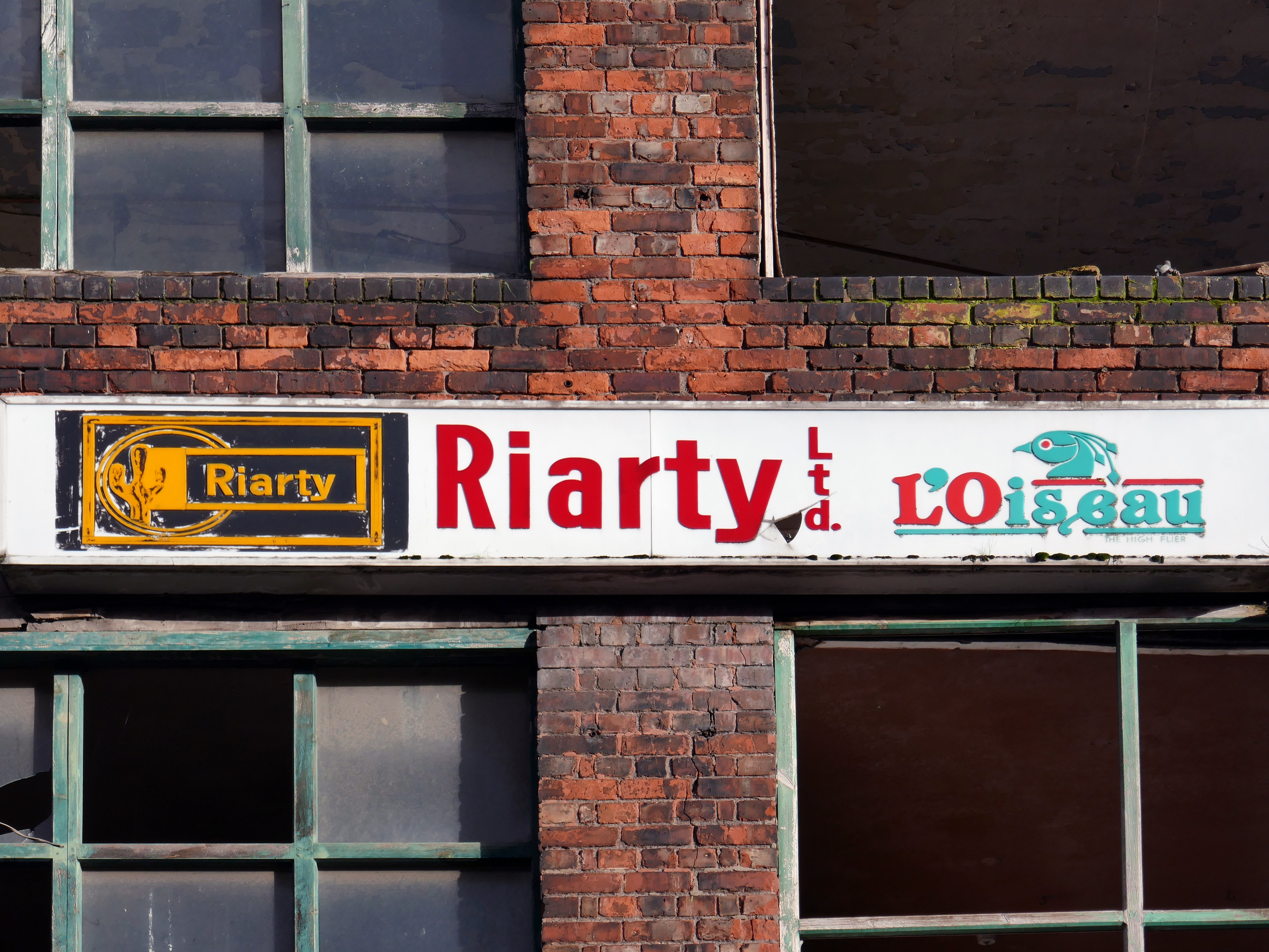
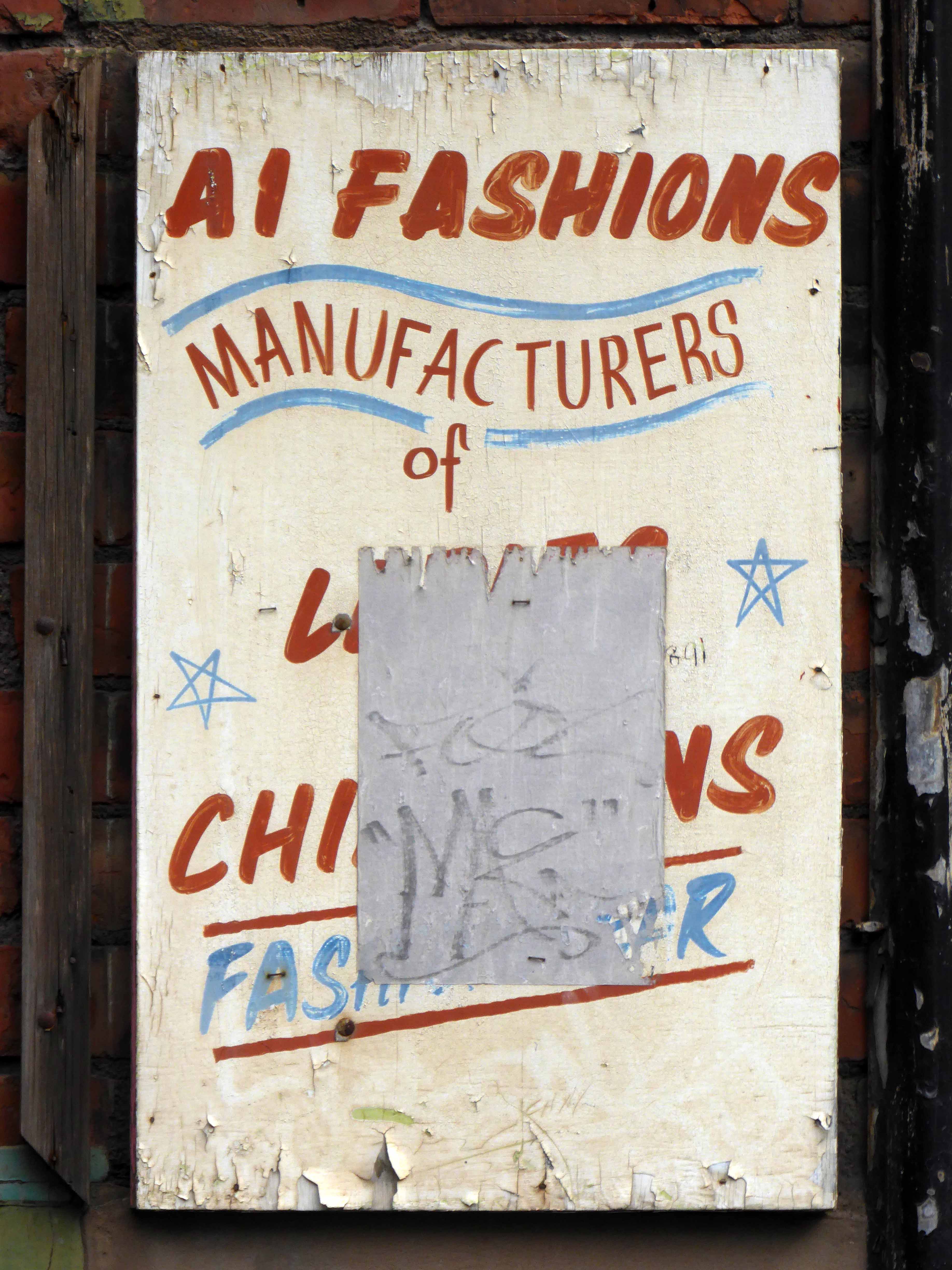
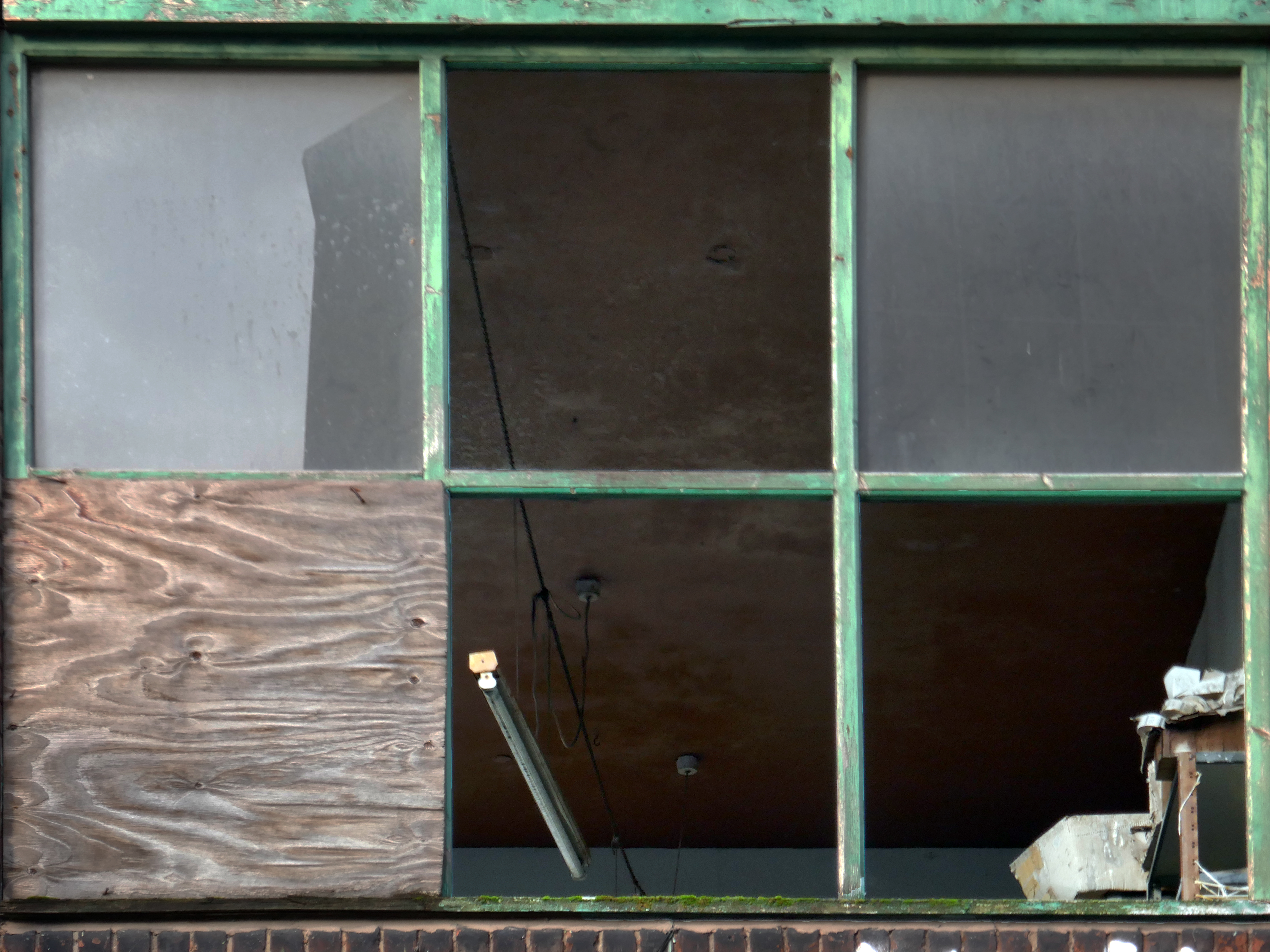
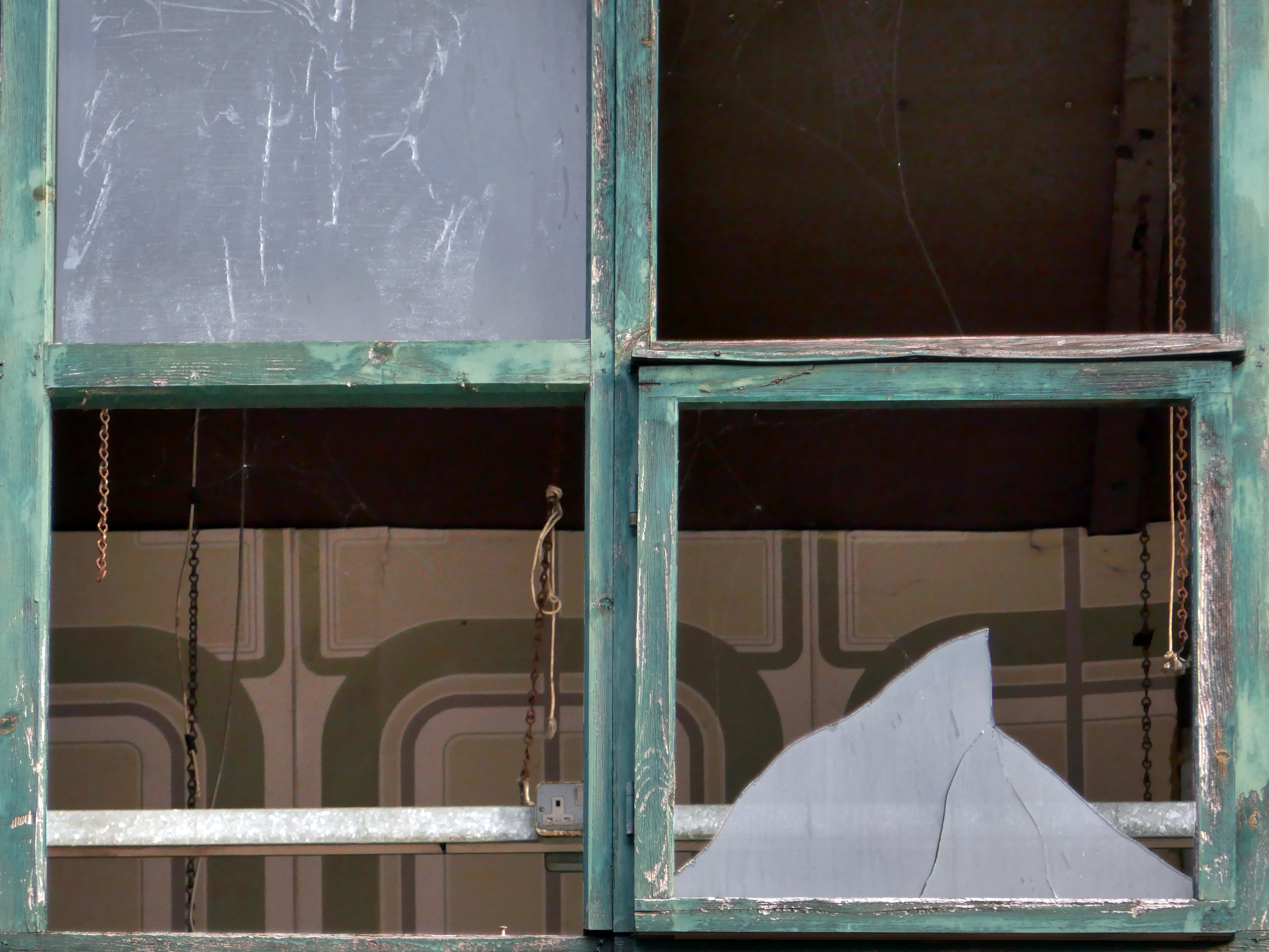
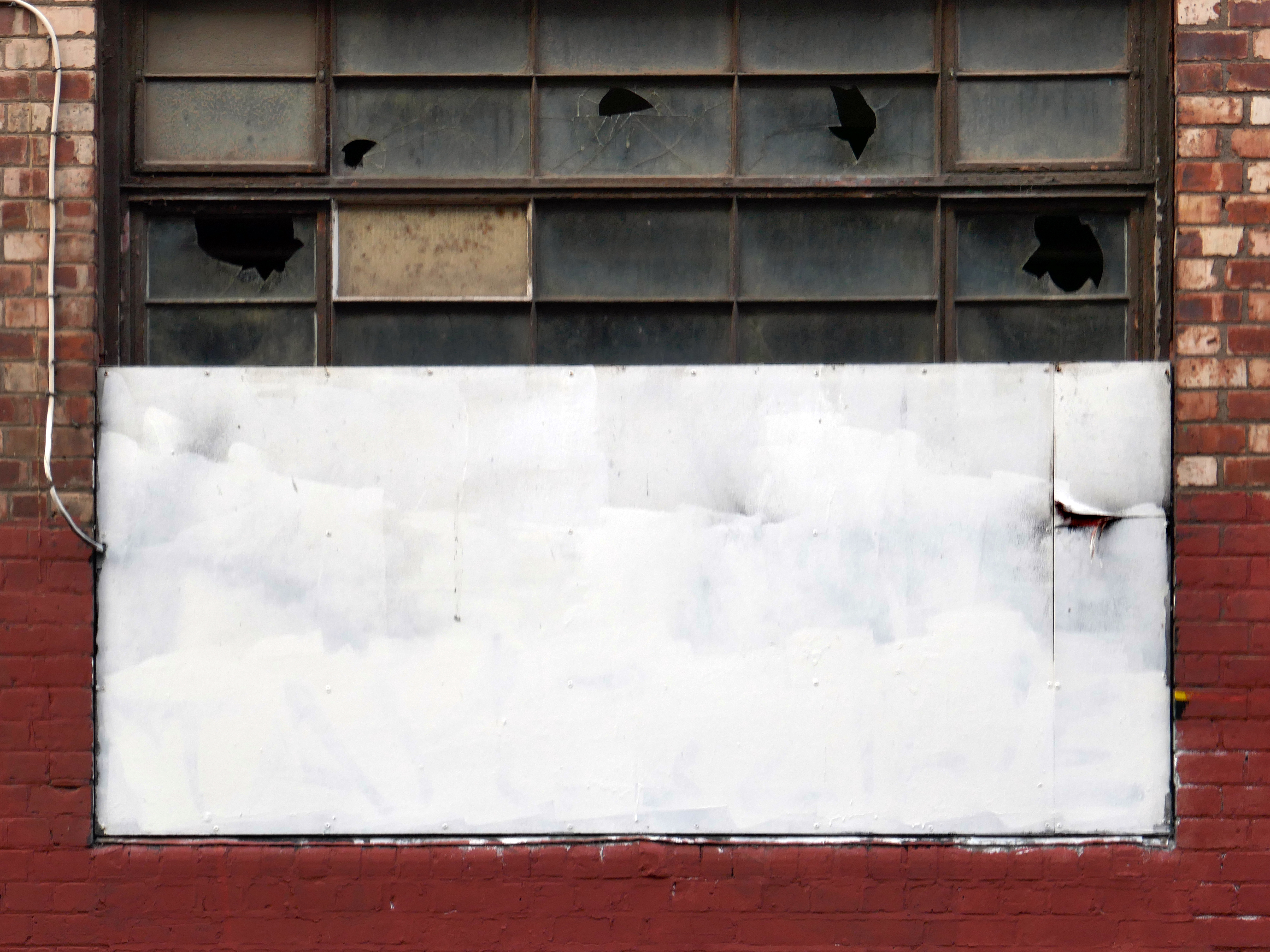
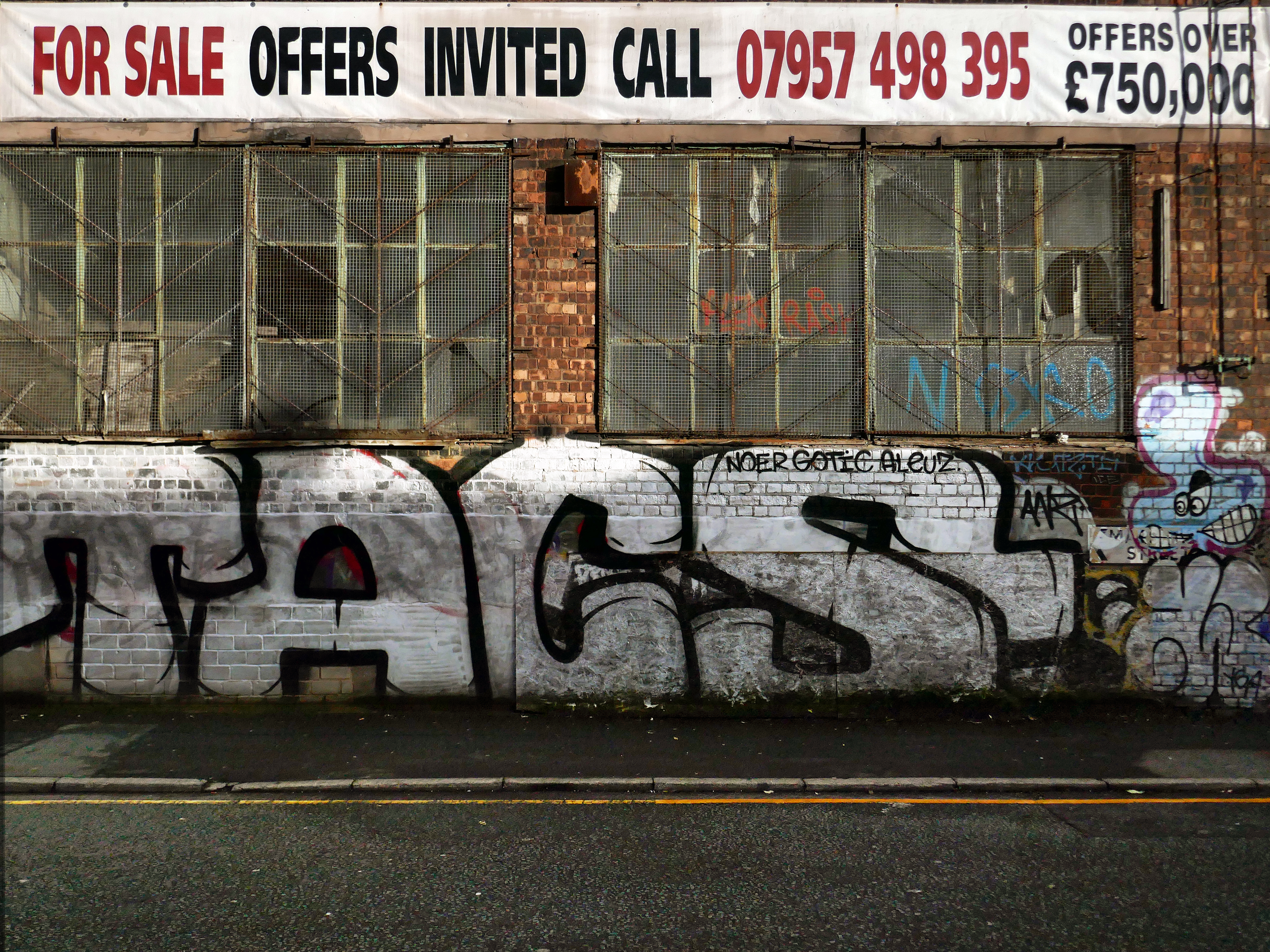
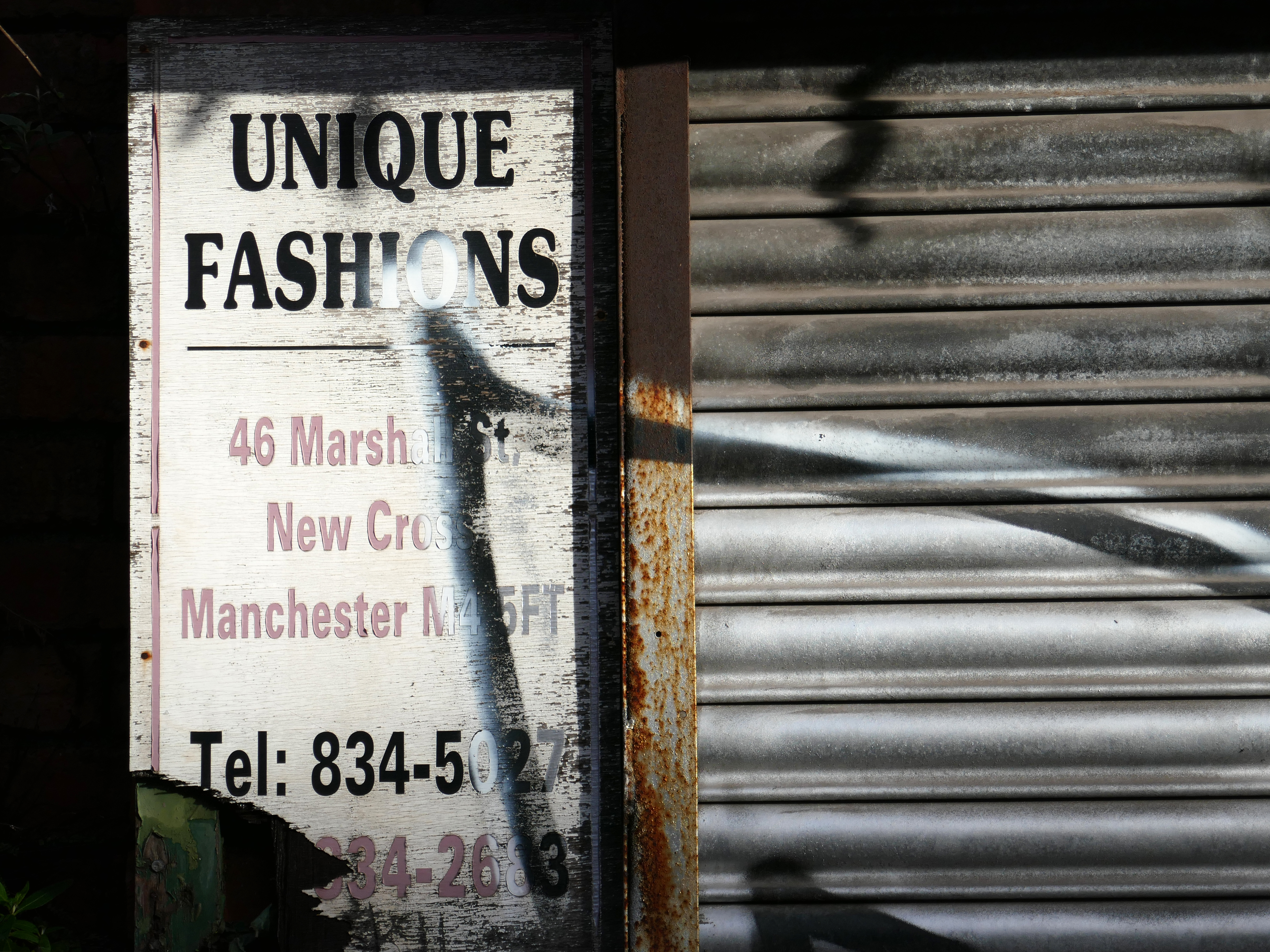
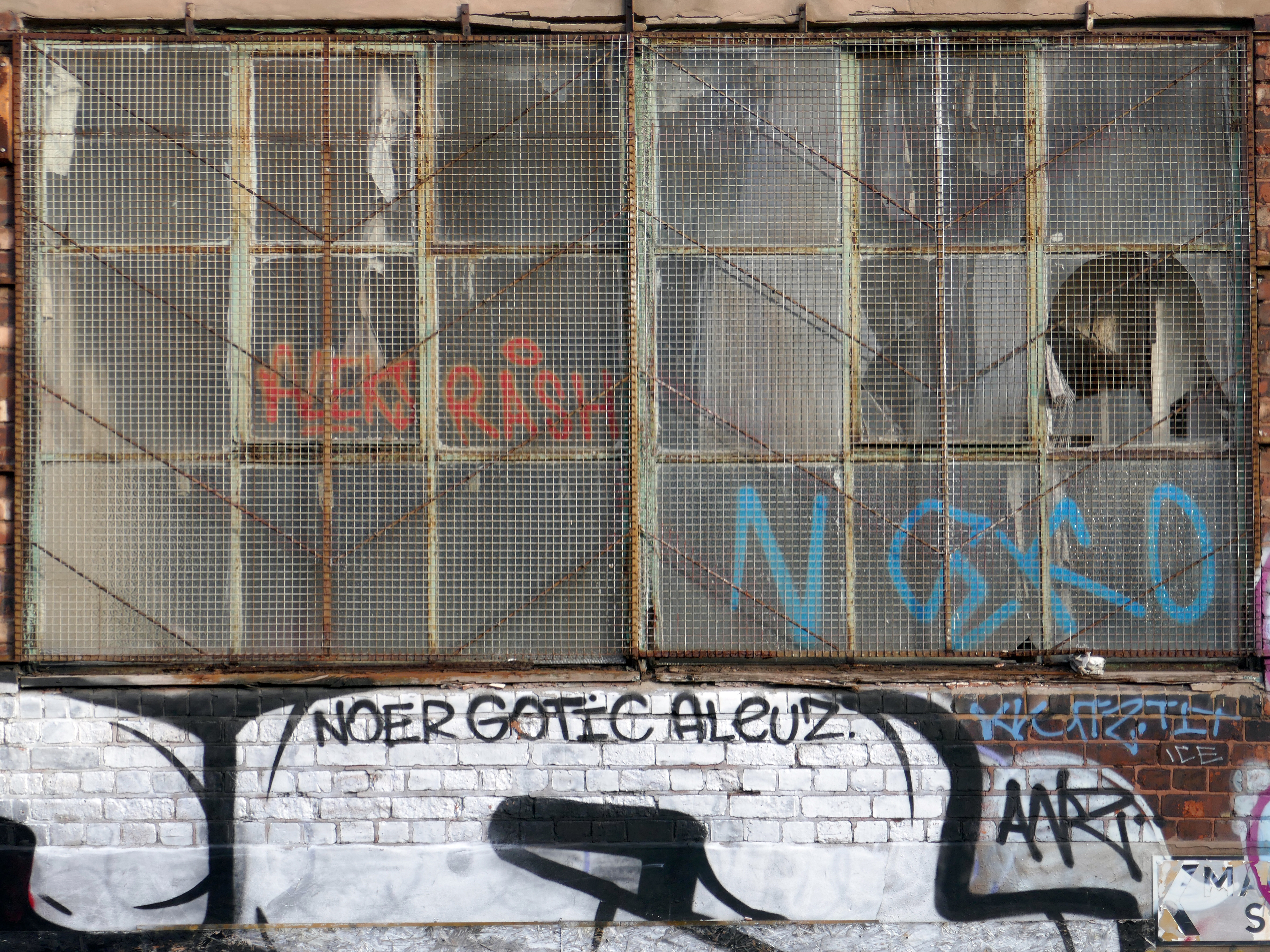
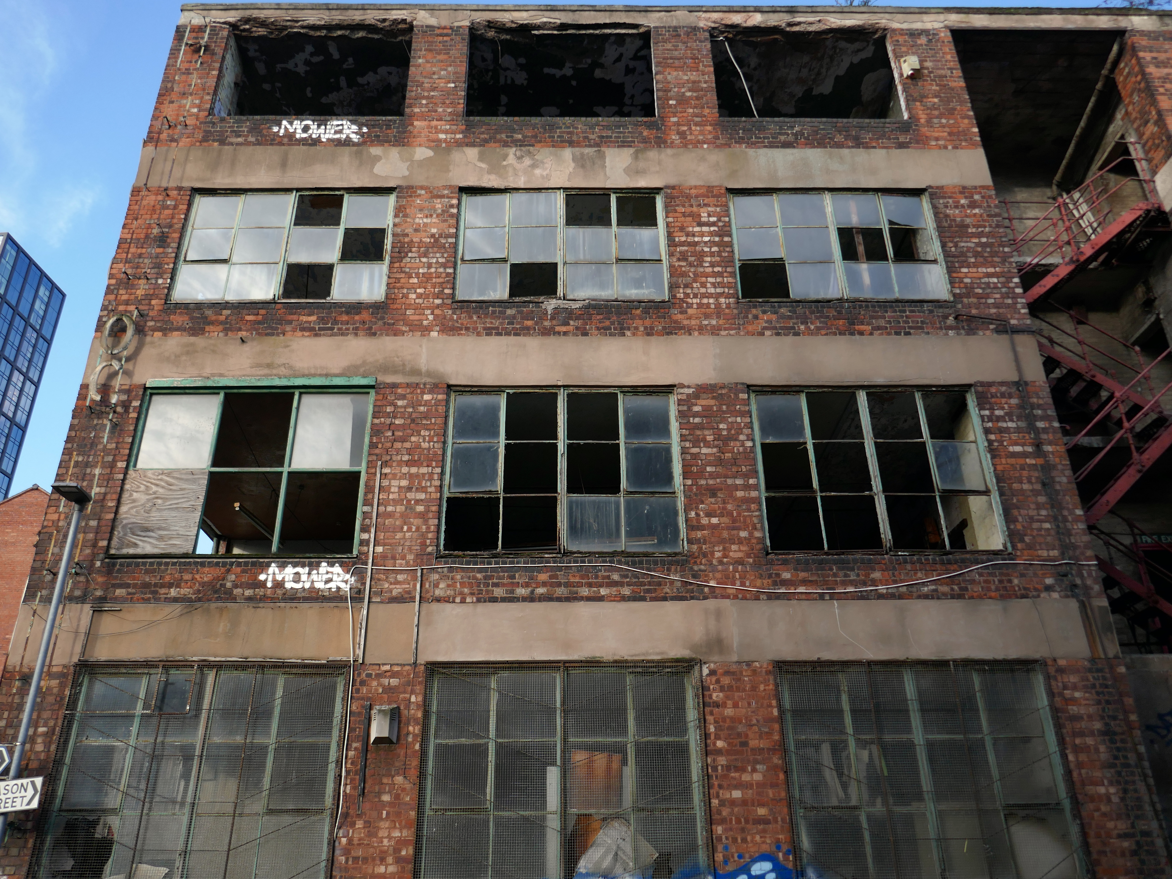
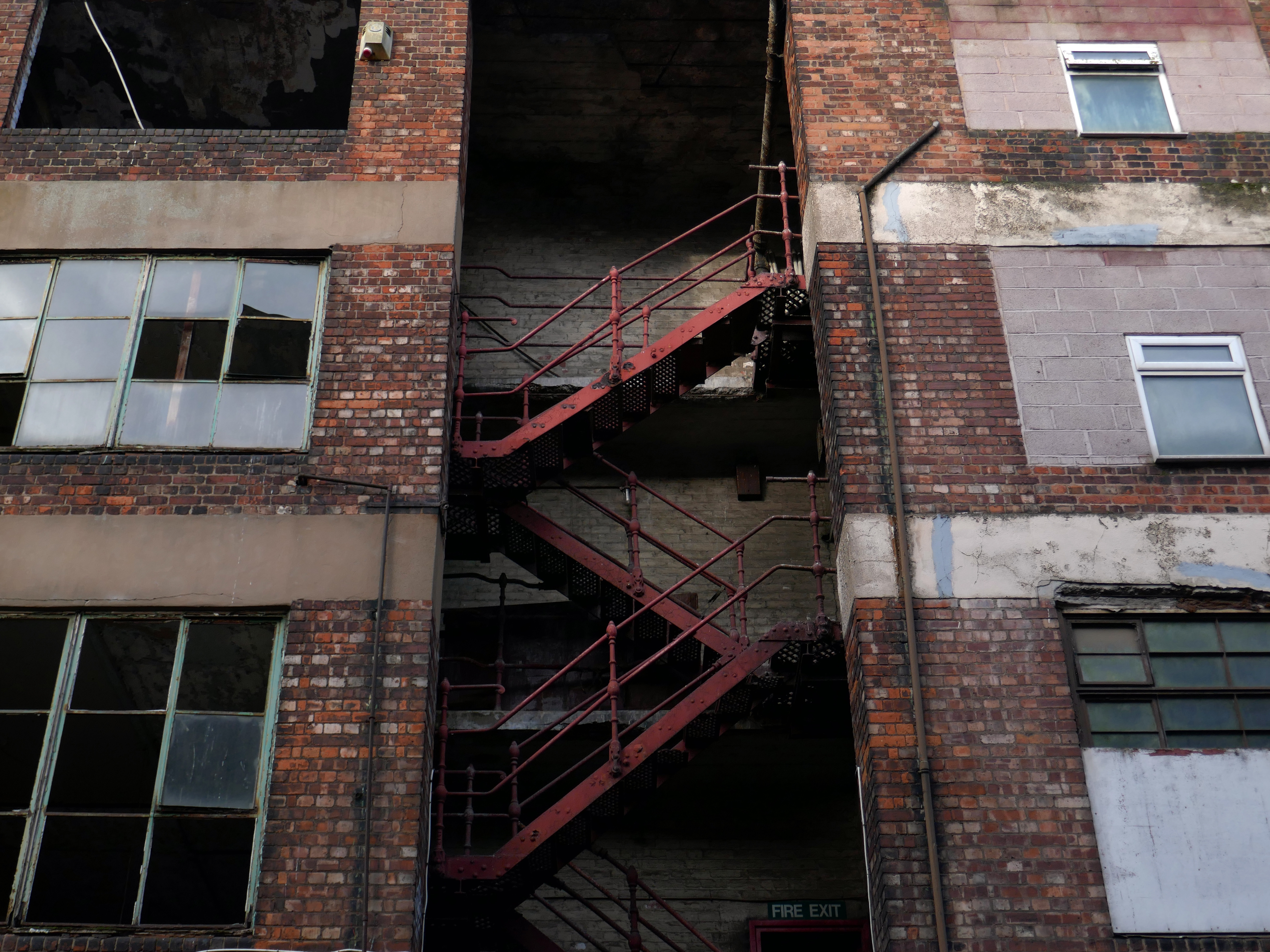
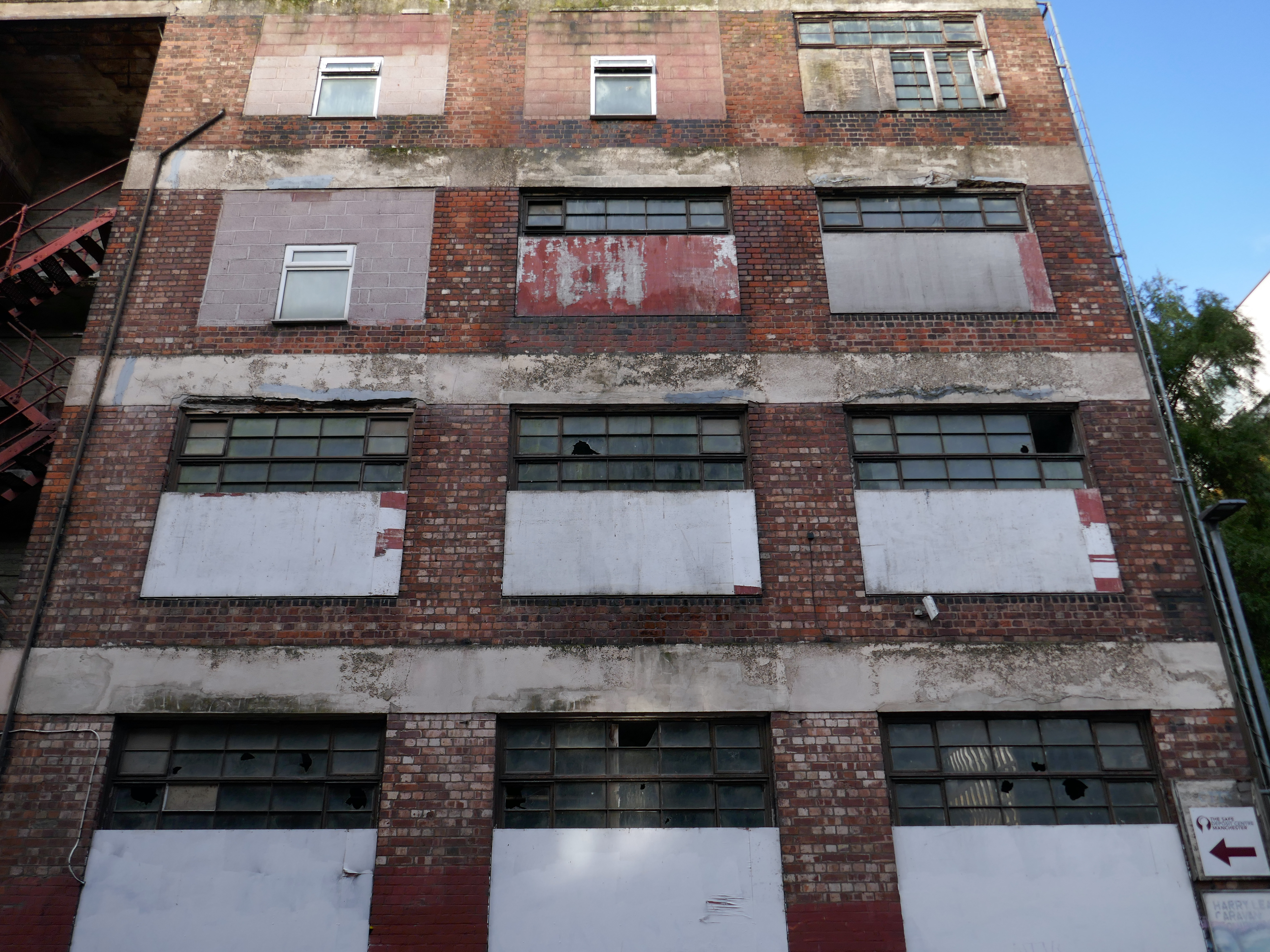
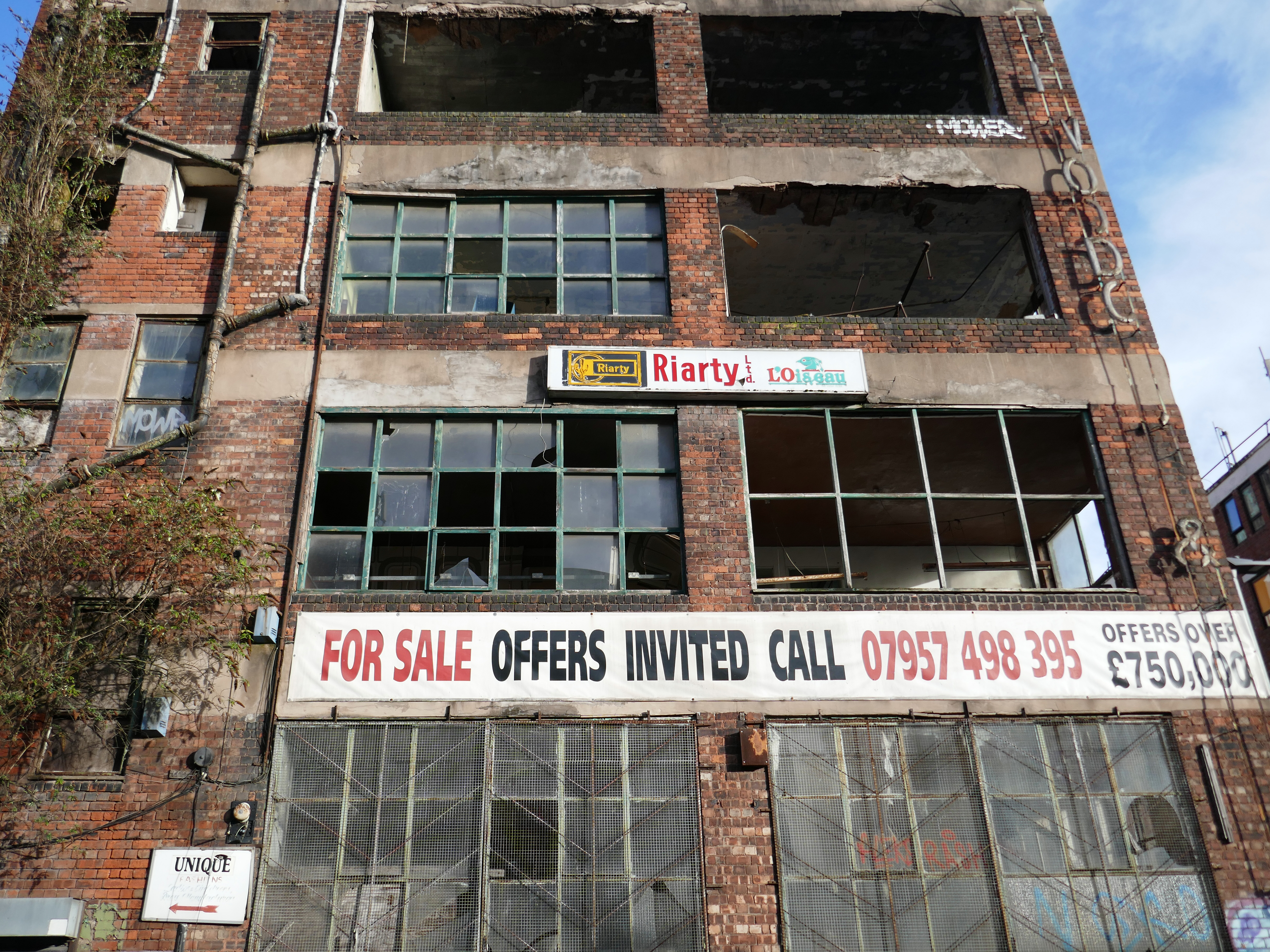
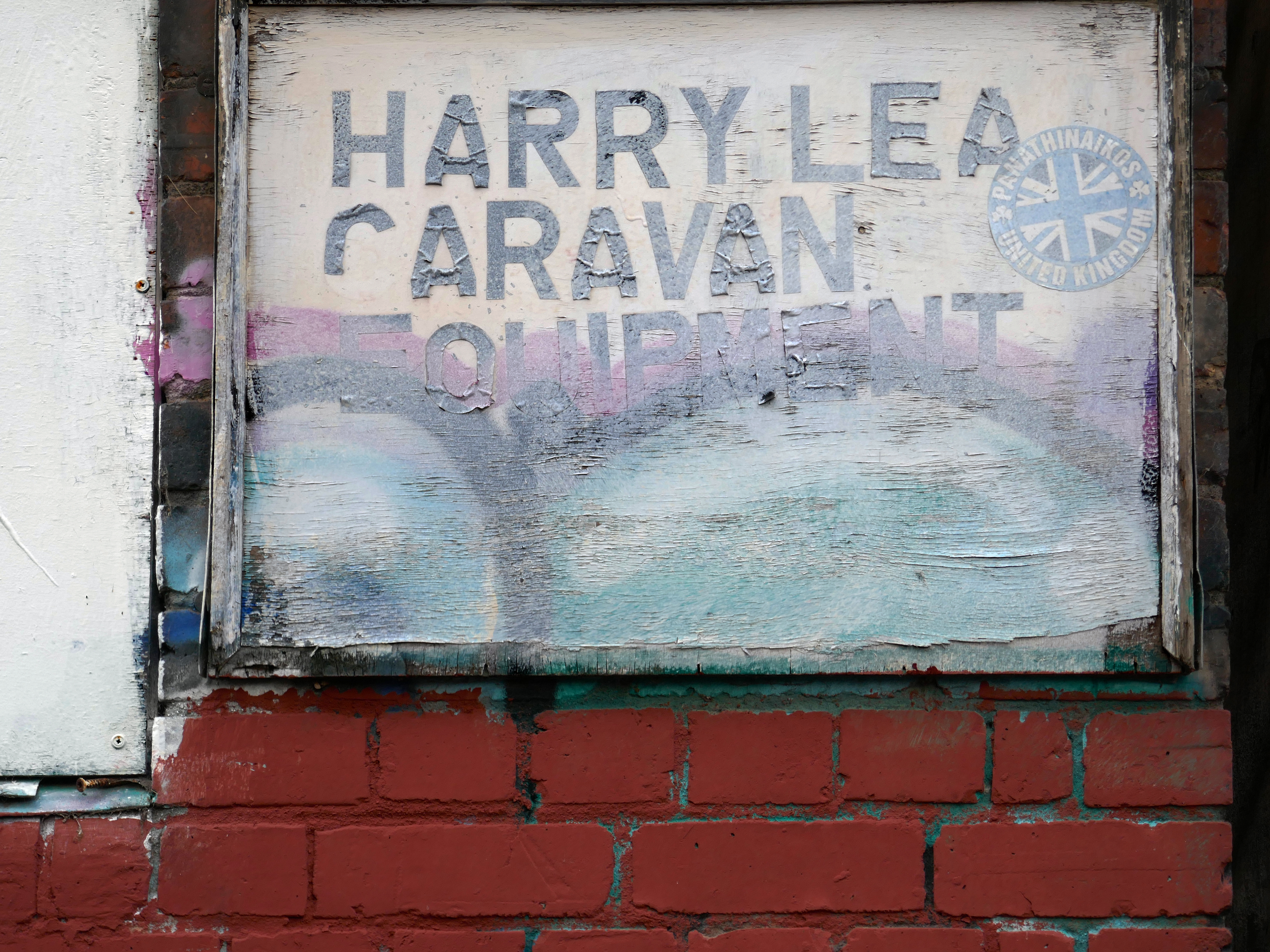
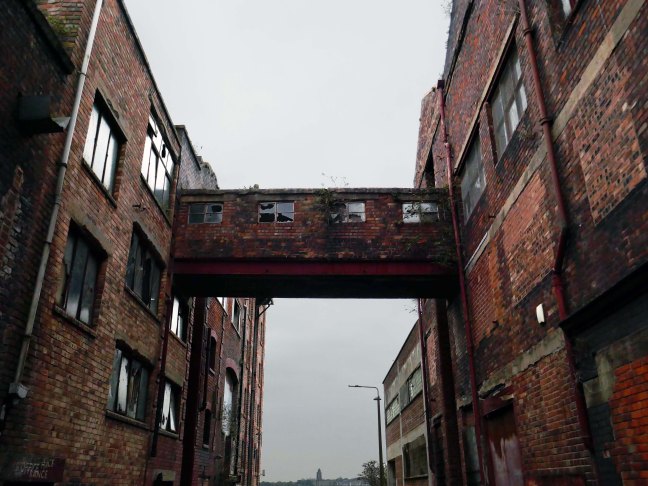
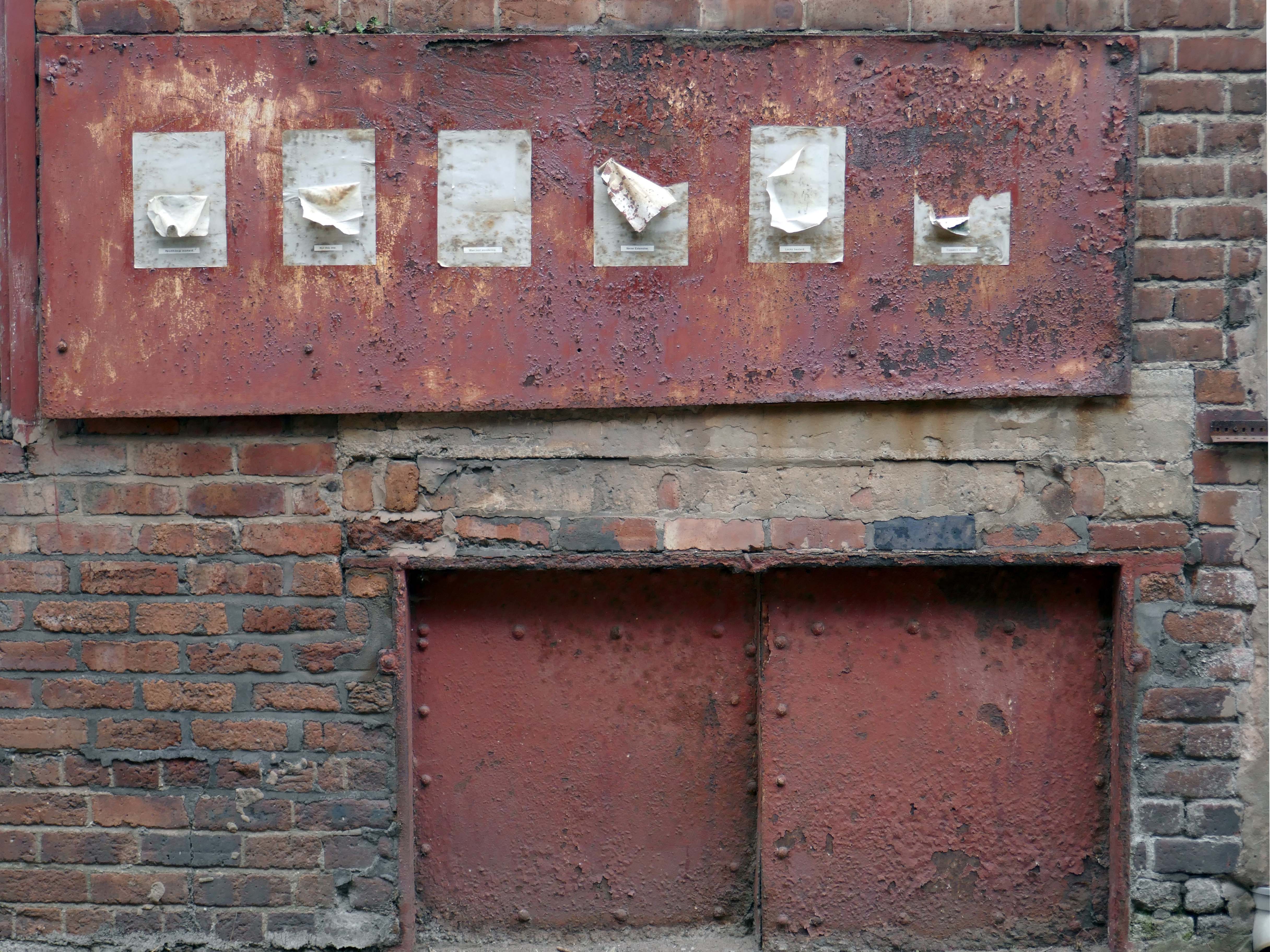
This building has always intrigued me, its sits amongst what was formerly the heart of Manchester’s Rag Trade. It is an area of signs and lost industry, the comings and goings having been and gone.
The surrounding buildings are gradually being refurbished or replaced, but somehow 46 Marshall Street is bucking the trend, though at some point someone somewhere will find over £750,000.
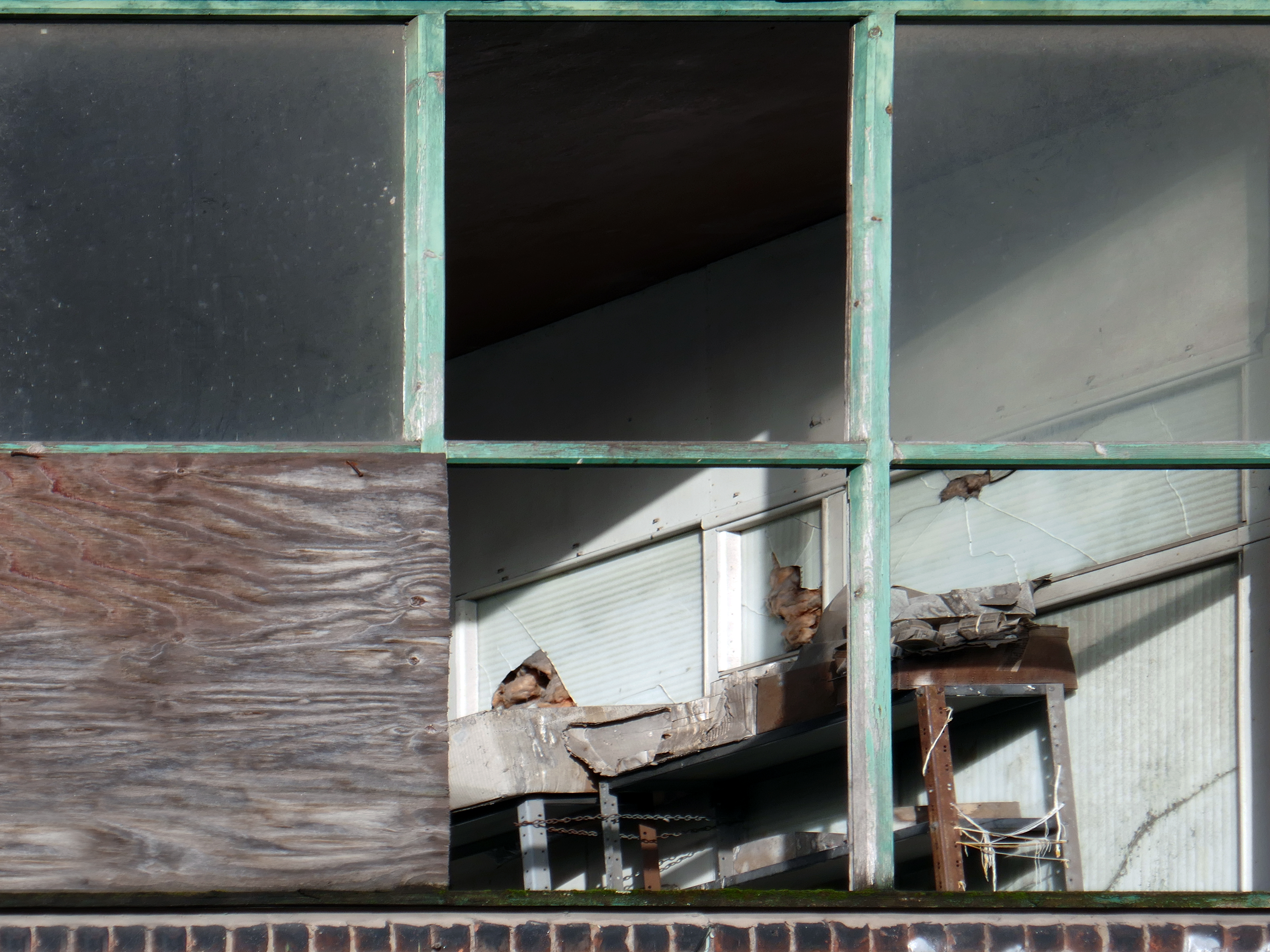
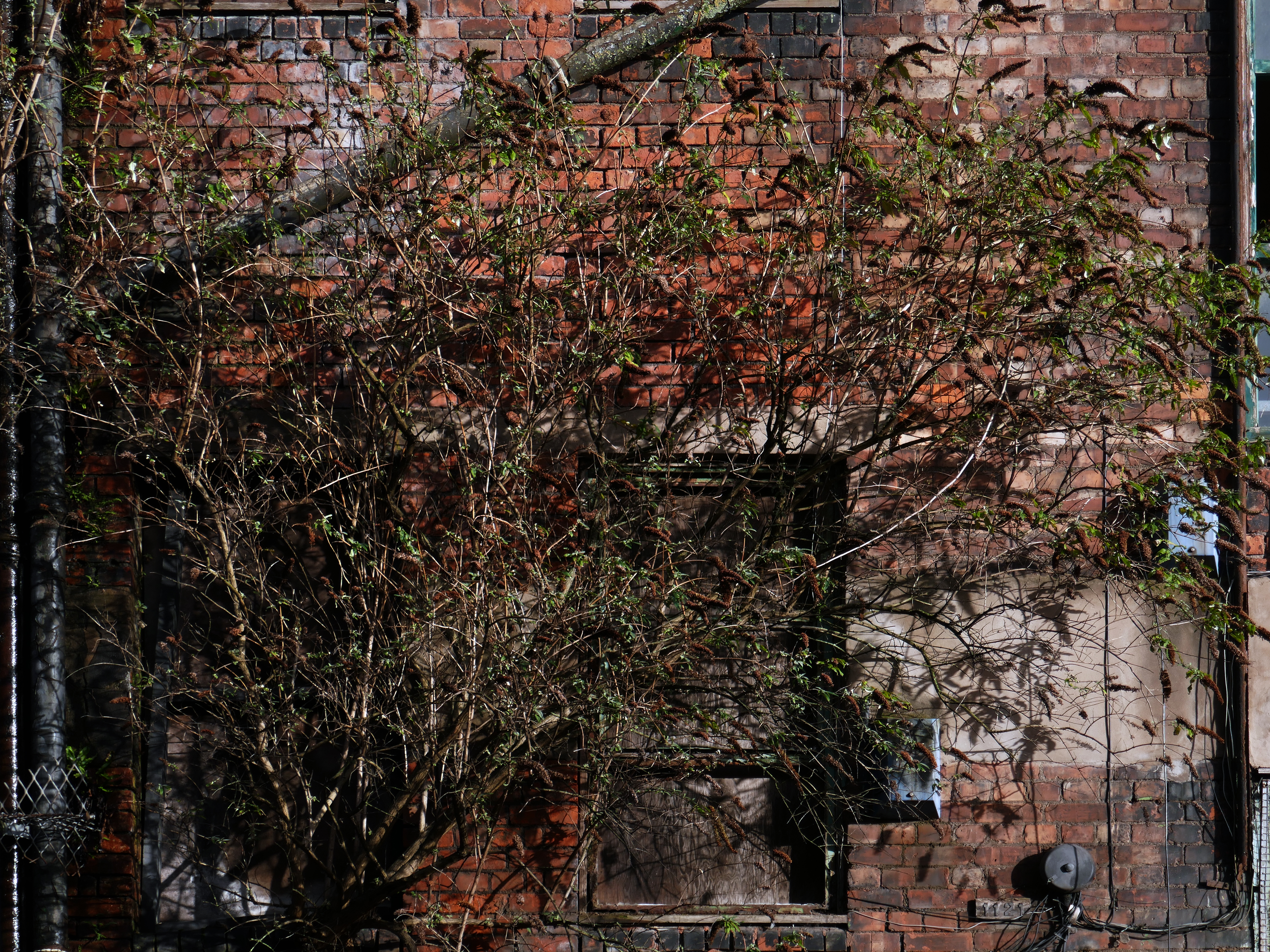
Gradually its wooden framed windows become the poked out eyes of its soul.
Light fittings hang limp and unlit, as the interior decor deteriorates.
The restless rust inhabits the lower metallic fenestration.
Block work blocks the blocked up entrances.
The ampersand can be traced back to the 1st century AD and the old Roman cursive, in which the letters E and T occasionally were written together to form a ligature.
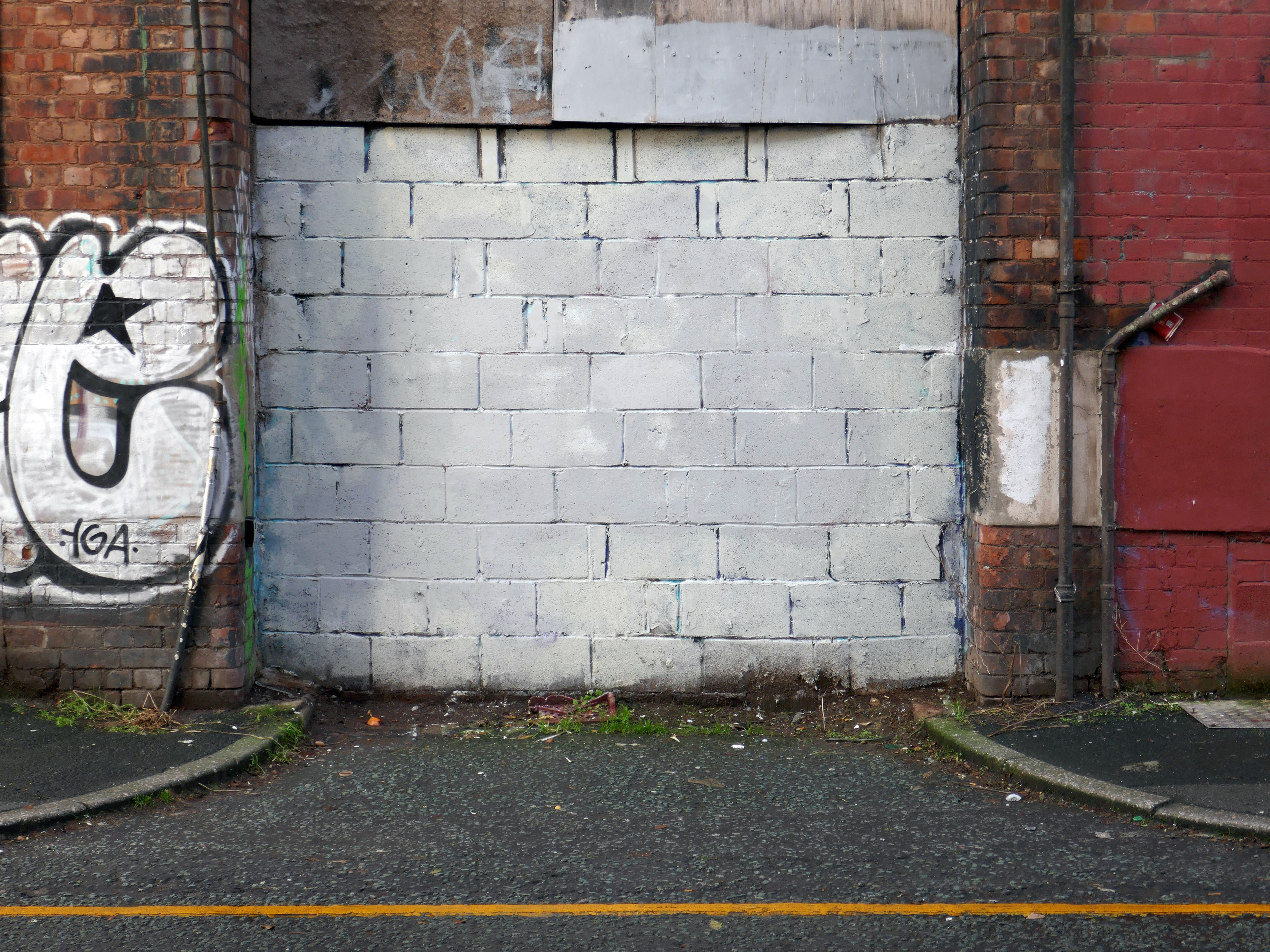
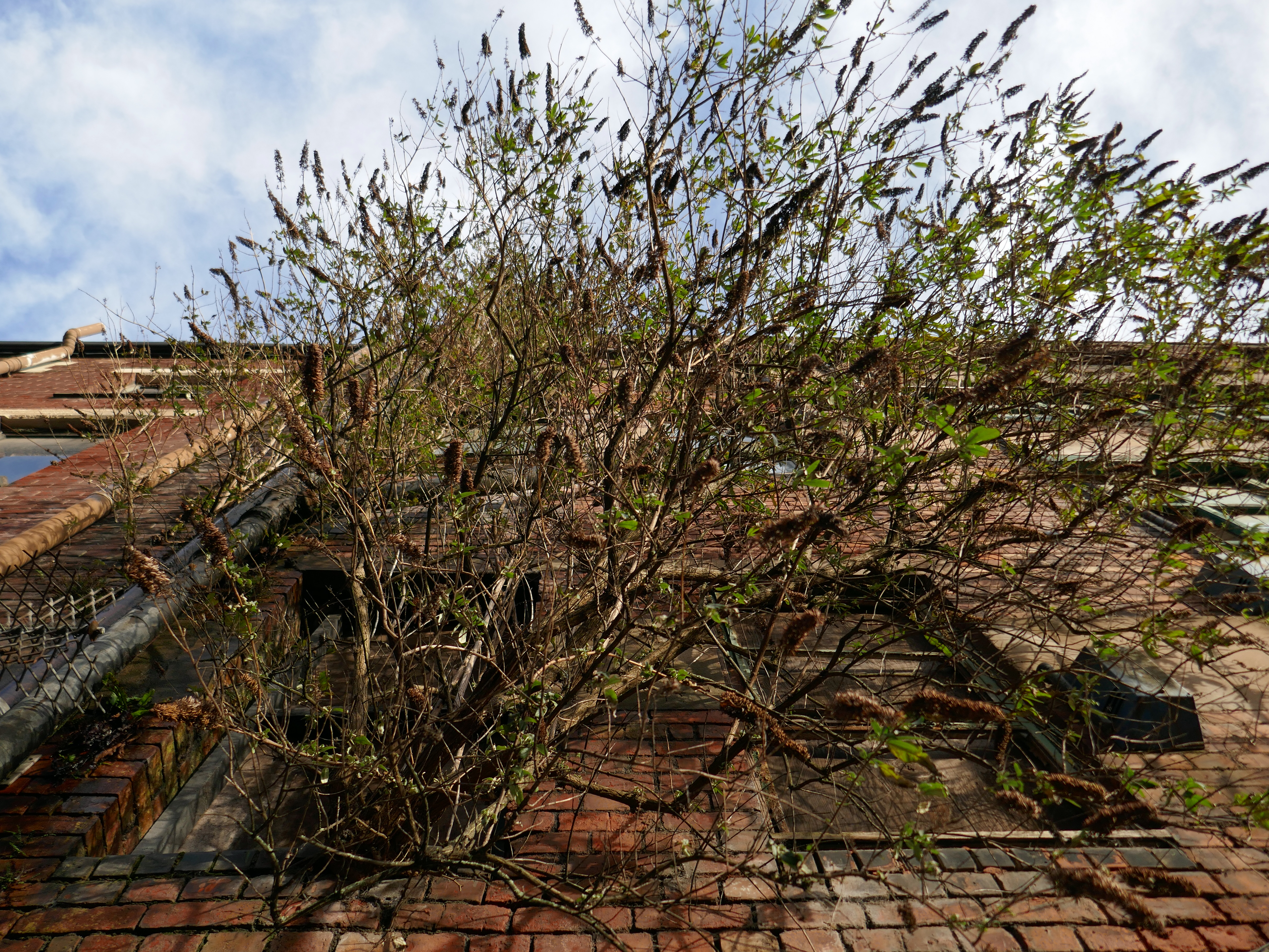
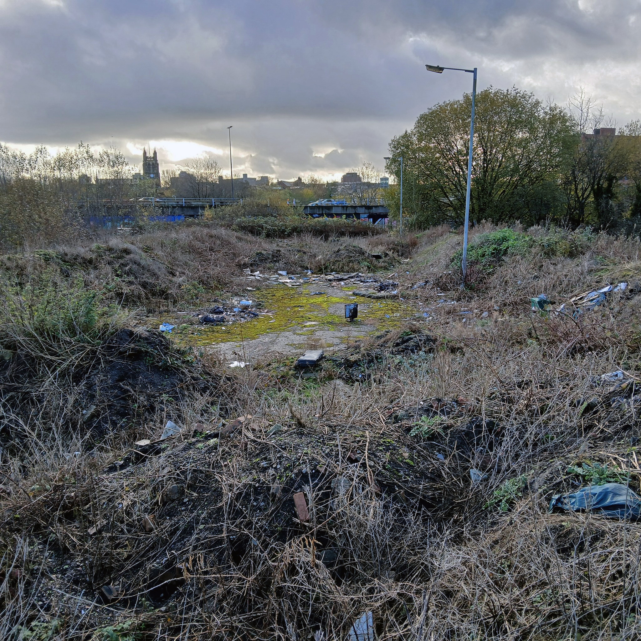
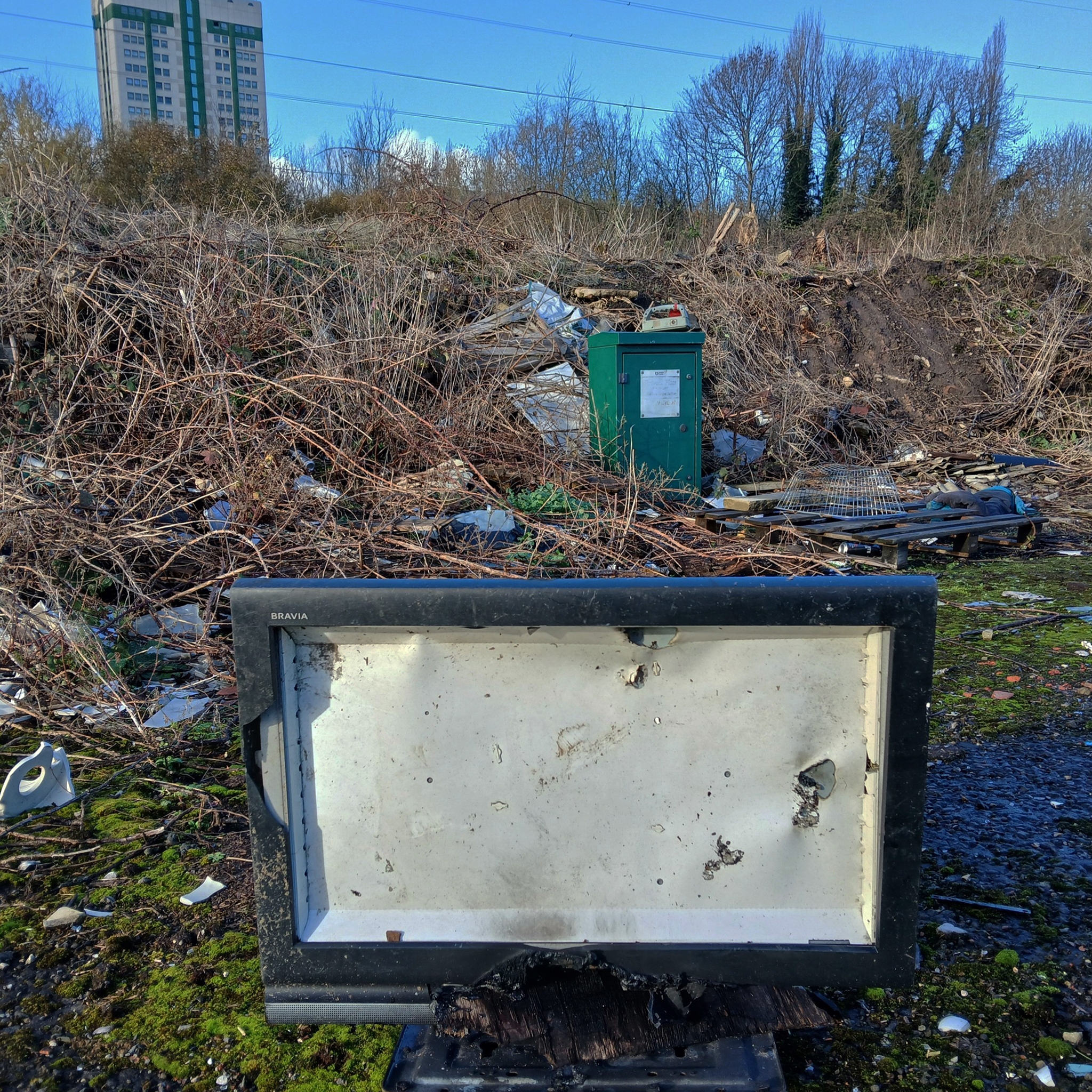
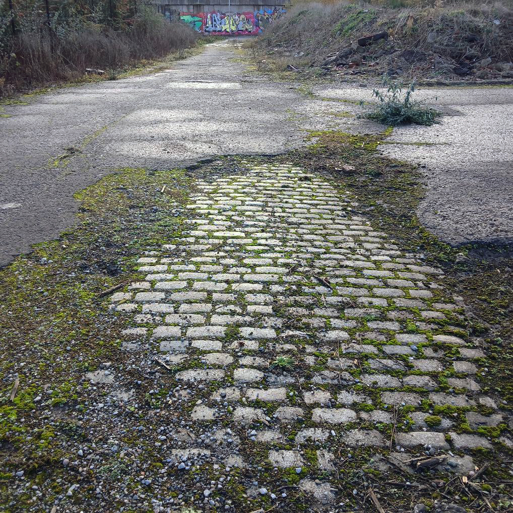
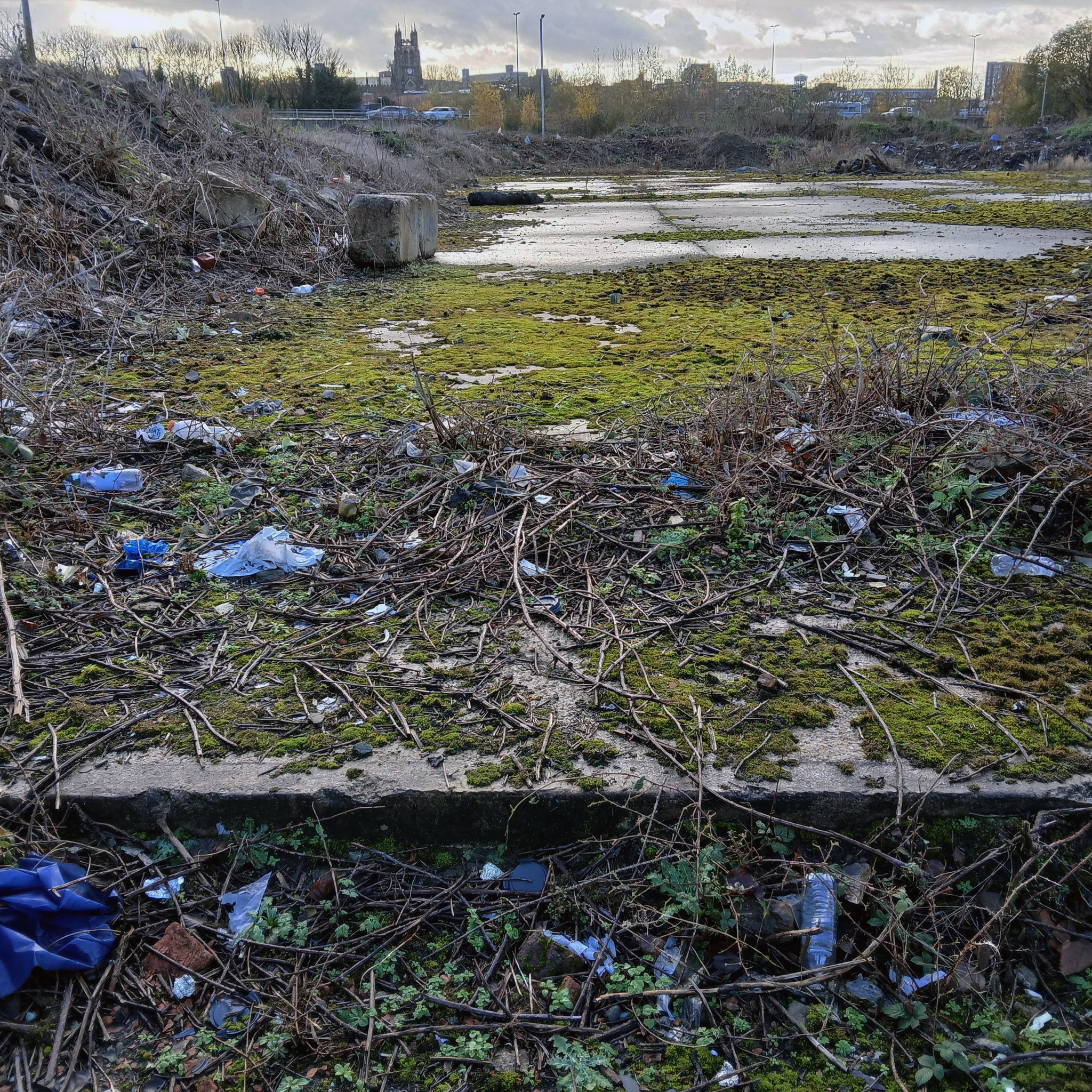
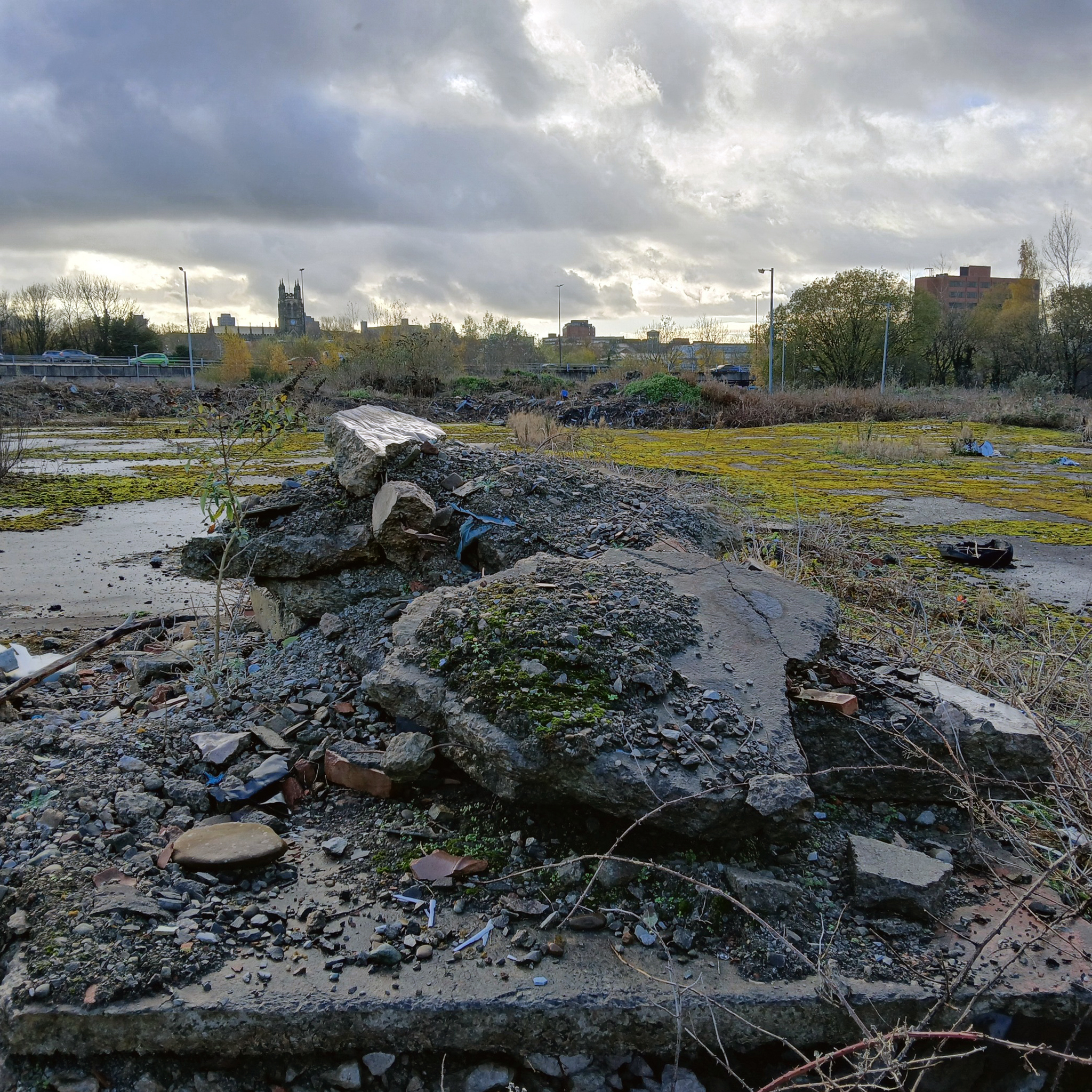
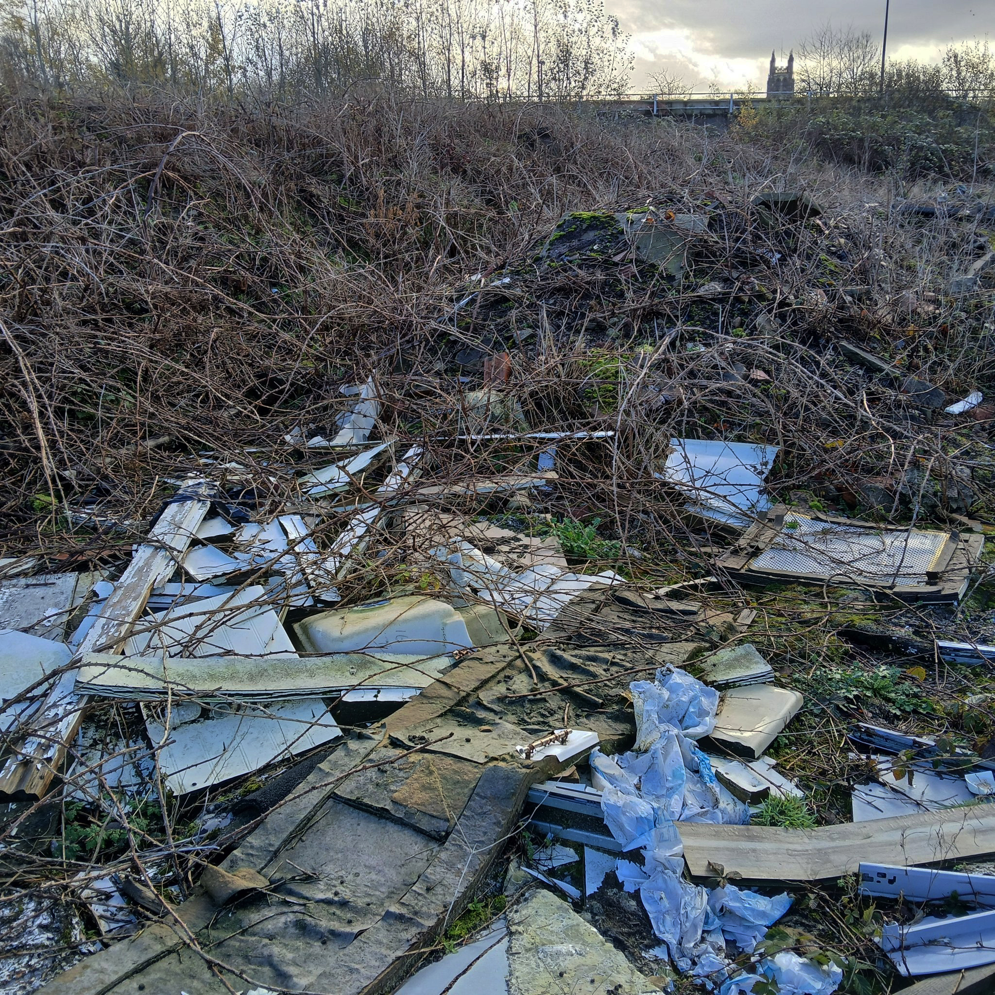
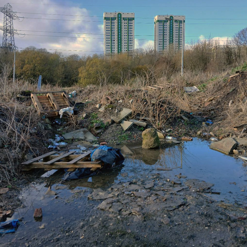
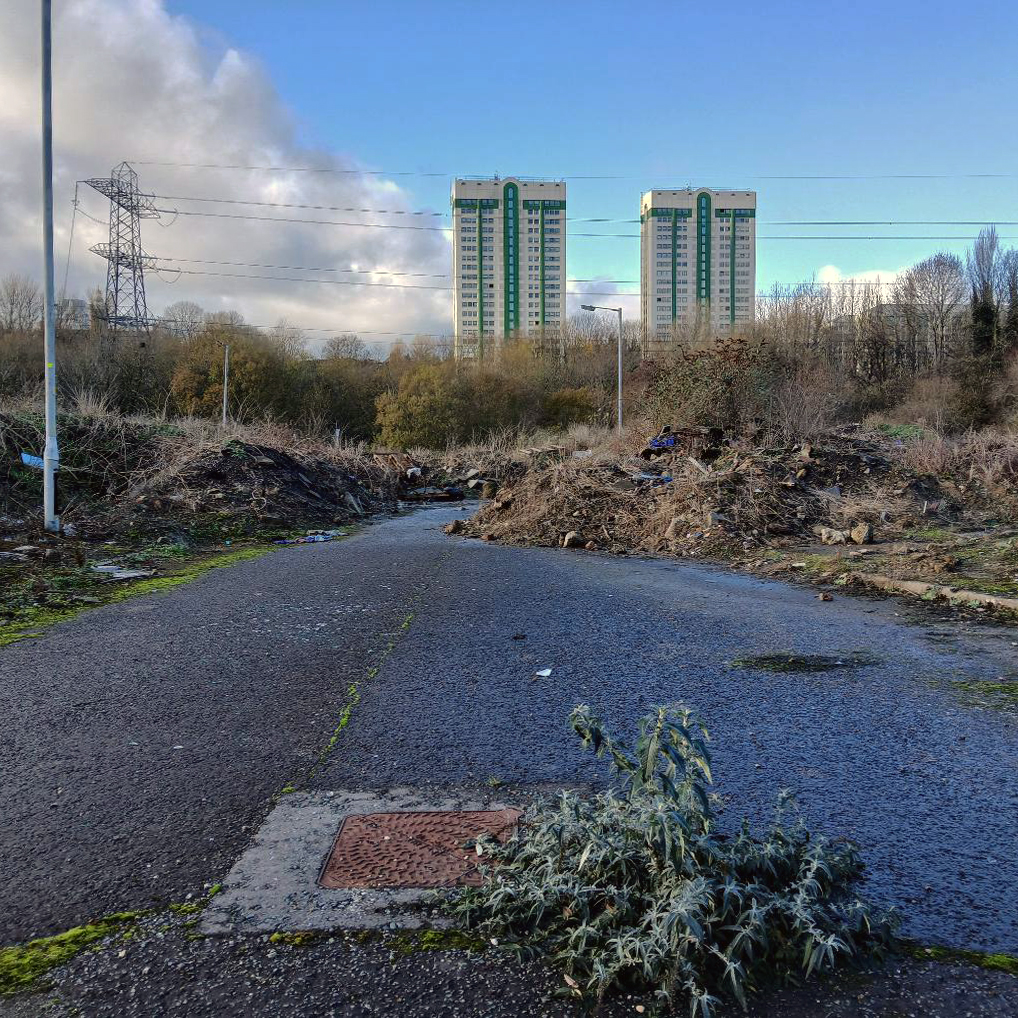
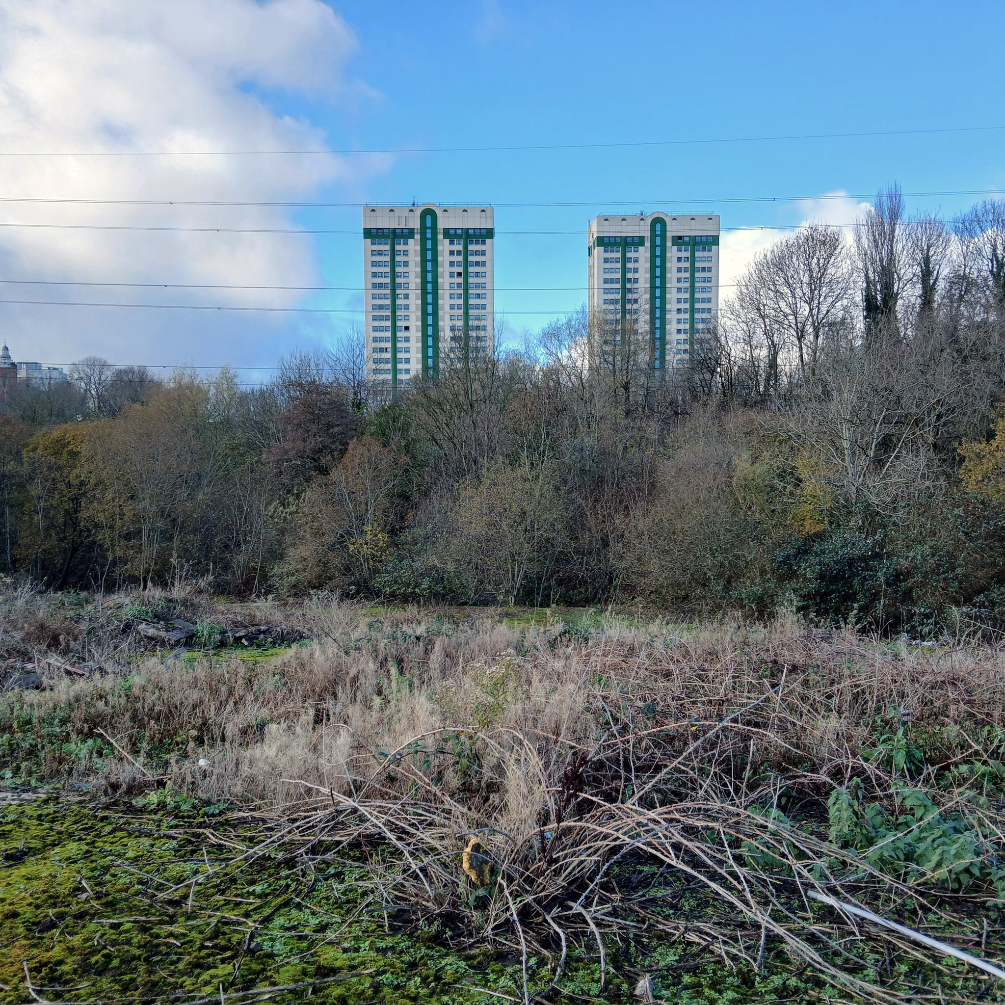
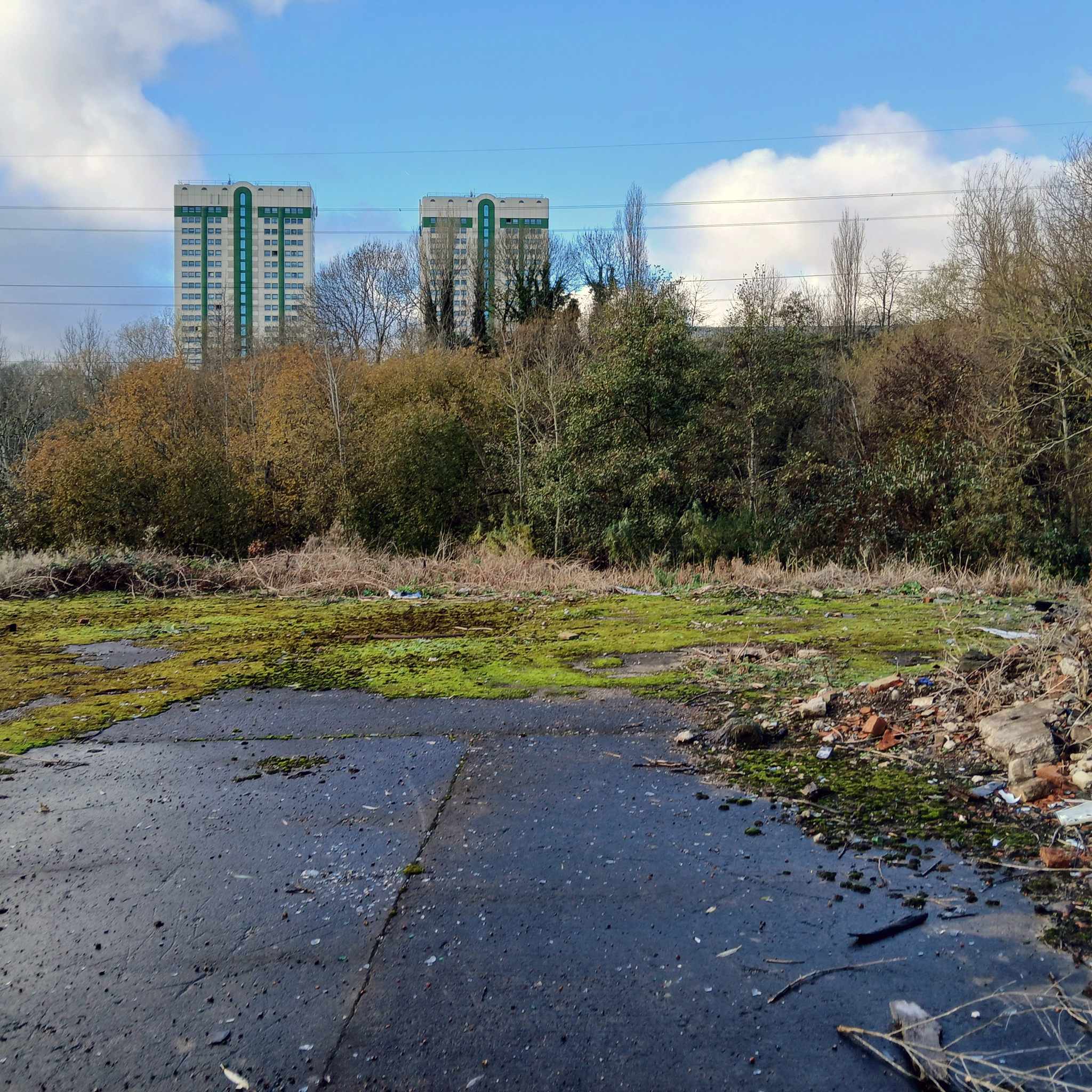
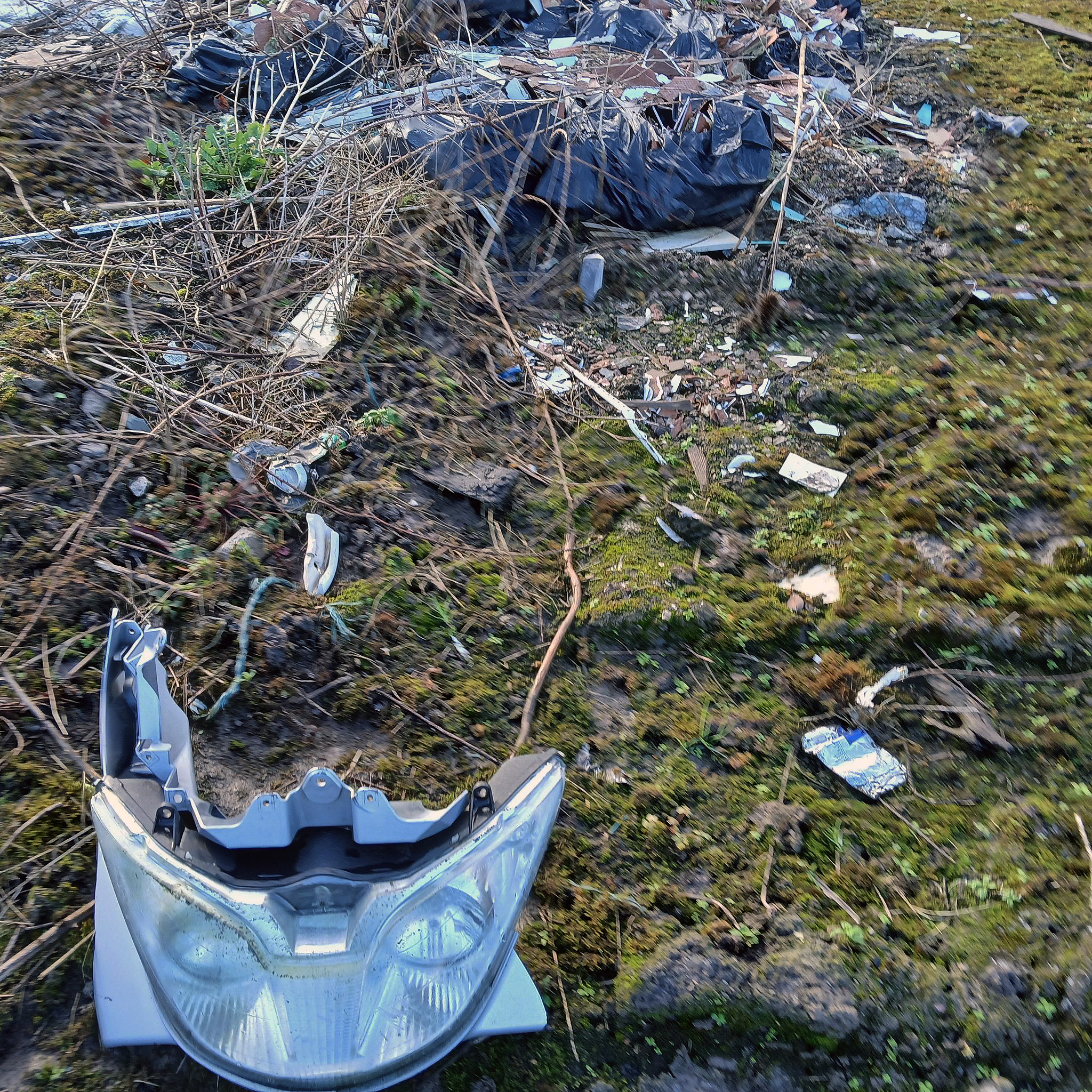
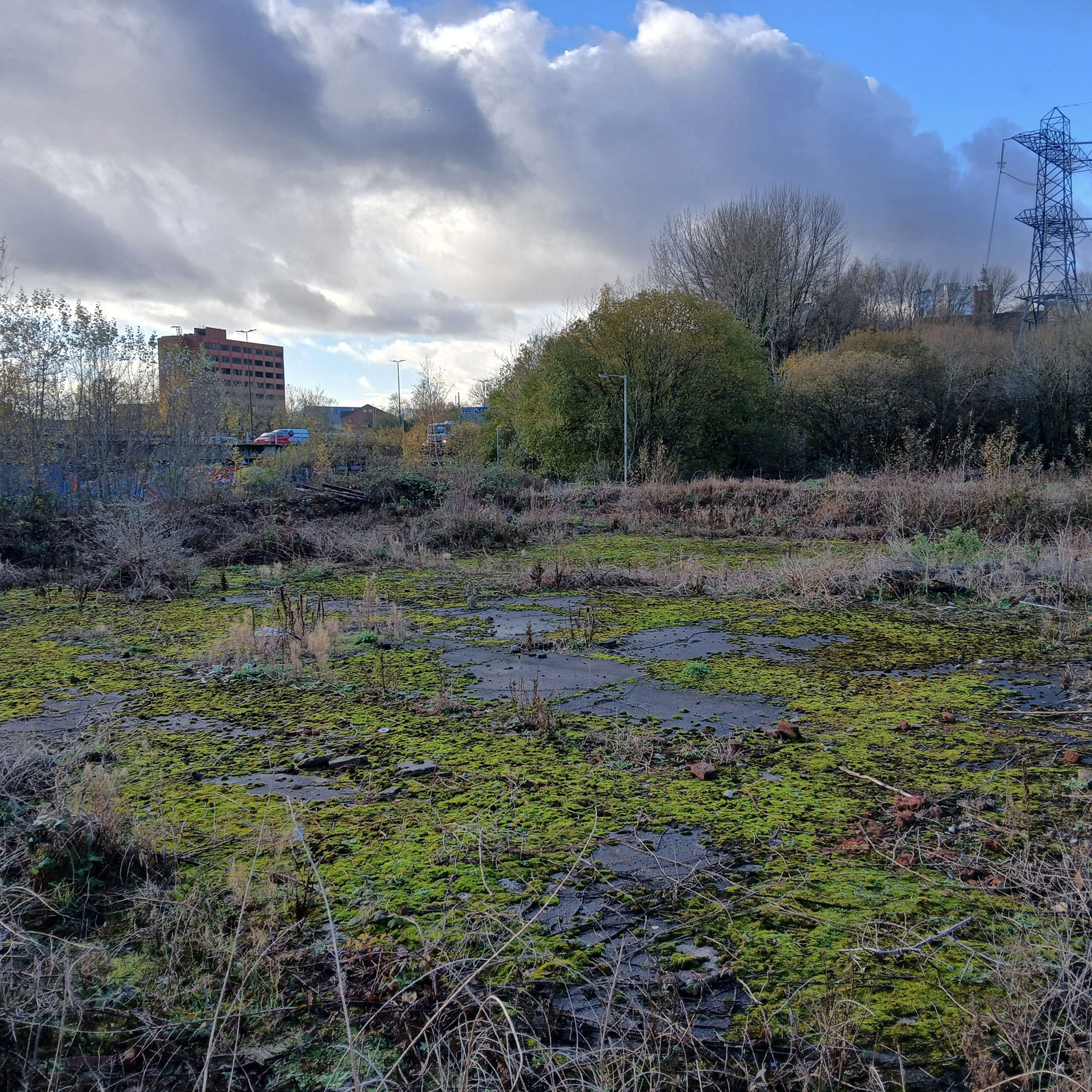
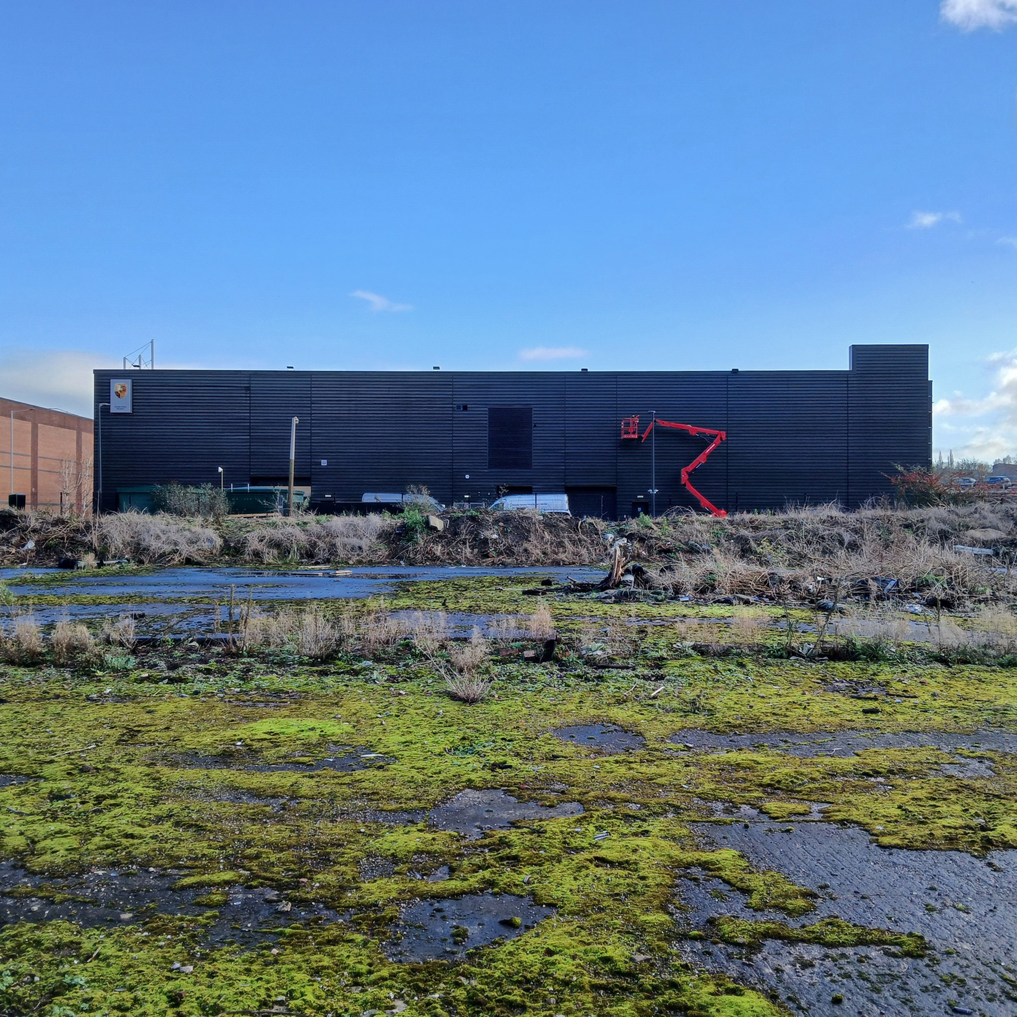
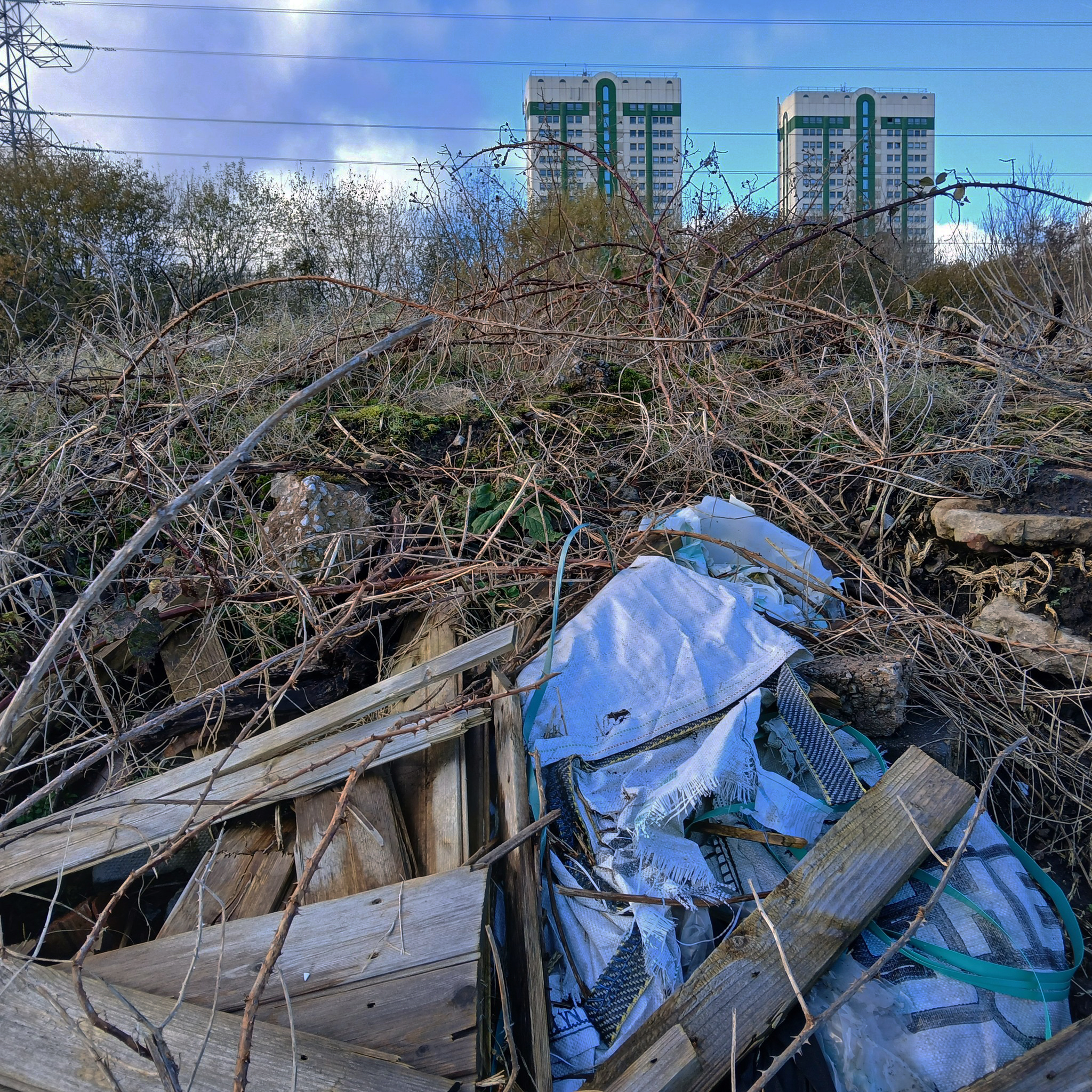
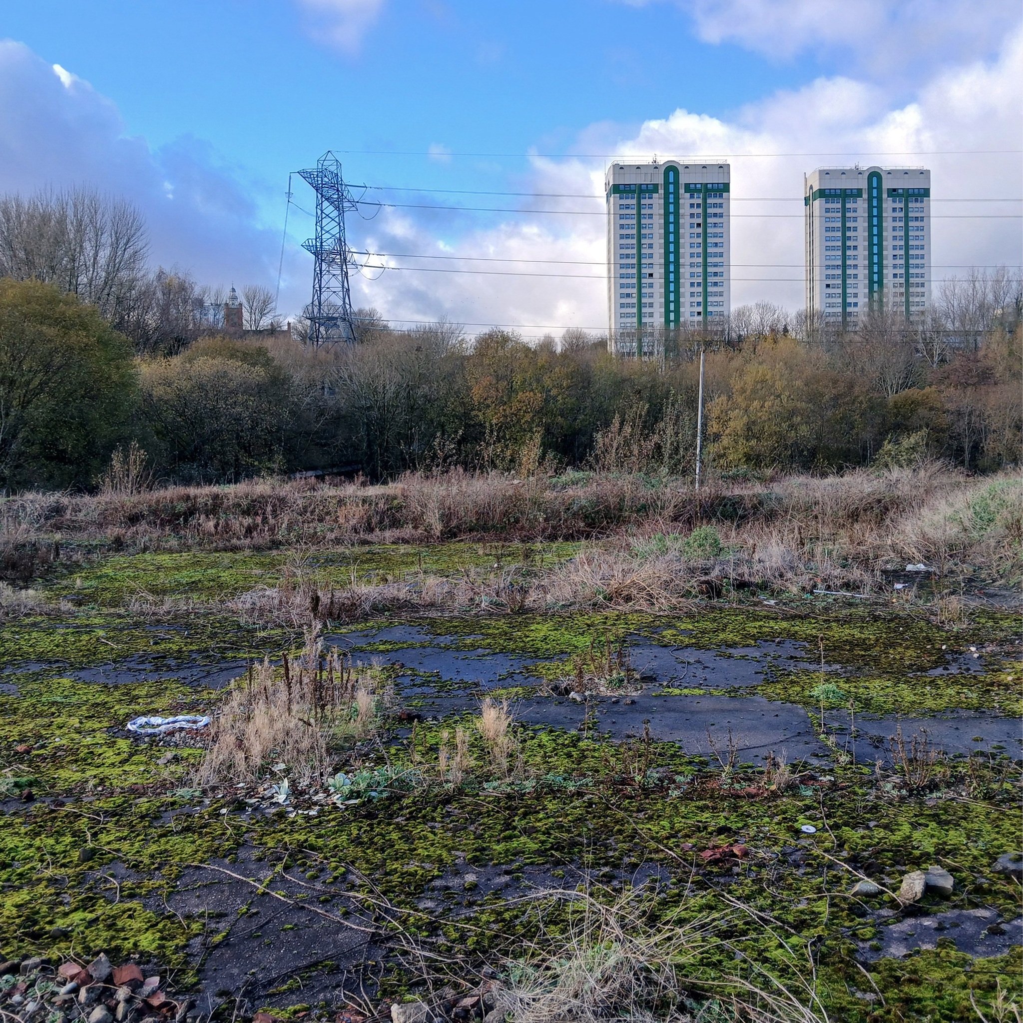
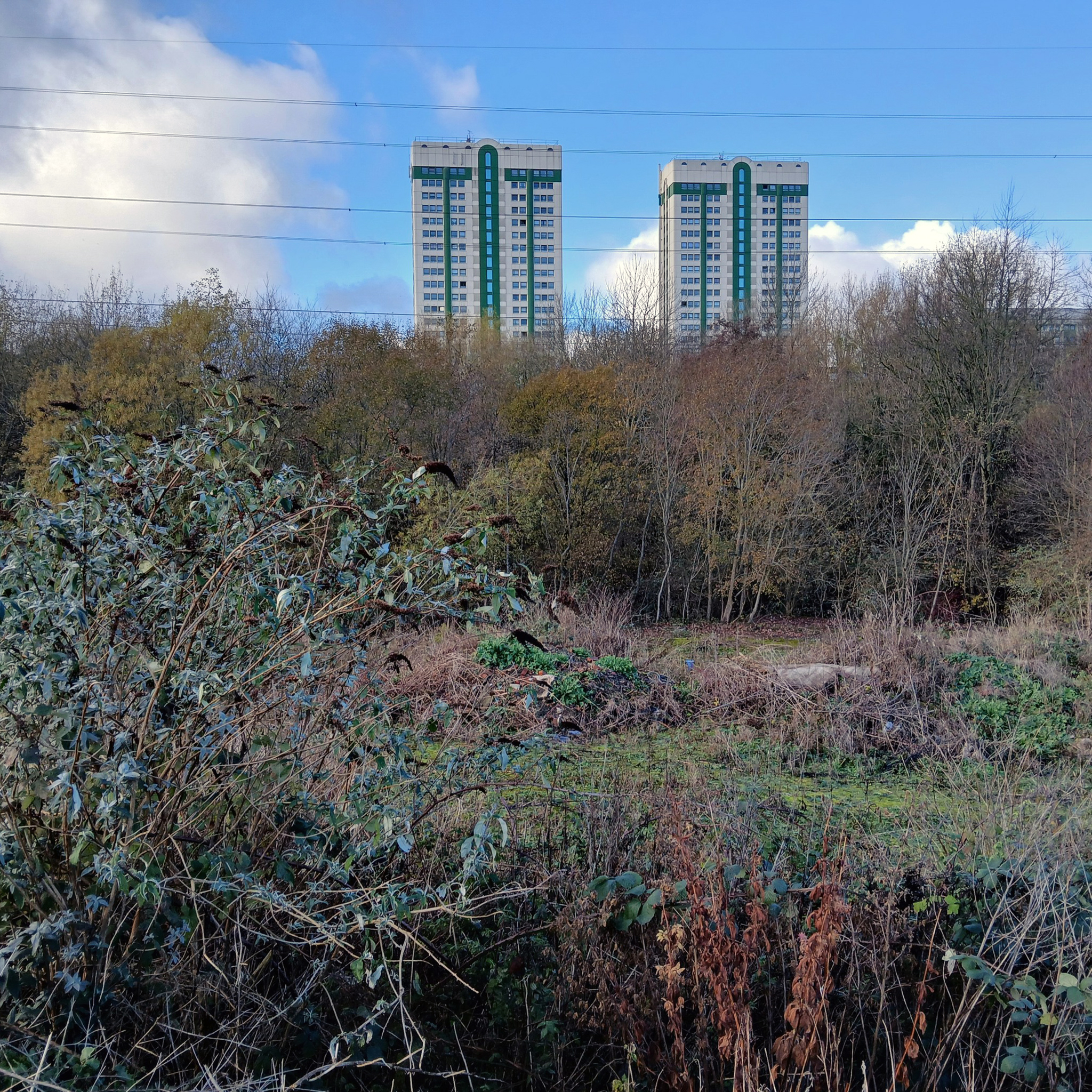
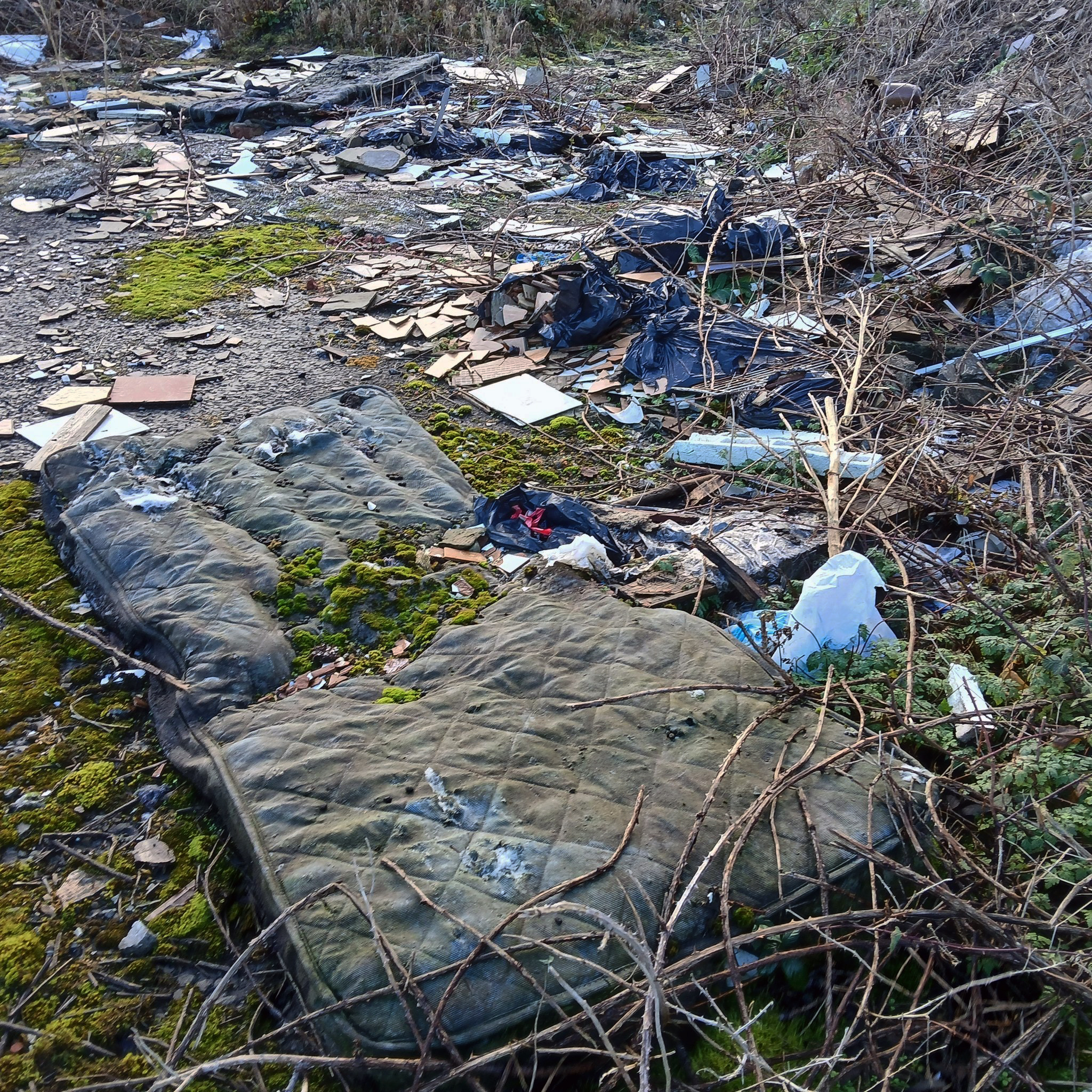
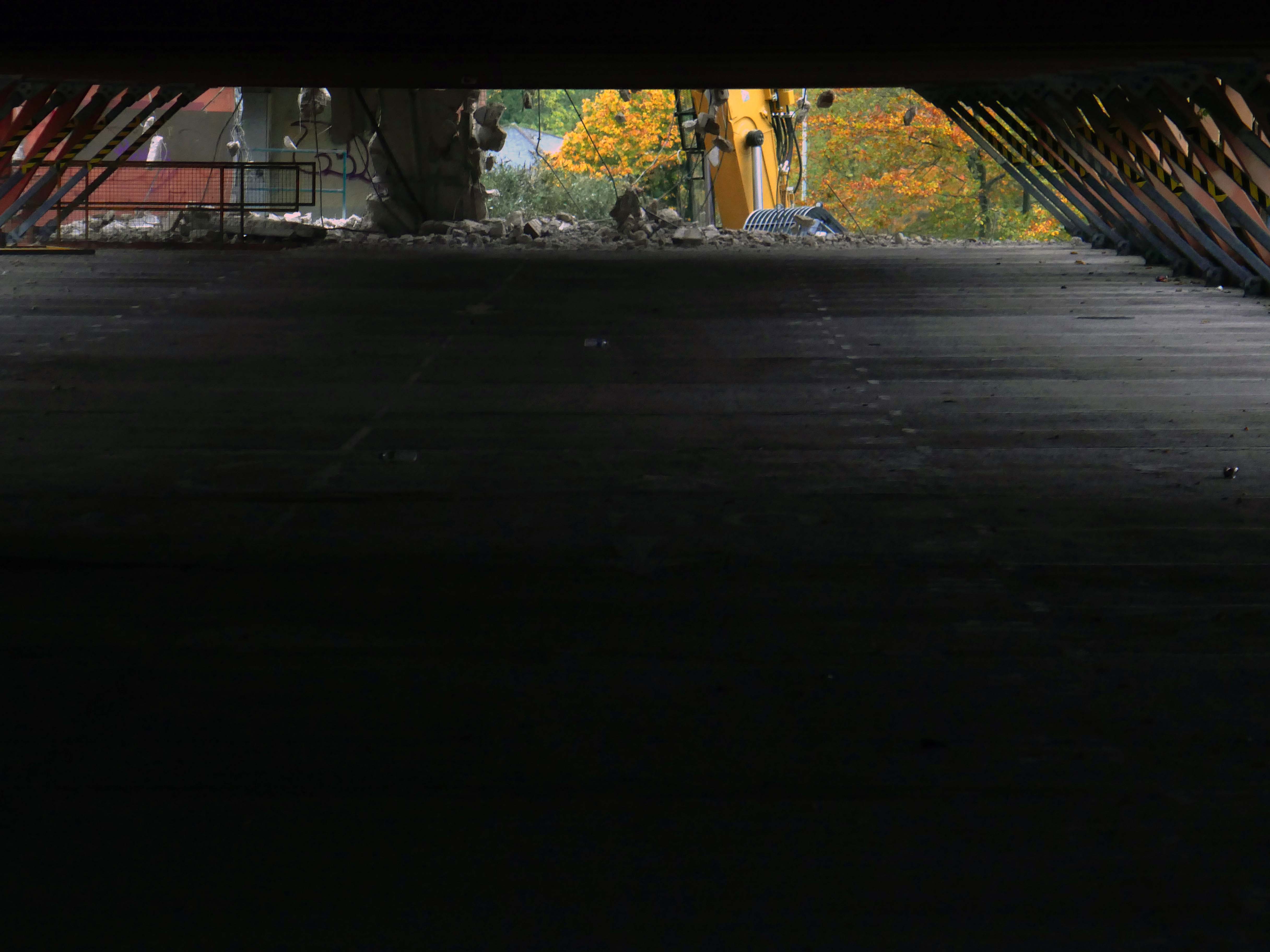
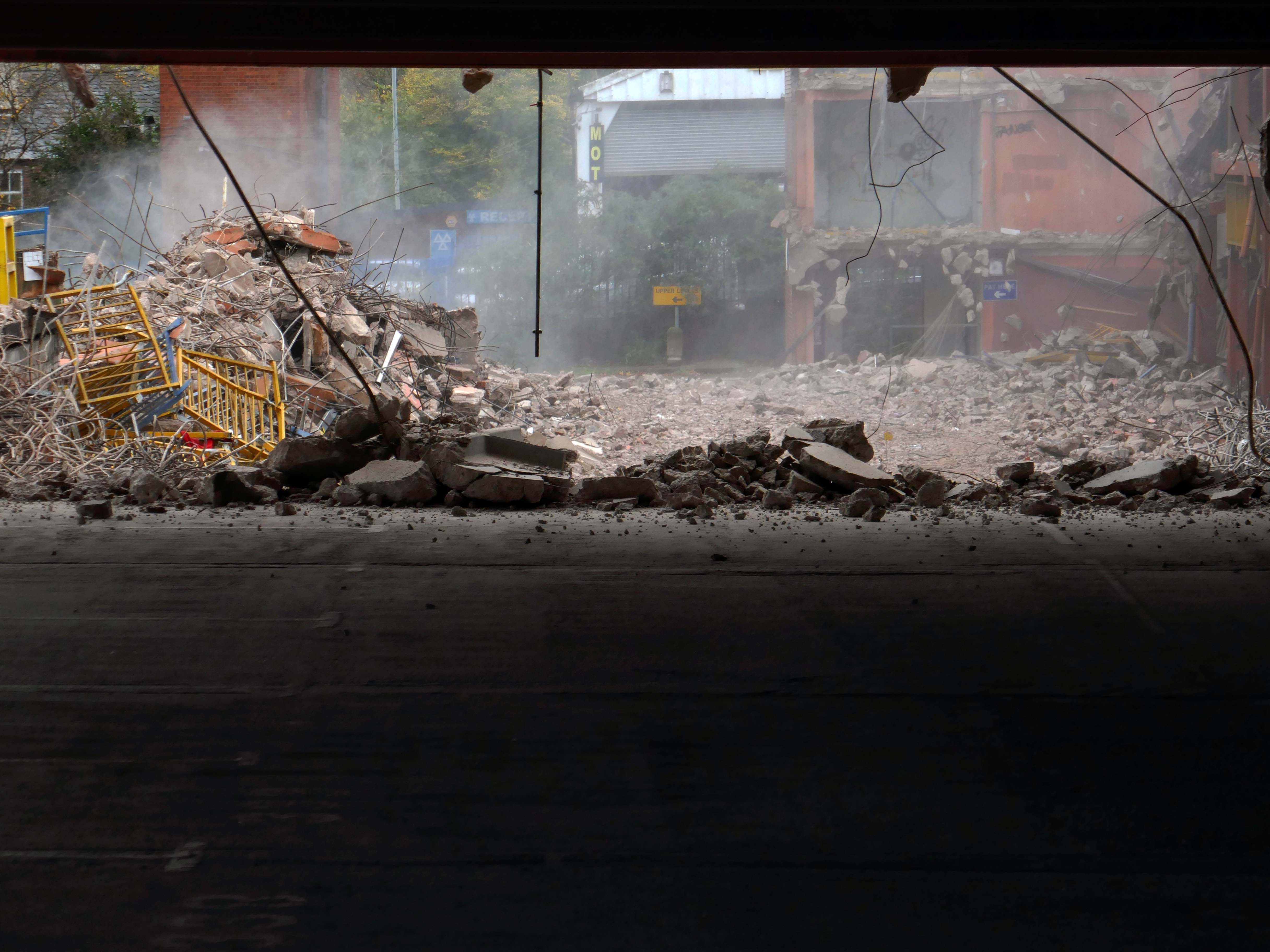
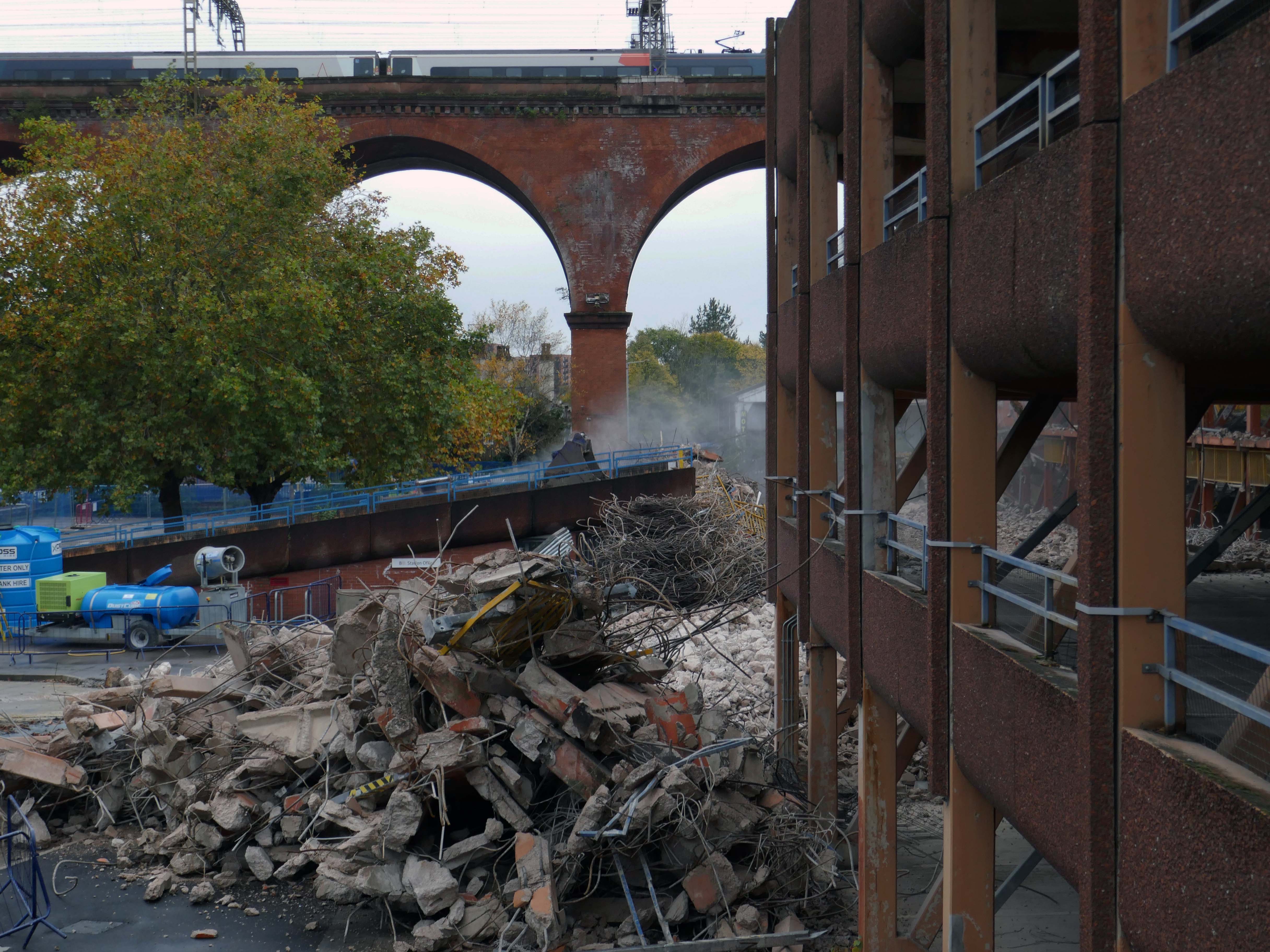
We can see the remains of the road system of this former industrial site, now colonised by brambles and greenery, the imposition of earth mounds and fly tipping.
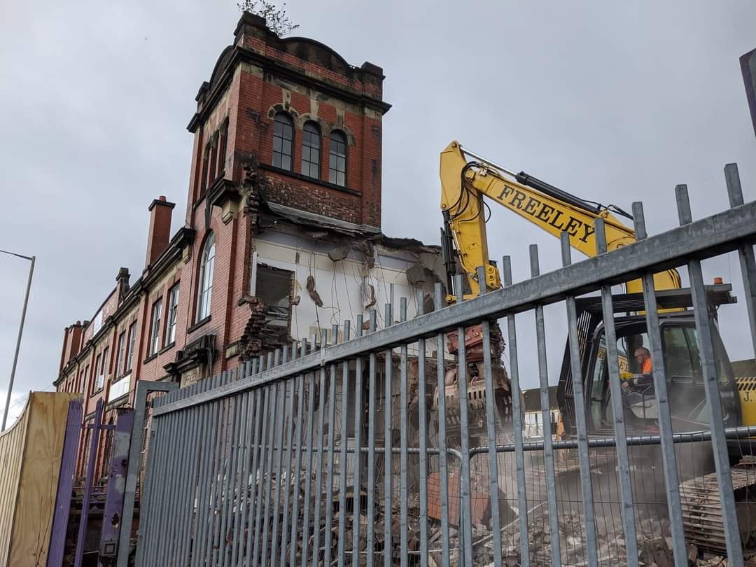
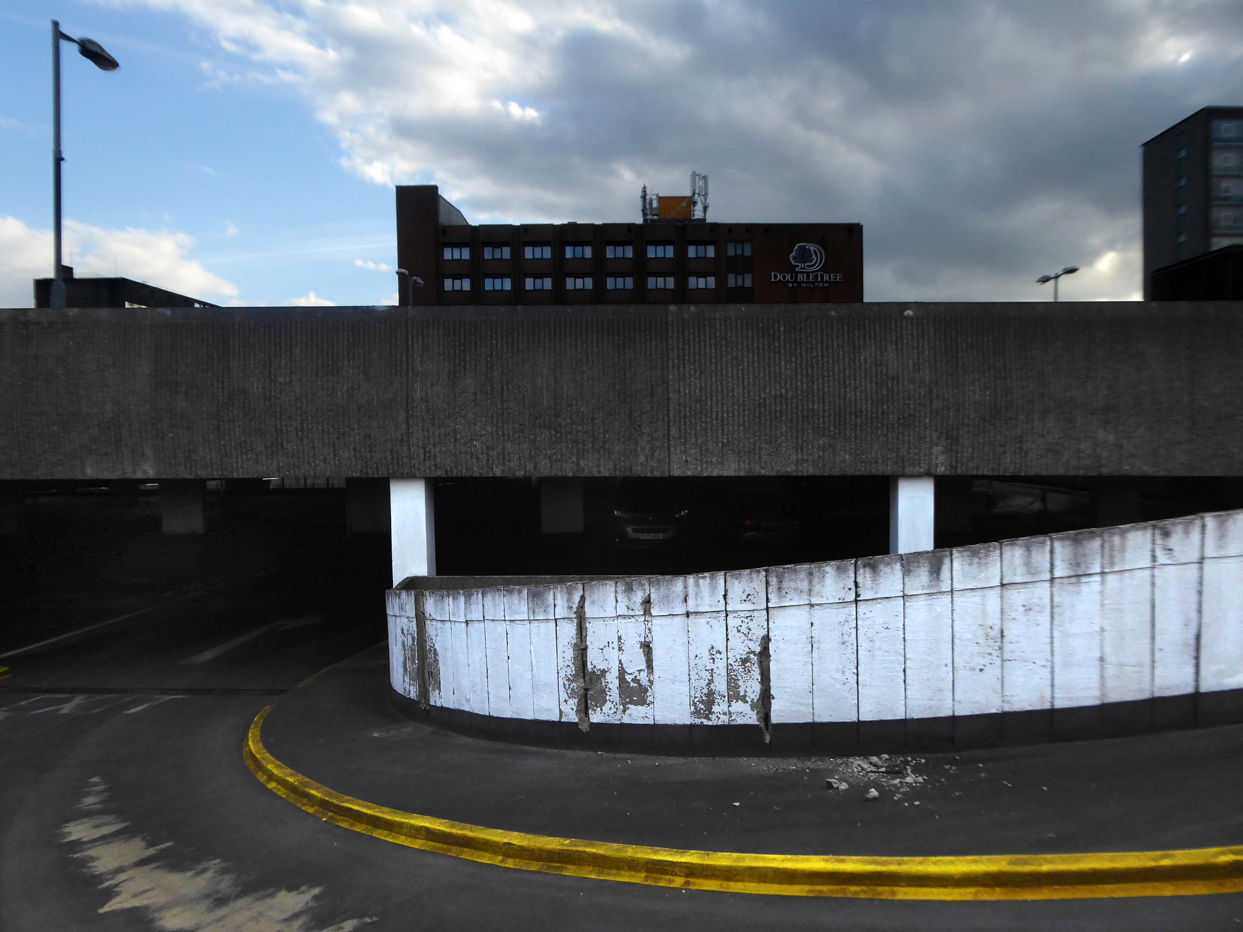
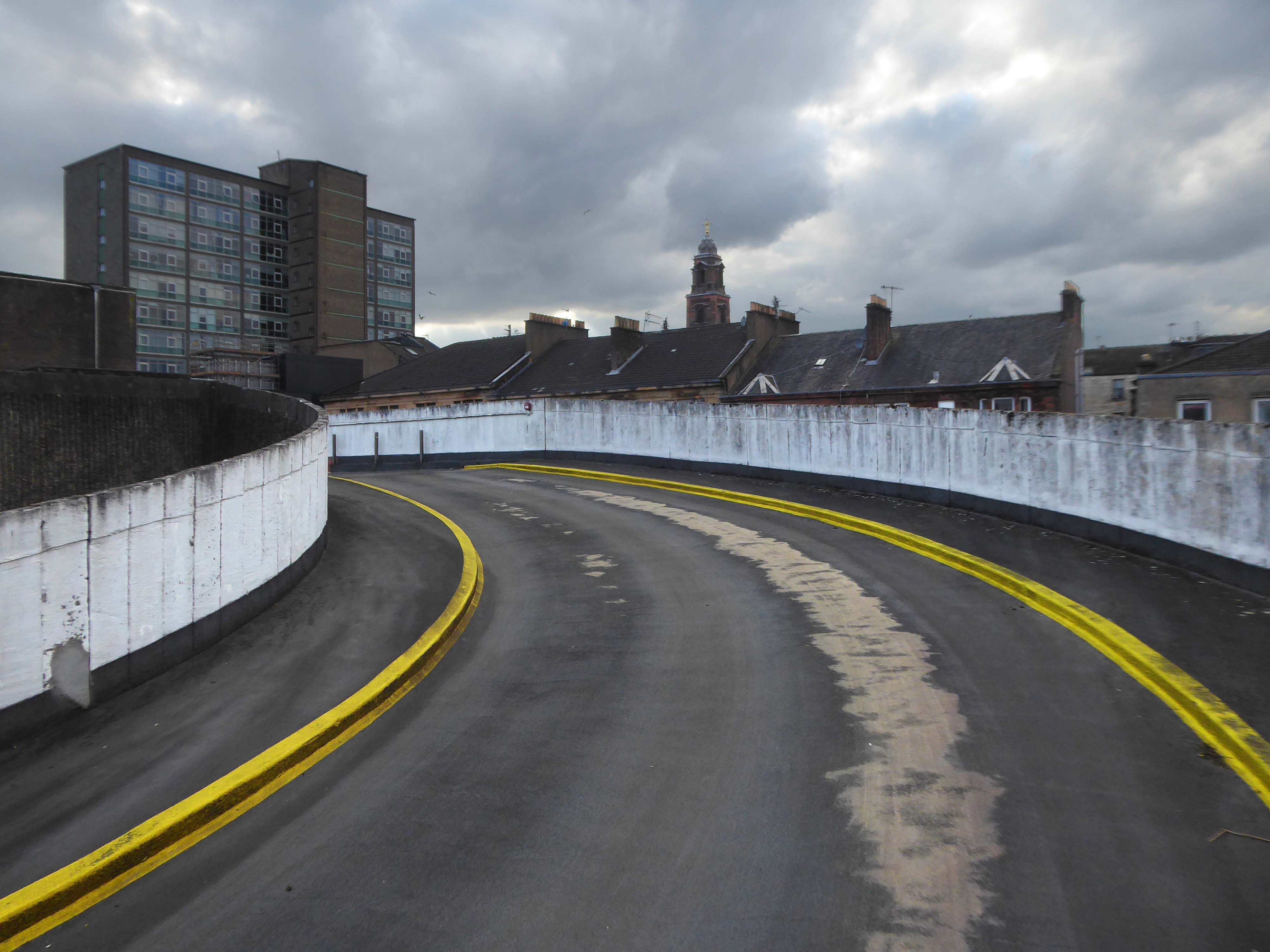
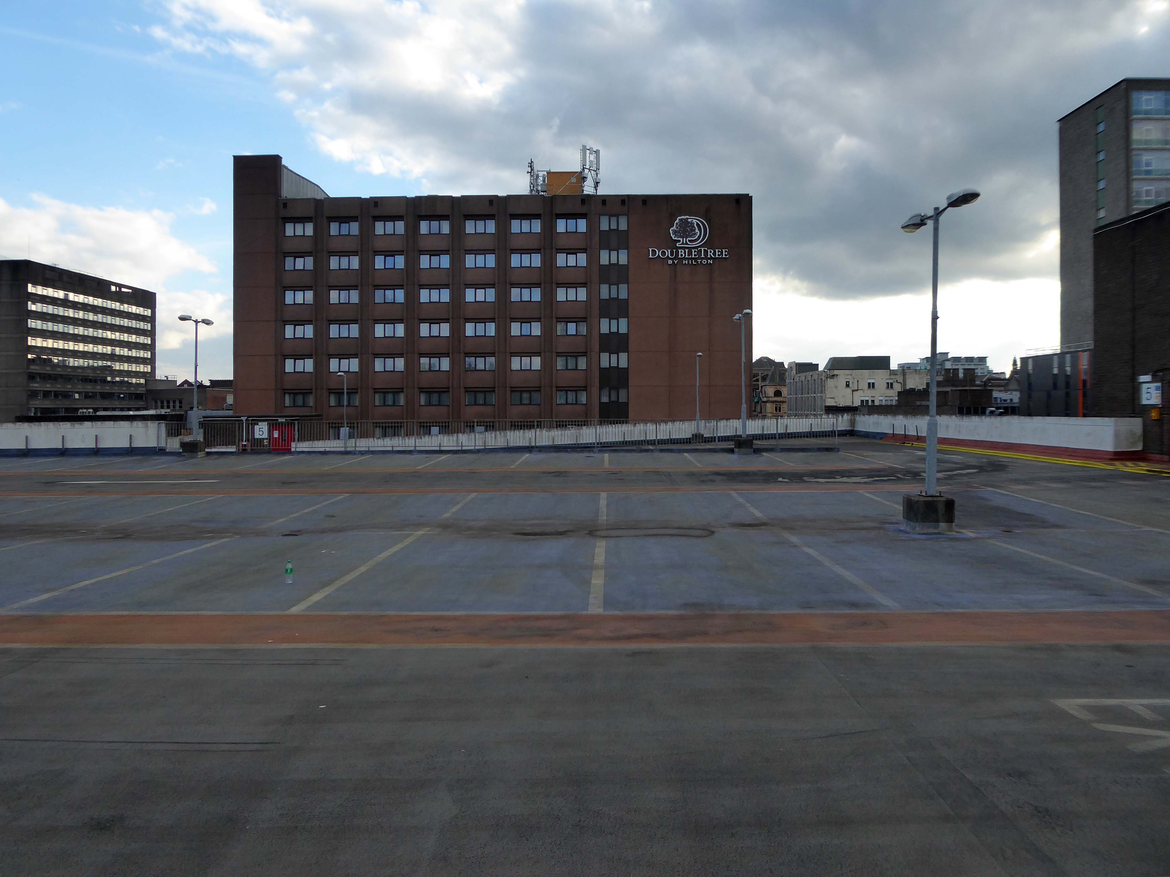
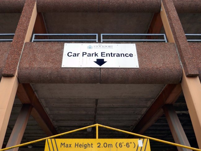
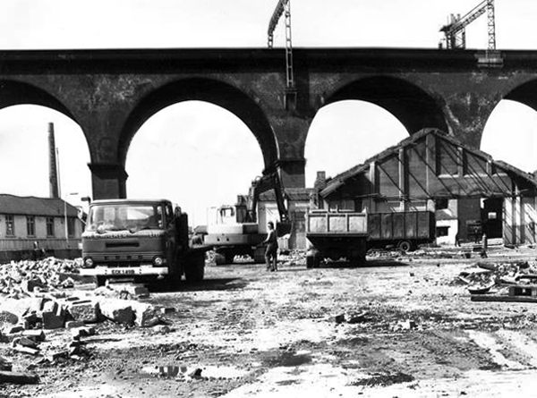
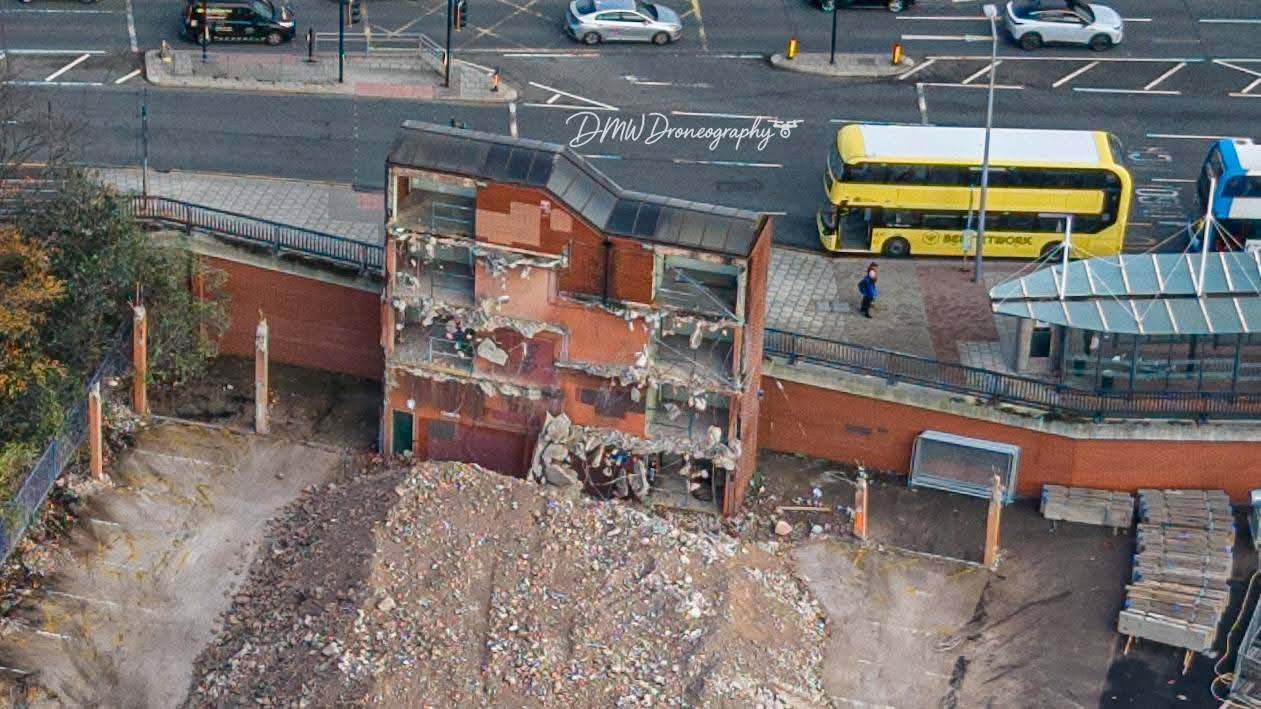
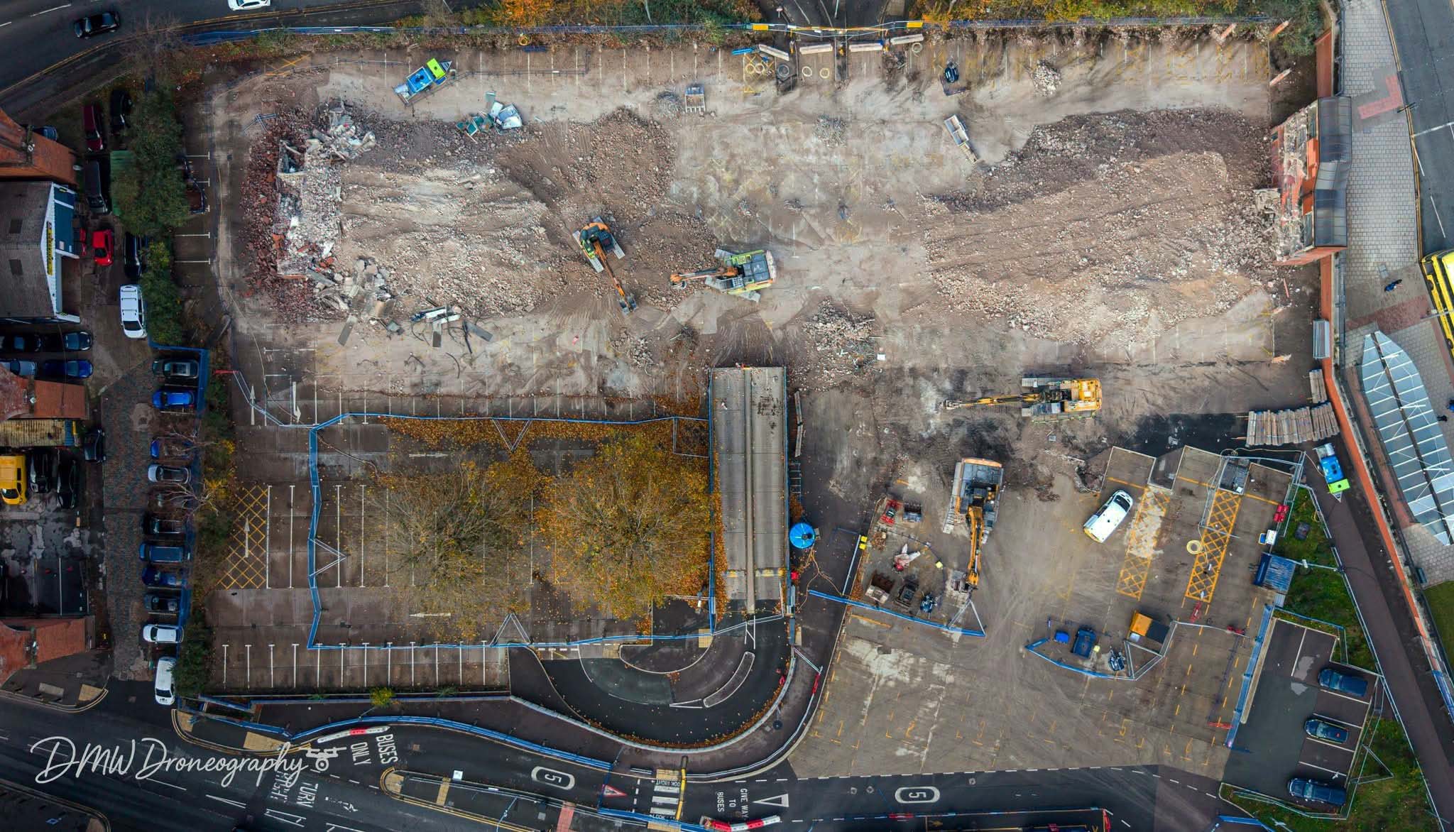
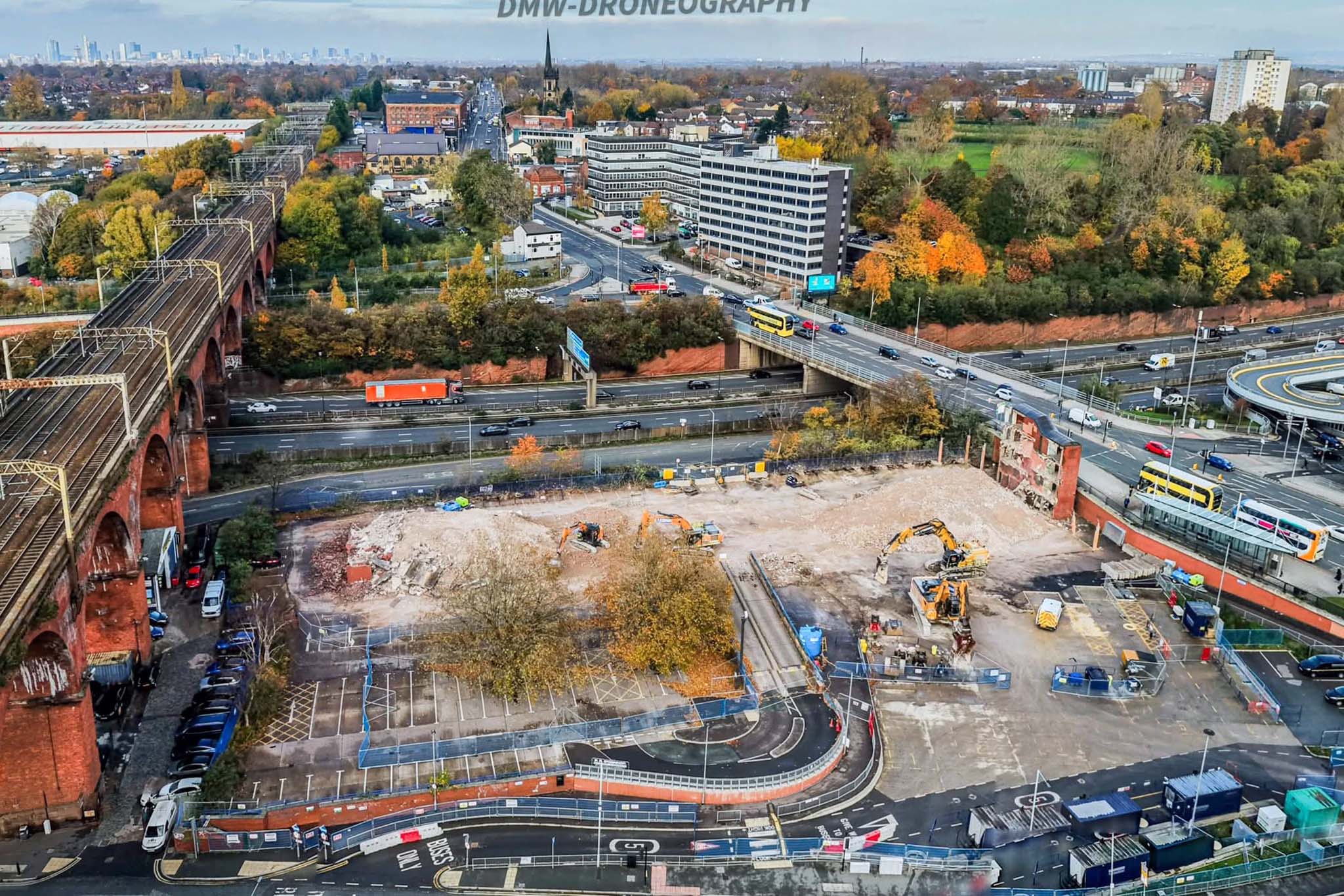
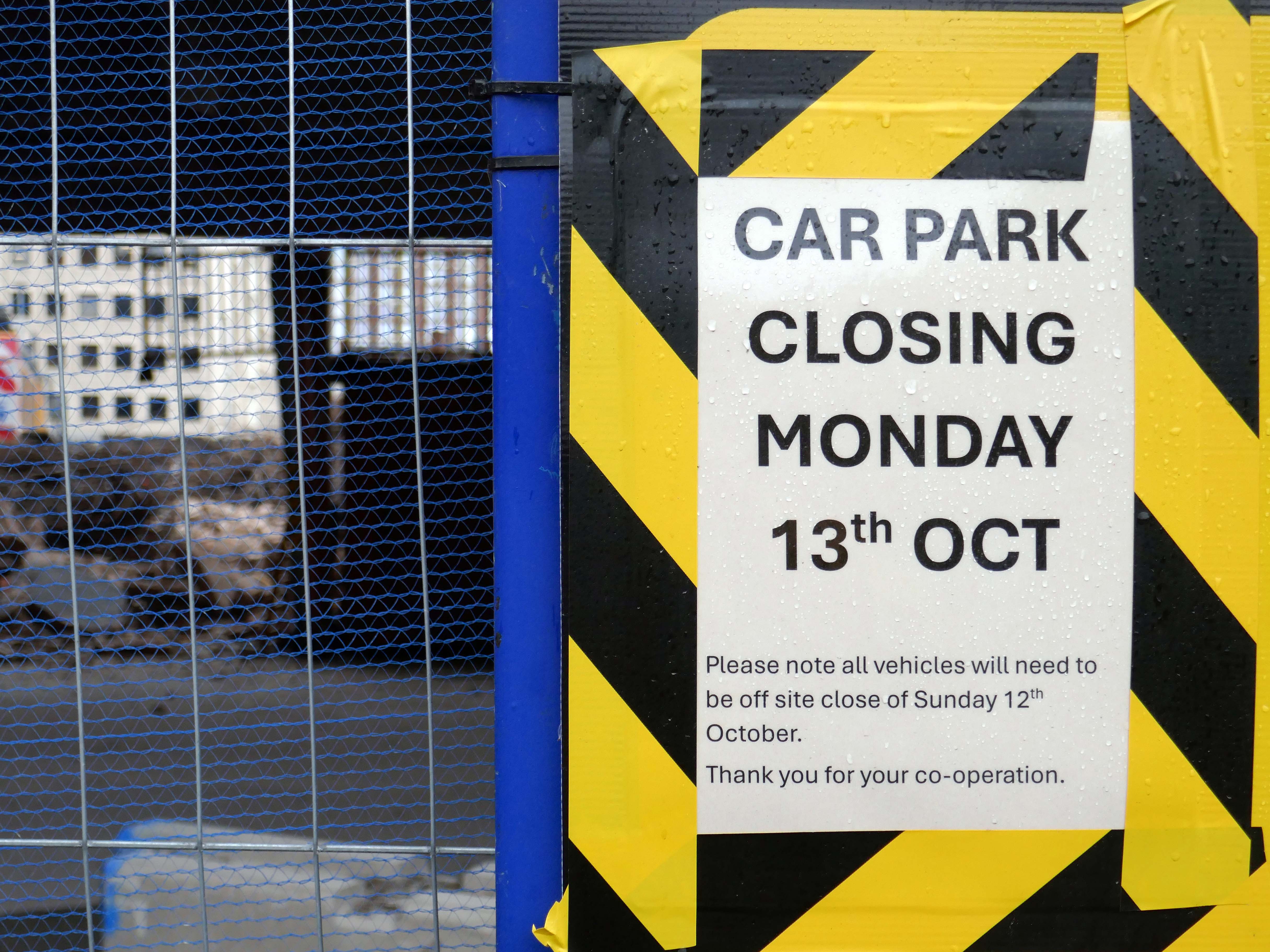
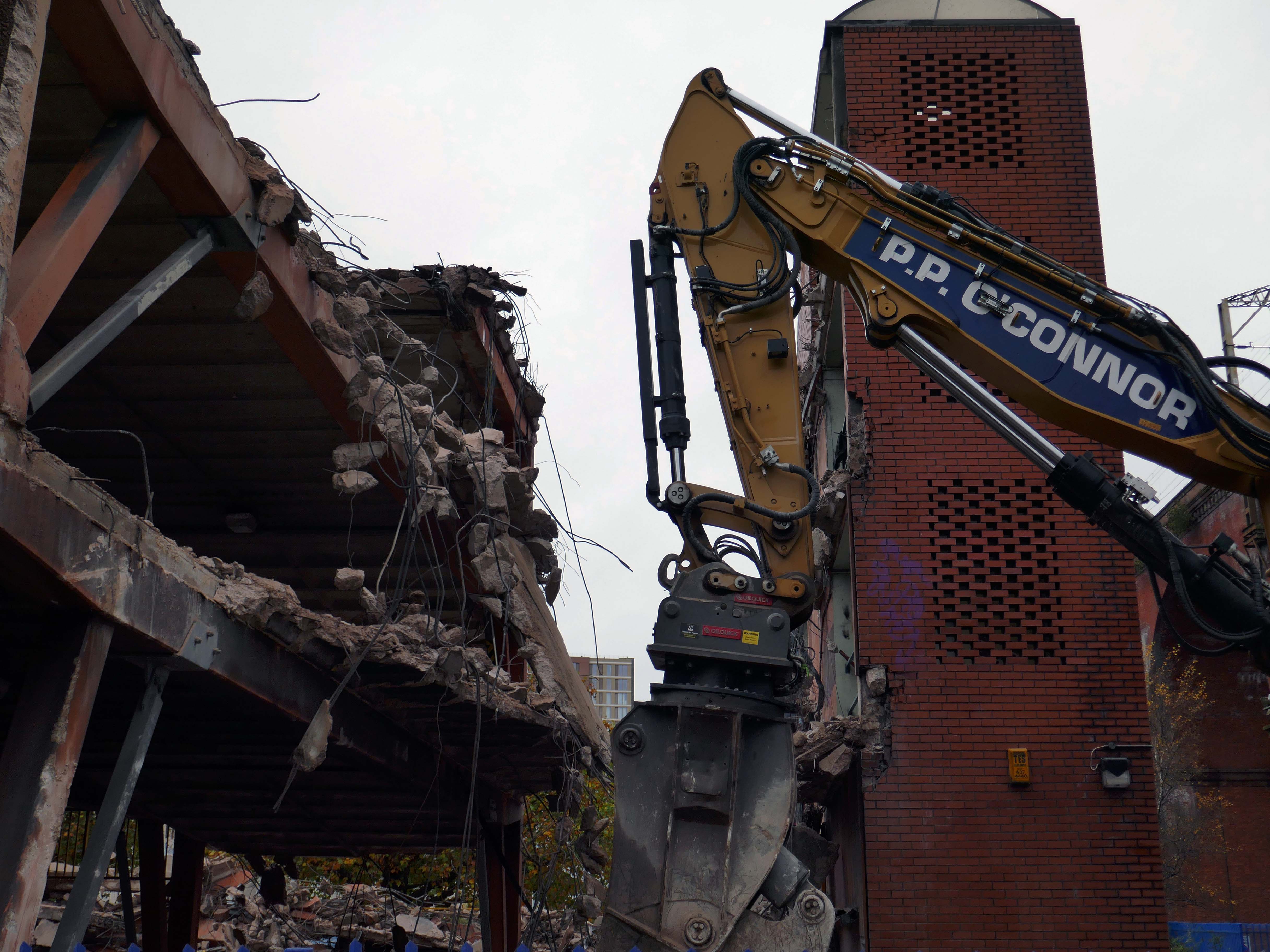
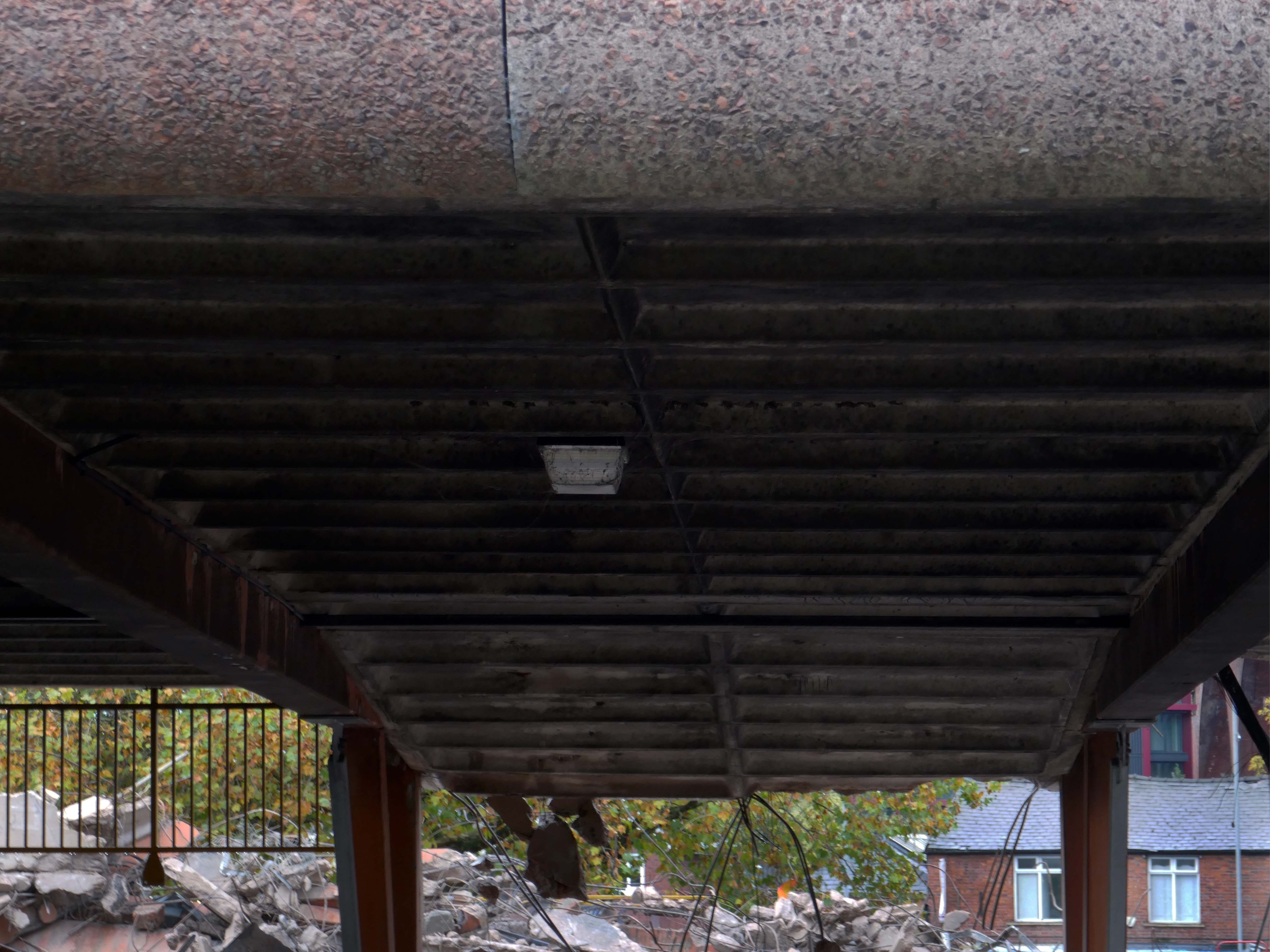
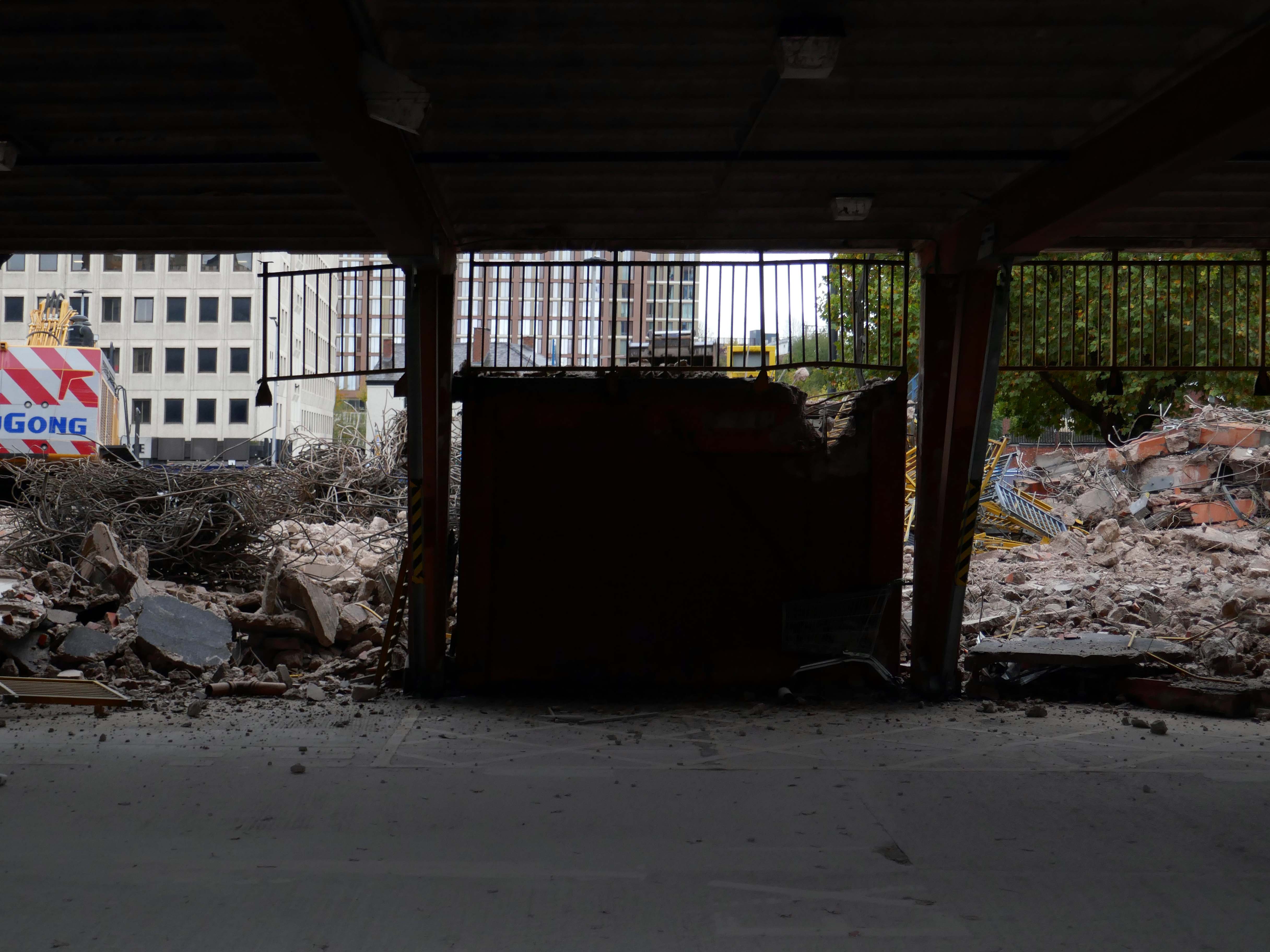
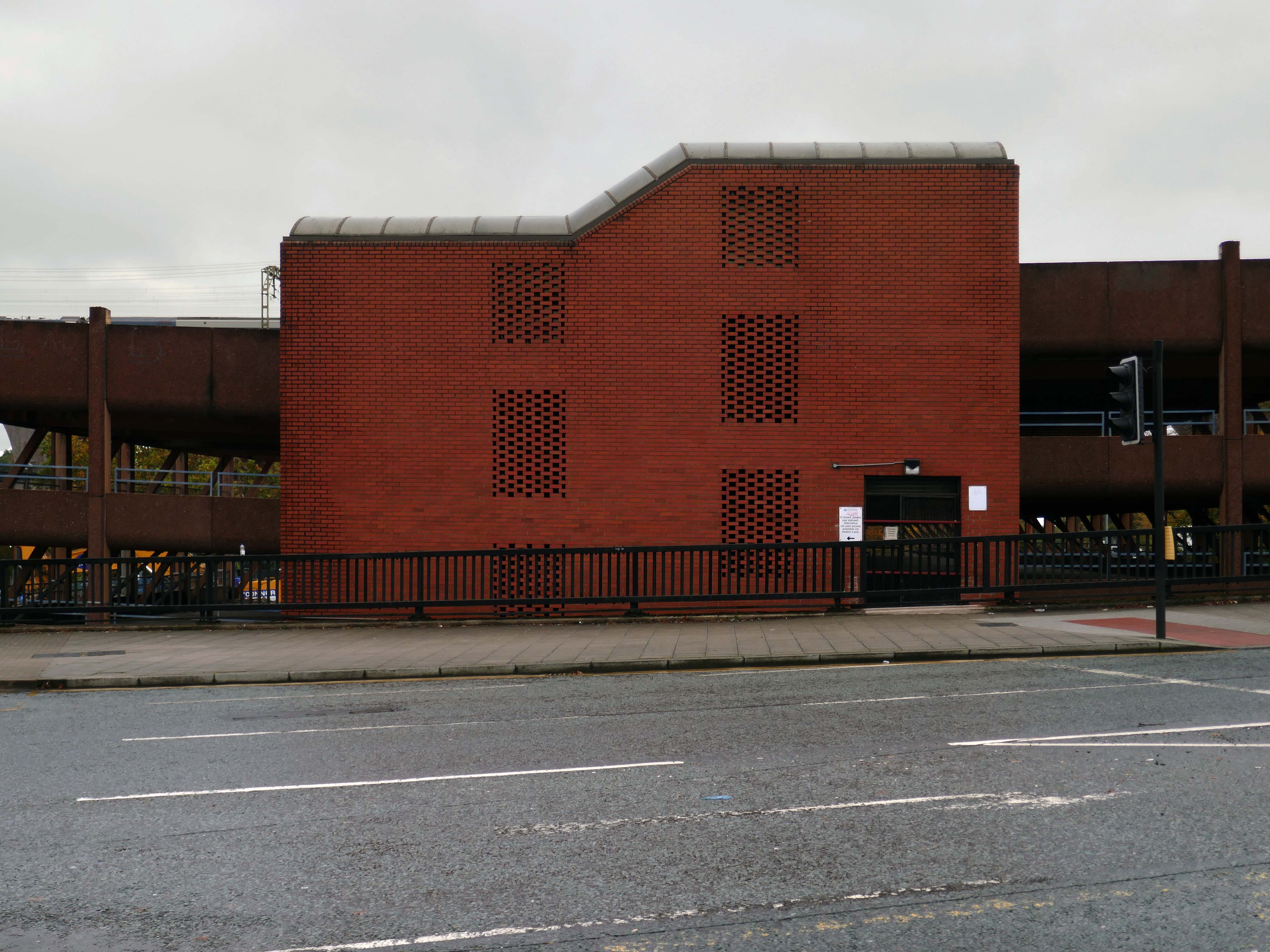
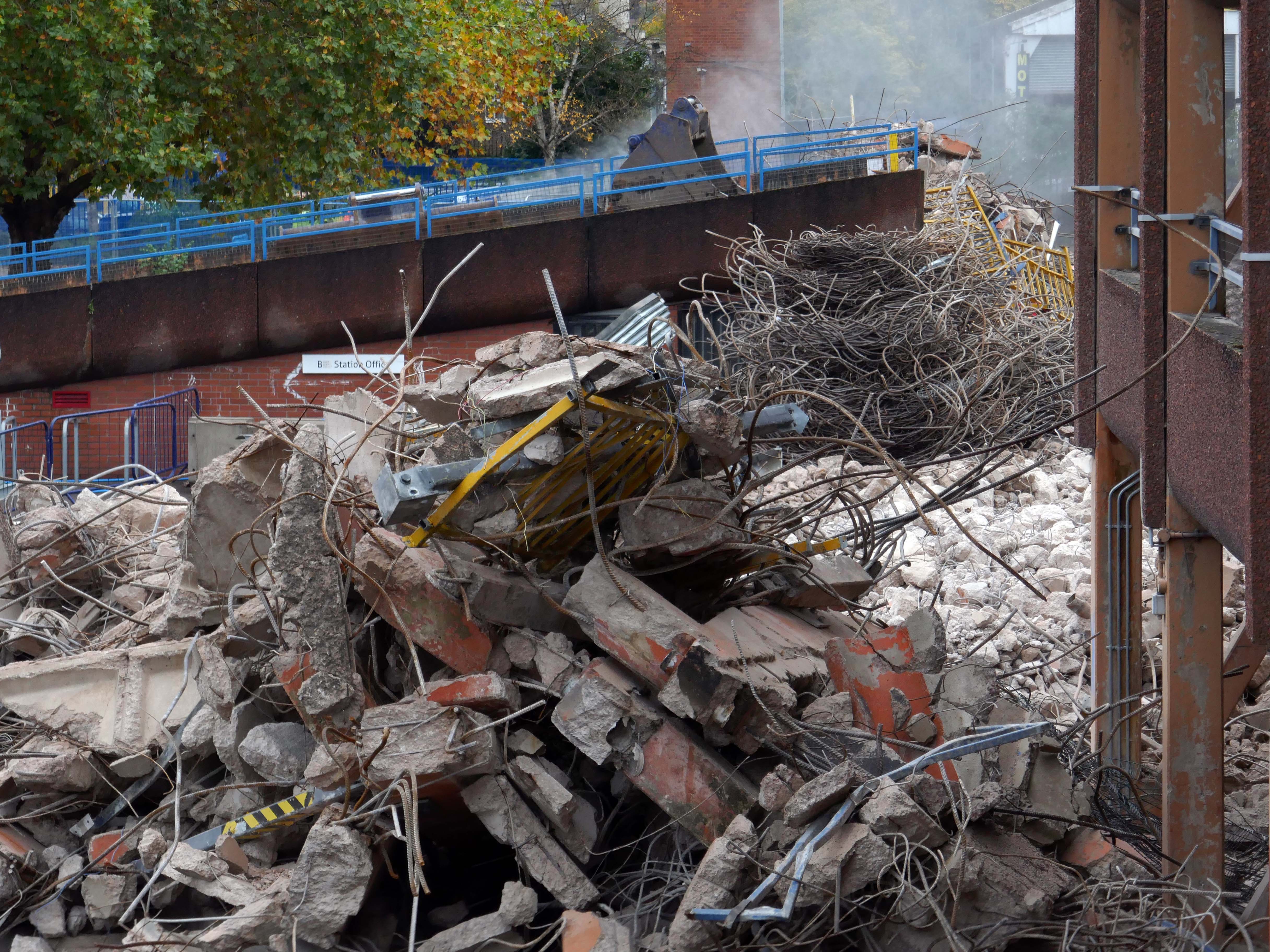
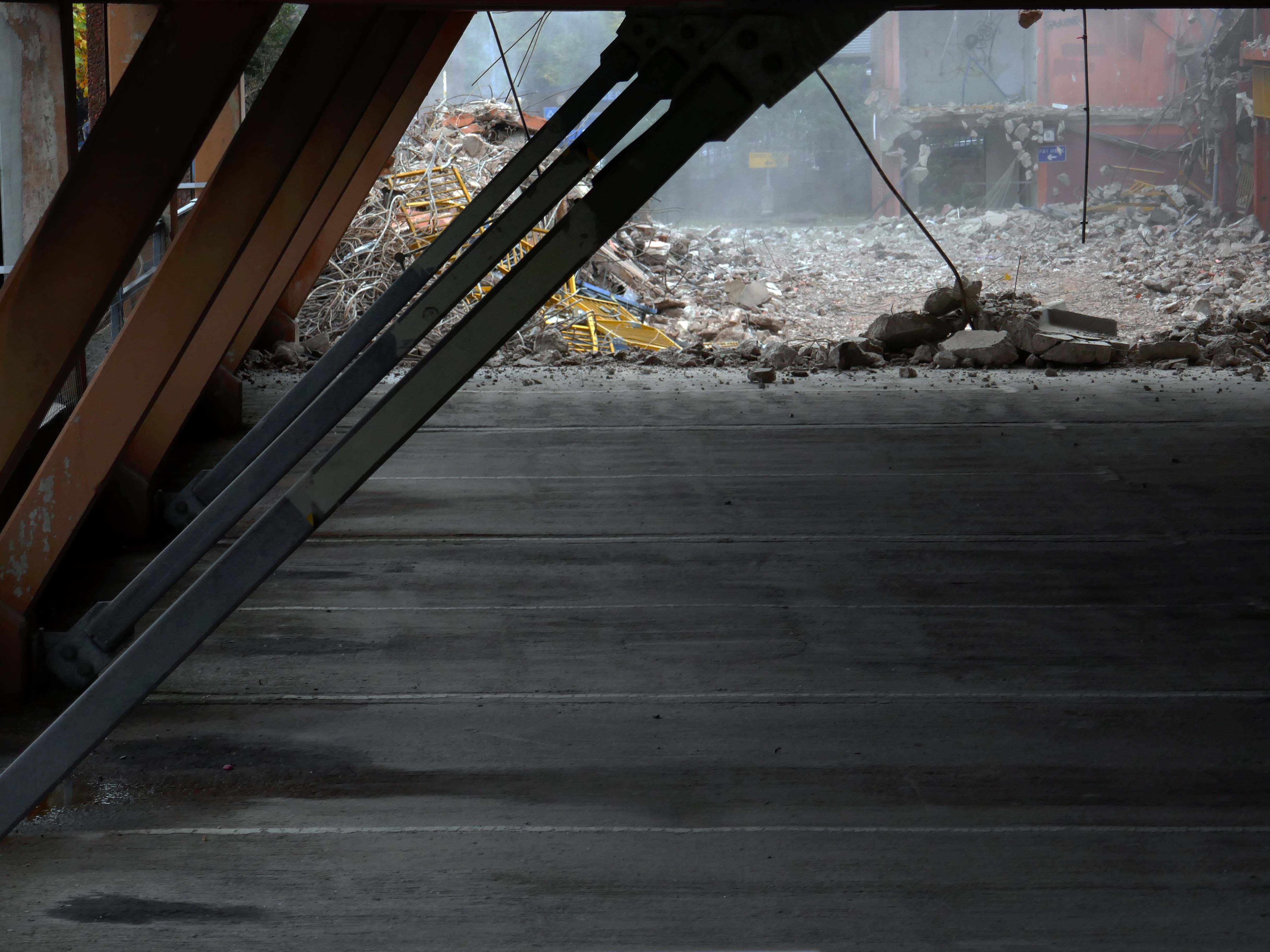
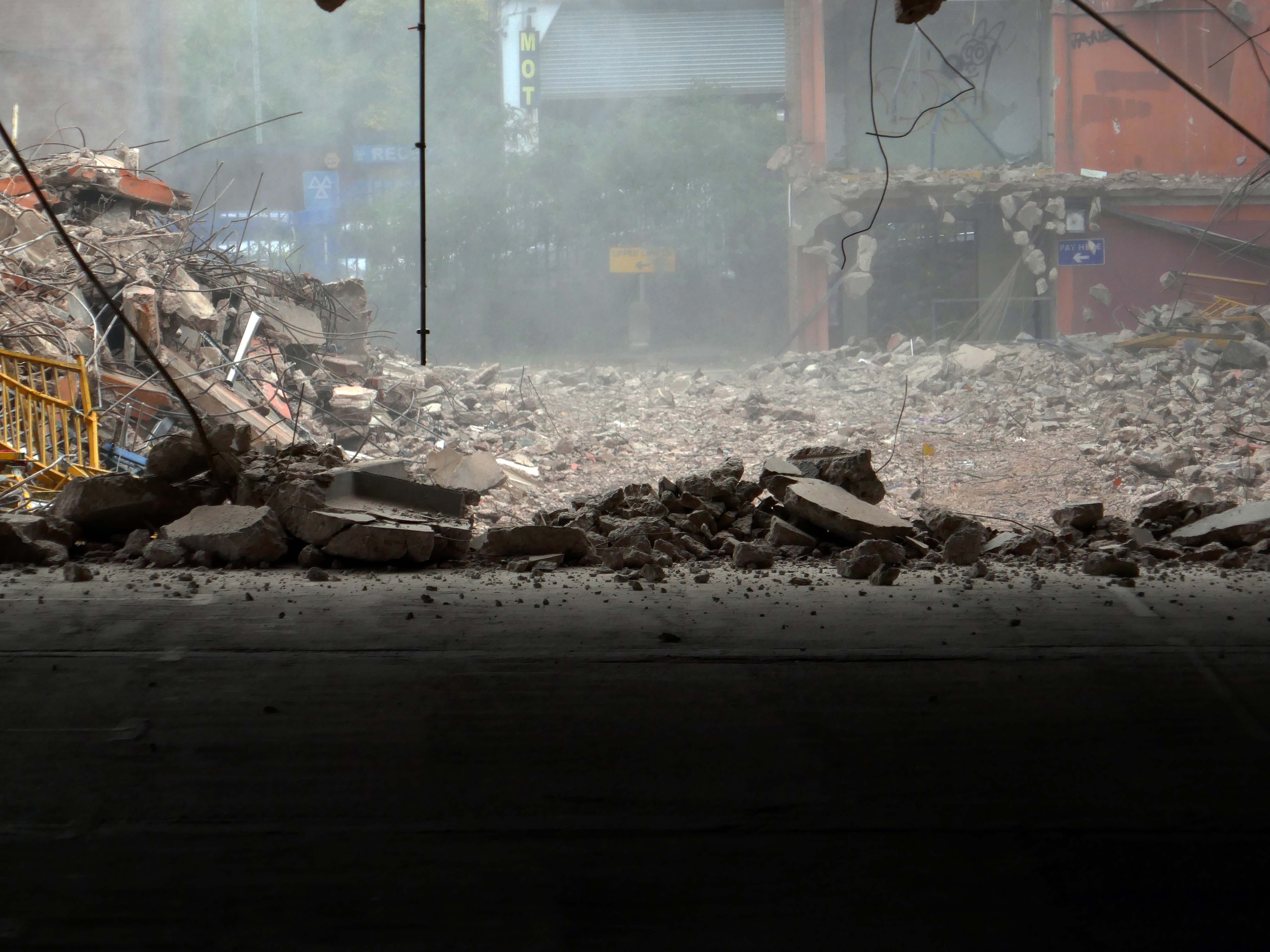
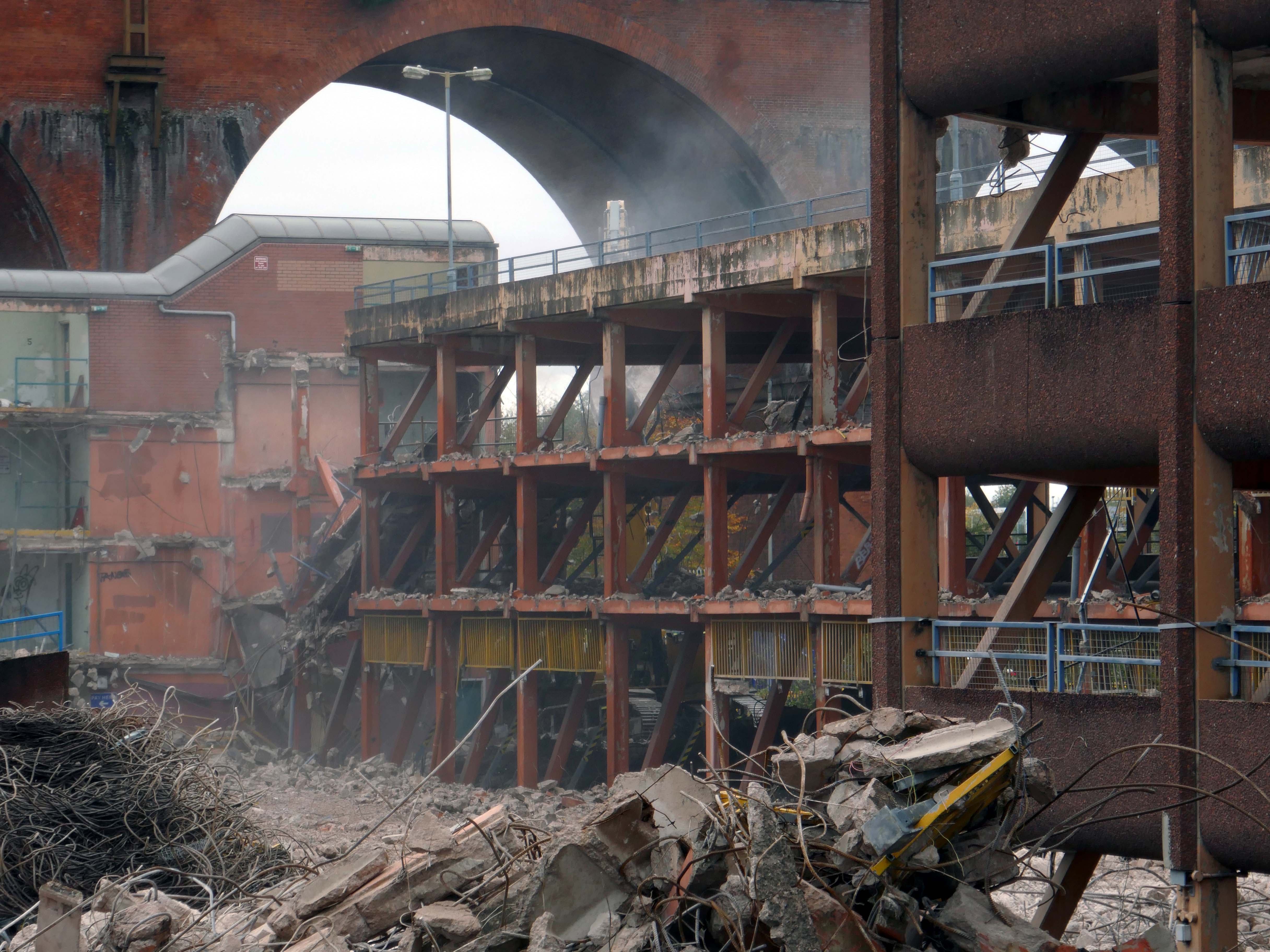
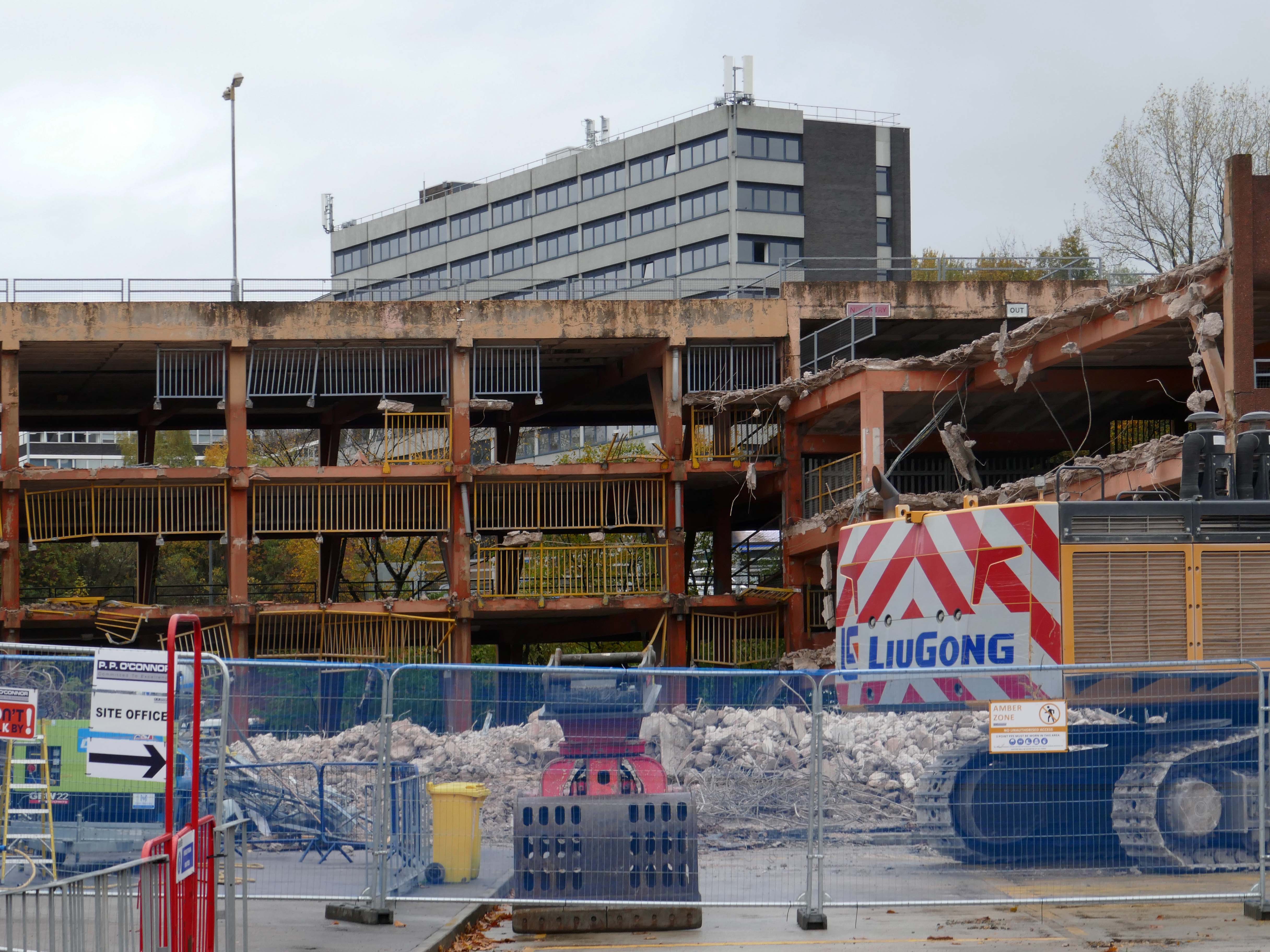
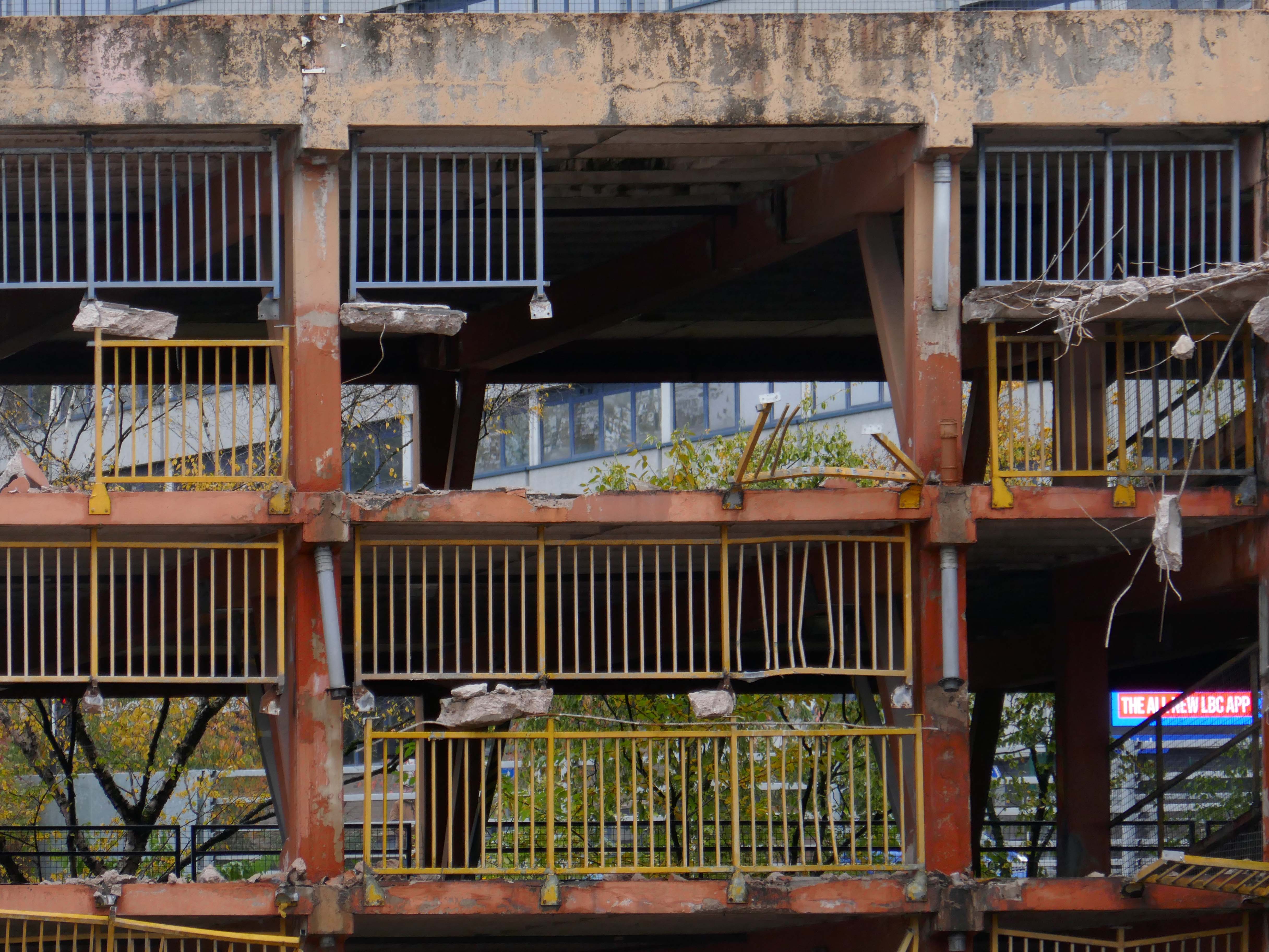
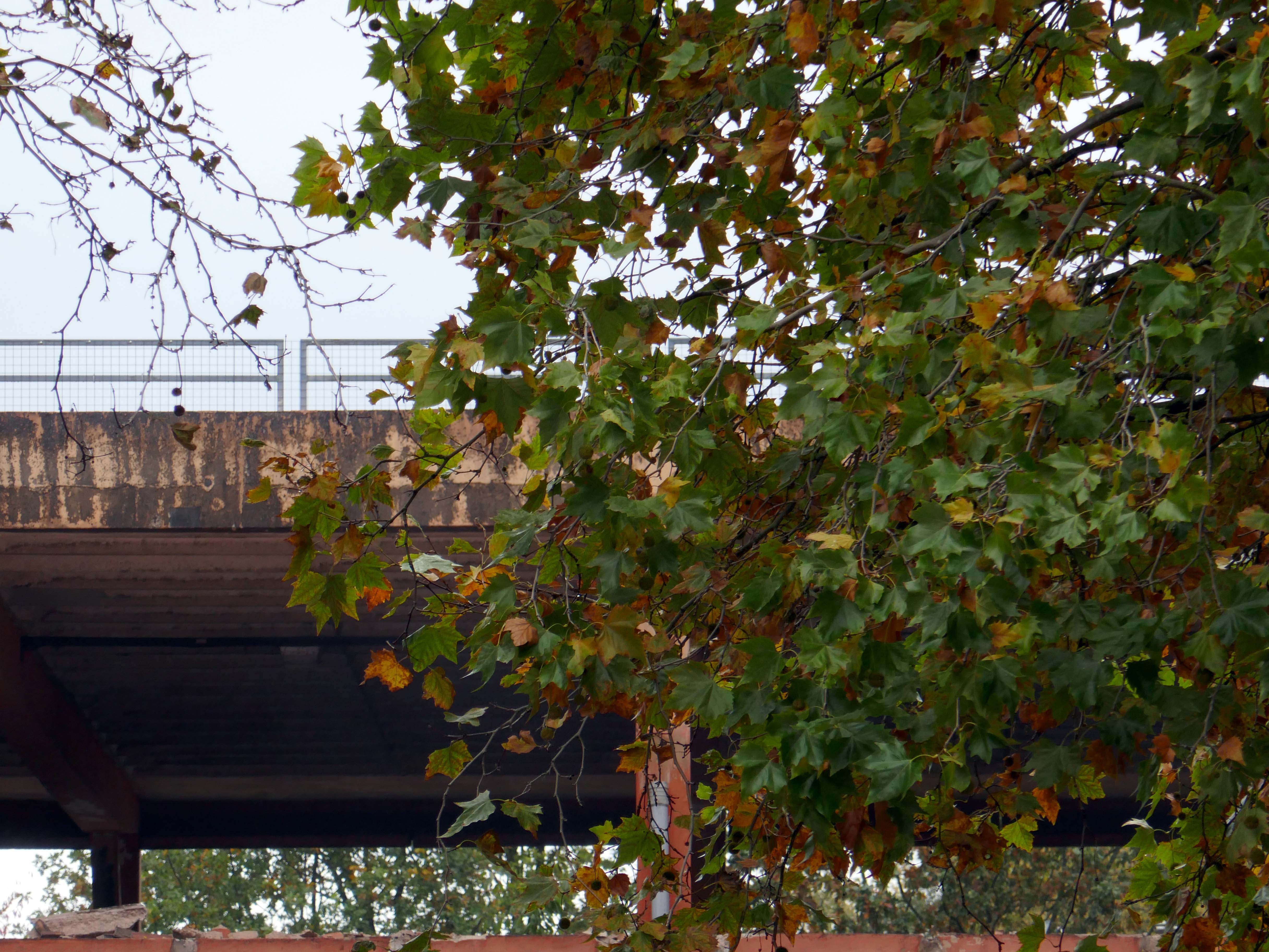
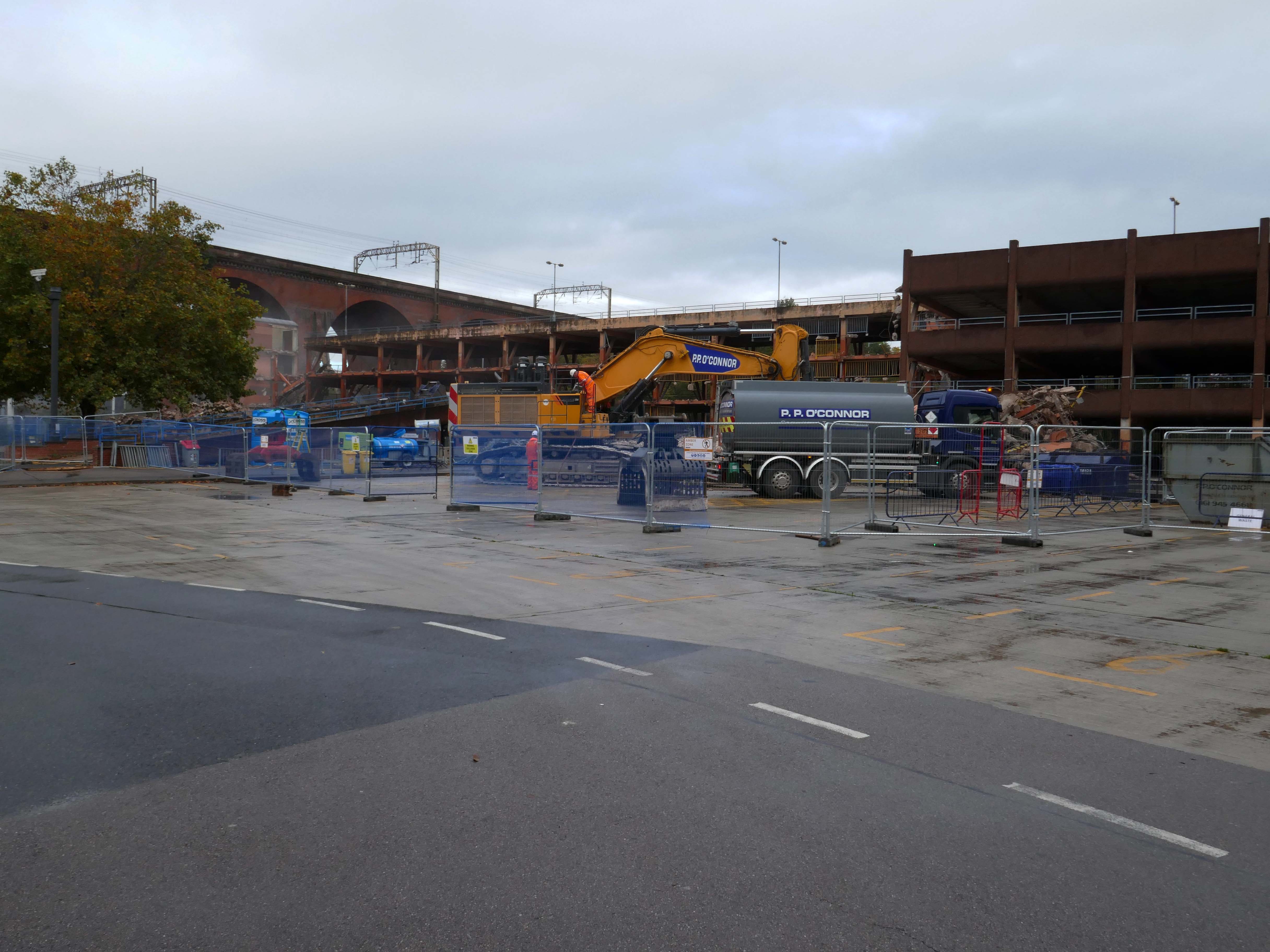
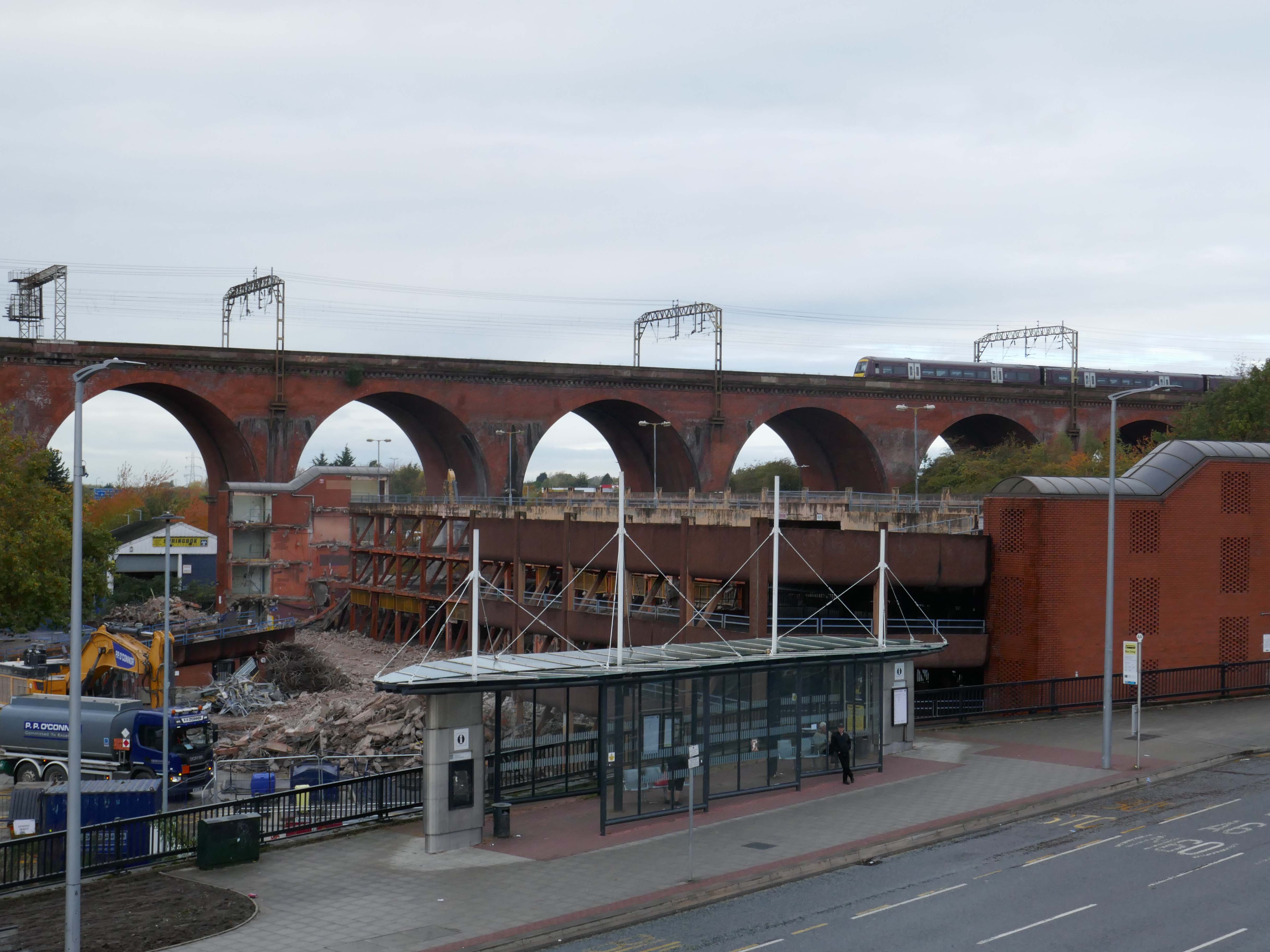
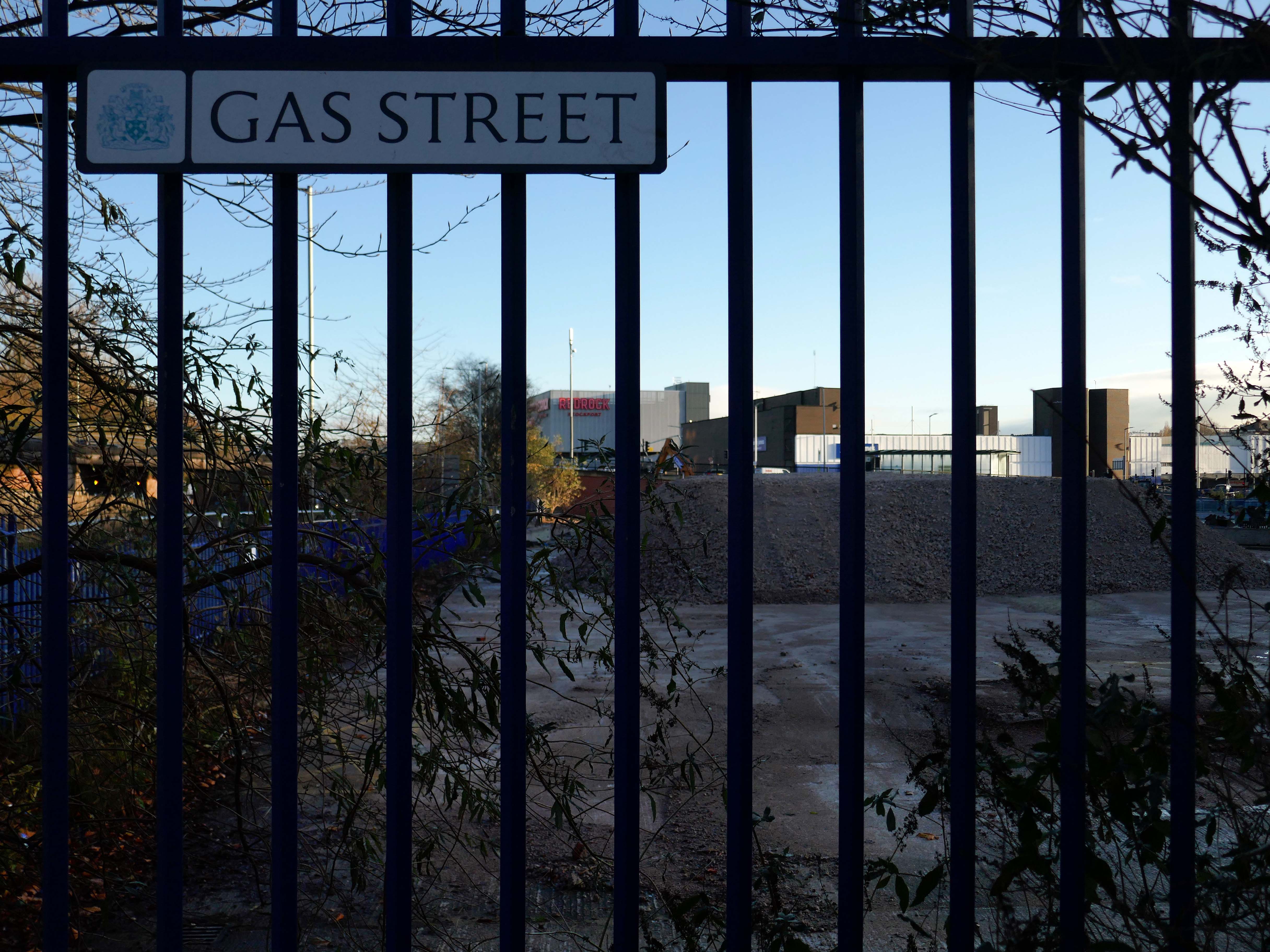
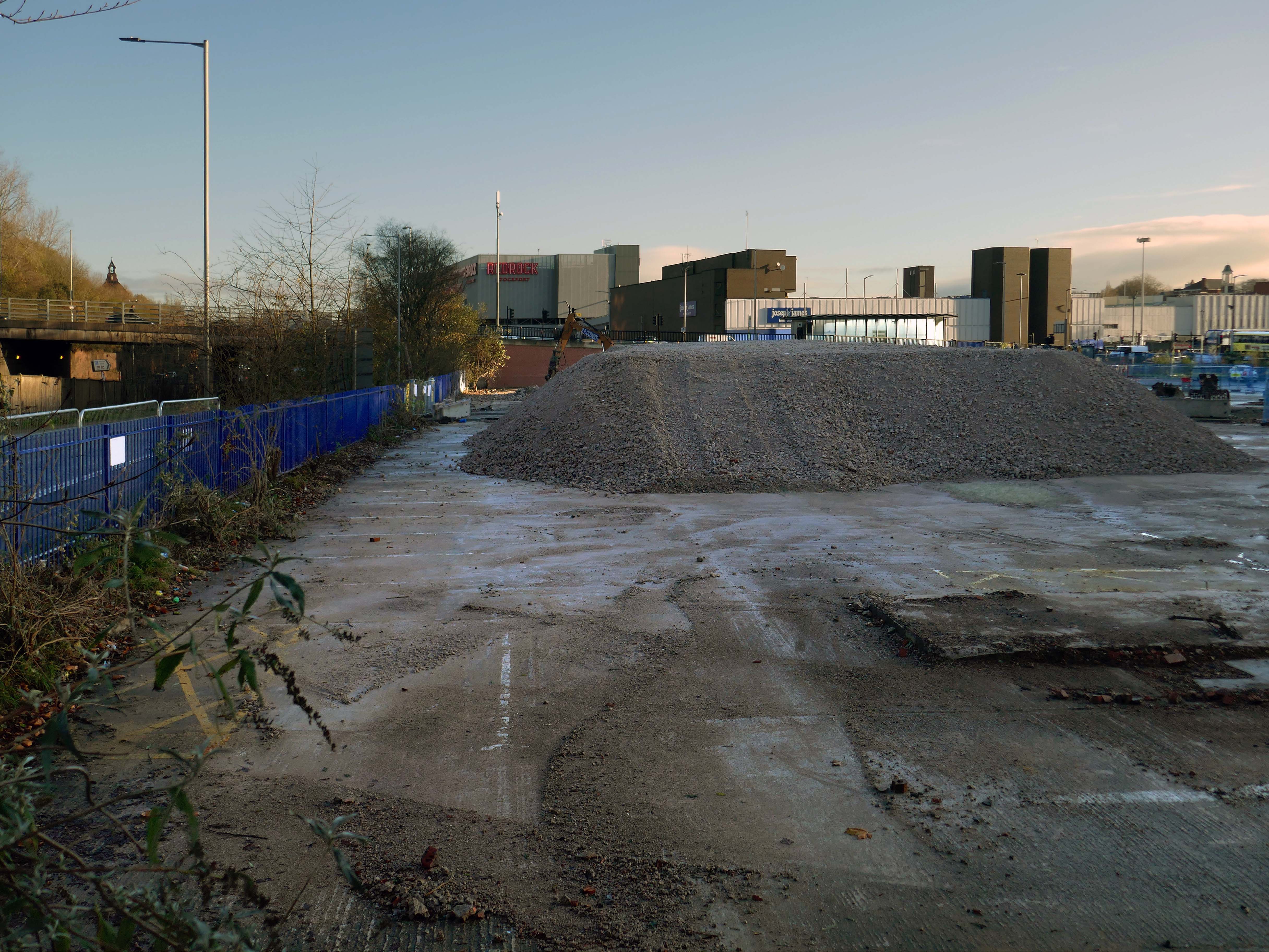
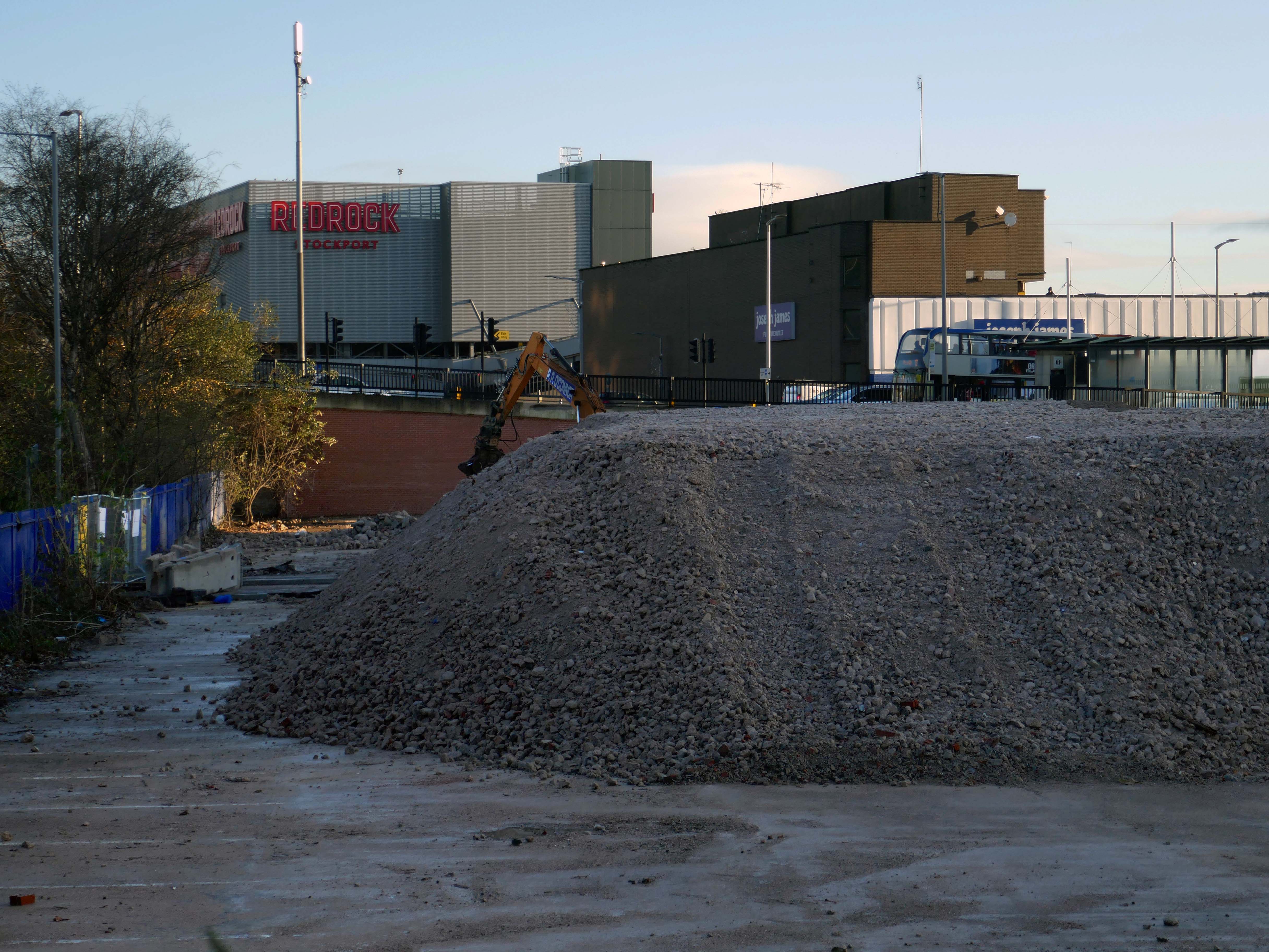
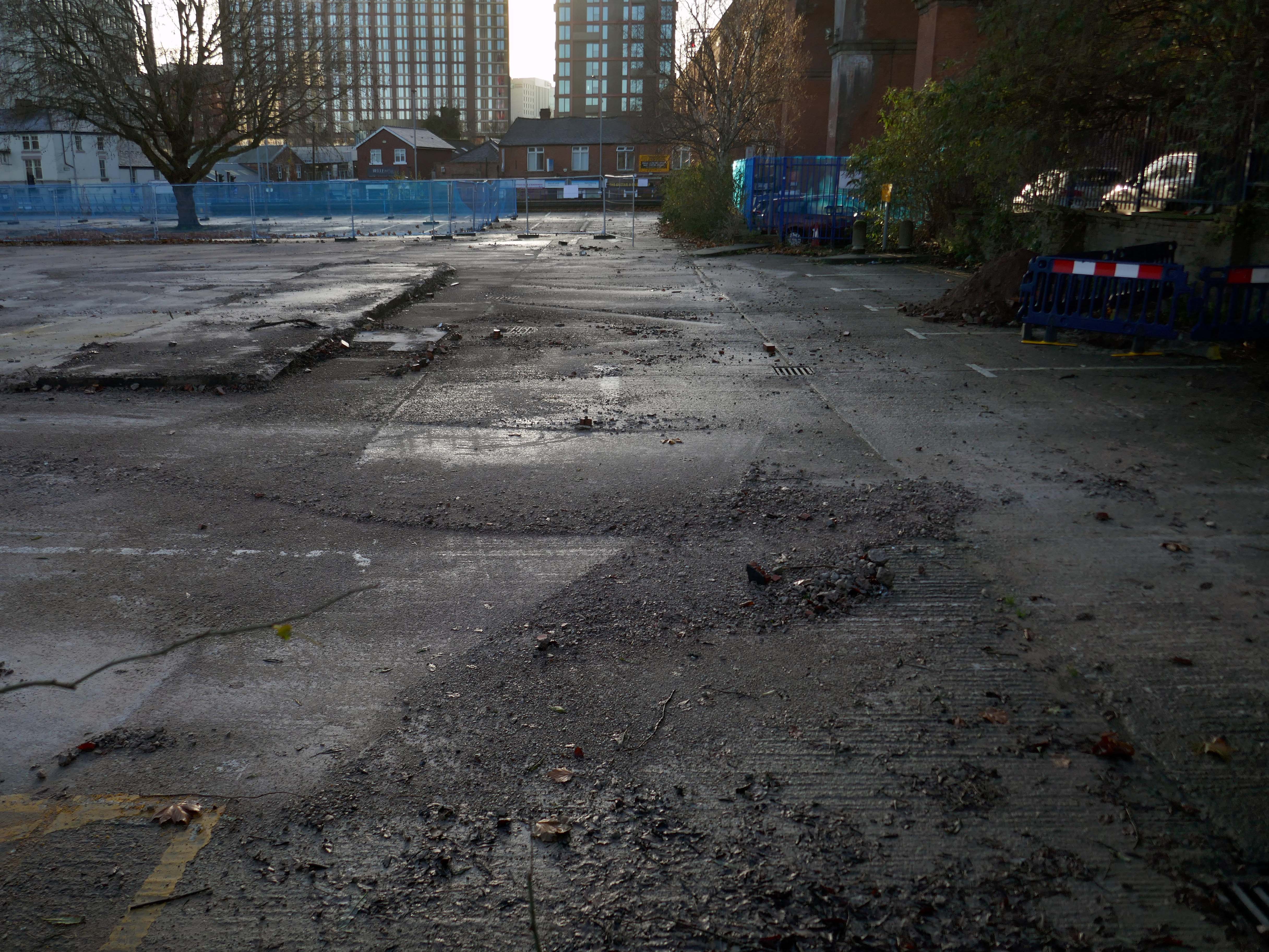
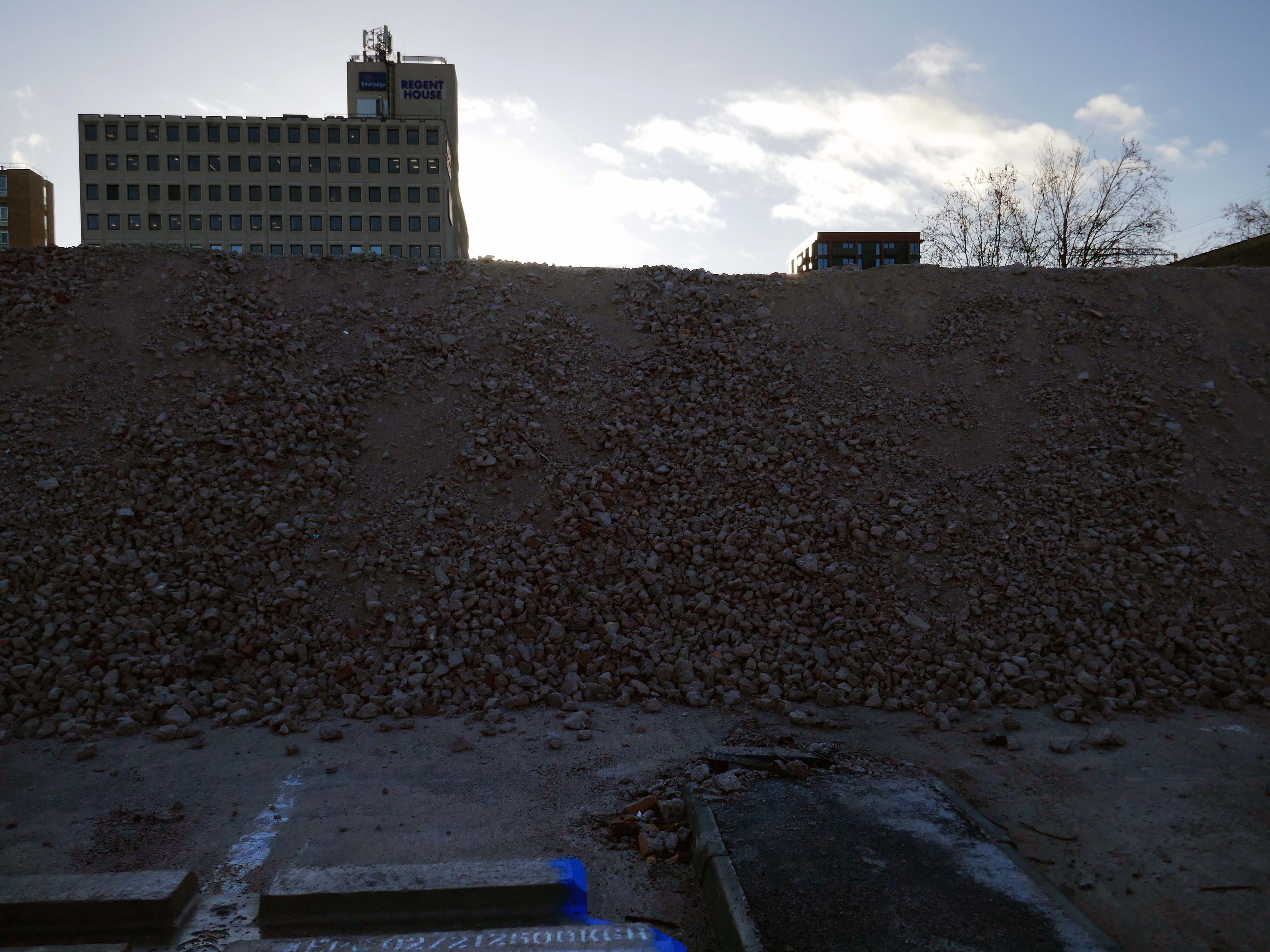
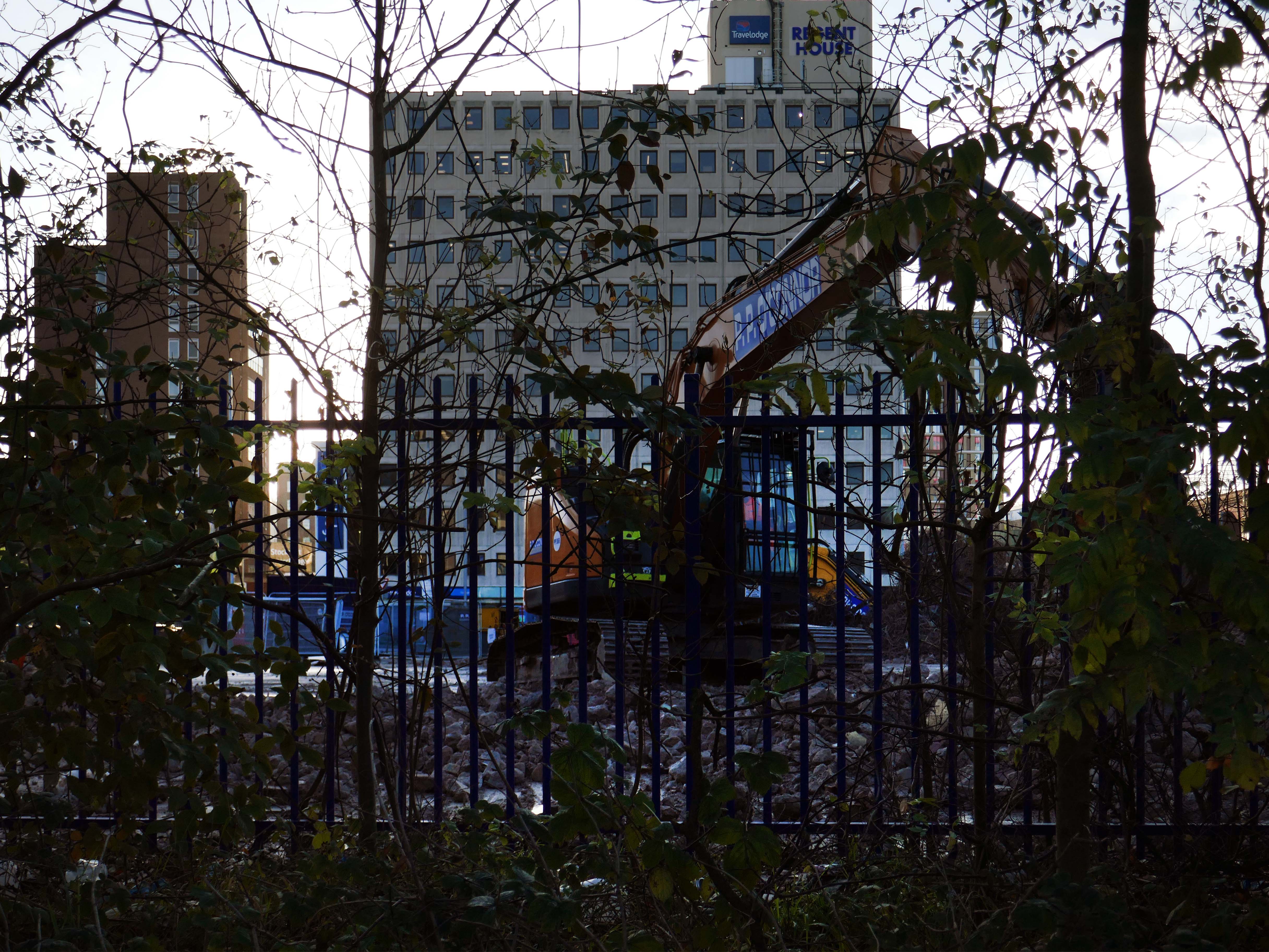
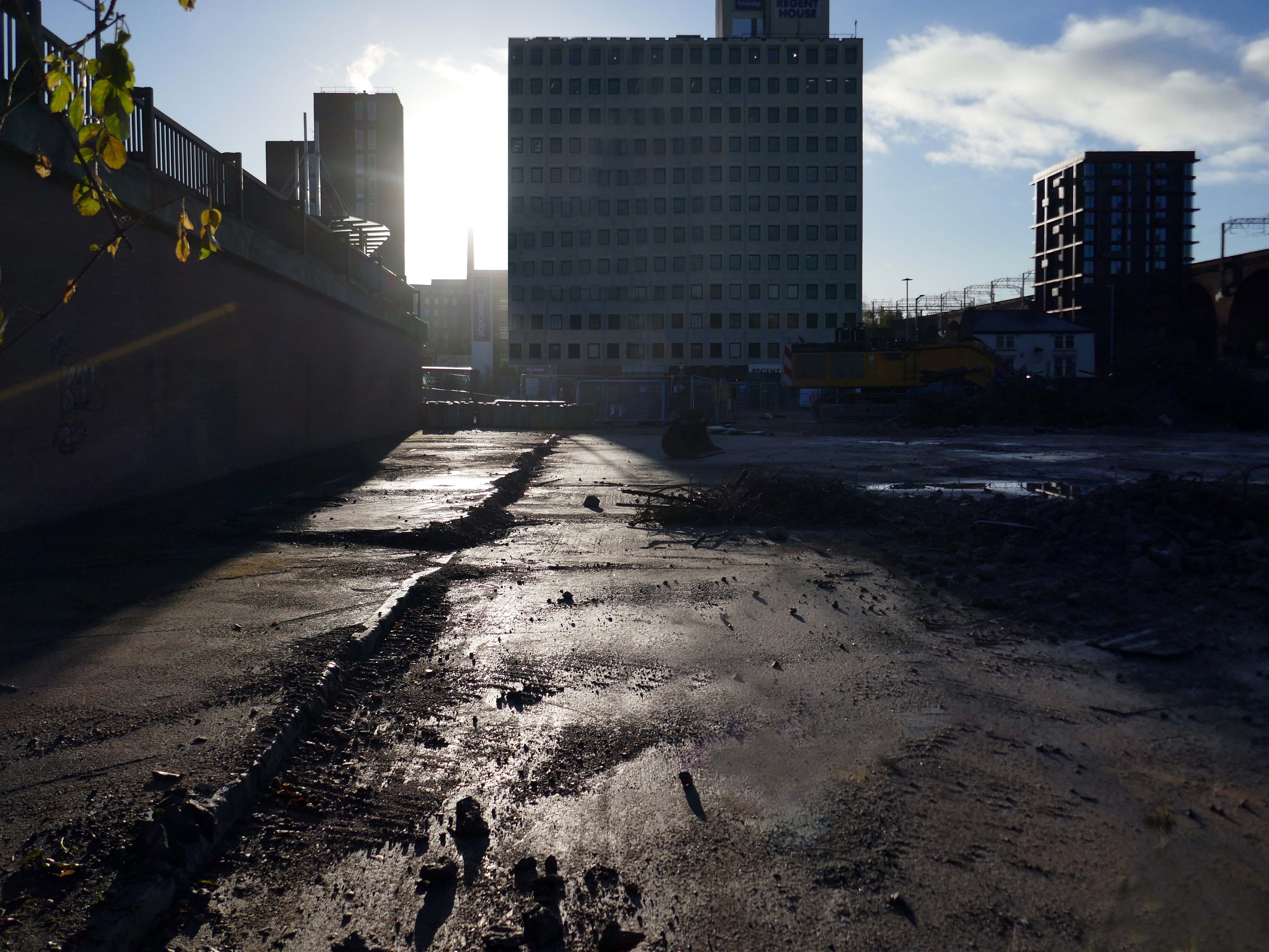
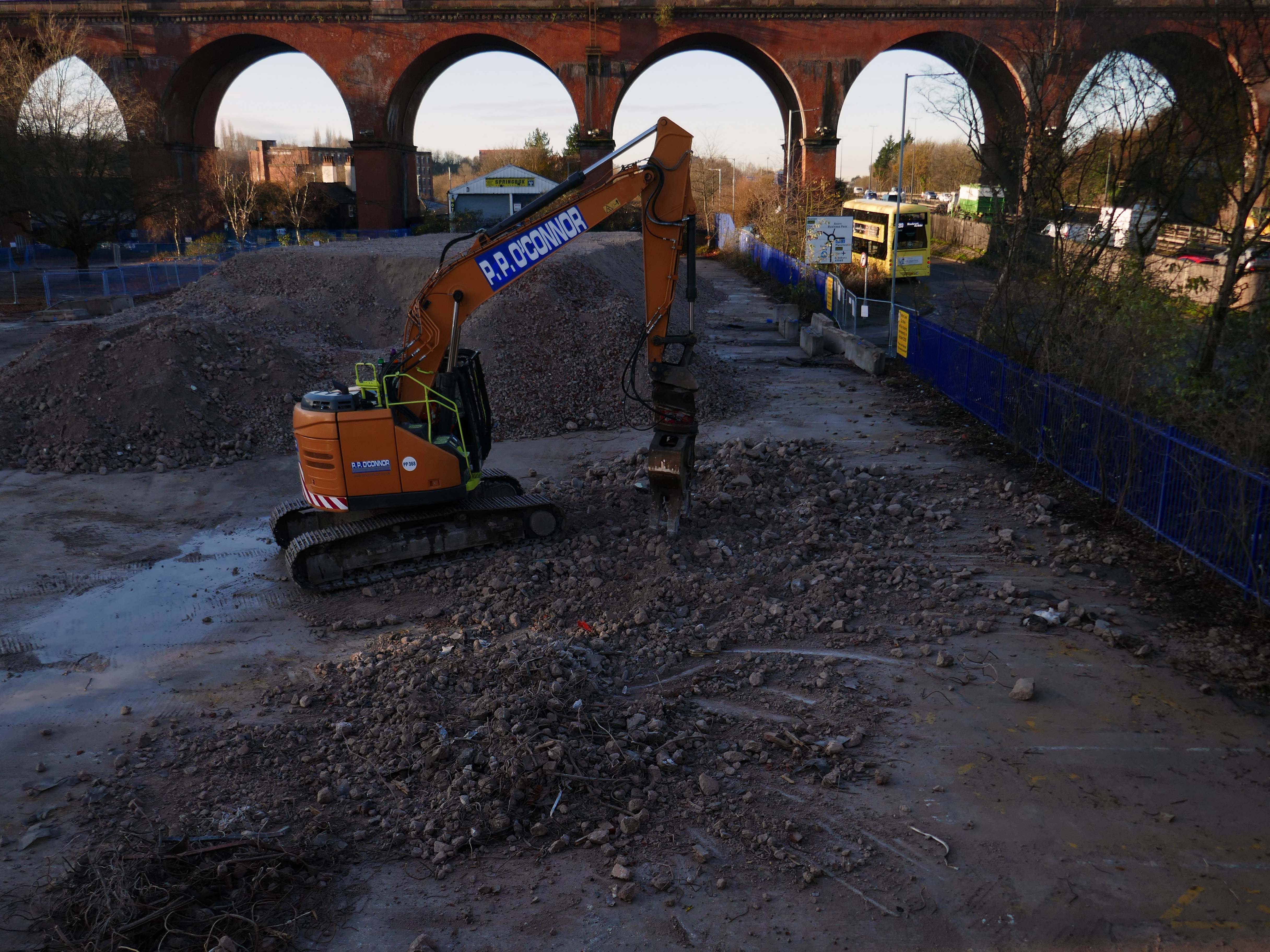
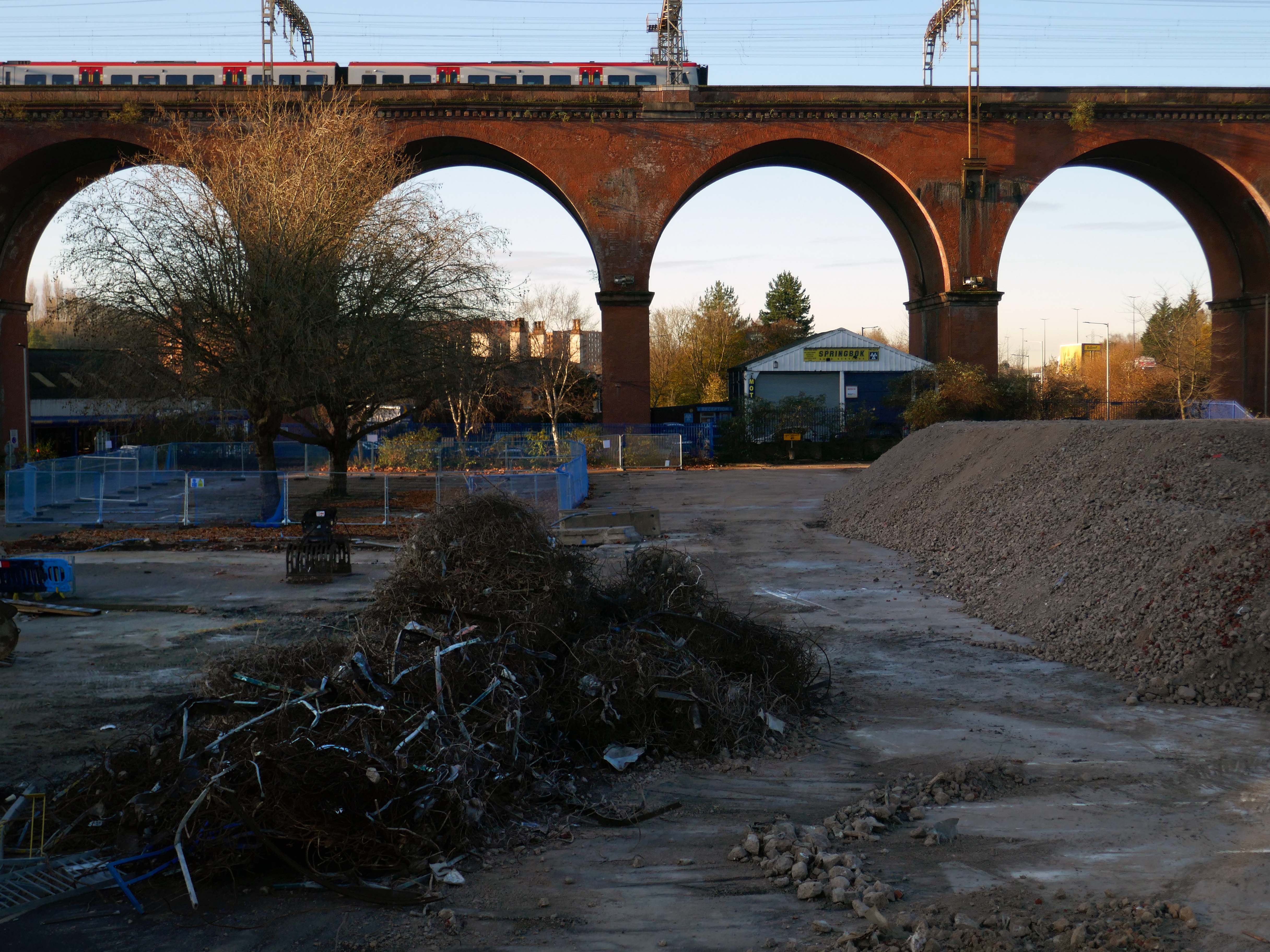
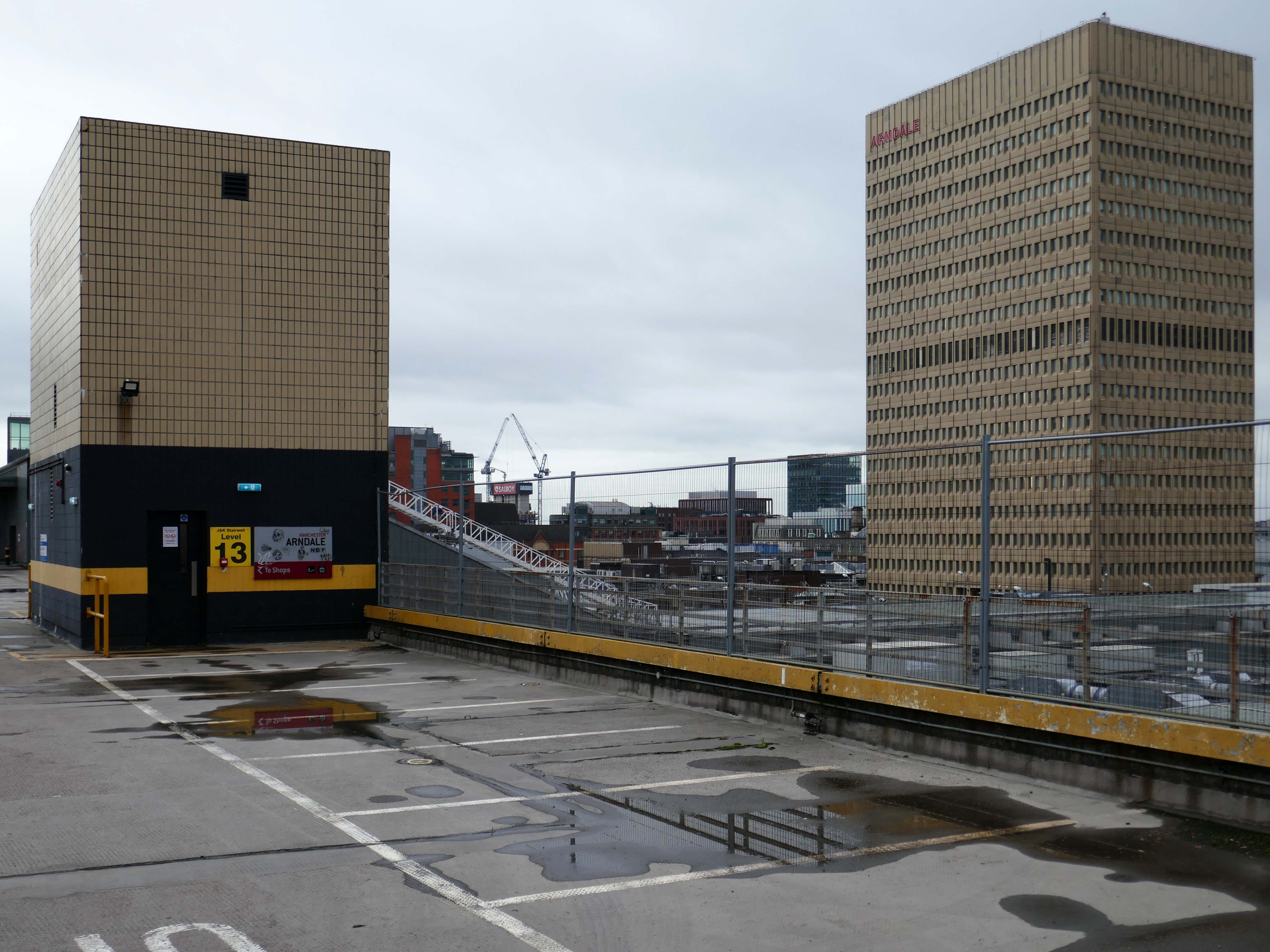
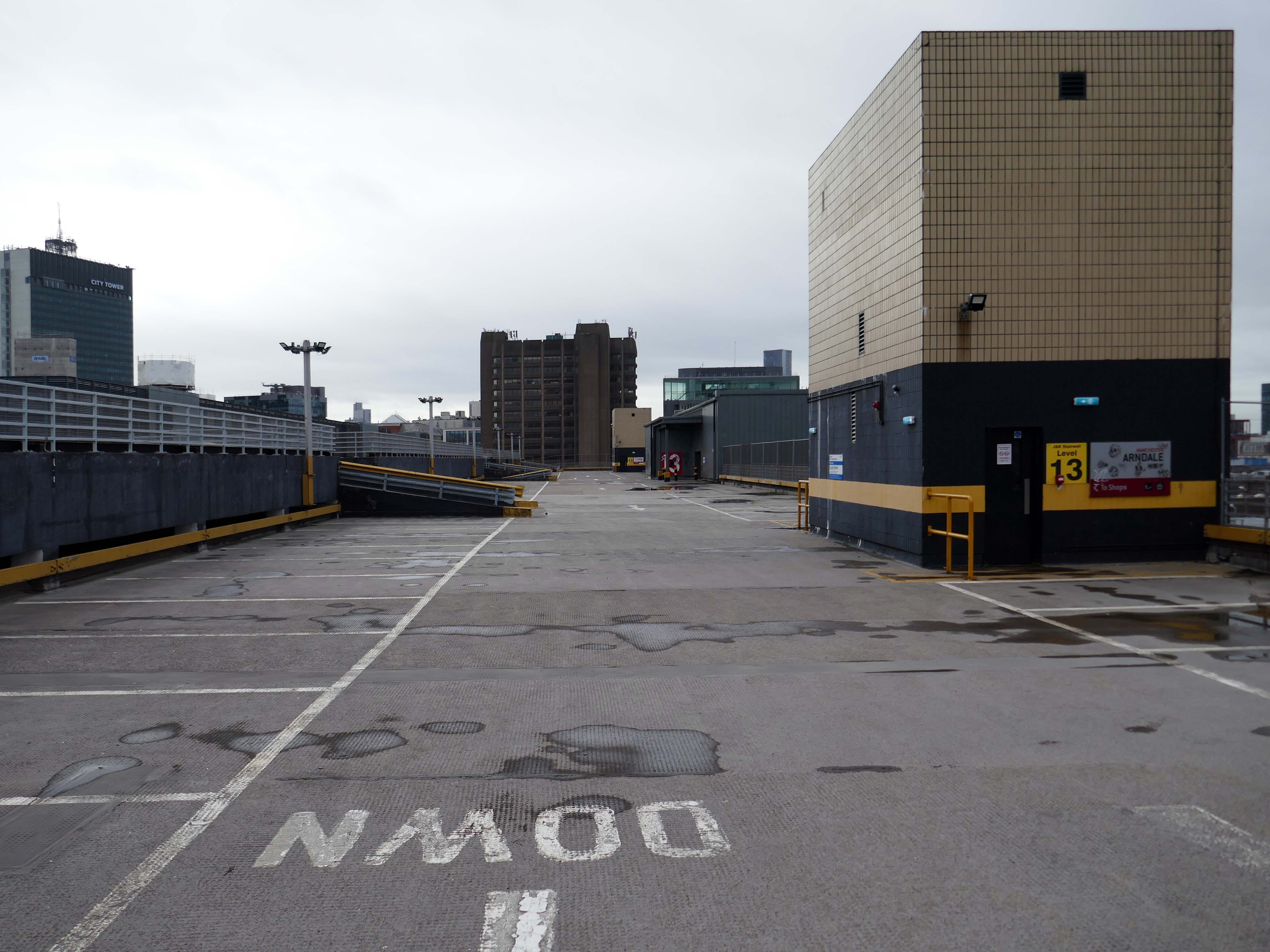
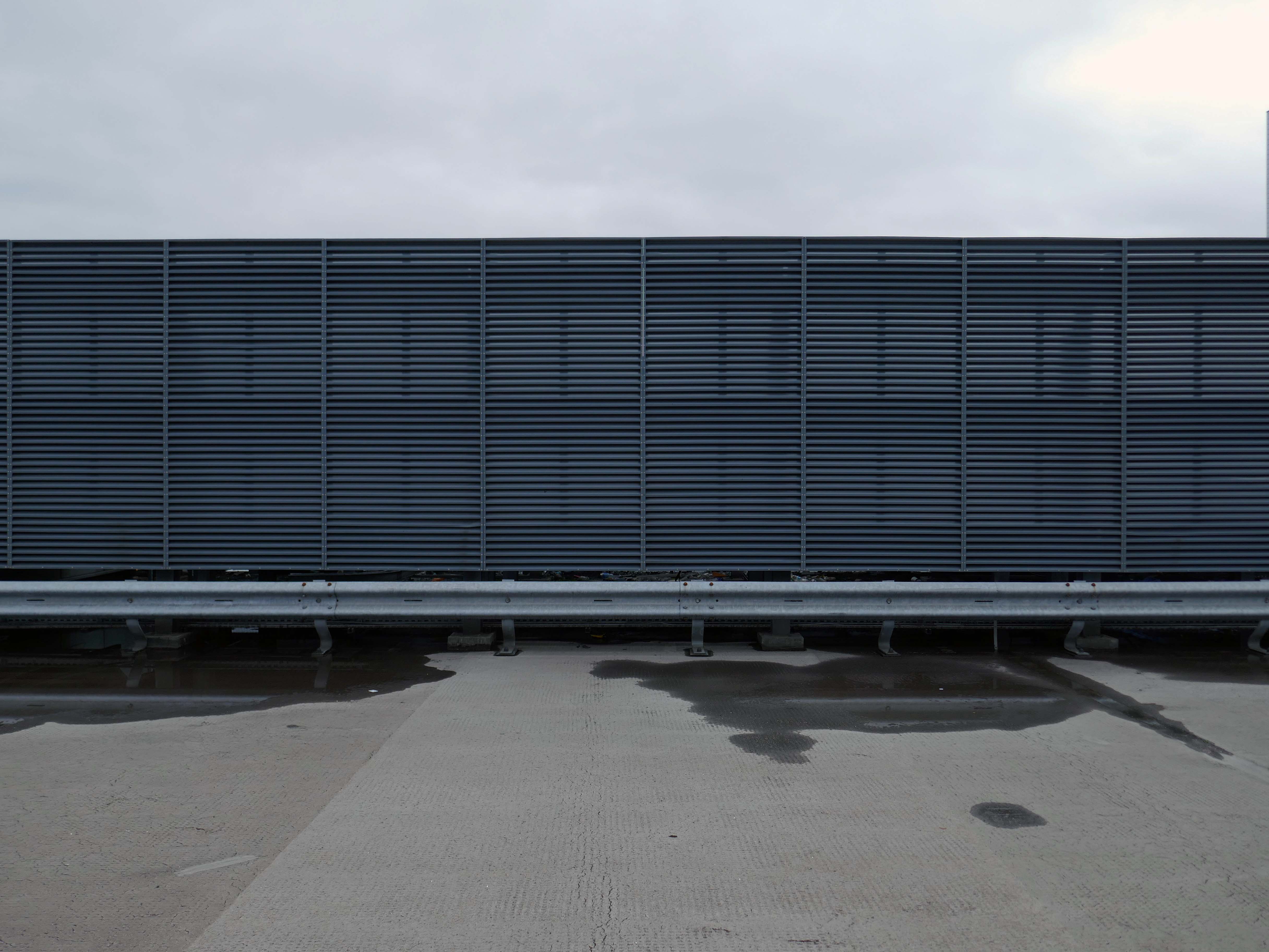
Heaton Lane car park is closed while demolition works take place.
Plans to demolish the car park were submitted by Stockport Council in September this year.
The plans propose removing the multi-storey car park down to ‘slab level’
The work itself will be carried out by removing floor slabs one by one from the parking bays, from the ground upwards. Contractor PP O’Connor has said it will take noise and dust into consideration when completing the works.
Dust suppression systems will be in place to minimise pollution.
Noise levels are not considered likely to be a nuisance, however the site manager will be able to review the demolition process if it’s deemed too high.
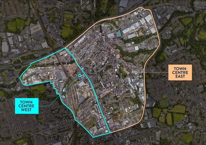
There car park is almost at the heart – on the edge of plans to regenerate the town centre.
The Strategic Regeneration Framework for Stockport Town Centre West set out how up to 4,000 new homes and 1m sq. ft of new employment floorspace and 5,300 new jobs could be delivered across Town Centre West by 2035.
In order to assess the overall economic benefit of an expanded Mayoral development area Stockport Council have developed an SRF for Stockport Town Centre East. This SRF sets out an illustrative masterplan to guide the creation of Stockport’s new neighbourhoods and achieve comprehensive urban regeneration by 2040. Together the SRFs for Town Centre West and Town Centre East will guide the development of a total of 8,000 new homes alongside services and amenities. The development set out in the SRFs will drive a transformational impact on the Stockport economy.
The Corporation is expected to be established in early 2026. It will provide a single, focused body for local decision-making; engagement with stakeholders including government departments, public agencies; private sector landowners, and developers; and to drive investment across the public and private sectors to realise the shared vision for the regeneration of the Area.
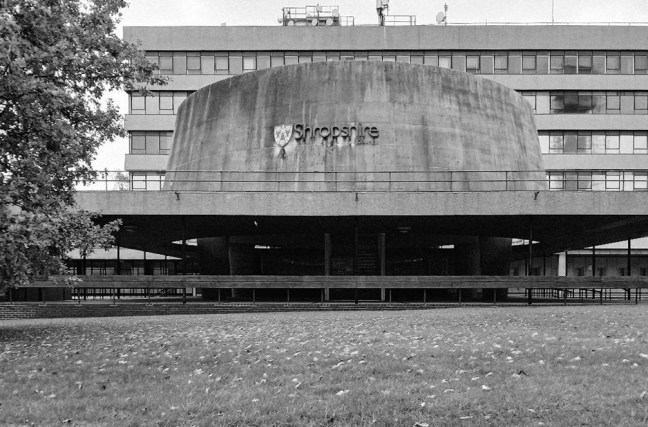
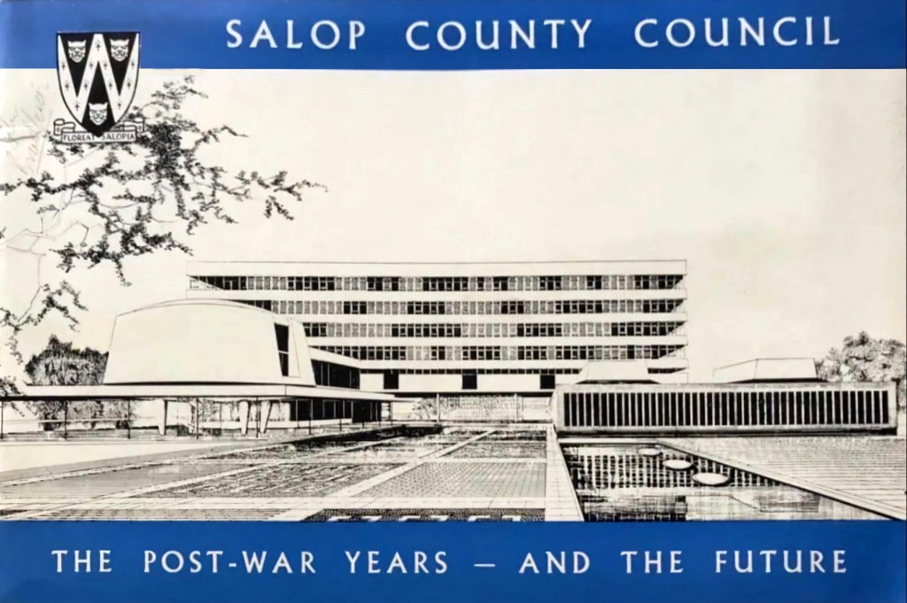
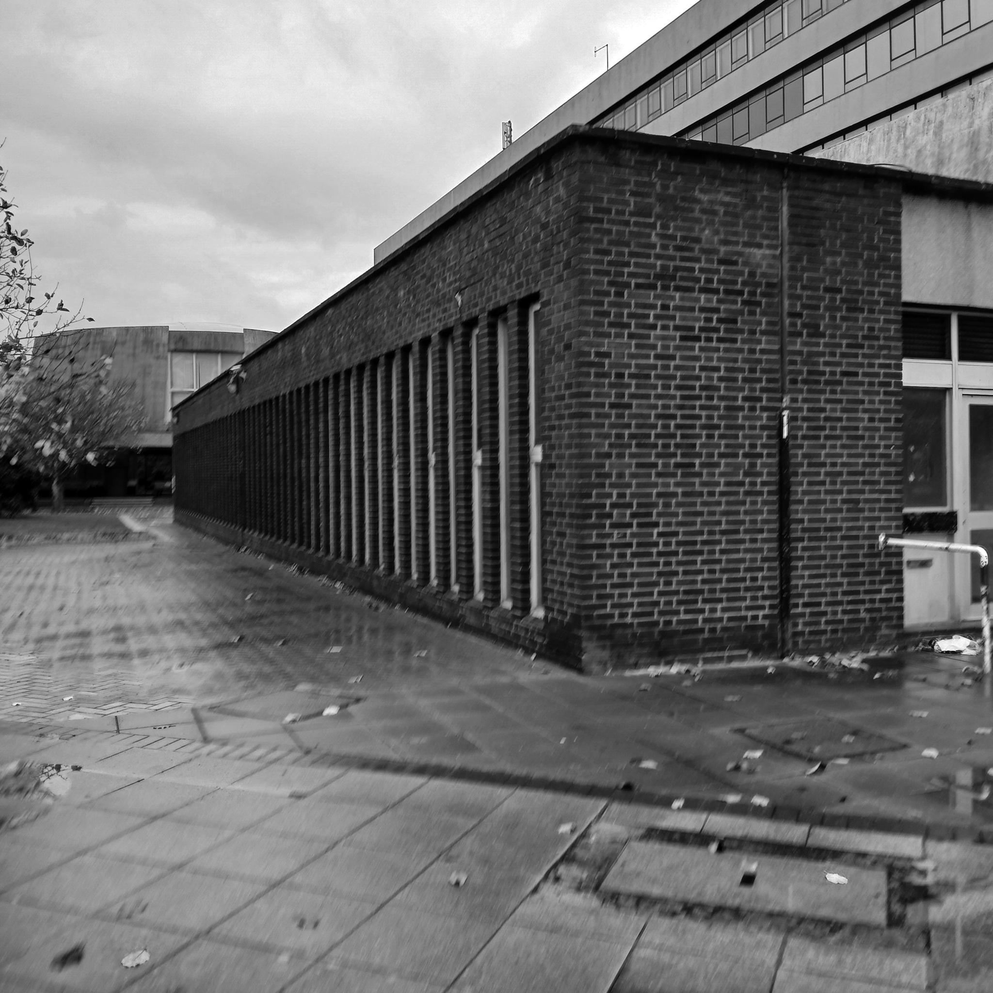
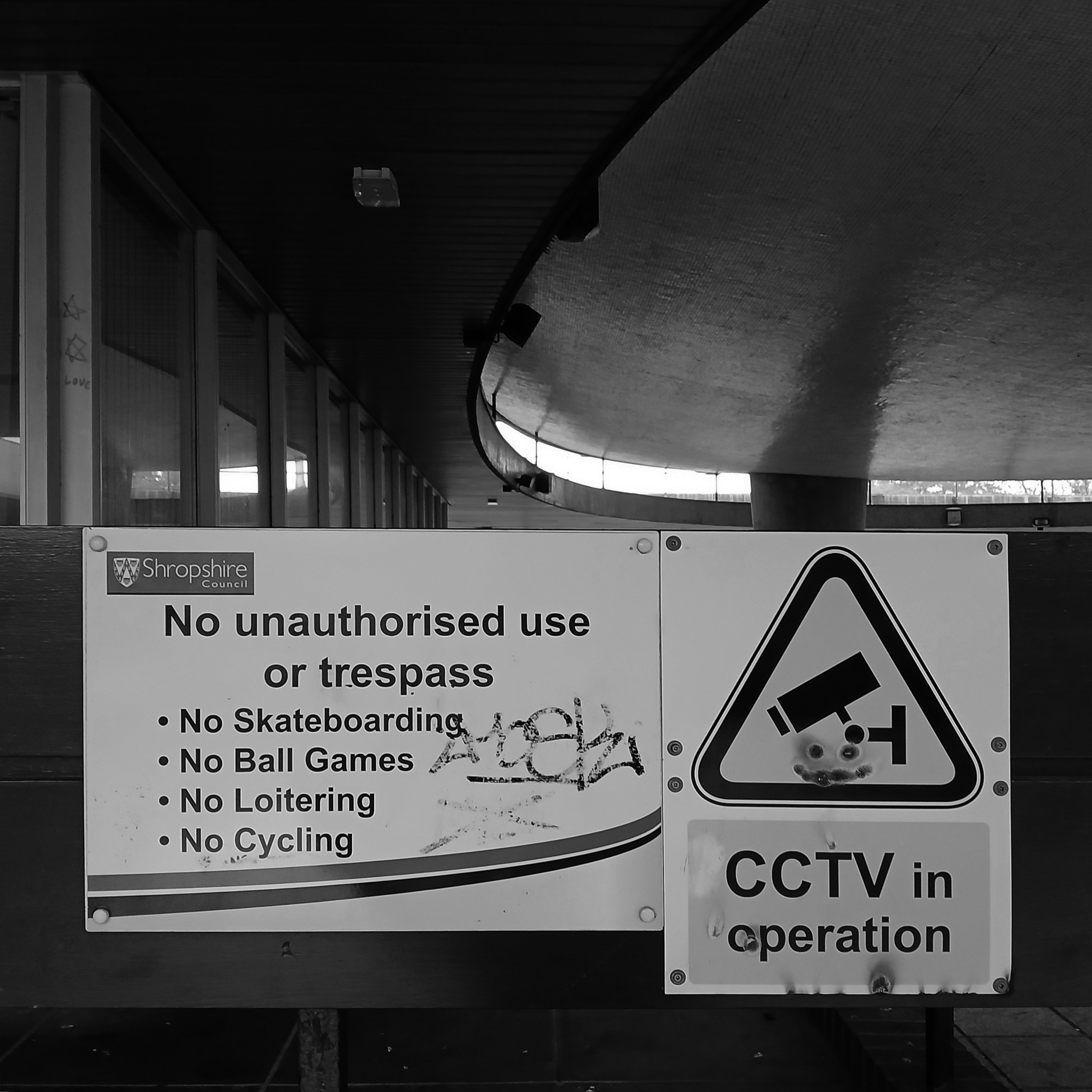
The foundation stone for the new building was laid by Sir Offley Wakeman, a former chairman of the county council, on 25 July 1964. It was designed by Ralph Crowe, the County Architect, in the Modernist style, built at a cost of £1.8 million and was completed in April 1966.
Having visited and snapped way back in June 2024, I returned in October 2025.
I had been asked to speak to the Shrewsbury Civic Society, regarding the history of Modernism in support of their campaign to save Shirehall.
The previous County Council were disposed toward demolition, the current administration are a little more circumspect.
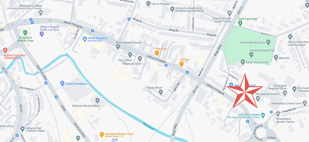
Shropshire Council is considering a return to its former headquarters, less than a year after it moved out. The authority moved from 1960s-built Shirehall in Shrewsbury to the Guildhall in Frankwell, and said doing so would save up to £600,000 per year.
At a meeting on Wednesday, cabinet member for finance Roger Evans said the Liberal Democrats, who lead the council, had paused the demolition and sale of the land, and may retain parts of the building – but only if it could afford to do so.
“We would like to retain the council chamber and some of the associated buildings, but we do need to take account for the cost both in cash terms and in net zero terms,” he said. “What we have done is paused this decision and asked experts to look at it again, look at the whole site, do a reappraisal. The results are just now being recieved.
“I want to keep it as much as we can afford, both environmentally and cash-wise. Whether we can or not will depend, the council is strapped for cash.”
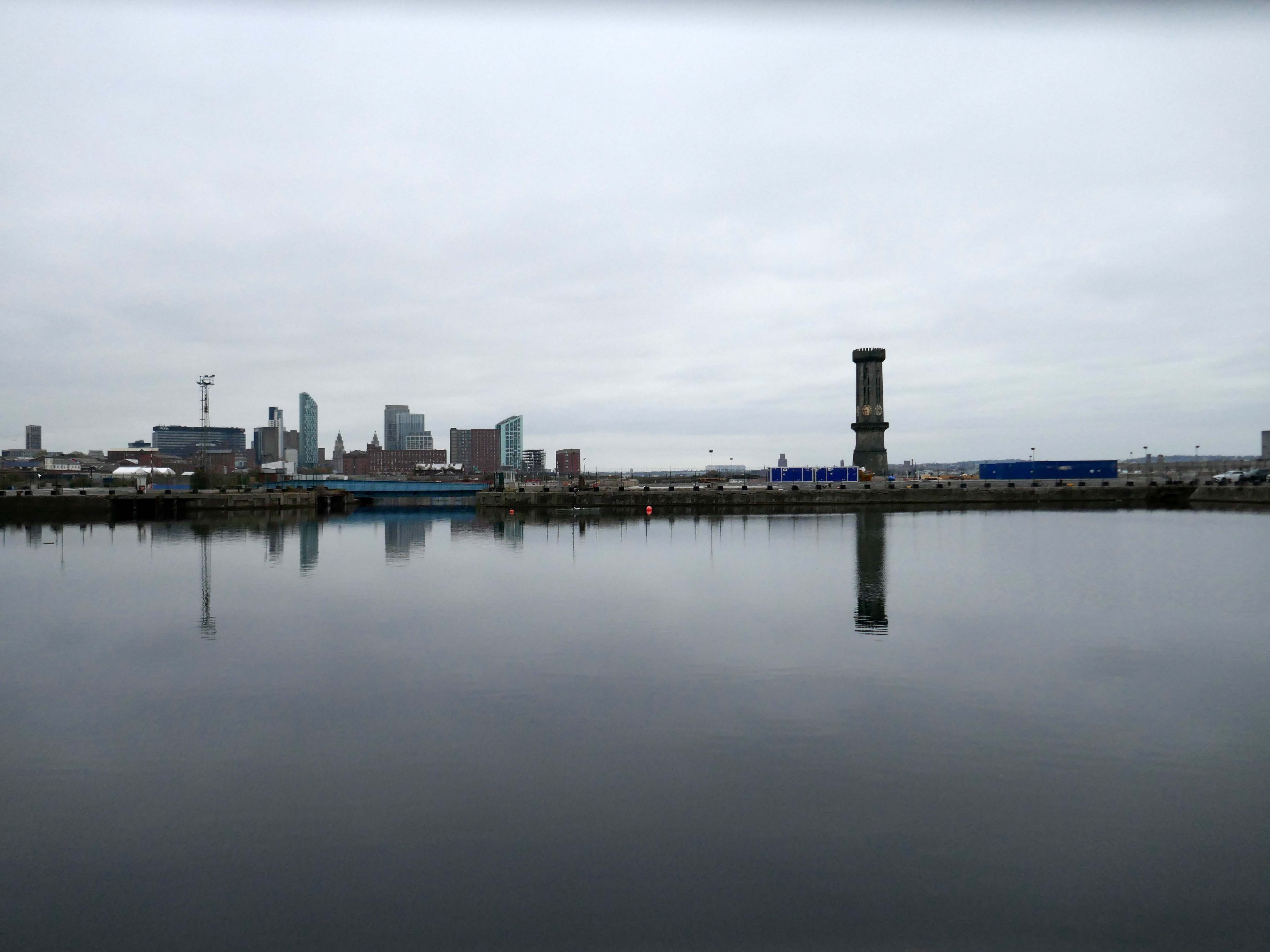
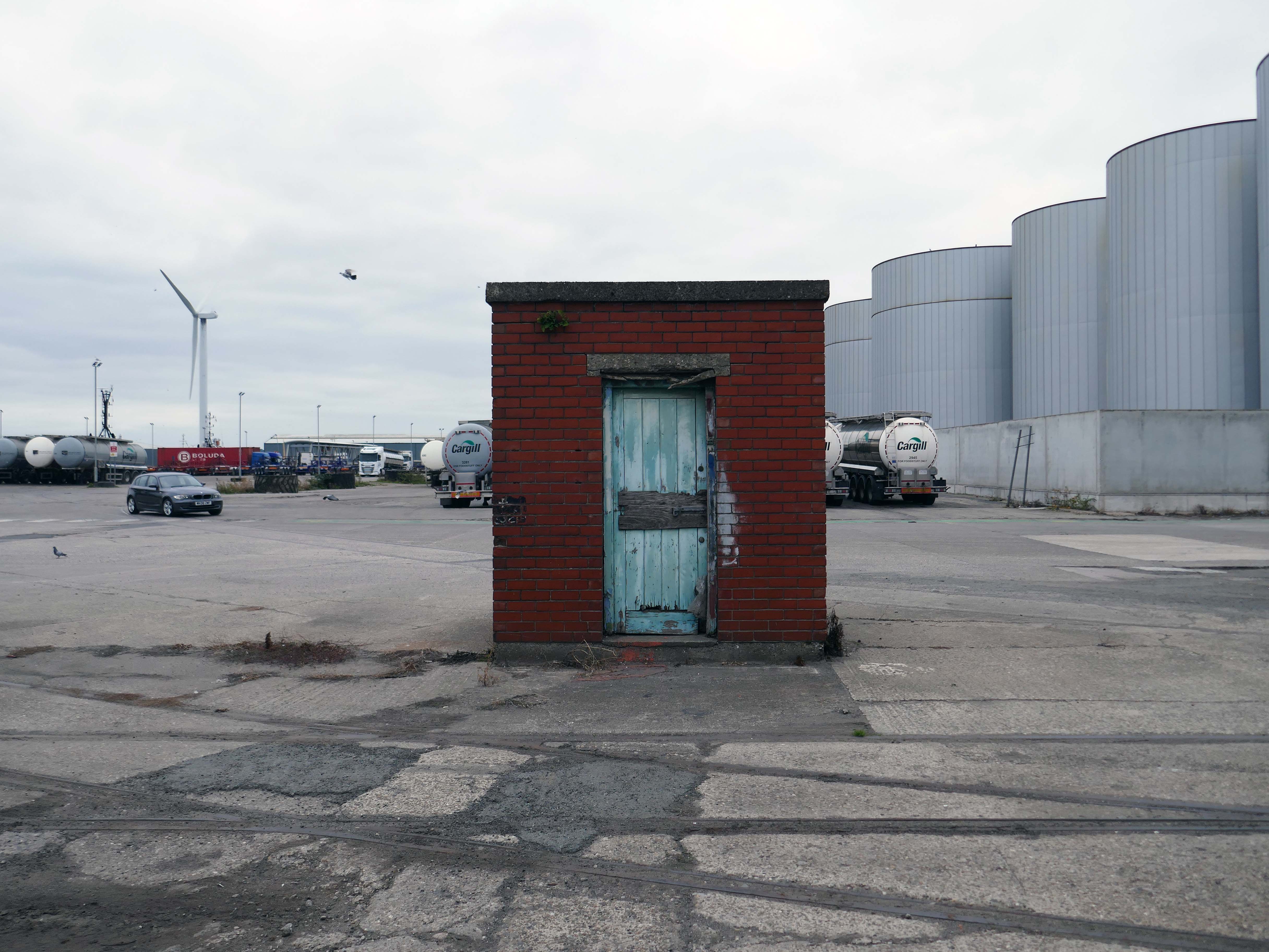
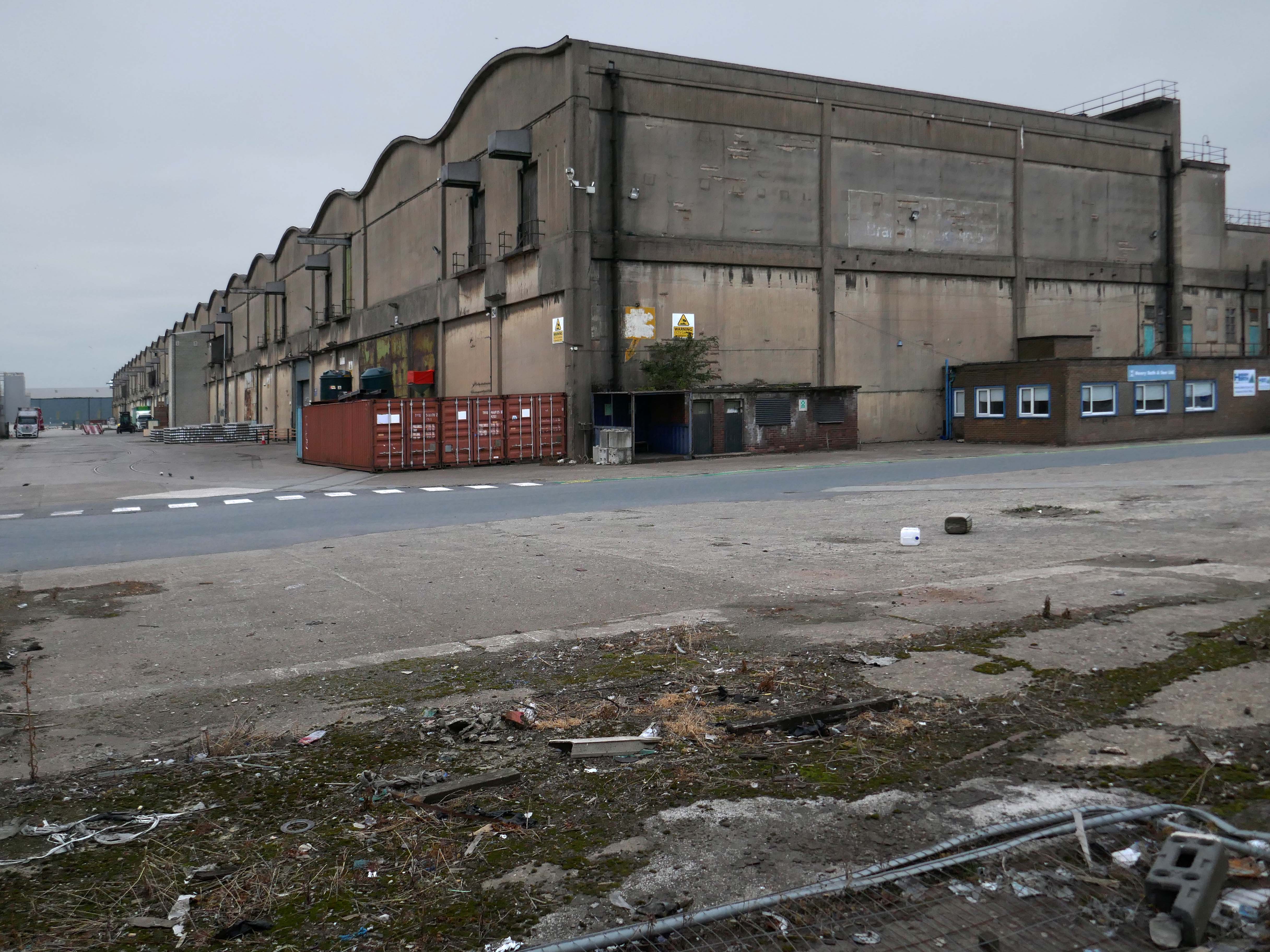
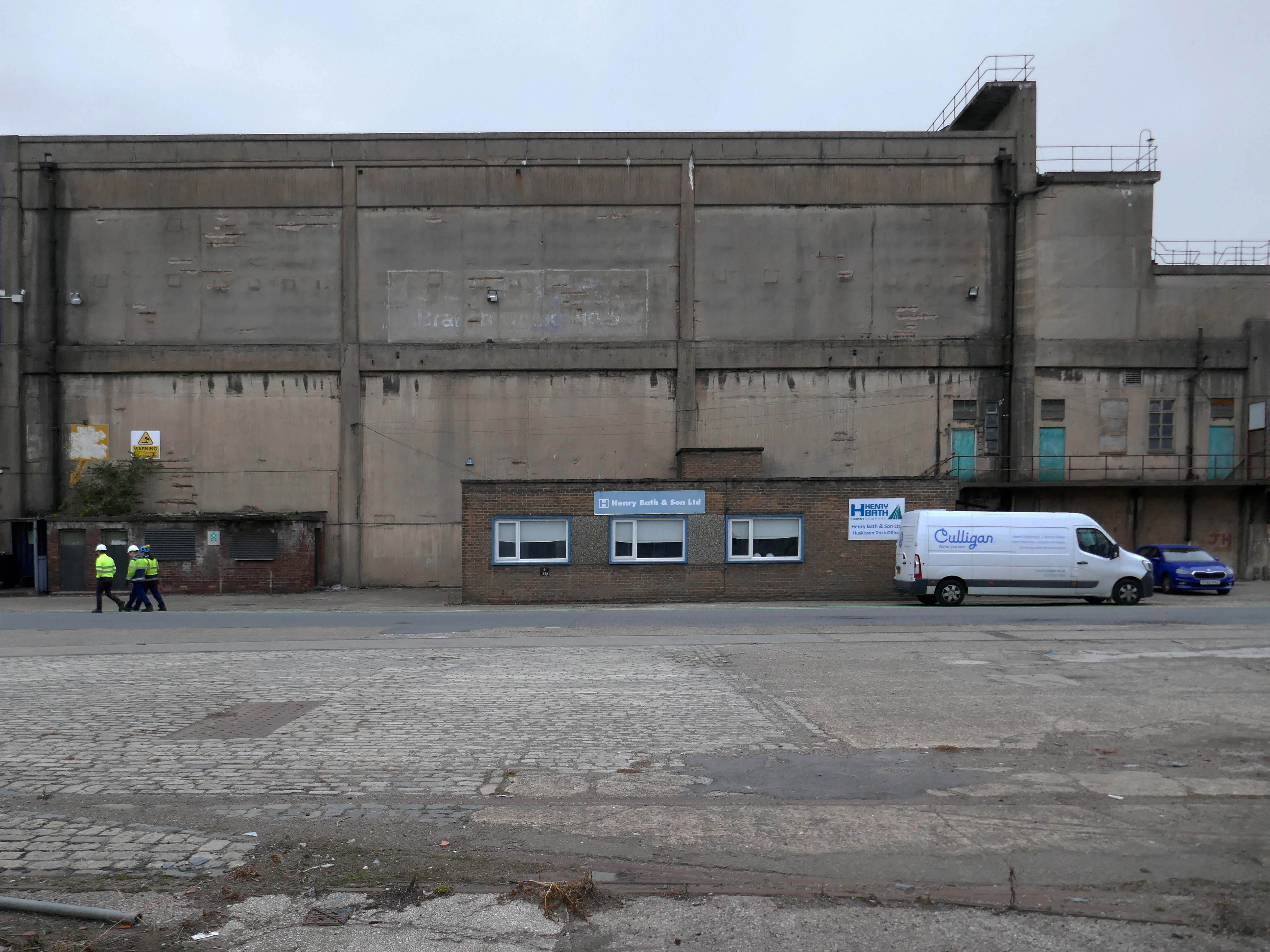
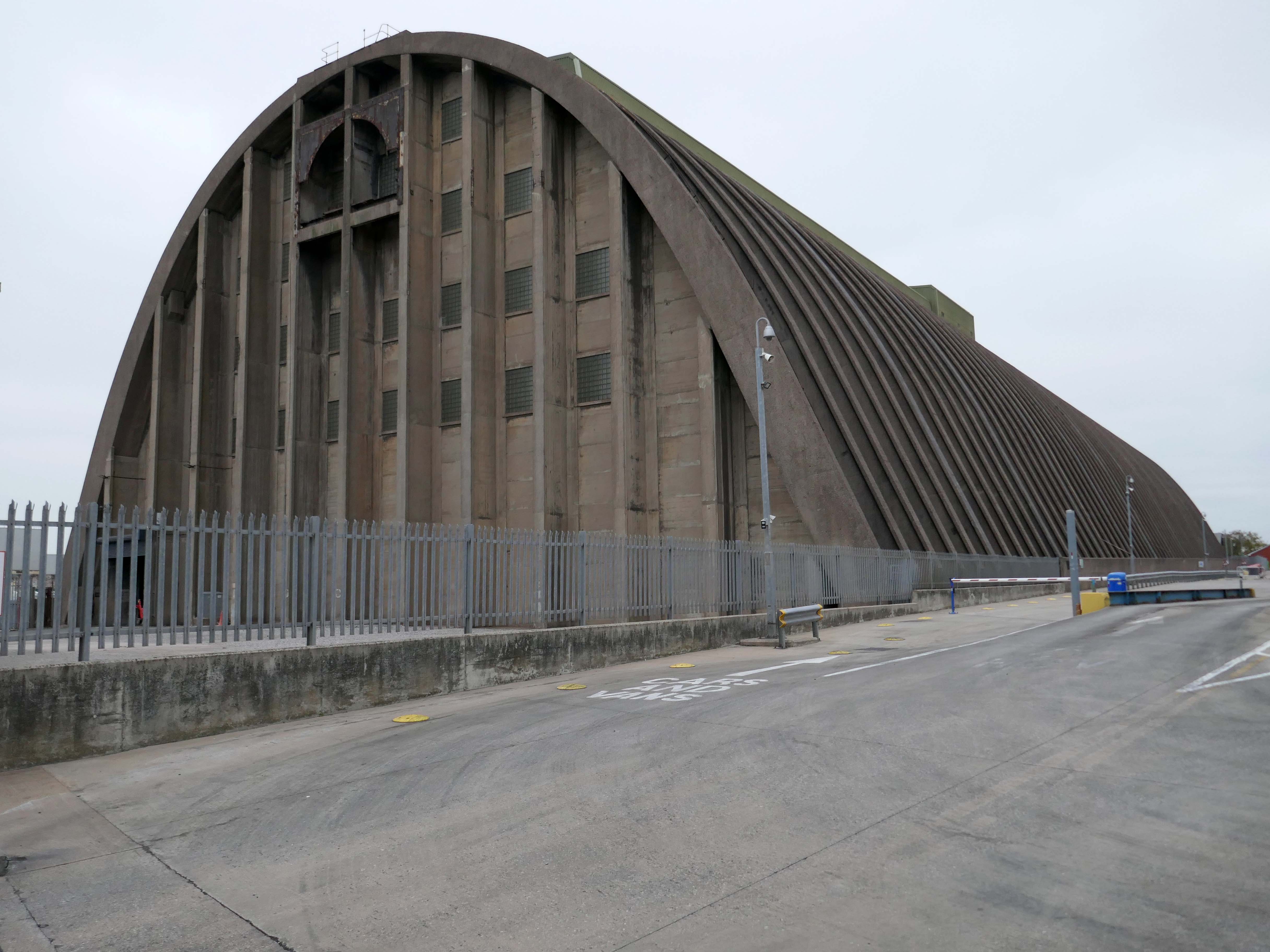
The days when a vast multitude of things came and went have been and gone.
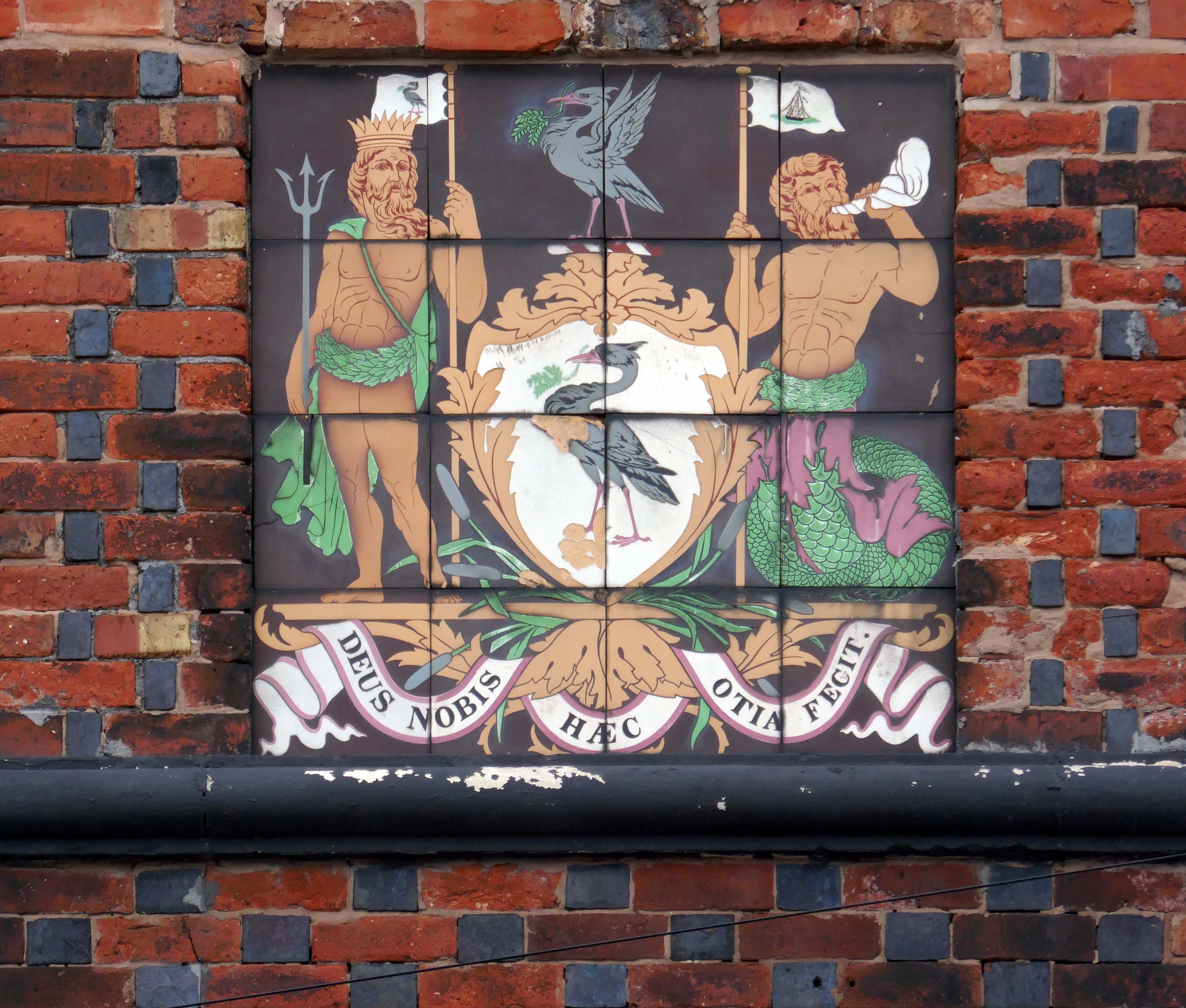
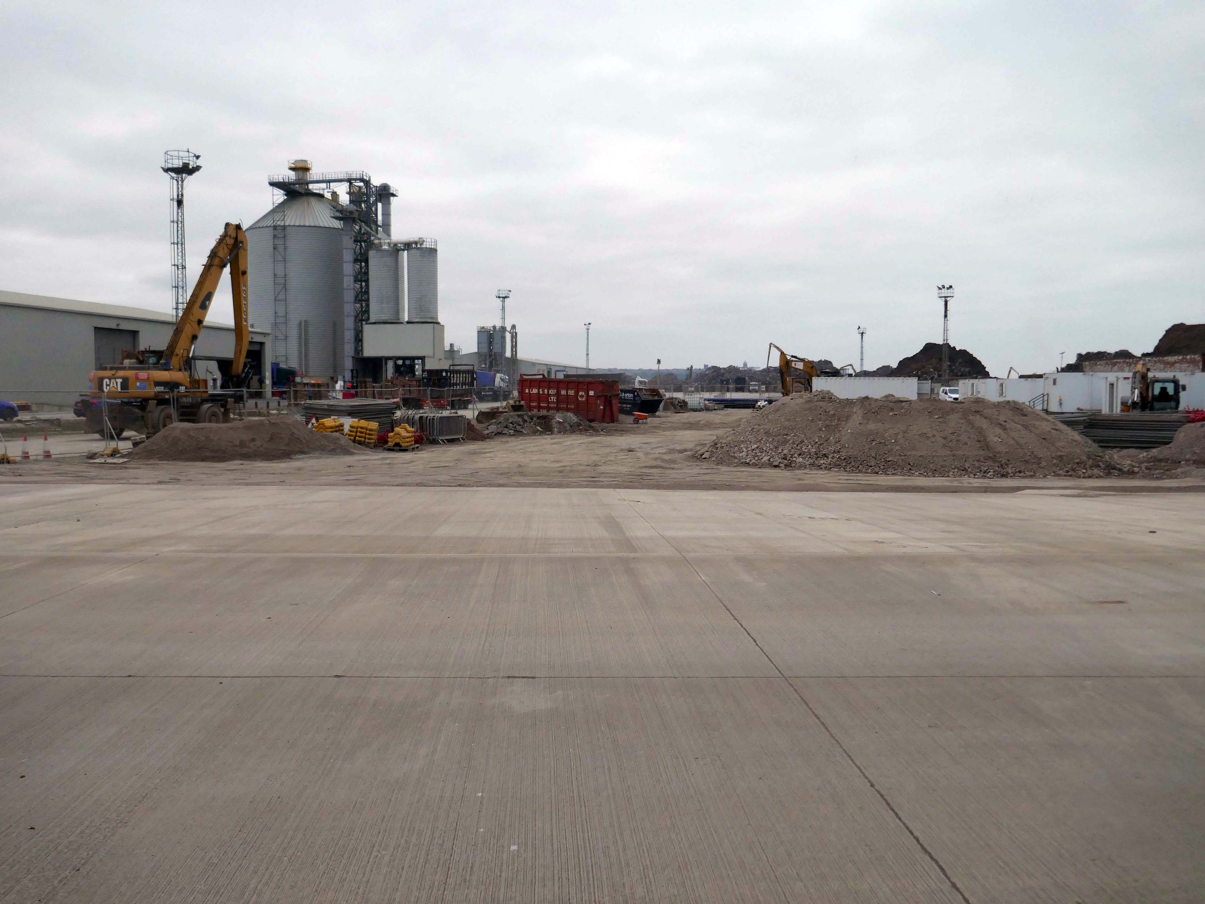
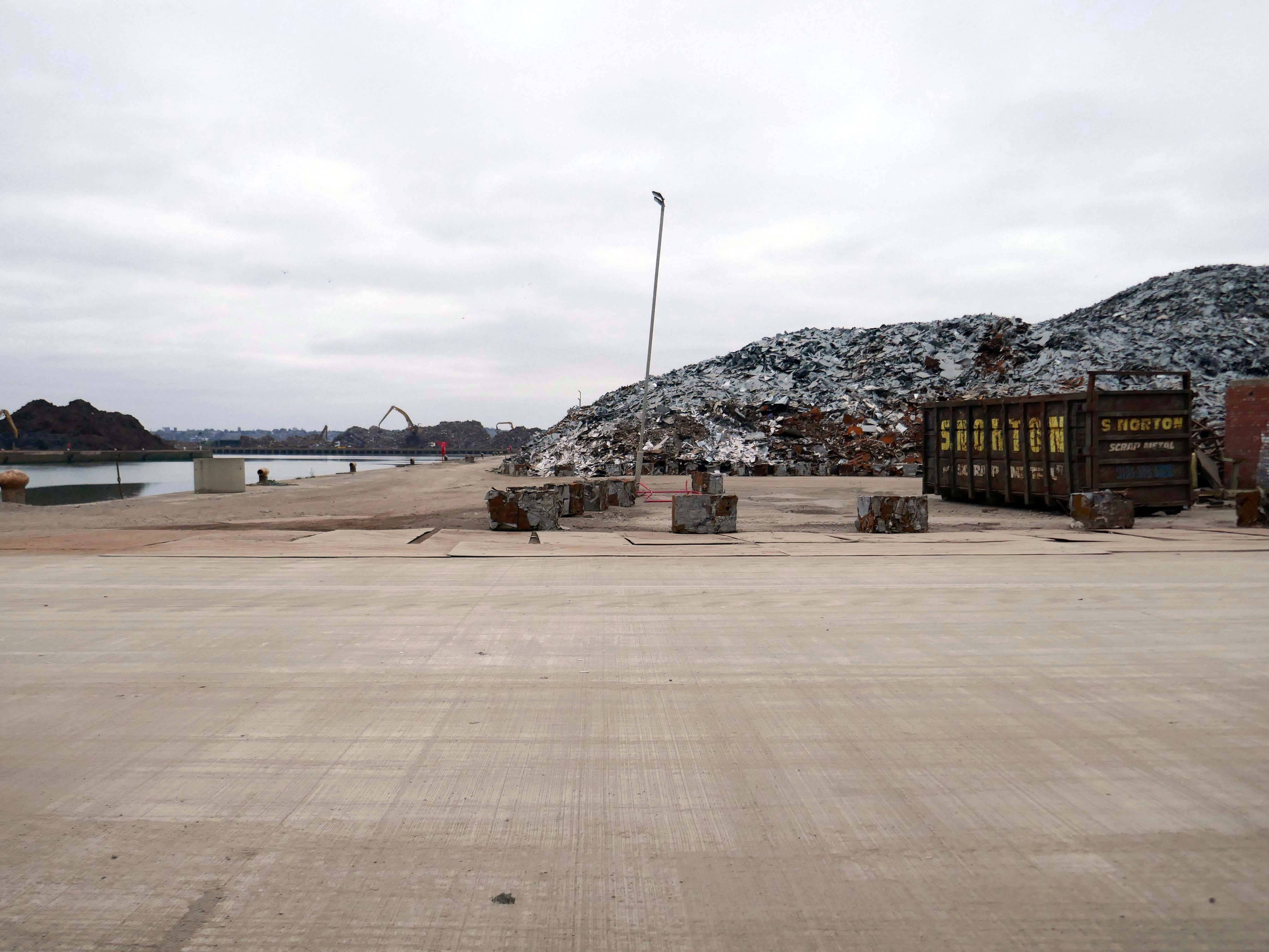
The docks as they were are no more.
Yet in 2023, the Port of Liverpool was the UK’s fourth busiest container port, handling over 30 million tonnes of freight per annum. It handles a wide variety of cargo, including containers, bulk cargoes such as coal, grain and animal feed, and roll-on/roll-off cargoes such as cars, trucks and recycled metals. The port is also home to one of the largest cruise terminals in the UK which handles approximately 200,000 passengers and over 100 cruise ships each year.
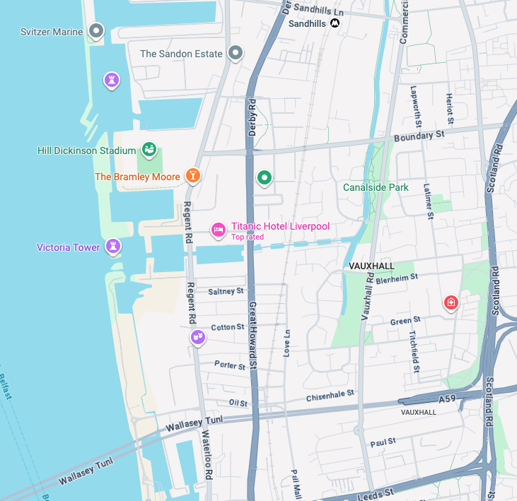
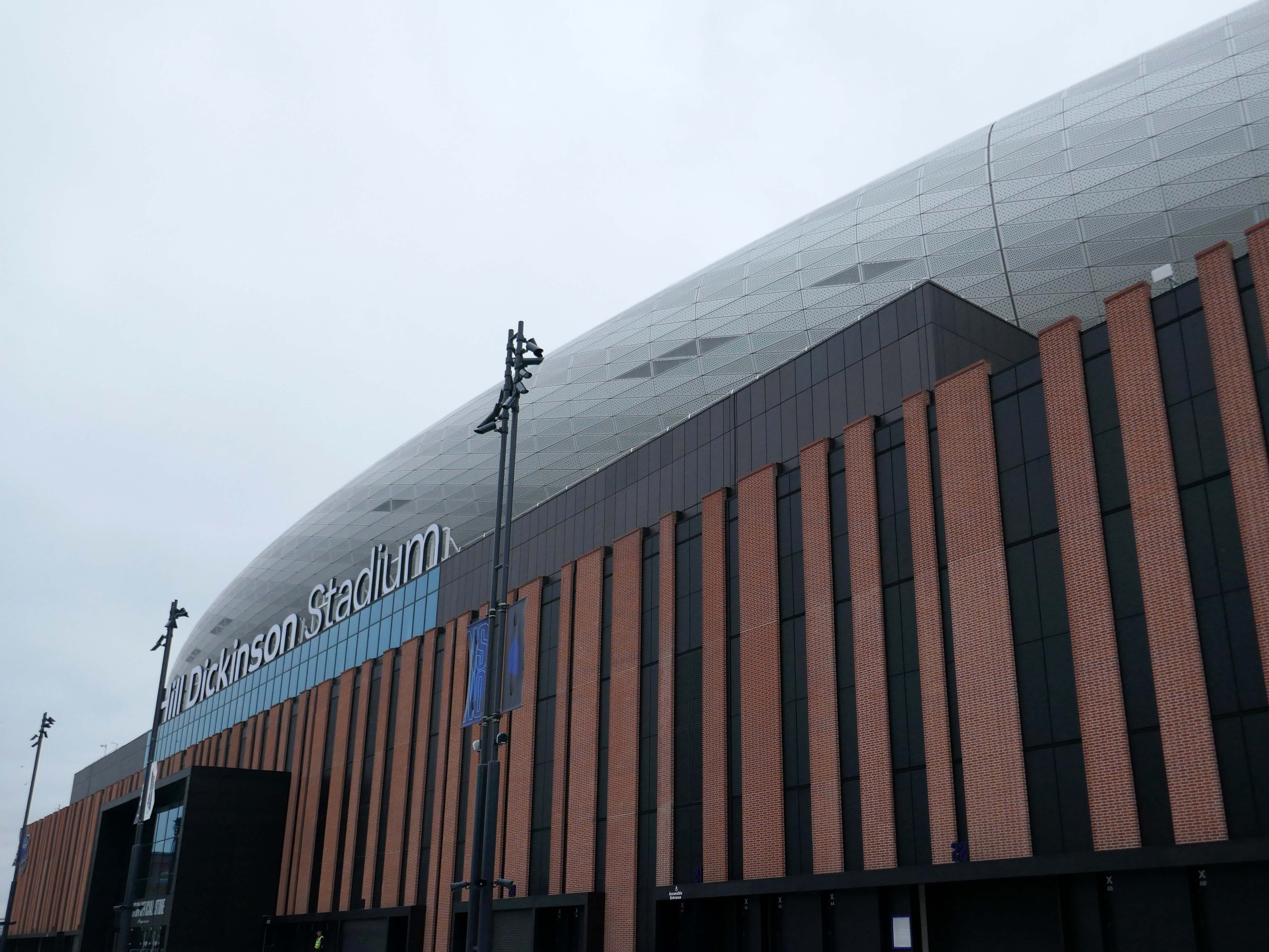
Now with the opening of the Titanic Hotel in the Stanley Dock and the arrival of the Toffees just up the road at the Hill Dickinson Stadium, the whole area is slowly being transformed into a destination, as they say in modern parlance.
However much of the Industrial heritage remains in various states of disarray, used and possibly disabused, but hanging on in there.
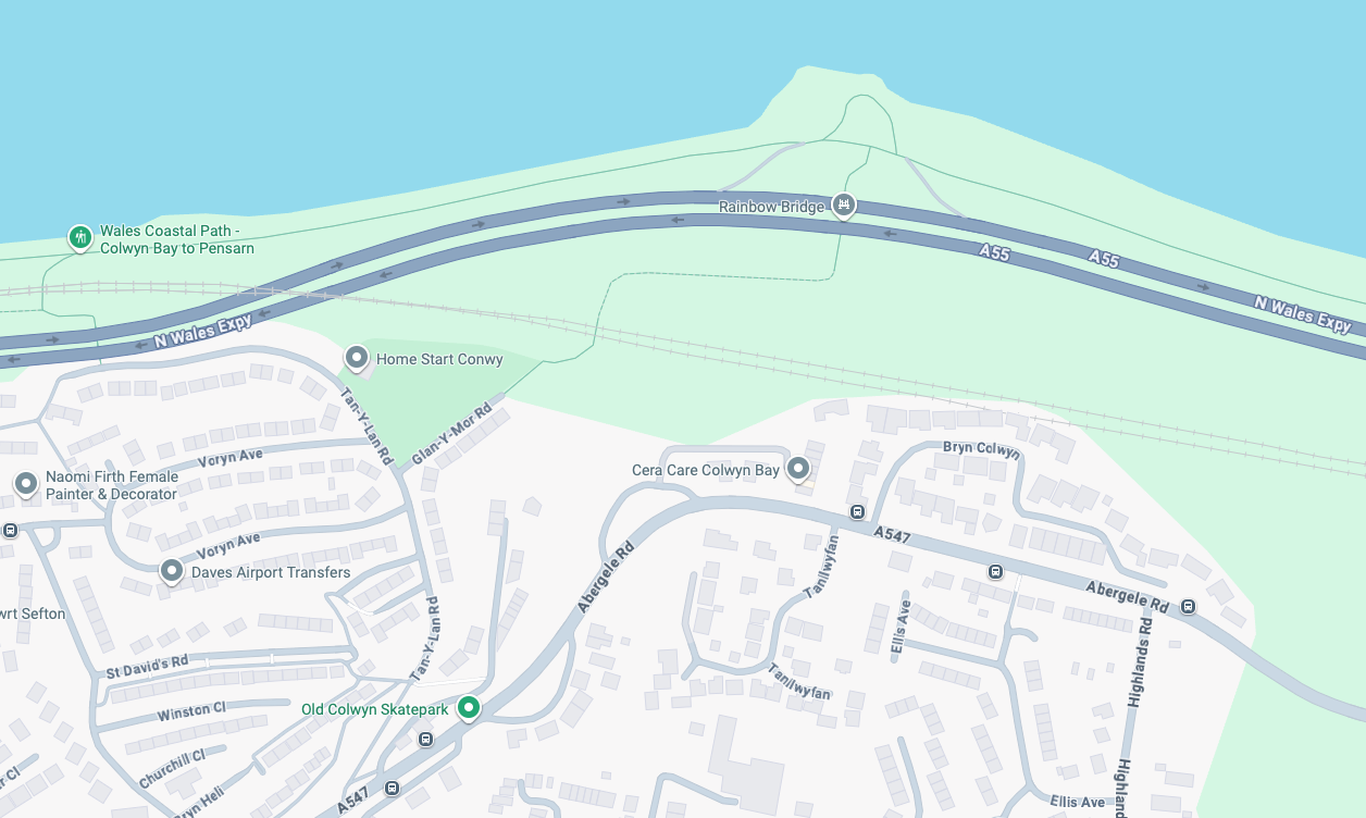
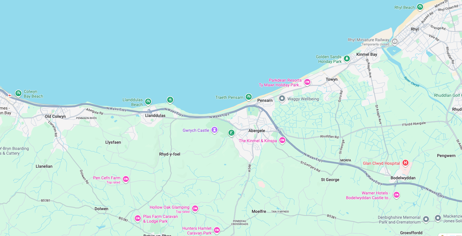
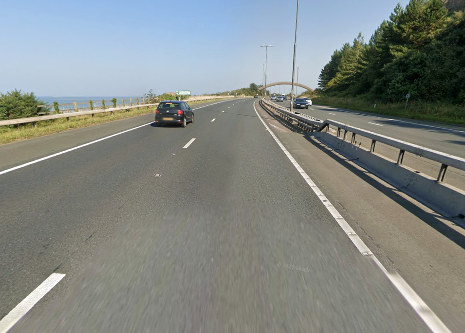
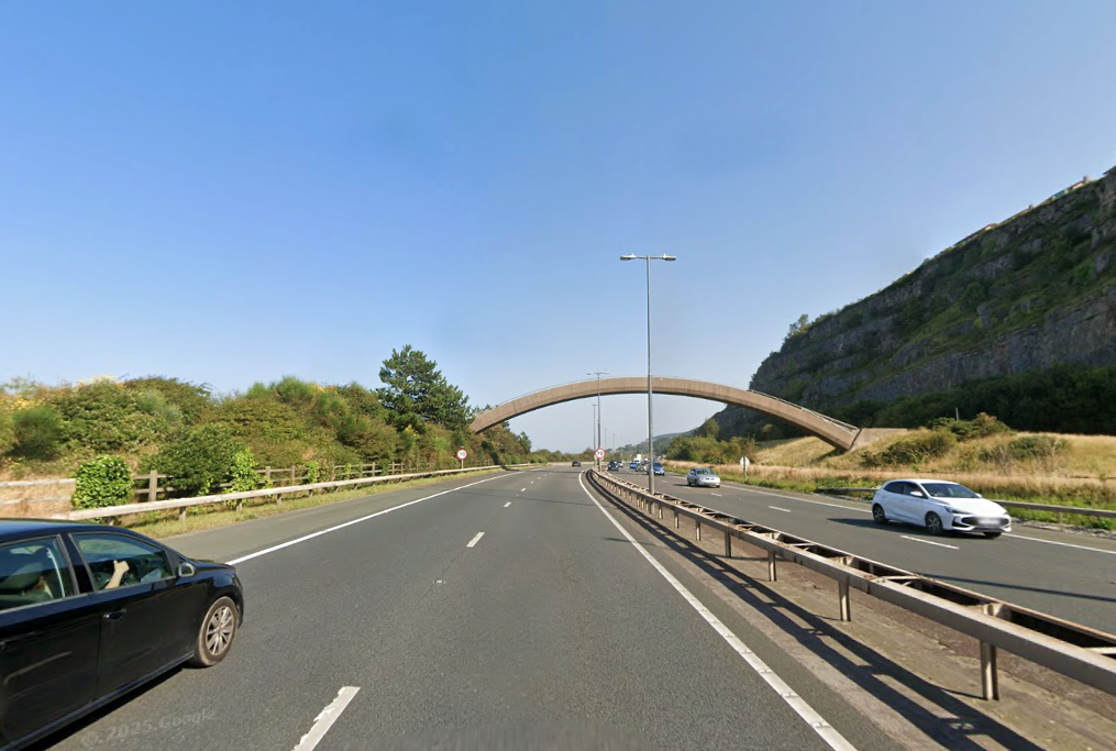
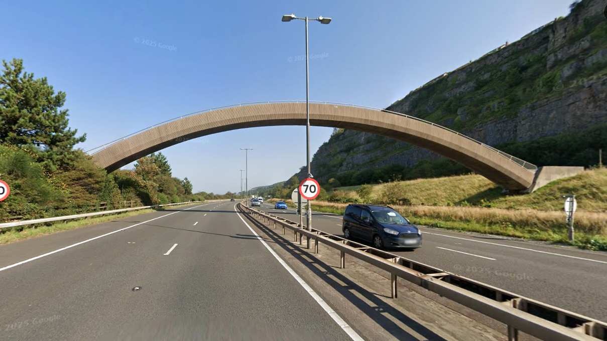
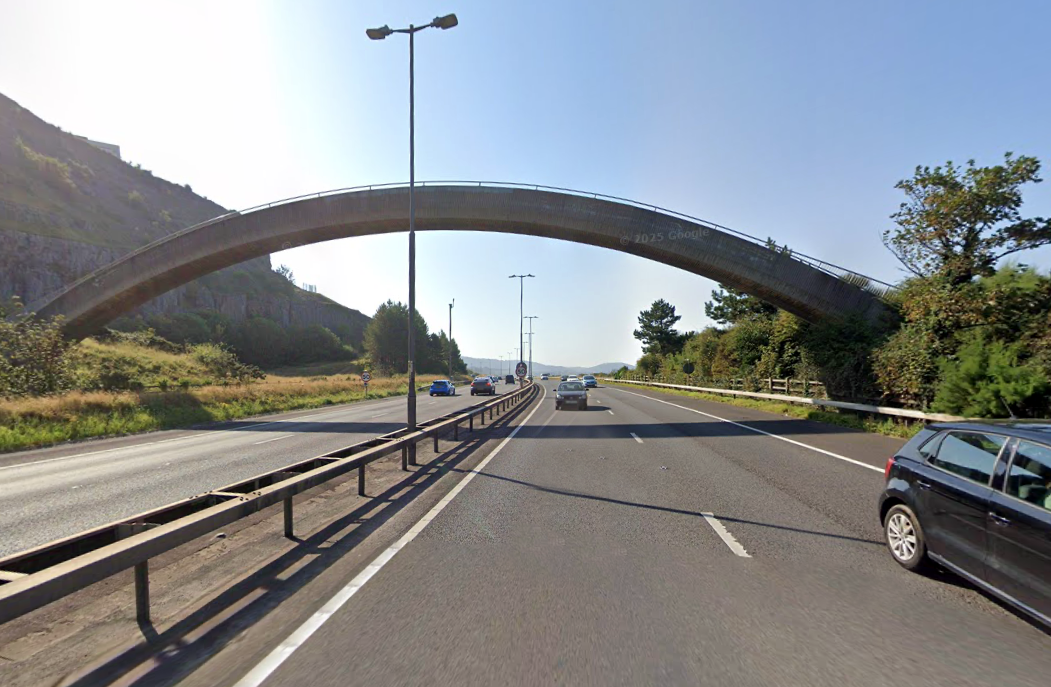
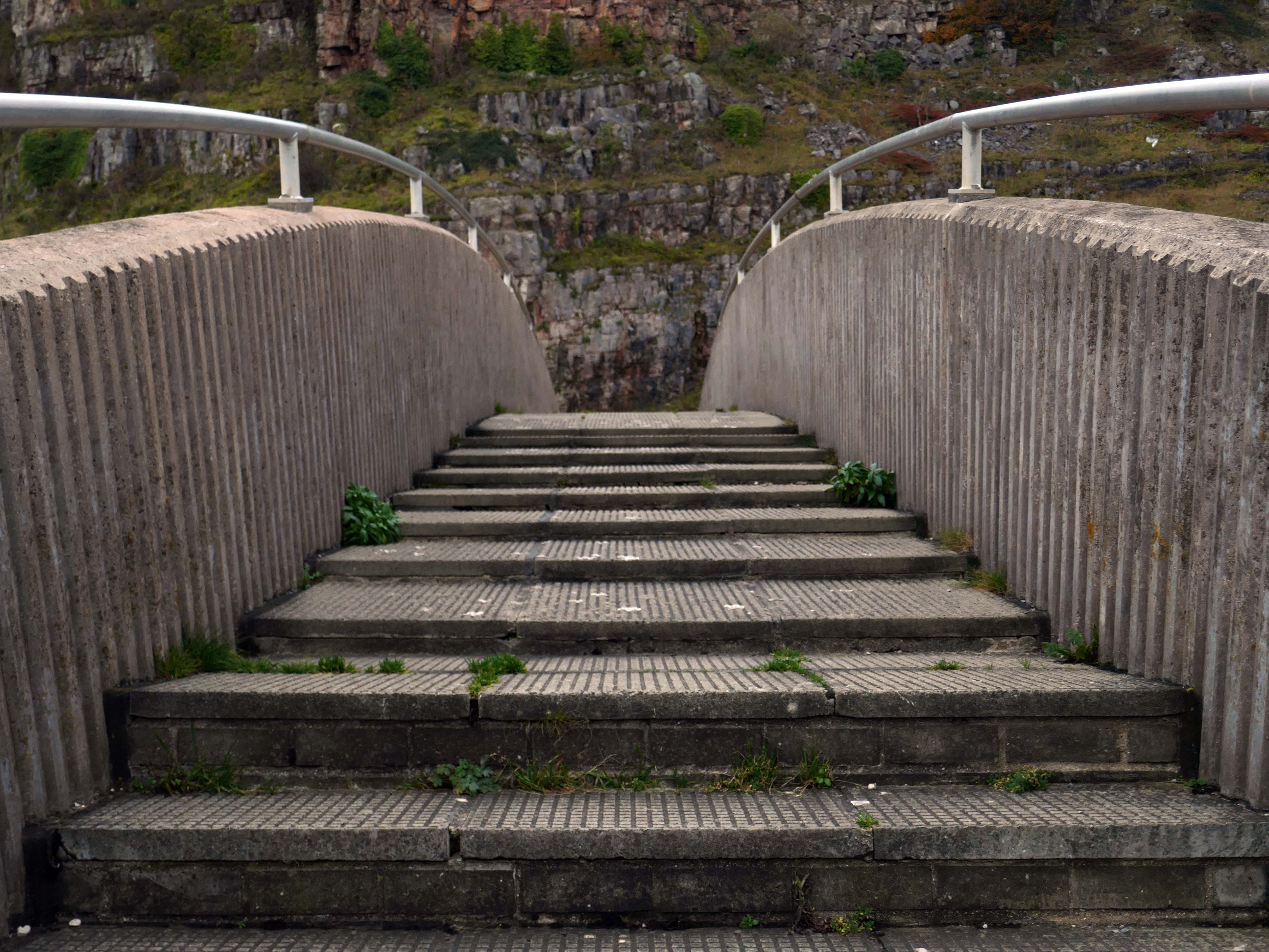
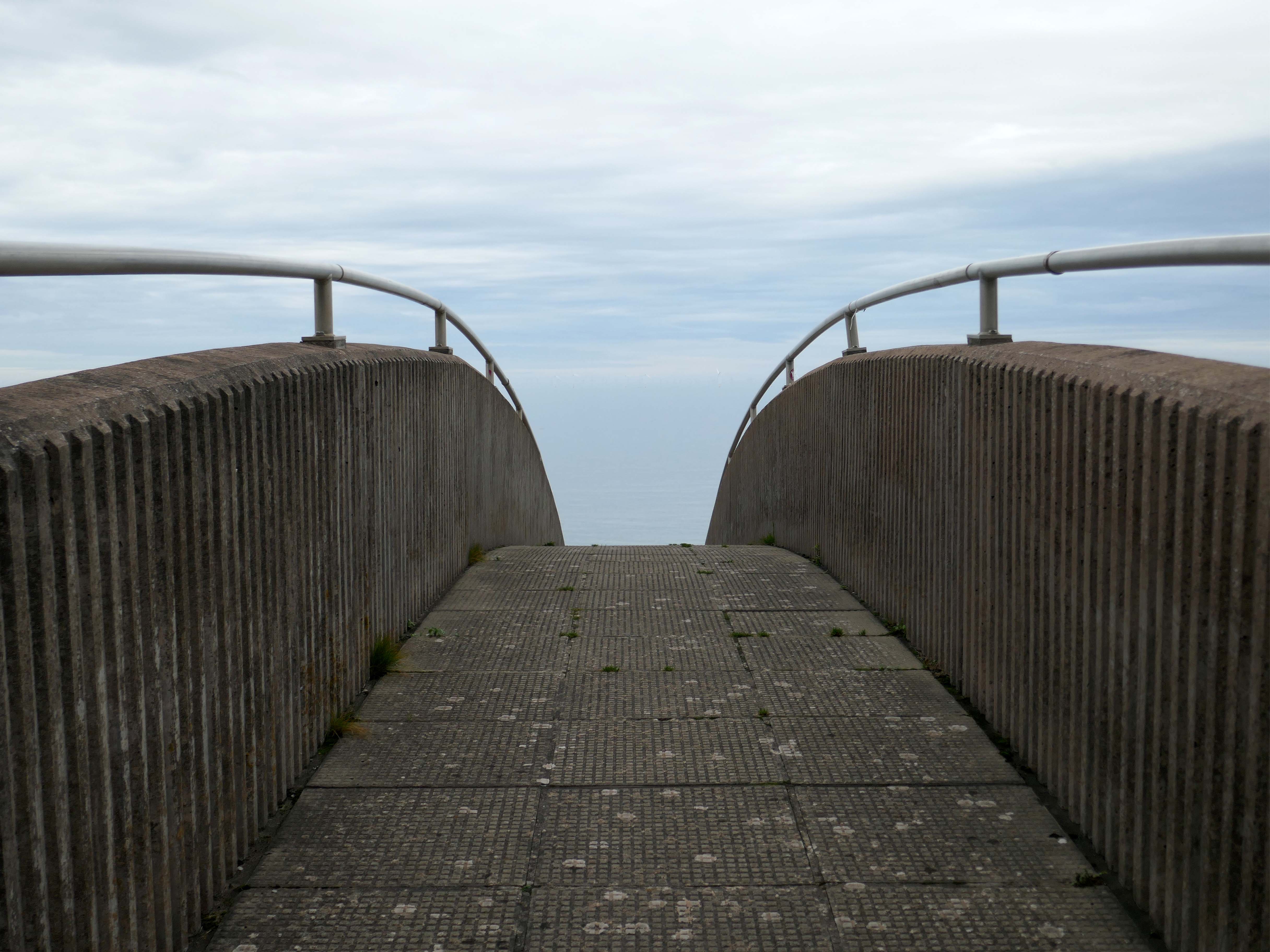
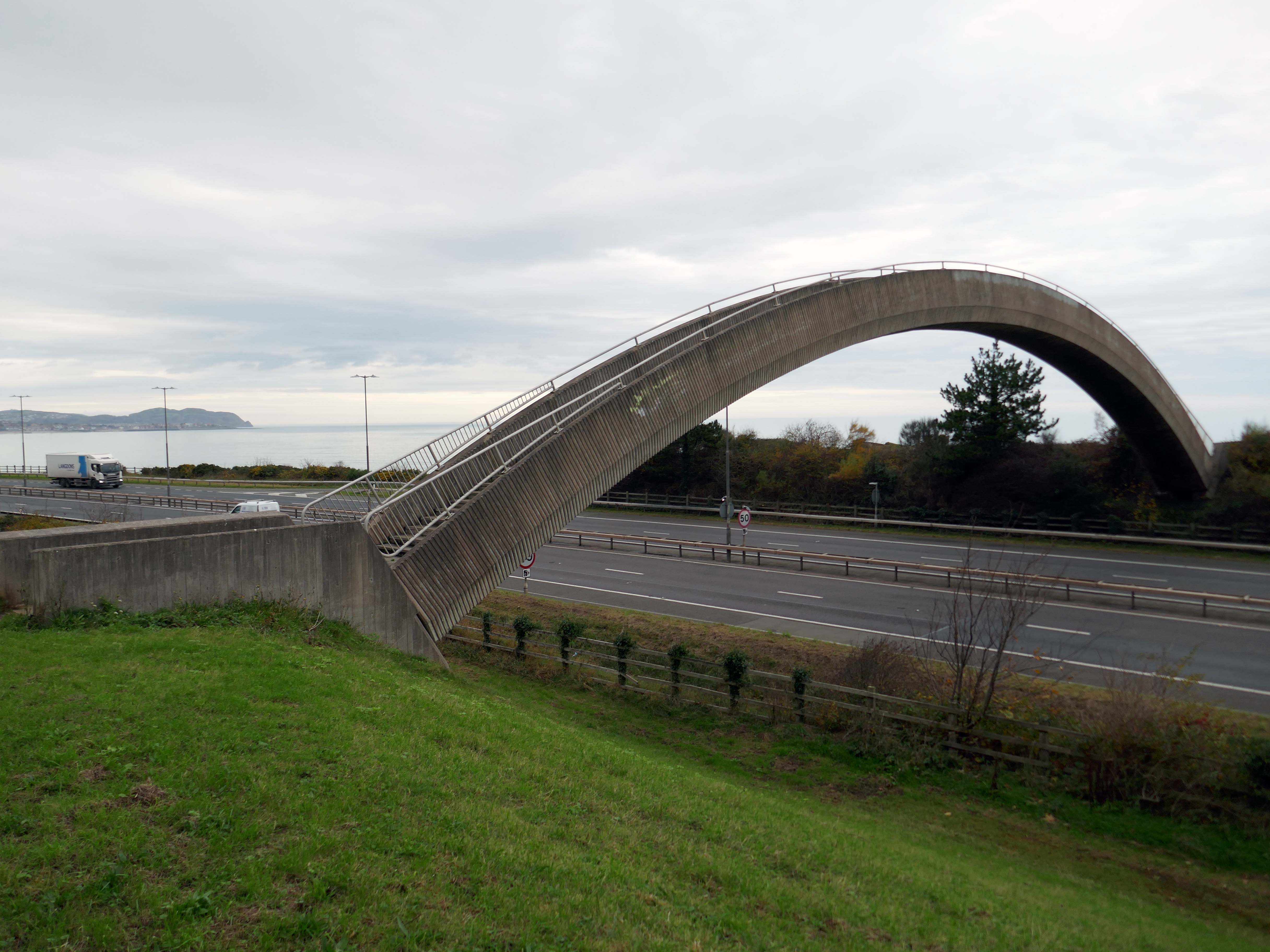
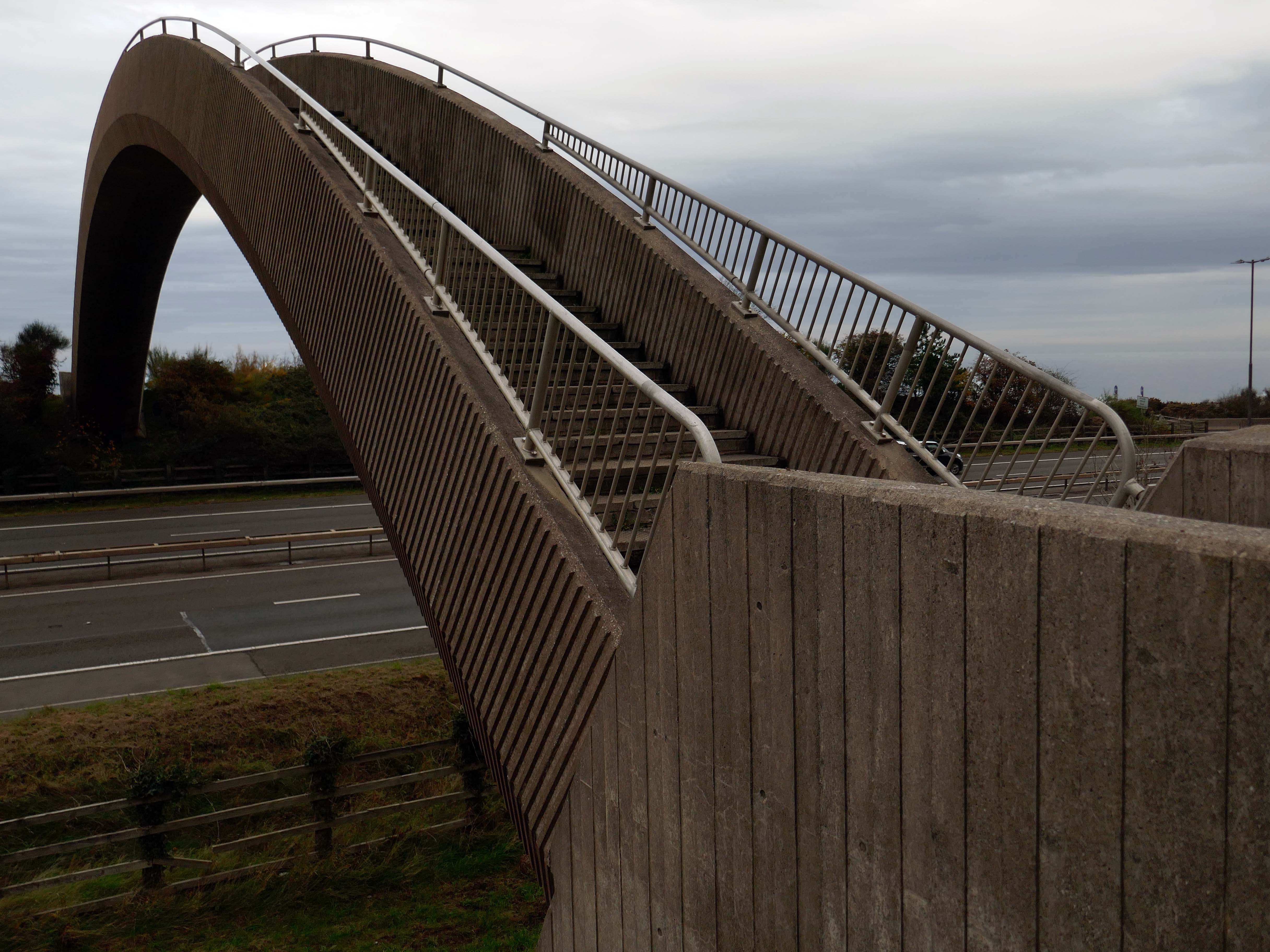
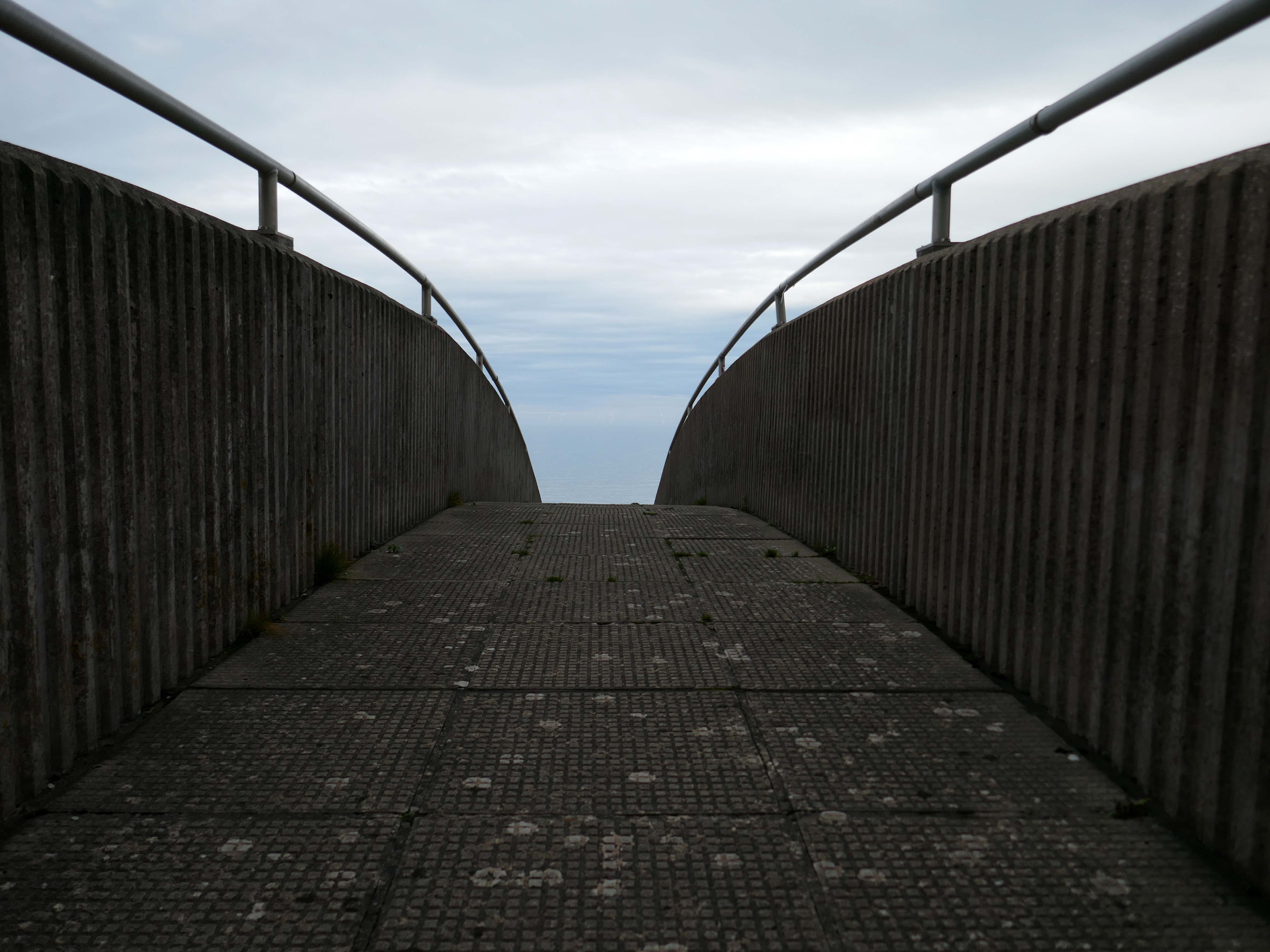
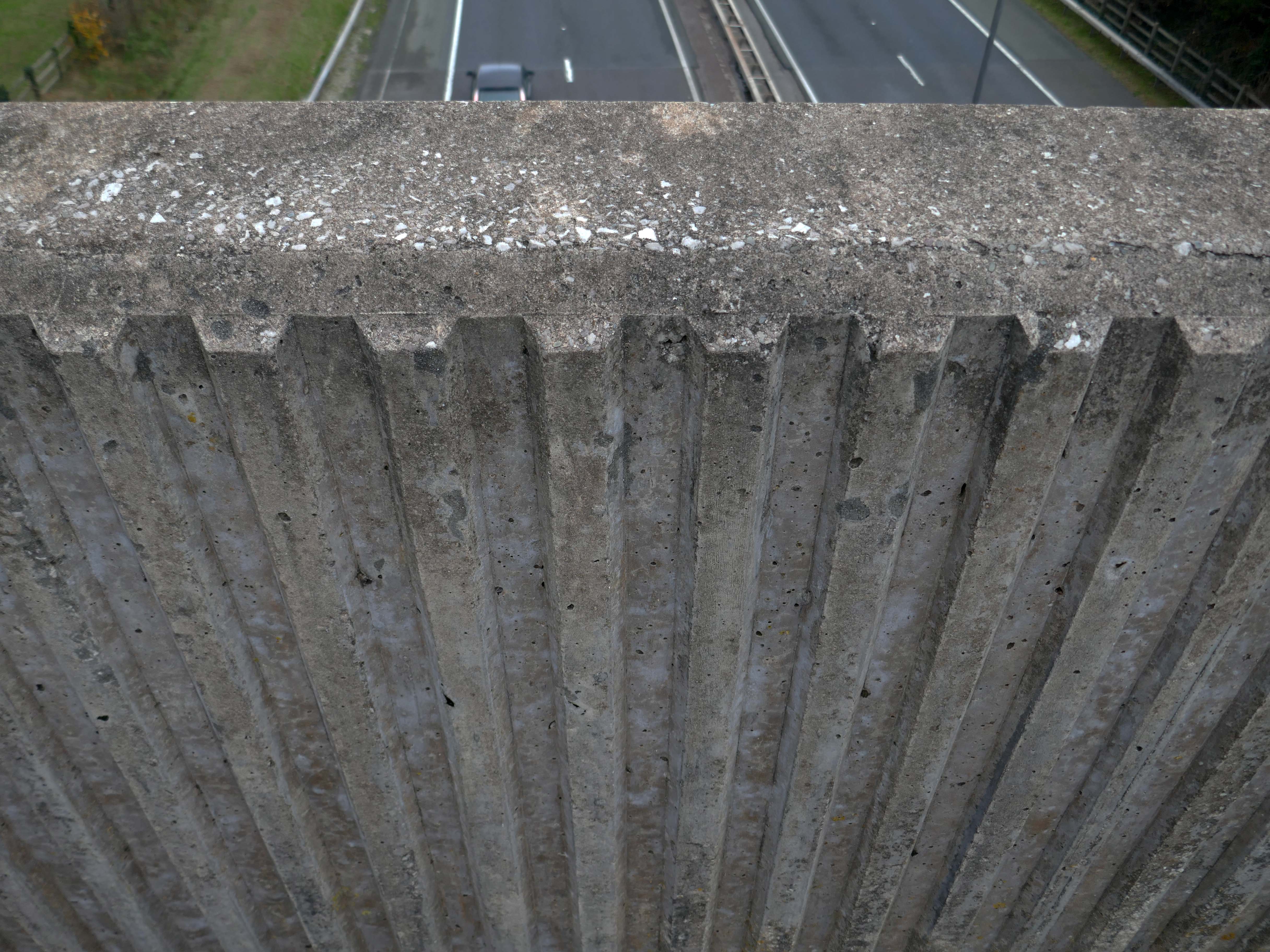
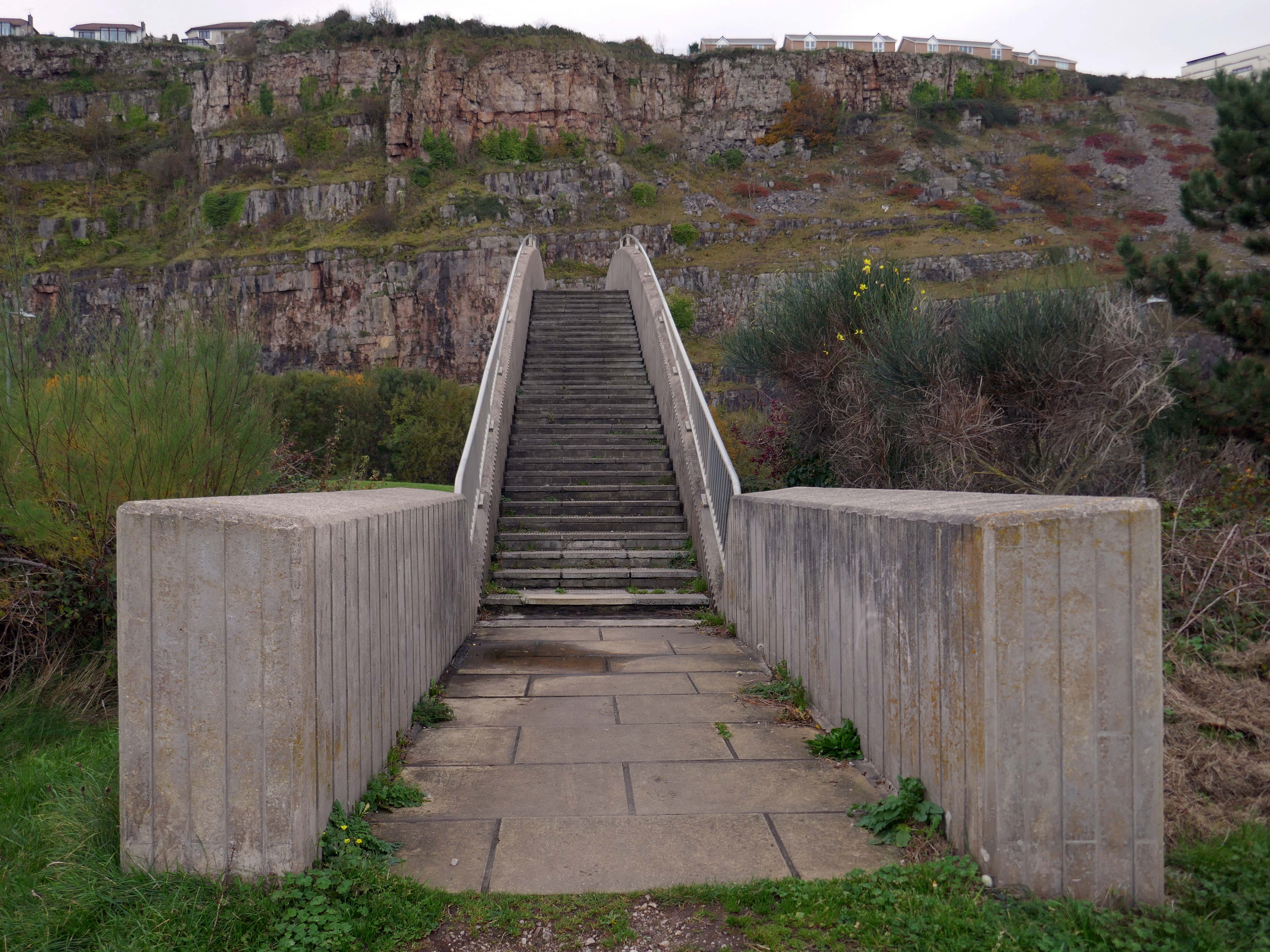
The iconic Rainbow Bridge on the A55 has been lit up to say thank you to NHS, social care staff and other key workers.
This well-known landmark lived up to its name on Tuesday night when it was bathed in rainbow colours alongside a thank you message projected onto the nearby cliffside.
This one-off tribute to staff from the health and care sectors and other key workers who are working tirelessly during the Covid-19 pandemic, was arranged by the North and Mid Wales Trunk Road Agent.
The walkway over the A55, colloquially known as Rainbow Bridge, is situated on the strategic road network which NMWTRA is responsible for maintaining and managing on behalf of the Welsh Government.
The A55 partly follows the alignment of the Roman road from Chester to Caernarfon, particularly from Junction 31 to 30 and Junction 13 to 12. Between Chester and Holywell the alignment of this road is uncertain and between St. Asaph and Abergwyngregyn, the Roman road followed an inland route, via Canovium Roman Fort at Caerhun, avoiding the difficulties of the crossing of the Conwy estuary and the cliffs at Penmaenbach and Pen-y-Clip.
On 1 April 1937, the route, as it was then, was classed to form the Chester–Bangor trunk road. By 2015, the Welsh Governmentwas also classifying part of the road as part of the London–Holyhead trunk road.
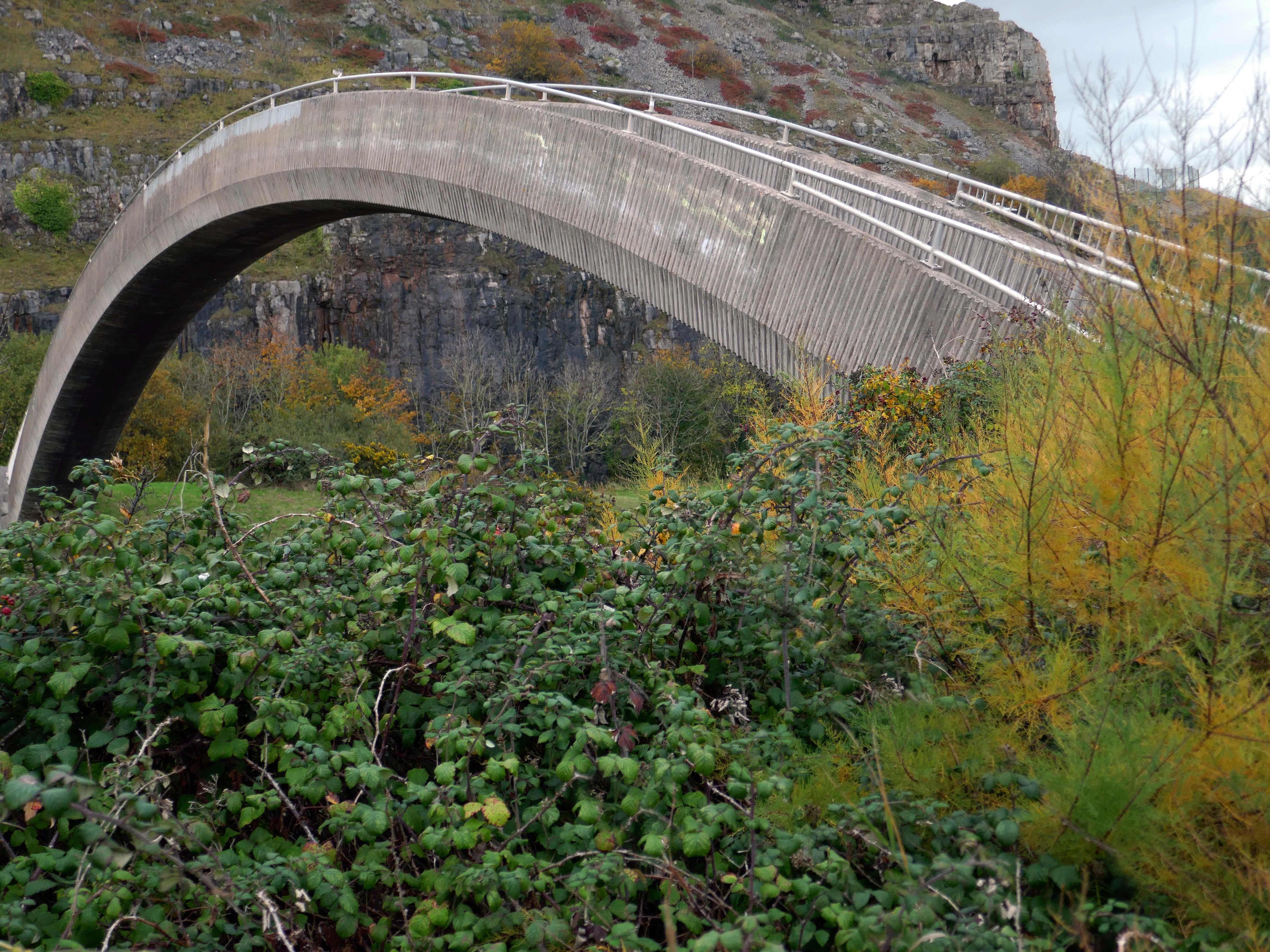
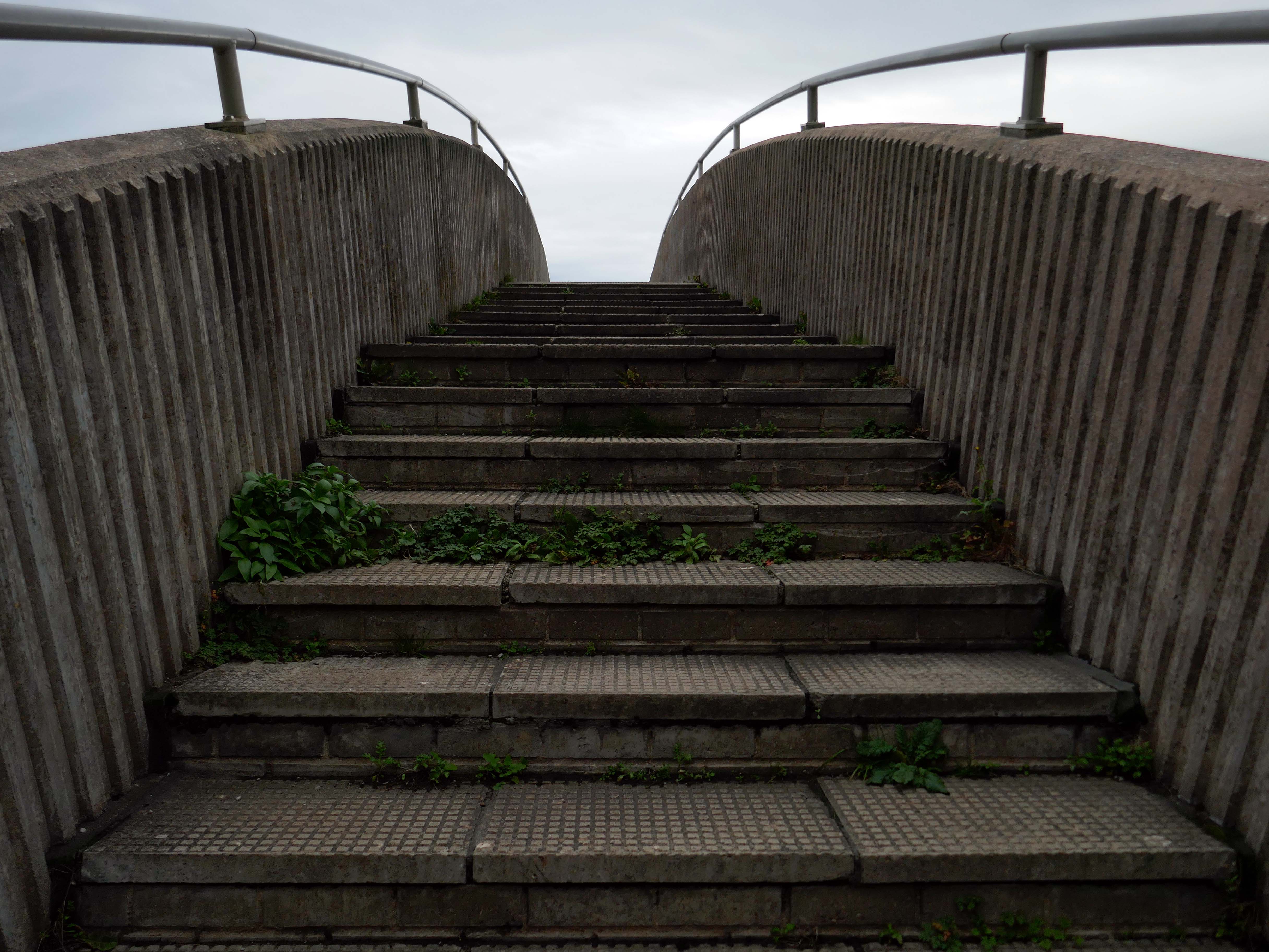
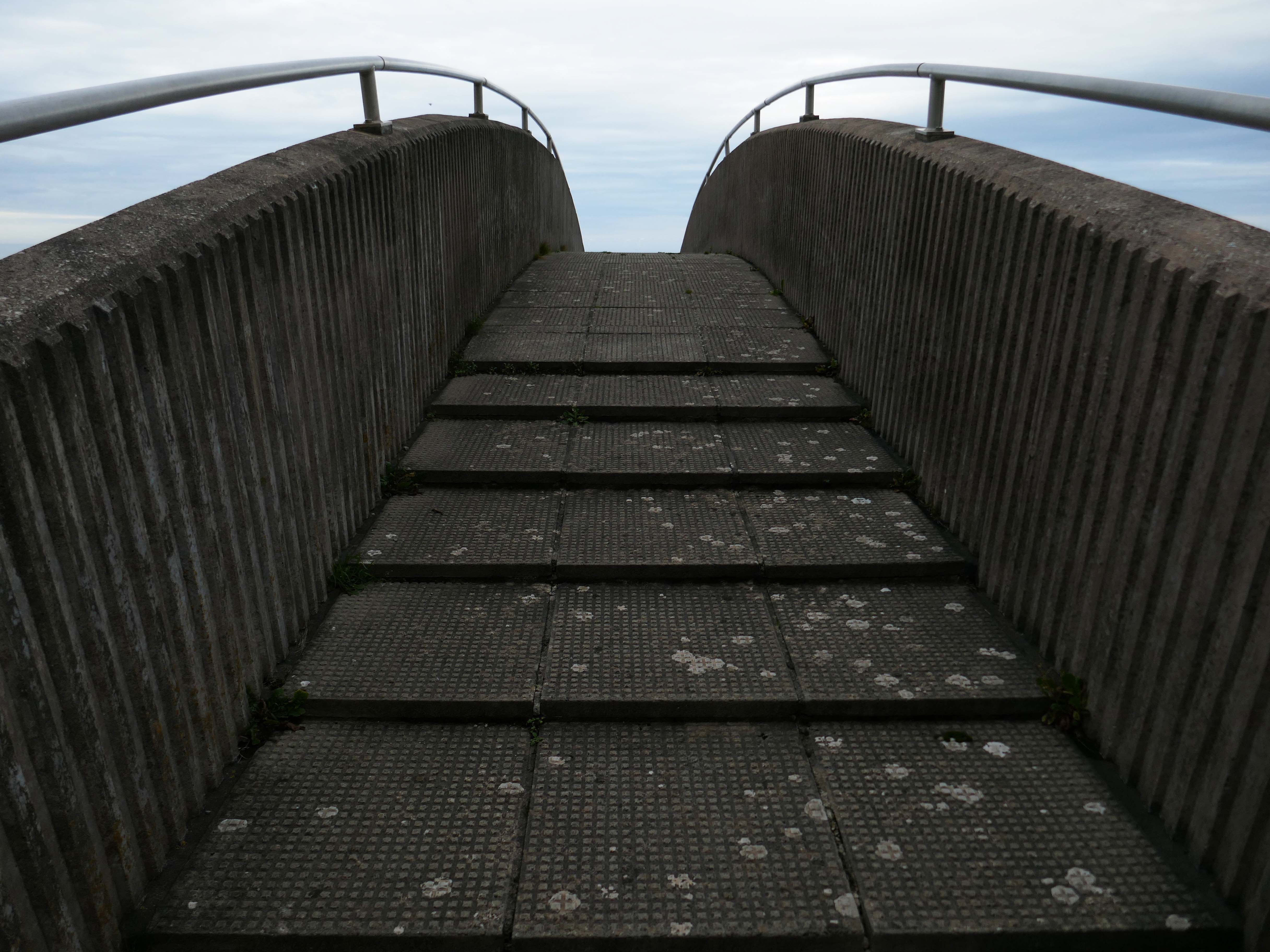
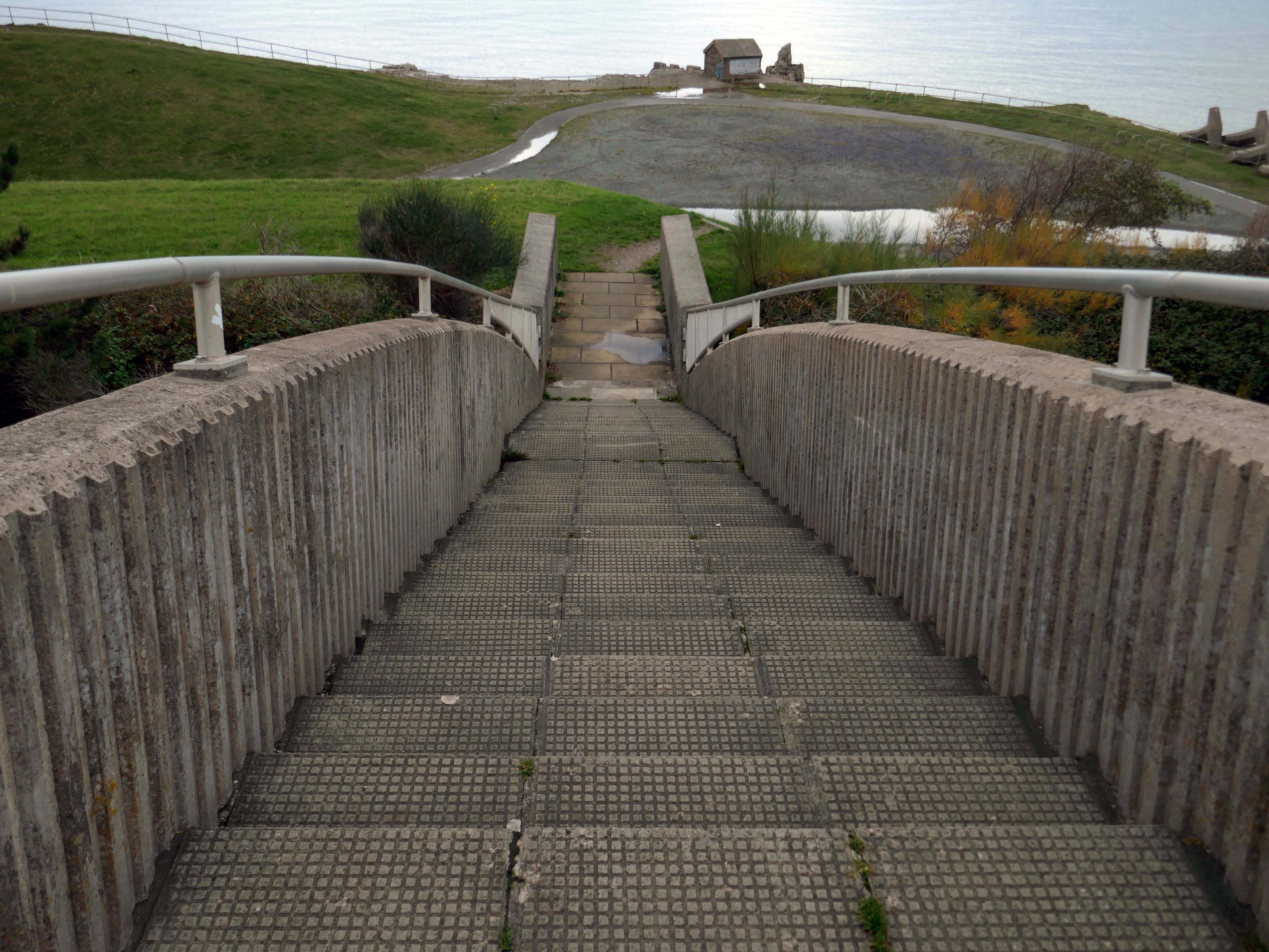
So much for modern motoring – I was walking from Rhyl to Colwyn Bay, so decided to walk back and forth across the bridge, before going along my merry way.
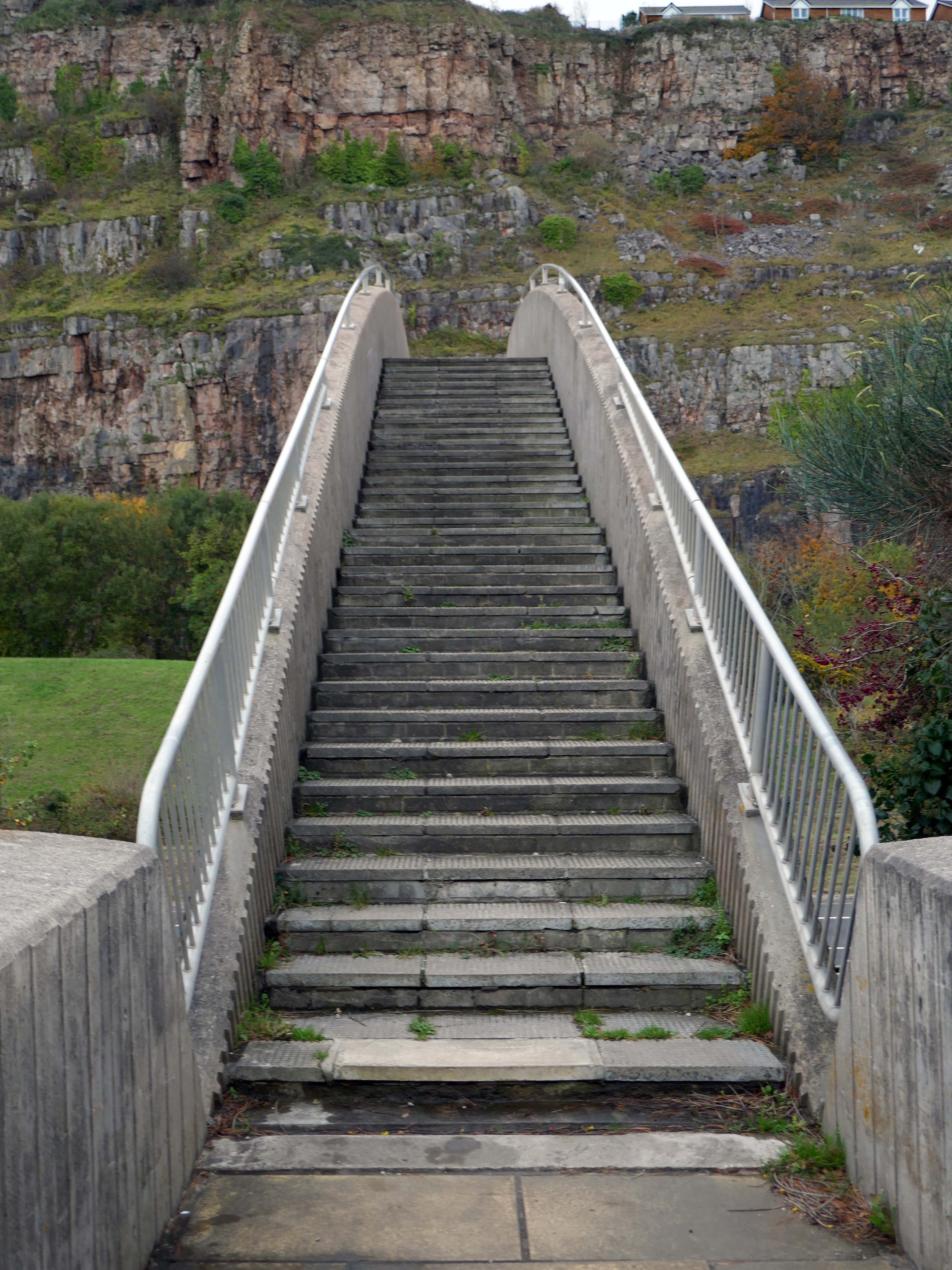
Steep and stepped, it certainly would not be described as accessible.
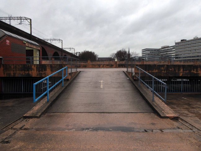
Other Concrete Footbridges are available – here in Durham and closer to home in Stockport.
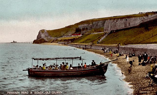
Old Colwyn just short of the original Colwyn Bay station. In 1929 a pleasure boat is about to depart. Penmaen Head is still in one piece with its quarry jetty. The path can be seen leading directly from the beach to the platform and to the underpass which is still in use today.
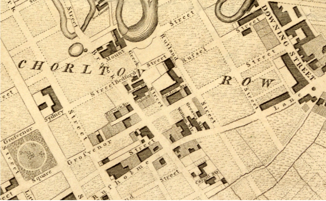
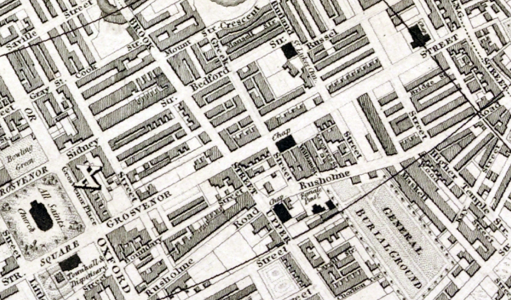
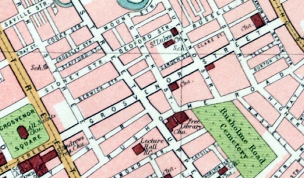
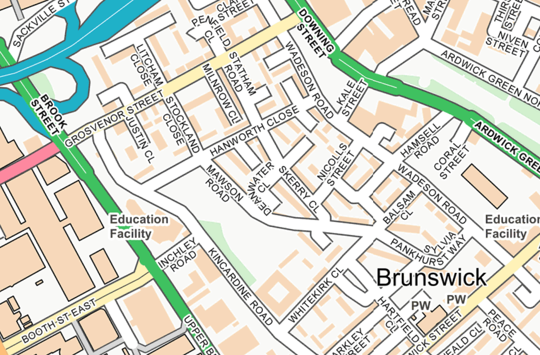
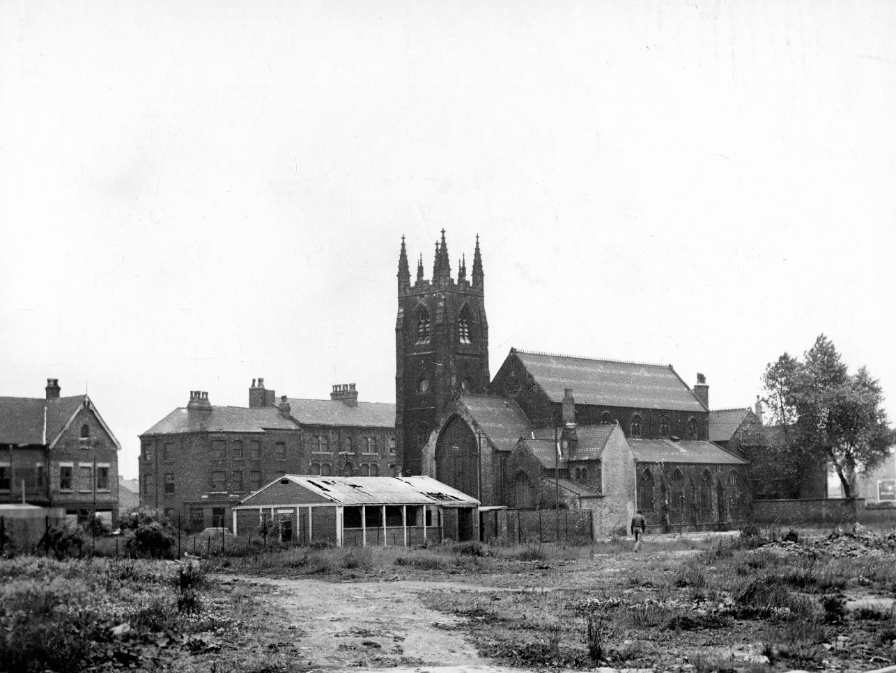
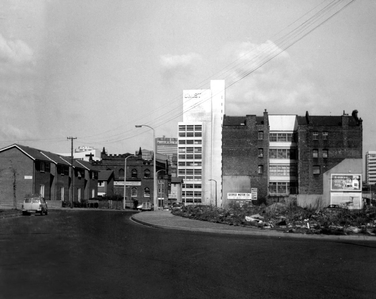
I was walking around town, with a view to updating my Ardwick Walk.
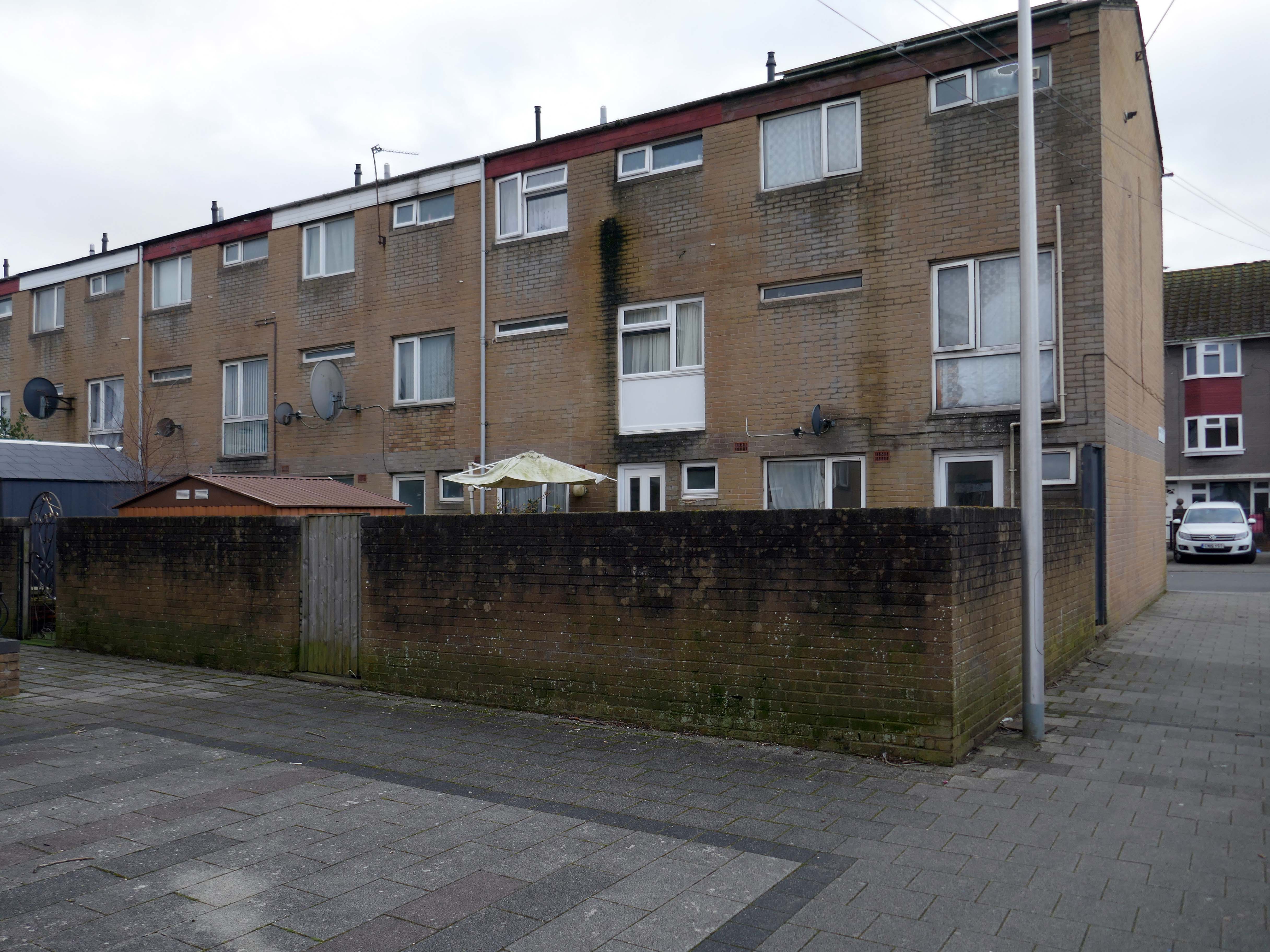
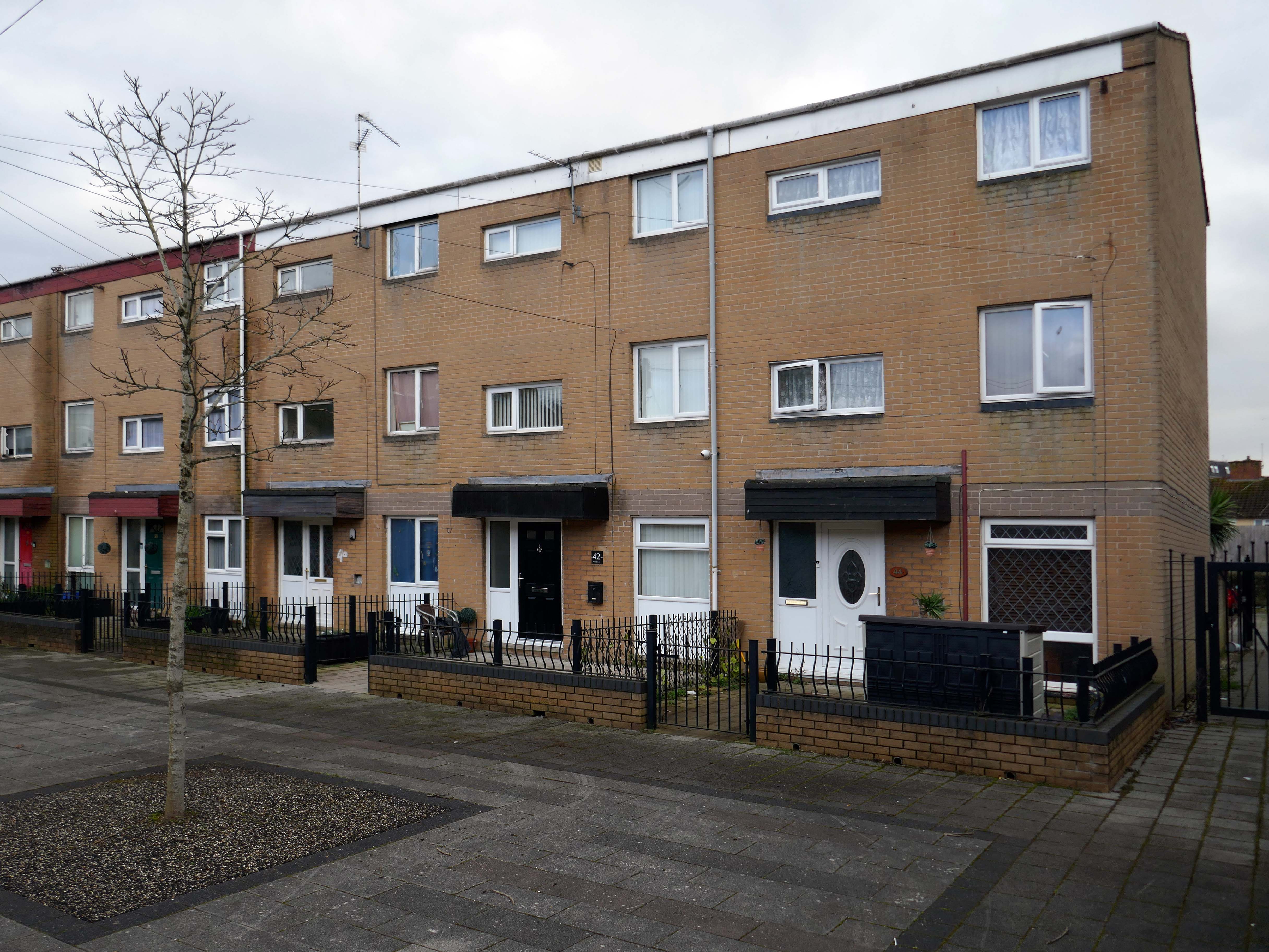
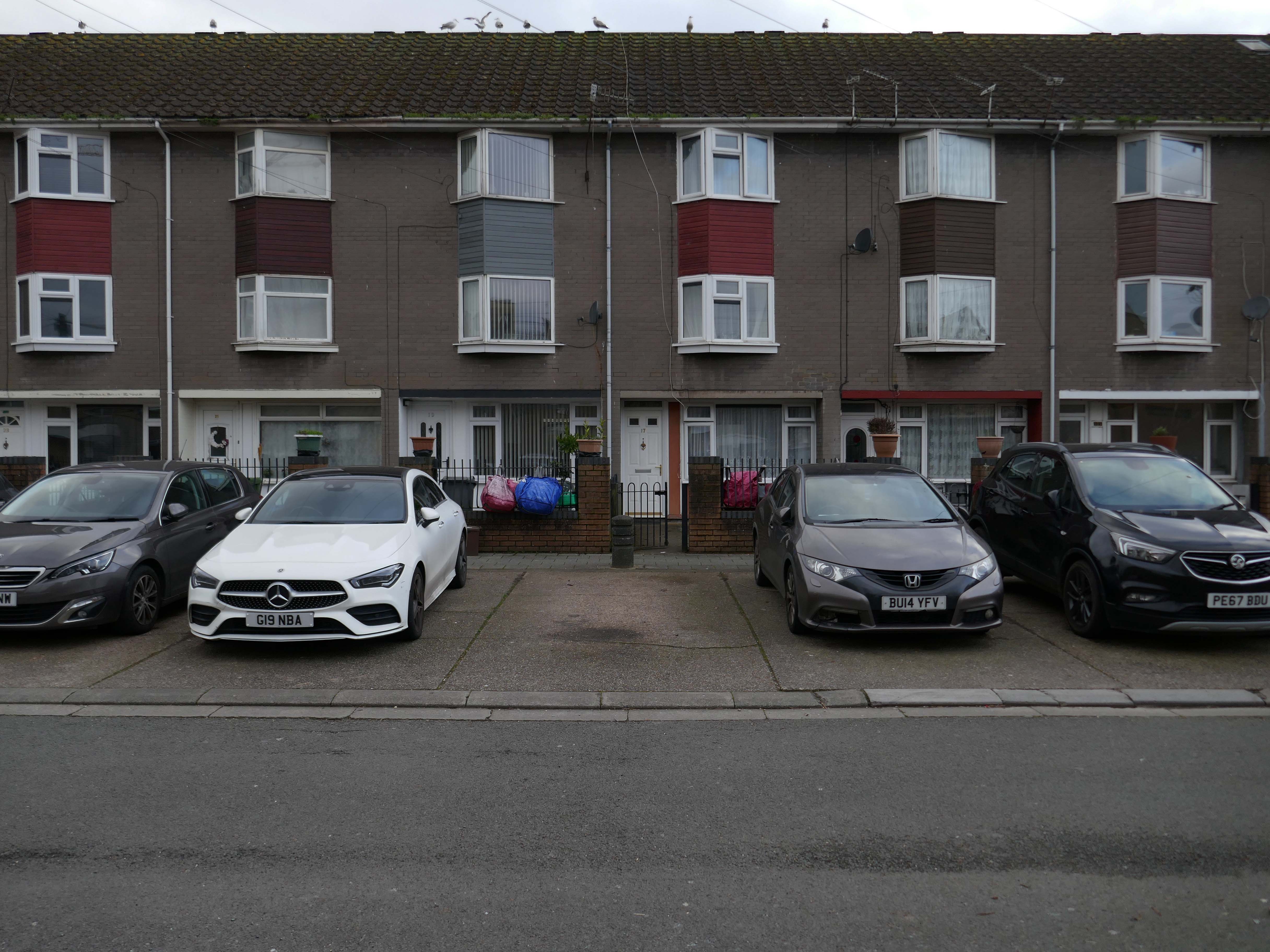
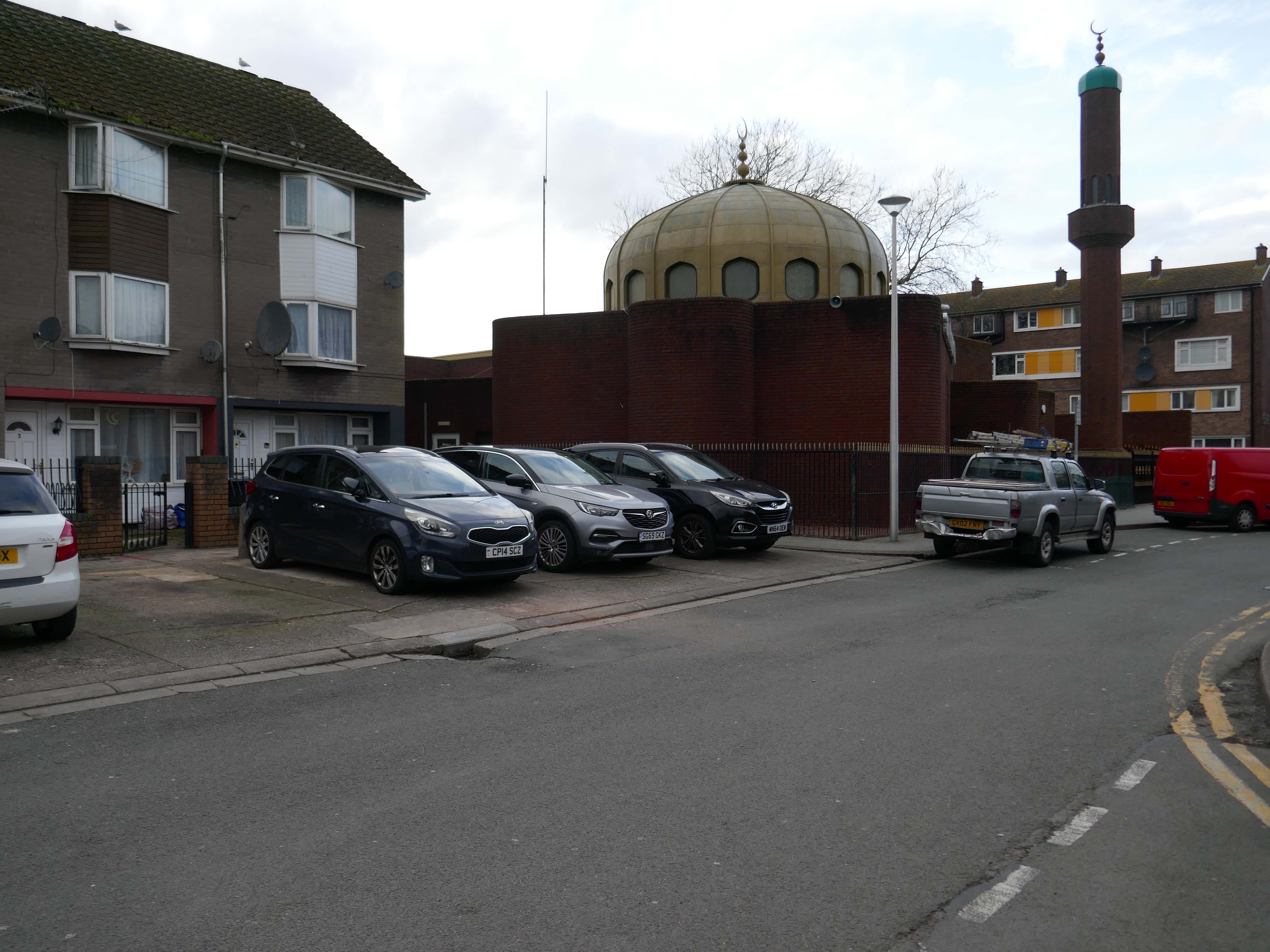
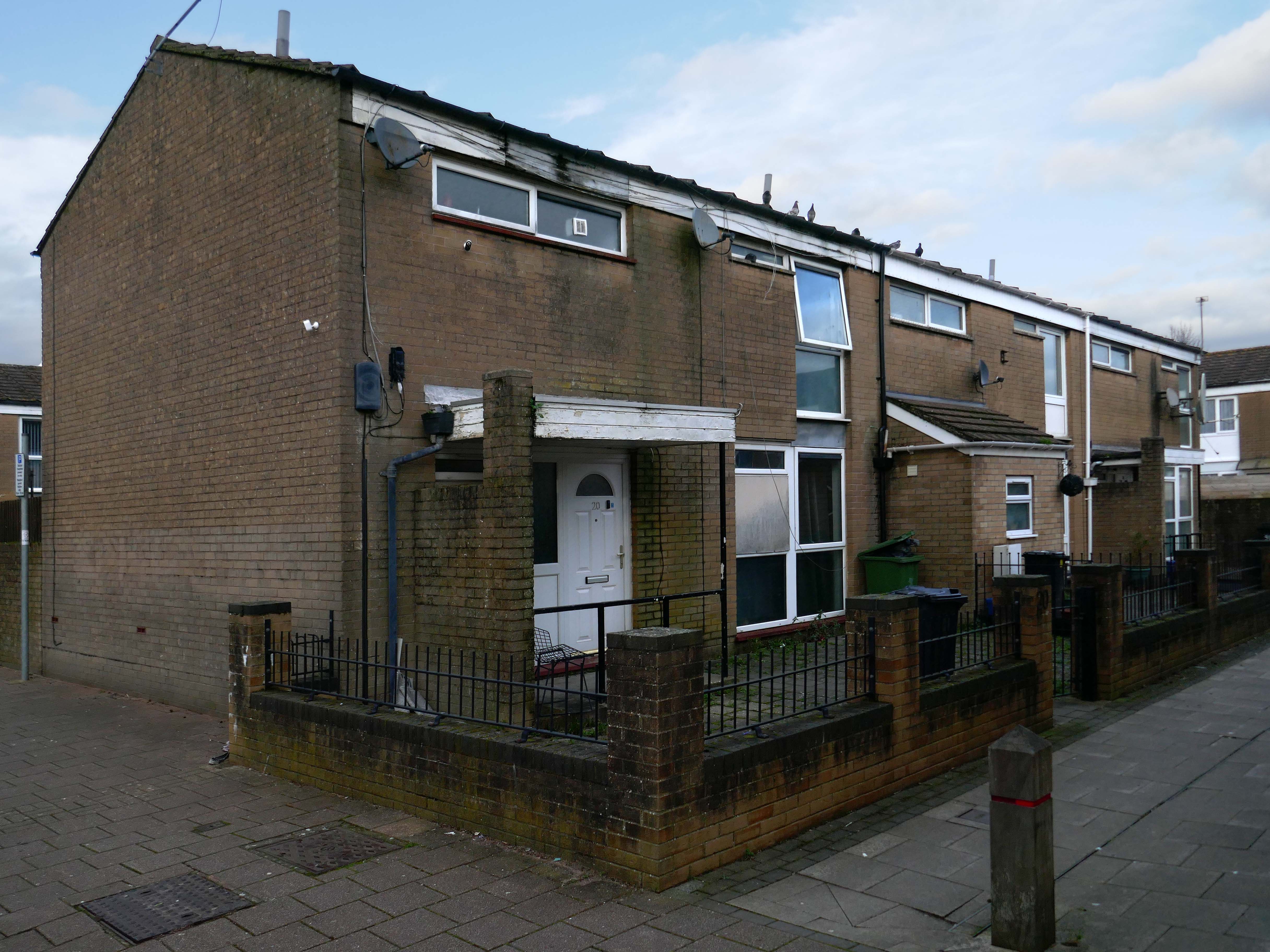
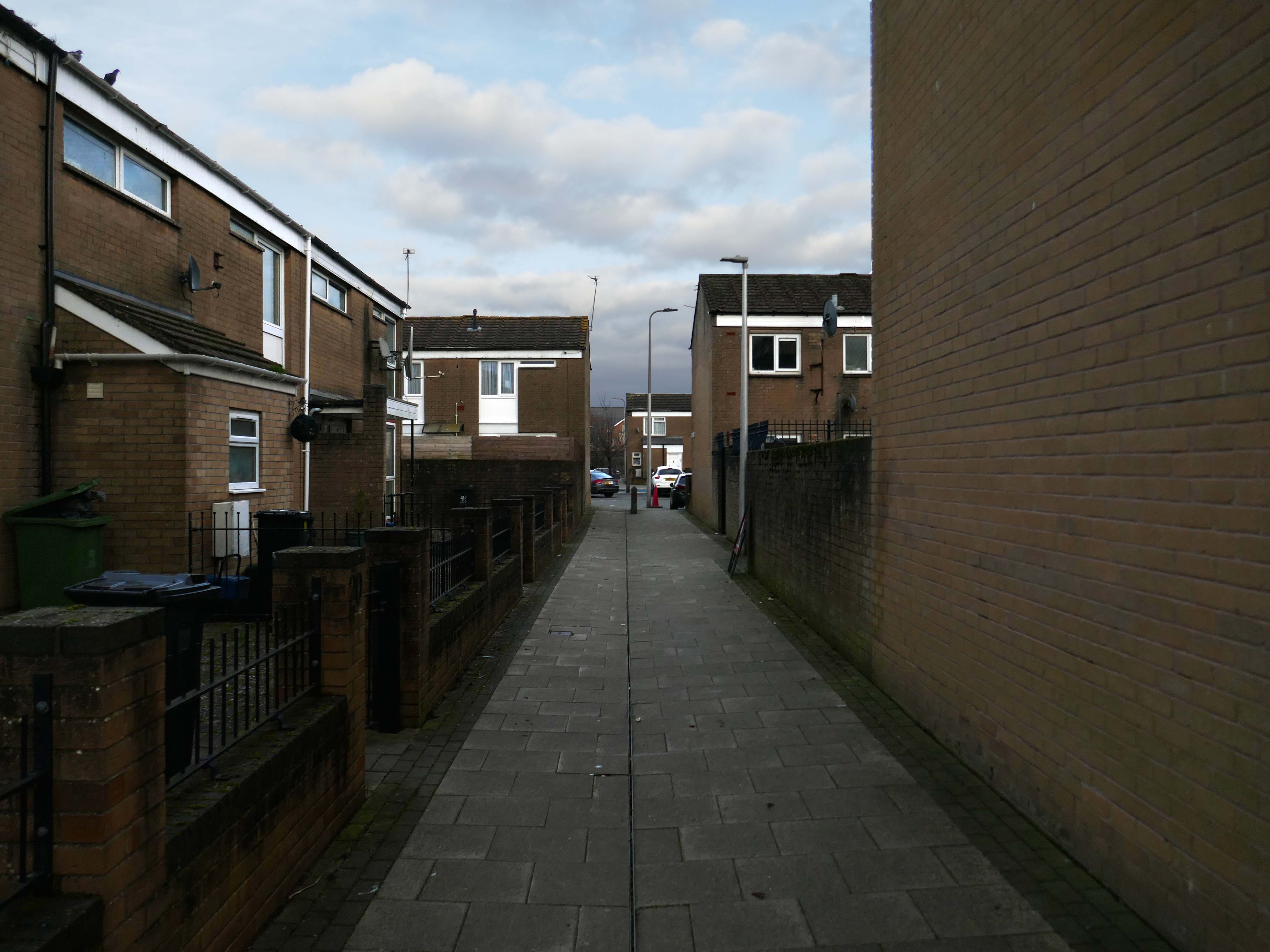
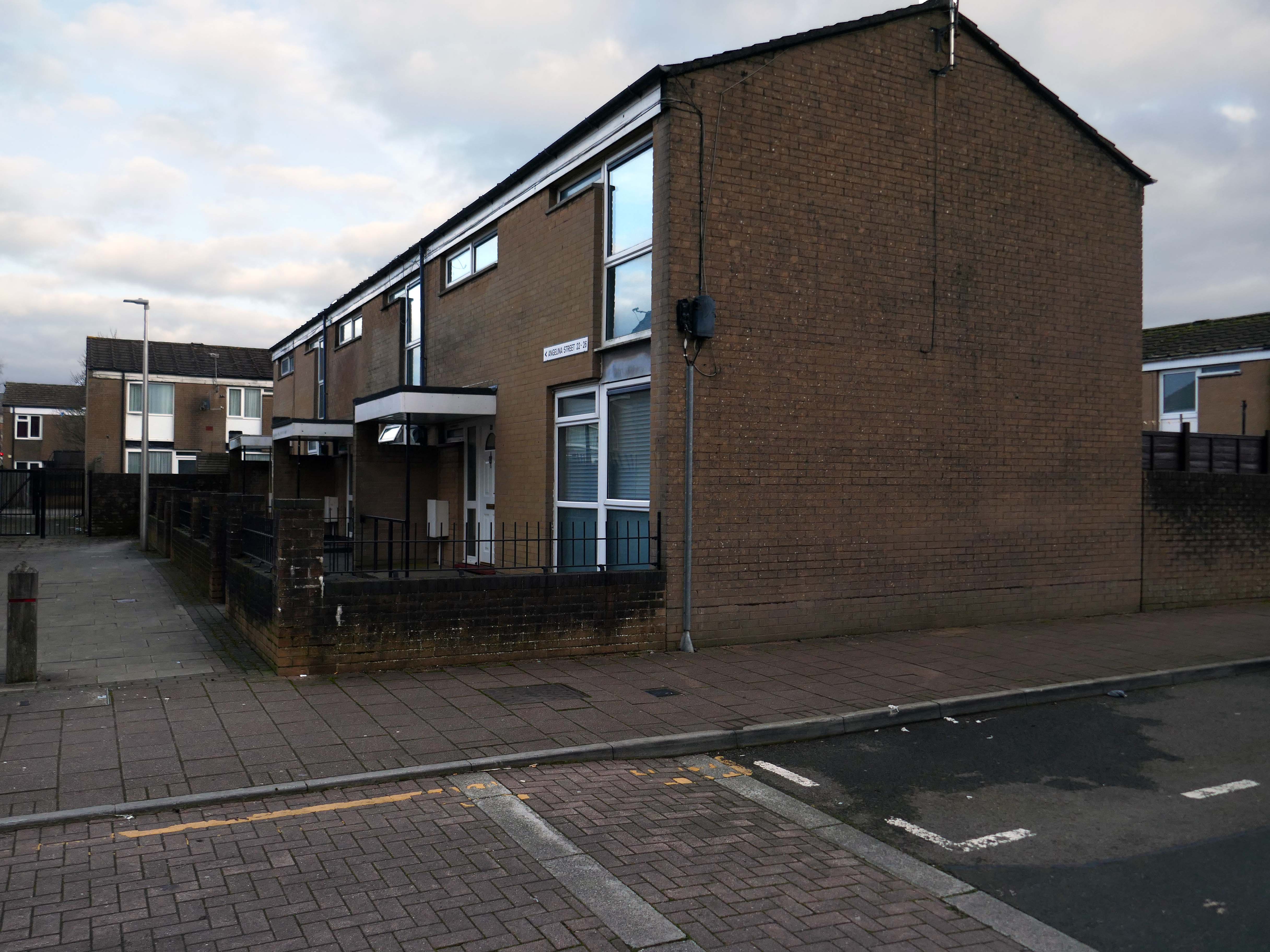
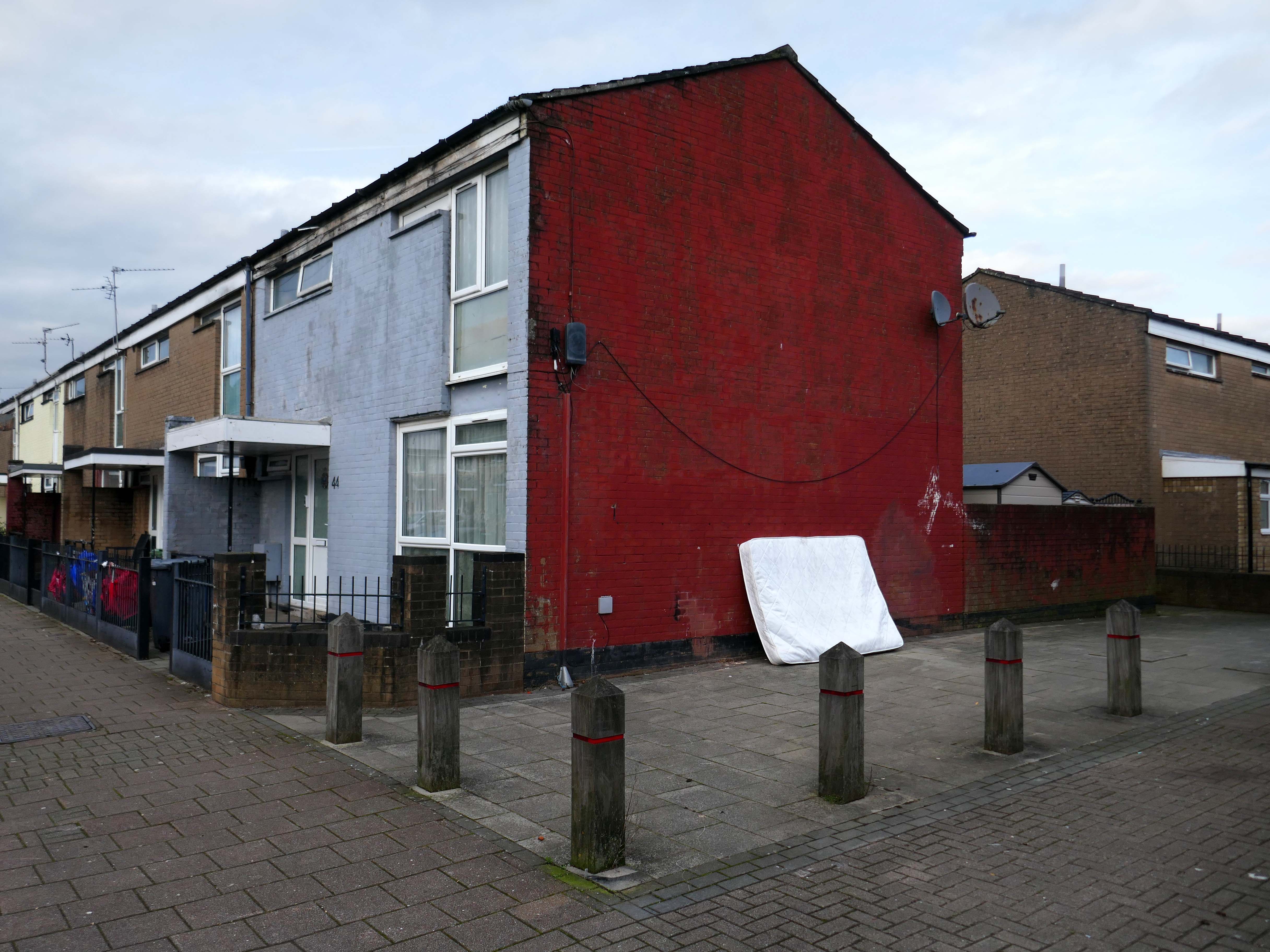
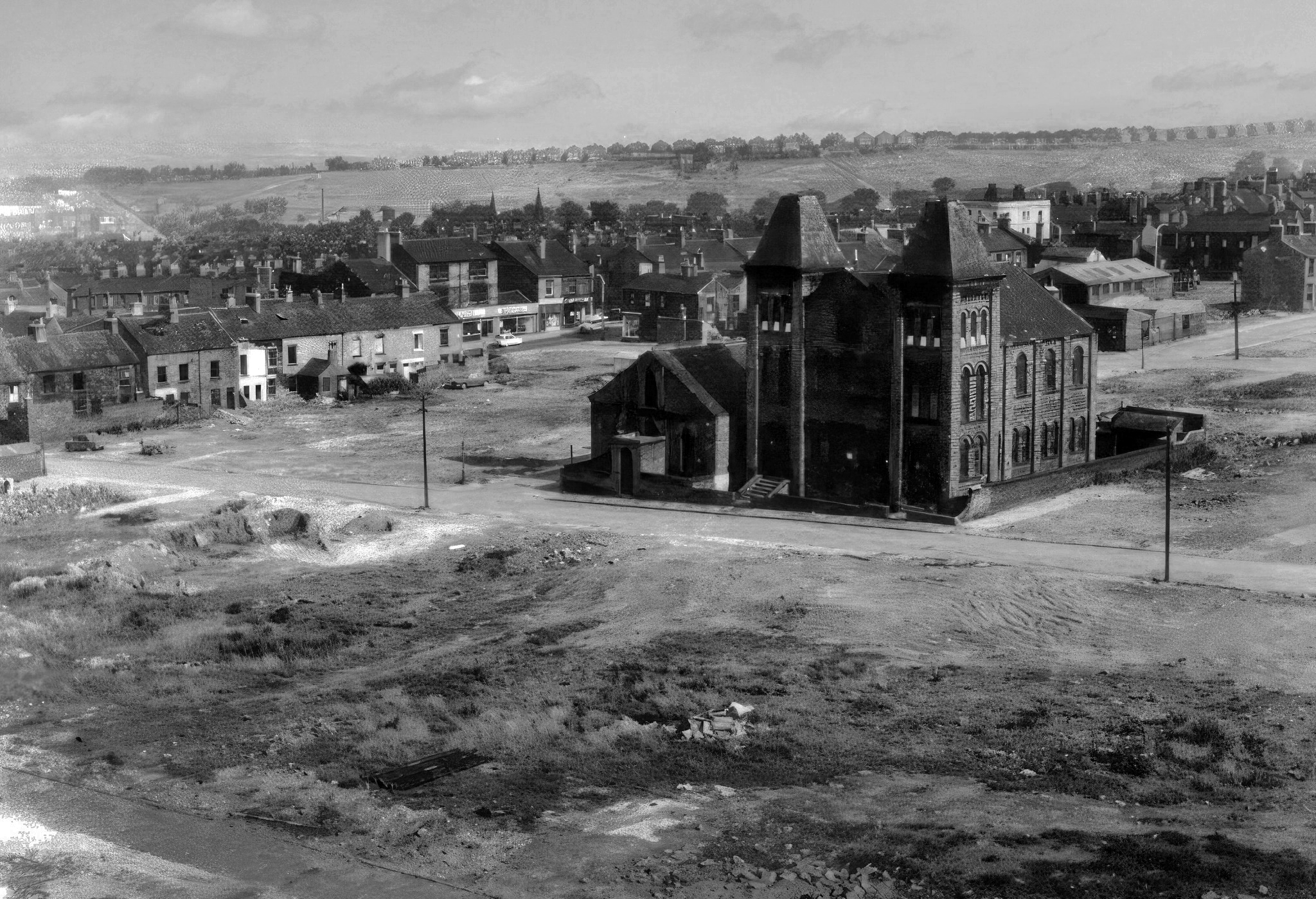
Idle curiosity took me toward the Brunswick Estate – that pocket of housing nestle twixt the Mancunian Way/River Medlock, Ardwick Green, Brunswick Street and Upper Brook Street.
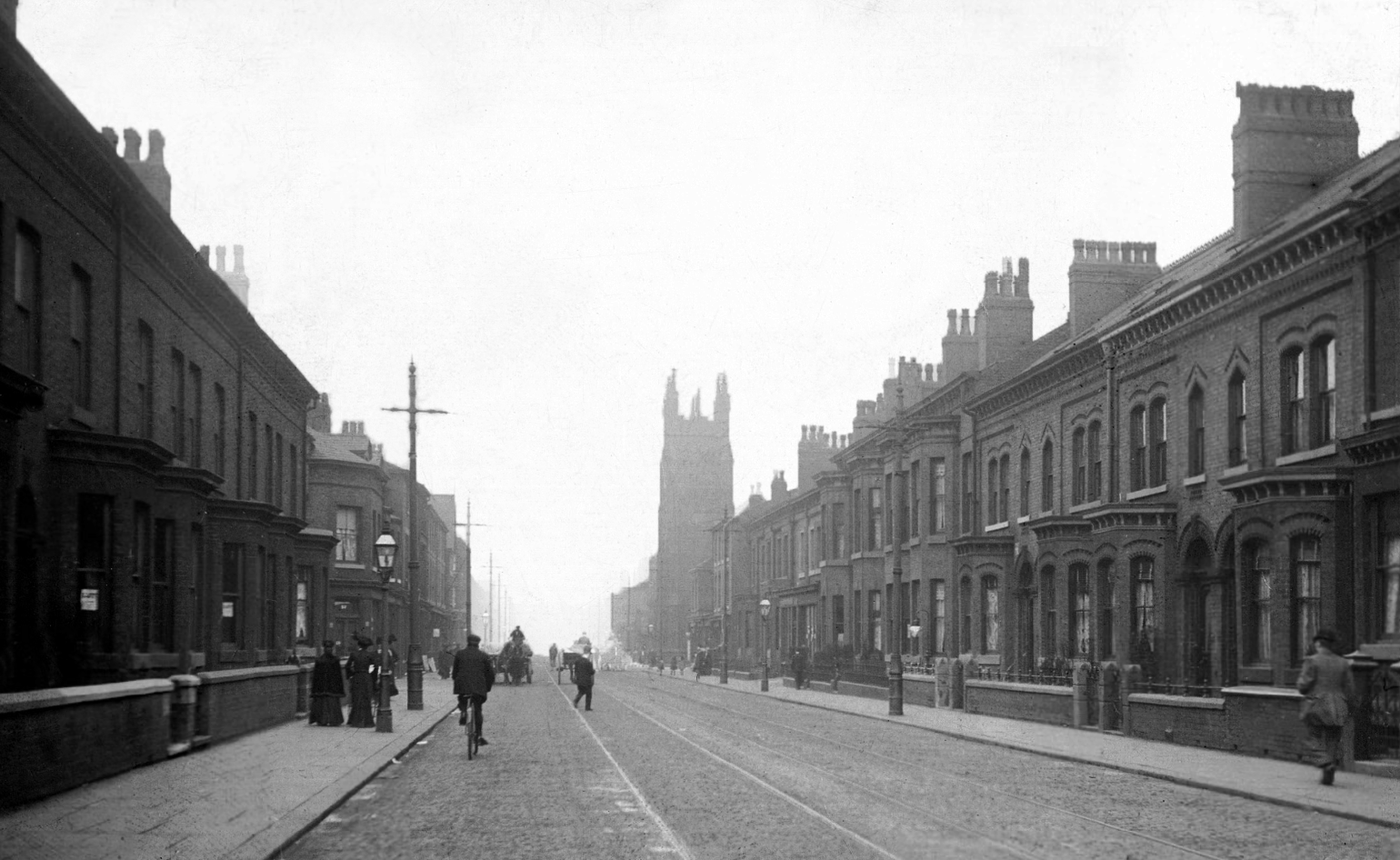
Back in 1813, a web of streets and enclosed fields, and more fields, along with small groups of higher status housing, but by the early 20th century it was very much a working class district, within which industry began to grow.
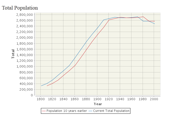
The population of Manchester expanded unstoppably throughout the nineteenth century.
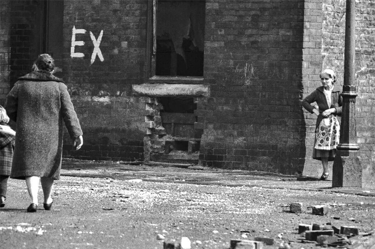
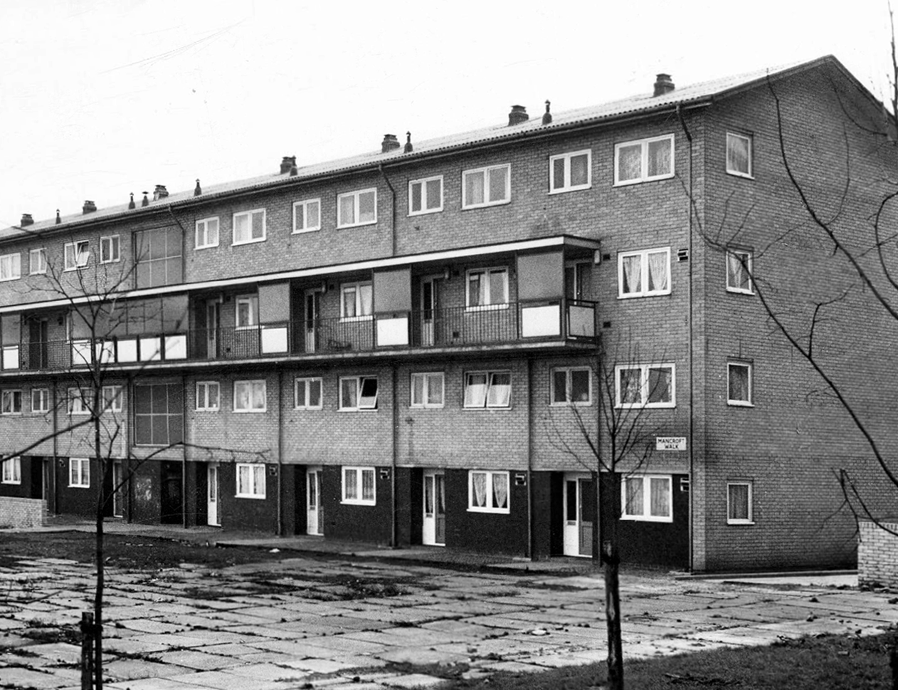
Extensive slum clearance in the nineteen sixties saw the area and its street names change, some erased forever in the new build.
In Manchester, in a vast belt immediately outside the central area of the city, there still exist all too many remnants of a planless, knotted chaos of dark, dismal and crumbling homes. Many of these crossed the verge of uninhabit-ableness long before their most elderly inhabitants were born.
St Paul’s and St Luke’s Brunswick Street W Higham 1970
Lamport Court W Higham 1970
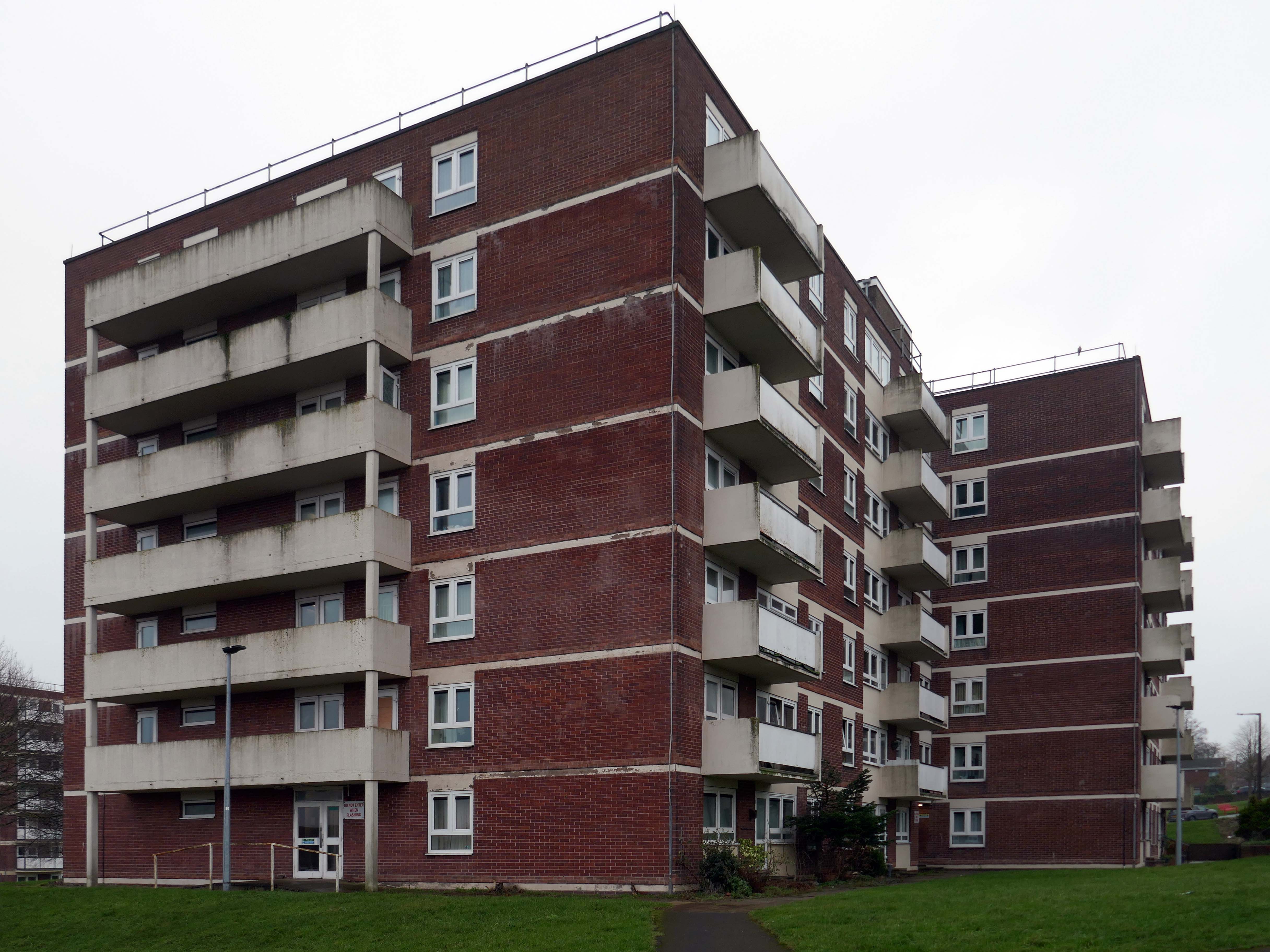
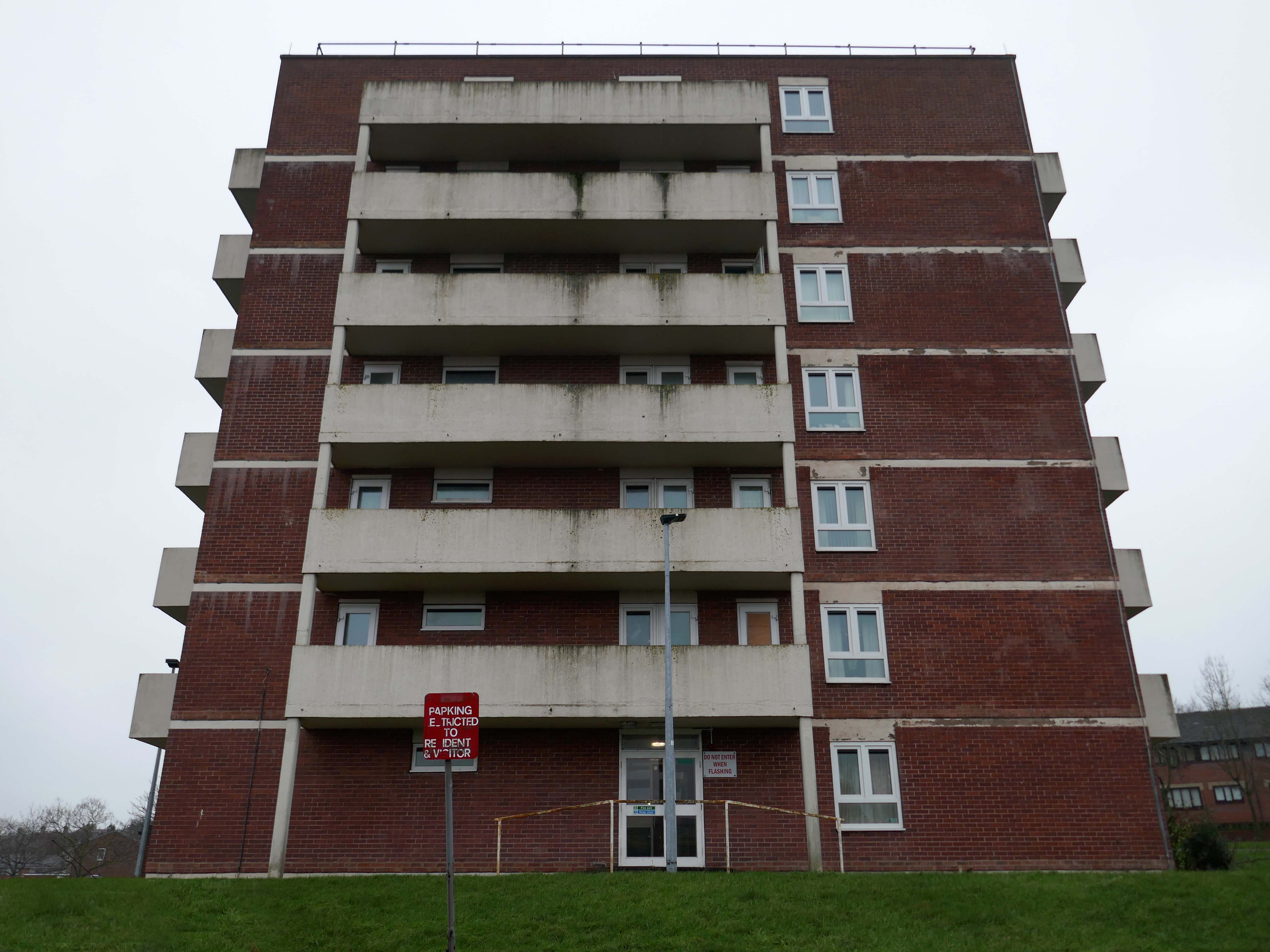
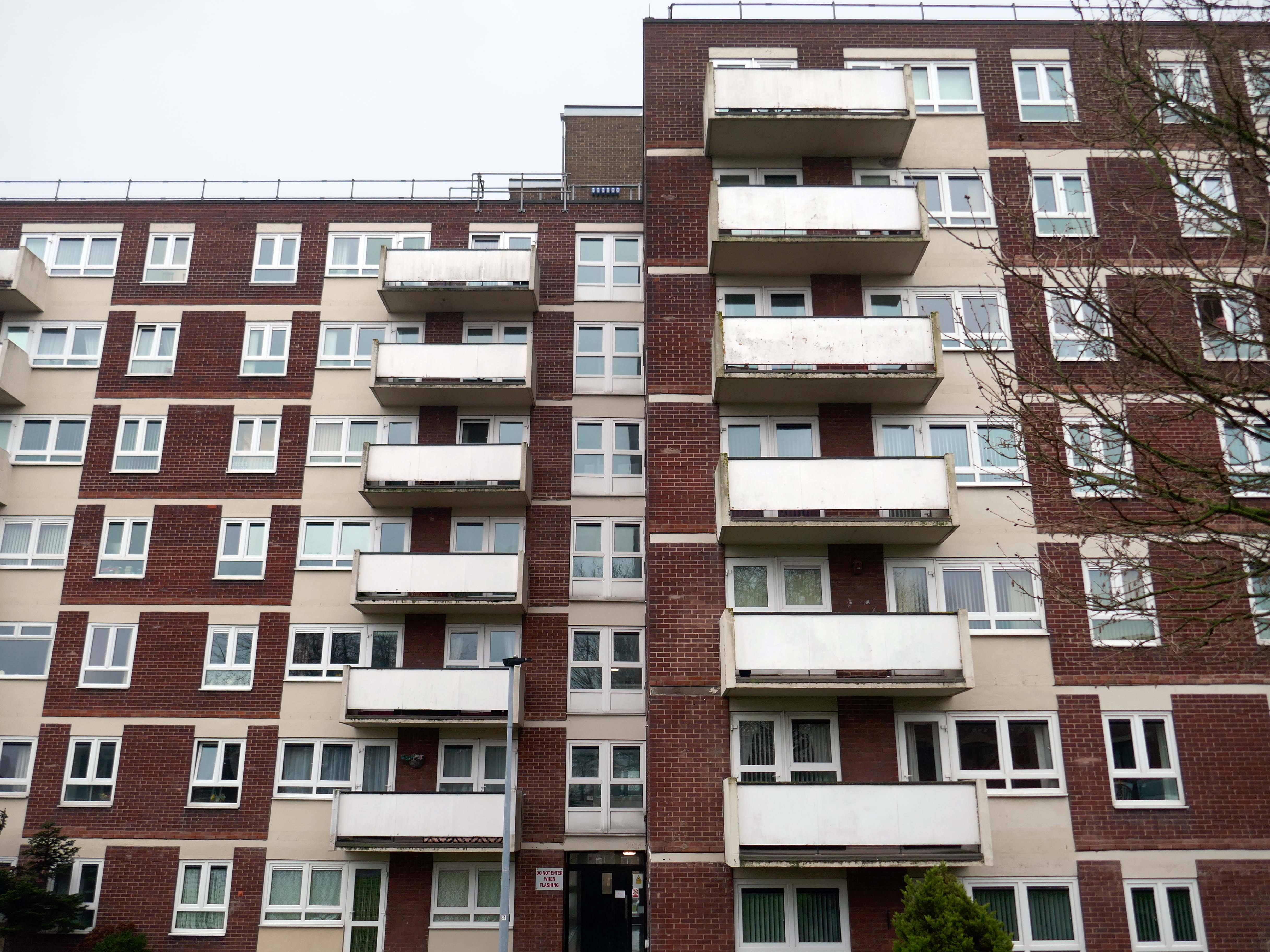
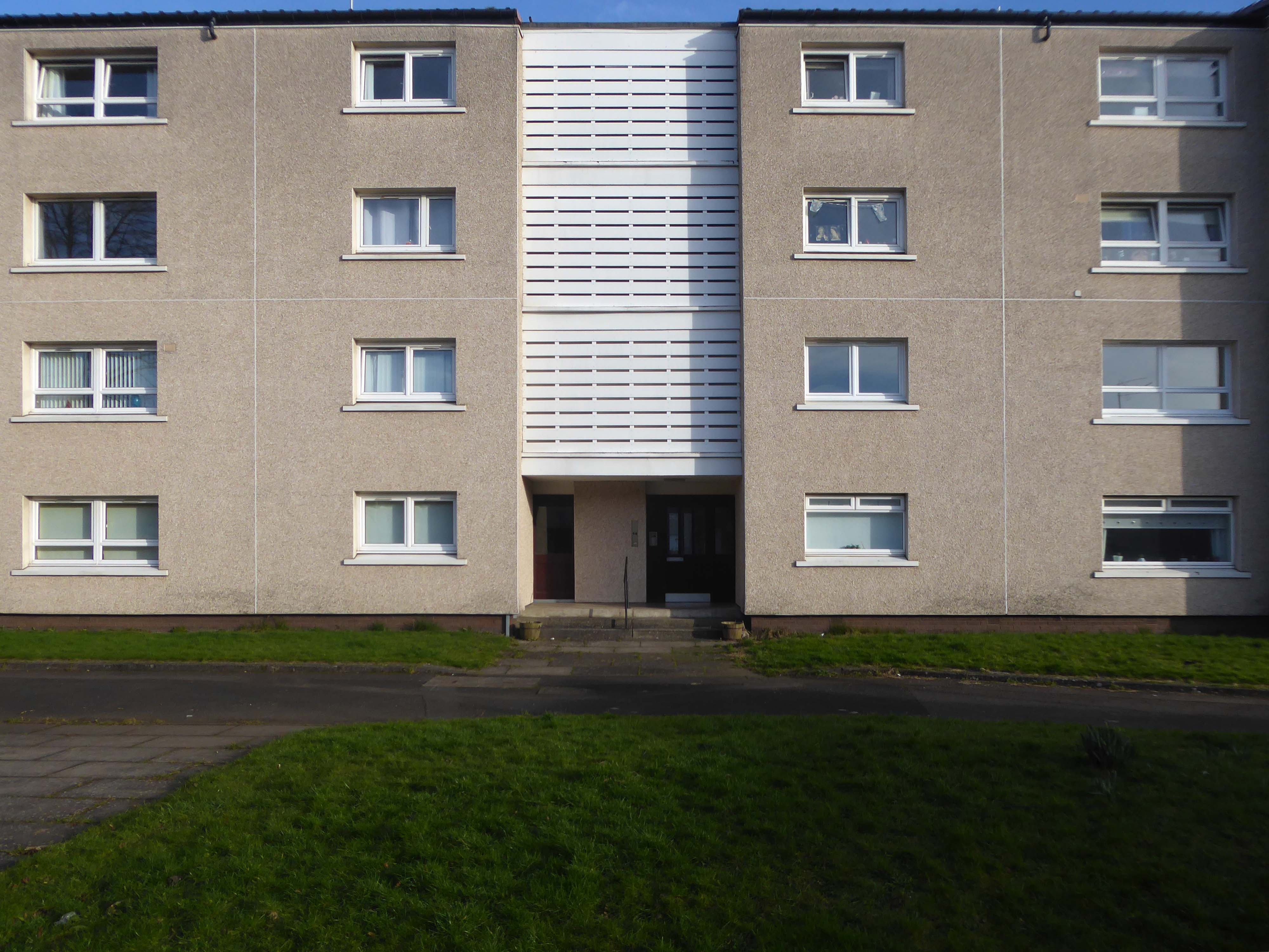
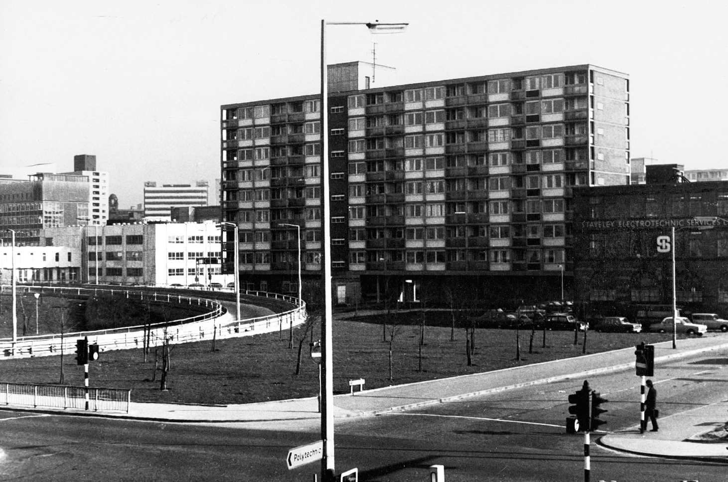
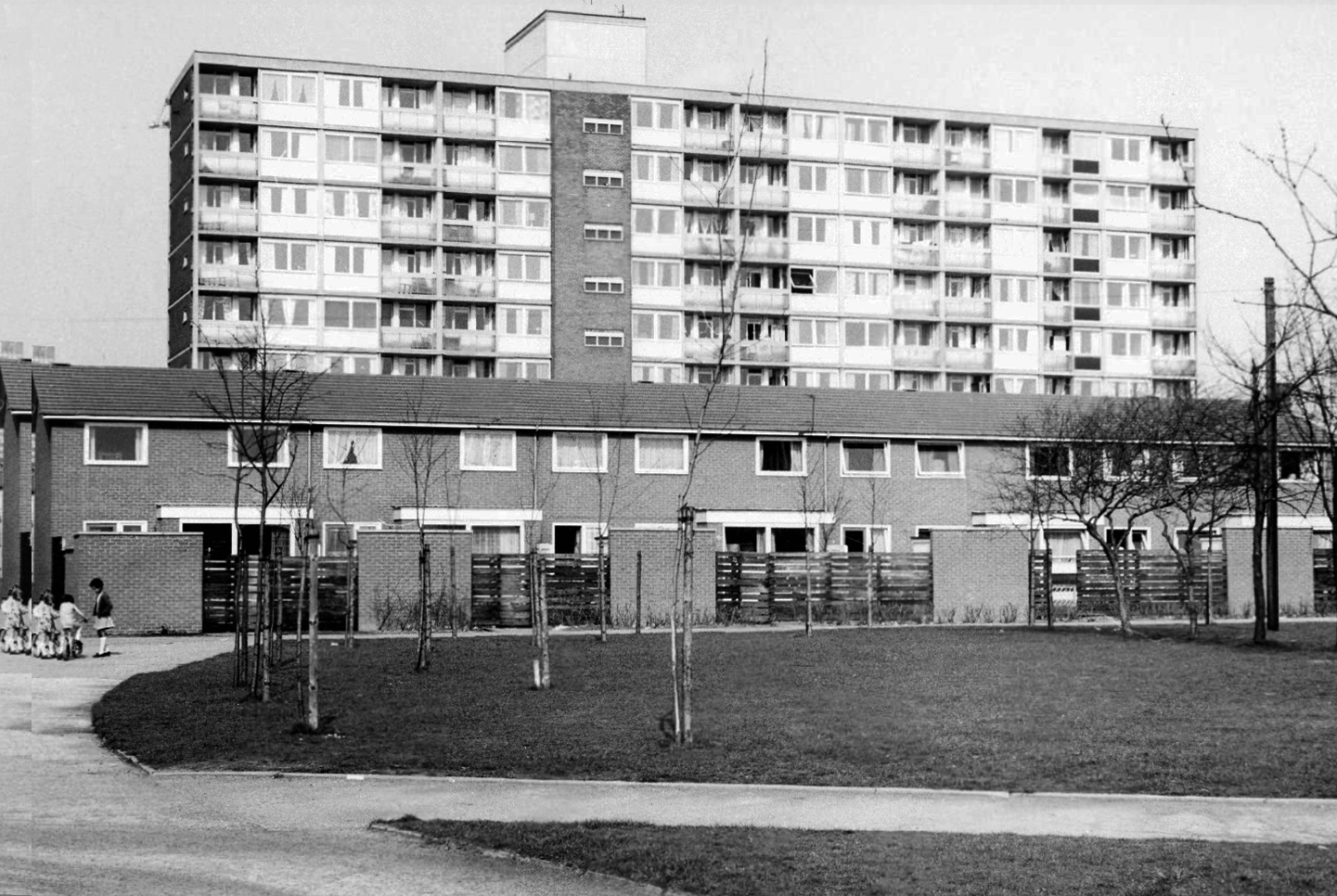
One of three nine-storey blocks, containing two hundred and nineteen dwellings; also including SilkinCourt and Lockton Court.
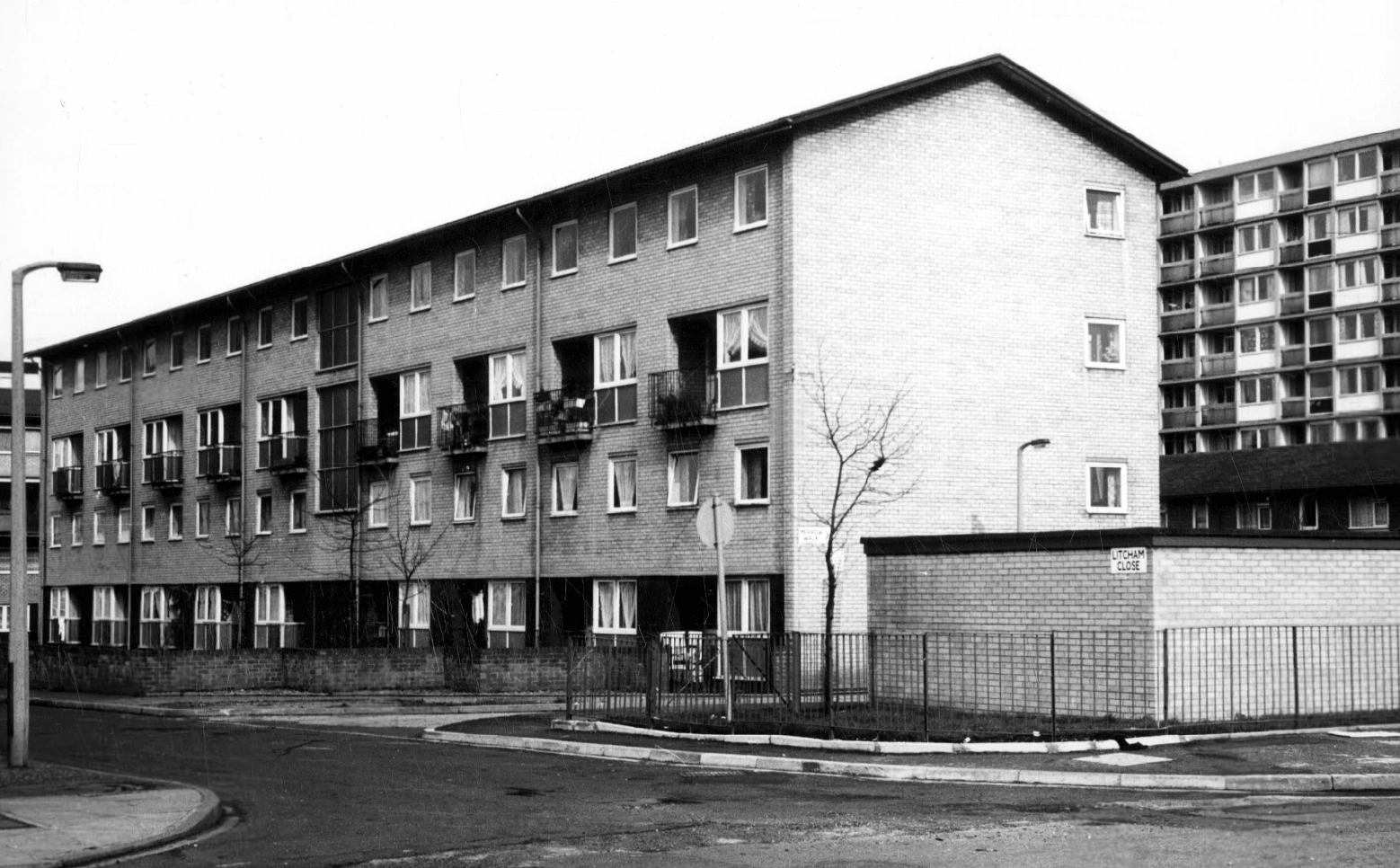
Litcham Close W Higham 1970
Harry Milligan 1903 – 1986 worked as the photographer at Manchester Central Library until his retirement in around 1968. He was instrumental in setting up the Manchester Region Industrial Archaeology Society in 1965. He volunteered at the North Western Museum of Science and Industry from 1968, assisting with reprographics requests. His knowledge of the history of photography in Manchester and the UK led to him taking on the role of Honorary Curator of Photography at the museum.
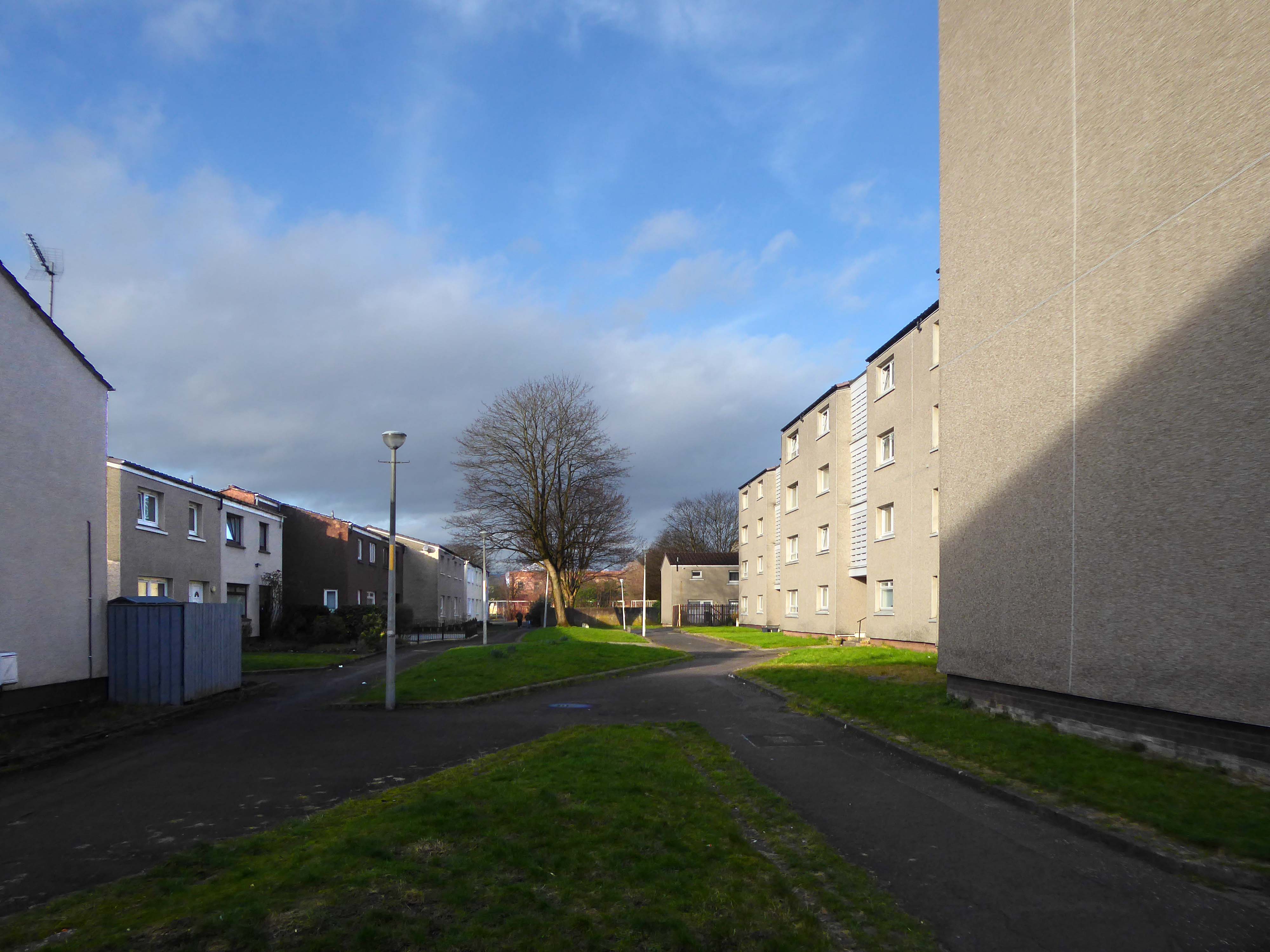
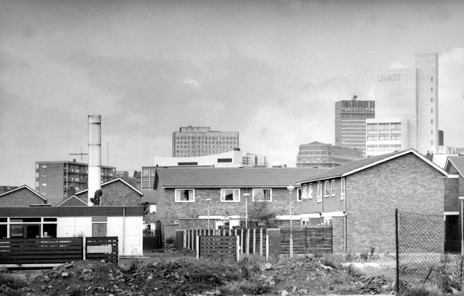
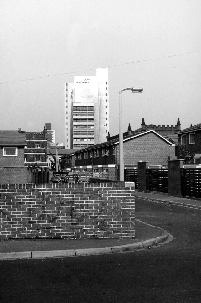
Panorama of Brunswick with UMIST in the background.
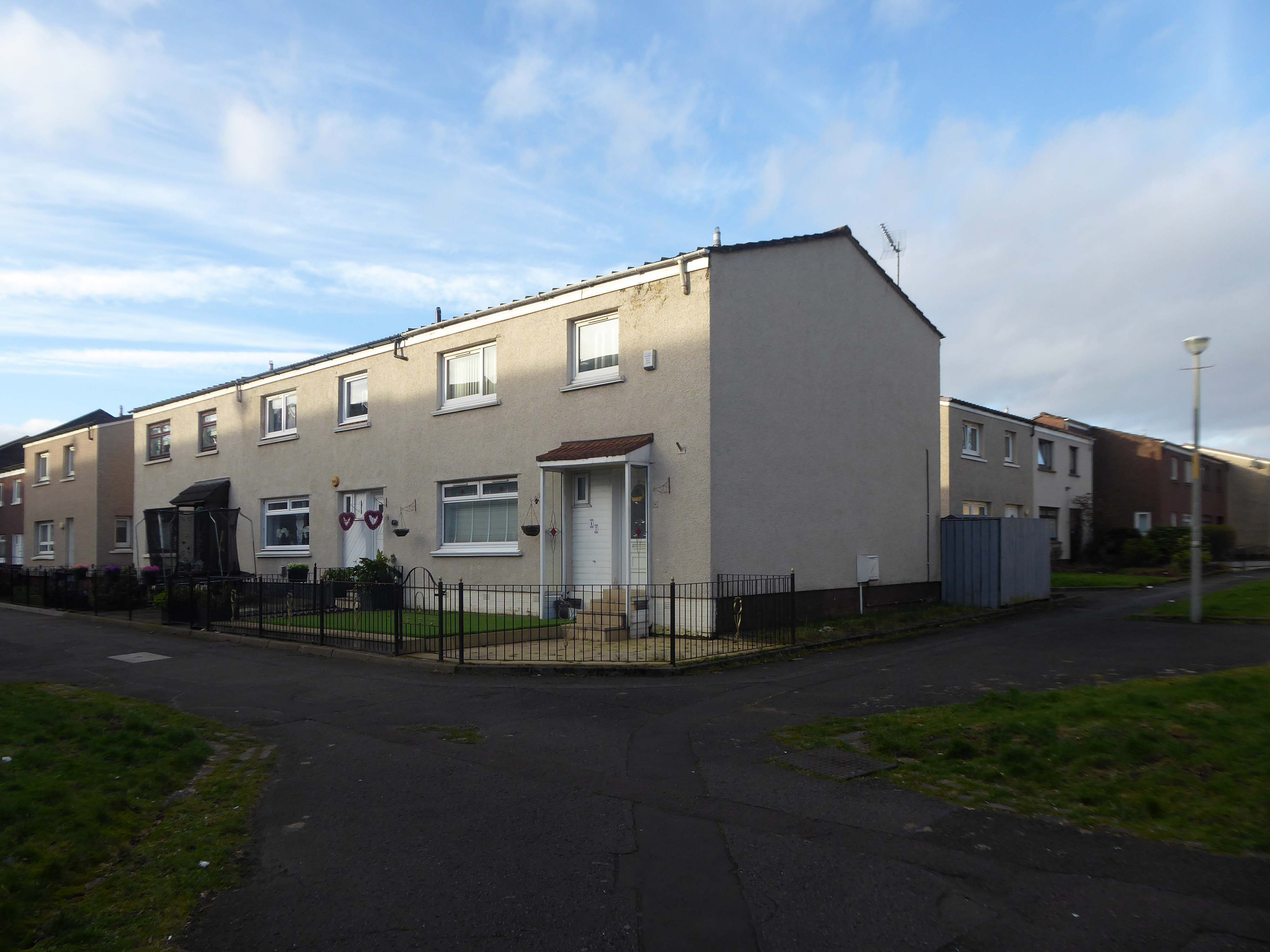
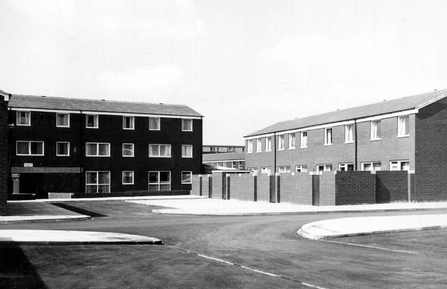
Hanworth Close area terraced housing and flats 1972.
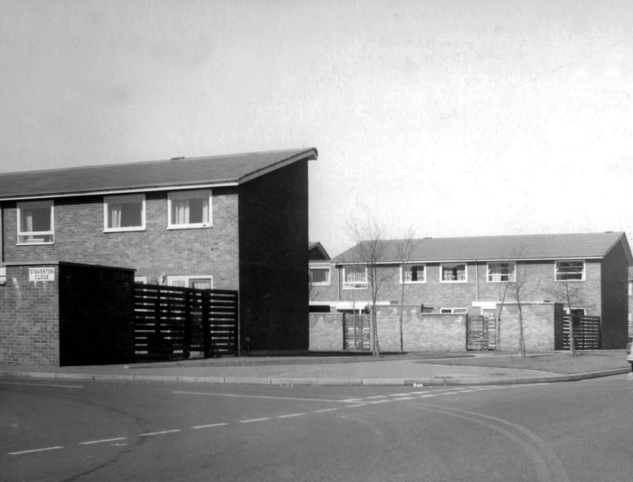
Staverton Close
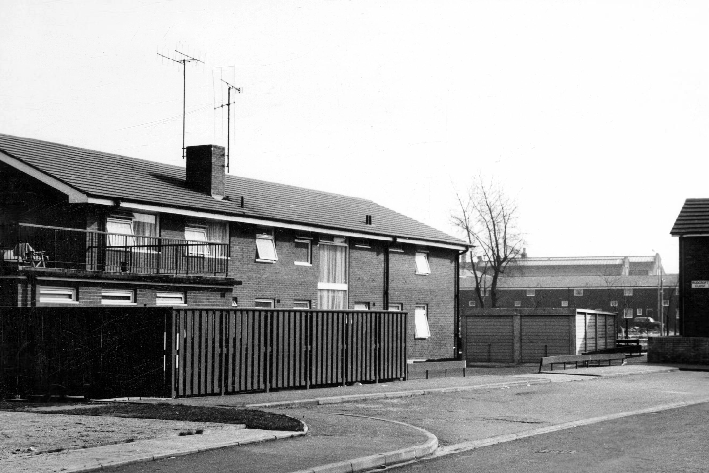
Melcroft Close
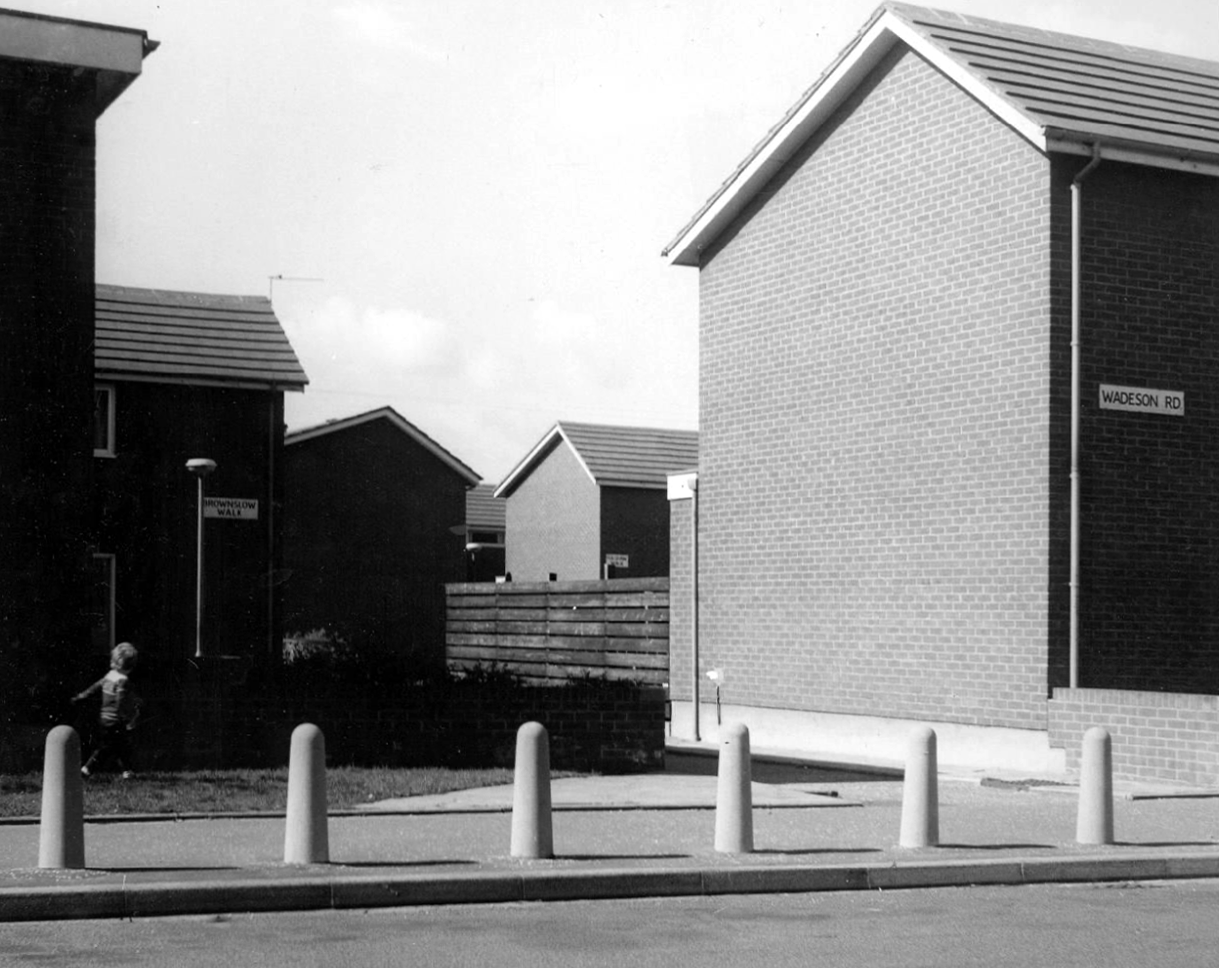
Wadeson Road
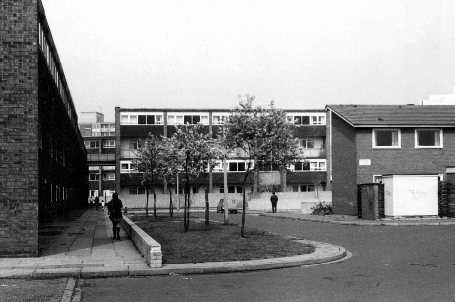
Helmshore Walk – Skerry Close
Cherryton Walk
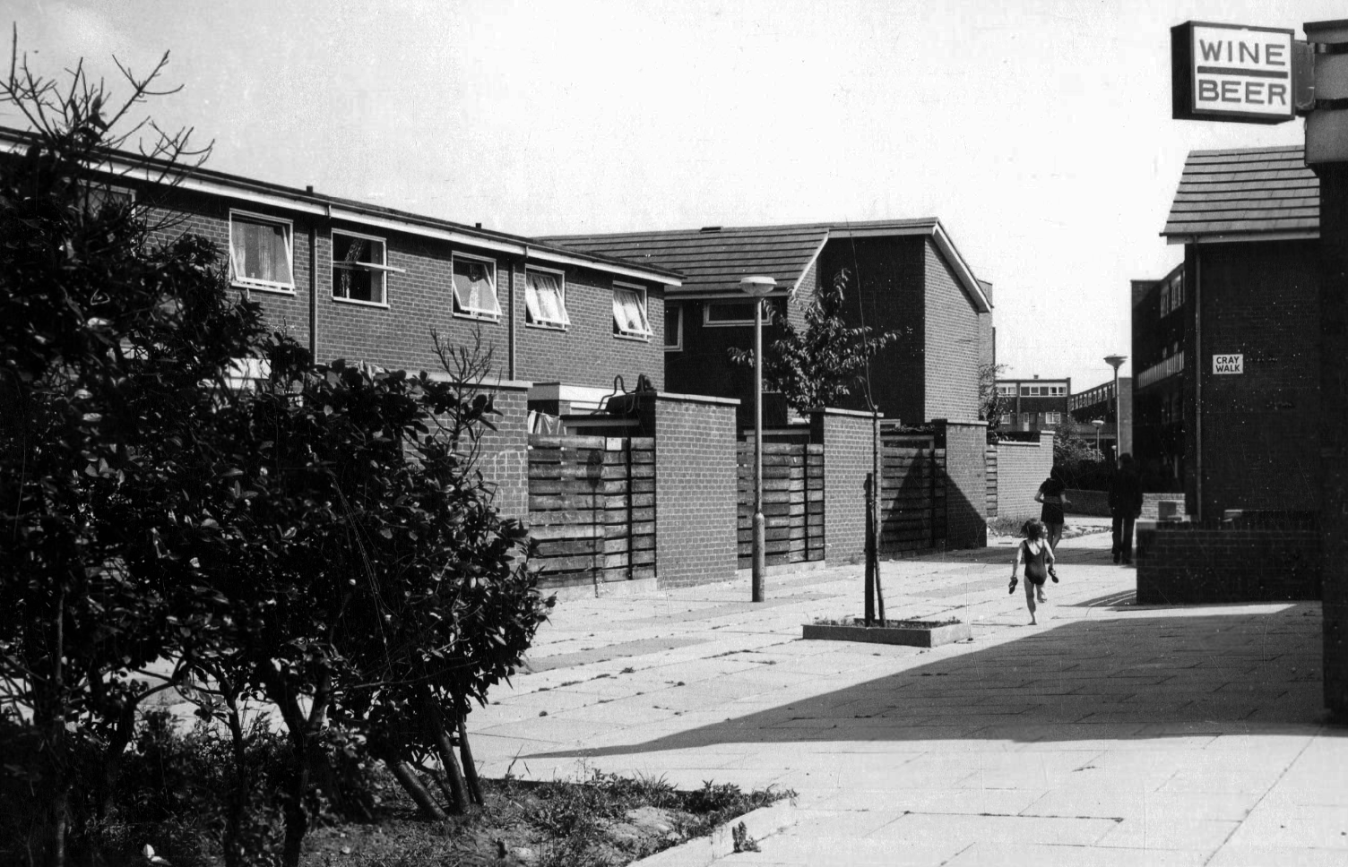
Cray Walk
Wadeson Road
Hanworth Close
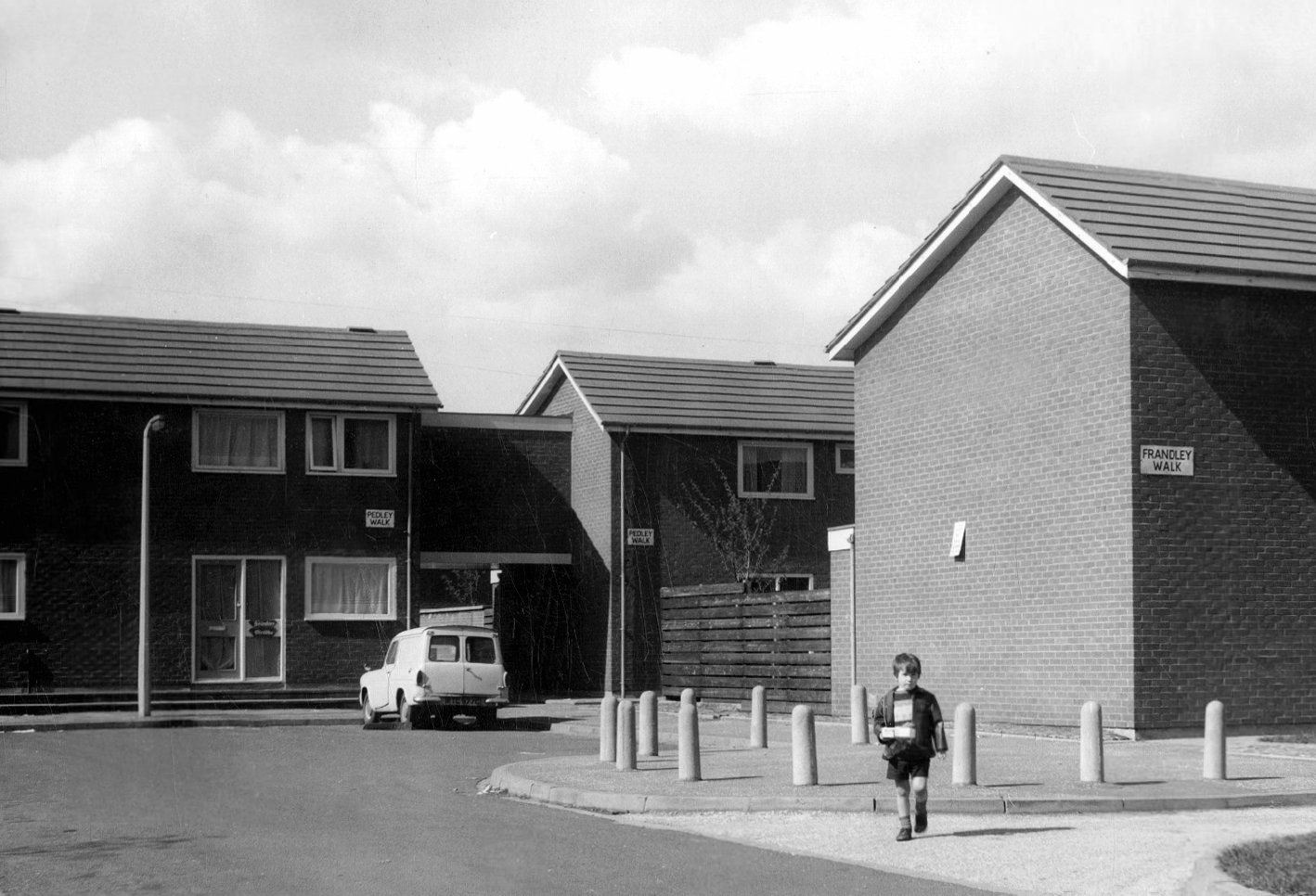
Pedley Walk
Cray Walk – note the decorative brick relief
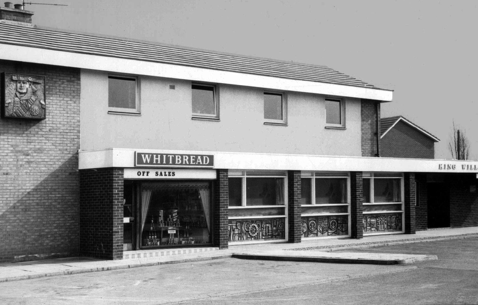
King William IV
Former Chesters then Whitbread estate pub was built in 1967. Closed in 1996 when it was converted to residential property. It had a brief spell 1991 to 1995 as brewery premises for the Dobbin’s West Coast Brewery, during this period the interior was stripped out to accommodate the brewery paraphernalia.