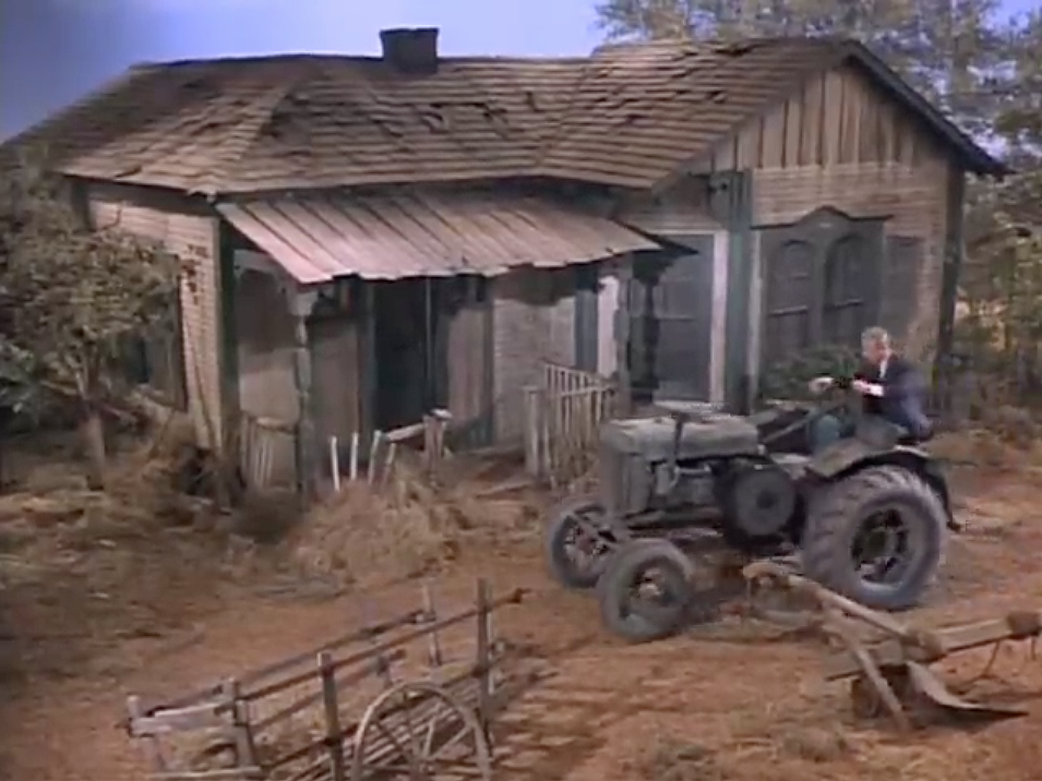
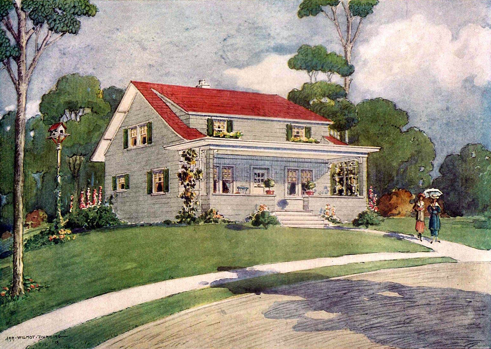
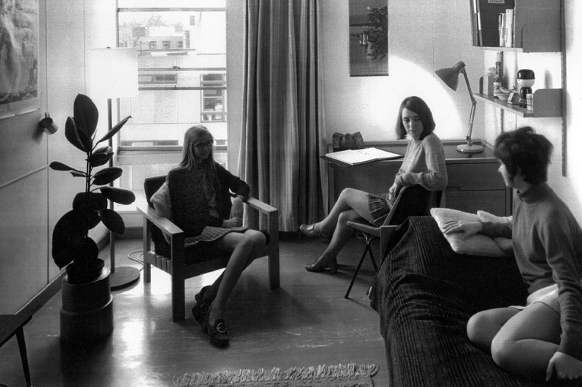
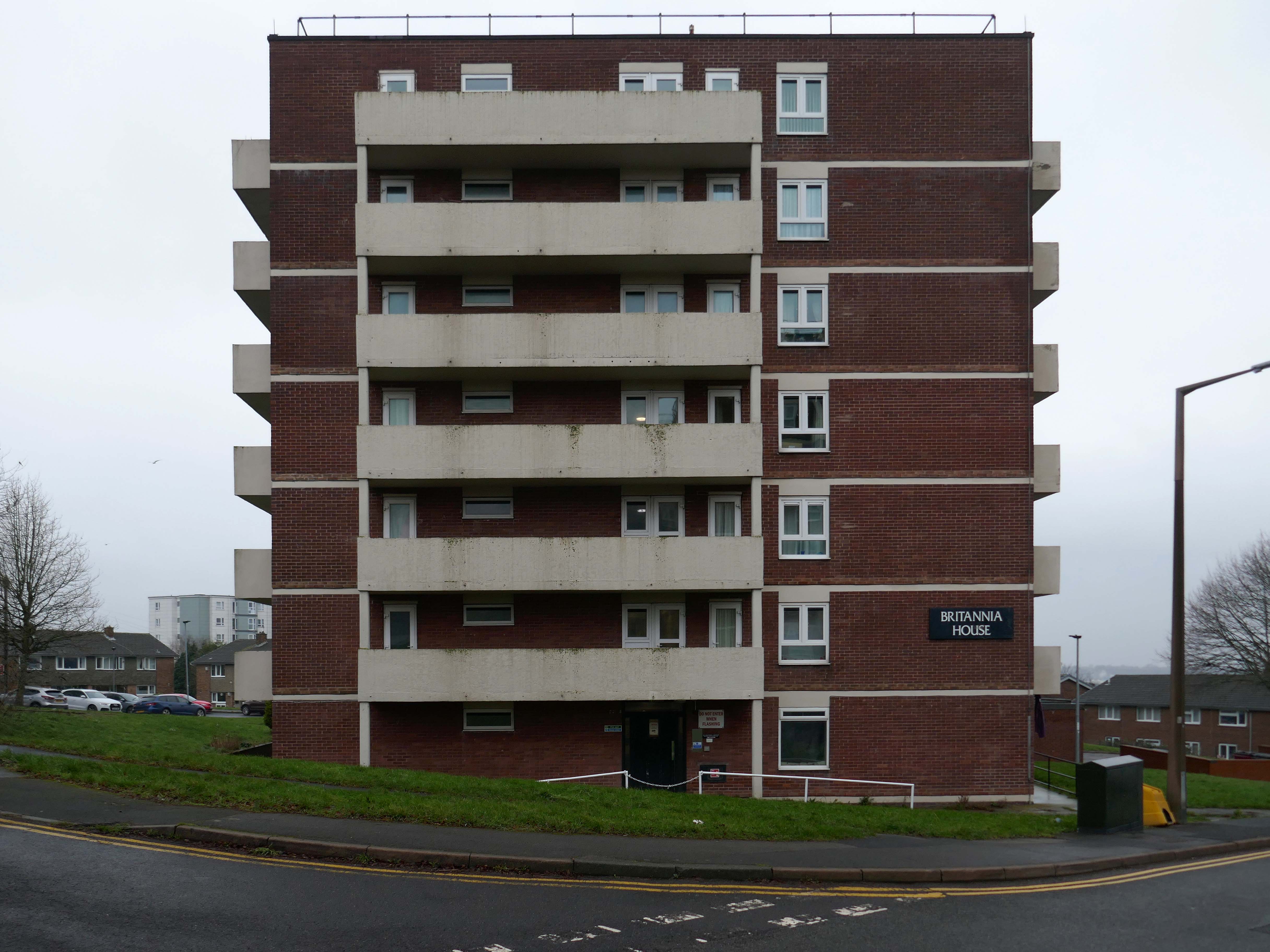
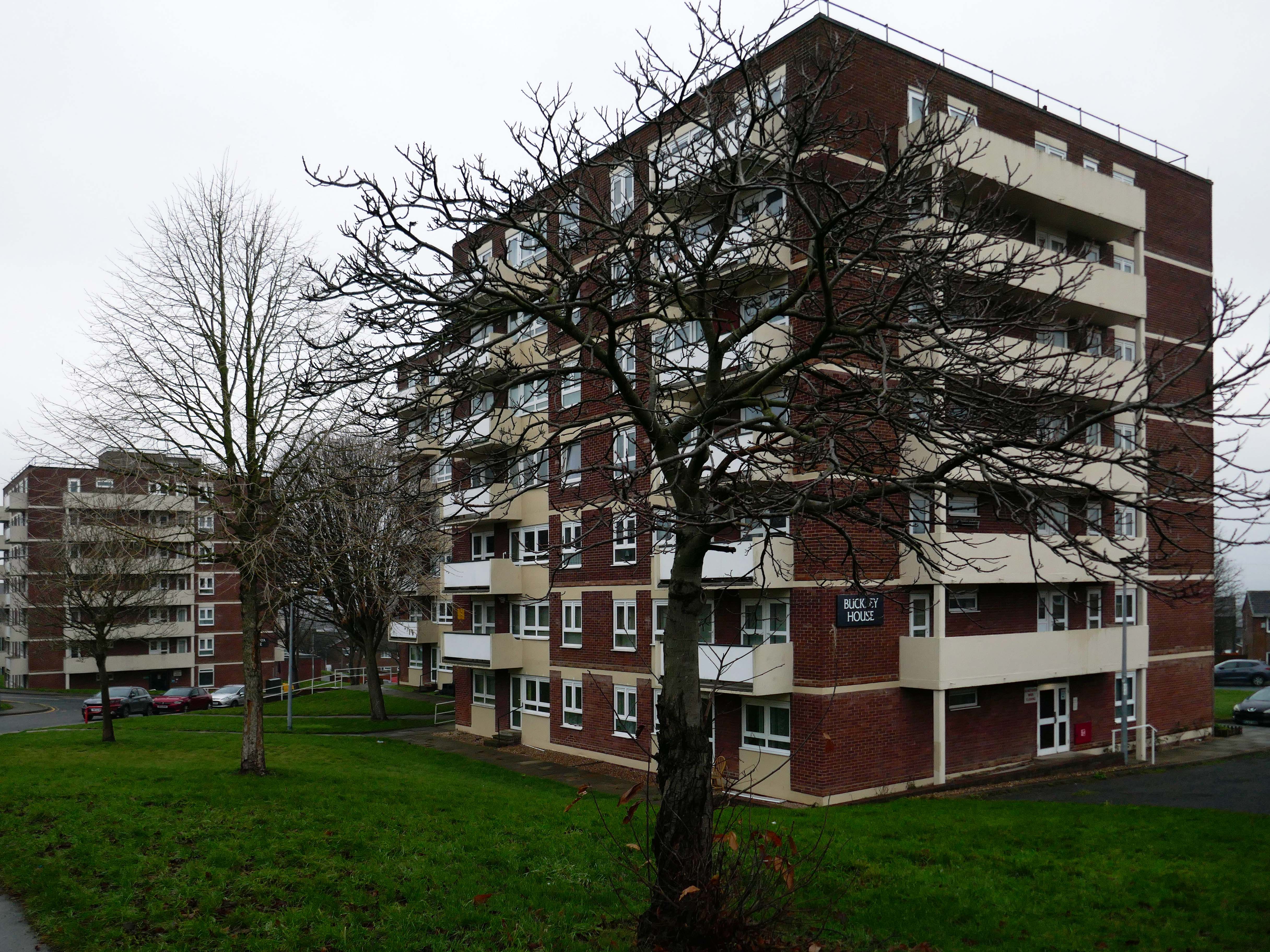
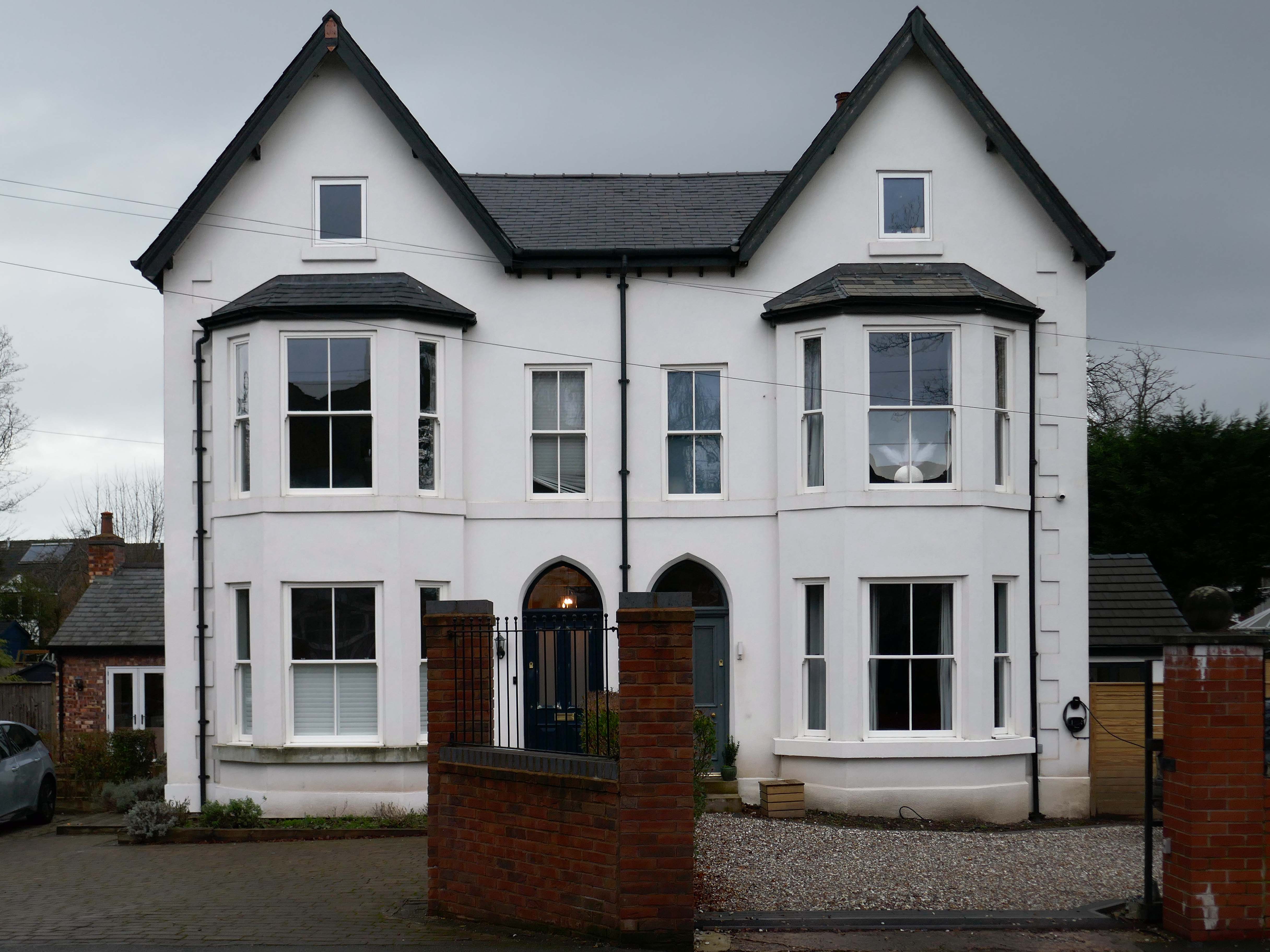
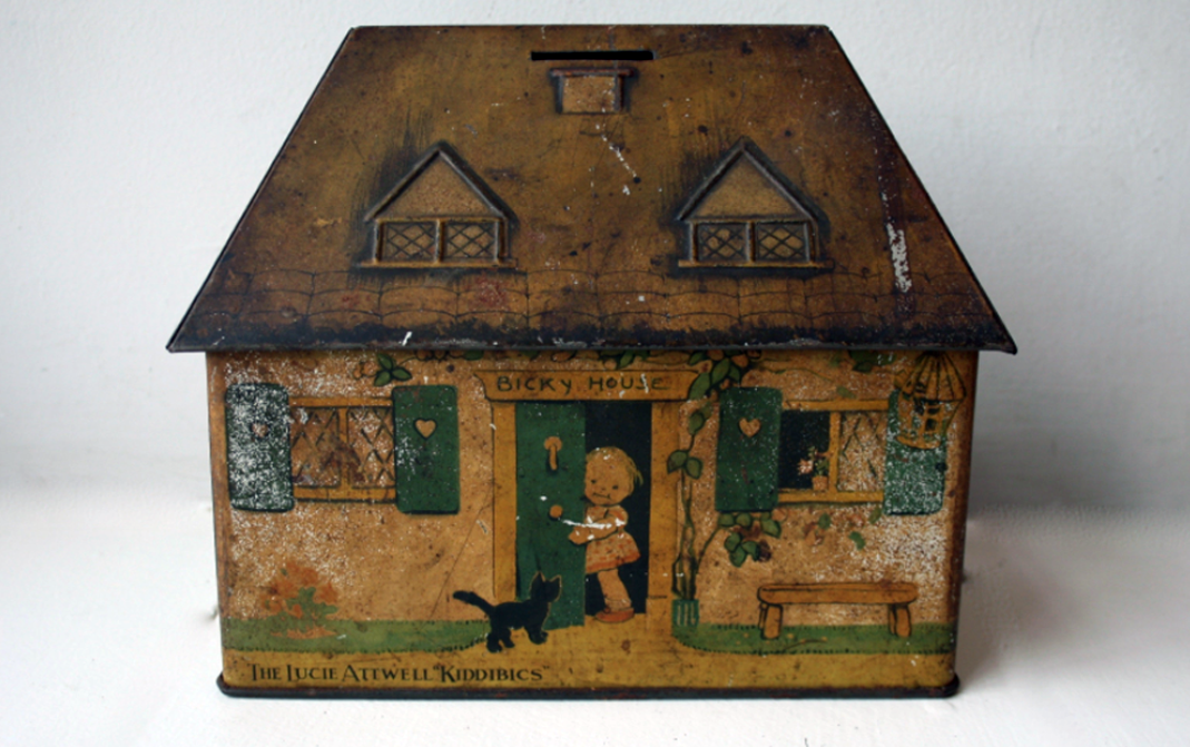
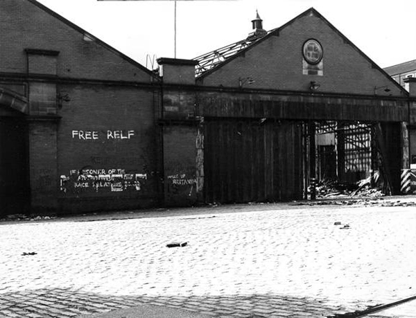
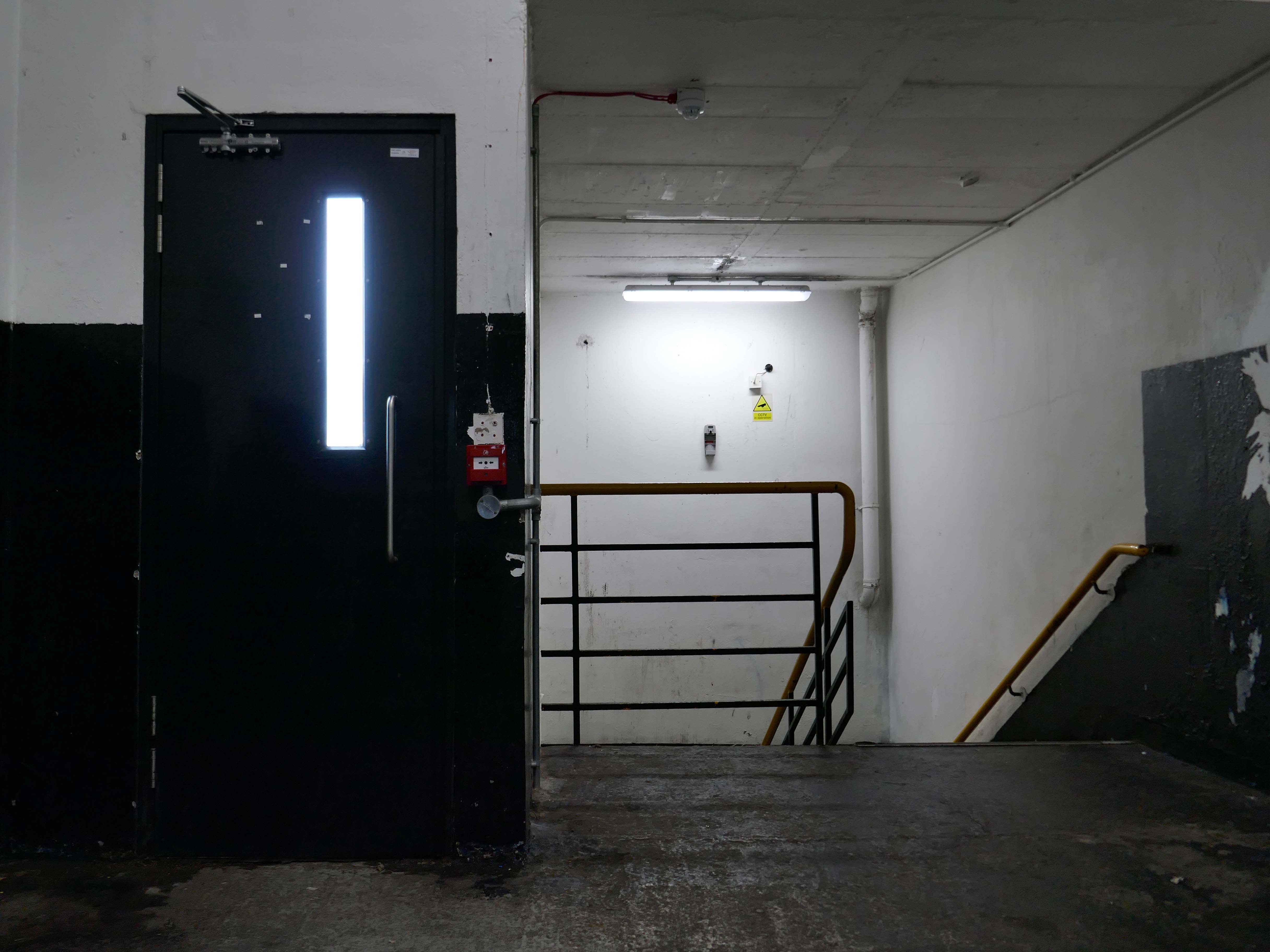
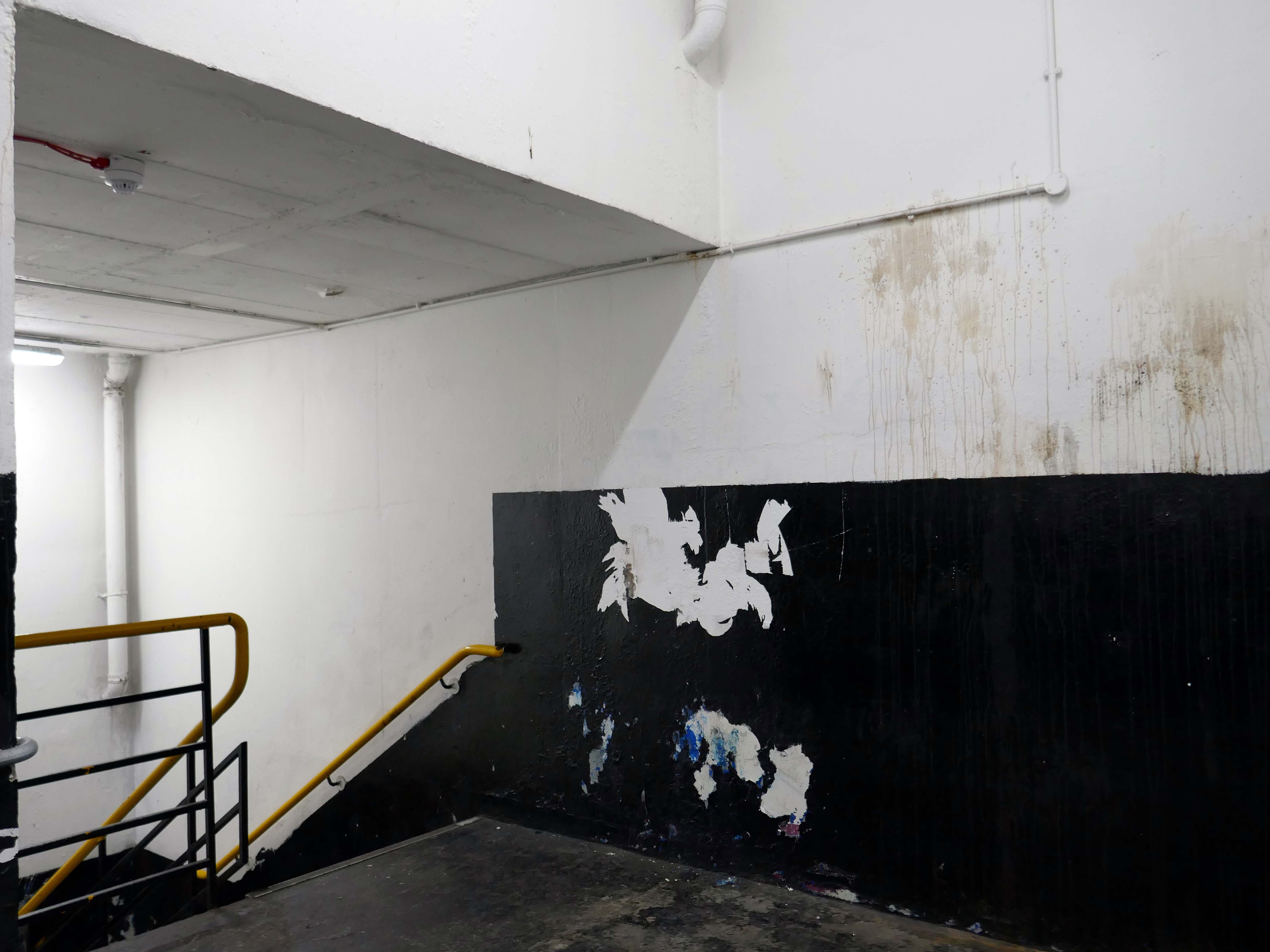
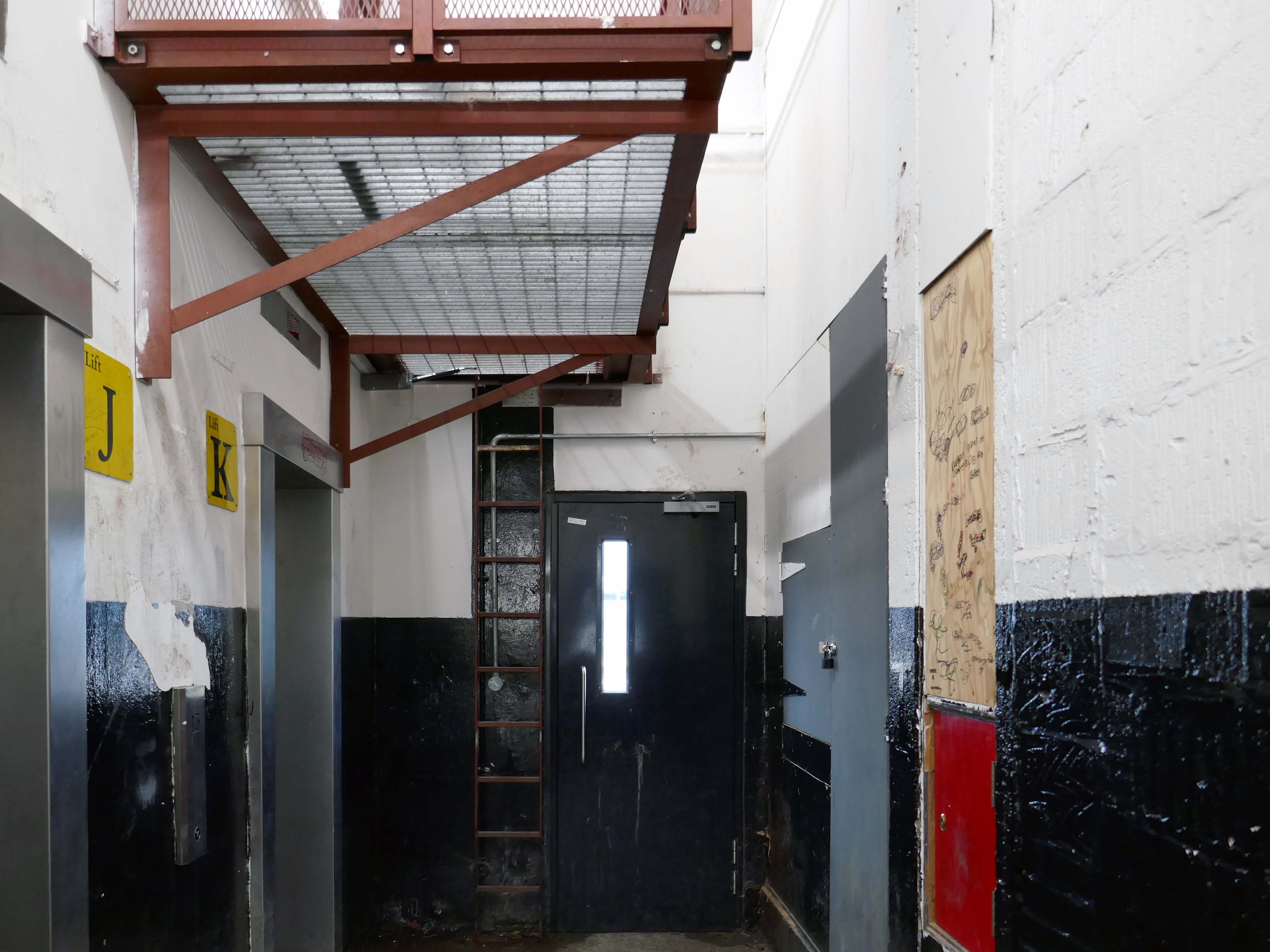
For my part I cannot help bur recall the TV show Green Acres whenever I pass by Green Pastures.
Eva Gabor preferring the glamour of Manhattan.
To the rural life.
Culturally and stylistically, Green Pastures sits somewhere betwixt and between.
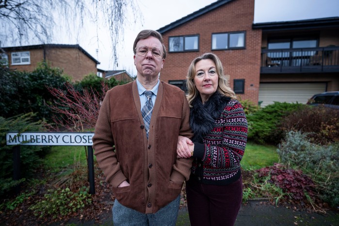
In reality the fictional life of Green Pastures became Mulberry Close, in the hit TV show Inside No. Nine
Vinette Robinson, Reece Shearsmith, Adrian Scarborough, Steve Pemberton and Dorothy Atkinson.
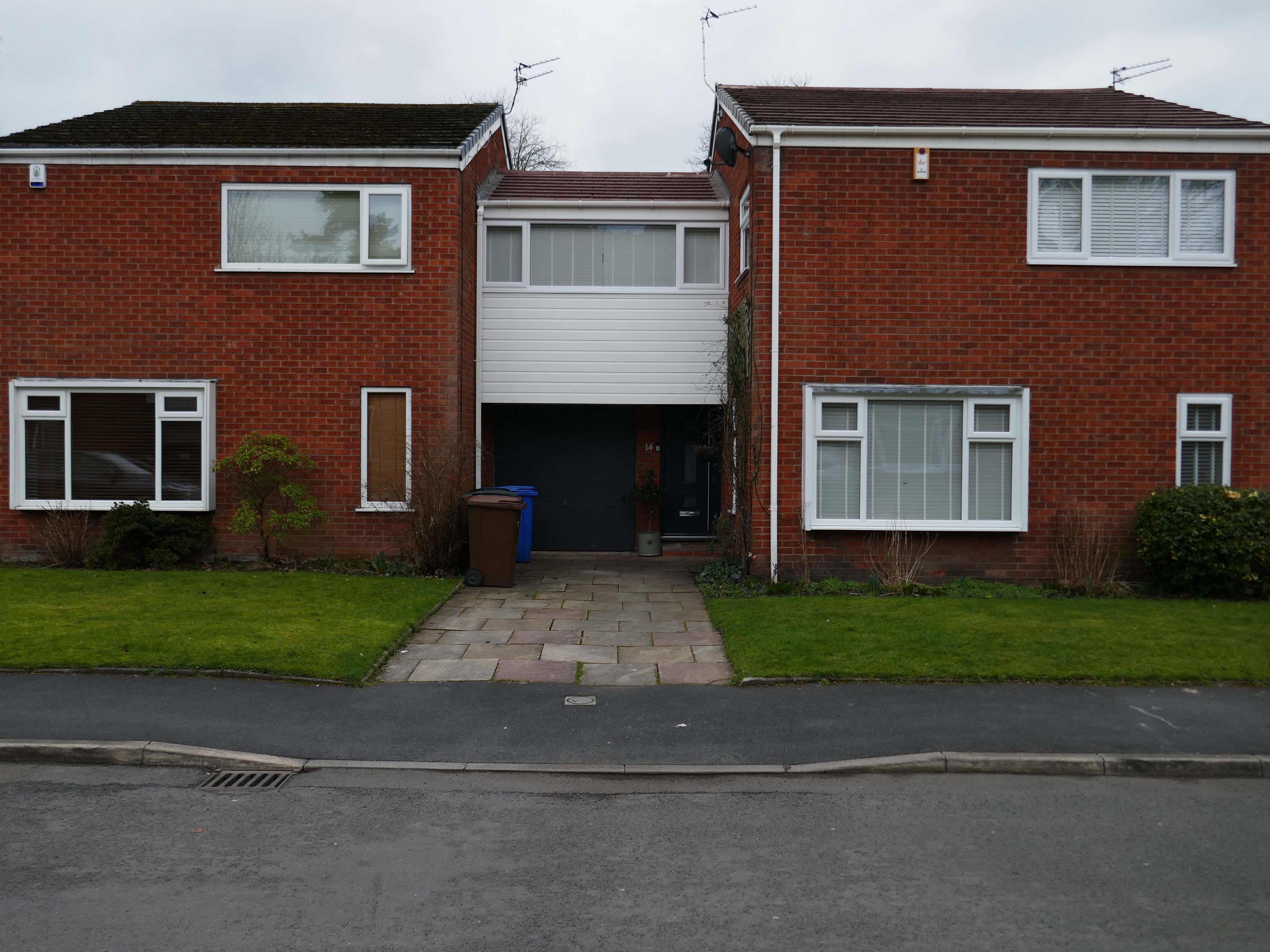
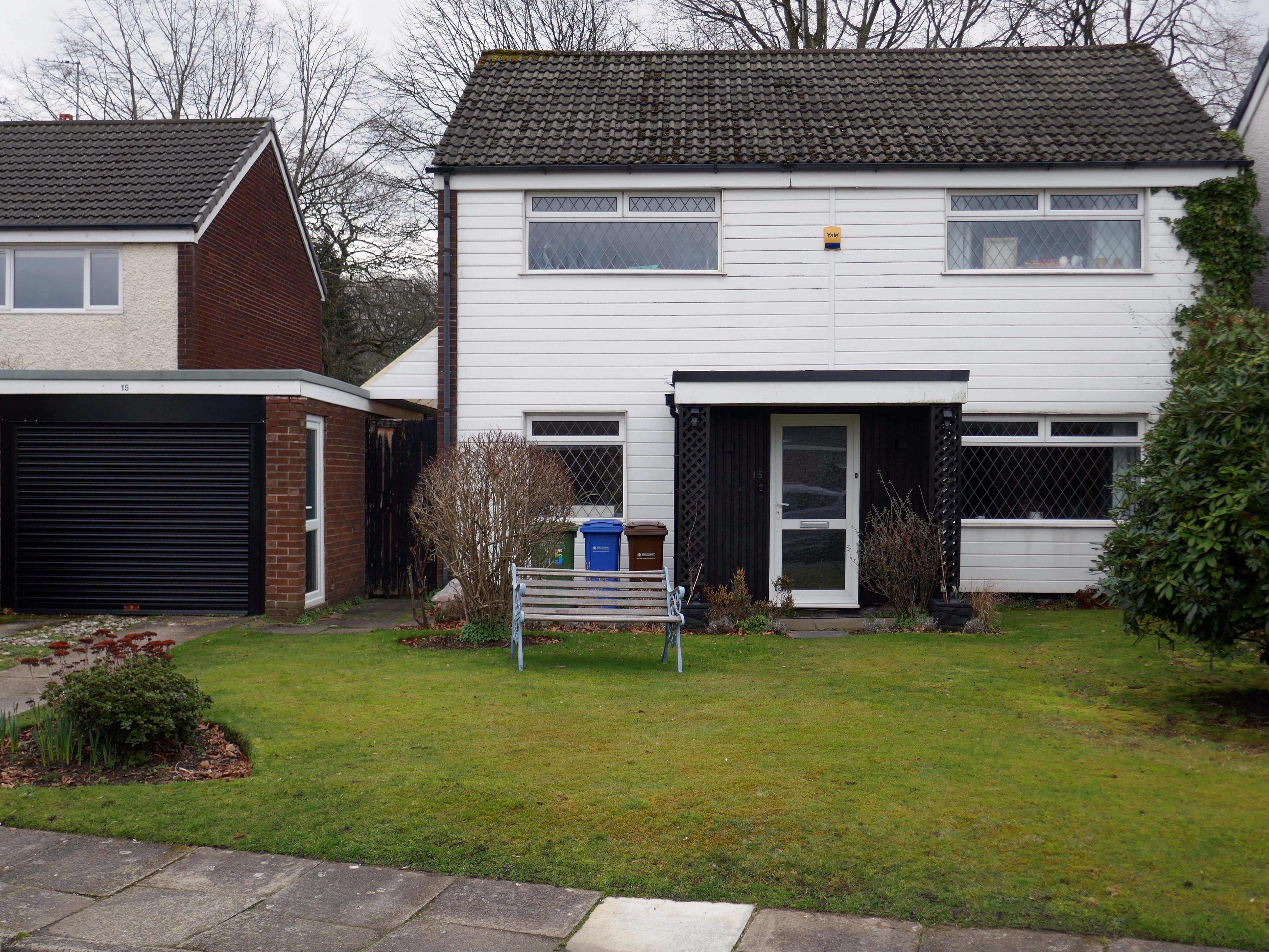
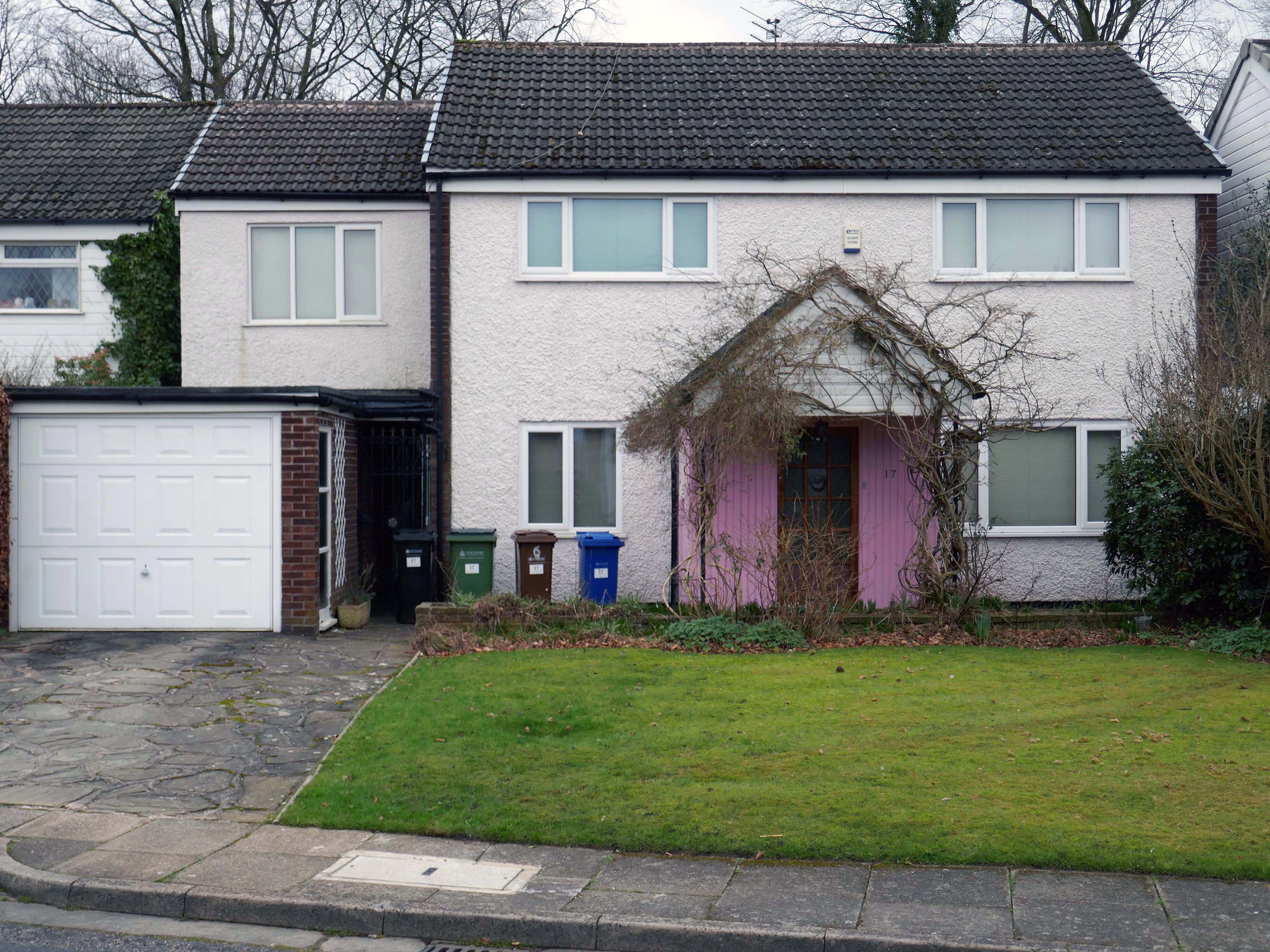
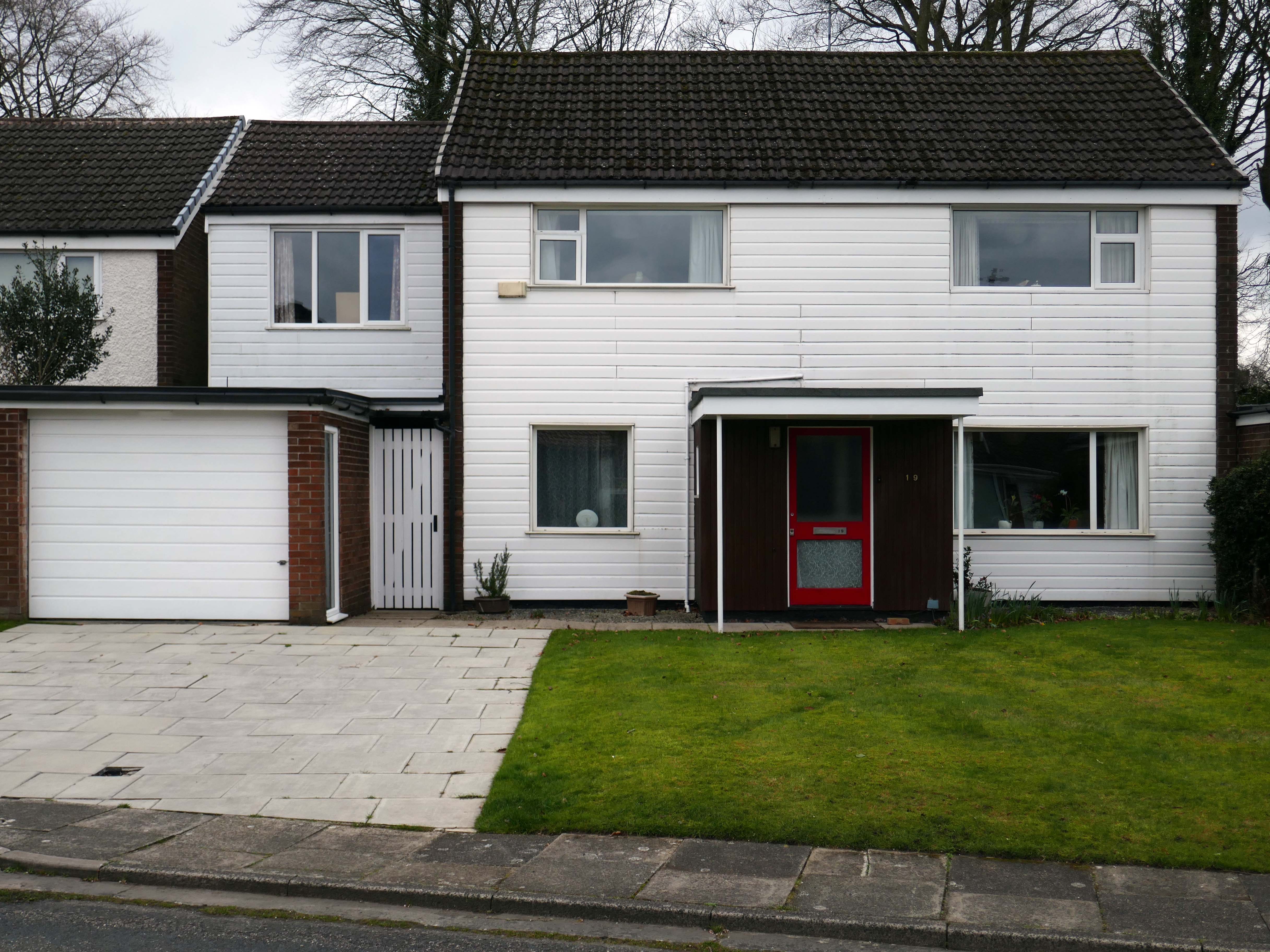
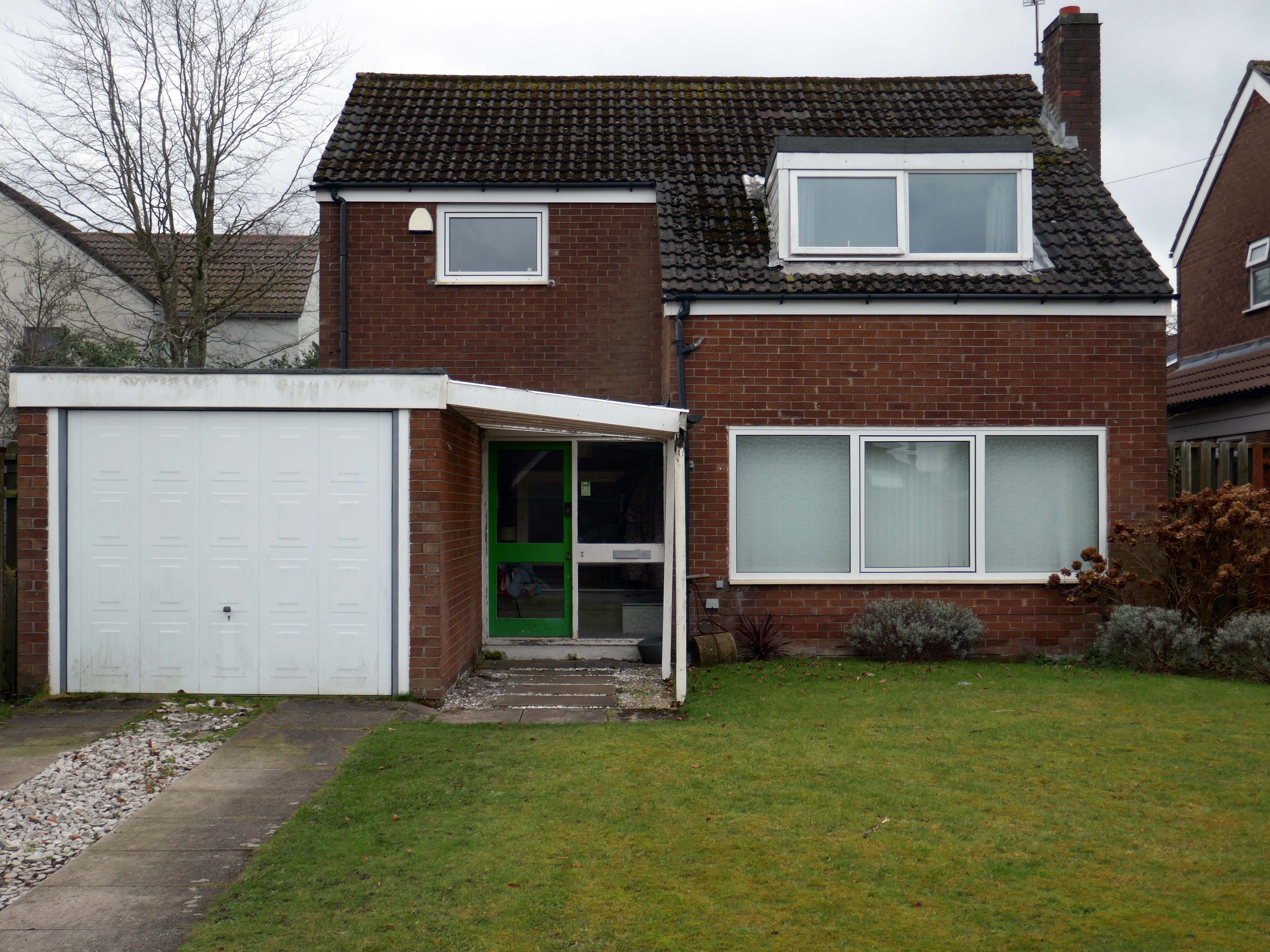
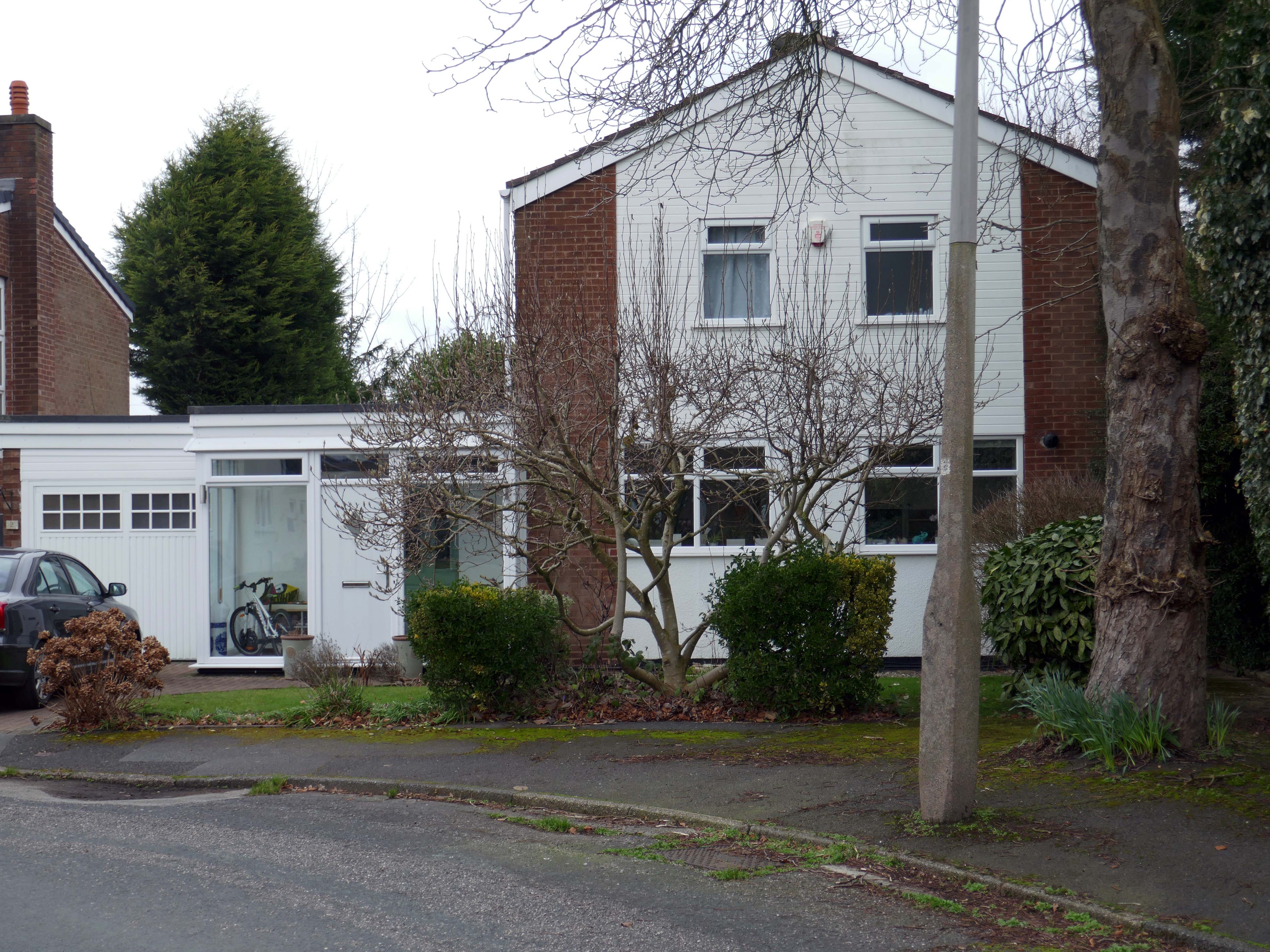
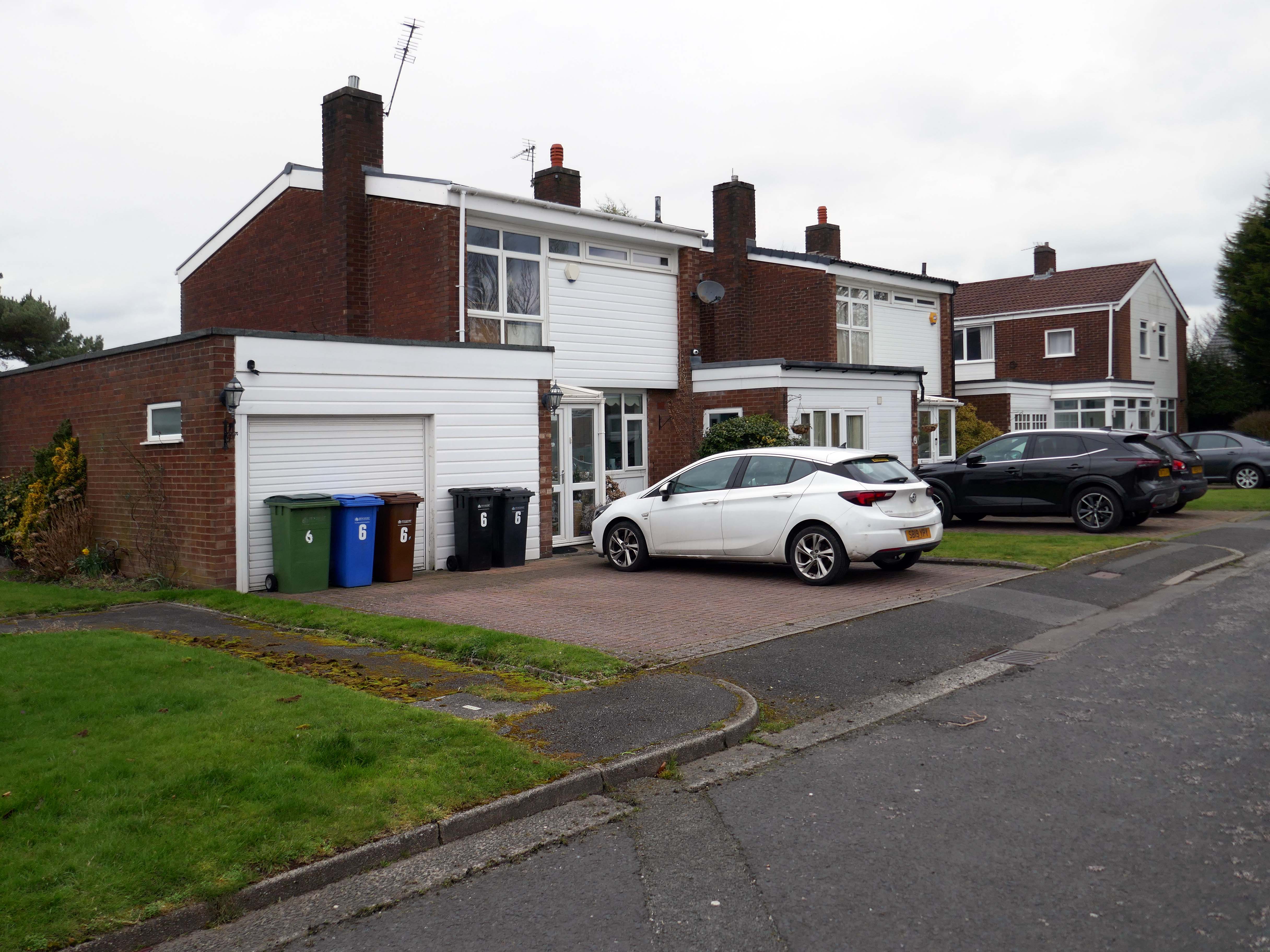
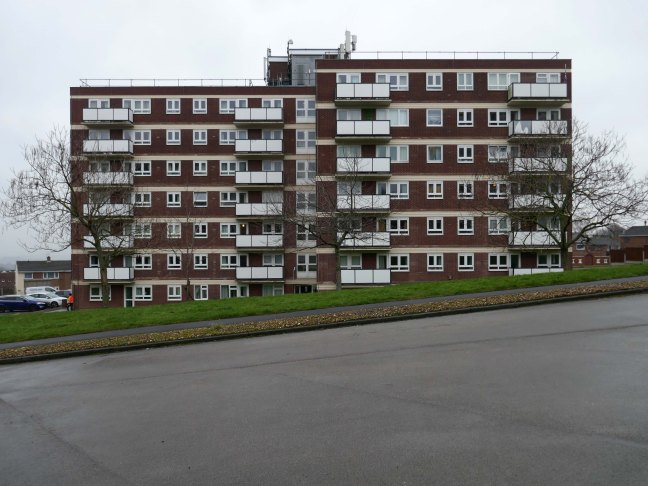
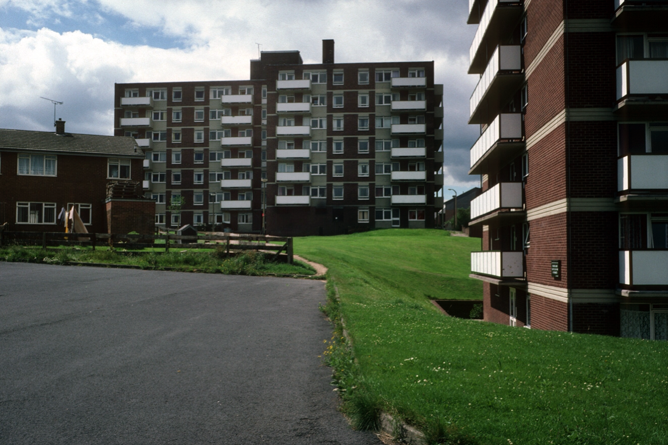
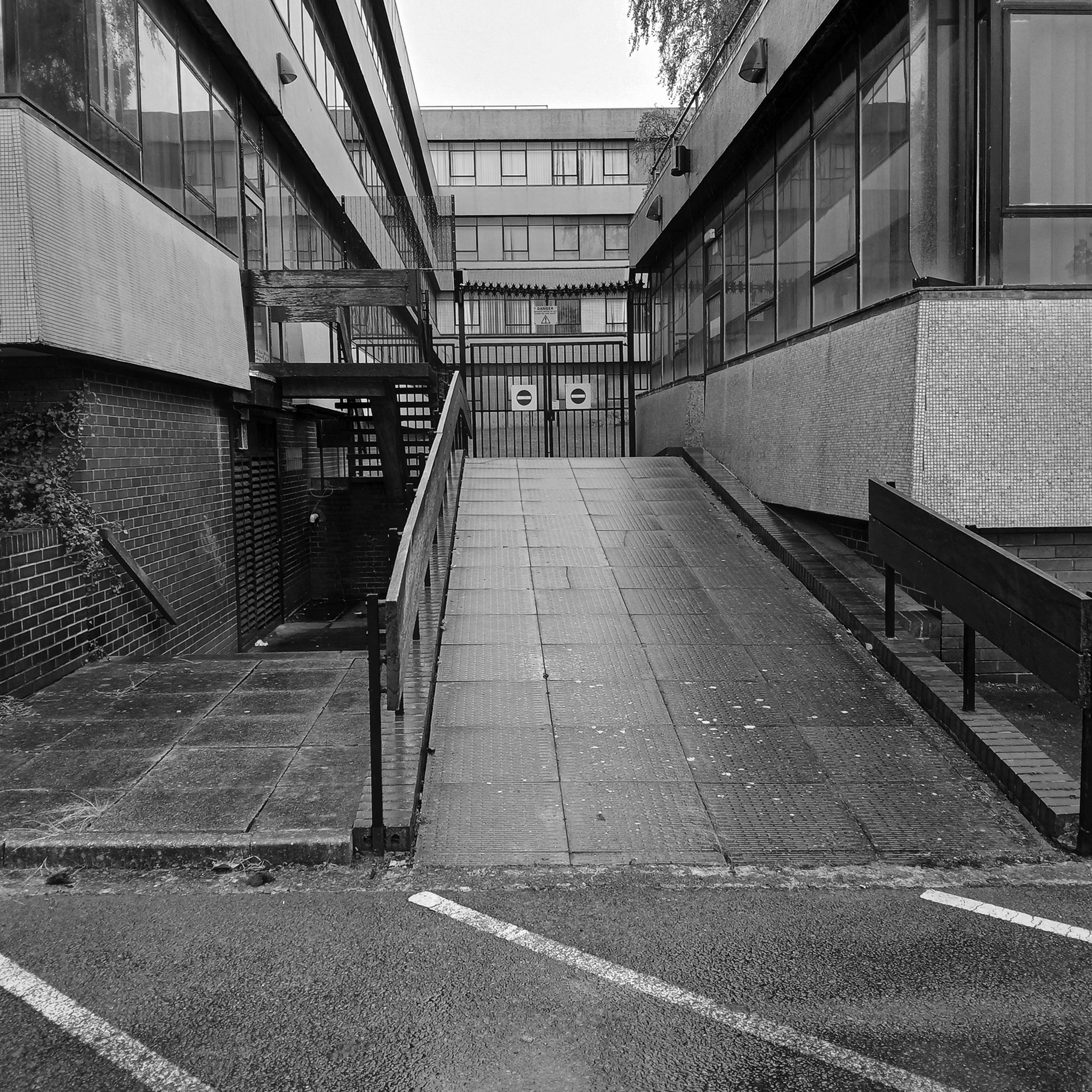
So much for the scriptwriters wild imaginings, what does the road look like?
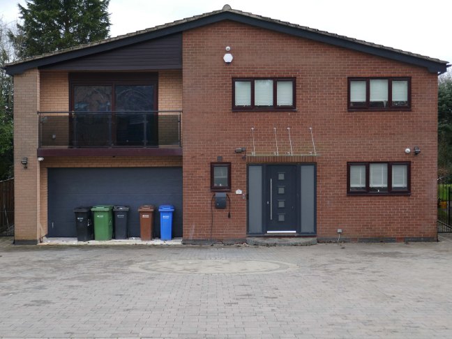
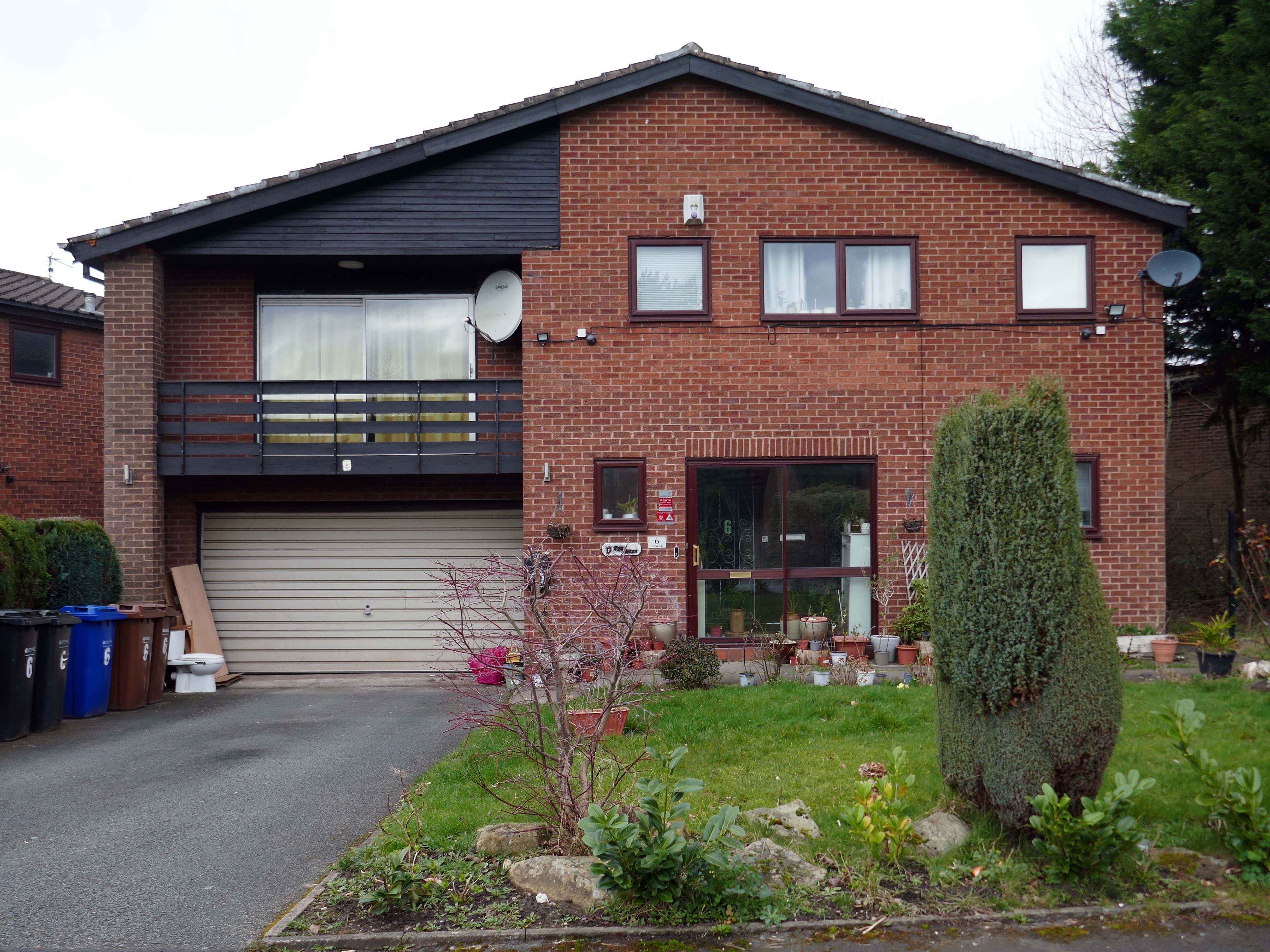
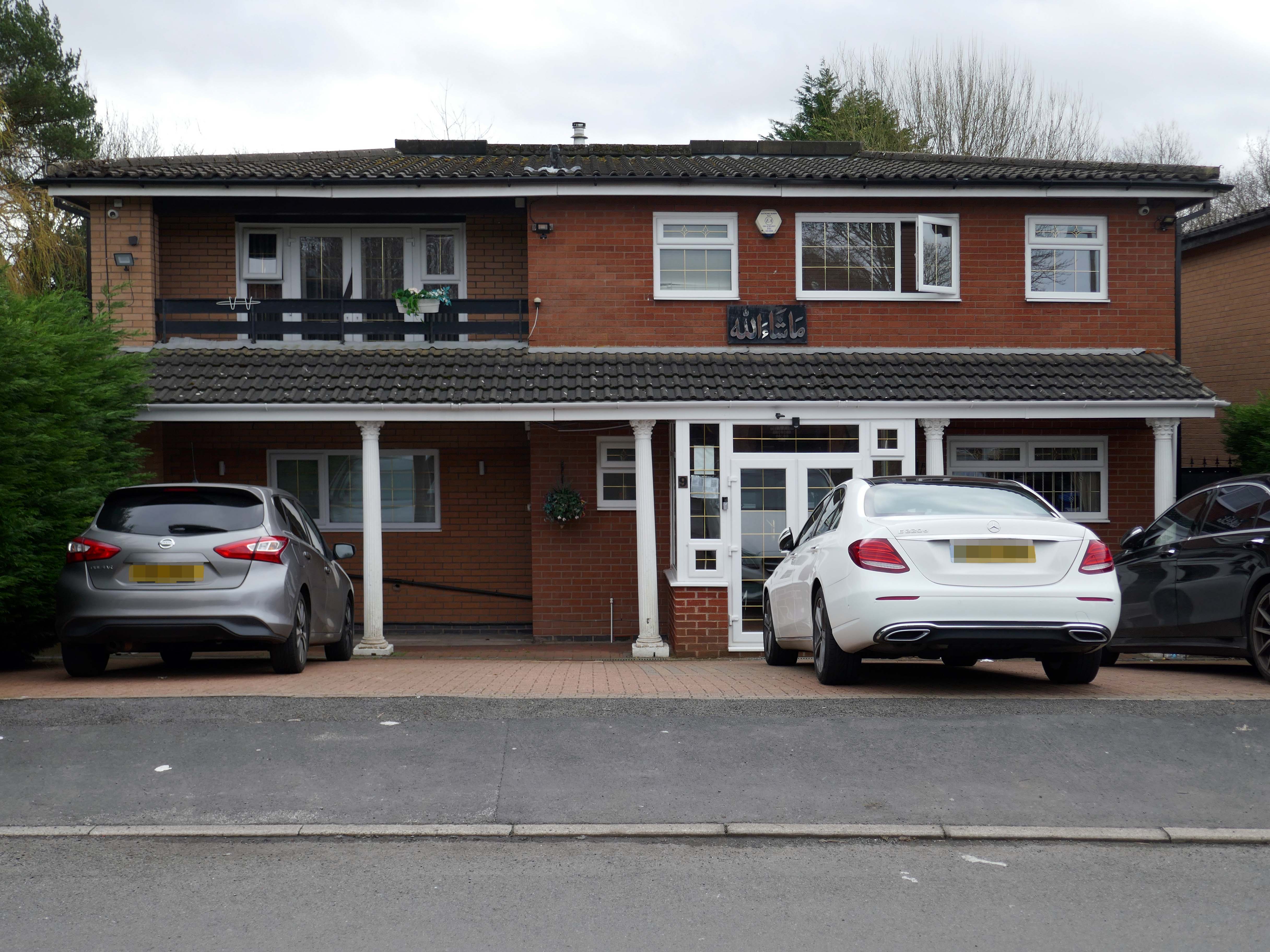
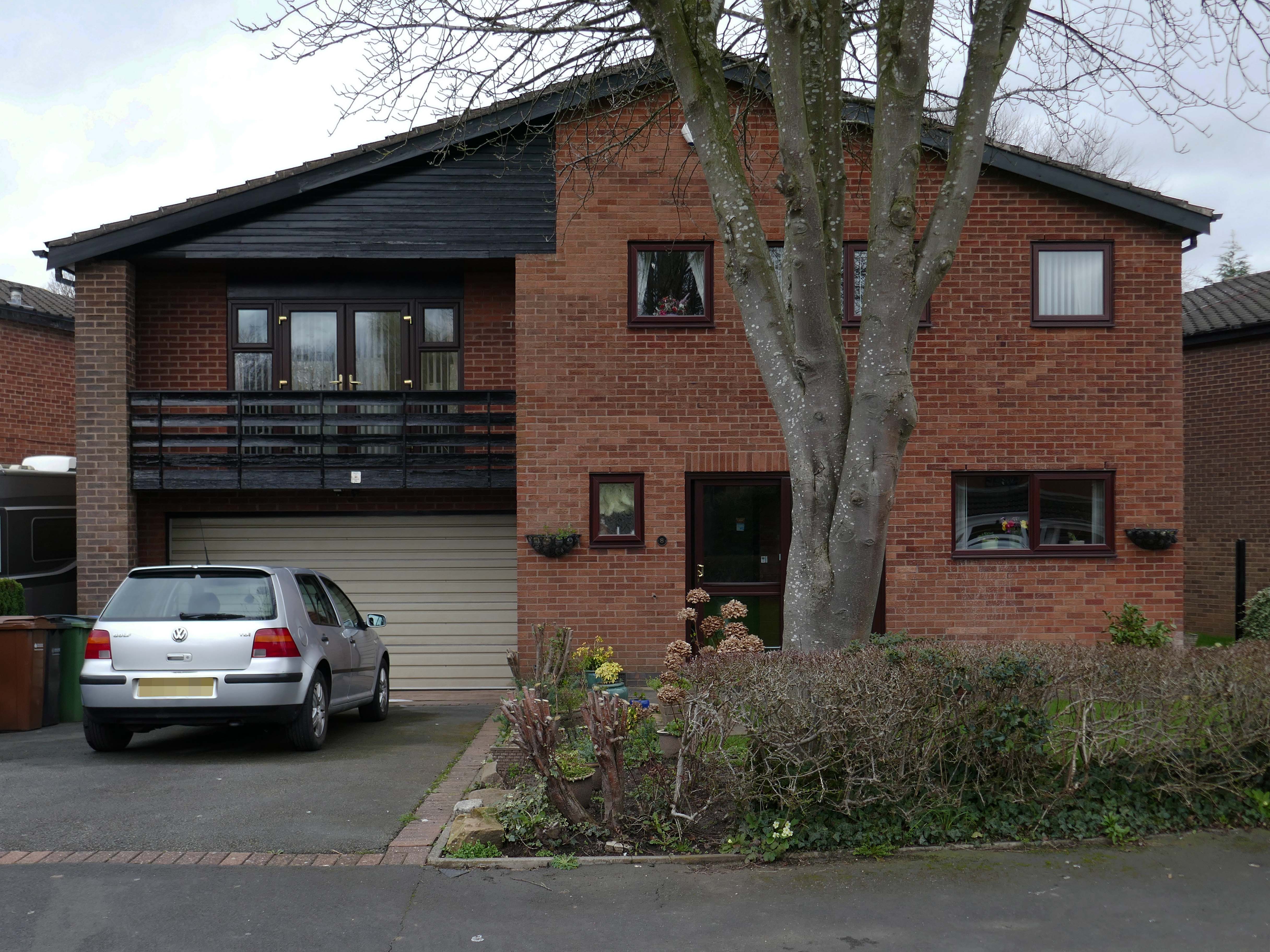
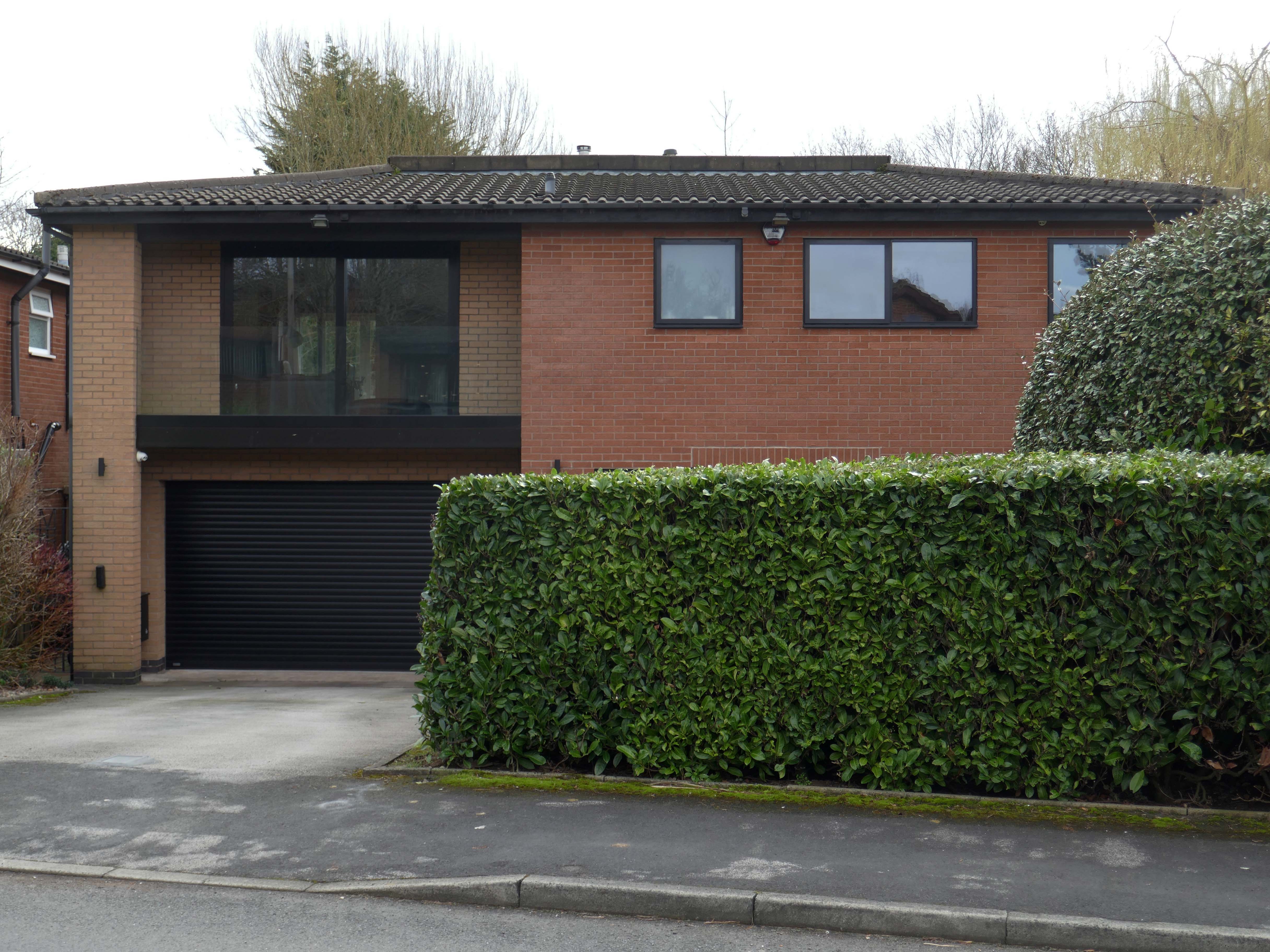
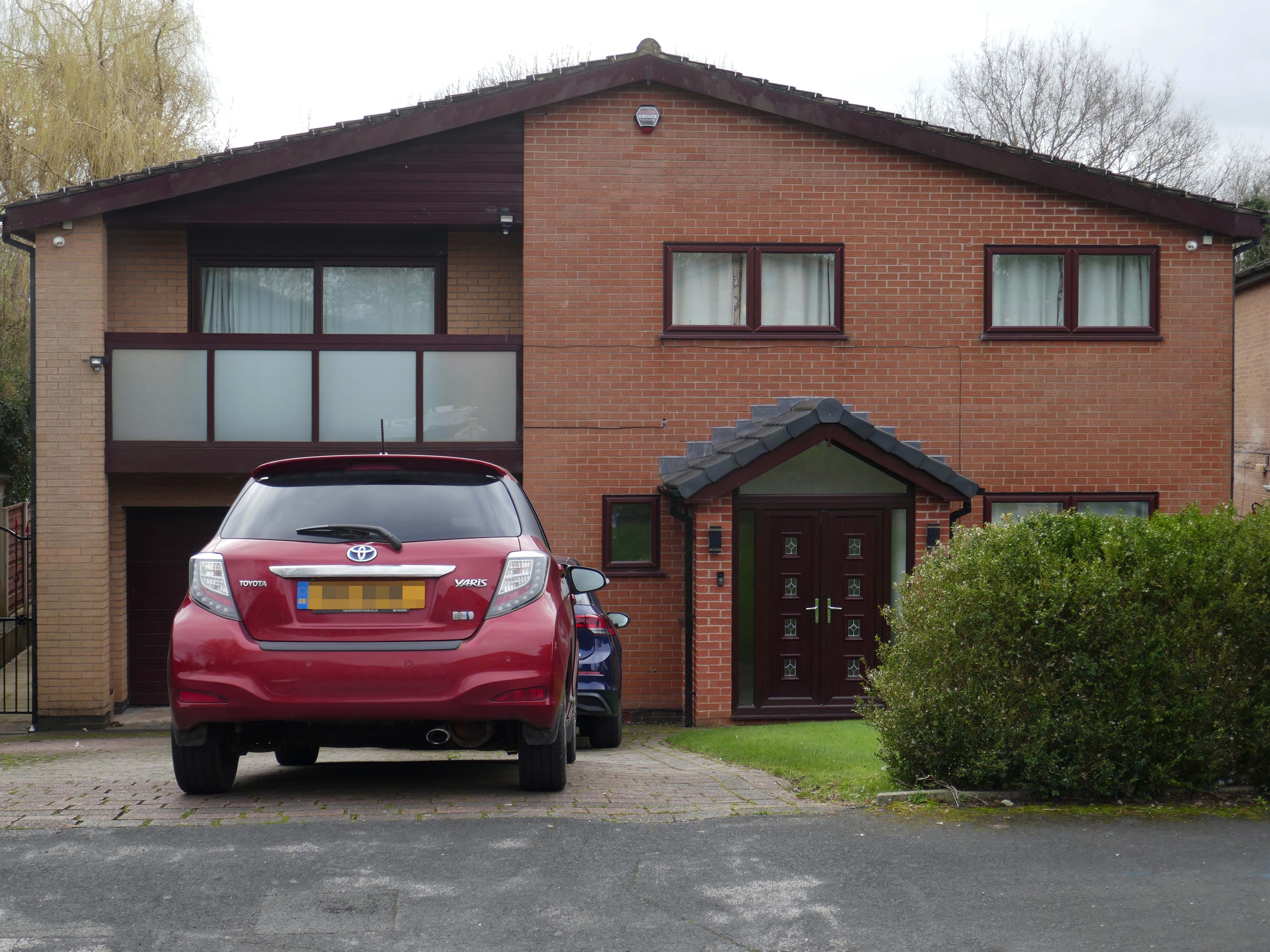
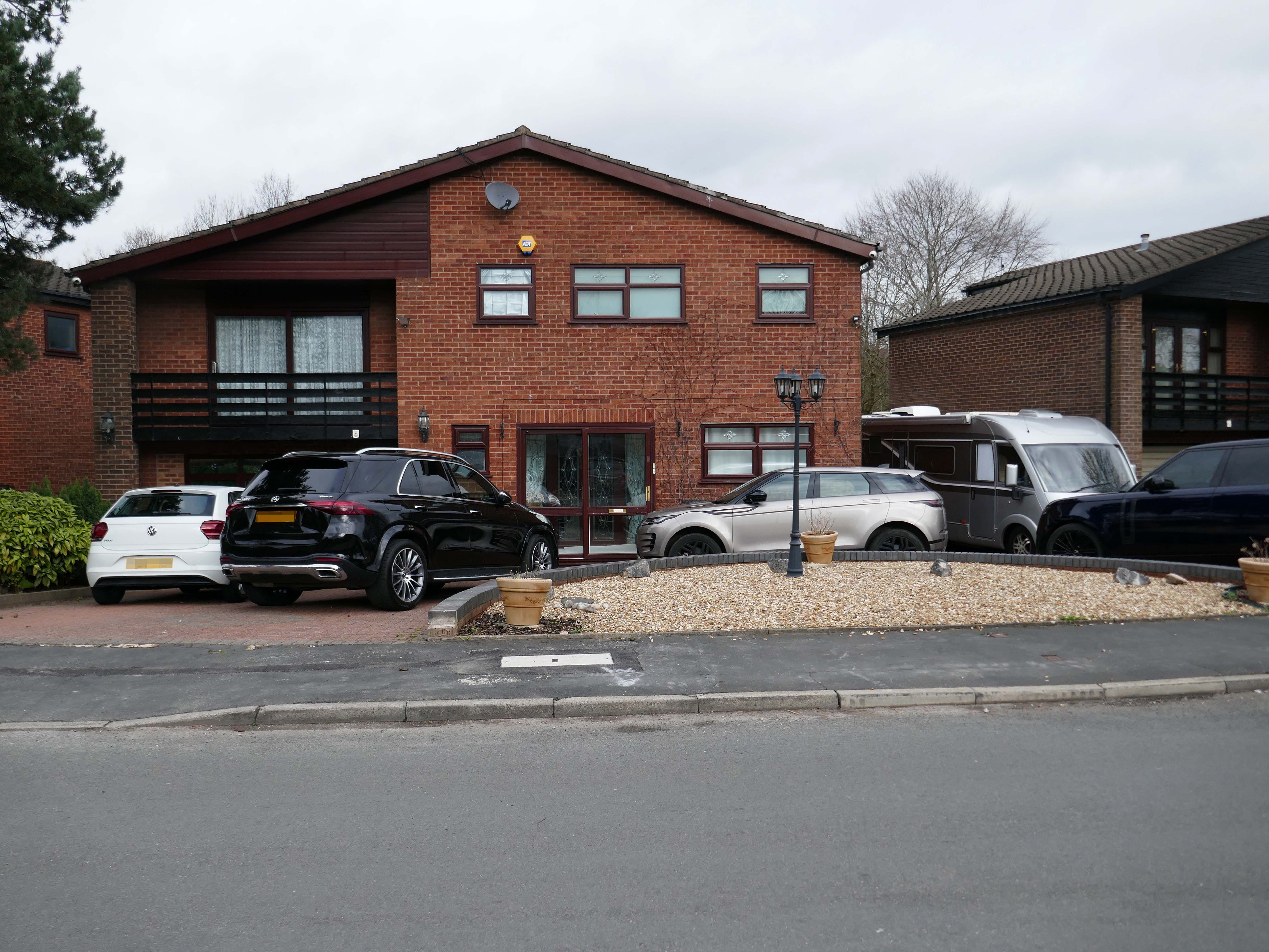
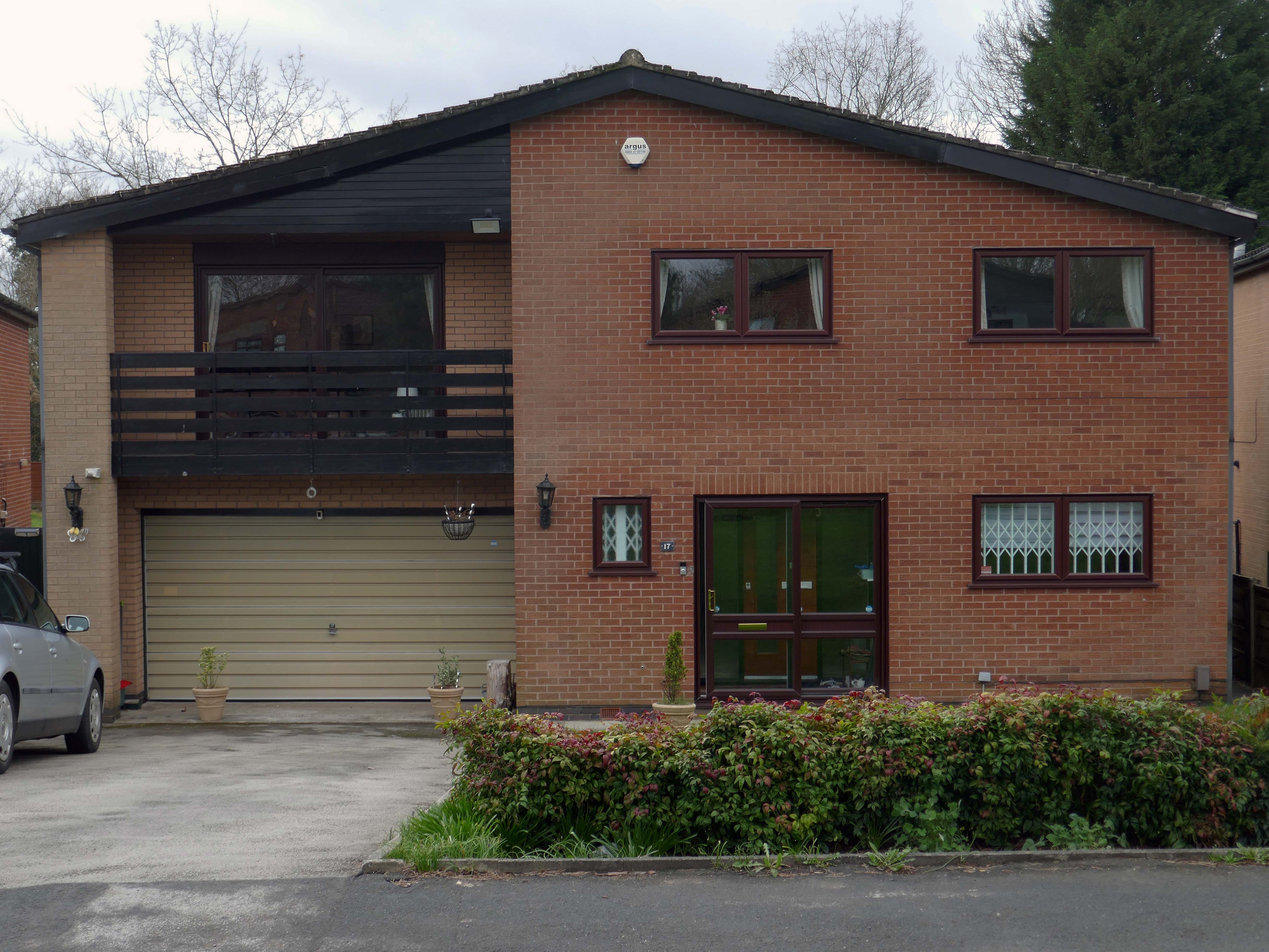
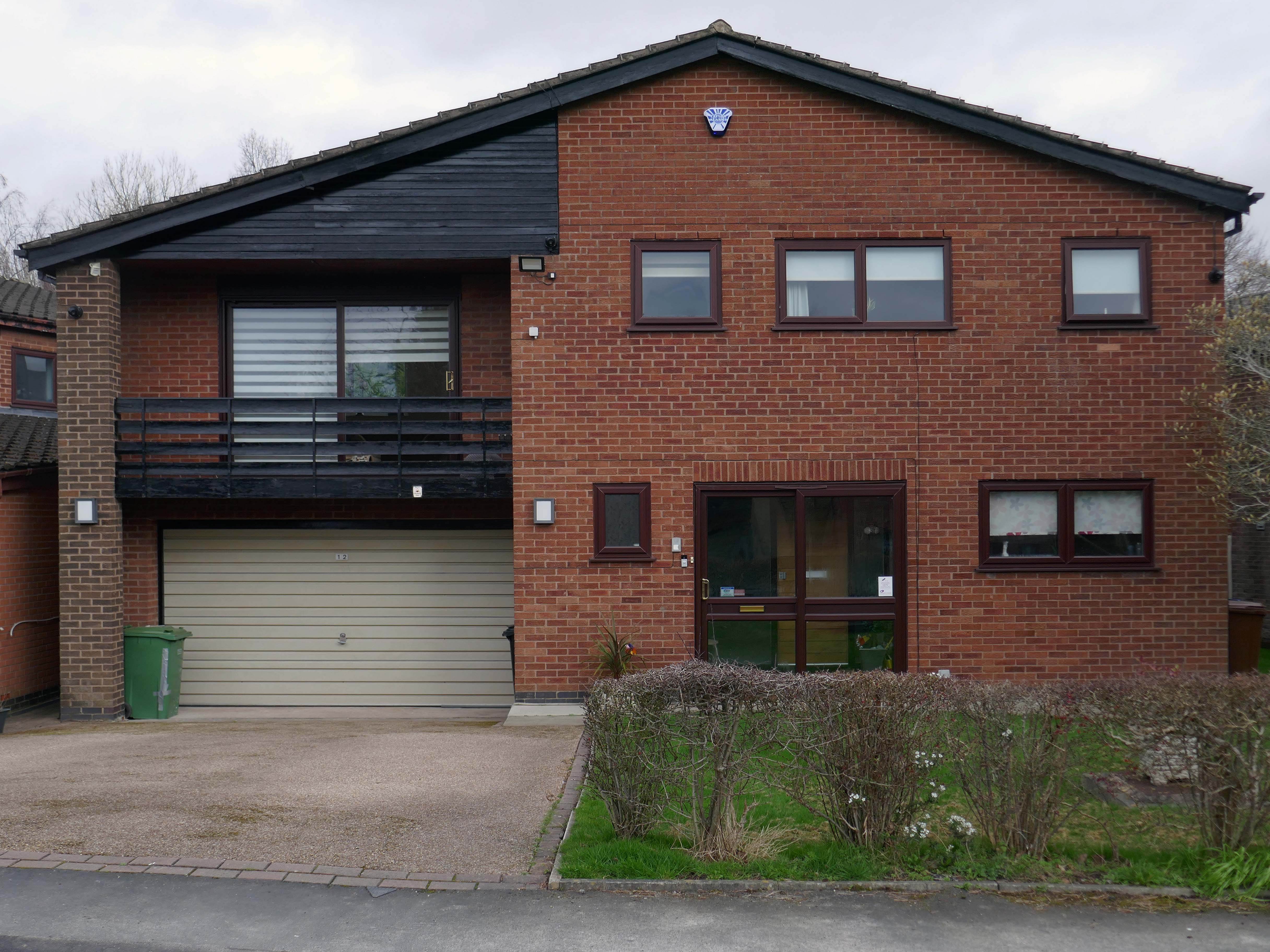
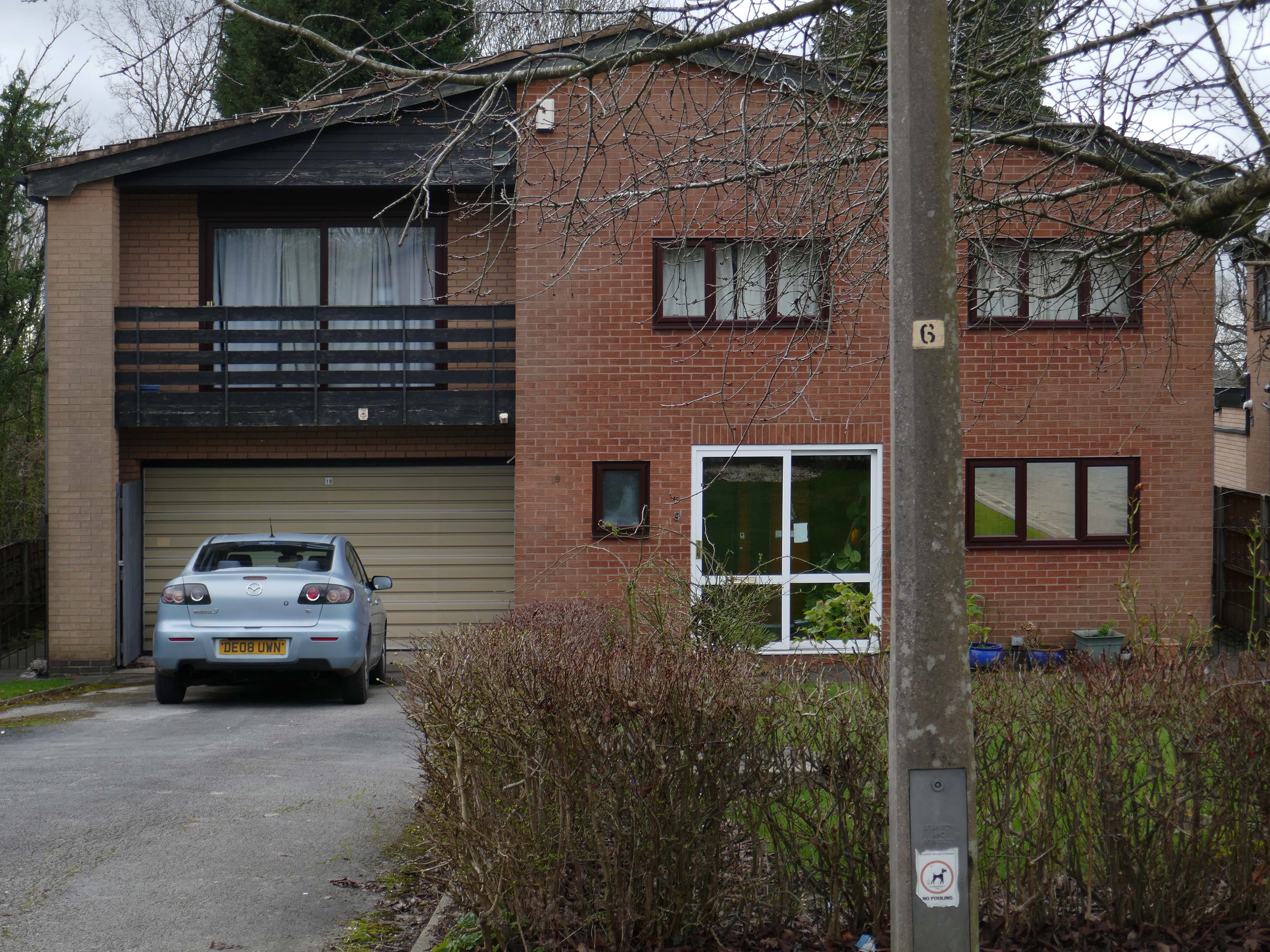
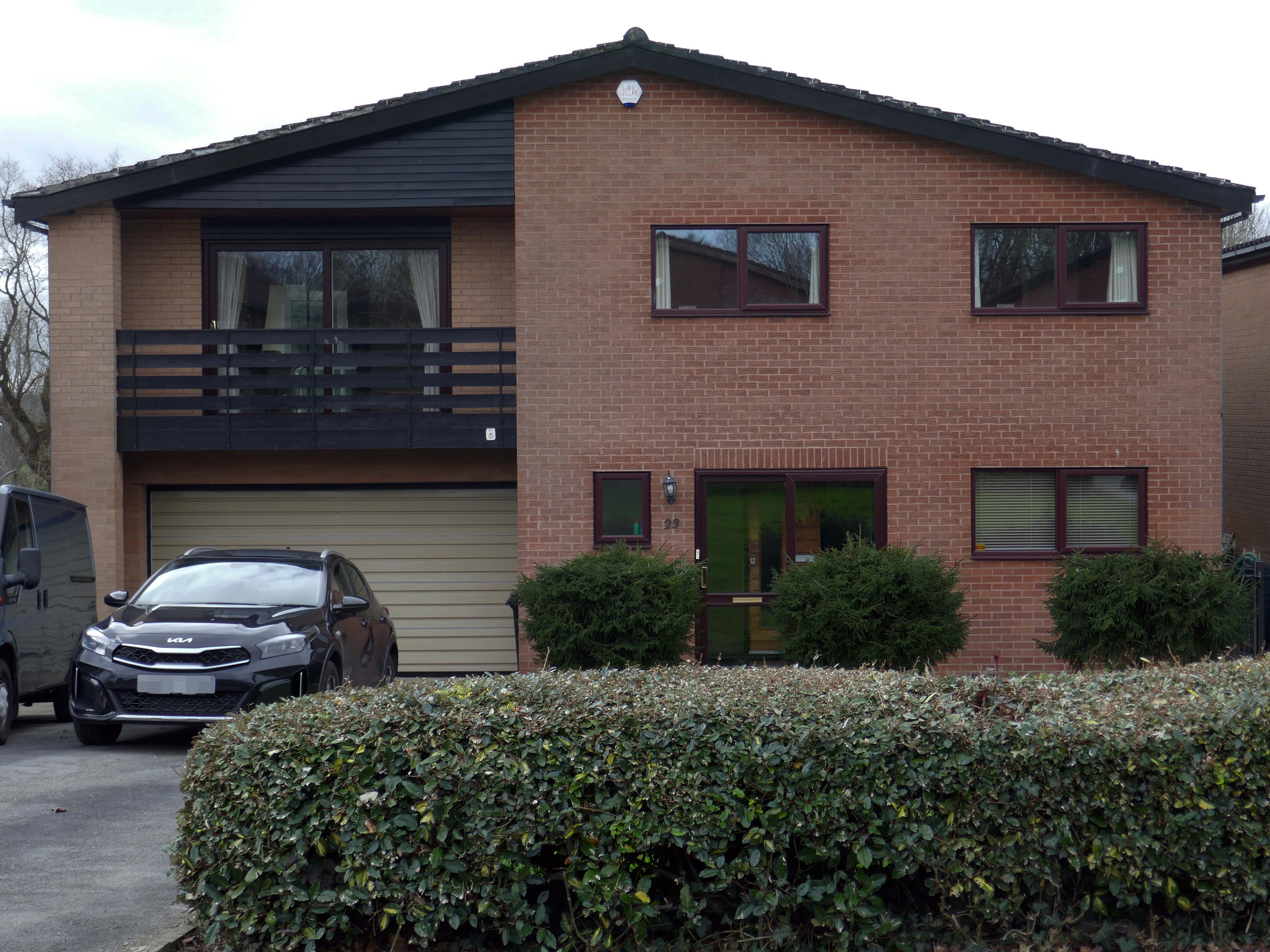
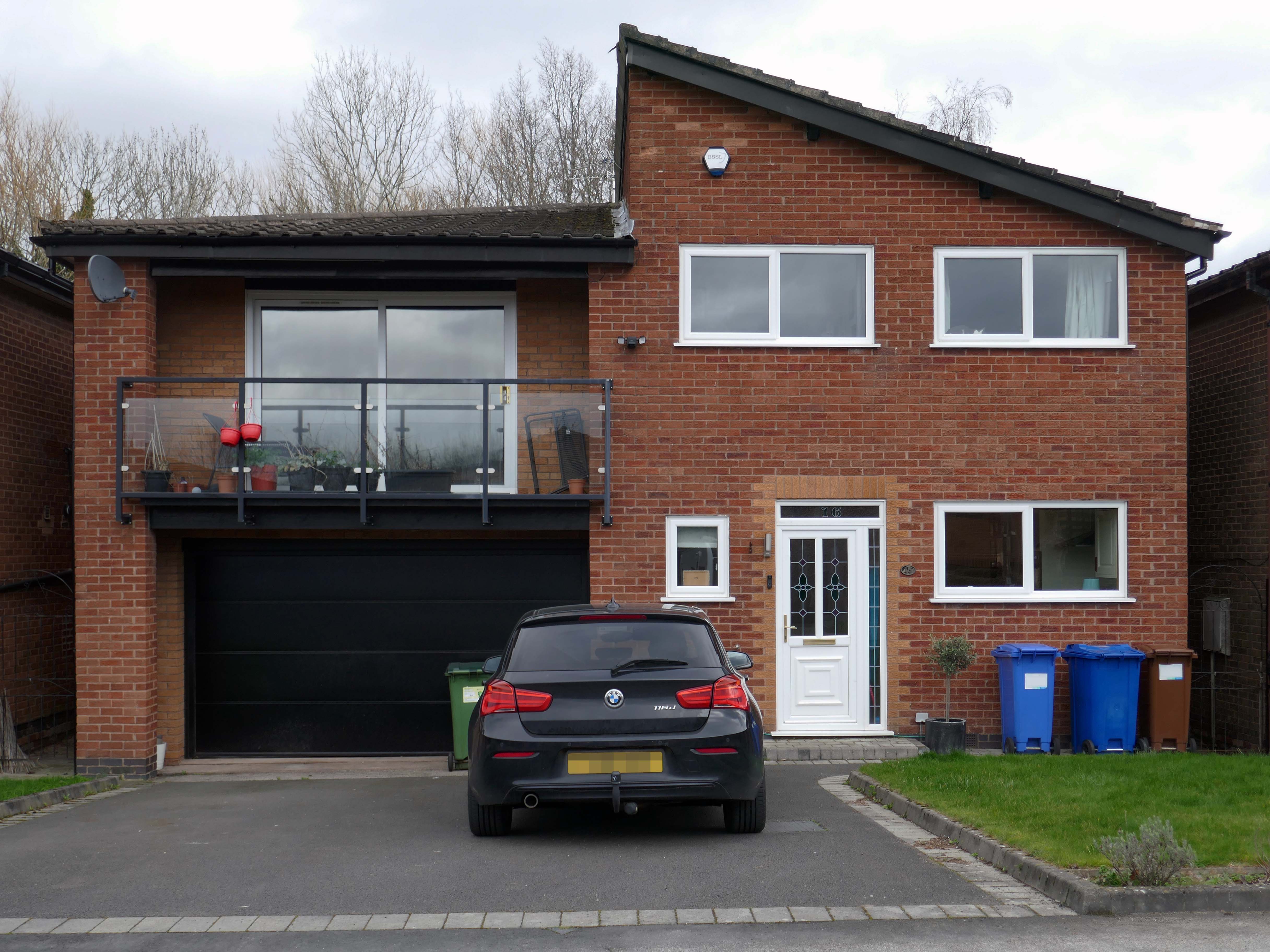
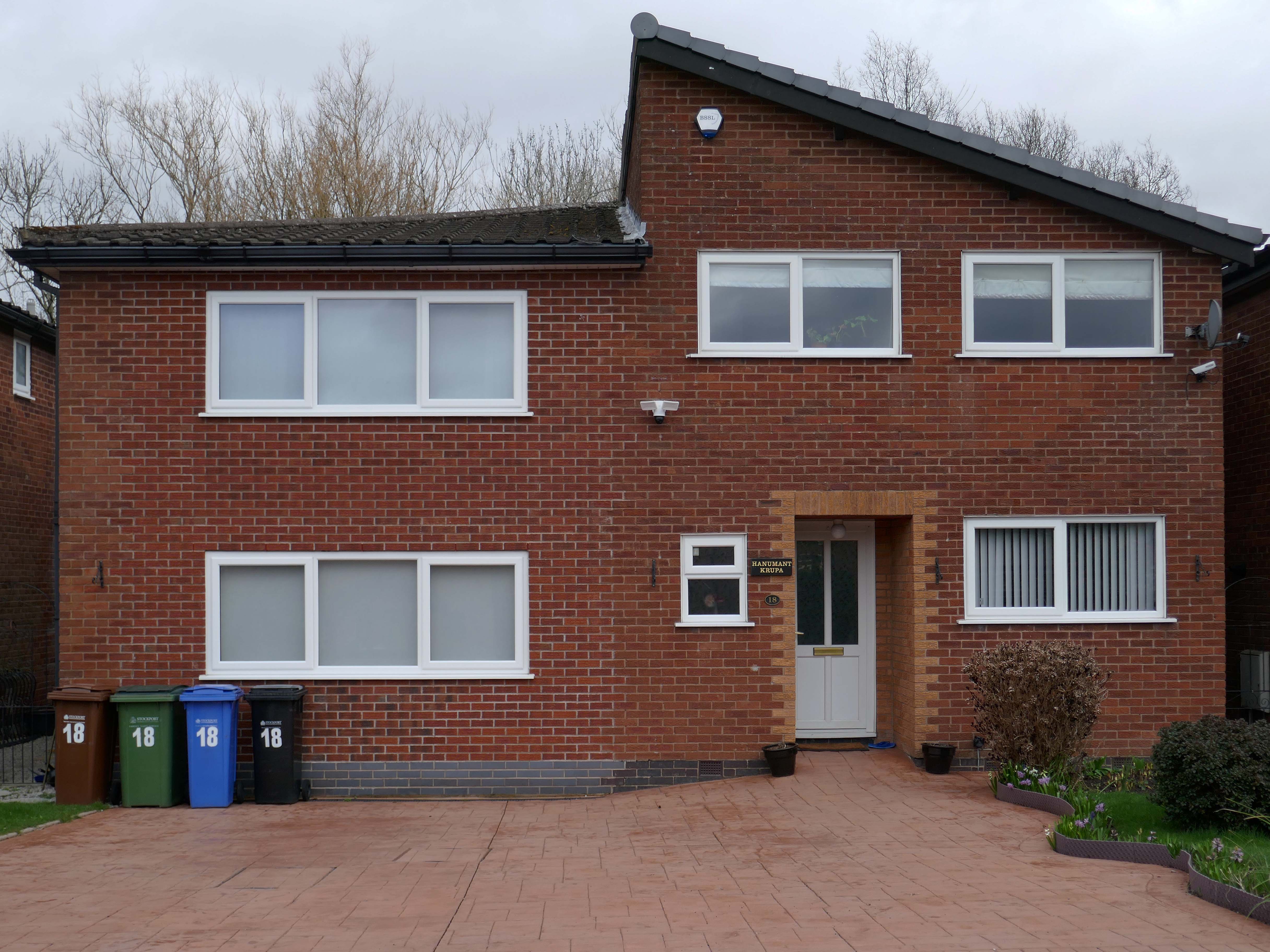
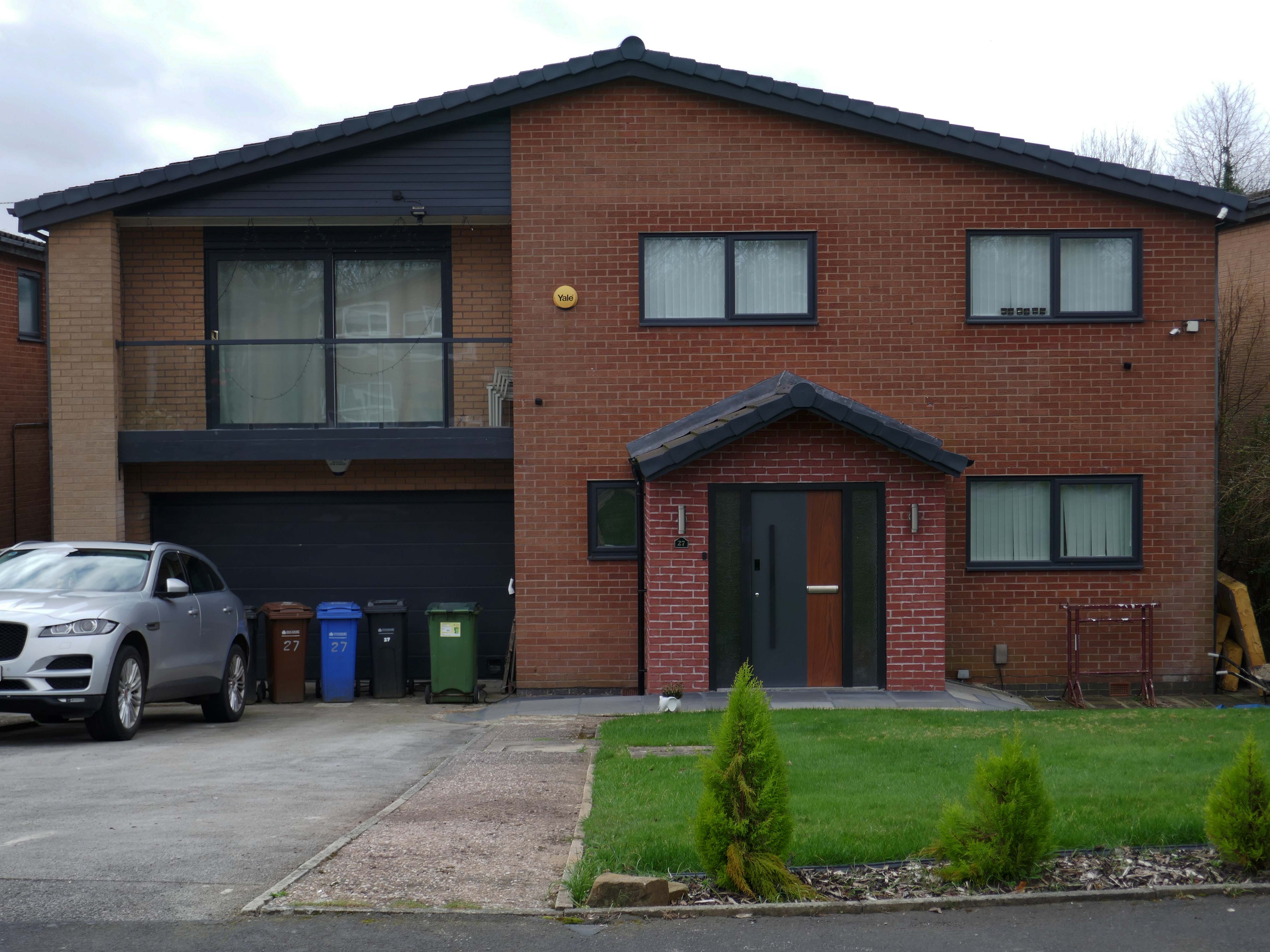
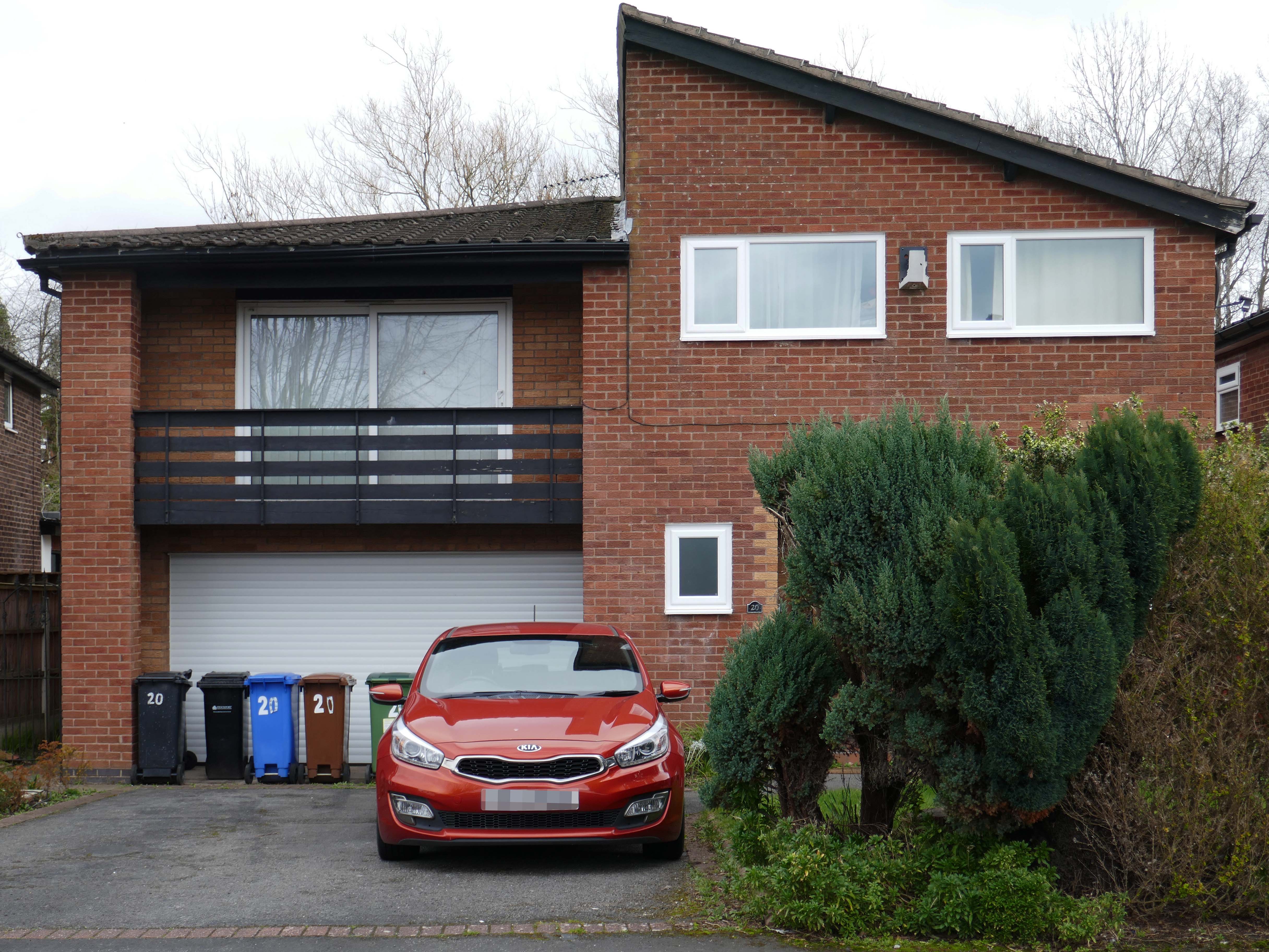
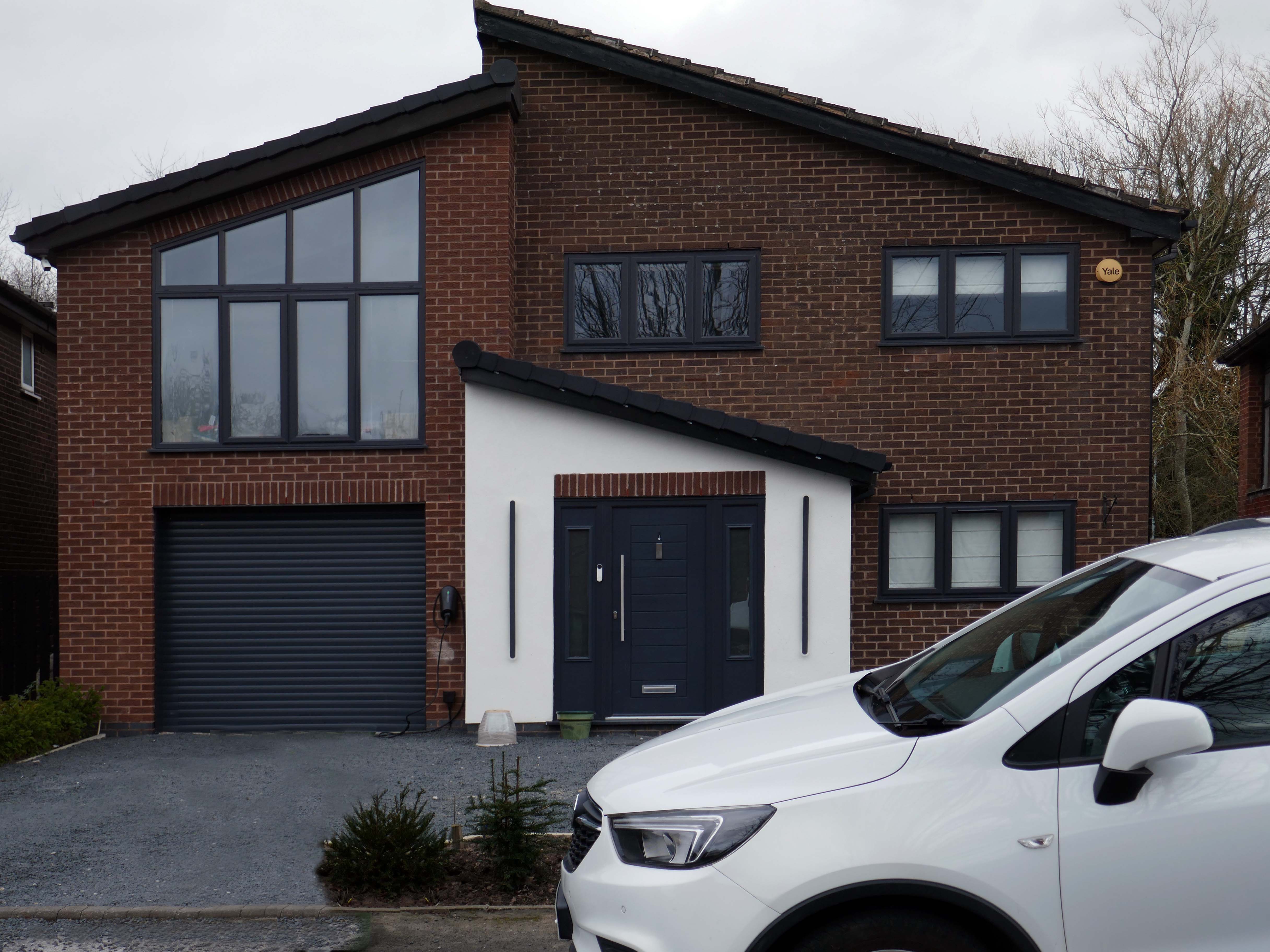
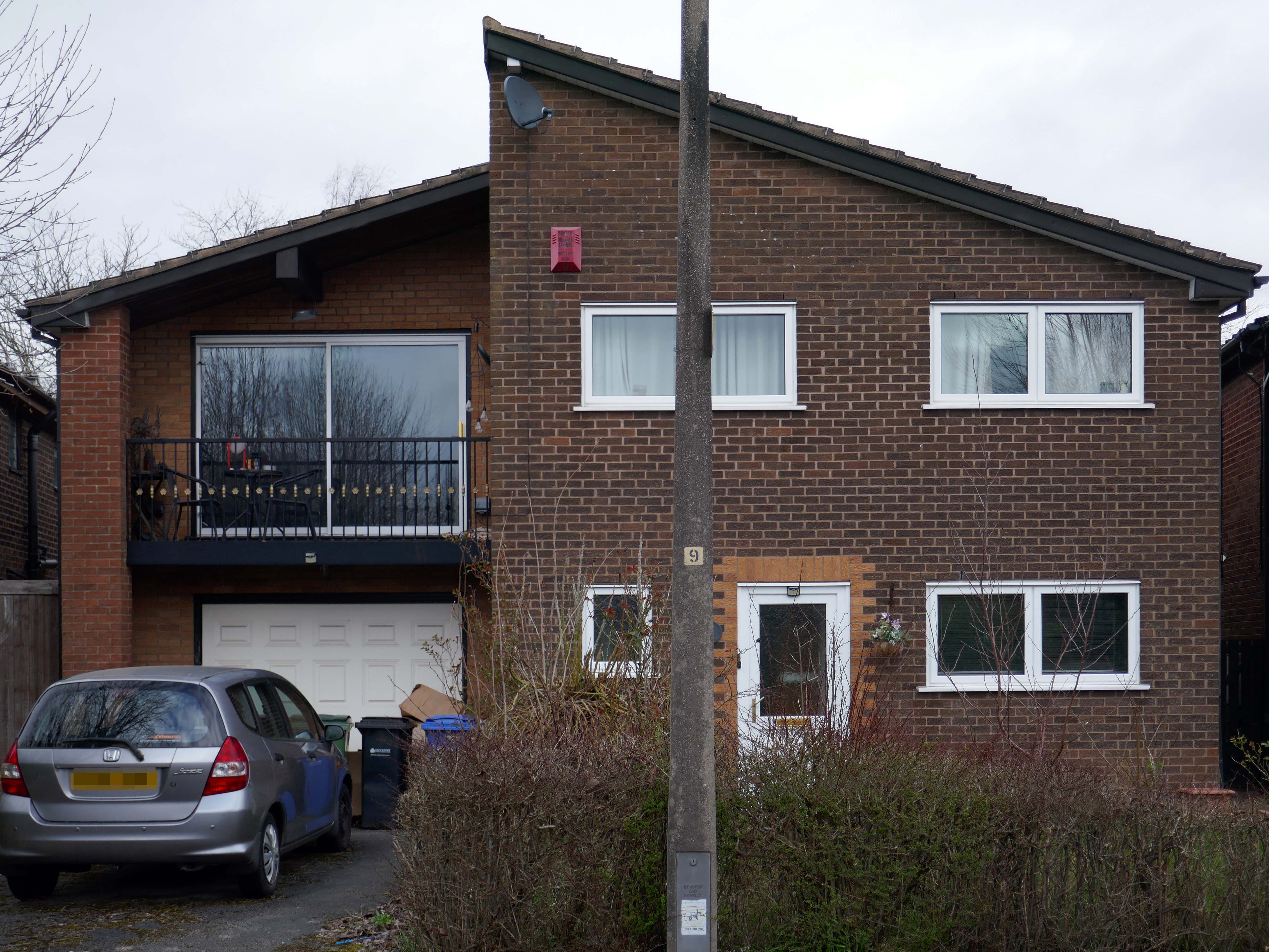
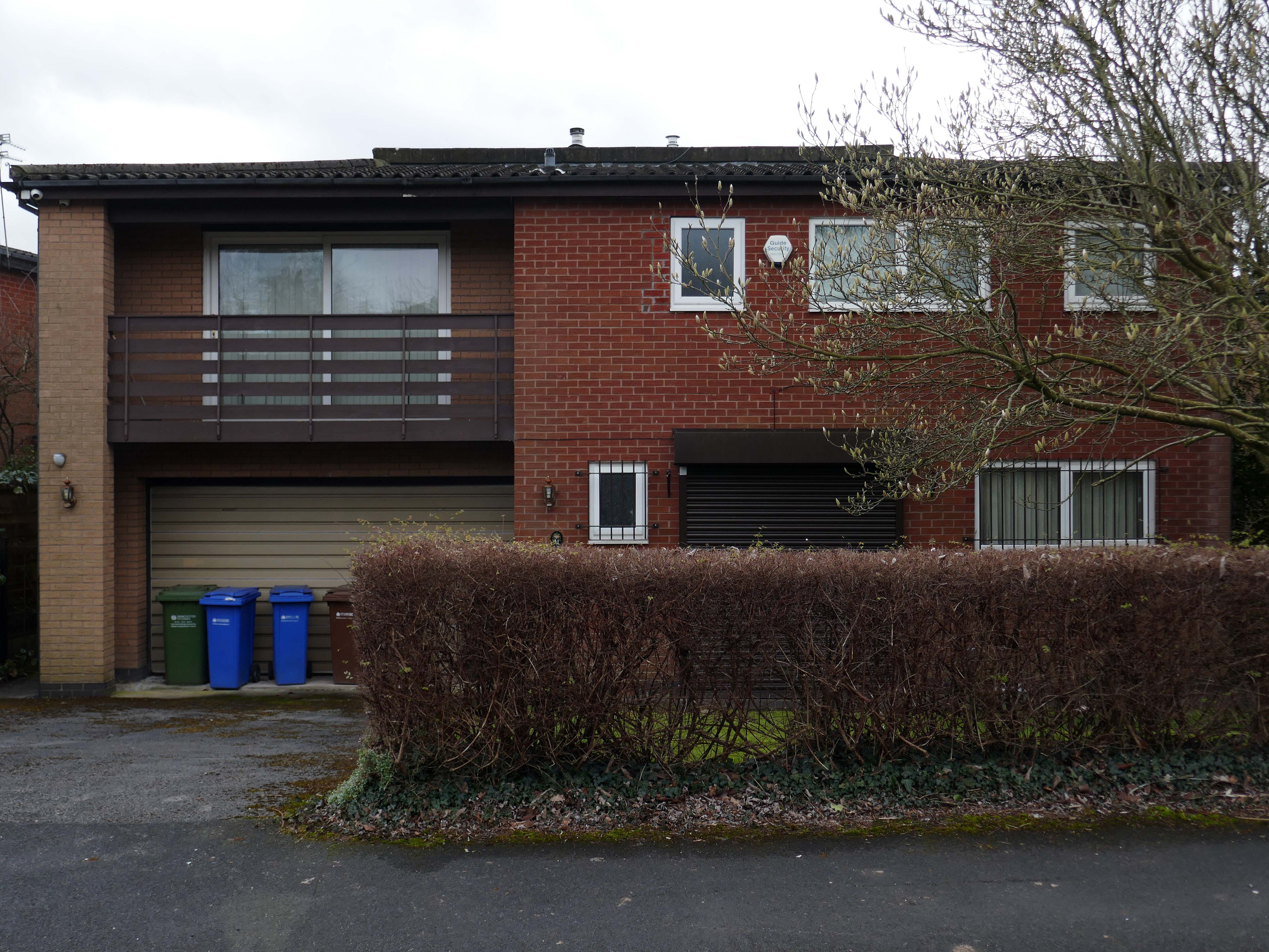
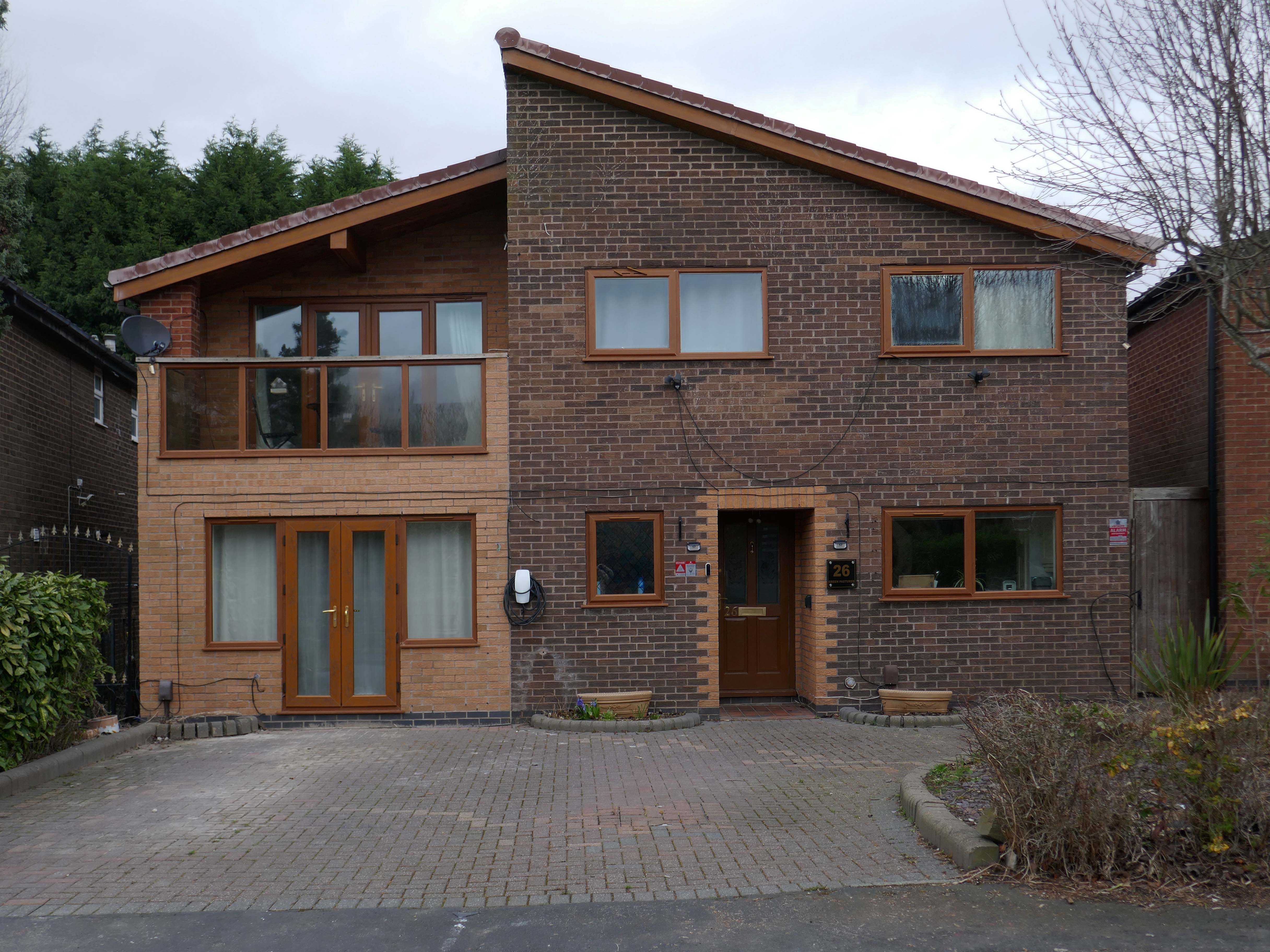
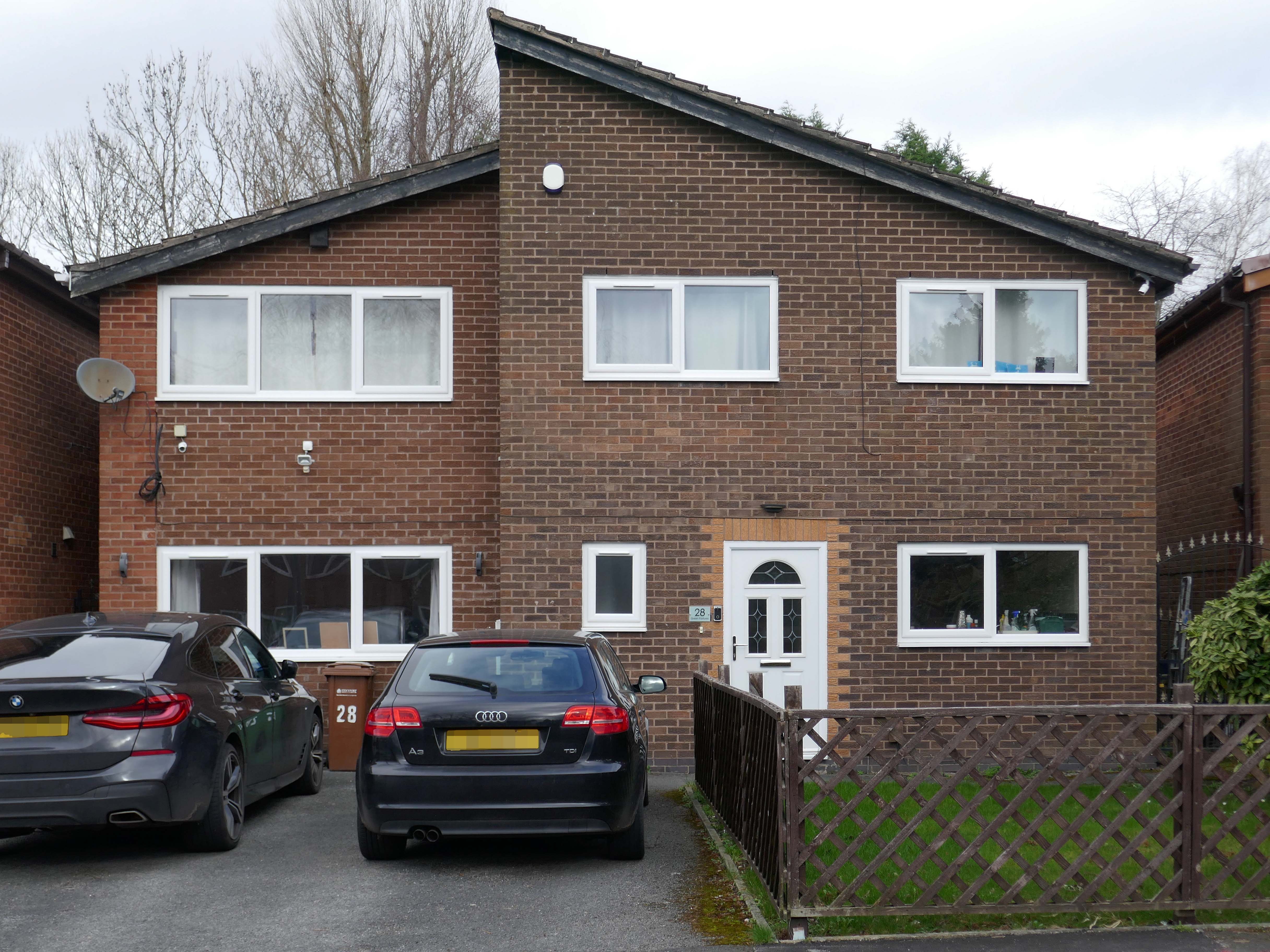
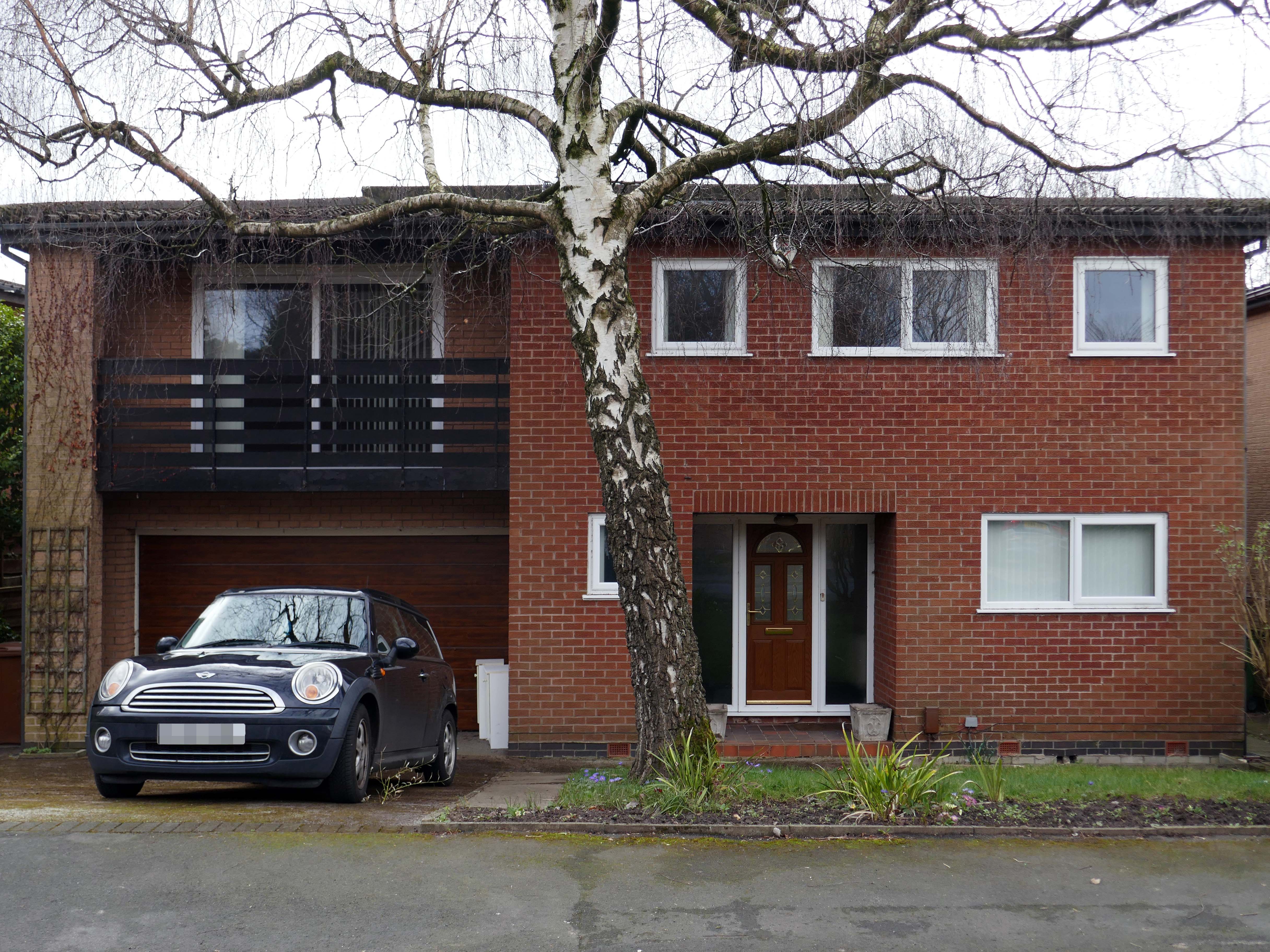
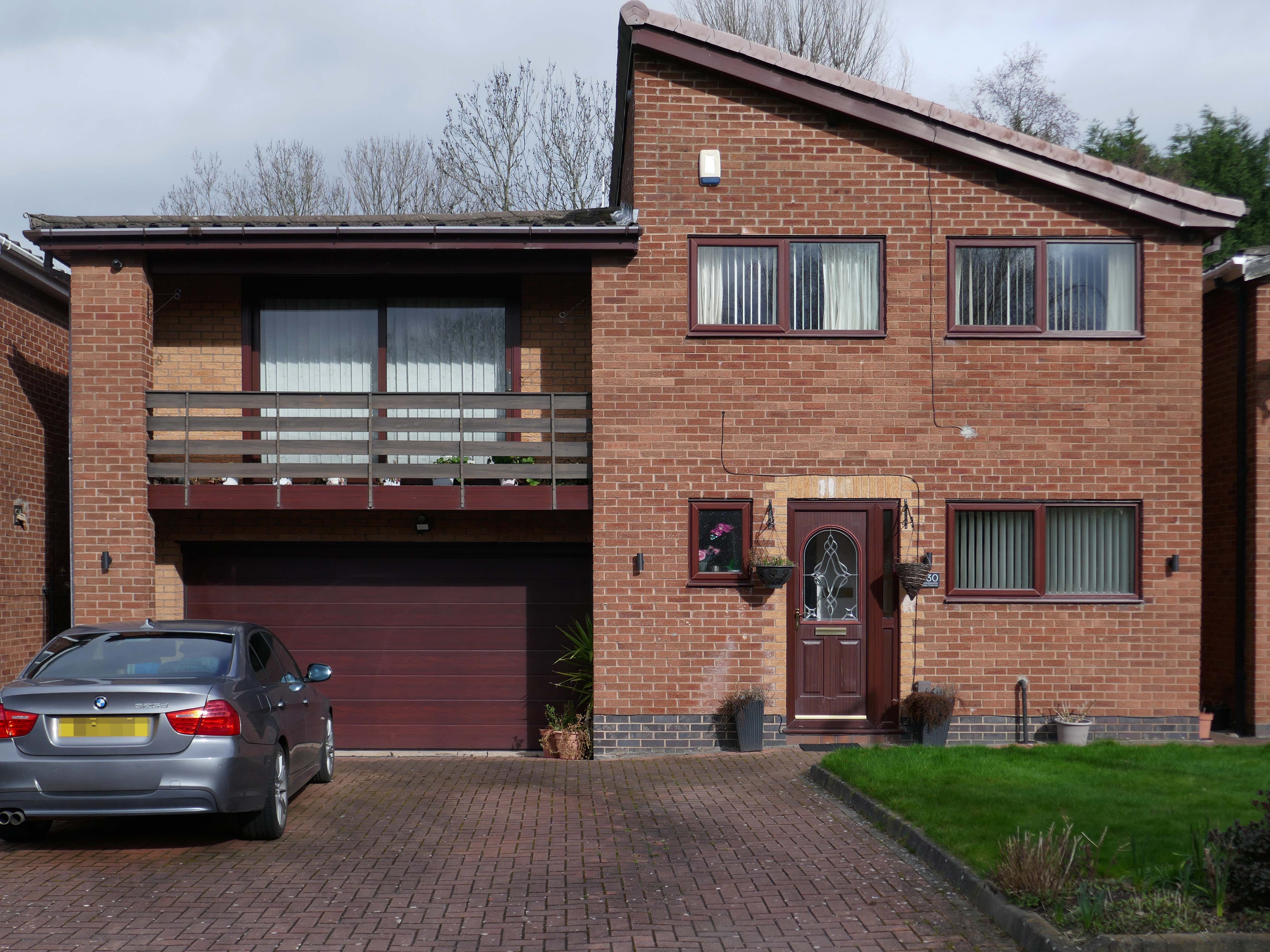
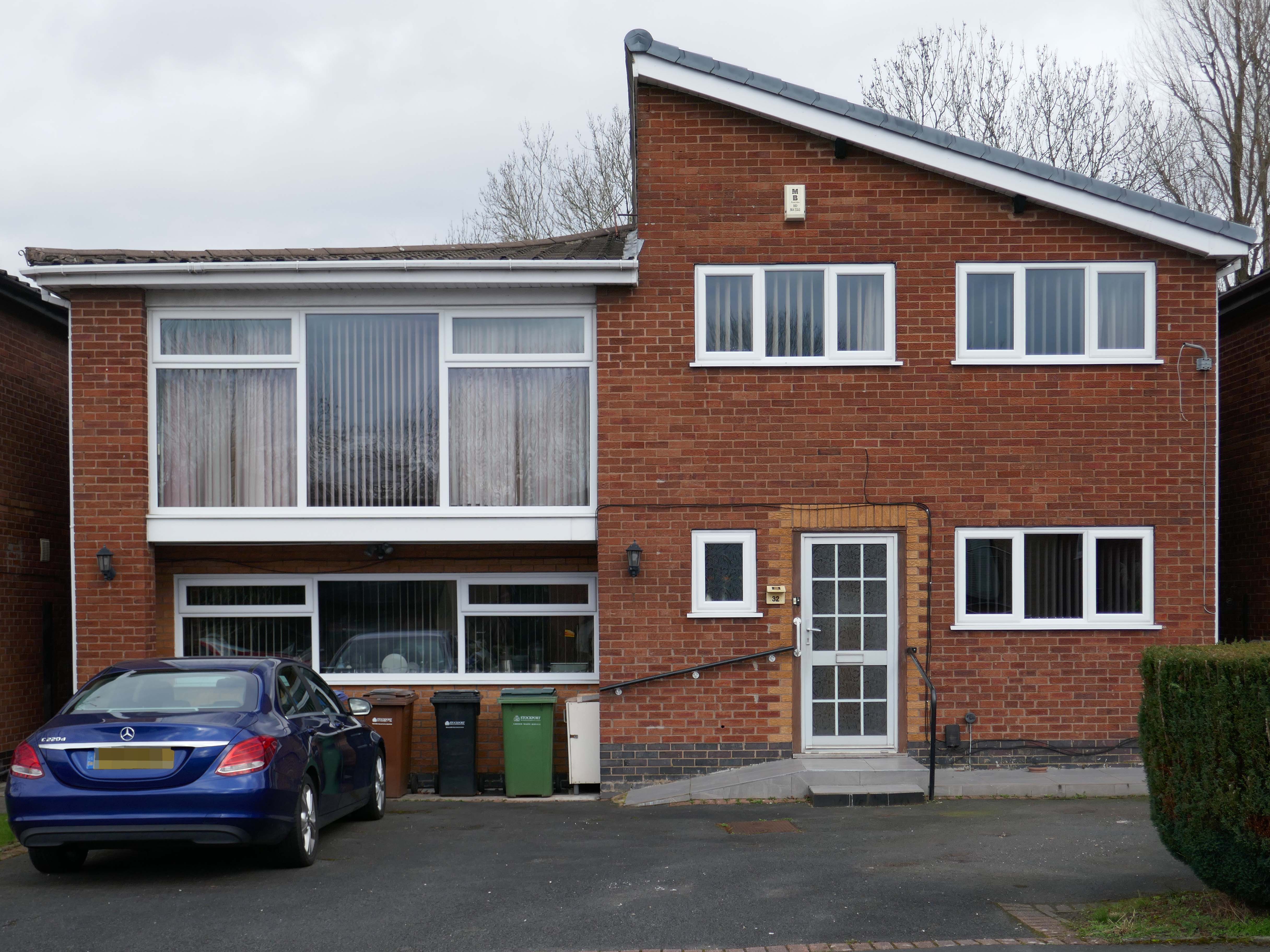
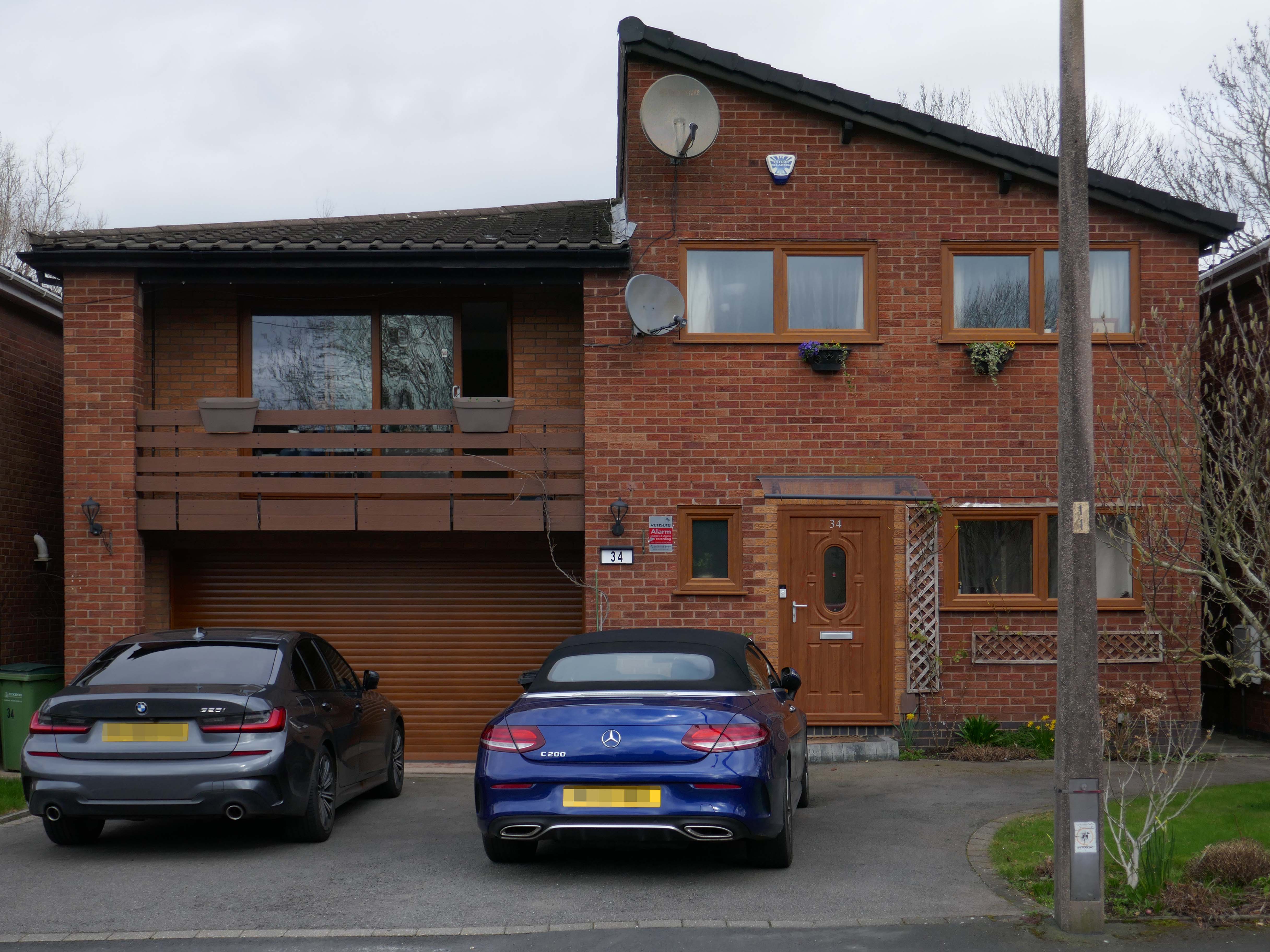
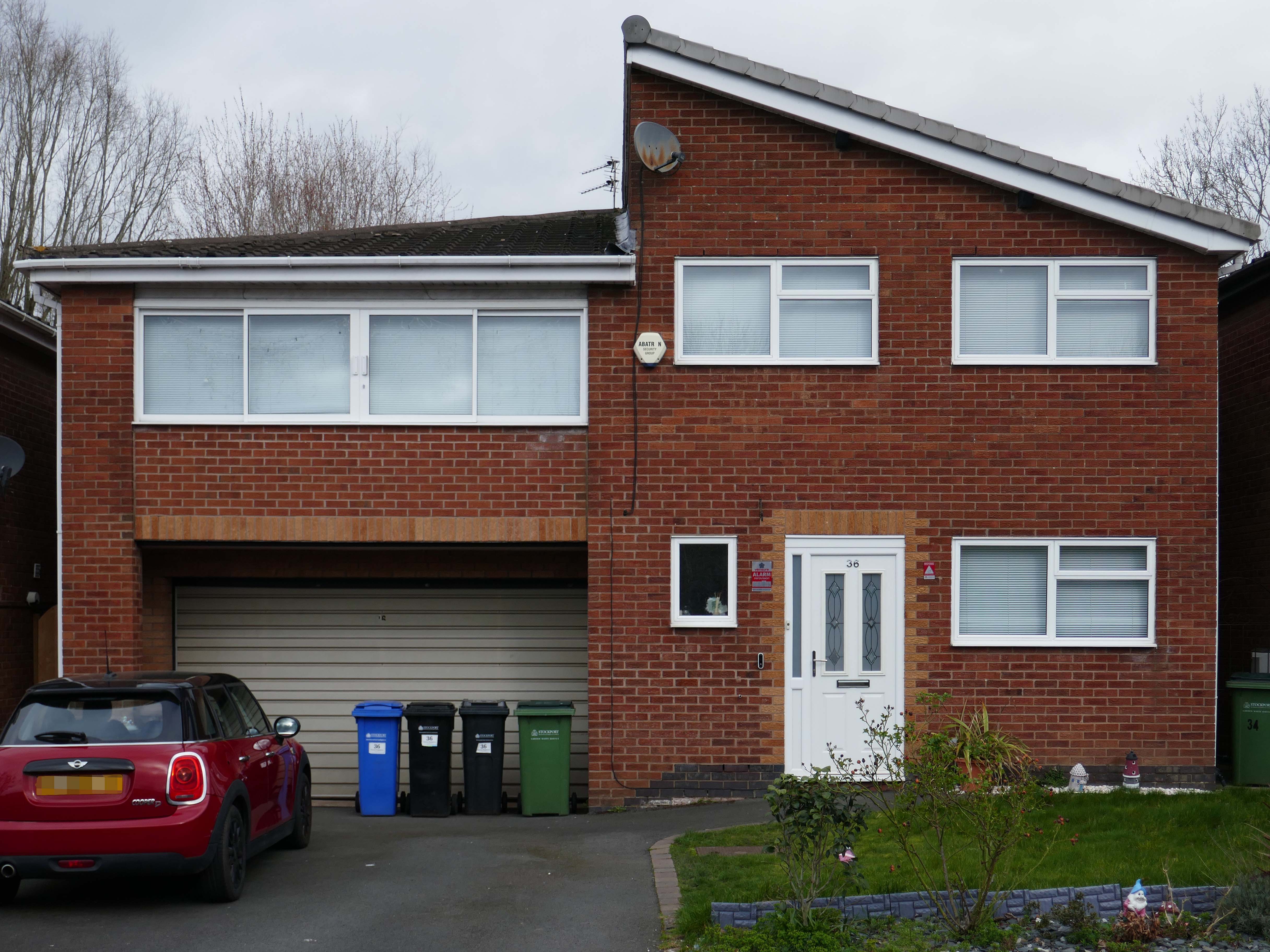
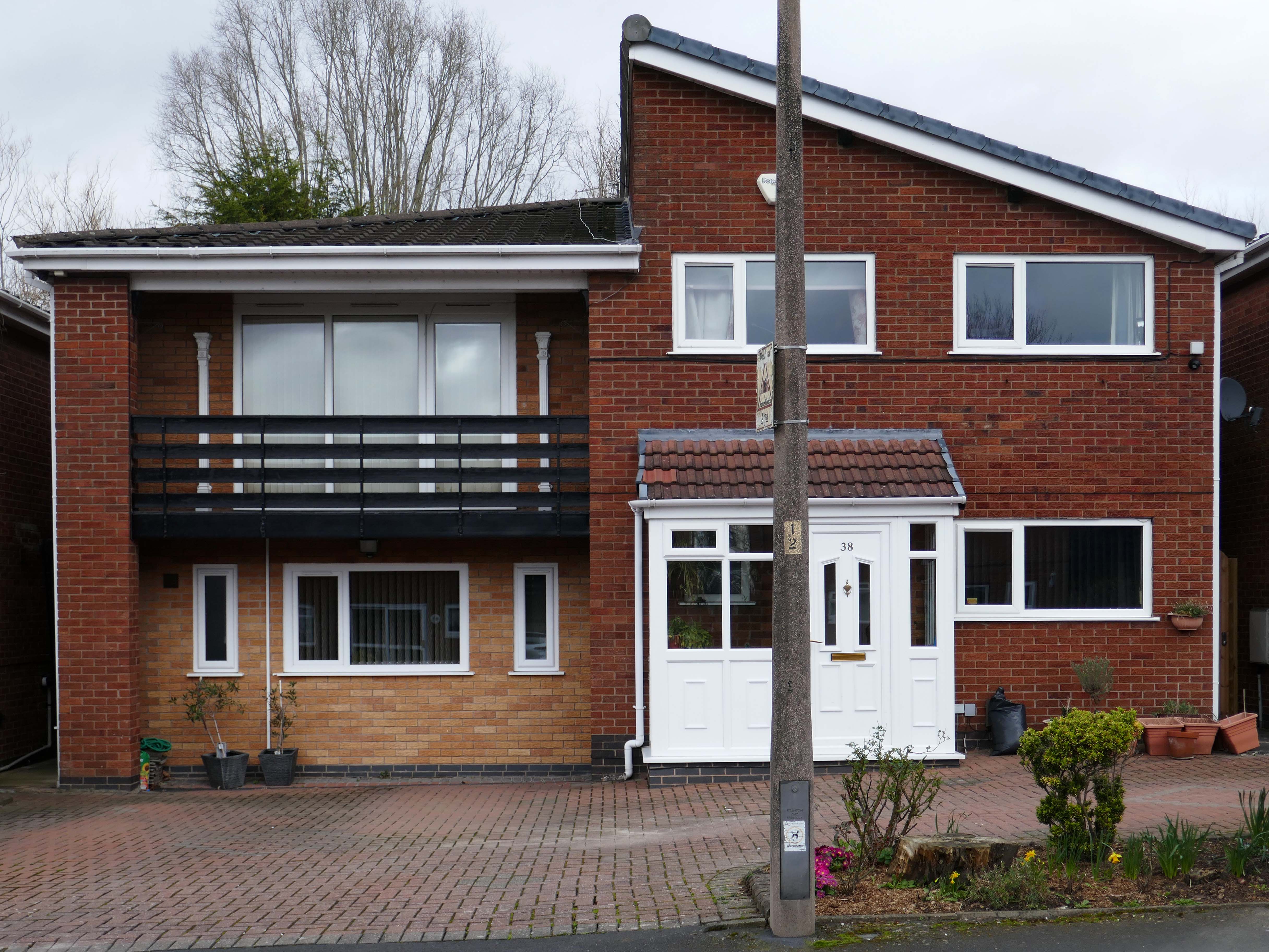
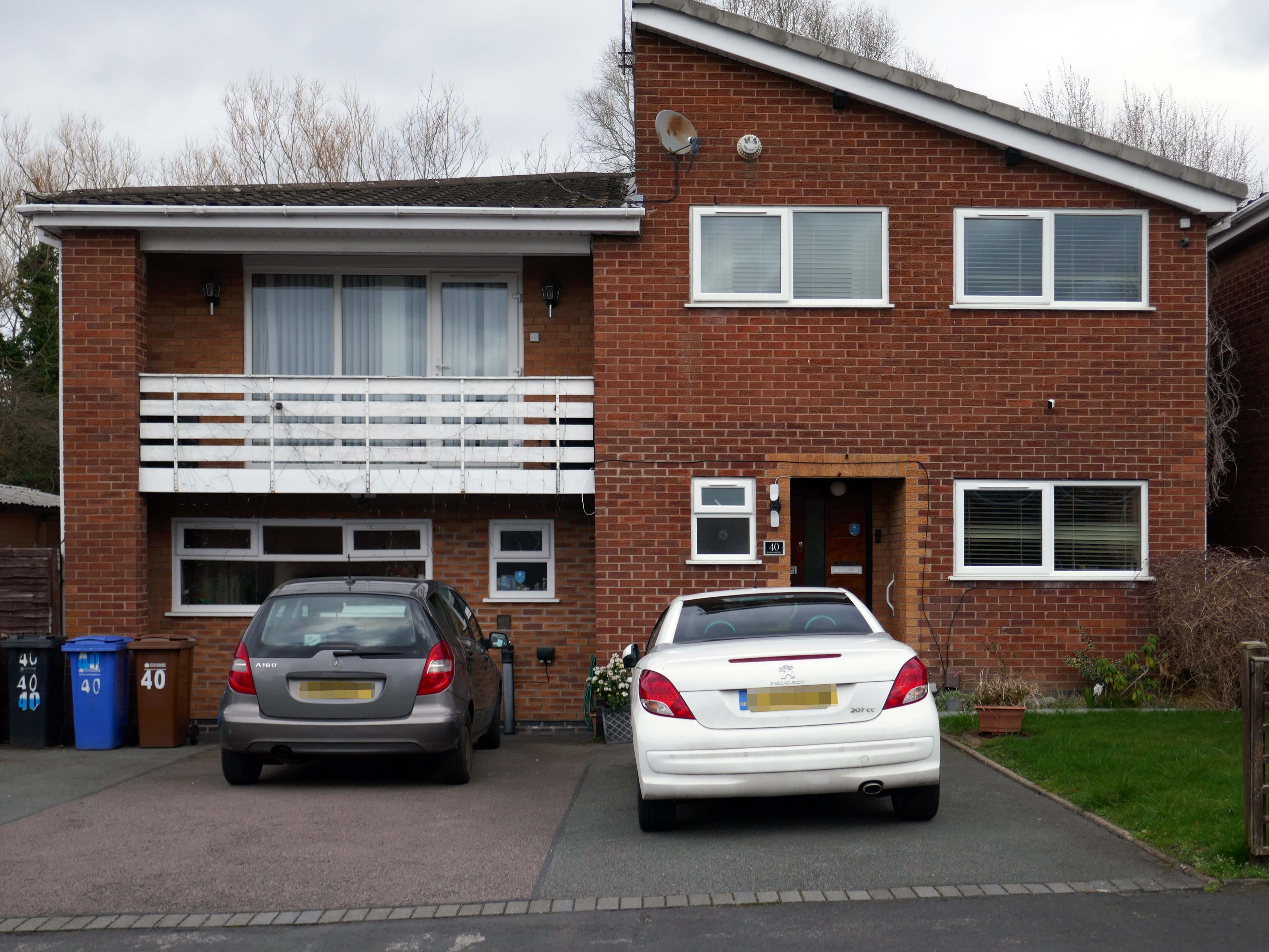
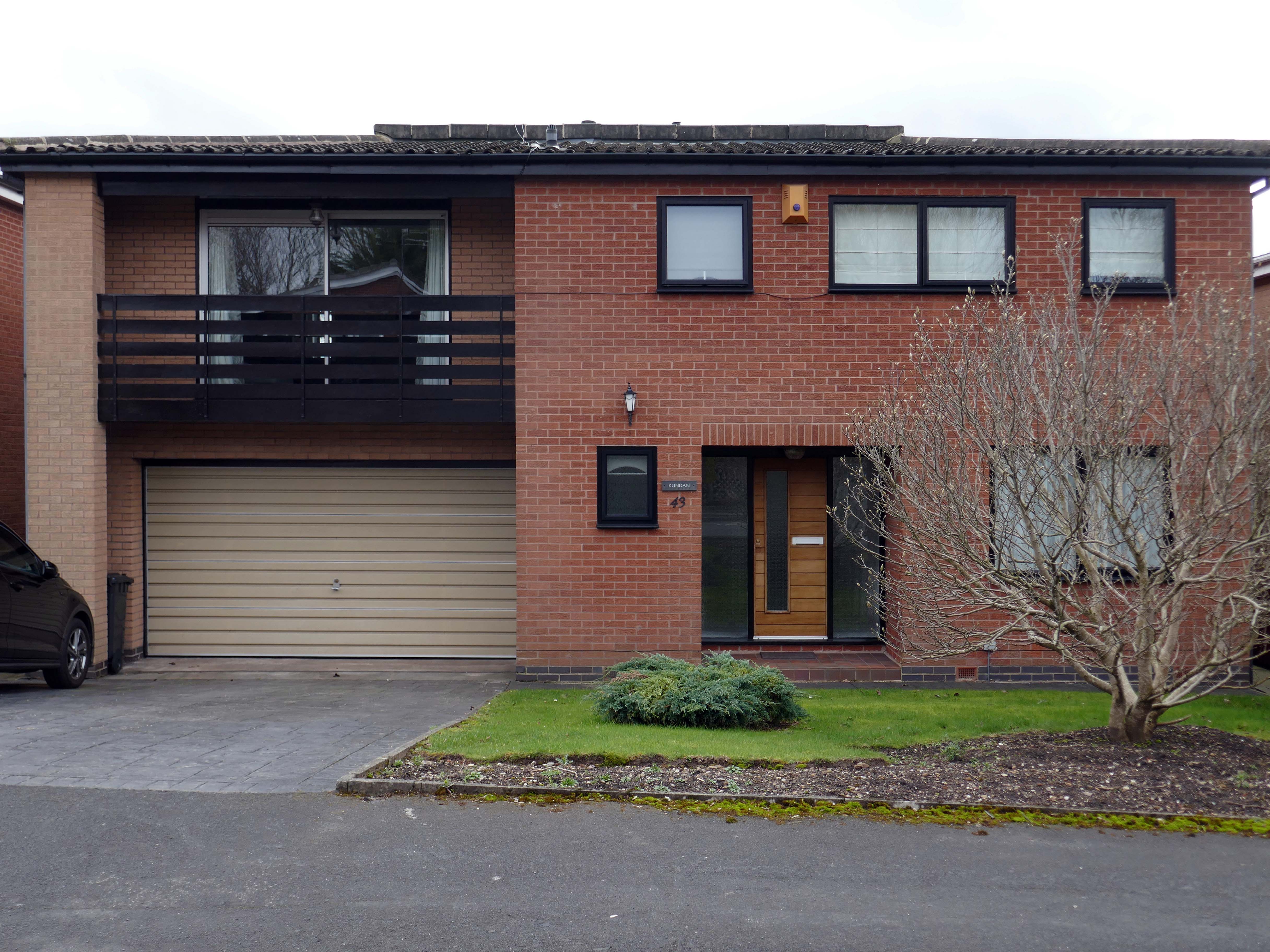
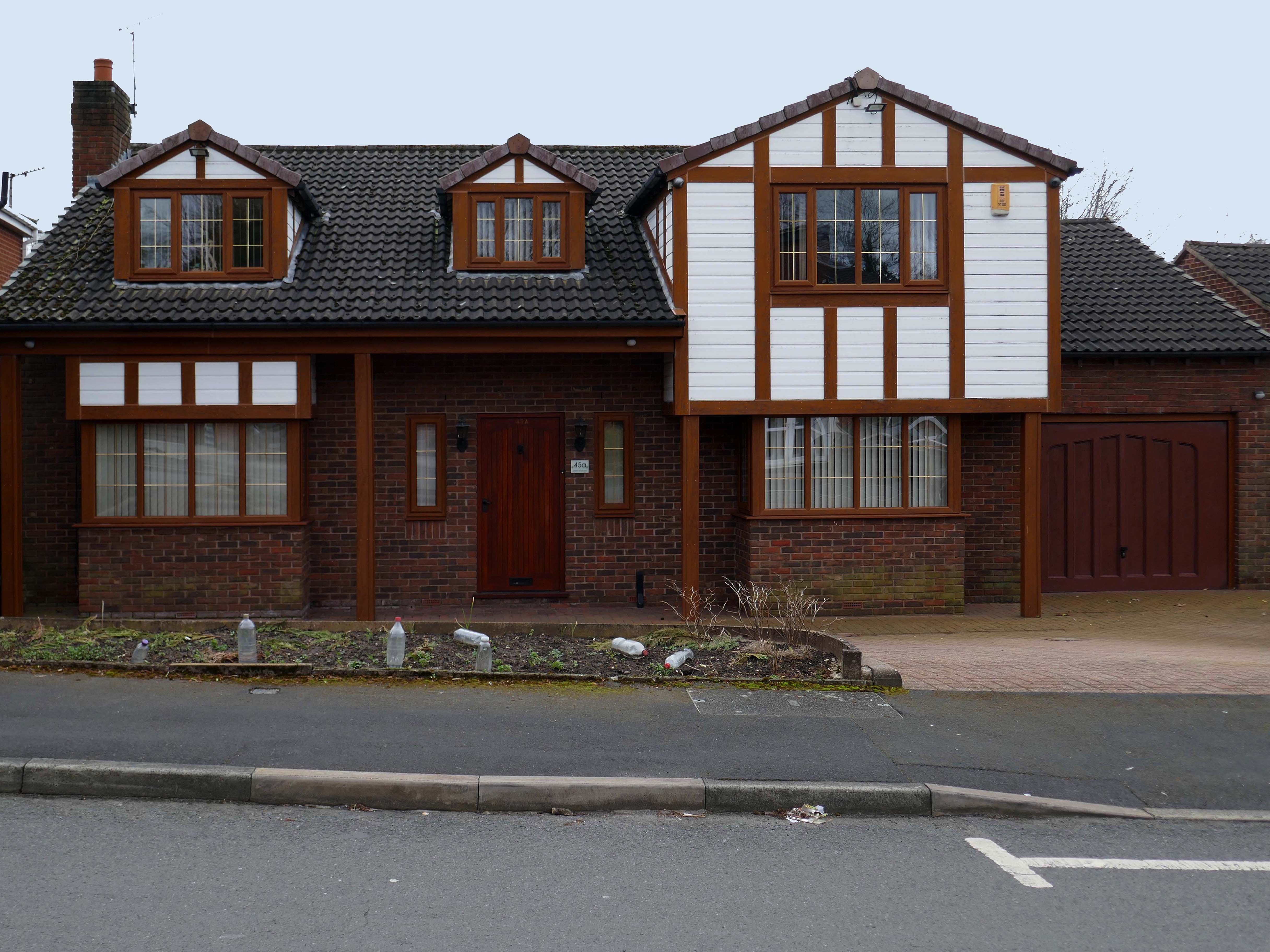
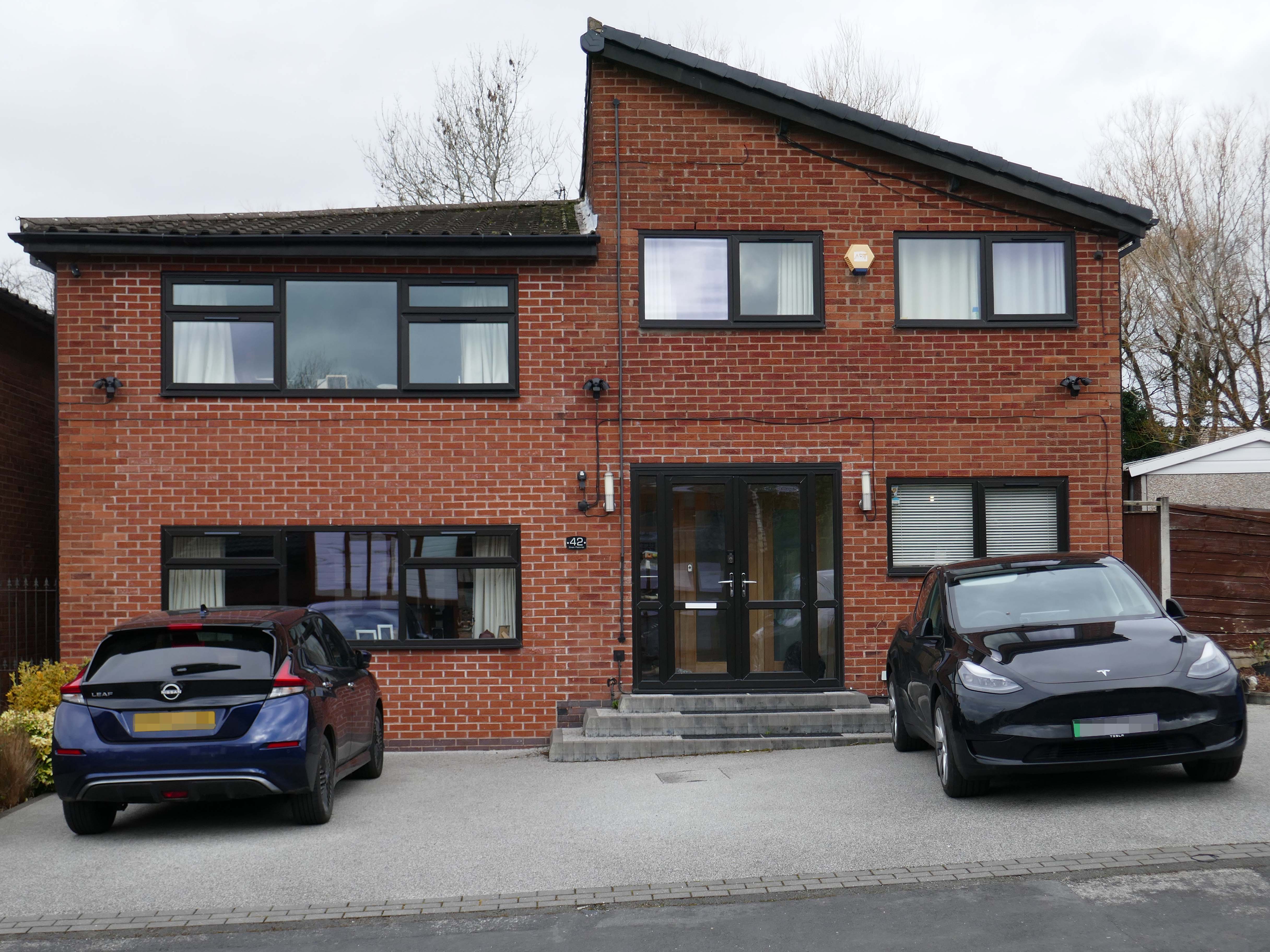
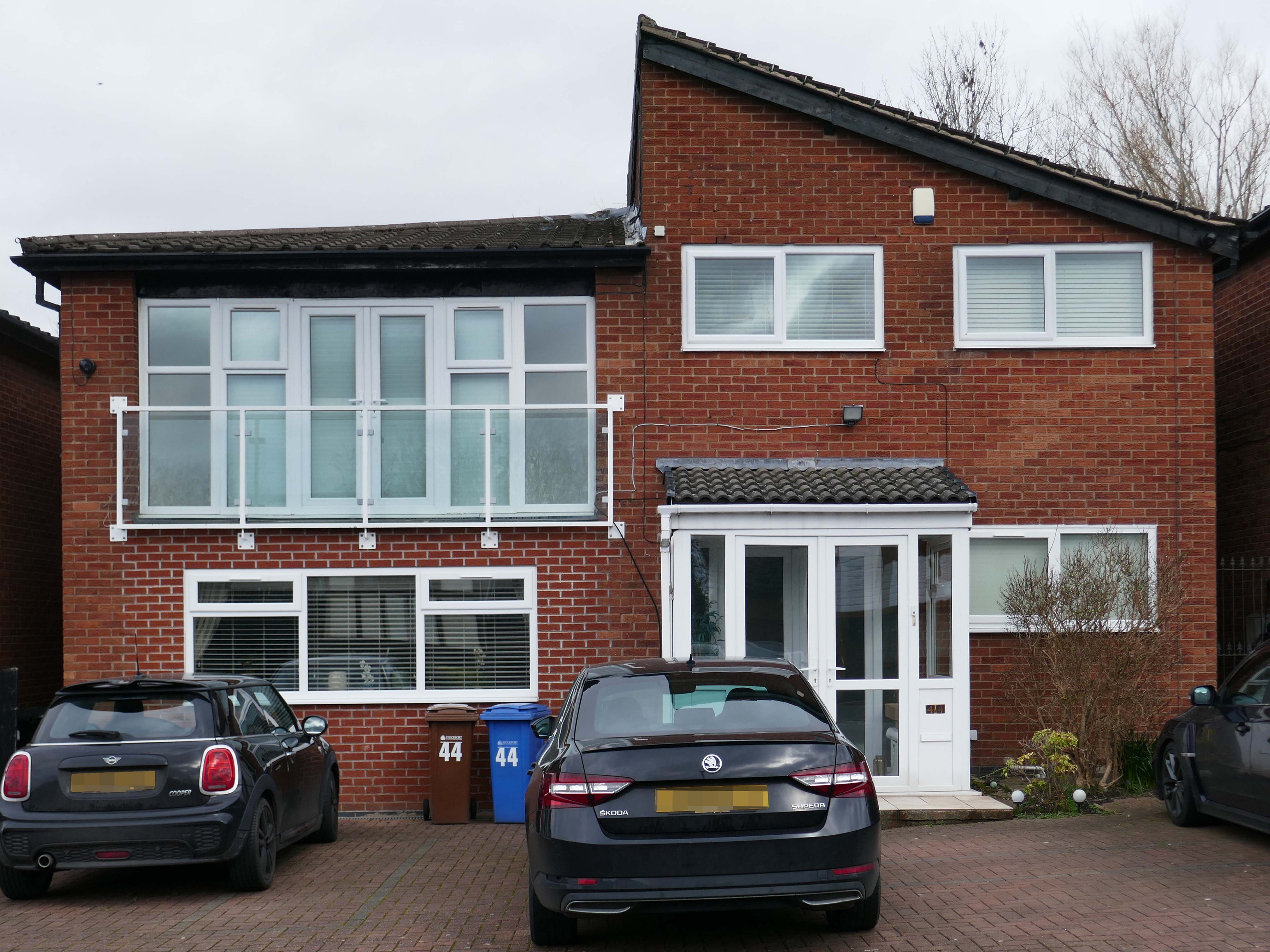
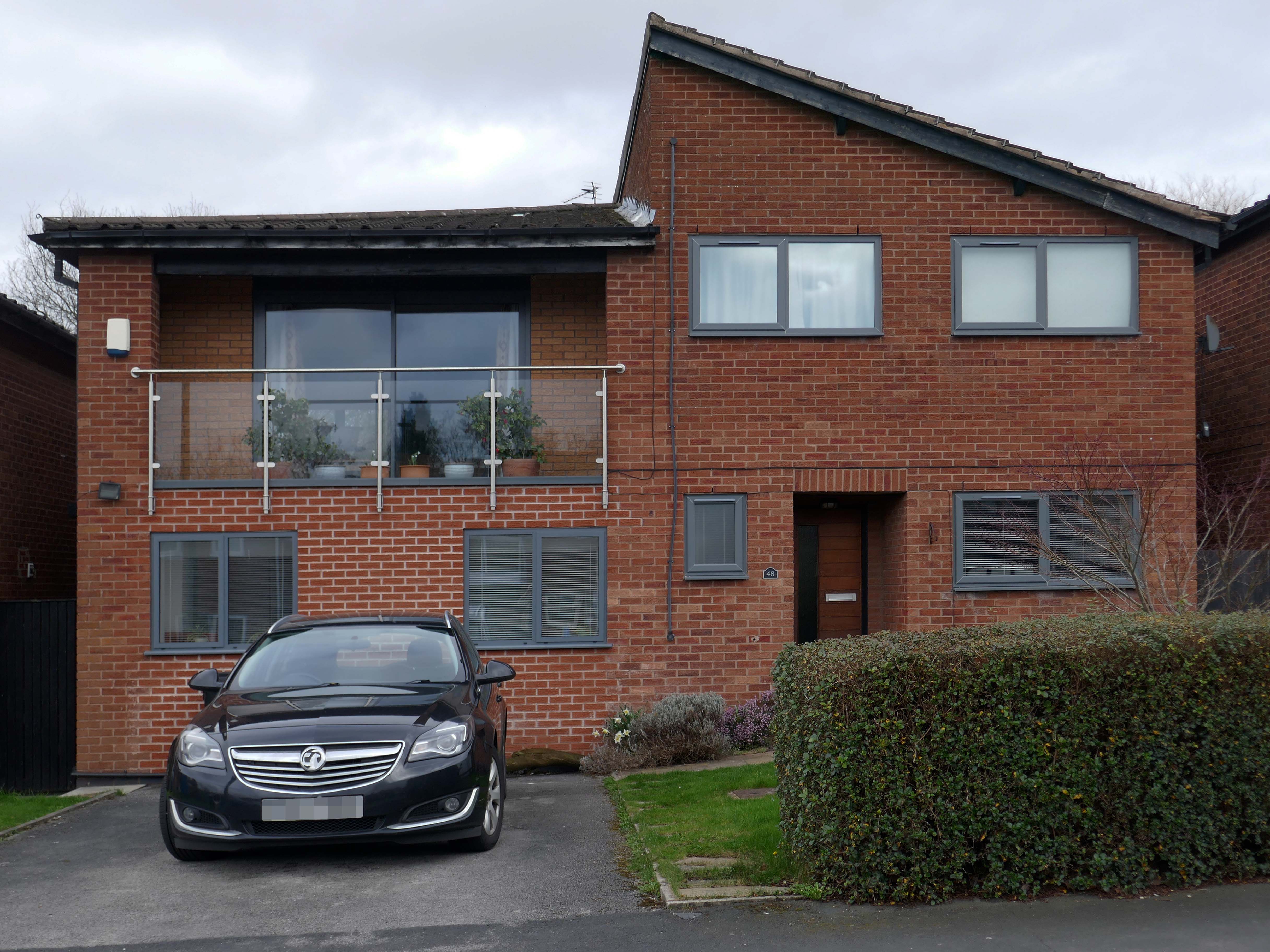
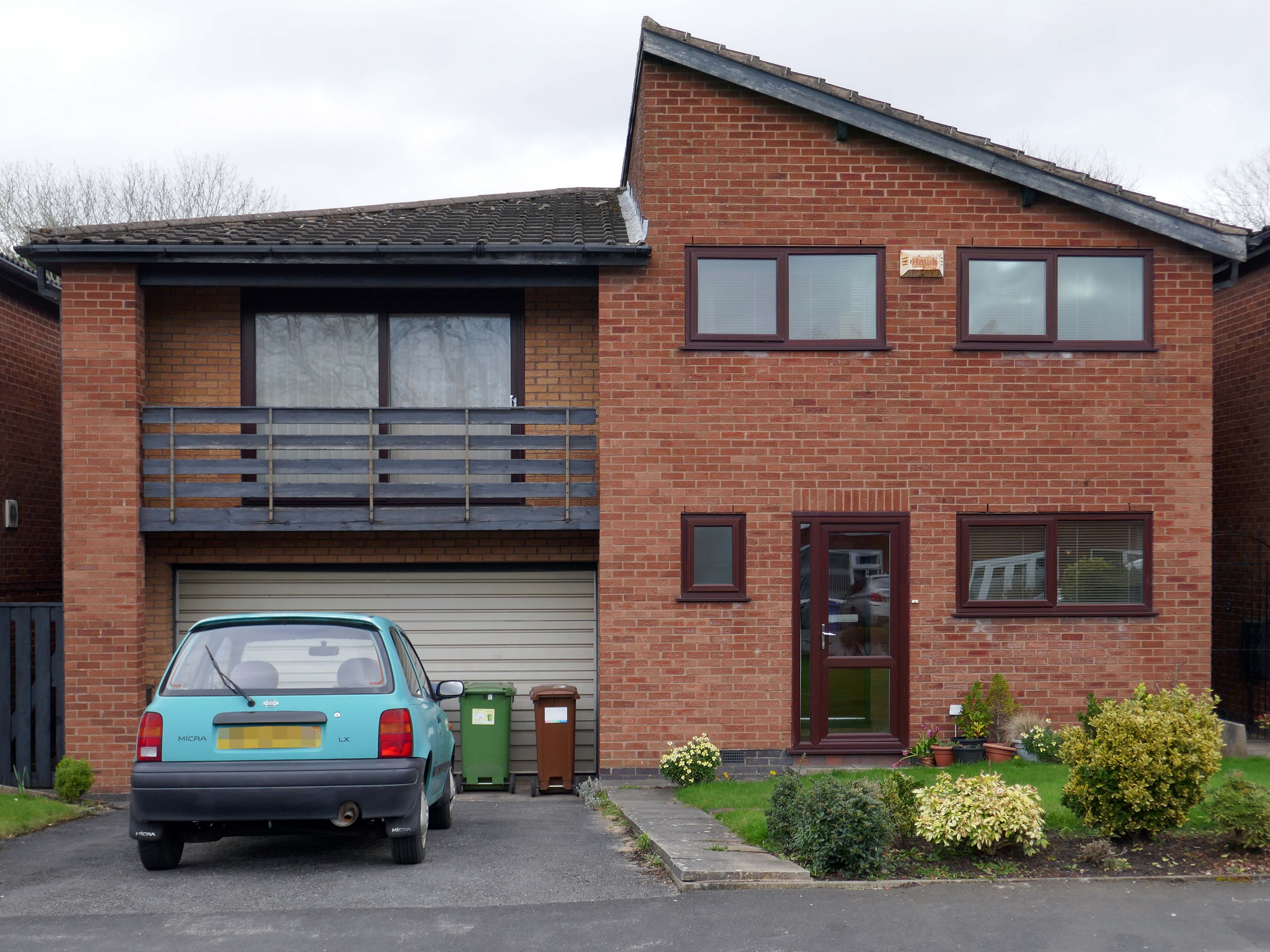
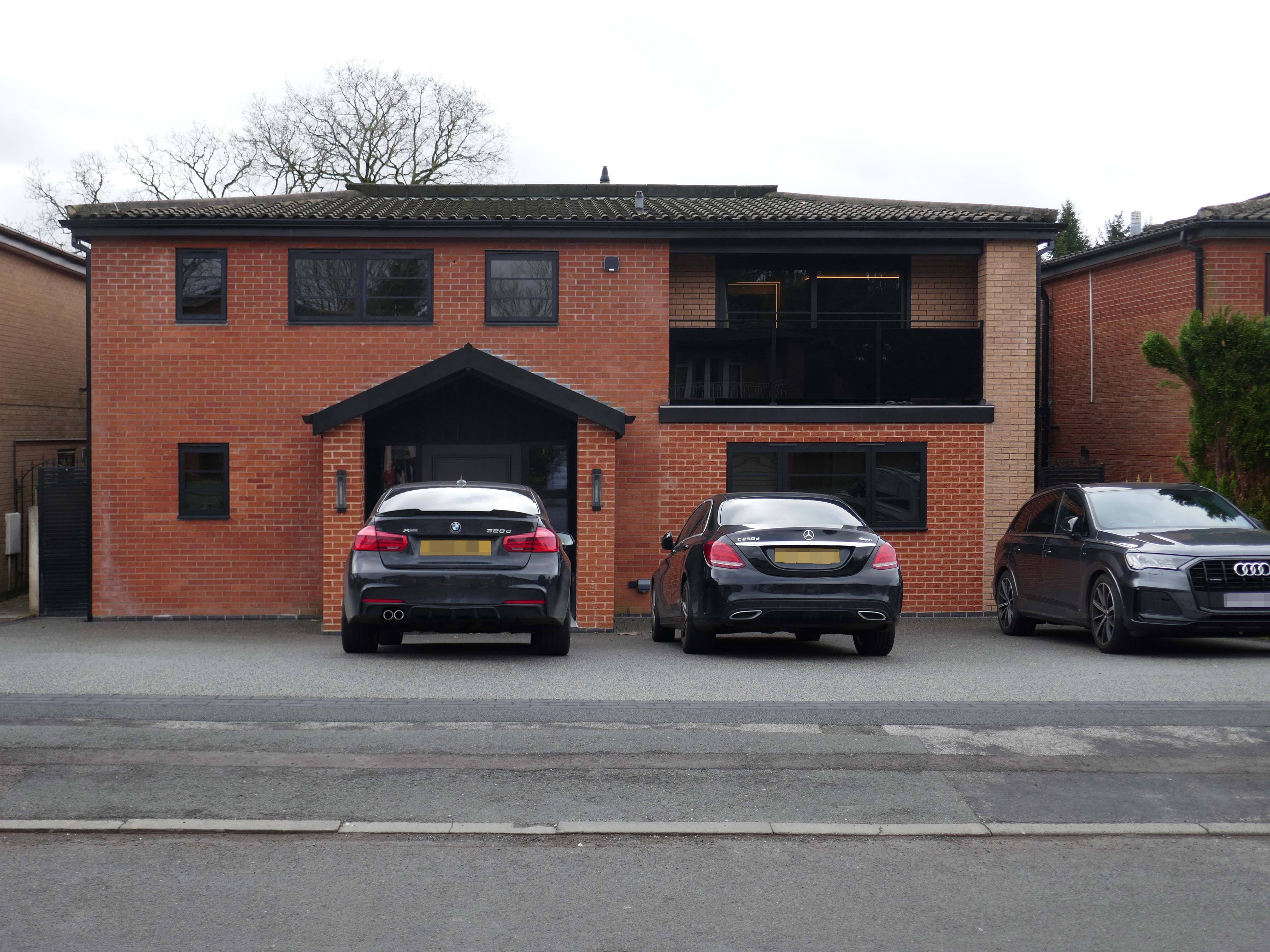
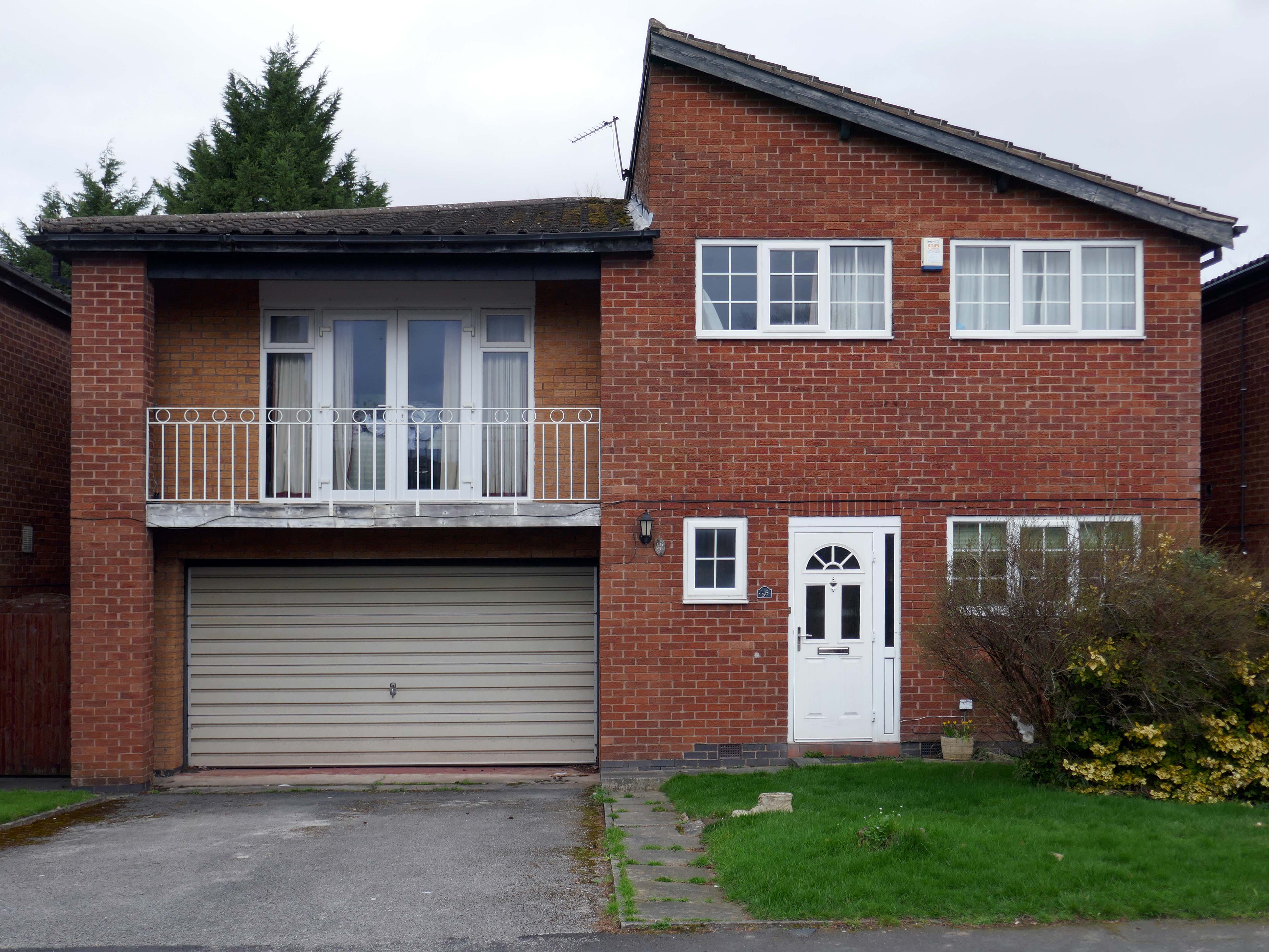
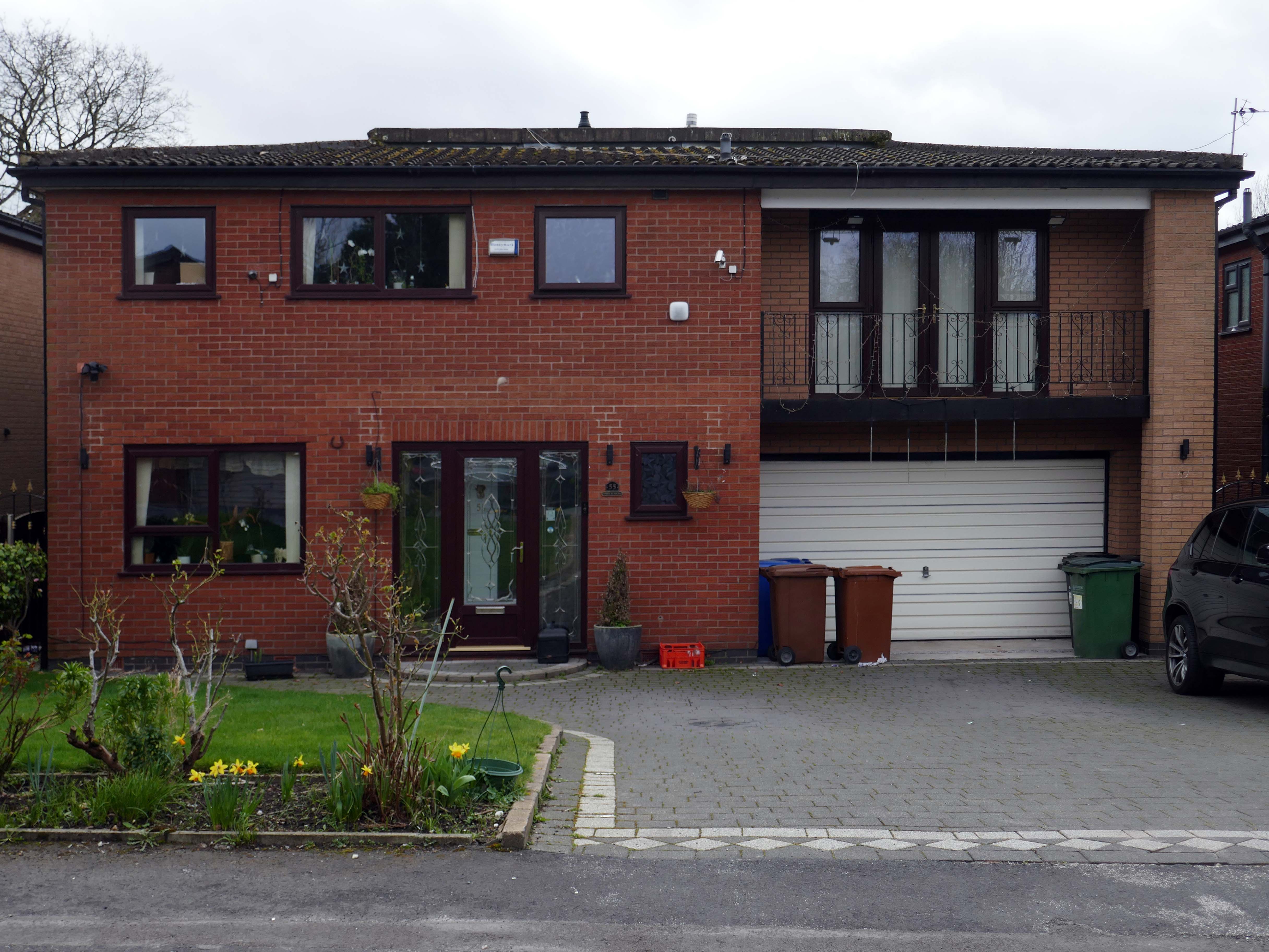
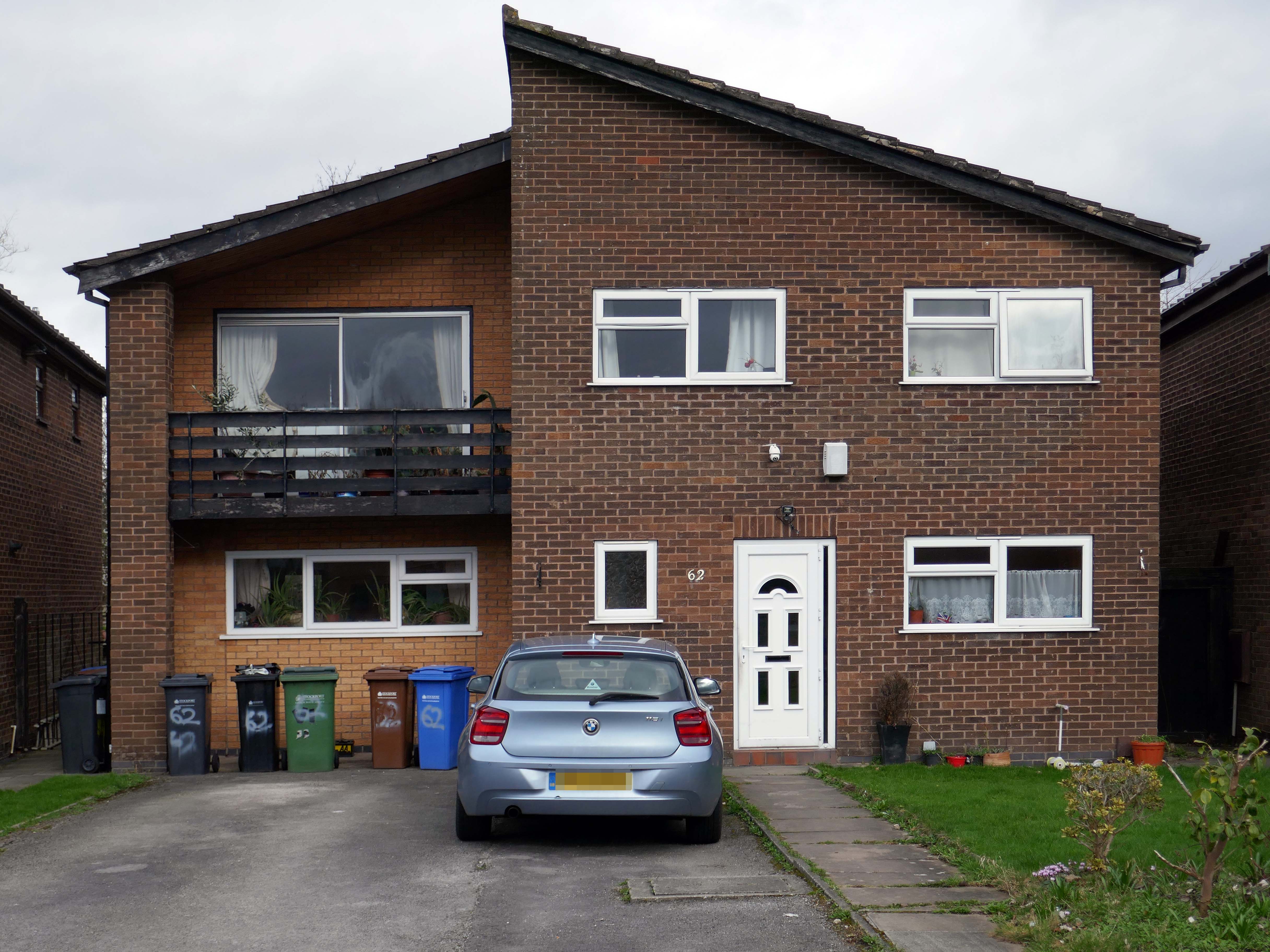
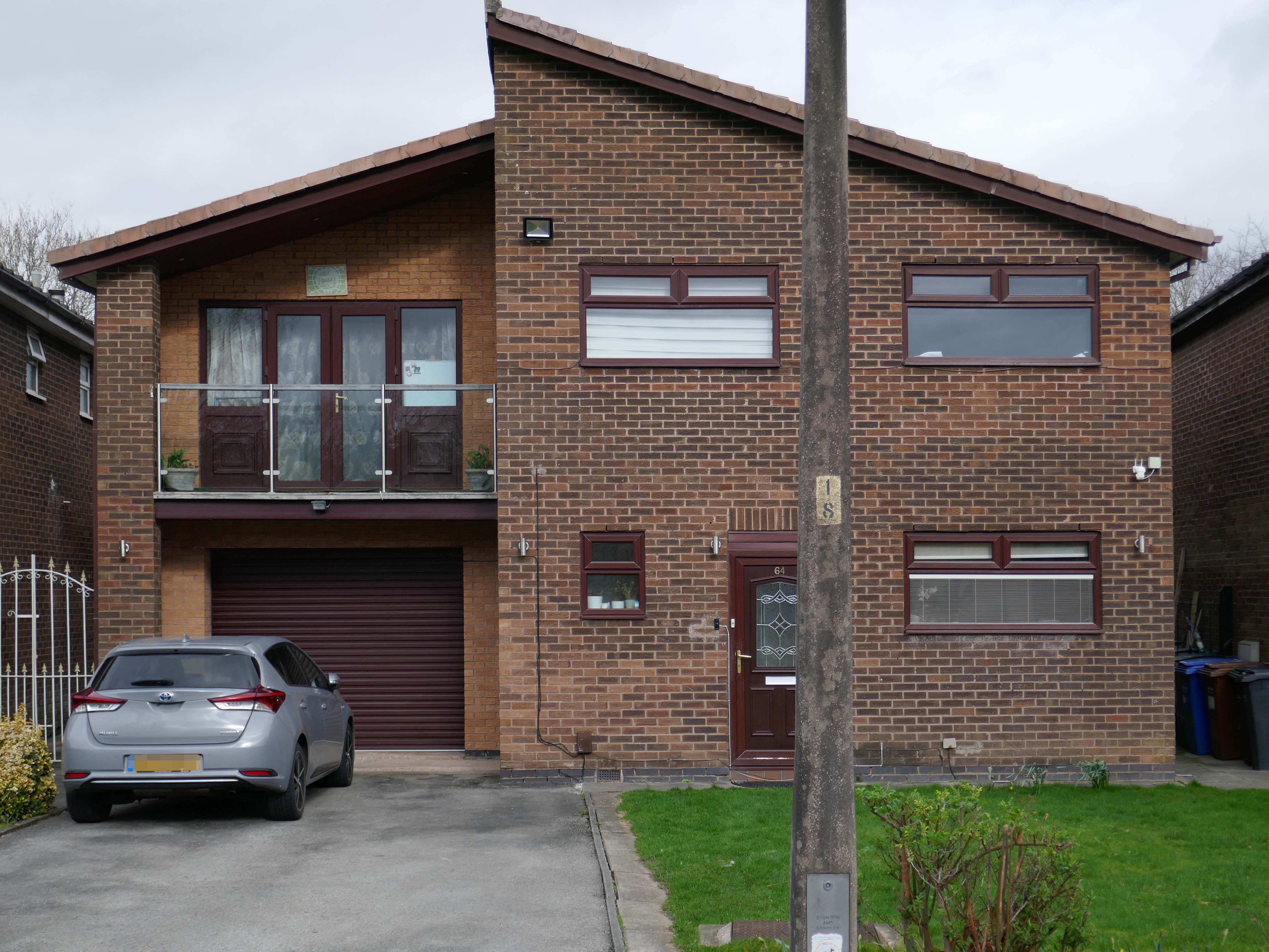
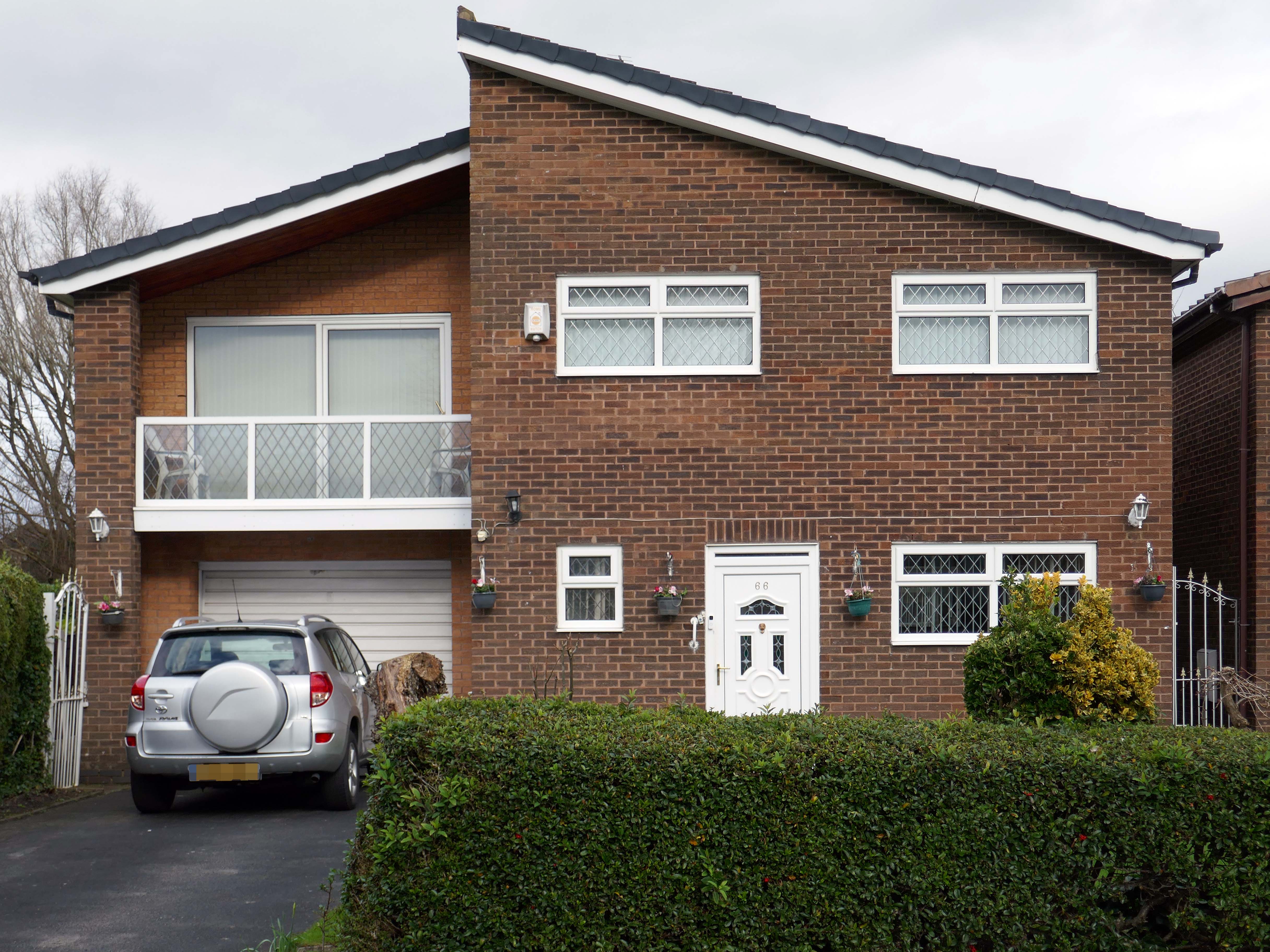
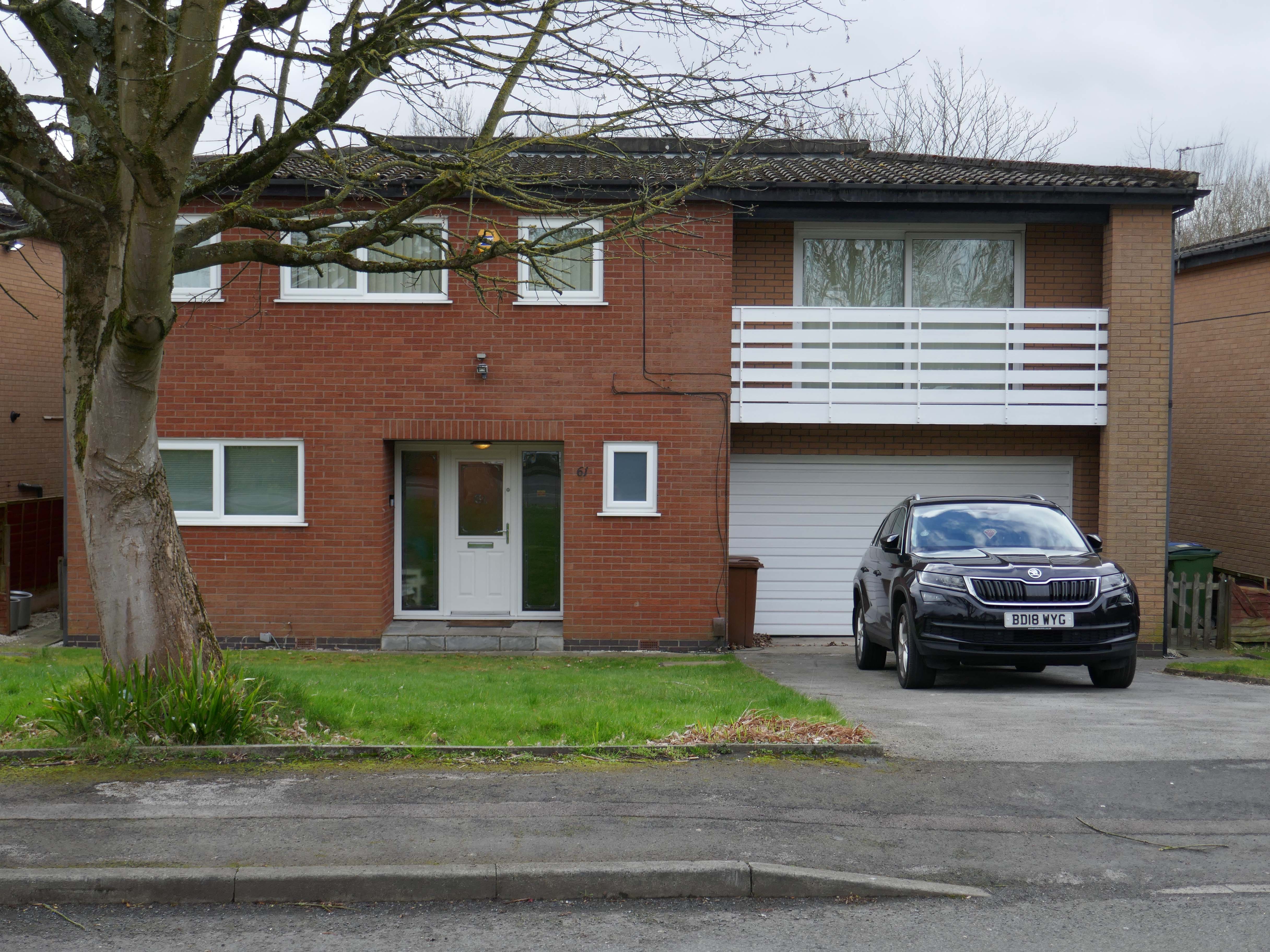
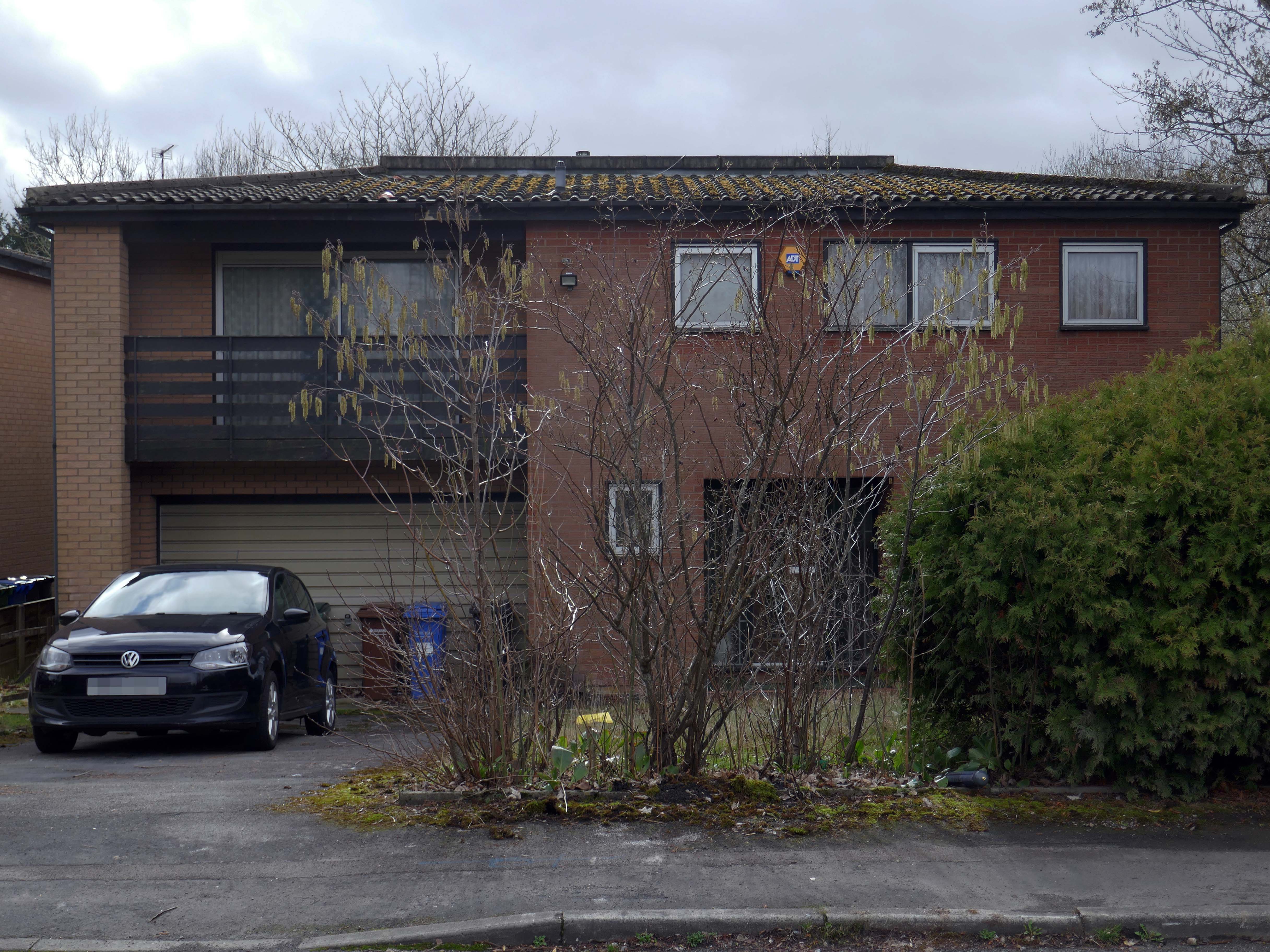
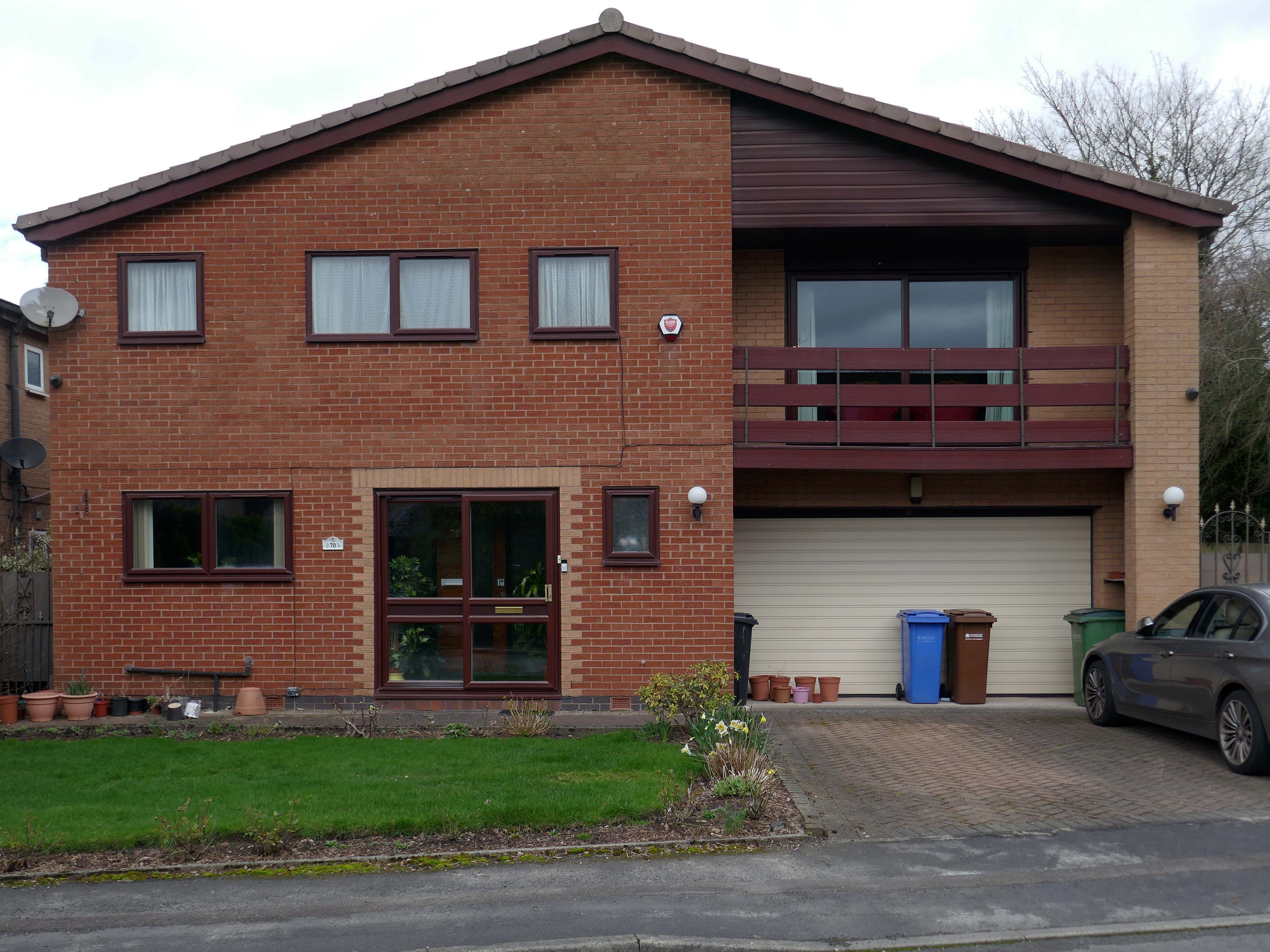
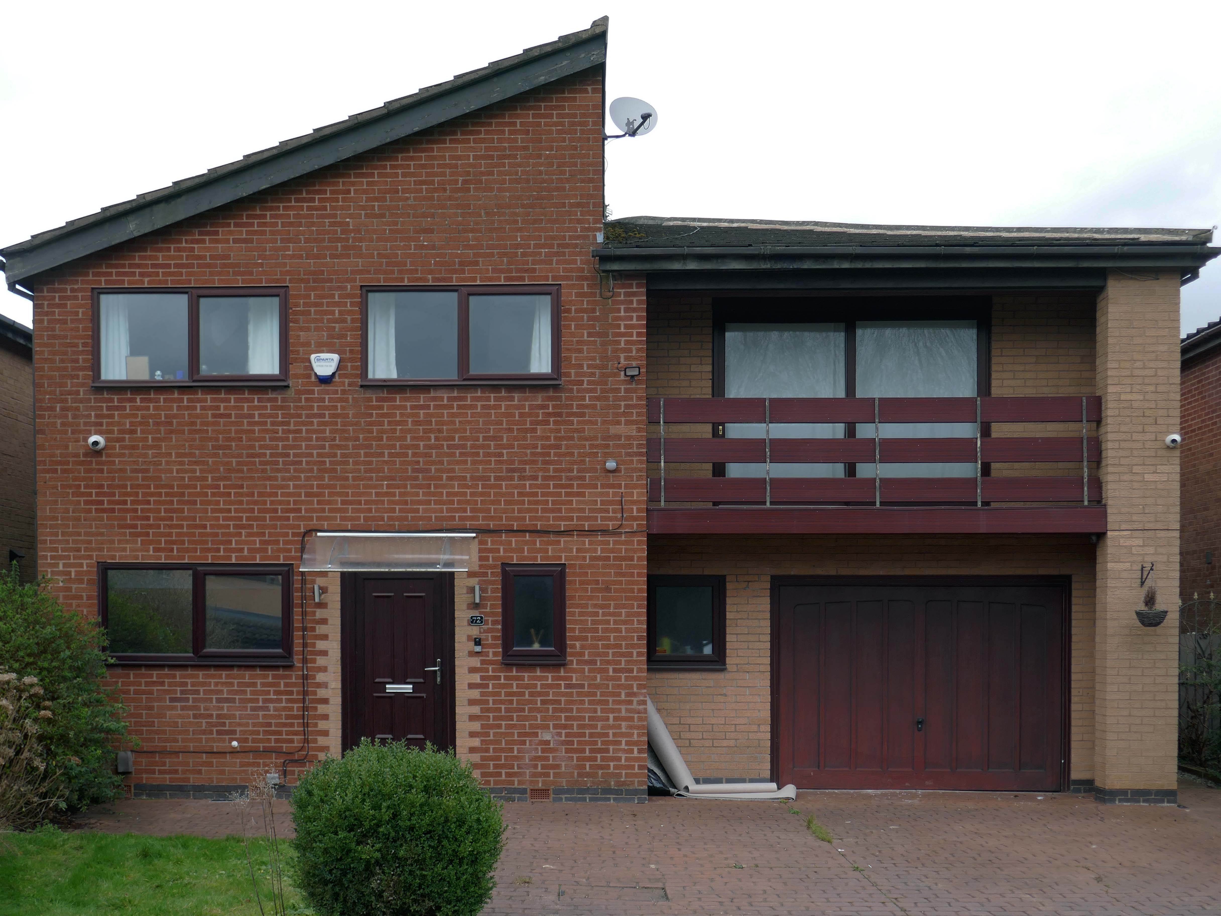
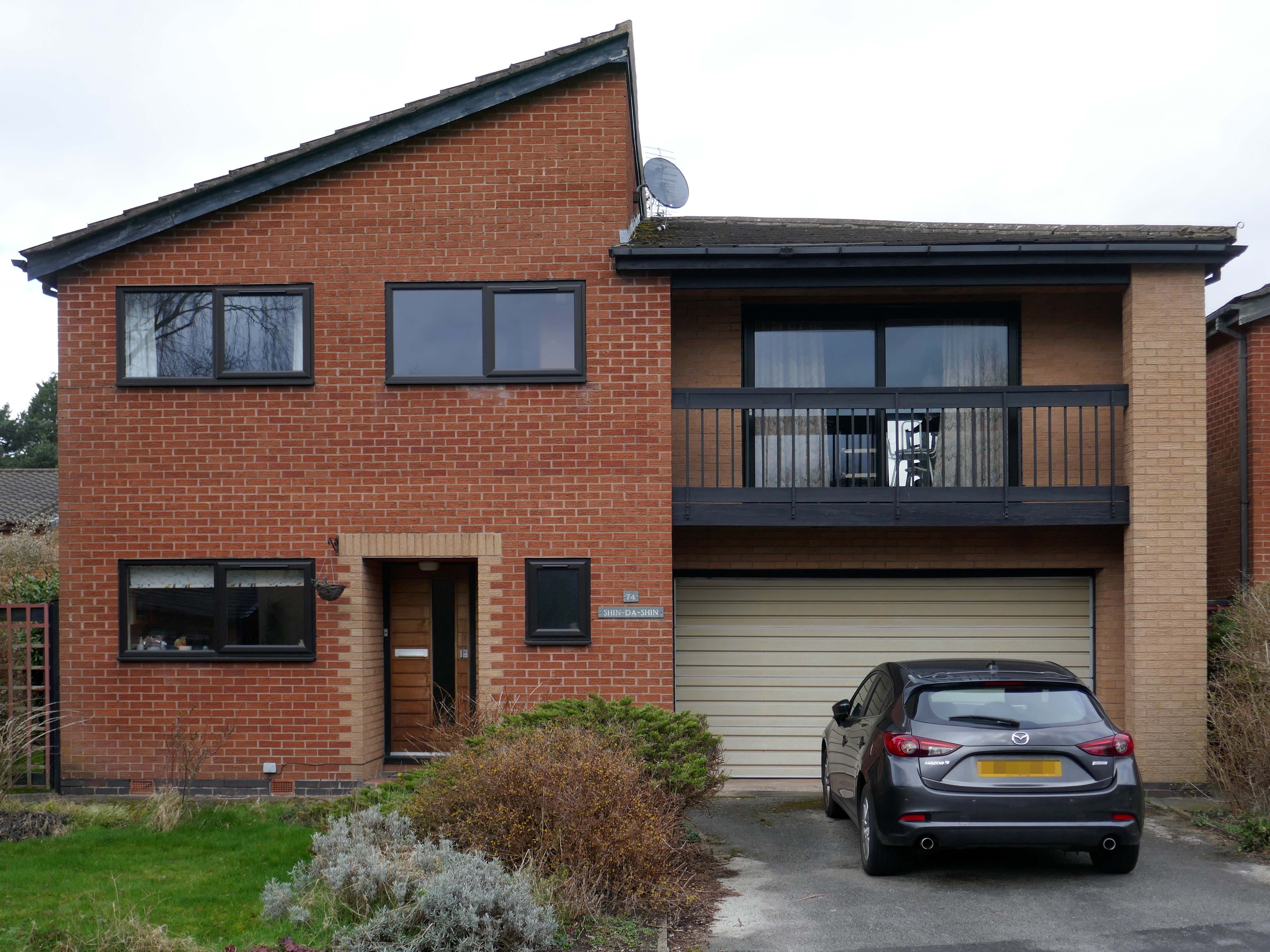
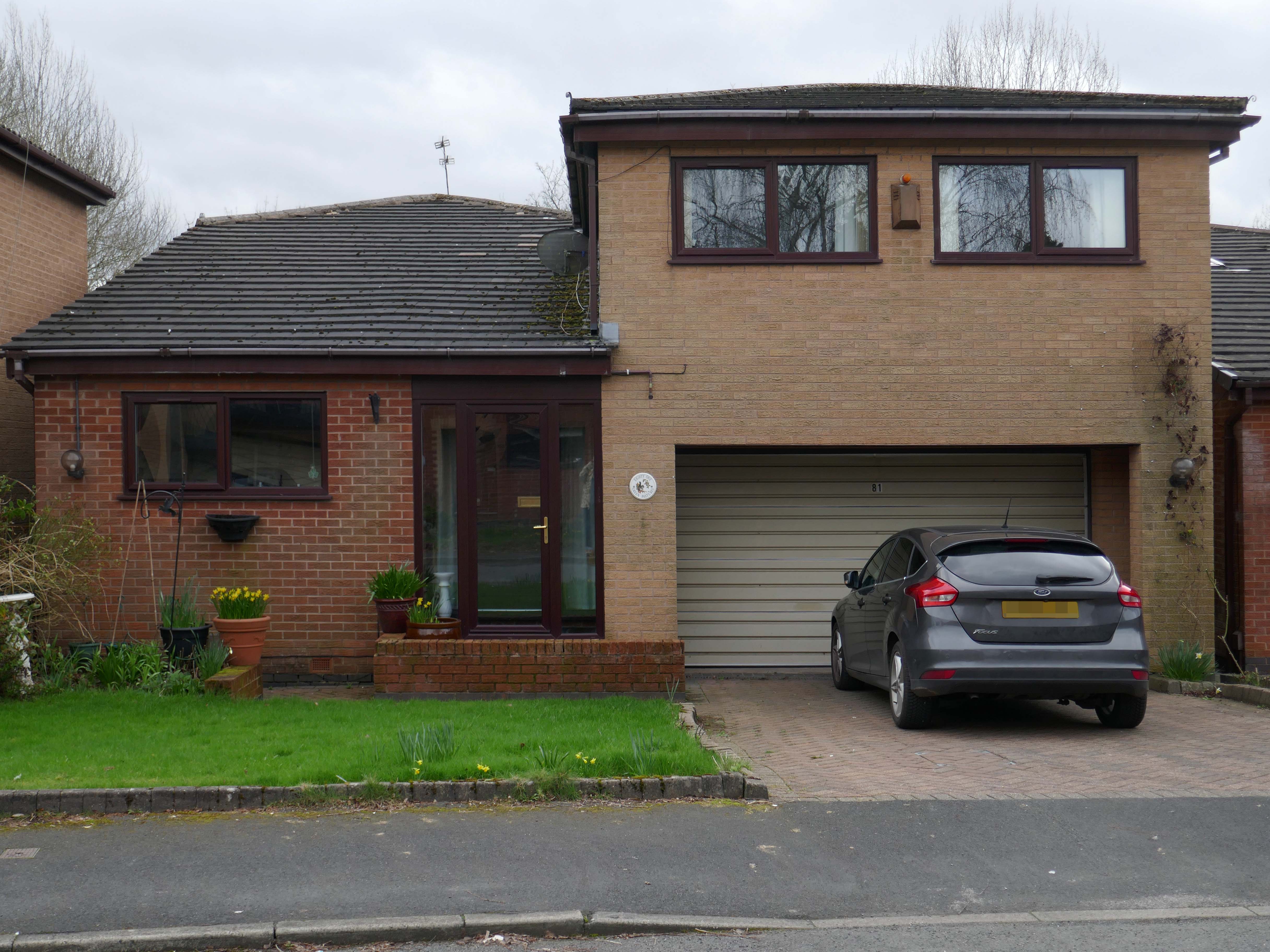
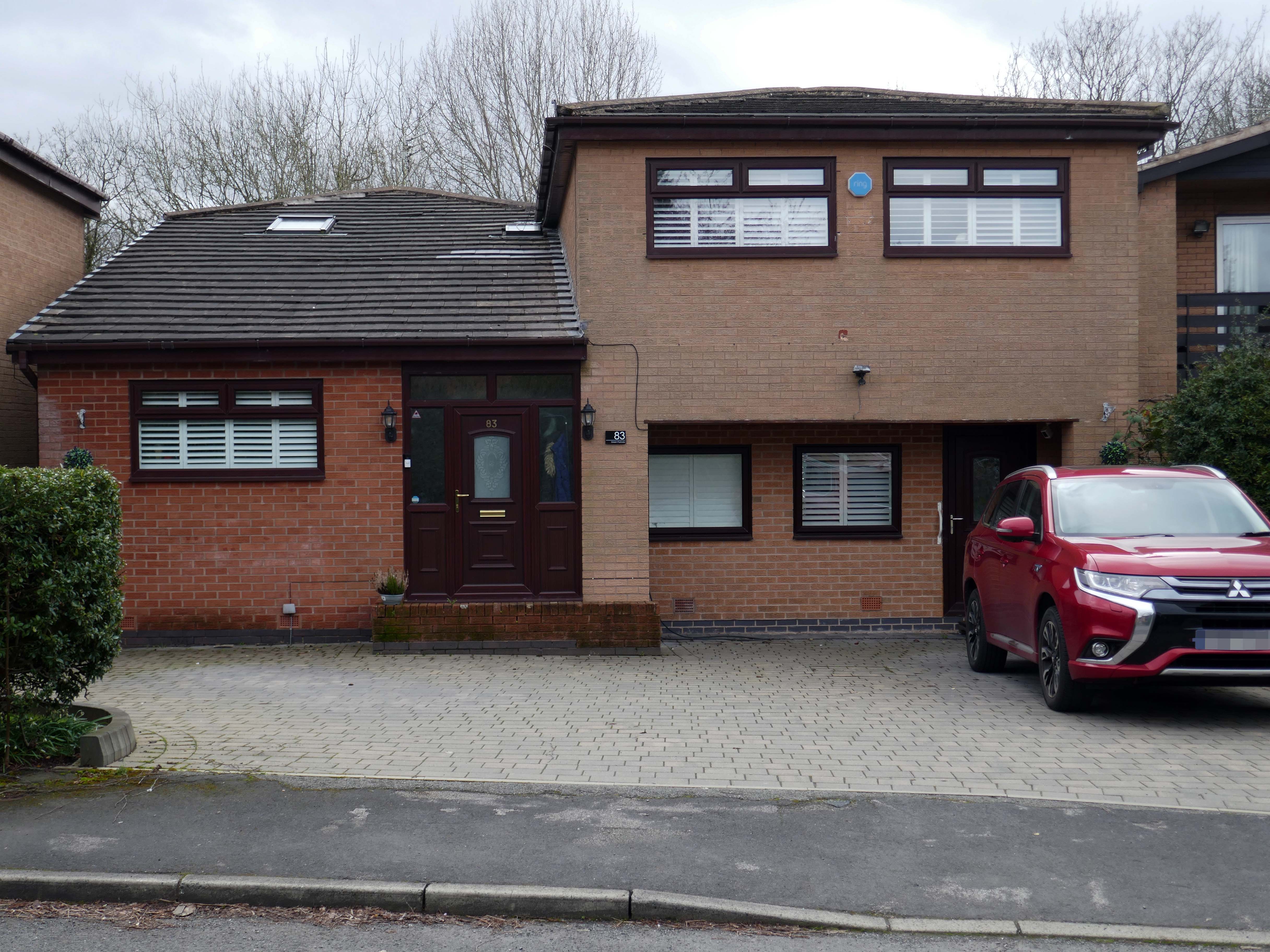
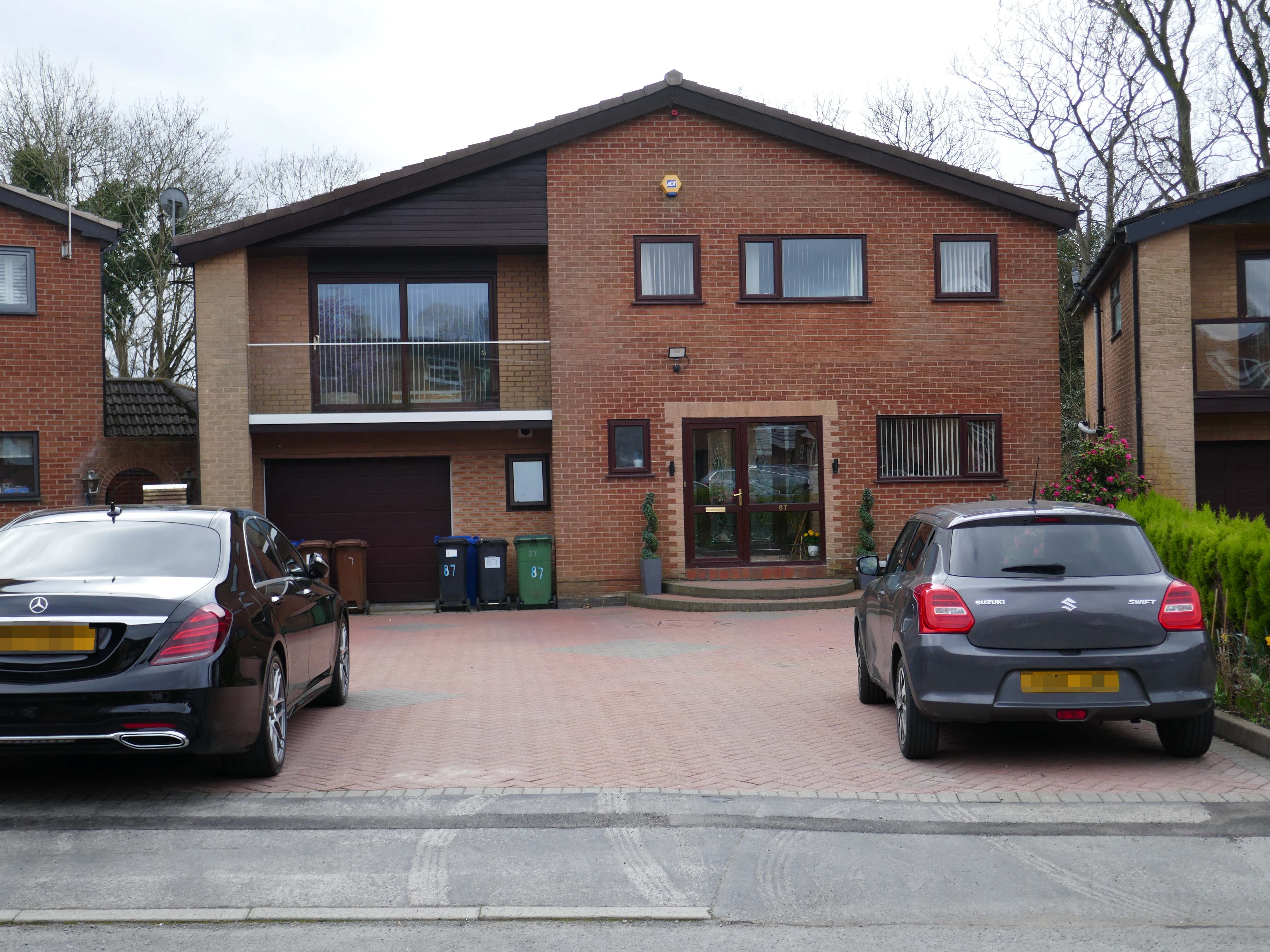
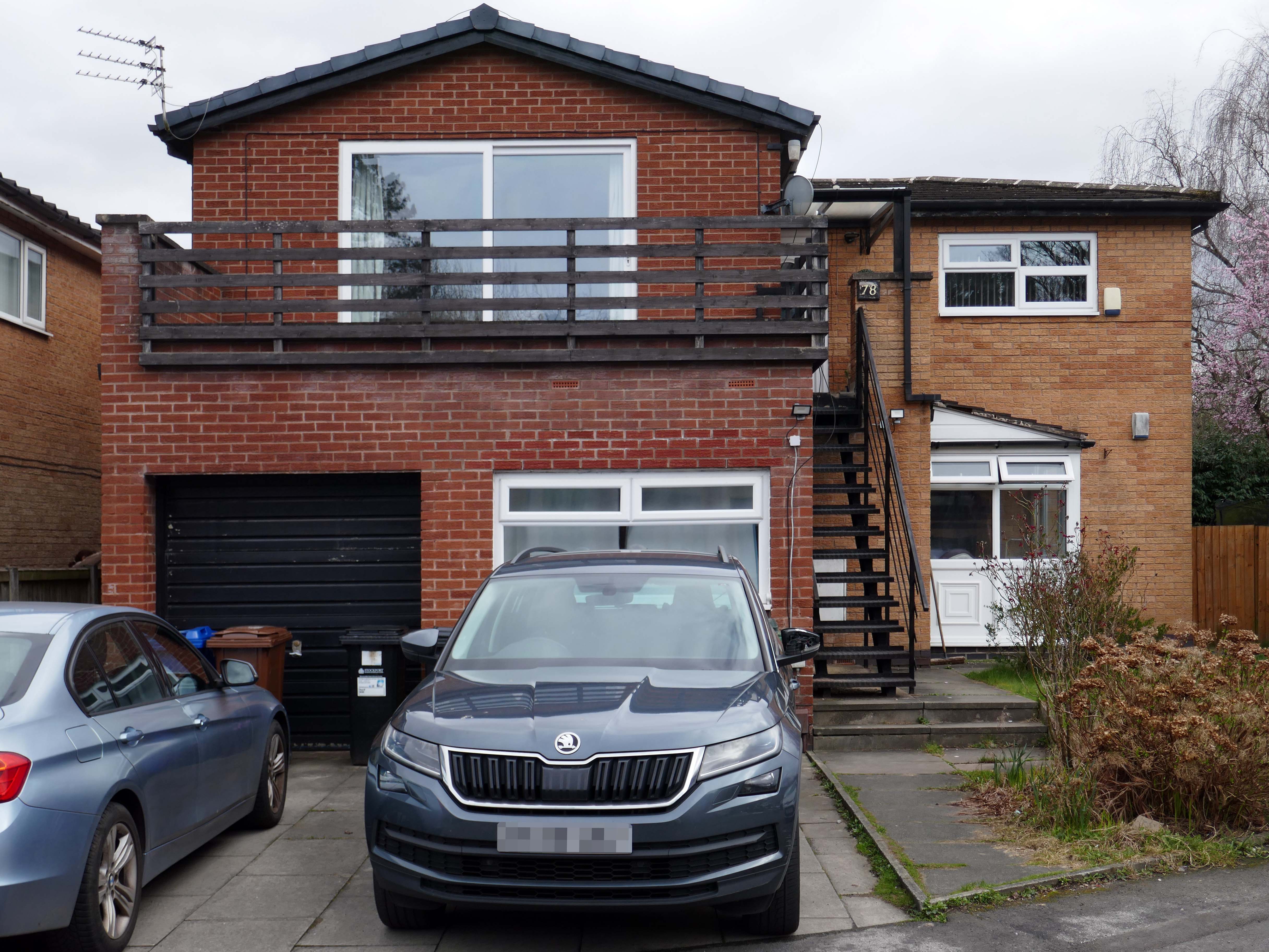
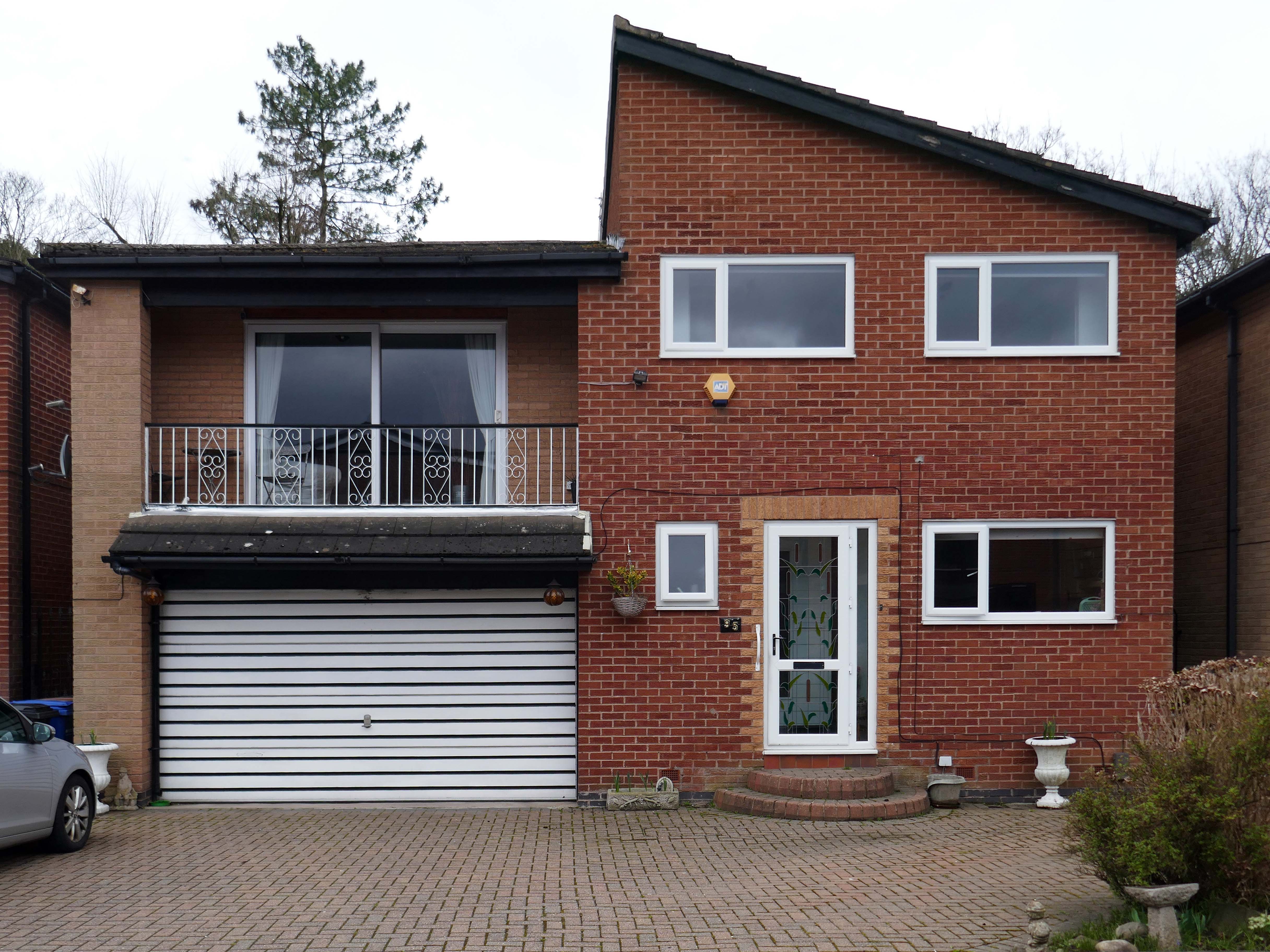
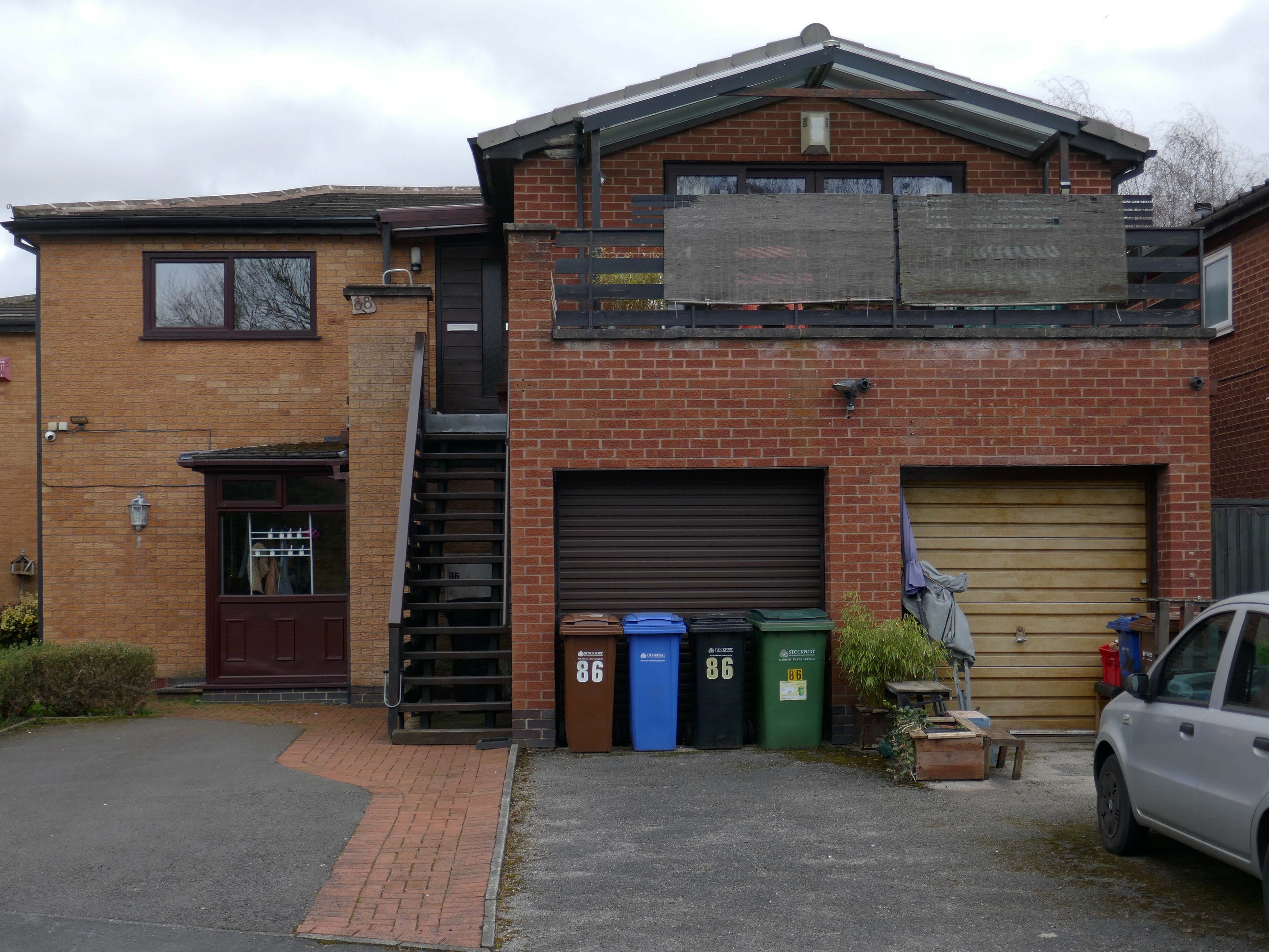
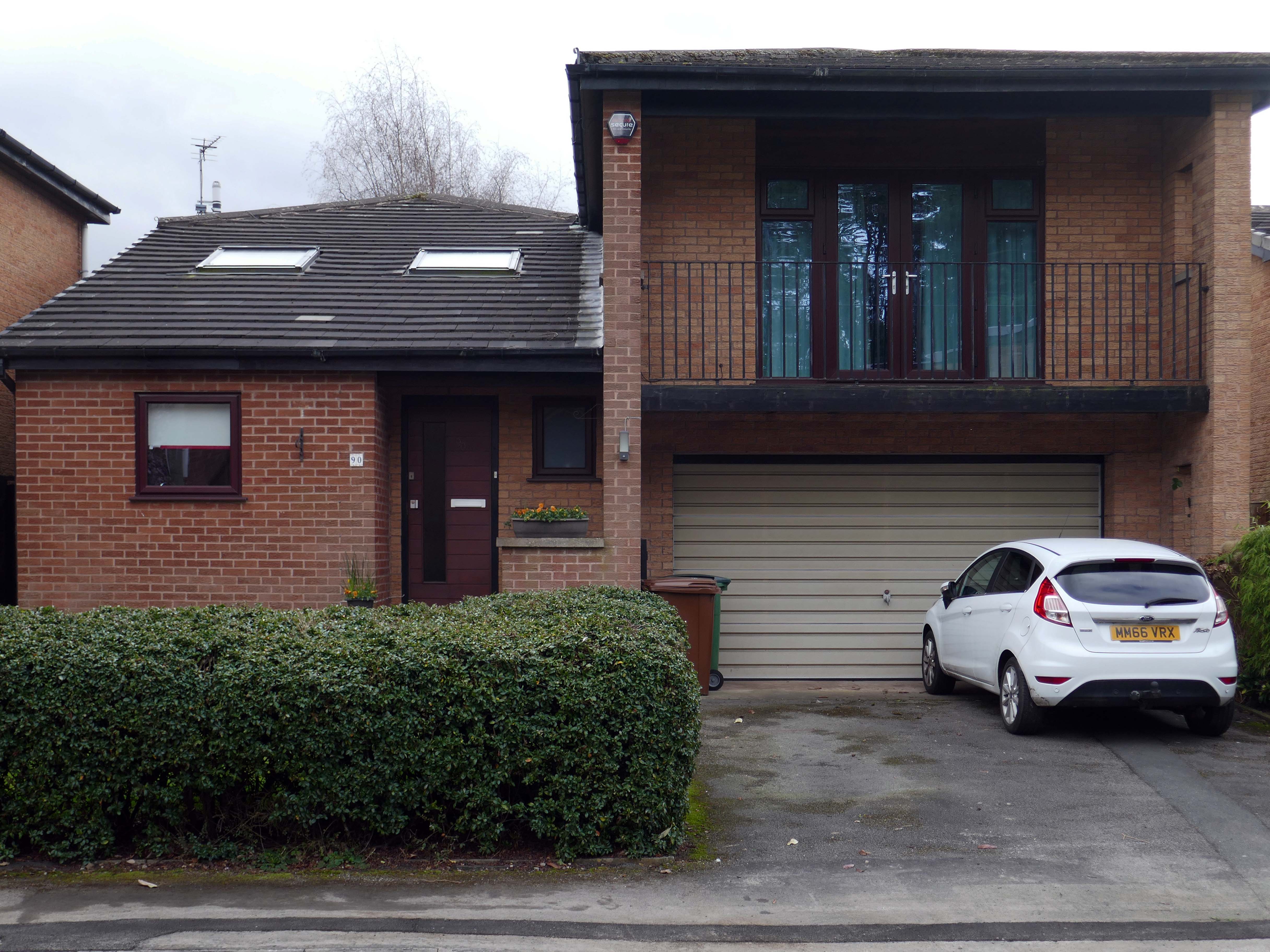
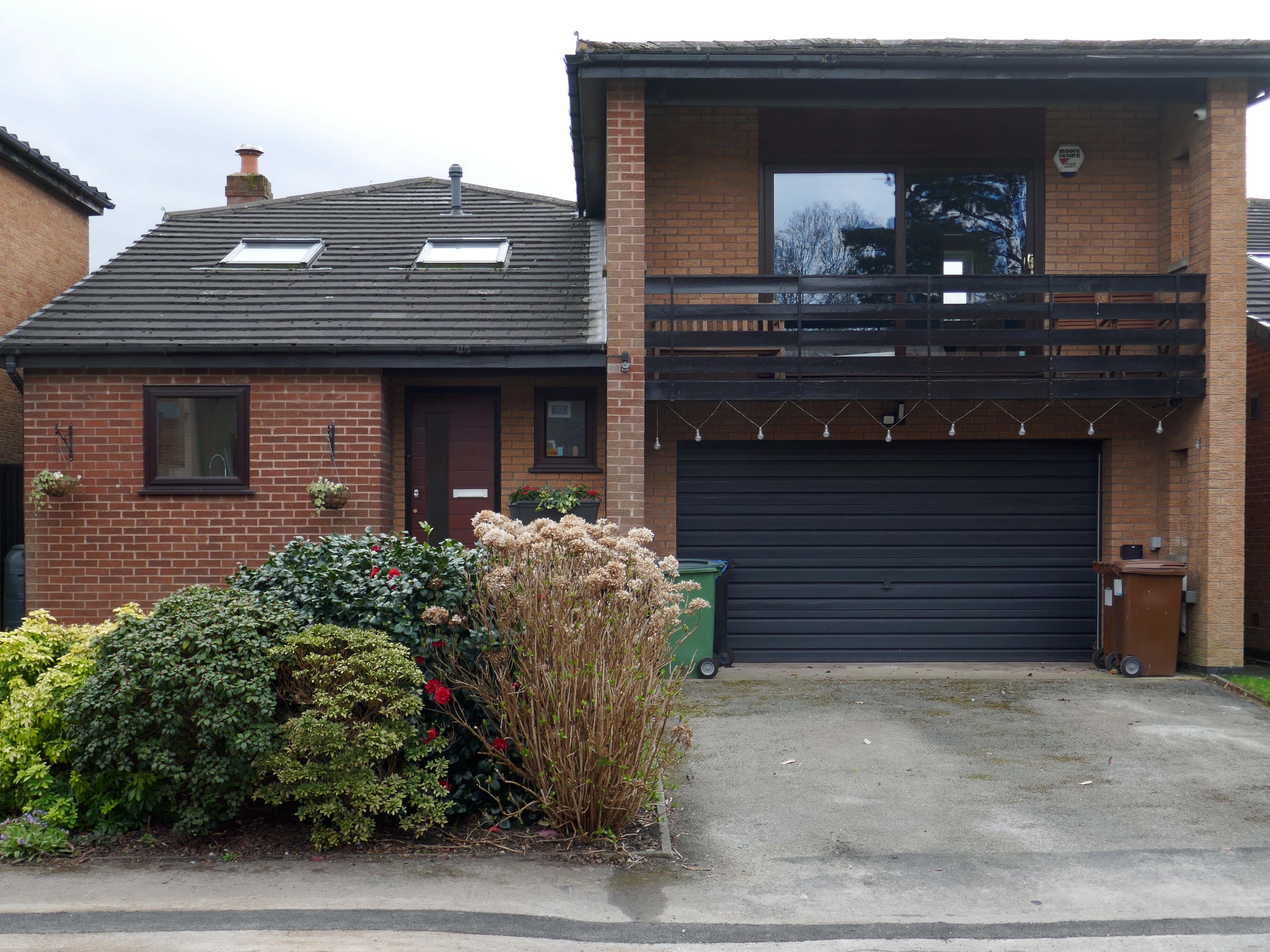
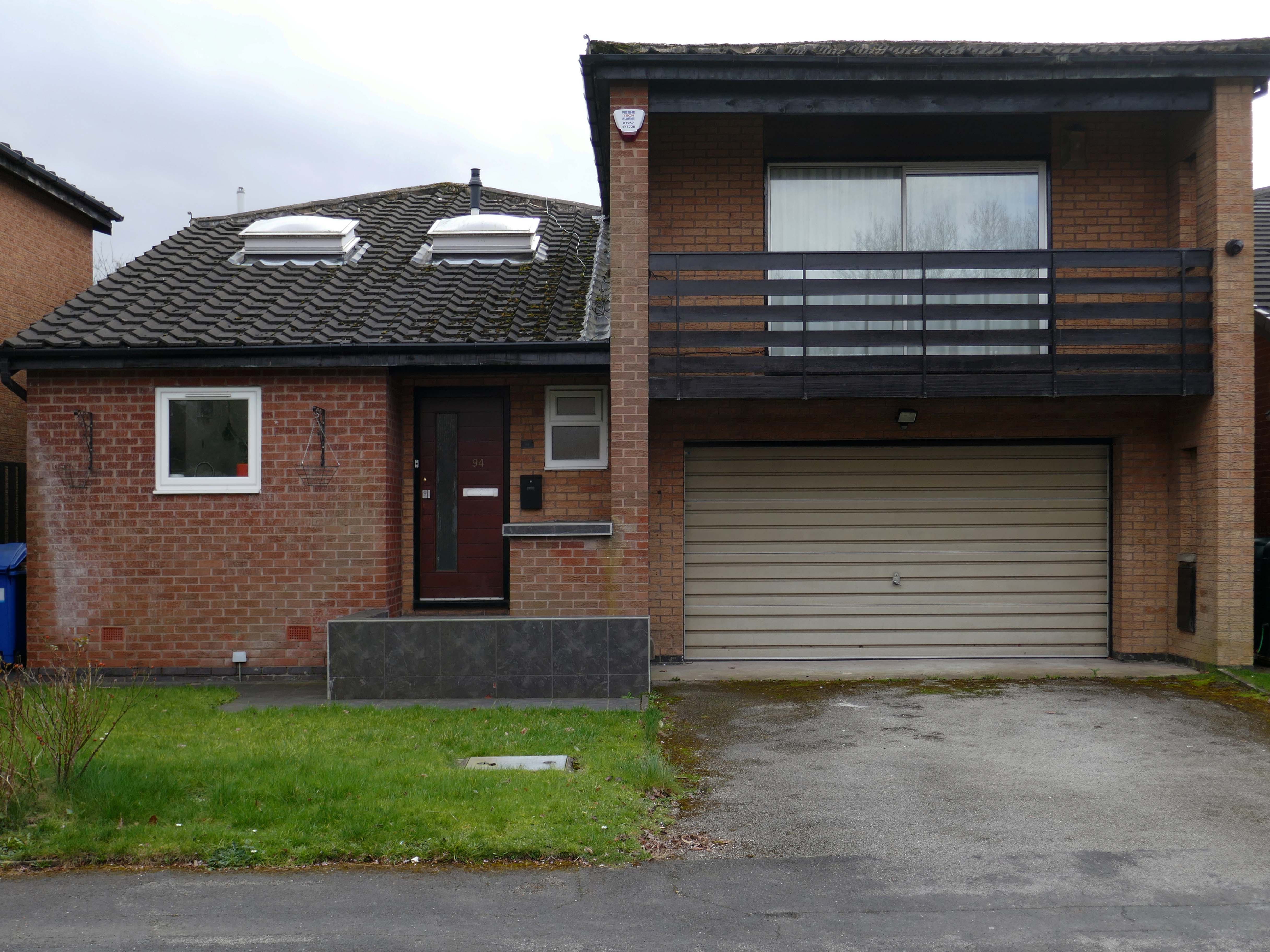
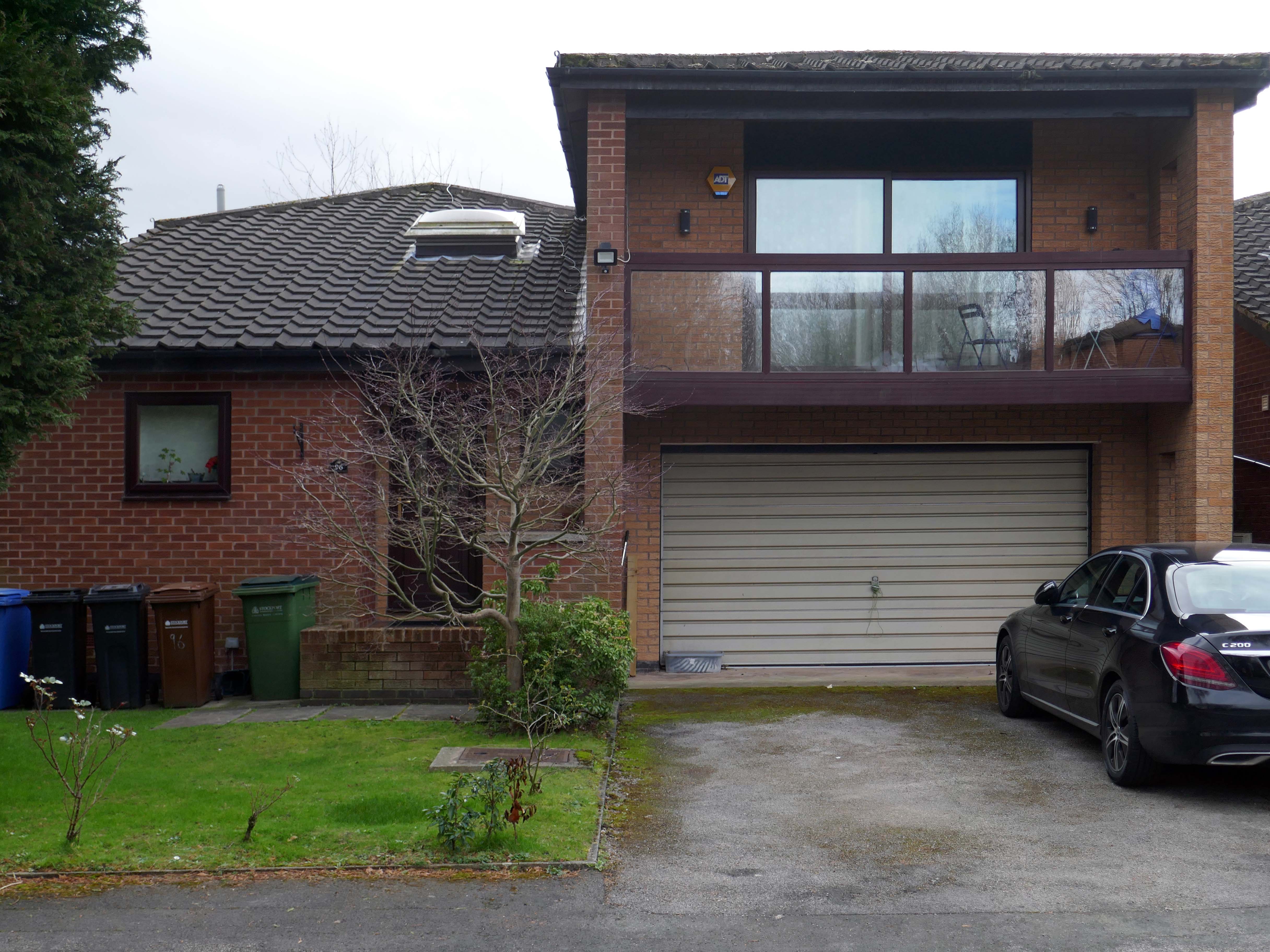
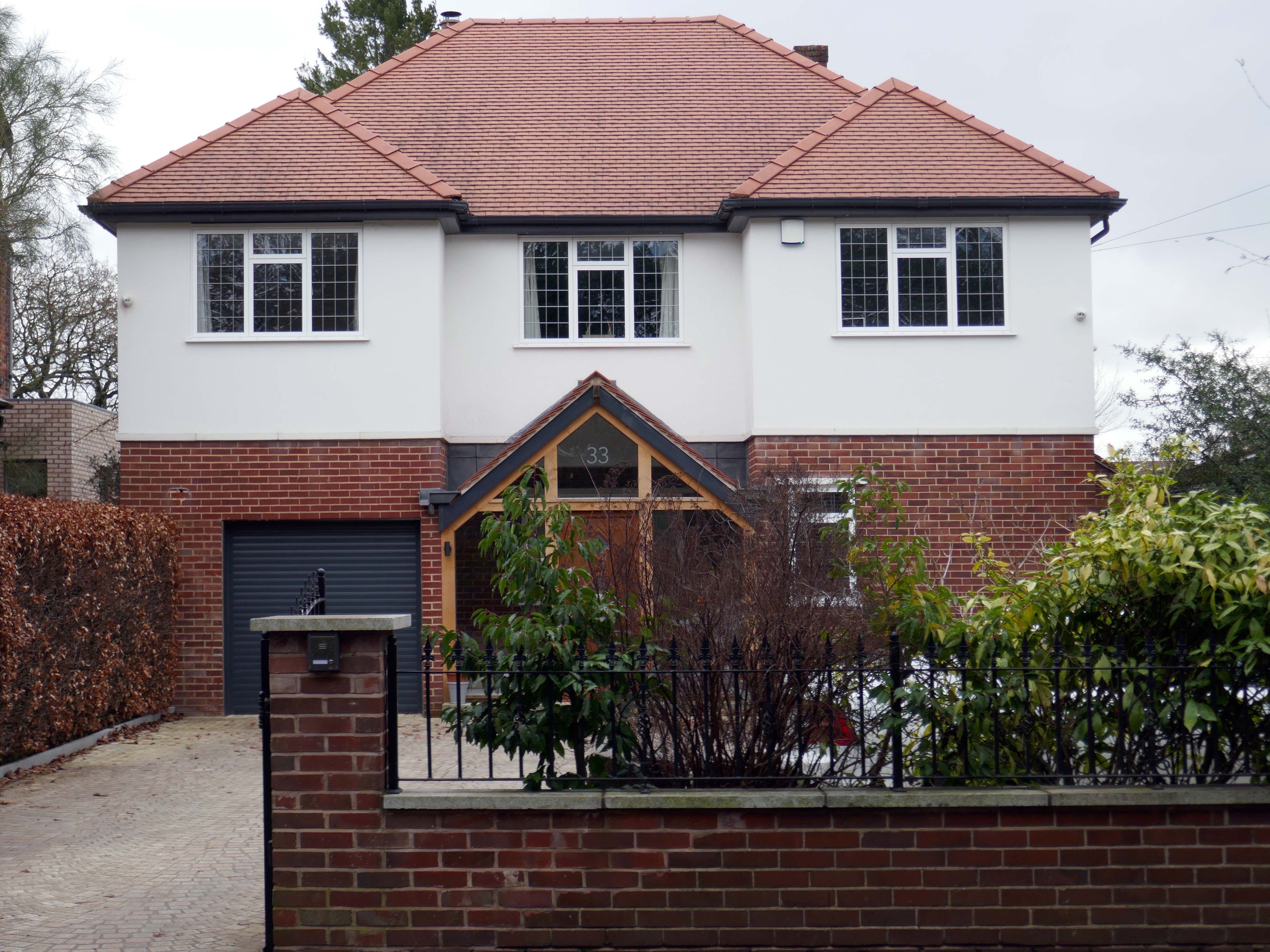
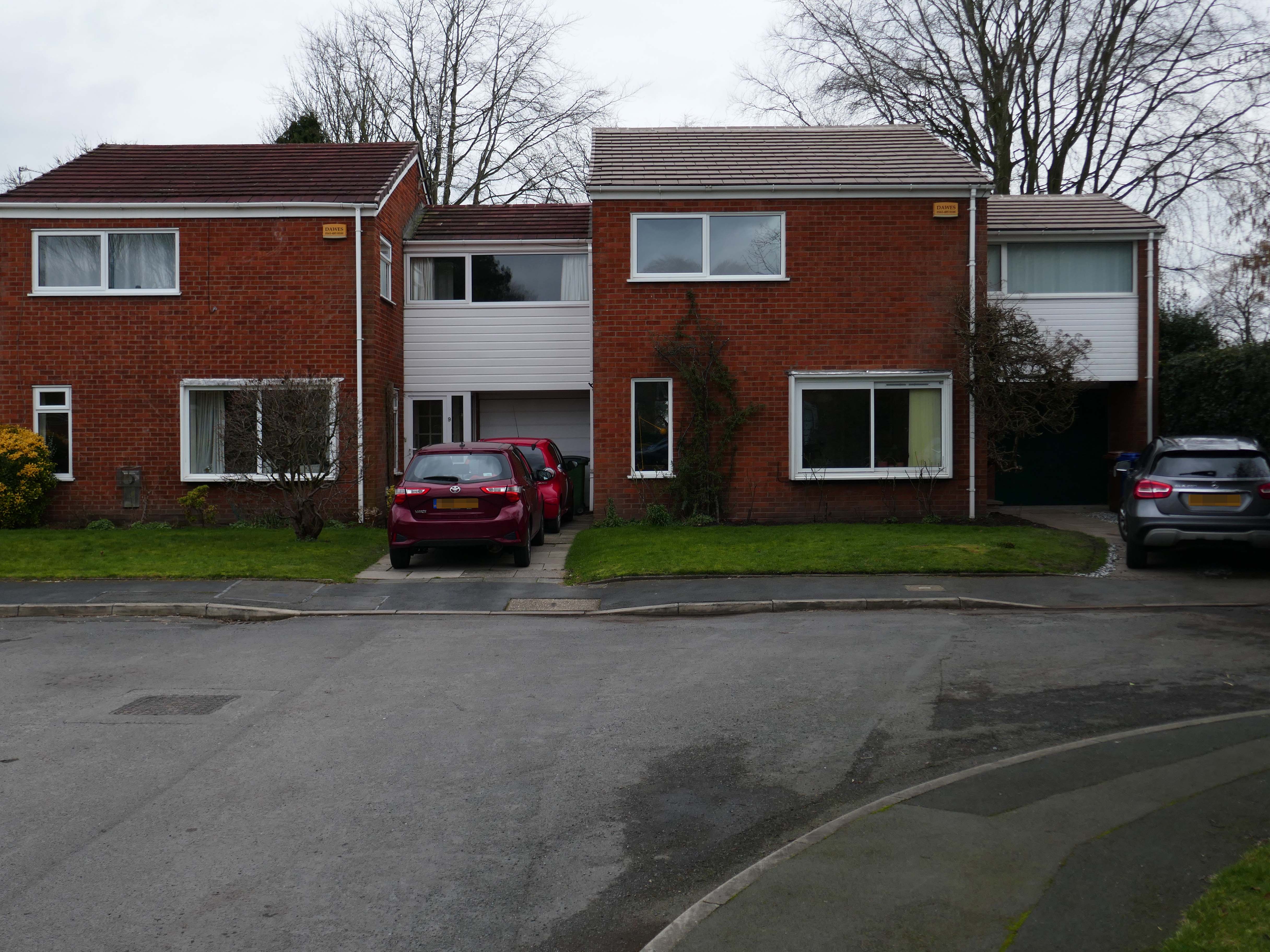
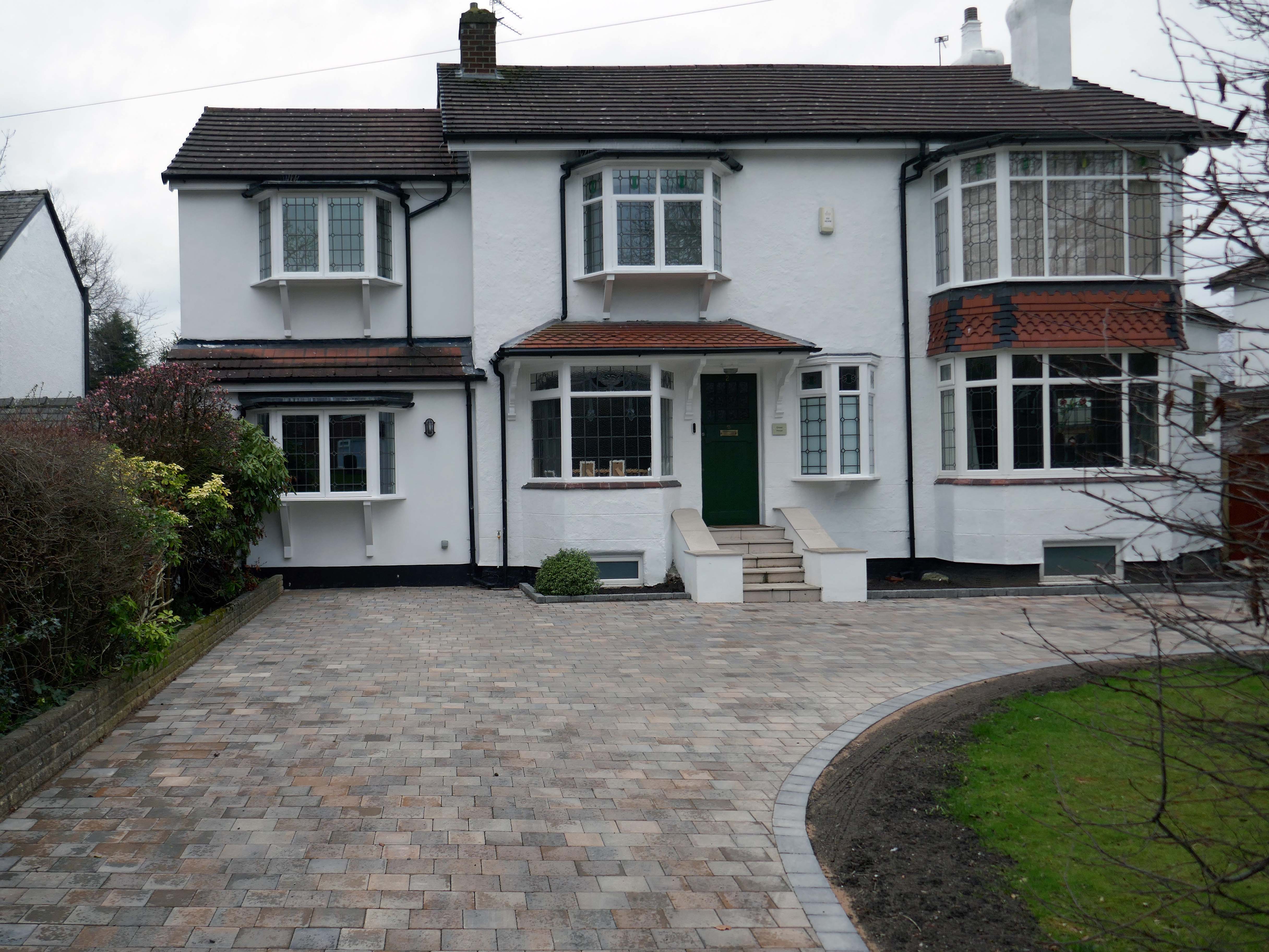
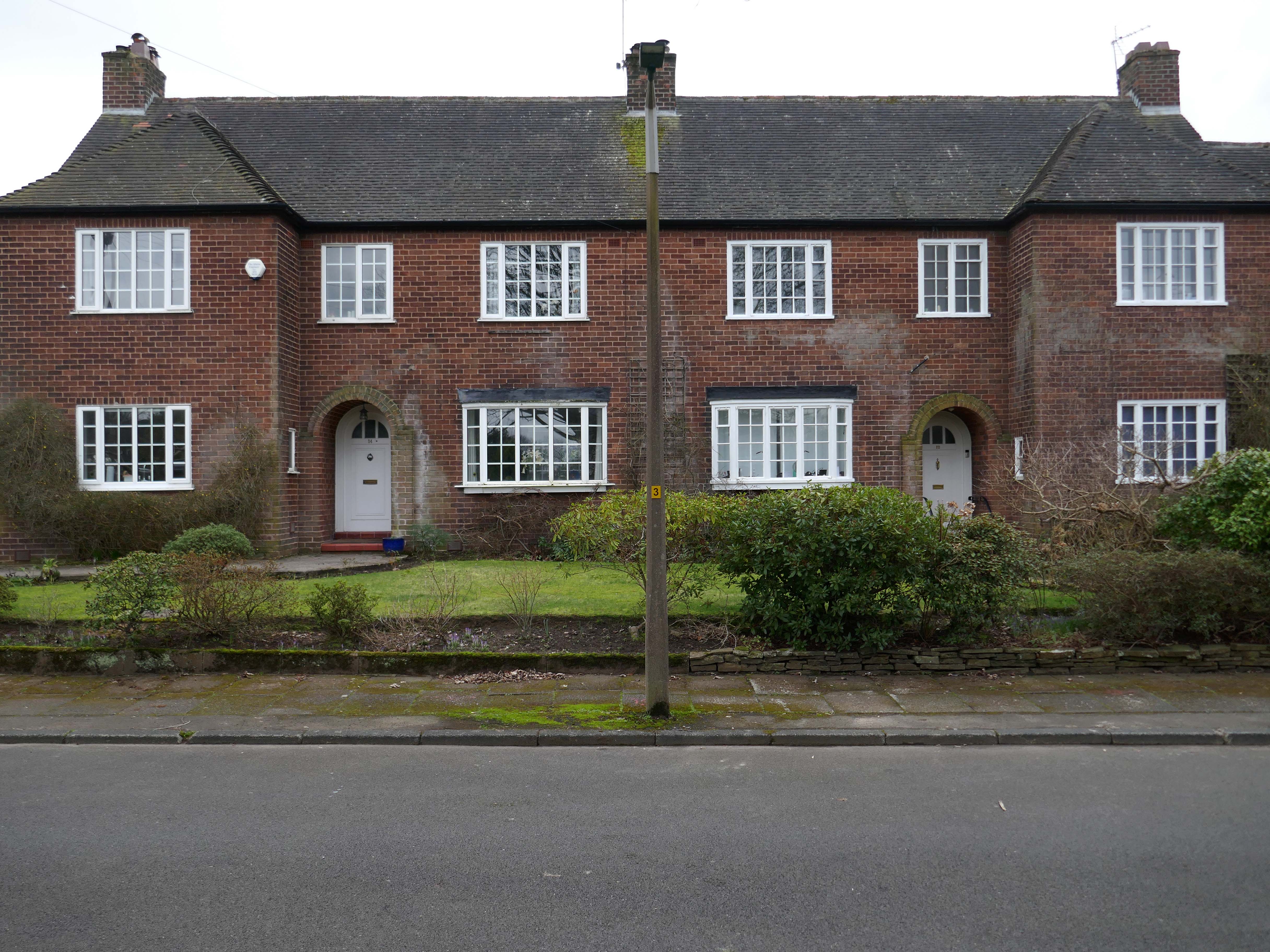
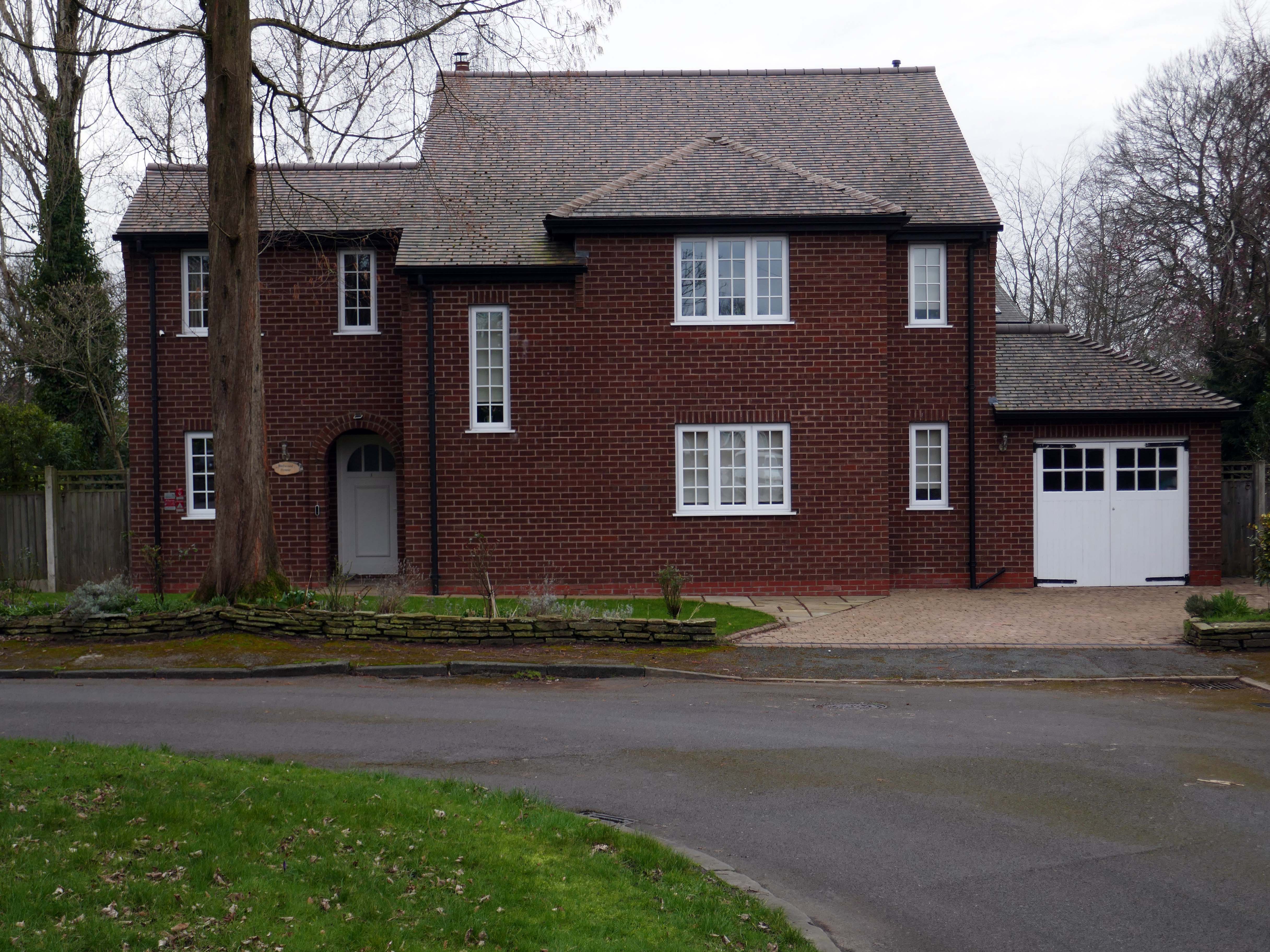
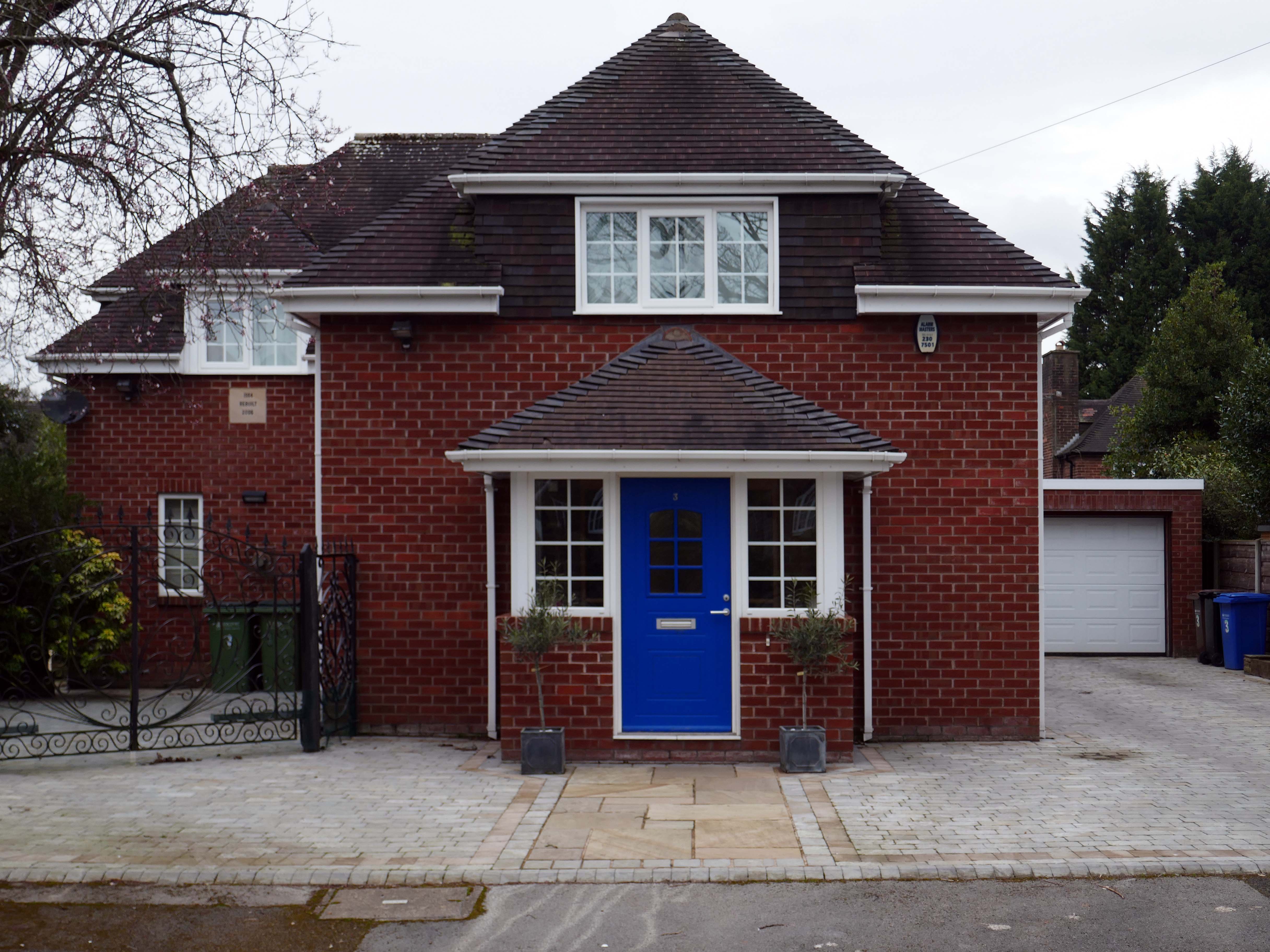
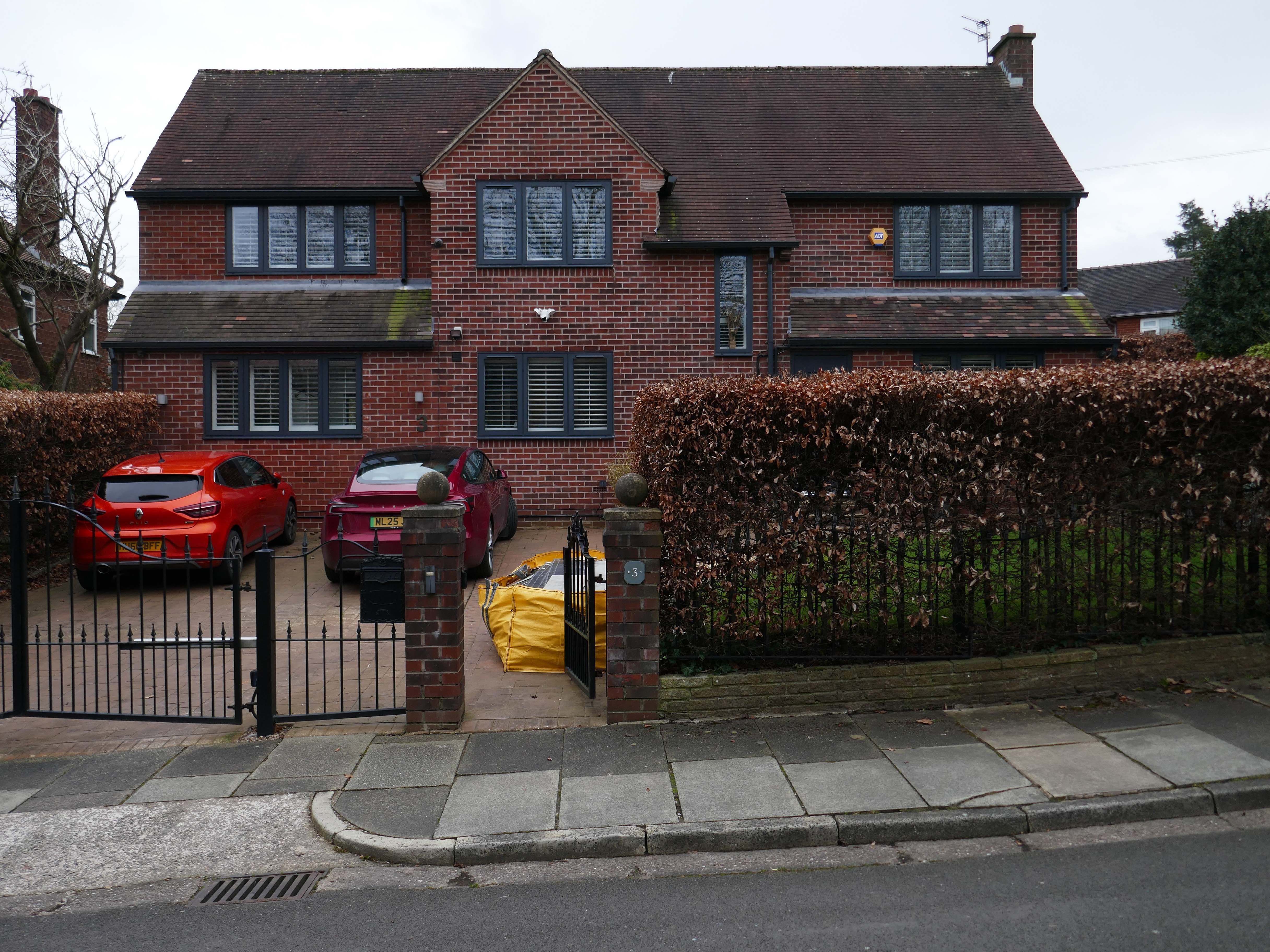
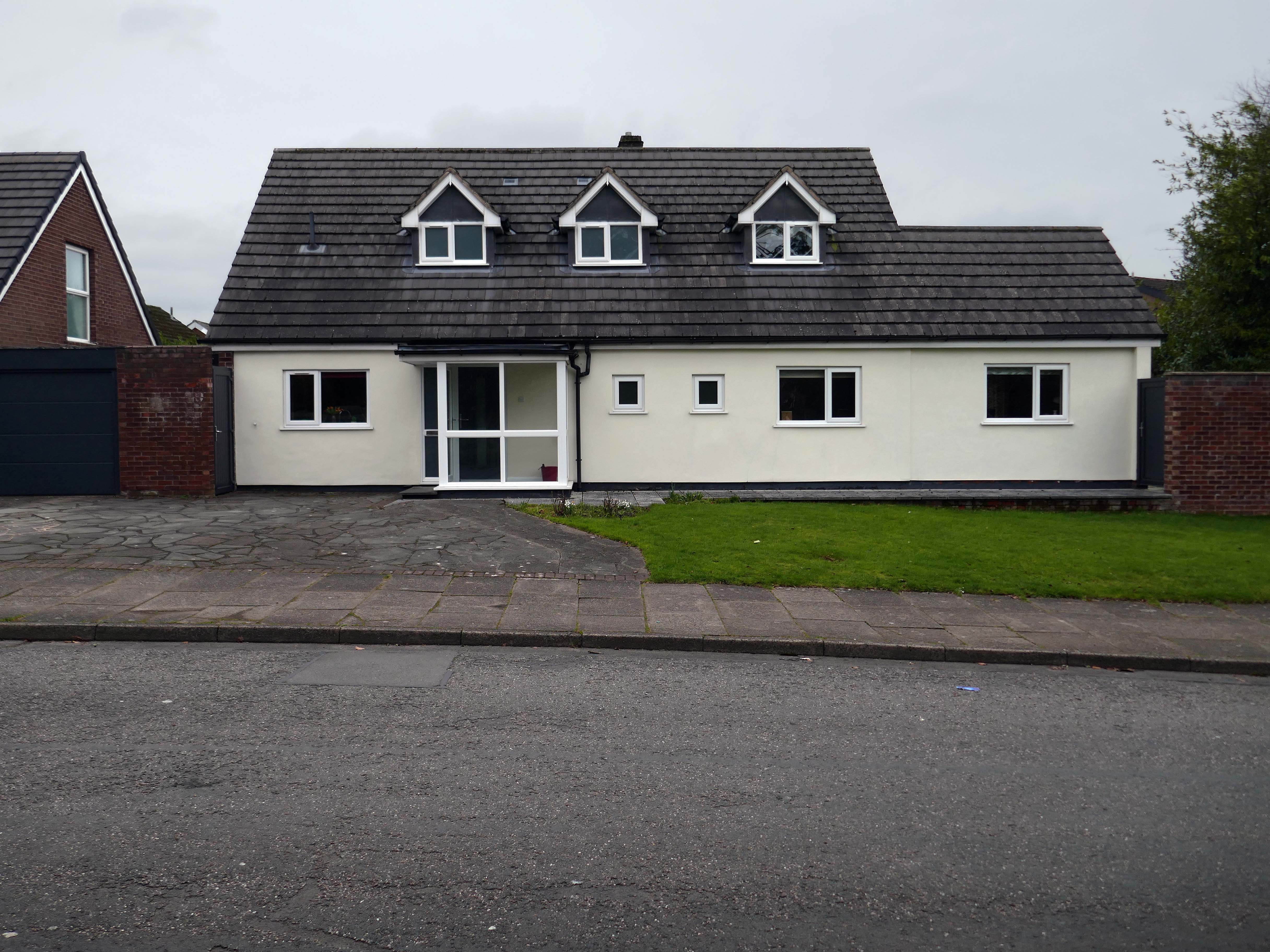
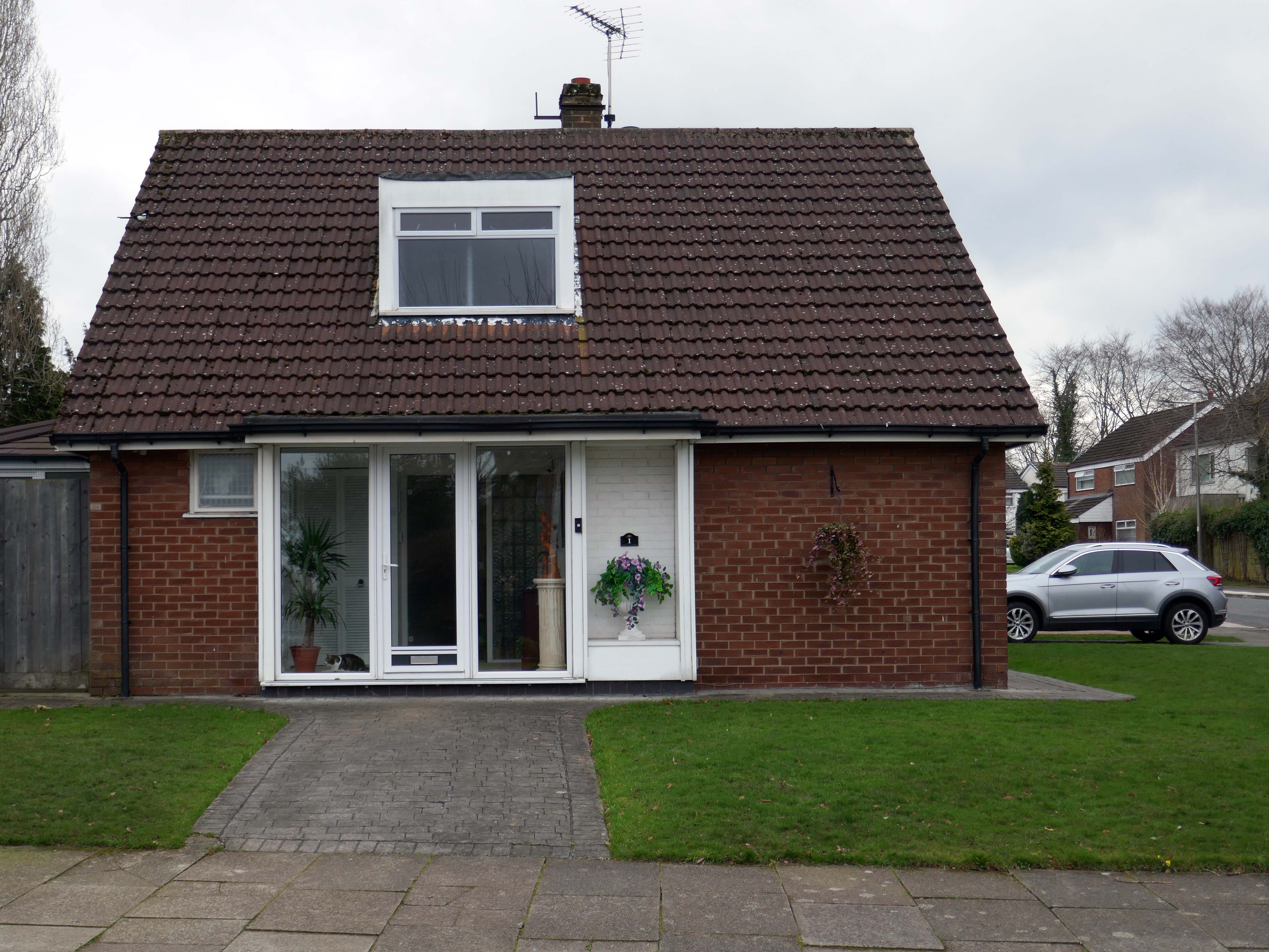
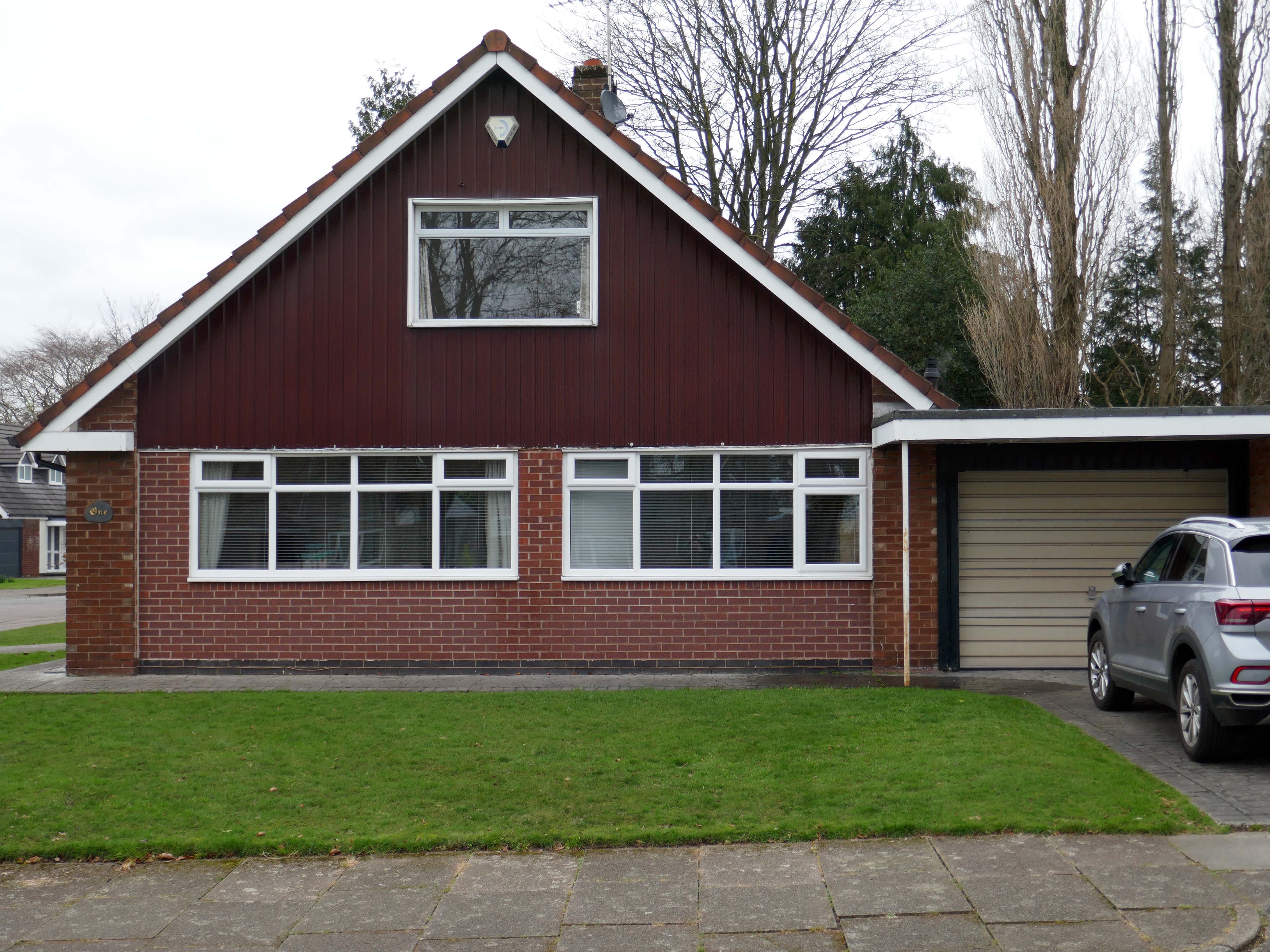
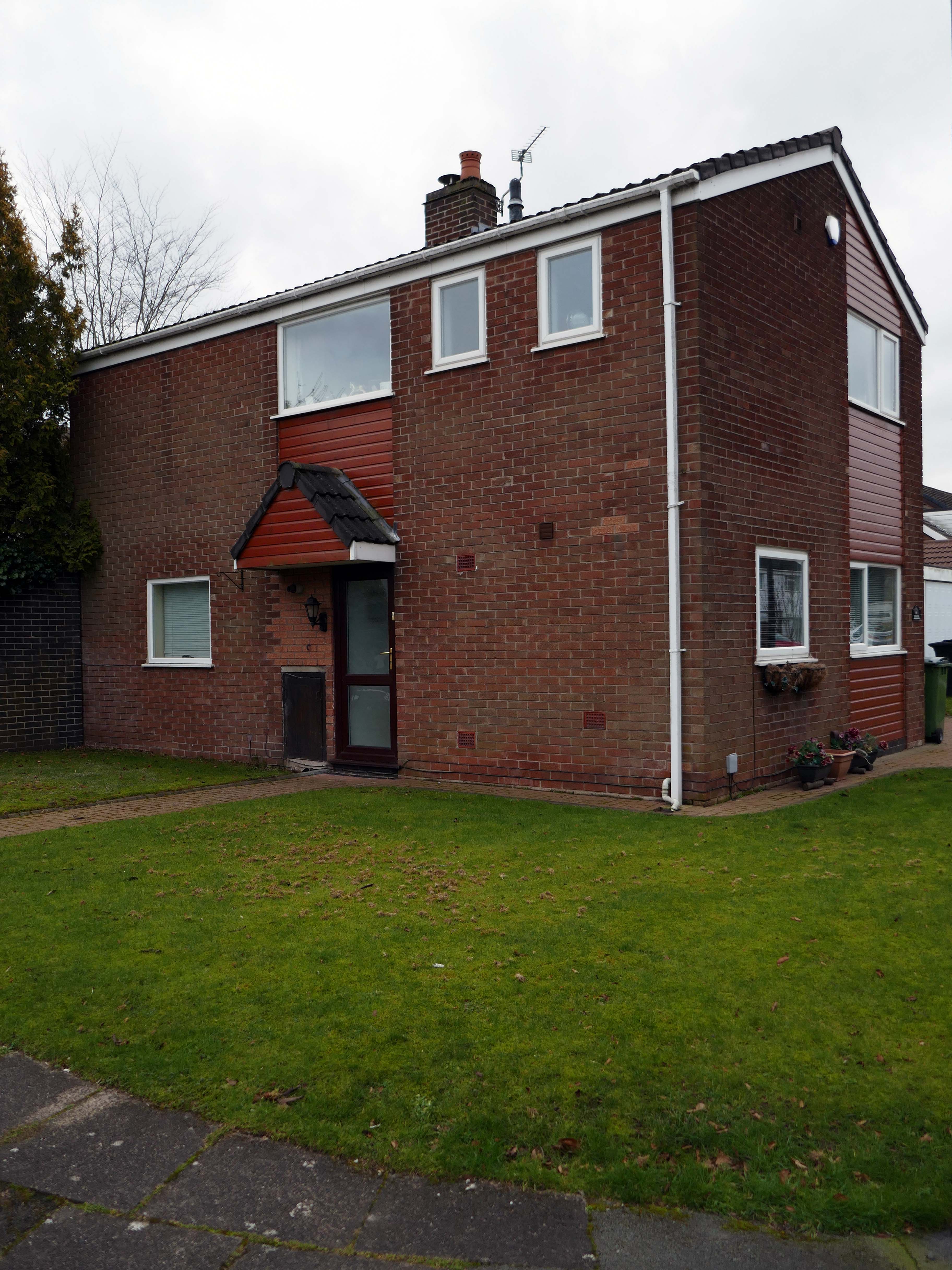
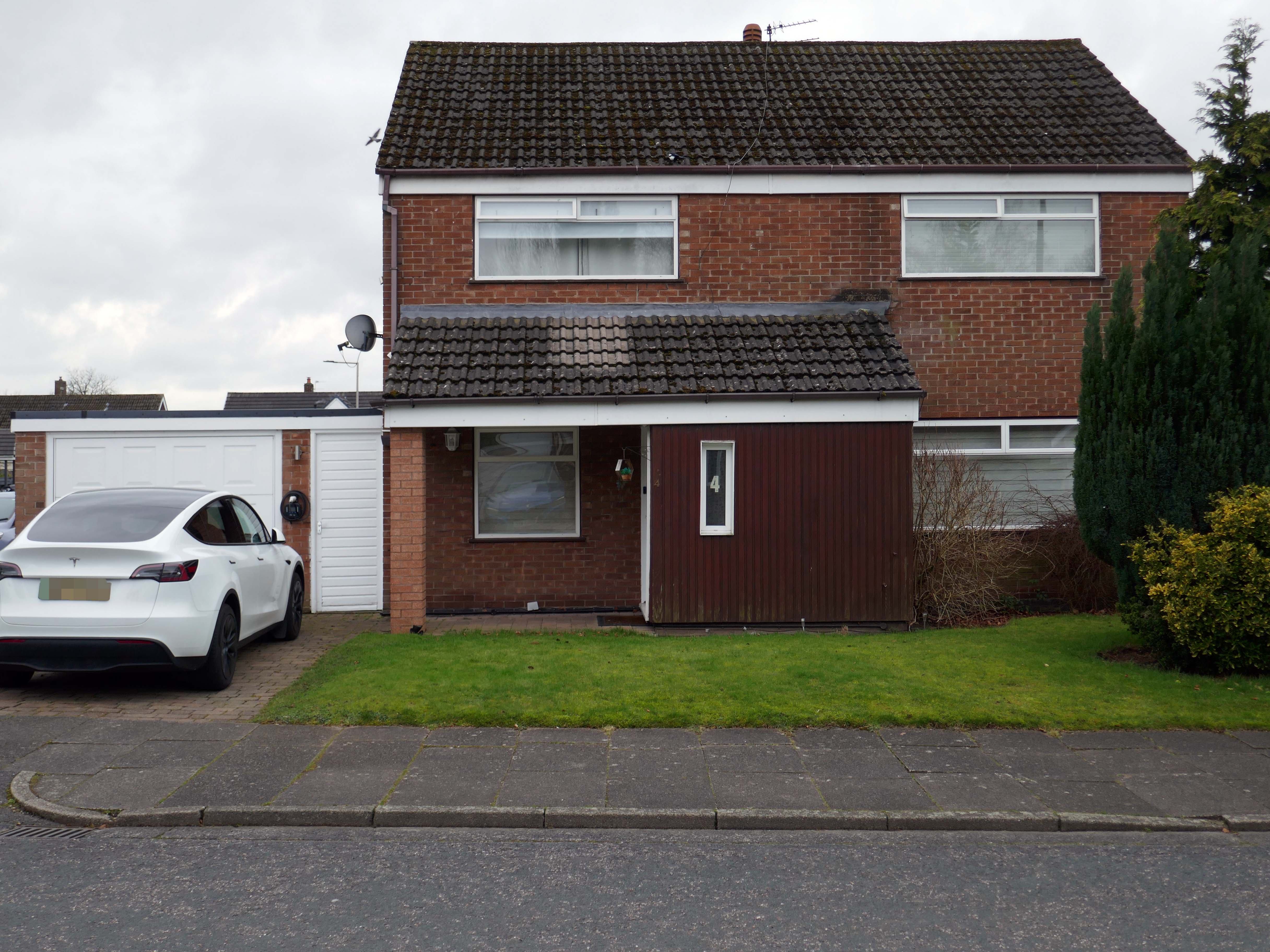
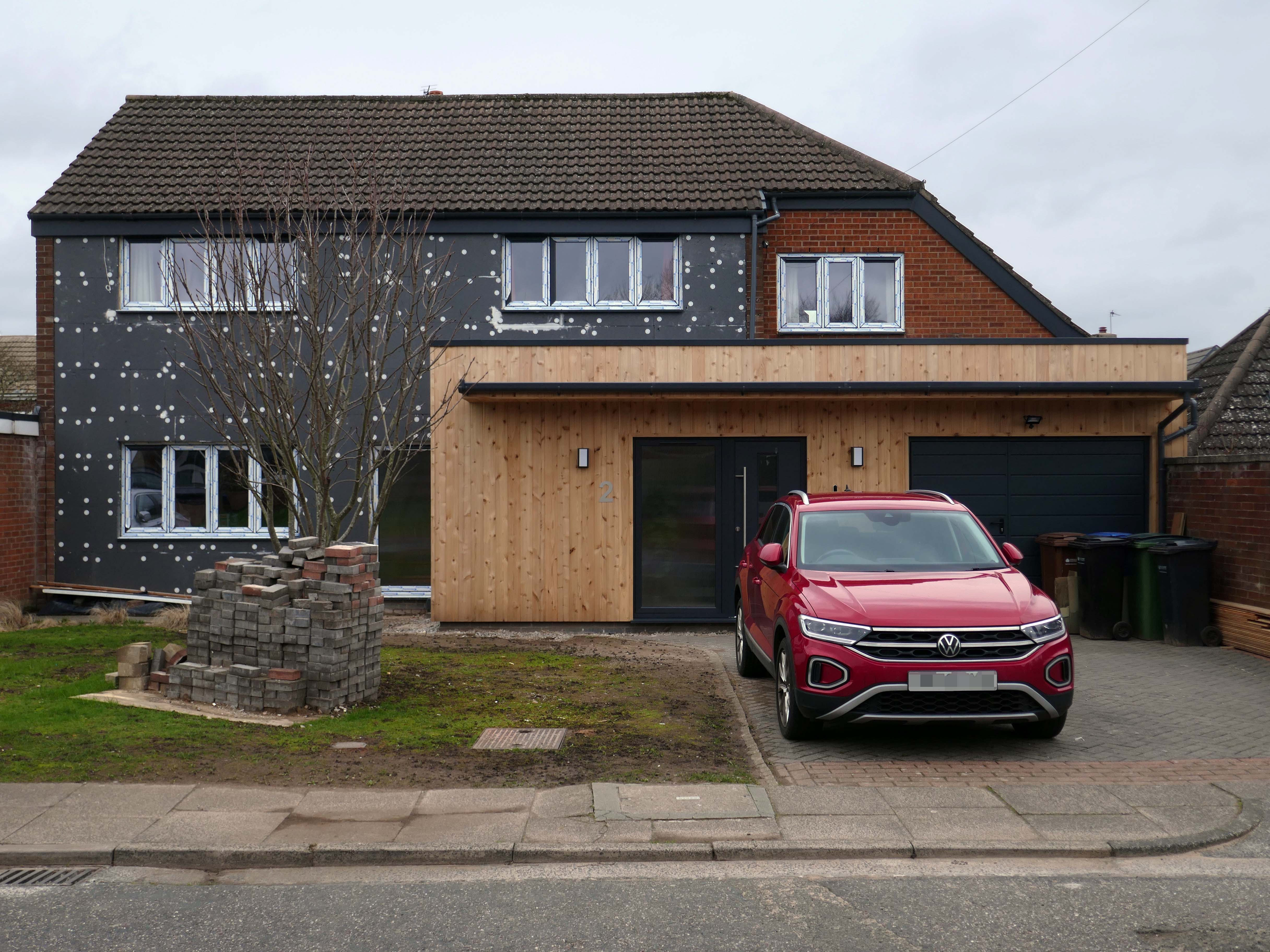
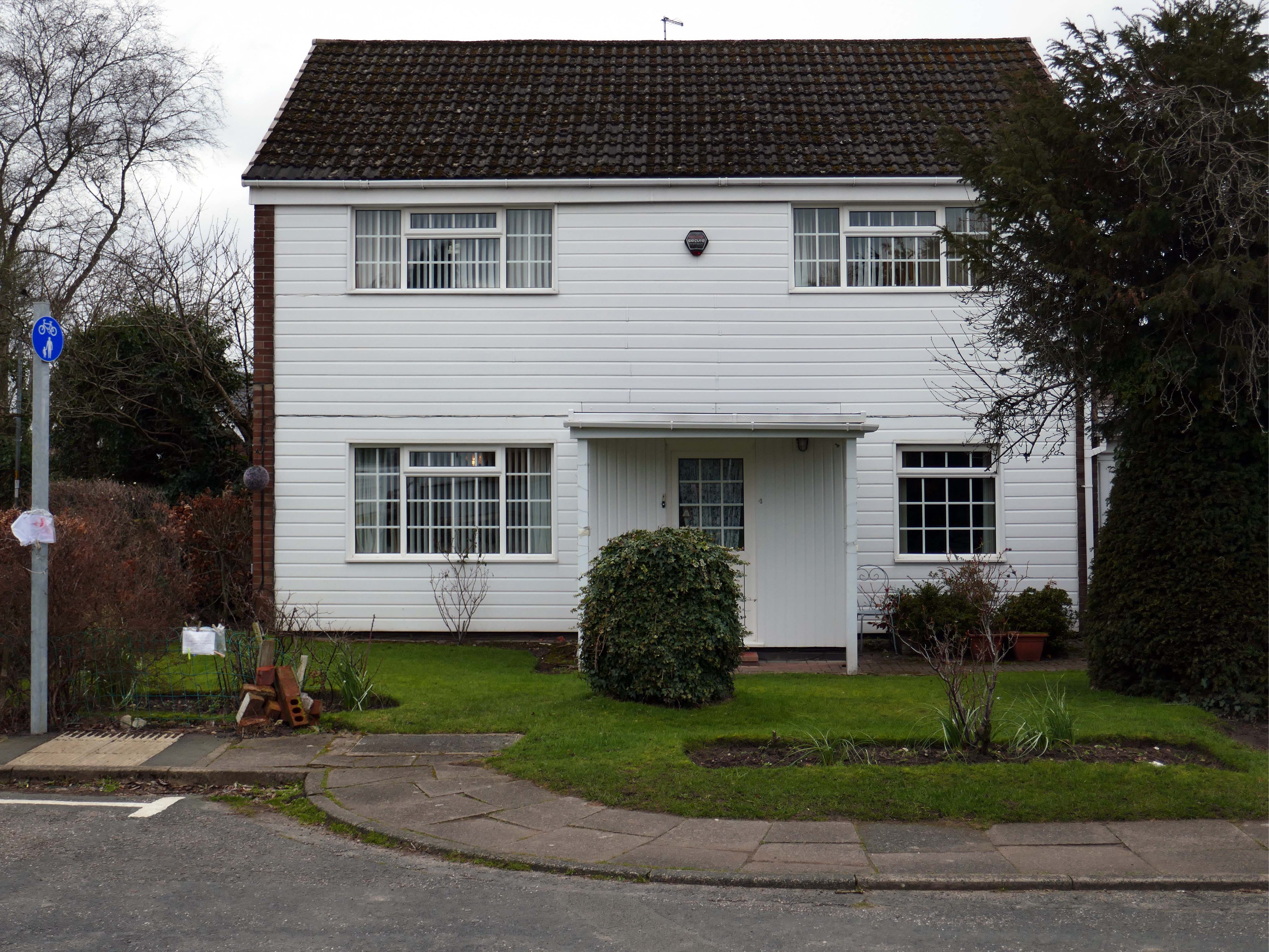
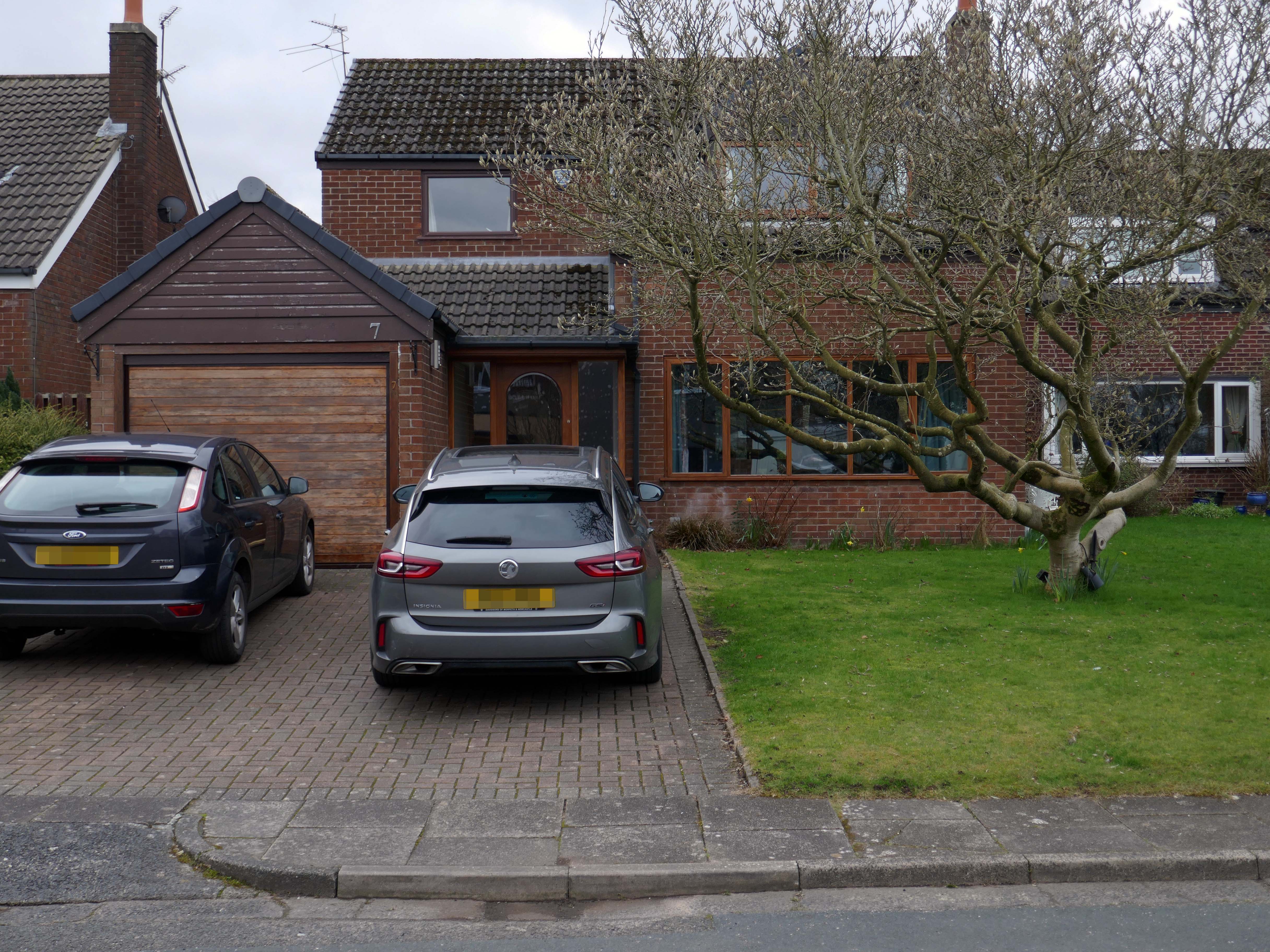
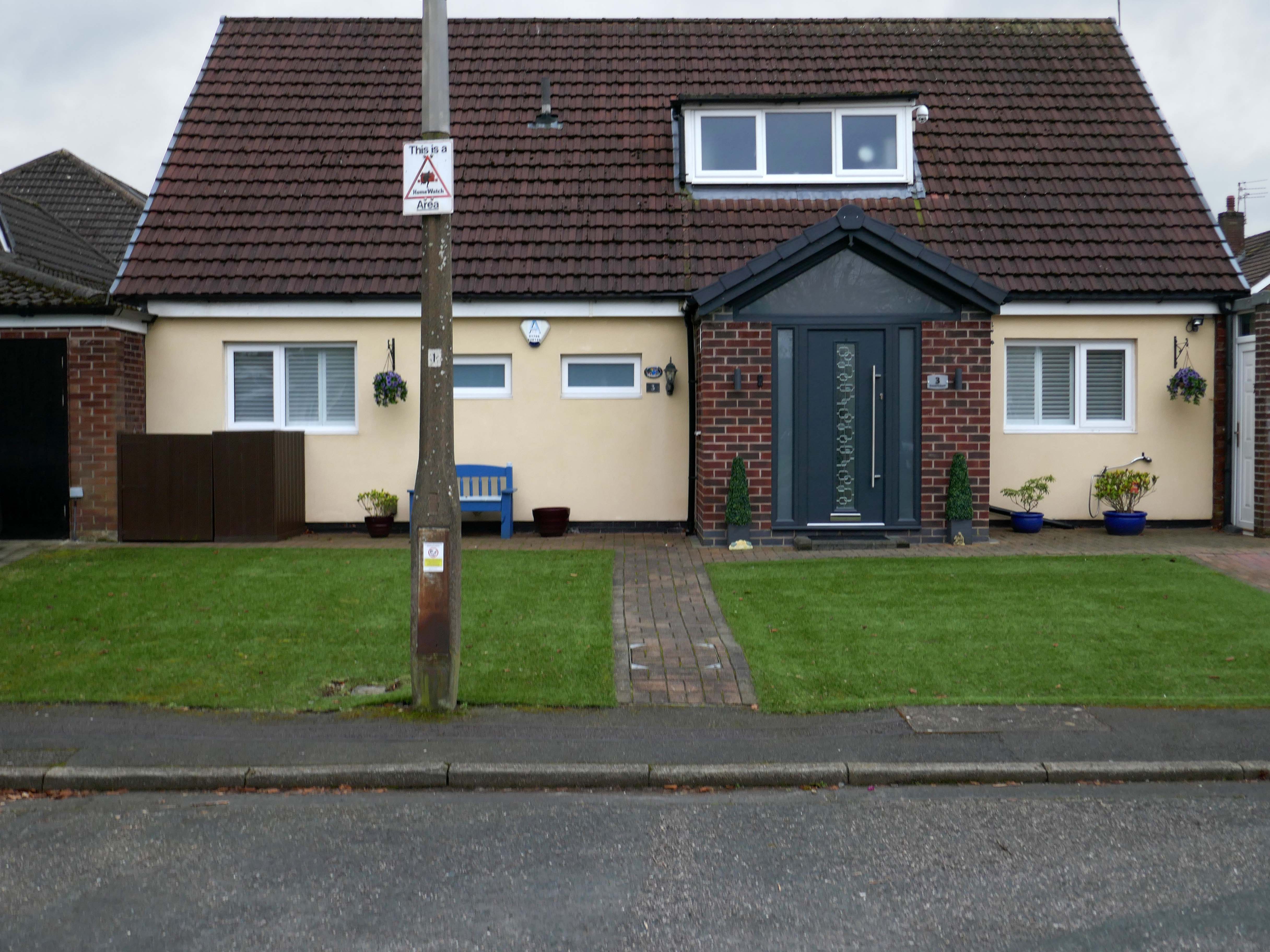
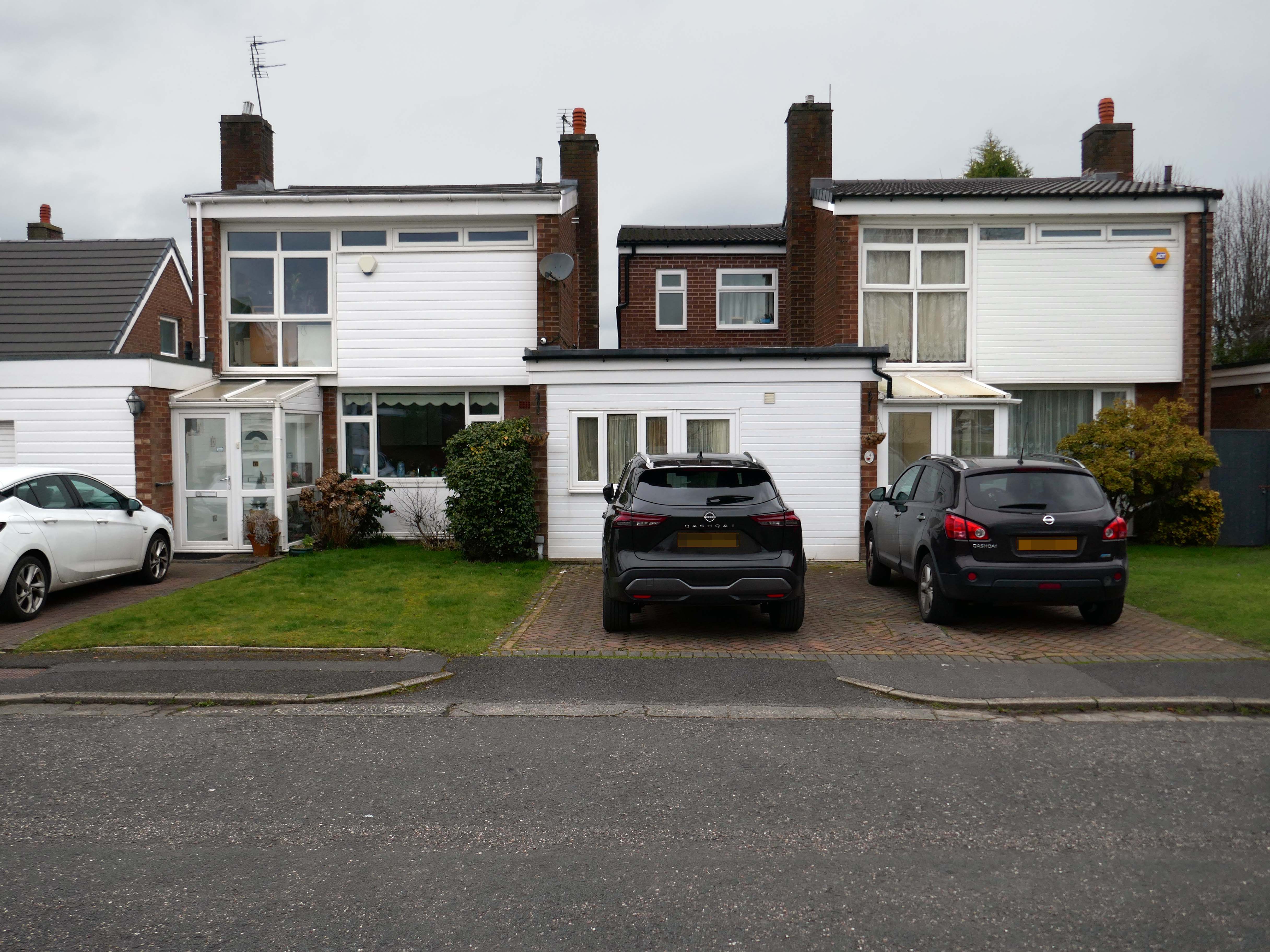
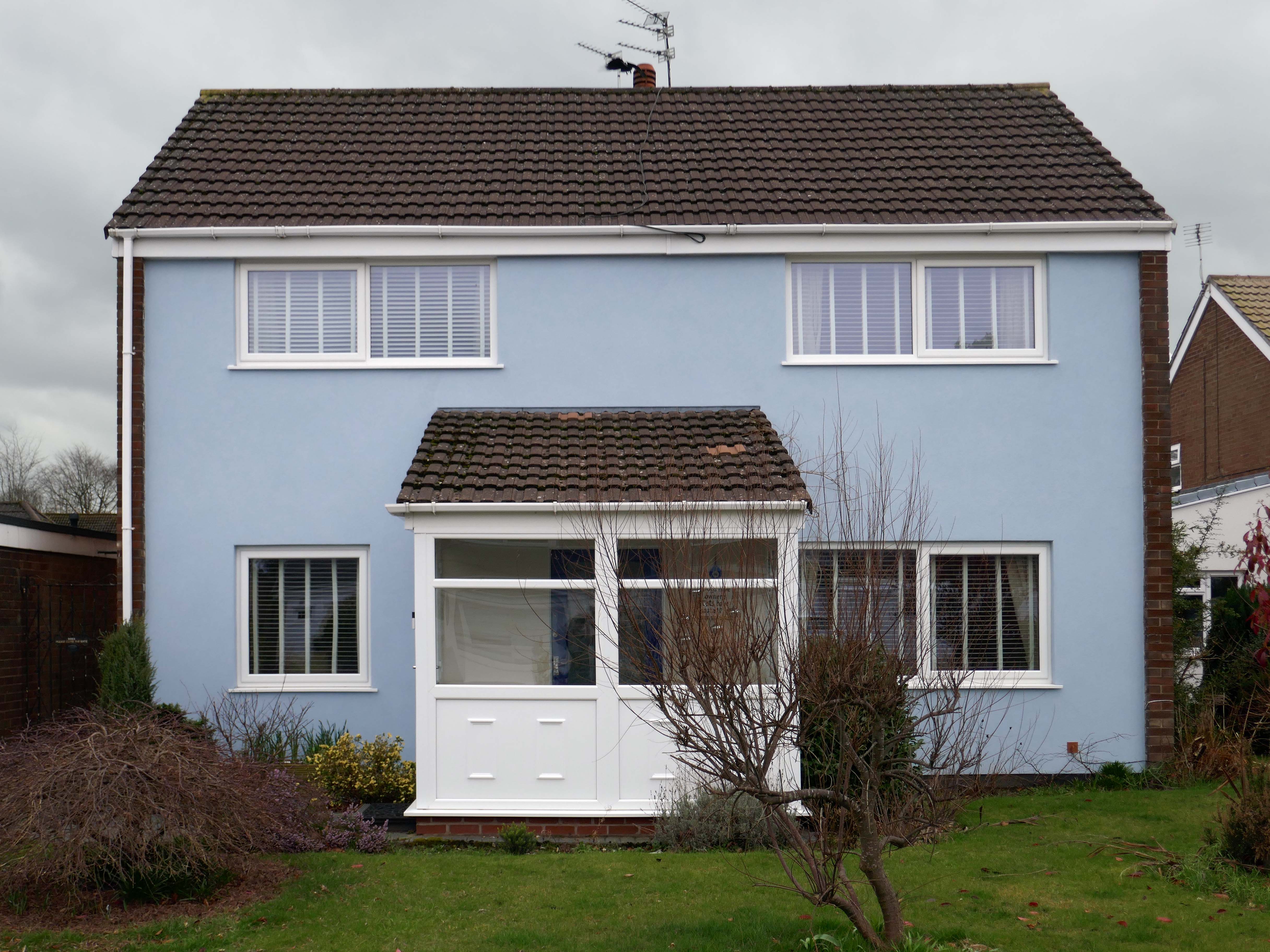
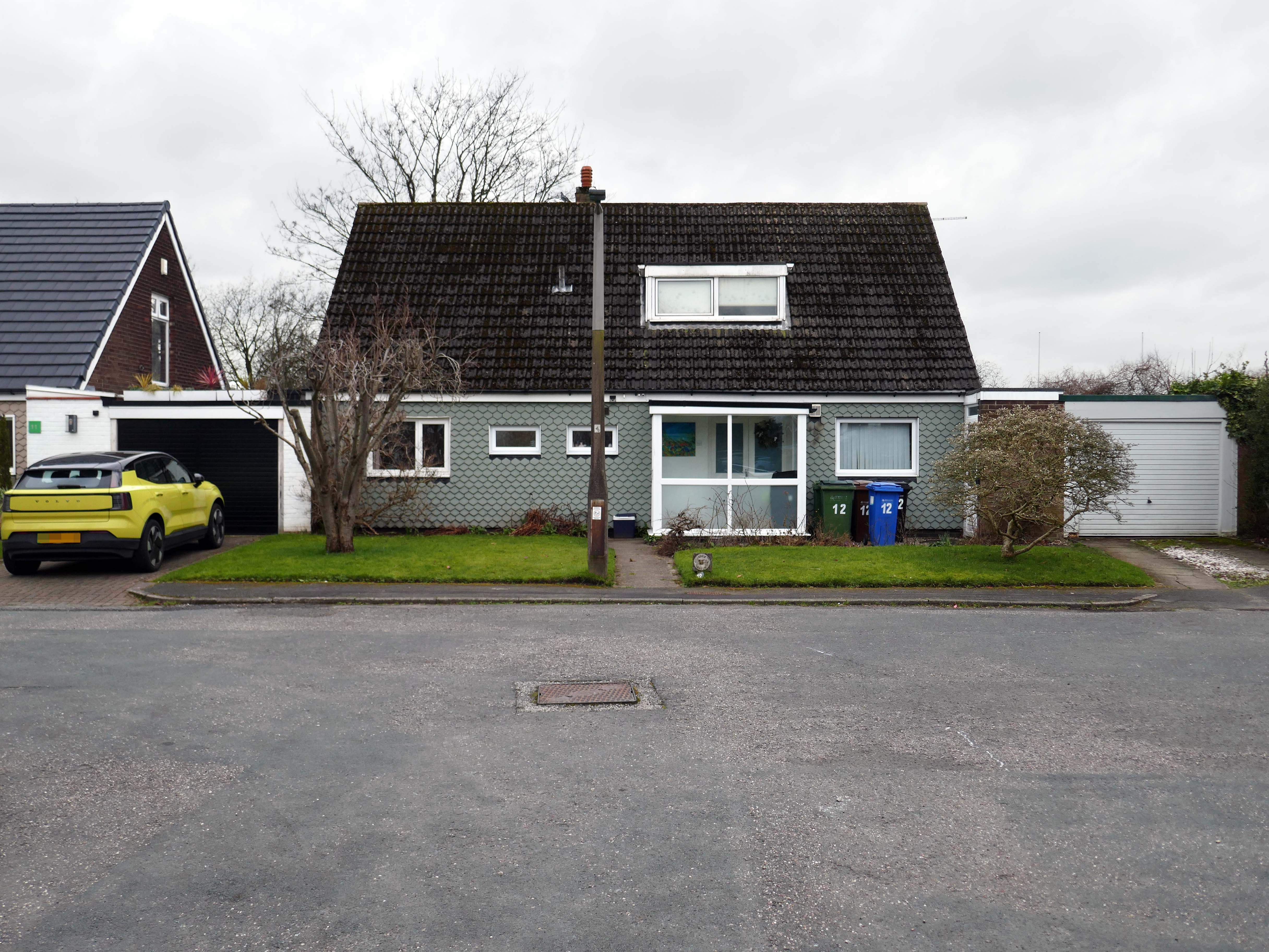
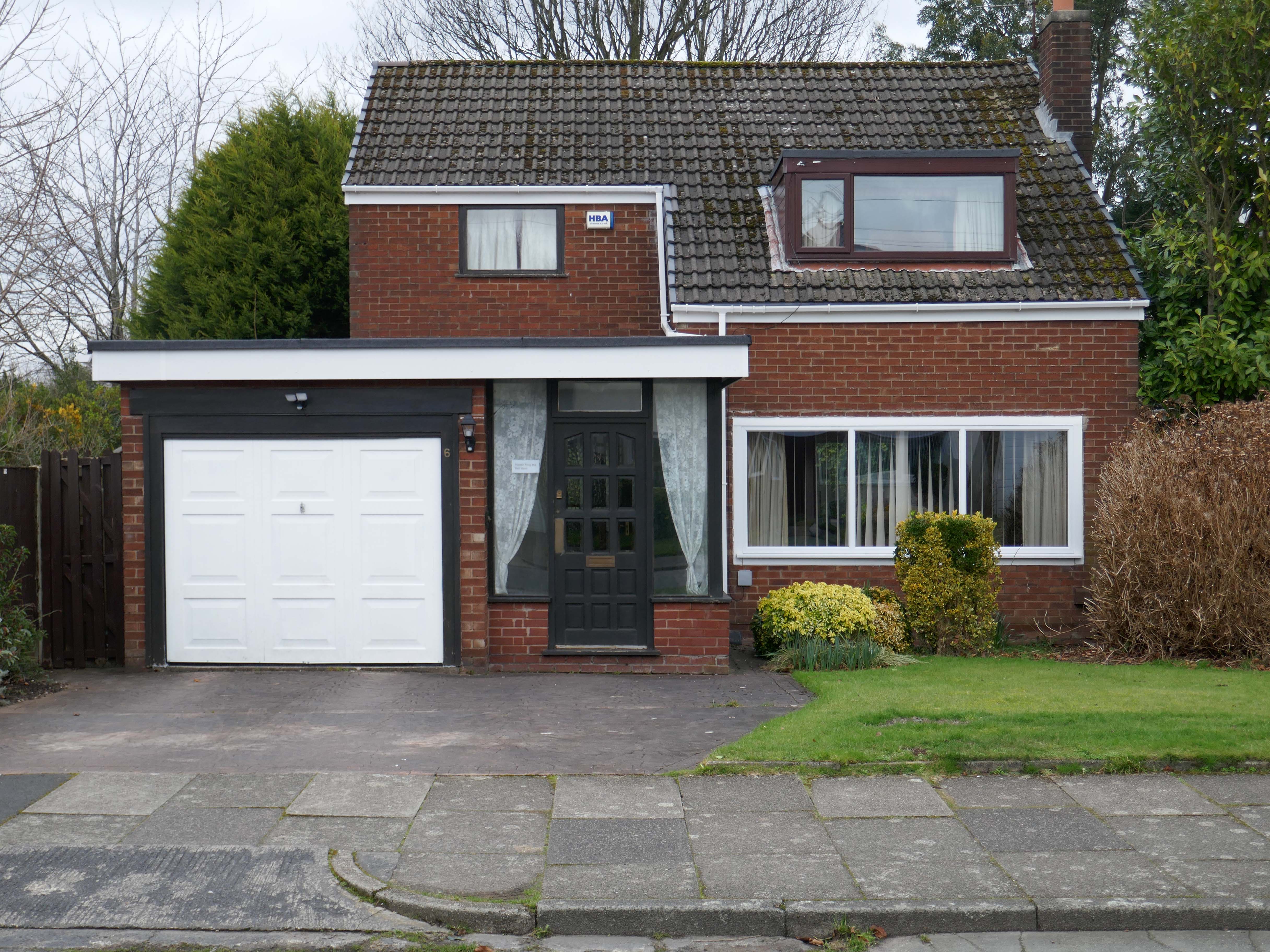
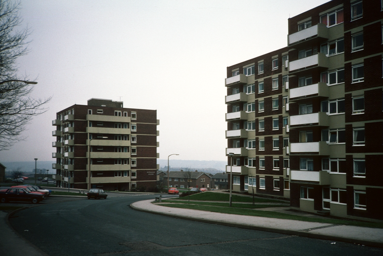
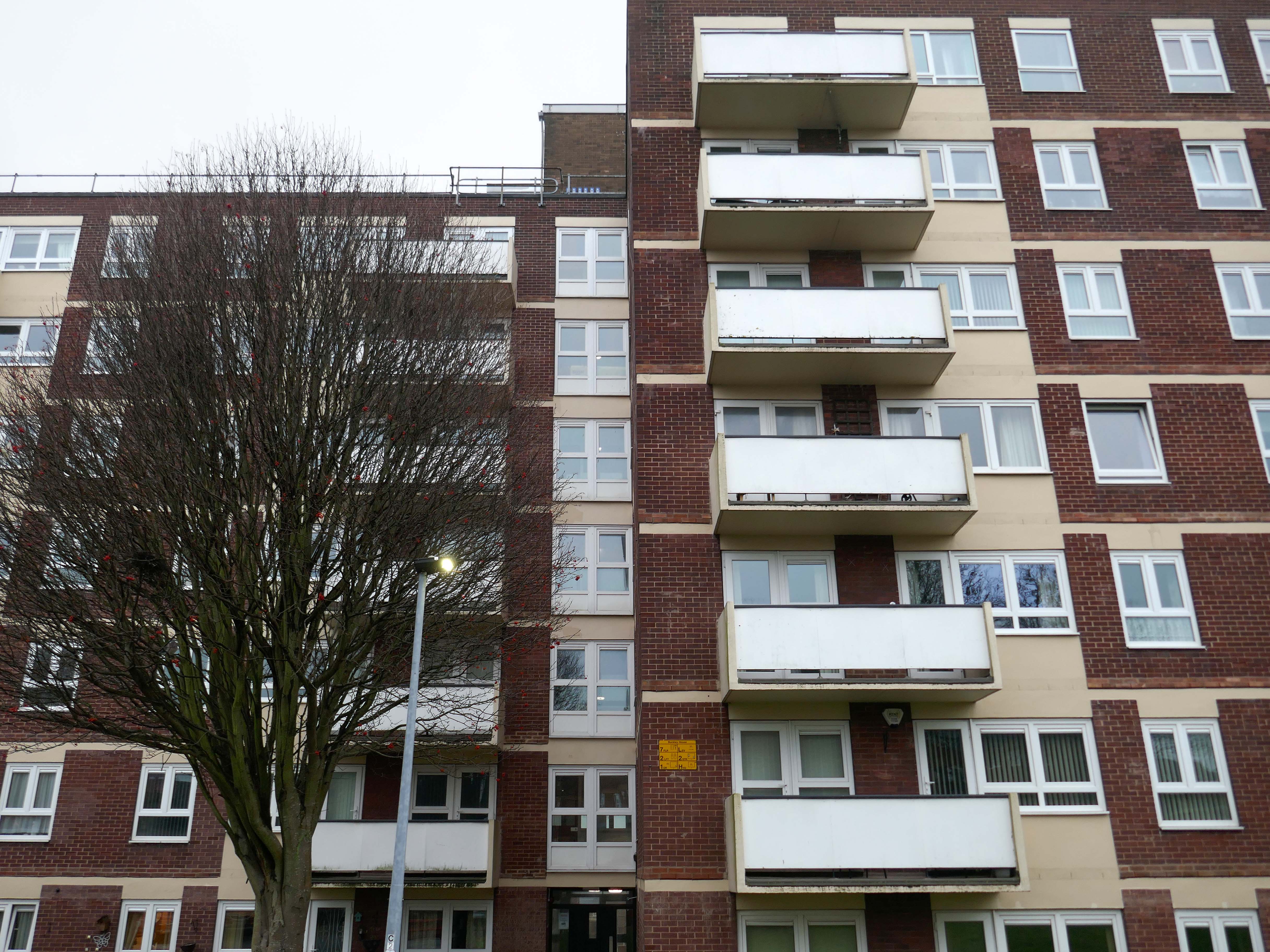
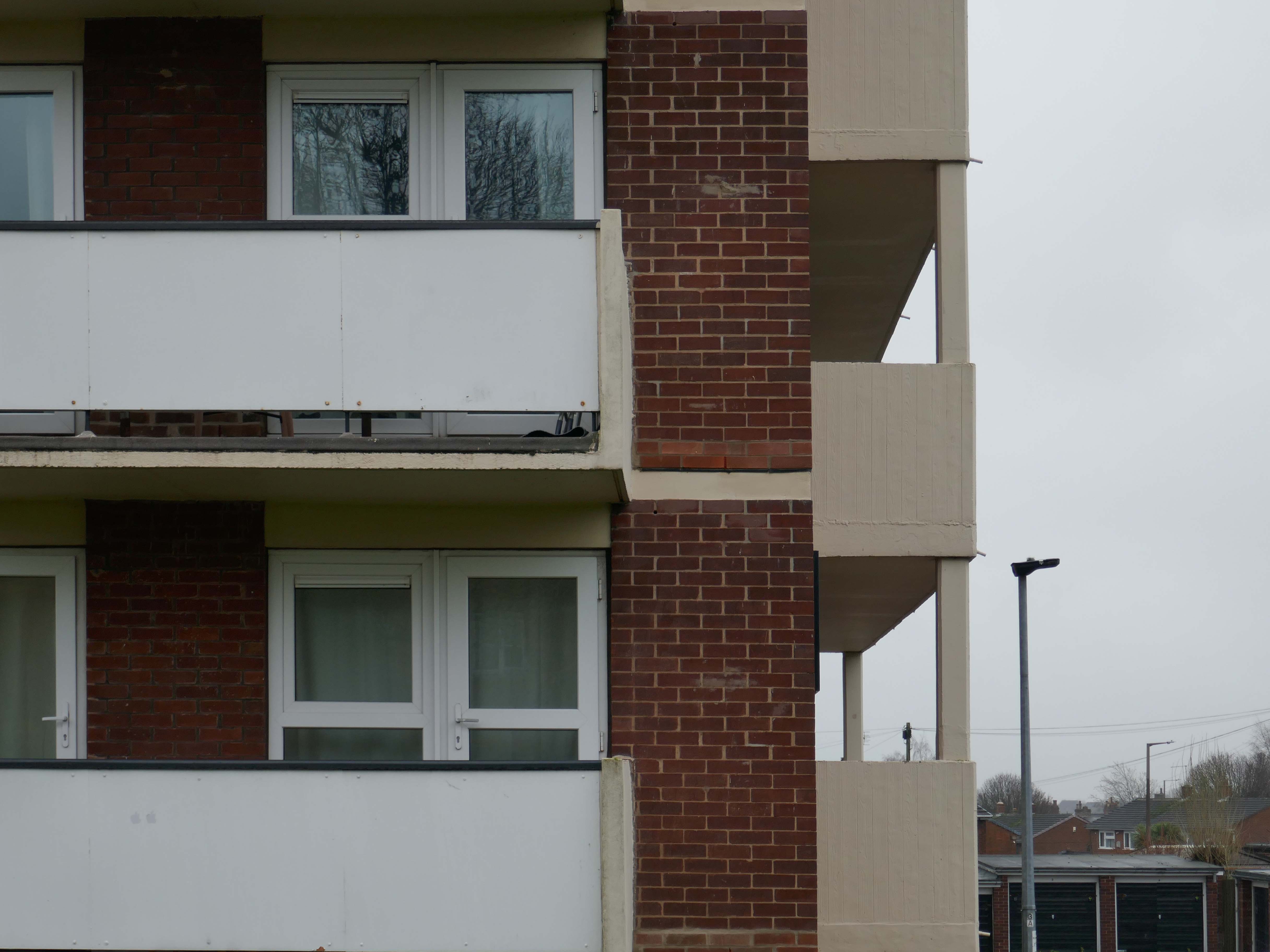
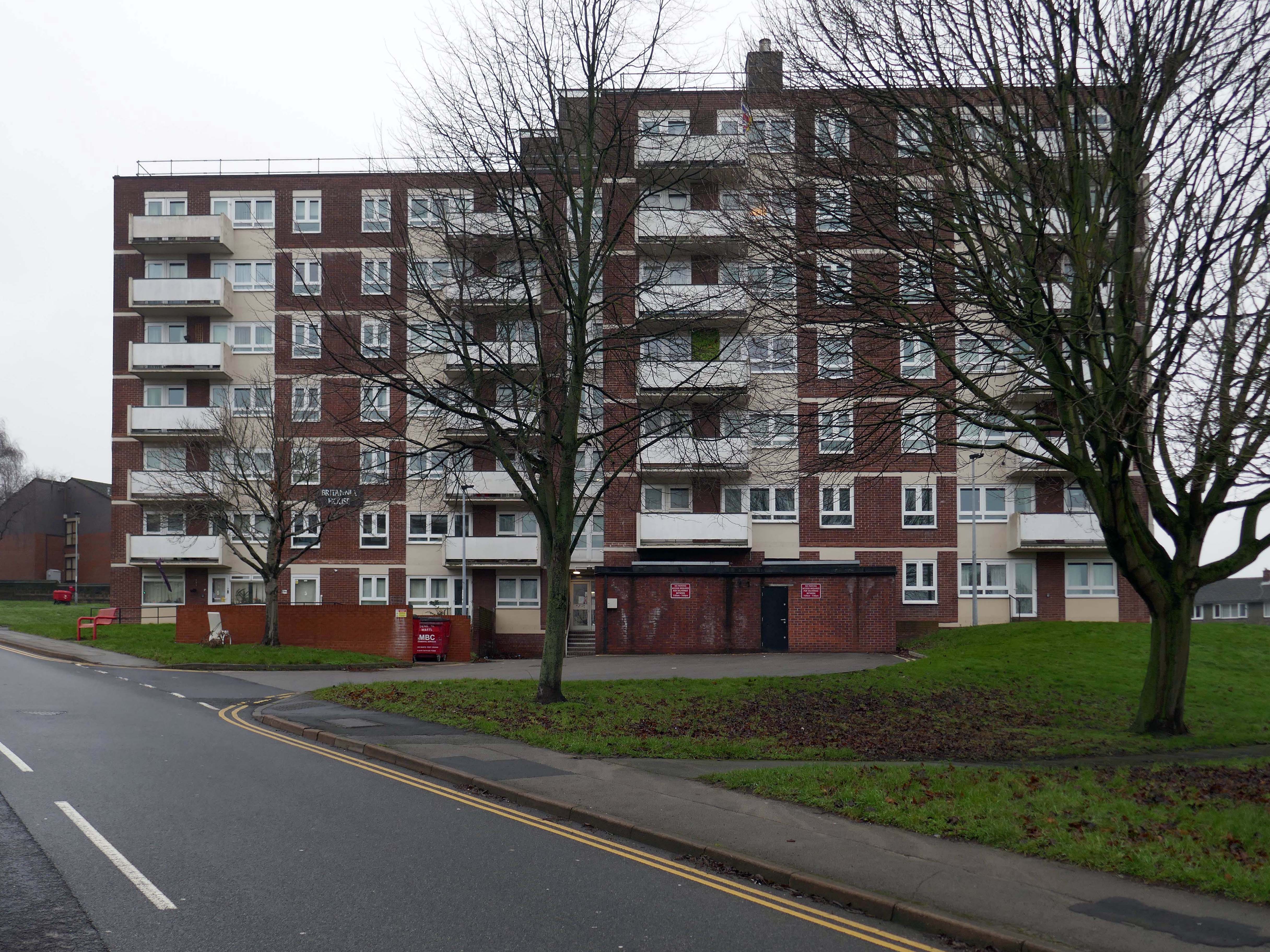
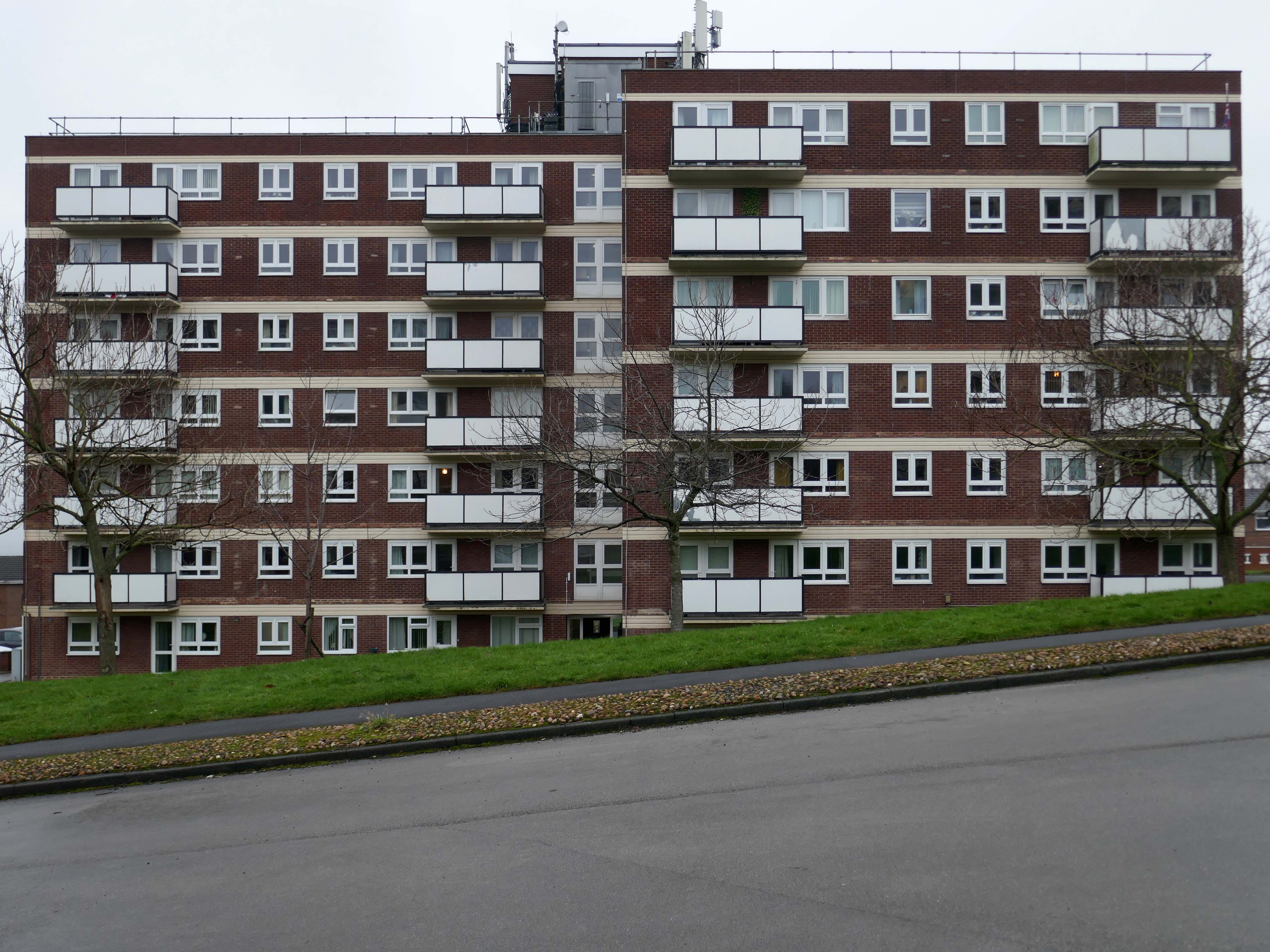
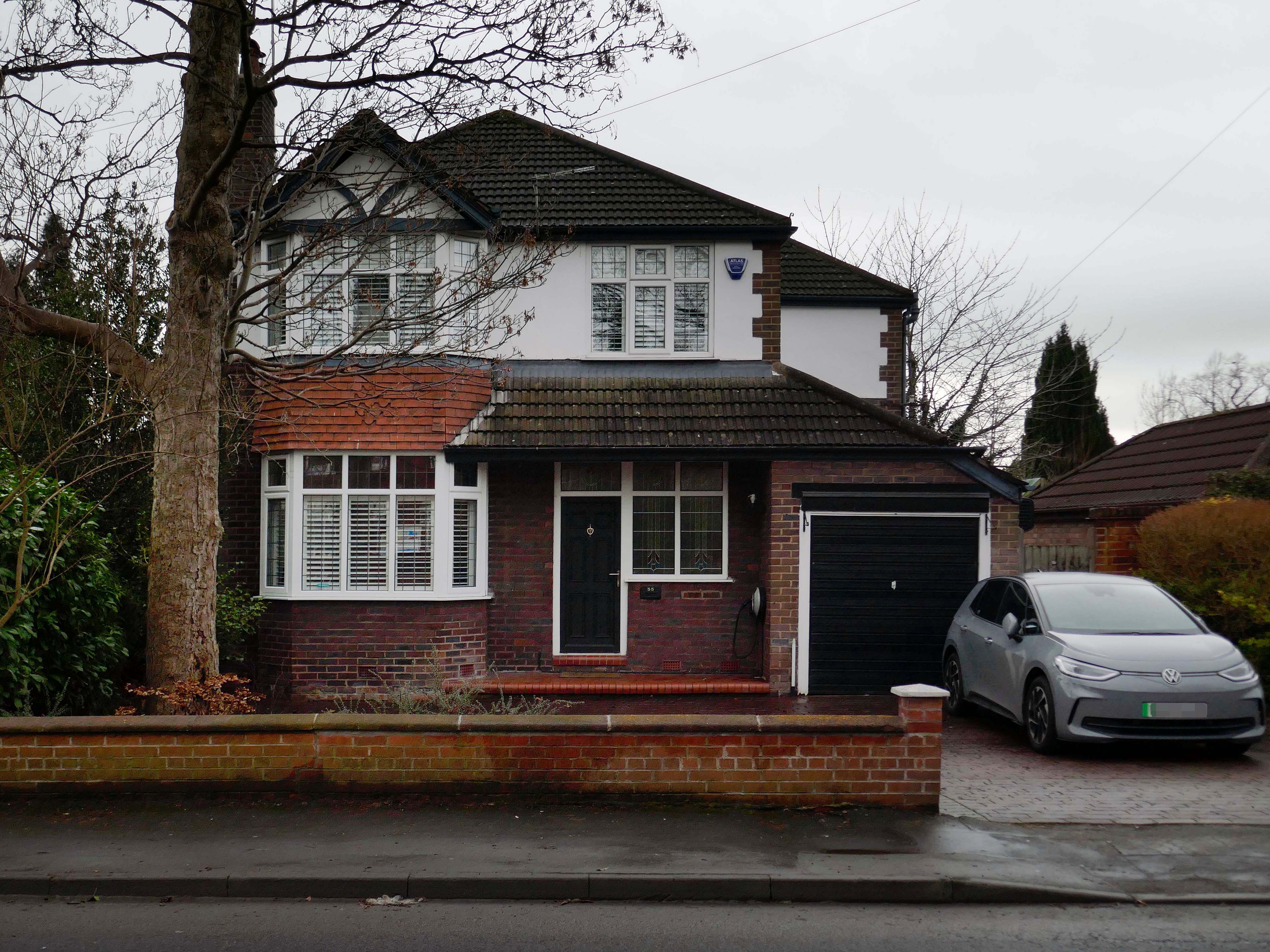
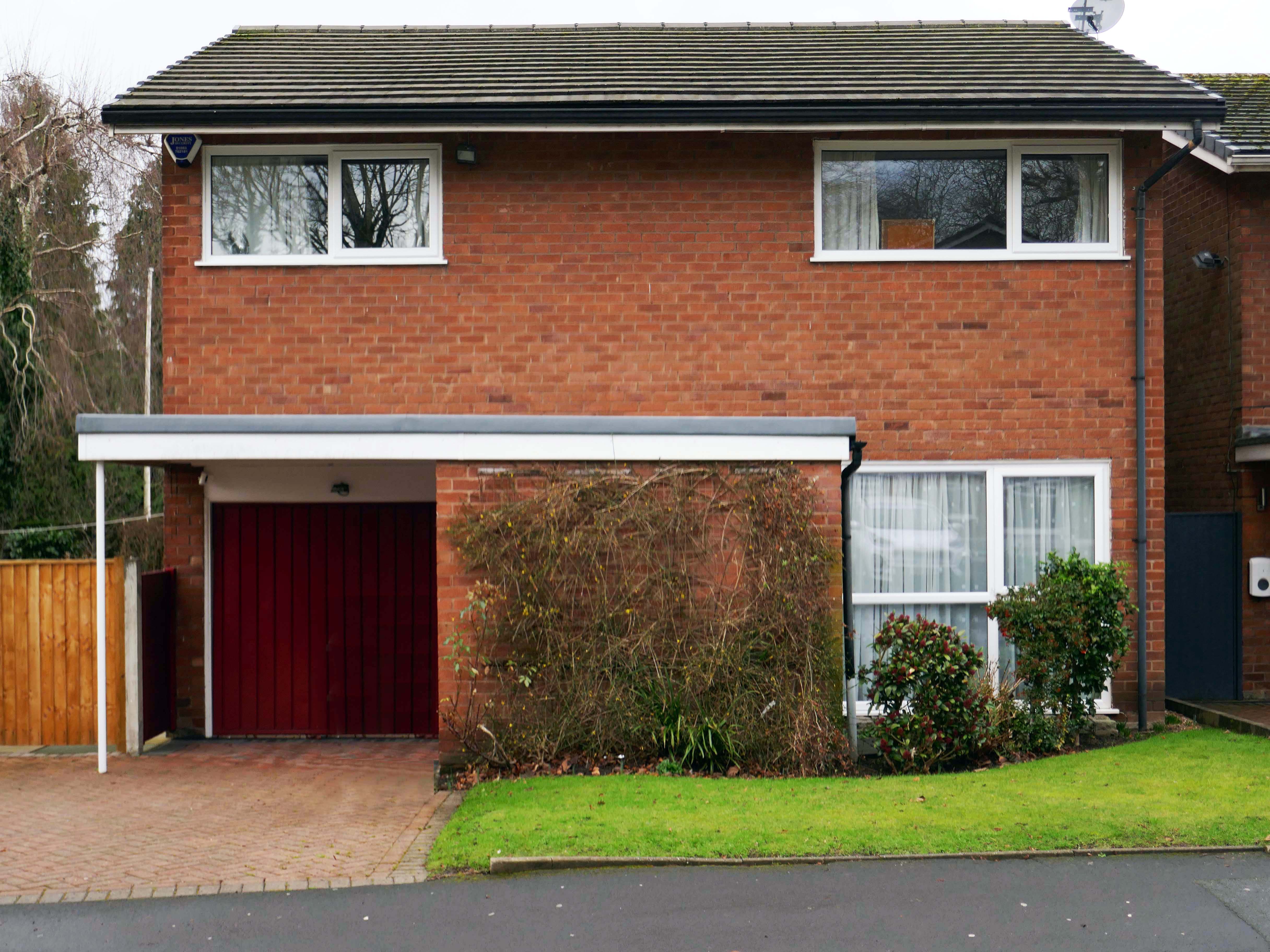
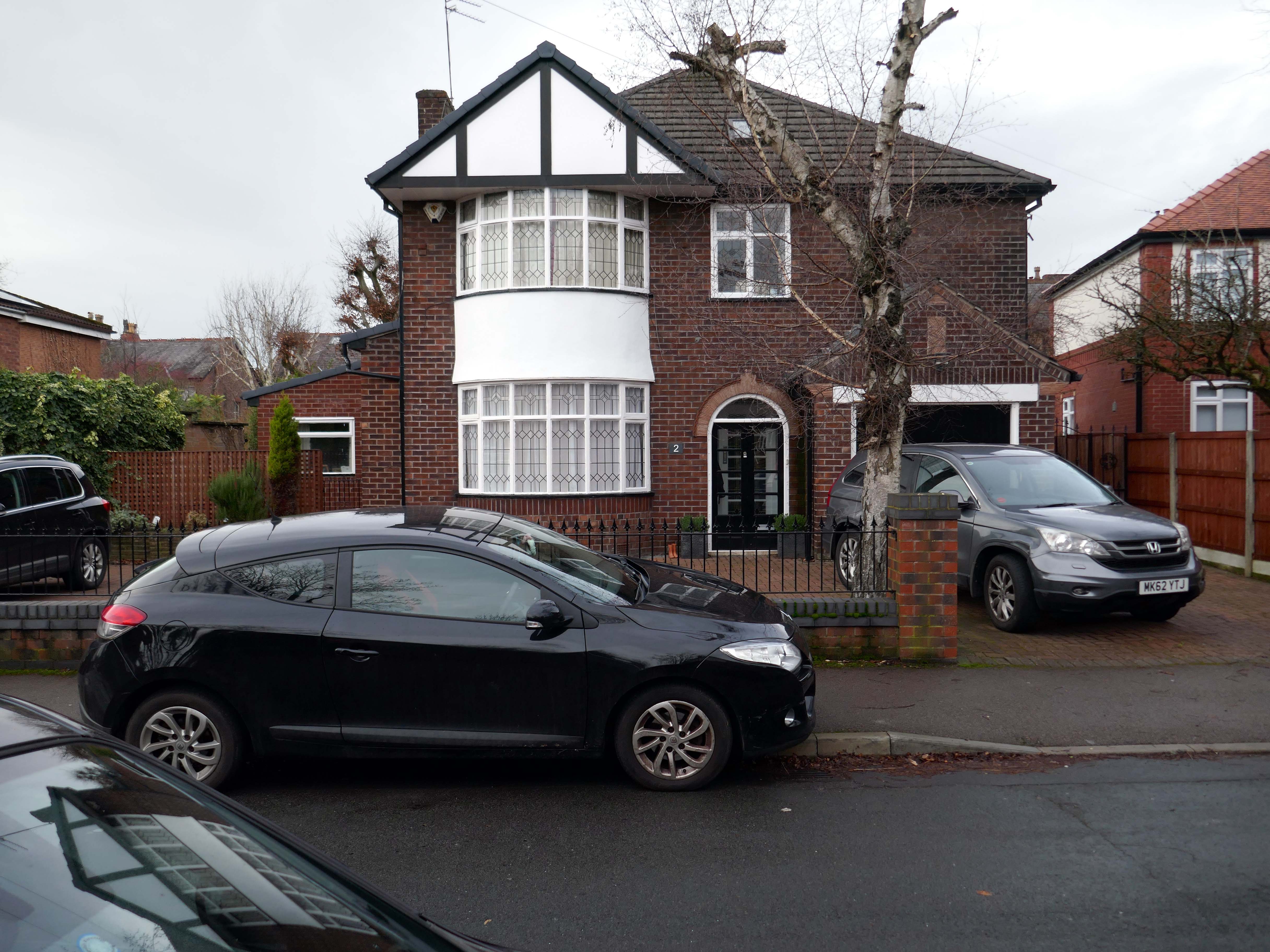
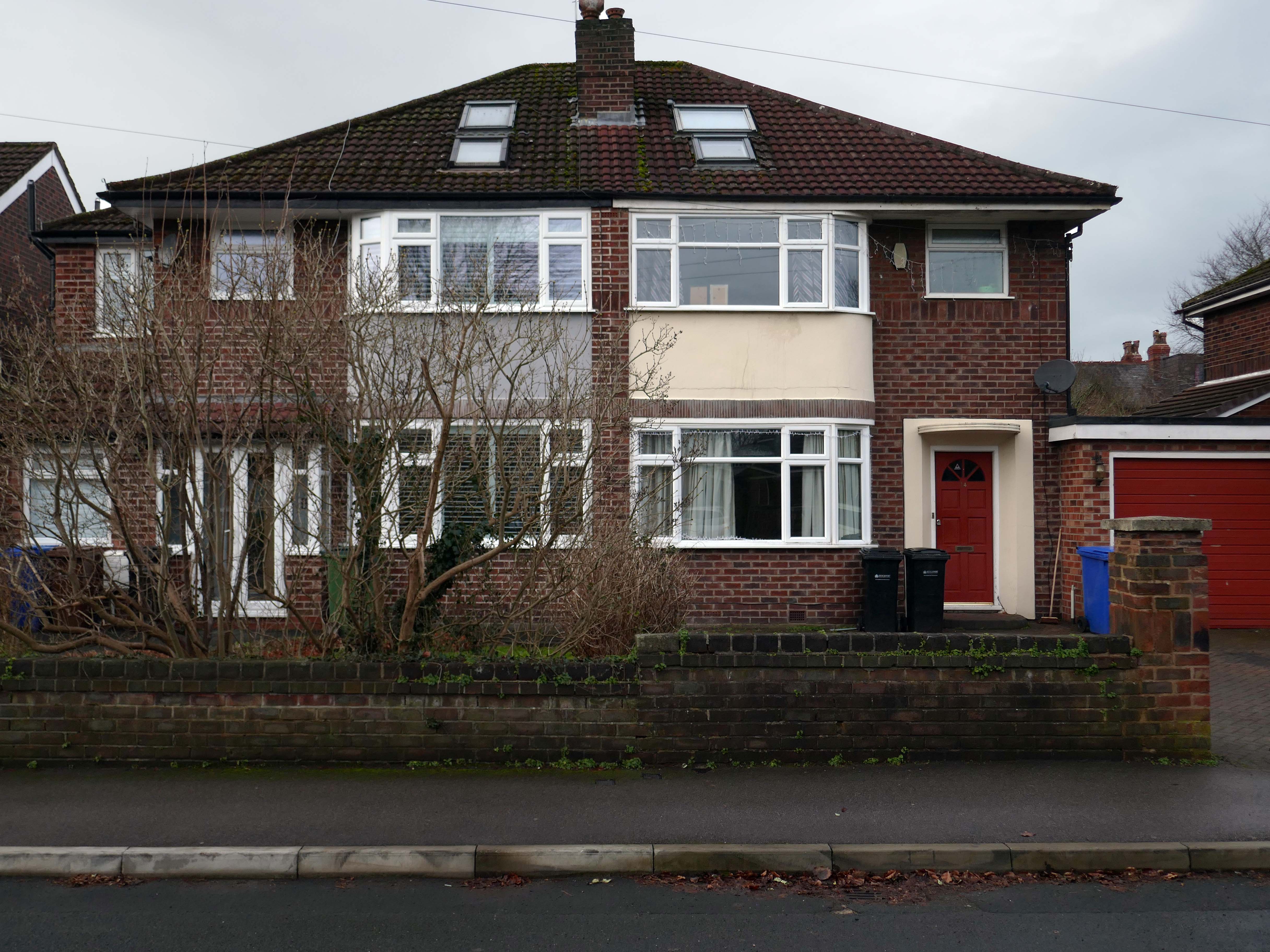
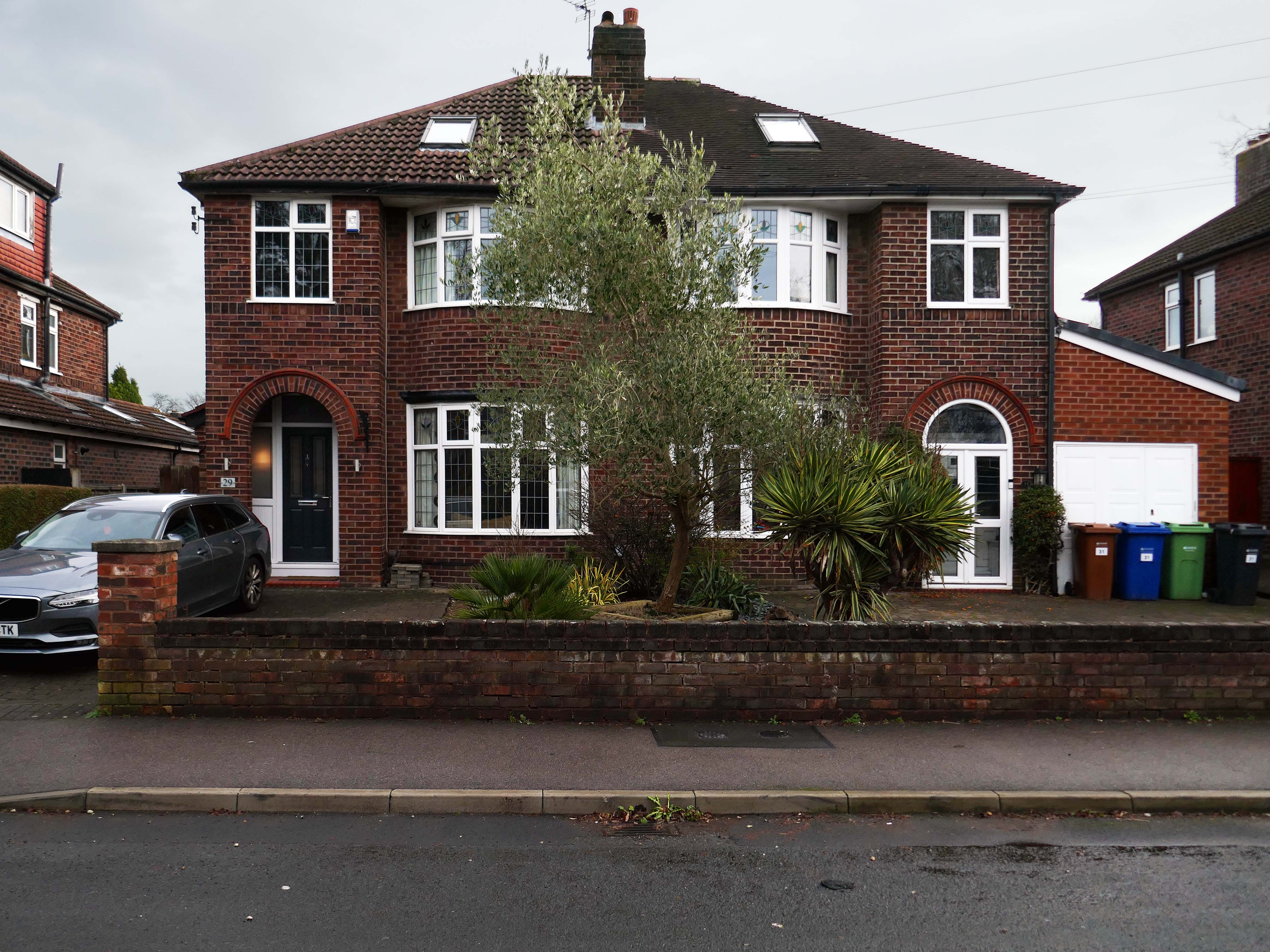
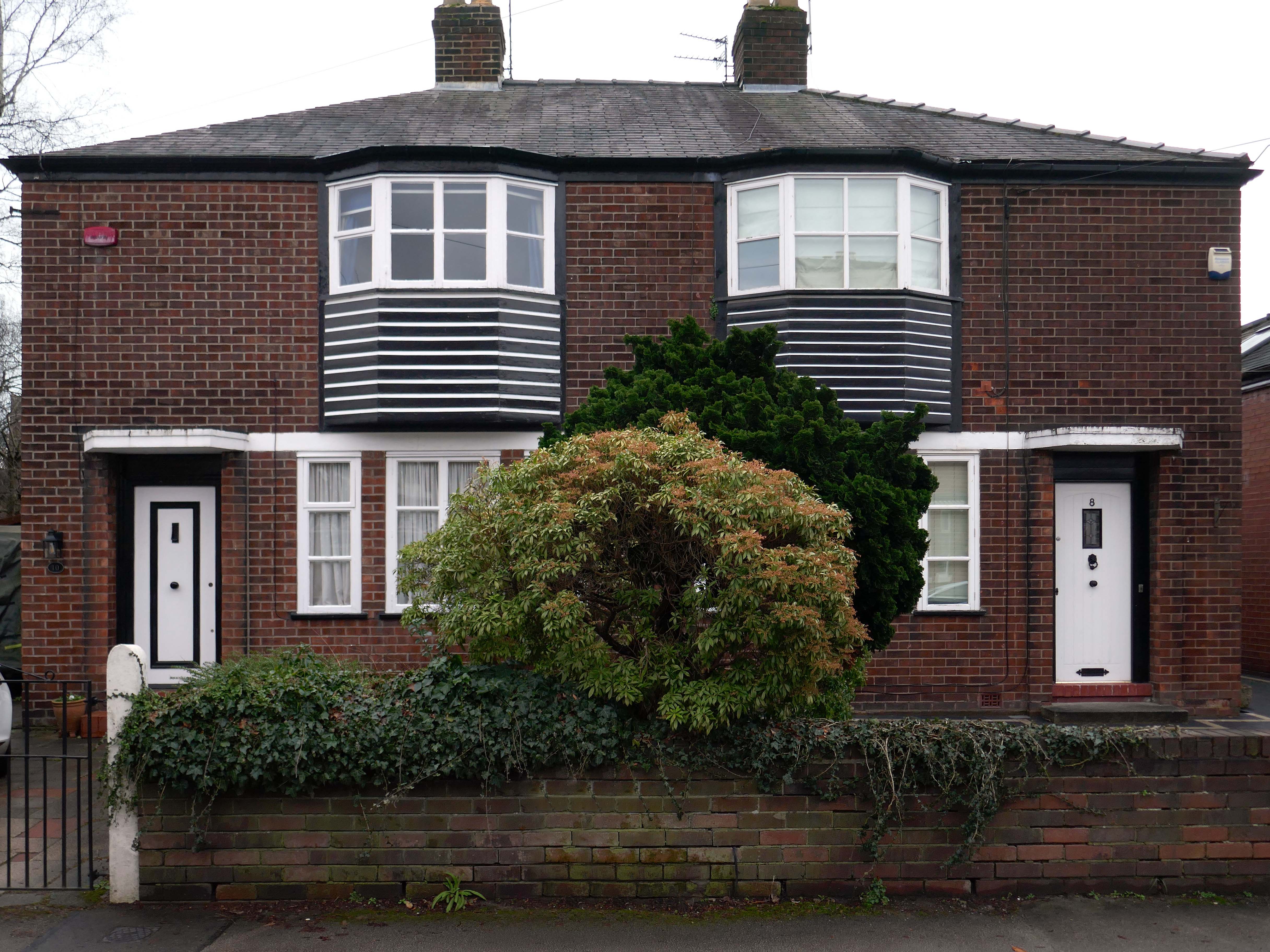
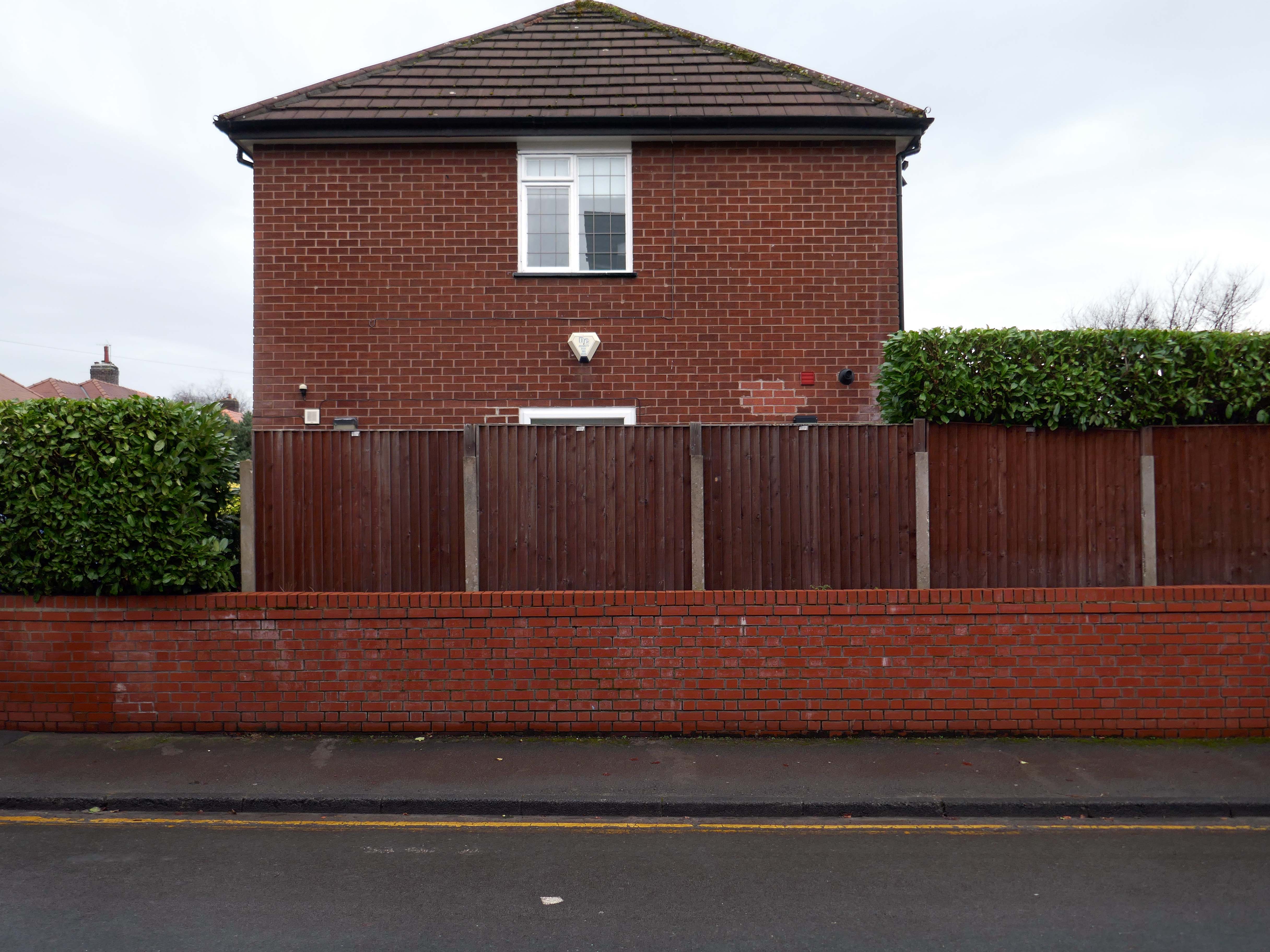
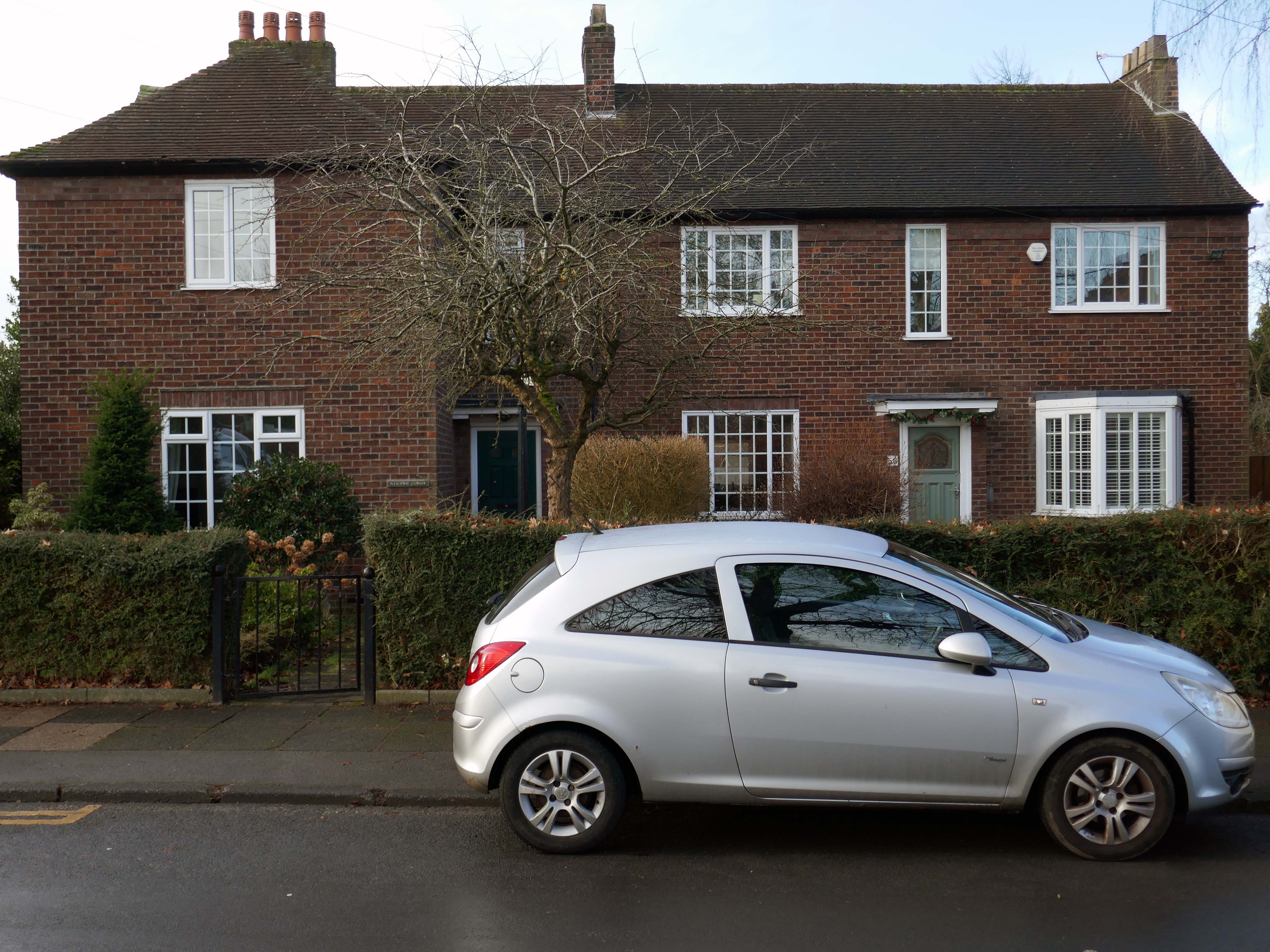
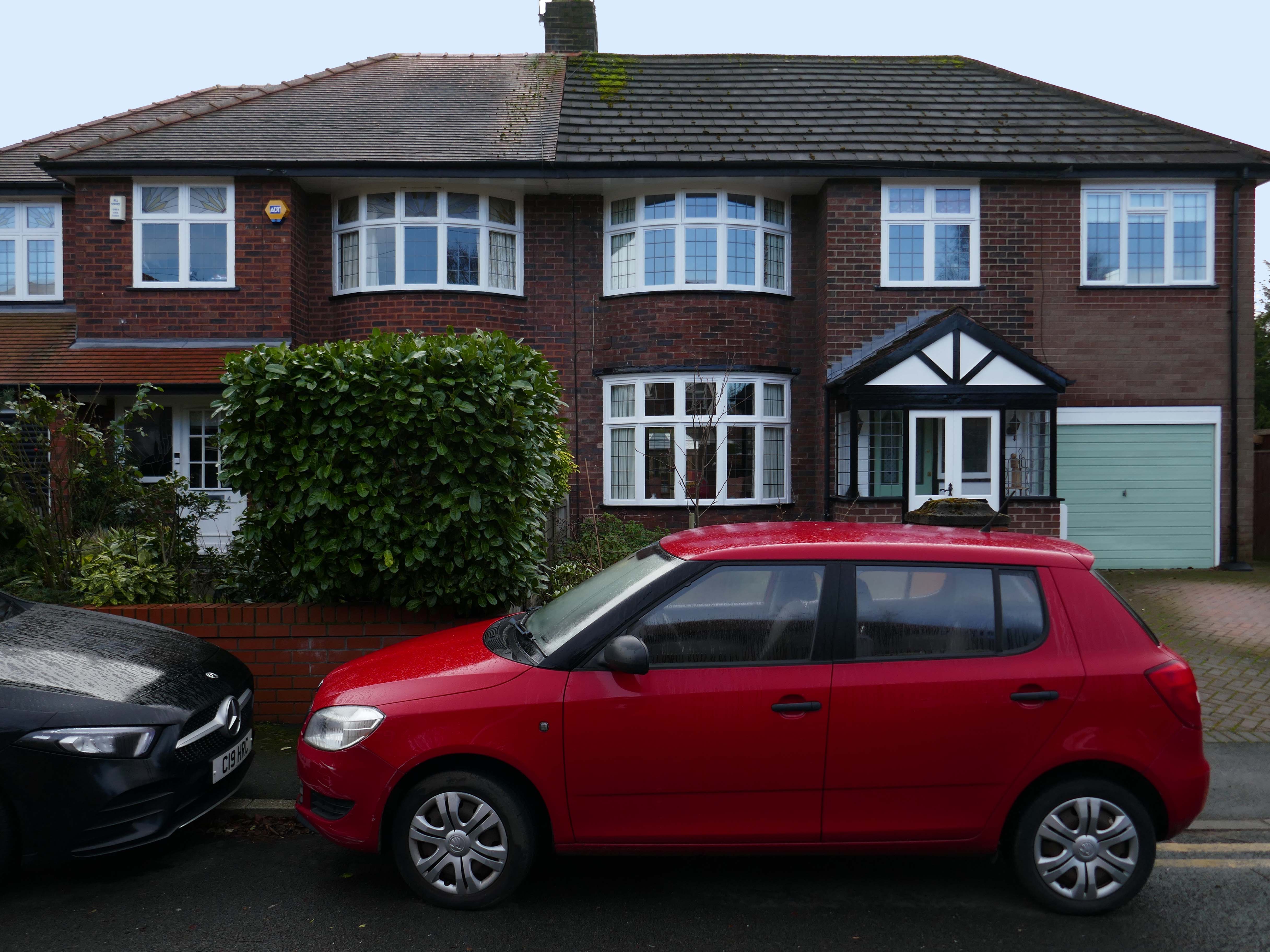
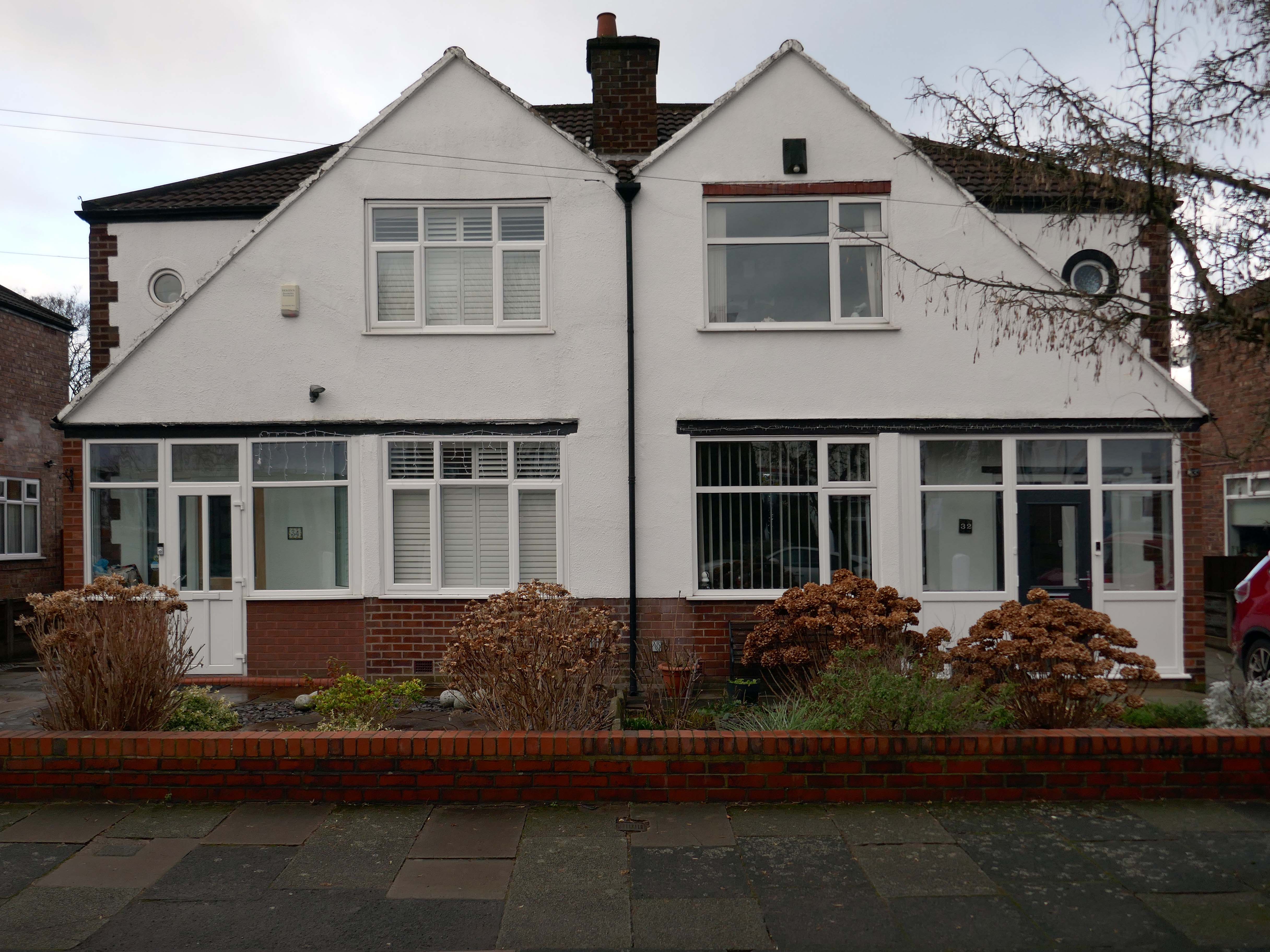
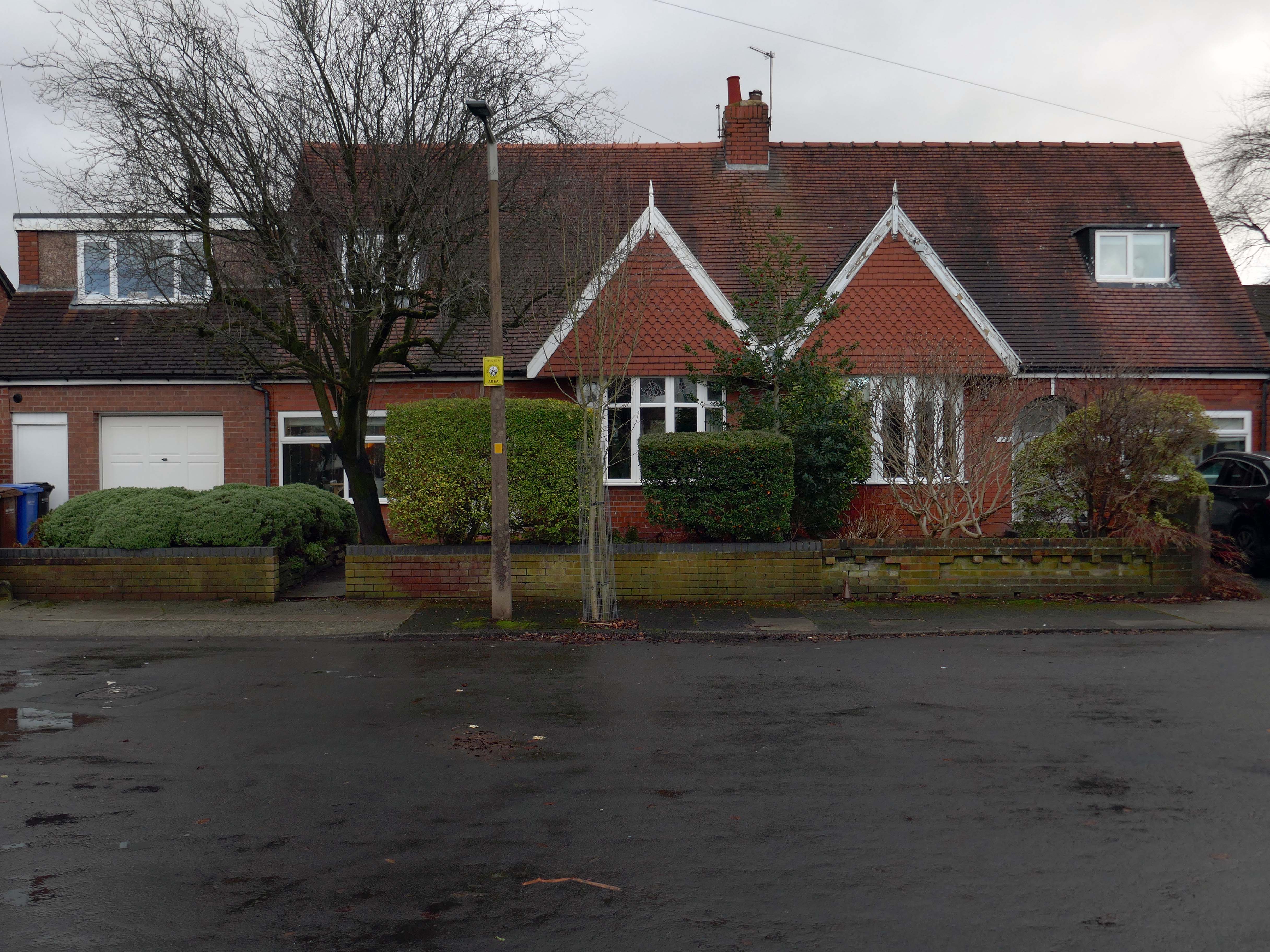
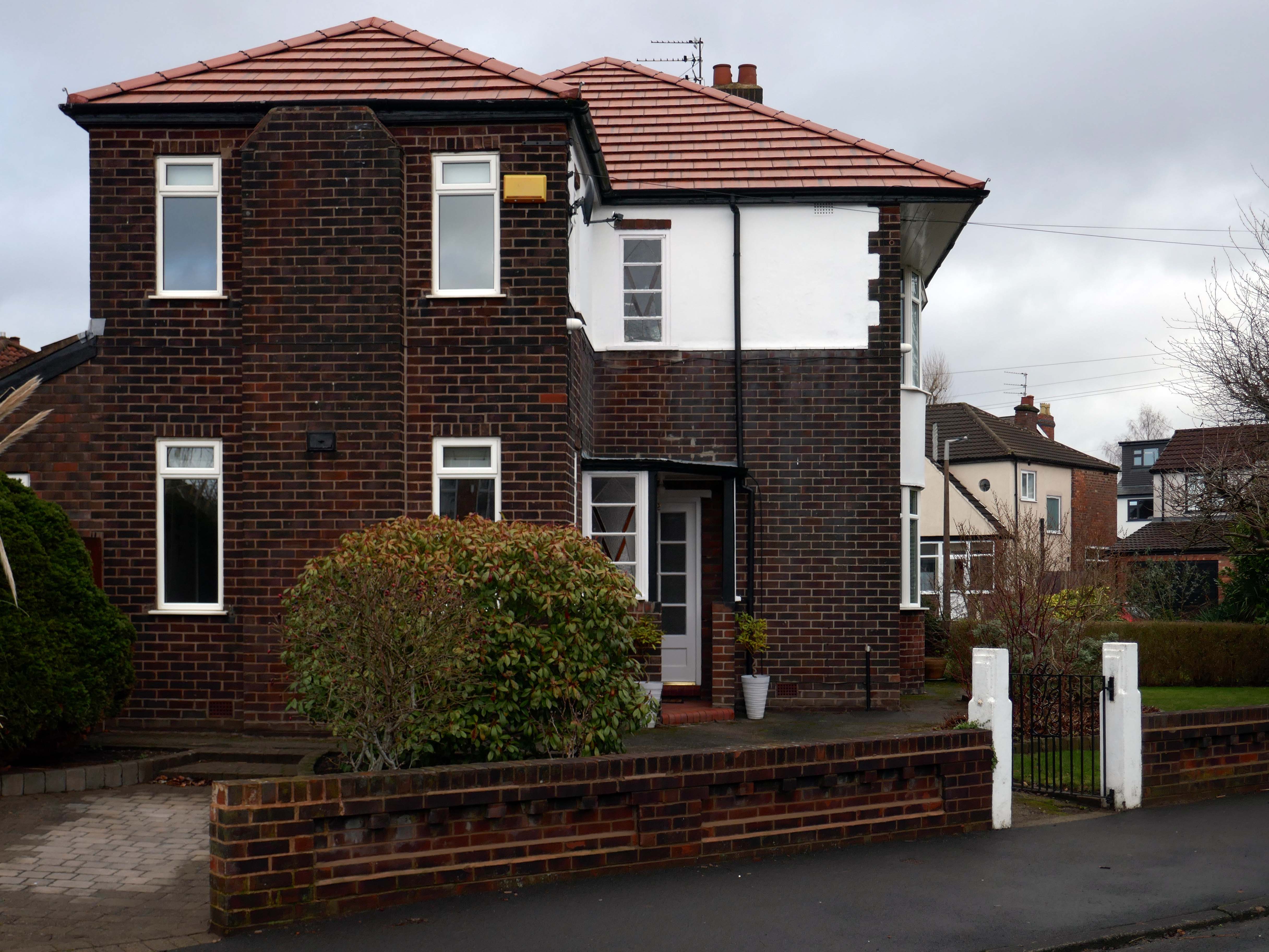
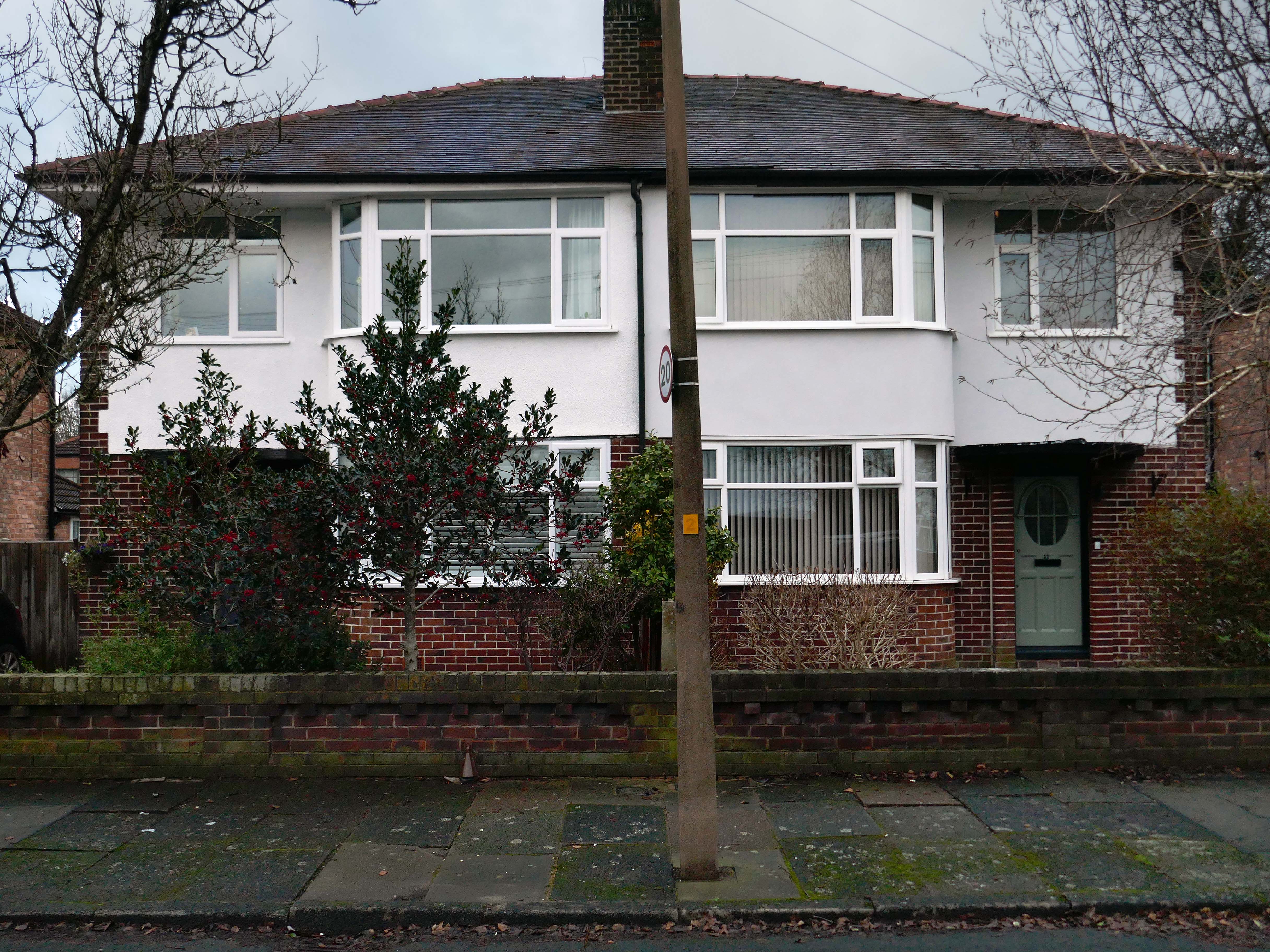
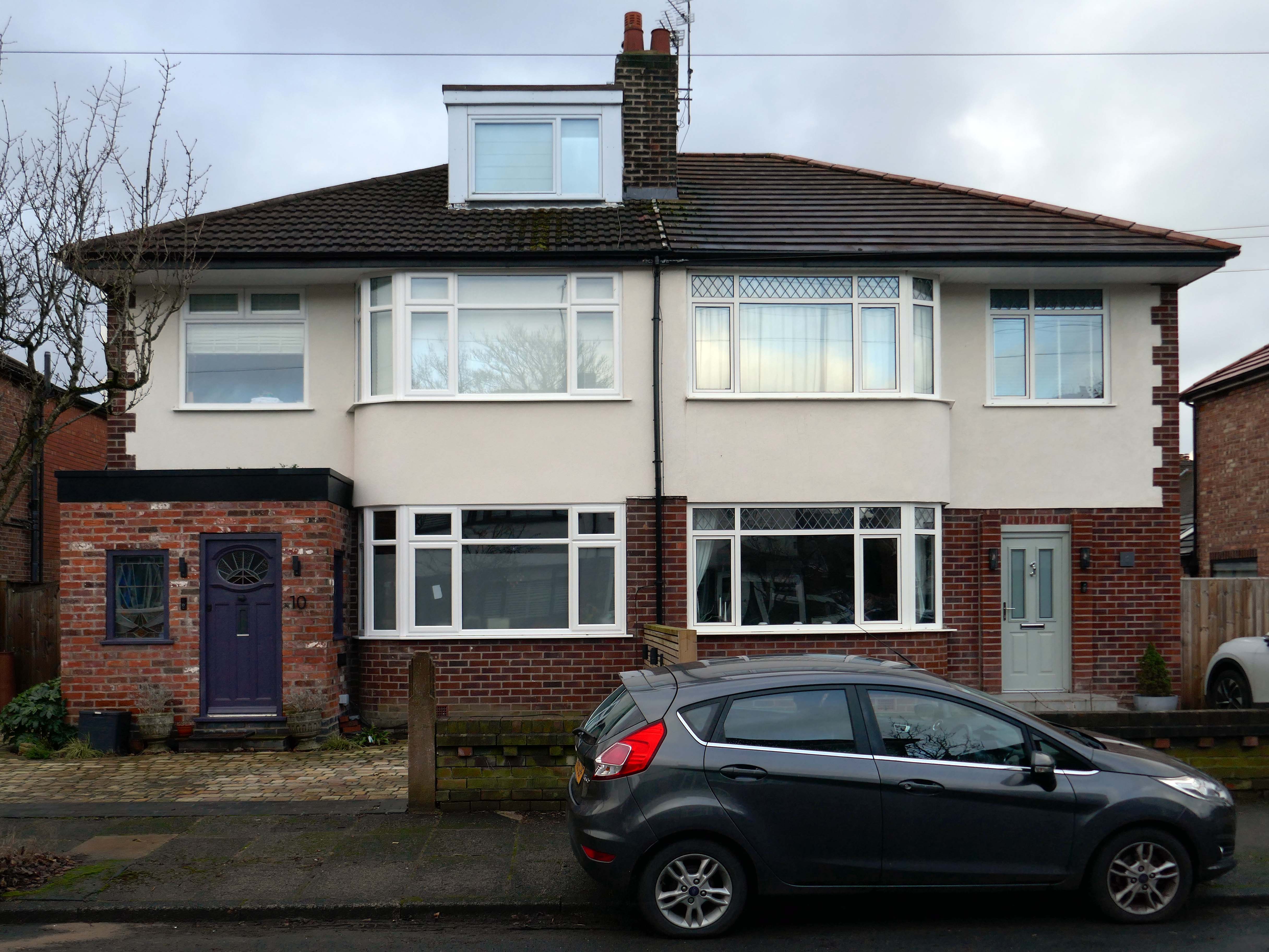
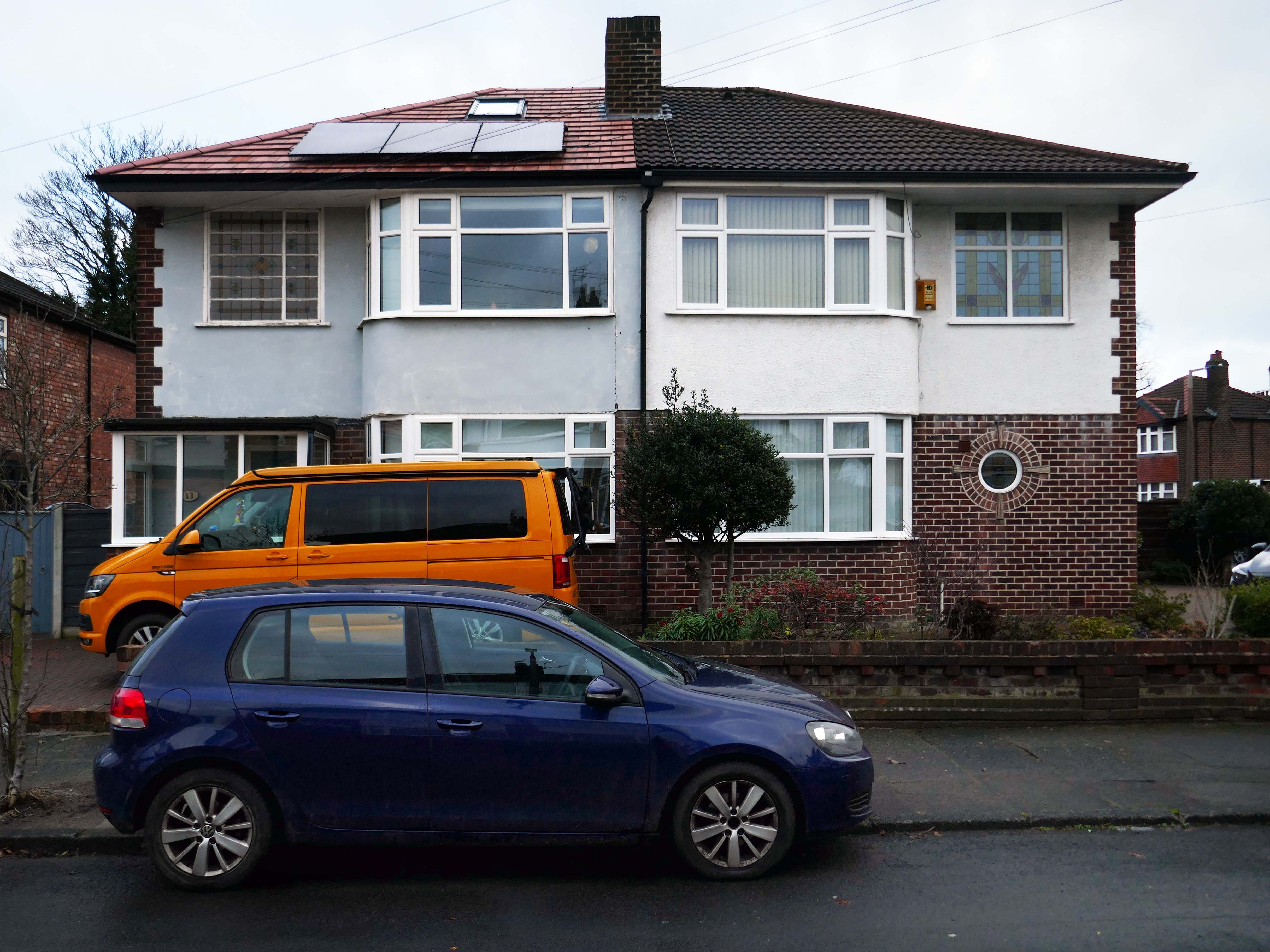
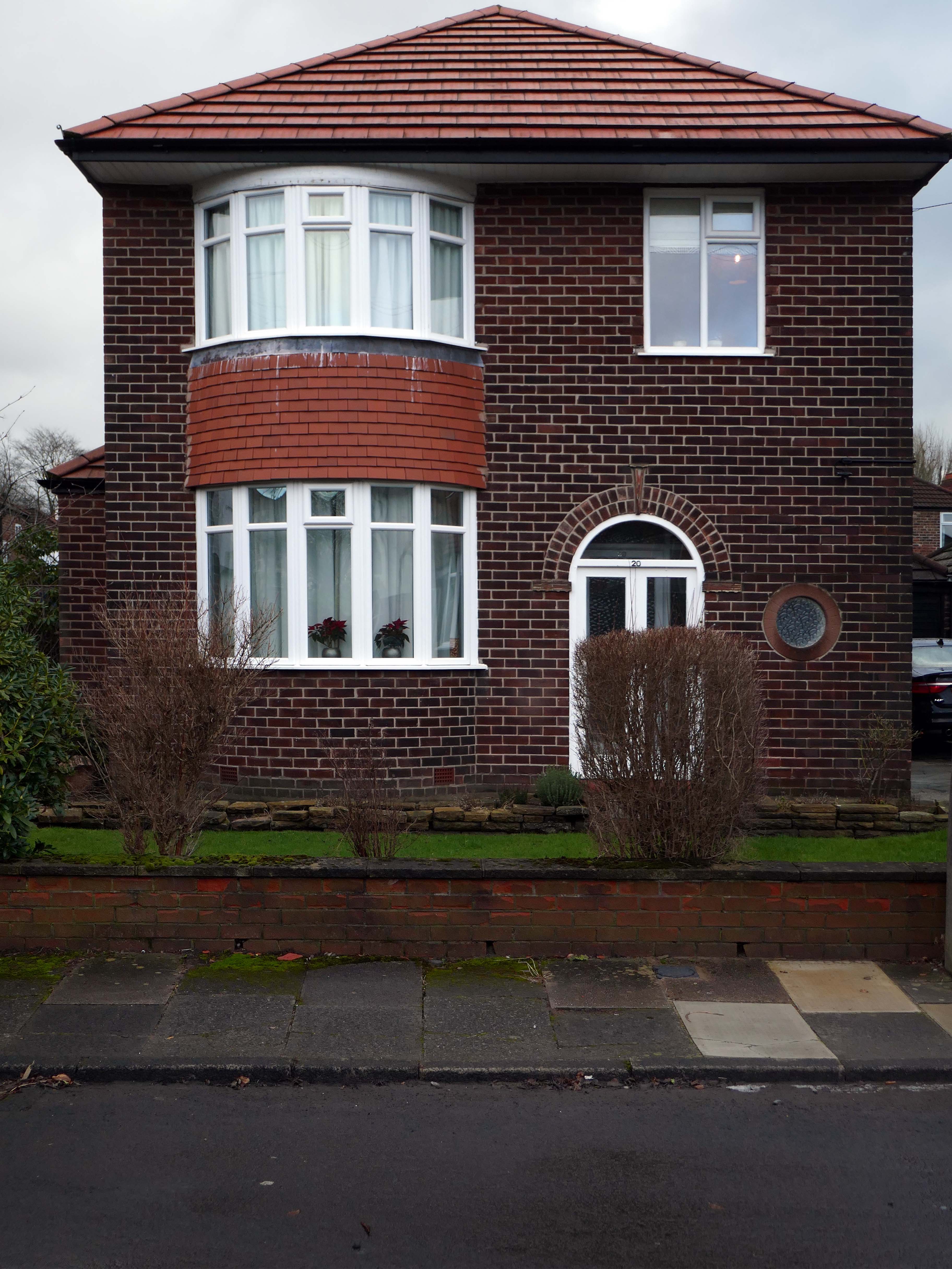
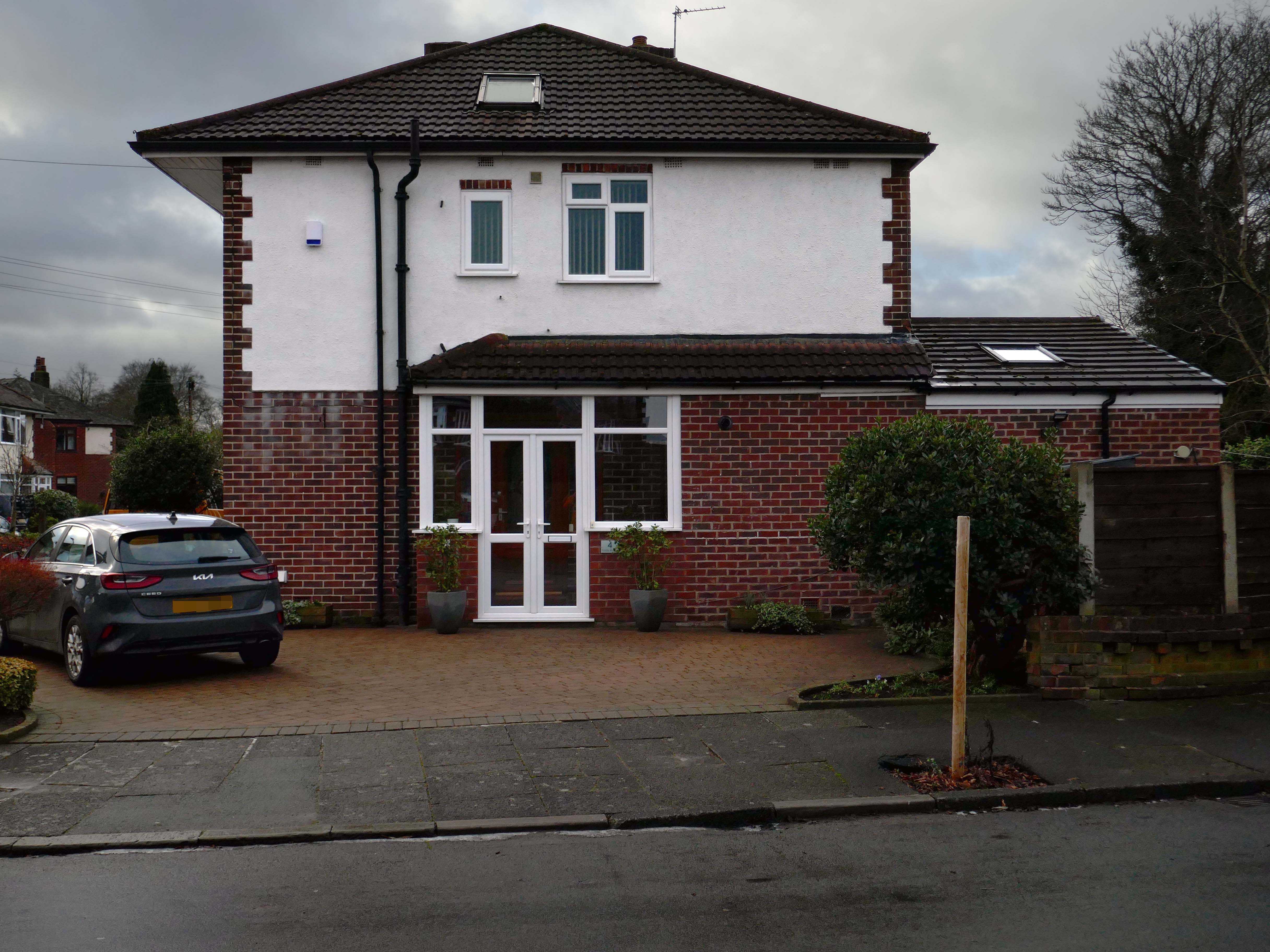
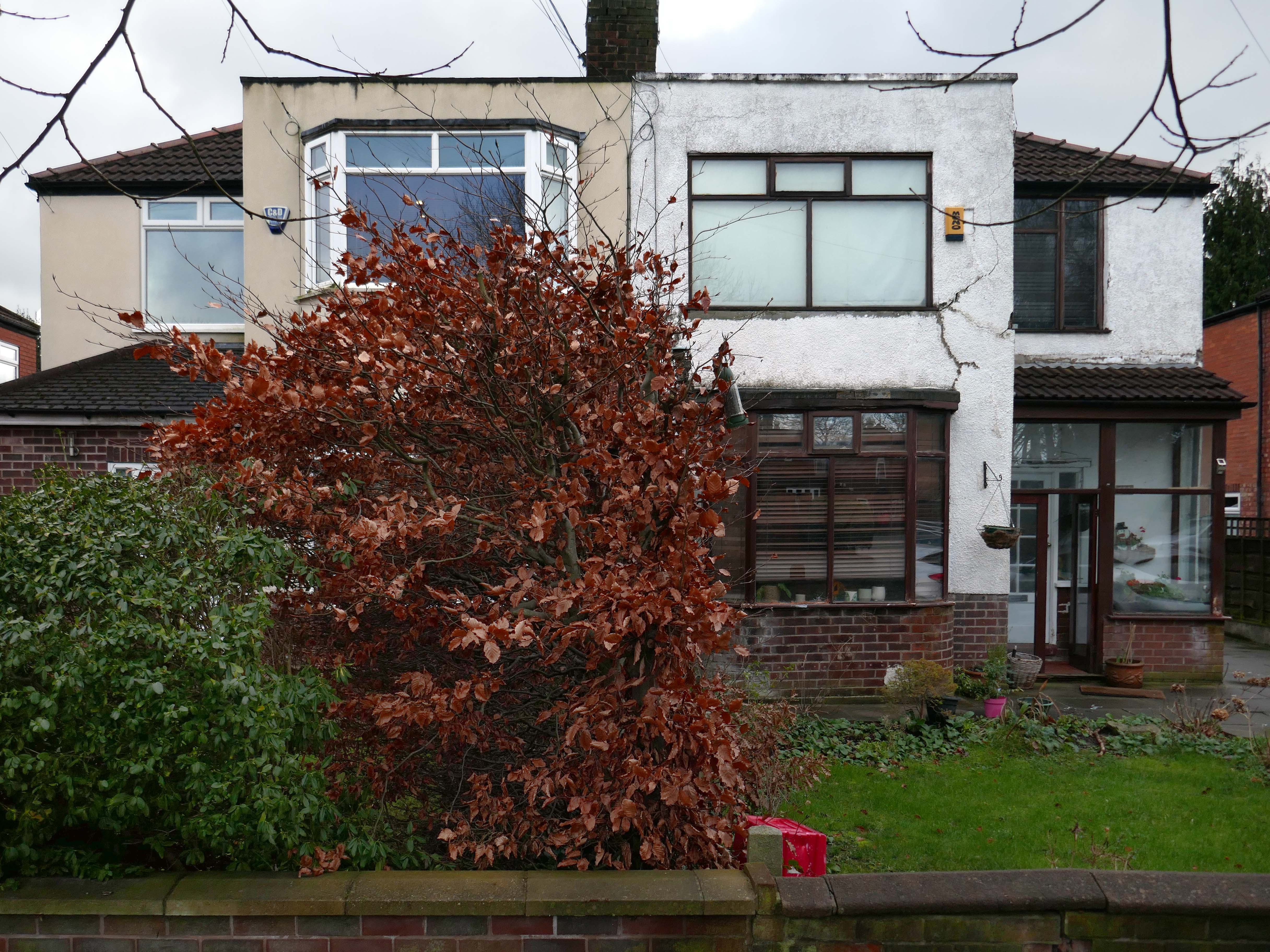
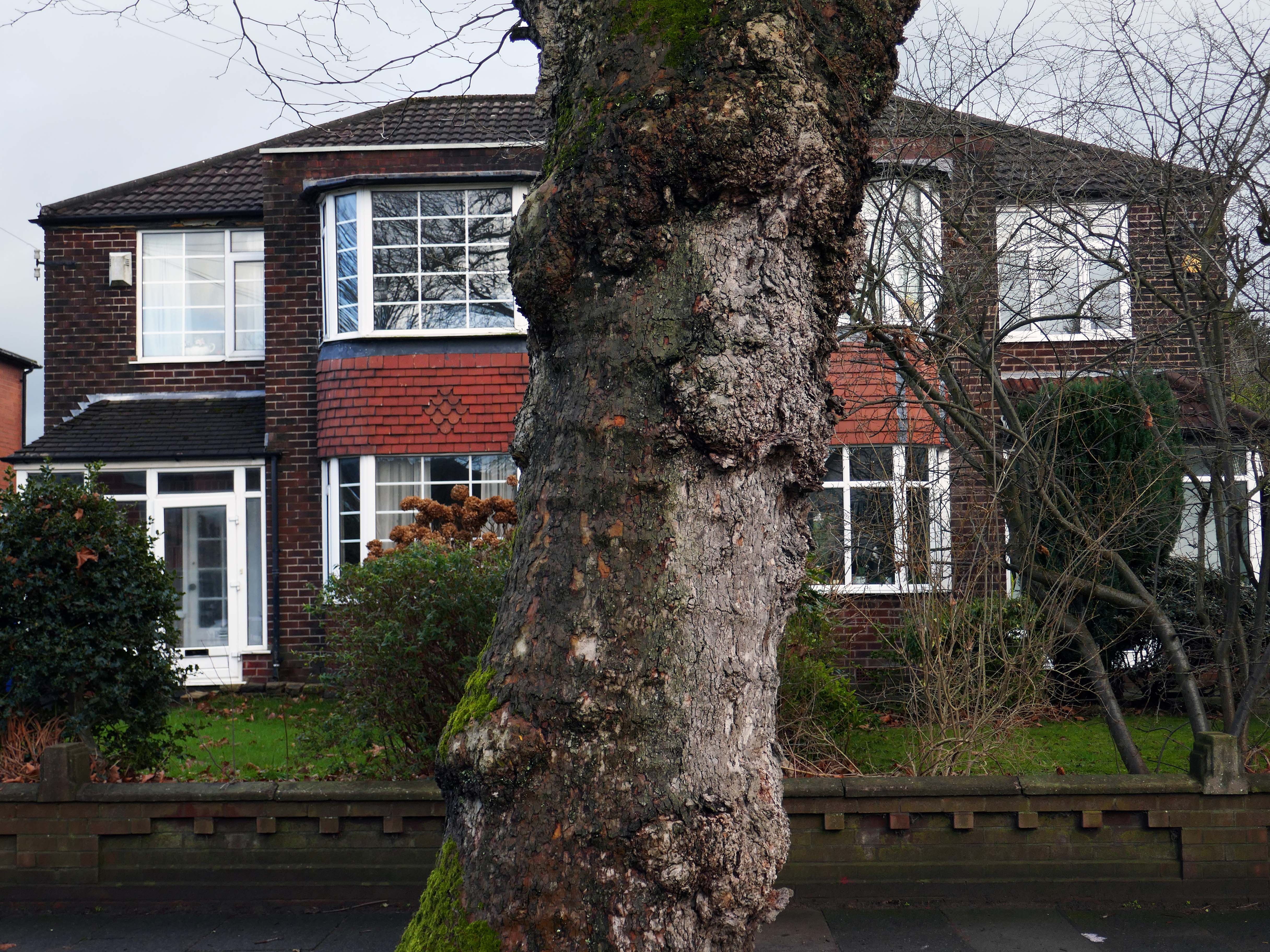
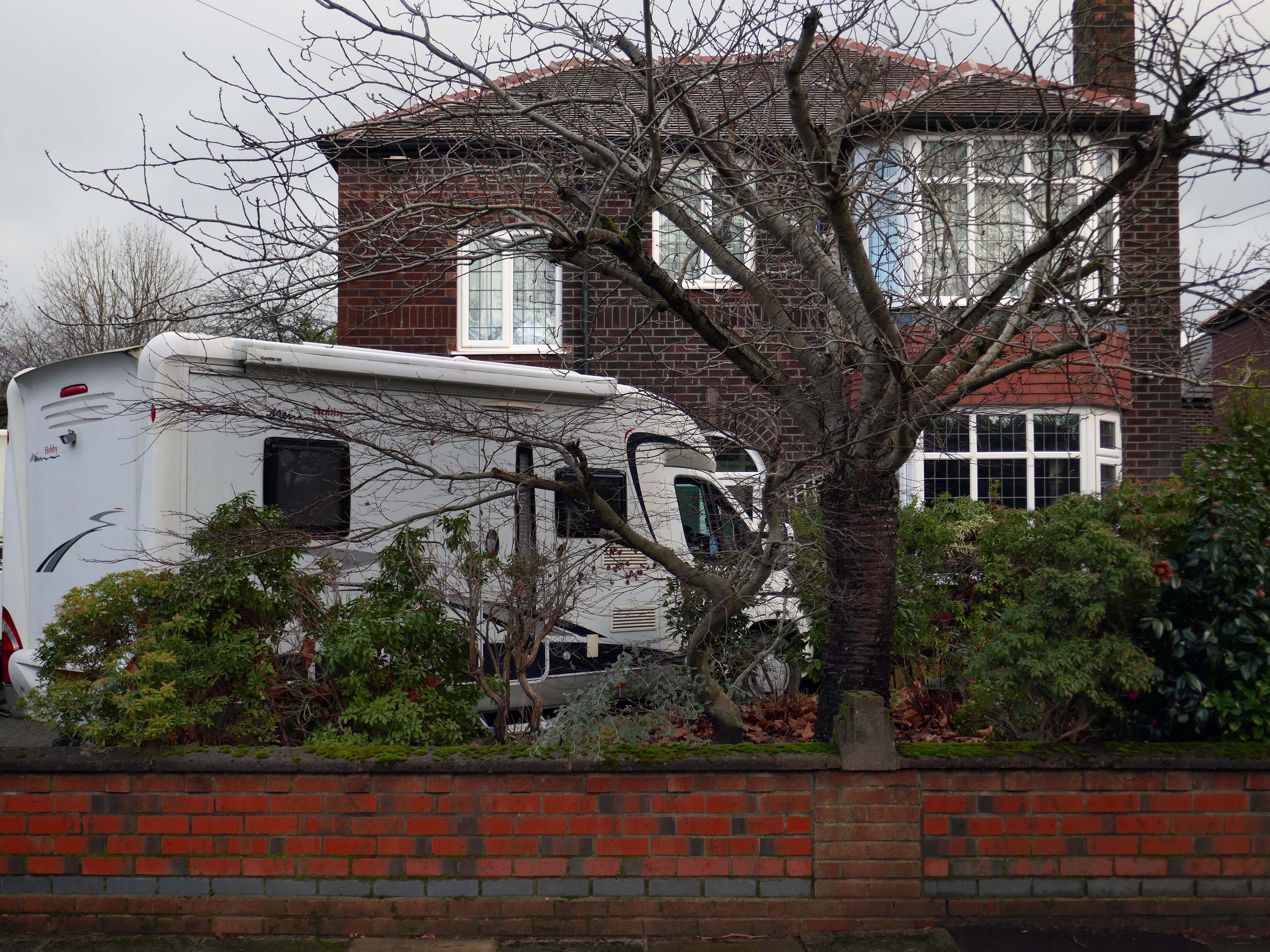
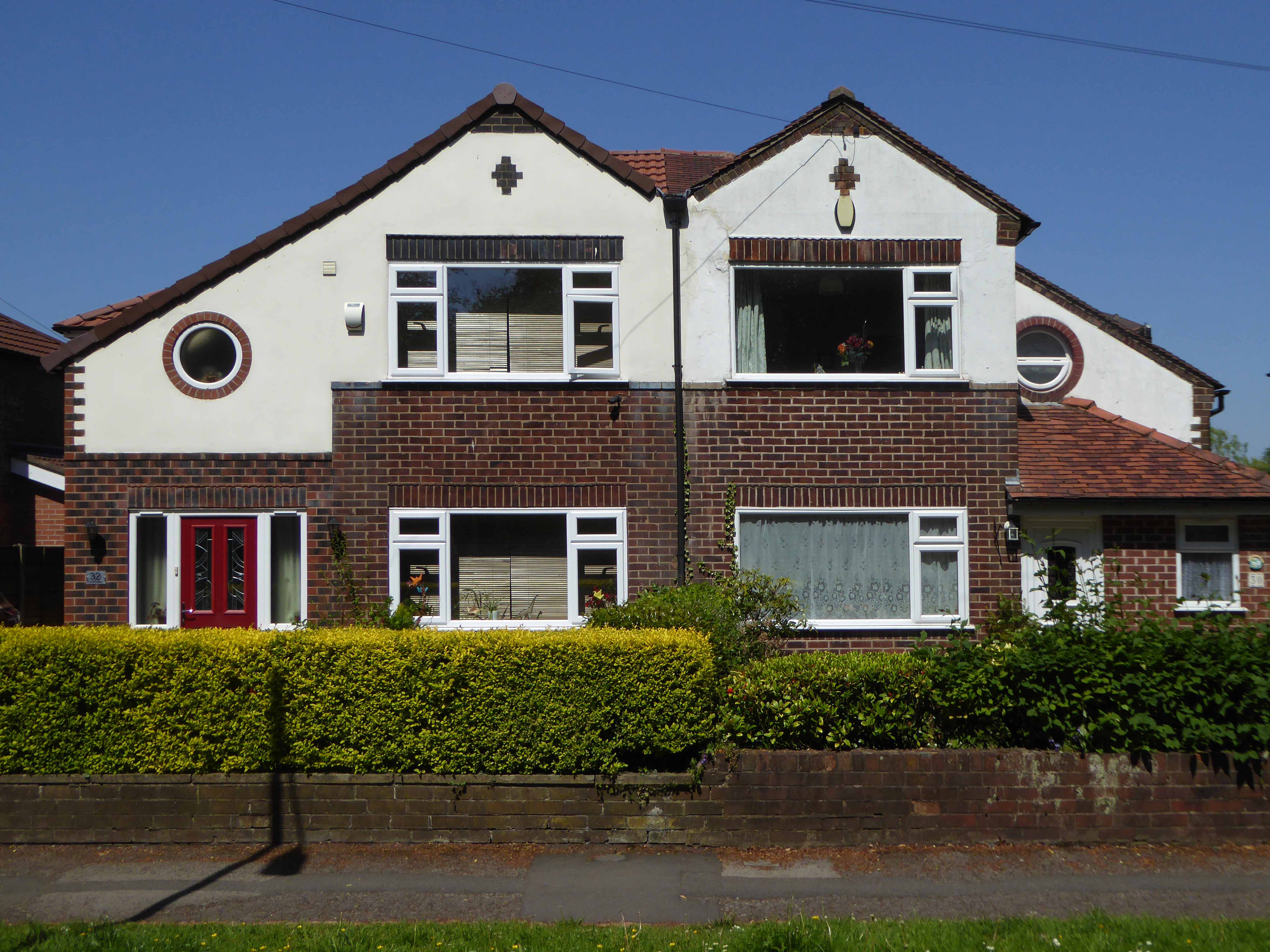
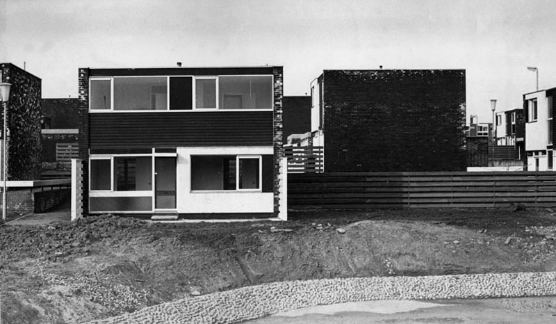
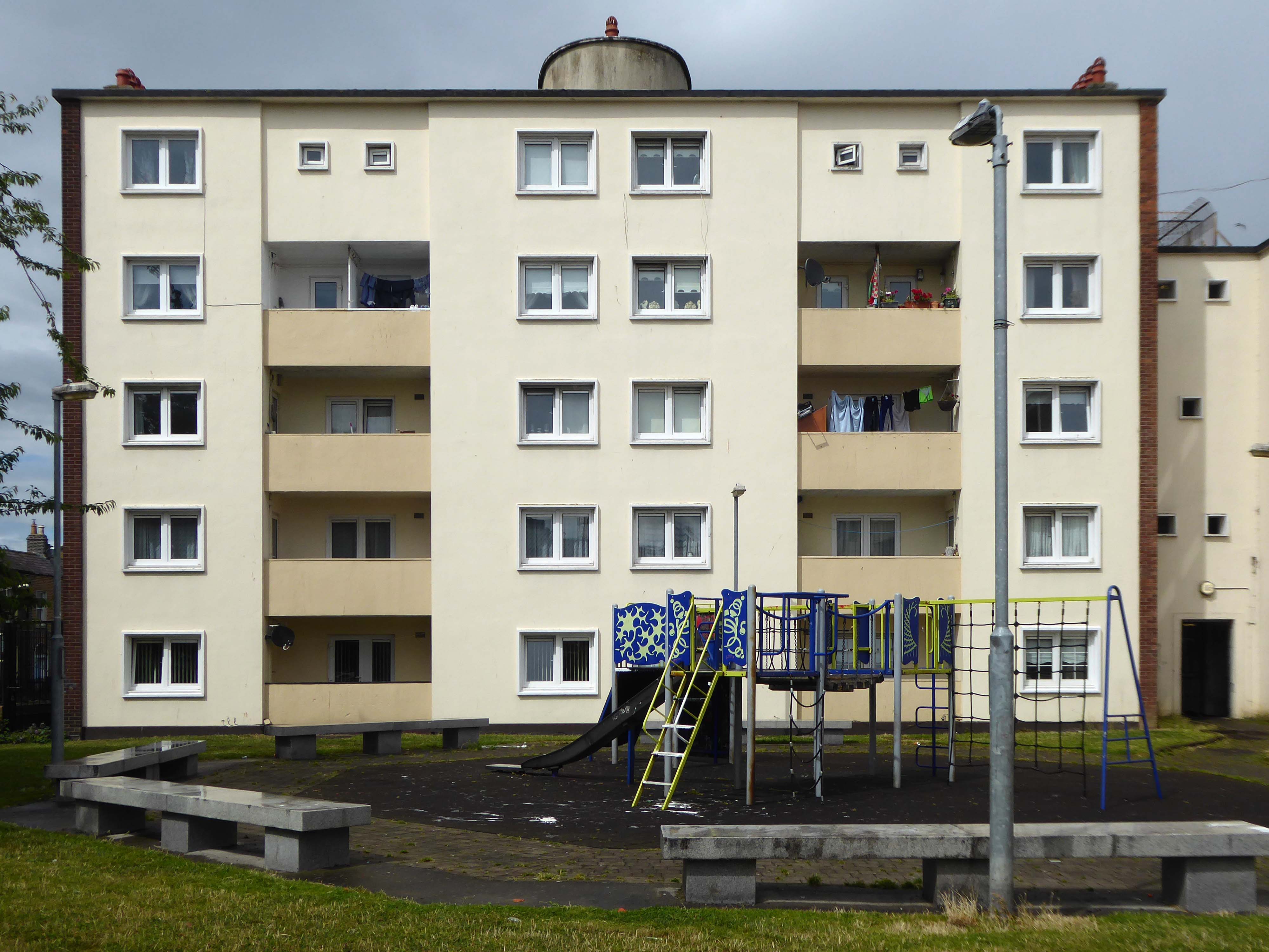
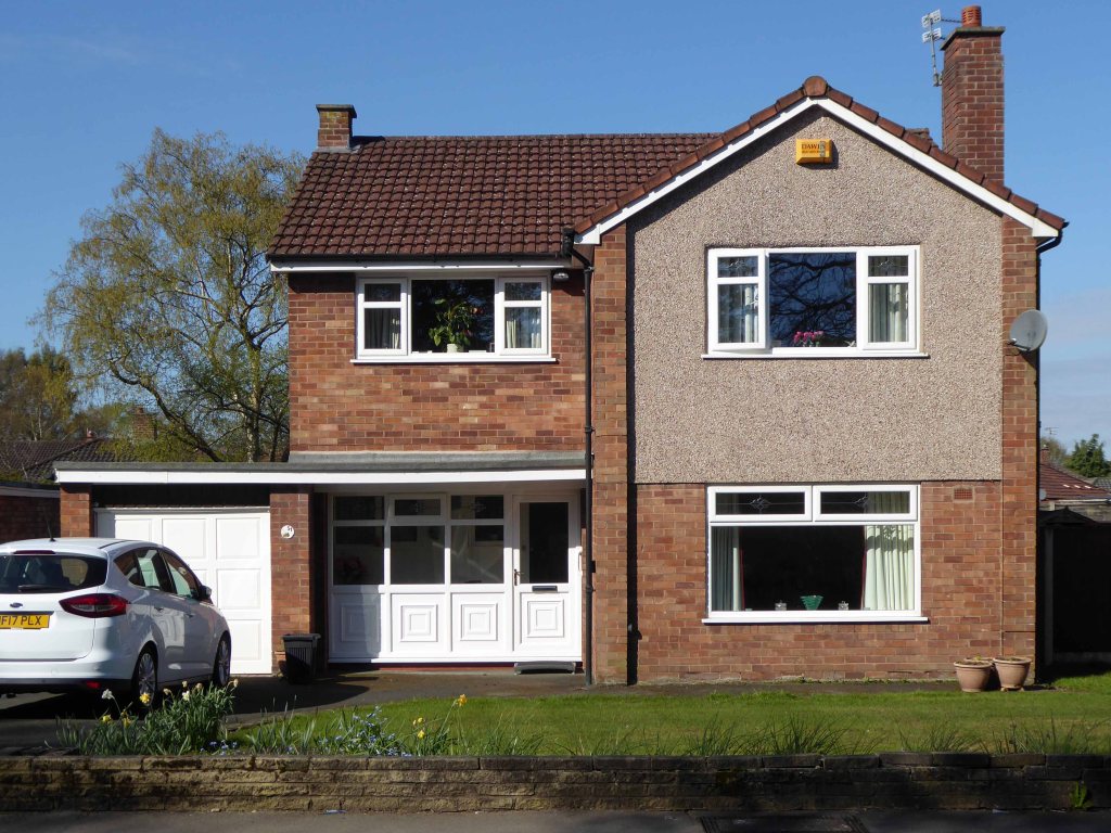
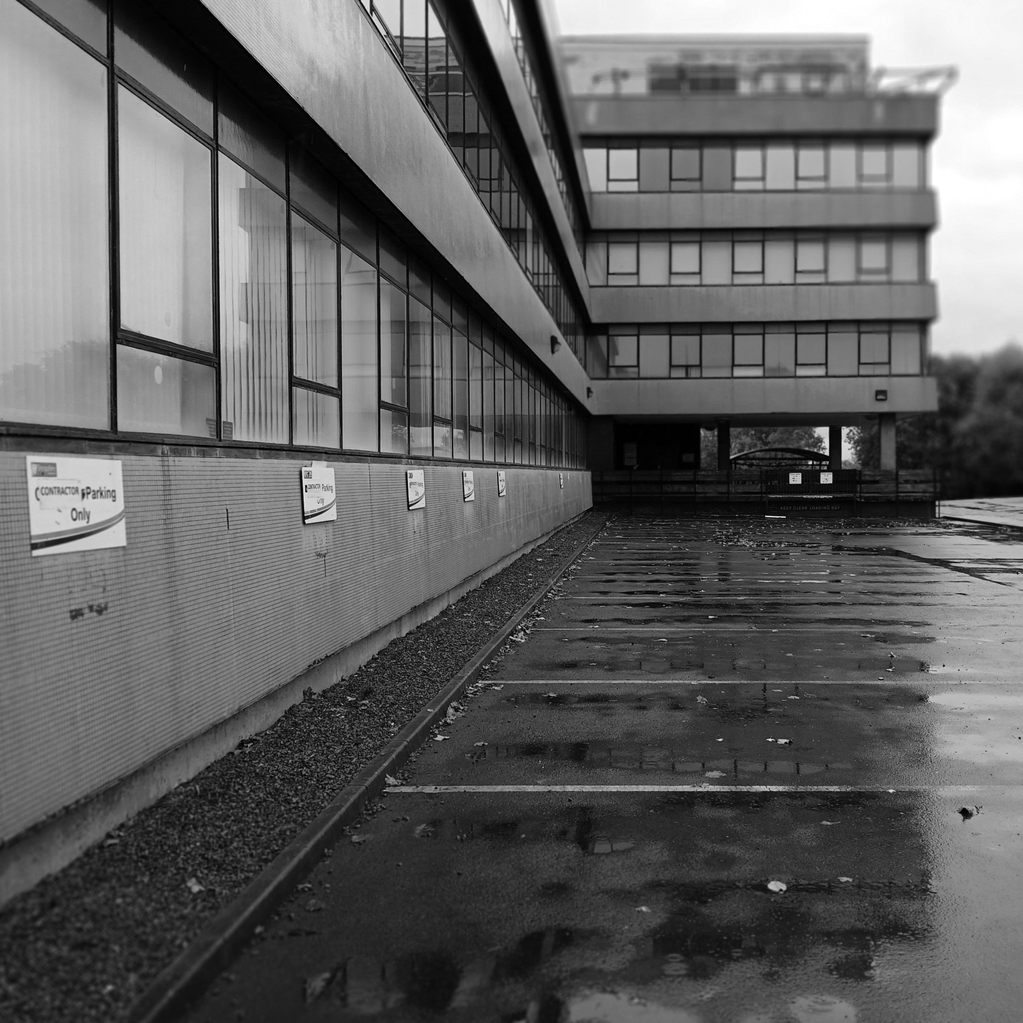
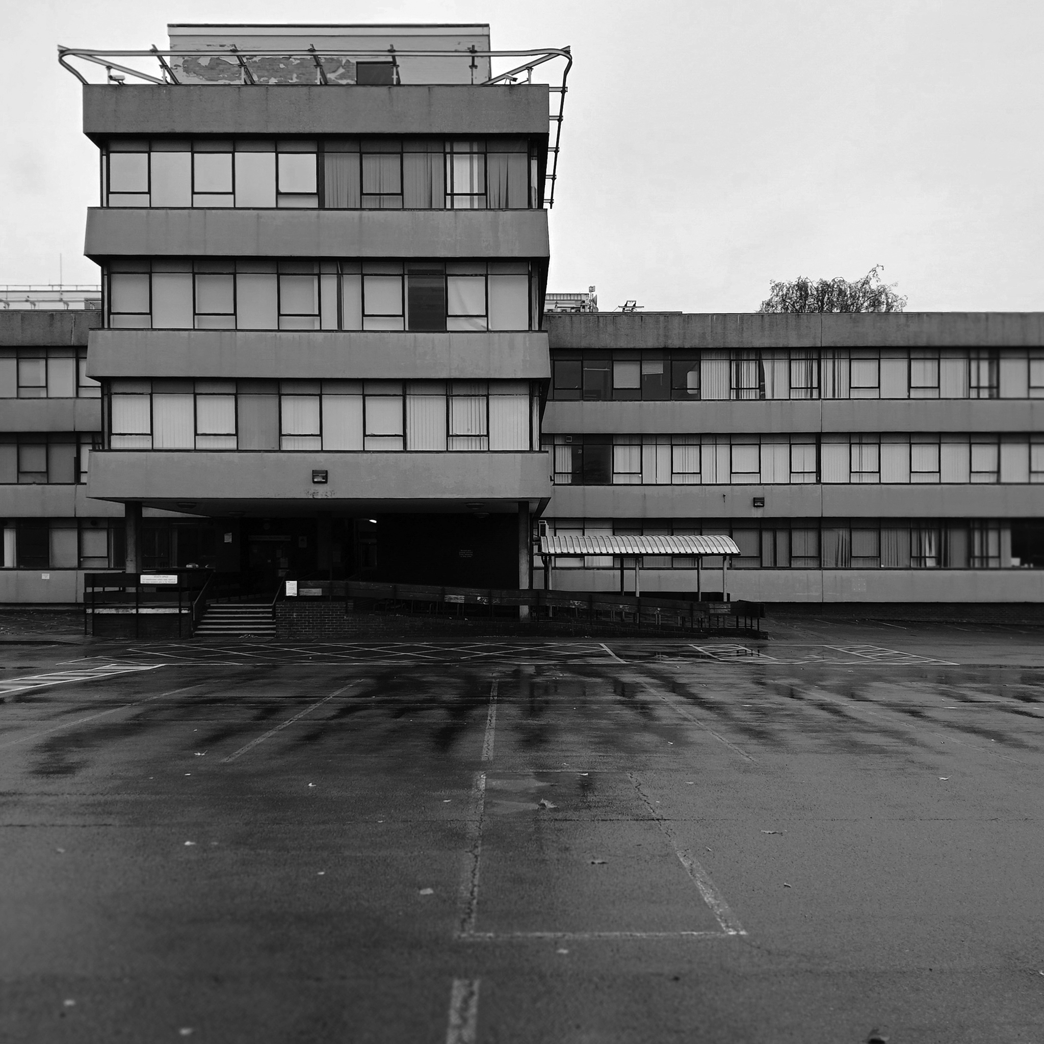
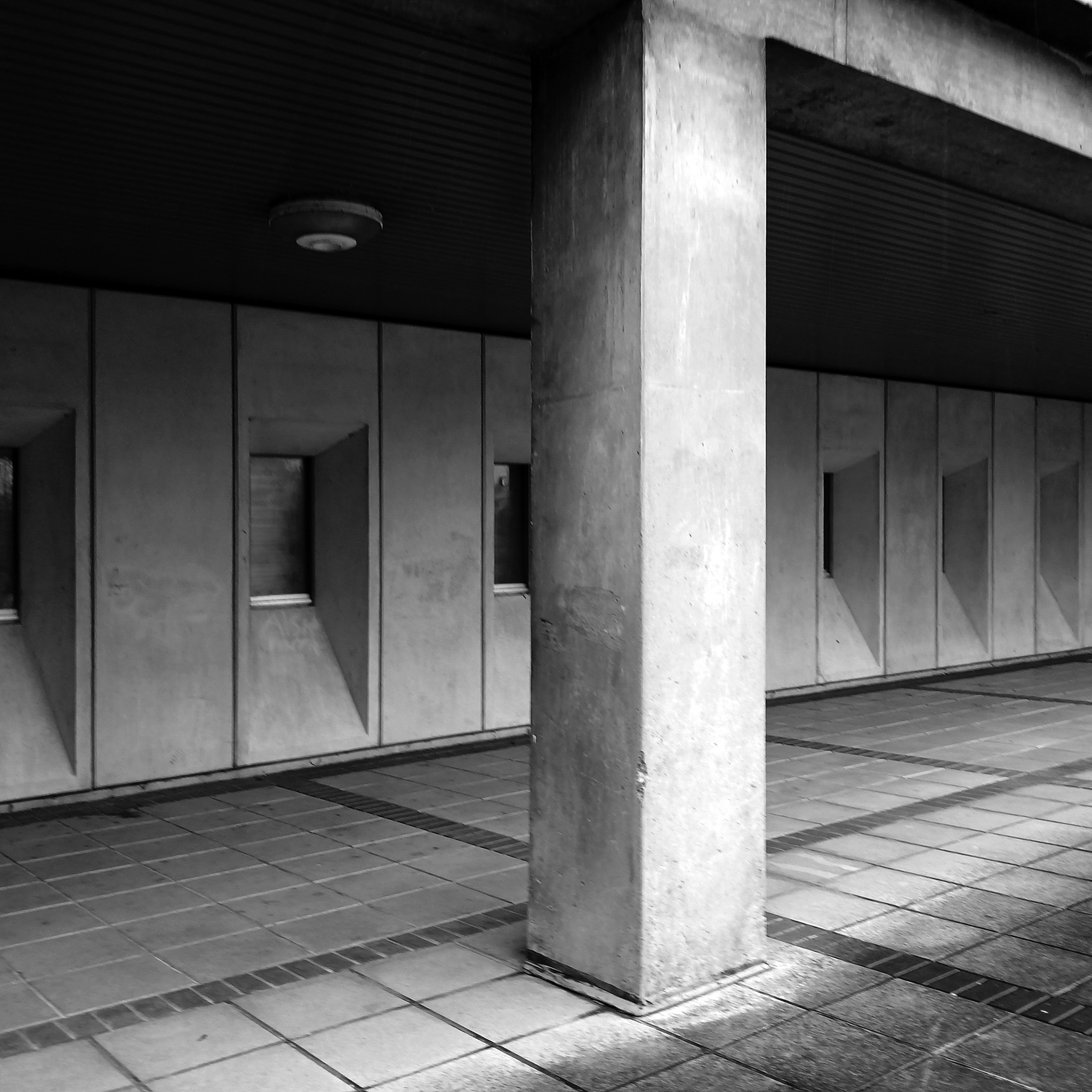
A broad sweeping swathe of tarmac, with a range of 70s housing typologies – wall less gardens, where grass becomes easily impressed concrete, gravel and artfully paved car parks.
Asymmetric roof, bedroom balcony with optional infill, ever more pointless integrated garage, as the inflated automobile refuses to fit in.
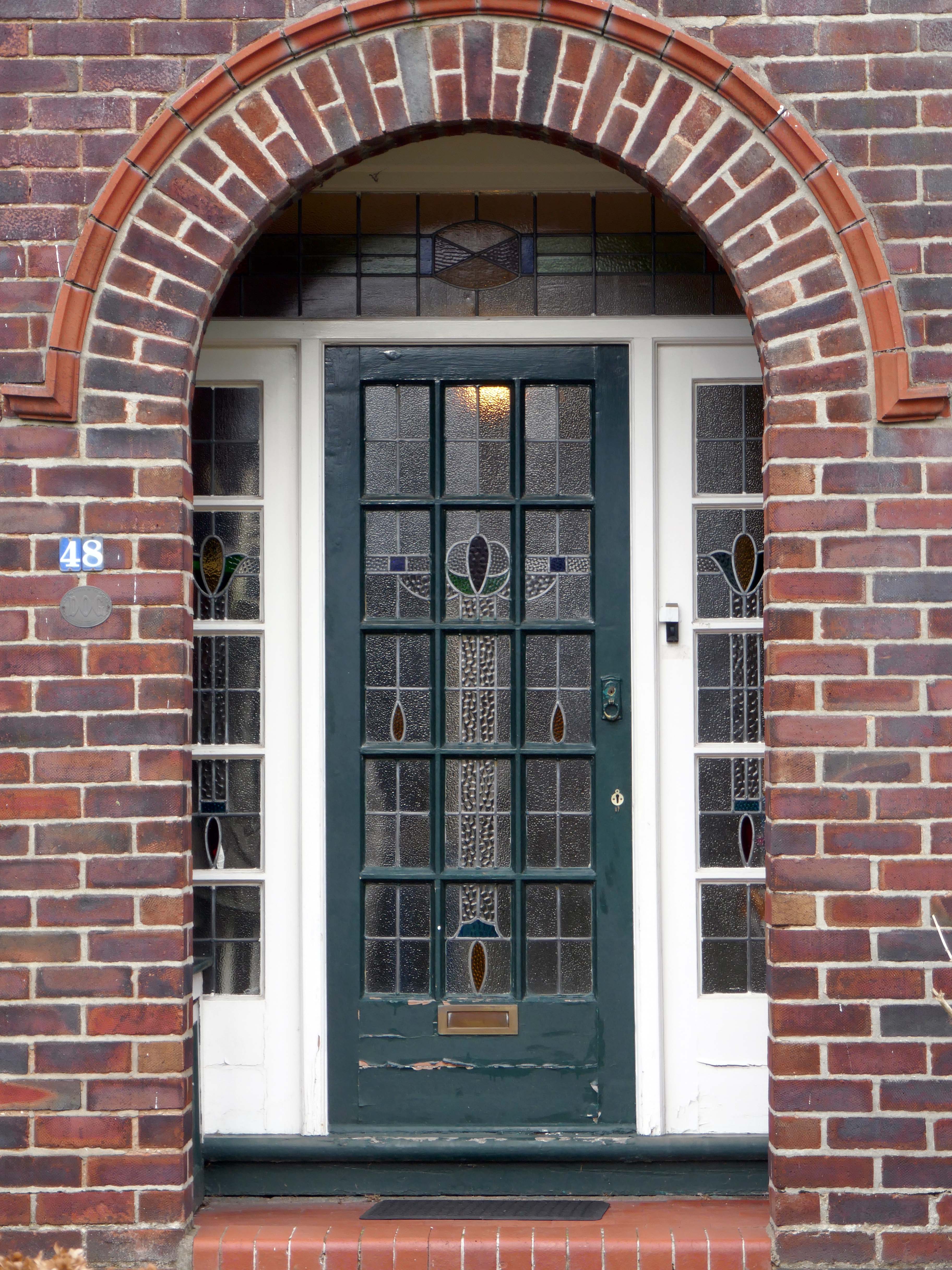
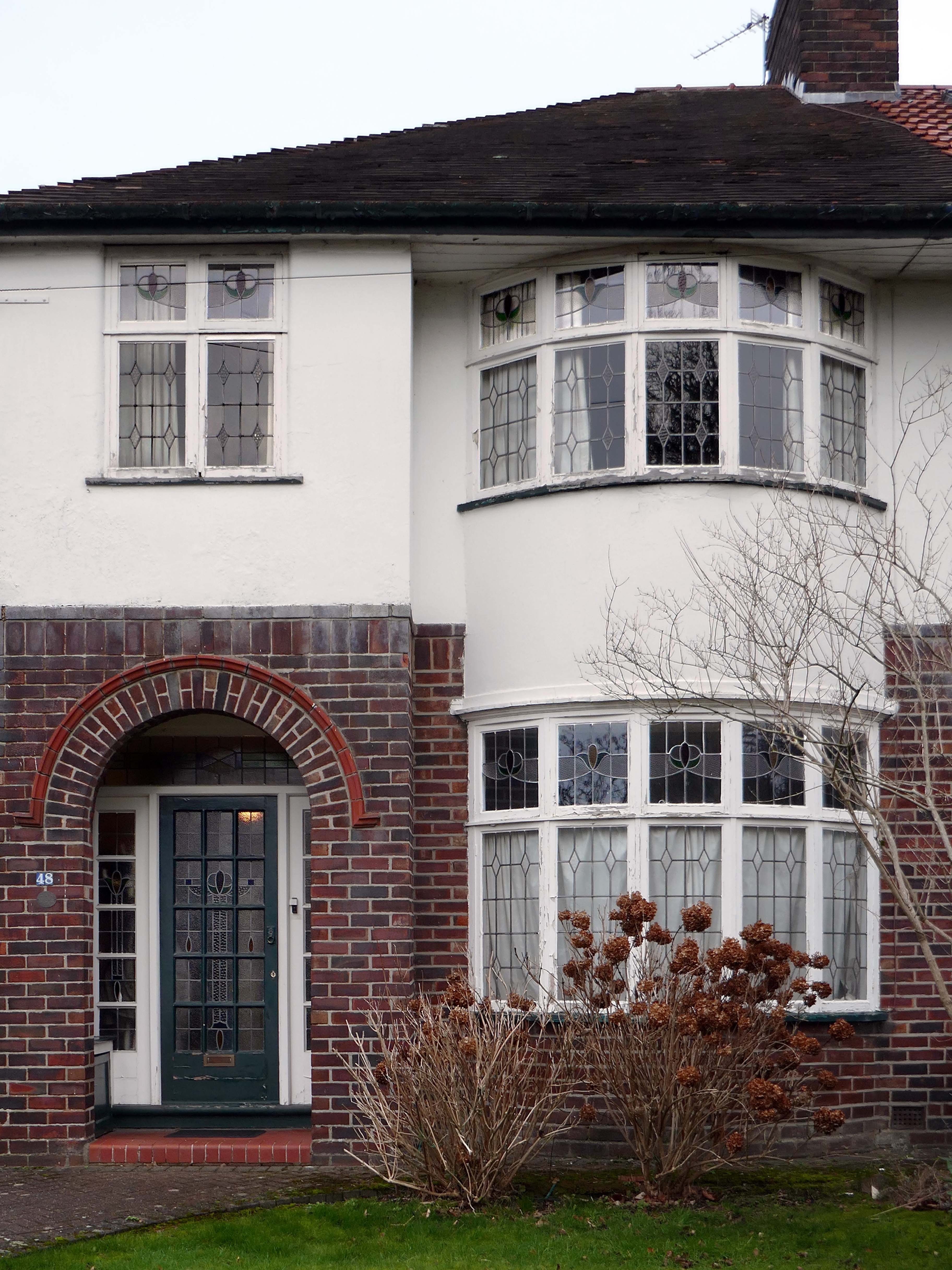
The ubiquitous carriage lamp, B&Q Georgian front door and hanging basket, all head up the relentless quest to defy period integrity, in favour of a free market, free for all of undiluted historicism.
The future and the past and the houses are infinitely all extendable.
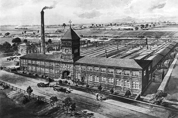
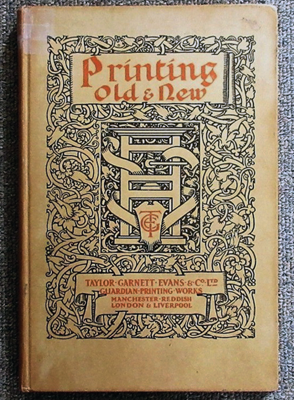
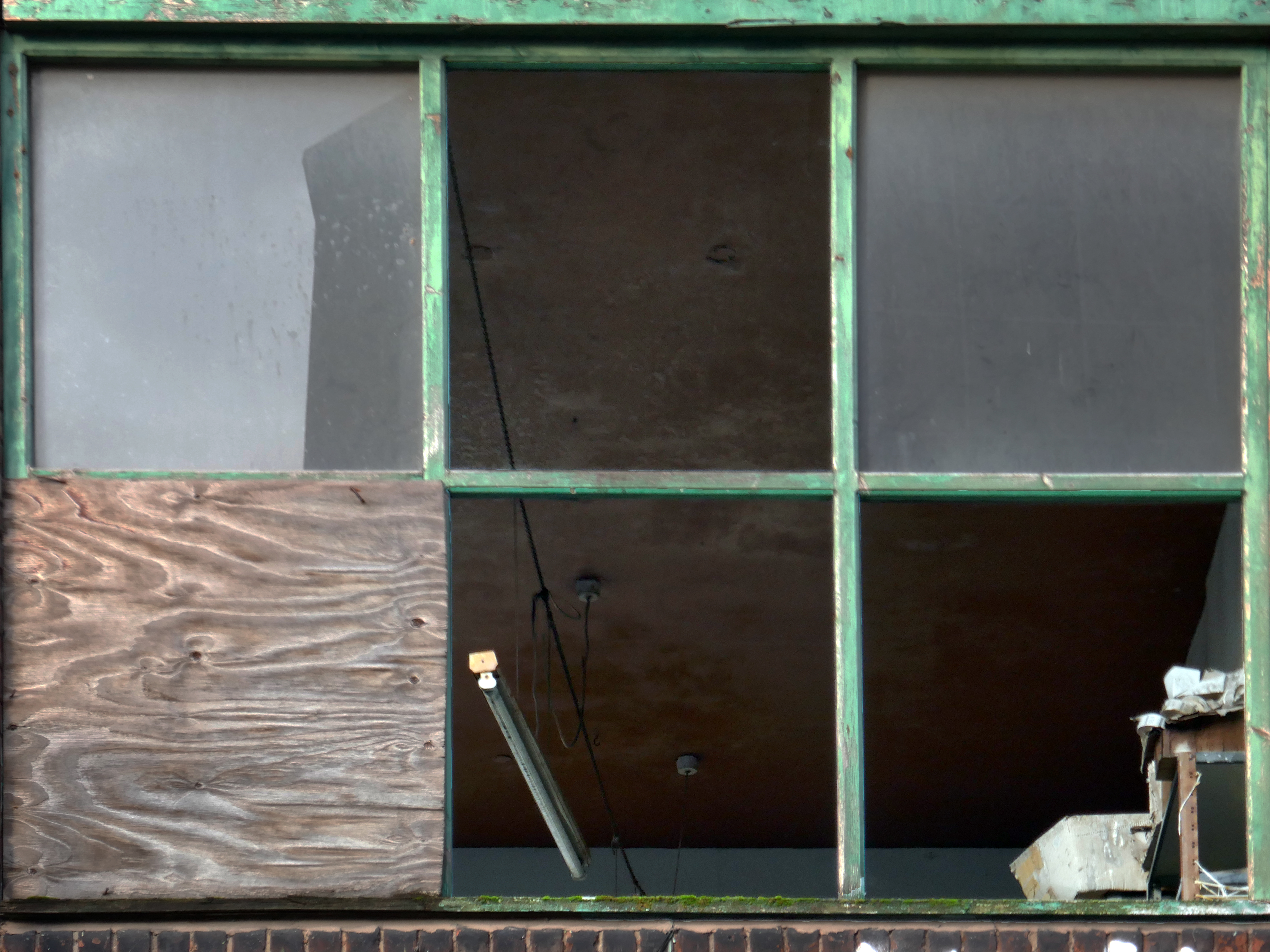
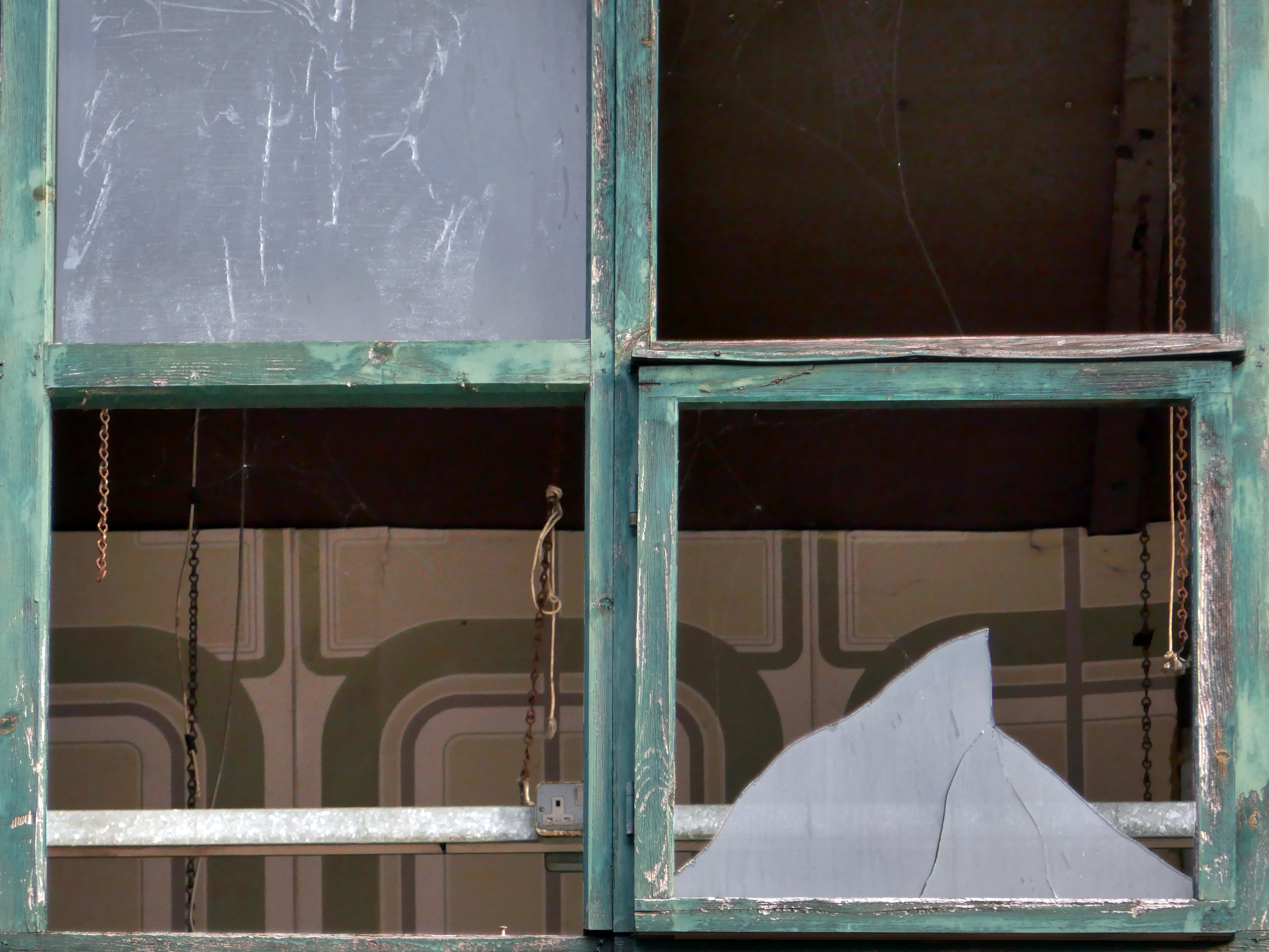
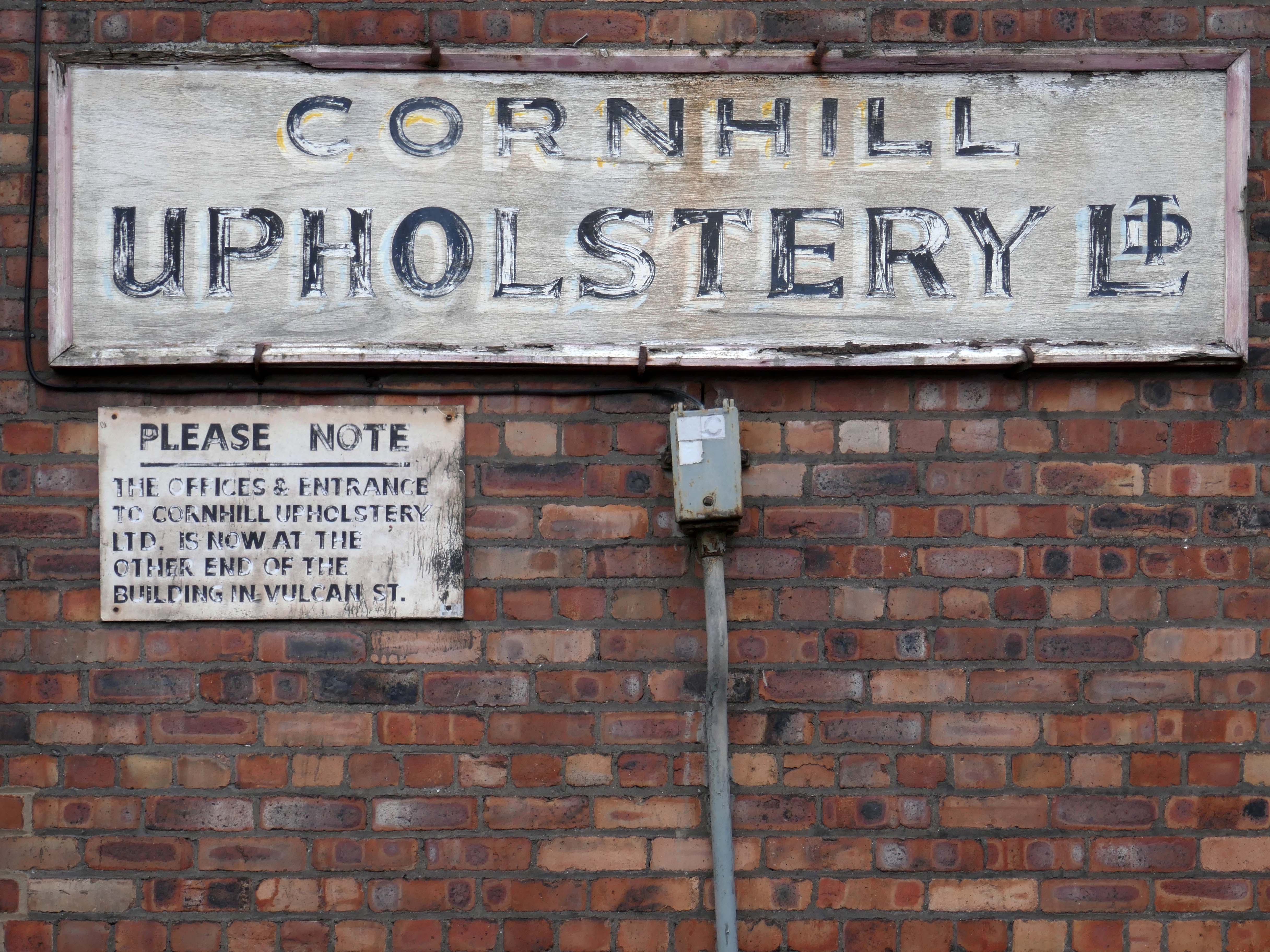
Manchester Guardian Printing Works owned by Taylor Garnett & Evans & Co. Ltd- a view of factory dated 1902.
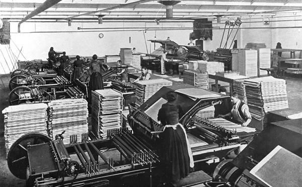
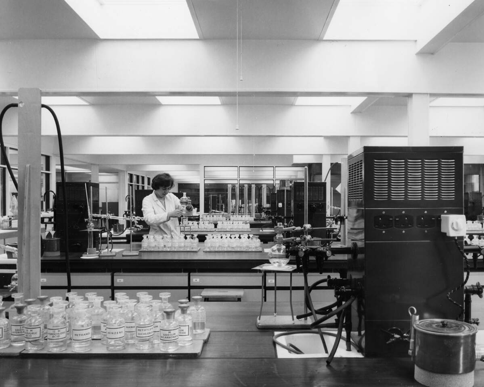
Lithographic Printing Dept 1902.
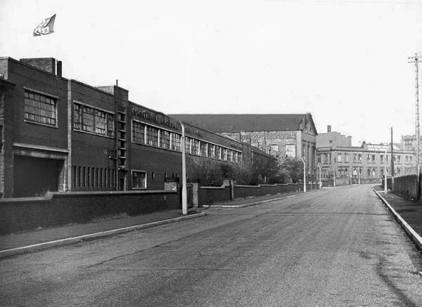
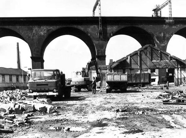
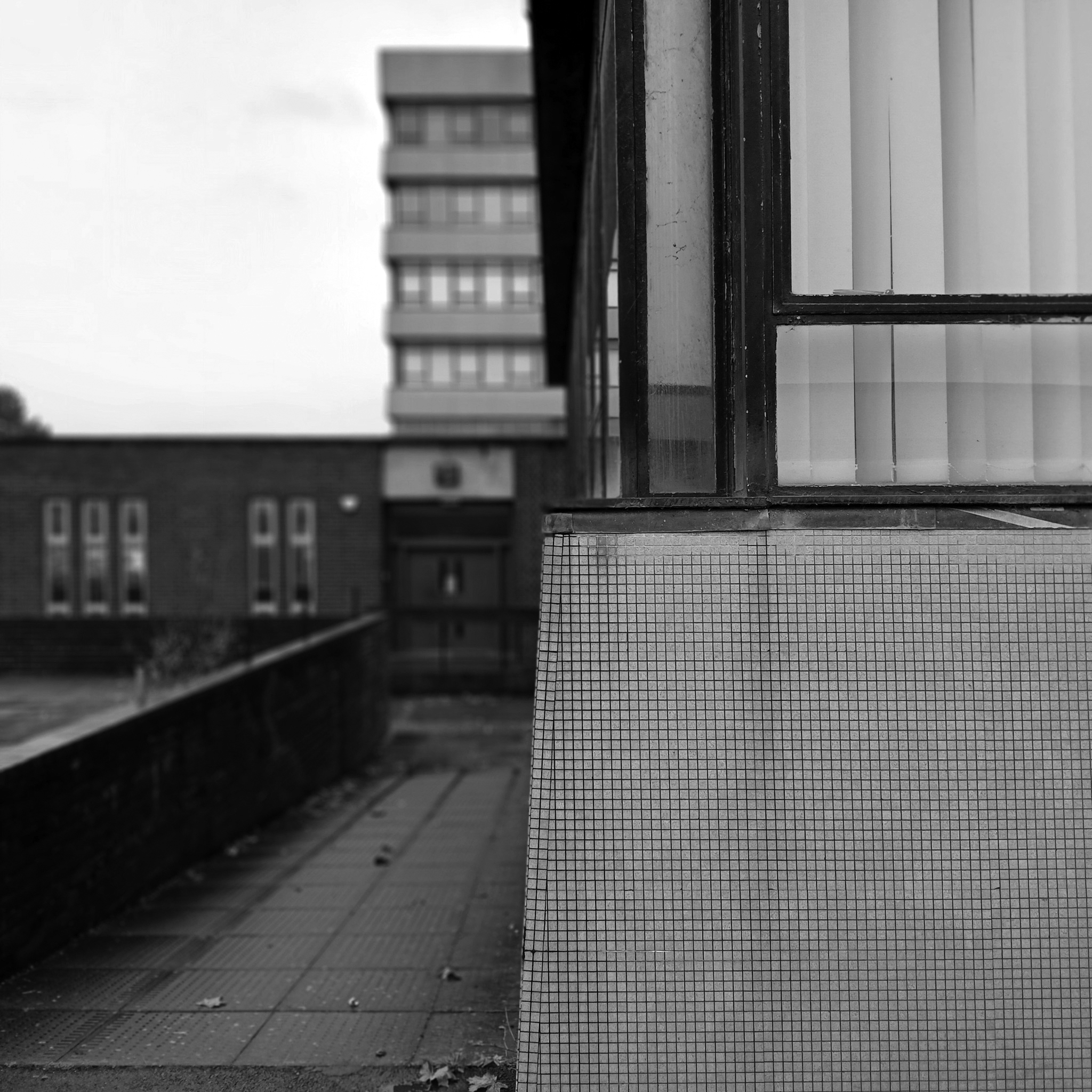
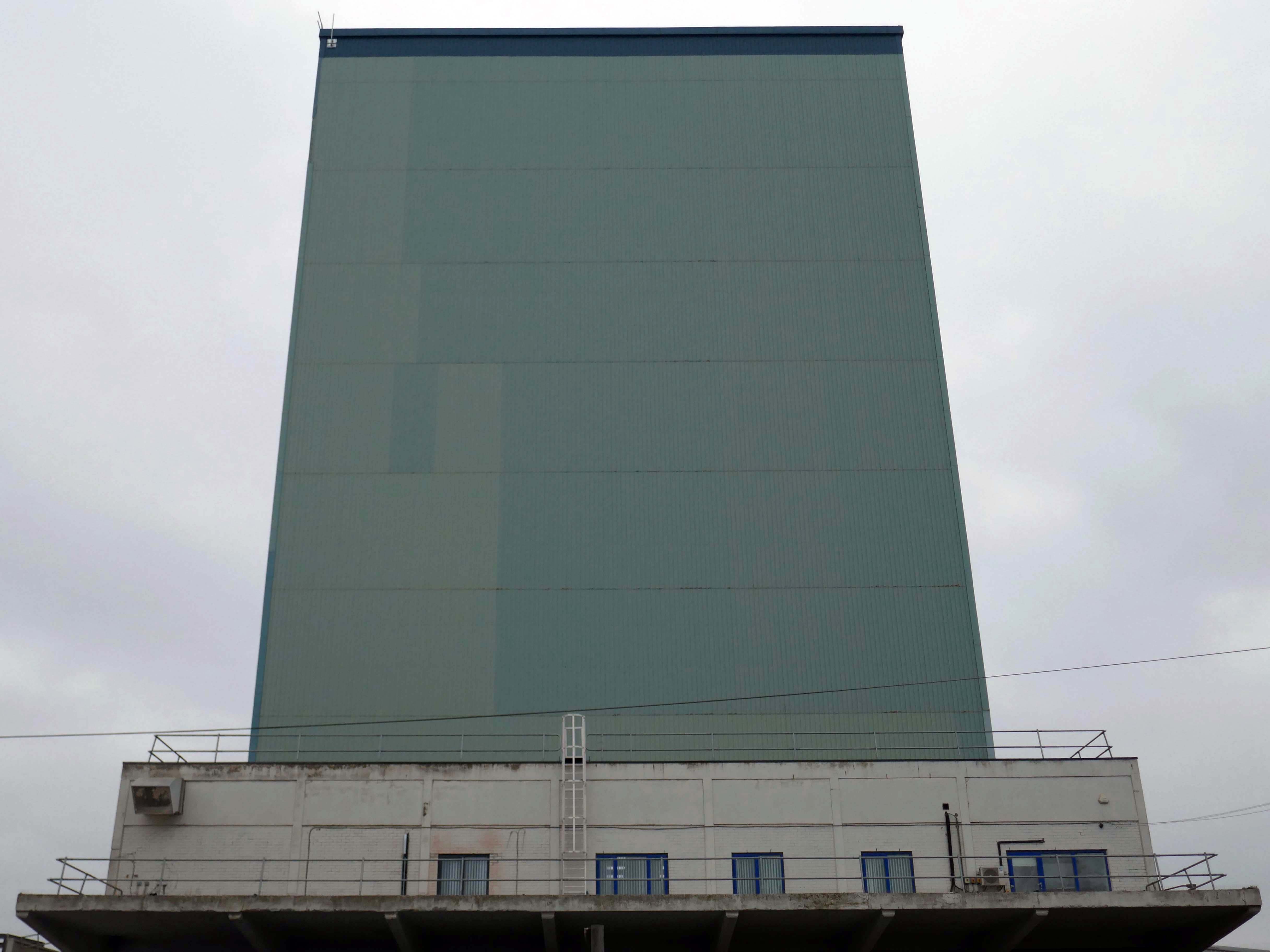
CWS Printing Works – formerly the Guardian Print Works showing a view from the road dated 1972.
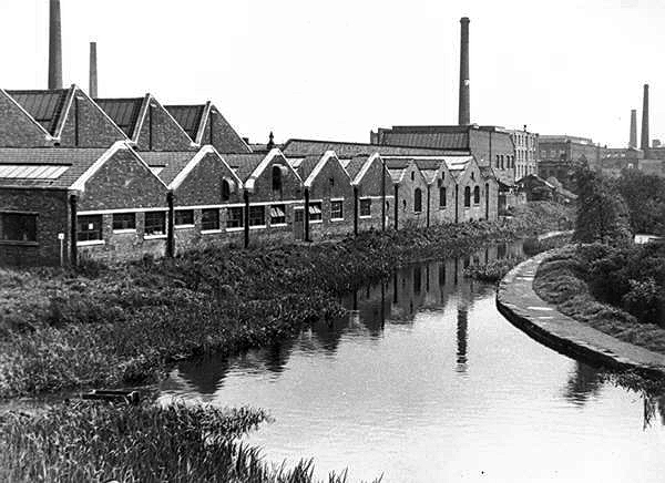
CWS Printing Works showing a rear view with canal in the foreground.
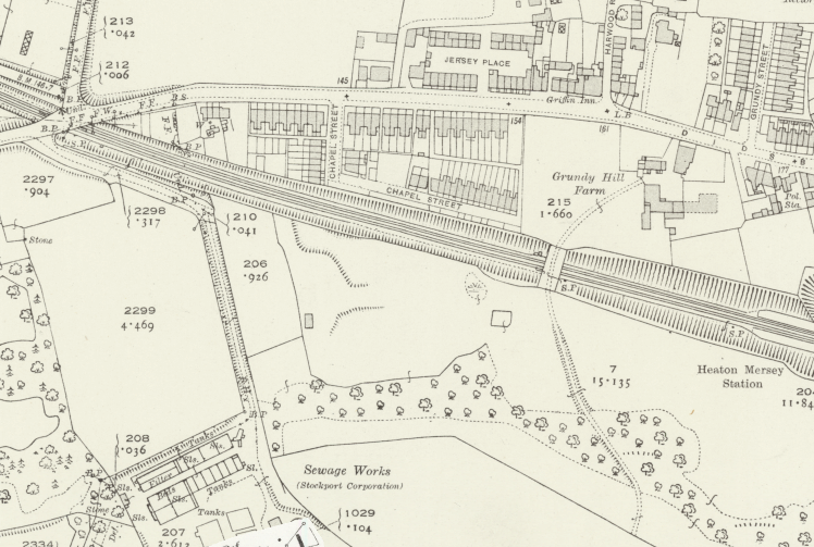
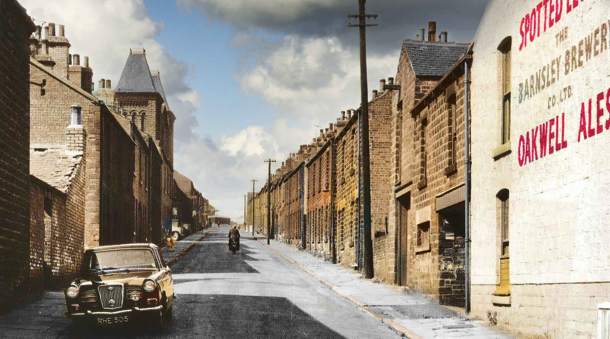
The Stockport Branch Canal was a five mile branch of the Ashton Canal from Clayton to Stockport.
An important cargo was the supply of grain to William Nelstrop & Company’s Albion Corn Mill at Stockport Basin.
In its early days there was passenger carrying on the Ashton Canal and one of the routes was between Manchester and Stockport.
Commercial carrying ceased in the 1930s but it lingered on into the 1950s’ as a barely navigable waterway. At one stage in the 1950s it was dredged but this improvement did not attract any traffic. Stockport Basin was the first section to be filled in but it was not until 1962 that the canal was officially abandoned by the British Transport Commission, who had been responsible for it since 1948.
It took many years to fill in and this was a disagreeable procedure for people living along its length.
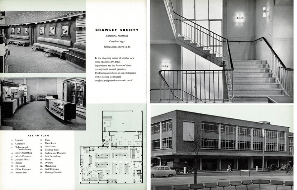
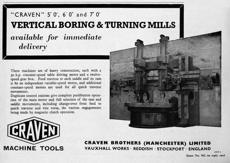
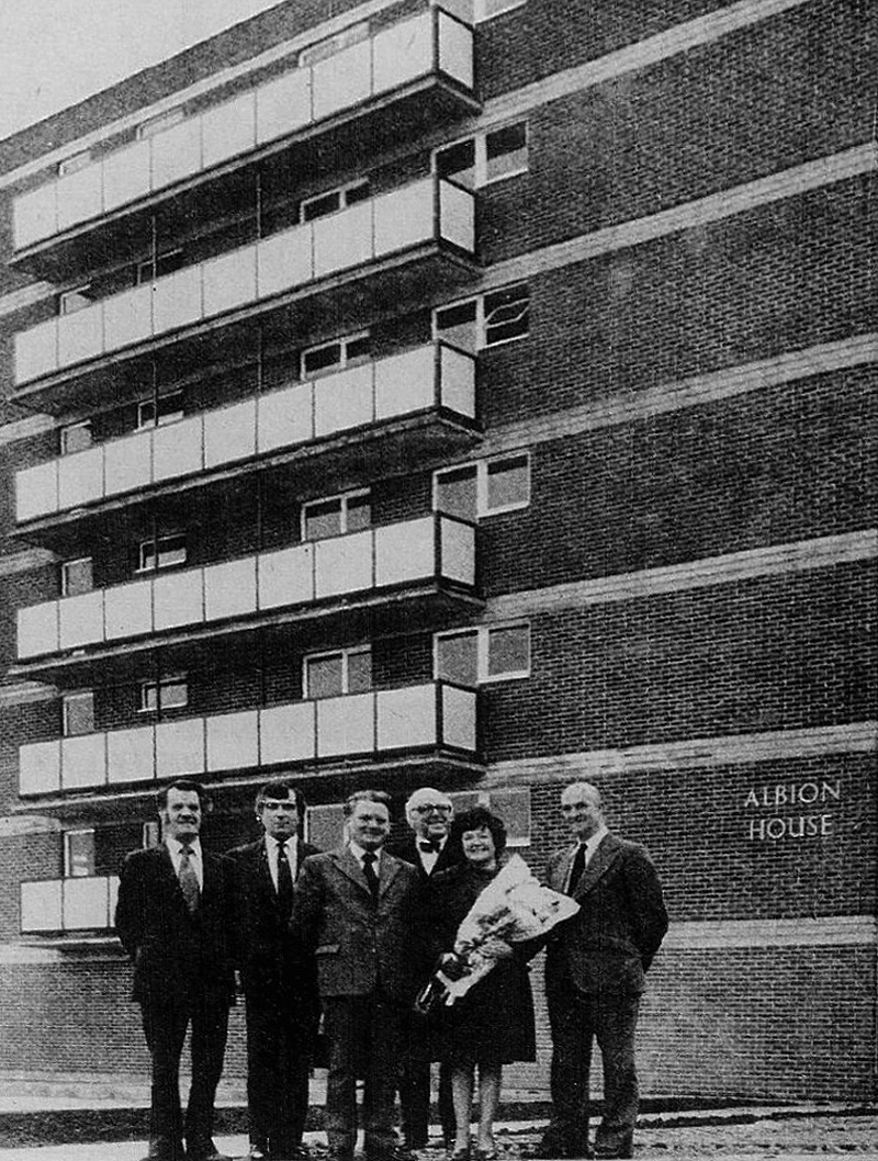
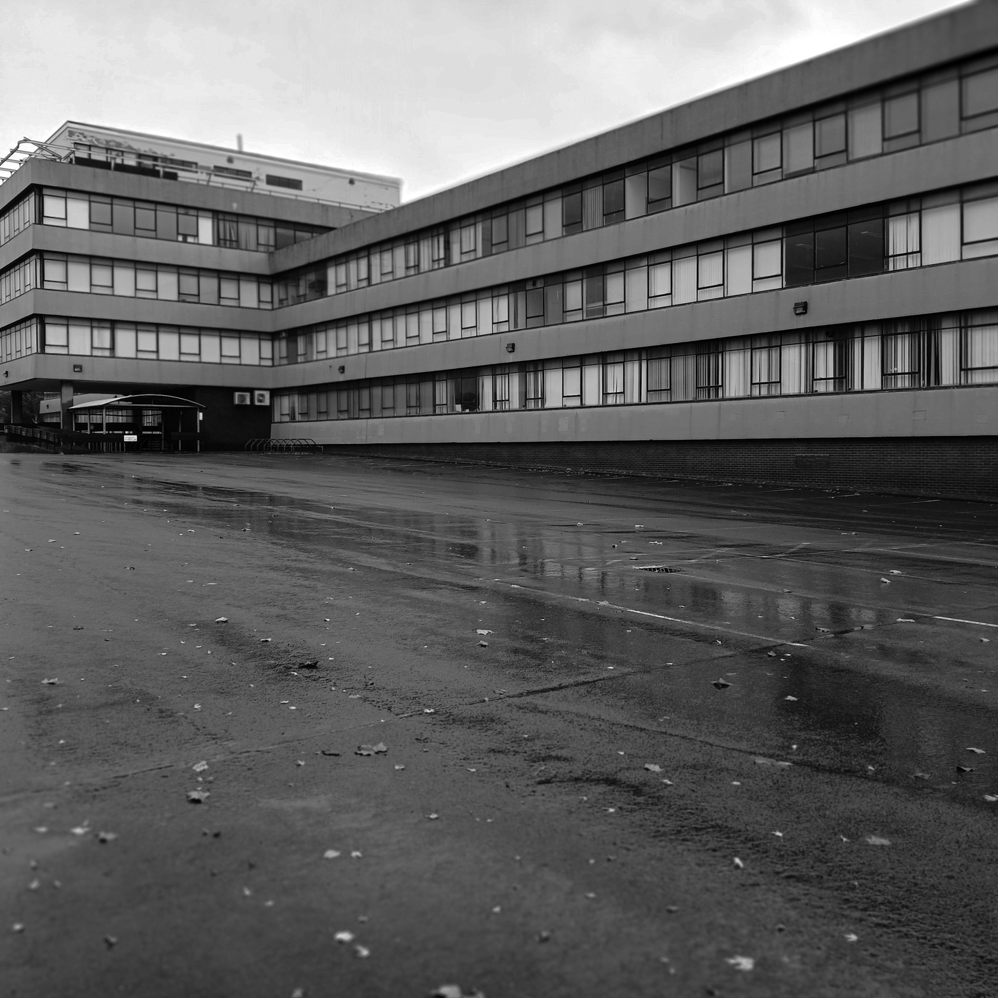
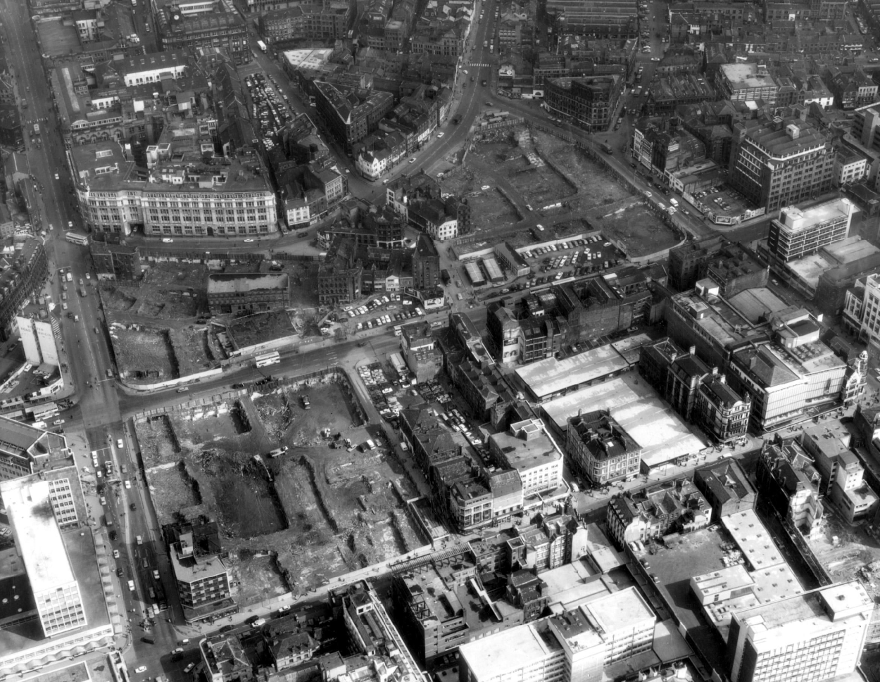
From a very lavish production, printed of course by the CWS’s own Printing Works at Reddish, is a description of the new flagship department store for the Crawley Co-operative Society that was opened in 1959. The elevations and facade are very much of their day, quite ‘Festival of Britain in style, and the store was a prominent feature of the planned New Town’s centre.
The wide variety of printed material which the CWS required, created a need that could not be met locally by a single source, another large print works was required in Longsight.
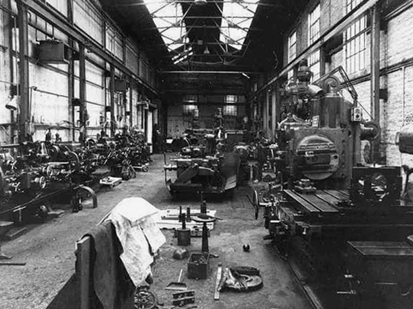
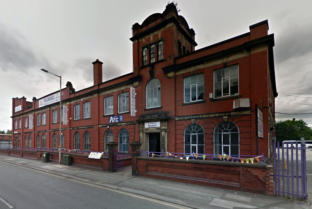
Craven Brothers Works 2008
1900 – Further growth prompted the construction of the Vauxhall Works at Reddish, near Stockport. The company kept the works at Osborne Street, Rochdale Road, with about 500 employees, open until 1920. The 1915 O.S. map shows Vauxhall Engineering Works with its south-east corner on Osborne Street, Collyhurst, and bounded on the north by streets of terraced houses and to the south by the L&YR Manchester-Normanton line.
The Developement of Reddish – quite a number of Manchester firms are prospecting the neighbourhood of Reddish, writes a correspondent, while Messrs. Heywood are about to erect electrical engineering works in Sandfold-lane, and Messrs. Rowley and Co, boiler-makers, are fitting works in the neighbourhood. Messrs. Craven Brothers, engineers, of Salford, have purchased 14-acres of land near the Reddish Station, on the estate of Mr. H. P. Greg, on which they intend to erect large engineering works.
The first sod was cut on Thursday afternoon by Mr. William Craven, in the presence of his brother directors in 1900.
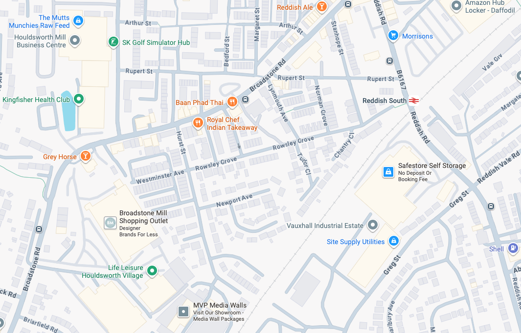
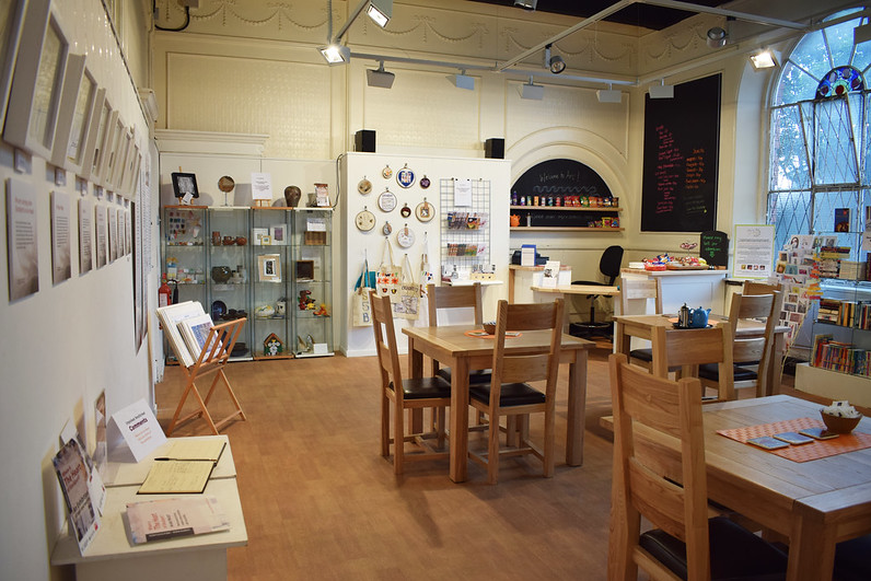
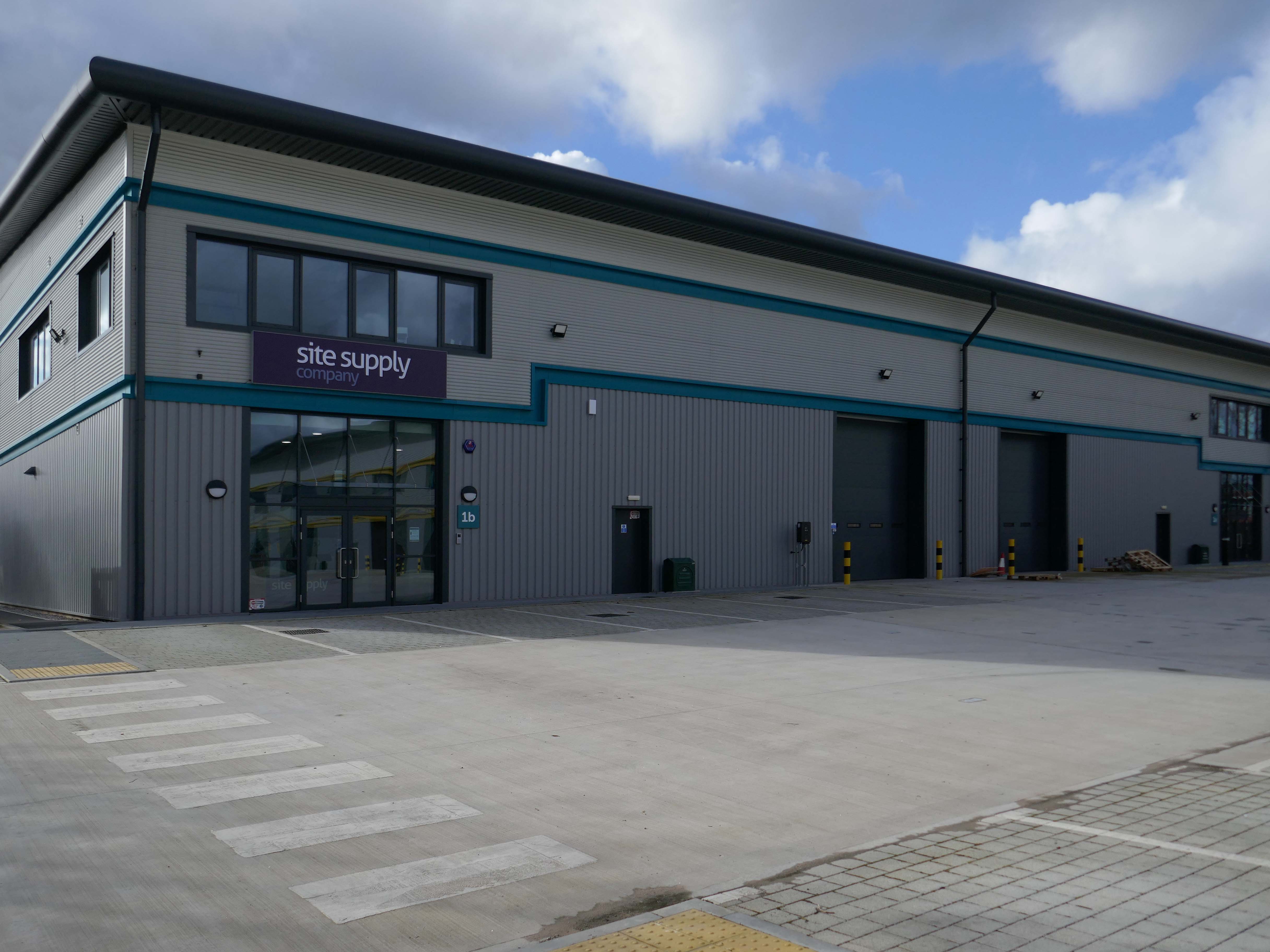
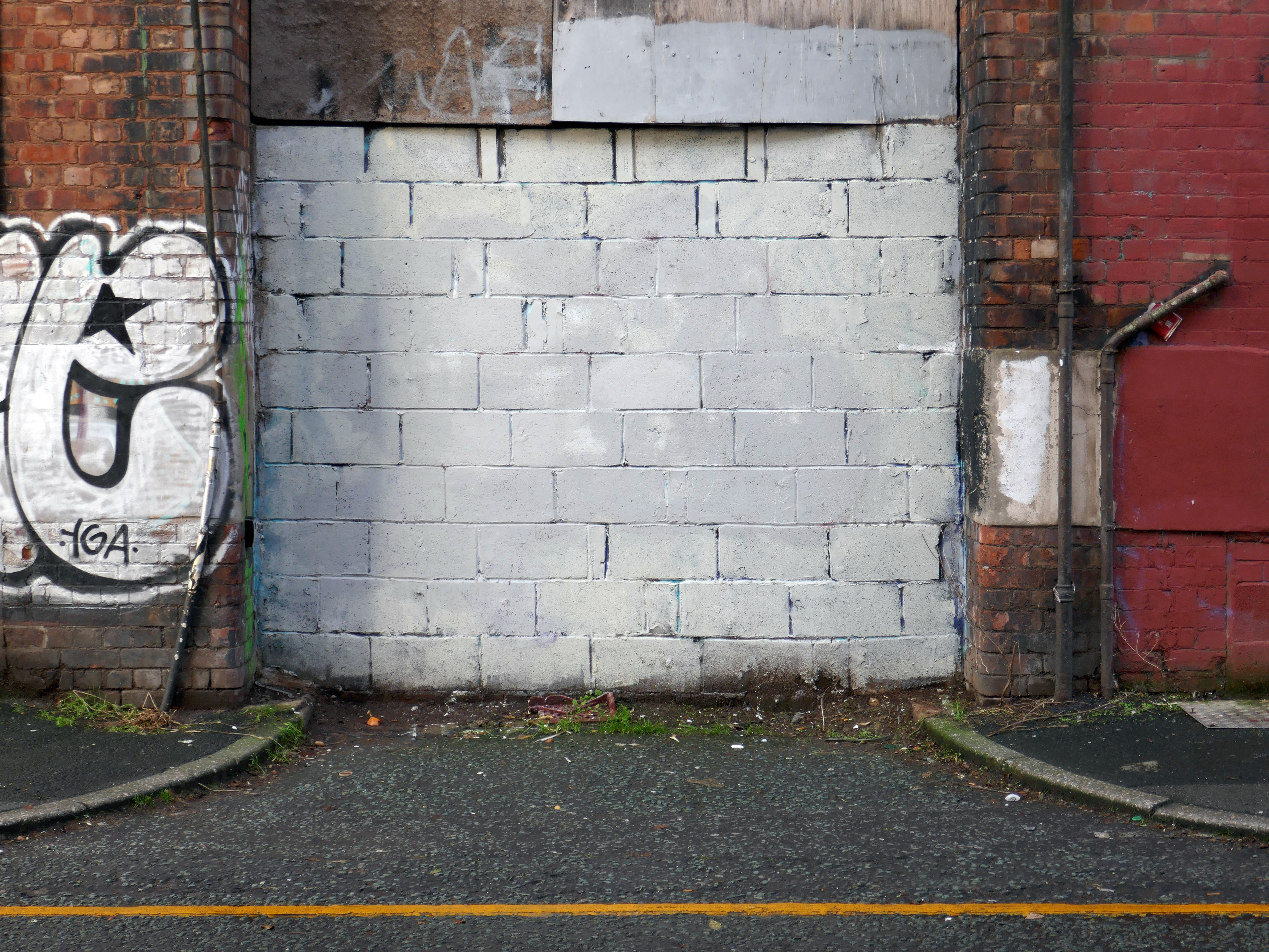
ARC began in 1995 at Greek Street, Stockport under the name of MAPS and moved to the Vauxhall Industrial Estate Craven Works building in early 1997. Arts for Recovery in the Community or ‘Arc’ was then launched in 2005. The Arc Centre in its current form, including gallery servung refreshments and public programme has been running since 2016.
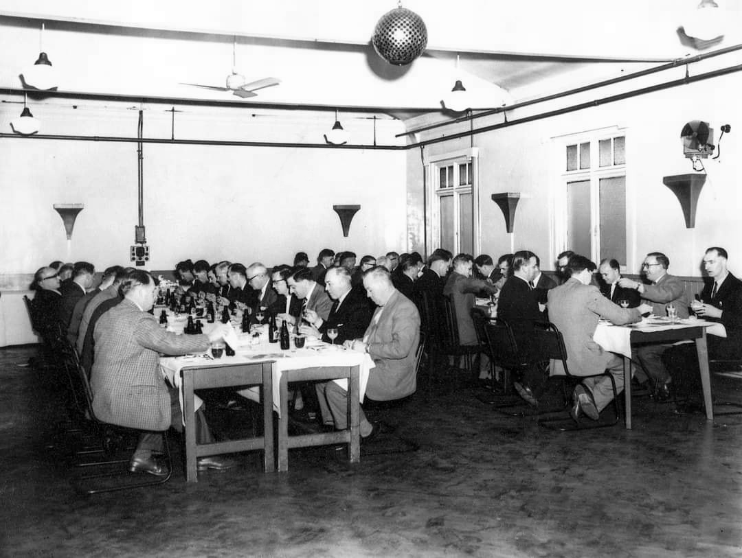
Of course, we are sad to say goodbye to the old Craven Brothers factory and the Reddish community as our base. We are so grateful to the local residents and businesses who have supported us for so long. Please, don’t be strangers! We made the building our own over the years and take with us many, many great memories.
Looking to the future at Wellington Mill, we will have exclusive use of several rooms on the floor accessed via the A6 and Hat Works Museum shop. This will include a large art studio, ceramics studio, offices and storage spaces. We will also share the large cafe, events and retail space with the Hat Works museums team and work together to build a bigger audience for both organisations and hopefully a Stockport town centre creative arts hub.
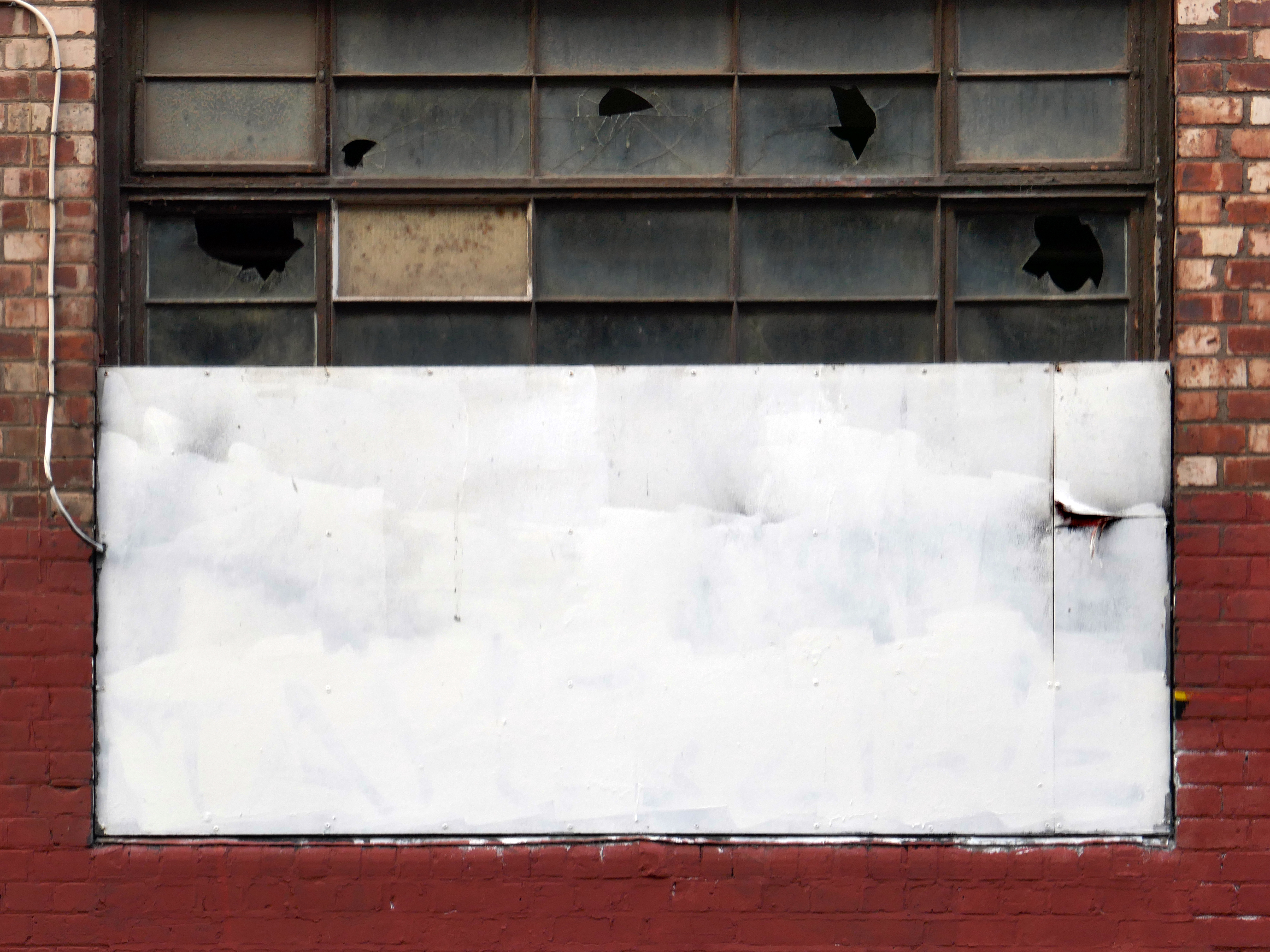
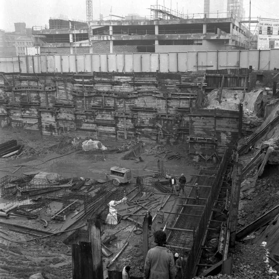
And lo, it came to pass, from the onset of the Industrial Revolution to today, a whole world of work is dismantled. A transport infrastructure is literally filled in, and the former homes of industry demolished.
The CWS is no longer the global behemoth it once was, and print technology has changed beyond recognition.
With it goes a whole series of social relationships and identities bound up in shared occupations.
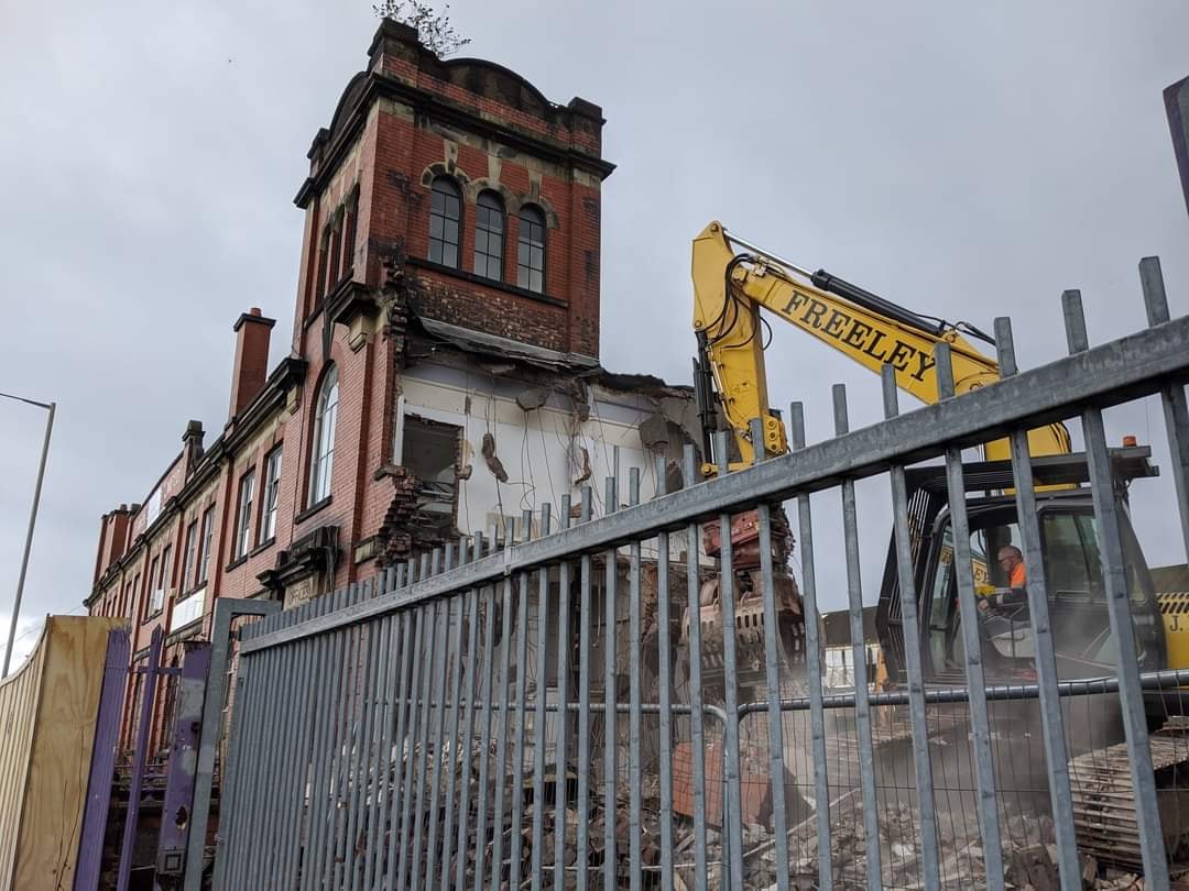
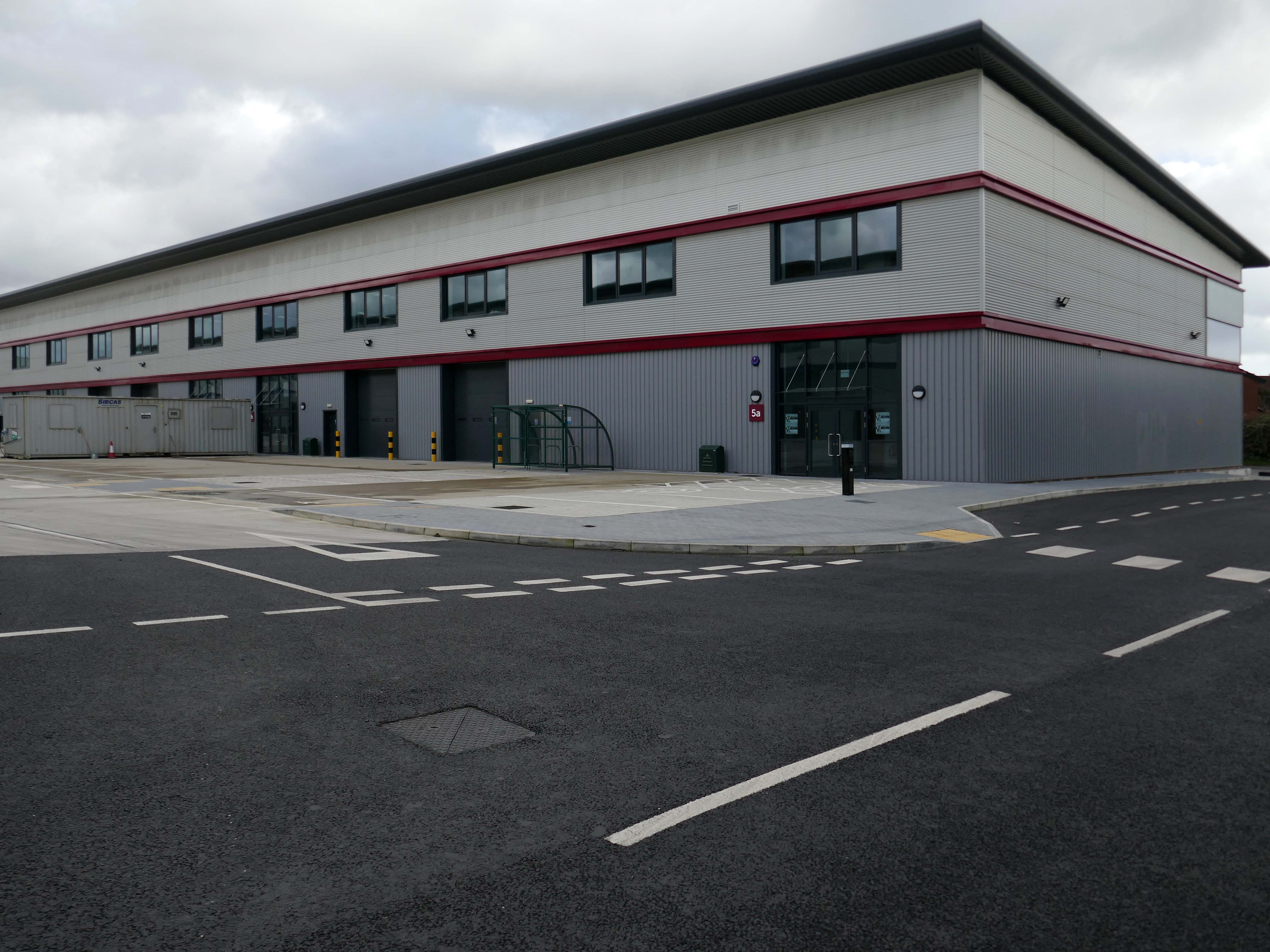
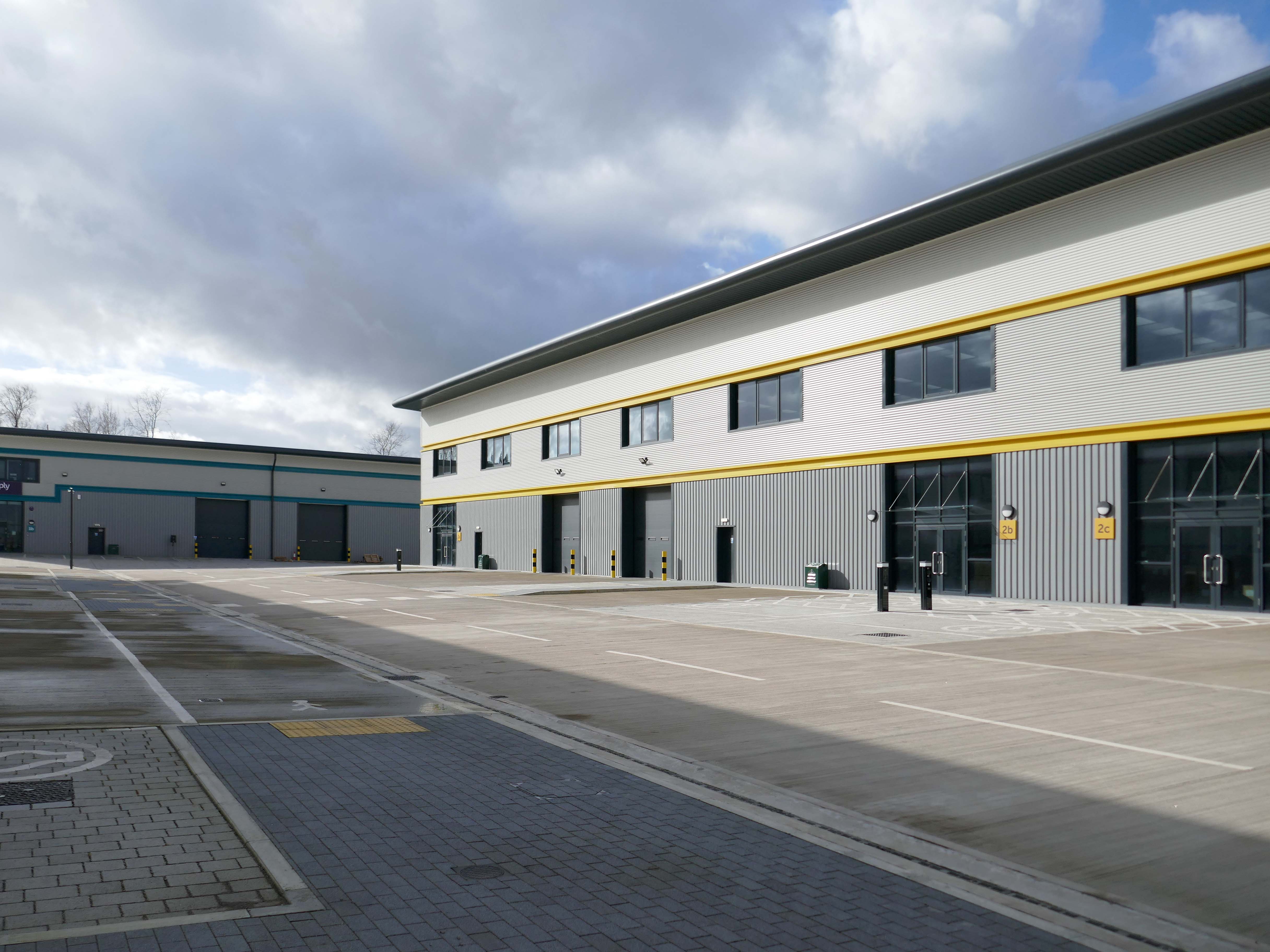
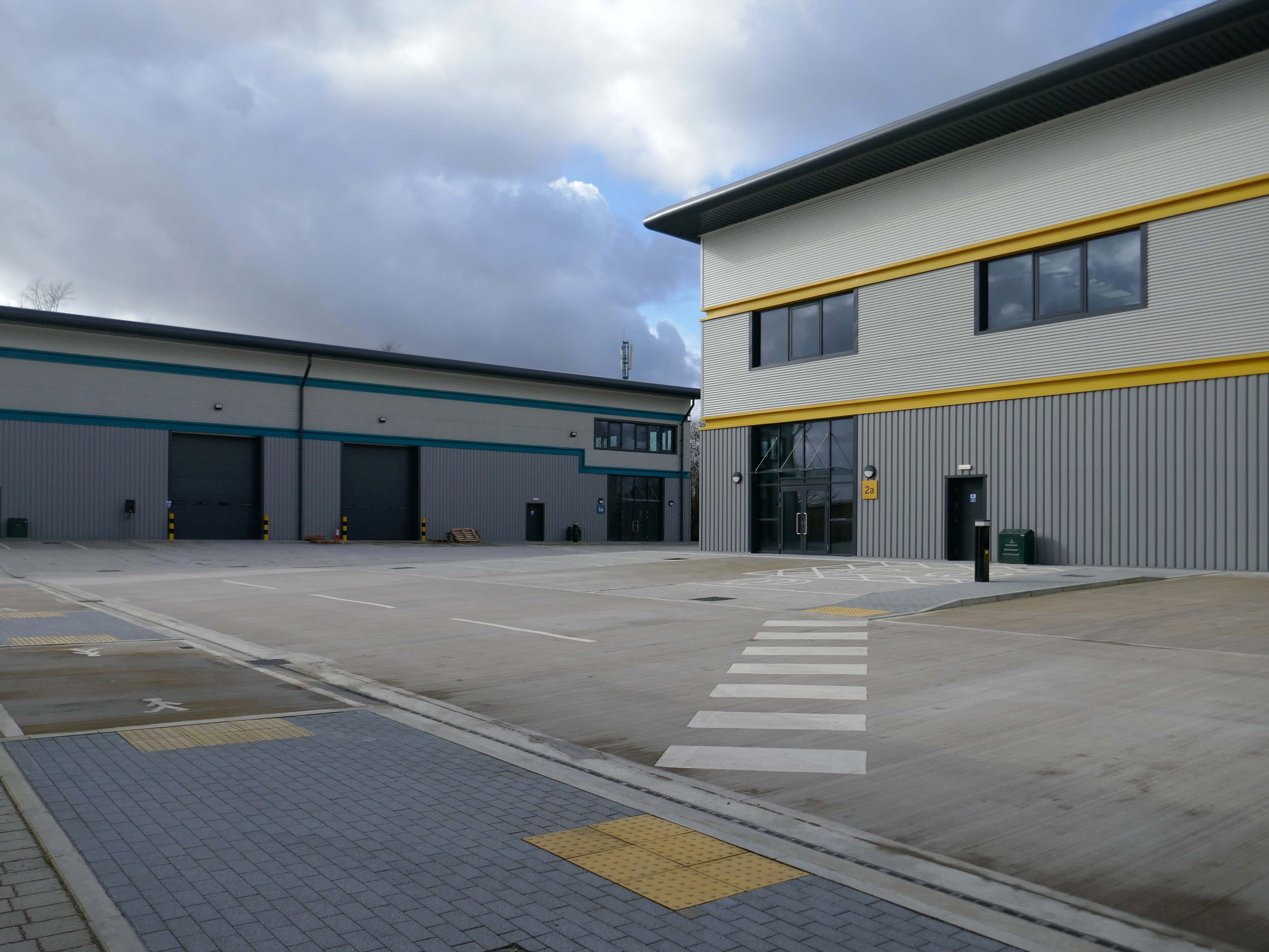
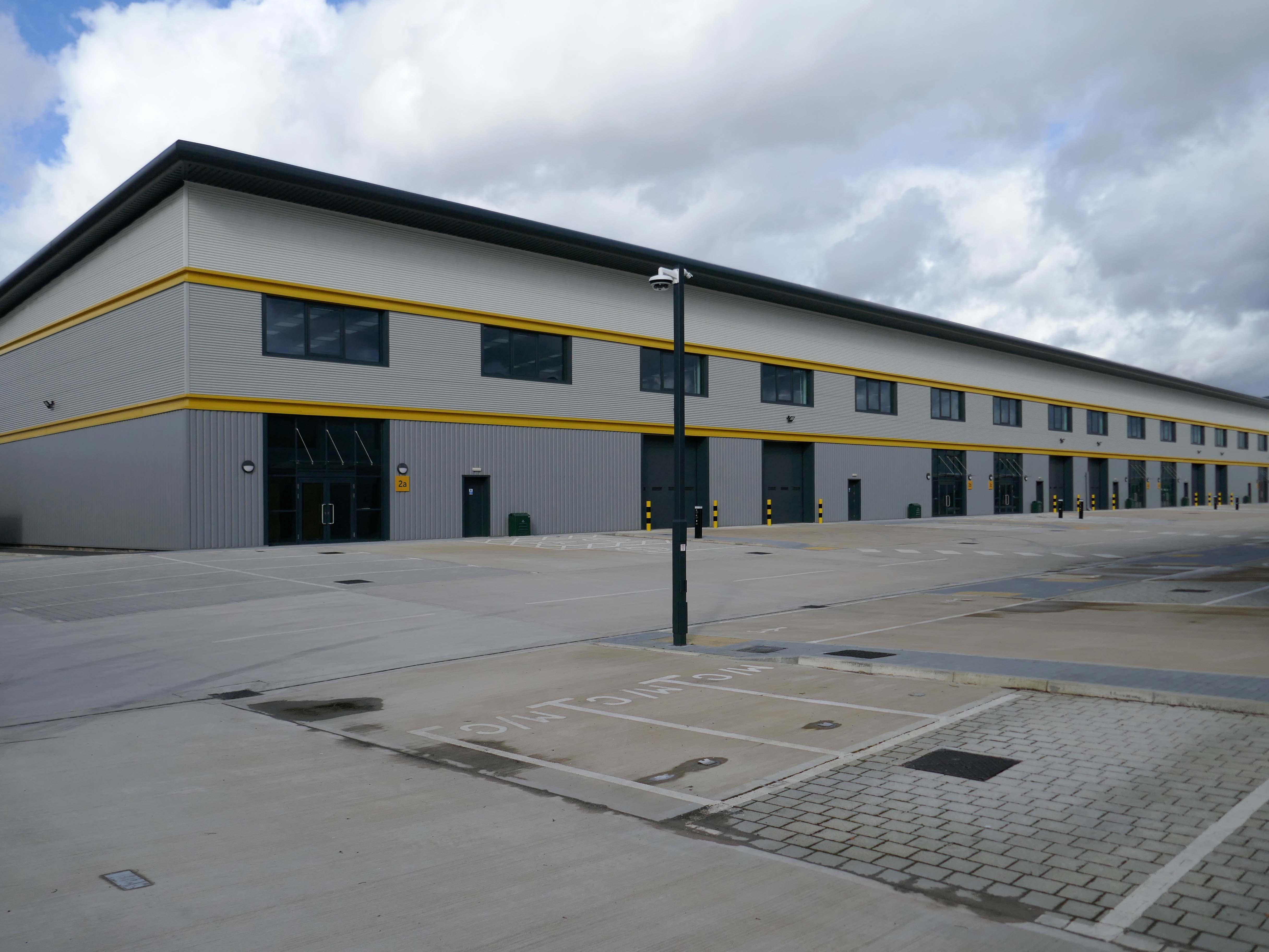
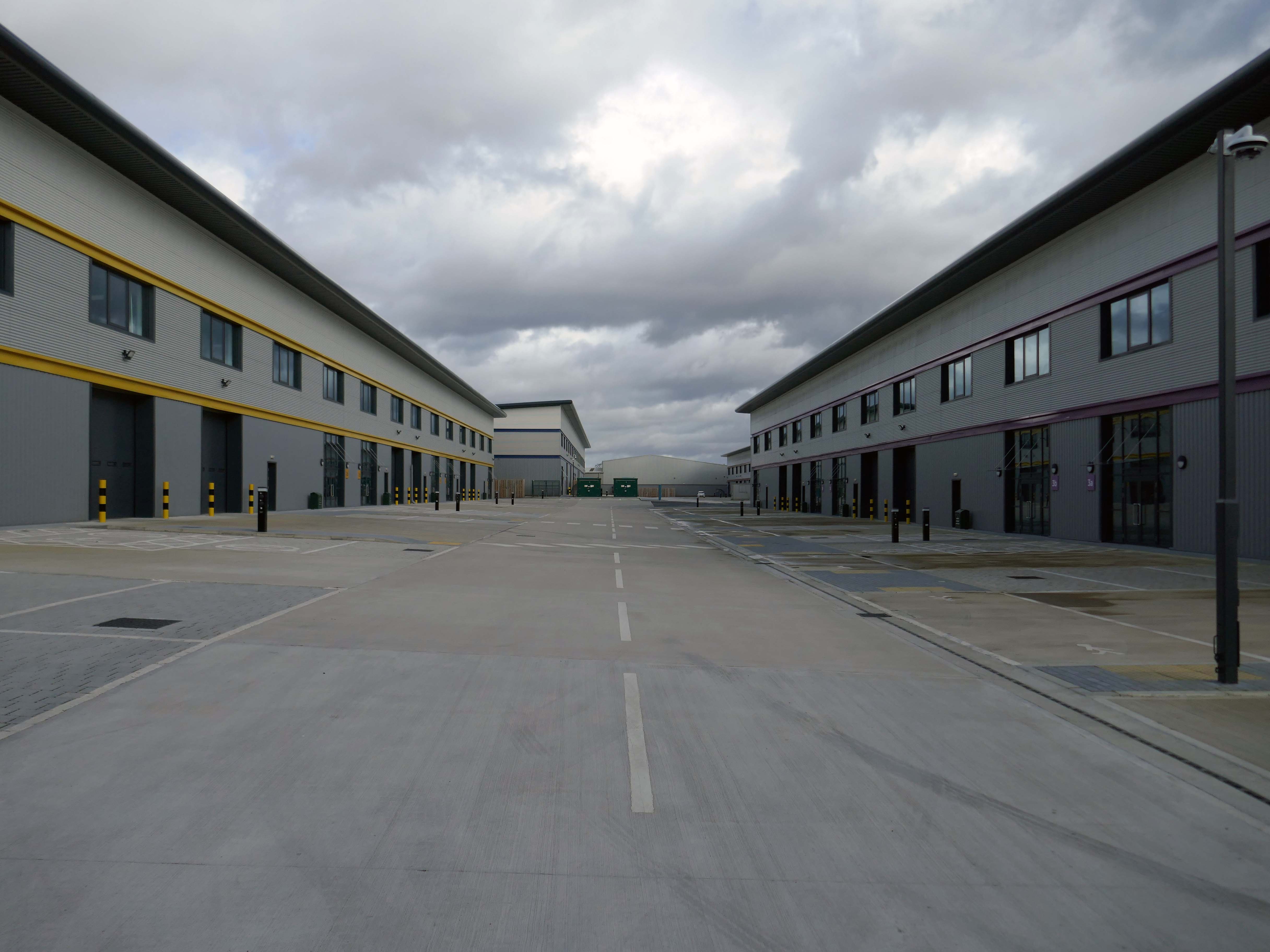
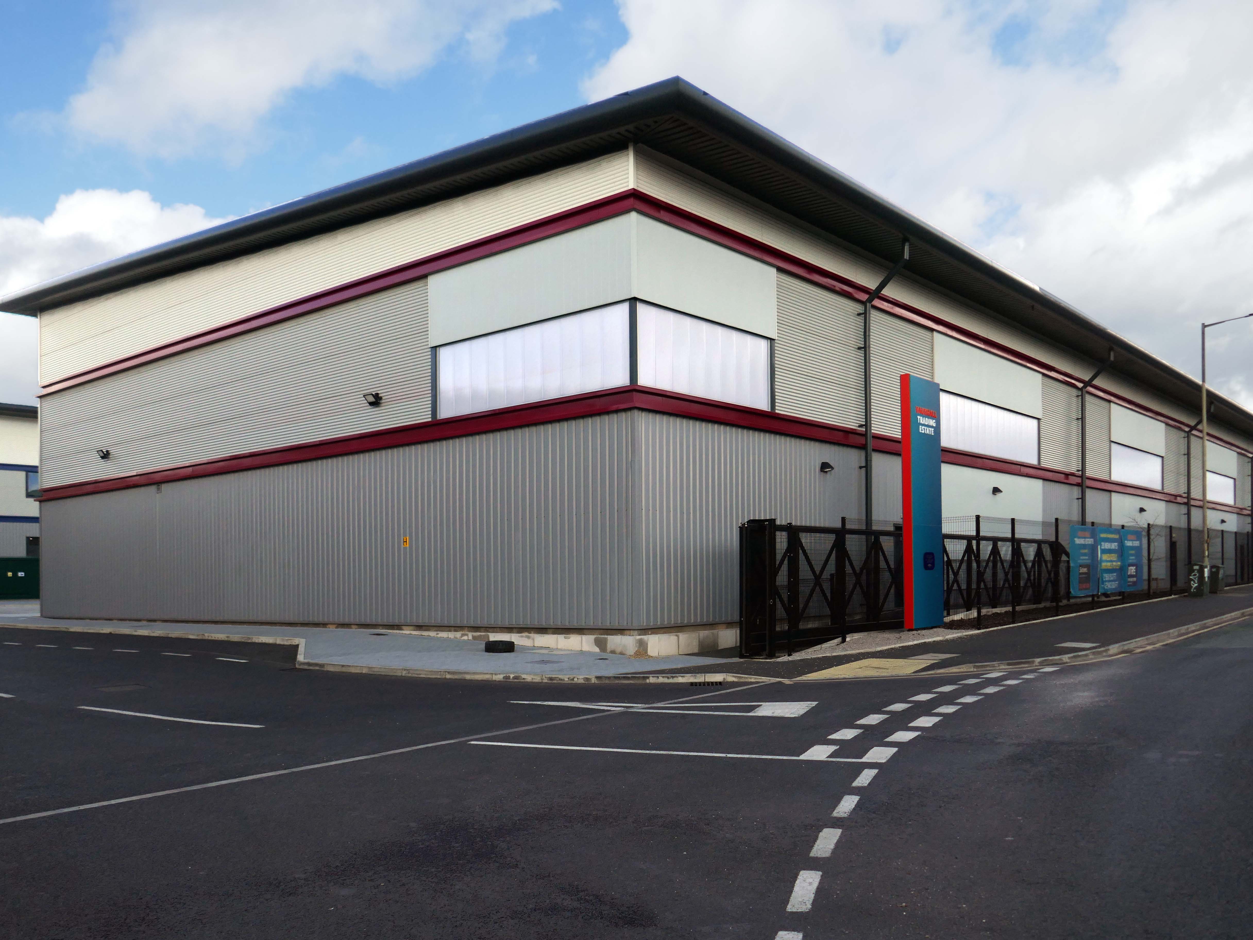
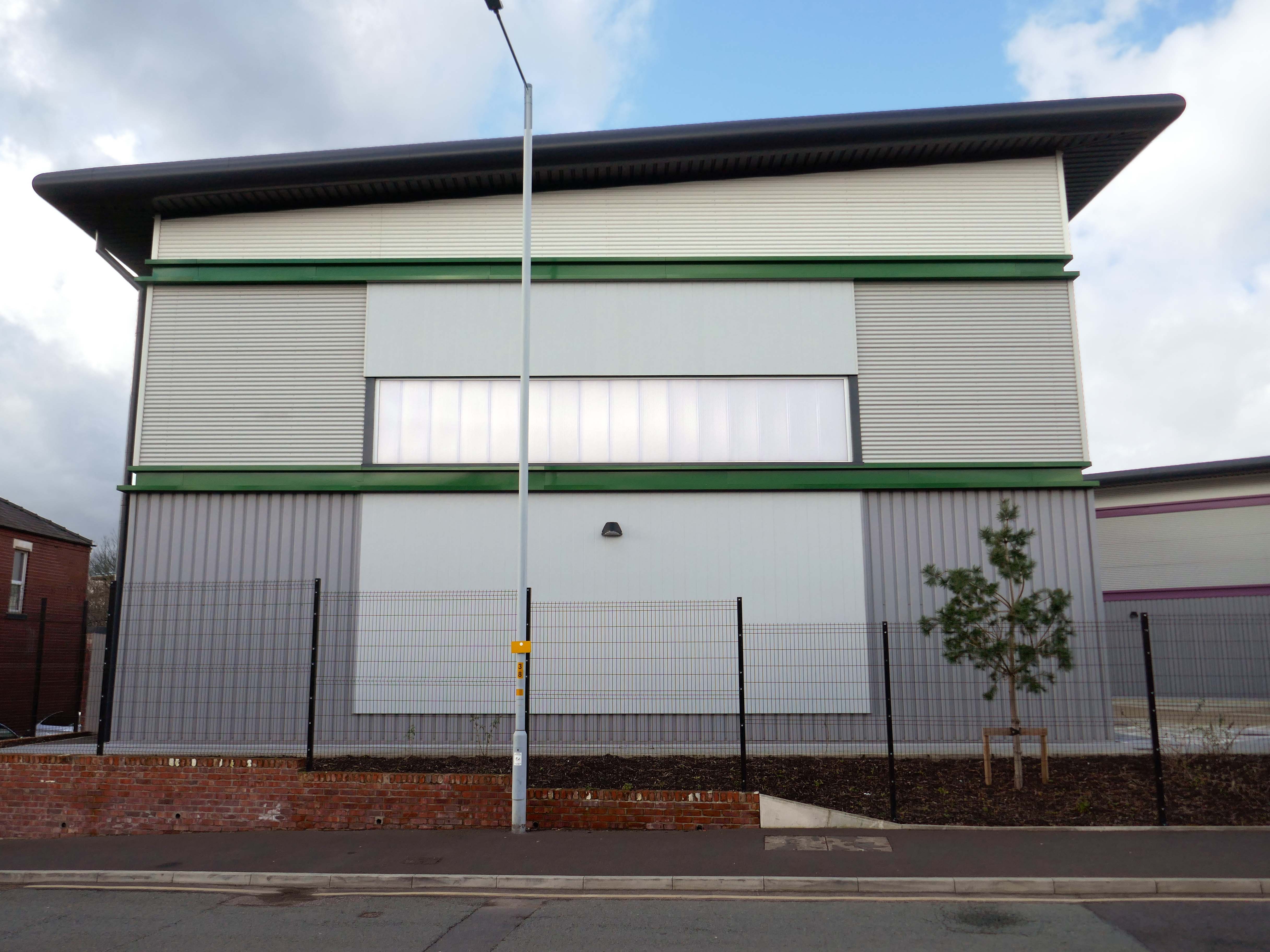
Our excavations at Vauxhall Industrial Estate, undertaken in advance of the redevelopment of the site by RECOM Solutions and Vauxhall Industrial Estate Ltd, revealed a number of features associated with the Craven Brothers’ Works. Two excavation areas were opened, targeted on features shown on historic mapping but no longer surviving: Area 1 in the north, targeting a small chimney and outbuildings adjacent to the machine shops; and Area 2 in the south targeting a chimney and part of the footprint of Building 3. In Area 1, the archaeological remains had been heavily truncated by the installation of chemical vats in the late 20th century after Craven Brothers closed; however, the foundations of the targeted outbuildings and the chimney were uncovered, as well as the remains of a railway track running alongside the machine shops, represented by in situ sleepers.
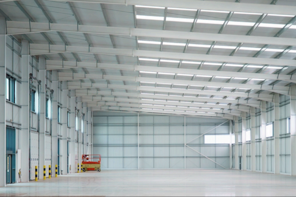
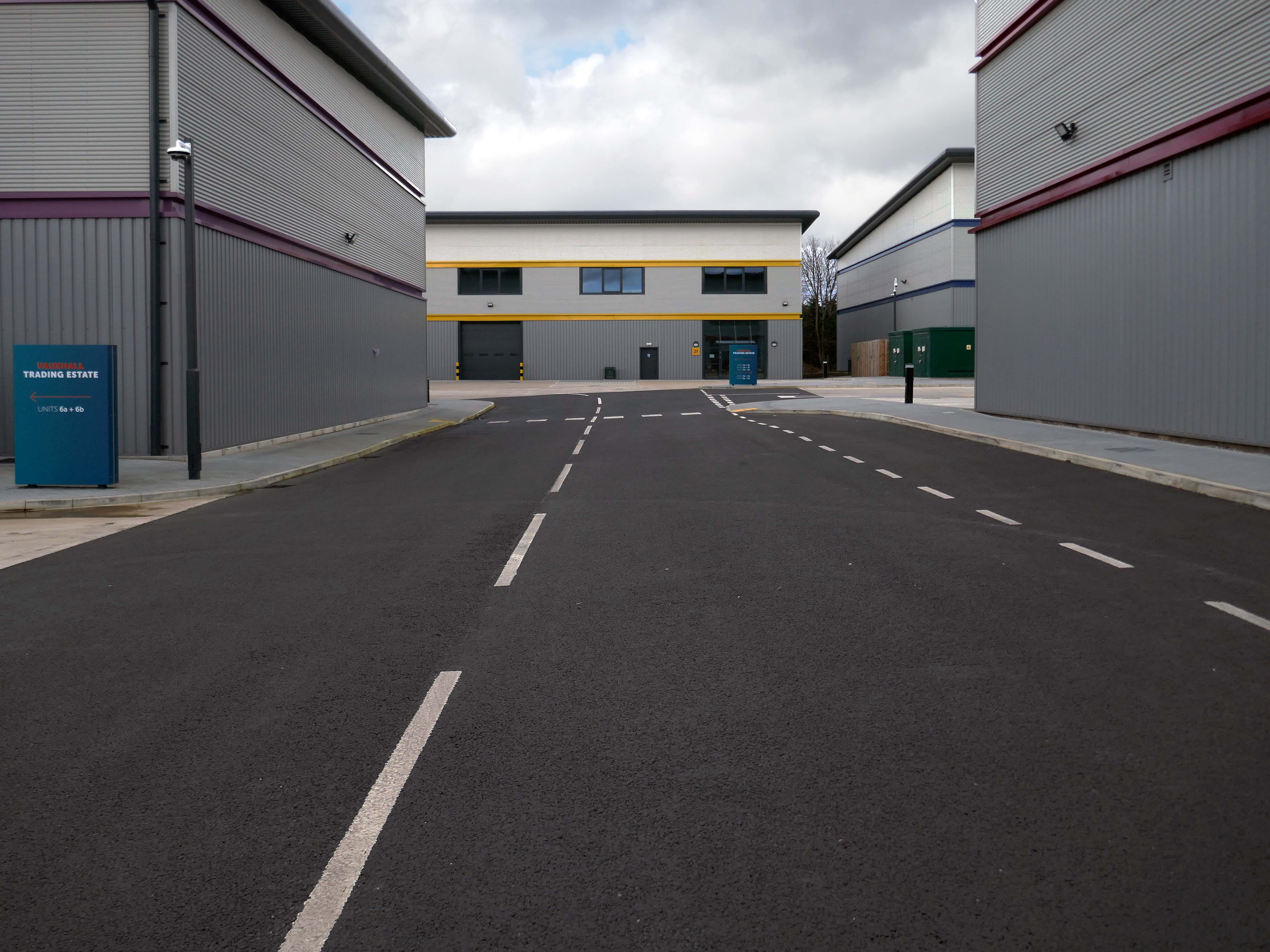
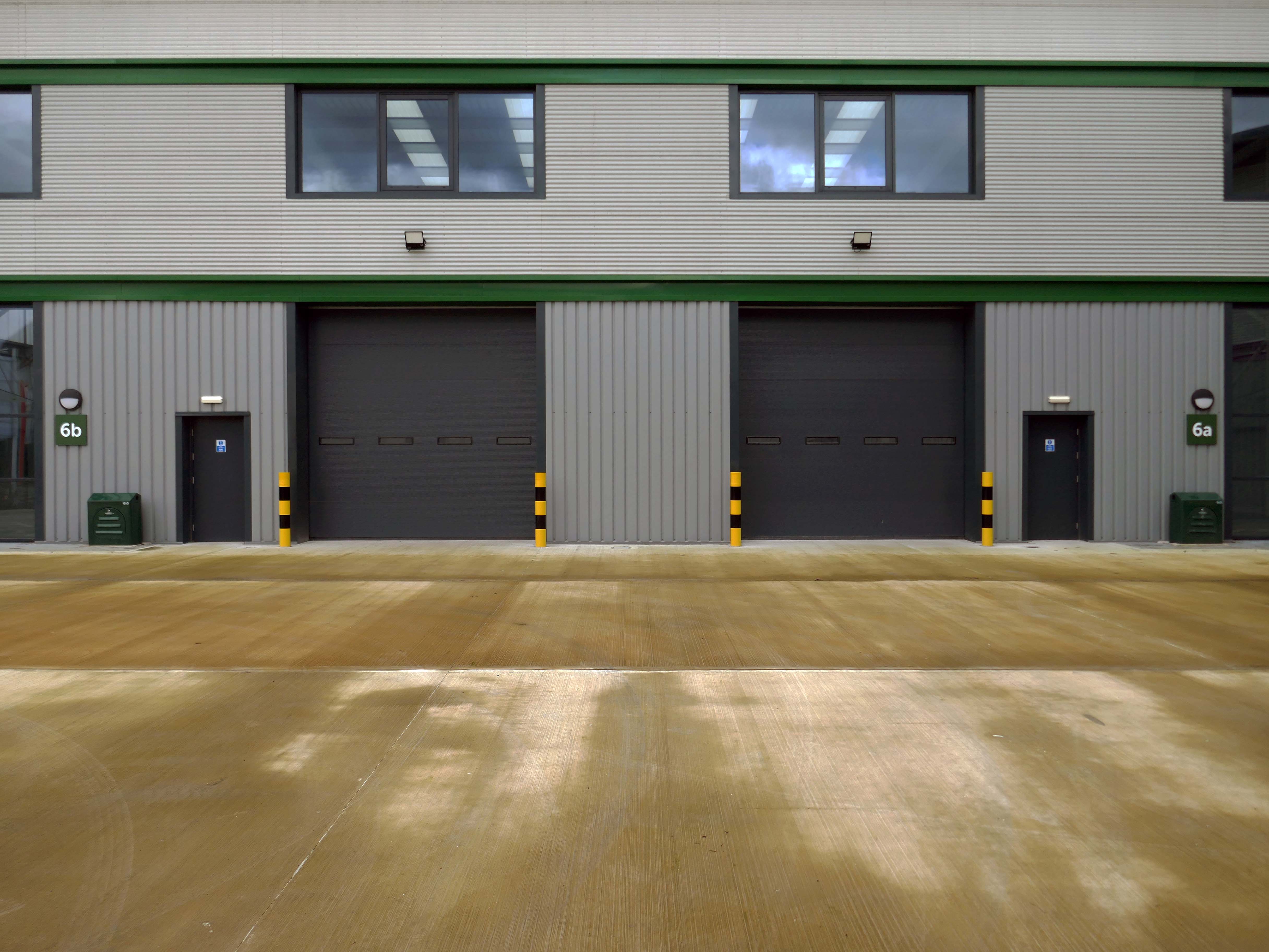
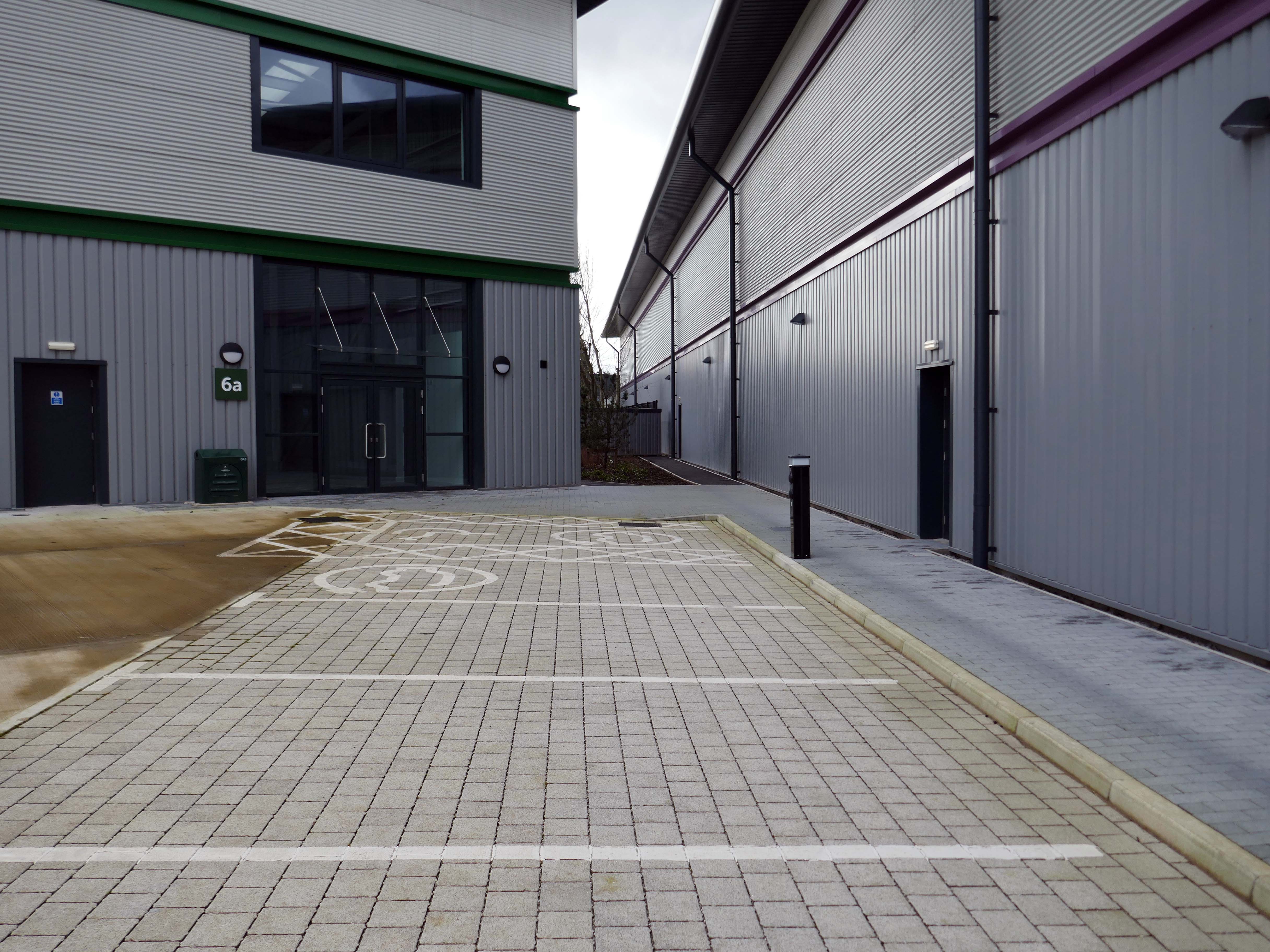
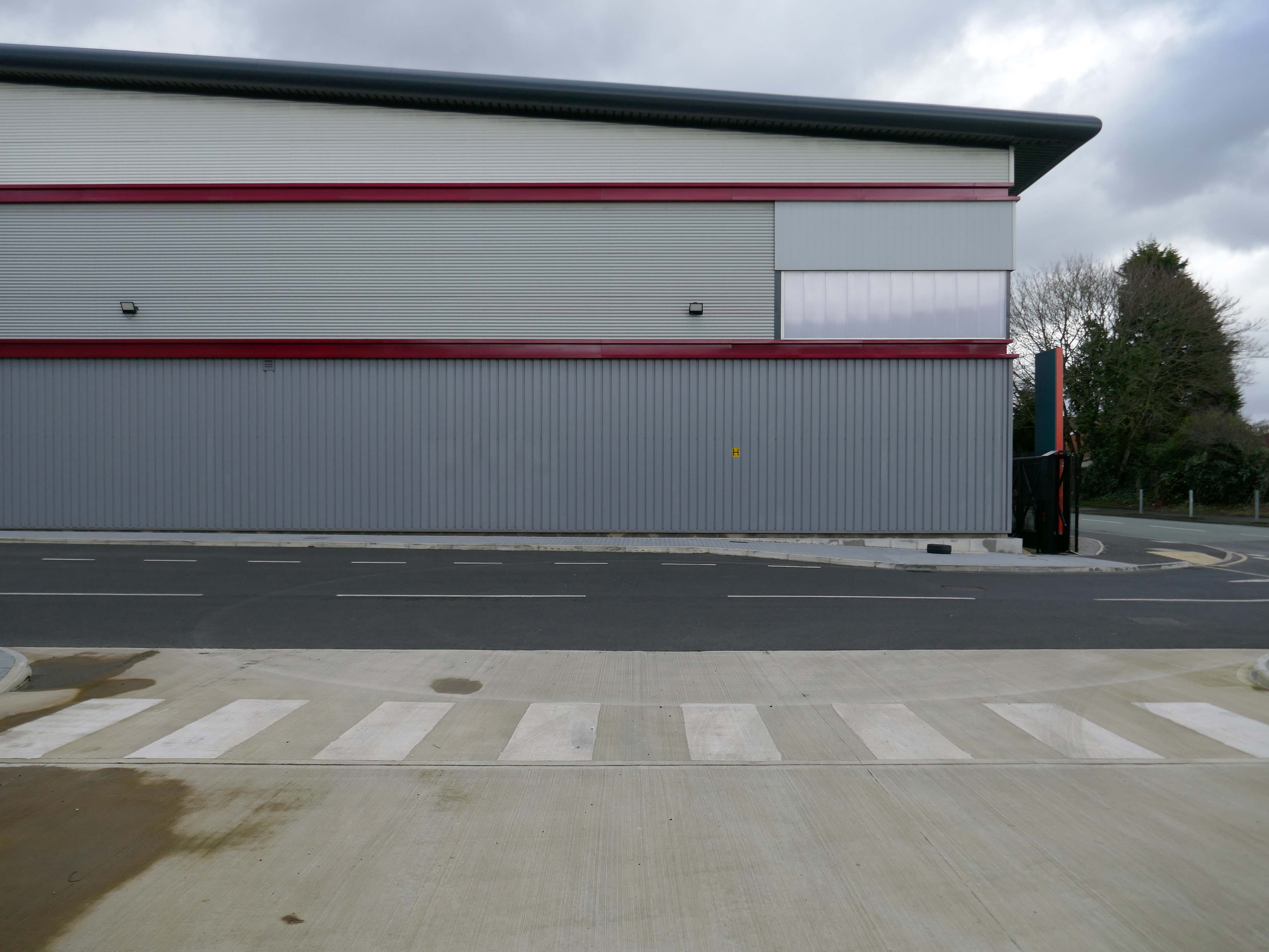
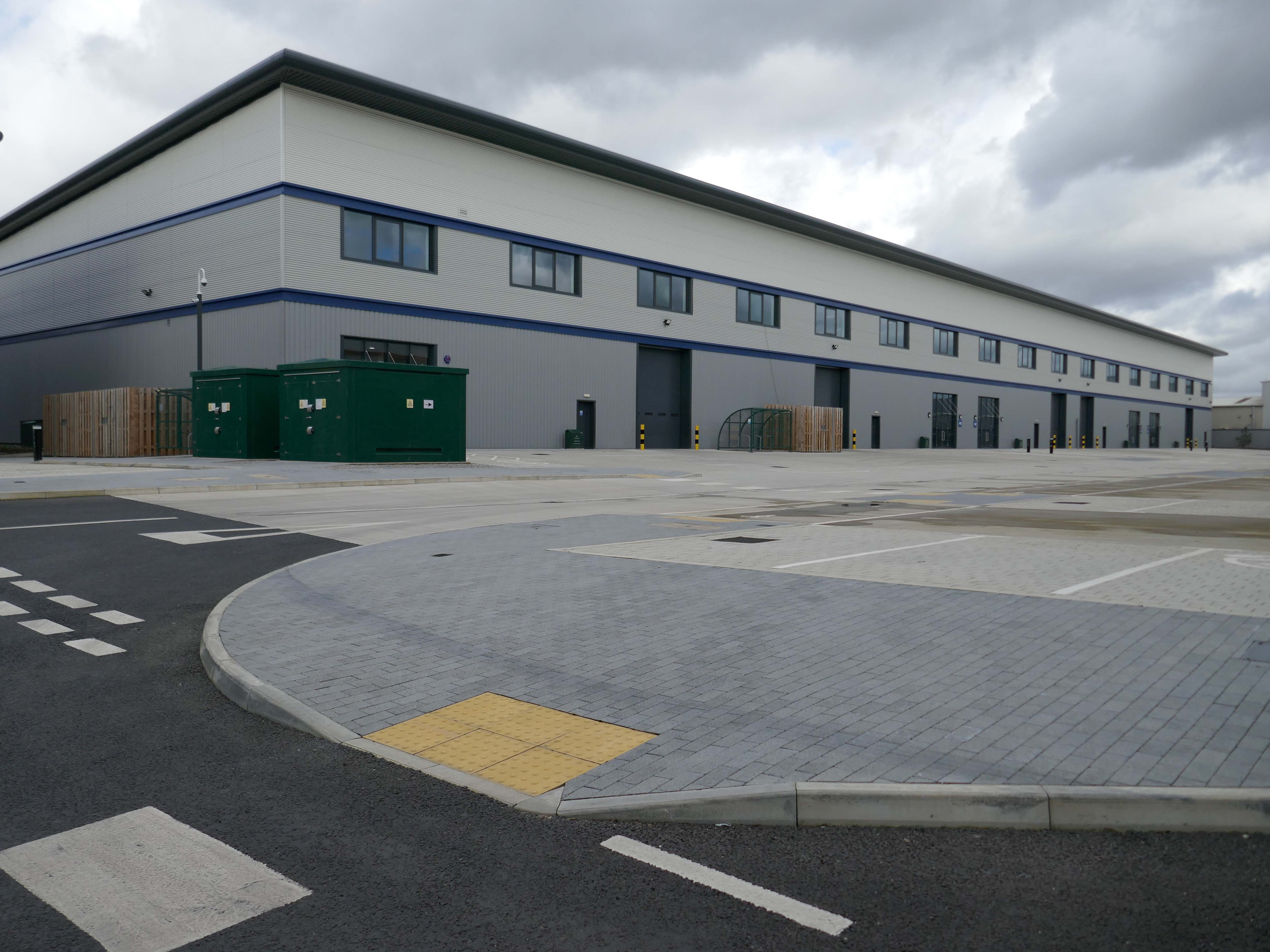
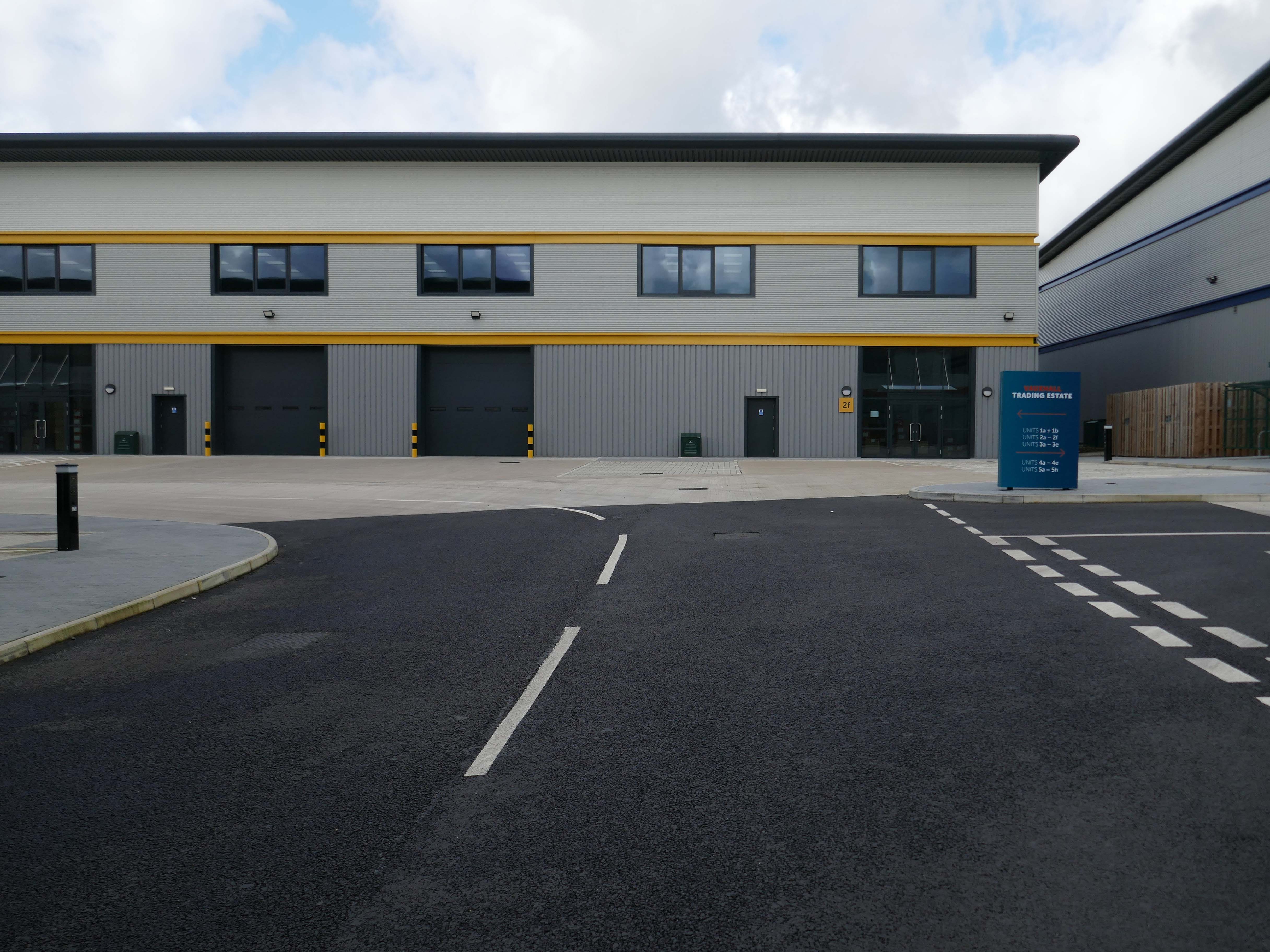
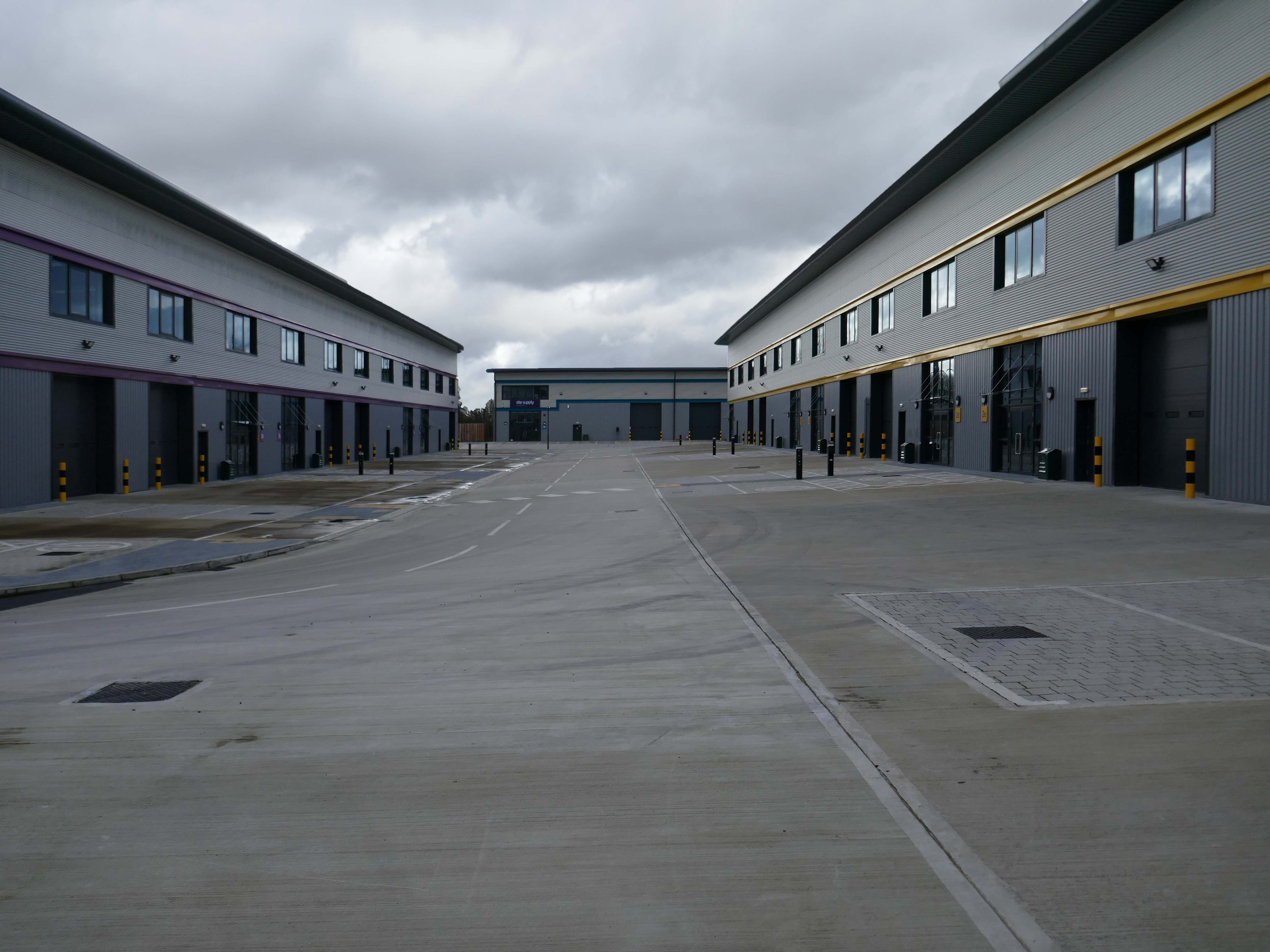
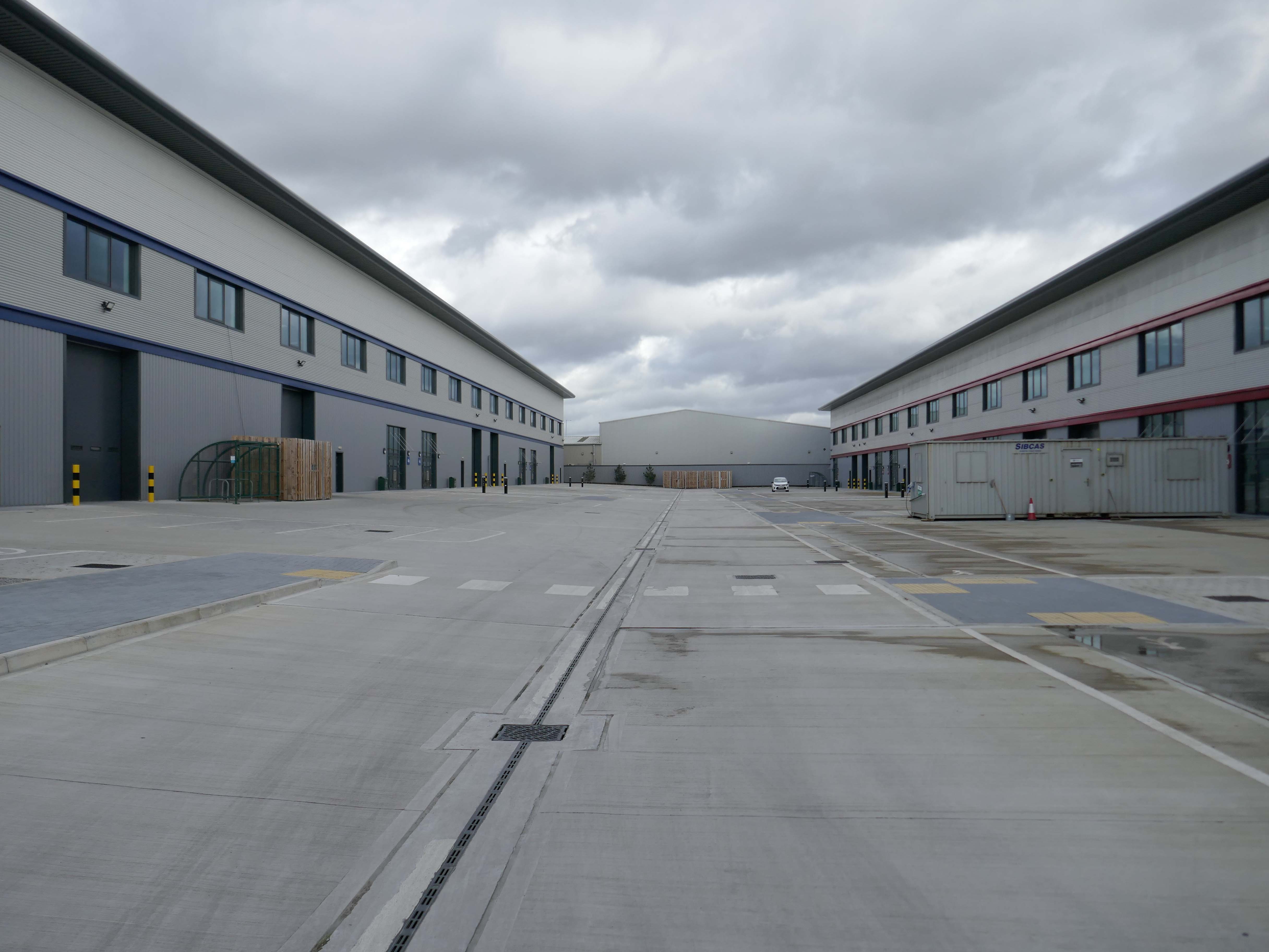
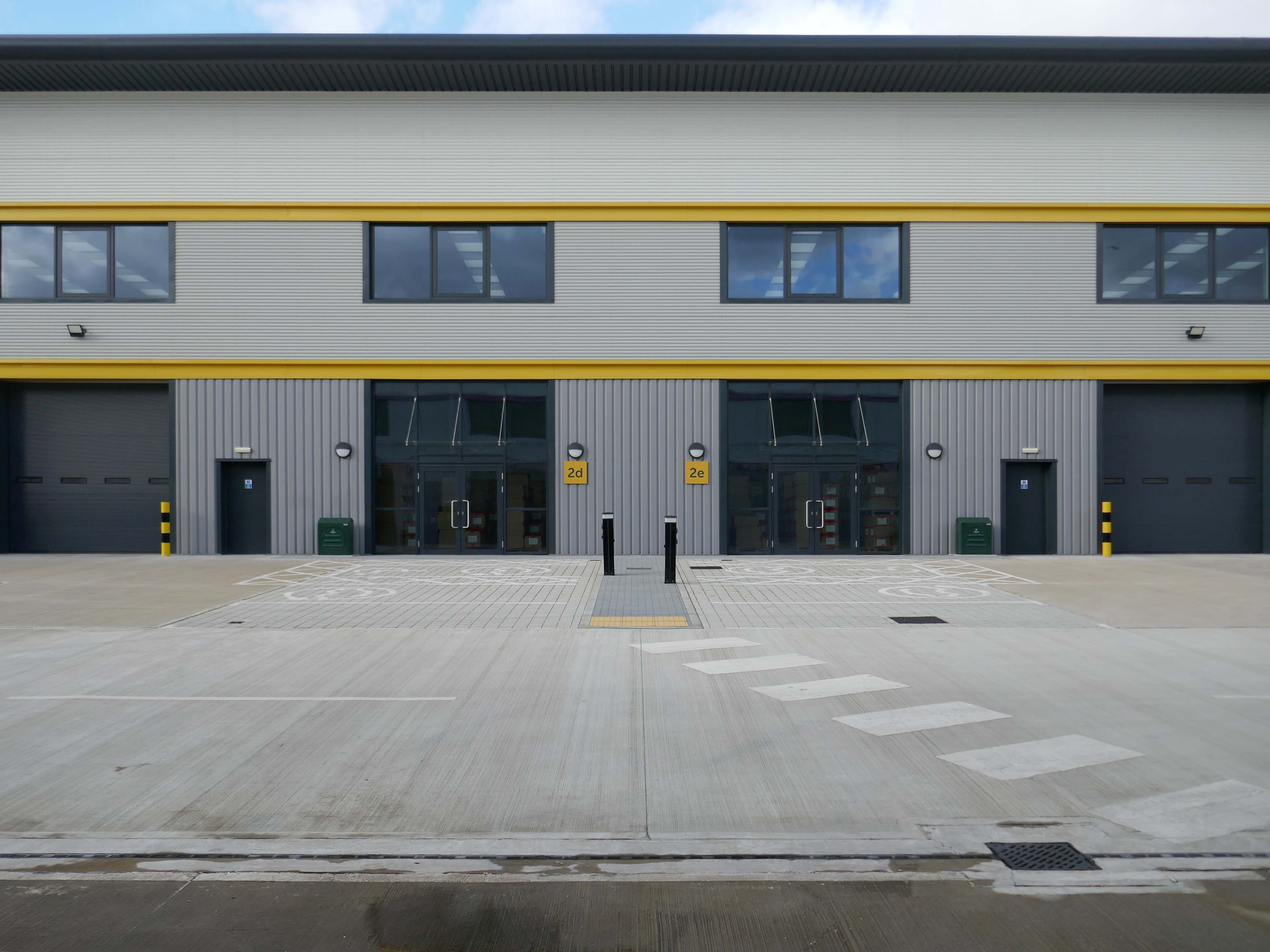
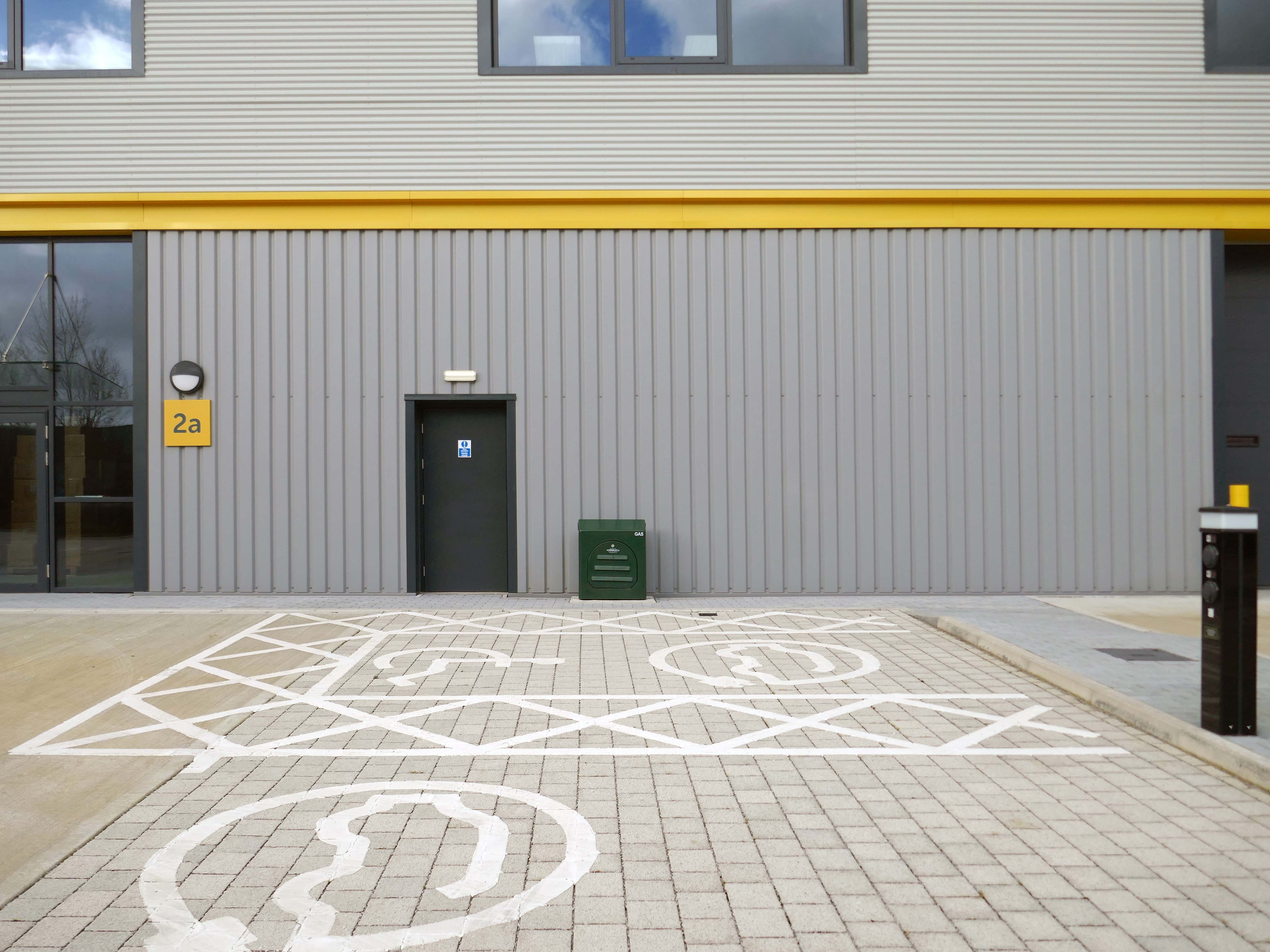
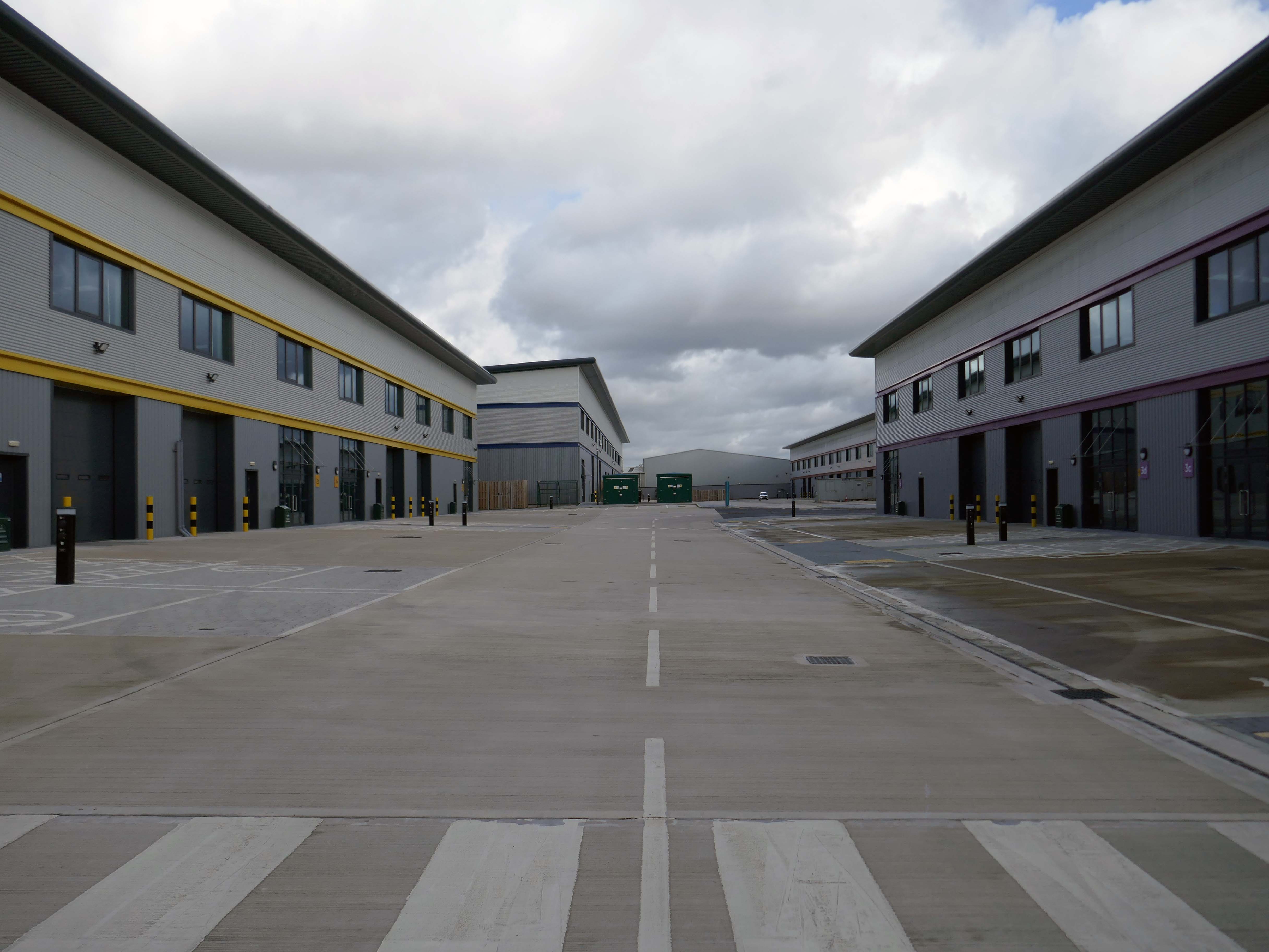
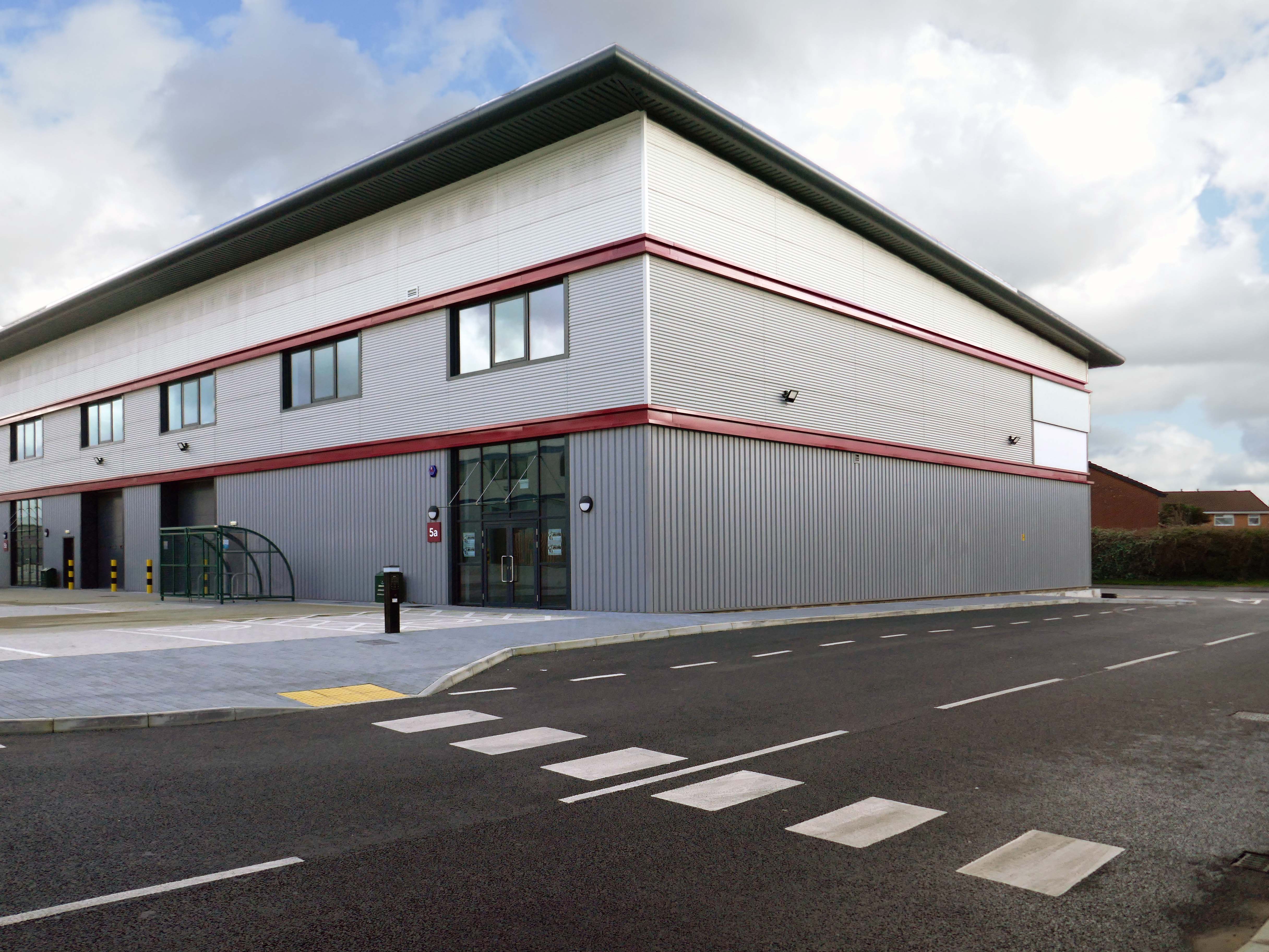
Vauxhall Trading Estate, formerly Vauxhall Industrial Estate, was a collection of dilapidated old industrial buildings, which have been demolished and new modern industrial units provided. RECOM provided project management services to demolish all previous buildings and prepare the site for the main contractor, achieve planning consent, enter a BAPA with Network Rail, tender and appoint the successful main contractor and then provide the Employer’s Agent service throughout the construction phase.
We worked with the design team to produce project specific Employer’s Requirements, ensuring that the client’s brief to provide high quality industrial units was delivered. We ensured the client’s interests were maintained throughout the project, making objective decisions that aligned with the client’s goals. In order to de-risk the project prior to entering into the main contract, we advised the client on what site investigations, enabling works and surveys needed to be undertaken. As the Employer’s Agent, we ensured that the conditions of the contract were adhered to, managing claims from the contractor,ensuring that the client’s position was protected.
Demolition works and embodied carbon created through construction works, is being offset against the sustainable energy created post occupation including: mix of air-source heat pumps and gas-fired radiant tube heating for heating and cooling, and photovoltaic solar panels installed on rooftops to generate green electricity for occupiers.
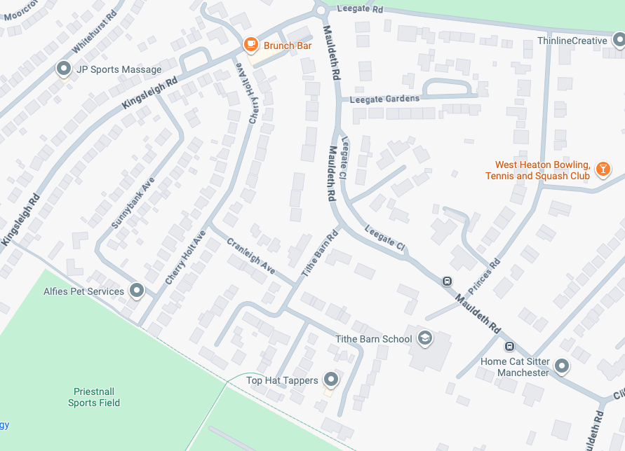
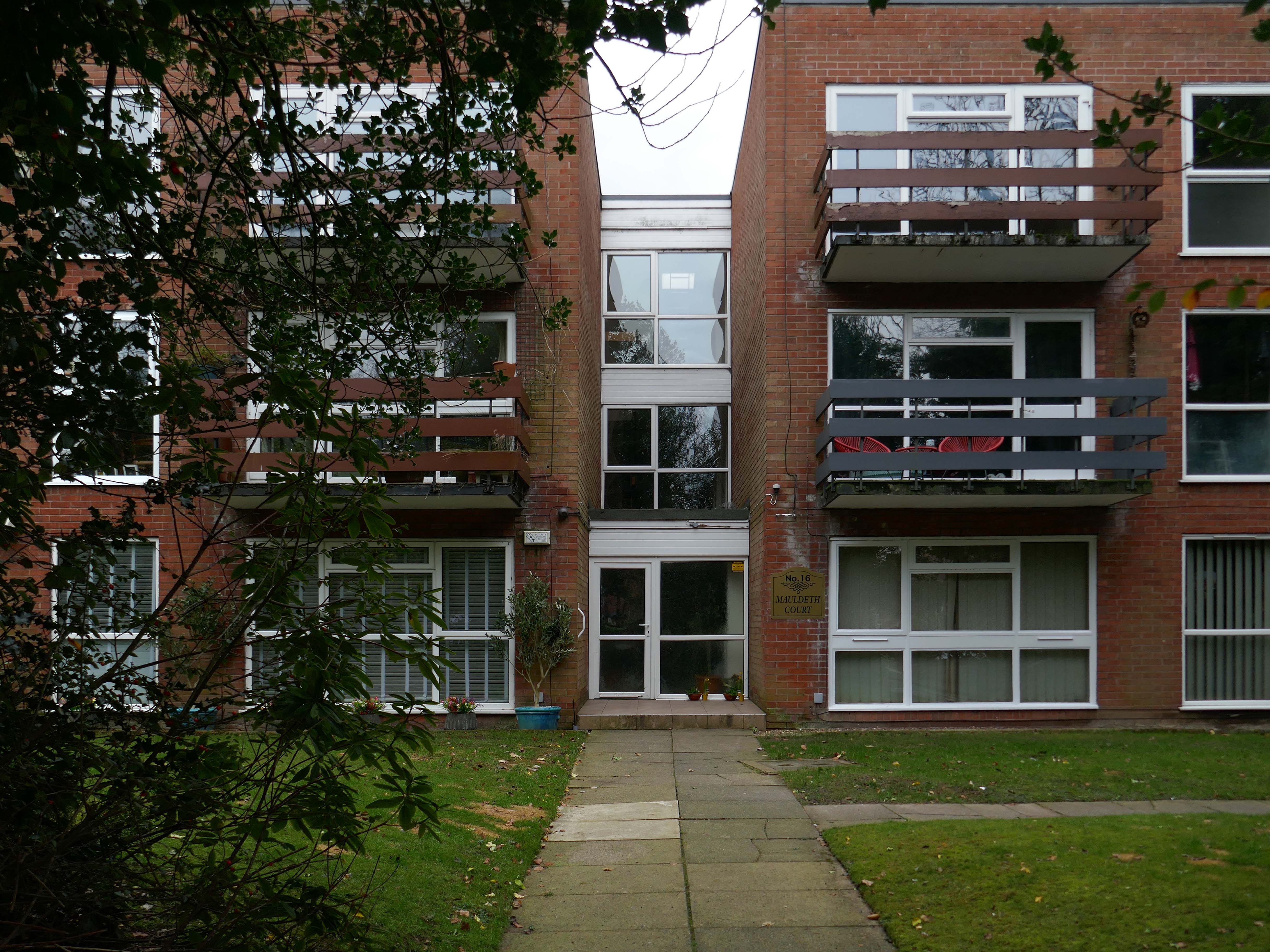
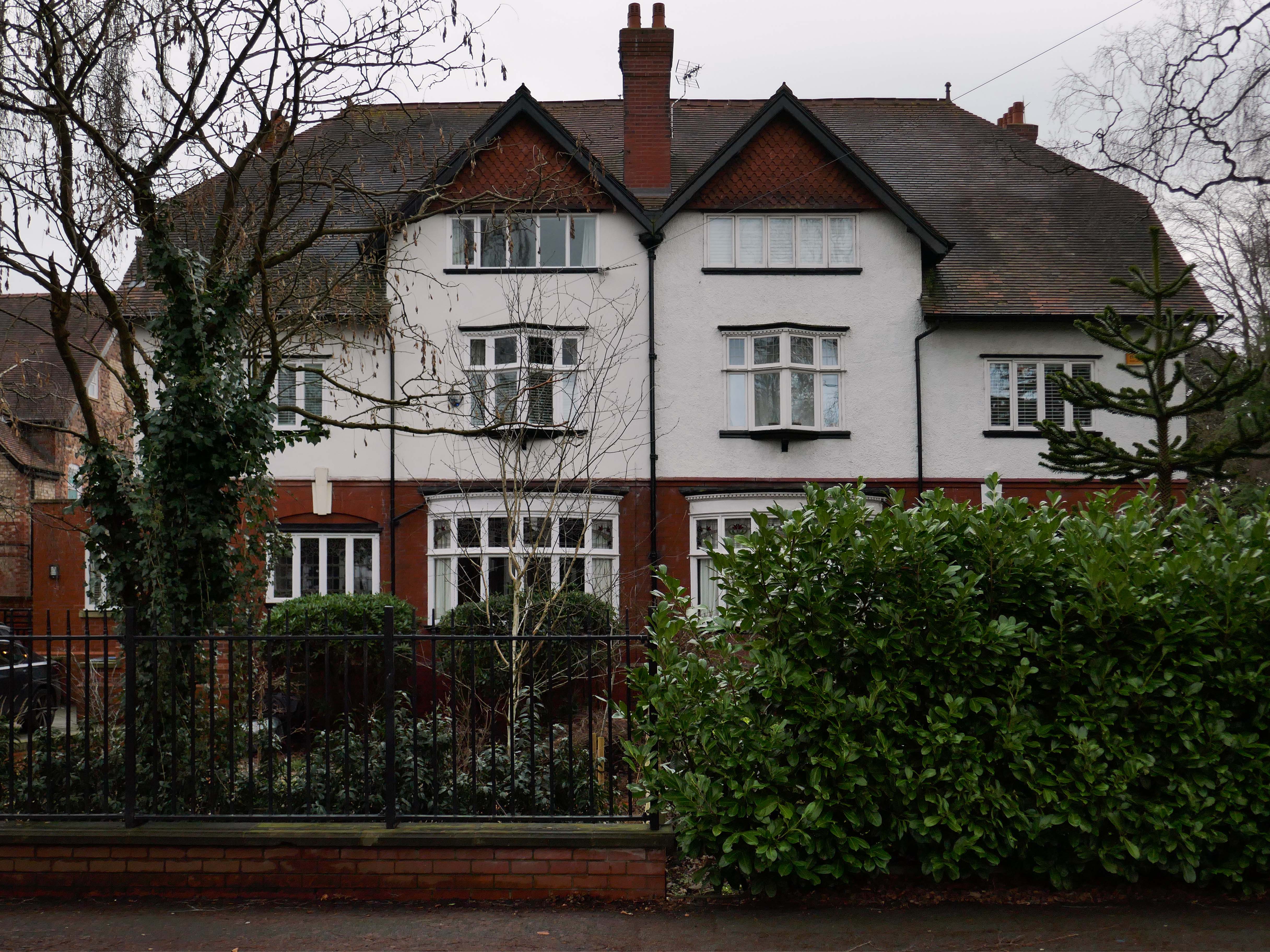
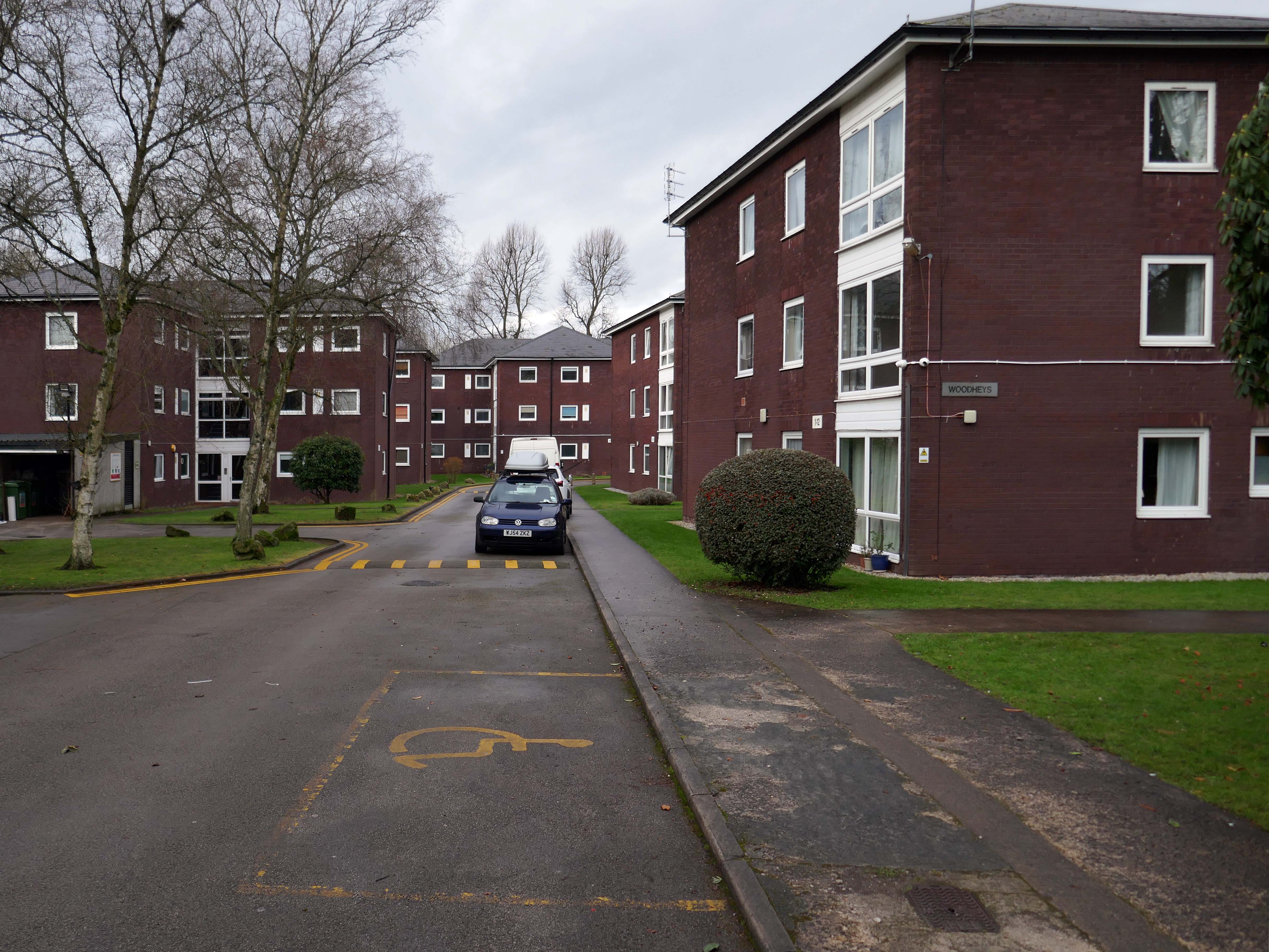
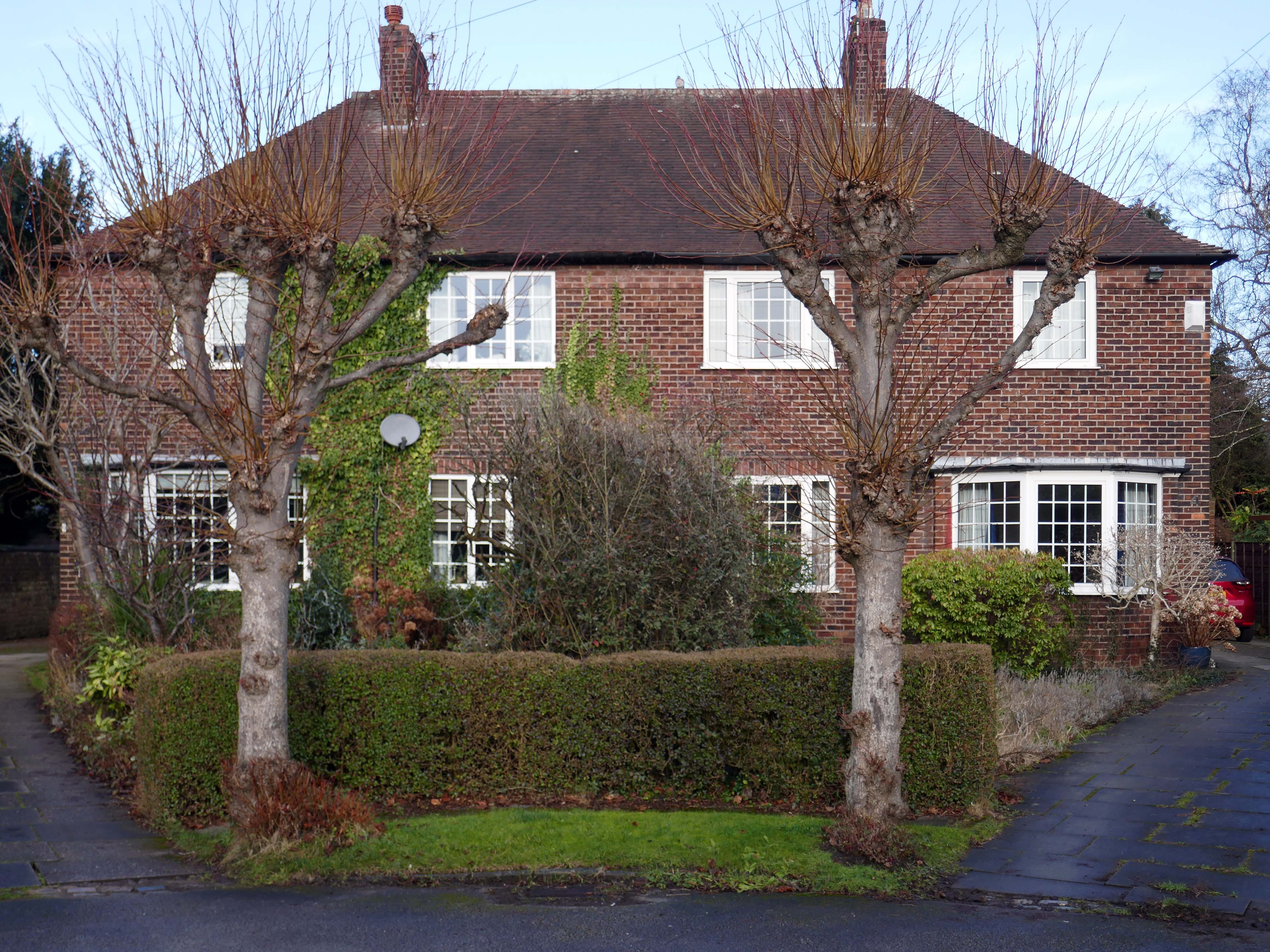
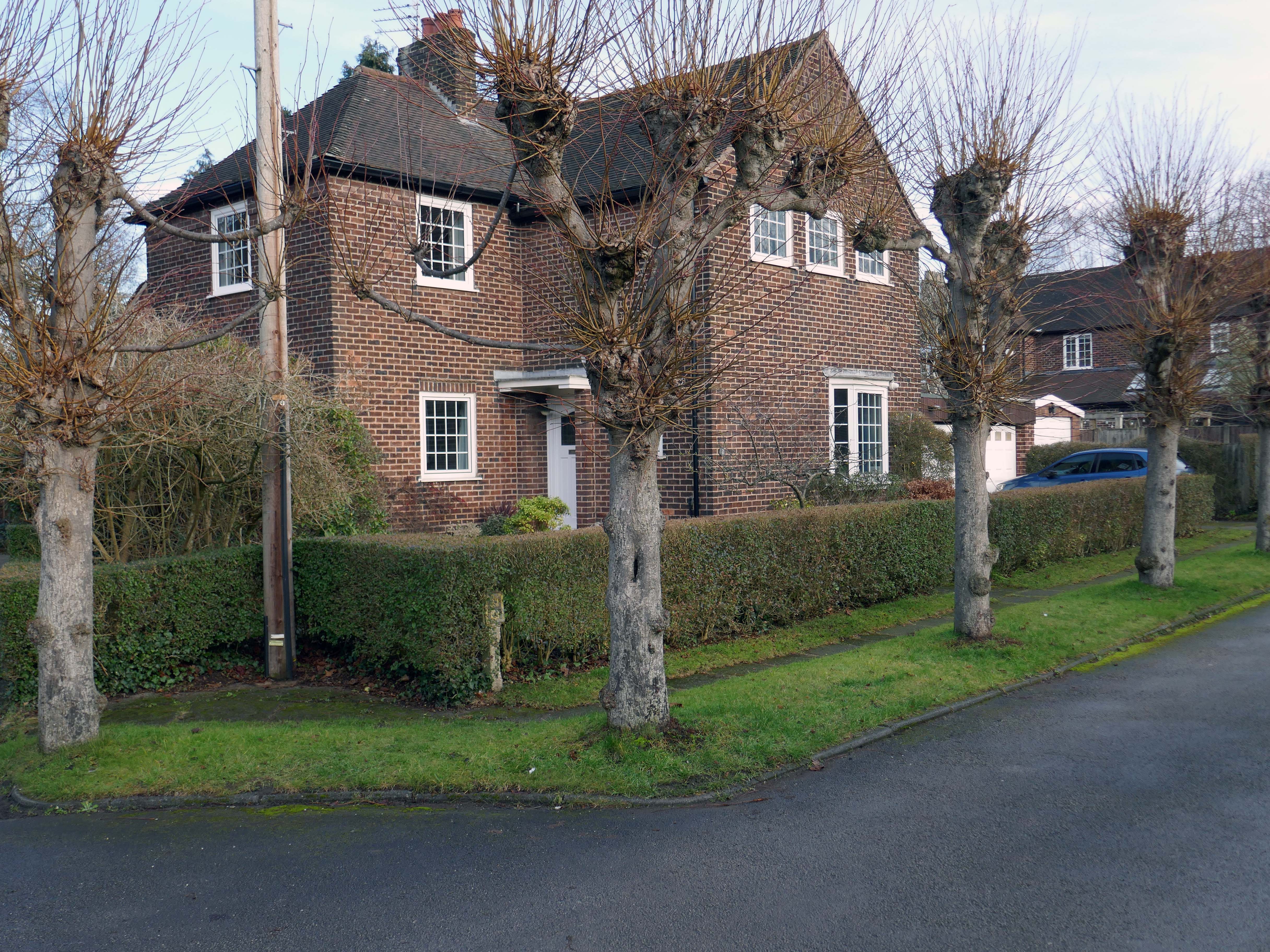
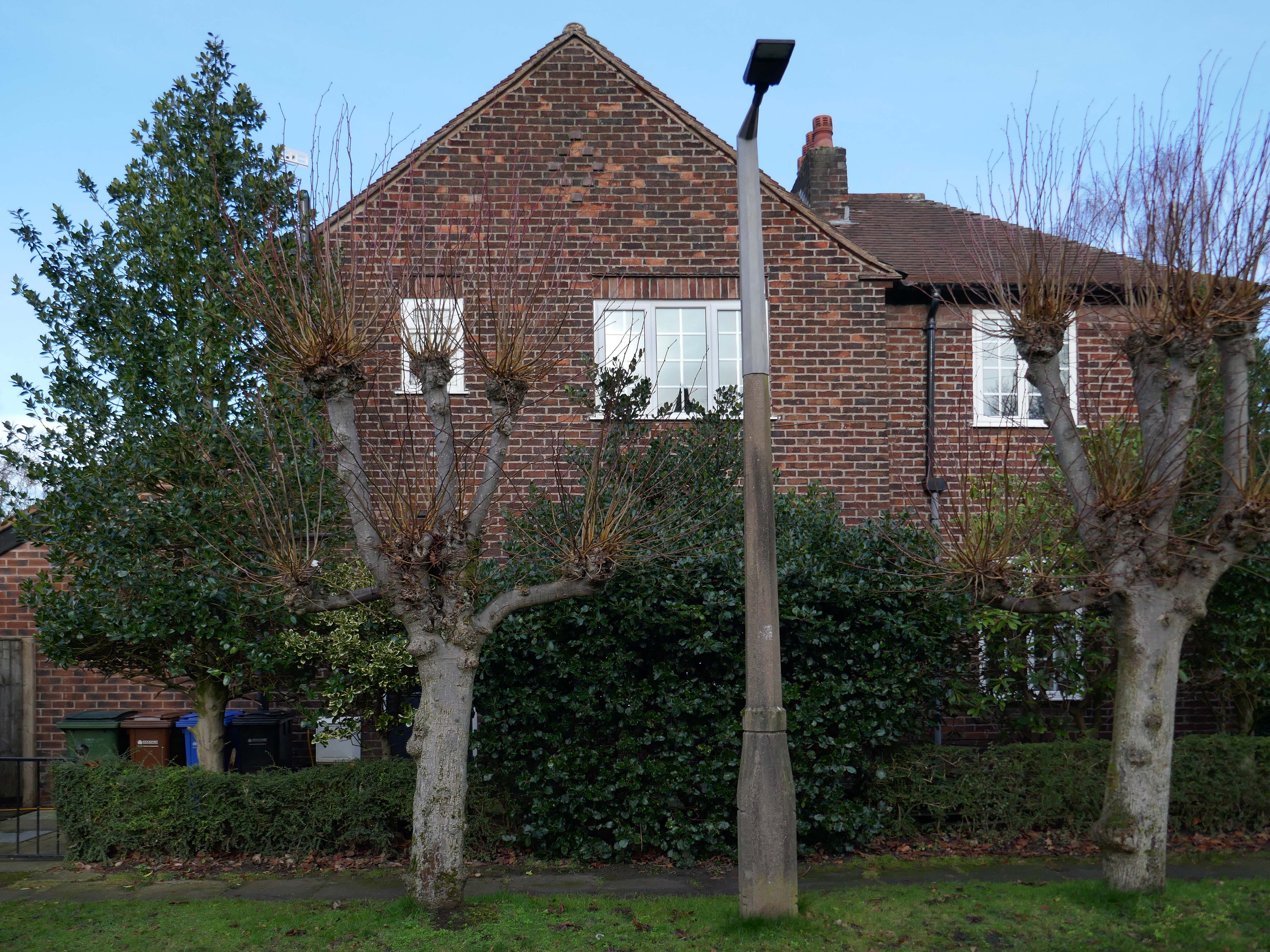
Taking in Mauldeth Road, Pinewood Close and Leegate Gardens
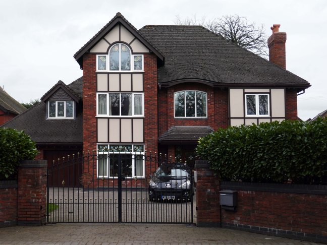
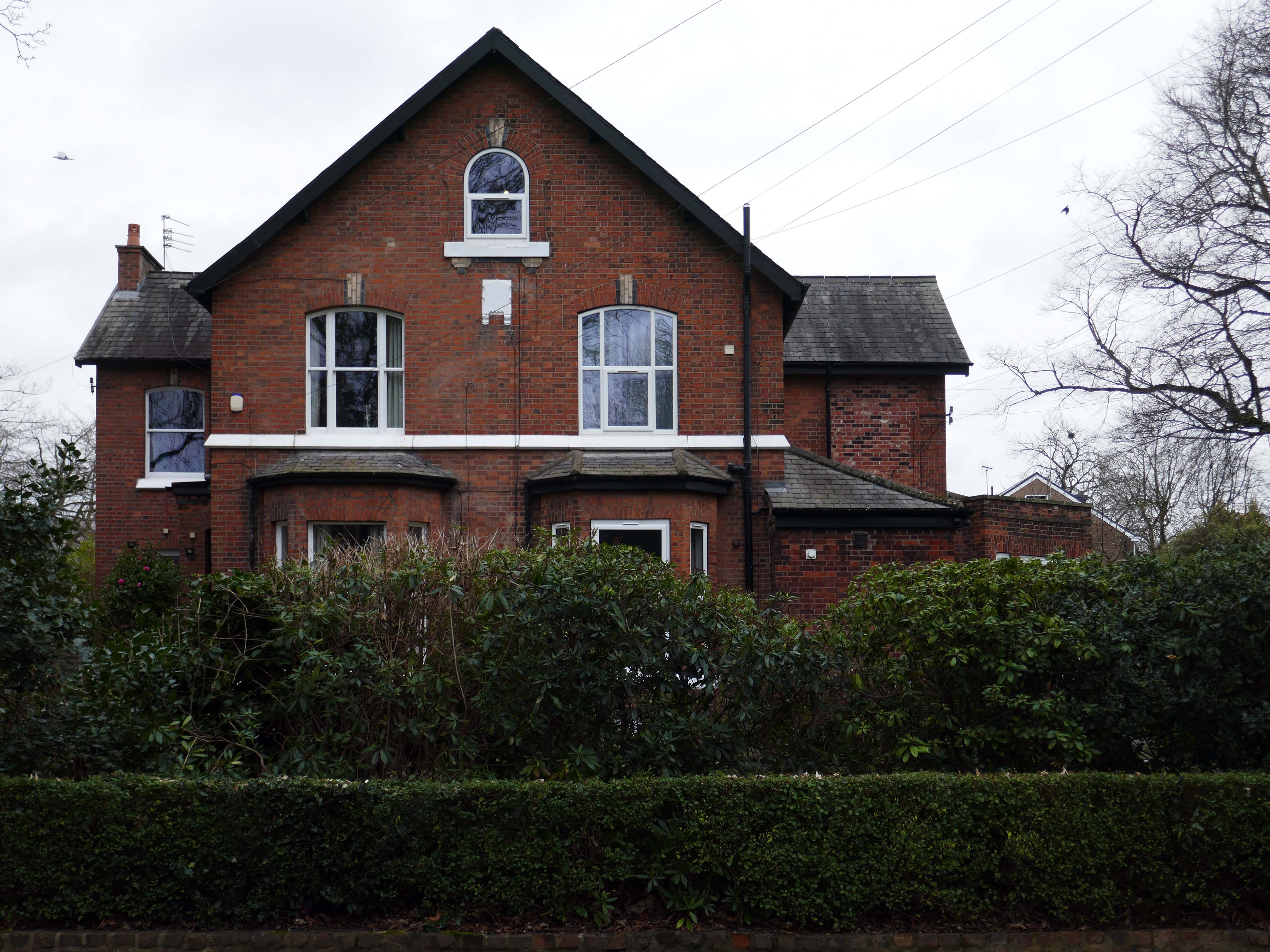
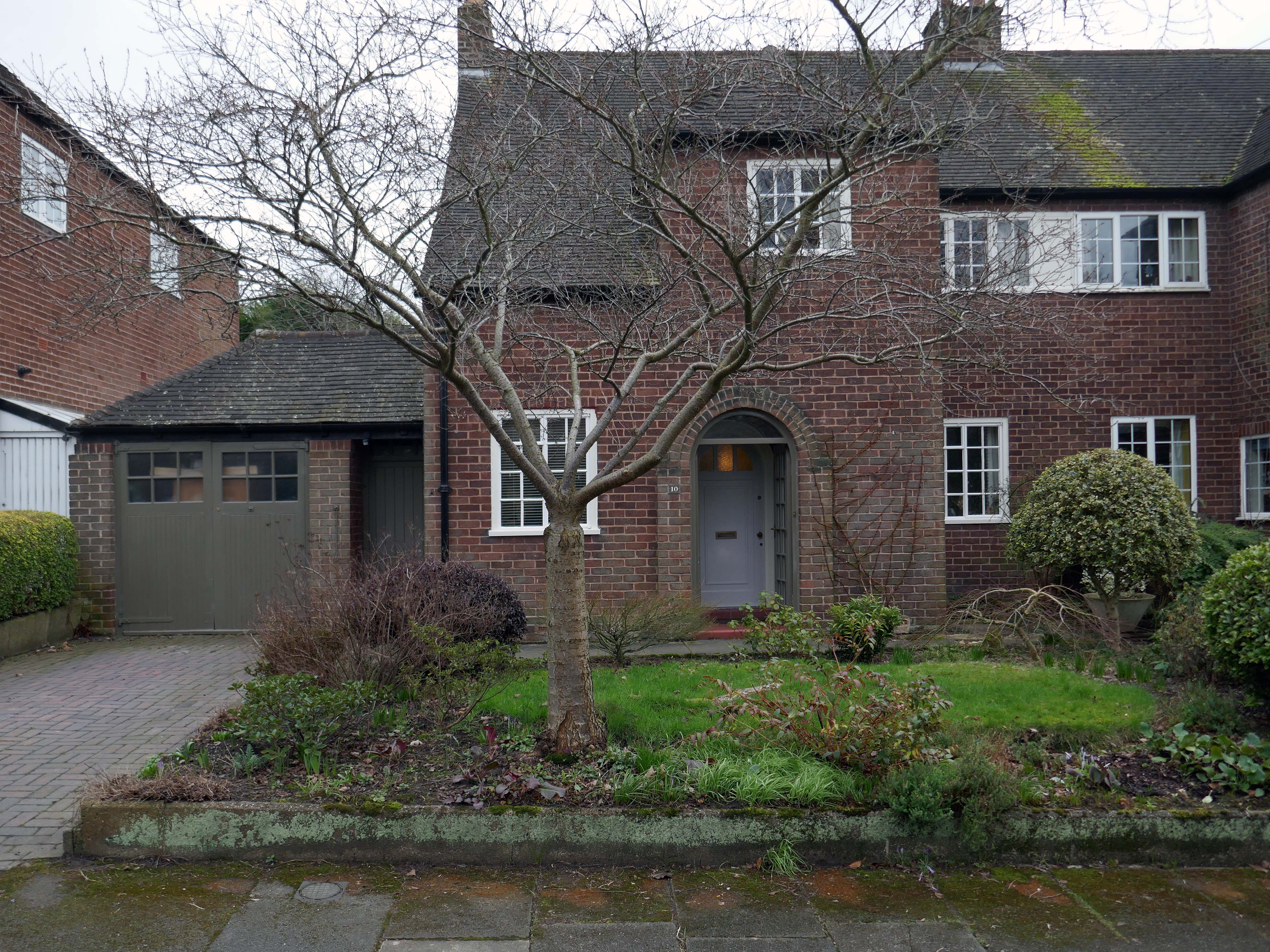
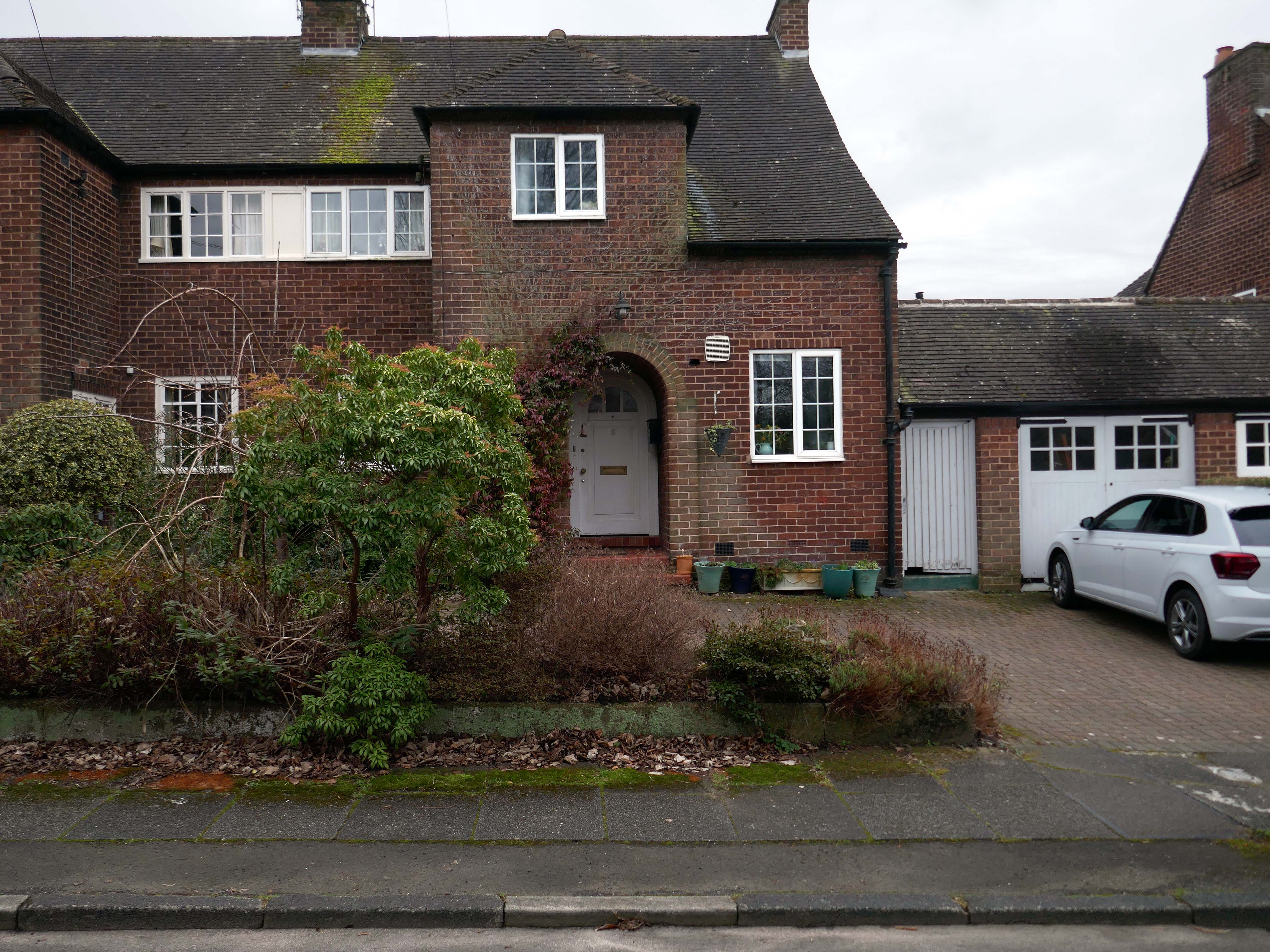
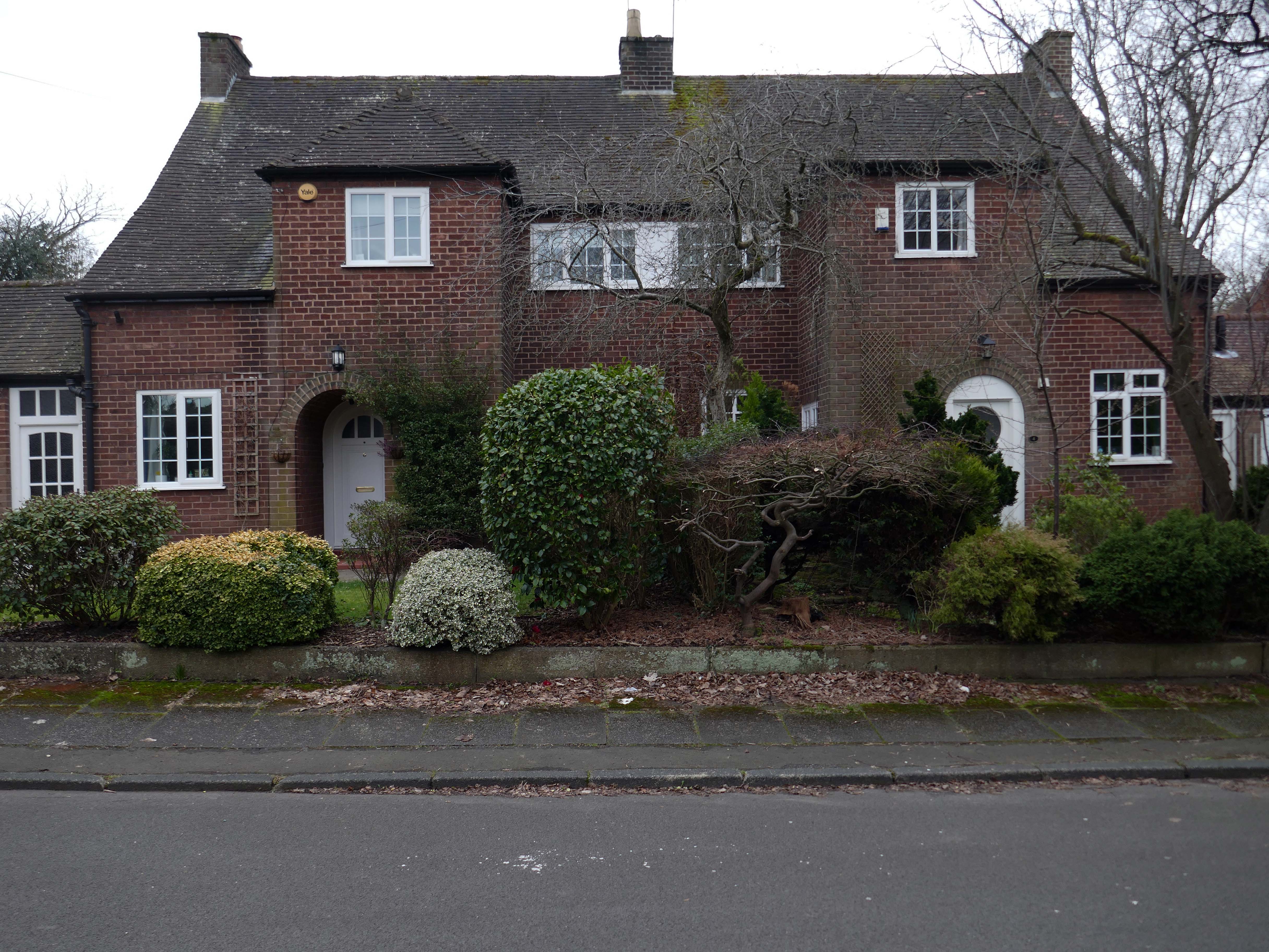
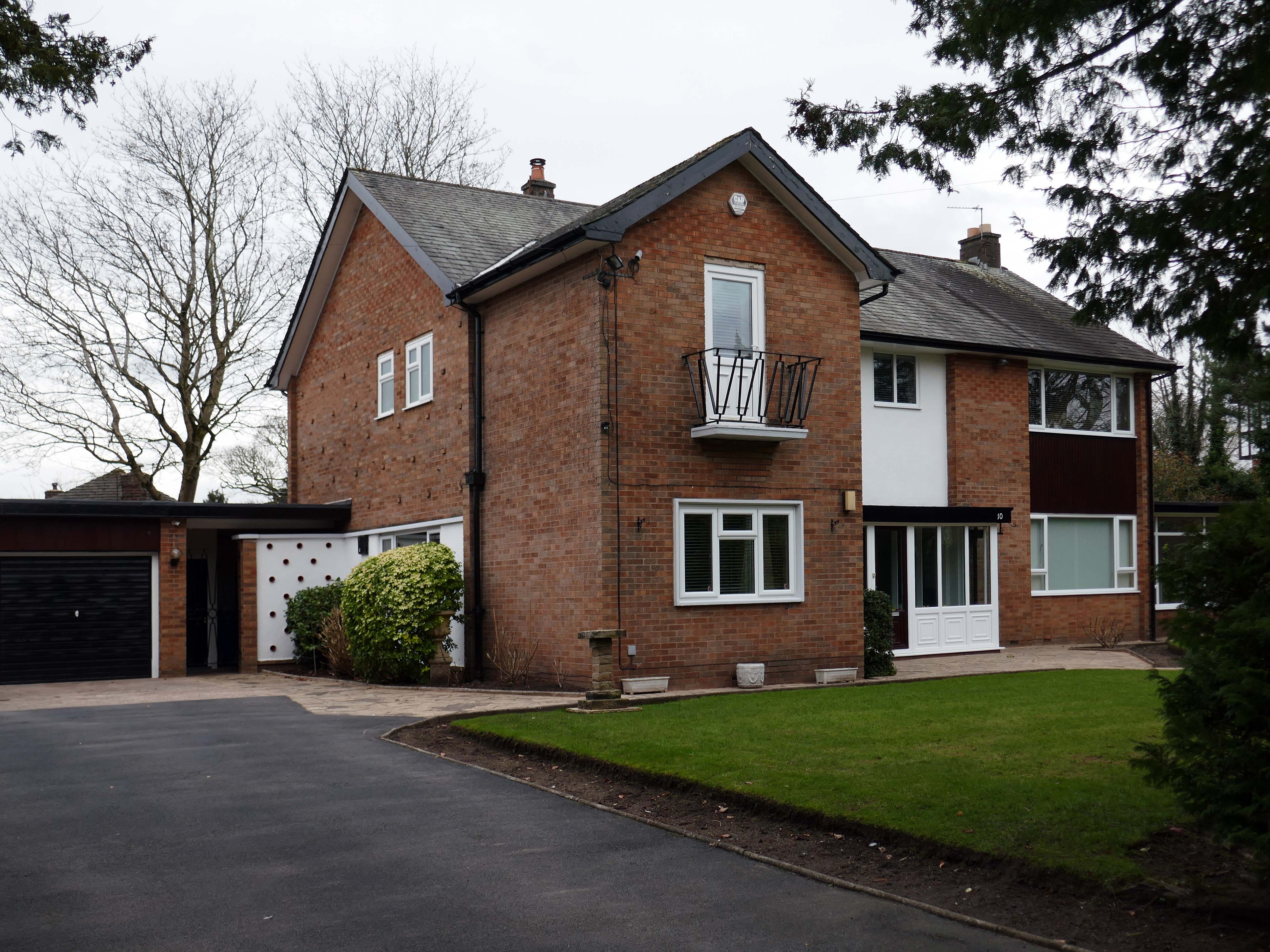
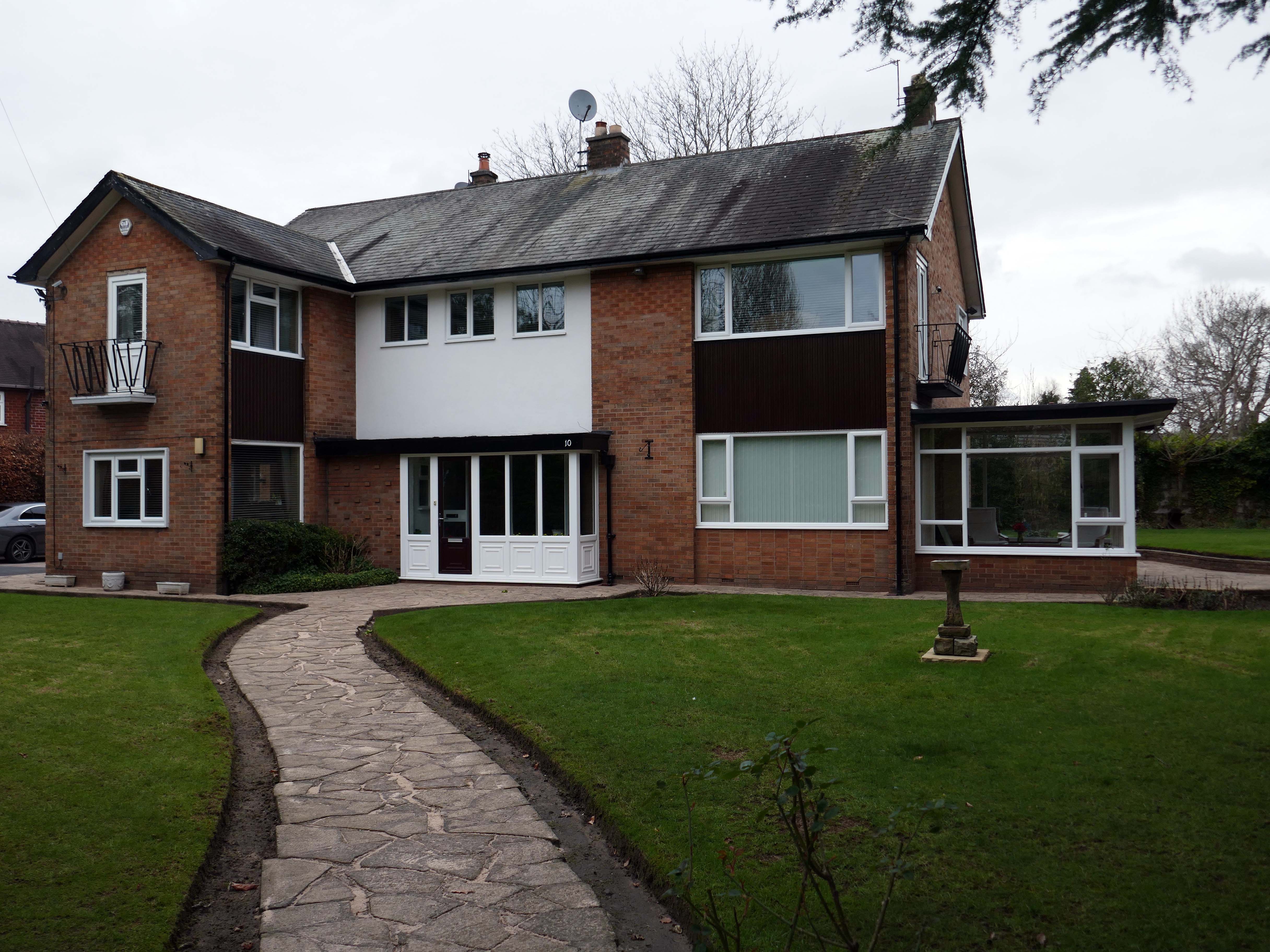
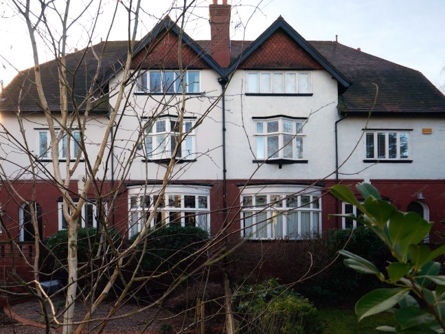
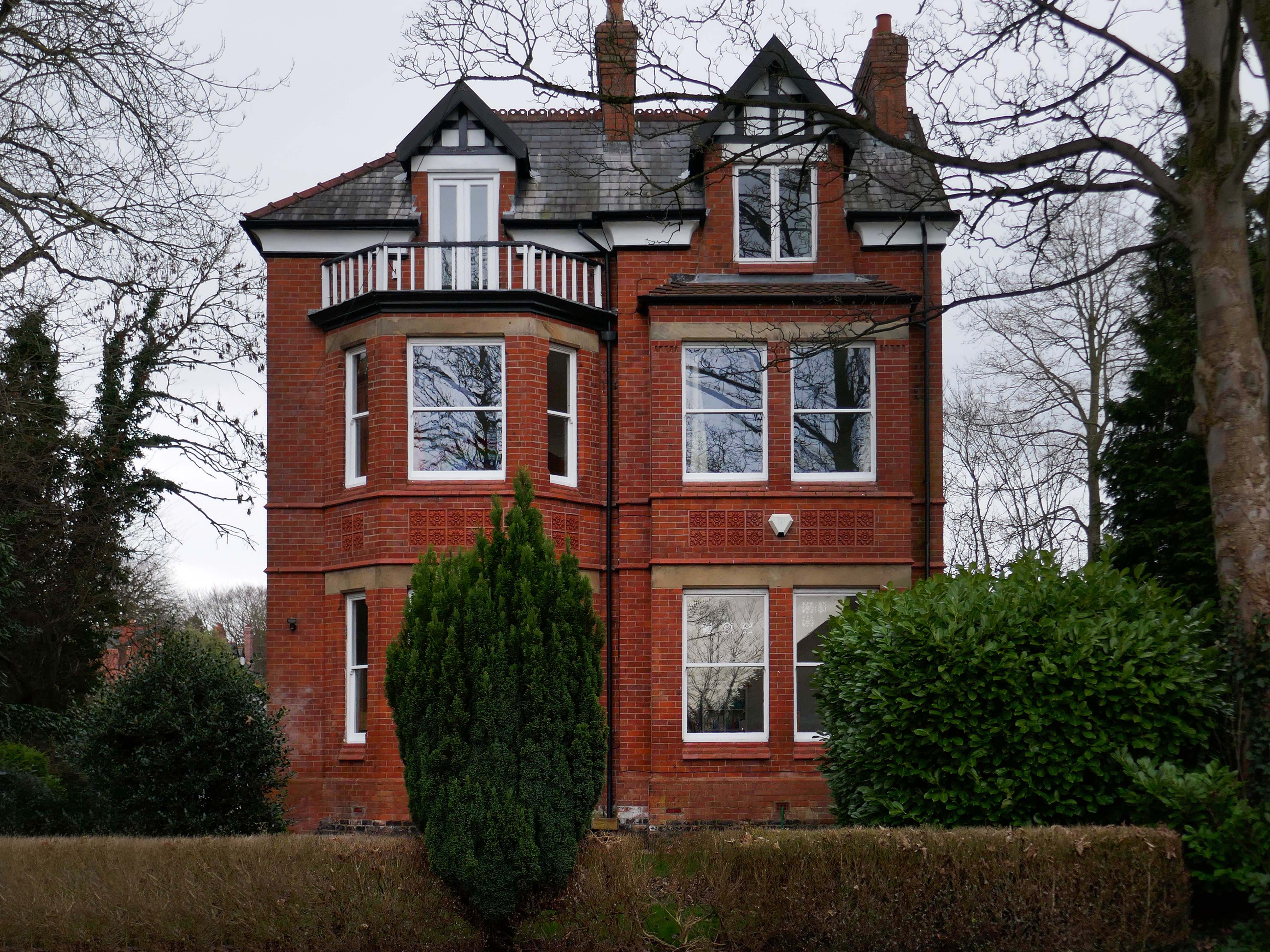
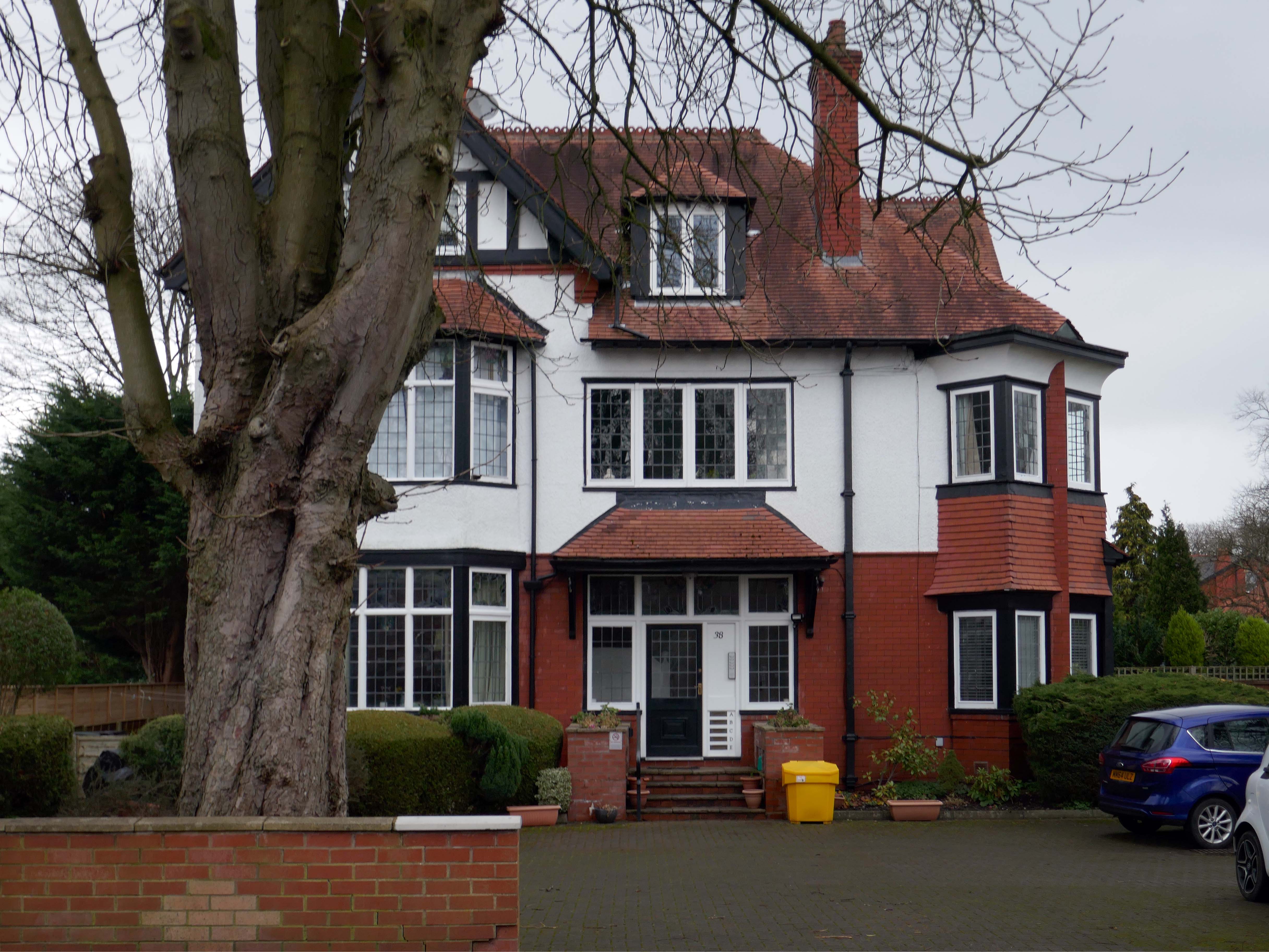
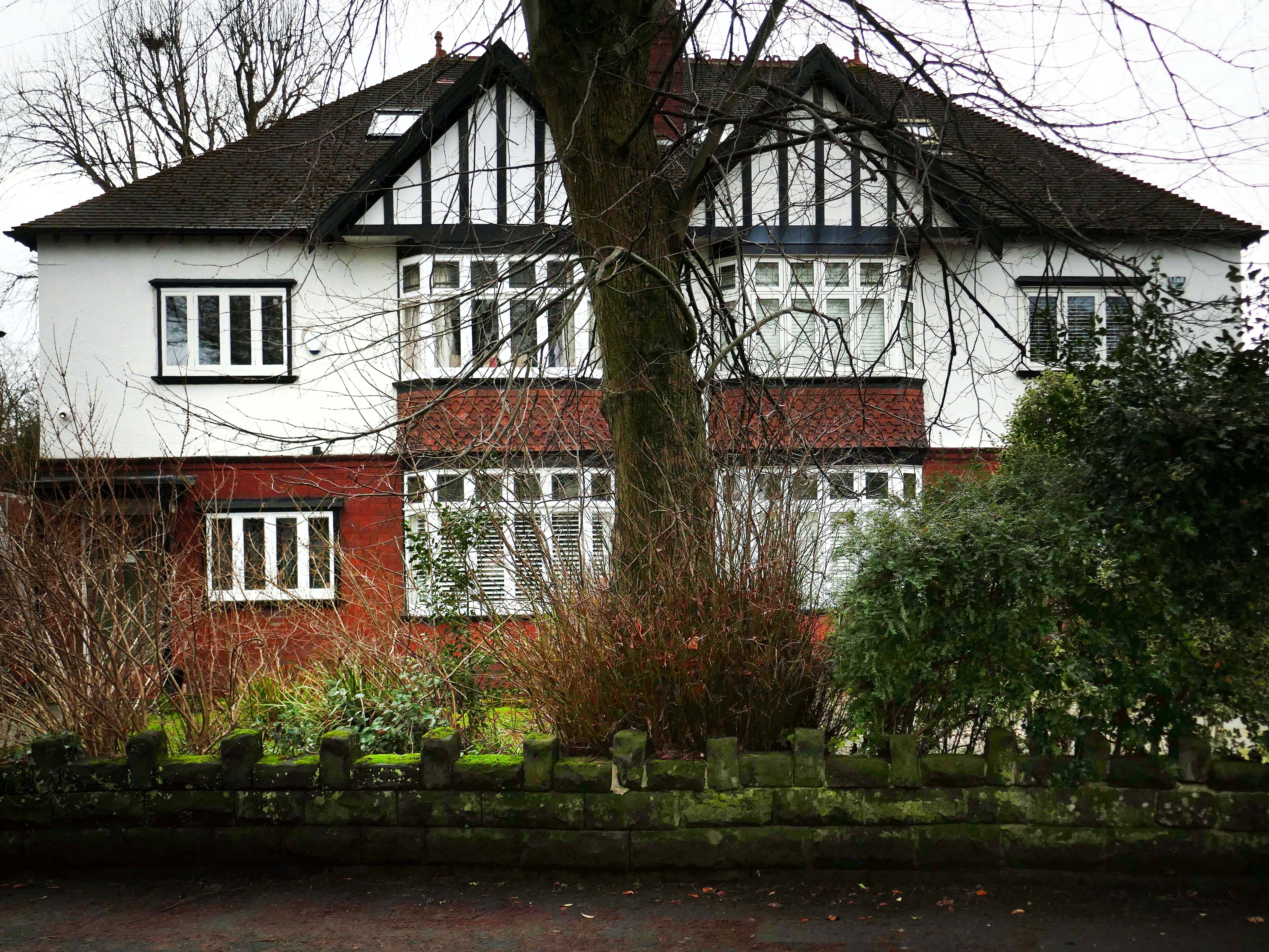
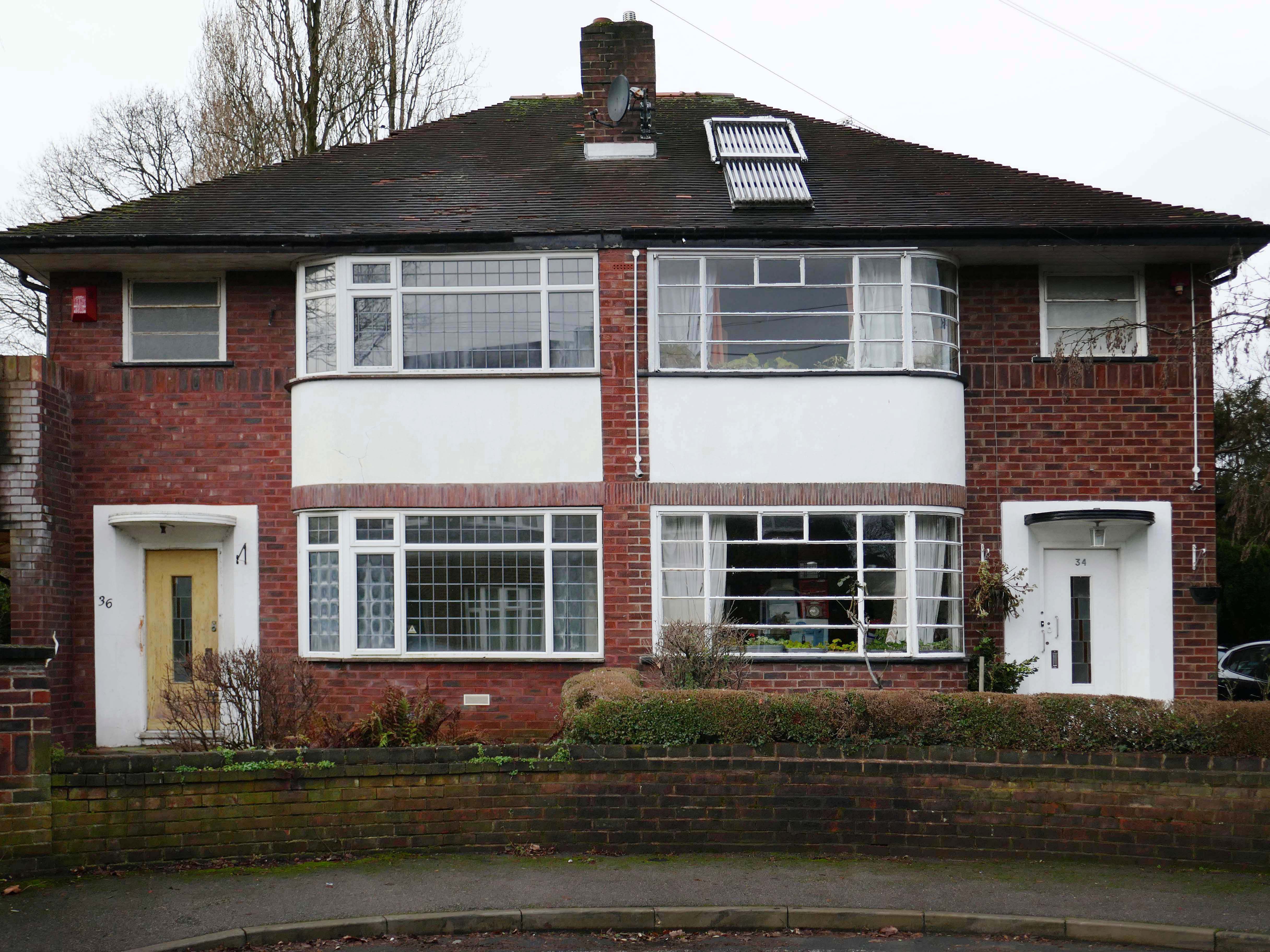
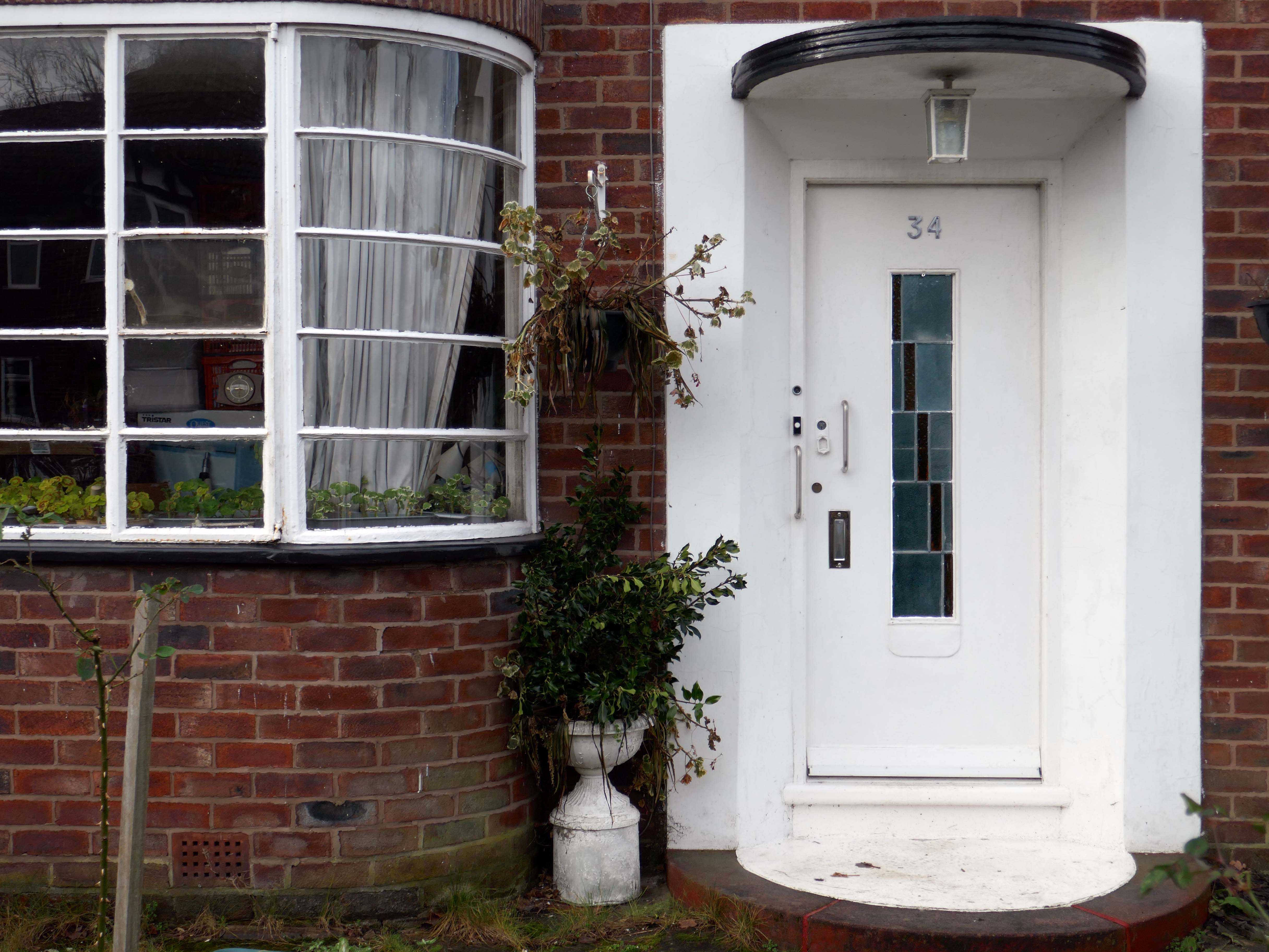
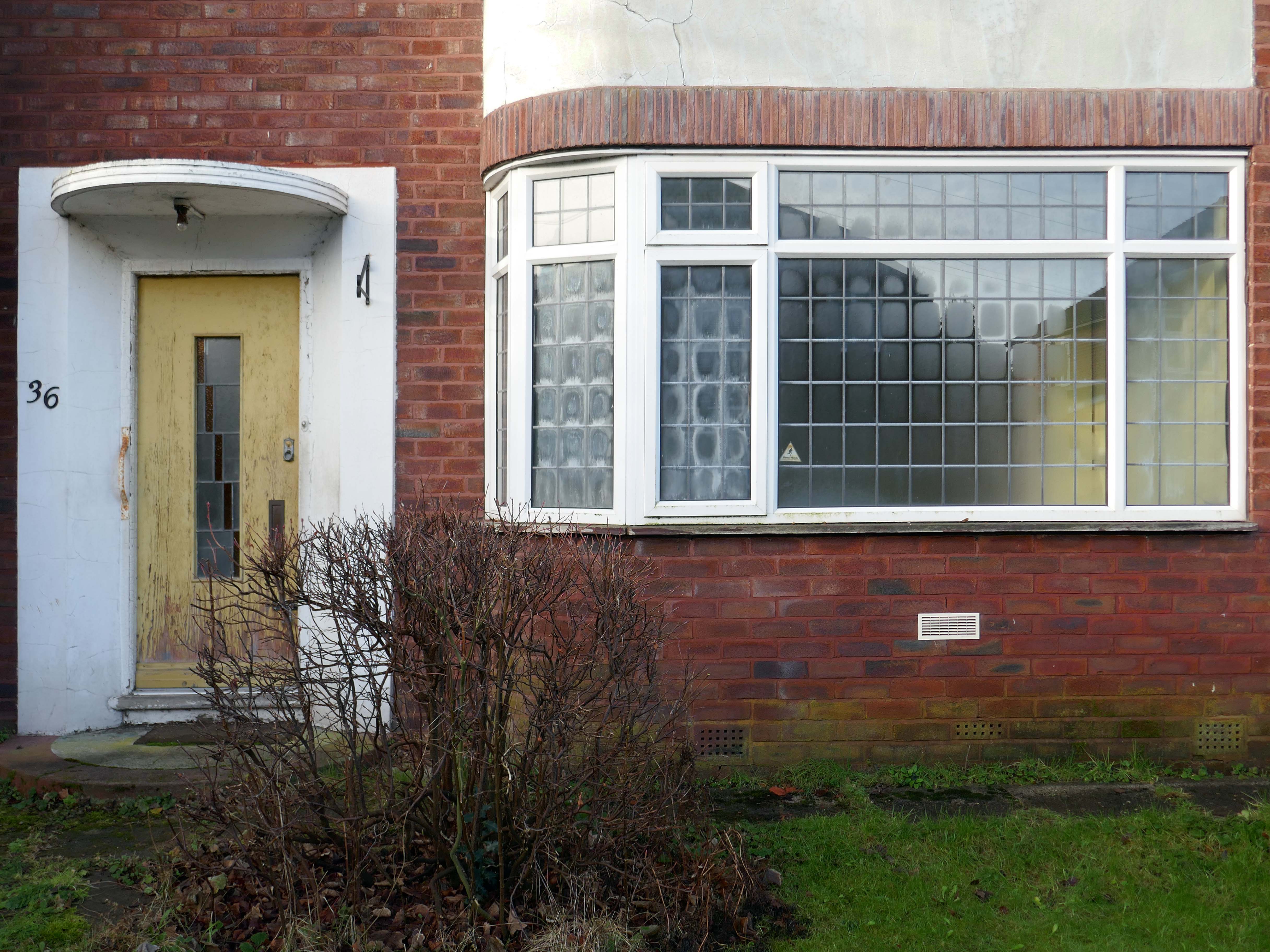
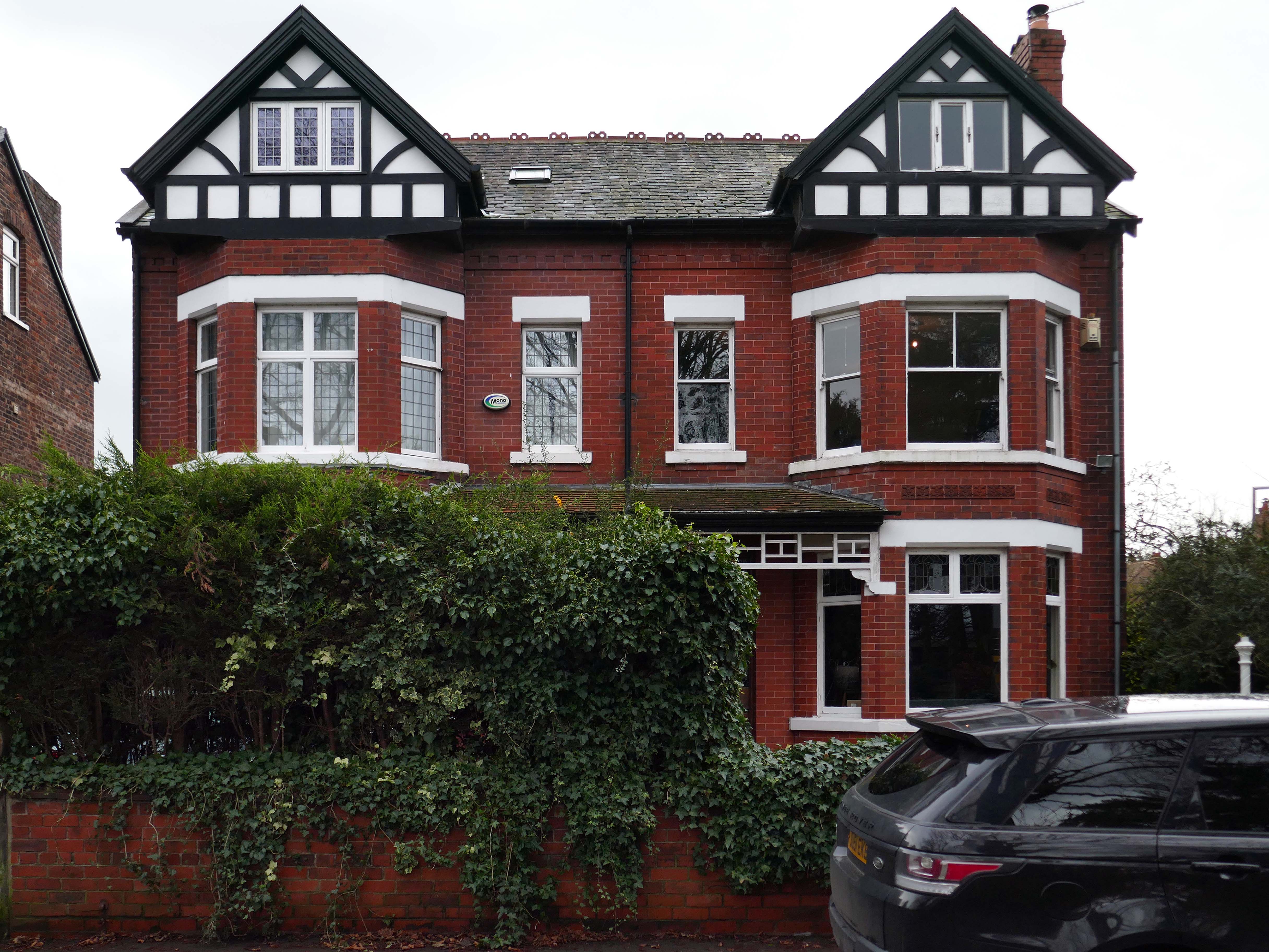
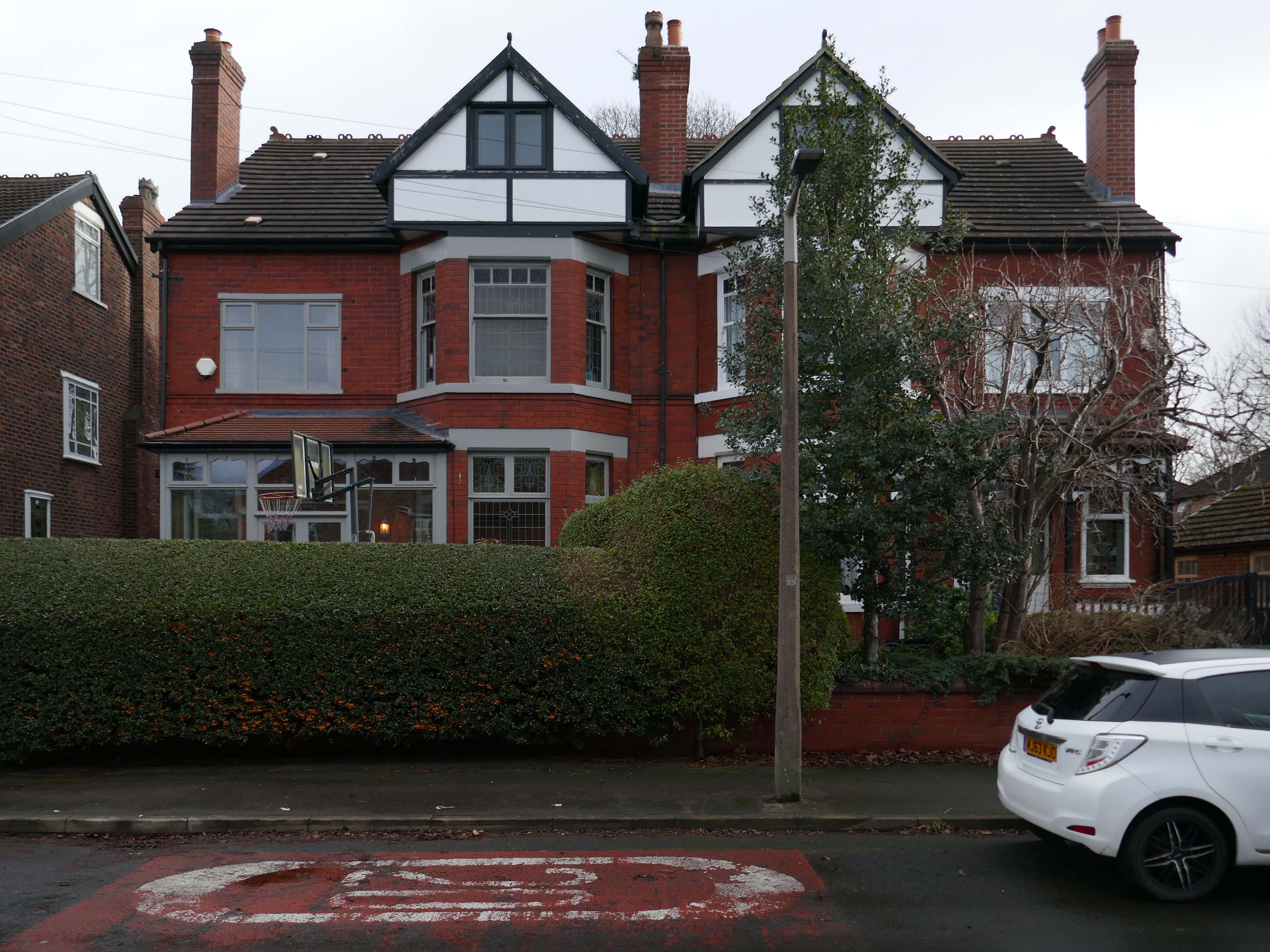
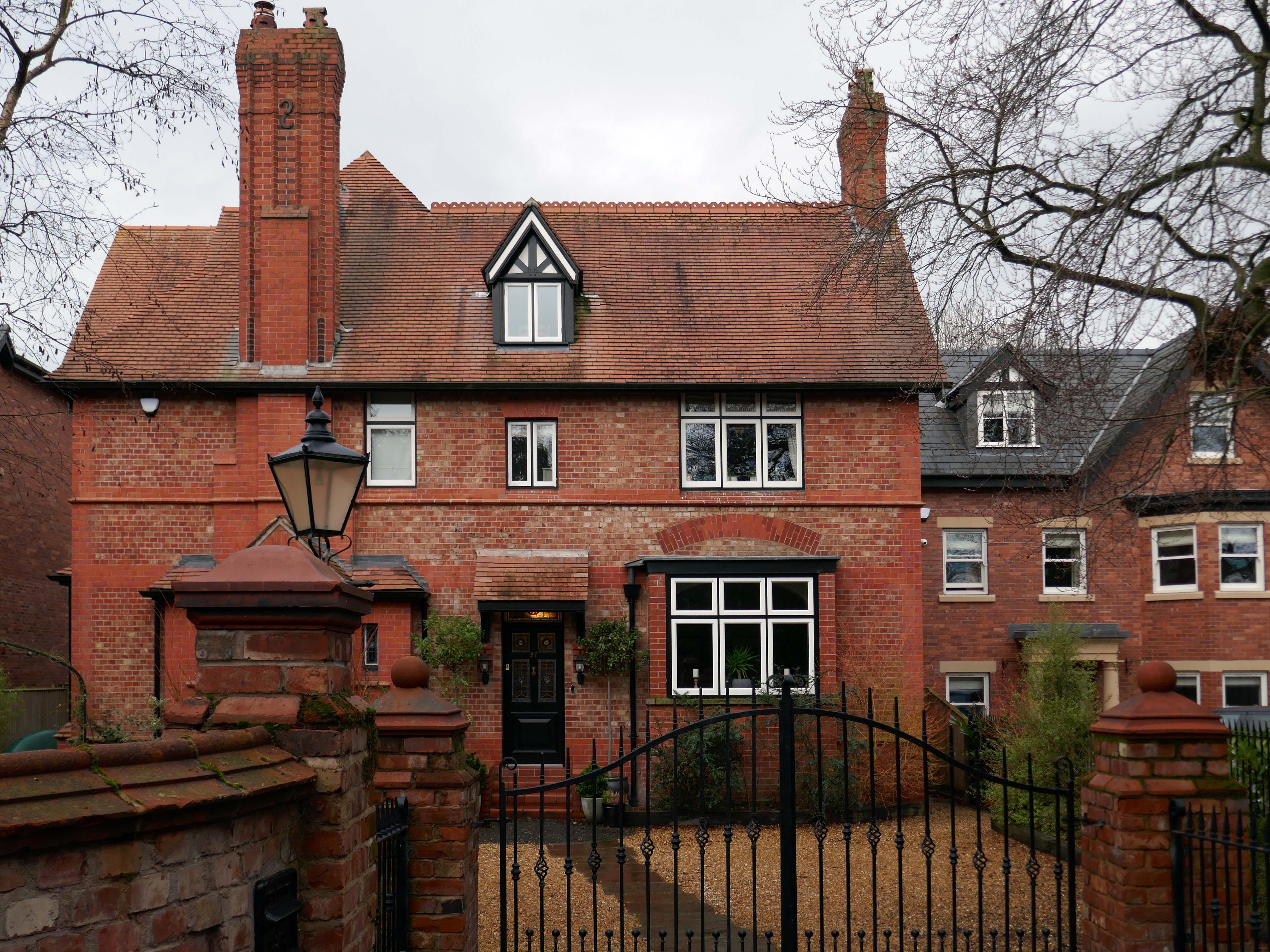
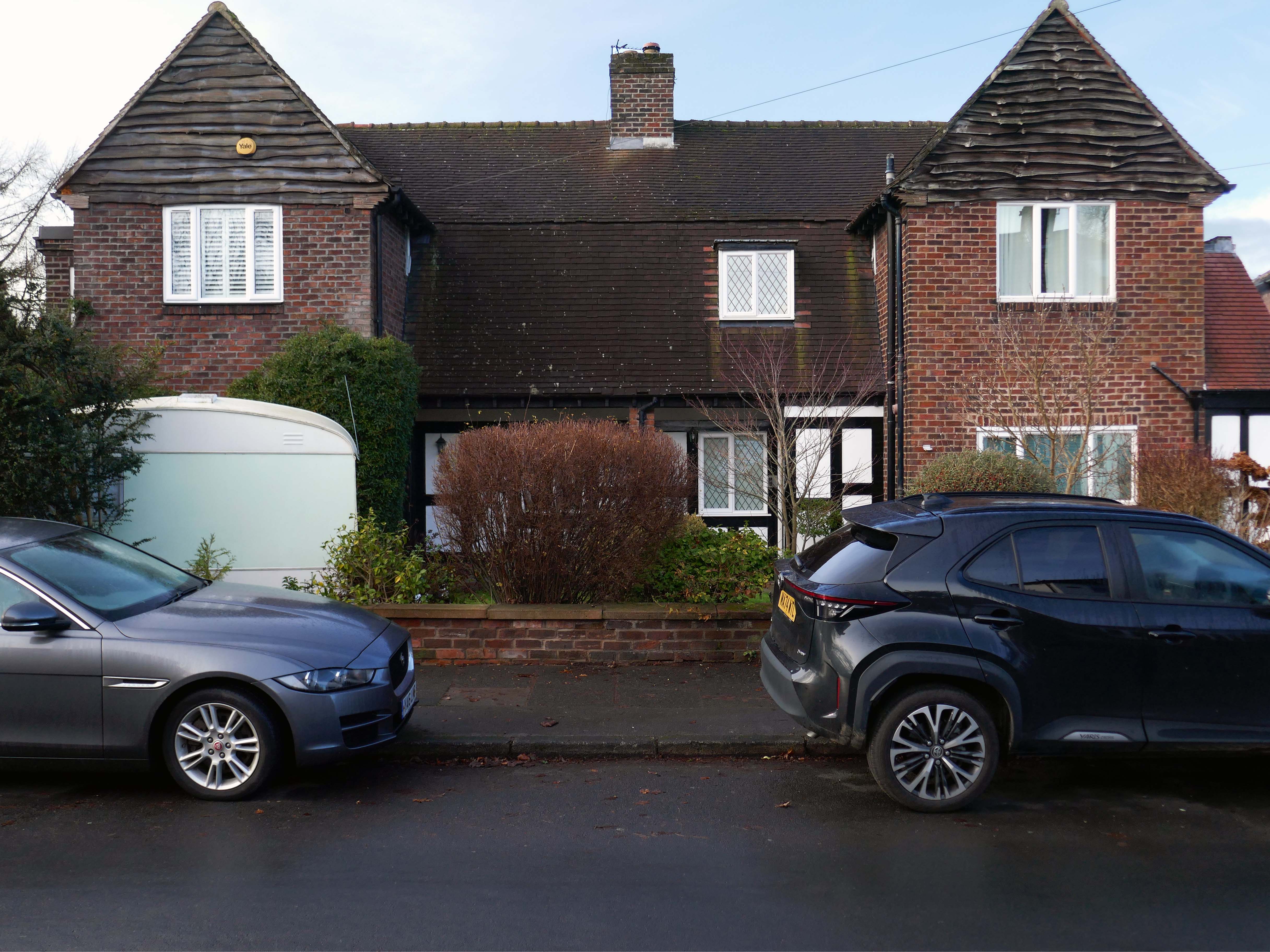
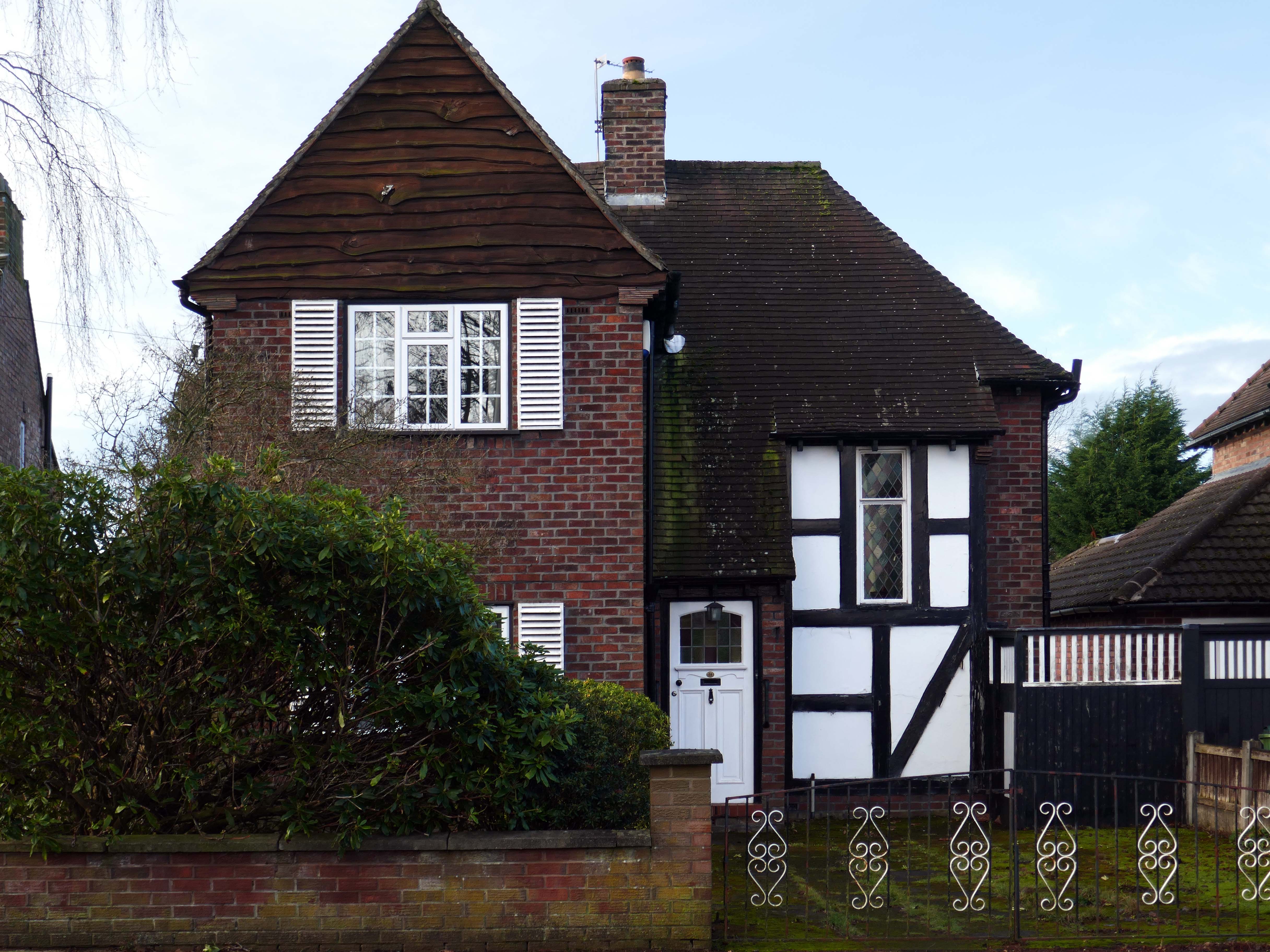
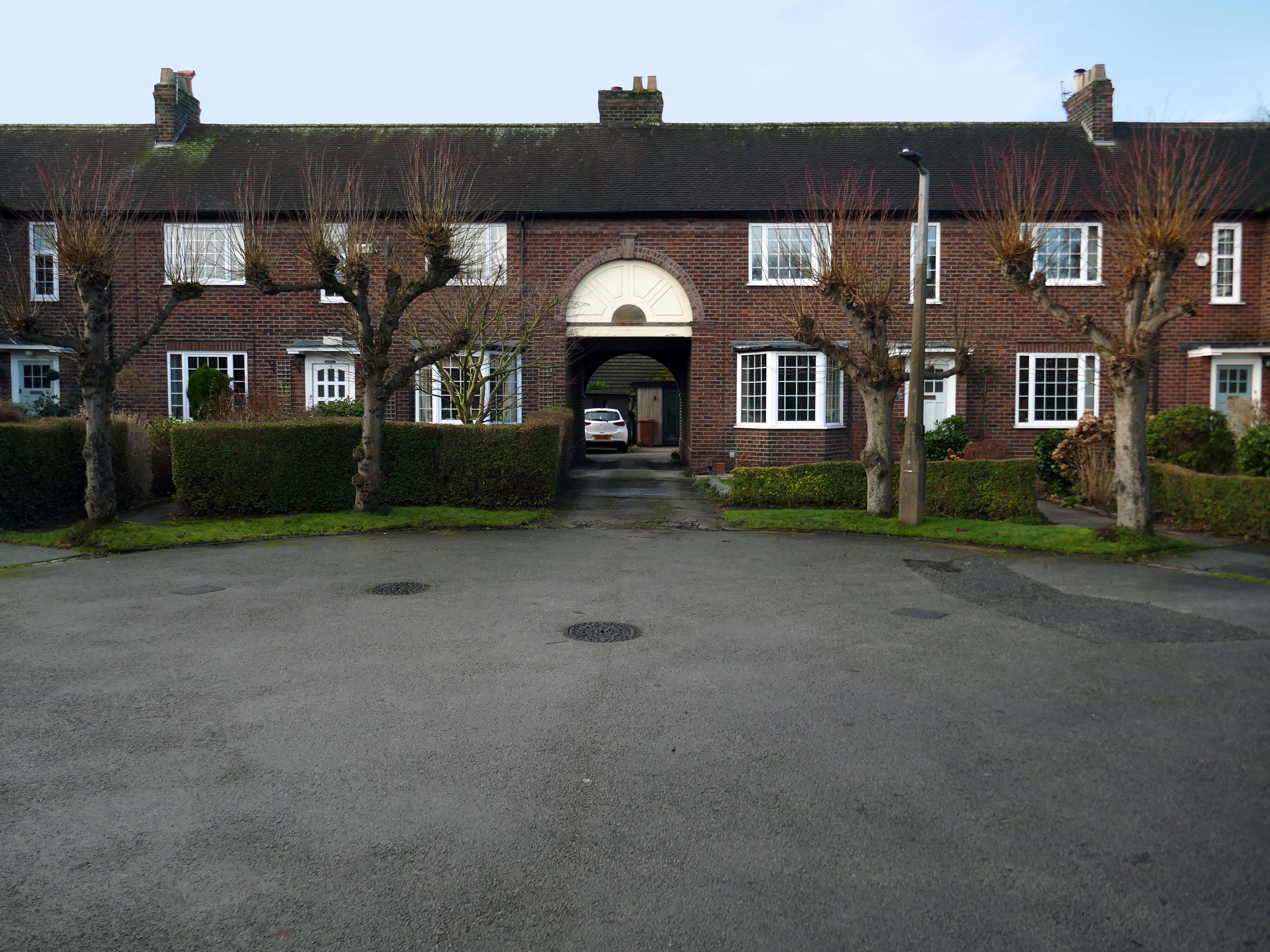
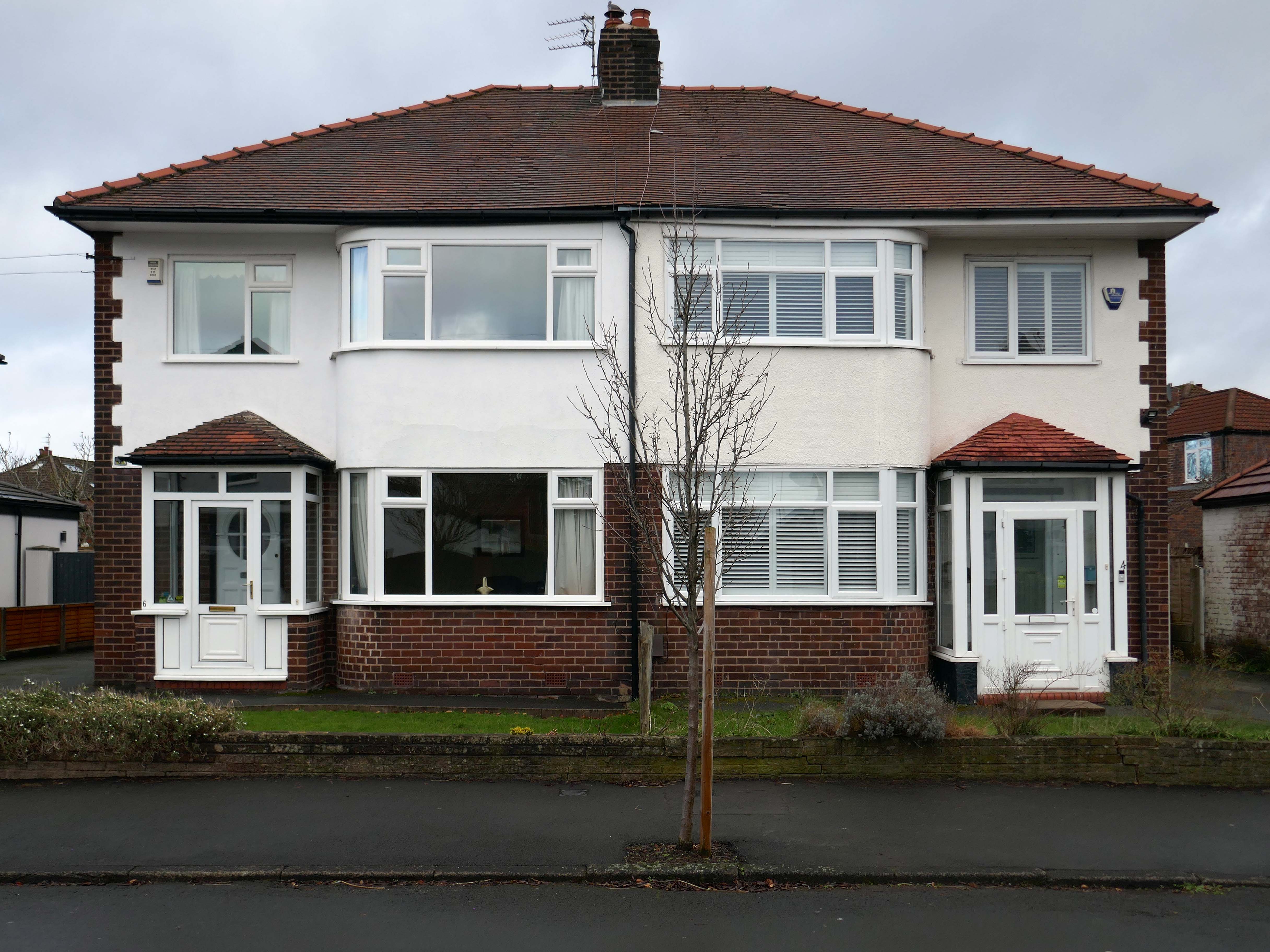
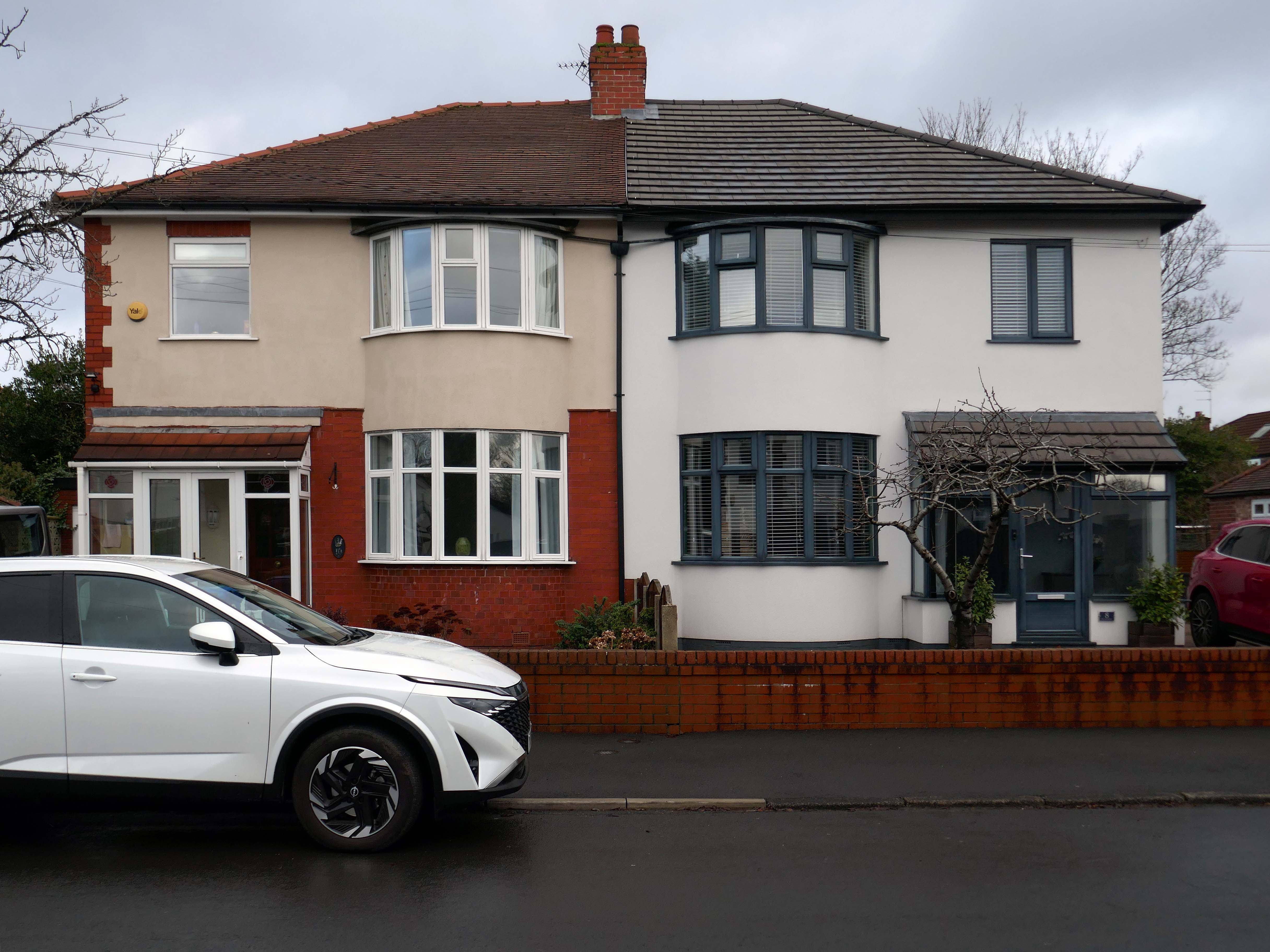
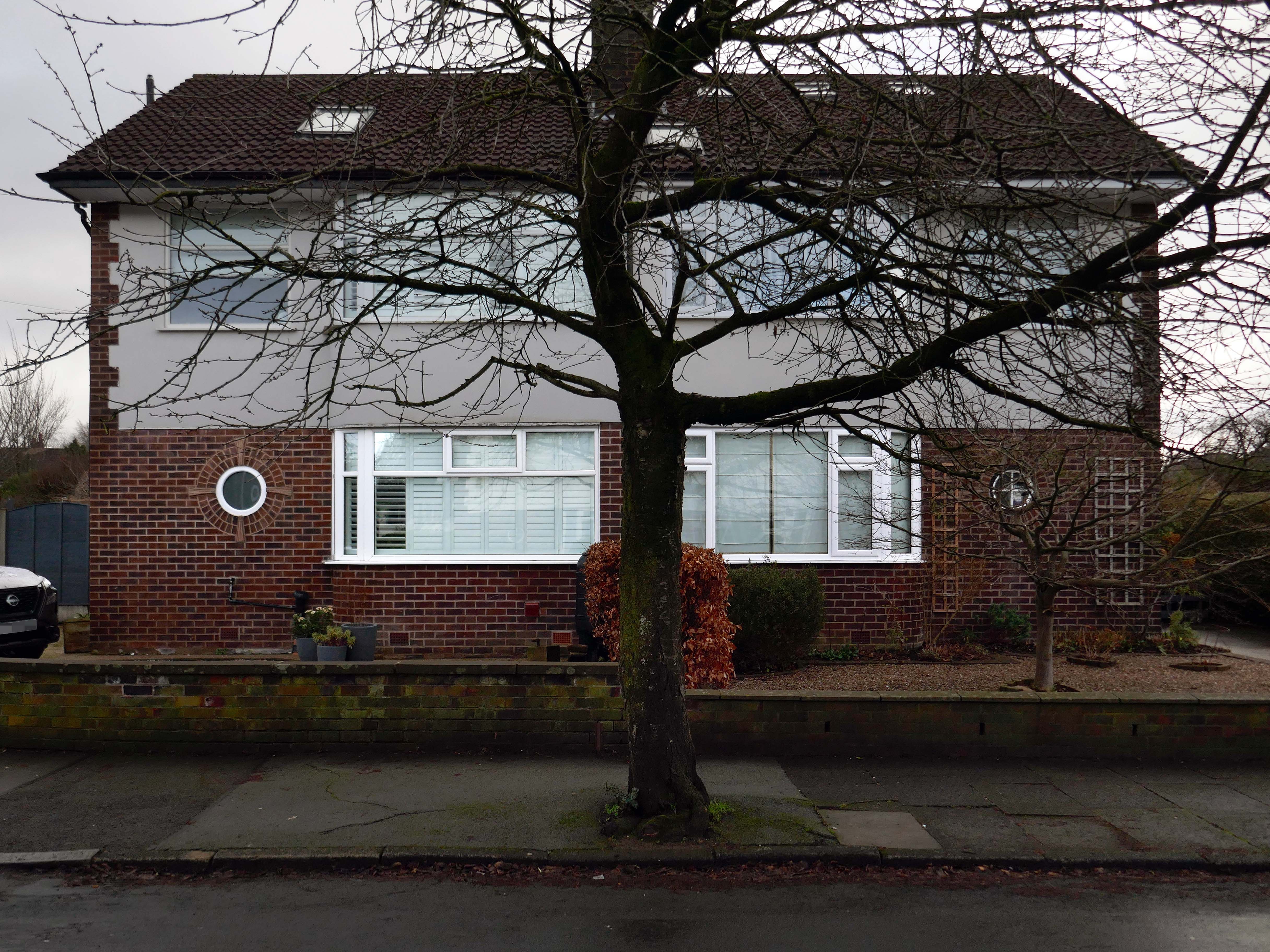
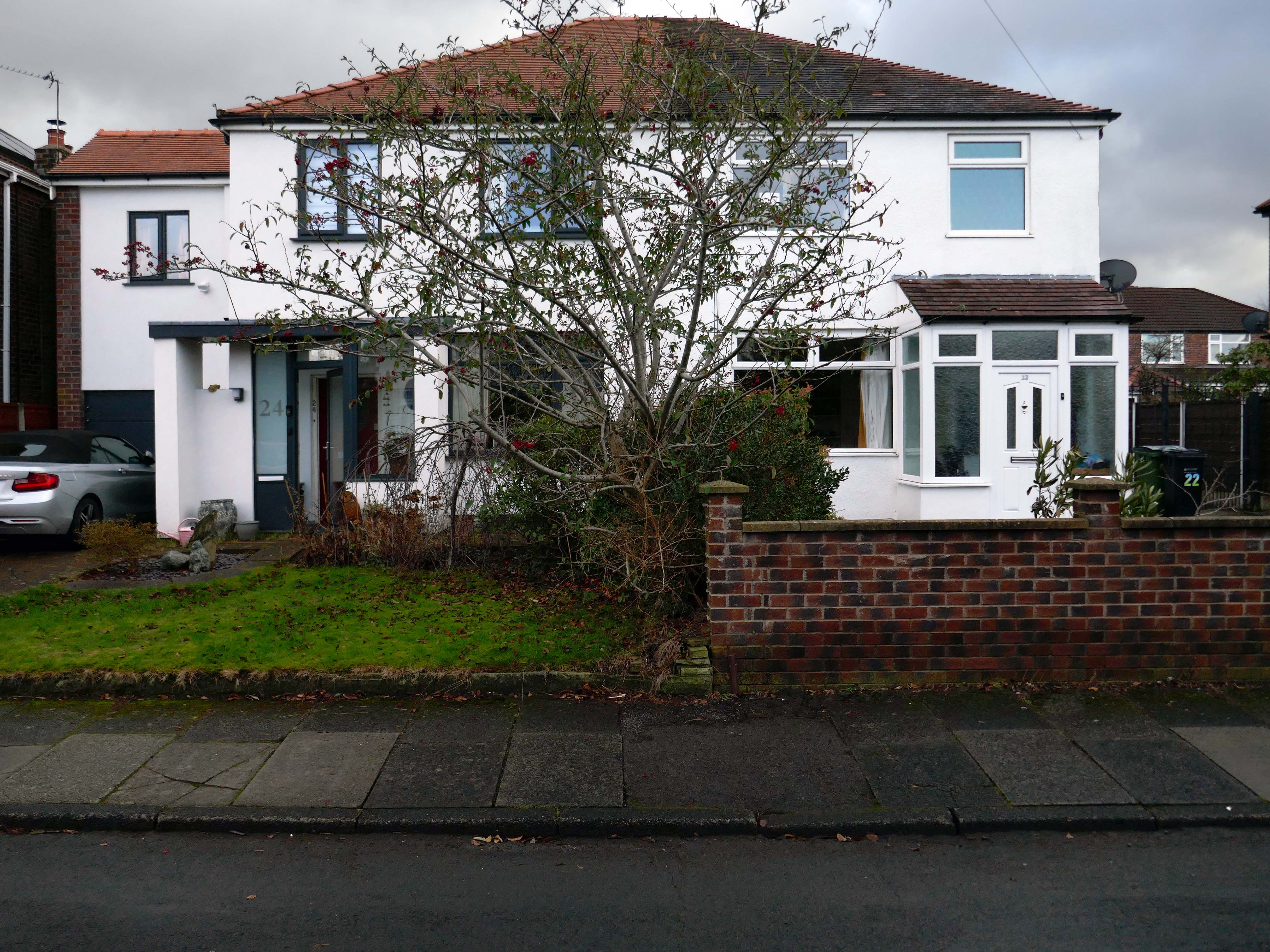
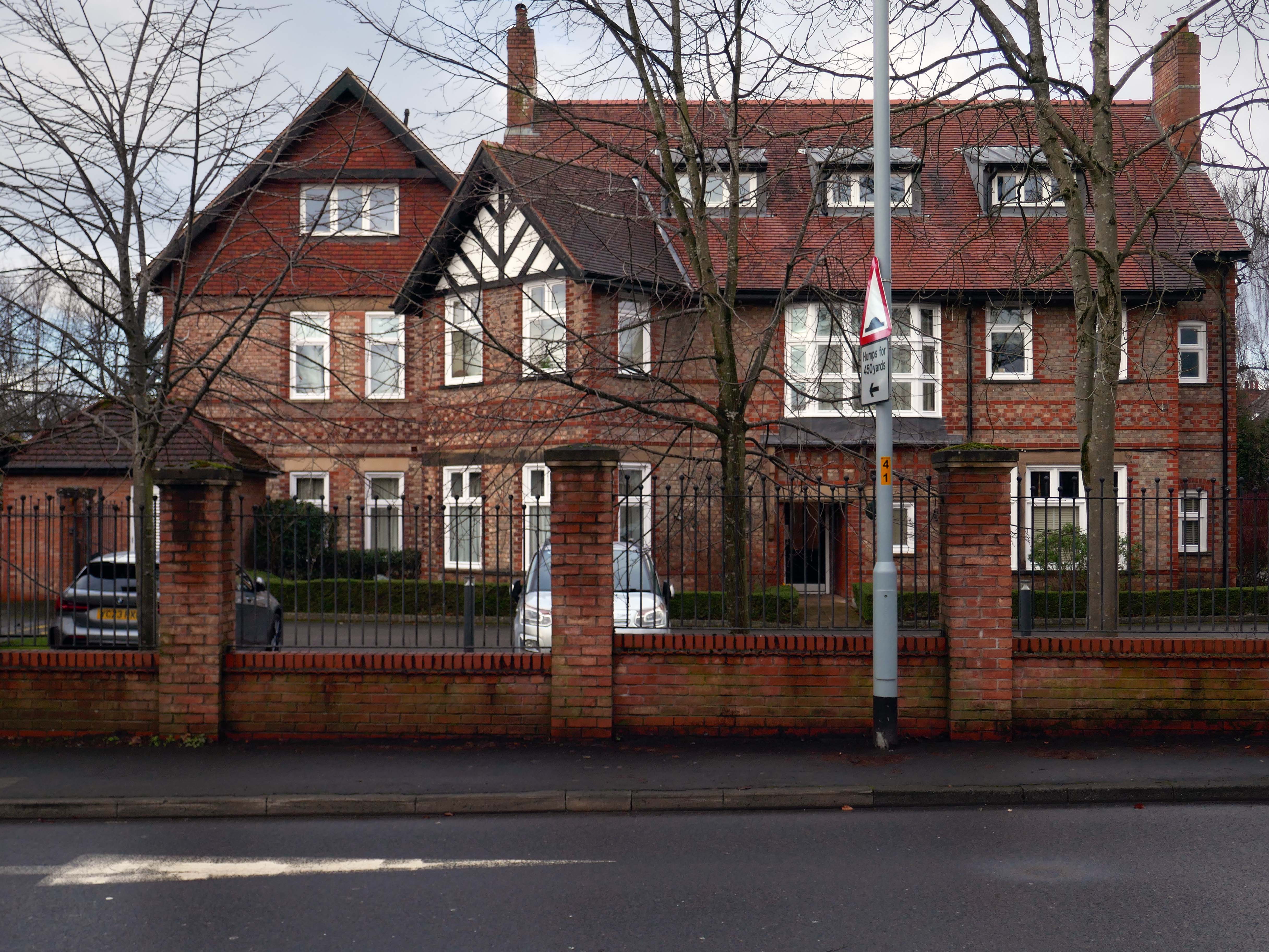
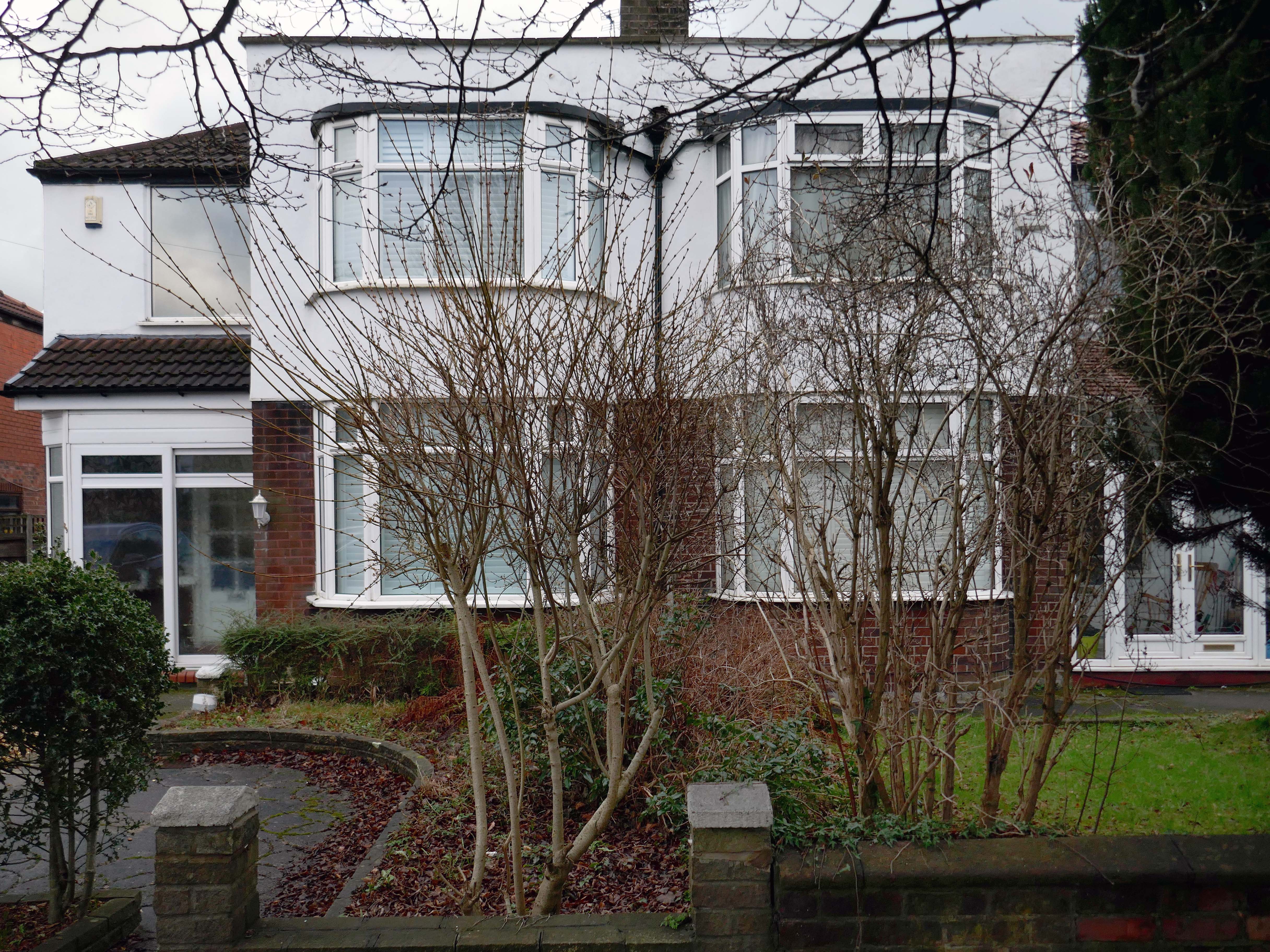
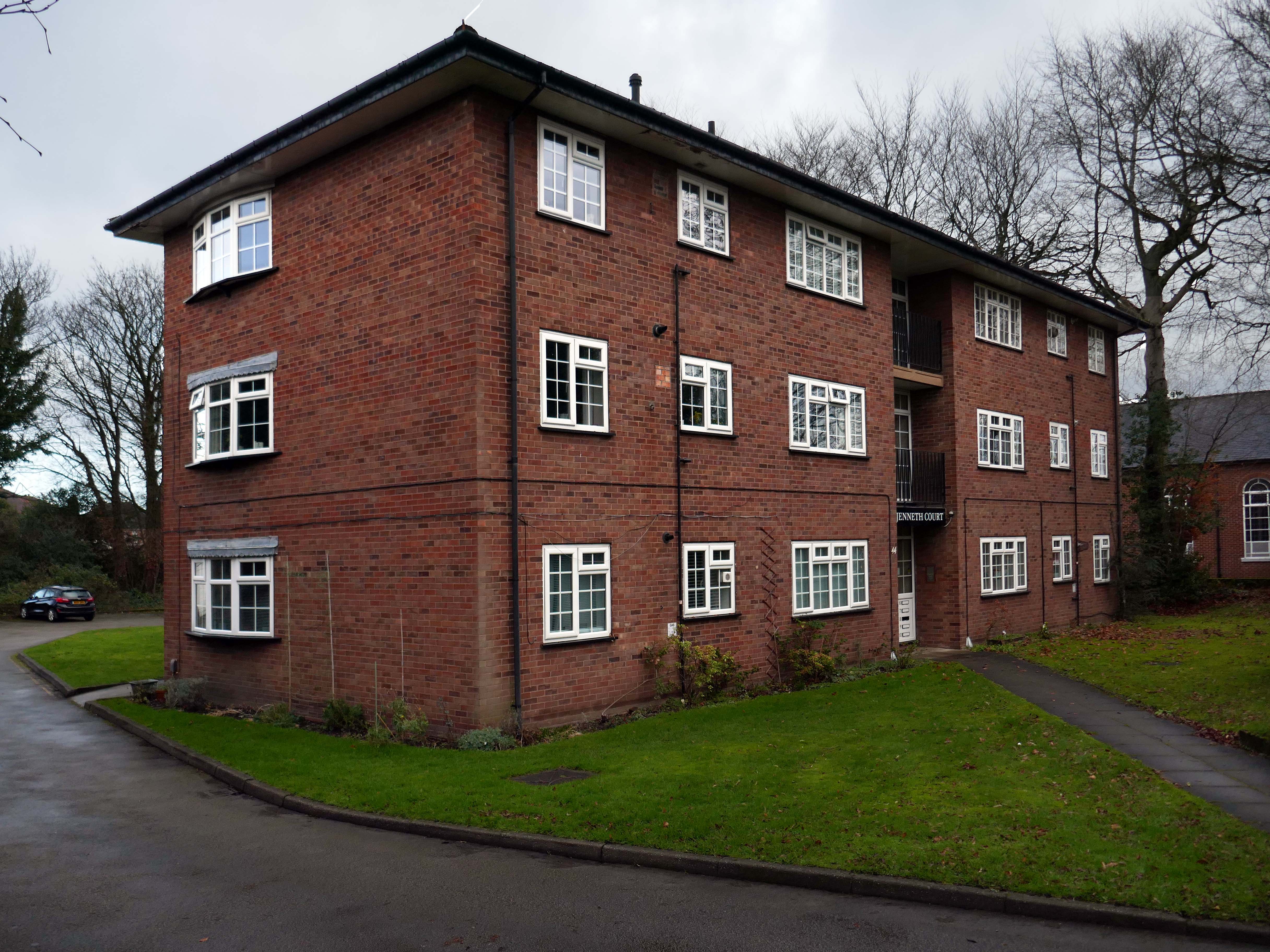
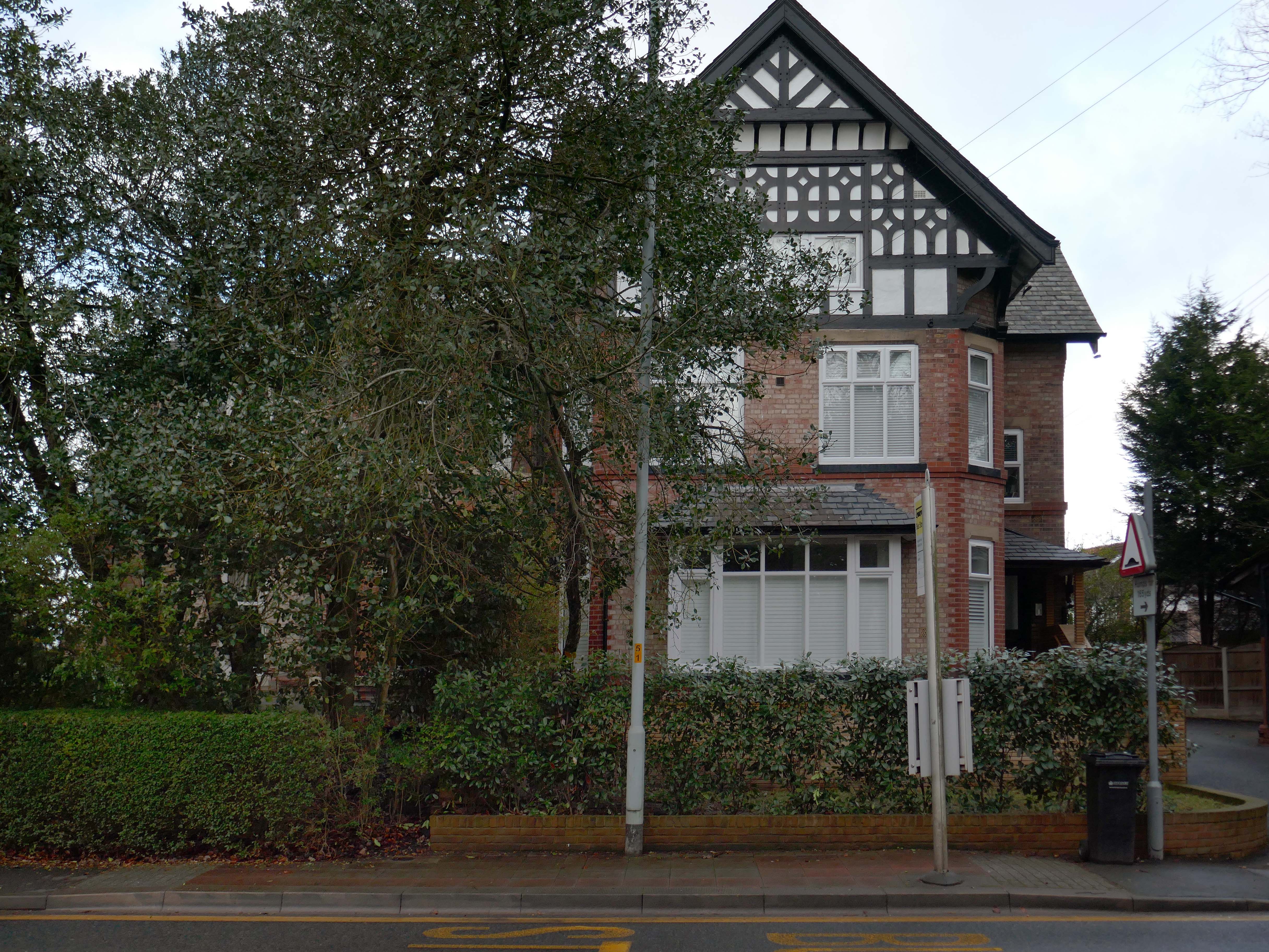
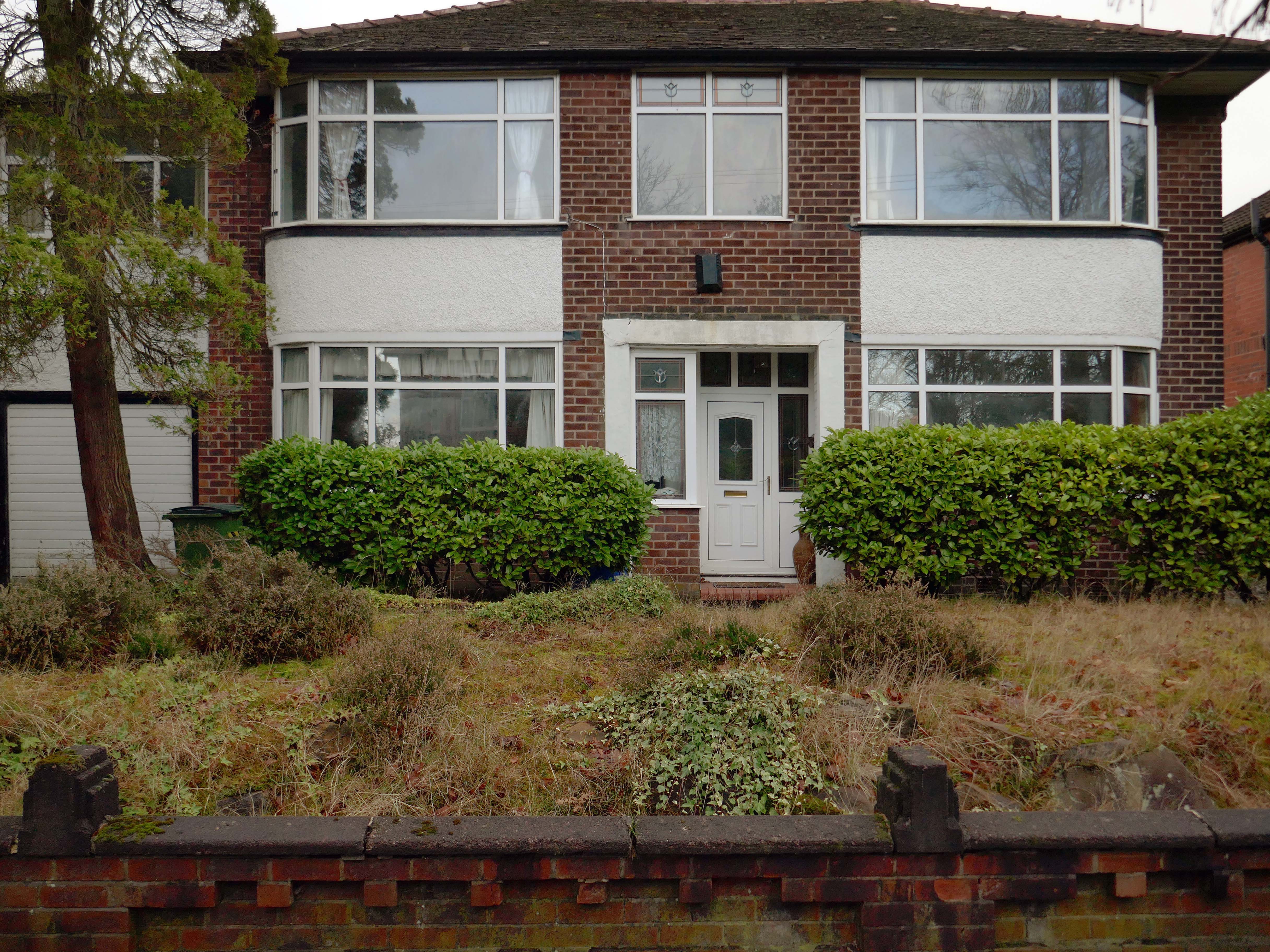
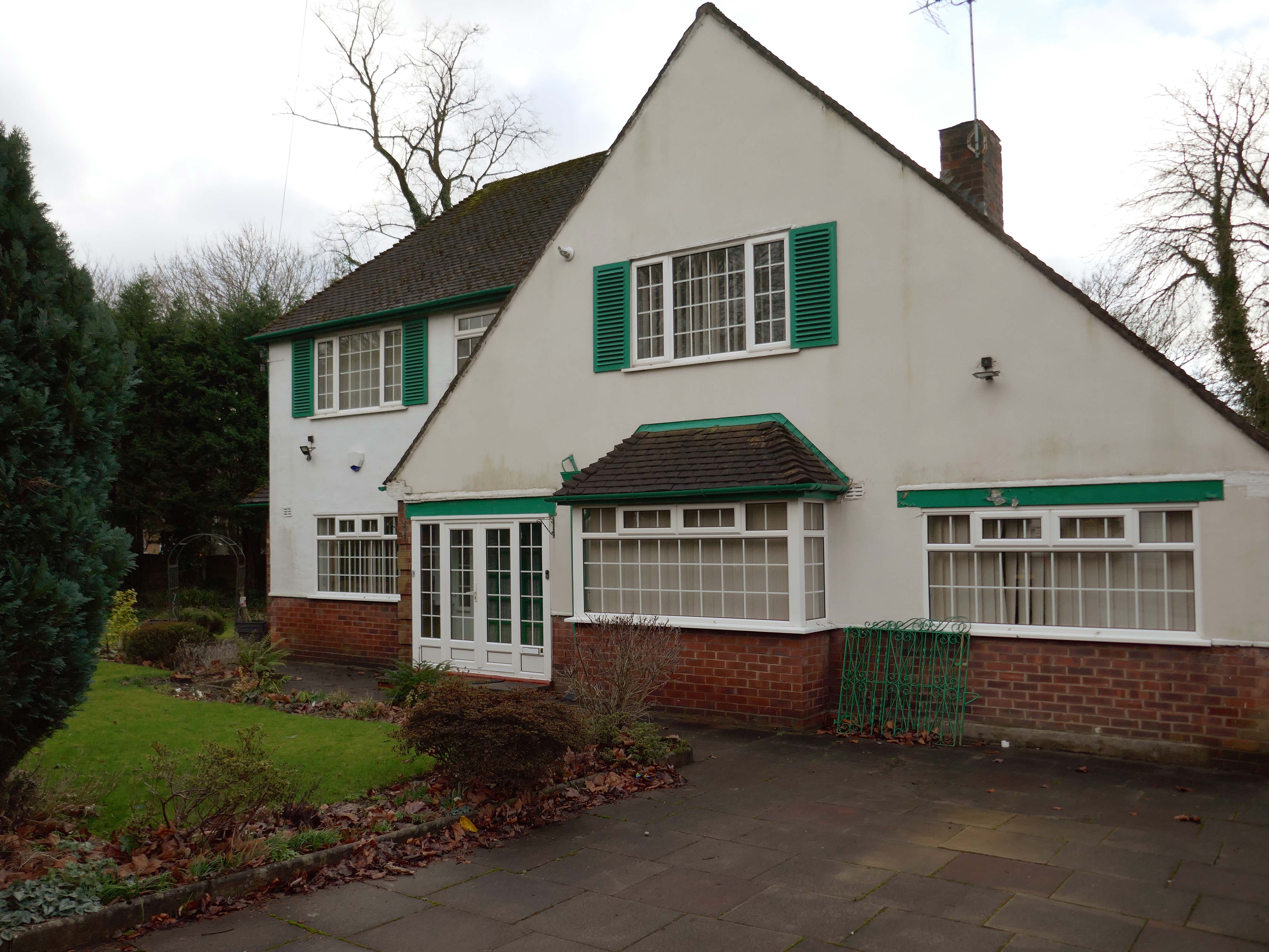
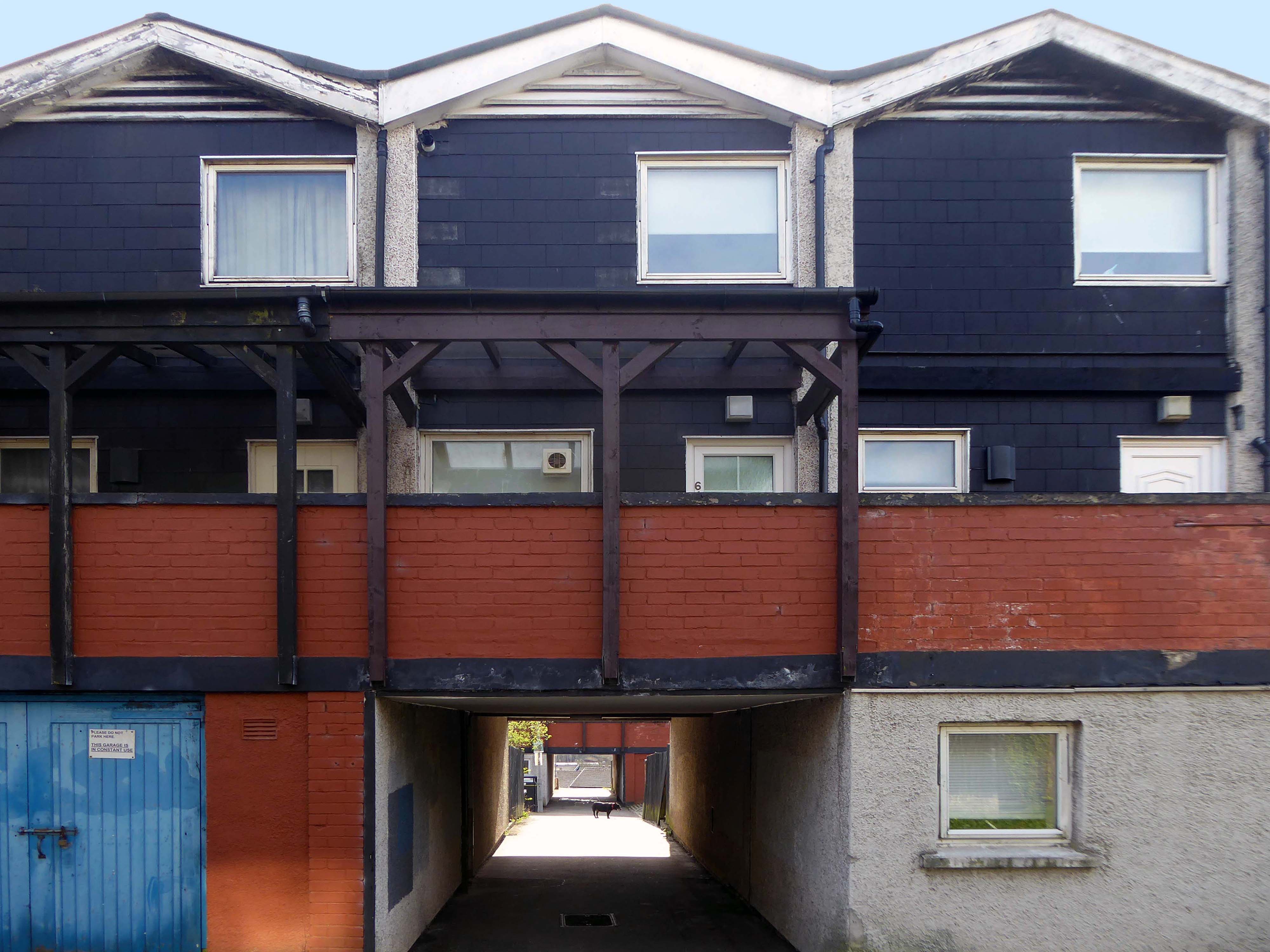
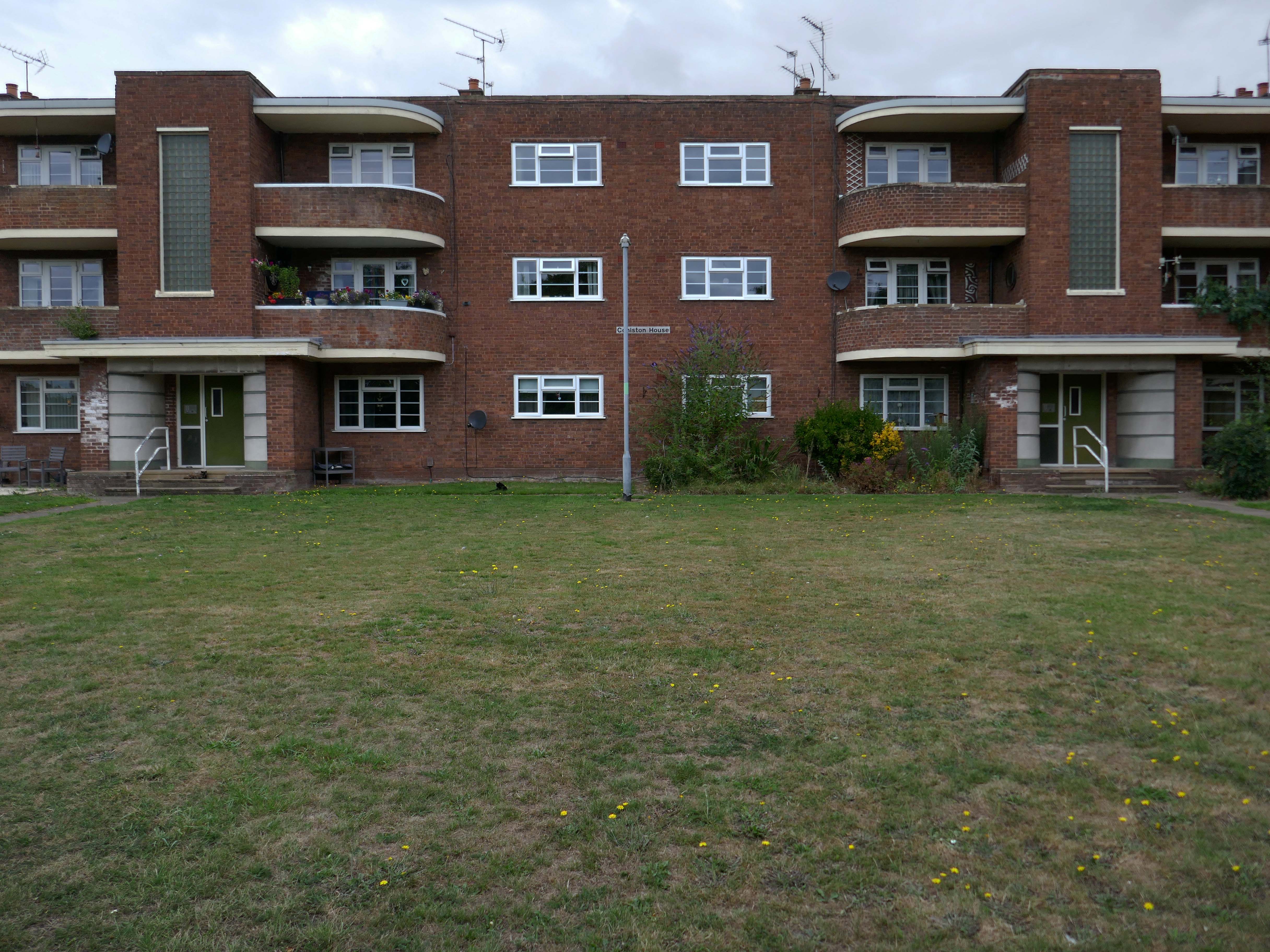
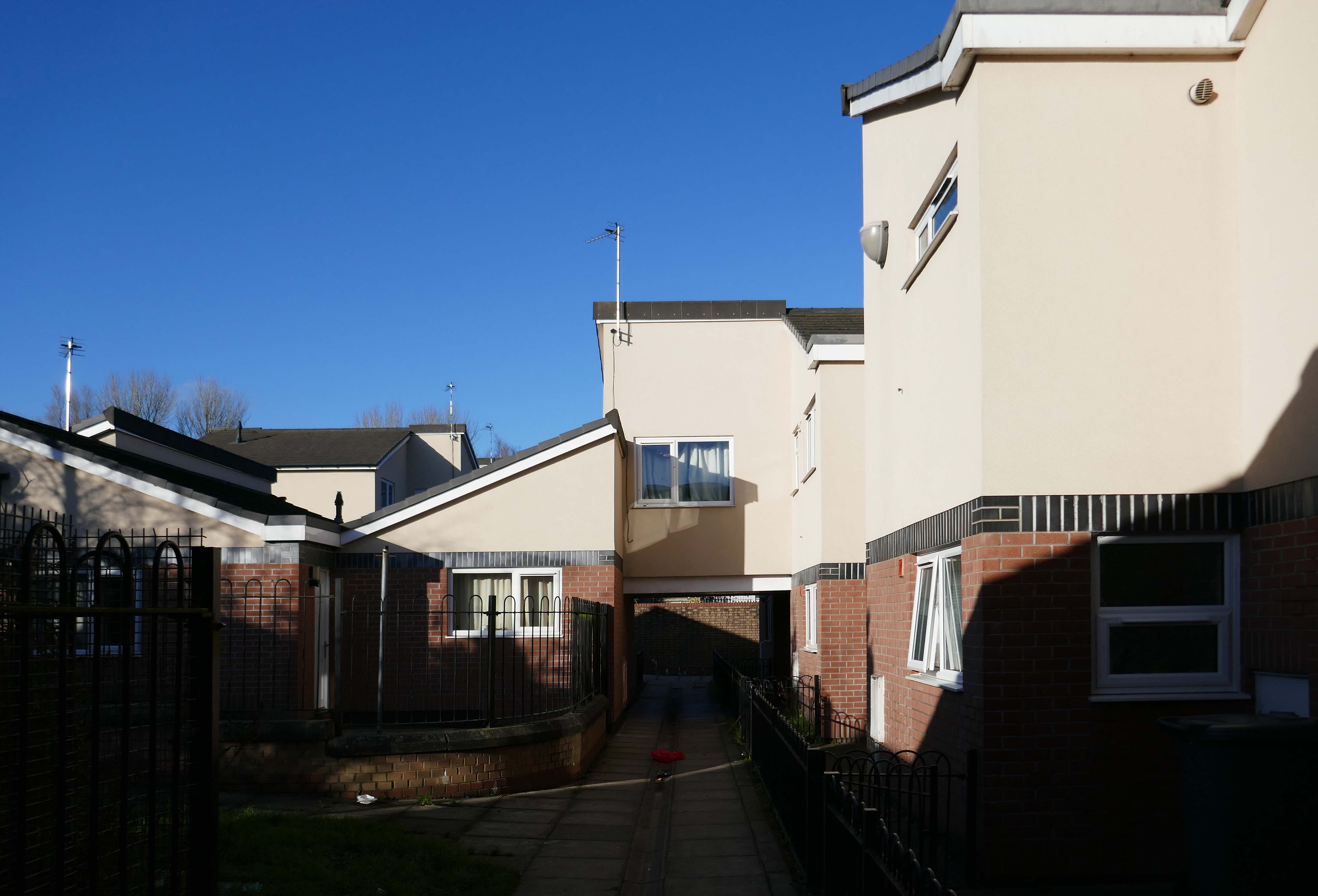
Mauldeth Road is lined with larger houses, Victorian and interwar villas, bijou apartments and the odd Modernist interloper.
Through the avenues and alleyways, home to those ever so tidy inter and postwar enclaves.
Where a mans gotta work out which side he’s on Any way he chooses Chances are he loses No one gets to live too long
Though in my experience the converse is true, this is a mature community gently maturing, on the inside of everything.
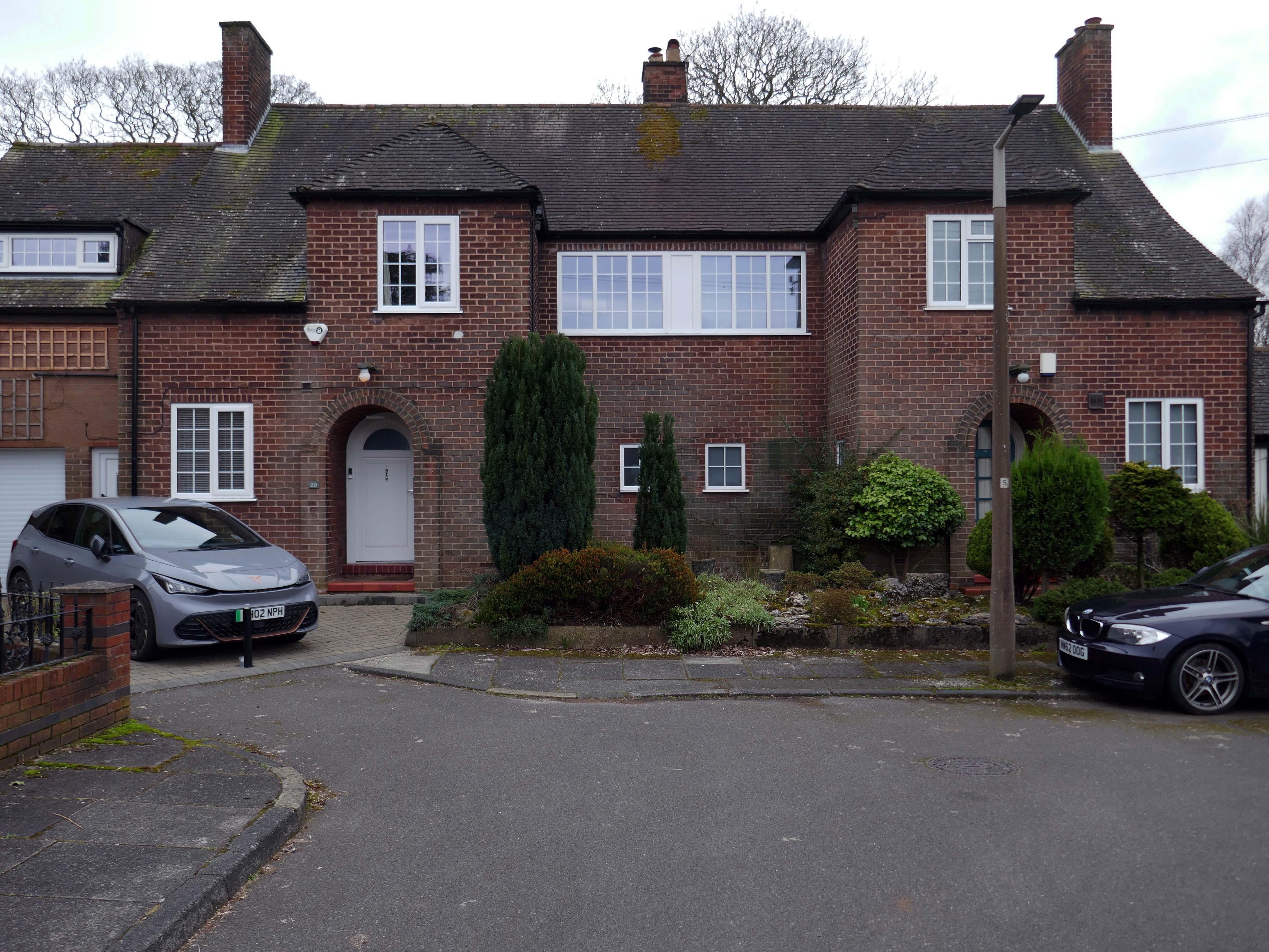
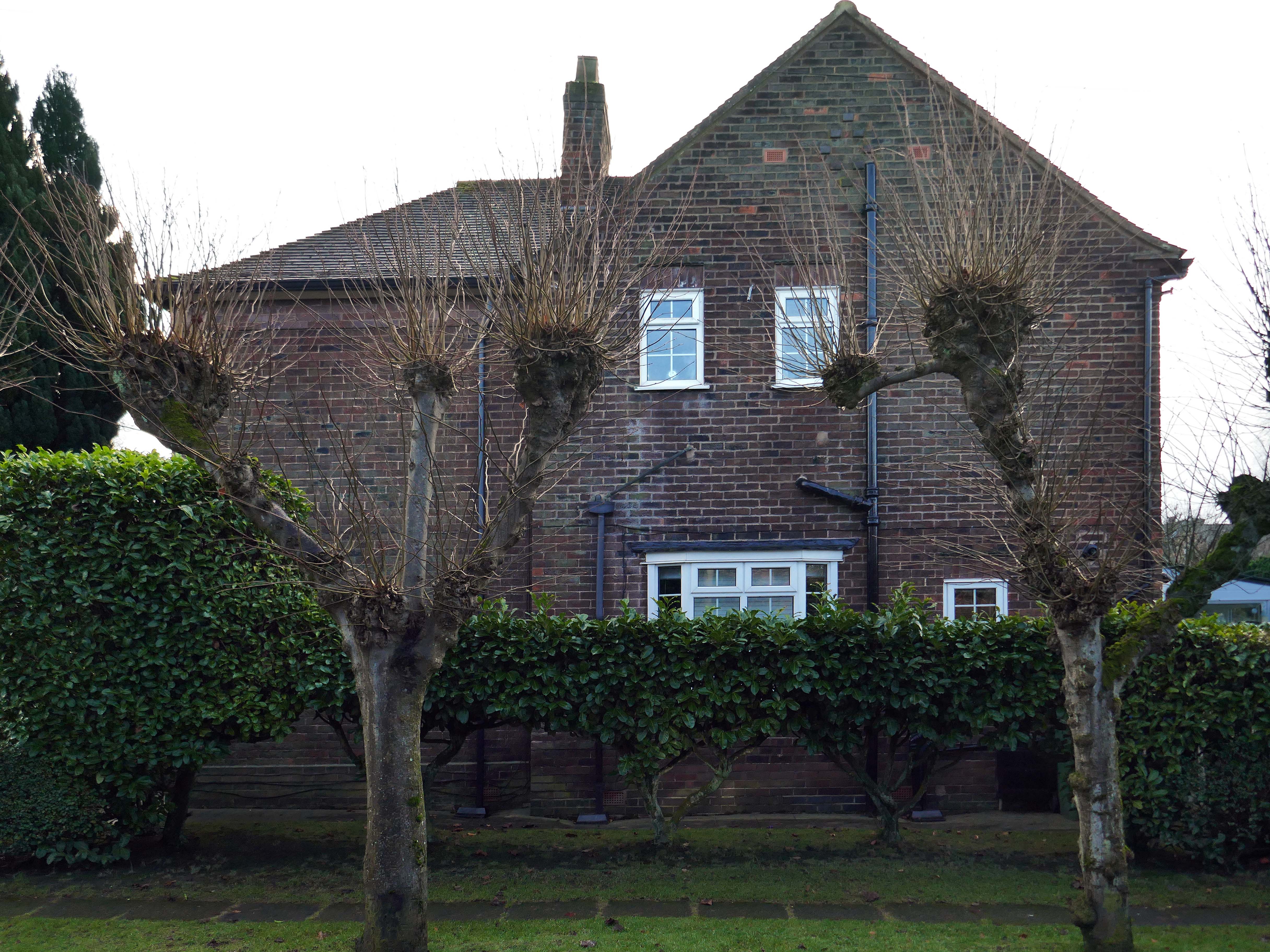
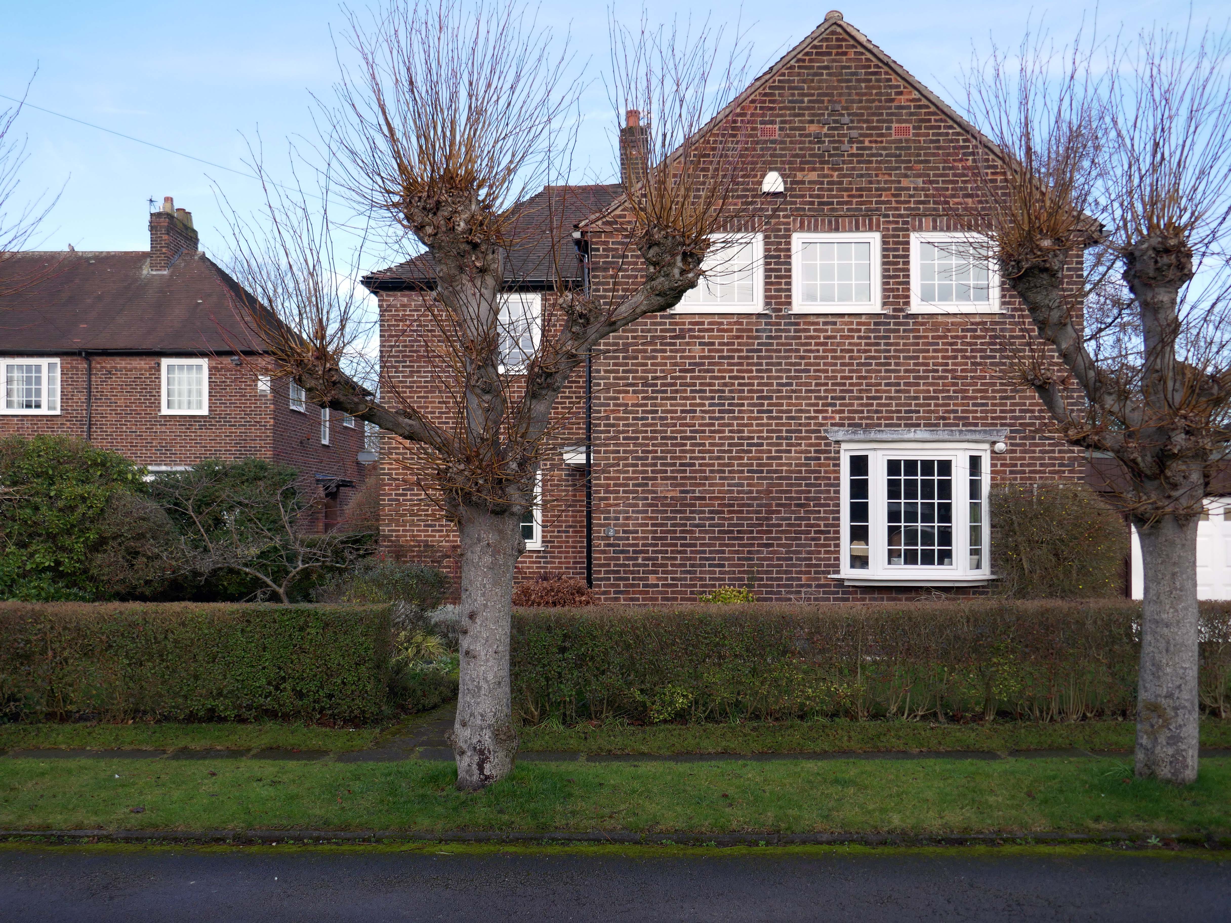
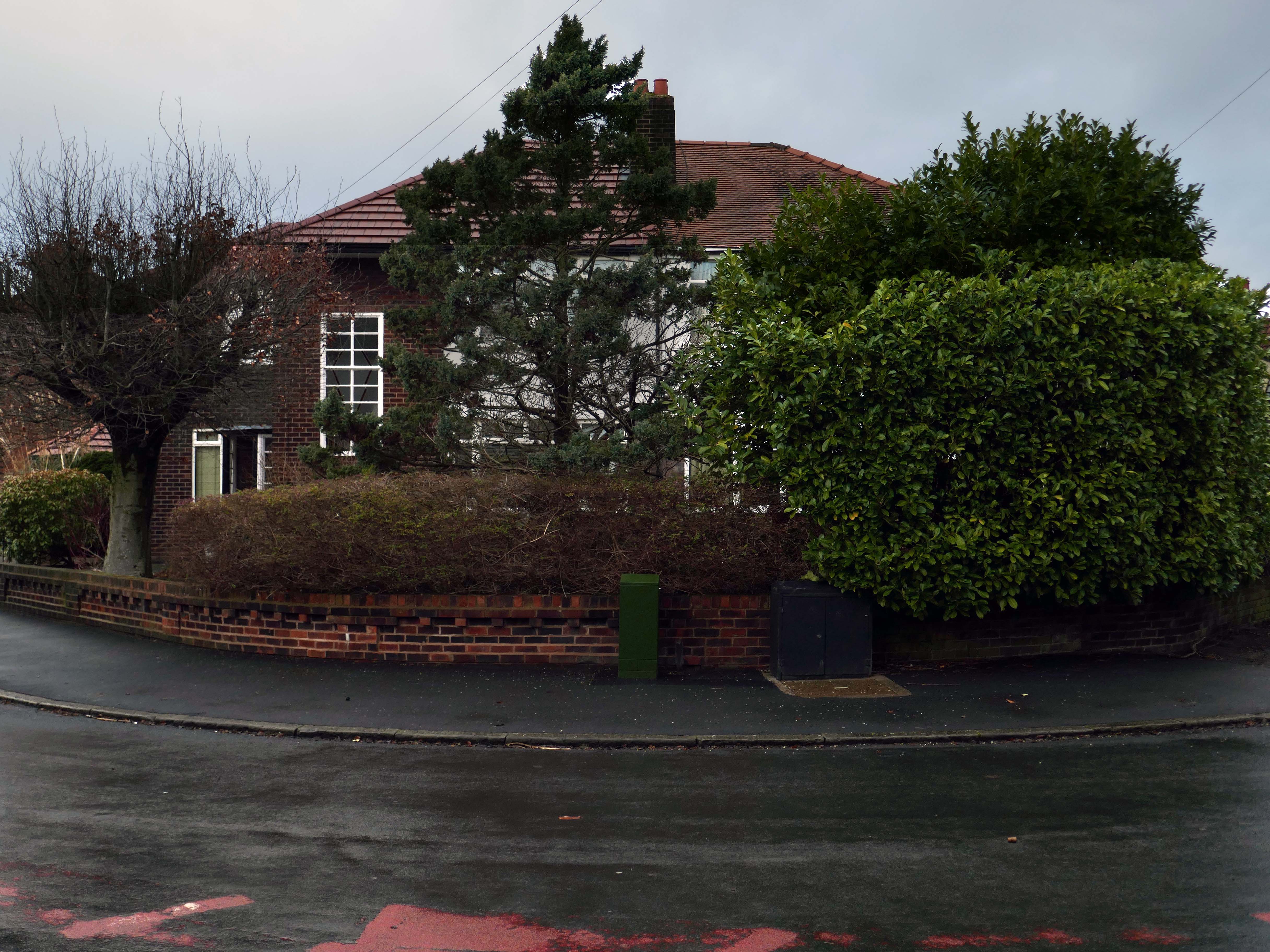
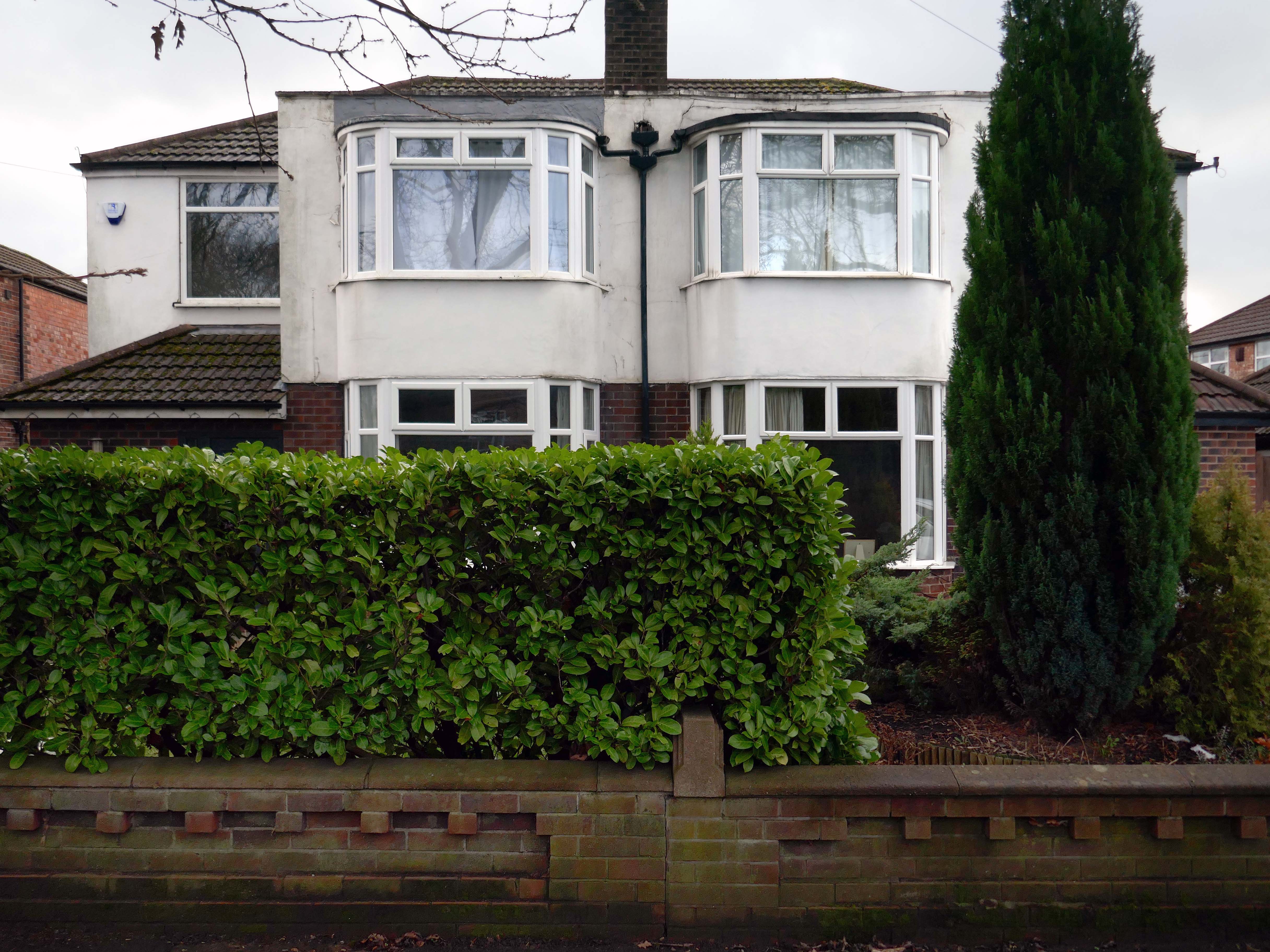
Hiding what may possibly be hidden behind the hedge, though the privacy of privet is in retreat, replaced by bay, birch, holly and the extremely hardy laurel.
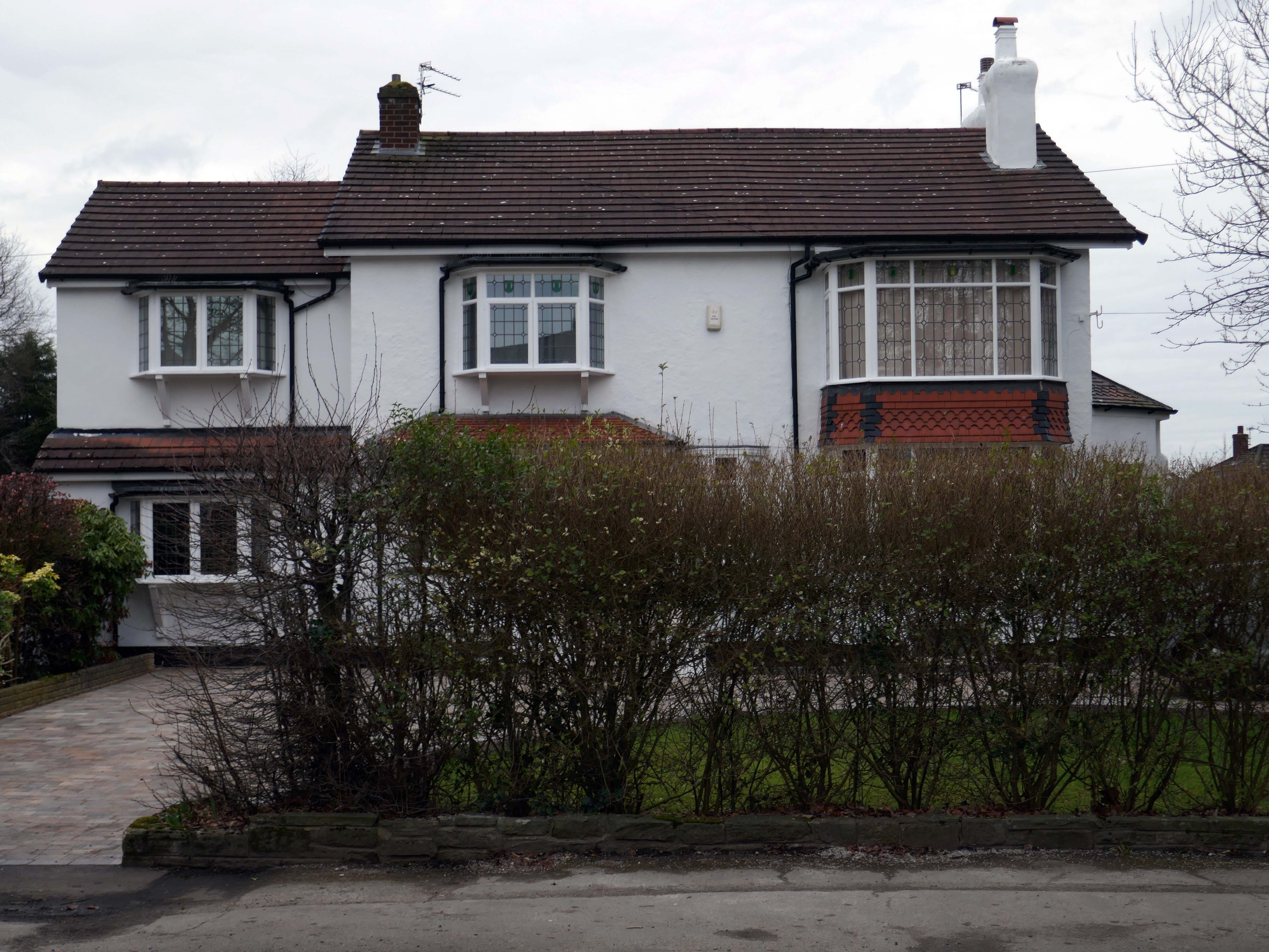
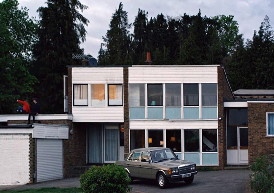
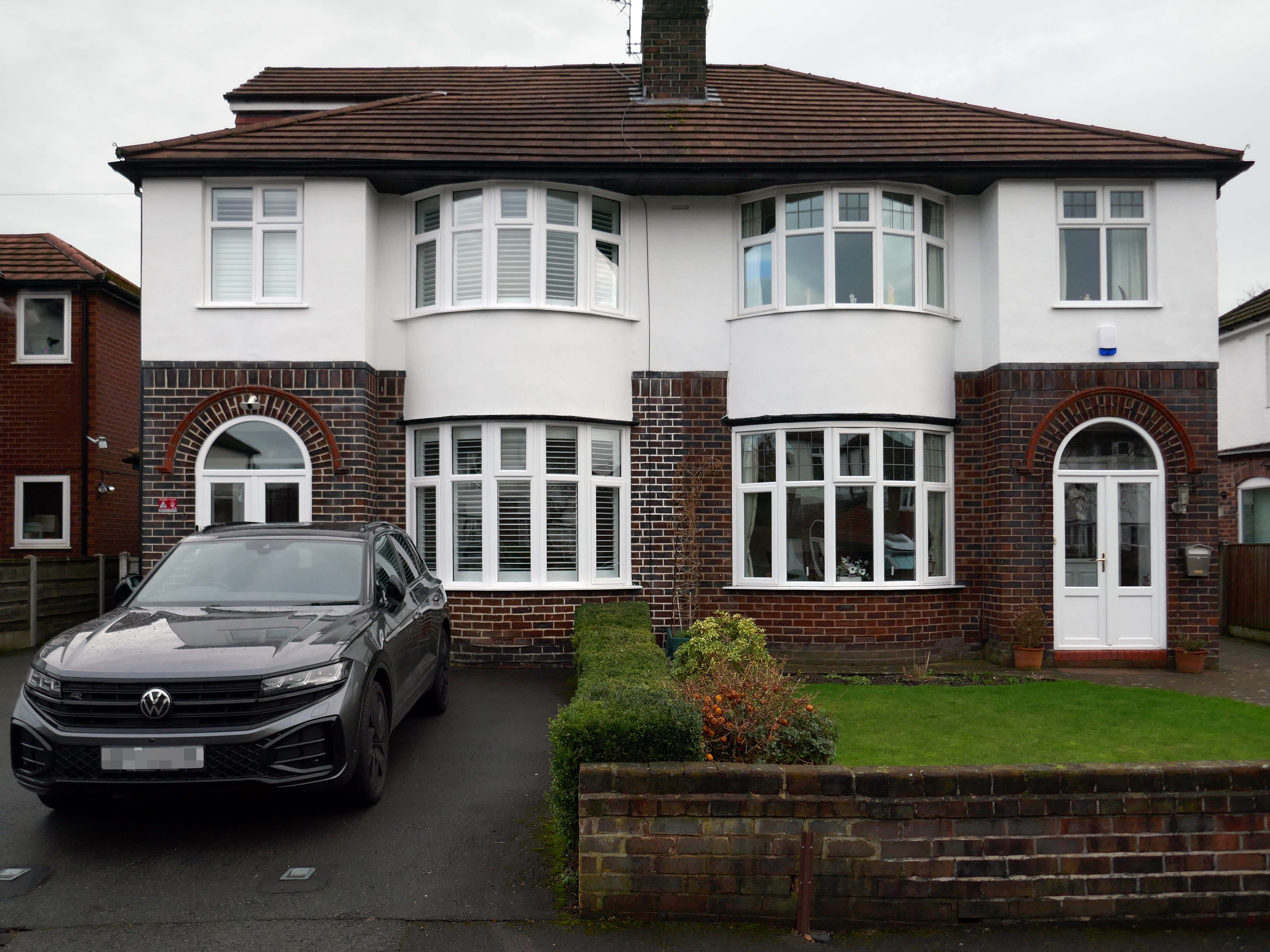
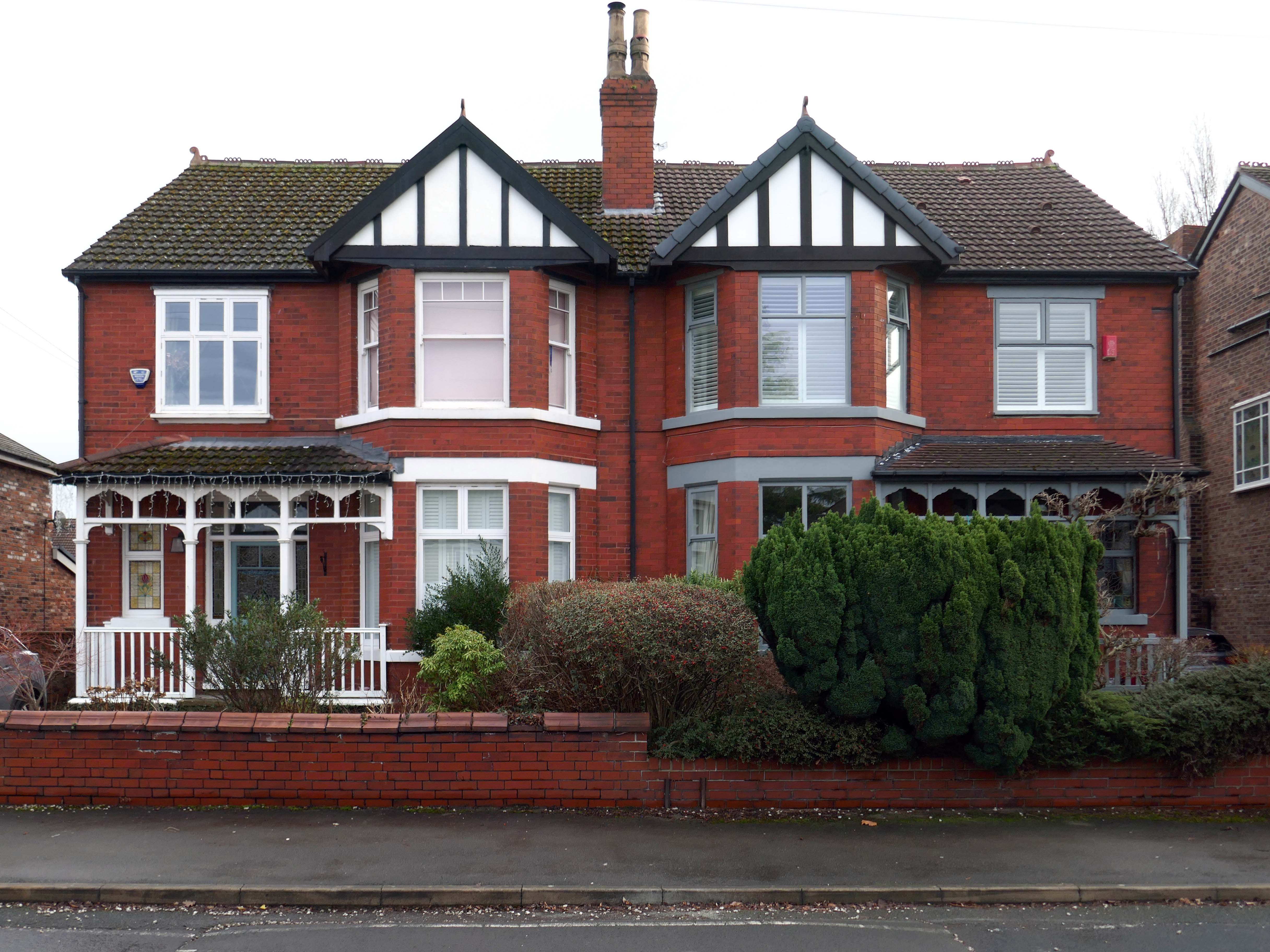
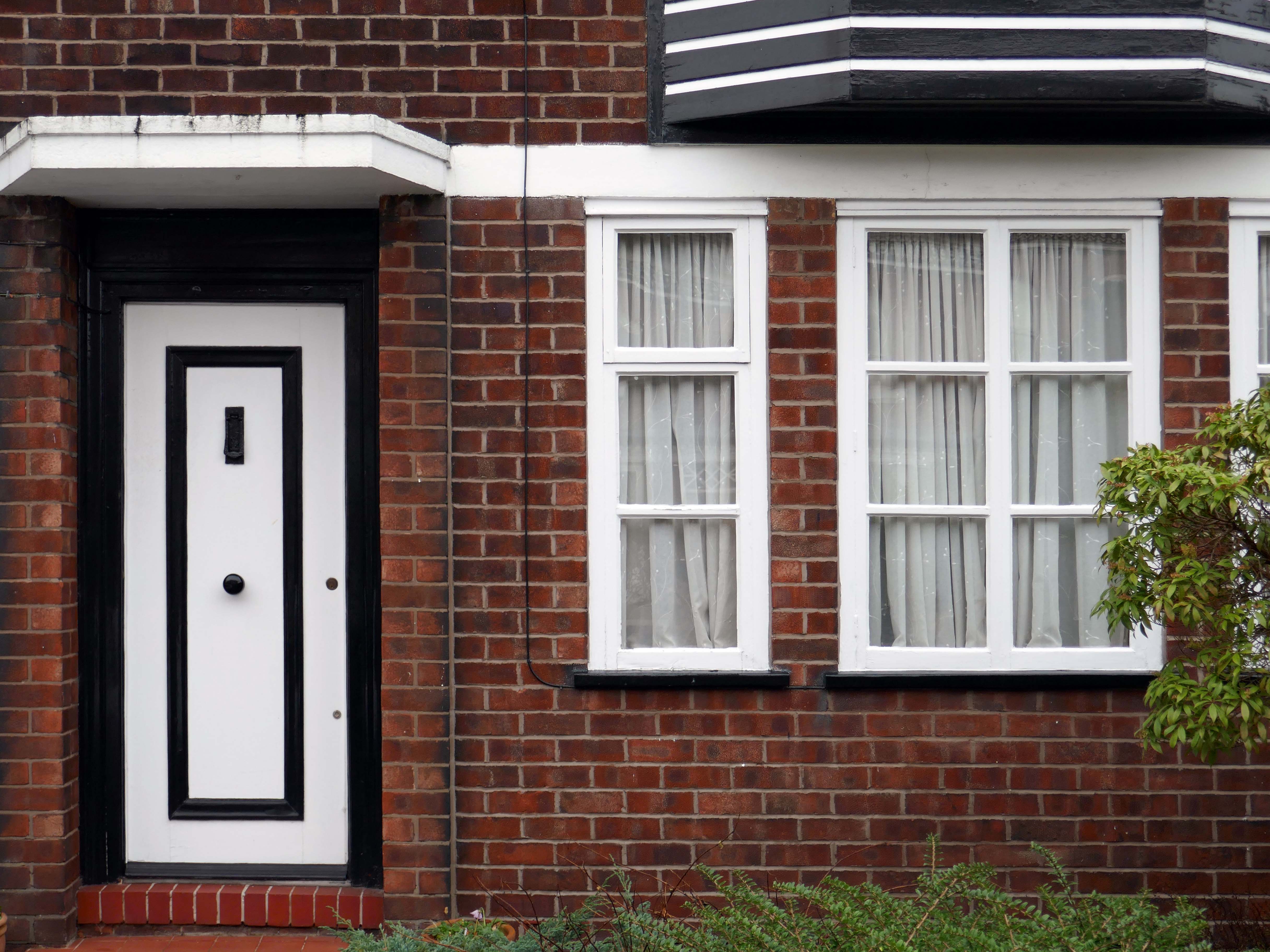
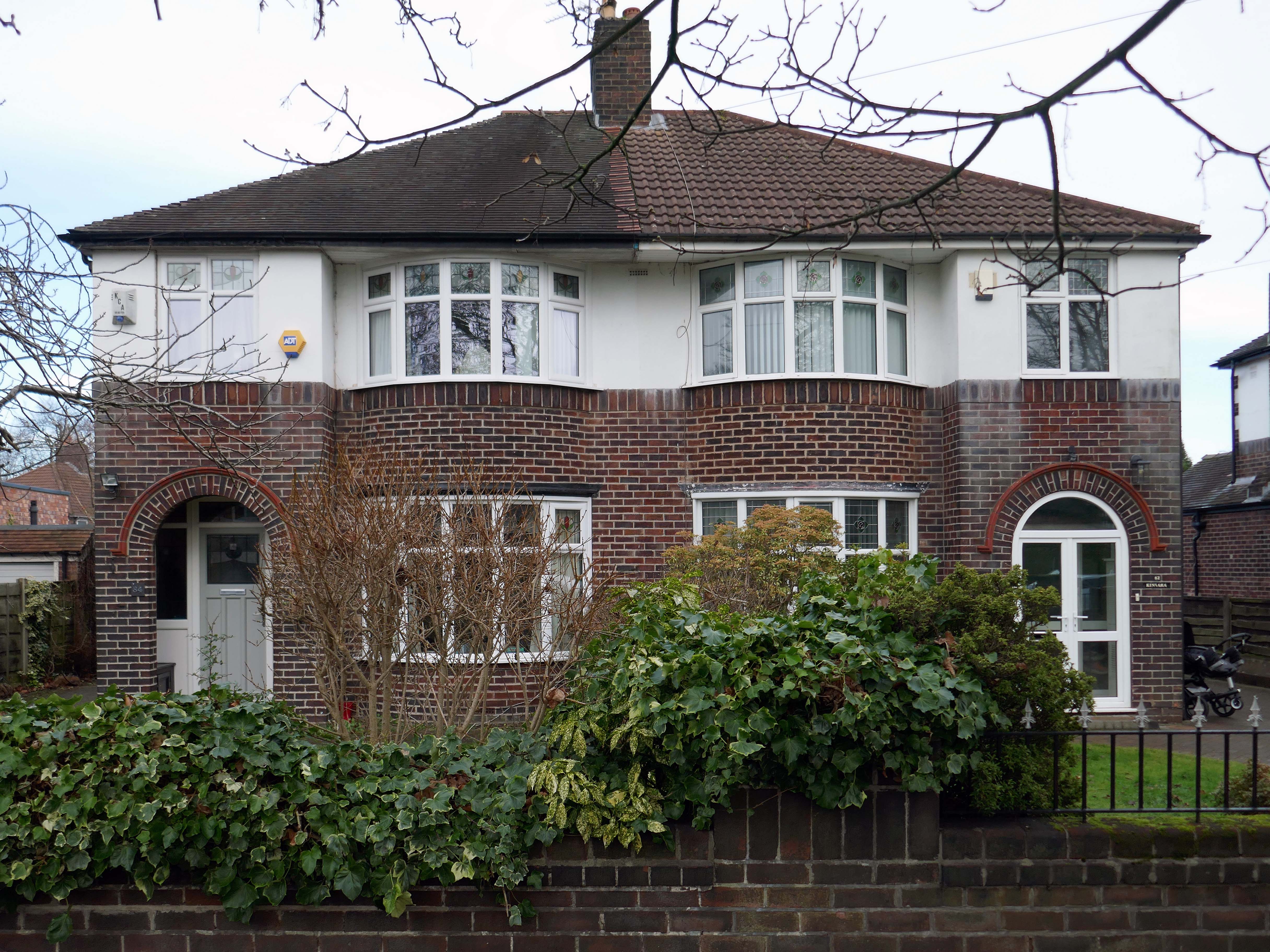
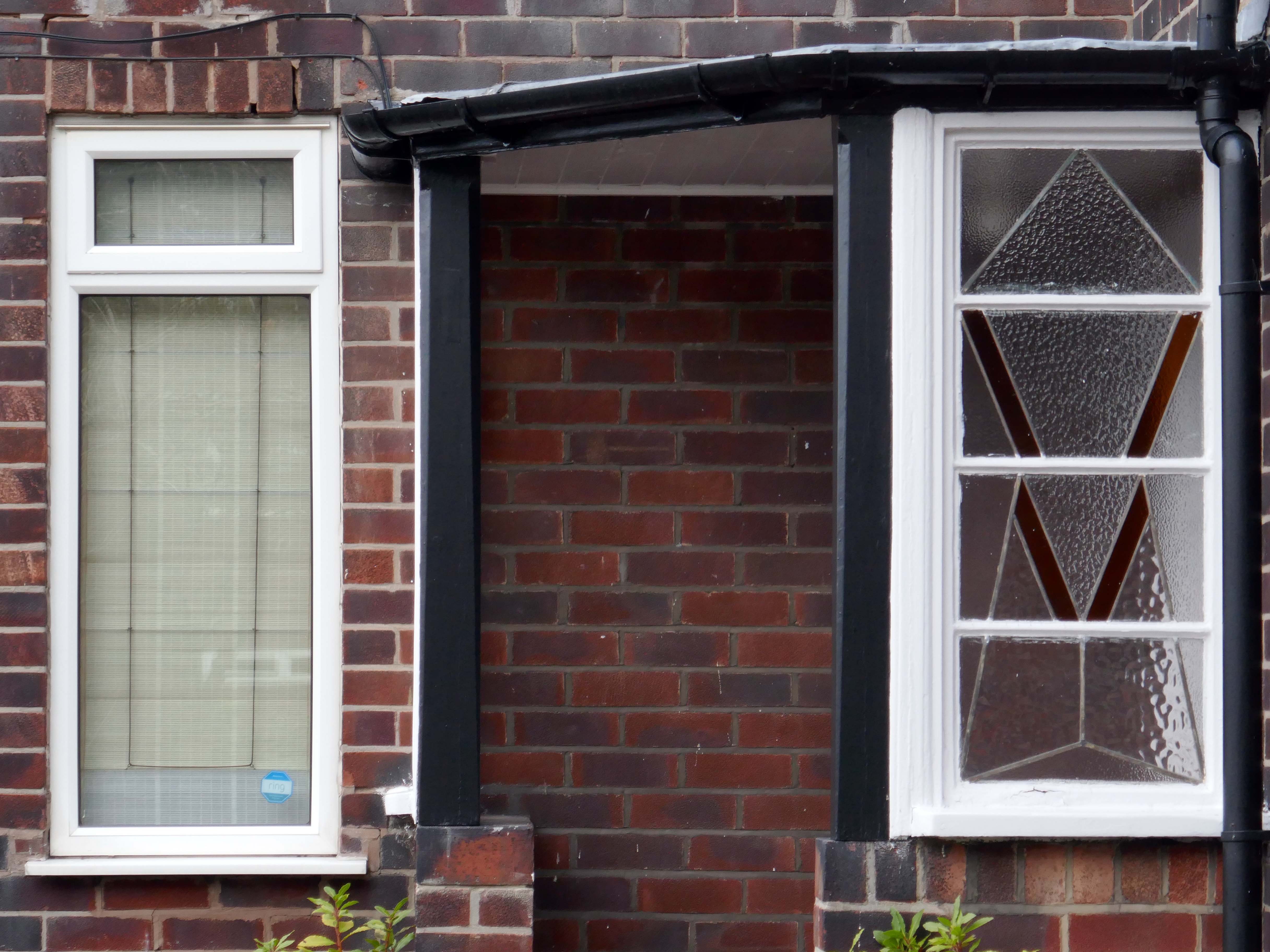
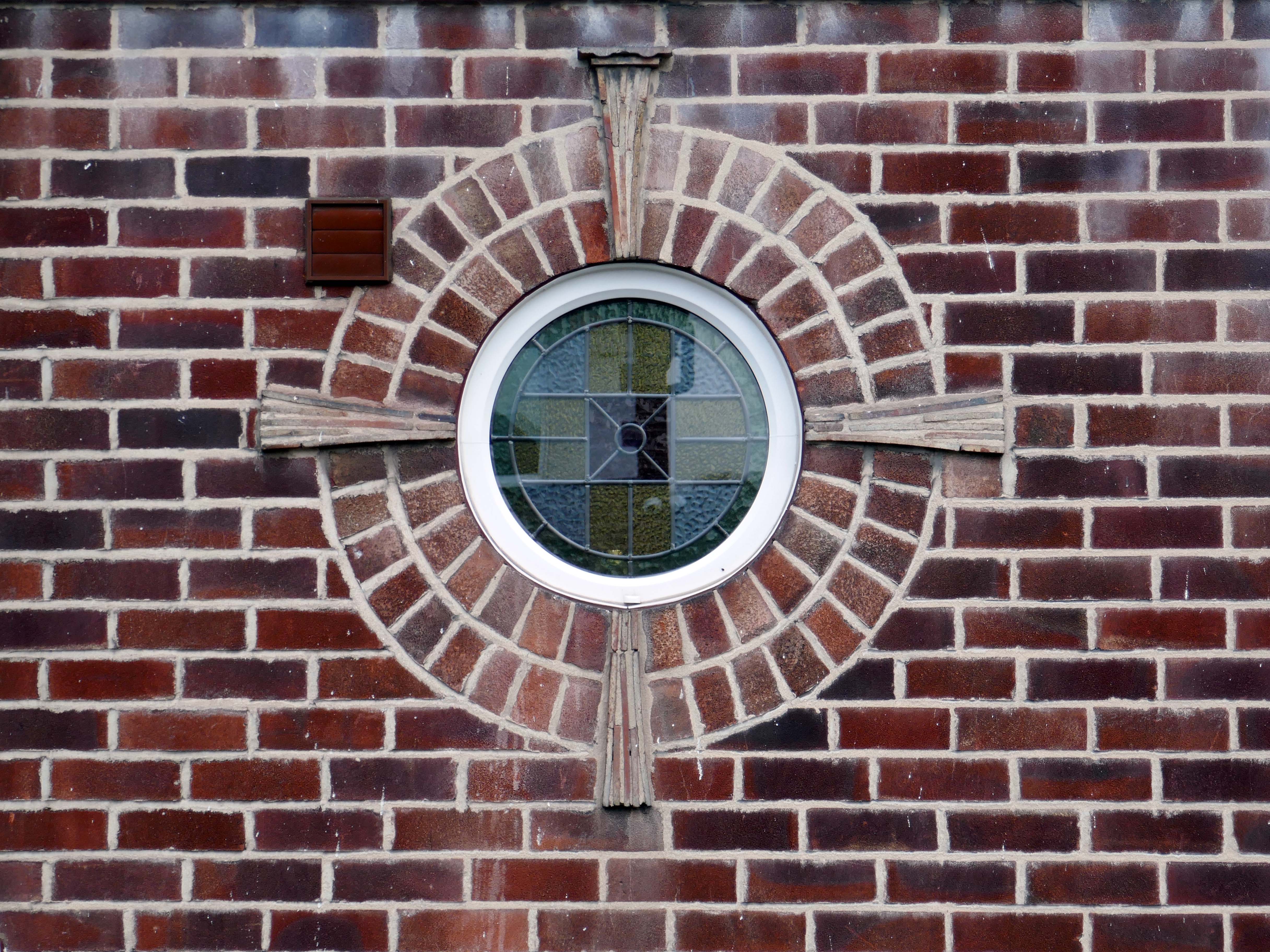
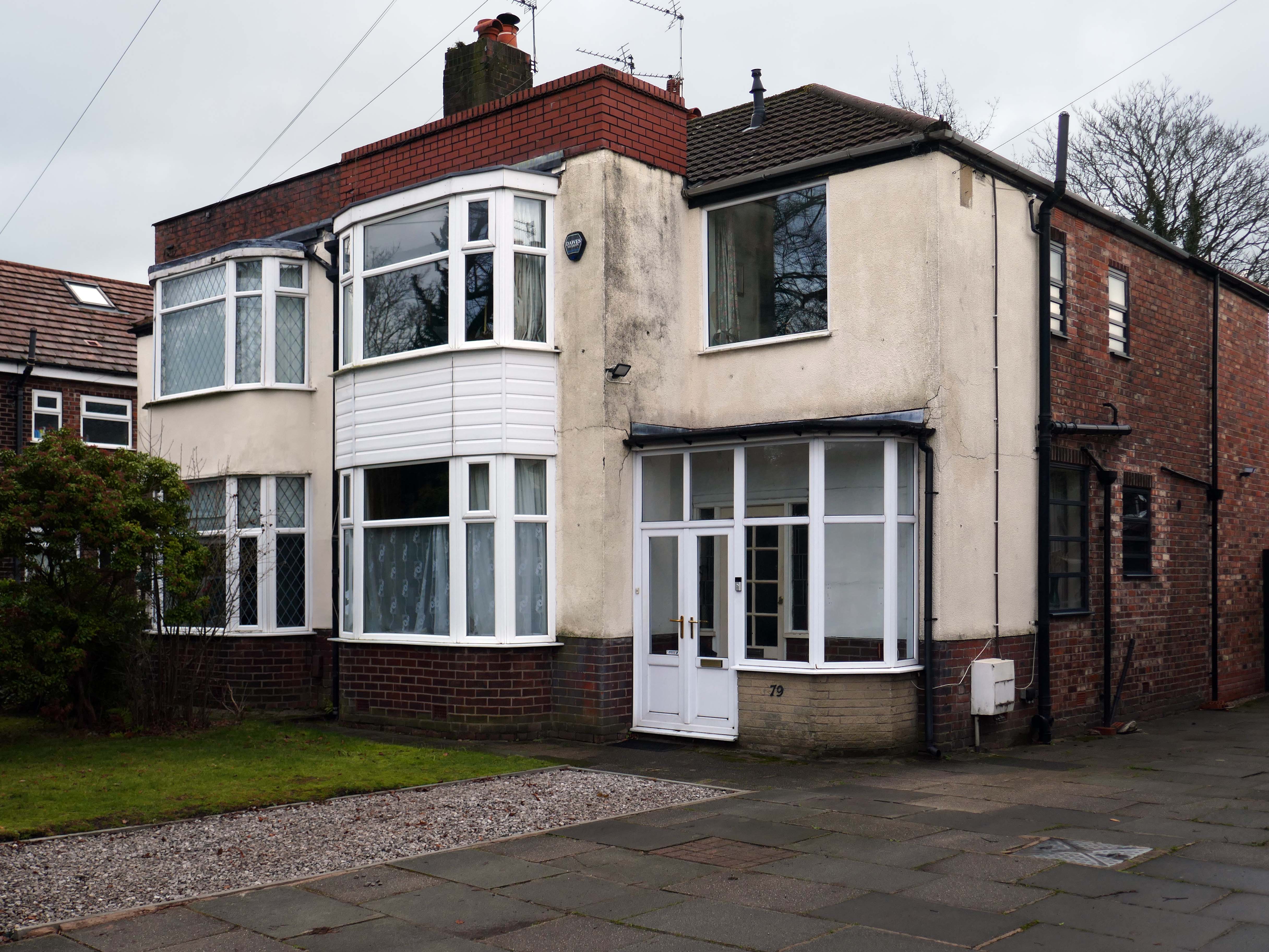
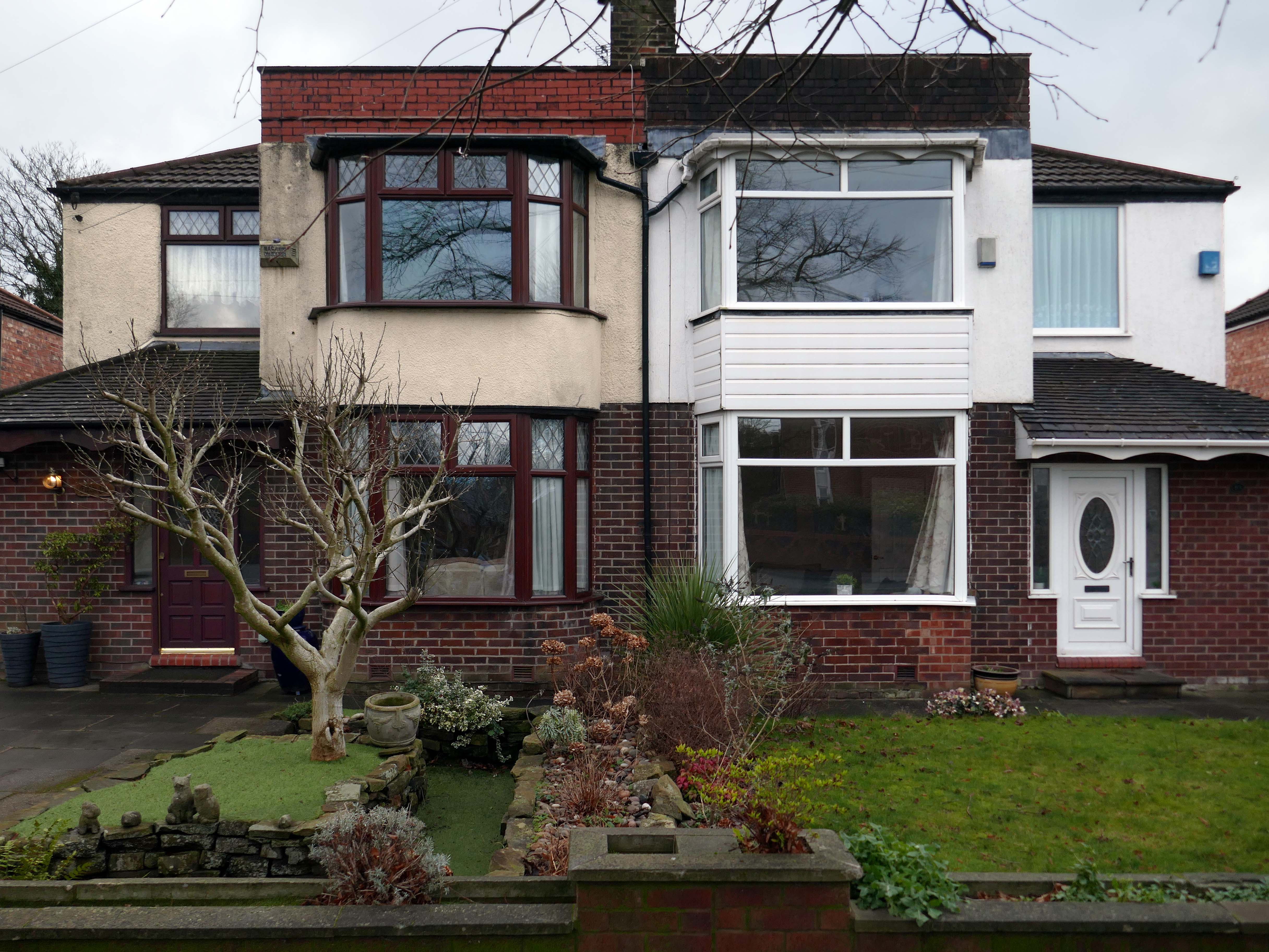
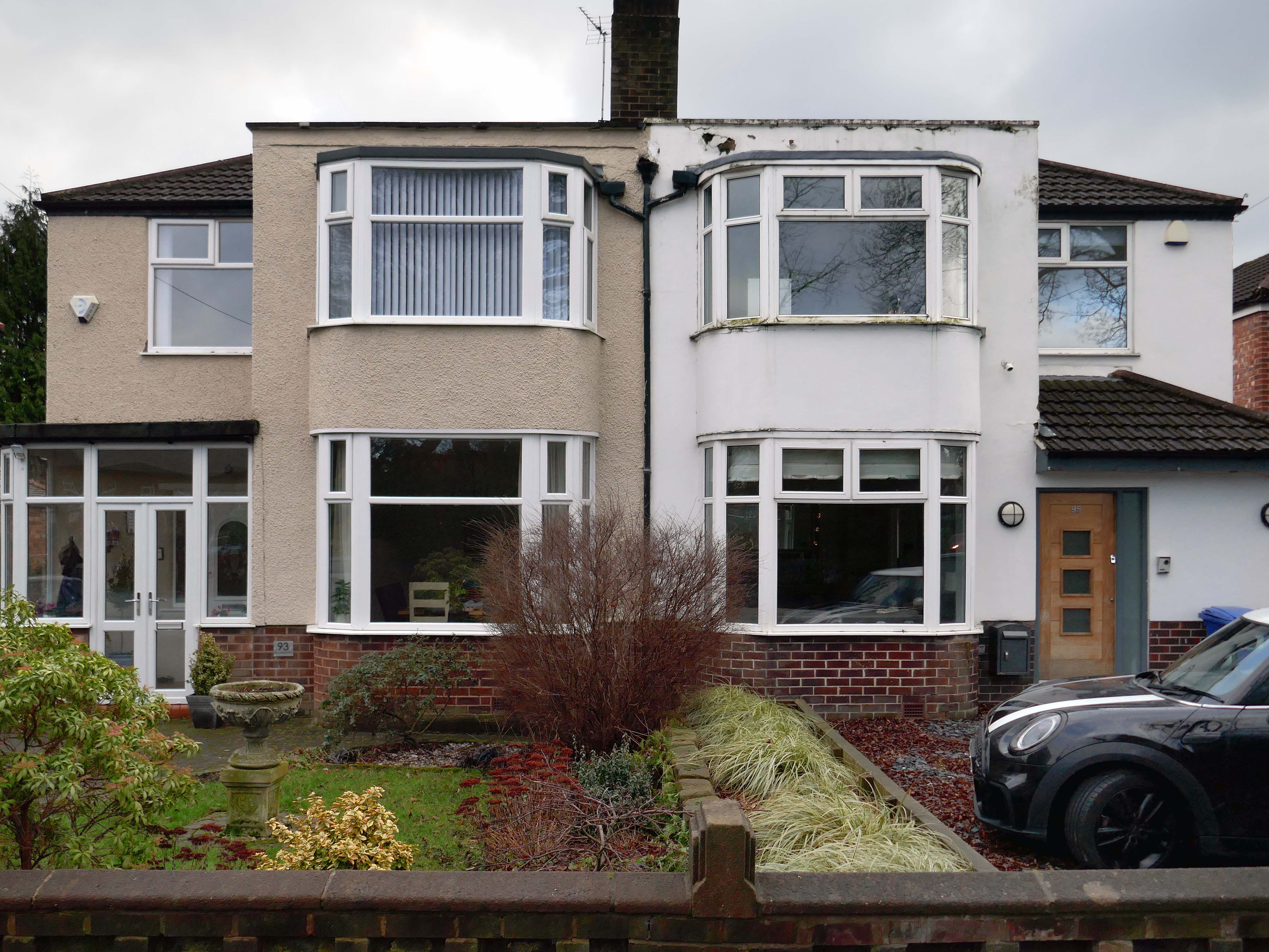
The left hand house has purposefully retained the original Crittall Windows.
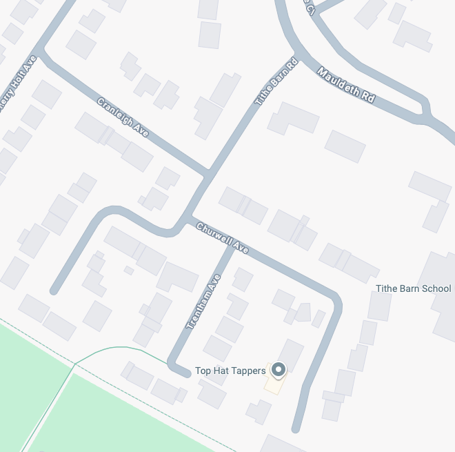
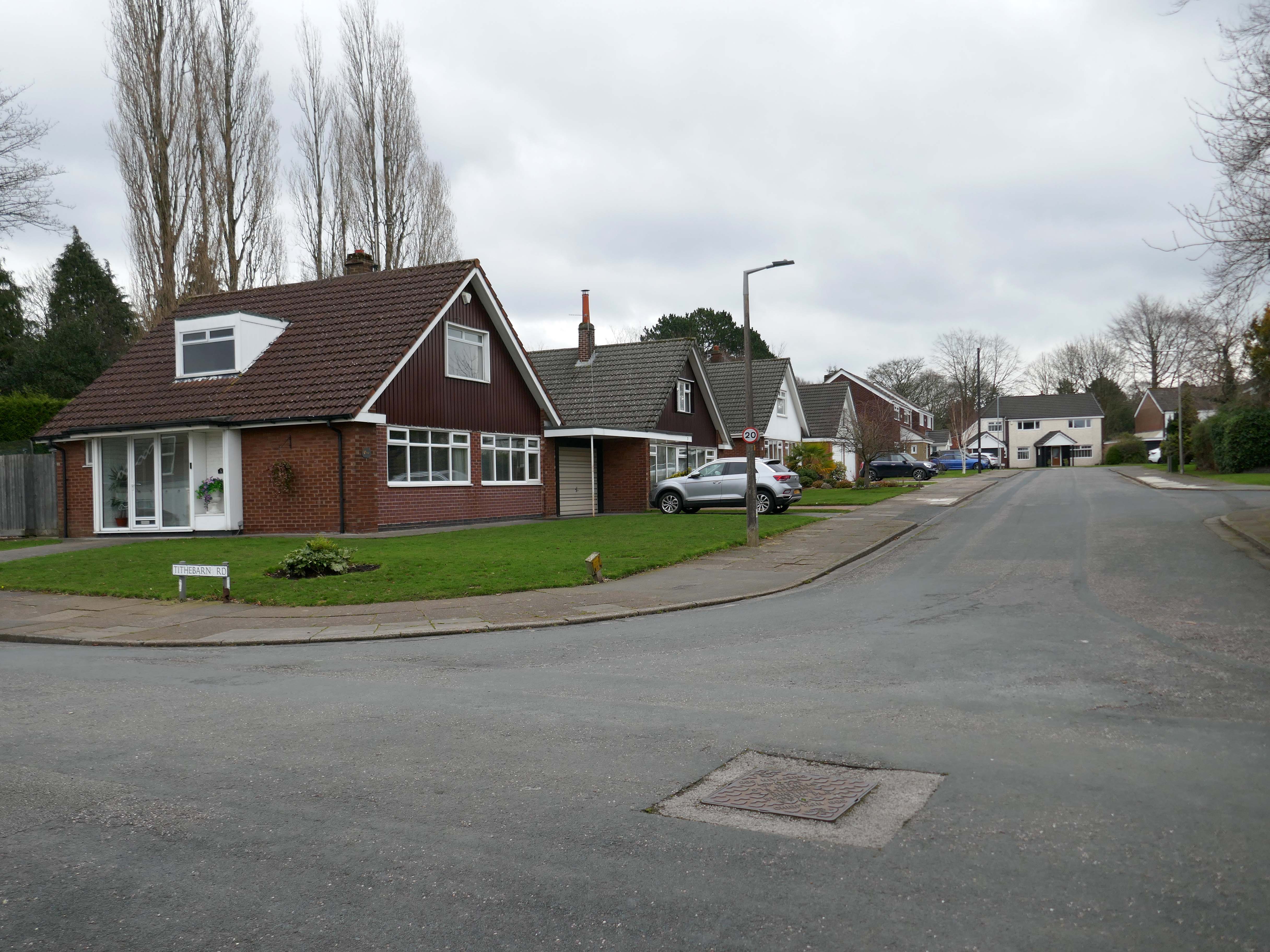
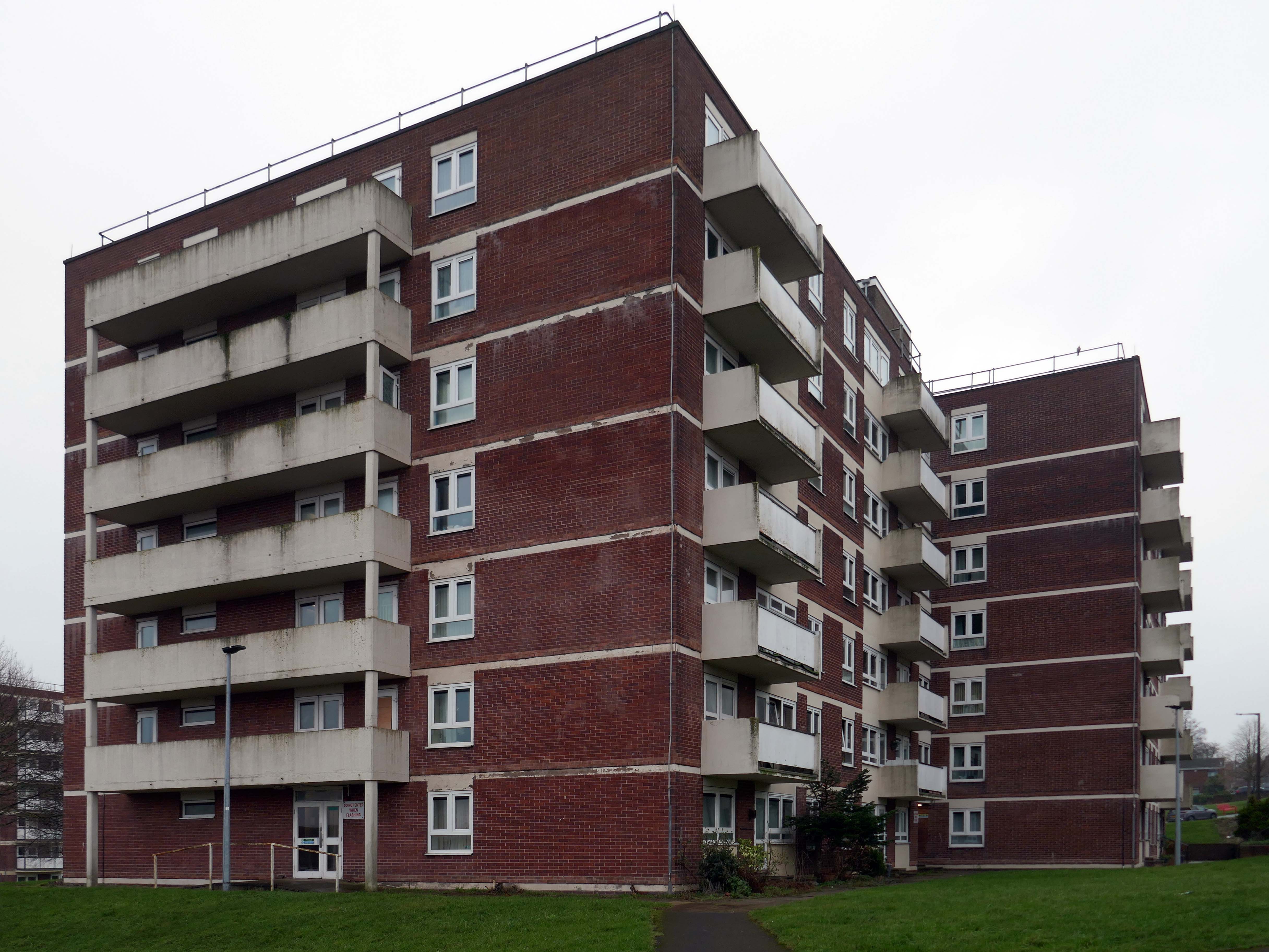
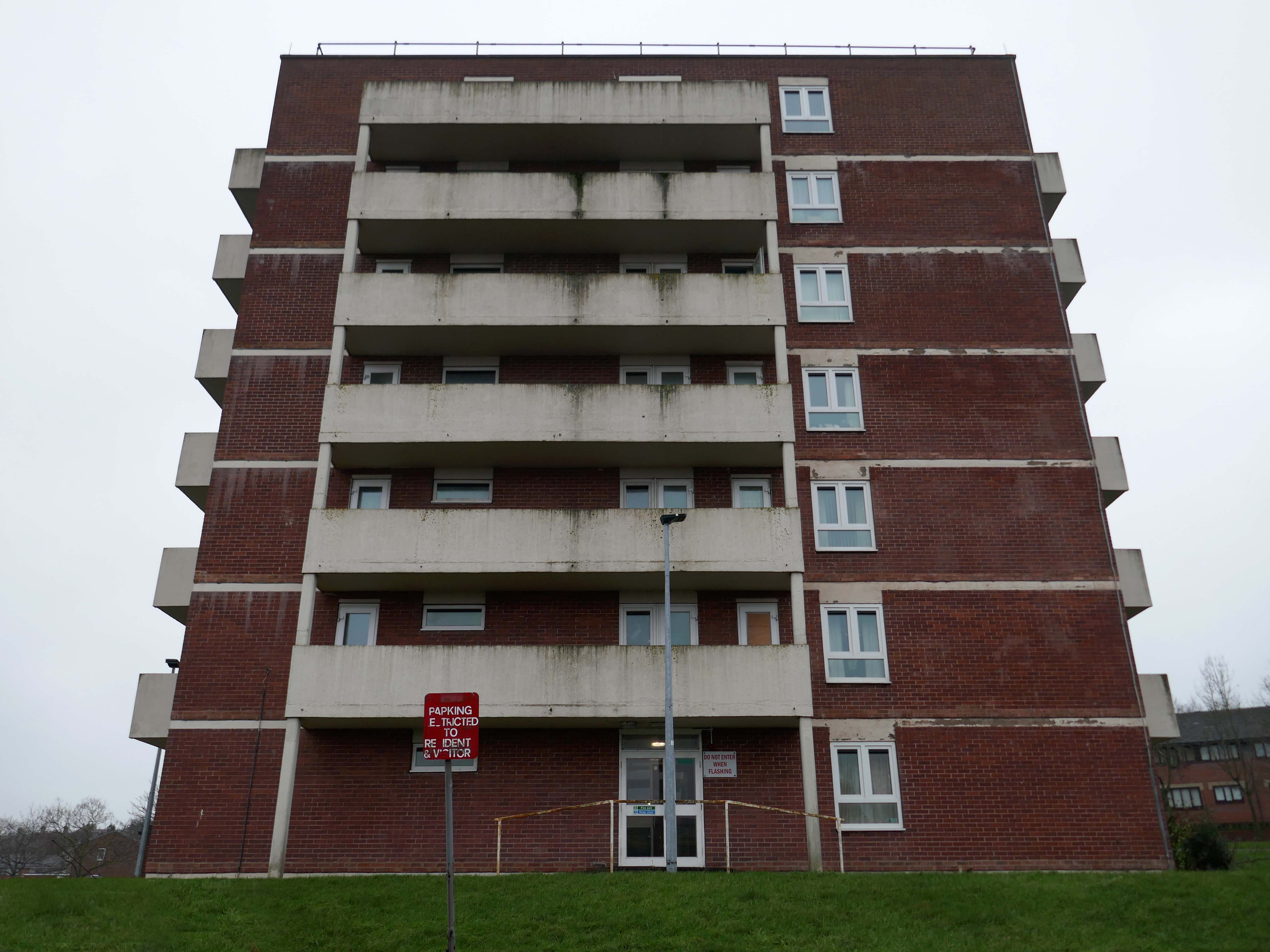
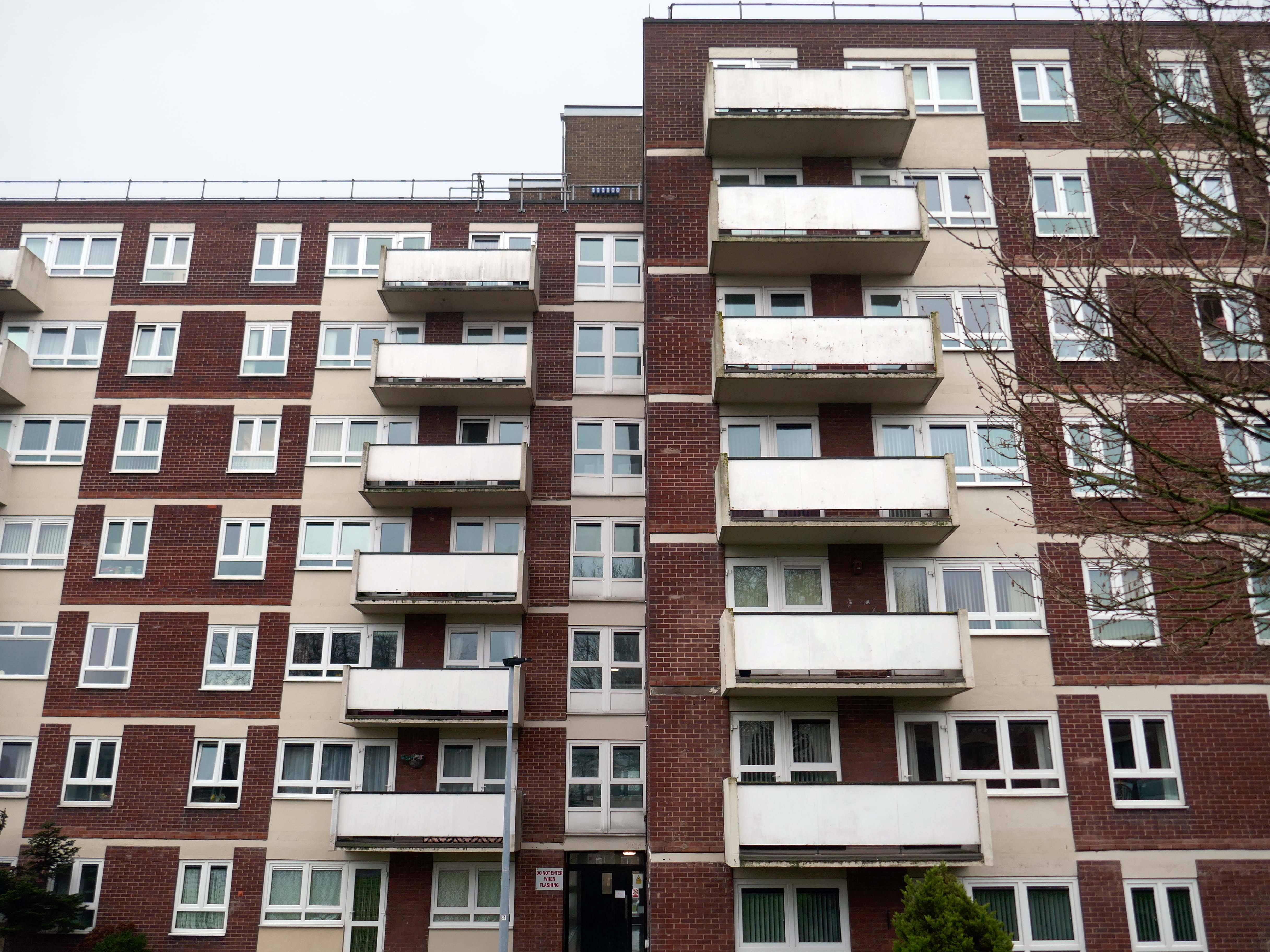
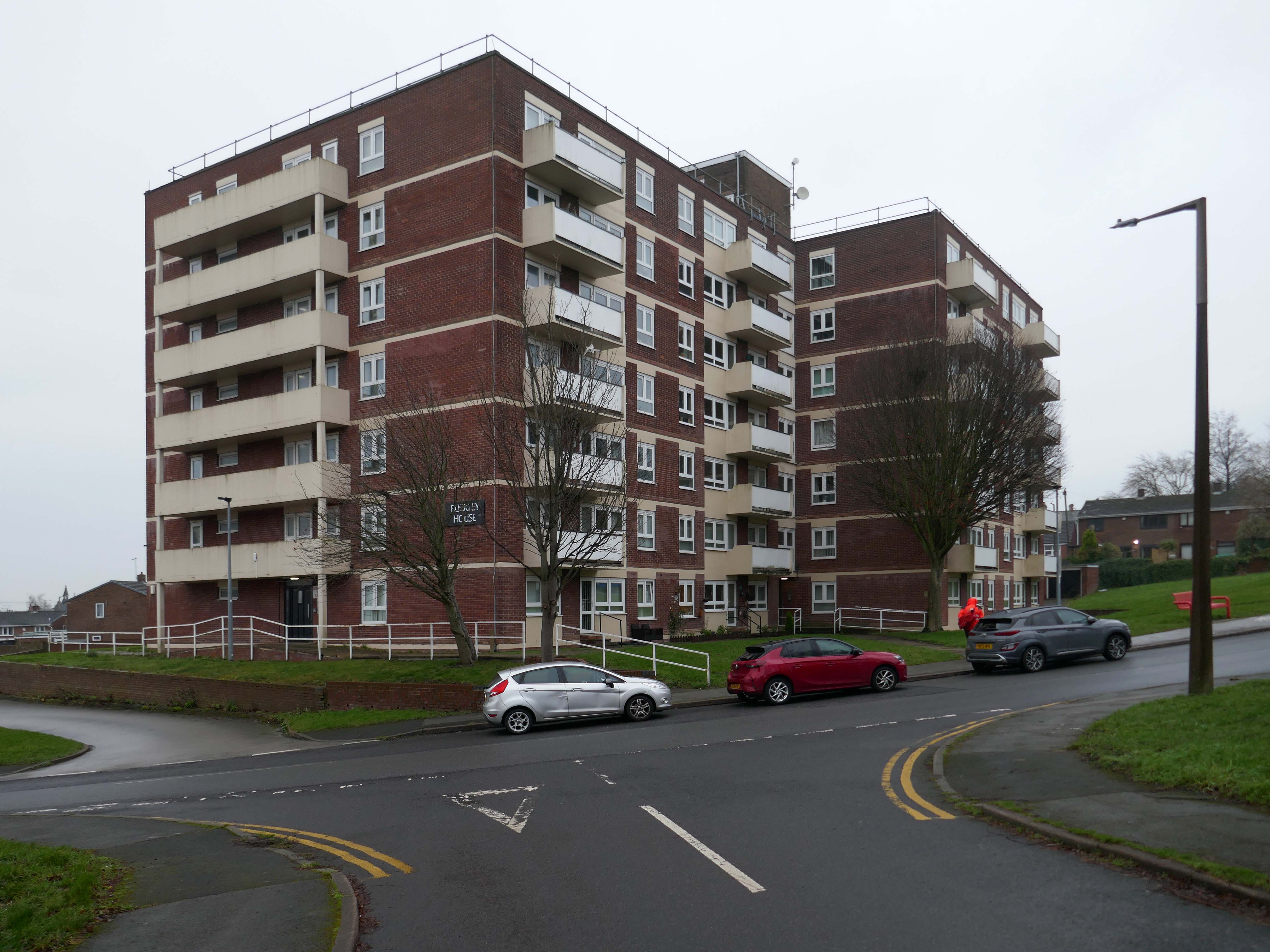
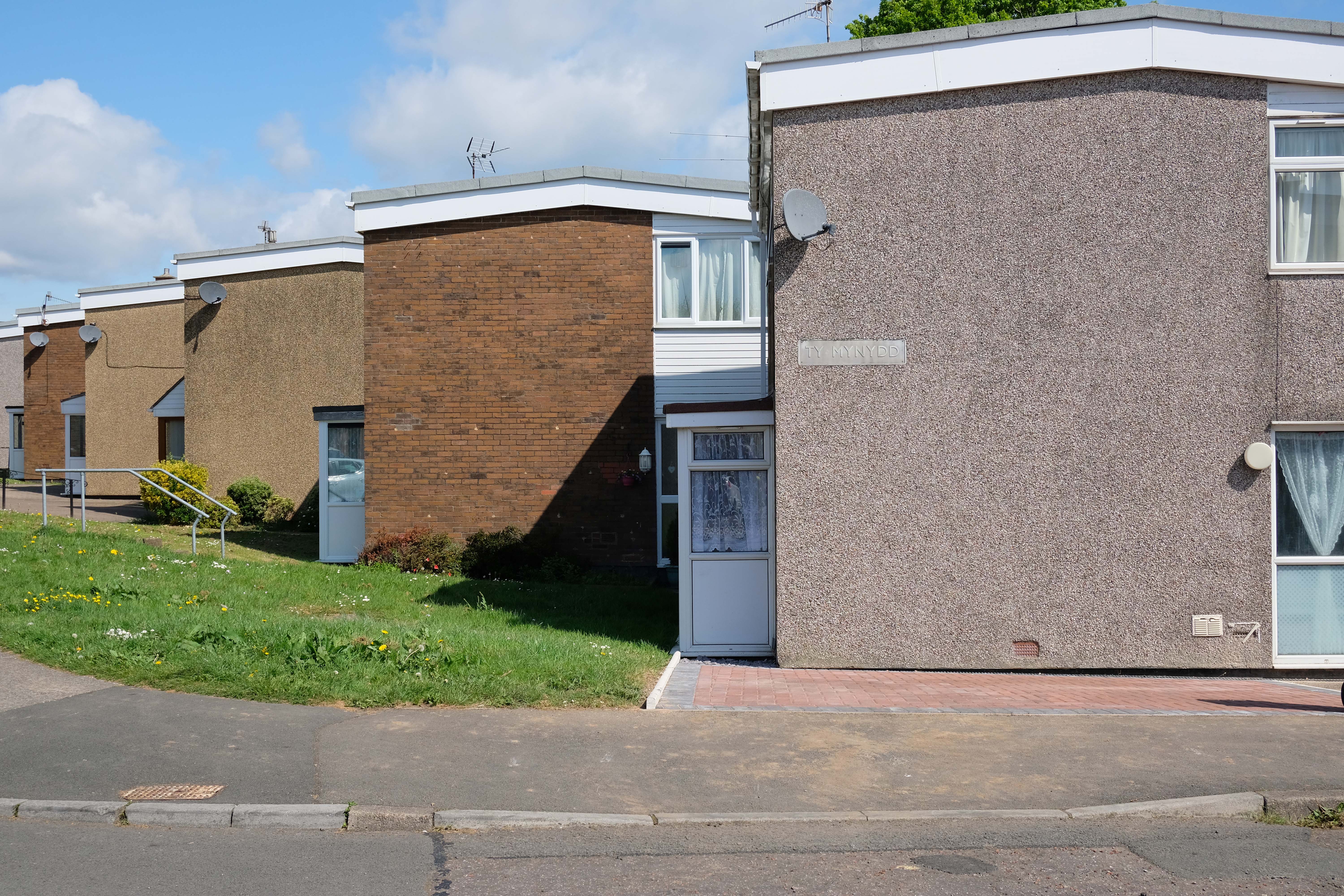
High above the streets of Stockport – zooming in to a cluster of cul de sacs branching out from Tithe Barn Road.
Cul de sac translates as bottom of the bag, the French do not use the term, preferring voie sans issue, literally a dead end.
In the slums of New York City, on the East River just below the Queensboro Bridge, wealthy people live in opulent and luxurious apartments because of the picturesque views of the river, while the destitute and poor live nearby in crowded, cockroach-infested tenements.
I assume that countless civic meetings and Estate Agents’ offices eschew the terminal term – dead end, in favour of the assumed elegance of the cu de sac.
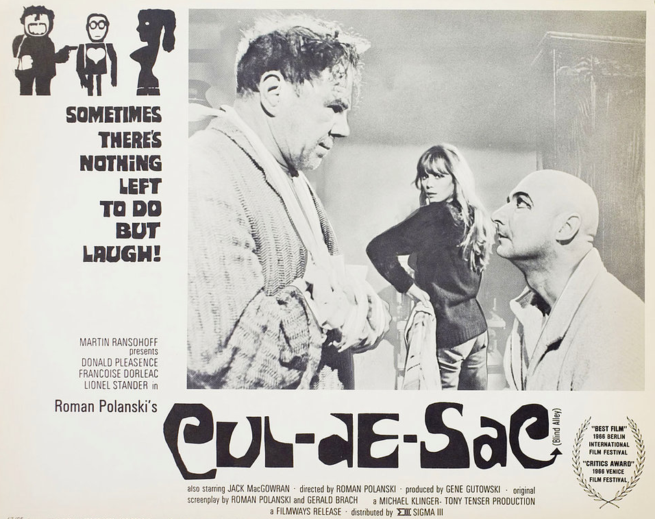
Polanski’s second English-language feature, it follows two injured gangsters who take refuge in the remote island castle of a young British couple in the North of England, spurring a series of mind games and violent altercations.
I was informed by a local resident that the streets and houses had been used by film crews, firstly for ease of access, the location being closed off, and secondly as the period architecture aligns perfectly with the current penchant for mid-century styling.
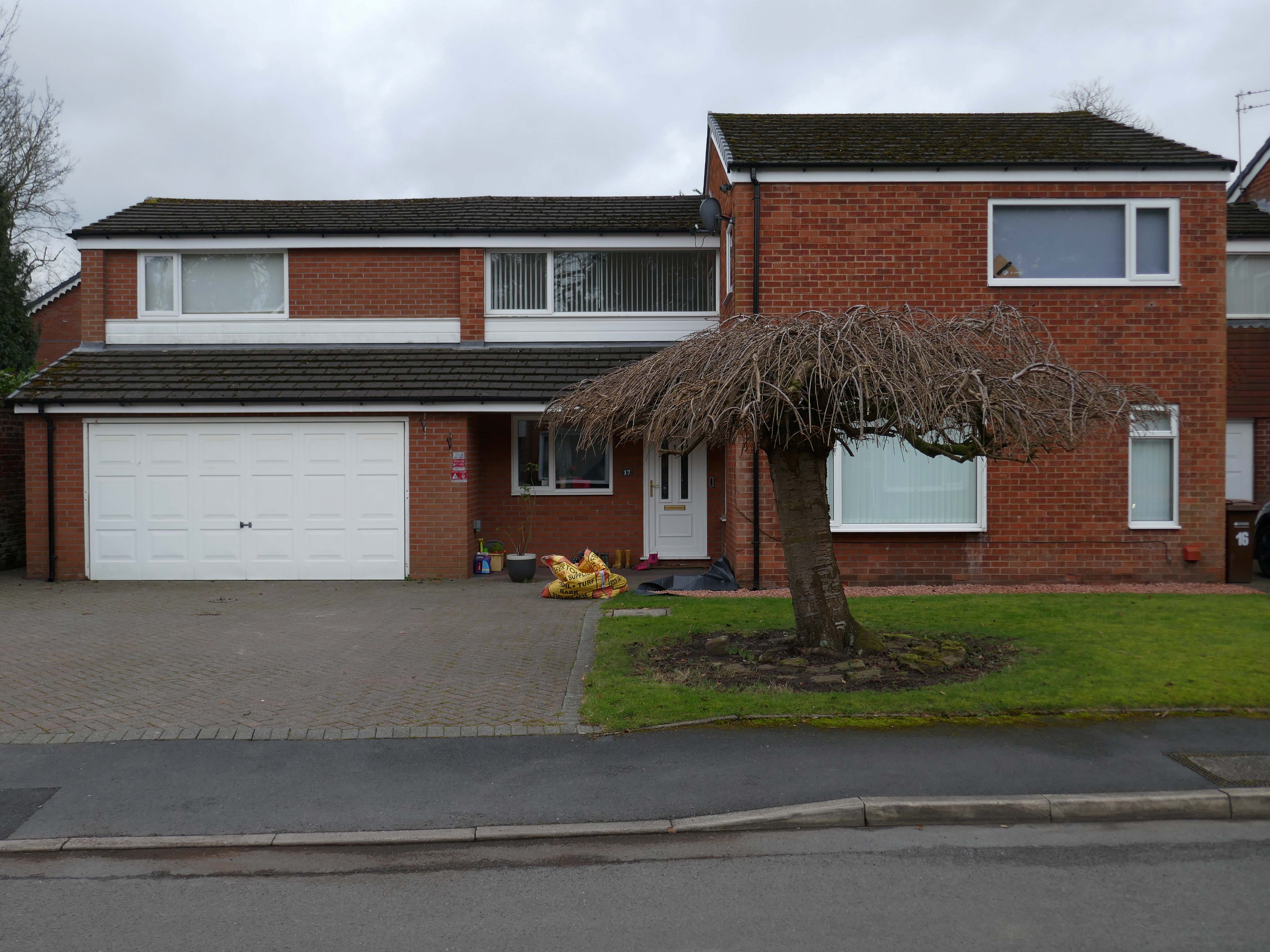
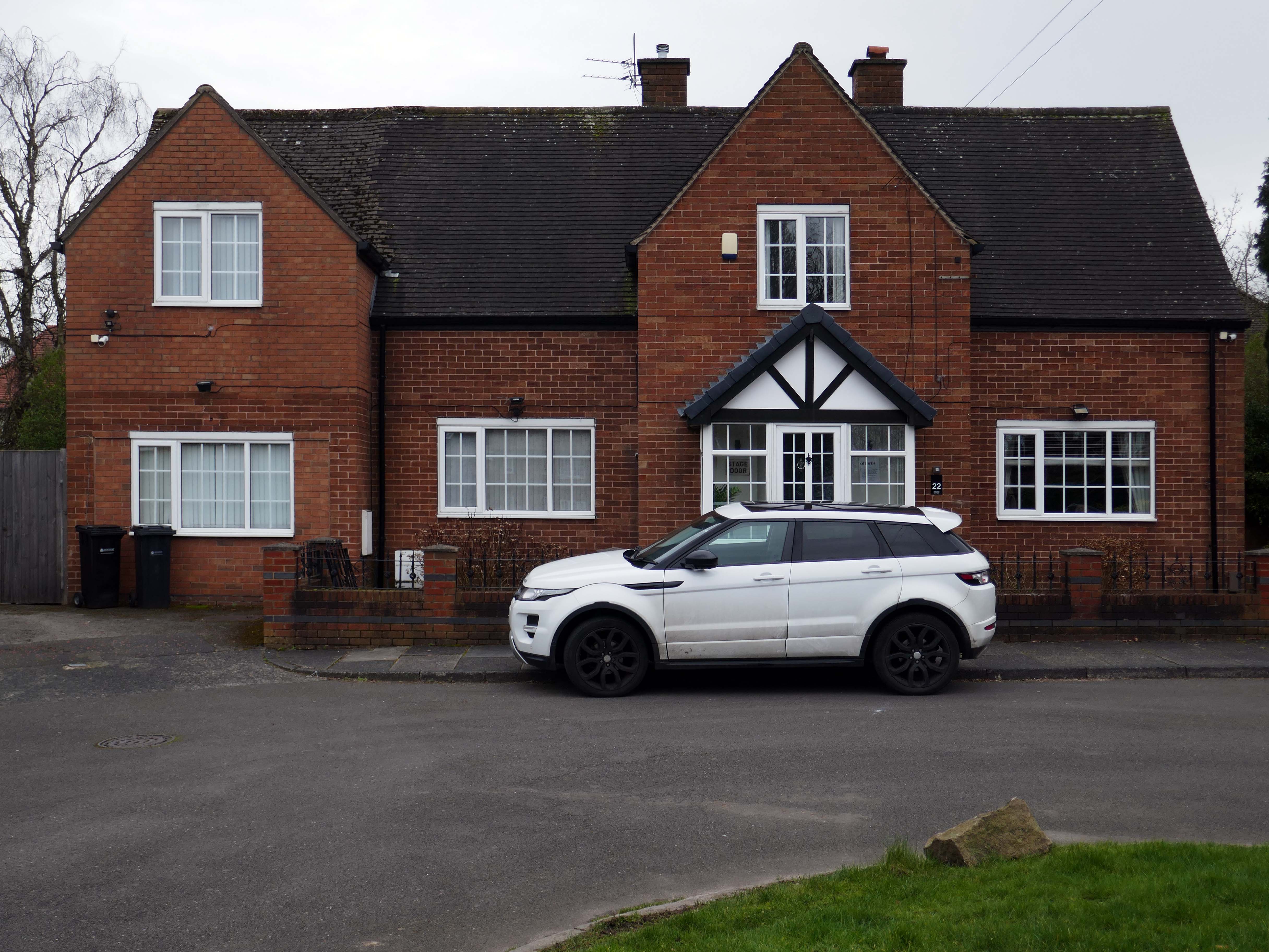
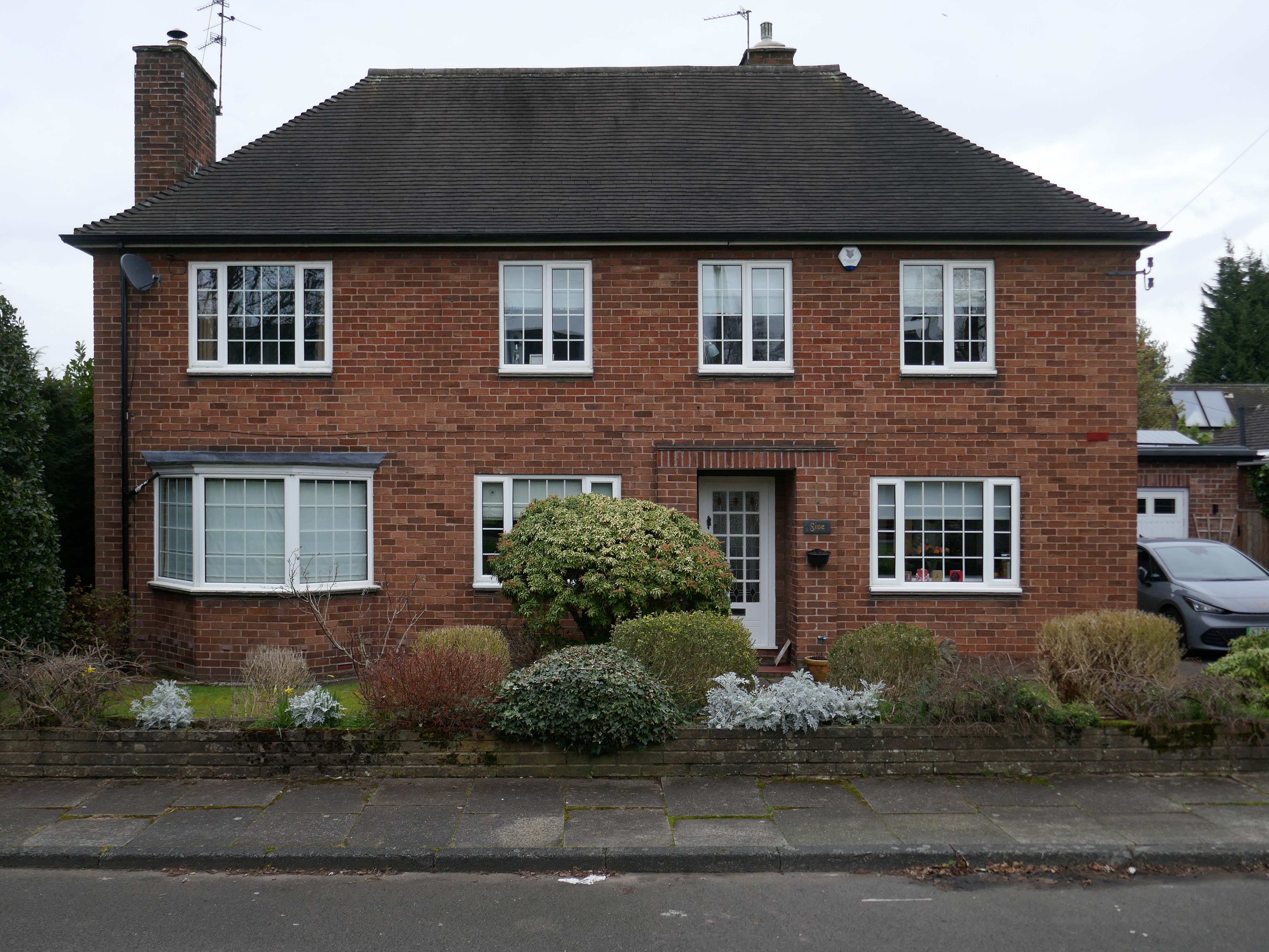
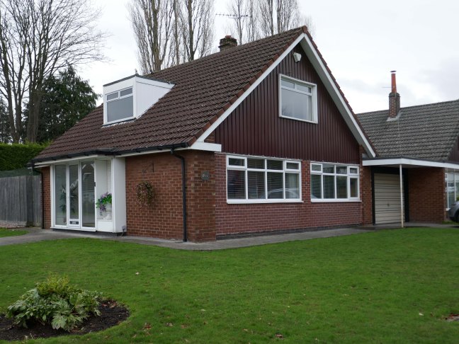
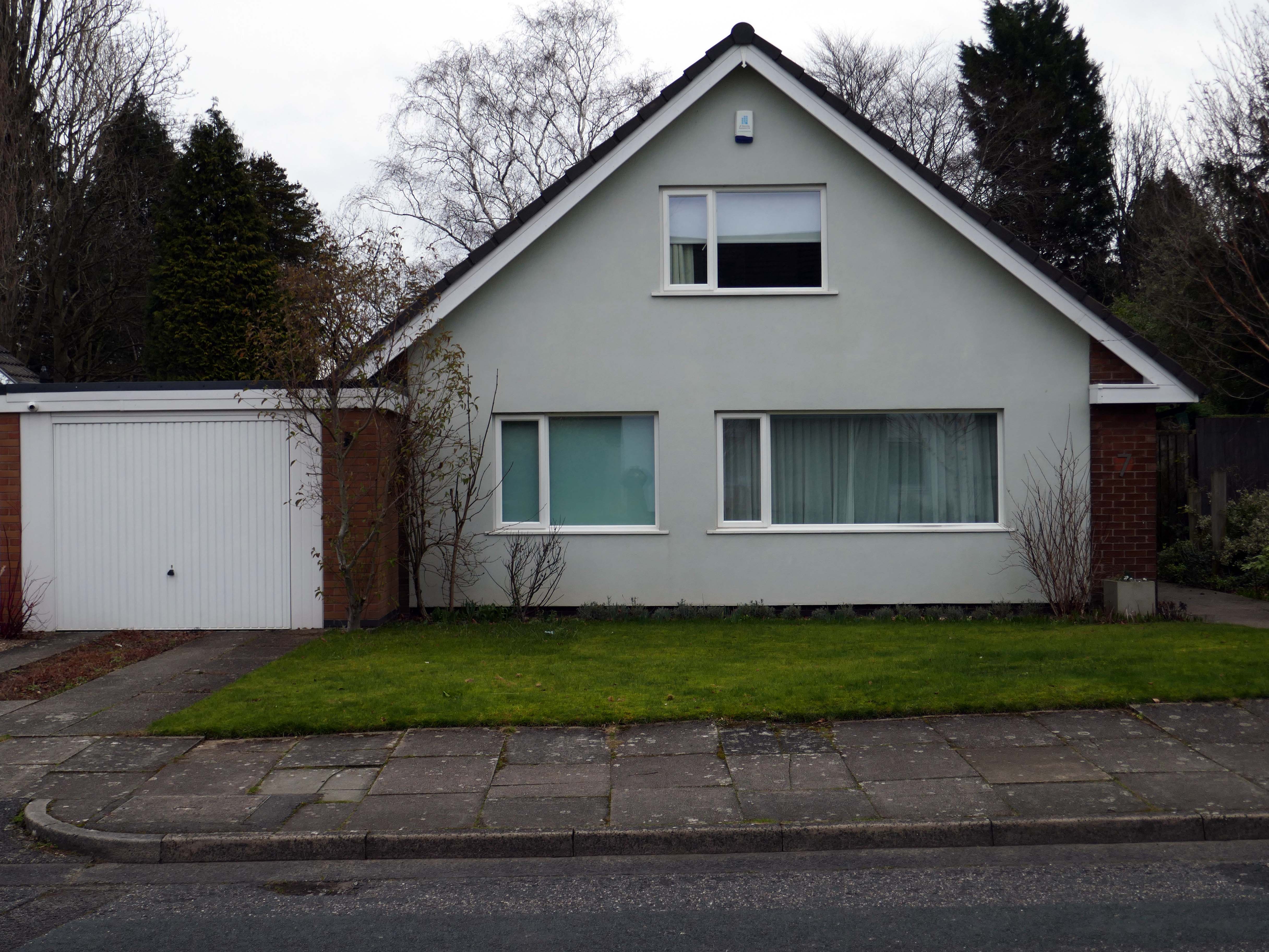
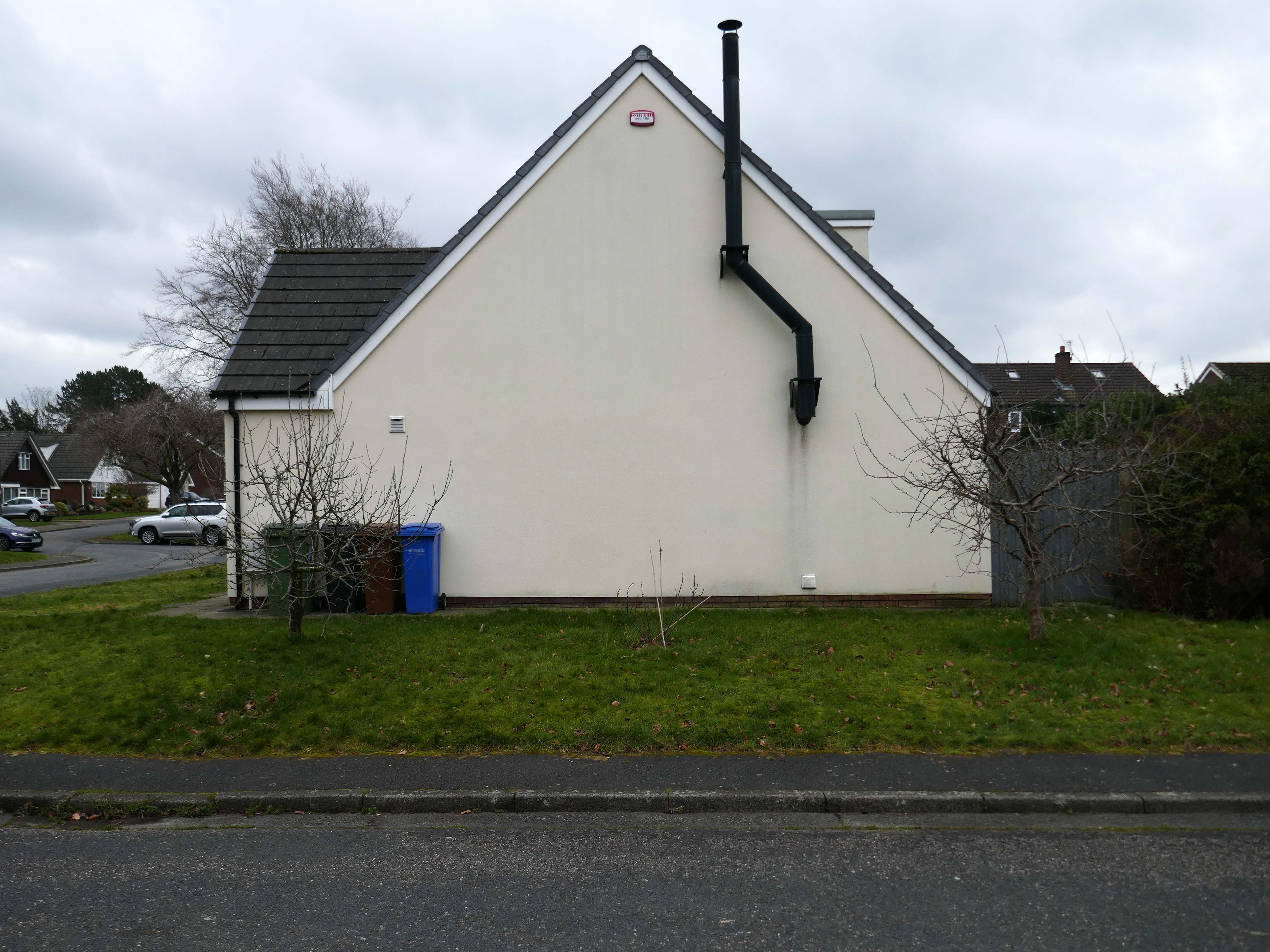
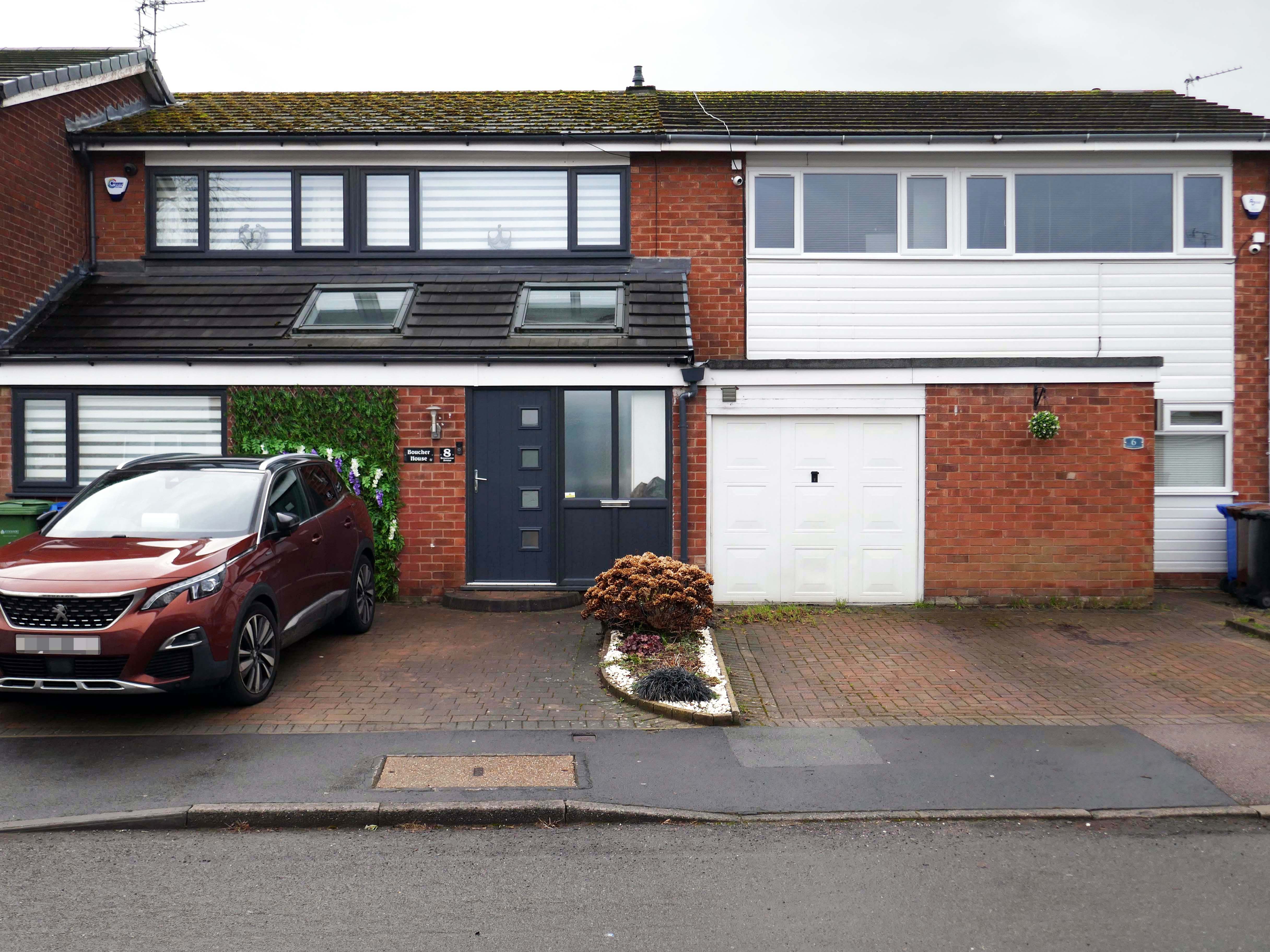
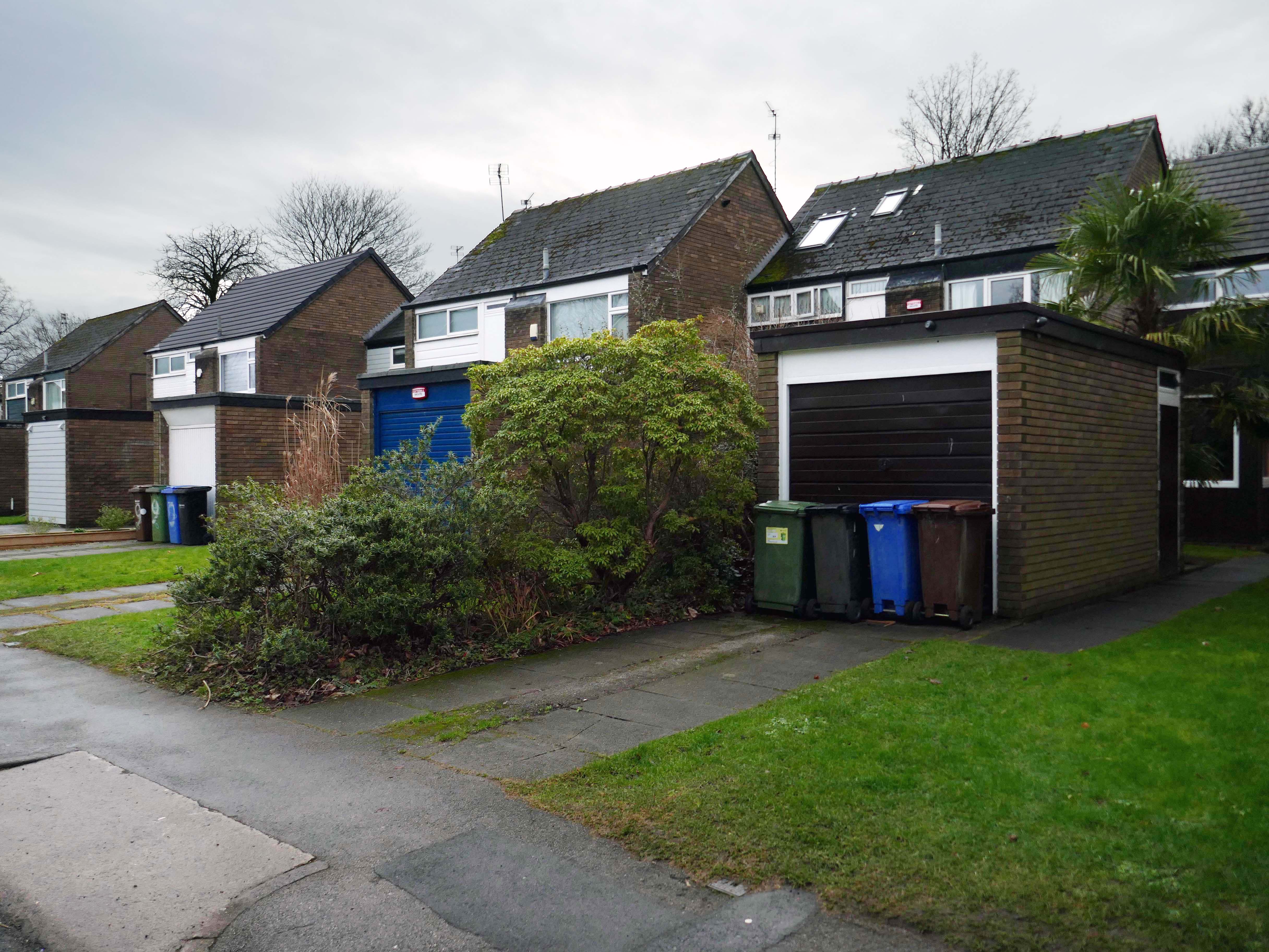
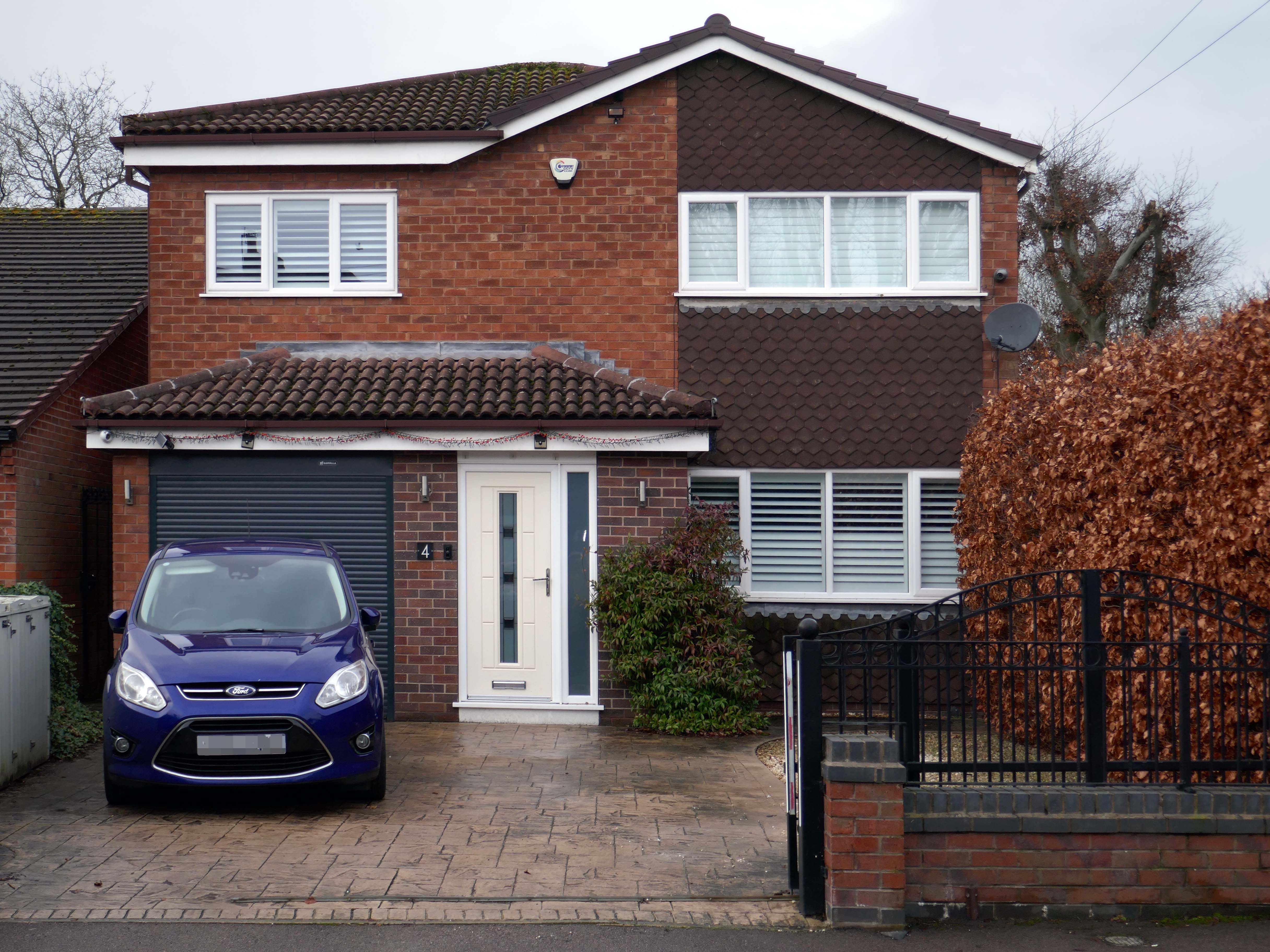
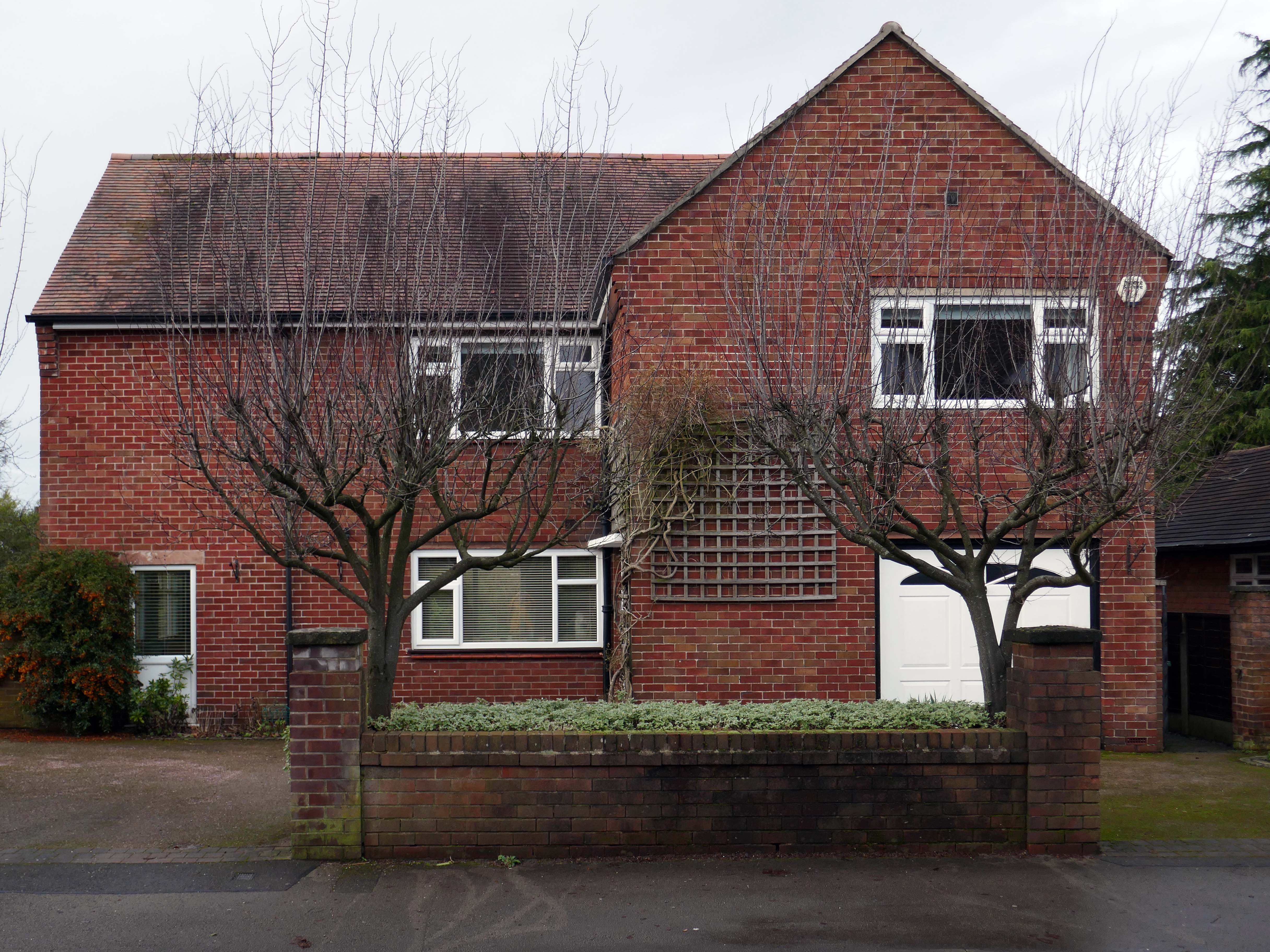
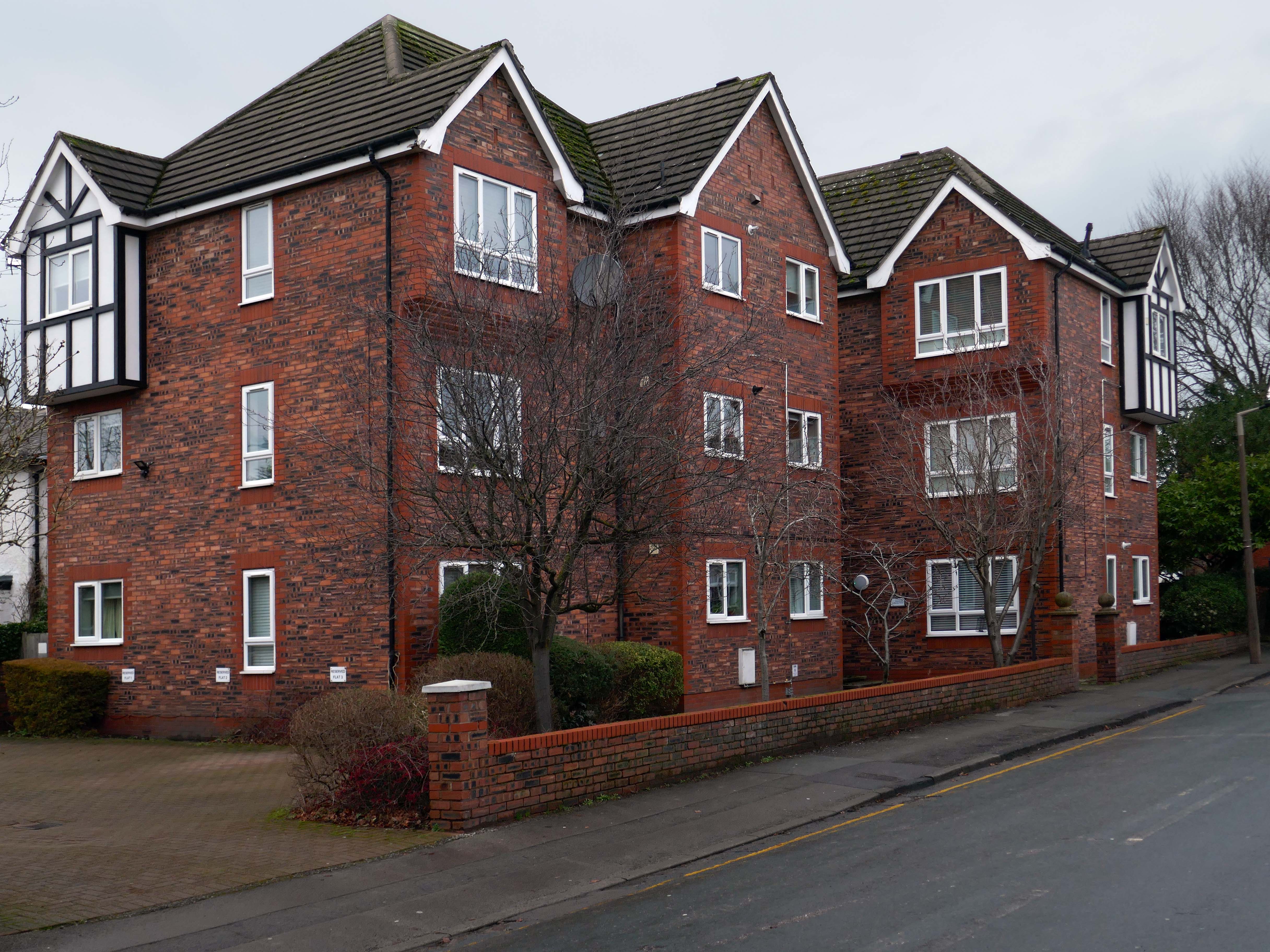
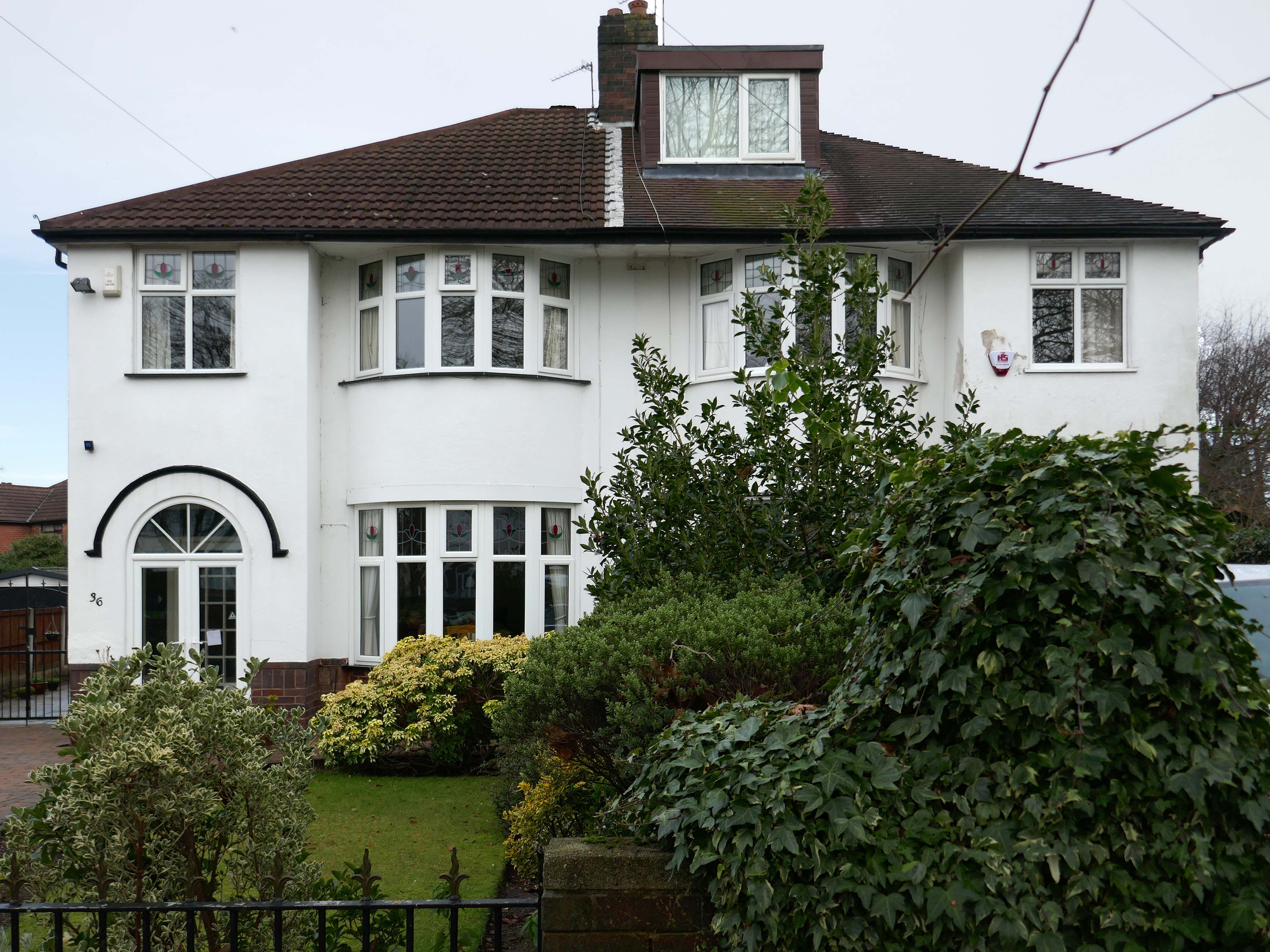
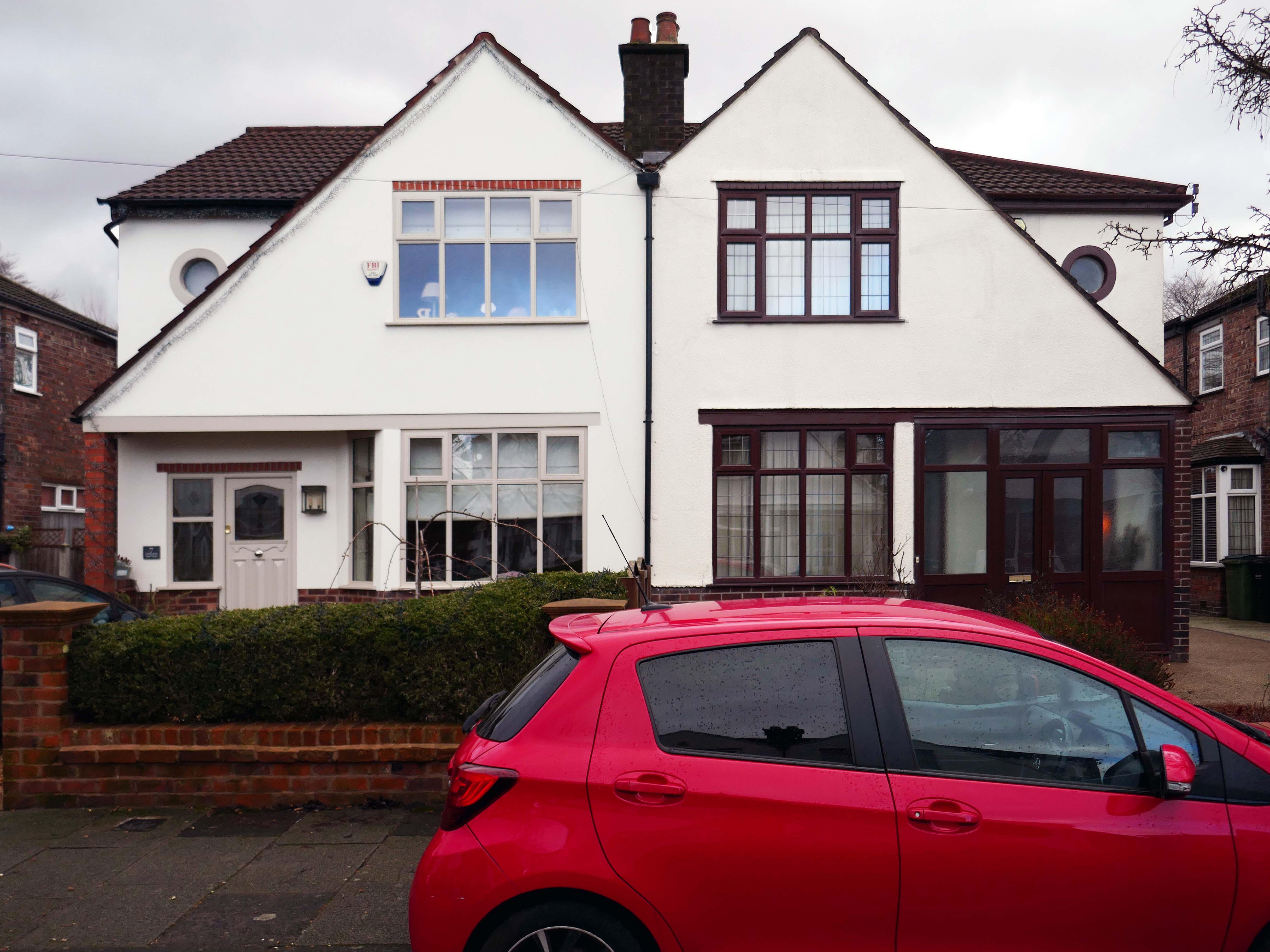
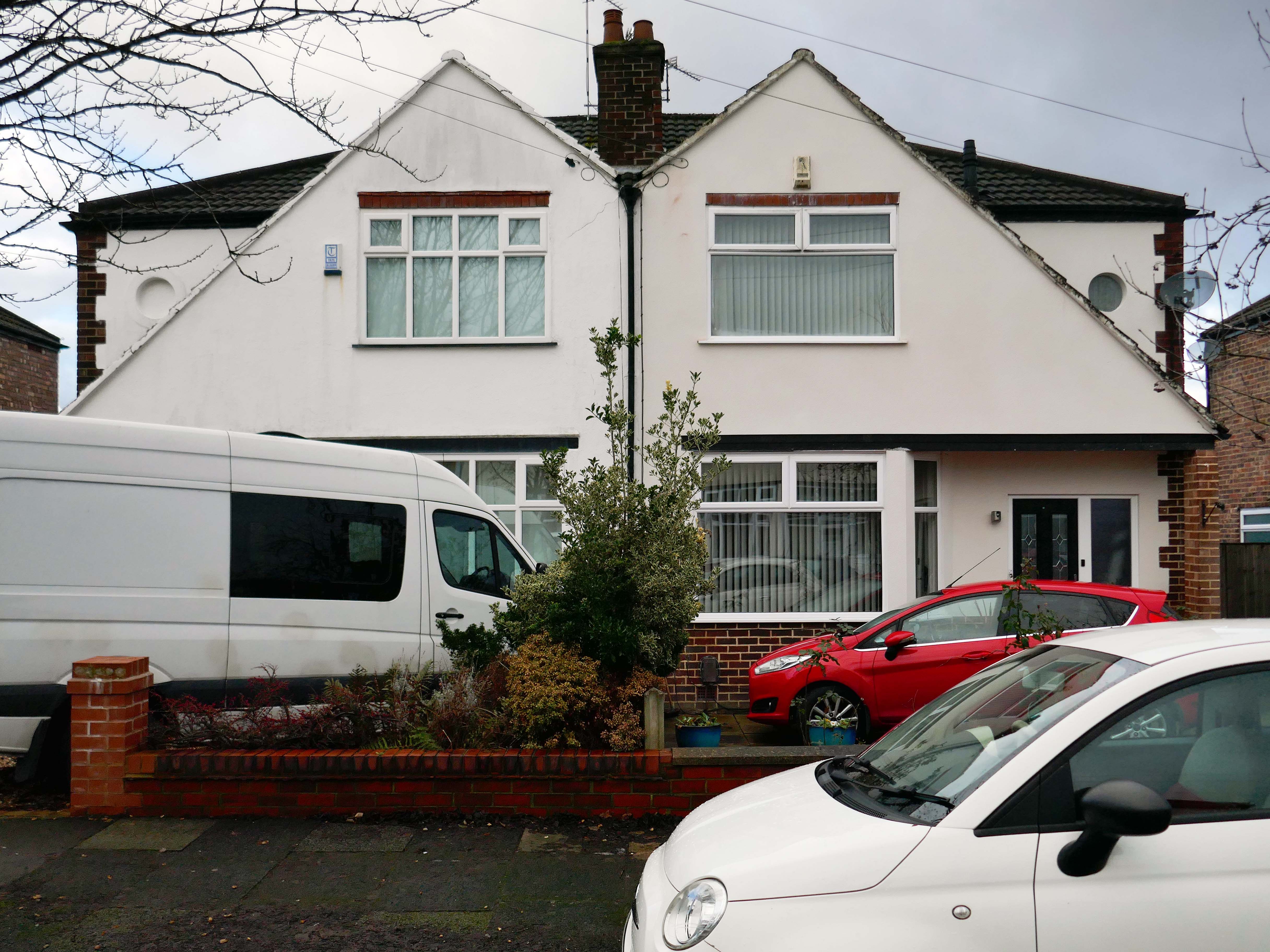
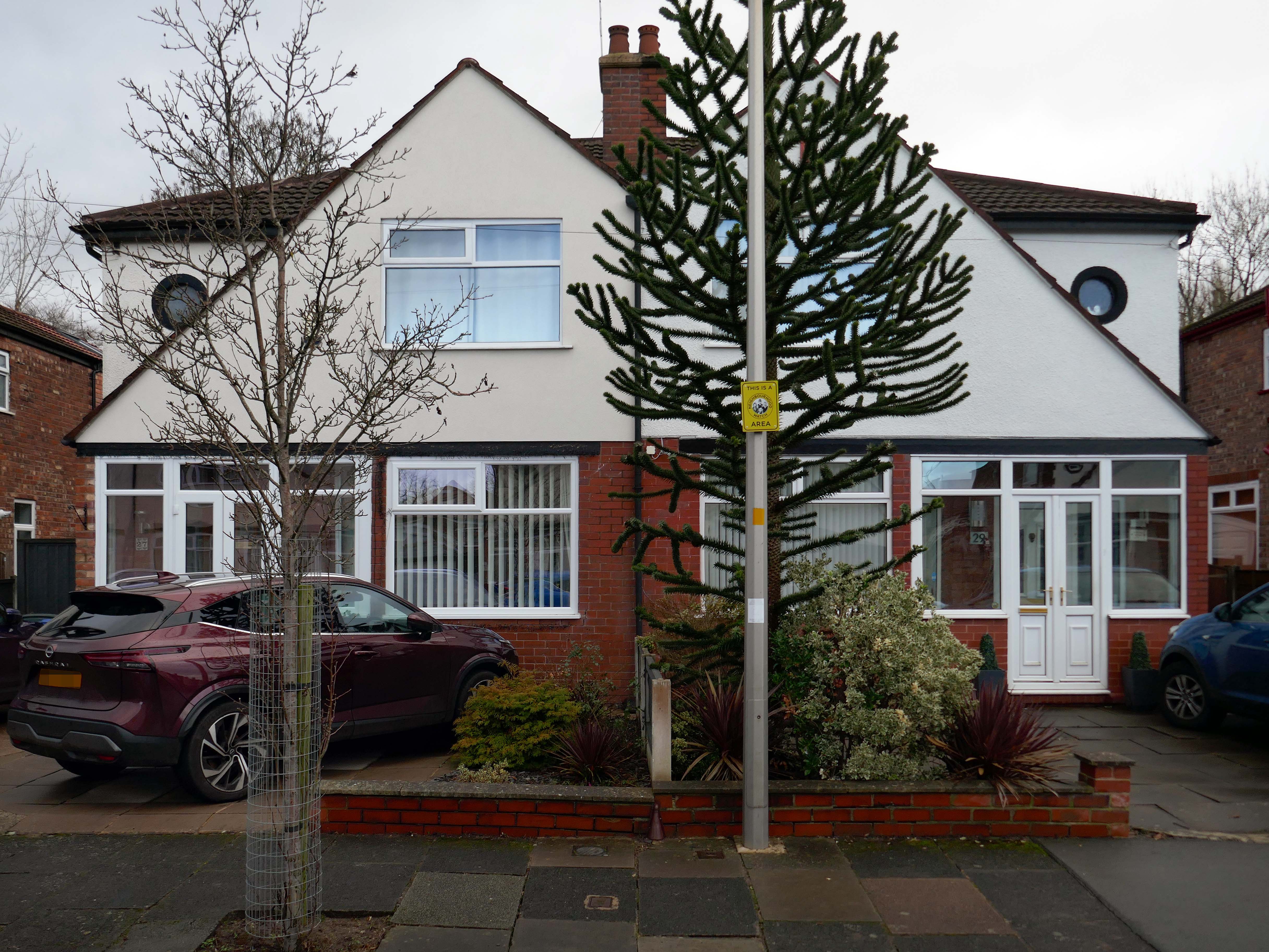
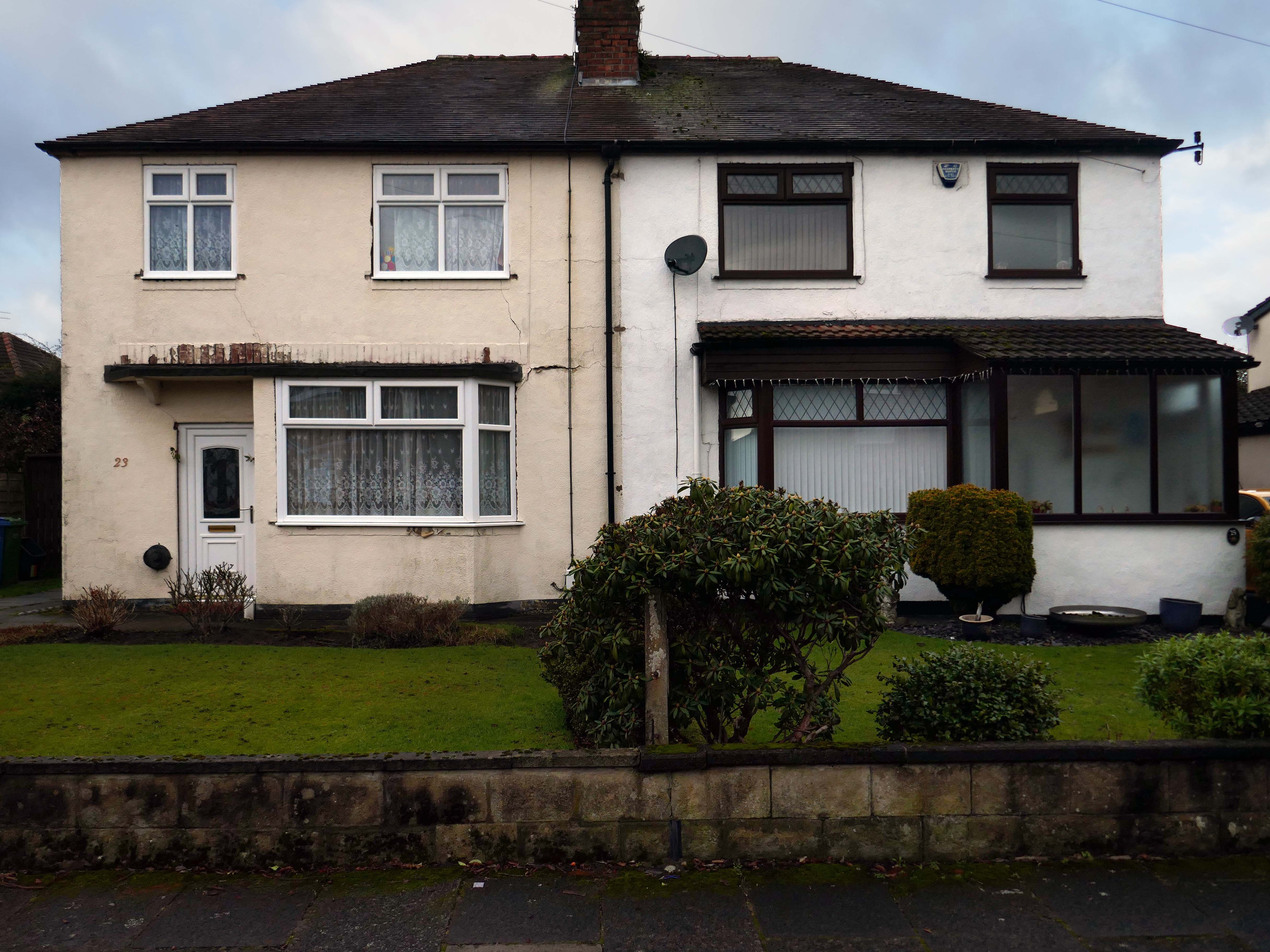
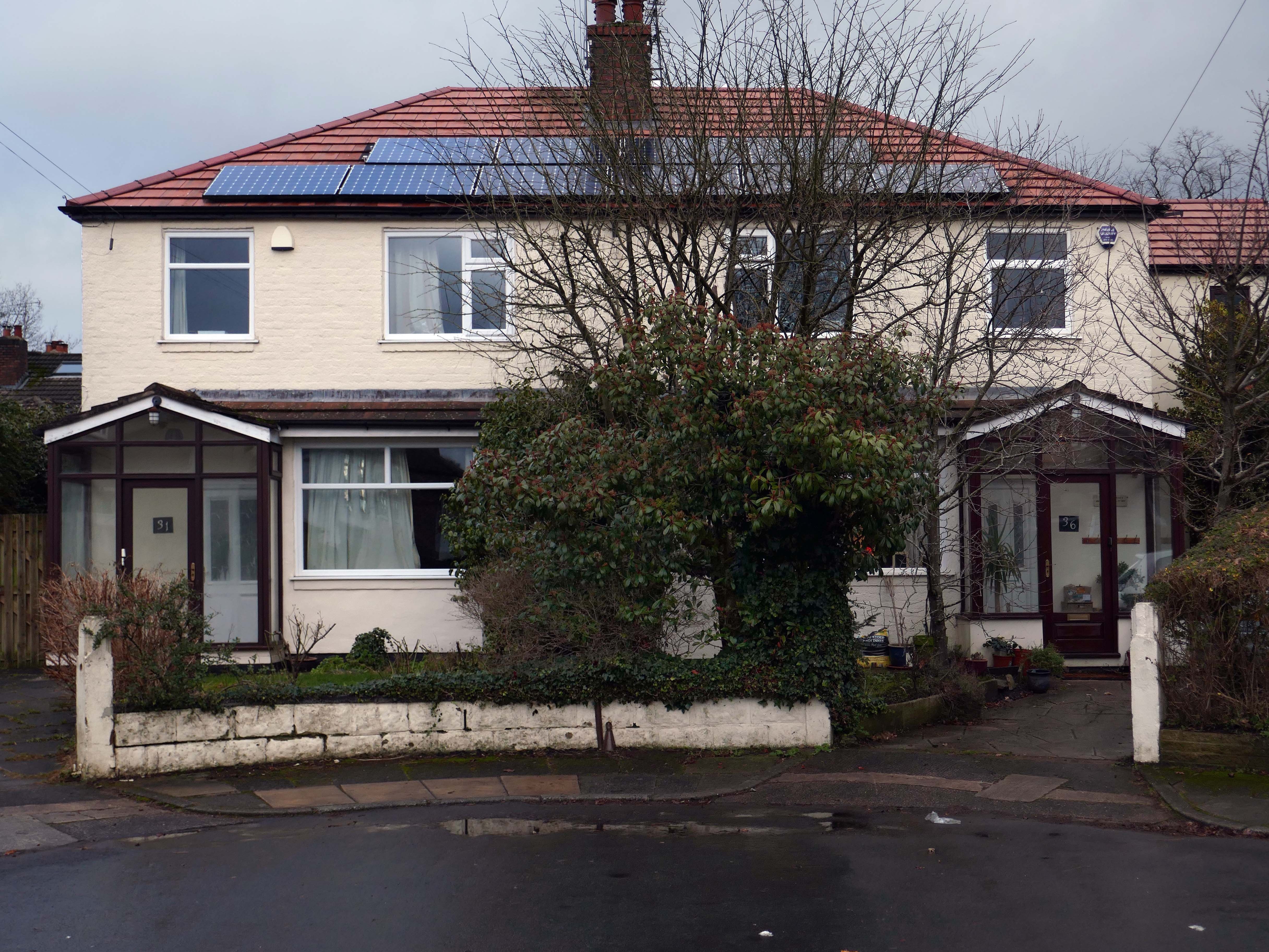
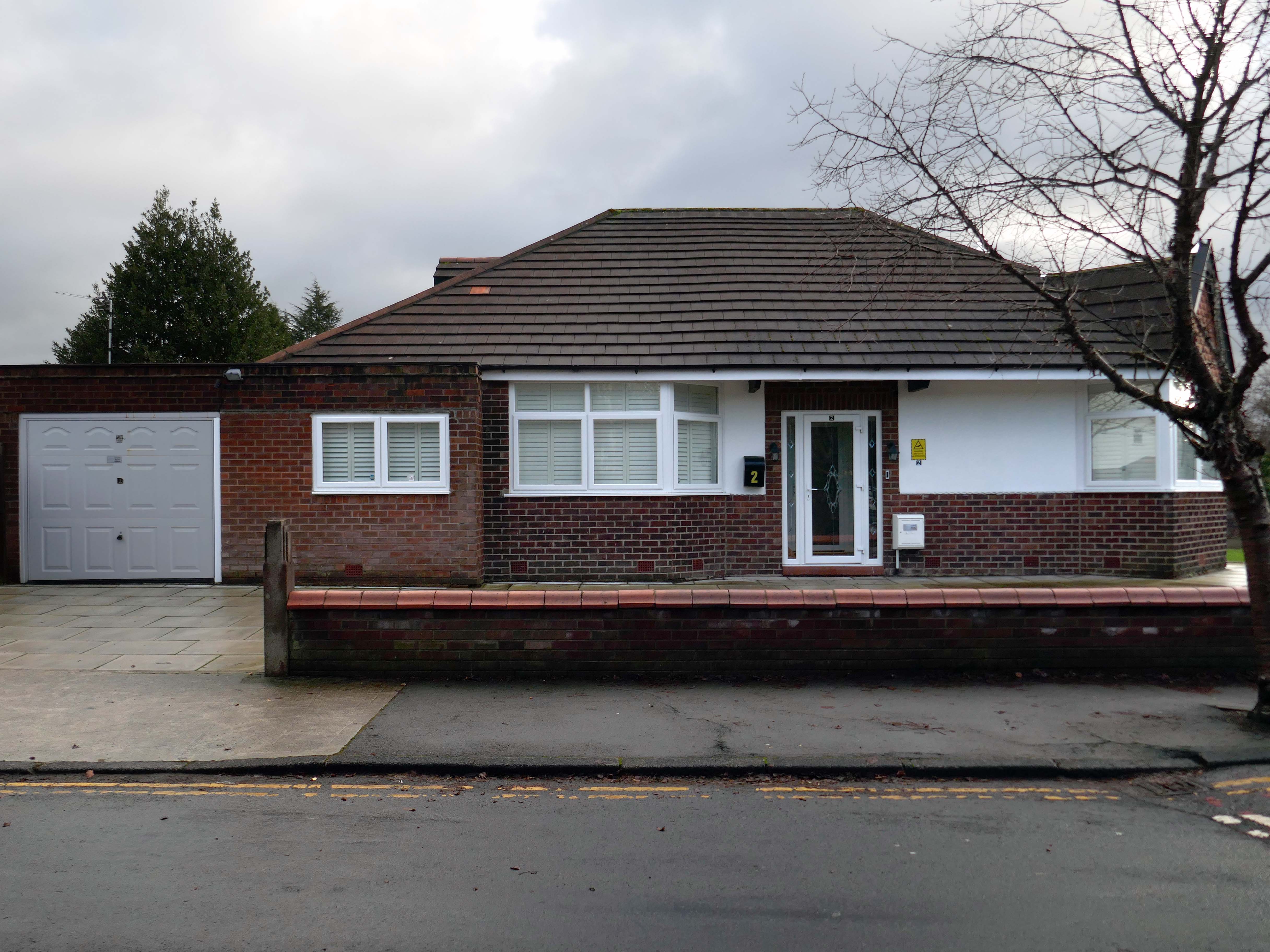
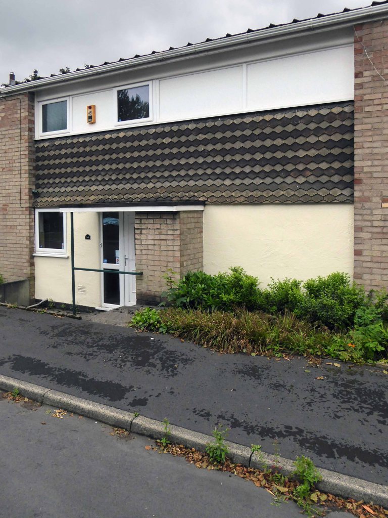
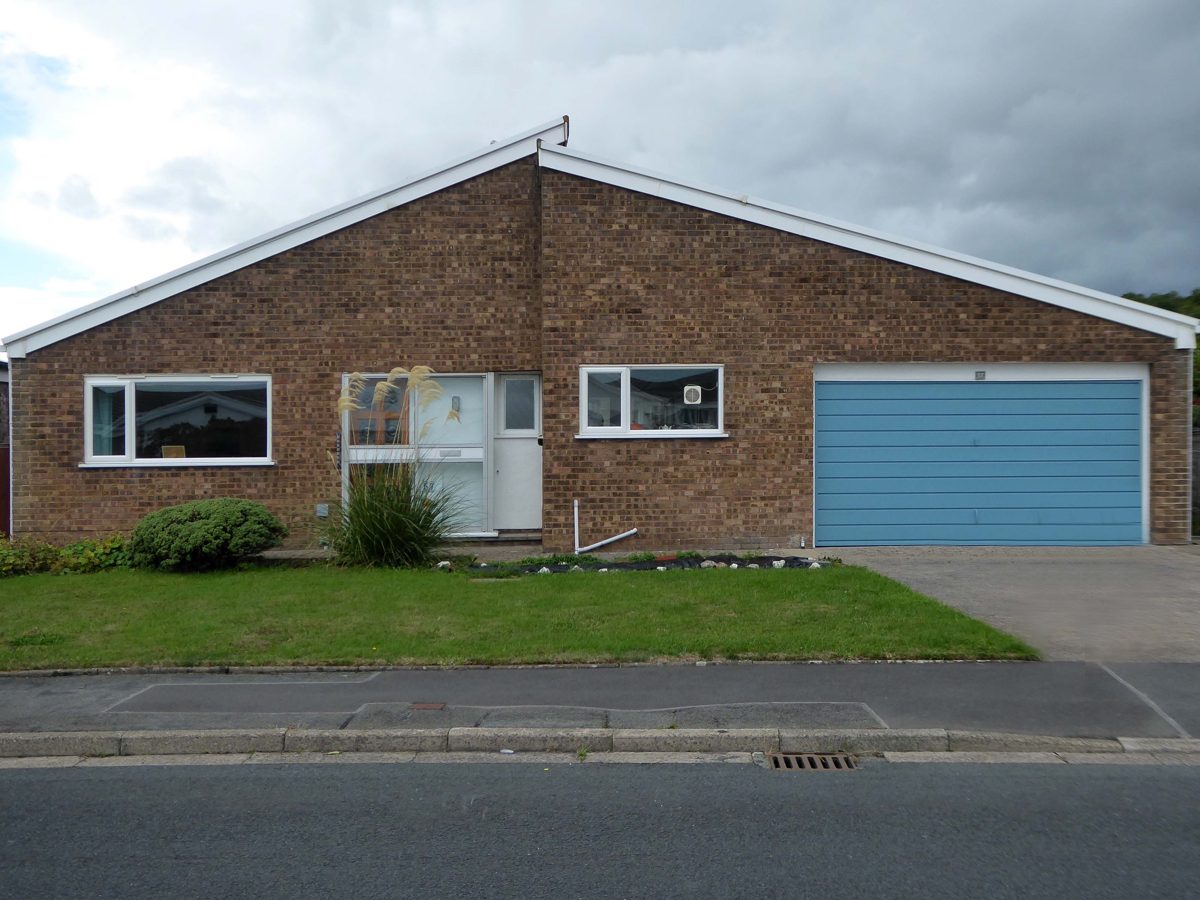
Within the typology there area number of variants, bungalow, dormer bungalow, link detached, semi-detached and detached.
Very very few of the homes have retained their original features, the imperative of our age is to extend and improve.
There is a covenant in the deeds which prevents the building of border fencing – therefore the development retains its small-scale suburban American ambience.
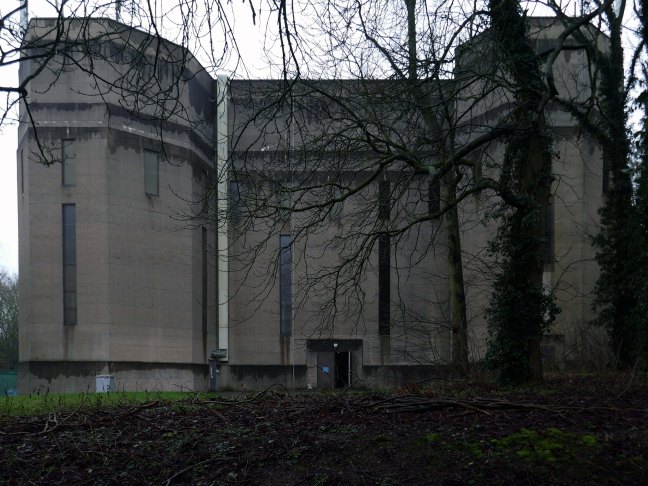
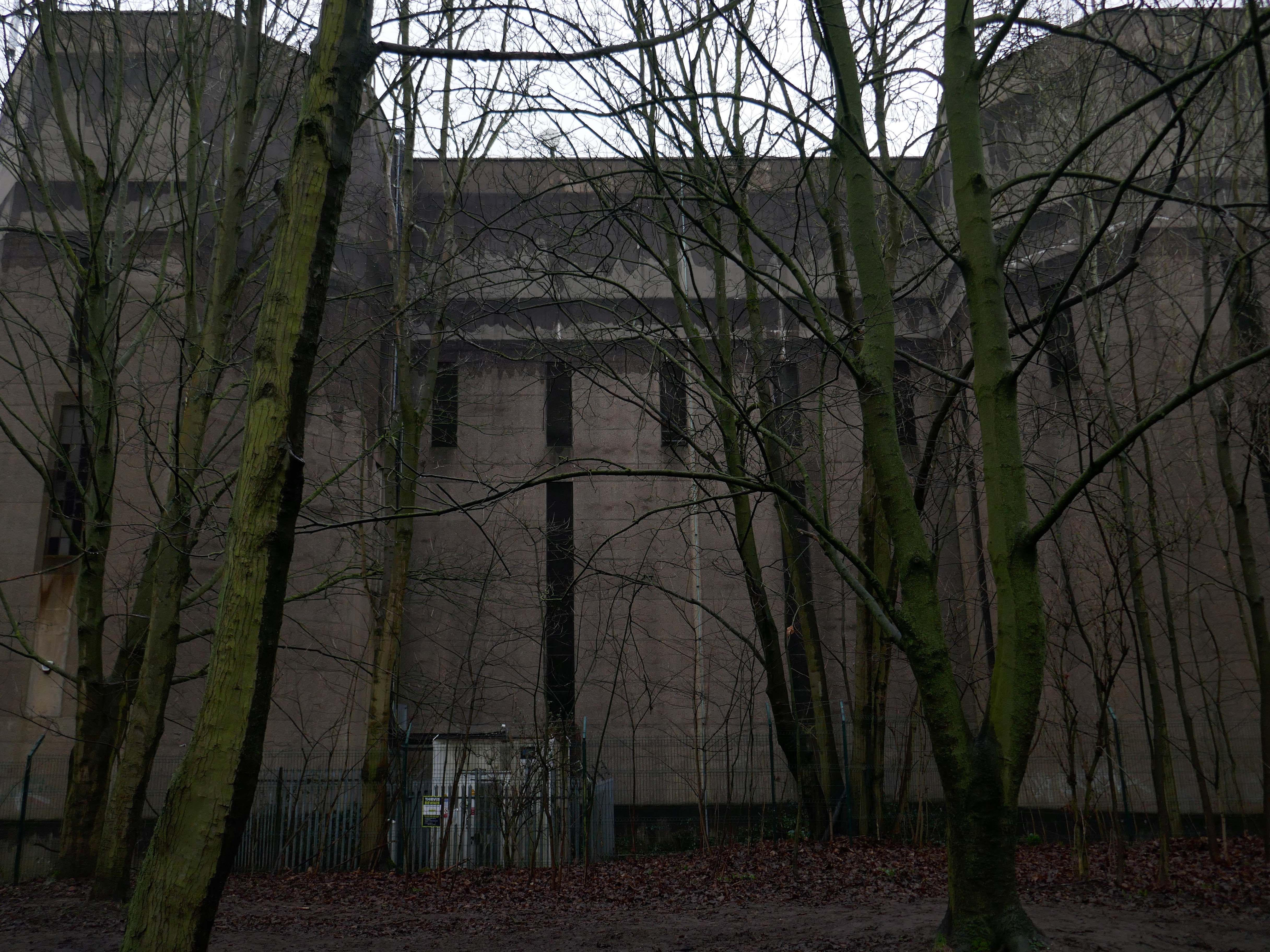
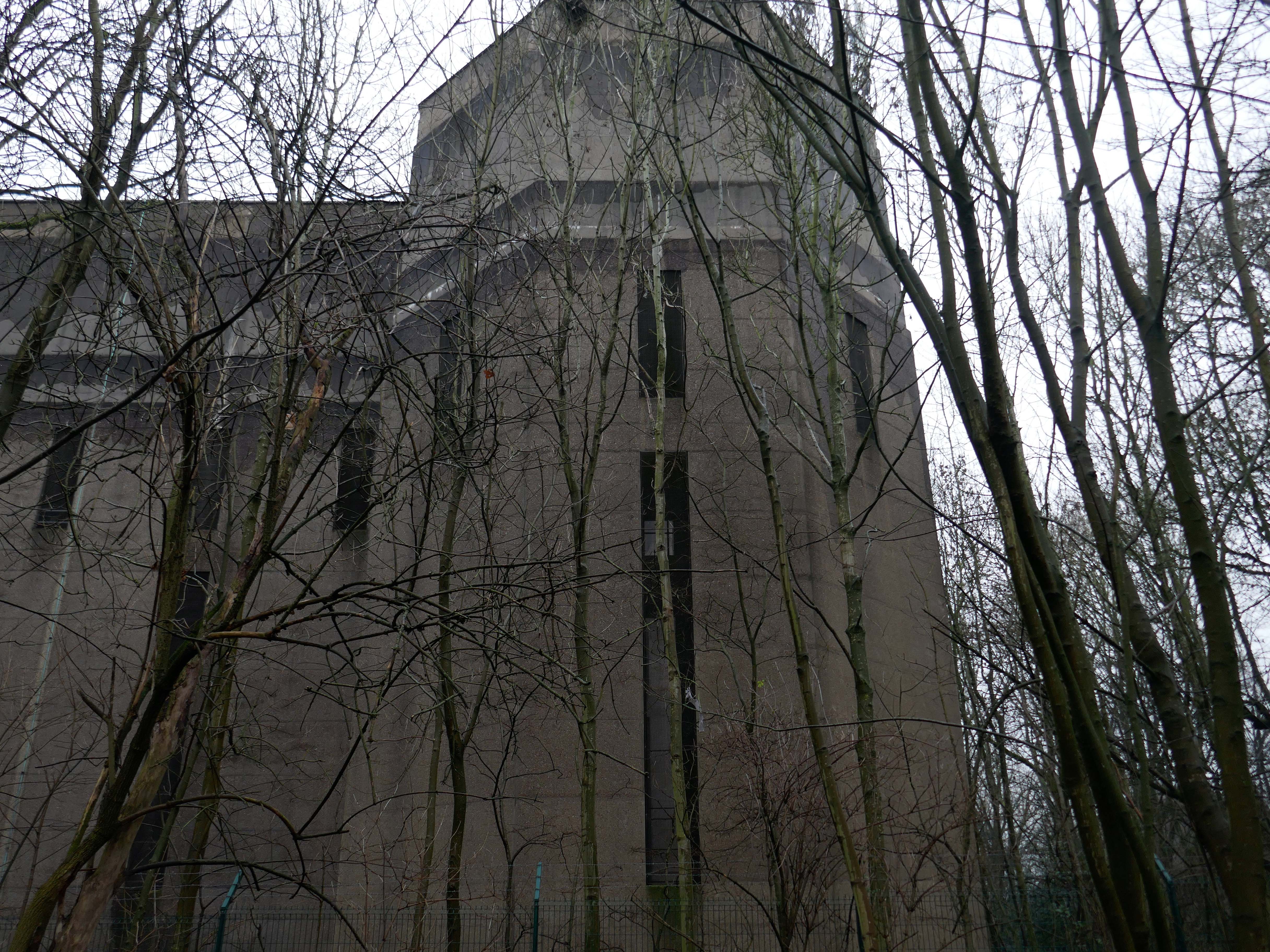
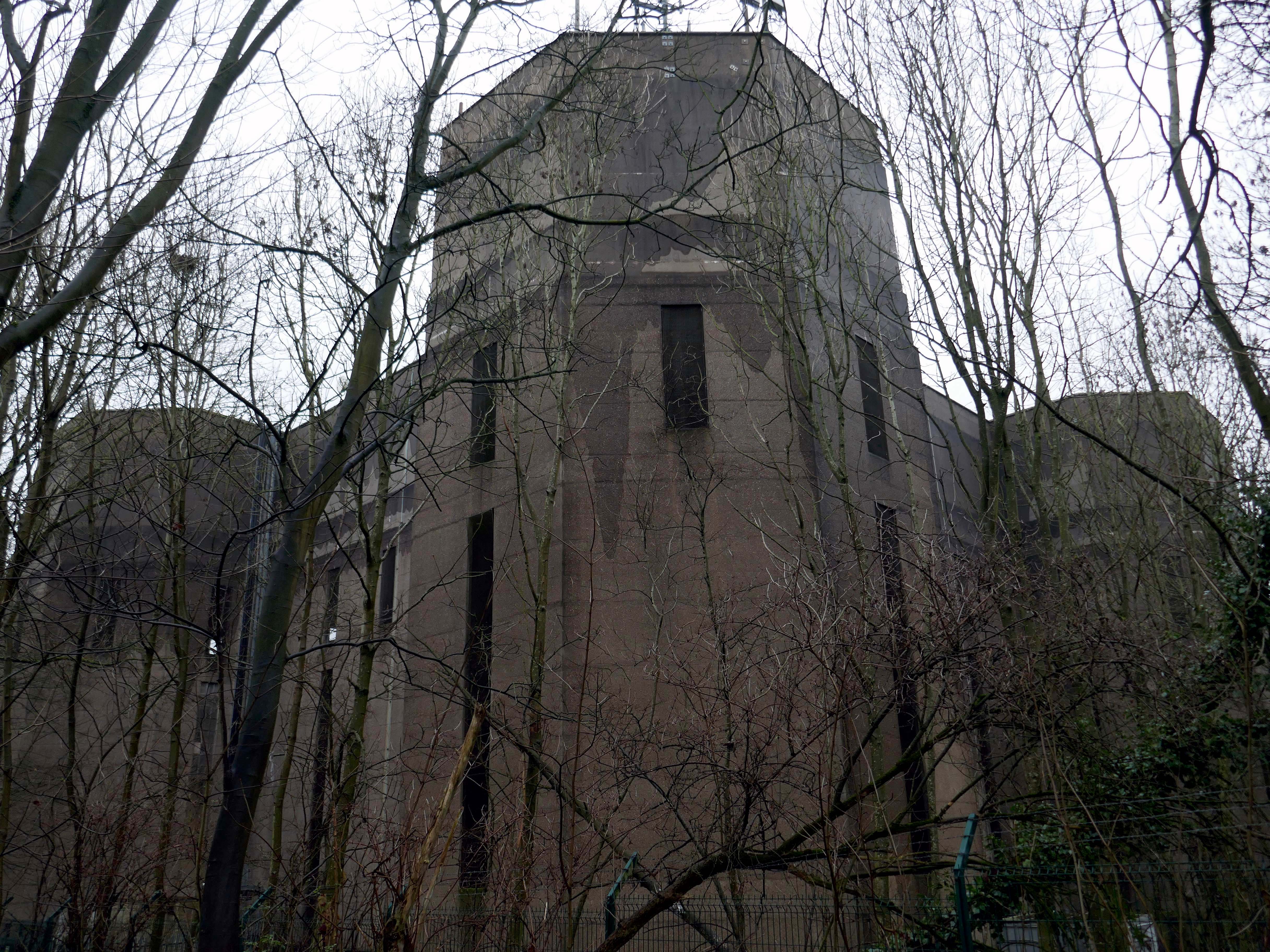
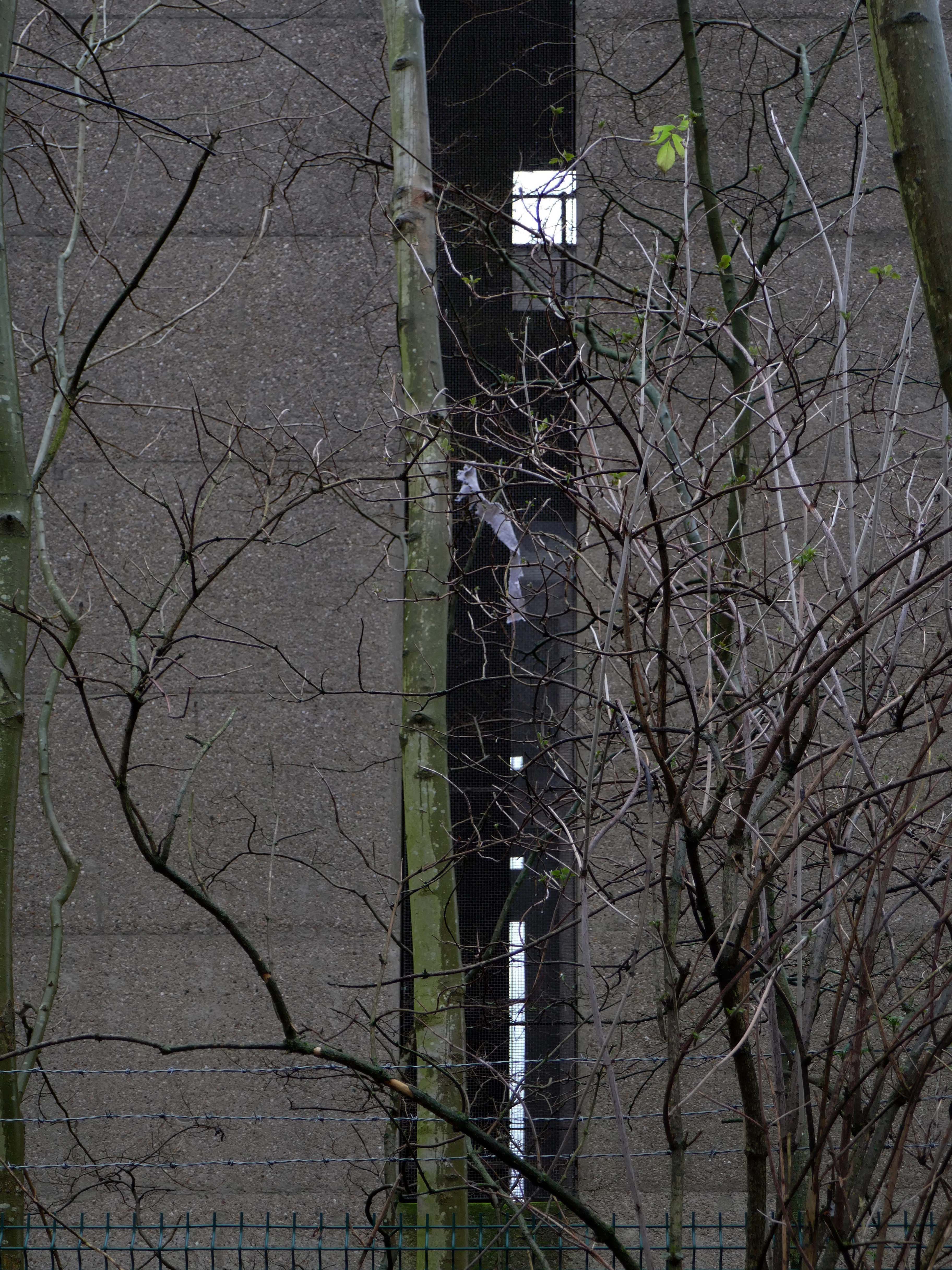
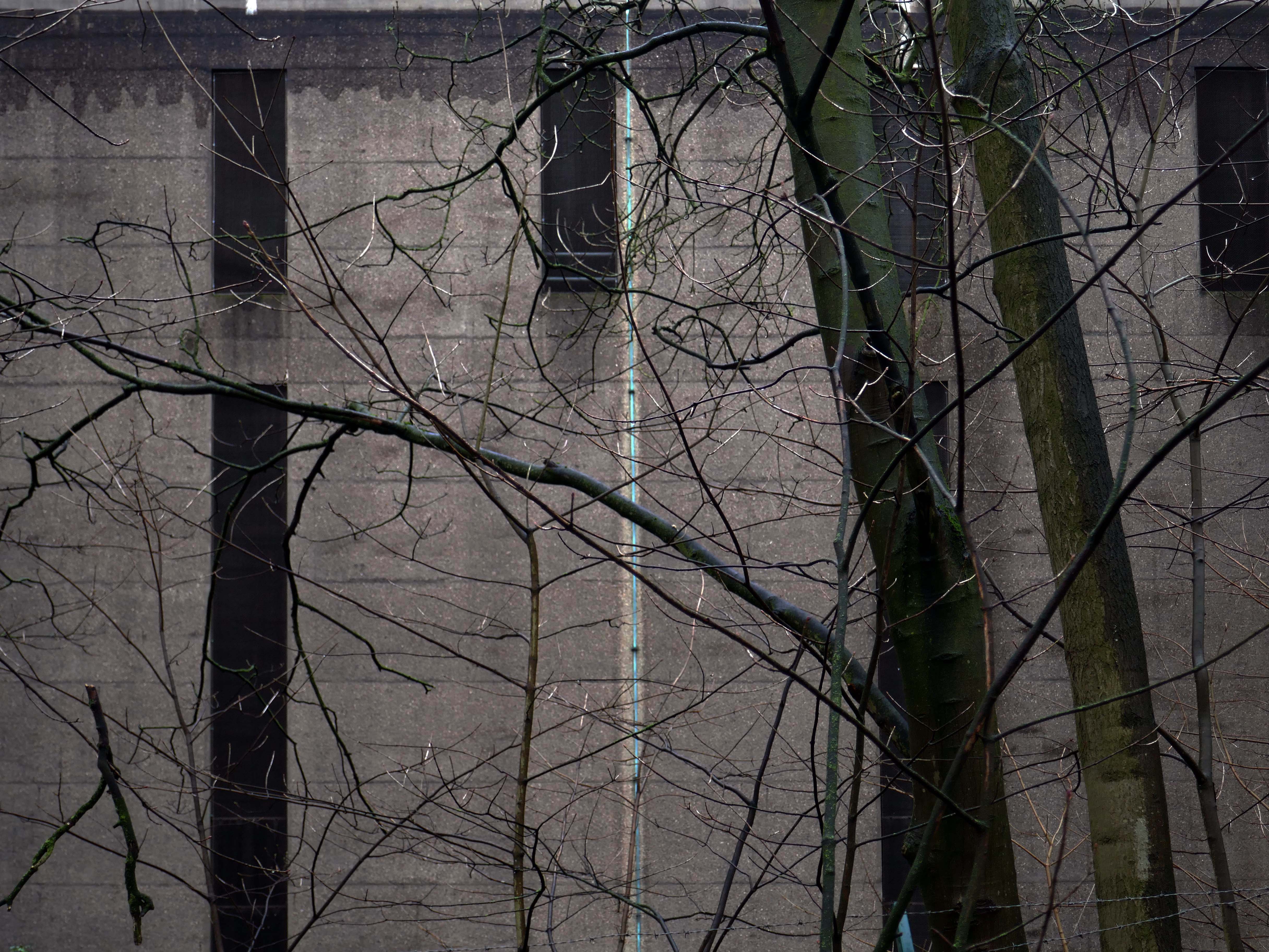
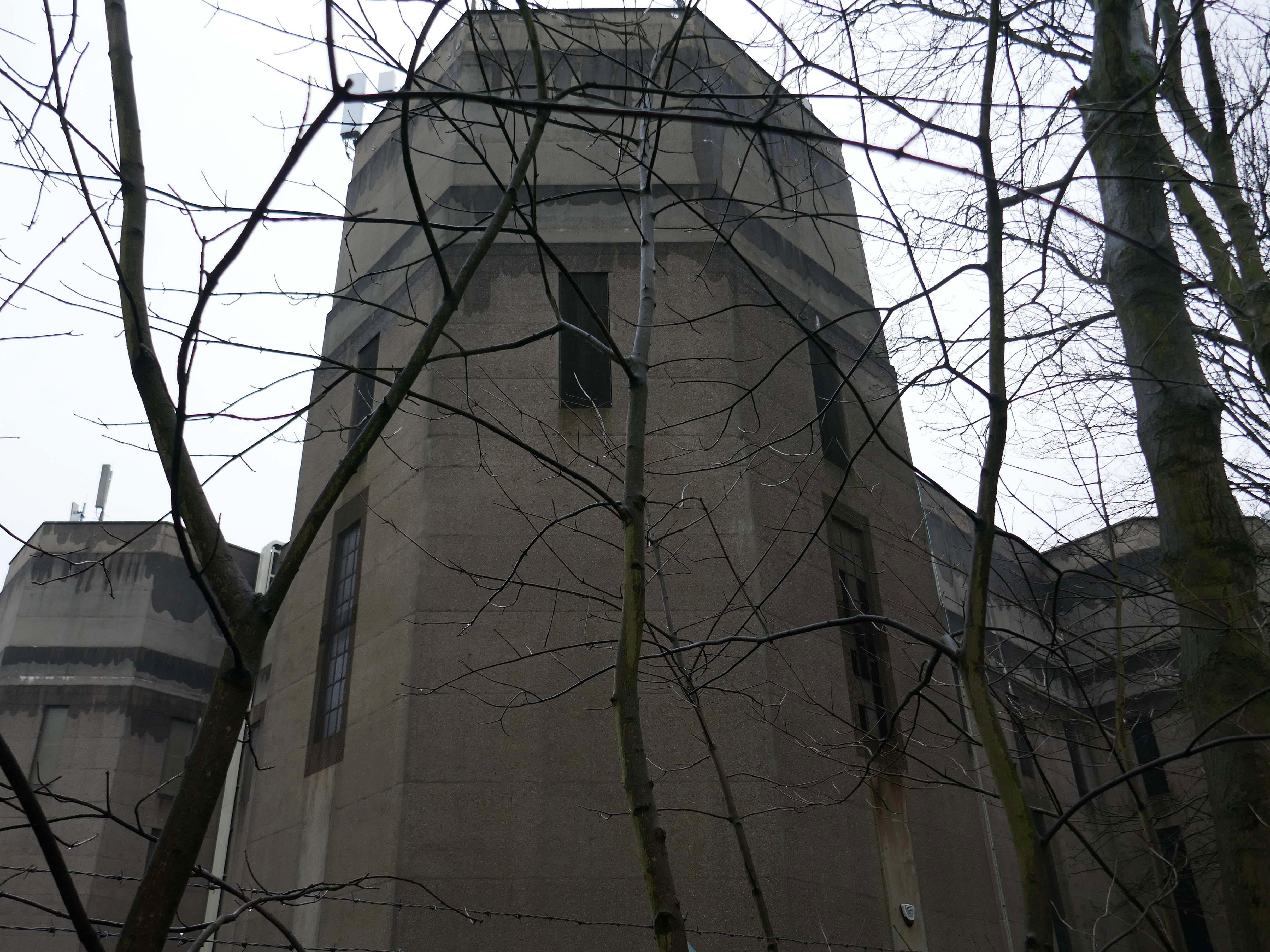
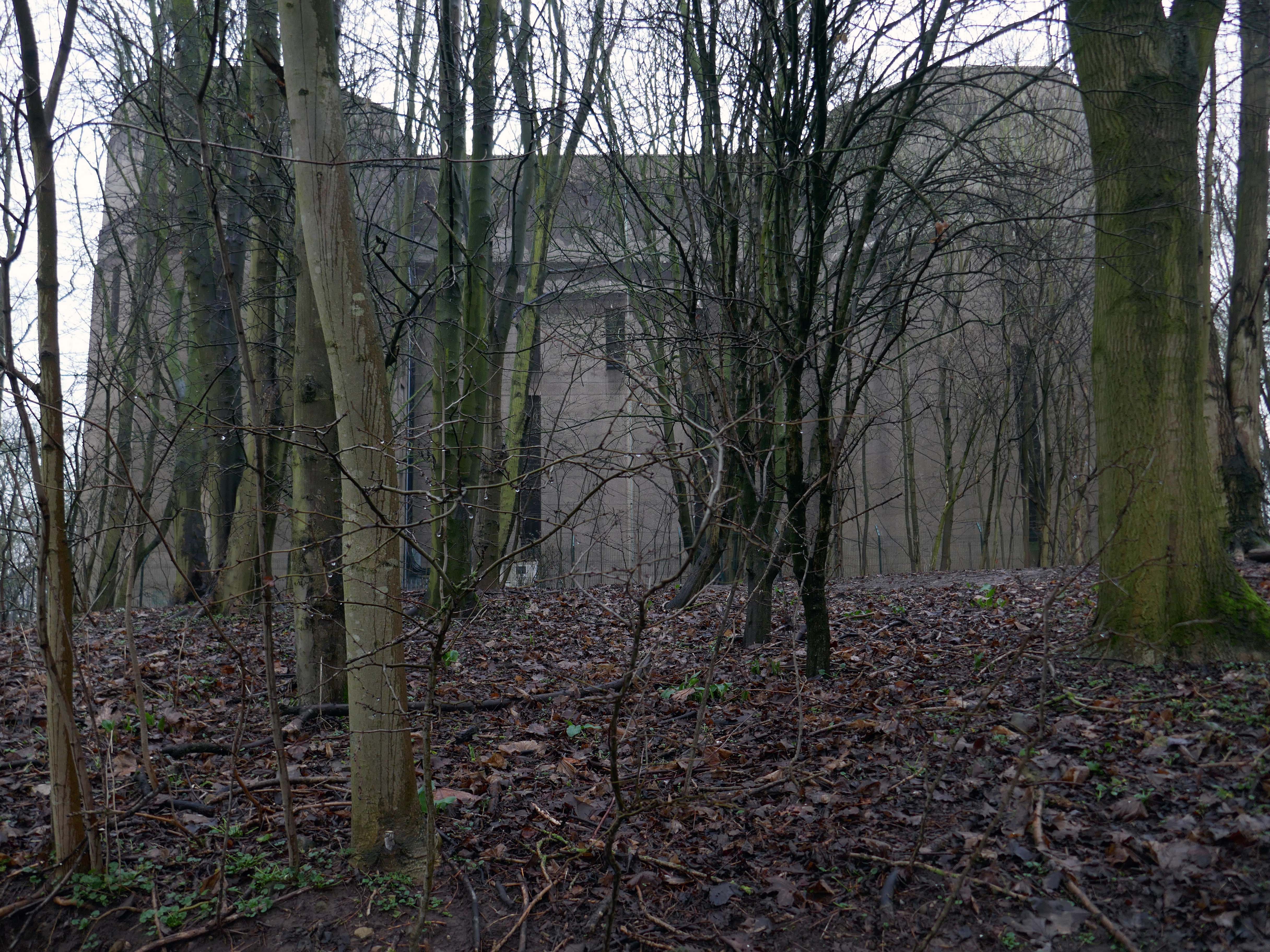
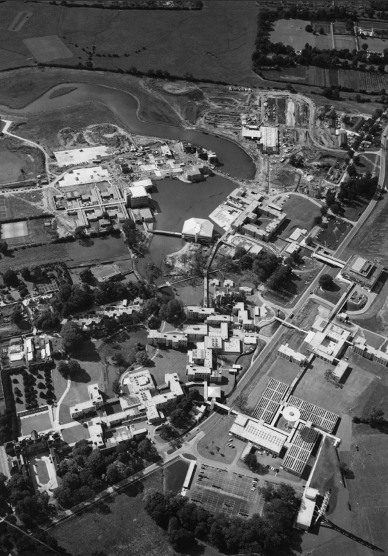
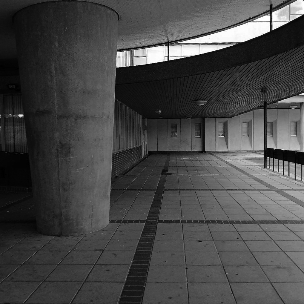
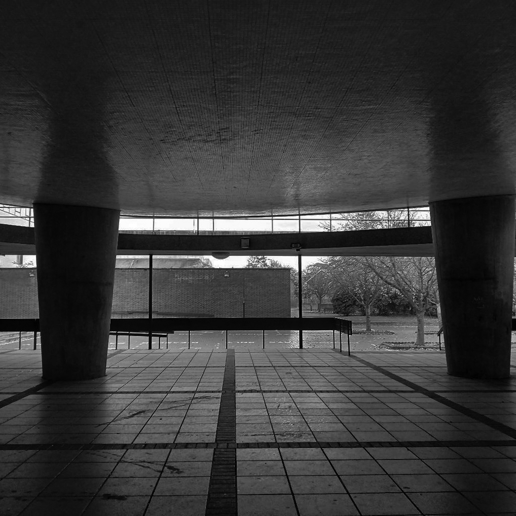
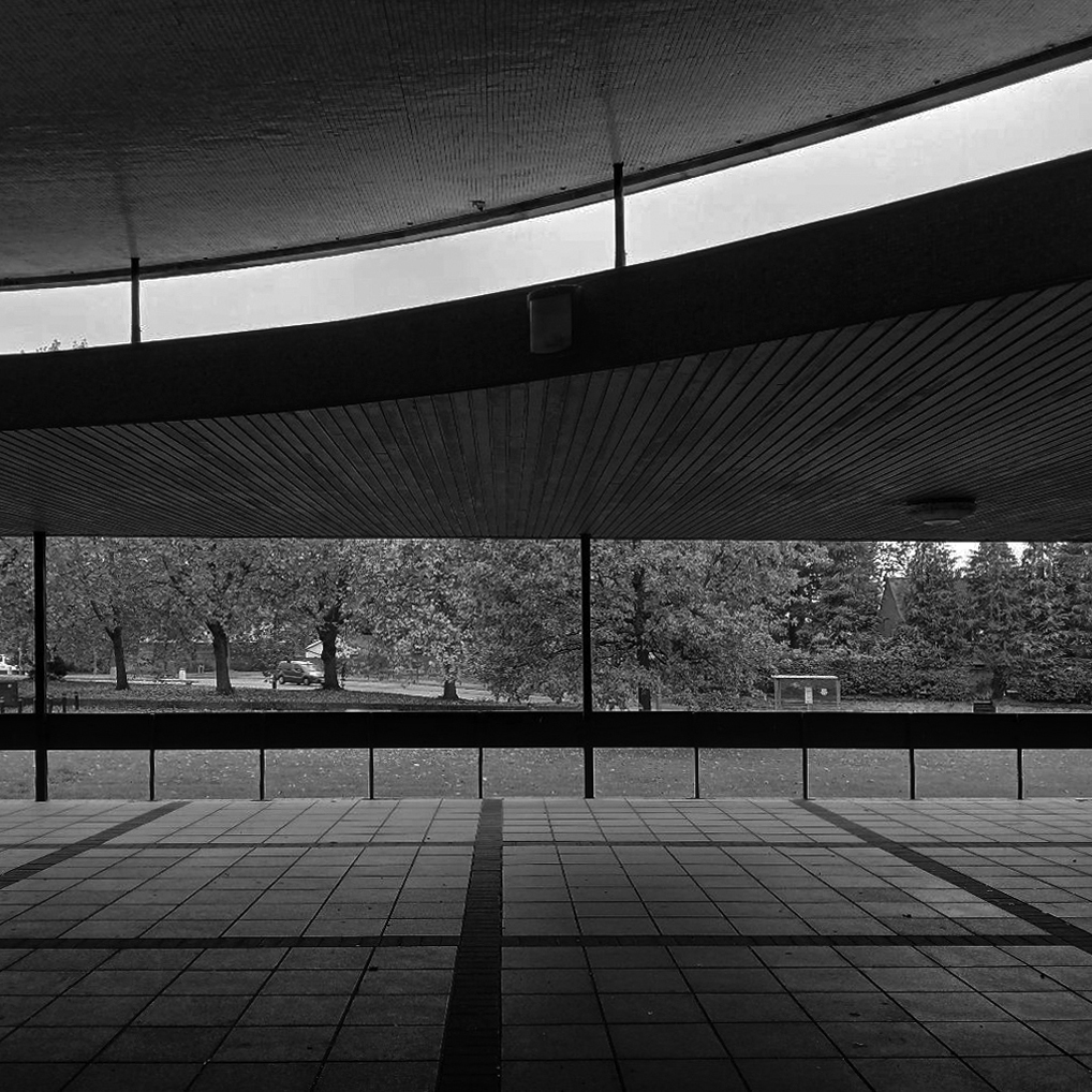
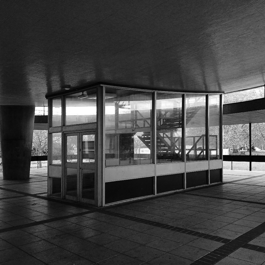
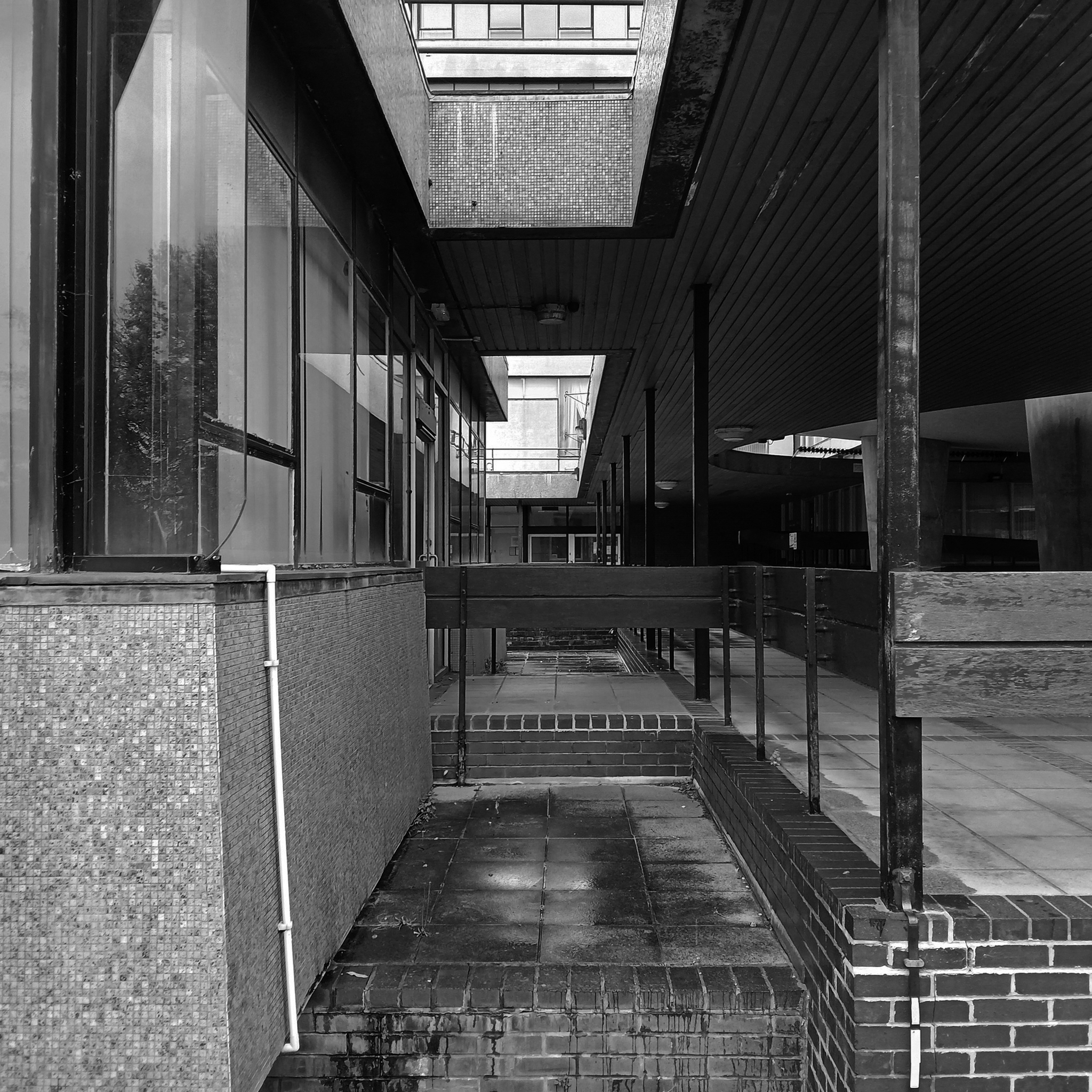
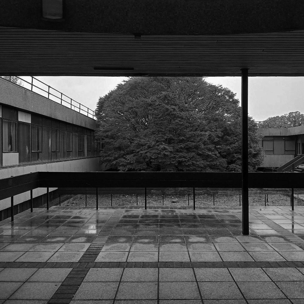
Exploring the University of York campus the first point of interest which we encountered was the Water Tower.
Siward’s Howe, sometimes written Siwards How and also known as Heslington Hill or Bunny Hill is a terminal moraine located to the south-east of the city of York.
The howe is situated north west of the Morrell Library building of the University of York. The southern side of the howe is part of Alcuin College of the University of York.
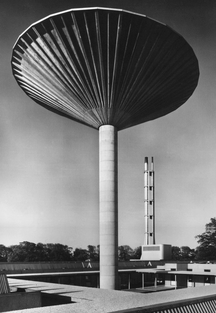
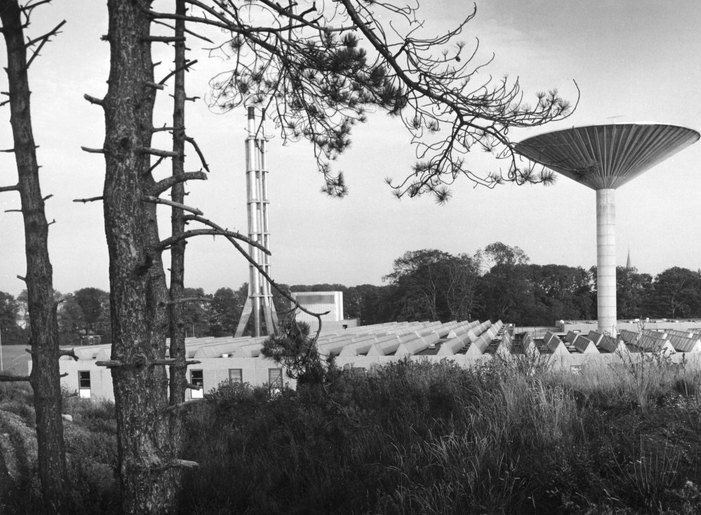
Its imposing water tower is visible from many parts of the nearby suburbs of Tang Hall and Osbaldwick.
Siward’s Howe is named for Siward, Earl of Northumbria, the 11th century Danish warrior.
Siward died at York during 1055 and is rumoured to have been buried beneath the tumuli at the wooded summit.
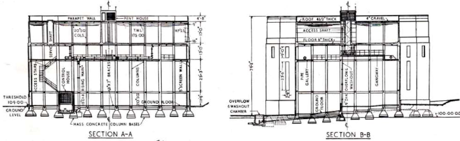
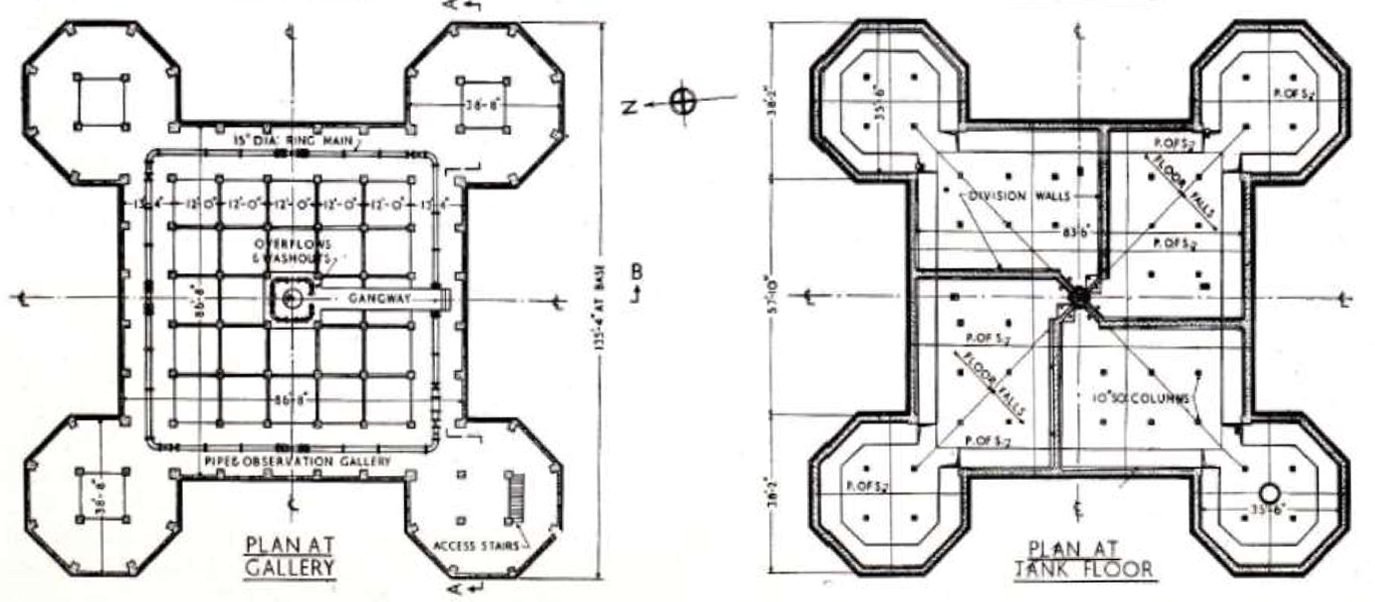
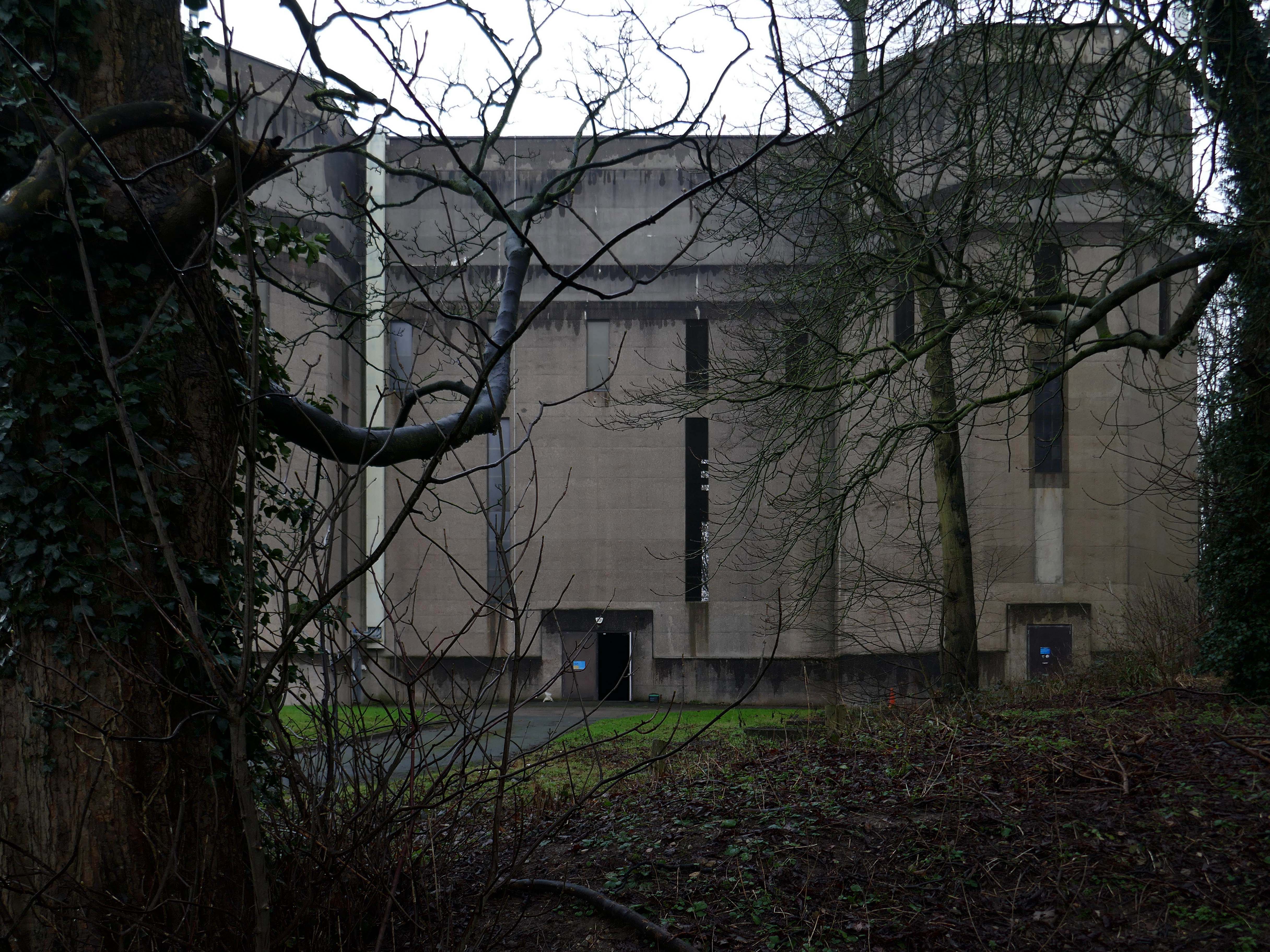
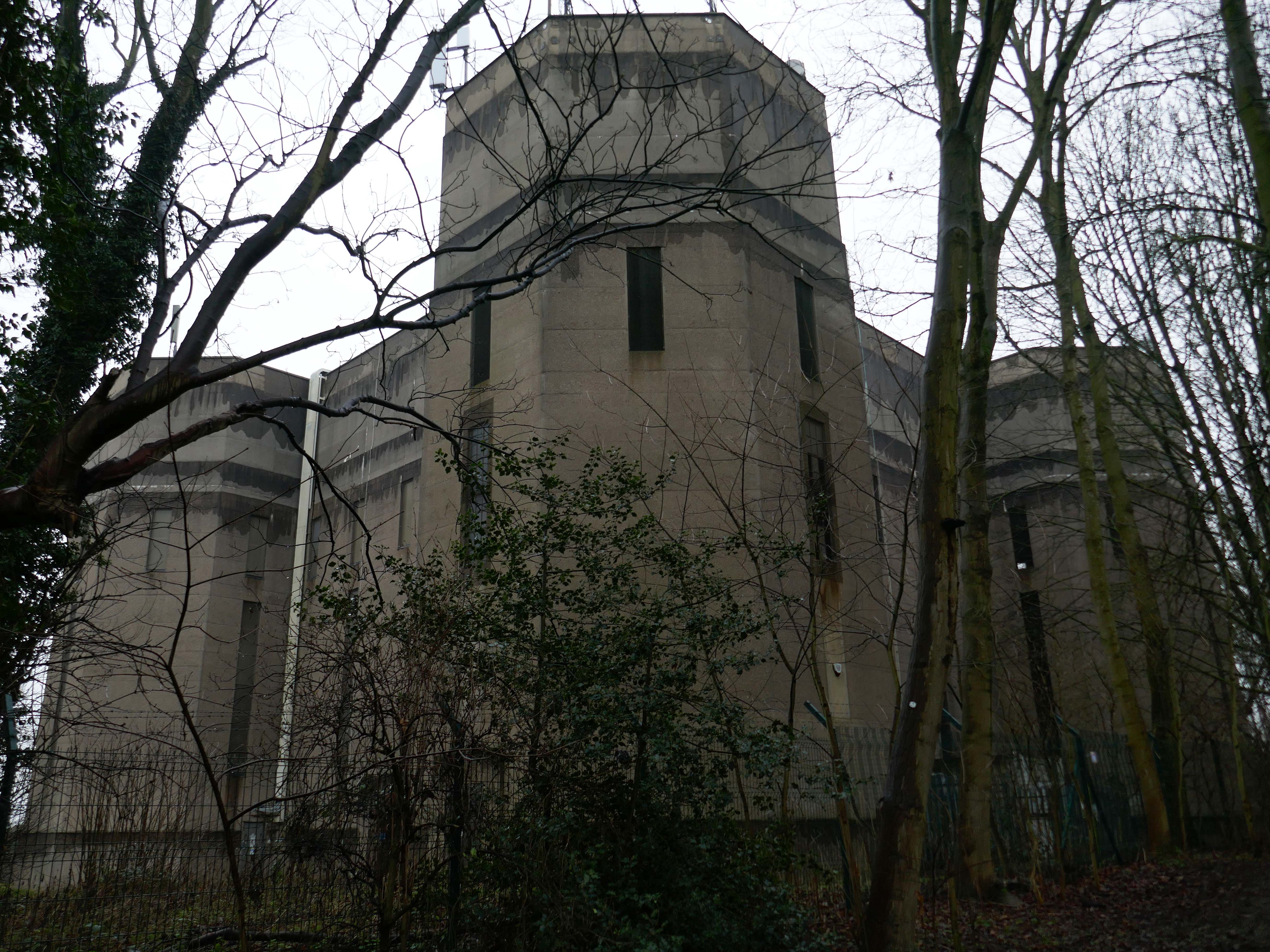
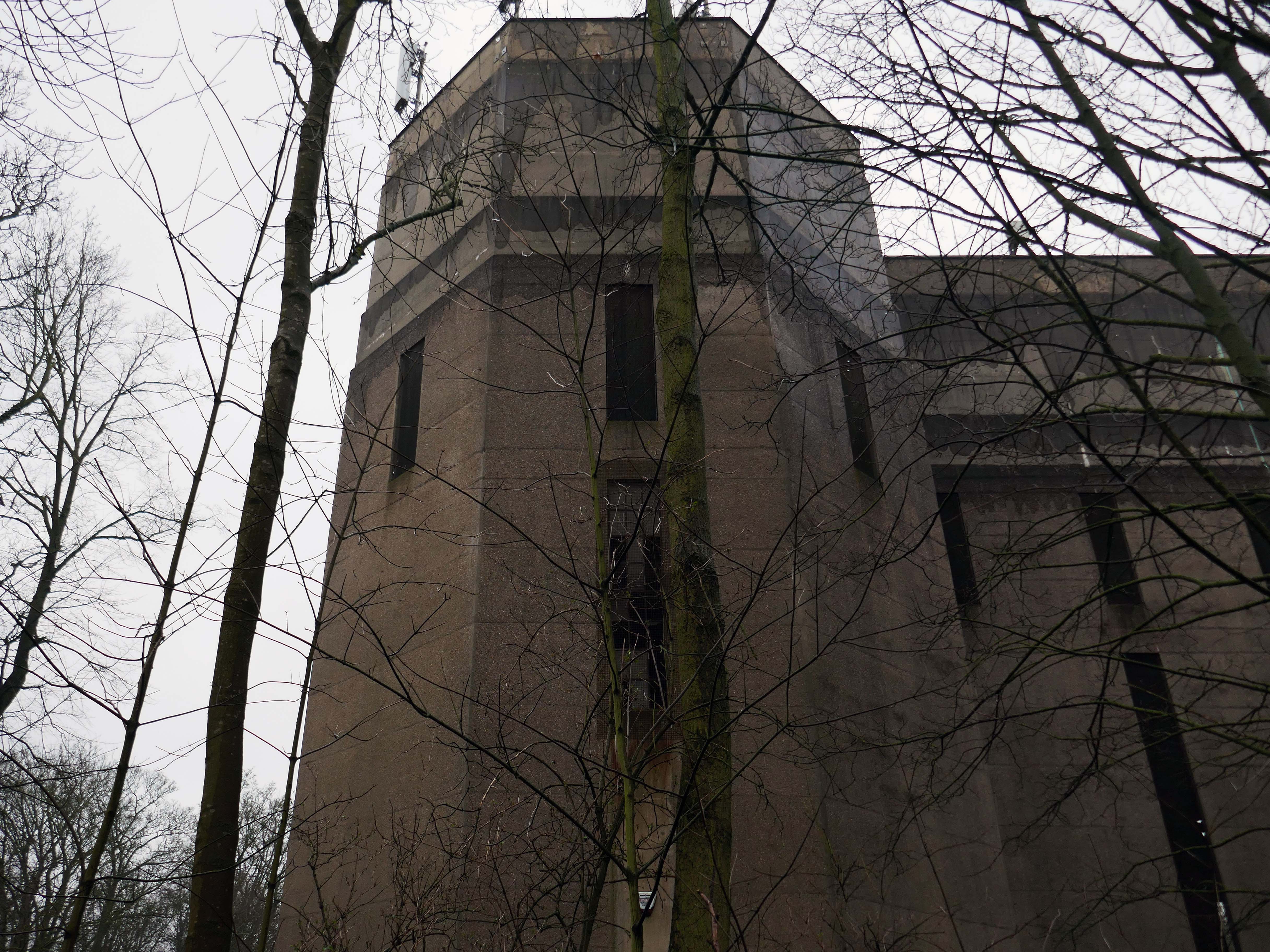
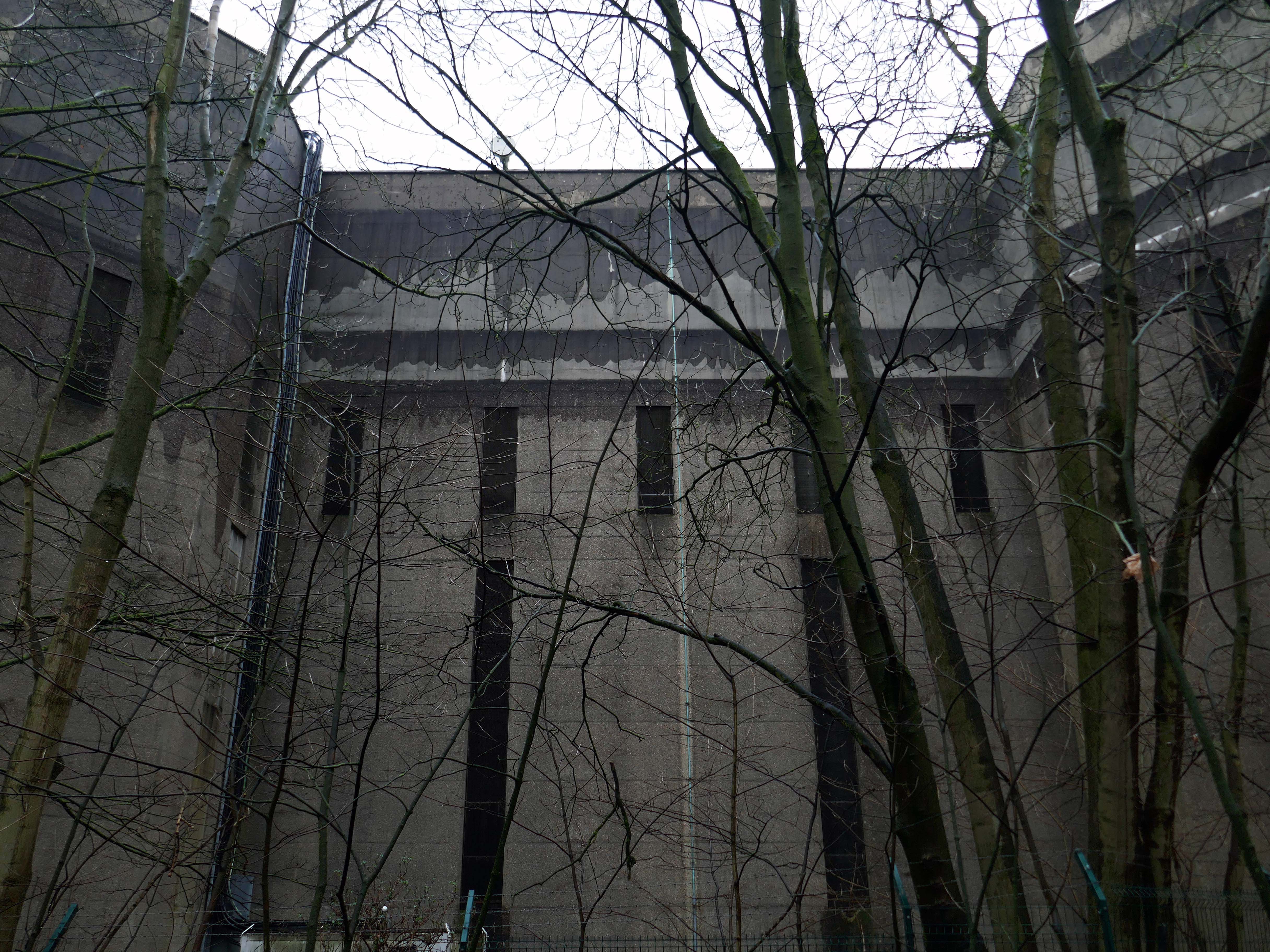
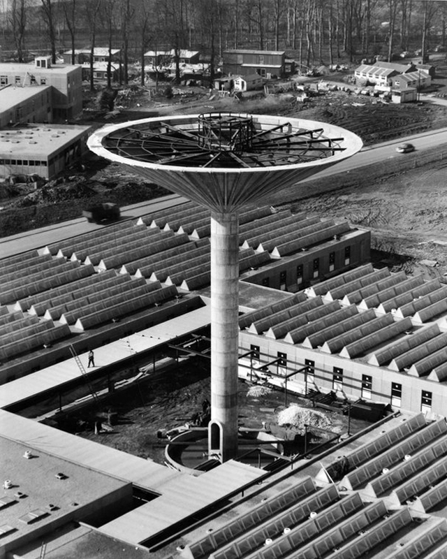
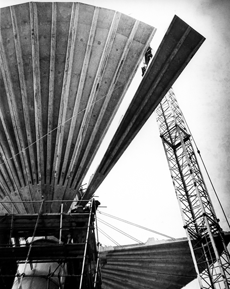
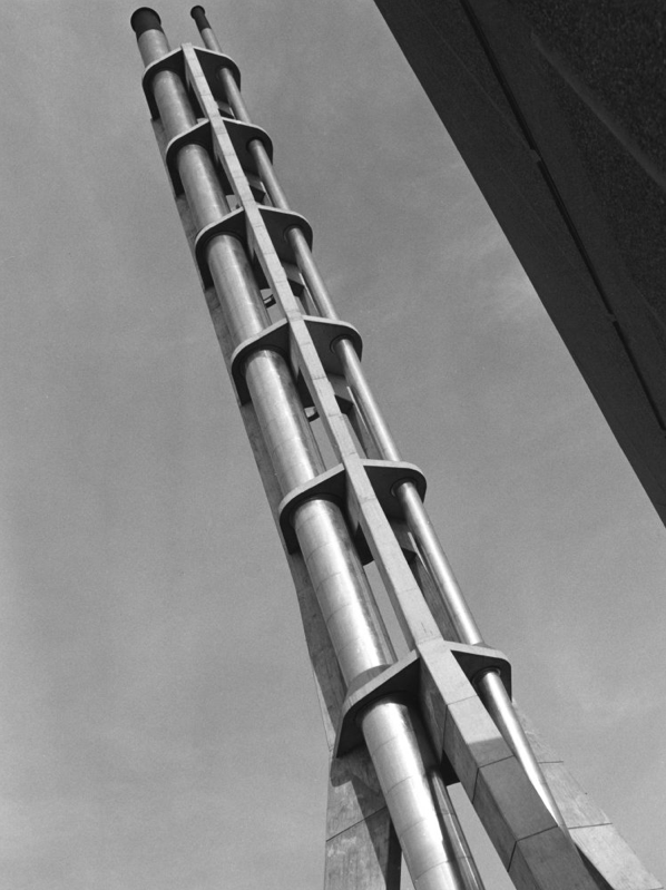
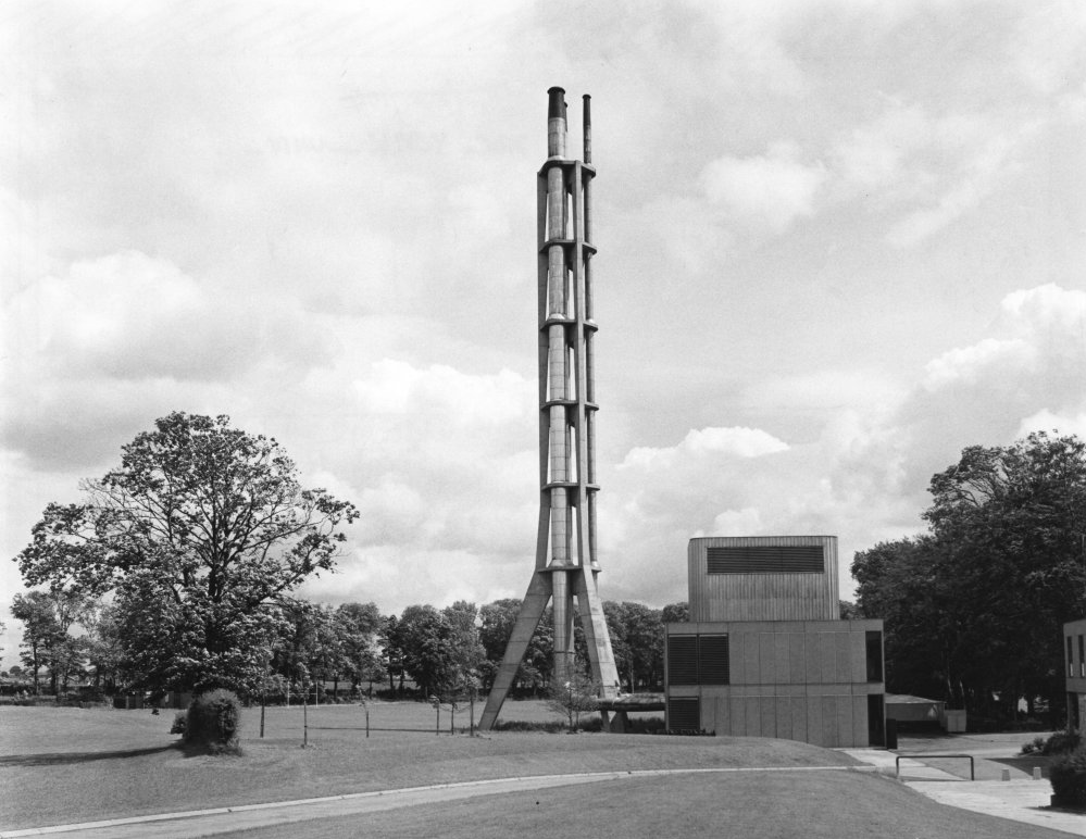
Built in 1955 the water tower contained one million gallons of water – the largest in England at the time.
It’s still operational, and provides water to Dunnington and Elvington.
The shape of the tank and supporting structure on plan takes the form of a large central square portion, each corner of which is eclipsed by an octagonal tower seven faces of which are revealed.
The central tank is fifteen feet deep and is eighty three feet and six inches square.
The Tower comprised of an inverted twenty one metre diameter conical tank which was made up of thirty two pre cast concrete petals each weighing eight and a half tonnes. The Overall Height of the Tower was approximately twenty eight metres, the central core stem being two point three metres diameter .
Photo Steve Collins 2011
Photo RIBA pix
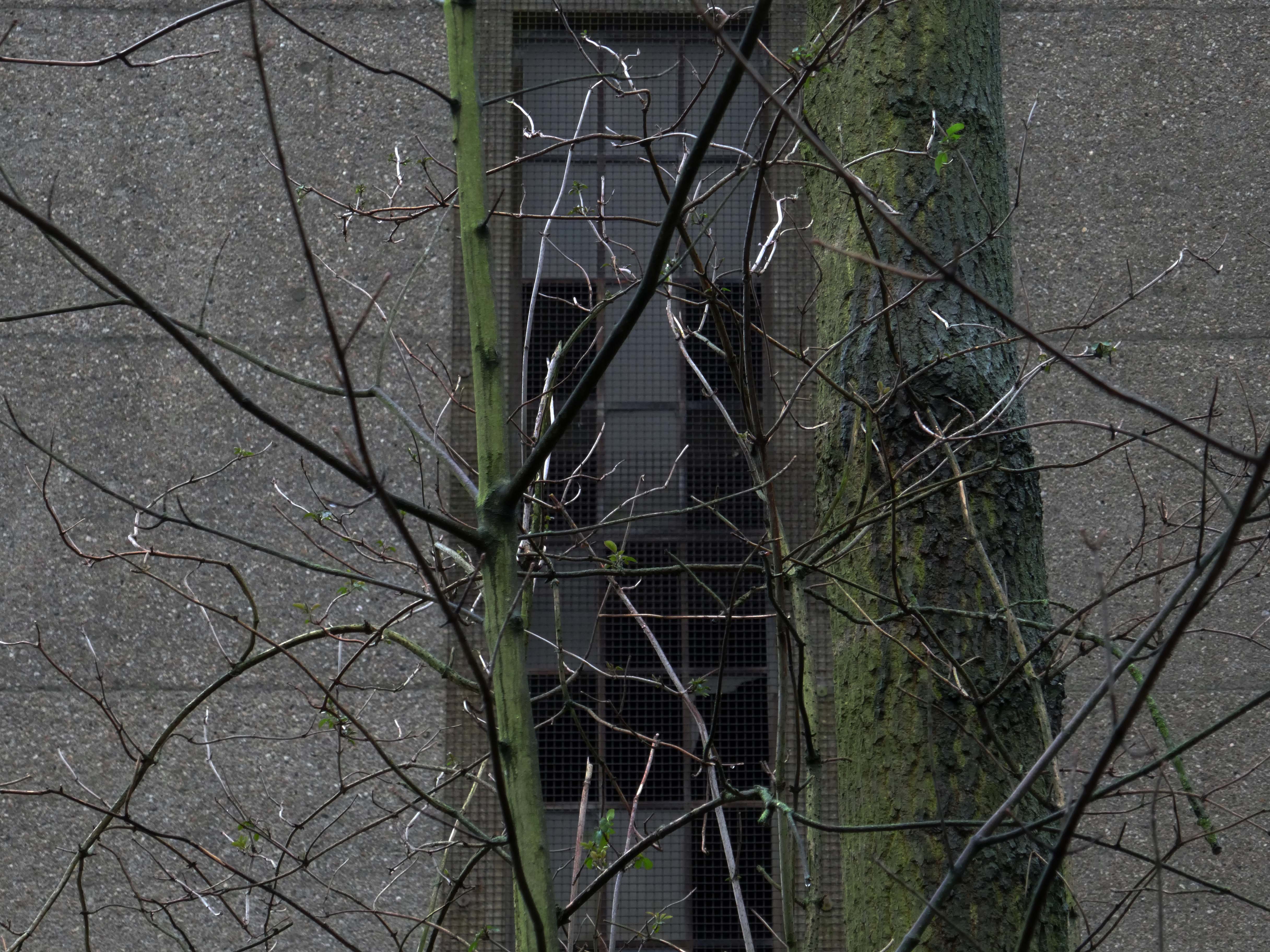
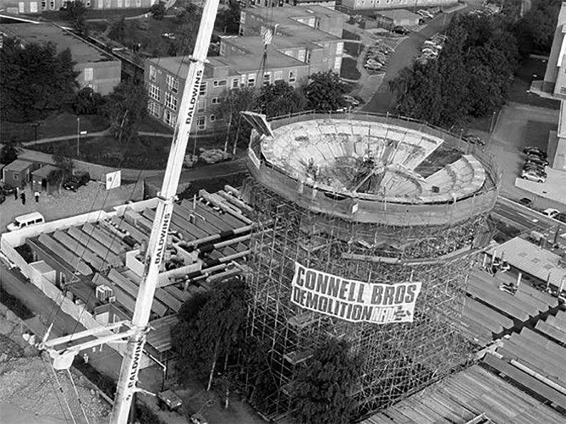
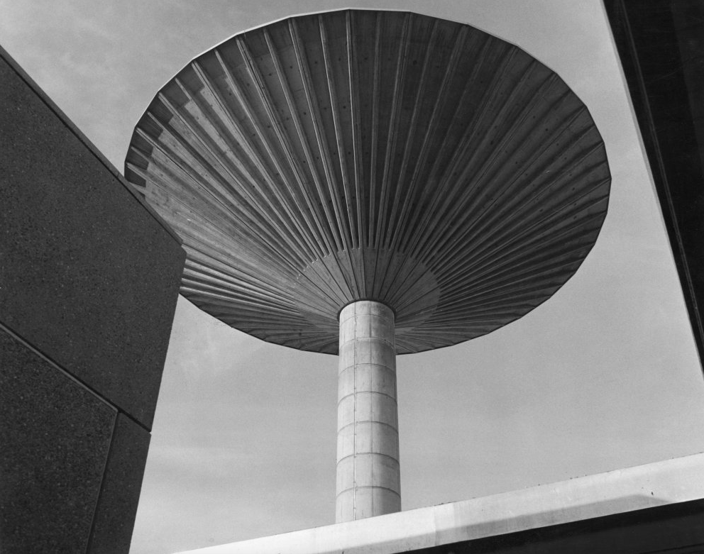
The landmark, built in 1965 to hold fifty thousand gallons of water for the chemistry department, is crumbling away due to carbonation and has been covered in a protective net to stop pieces hitting passers-by.
Bill Burns, building maintenance surveyor for the university, said many concrete structures of the 1960s and 1970s were suffering the same fate as the speed of building often meant salt got into the aggregate used in the concrete mix.
There was a degree of uncertainty surrounding the demolition of the pre-cast structure of the Tower as it had been subject to deterioration since erection. At Tender stage, the thirty two petals forming the bowl of the water tank were described as each individually being restrained by wire ropes to the central core. Upon opening up the works, it was found that the stated thirty two restraining Ropes had only been used during the construction of the bowl and had been removed, therefore the petals of the tank were gaining support from the ring beams.
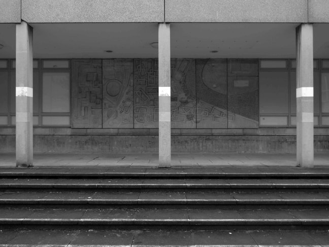
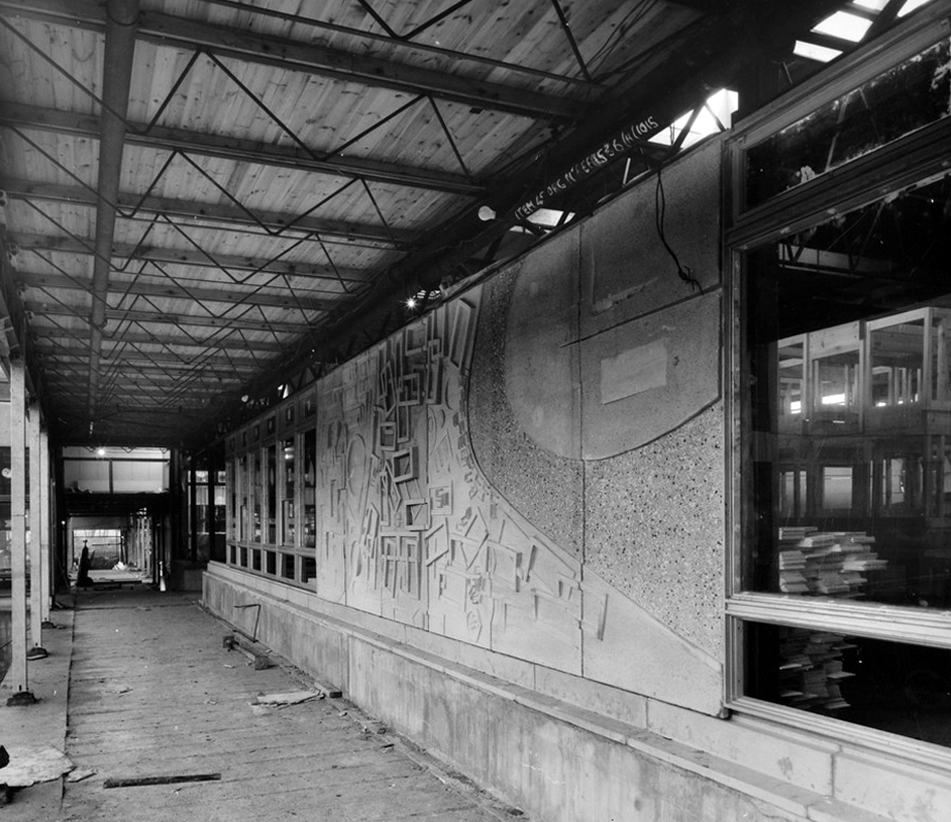
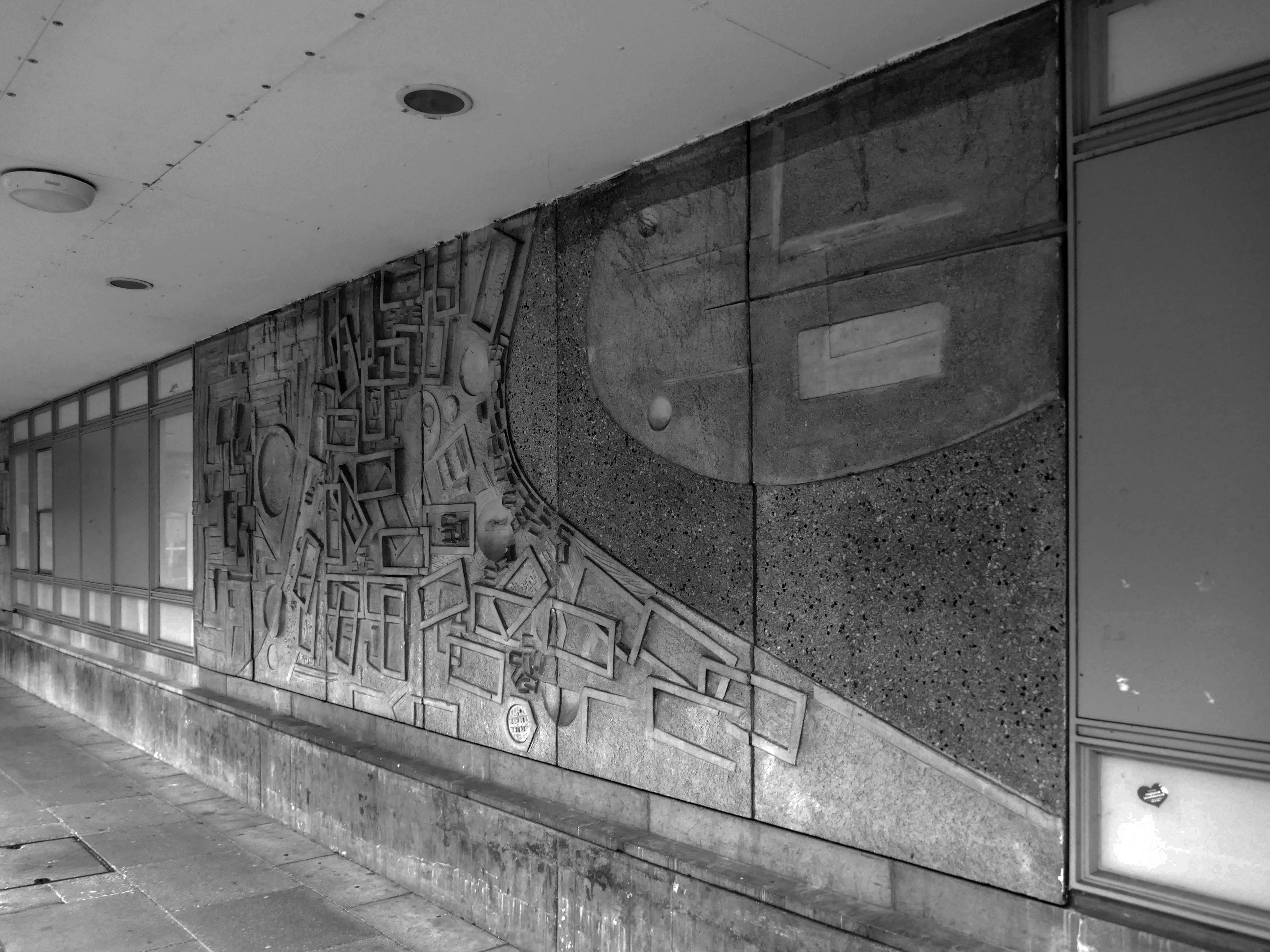
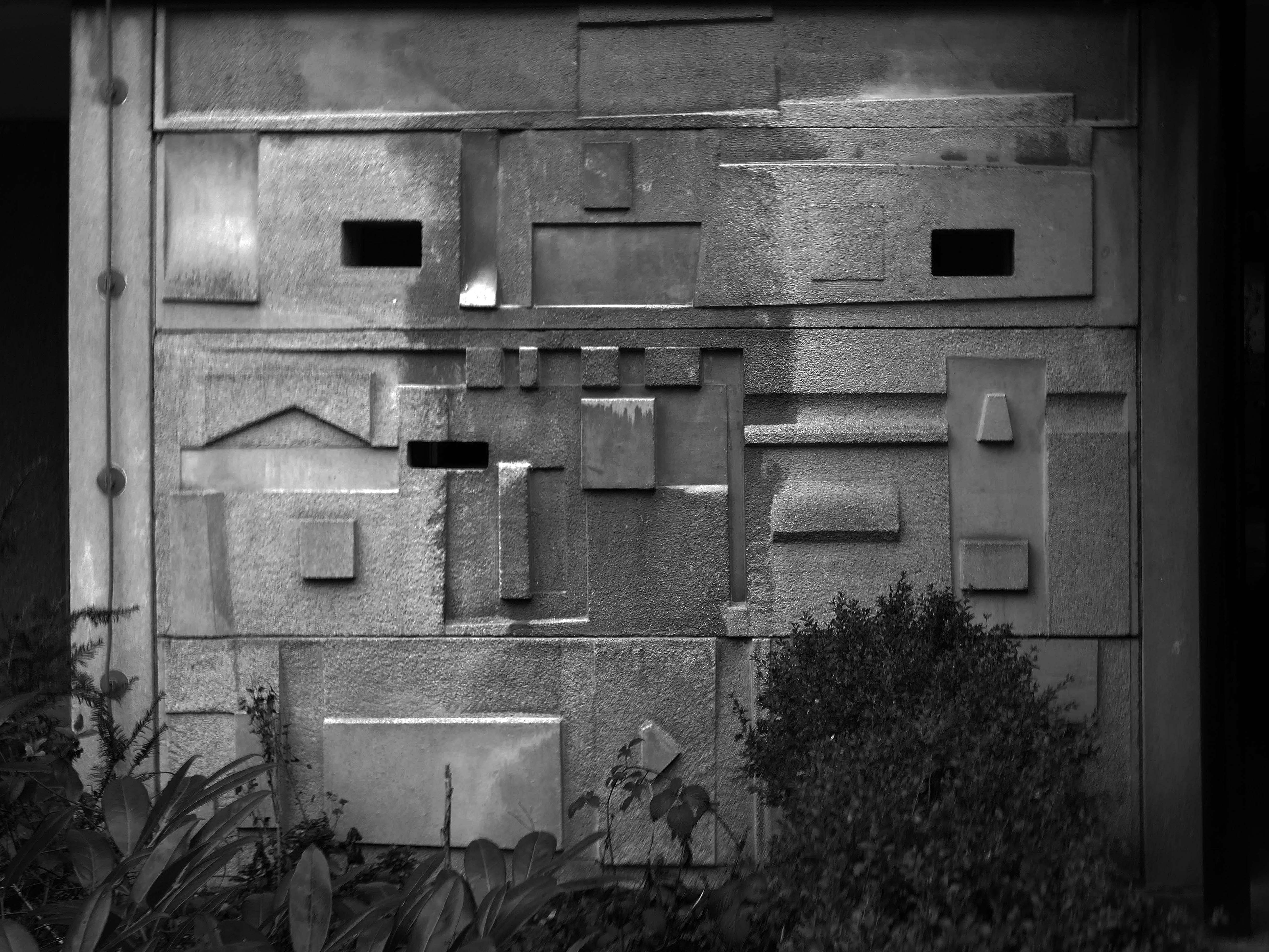
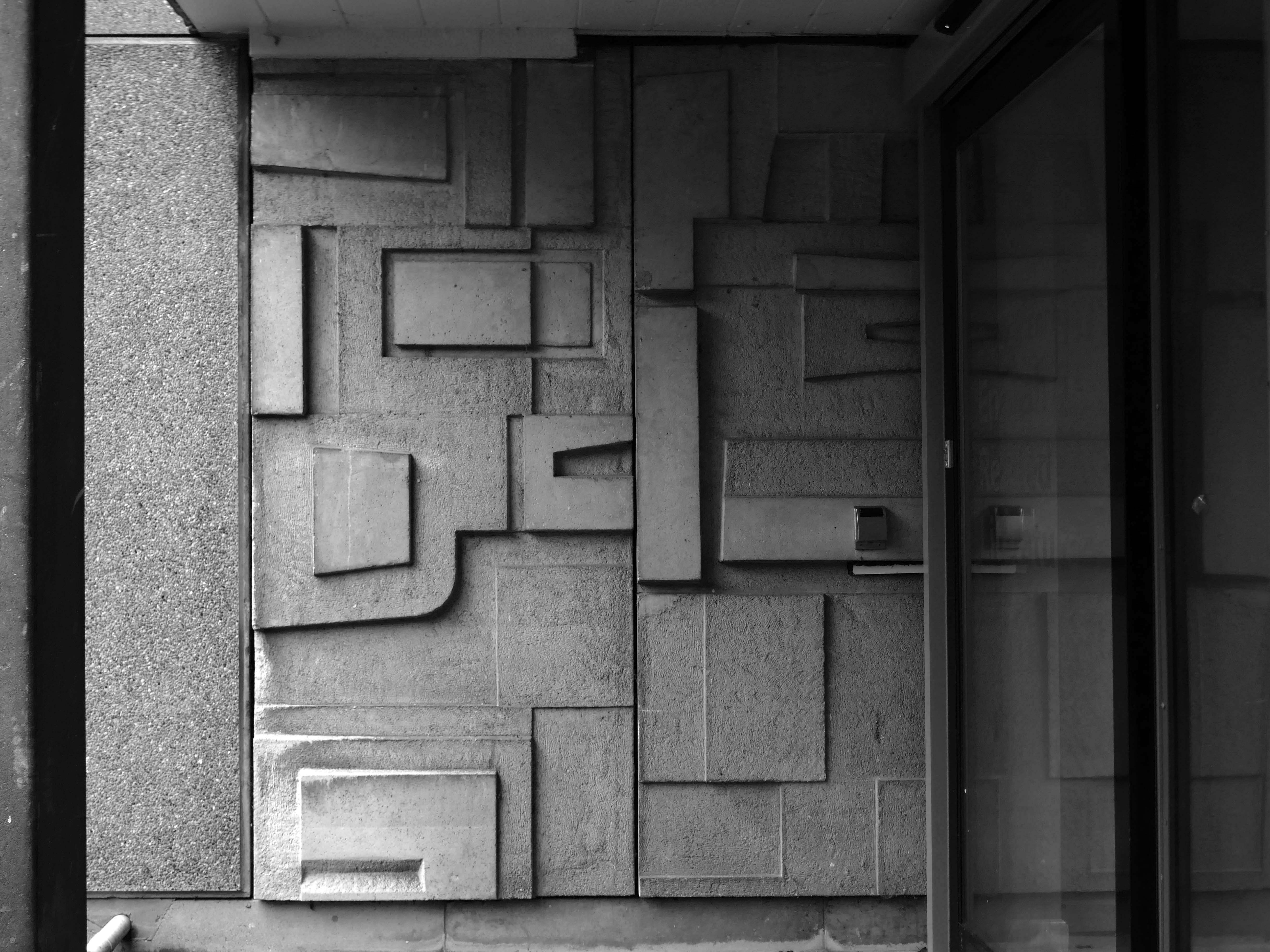
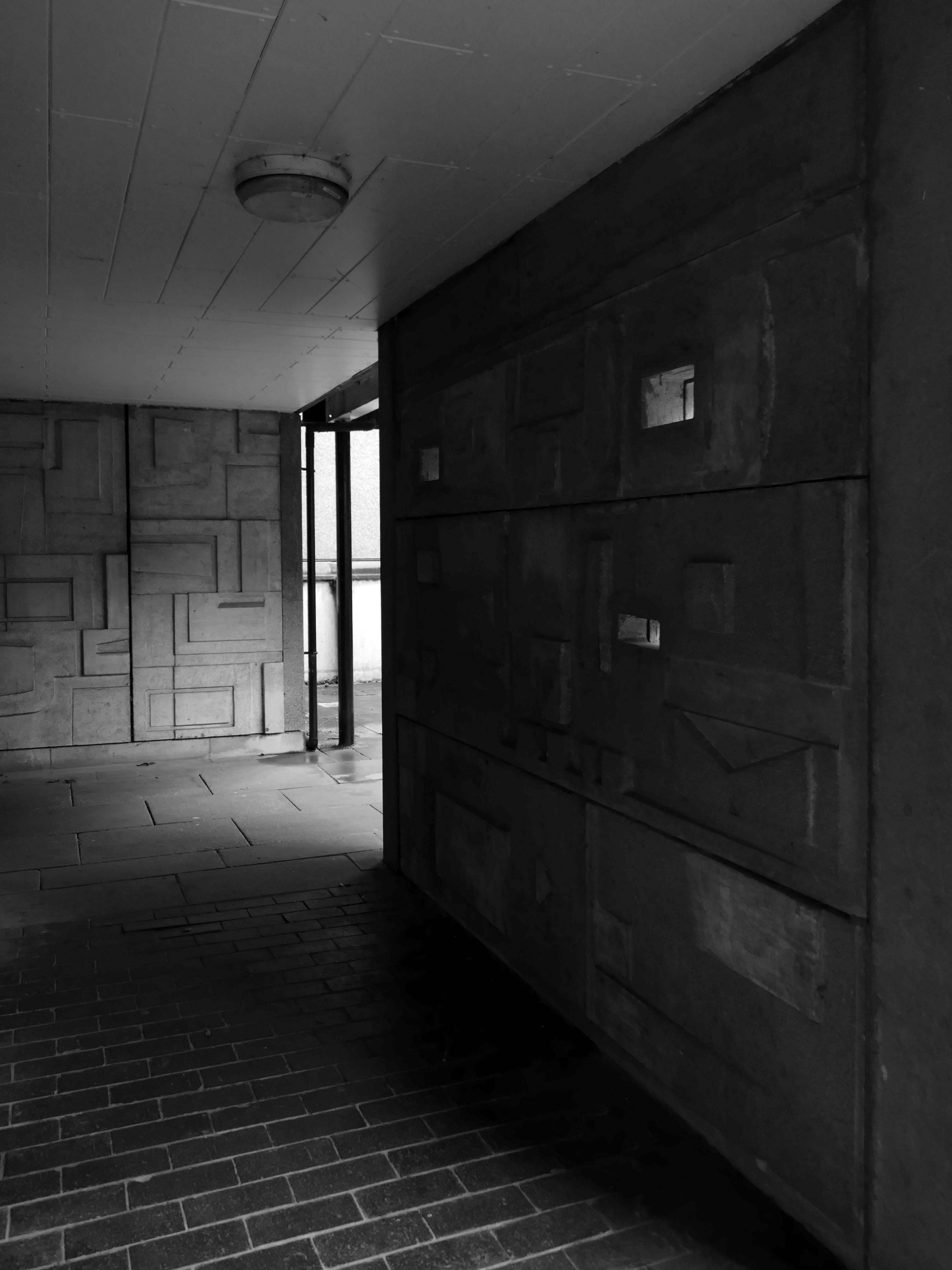
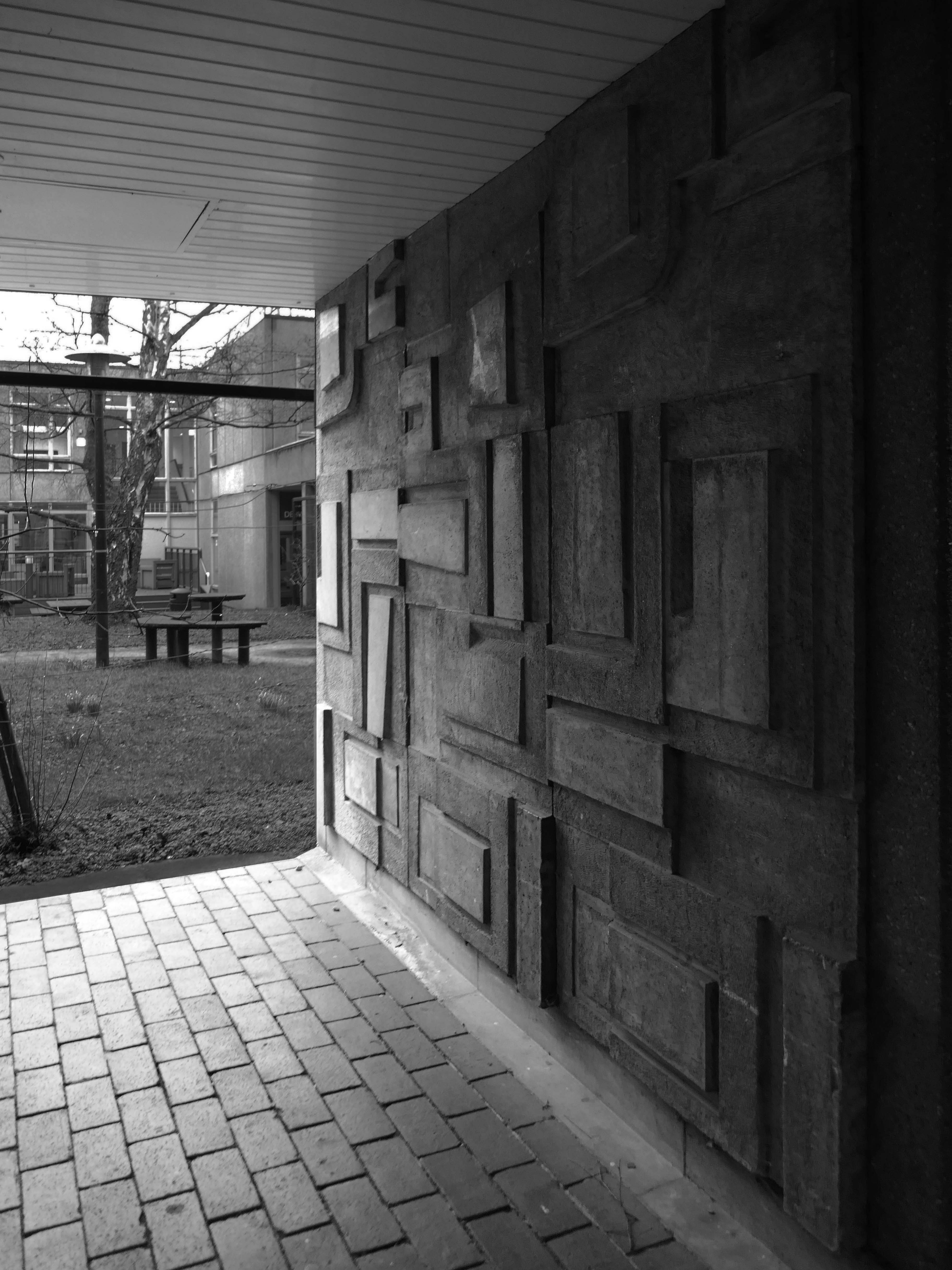
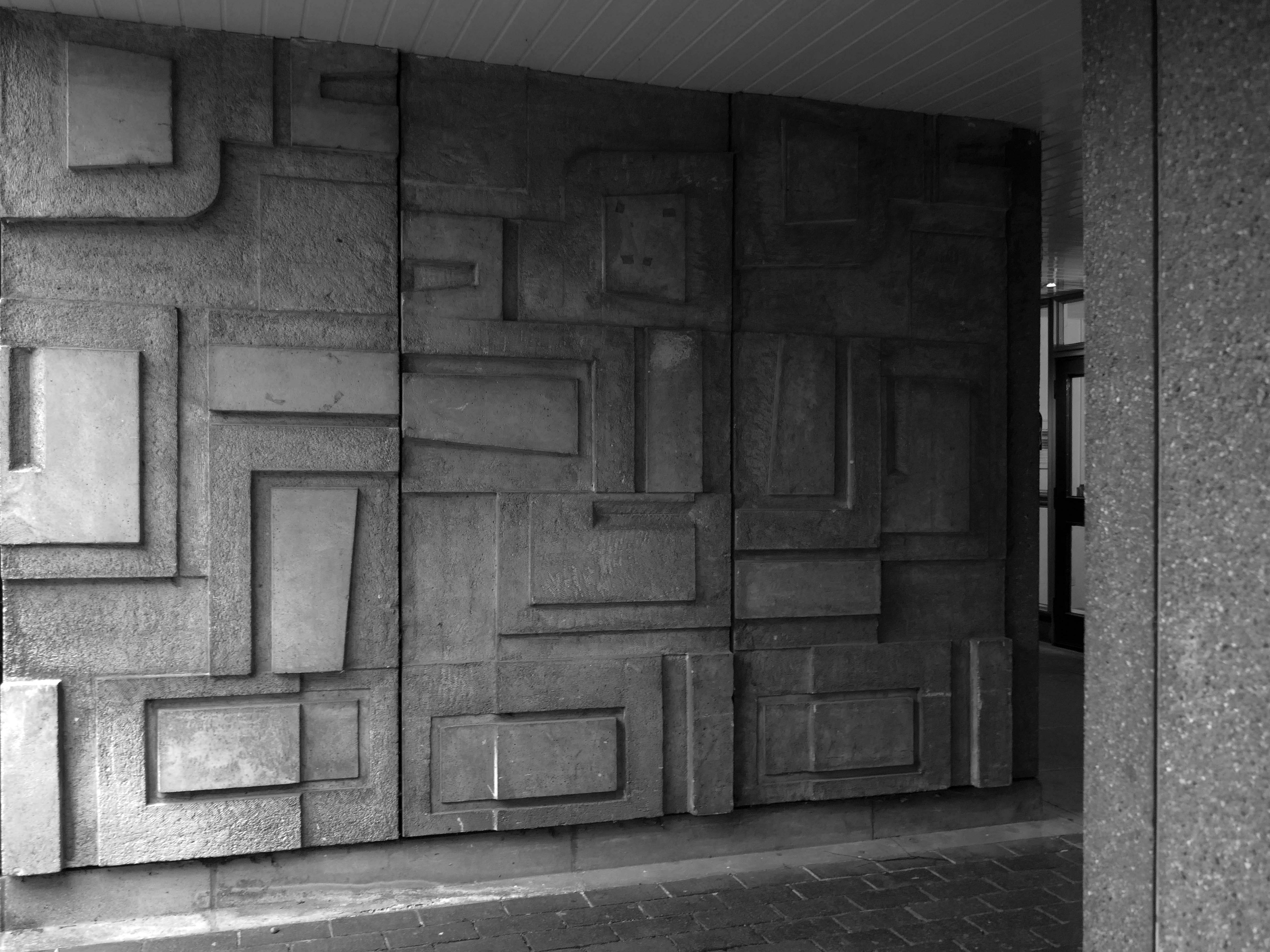
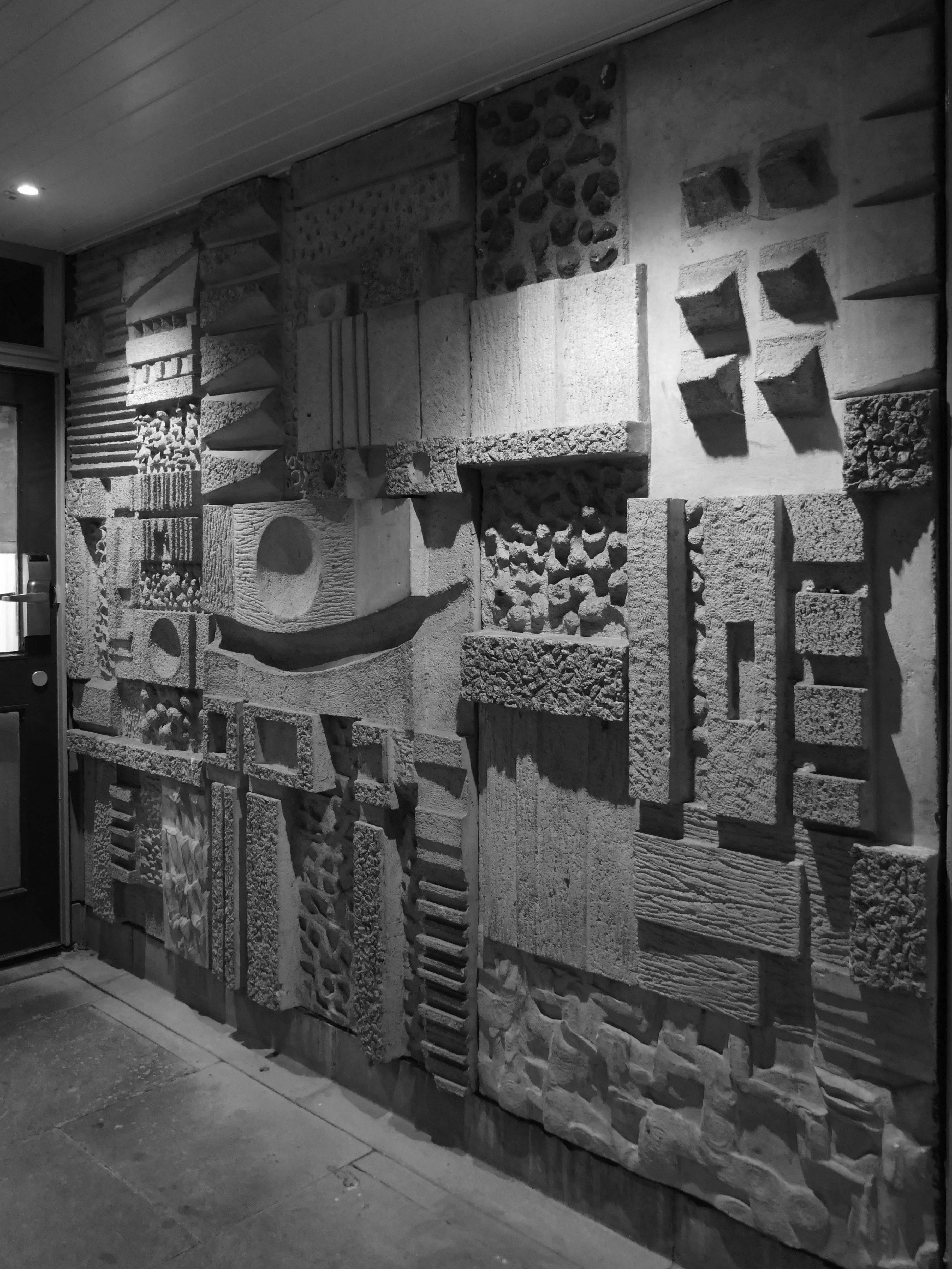
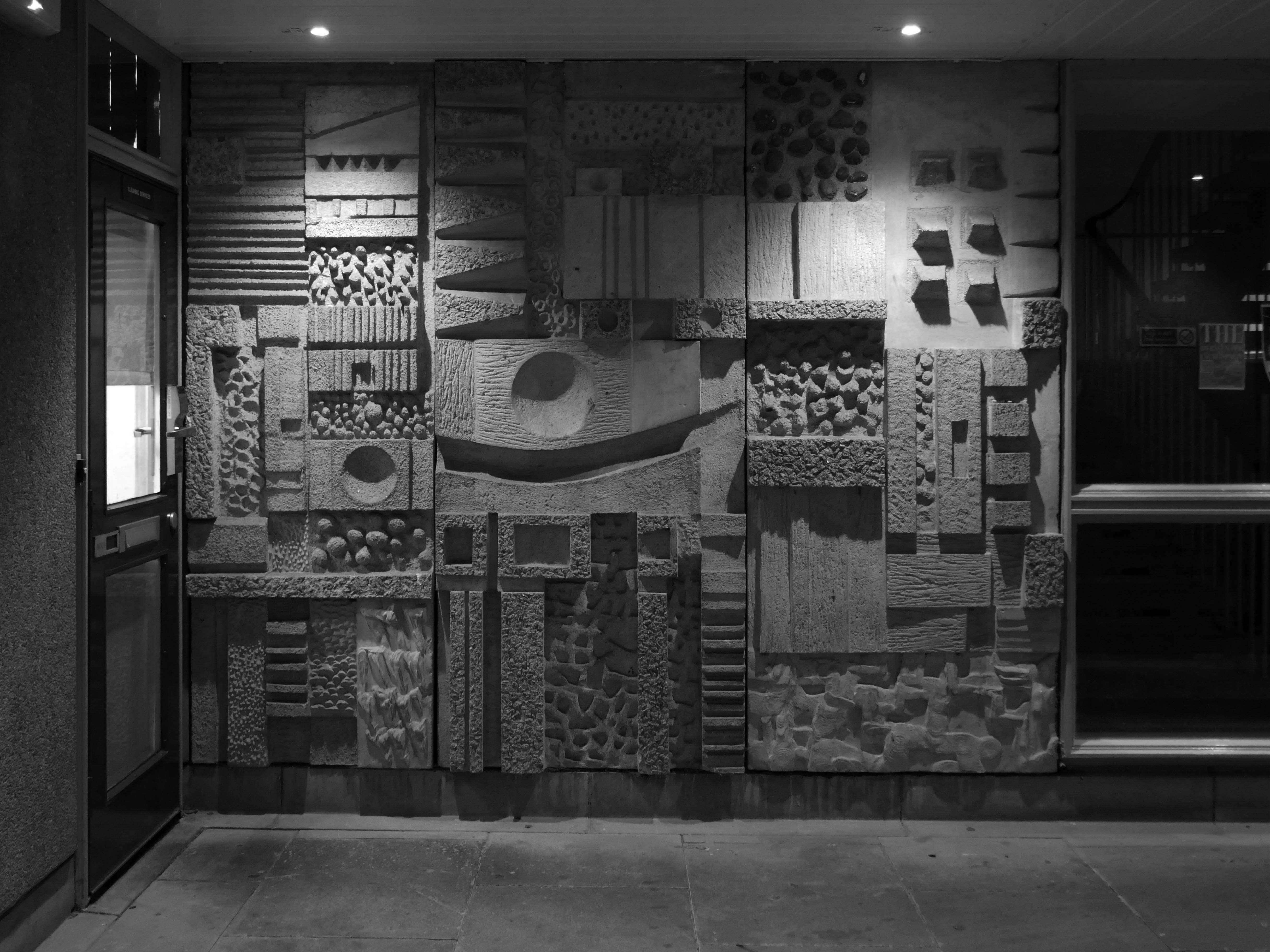
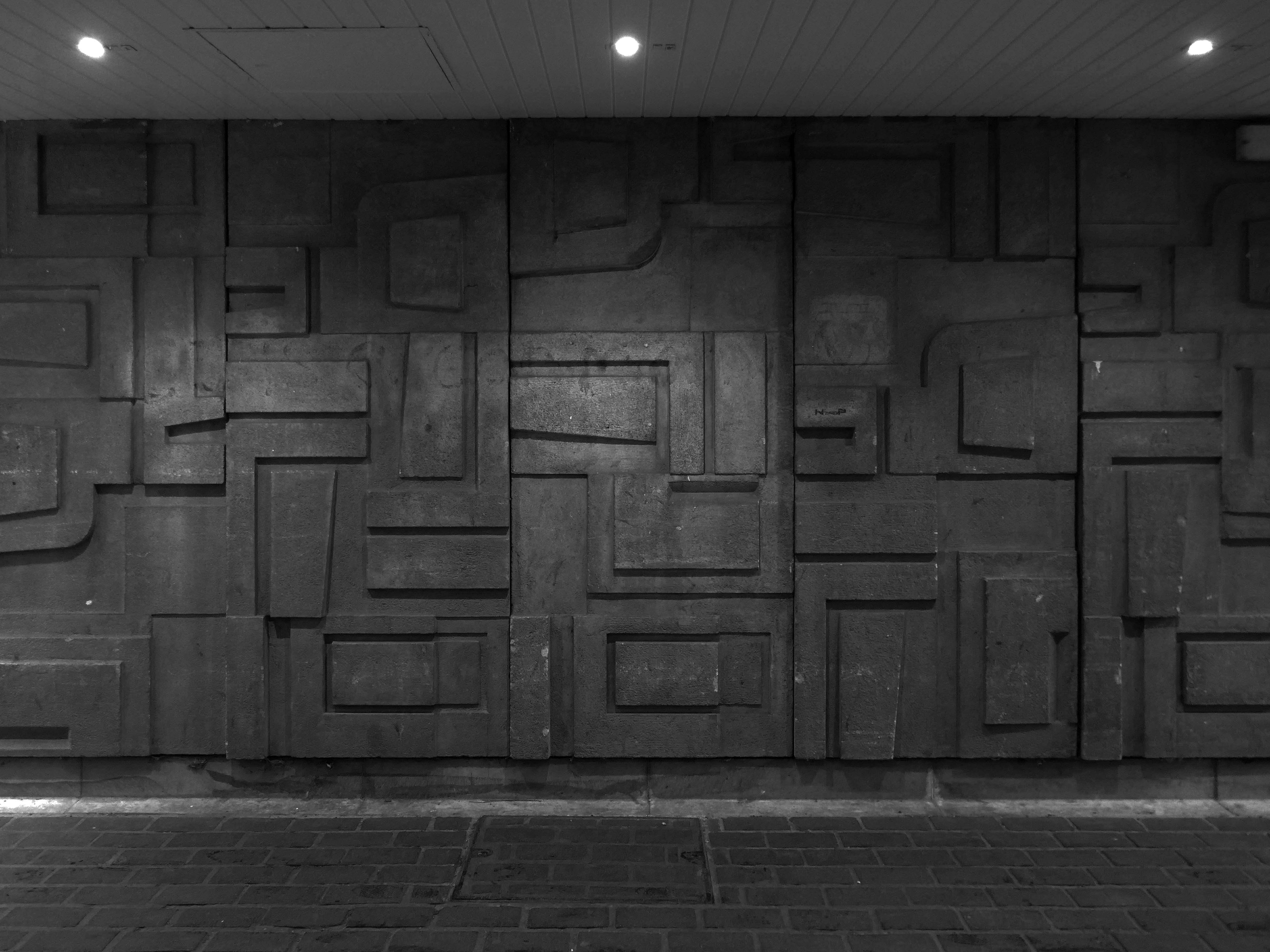
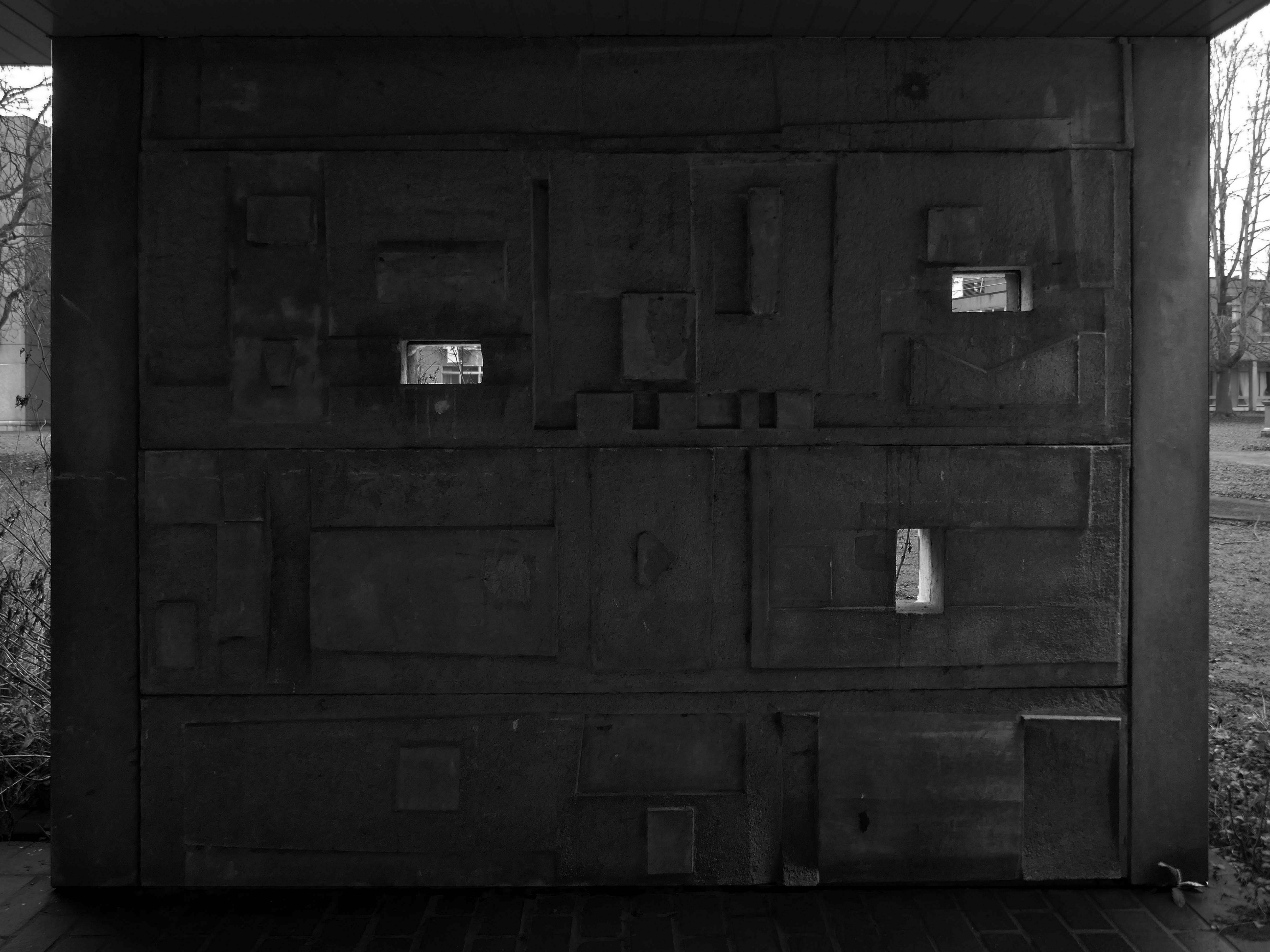
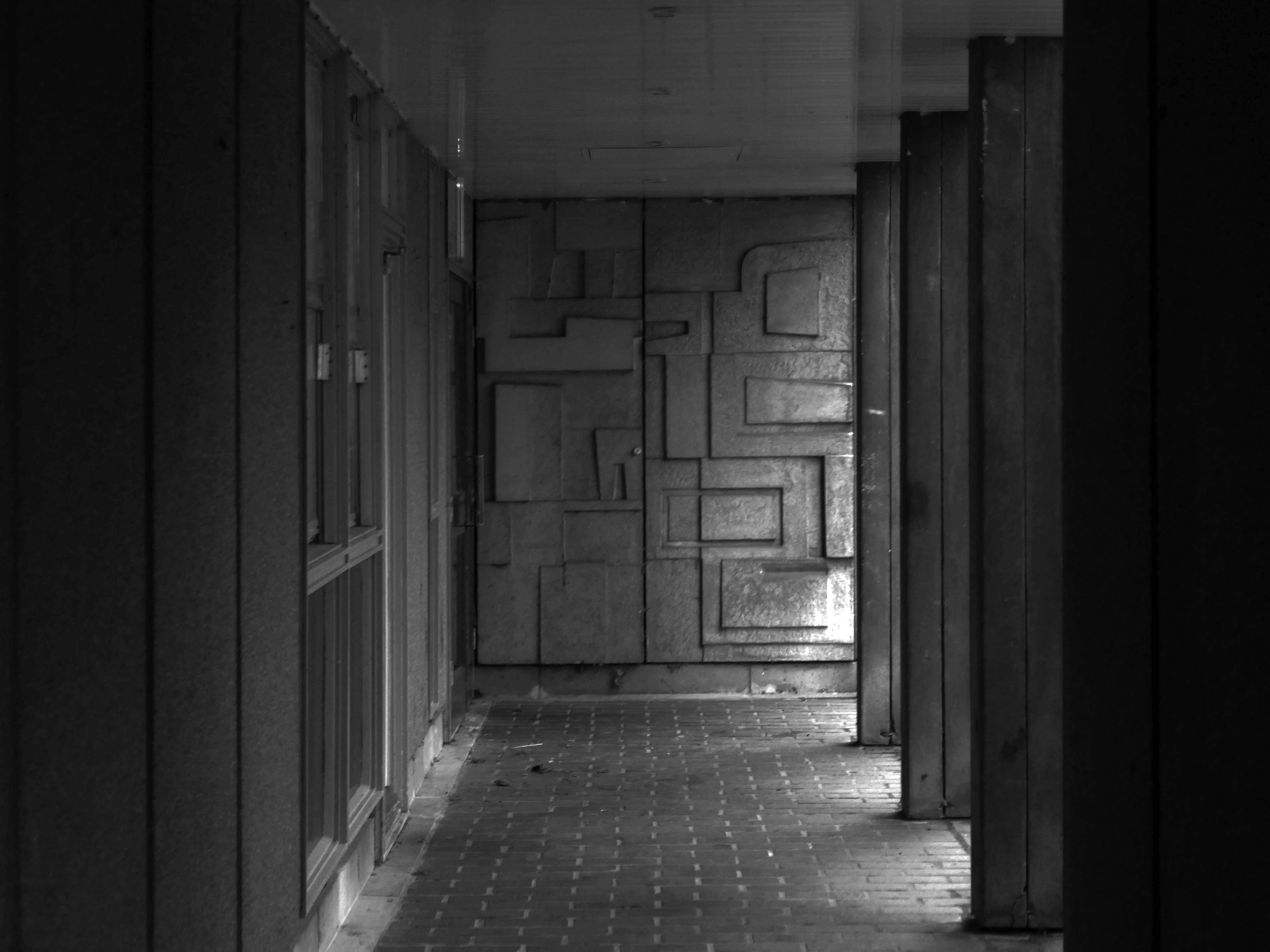
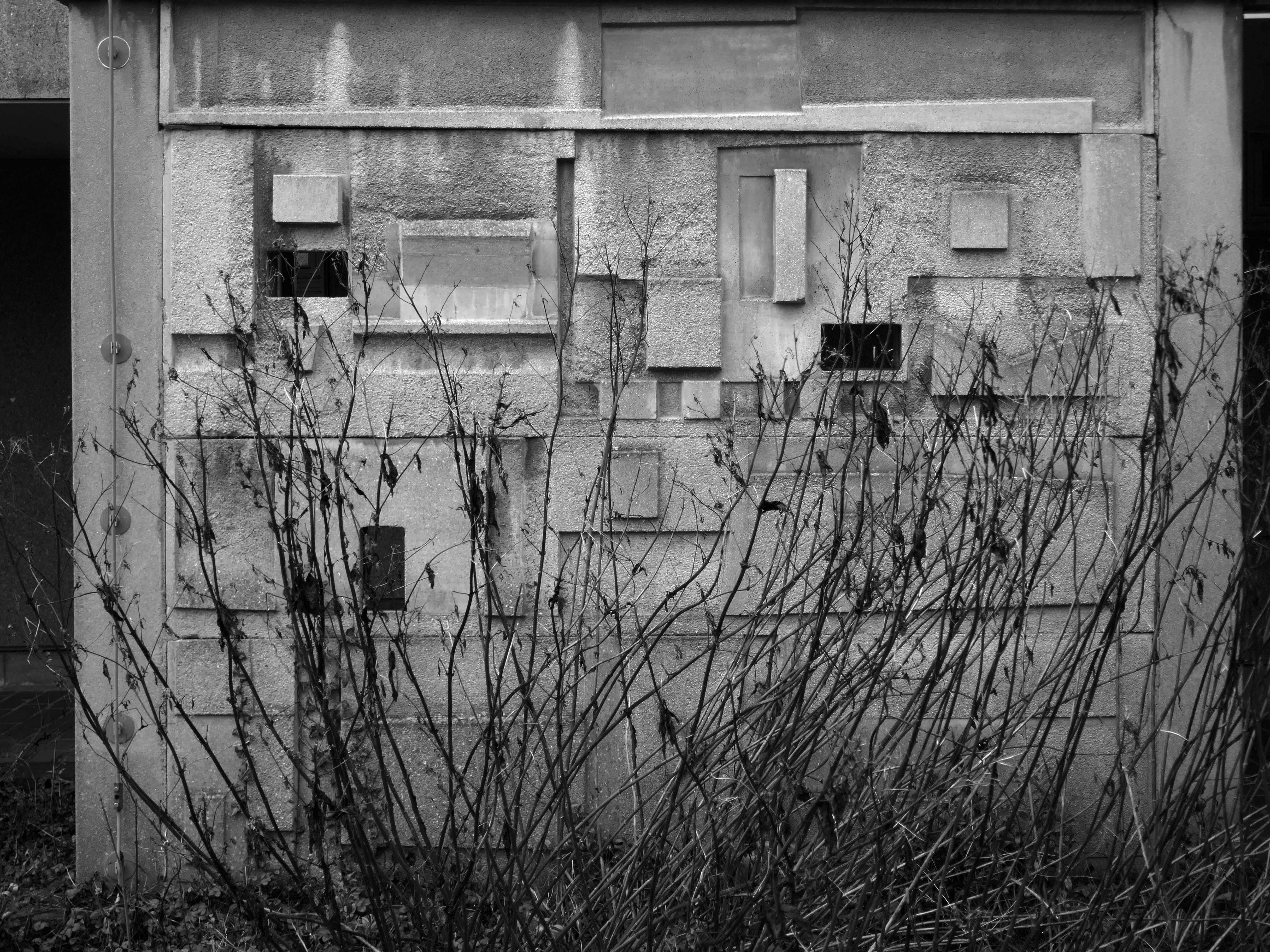
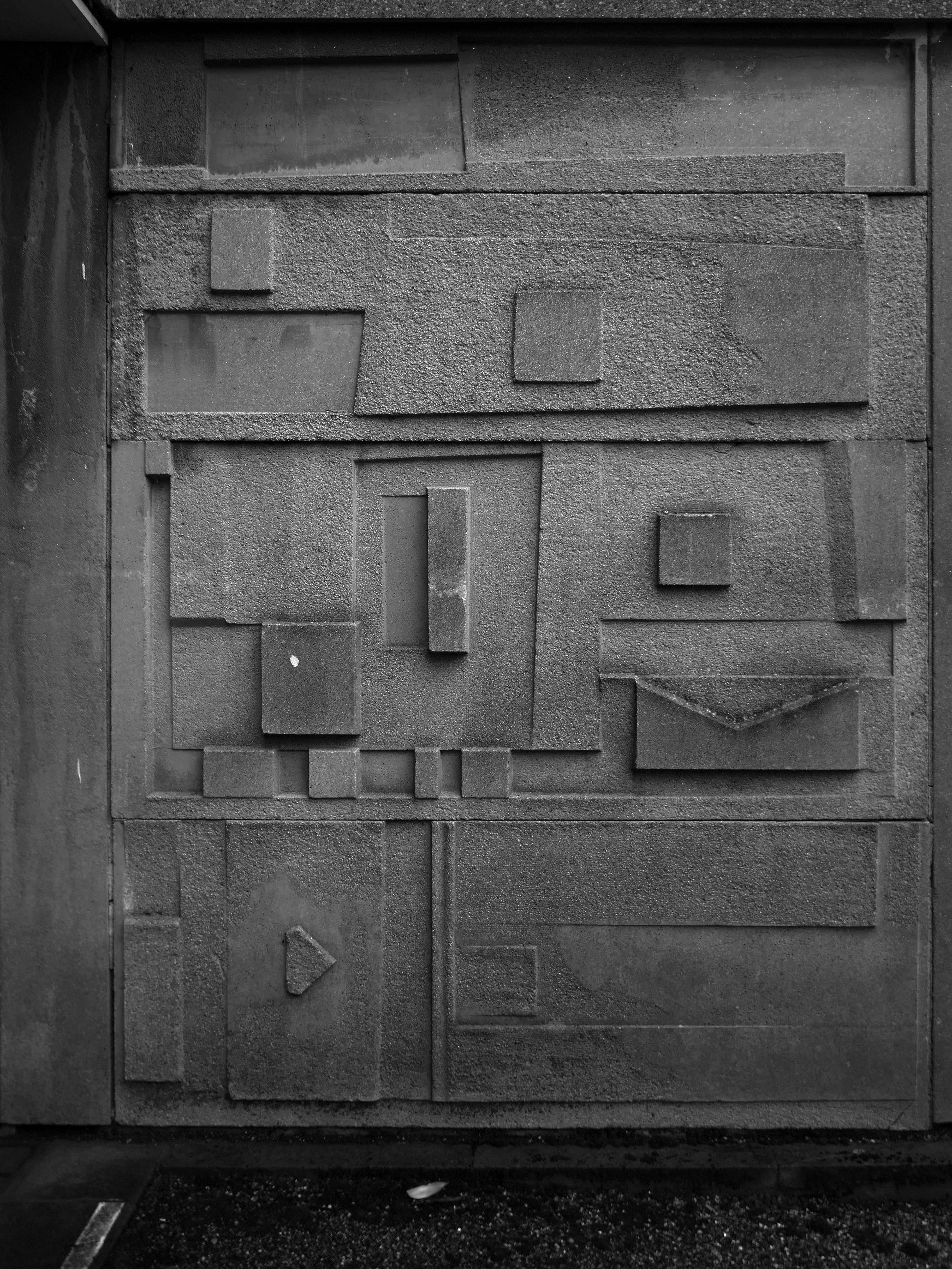
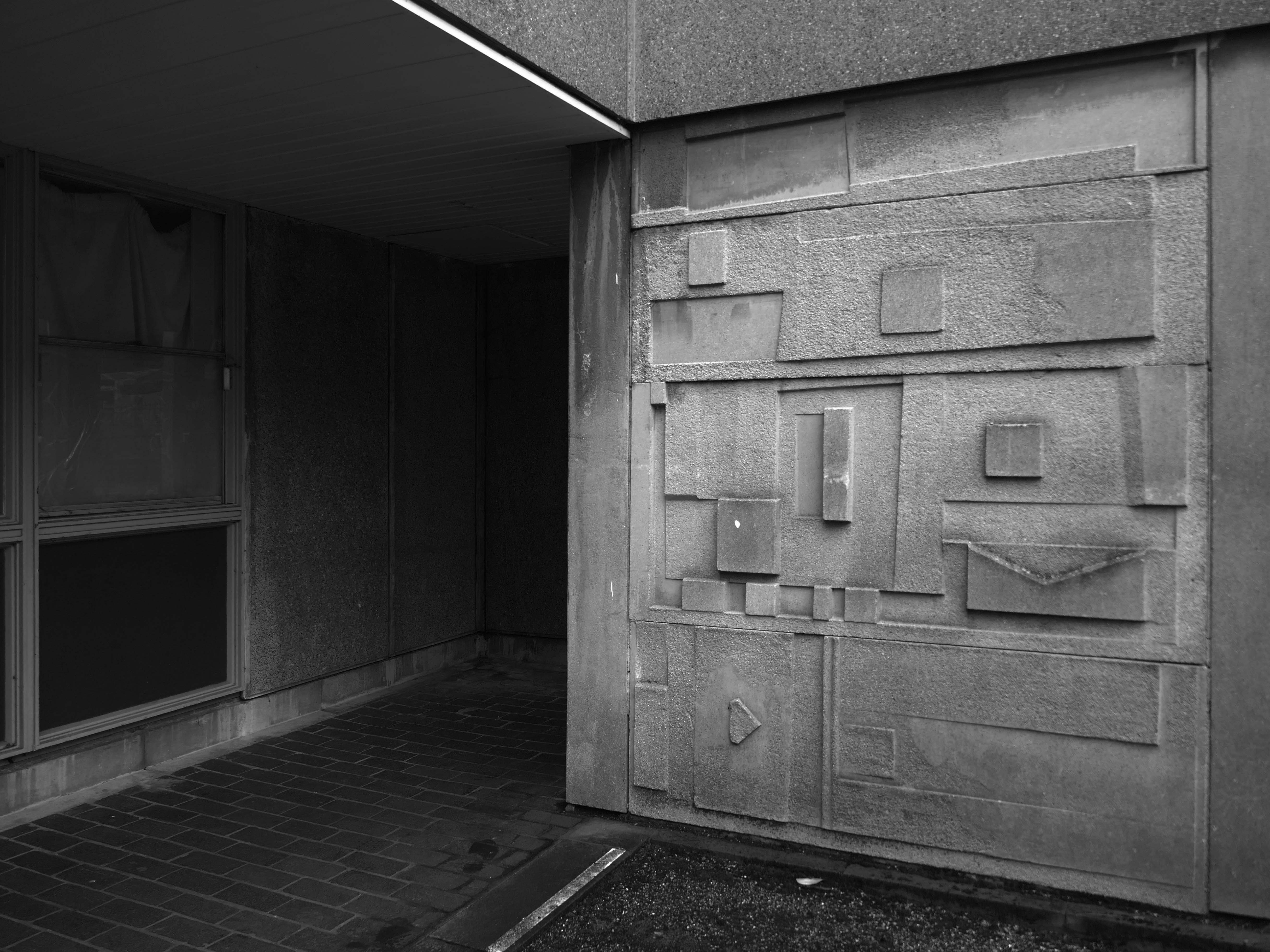
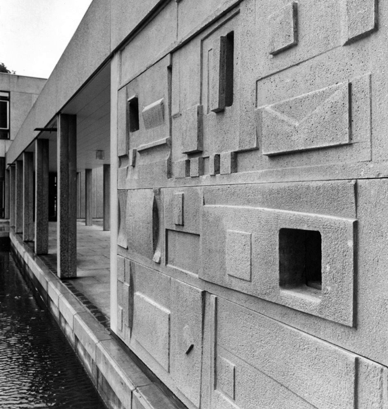
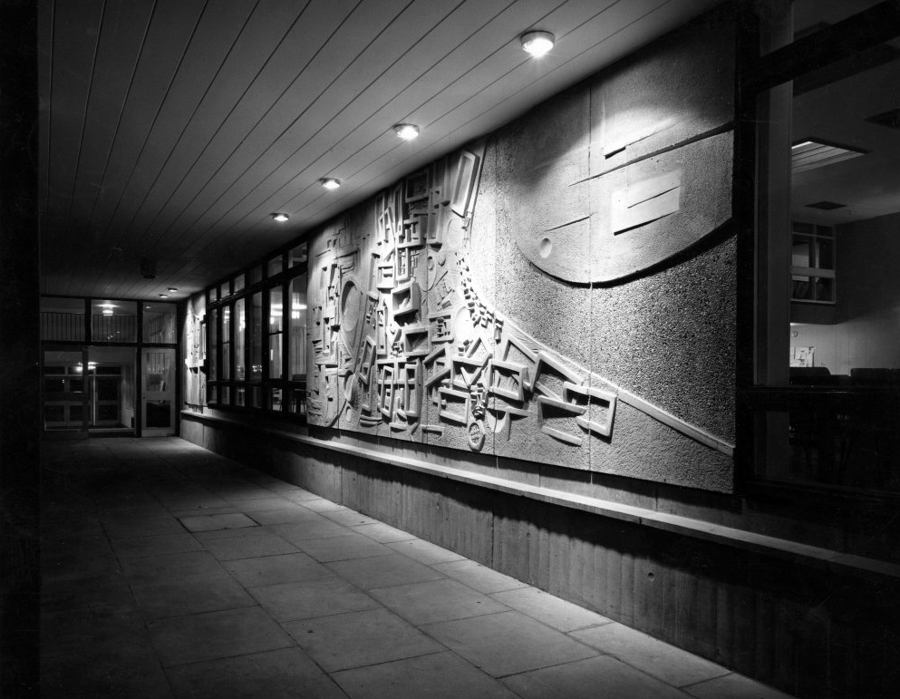
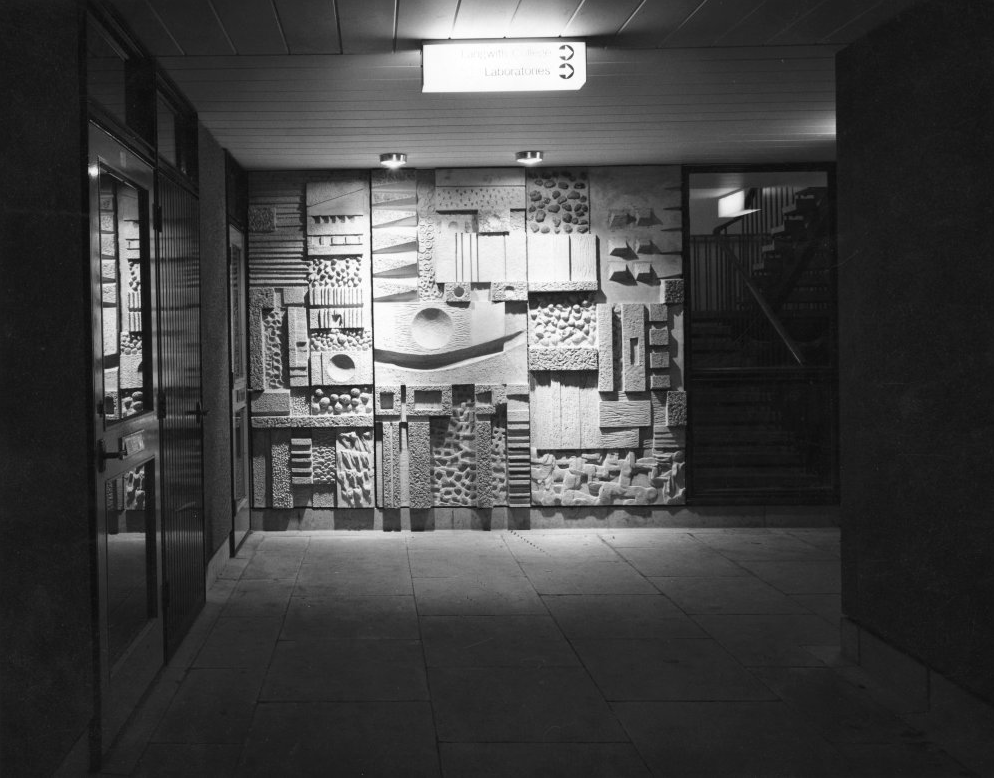
Having previously posted a history of the University of York’s Modernist architecture – here’s further information regarding Fred Millett’s concrete reliefs.
Fred Millett 1920–1980 was an English muralist, poster artist, and teacher at the Polytechnic of Central London. A number of his surviving works were commissioned by large British institutions including London Transport, London County Council and National Westminster Bank. The University of York commissioned Millett to create over 20 concrete relief panels that were to be integrated within the modular architecture of the Derwent and Langwith Colleges.
Millett’s panels created a cohesive group of works while also being distinctly different from one another due to the use of a variety of textures, geometric shapes and negative space. Larger, more detailed works follow the main covered walkways through Derwent College leading to Heslington Hall.
Smaller, less detailed works were placed near accommodation blocks and laundry rooms which suggest that they were intended for the individual enjoyment of the students who live within the College rather than a university-wide viewing experience.
In a 1973 interview, Sir Andrew Derbyshire, who was the first project architect for the university, lamented that the project could not afford better finishes for the CLASP panels – such as adding white marble aggregate – but he did appreciate their appearance in bright sunlight or when they “glisten[ed] in the pouring rain.” Asked about the integration of the Millett sculptures to enliven the panels, he stated: “Yes. Well, that was an attempt. I would have liked it to have gone a bit further than that.”
This was my first visit to the campus, and having discovered the first of the reliefs, I cantered around from block to block, like a giddy one penny child in a seaside arcade – wondering where to look next.
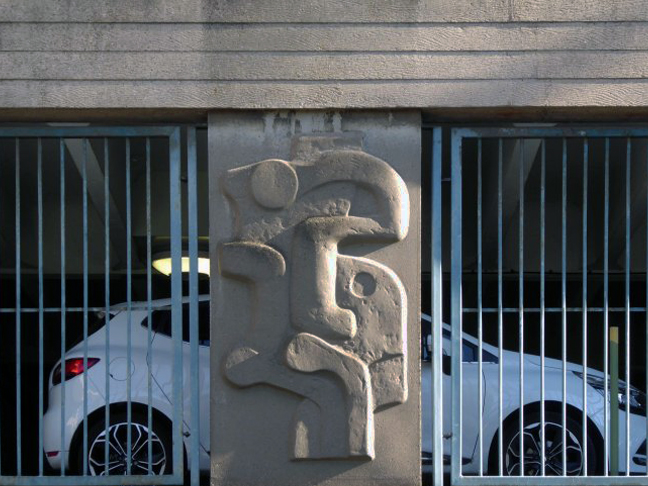
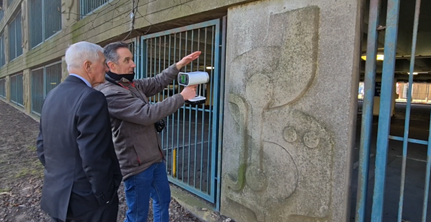
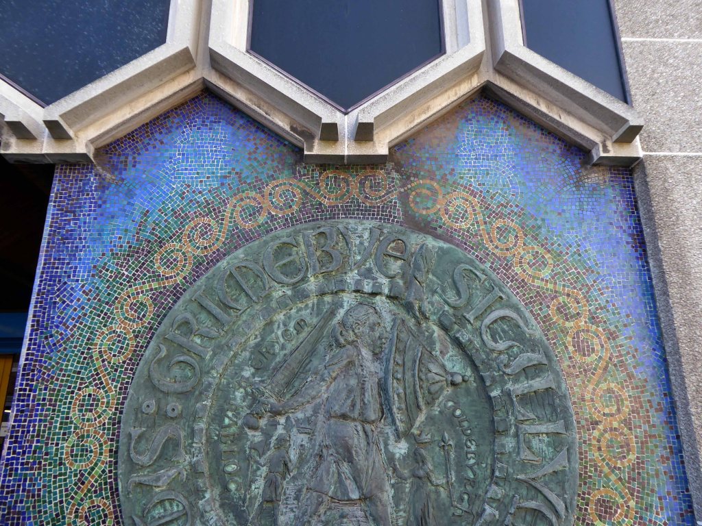
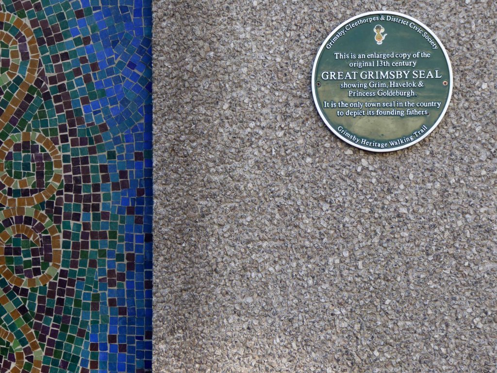
The Grimsby, Cleethorpes and District Civic Society has been campaigning to save the Harold Gosney reliefs on the 1960s Abbey Walk car park, which closed in May 2024 after North East Lincolnshire Council said it discovered structural defects.
The authority has already taken 3D scans of the art and in an update said plans were in place to try and save one of each of the four designs, which are repeated on the building’s columns.
If they can be saved, the artwork would be put into storage until a new home is found, the council added.
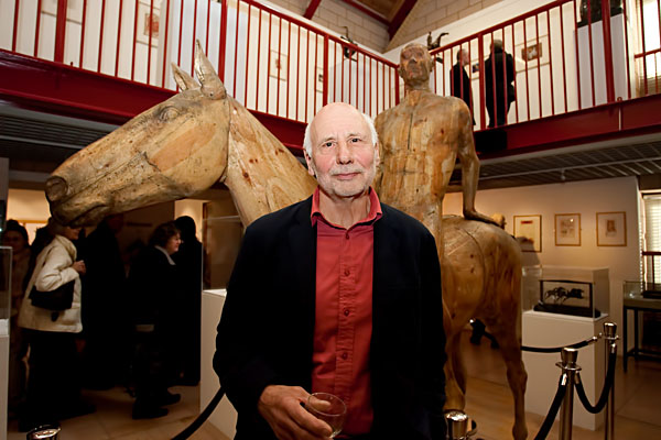
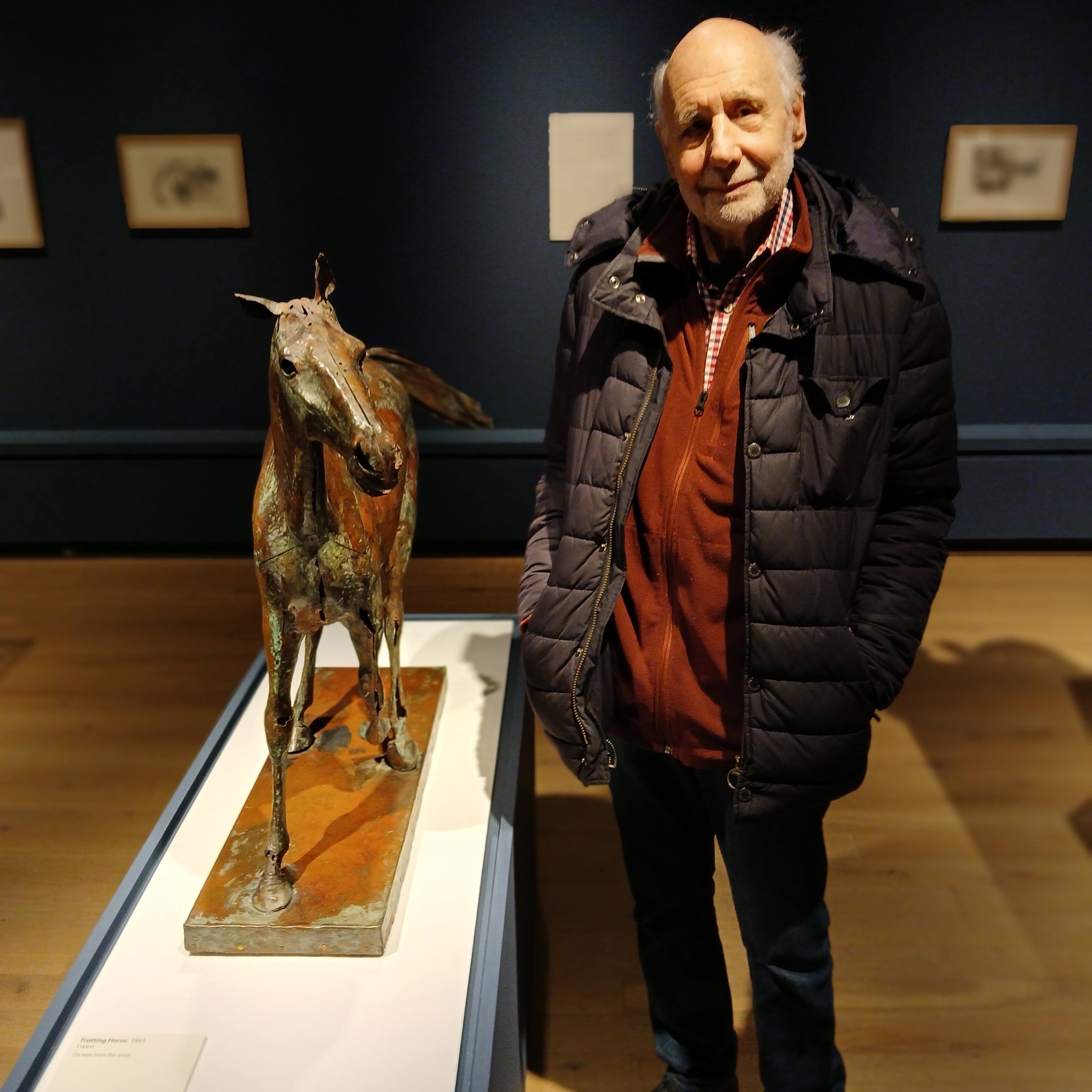
I was delighted to find that Harold himself was visiting the gallery with friends.
I stopped to chat and take a snap – thanking him for all his wonderful work and congratulating him on his excellent show.
Here is what I done seen.
Harold Gosney: Materials and Making 15 November 2025 – 28 June 2026 Included in general admission | Book now
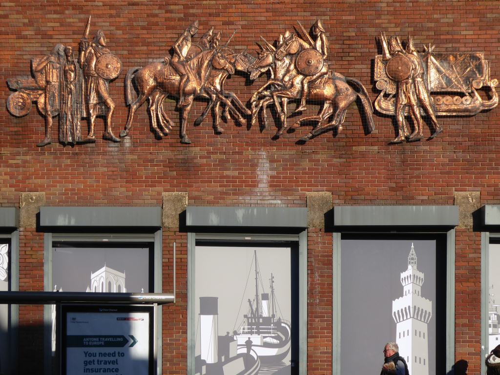
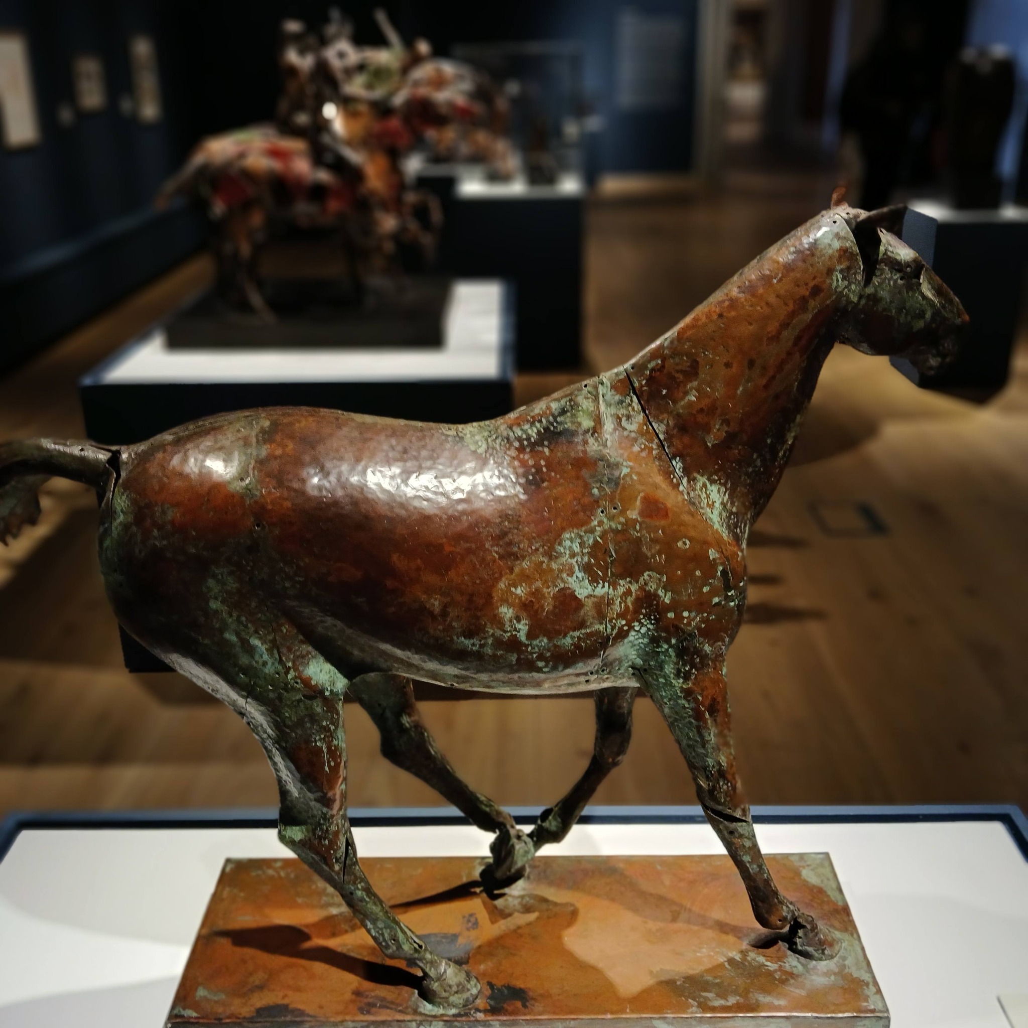
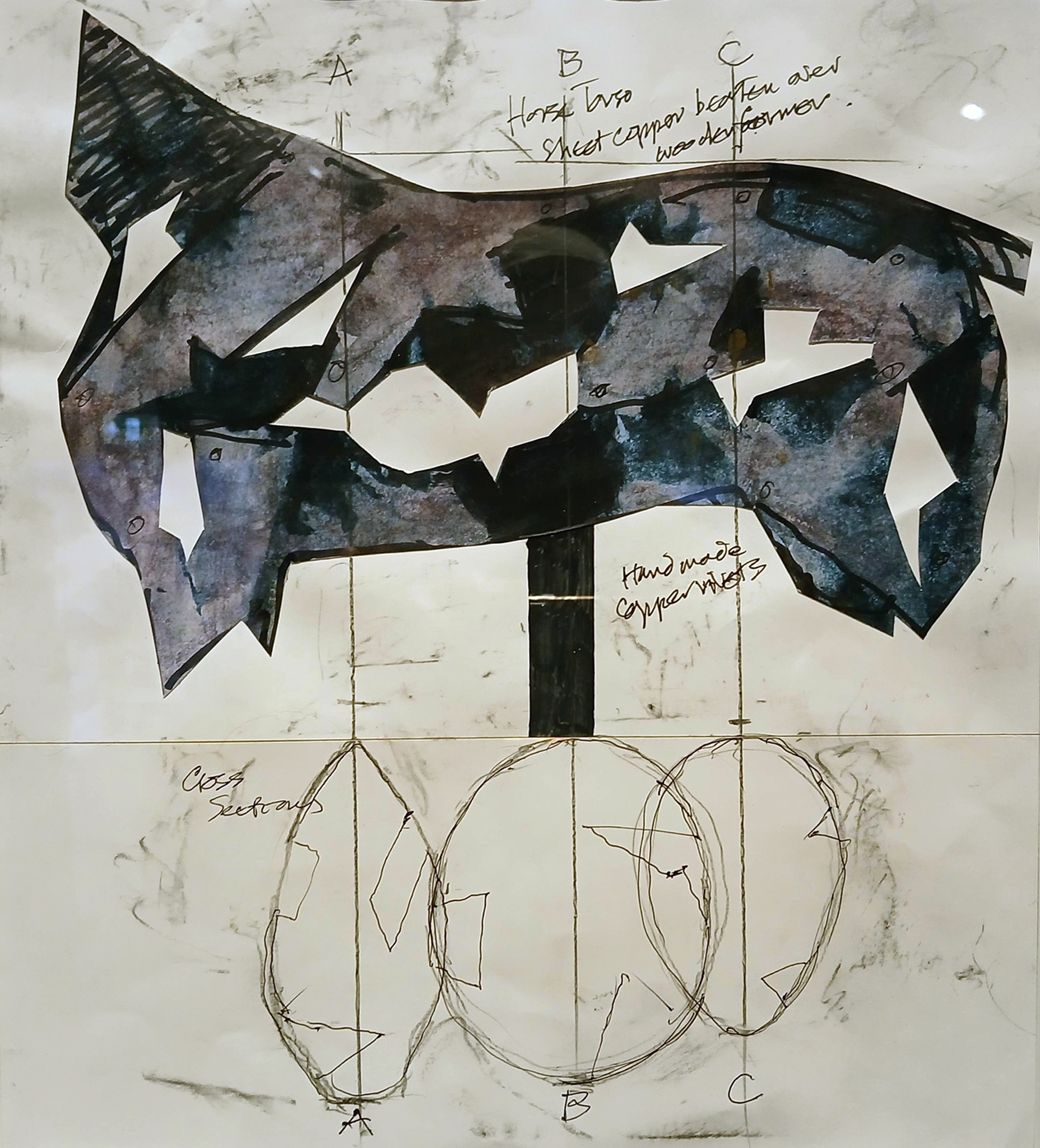
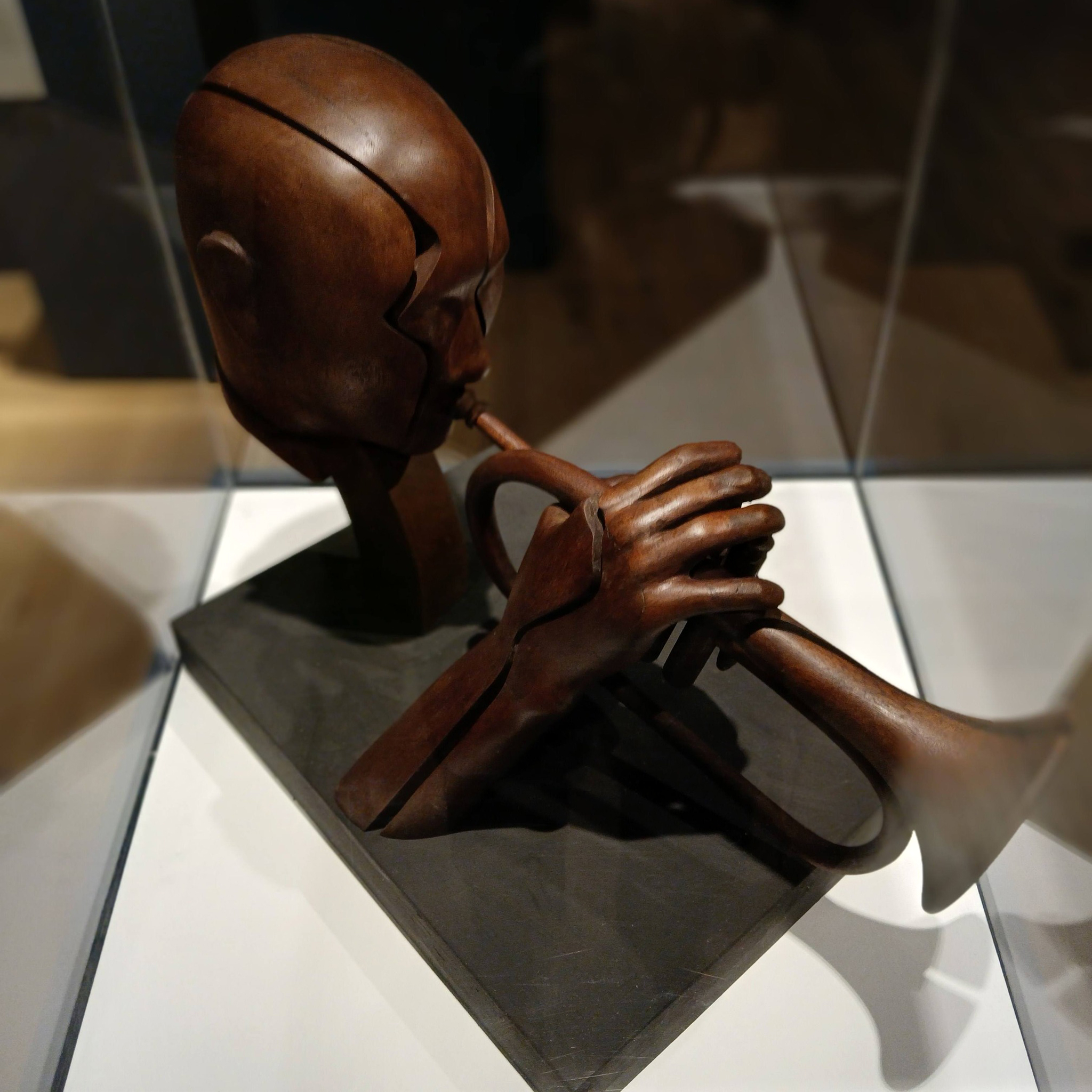
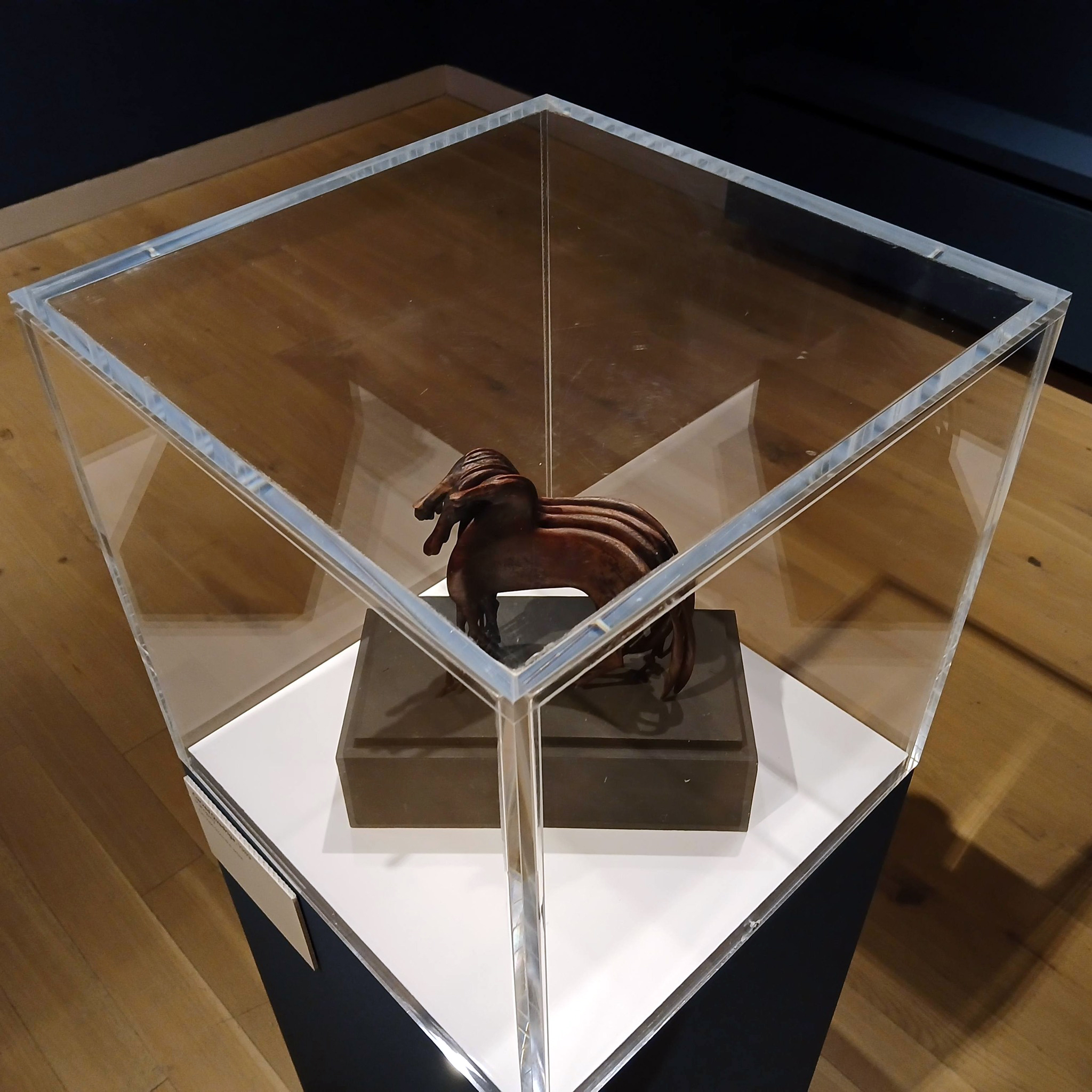
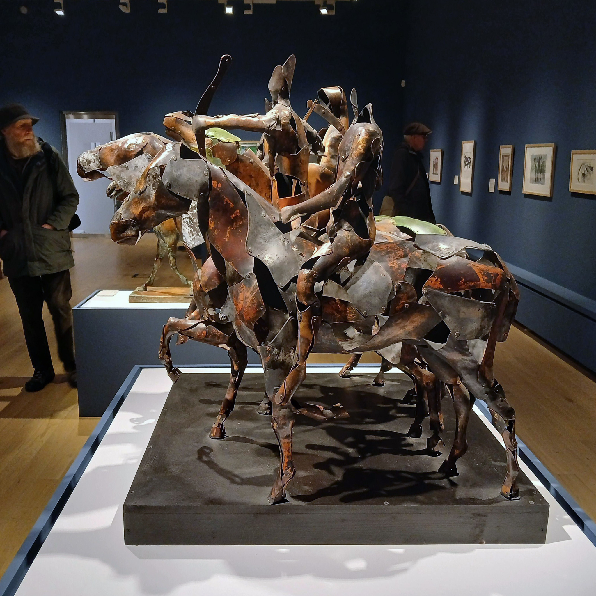
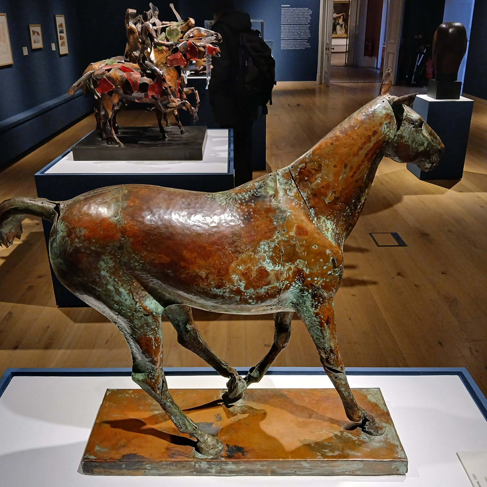
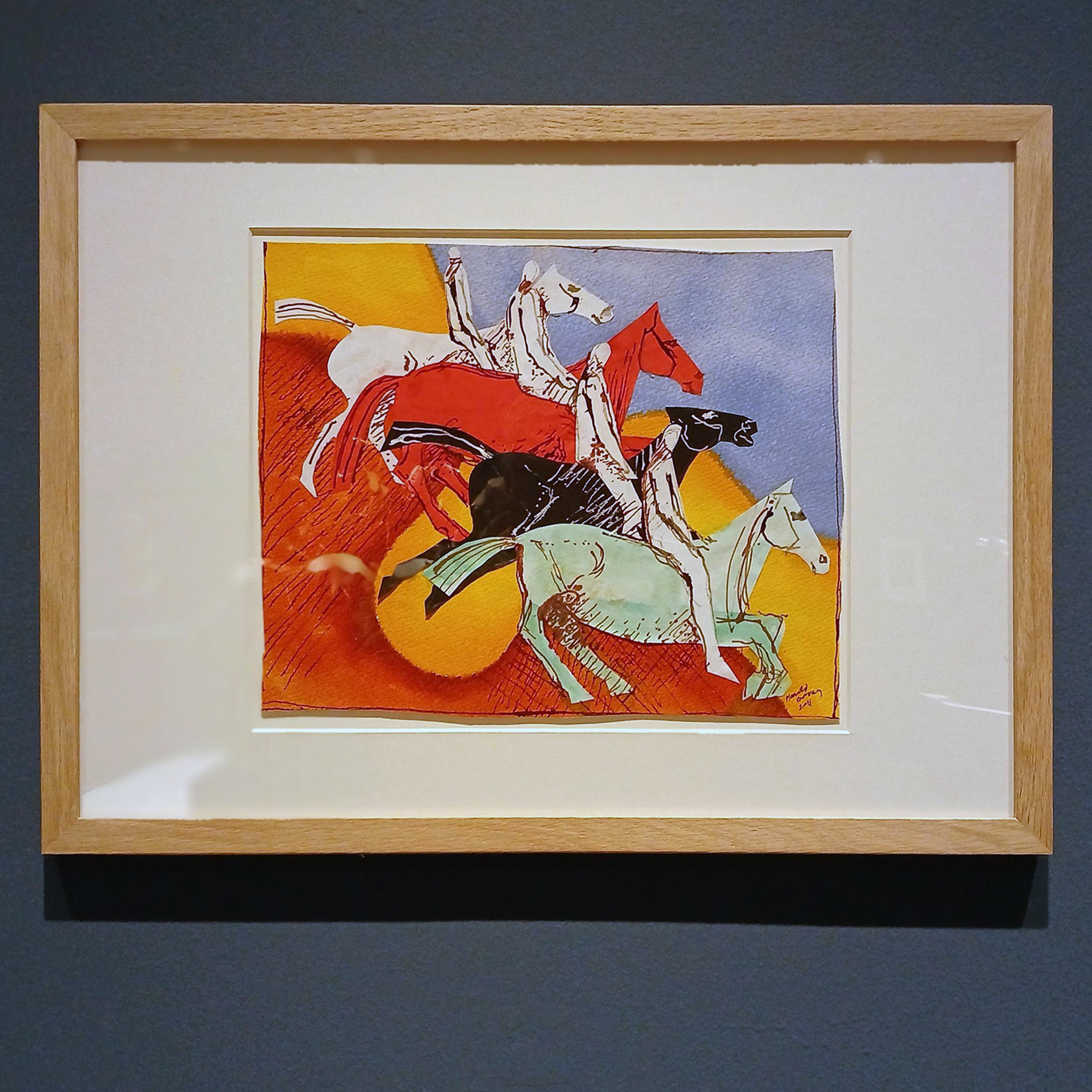
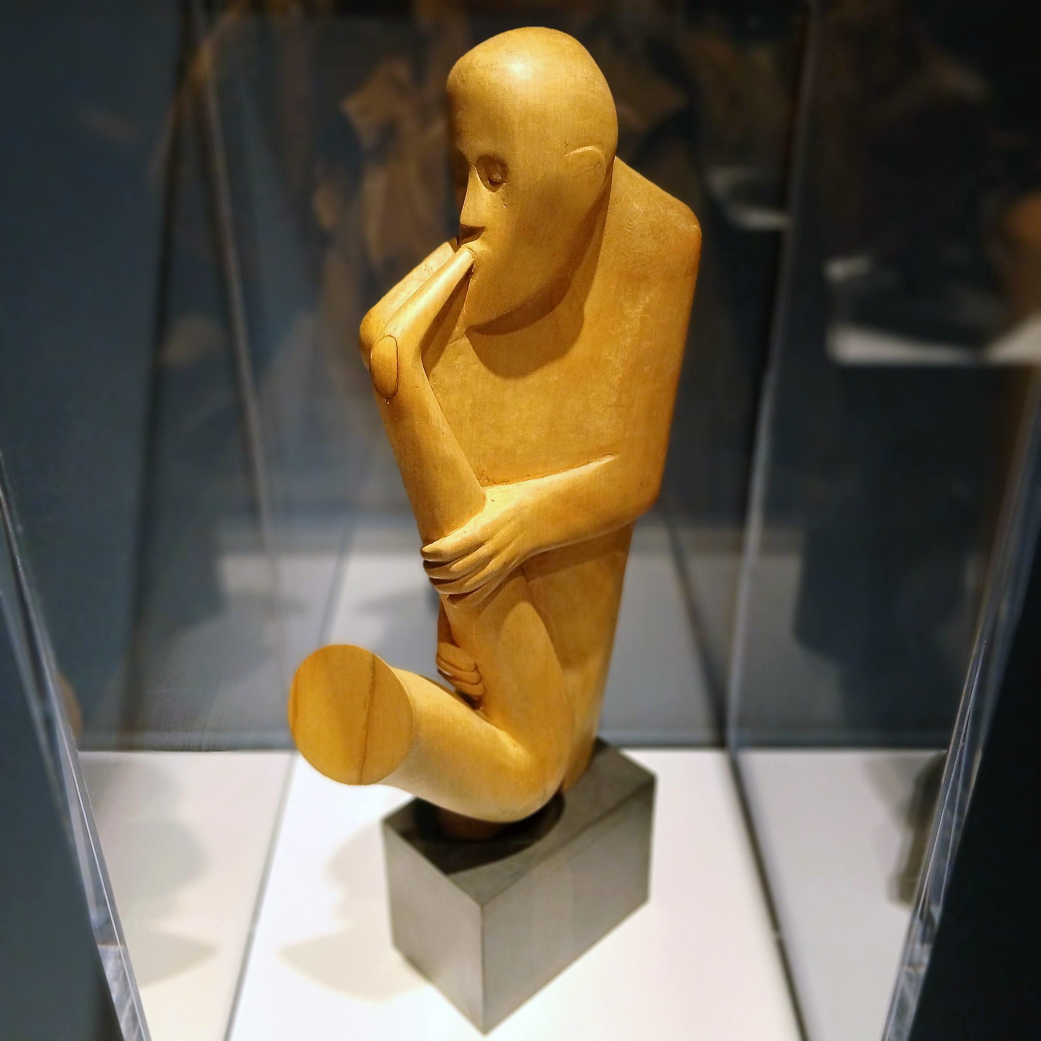
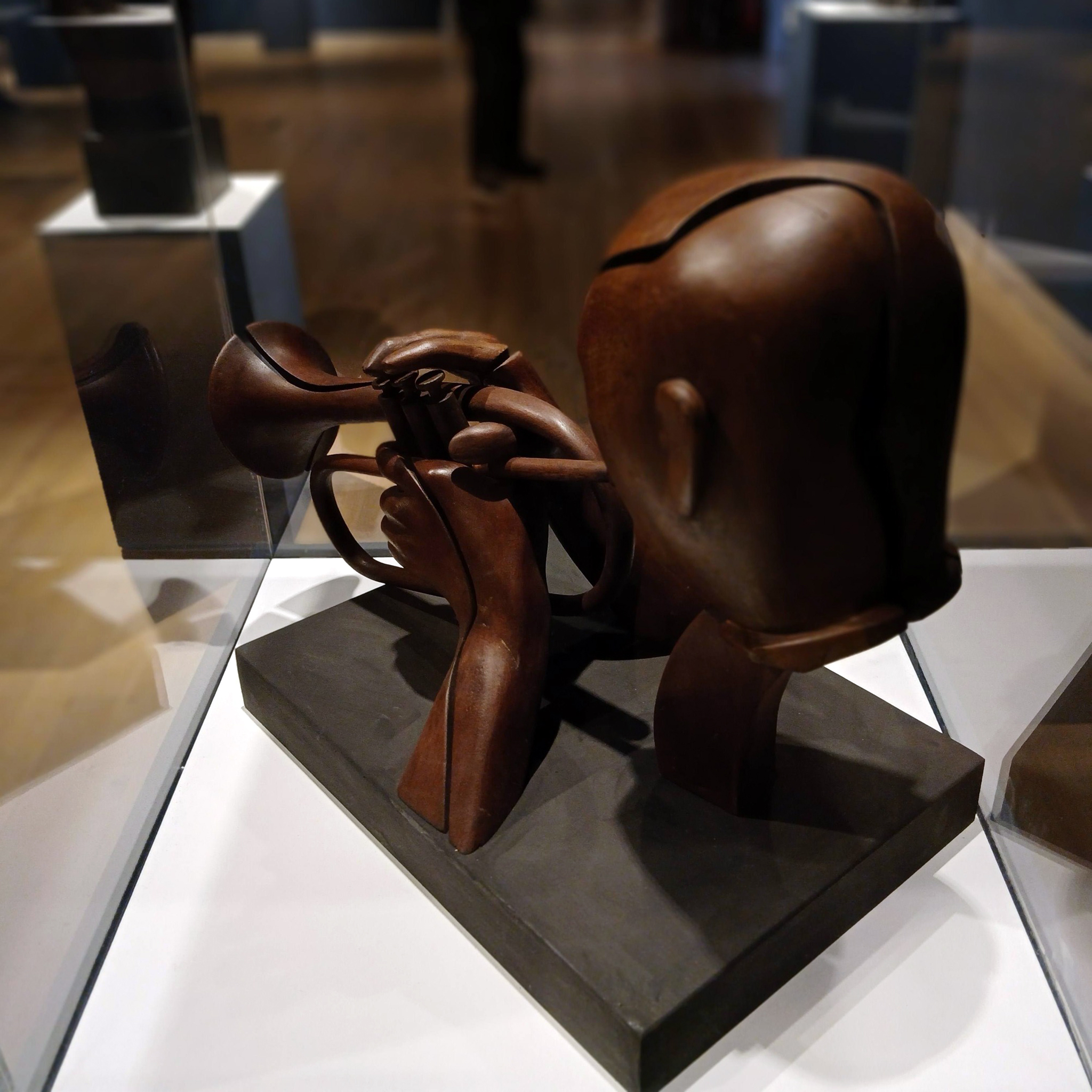
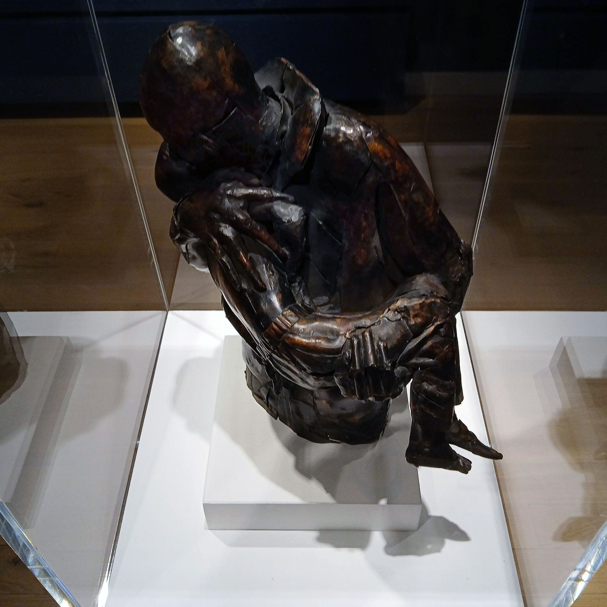
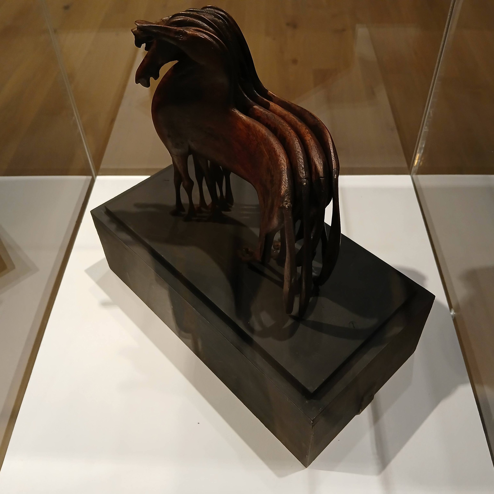
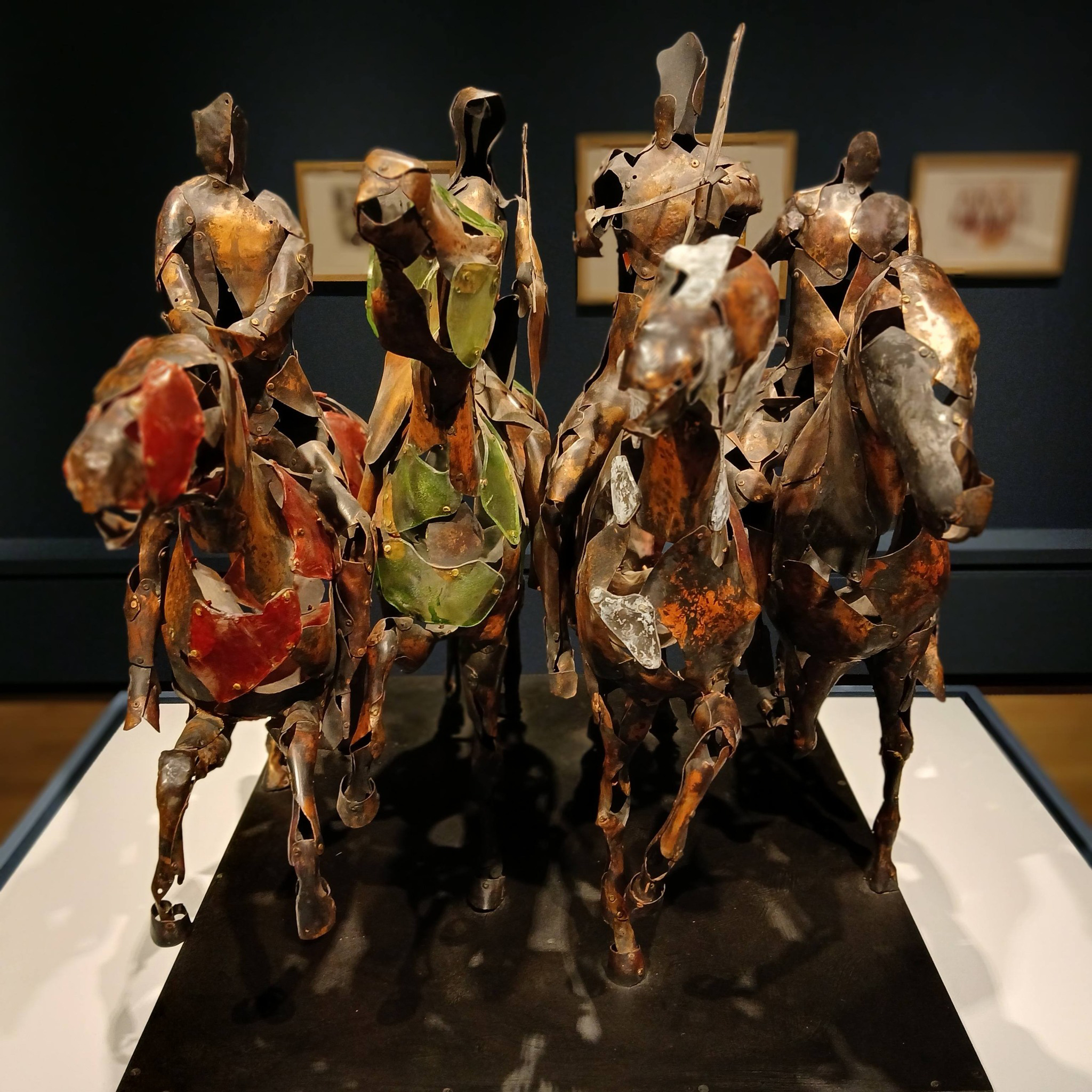
Titled ‘Materials and Making’, this exhibition is a celebration of the work of renowned Yorkshire sculptor and artist, Harold Gosney – born 1937, who has spent over 65 years creating mixed media art pieces.
The exhibition explores Gosney’s expert experimentation with various types of wood and metal throughout his career andconsiders the importance of drawing to his artistic practice. Materials and Making looks at how Gosney draws inspiration from his immediate environment and lived experiences, with horses, the human figure and music emerging as particularly influential subjects.
Featuring over 45 works, highlights include his striking ‘Four Horsemen of the Apocalypse’, crafted from copper and Perspex, the emotive ‘Father and Son, Bam’, his ‘Jazzman’, expertly carved from a single block of sycamore wood, and a trio of drawings depicting views of the nearby York Museum Gardens.
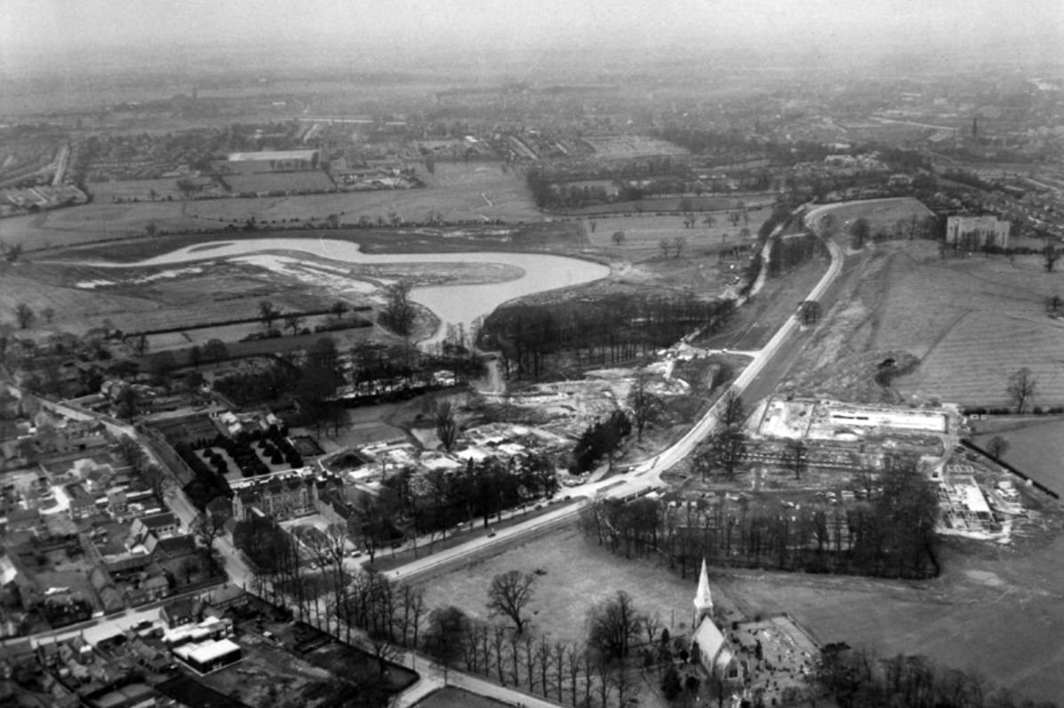
Though plans for a university in York first appeared as early as 1617, it would be over three centuries before they came to fruition. In 1960, permission was finally granted for the University of York to be built, marking the beginning of our journey.
Before the Second World War, Heslington was a quiet rural retreat with a local aristocracy, and a working agricultural village.
Fresh, young, forward-looking and enthusiastic, the University of York was known for its friendly atmosphere before it even opened its doors.
Planning and building the University happened with astonishing speed. In April 1960 the Government approved the establishment and less than three years, on 9 October 1963, the first students walked through the gates of Heslington Hall.
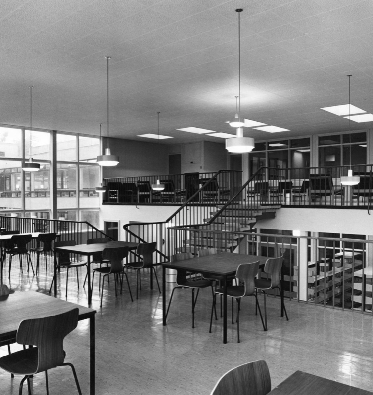
In the 1970s, college social life began to blossom.
Central Hall was the venue for The Who, The Kinks, Fairport Convention, John Martyn, Ian Dury and the Blockheads, Hot Chocolate, Humphrey Littleton, Acker Bilk, Paul Tortelier, Julian Bream, John Williams and others.
Paul and Linda McCartney appeared one day out of the blue with their new band Wings and performed a concert in Goodricke College Dining Room.
The beginning of the 1980s came with significant challenges for the University.
The decade saw the start of cuts across higher education. Staff were exhorted to make economies including turning down their thermostats, recycling, and making telephone calls as short as possible. There was also a fire in the Department of Chemistry.
In 1990, the Vice-Chancellor, Berrick Saul, recounted to court that York had been described by a senior member of the Universities Funding Council as “a well-run university with a relatively low profile.”
What a difference a decade makes.
By the end of the 1990s, York was dominating national league tables for research and teaching and was receiving international press coverage for achievement across the disciplines.
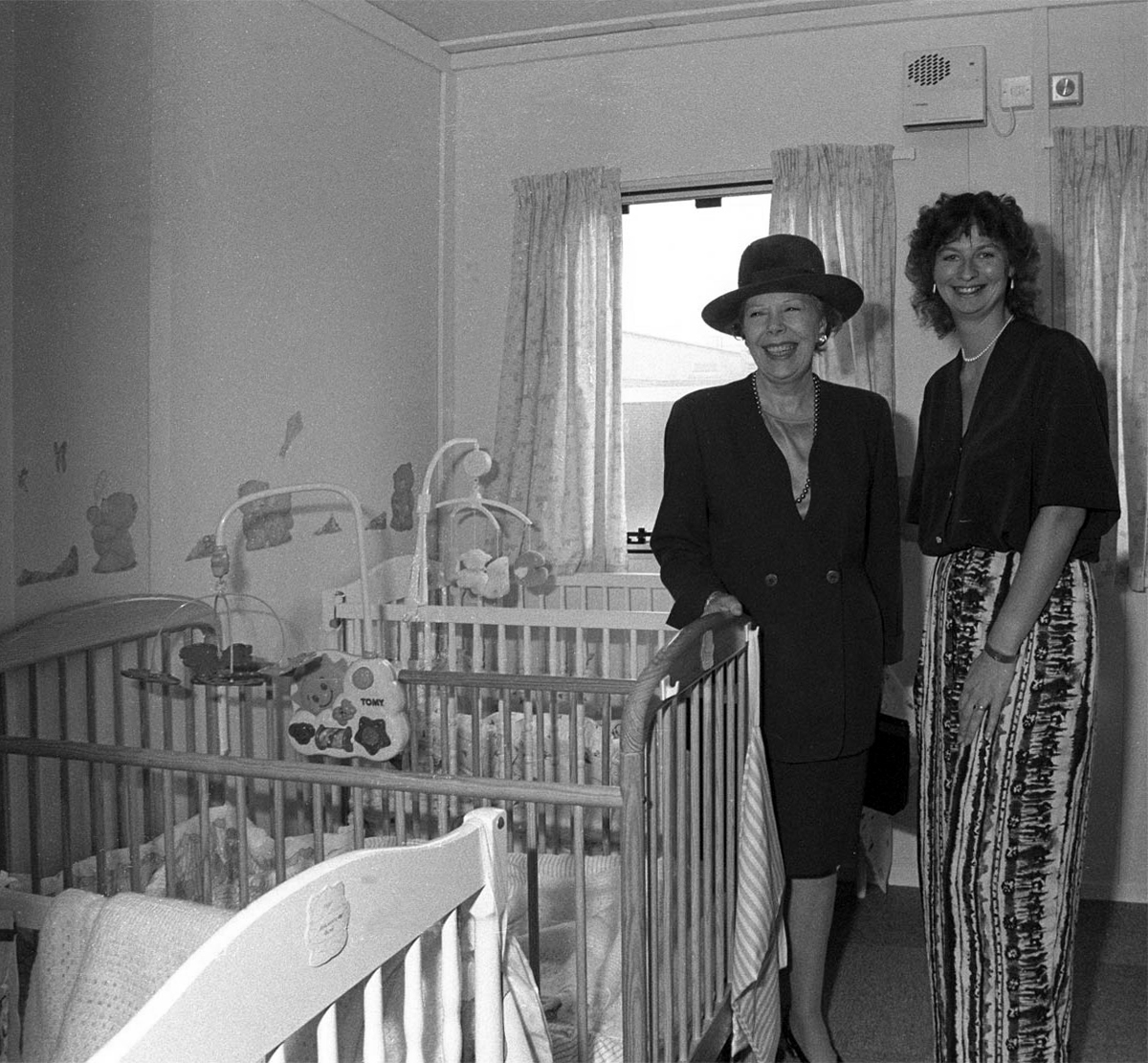
University Chancellor Dame Janet Baker at the opening of the University’s Baby Unit, October 1994 – York Digital Library
The 90s was characterised by advancement and recognition. York remained a popular choice among prospective students growing from 4,300 to 8,500 students without compromising its high entry standards. As the Sunday Times pointed out, “elitism does not appear to be the price of excellence at York”. York was one of only very few universities whose entry from state schools and colleges (around 80 per cent) was the same as the proportion of A-level students in the state system.
The introduction of official quality assessments and the proliferation of newspaper league tables saw the University’s stock rocket. After years of academic advancement, York began to get the recognition it deserved. National recognition attracted additional funding and investment. Research grants rose to over £20m per annum, and the University enjoyed one of the highest incomes per researcher in the higher education sector.
The Sir Jack Lyons Music Research Centre is opened by Roger Wright, controller of BBC Radio 3, 2004
The planning for Heslington East began in earnest in 2002 with the arrival of Brian Cantor as Vice-Chancellor. It took years of master-planning, liaison with interest groups, negotiations with land-owners and local communities, an 8-hour city planning meeting and a Public Inquiry to achieve the purchase of land and complex planning permissions for a site equal to the size of the original Heslington West campus. In 2009, the new Goodricke College opened as the first building on Heslington East.
At the time of the 40th anniversary in 2003, we wrote about Heslington East:
It will be everything that the designers of the original campus hoped for – integrated, landscaped and traffic-free, with a large expanse of water, and a very eager populace.
On 25th November 2010, we were named “University of the Year” at the Times Higher Education Awards, achieving praise from the judges for our “success in combining academic excellence with social inclusion, as well as its record in scientific discovery”.
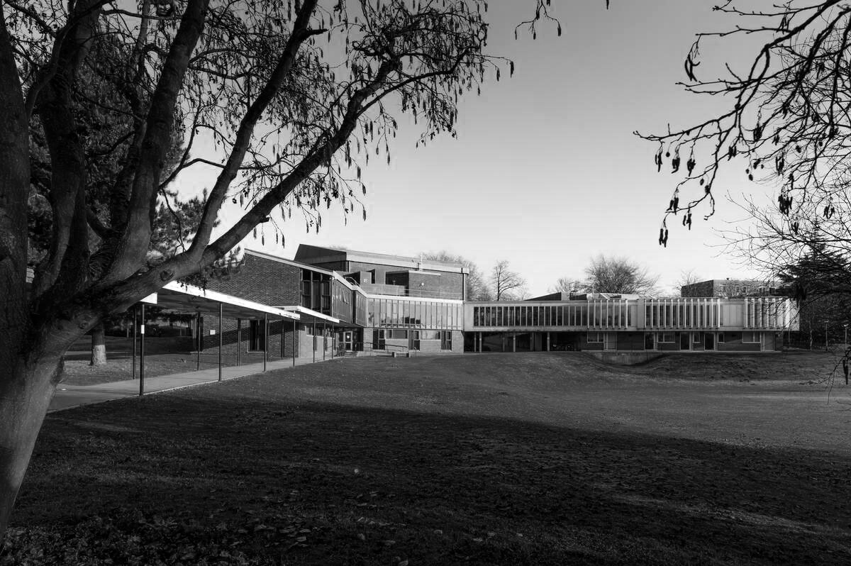
The development of Campus East continued throughout the decade, with four new sites to accommodate academic departments and a variety of support and social buildings, including the Ron Cooke Hub and York Sports Village.
Campus West also saw much expansion and redevelopment during the 2010s, with the opening of the £13.8m Spring Lane Learning and Teaching Building and £16m Biology teaching and laboratory facility in 2016.
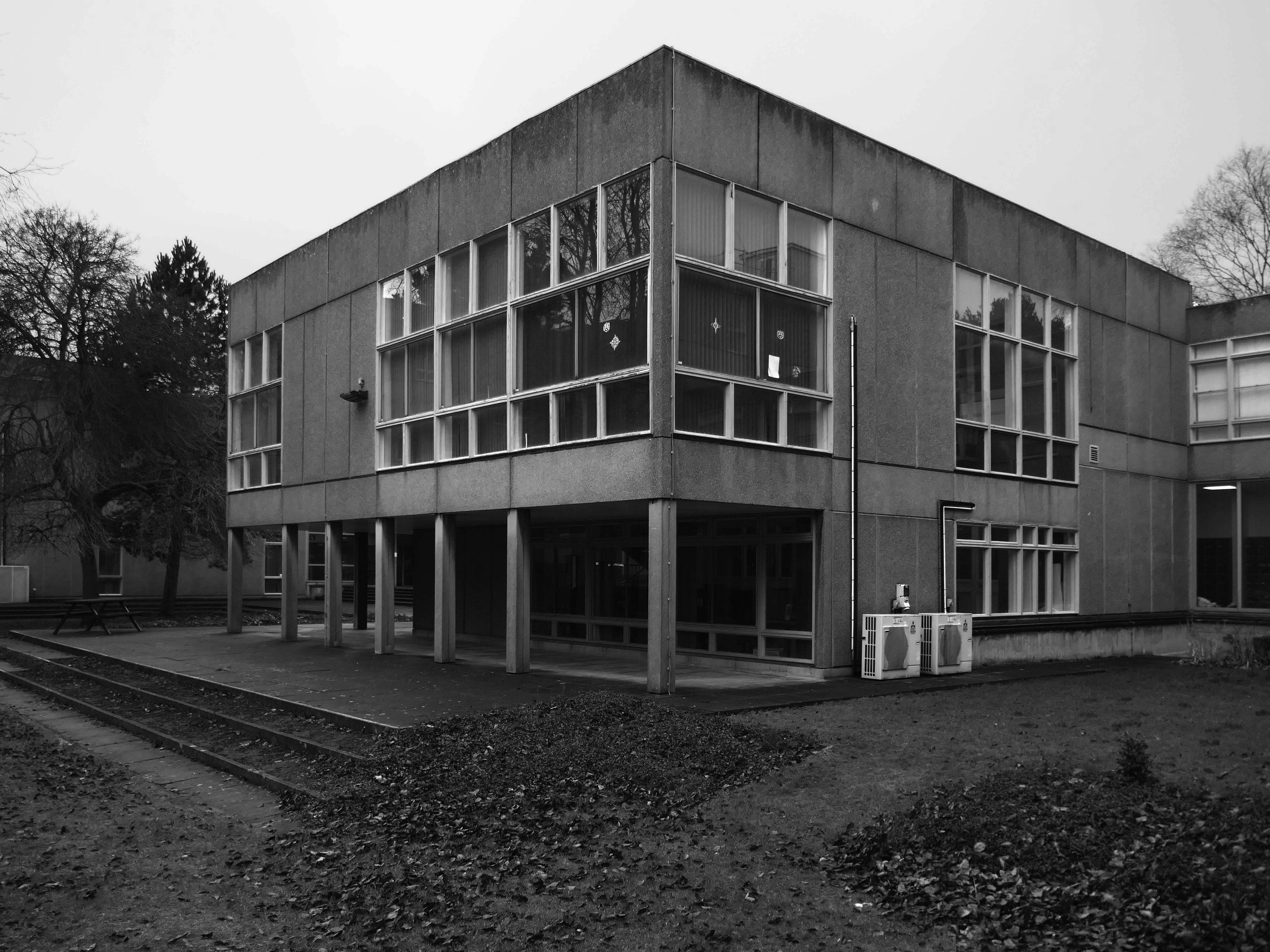
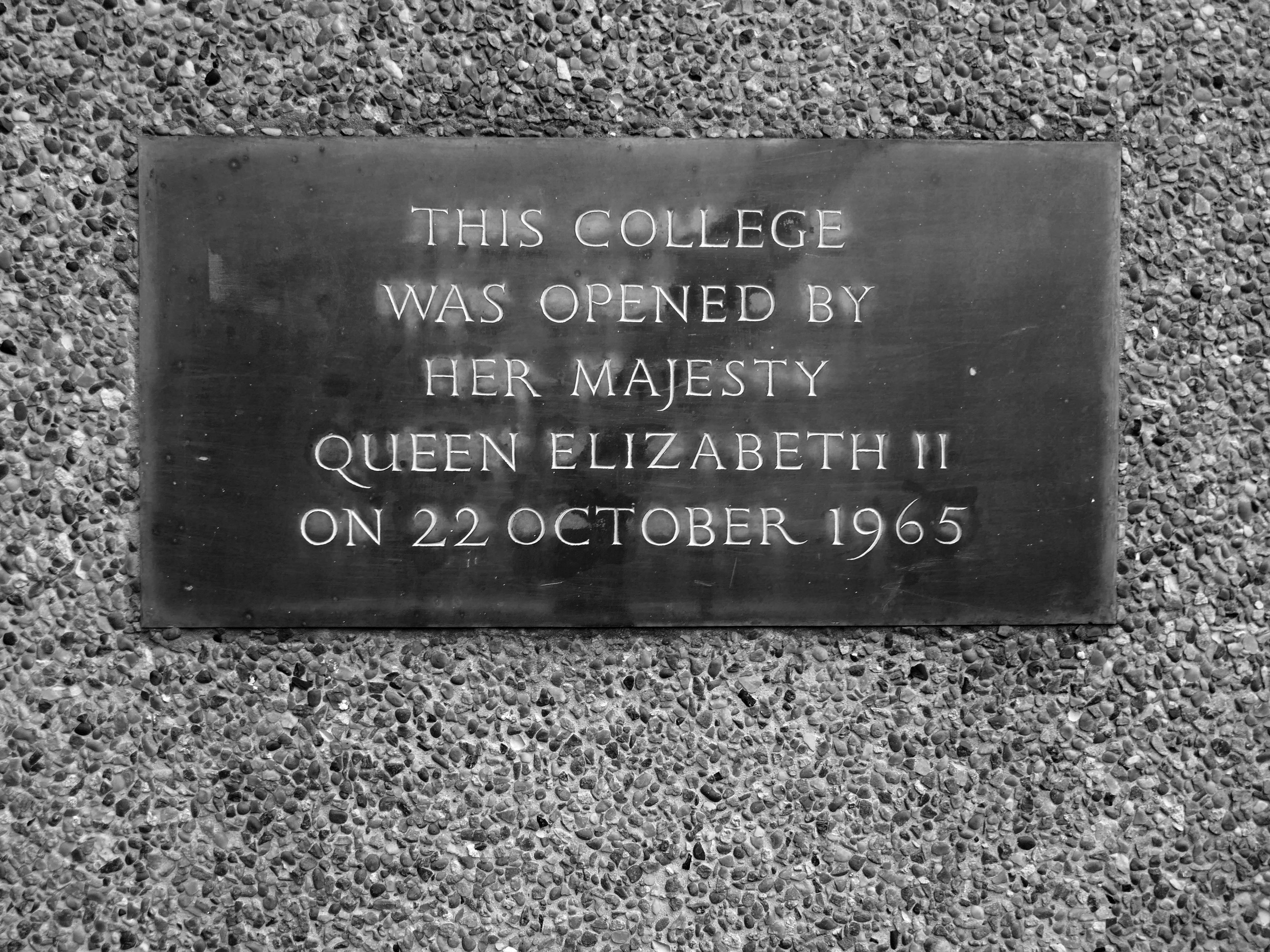
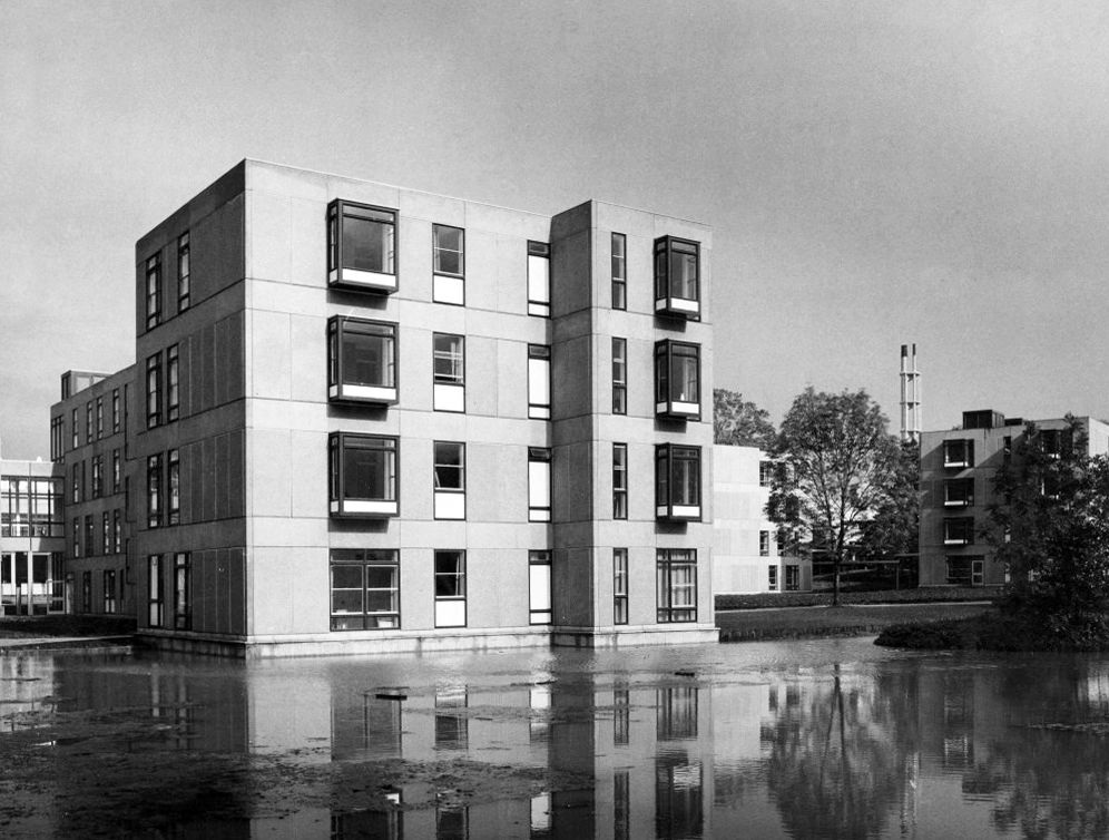
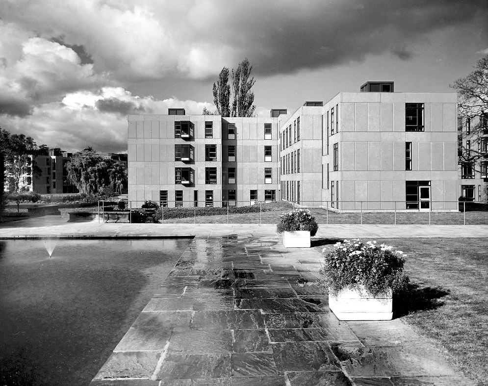
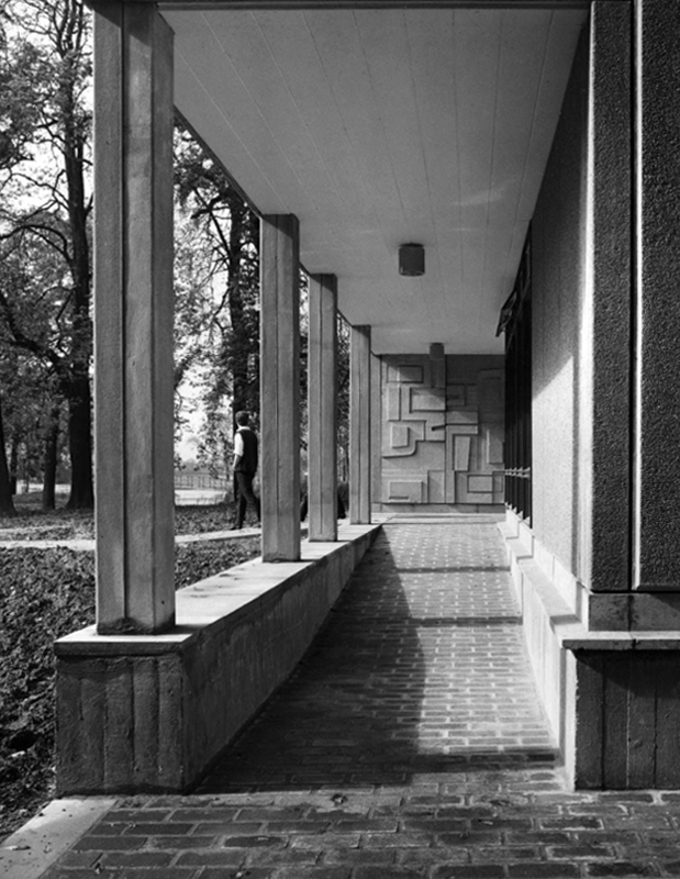
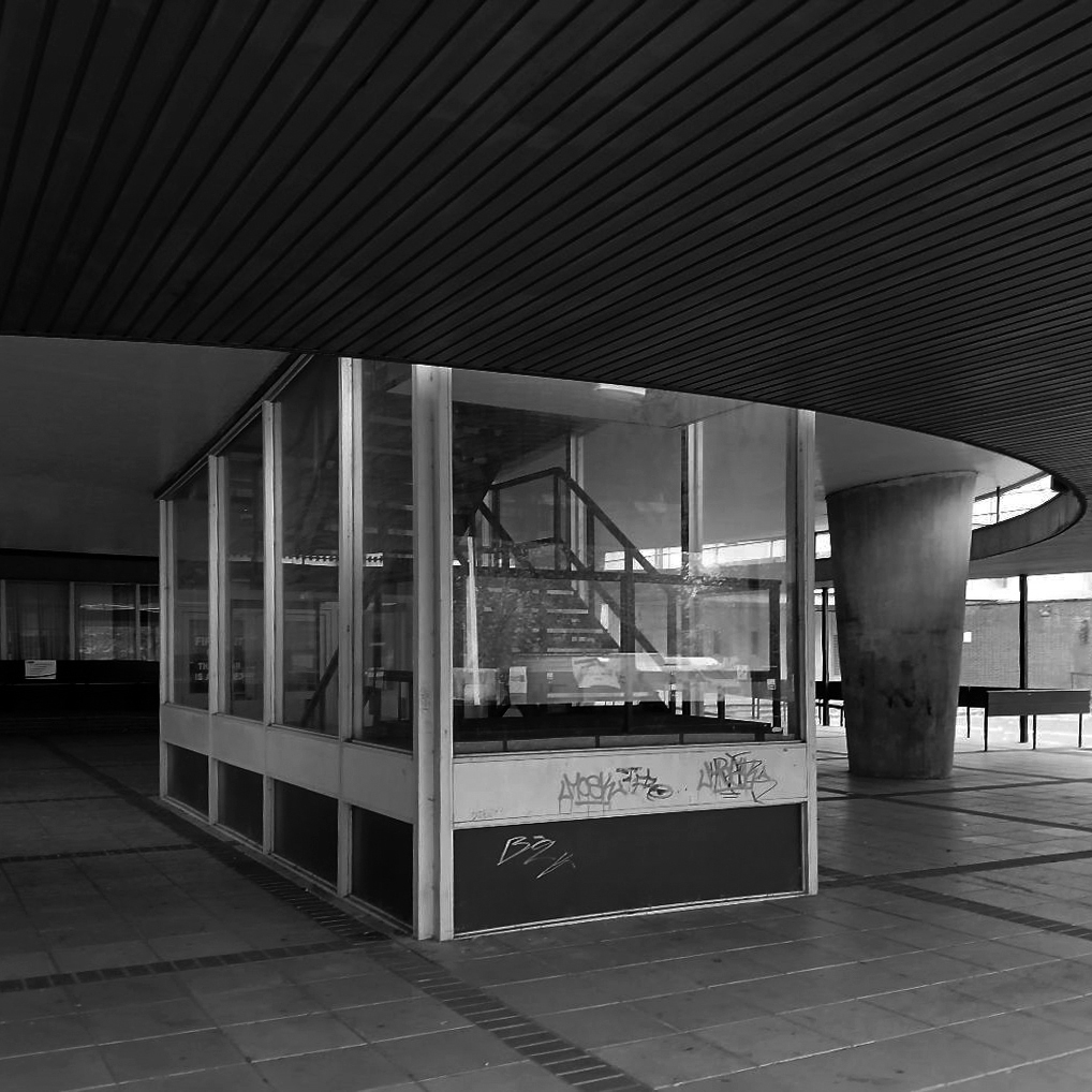
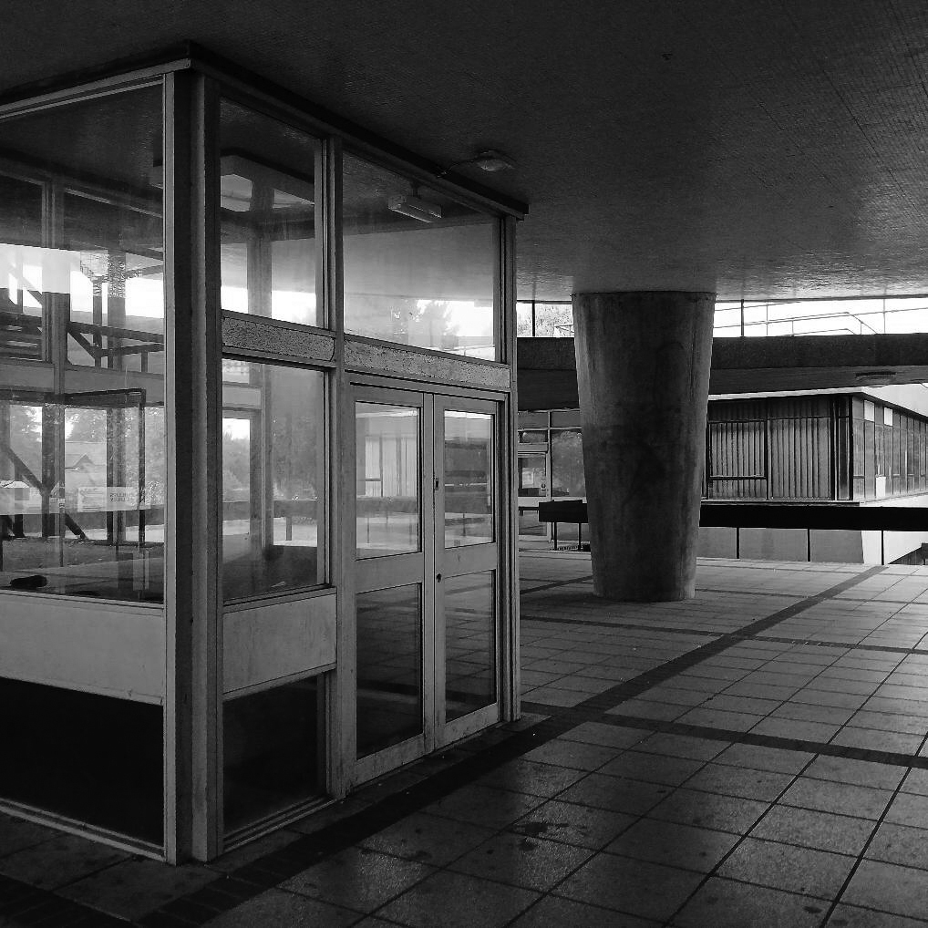
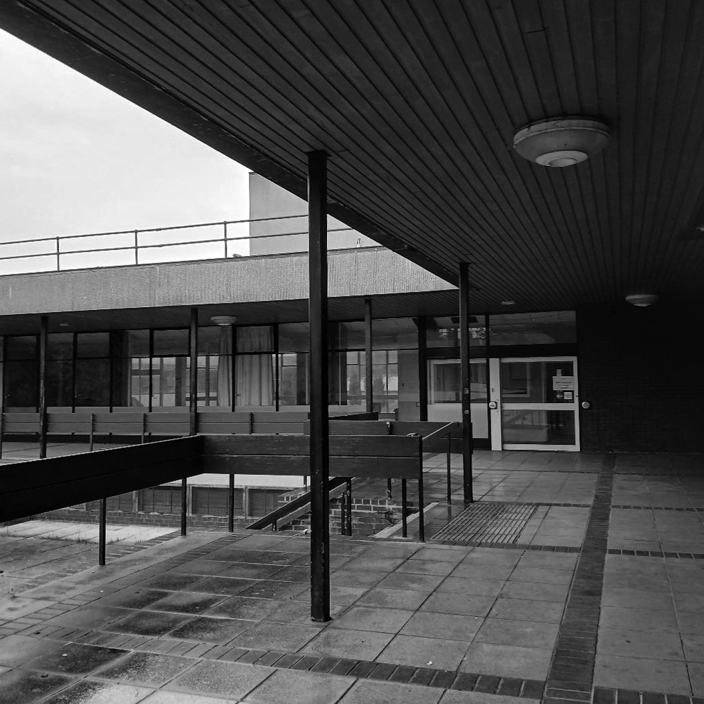
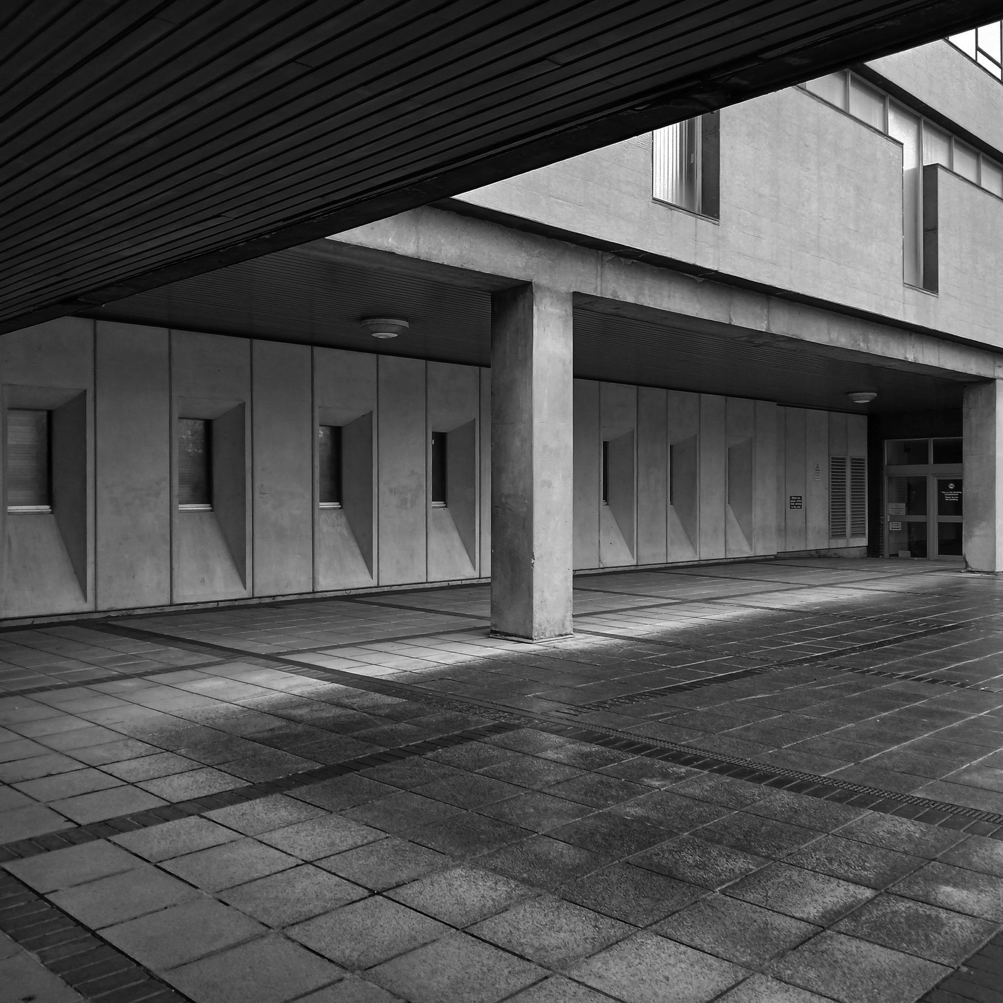
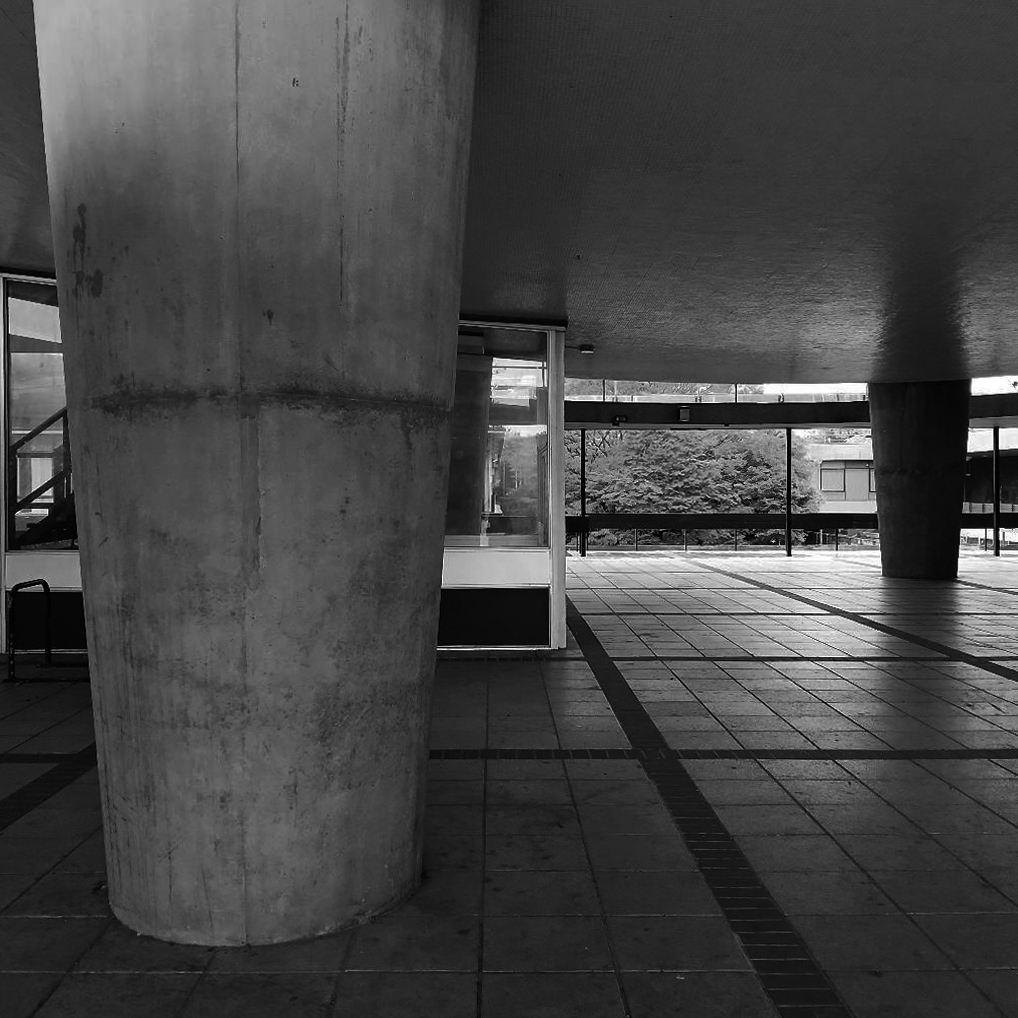
The University of York was founded in 1963 and work on its campus facilities in the grounds of Heslington Hall was begun in 1964. The first two colleges, Langwith and Derwent, accepted residential students for the autumn term of 1965. The original buildings were designed by Sir Andrew Derbyshire of Robert Matthew Johnson-Marshall & Partners, and assembled using the CLASP system of prefabricated construction.
RIBA
Founded in 1956 by architects Robert Matthew and Stirrat Johnson-Marshall, RMJM’s first offices were based in London and Edinburgh.
RMJM is now one of the largest architecture and design networks in the world. Services include architecture, development management, engineering, interior design, landscape design, lead consultancy, master planning, product design, specialist advisory services, and urban design
Langwith College 1965 – photo Reginald Hugo de Burgh Galwey
Constructed using the Consortium of Local Authorities Special Programme – CLASP system, formed in 1957 by Local Authorities in England to develop a shared prefabricated system for the construction of school buildings. The resulting CLASP building system was initially developed by Charles Herbert Aslin, the county architect for Hertfordshire.
CLASP’s popularity in coal mining areas was in part because the system permitted fairly straightforward replacement of subsidence-damaged sections of building, and the lightness of the structures. The system was also later used for the construction of railway stations, offices, university buildings, and churches until the late 1970s.
Today, 3000 examples are still in use.
Photo – Keith Gibson 1965
The system utilised prefabricated light gauge steel frames which could be built economically up to a maximum of four storeys. The frames were finished in a variety of claddings and their modular nature could be employed to produce architecturally satisfying buildings. Initially developed solely for schools, the system was also used to provide offices and housing.
The cynics’ definition of the CLASP acronym, circulating in the 1970s, was:
collection of loosely assembled steel parts.
CLASP buildings fell out of favour in the late 1970s. Budgetary advances and changing architectural tastes made the scheme obsolete.
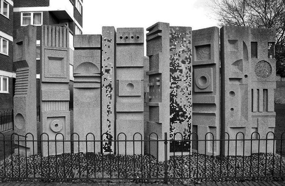
Walkway Derwent College with concrete relief by Fred Millett 1965
Photos 1965 Bill Toomey
Fred Millett 1920–1980 was a muralist and poster artist who exhibited at the Festival of Britain and was commissioned by London Transport, National Westminster Bank, University of York and the General Post Office. He also taught Perception and Communication at the Polytechnic of Central London.
Fred Millett – Sculpted Wall Raglan Estate Camden 1965
Originally part of the children’s playground, the work is a feature of a post war estate designed by Frank Scarlett in Kentish Town
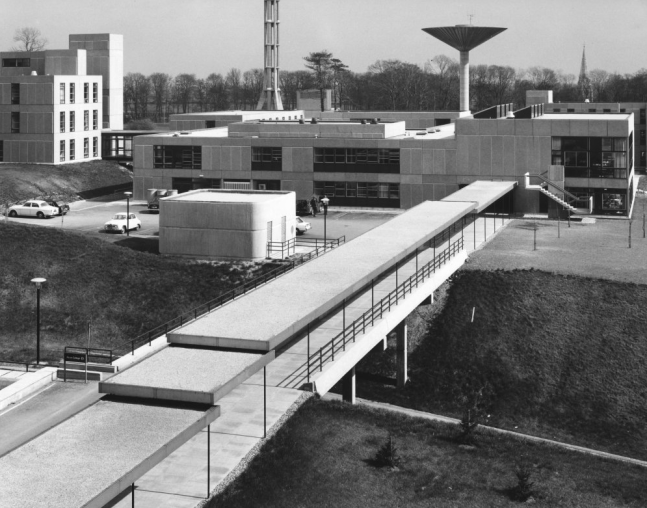
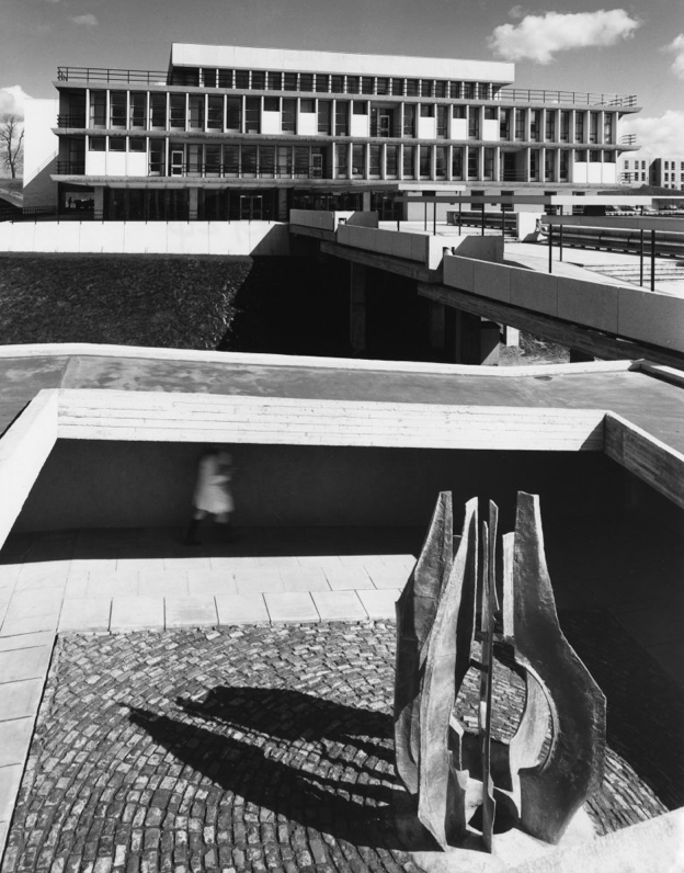
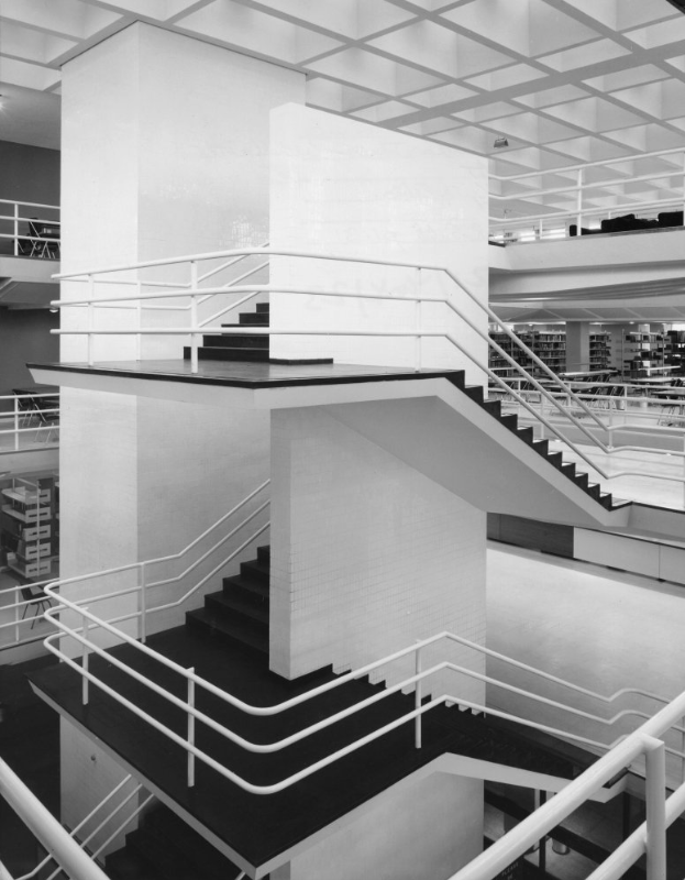
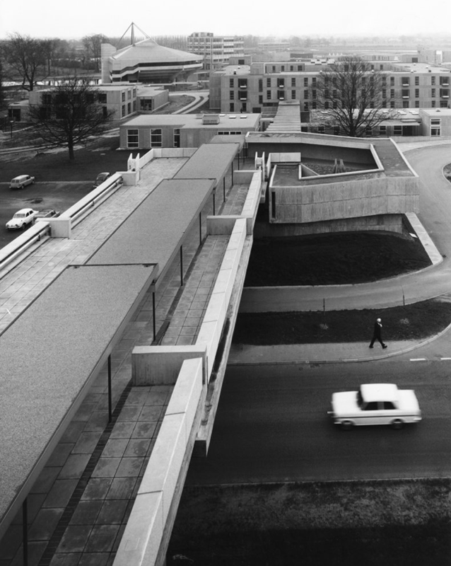
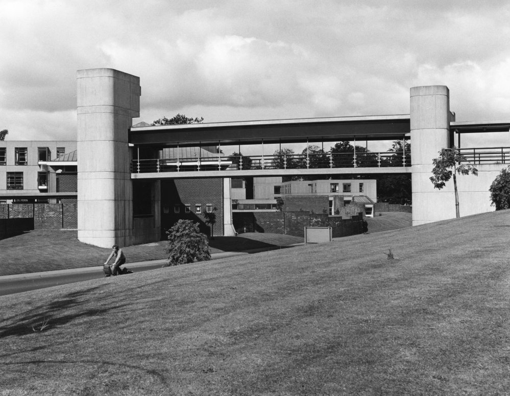
JB Morrell Library seen from the south side of Heslington Road with linking pedestrian bridge and ramp in foreground and cast aluminium sculpture by Austin Wright.
Austin Wright 1911-1997 is a significant post-war sculptor whose personal and professional lives were deeply intertwined with the city of York.
He was born on 4th June 1911 in Chester but spent his childhood in Cardiff. Though a largely self-taught artist, Austin took evening classes at Cardiff Art School. Austin attended New College, University of Oxford for his degree in Modern Languages before he started his teacher training. His first job as a teacher started in 1934 at The Downs, Malvern in Worcestershire. The school attracted artistic people. W.H. Auden taught English for example, and the art master organised a Dada exhibition one year. Here, Austin taught painting and sculpture as well as French and German.
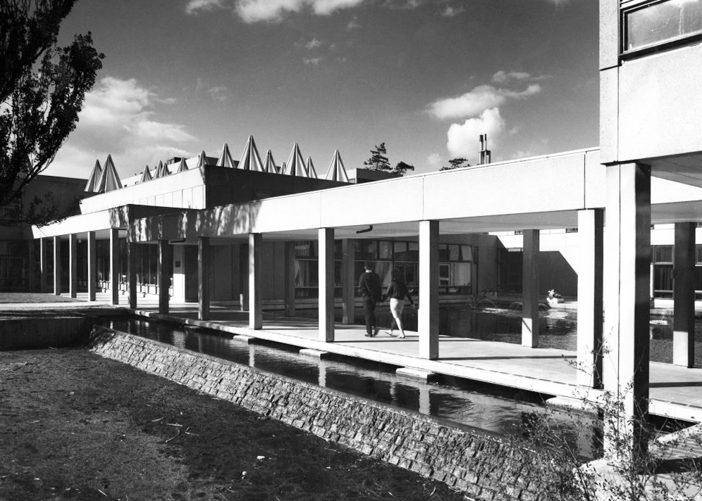
Covered pedestrian bridge linking the southern side of the campus to the JB Morrell Library on the north side.
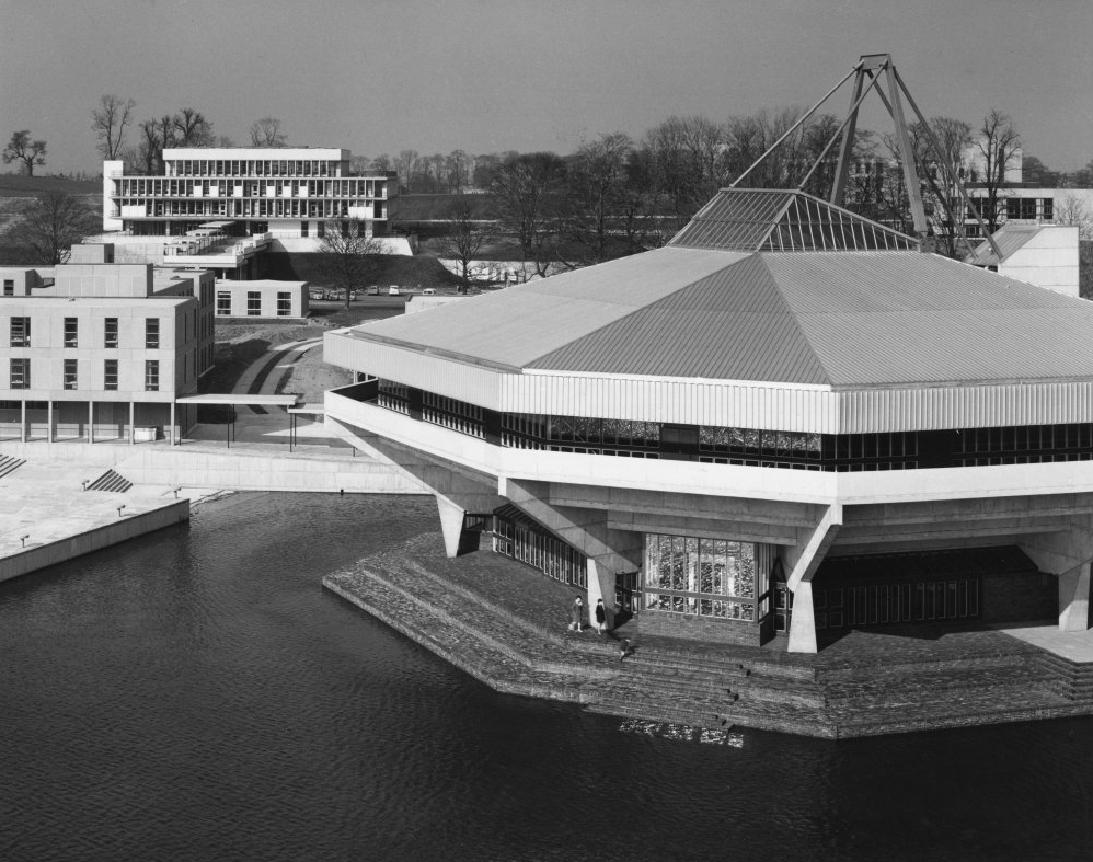
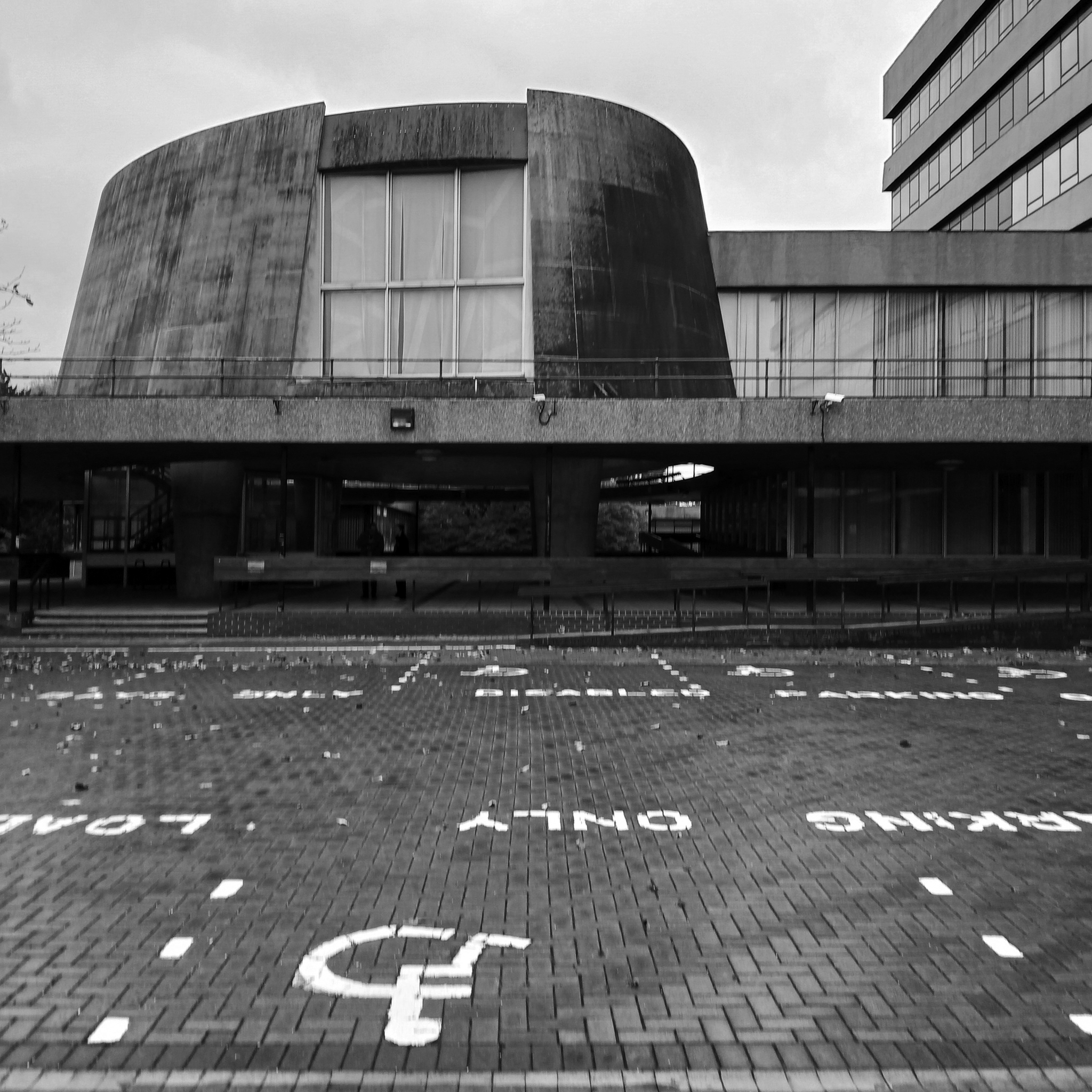
Central Hall
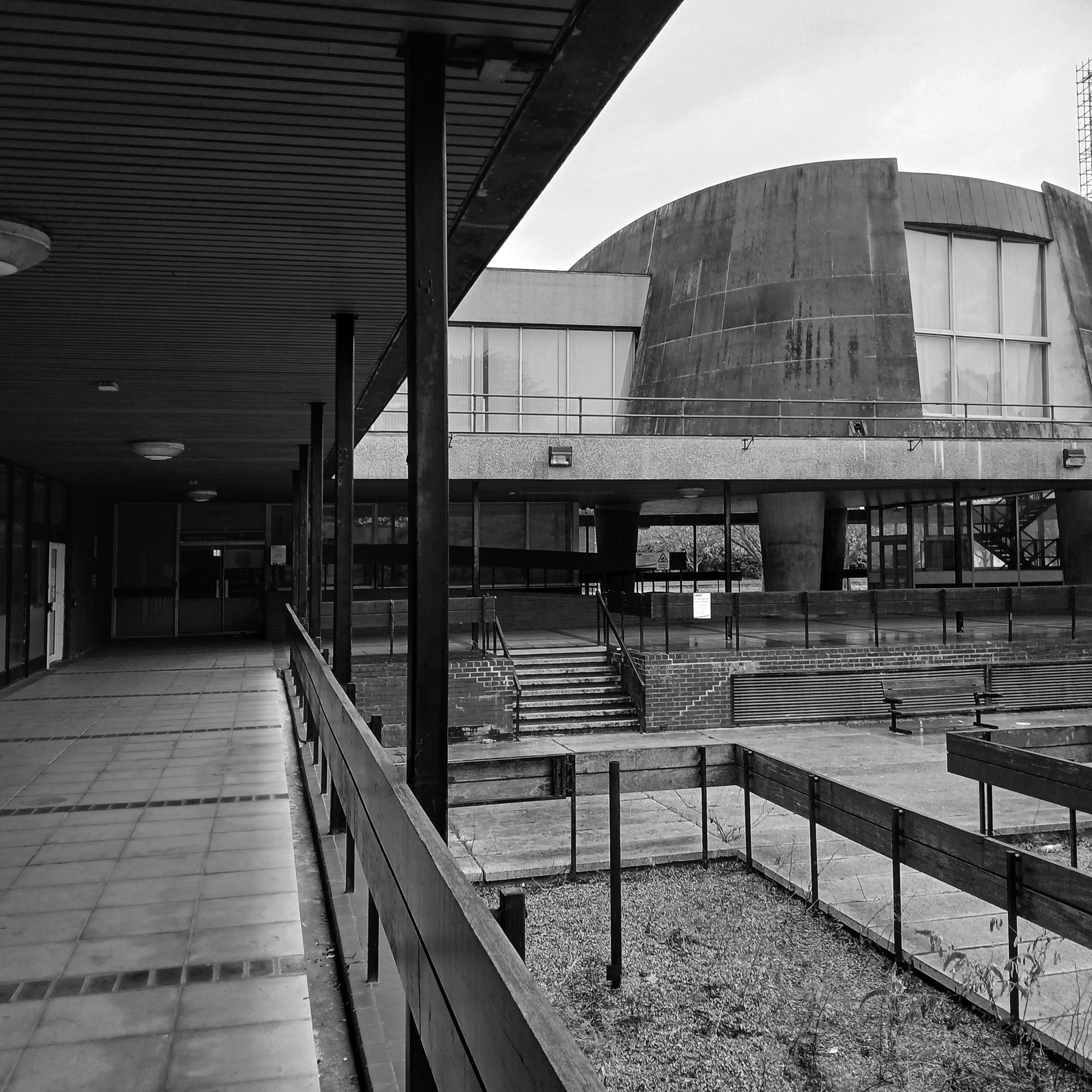
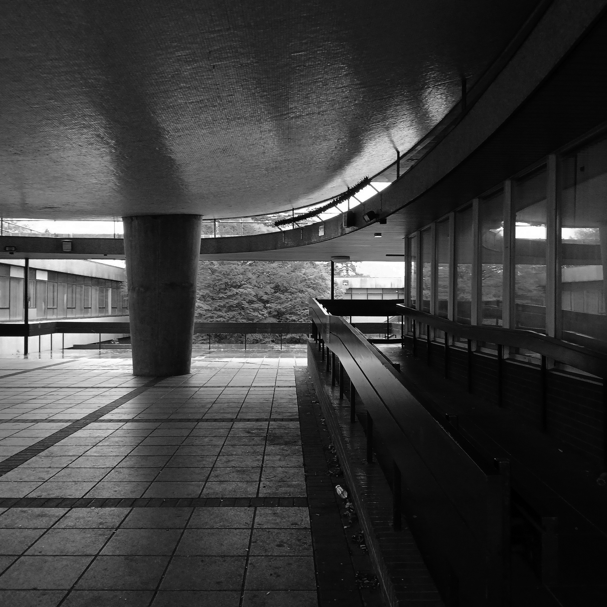
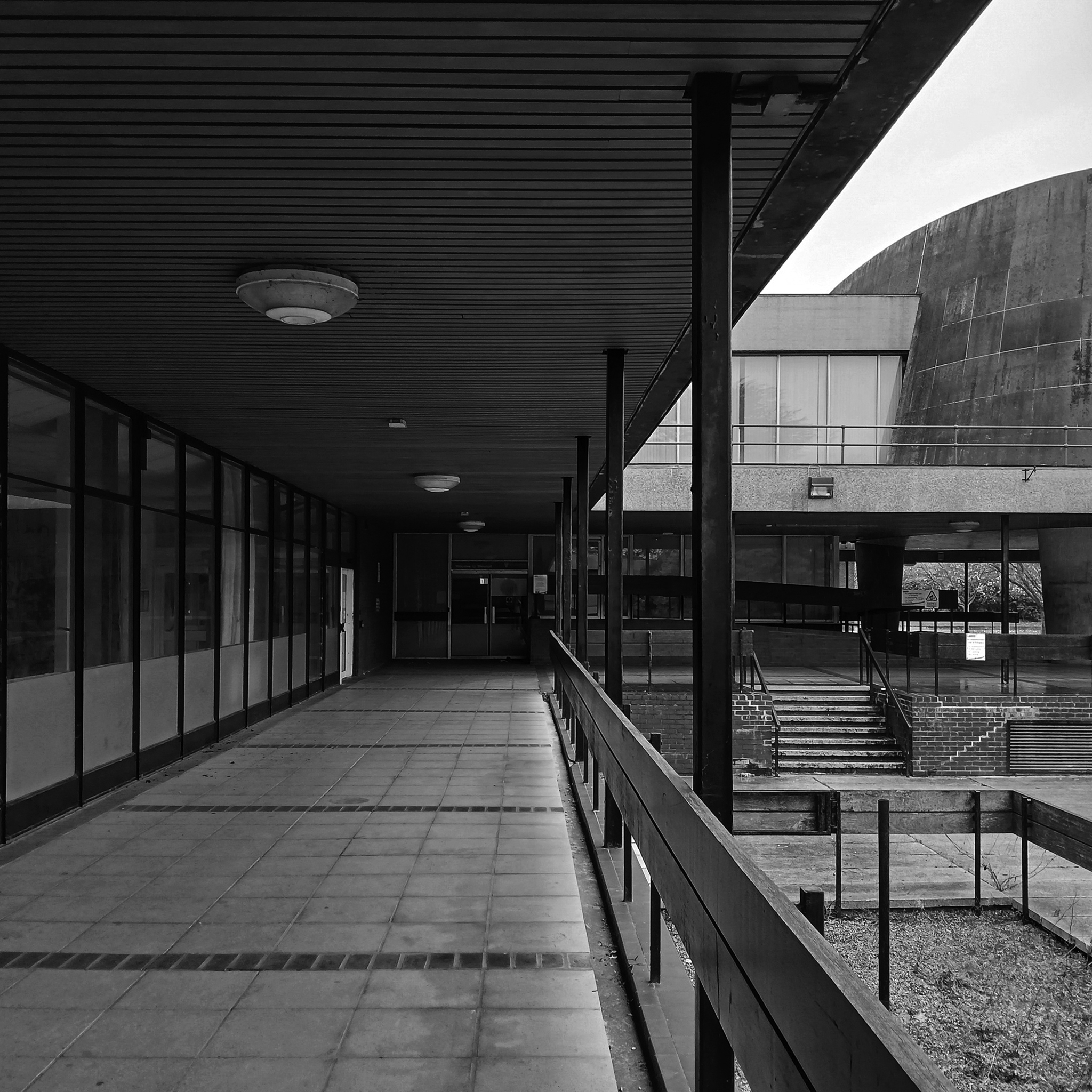
Colloquially known as The Spaceship designed by John Speight, constructed in 1966–1968. The hall is seen as a tour de force of the university, appearing on merchandise and often used as a background for university publicity.
Central lecture and recreation hall to the University of York, 1966-1968 by Robert Matthew, Johnson-Marshall & Partners with Stirrat Johnson-Marshall and Andrew Derbyshire as partners in charge, and John Speight as job architect.
* it forms part of a wave of seven new universities that improved access to higher education and marked the high point of publicly-funded architecture in post-war Britain;
* it is a physical manifestation of the University of York Development Plan, which was heralded as the beginning of contemporary university planning in Britain;
* it continues a historic tradition established by late-C19/early-C20 ‘red brick’ universities of featuring a great hall for special events.
* it has an imaginative and bold design with a striking architectural form and massing that is the focus of the most dramatic views across the campus lake;
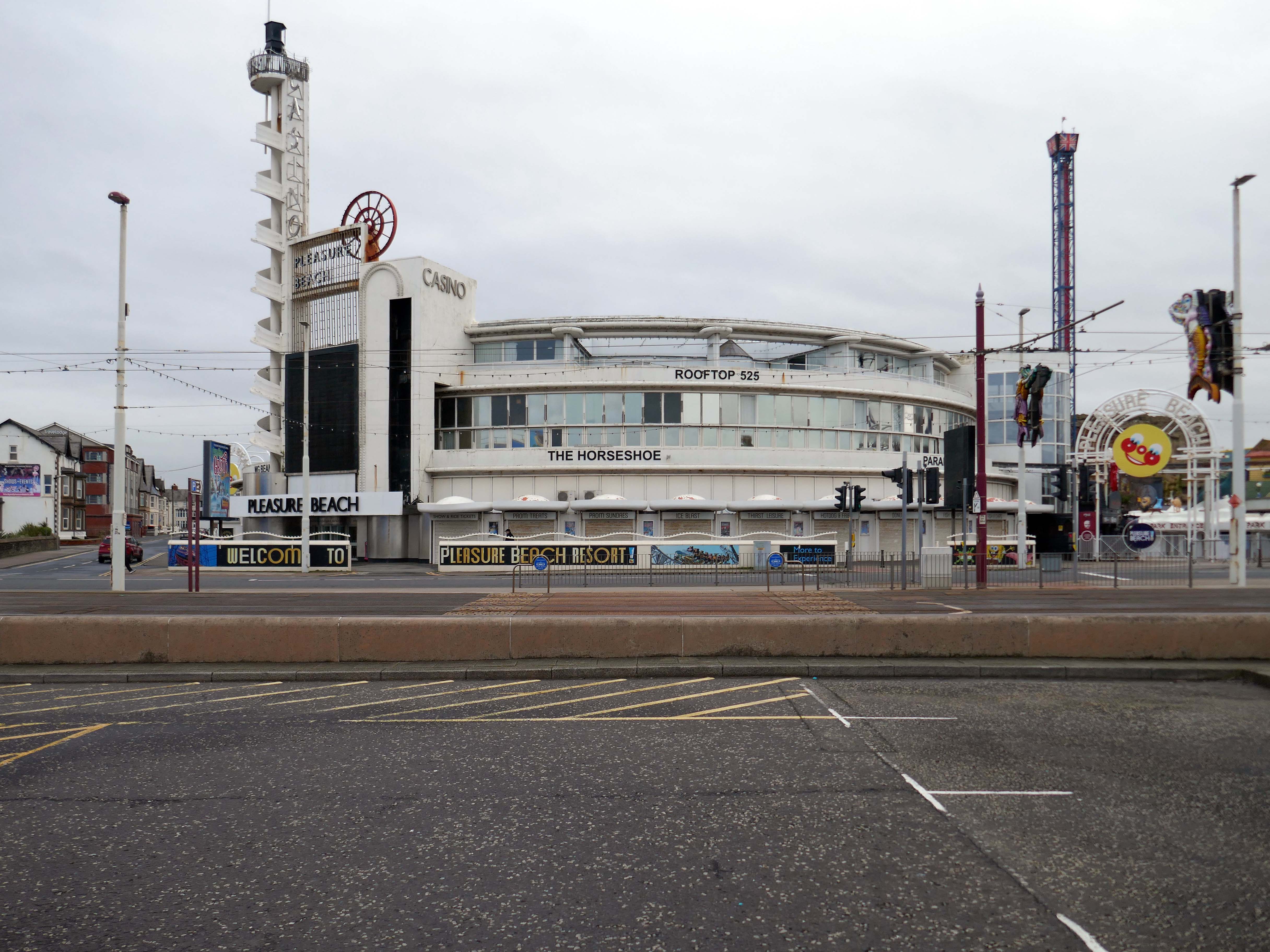
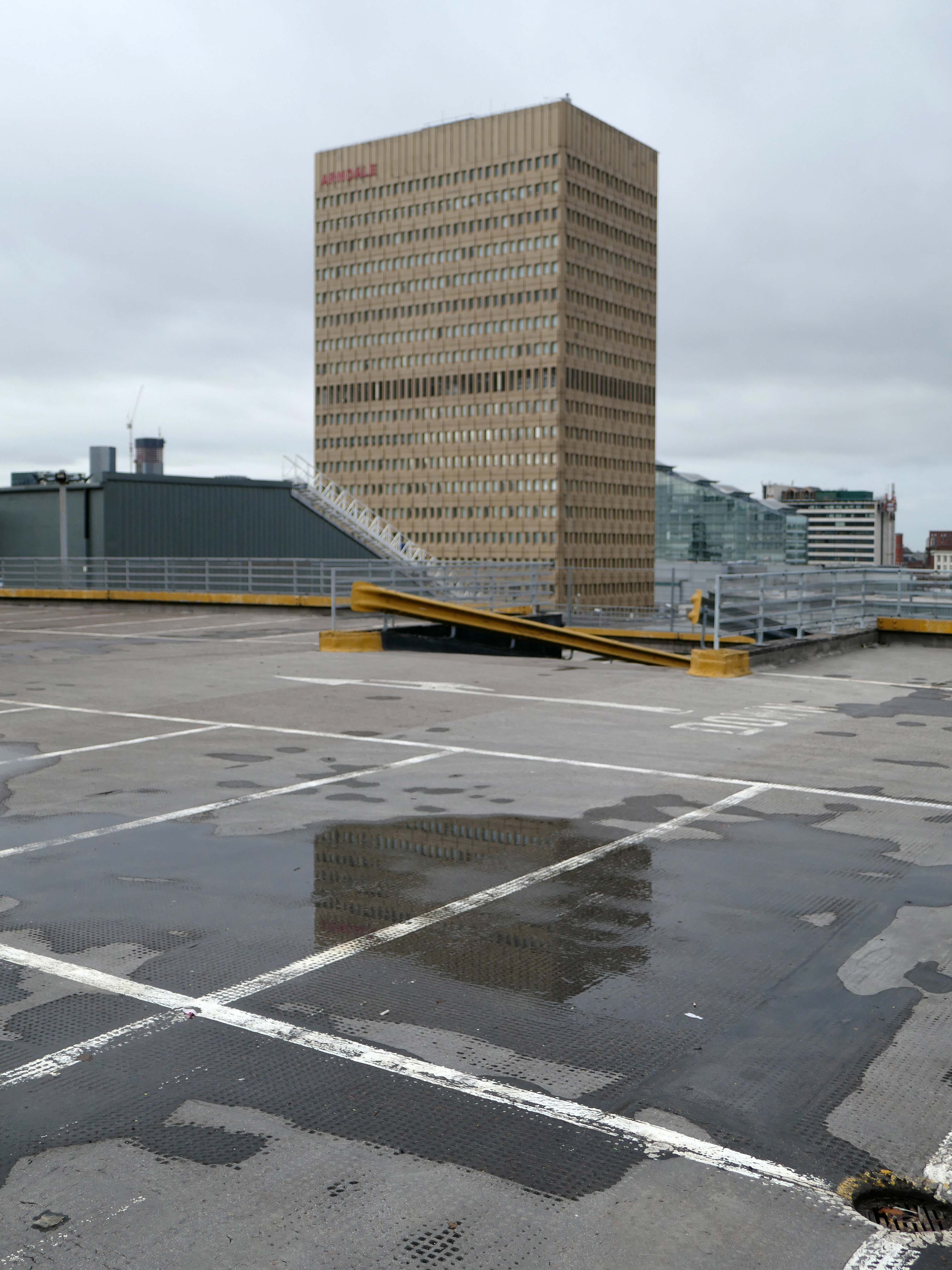
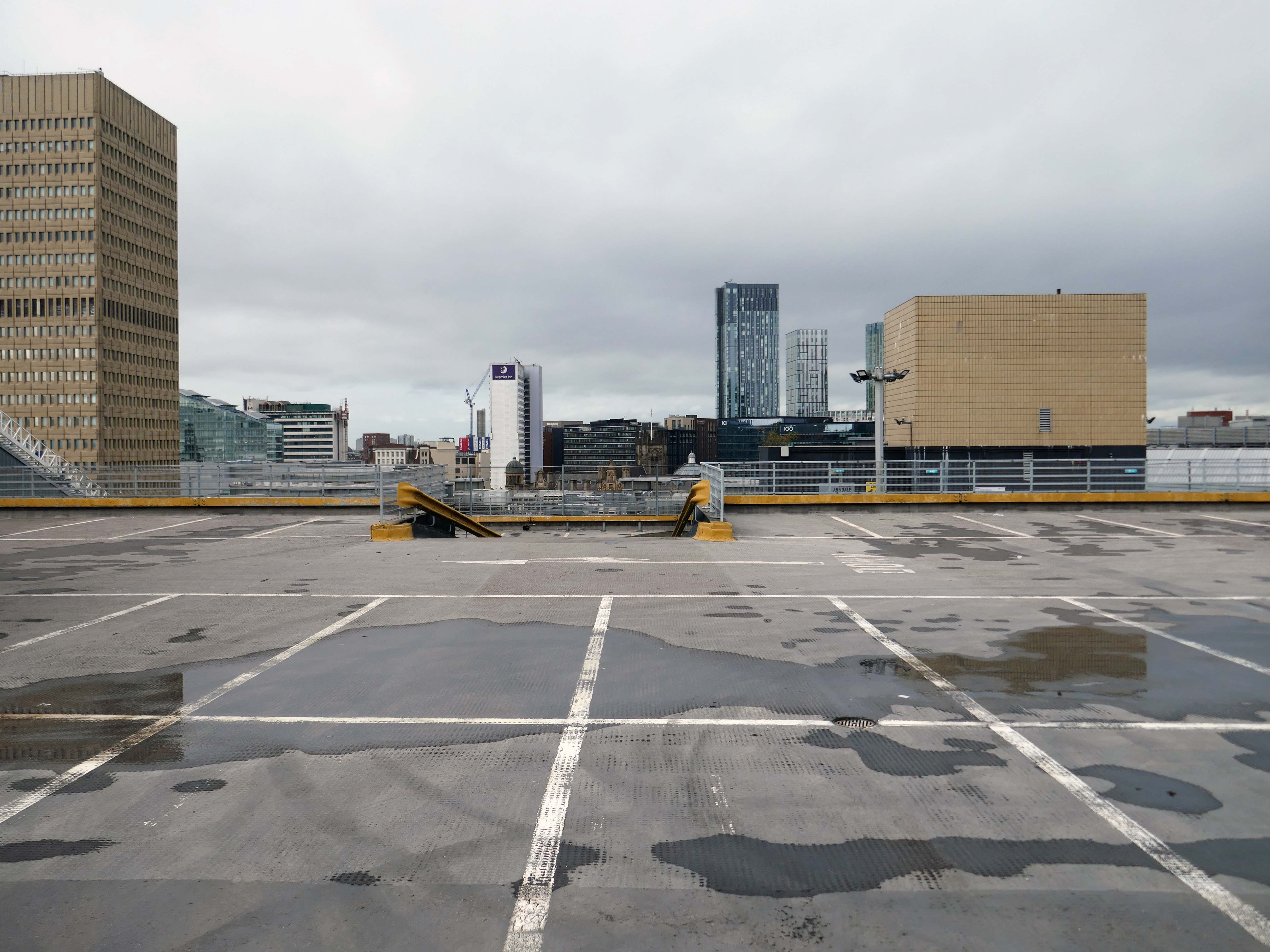
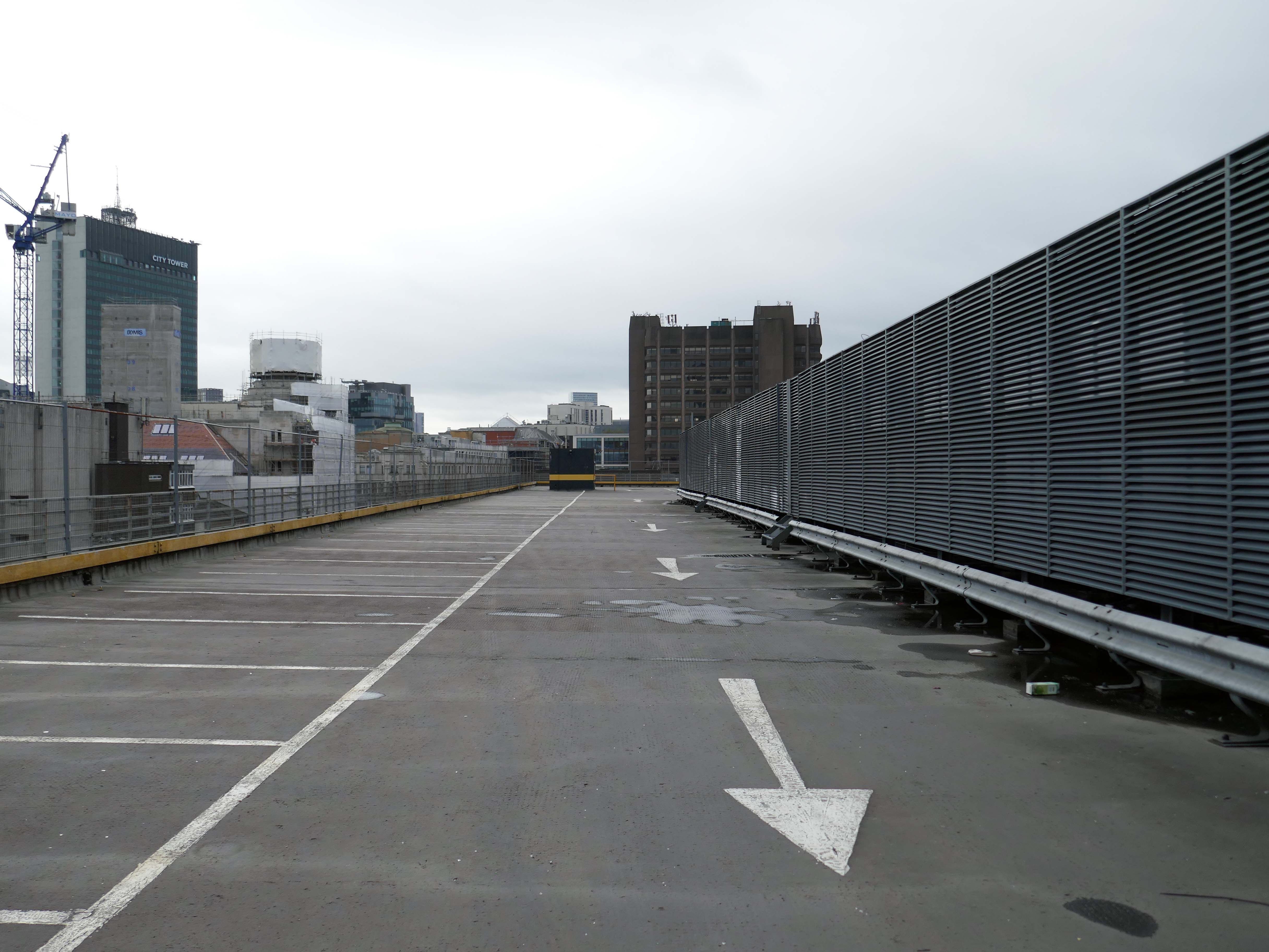
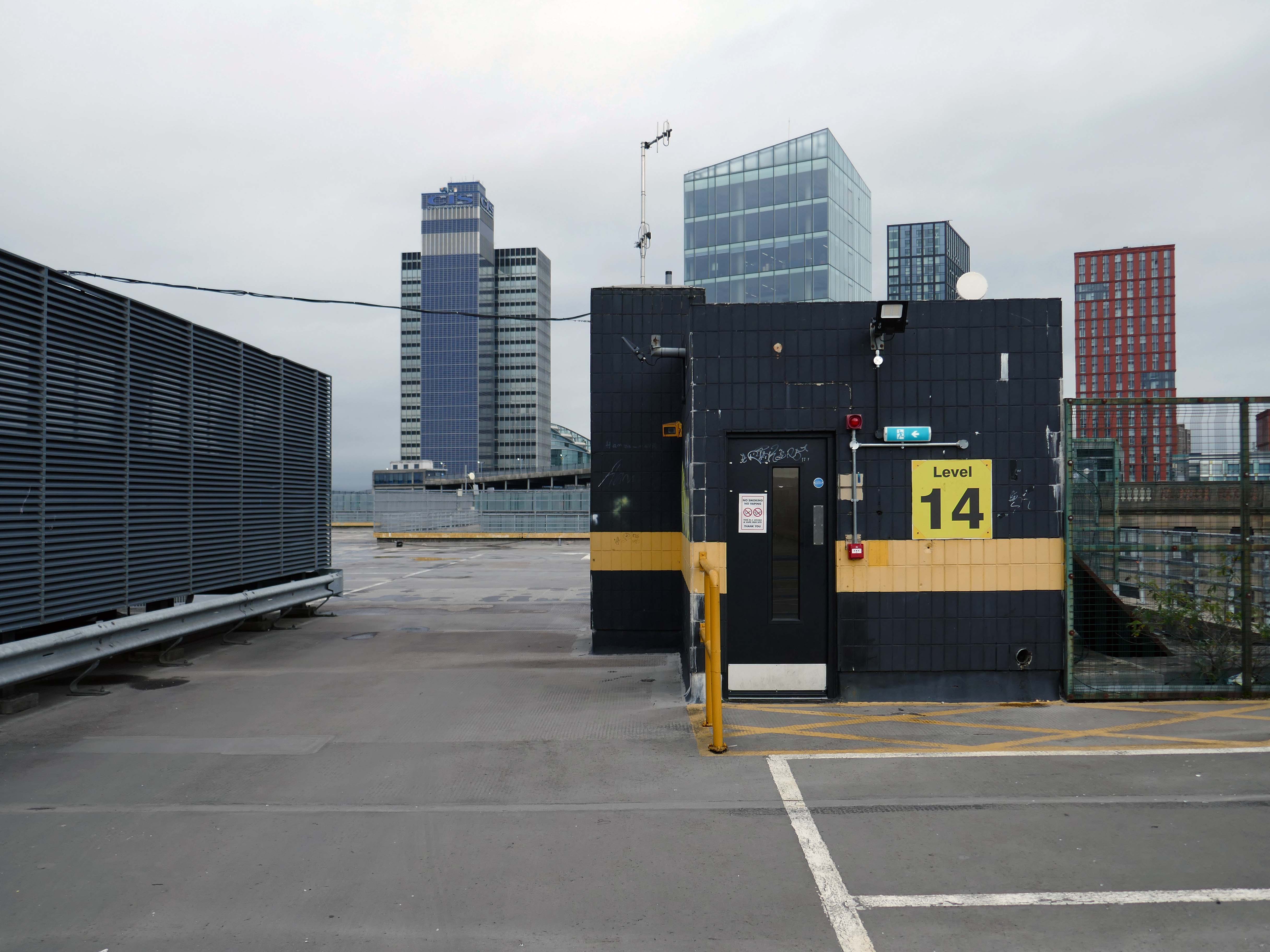
On Wednesday 21st January, I boarded the 9.33 for Blackpool from Platform 14 Manchester Piccadilly station.
10.35 the train terminated at Preston – thus far and no further.
Thinking on my feet, I legged it rapido to Preston Bus Station and just about caught the 68 bus to Blackpool.
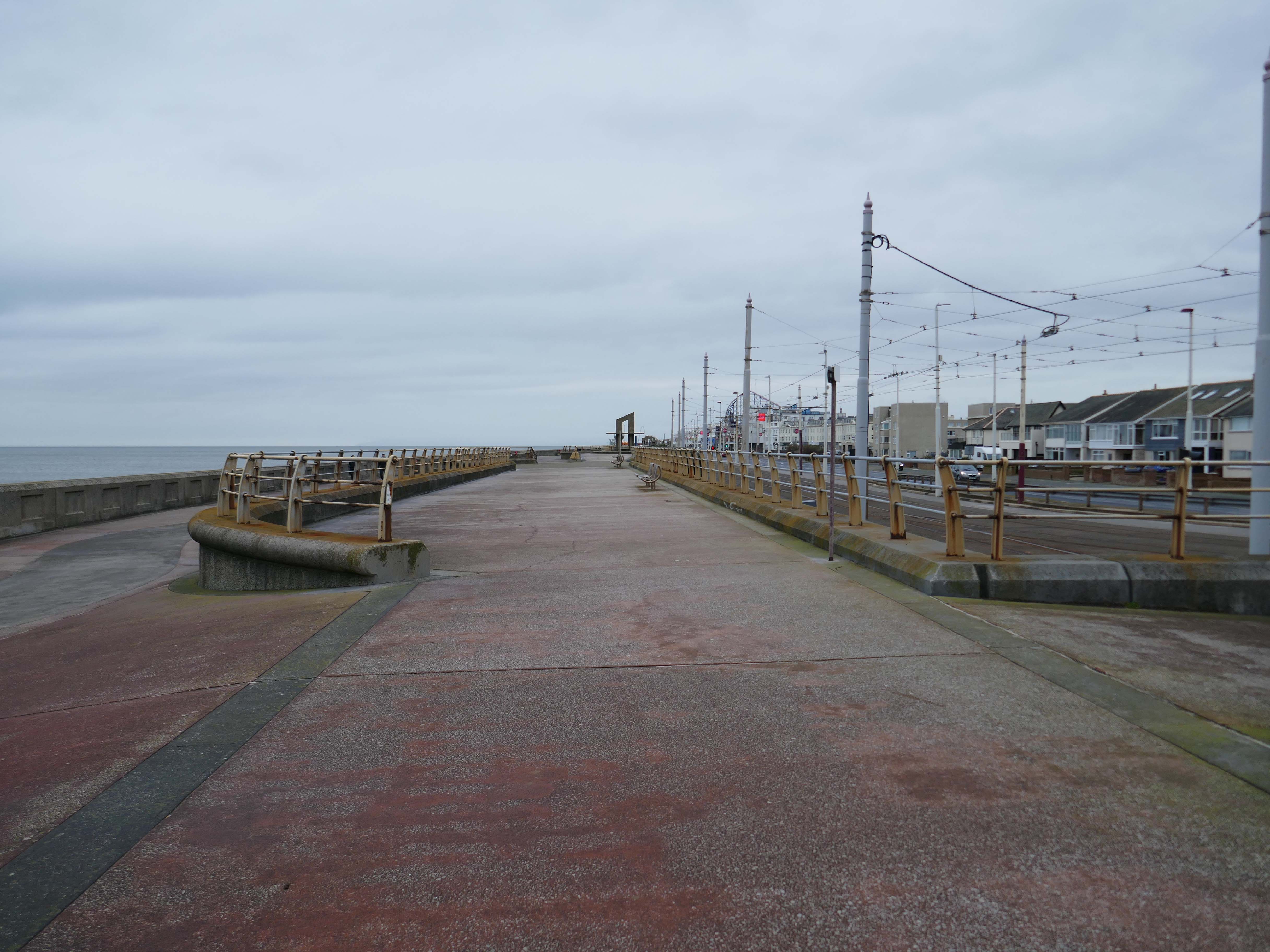
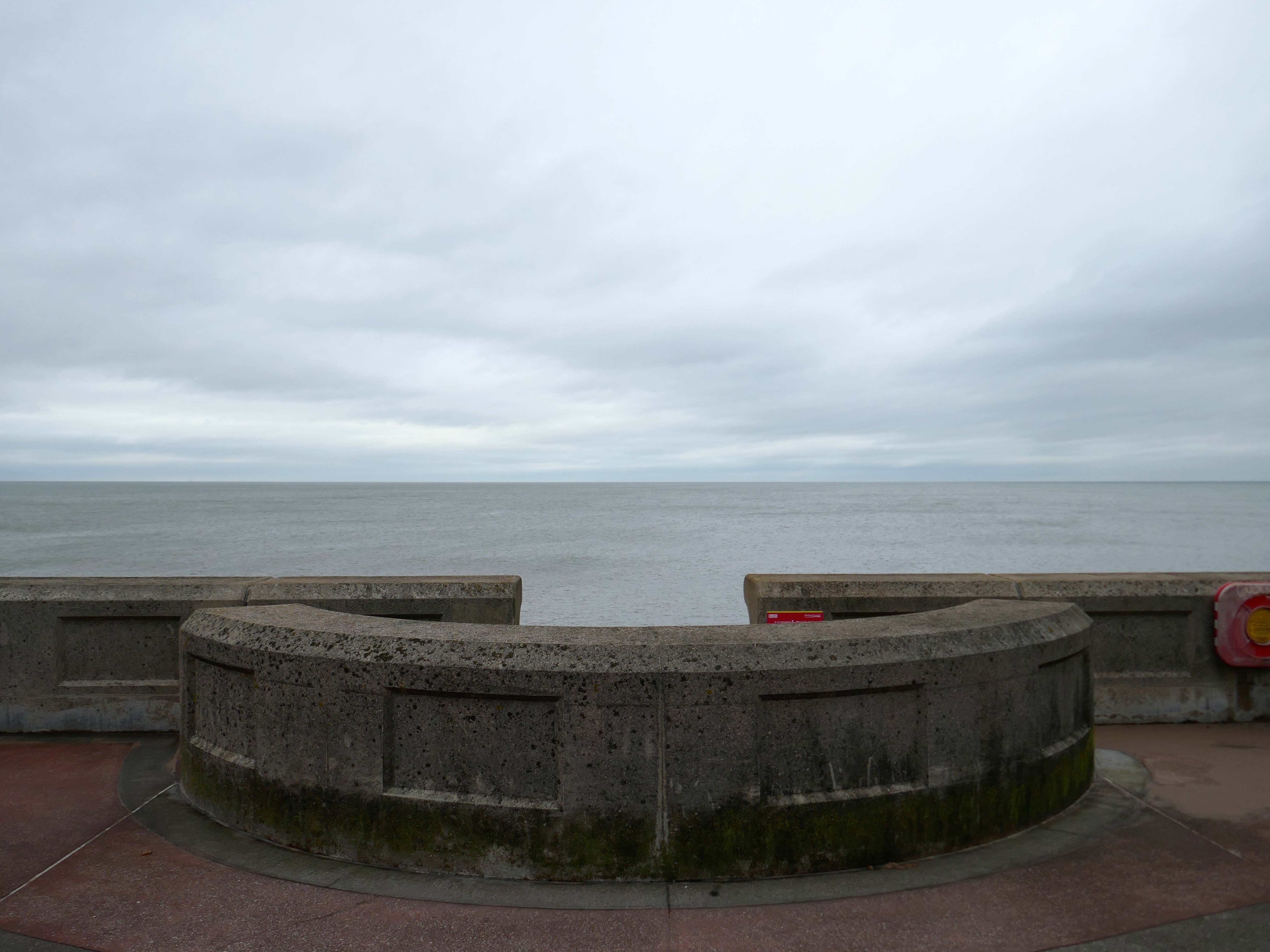
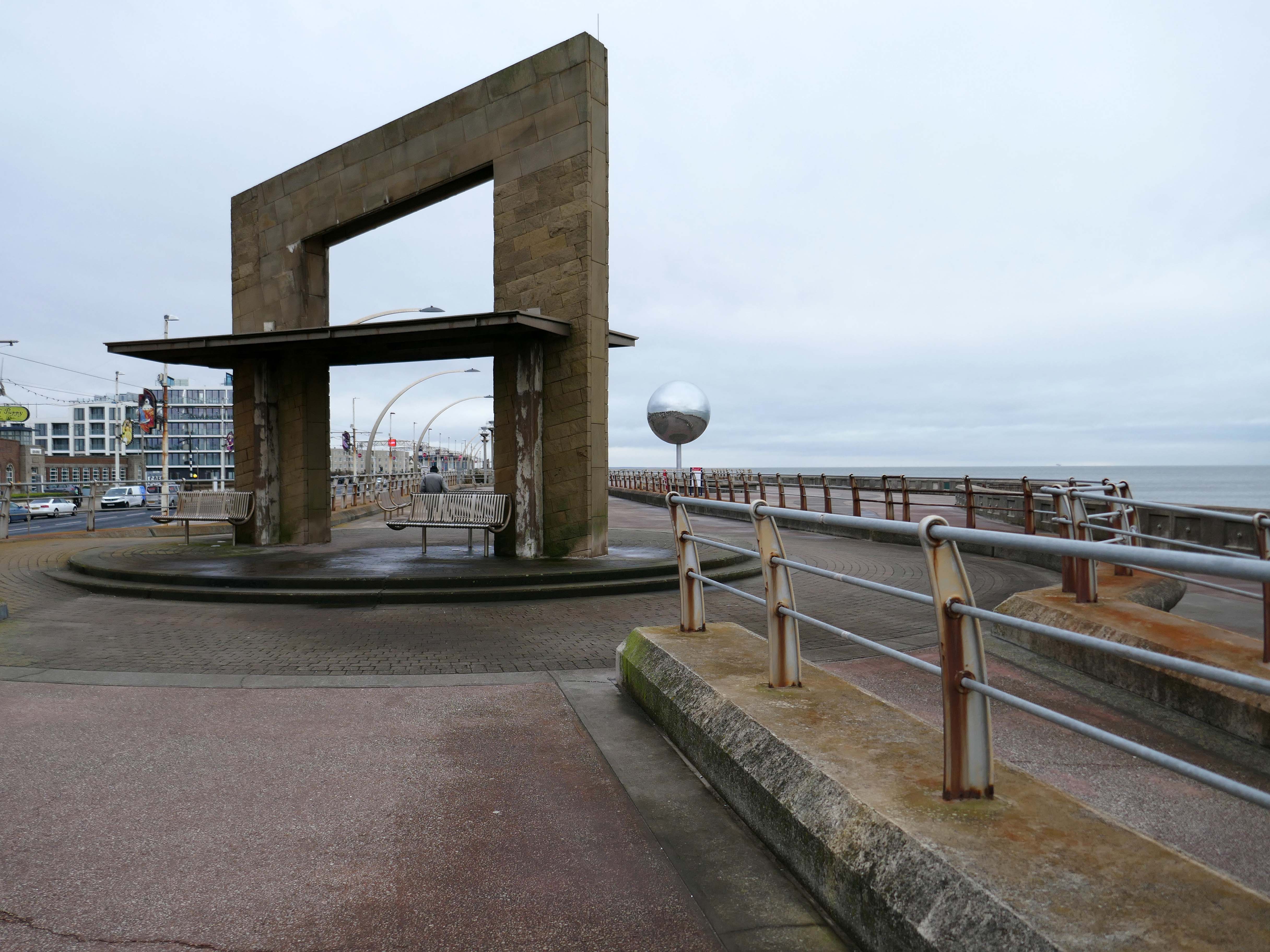
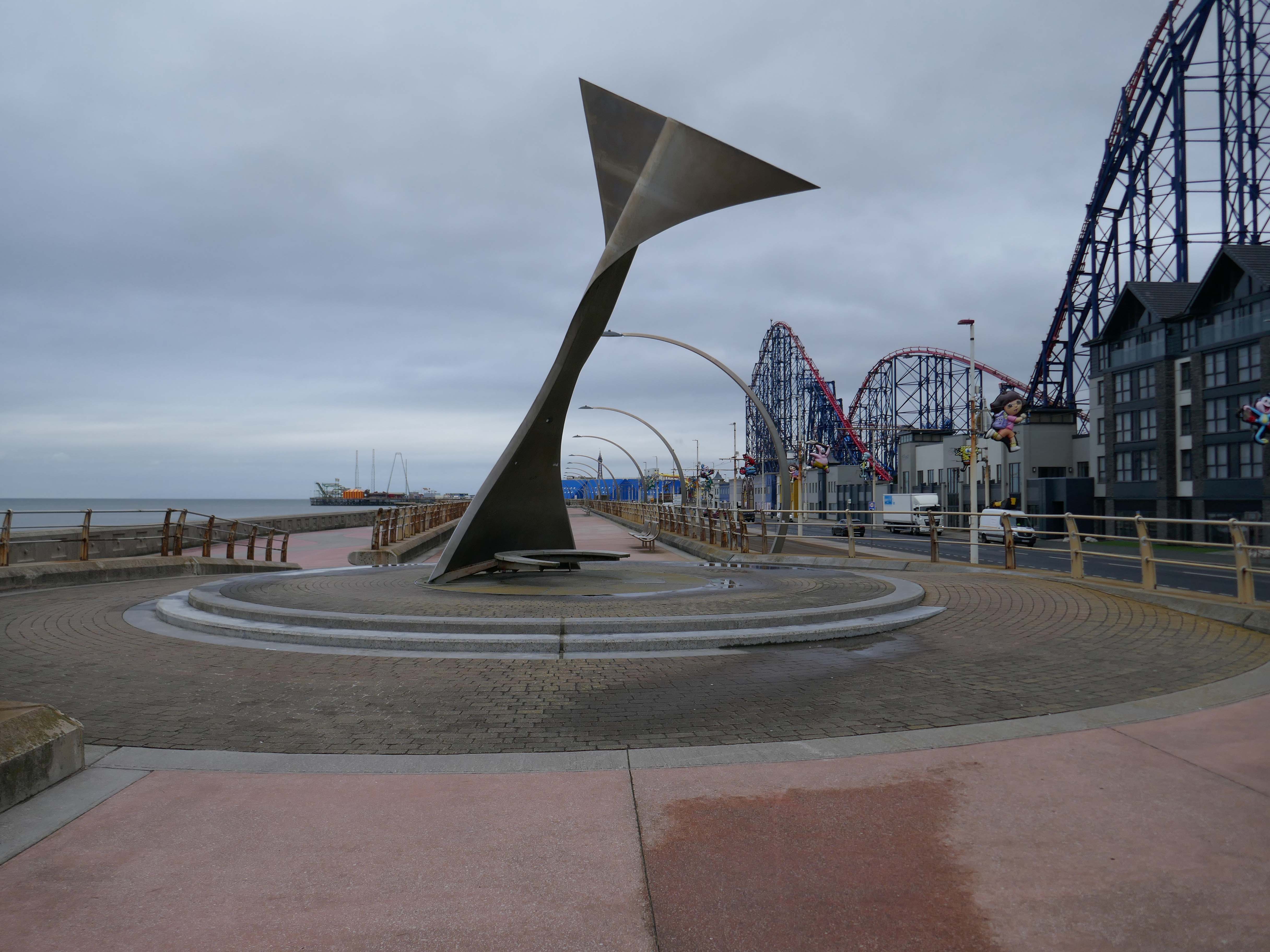
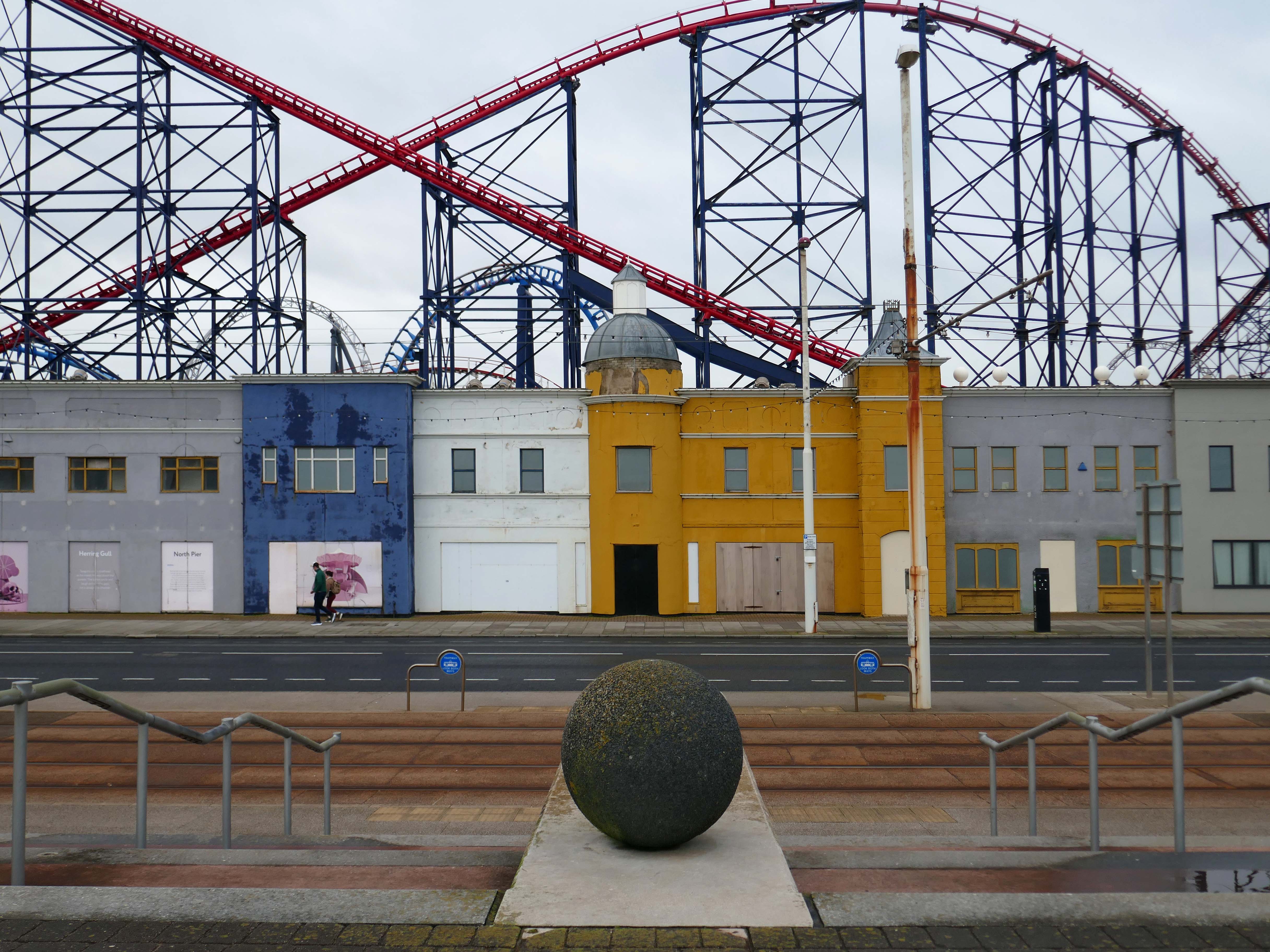
Already an hour or two behind time I elected to alight at Squires Gate, and take a walk along the South Promenade toward the town centre.
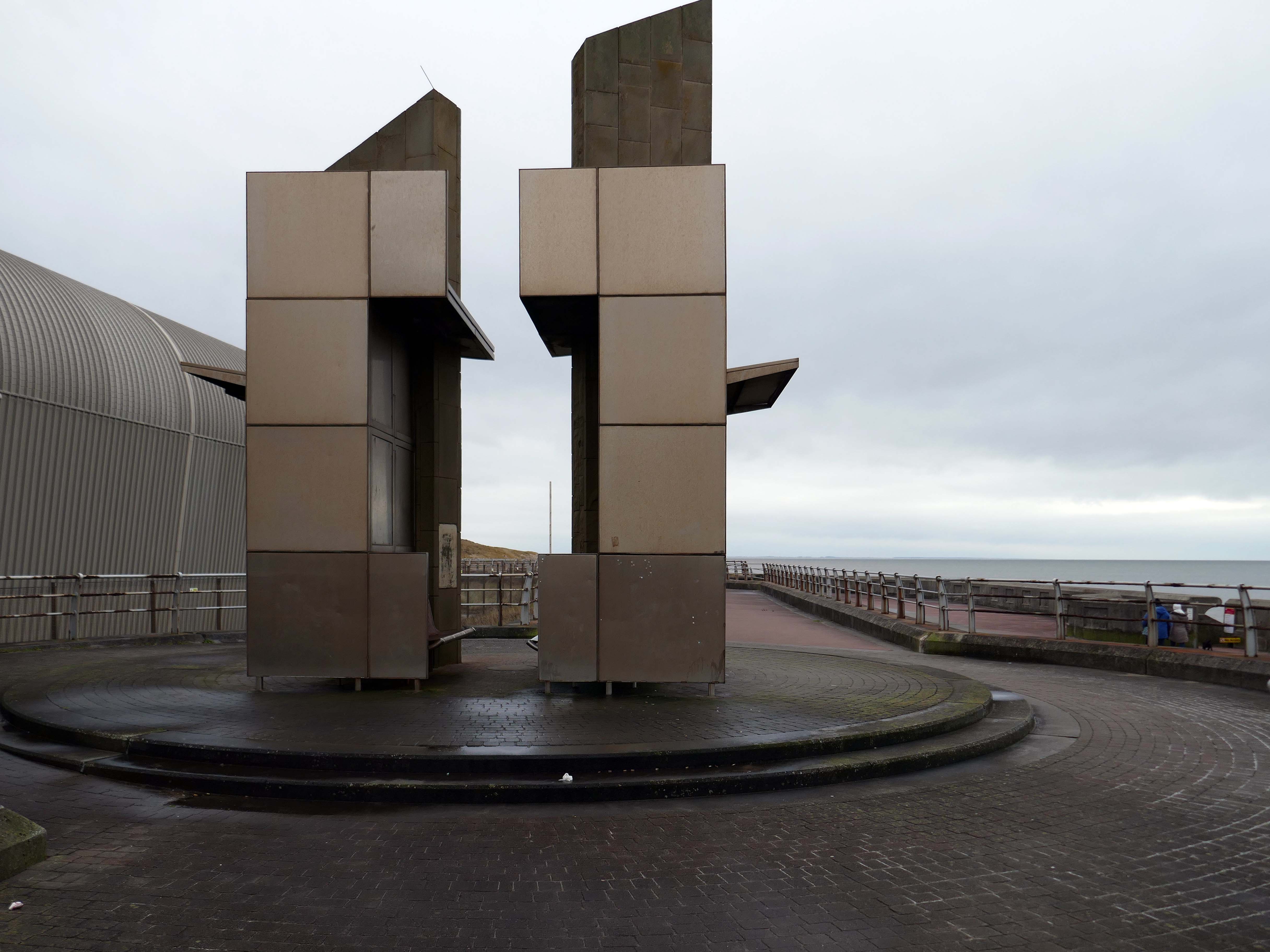
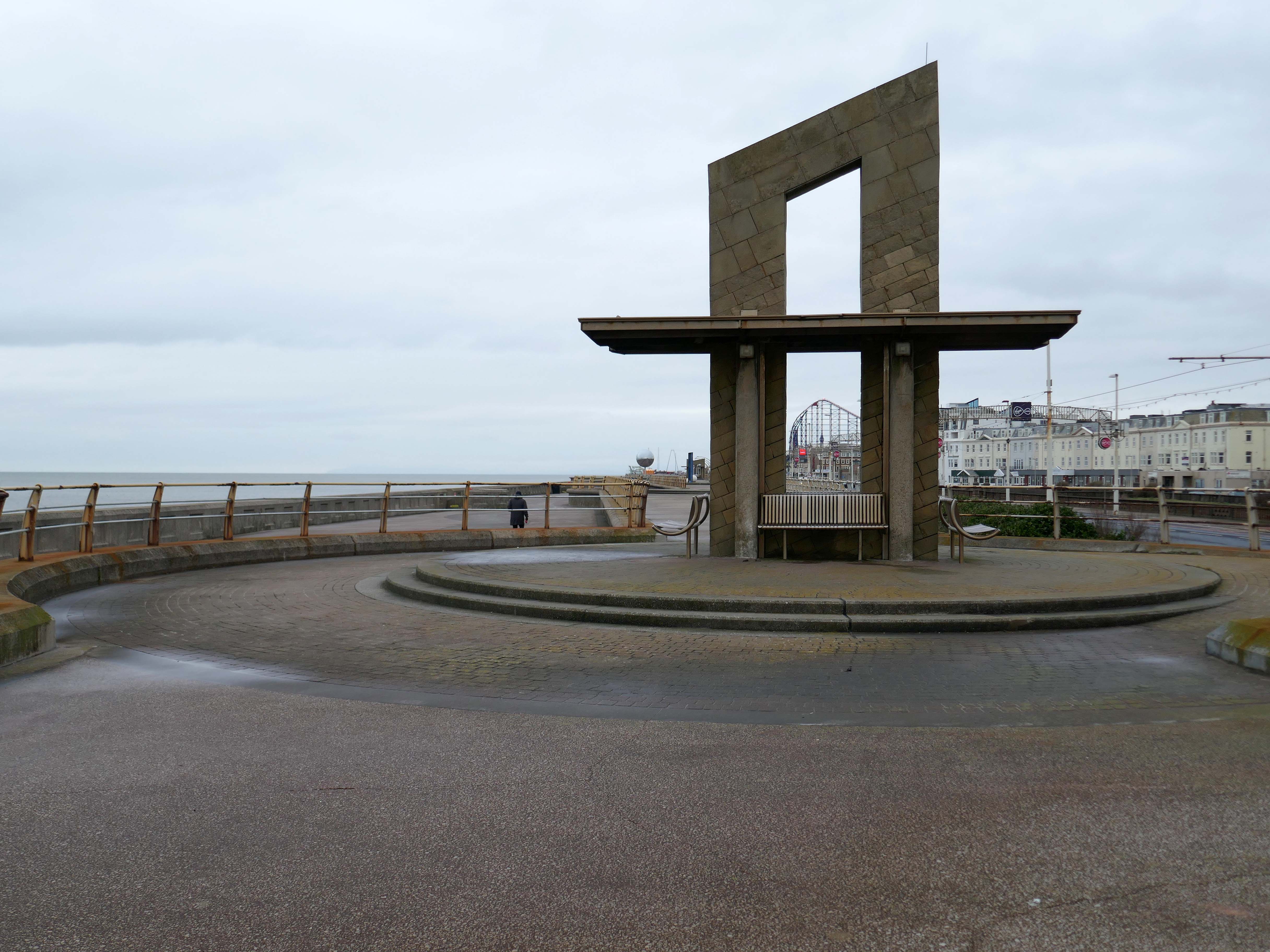
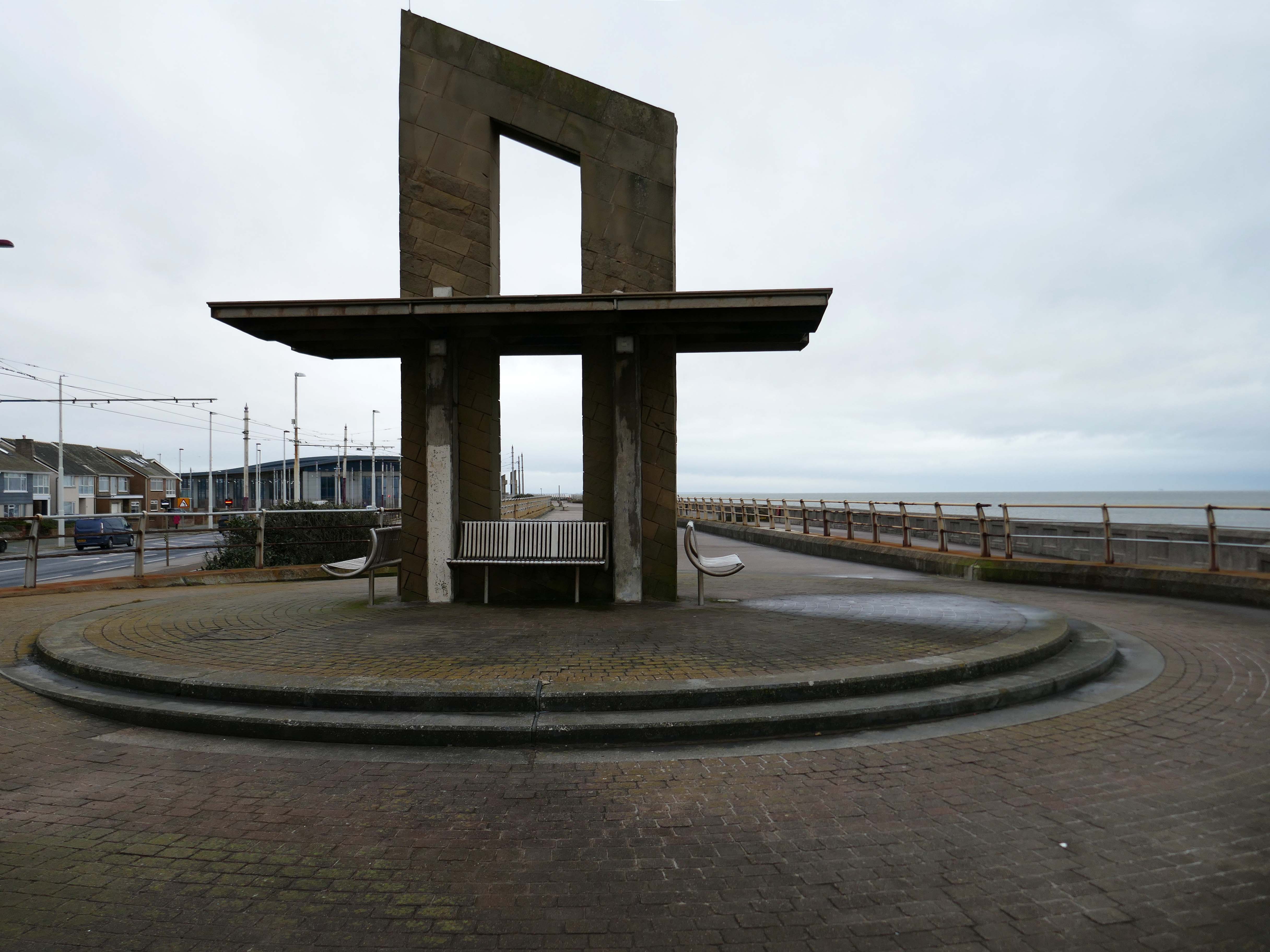
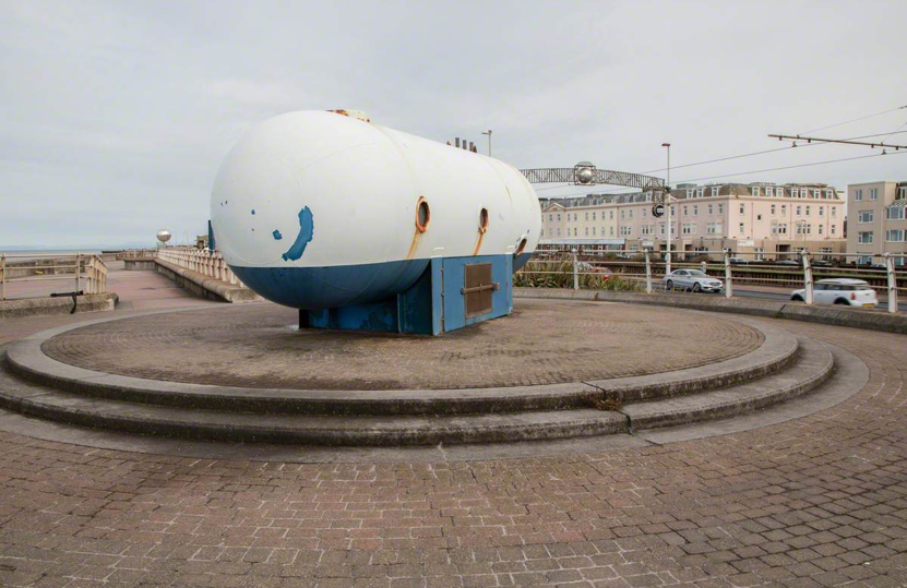
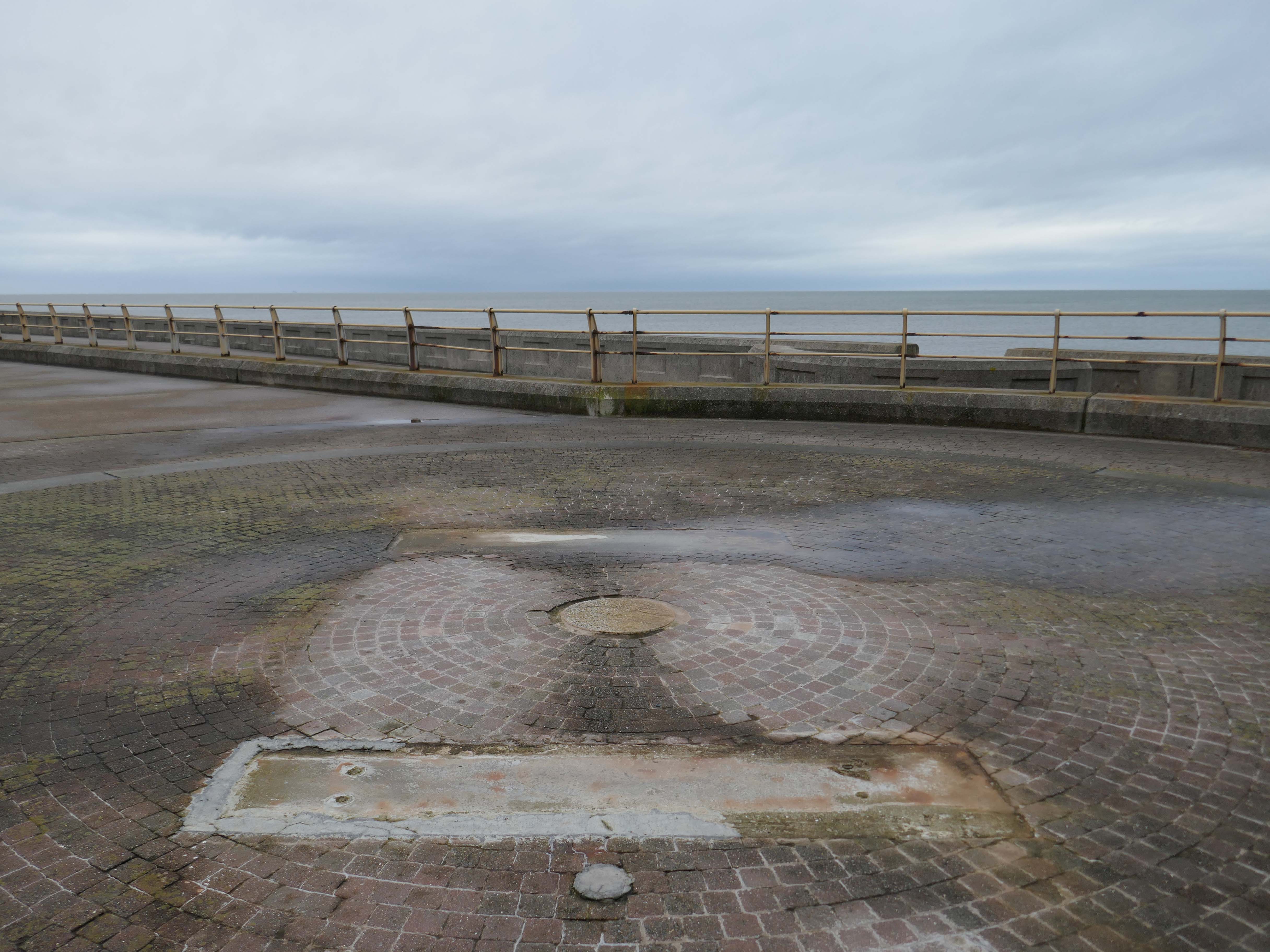
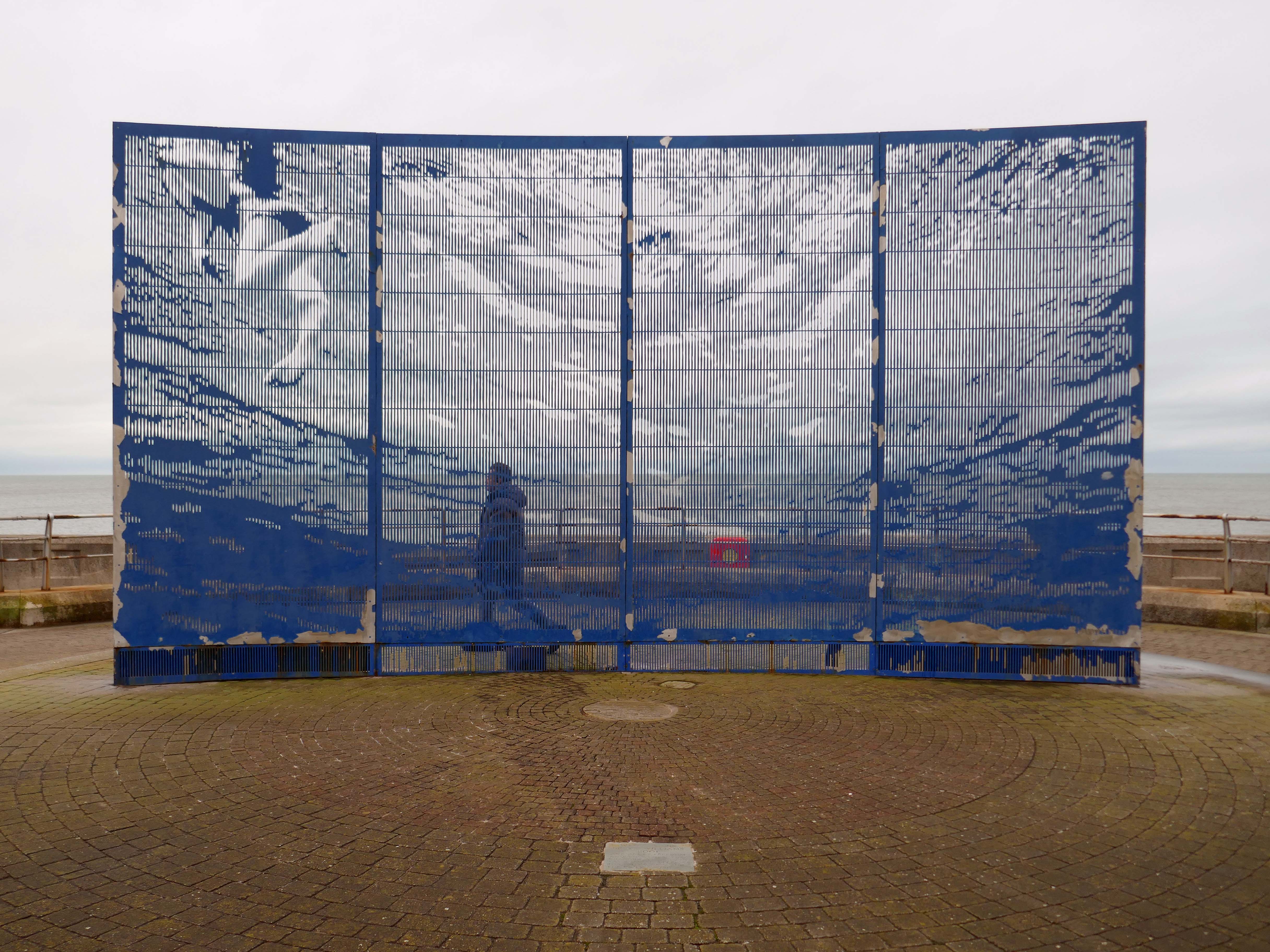
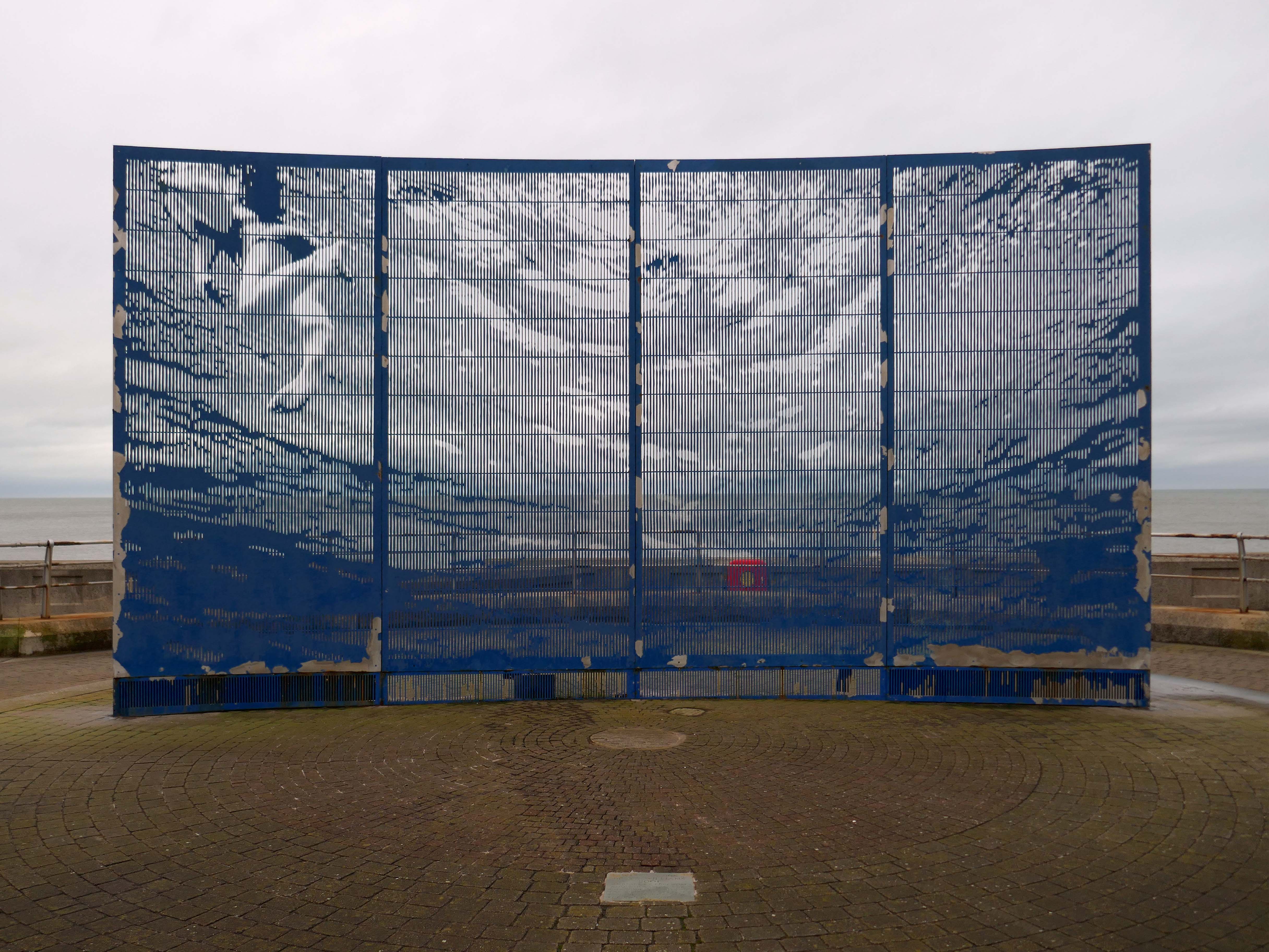
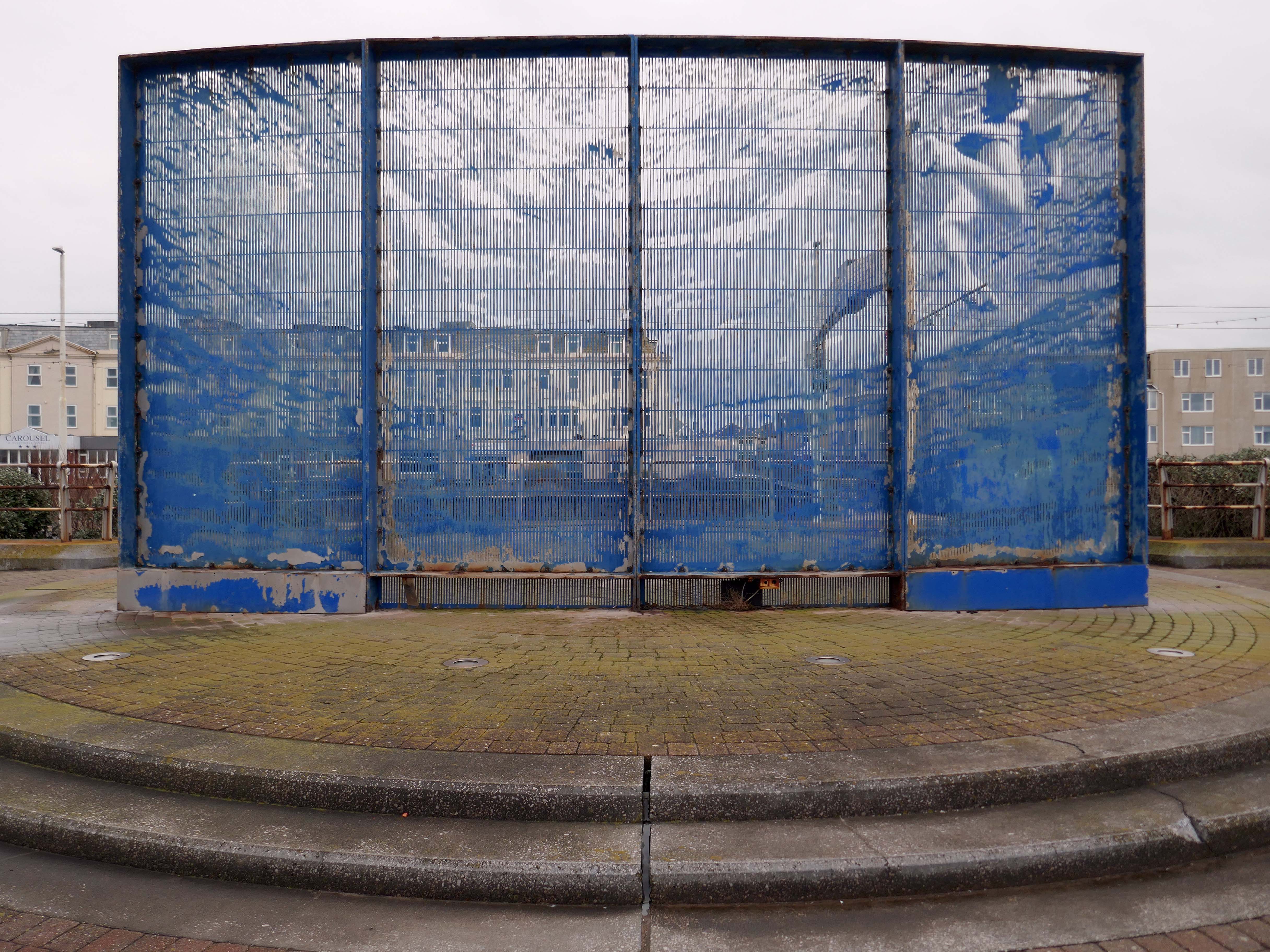
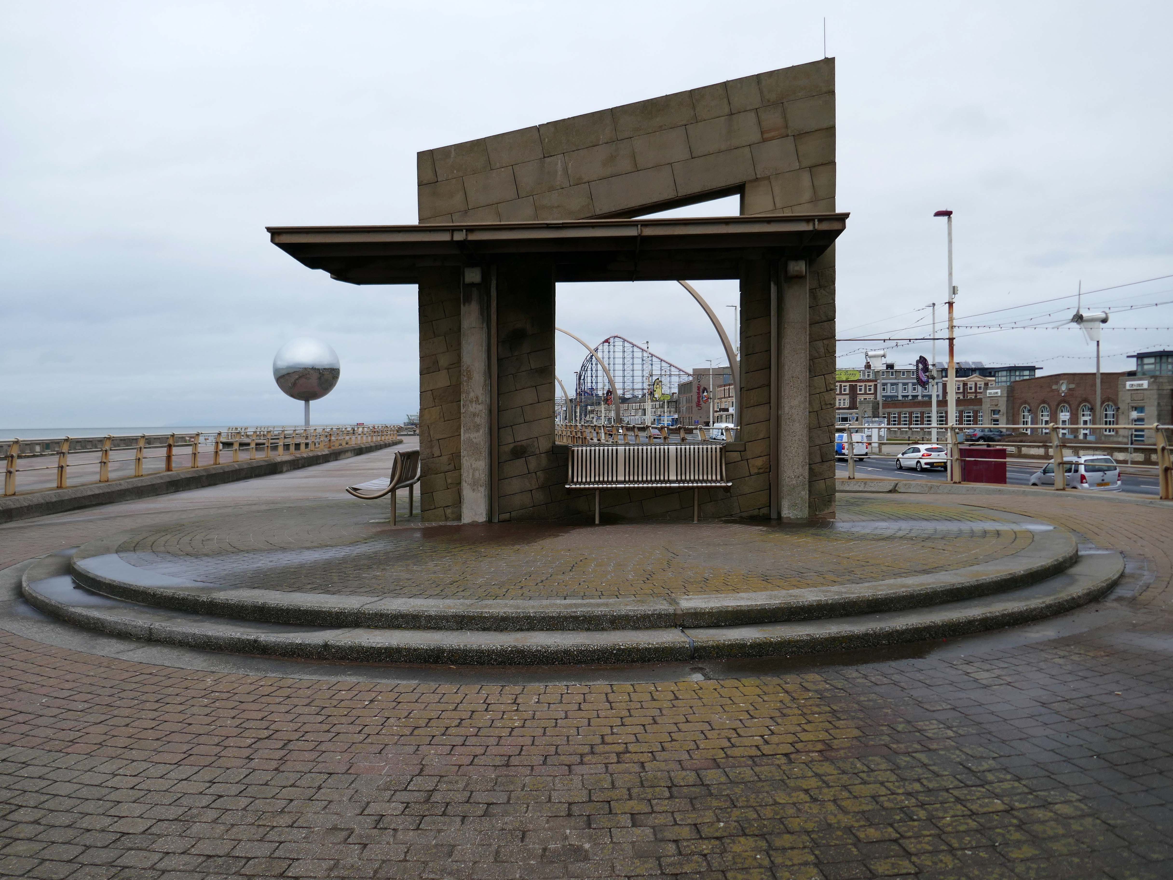
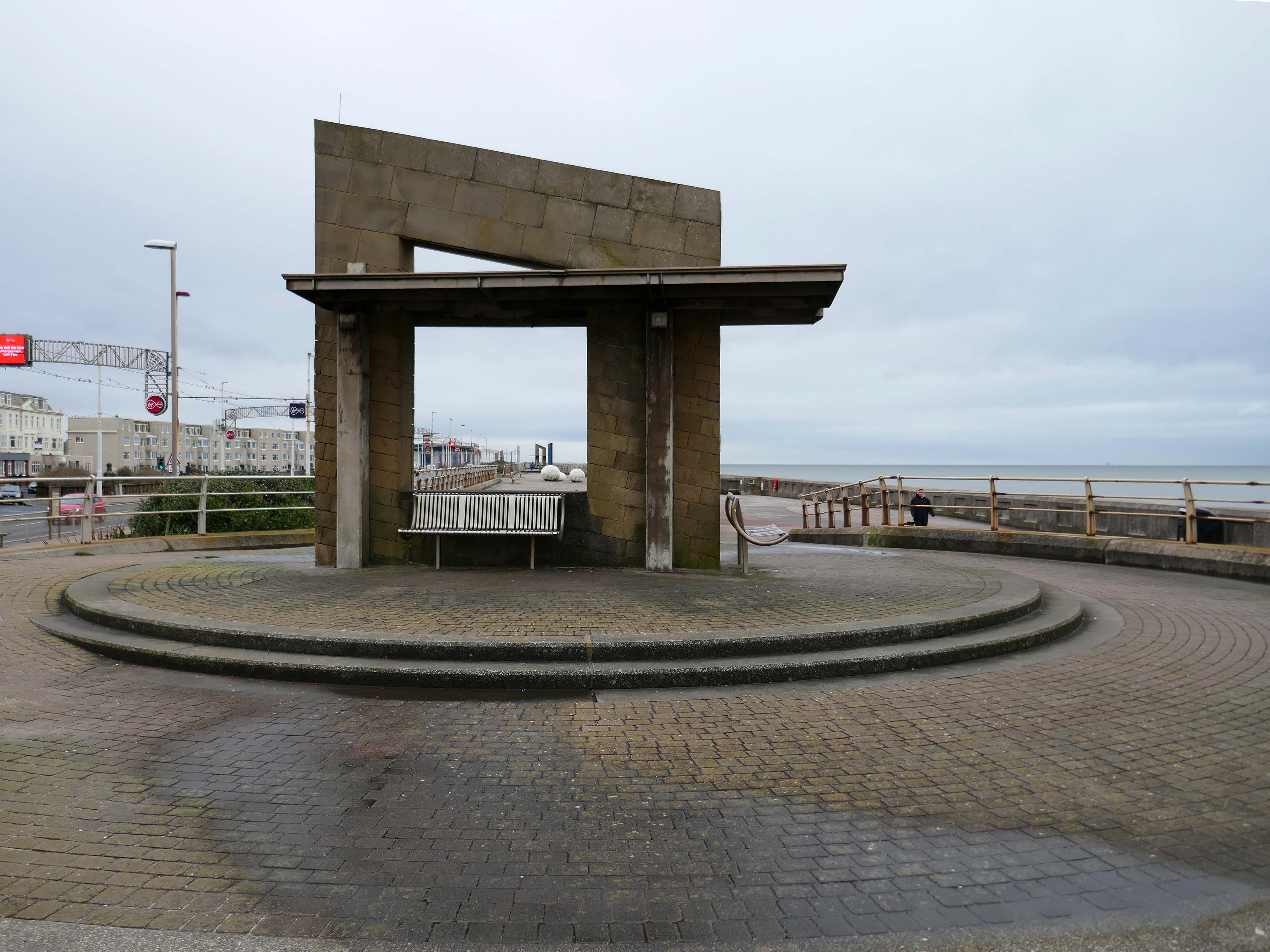
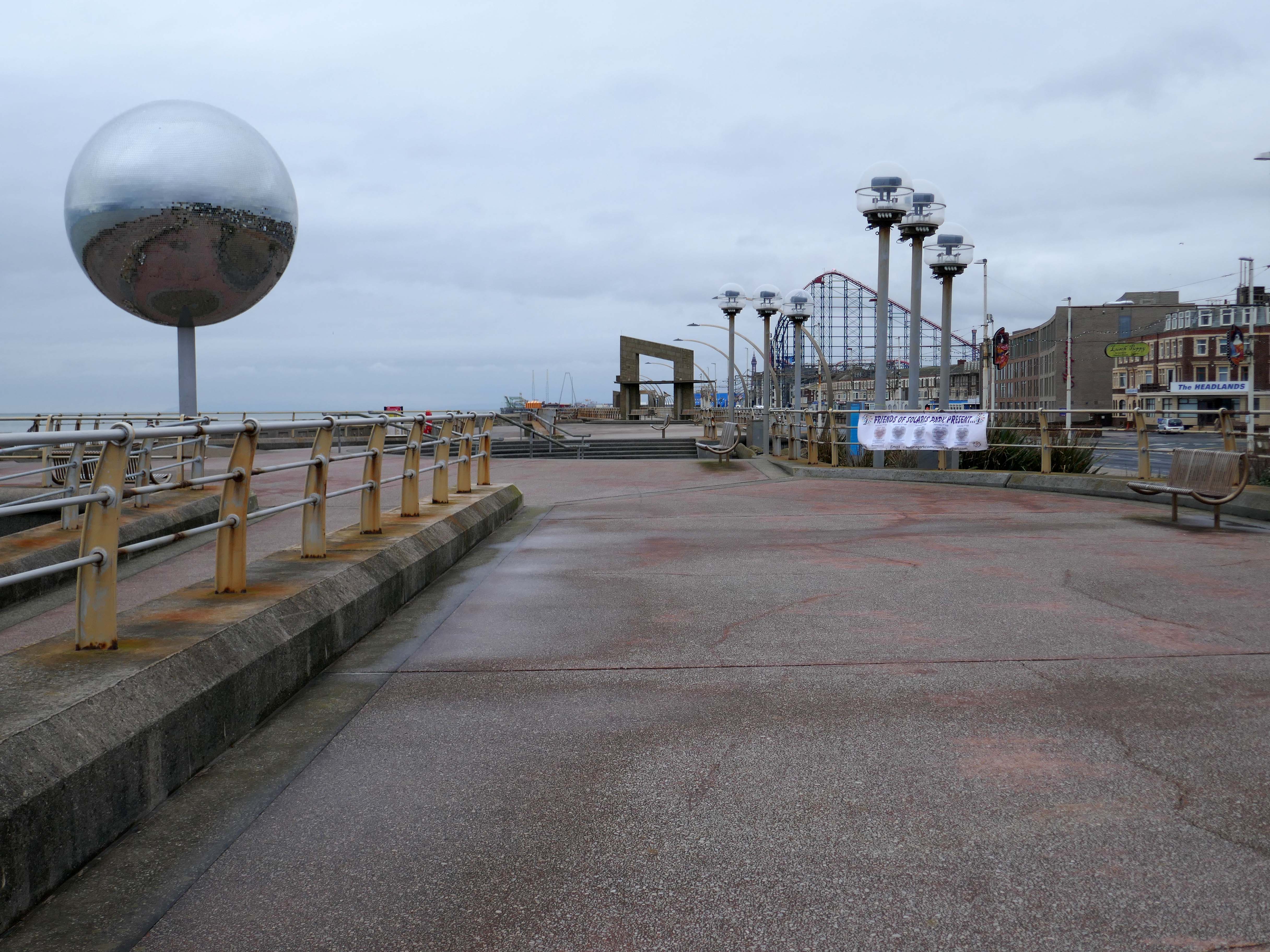
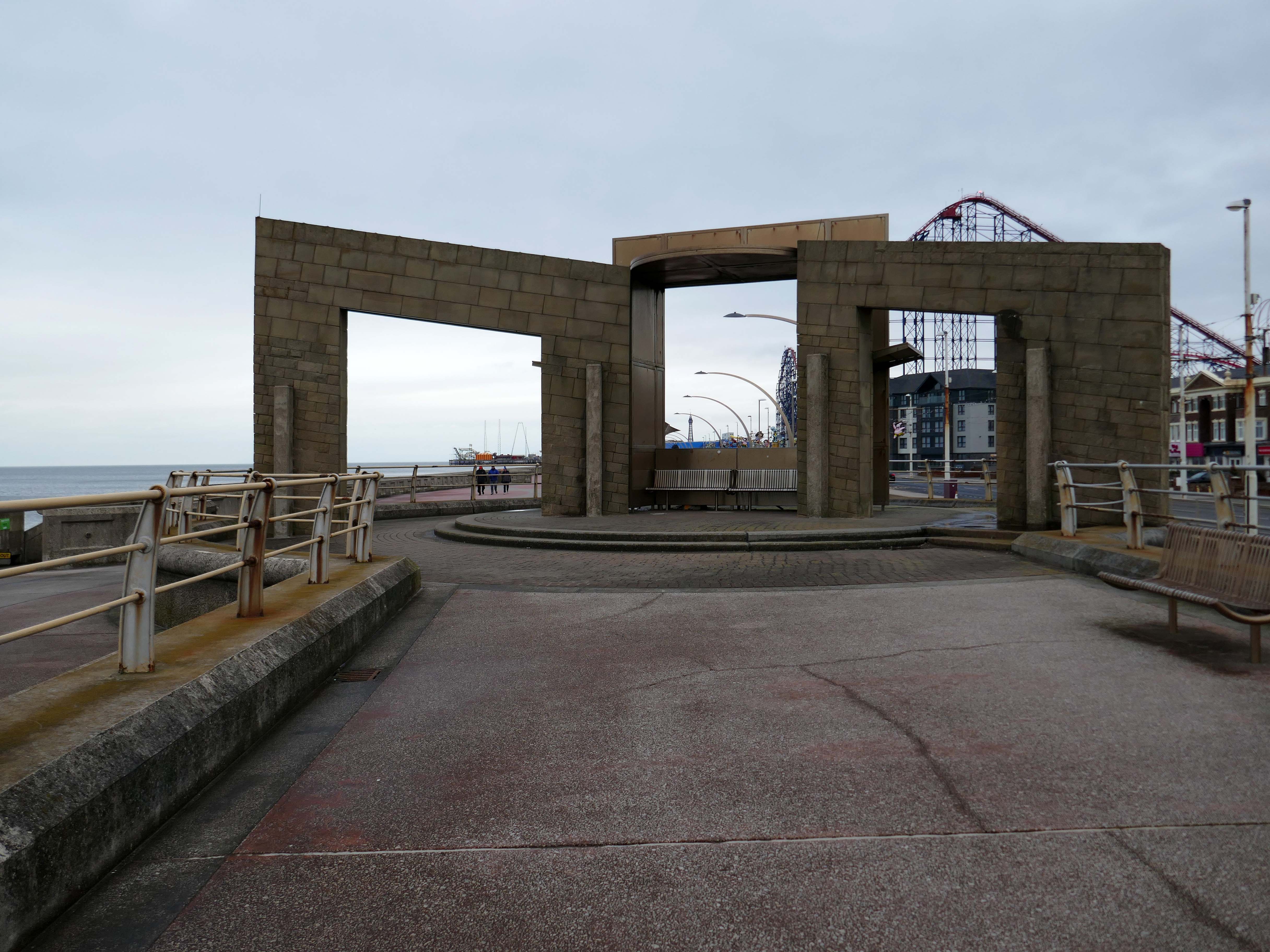
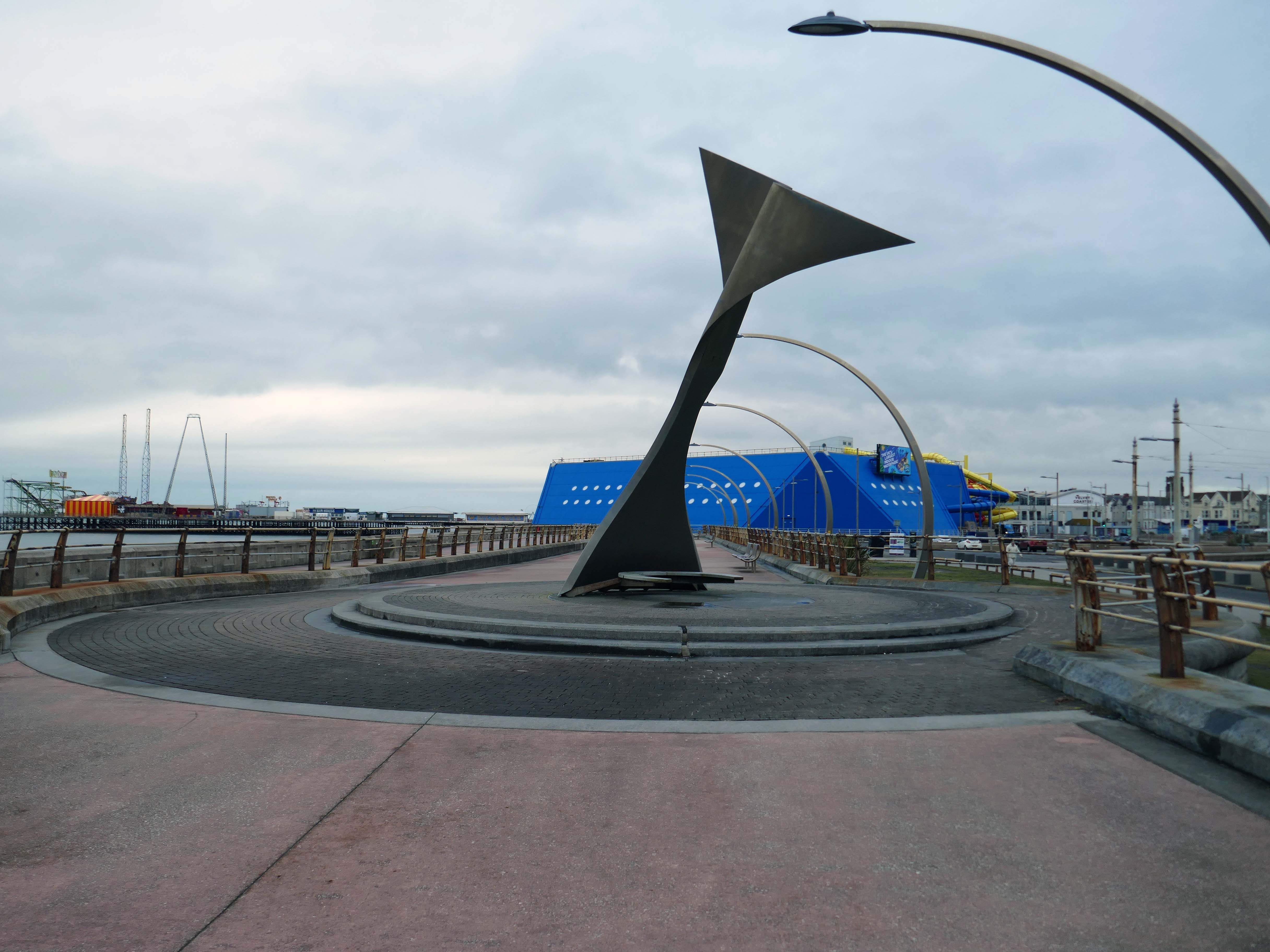
The promenade is home to a plethora of public art works and sculptural shelters.
The Great Promenade Show originated from the major redevelopment undertaken by the then Department for Environment, Food and Rural Affairs to replace and strengthen the 2km long South Promenade’s seawall flood defences. This £20 million project entailed removing the existing Victorian promenade and replacing it with a new well-designed concrete promenade on two levels. The upper level was to incorporate ’roundels’ every hundred metres, on which it was intended to site specially designed features, including wind shelters and visual displays possibly representative of the history of Blackpool. A Millennium Lottery bid was made by the Council to this end, though a commitment to start building had to be made before the outcome of the bid was known. The bid was unsuccessful, but the sites for visual features along the new promenade remained, as did the Council’s commitment to occupying them. At this point, responsibility for managing the project shifted from the Council’s Technical Services Department to its Education, Leisure and Cultural Services Division.
Like a sinister exhibit in one of Blackpool ‘s Victorian freak shows, the skeleton of a killer whale made from pulsating dark blue neon can be viewed through portholes within a metal tank like a decompression chamber.
The work was subsequently removed.
The structure has been on display for the public to enjoy for over 15 years and was deemed unsightly due to corrosion, which is why the decision was taken to remove it. PTSG Building Access Specialists Ltd planned the decommissioning and contract crane lift from start to completion.
Designed to be viewed in motion from the adjacent tram track and road, the photographic image of a swimming child laser cut into an 8m long curved stainless steel screen gradually resolves and disappears again as the viewer moves past.
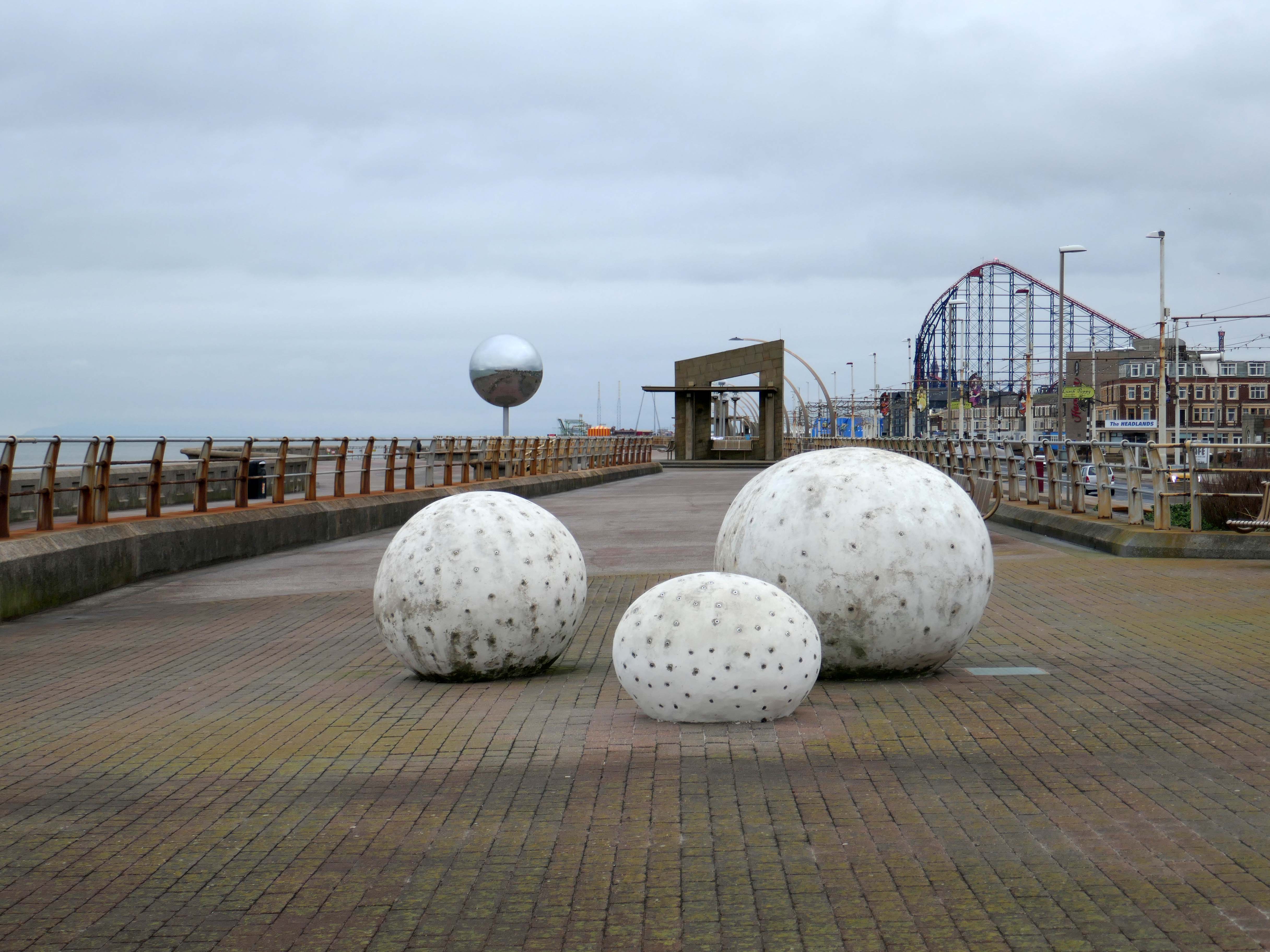
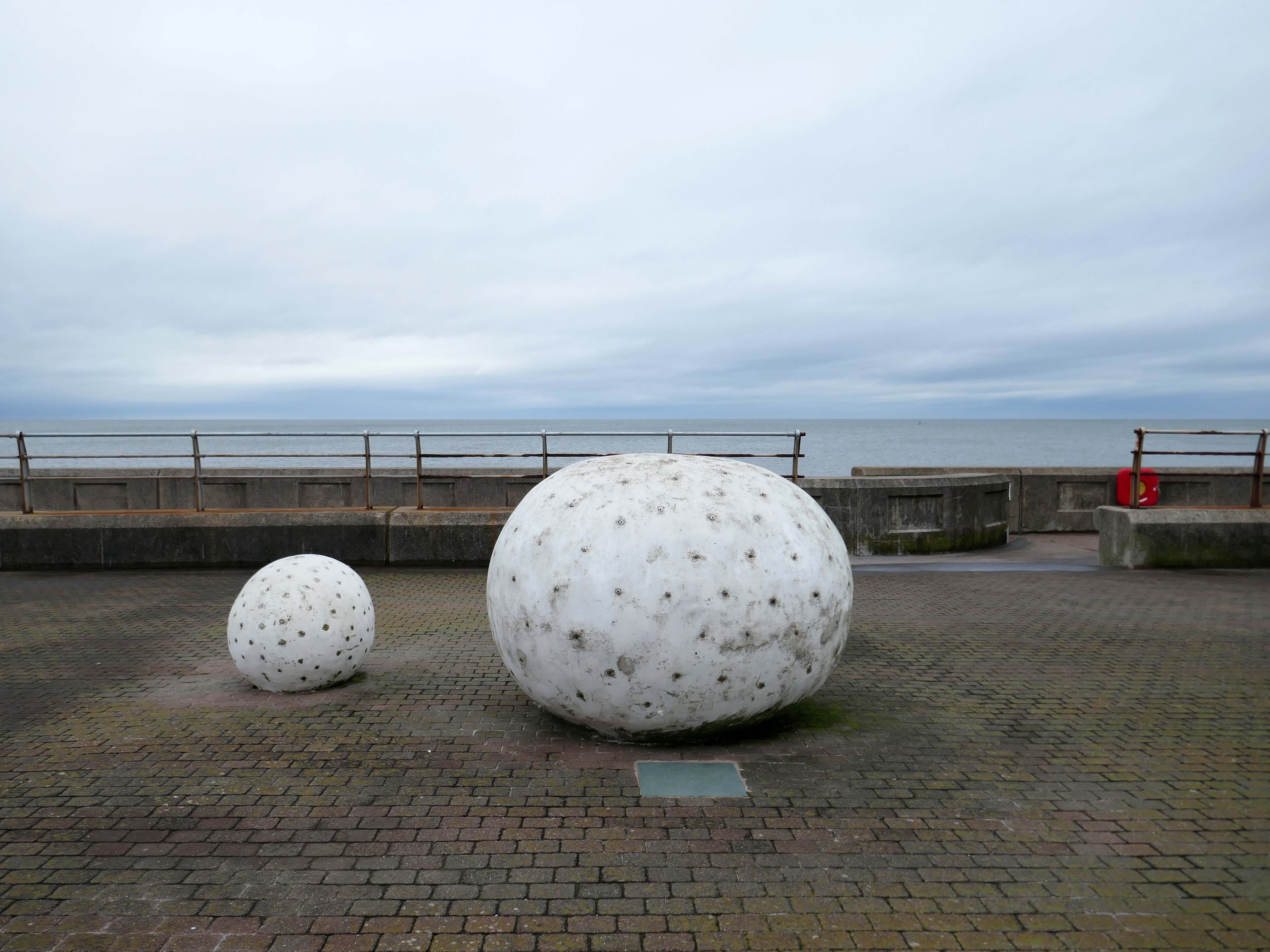
Glam Rocks by Peter Freeman
Inspired by Las Vegas and the Blackpool Illuminations, three large pebble-like modelled shapes glitter after dark, as hundreds of fibre optic light points on their surface slowly change colour and sparkle.
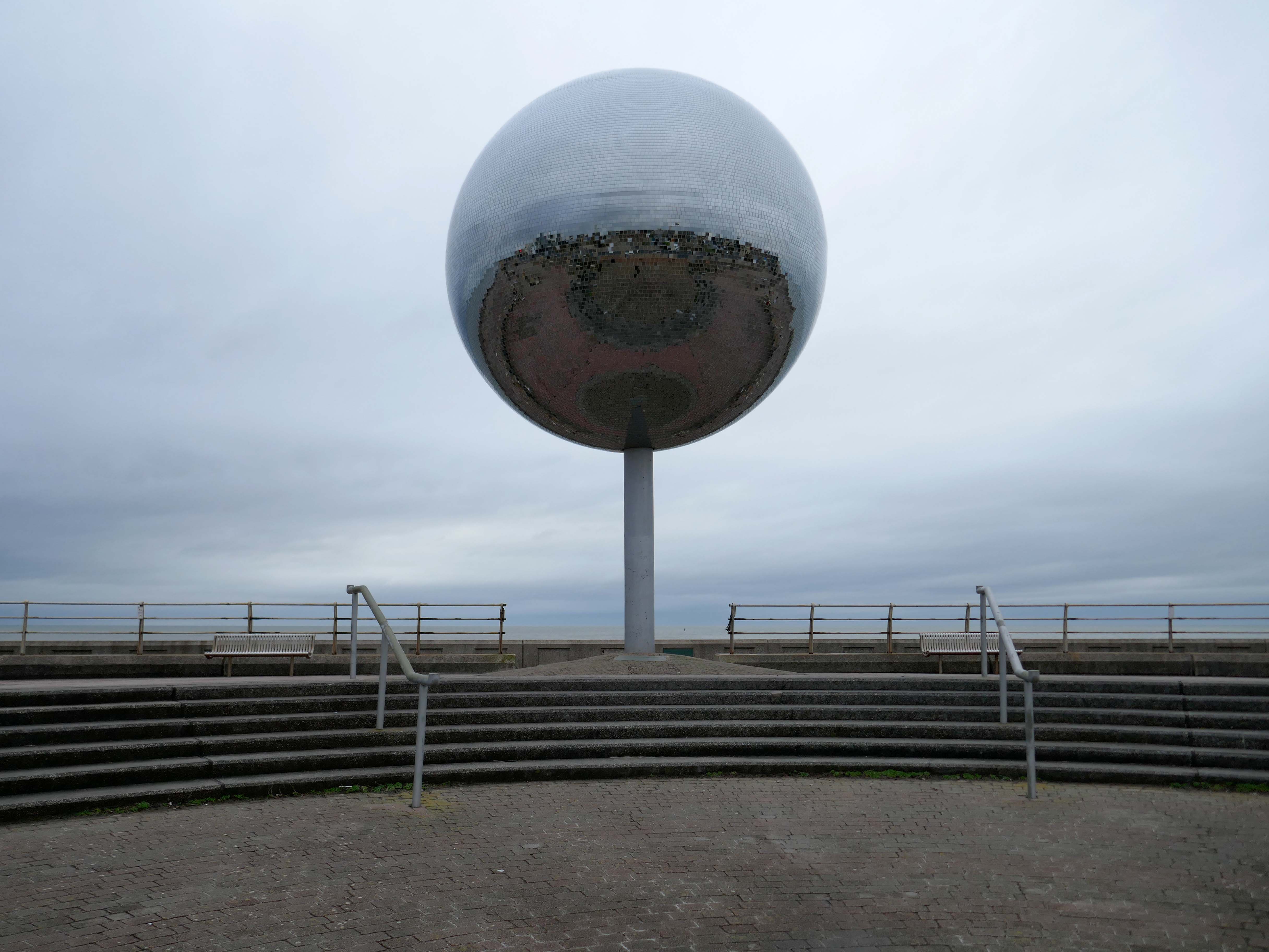
They Shoot Horses, Don’t They? by Michael Trainor and The Art Department
Blackpool is known as the “ballroom capital of Britain”. This rotating ball 6m in diameter, covered in almost 47,000 mirrors, has been claimed as the world’s largest mirror ball, and is named after the 1969 film about a depression era ballroom marathon in the USA.
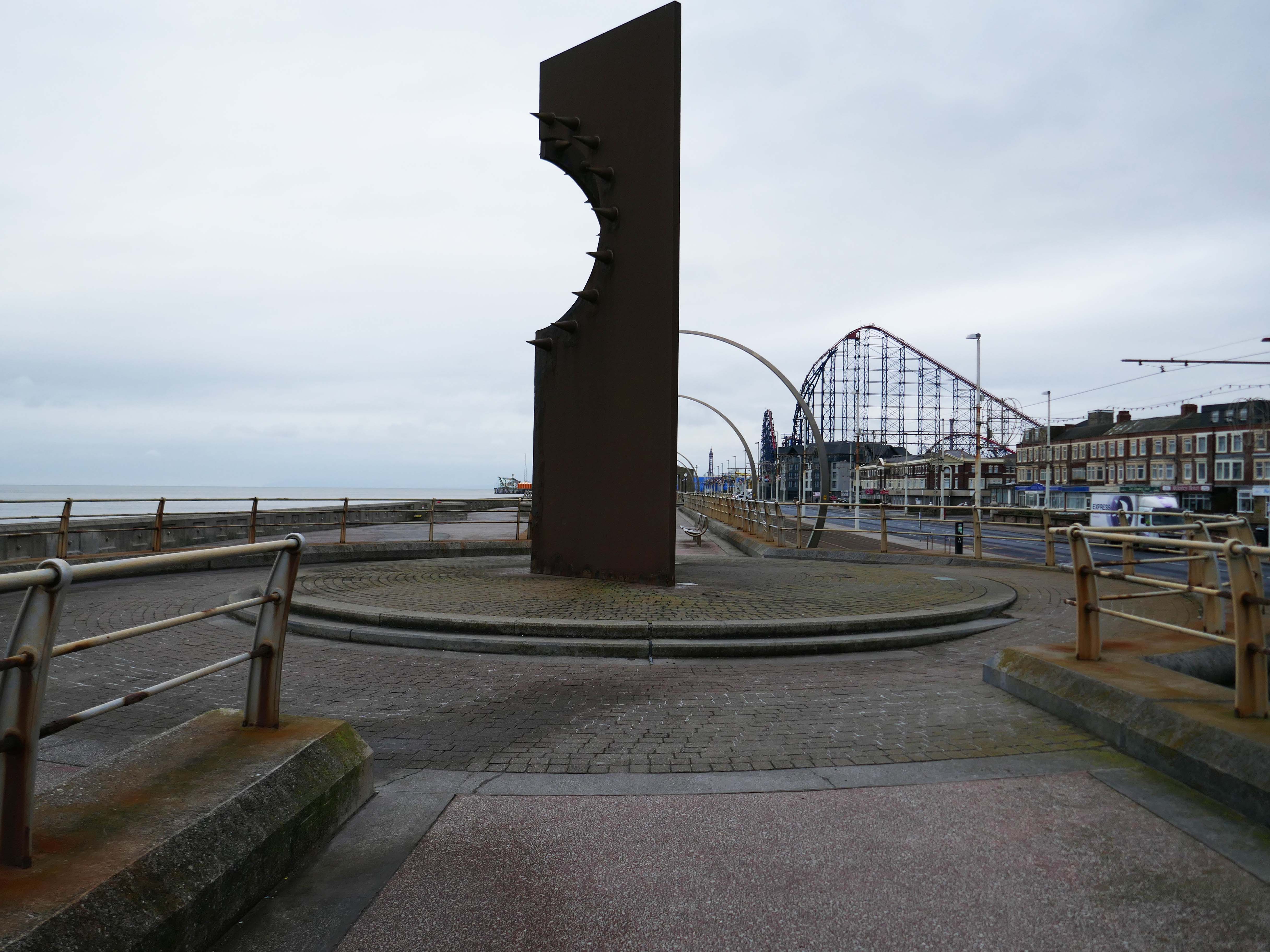
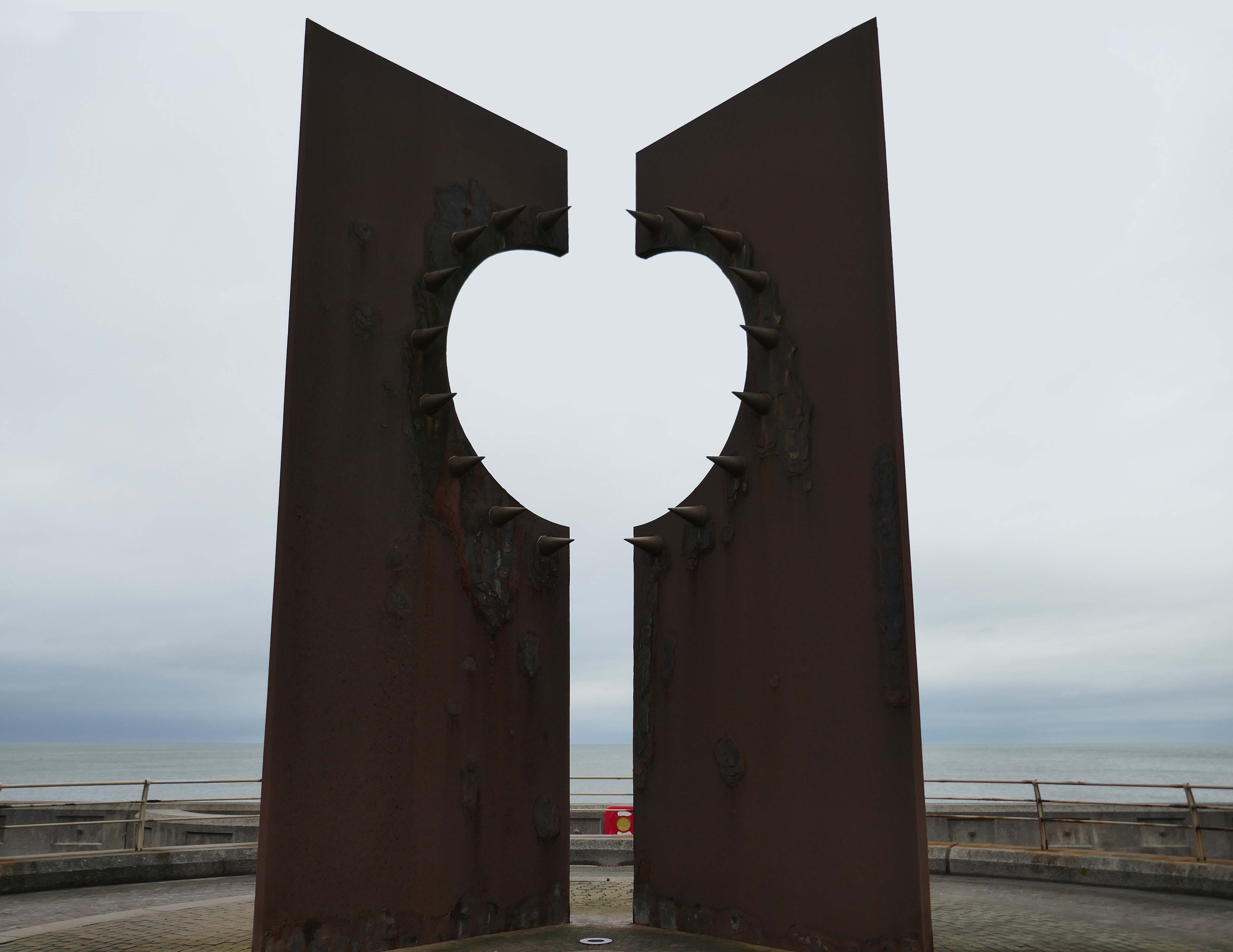
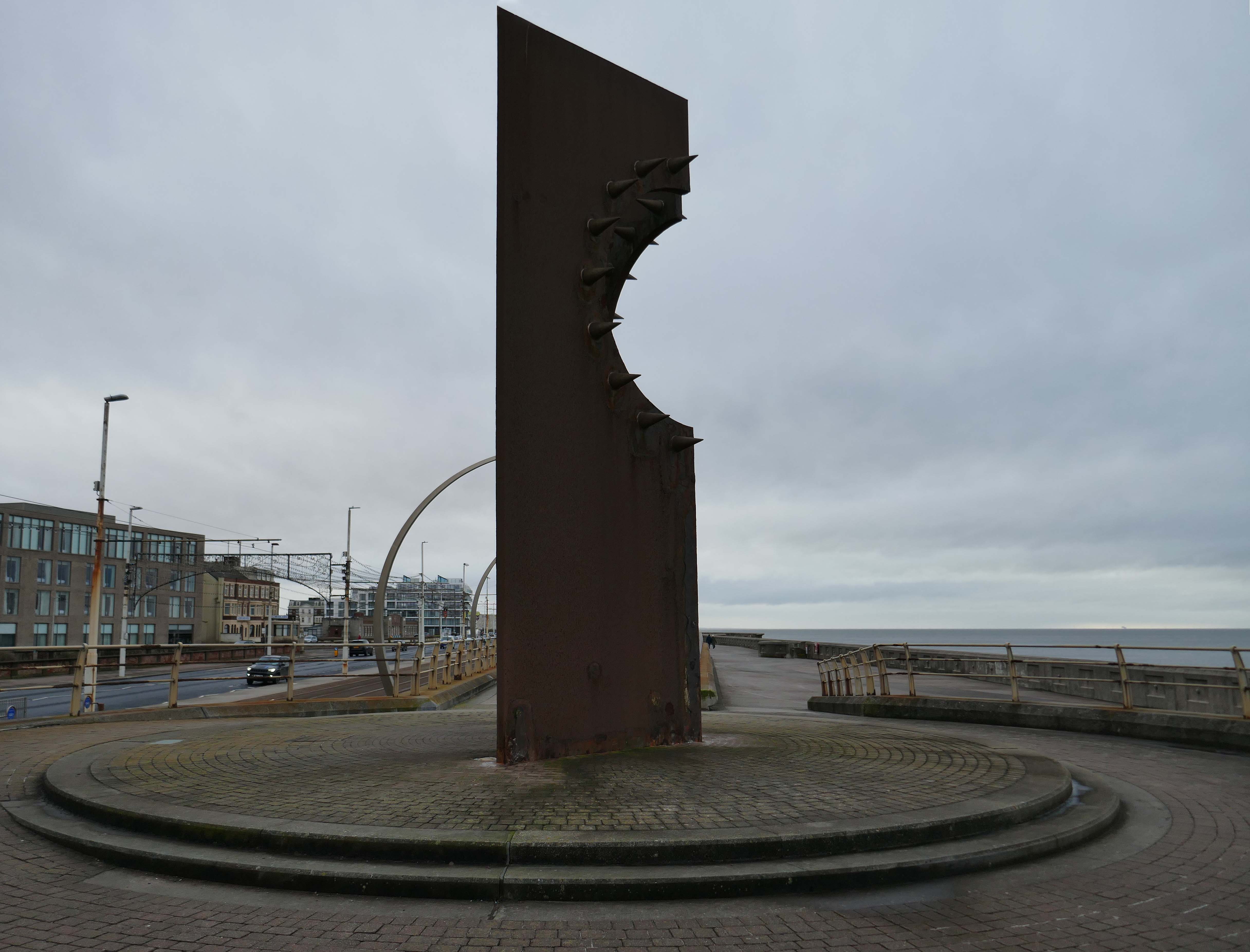
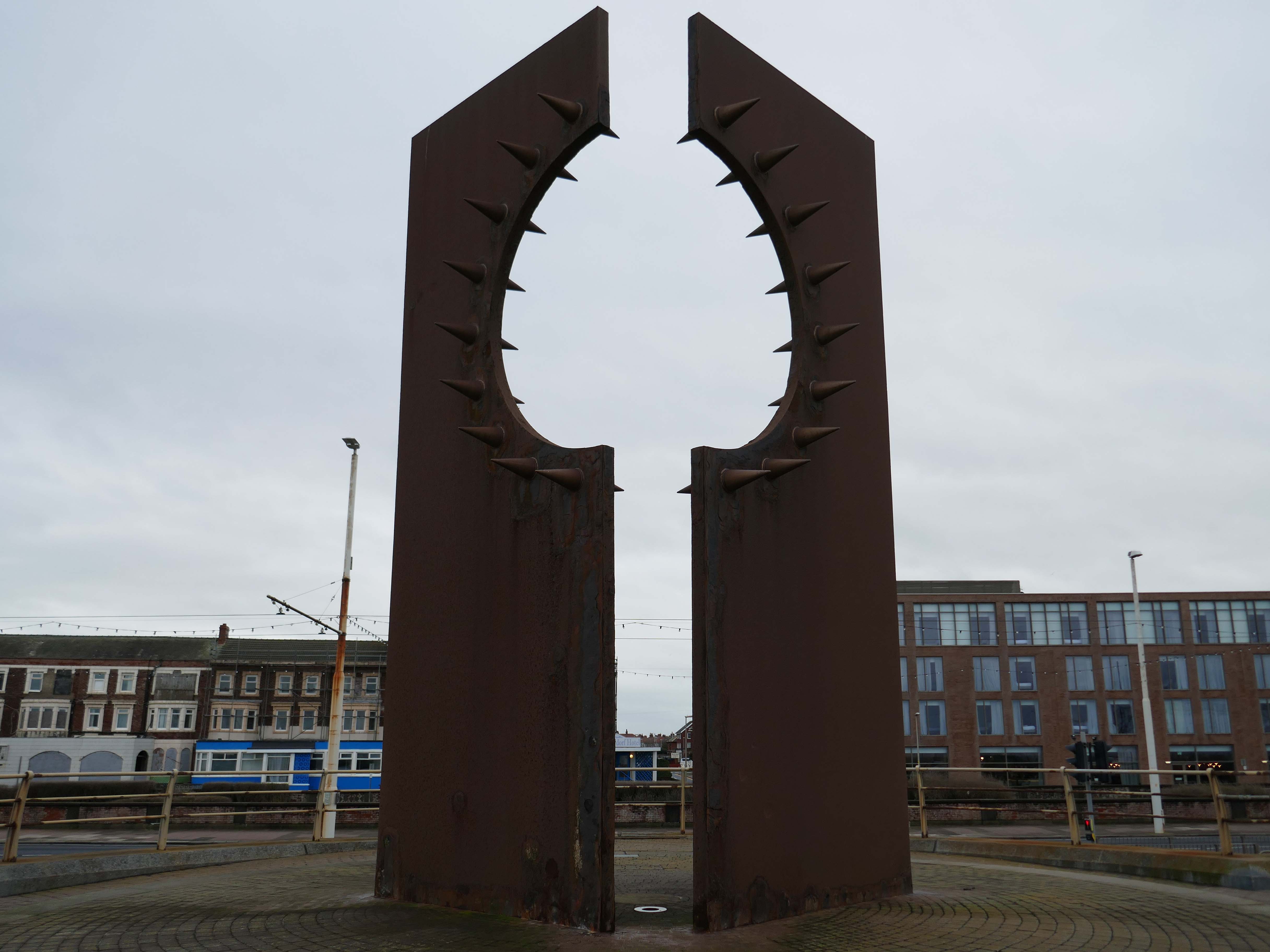
Desire by Chris Knight
An abstract sculpture 8m high, contrasting rusty corten steel with shiny stainless steel spikes, inspired by the town’s reputation as a destination for ‘dirty weekends’, and its hidden ‘fetish scene’. It casts the shadow of a spiky heart on the promenade.
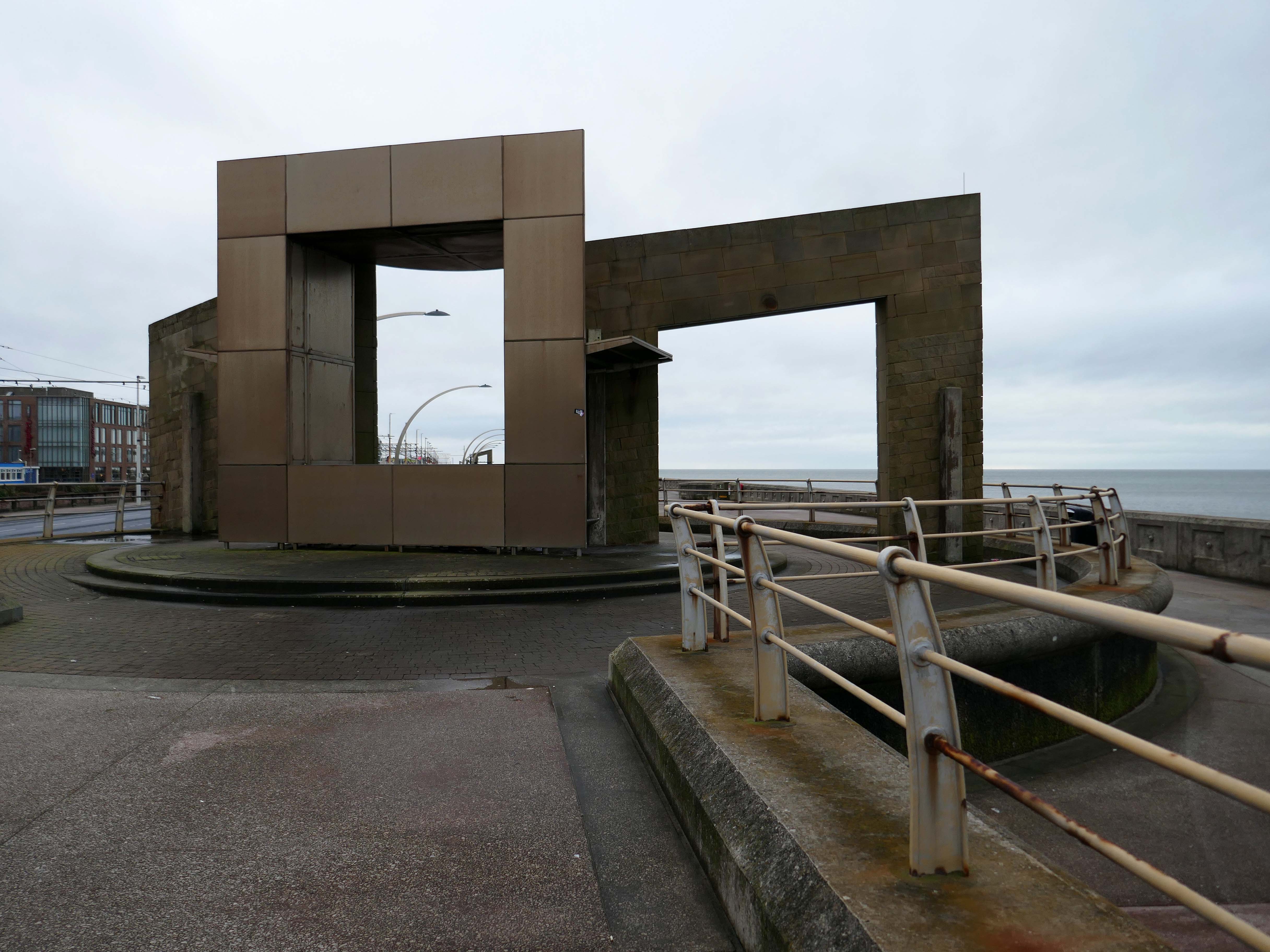
Swivelling Wind Shelters by Ian McChesney with Atelier One
Three 8m high, stainless steel shelters turn like weather vanes, keeping their occupants away from the prevailing wind. Designed by architect Ian McChesney, in collaboration with engineers Atelier One, the graceful sculptural form of the shelters, shaped like whales’ flukes, is structured like an aircraft wing, vibrating in strong gusts of wind.
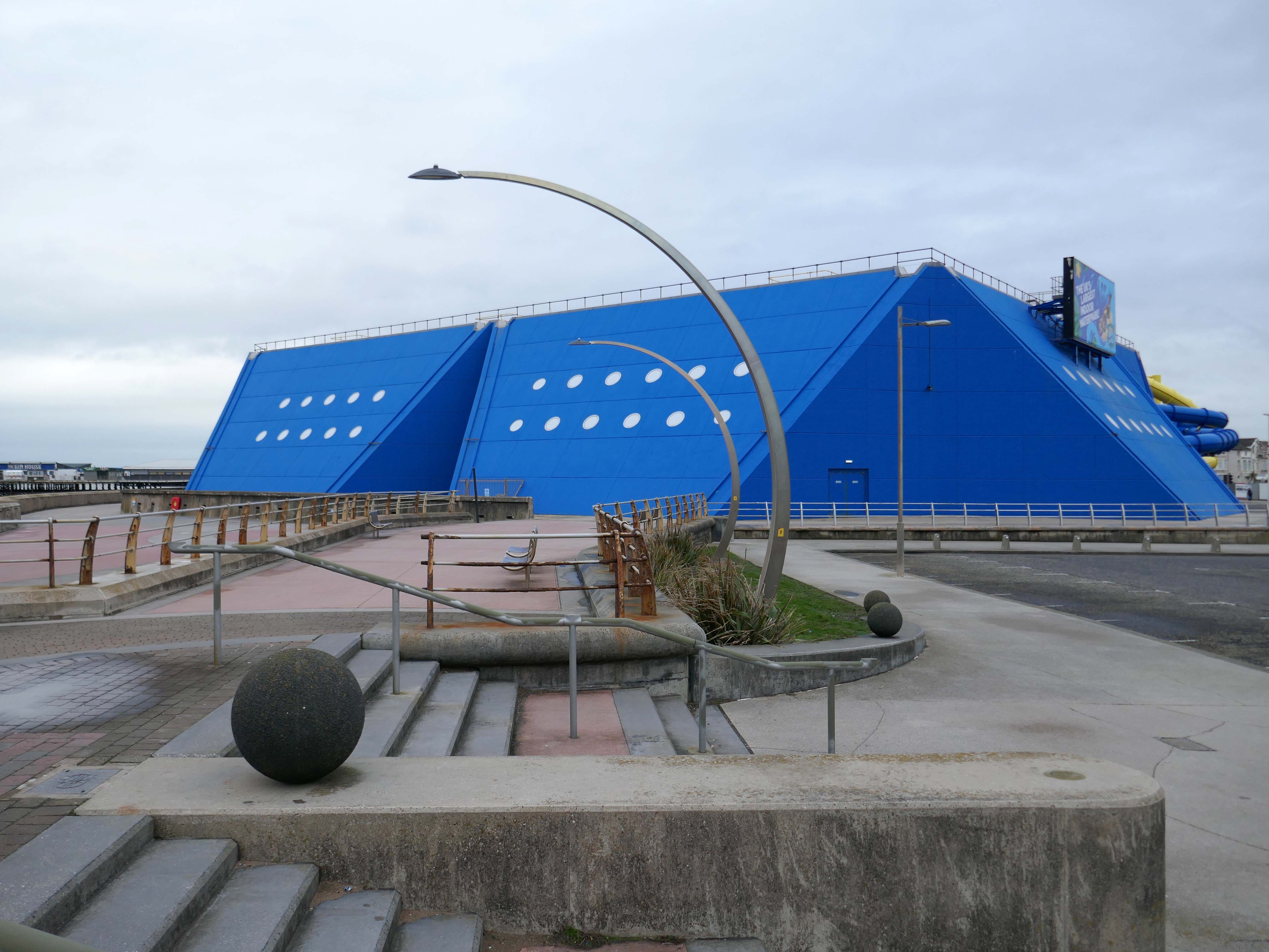
Sandcastle the UK’s largest indoor water park.
Sandcastle opened on 26 June 1986 on the site of the former South Shore Open Air Baths as a joint public/private partnership. Operation of the facility was taken back into Blackpool Council ownership in 2003. A significant investment in new attractions costing £5.5M was also agreed, which was delivered in two phases, with the second opening in 2006 on time and on budget.
In 2012, Sandcastle opened two new Aztec-themed slides, one with a chamber called ‘Aztec Falls’, and a toboggan-like slide called ‘Montazooma’.
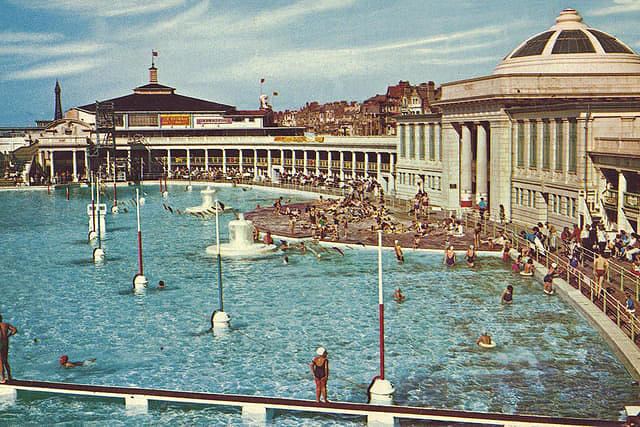
Situated adjacent to the South Pier at Blackpool was the open- air swimming bath. Elliptical in form, it was designed in the renaissance style of architecture, with white ivory terracotta, known as ‘Marmola’. It was said to be the largest and finest of its kind in the world and similar in design to the colosseum of ancient Rome.
Built at a cost of around £70,000, Designed by JC Robinson – Borough Architect, it was officially opened on the 9th June 1923, the same day as the first Blackpool Carnival, by the Mayor of Blackpool, Councillor Henry Brooks. The opening ceremony was followed by a short swimming exhibition in which Blackpool swimmer Lucy Morton took part. The following year Lucy was to win a gold medal in the 1924 Paris Olympics.
Sadly in 1983, following years of neglect and falling attendances, the bath was demolished.
Built to the designs of Joseph Emberton for Leonard Thompson; restored and altered 1972 and 1977-9 by Keith Ingham. Reinforced concrete in the International Modern style. Circular plan, the circle broken by three principal projections marking the main entrance and foyer, the main exit and the main public stairs. The key to the plan were the central kitchens on the ground and first floors, serving (on the former) a number of restaurants and (on the latter) a banqueting room. Kitchens now on first floor only. The result is a sequence of intriguingly curved rooms; originally there was no public access to this inner core area or directly across the building, but this has now been provided. The basement contained stores, a billiard room and sports facilities, now in mixed use. Between ground and first floor is a mezzanine office range, with private flat over. Top floor built as roof garden, provided with a glazed curtain wall in c.1940 by Emberton and largely infilled as an extra floor in 1972.
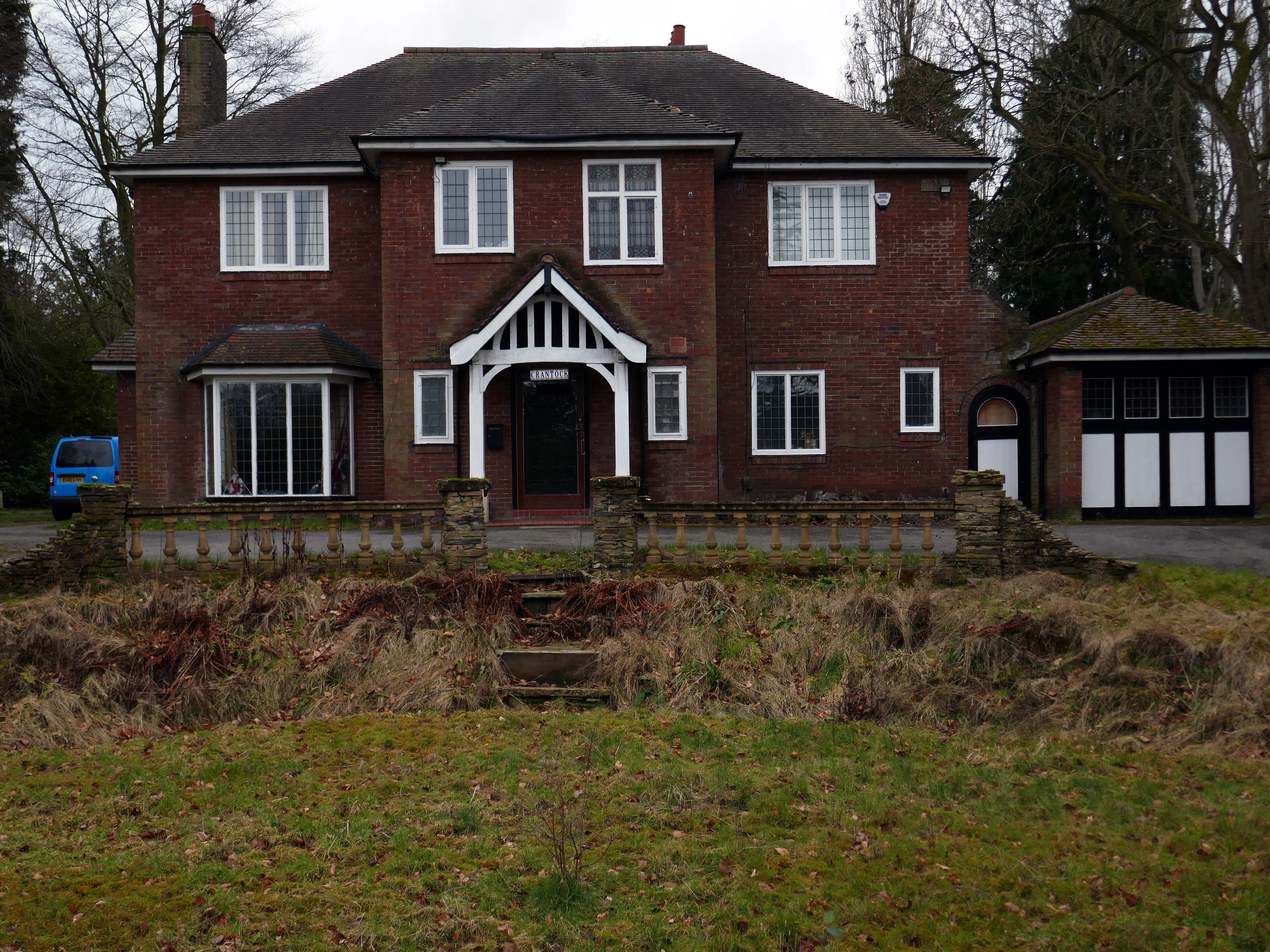
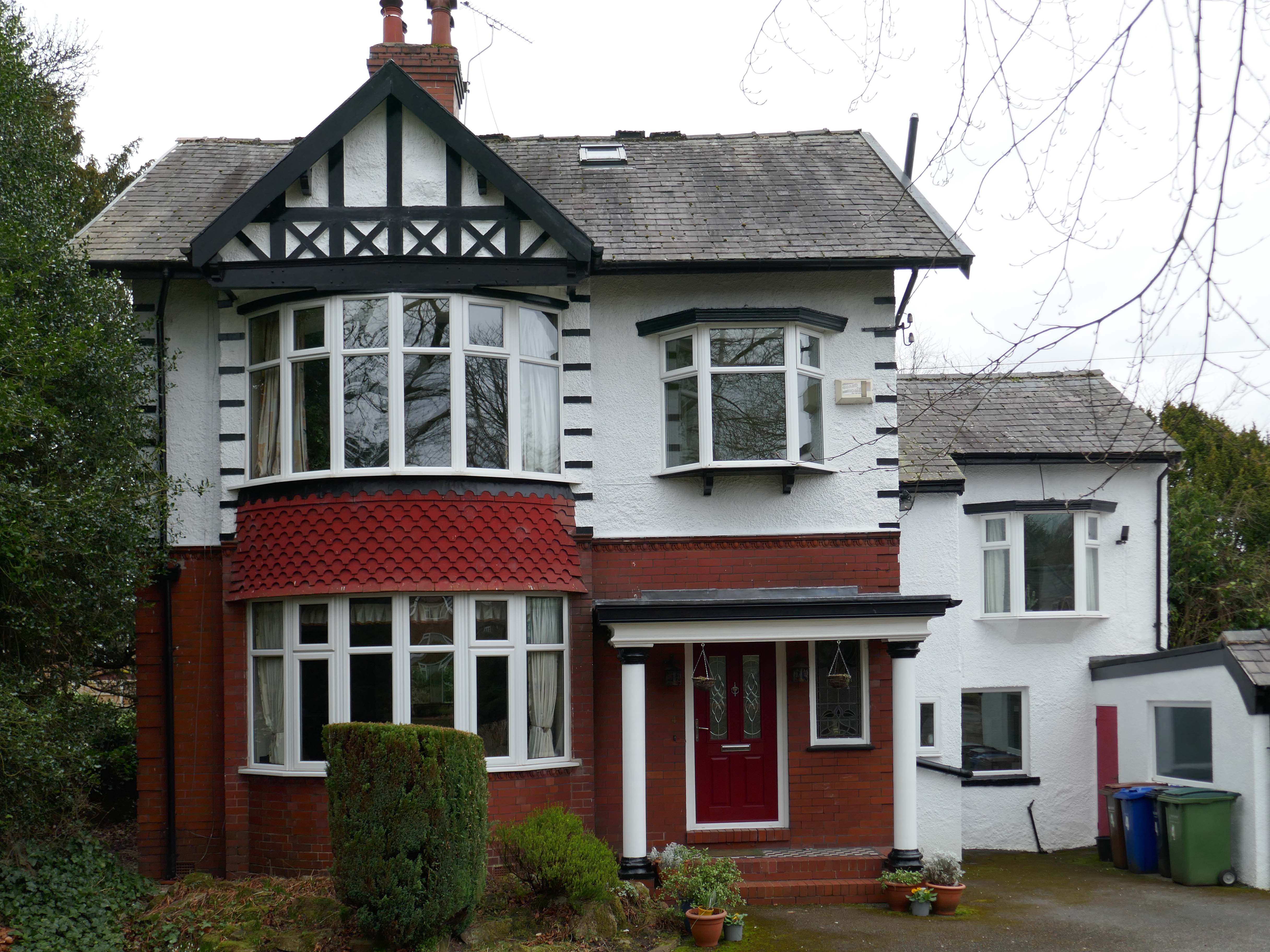
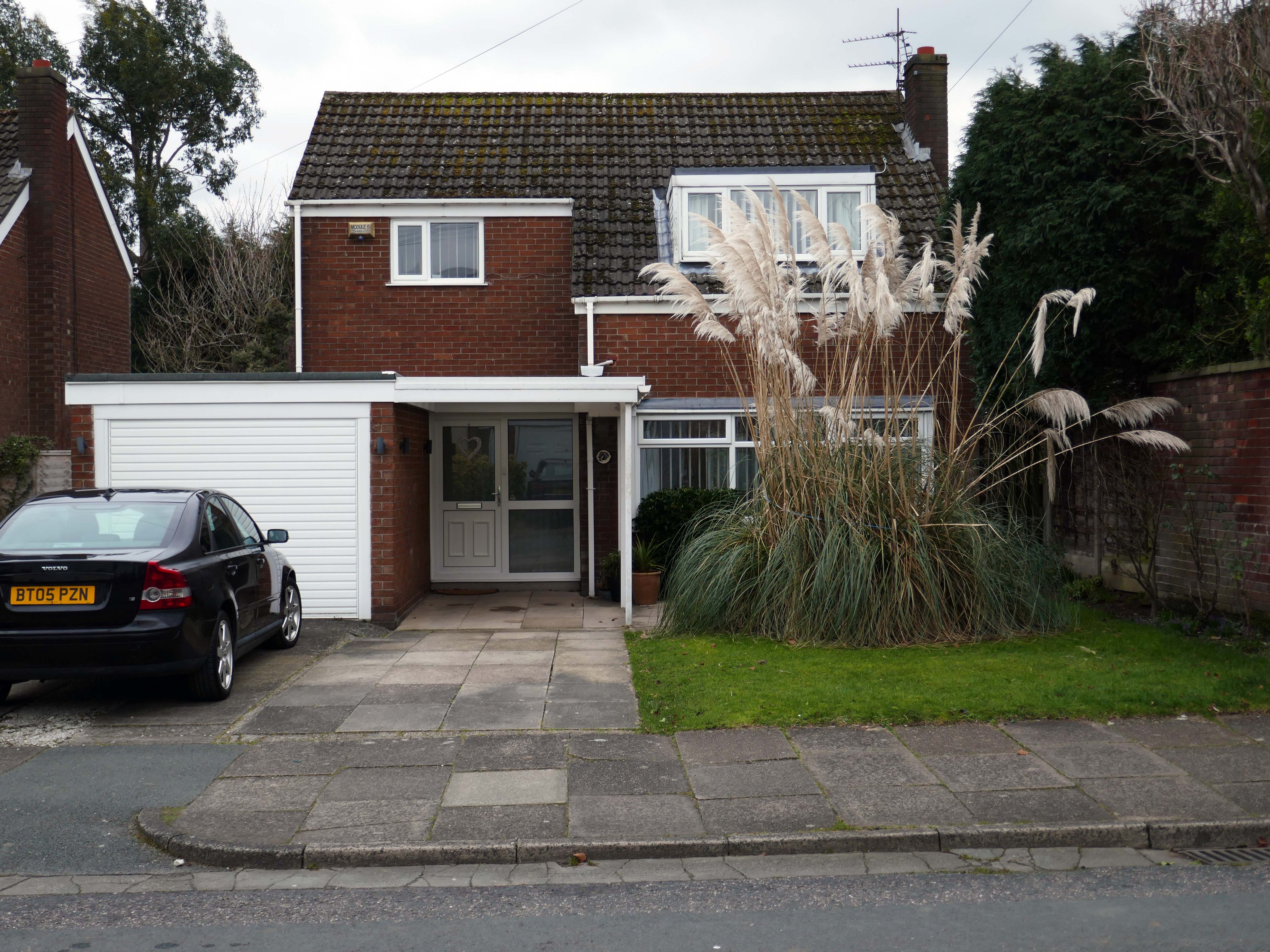
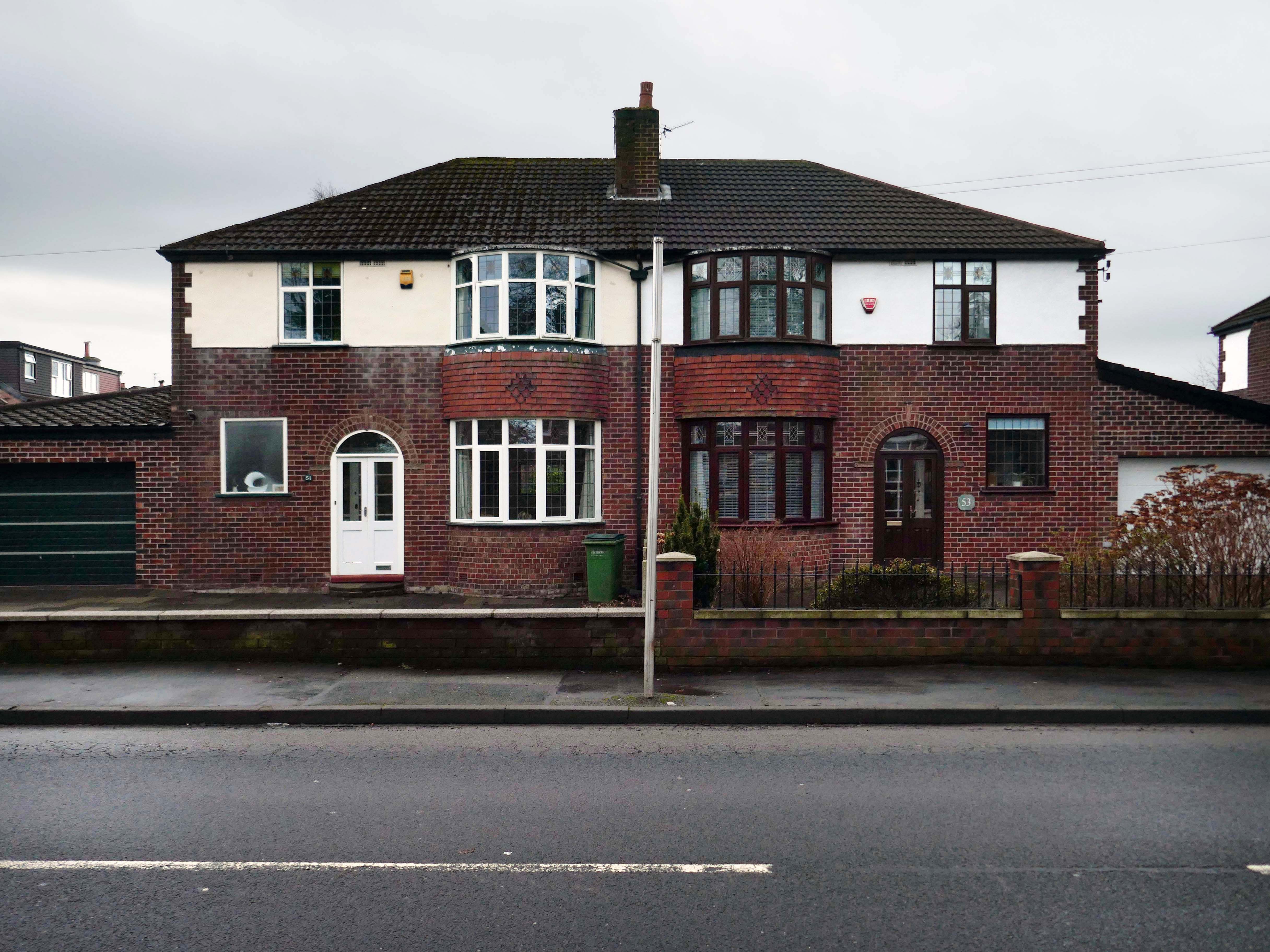
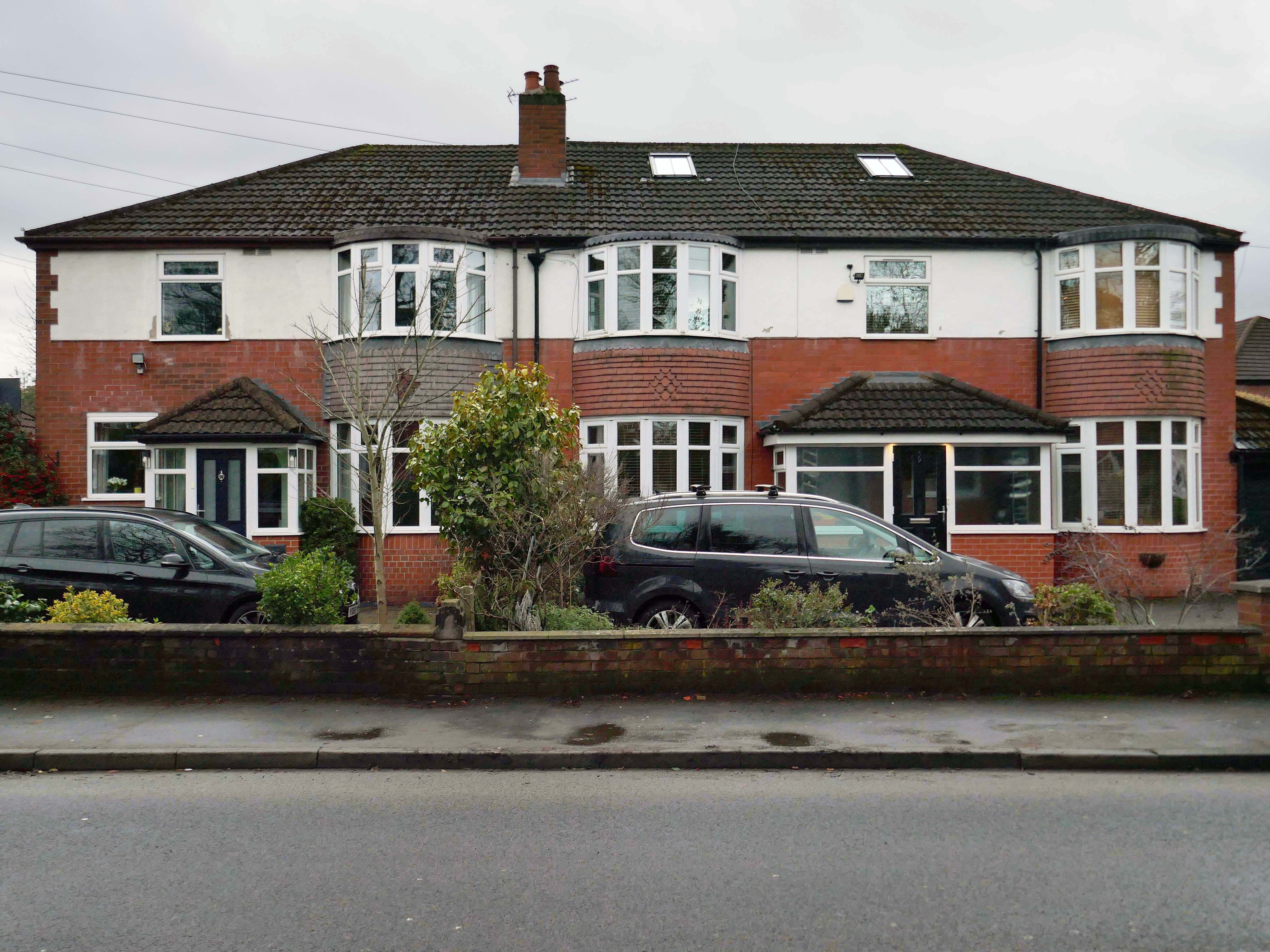
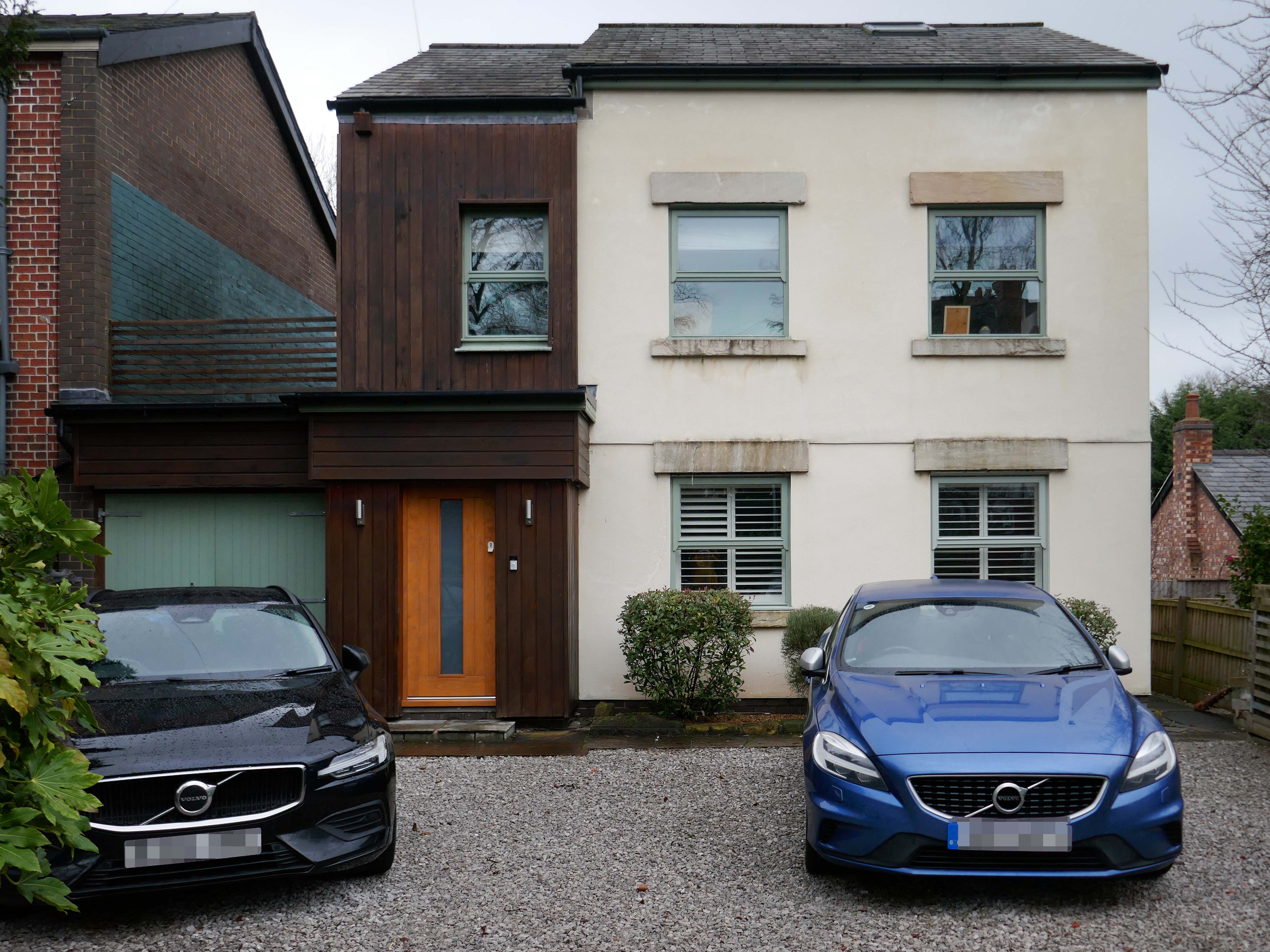
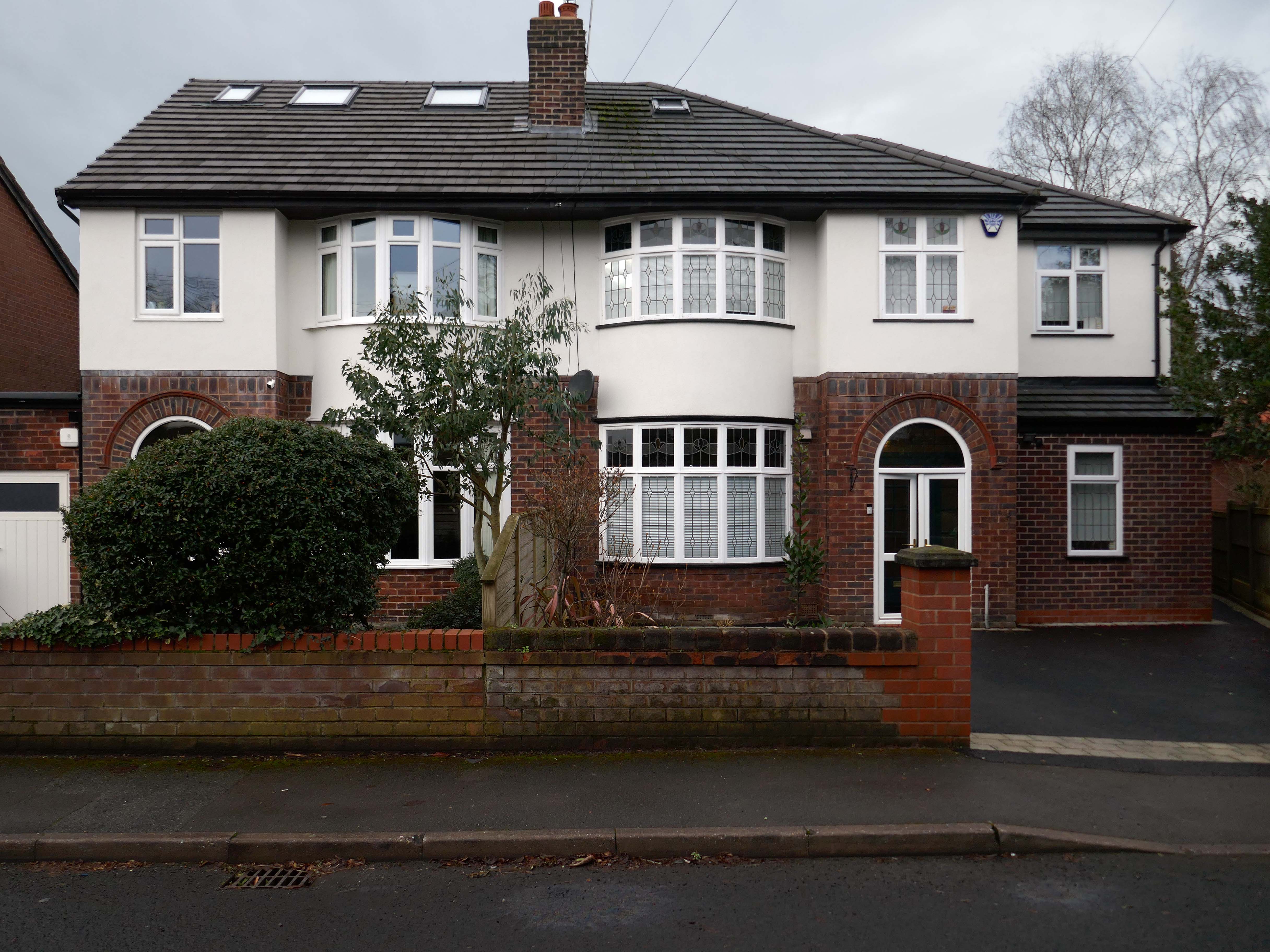
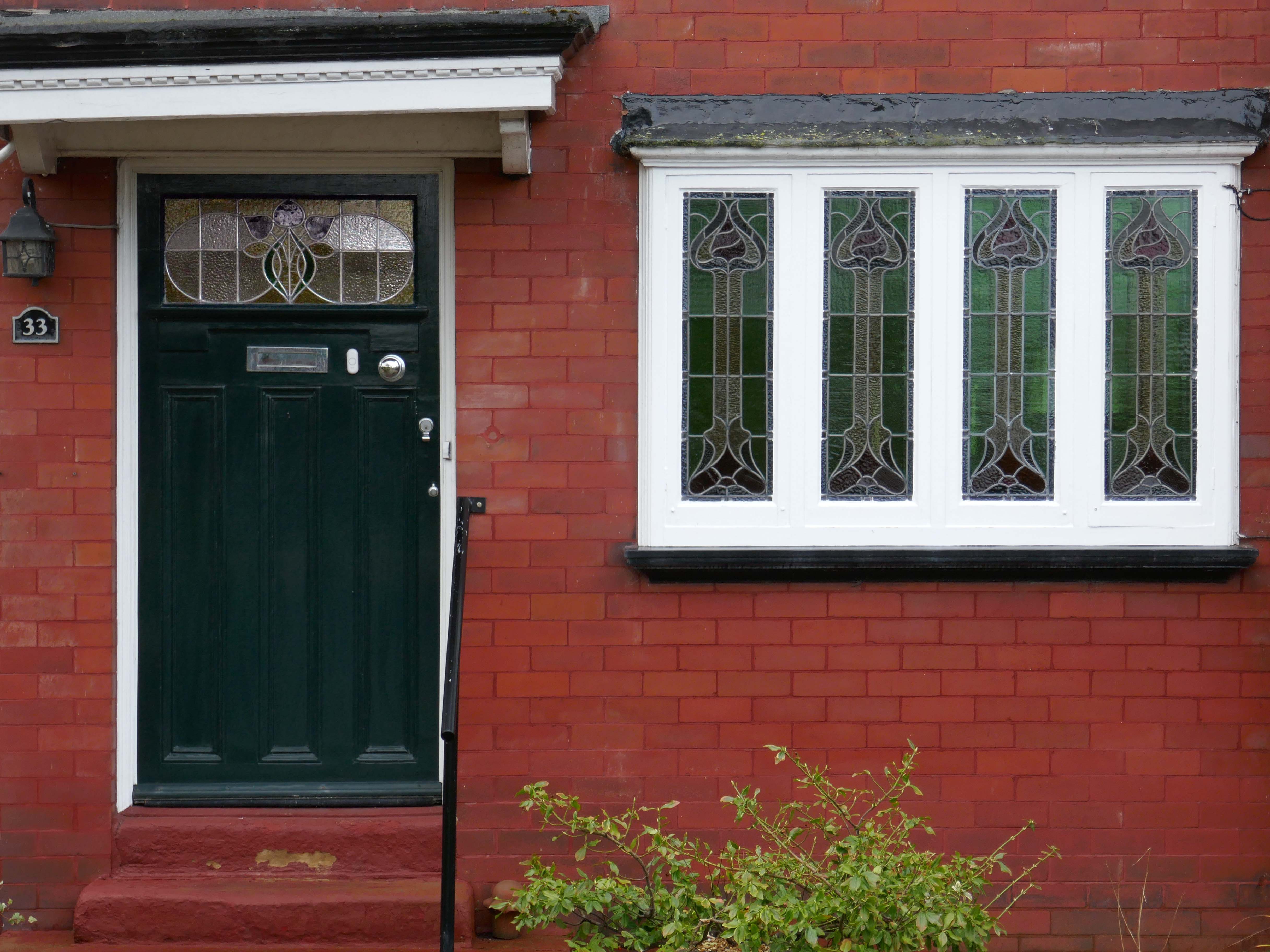
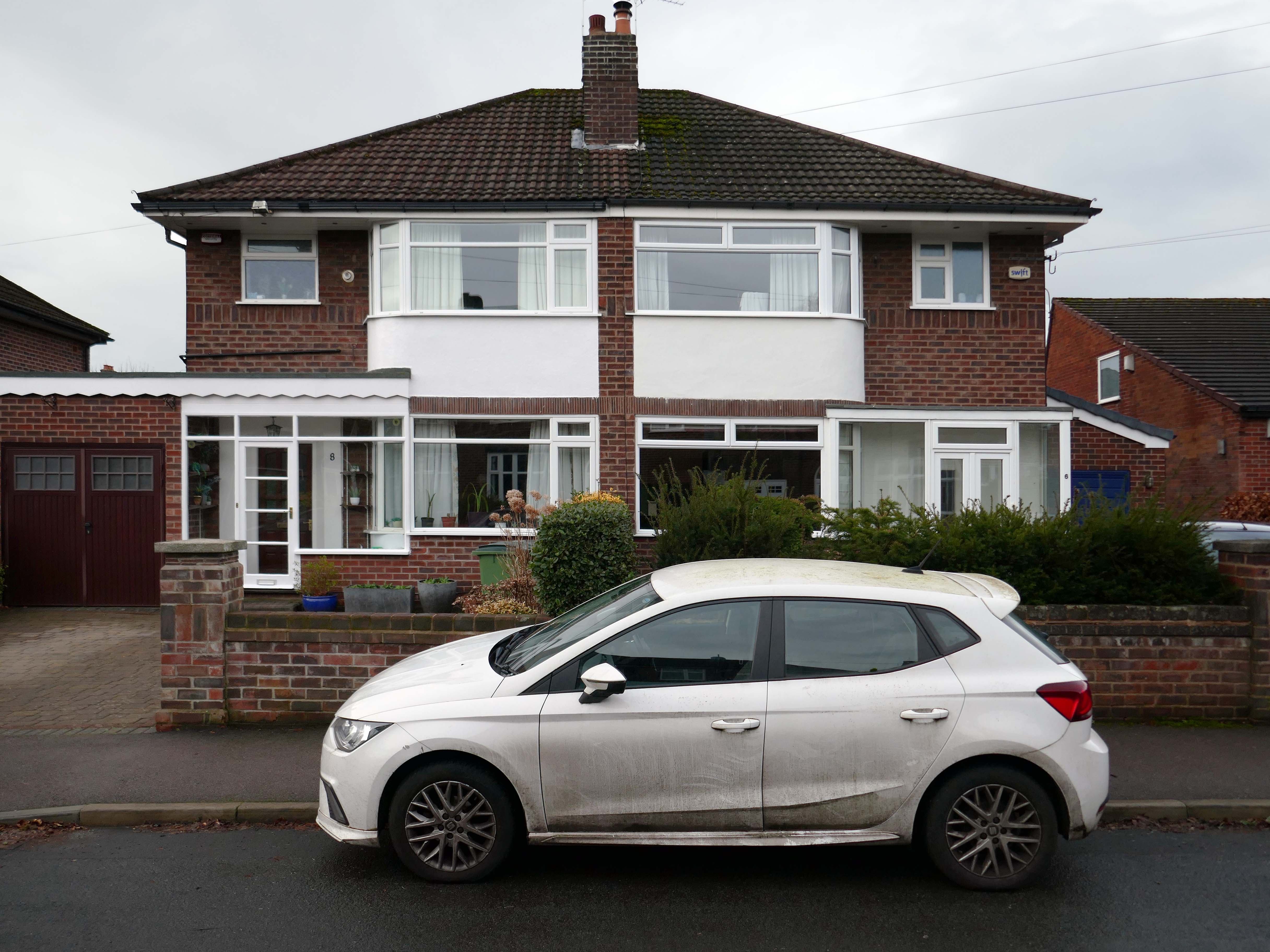
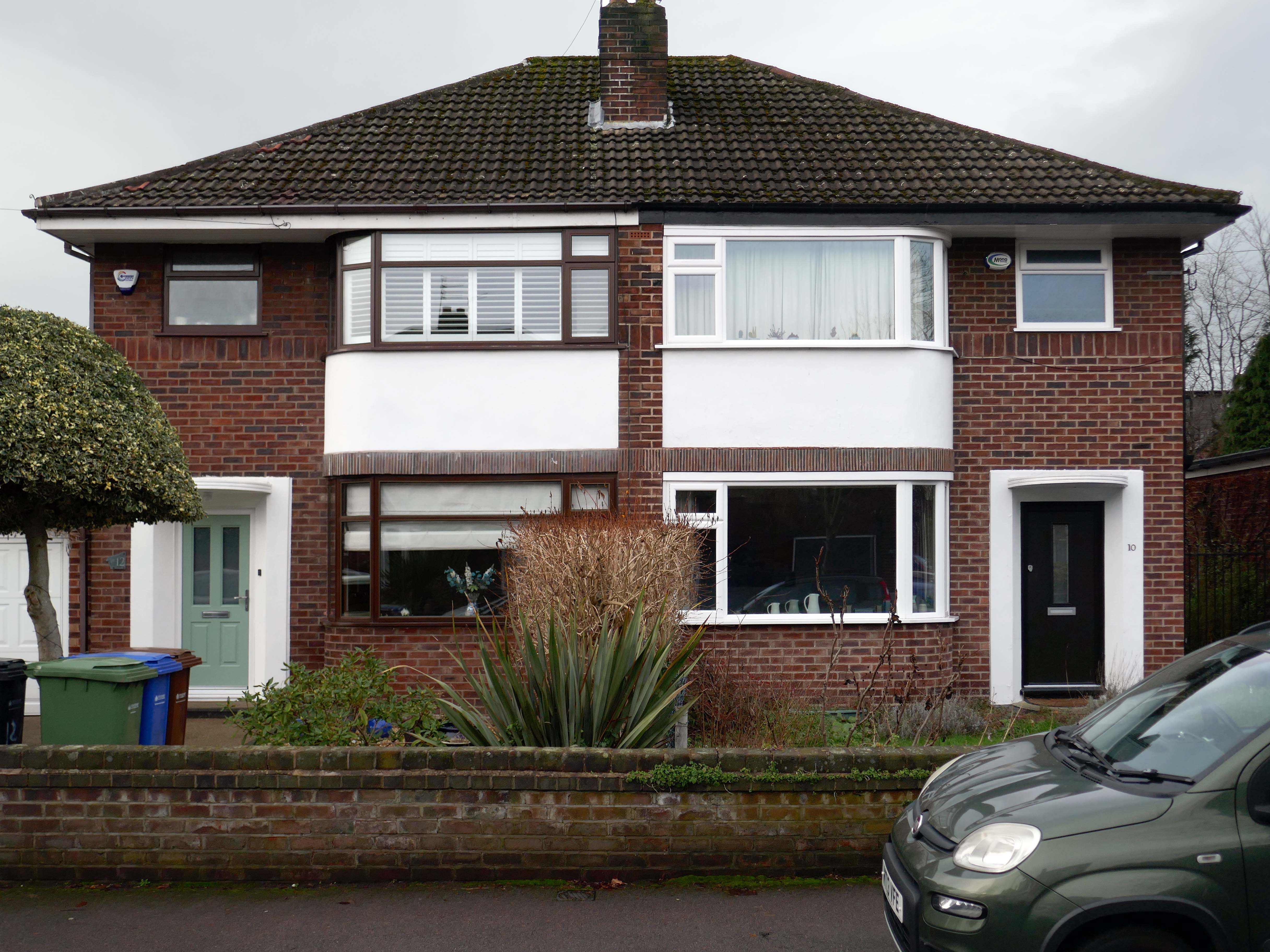
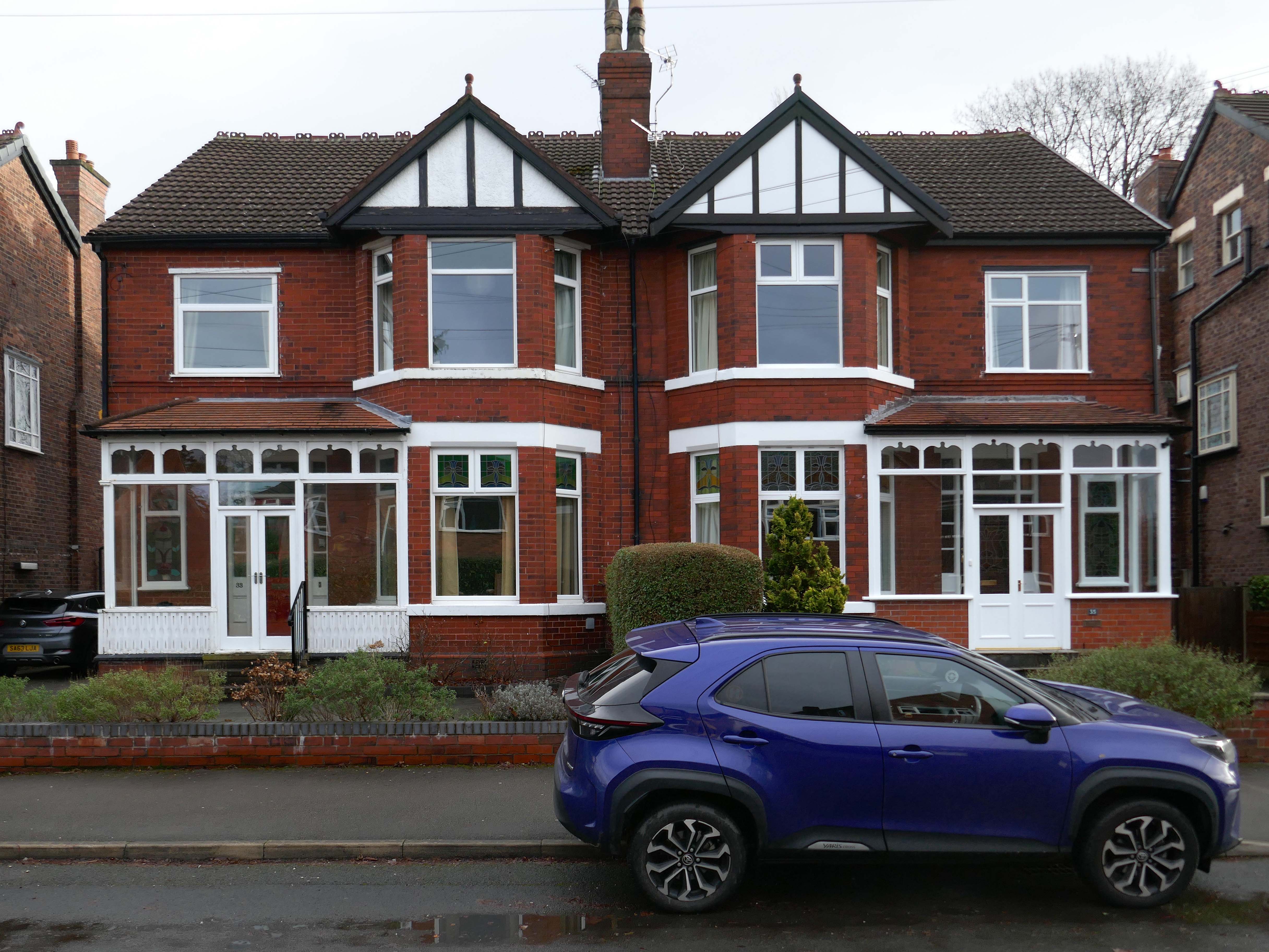
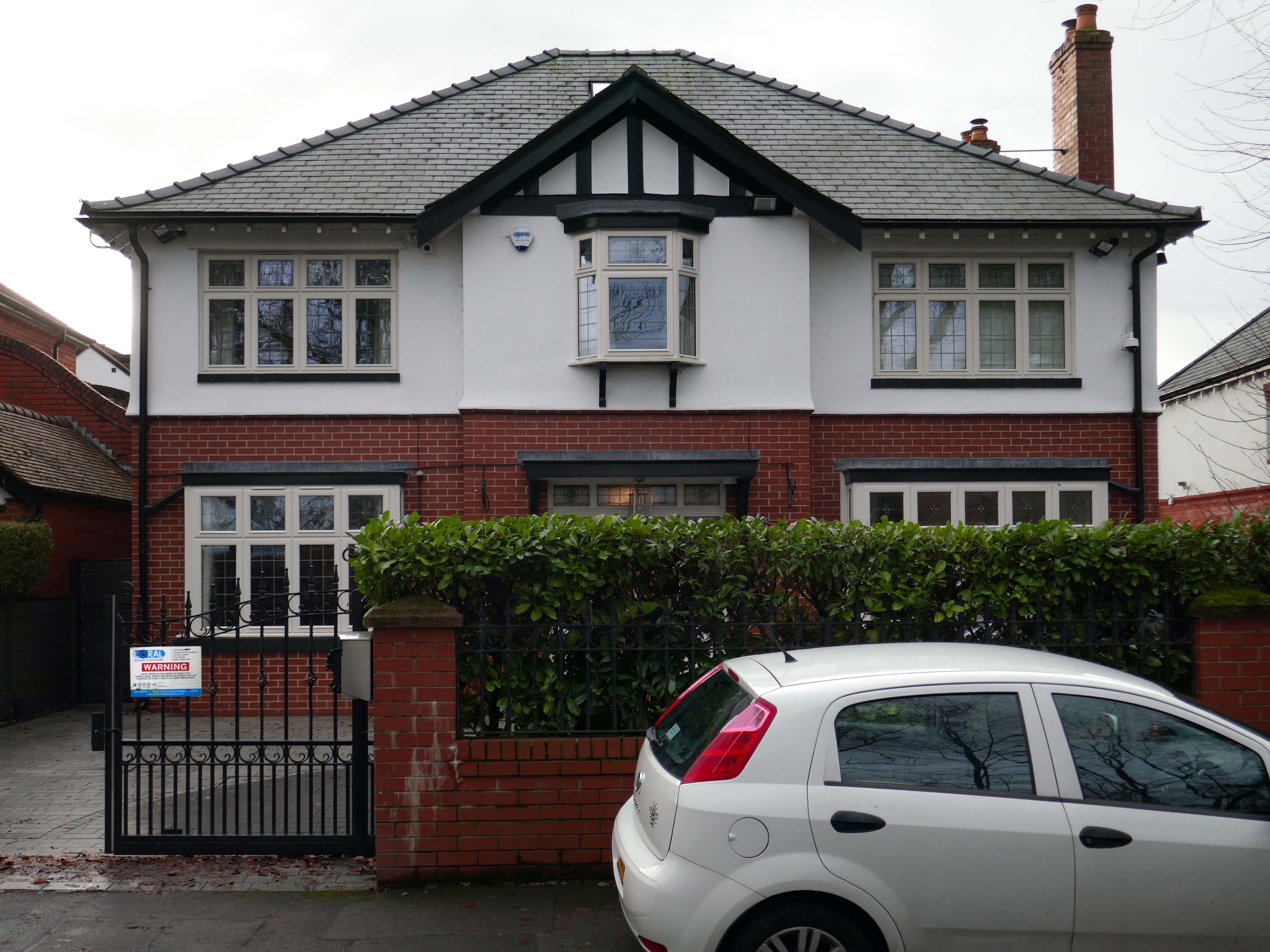
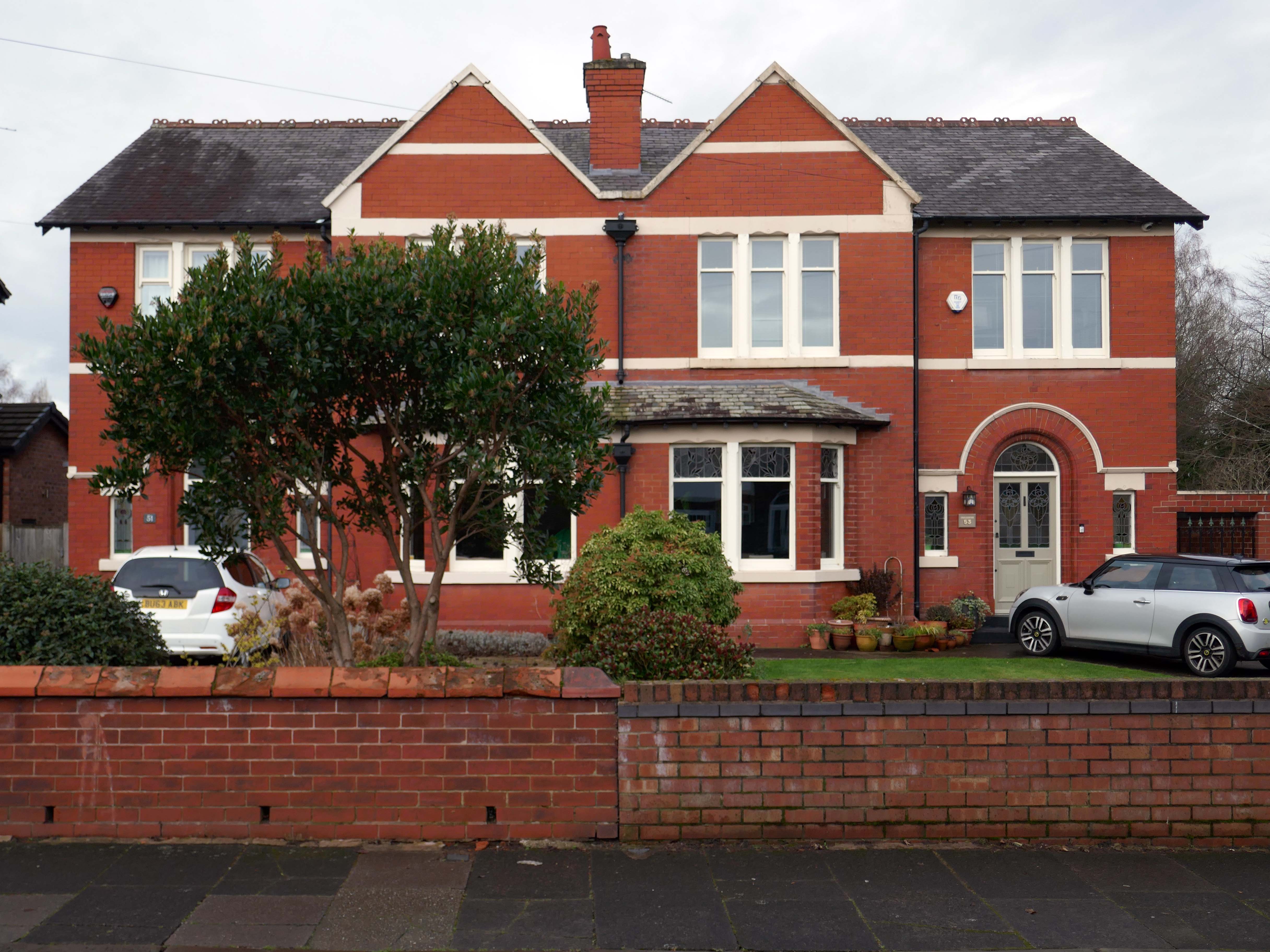
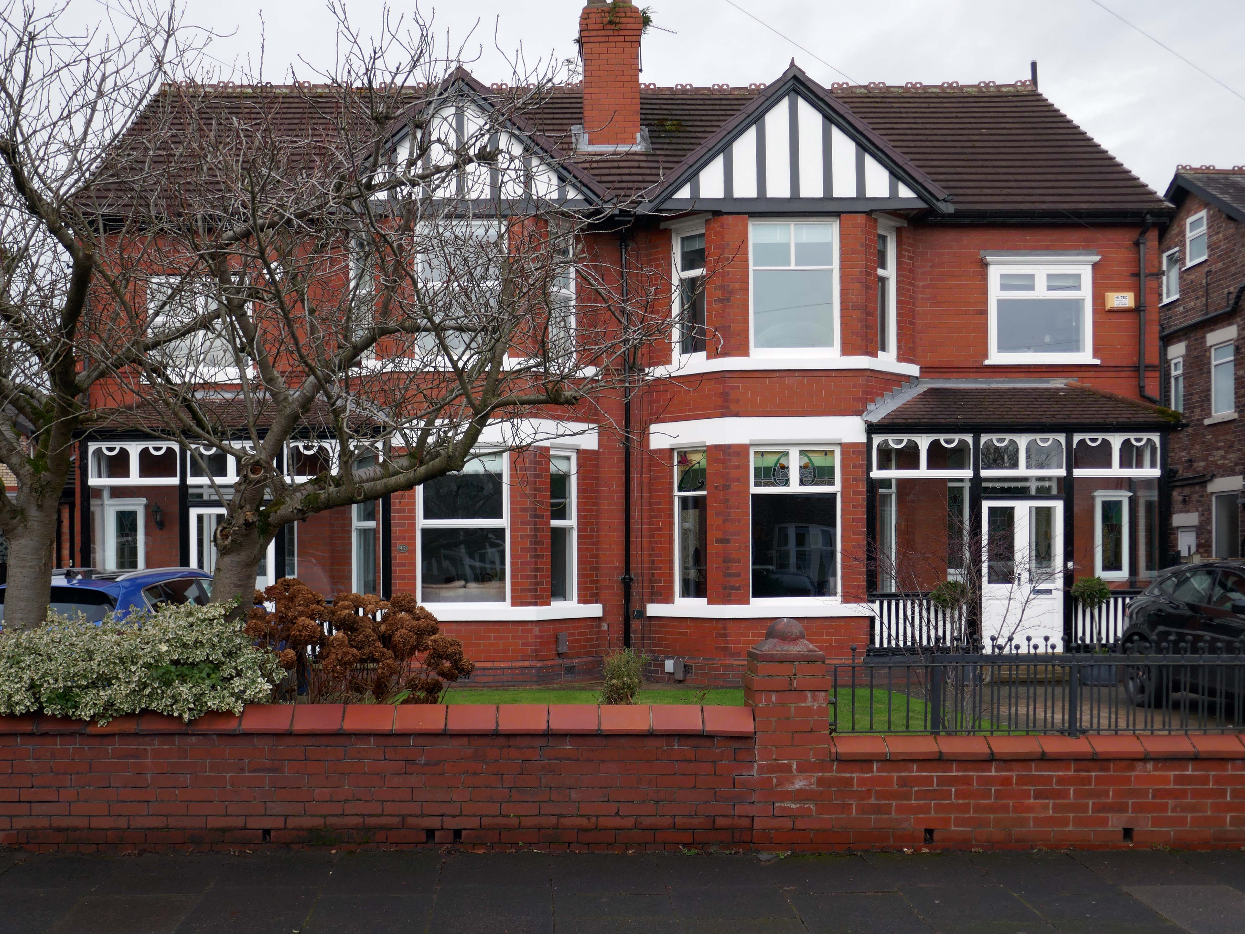
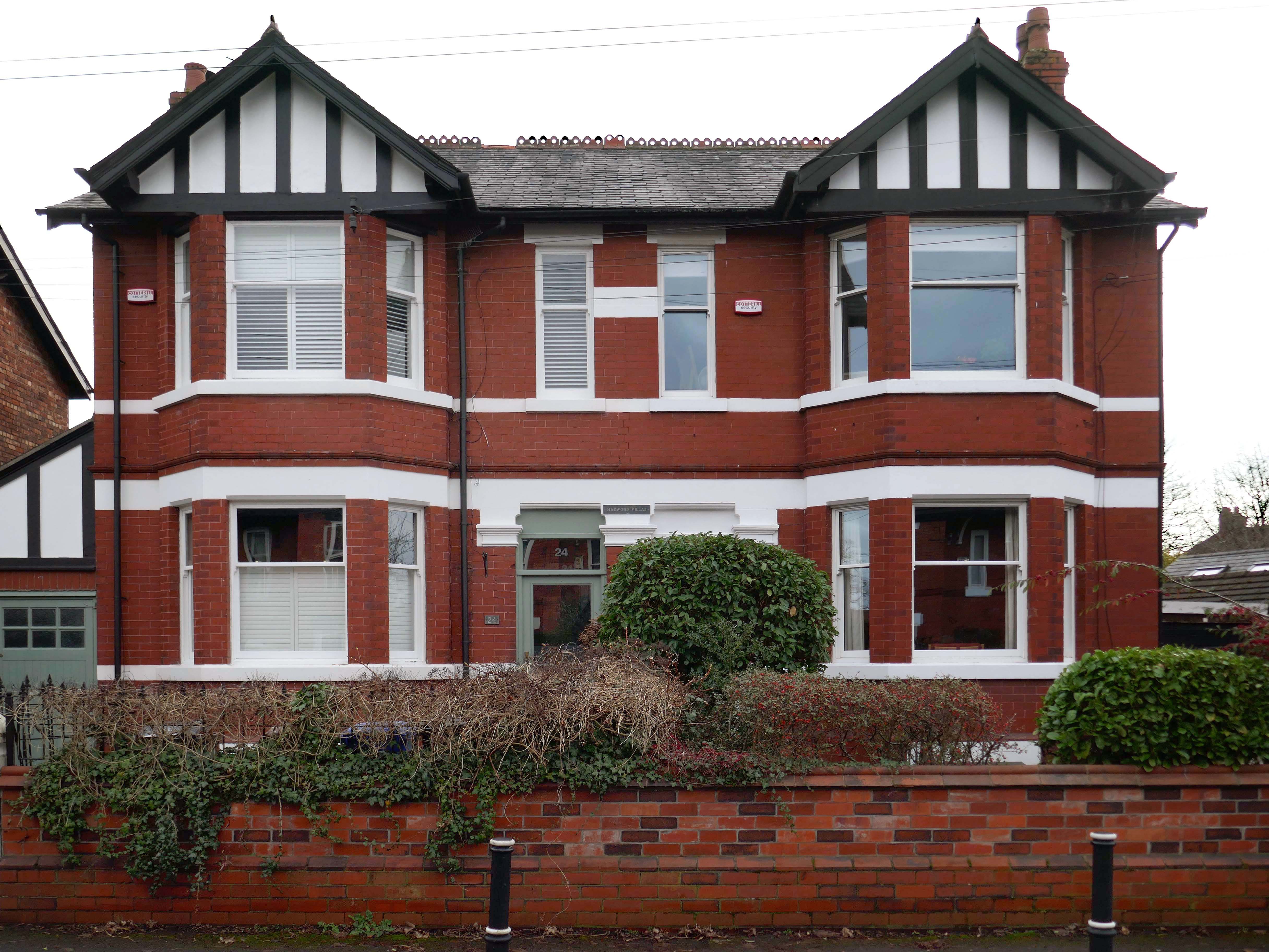
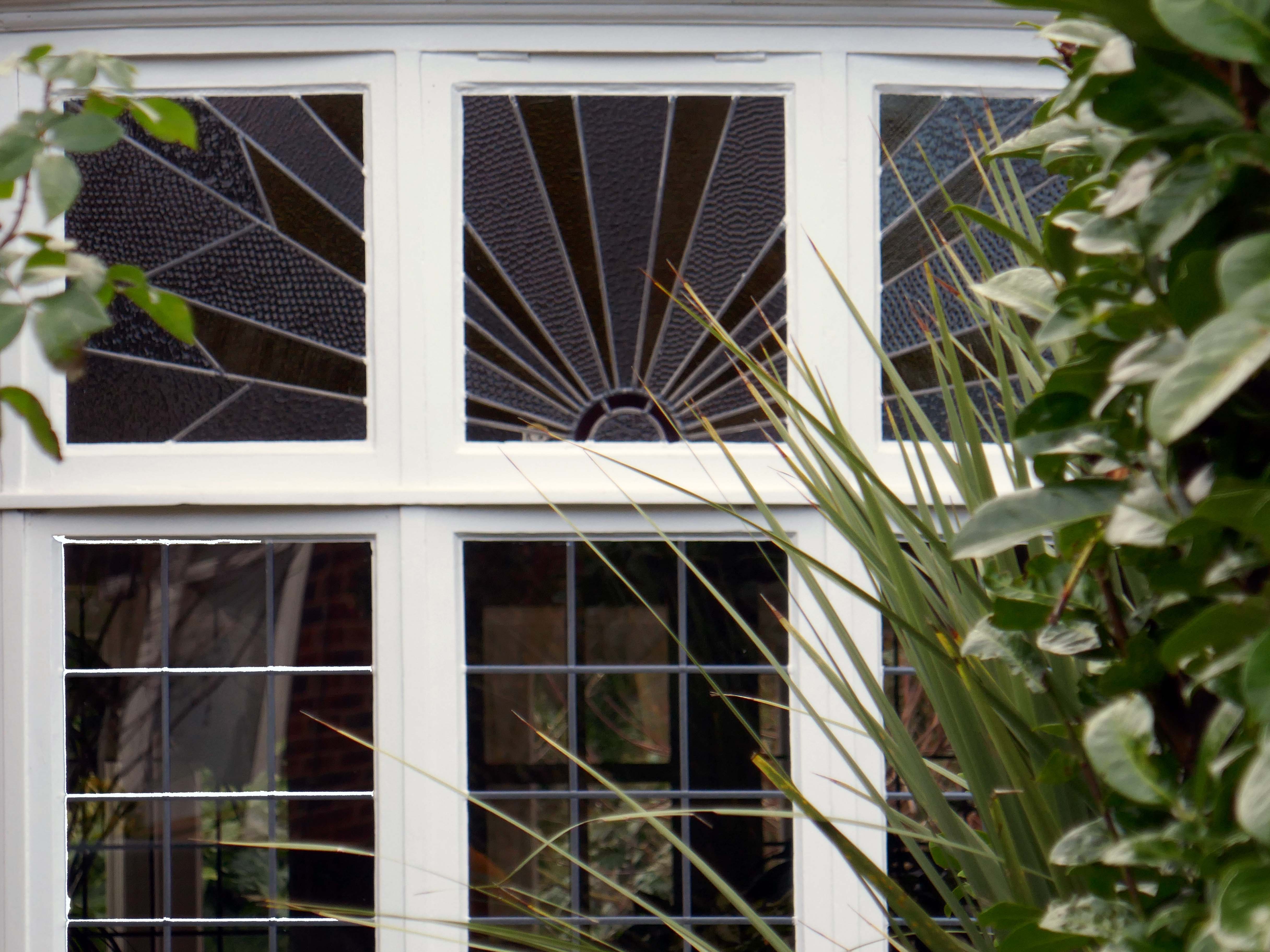
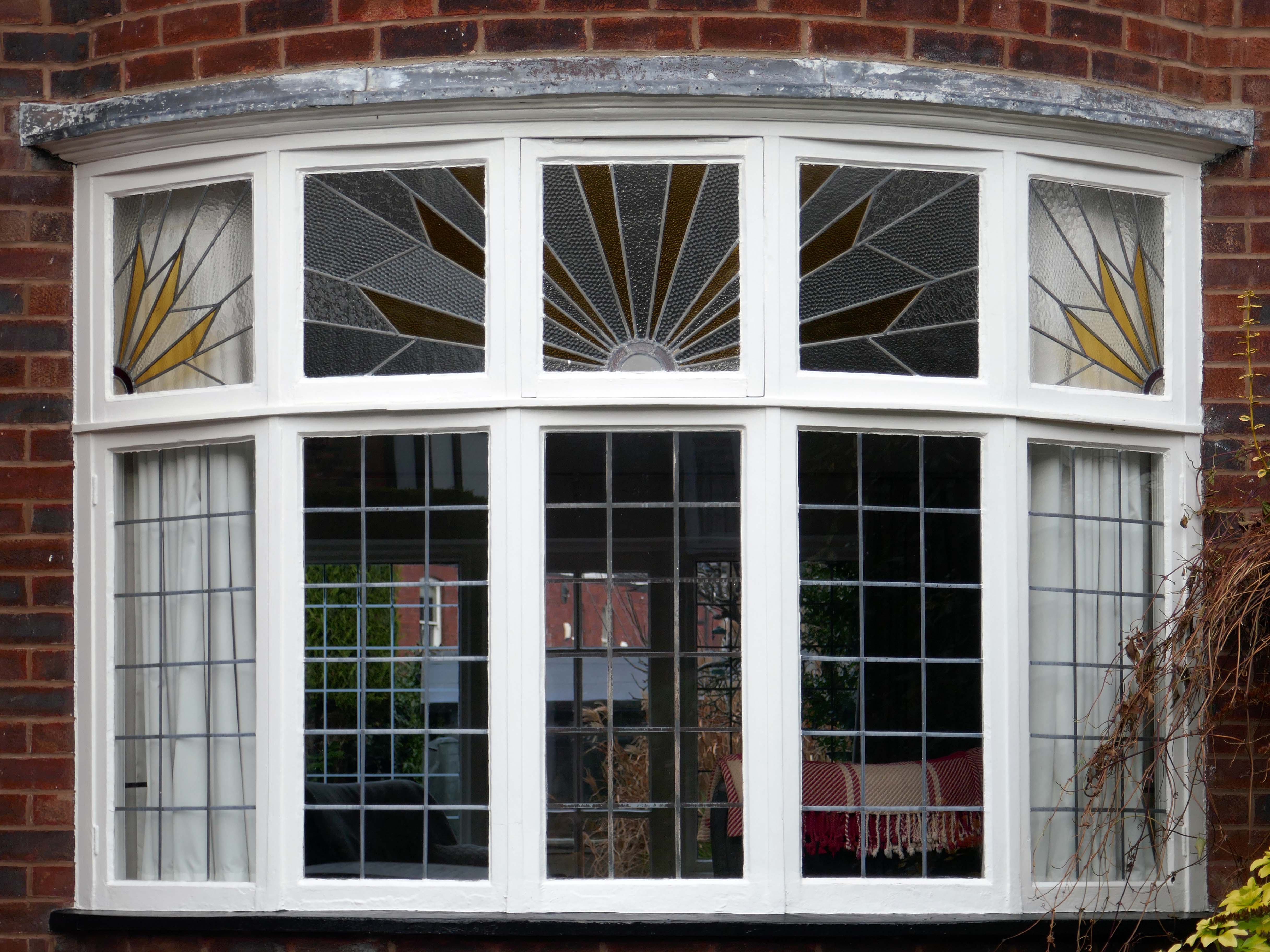
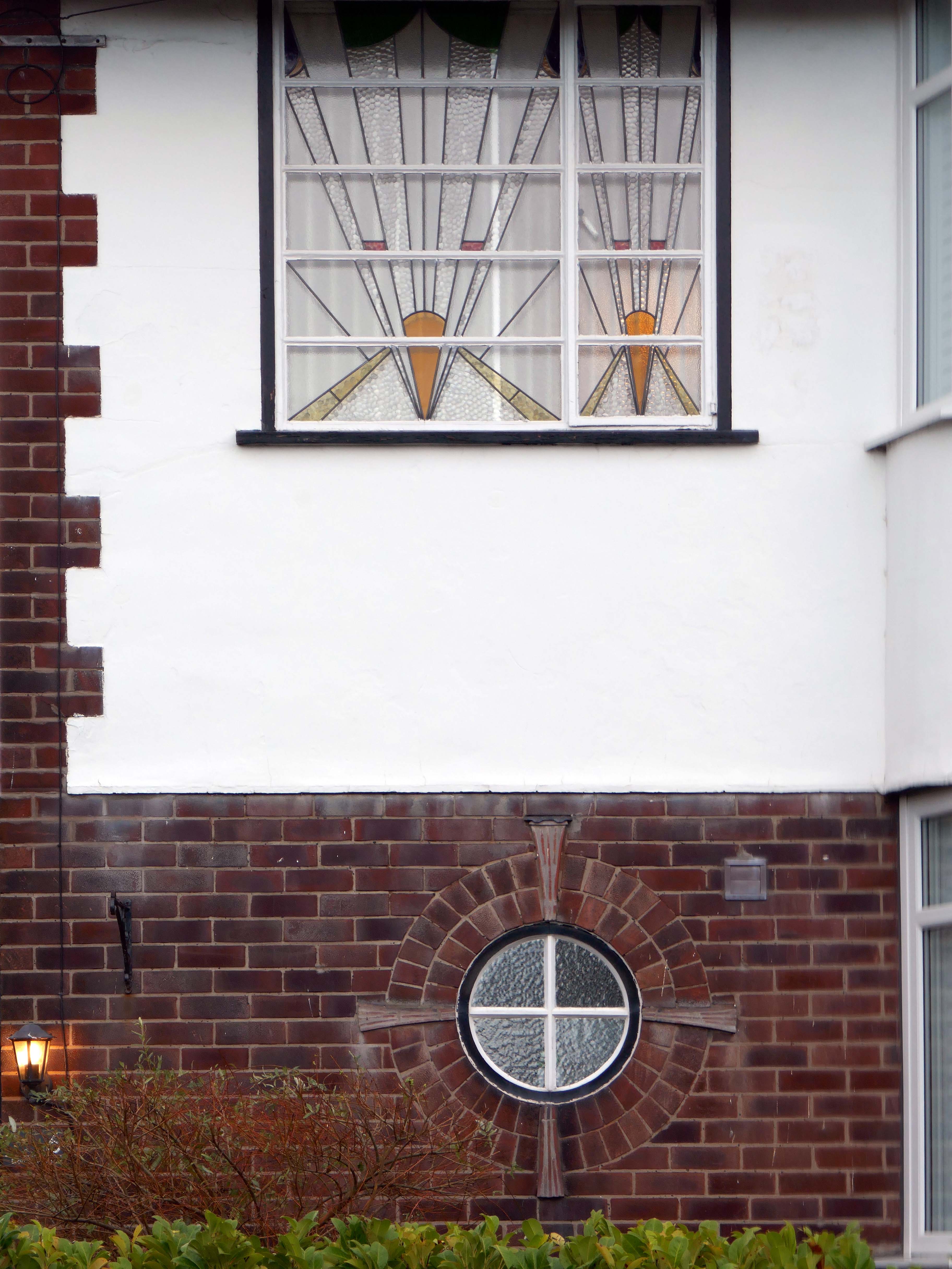
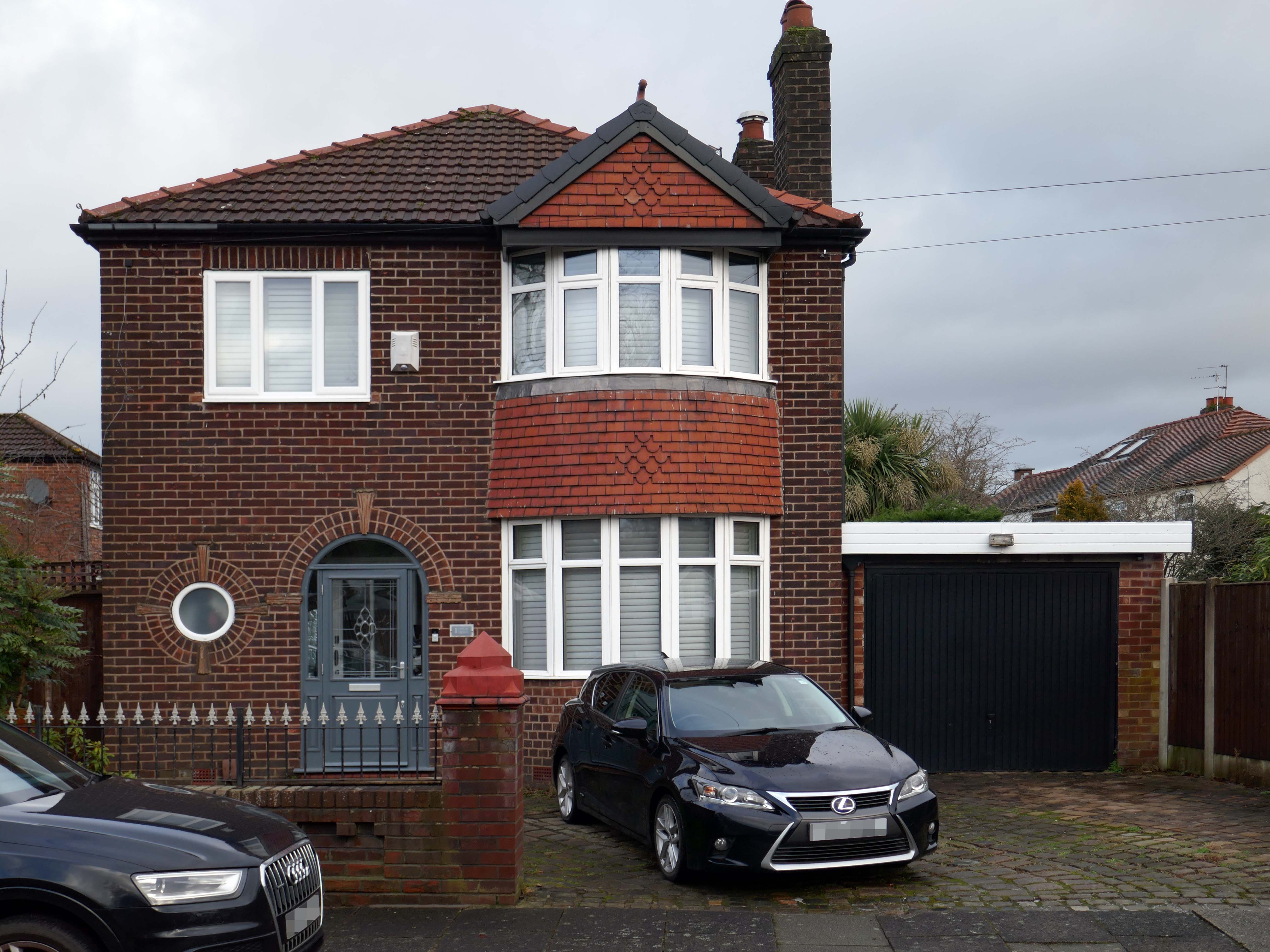
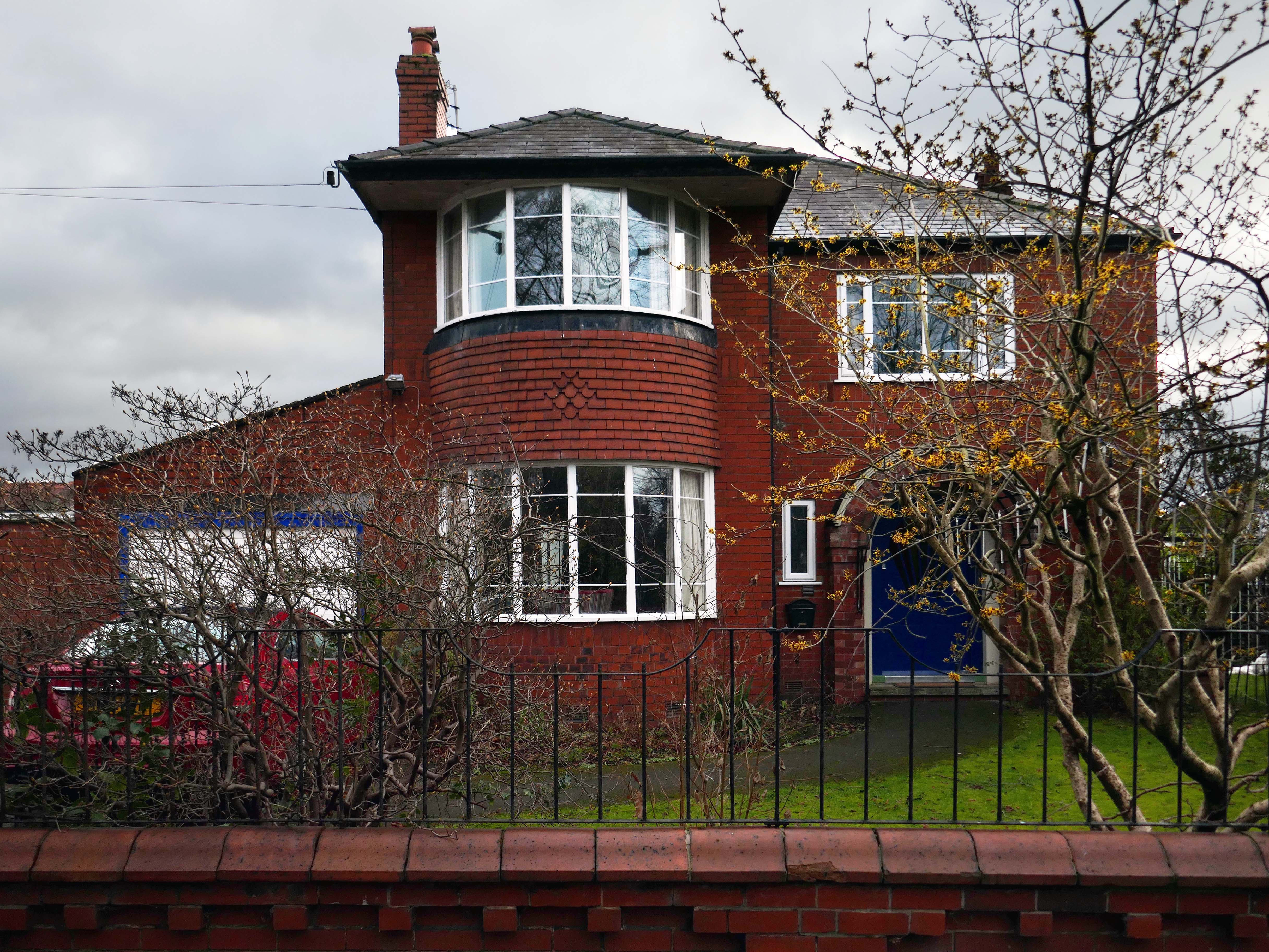
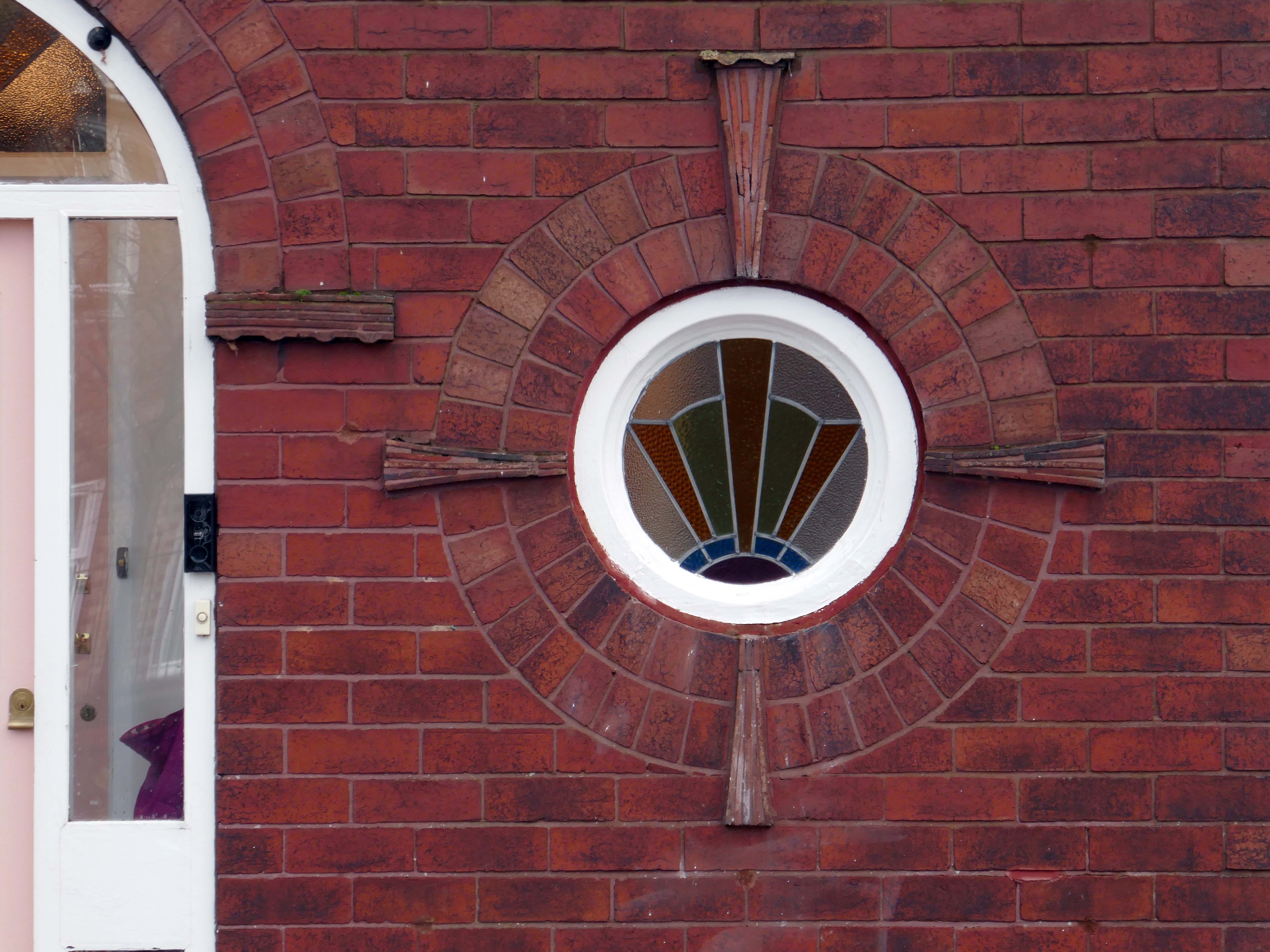
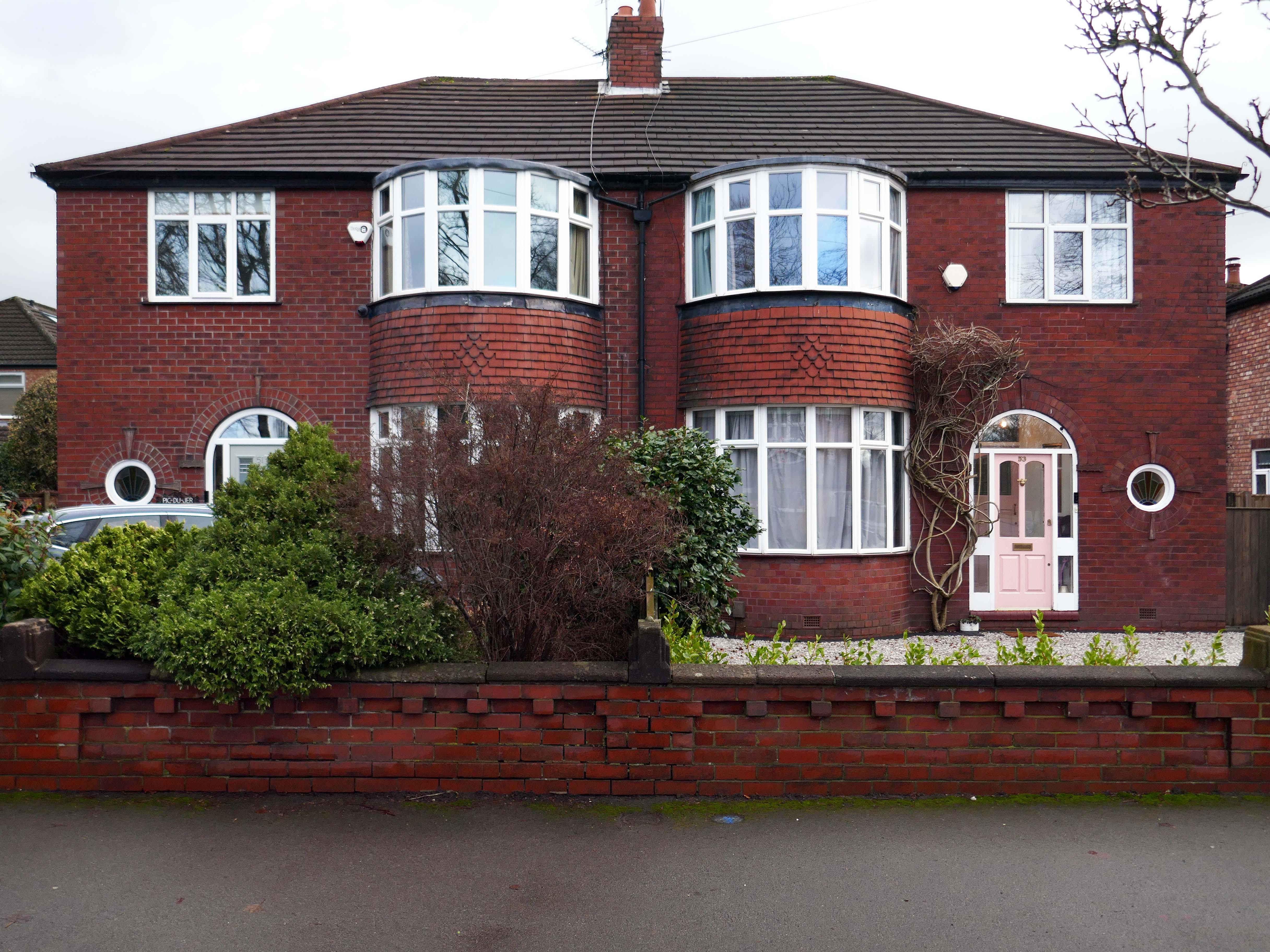
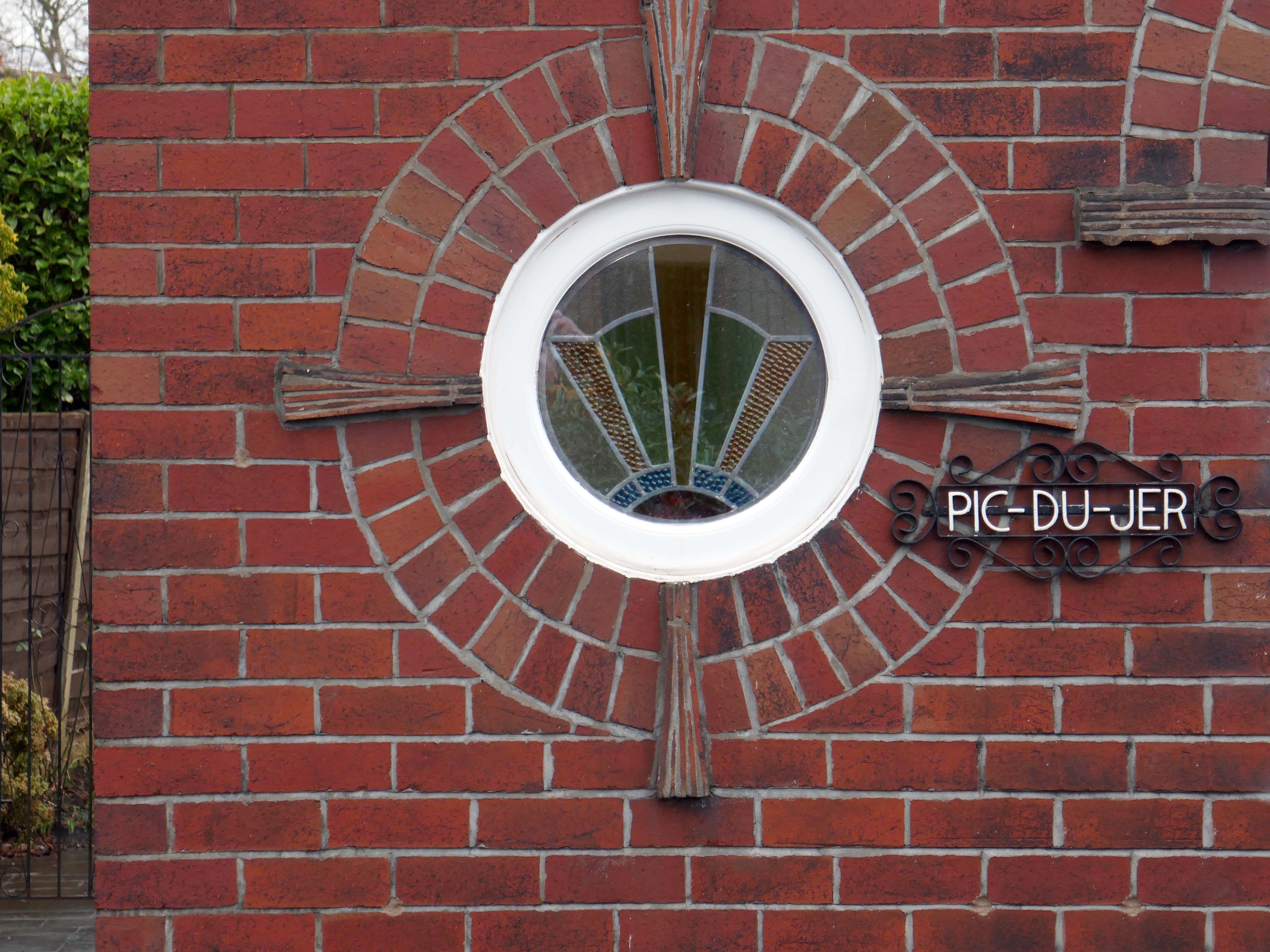
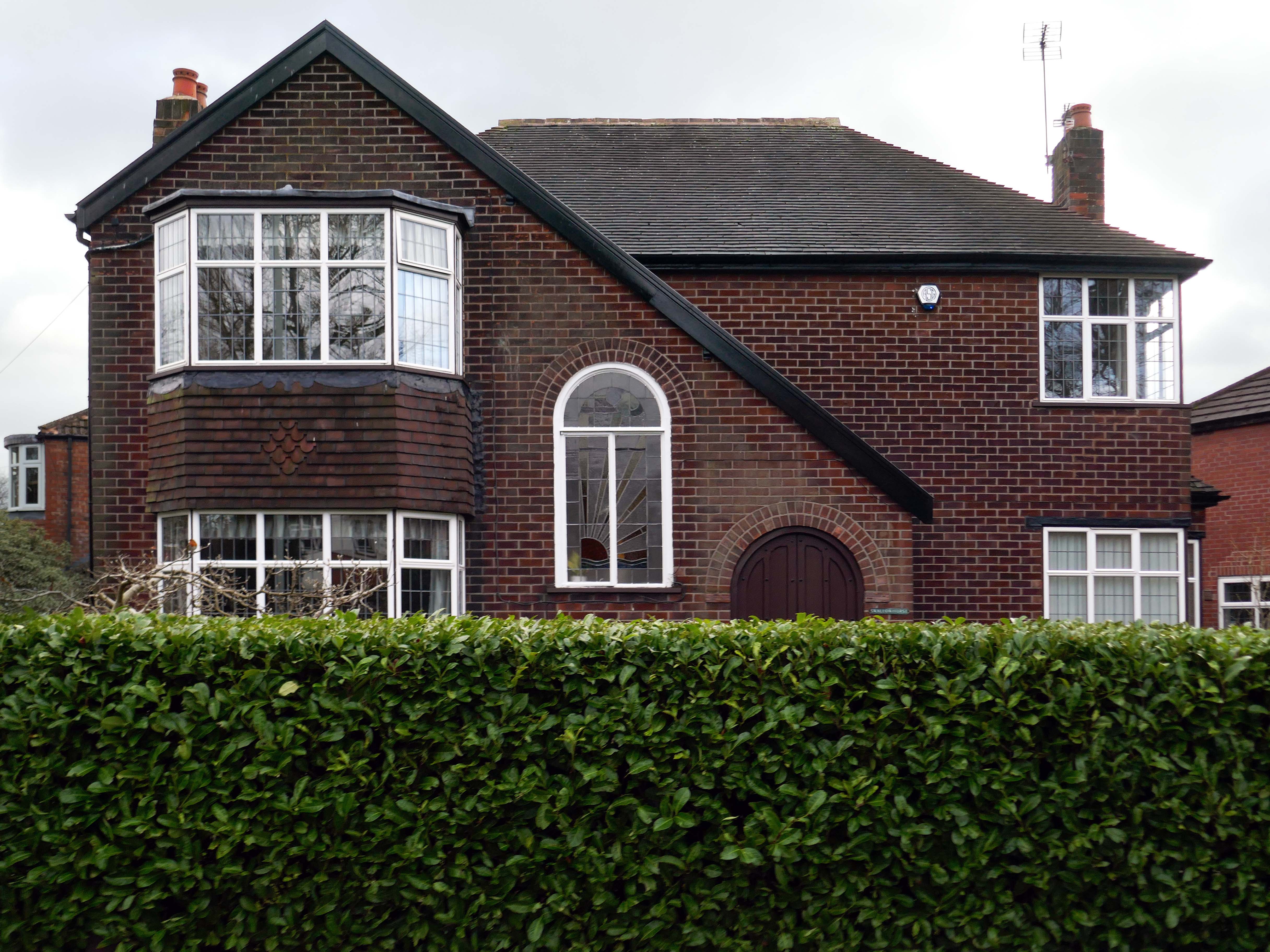
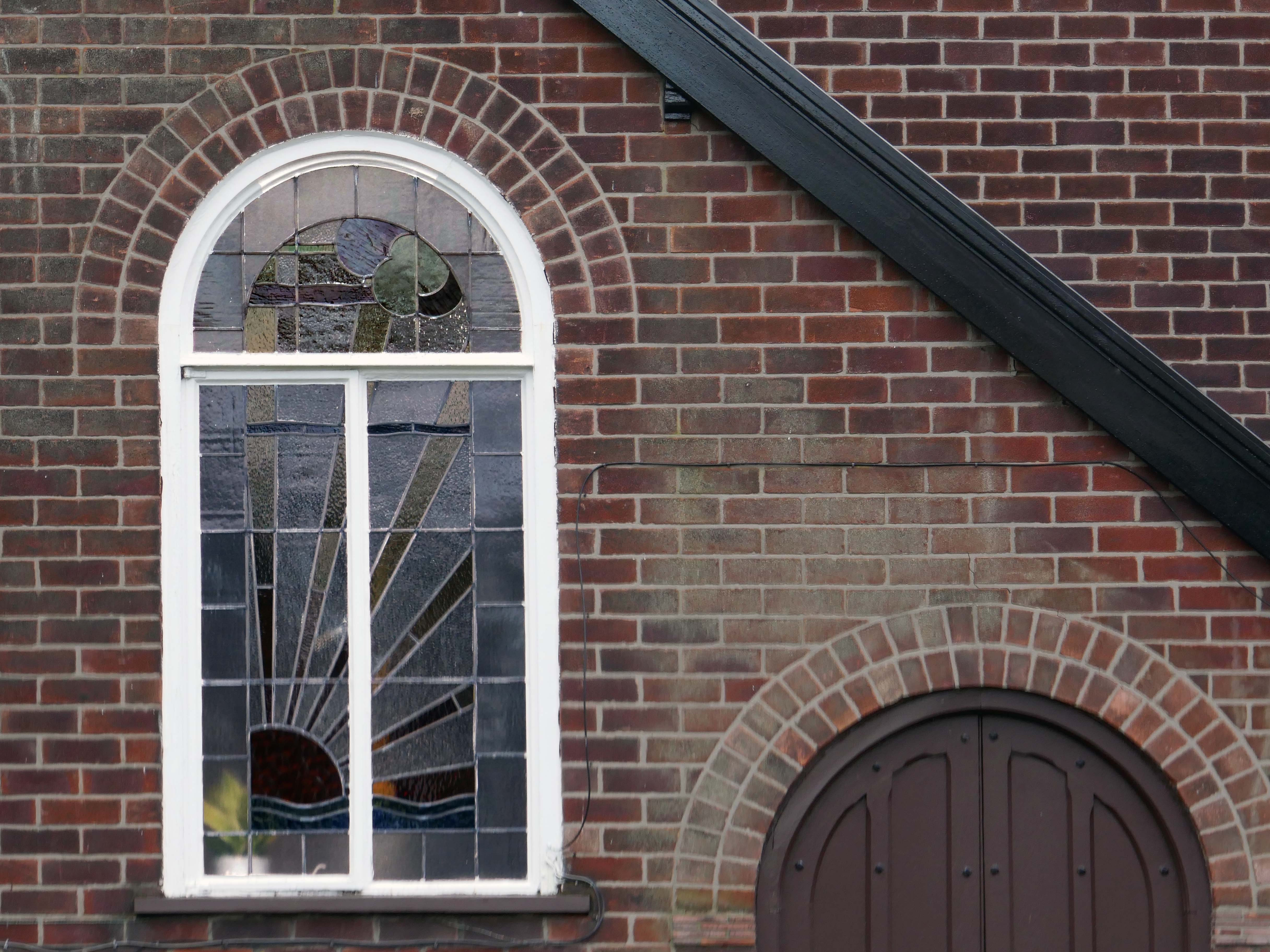
Within such a tight network of suburban streets, restrained Modernism sits alongside the traditional semi, the grand villa and humble abode. A smattering of stained glass and an original door here and there.
One example of a curved Crittall bay, sitting next door to a distant uPVC cousin.
Hesitant examples of Arts and Crafts and hints of Tudorbethan, subtle shades of sub Lutyens, the odd Art Deco detail.
We never keep to the present. We recall the past; we anticipate the future as if we found it too slow in coming and were trying to hurry it up, or we recall the past as if to stay its too rapid flight. We are so unwise that we wander about in times that do not belong to us, and do not think of the only one that does; so vain that we dream of times that are not and blindly flee the only one that is. The fact is that the present usually hurts. We thrust it out of sight because it distresses us, and if we find it enjoyable, we are sorry to see it slip away. We try to give it the support of the future, and think how we are going to arrange things over which we have no control for a time we can never be sure of reaching.
Blaise Pascal
Let each of us examine his thoughts; he will find them wholly concerned with the past or the future. We almost never think of the present, and if we do think of it, it is only to see what light it throws on our plans for the future. The present is never our end. The past and the present are our means, the future alone our end. Thus we never actually live, but hope to live, and since we are always planning how to be happy, it is inevitable that we should never be so.
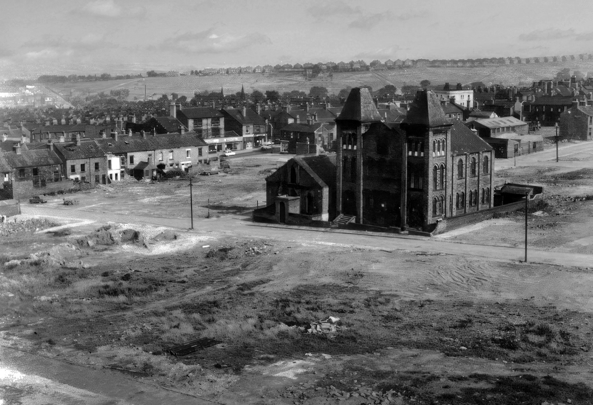
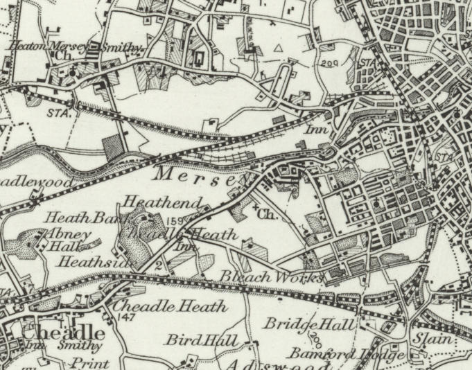
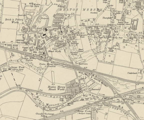
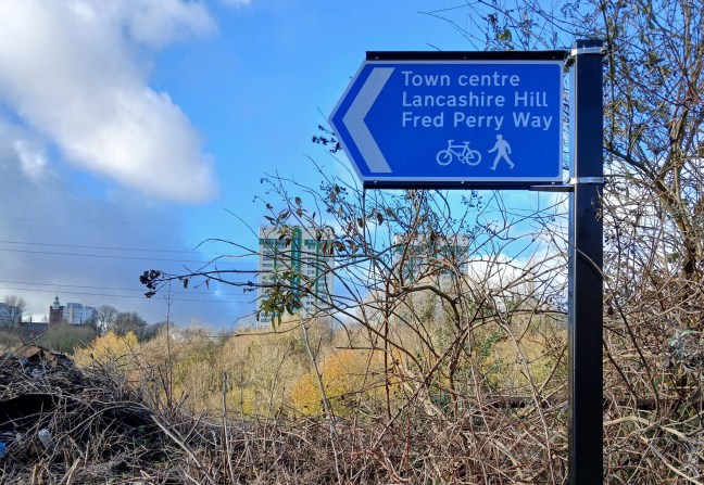
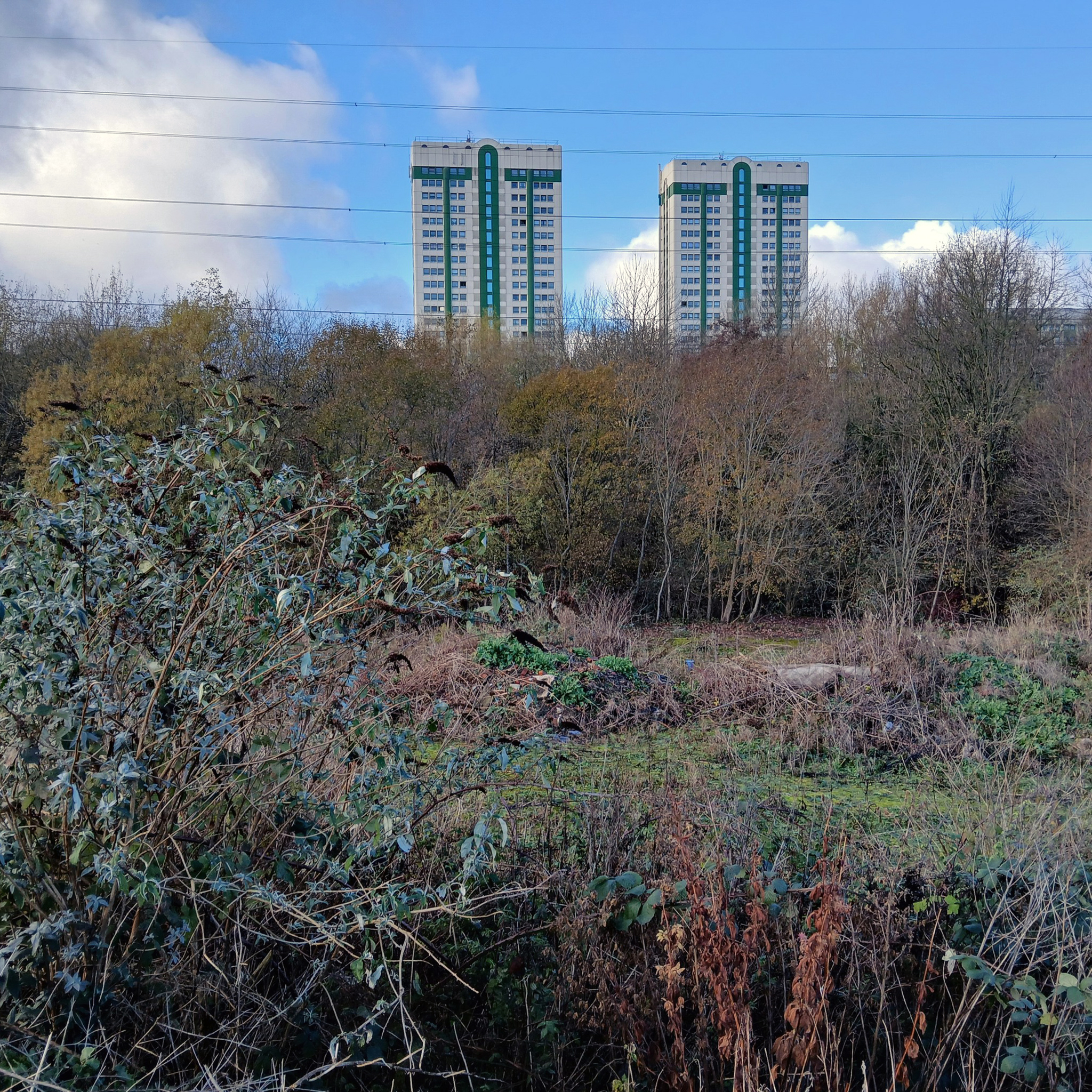
In 1896 the area to the east of central Stockport is a potpourri of emergent industry, railways, a river and agriculture – a product of the second Ice Age, the subsequent formation of the Mersey Valley and the Industrial Revolution.
By 1911 there is an expansion in the housing stock.
A comprehensive history of the area cane be found here.
In 1918, the UK property landscape was dominated by private renters, who made up 75% of all households. At the time, only 25% of the population owned their own homes.Over the next few decades, home ownership gradually increased, reaching about 38% by 1958. This shift was accompanied by a decrease in private renting, which fell to 41% during the same period.
The most significant growth in home ownership occurred between 1958 and 2003. The percentage of owner-occupiers surged from 38% to 70%. This period saw a corresponding decline in both private renting, which fell to just 8% in 2003, and social renting, which peaked at 29% in 1978 before declining to 22% by 2003.
The pattern of home ownership has been determined by a number of factors –
The Property Owning Democracy – Coined by British MP Noel Skelton in 1920, the concept emphasised the terms ‘property-owning’ and ‘democracy’ as a conservative response to left-leaning ideas of liberalism and socialism.
Right to Buy scheme, introduced by Margaret Thatcher’s Housing Act 1980, allowed long-term council social tenants in England and Wales to buy their homes at a significant discount, fostering homeownership but drastically reducing the stock of affordable social housing, leading to ongoing housing shortages and debates over its legacy.
The Property Ladder which commodifies housing. Where once house and home were largely for life, the upwardly mobile homeowner wishes to continually acquire value and status through trading ever onwards and upwards.
Socially the role of the home has also changed over time, once a place to be outside of – working or playing, the home is now possibly a place of both work and play. A larger percentage of weekly earnings is now absorbed by housing costs, and the lure of the multi-channel Smart TV, gaming systems, take away food and supermarket lager, nails the residents’ slippers firmly to the laminate flooring.
This has gone hand in hand with the trend home improvements and extensions – fed by glossy magazines, design led property TV shows advocating a New England, Shabby Chic, Maxi/Minimalist Vibe.
Welcome to the new England.
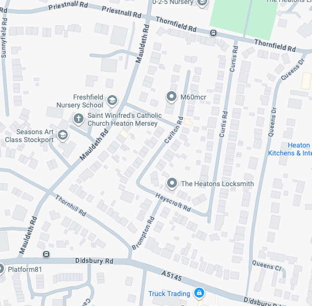
It’s January 2026 and I have taken to the area between Mauldeth Road, Thornfield Road, Queens Drive and Didsbury Road.
What is actually going on in my locale? – The only way to find out is to go and take a good look around.
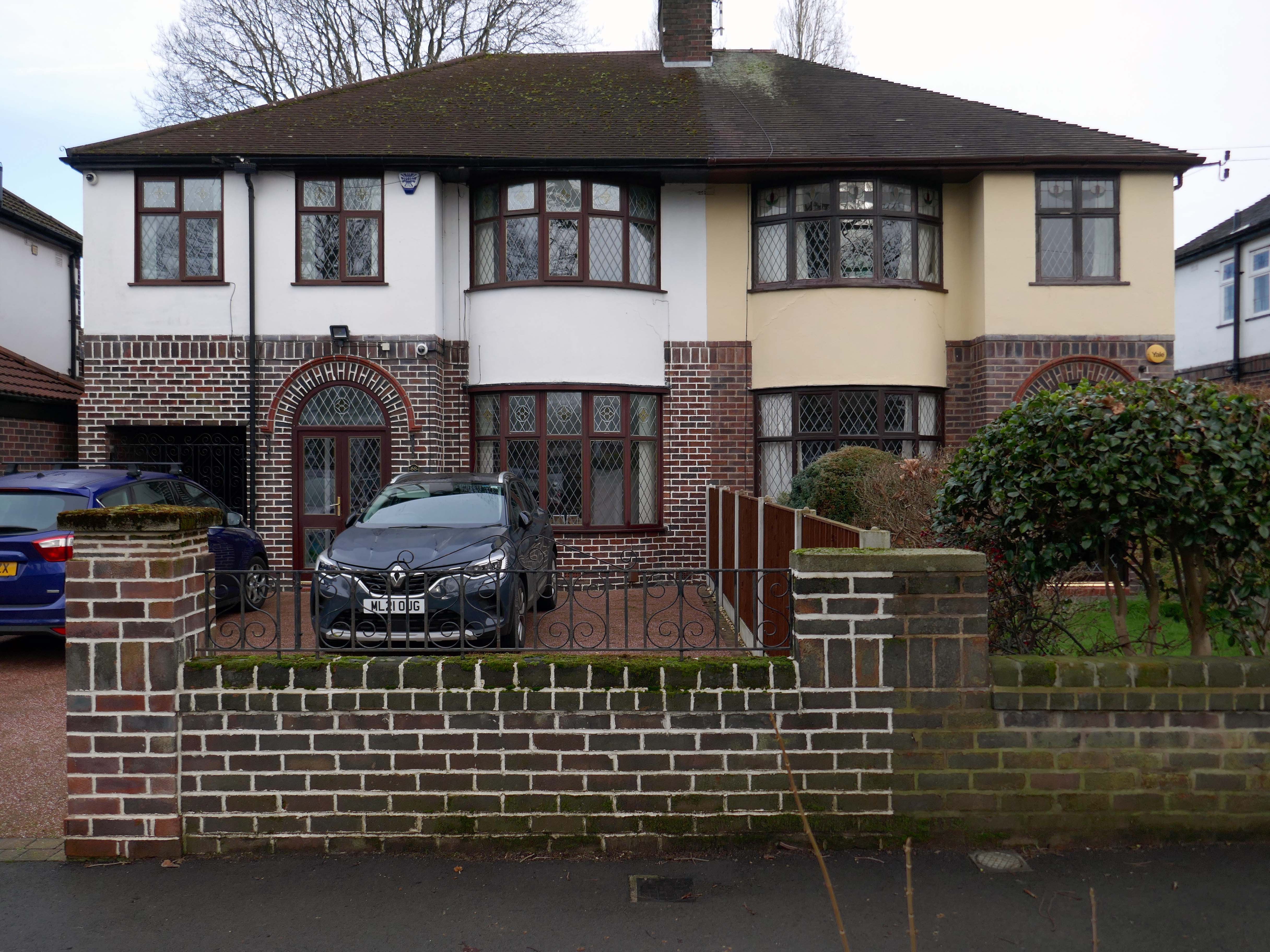
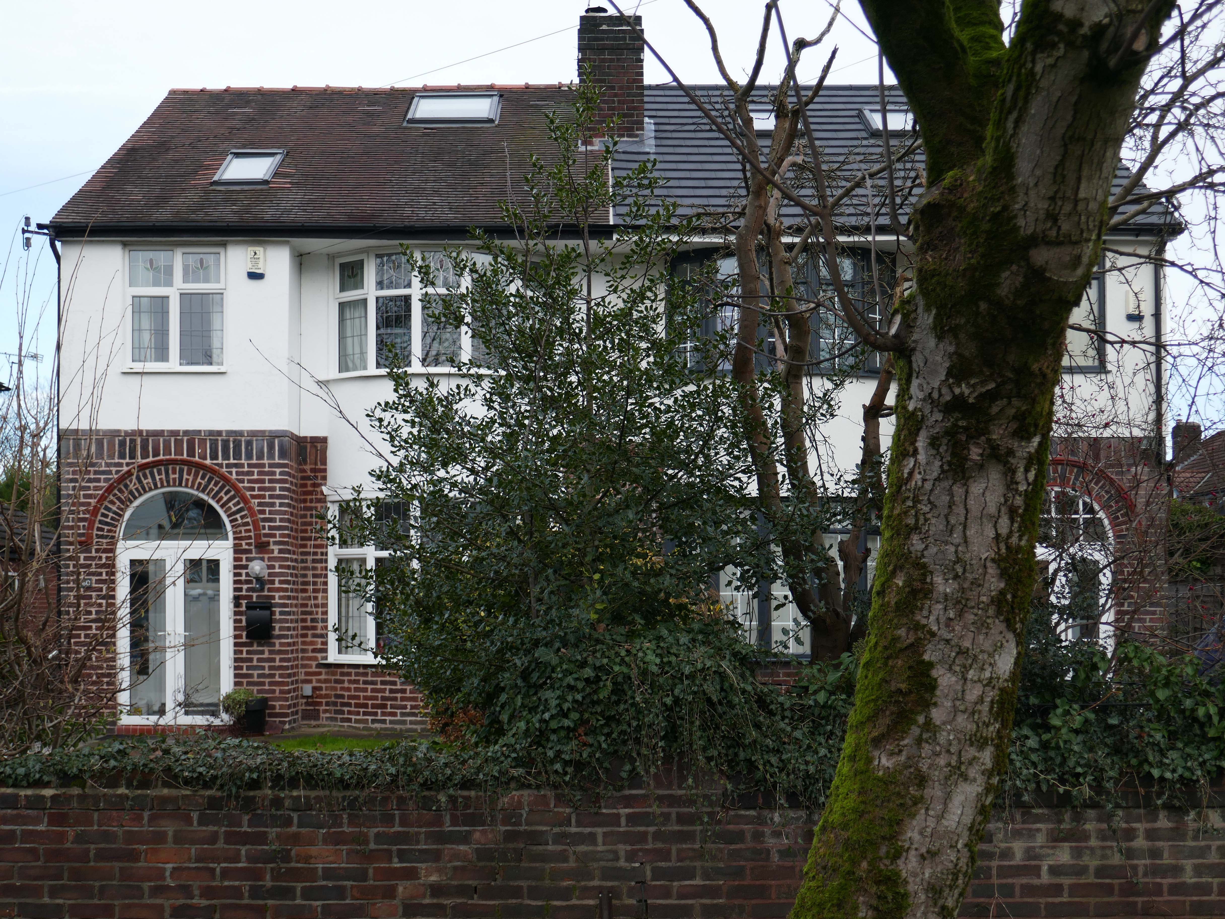
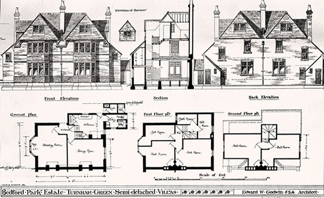
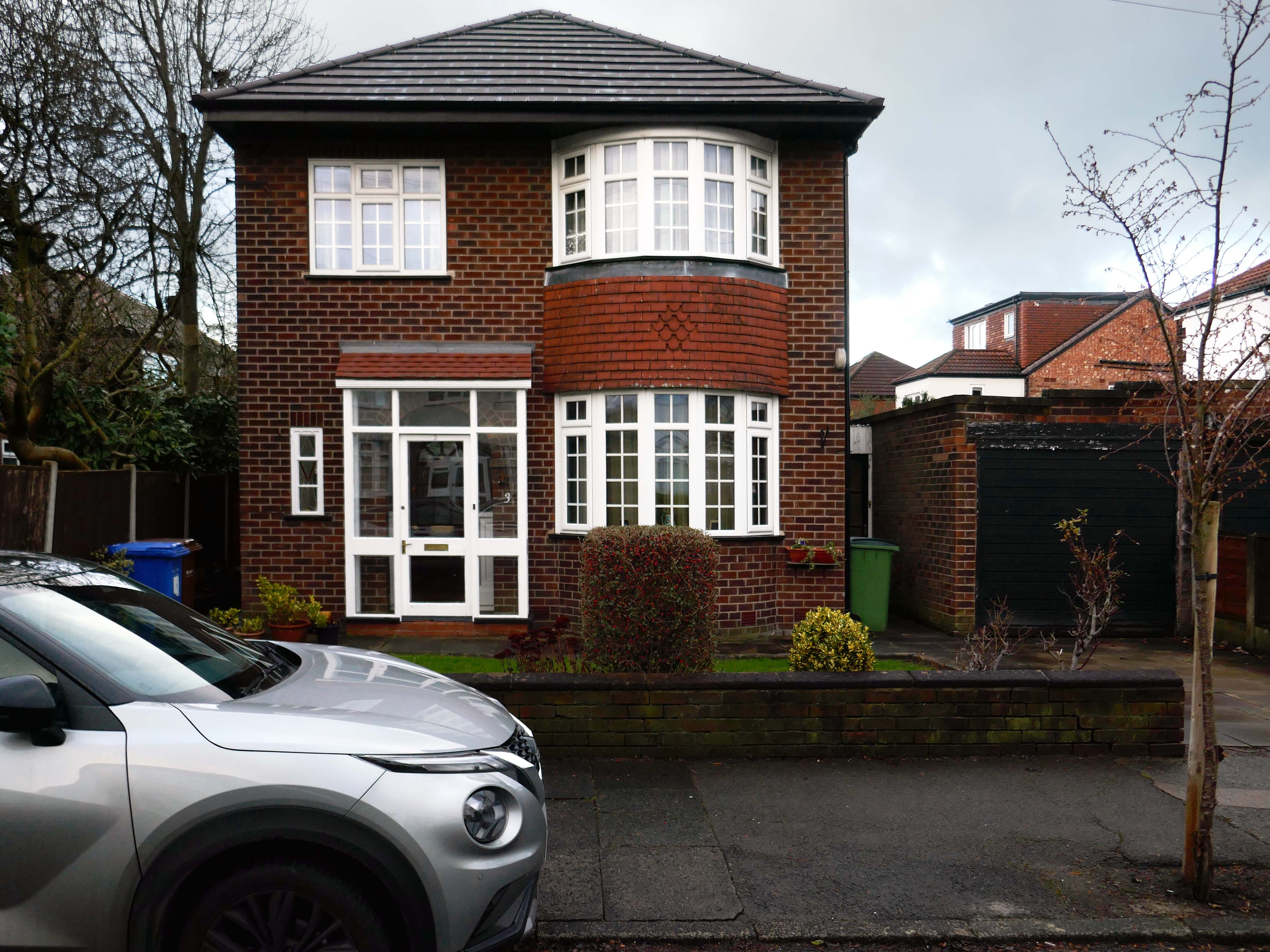
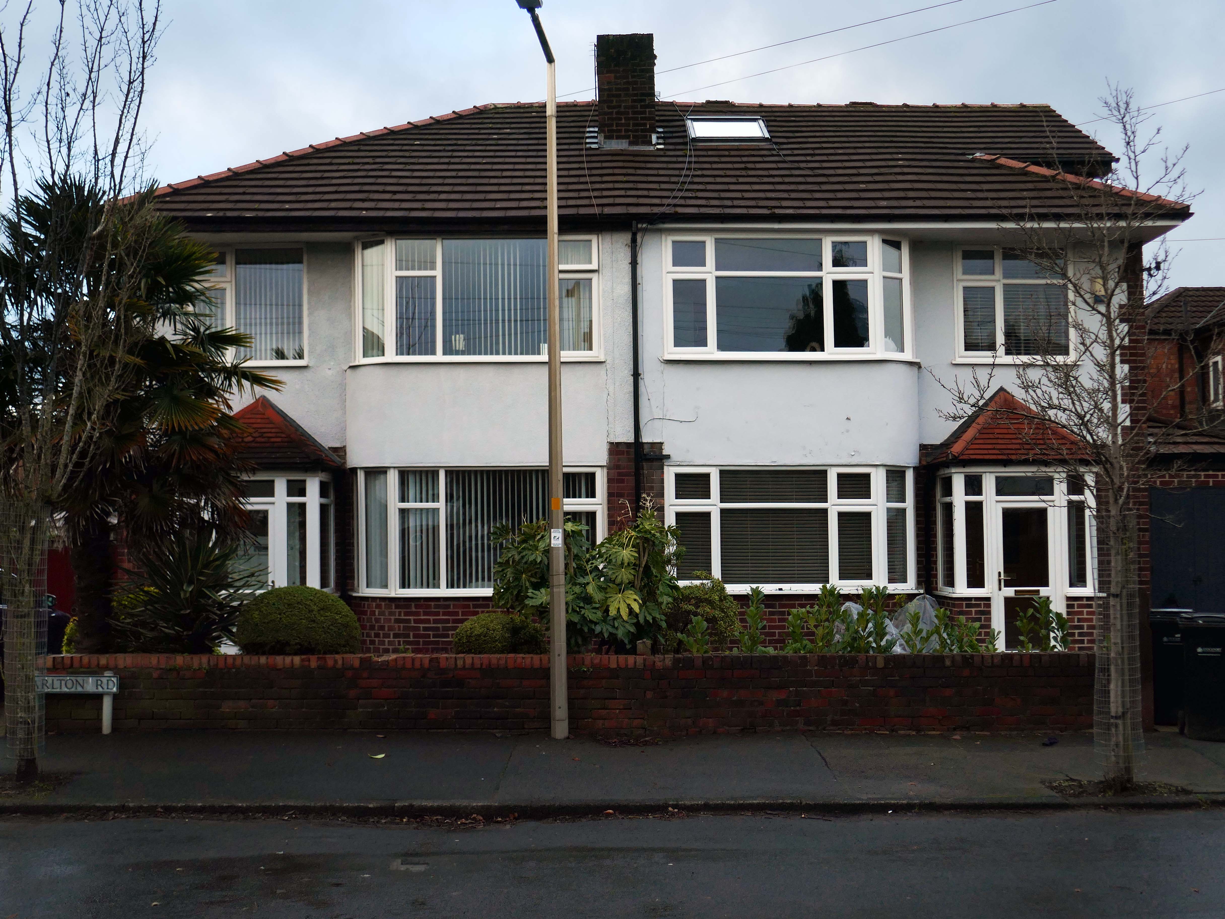
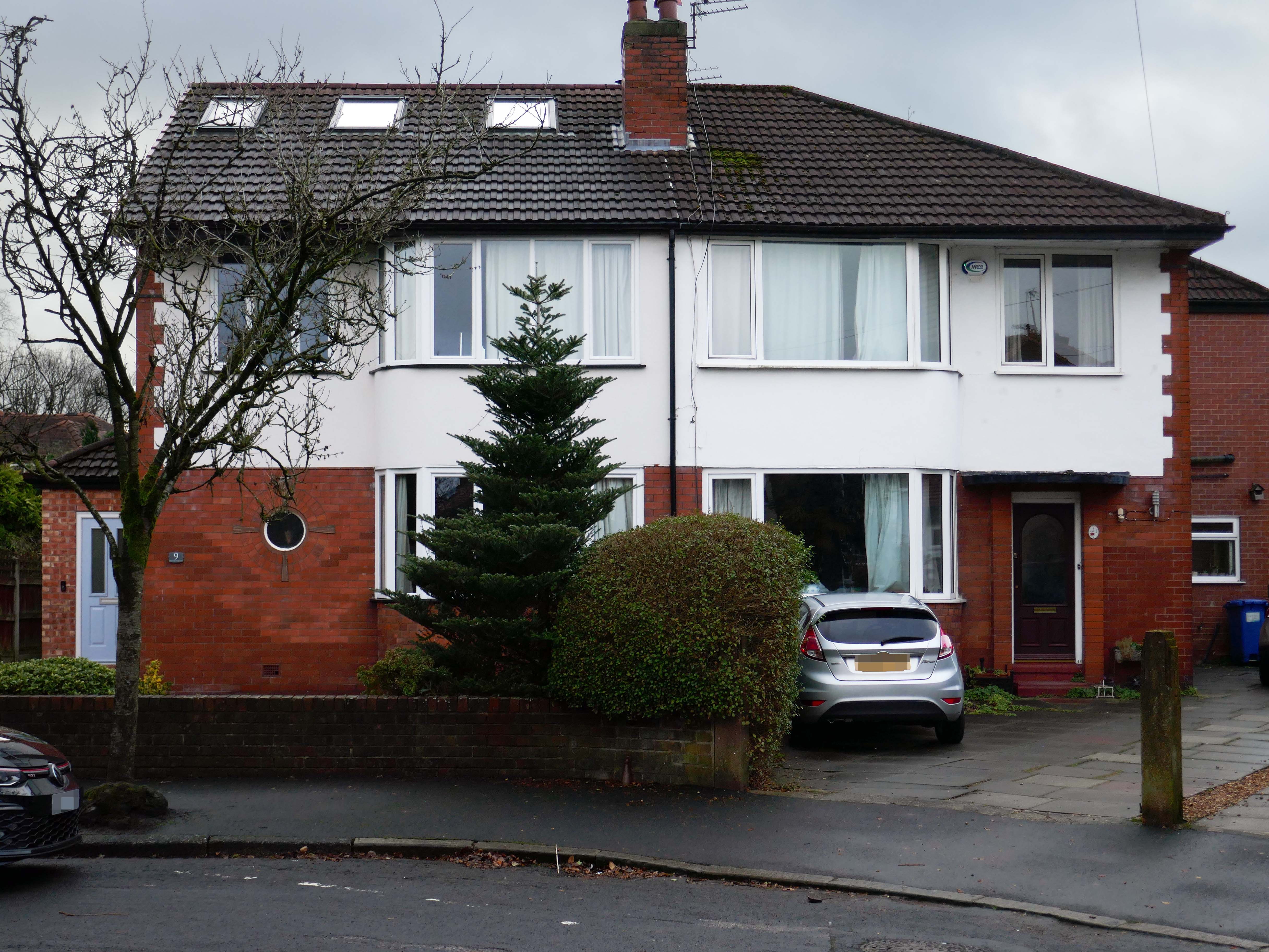
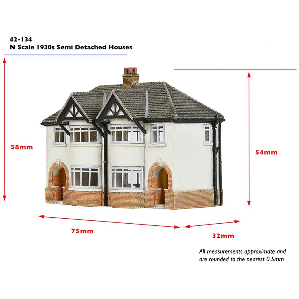
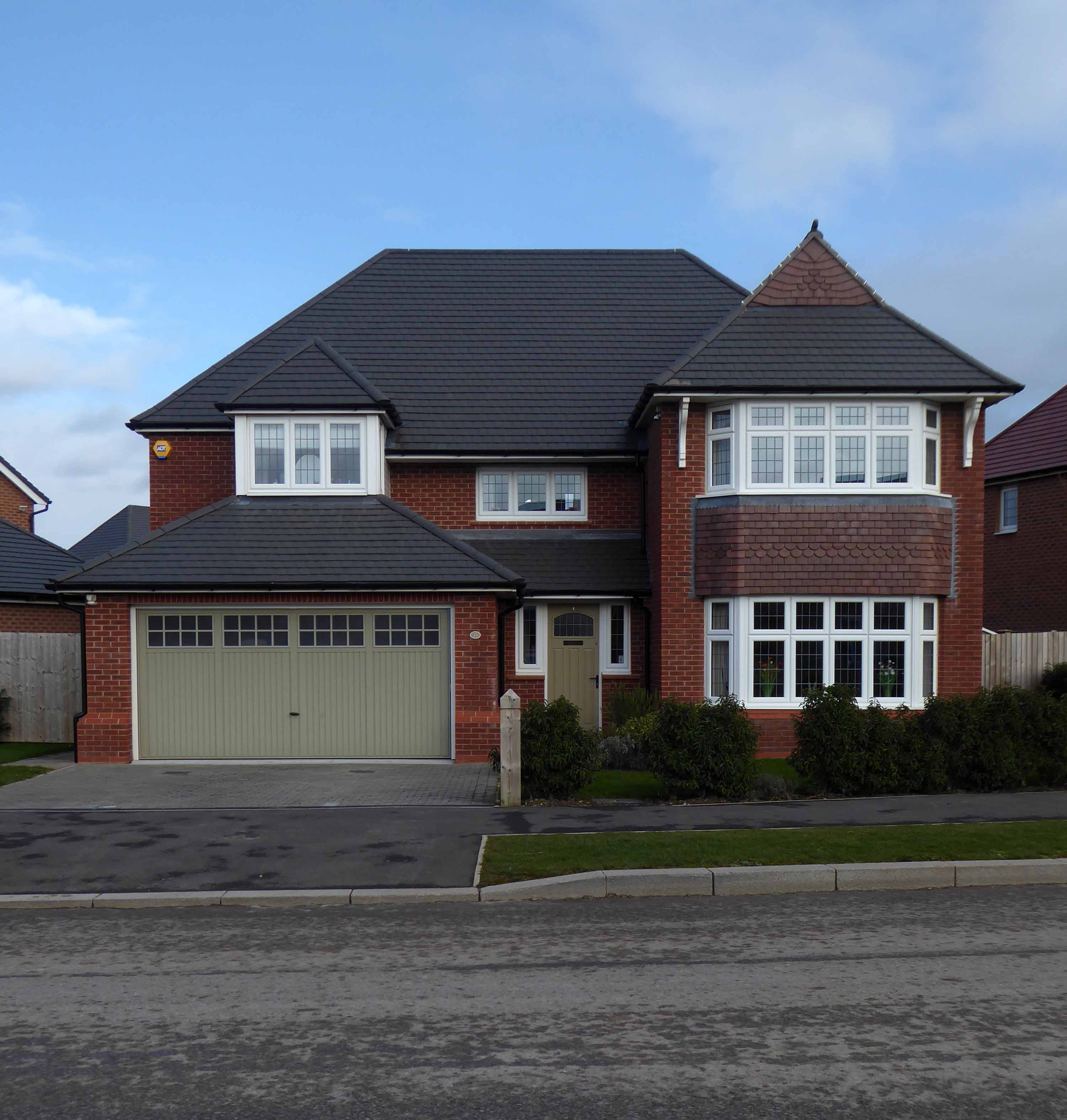
Symbol of middle-class aspiration, conservatism and compromised individualism, the semi-detached house is England’s modern domestic type par excellence.
Semi-detached houses are the most common property type in the United Kingdom. They accounted for 32% of UK housing transactions and 32% of the English housing stock in 2008. Between 1945 and 1964, 41% of all properties built were semis.
Semi-detached houses for the middle class began to be planned systematically in late 18th-century Georgian architecture, as a suburban compromise between the terraced houses close to the city centre, and the detached villas further out, where land was cheaper.
Although semi-detached housing is built throughout the world, it is generally seen as particularly symbolic of the suburbanisation of the United Kingdom and Ireland.
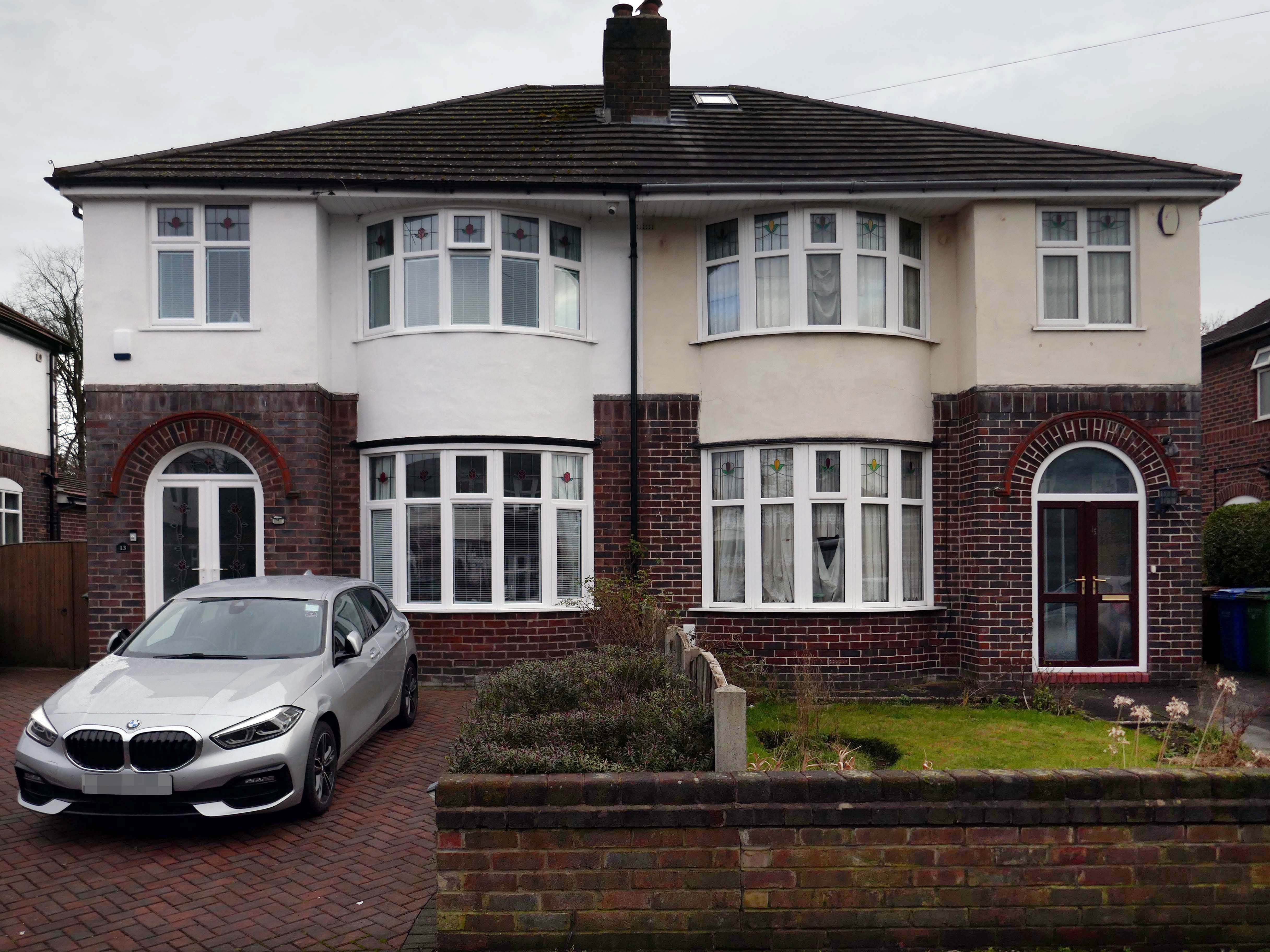
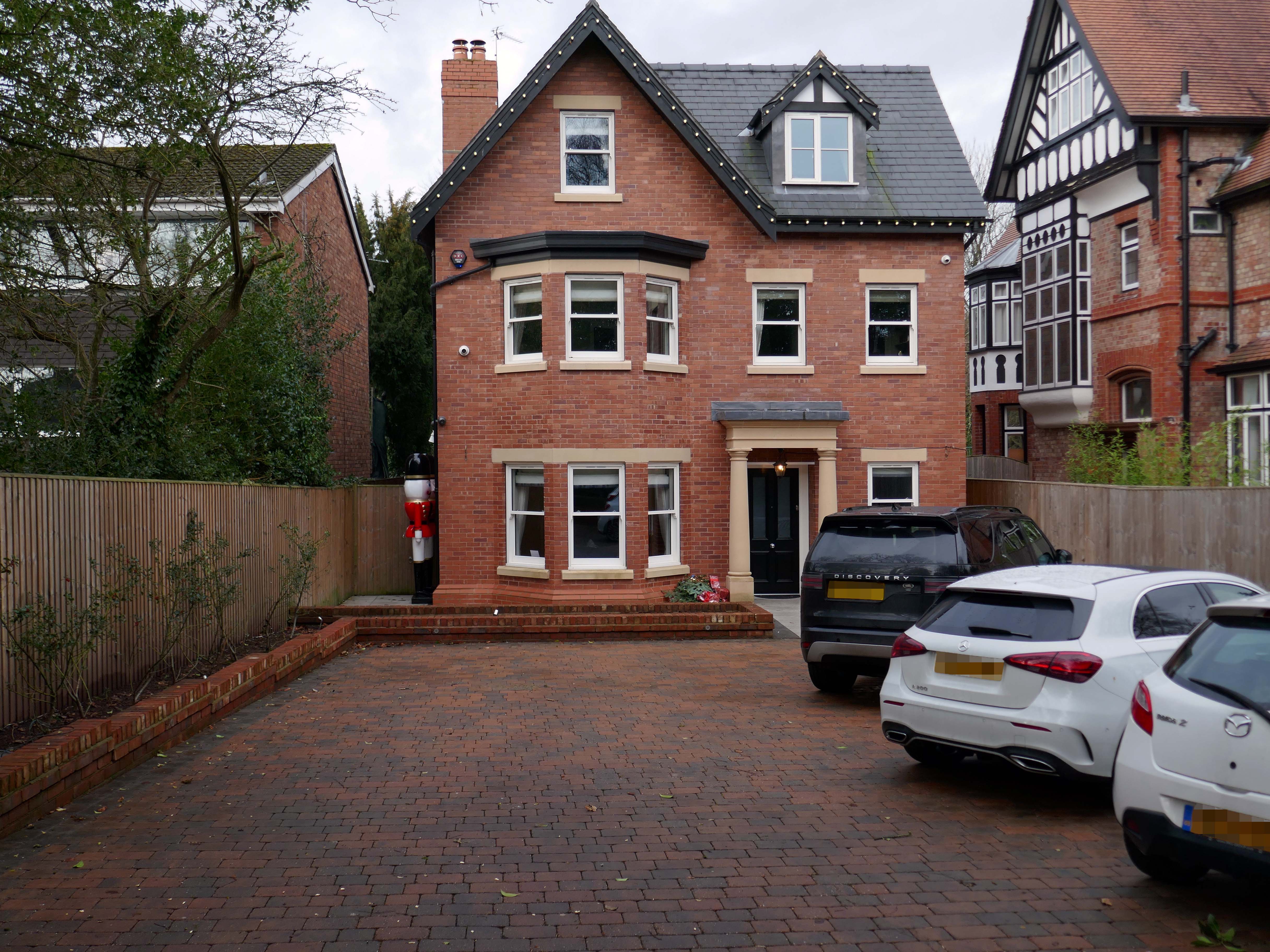
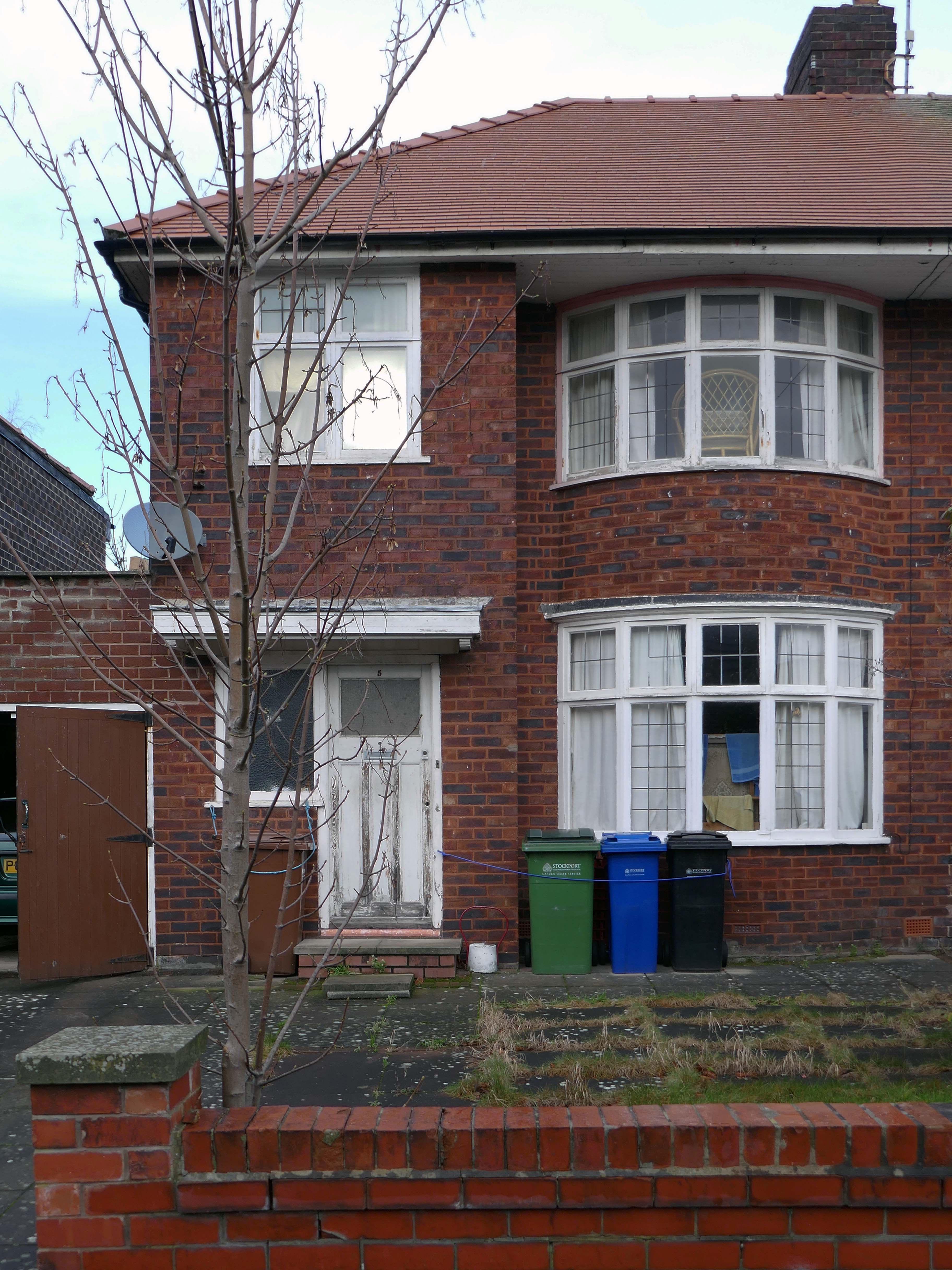
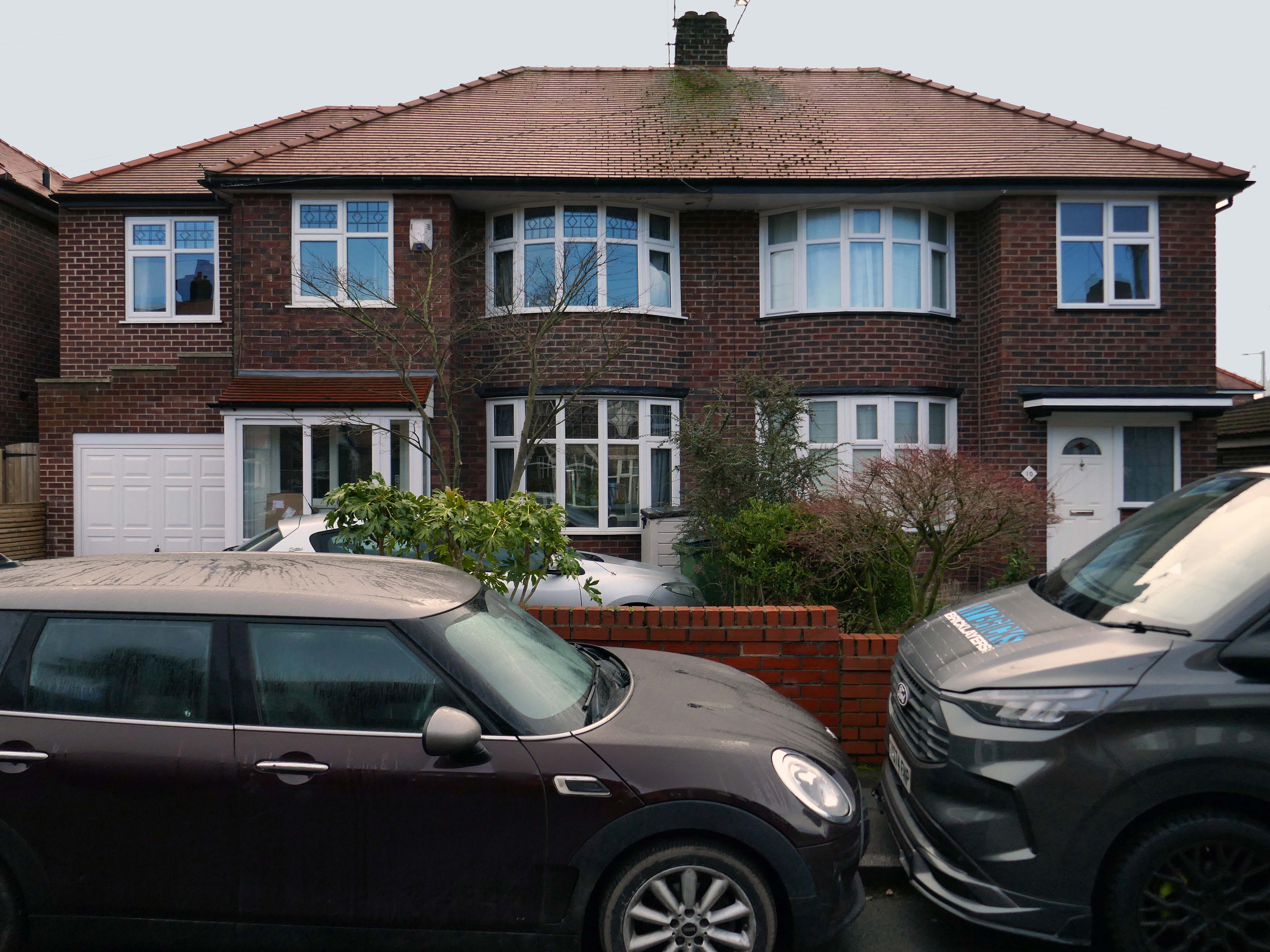
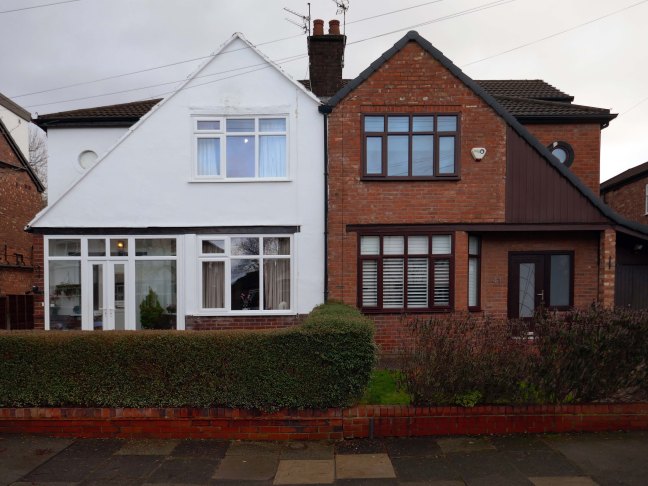
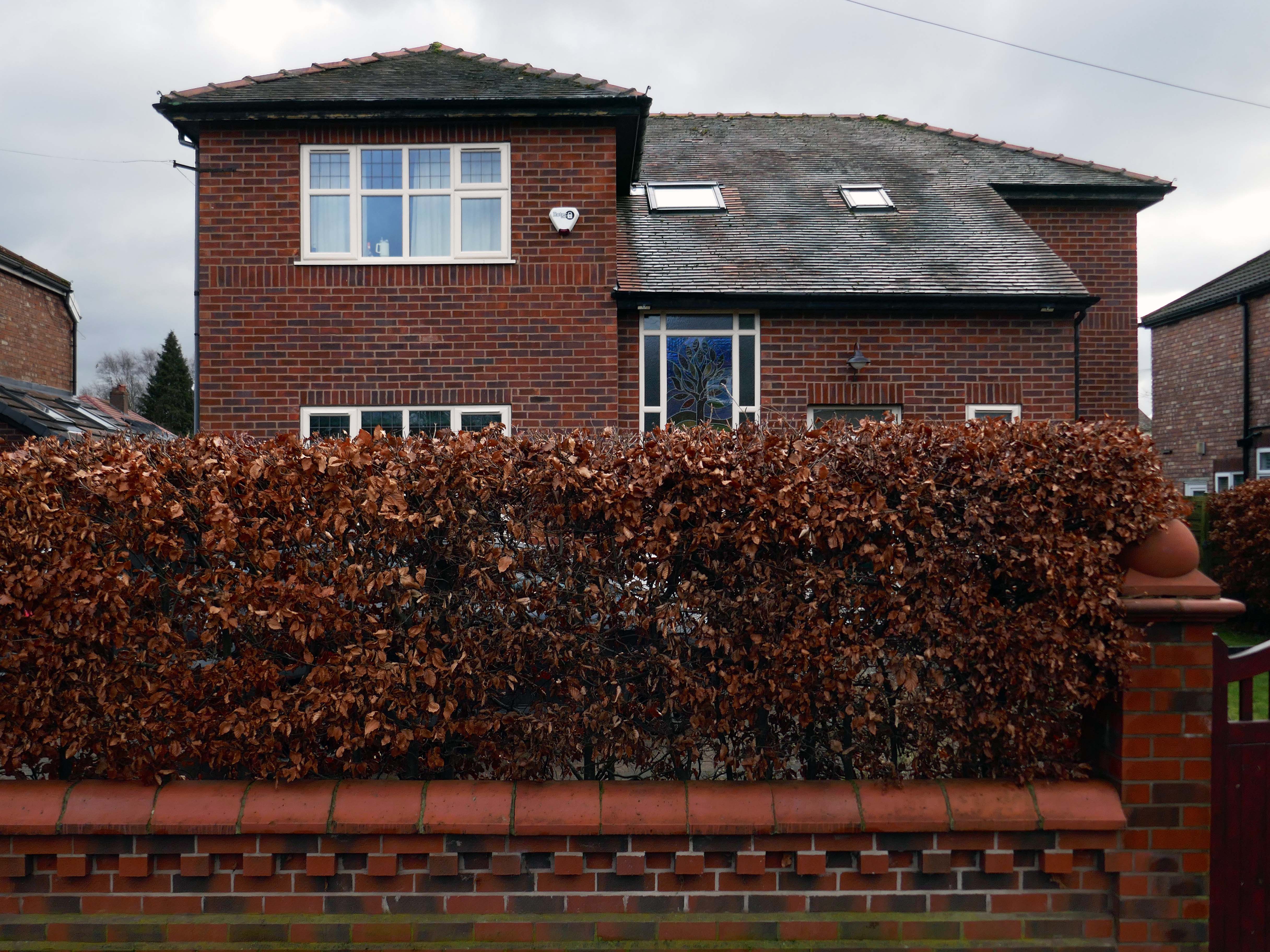
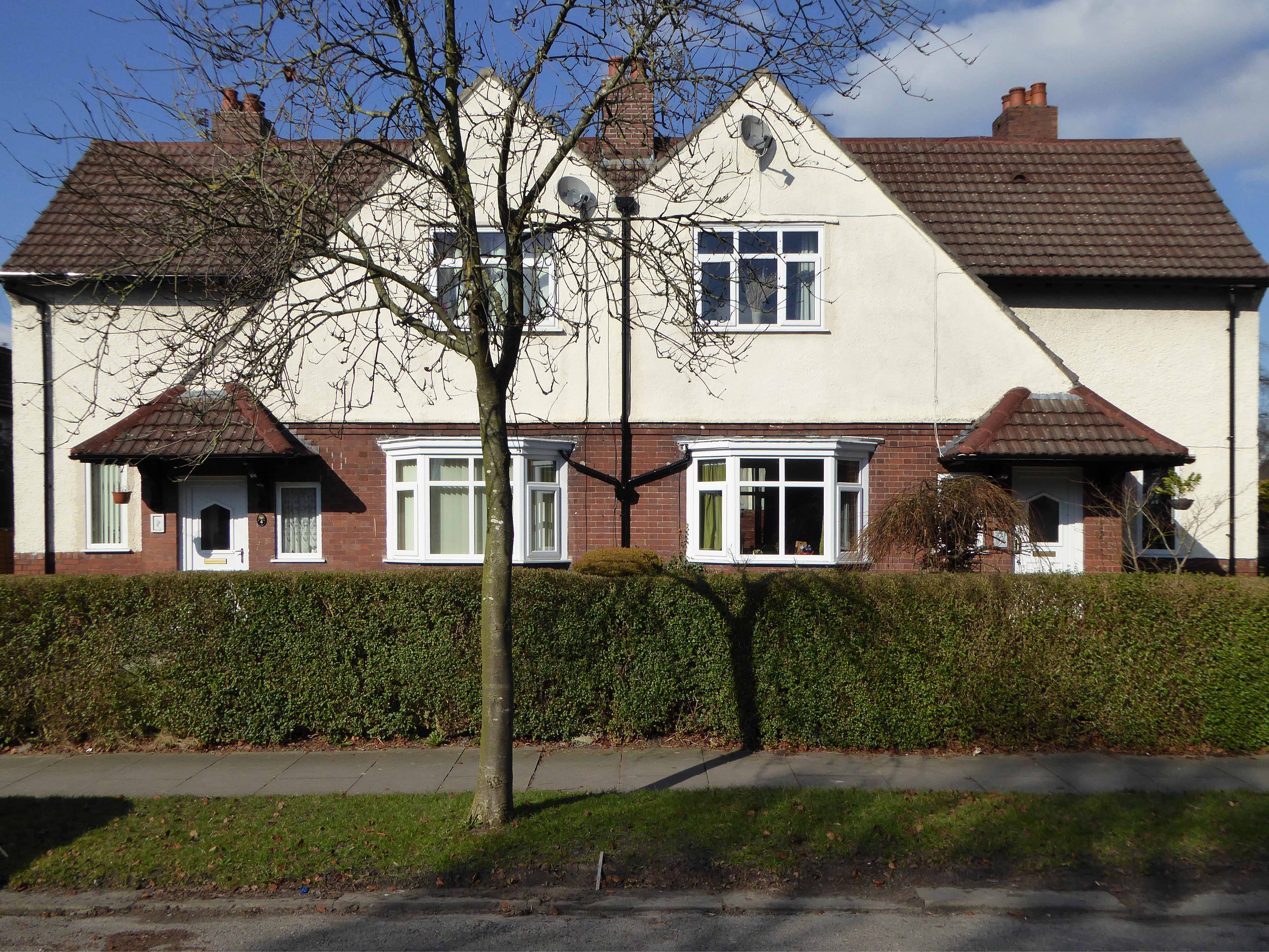
The homeowners quest for the individual within a typology, no two doors the same, render re-rendered, period details largely erased, occasionally preserved, windows awash with white uPVC, along with the more recent incursion of one shade of grey, front gardens replaced by unimpressive pressed concrete car parking, cars and more cars, bay windows held at bay by red brick walls and well-trimmed beech hedges.
My pink half of the drainpipe Separates next door from me My pink half of the drainpipe Oh, Mama – belongs to me
My baby takes the morning train He works from nine till five and then He takes another home again To find me waitin’ for him
Sheena Easton
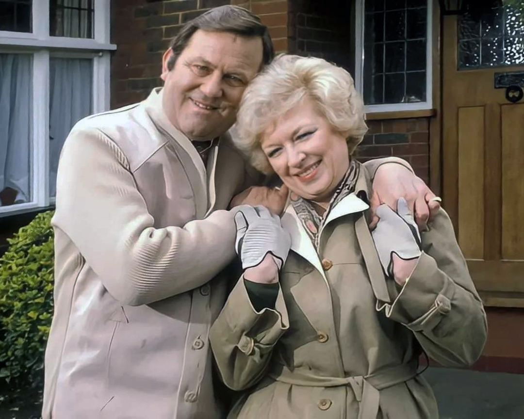
Welcome to the land of Terry and June – the seemingly complacent home to the newly aspirational classes, anathema to those thrill seeking Modernists, embracing the dynamism of the city, or those Ruralists protecting the integrity of the countryside.
Tradition has broken down. Taste is utterly debased, the town, long since degraded, is now being annihilated by a flabby, shoddy, romantic nature worship. That romantic nature worship is destroying also the object of its adoration, the countryside.
The growth of British towns and cities, from the onset of the Industrial Revolution, created a demand for new homes, the earliest developments were close to the centres of production and administration. Followed by the creation of outlying estates for the fleeing middle classes, as the smoke began to billow and the trains and buses began to run.
Originally the work of speculative private enterprise, followed by homes built by the local authority along with charitable institutions.
My own experience has taught me that Suburbia is architecturally diverse, socially less so, as various areas are segregated by class, and perhaps less so by ethnicity and/or culture.
The majority of the population live in Suburbia it seems, there now follows a selection of the suburban sites which I have visited in the last ten years or so.
In search of Suburbia.
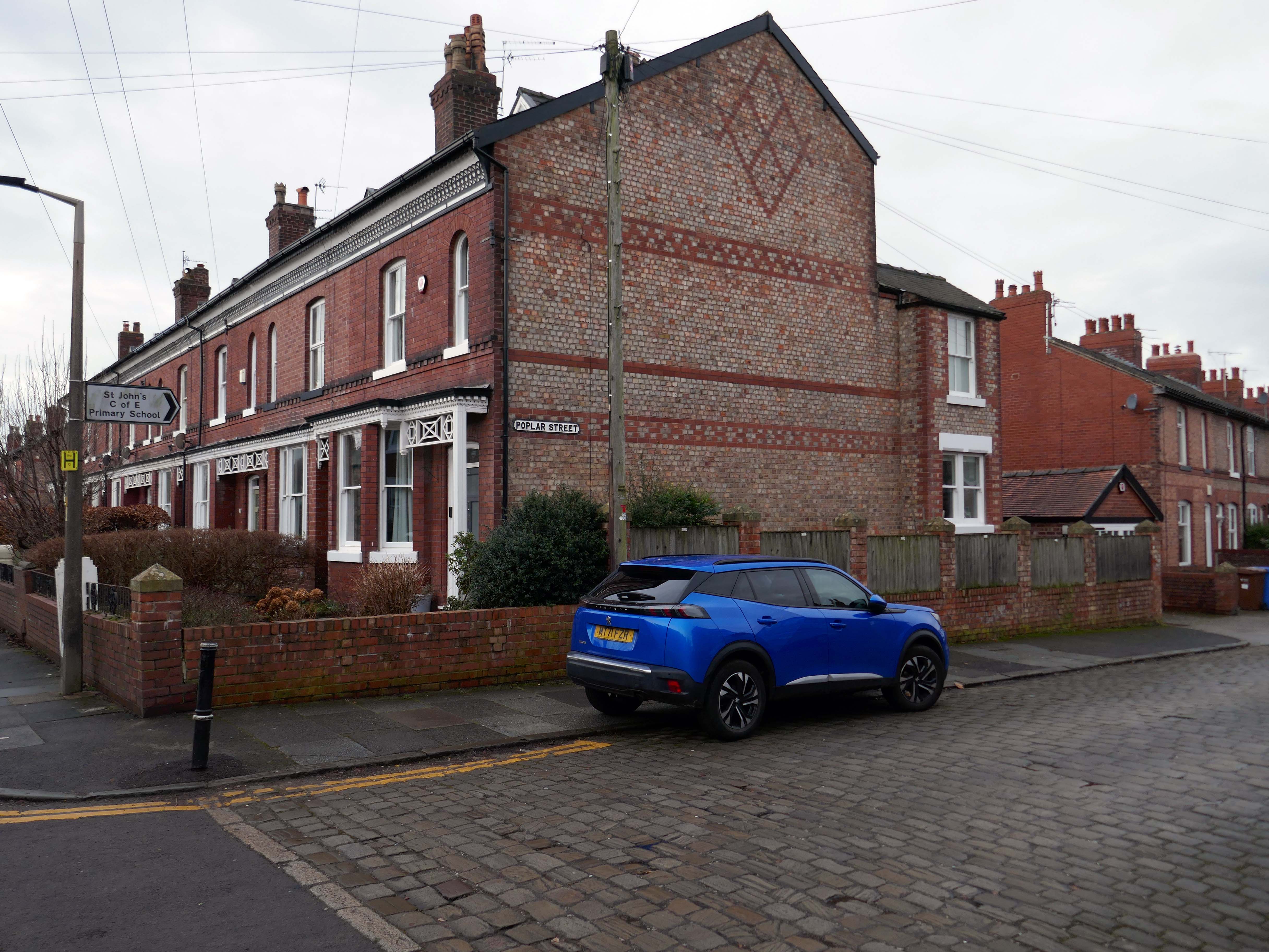
There are areas of Victorian terraced housing Manchester which survived clearance – such as Jetson Street in Abbey Hey.
By 1931 1.1 million council houses were built and 2.8 million privately owned homes.
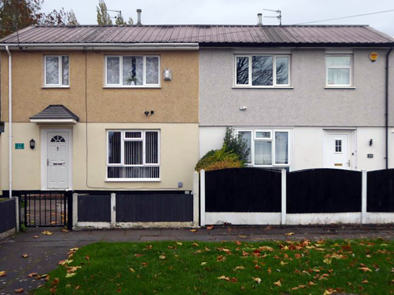
Post WW2 the emphasis was on an expansion of social housing, along with a growth in privately owned property – detailed information and analysis of social housing can be found here at Municipal Dreams.
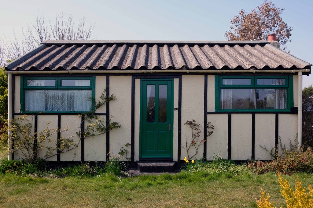
These homes were at times both temporary and of non-standard construction.
This prefabricated house was originally built for the good folk of Doncaster, later finding itself in Humberston Fitties
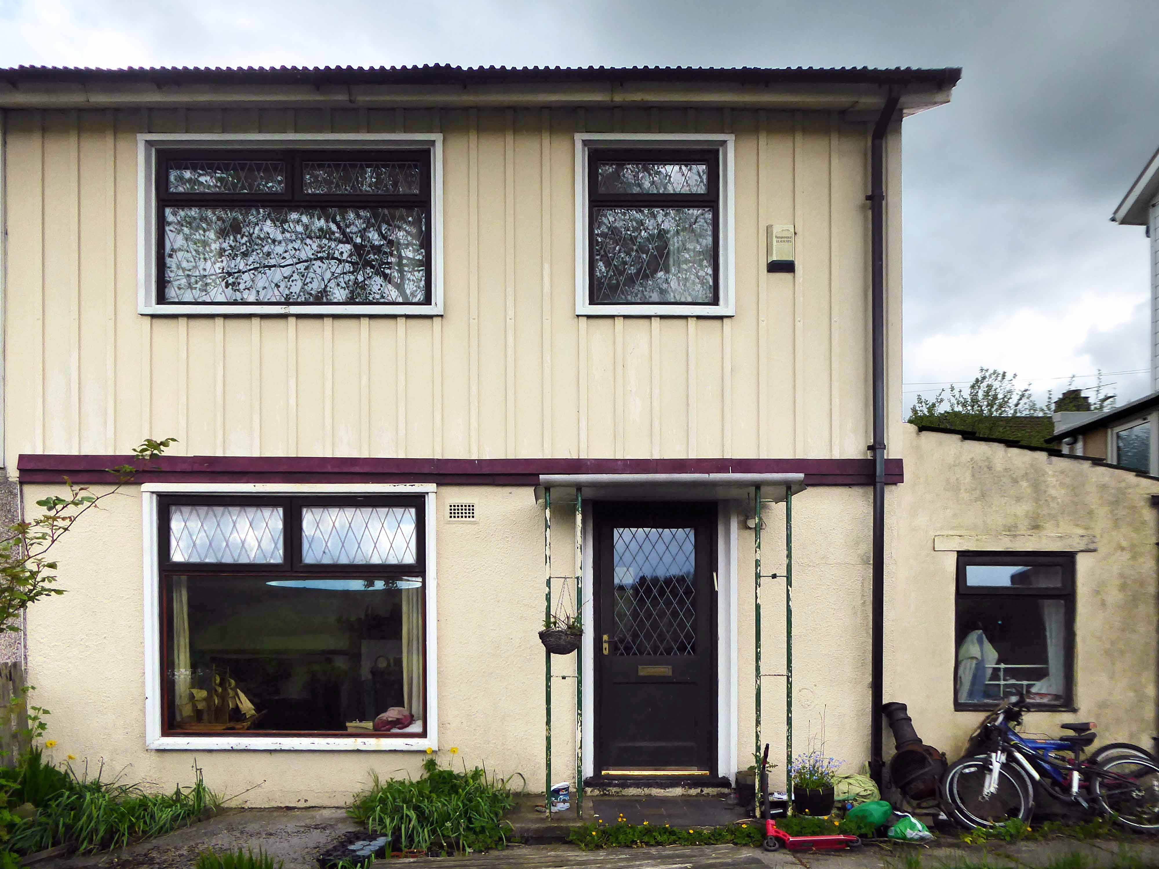
These Wythenshawe BISFHomes designed by Frederick Gibberd, the so-called Tin Town are still very much habitable homes.
Post war development was inextricably linked to the New Towns.
The new towns in the United Kingdom were planned under the powers of the New Towns Act 1946 and later acts to relocate people from poor or bombed-out housing following World War II. Designated new towns were placed under the supervision of a development corporation, and were developed in three waves. Later developments included the “expanded towns”: existing towns which were substantially expanded to accommodate what was called the “overspill” population from densely populated areas of deprivation.
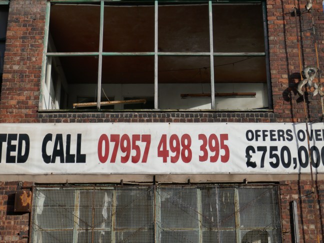
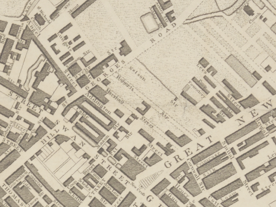
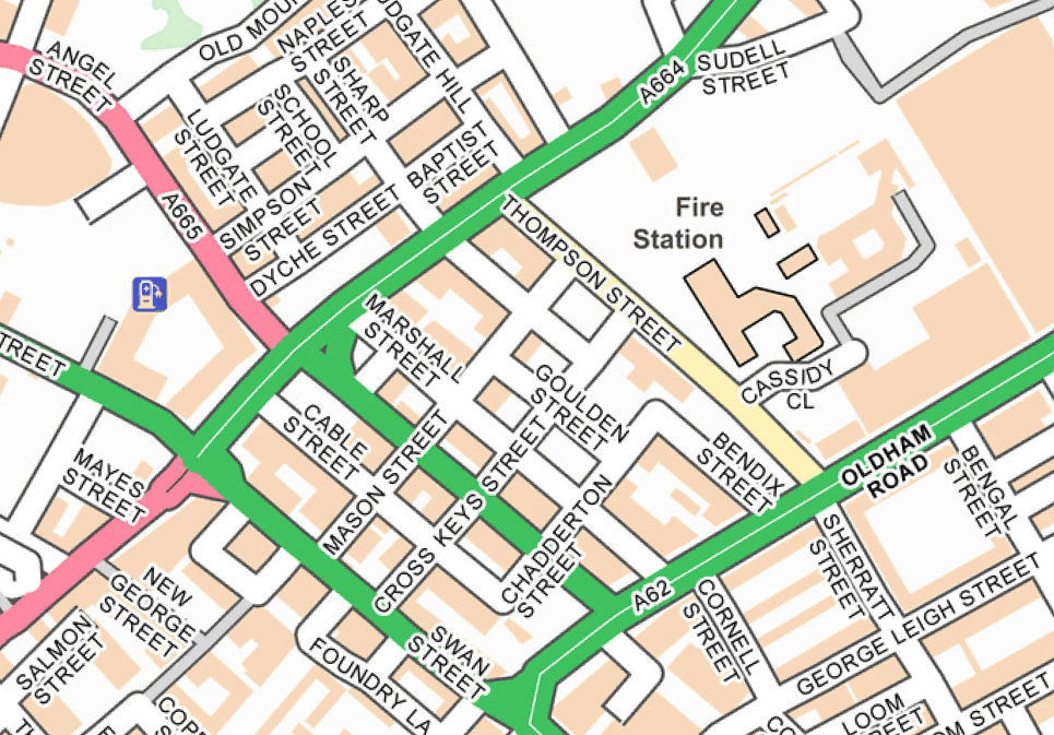
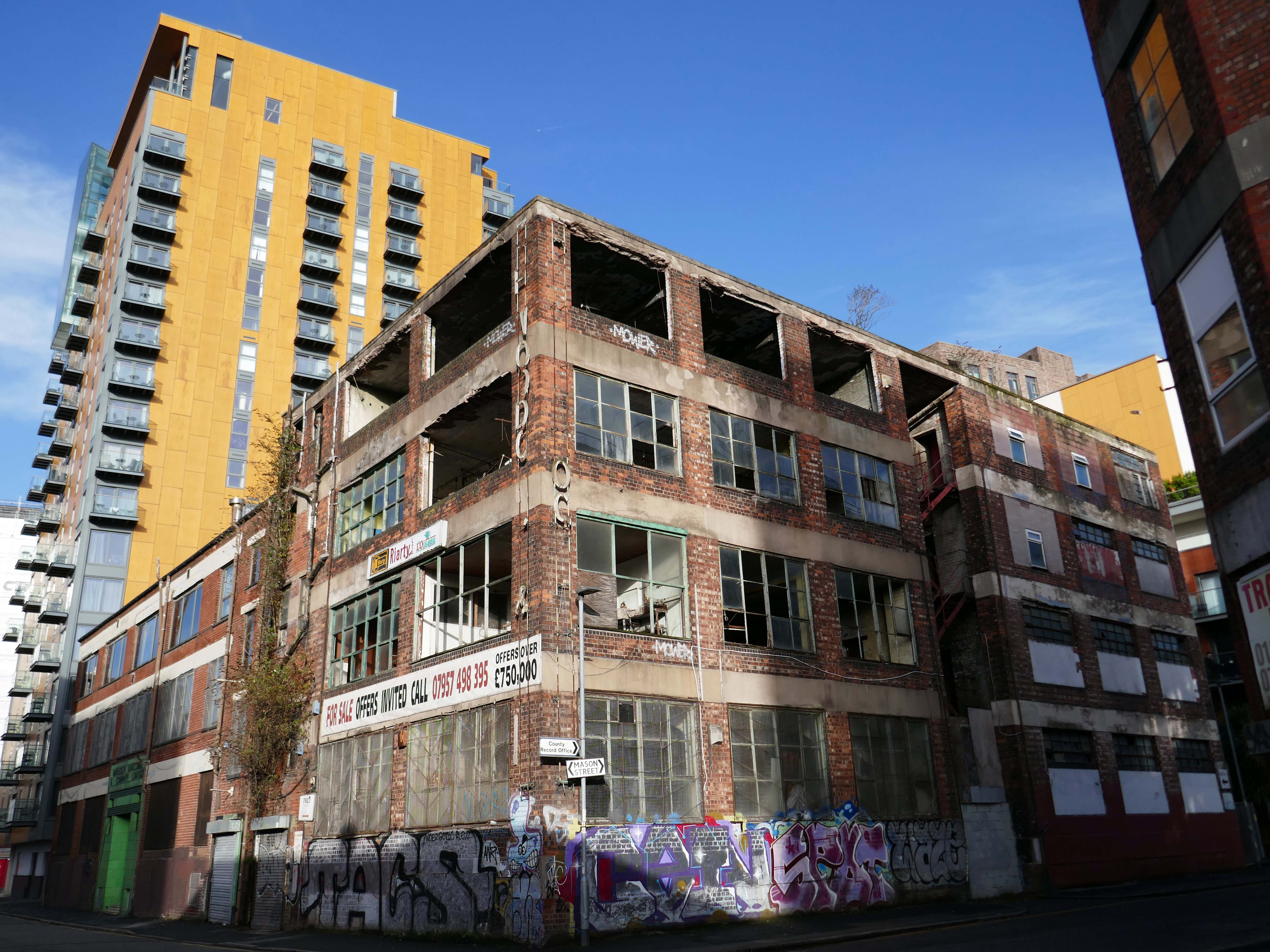
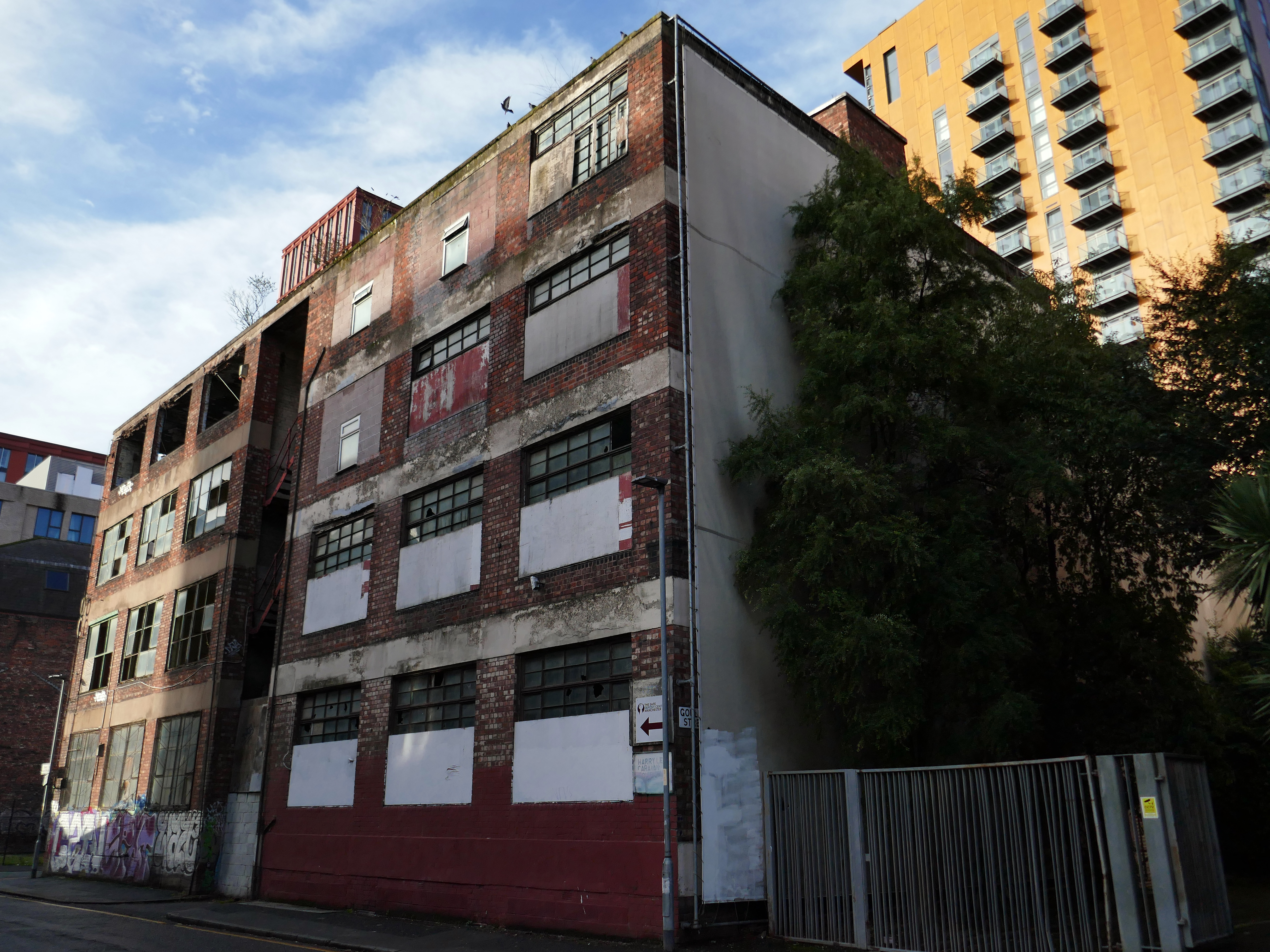
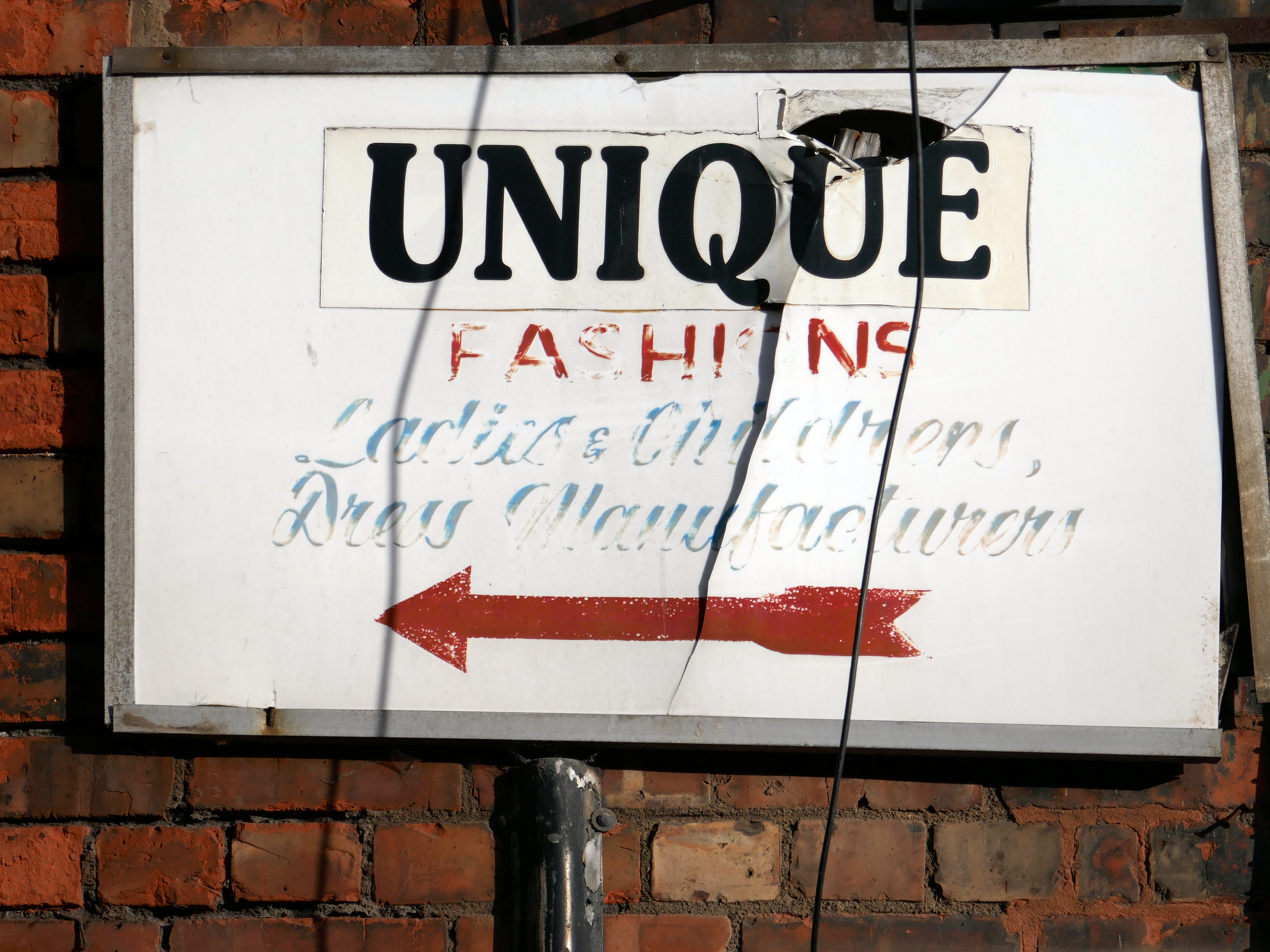
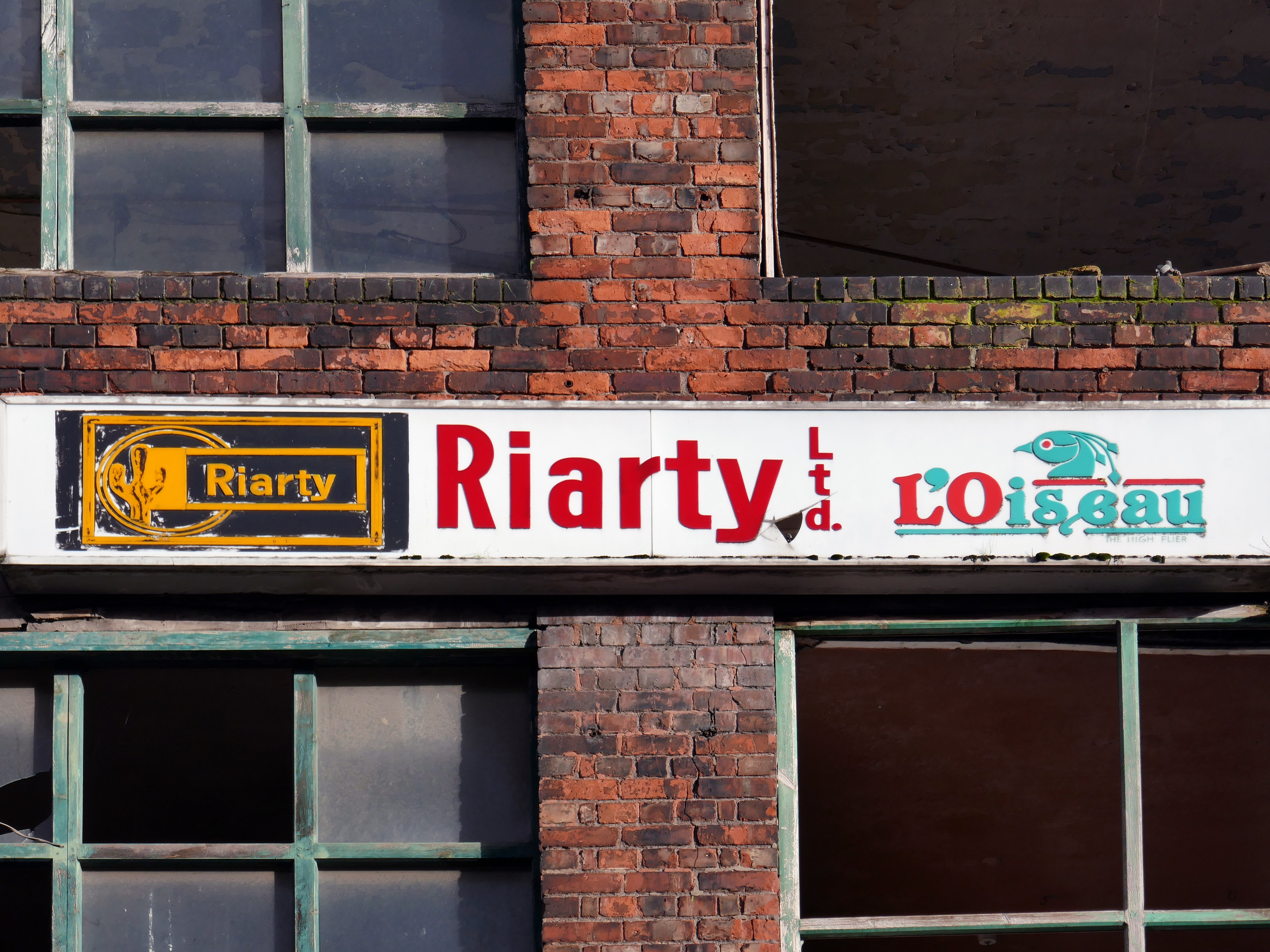
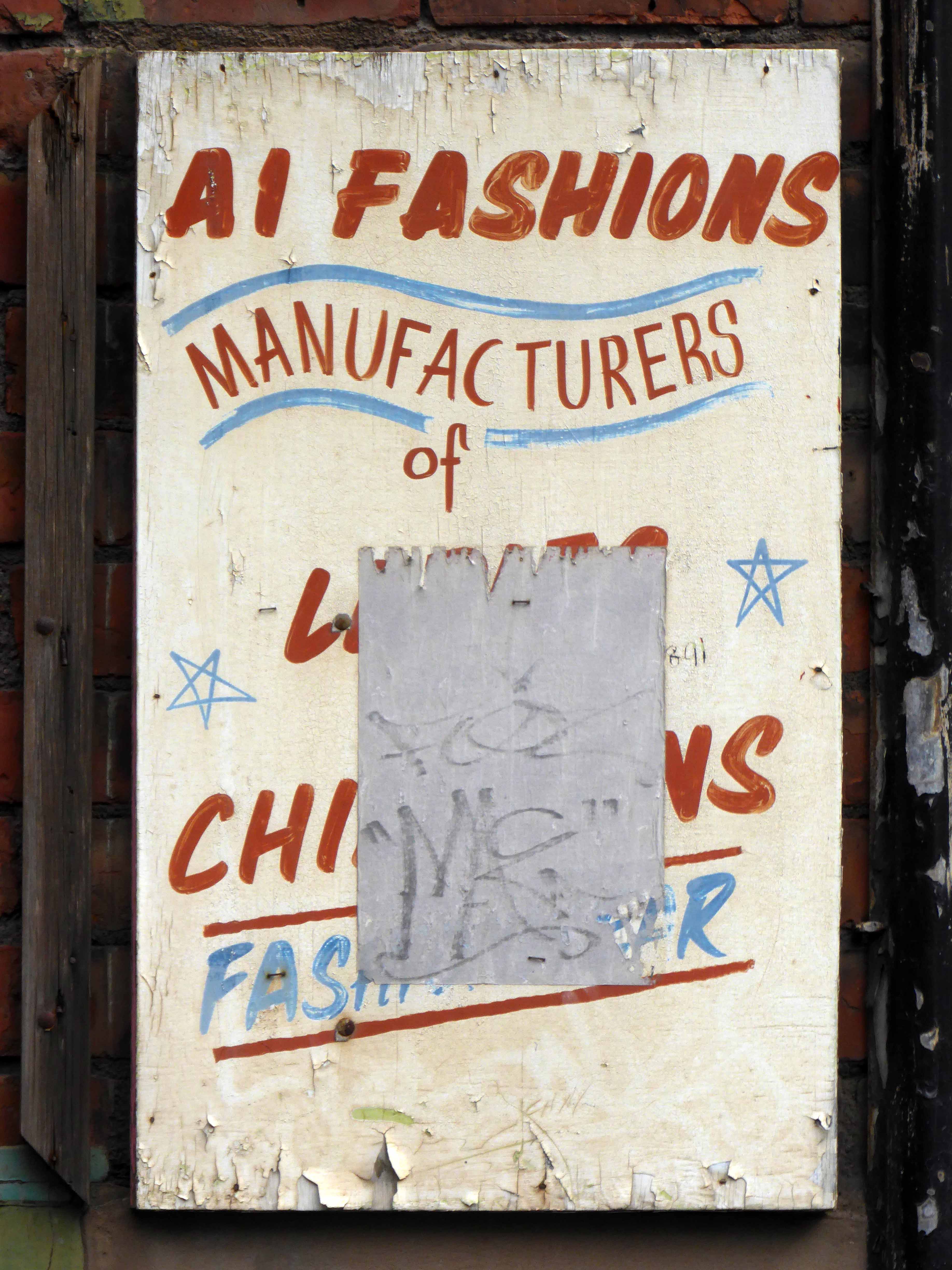
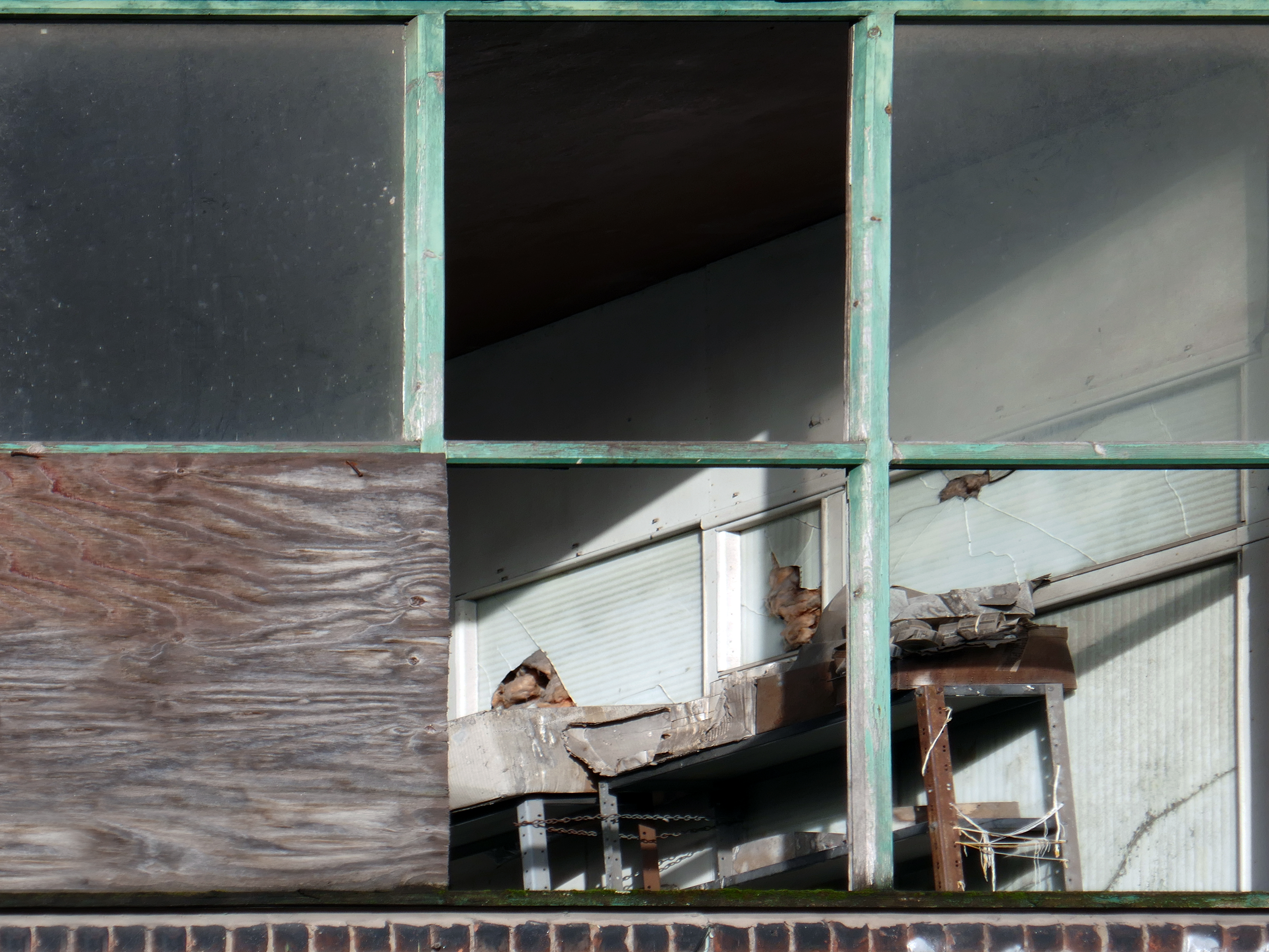
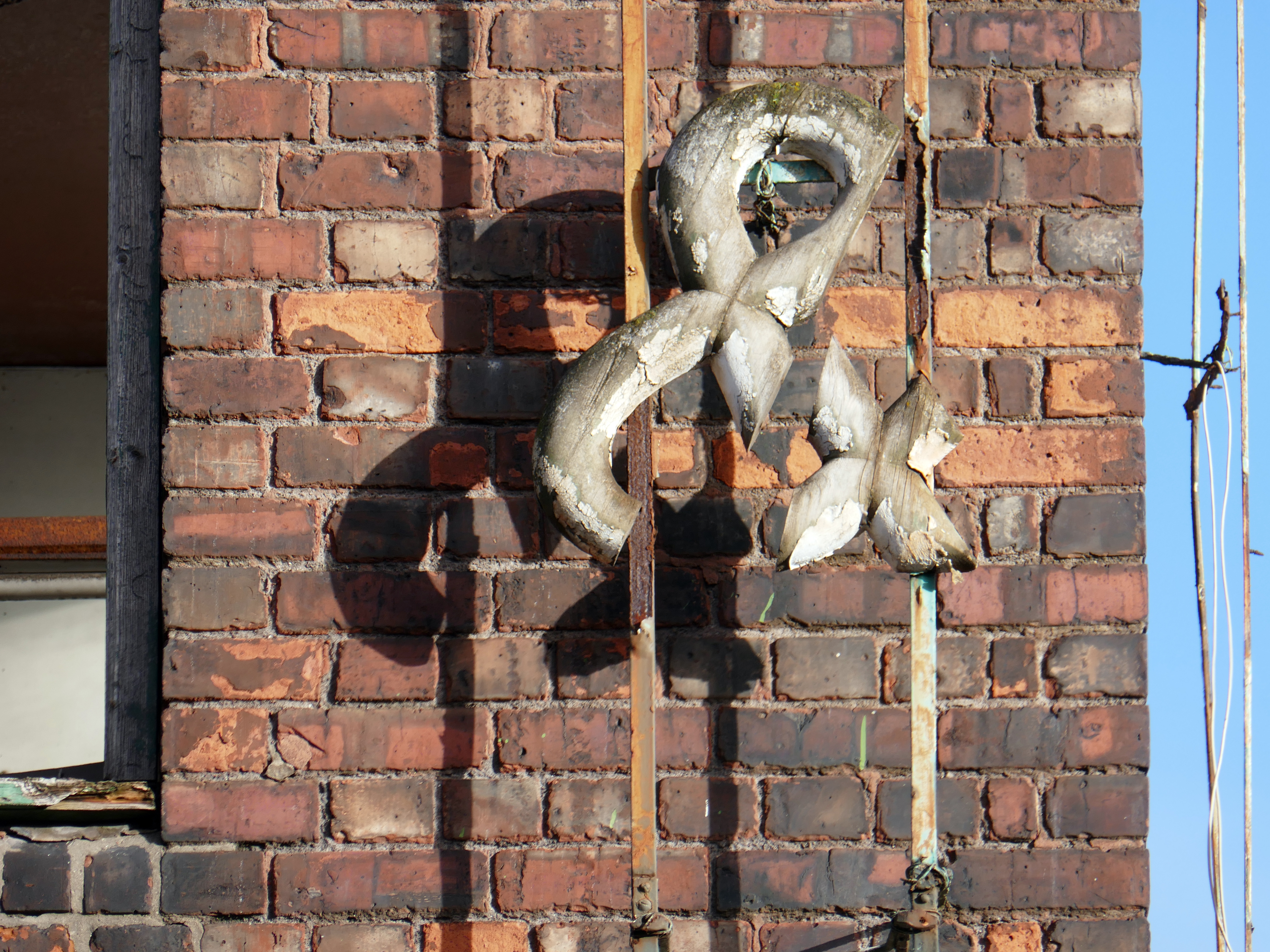
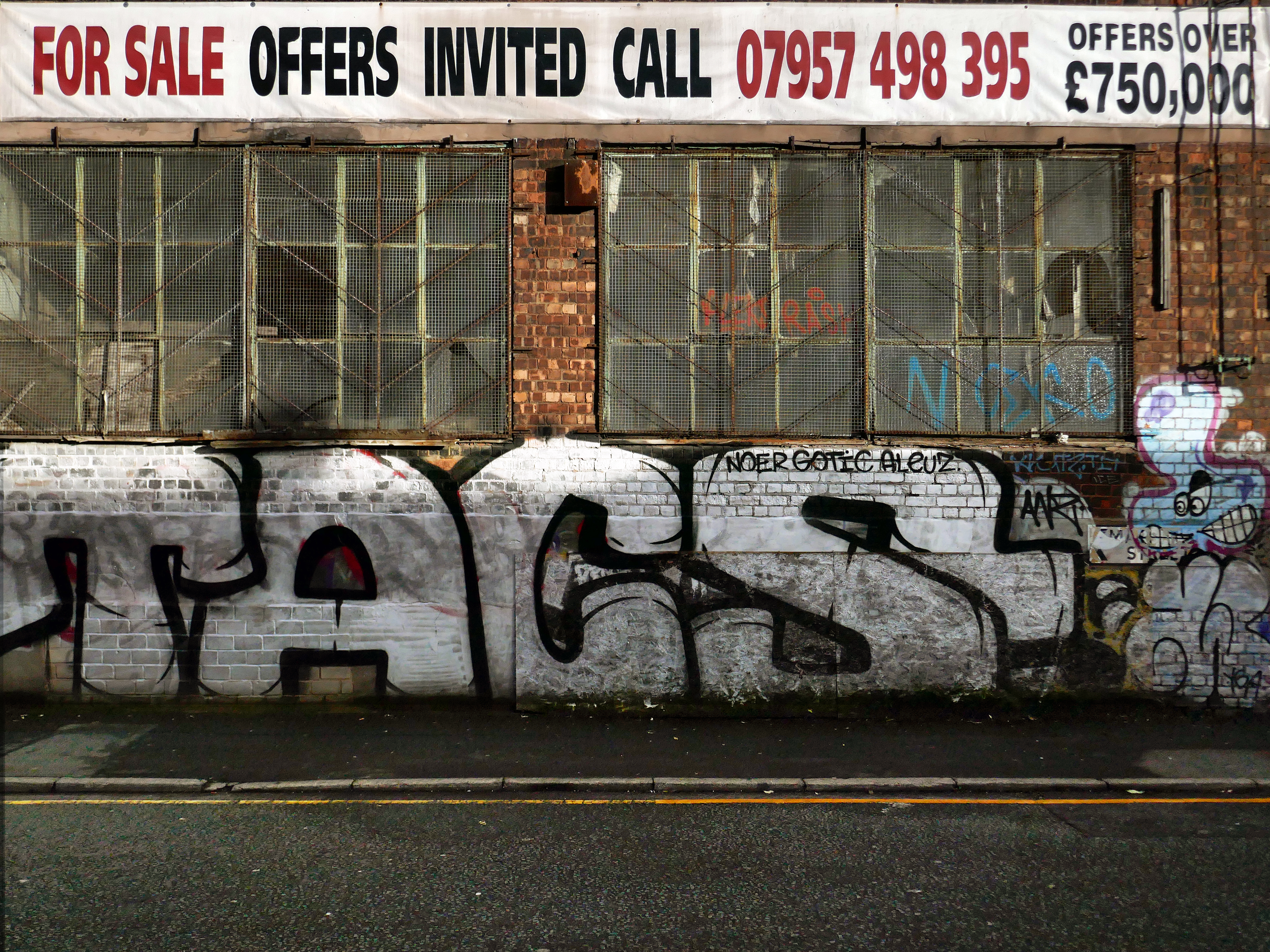
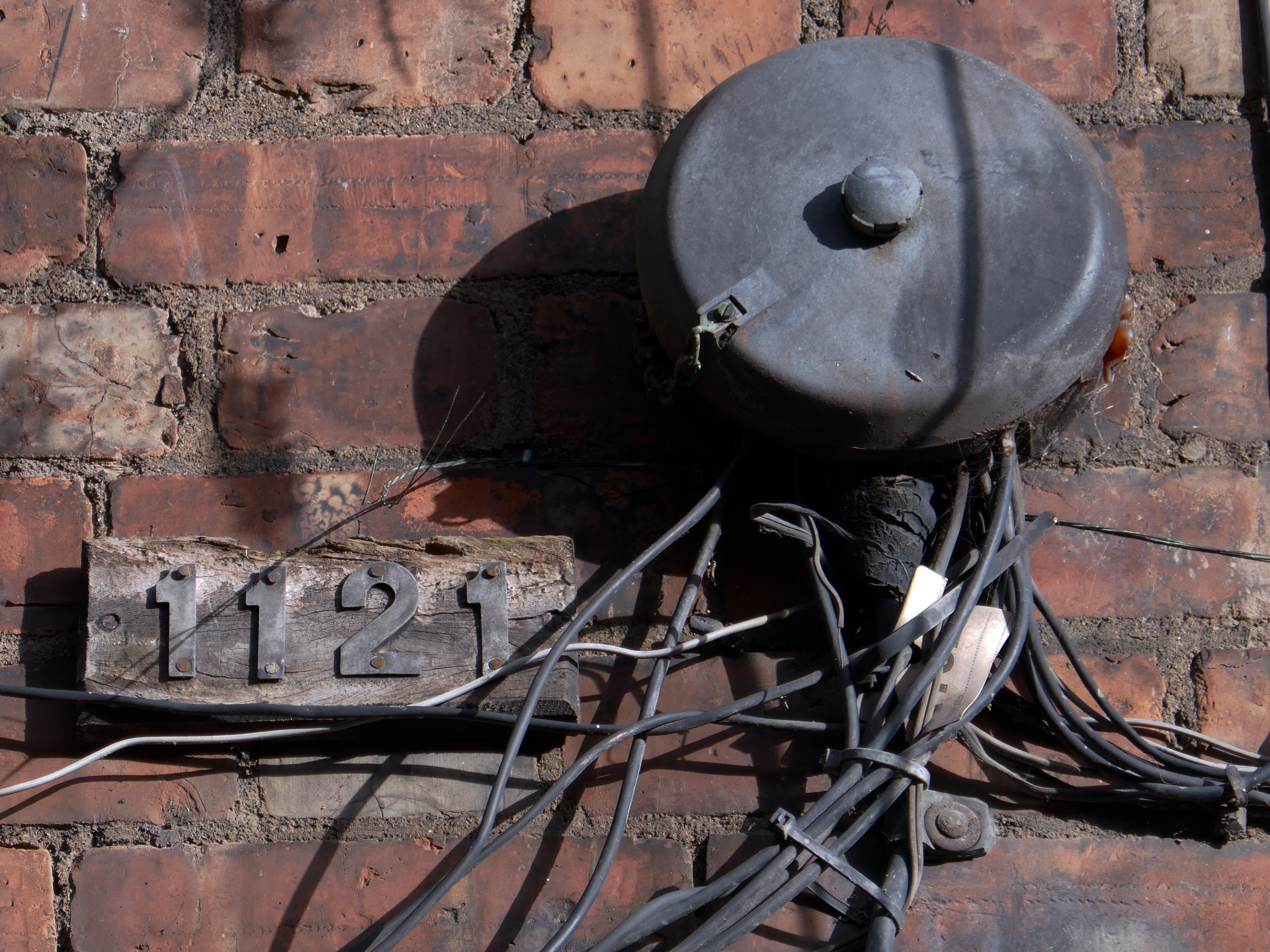
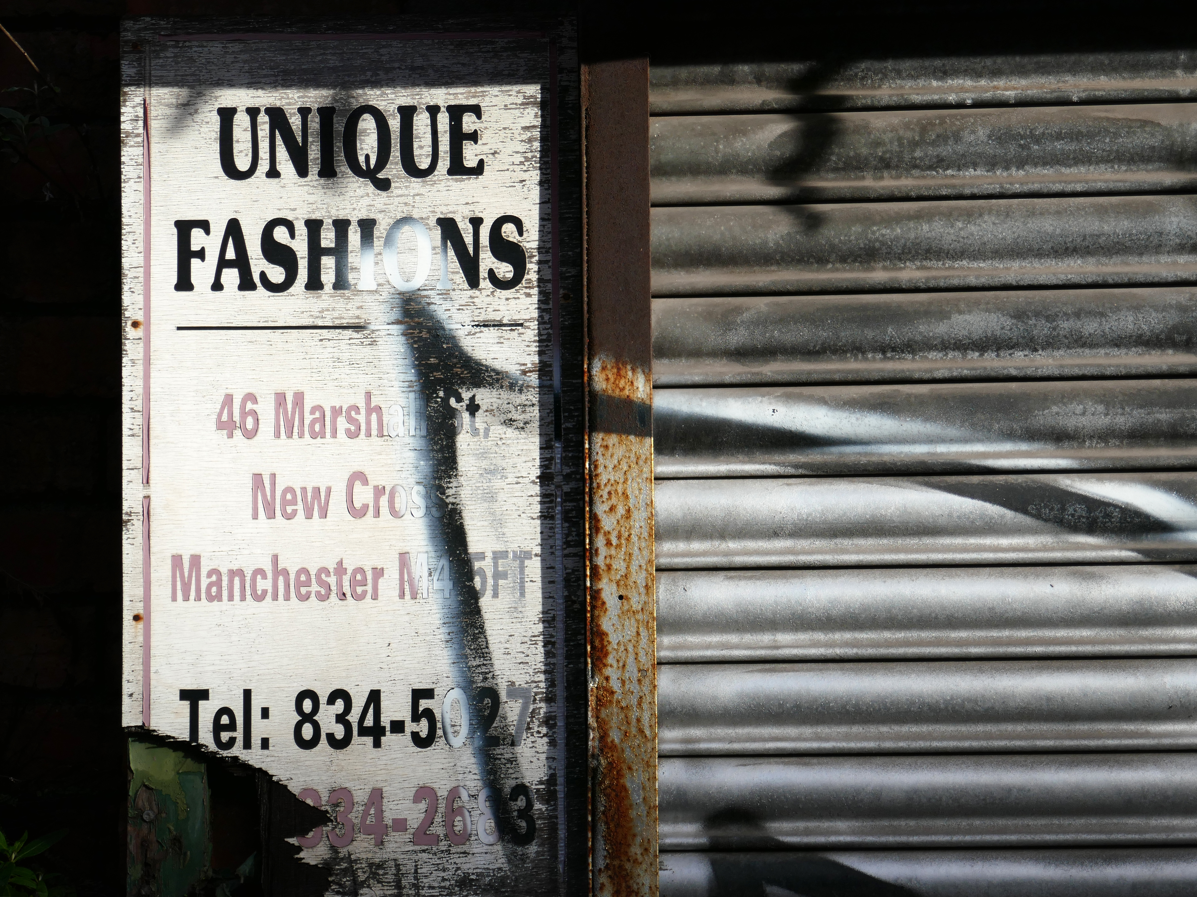
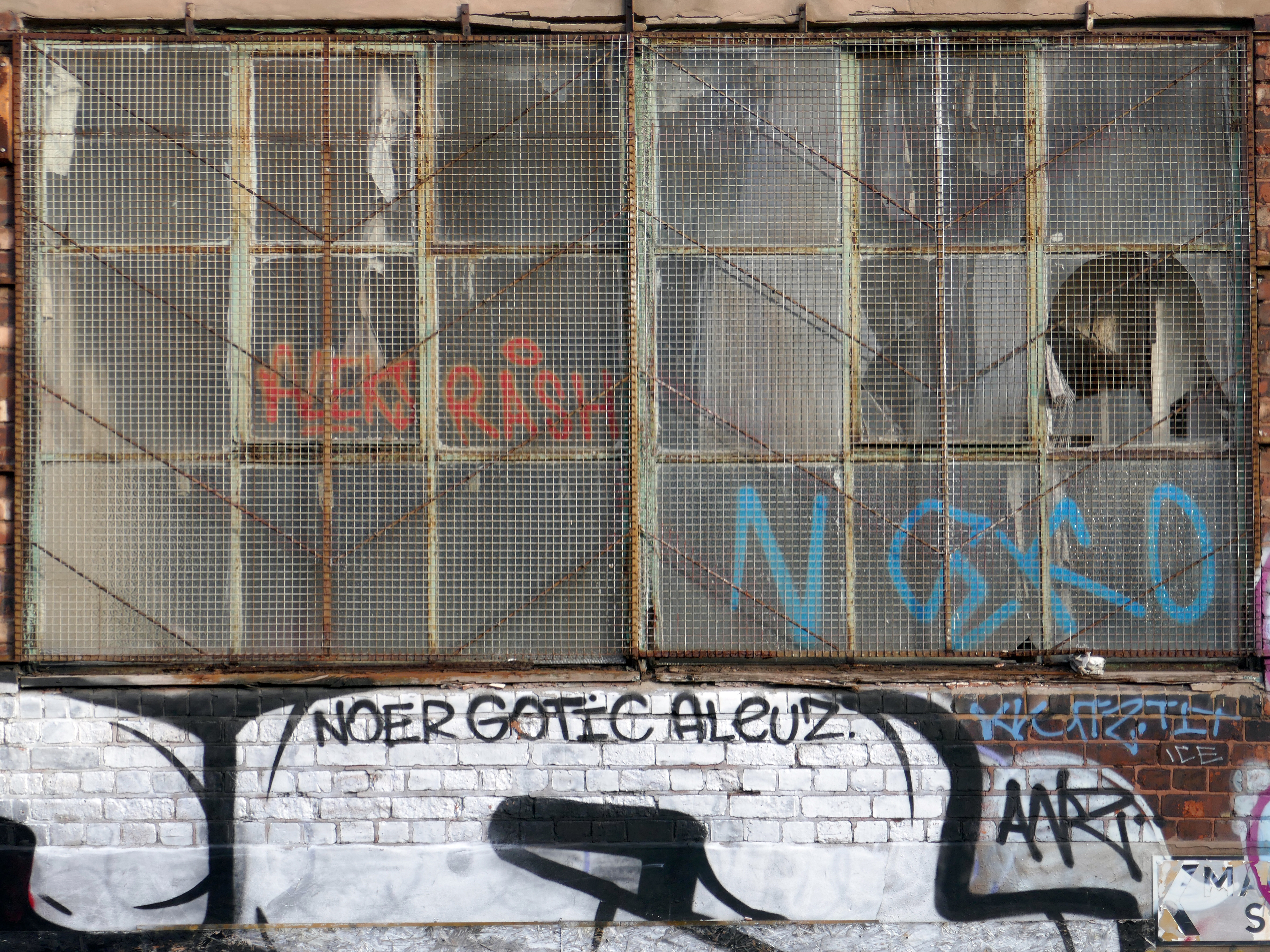
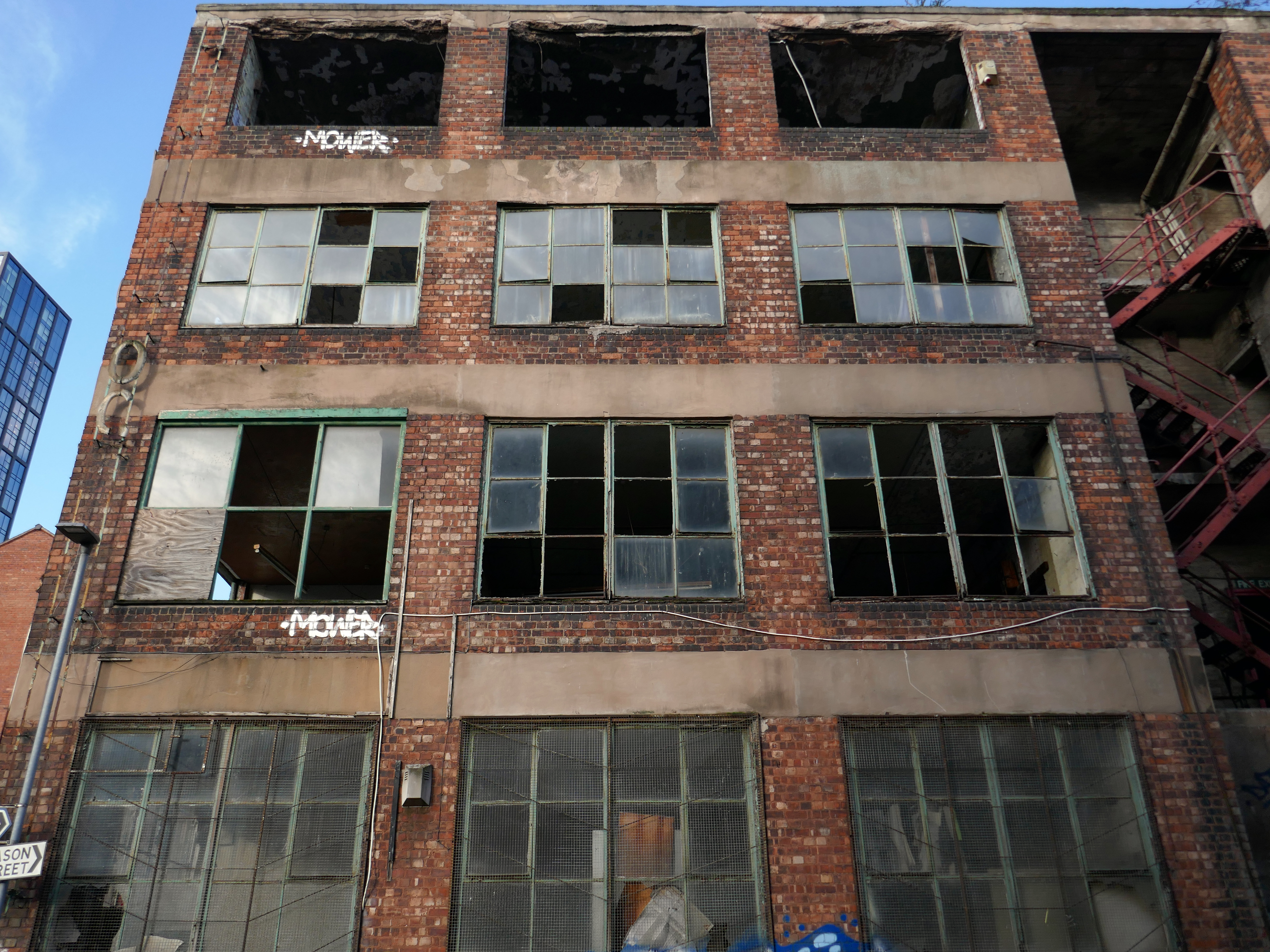
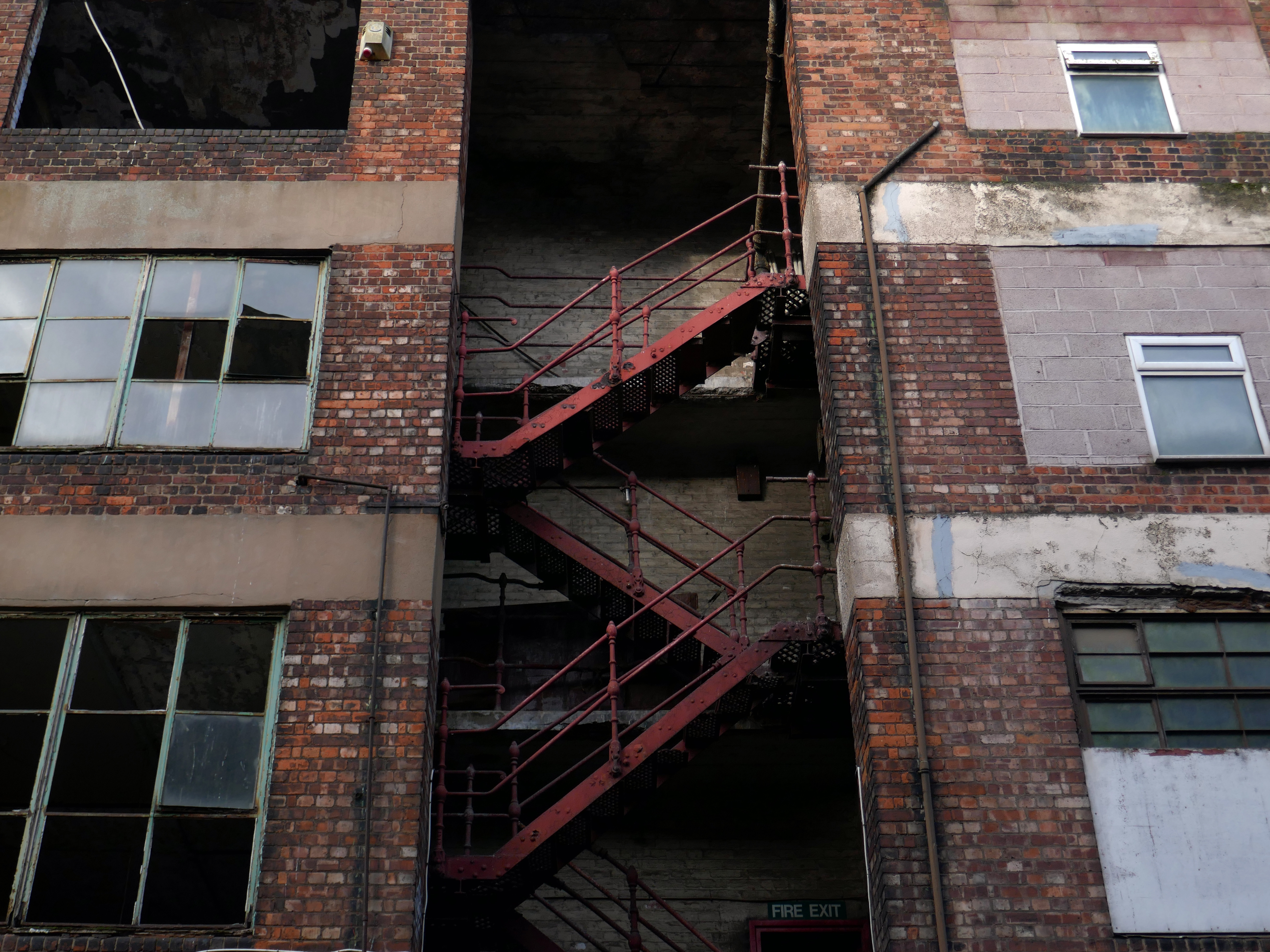
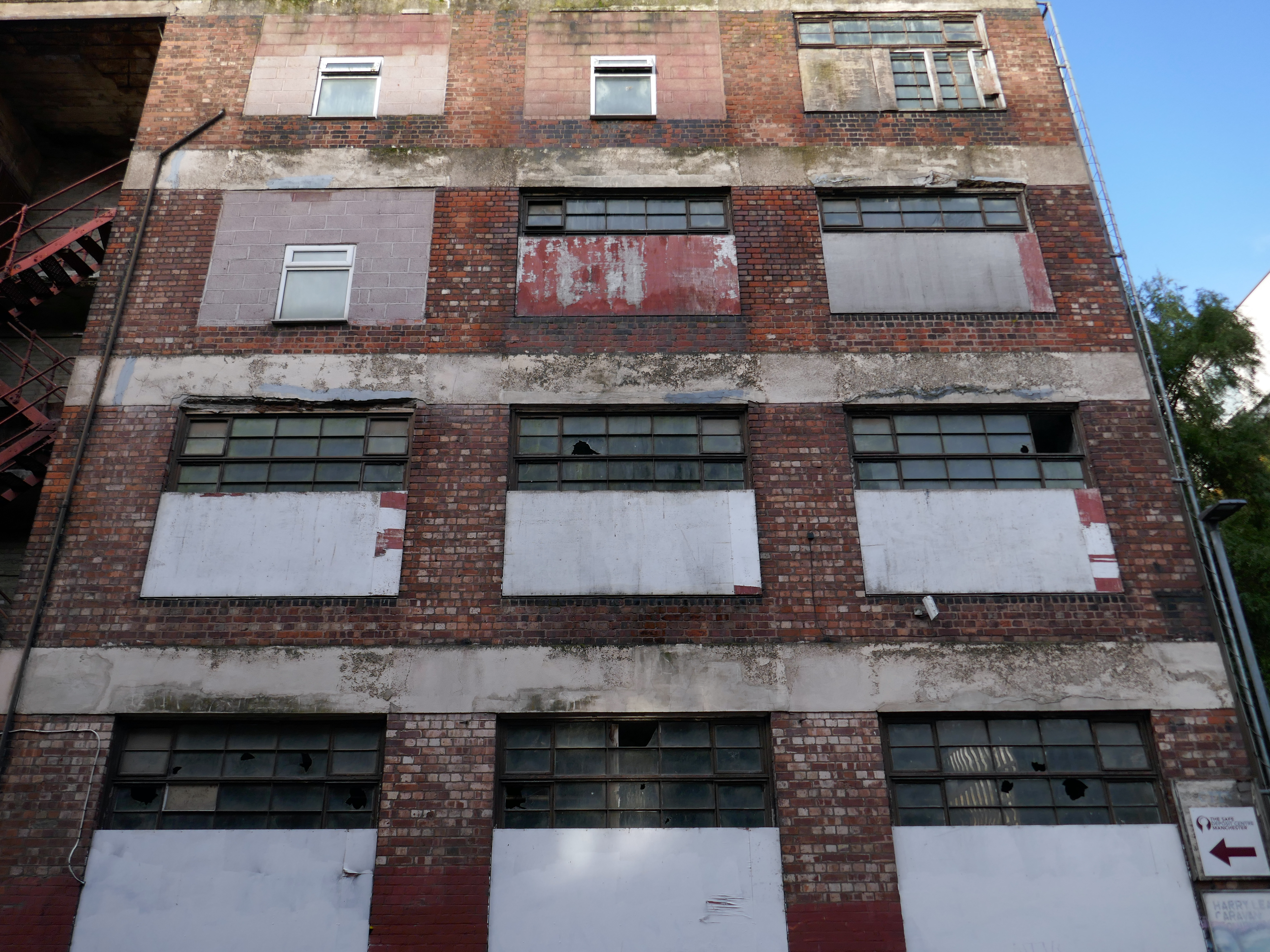
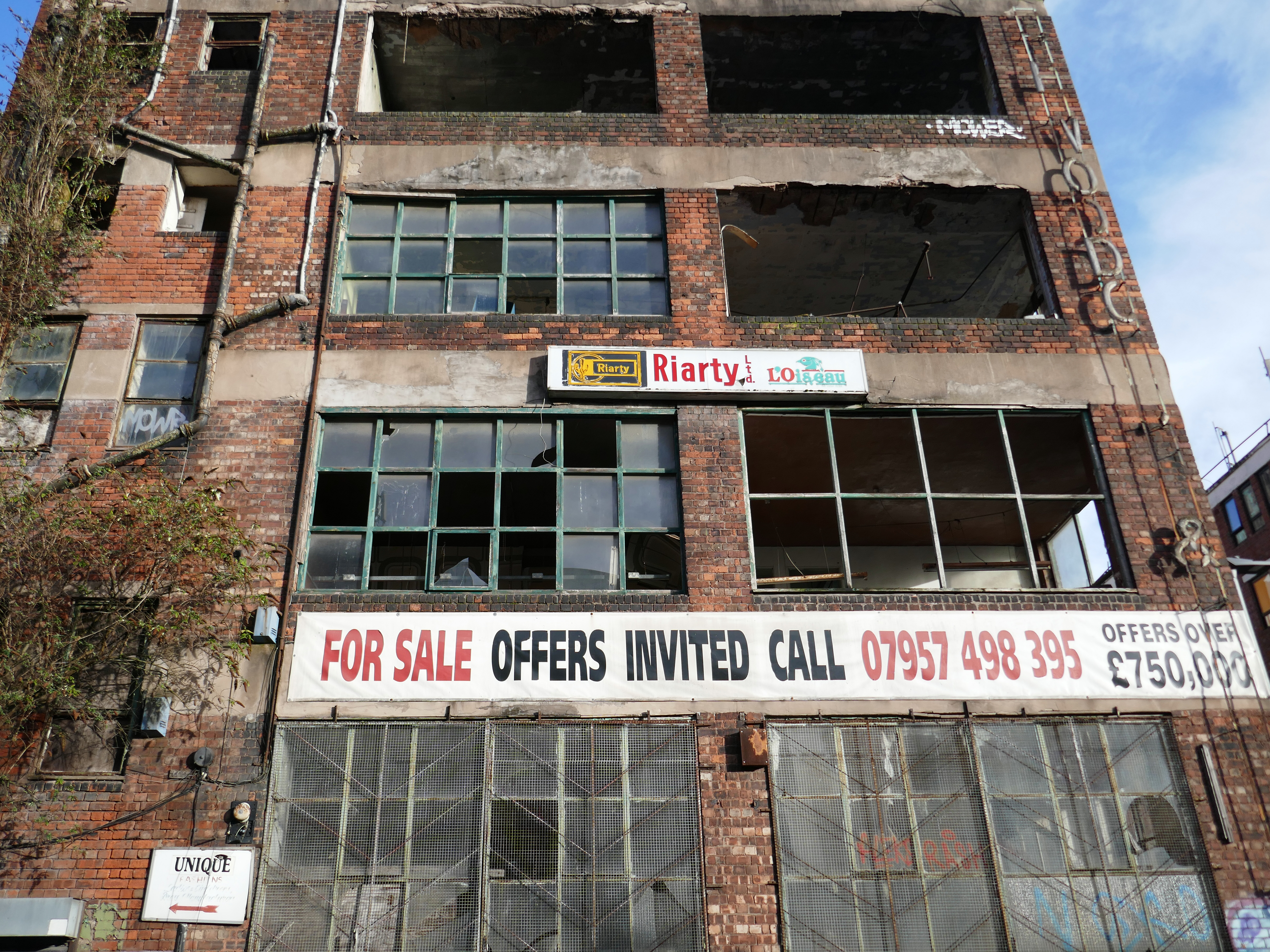
This building has always intrigued me, its sits amongst what was formerly the heart of Manchester’s Rag Trade. It is an area of signs and lost industry, the comings and goings having been and gone.
The surrounding buildings are gradually being refurbished or replaced, but somehow 46 Marshall Street is bucking the trend, though at some point someone somewhere will find over £750,000.
Gradually its wooden framed windows become the poked out eyes of its soul.
Light fittings hang limp and unlit, as the interior decor deteriorates.
The restless rust inhabits the lower metallic fenestration.
Block work blocks the blocked up entrances.
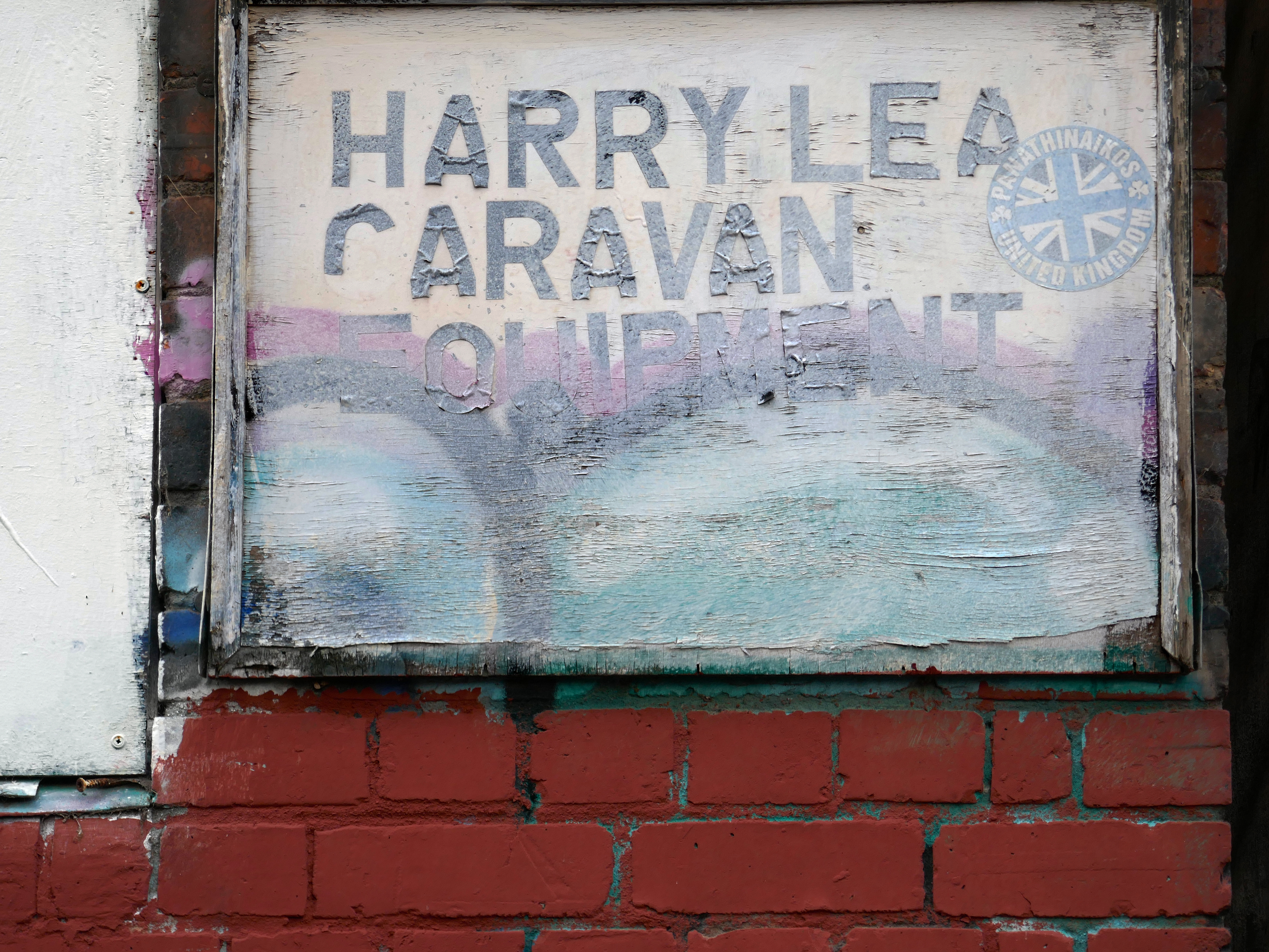
The ampersand can be traced back to the 1st century AD and the old Roman cursive, in which the letters E and T occasionally were written together to form a ligature.
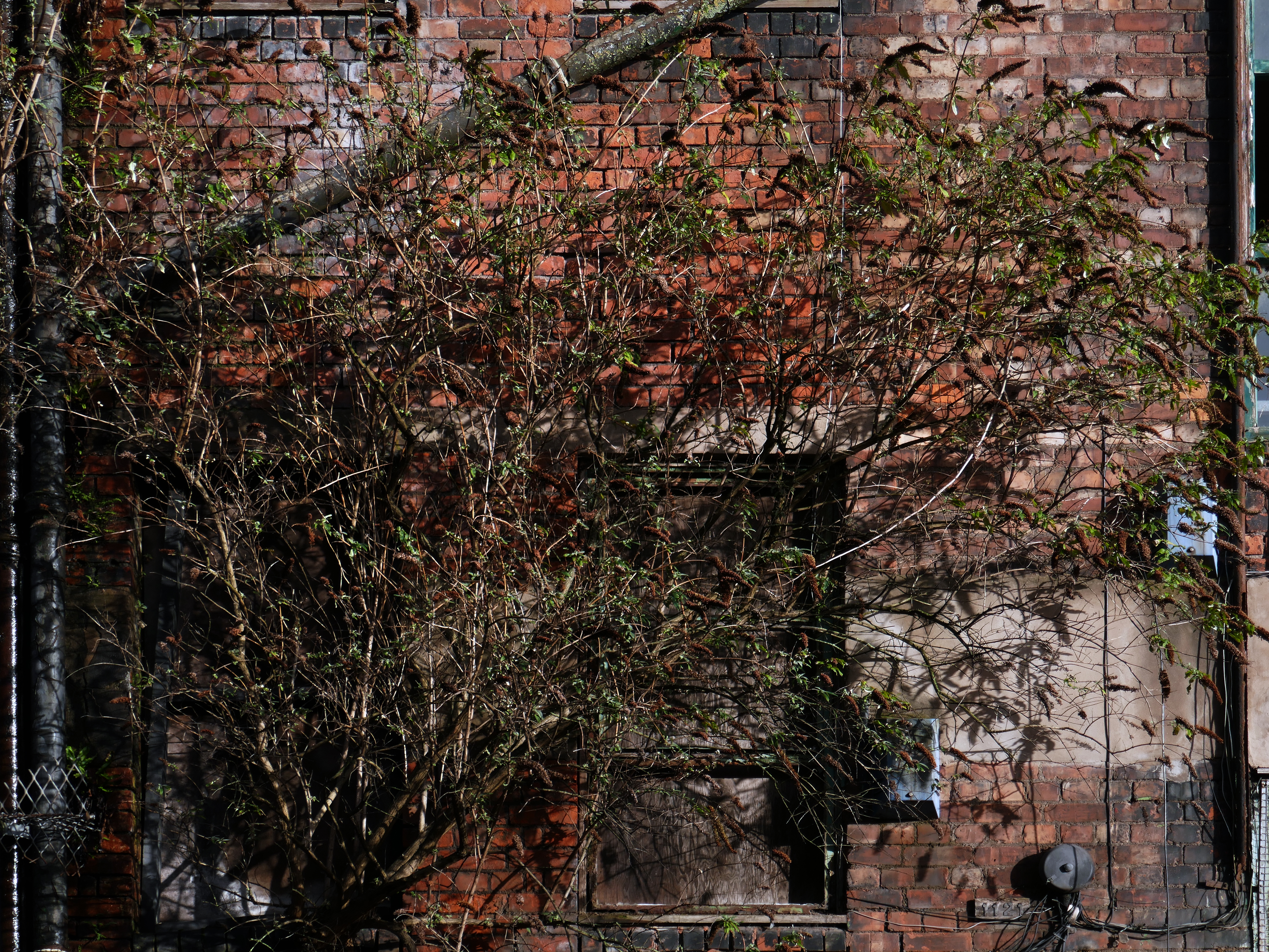
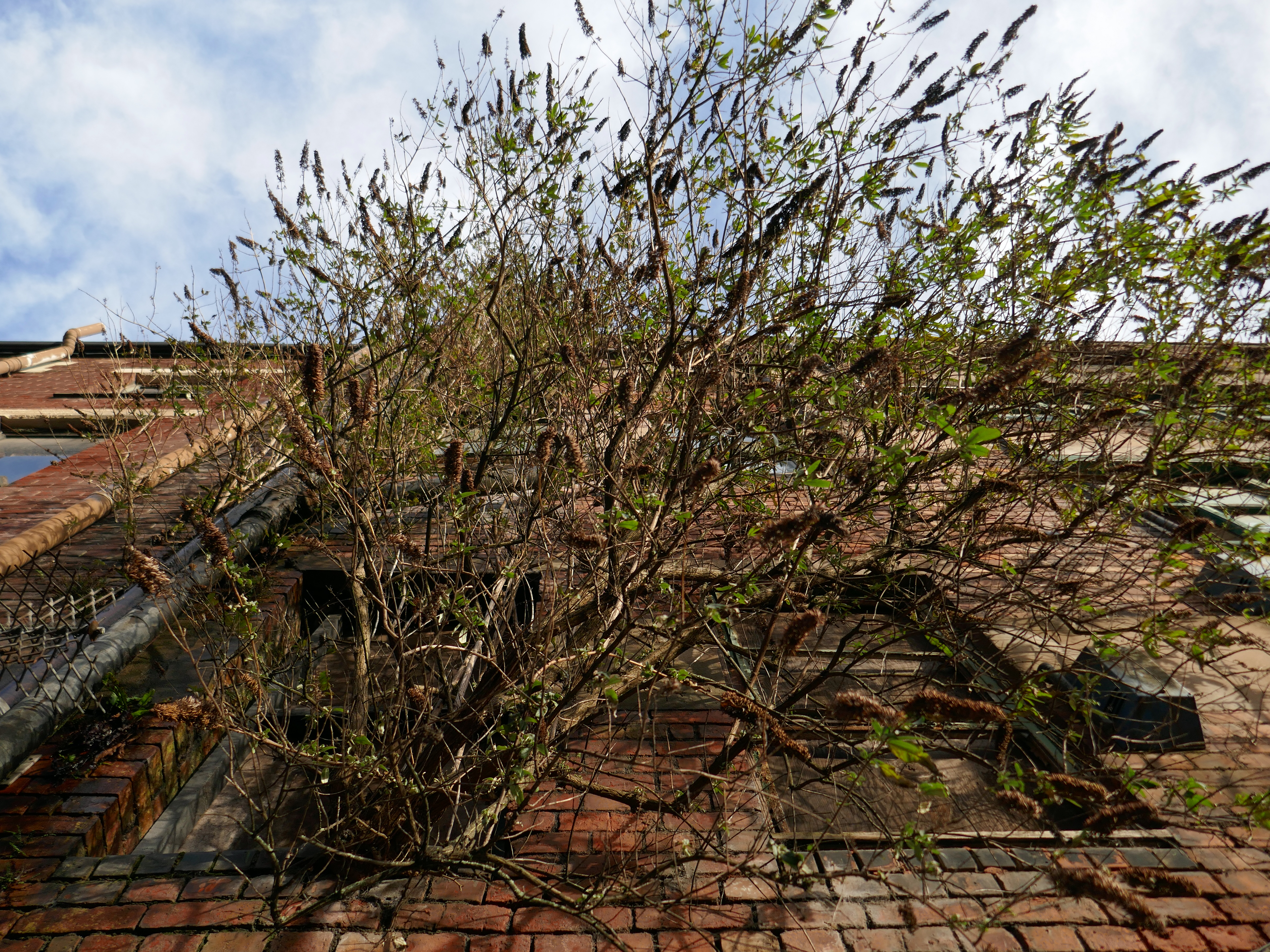
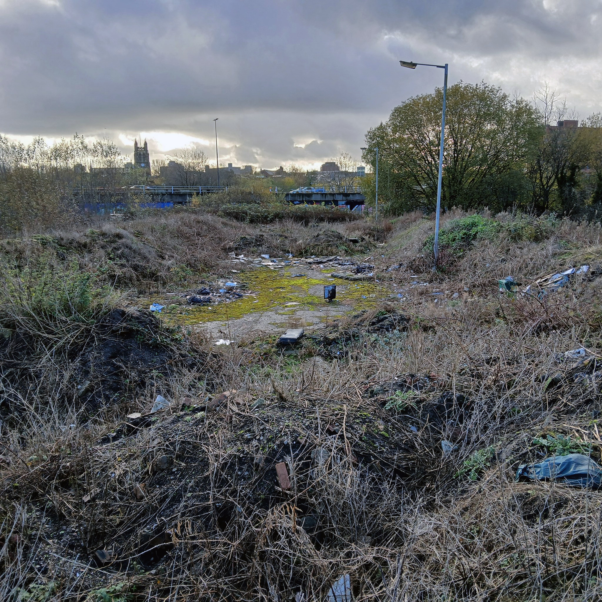
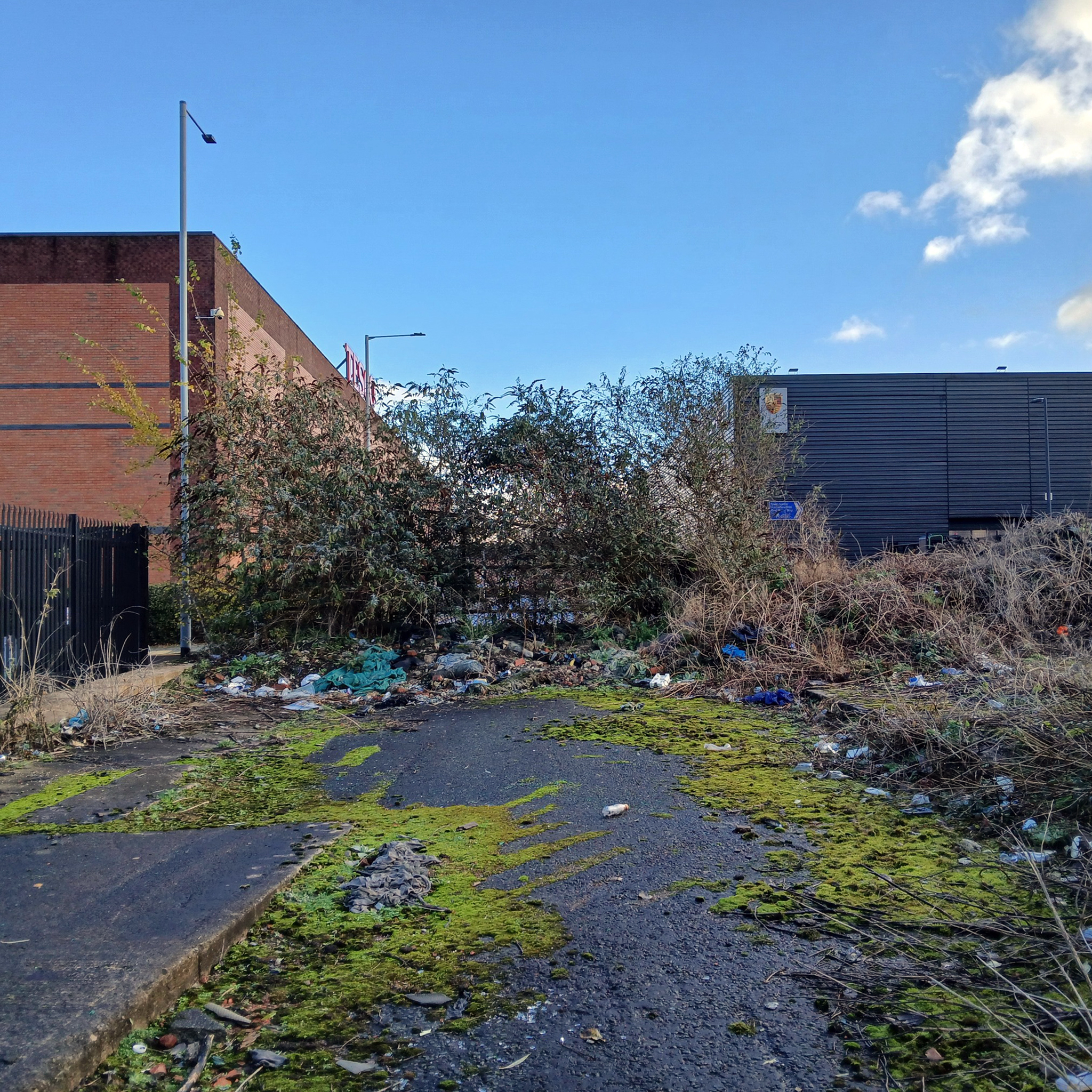
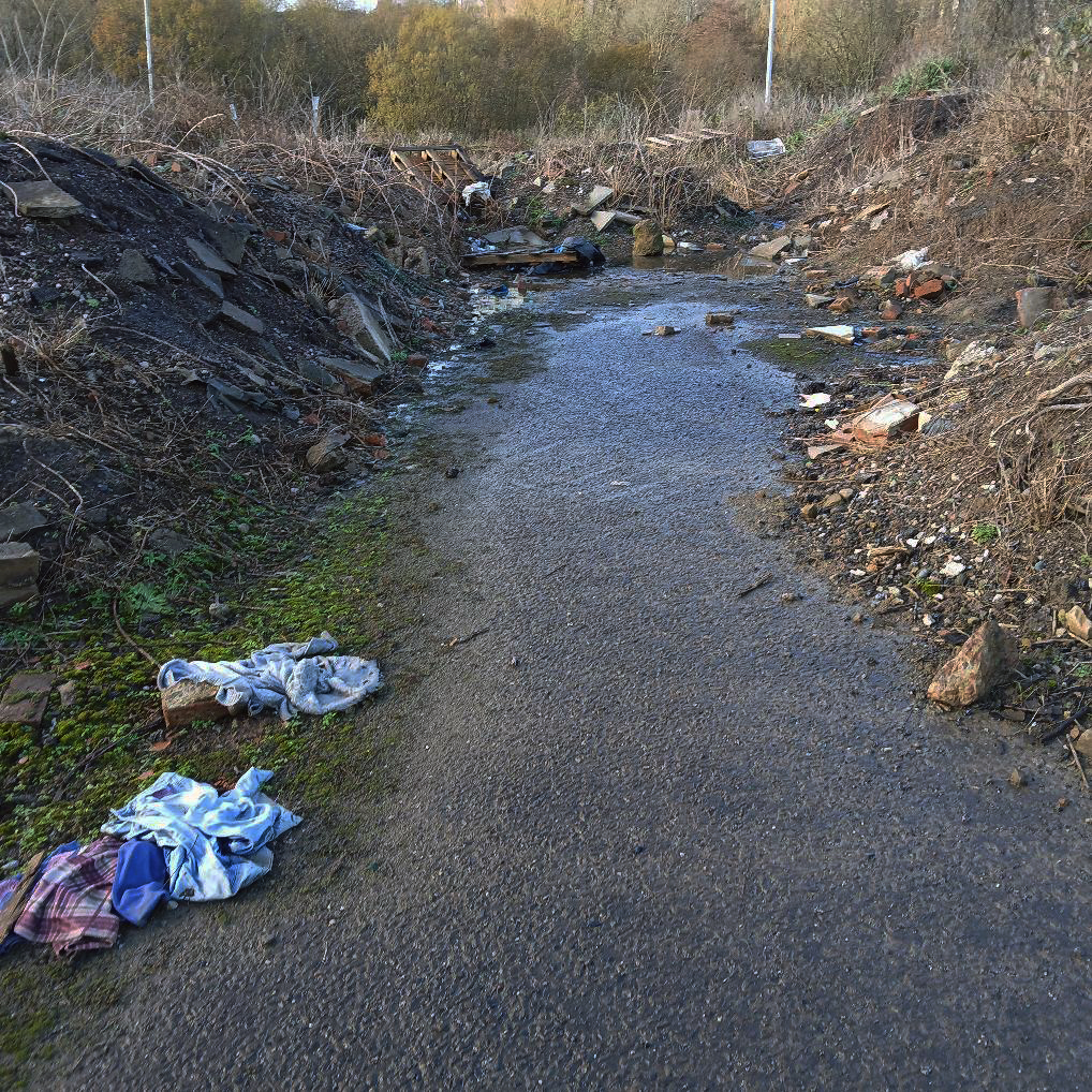
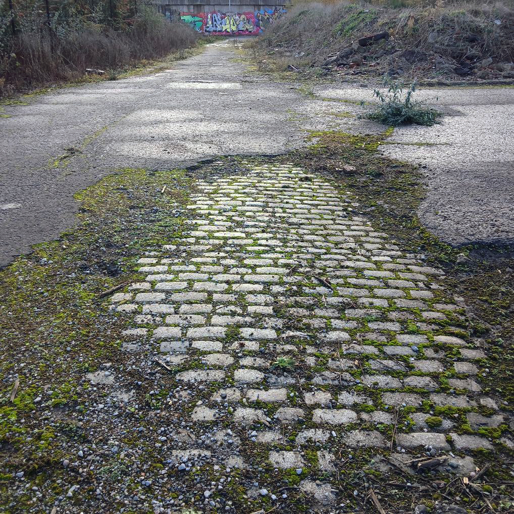
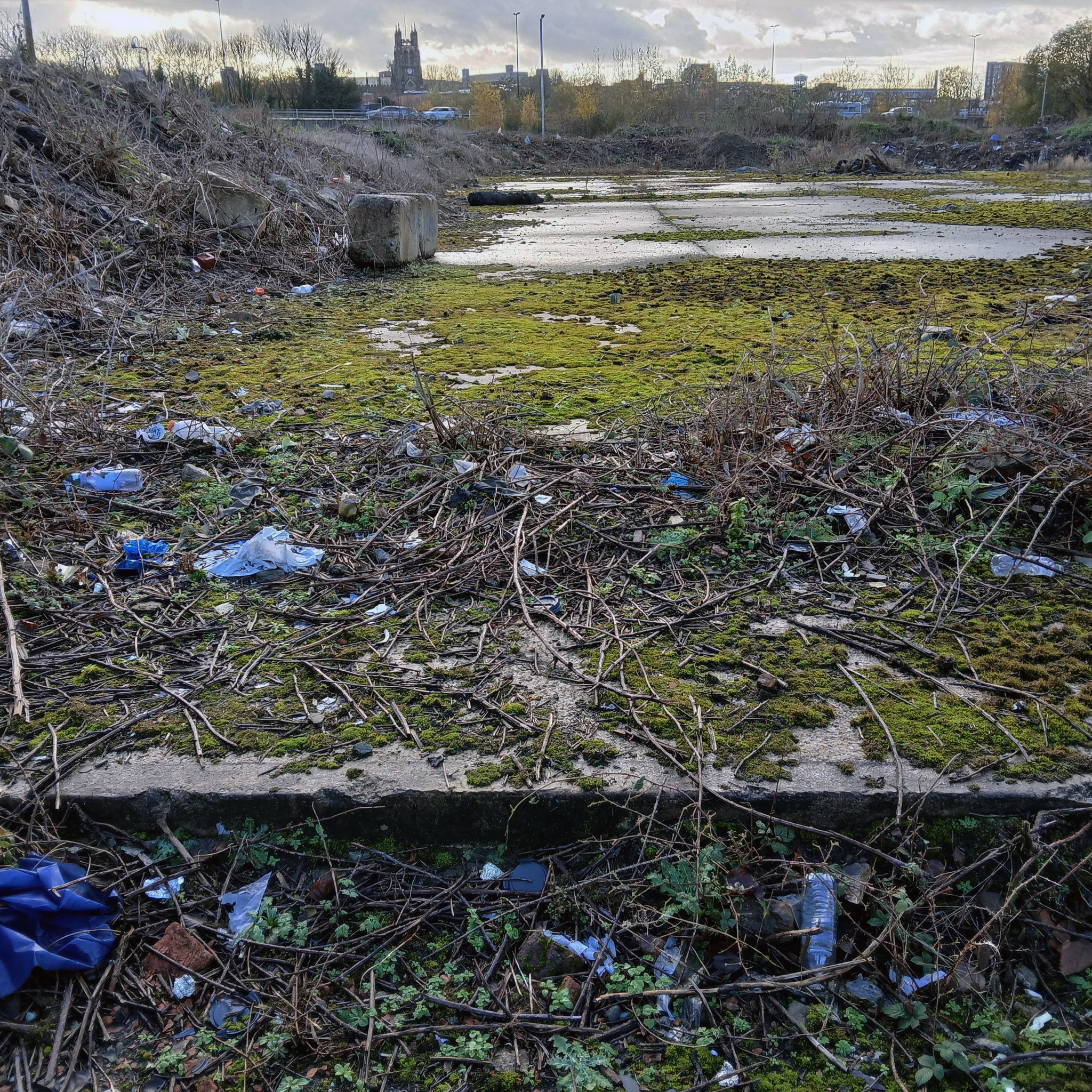
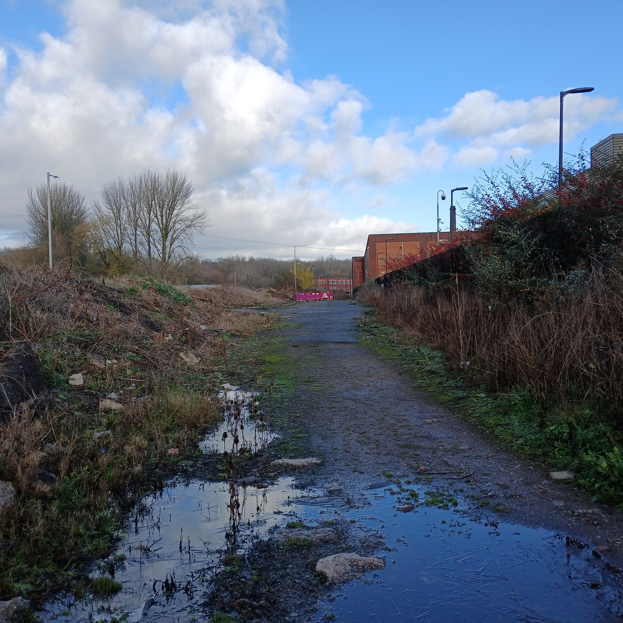
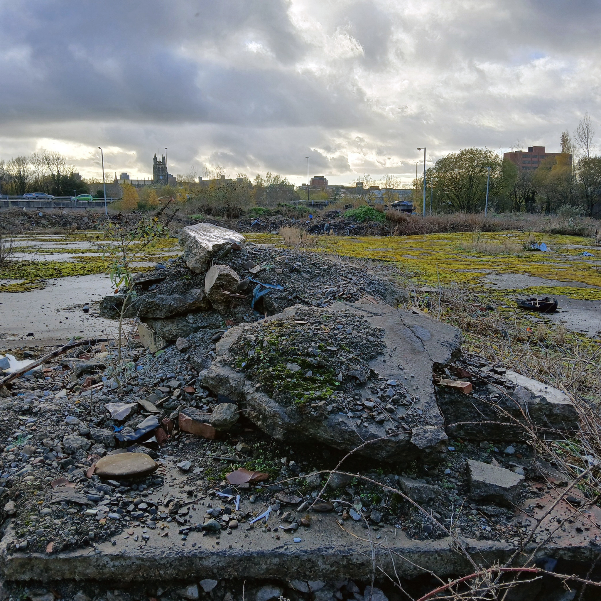
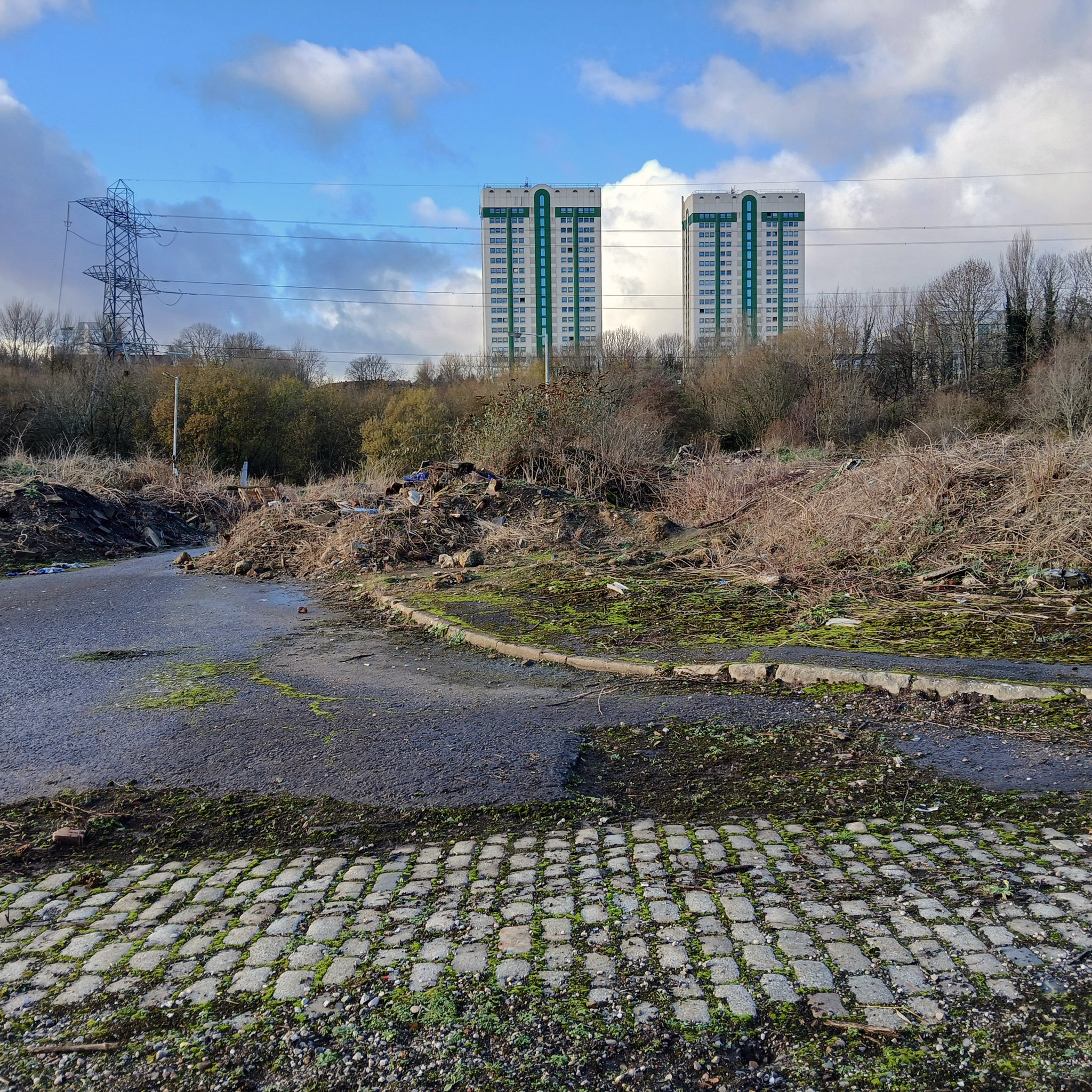
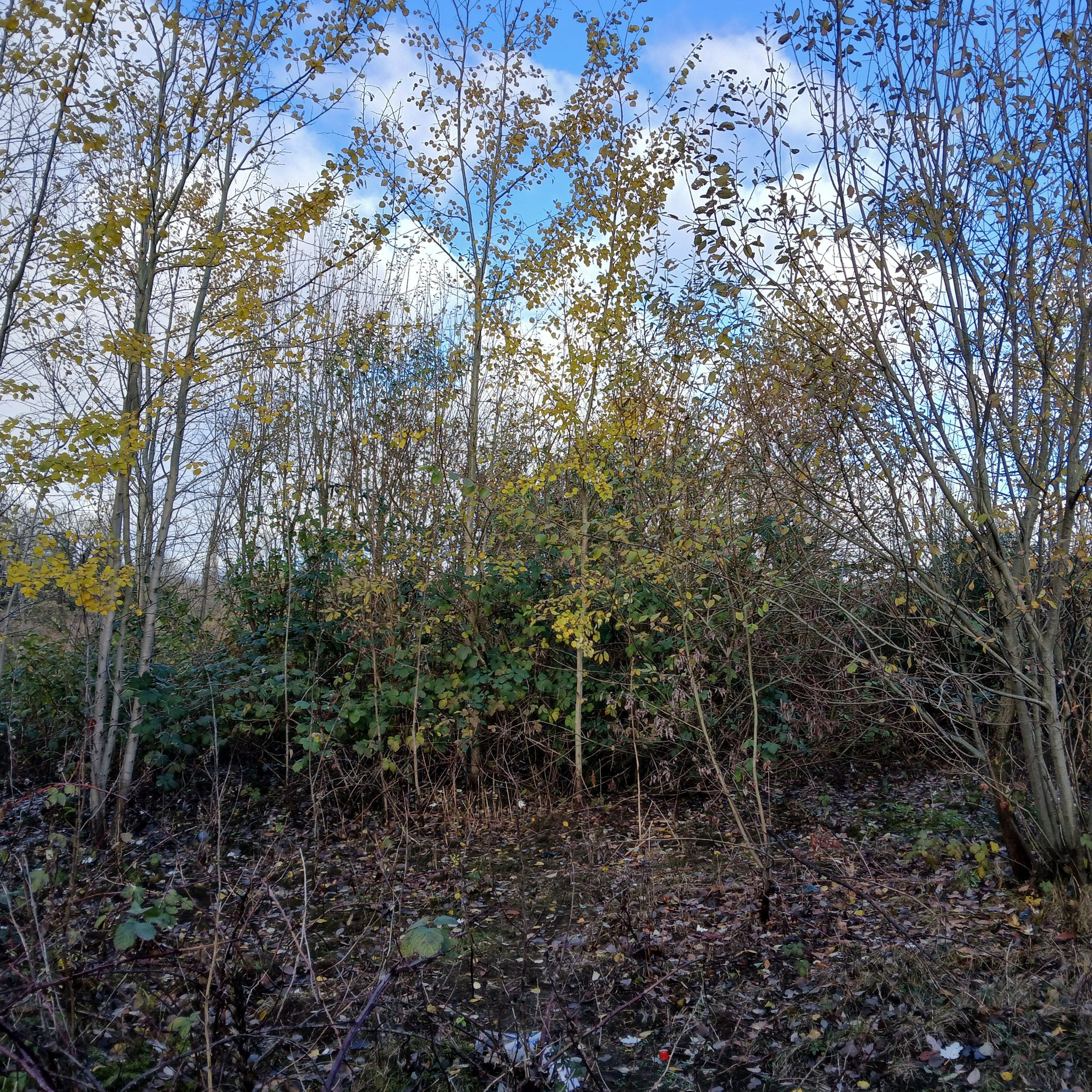
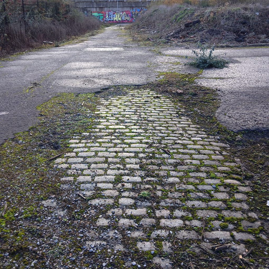
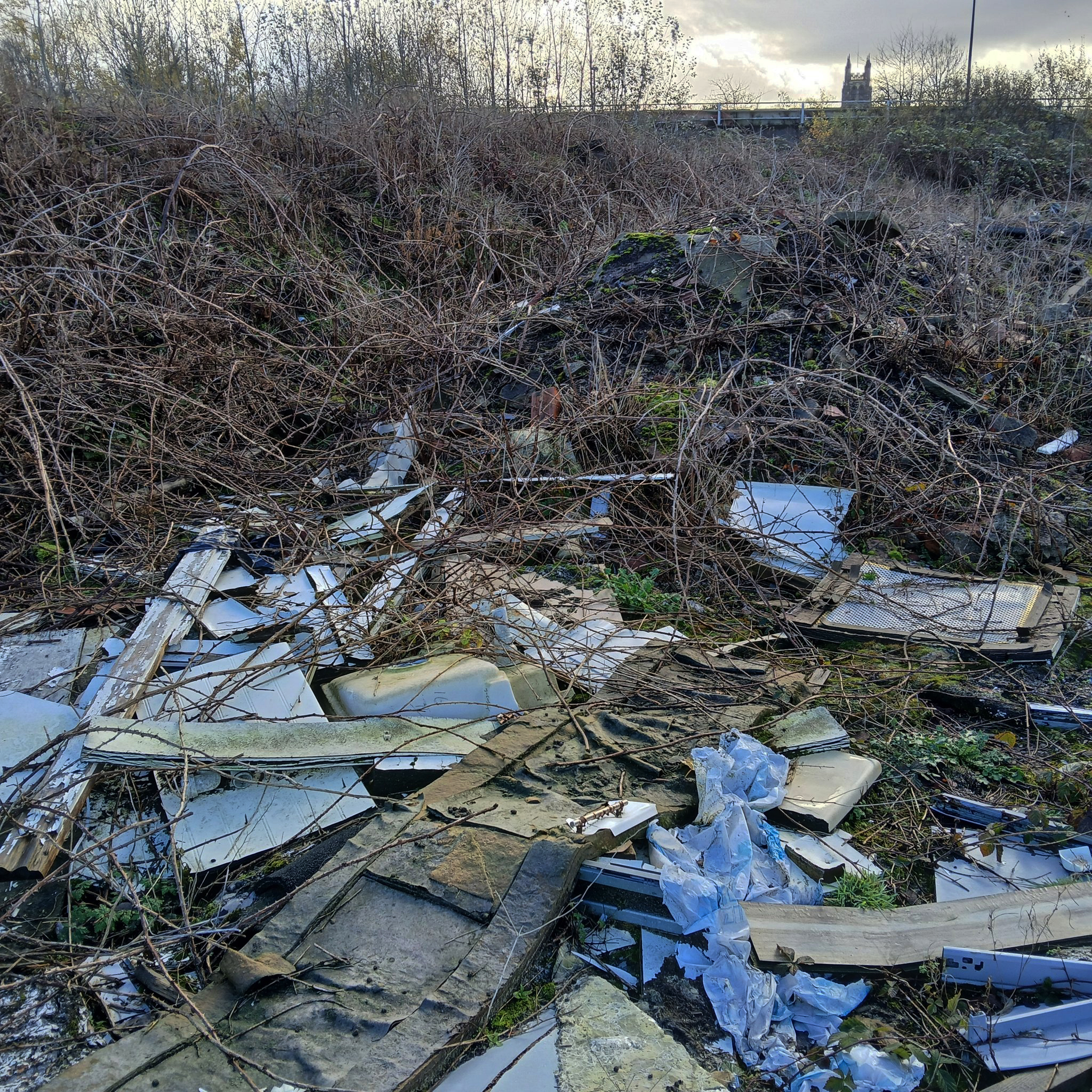
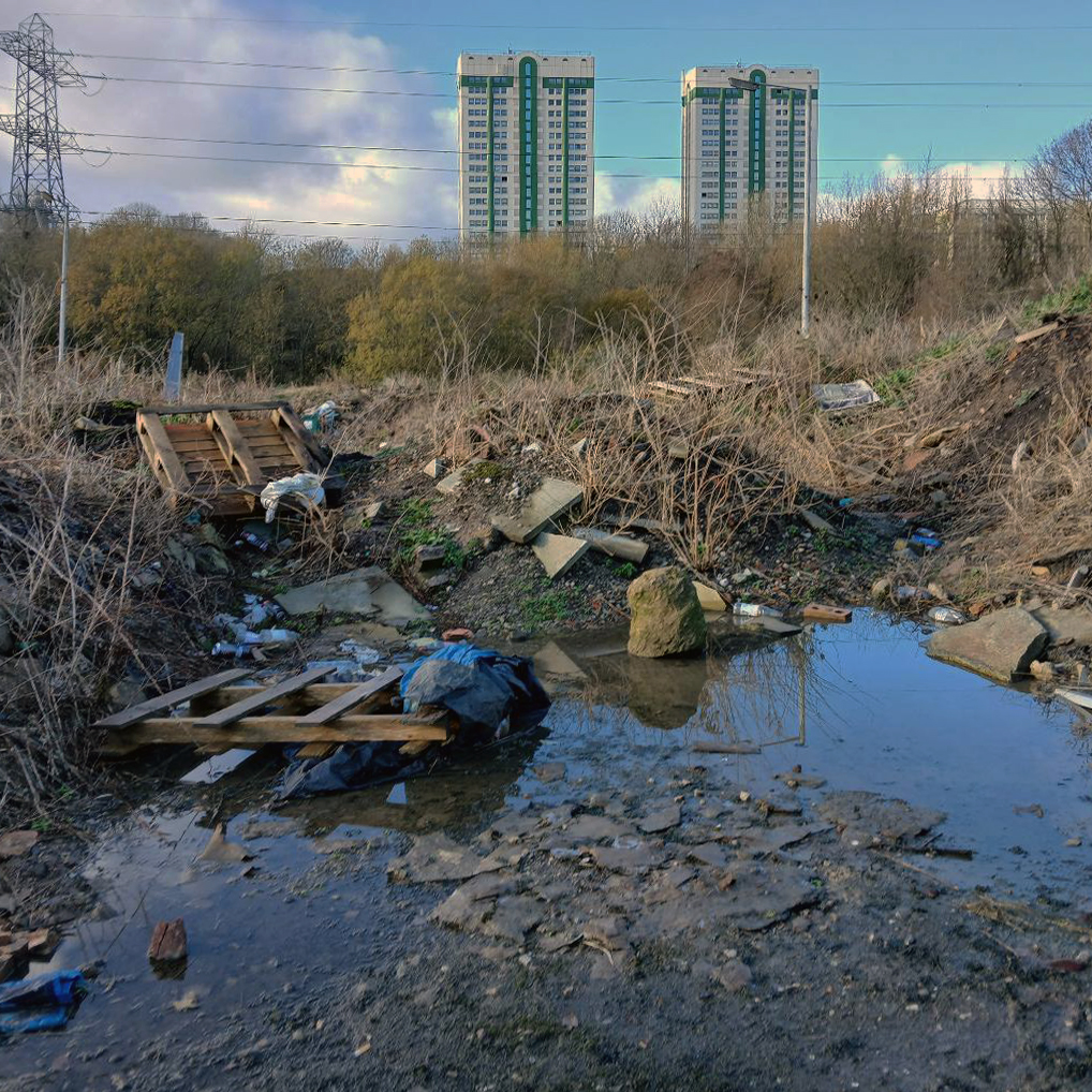
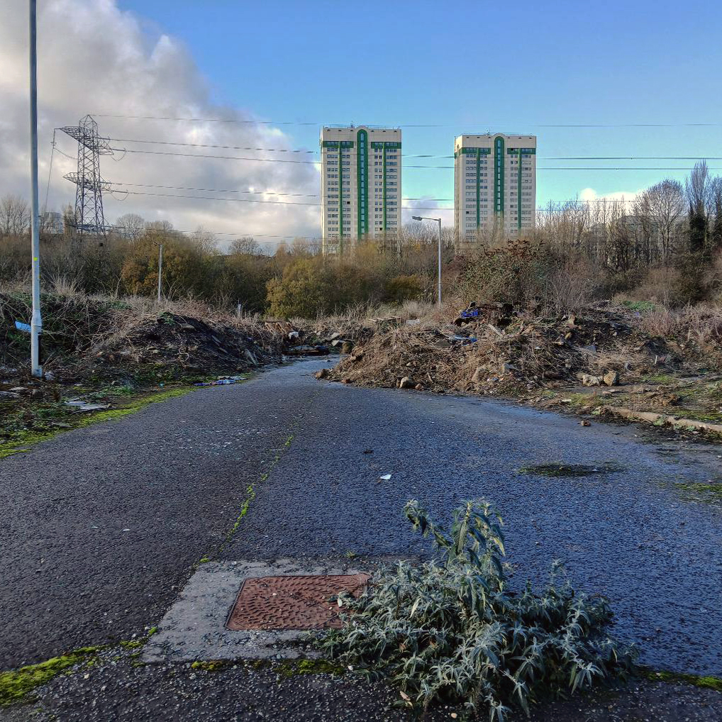
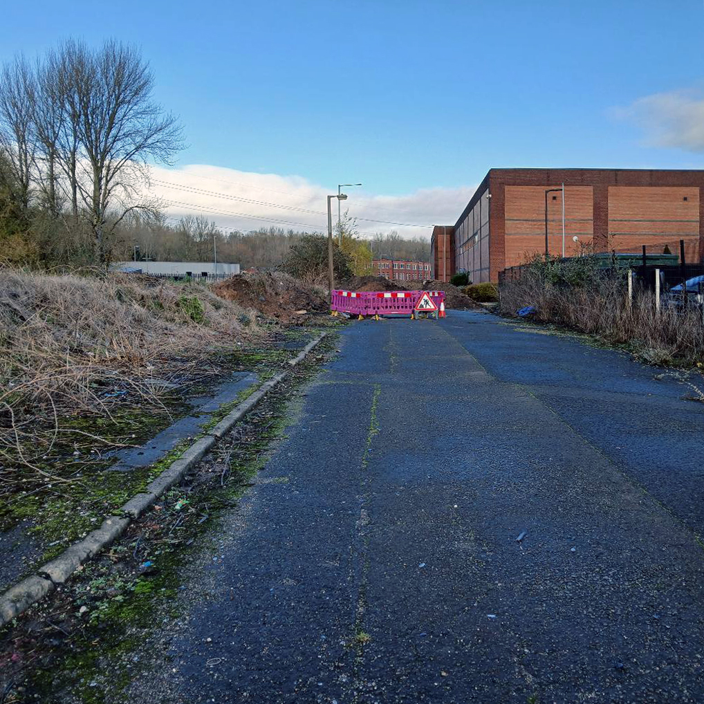
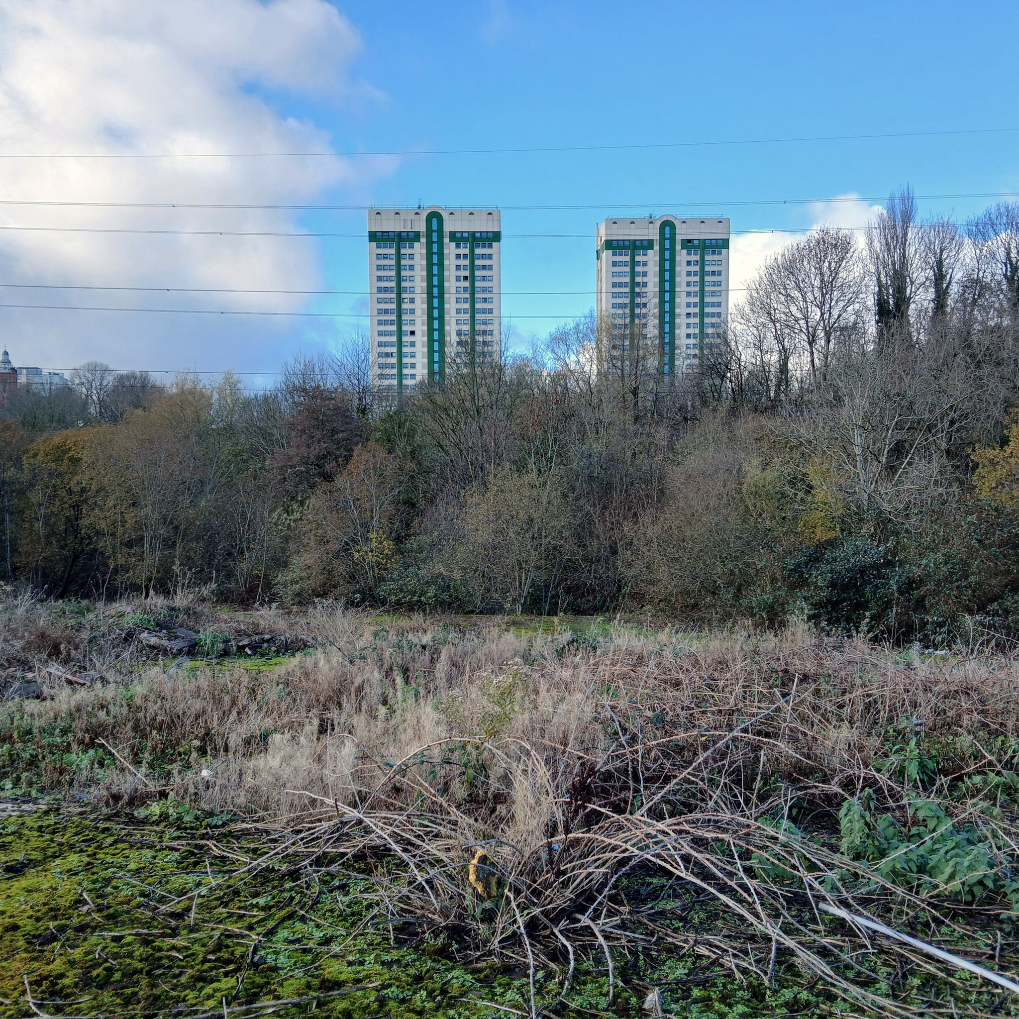
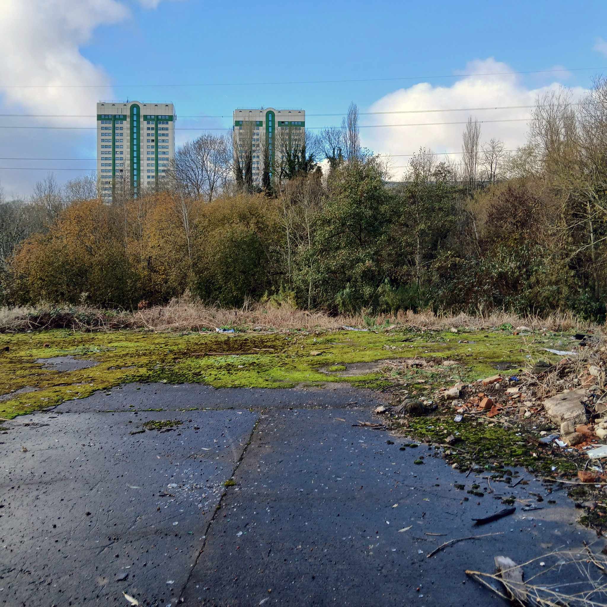
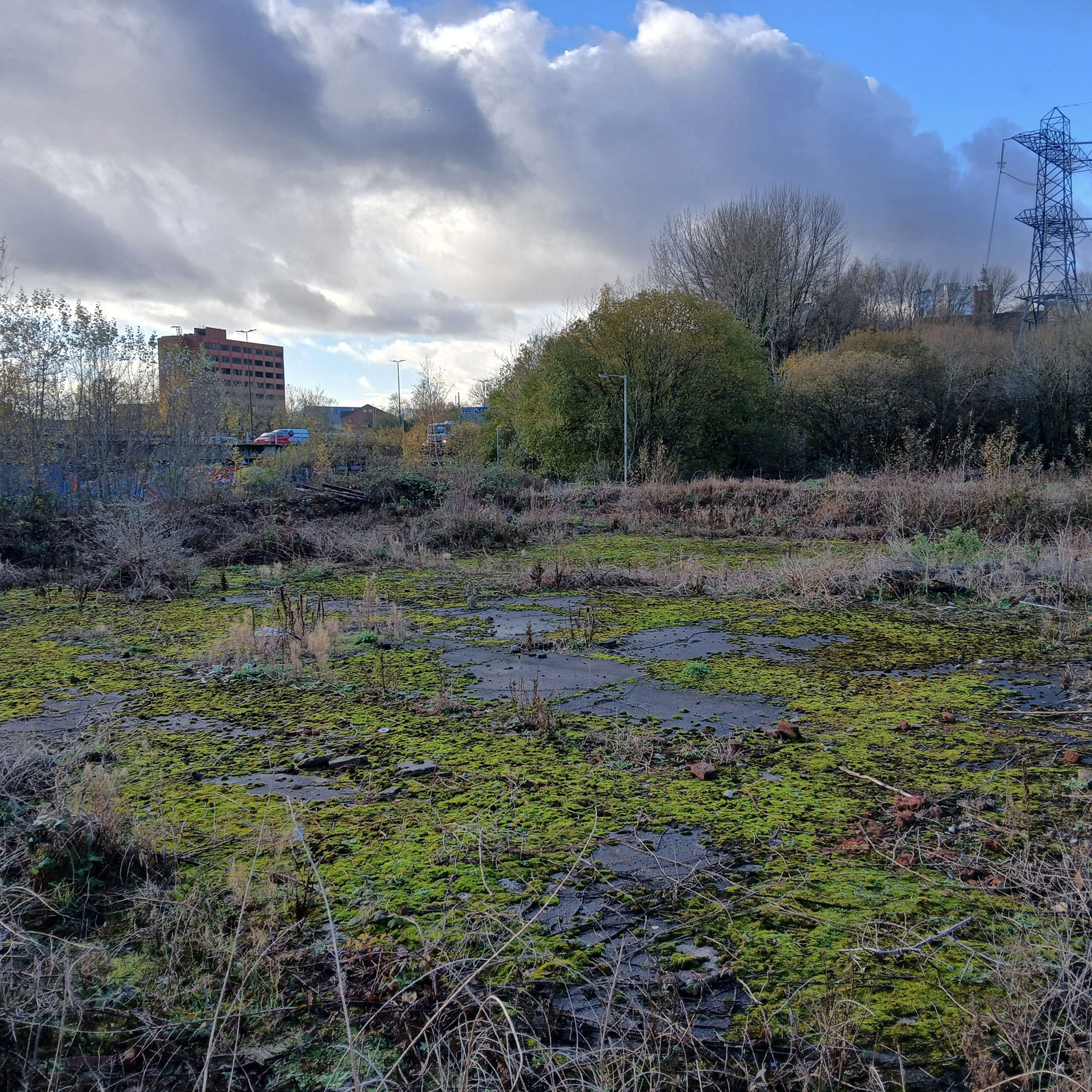
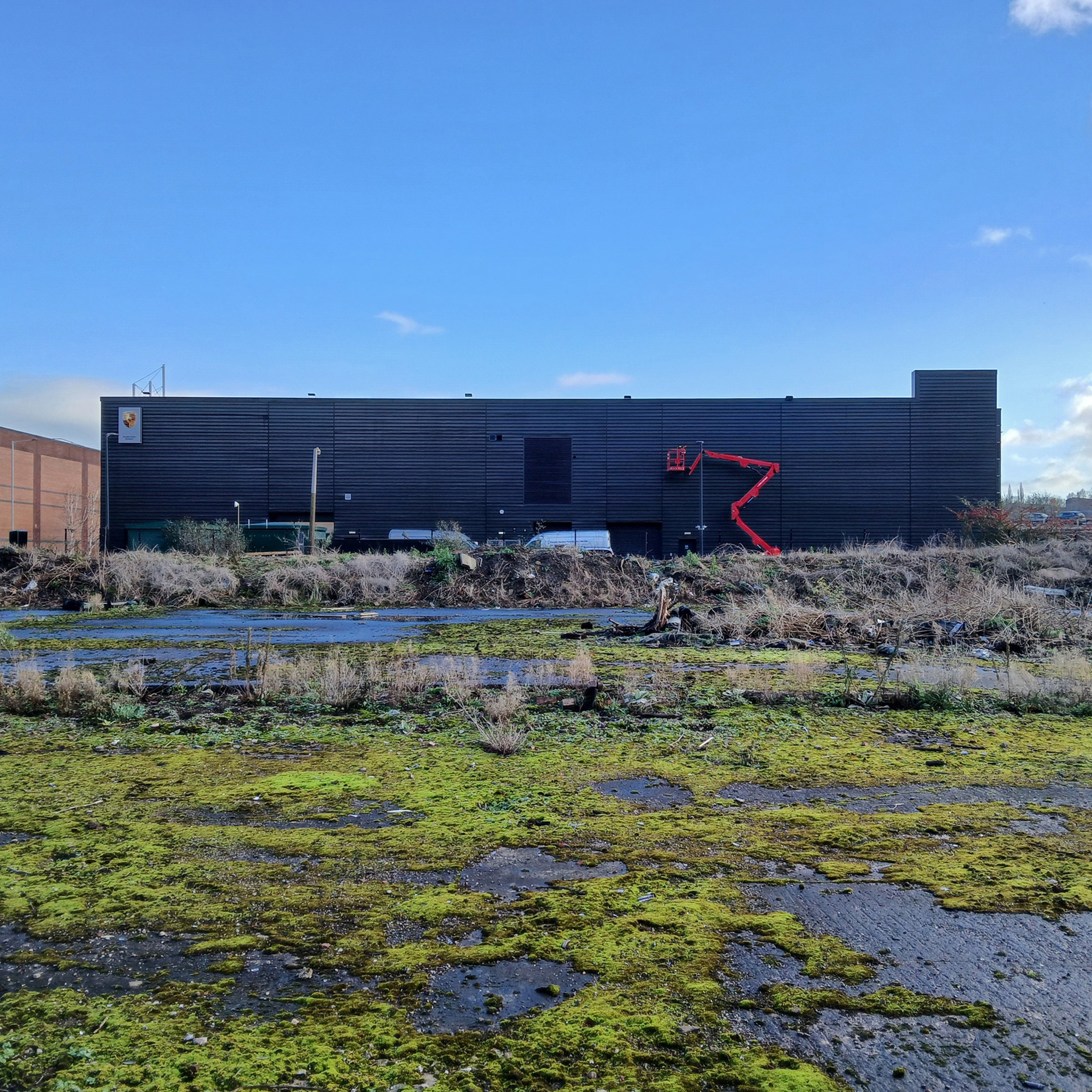
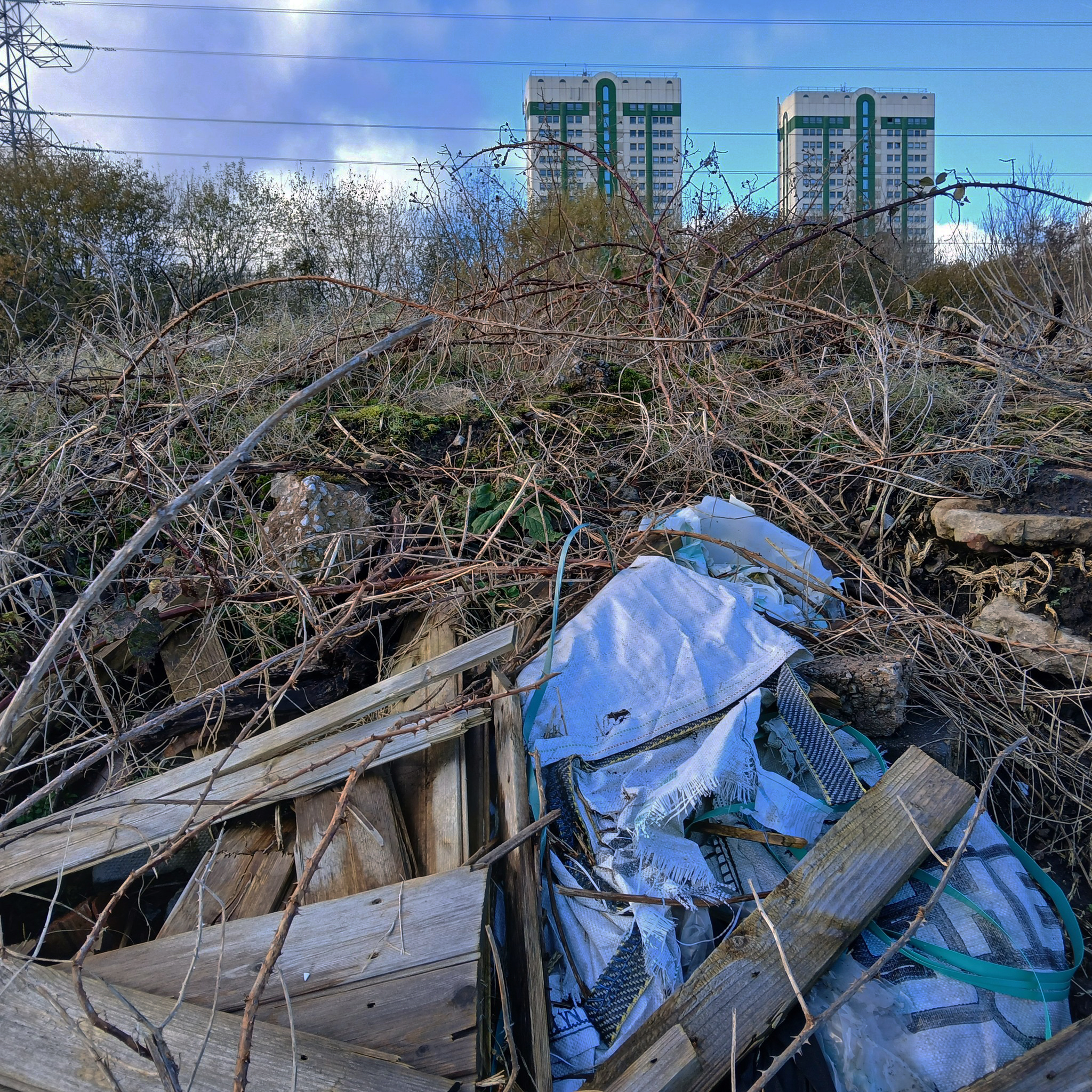
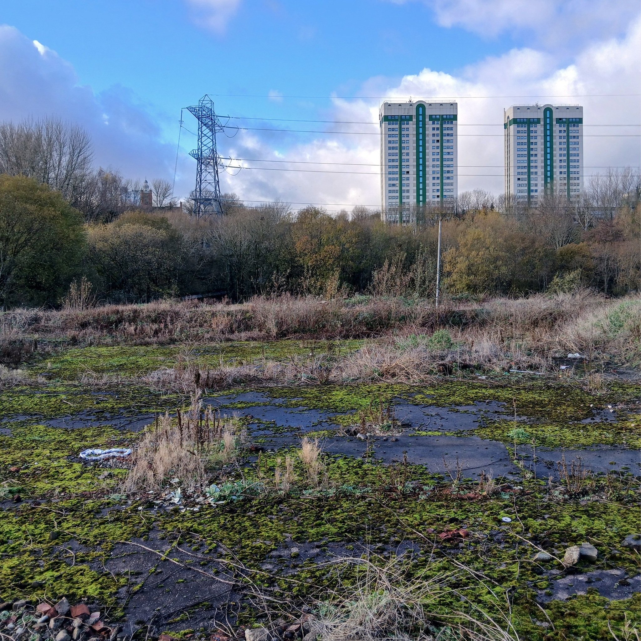
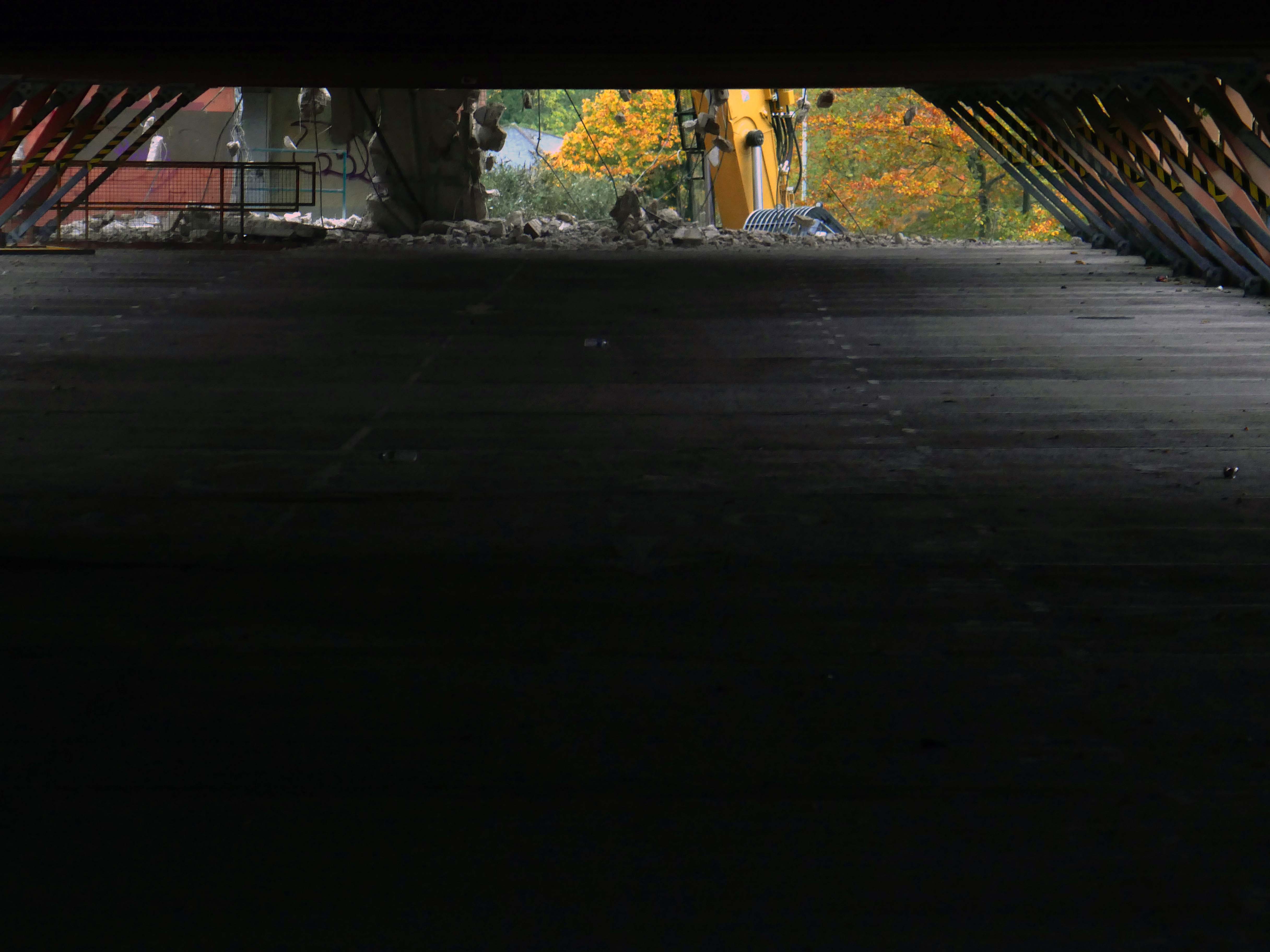
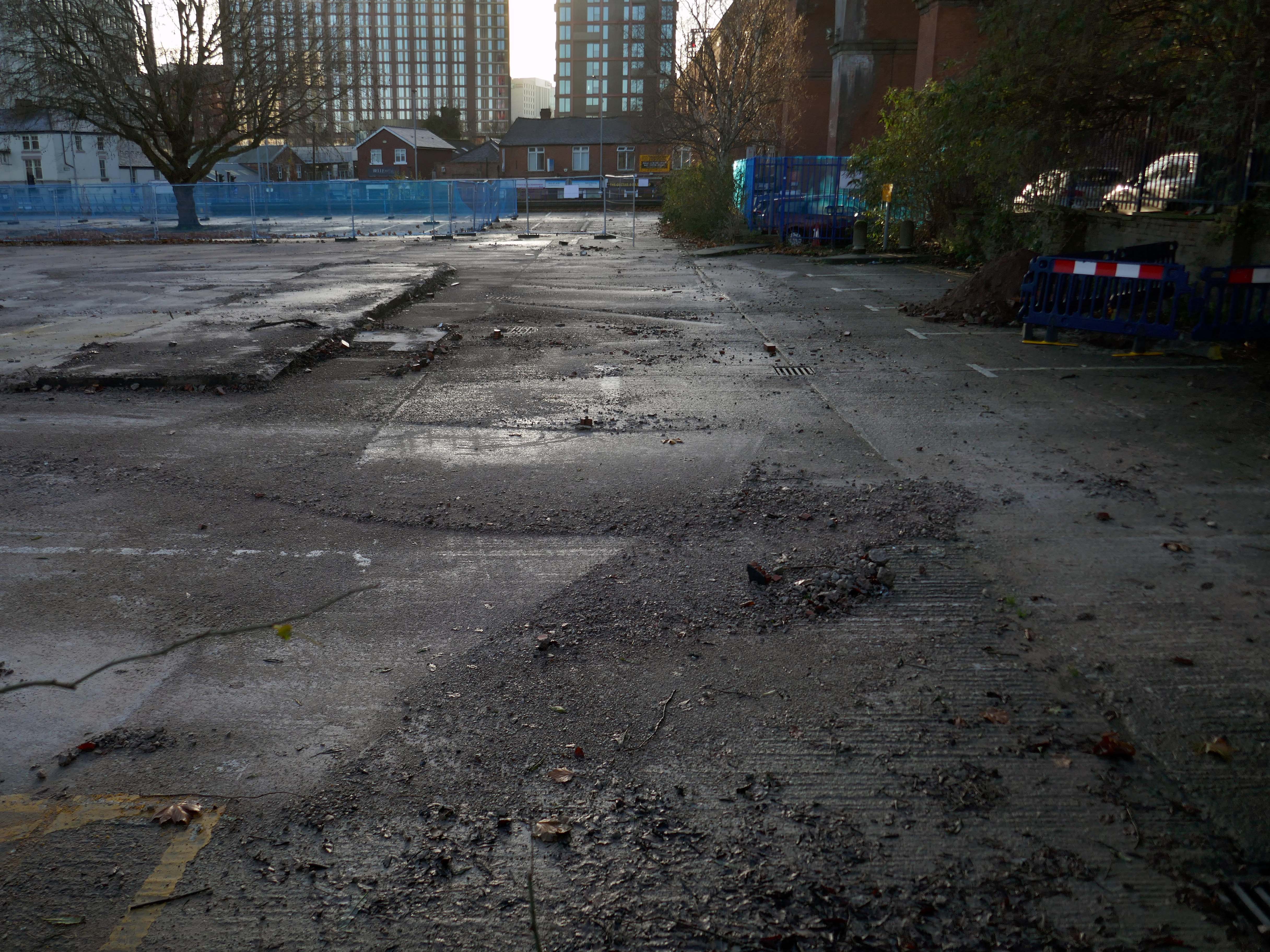
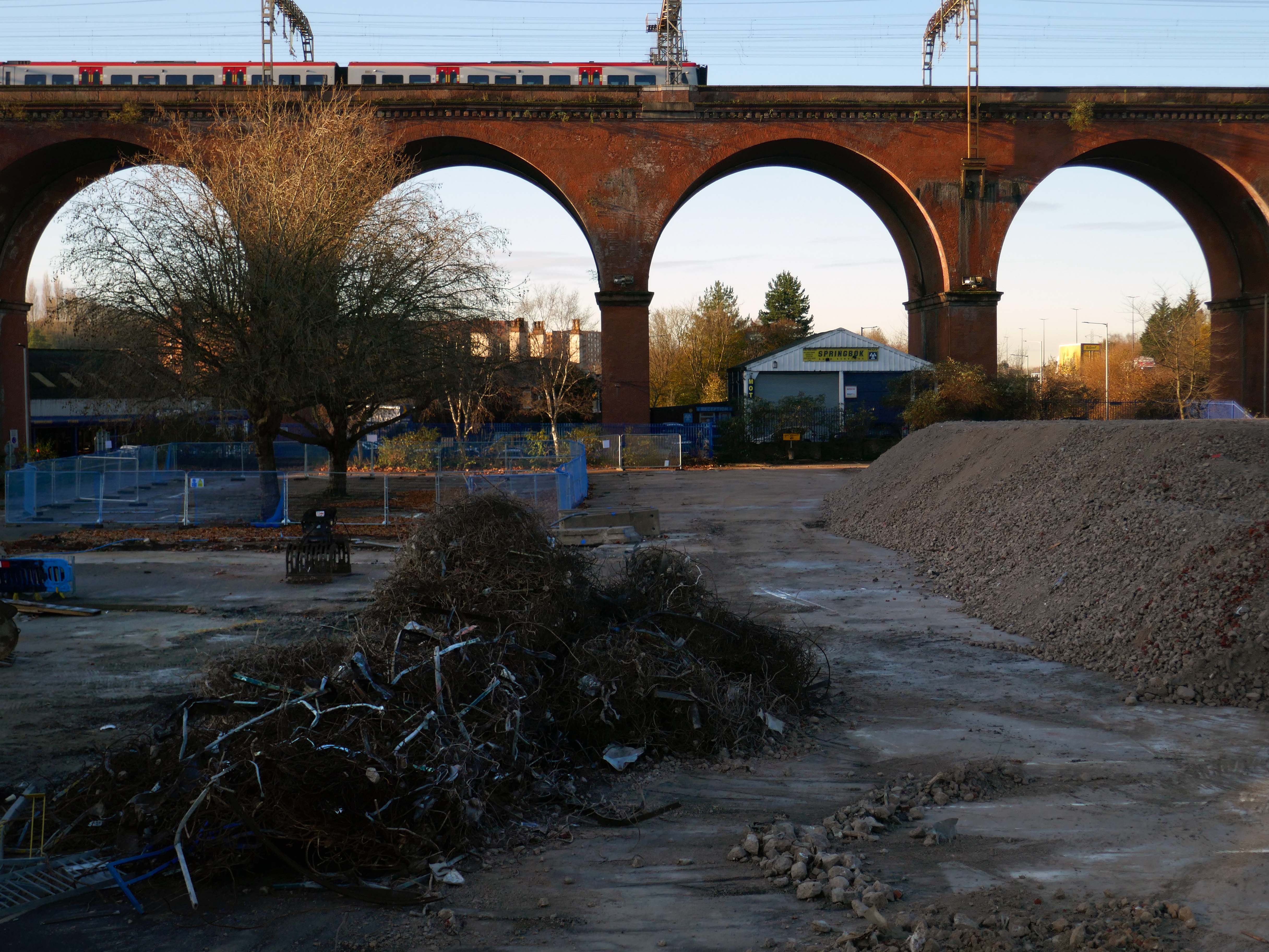
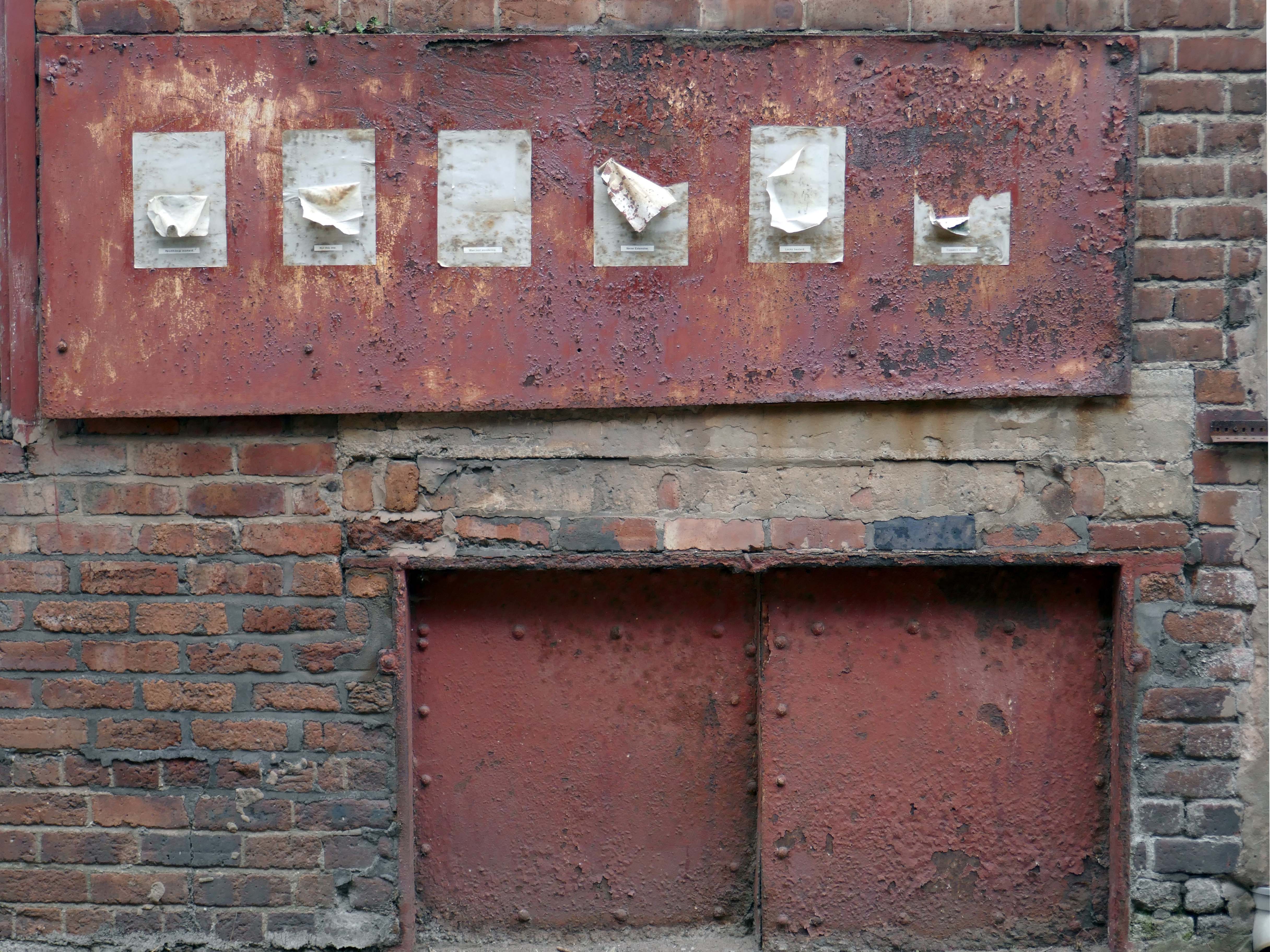
We can see the remains of the road system of this former industrial site, now colonised by brambles and greenery, the imposition of earth mounds and fly tipping.
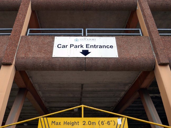
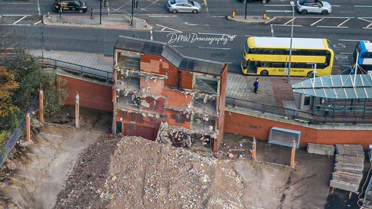
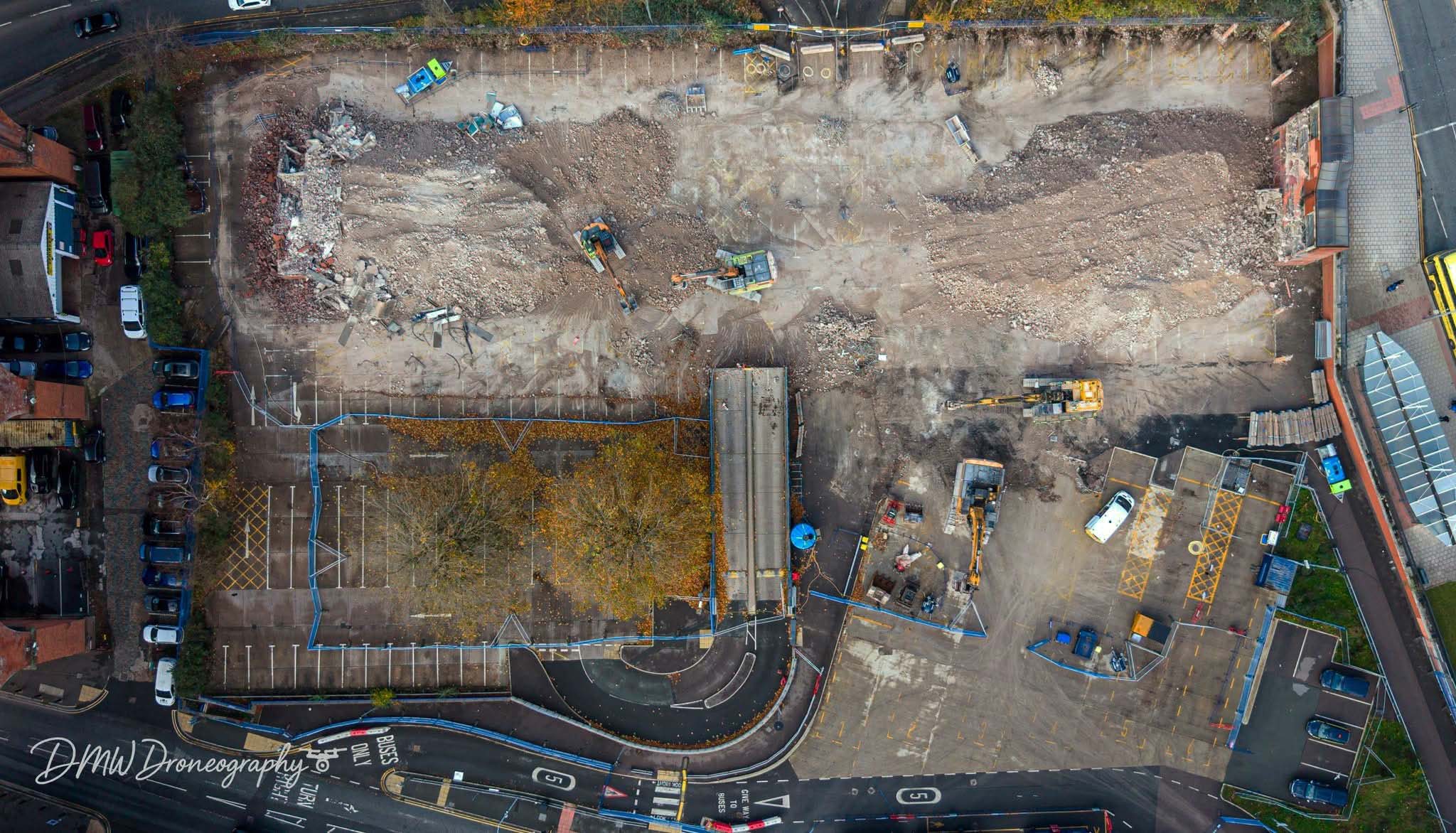
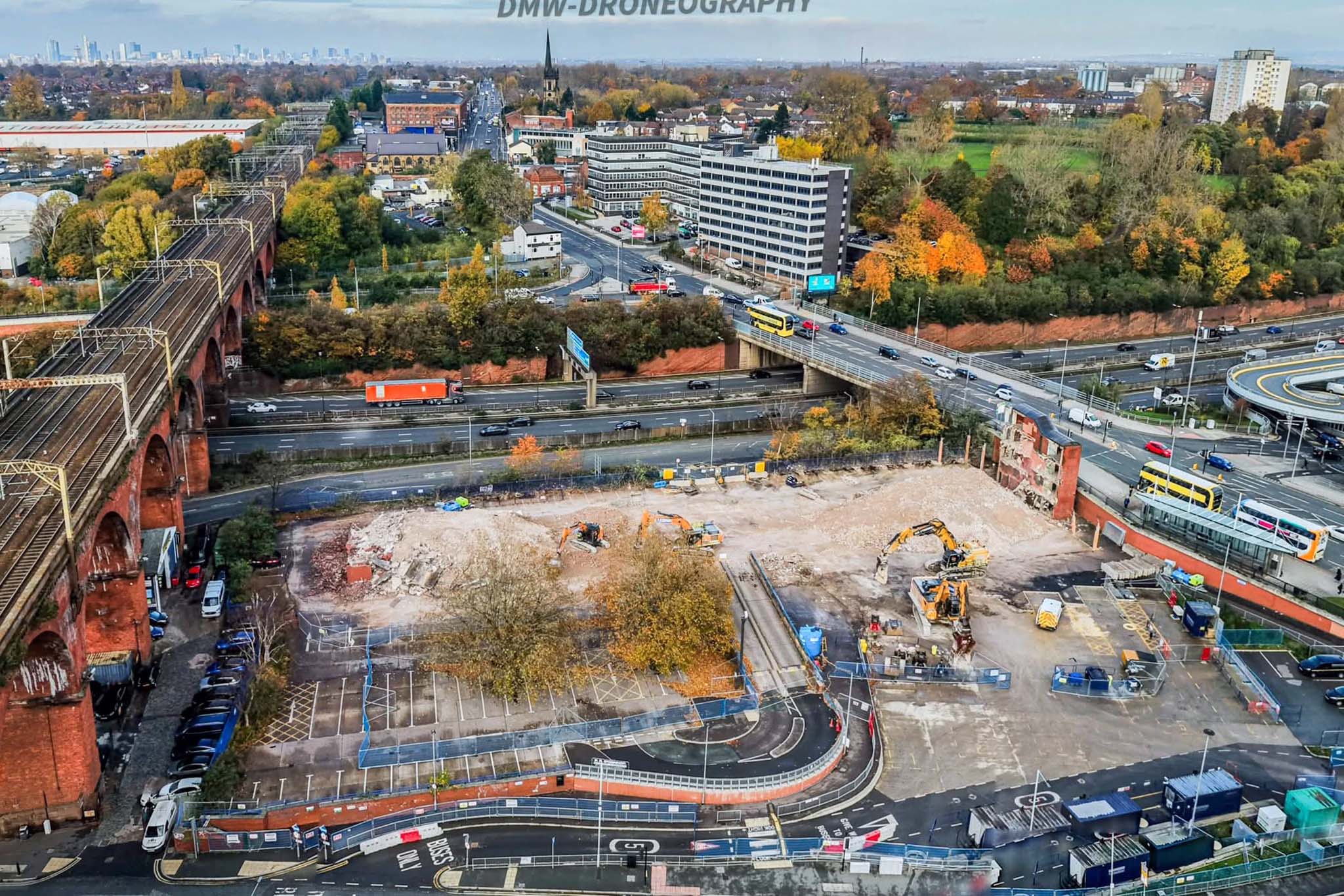
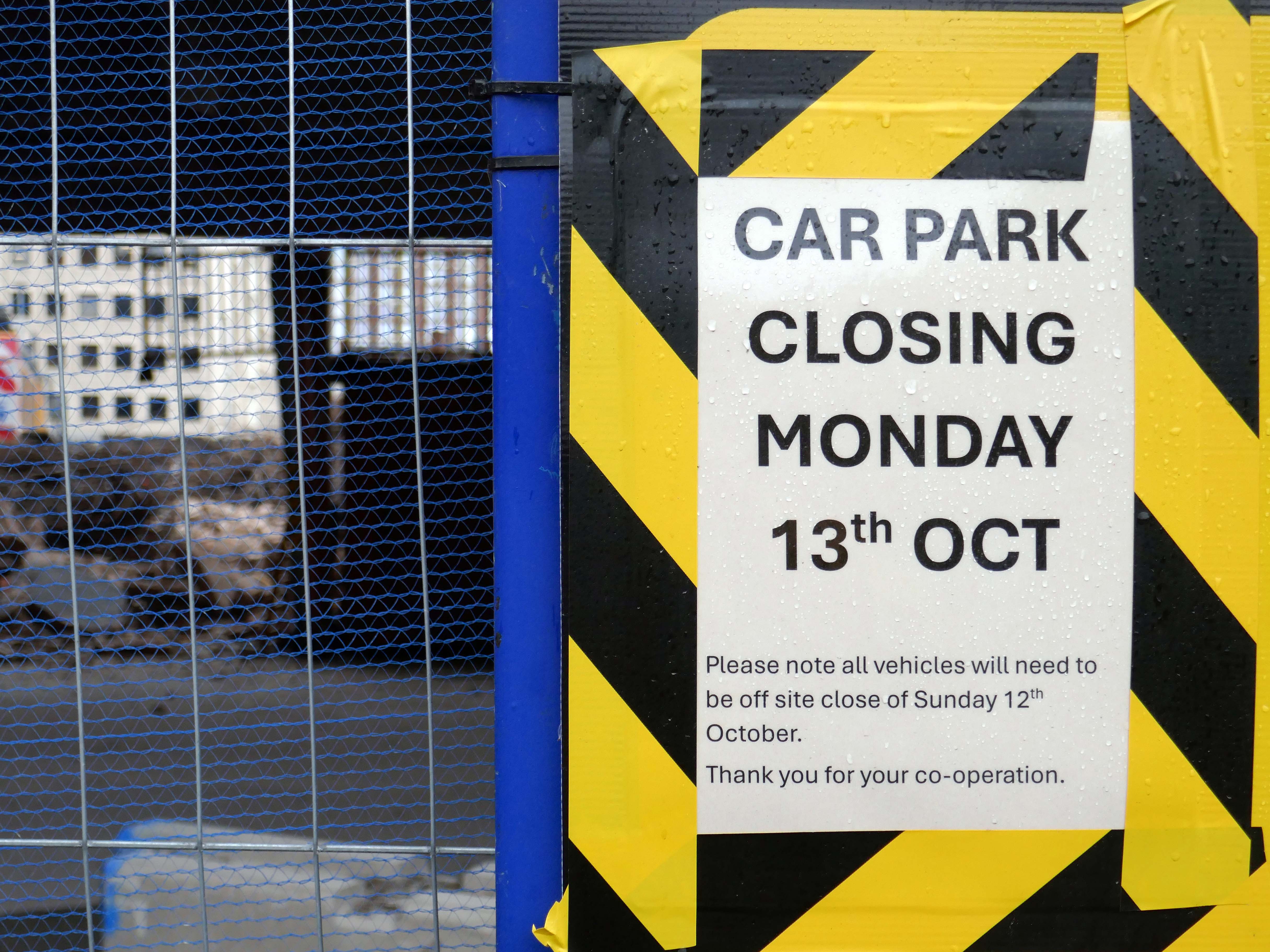
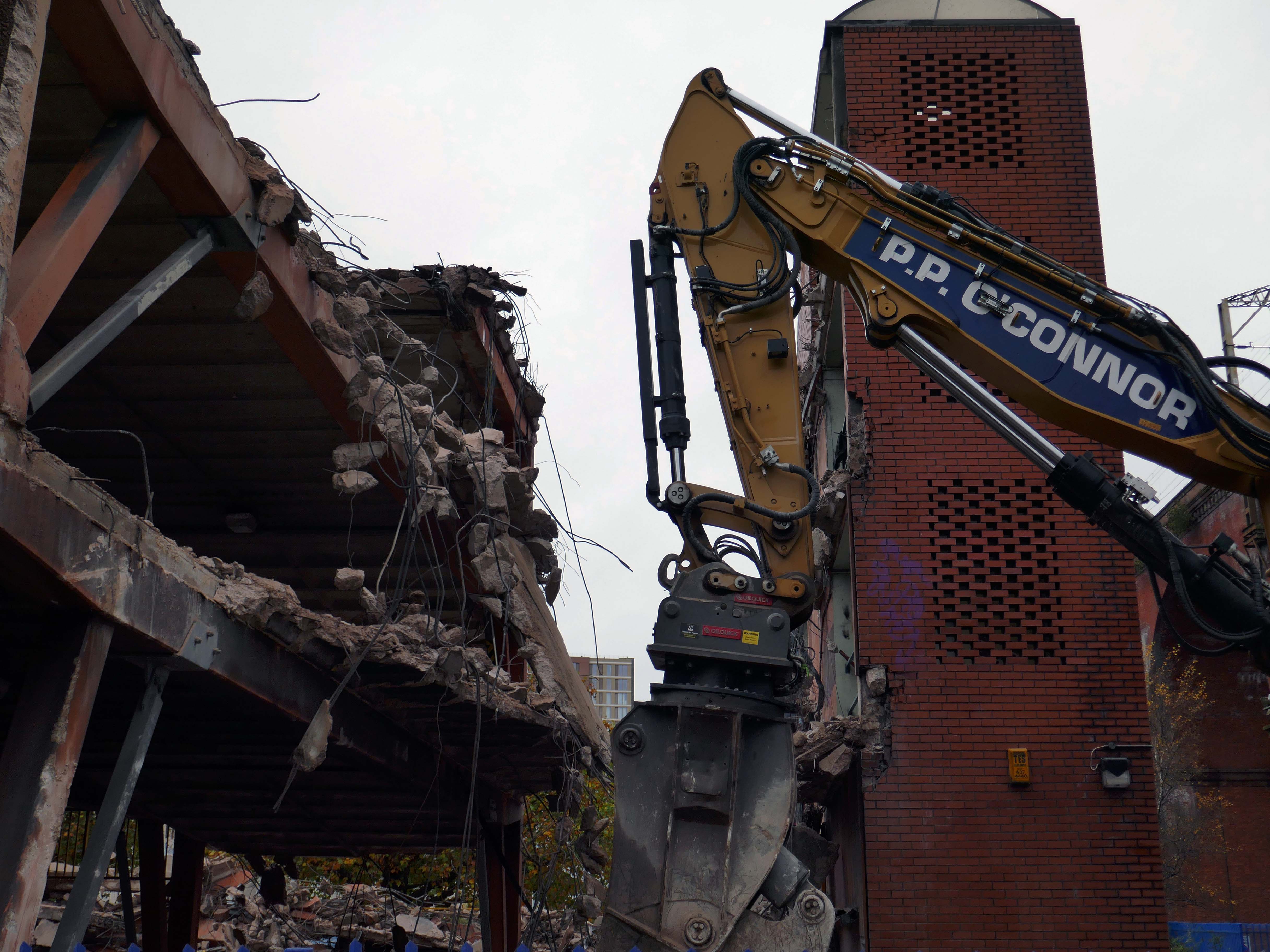
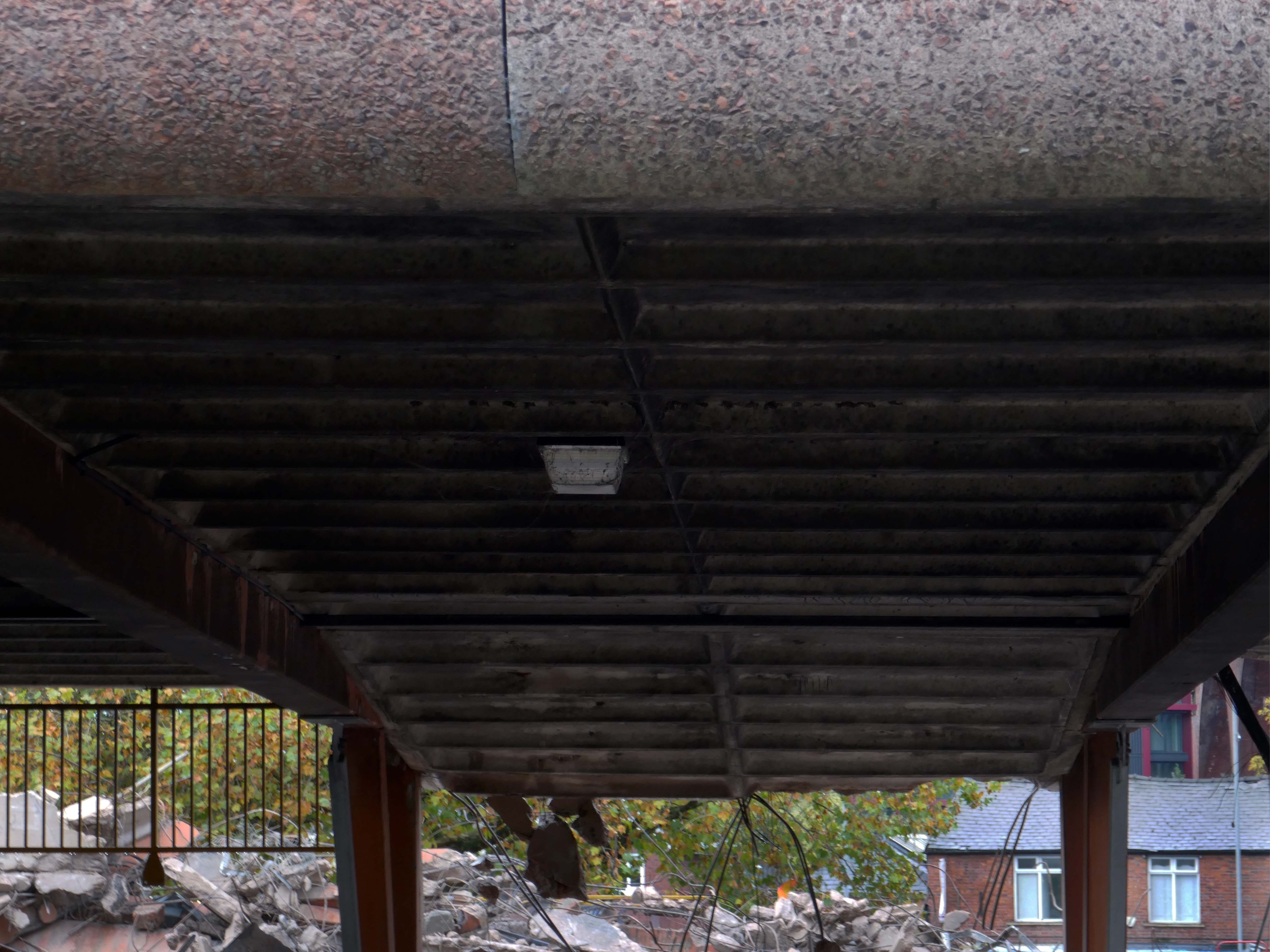
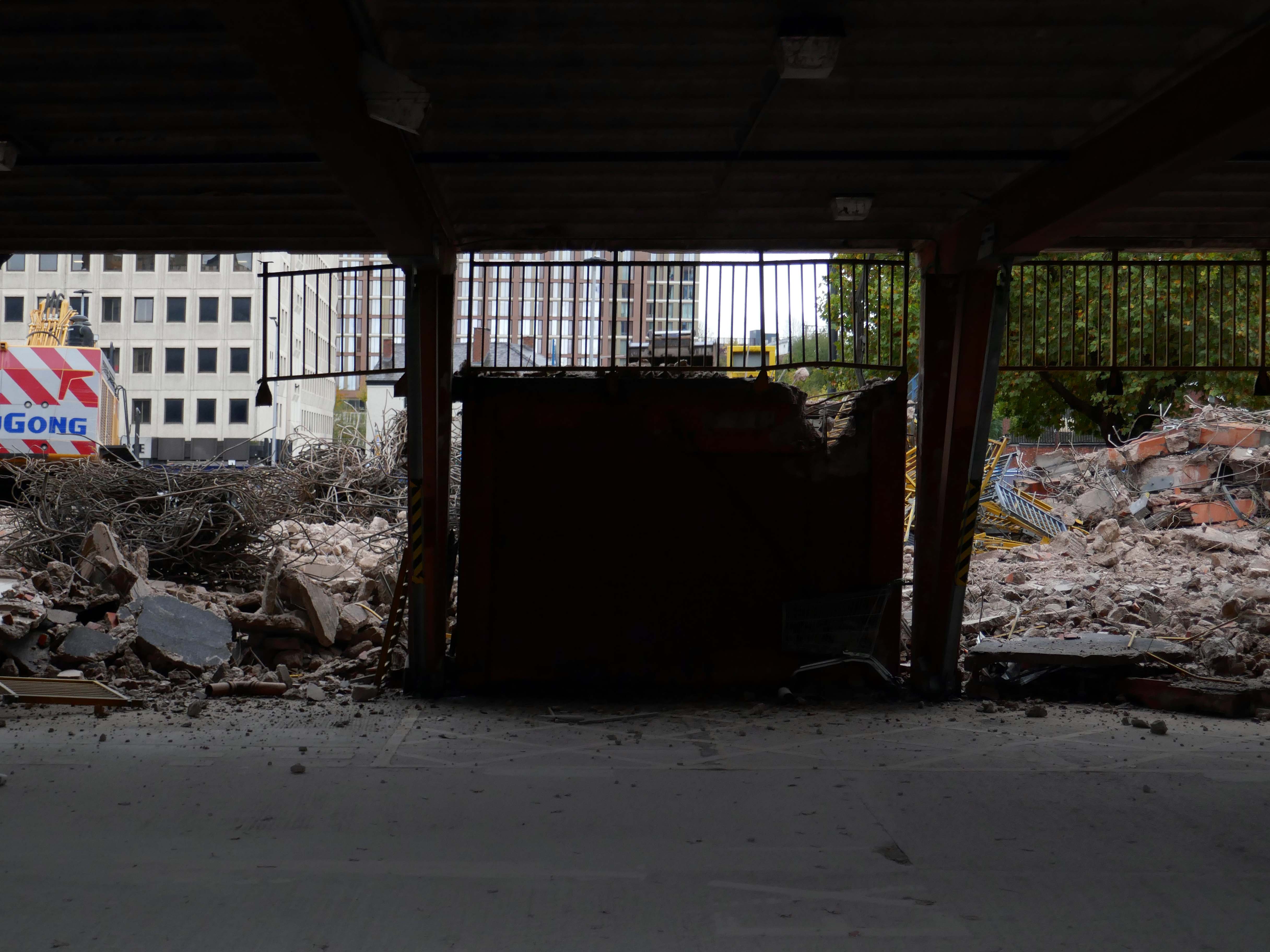
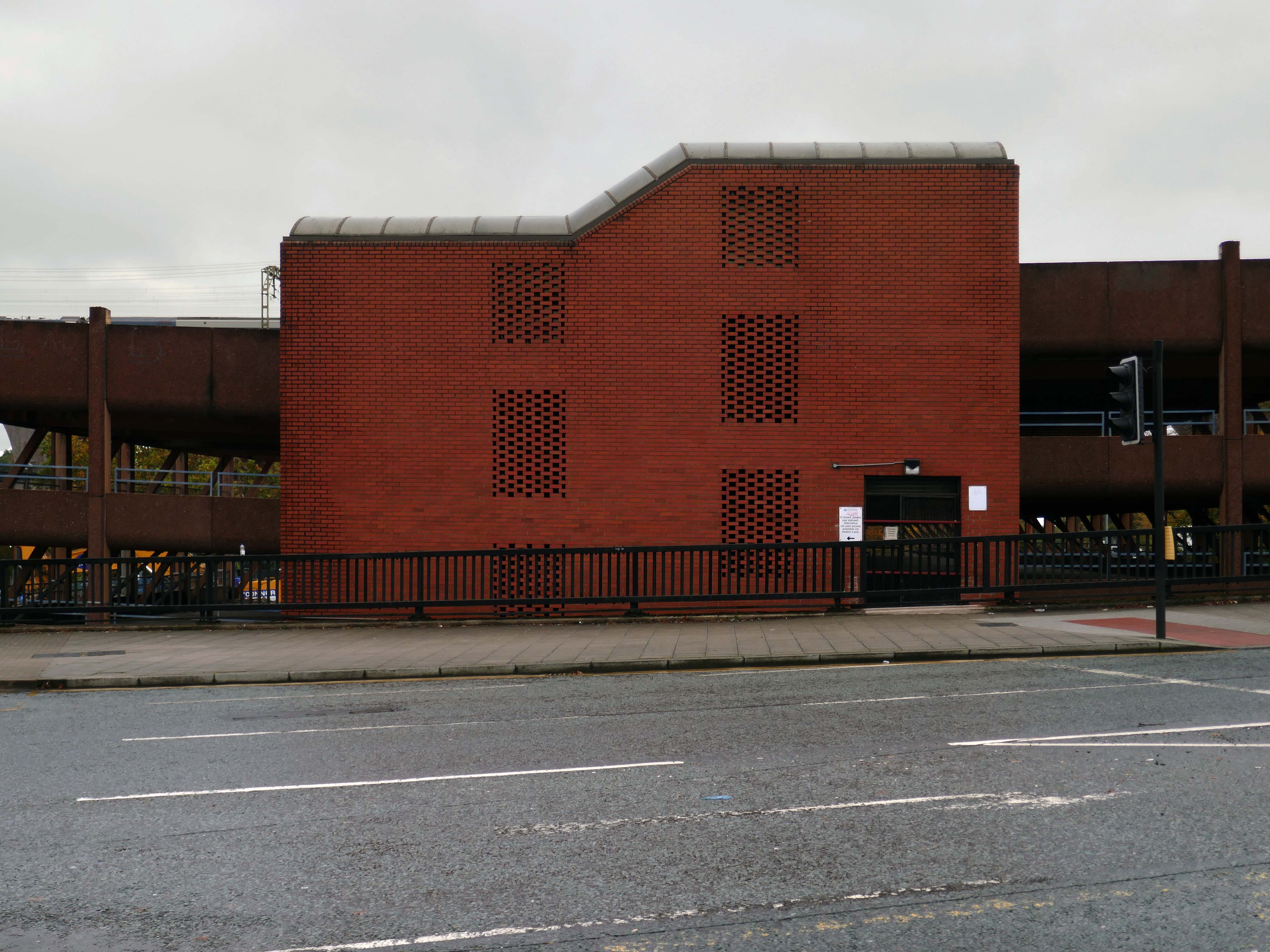
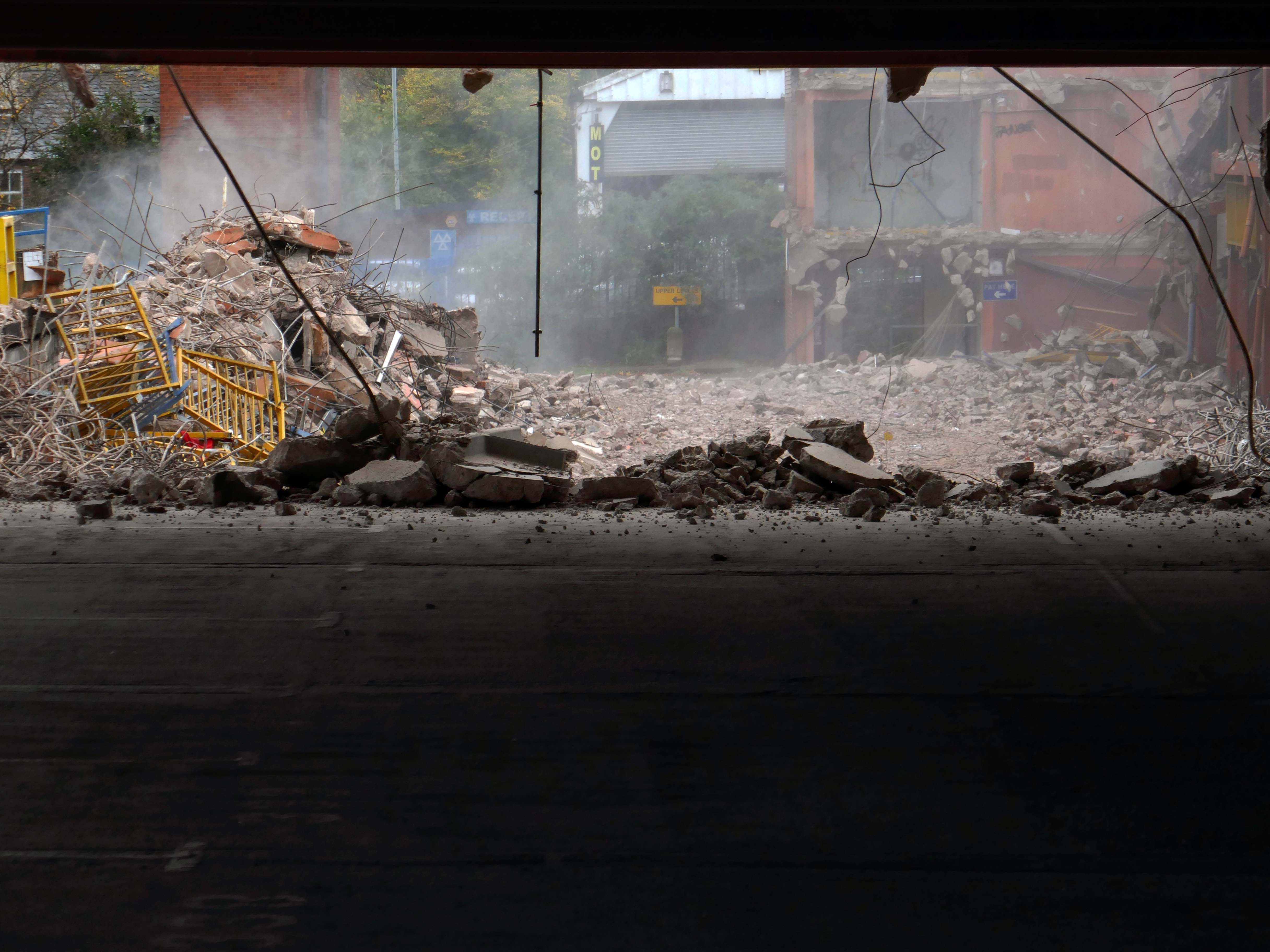
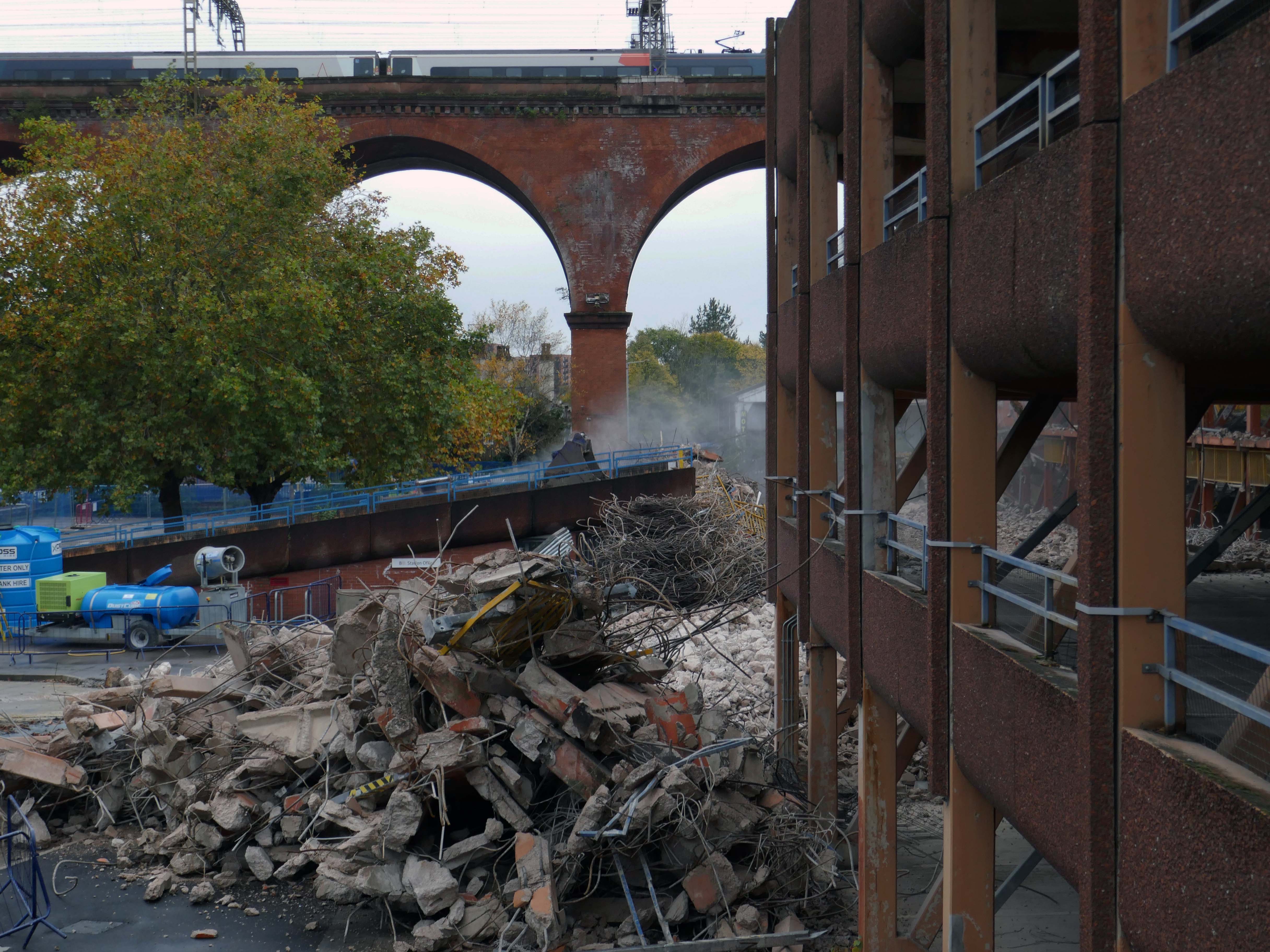
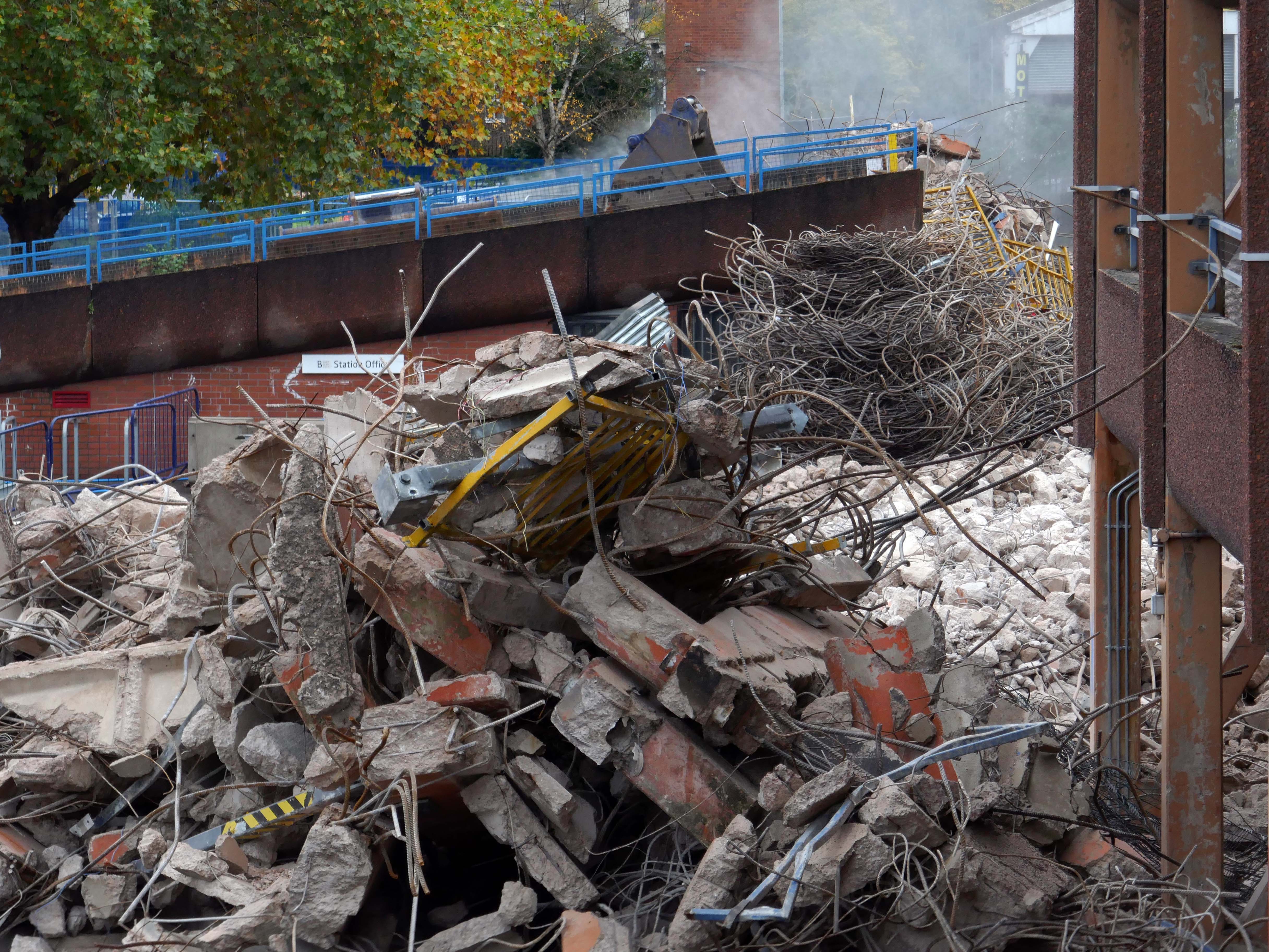
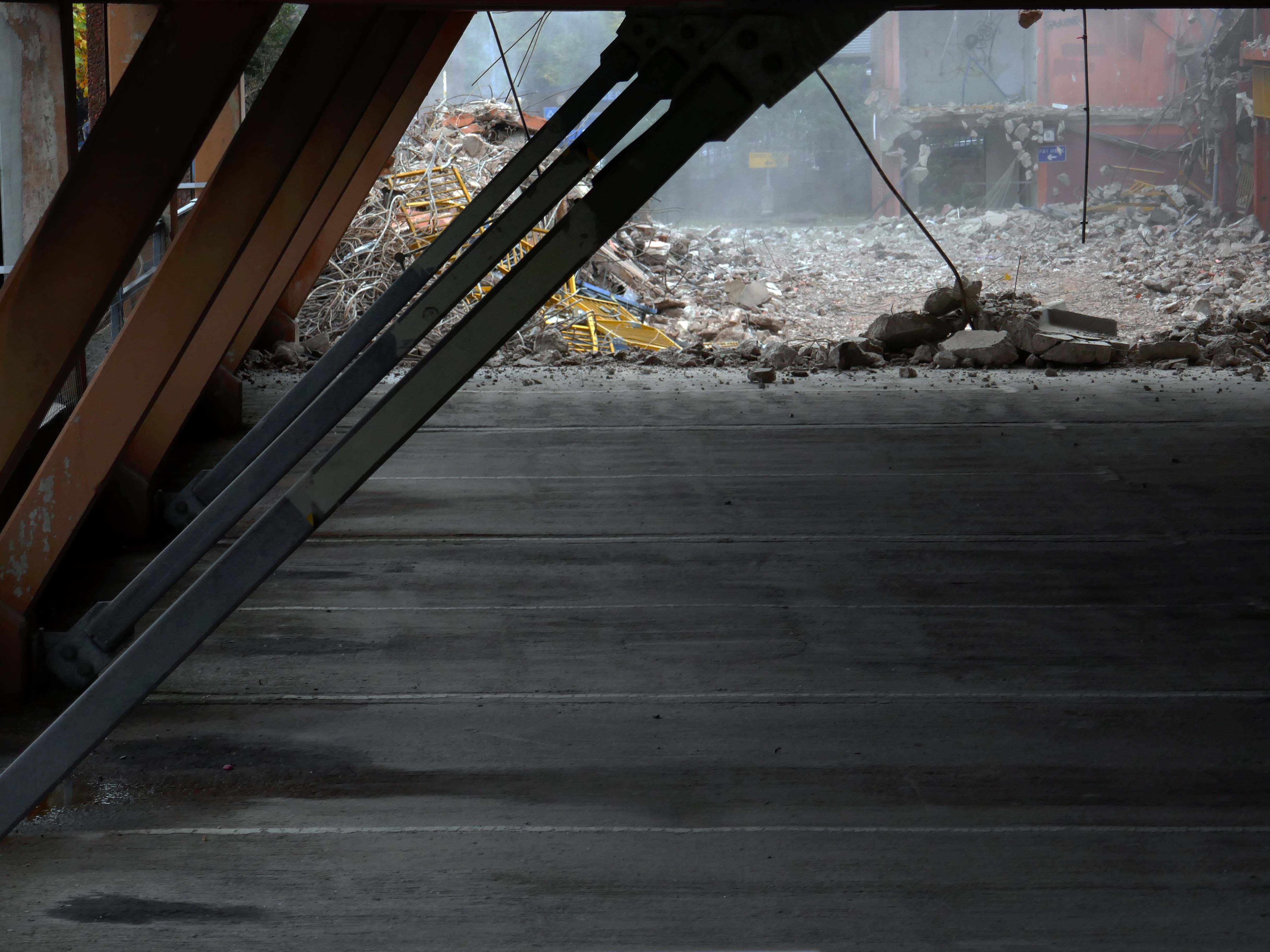
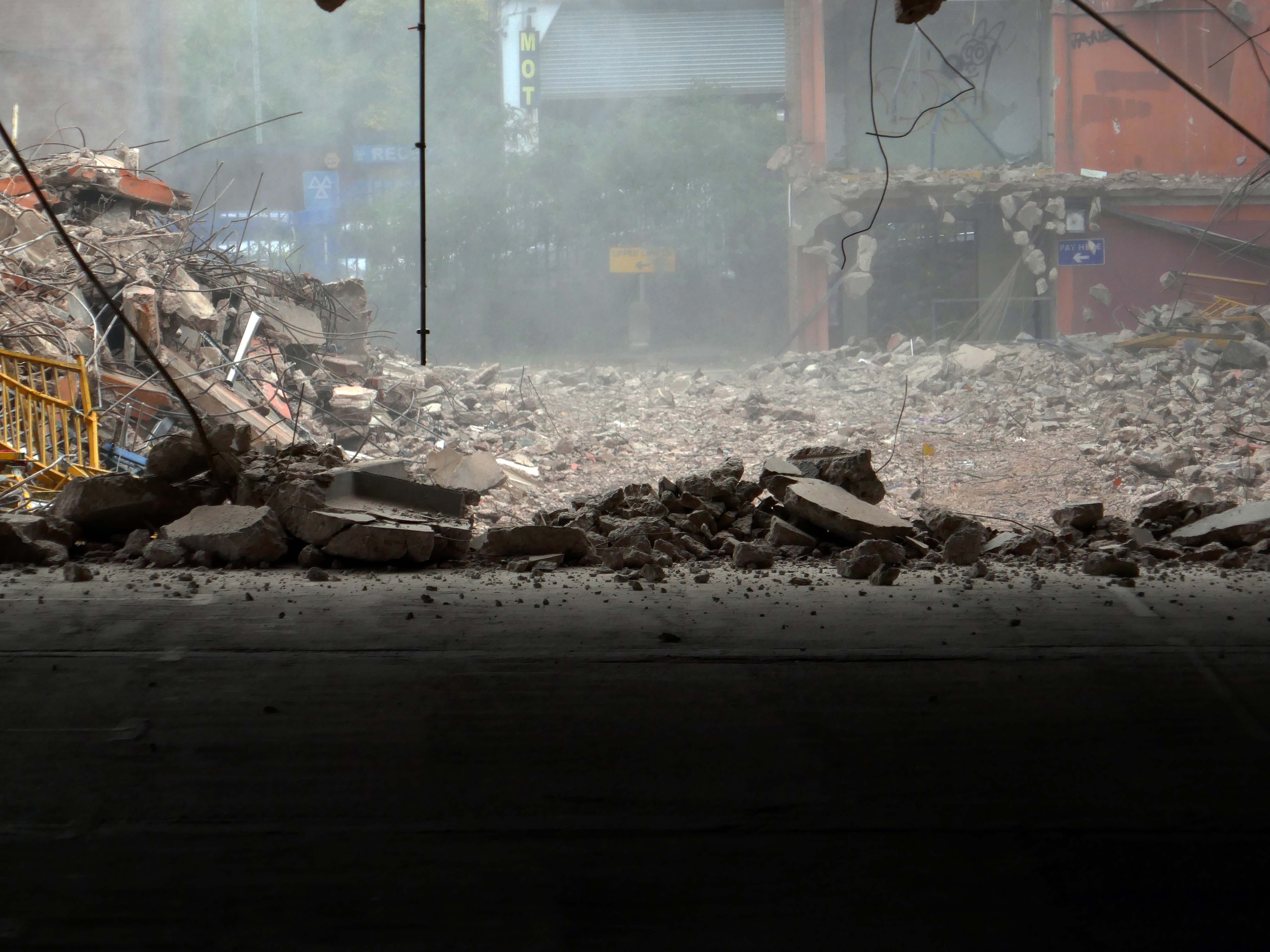
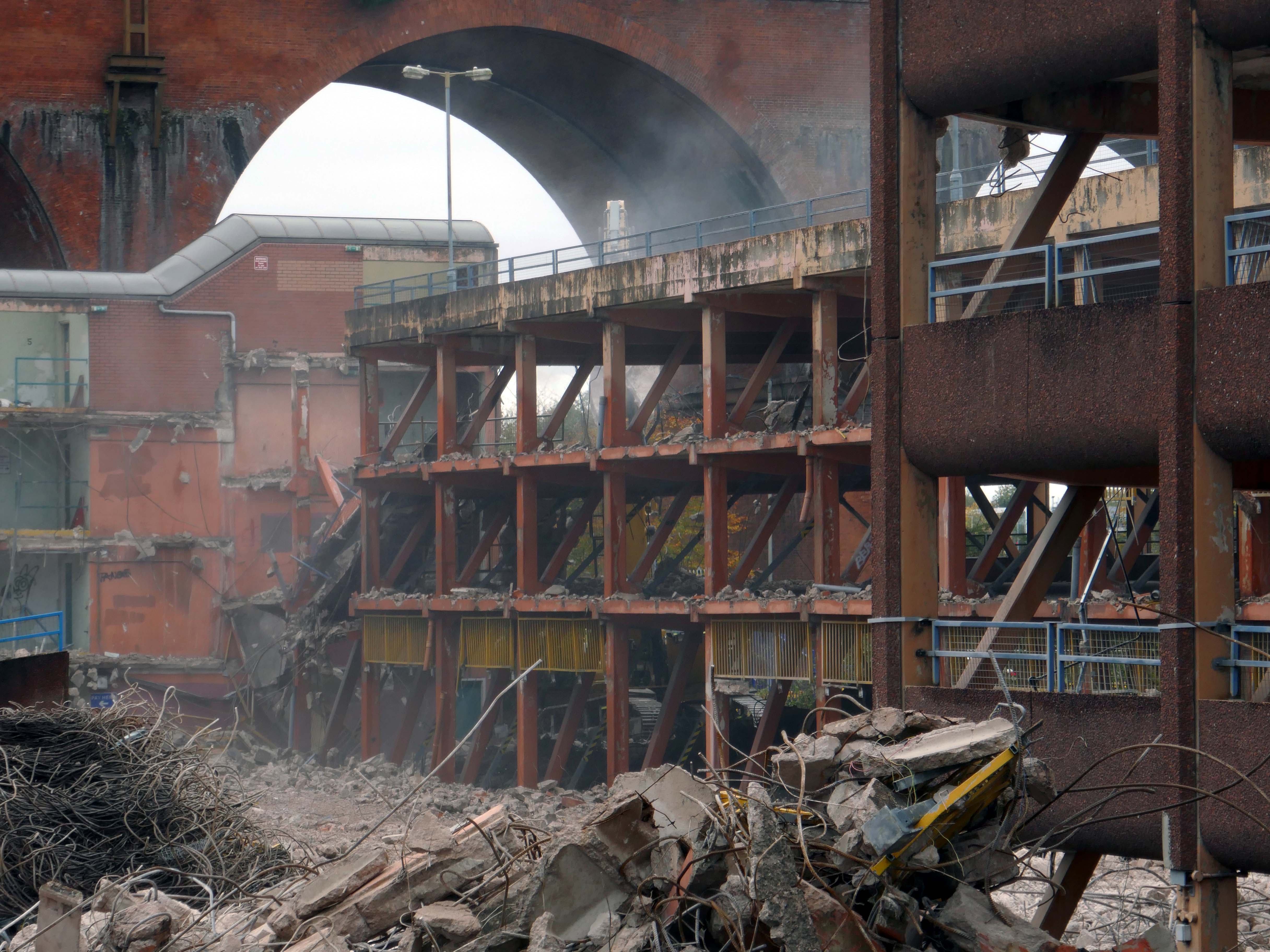
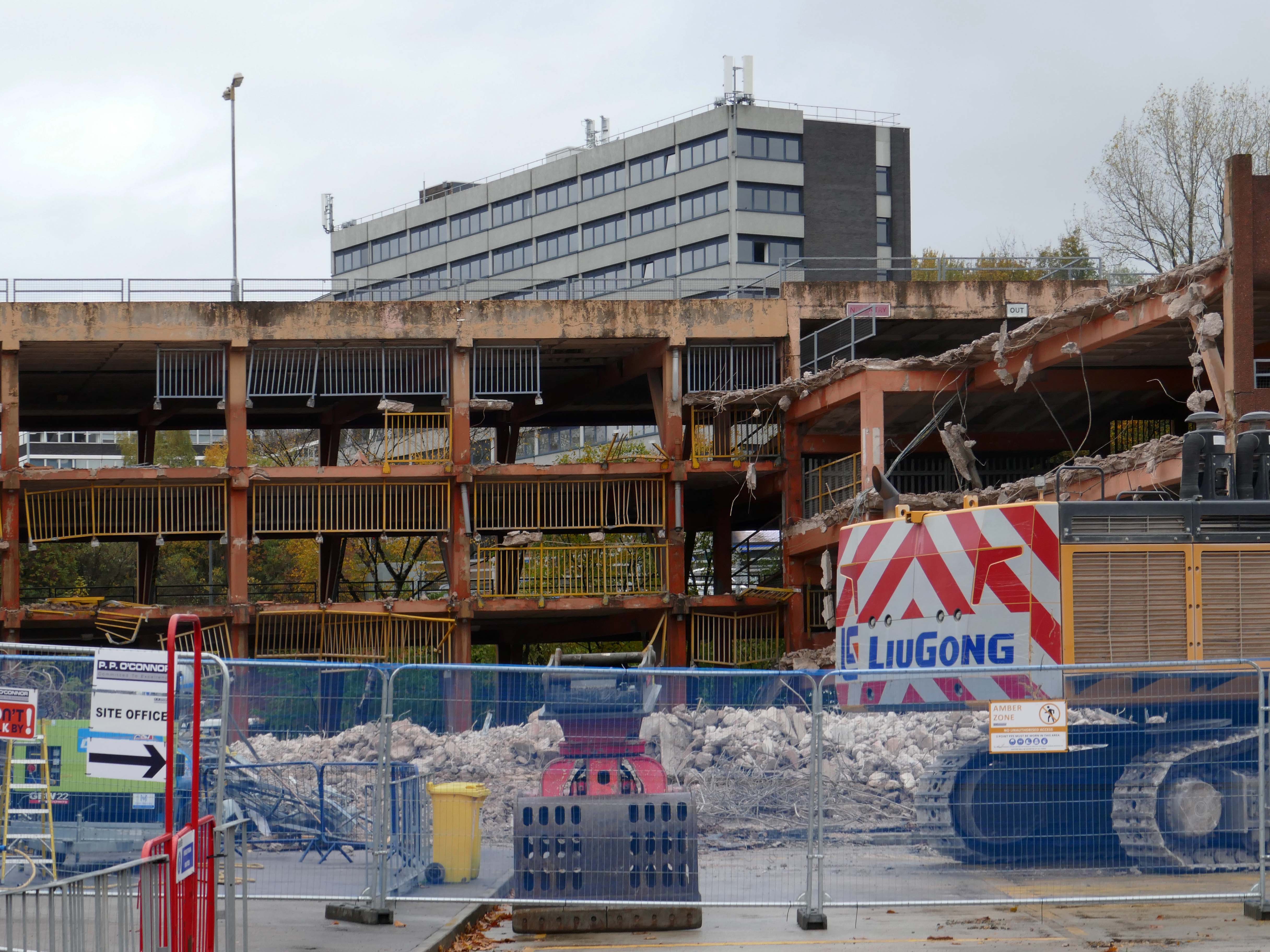
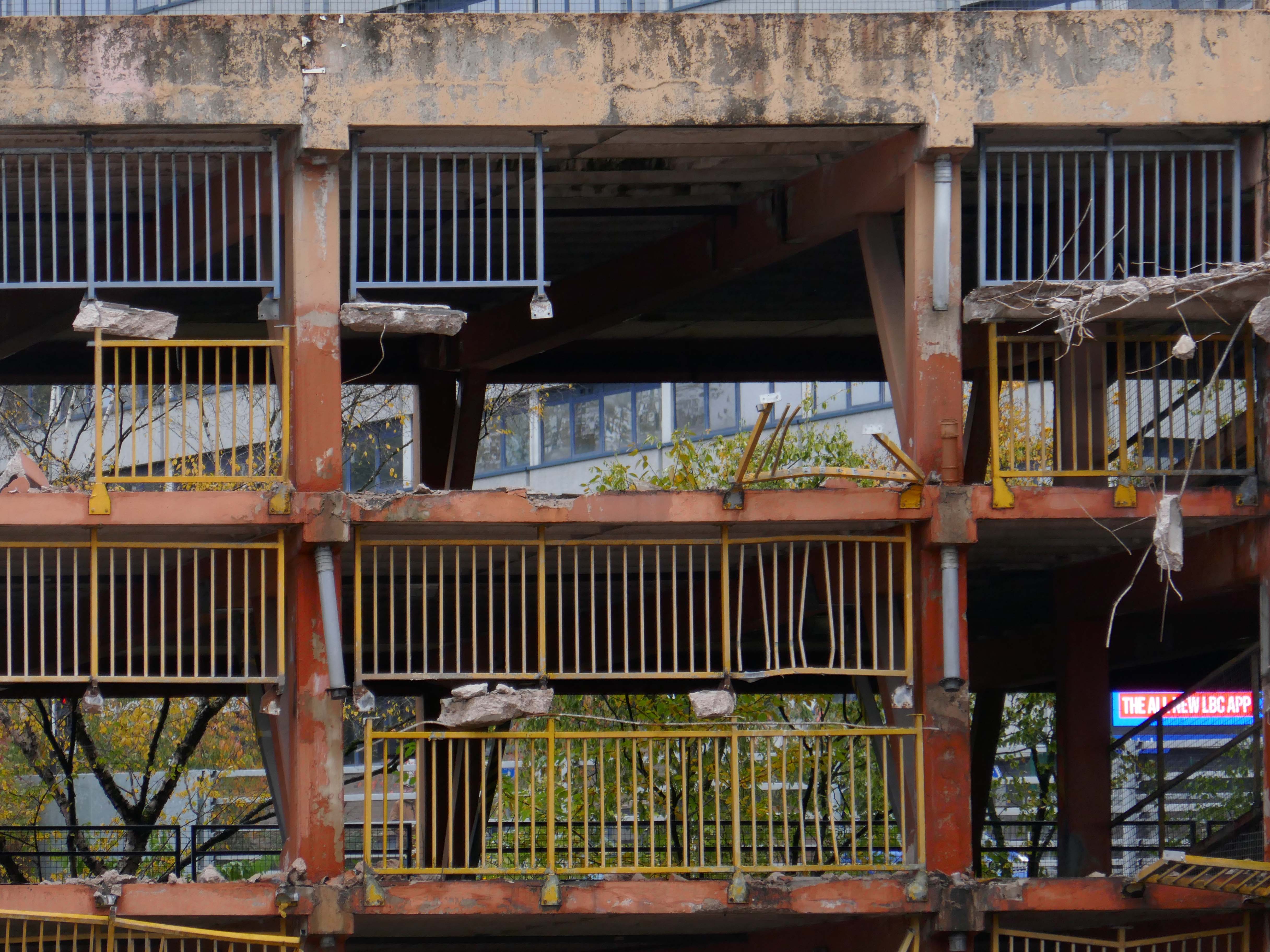
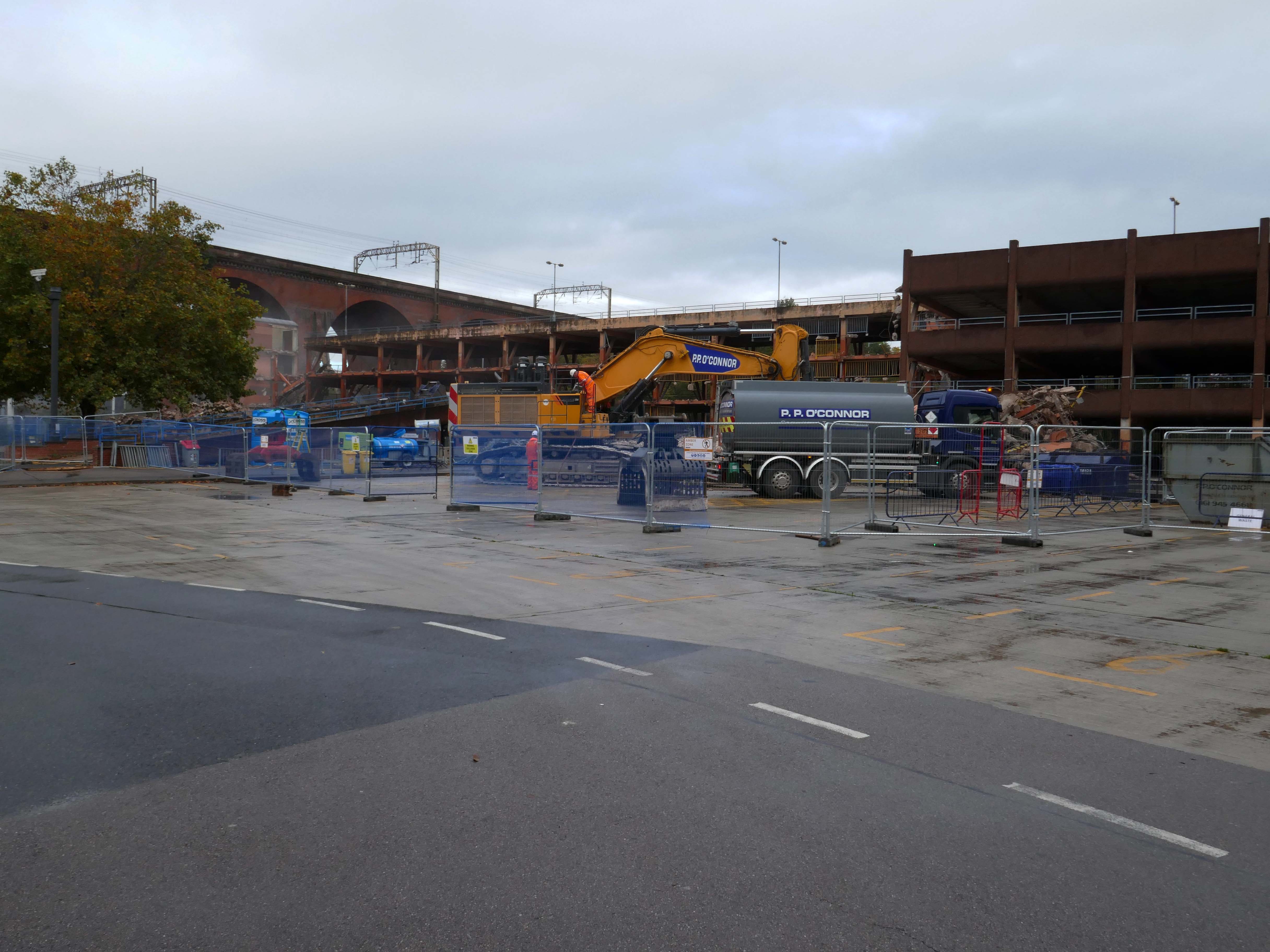
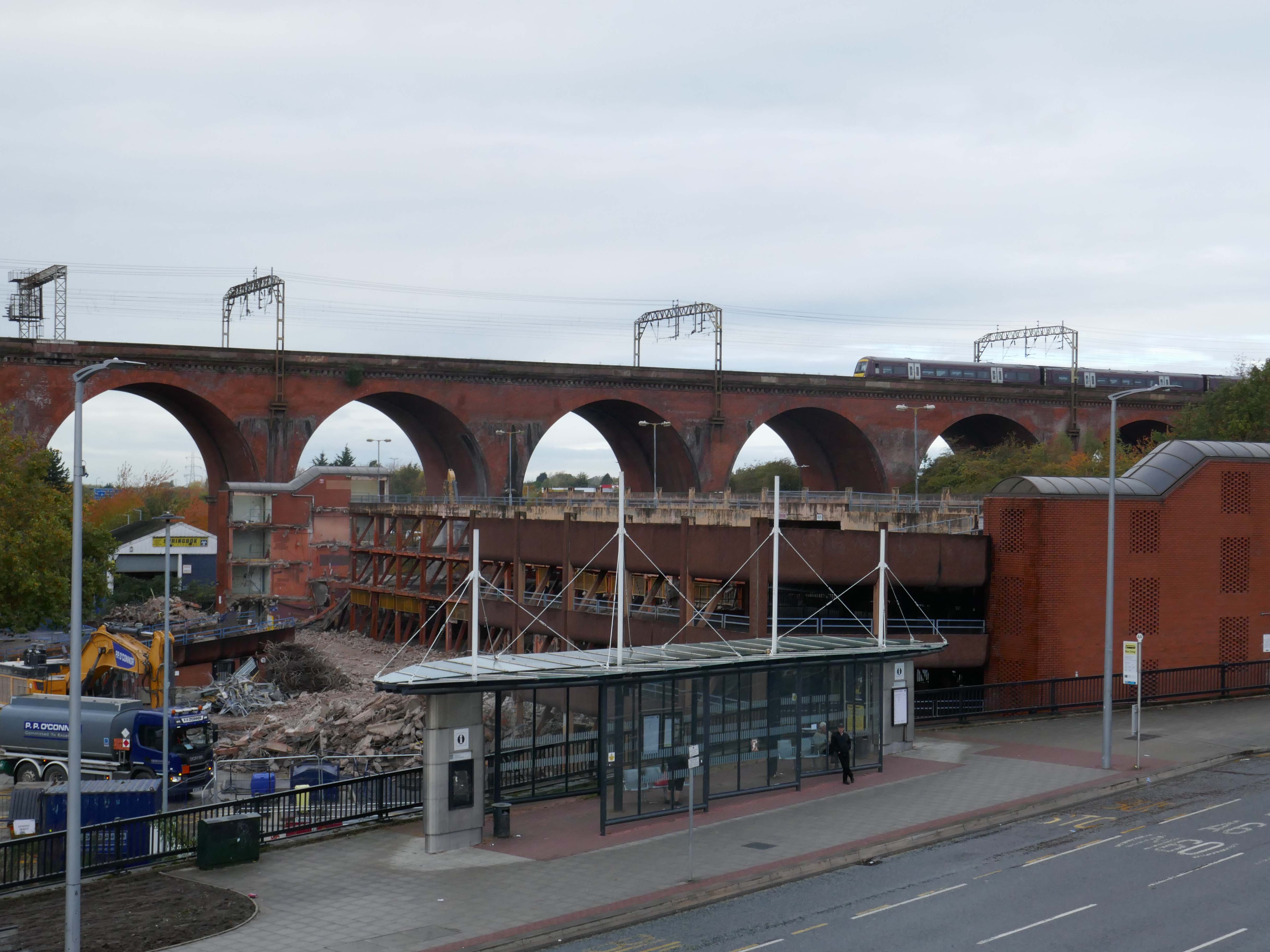
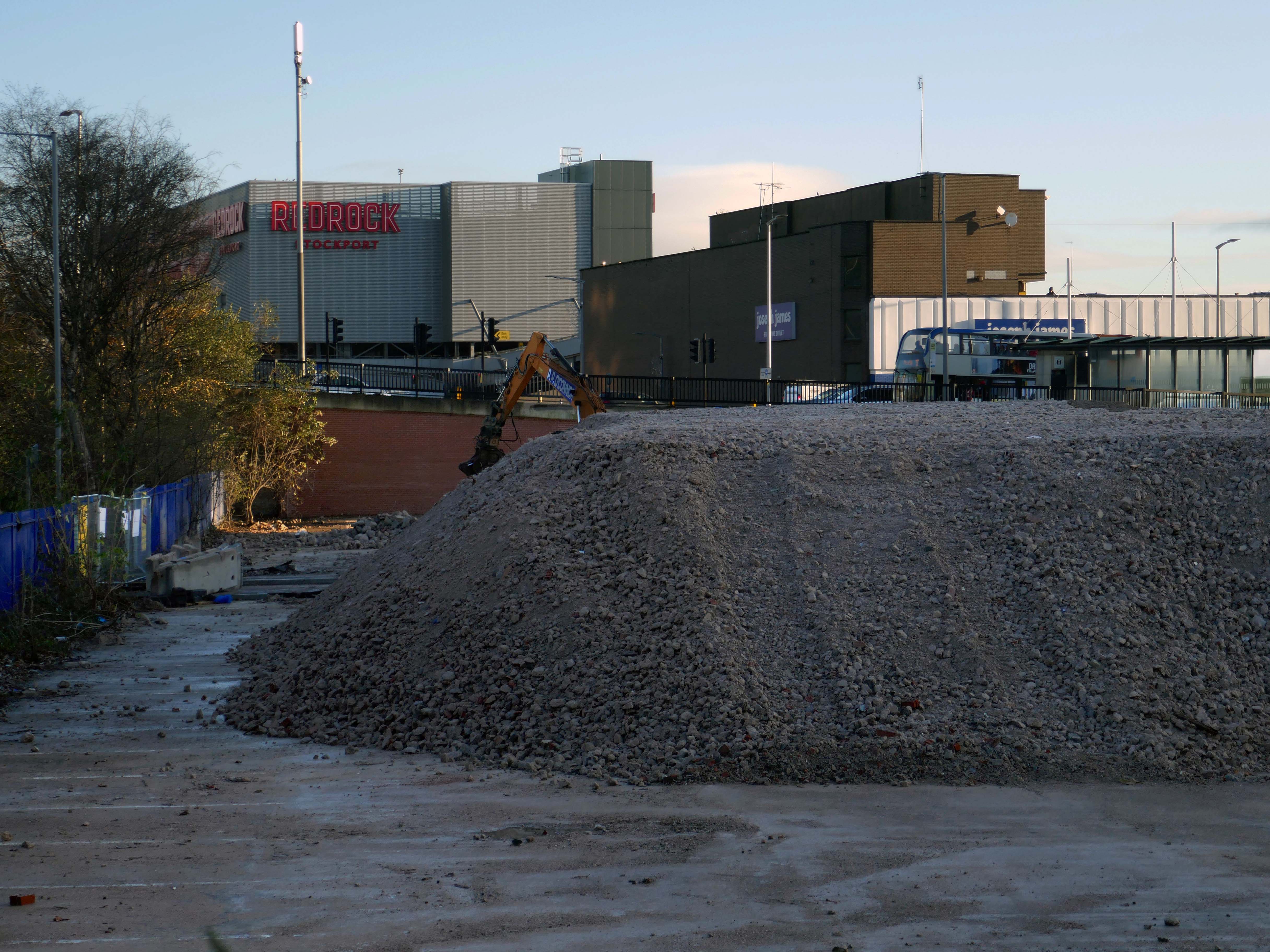
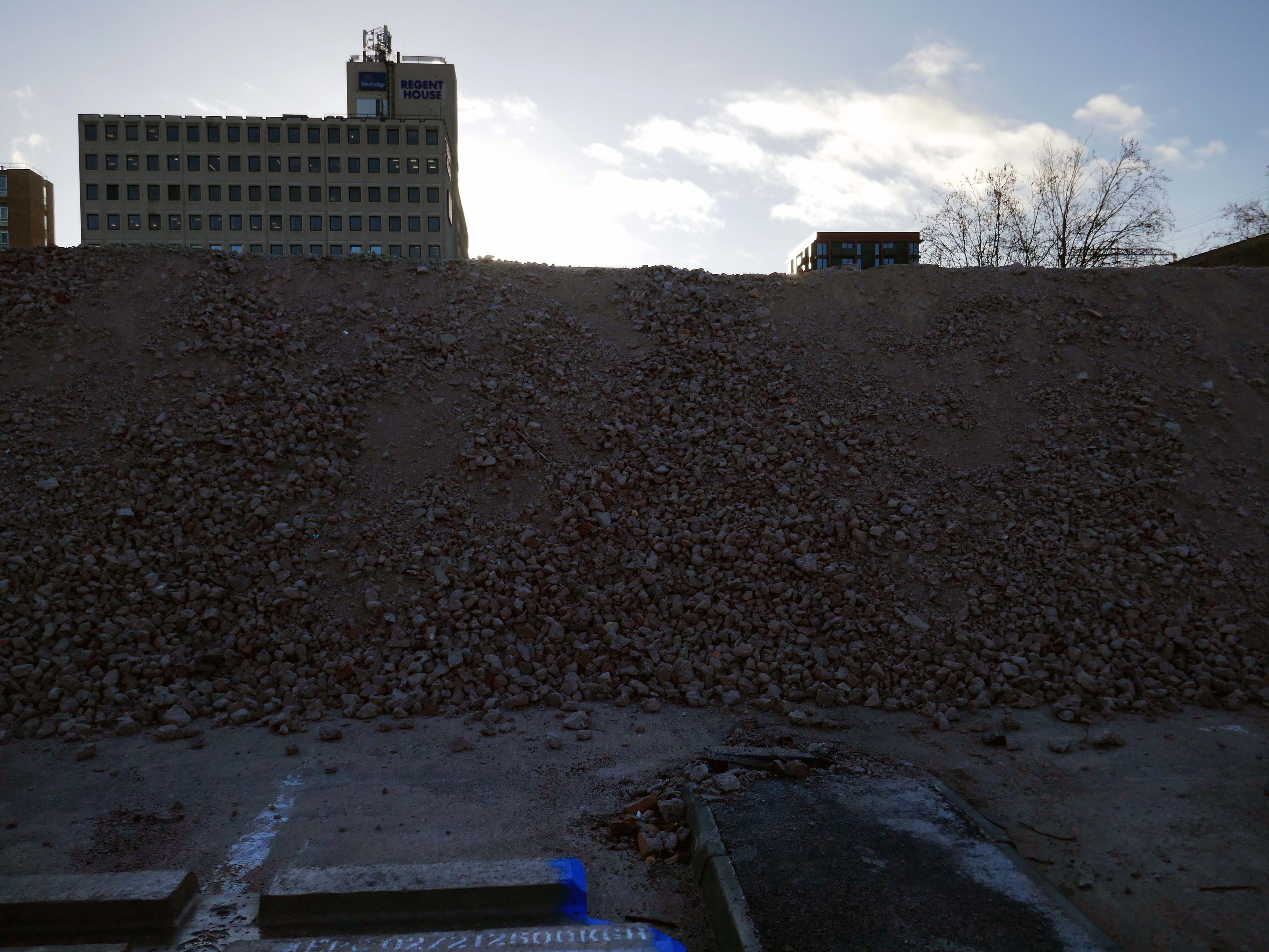
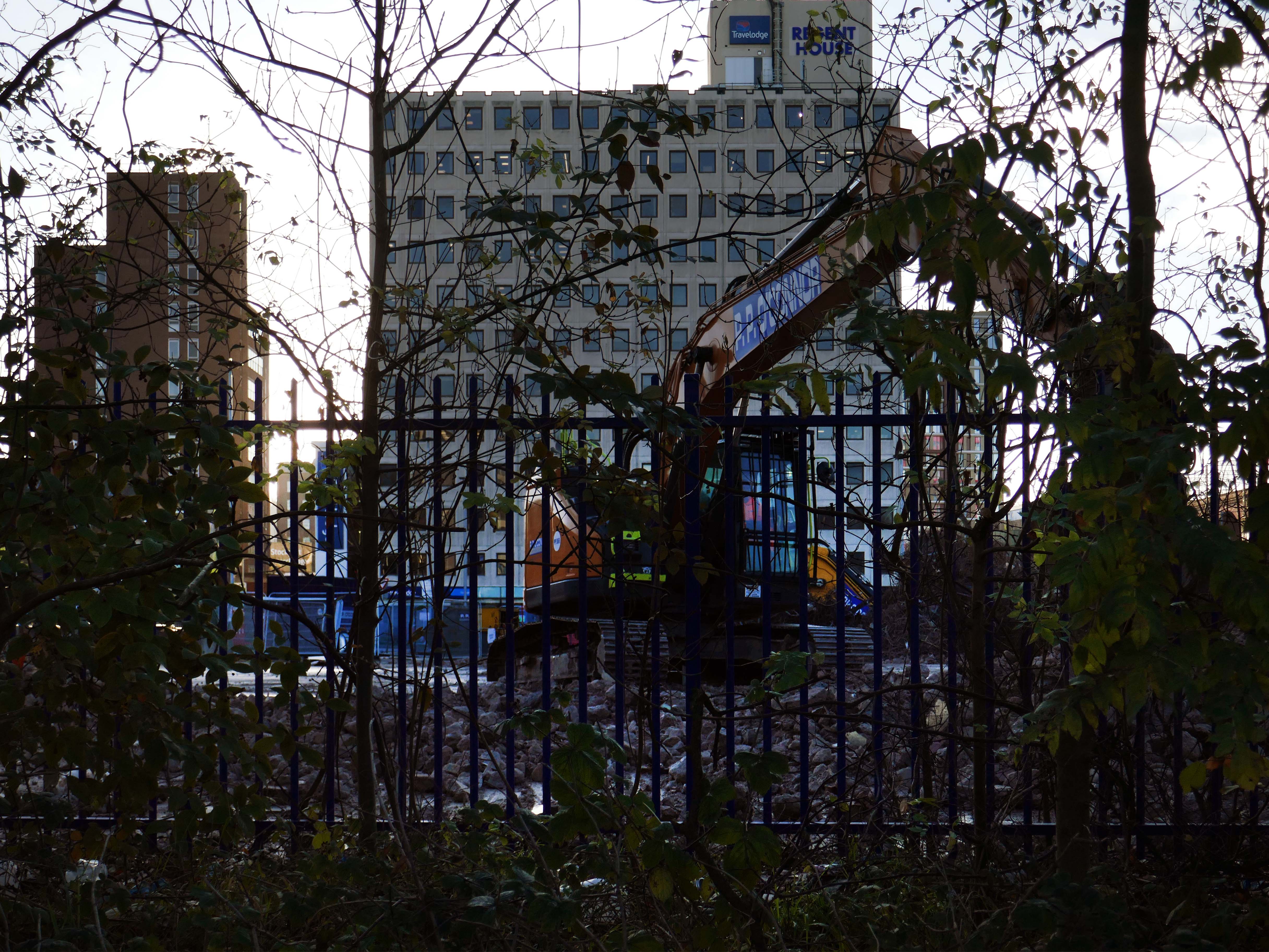
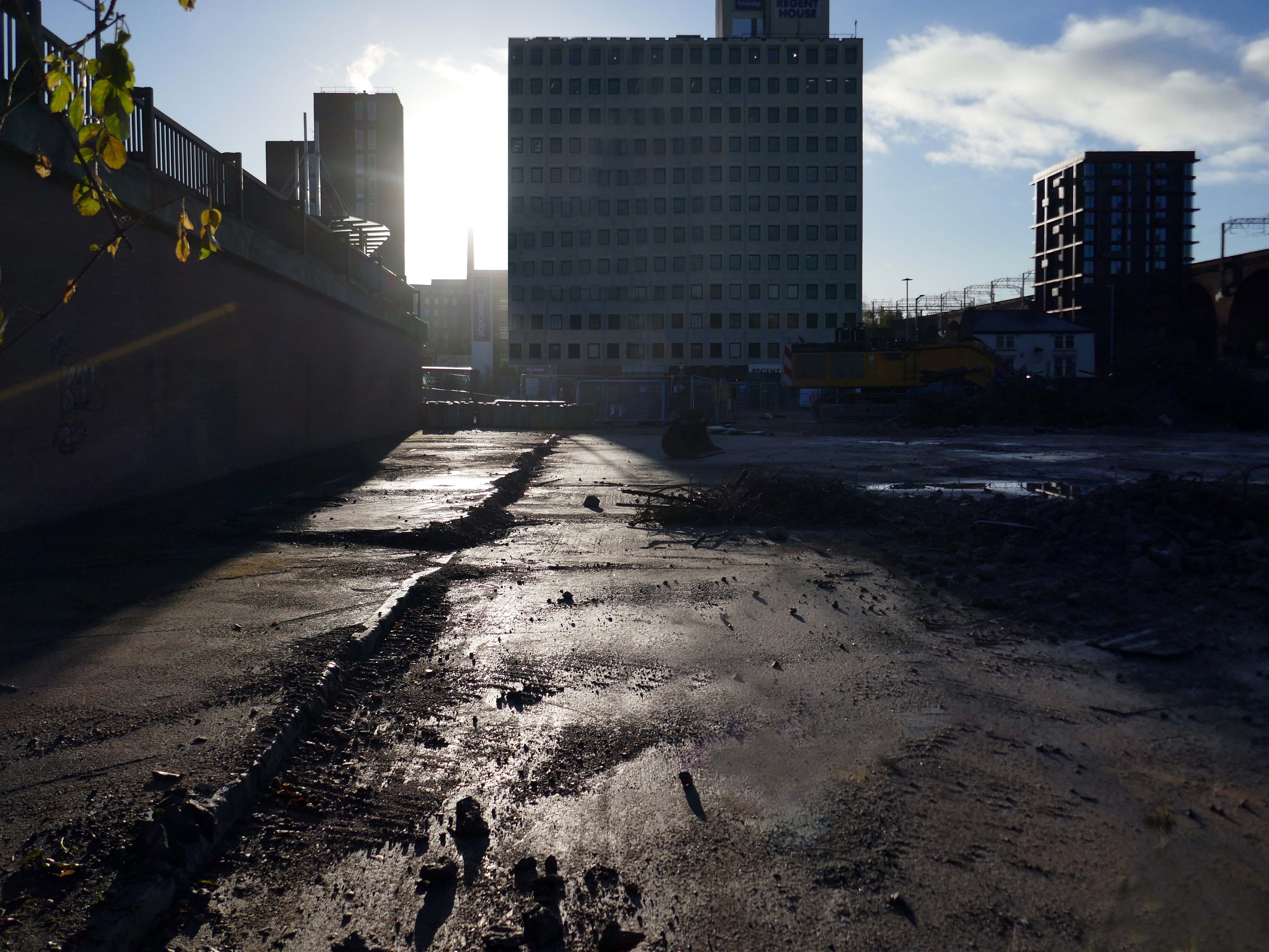
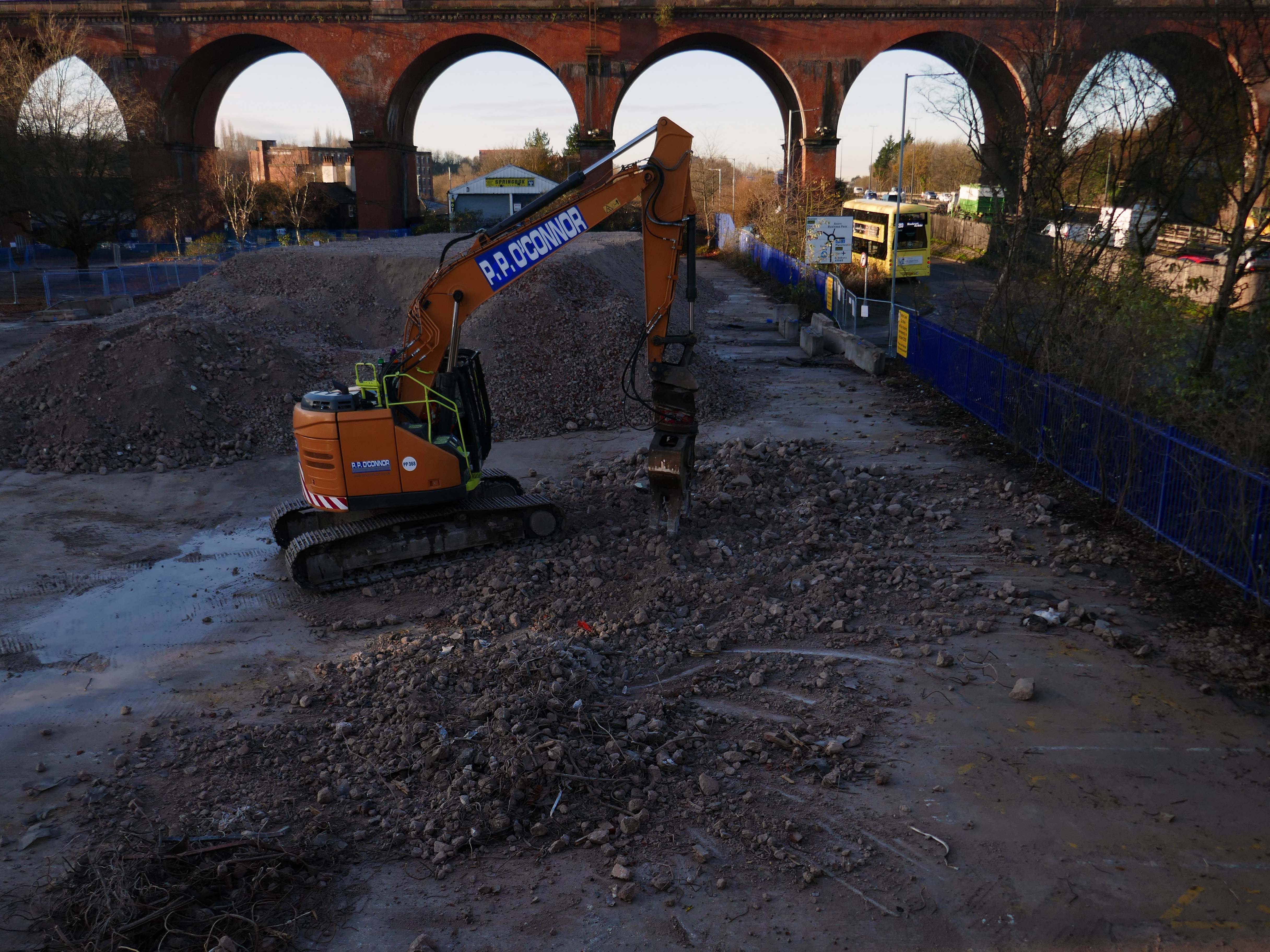
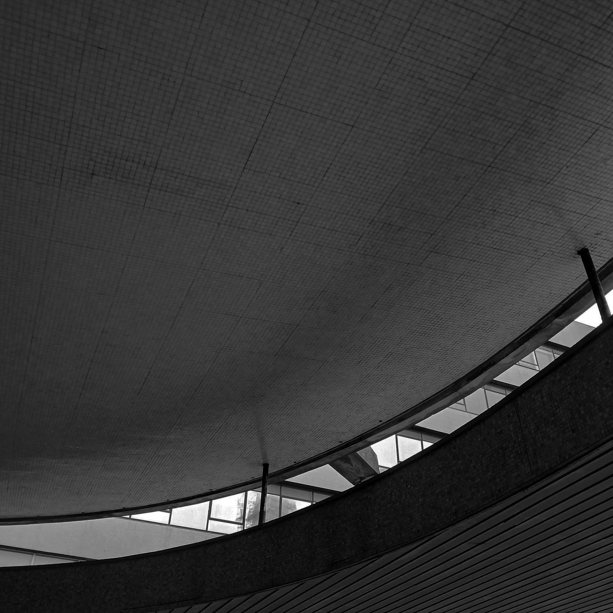
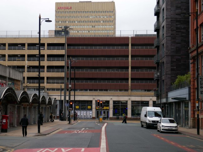
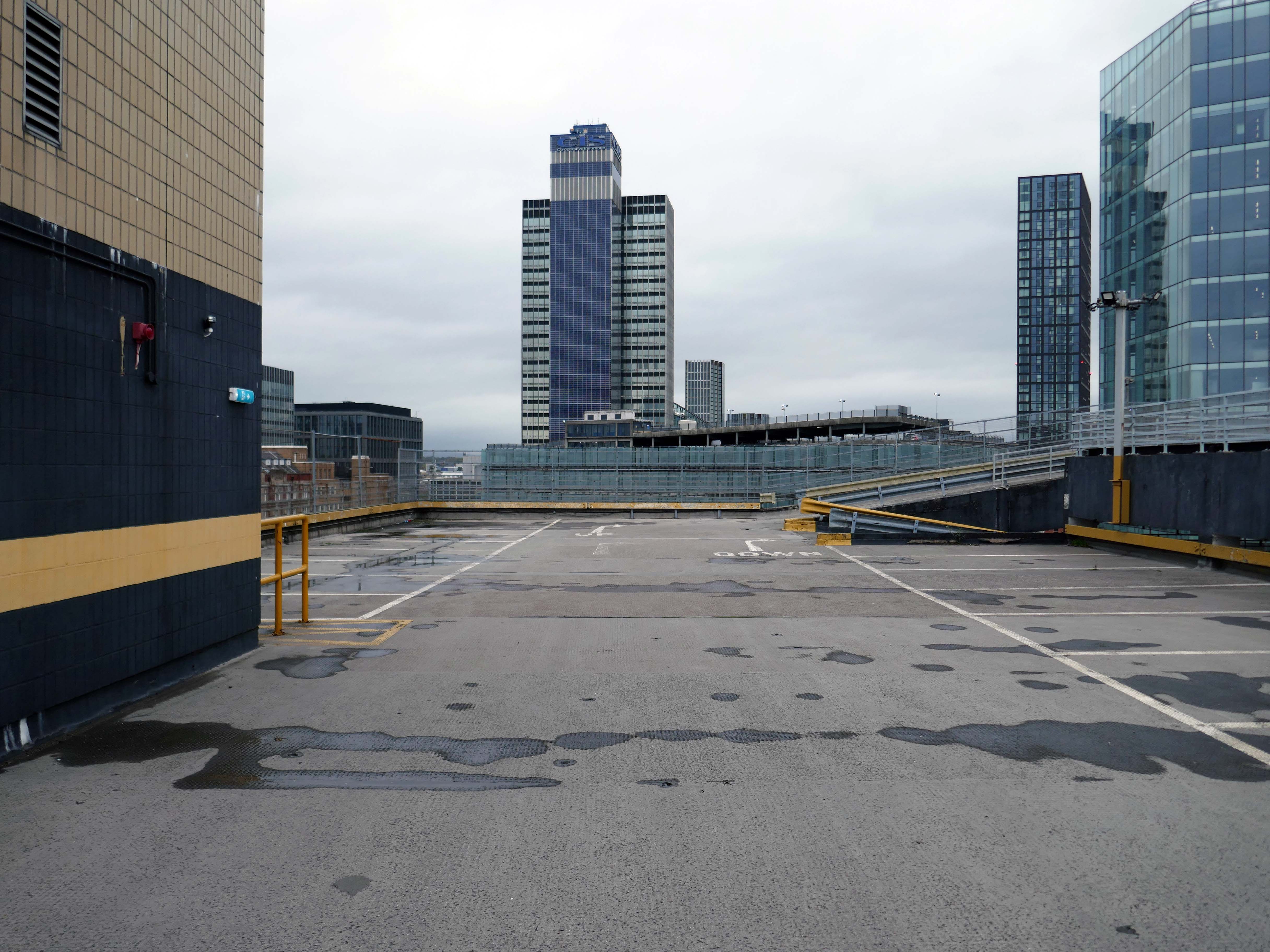
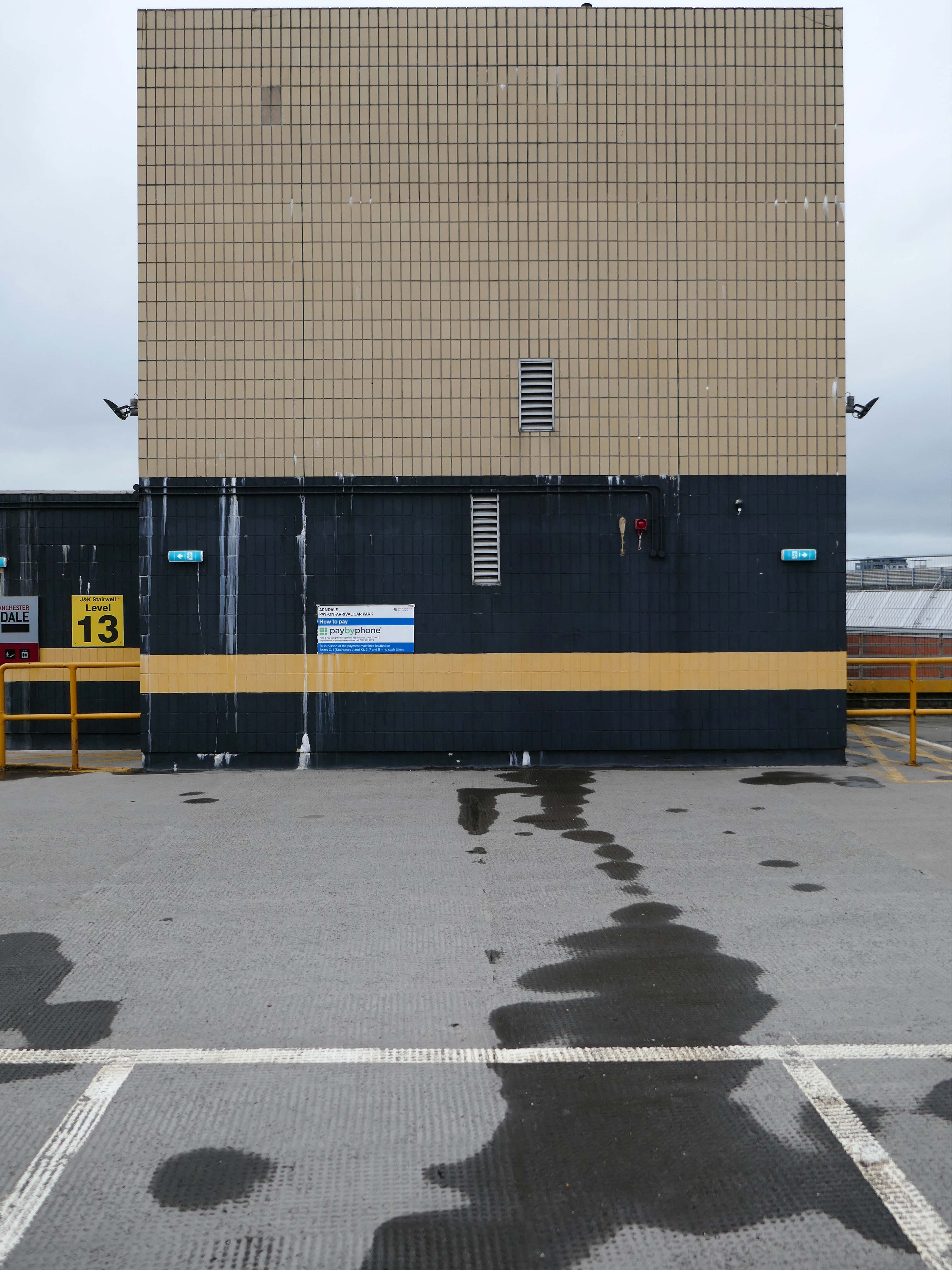
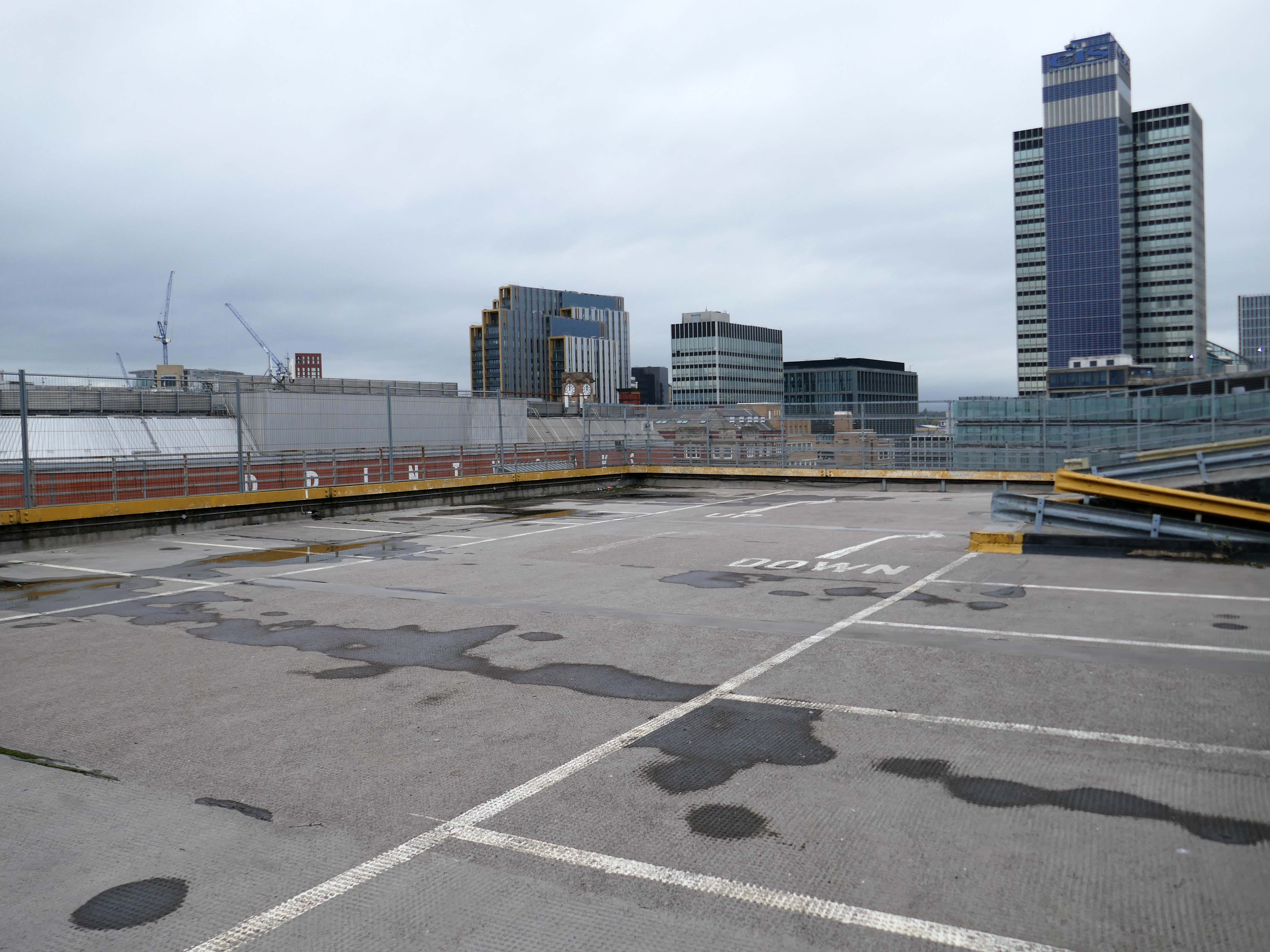
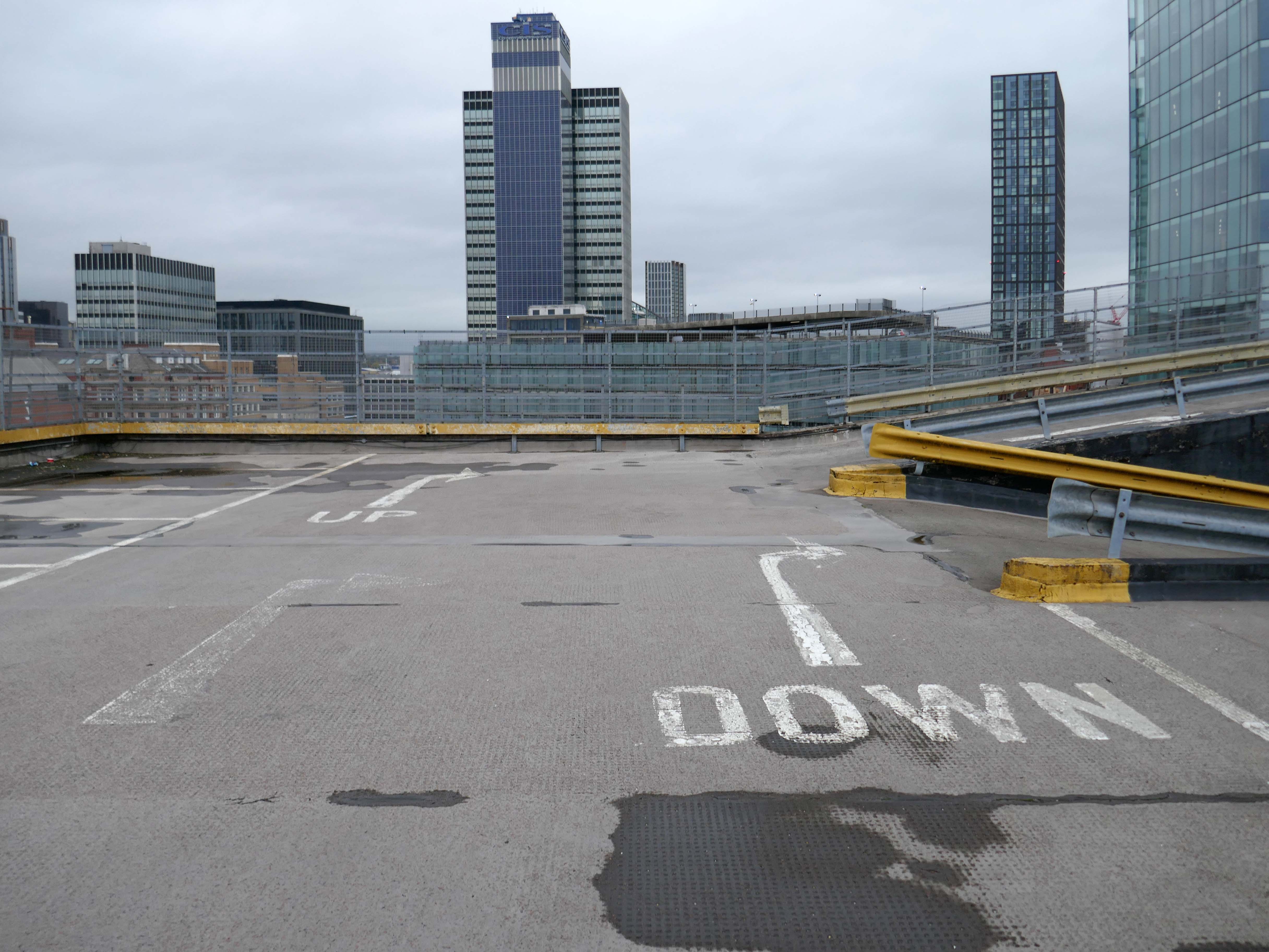
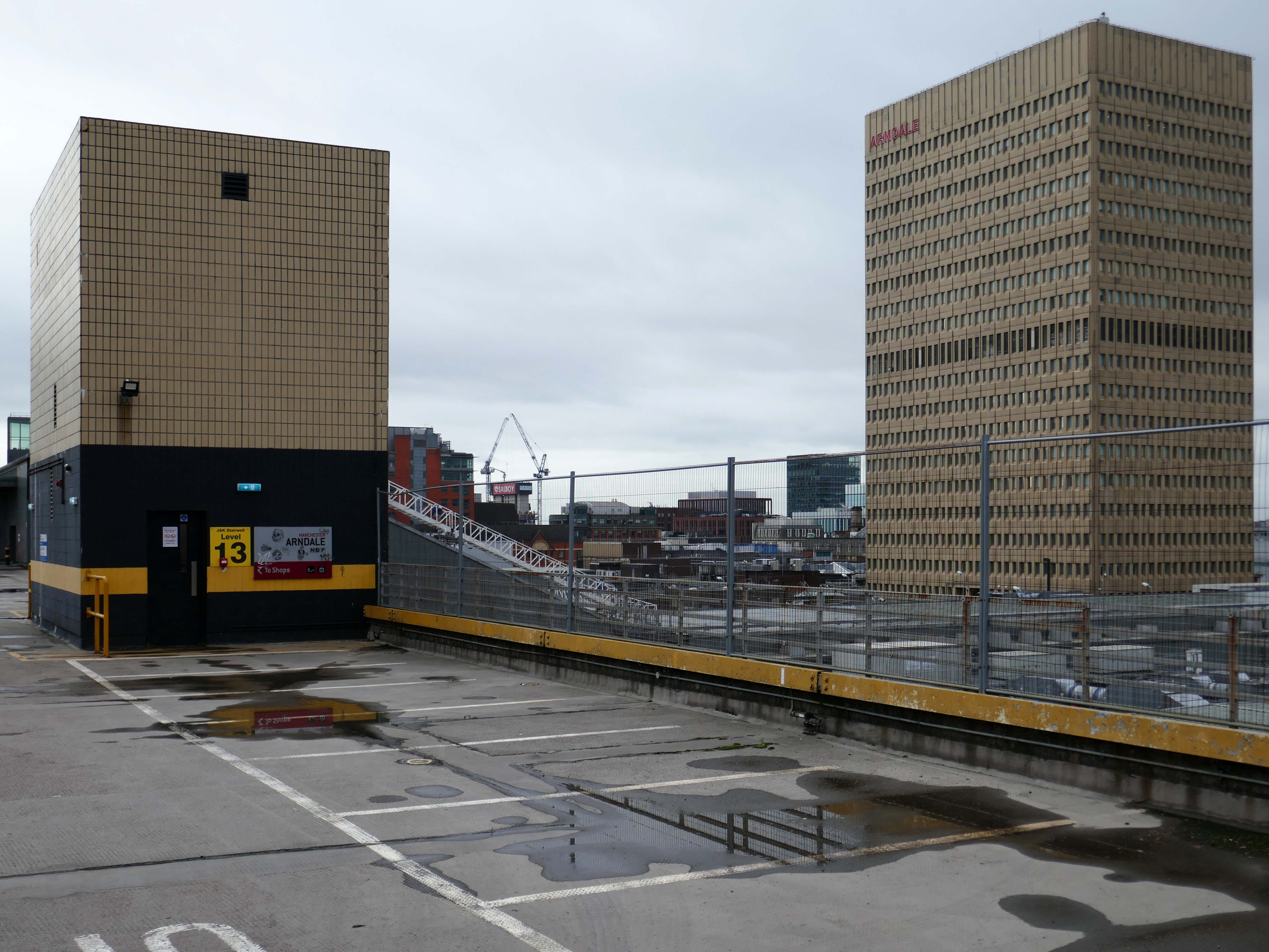
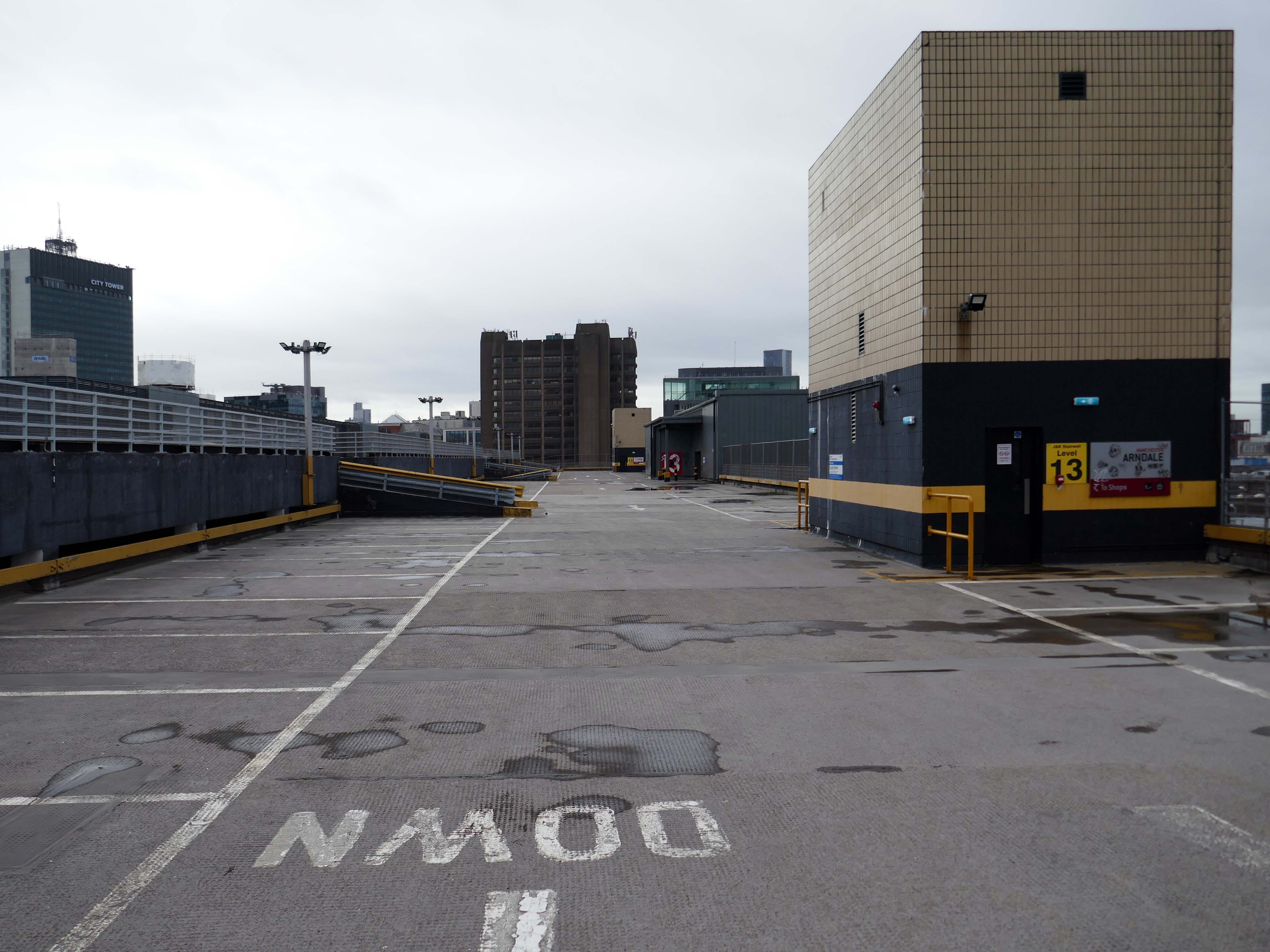
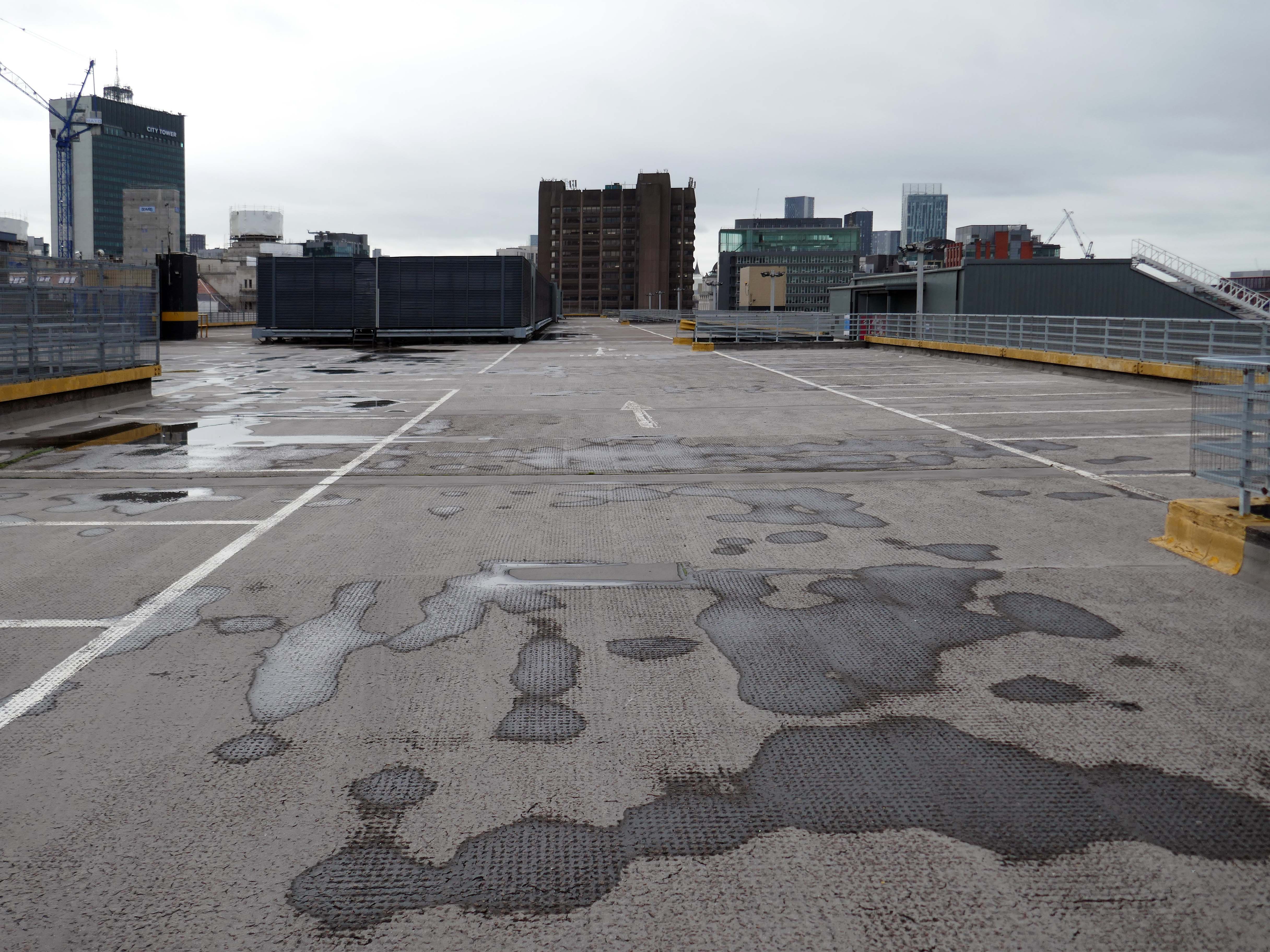
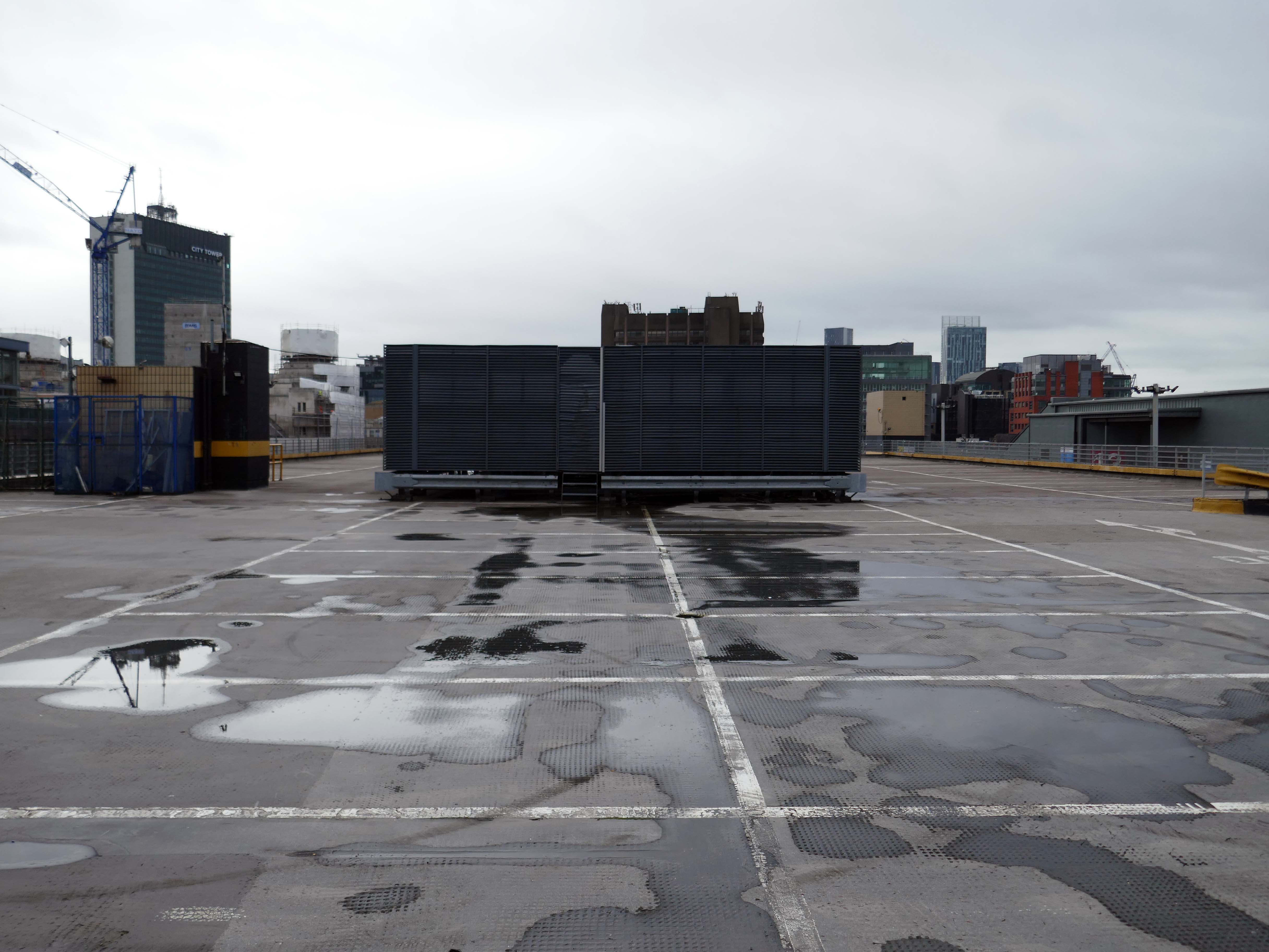
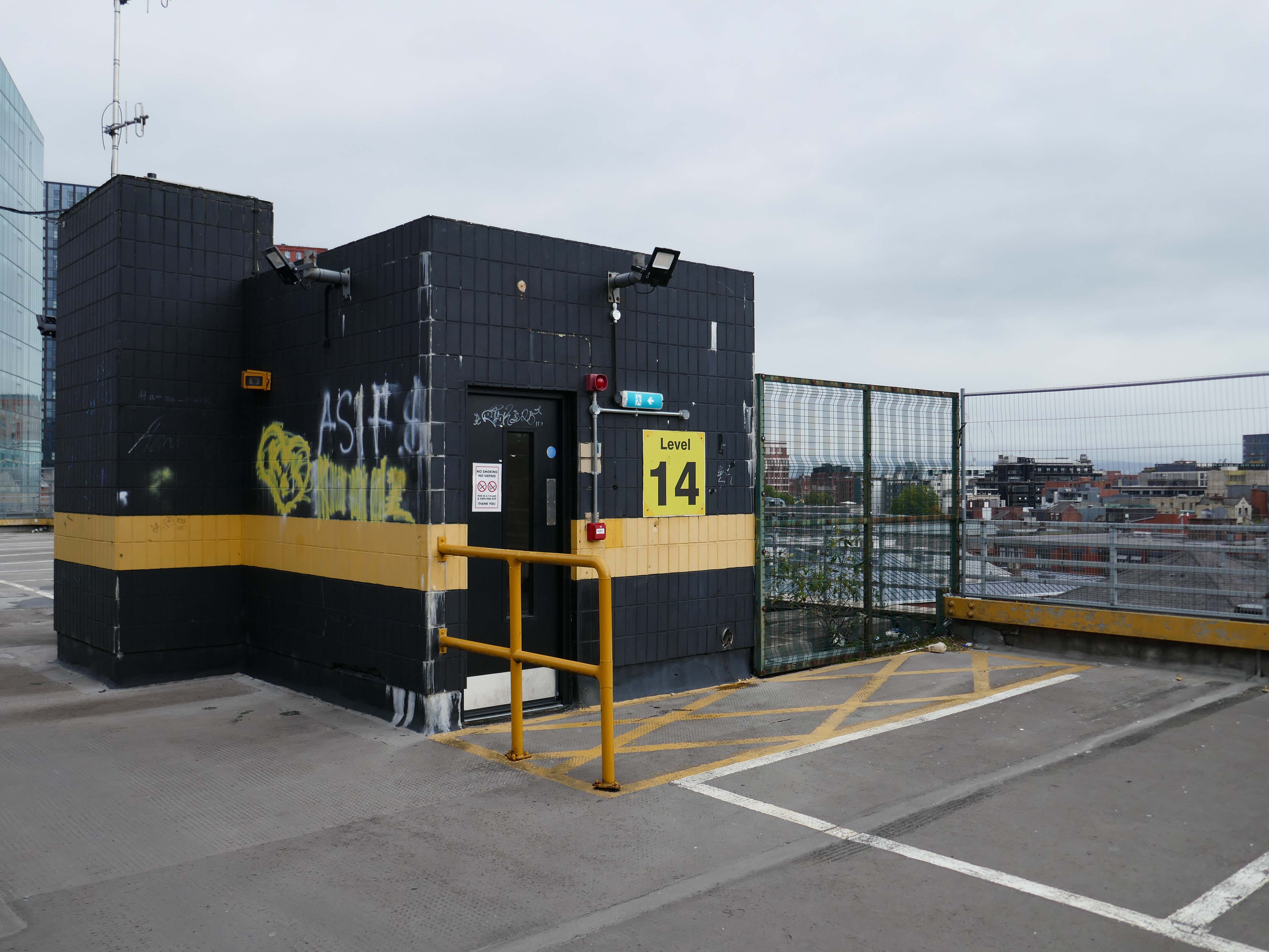
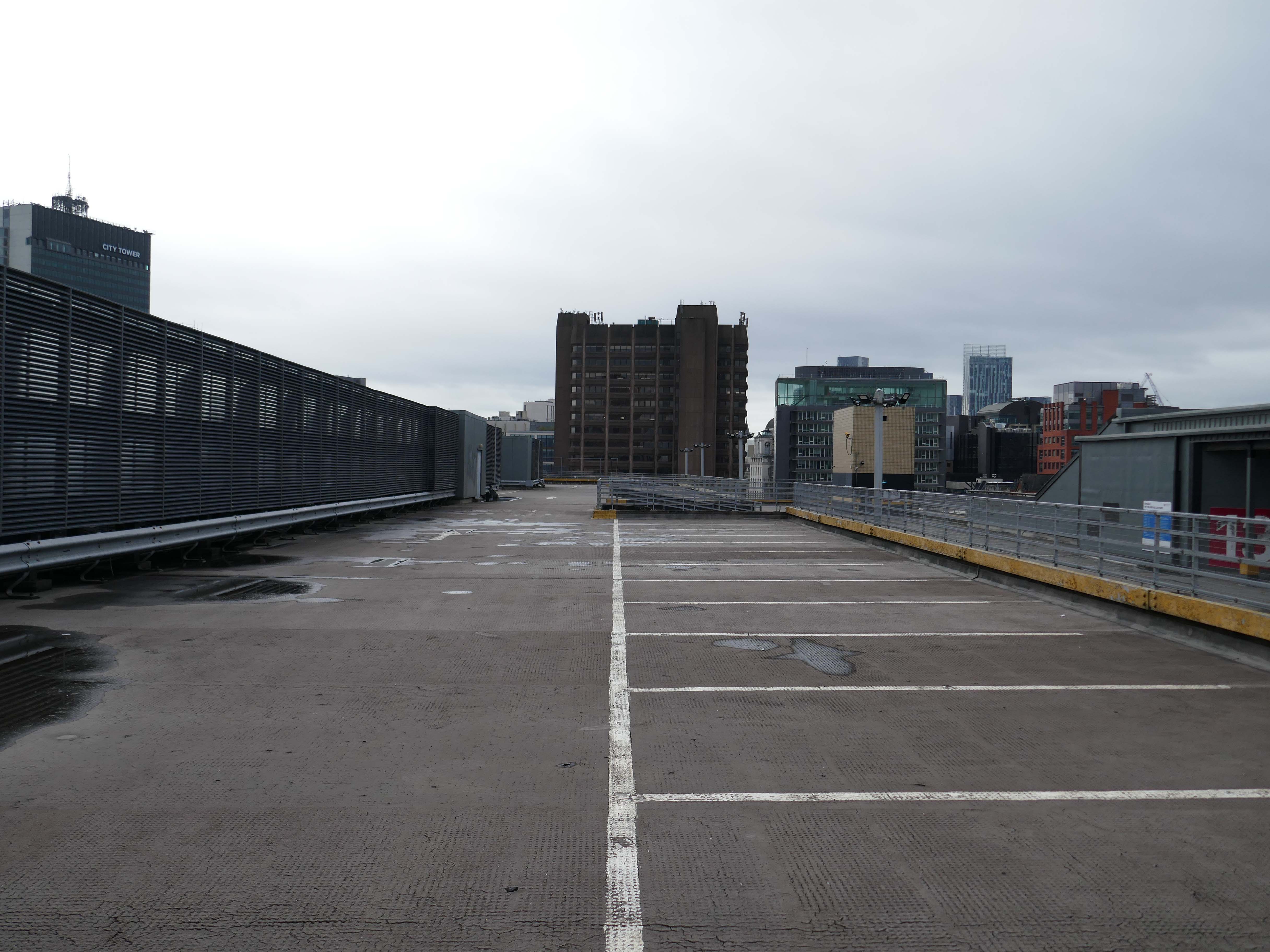
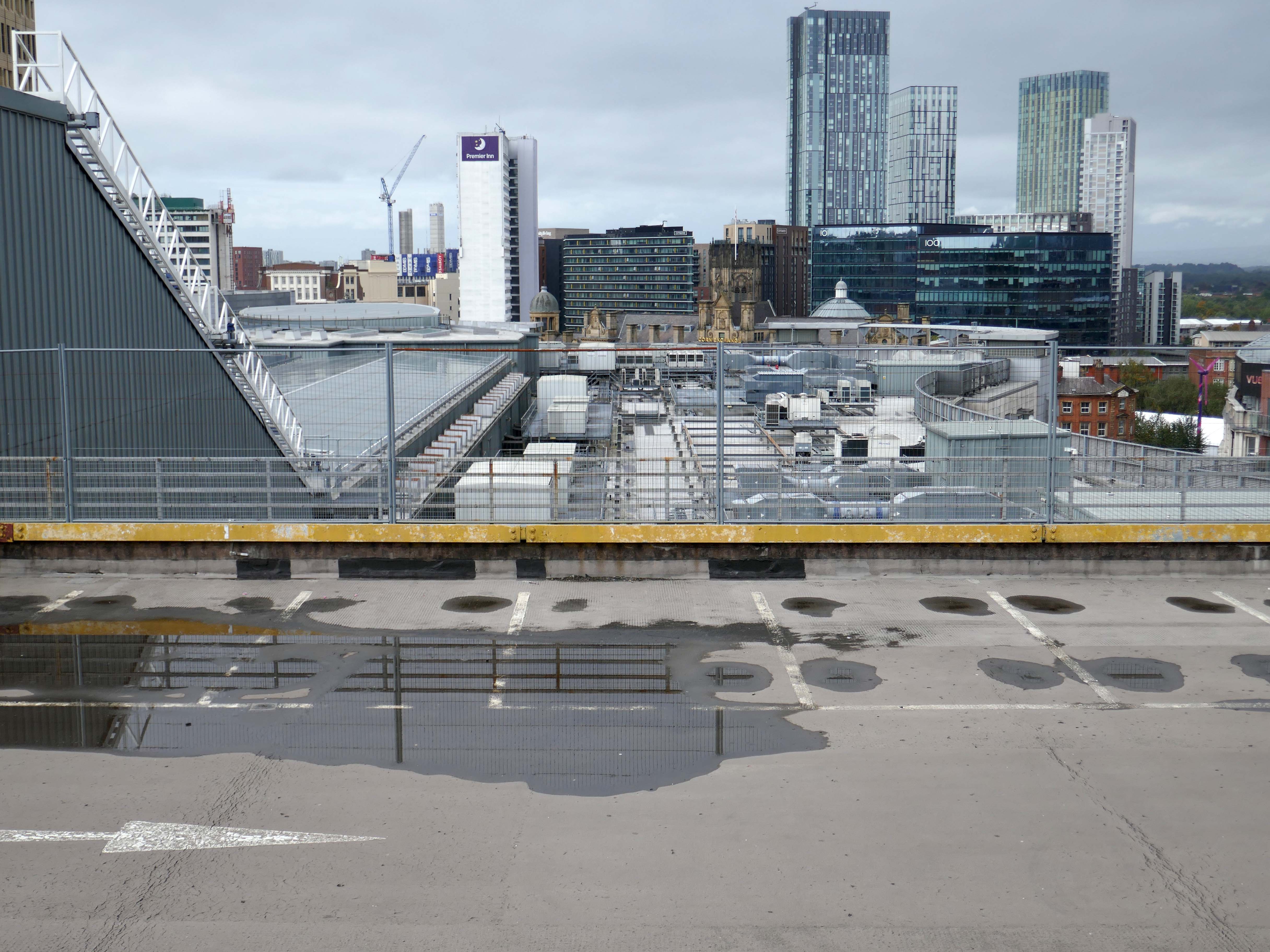
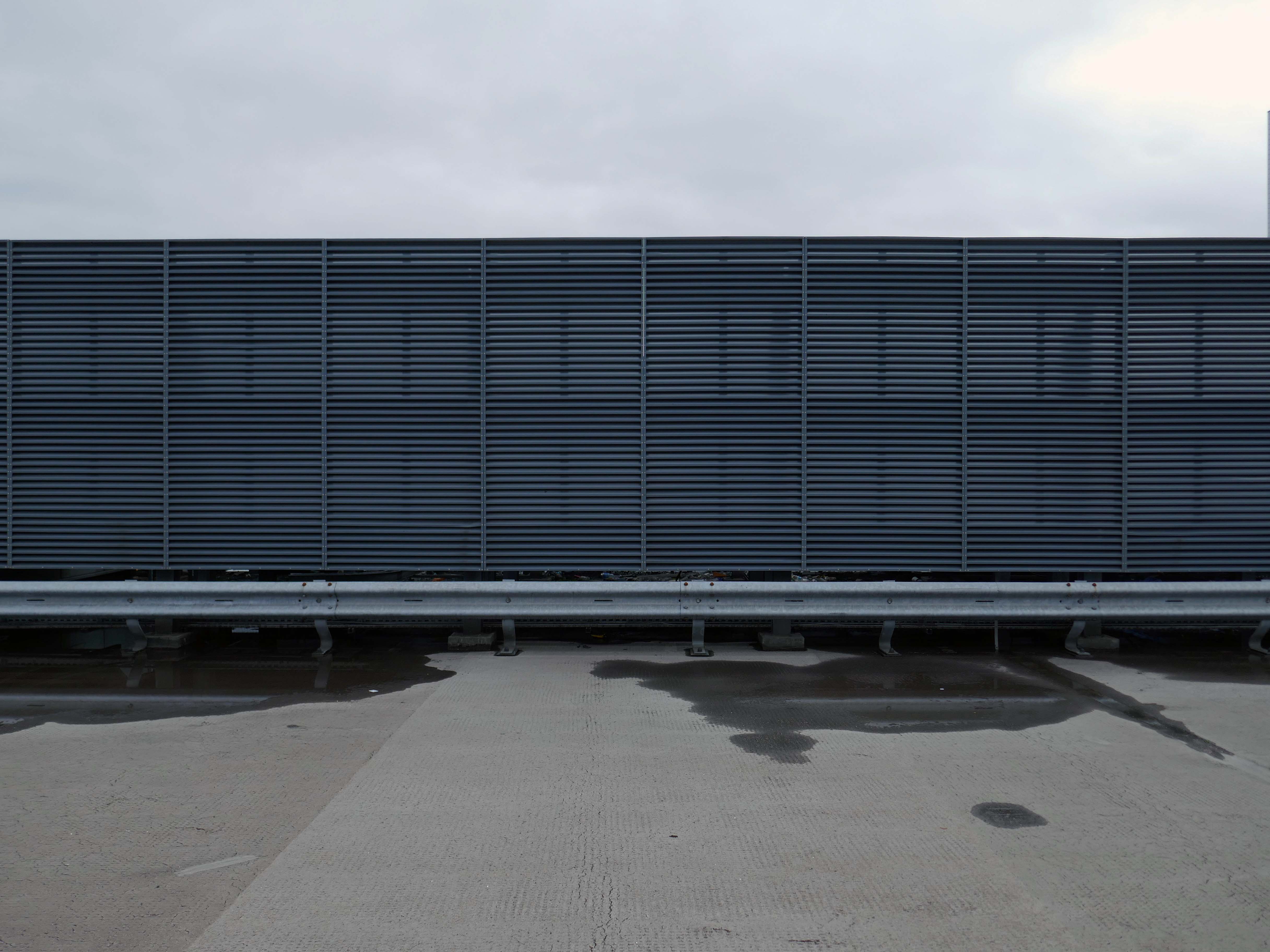
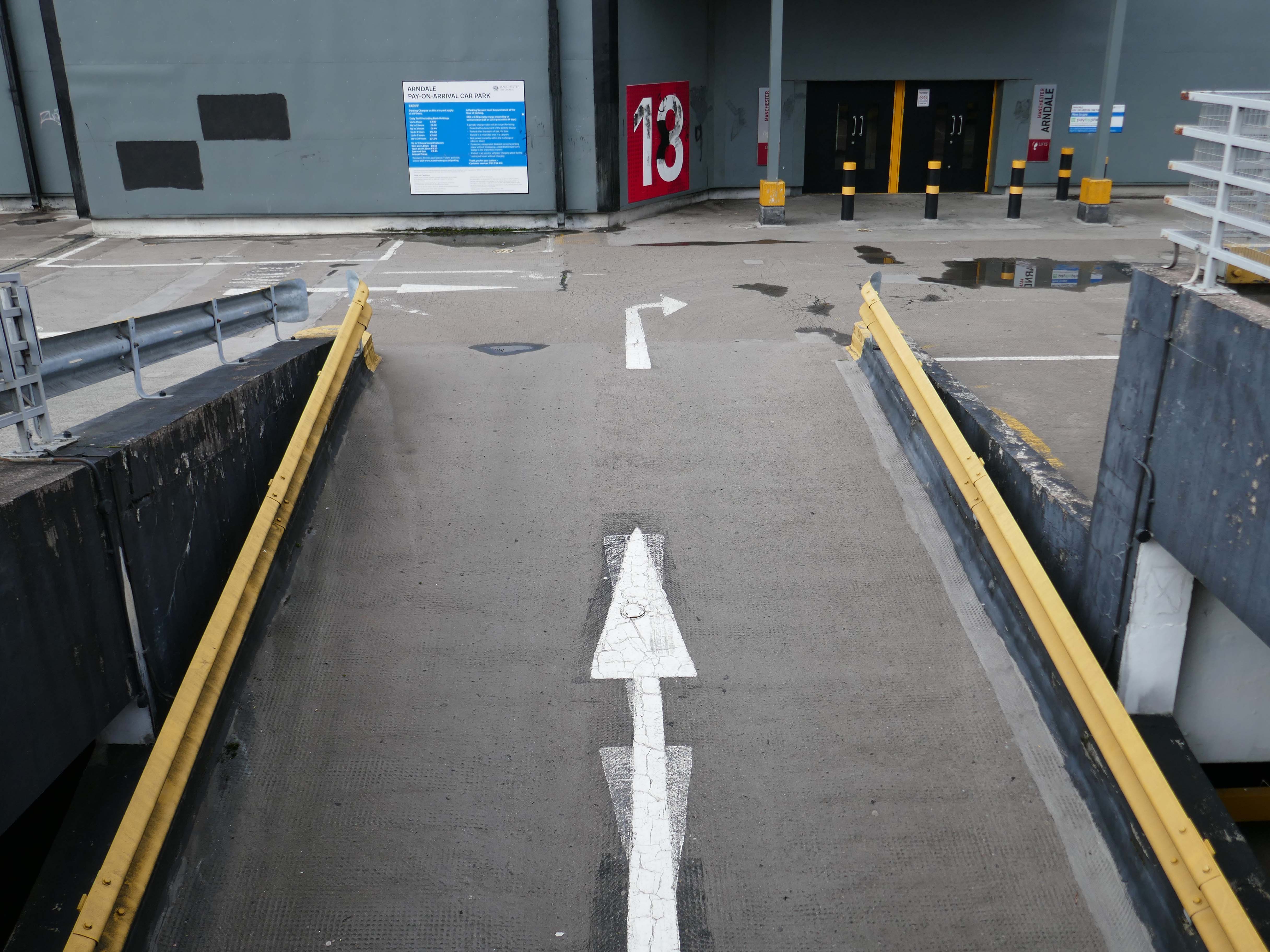
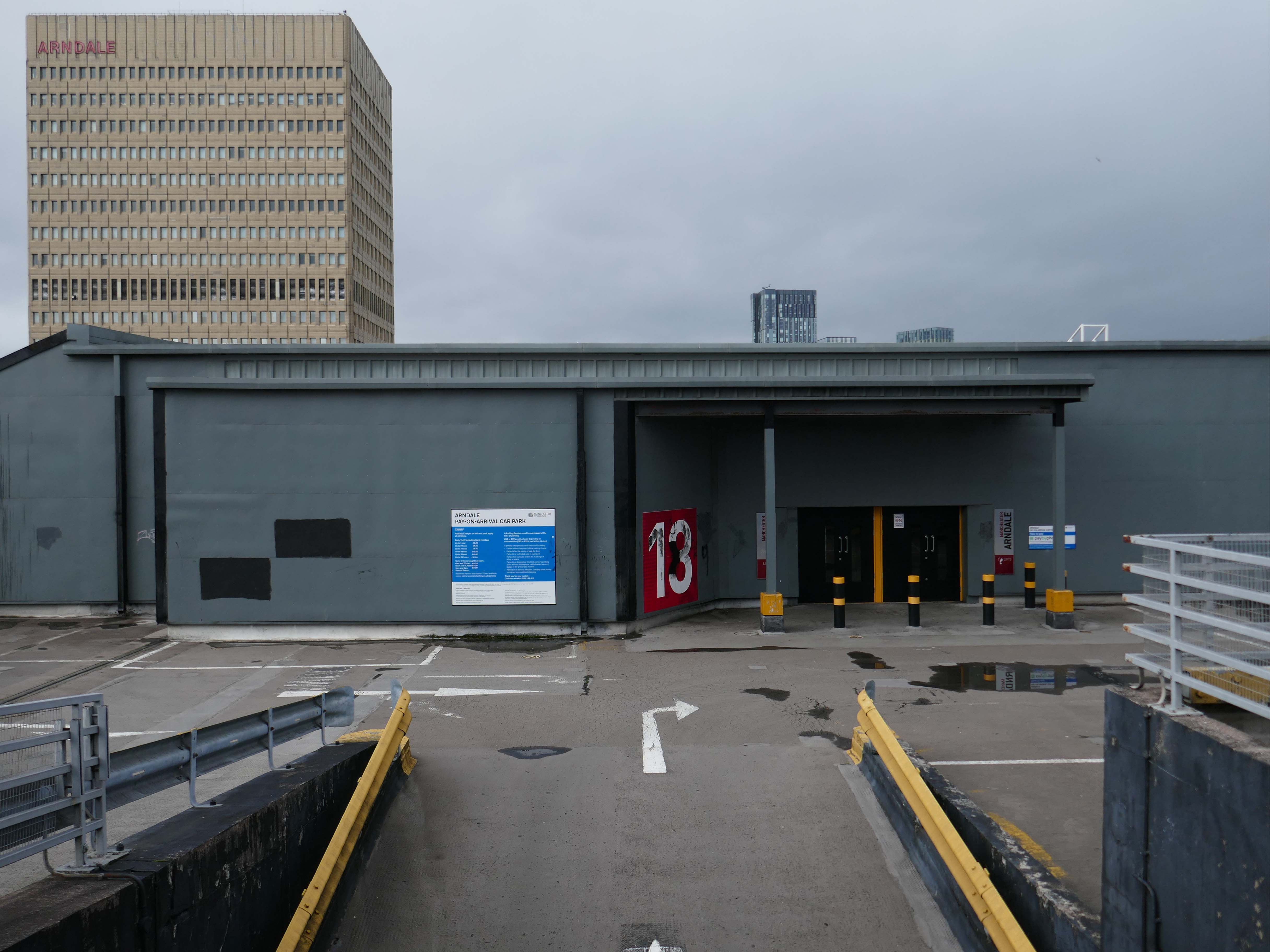
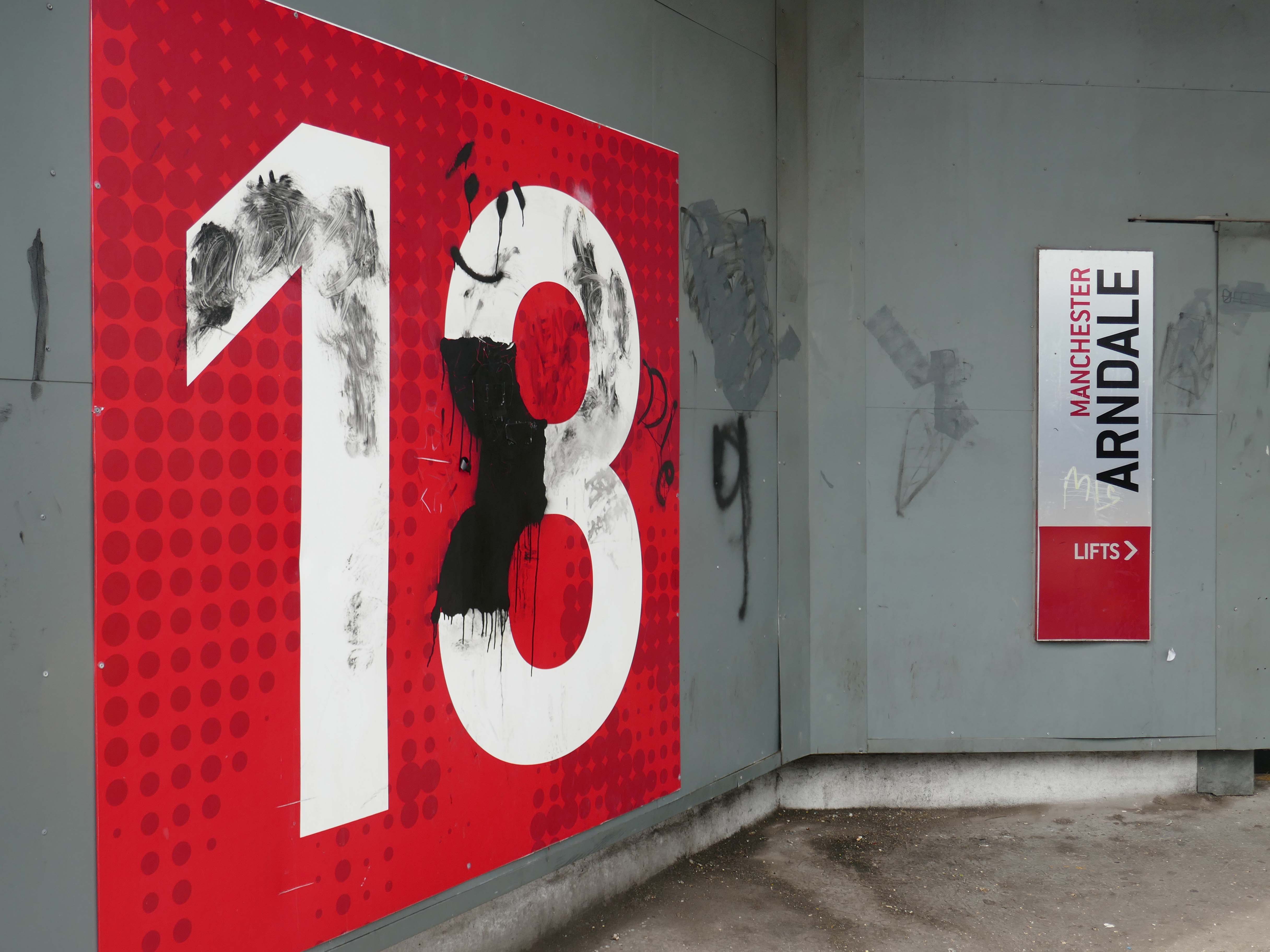
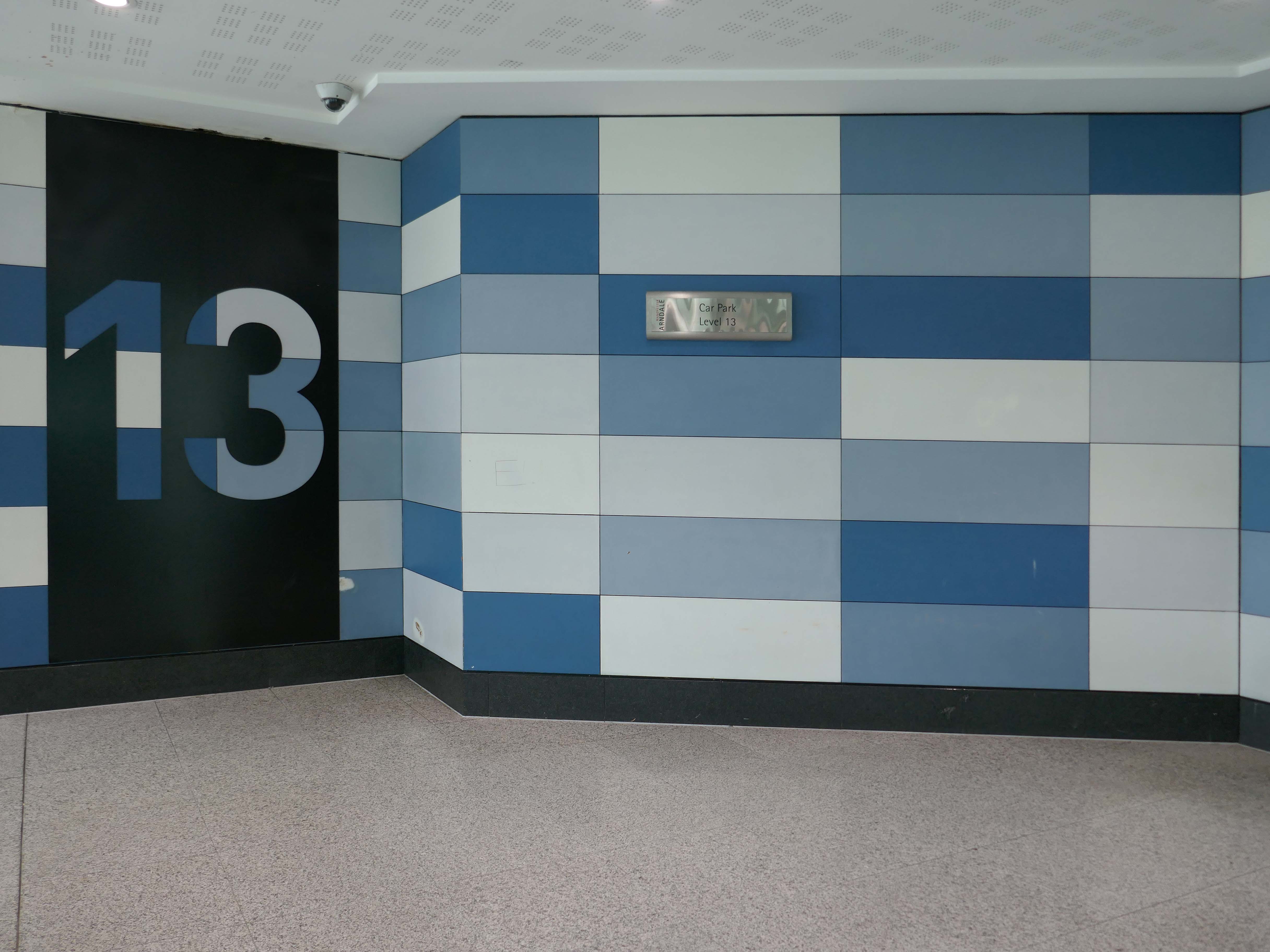
Heaton Lane car park is closed while demolition works take place.
Plans to demolish the car park were submitted by Stockport Council in September this year.
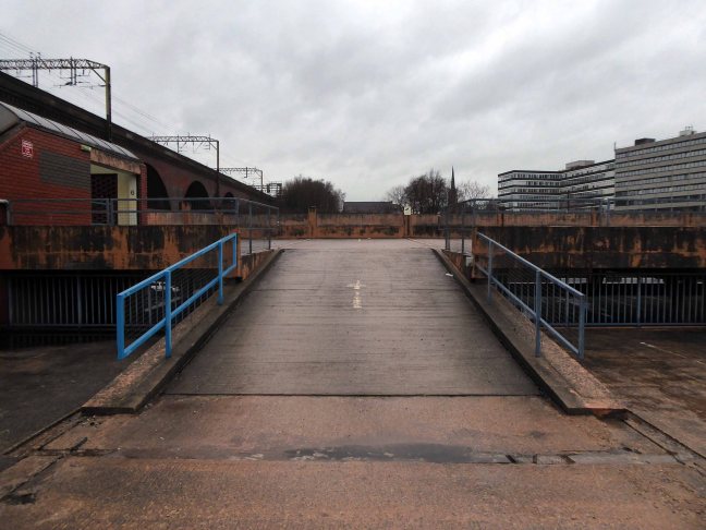
The plans propose removing the multi-storey car park down to ‘slab level’
The work itself will be carried out by removing floor slabs one by one from the parking bays, from the ground upwards. Contractor PP O’Connor has said it will take noise and dust into consideration when completing the works.
Dust suppression systems will be in place to minimise pollution.
Noise levels are not considered likely to be a nuisance, however the site manager will be able to review the demolition process if it’s deemed too high.
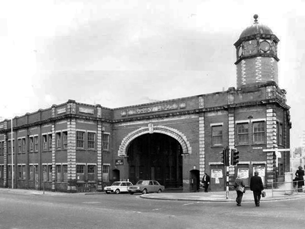
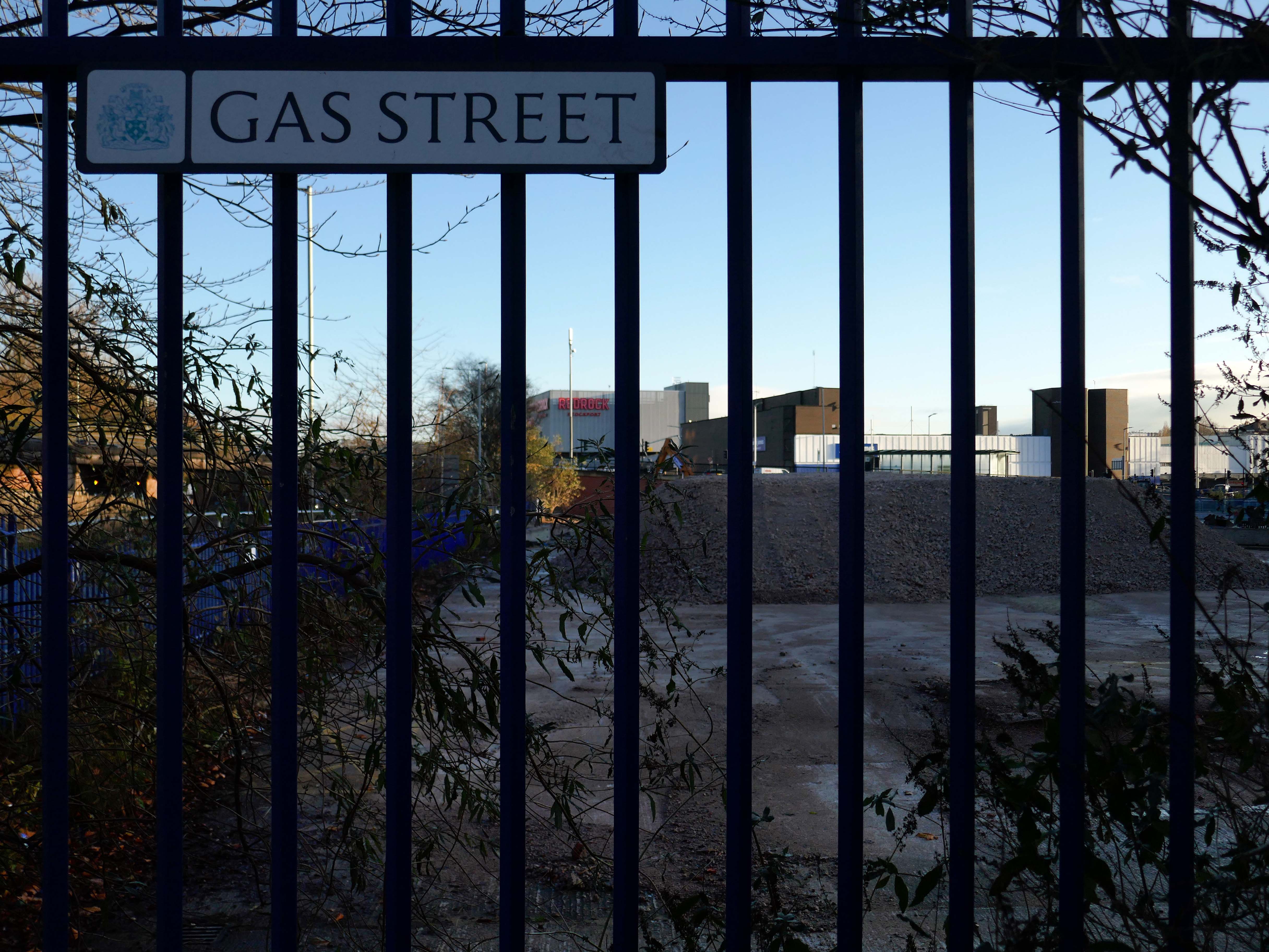
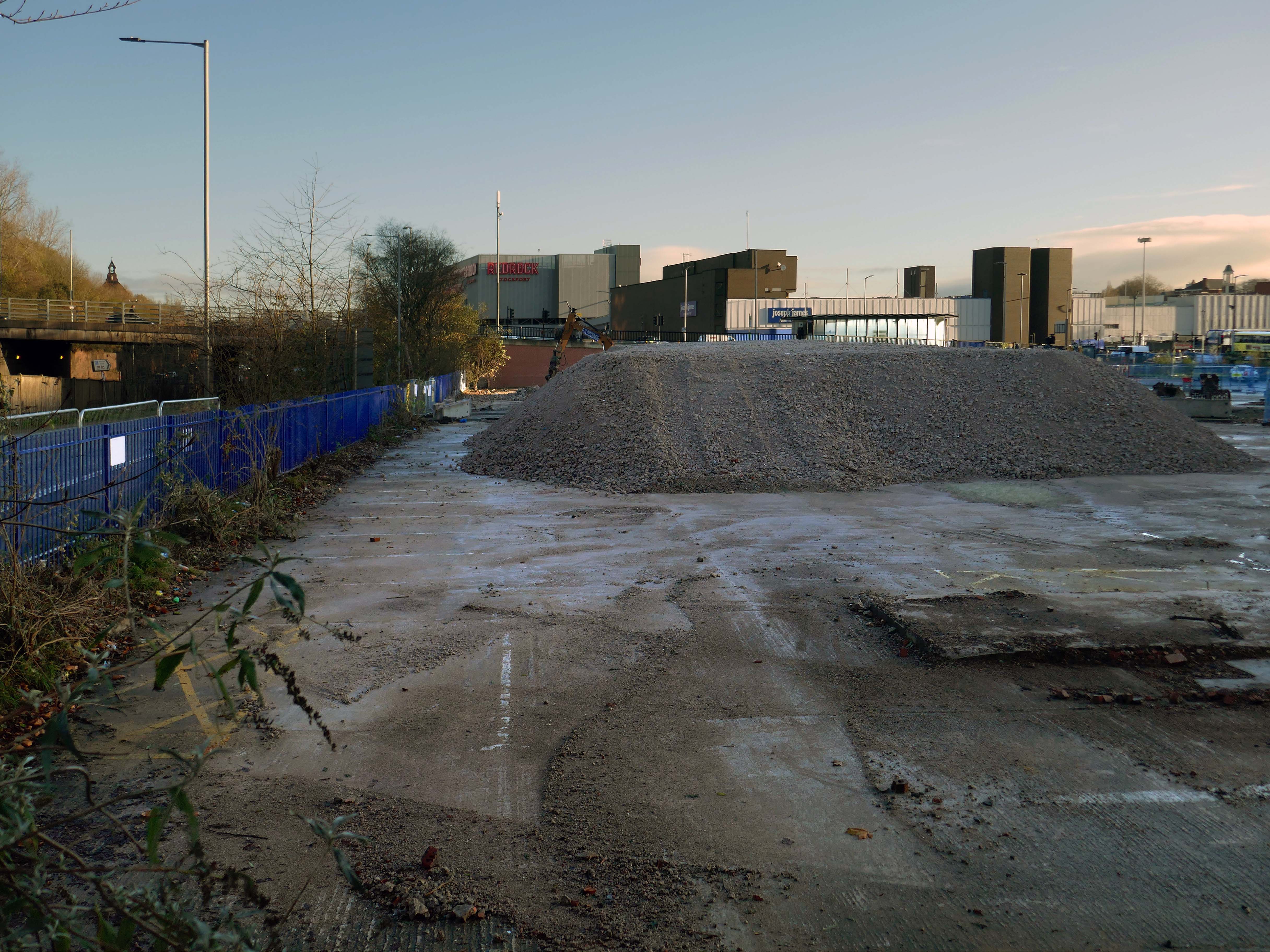
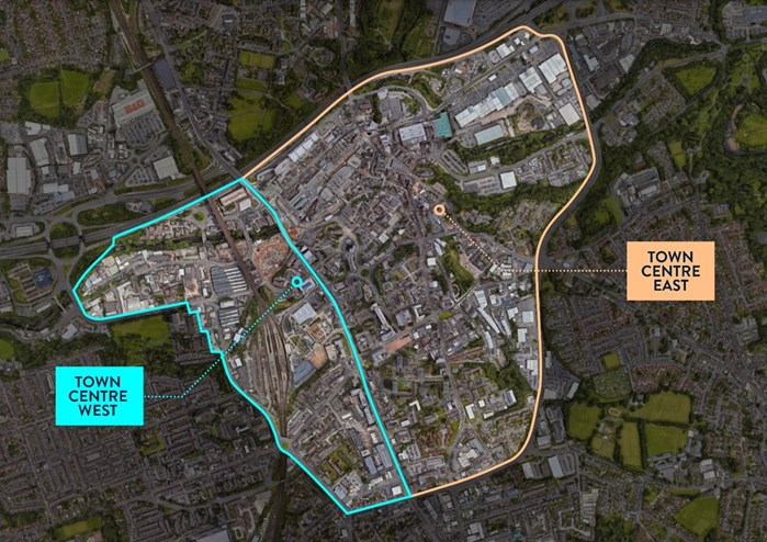
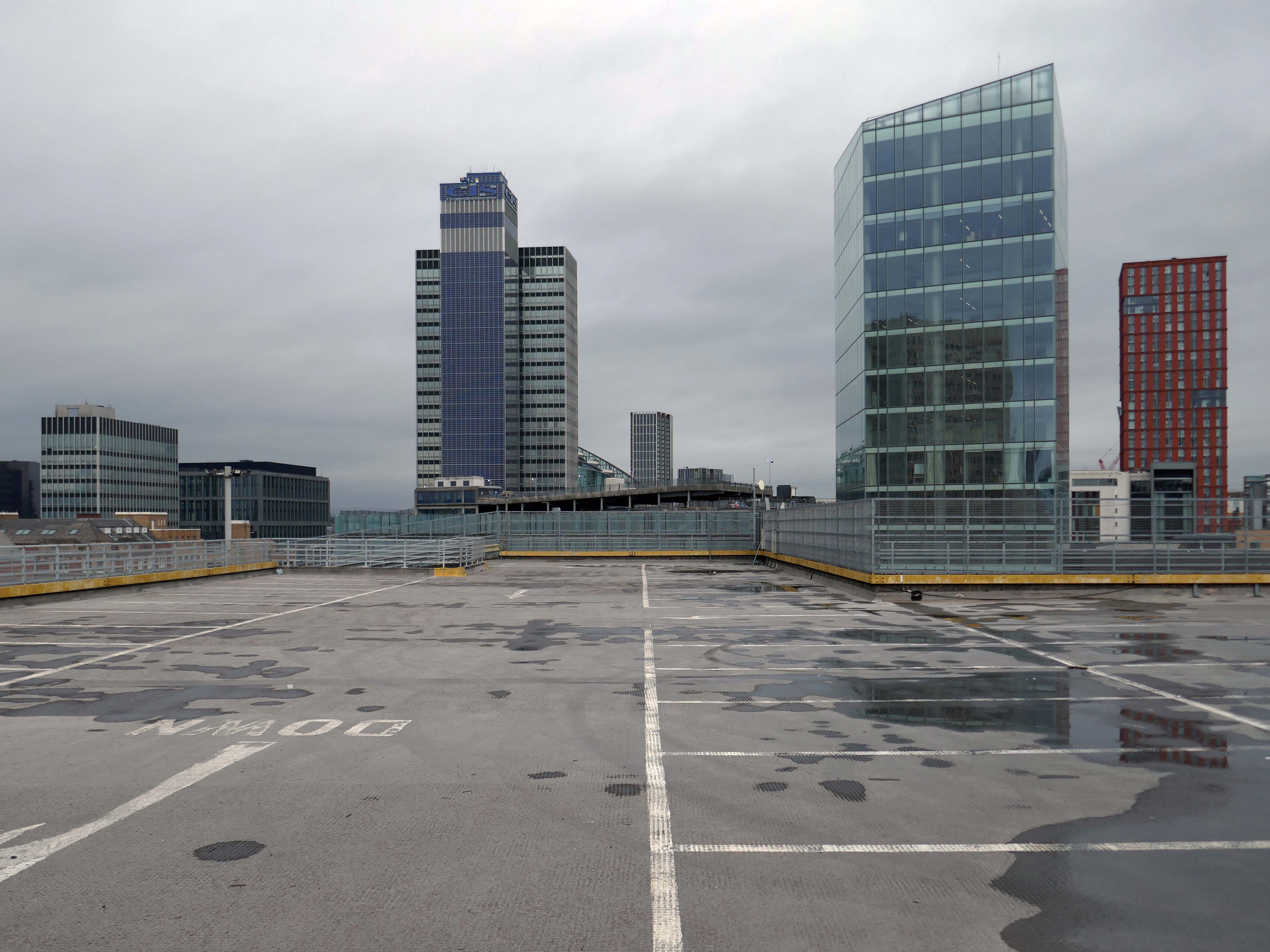
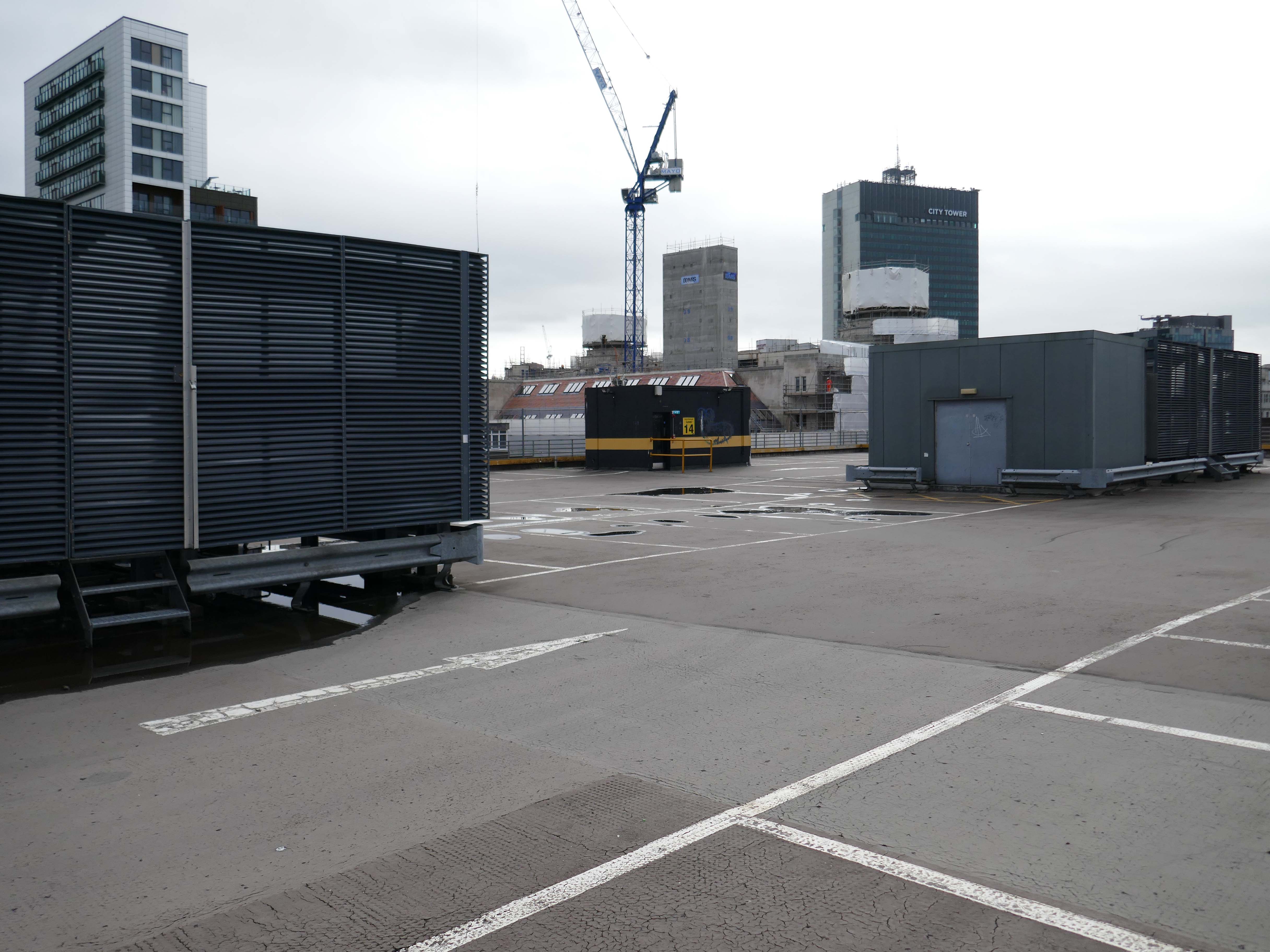
There car park is almost at the heart – on the edge of plans to regenerate the town centre.
The Strategic Regeneration Framework for Stockport Town Centre West set out how up to 4,000 new homes and 1m sq. ft of new employment floorspace and 5,300 new jobs could be delivered across Town Centre West by 2035.
In order to assess the overall economic benefit of an expanded Mayoral development area Stockport Council have developed an SRF for Stockport Town Centre East. This SRF sets out an illustrative masterplan to guide the creation of Stockport’s new neighbourhoods and achieve comprehensive urban regeneration by 2040. Together the SRFs for Town Centre West and Town Centre East will guide the development of a total of 8,000 new homes alongside services and amenities. The development set out in the SRFs will drive a transformational impact on the Stockport economy.
The Corporation is expected to be established in early 2026. It will provide a single, focused body for local decision-making; engagement with stakeholders including government departments, public agencies; private sector landowners, and developers; and to drive investment across the public and private sectors to realise the shared vision for the regeneration of the Area.
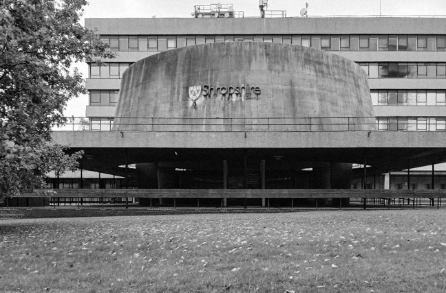
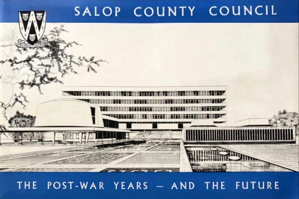
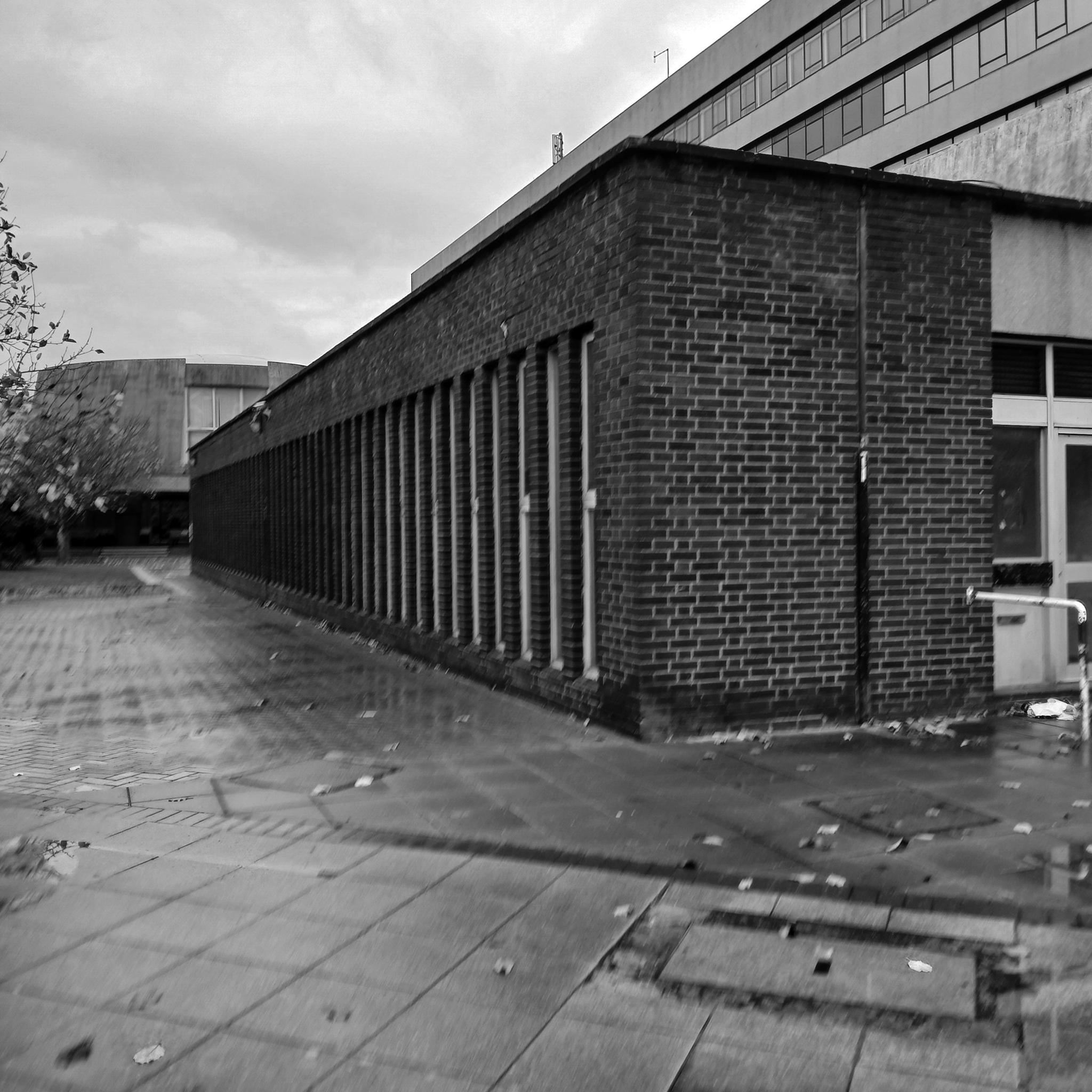
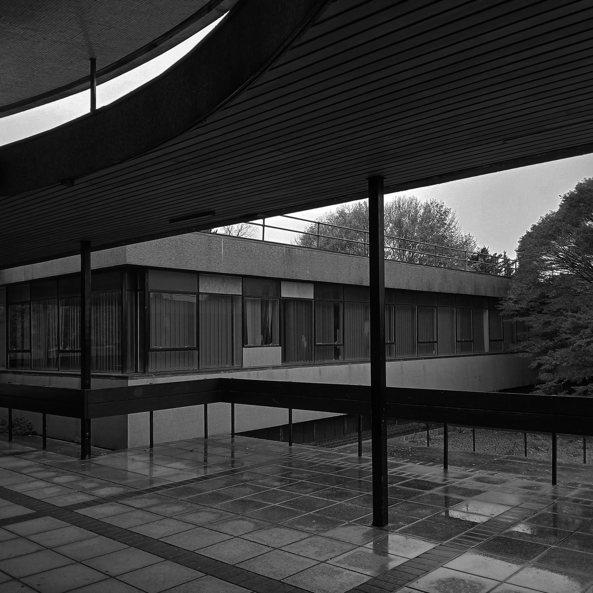
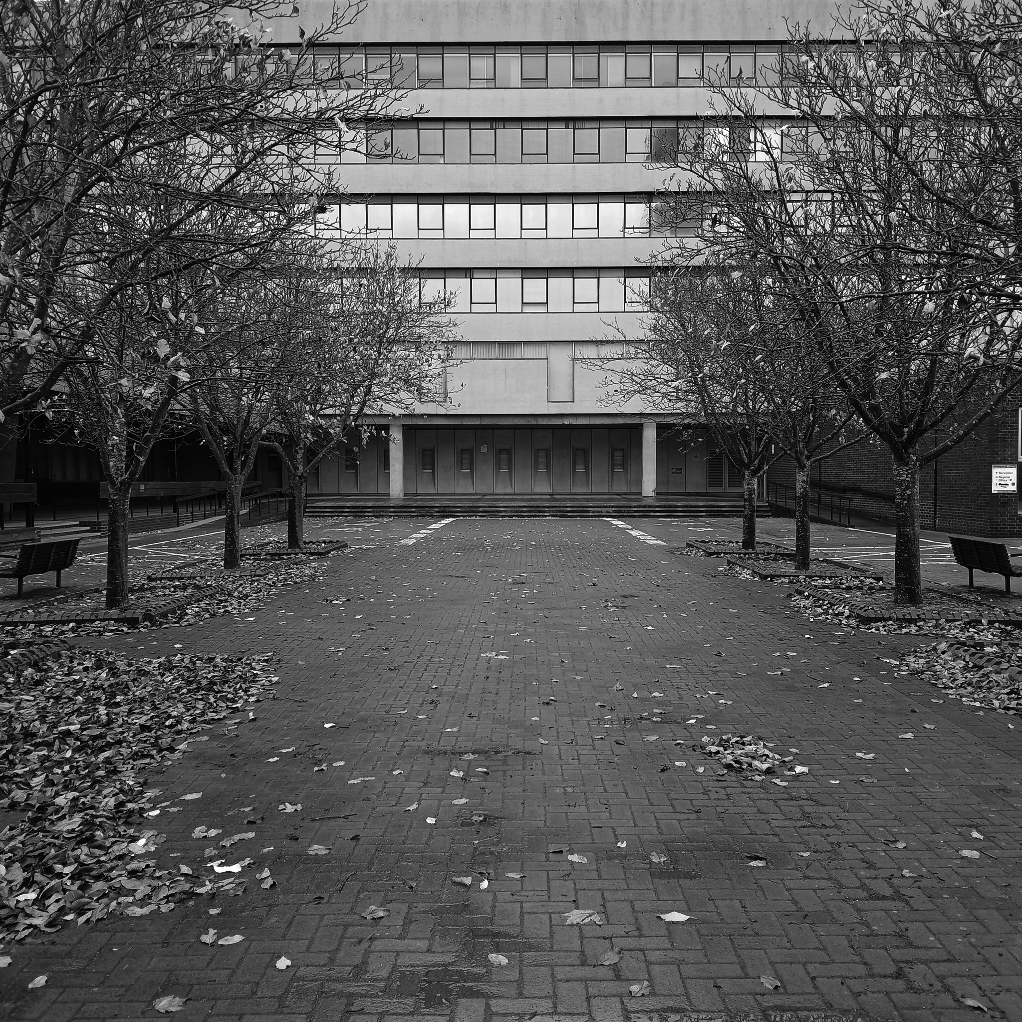
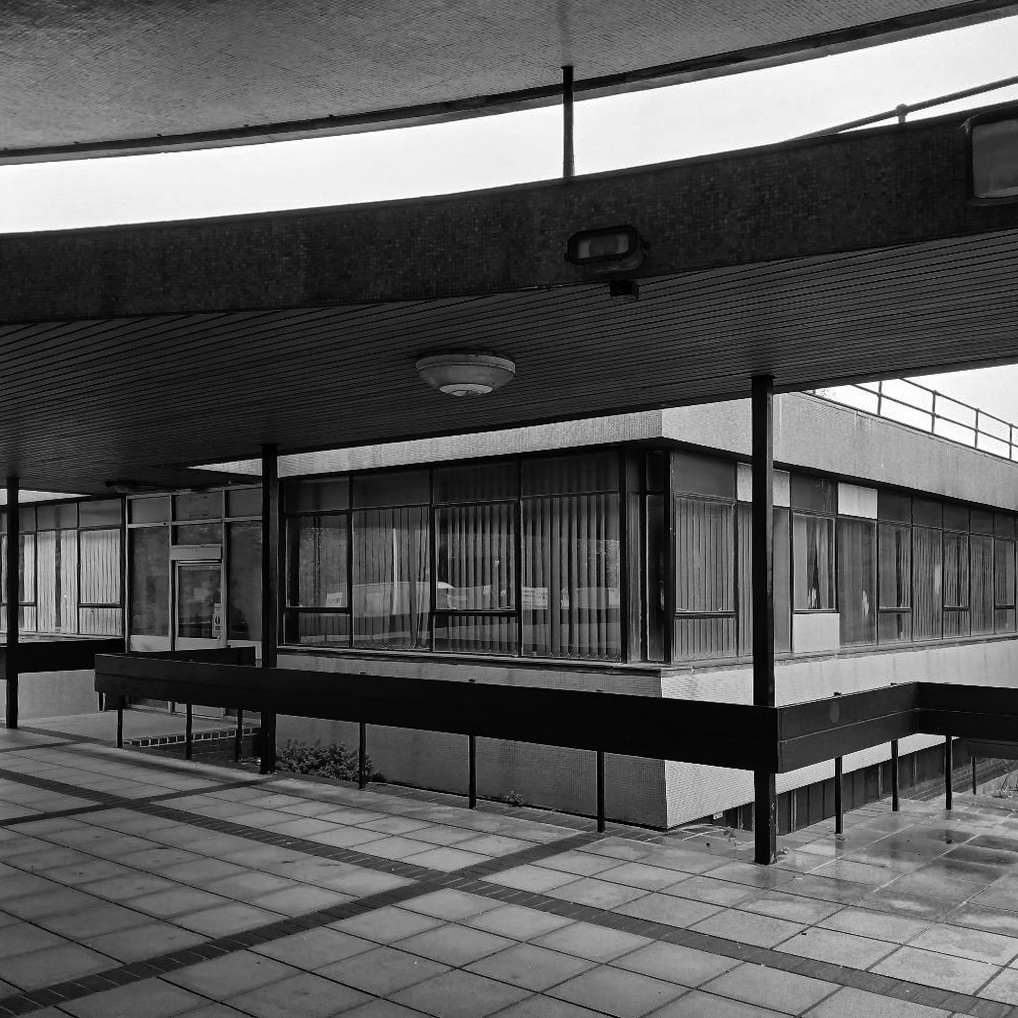
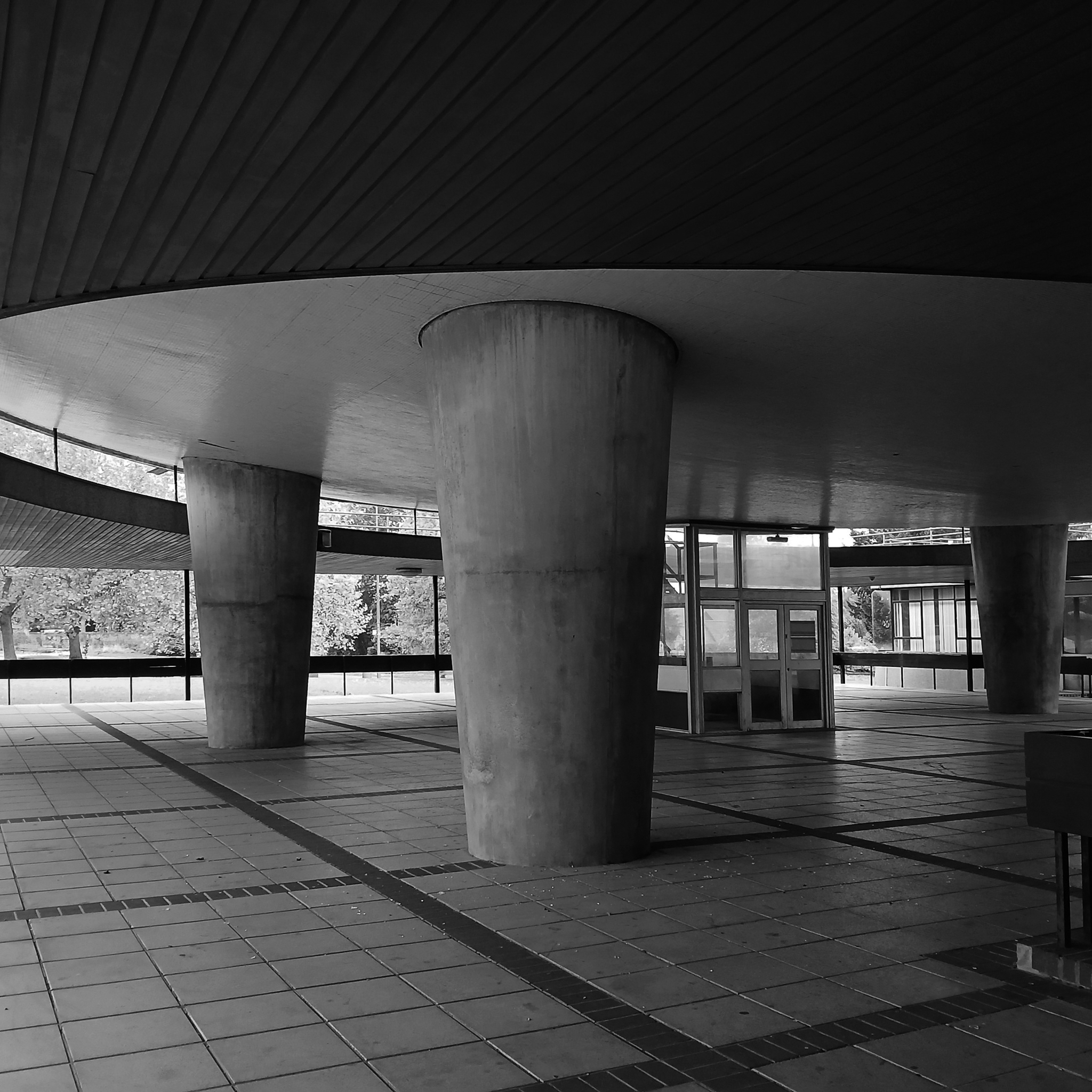
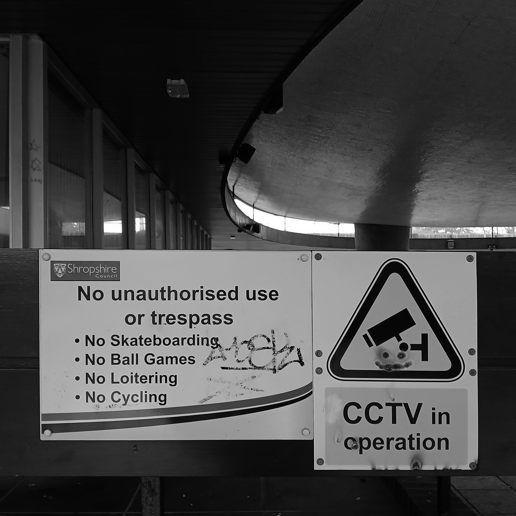
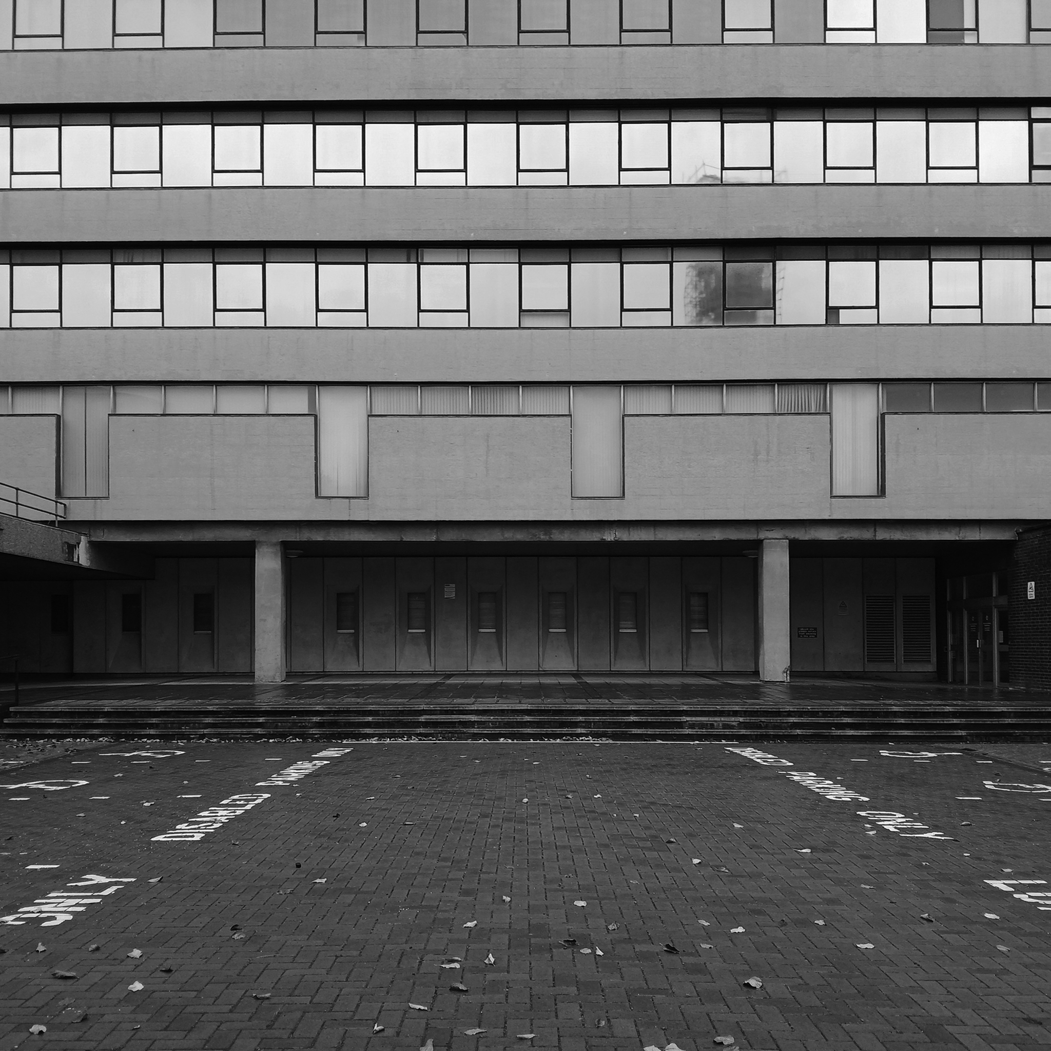
The foundation stone for the new building was laid by Sir Offley Wakeman, a former chairman of the county council, on 25 July 1964. It was designed by Ralph Crowe, the County Architect, in the Modernist style, built at a cost of £1.8 million and was completed in April 1966.
Having visited and snapped way back in June 2024, I returned in October 2025.
I had been asked to speak to the Shrewsbury Civic Society, regarding the history of Modernism in support of their campaign to save Shirehall.
The previous County Council were disposed toward demolition, the current administration are a little more circumspect.
Shropshire Council is considering a return to its former headquarters, less than a year after it moved out. The authority moved from 1960s-built Shirehall in Shrewsbury to the Guildhall in Frankwell, and said doing so would save up to £600,000 per year.
At a meeting on Wednesday, cabinet member for finance Roger Evans said the Liberal Democrats, who lead the council, had paused the demolition and sale of the land, and may retain parts of the building – but only if it could afford to do so.
“We would like to retain the council chamber and some of the associated buildings, but we do need to take account for the cost both in cash terms and in net zero terms,” he said. “What we have done is paused this decision and asked experts to look at it again, look at the whole site, do a reappraisal. The results are just now being recieved.
“I want to keep it as much as we can afford, both environmentally and cash-wise. Whether we can or not will depend, the council is strapped for cash.”
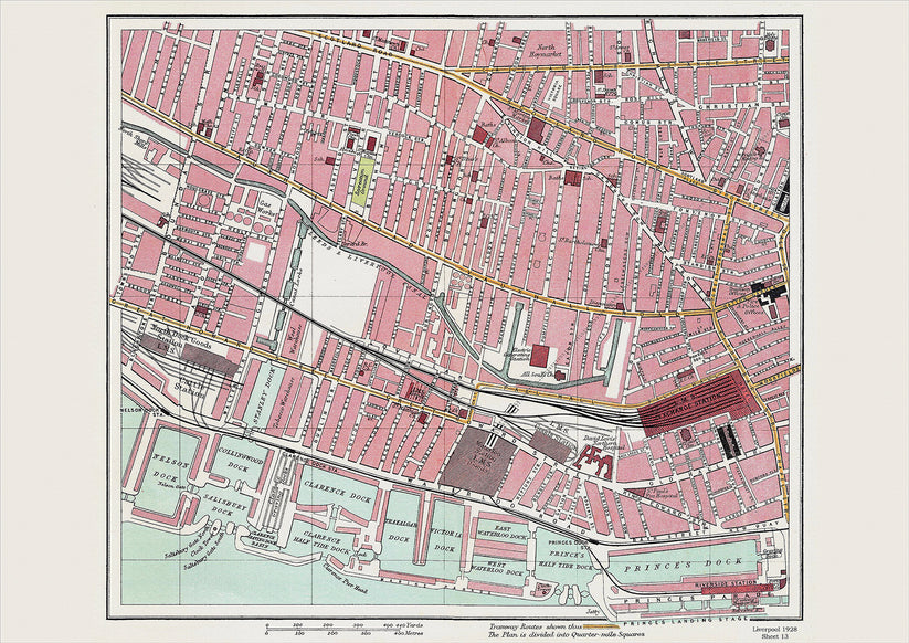
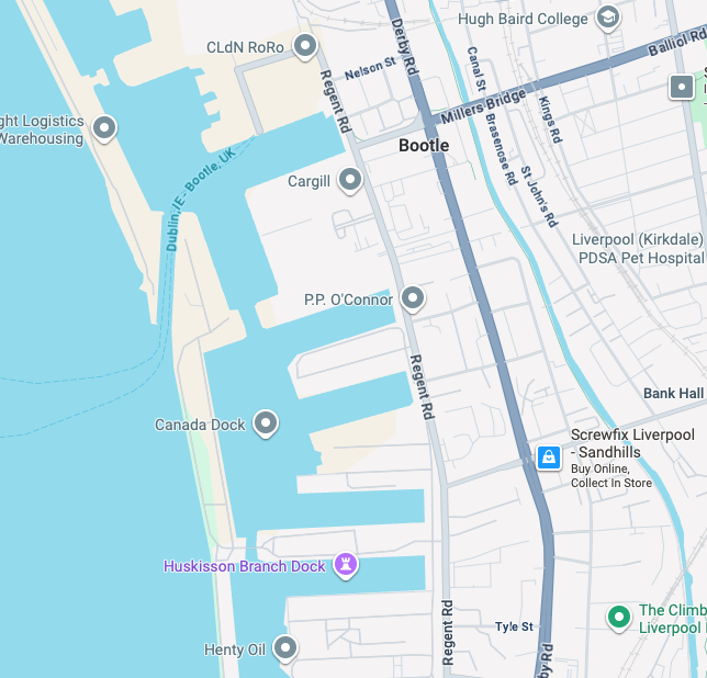
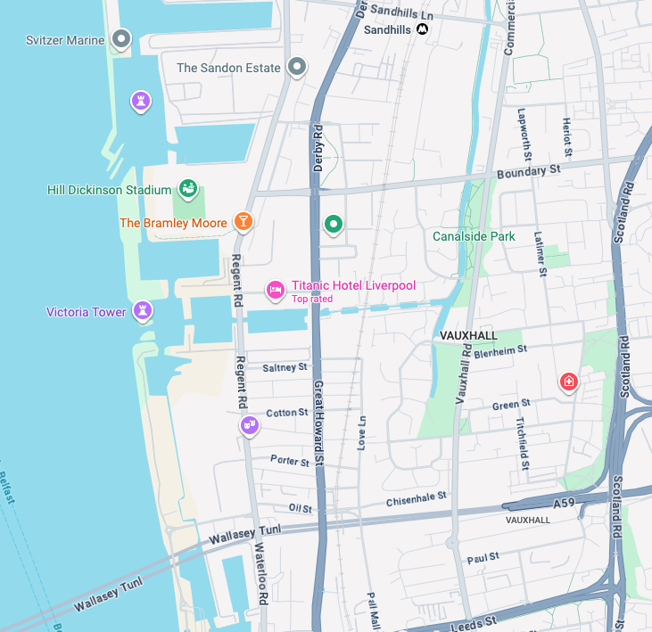
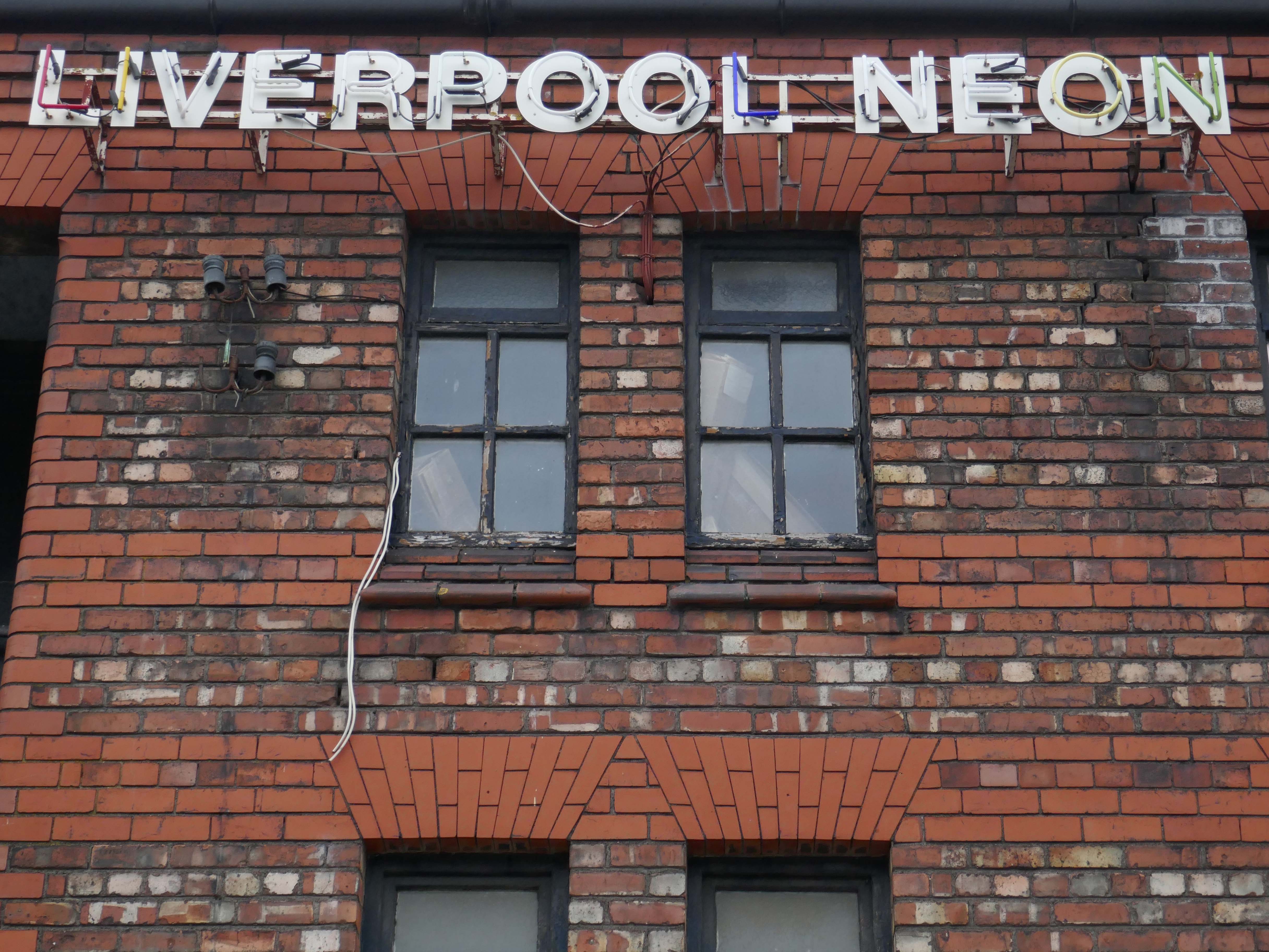
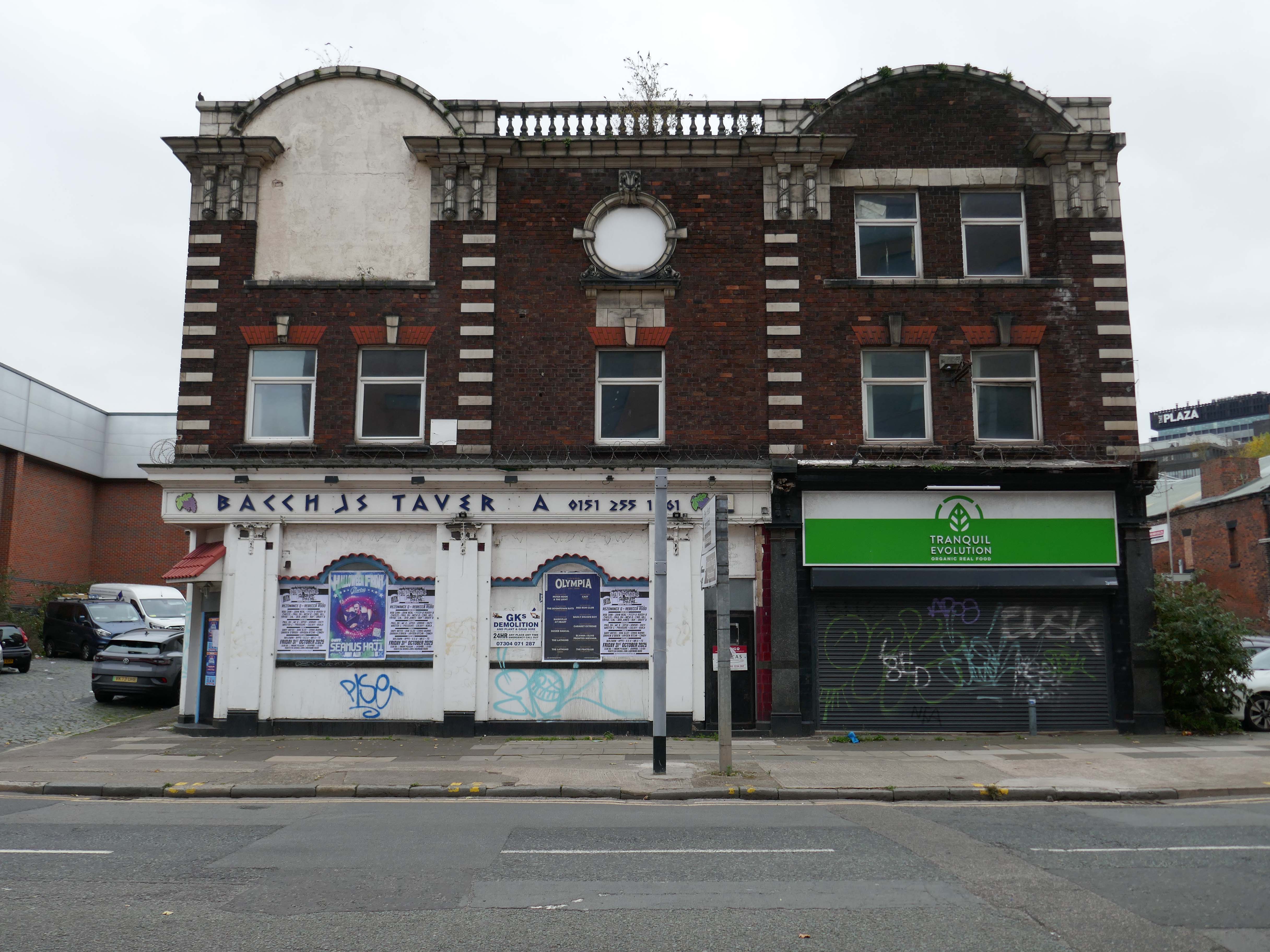
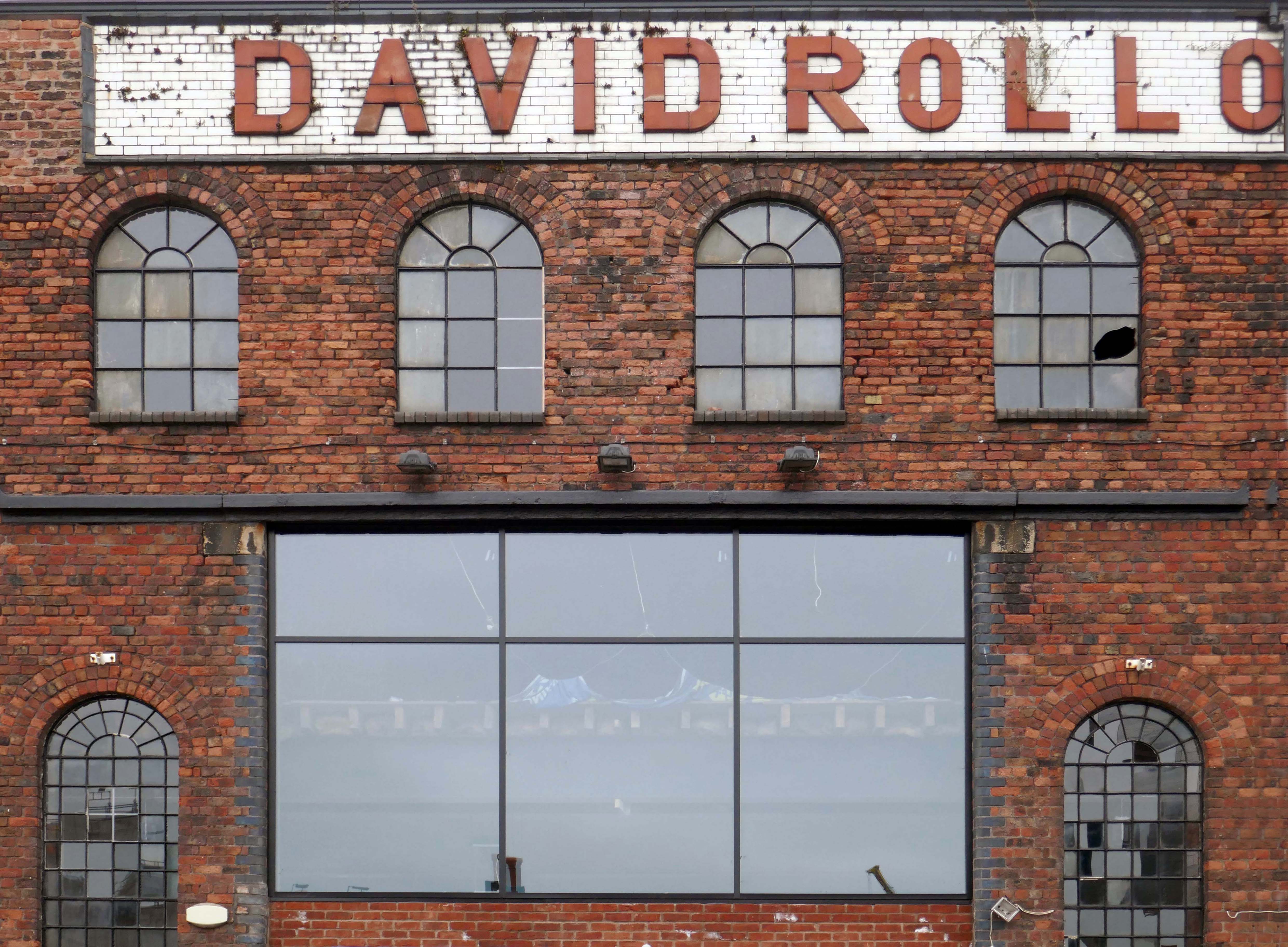
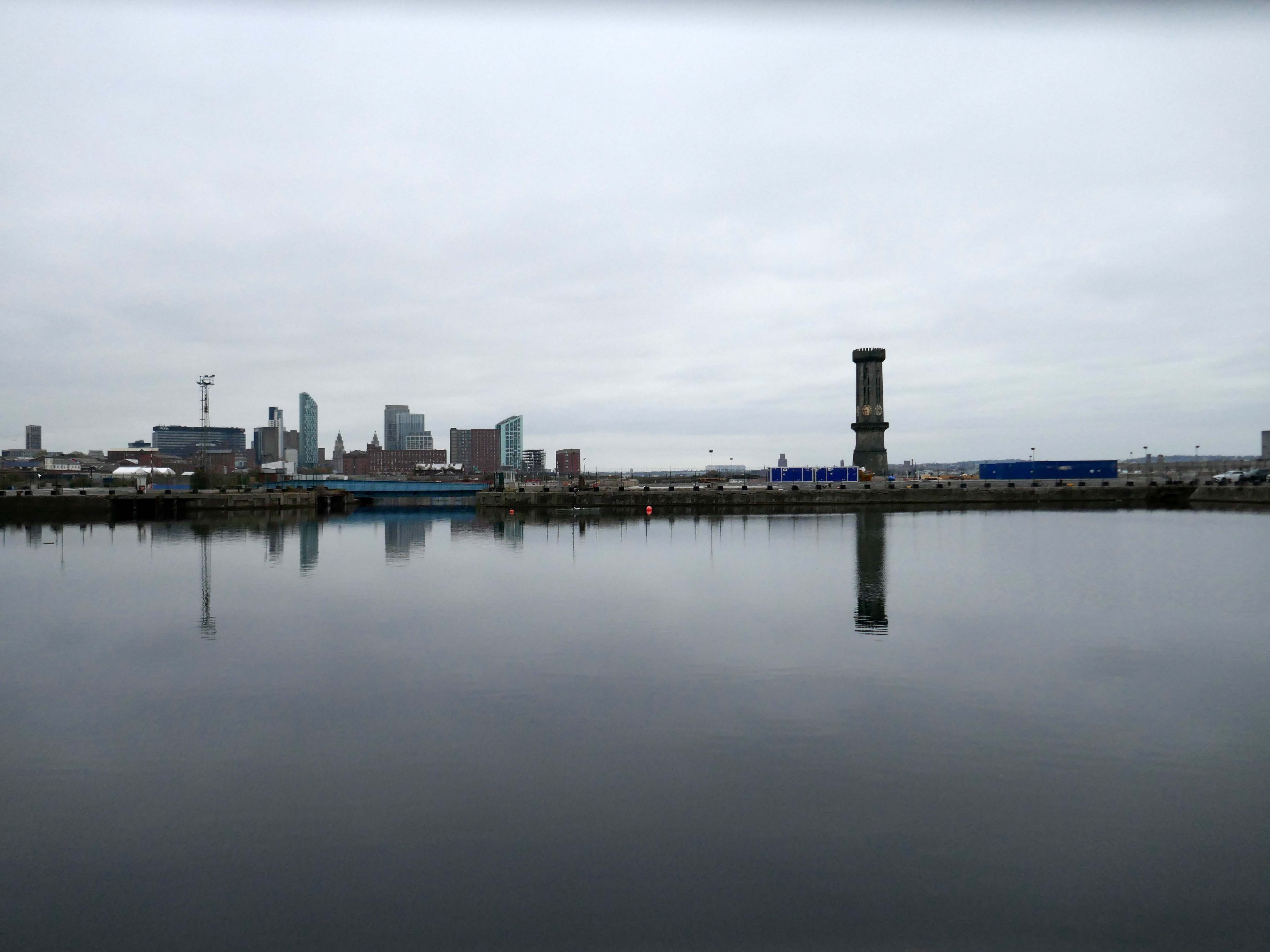
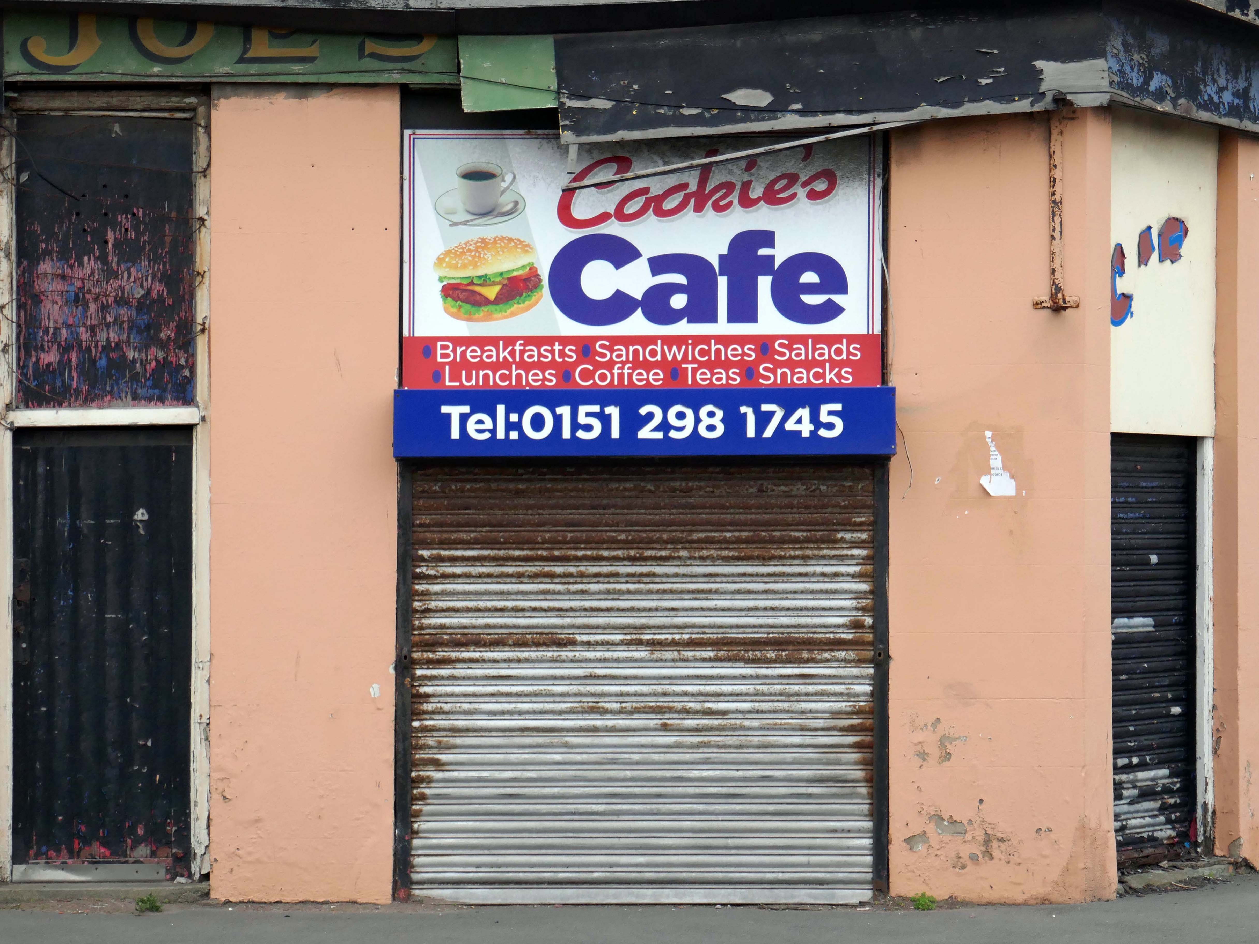
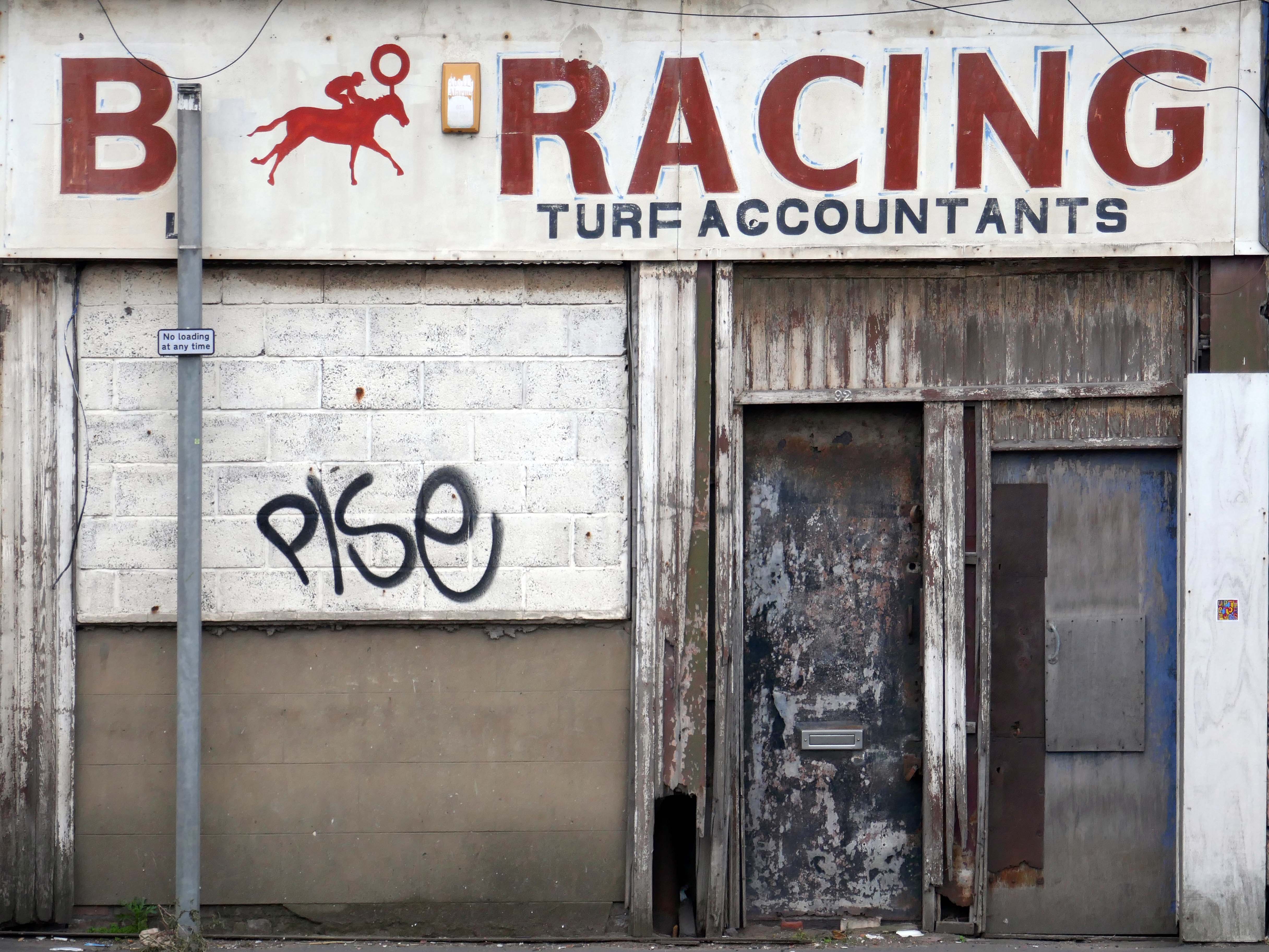
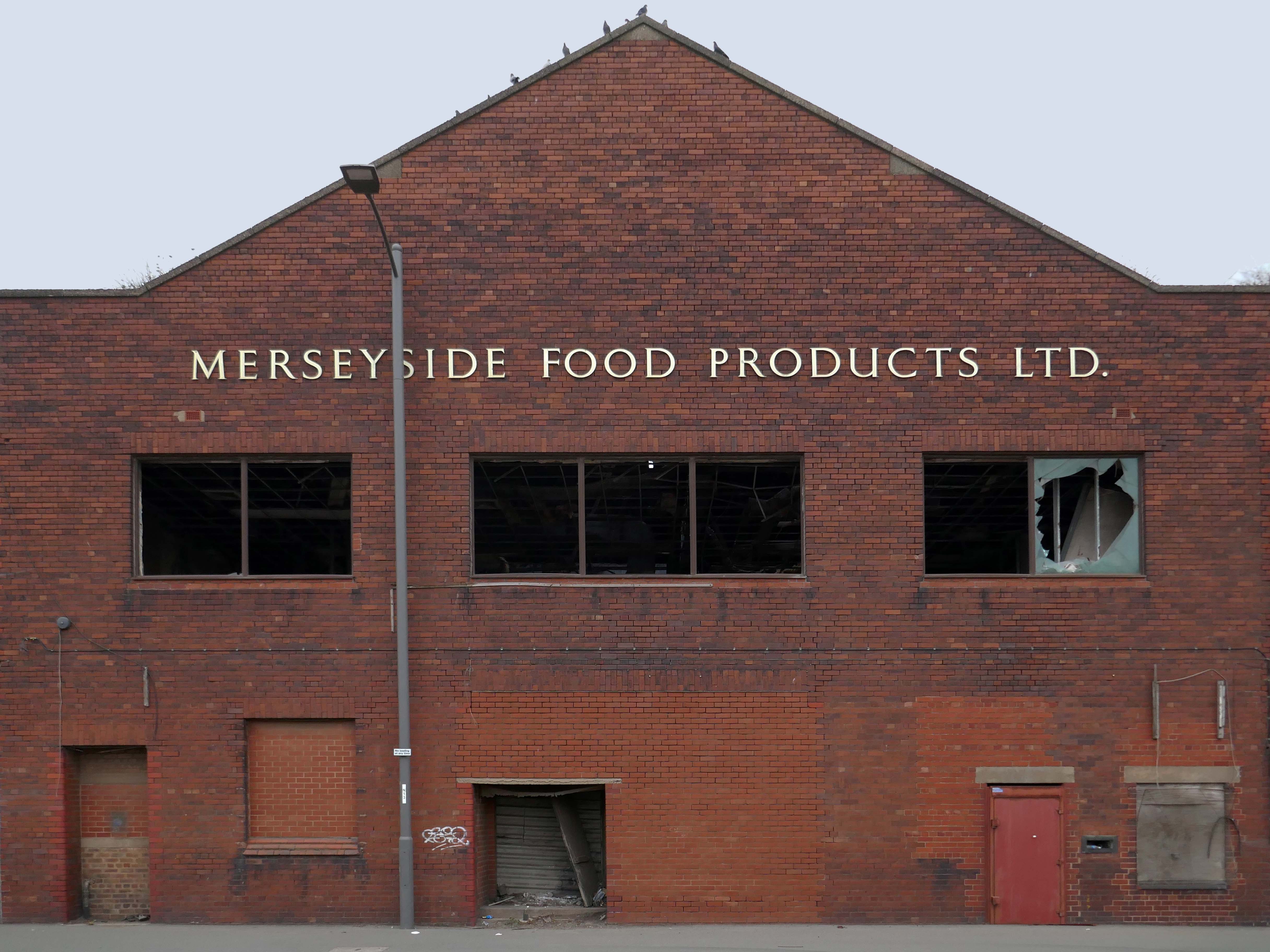
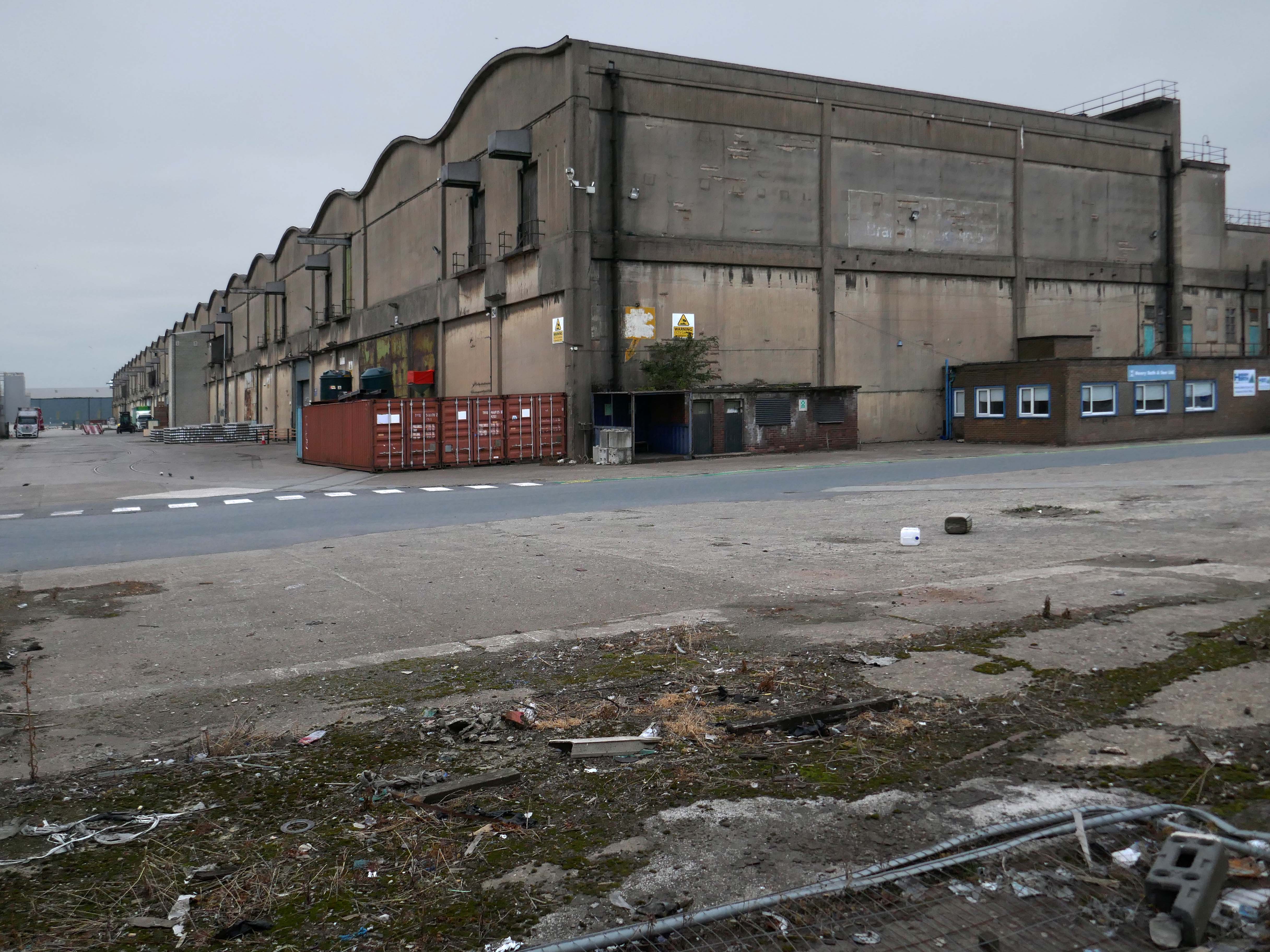
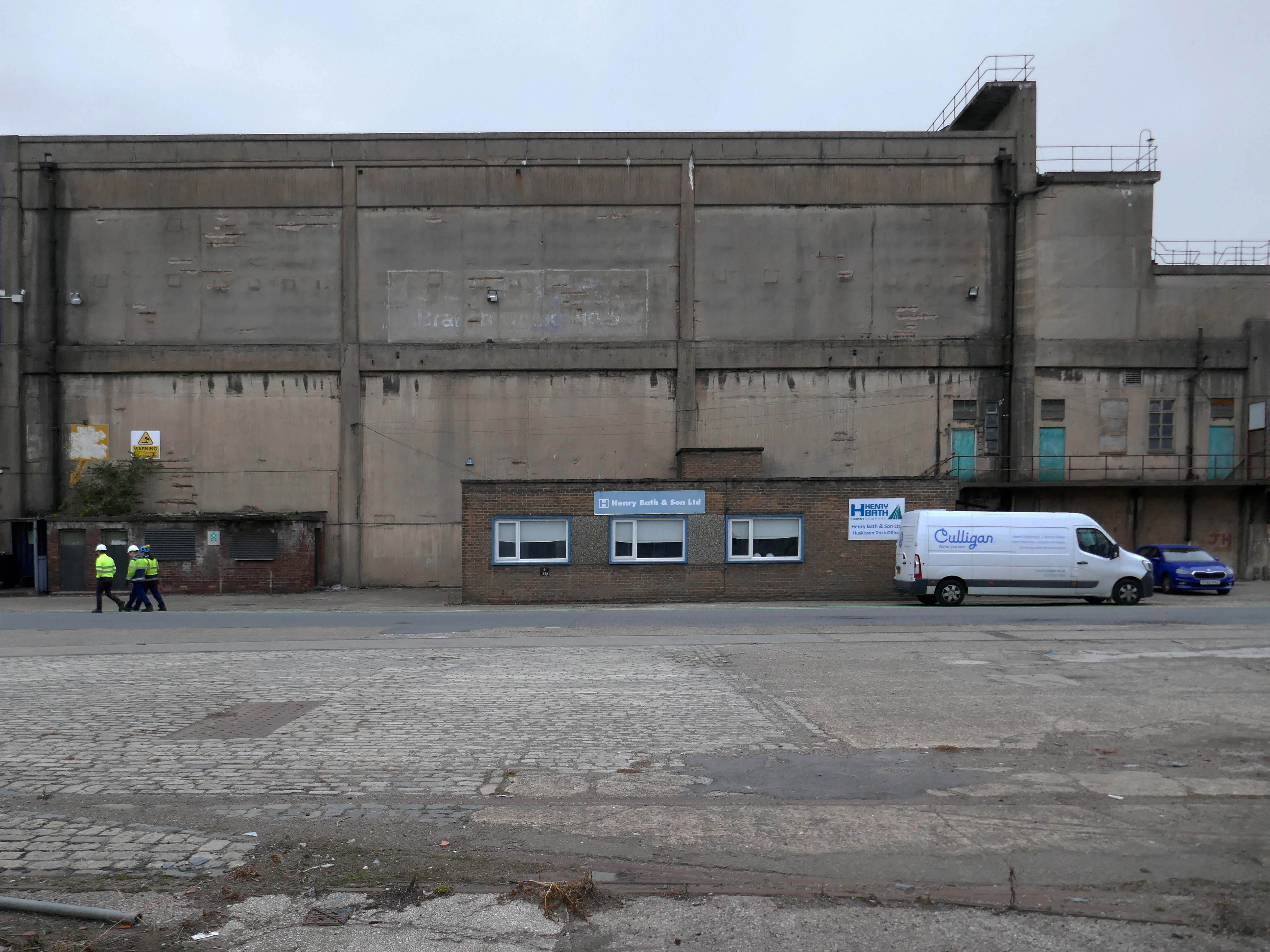
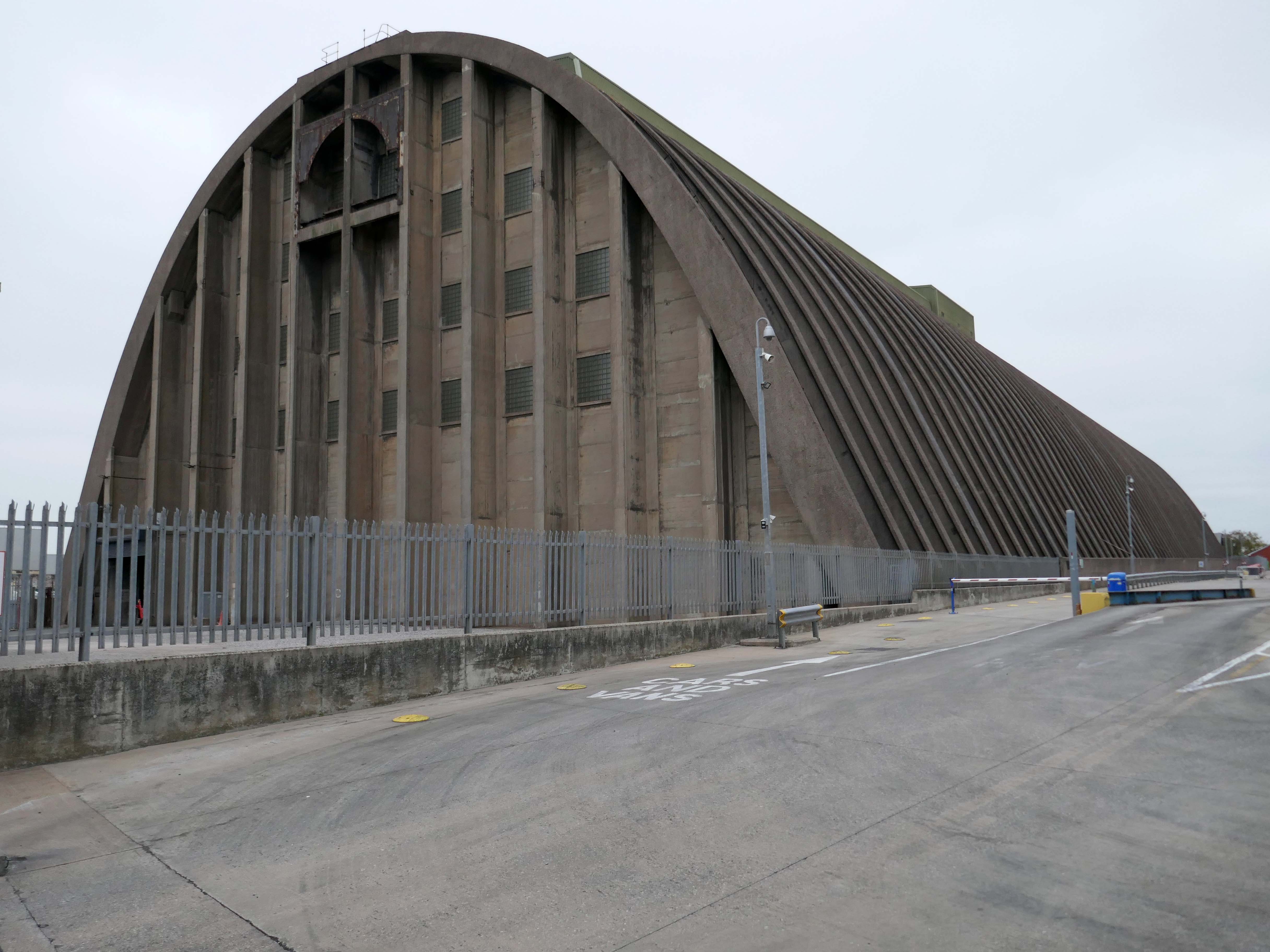
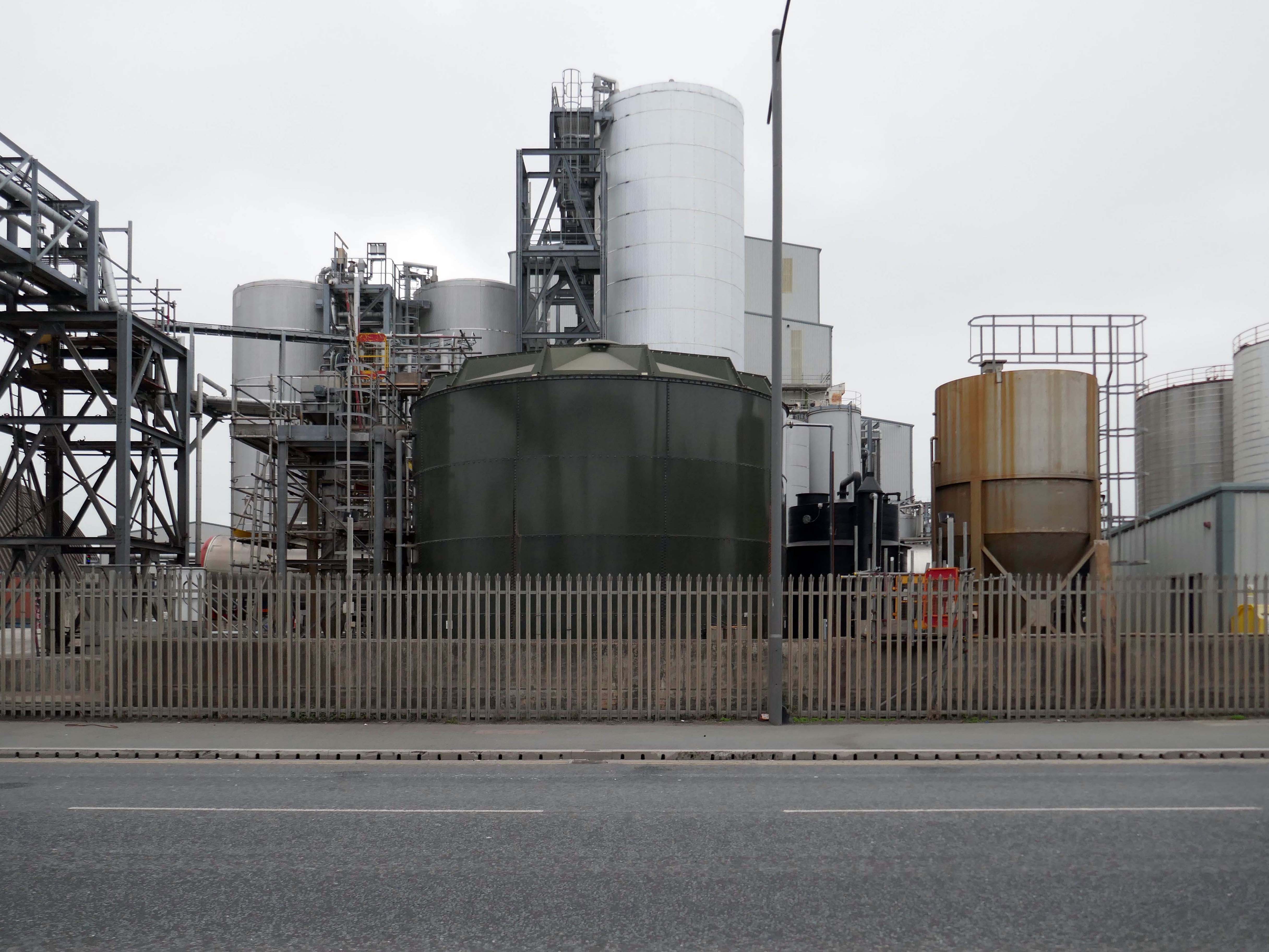
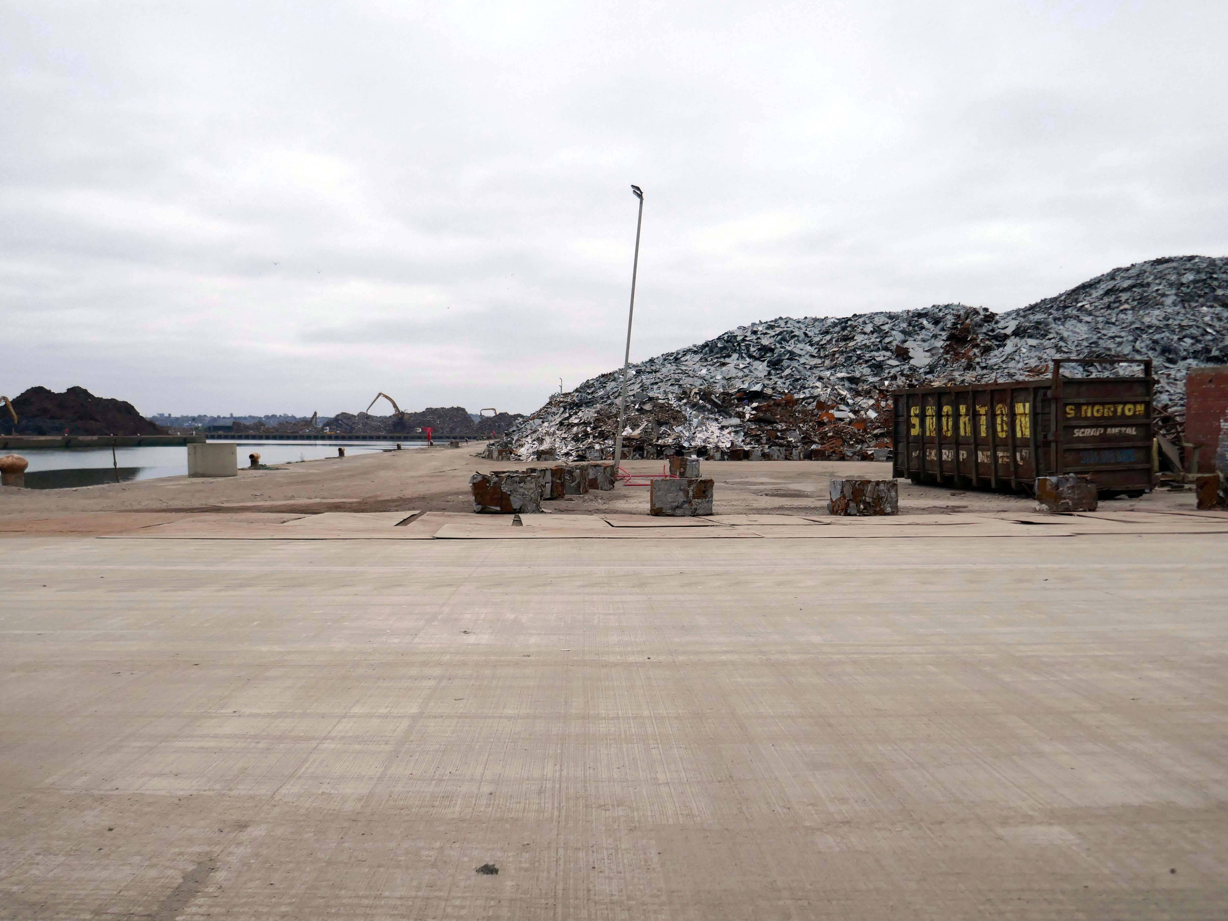
The days when a vast multitude of things came and went have been and gone.
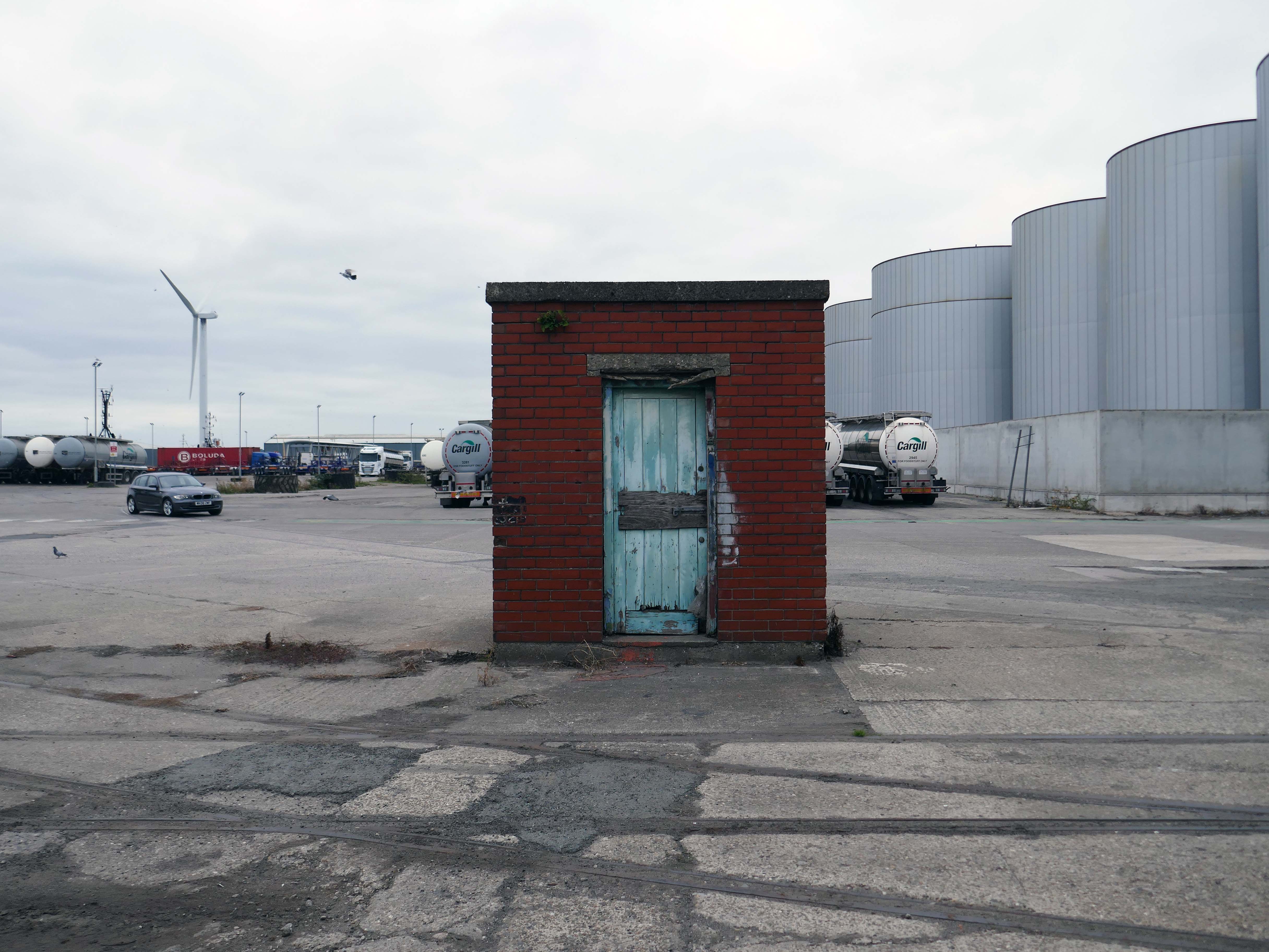
The docks as they were are no more.
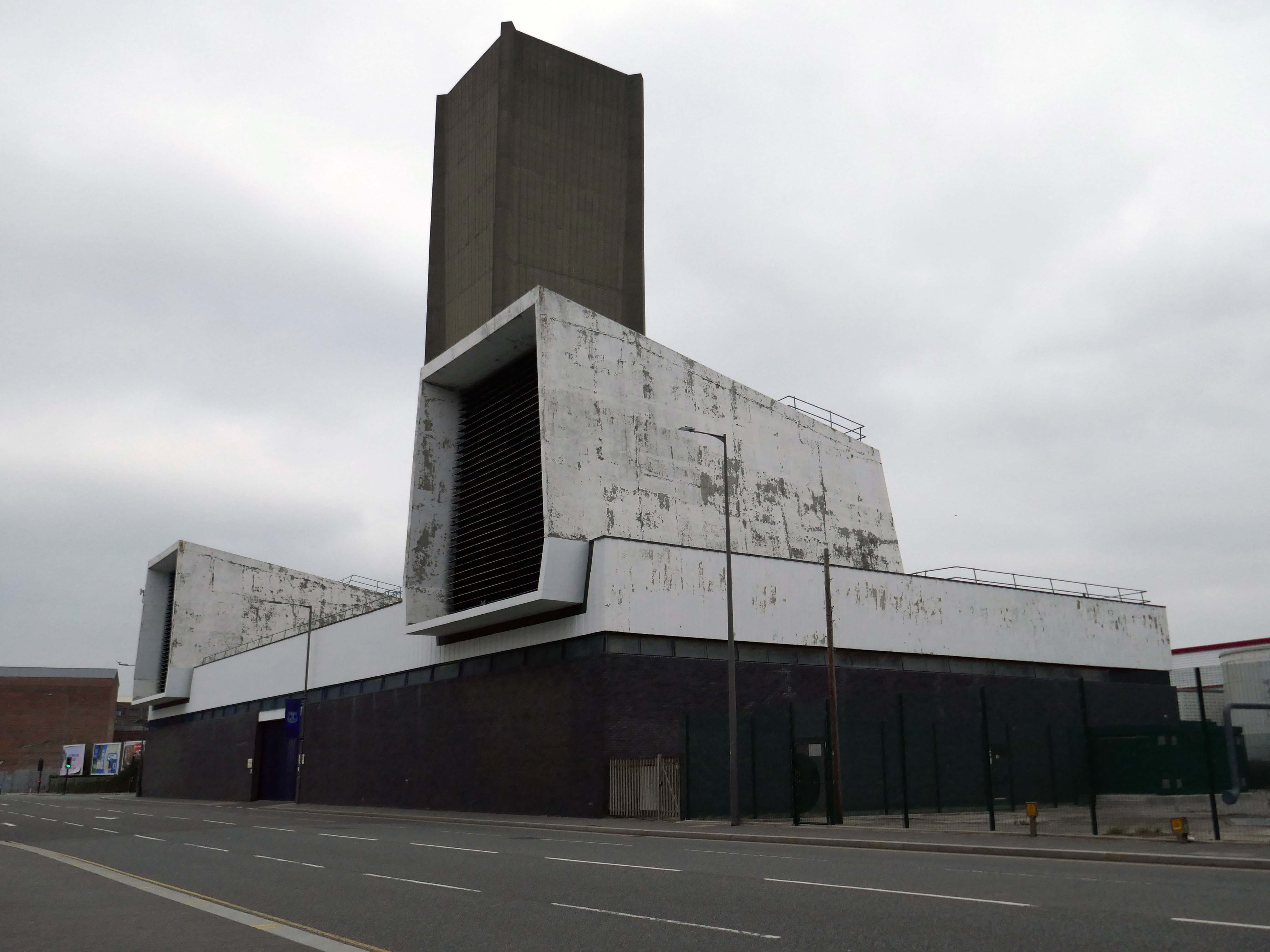
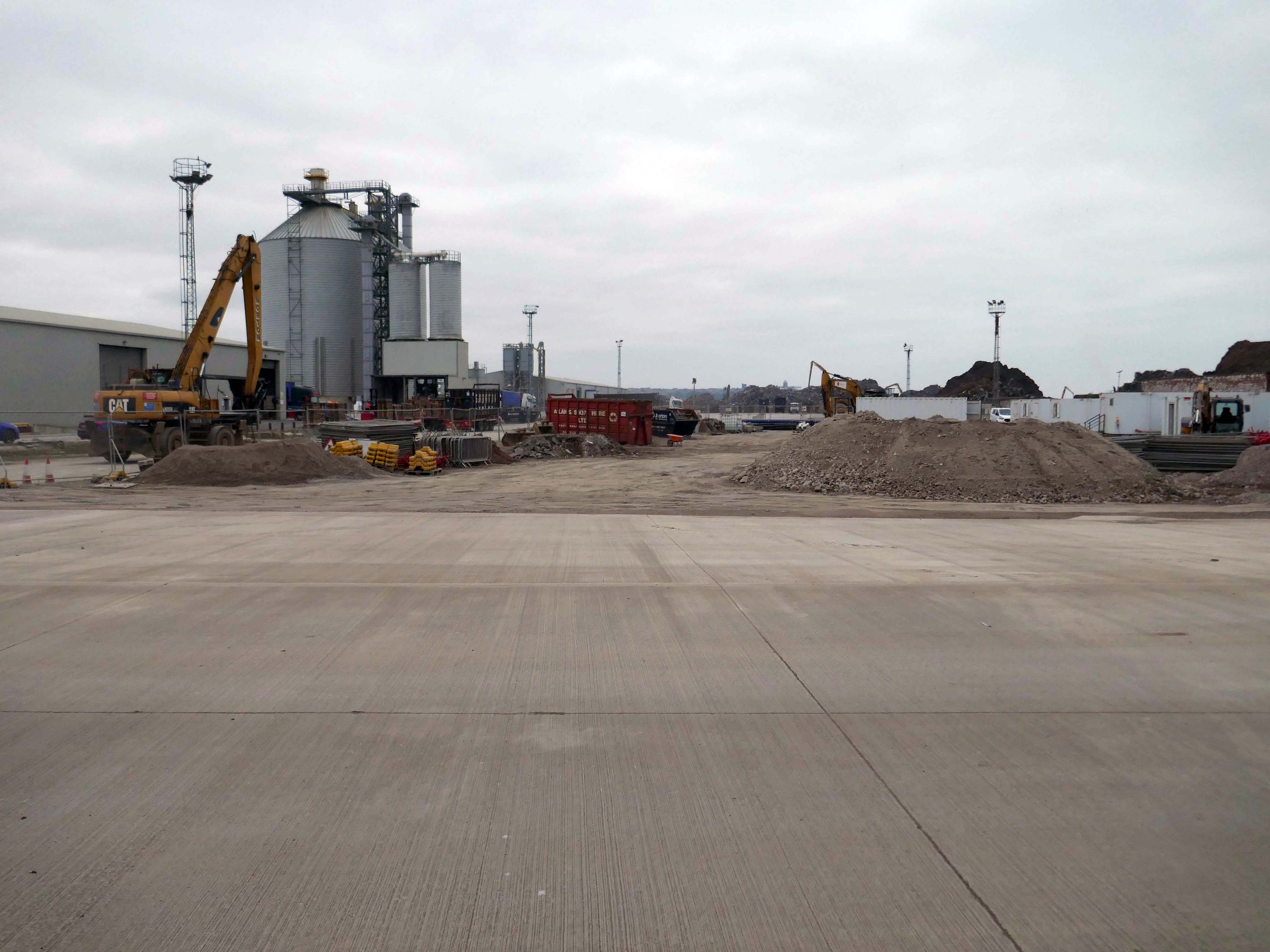
Yet in 2023, the Port of Liverpool was the UK’s fourth busiest container port, handling over 30 million tonnes of freight per annum. It handles a wide variety of cargo, including containers, bulk cargoes such as coal, grain and animal feed, and roll-on/roll-off cargoes such as cars, trucks and recycled metals. The port is also home to one of the largest cruise terminals in the UK which handles approximately 200,000 passengers and over 100 cruise ships each year.
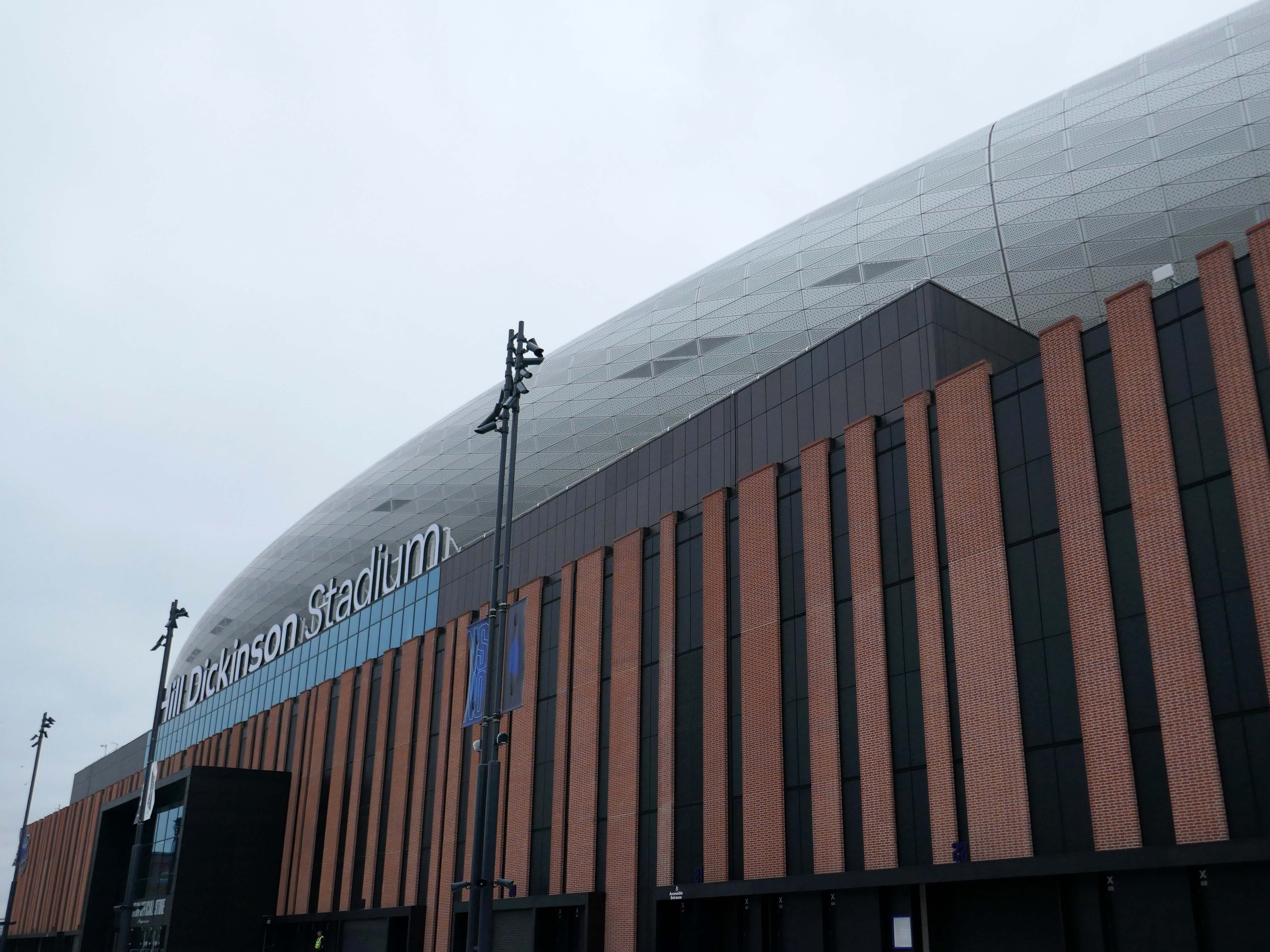
Now with the opening of the Titanic Hotel in the Stanley Dock and the arrival of the Toffees just up the road at the Hill Dickinson Stadium, the whole area is slowly being transformed into a destination, as they say in modern parlance.
However much of the Industrial heritage remains in various states of disarray, used and possibly disabused, but hanging on in there.