
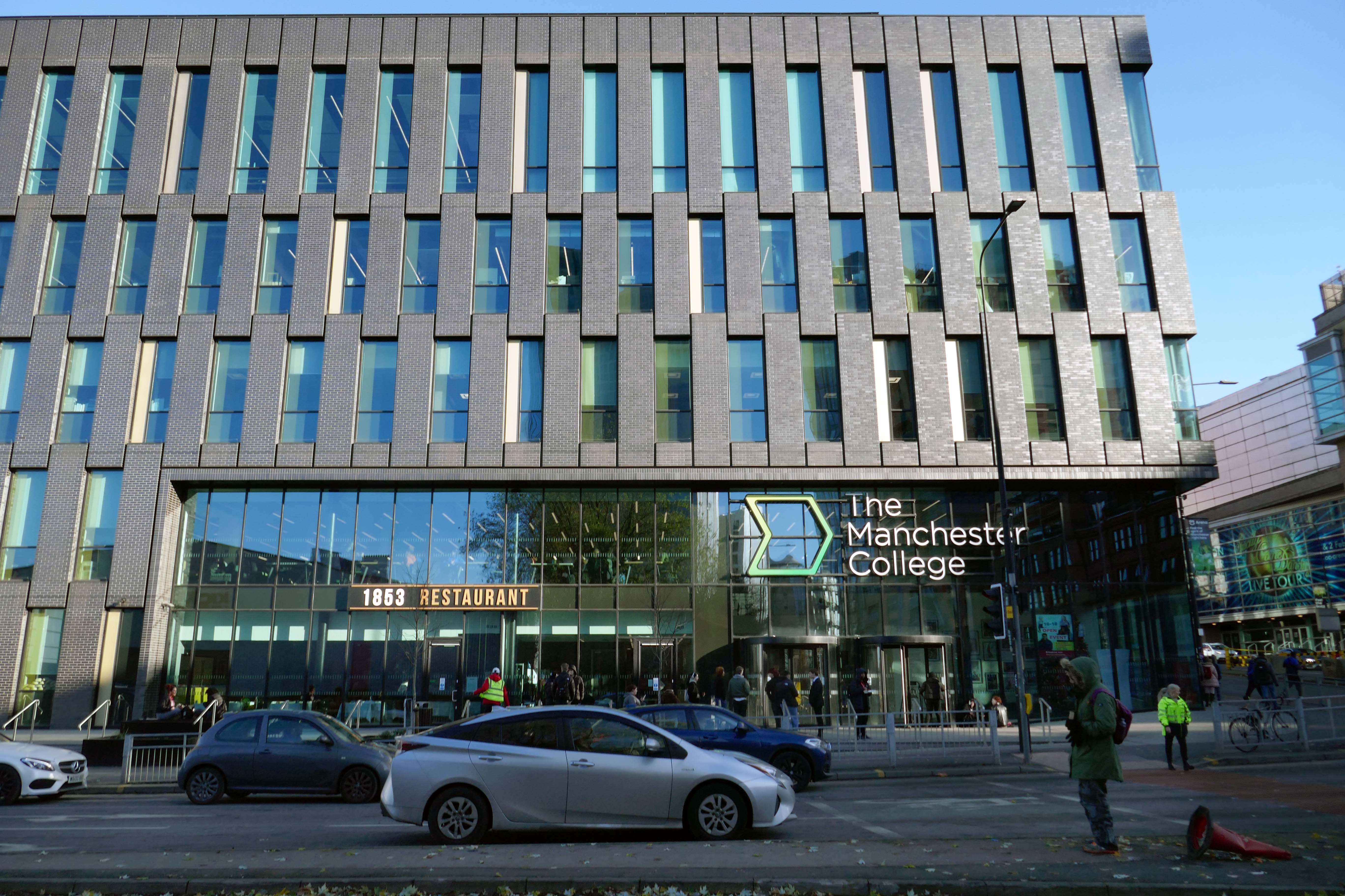
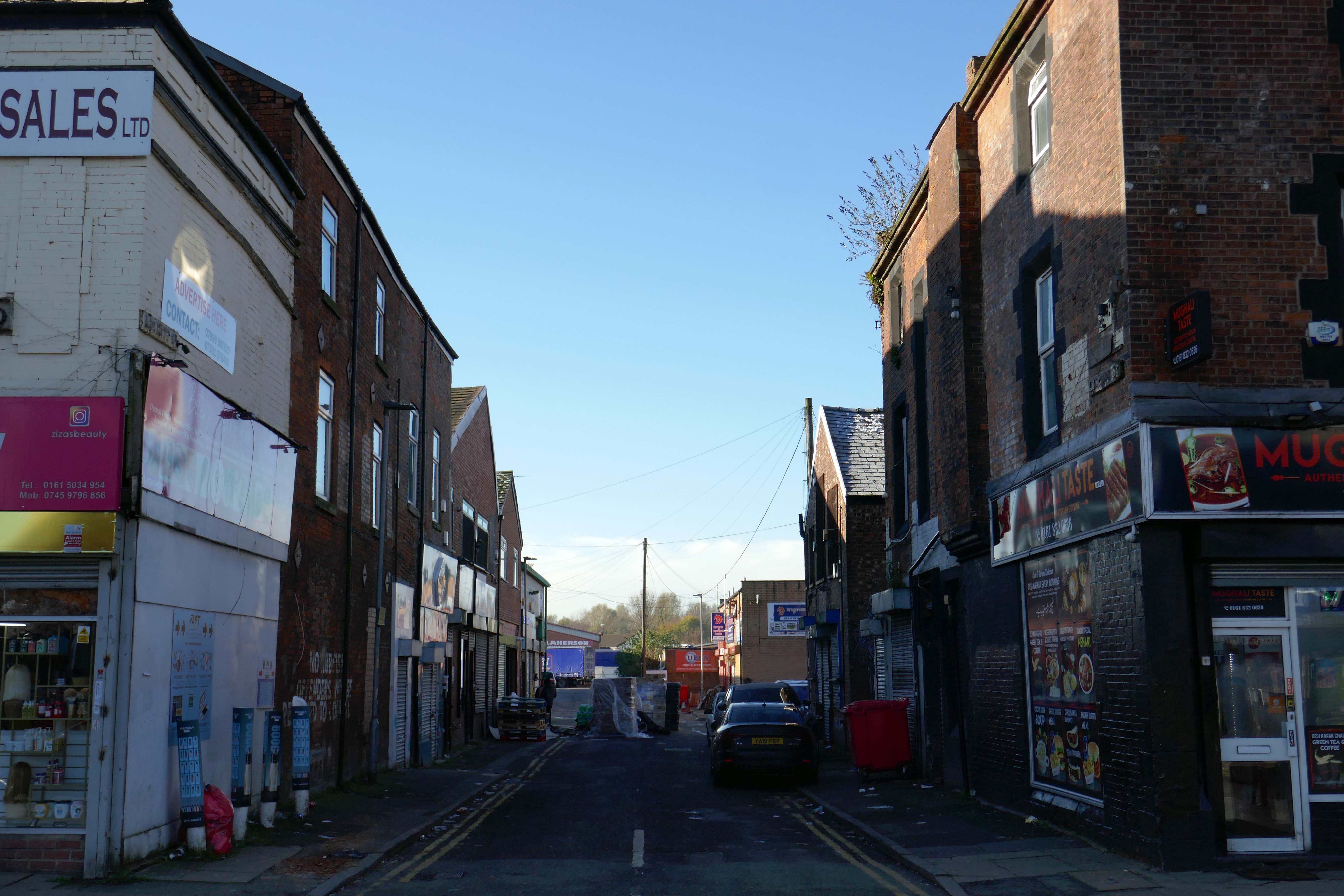
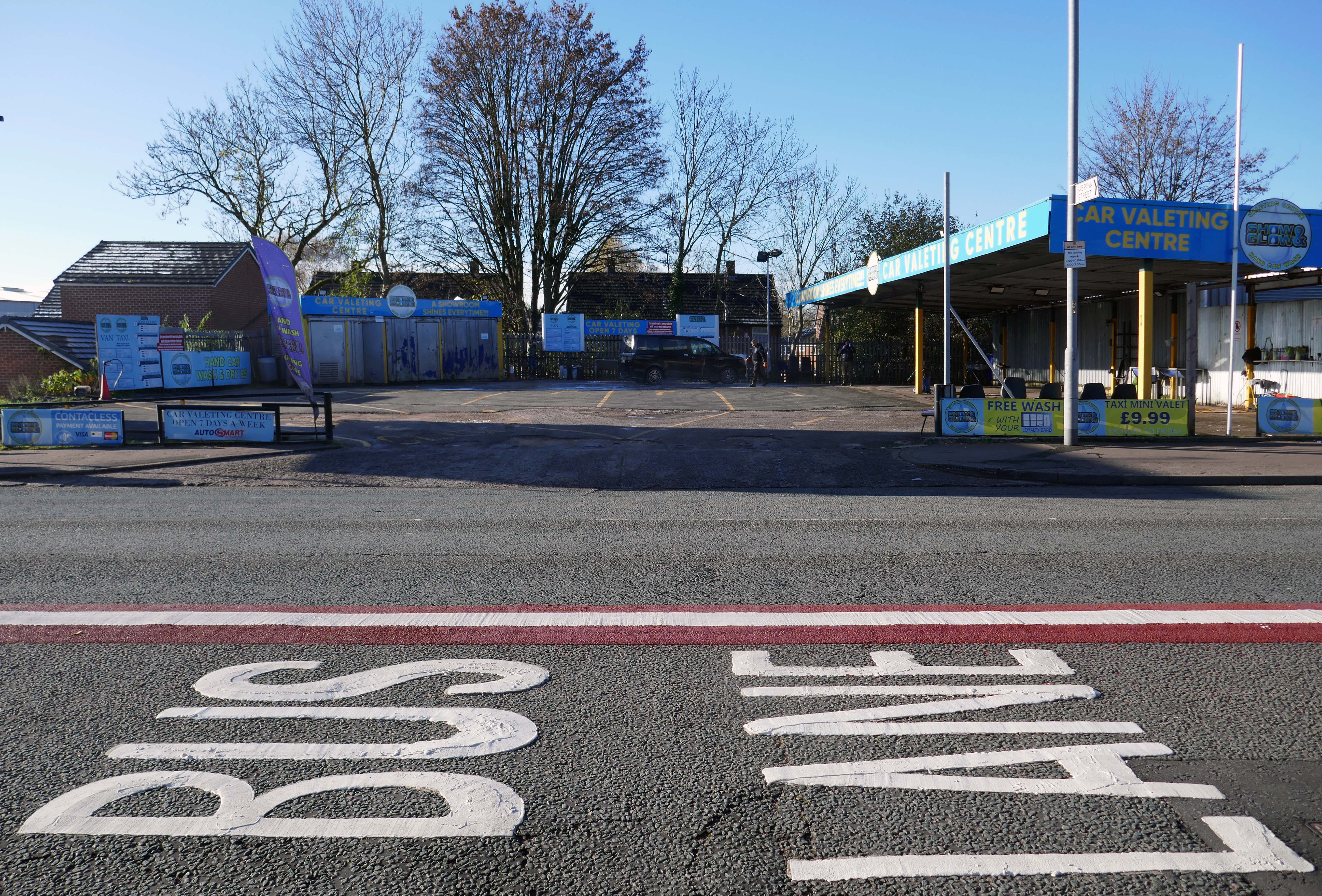
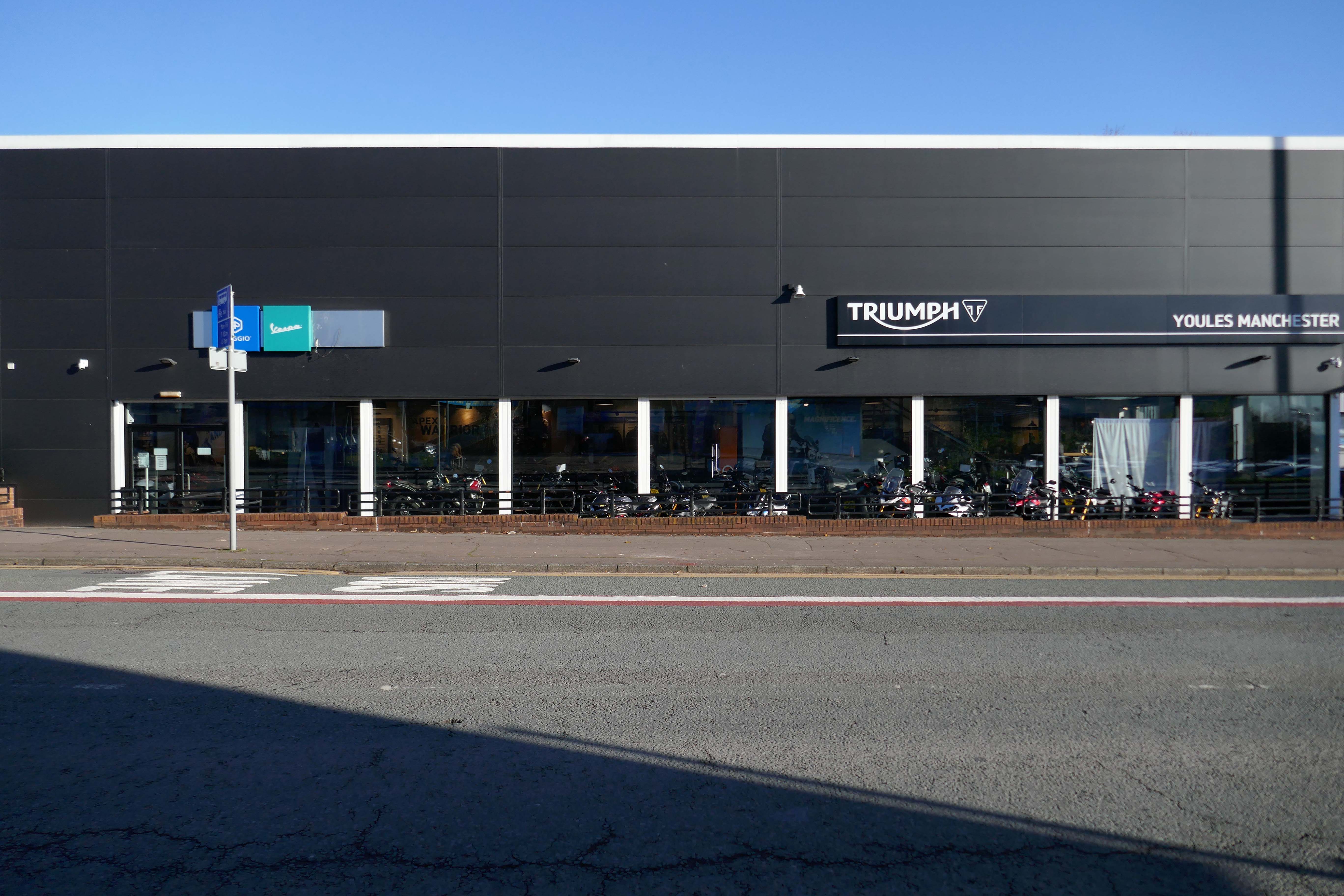
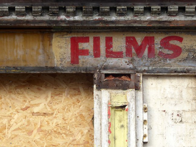
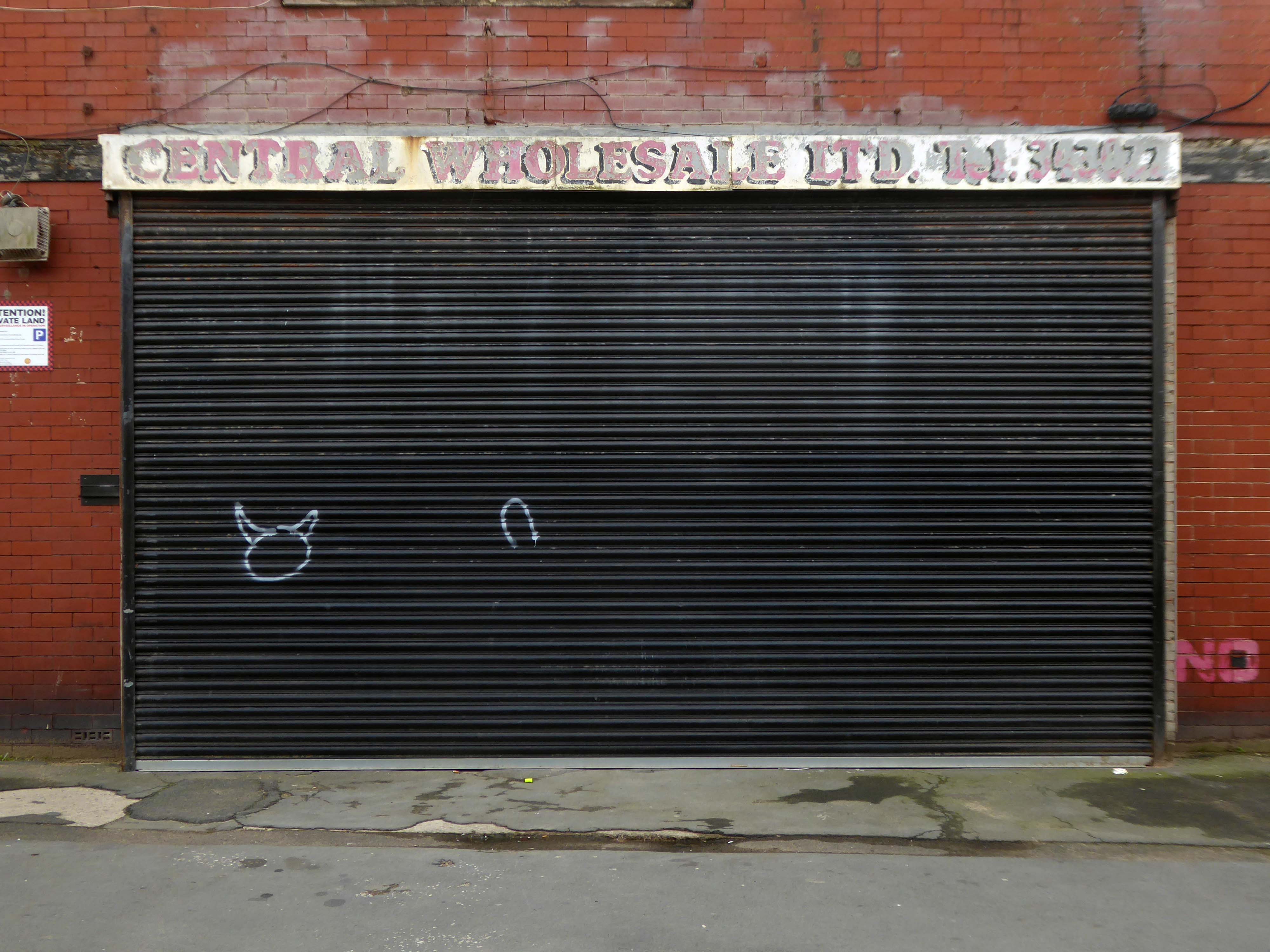
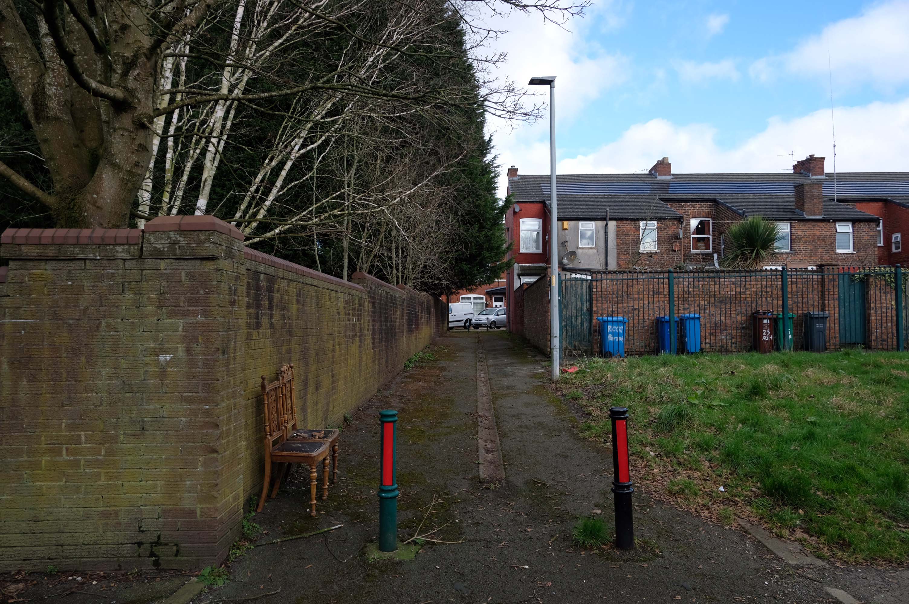
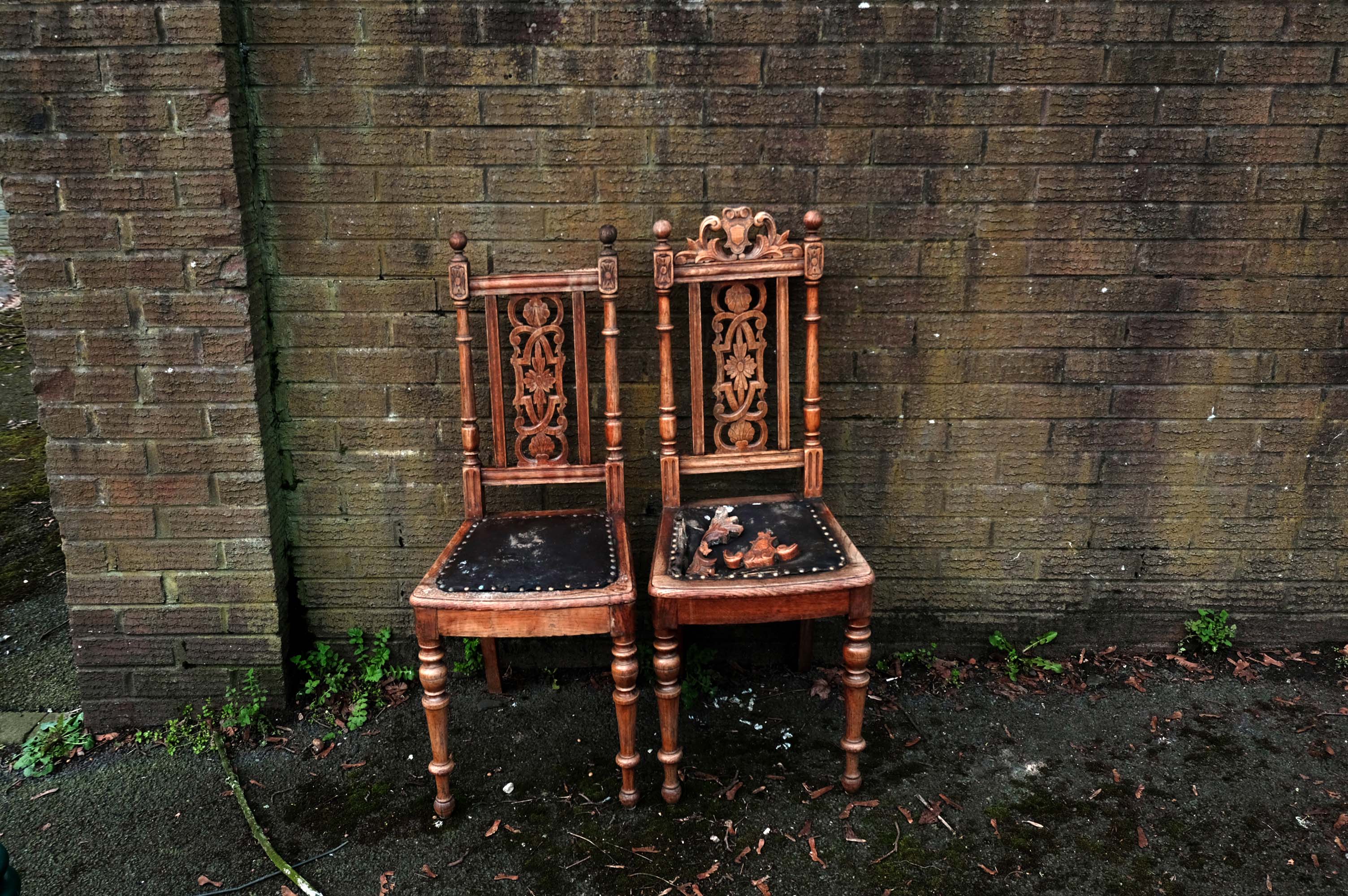
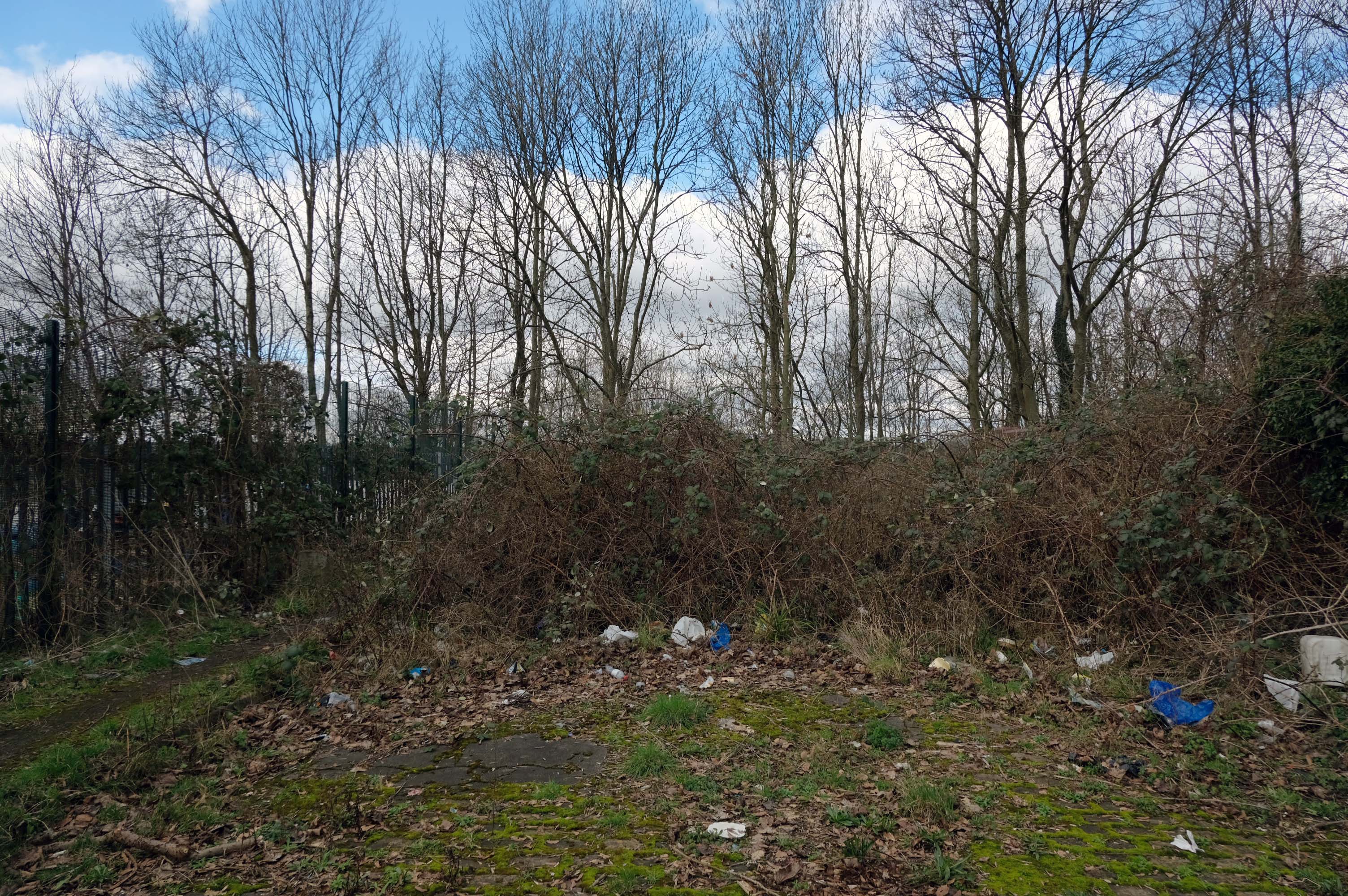
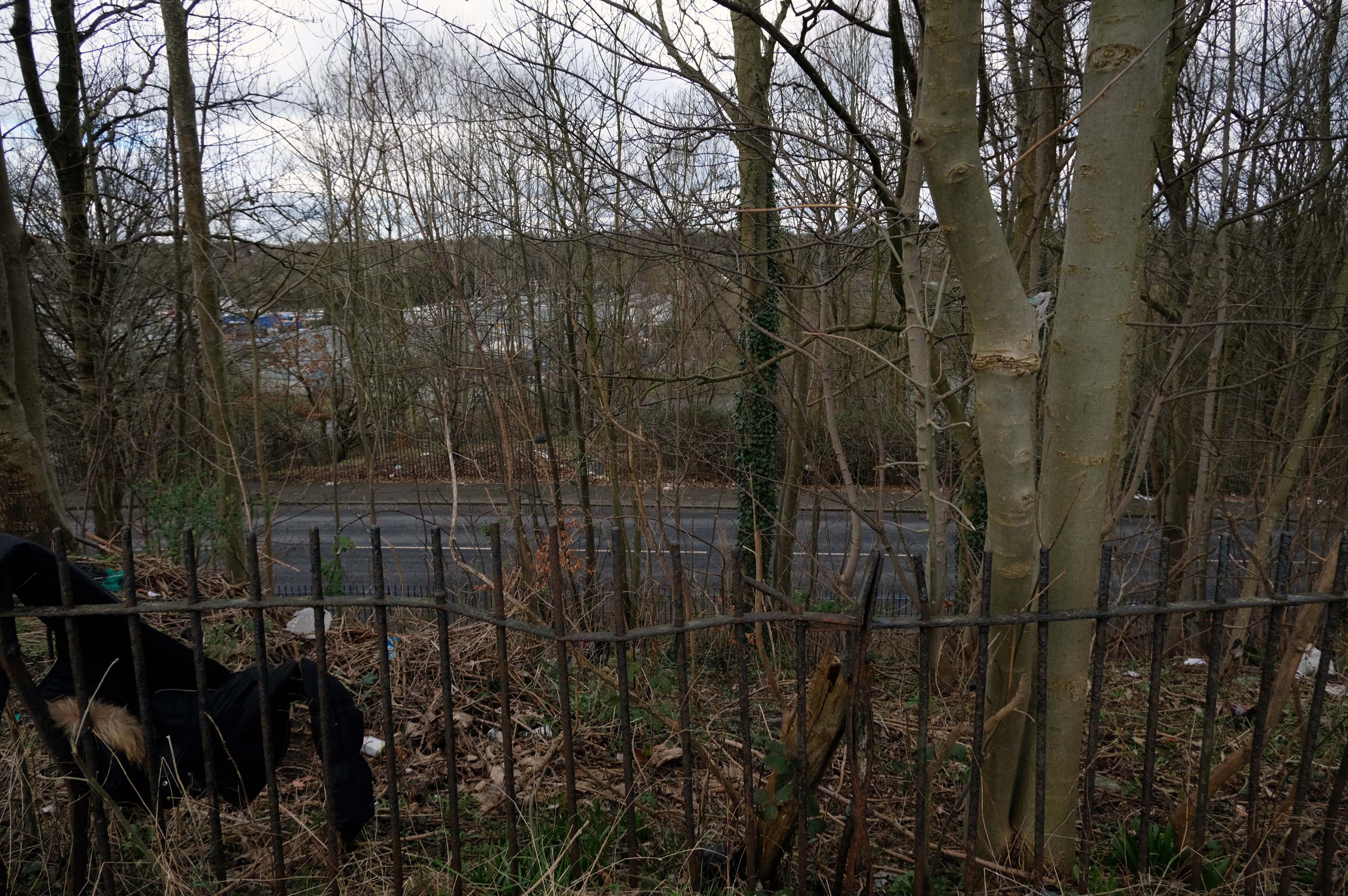
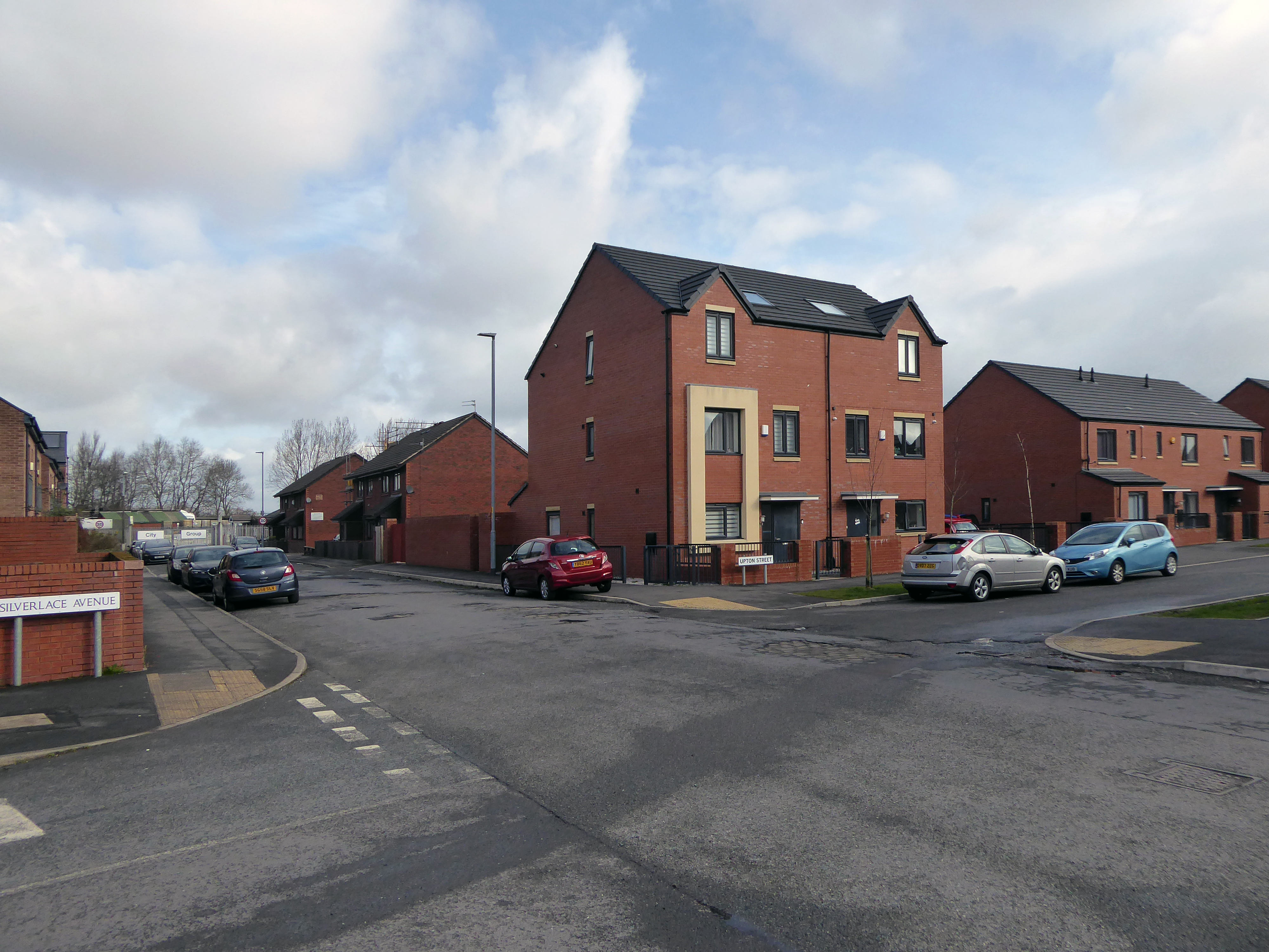
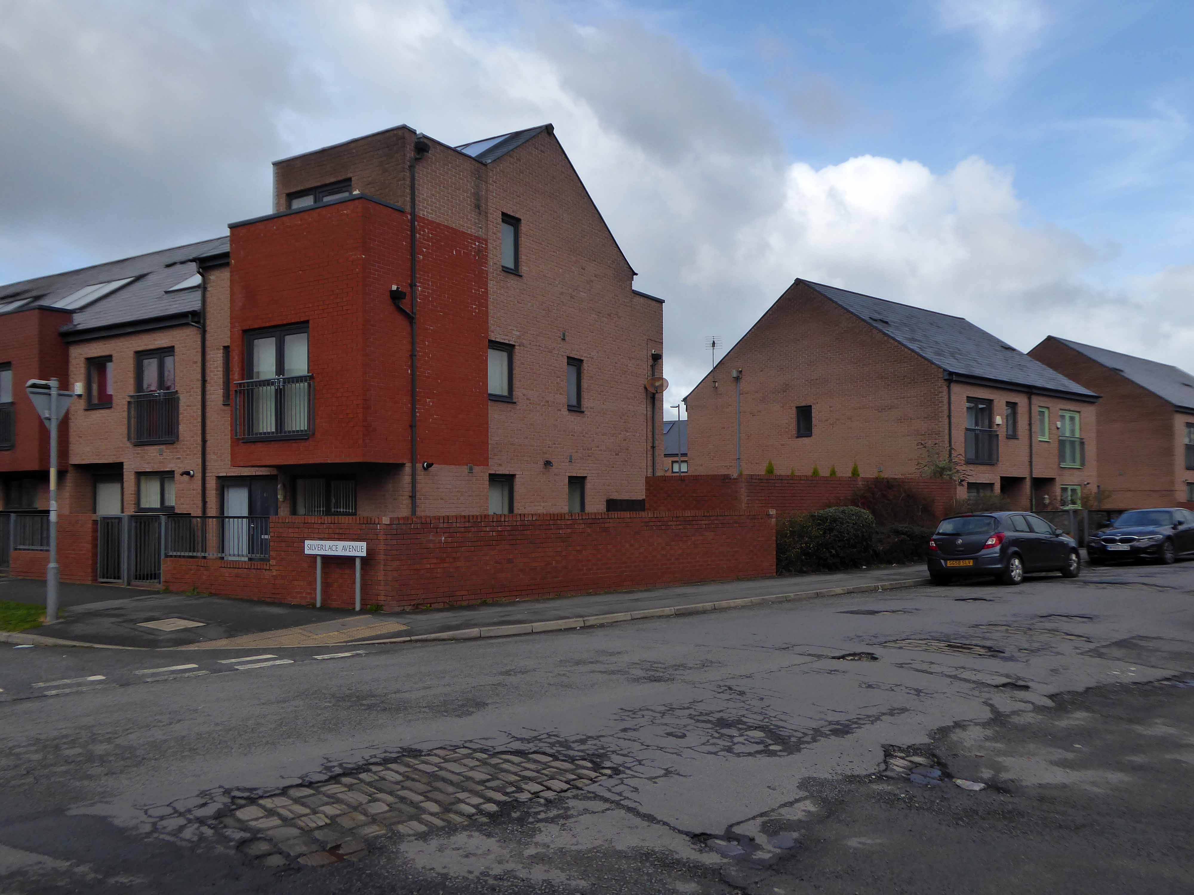
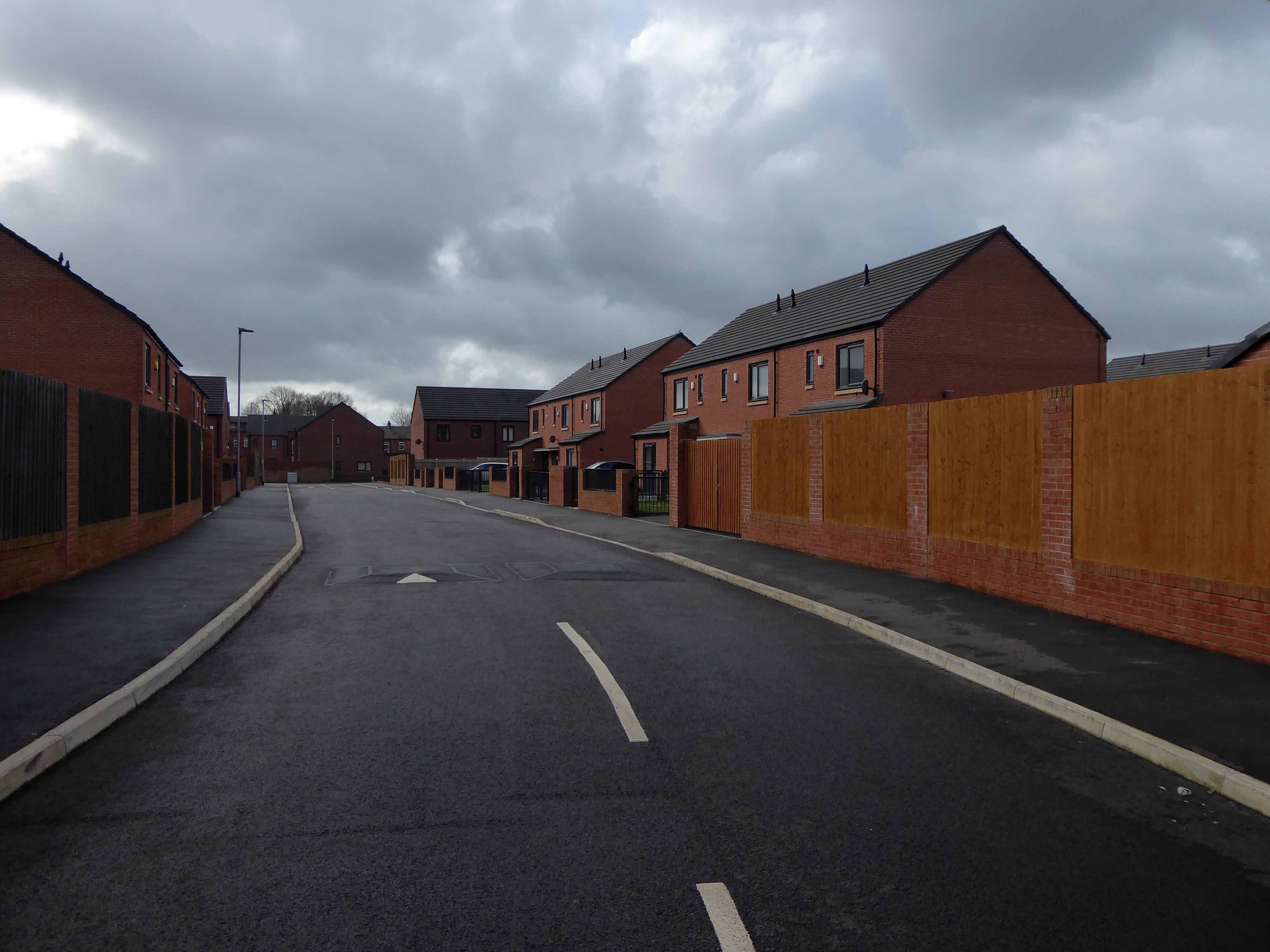
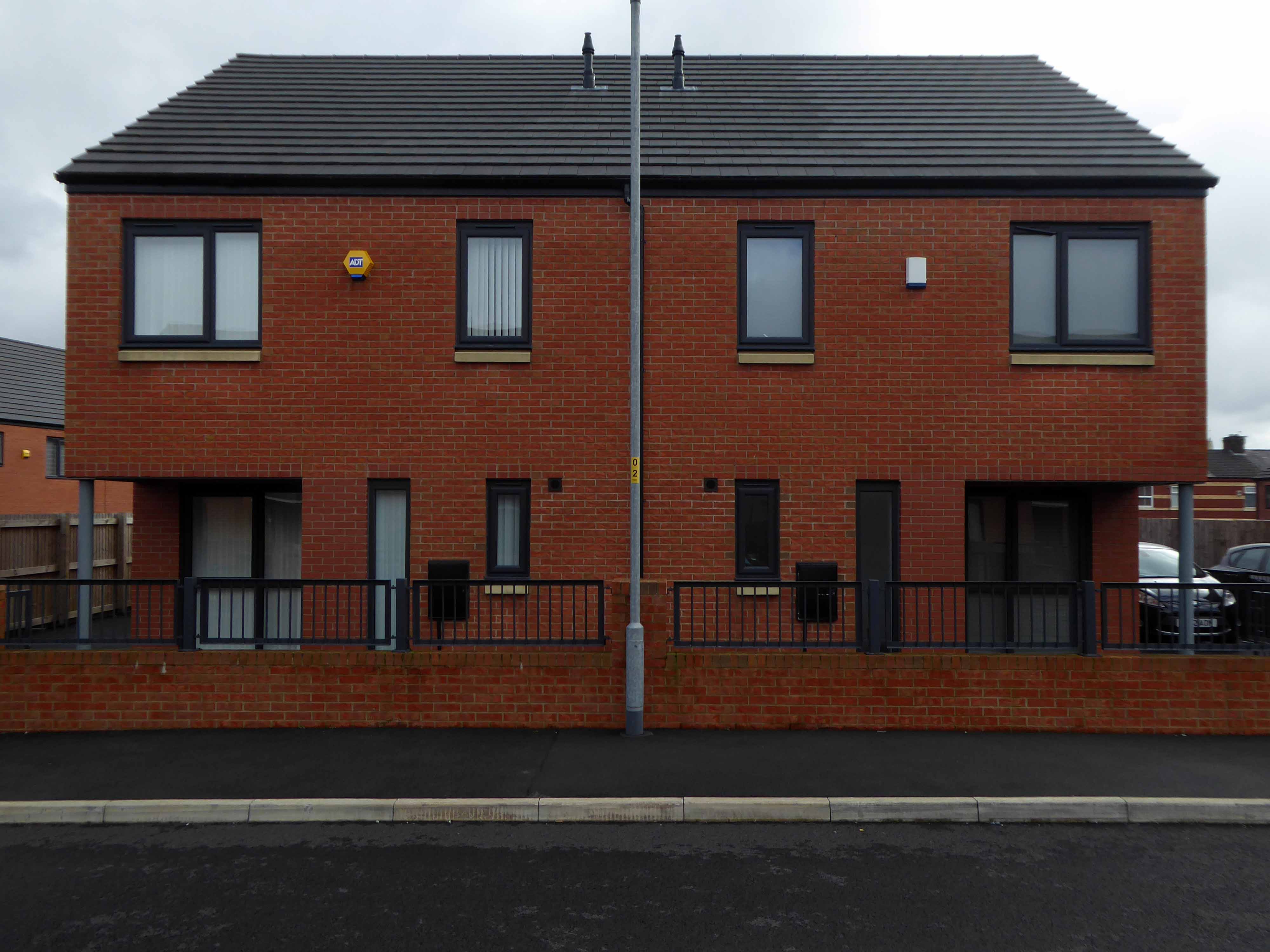
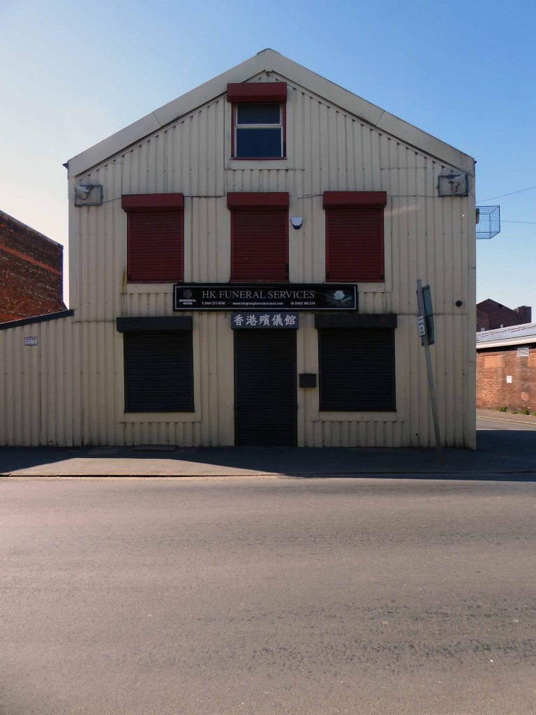
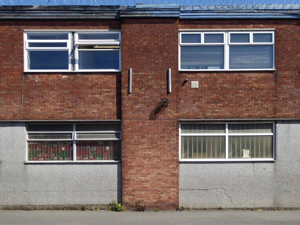
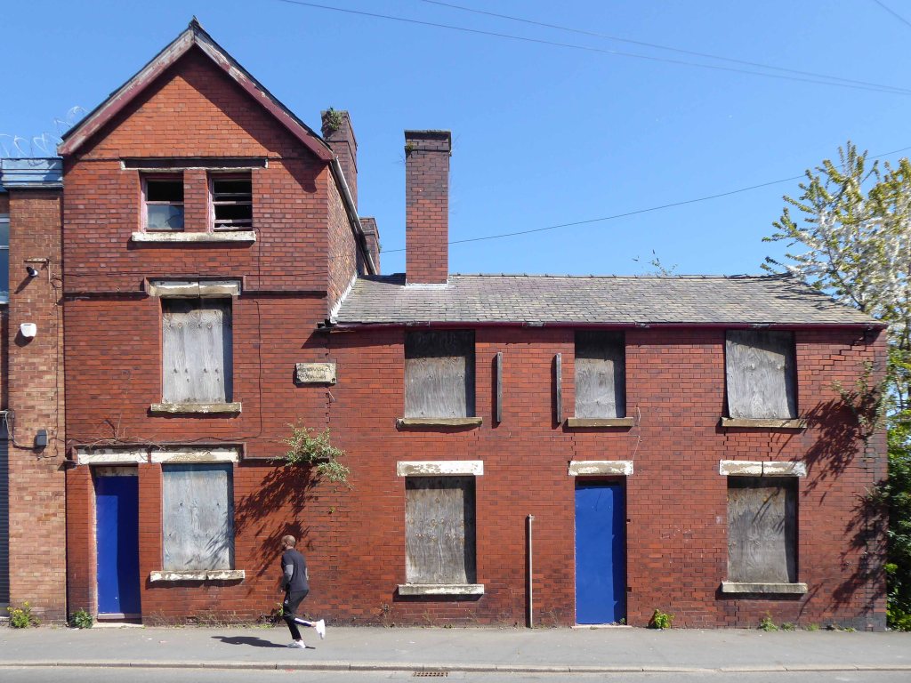
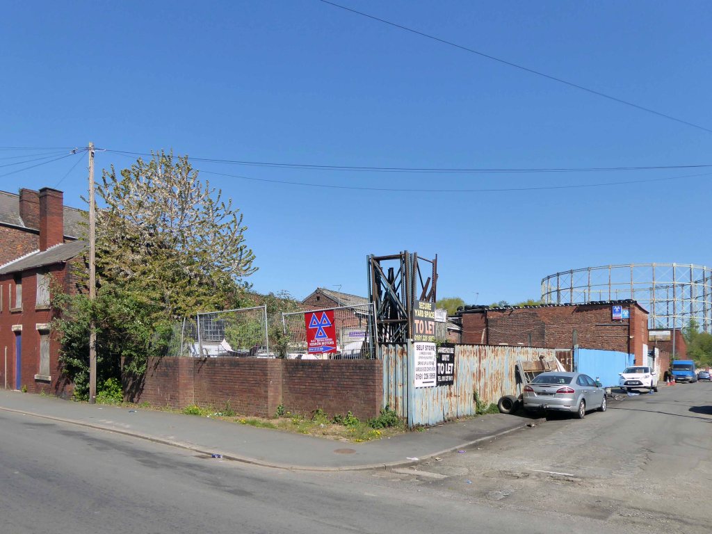
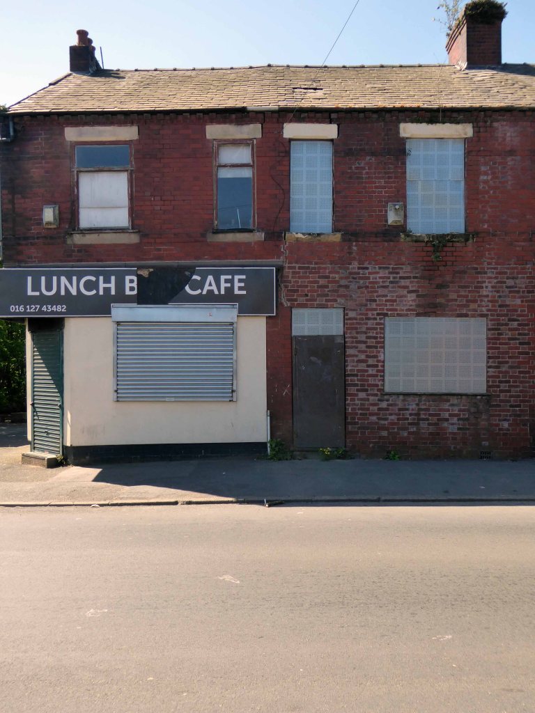
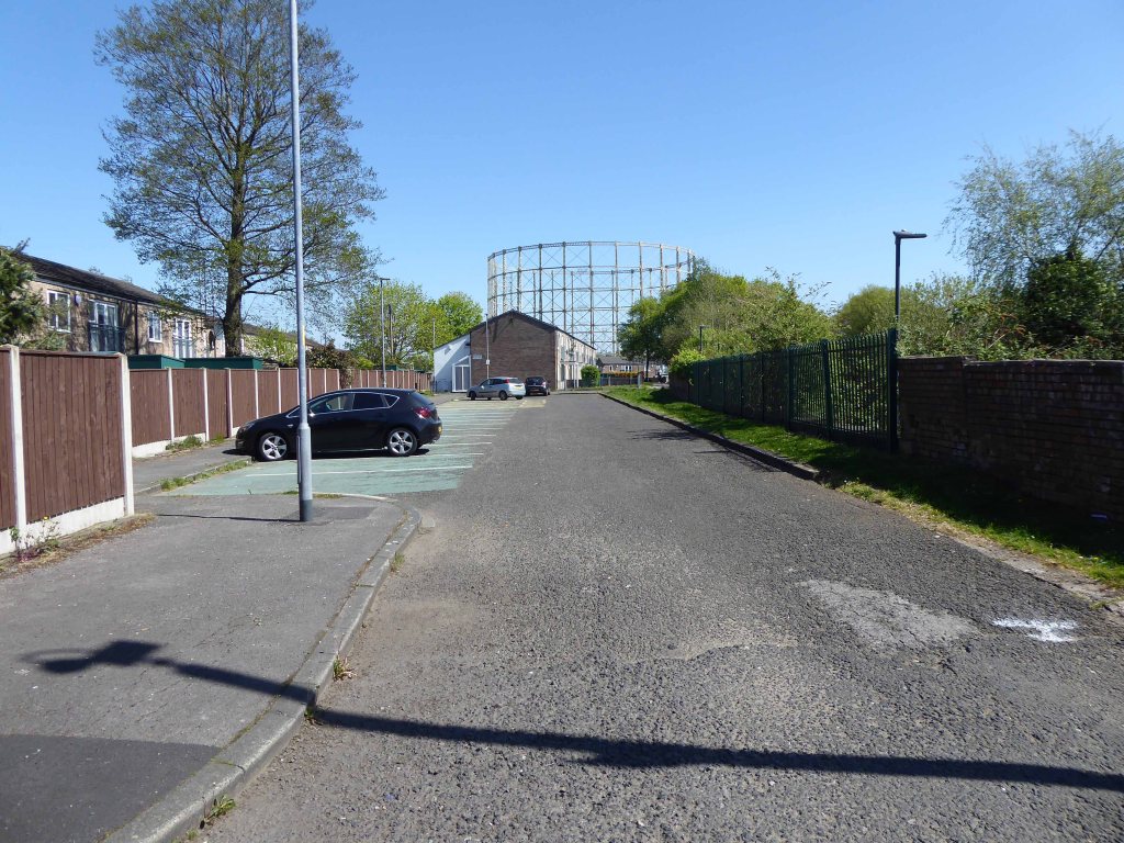
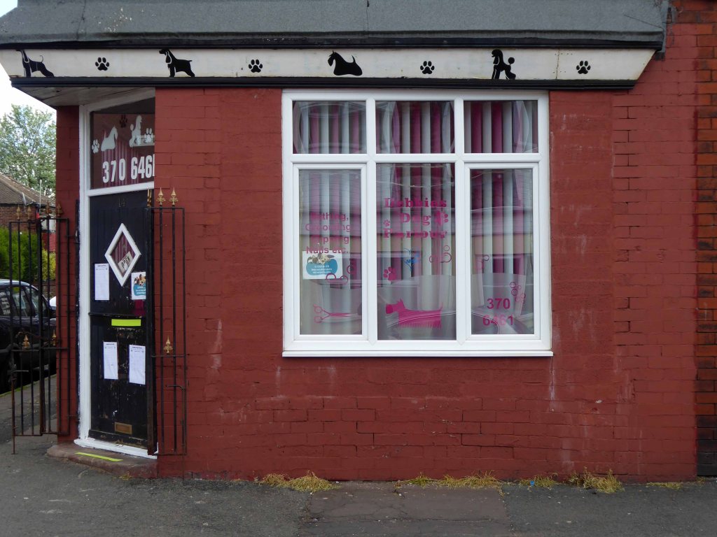
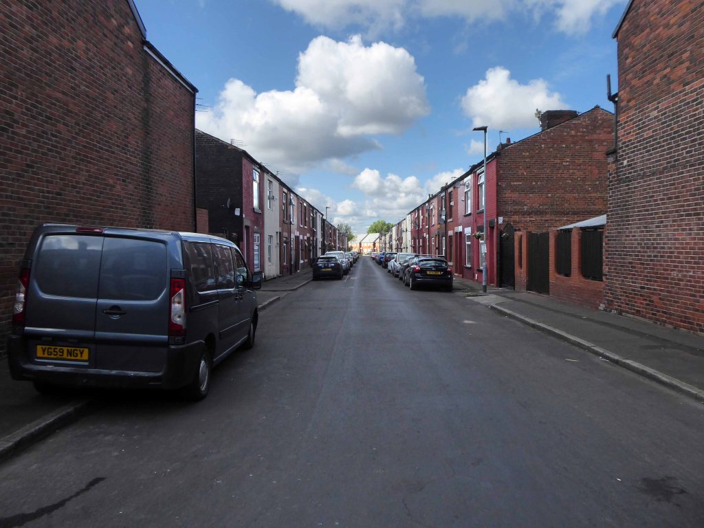
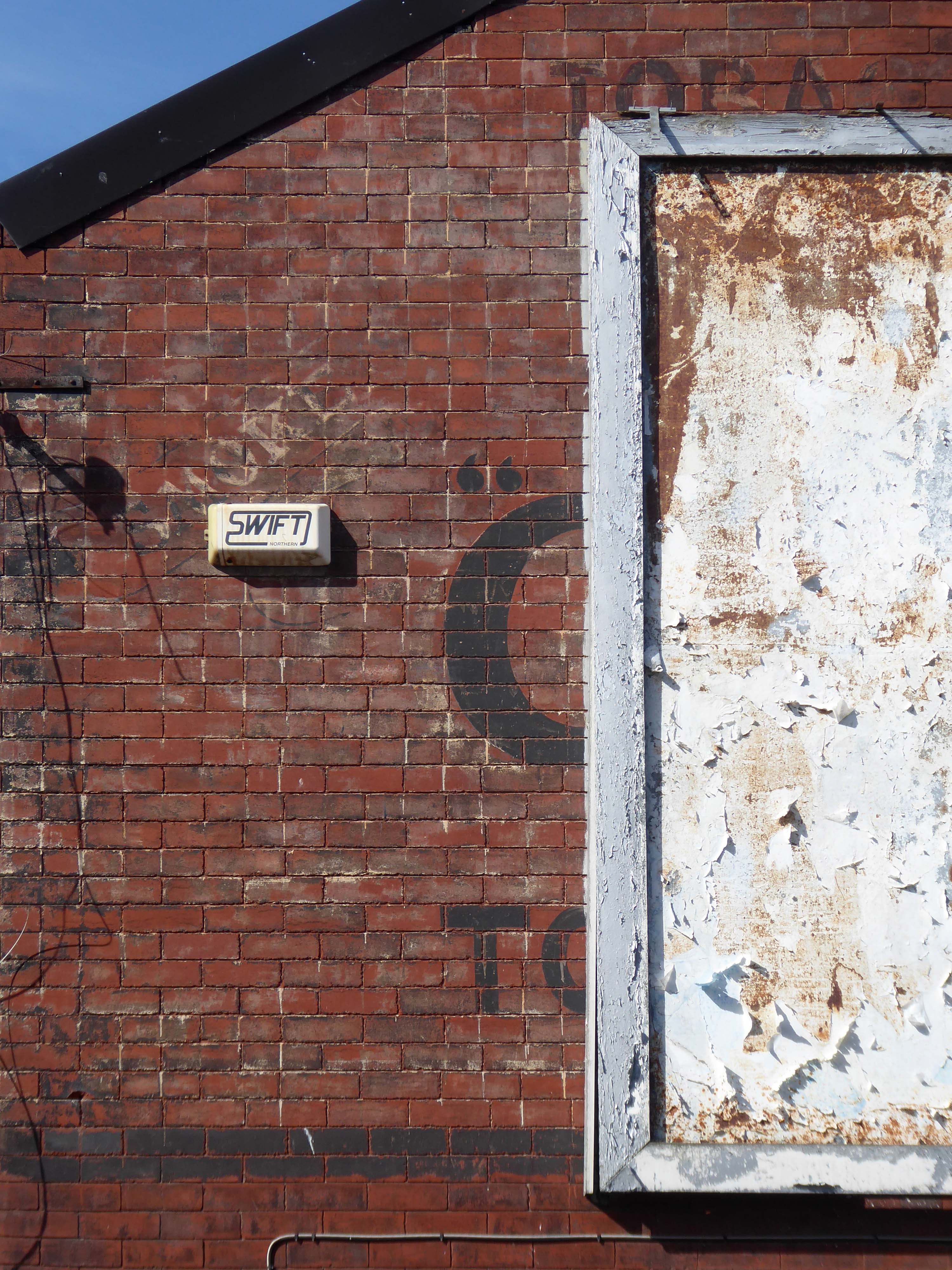
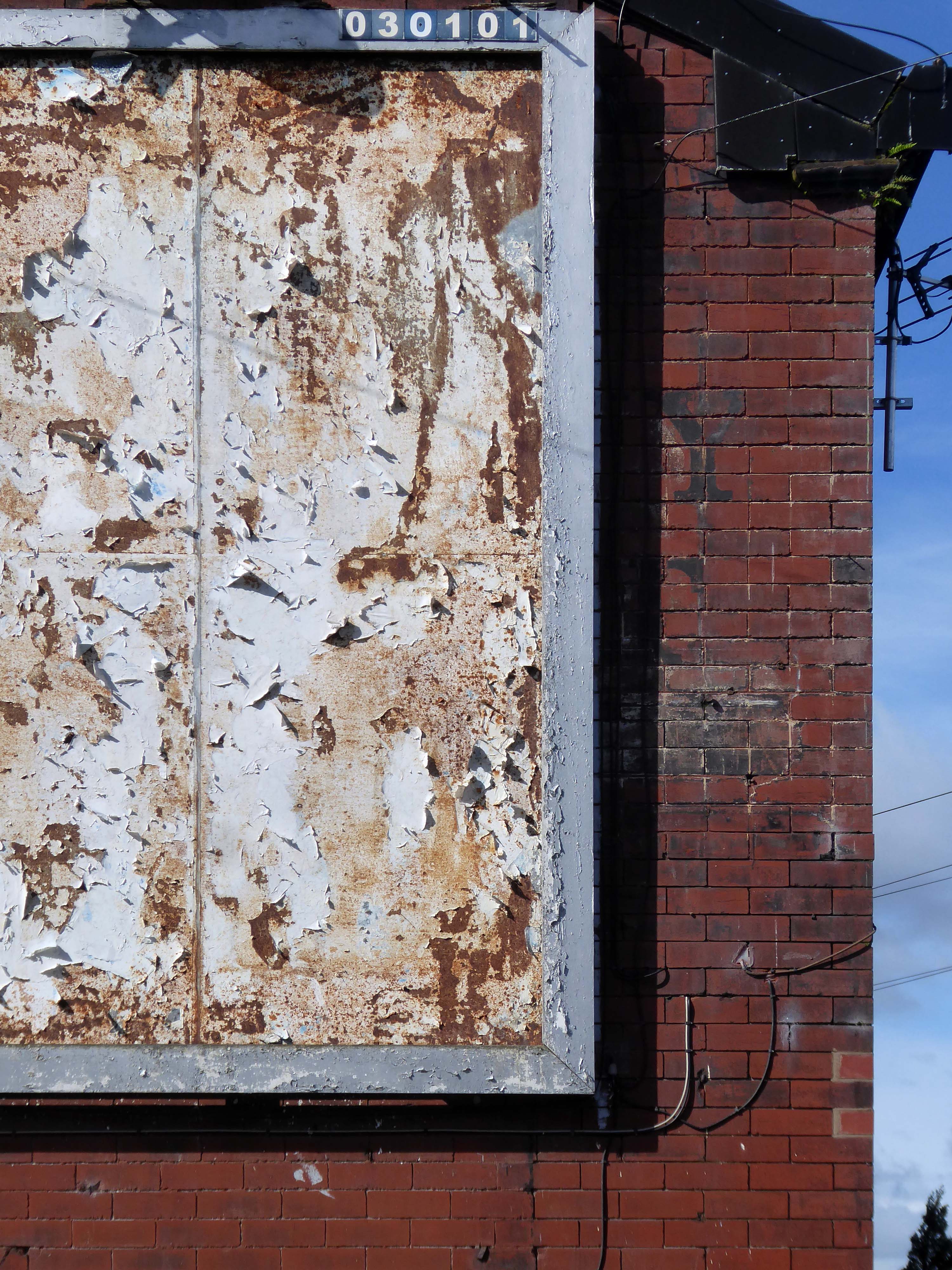
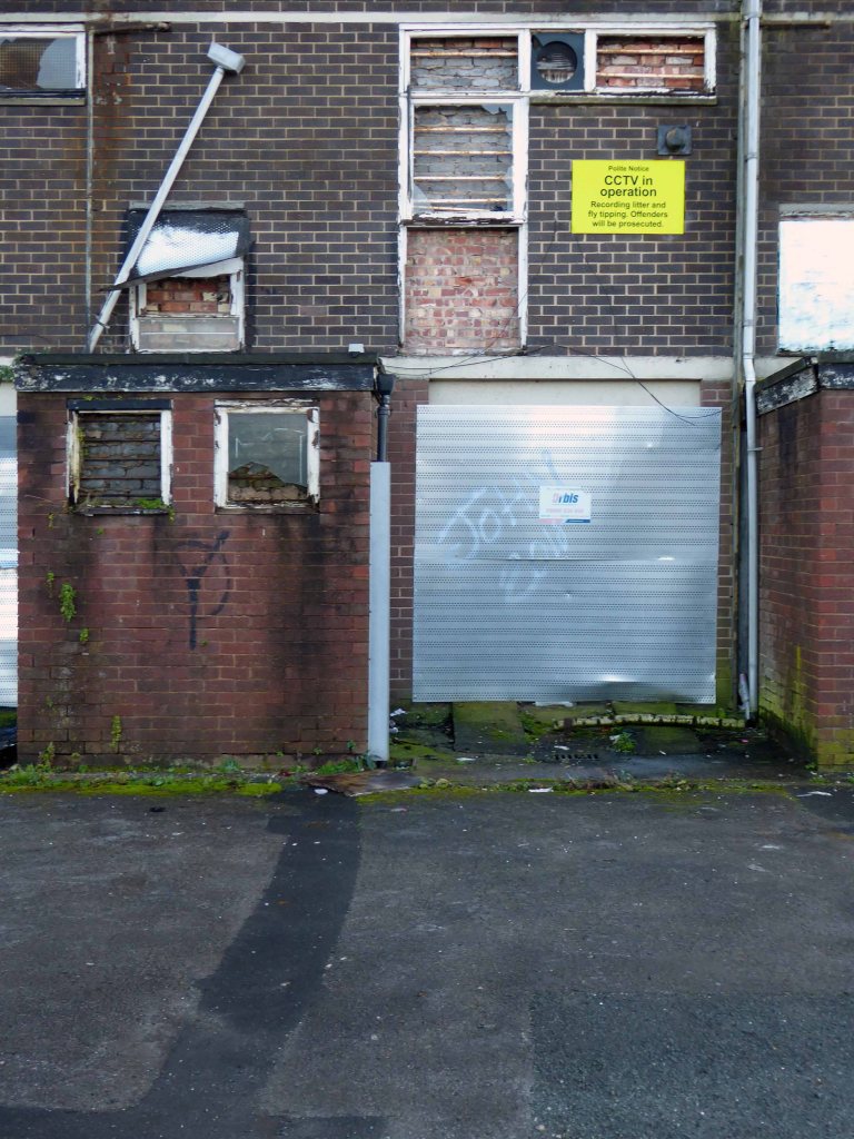
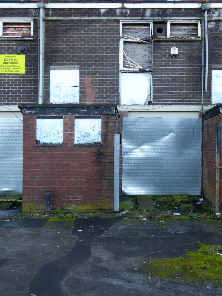
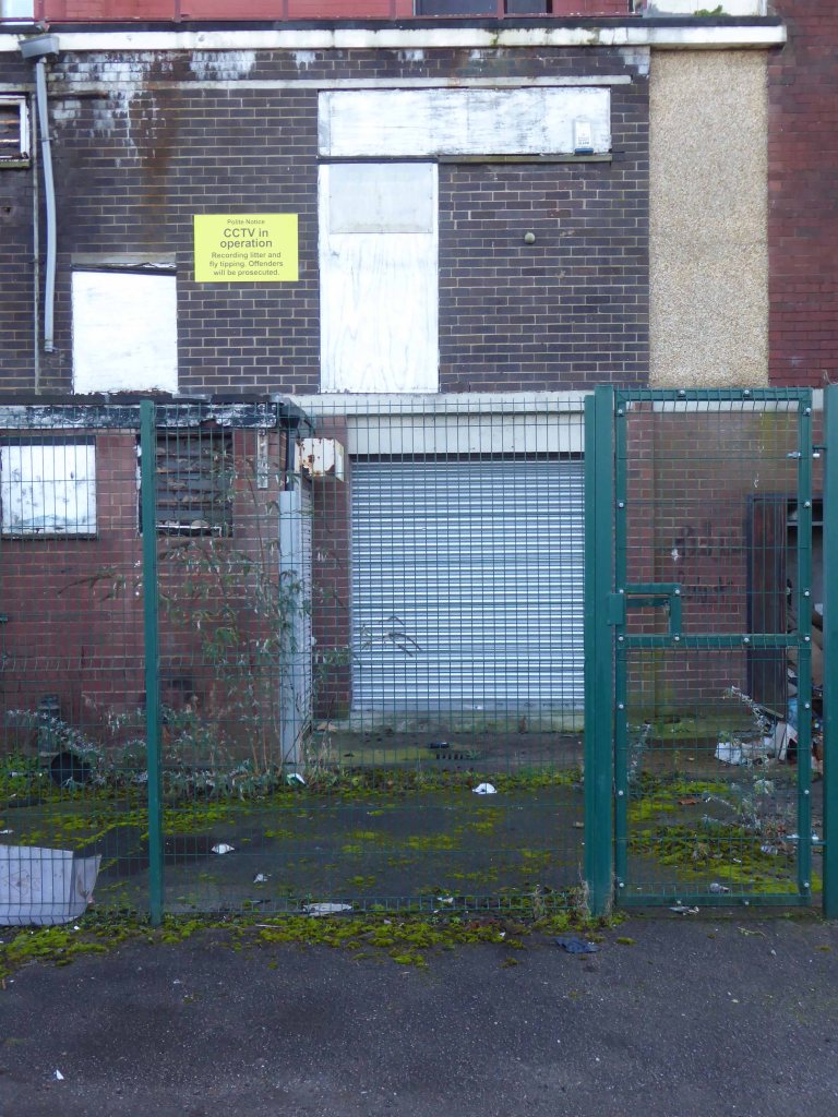
Having photographed the arterial roads of Manchester in 2014, I have resolved to return to the task in 2024.
Some things seem to have changed, some things seem to have stayed the same.

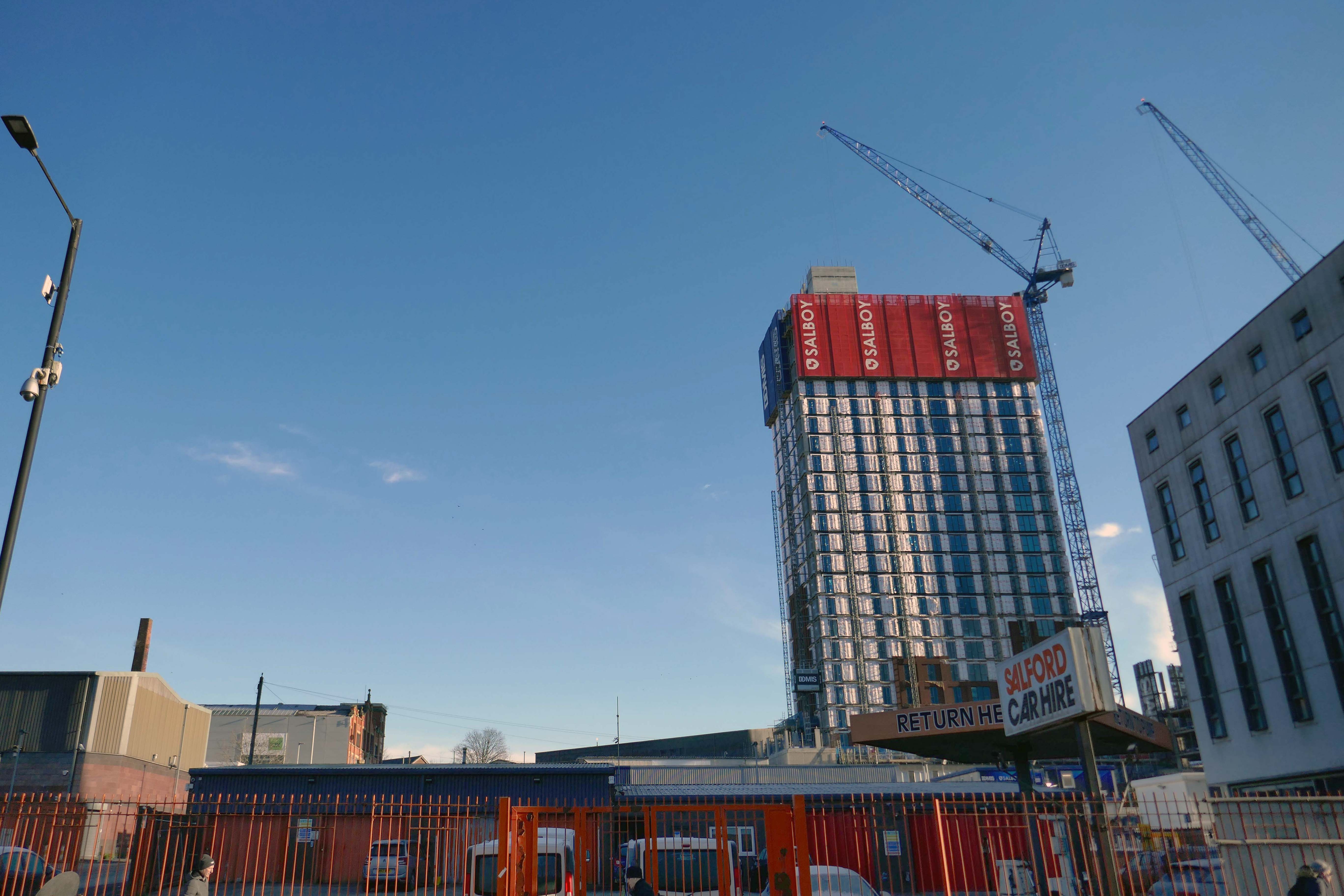
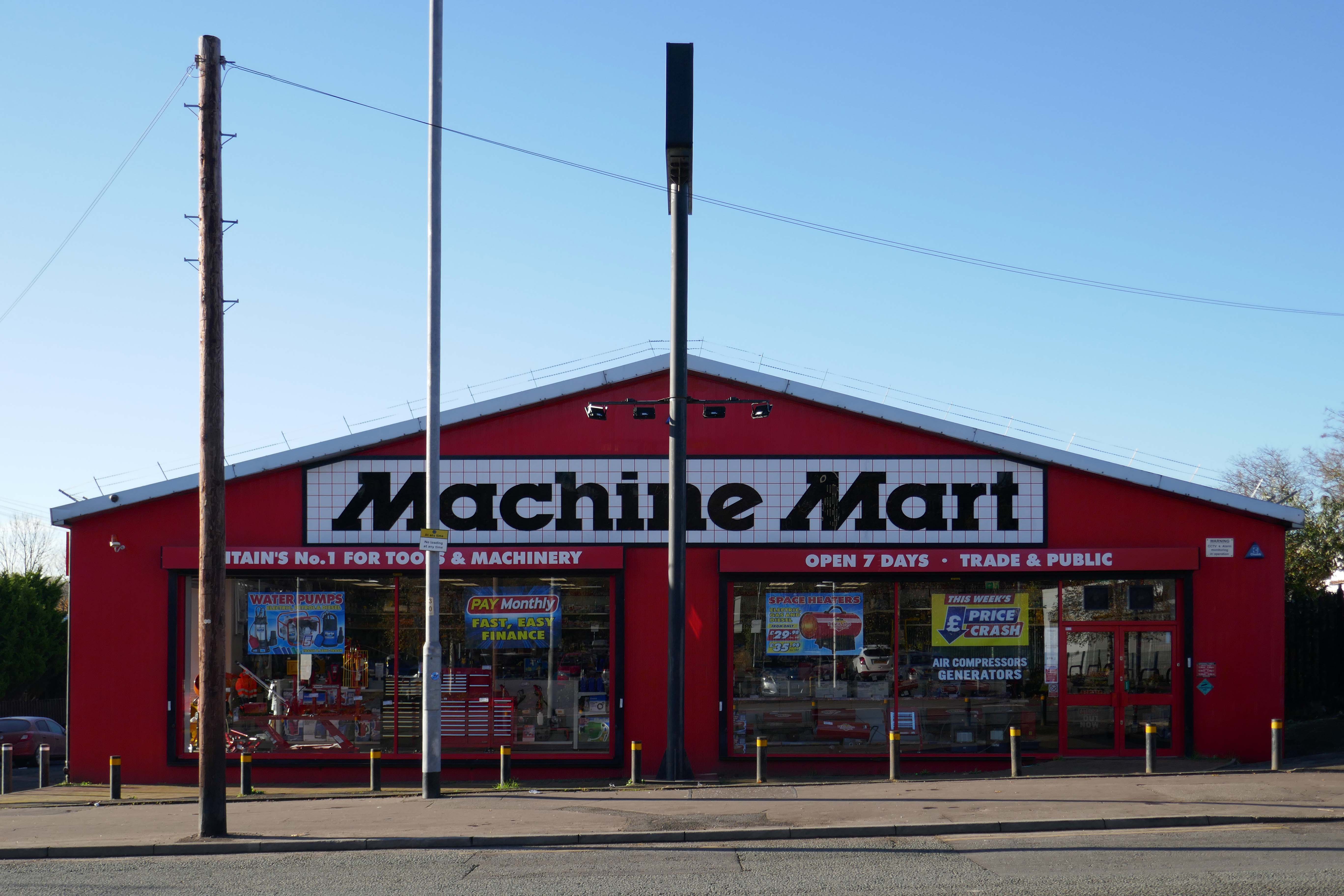


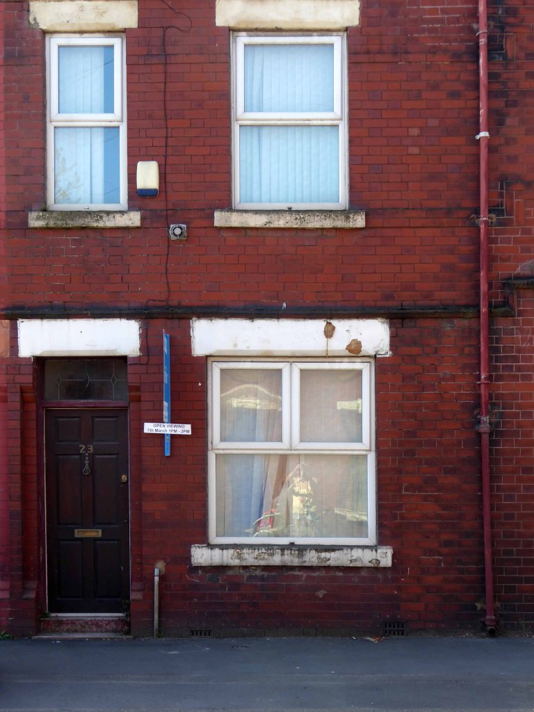
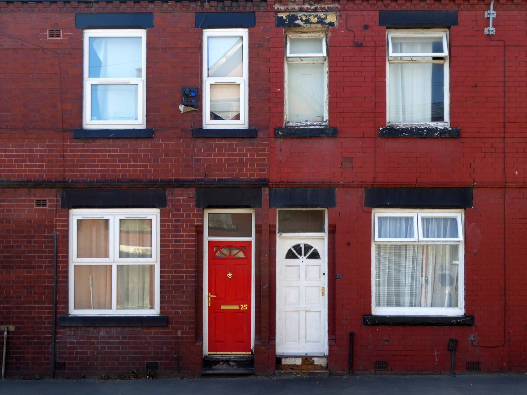
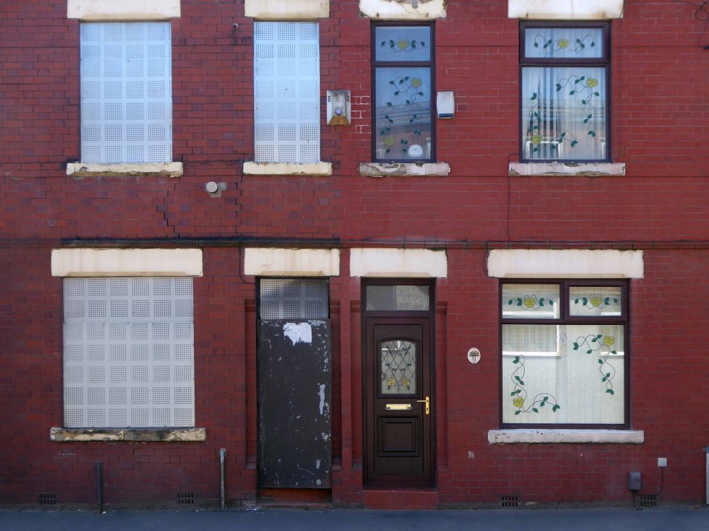
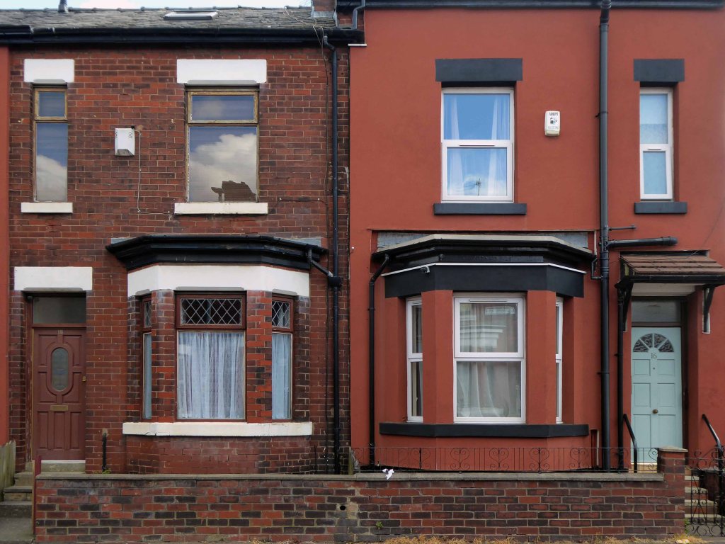
Having photographed the arterial roads of Manchester in 2014, I have resolved to return to the task in 2024.
Some things seem to have changed, some things seem to have stayed the same.
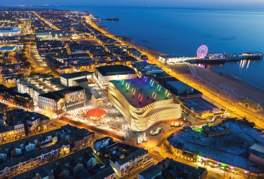
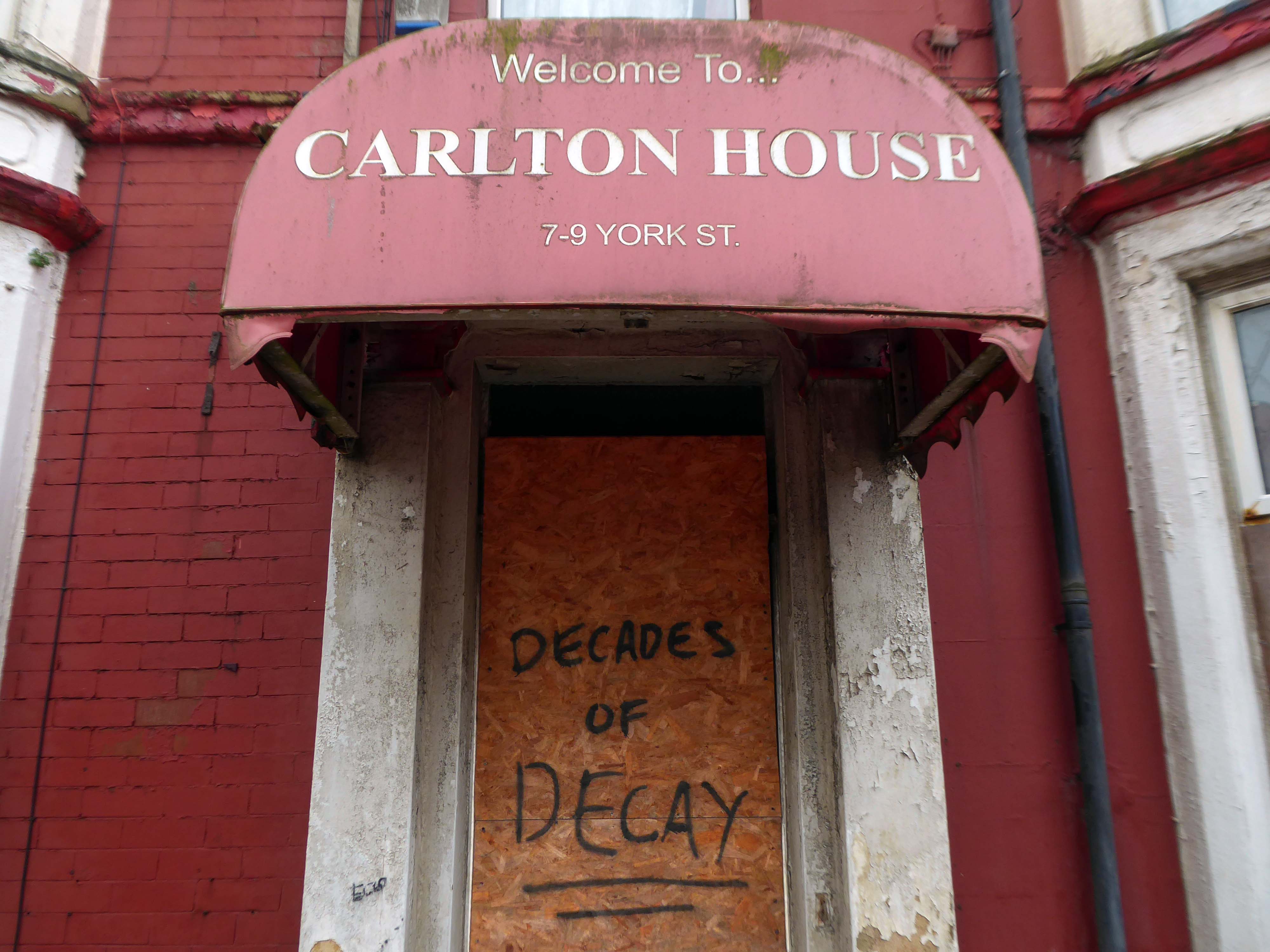
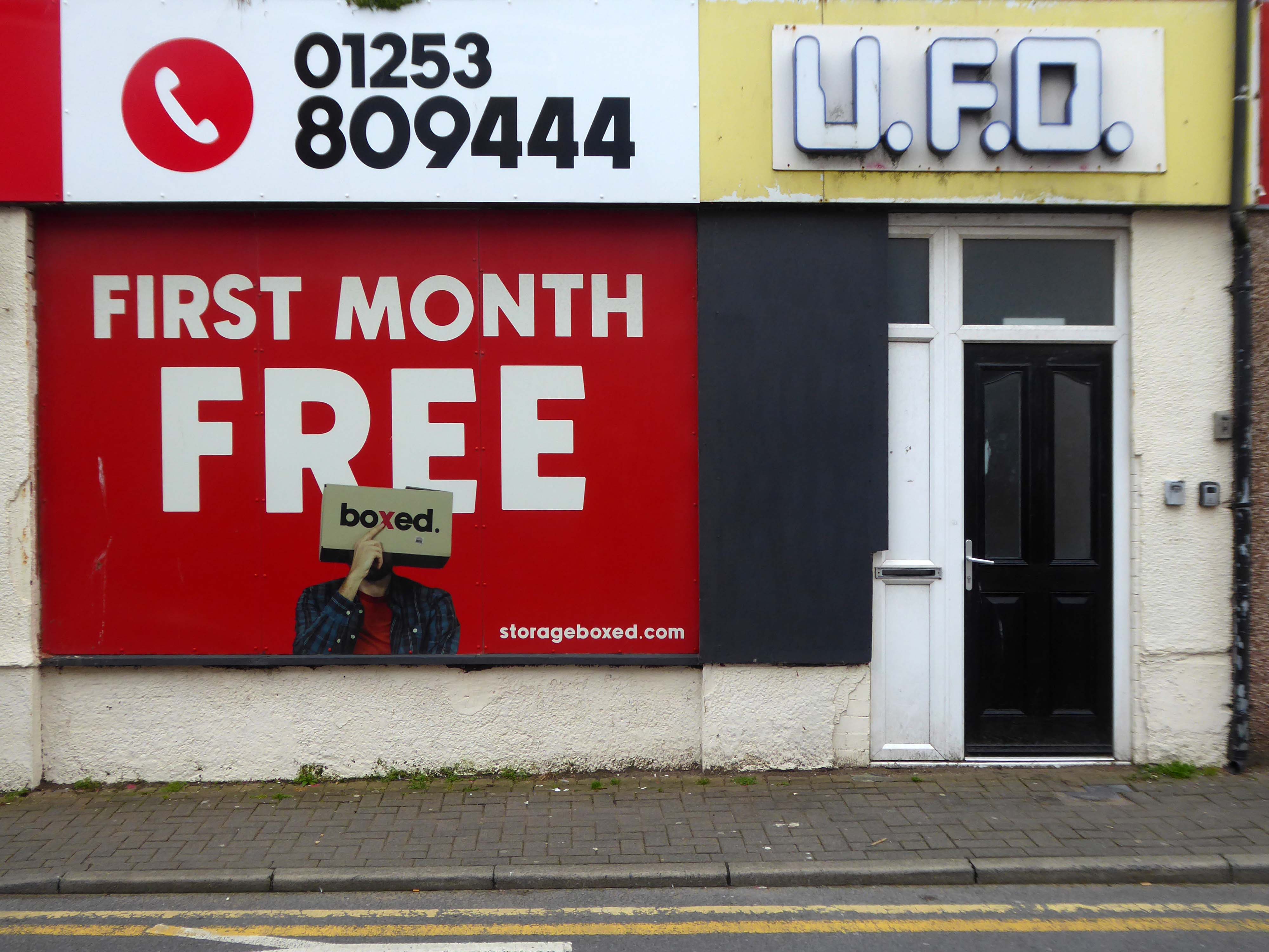
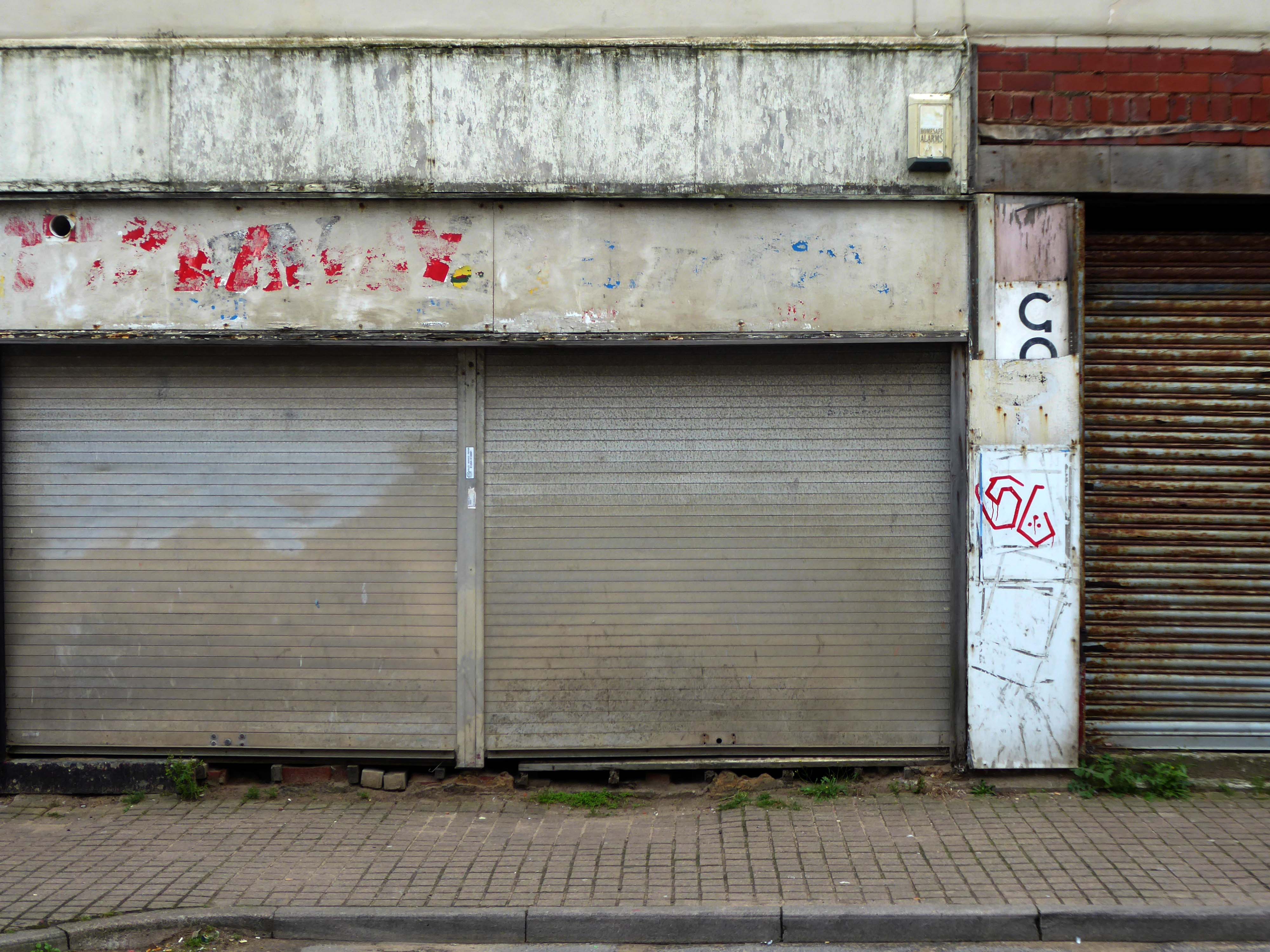
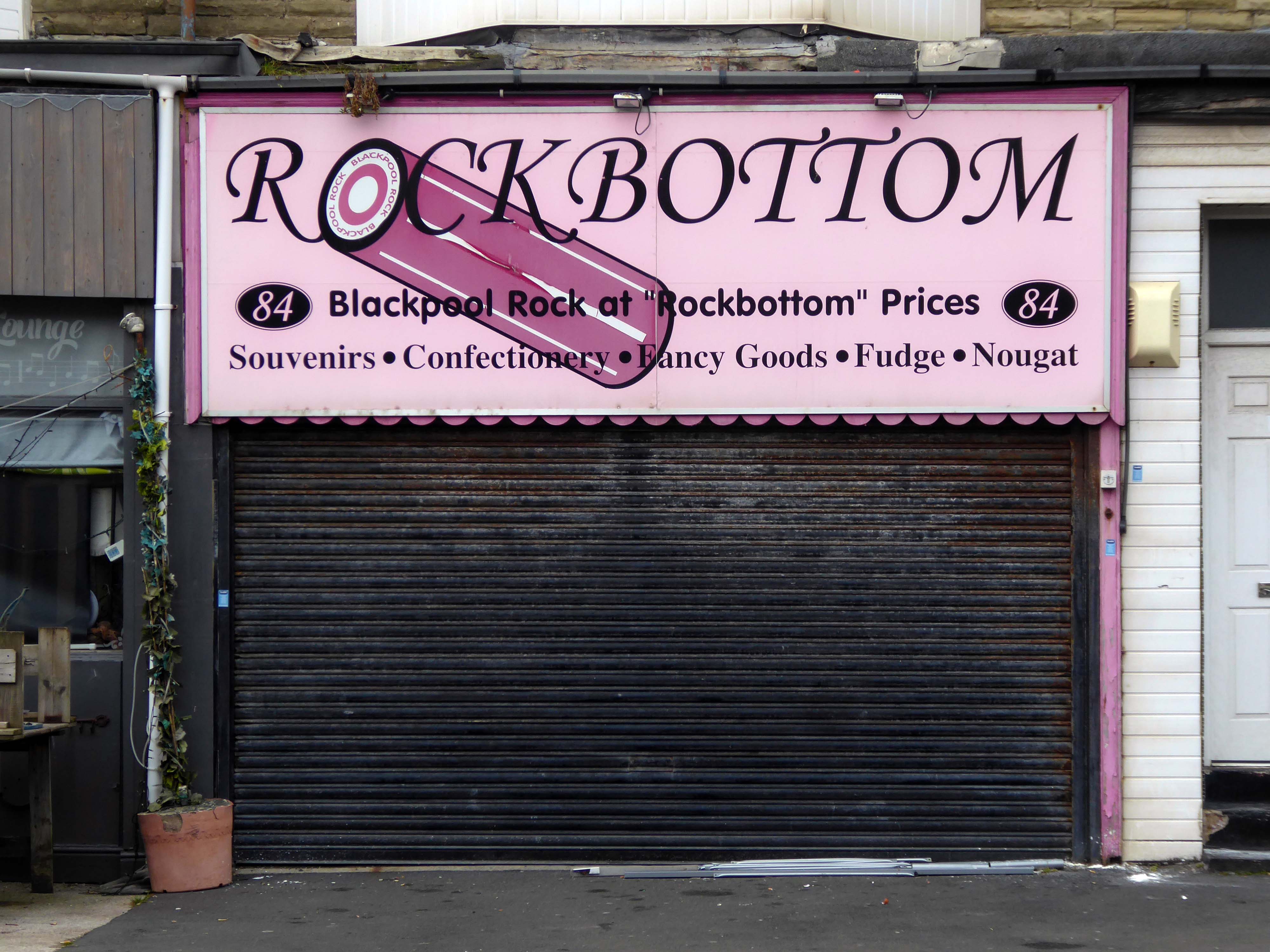
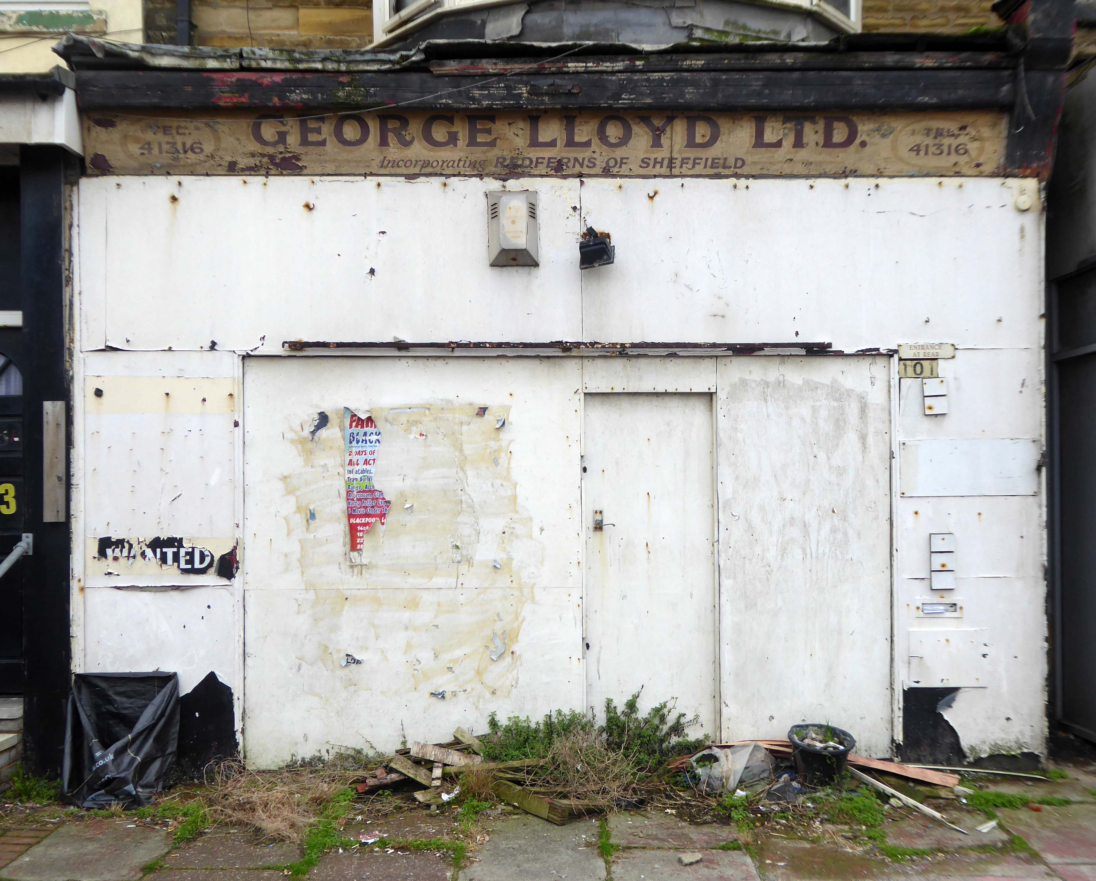
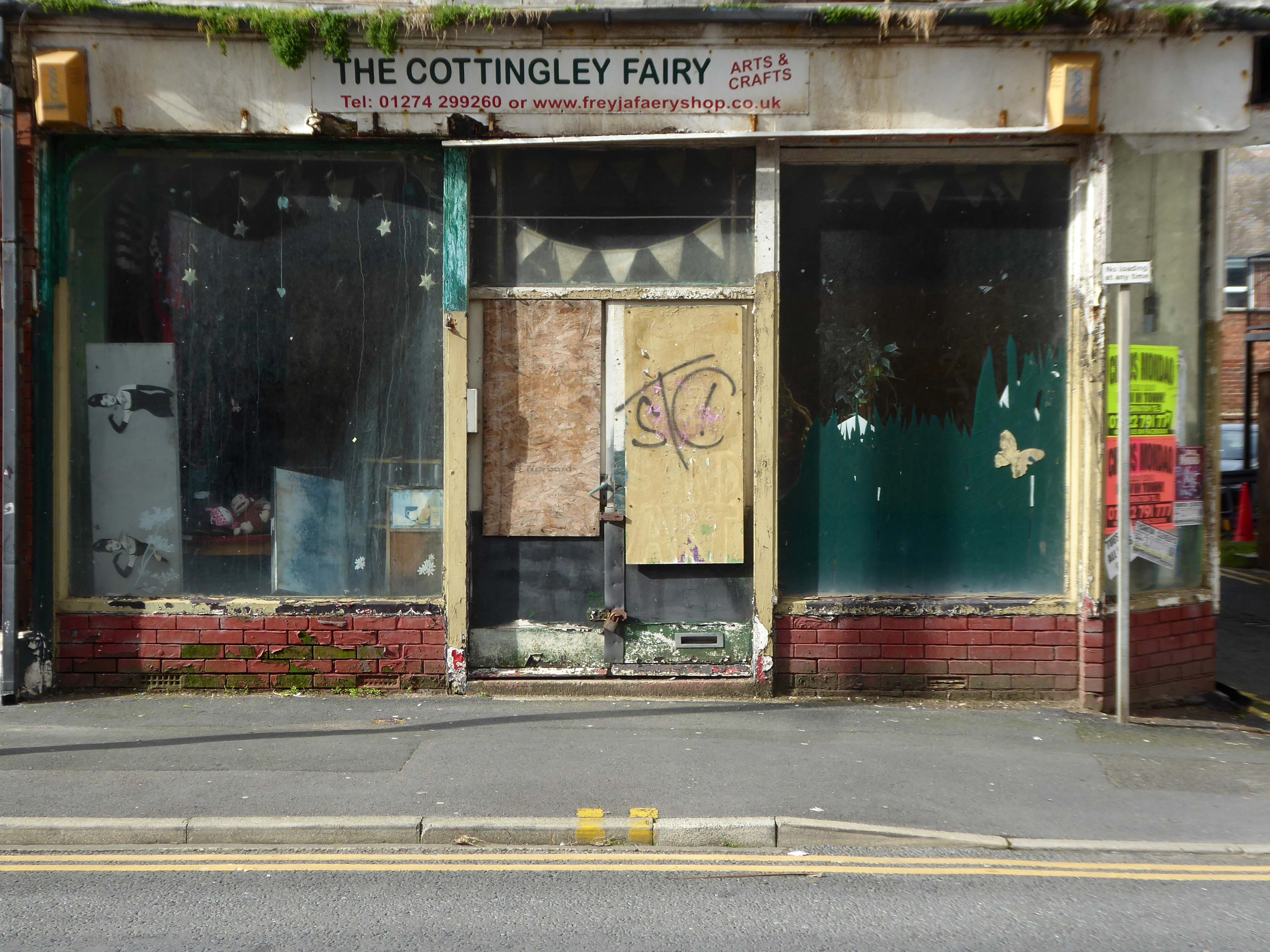
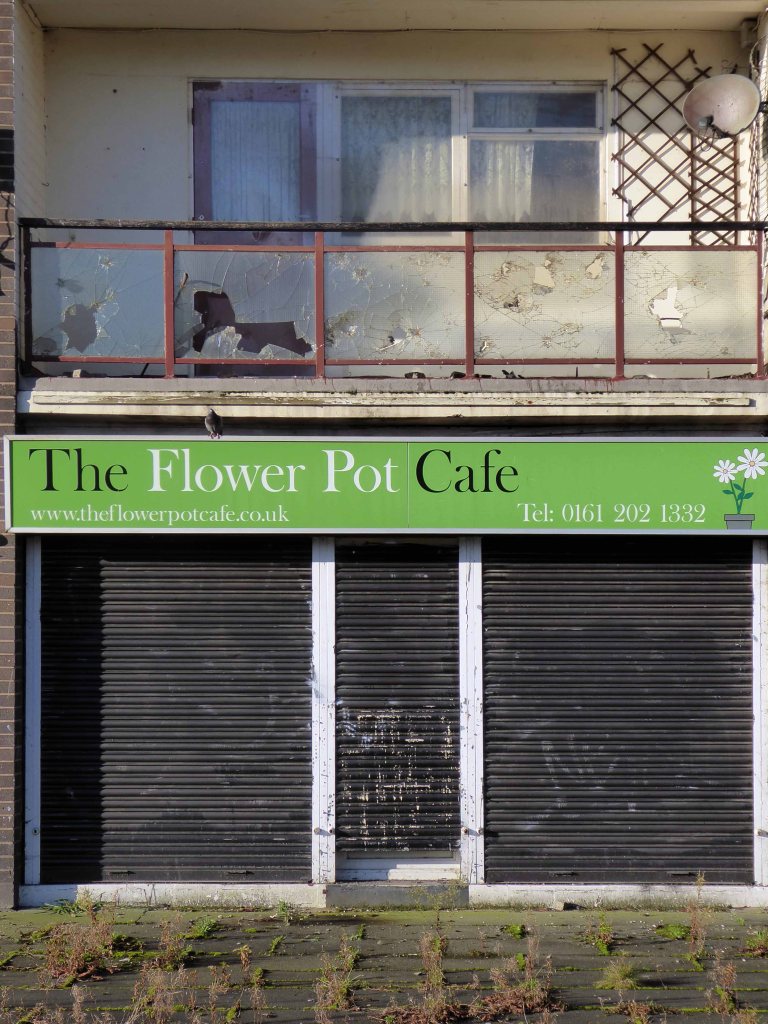
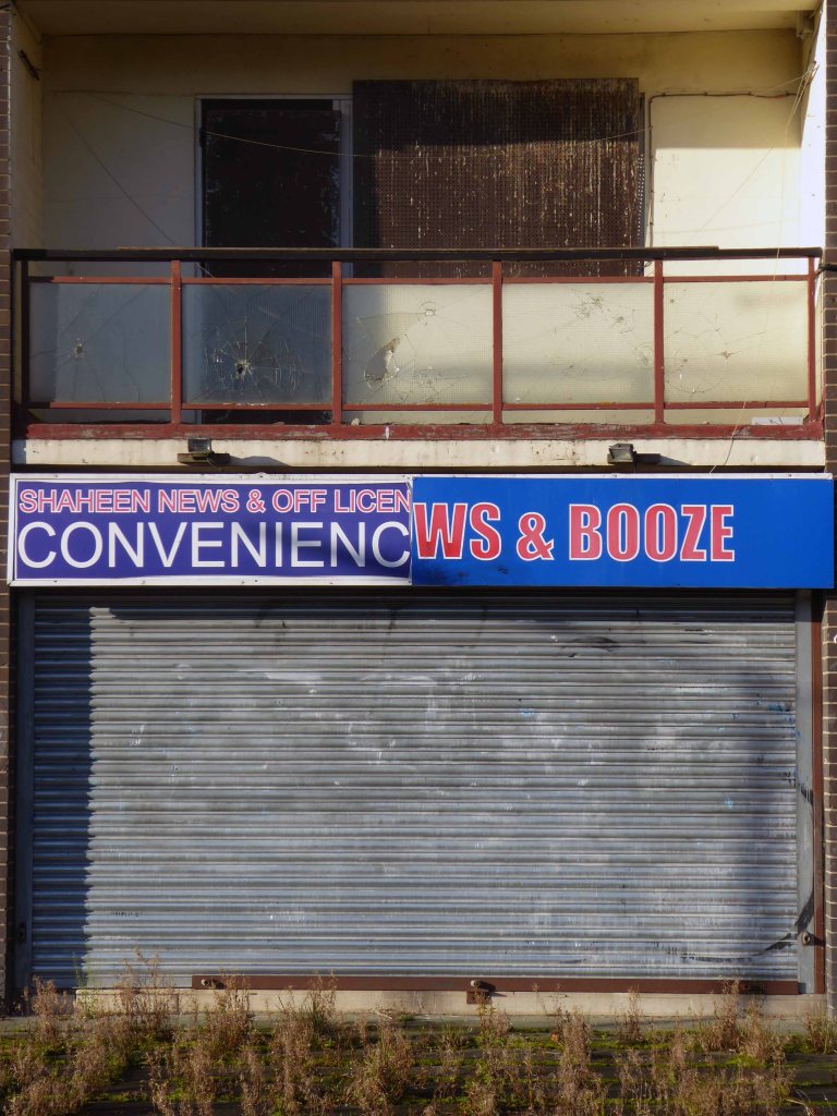
Blackpool Council says it remains committed to the Blackpool Central project amid the potential collapse of the developer leading the works.
But warning alarms sounded this week when Nikal – which was hired to oversee the project – filed a notice of intent to appoint administrators.
The £300m Blackpool Central development is billed as the biggest single investment in the town in more than a century and is planned to involve a “world-class leisure development” which would create 1,000 new jobs, bring an extra 600,000 visitors per year, and boost annual spend in the town by around £75m.
A spokesperson for Blackpool Council told the Blackpool Lead:
We have been working on the enabling phase of Blackpool Central over the last few years. The new multi-storey car park opened earlier this summer and we are currently completing preparations to demolish the old police station and courts building early in the New Year.
The proposals for the Bonny Street area can be seen here.
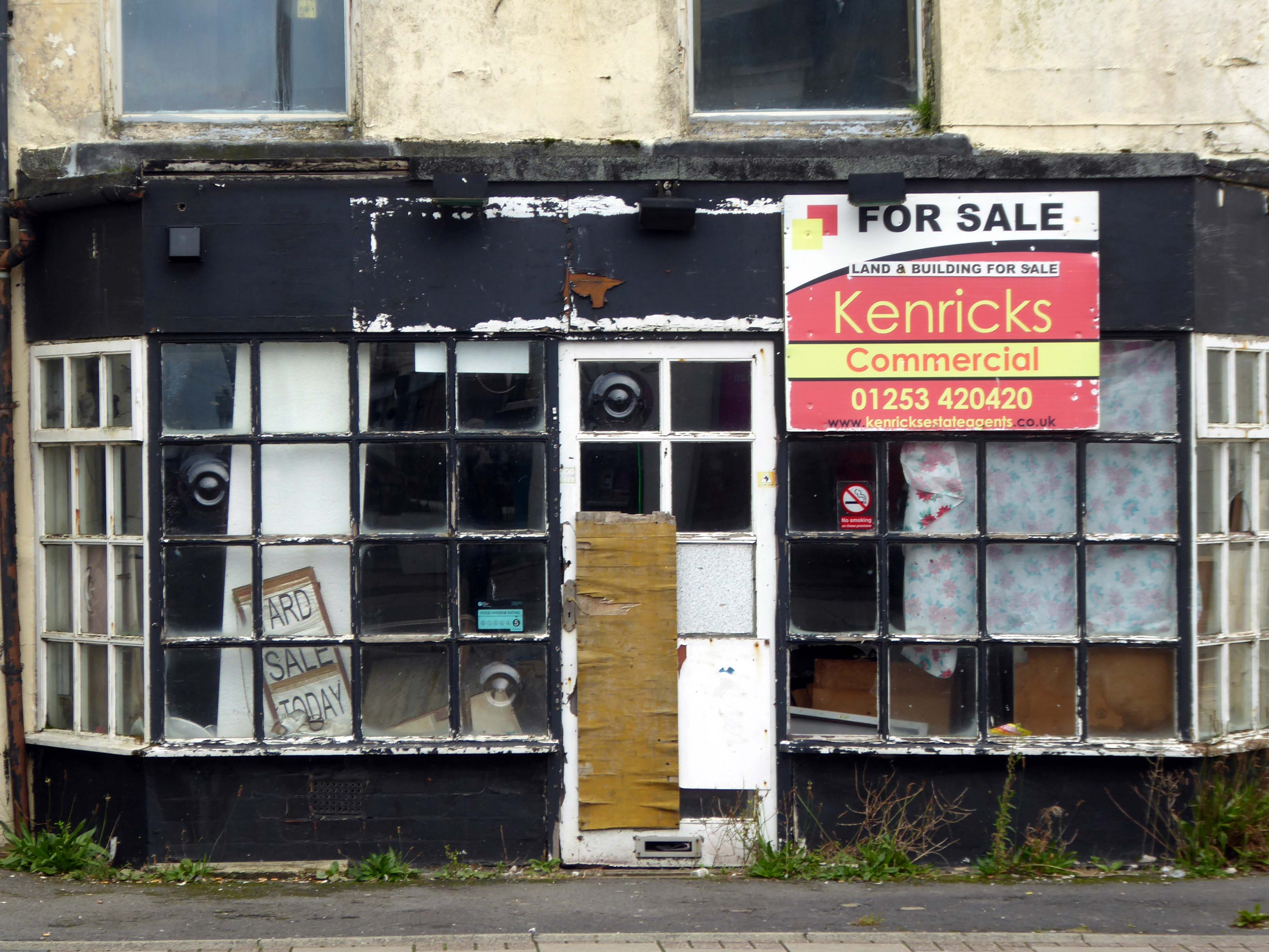
Plans for the area have hit further problems.
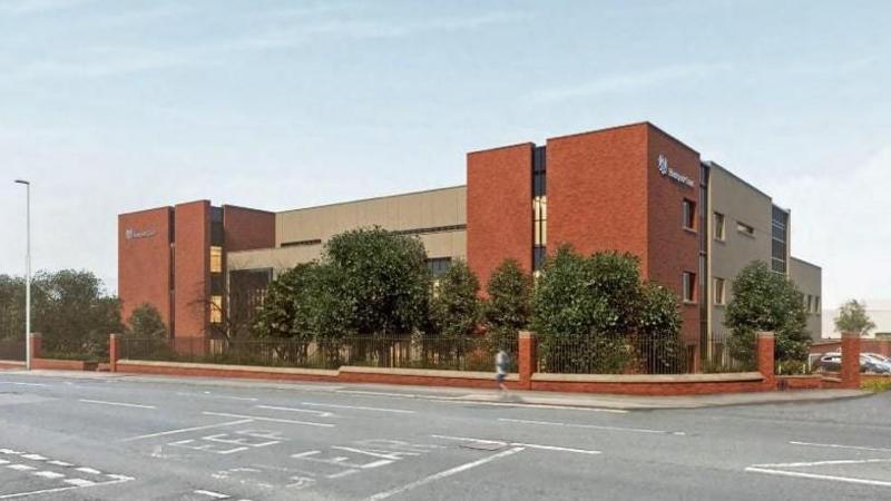
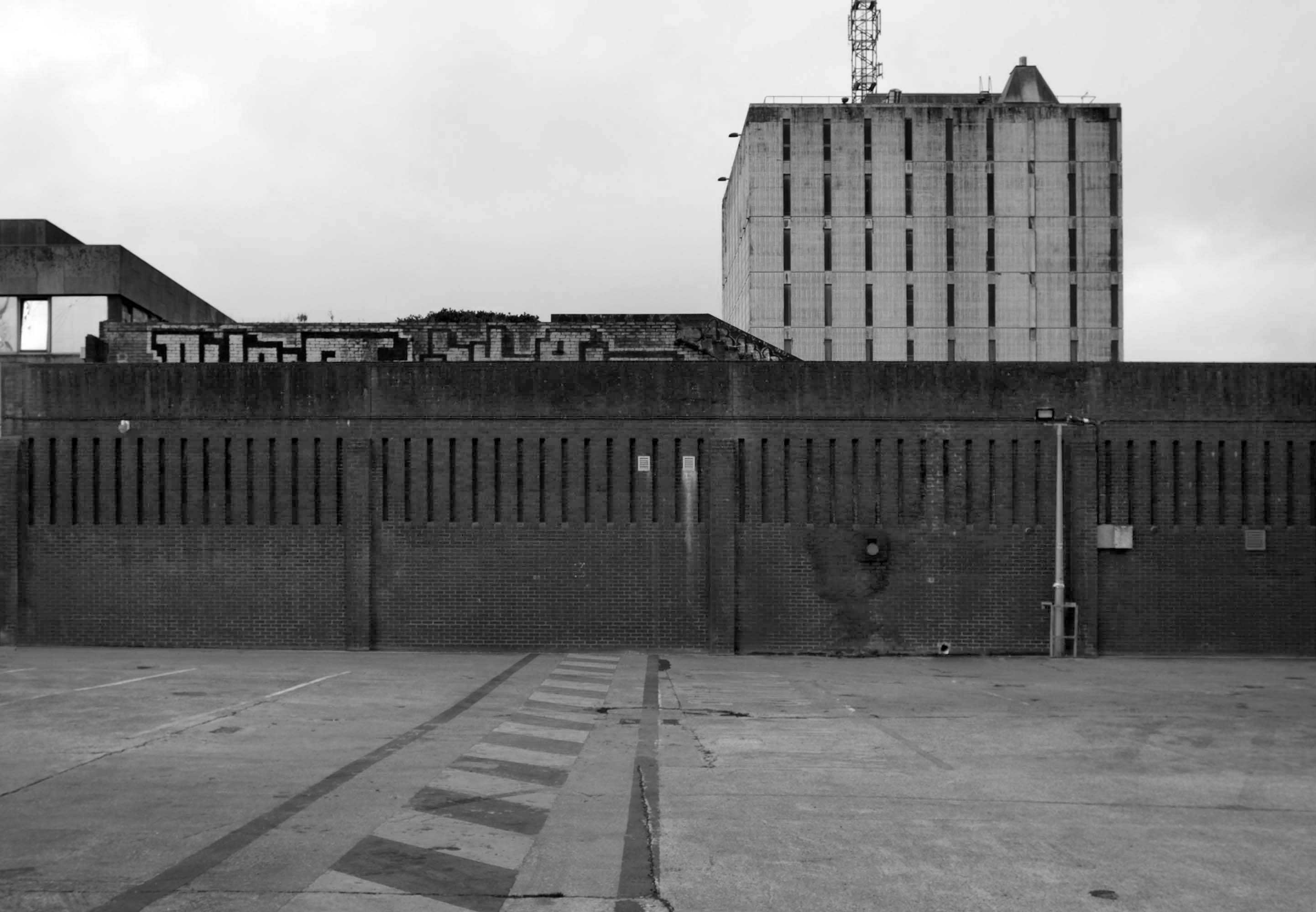
A new £40m magistrates courthouse is facing building delays after the project’s main contractor collapsed. Blackpool’s magistrates court was one of twenty two projects belonging to construction giant ISG, which was working on the scheme for the Ministry of Justice.
But the firm went into administration in September, leaving two thousand two hundred workers at risk of redundancy, the Local Democracy Reporting Service said.
Work was due to start early next year with a completion date expected in 2026.
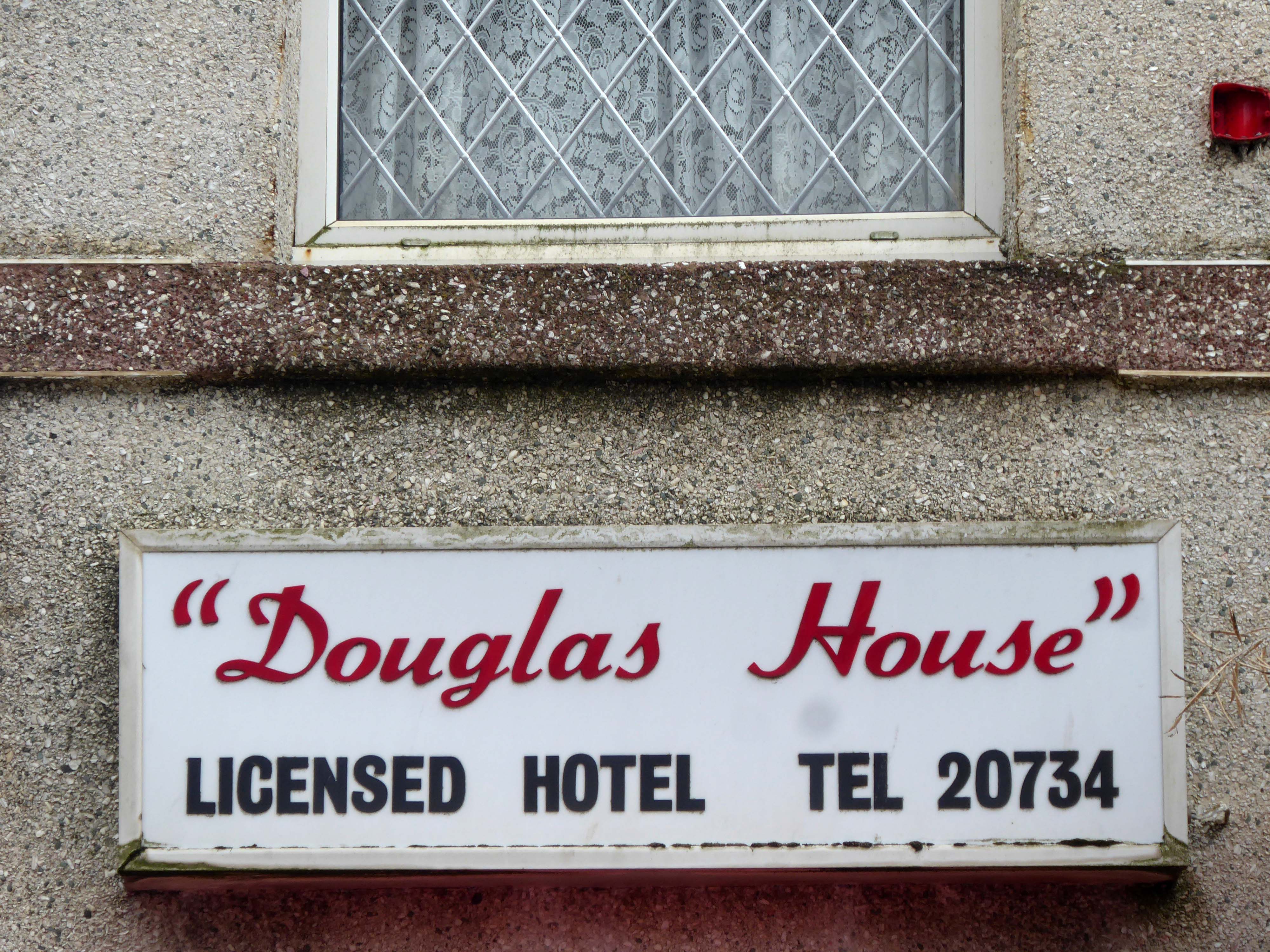
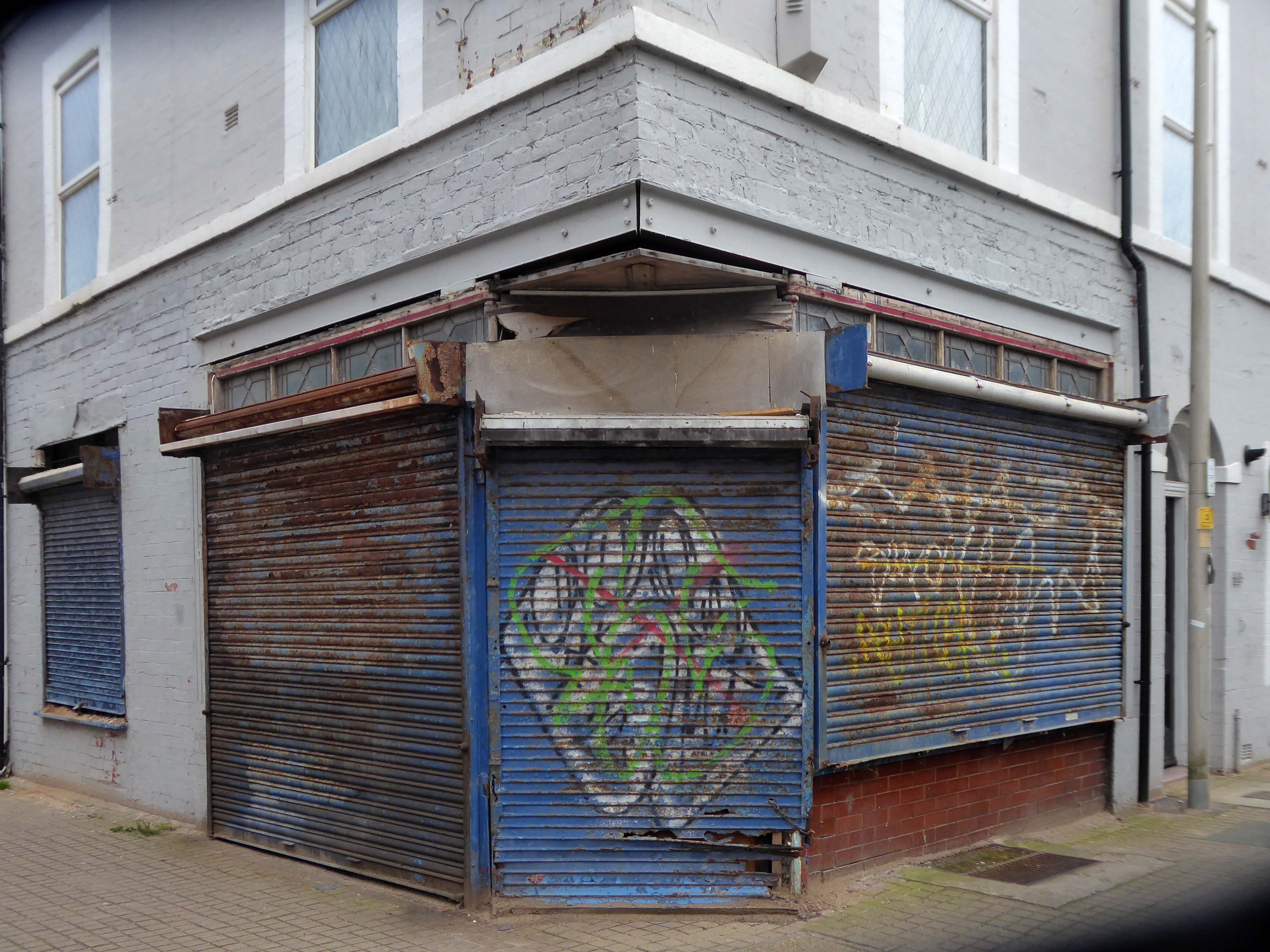
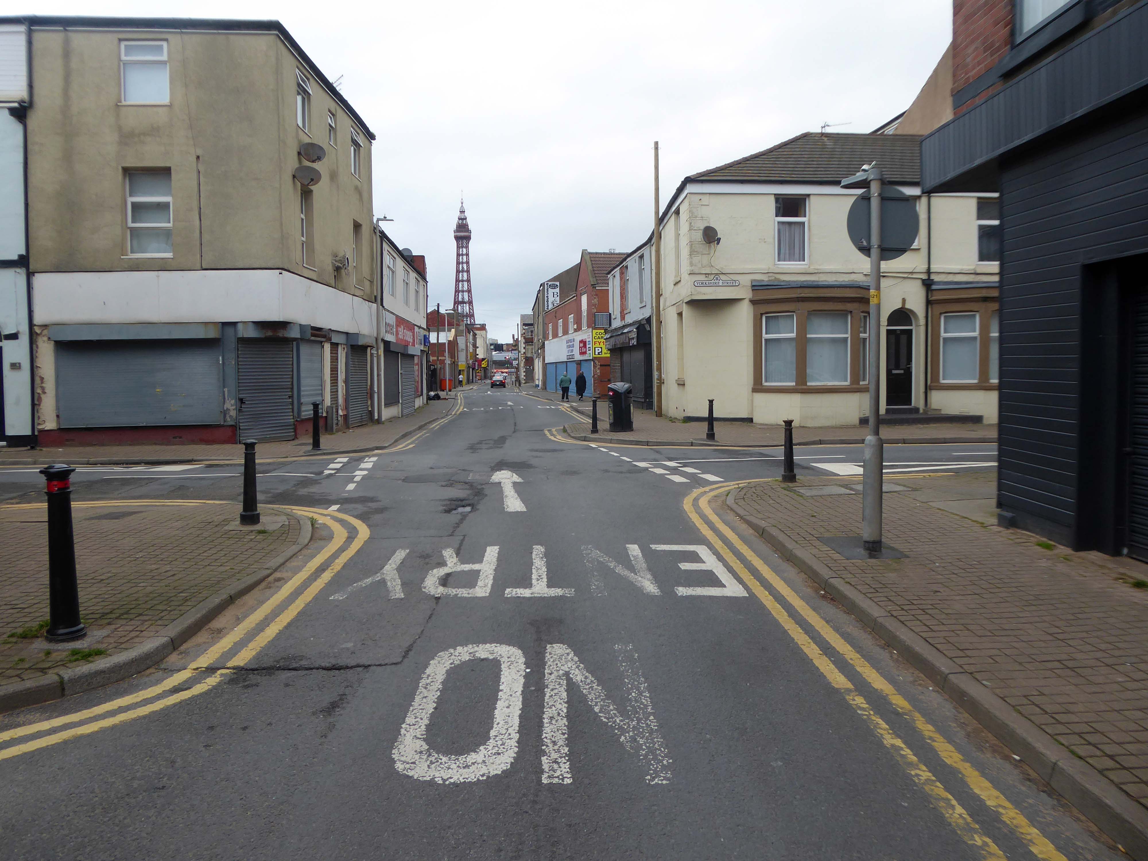
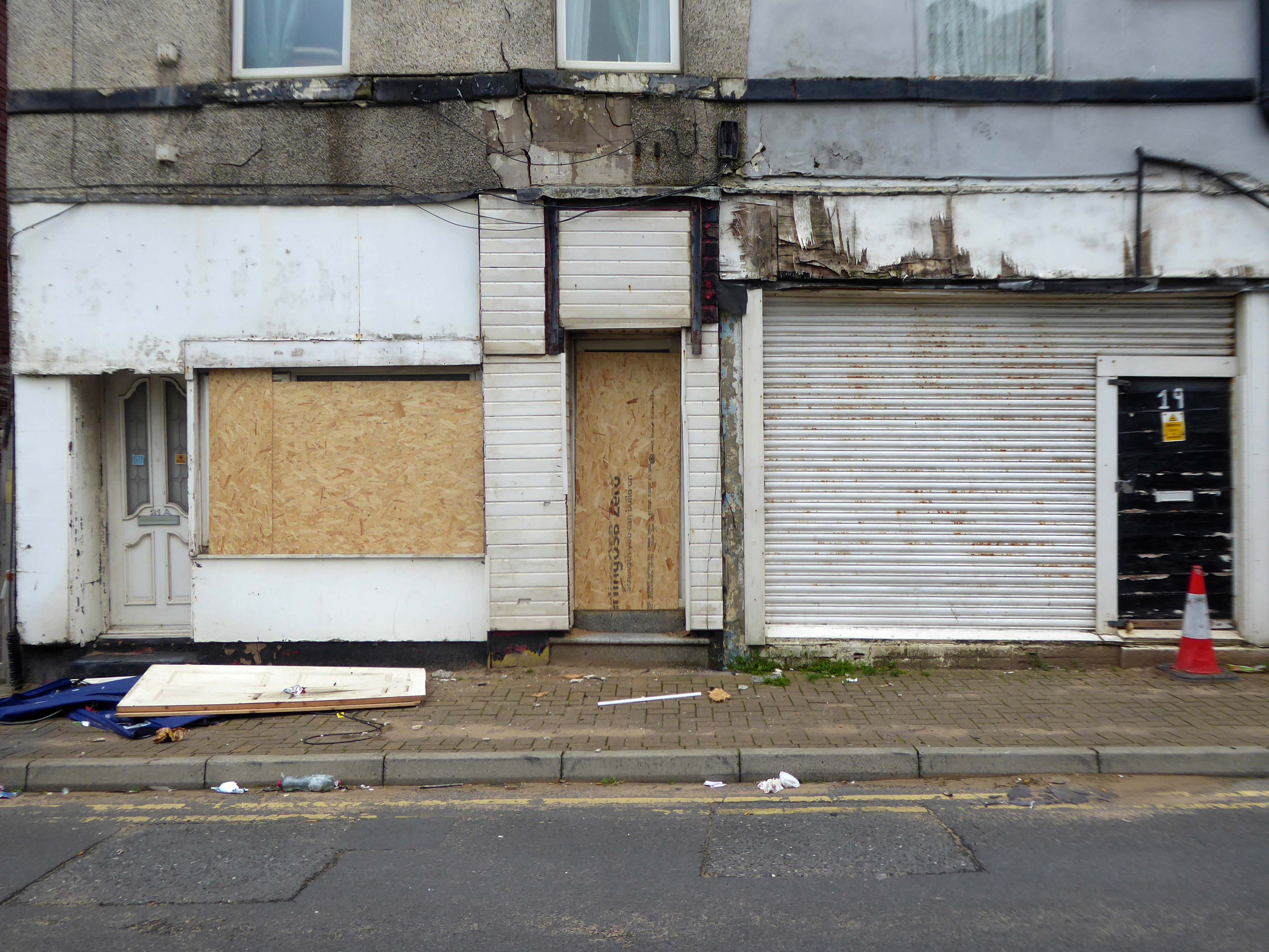
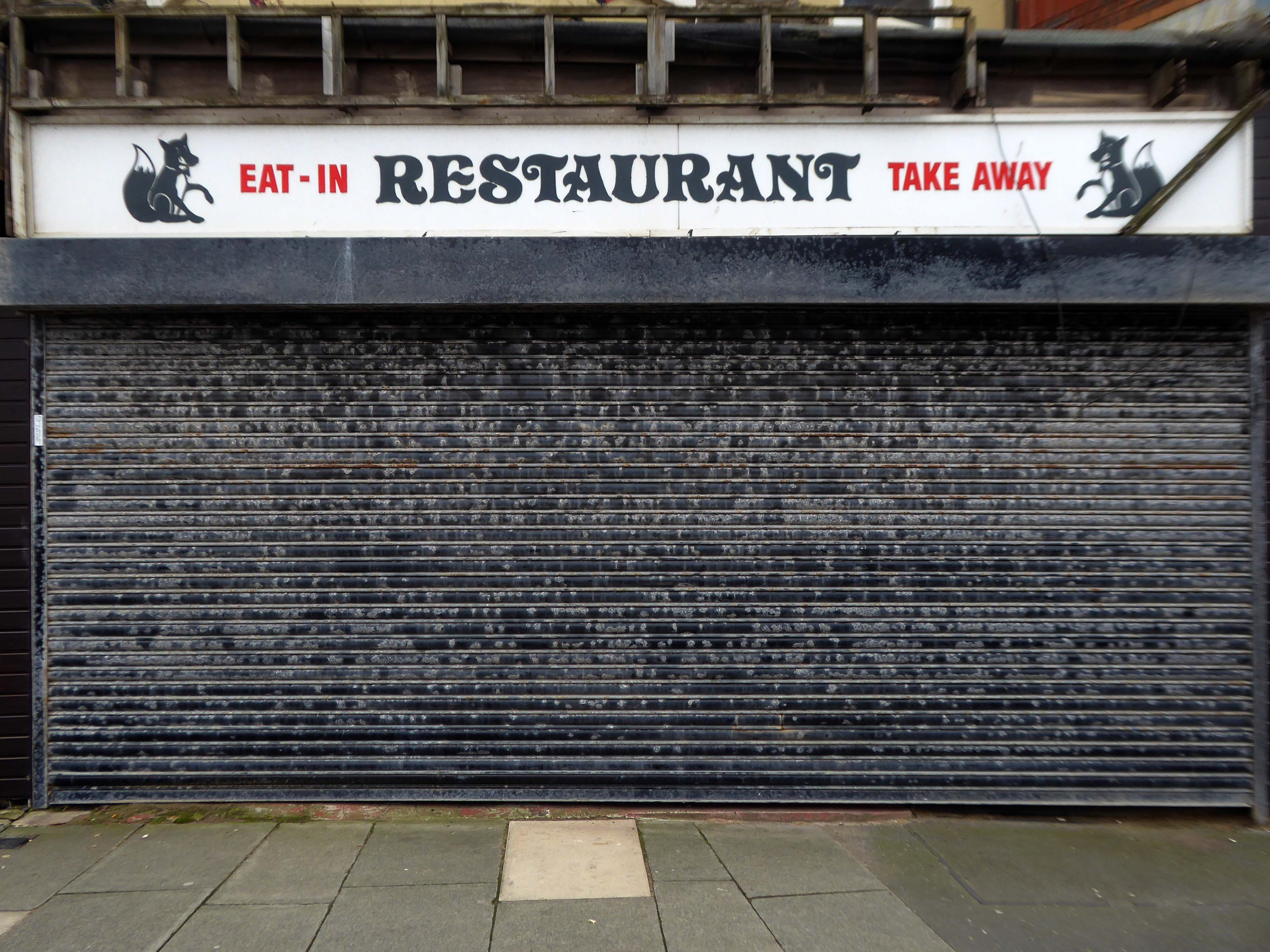
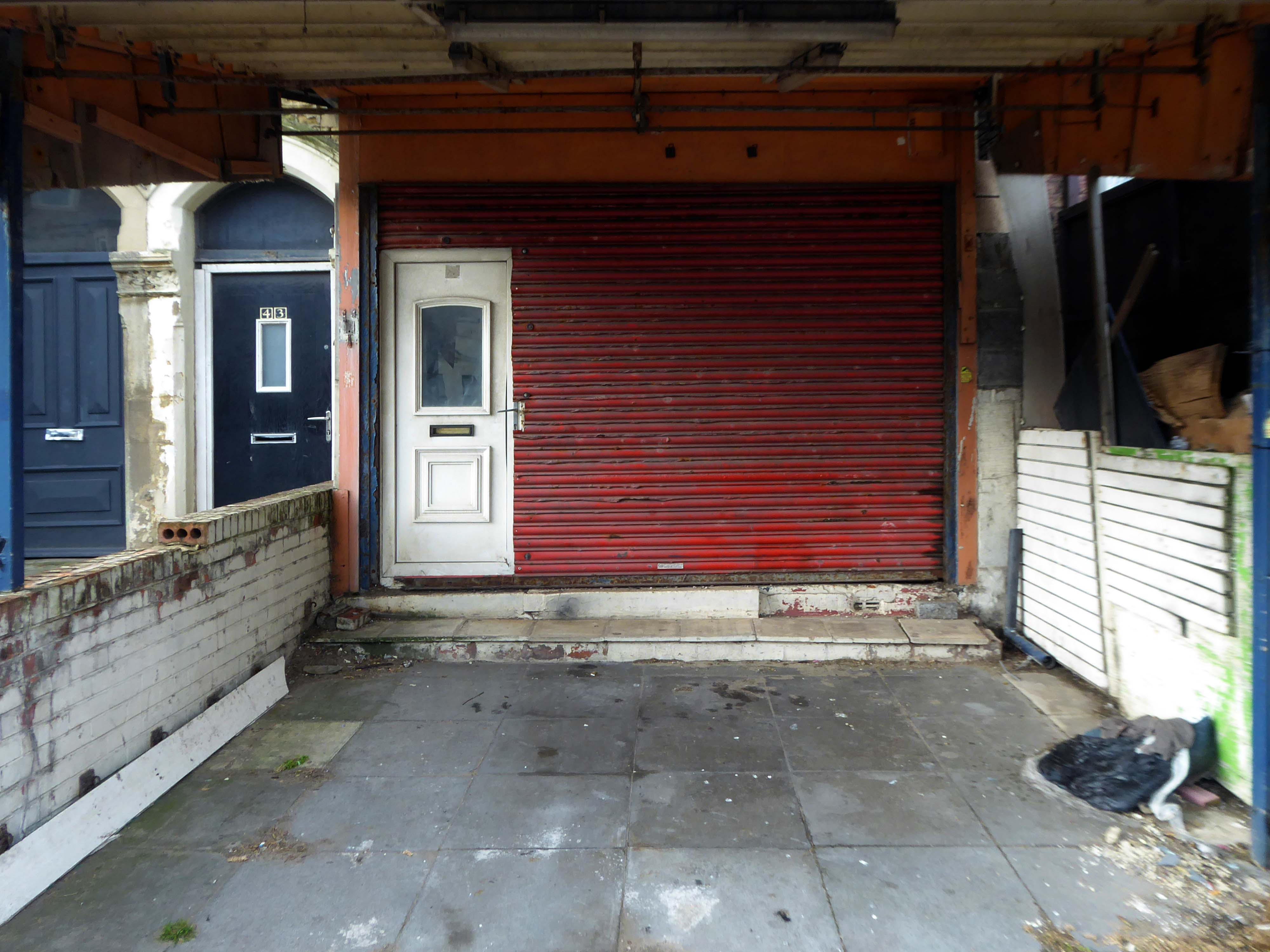
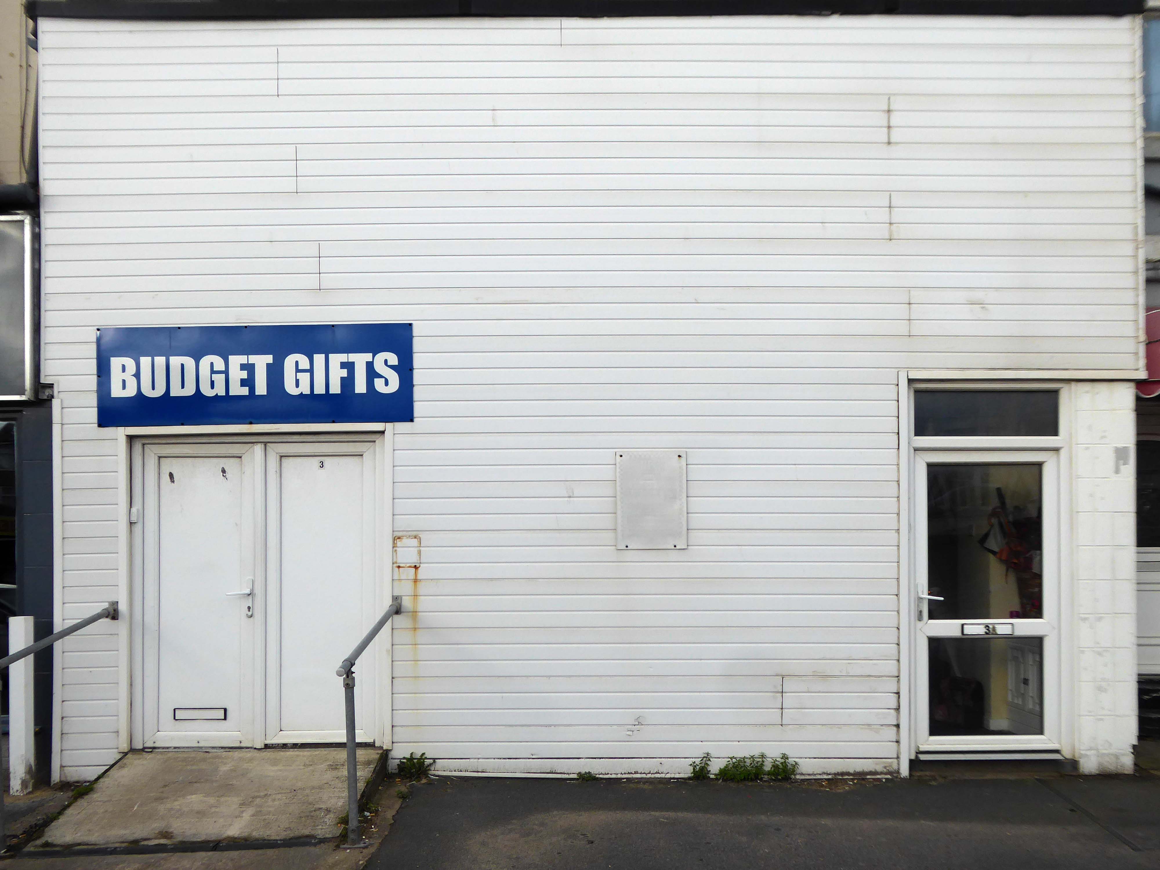
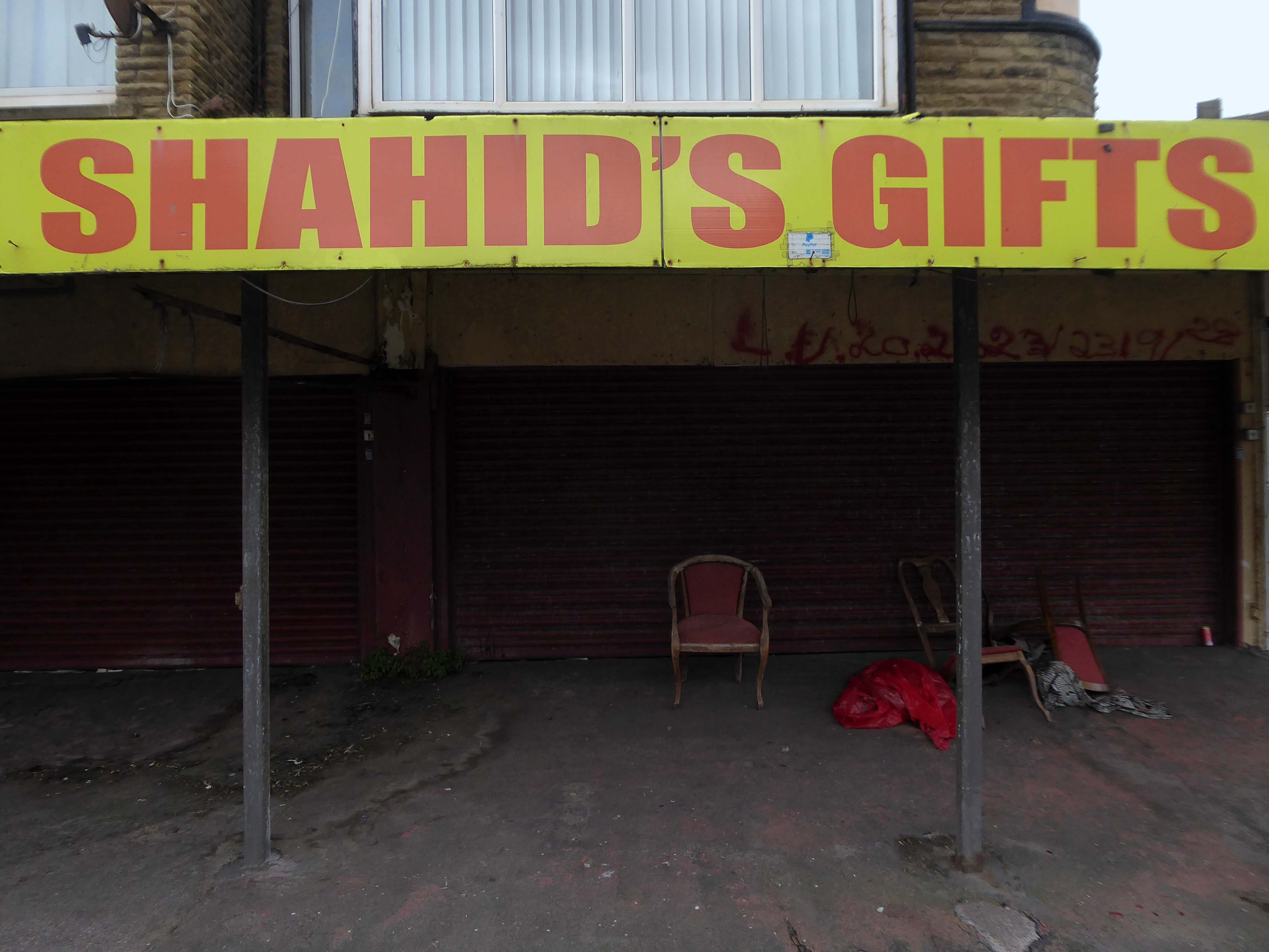
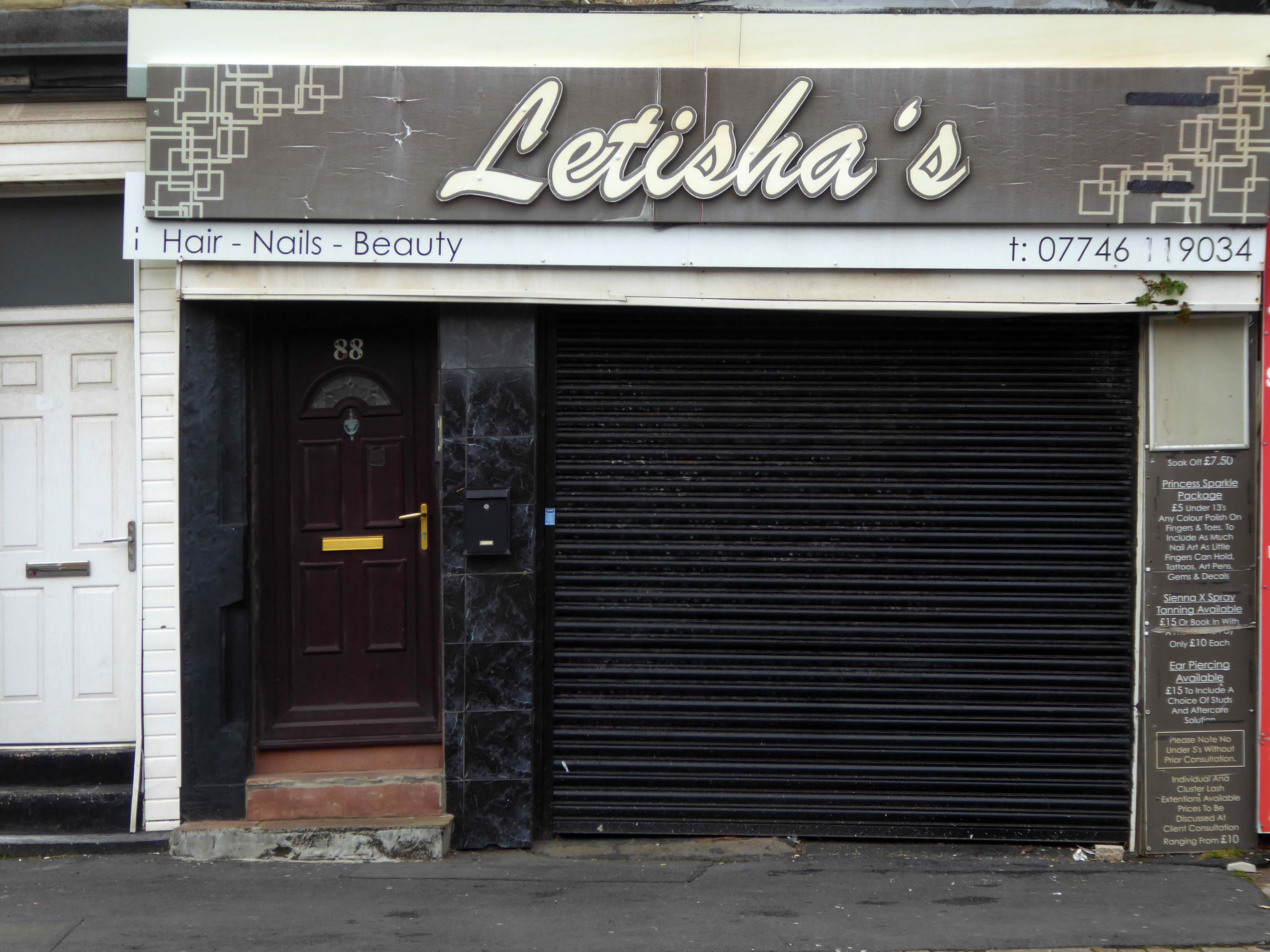
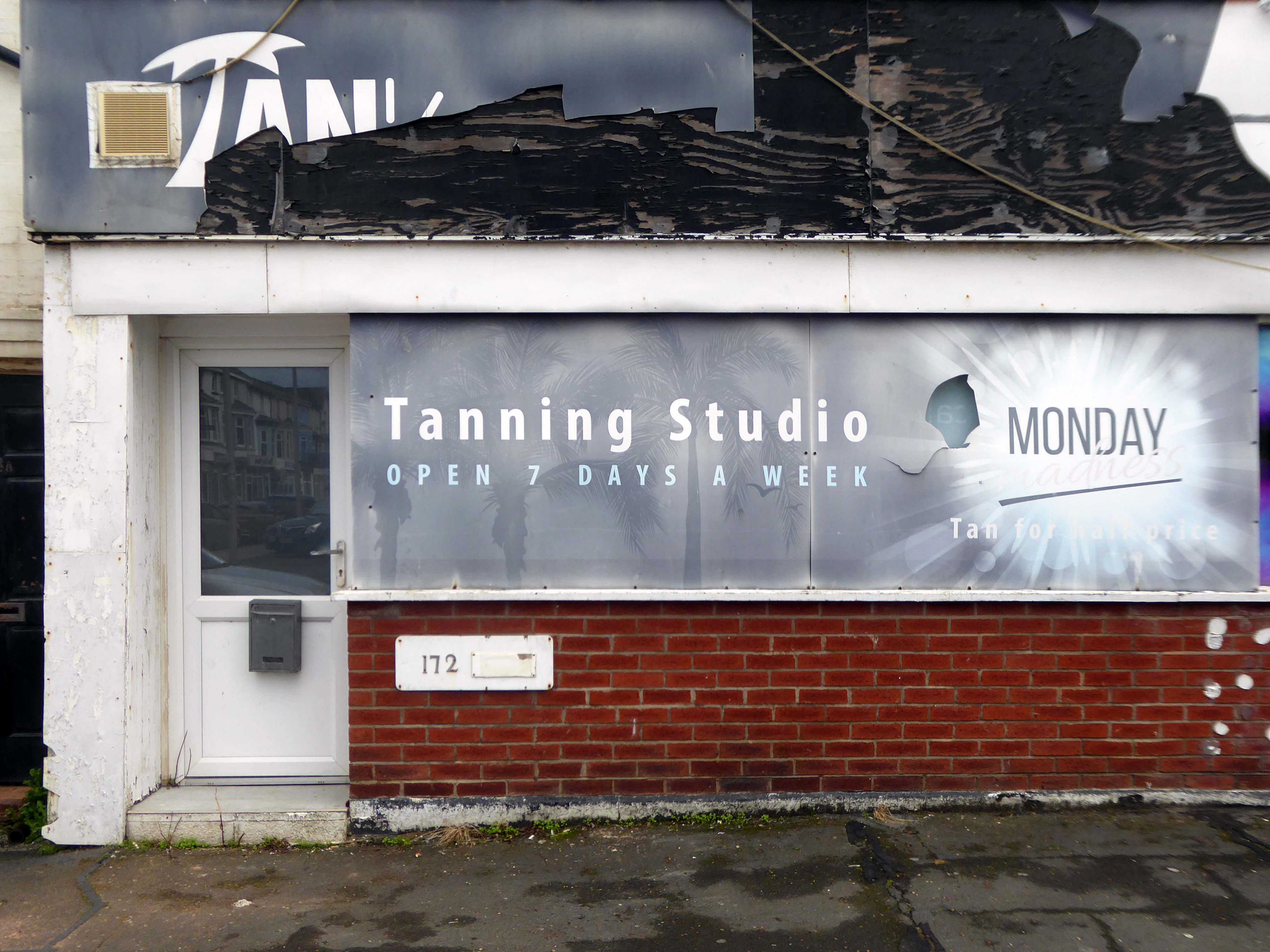
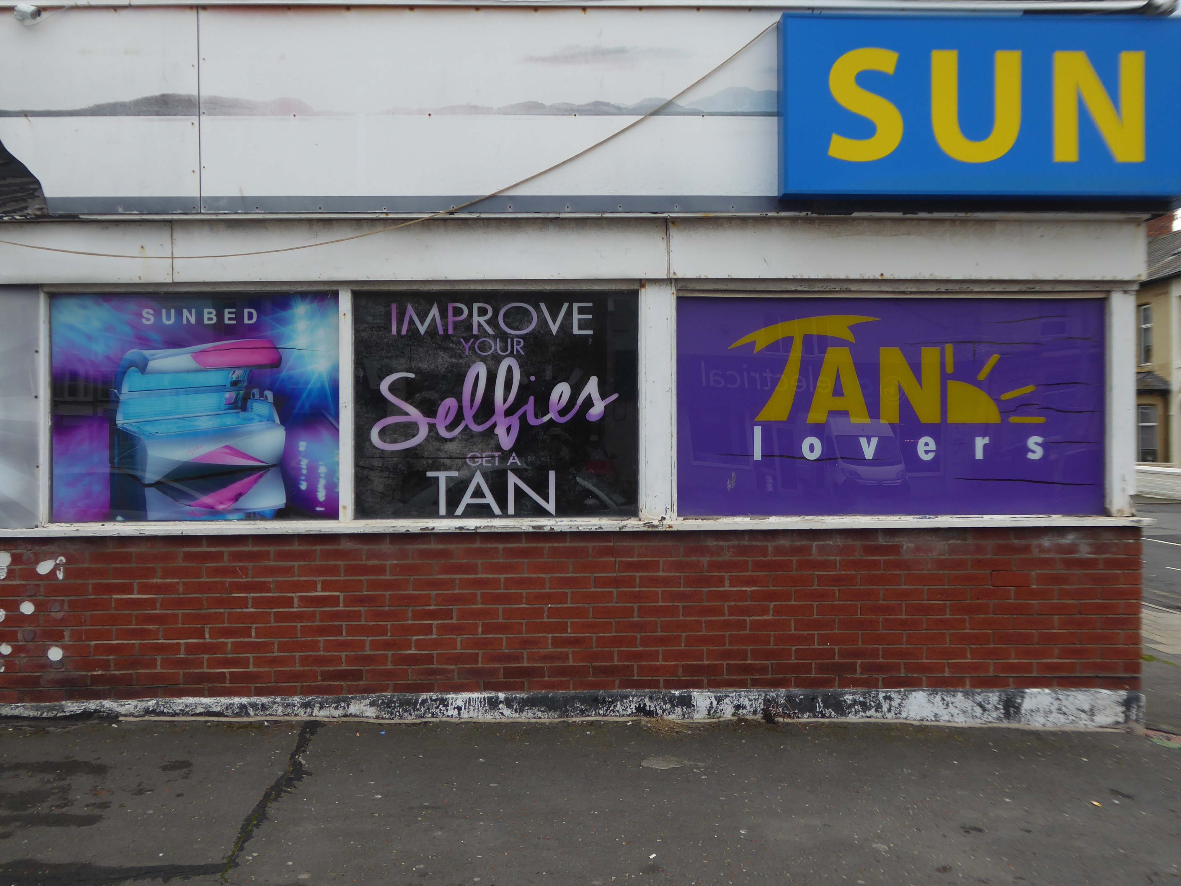
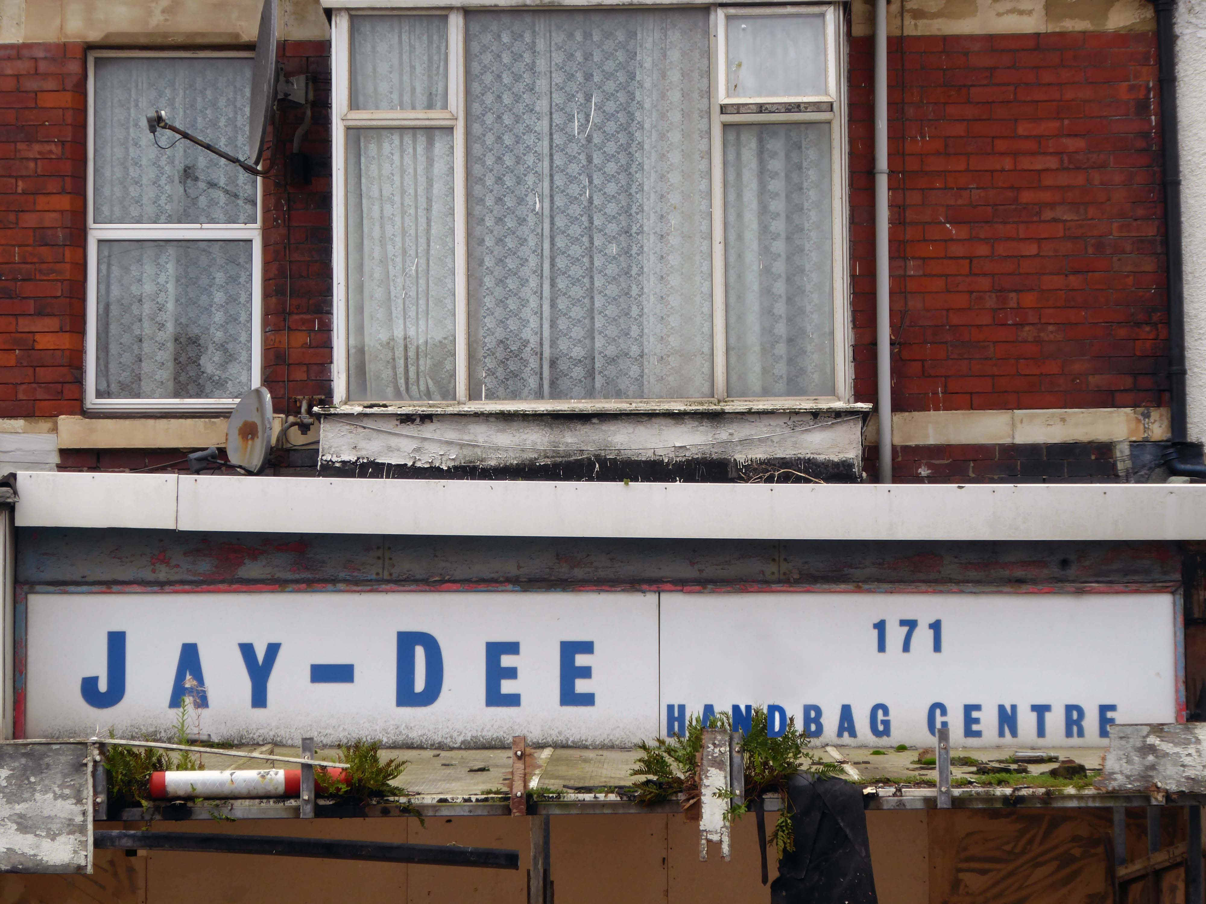
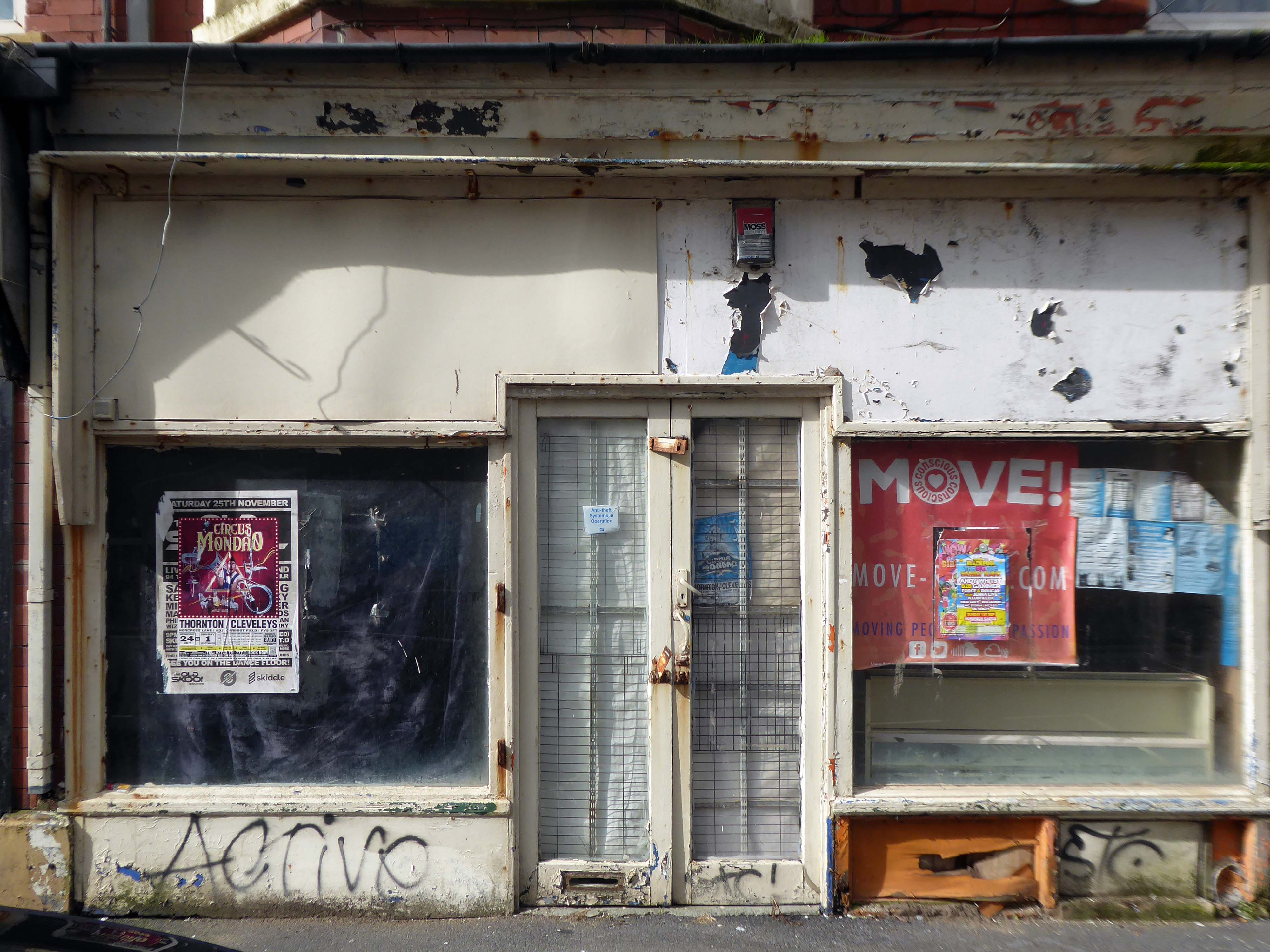
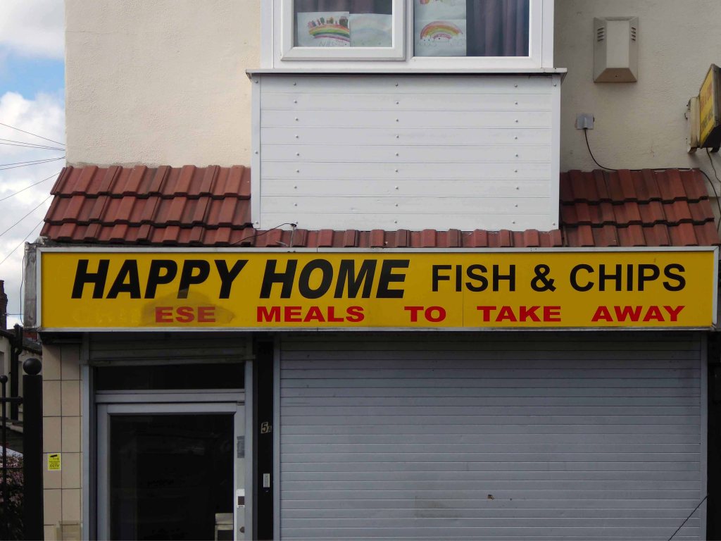
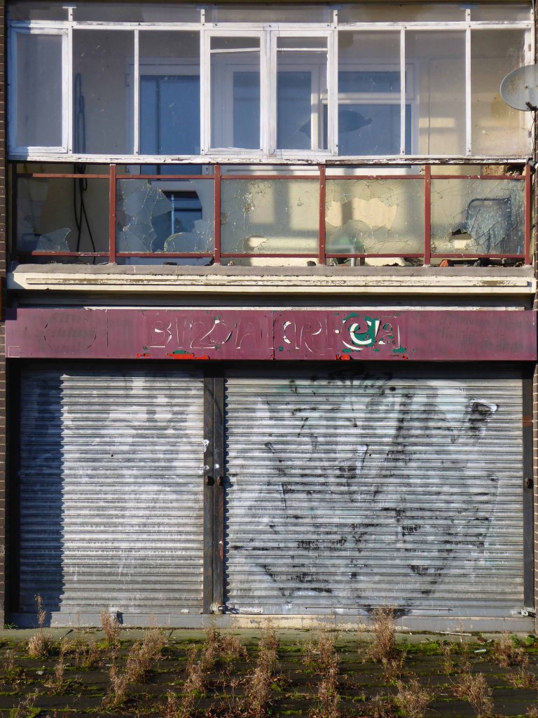
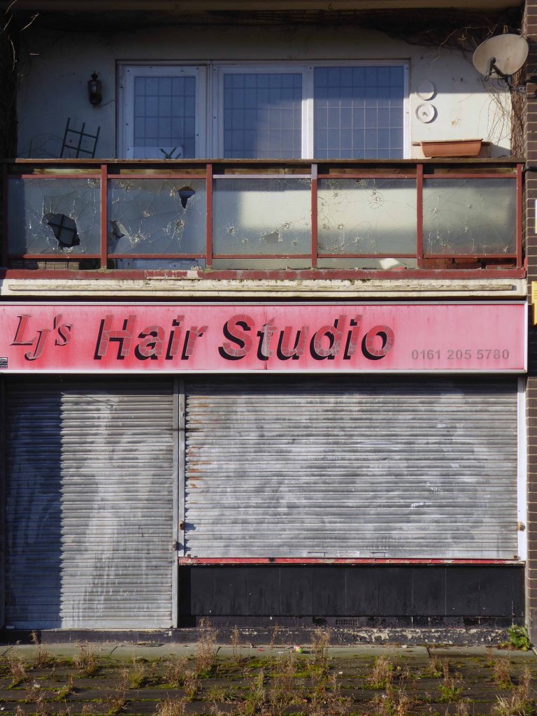
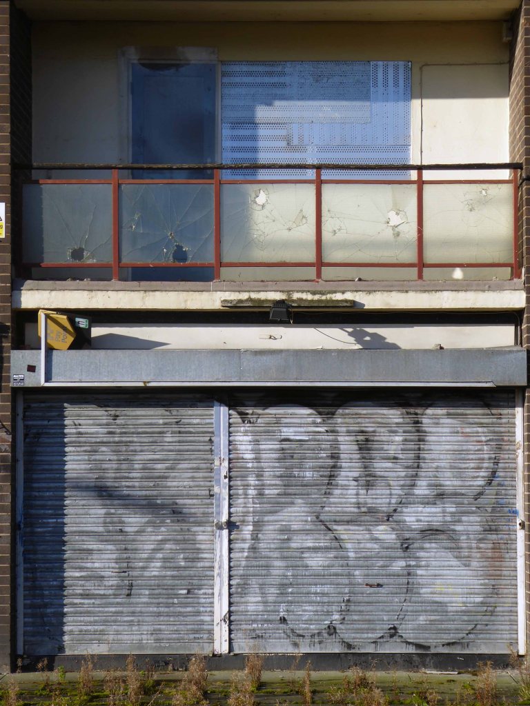
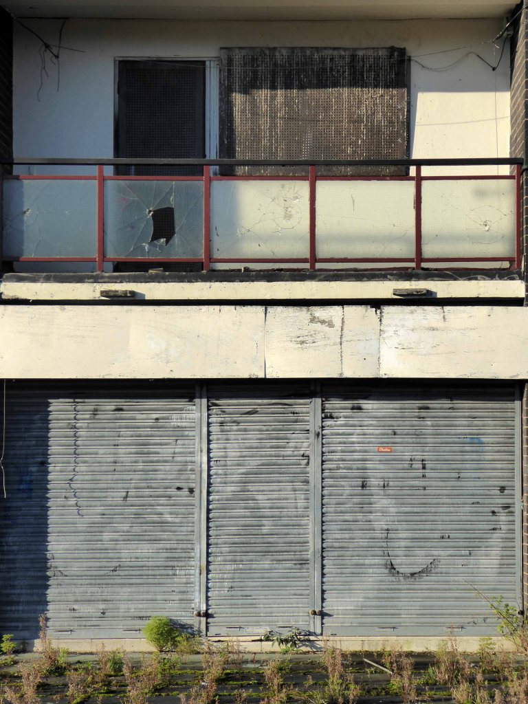
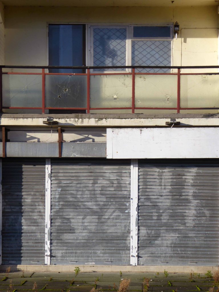
The town needs all the help it can get, time has not been too kind, whilst efforts have been made to invigorate the area around Blackpool North and the promenade, the back streets reflect the legacy of years of deprivation.
Blackpool ranks as one of the most deprived areas in the UK. Many people were already in poverty, and the cost of living pressures are having the biggest impact on this group, who need to spend a greater proportion of their incomes on household essentials. It is also affecting people on low and middle incomes, often surviving by having several jobs, who are being pushed into poverty. More people are turning to services for support, and as the winter progresses this is a serious concern.
Here is the statistical evidence as of 2021.
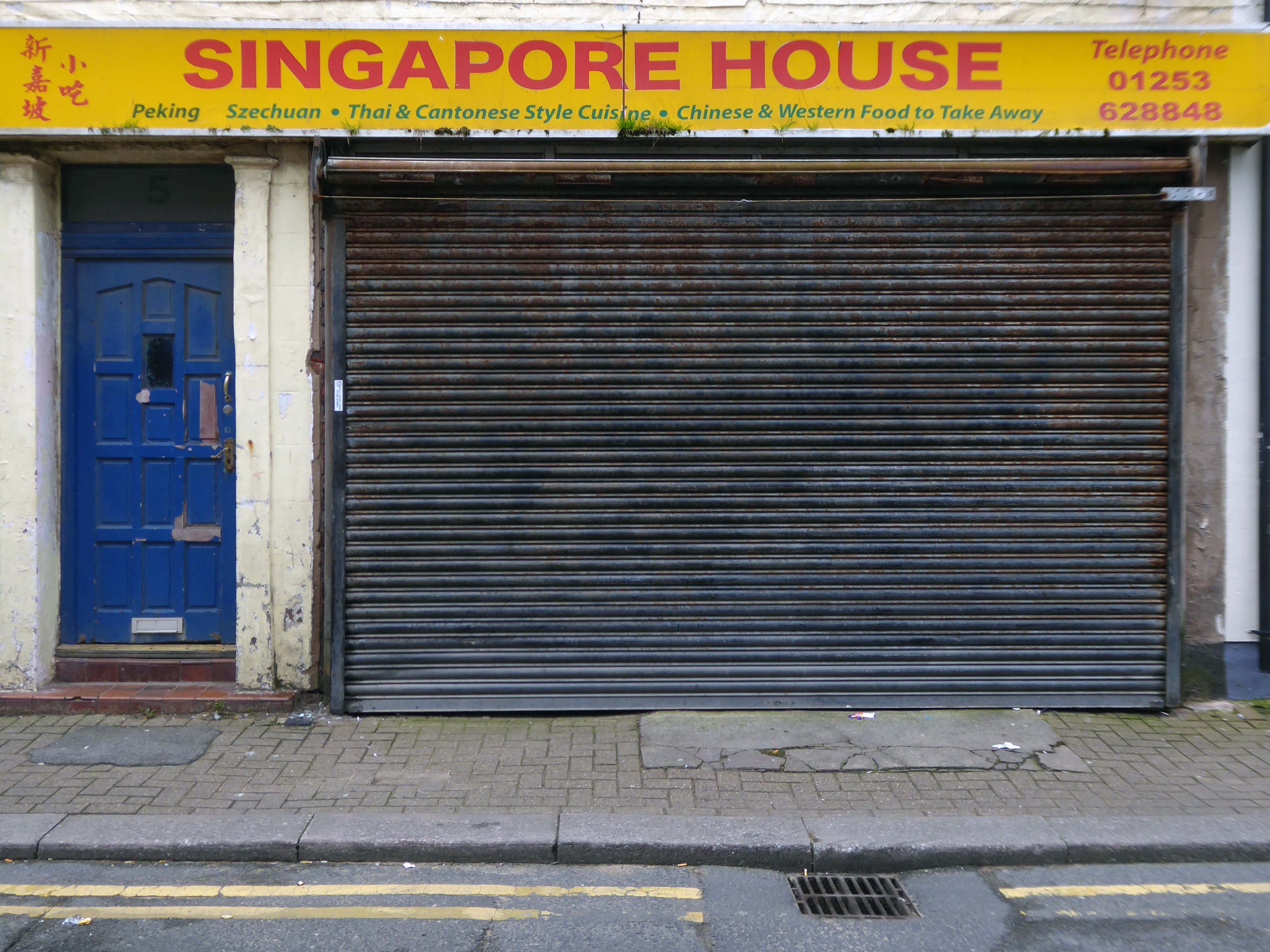
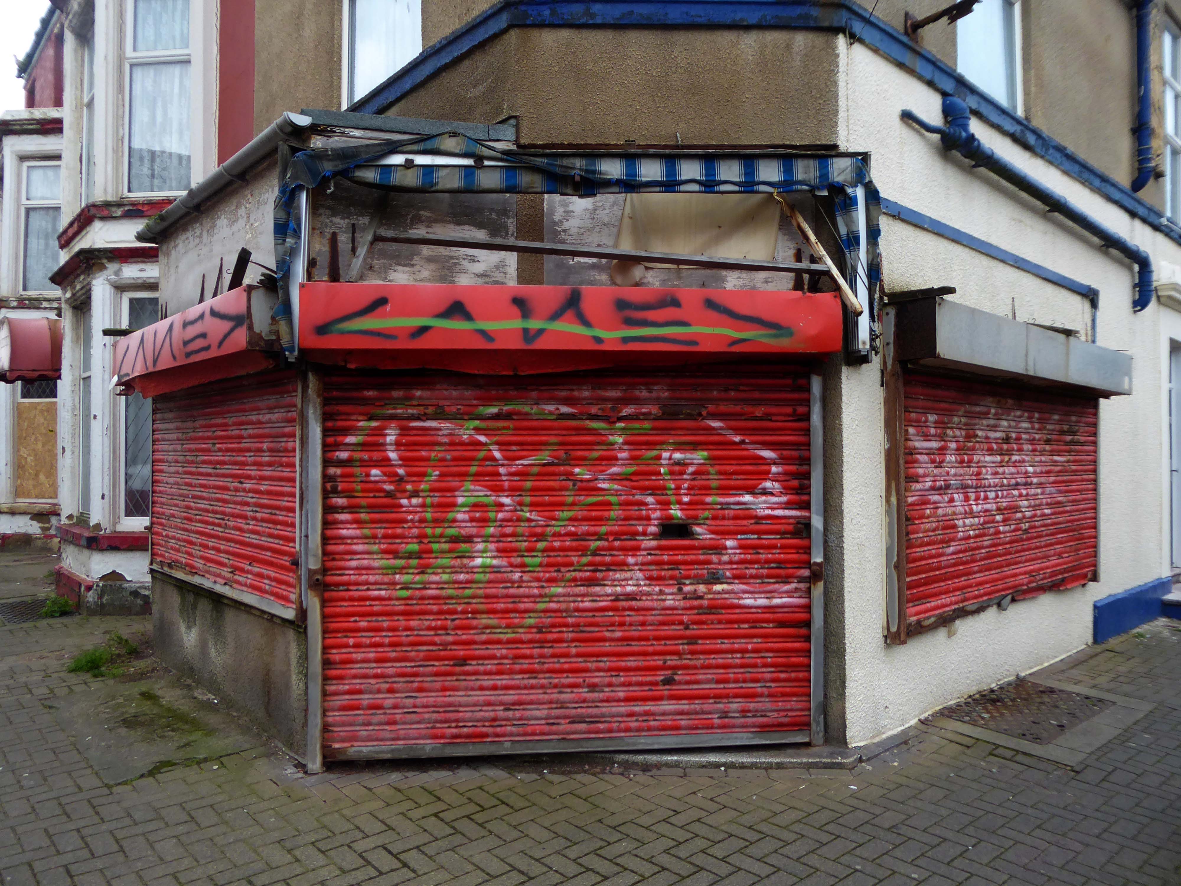
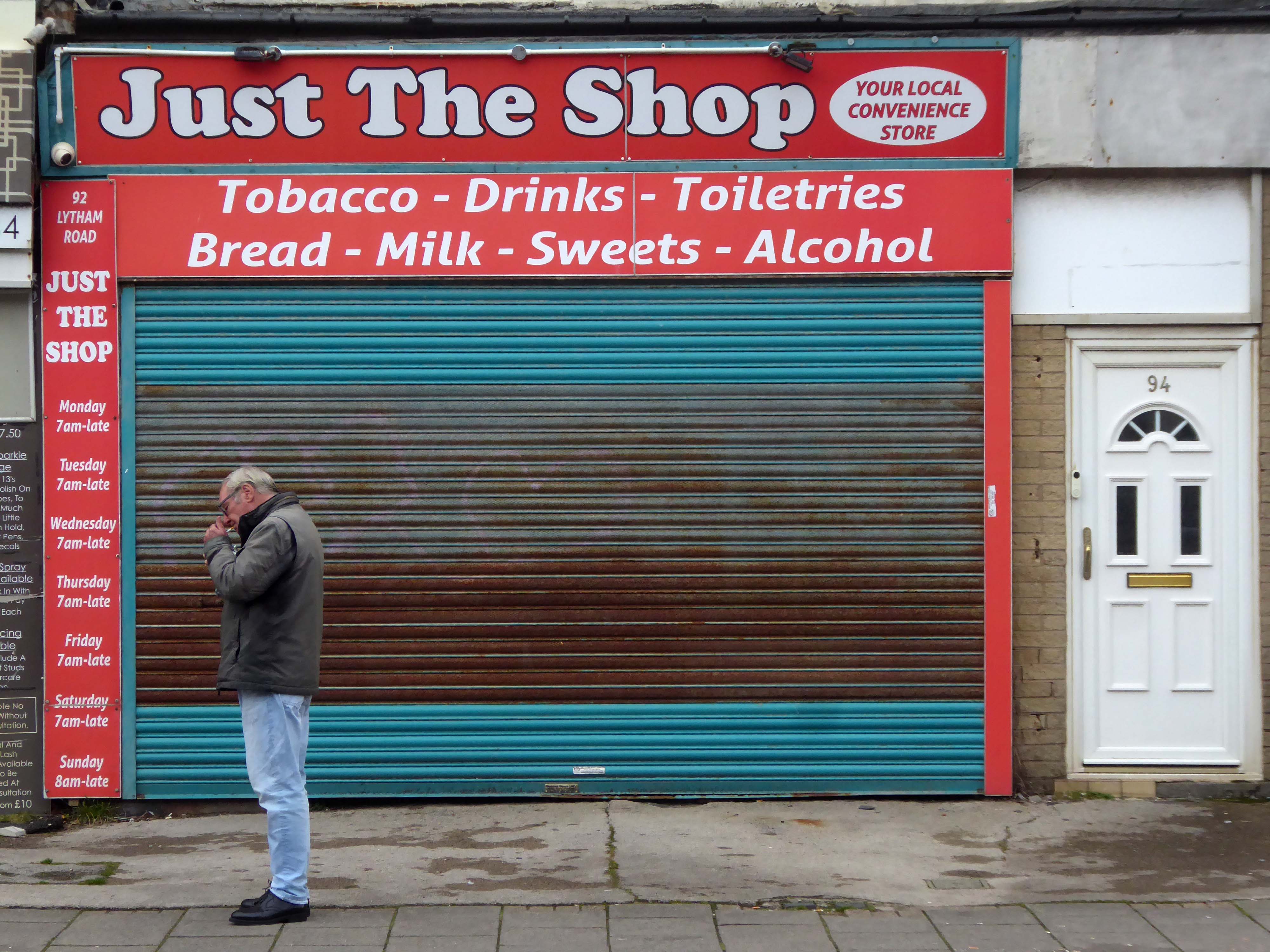
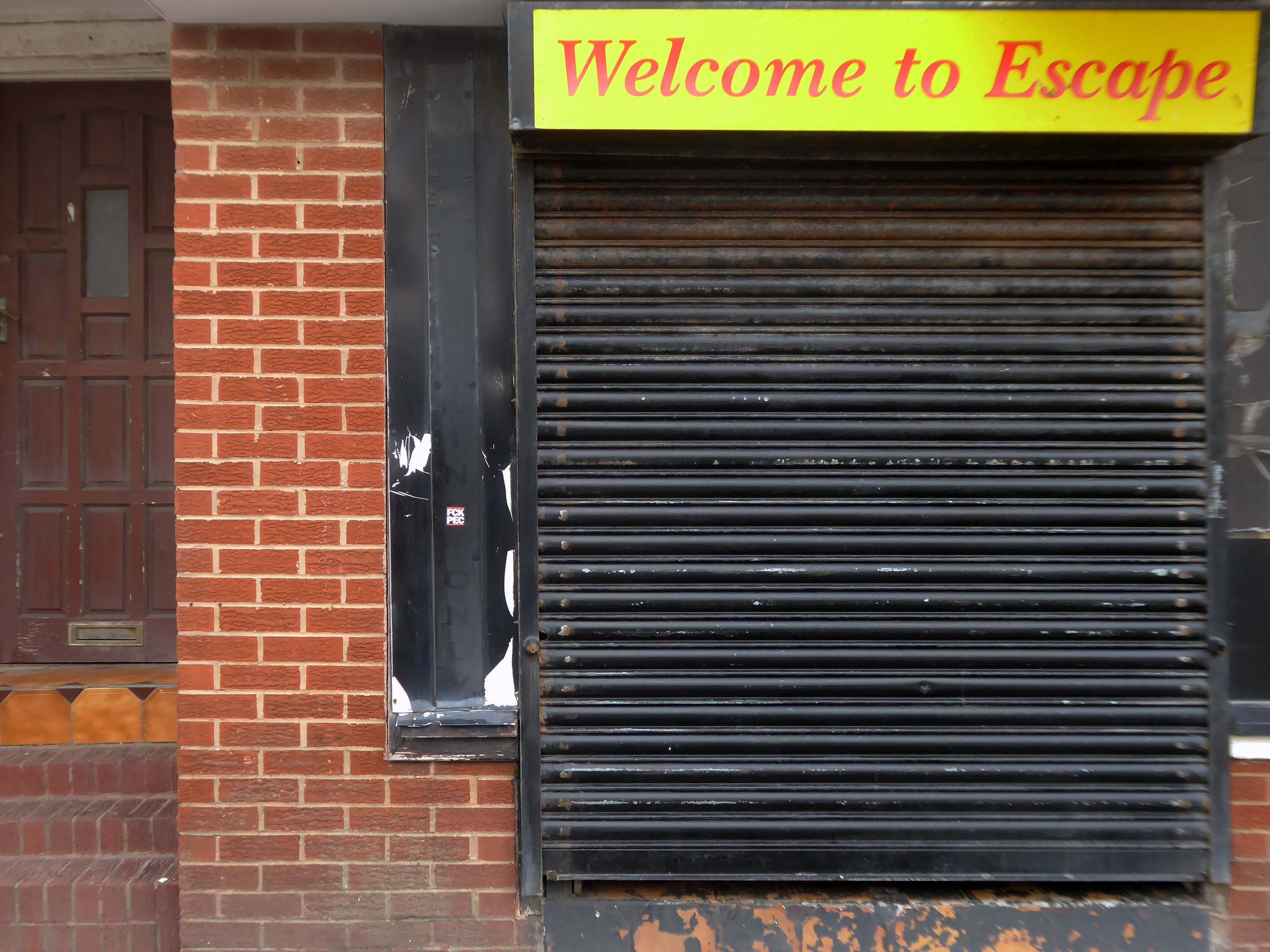
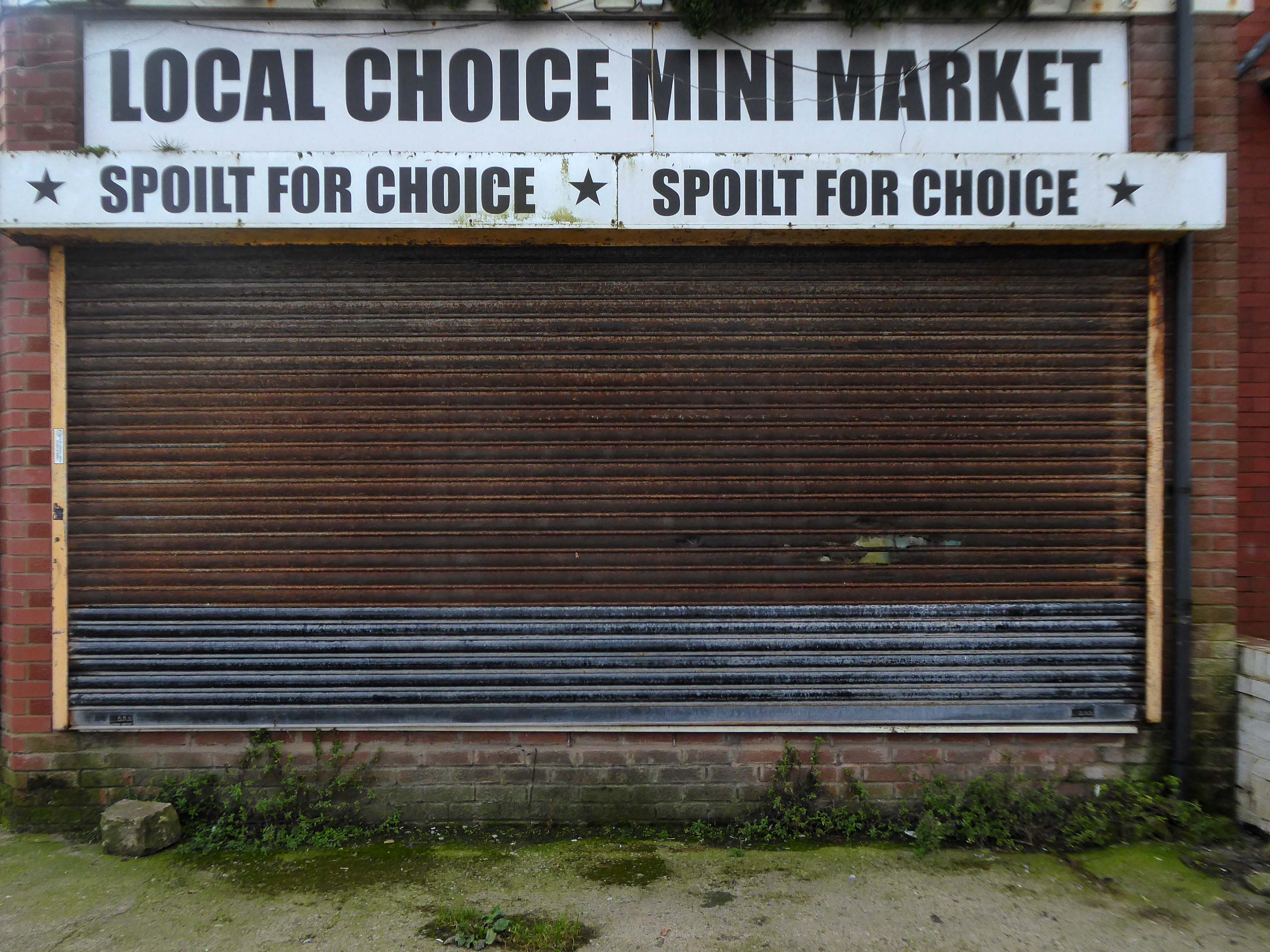
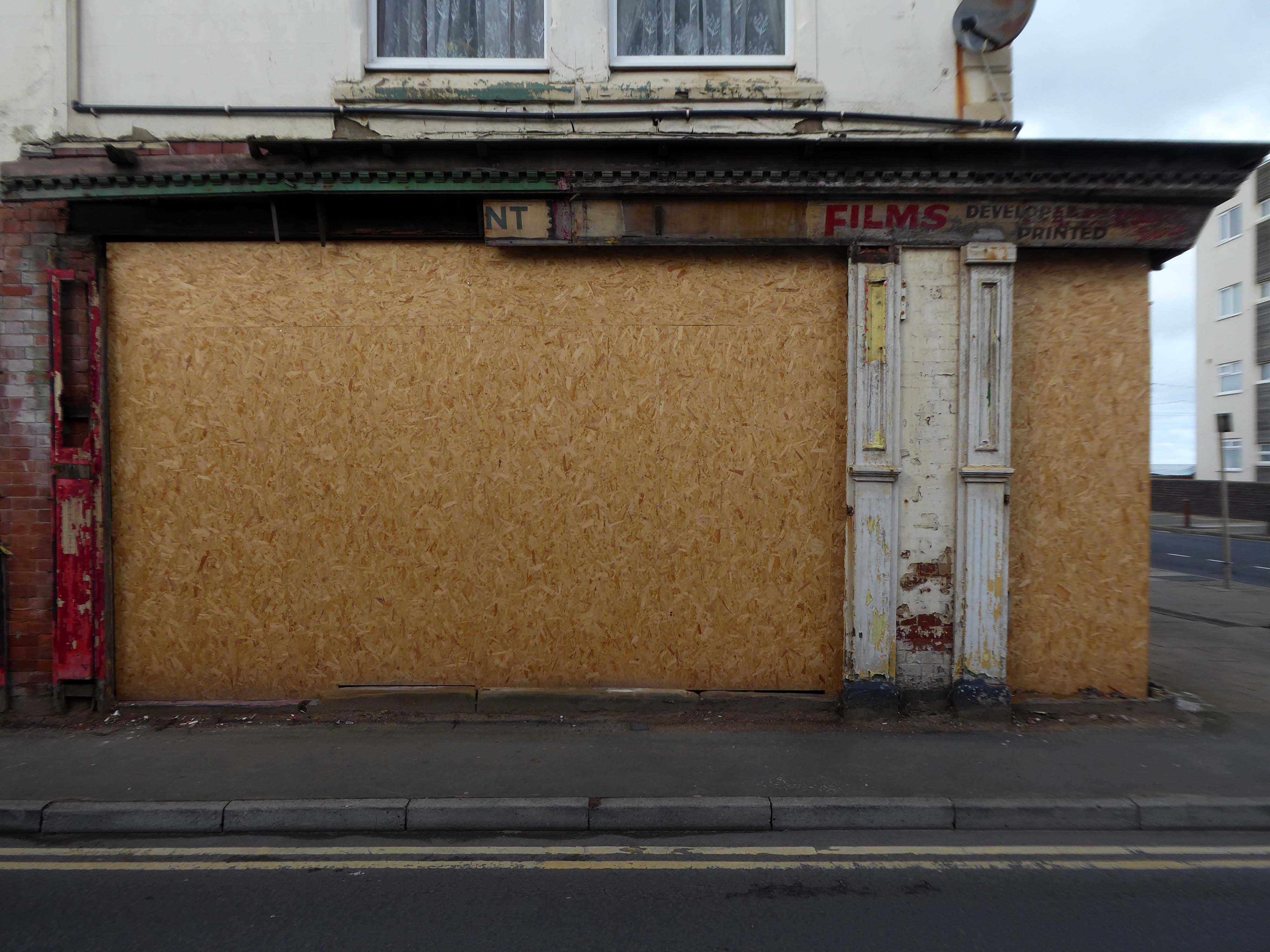
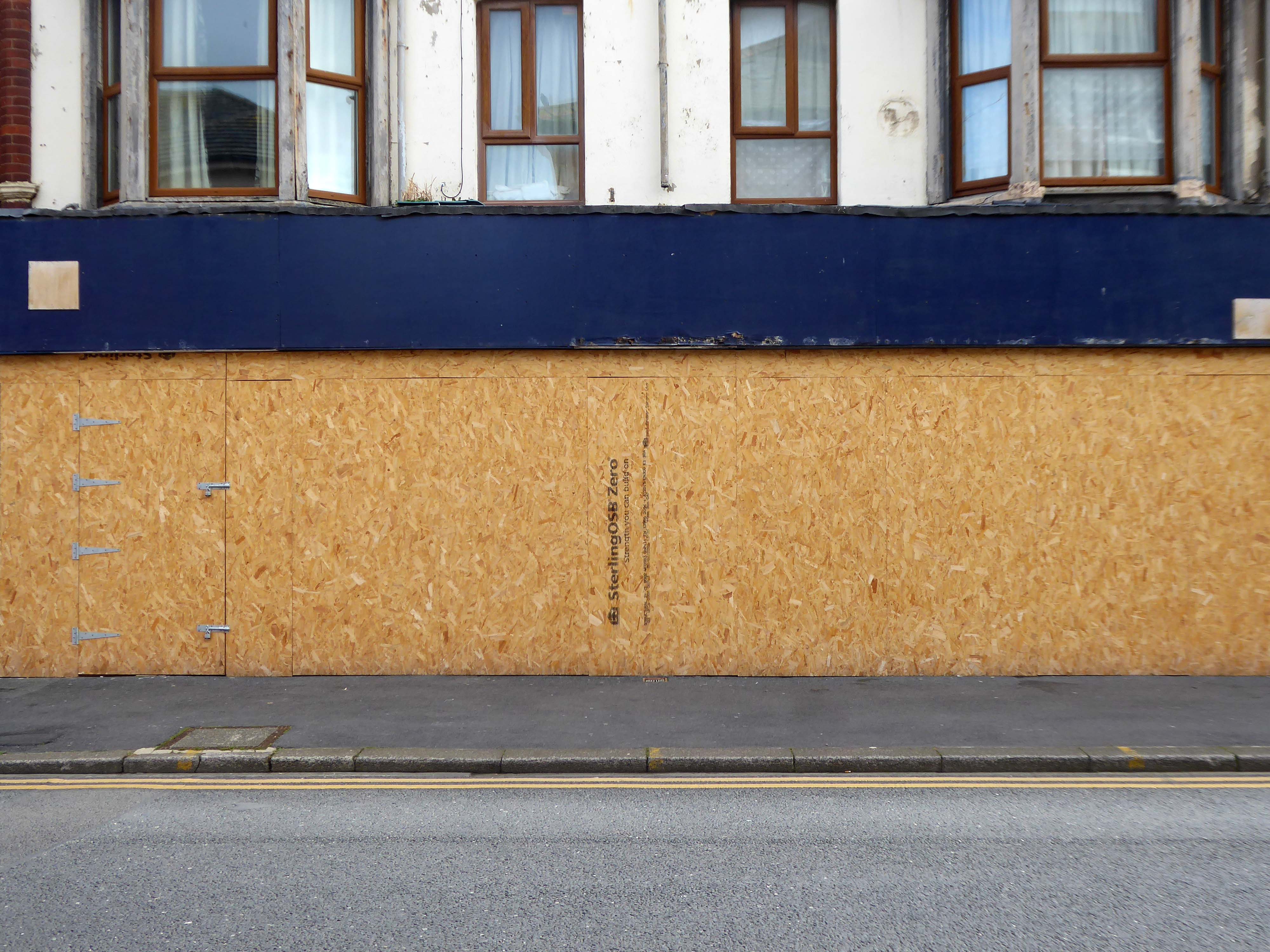
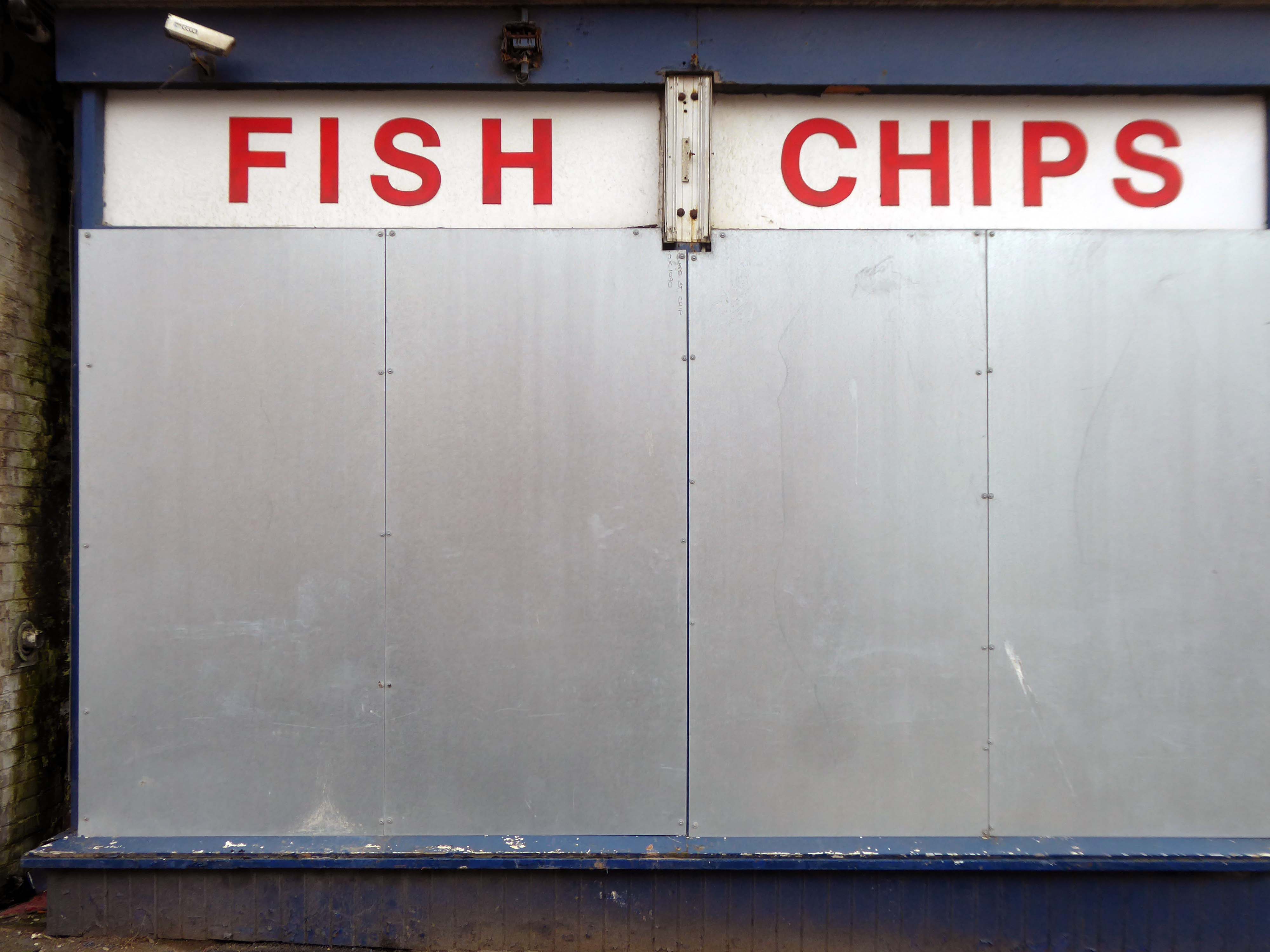
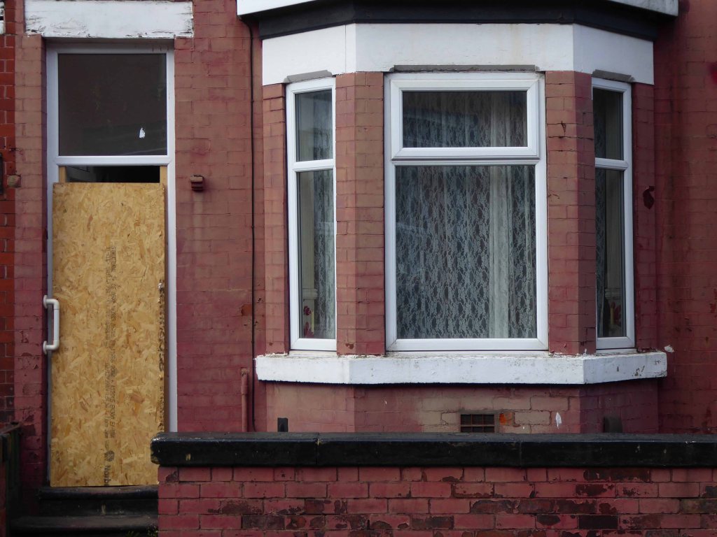
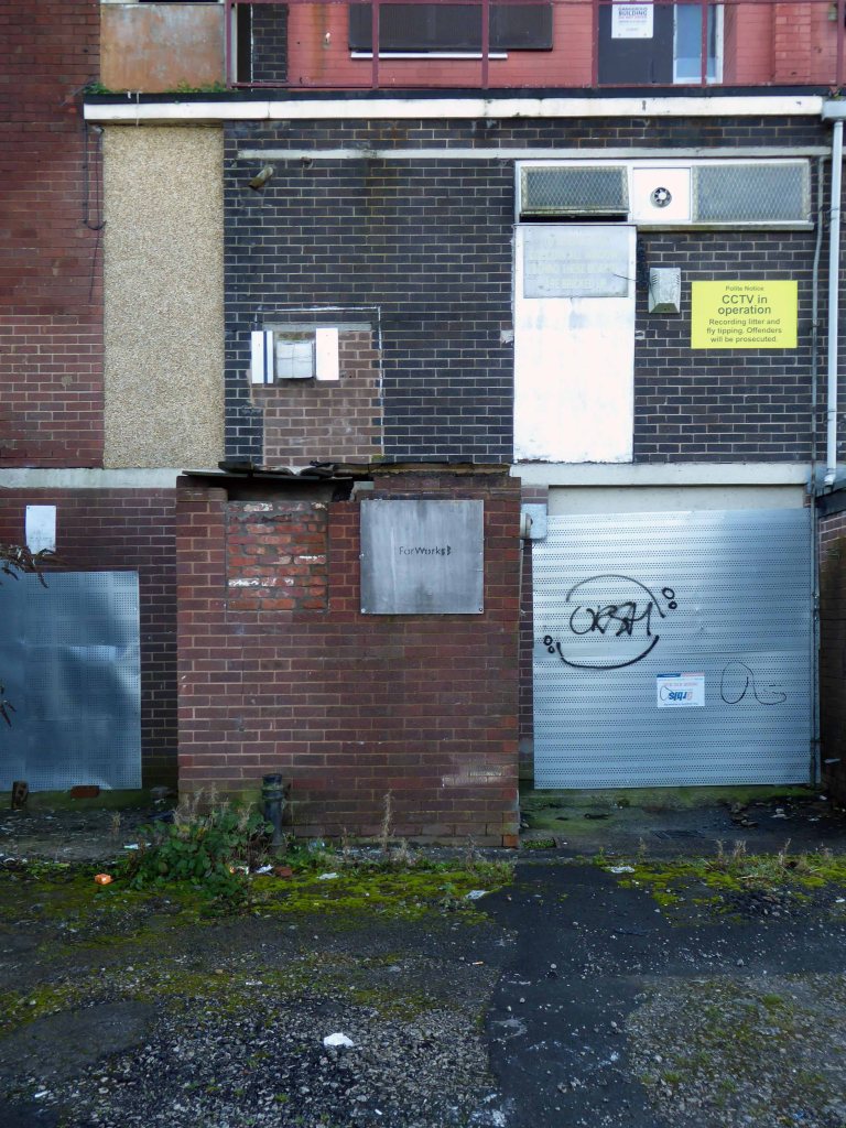
I have no wish to poor scorn on the area – but a short walk around the streets approximate to the coast tells a tale of failed businesses, decay and decline.
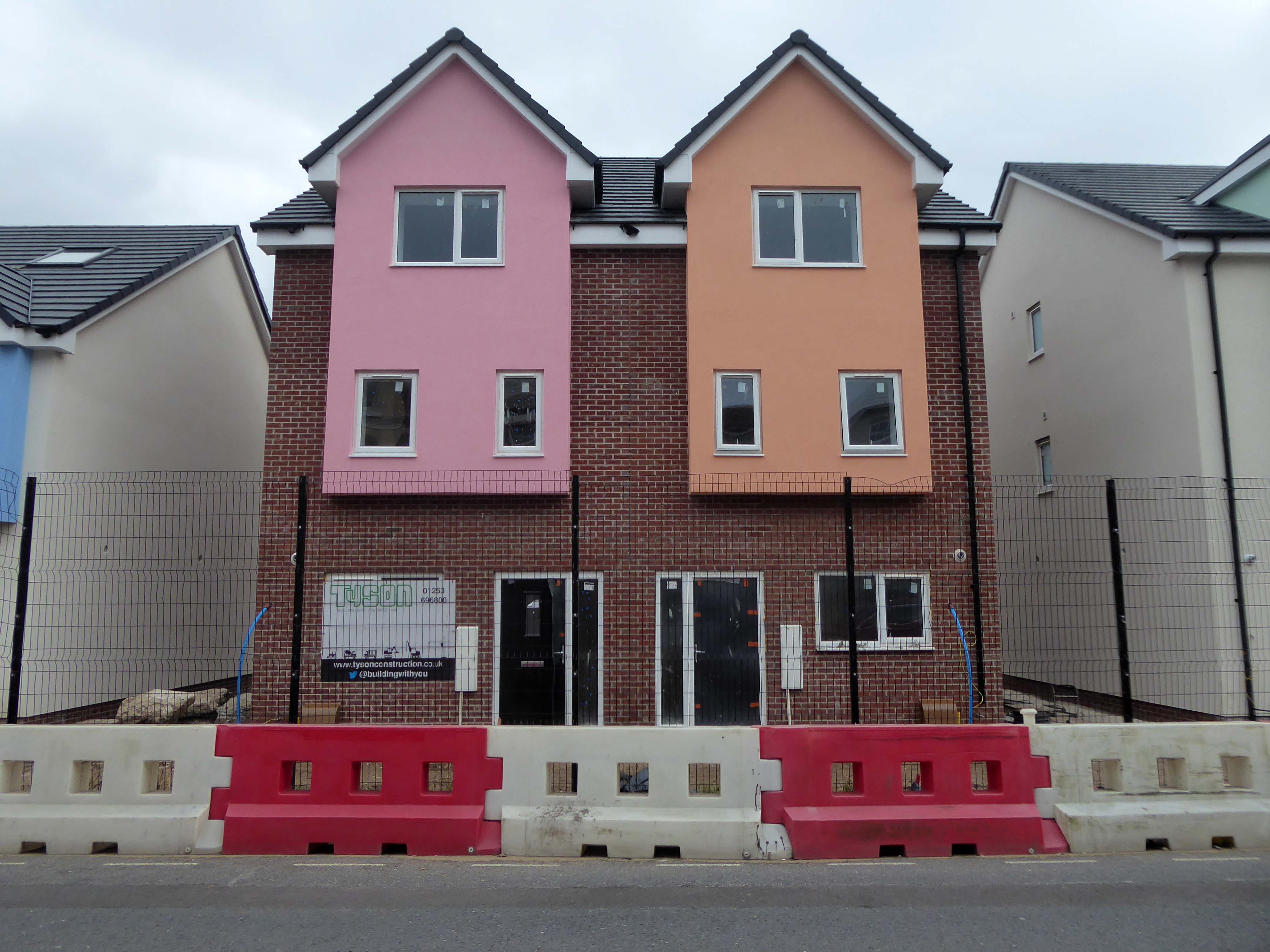
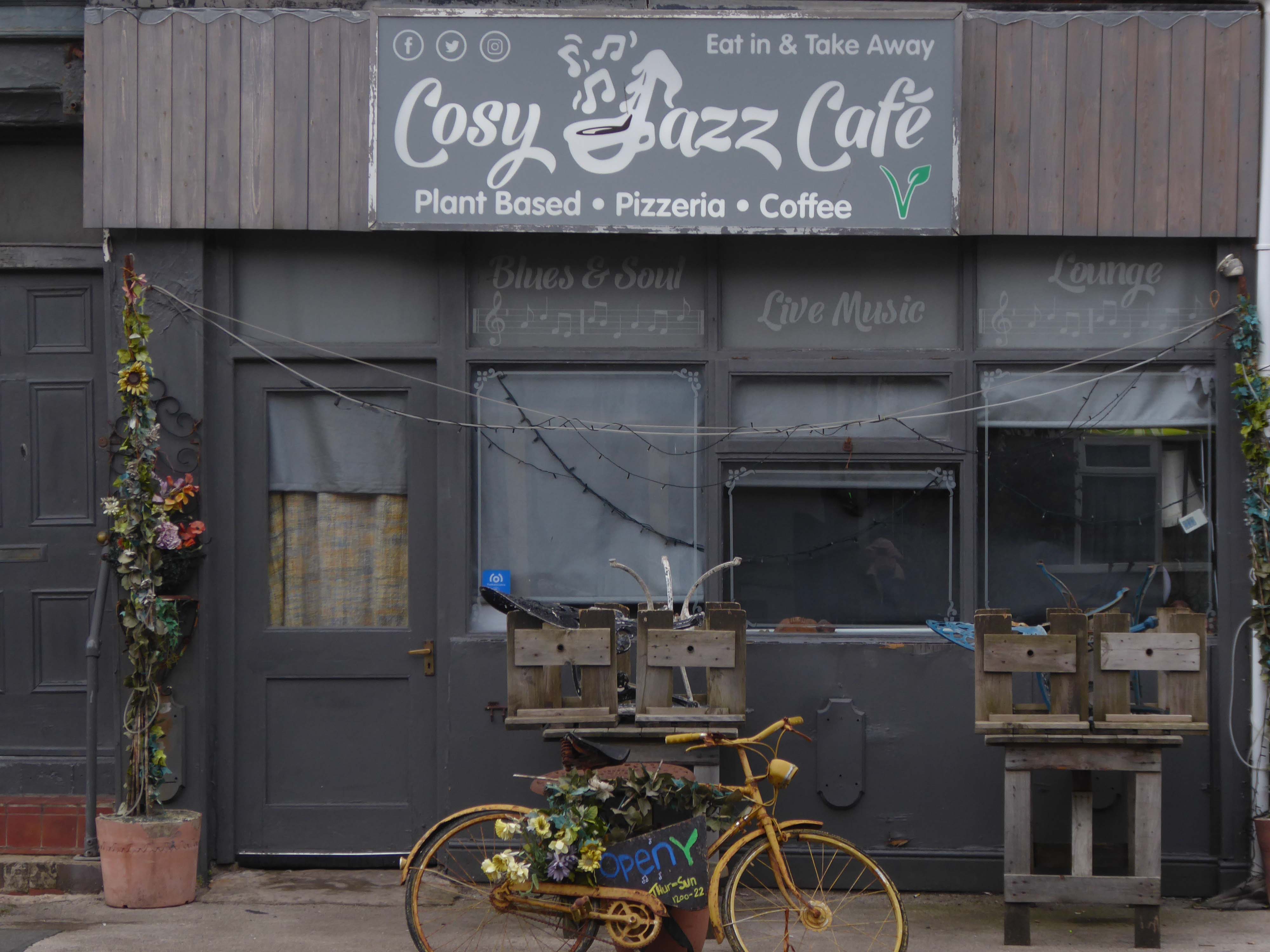
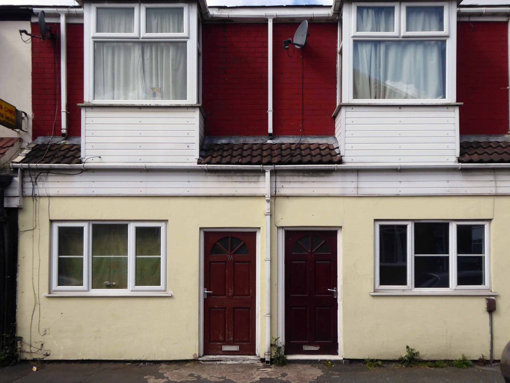
Happily there are the seeds of recovery in evidence, in the form of newly built housing.
The executive report outlines an area of regeneration to the South of the town centre. It lies broadly between Chapel Street and Rigby Road, and the Promenade and Central Drive. These have been identified as the initial areas of focus for detailed scheme development, community engagement and property acquisitions in preparation for future development.
We all deserve better.


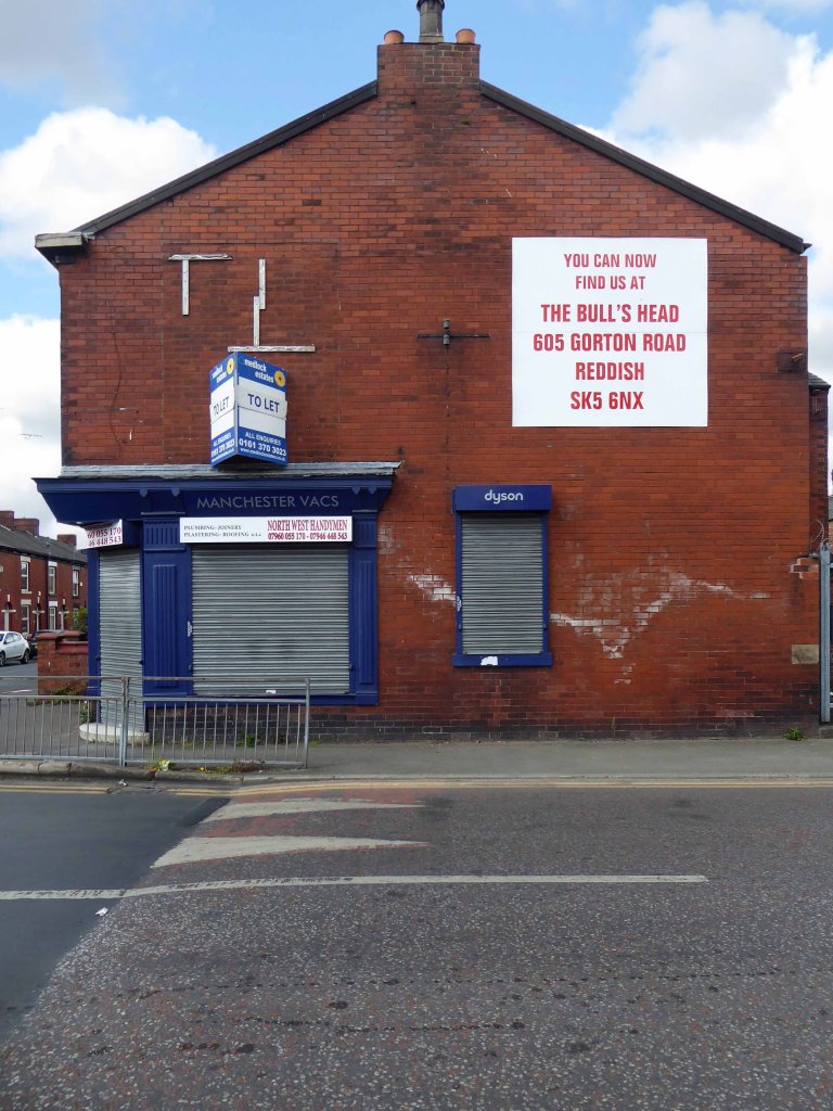
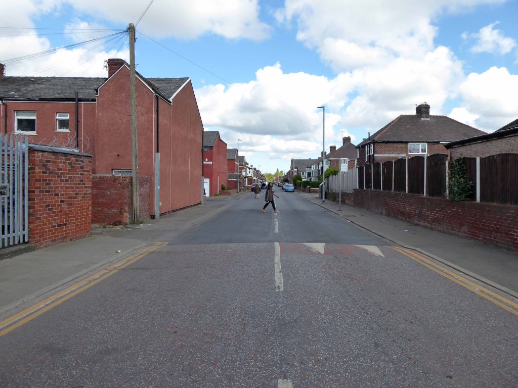
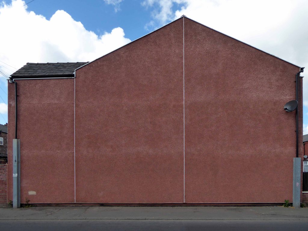
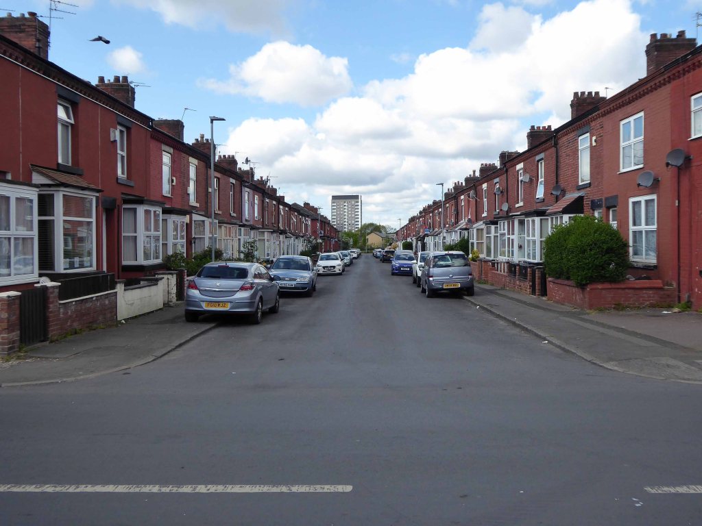
Having photographed the arterial roads of Manchester in 2014 I have resolved to return to the task in 2024.
Some things seem to have changed, some things seem to have stayed the same on Ashton New Road.


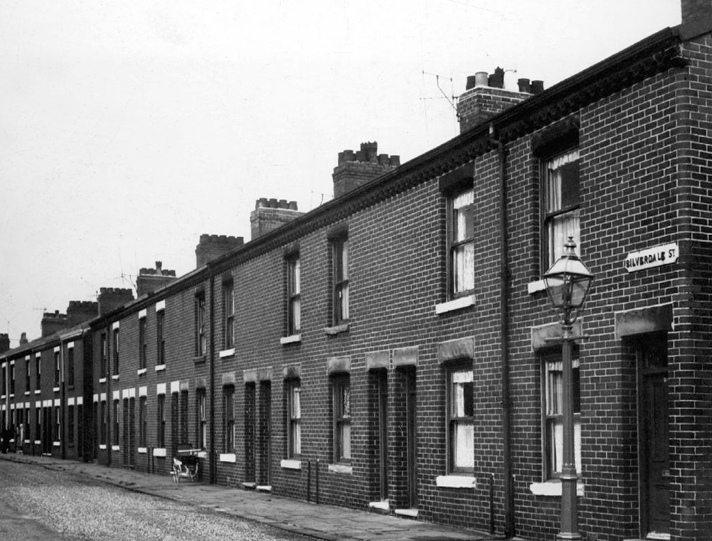
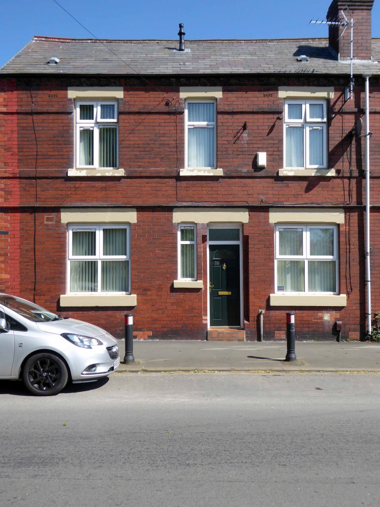
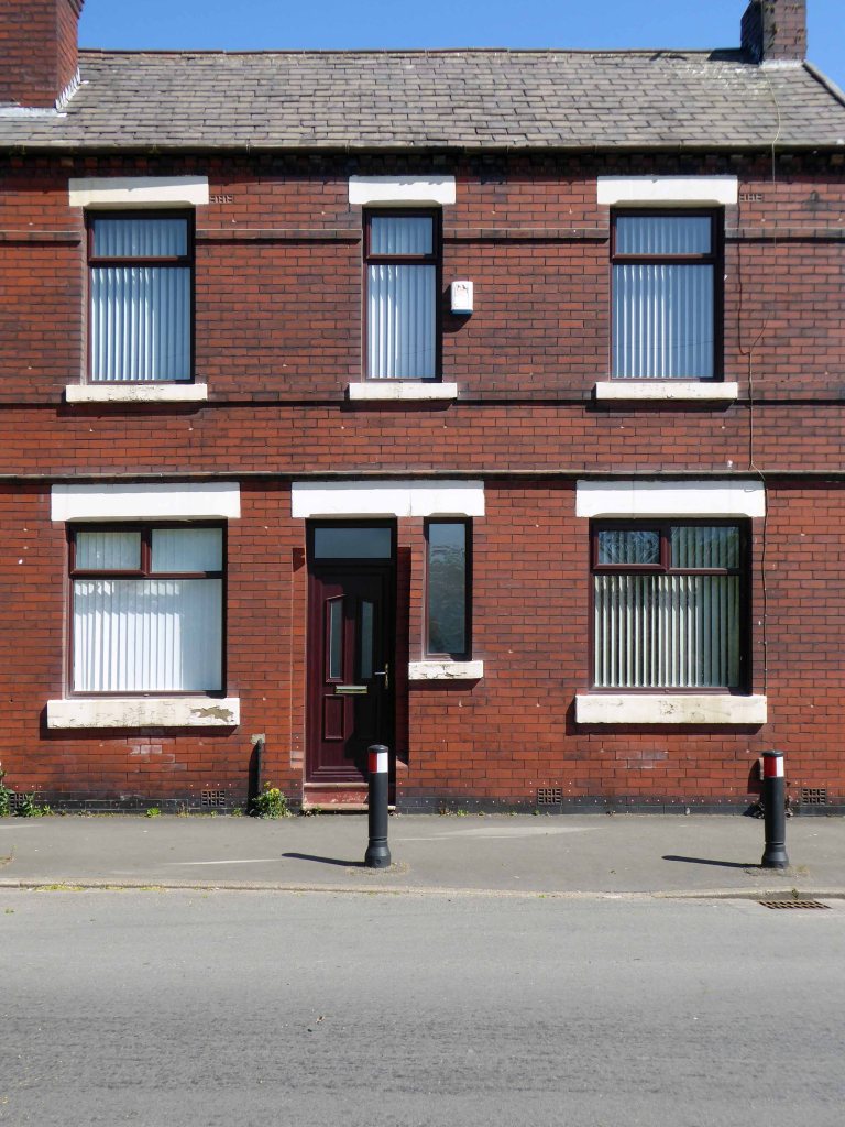
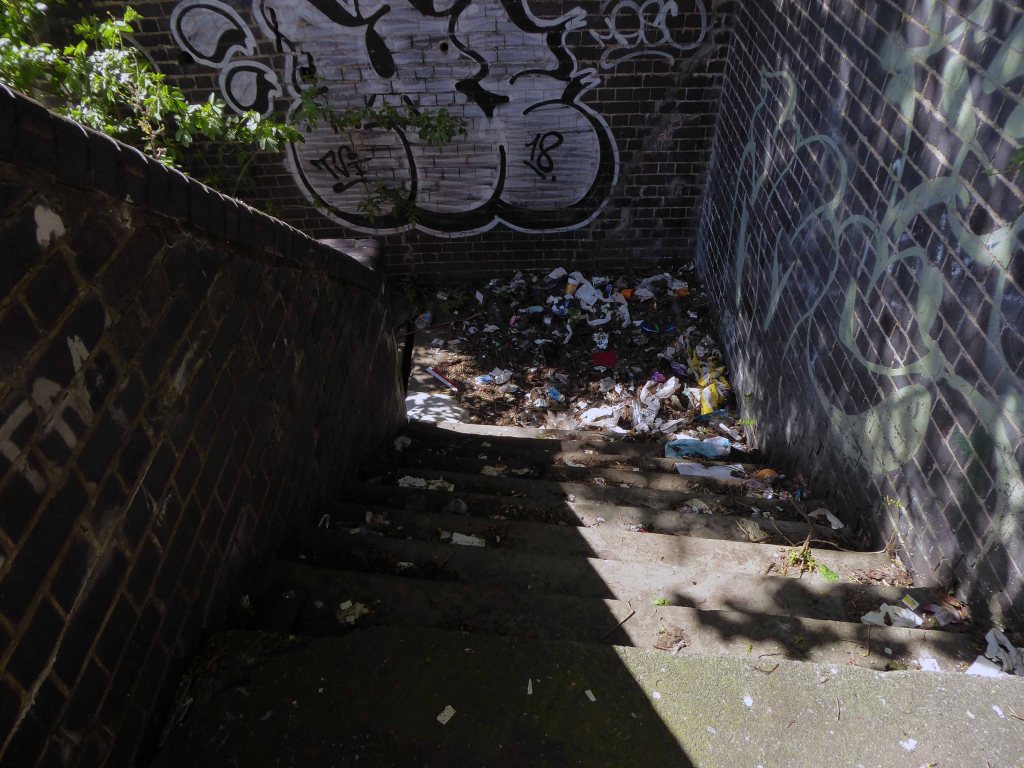
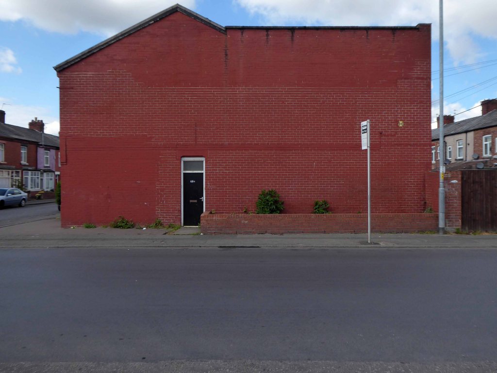
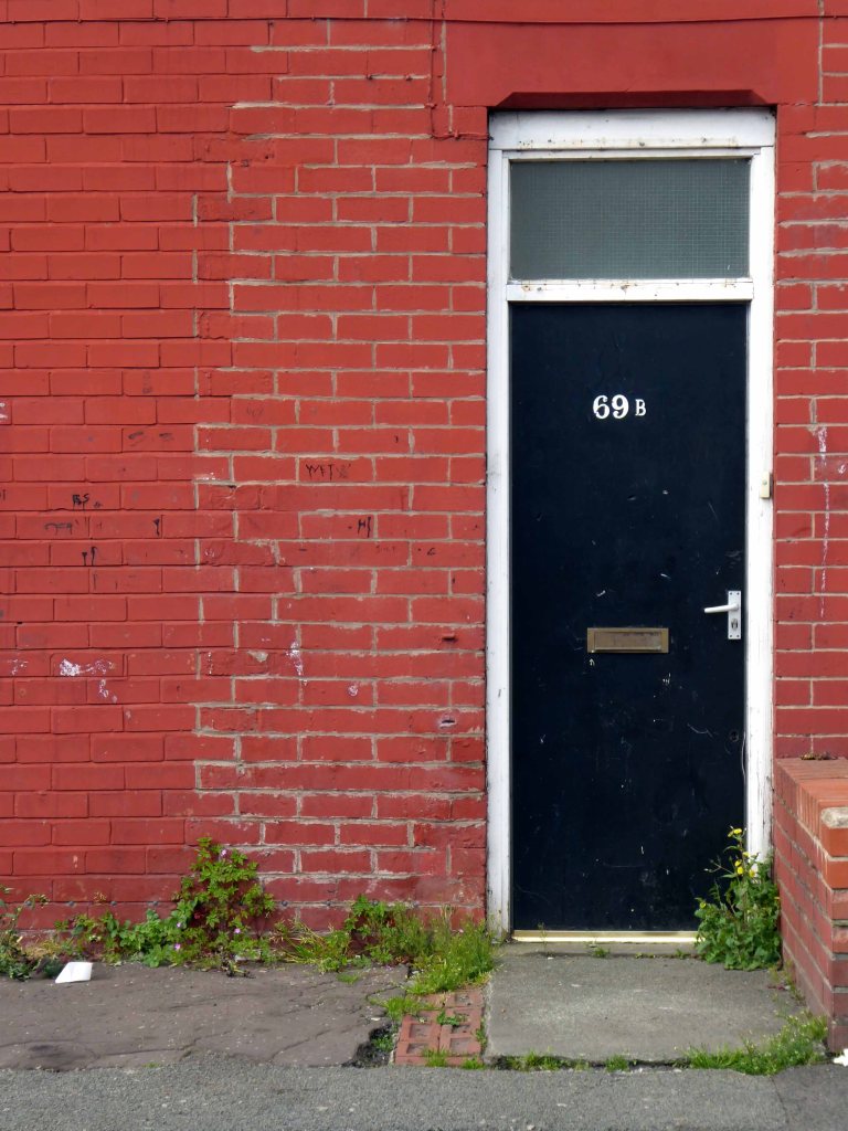
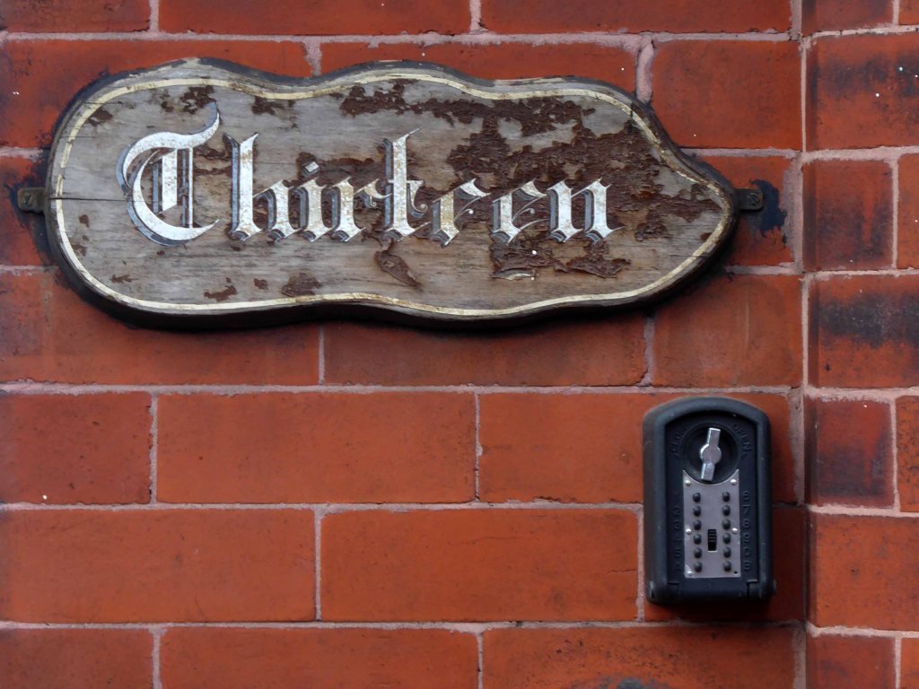
Pleasant Street Harpurhey M9 5XZ

Walking along Rochdale Road yesterday, I was suddenly arrested by the Pleasant Street street sign.
Having already been suddenly arrested last week, by the Bland Close street sign.

With my expectations defined by the above definition, I ventured along the street in search of happy satisfaction.
Coincidentally – The 18th century entrepreneur Josiah Wedgwood pioneered many of the marketing strategies used today, including the satisfaction or you money back guarantee, on the entire range of his pottery products. The money-back guarantee was also a major tool of early US mail order sales pioneers in the United States such as Richard Sears and Powel Crosley Jr. to win the confidence of consumers.
It is also a top tune by Harold Melvin and the Bluenotes!

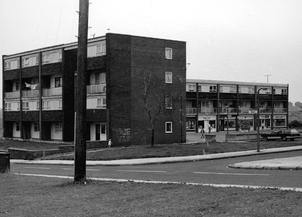
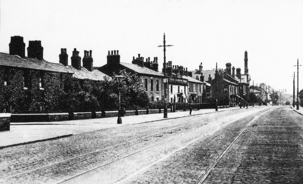
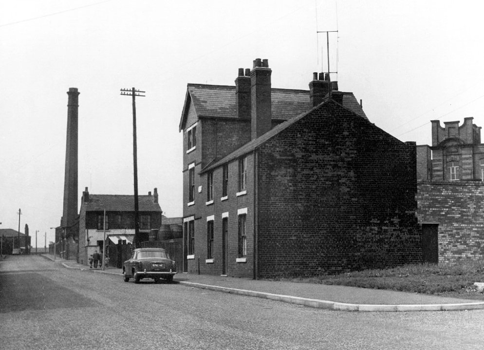
In 1958 the street looked just like this:

Photo – L Kaye
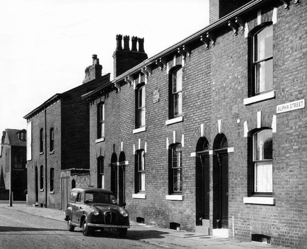
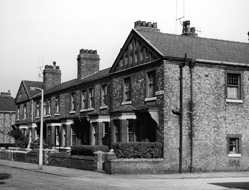
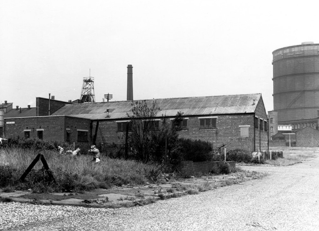
Whilst ten tears later it looked just like this:


Photos – LH Price
Manchester Local Image Collection
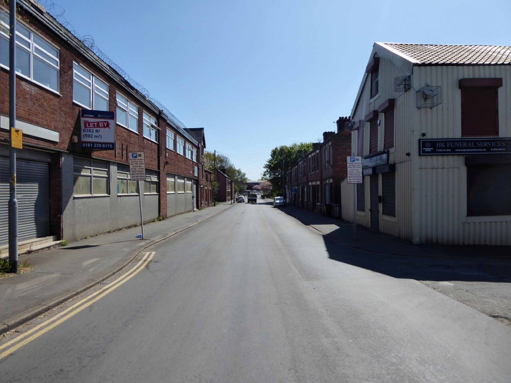
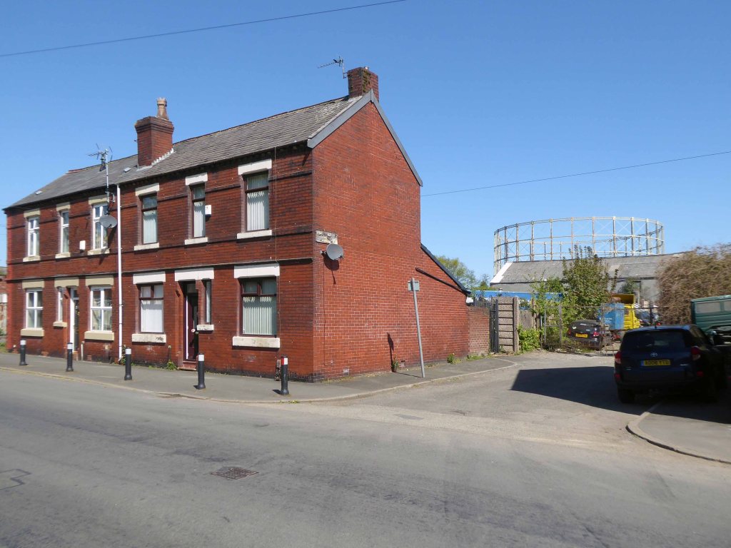
However at someone between 1968 and 2024 the housing had been cleared away – also missing in action is the Golden Lion pub adjoining Pleasant Street on Rochdale Road.
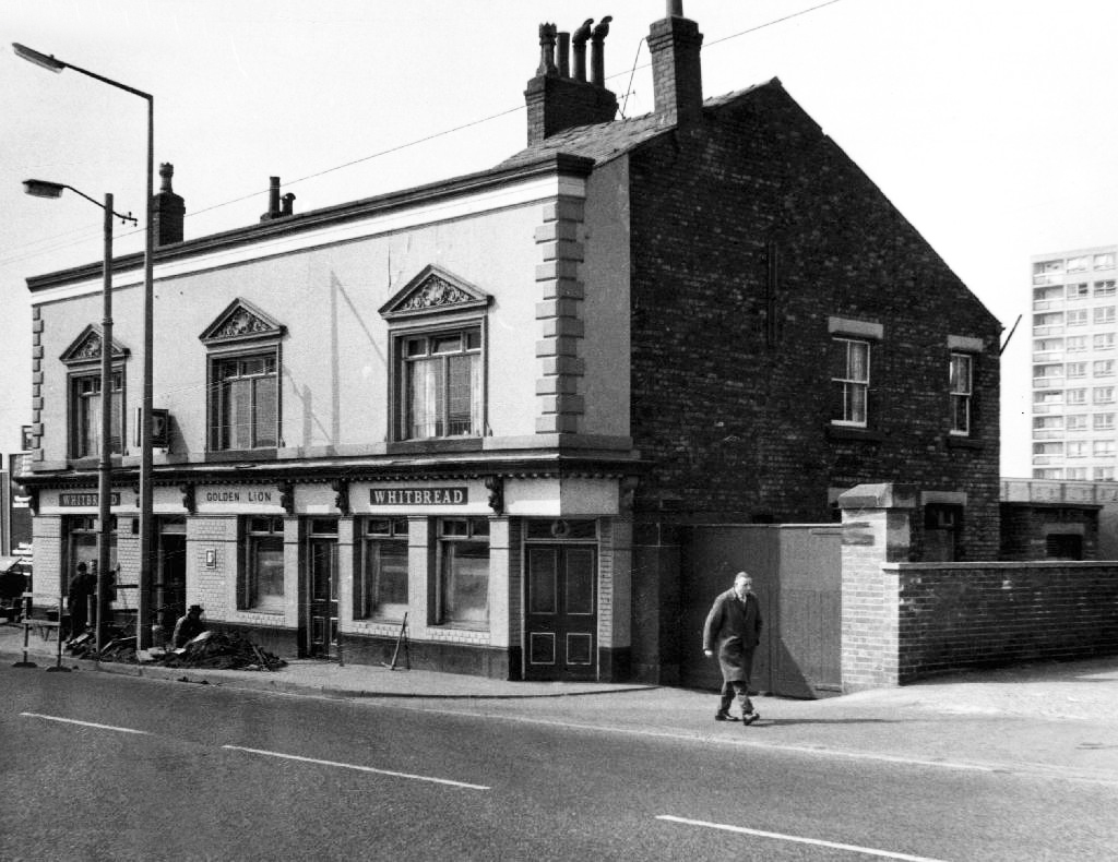
The Golden Lion was a proper old pub on the very busy rochdale road in the Harpurhey area of Manchester. Once inside there was a decent lounge and a basic bar i had a drink in the lounge and this was quite a comfy room.
This pub was a Whitbread tied house and there were two real ales on the bar I had a drink of Chesters bitter and this was a nice drink the other beer was Chesters mild. I thought this was quite a nice pub but sadly this pub has now been pulled down in the name of progress.
Alan Winfield – 1992
So here we are here today – yesterday has long gone and tomorrow never knows no how.
What’s left to see?
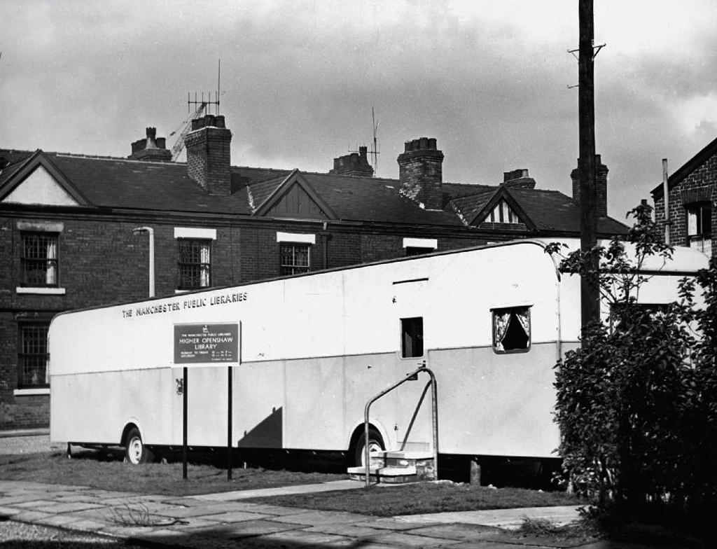
Manchester Hand Car Wash


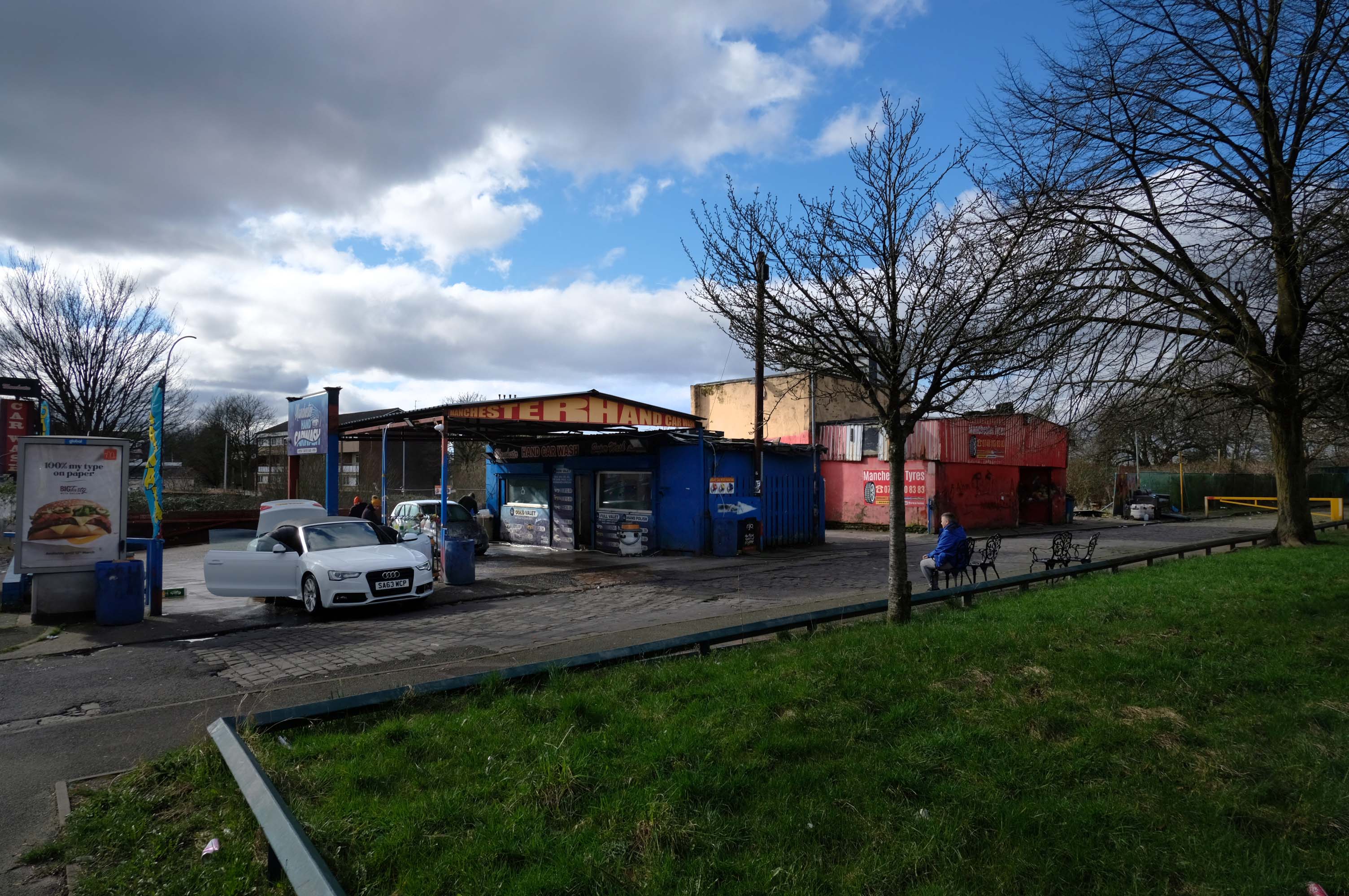
Manchester Tyres


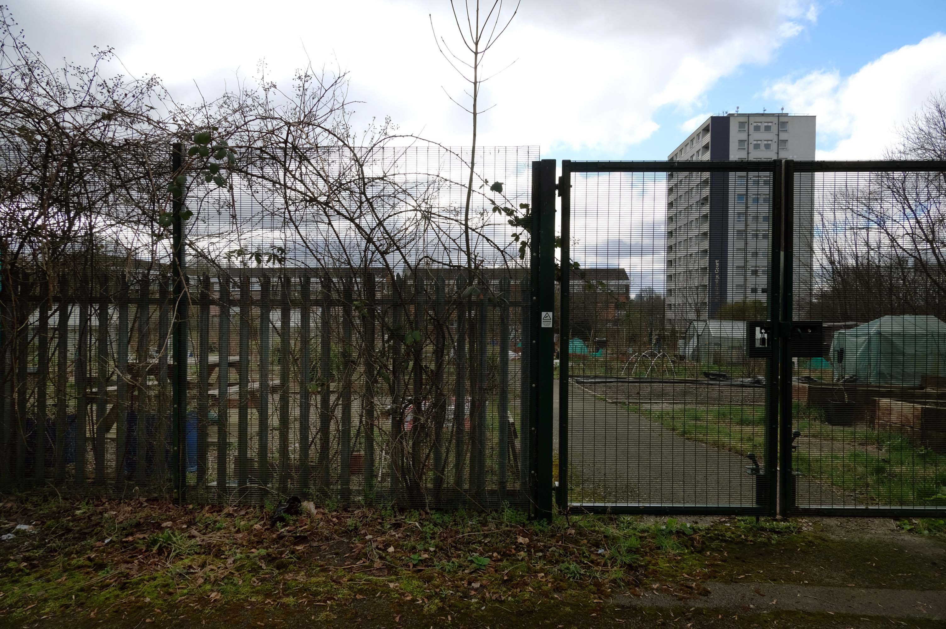
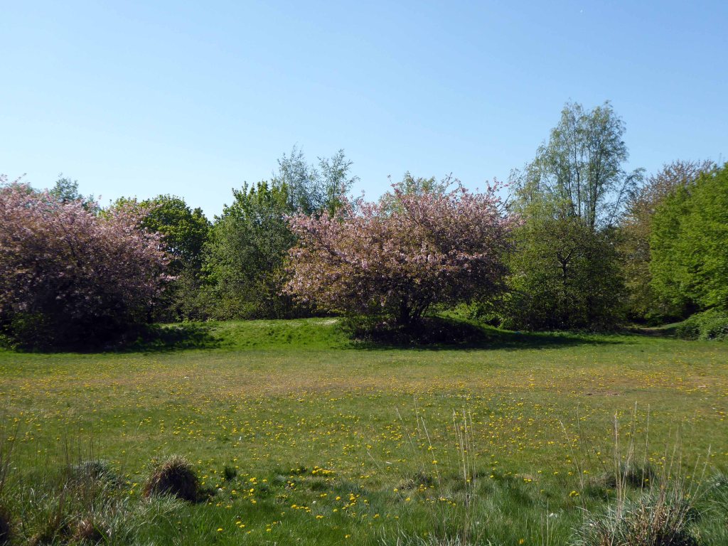
Pleasant Street Allotments
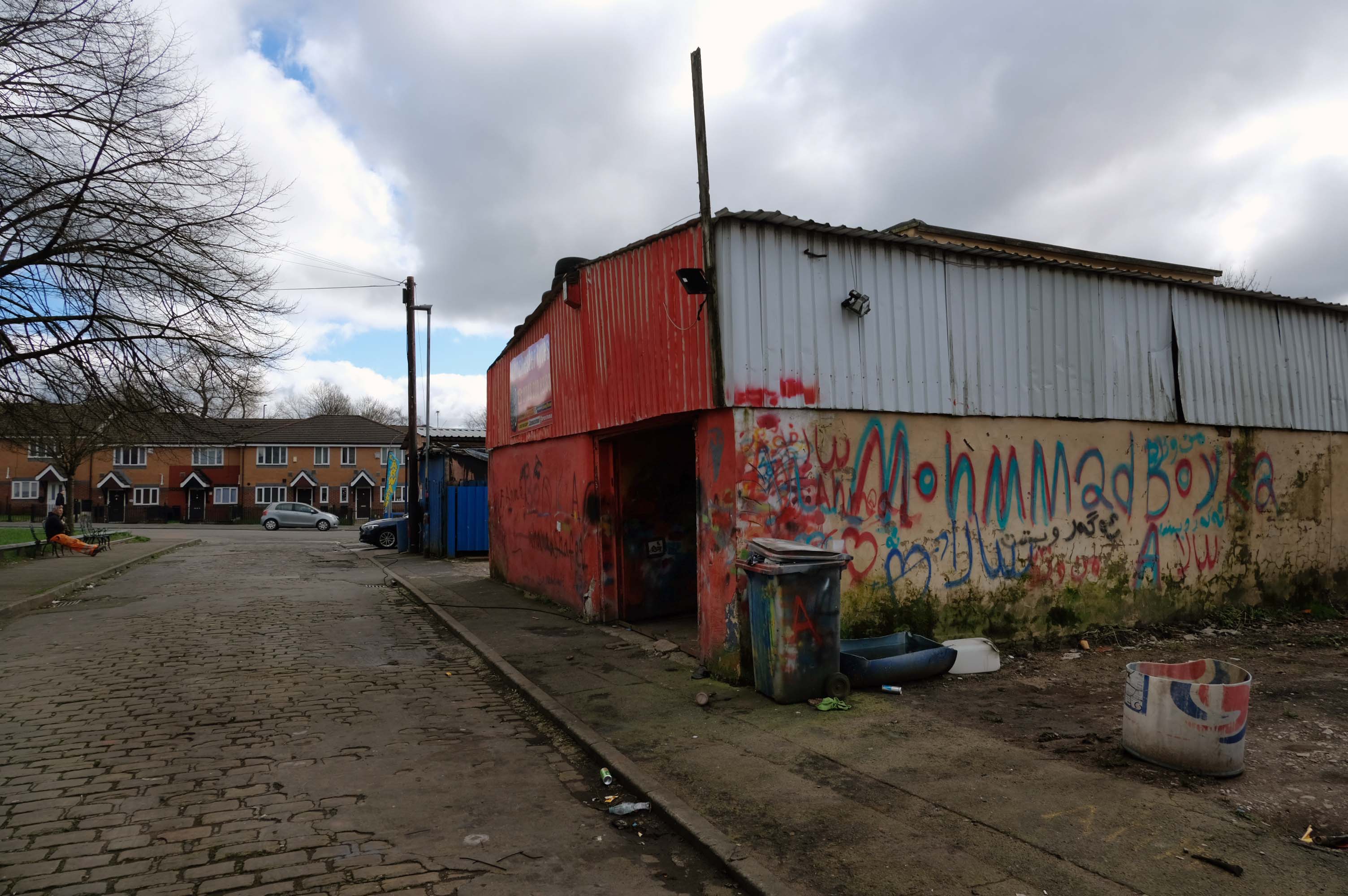
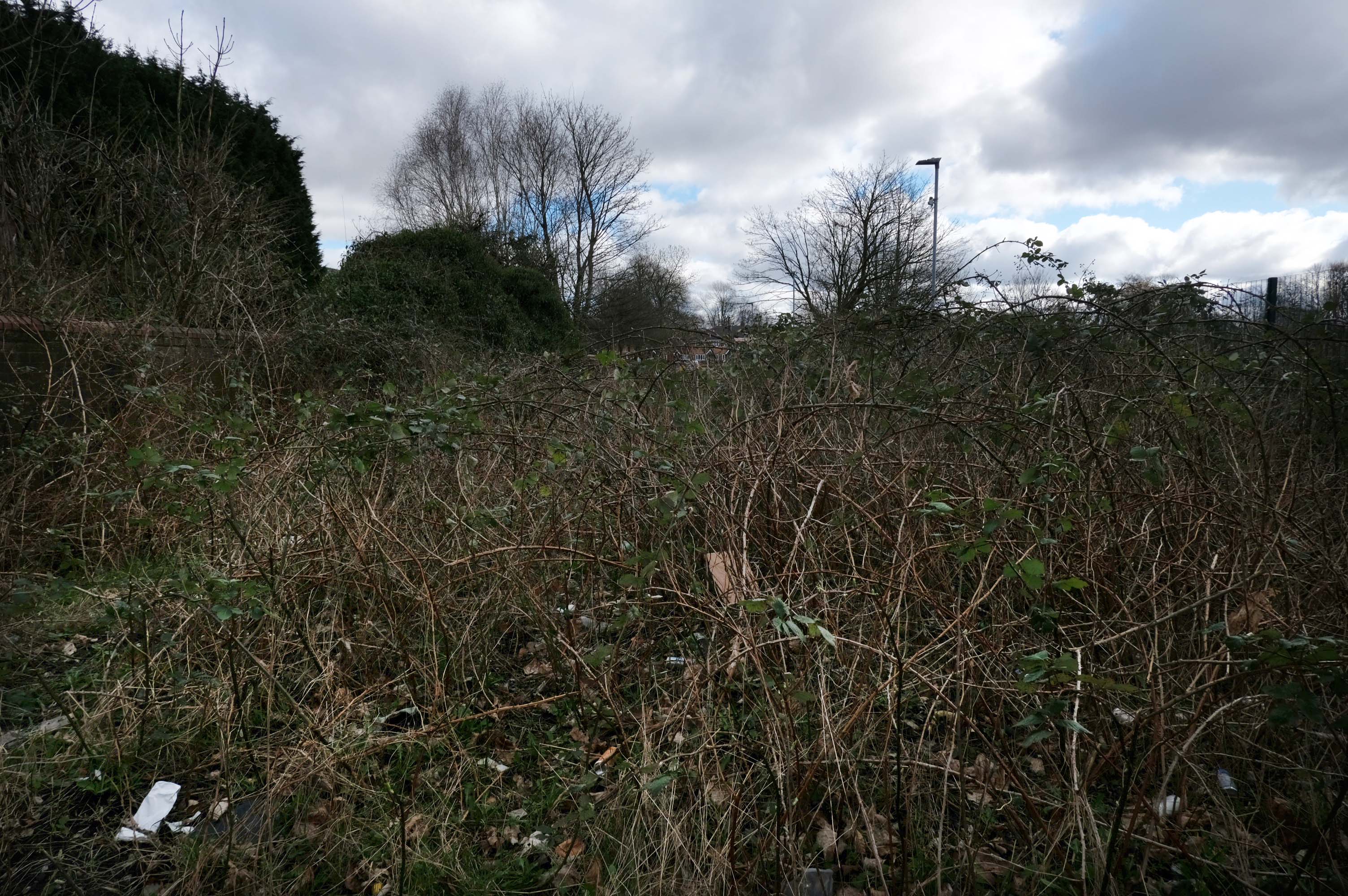
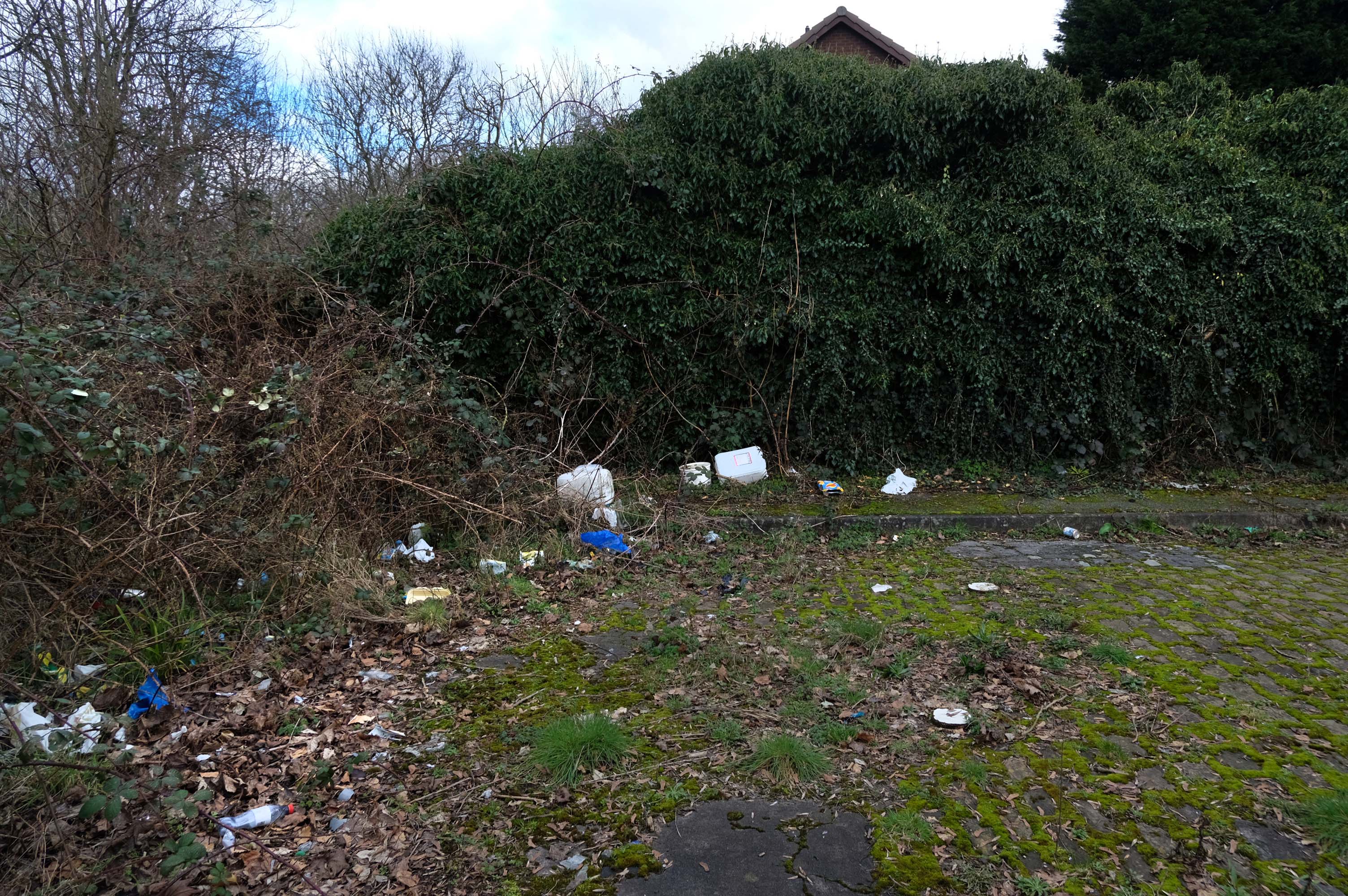
The allotments have had issues with fly tipping back in 2021.
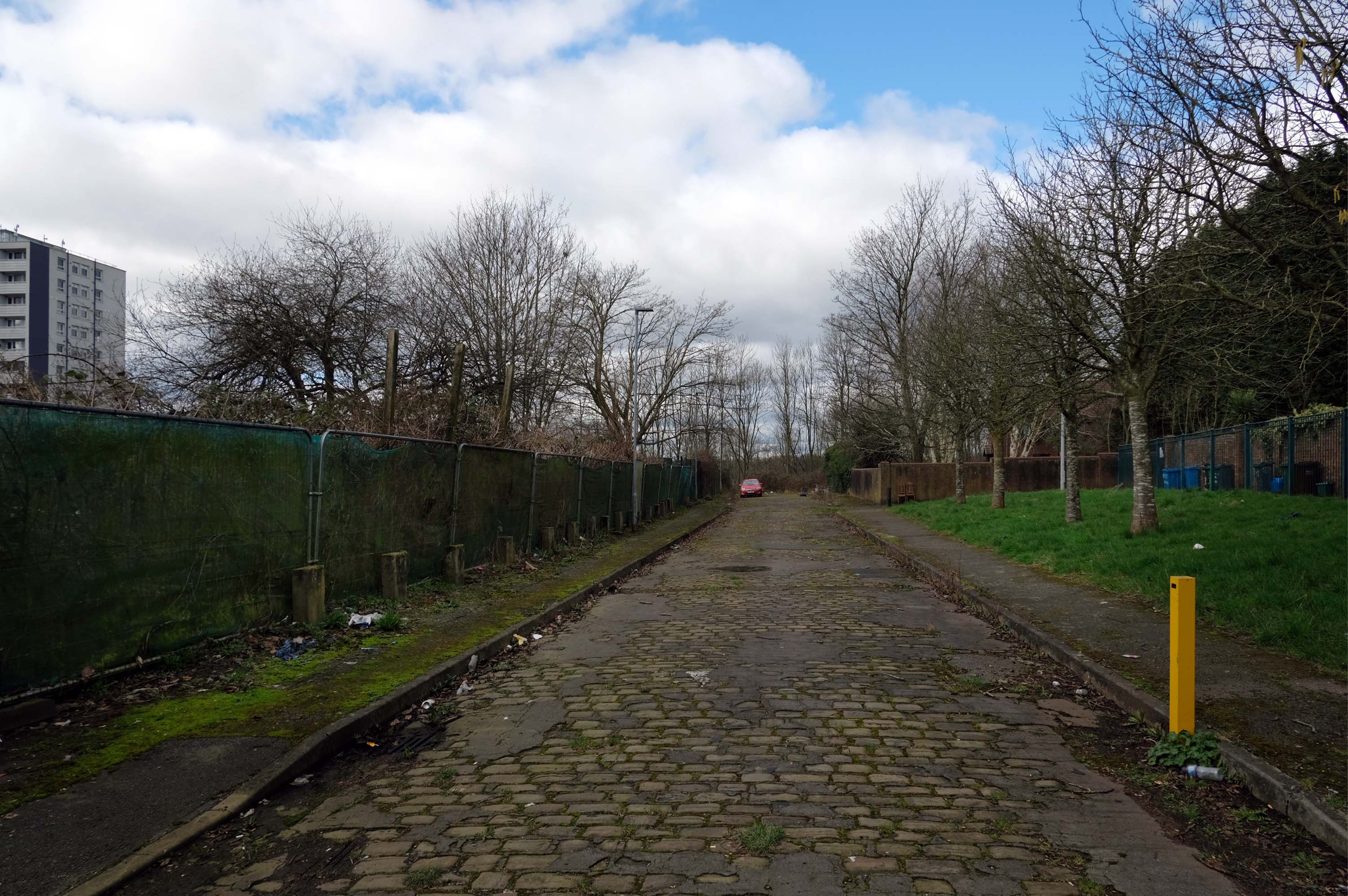
There is now a lockable barrier in place on the cobbled cul-de-sac.

Photo – Howard Bristol
It is understood that the heaps of rubbish, including bin bags full of waste and unwanted wood and cardboard, have been growing in recent weeks.
Howard Bristol, the Secretary of the Pleasant Street allotments committee, said the situation has been ongoing for some time but has worsened since the removal of nearby CCTV cameras.
He told the Evening News that the road has been – piling high with rubbish, and that the area also had issues with the woodland behind the allotments being used for drug dealing during summer.
Pat Karney, councillor for Harpurhey tweeted about the flytipping on Sunday, calling it – unbelievable and disgraceful.

He added that those responsible should be – locked up in Strangeways for a long time, before adding that the council will – get it cleared.
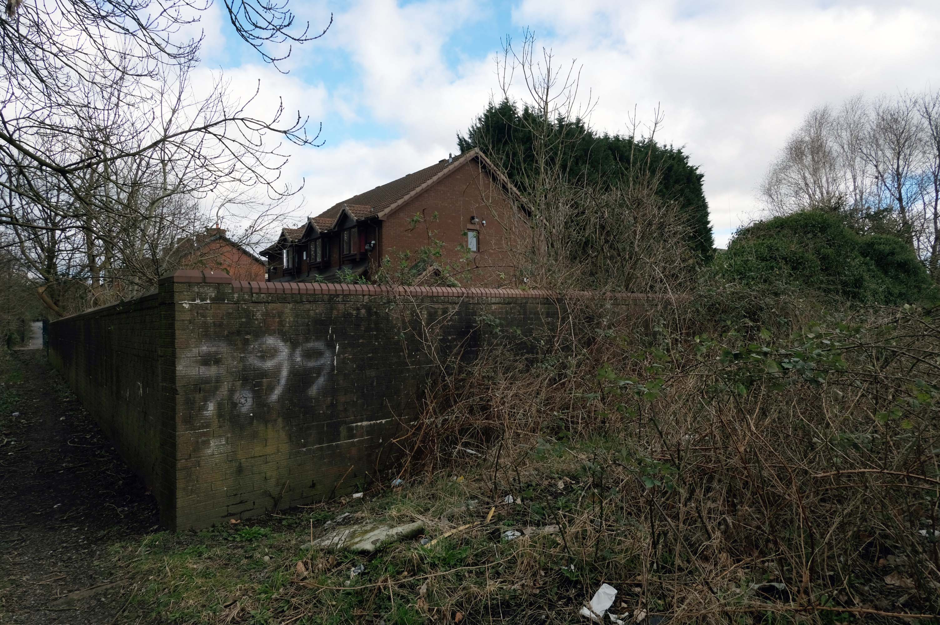
How pleasant is/was Pleasant Street?
Google says wait until there are trees are in leaf and the sun shines in the bright blue sky.
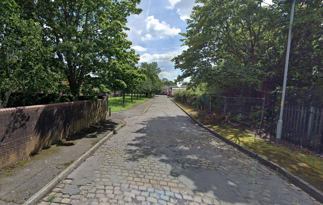
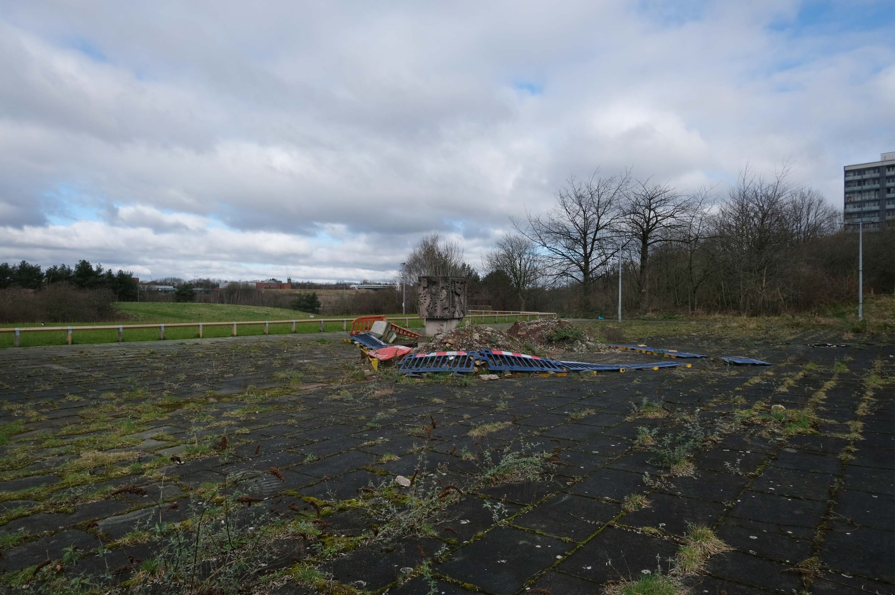
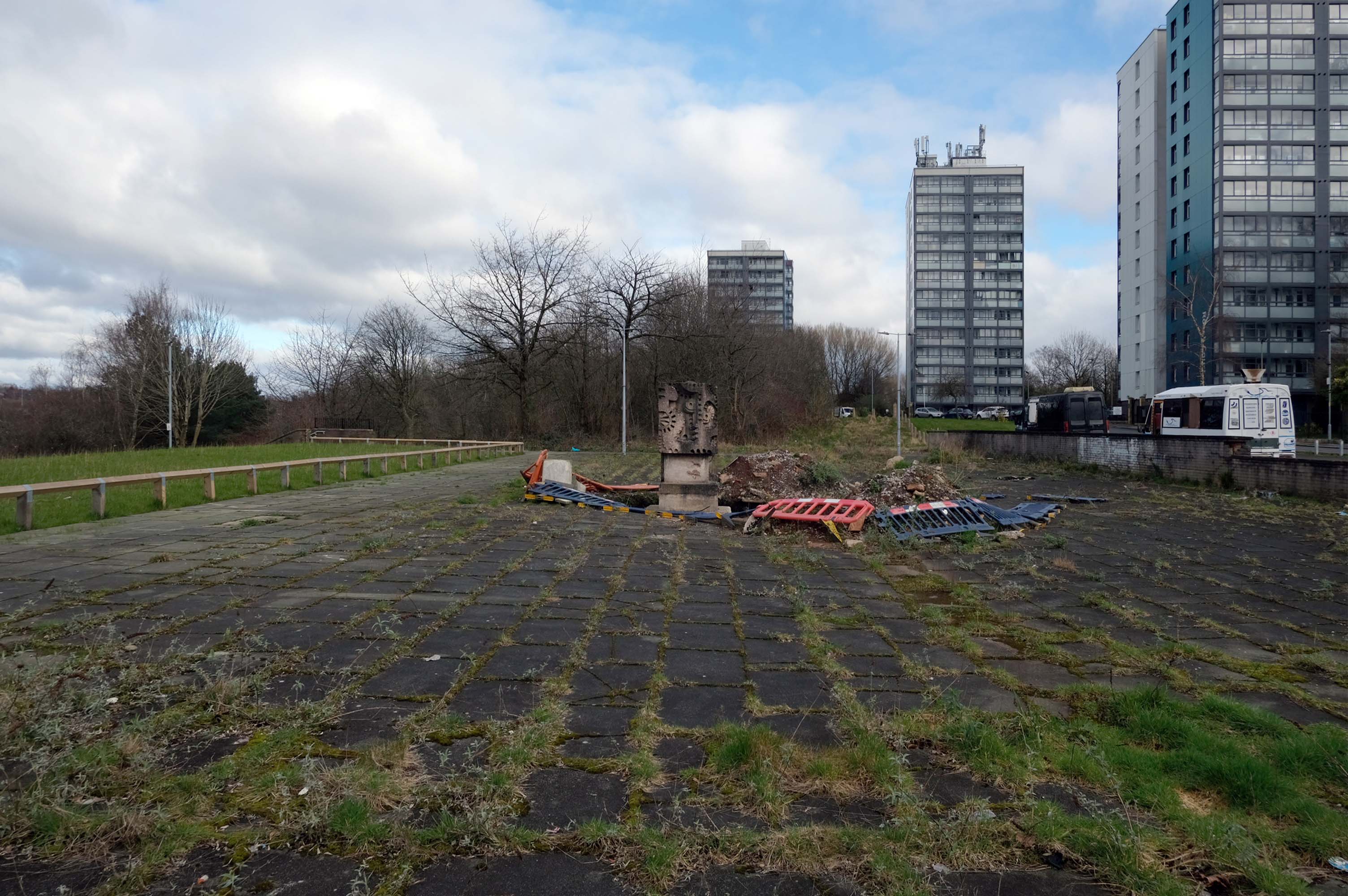
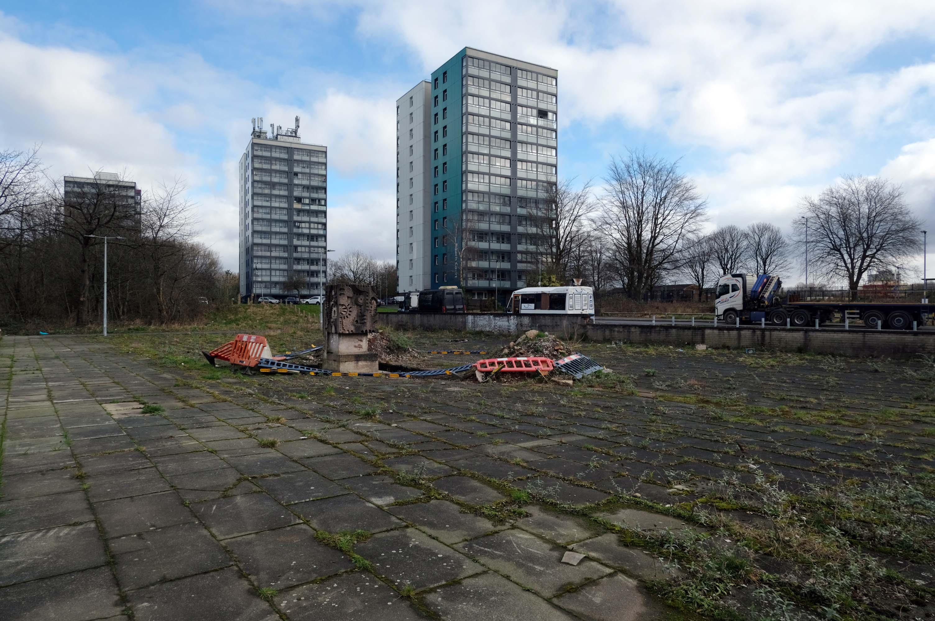
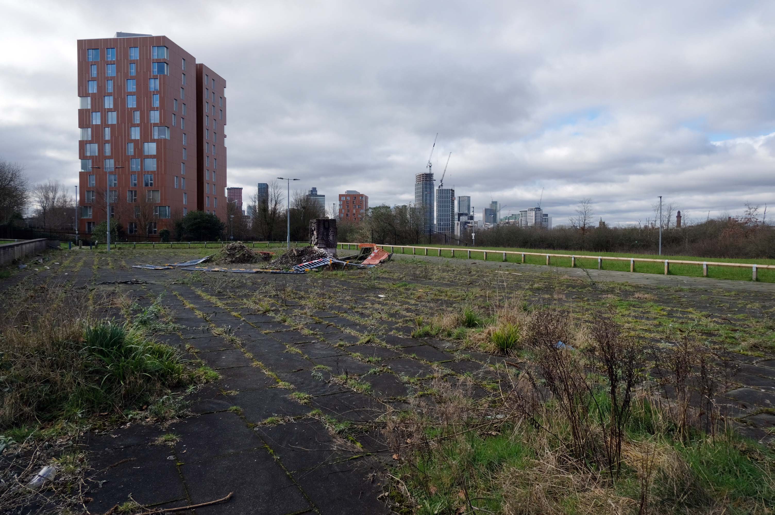
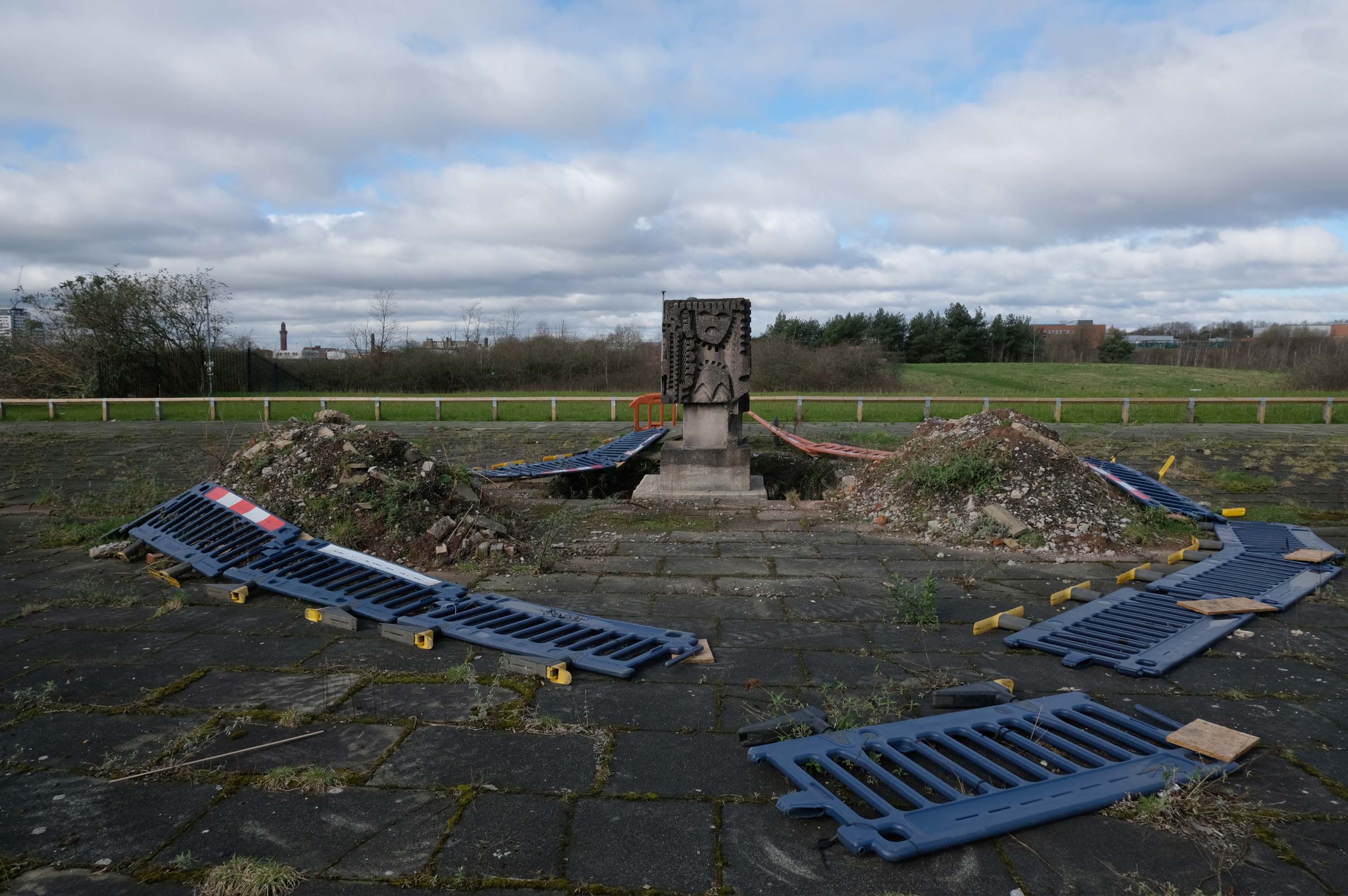
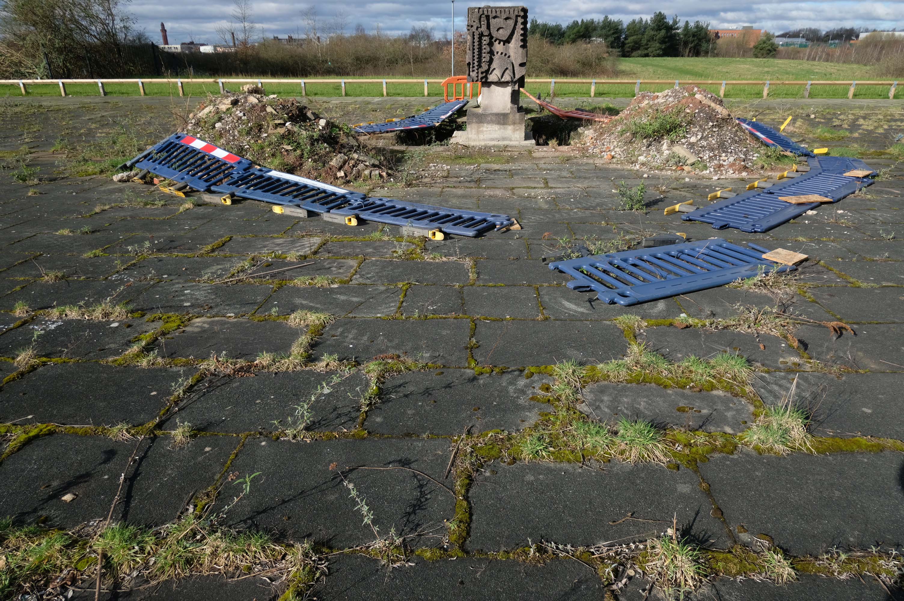
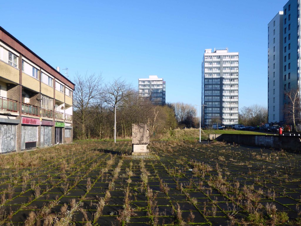
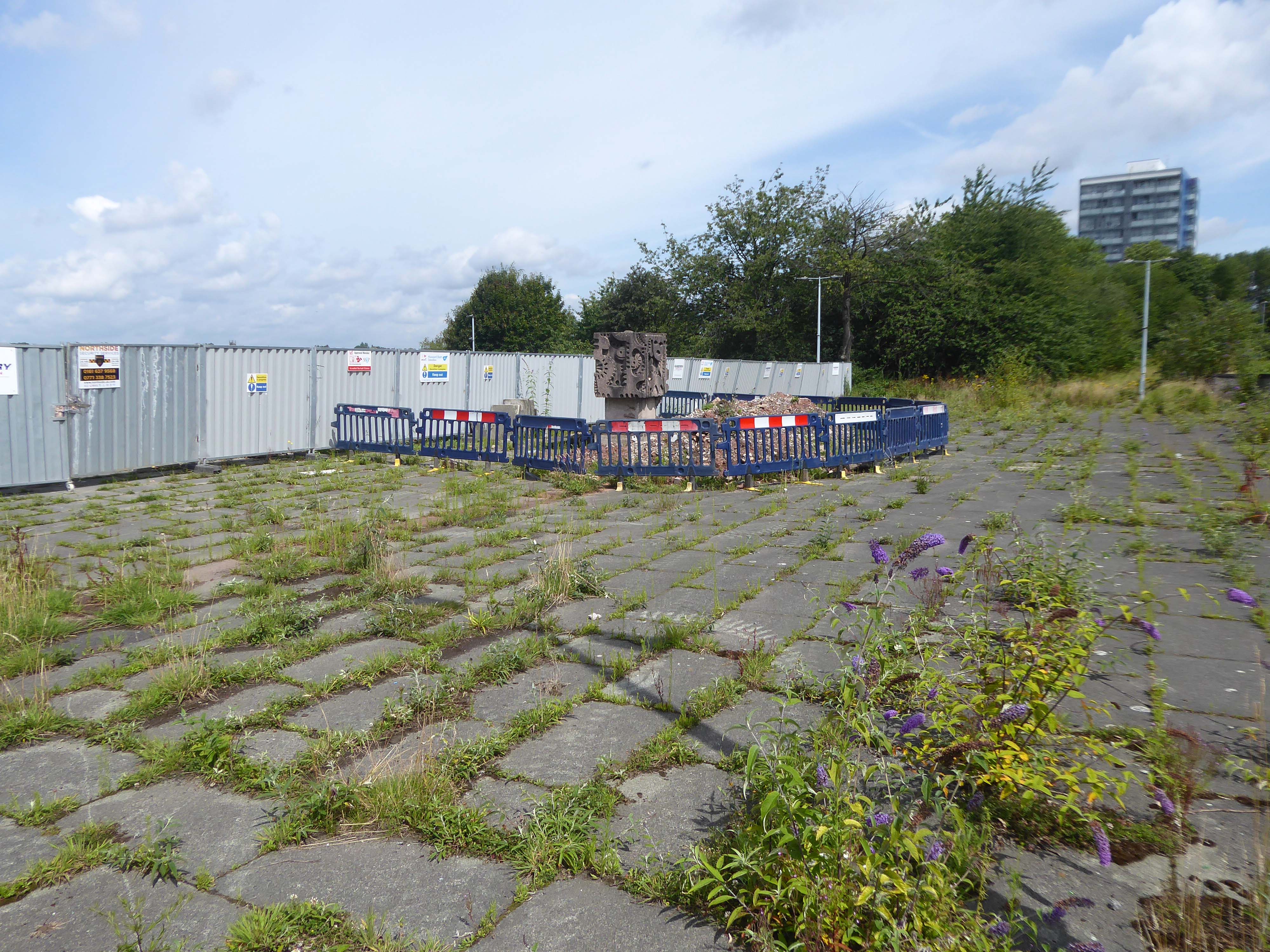
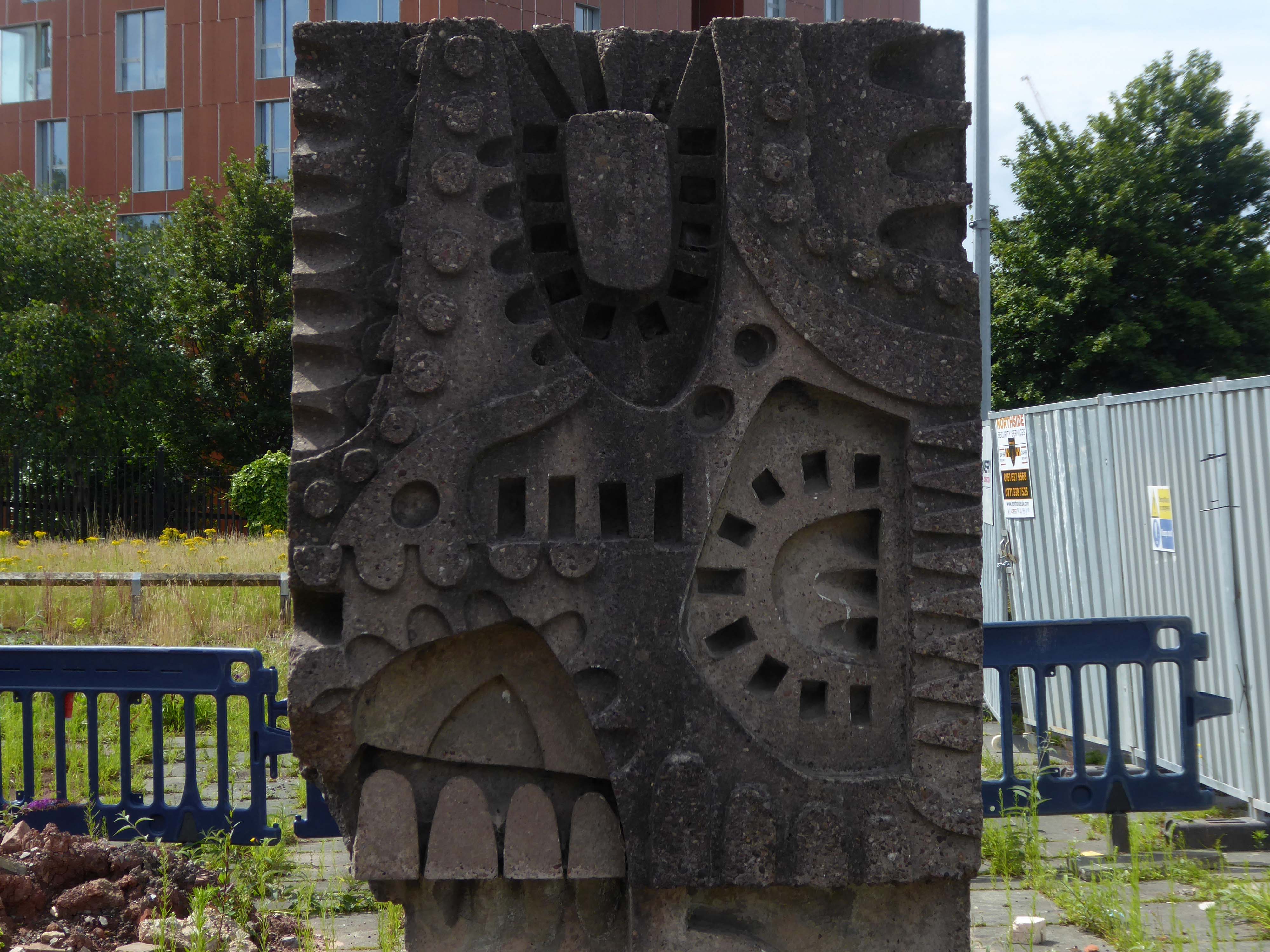
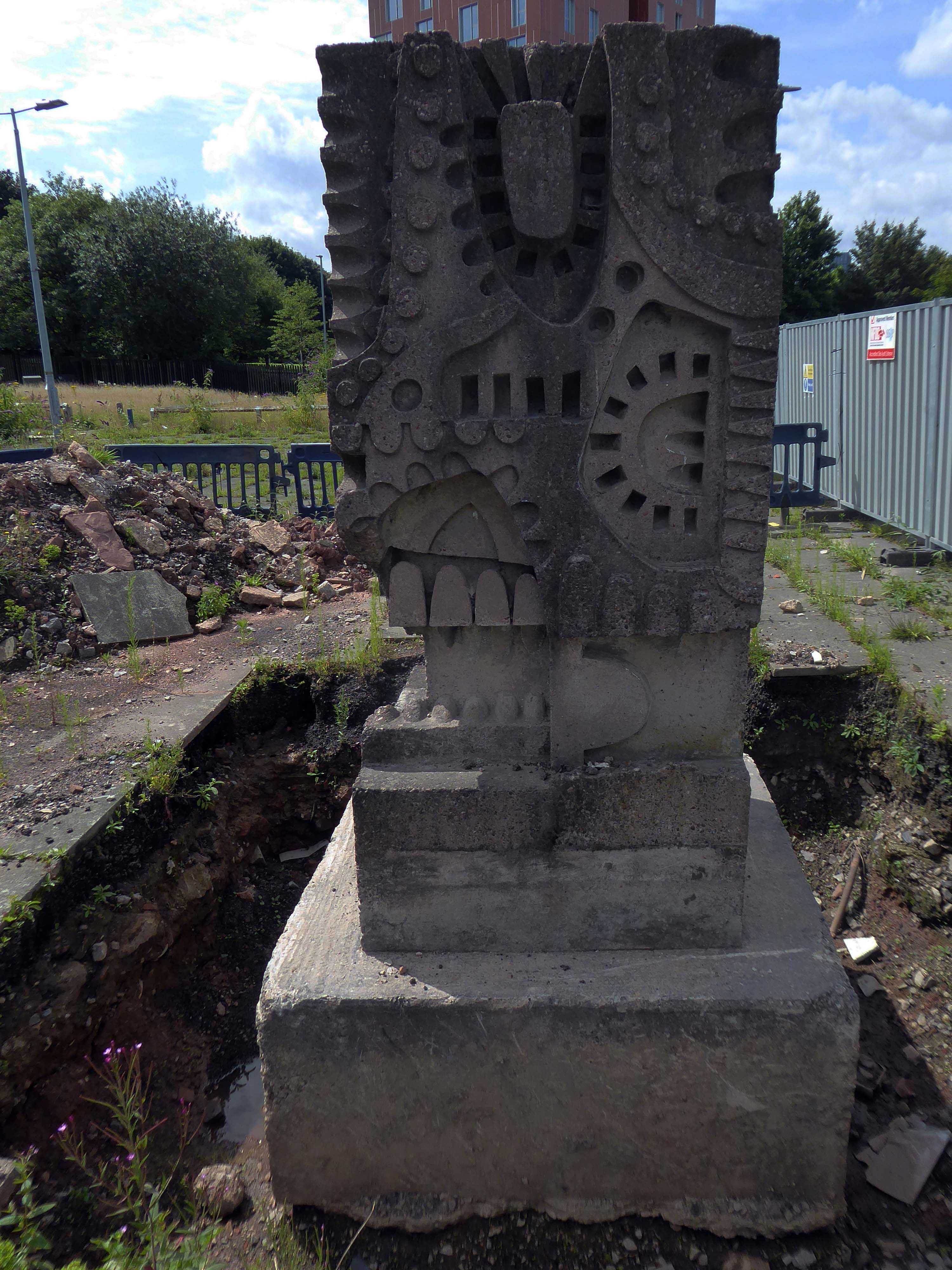
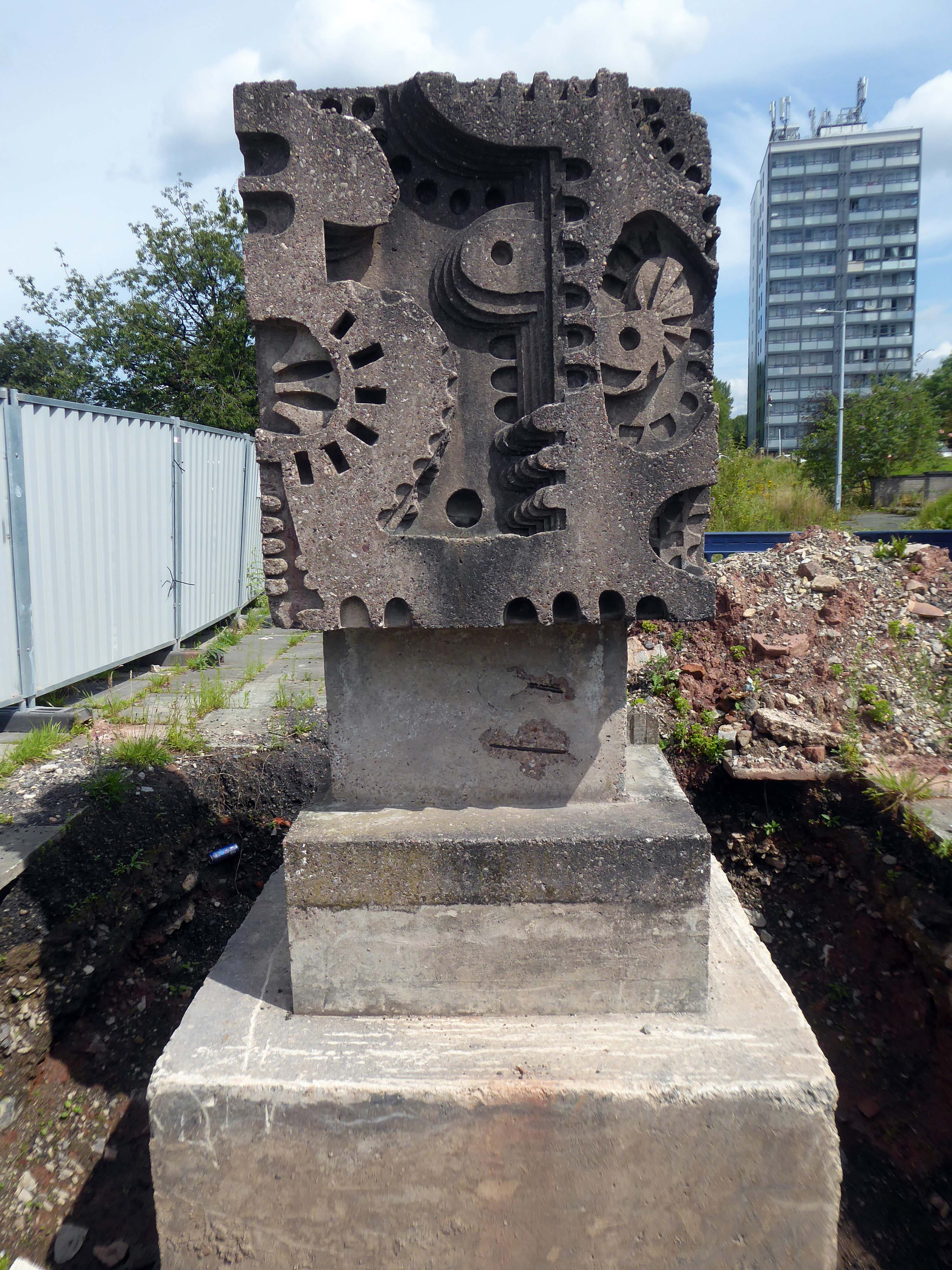
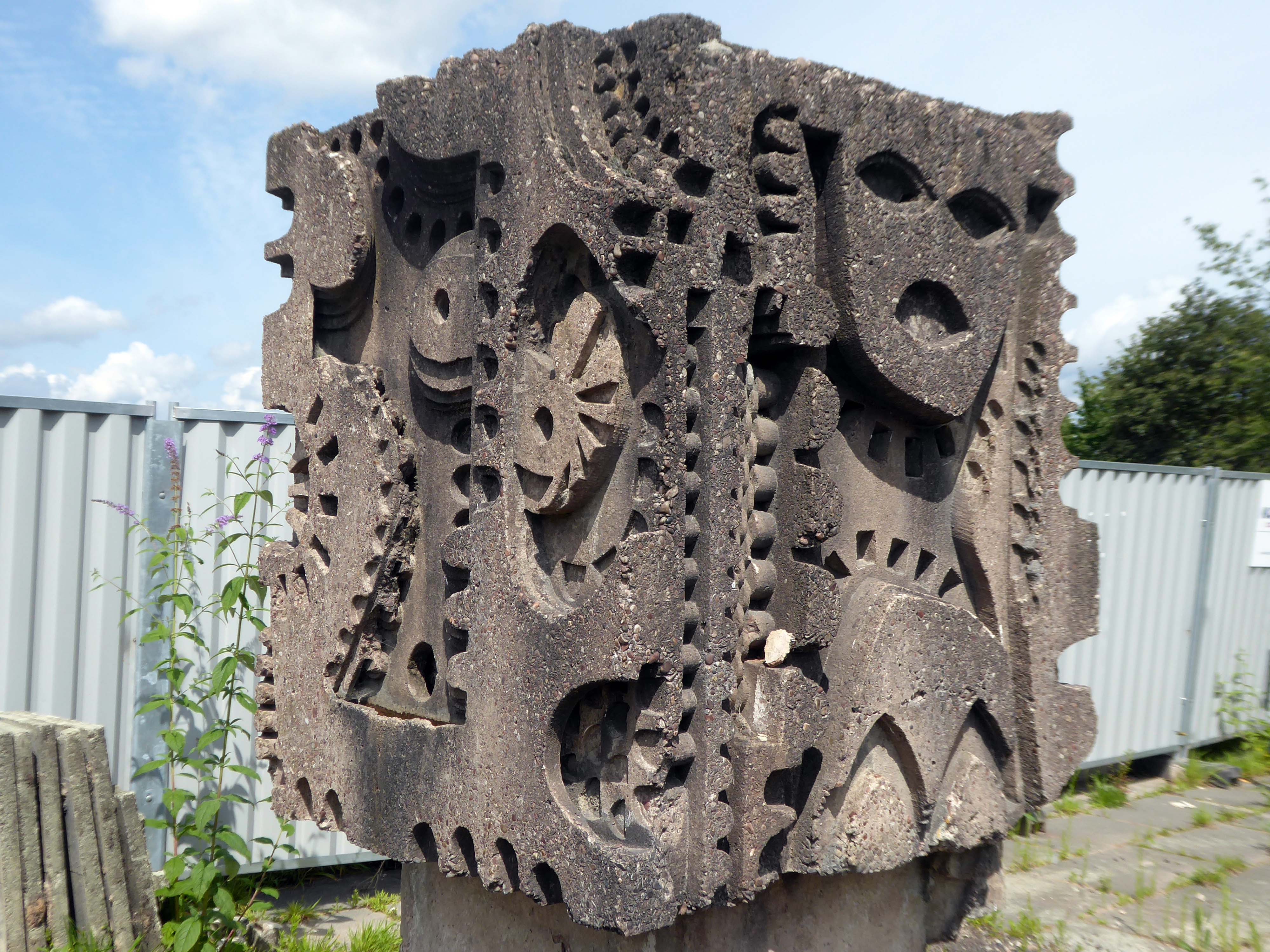
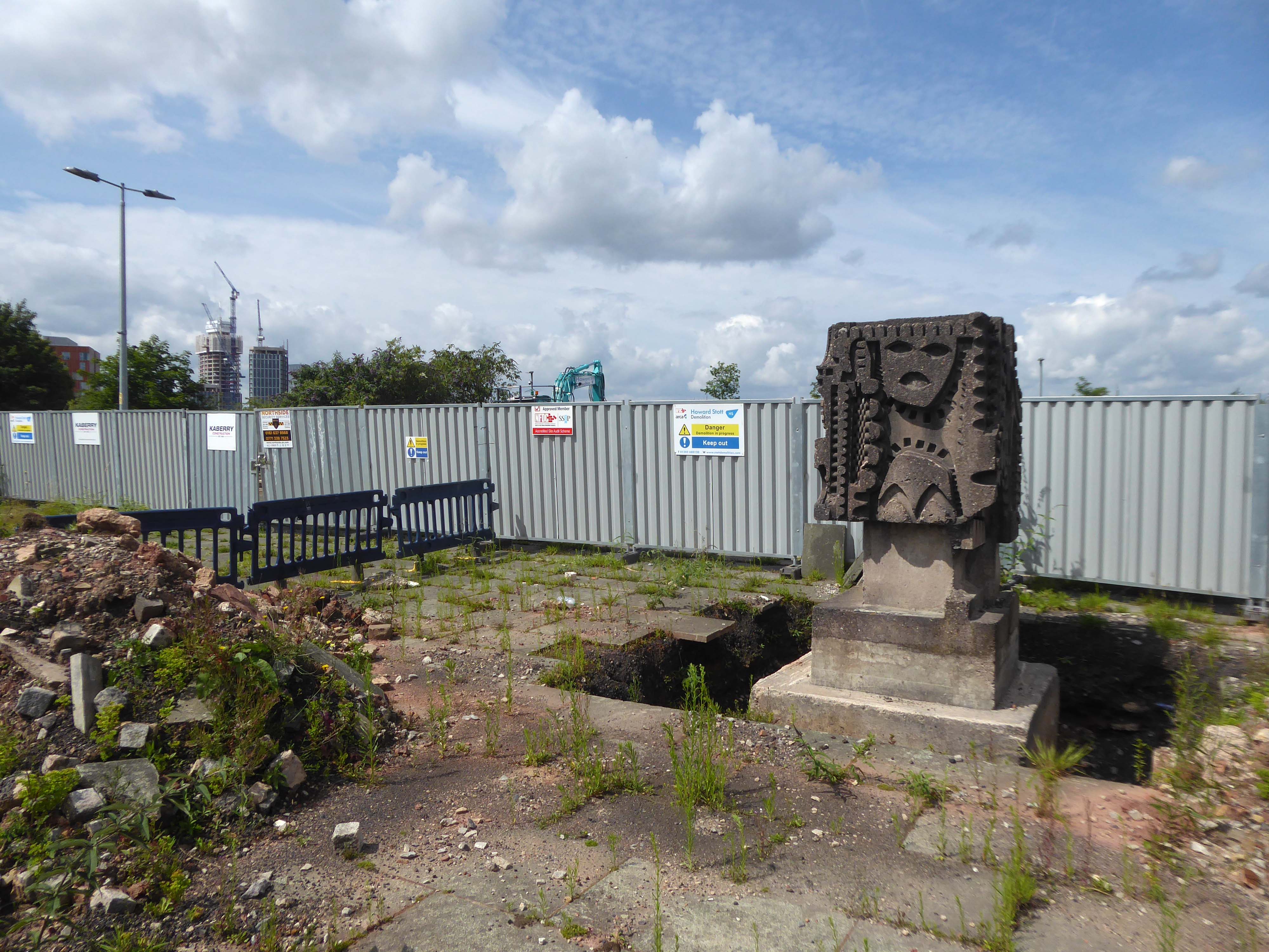
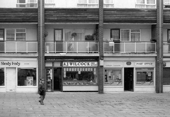
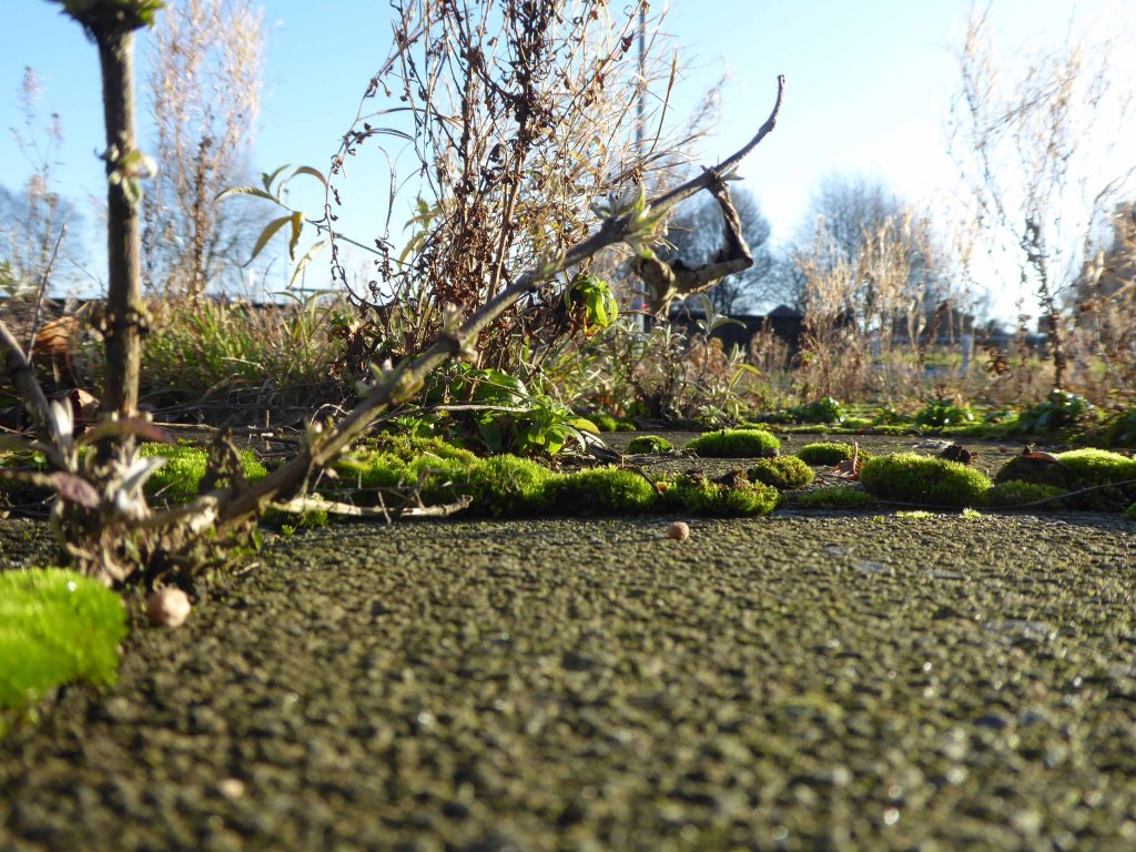
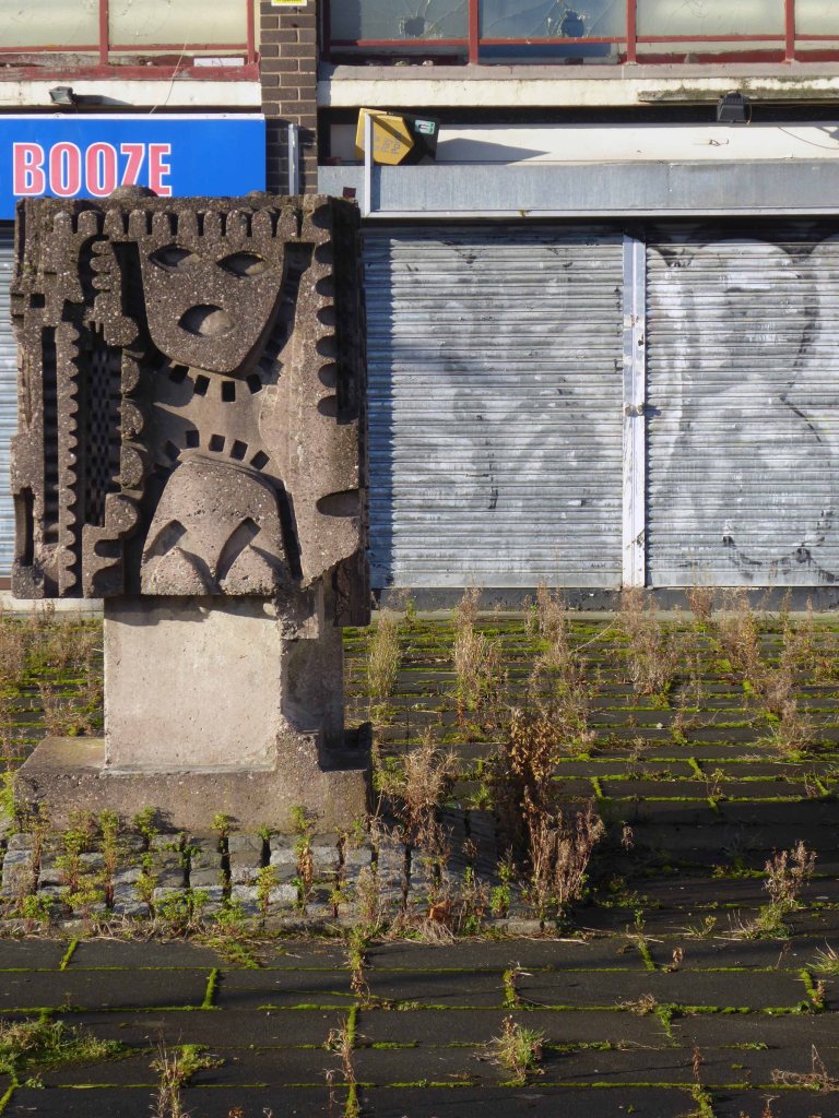
It was 2016 when I first stopped to snap and blog – the shops, homes and William Mitchell concrete sculpture.

By then the missing housing block was already missing.
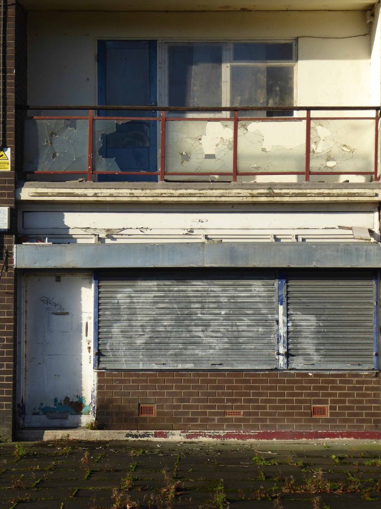
Returning in 2018 the shops are now shut and the homes stand empty.
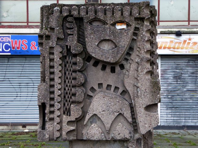
In 2019 there’s still nobody home, but the totem is in place.

In 2020 the undergrowth has grown over the square.
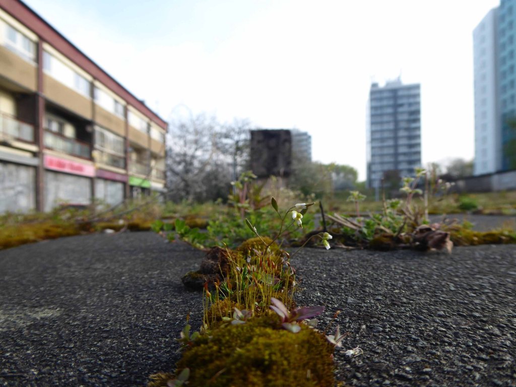
It’s 2021 and stasis is the order of the day.
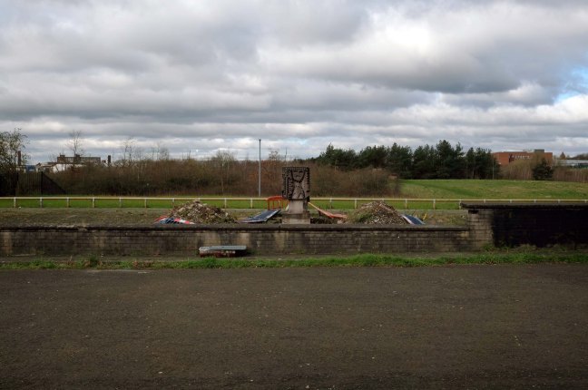
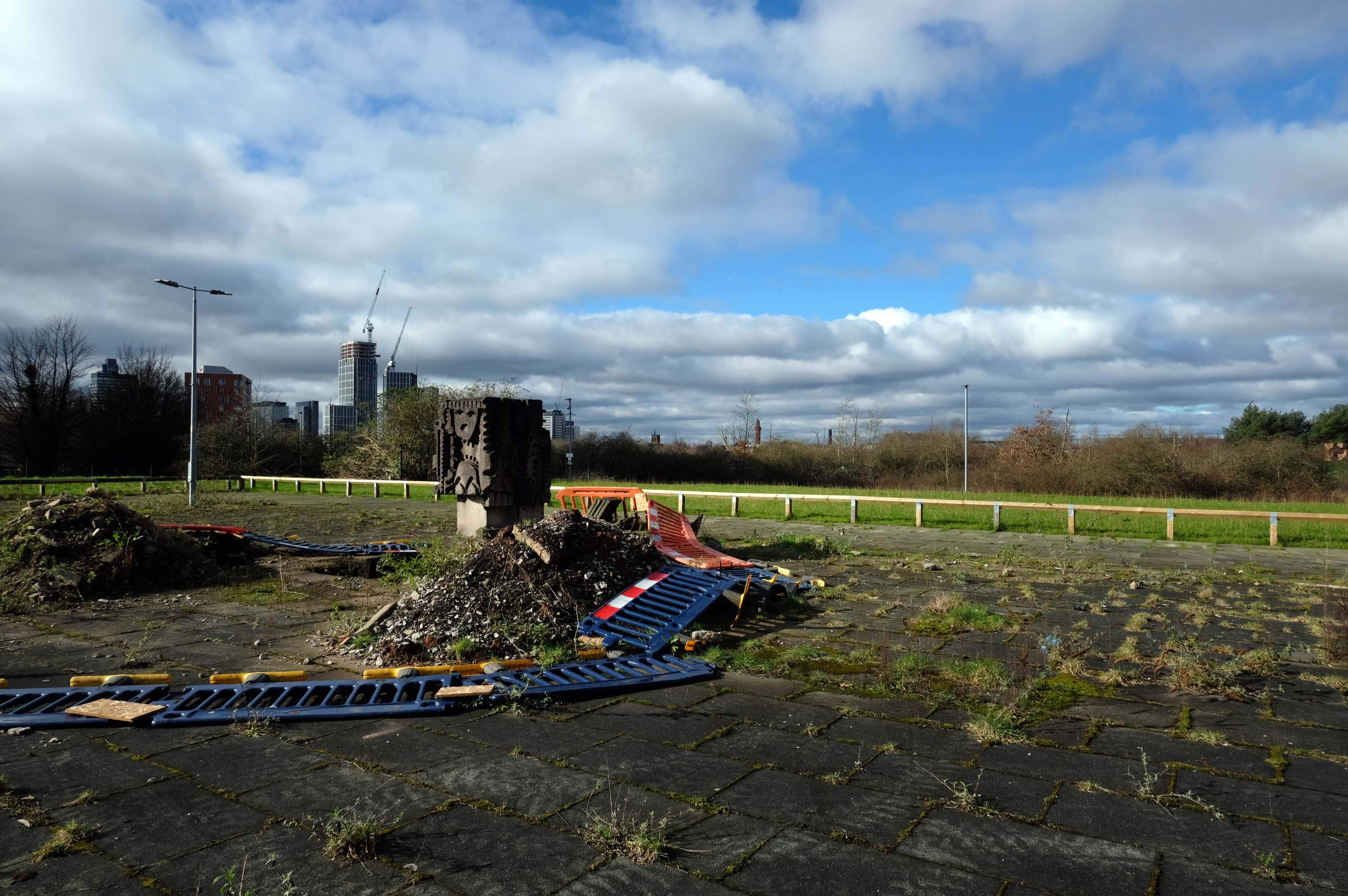
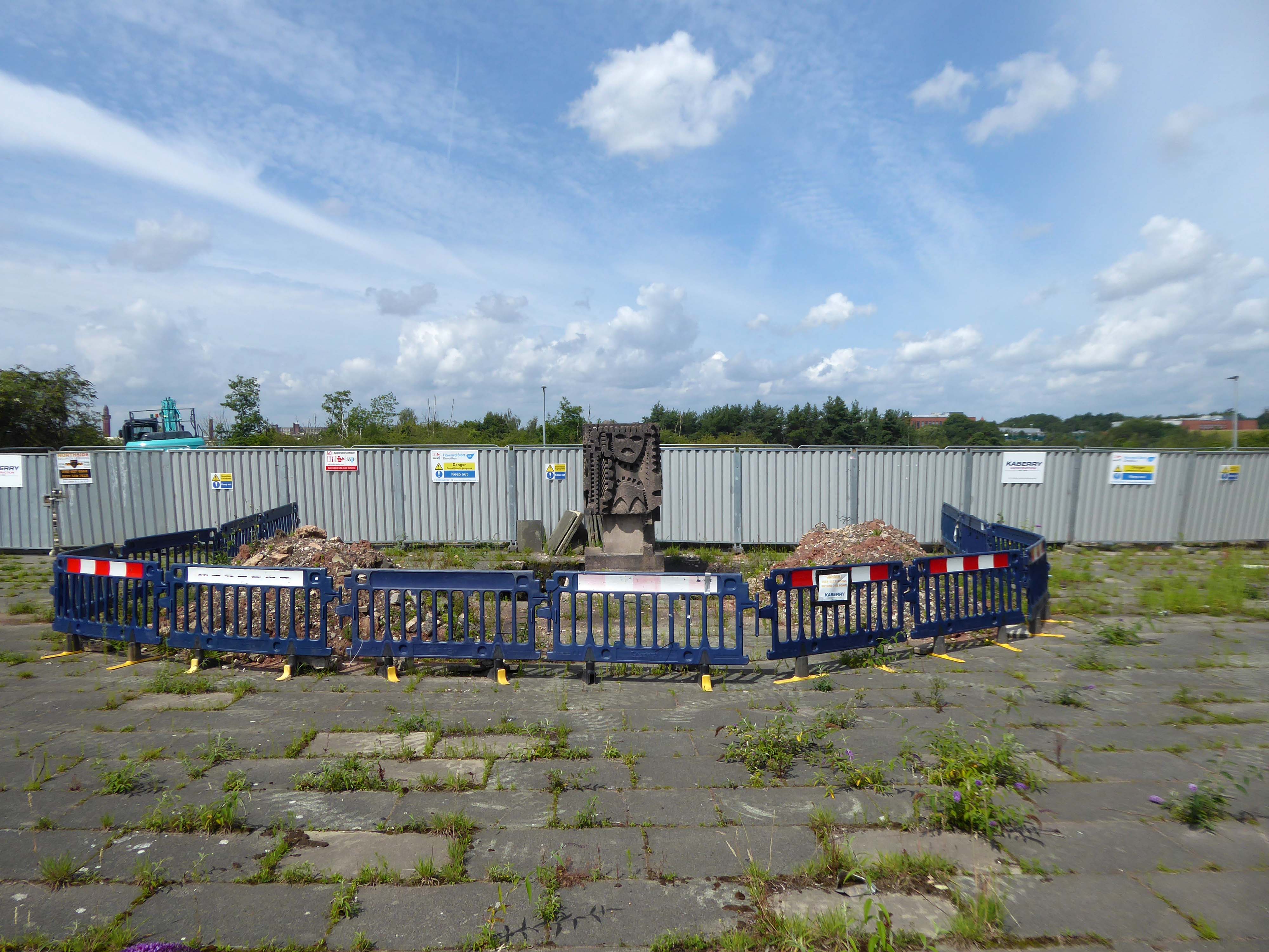
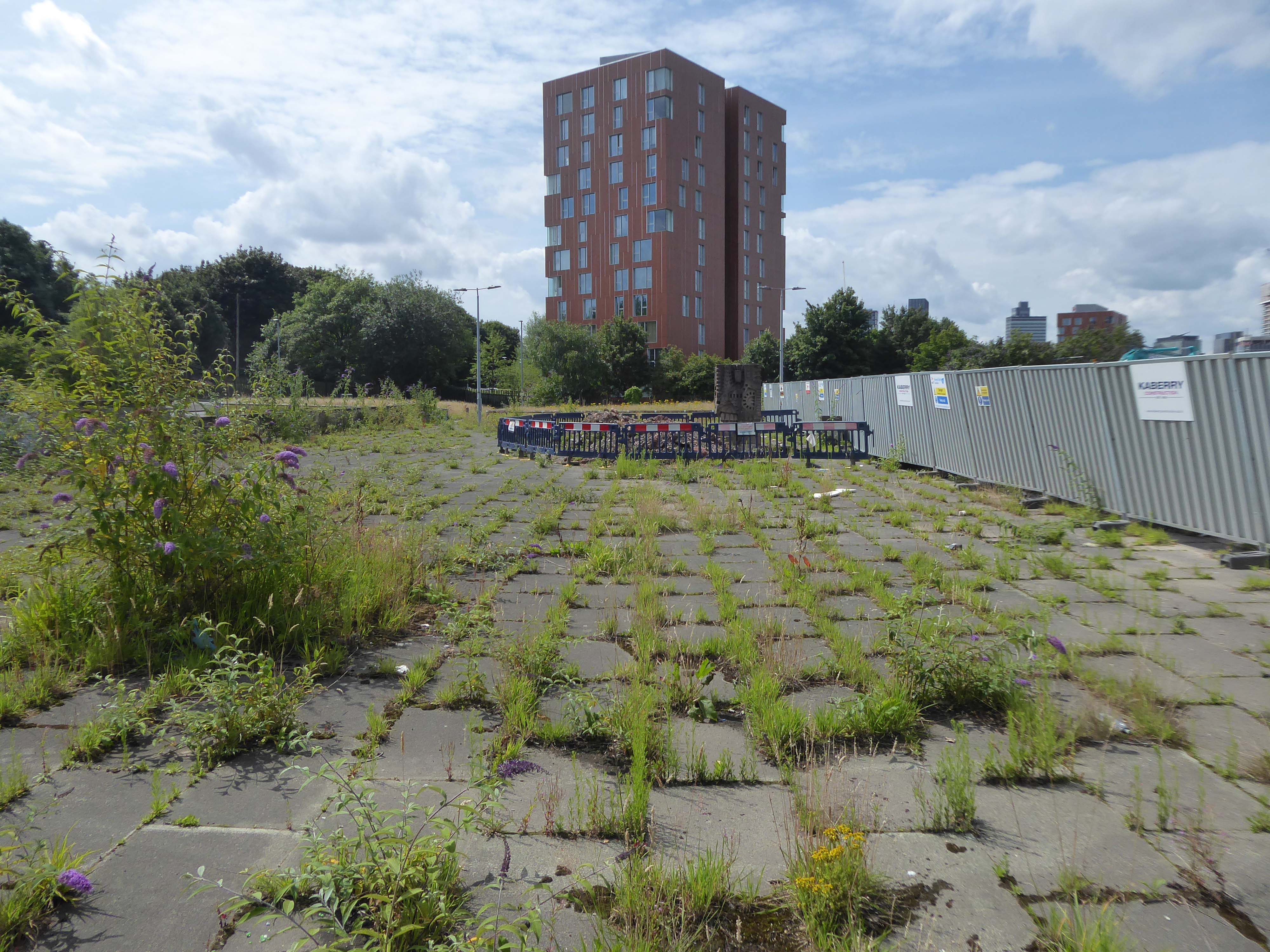
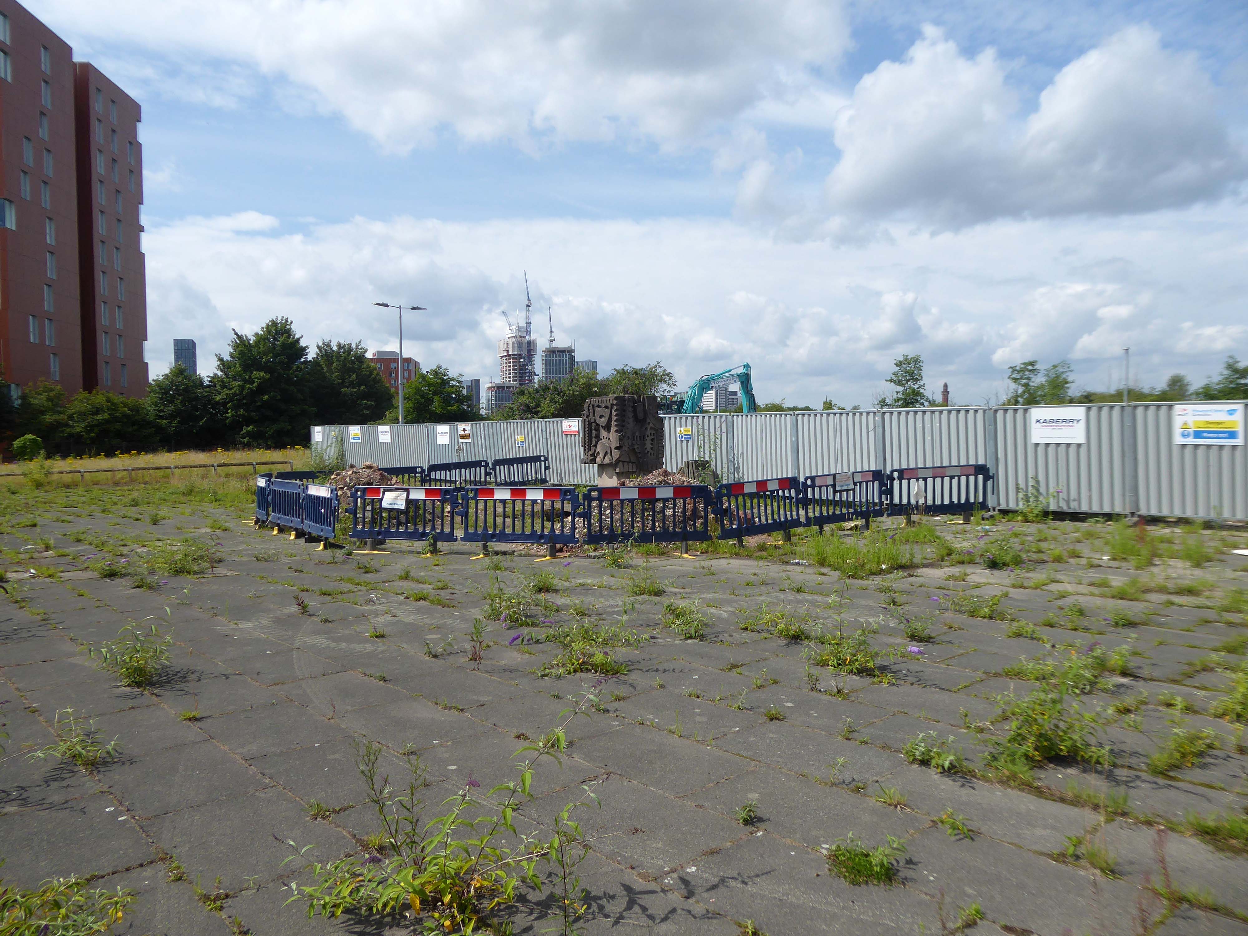
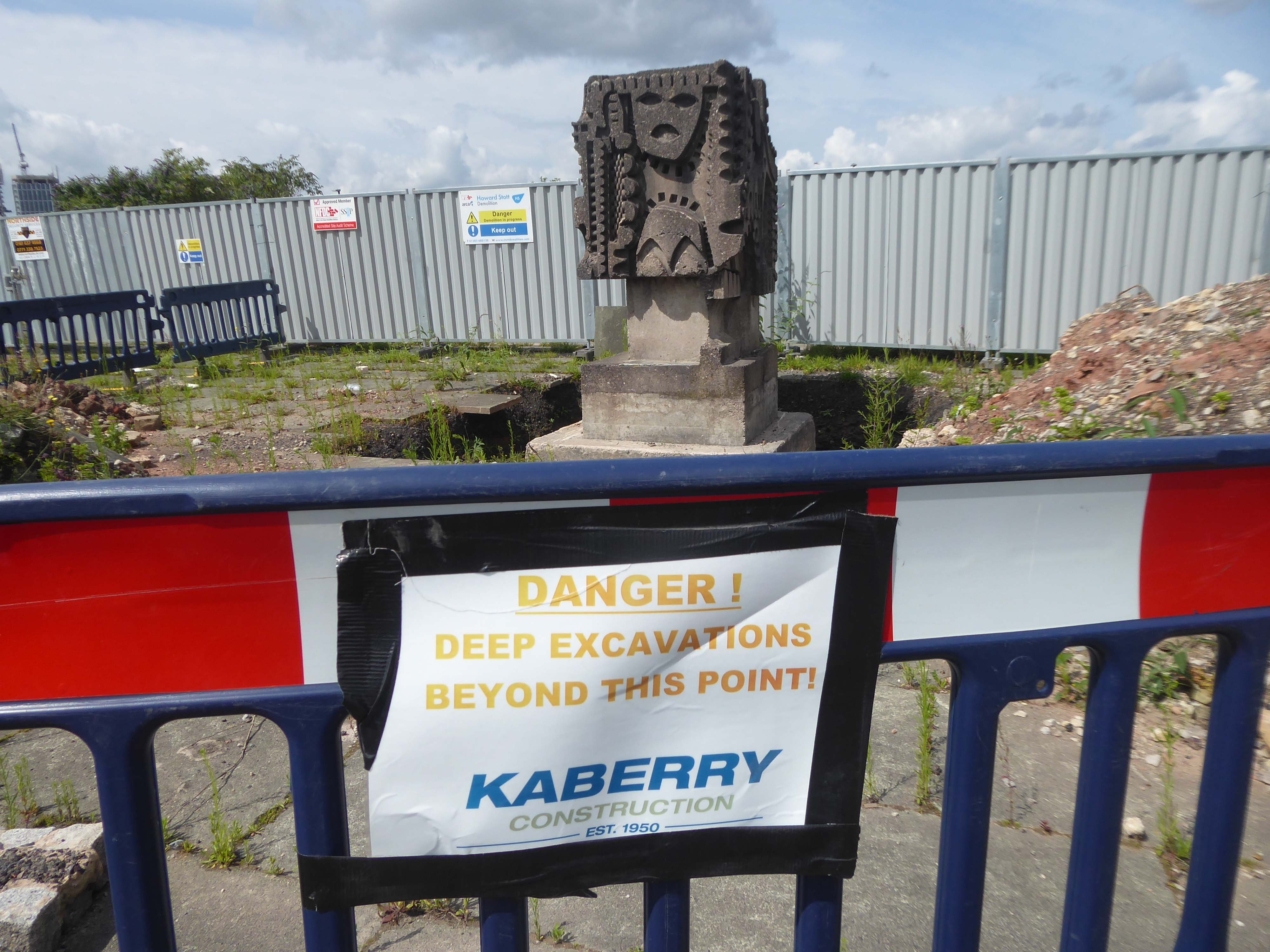
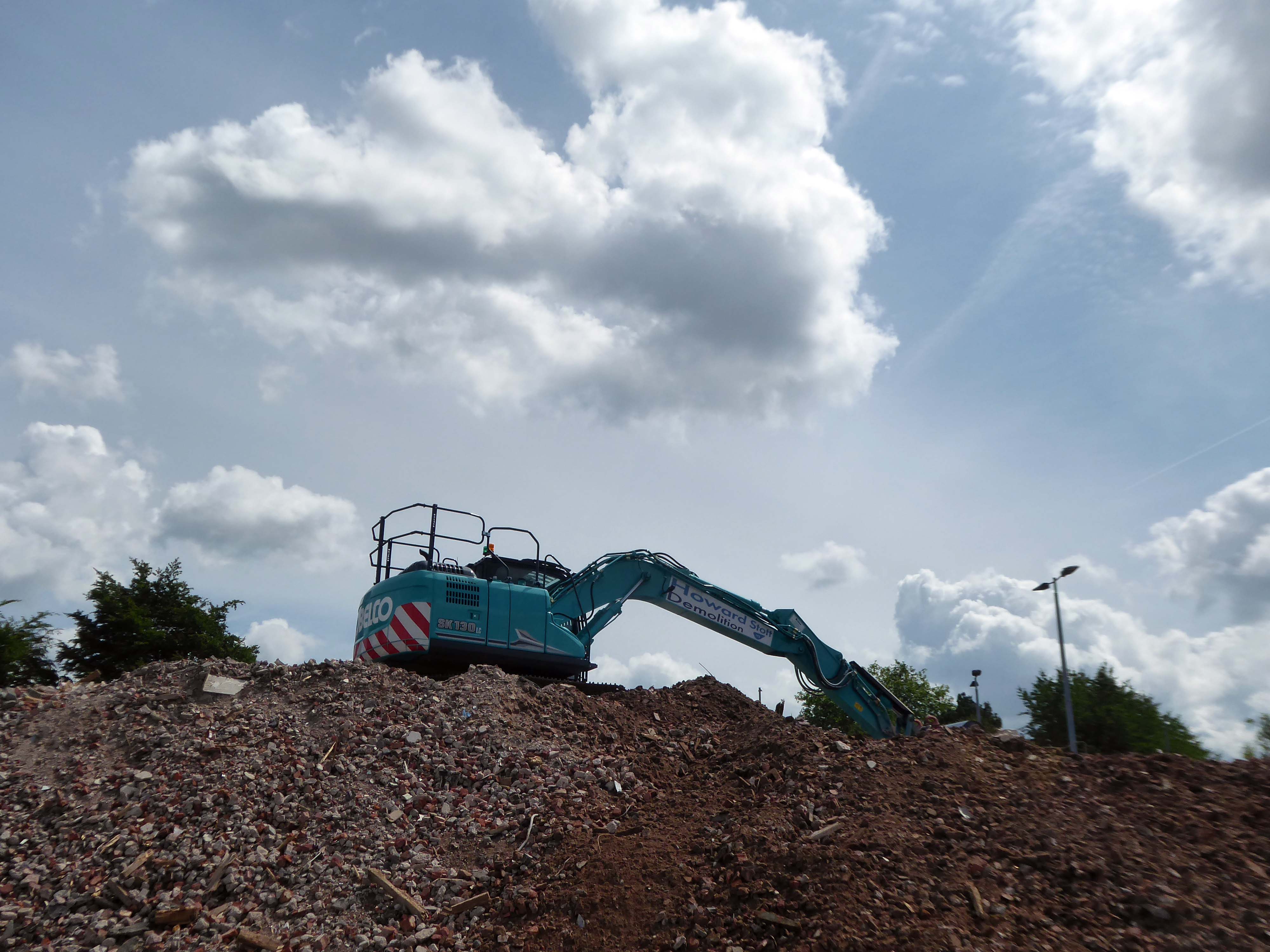
Fast forward to 2023 and the shops and homes are finally demolished – the totem still still in place.
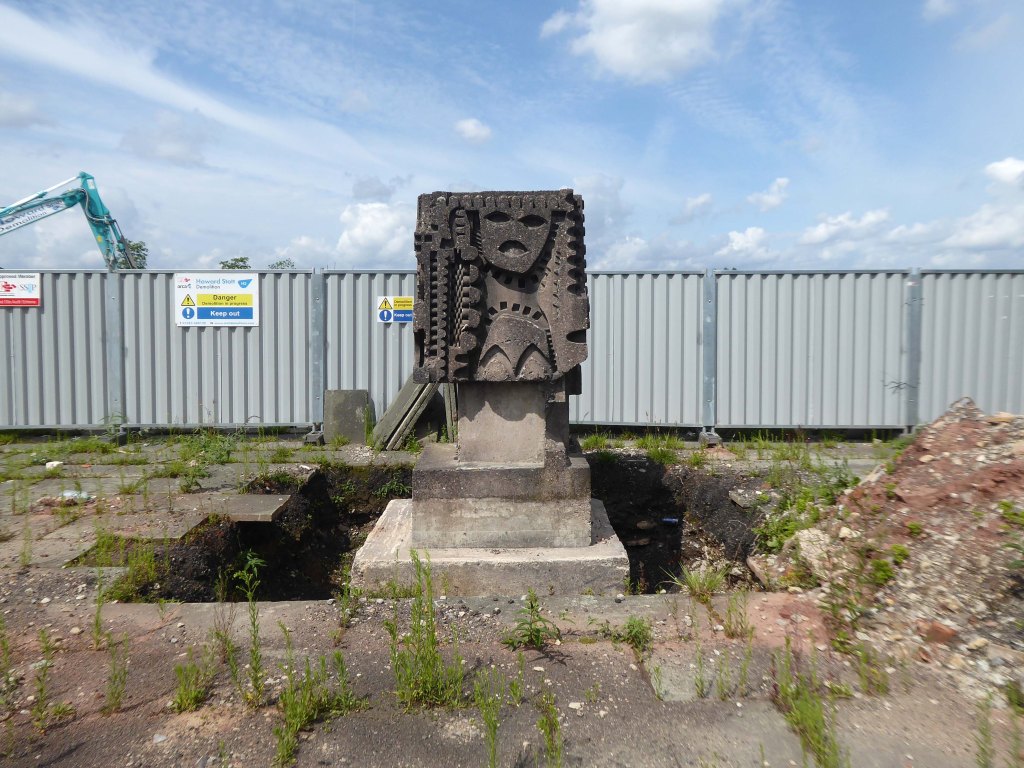
The base has been dug out and the sculpture awaits removal to the adjacent flats.
I was told that one estimate for the job was £120,000 – given its weight and location over railway tunnels.
So as of today today 26th February 2024 – ain’t nothing shaking but the weeds twixt the flags.


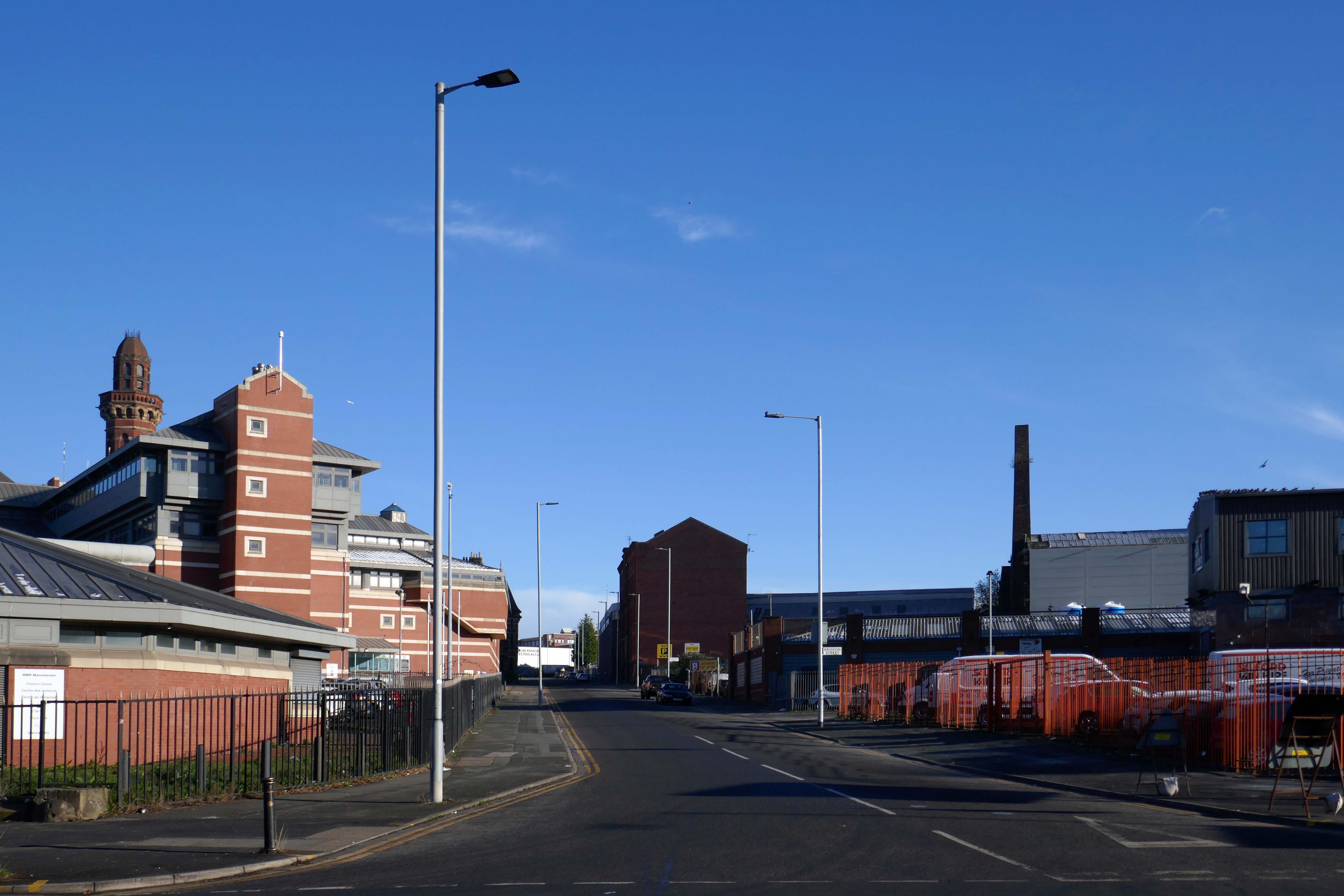
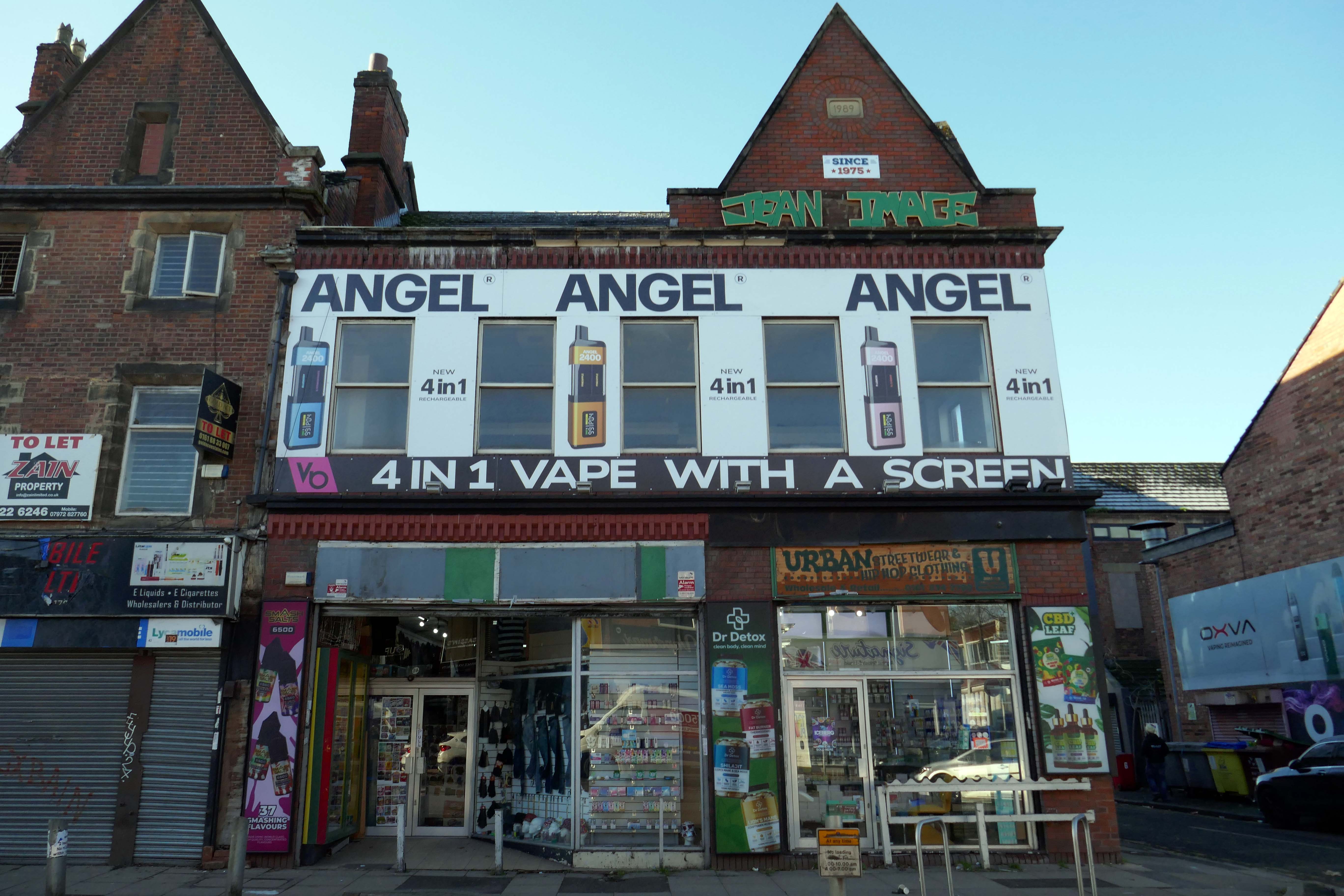
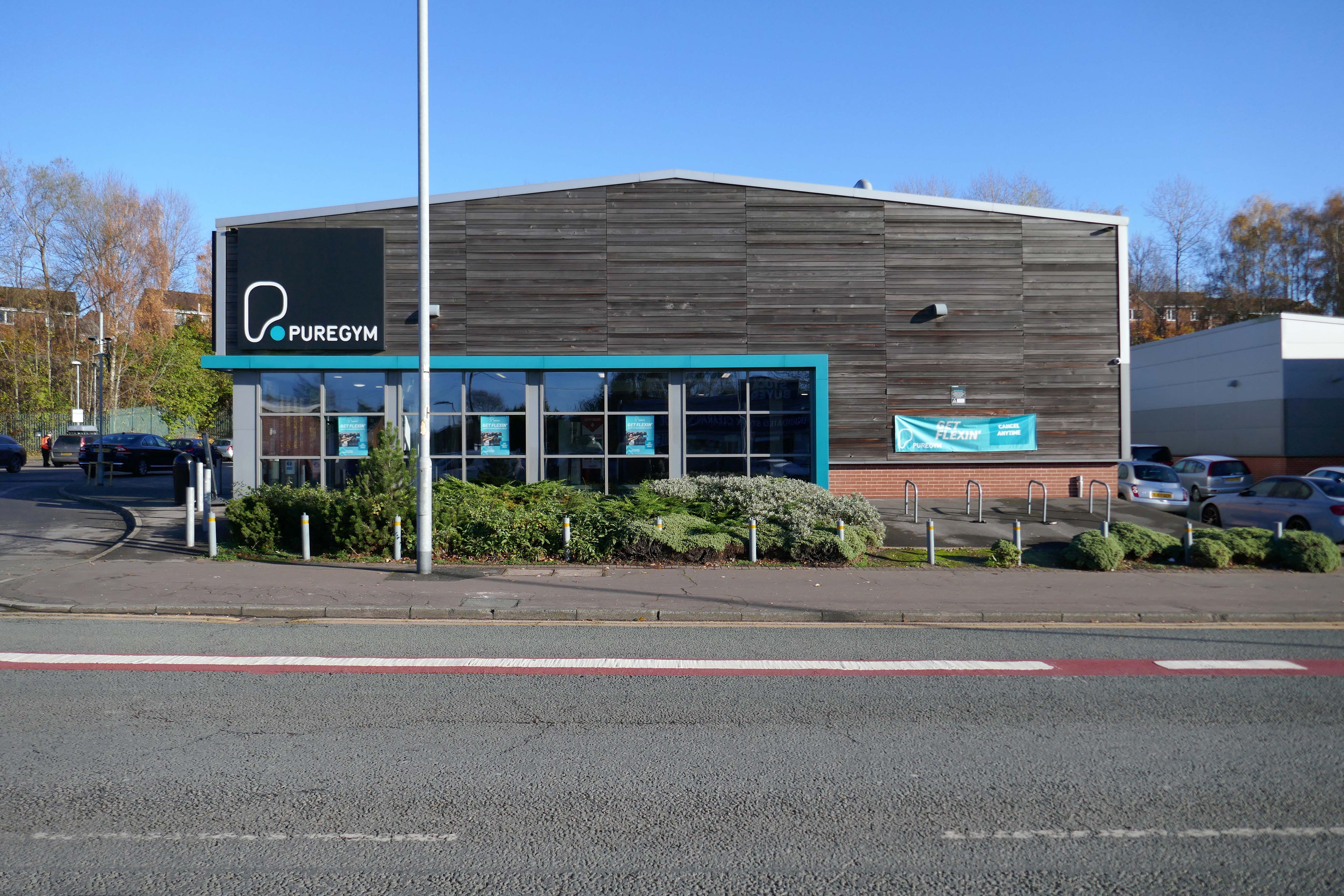
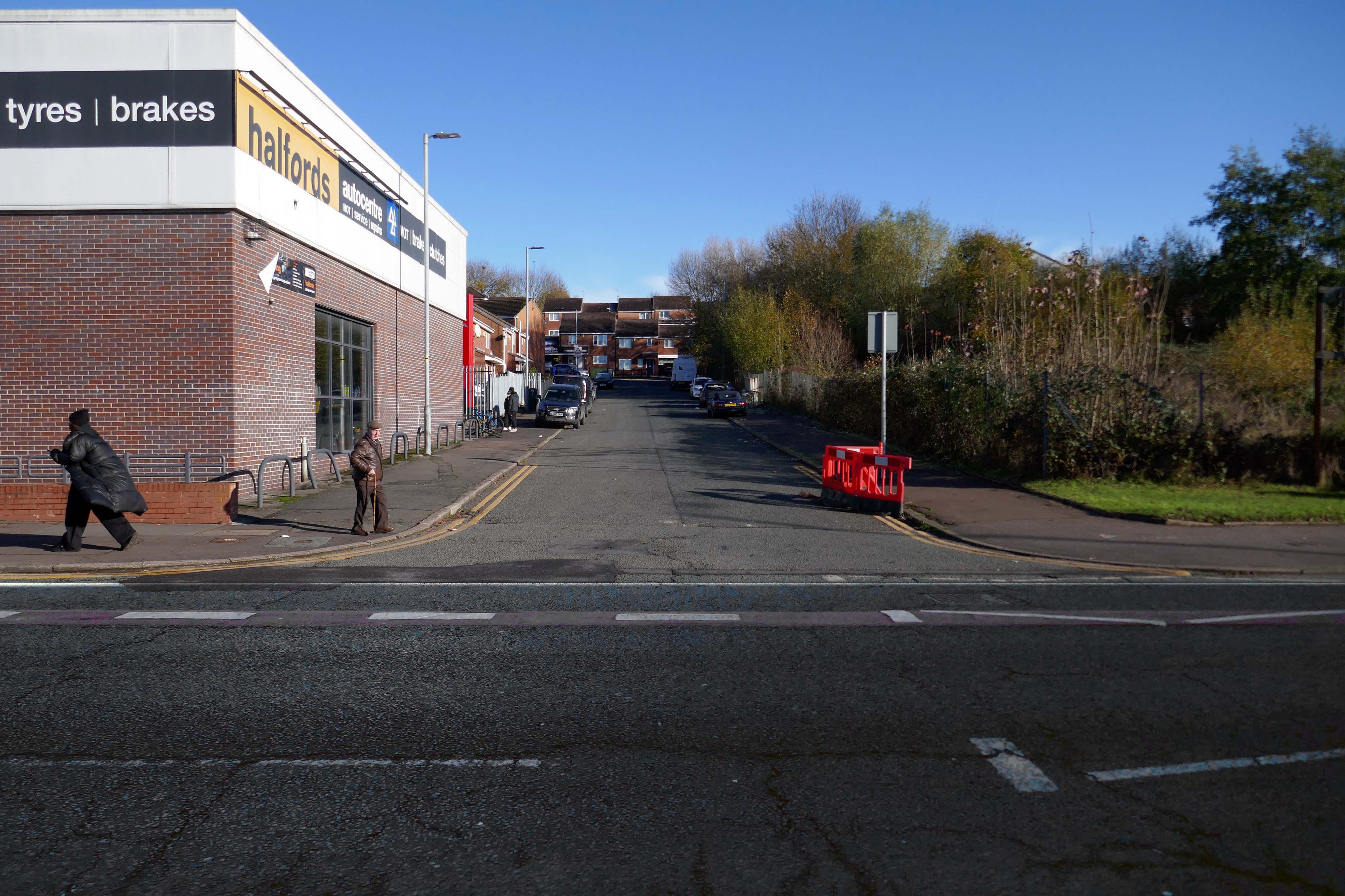
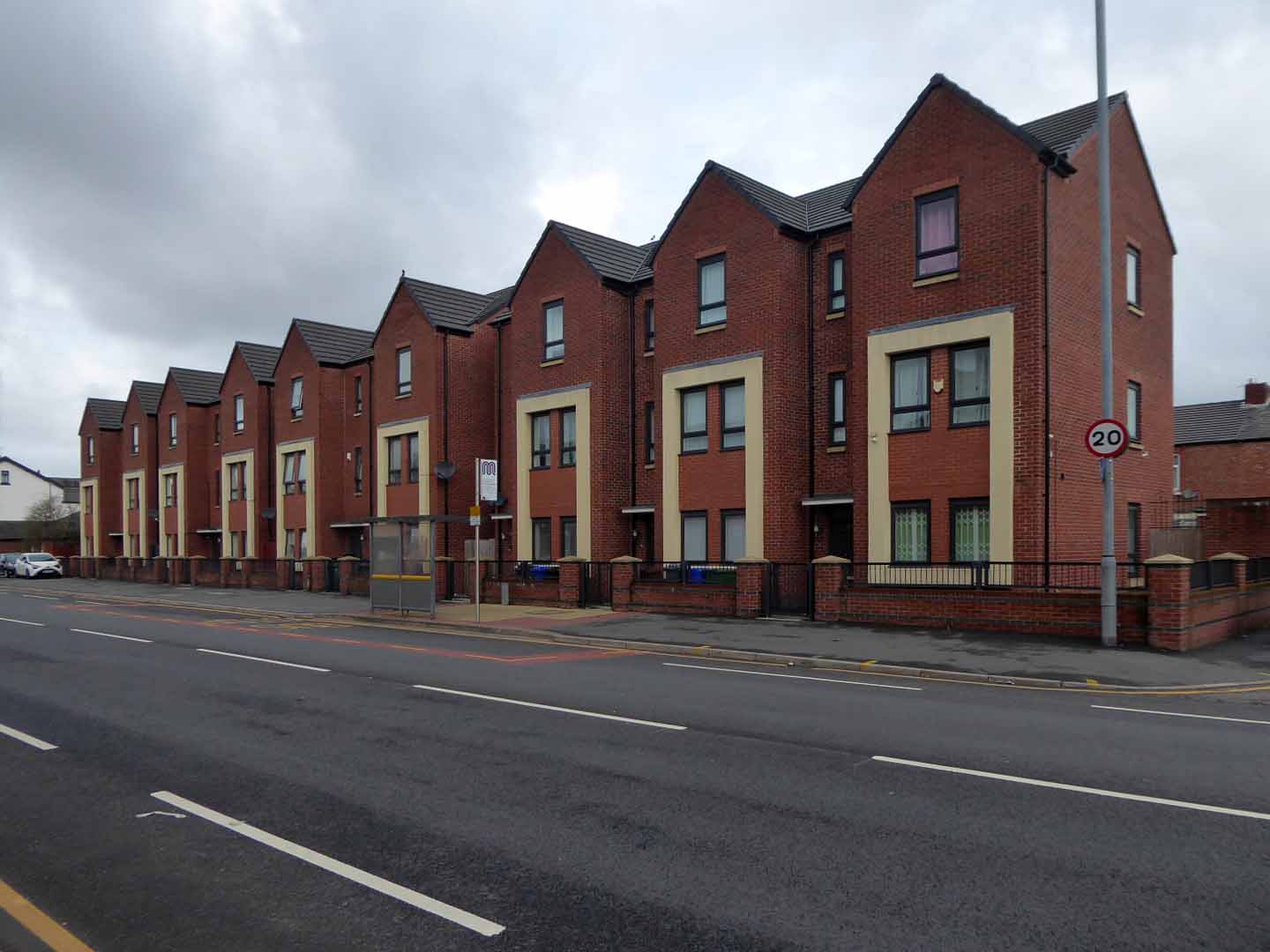
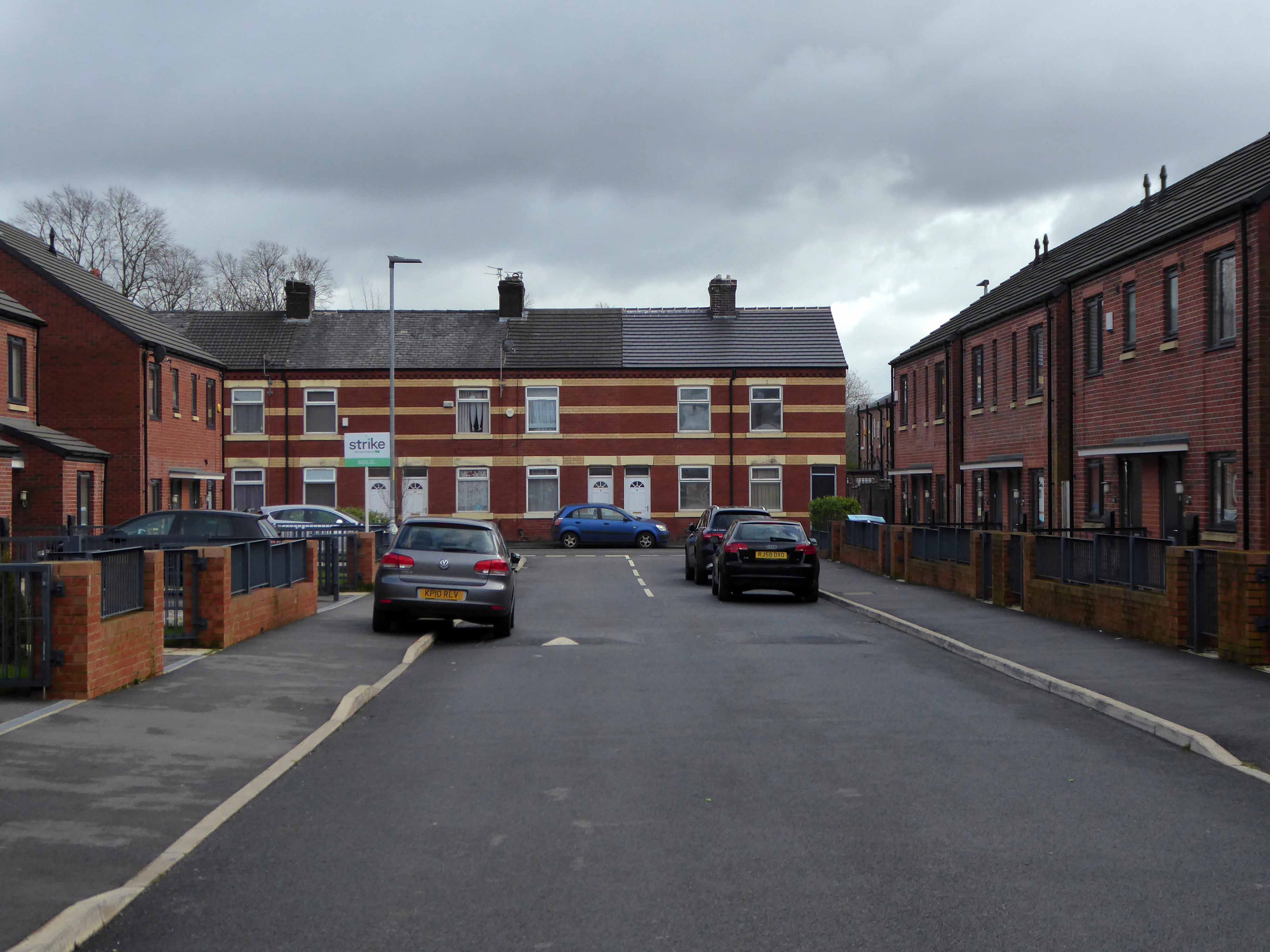
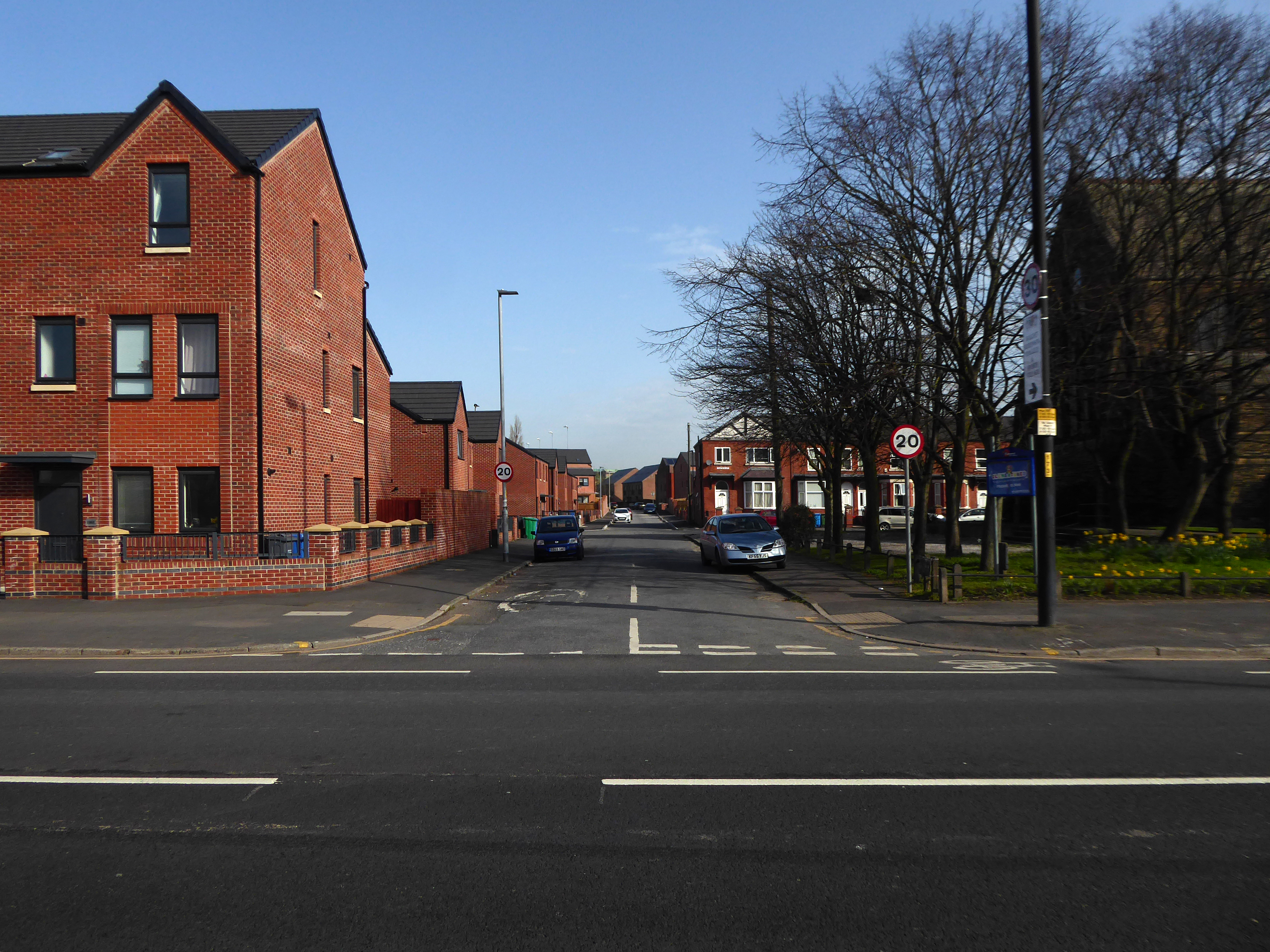
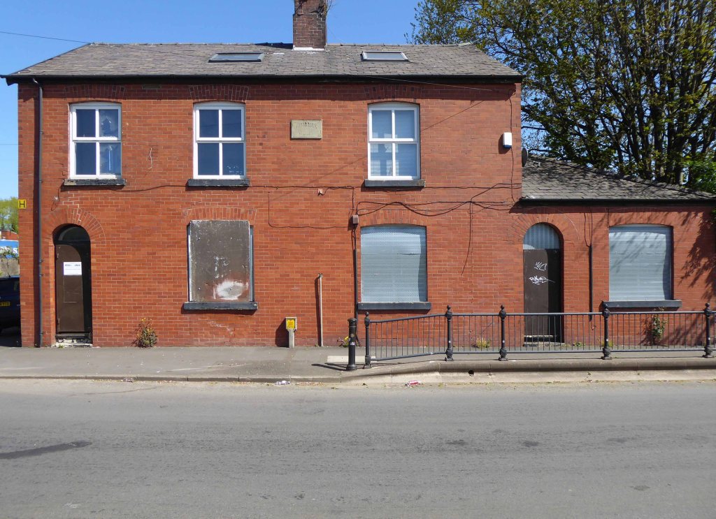
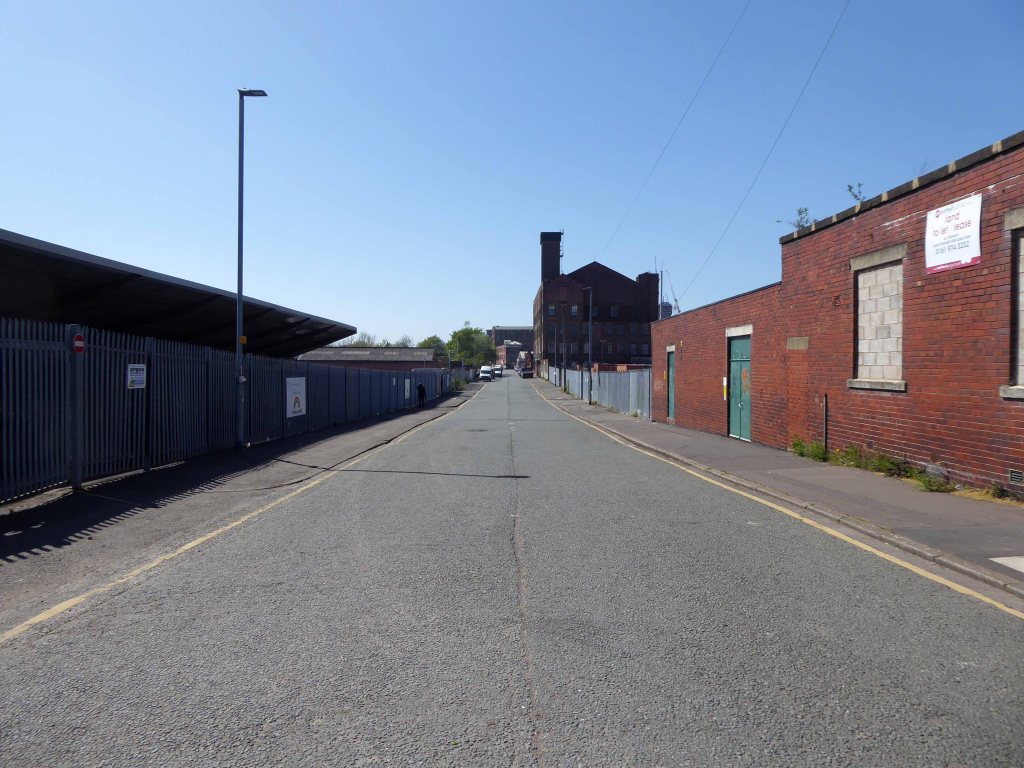
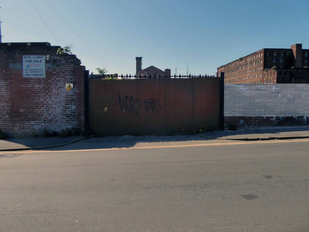
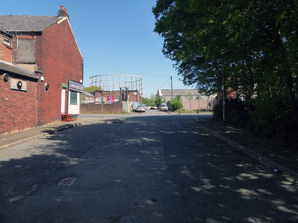
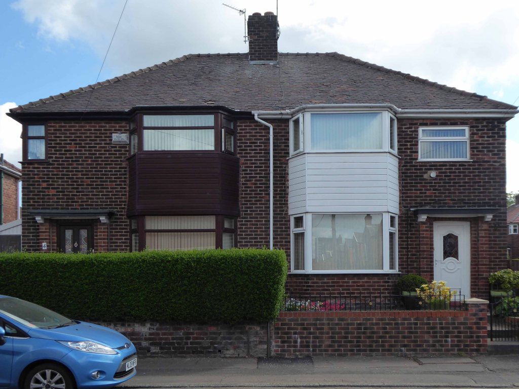
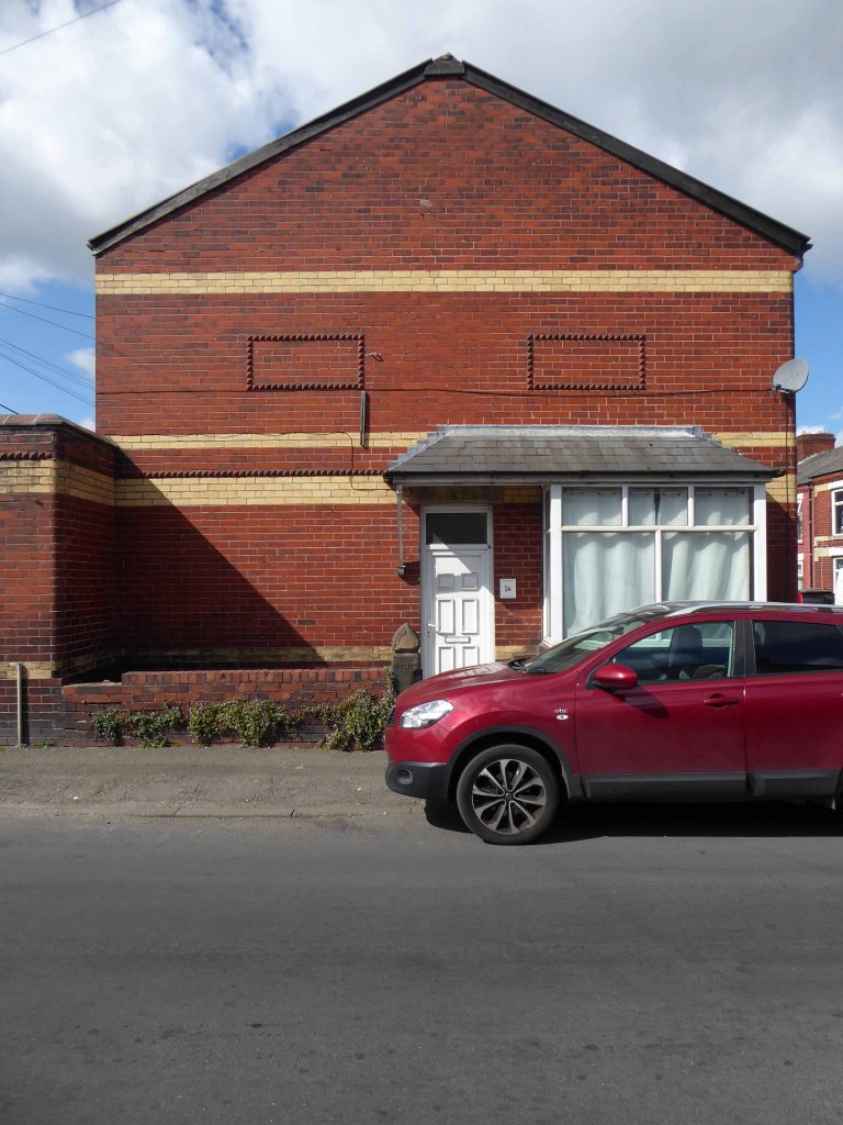
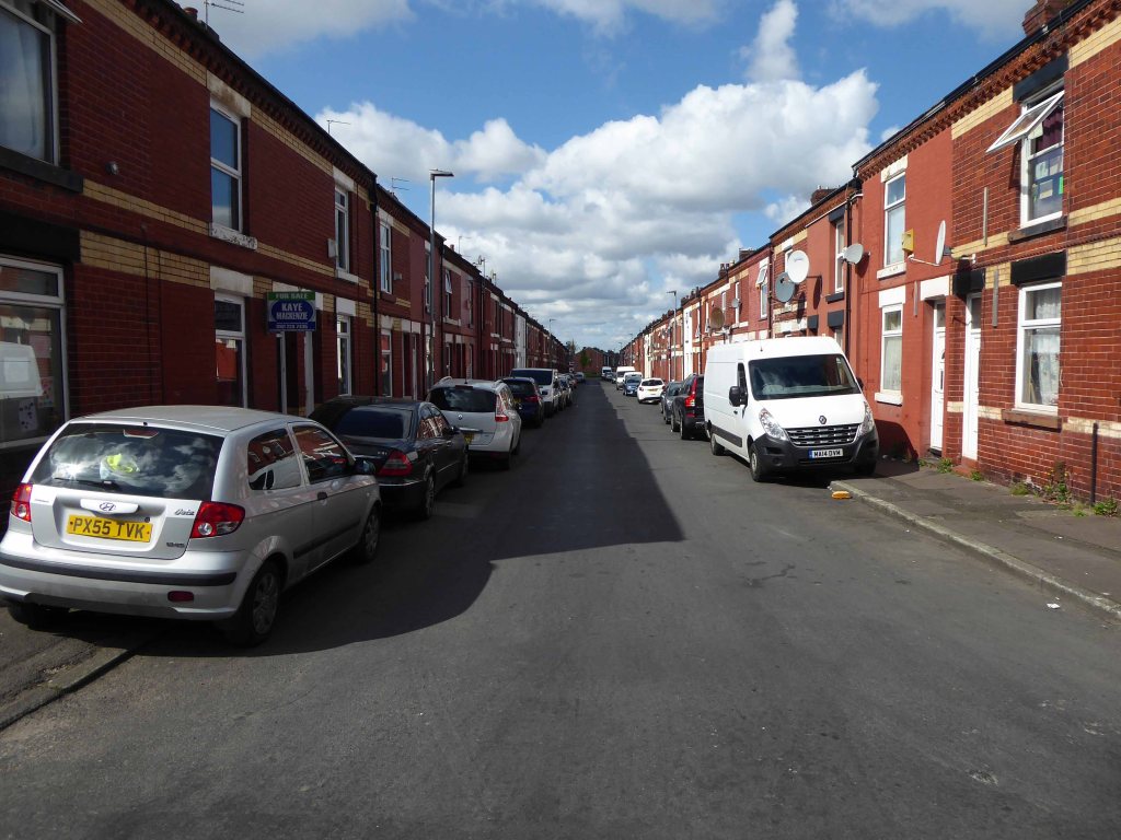
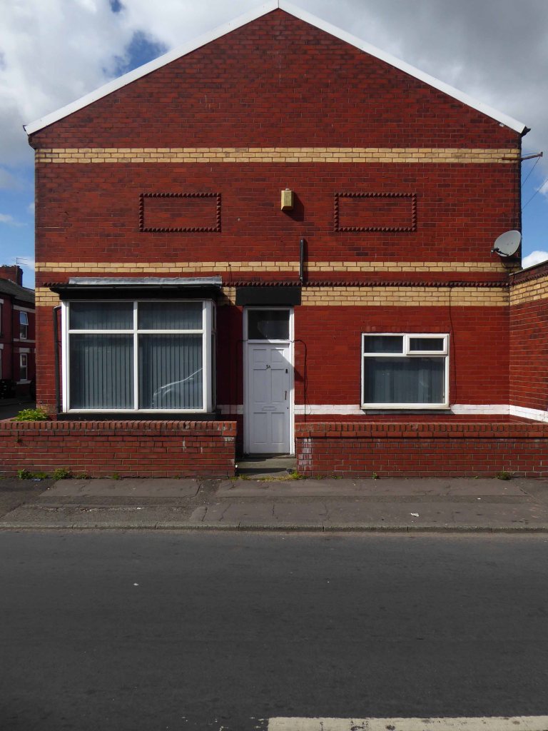
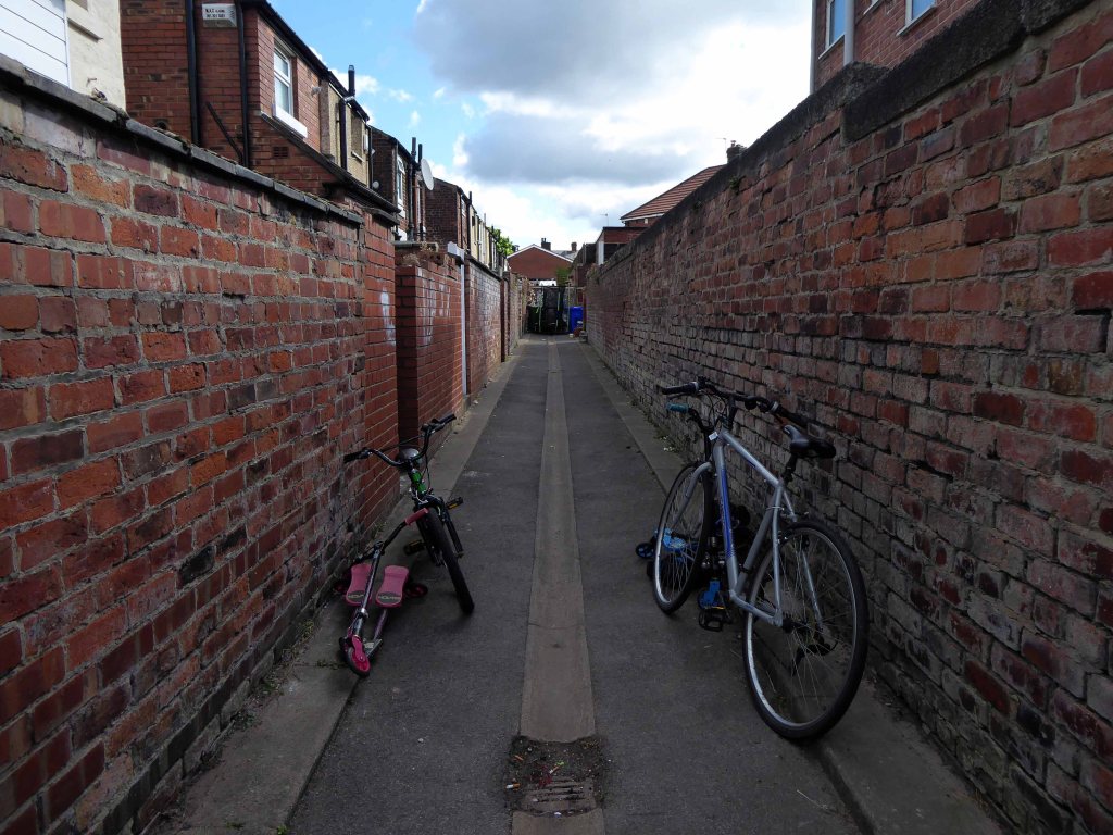
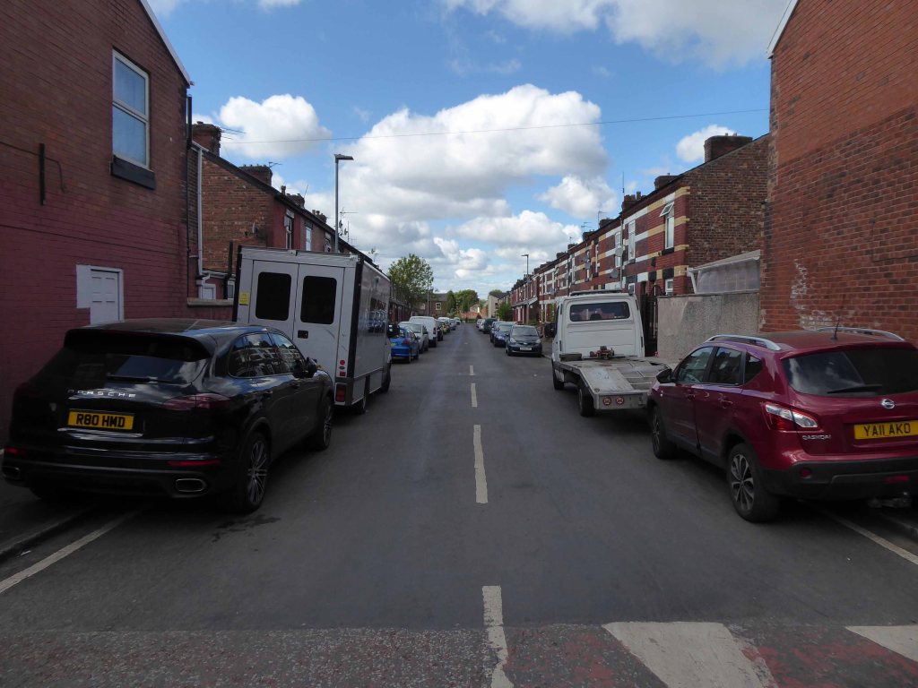
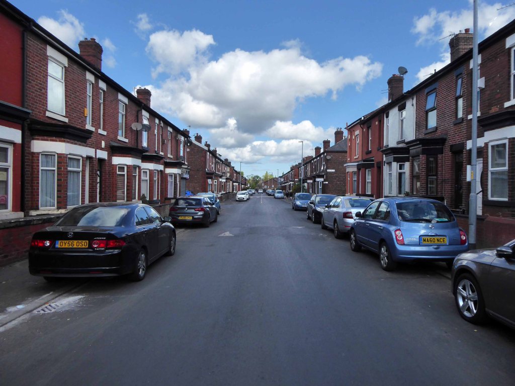
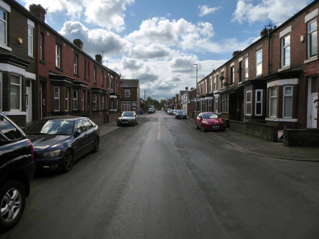
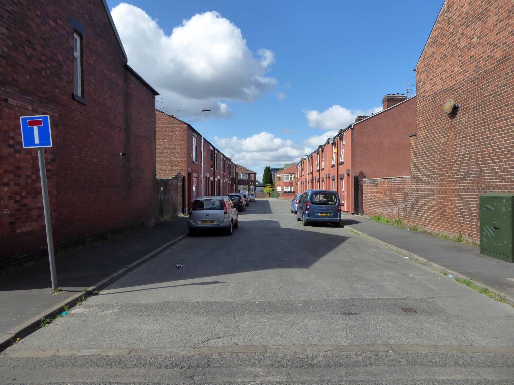
Having photographed the arterial roads of Manchester in 2014, I have resolved to return to the task in 2024.
Some things seem to have changed, some things seem to have stayed the same.


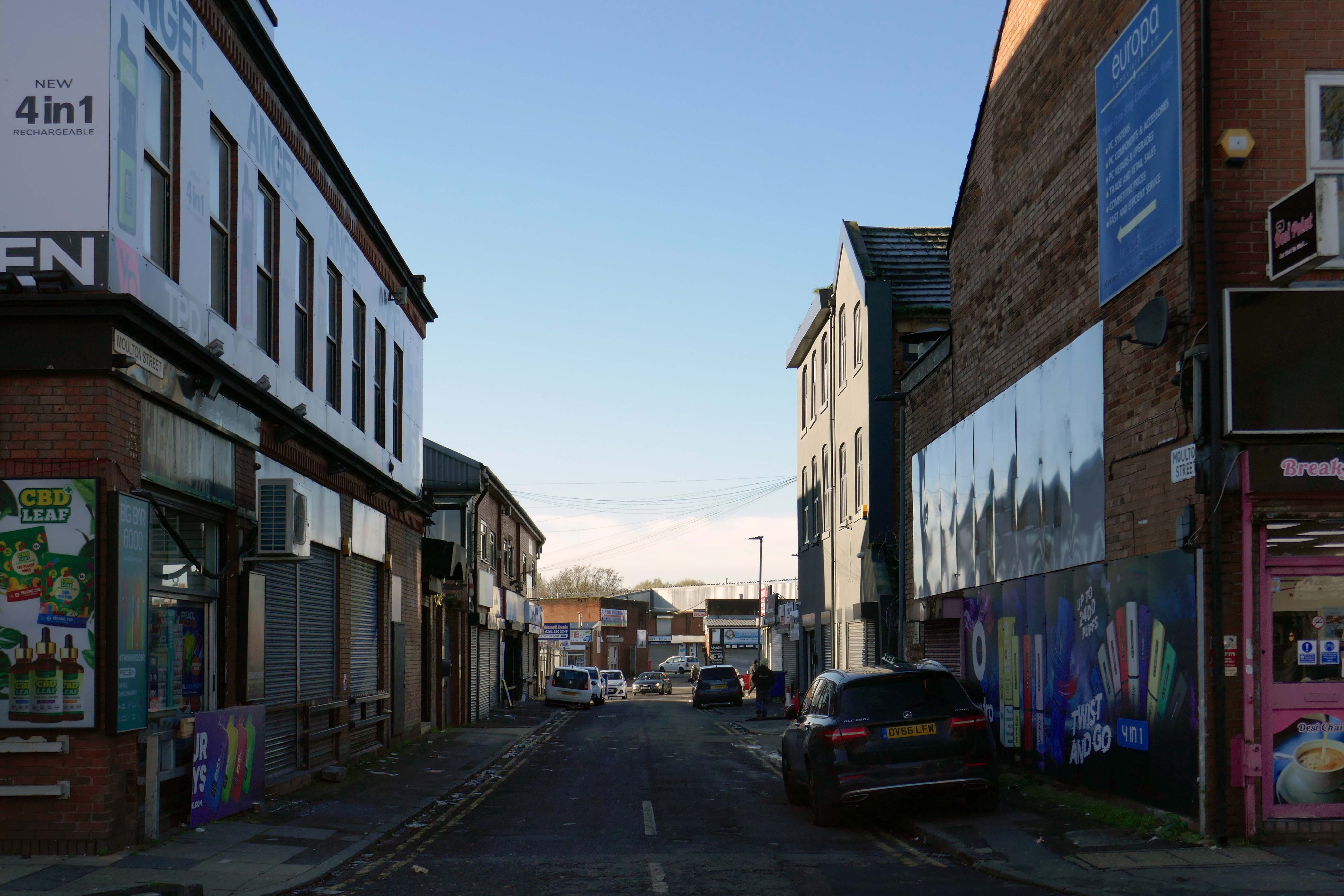
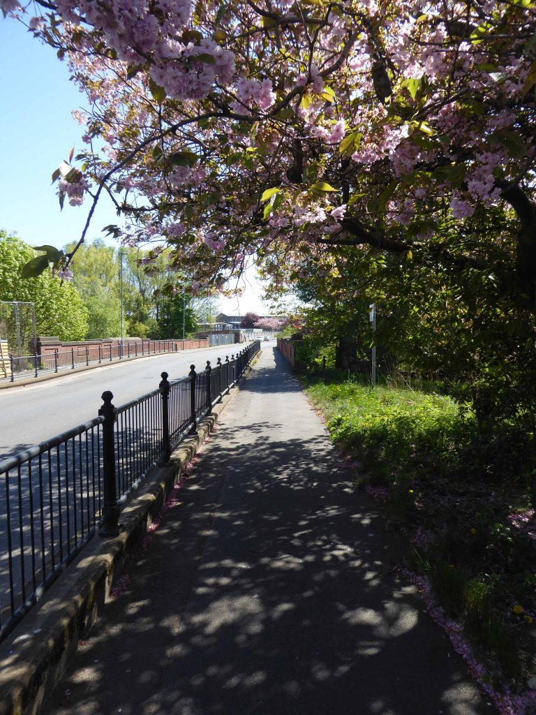
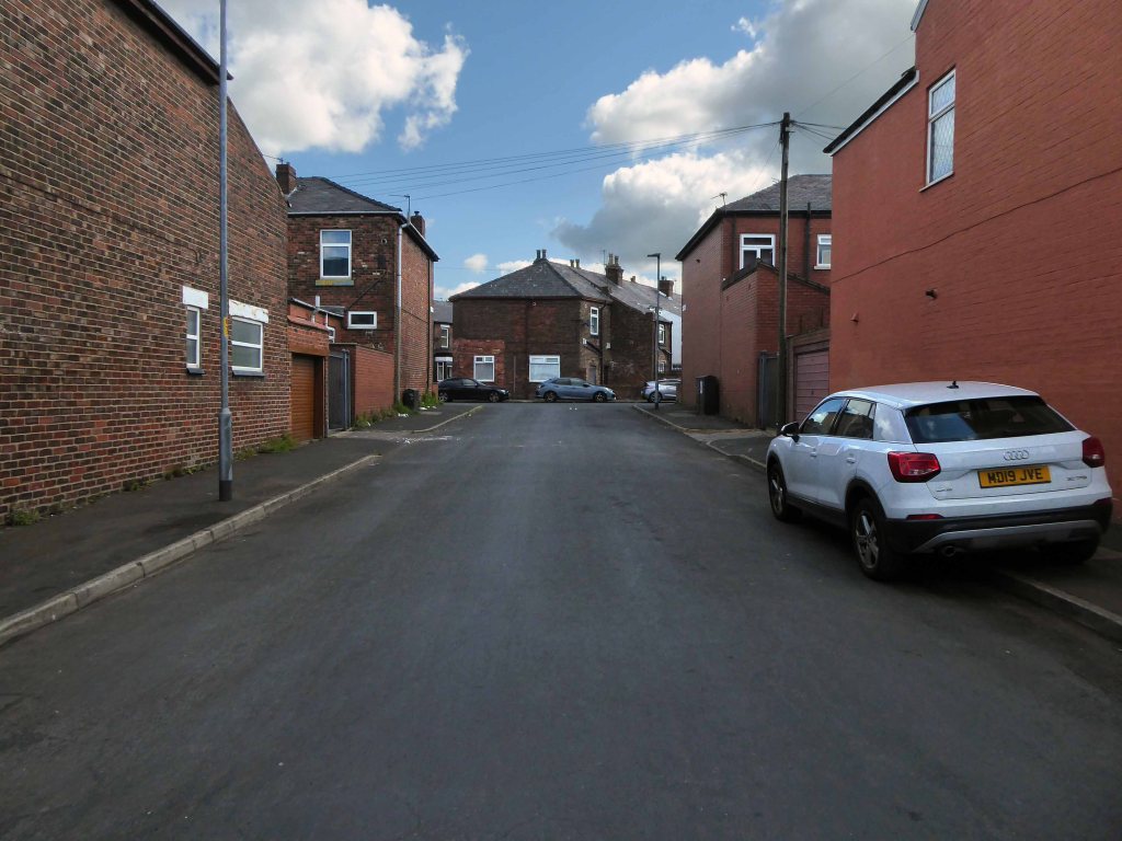
Having photographed the arterial roads of Manchester in 2014, I have resolved to return to the task in 2024.
Some things seem to have changed, some things seem to have stayed the same.


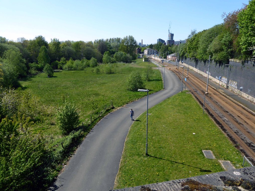
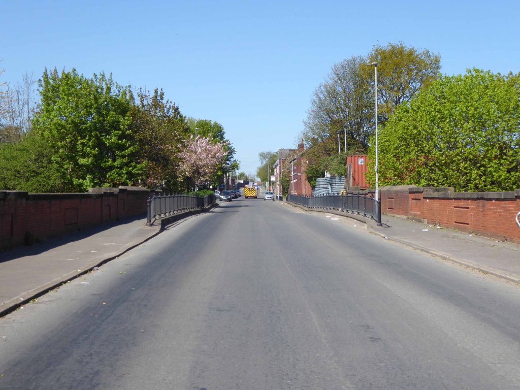
The A34 is a major route from the ports on the South Coast of England to the Midlands and the North West, with the standard varying from rural dual carriageway sections in the south to urban single carriageway in the north, and everything else in between.
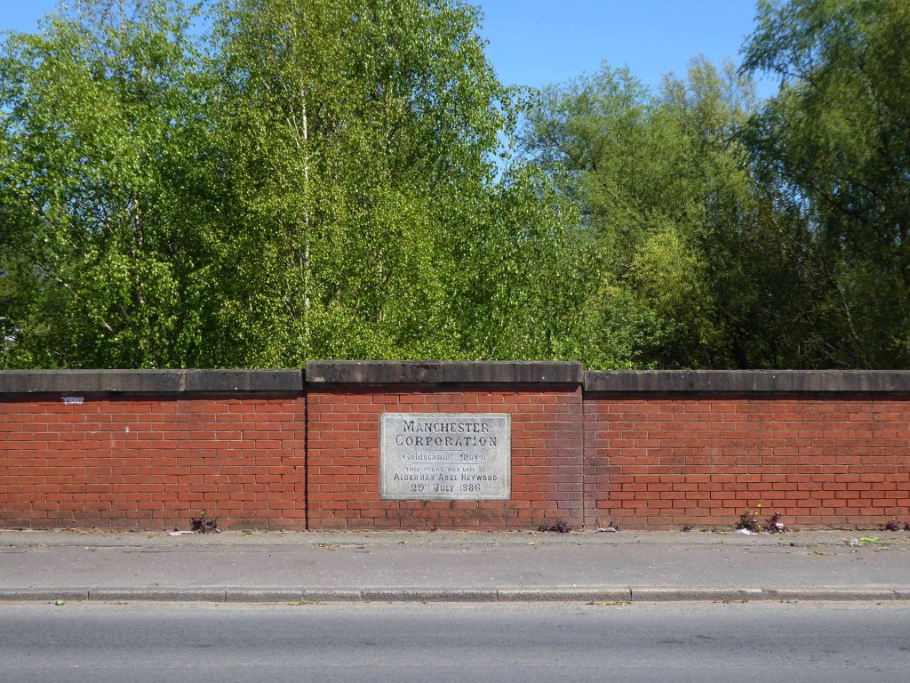
Slade Lane junction, Rushford Park to Parr’s Wood, East Didsbury – to connect to Manchester Road to Cheadle. It continued on to Laneside Road as a residential road. Opened on 11 April 1923 by Mary Cundiff, Lady Mayoress, and Margaret Turnbull, daughter of Alderman Turnbull, Chairman of Manchester Town Planning Committee. Width was 100 feet and it was designed for tram tracks in the central reservation. The dual road carriageways were 20 feet wide. Manchester’s tram system was closed in 1949. The carriageways were widened and central reservation grassed over. Originally opened as A5079.
Laneside Road, East Didsbury to Schools Hill/ Wilmslow Road junction, Cheadle. Opened on 12 October 1959. The official opening was on 15 October 1959. Planning for the bypass had been halted by the war. In December 1949 Manchester Corporation stated that it was not a priority since the Corporation was only responsible for the 200 yards to the proposed bridge over the River Mersey and Cheshire County Council had not asked for a joint approach to Ministry of Transport to build it. Work was finally authorised in January 1957 and started in the June. Width was 90 feet with dual 24 foot carriageways. Expected cost was £600,000 to £700,000.
In 2014, having taken early retirement from teaching photography, I embarked on a series of walks along the arterial roads of Manchester.


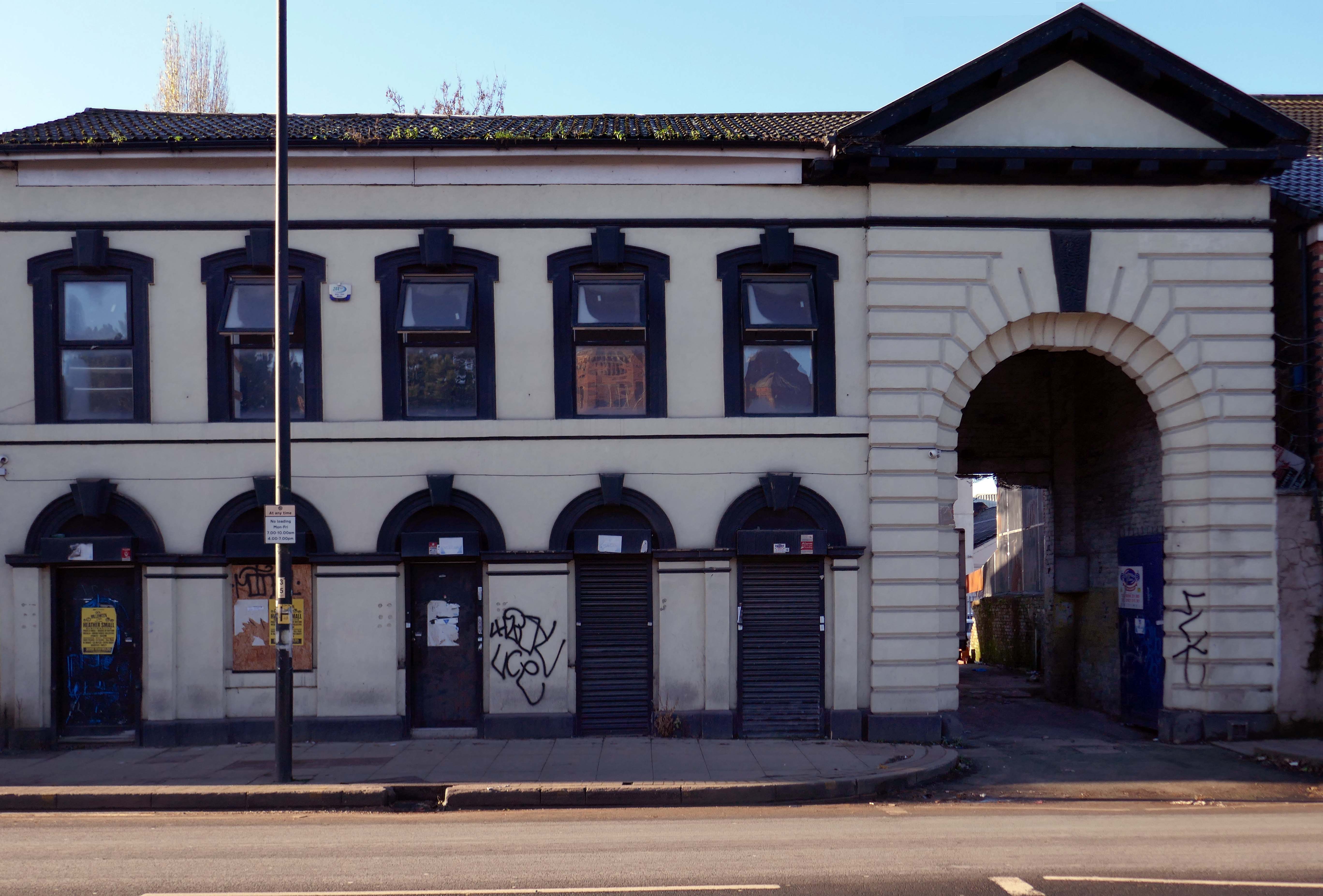
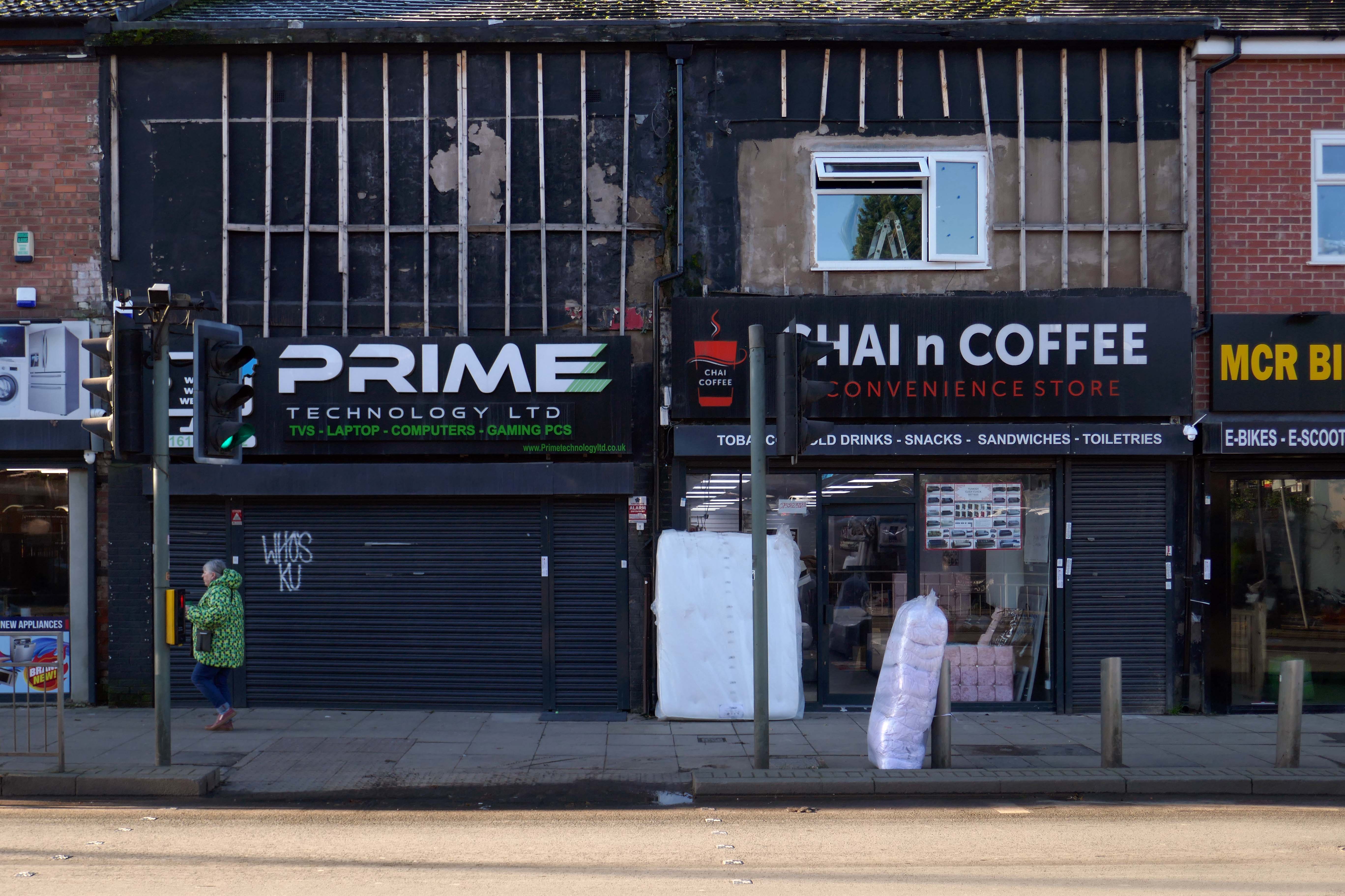
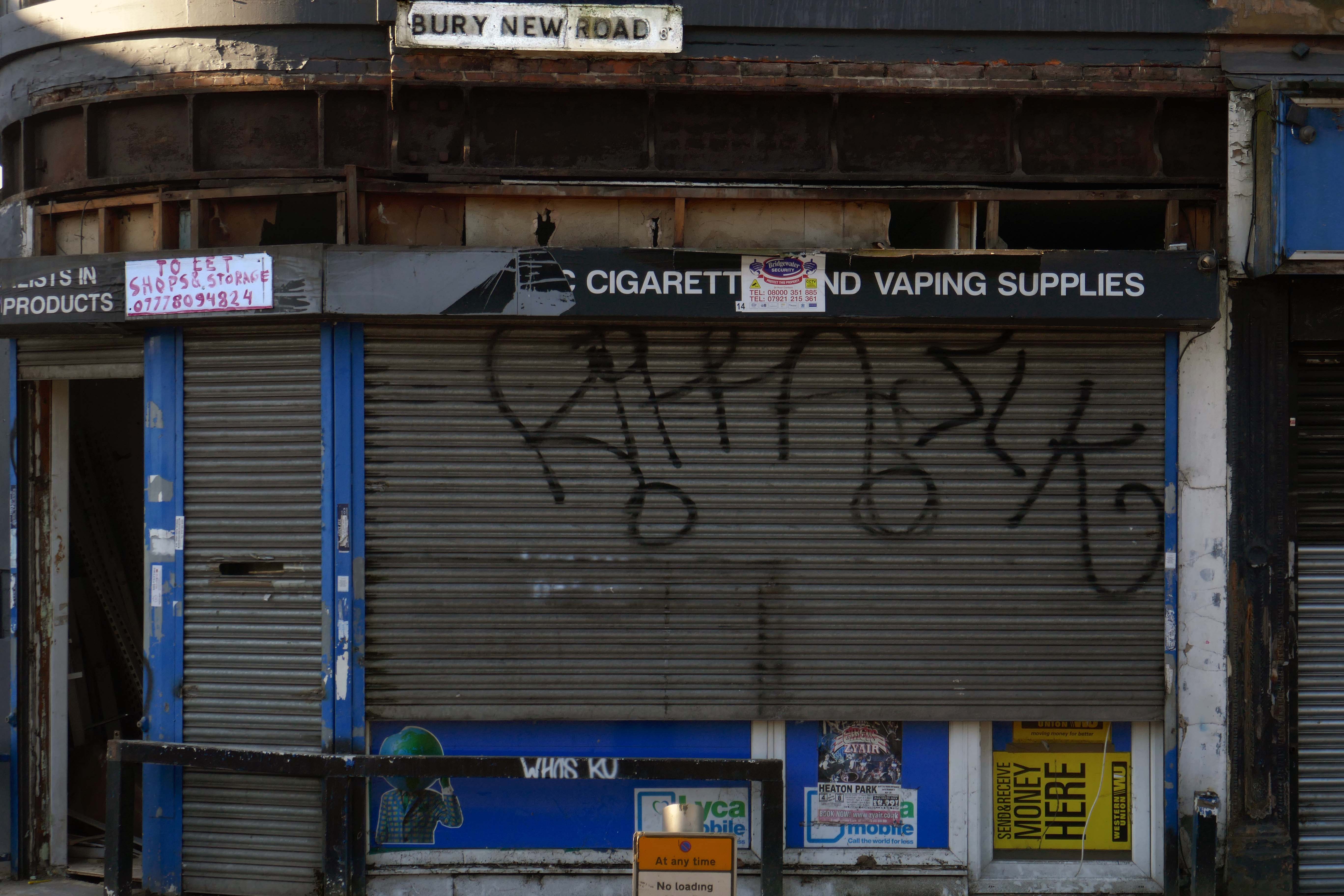
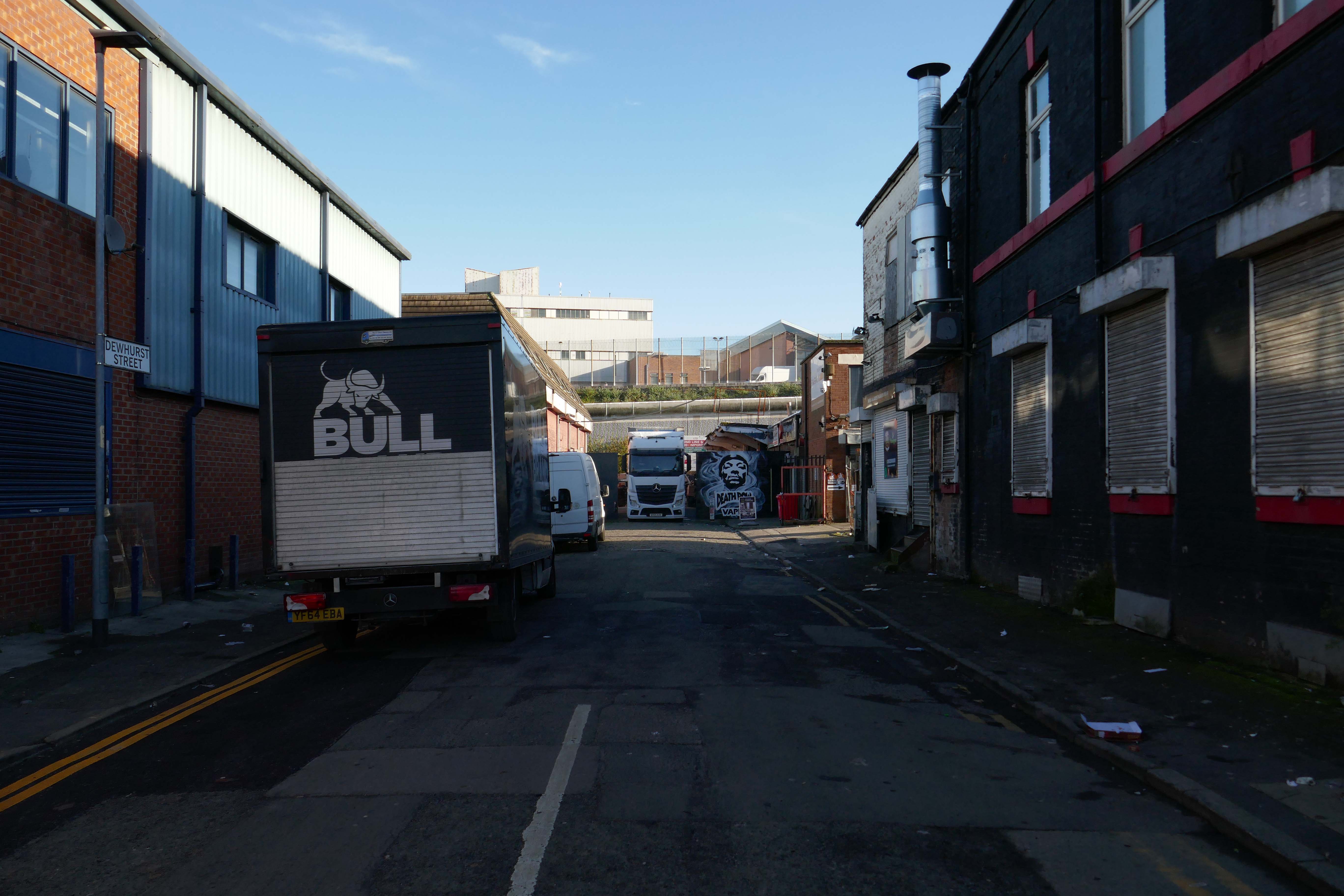
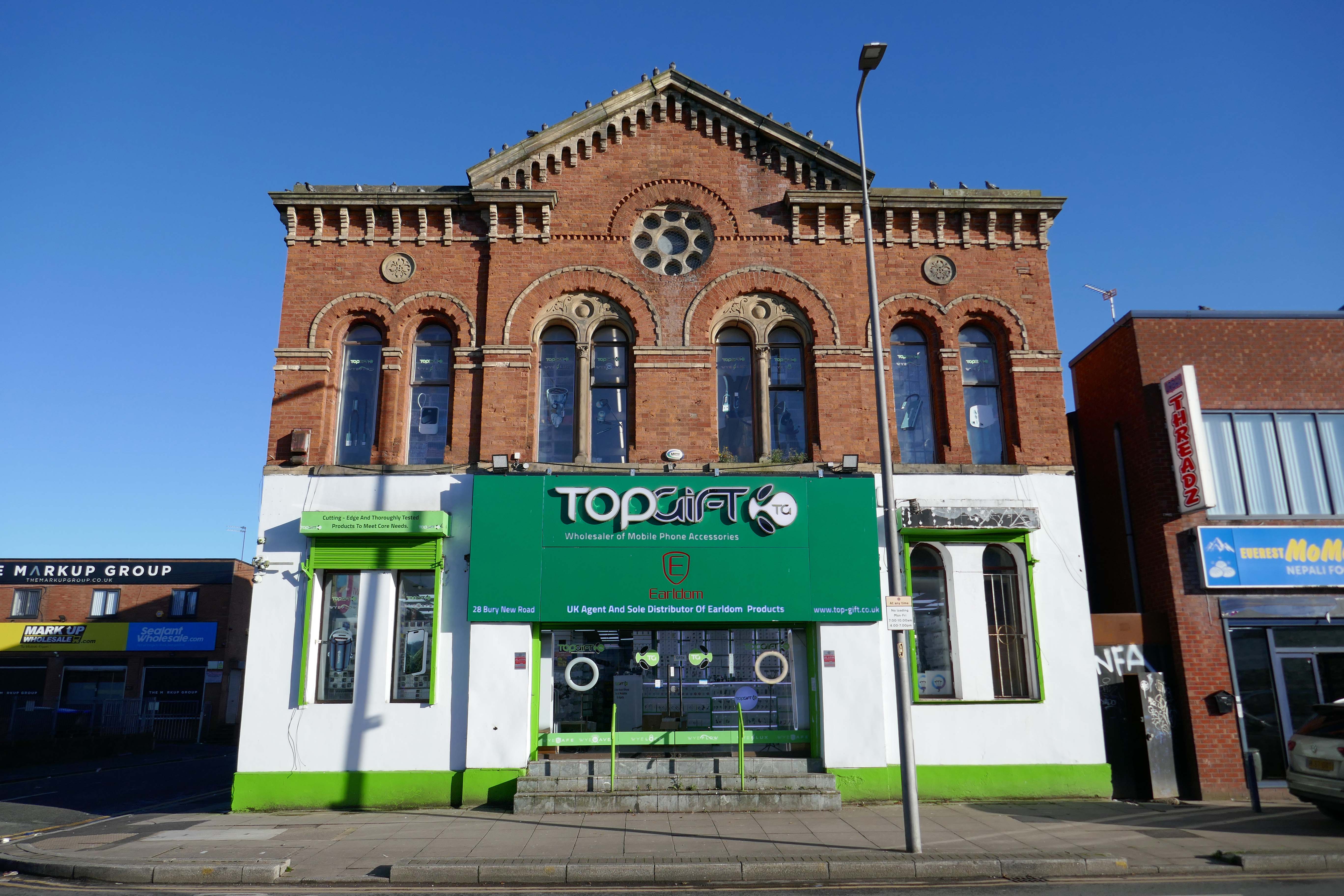
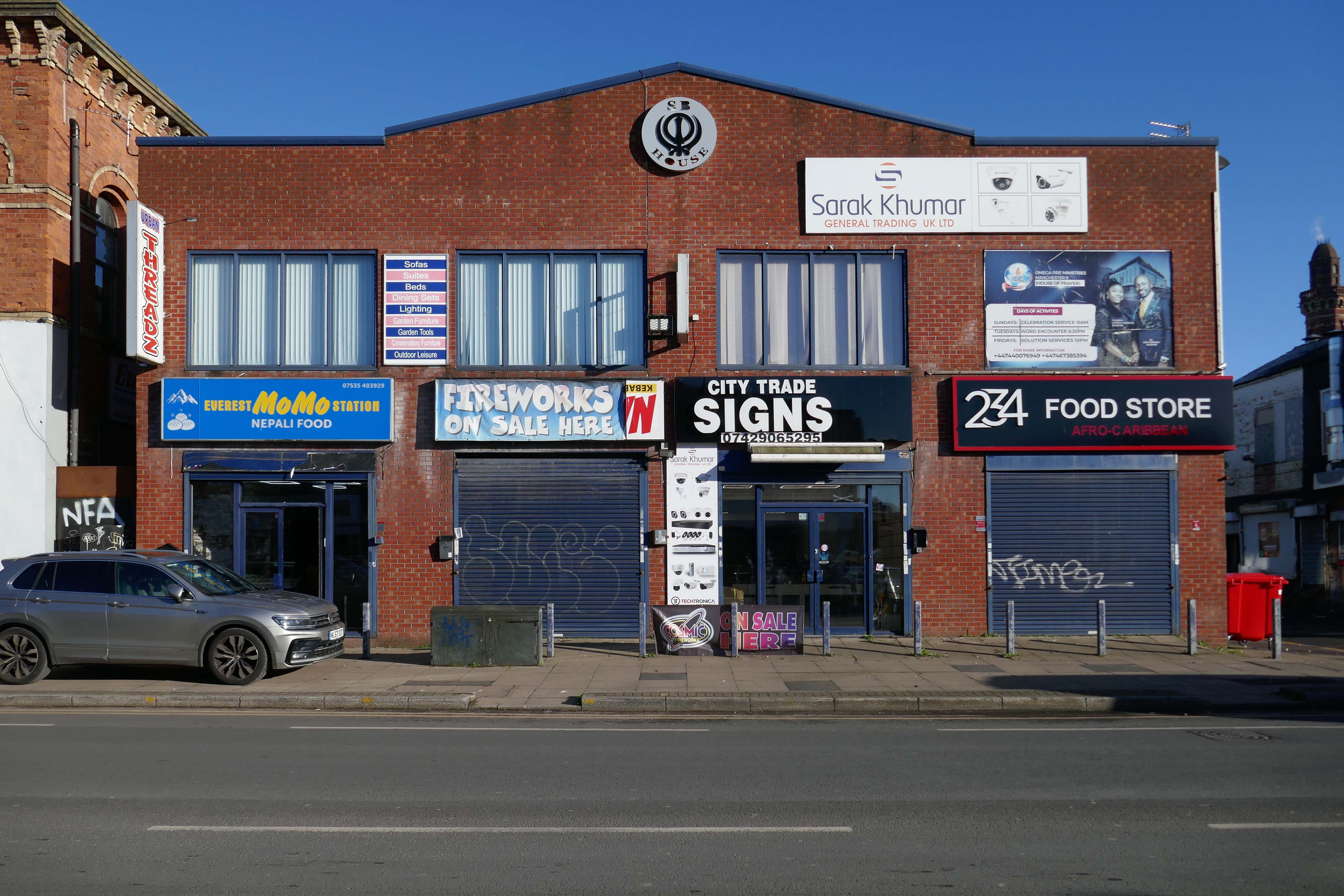
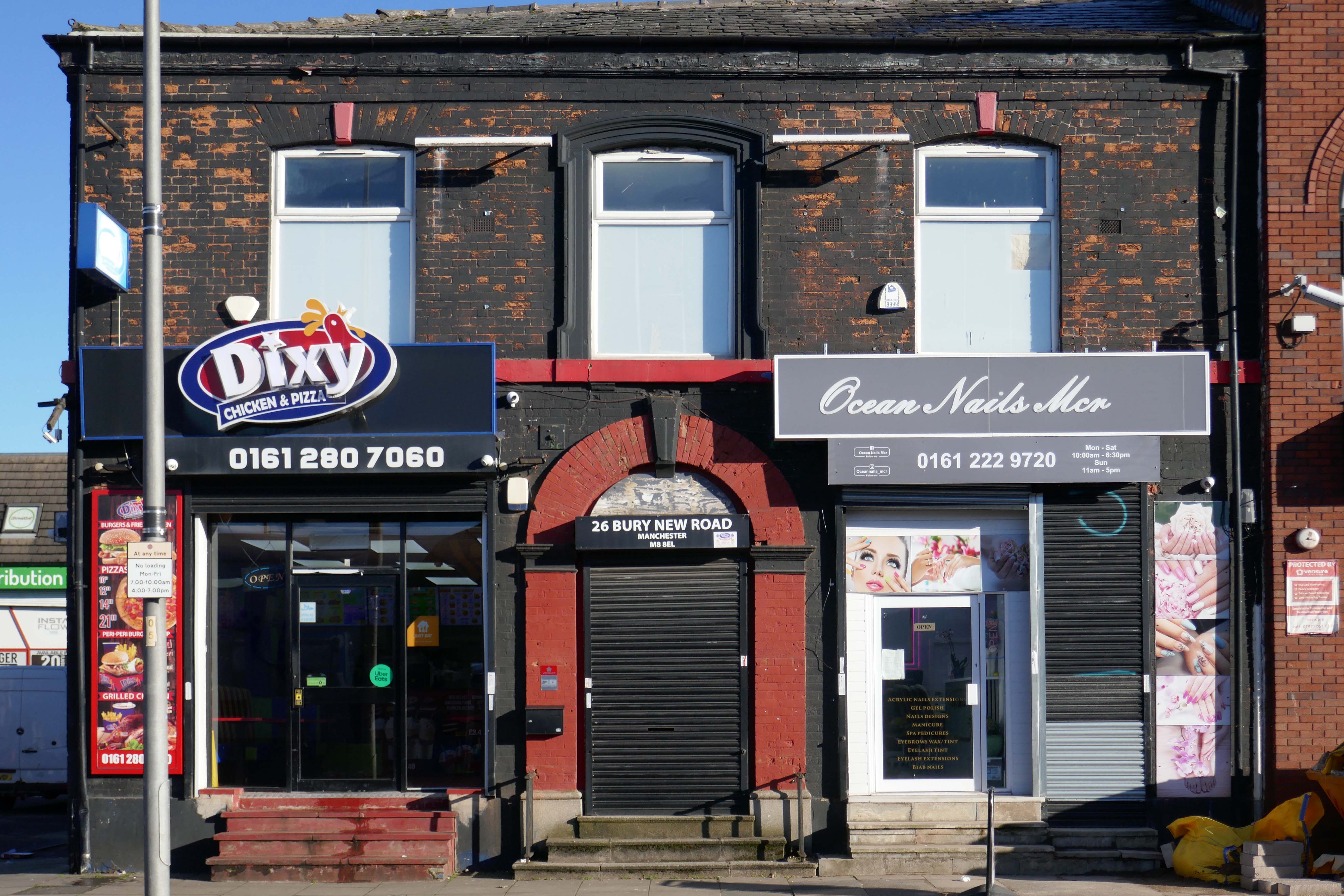
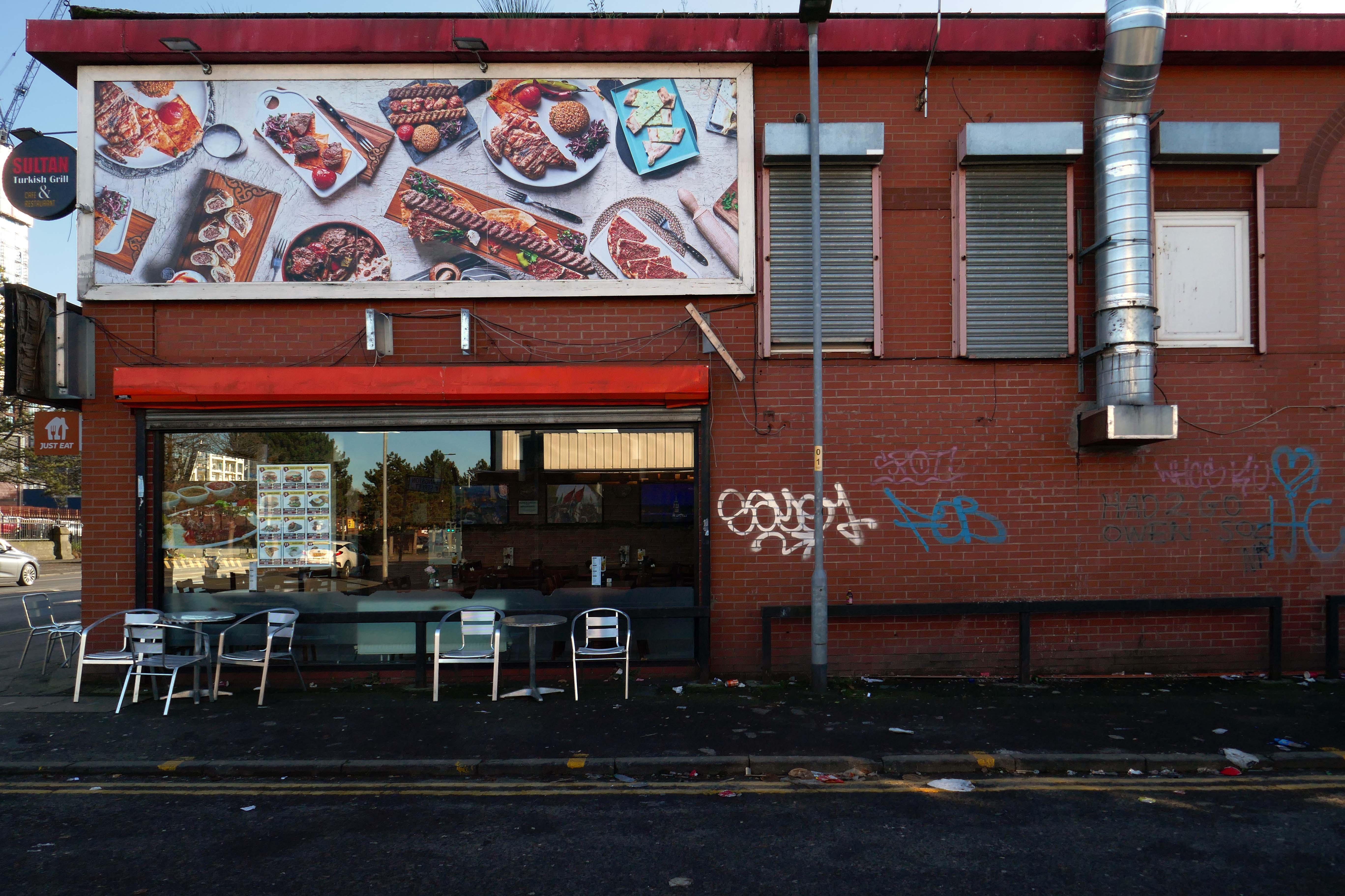
See also Bury New Road and Cheetham Hill Road and Rochdale Road and Oldham Road and Ashton New Road and Ashton Old Road and Hyde Road and Stockport Road.


The A6 is Britain’s fourth longest road. Its route varies greatly from the lower lands of the South East, though the Peak District, right though the heart of Manchester city centre, then onwards towards Preston. It then goes though the historic city of Lancaster before skirting the Eastern fringe of the Lake District before ending in Carlisle, bang on the start of the A7.
North from Stockport towards Manchester, the A6 was a wide, four lane road, but still 30 mph, which usually flowed pretty well. According to Mudge, it looks like it has now been massacred by bus lanes and red paint. Shame. We meet the A57 from the east, just south of the city centre, and multiplex until we reach Mancunian Way, the A57 heading off as a short urban motorway, the A6 heading into the city centre via London Road/Piccadily, where it loses its number and vanishes. It would have gone straight down Piccadily/Market Street to meet Deansgate, and then across the River Irwell into Salford, and up Chapel Street, where the number reappears. Market Street has been pedestrianised for years, so the A6 has long ceased to be a through route.
In 2014, having taken early retirement from teaching photography, I embarked on a series of walks along the arterial roads of Manchester.


See also Bury New Road and Cheetham Hill Road and Rochdale Road and Oldham Road and Ashton New Road and Ashton Old Road and Hyde Road.


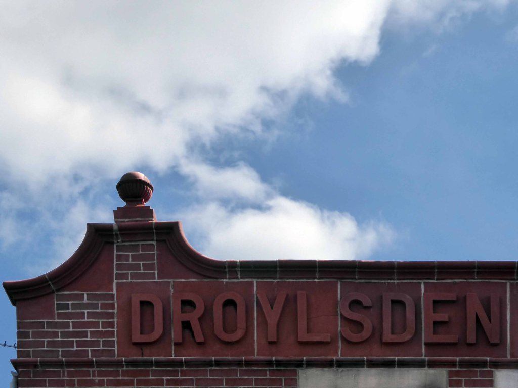
Starting at traffic lights on the A665 the road heads northeastwards, initially with the Metrolink on the left and a factory building on the right. The road then bears right at traffic lights marking the first section of on-street running for the trams, which lasts until just before a bridge over the River Medlock, after which the road passes to the south of the Sportcity complex whilst the tram line runs through the middle.
The A6010 is crossed at traffic lights, after which we see the tram lines on the left once more. We go over the Ashton Canal, then the tram lines at grade before bearing to the right to pass Clayton Park before another section of on-street running for the Metrolink begins, which continues for some distance. Just after crossing the Manchester city limit there is a set of traffic lights, after which the road becomes D2 for a short distance to allow a tram stop – Edge Lane, to be located in the central reservation. The tram leaves the road to the right for the next stop – Cemetery Road, and the stop in Droylsden town centre is once again in the central reservation. In all three cases the street running recommences after the stop.
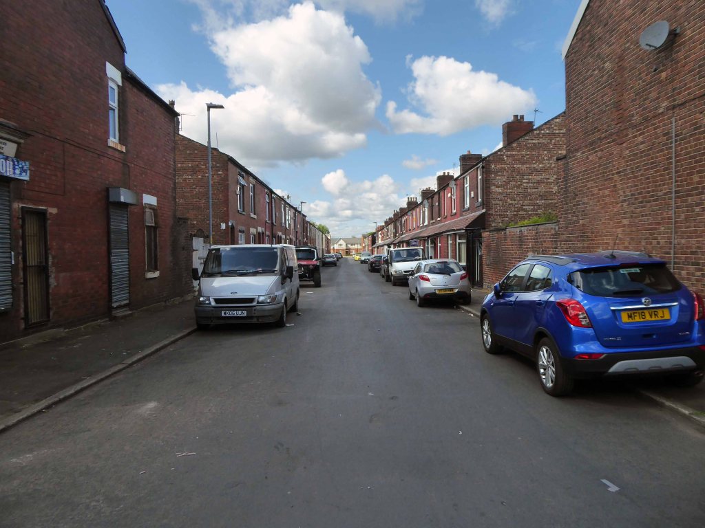
In 2014, having taken early retirement from teaching photography, I embarked on a series of walks along the arterial roads of Manchester.


See also Bury New Road and Cheetham Hill Road and Rochdale Road and Oldham Road.

The A62, which runs from Manchester to Leeds, via Oldham and Huddersfield, was once the main route across the Pennines, connecting the largest city in Lancashire with Yorkshire’s largest city. However with the completion of the M62 towards Leeds in the early 1970s it lost much of its importance and traffic to the motorway, which runs a few miles to the north. These days, the A62 serves as a busy primary route between Manchester and Oldham, an extremely very quiet route over the Pennines, and then a fairly busy local road linking Huddersfield with Leeds.
Most maps show that the A62 starts its journey in the middle of Manchester by leaving the A6 Piccadilly and running along Lever Street – the original route was the parallel Oldham Street. However, owing to a bus gate Lever Street is not generally accessible from Piccadilly. We head out easterly on a busy street – non–primary, until we meet the Ring Road where we pick up primary status that we retain until Oldham. We turn left at this point and then immediately right to start the A62 proper.
In 2014, having taken early retirement from teaching photography, I embarked on a series of walks along the arterial roads of Manchester.
This whole undertaking was prompted in part by Charlie Meecham’s 1980’s Oldham Road project .
The work questions whether a sense of local identity can be maintained in an area of constant redevelopment and community displacement.
This area was first developed in the 19th century for cotton manufacture, coal extraction and later electrical and heavy engineering. The road was lined with shops and there was a vibrant community.
When I first started working on the project, most of the early industry had ceased operating and the mills were either abandoned or being dismantled. However, some had been refurbished either for new industrial use or later, made into apartments. Some run down areas were cleared making way for new housing. Clearance also provided opportunity to build new schools, trading estates and create green space. Most of the older community centres such as theatres and cinemas along the road were also abandoned and later cleared.


See also Bury New Road and Cheetham Hill Road and Rochdale Road and Ashton New Road and Ashton Old Road and Hyde Road and Stockport Road and Kingsway and Princess Parkway.
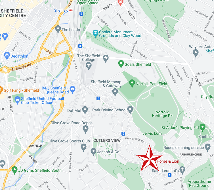
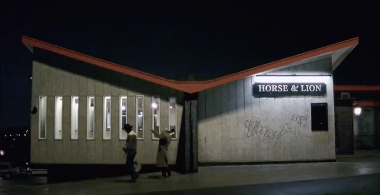
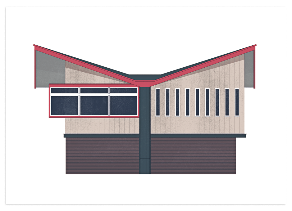
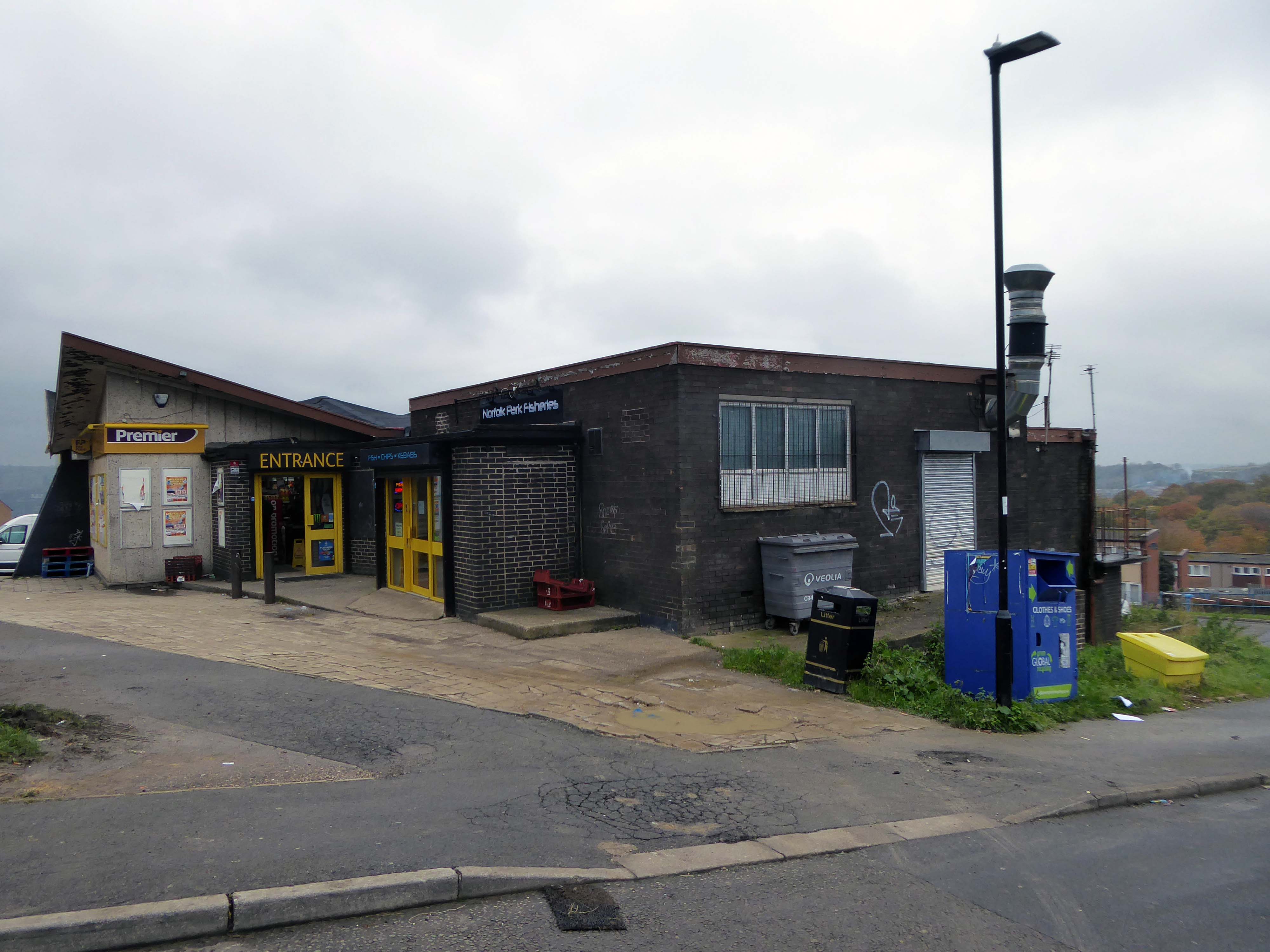
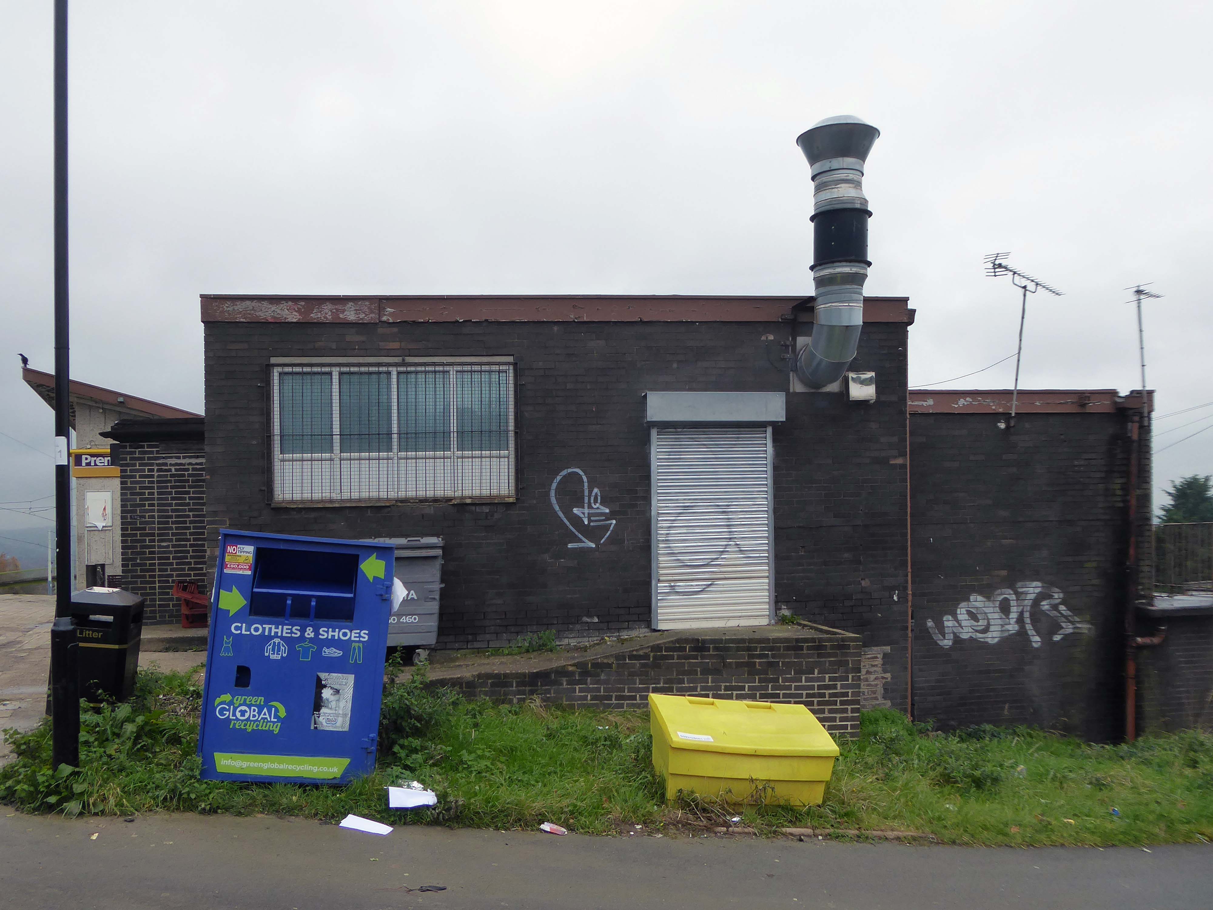
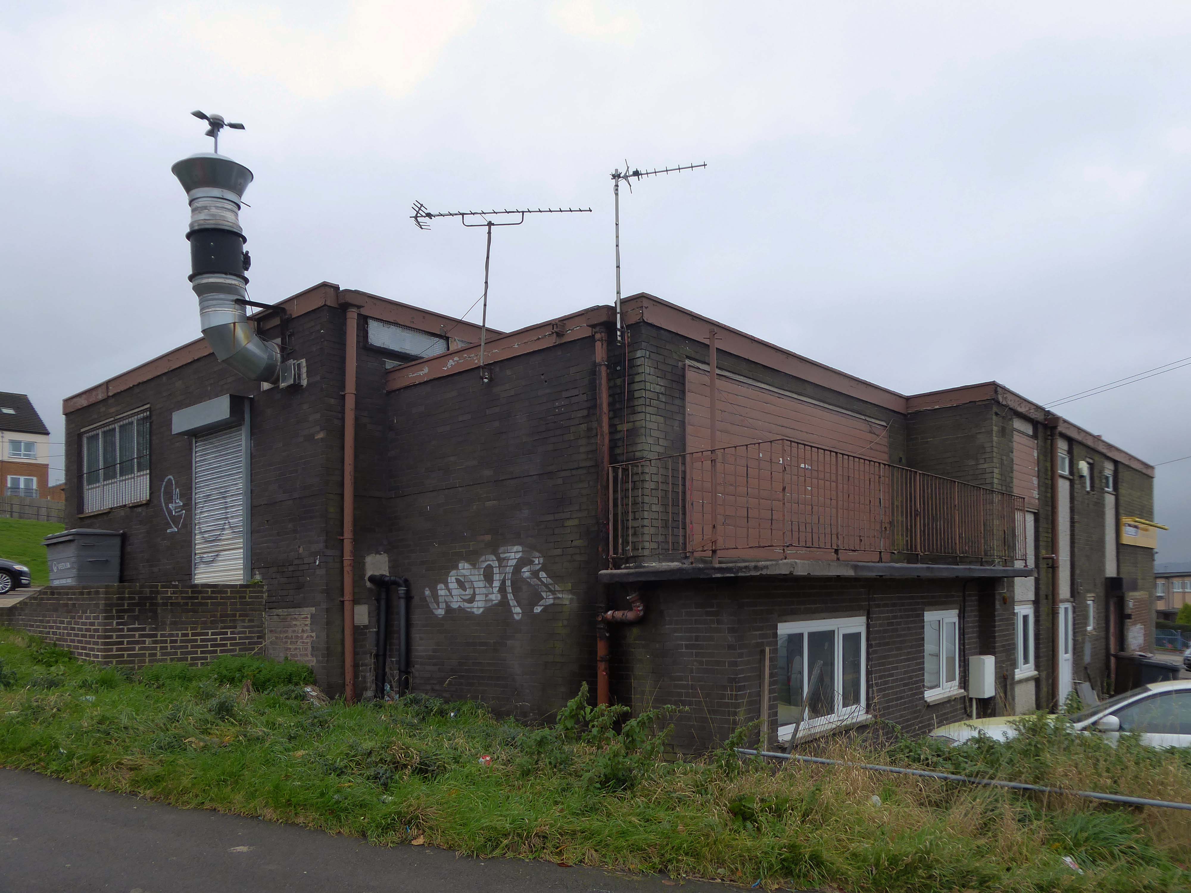
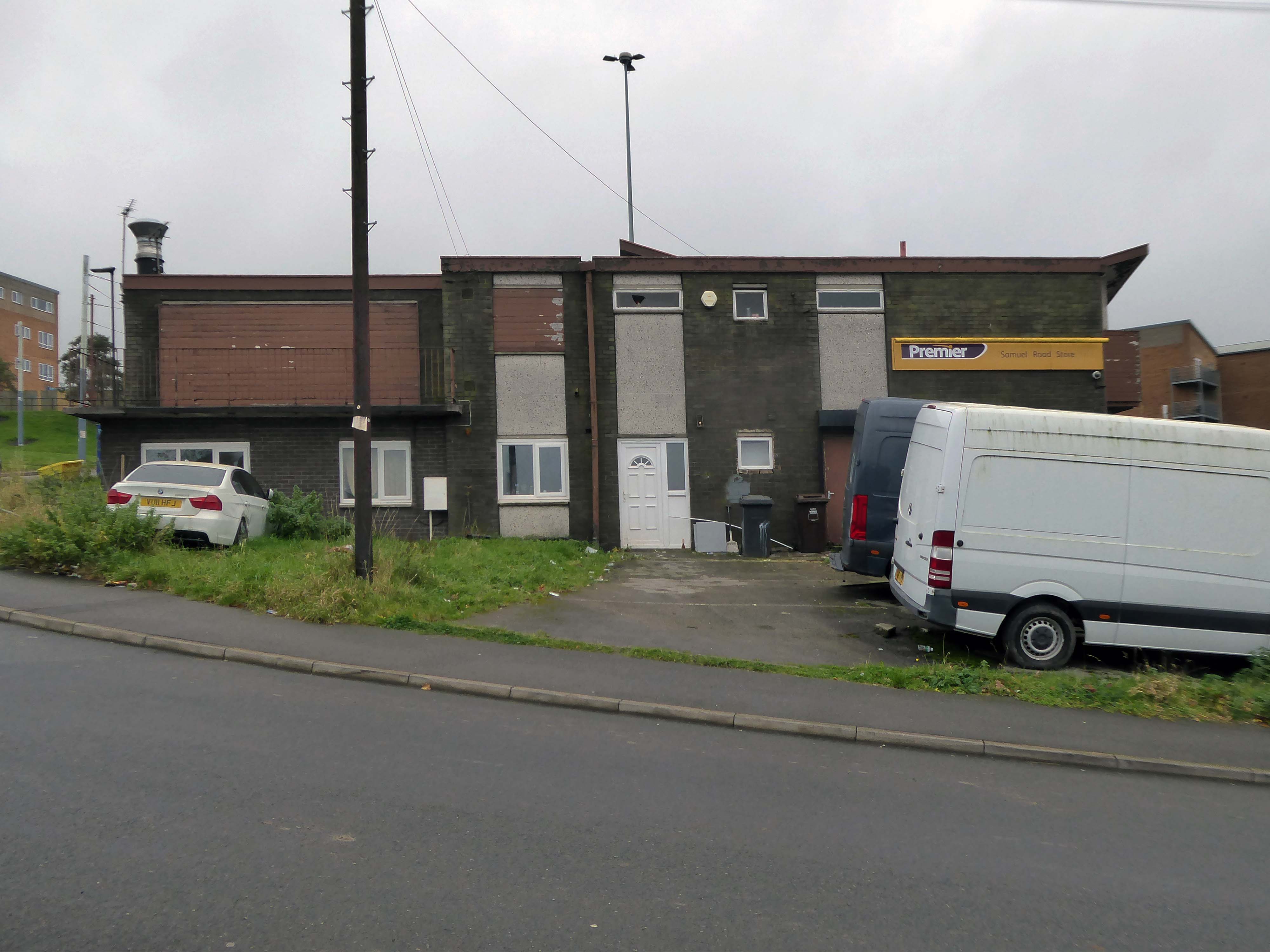
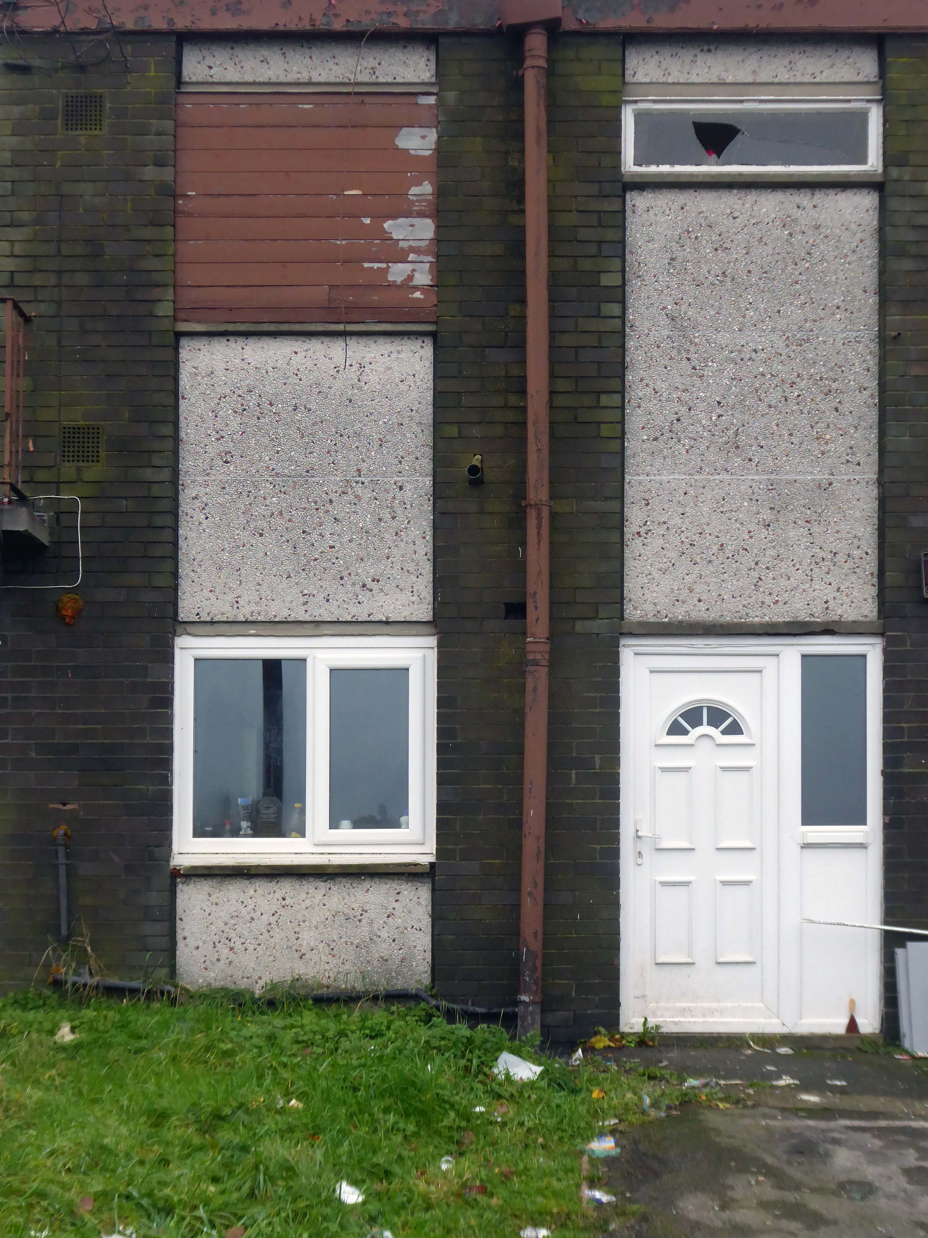
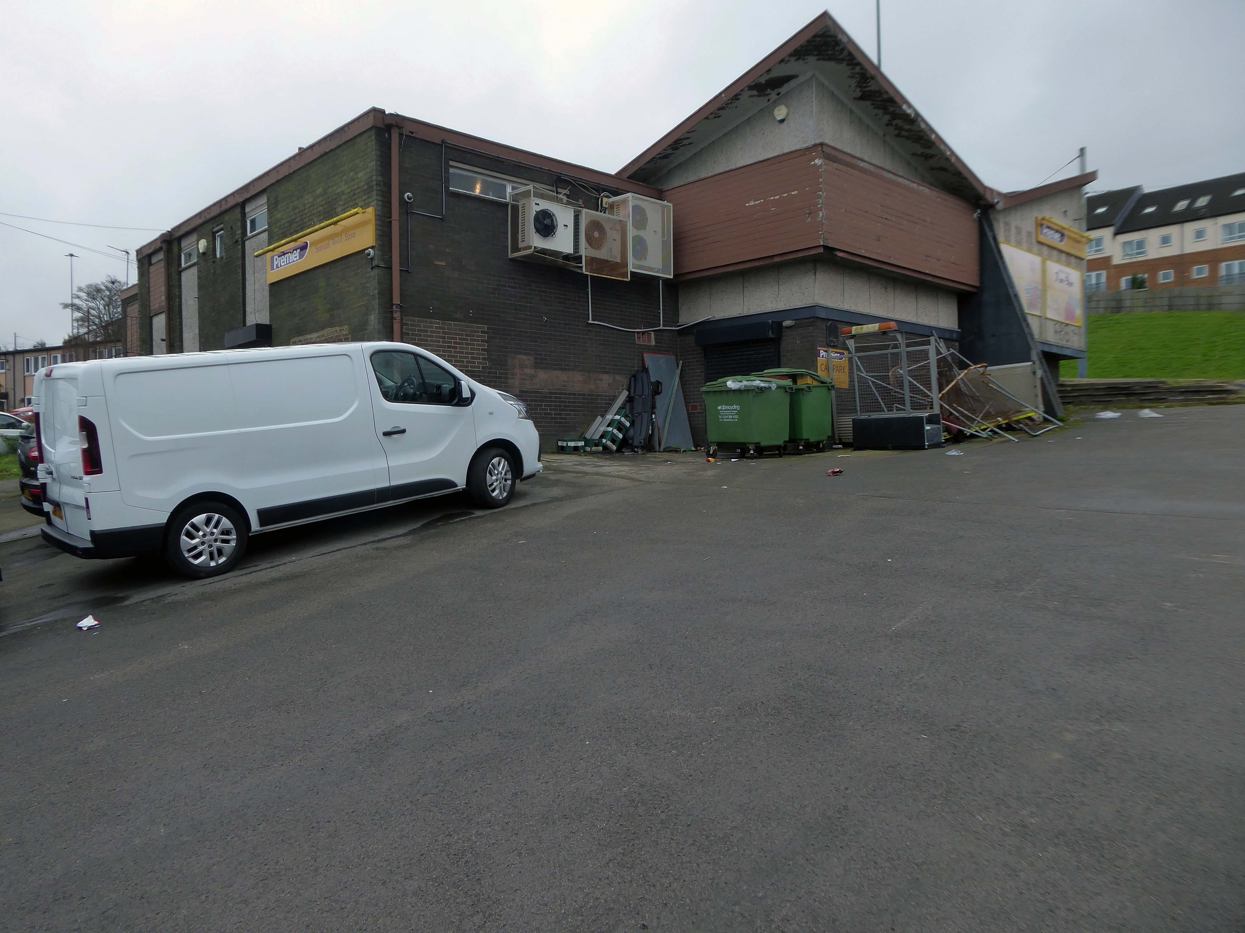
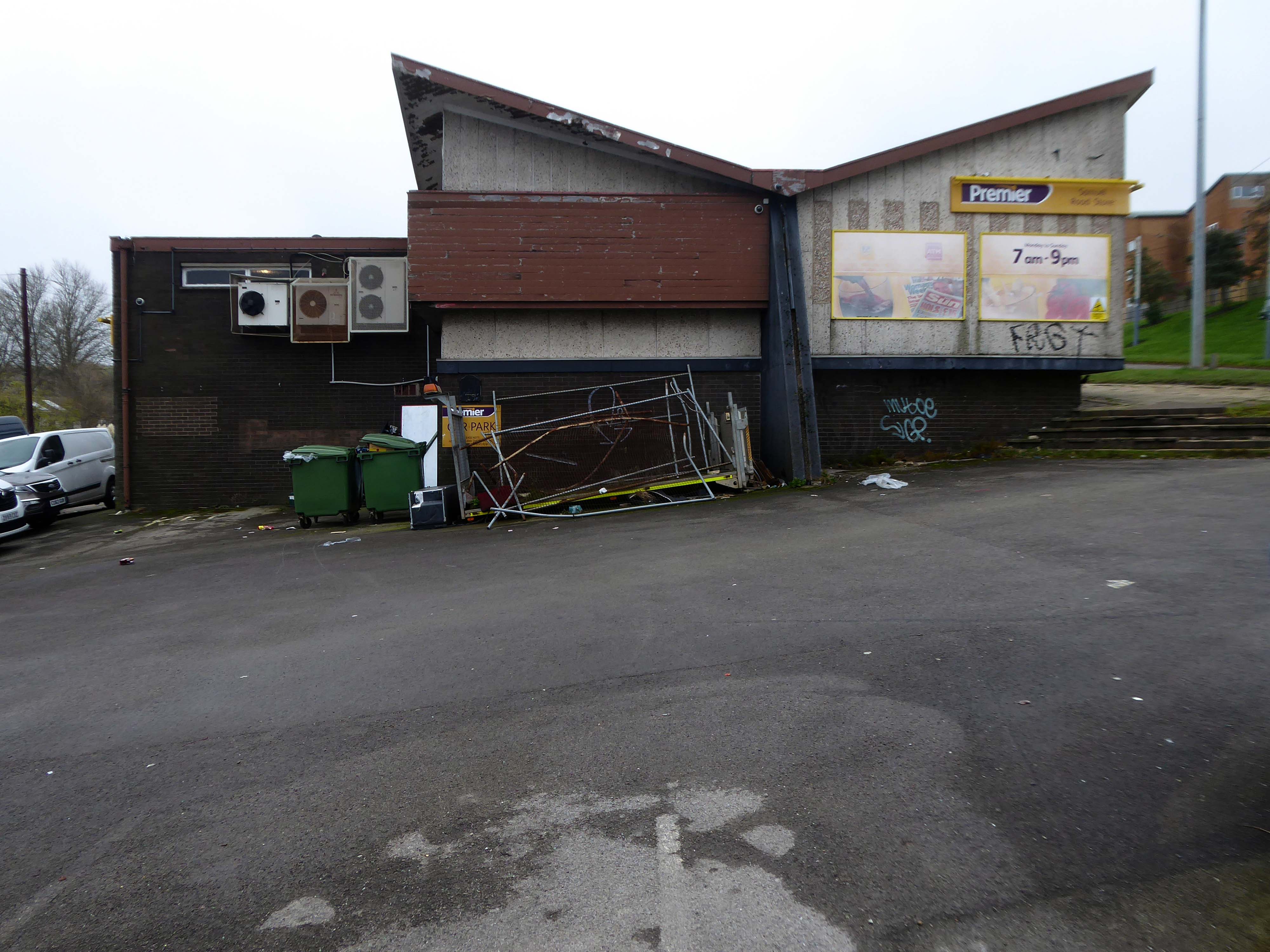
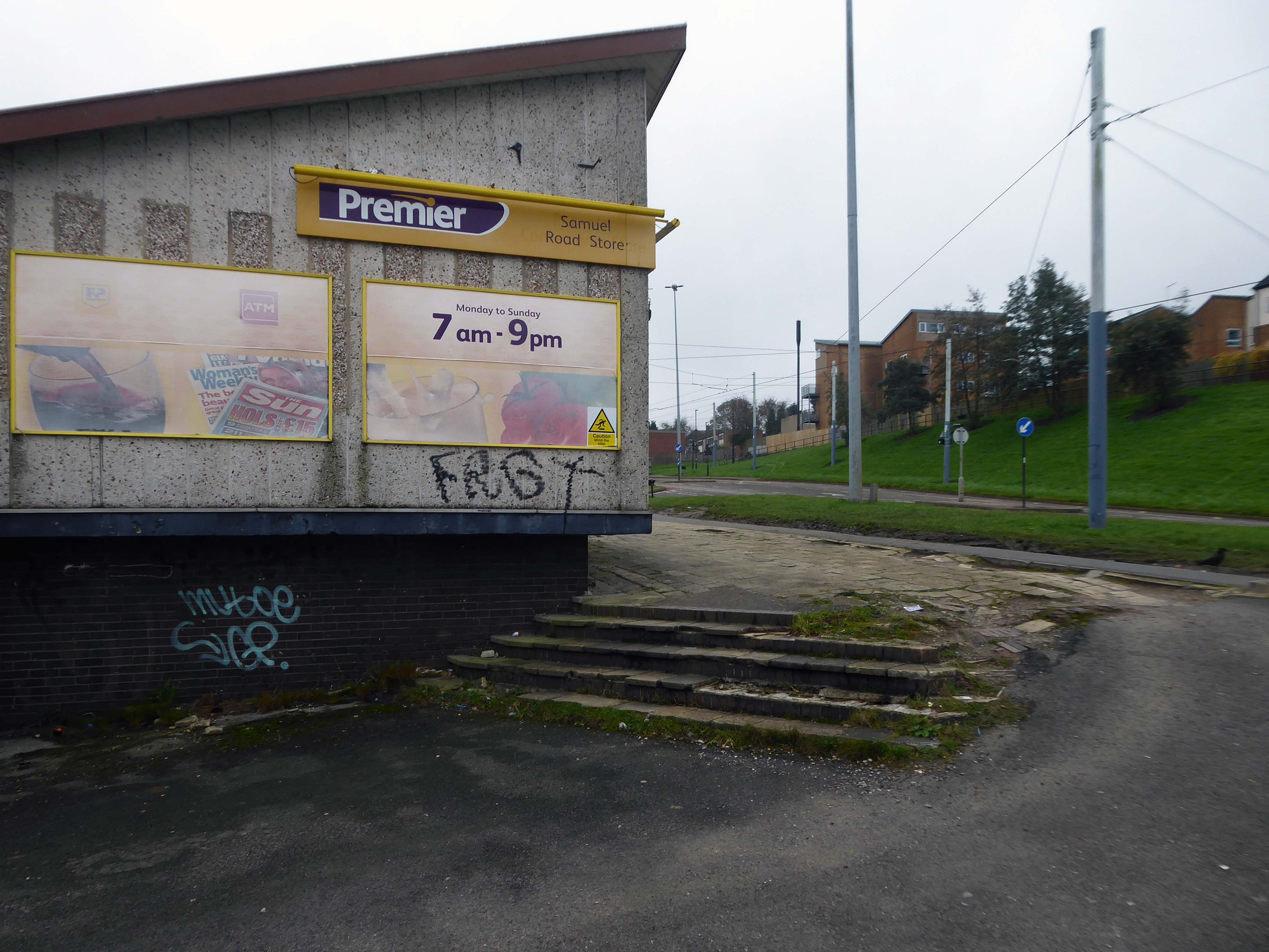
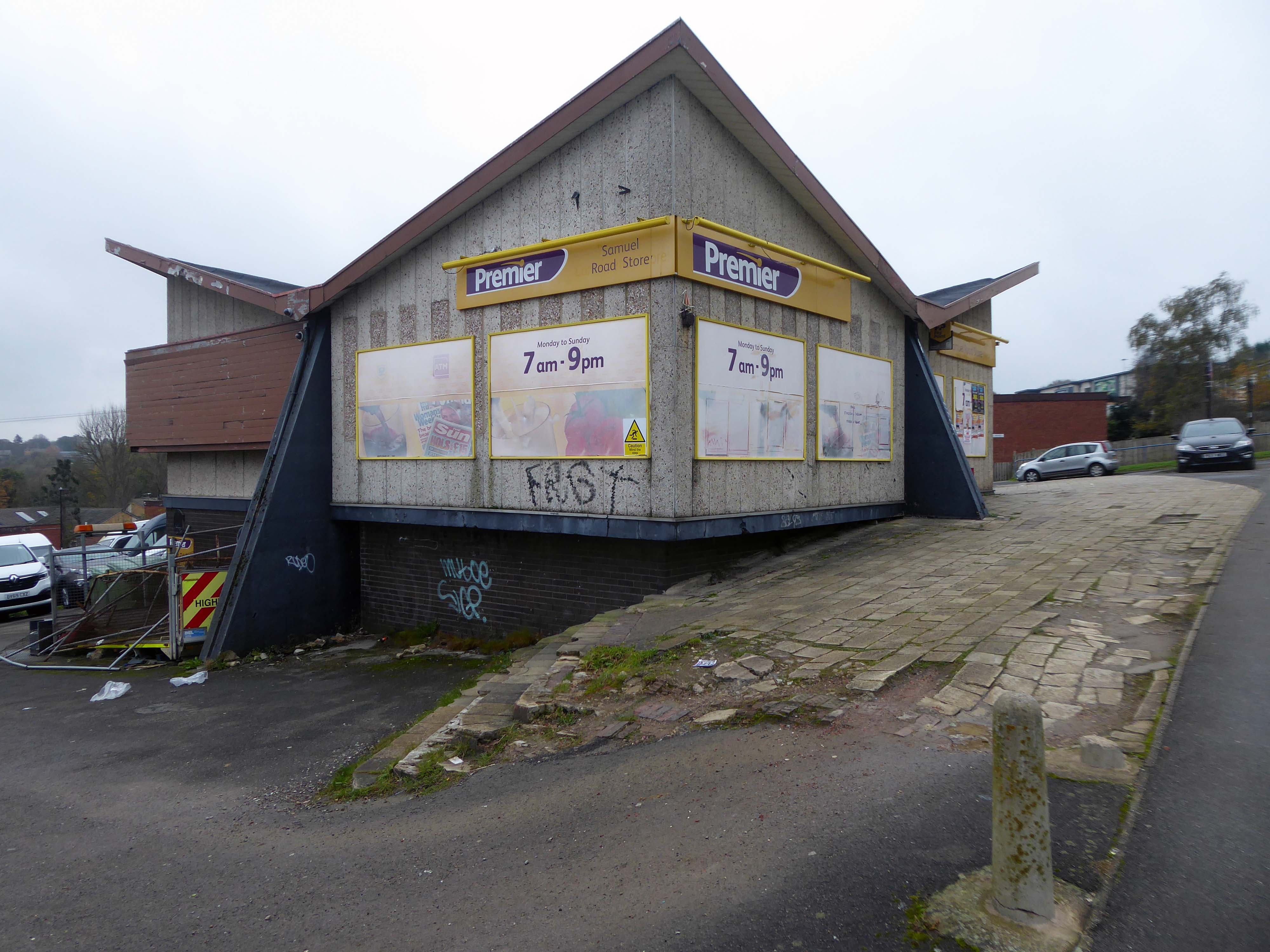
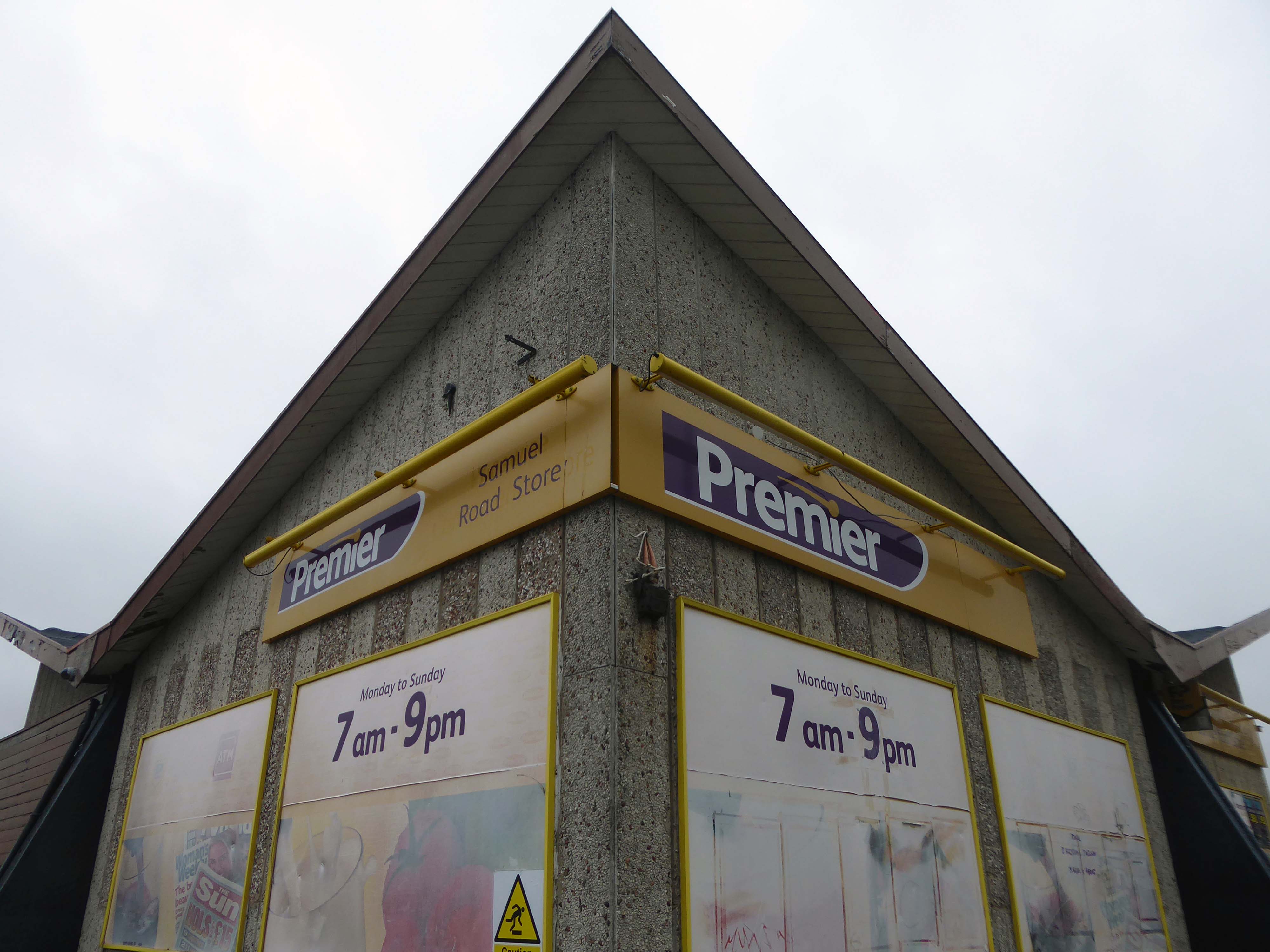
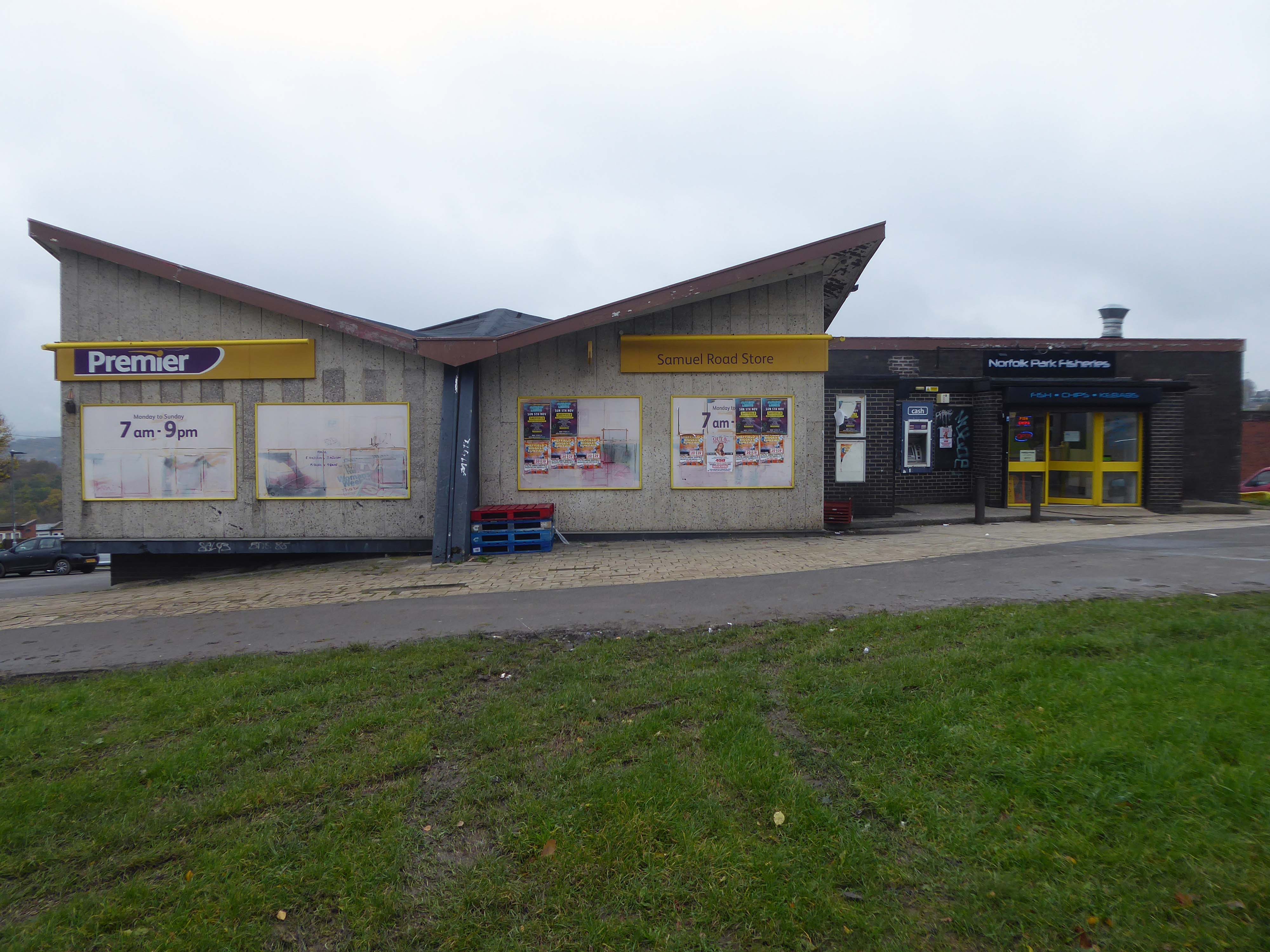
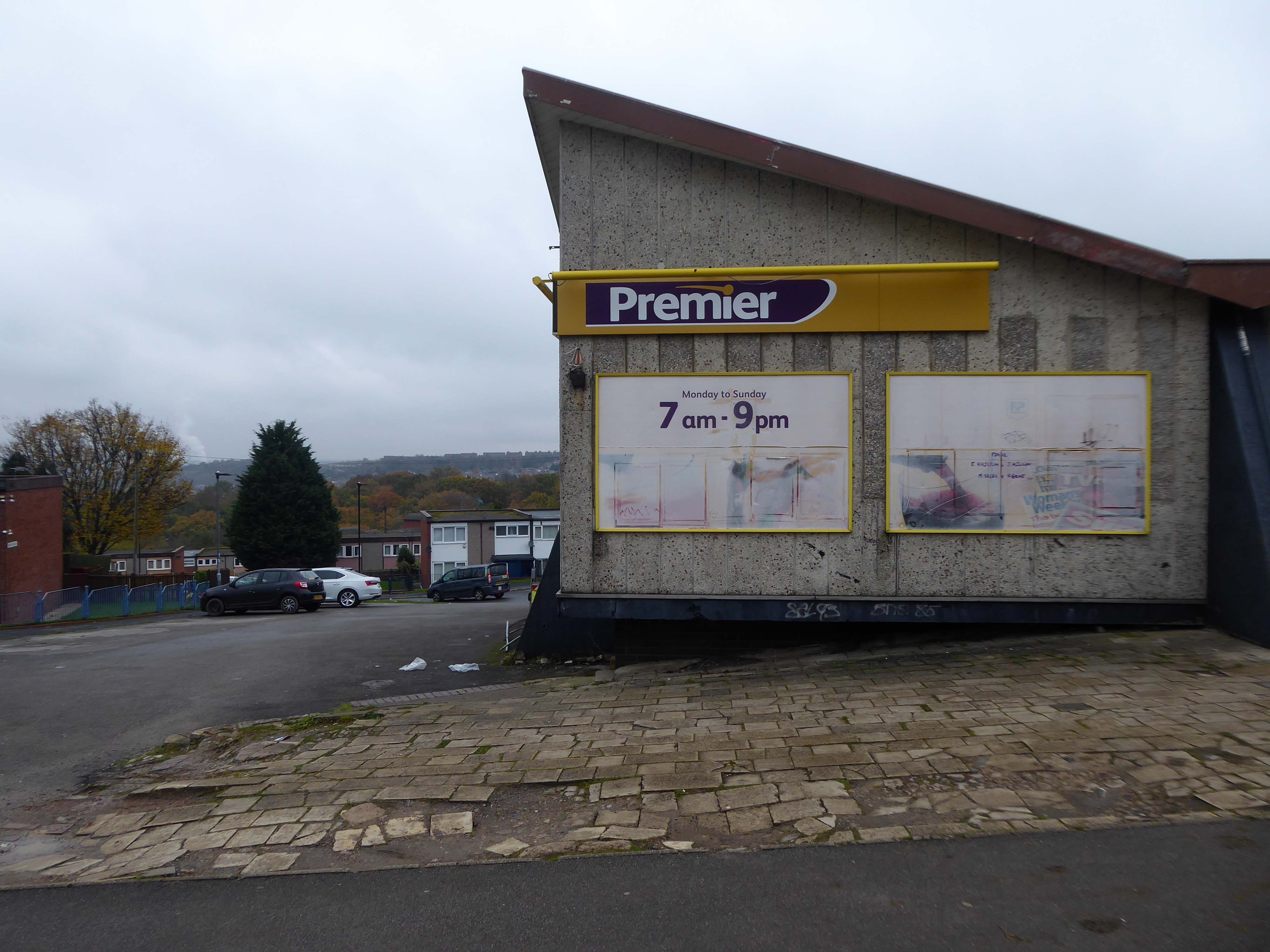
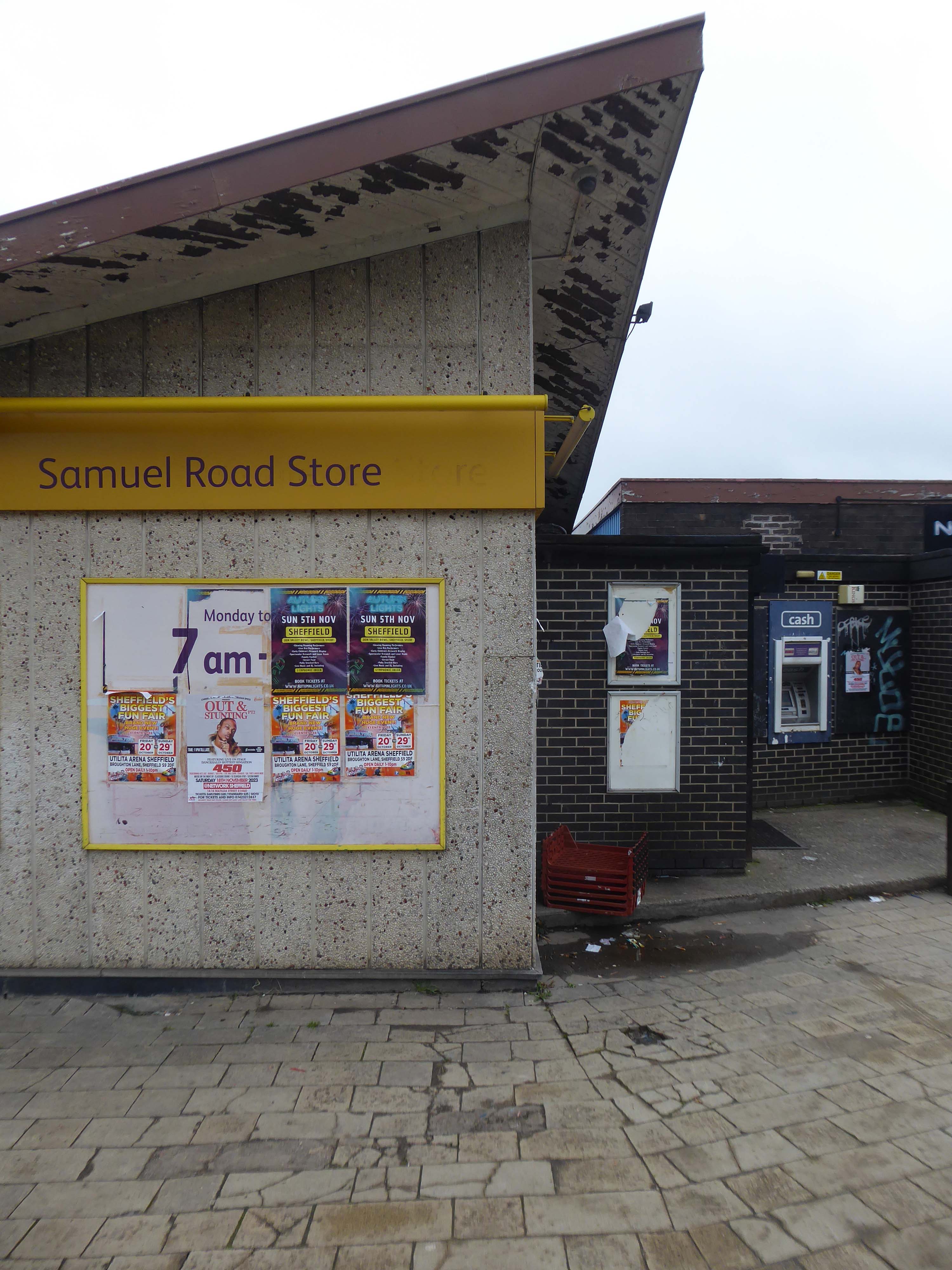
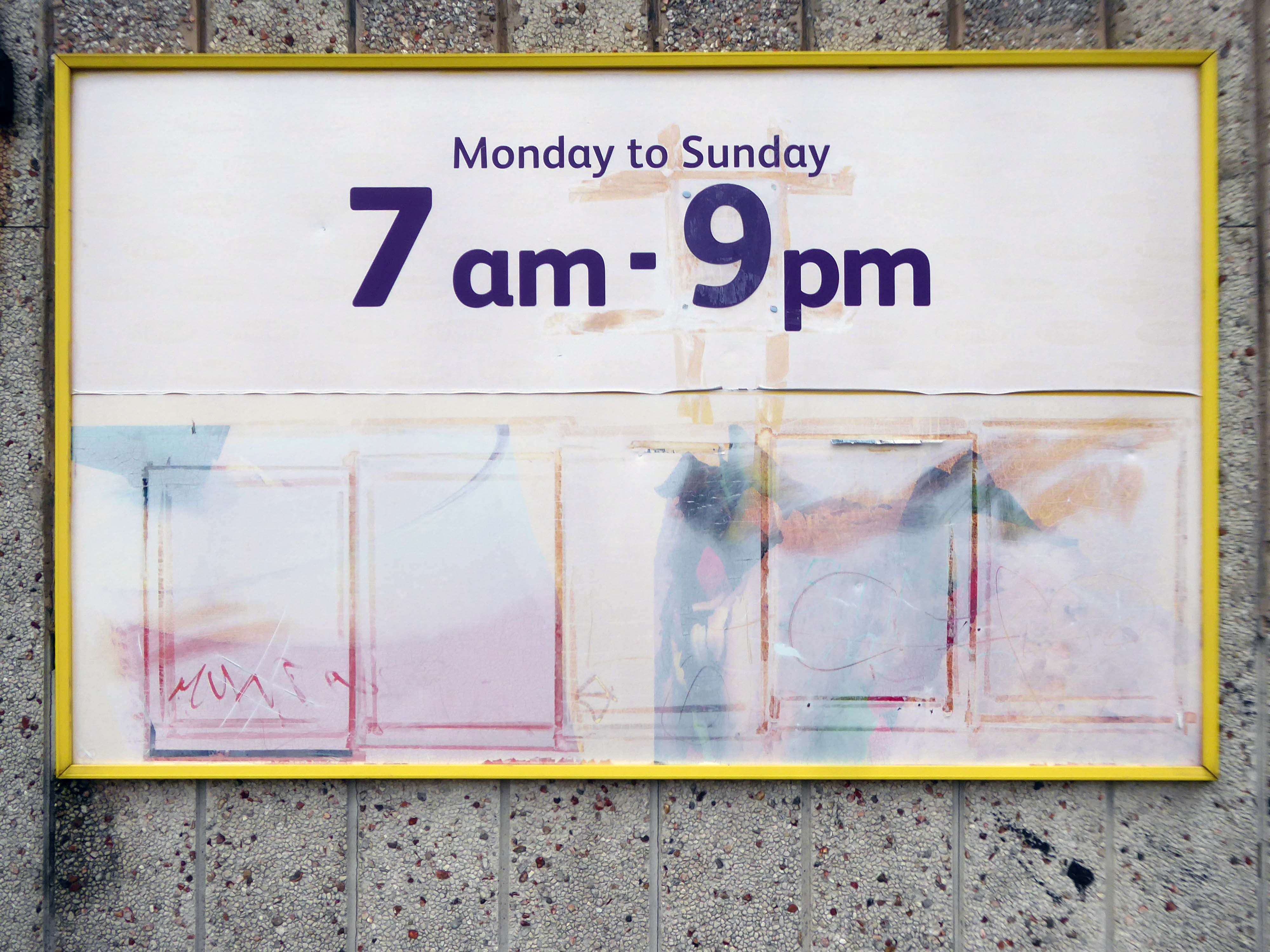
1 Samuel Rd Sheffield S2 3UA
I jumped the tram at Sheffield Station and headed out to Arbourthorne.

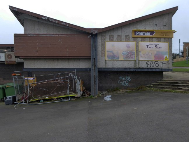
Looking for a pub that is no longer a pub, it closed in 2007 – it’s now a convenience store and chippy.
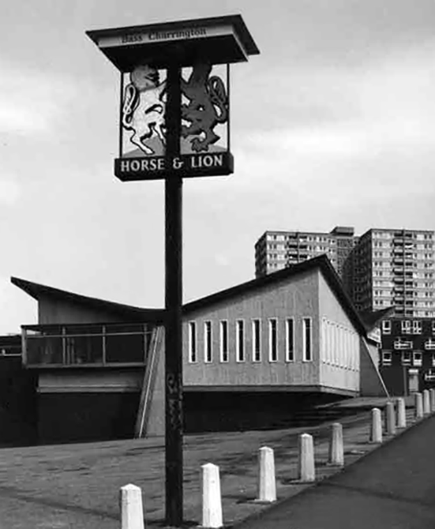
It was once the star of an Arctic Monkey’s promo video When the Sun Goes Down at 1’21”.
It has become a print by Johnathan Wilkinson.
Oh how I loved this place my family drunk in here for years and years, I remember waiting outside on a weekend with a packet of crisps and a glass of coke, waiting for them to come out. I think it was the first place I had my first legal drink, loved the place hate to go past now and see it as a Premier. Anyone seen Dave and Ann lately once upon a time landlord and landlady, does anyone know how they are doing?
Sunday afternoons karaoke and everyone sat outside in the summer – oh the memories.
I used to Drink in there around 1975/76, it was OK in those days, a local wrestler used to drink in there, his name was Alan Kilby, I saw him fight on TV a few times.

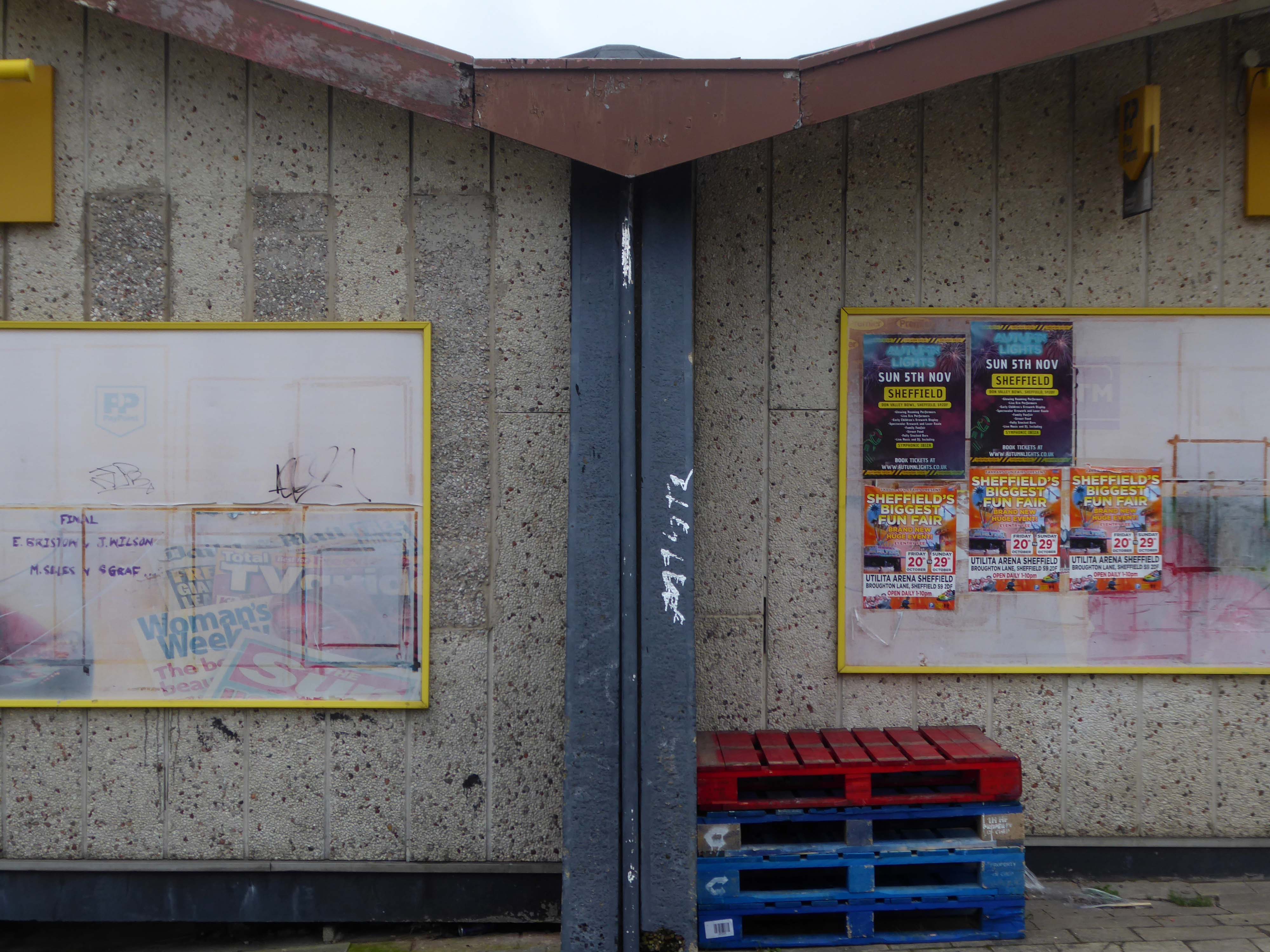
The former pub’s striking roof is still striking – sadly the last orders bell stopped striking long, long ago.
The shop was busy and the chips from the chippy were just the job on a cold damp November day.
Changes in the demographics of the area, social trends and the general economic malaise, have ensured that many estate pubs are no longer able to thrive and prosper.
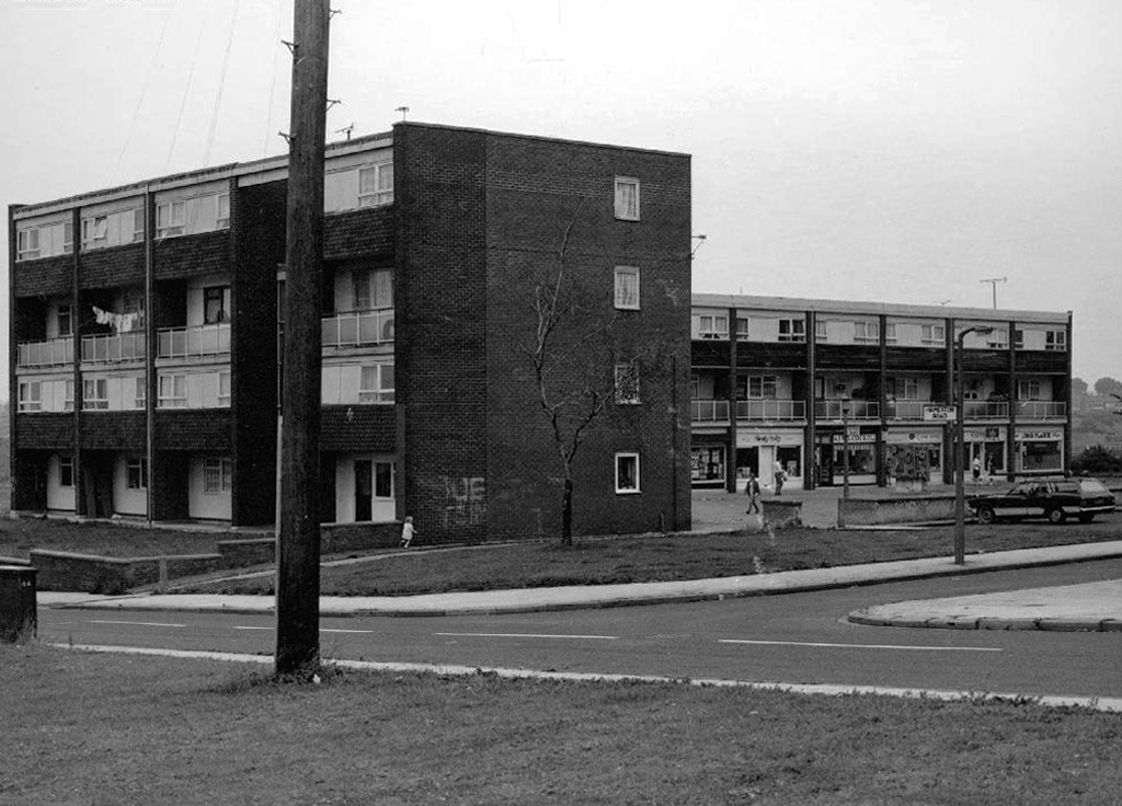
Finally and puzzlingly.


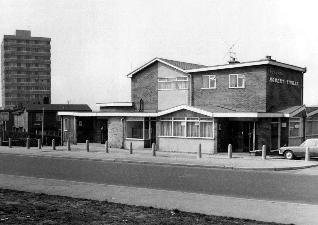
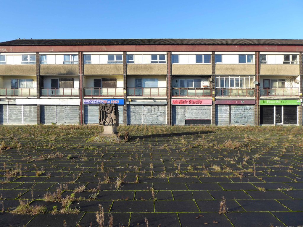
Here we were in 2016 – the last gasp of businesses on the square.
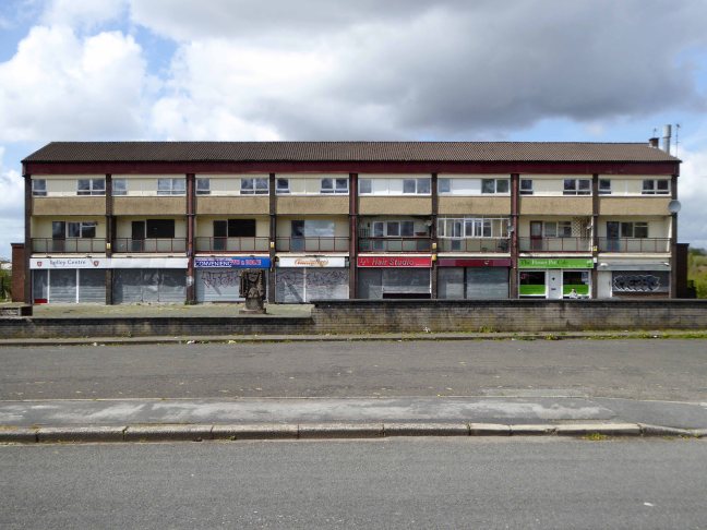
A hangover from the optimism of a long lost decade.
Returning in 2018 to find the shops all shut
In 2019 the grass now fills up the cracks.
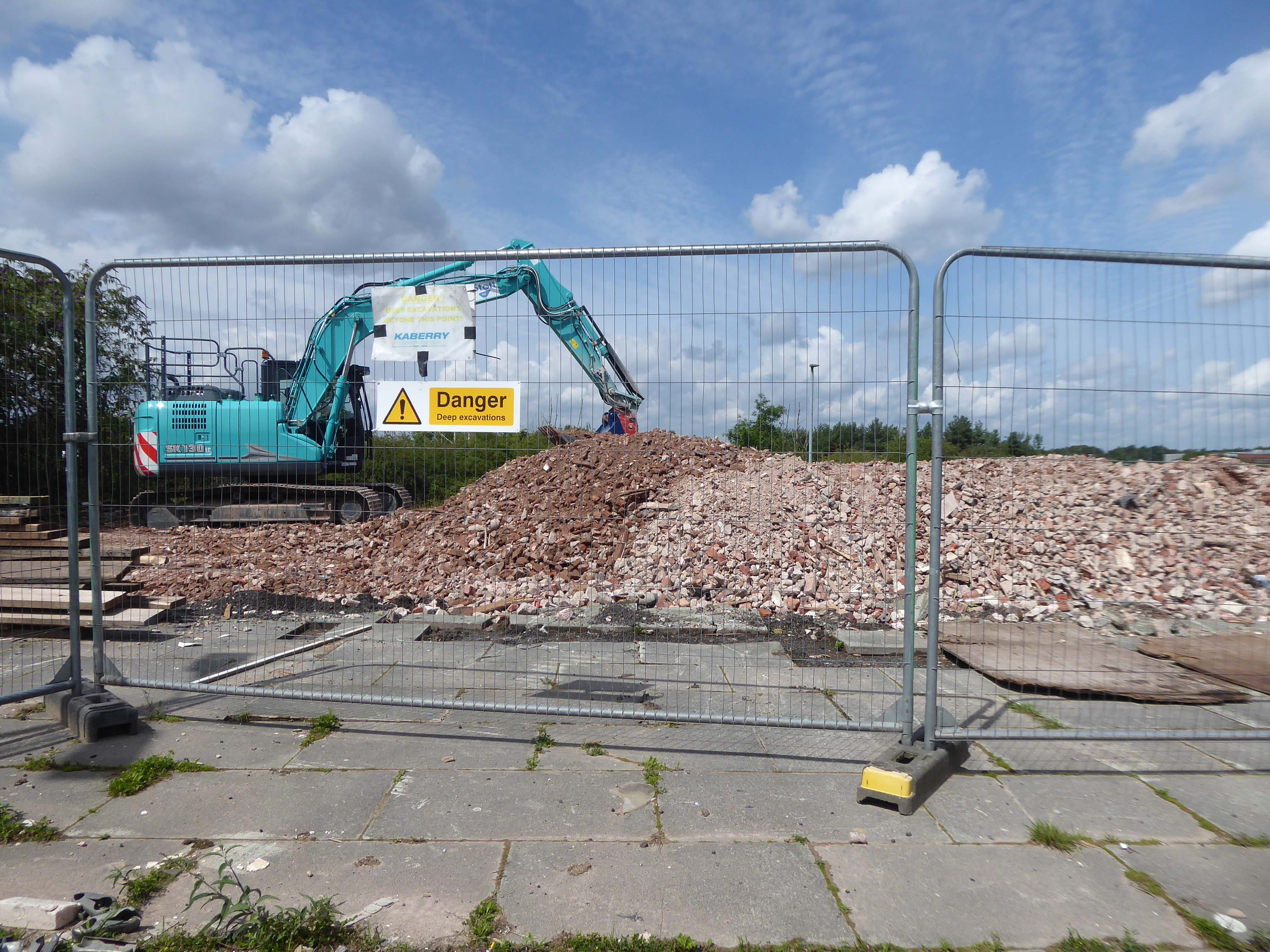
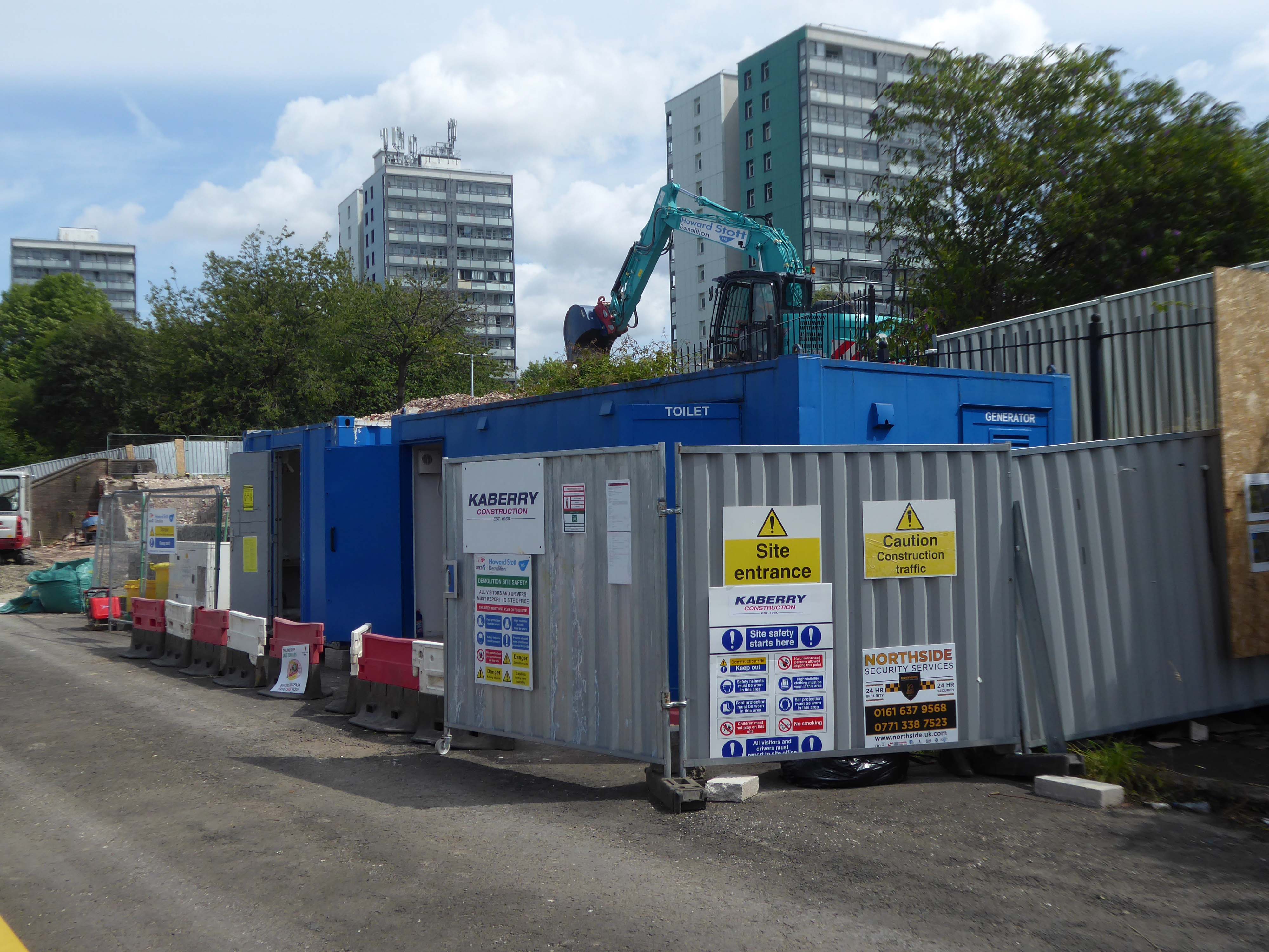
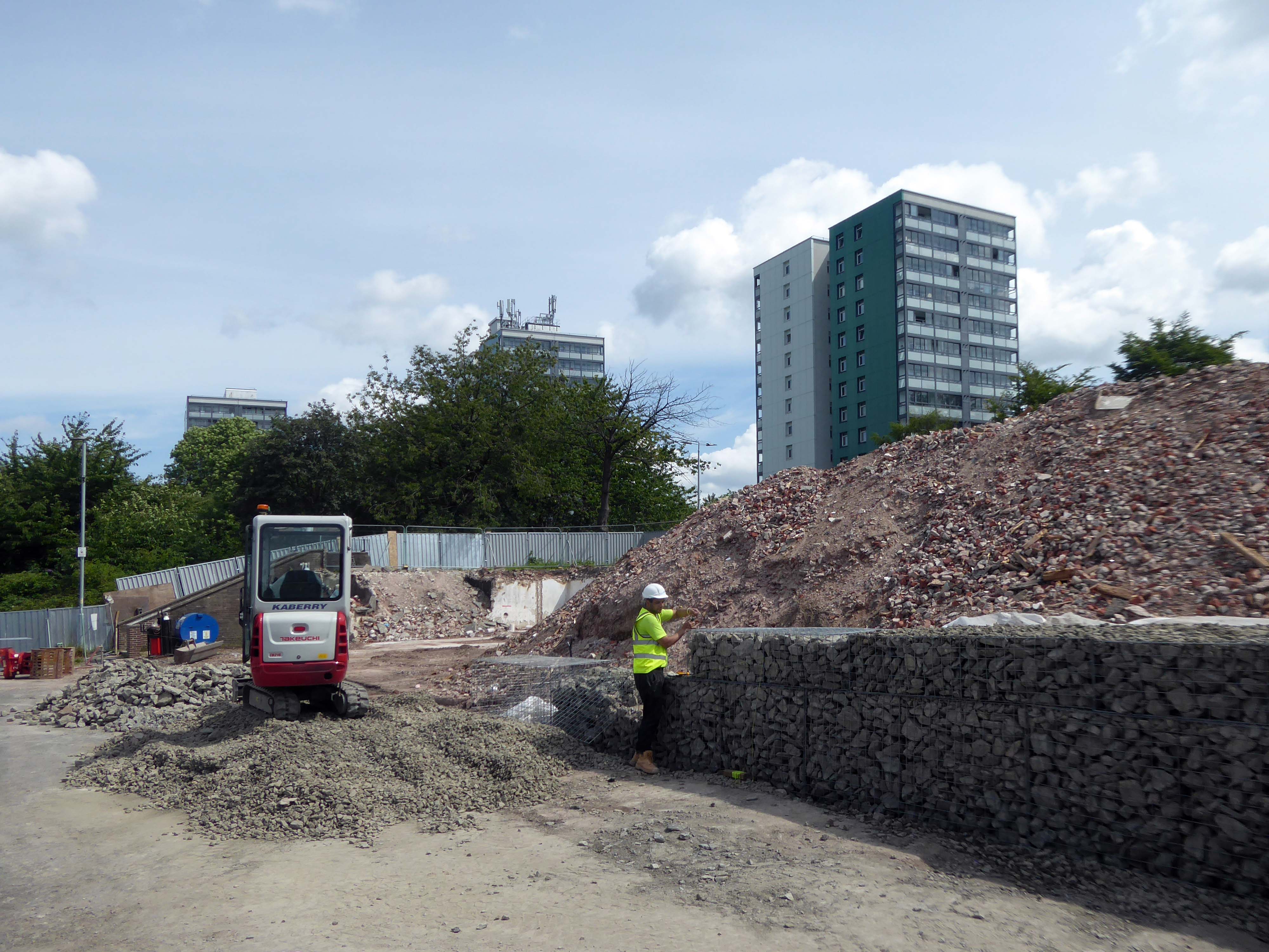
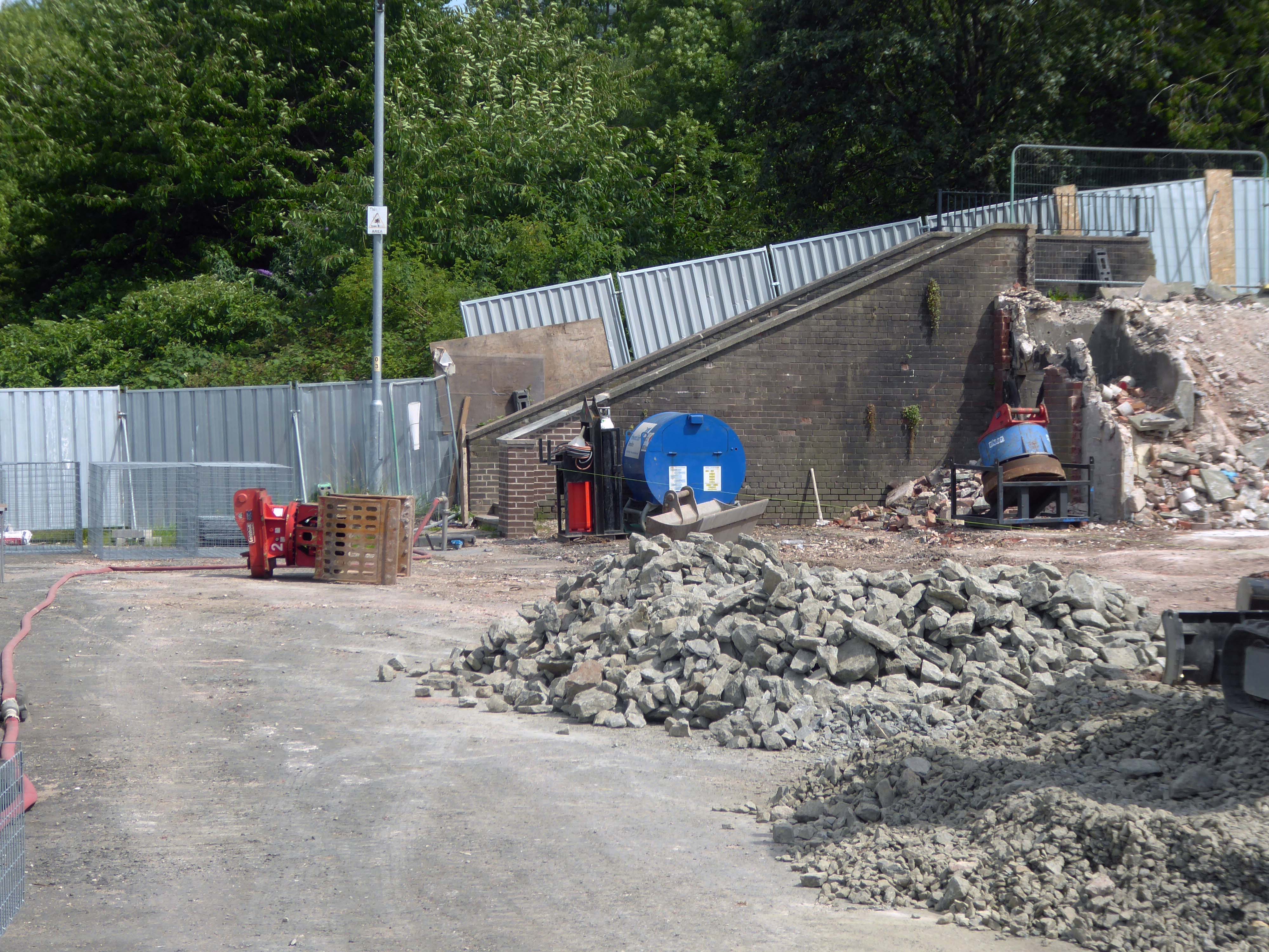
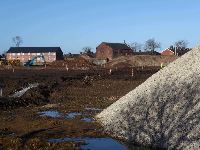
April 2023 and the shops and homes are being prepared for demolition.
The company responsible for the demolition also dropped the Robert Tinker, on nearby Dalton Street.
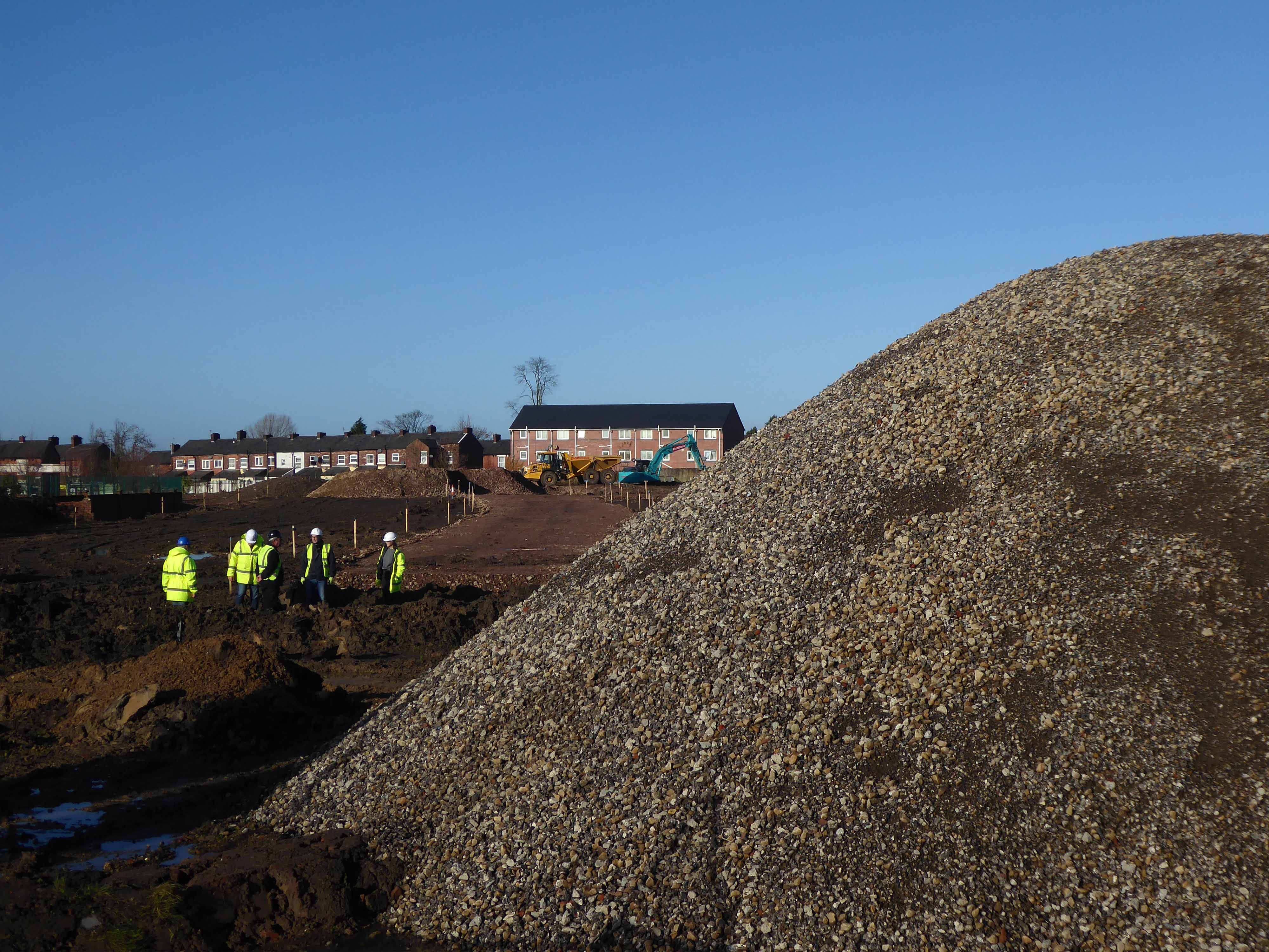
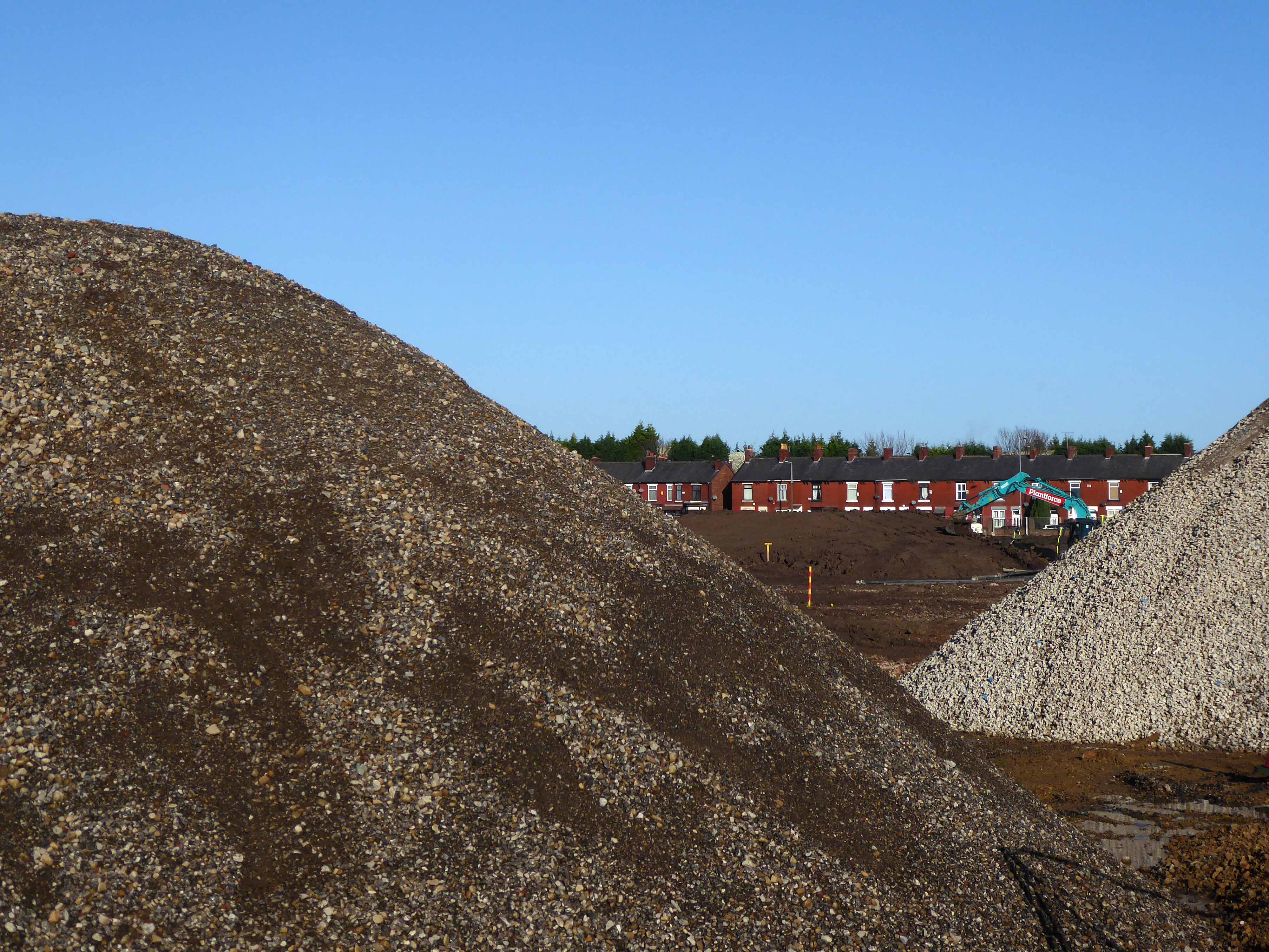
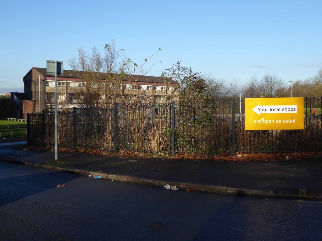
While it is not yet clear exactly what will replace the shopping parade, work has already started nearby on other projects within the scheme. The first phase of development in Collyhurst will see 274 new homes built in the area.
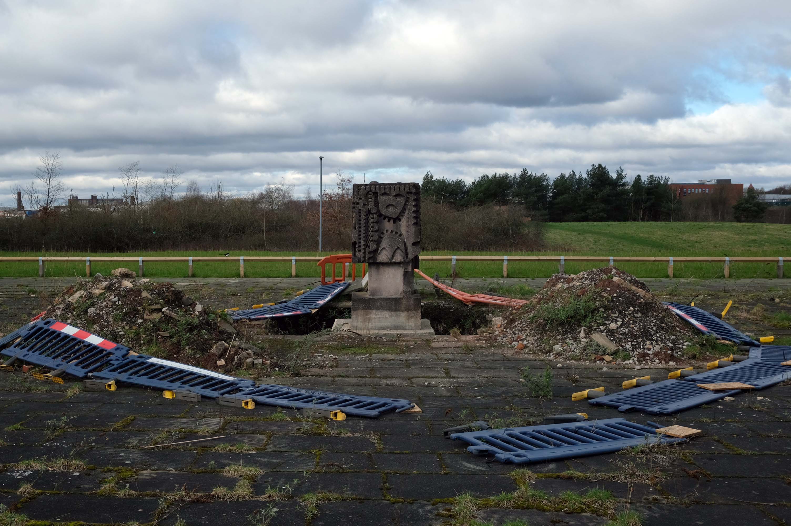
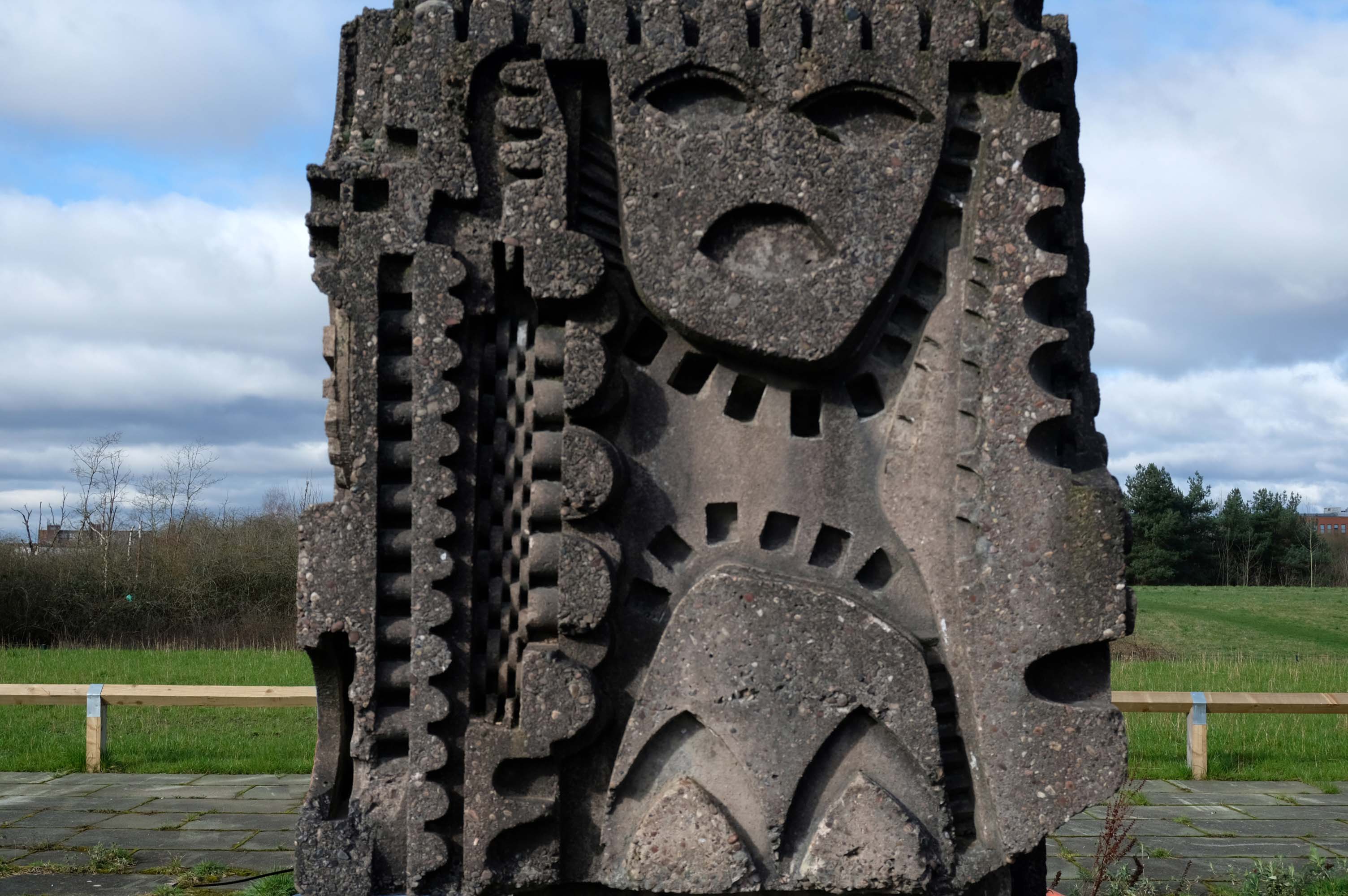
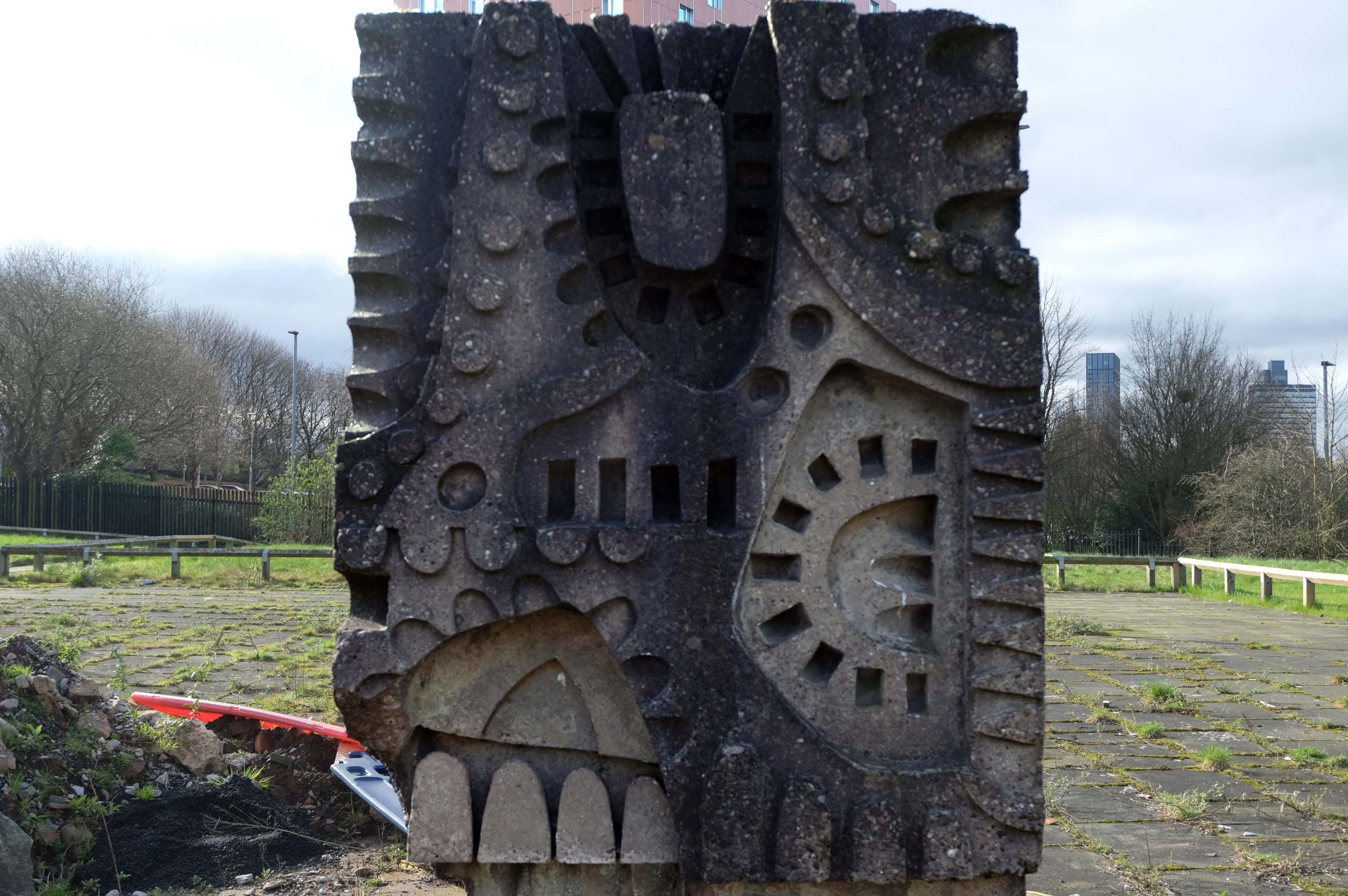
The council has pledged to reinstate the William Mitchell totem nearby.
However the weight of the concrete sculpture and its base have presented unforeseen challenges.
Siting a crane above the Victorian rail tunnel is an issue, as is the cost, a quote for £100,000 was deemed excessive. So stasis is the order the day – the immovable object awaits an unstoppable force.

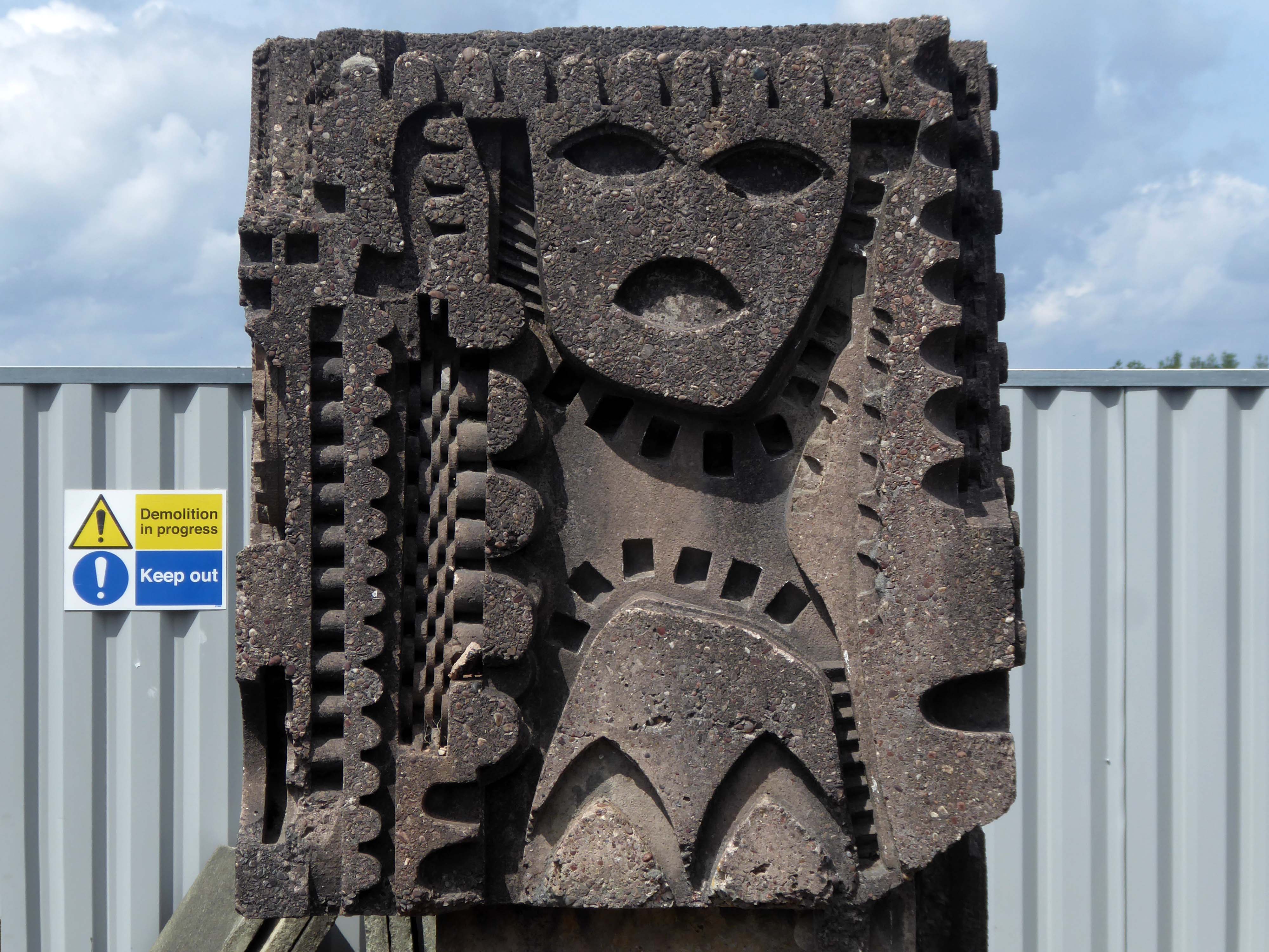
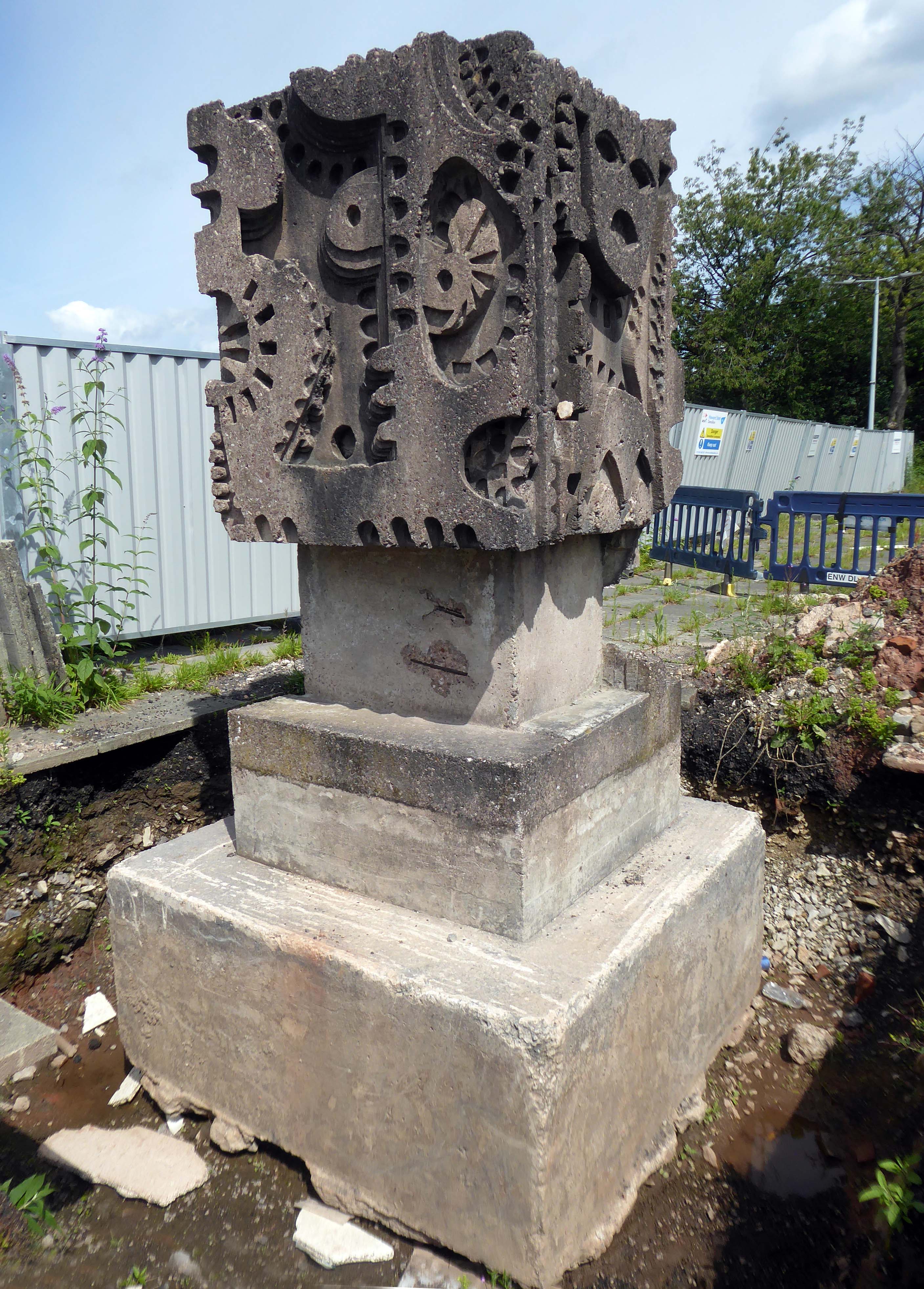
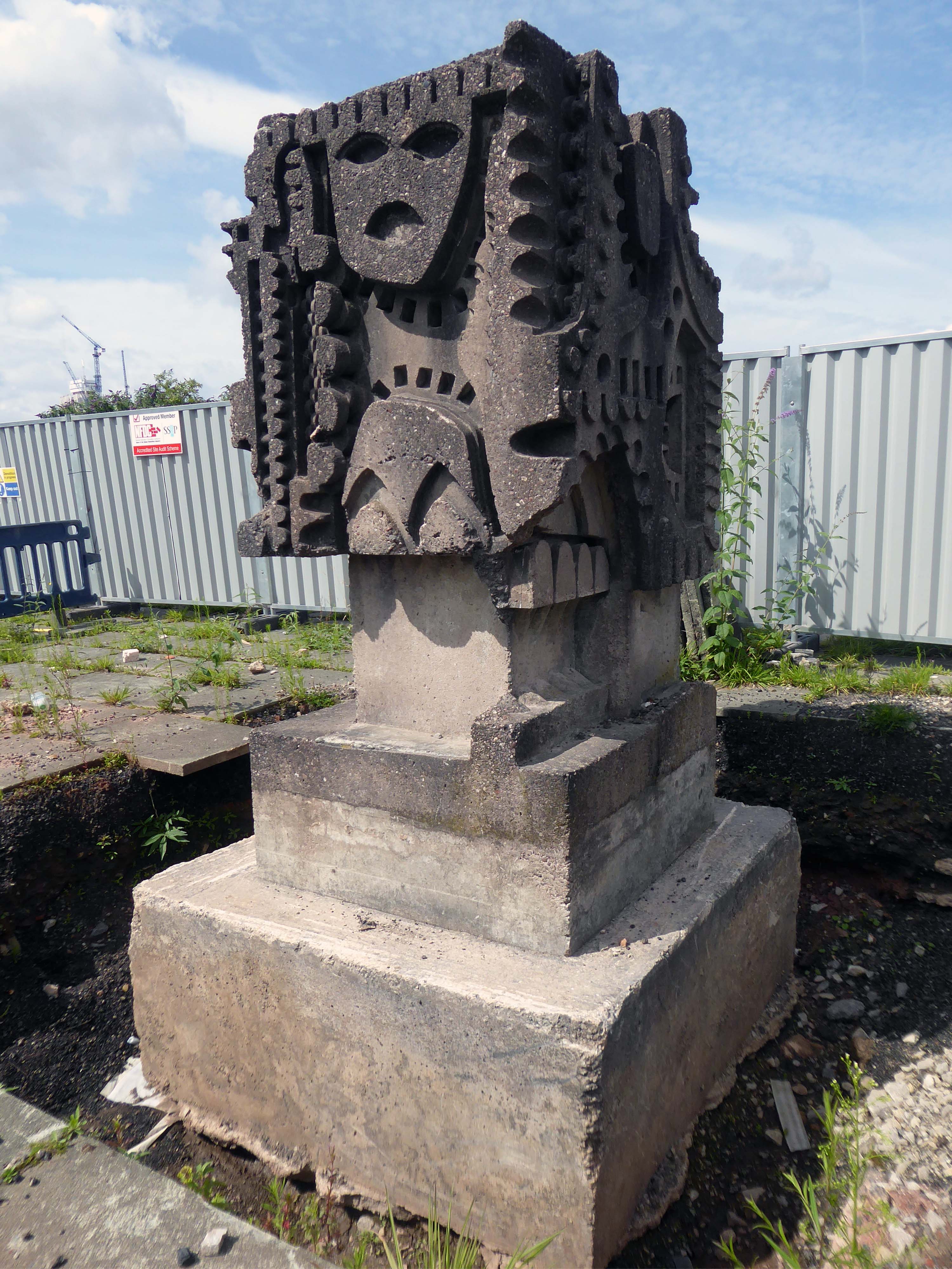
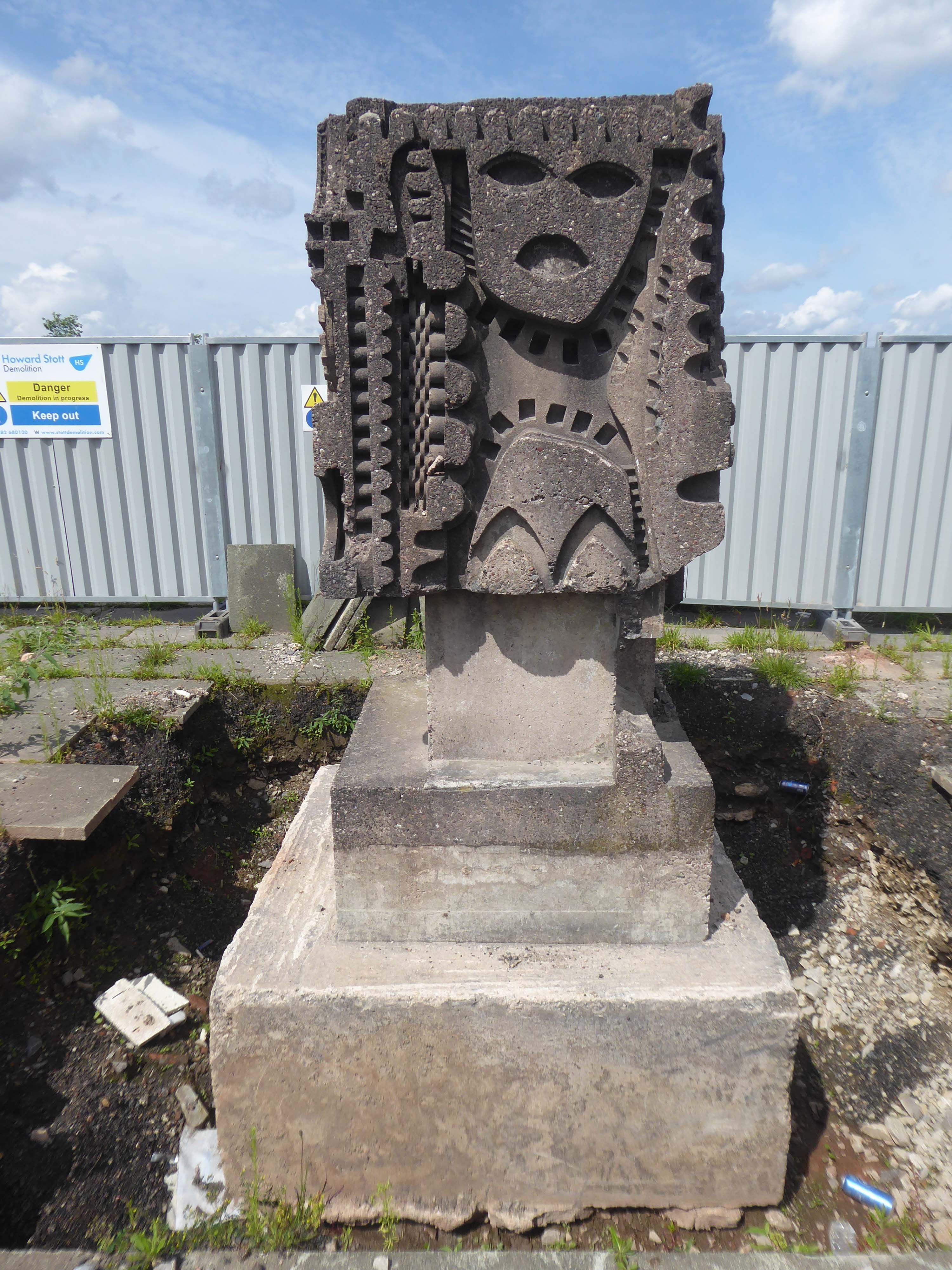
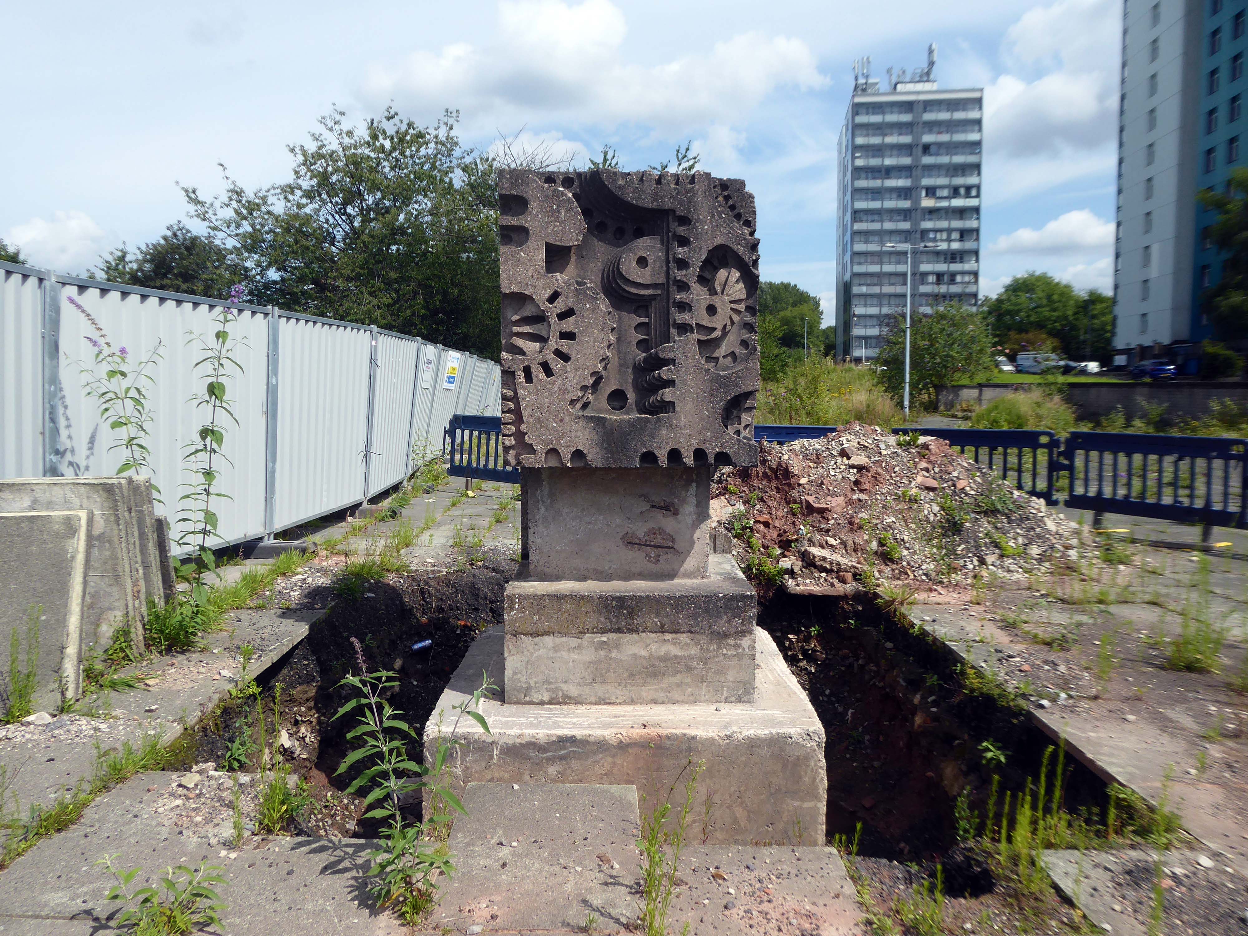
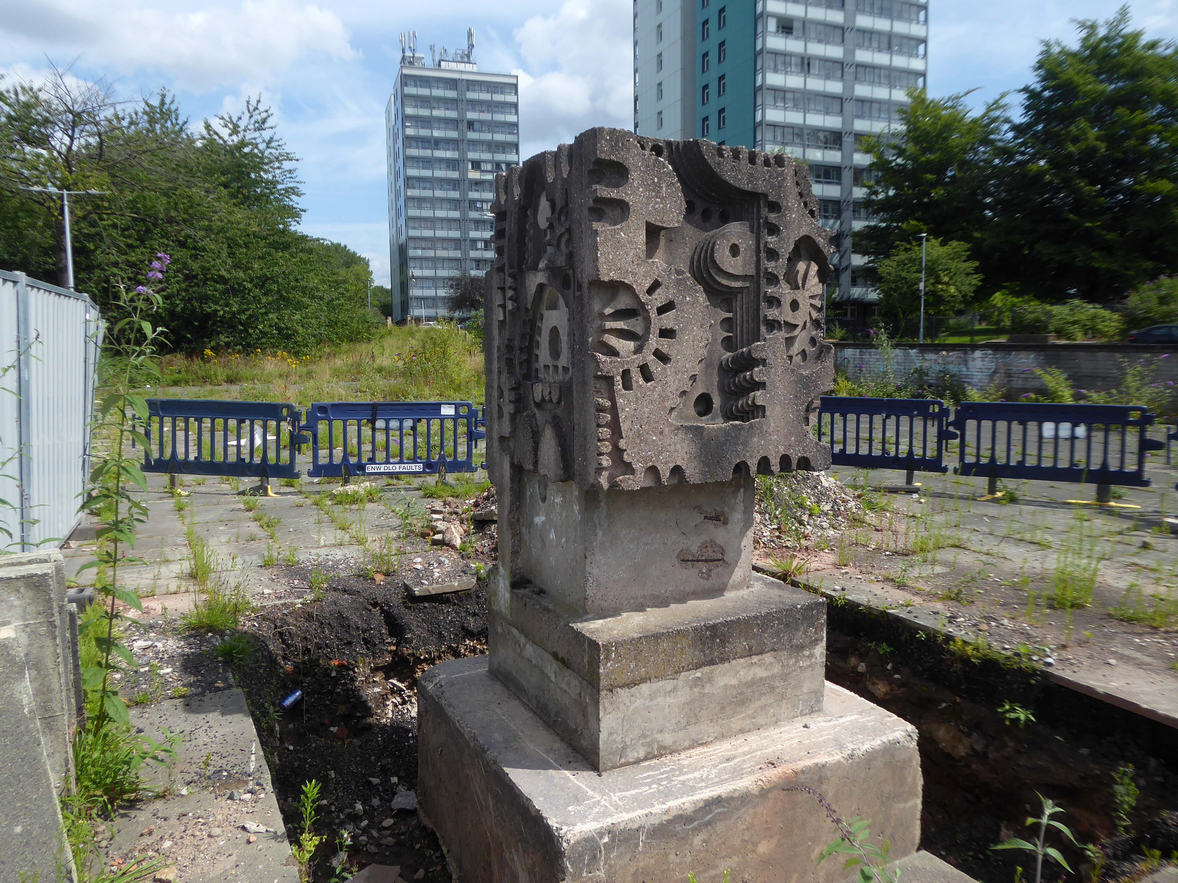
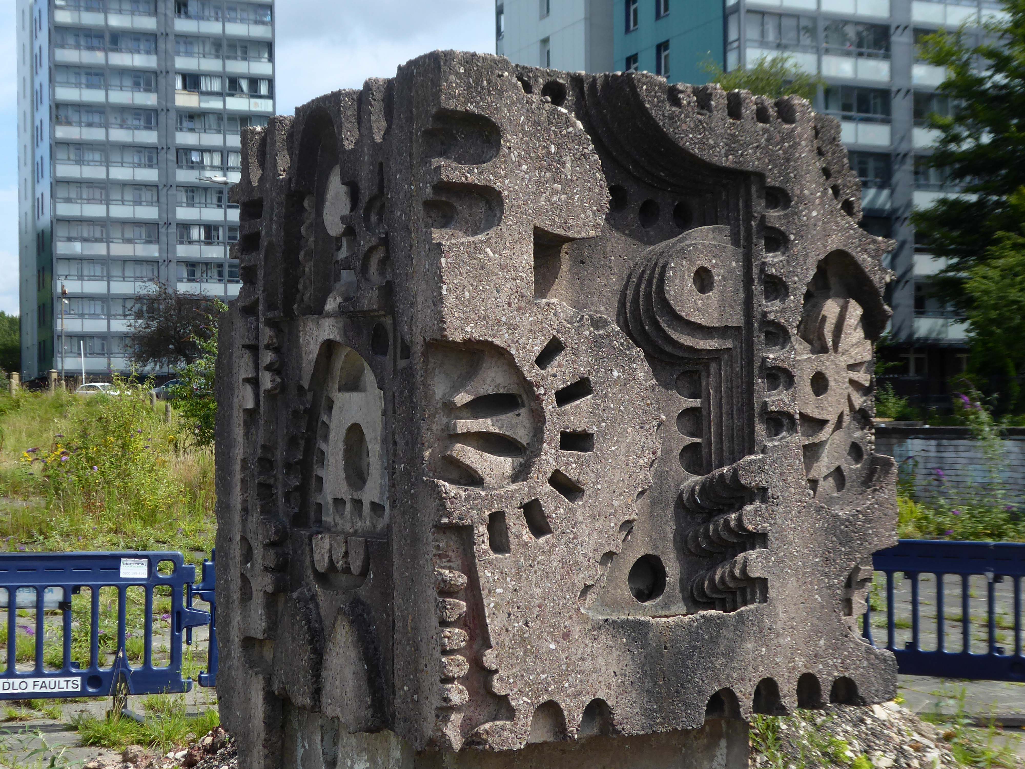
The sculpture is one of four around Manchester – the Hulme exemplar is long gone.
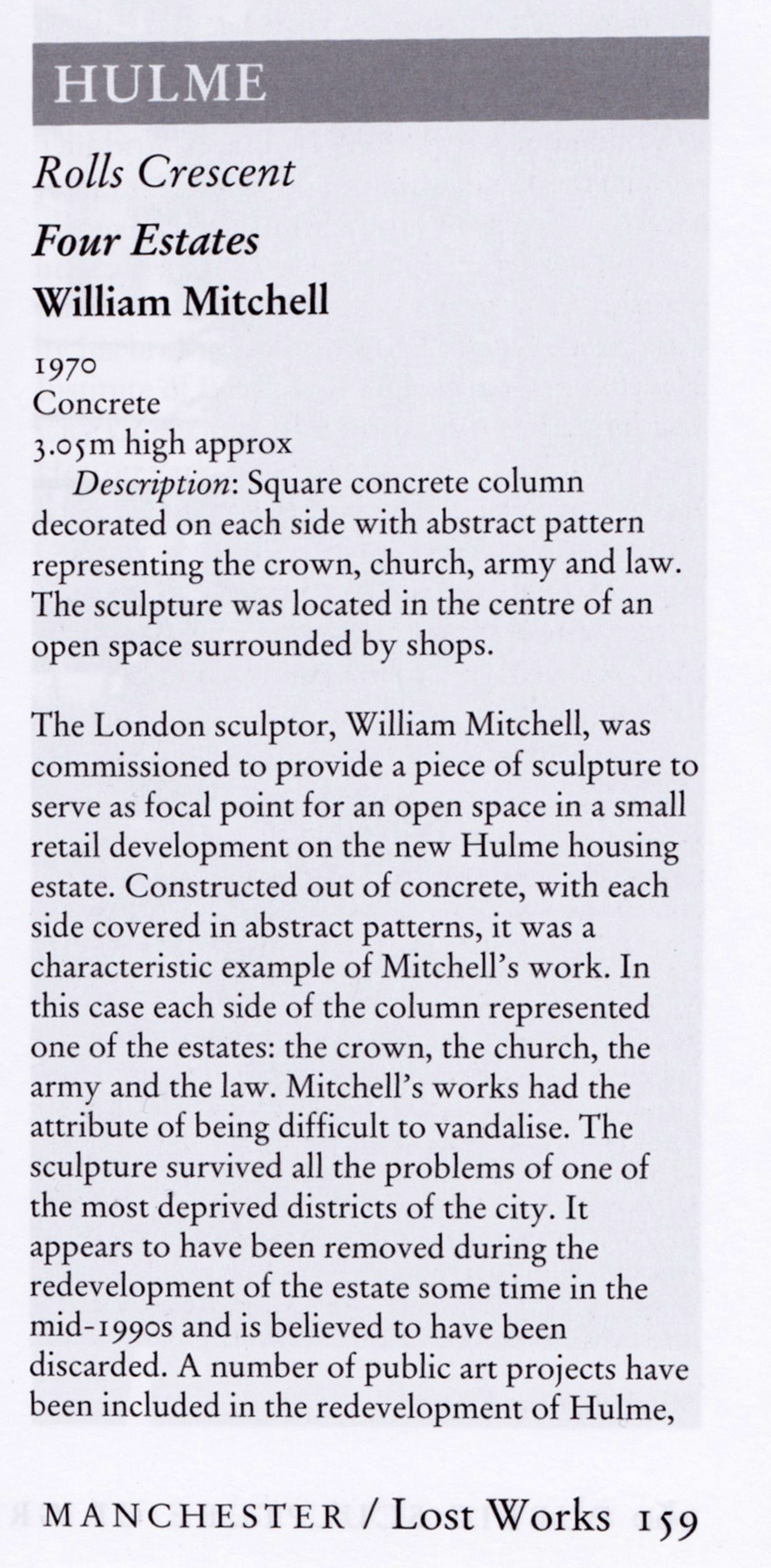
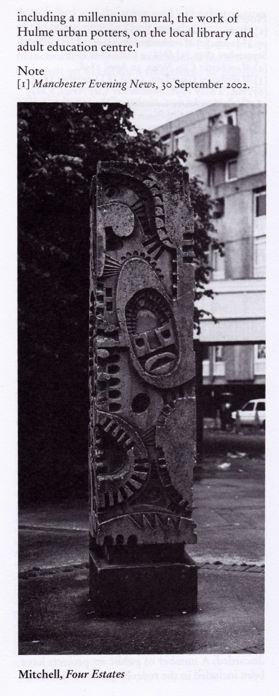
The Newton Heath and Platt Court totems are both still intact.
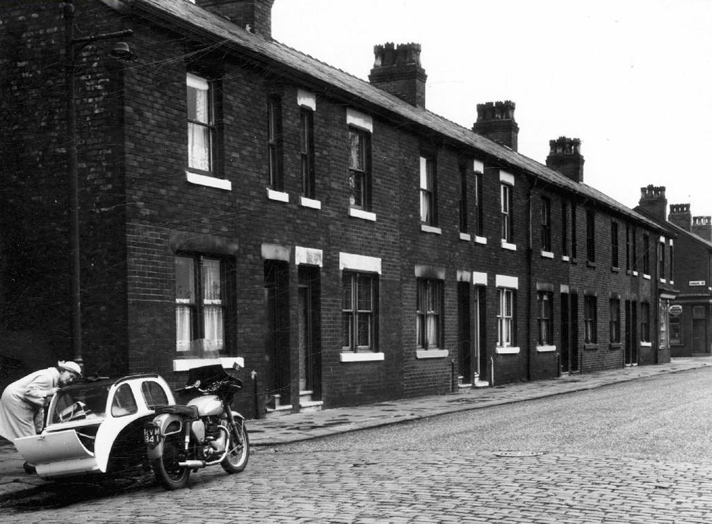
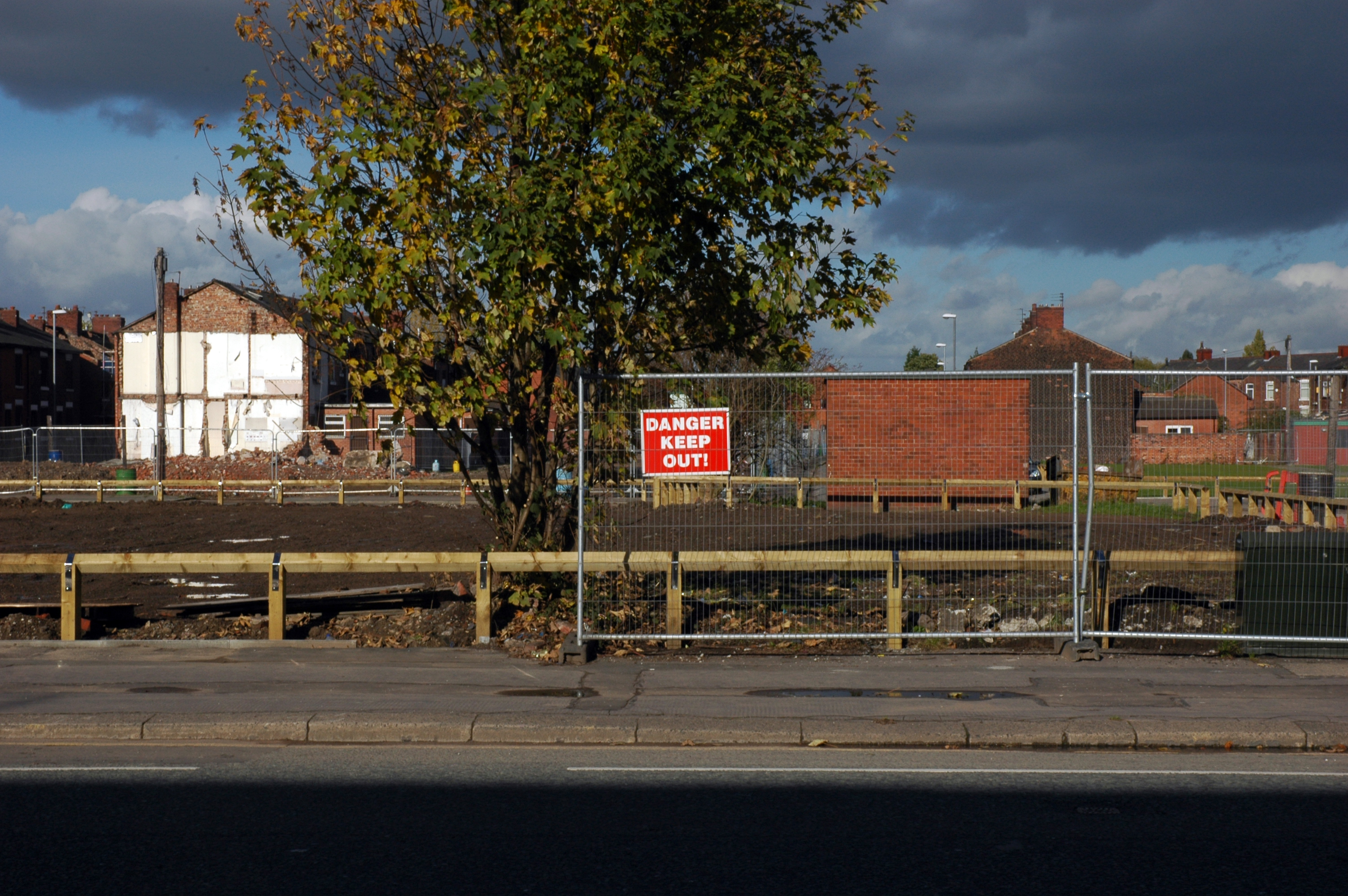
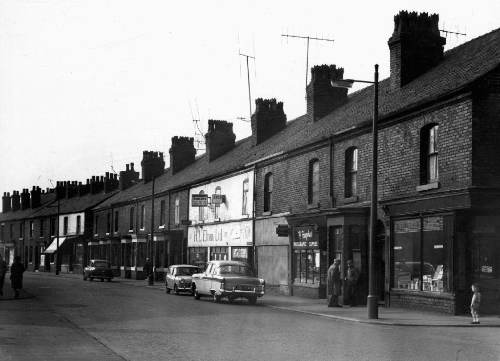
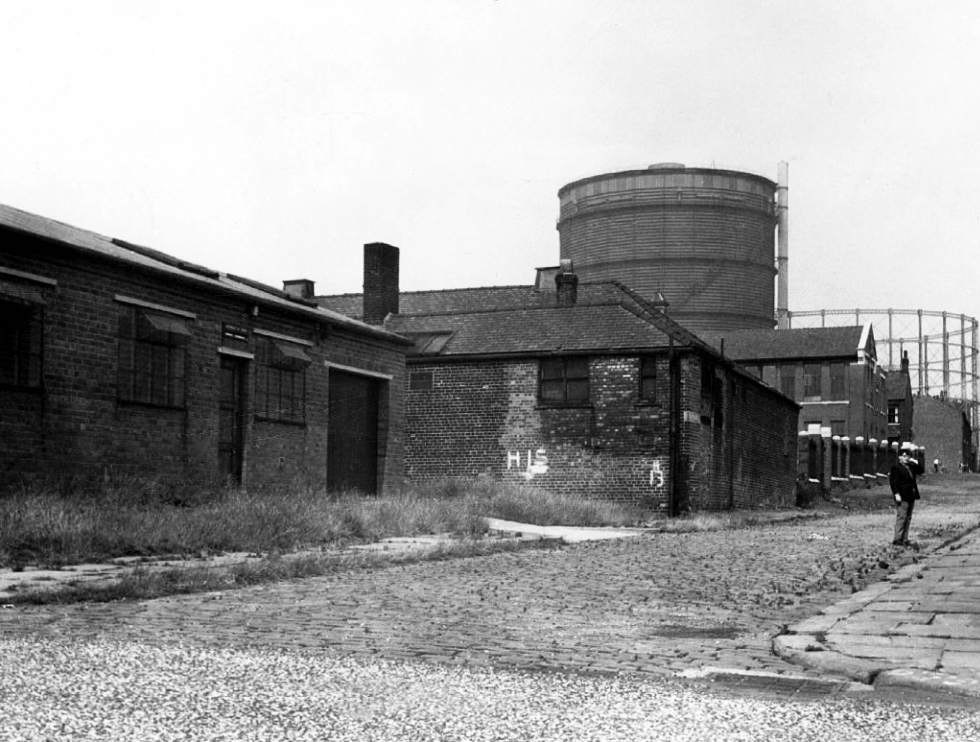
There’s been more than a few comings and goings along Ashton Old Road.
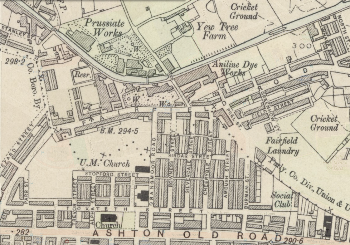
Where once there were fields, homes and industry arrive, as the Industrial Revolution is in full swing.
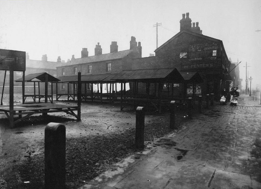
The streets to the north of Ashton Old Road are alive with shops, homes, people and prams.
Along with the occasional motor car.
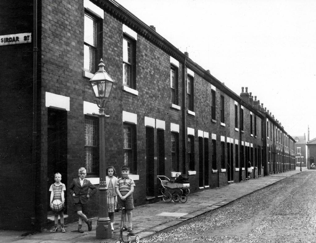
The Old Road boasted some fine busy boozers.
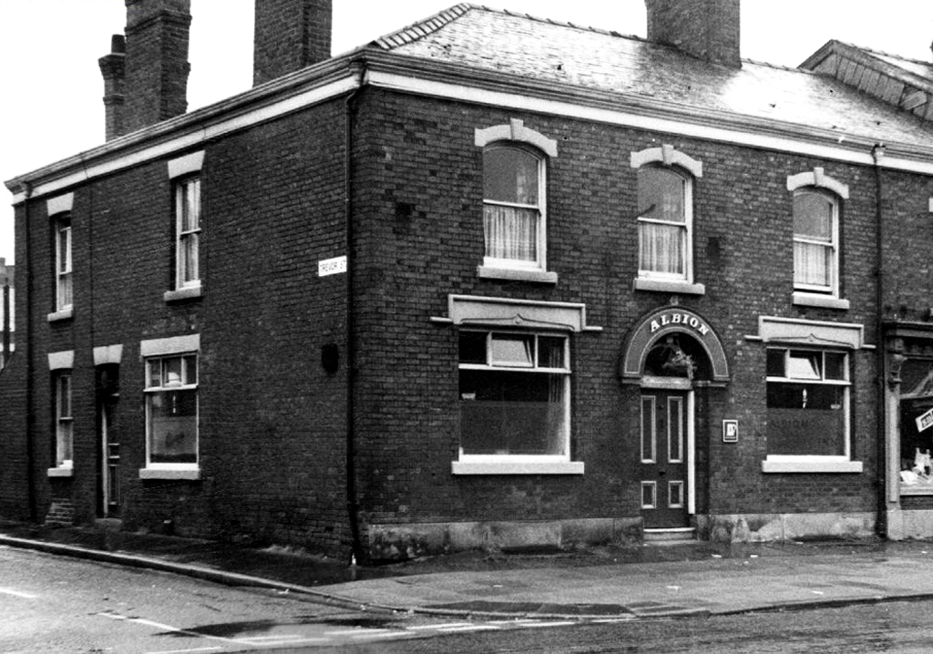
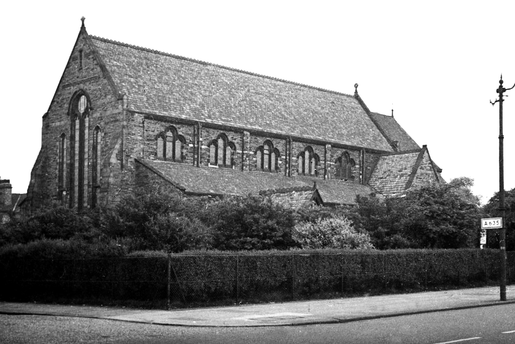
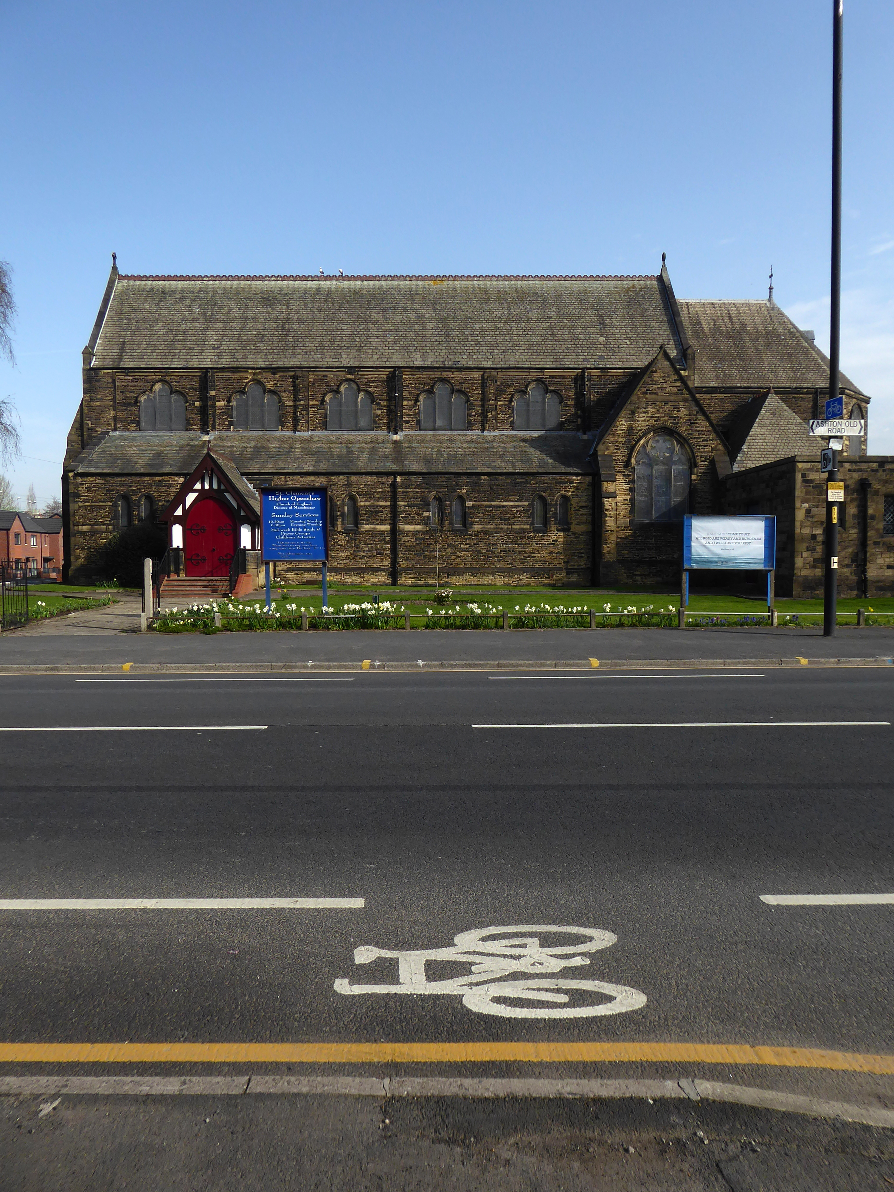
And a splendid church and school.
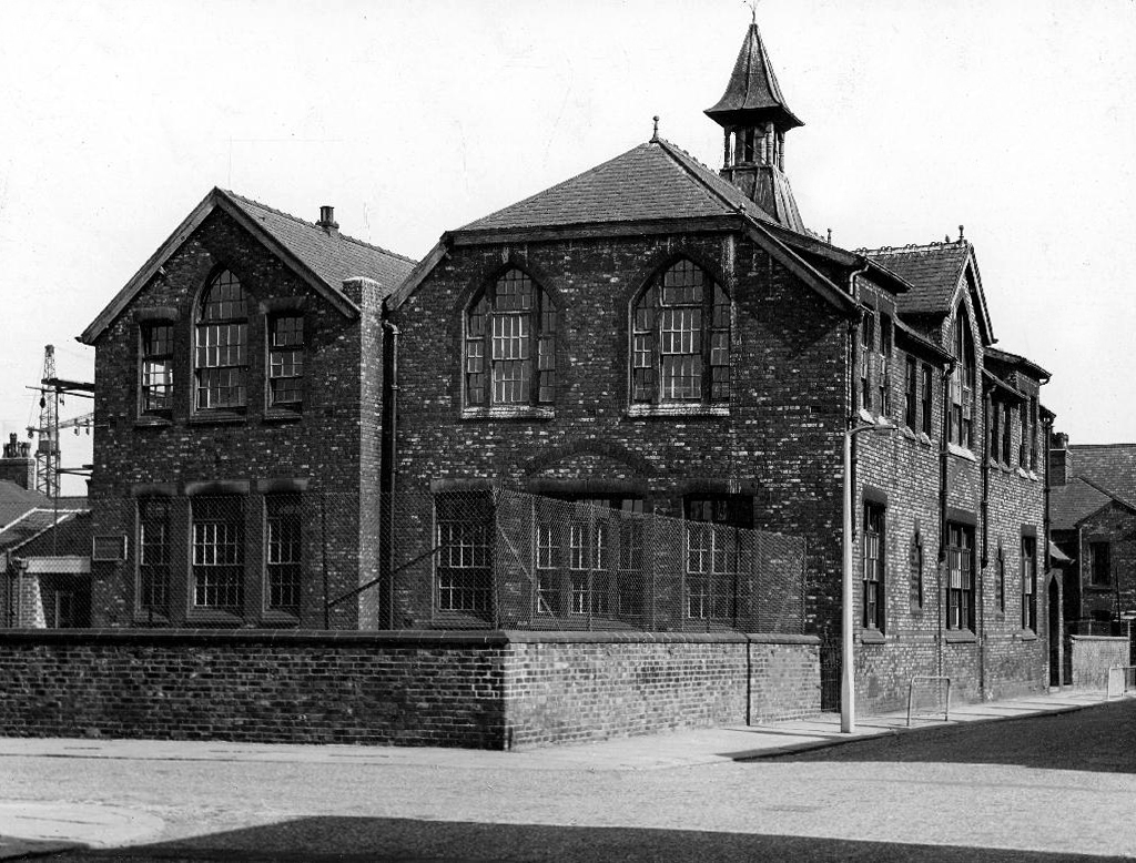
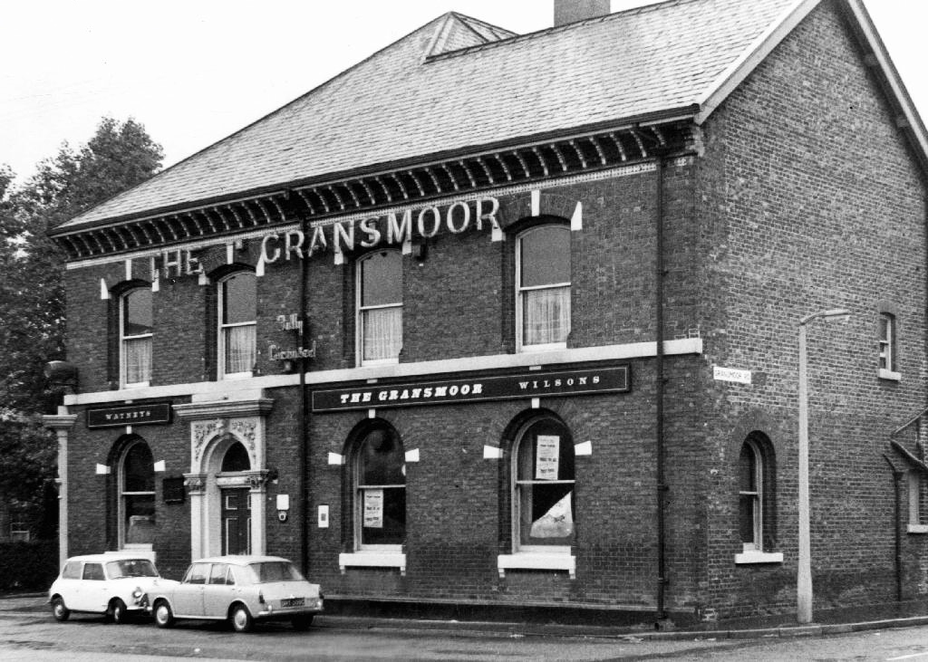
The man responsible for the majority of these archive photographs is Tommy Brooks of 56 Gransmoor Road.
He is my hero, a member go the Manchester Amateur Photographic Society, cycling the streets of Manchester to produce a unique record of life in the Sixties.
The Manchester Image Collection is awash with his work.

Chapeau Tommy!
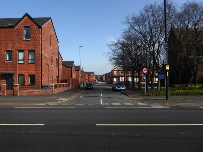
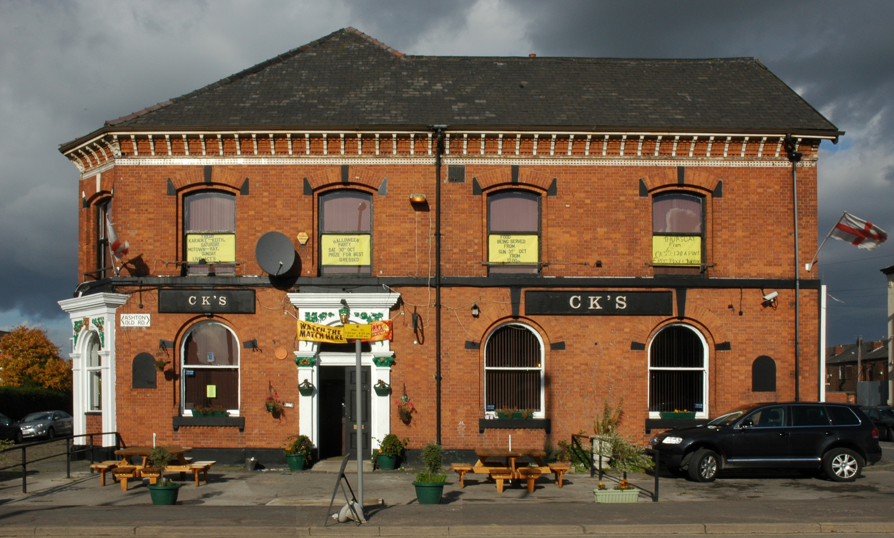
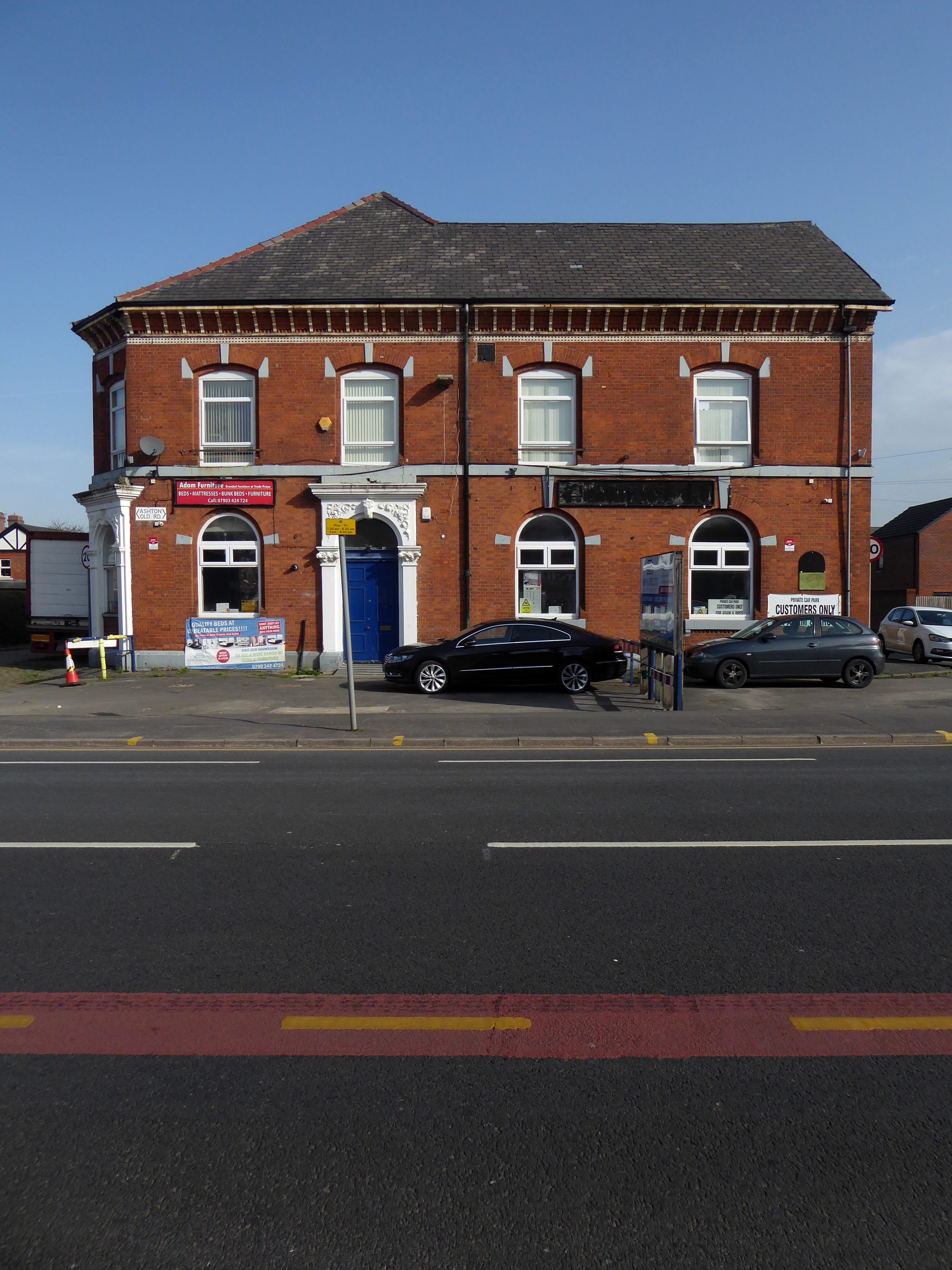
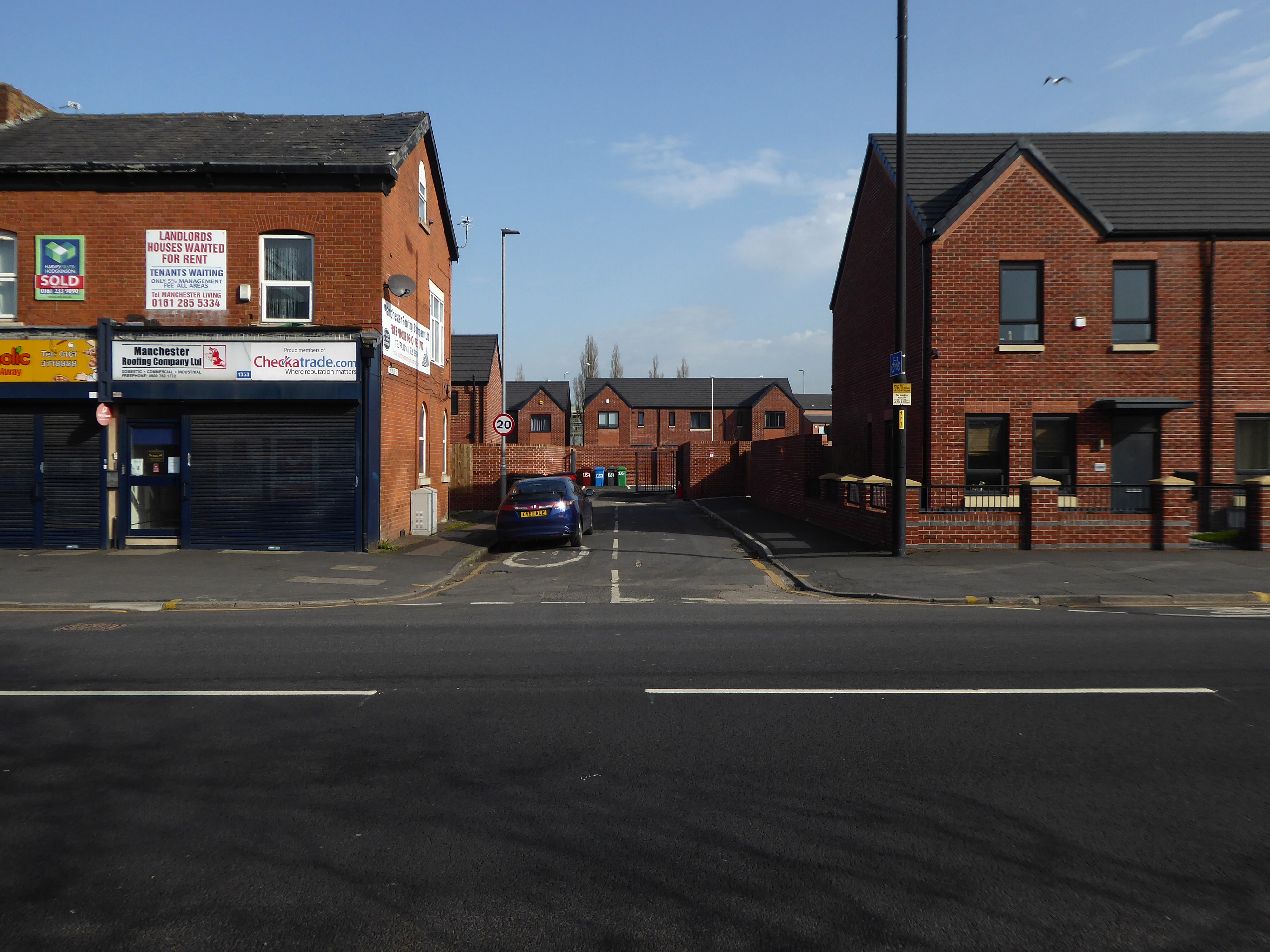
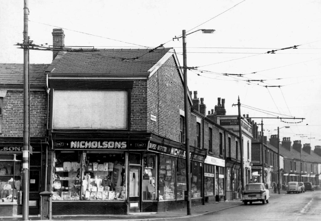
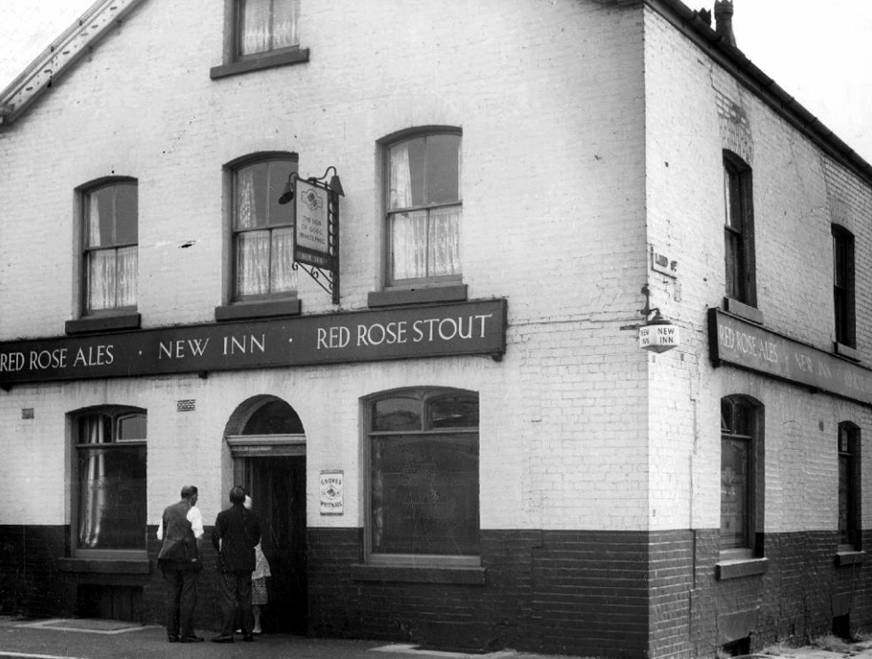
The house is no longer there – the area has recently been redeveloped, some older properties demolished, and new homes built.

Though The Gransmoor is no longer The Gransmoor.
Although it briefly became CKs
Converted to retail use 24th September 2012 after closure. This interesting Victorian building stands back from the road with what may well be a coach road in front. Inside the high ceilings and glorious plasterwork gave the impression of a gentlemen’s club. Though it previously sold cask Banks’s beers in its earlier years, its final days were seen out with only keg beers being available.
St Clements still prevails with a healthy congregation.
In 2010 several properties were removed and the land levelled.
Eleven years later old and new now snuggle up together.
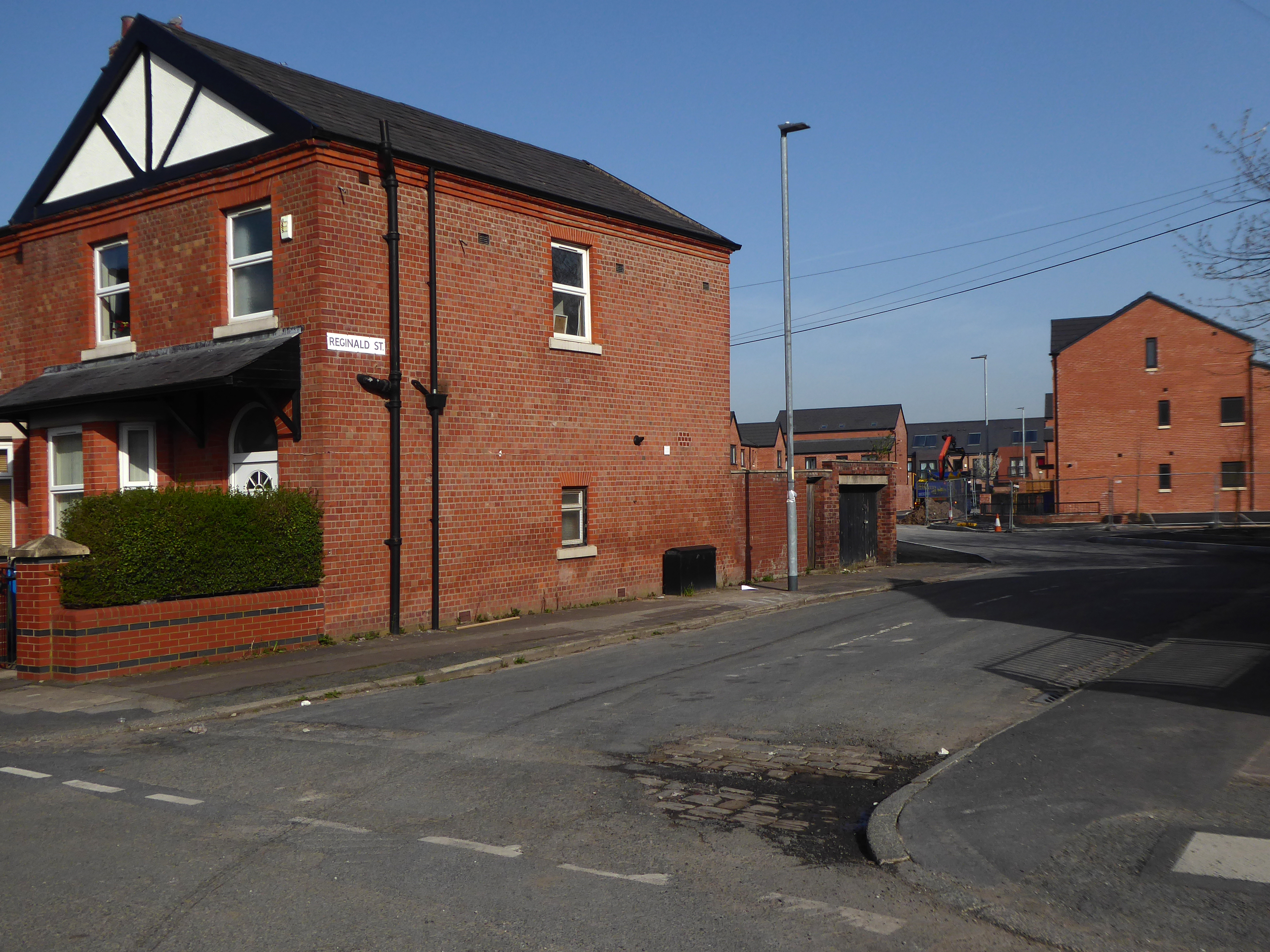
The street structure is more or less unchanged.
Though sadly the wonderfully named Ambush Street is no more.
So the big wheel keeps on turning new homes, new folk and new life for East Manchester.
In 1802 there’s mostly nothing here, nothing to speak of.
A few buildings on Ashton Old Road and fields, lots of fields.
Then along comes the Industrial Revolution, manufacturing is in the ascendancy, mostly.
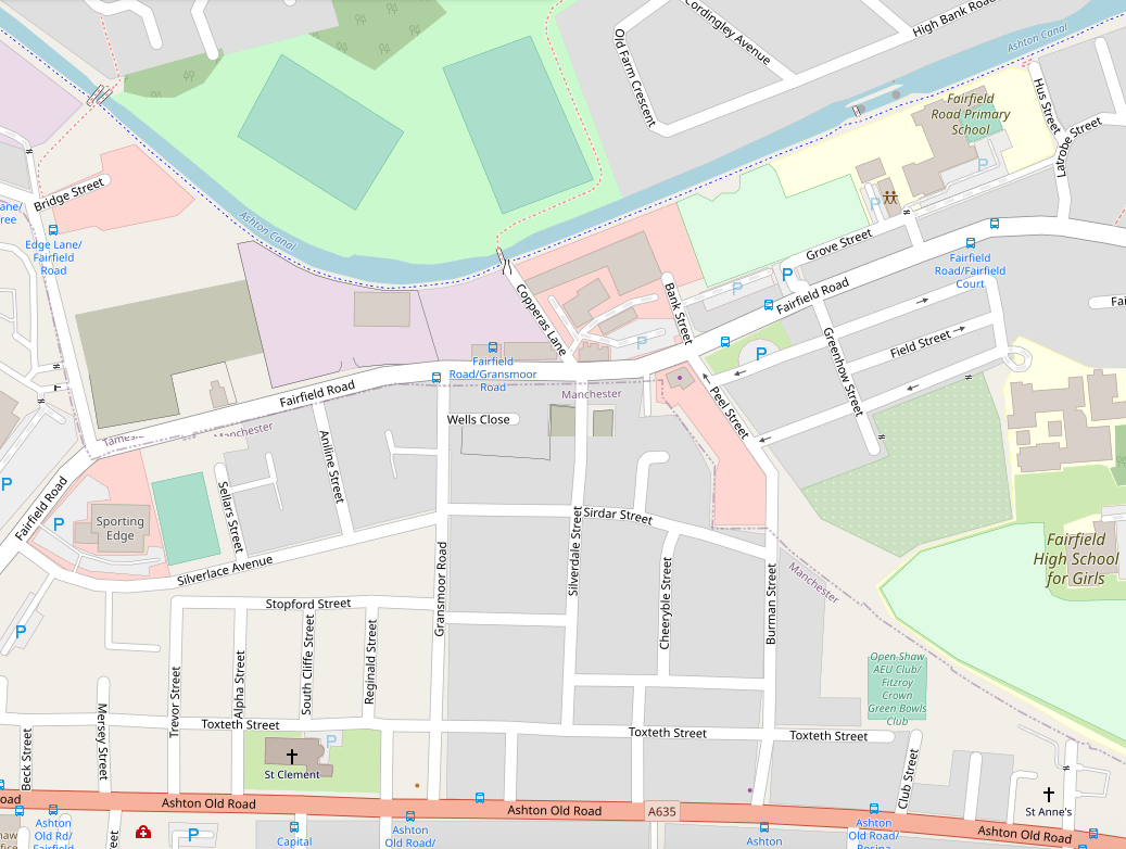
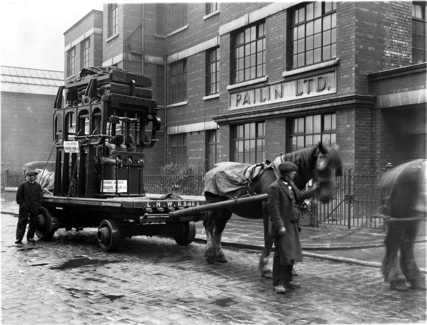
Ferguson Pailin Electrical Engineering are established in 1913 on Fairfield Road/Edge Lane.
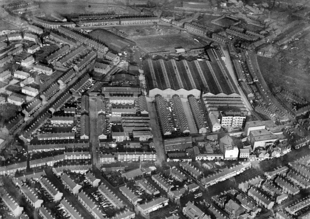
By 1939 the factory is fully formed and the area a dense warren of industry and terraced housing.
Makers of heavy duty electrical switchgear and general electrical engineers, of Higher Openshaw, Manchester.
1913 Ferranti Ltd sold its switchgear patents and stock to Ferguson, Pailin Ltd. Samuel Ferguson and George Pailin had worked for Ferranti as switchgear engineers. They left in 1913 to set up their own switchgear business at a factory in Higher Openshaw, Manchester.
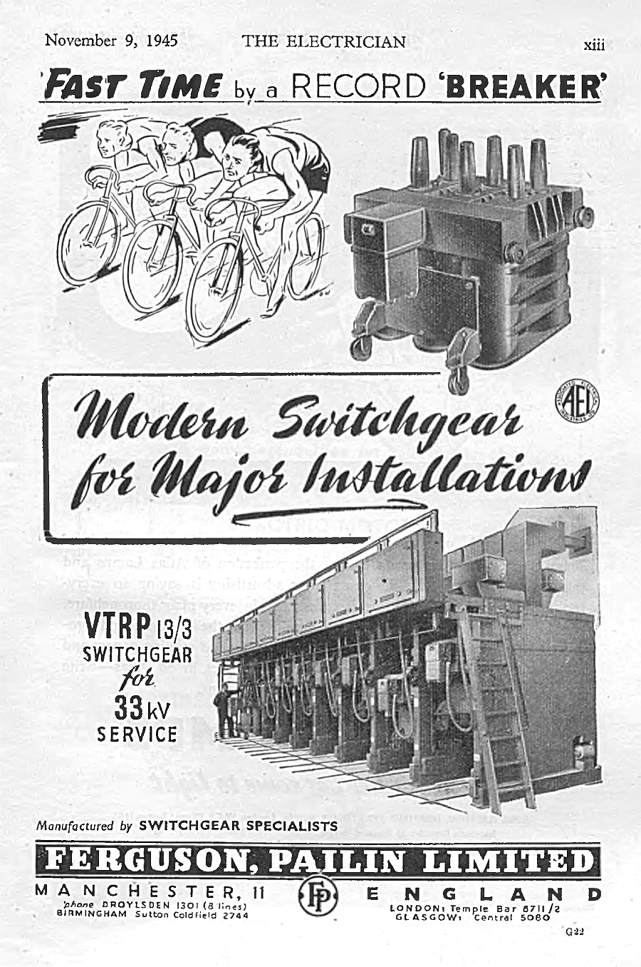
The company was acquired by Associated Electrical Industries (AEI) in 1928. Following the restructuring of AEI in 1960, Ferguson, Pailin & Co ceased to be a separate subsidiary and was merged into AEI switchgear. Following the takeover of AEI by GEC in 1967, the Higher Openshaw works became part of GEC Switchgear. In 1989, GEC merged its electrical engineering interests with those of Alsthom to form GEC Alsthom. The factory was later closed by Alstom in 2003, with most of the employees finishing on 22 November 2002.
The company has a Facebook page which shares former employees memories – from which these archive photographs were taken.
Notably the firm provided extensive leisure facilities for their employees.
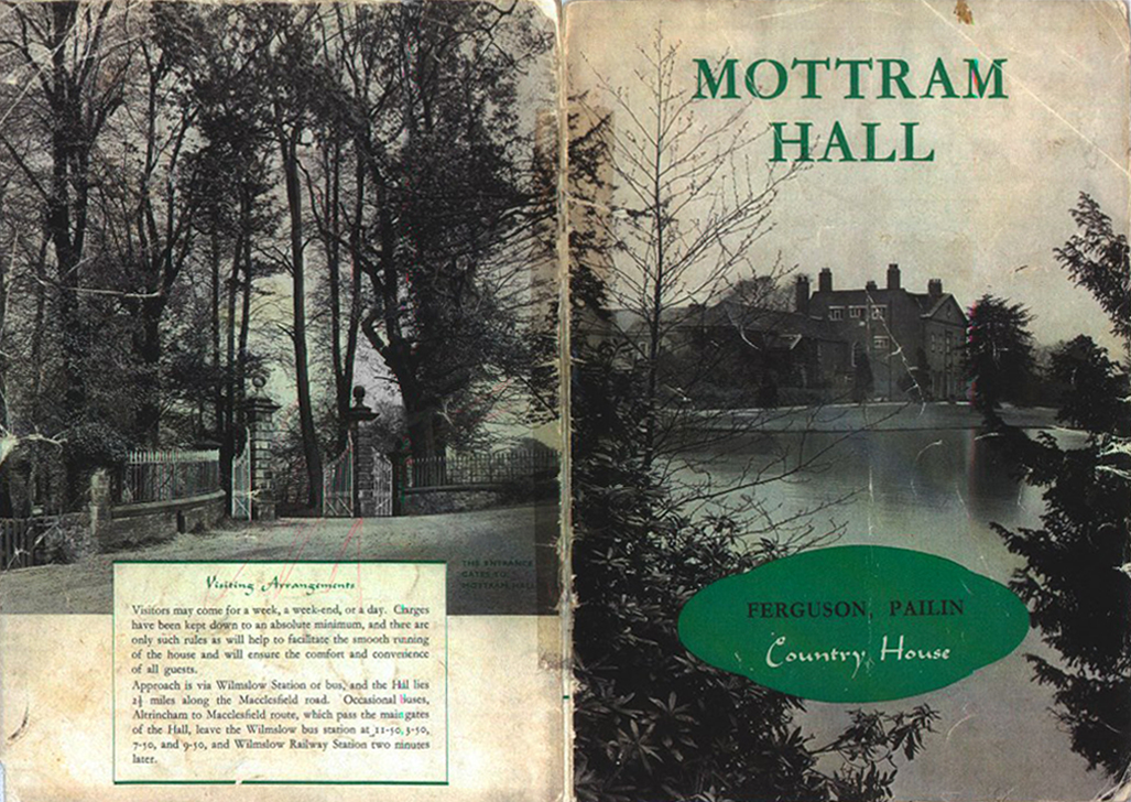
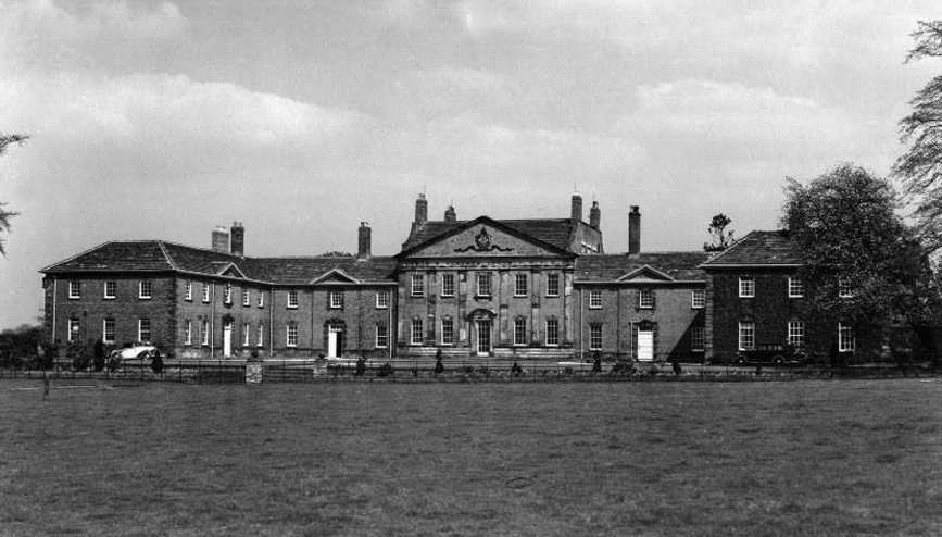
The company acquired Mottram Hall to give employees an opportunity to go on affordable holidays during World War II. The company bought three properties in 1939/40 in order to provide holidays for staff and workers during the war. Mottram Hall was bought for the works, a small hotel in Llandudno for the middle level staff and a property in Criccieth for senior staff. Mottram Hall was sold as surplus to requirements by GEC in 1968 and is now a luxury country house hotel.
Sadly the days when benevolent employers thought to take care of their employees in such a manner, are largely a thing of the past.
For business guests, our sleek and sophisticated conference rooms feature the latest technology to get your agenda off to a prompt and professional start. Plus, catering facilities and a plush break out space for comfortable downtime between meetings.

Last time I passed through many of the factory buildings were still extant though underused. A portion of the site lost to the development of the Lime Square Shopping Centre.
Lime Square is a shopping destination which is helping to put the heart back into Openshaw district centre here in east Manchester. Lime Square is home to the stunning Steamhammer sculpture and a host of great High Street names.
By and large replacing the plethora of busy local businesses which once thrived in the area.
Part of the site became the site of a car park for B&M Bargains.
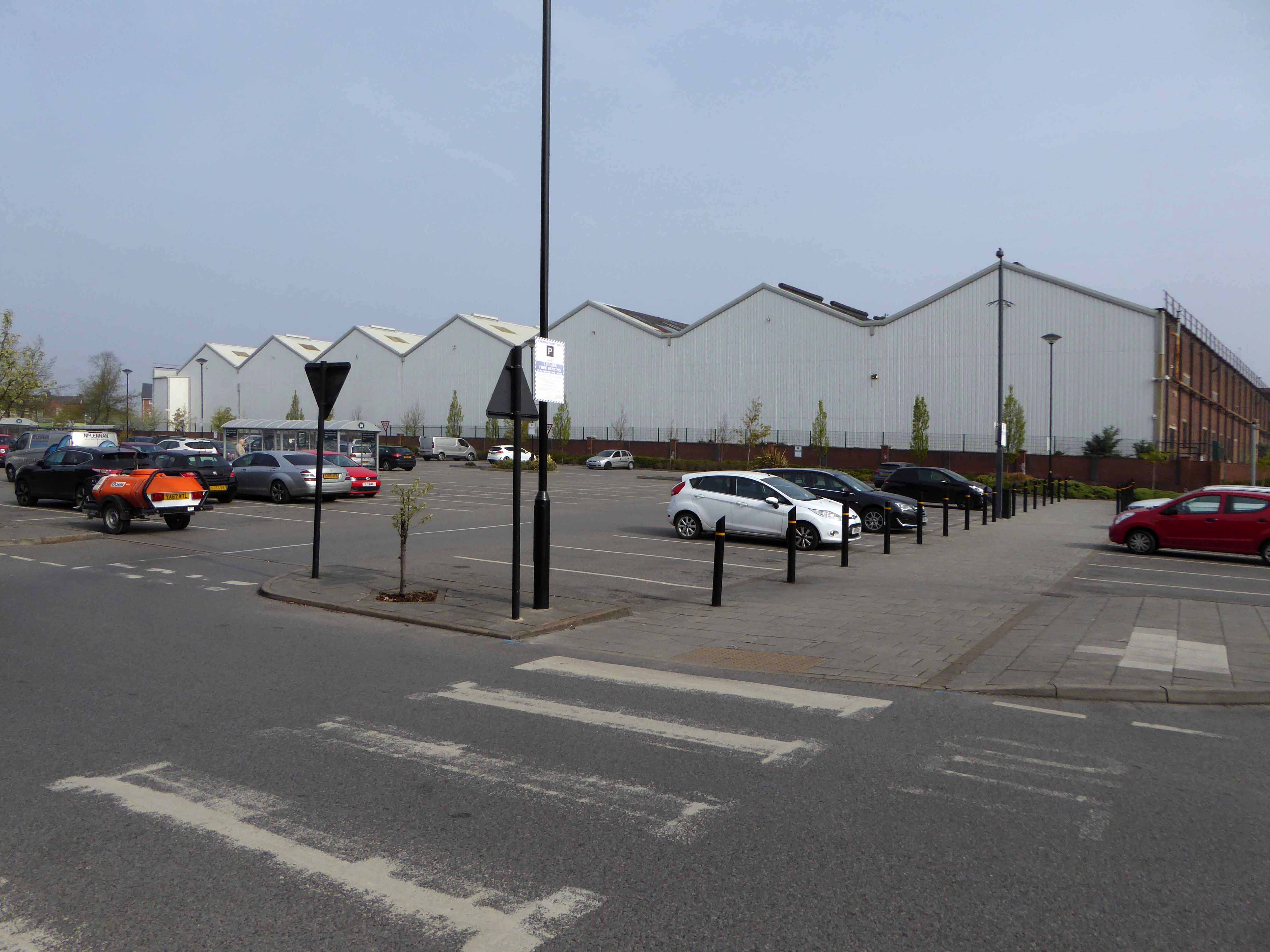
Empty car parking and to let signs in superabundance.
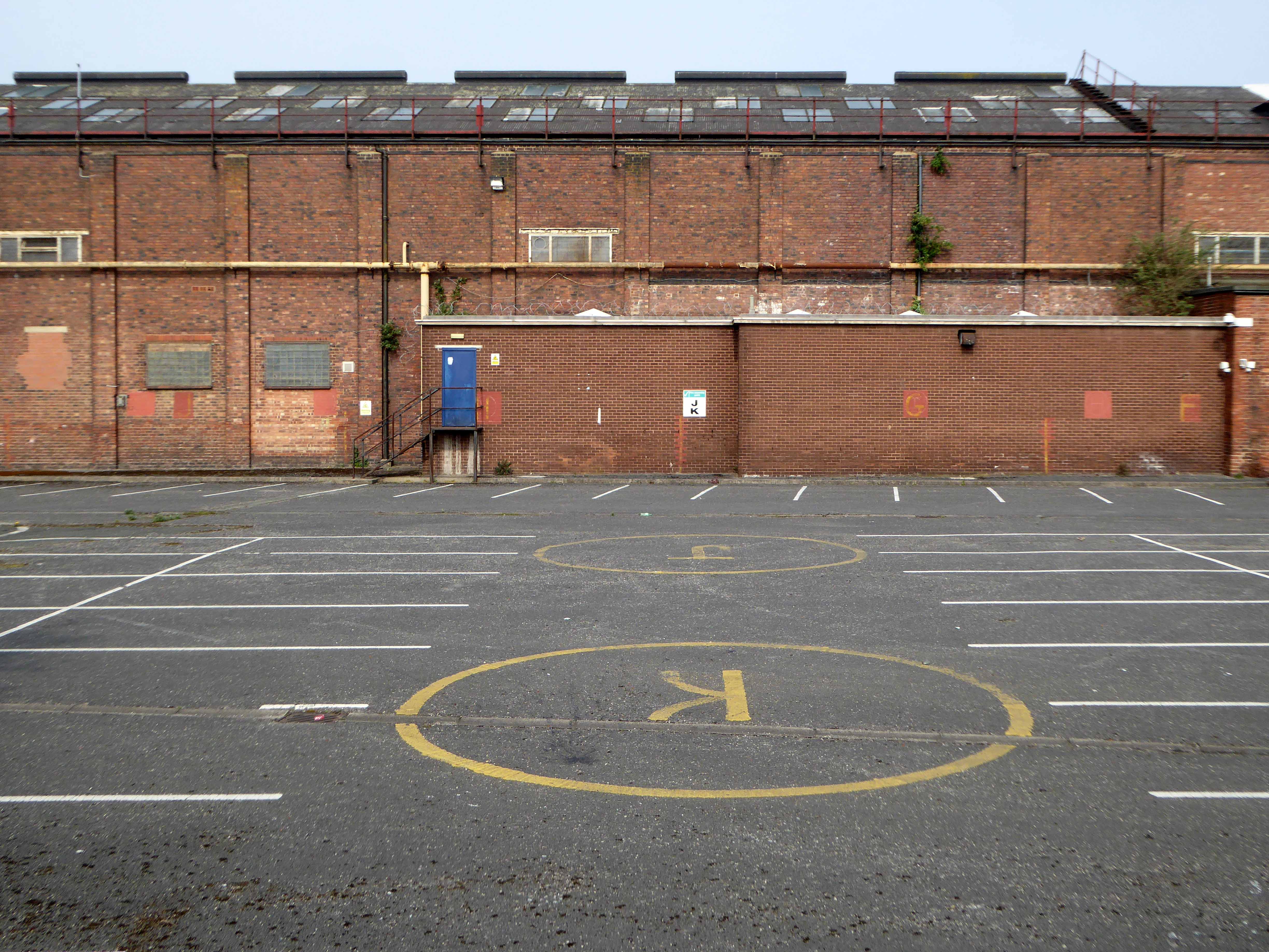
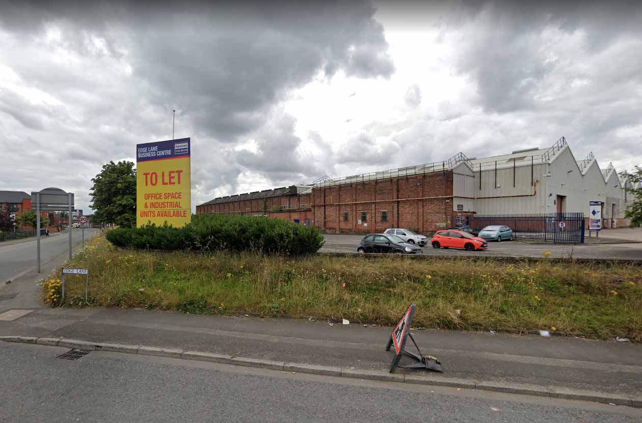
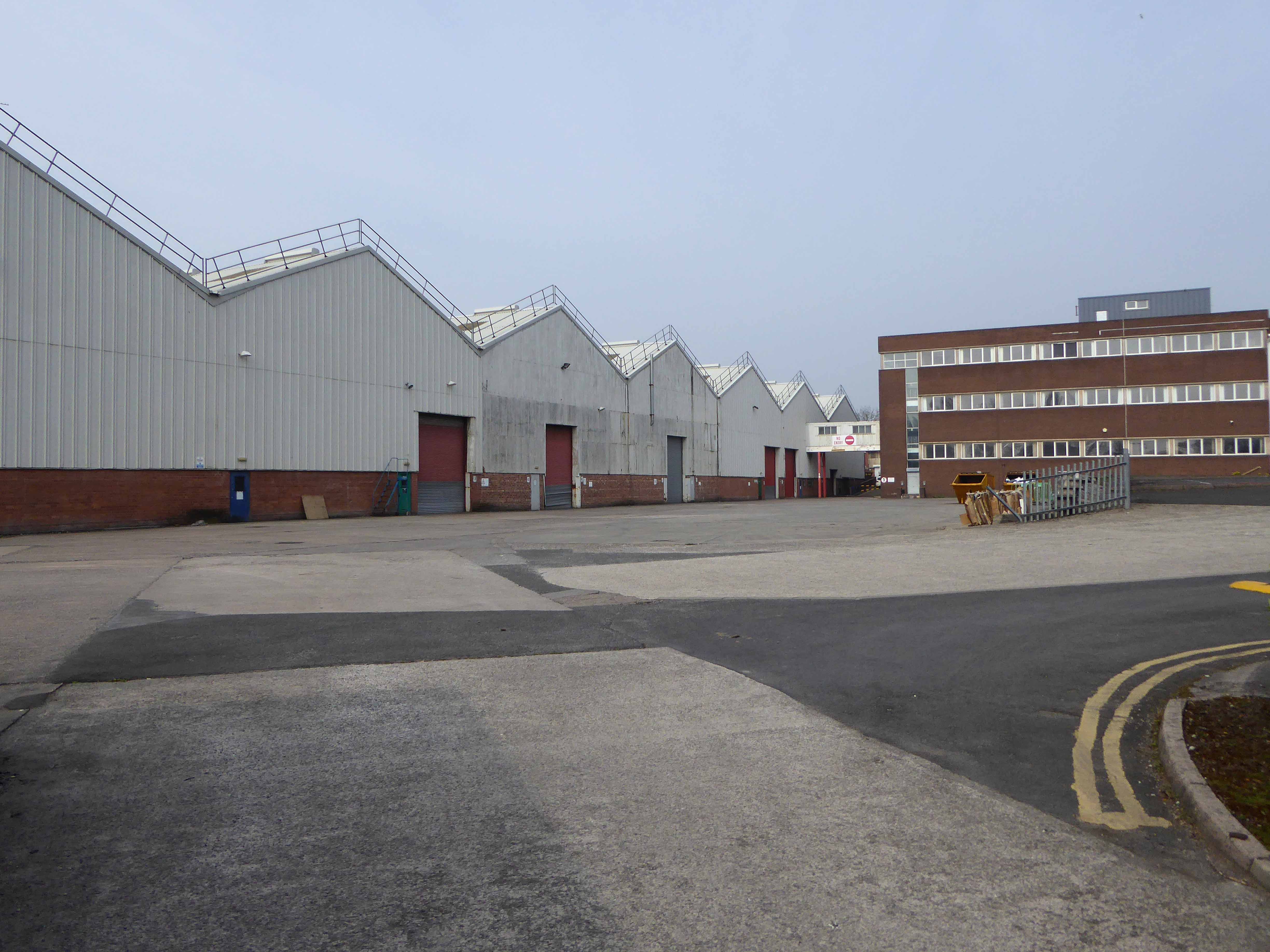
So there we are the end of an era – the decline in manufacturing, the structure ending life as an empty warehouse.
But wait, what’s all this?
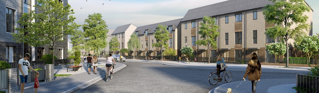
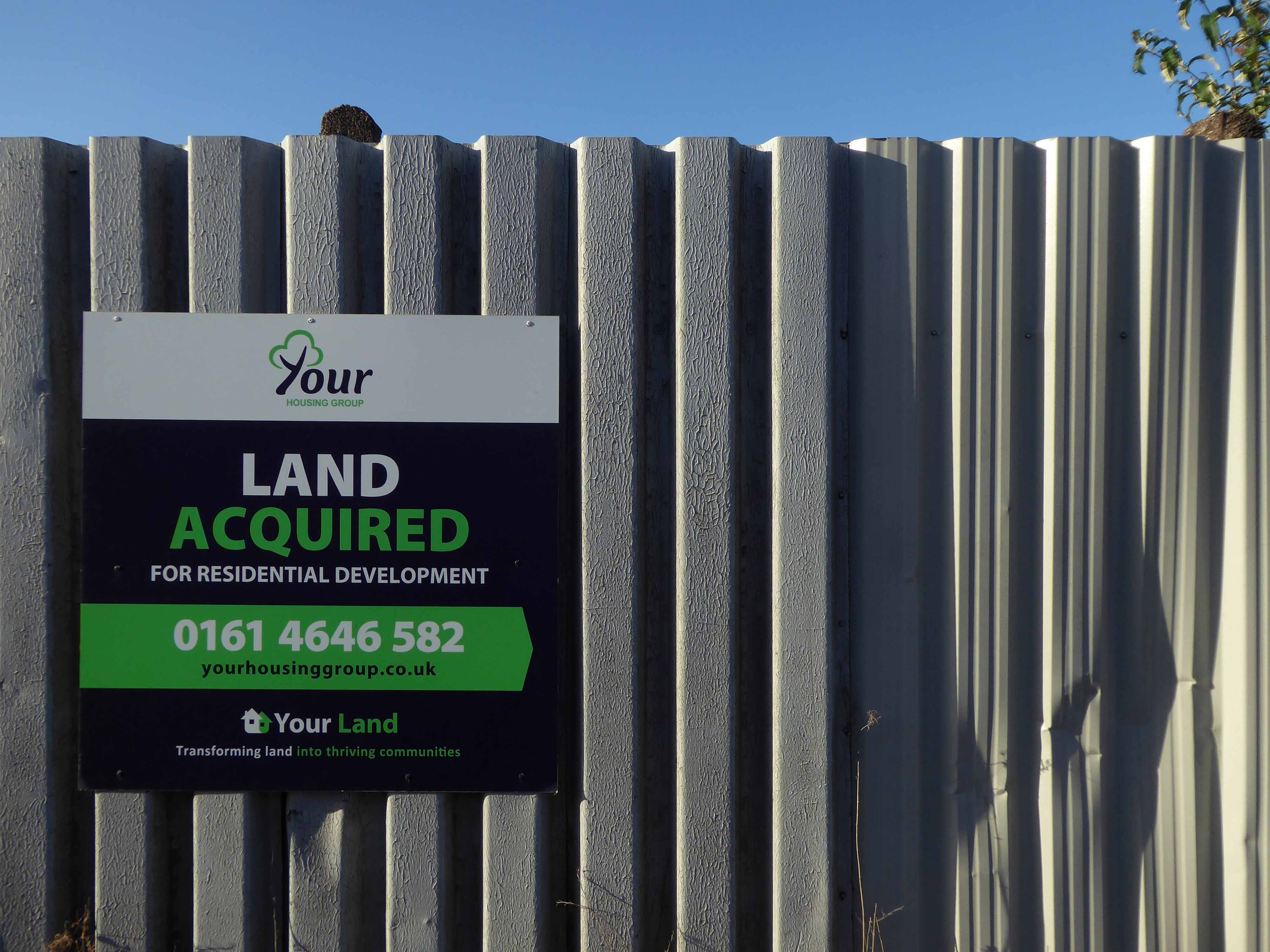
Your Housing Group, the Warrington-based affordable housing provider, wants to build a residential scheme on the site of a former warehouse on Edge Lane, with work starting this summer subject to consent.
The project in Openshaw comprises 216 homes available on a mix of tenures, according to a planning application submitted to Manchester City Council. A total of 72 will be for sale as shared ownership schemes, another 72 will be for private rent, and 72 will be for affordable rent.
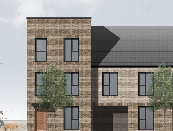
The development, to be known as Edgefield Green
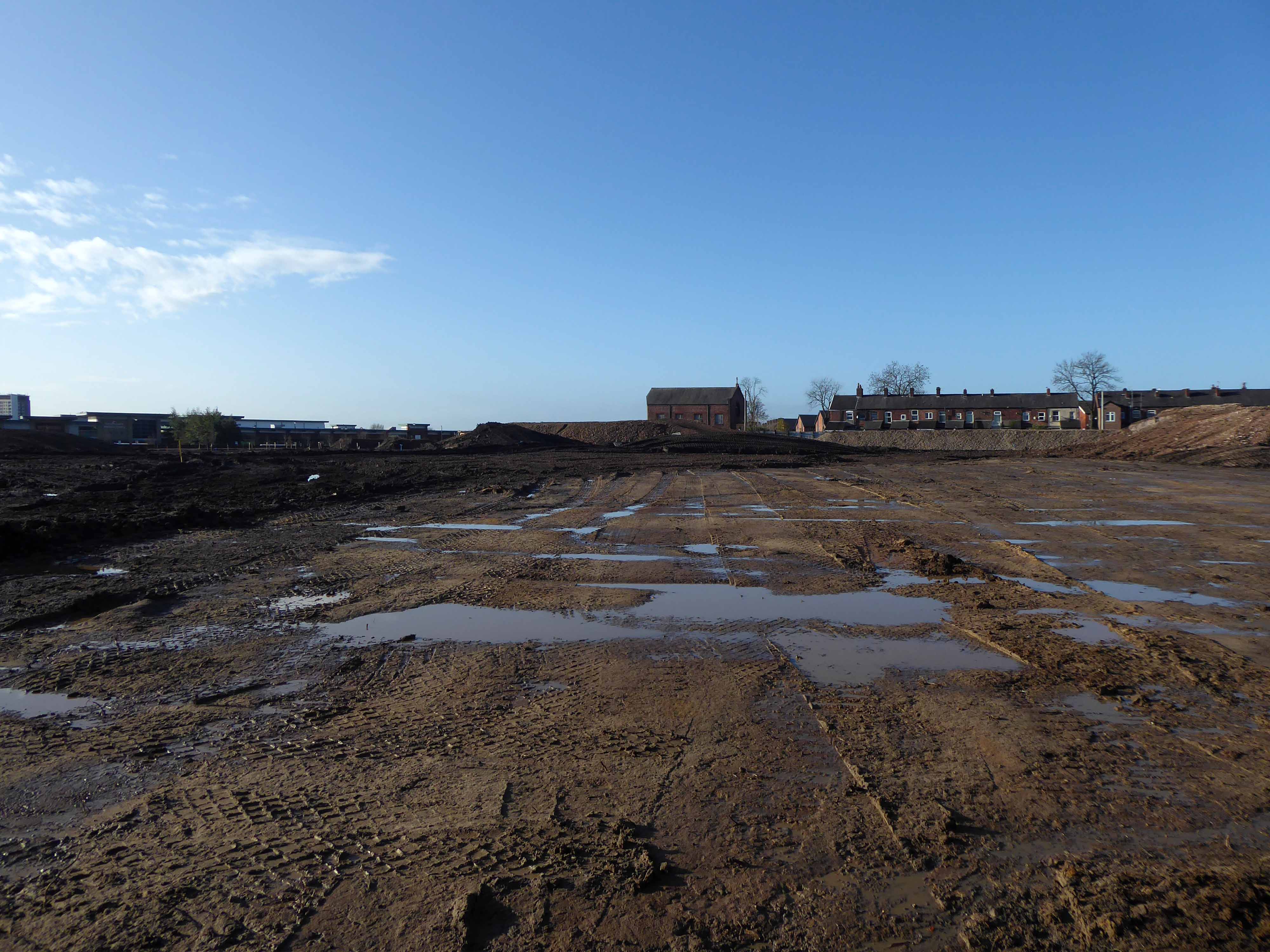
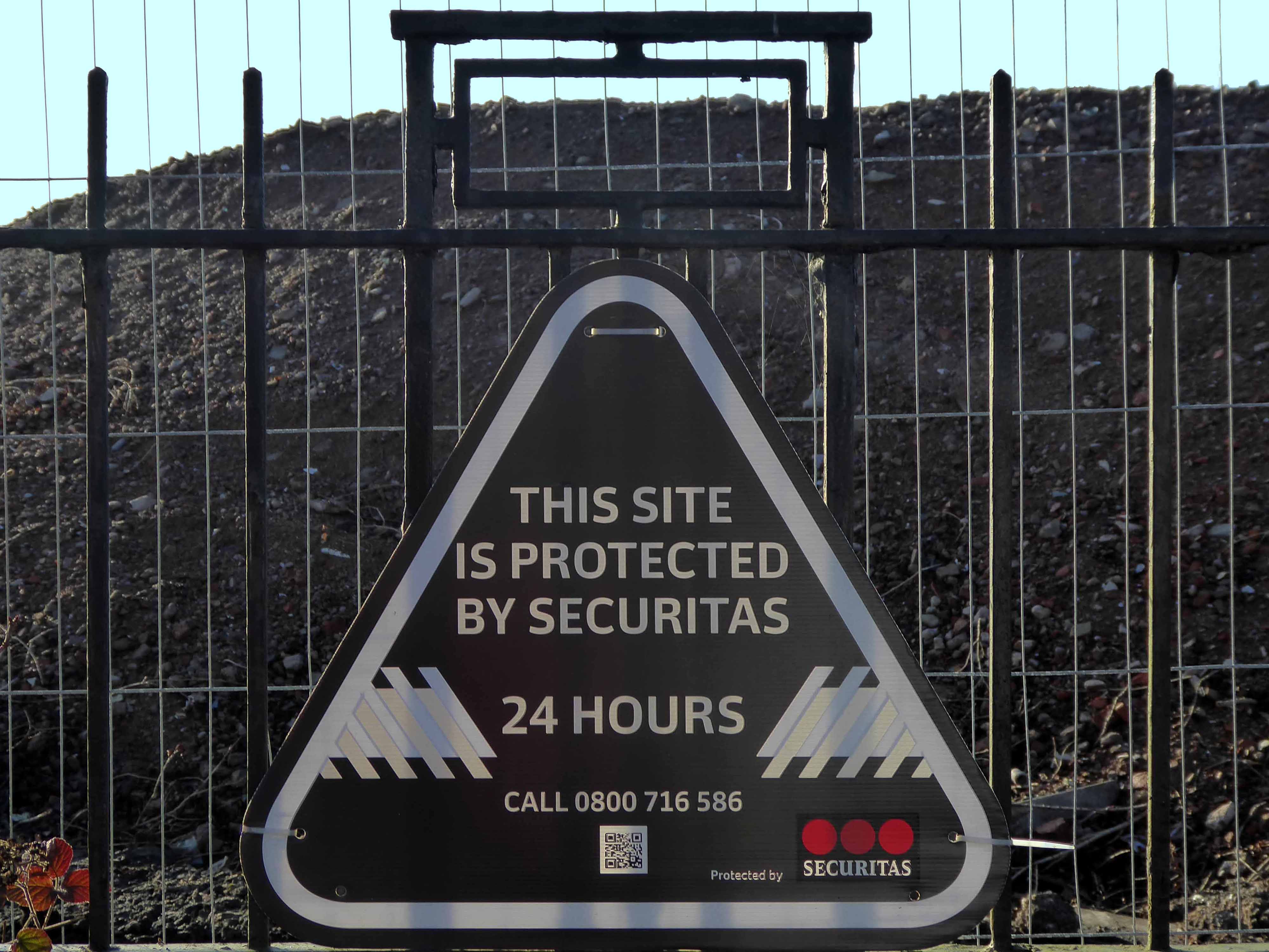
As of Friday 13th November 2020 – the site has been cleared, little or no signs of its former occupants save for a dilapidated fence or gate.
This land is your land.
Our hearts beat as one as we had our fun but time changes everything.
Tommy Duncan of the Texas Playboys
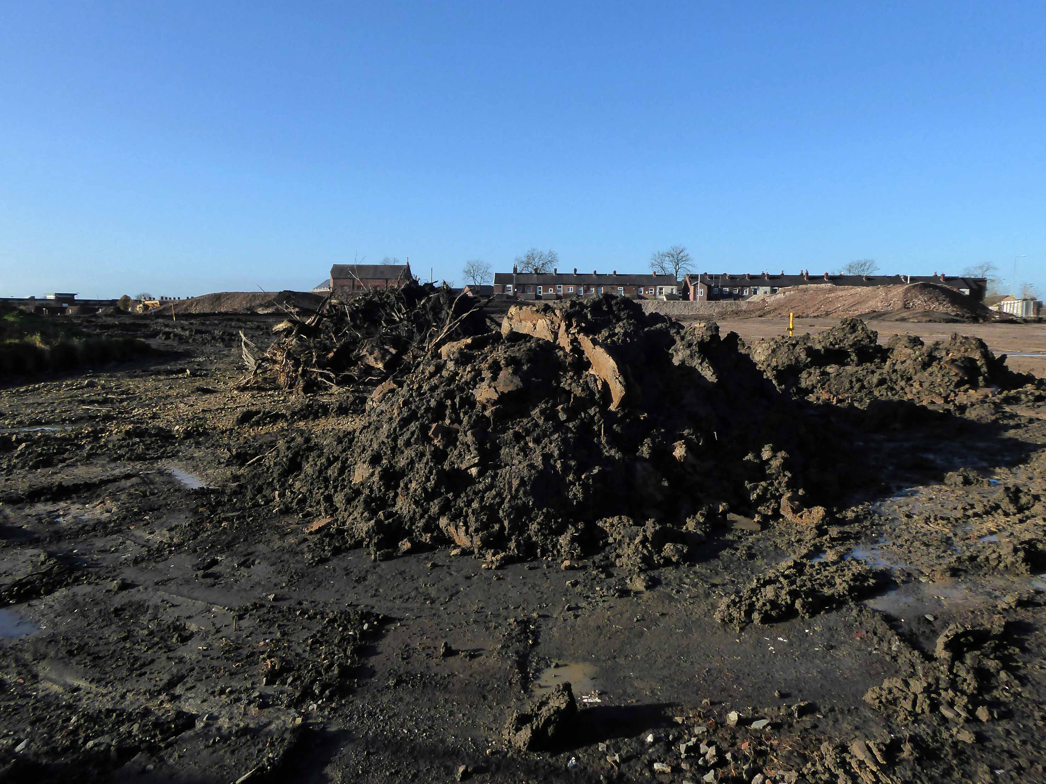
So there we are another phase of development for one small area of Manchester, should you change to pass, just spare a moment to recall those thousands of souls that laboured their whole working lives – right here on Fairfield Road and Edge Lane.
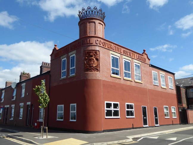

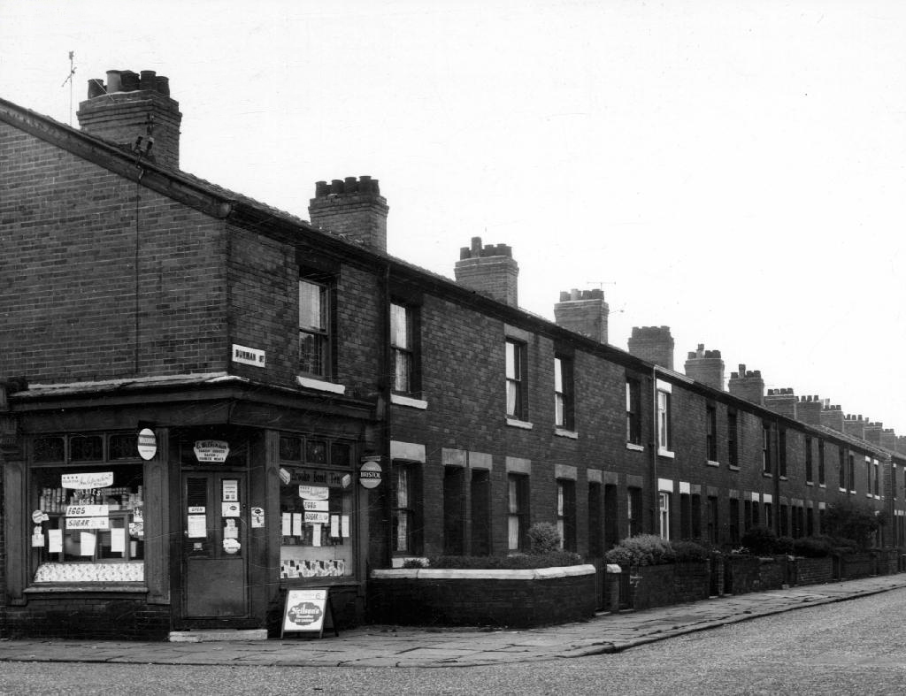
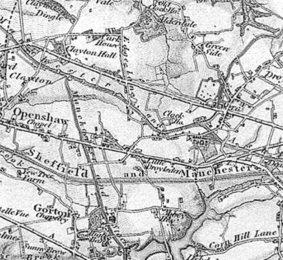
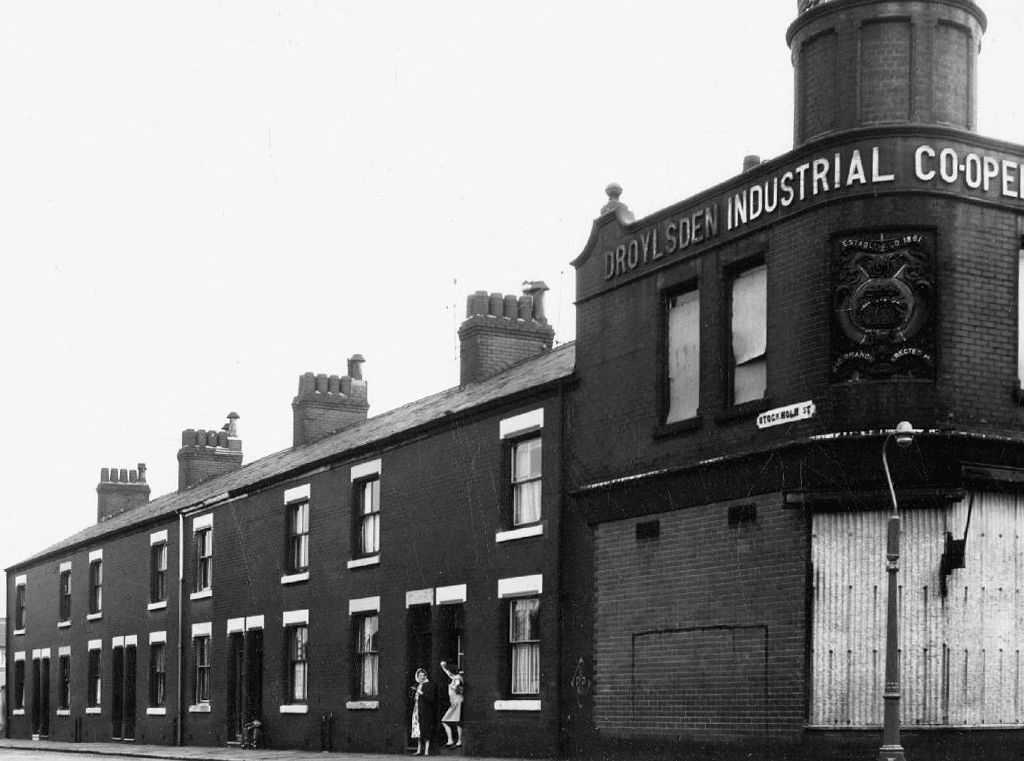
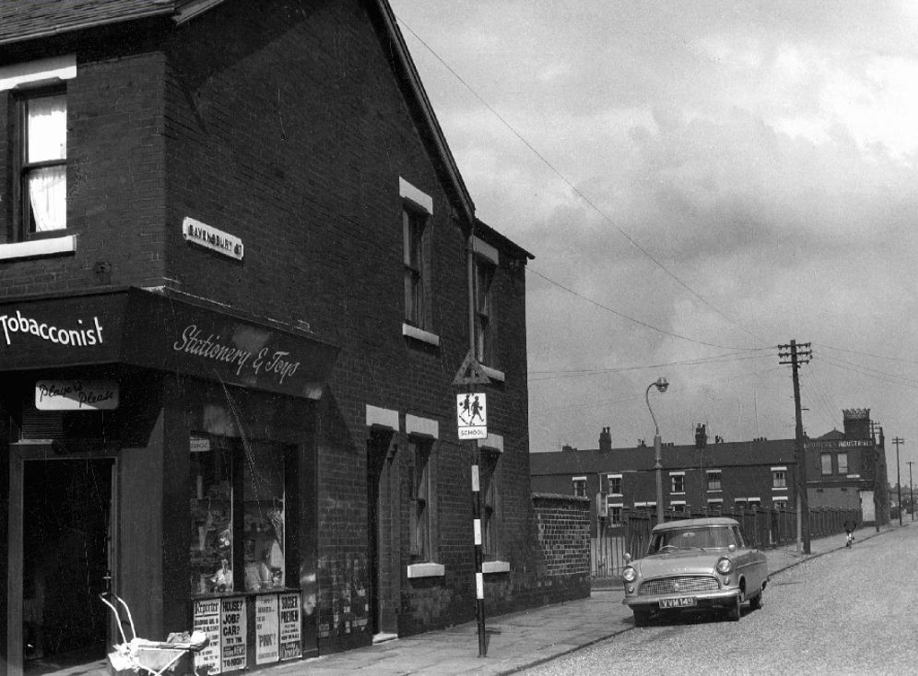
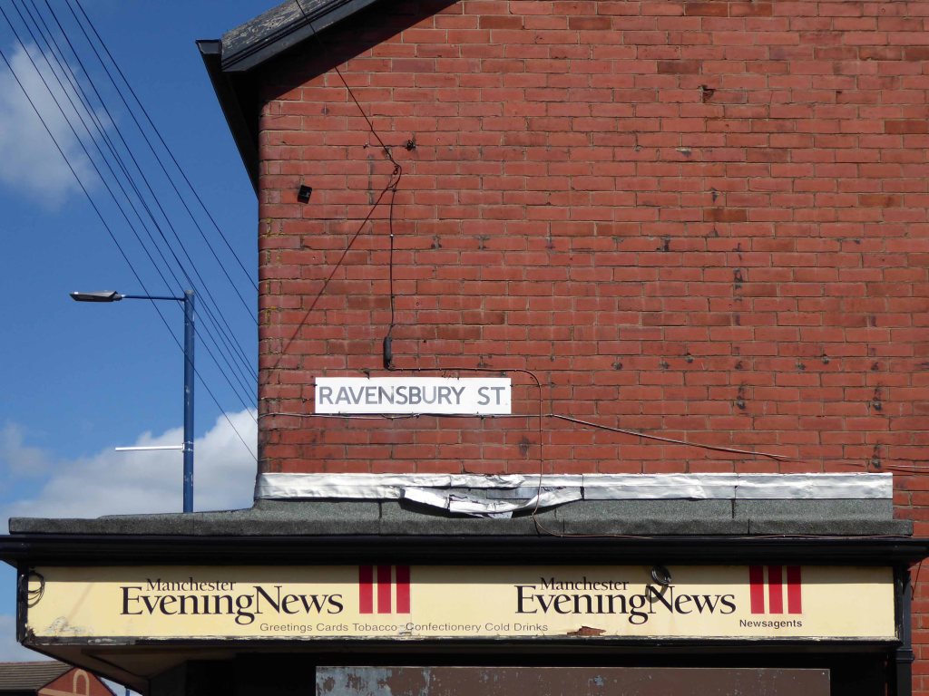
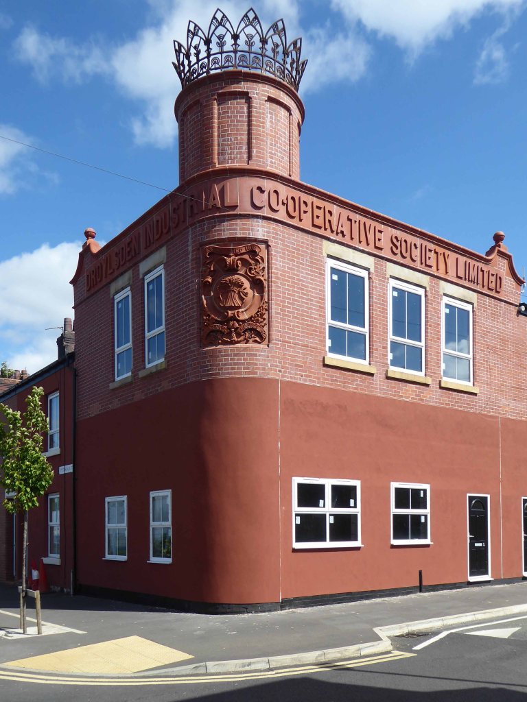
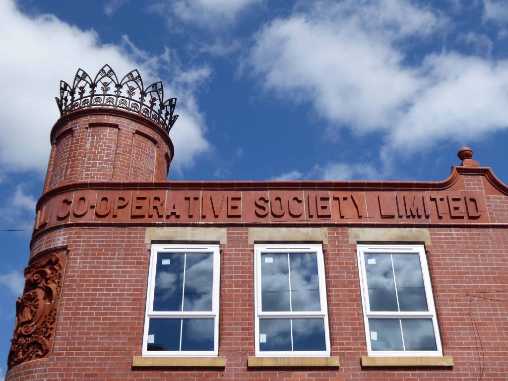
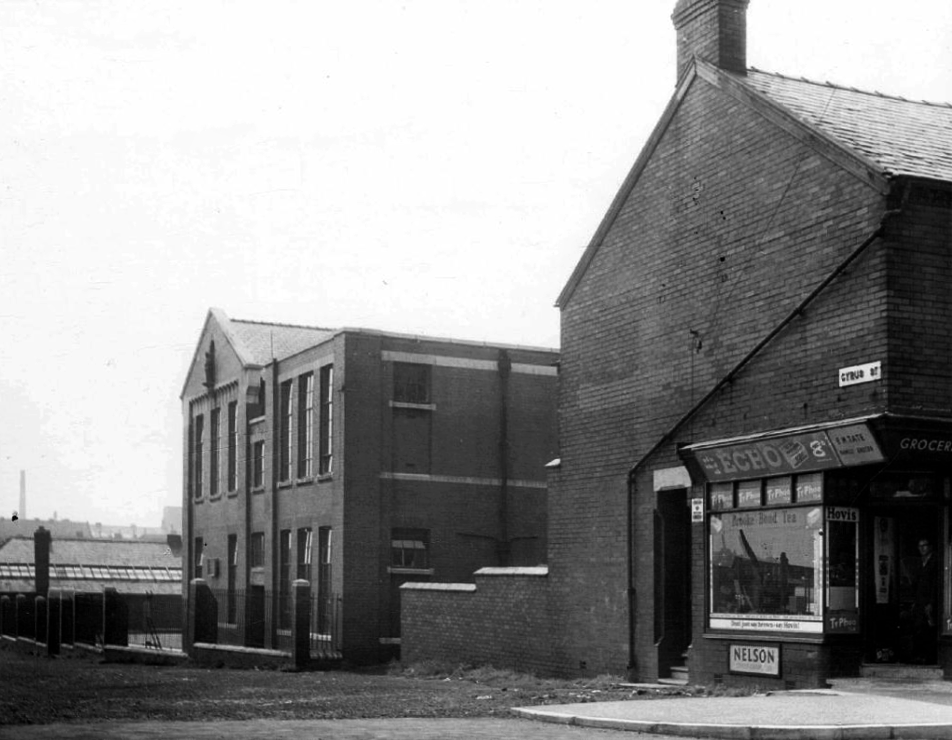
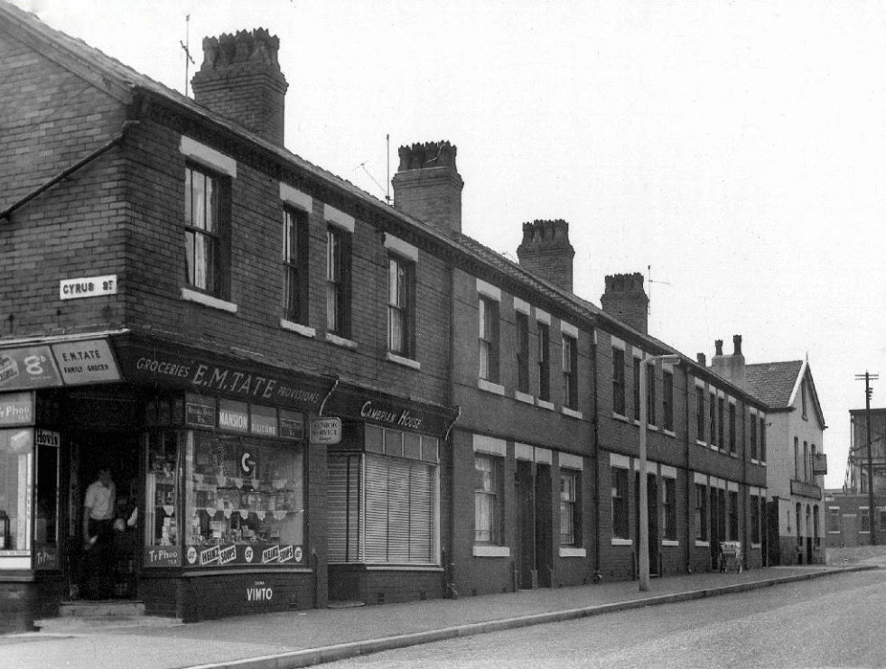
On the corner of Ravensbury and Stockholm Street Clayton Manchester there stands a Cooperative Shop of 1908.
We have previously visited another fine example on Northmoor Road.

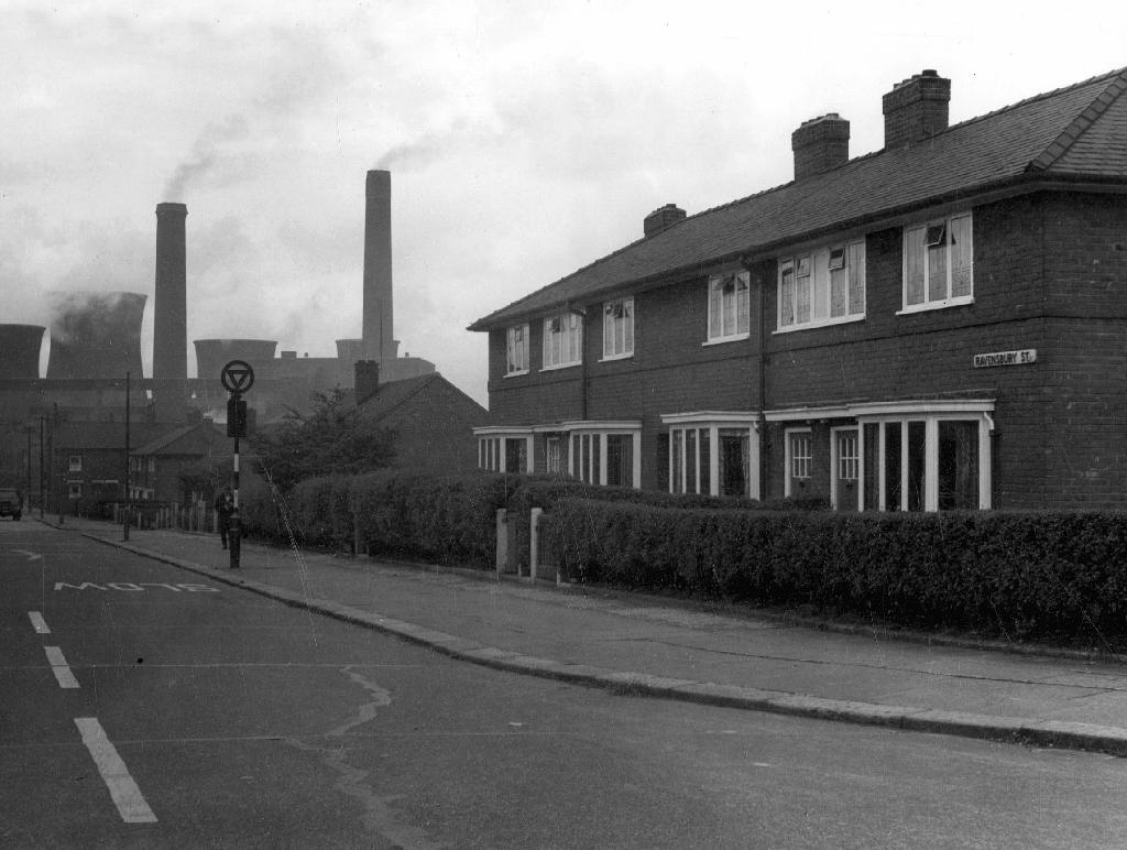
In 1902 the area is still set to open ground.

This Manchester Local Image Collection photograph of 1912 shows new terraced homes emerging to meet the housing needs of the world’s first industrial city.
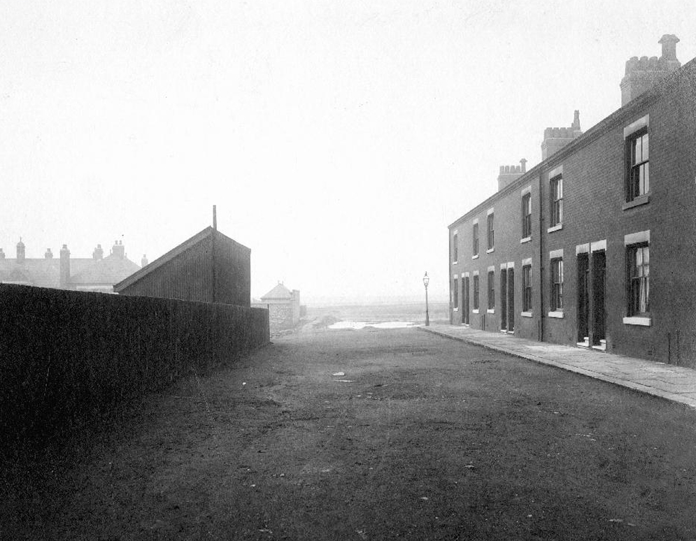
Here is the street in 1965 the shop already shut.
The corner shop on Bank Street still trades.
The Stuart Street Power Station does not.
Changing patterns in shoppers habits sealed the fate of many local and corner shops, as larger supermarkets opened, increased mobility and car ownership became more common.
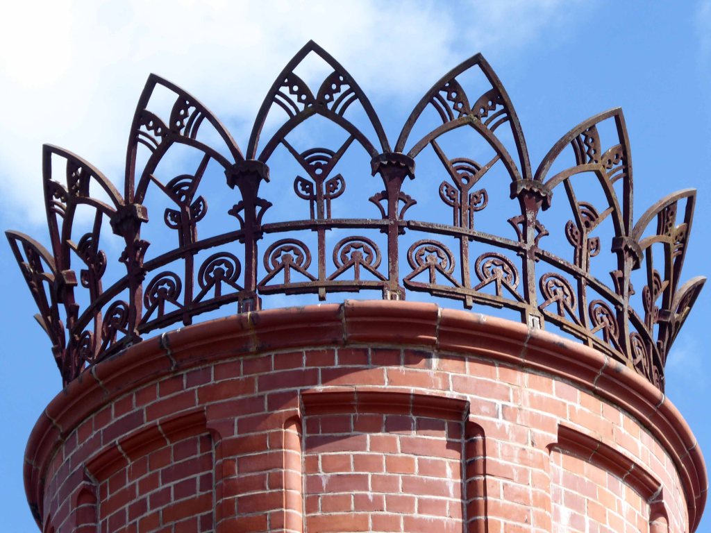
When I first visited the building was undergoing renovation work.
The beautiful terracotta tile work and corona obscured by scaffolding .


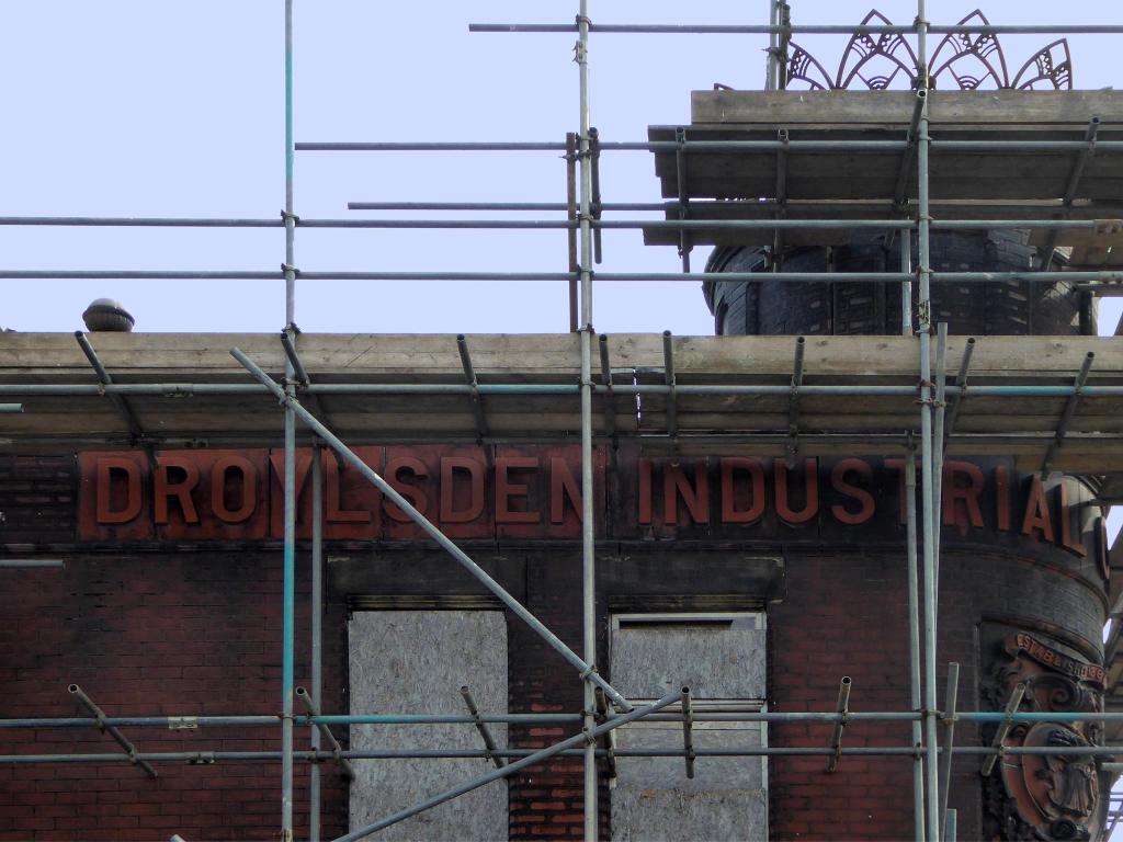
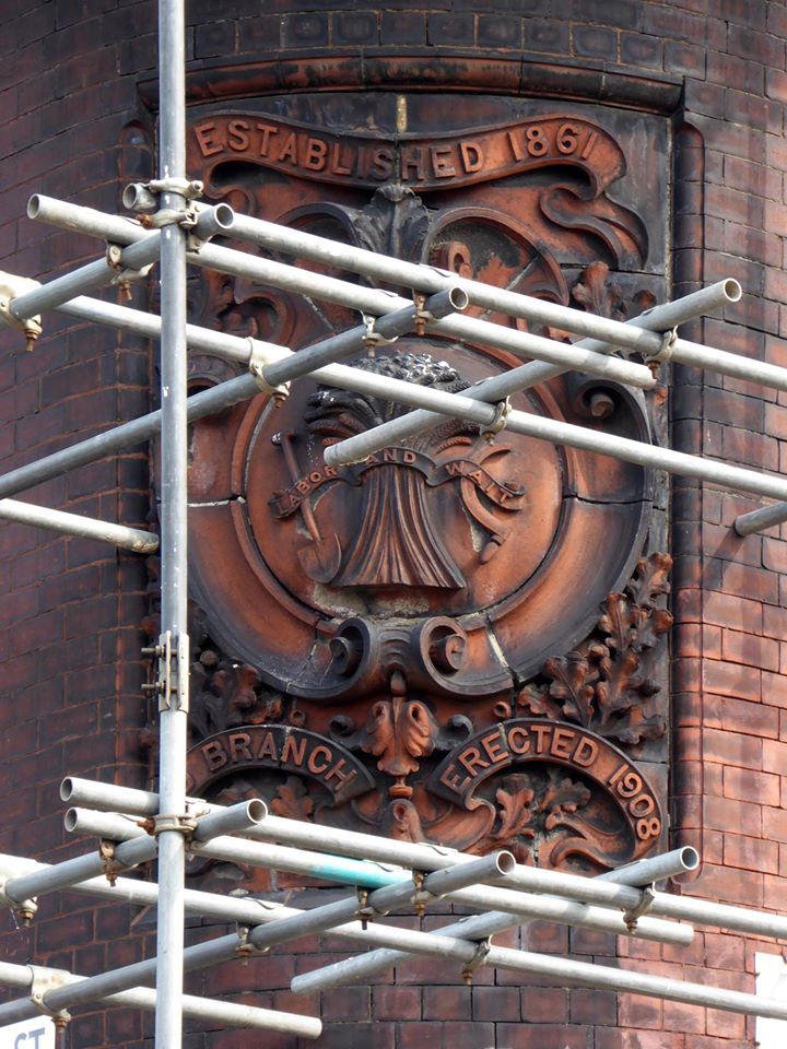
I returned last week to find the job almost done – converted to flats, in an area which has seen a great deal of improvement to the general housing stock, paving and street furniture.
A joy to see a fine building almost returned to its former glory, with a much needed social purpose, reviving the city’s western edge.


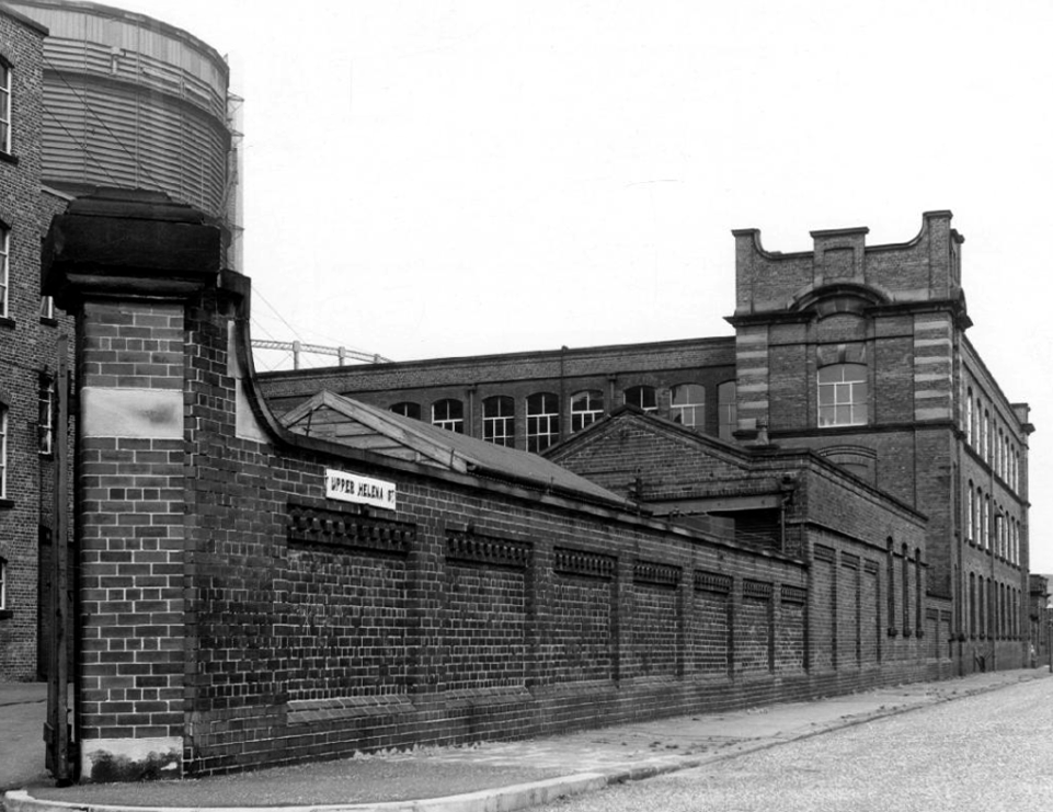
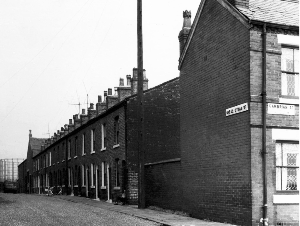
Here we are again in Holt Town, back in 2017 the area was in transition, its past almost erased and its future somewhere, over some far horizon.
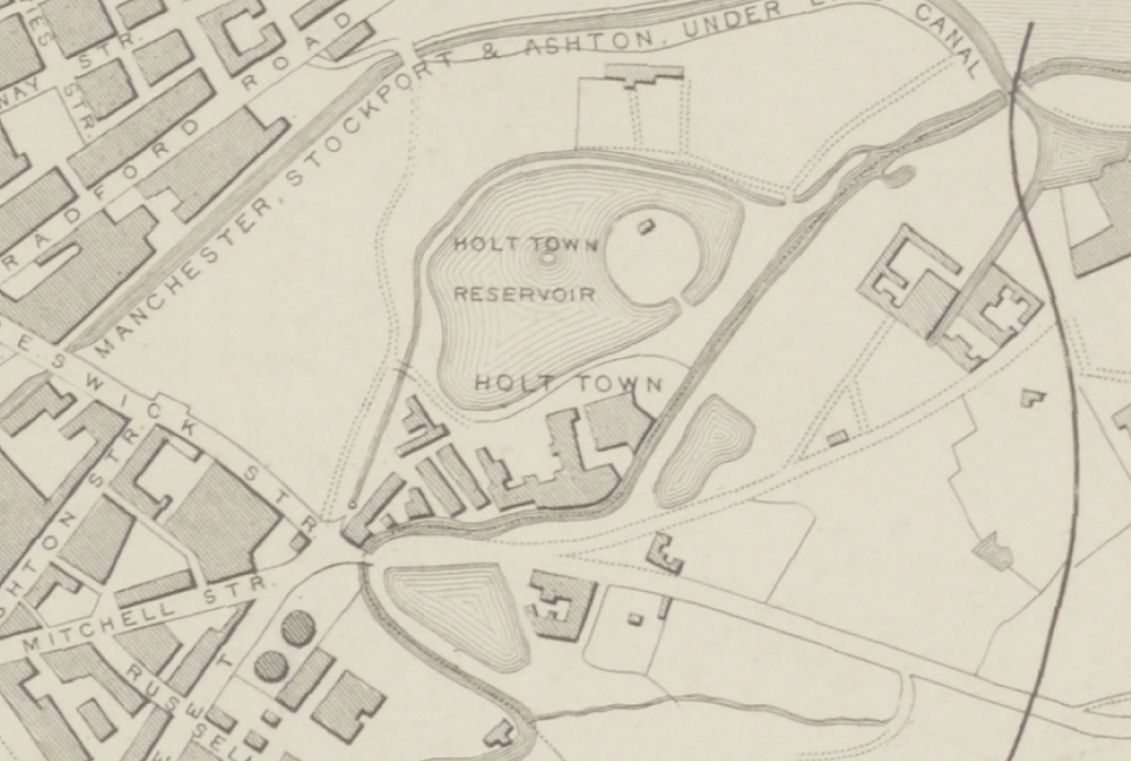
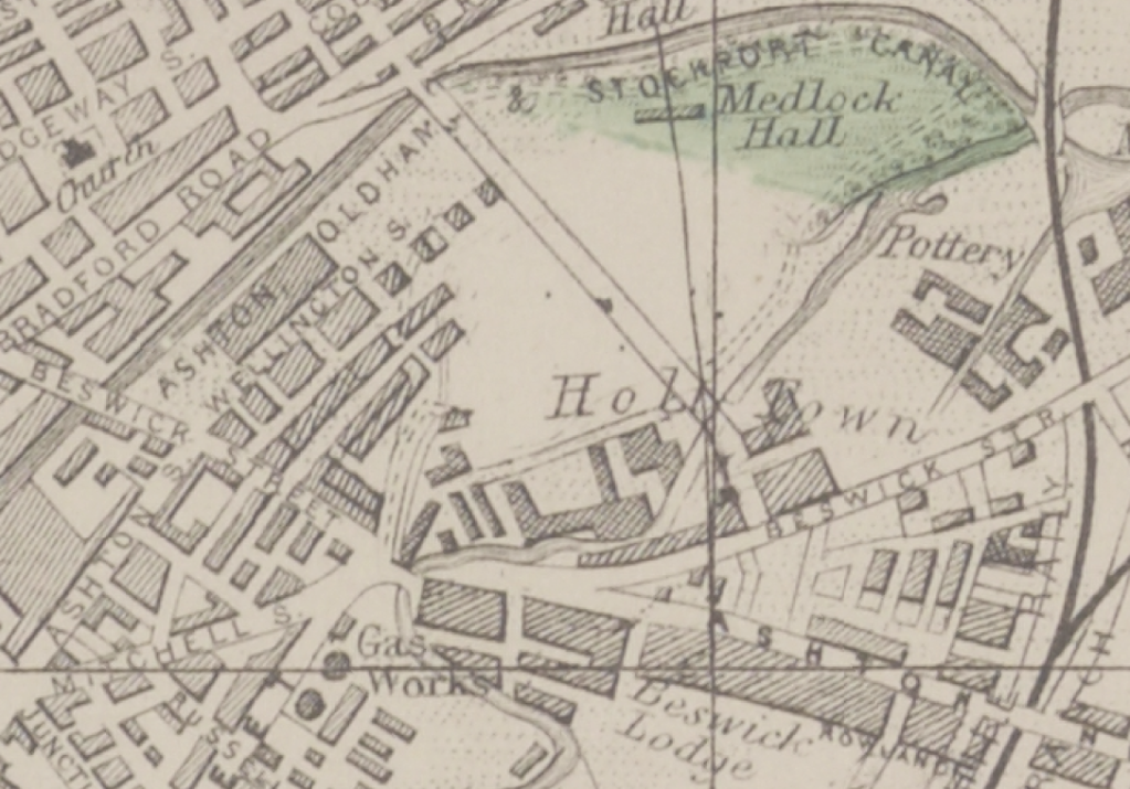
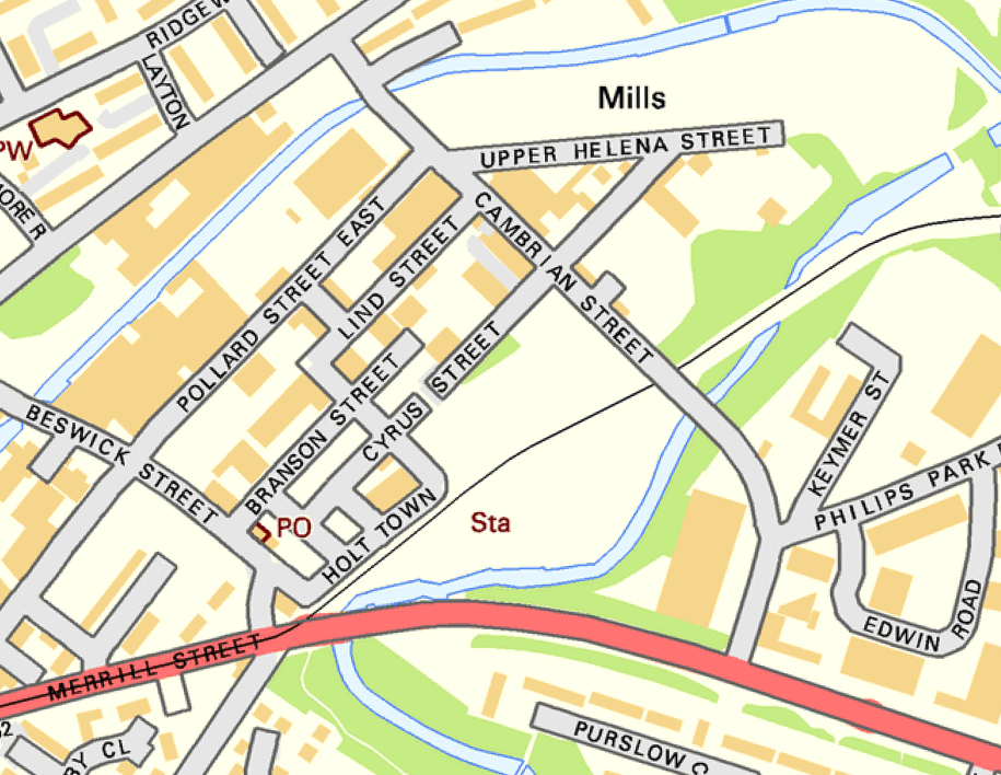
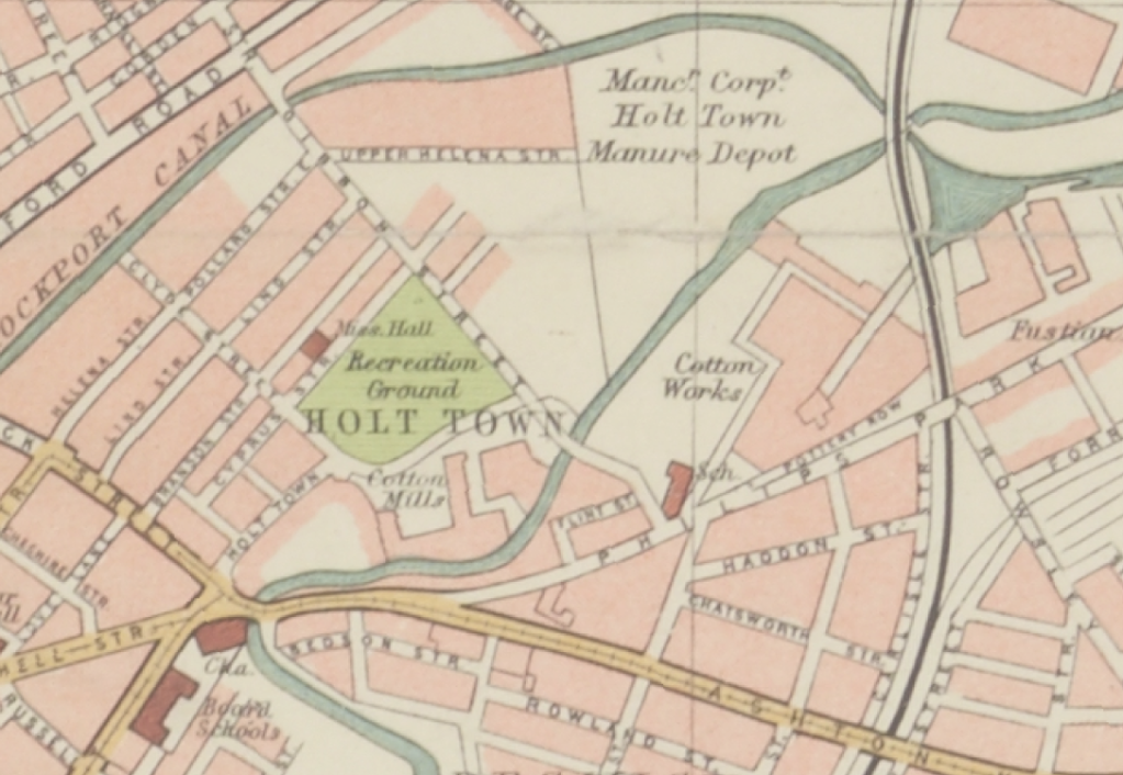
Things have changed, the trees are taller, the buildings decayed – the cafe closed, and the Corporation Manure Depot long long gone.
Plans have promised new affordable homes as part of the Eastlands Masterplan.
Things have changed since A Taste of Honey was in town.
Archive images – Local Image Collection
The area was my playground. Holt Town was always a but scary, there were old factories along the opposite side with wartime helmets in. A scrap yard under the arch. I remember sucking up mercury off the floor with a straw obviously from a spillage, no thoughts of danger, I’m alright now. The Seven Wonders, as we knew it, River, canal, railway, road, waterfall all crossing each other, not sure why? A fantastic industrial area to grow up in. The Don Cinema at the top corner at Mitchell Street and Ashton New Road.
I could go on.
Philip Gregson
Time’s up for the tiny urban cowboys.
Let’s see what’s going on.

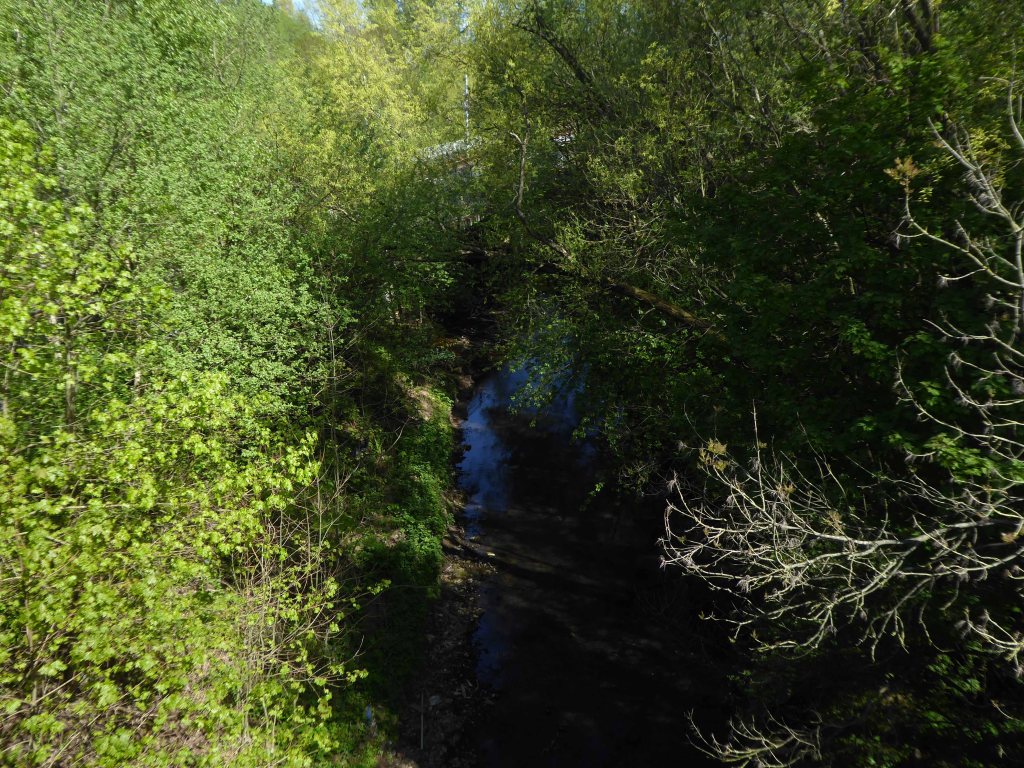
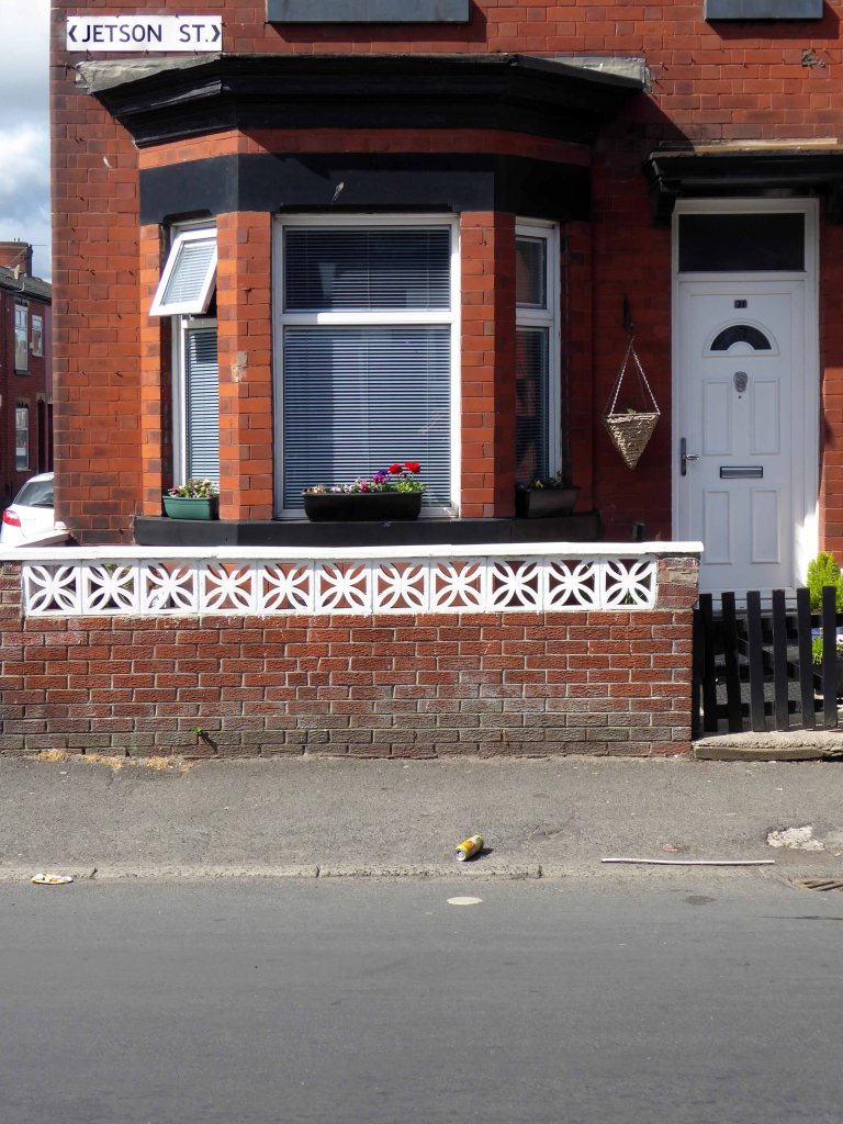
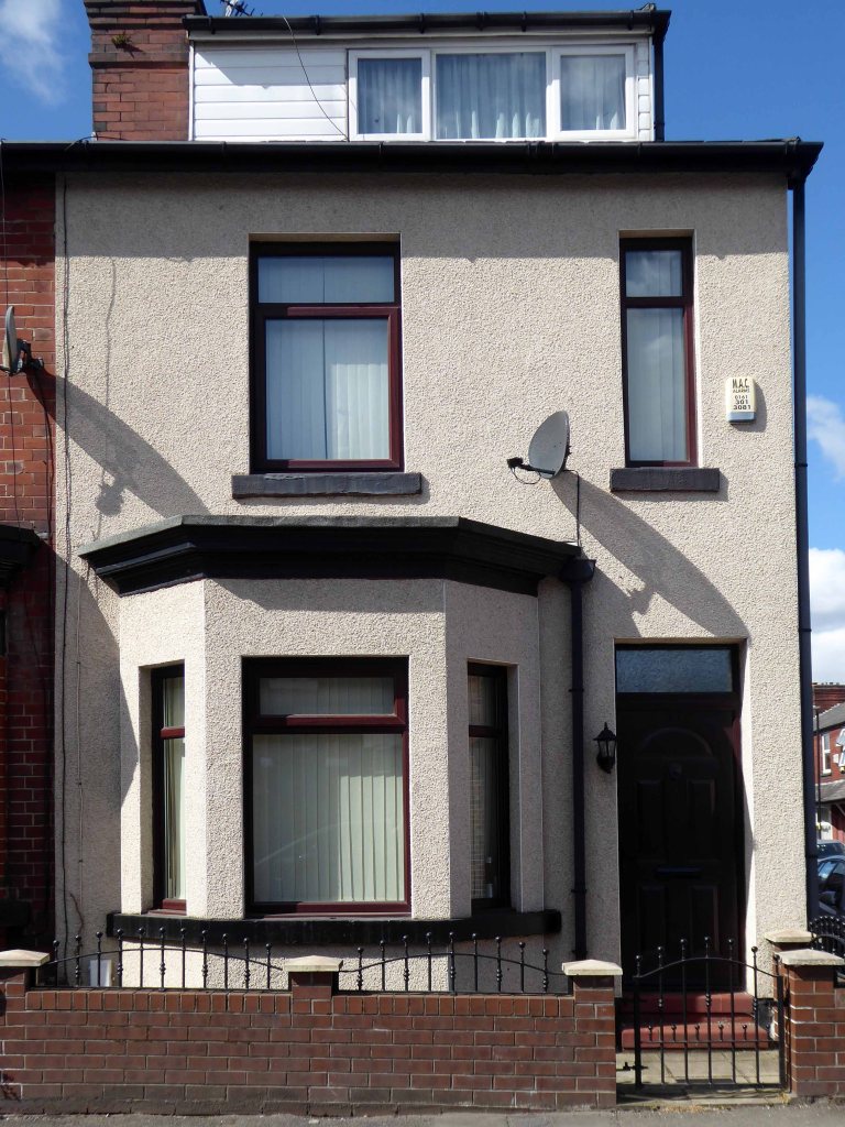
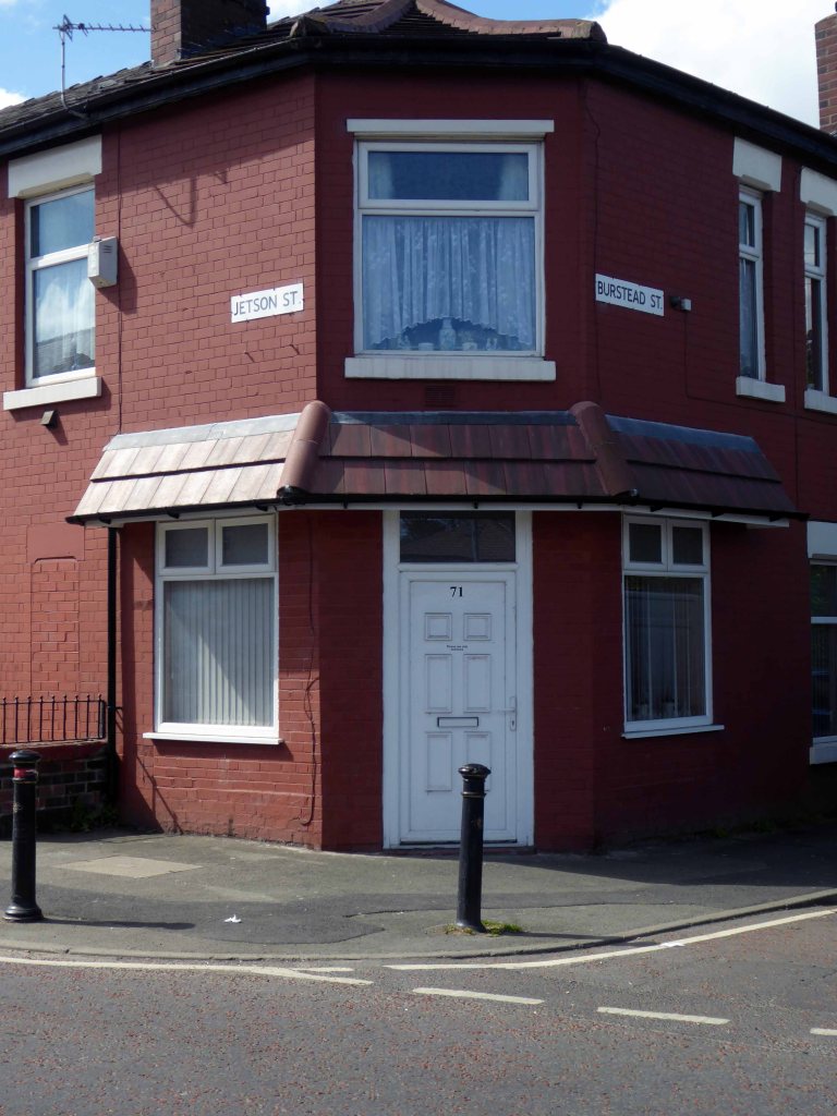
We are travelling backwards and forwards in time – firstly back to 1845 when the street was yet to be built, before the Industrial Revolution created the need for workers’ homes, to house the workers from the newly built workplaces, which also did not yet exist.
It was almost all fields around here.
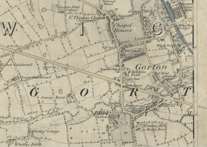
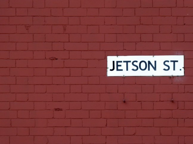
A little further forward to 1896 when Jetson Street has emerged fully formed from the fields, along with rail, road, amusement and industry.
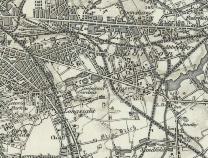
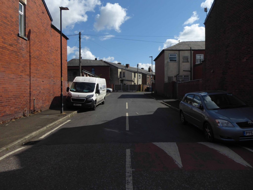
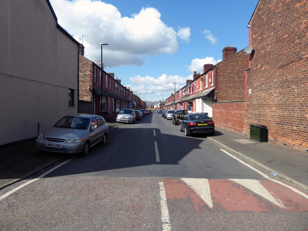
Fast forward to today and it’s all almost still there – though most of the work and the majority of the amusement has evaporated into a cloud of post-industrial, Neo-Liberal economic stagflation.
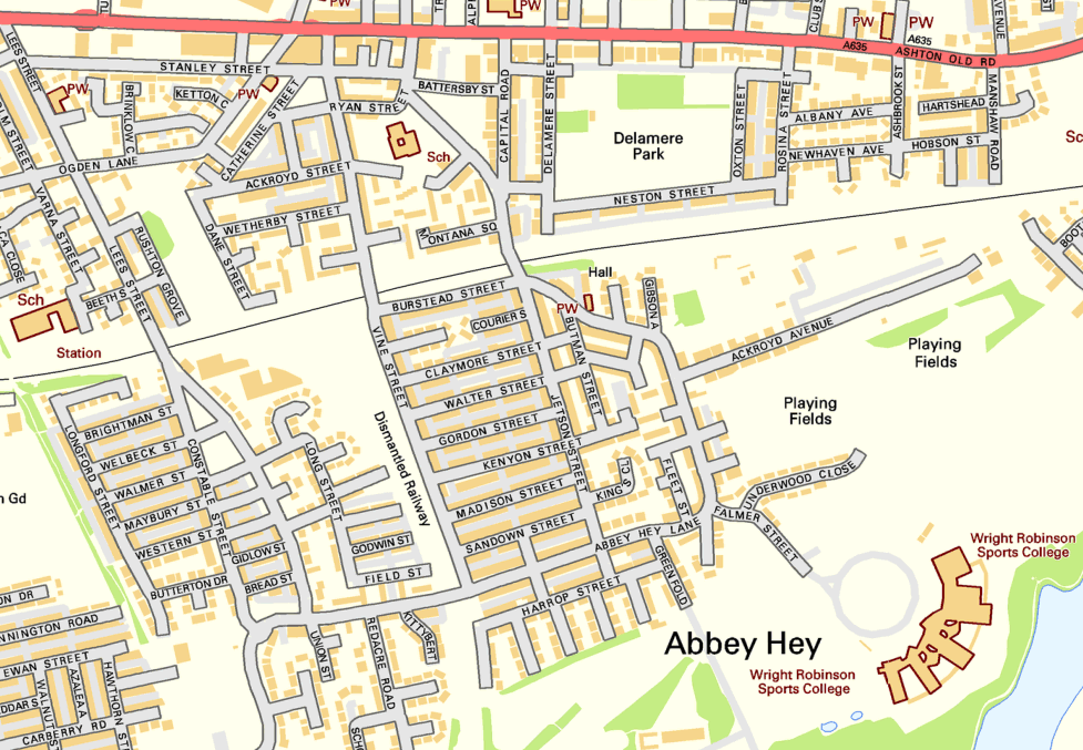
So why am I here – fast forward to the fictional future!

As a kid I watched as the Jet Age emerged before my very square eyes, giving the street a certain cosmic charm – I was curious.
I have searched online – this seems to be the one and only Jetson Street in the whole wide world – I searched online for its origins.
The name Jetson means Son Of Jet and is of American origin.
Which quite frankly seems unreasonably glib.
The name Jetson is from the ancient Anglo-Saxon culture of the Britain and comes from the names Judd and Jutt, which are pet forms of the personal name Jordan. These names are derived from Jurd, a common abbreviation of Jordan, and feature the common interchange of voiced and voiceless final consonants.
The surname Jetson was first found in Hertfordshire where they held a family seat from very ancient times, some say well before the Norman Conquest and the arrival of Duke William at Hastings in 1066 A.D.
Which quite frankly seems unreasonably obscure.
Let’s jet back to 1964.

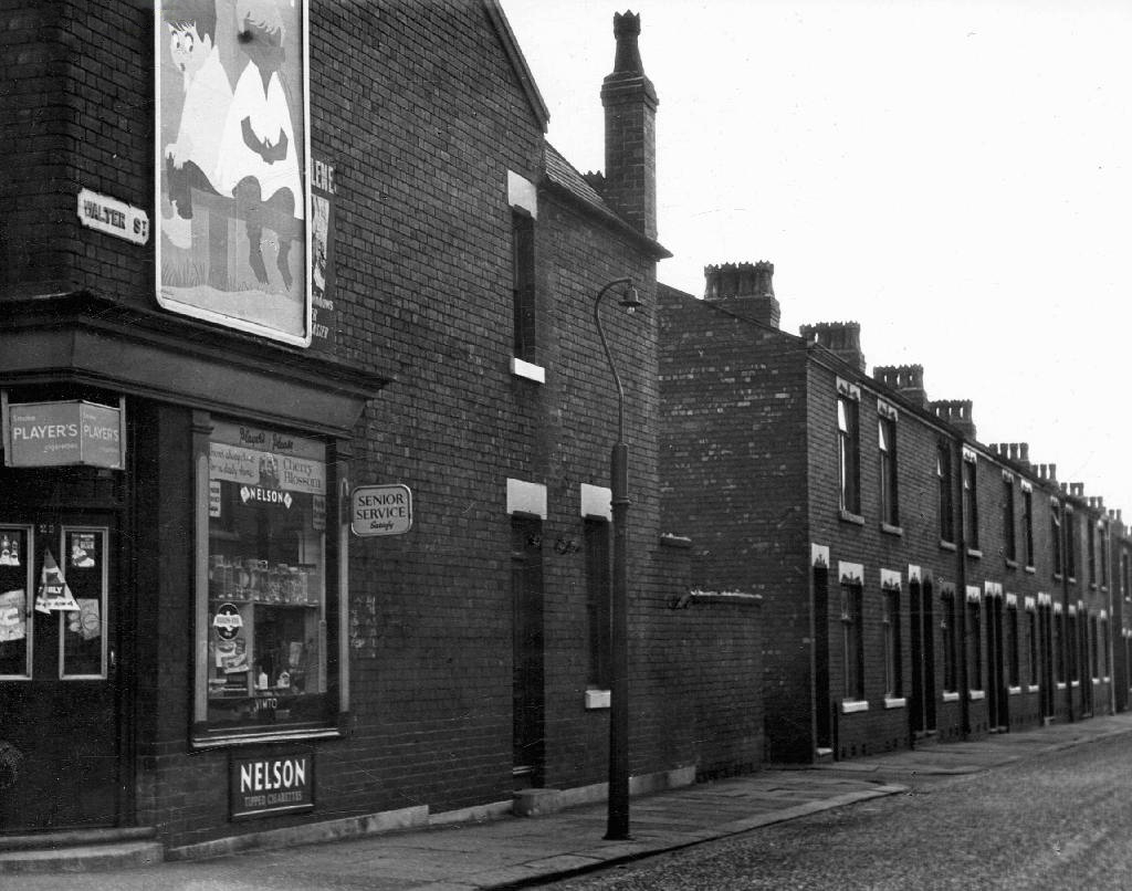
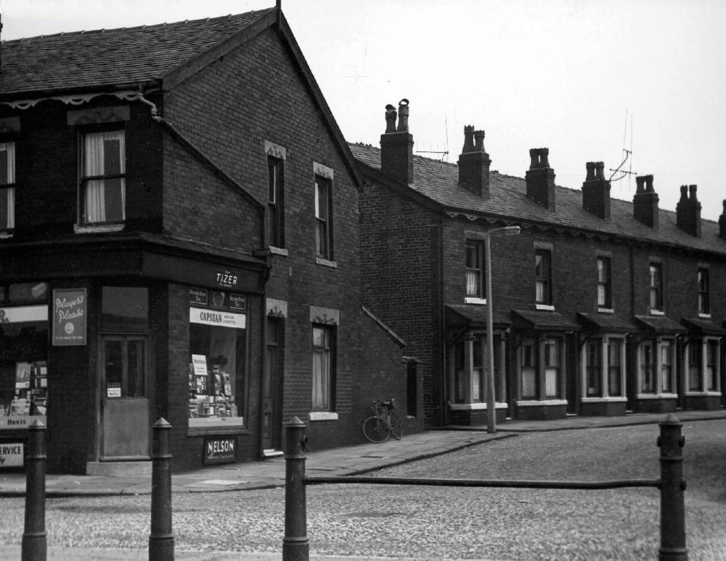
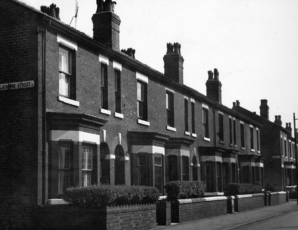
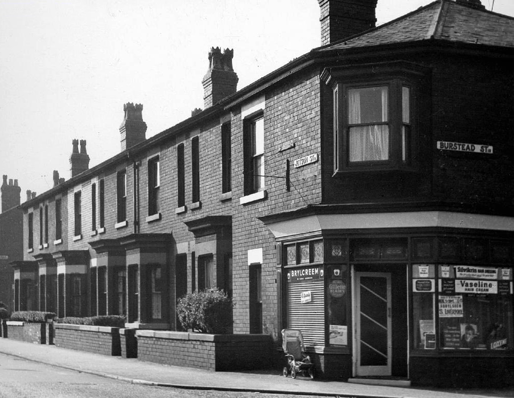
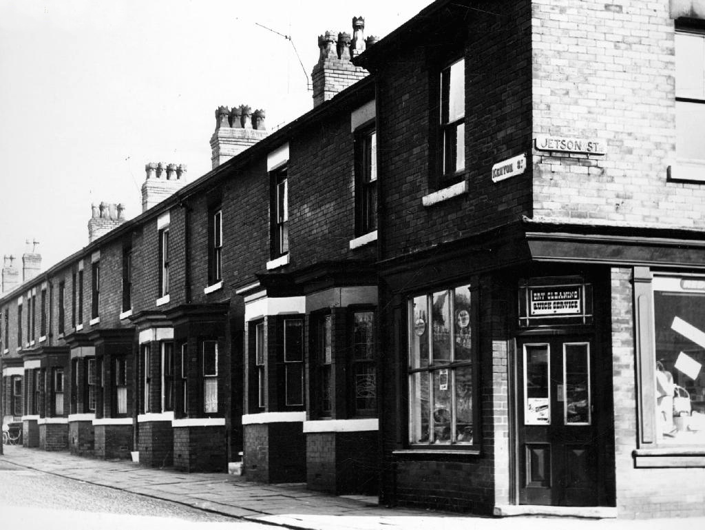
T Brooks wandered these streets taking thousands of photographs for the Manchester Corporation, possibly the housing or highways departments – they all still exist here on the Local Image Collection.
This was a world of corner shops on ever corner, settled communities full-employment, neatly ordered rows of sturdy brick-built homes.
I follow in his hallowed footsteps, what if anything remains of this world – fast forward to 2015 my first fleeting visit.
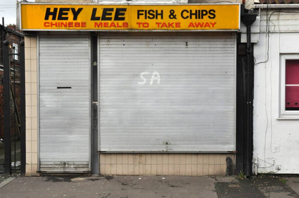
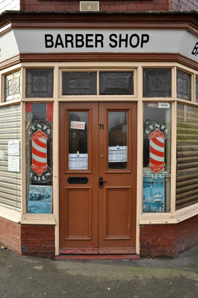
The area now has a richer racial mix – having recently become home to many African and Eastern European families. The architectural consistency of the houses has been swamped by render, window frame replacement, addition and extension, and the arrival of a plethora of motor cars. The majority of shops now long gone, as the once pedestrian community spread their retail wings and wheels elsewhere.


Whilst walking down Beverley Road I caught sight of of you out of the corner of my eye – my left eye.
My beautiful laundrette:
In this damn country, which we hate and love, you can get anything you want, it’s all spread out and available.
That’s why I believe in England.
Set back slightly from the road and the rest of the world.

Queens Road a street with an incident packed street view.
Without hesitation I entered the world of washing, soap and suds, signs and surfaces.
Dirty linen has never been so public.


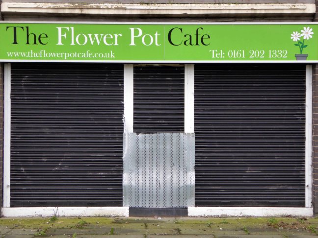
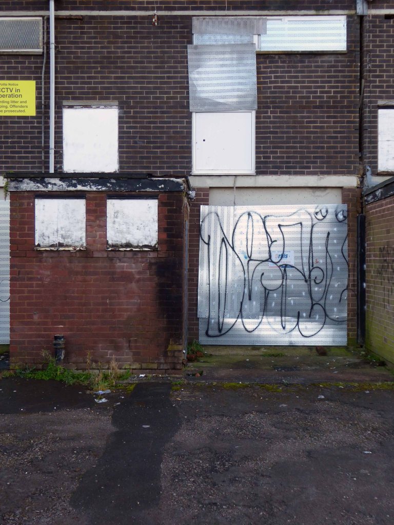
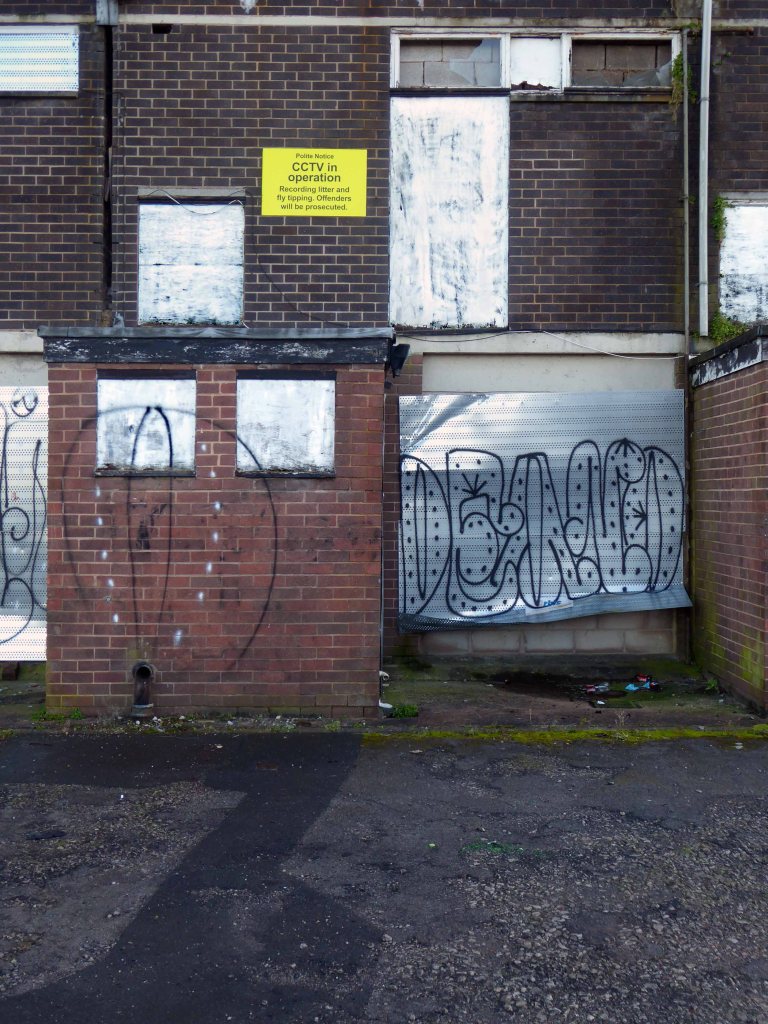
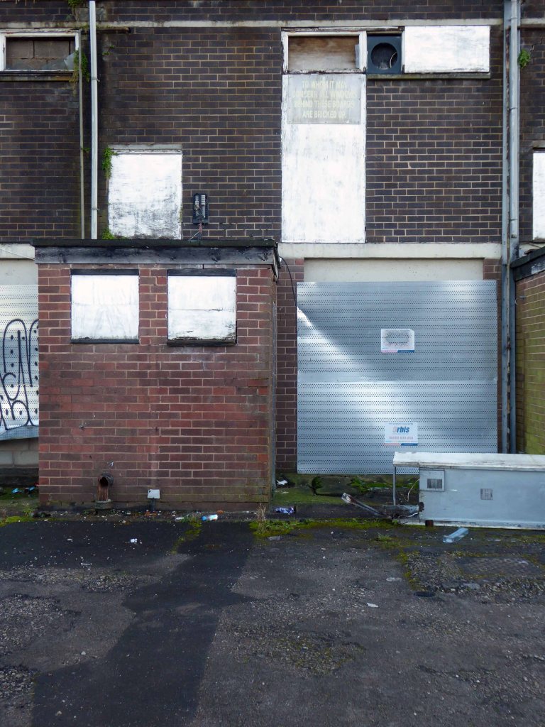
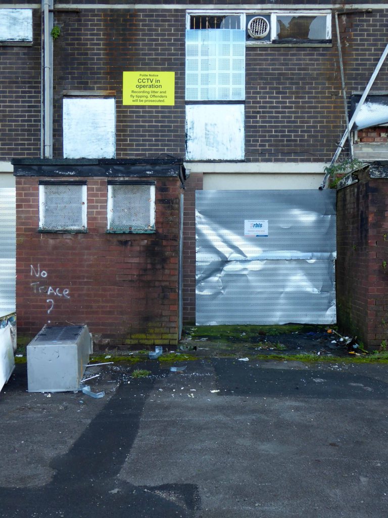
Stasis is the order of the day – the last stand for this forlorn stand of shops.
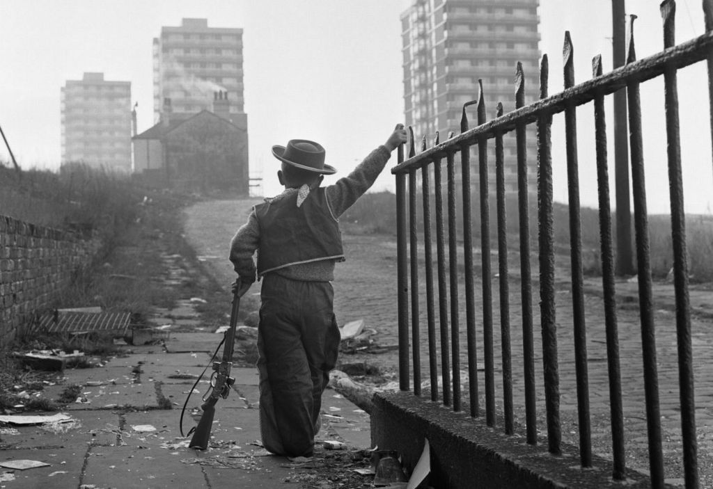
Once the realm of cobbles, railings, high rise arrivals and urban cowboys – an area overwhelmed by the weight of its past and the insubstantial promise of a sustainable future.
Where once productive and fulfilling lives were lived, buddleia now blooms, whilst thin grass entwines around forlorn fencing and betwixt ever widening cracks in the uneven paving.
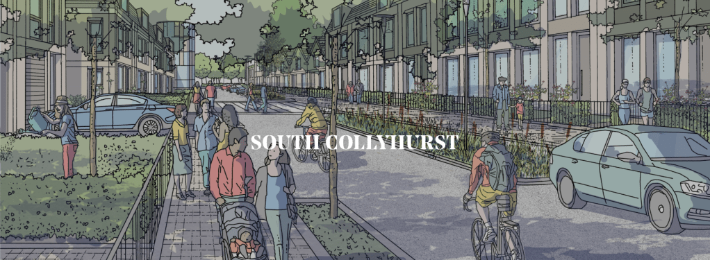
Development in South Collyhurst will take the form of residential-led, family-focused neighbourhoods. We’ll be providing a variety of housing types and tenures to encourage diversity, along with a mix of social and community infrastructure that supports a family lifestyle in close proximity to the city centre.
There are two ideas of government. There are those who believe that if you just legislate to make the well-to-do prosperous, that their prosperity will leak through on those below. The Democratic idea has been that if you legislate to make the masses prosperous their prosperity will find its way up and through every class that rests upon it.
William Jennings Bryan 1896

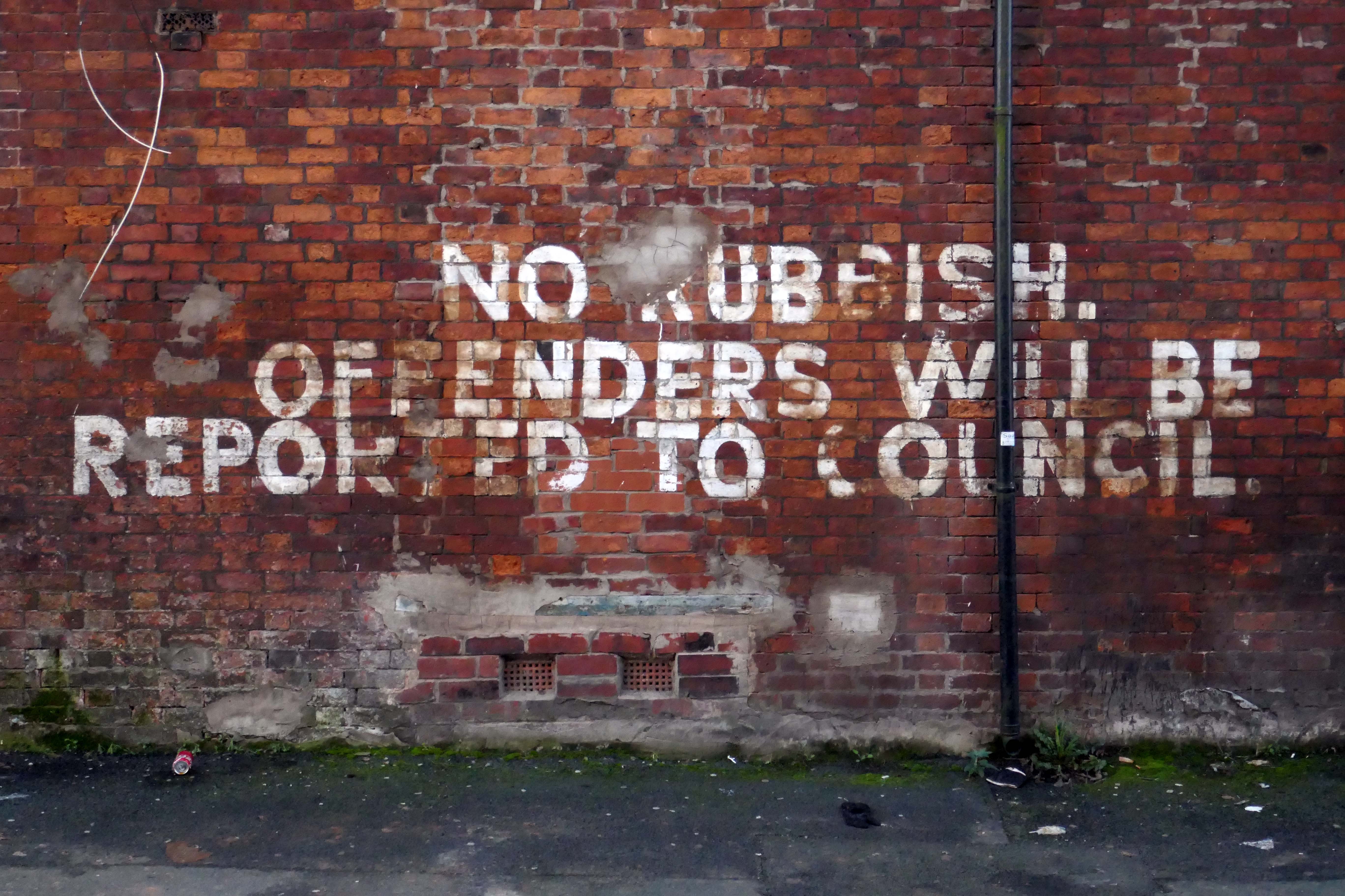
Indeed, You have turned the city into a heap of rubble, a fortified town into ruins; the fortress of strangers is a city no more; it will never be rebuilt.
Isiah 25:2

And they that shall be of thee shall build the old waste places: thou shalt raise up the foundations of many generations; and thou shalt be called, the repairer of the breach, the restorer of paths to dwell in.
Isiah 58:12
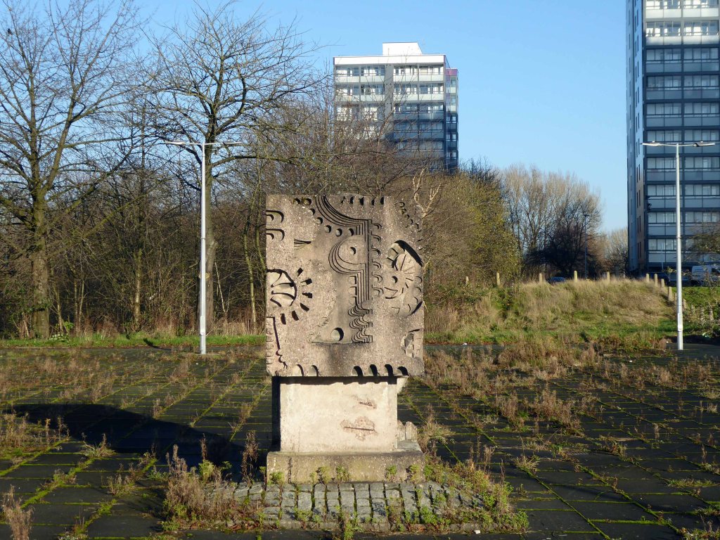
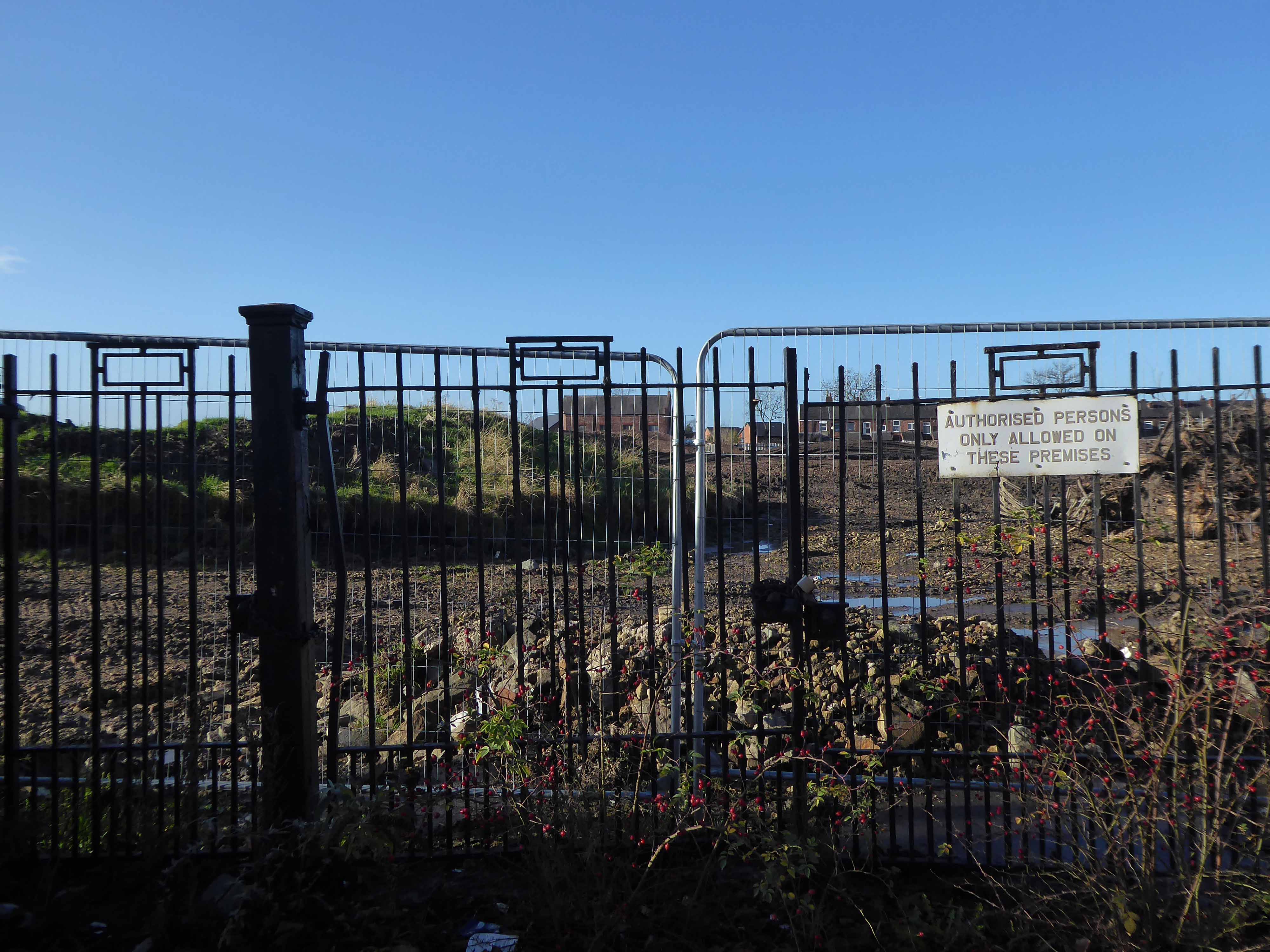
The putative William Mitchell cast concrete block stares stolidly at its surroundings, overseeing a slow and painful decline.
All that is solid melts into air, all that is holy is profaned, and man is at last compelled to face with sober senses his real conditions of life, and his relations with his kind.
Manifesto of the Communist Party
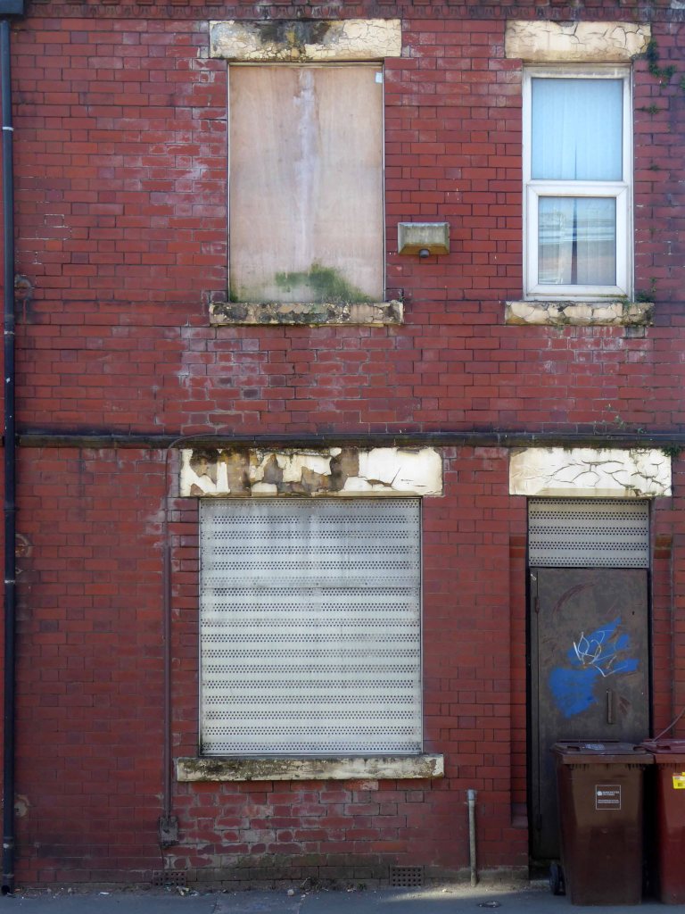
There’s no business like no business – it’s no better out the back.
This is an unprecedented opportunity to deliver a significant residential-led development connecting the north to the centre of Manchester. Working with our partners we’re re-imagining the essential neighbourhoods of our city.
