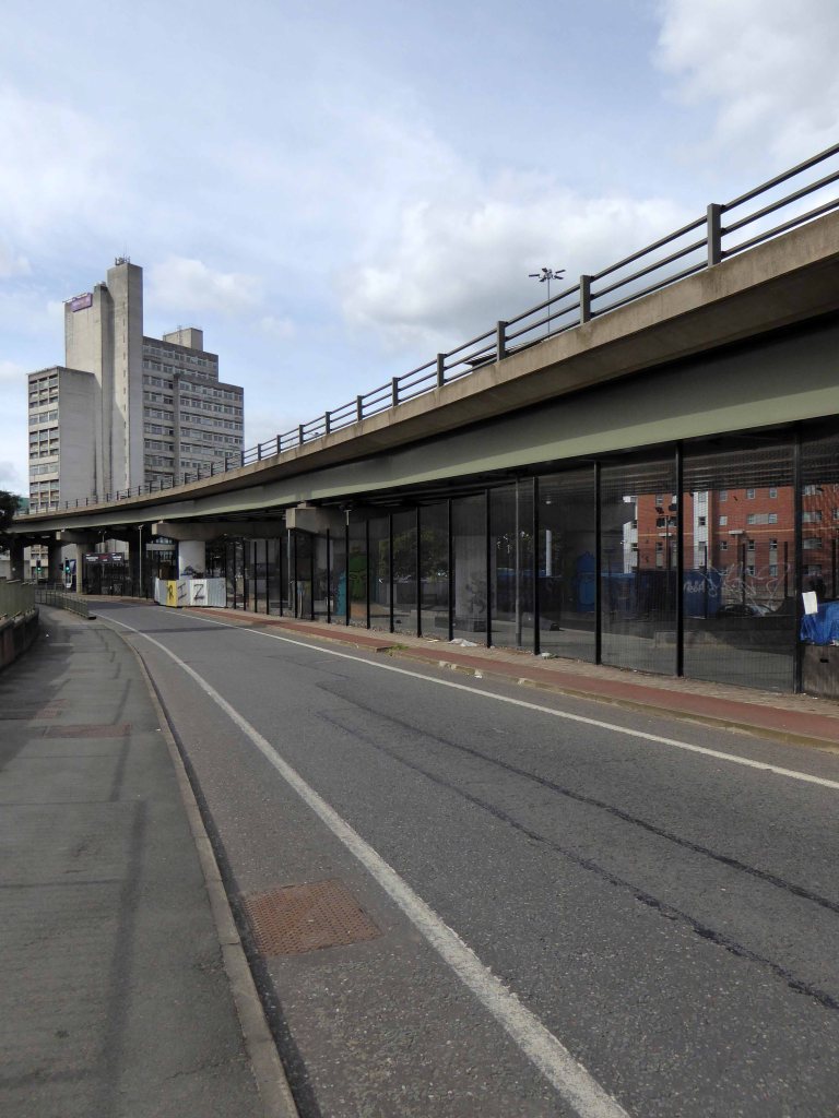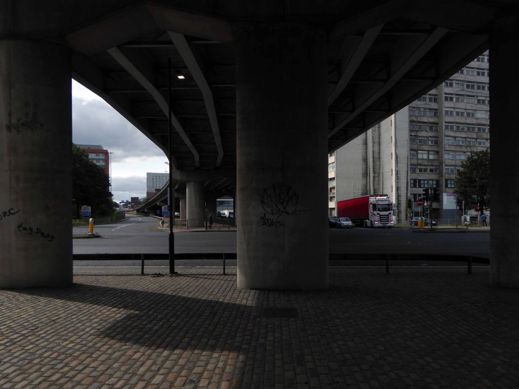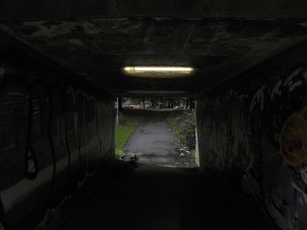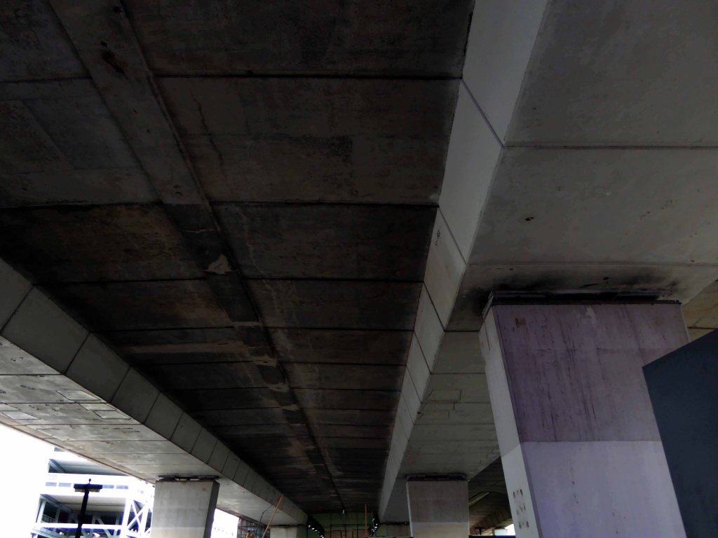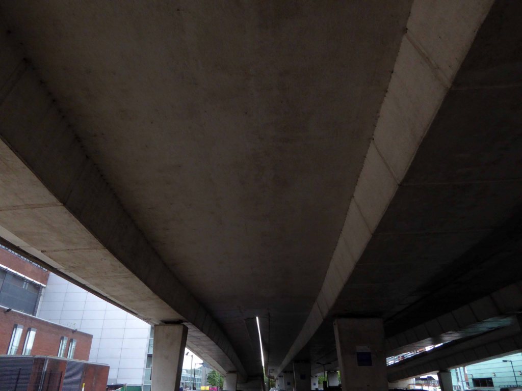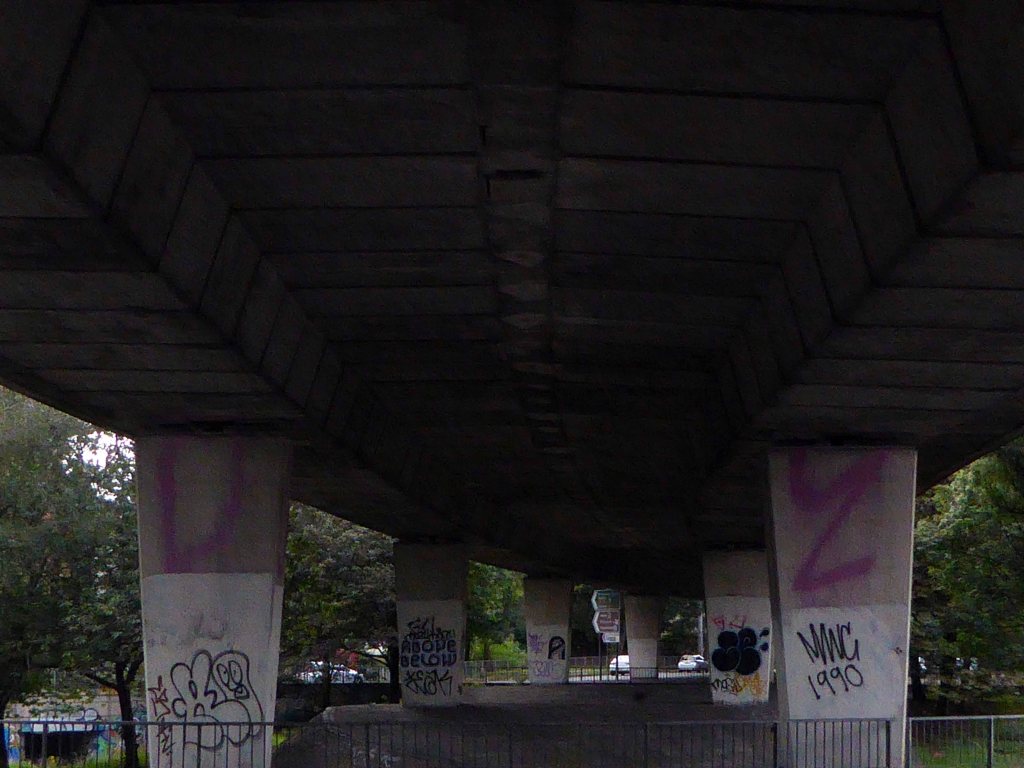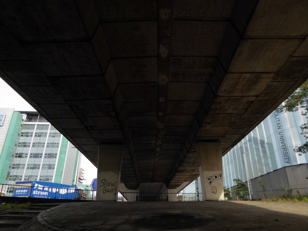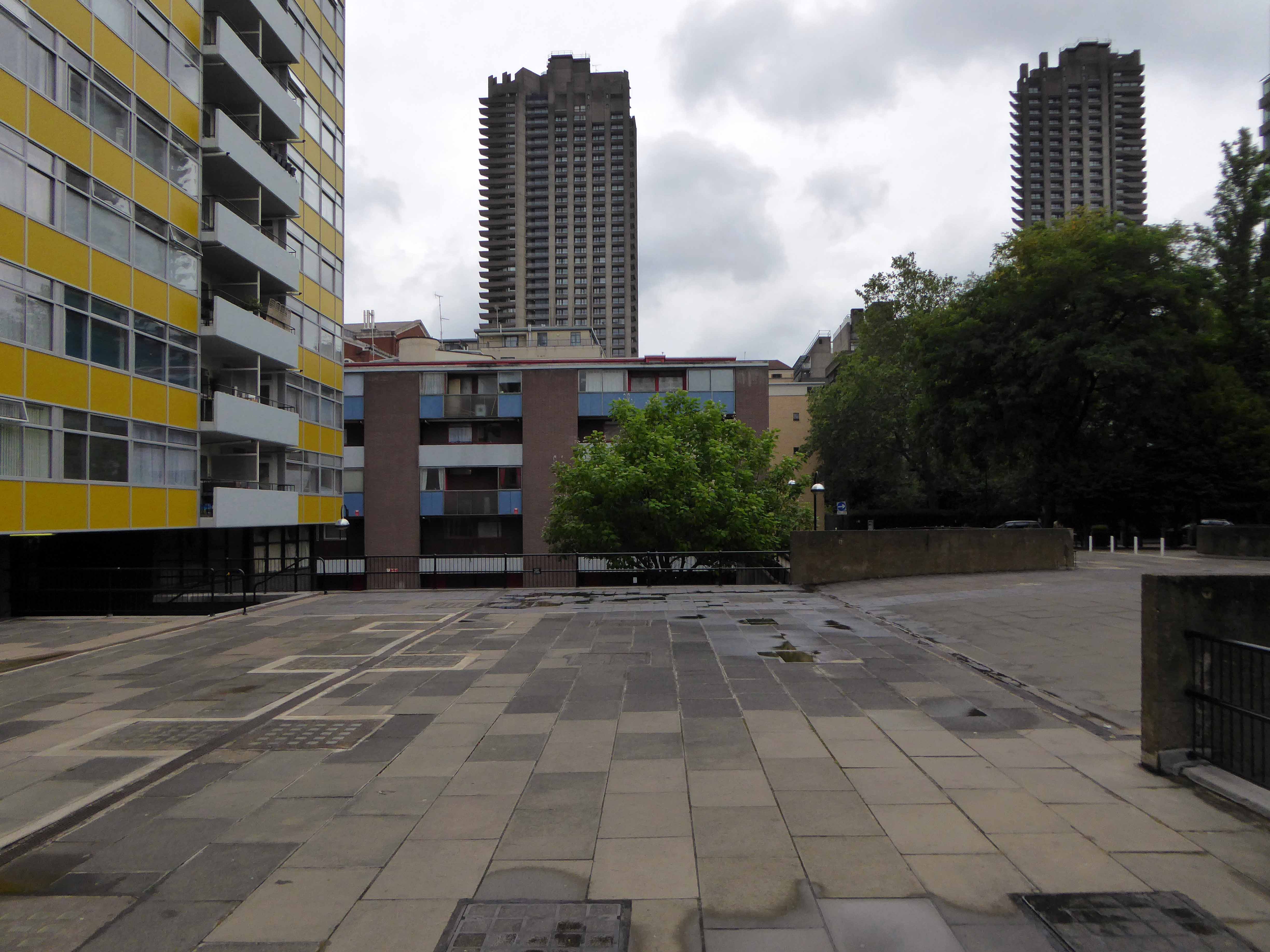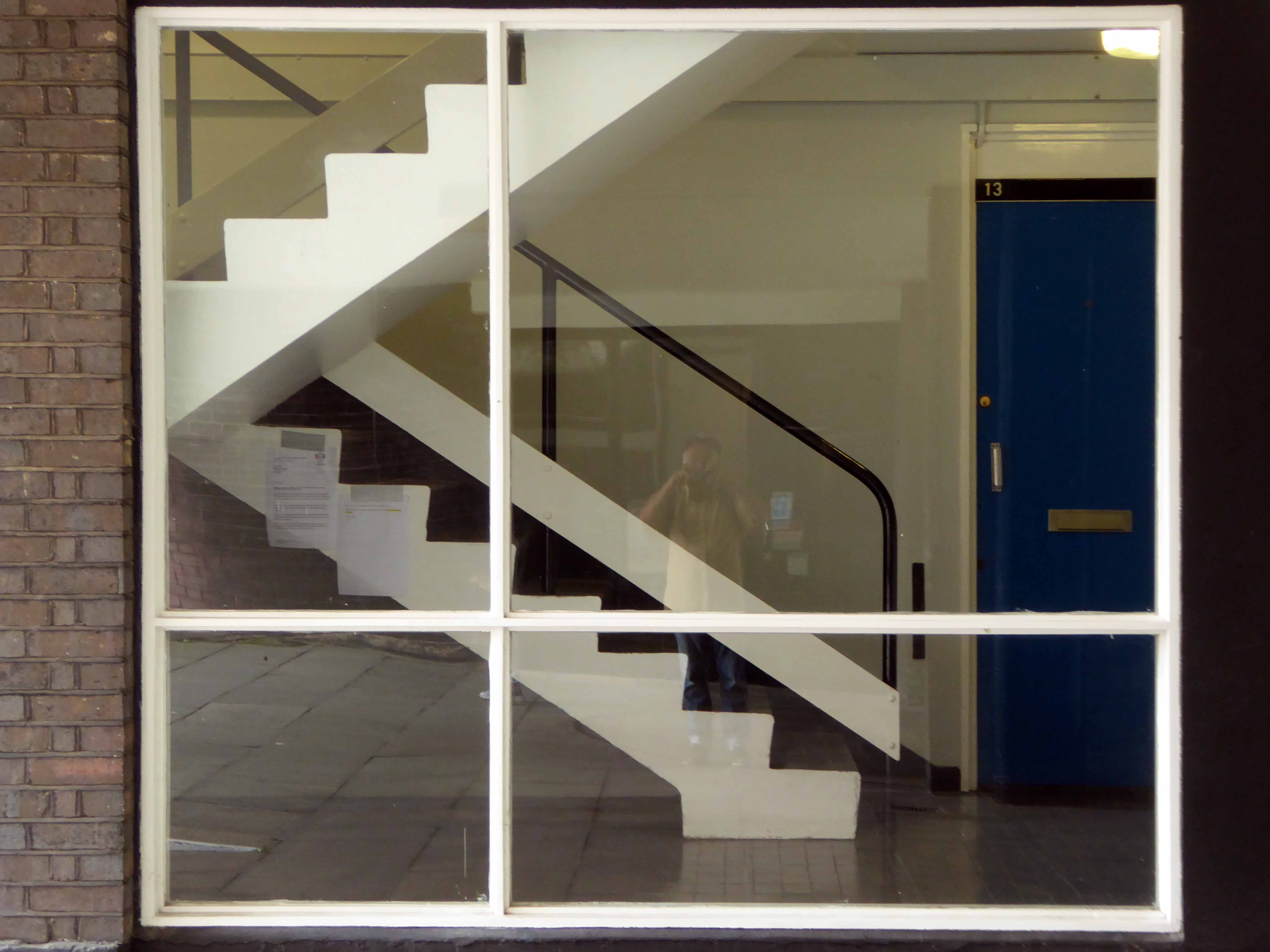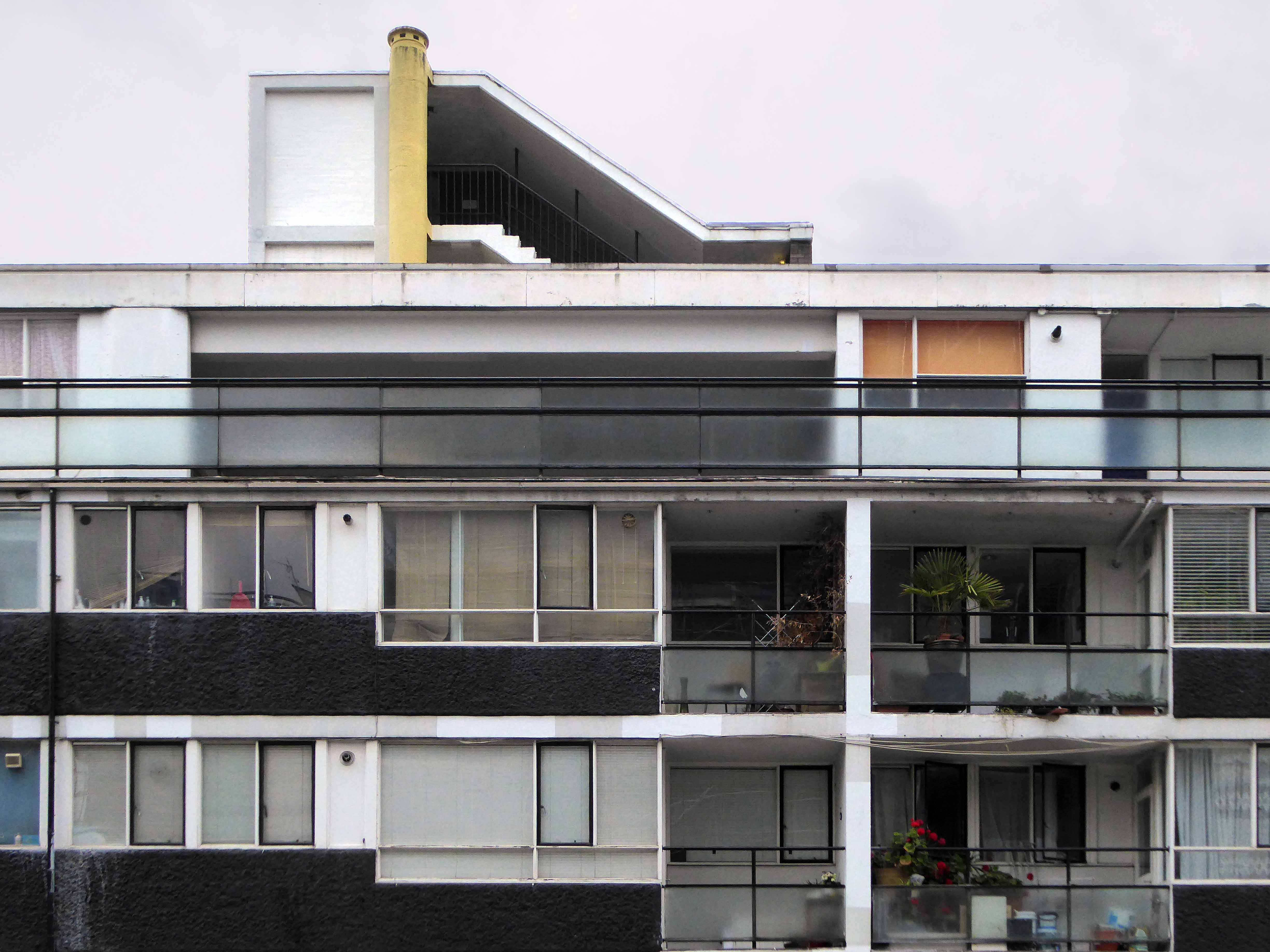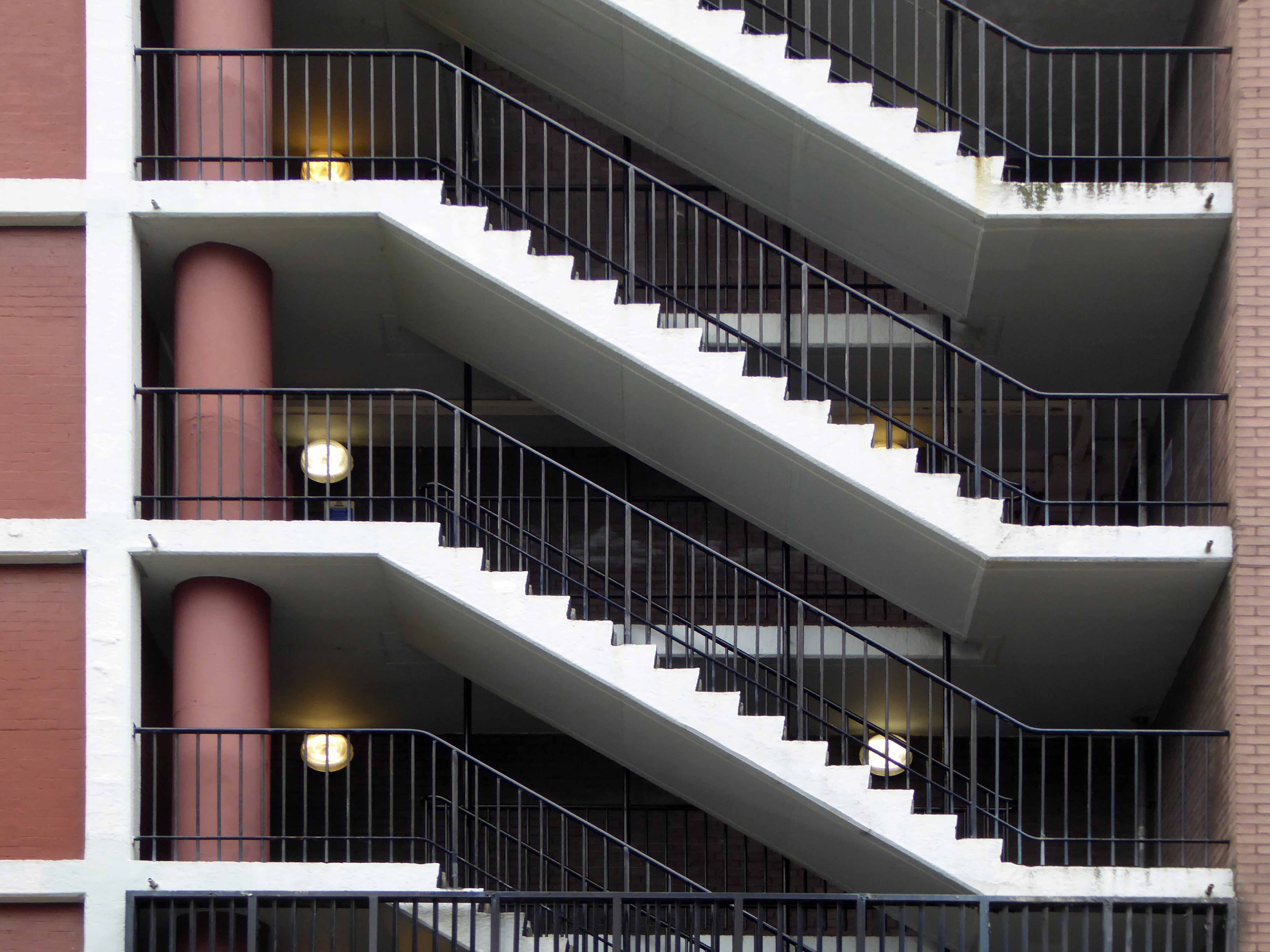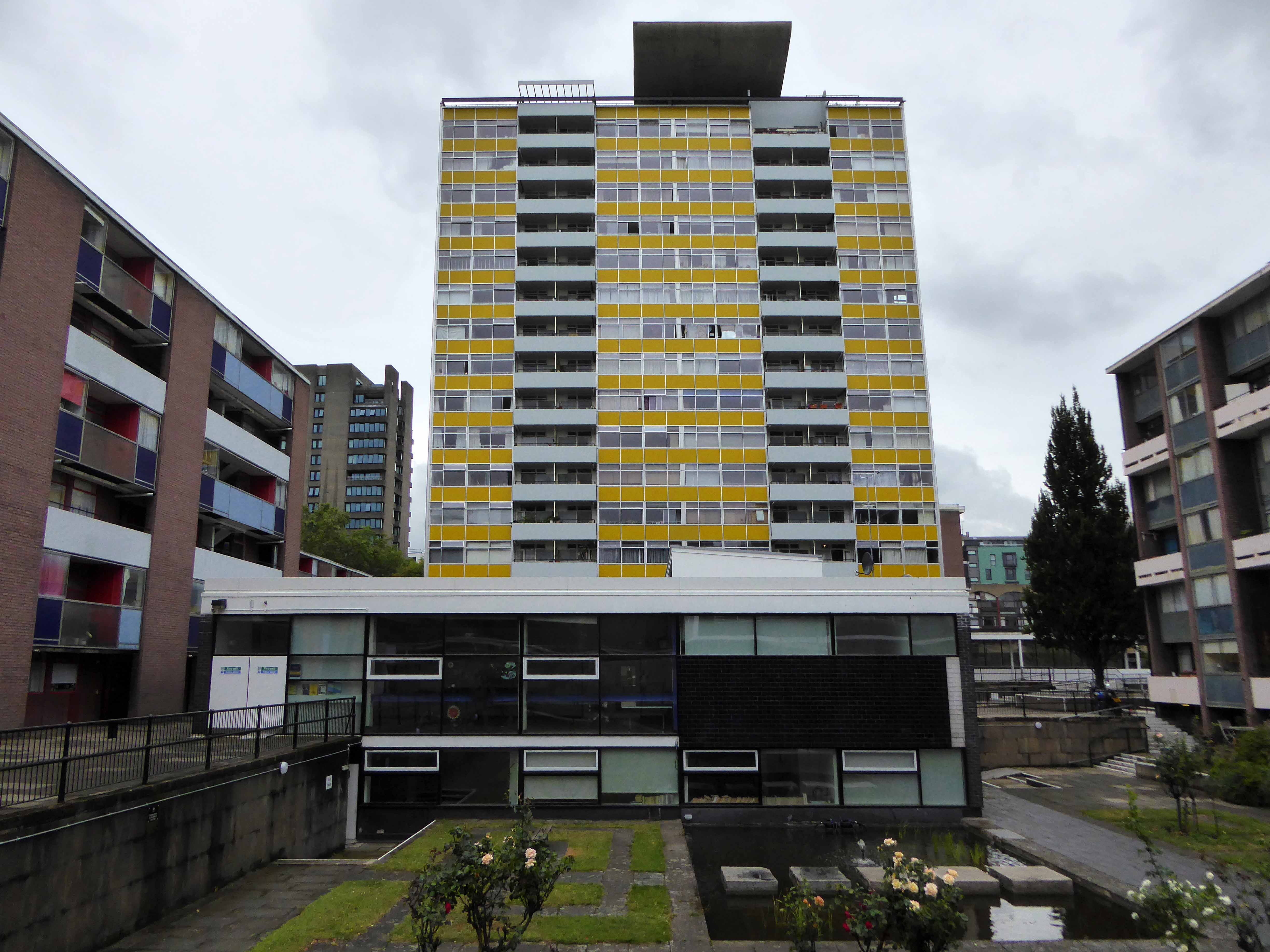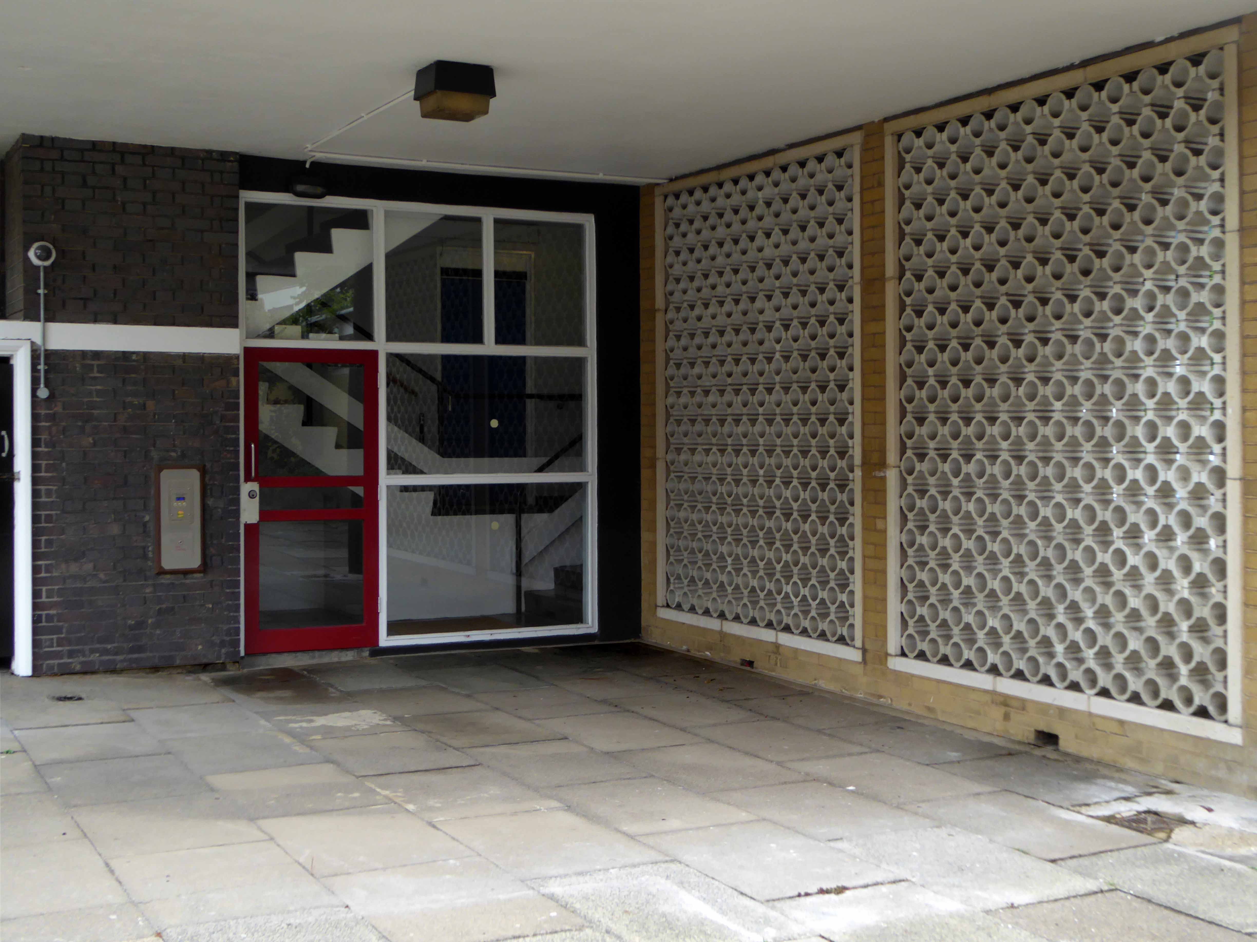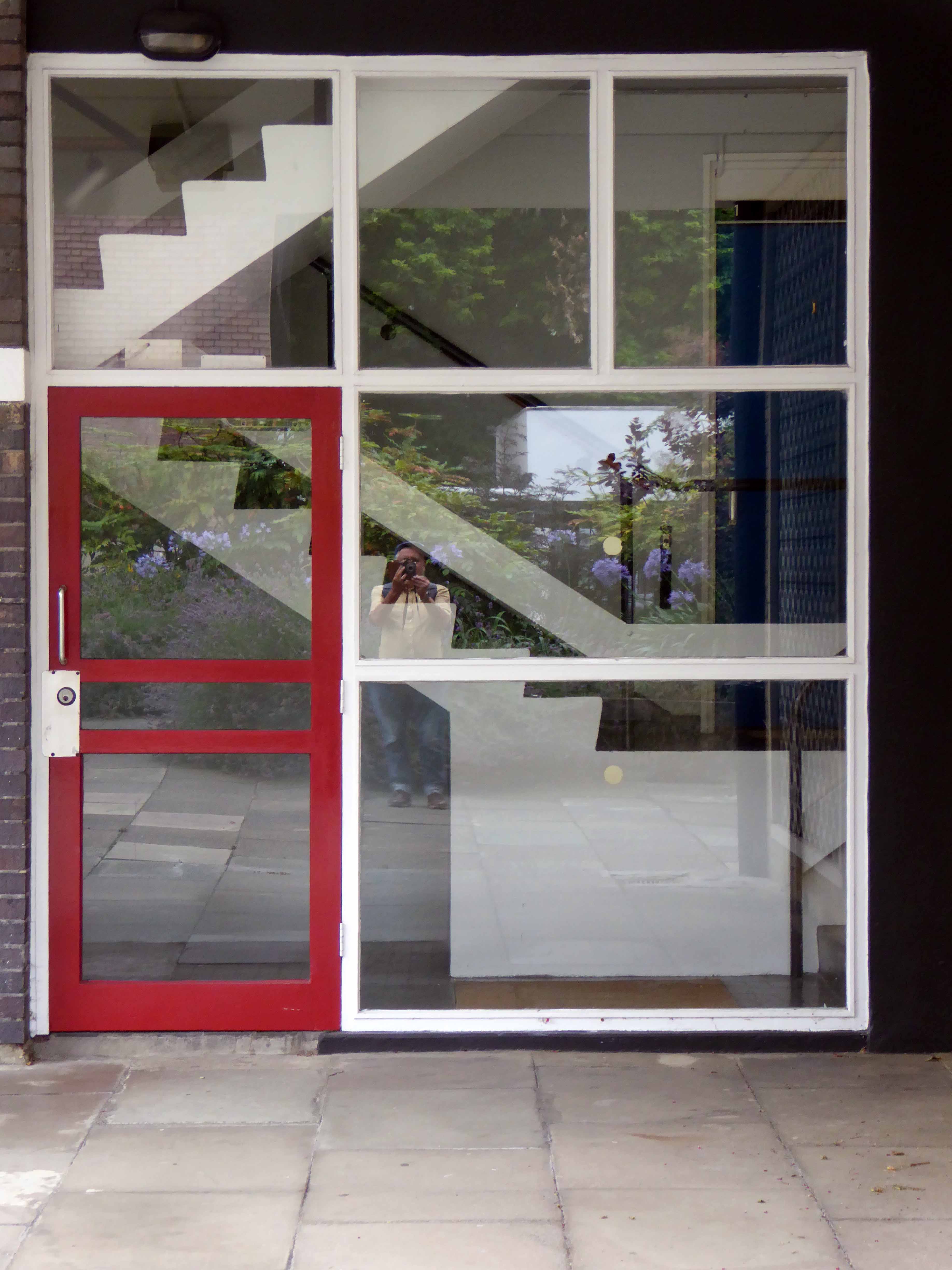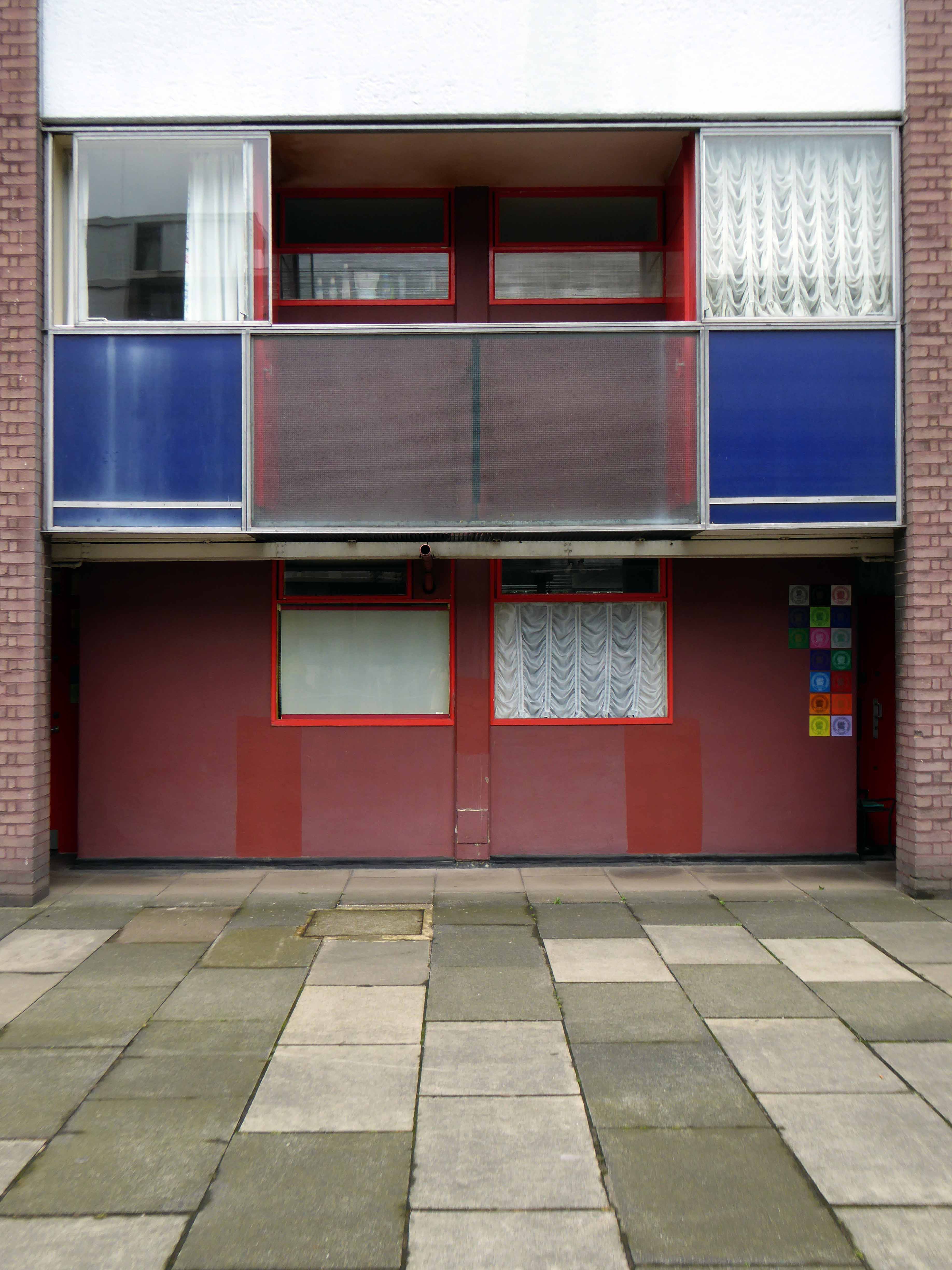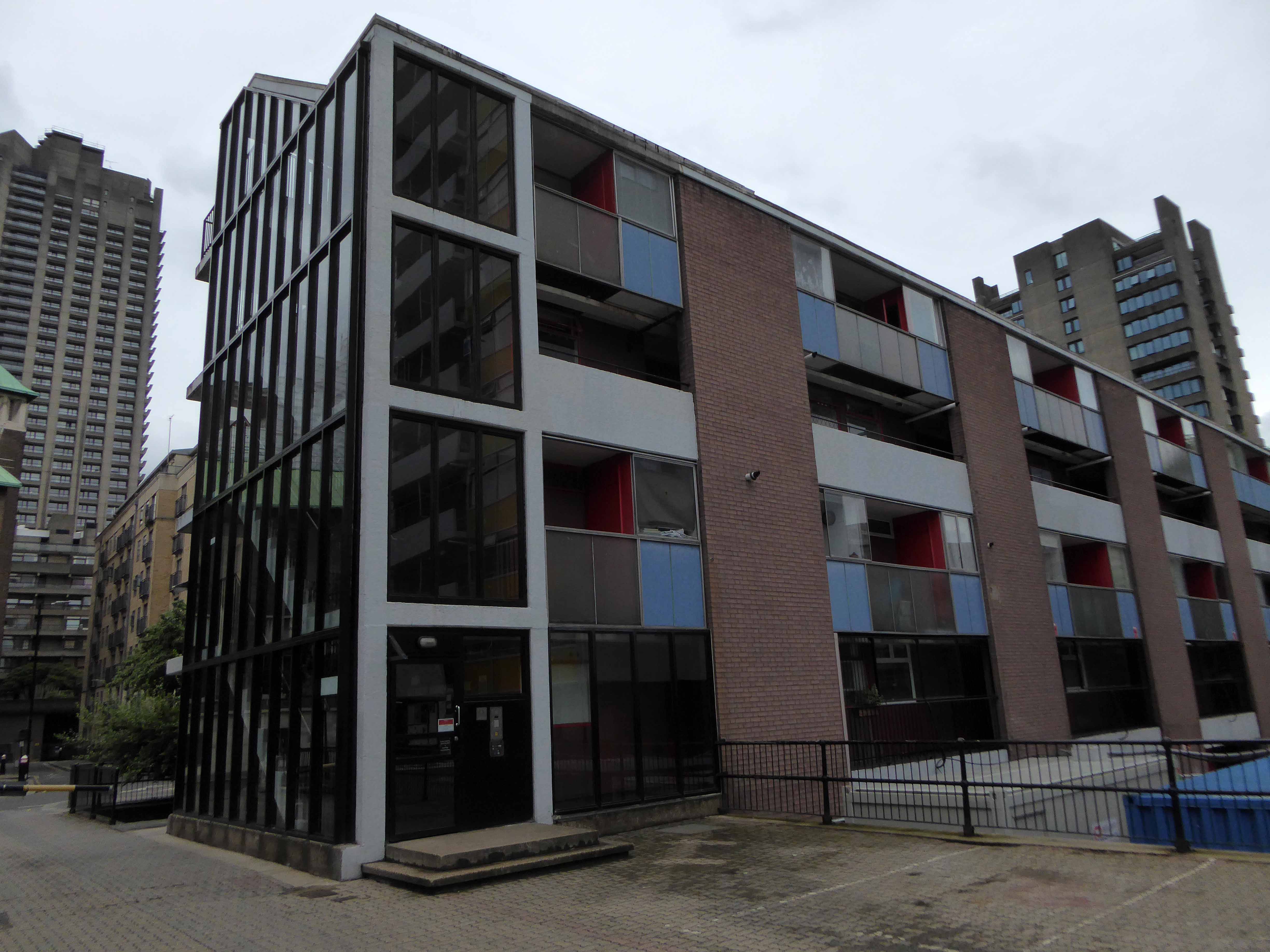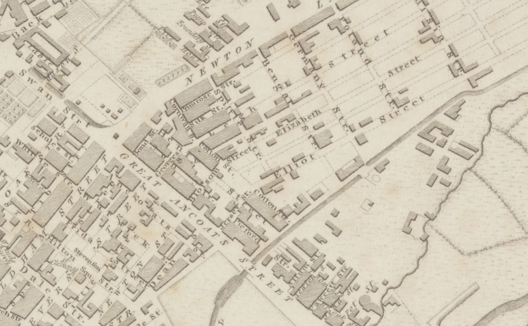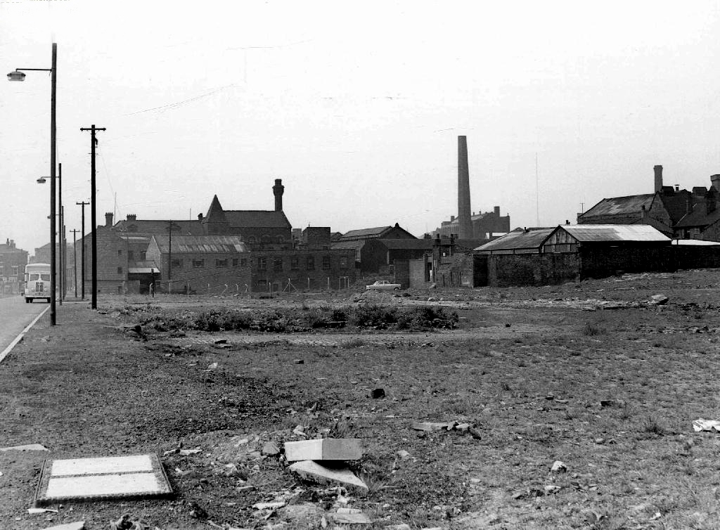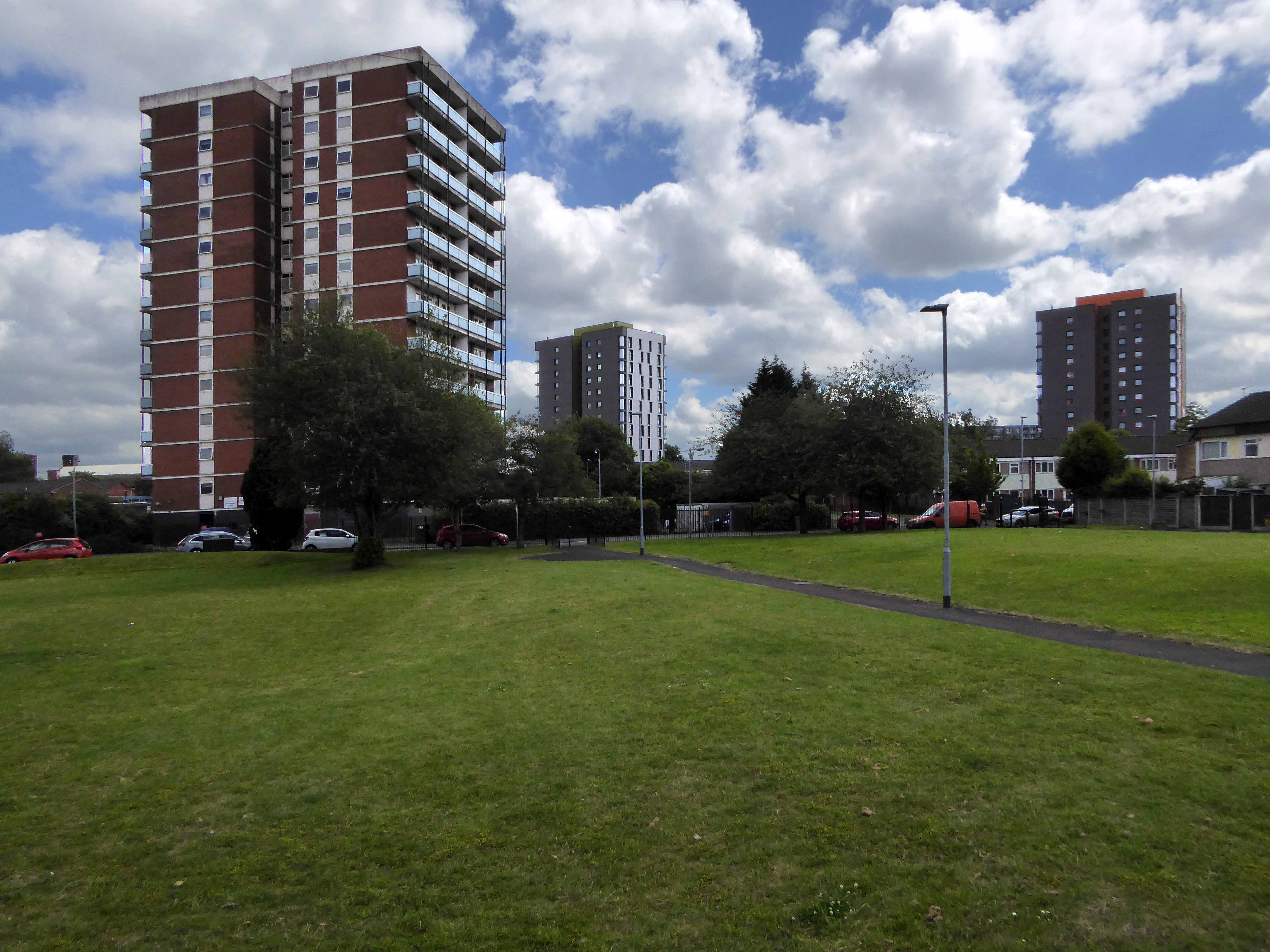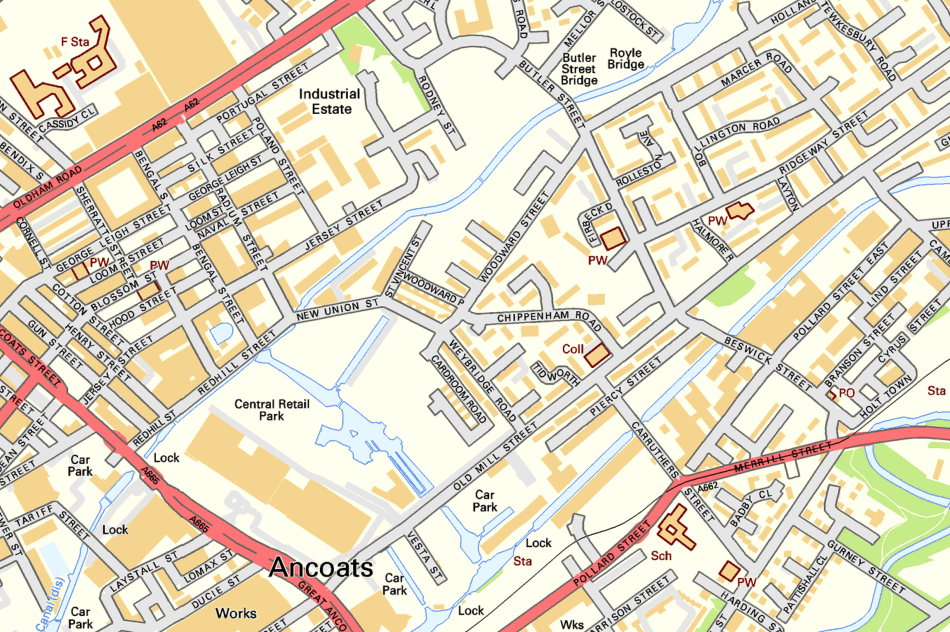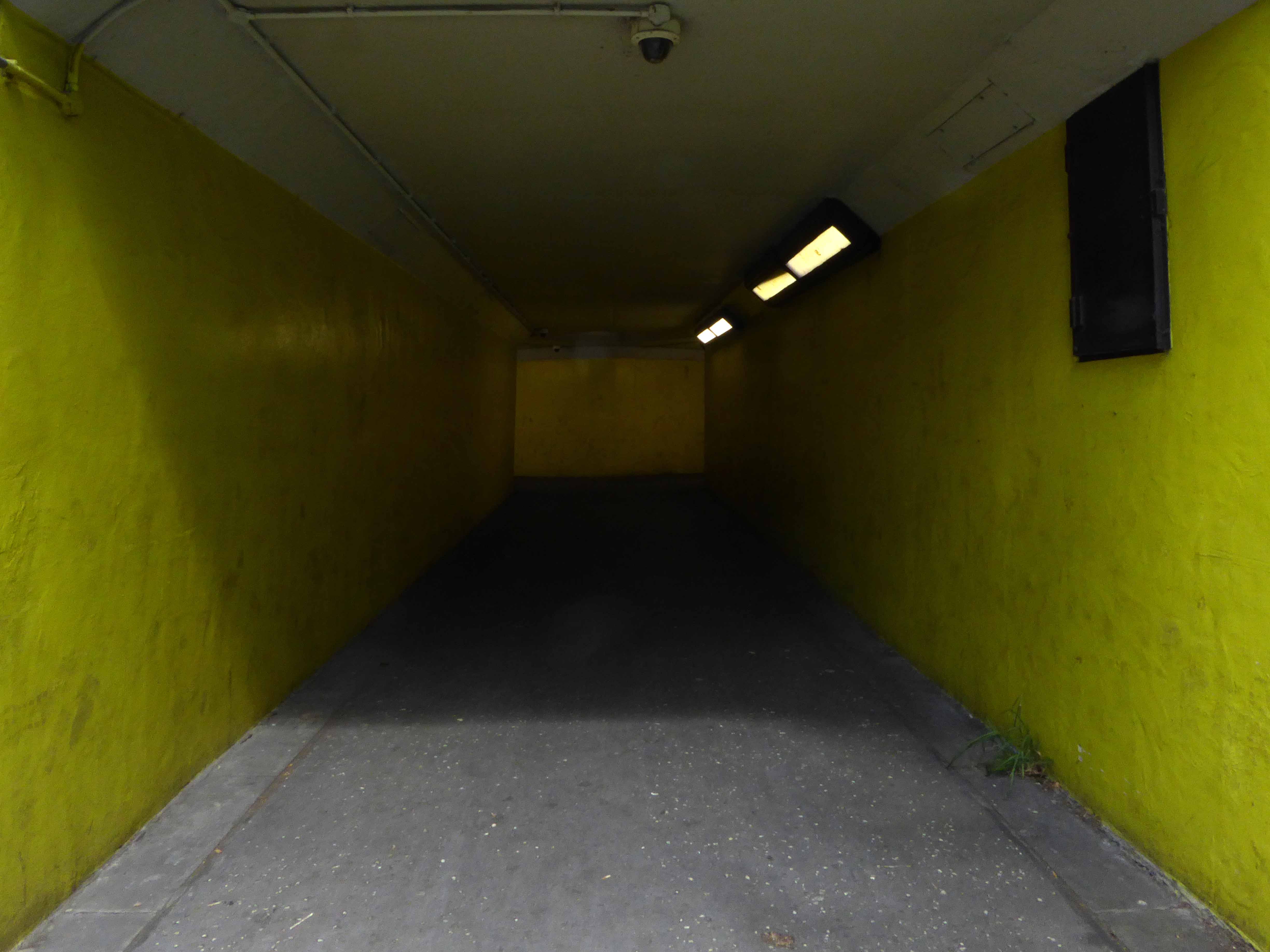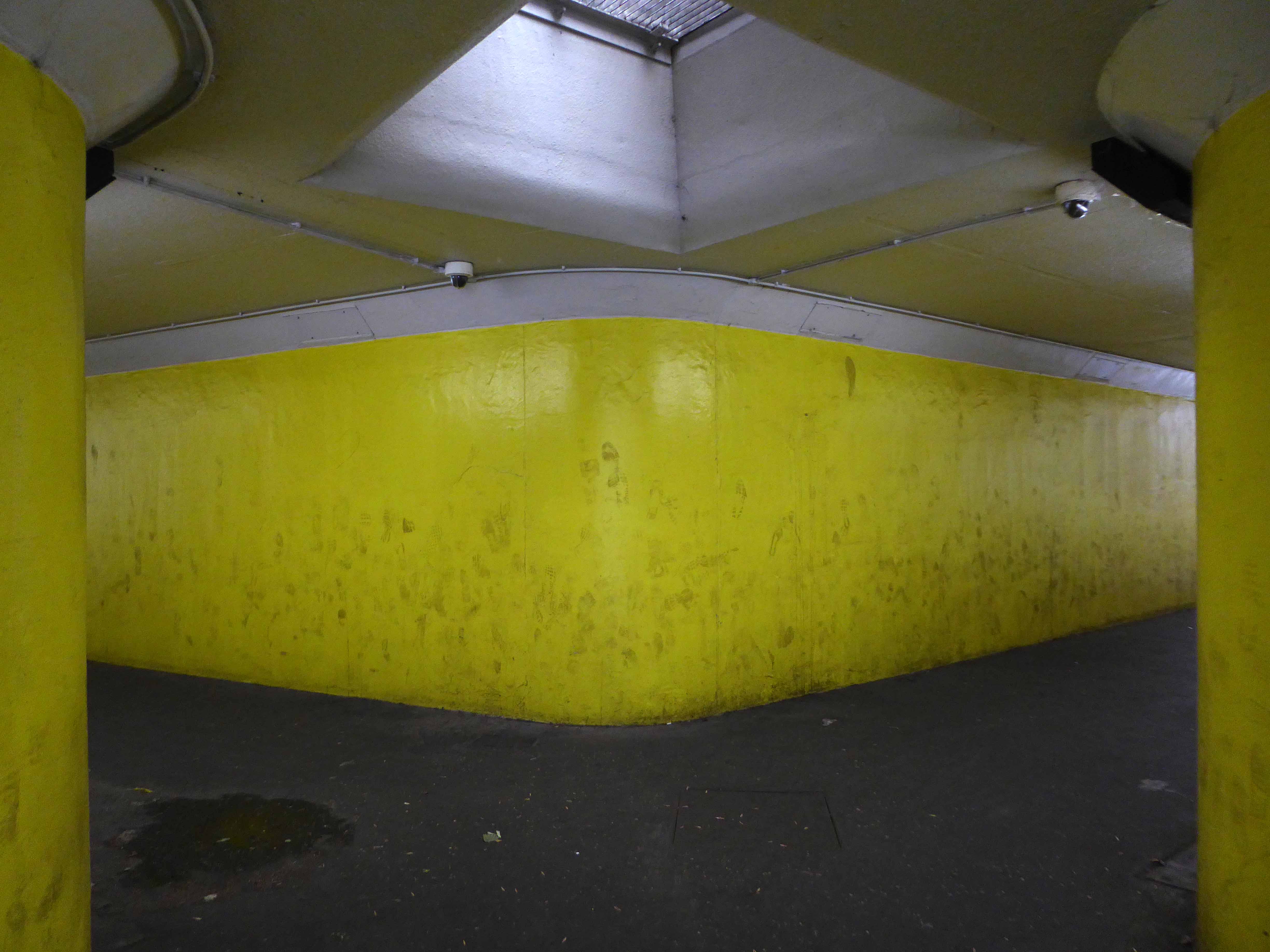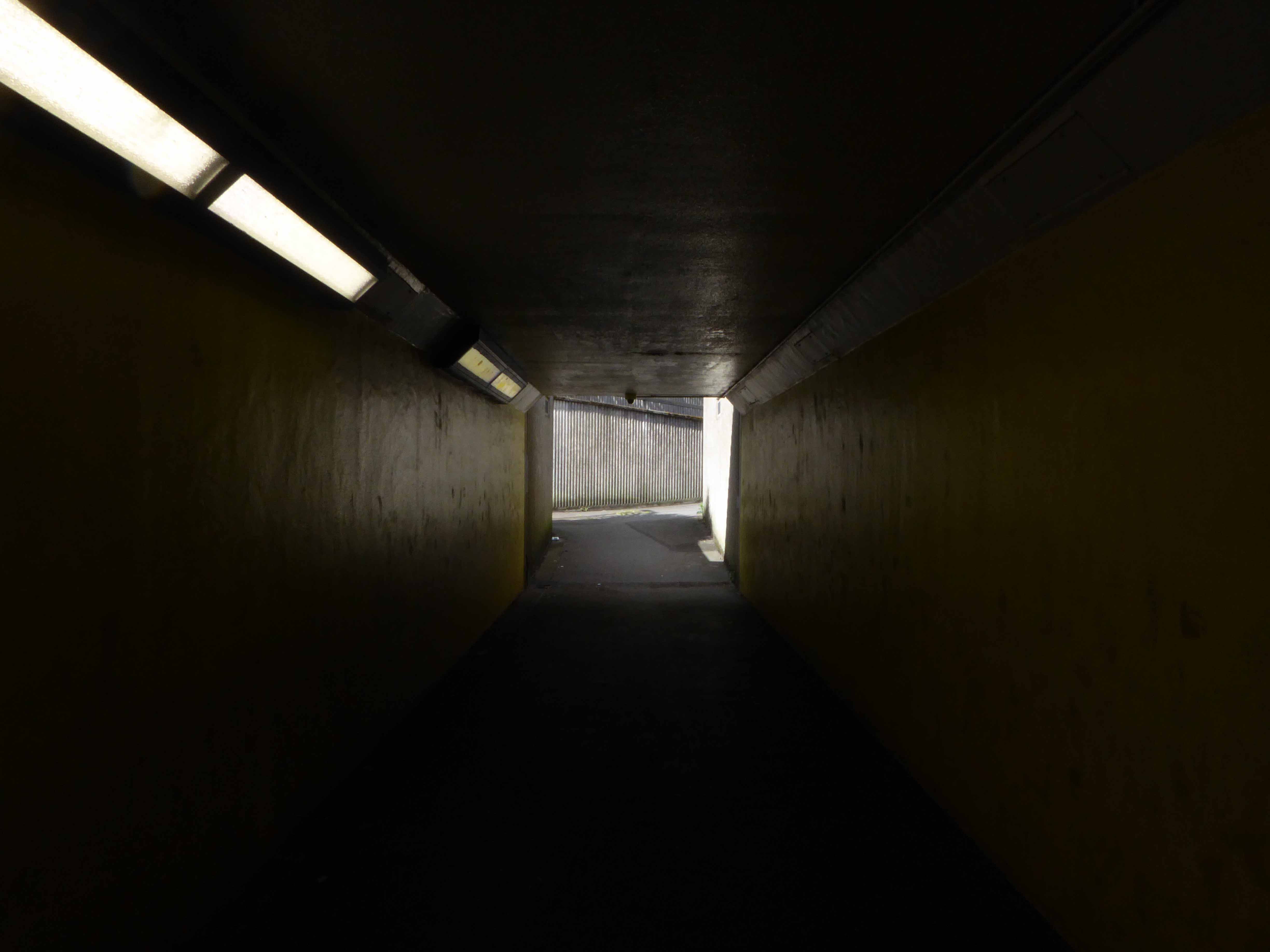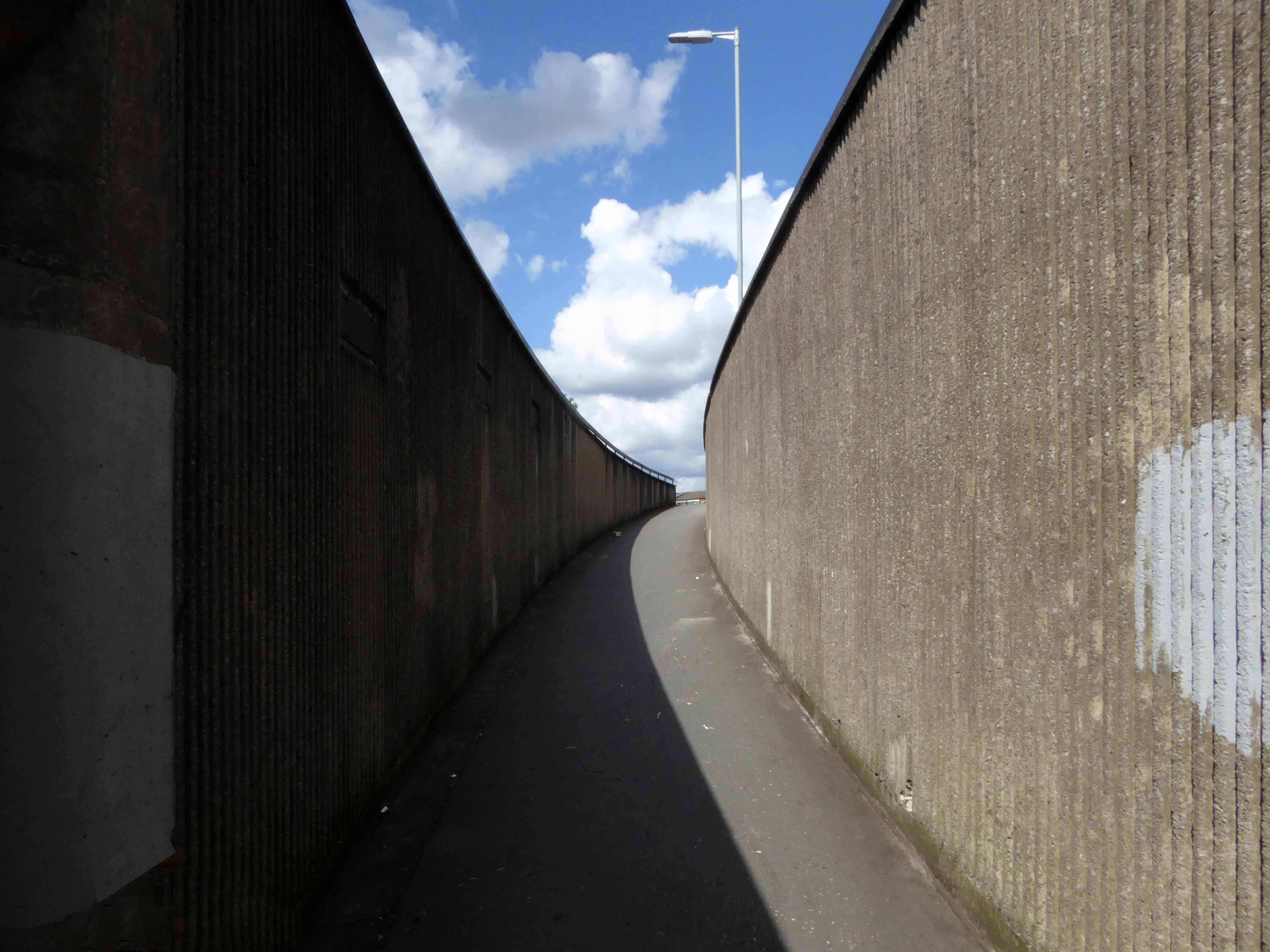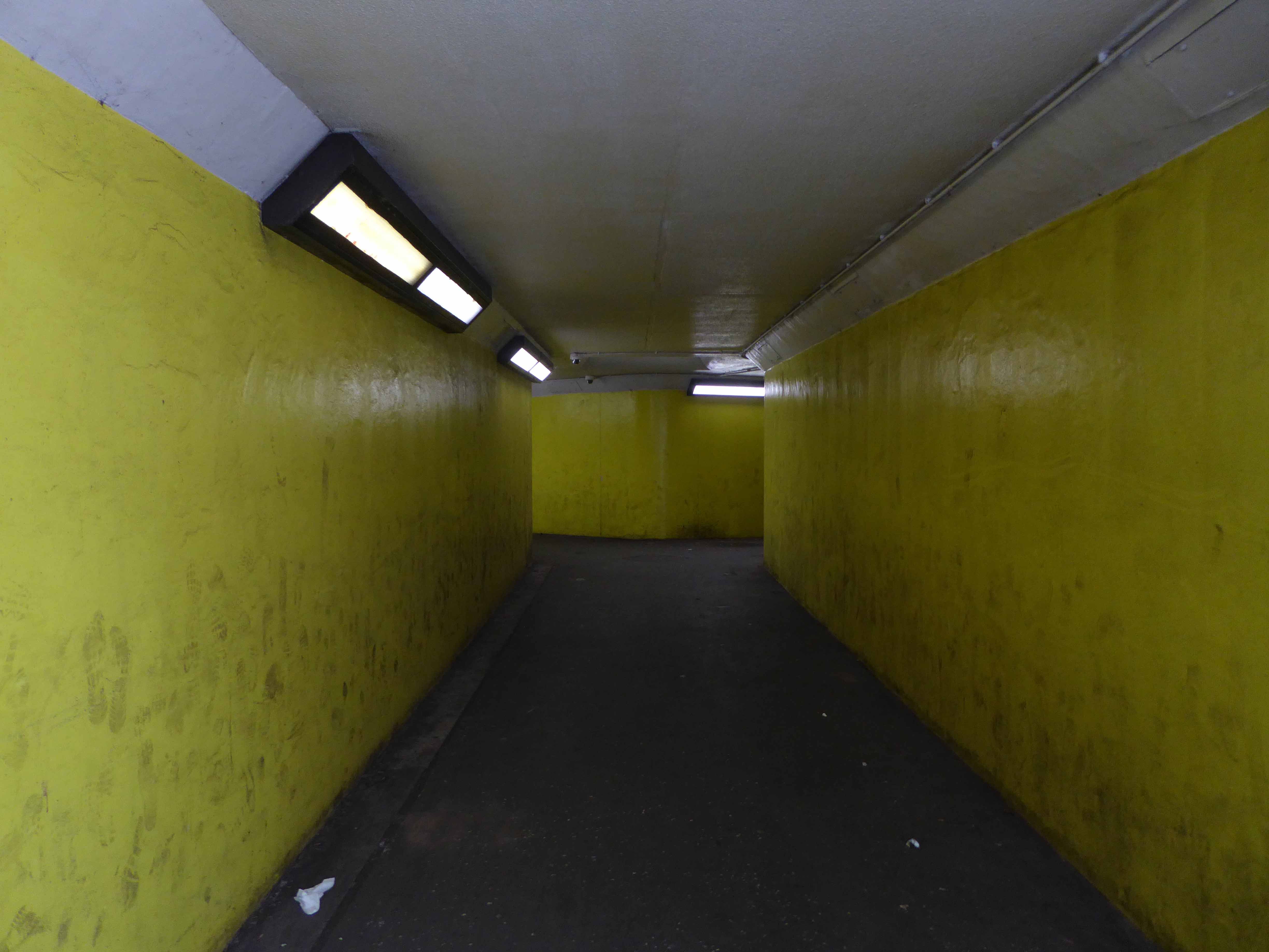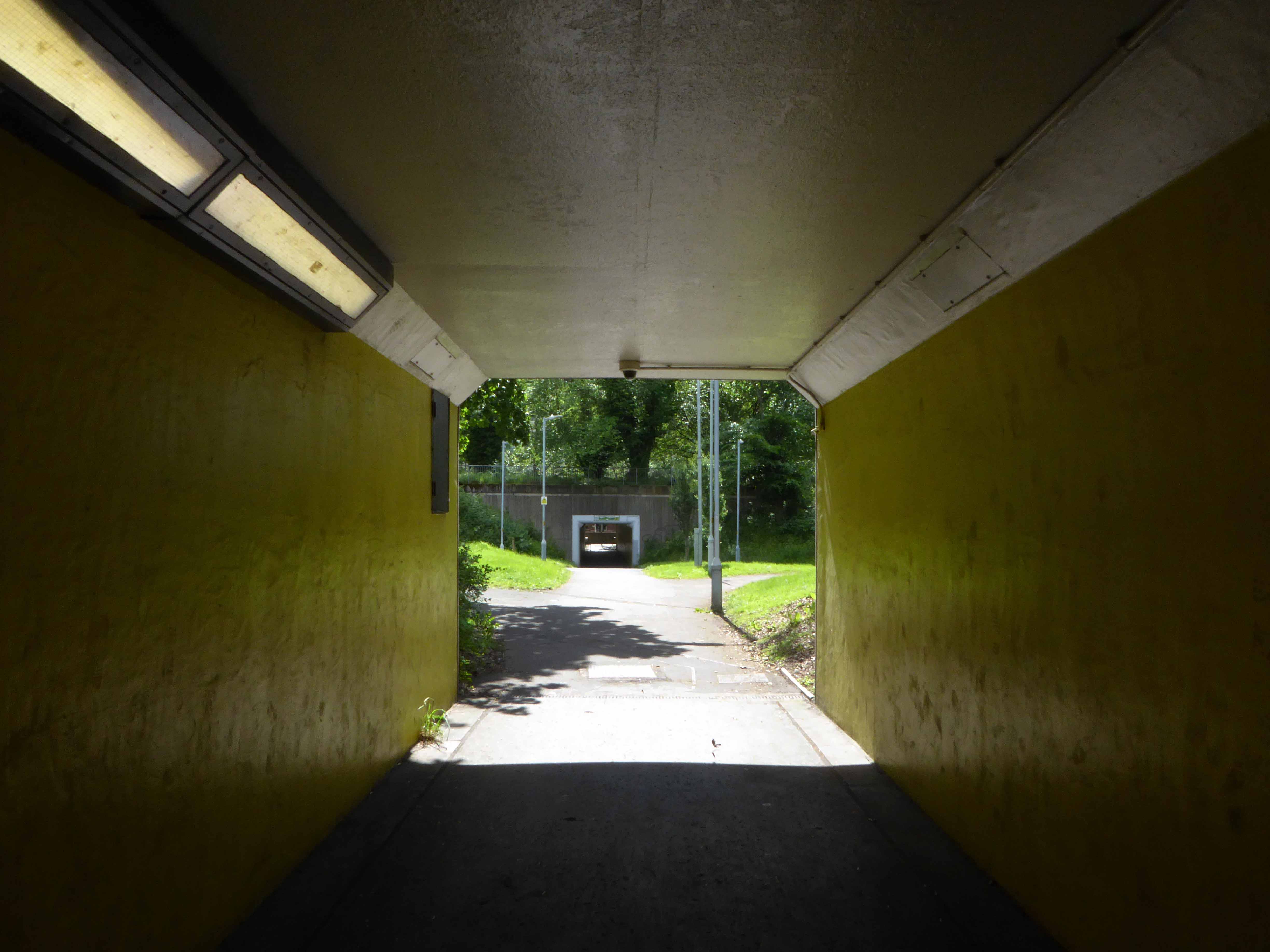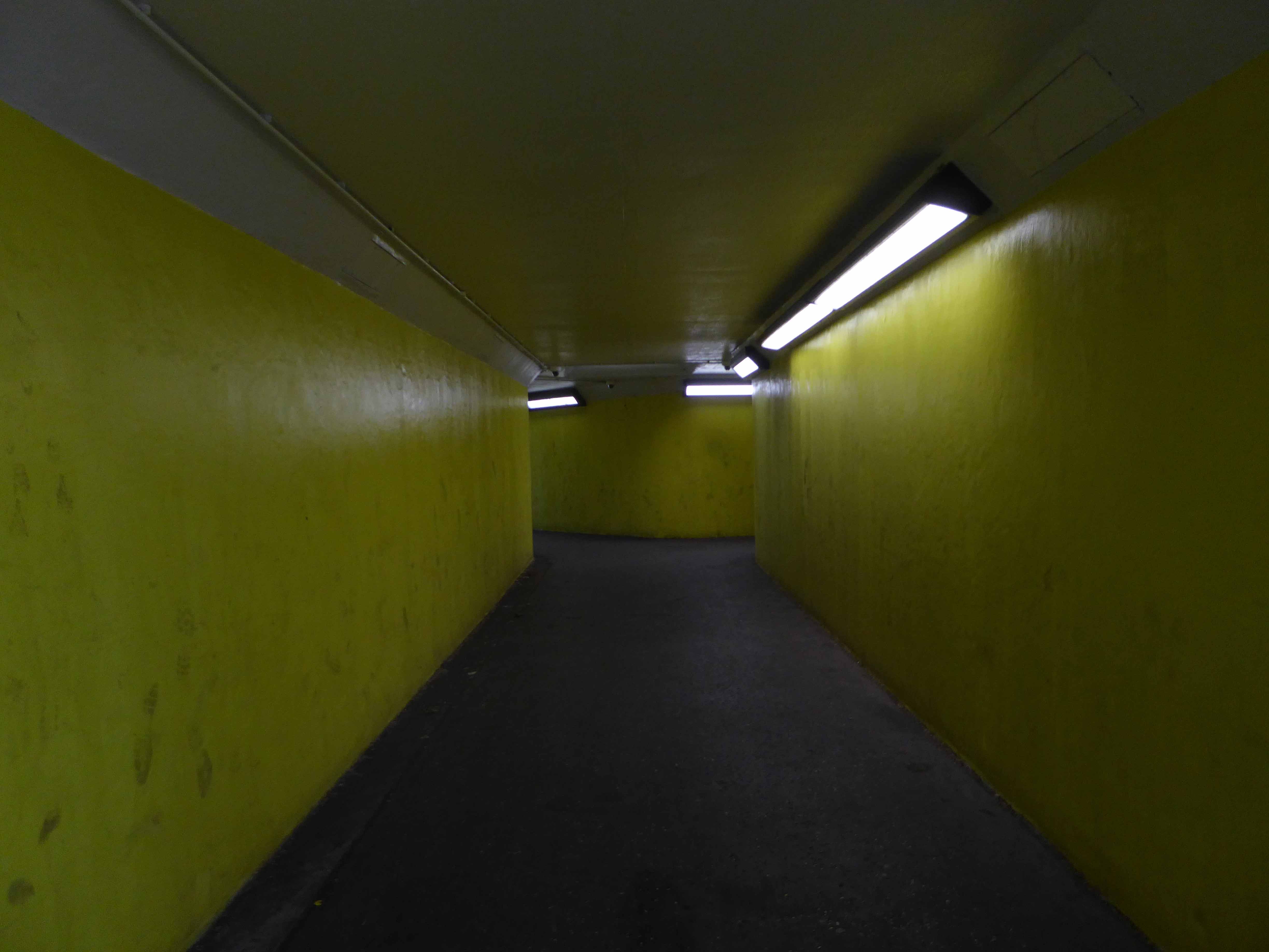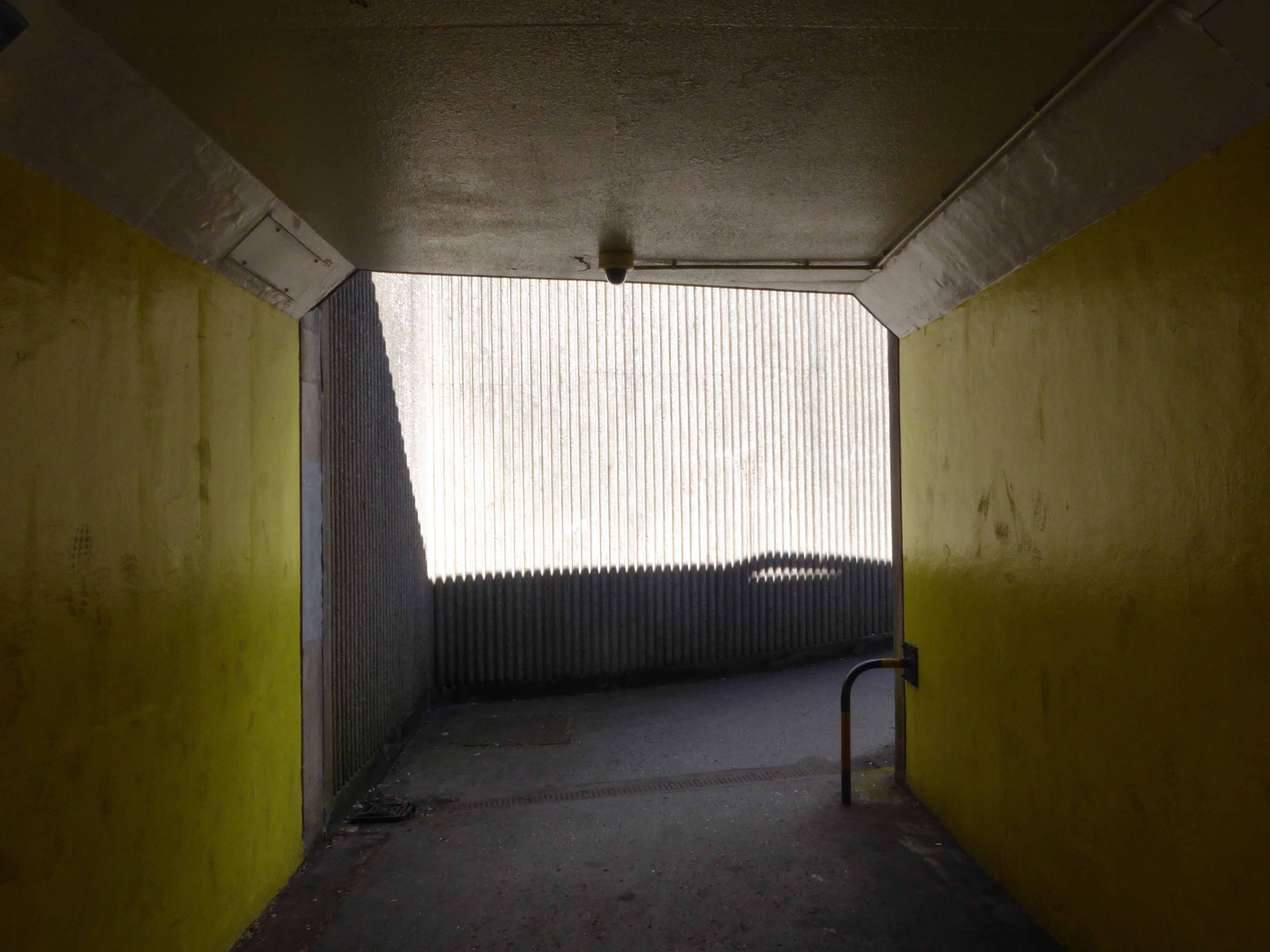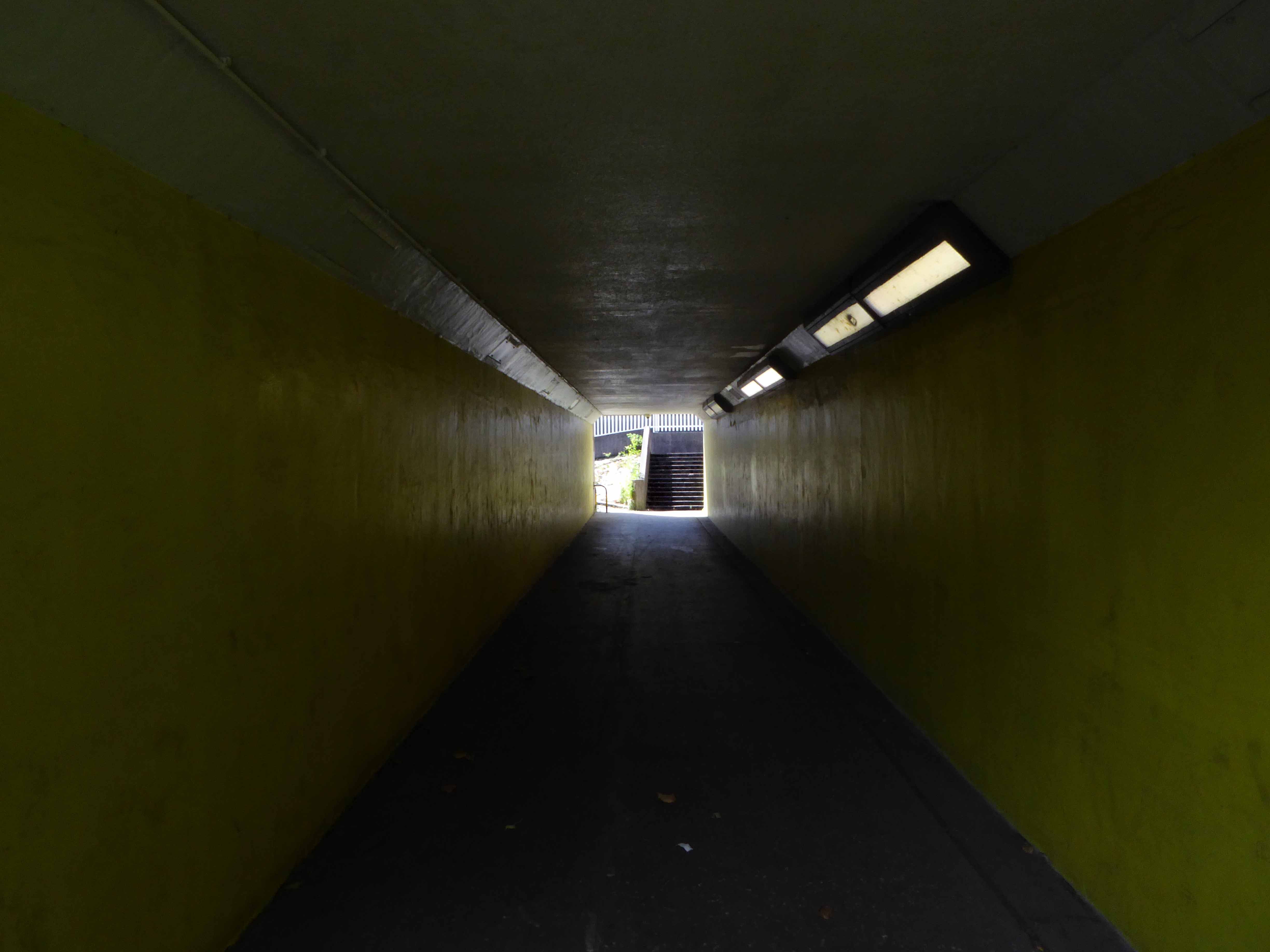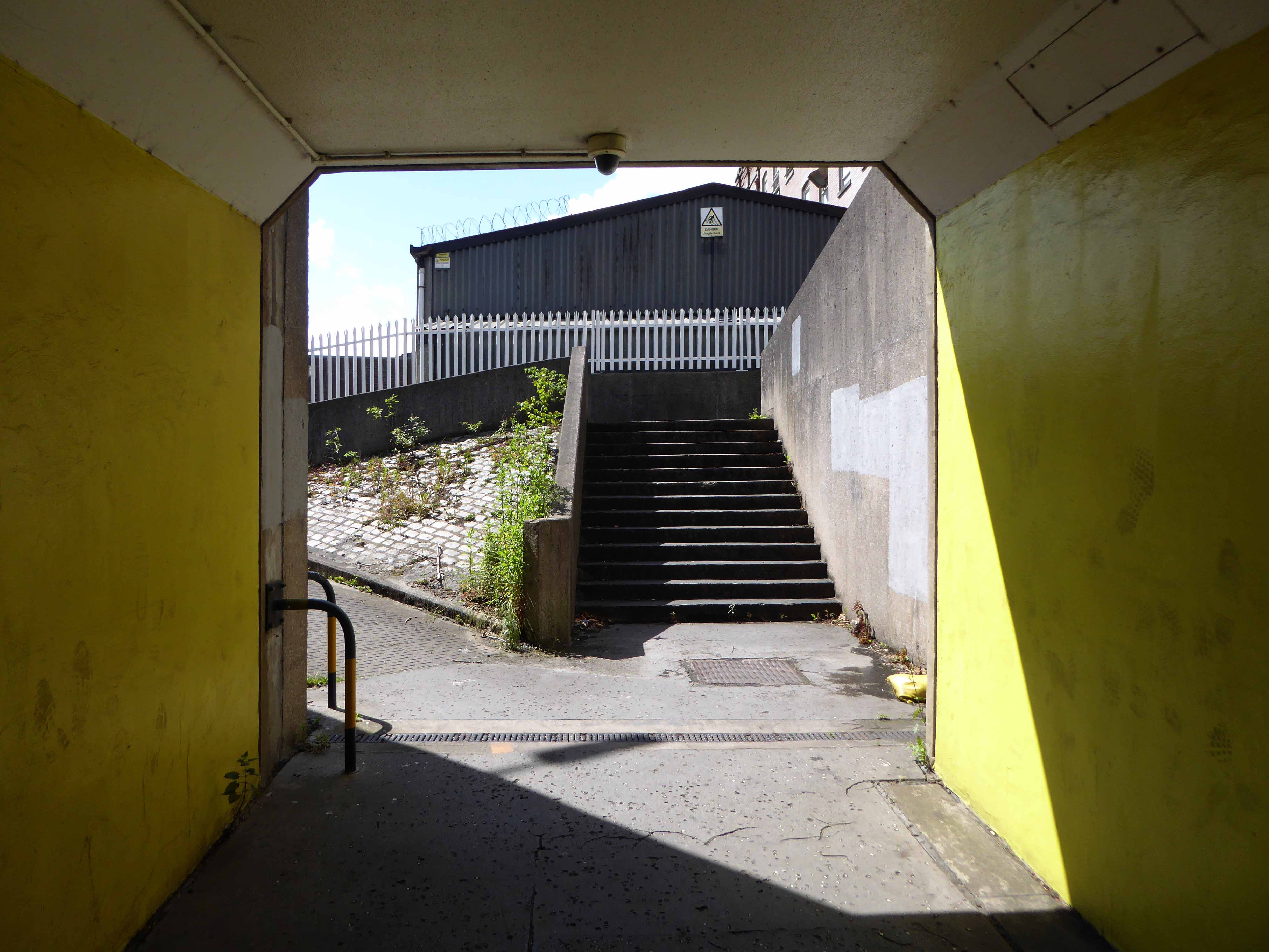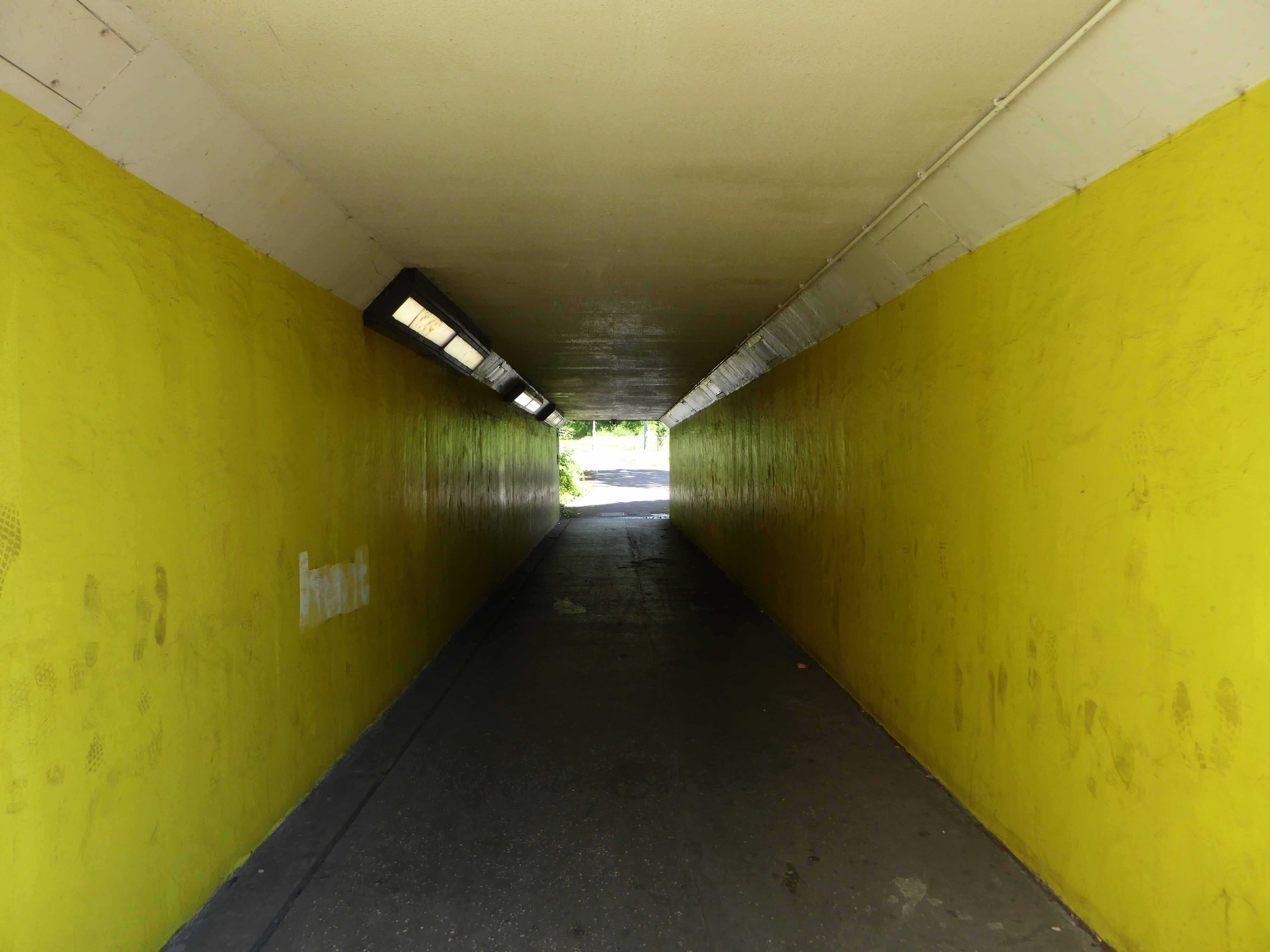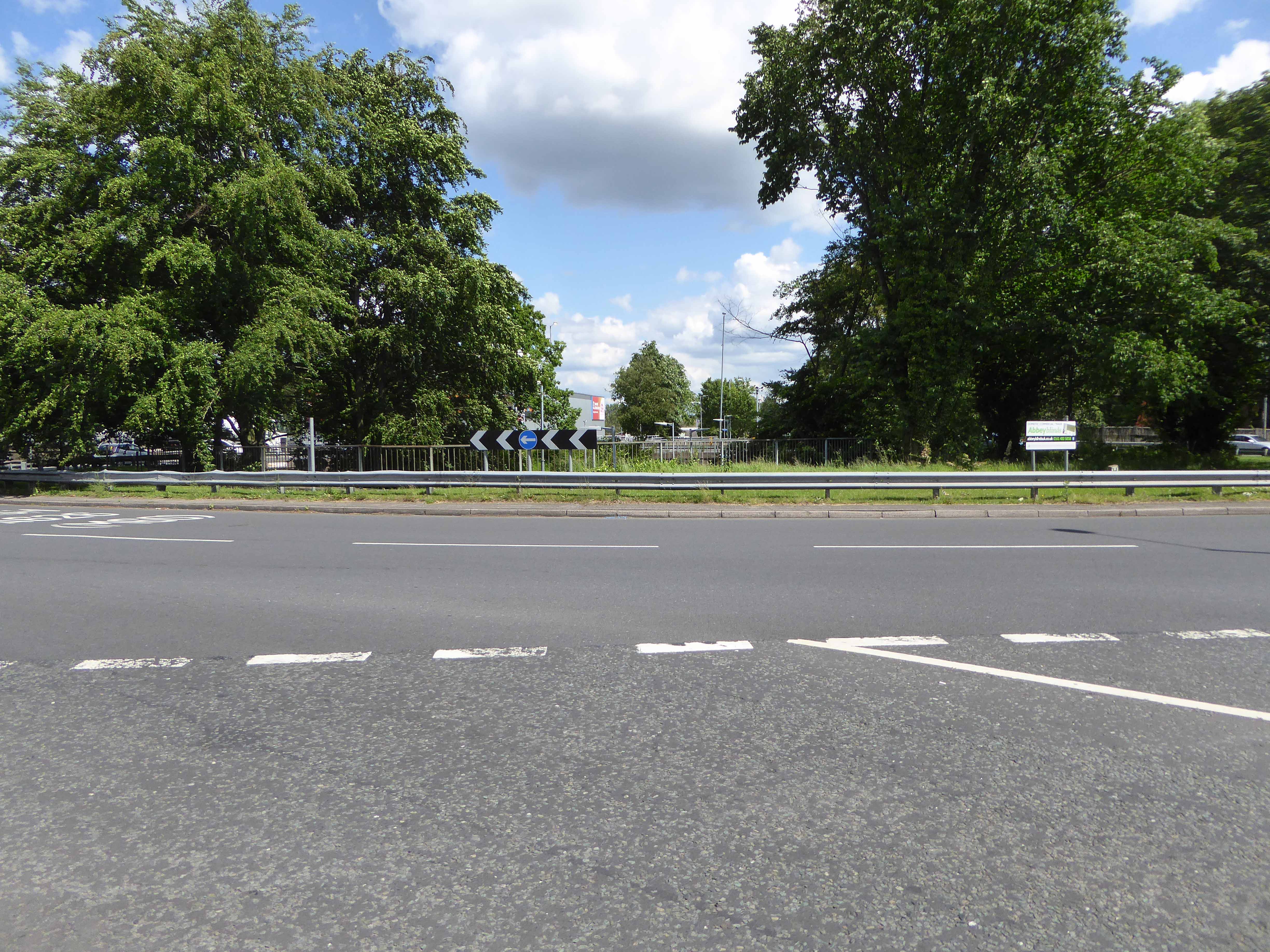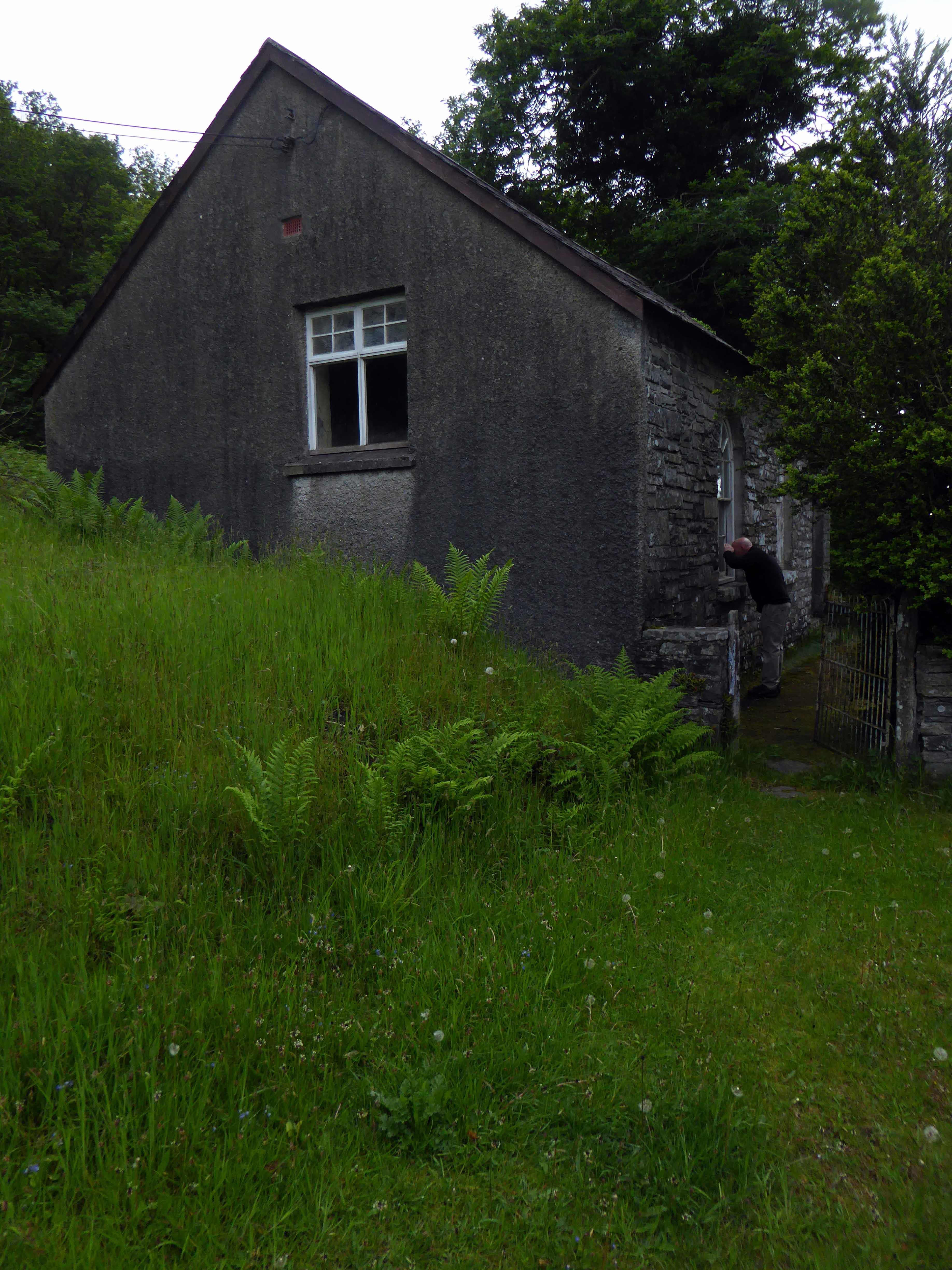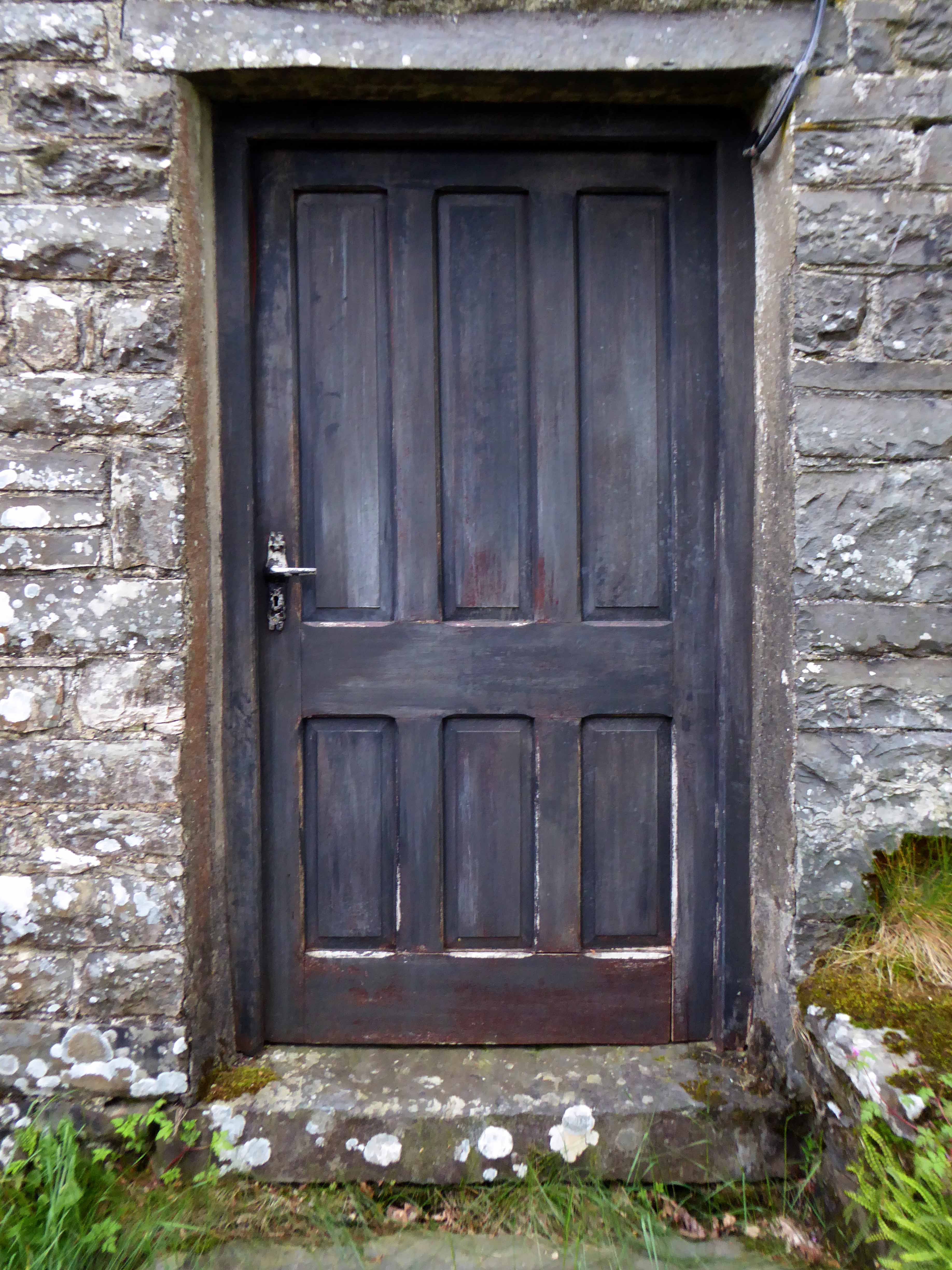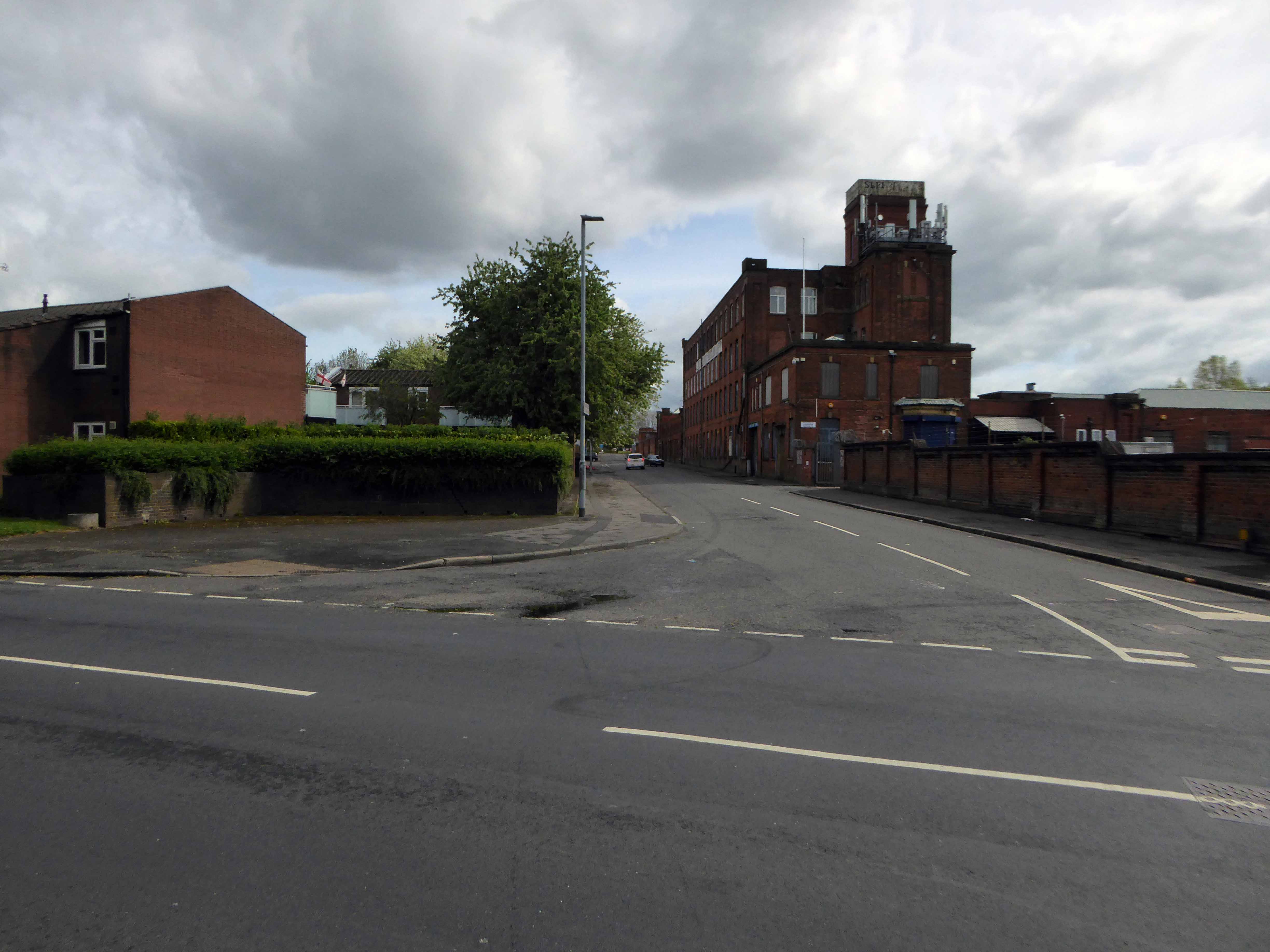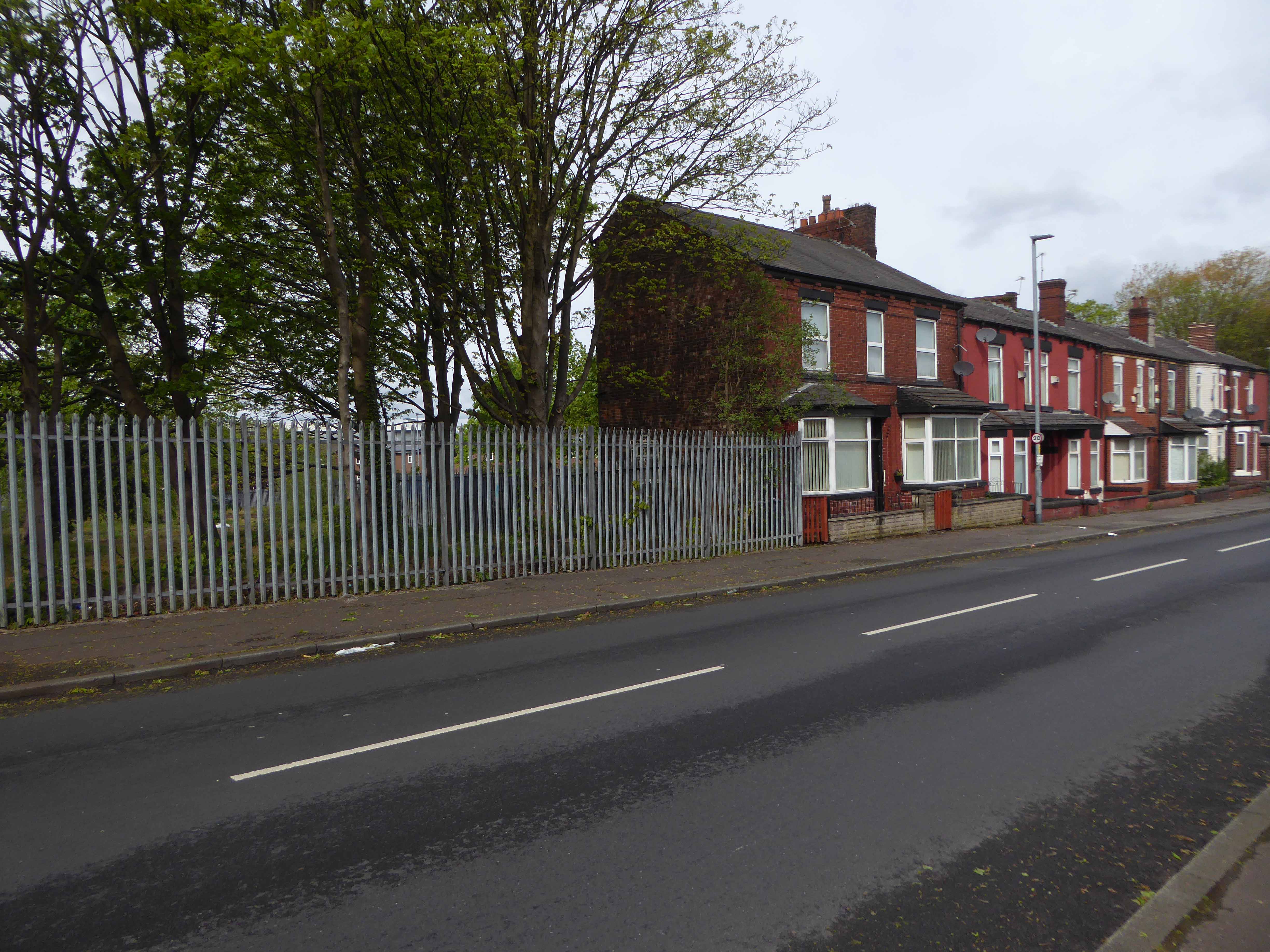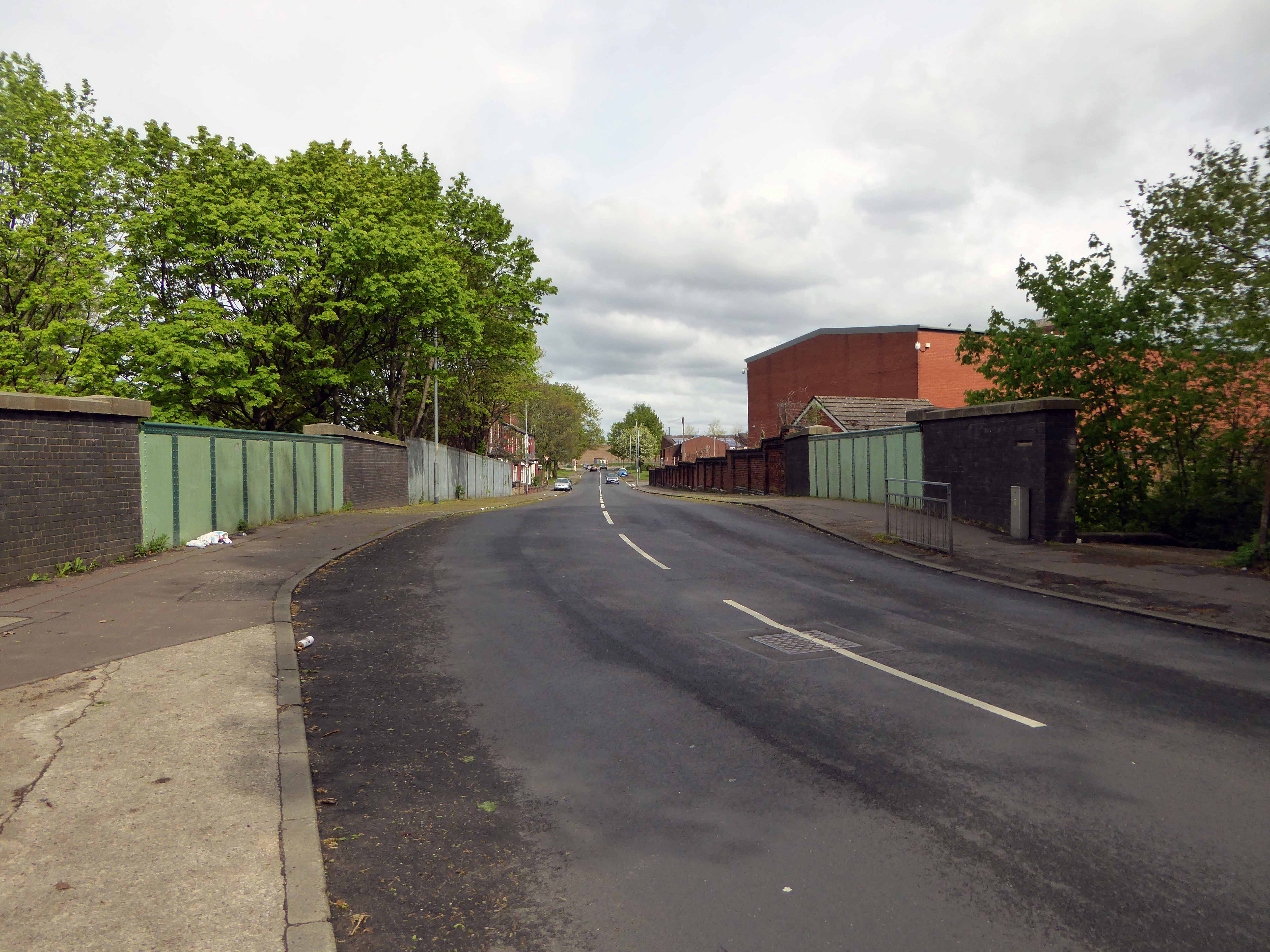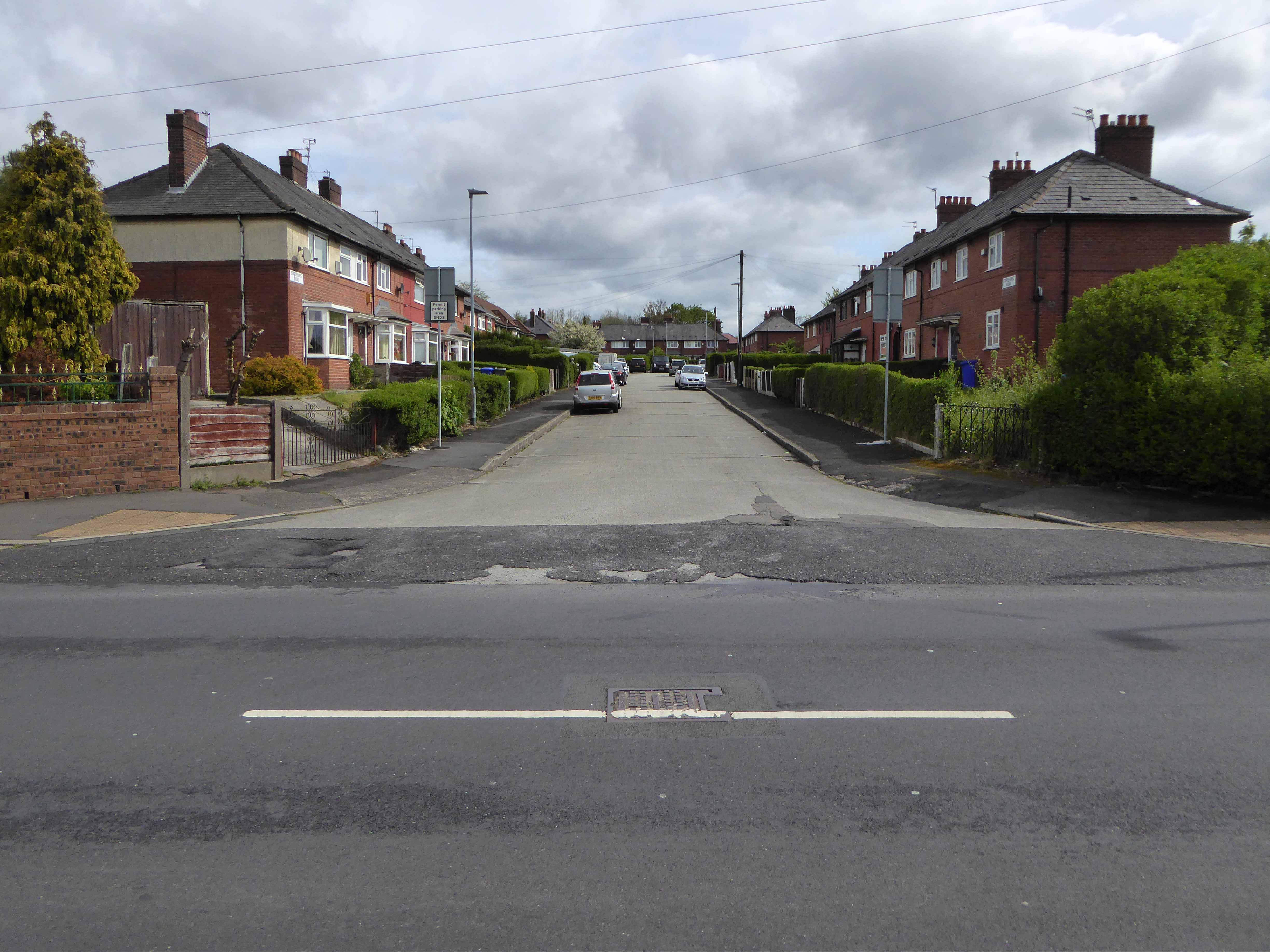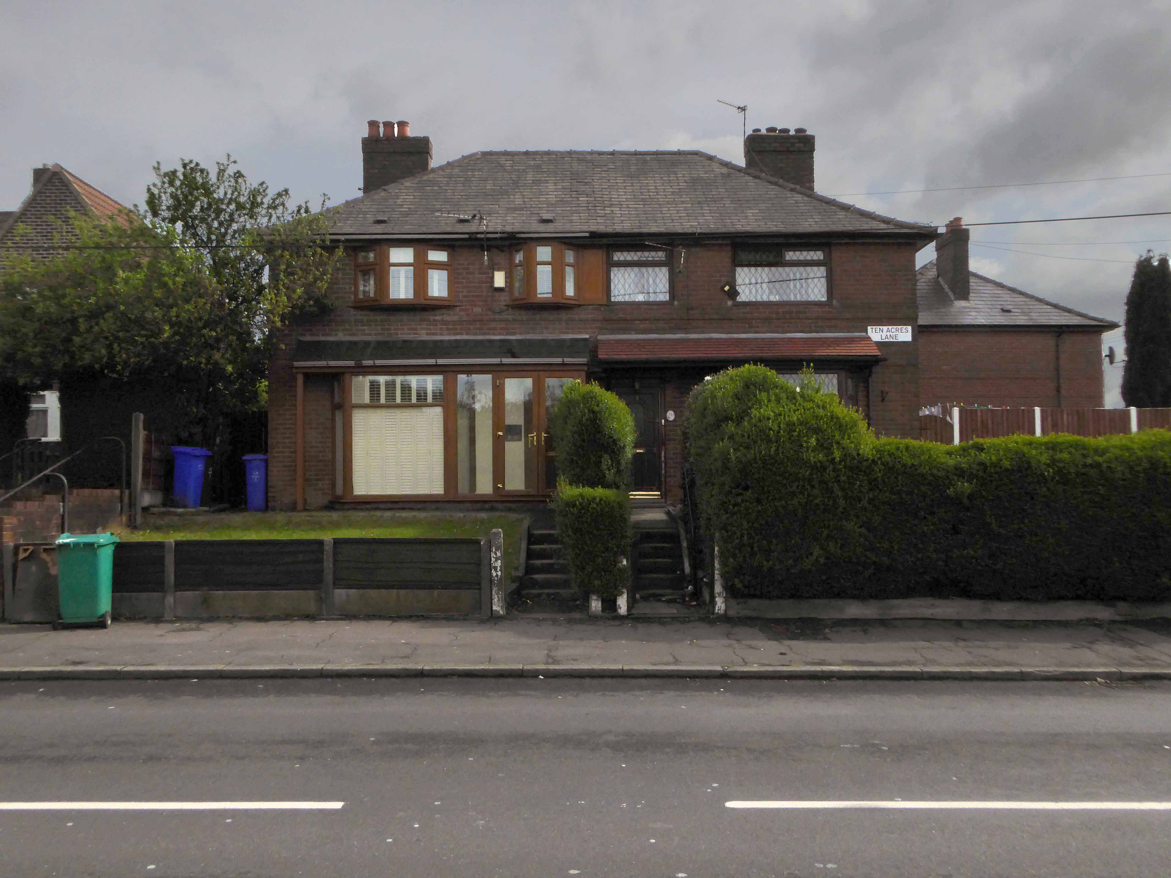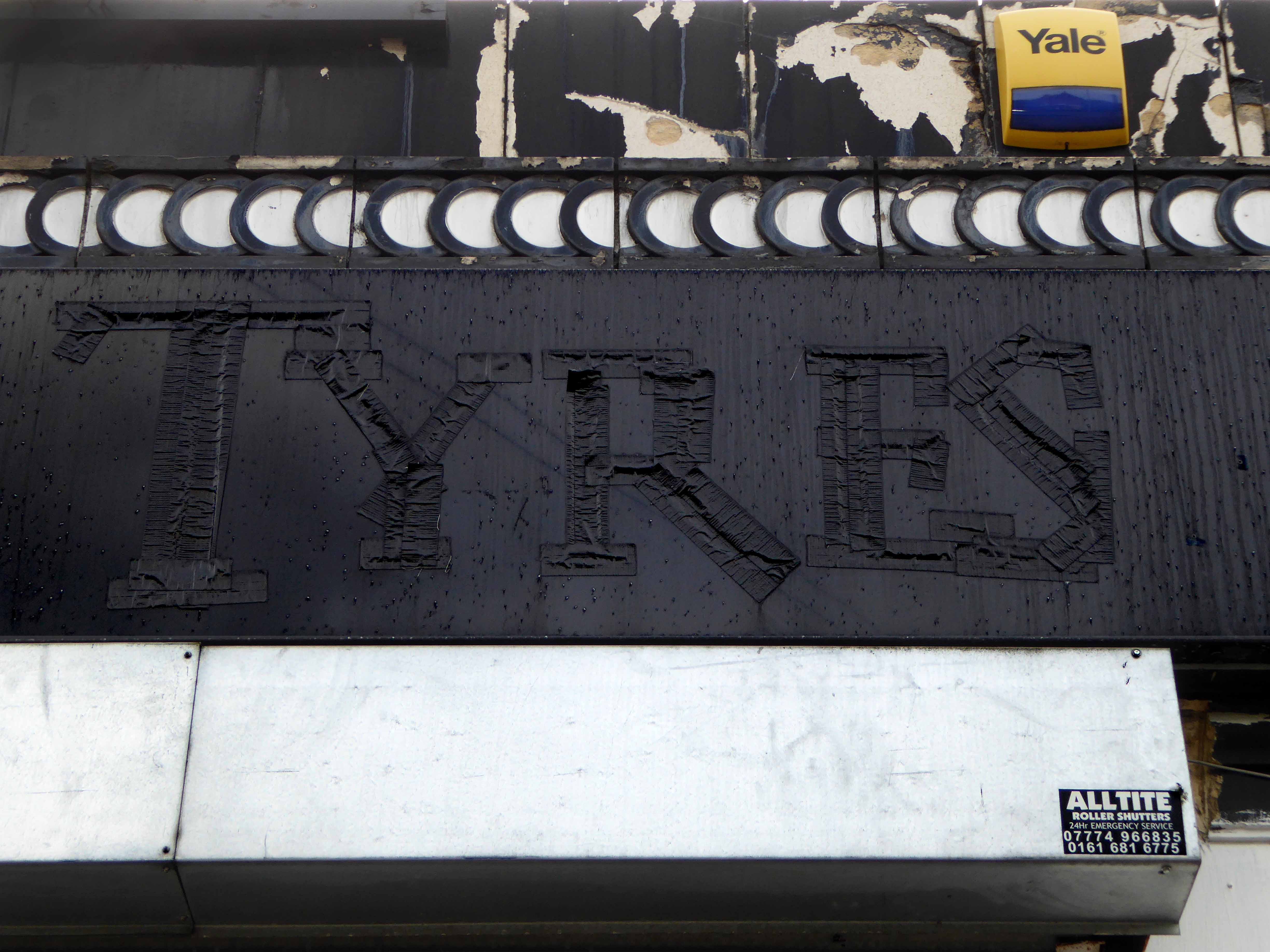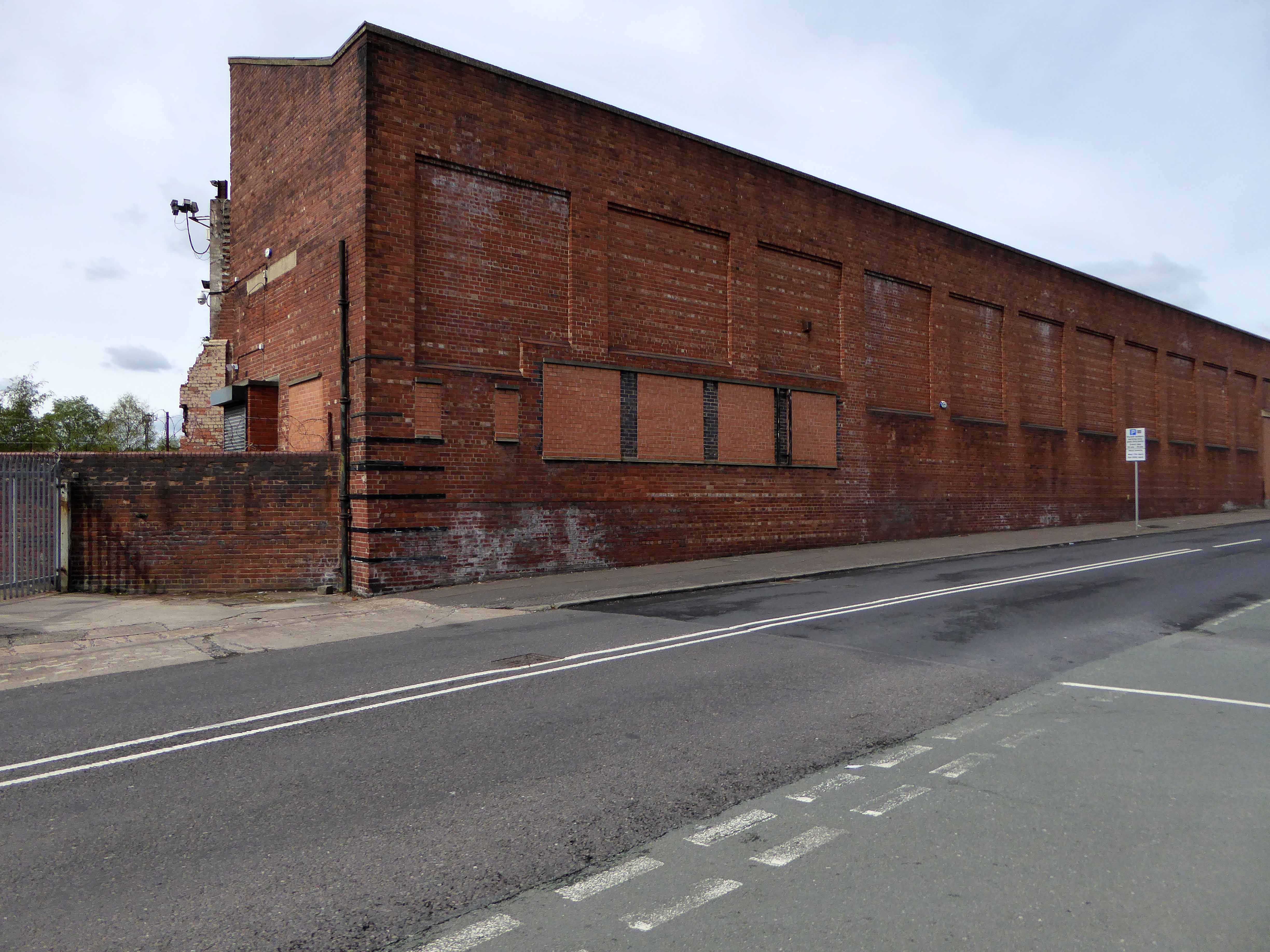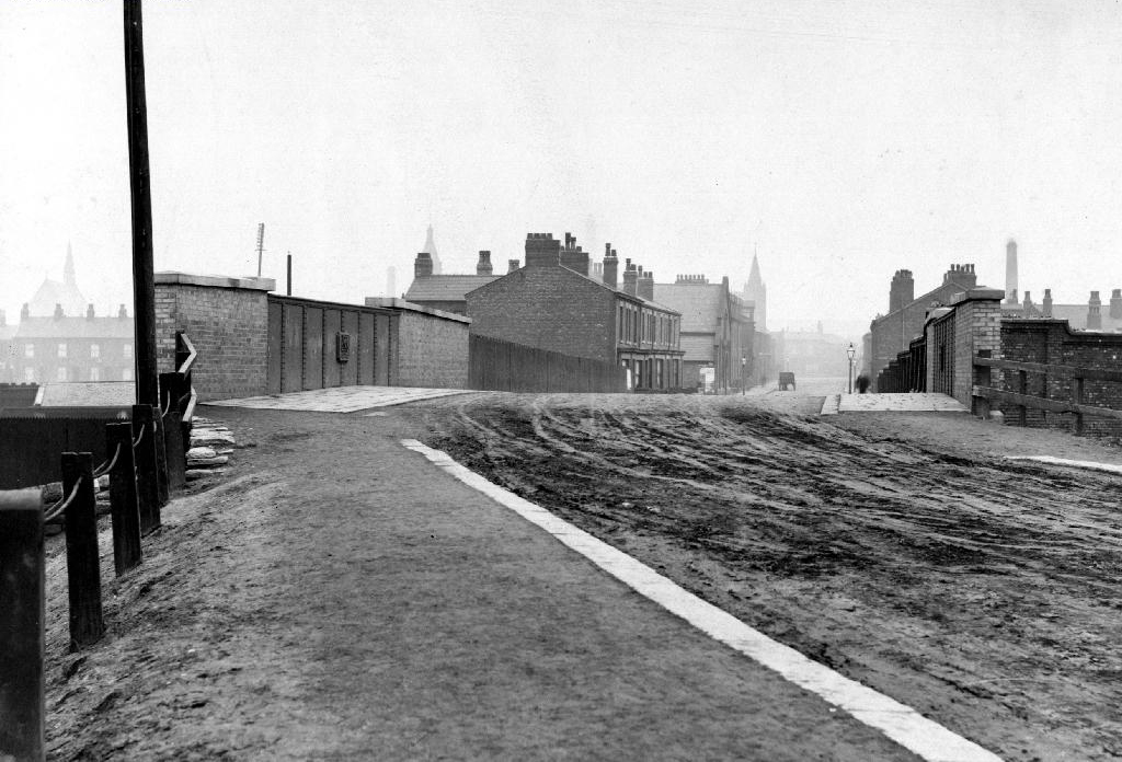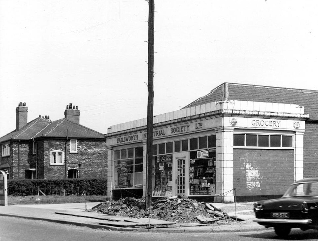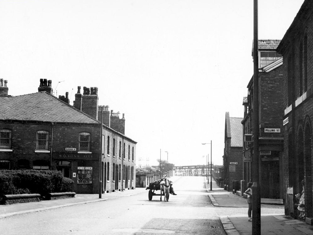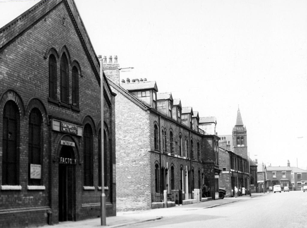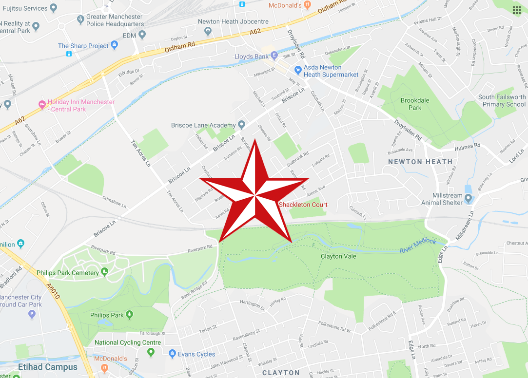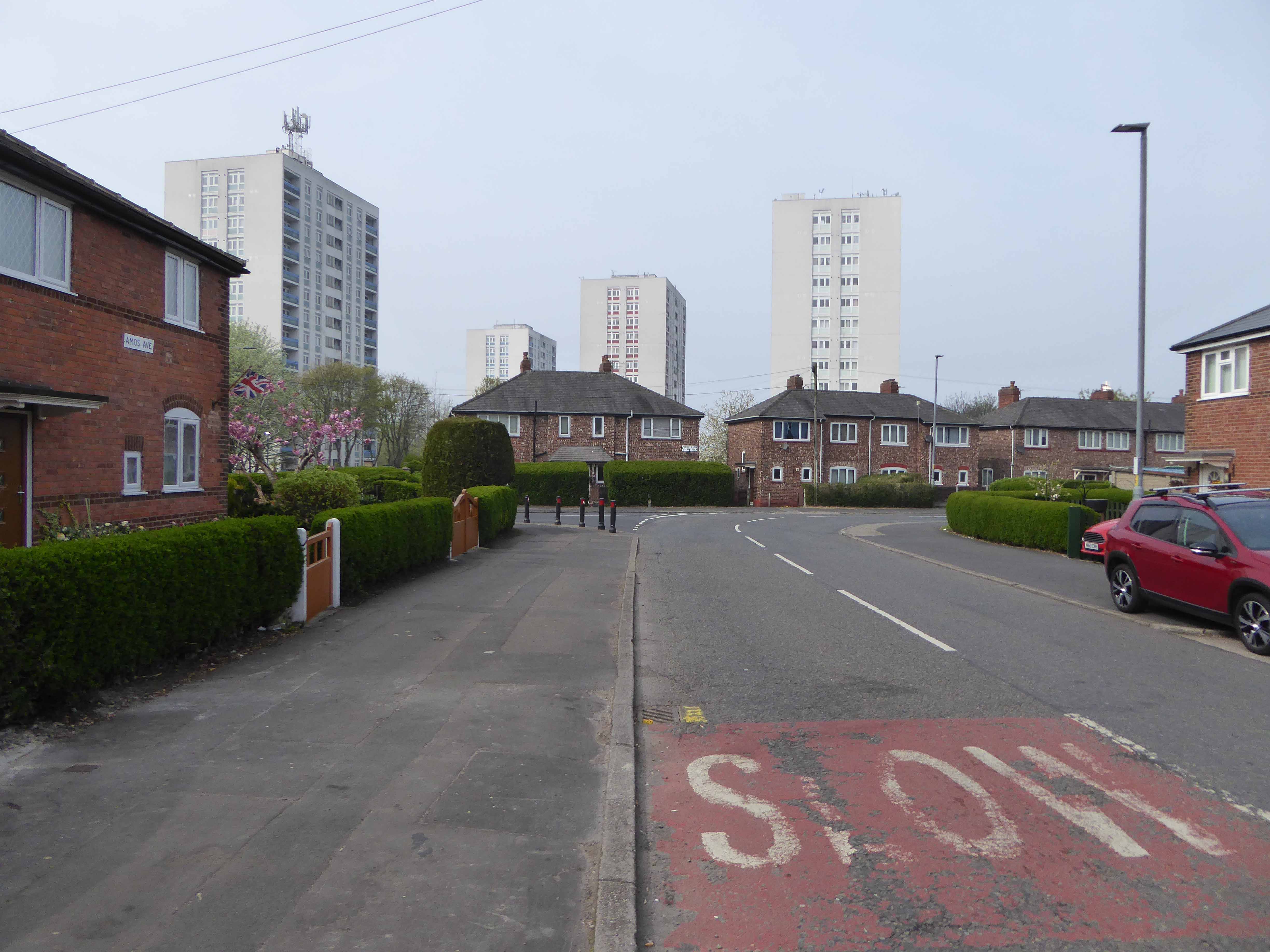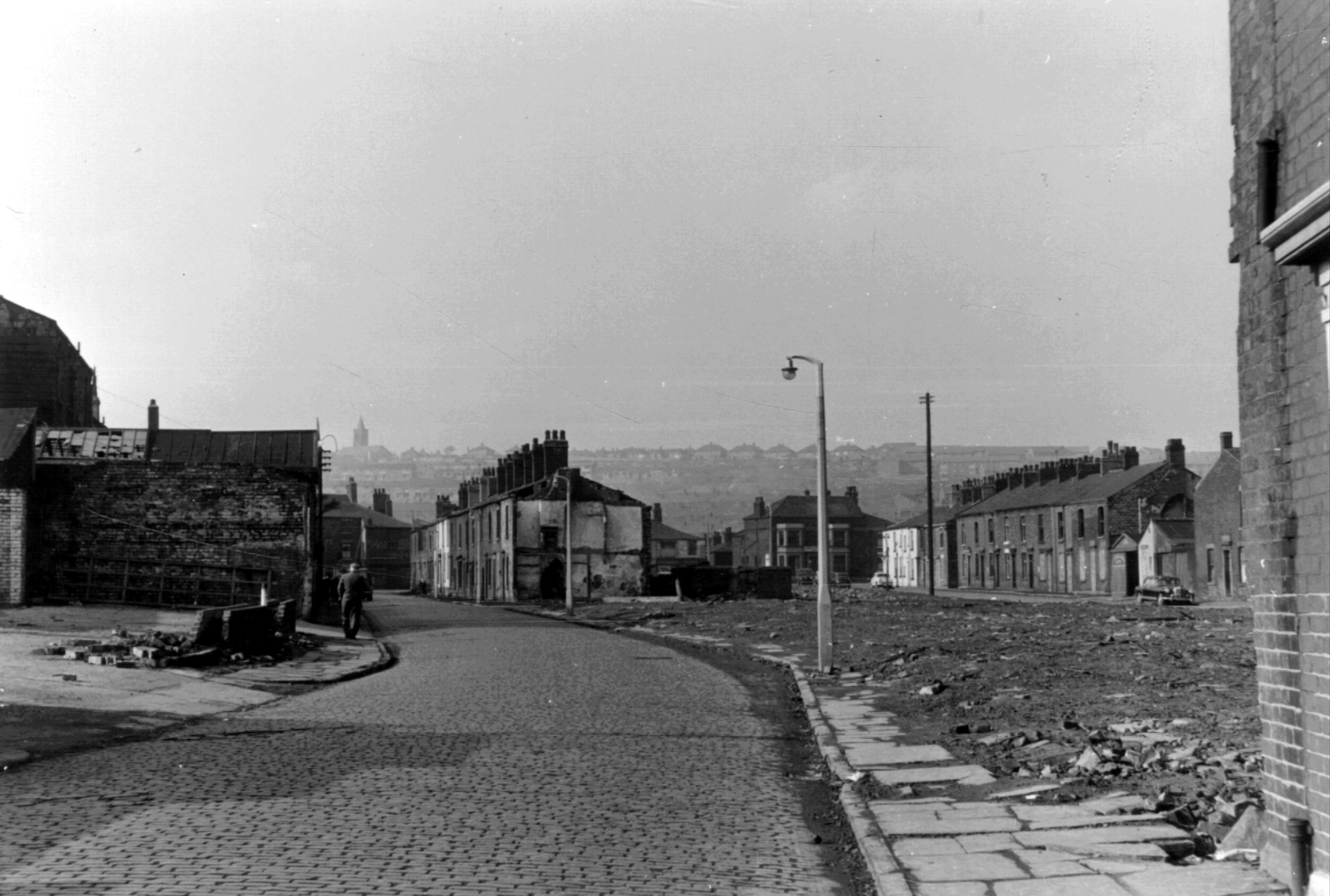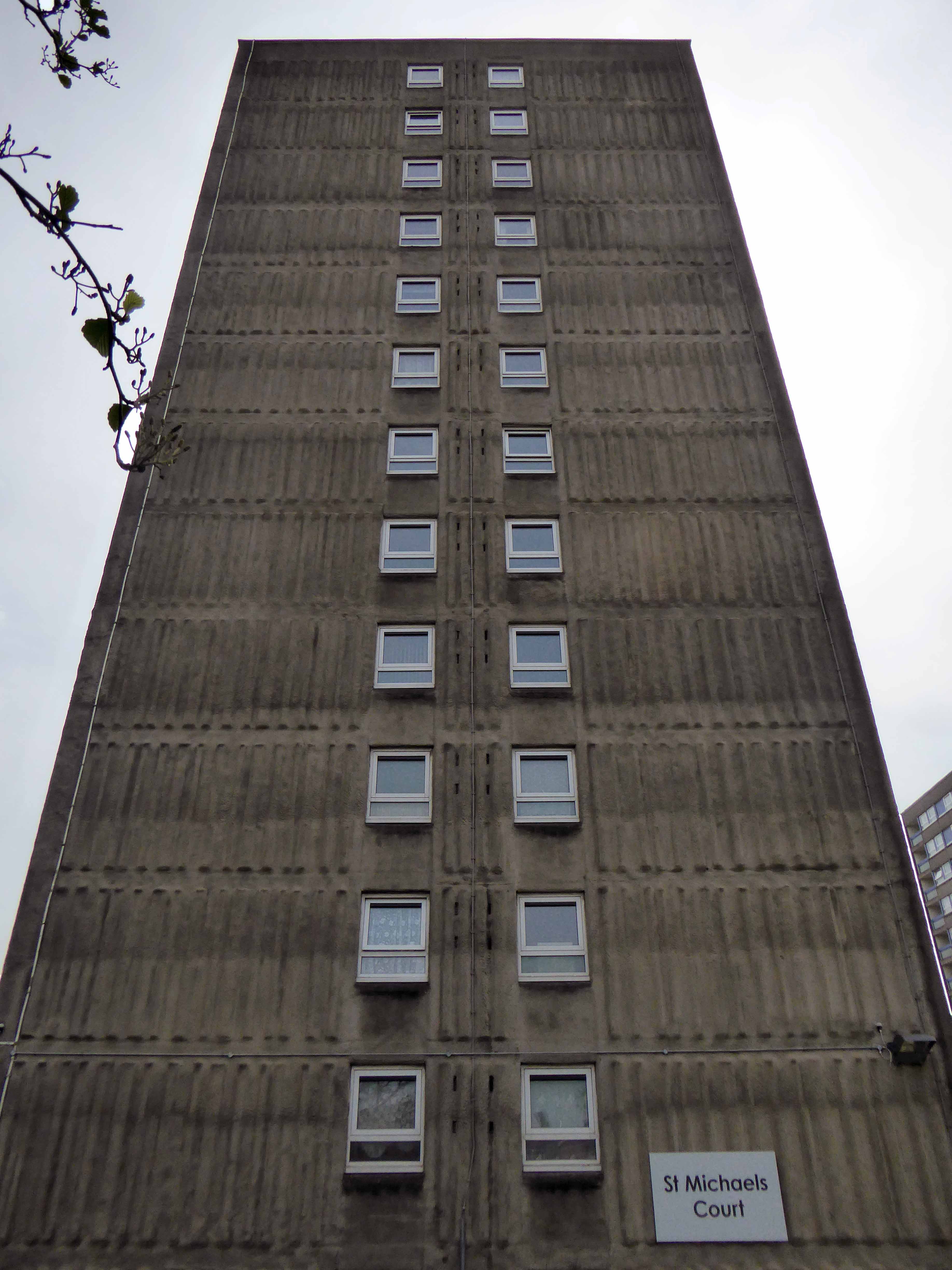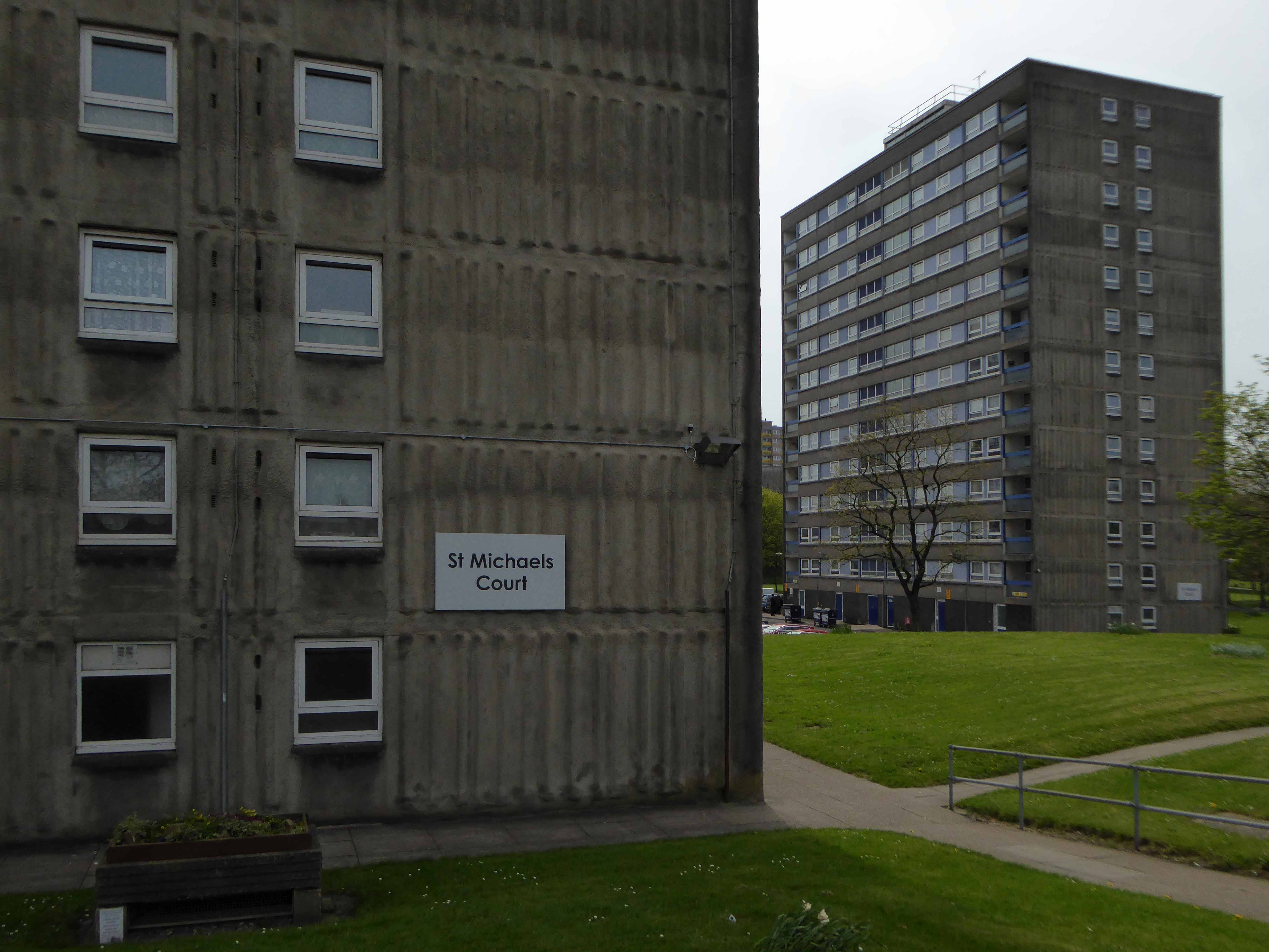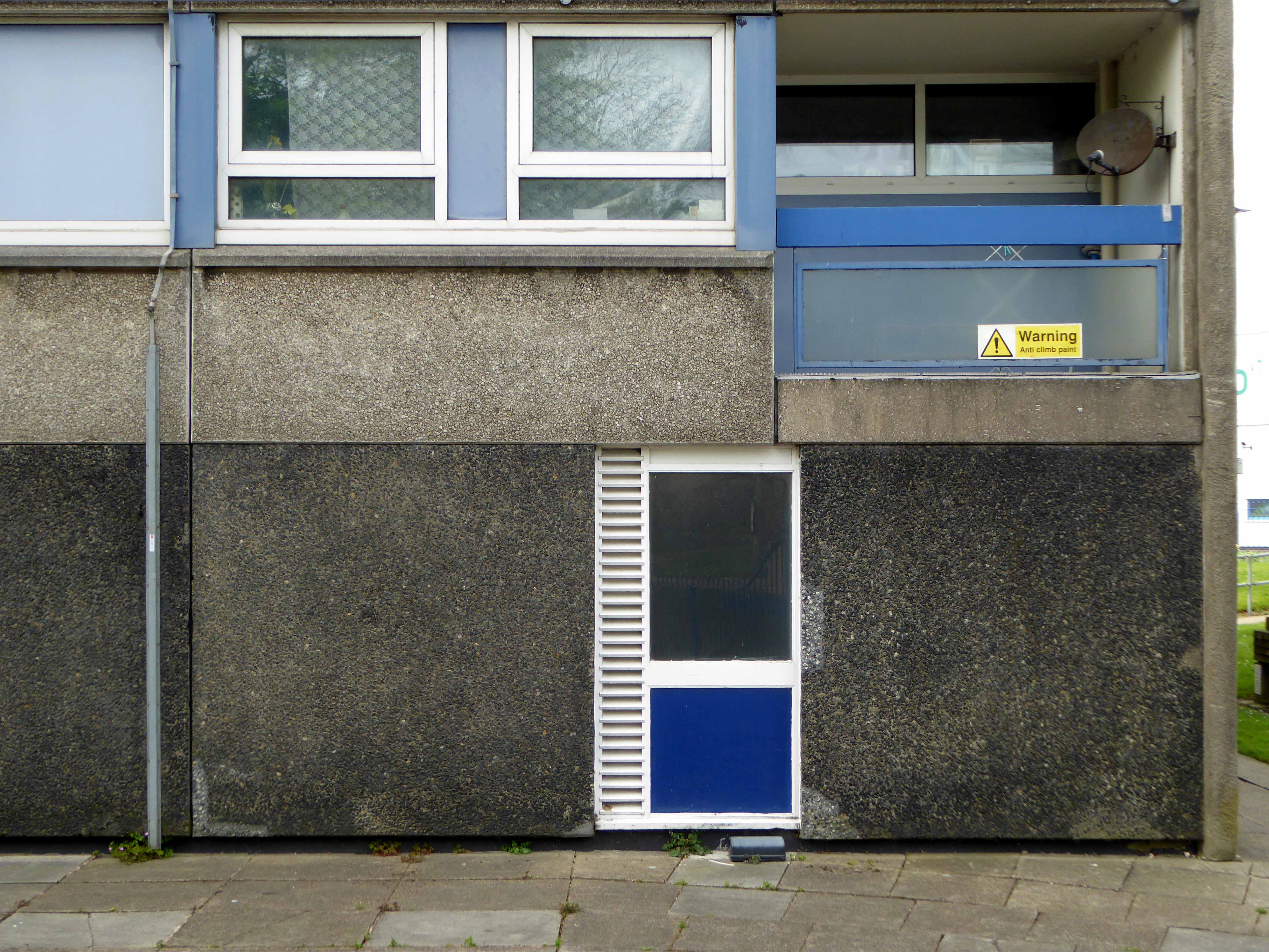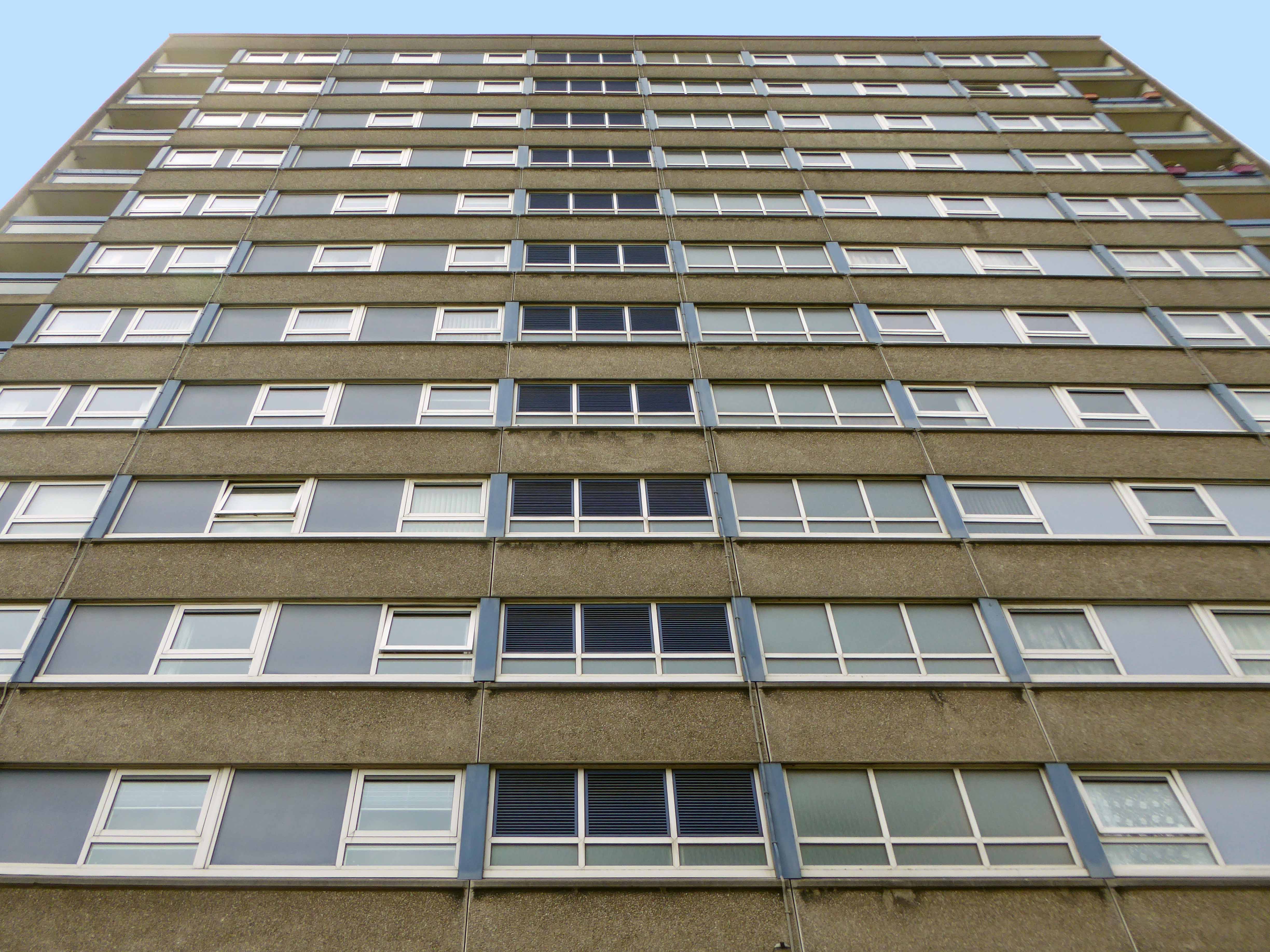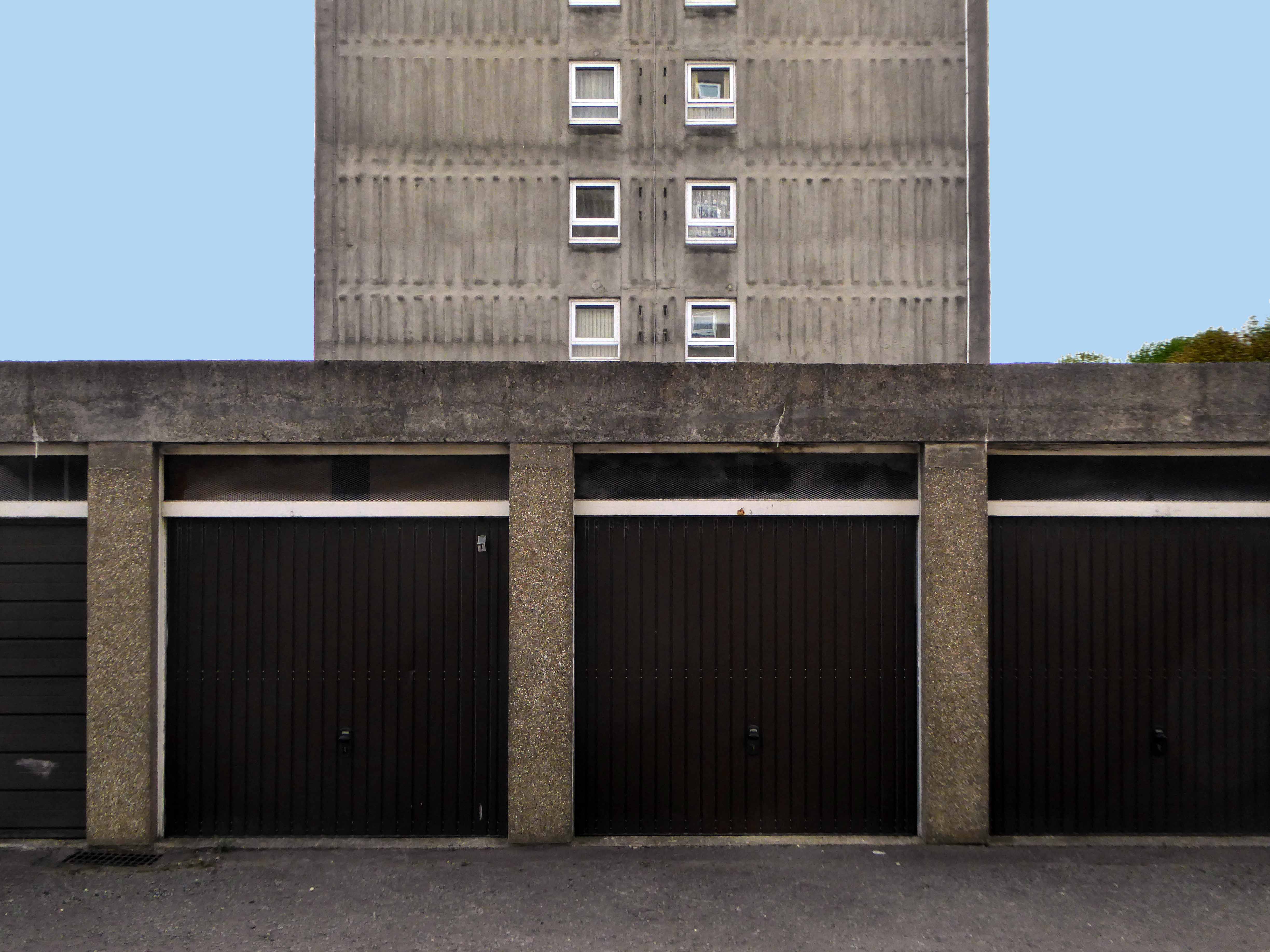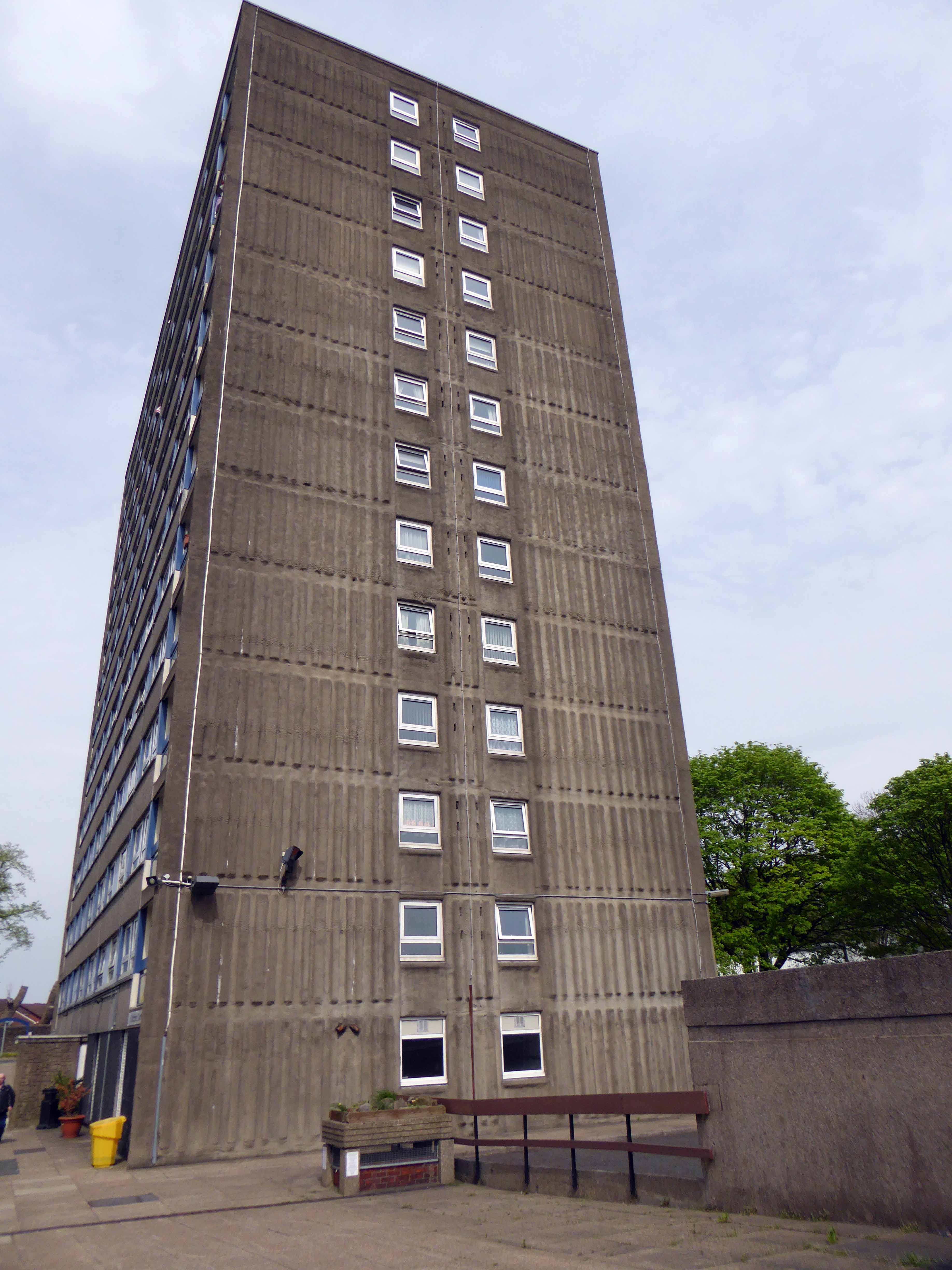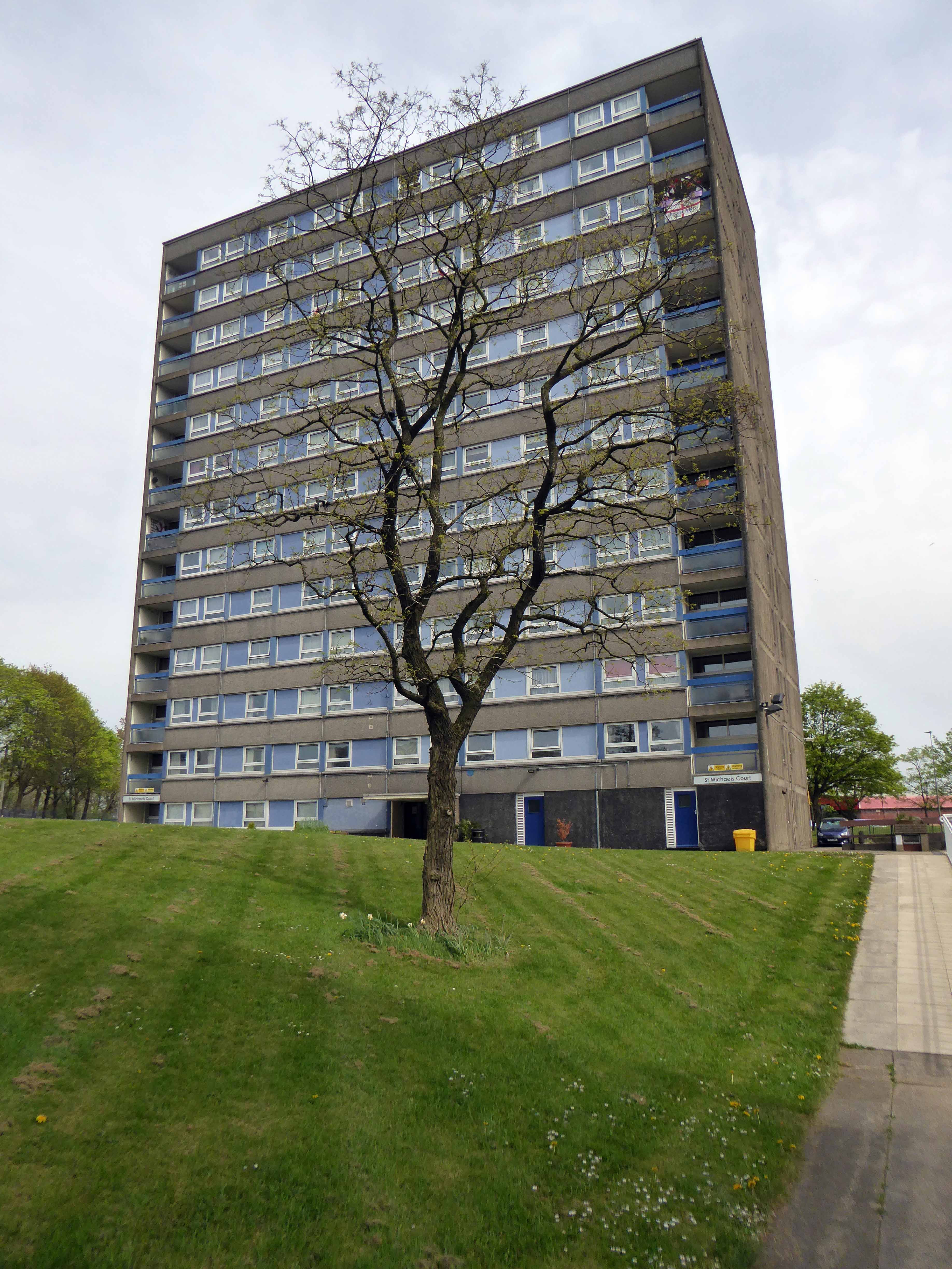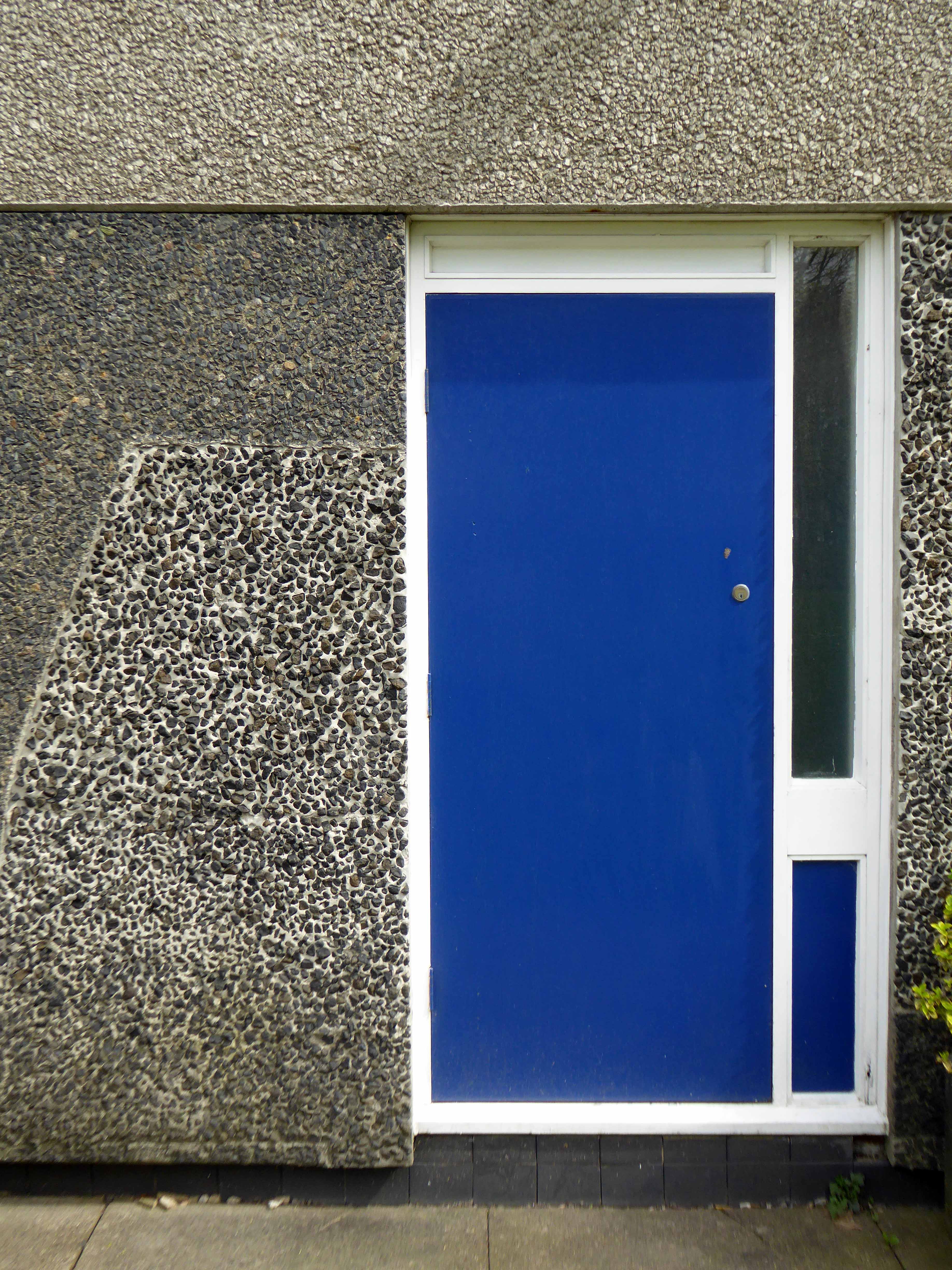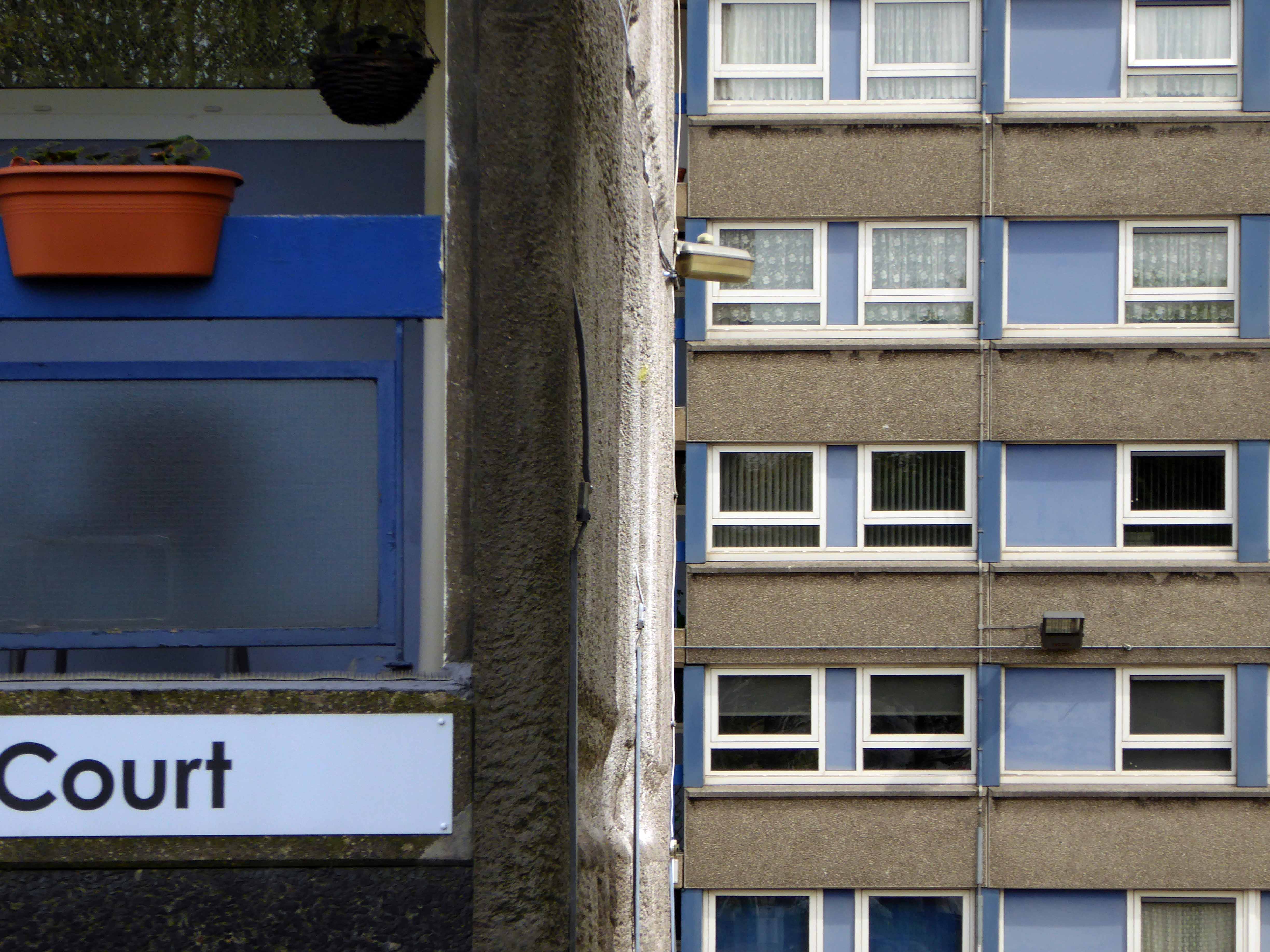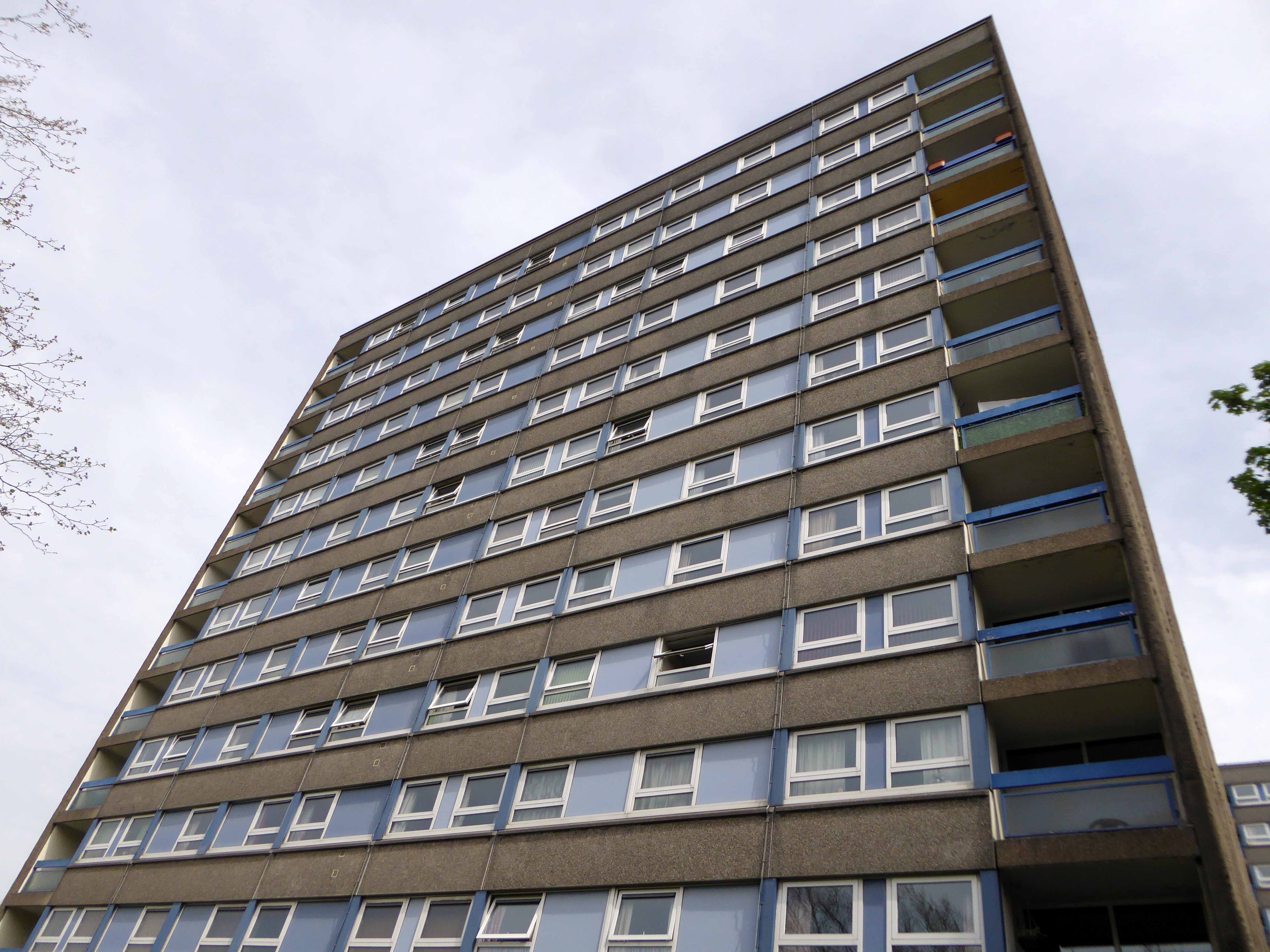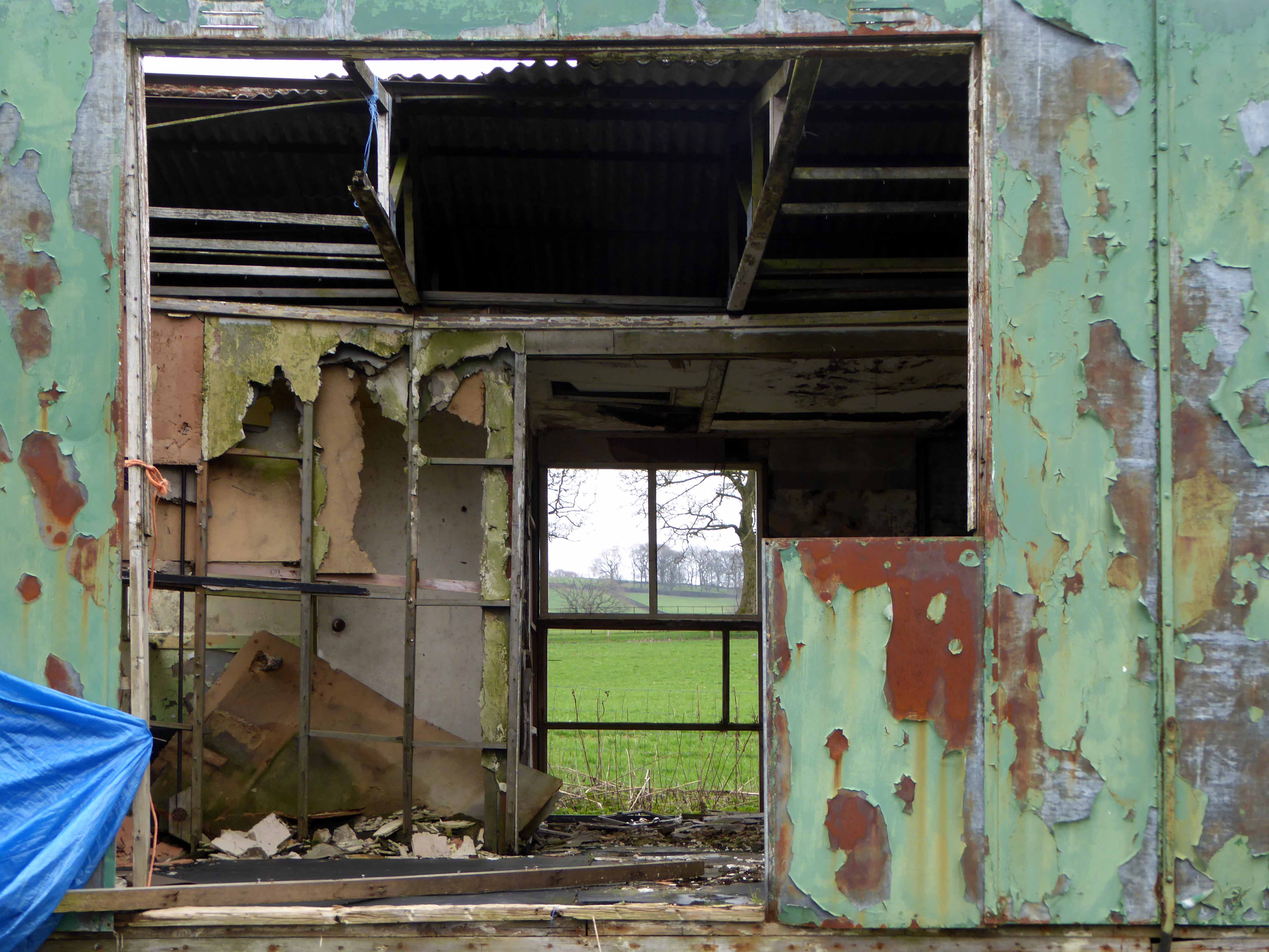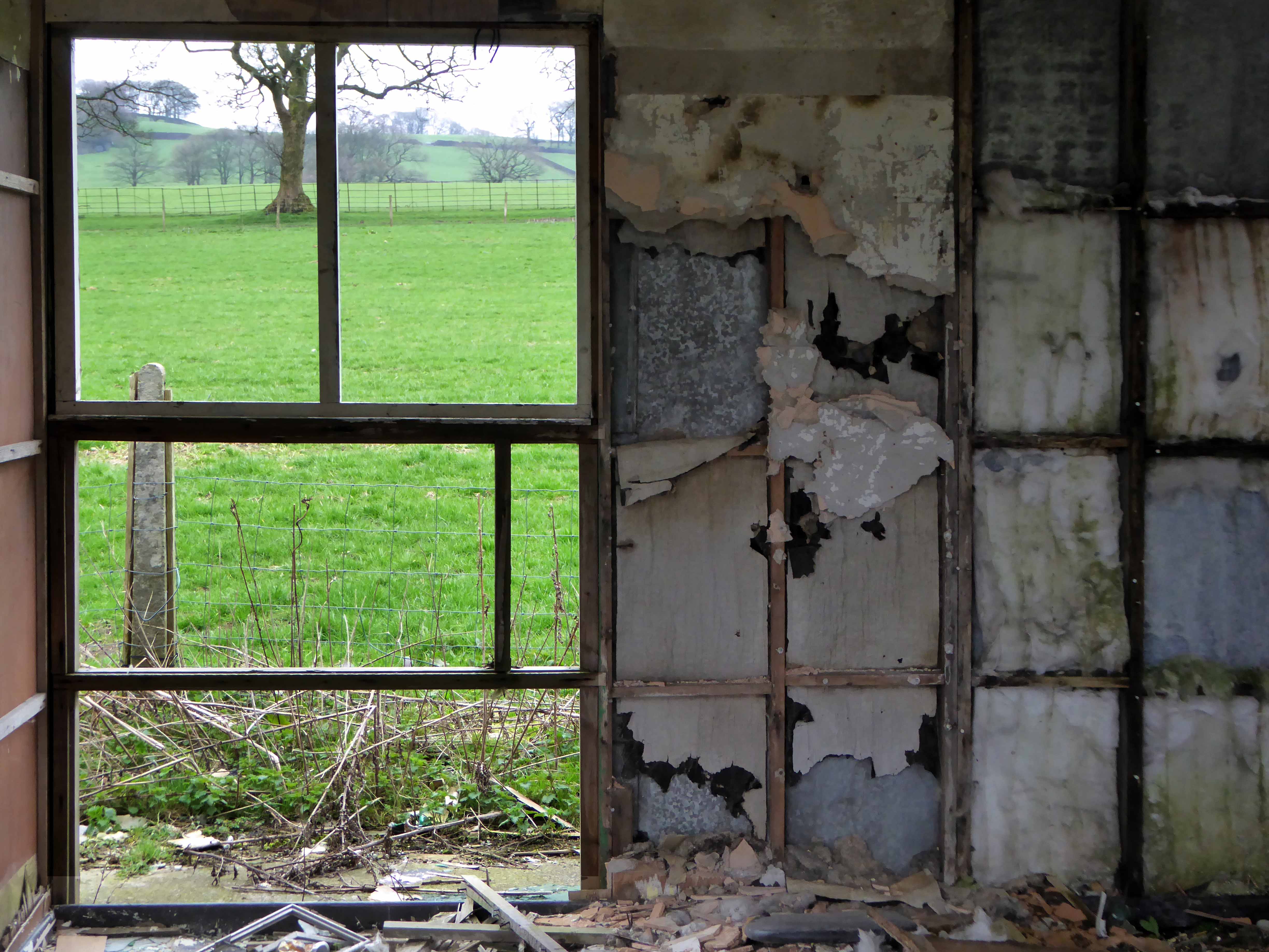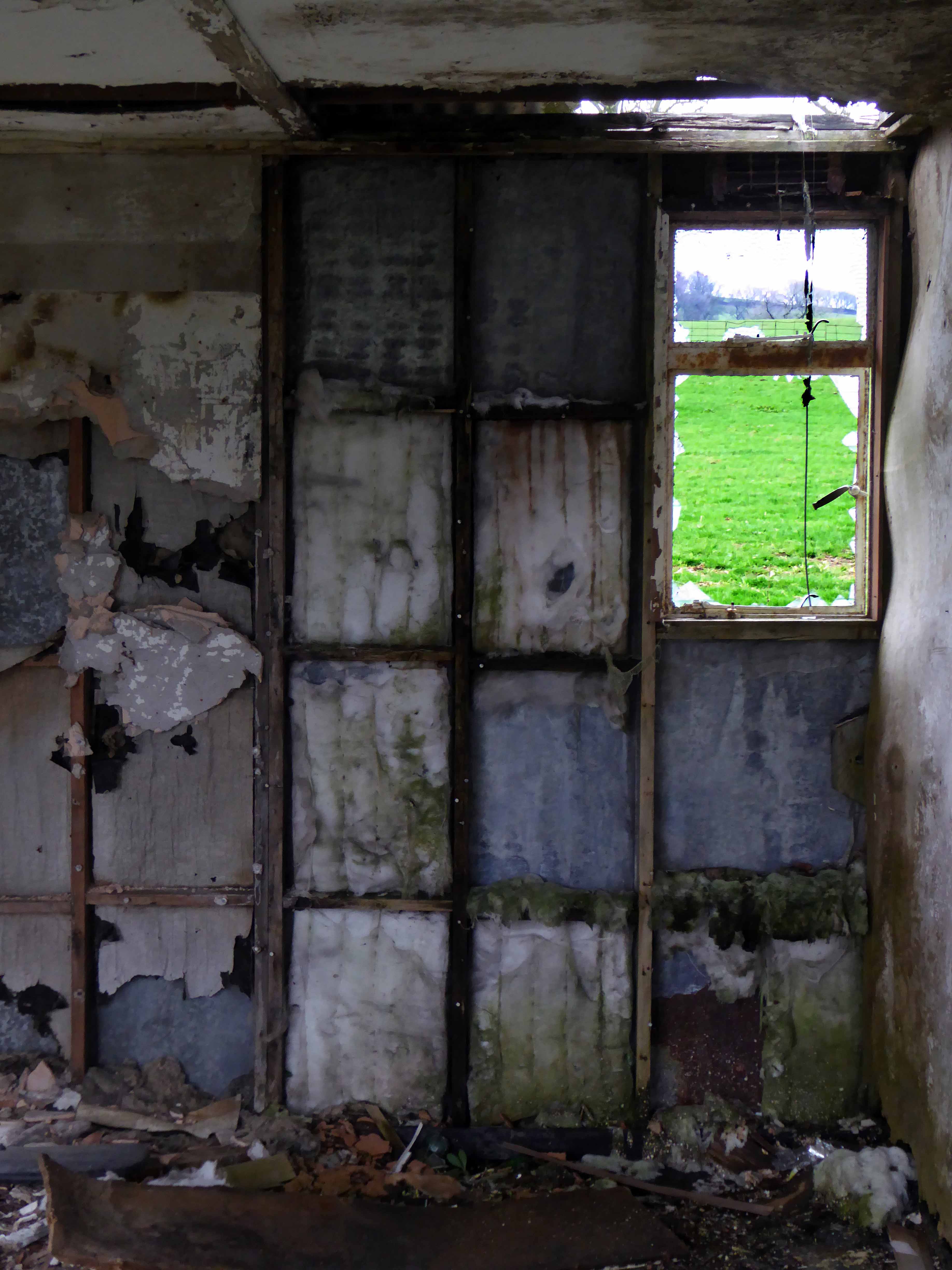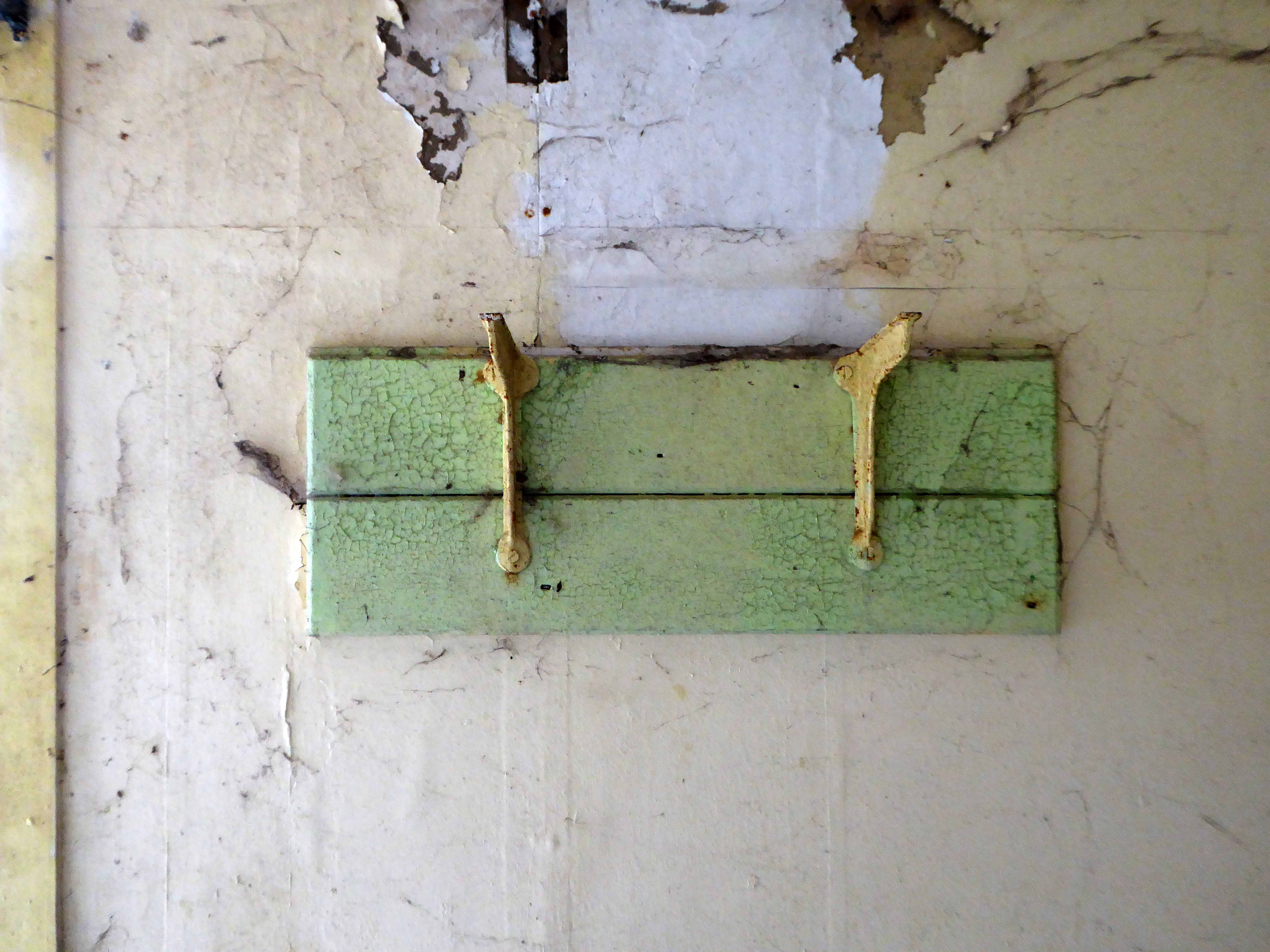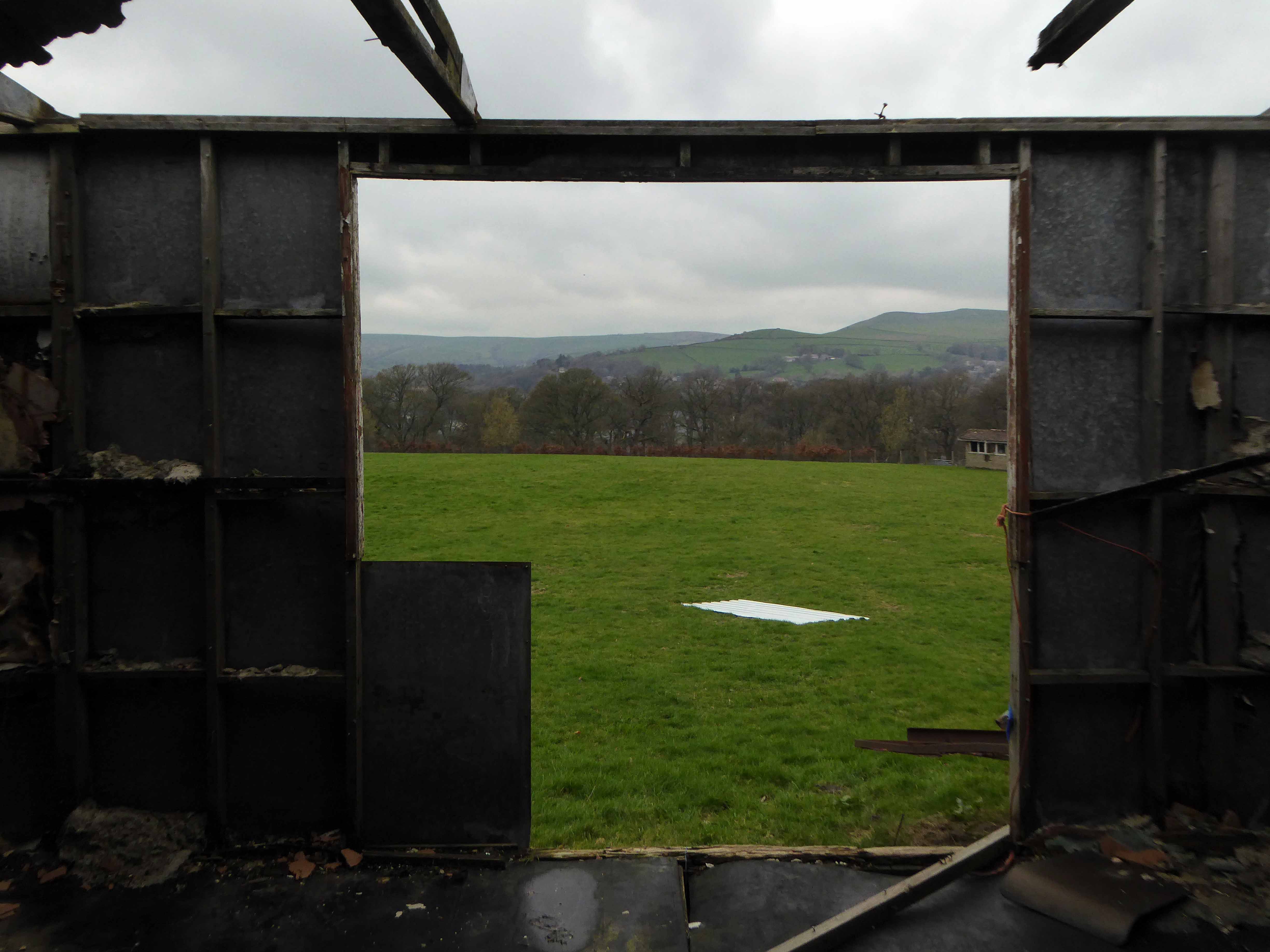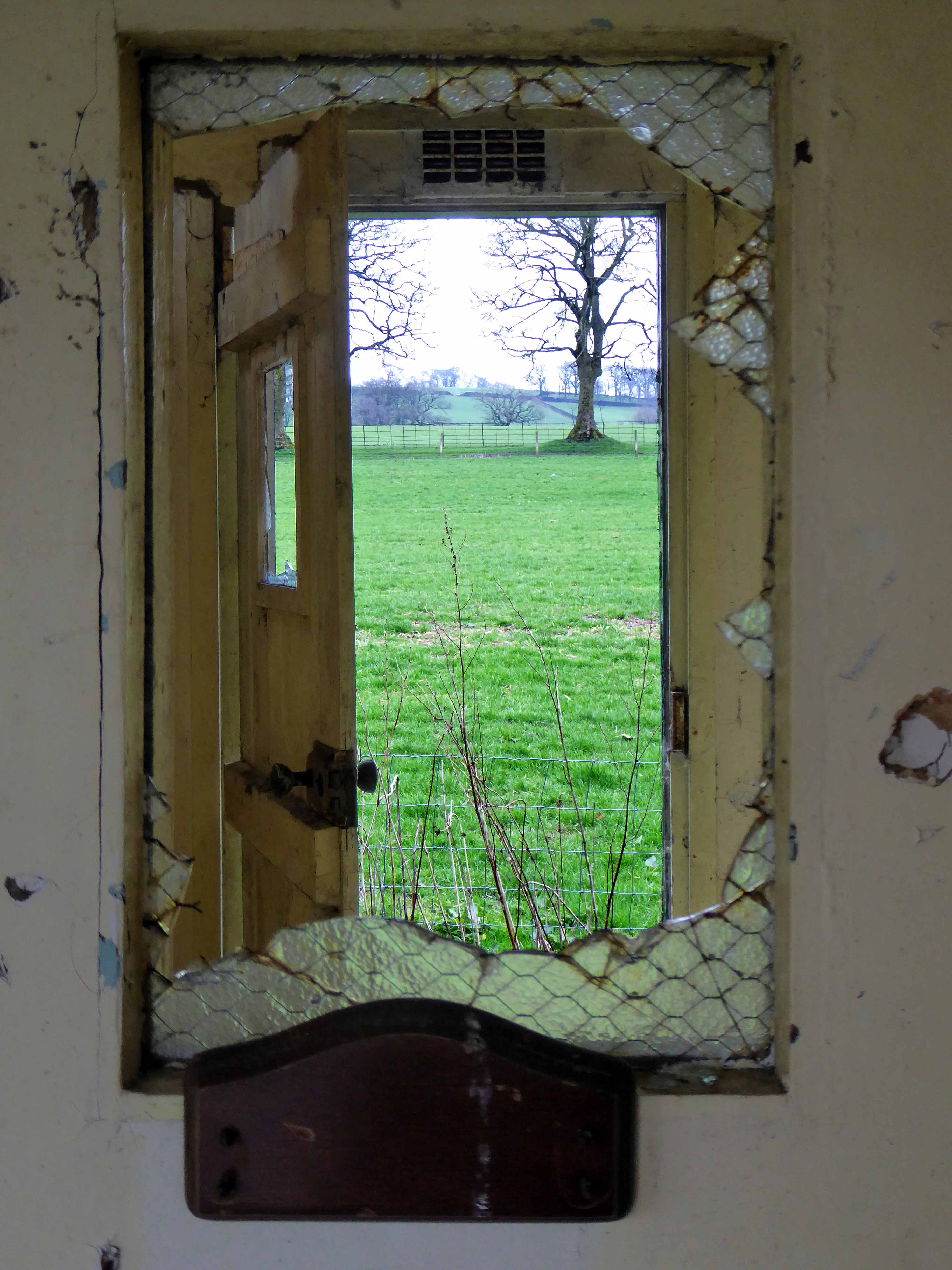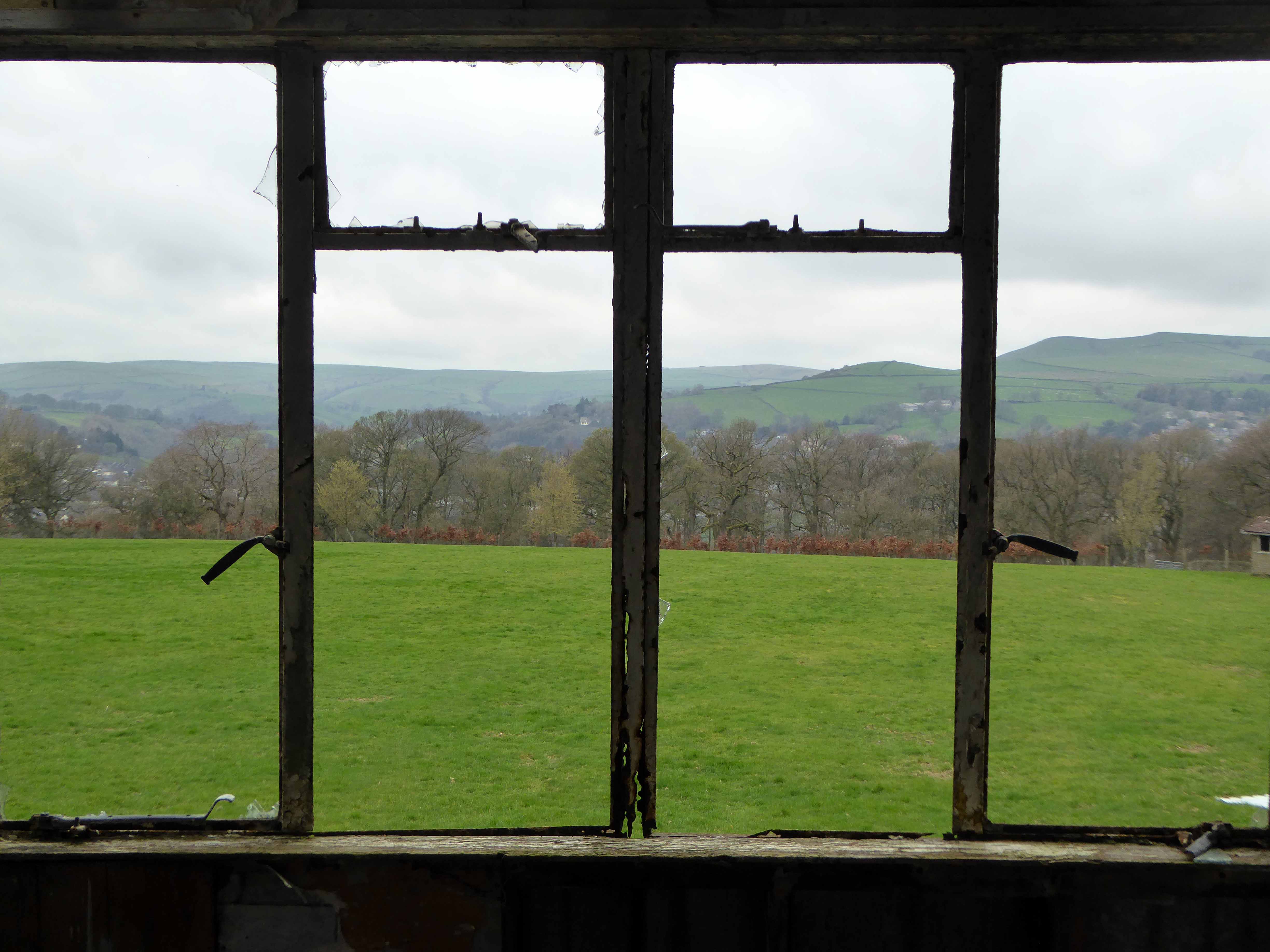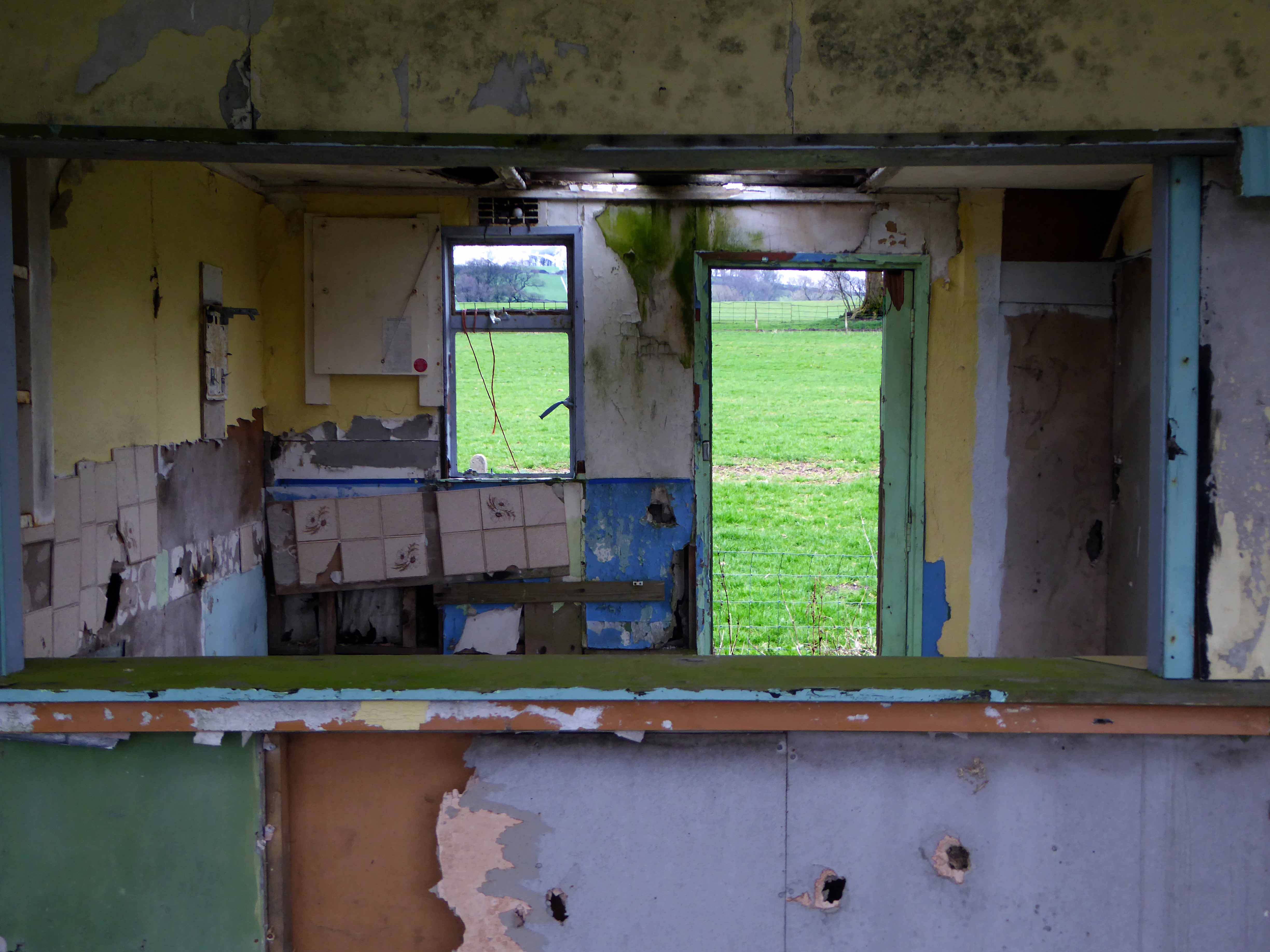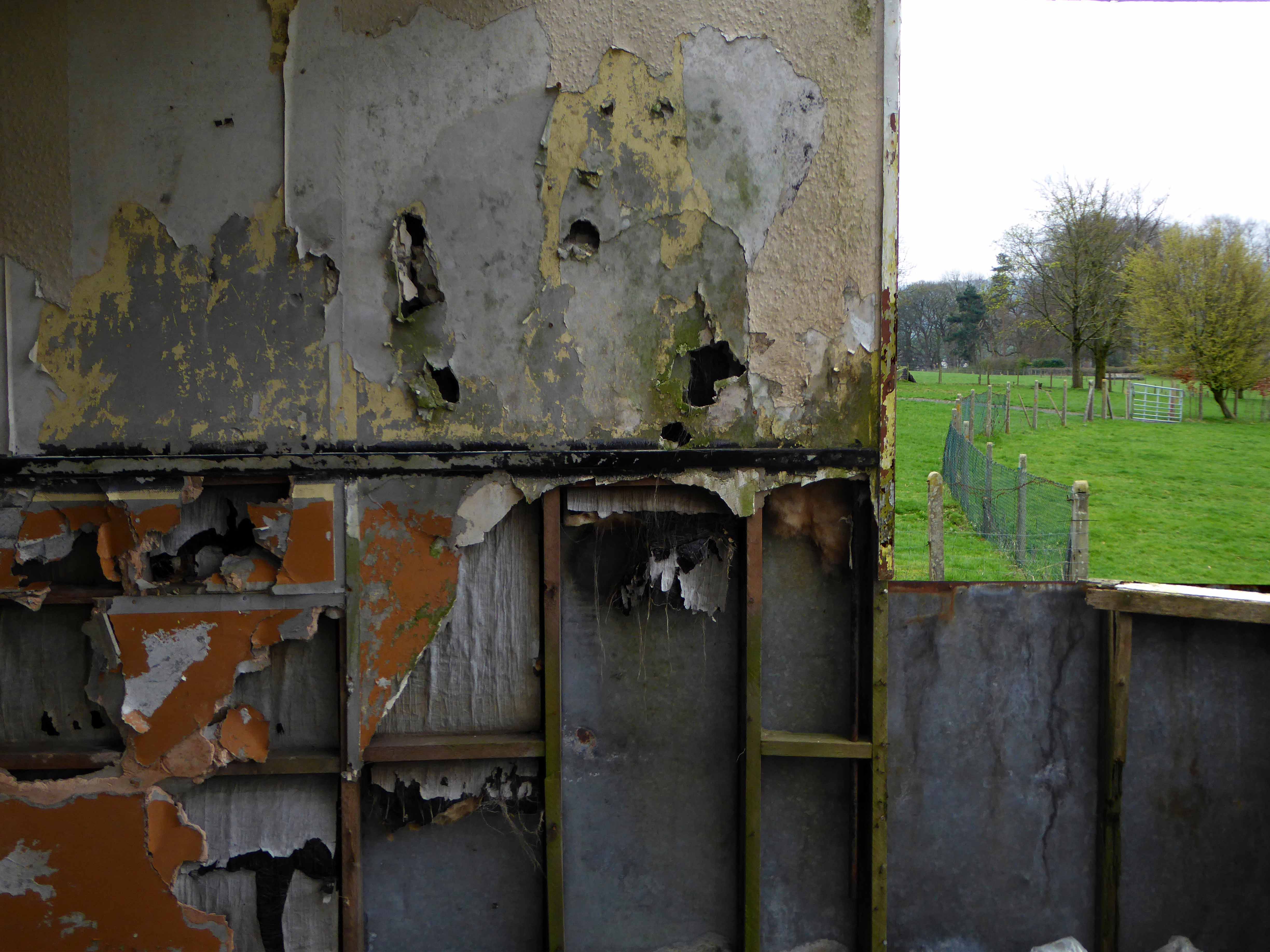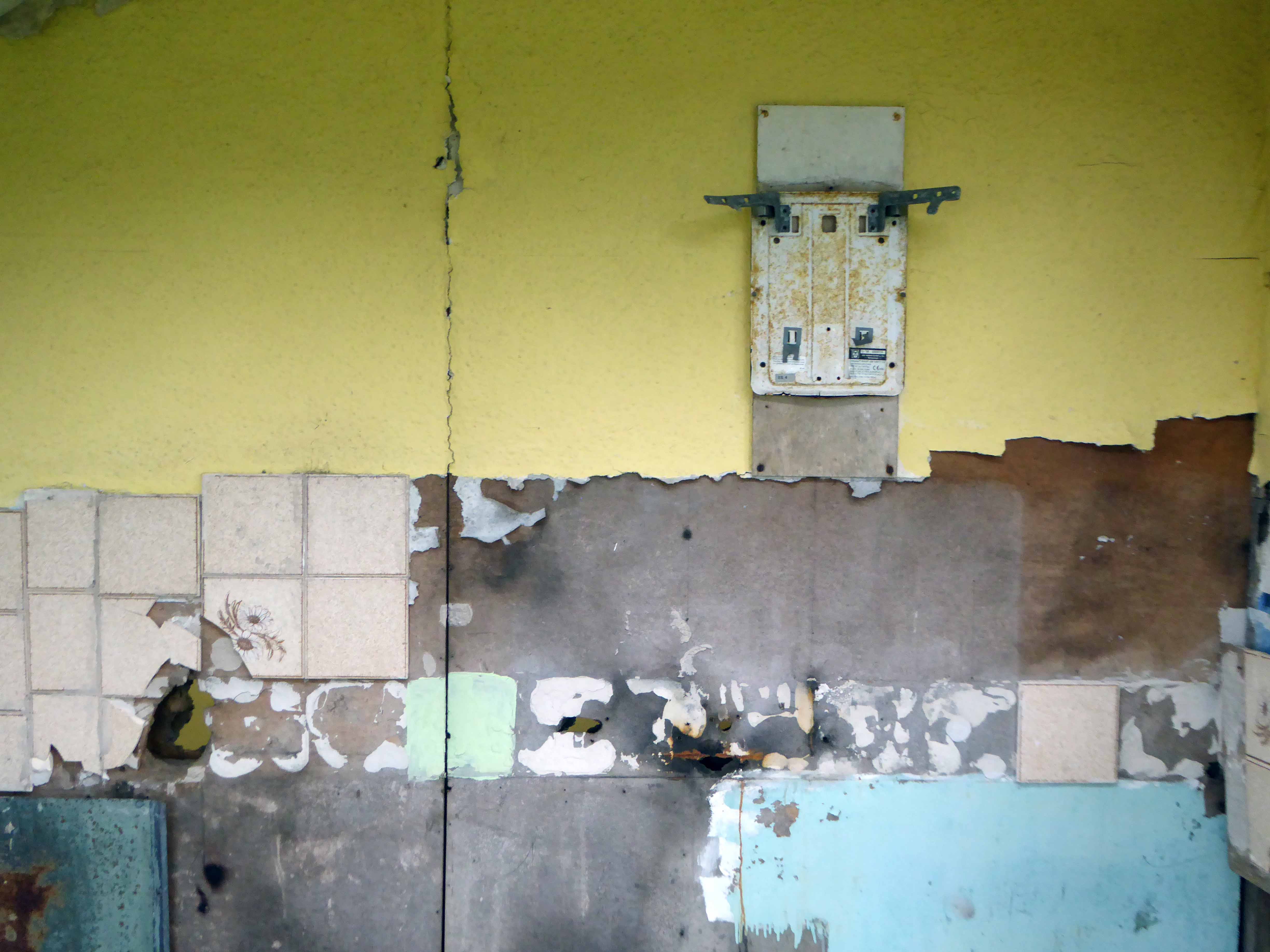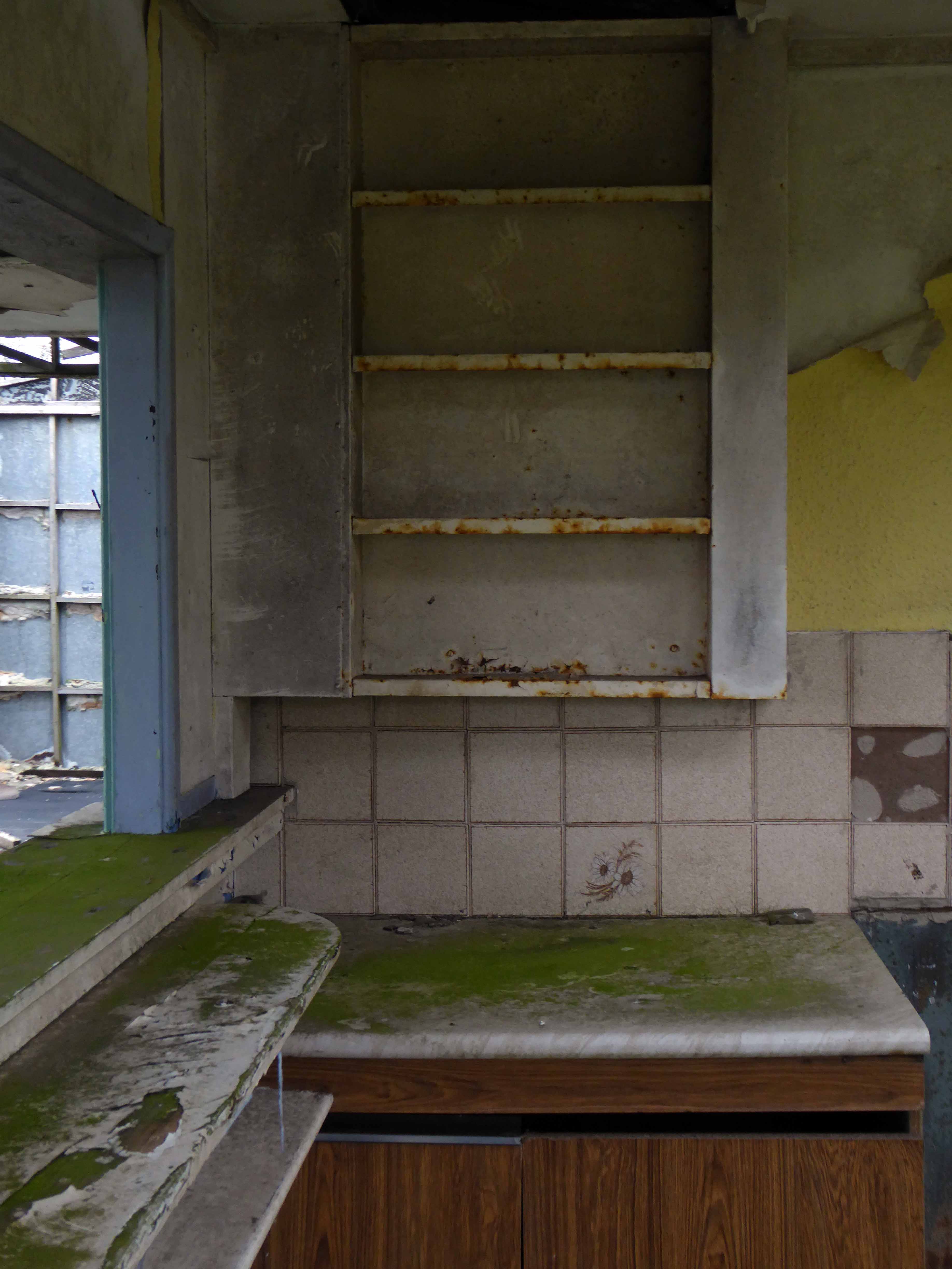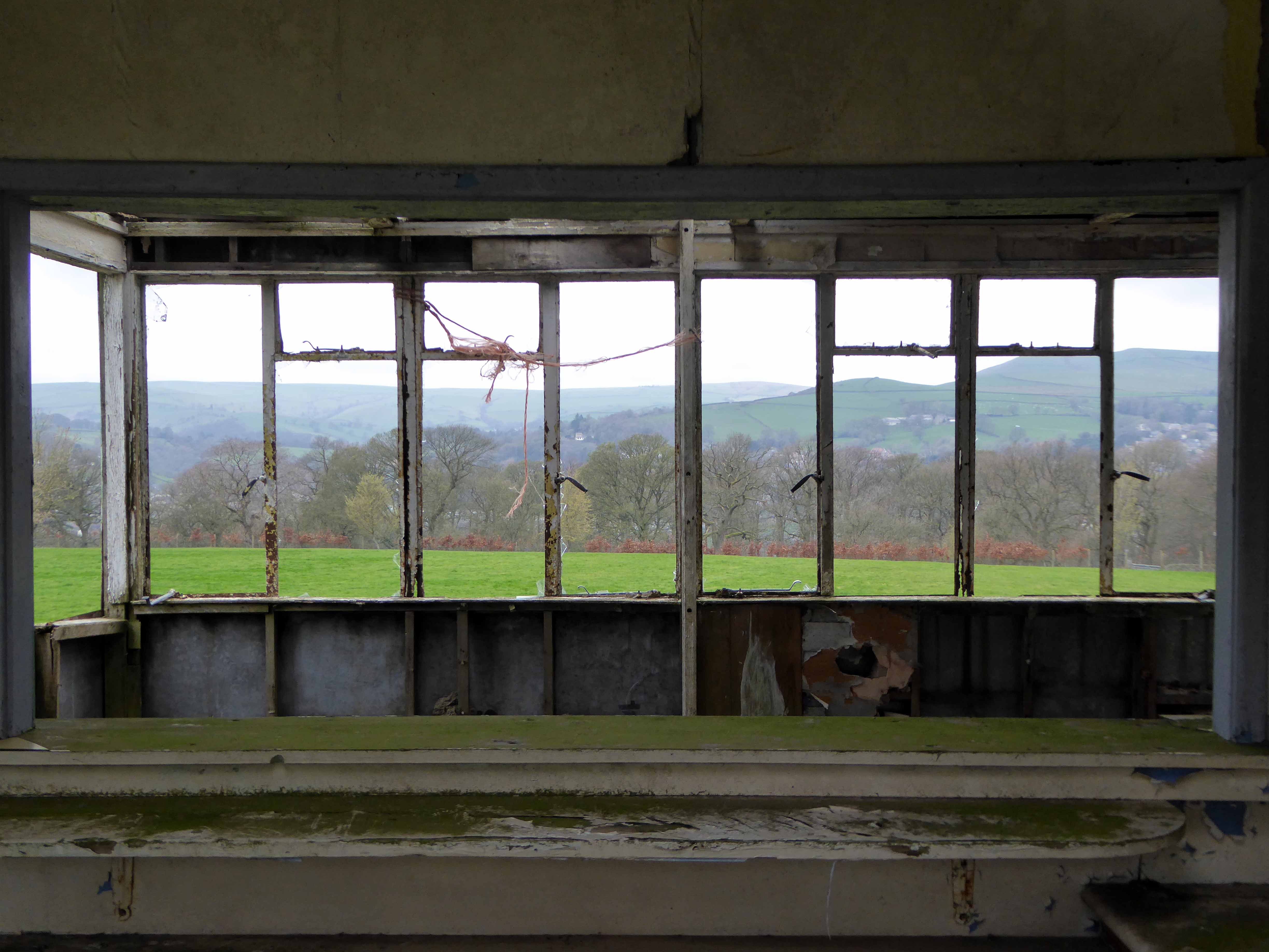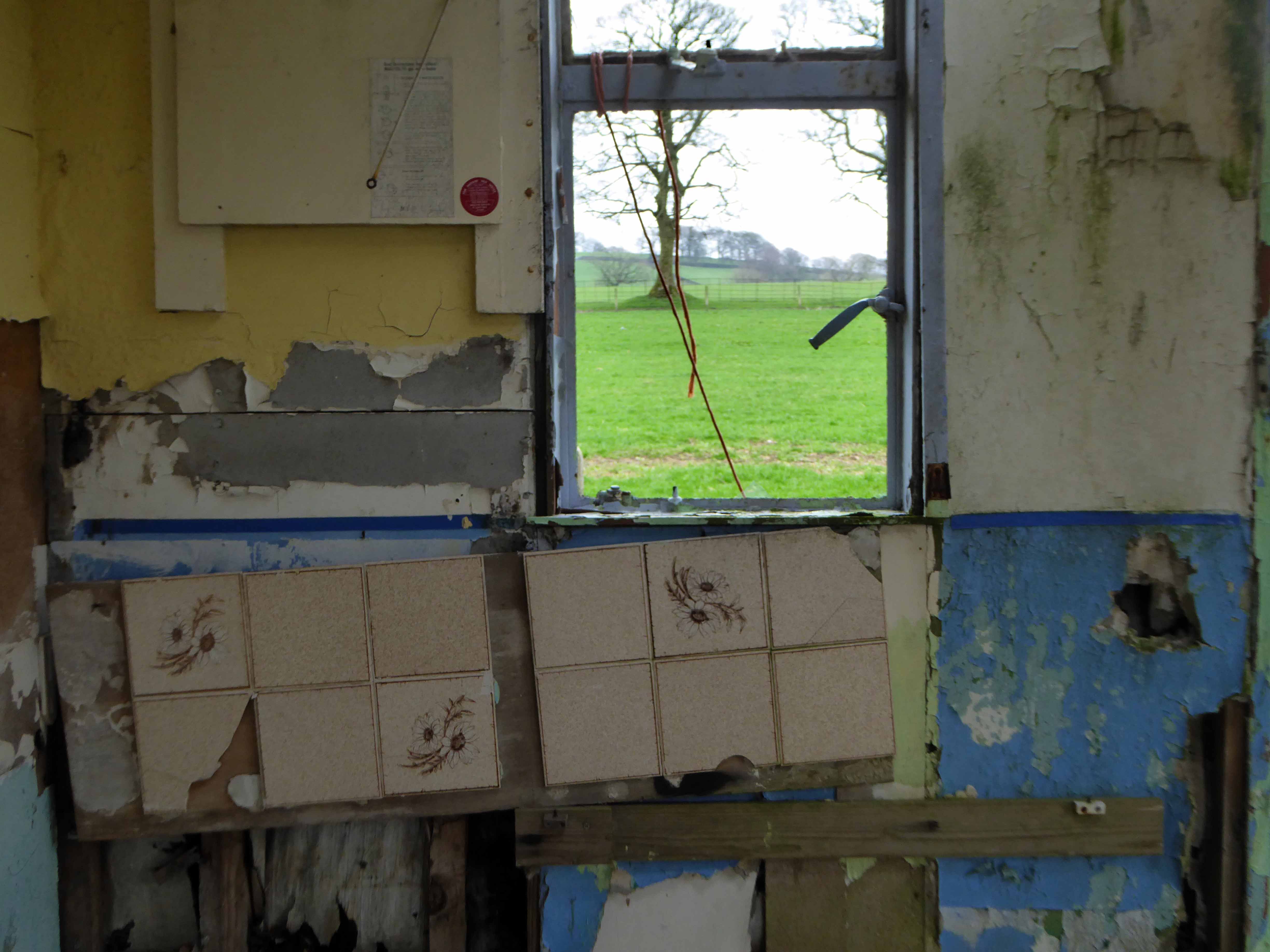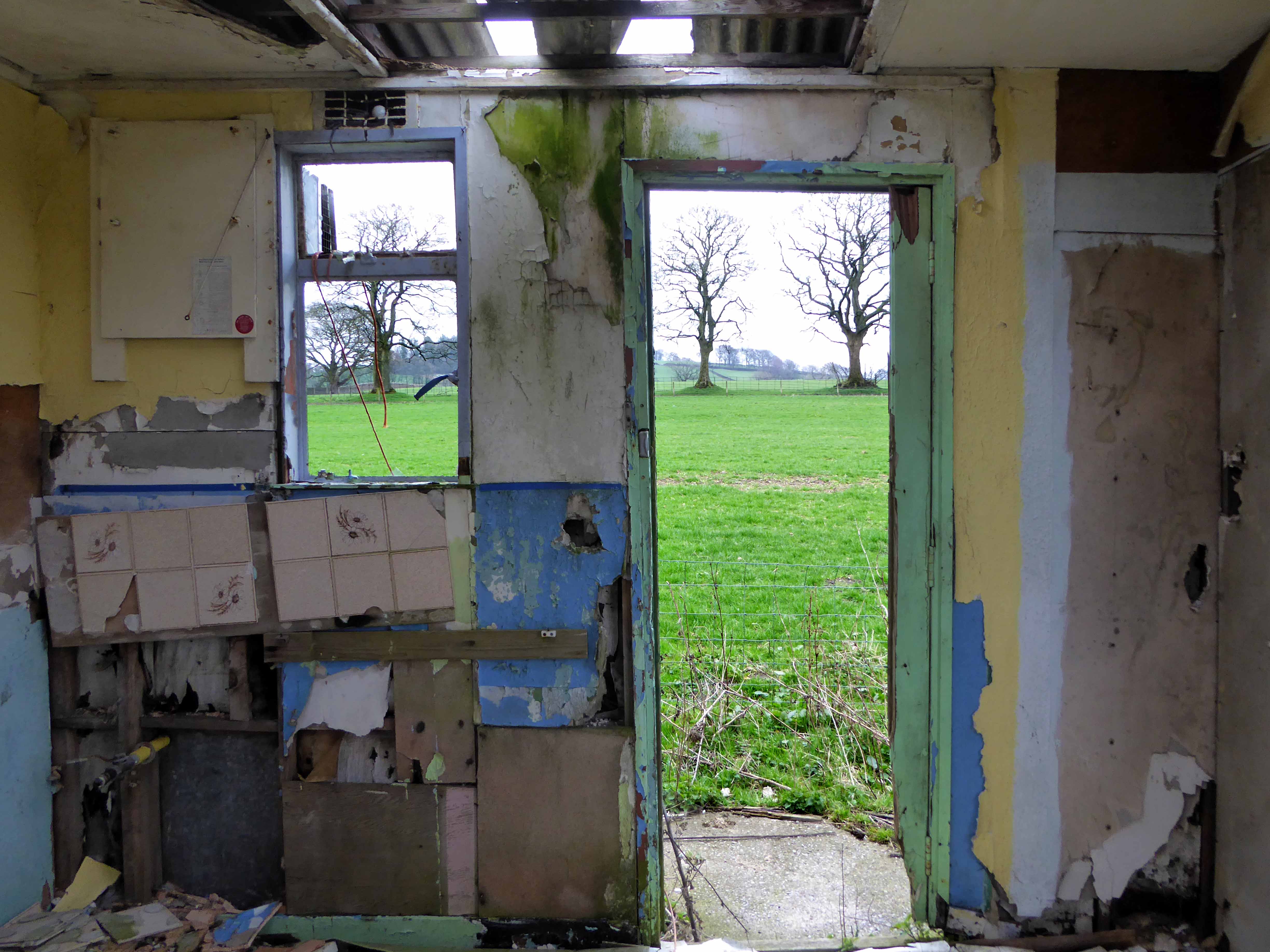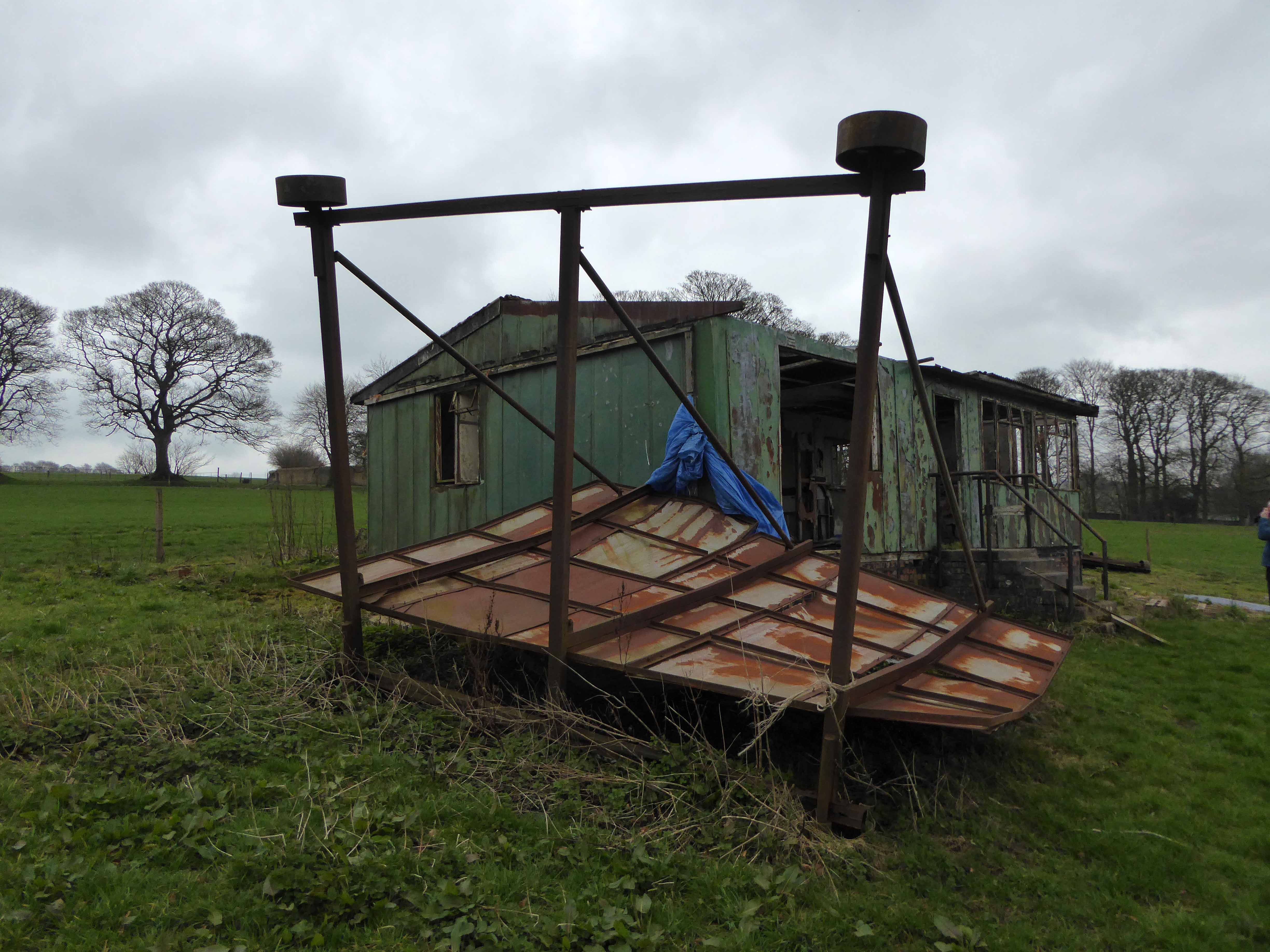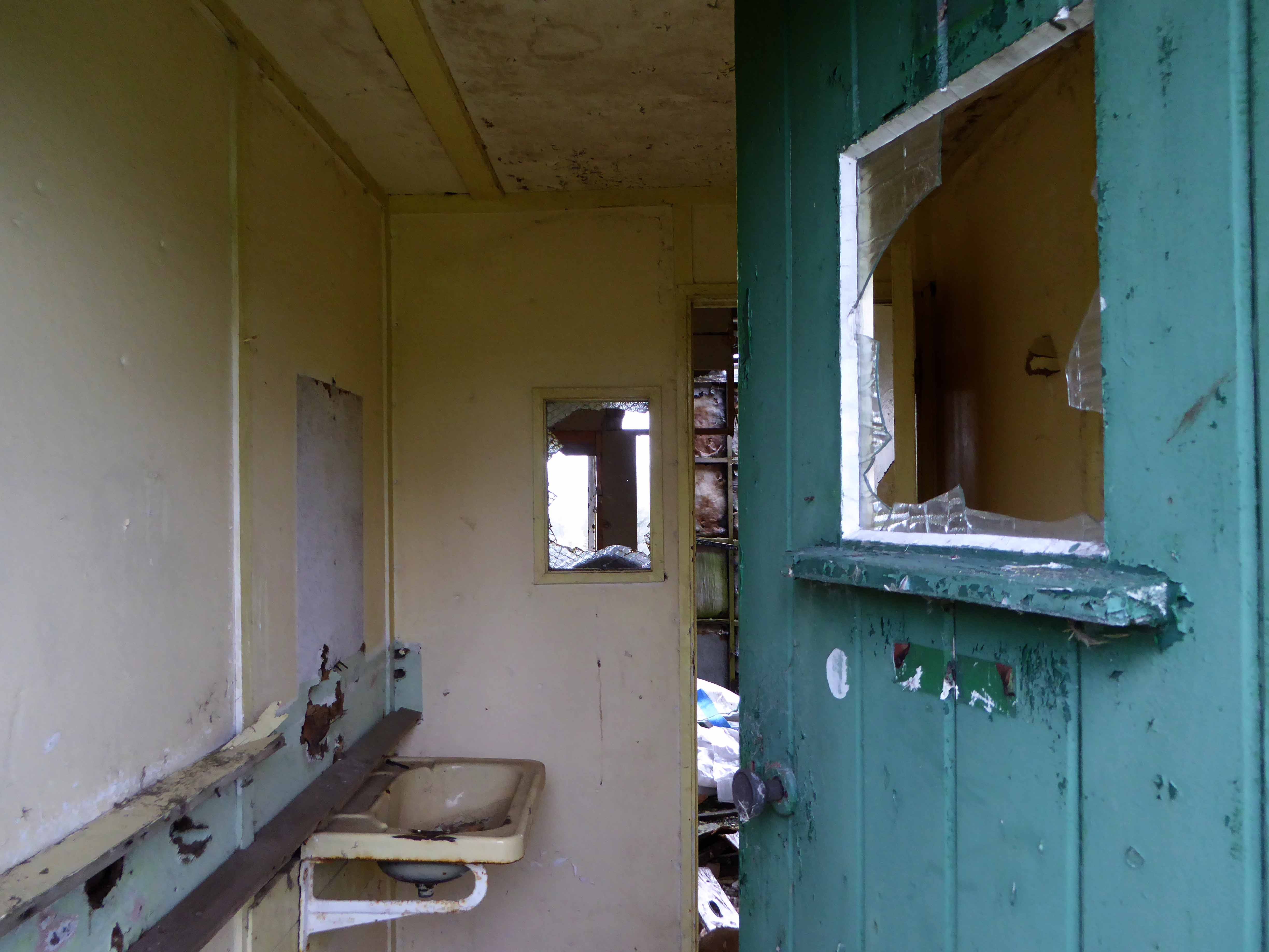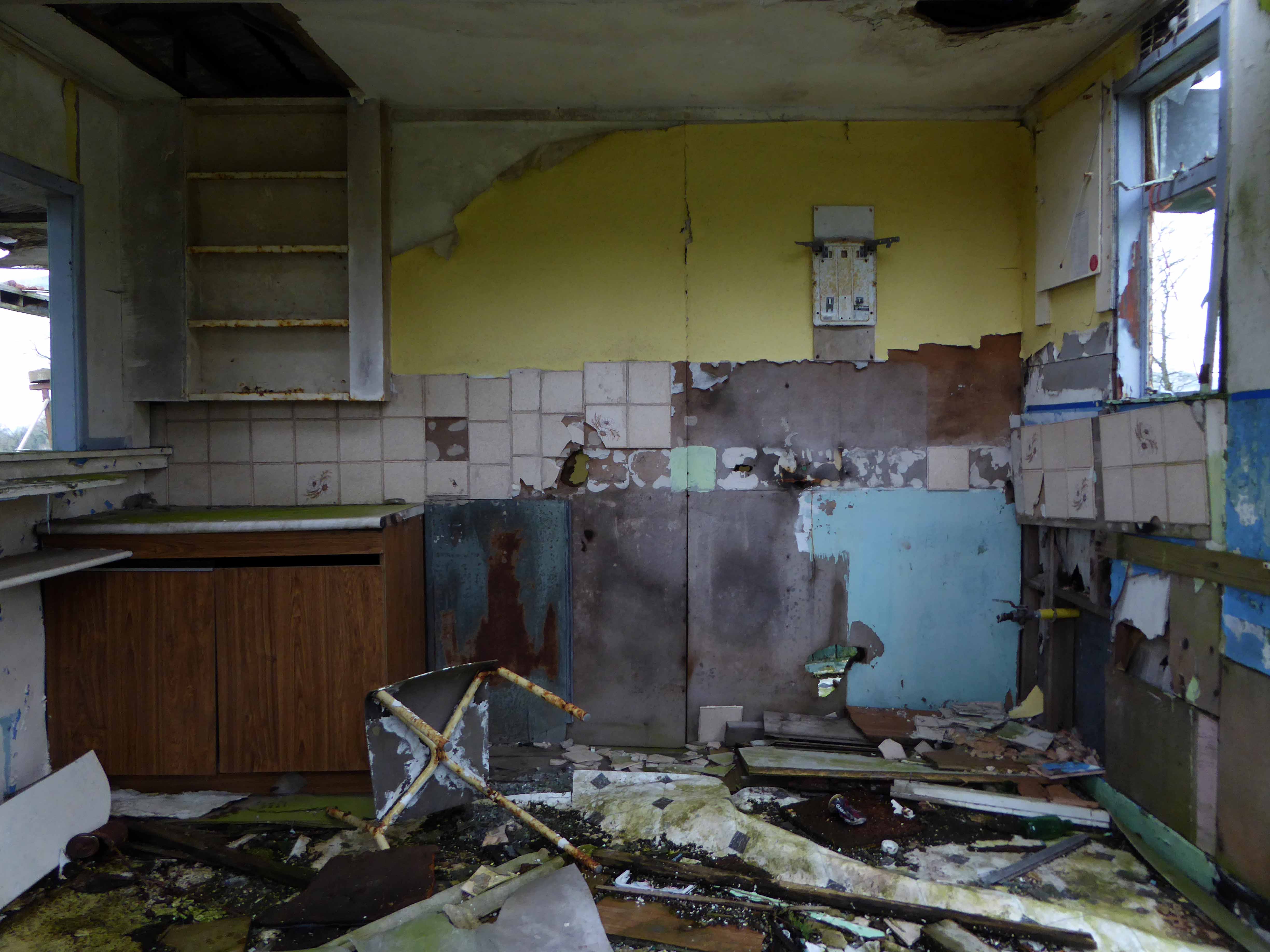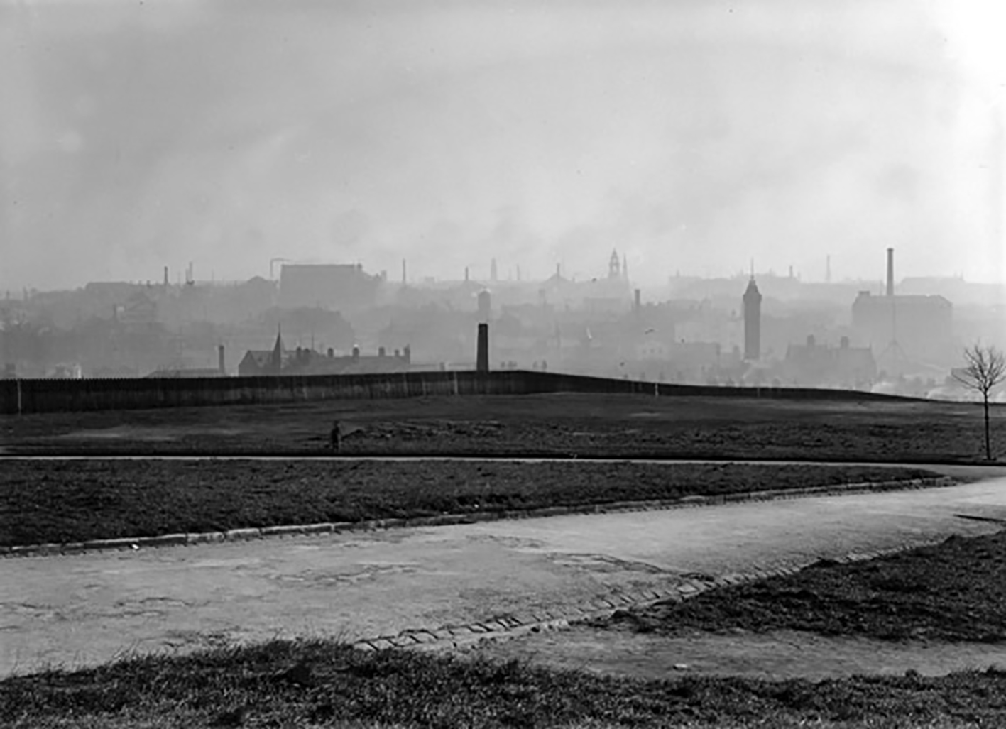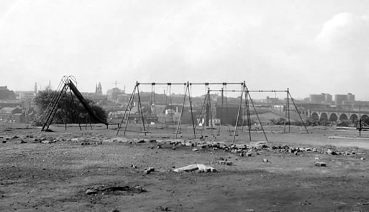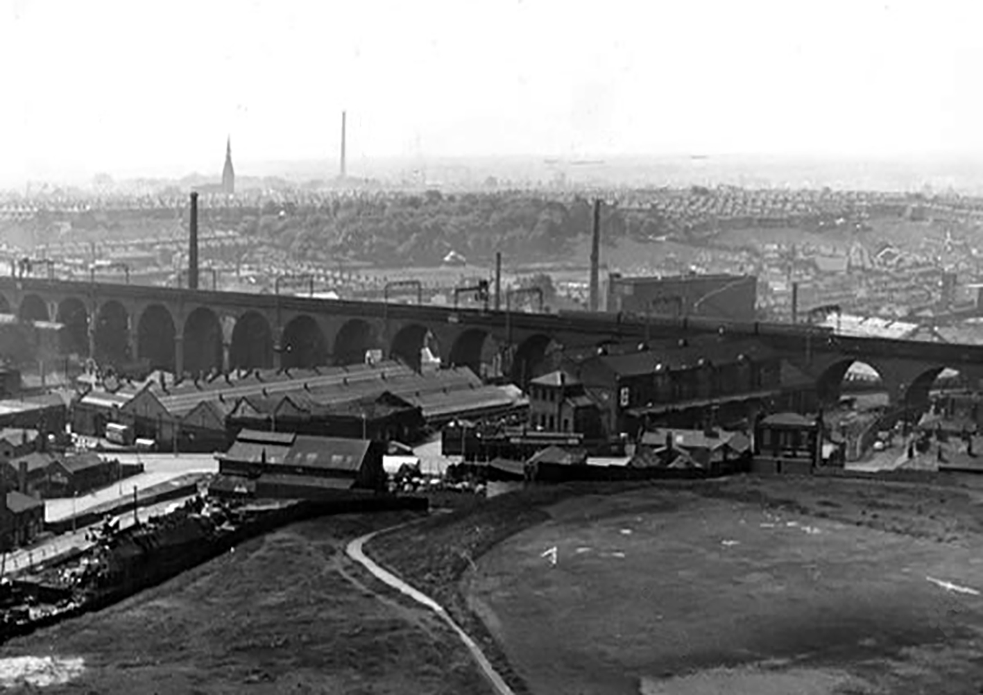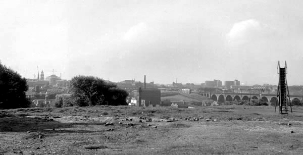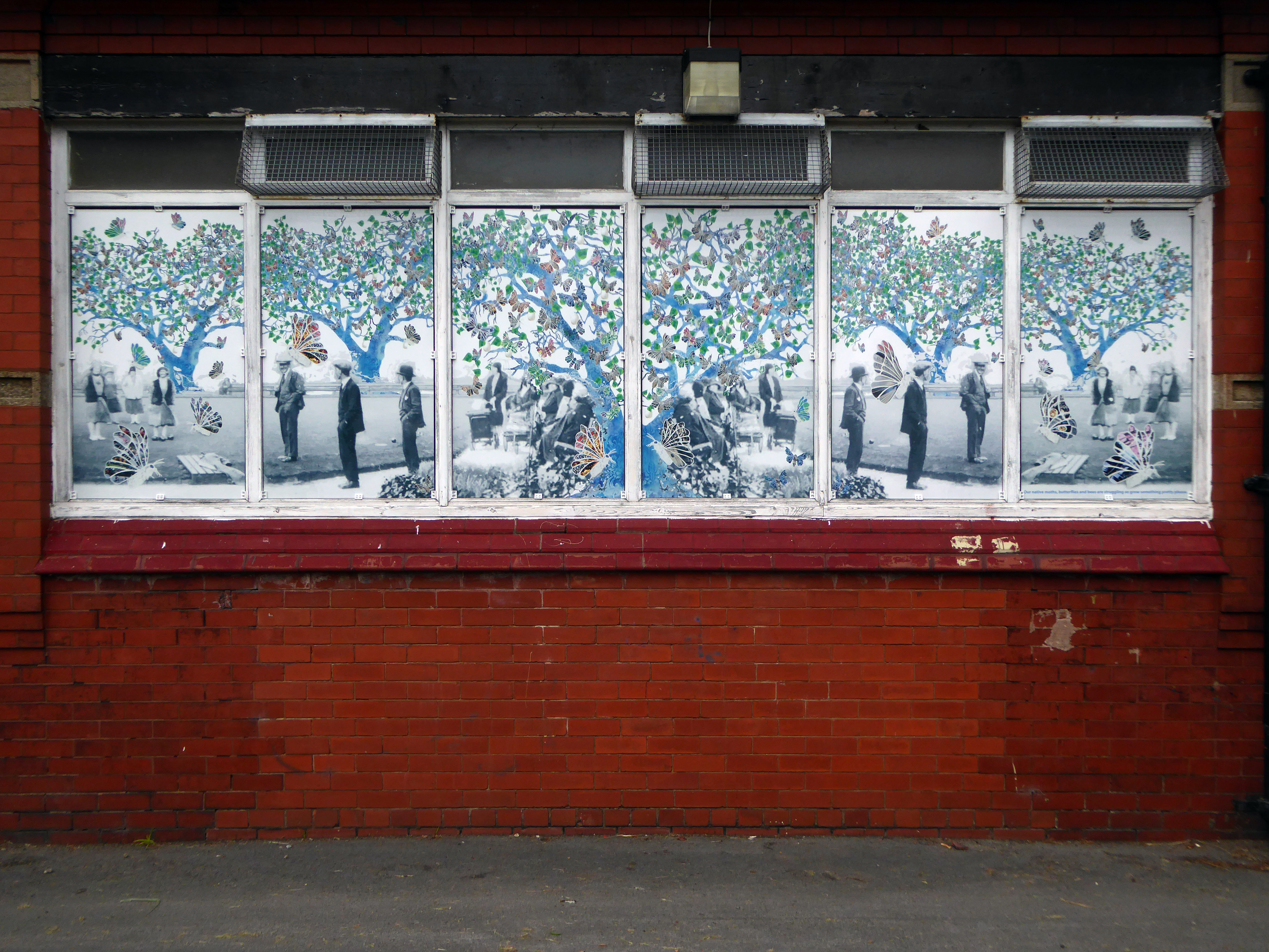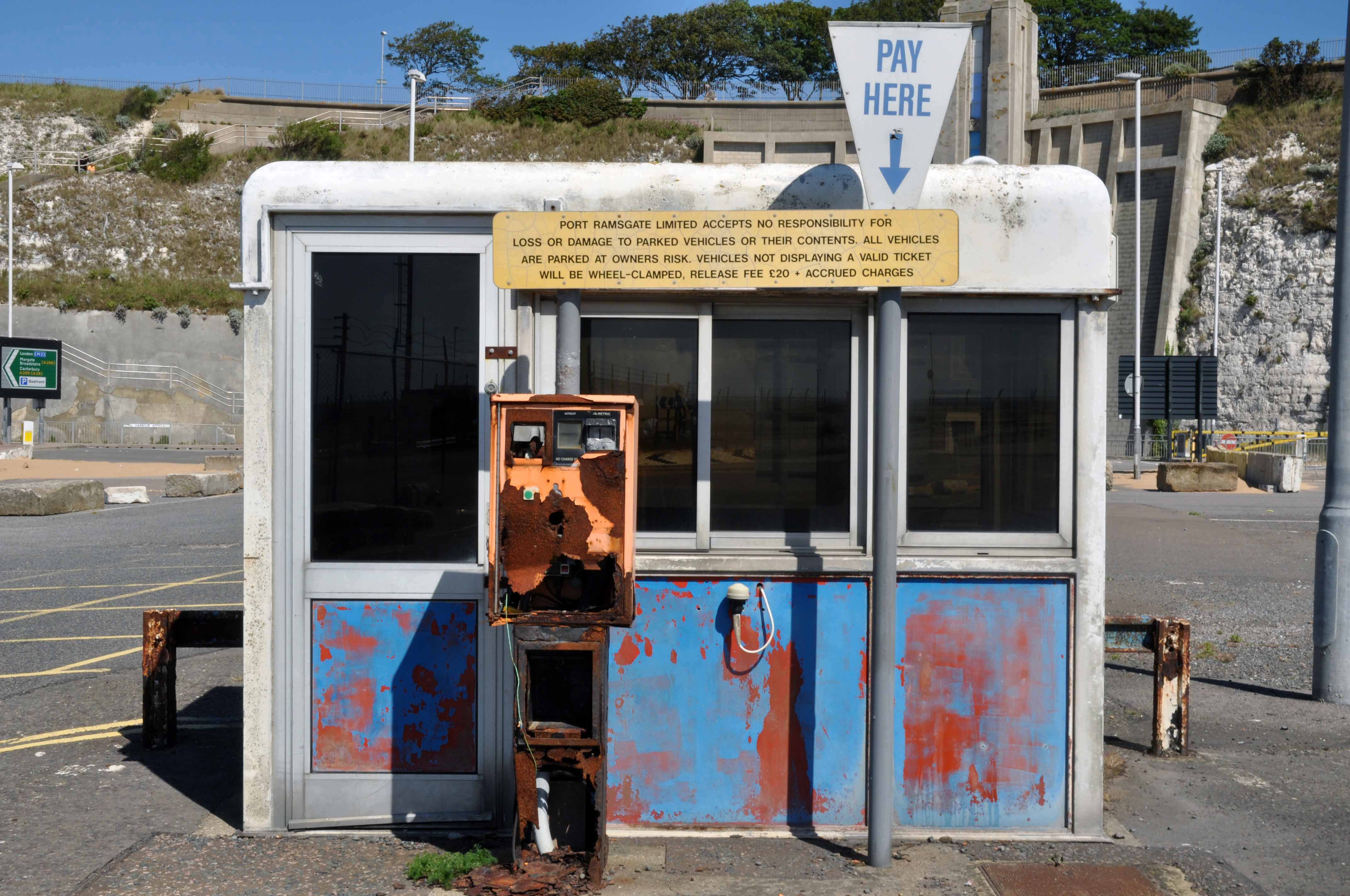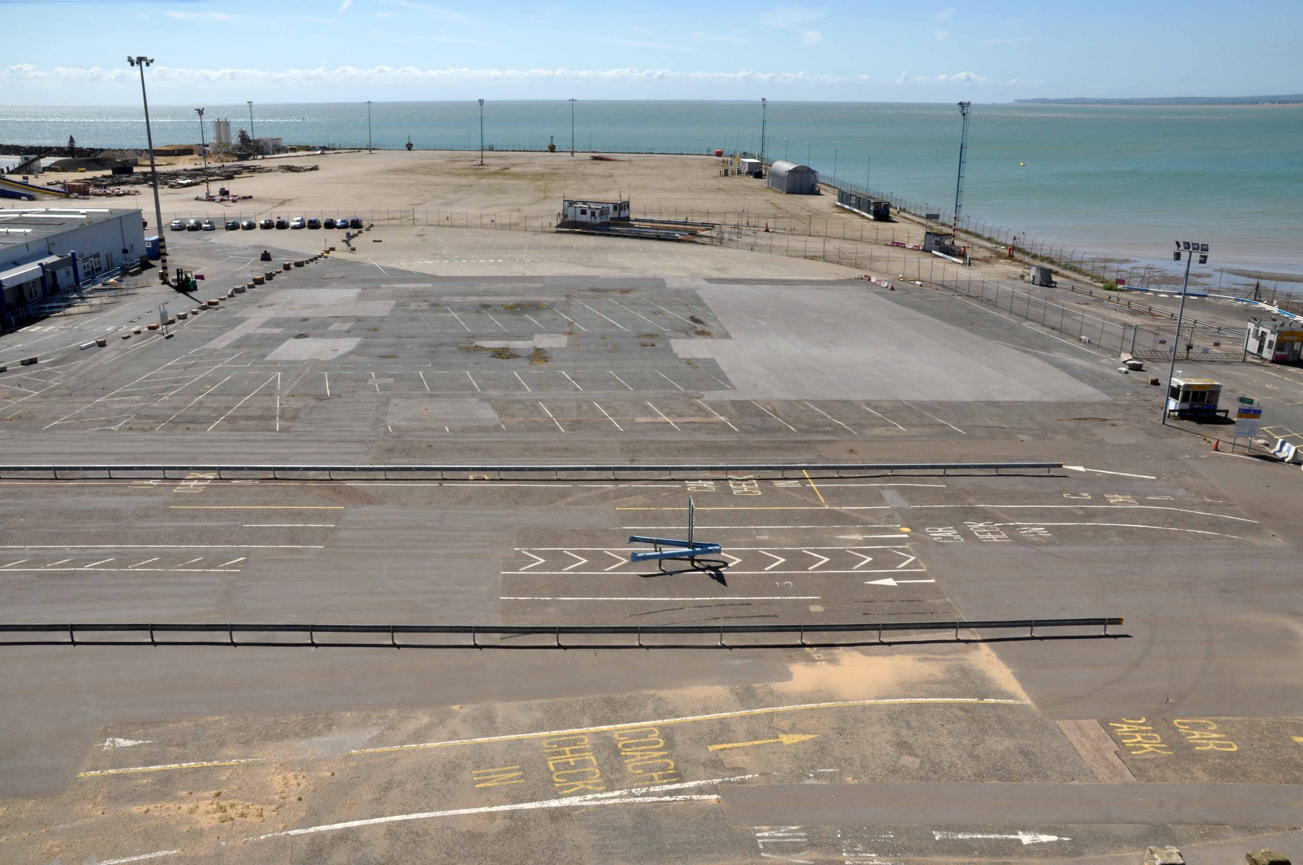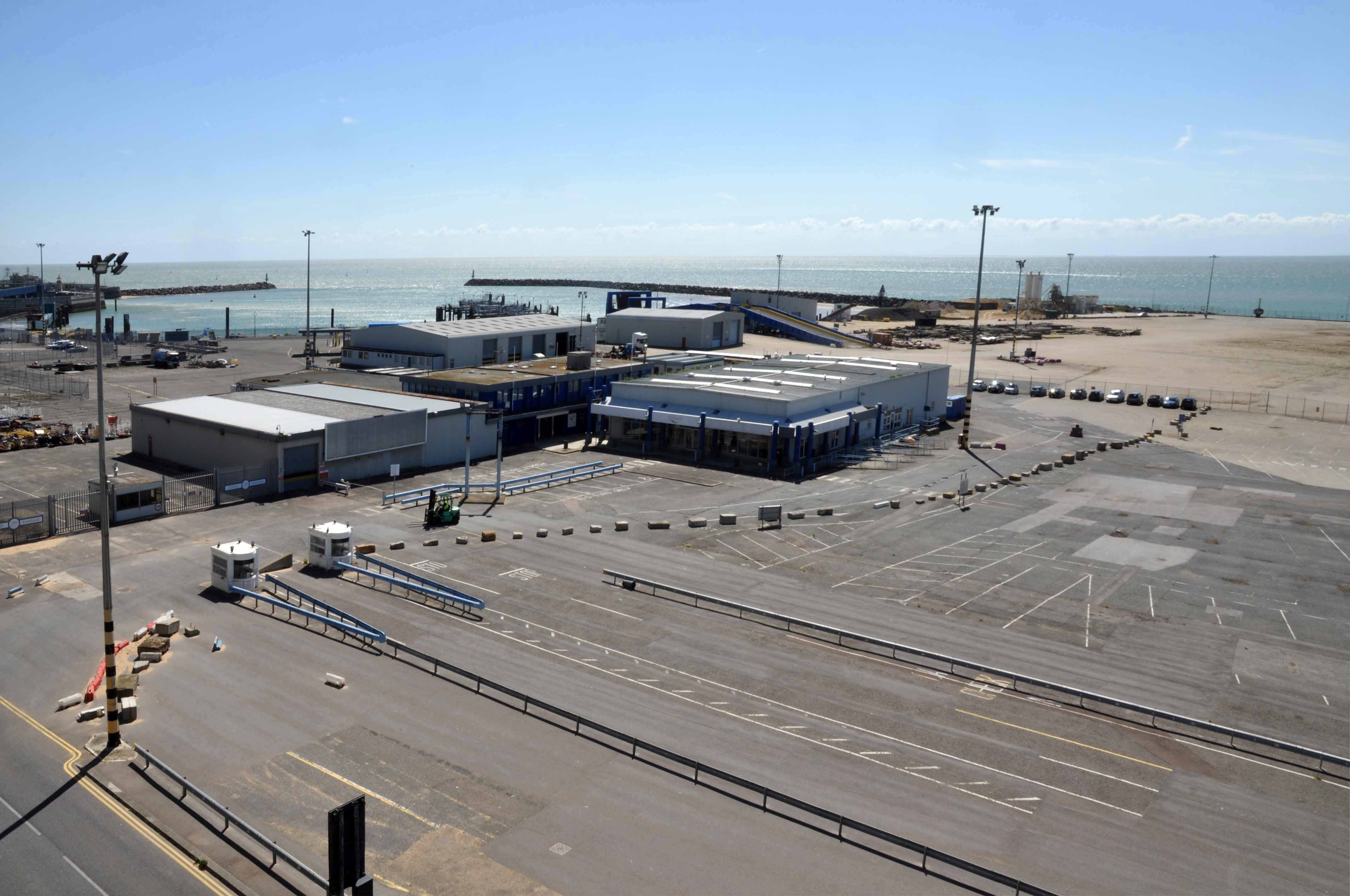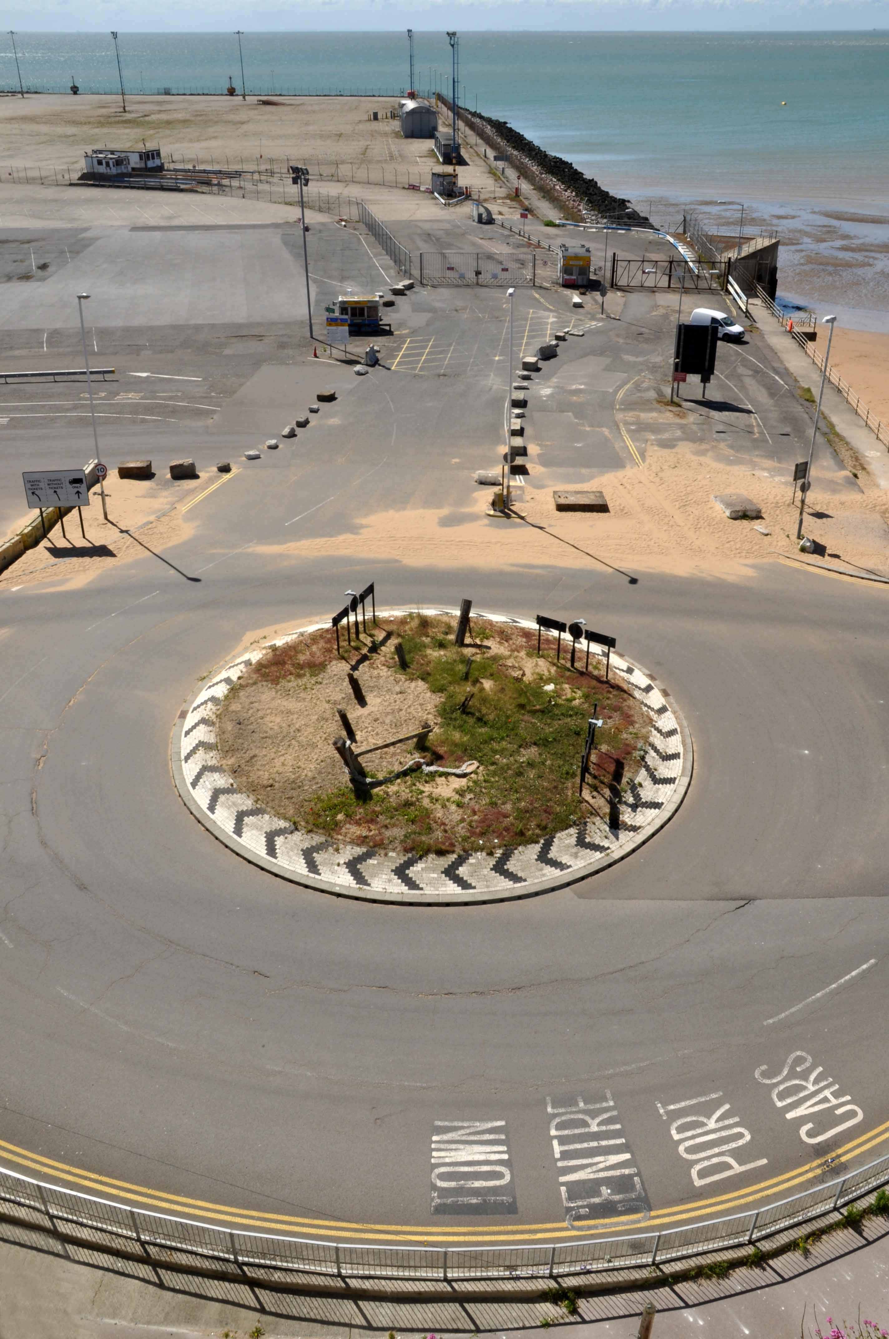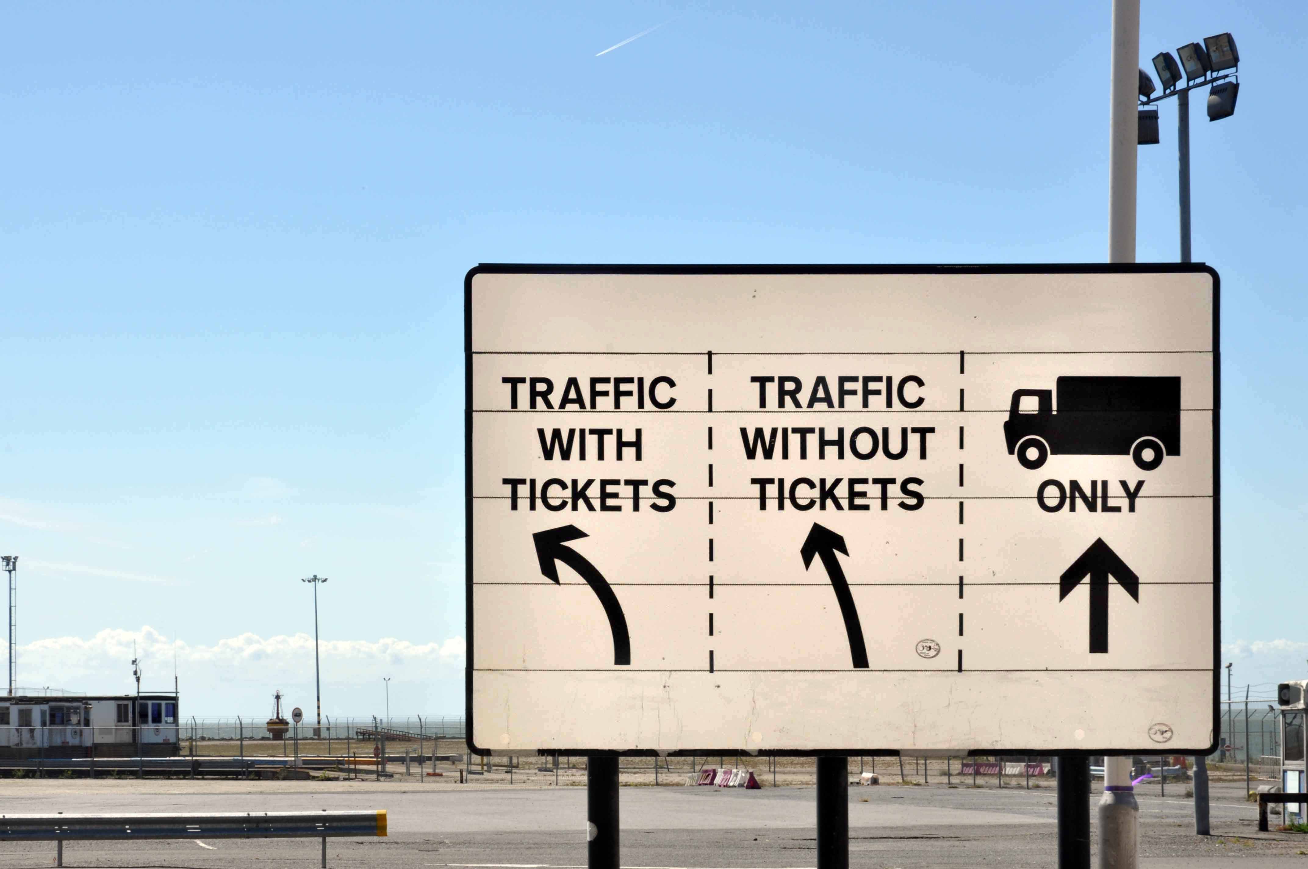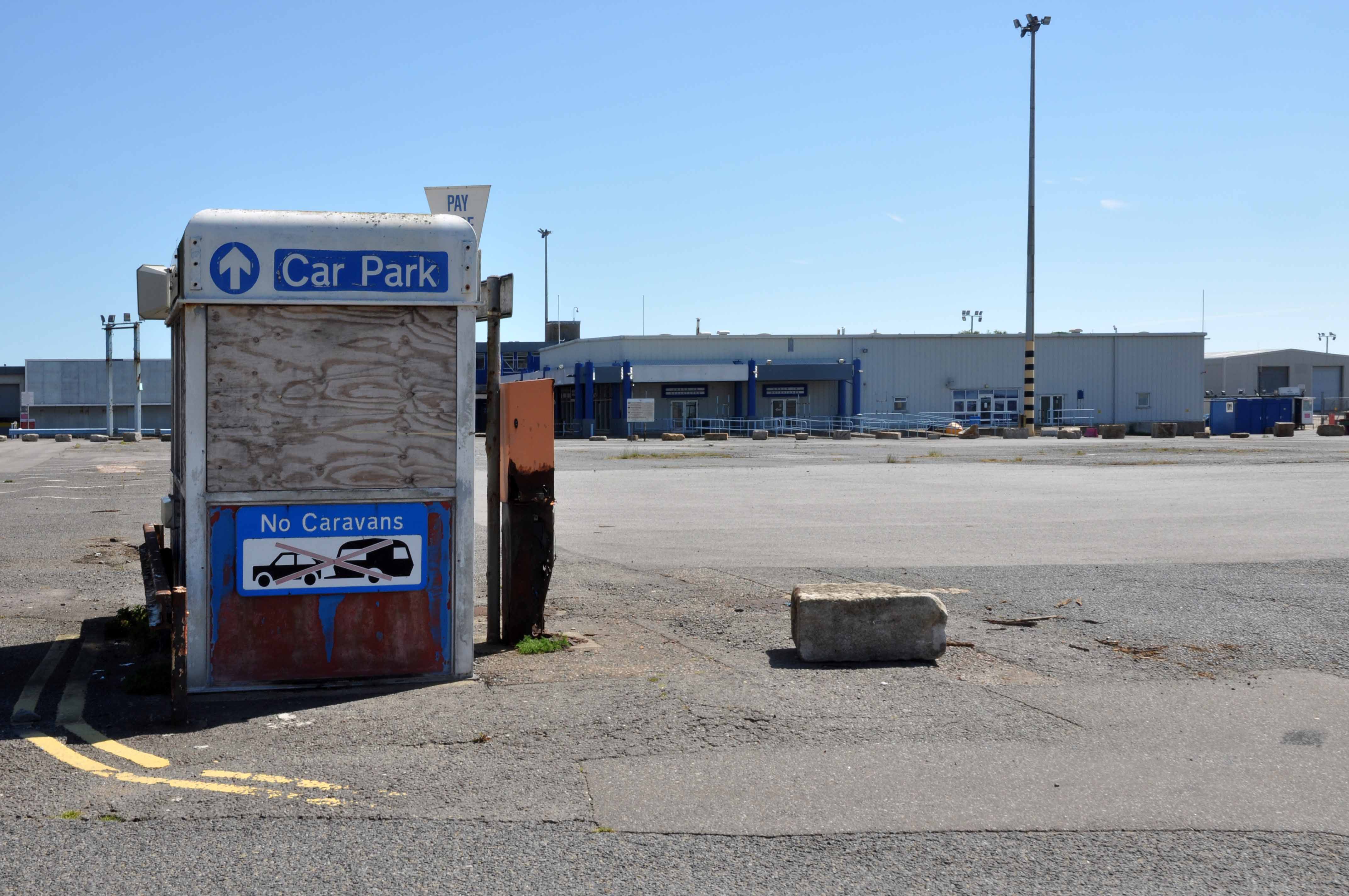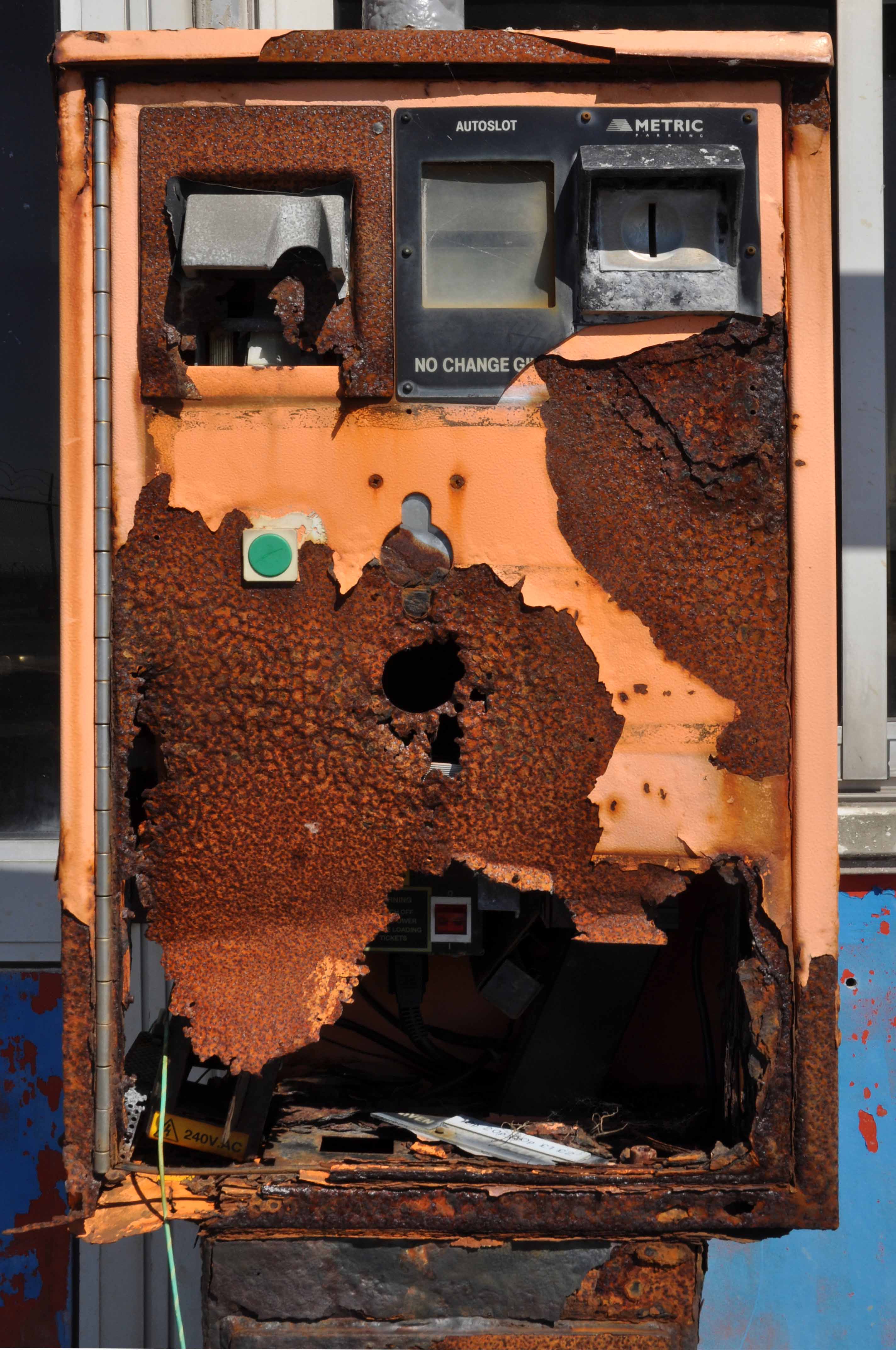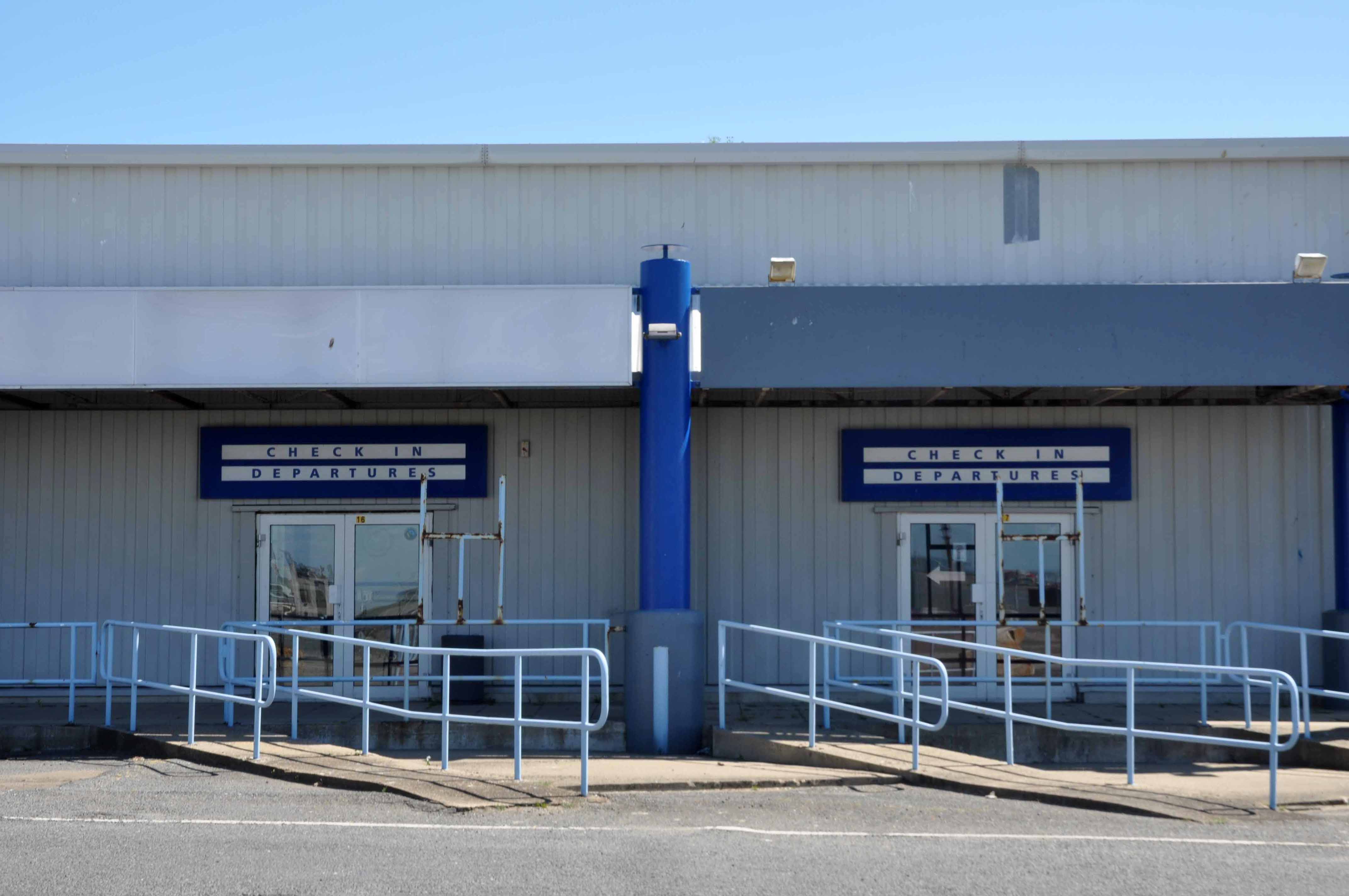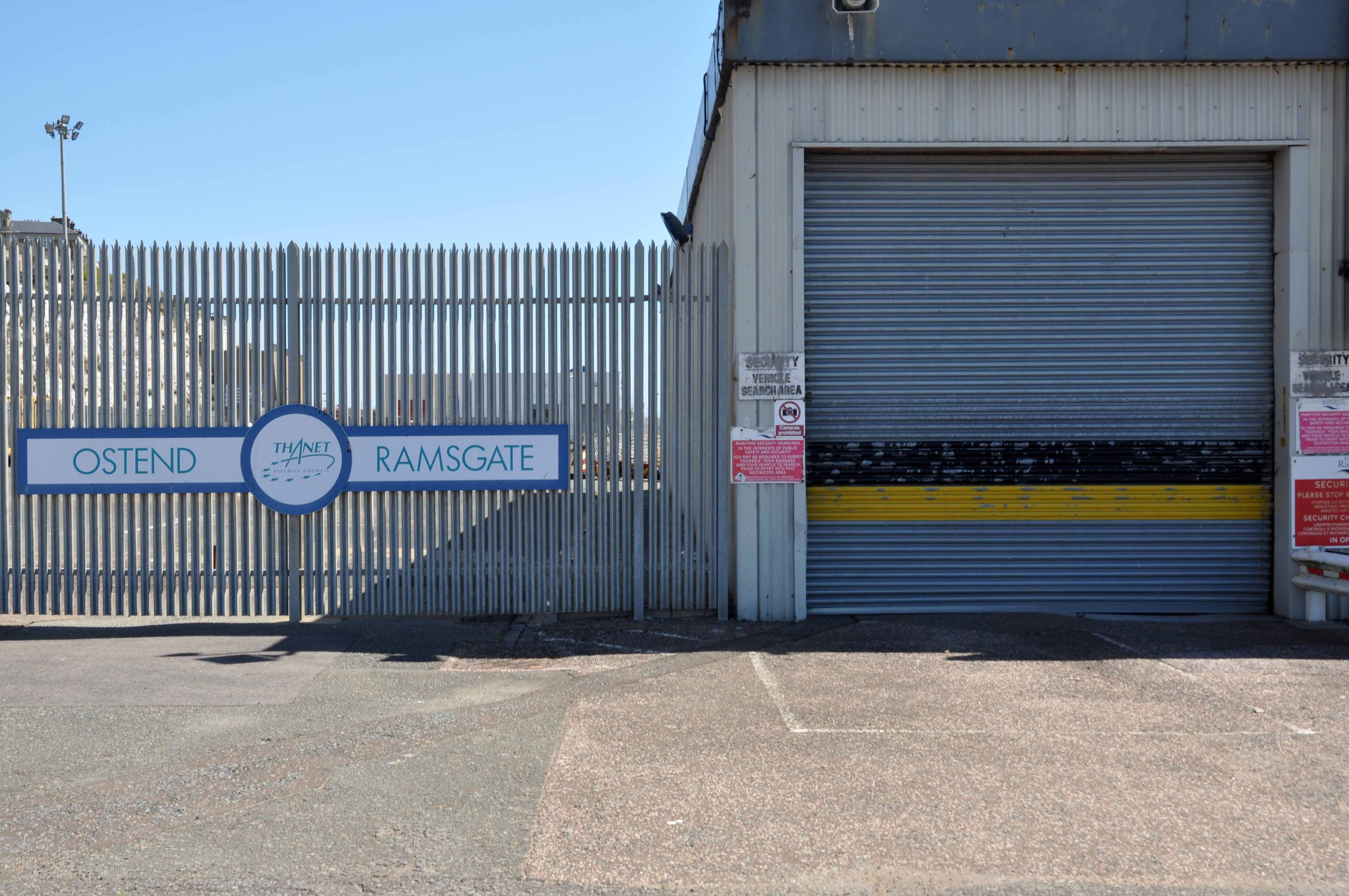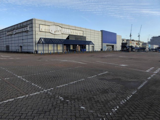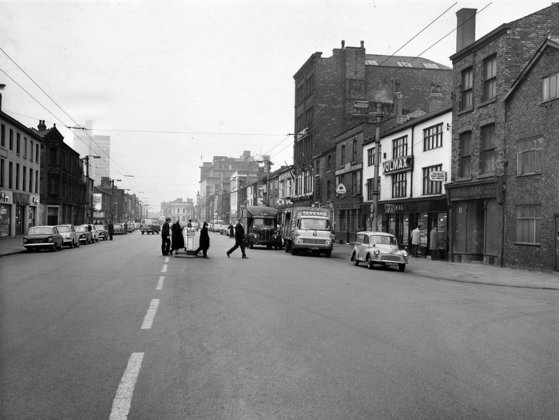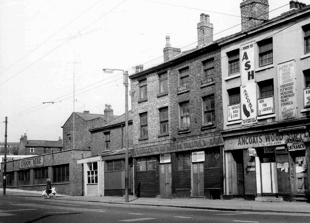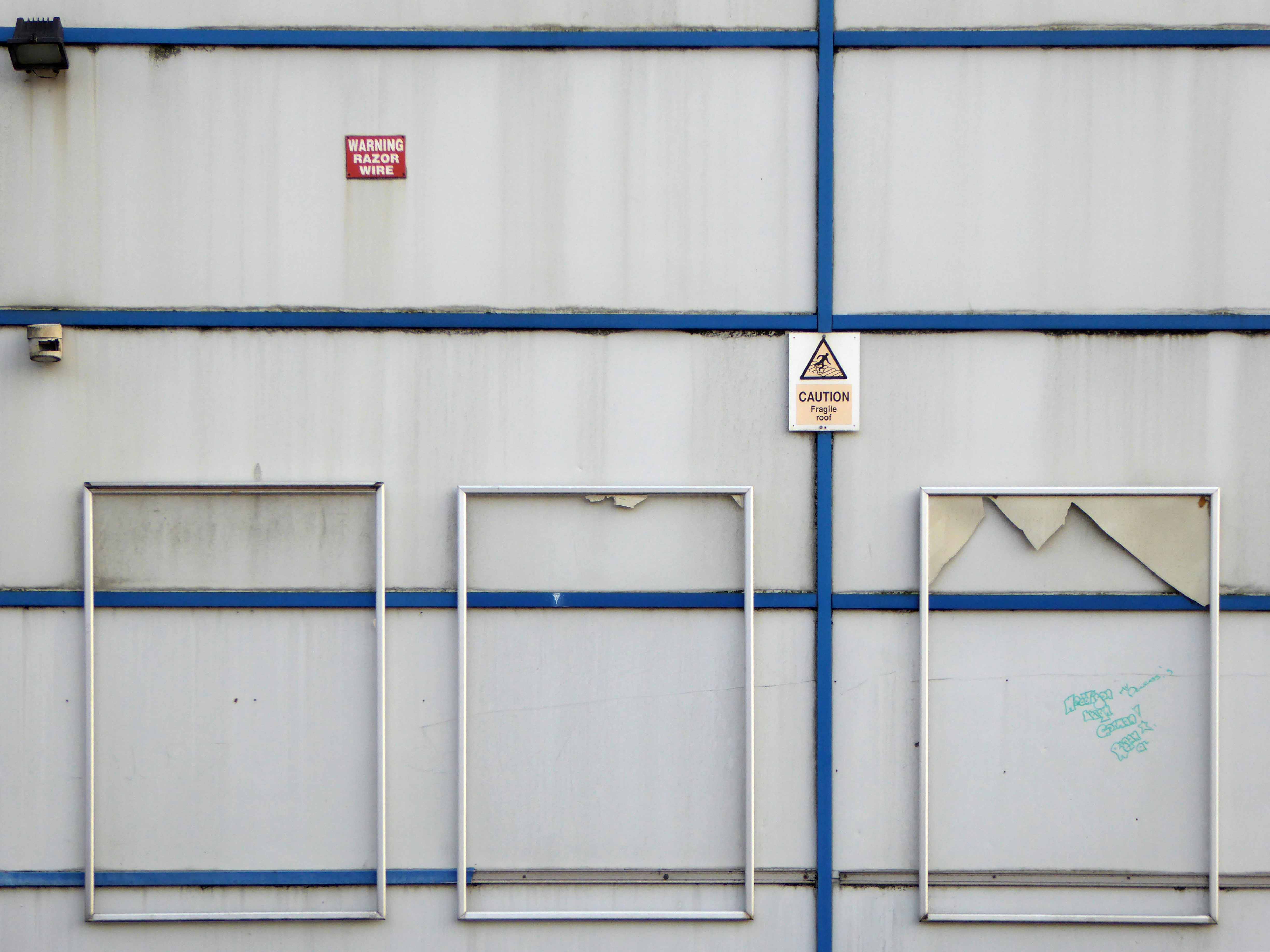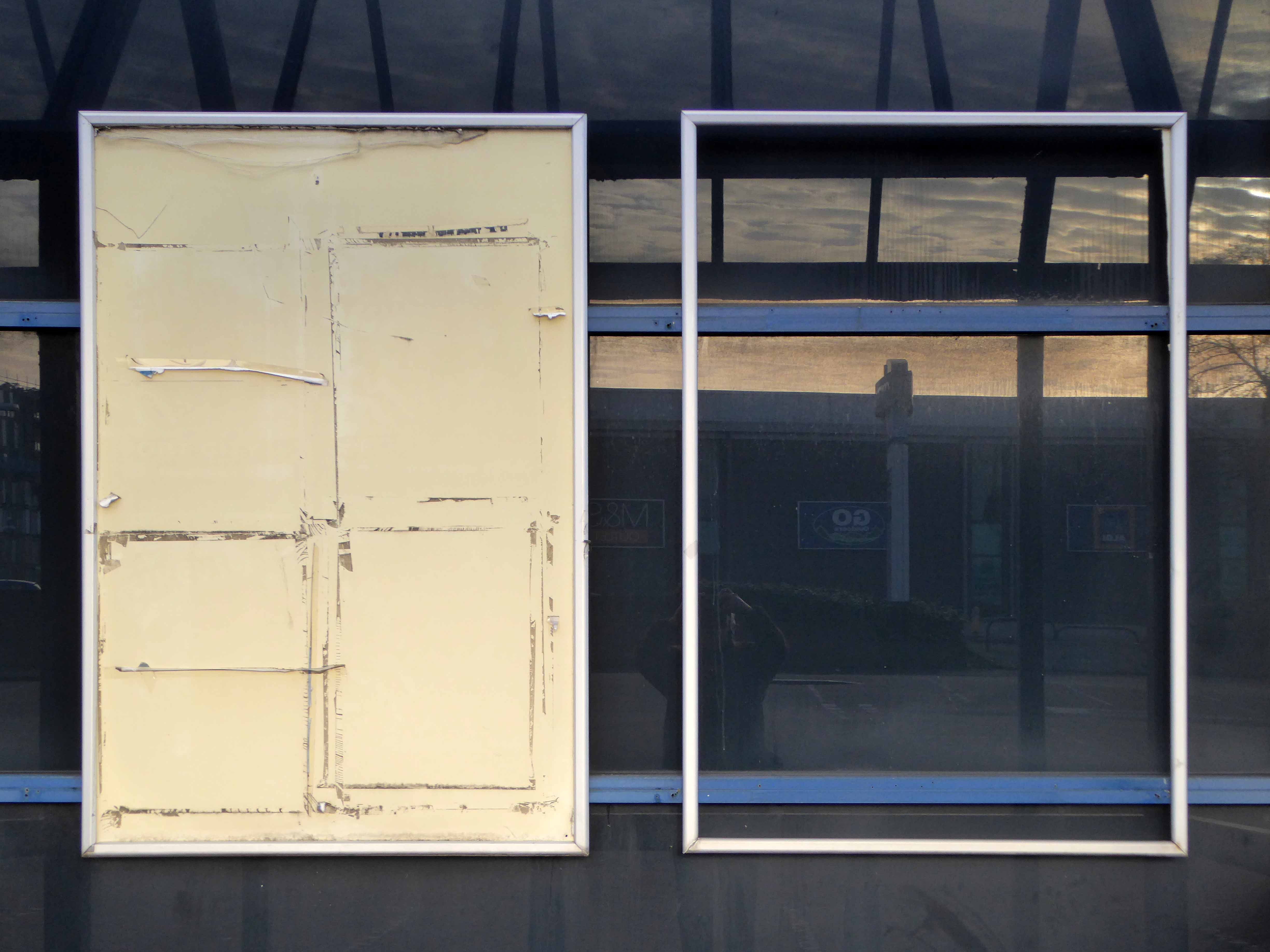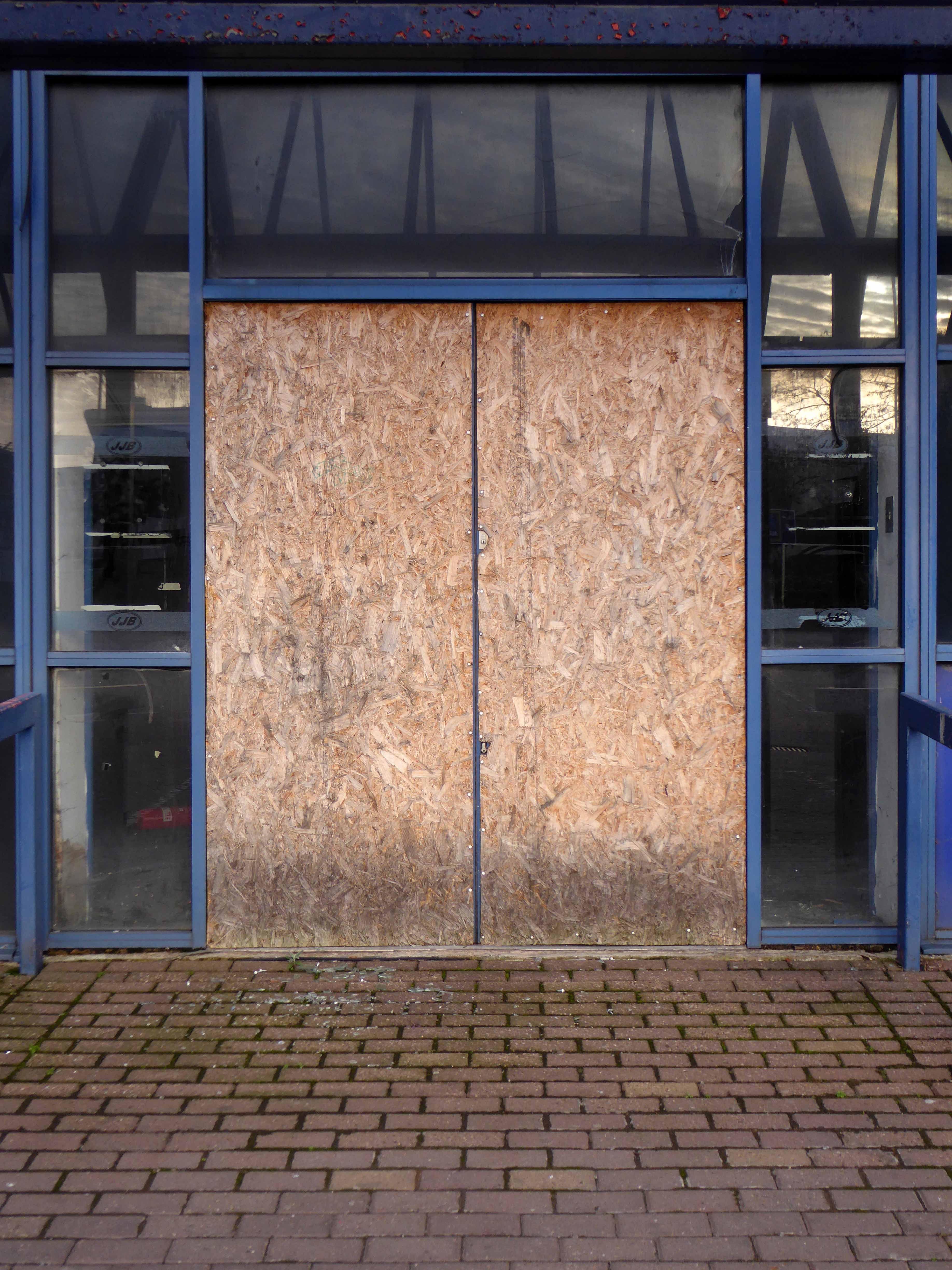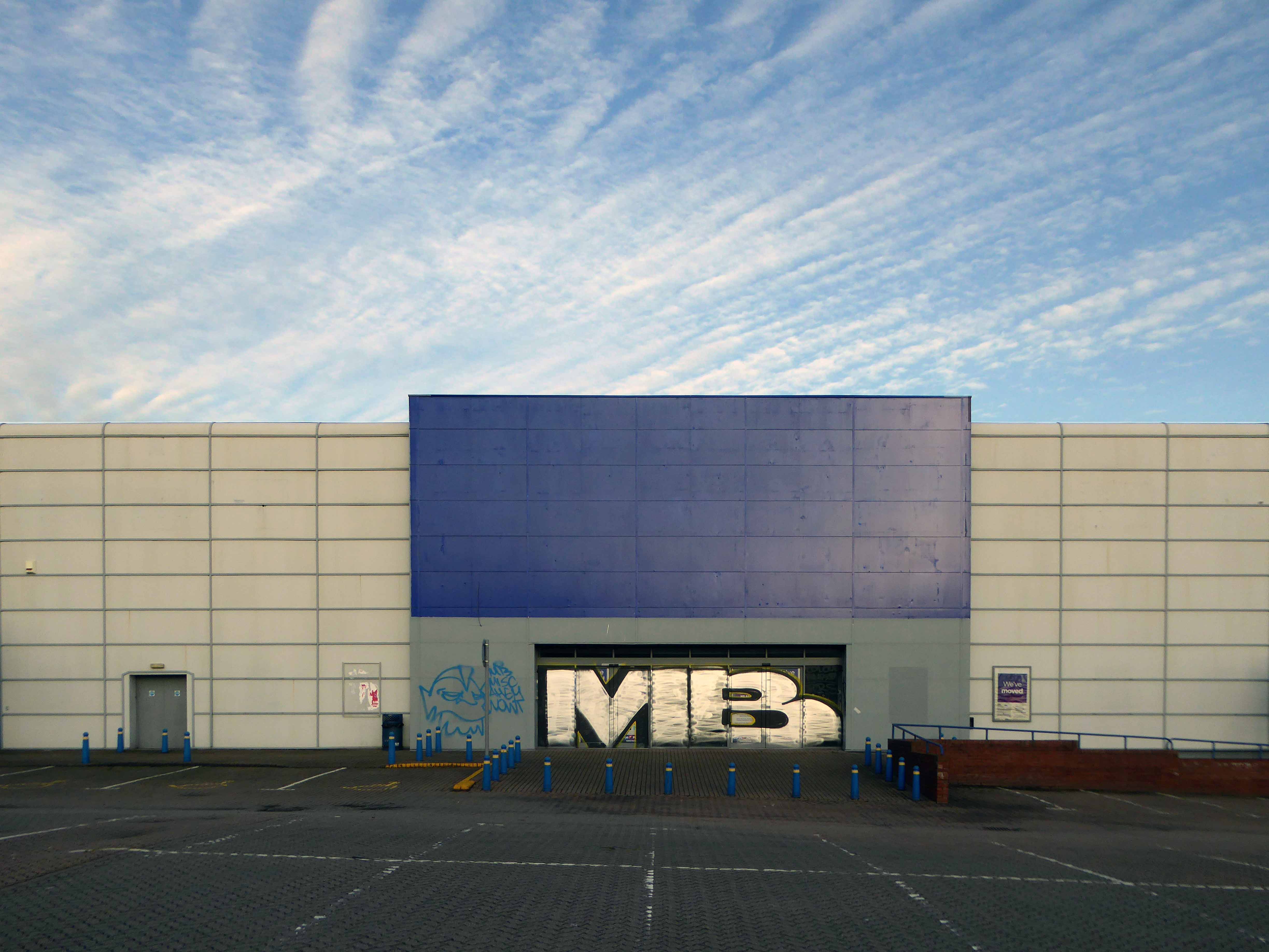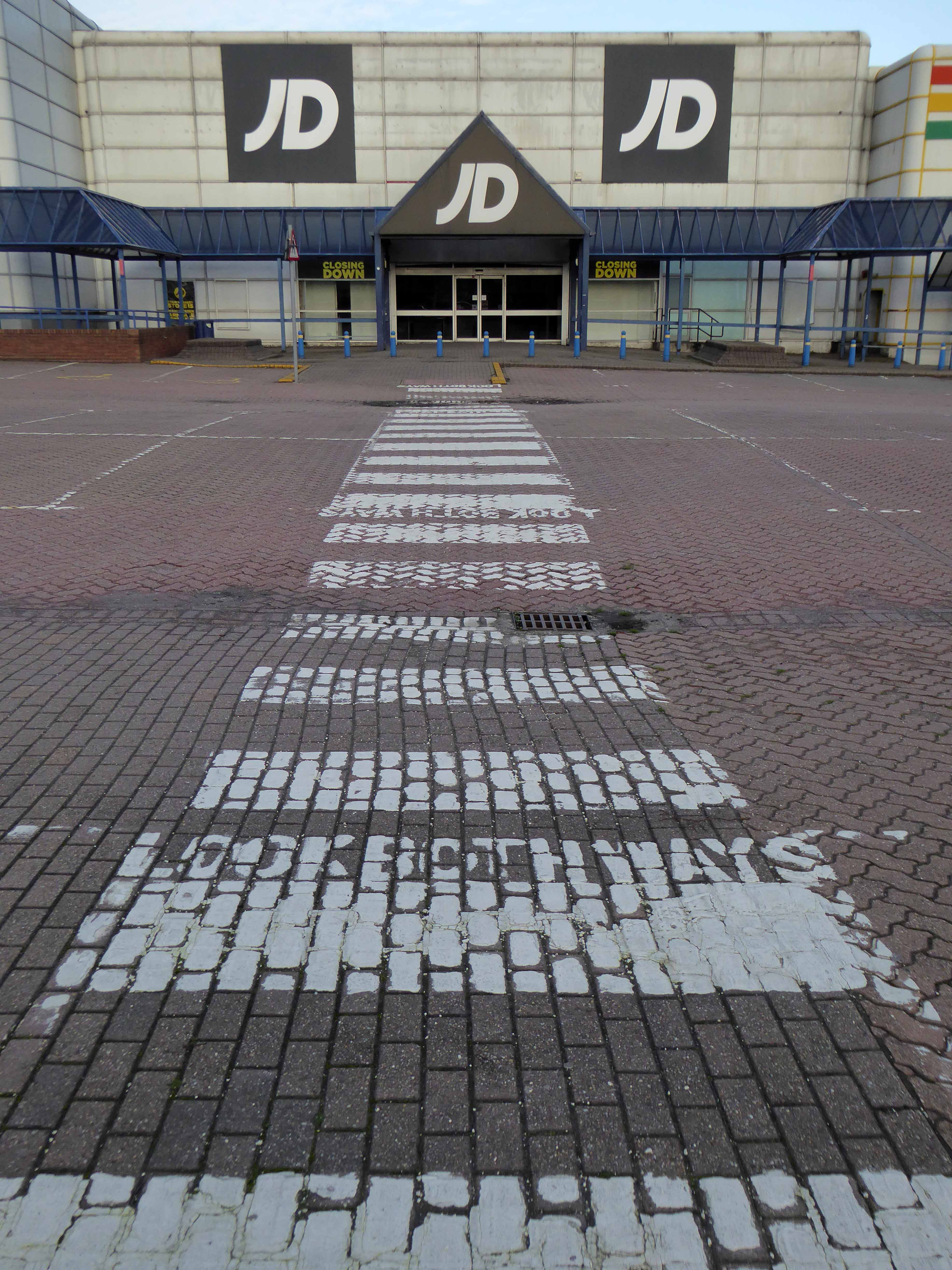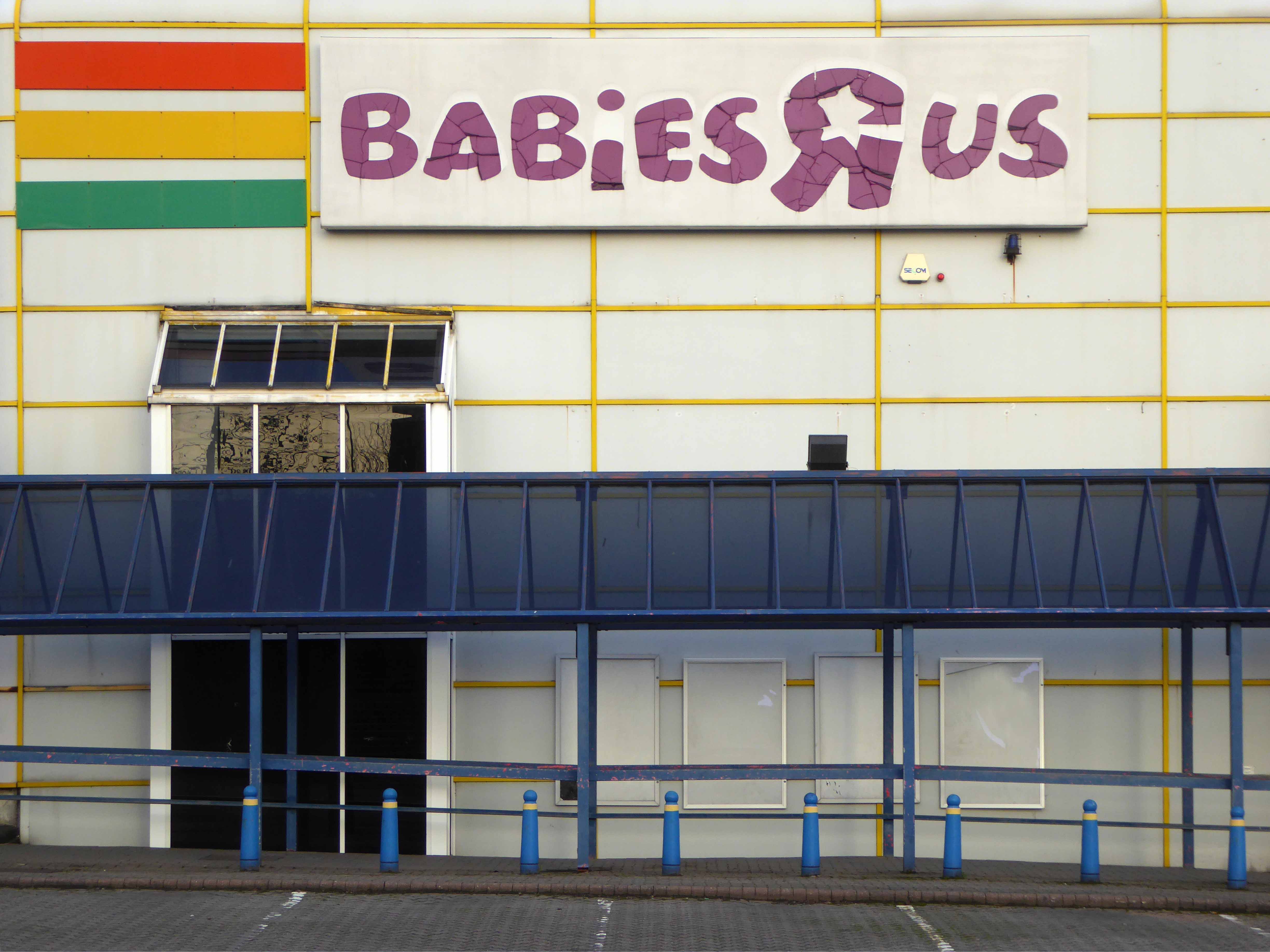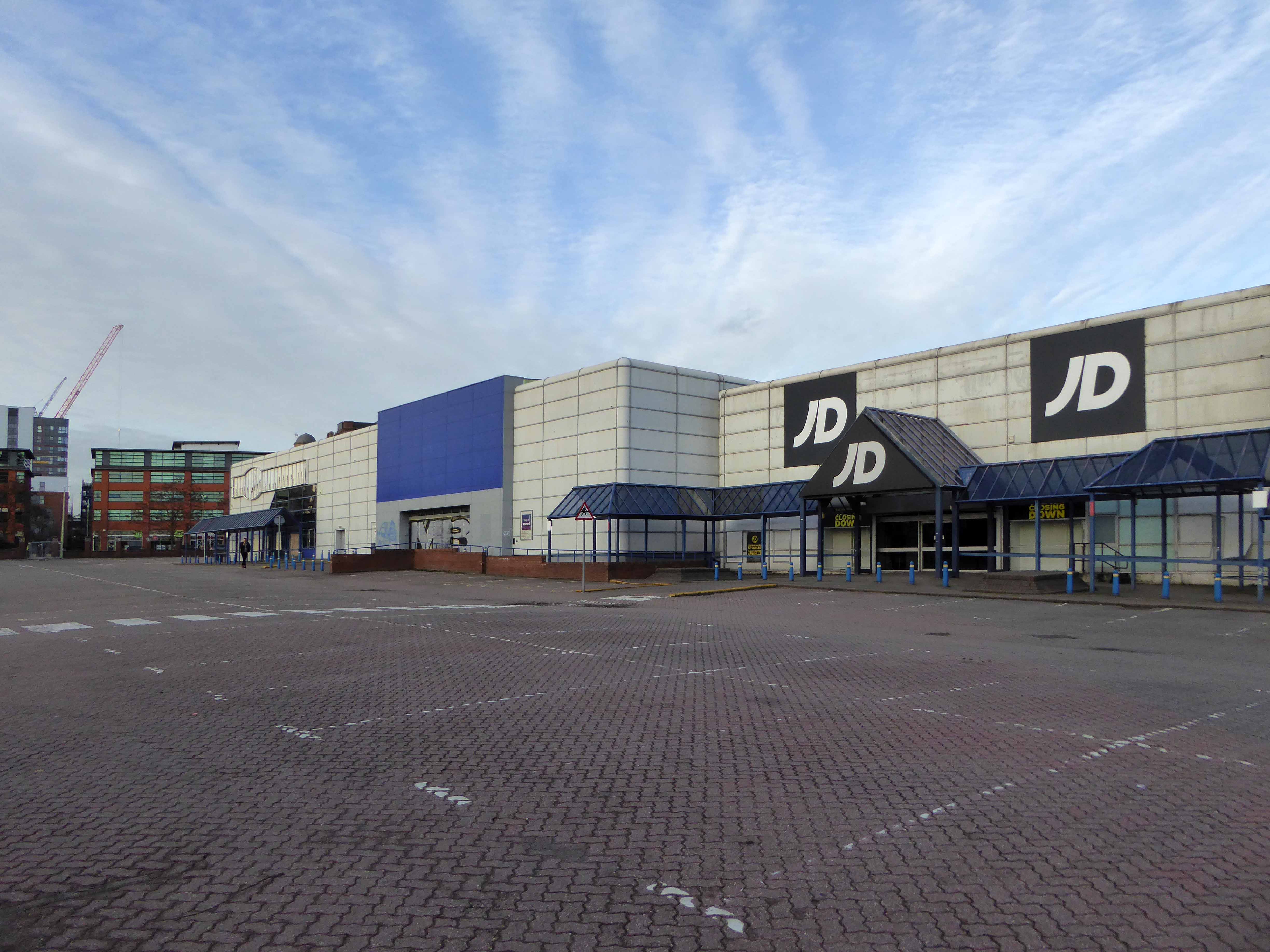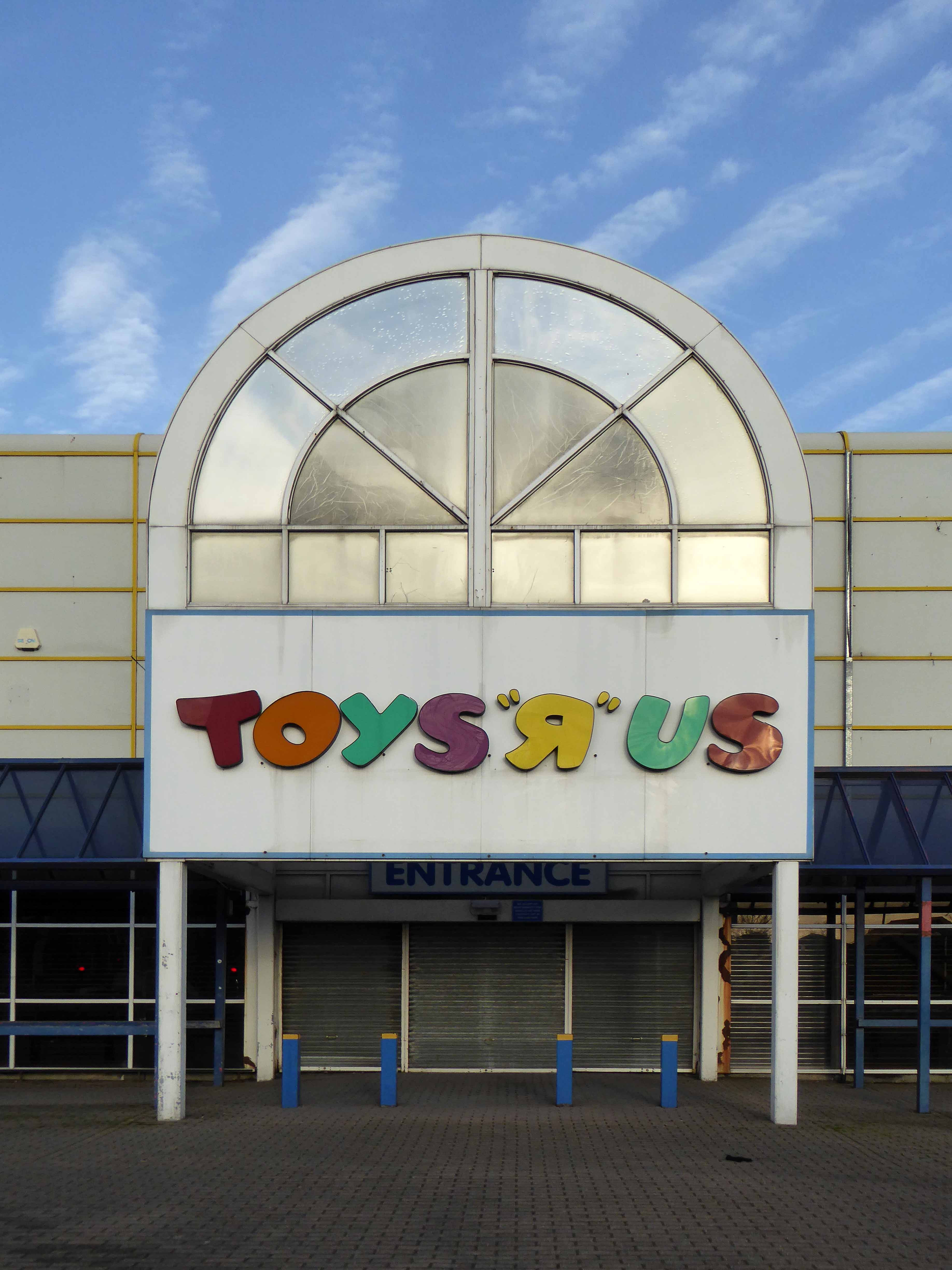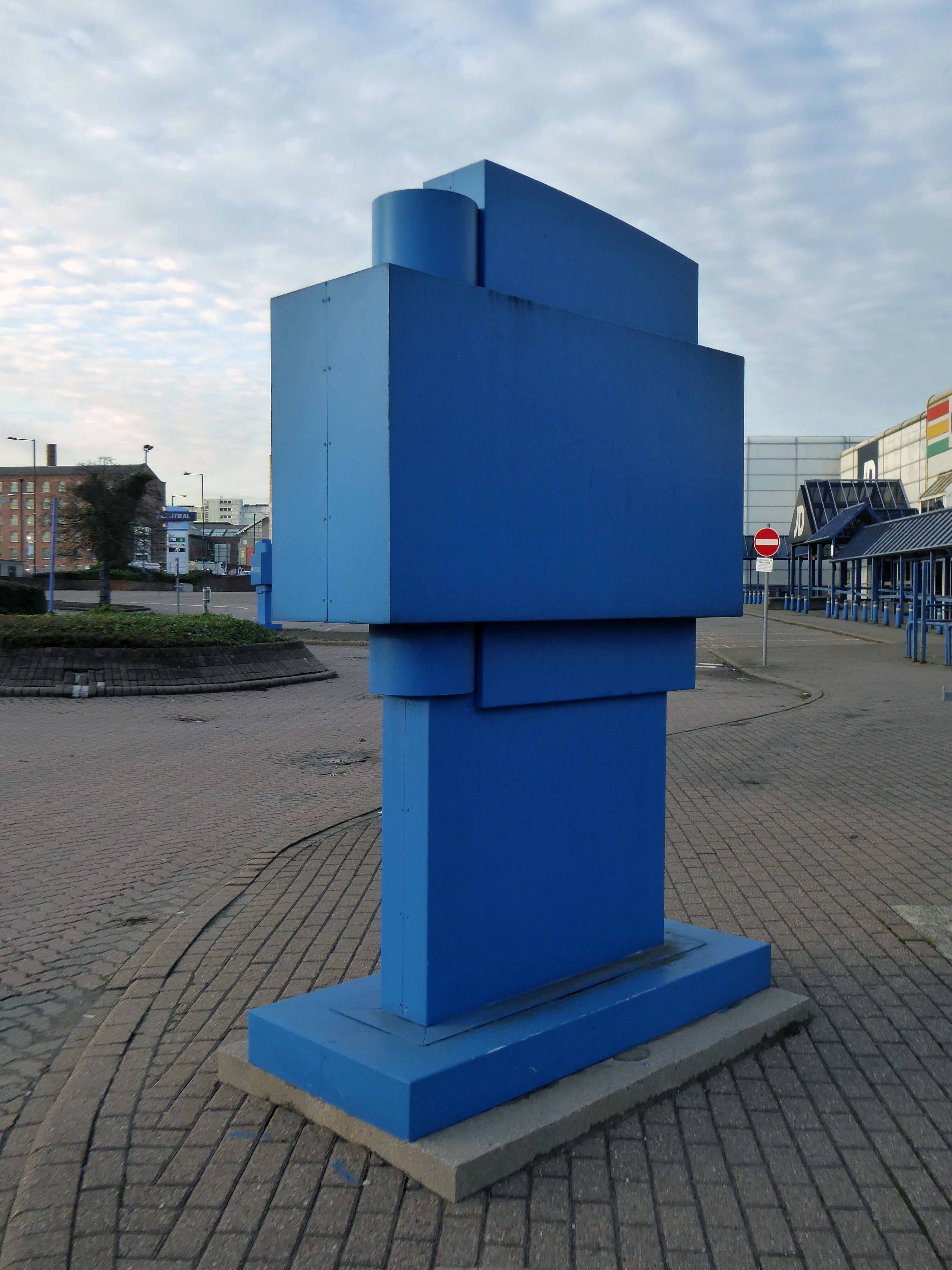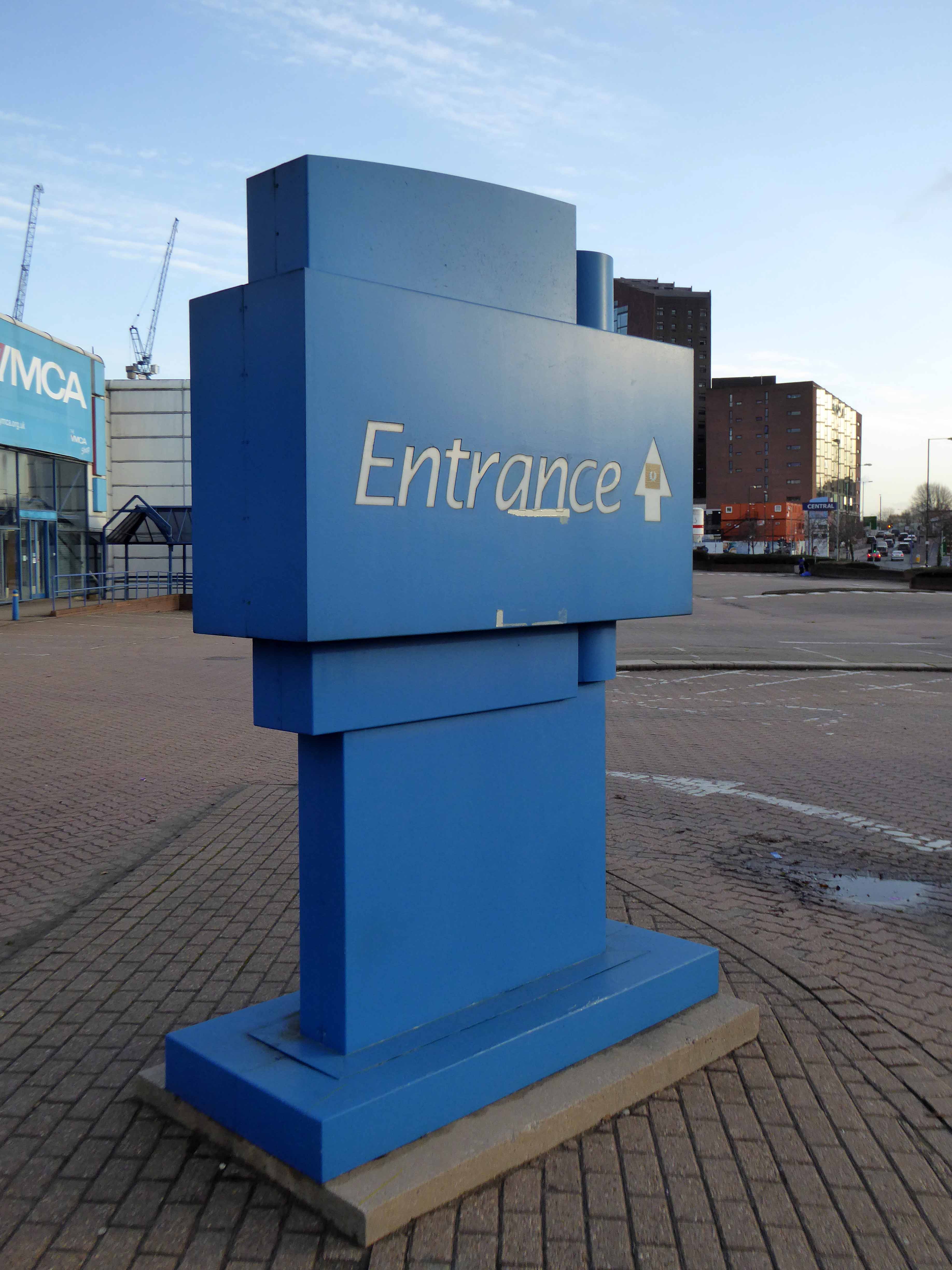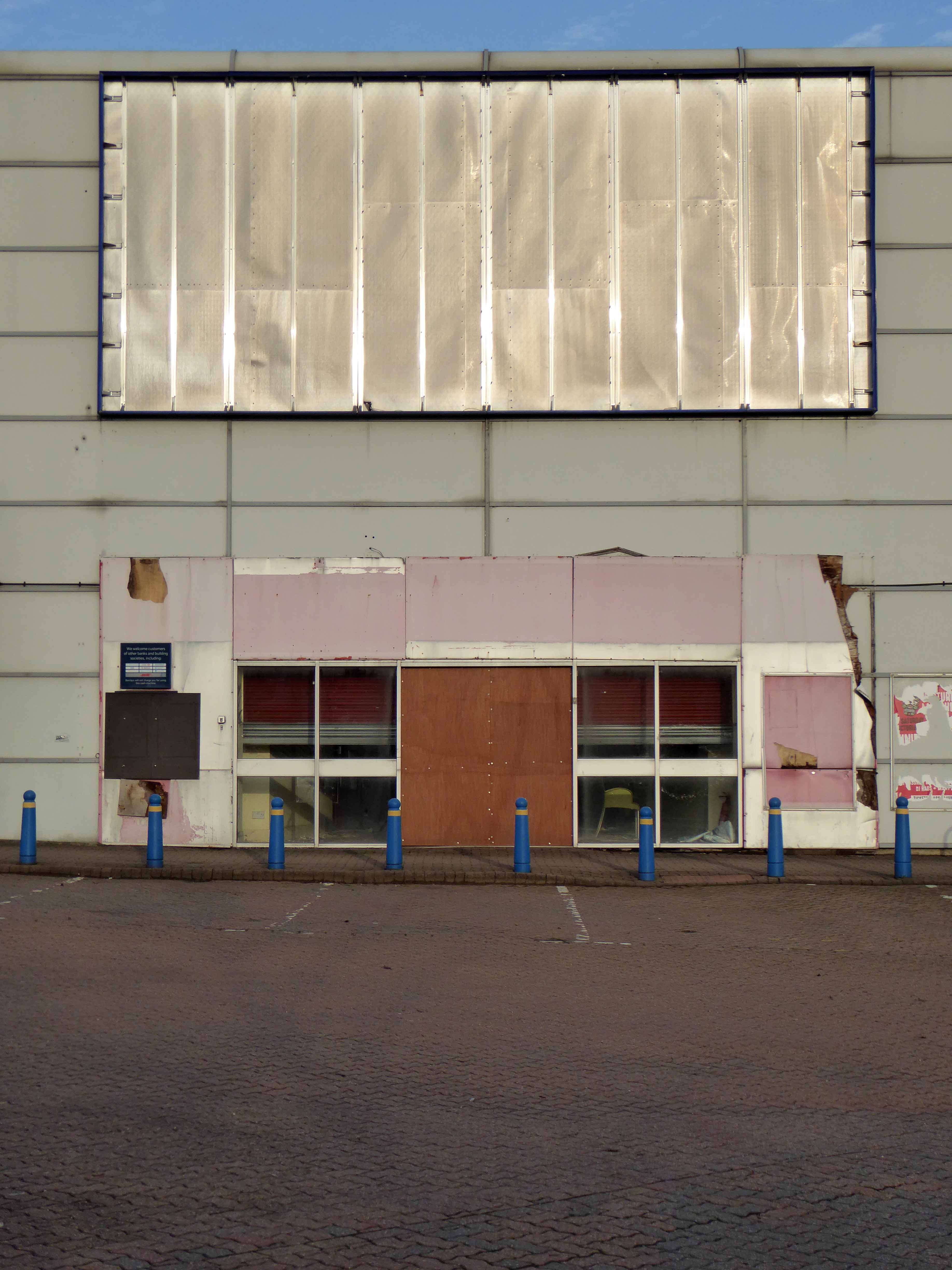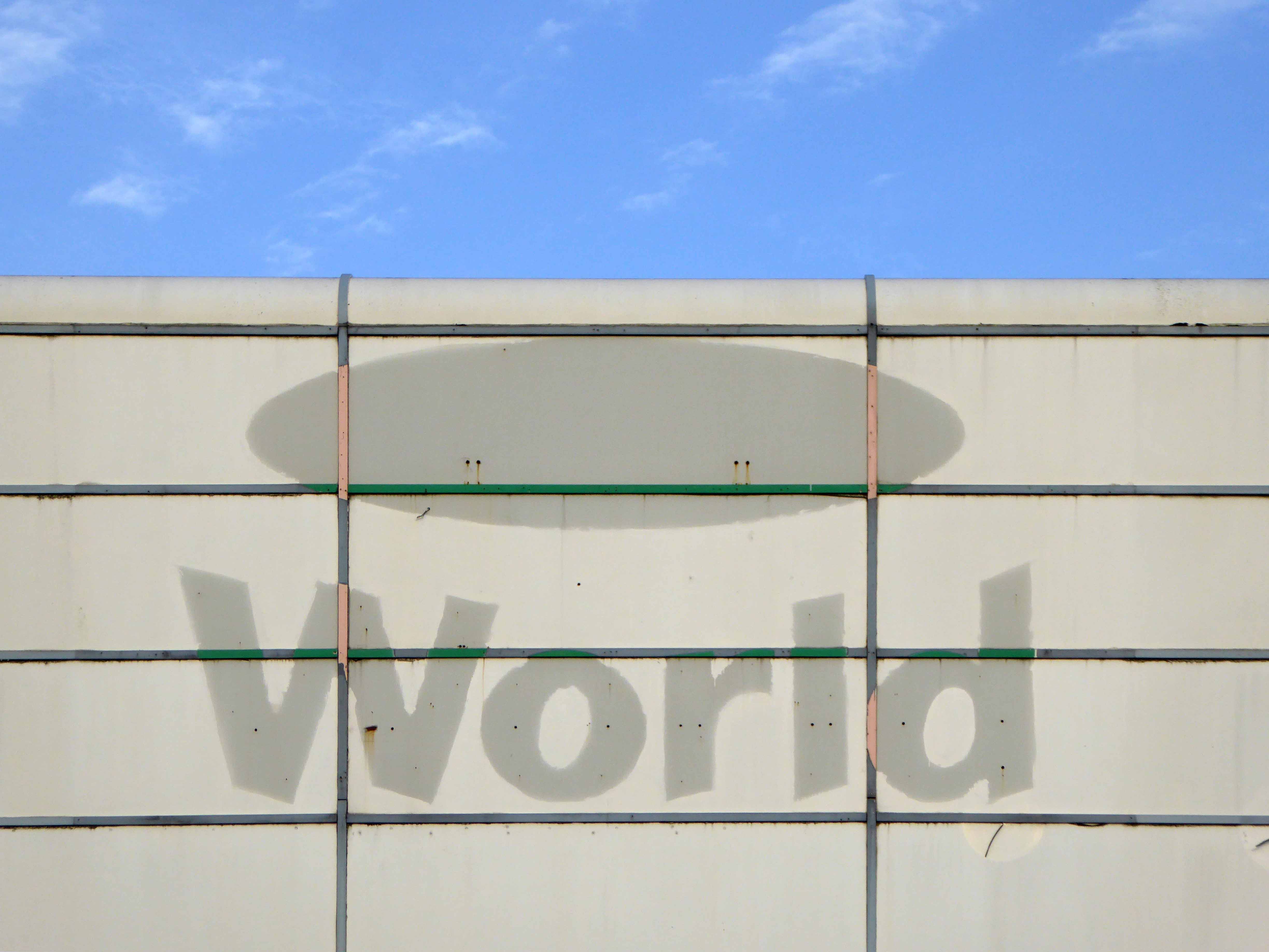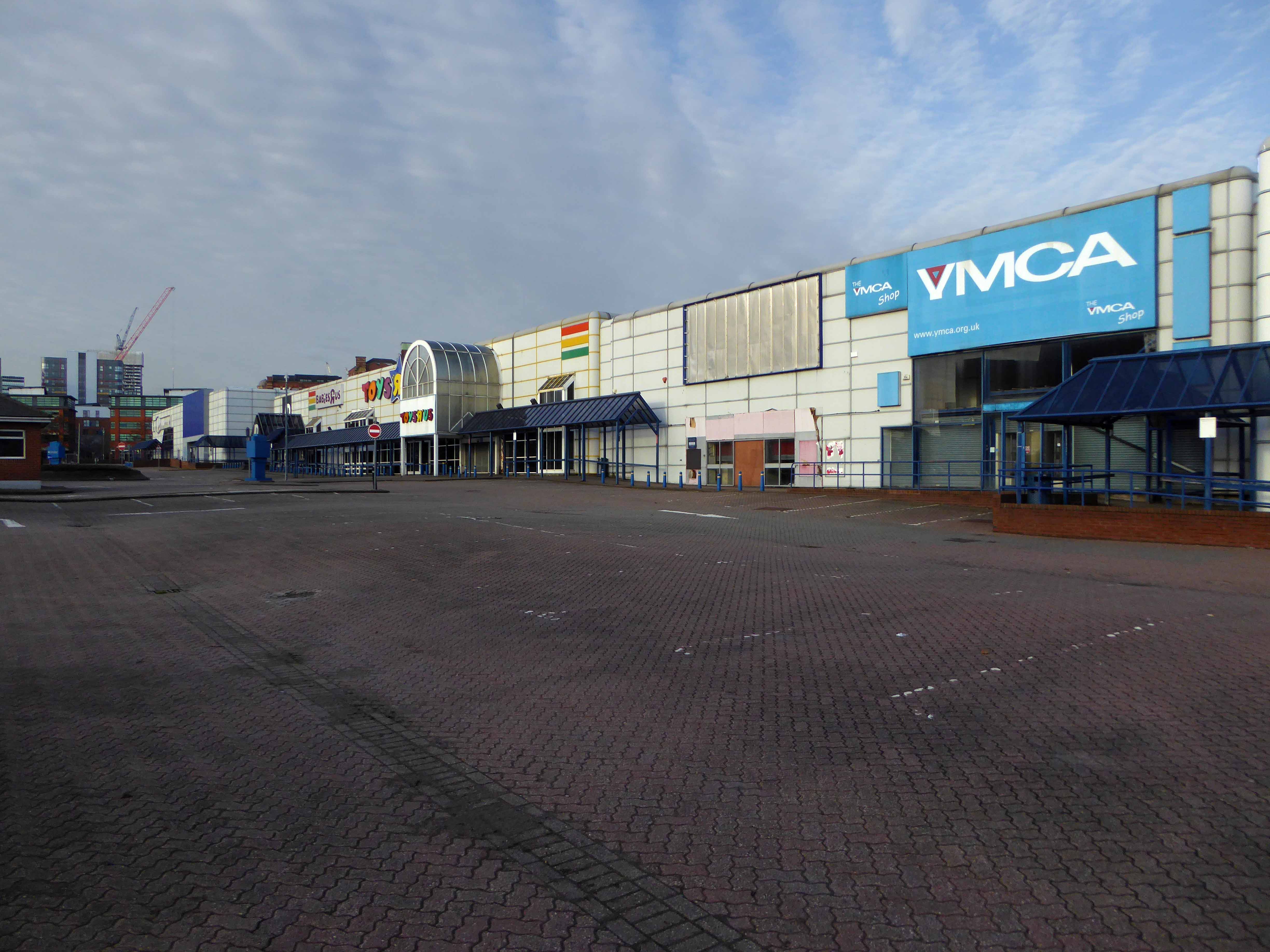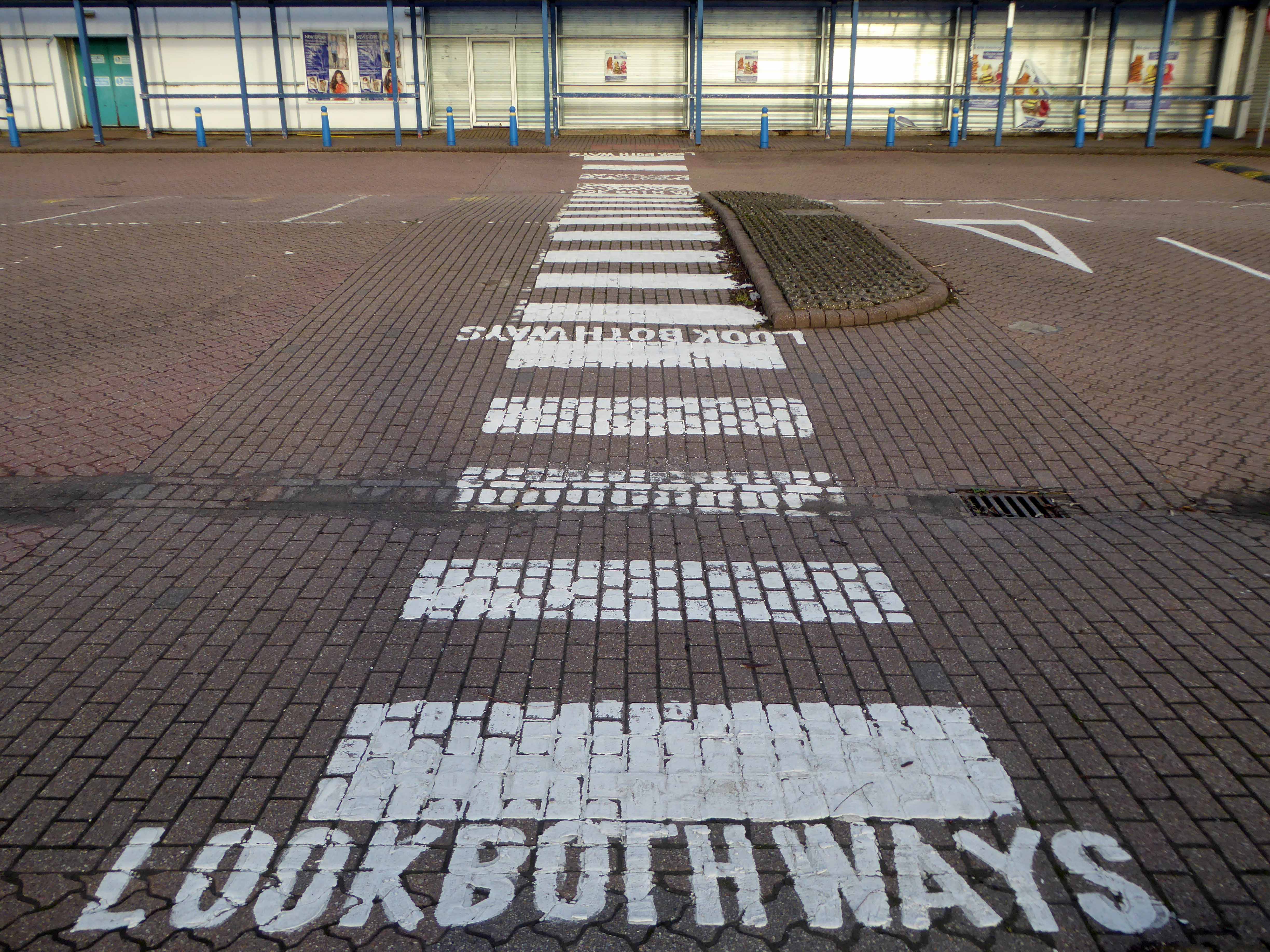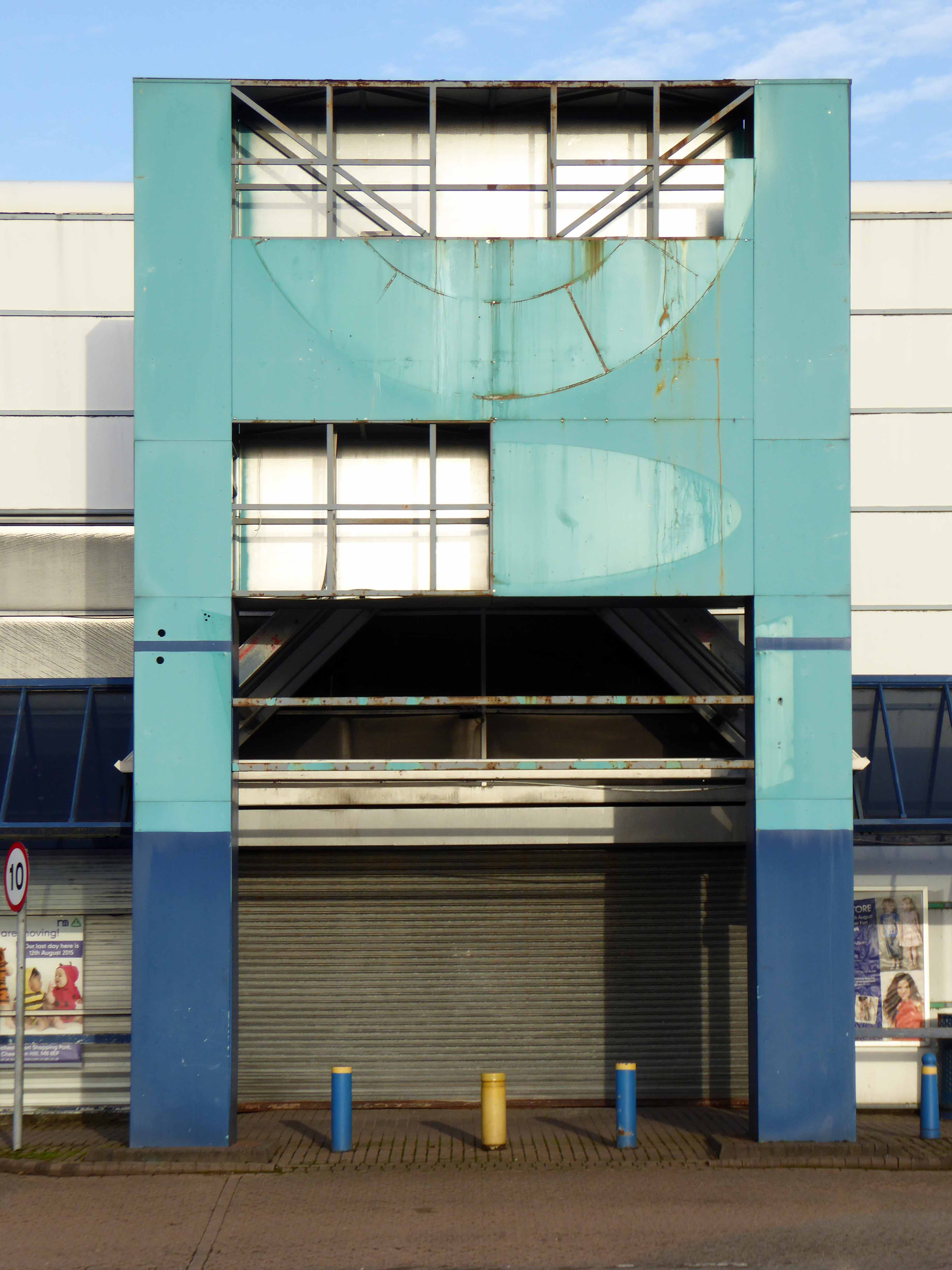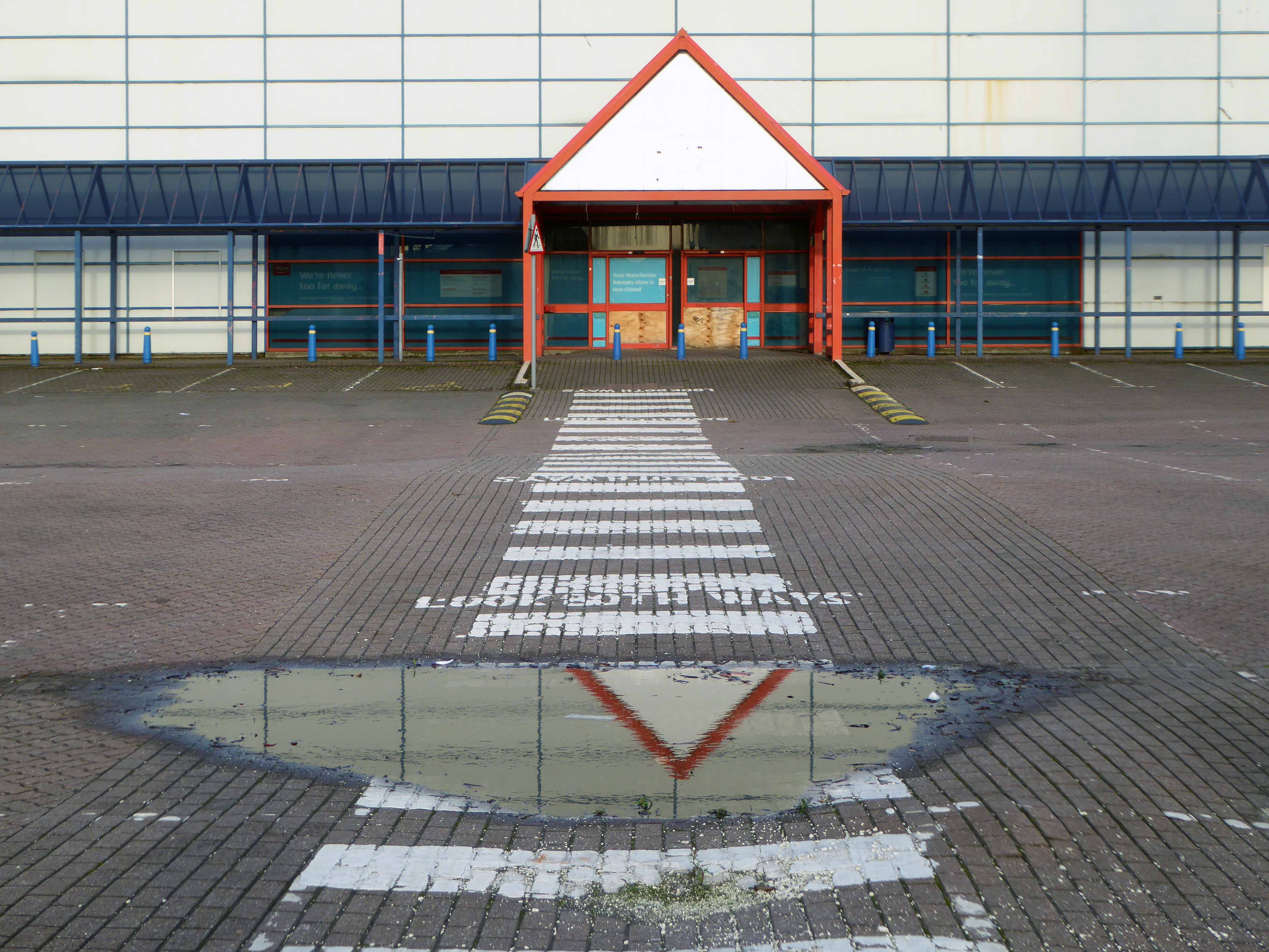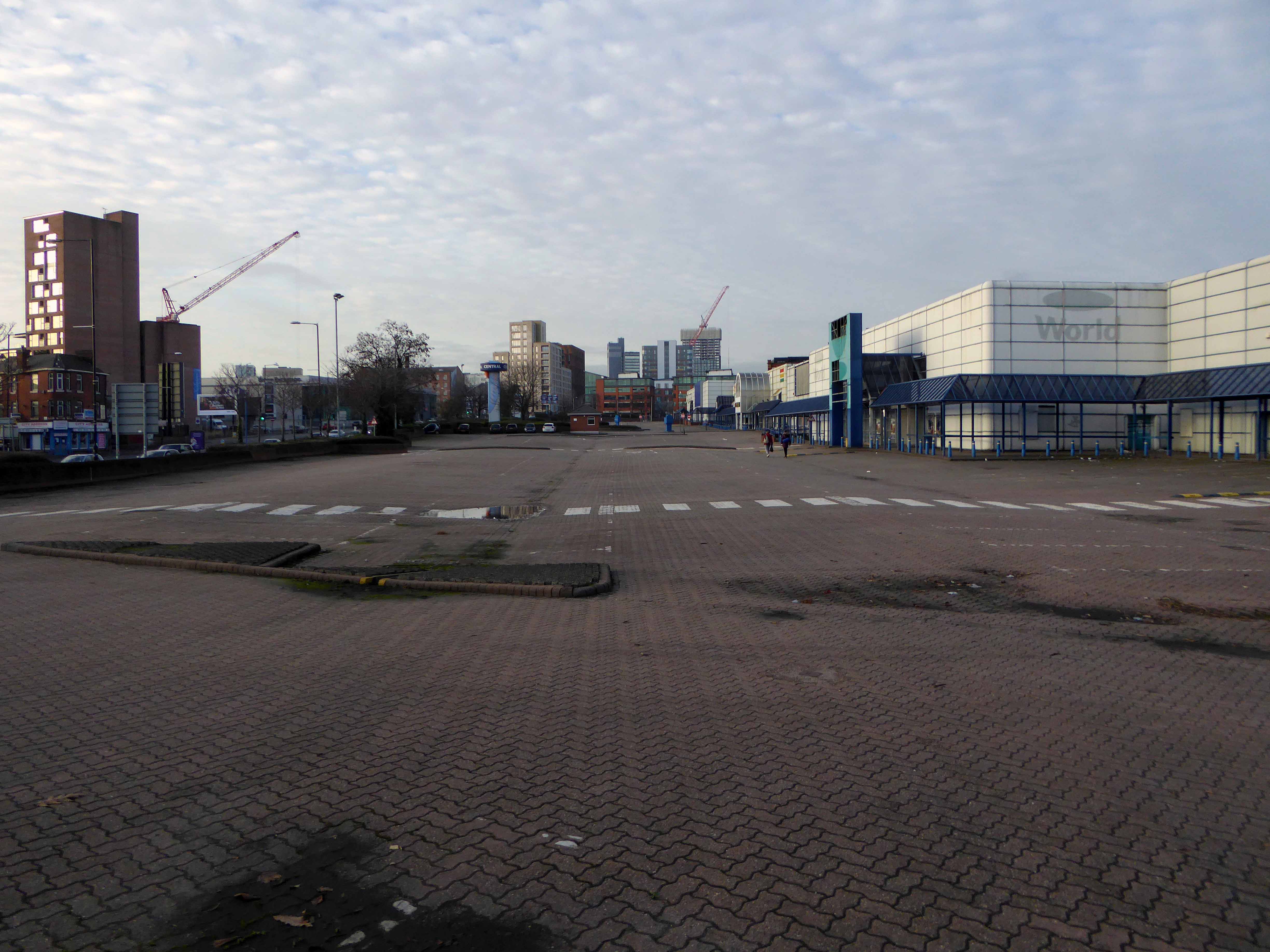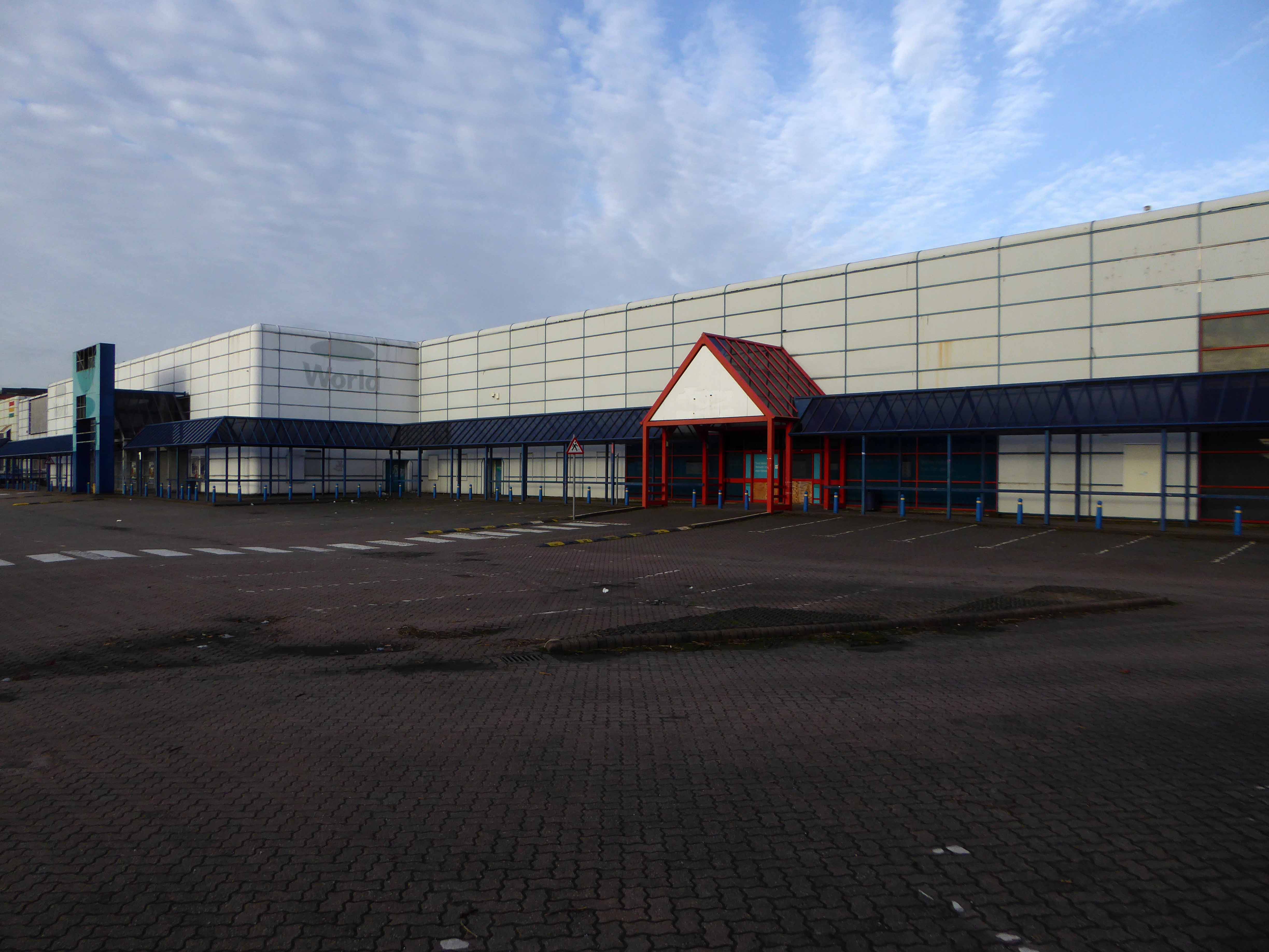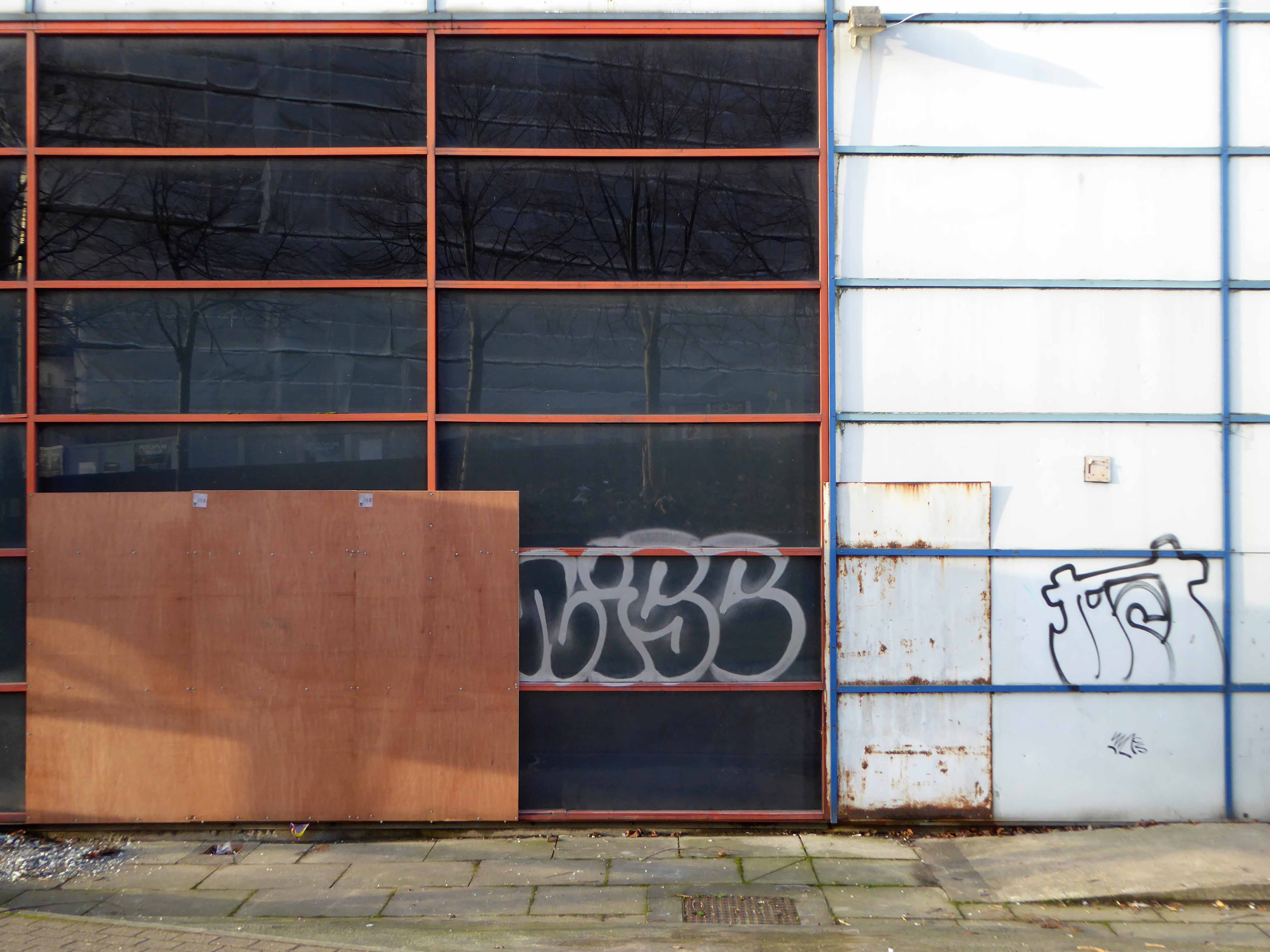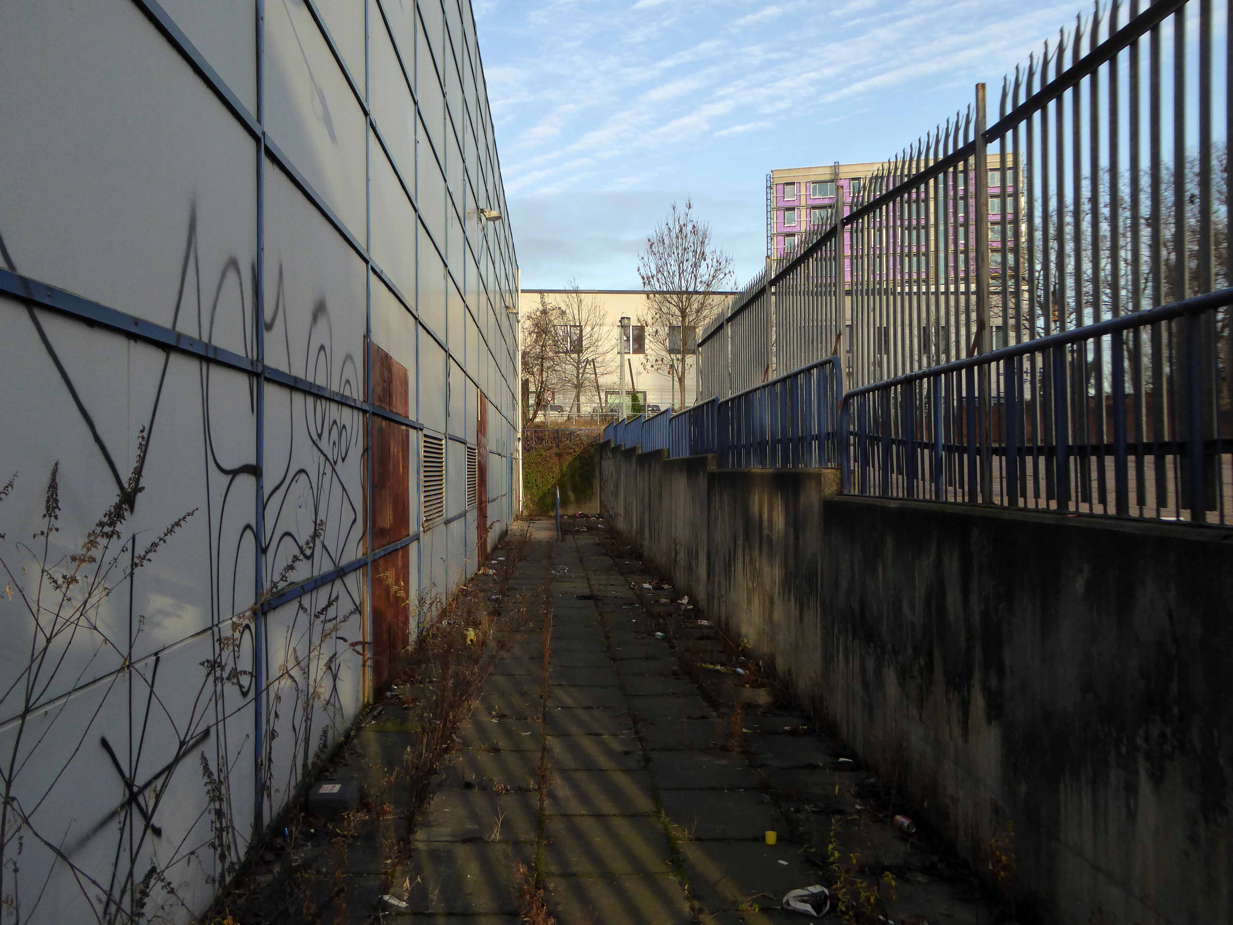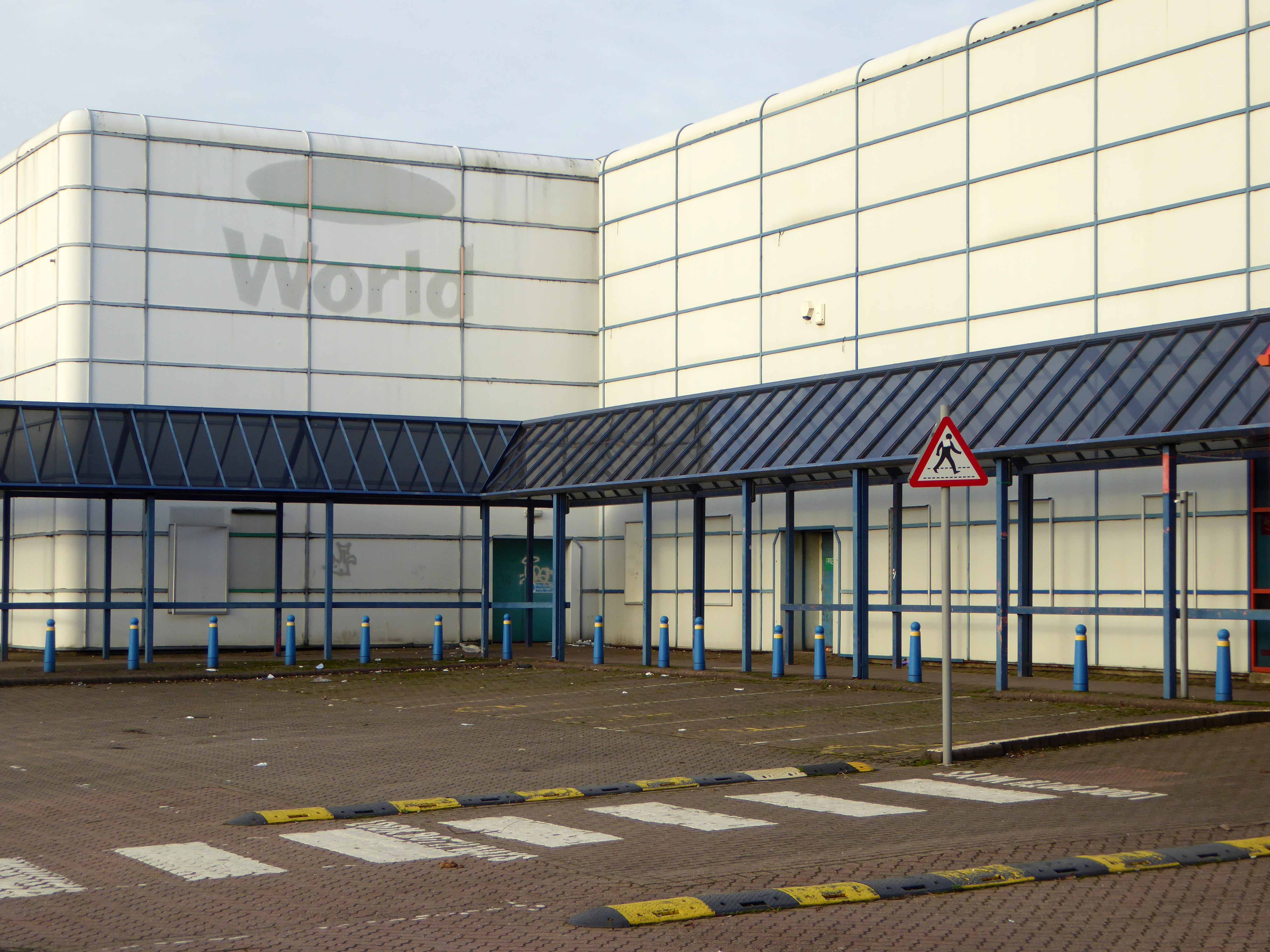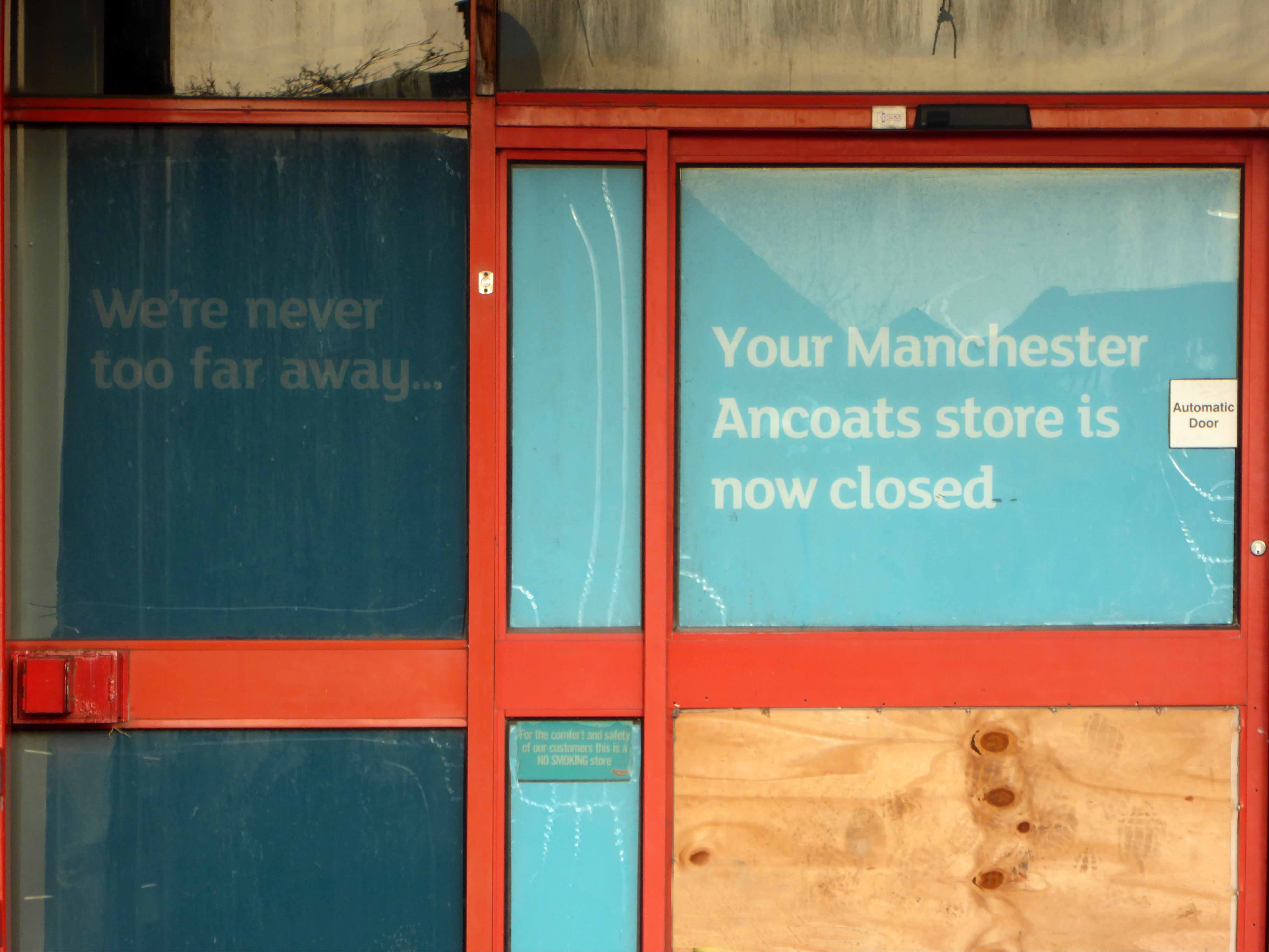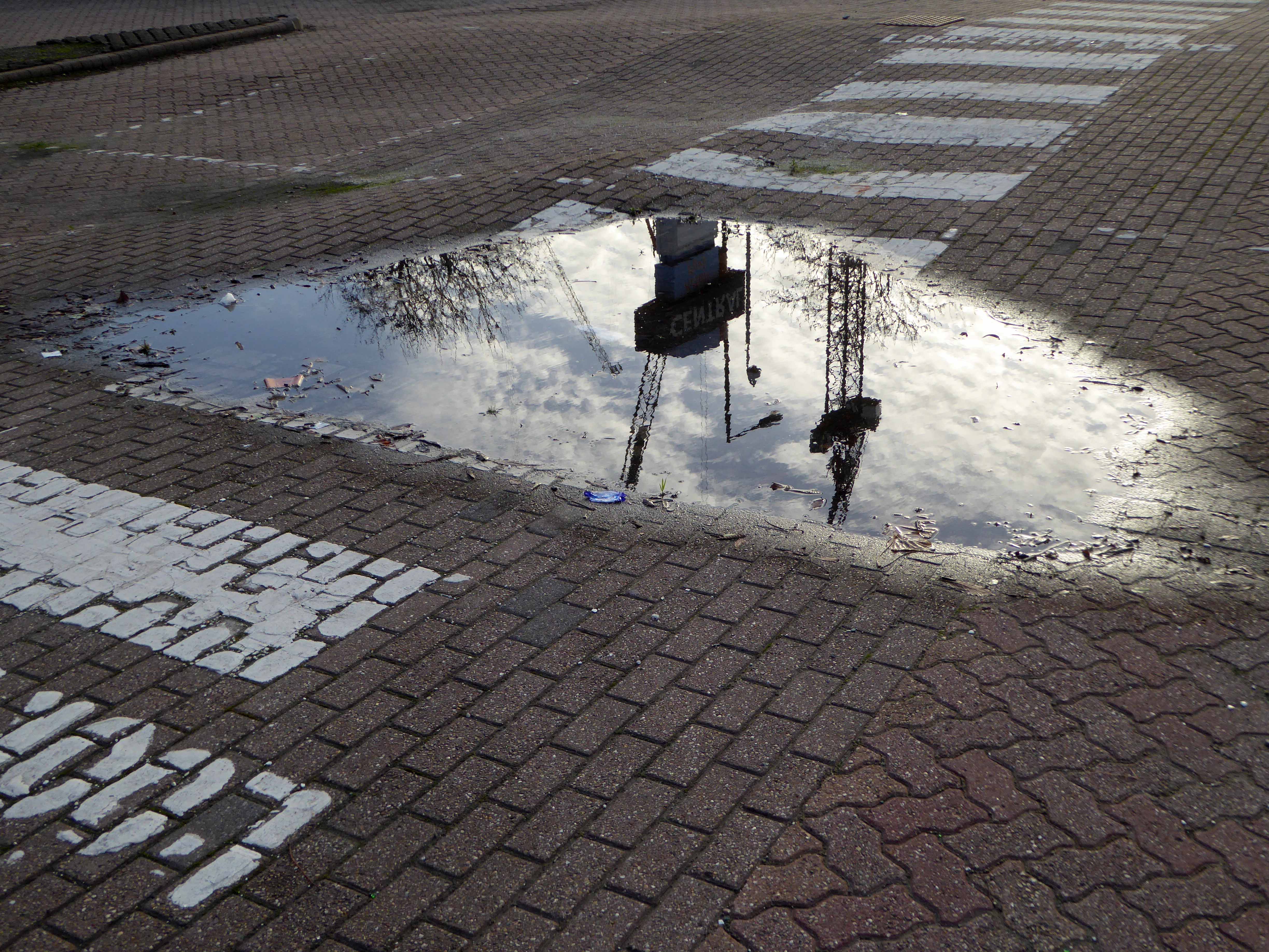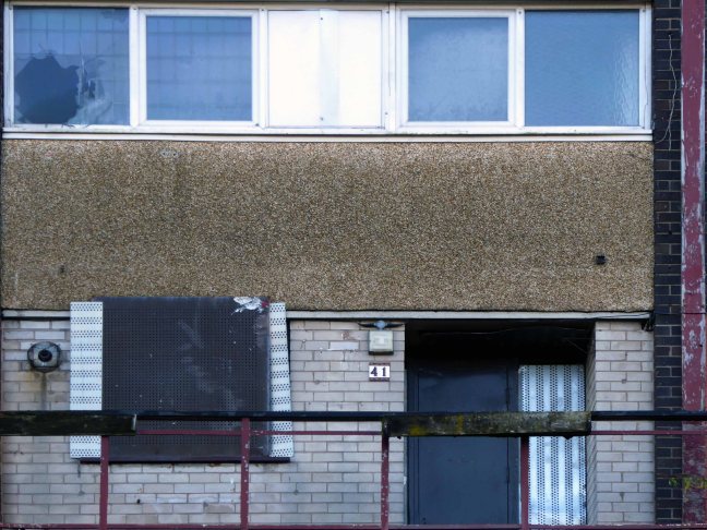
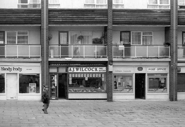
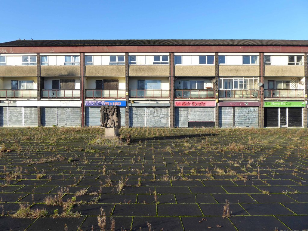
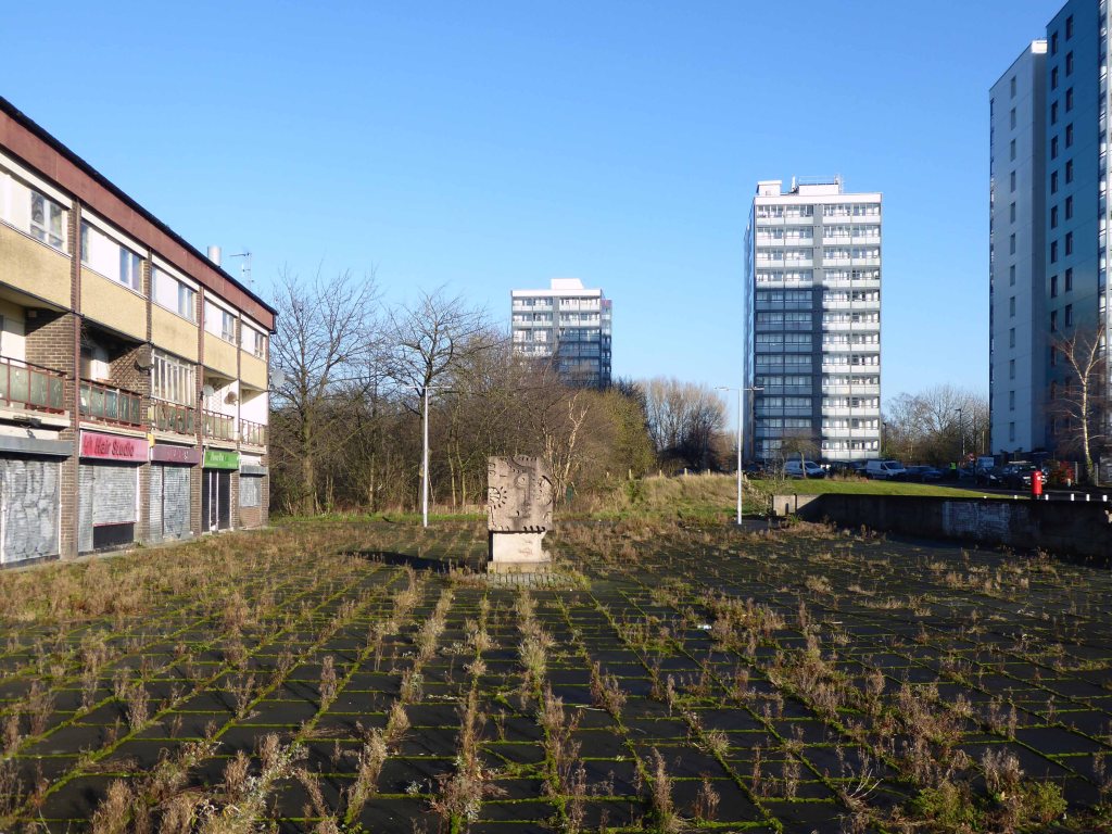
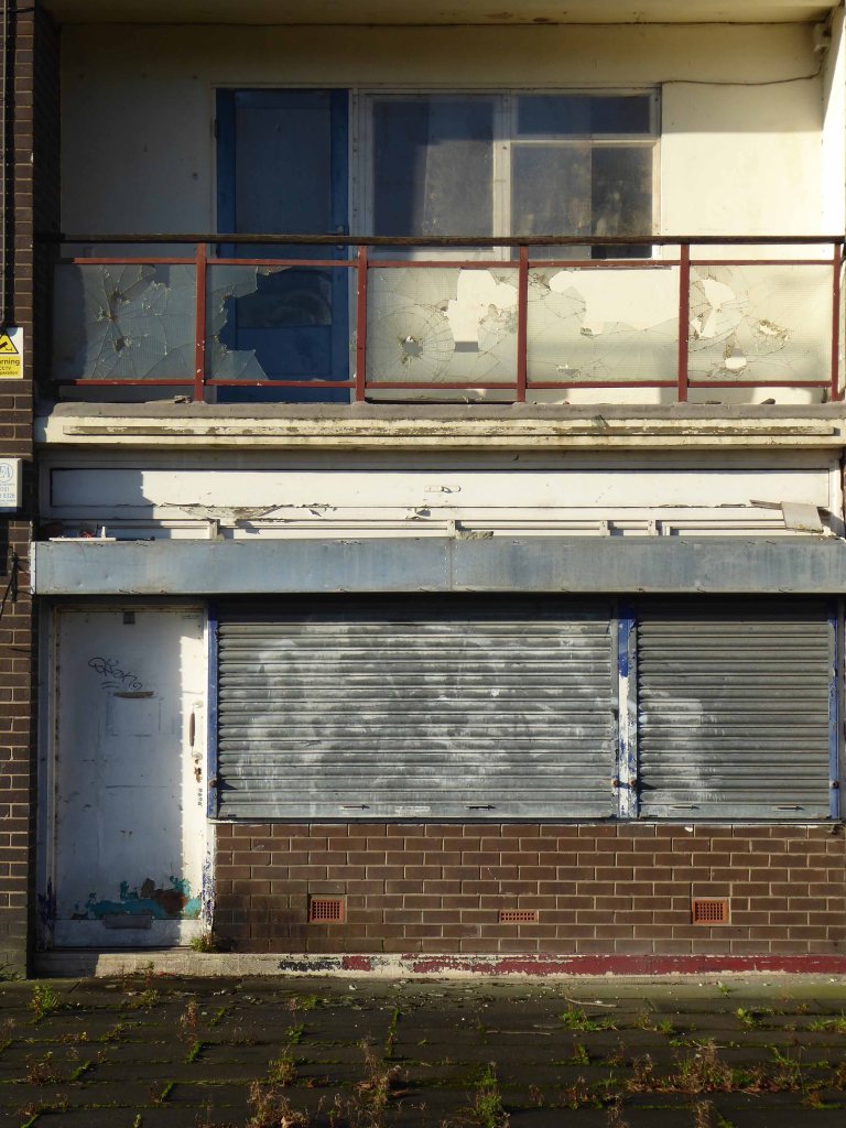
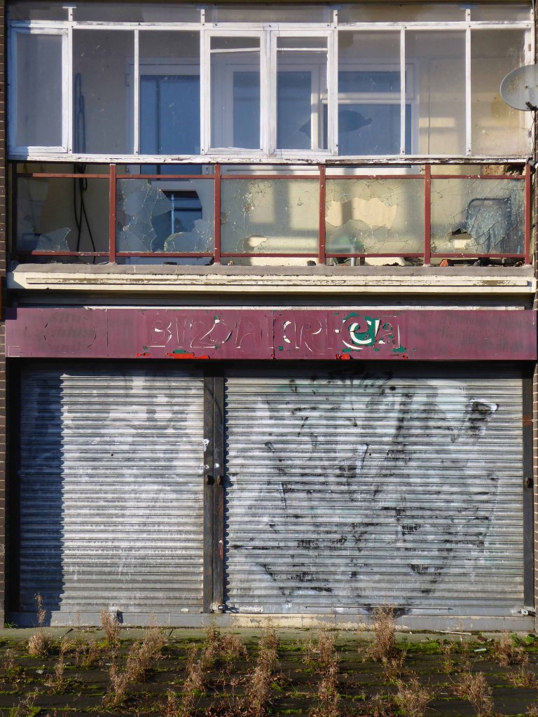
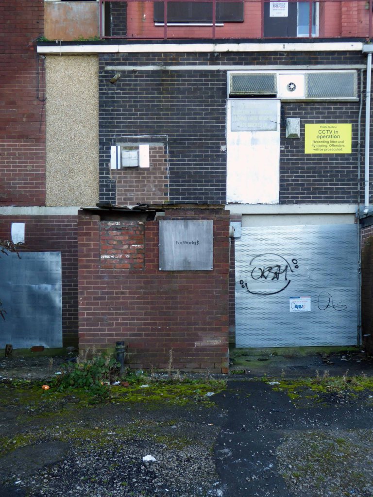
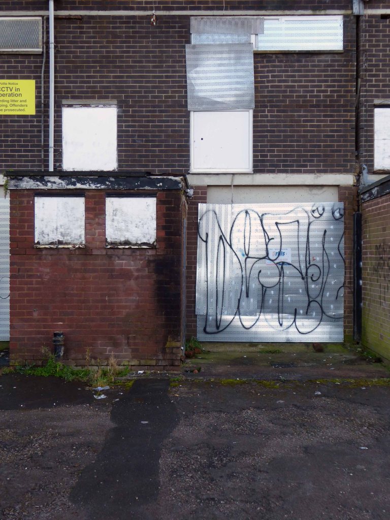
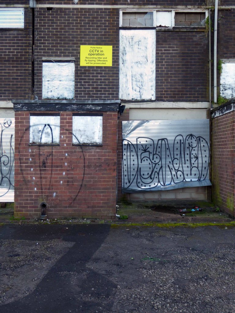
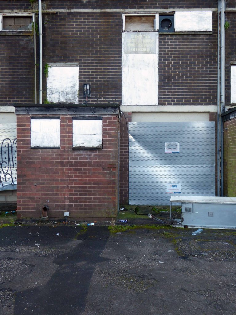
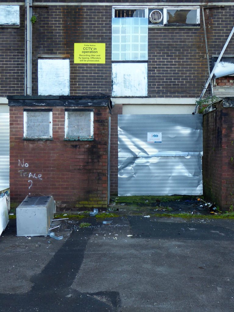
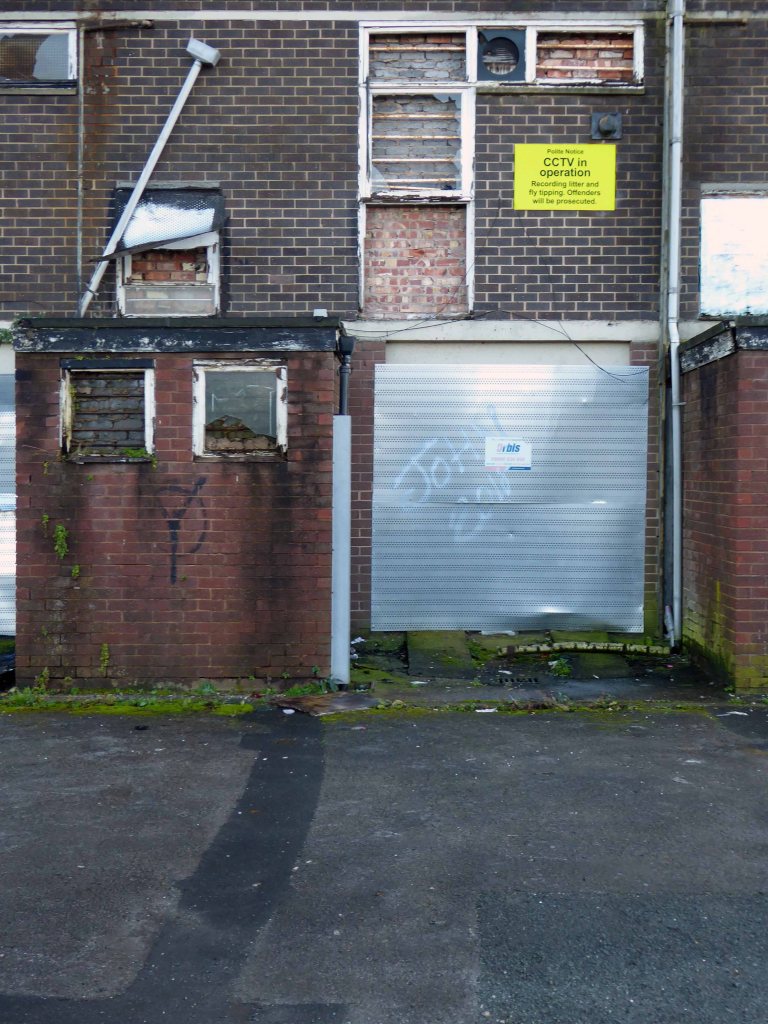
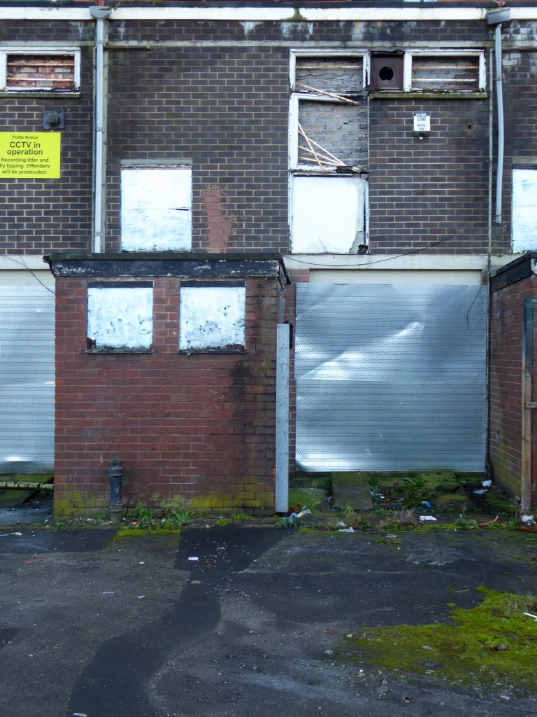
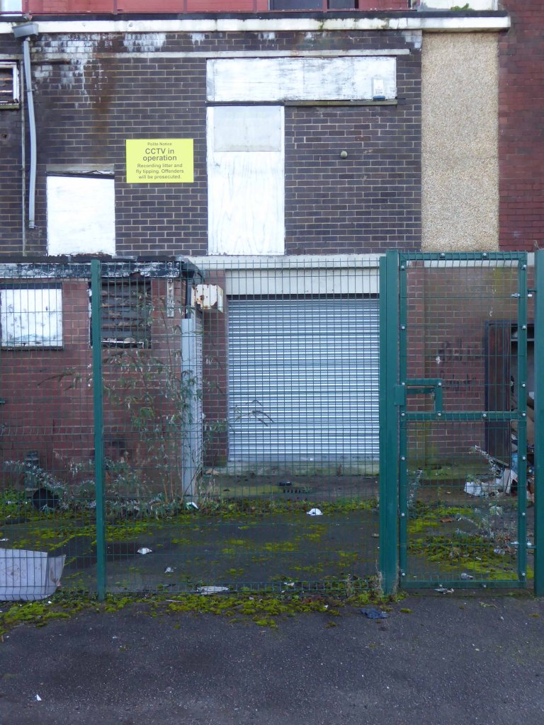
Stasis is the order of the day – the last stand for this forlorn stand of shops.
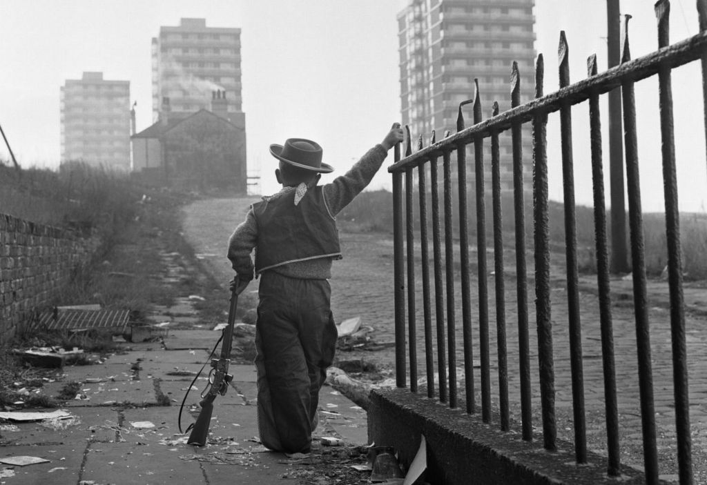
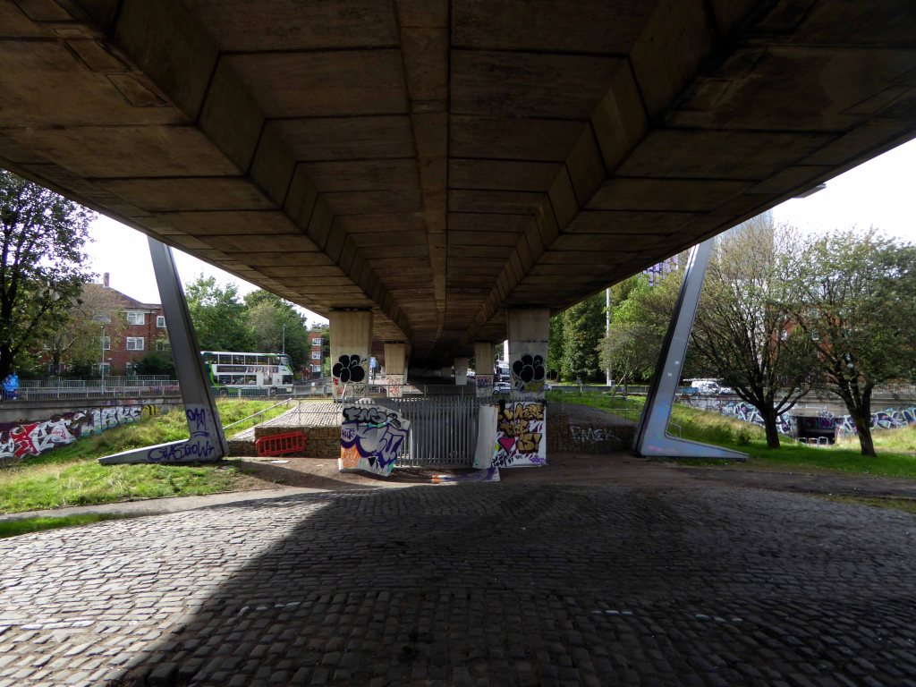
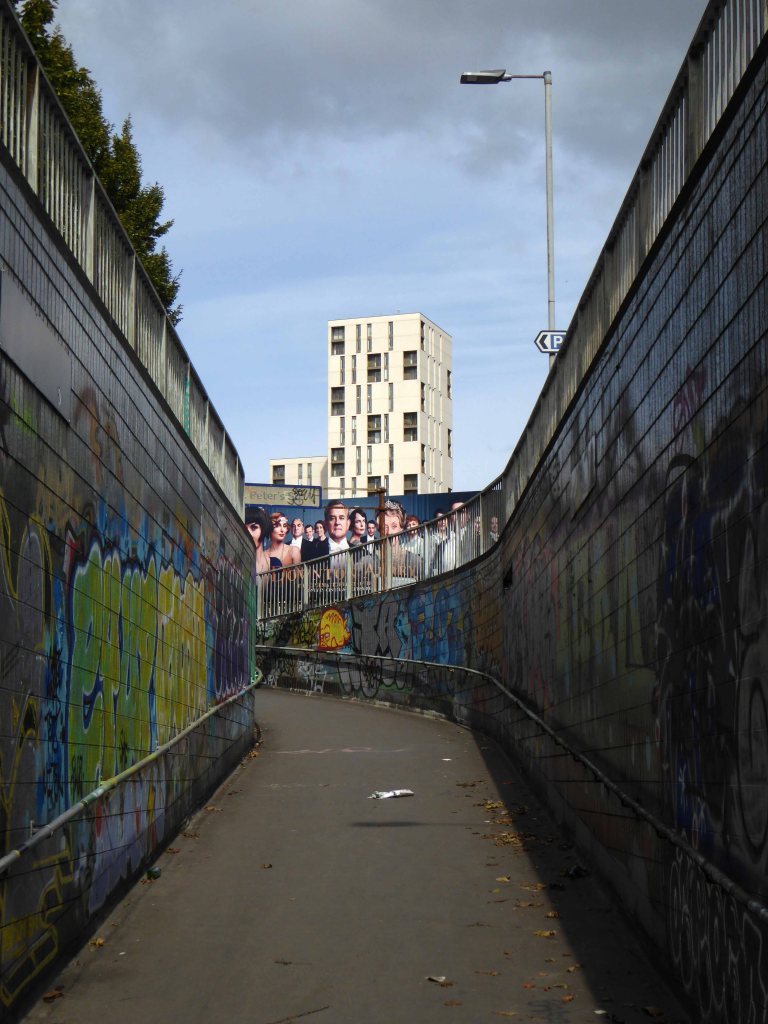
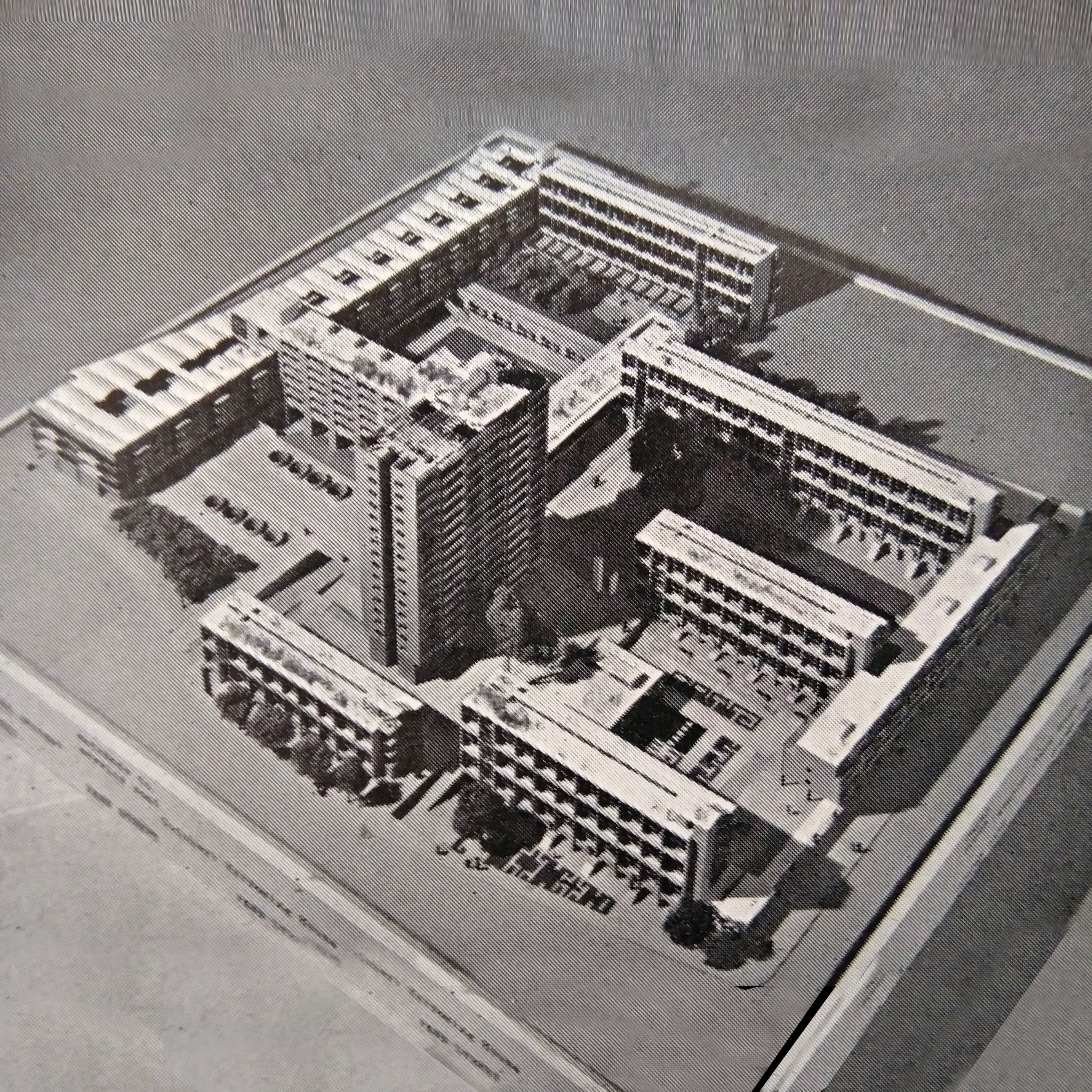
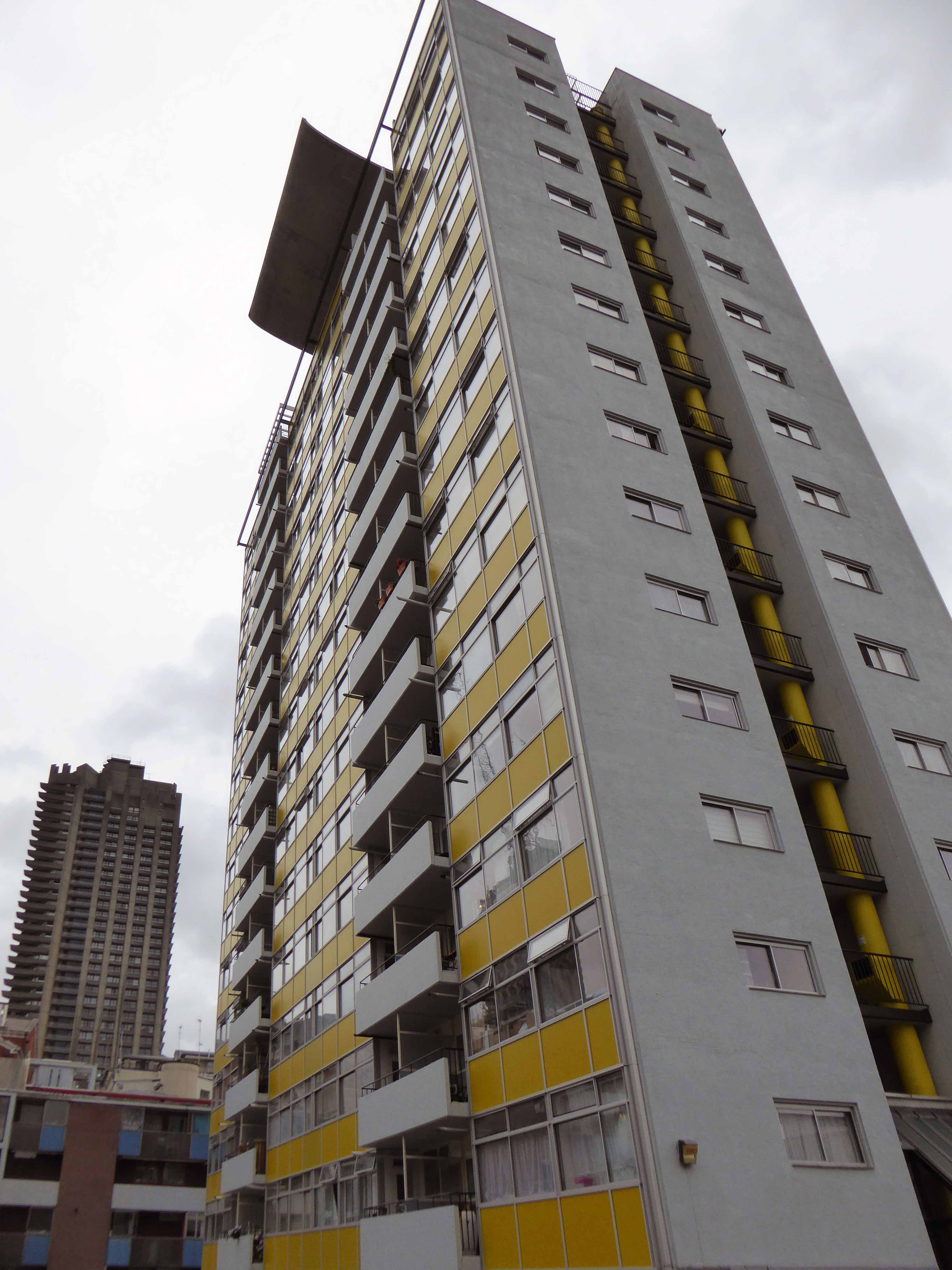
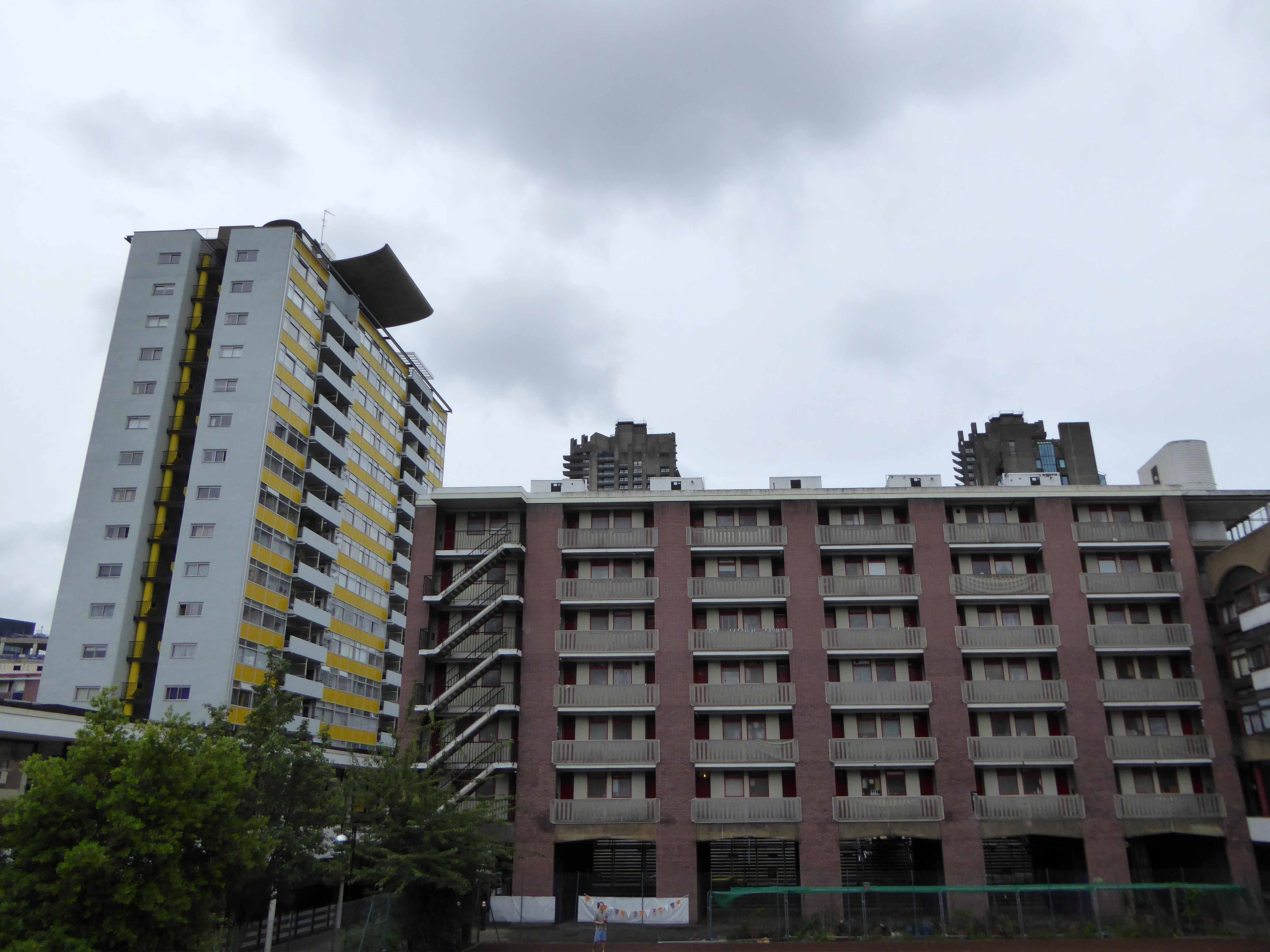
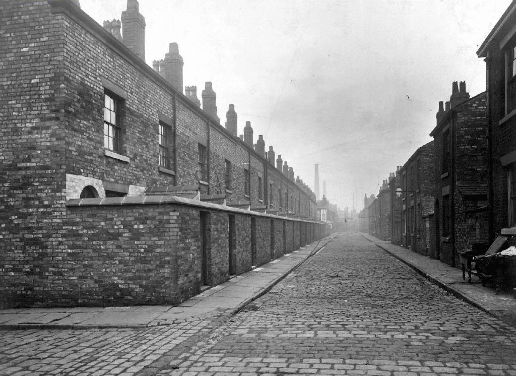
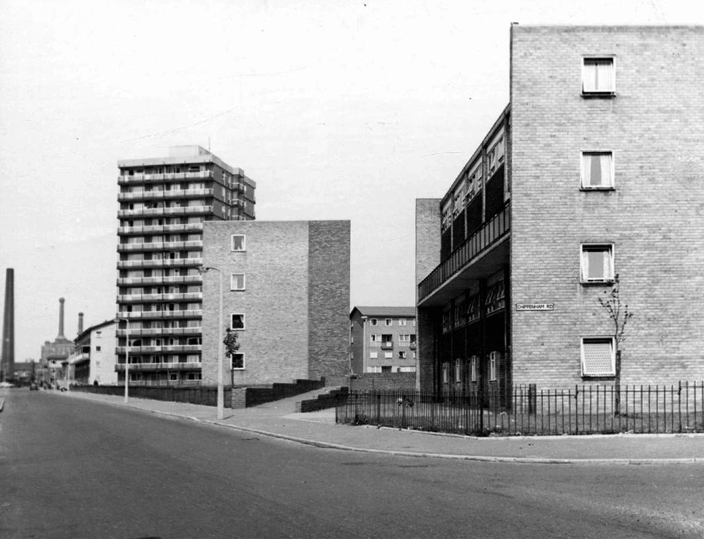
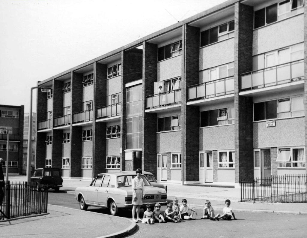
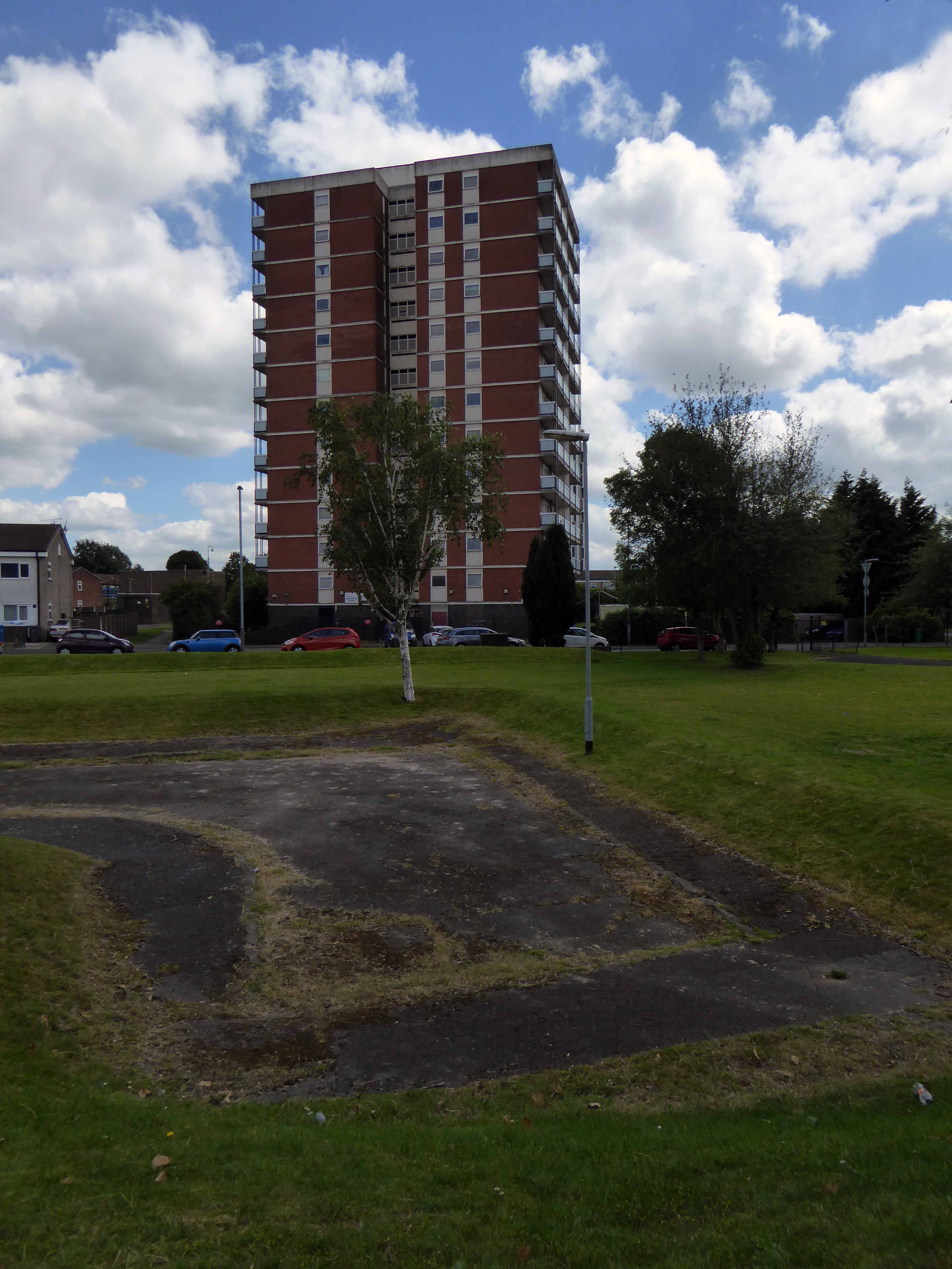
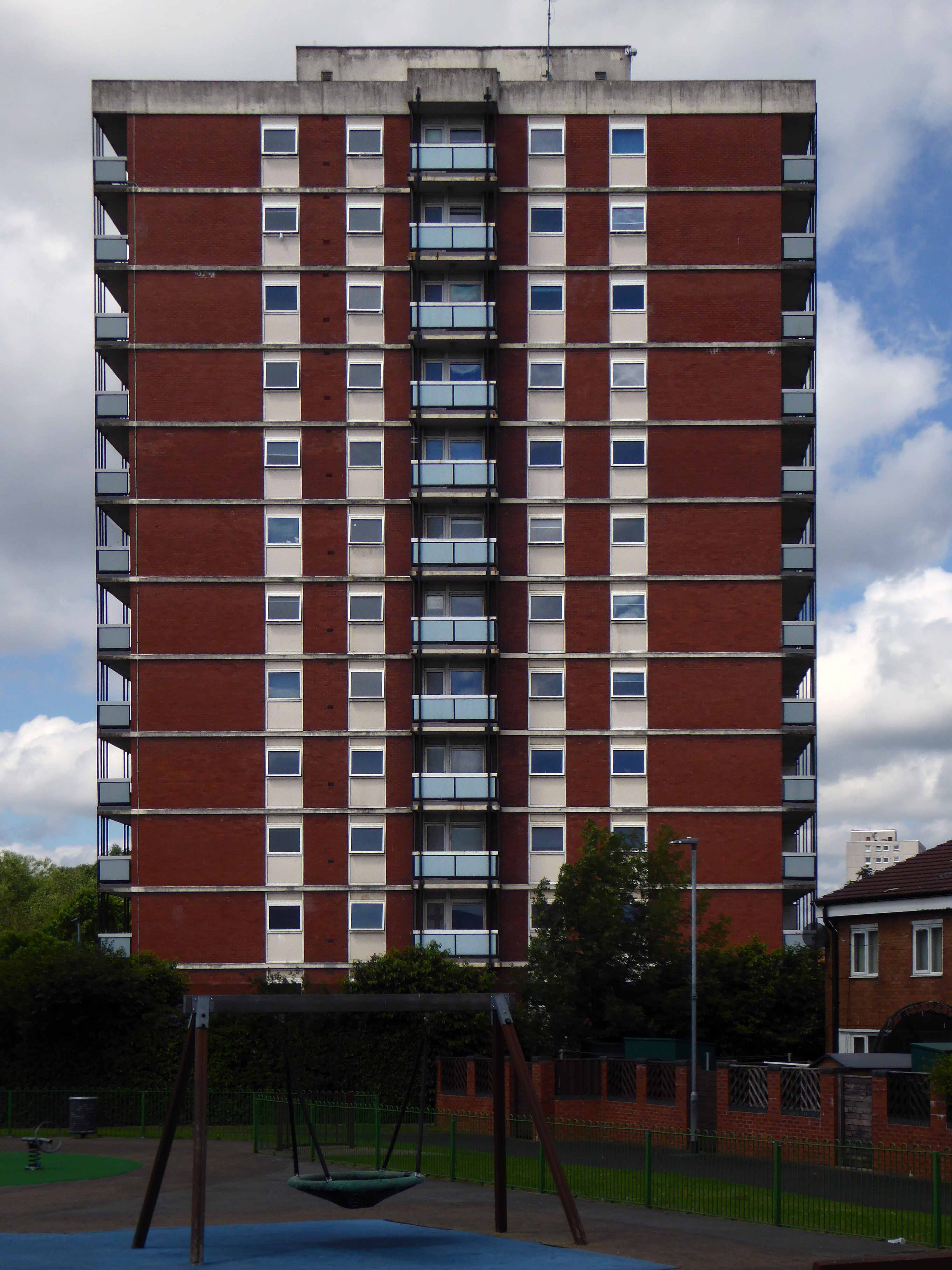
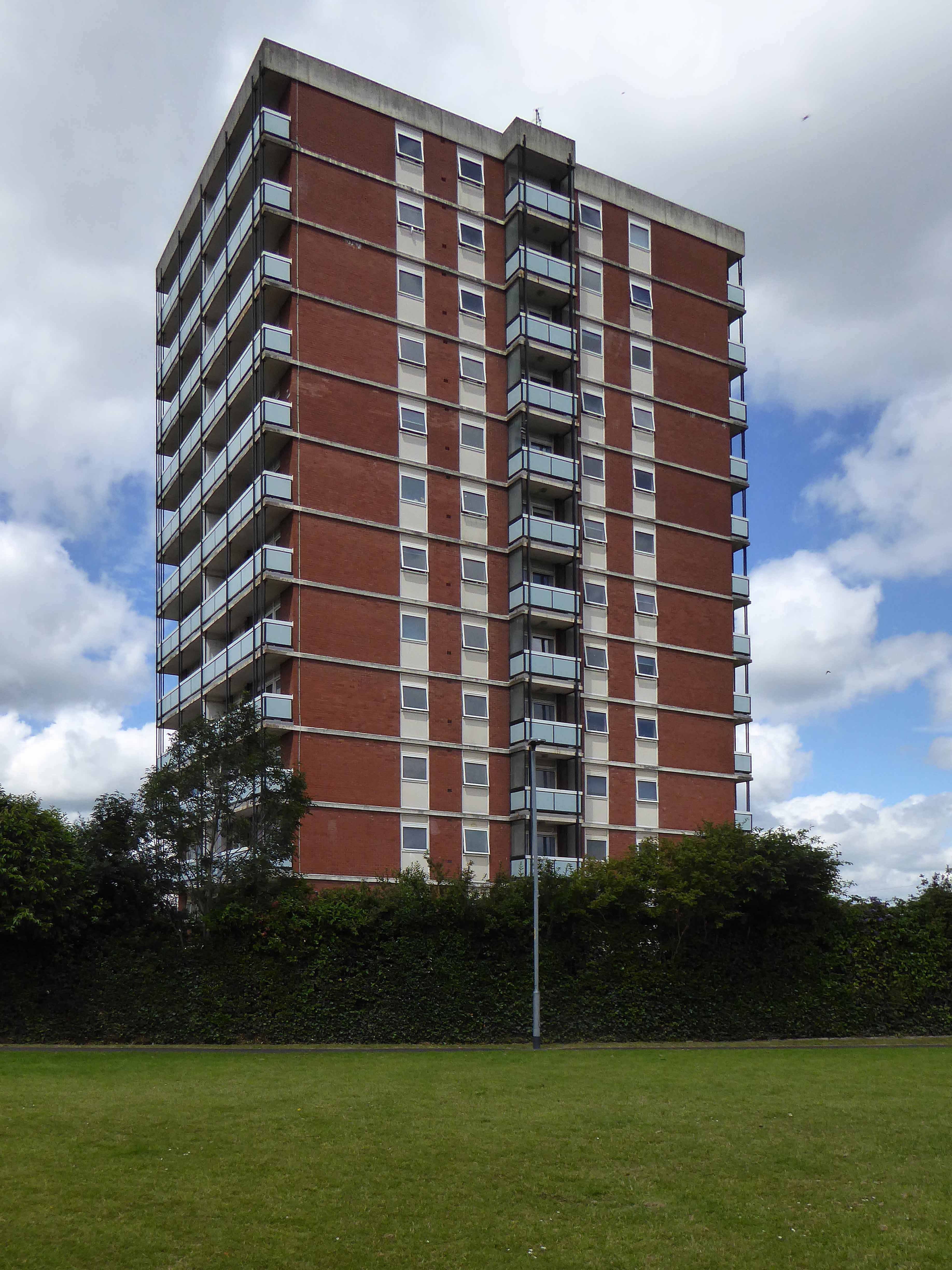
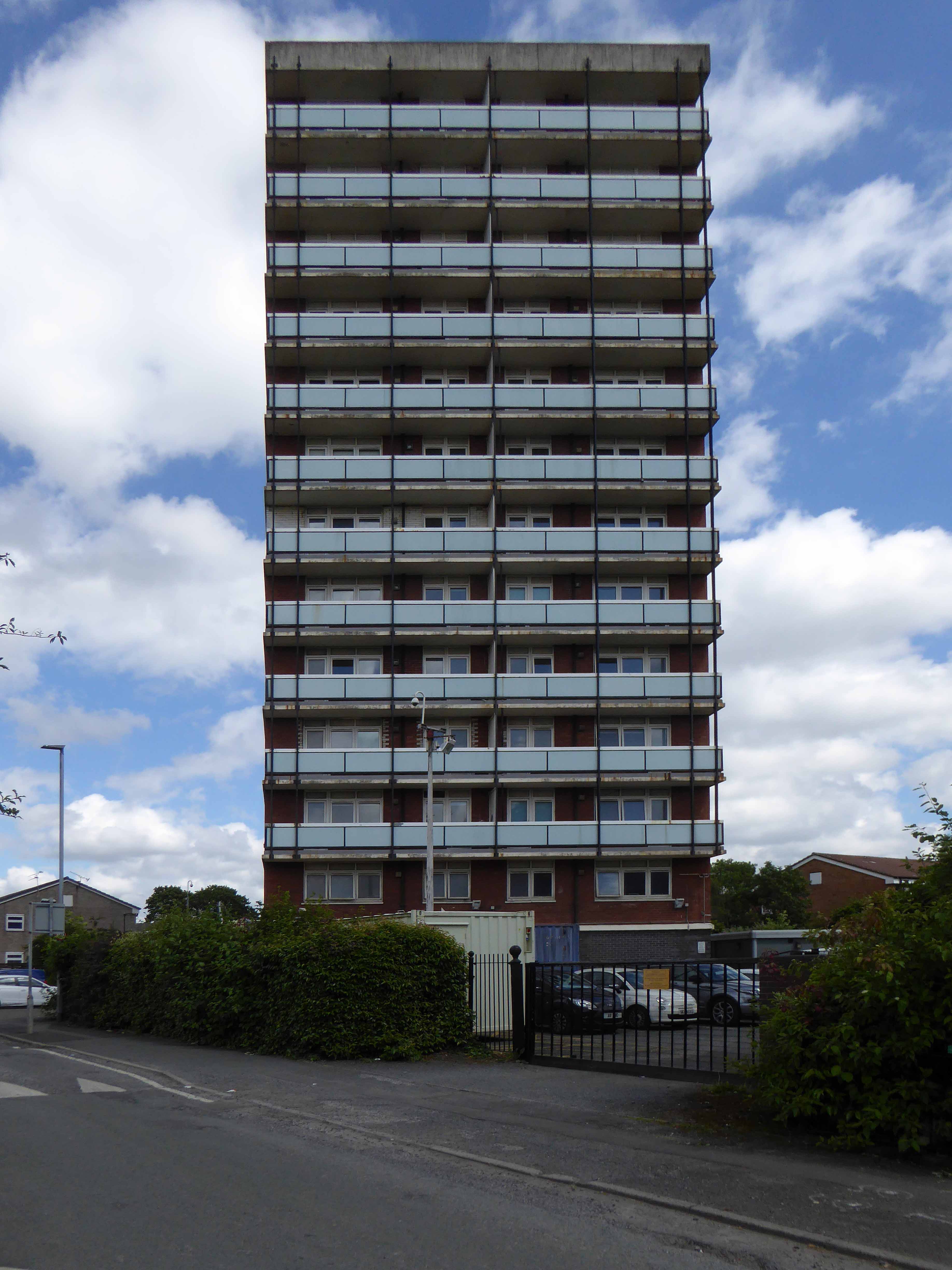
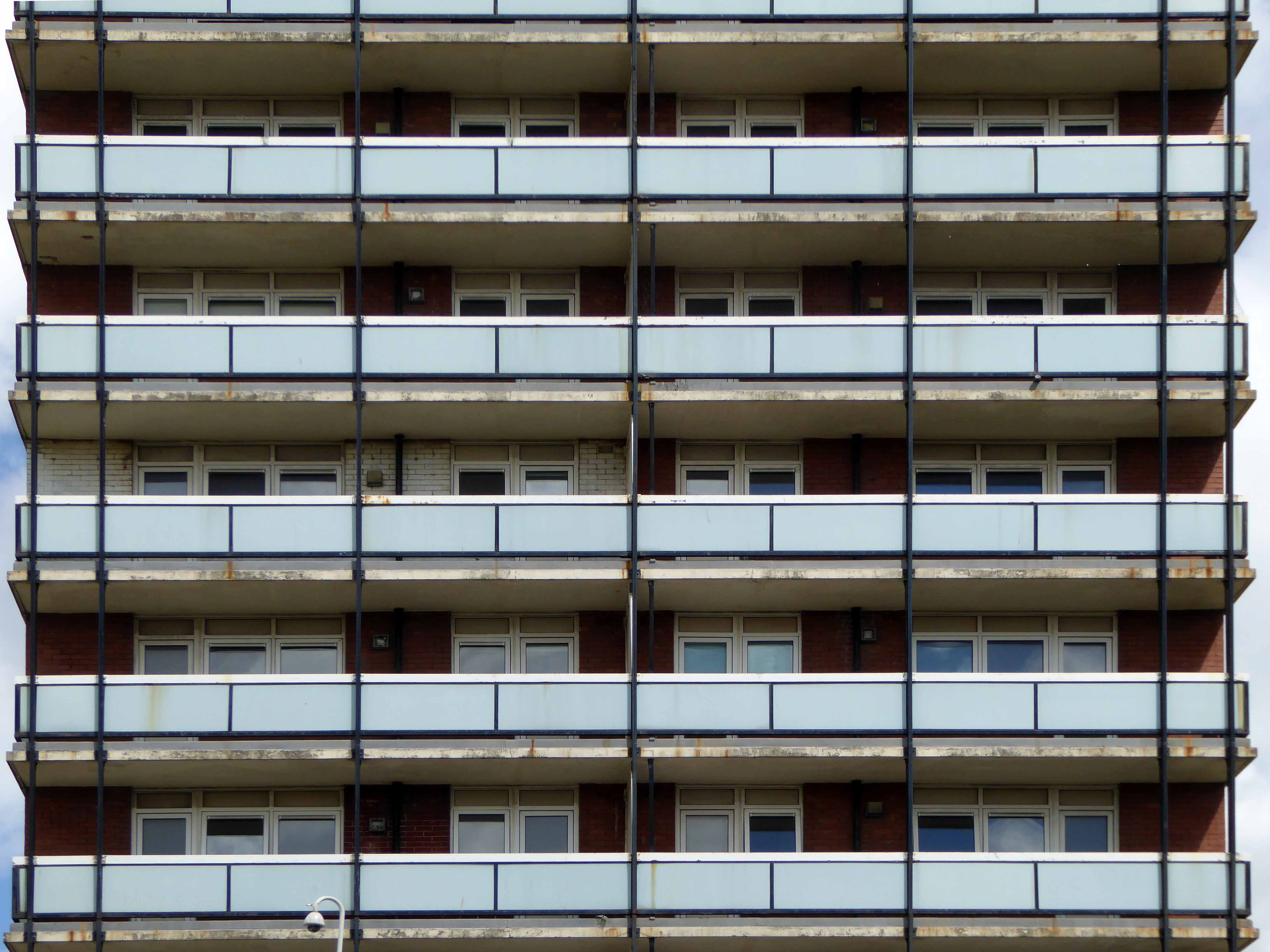
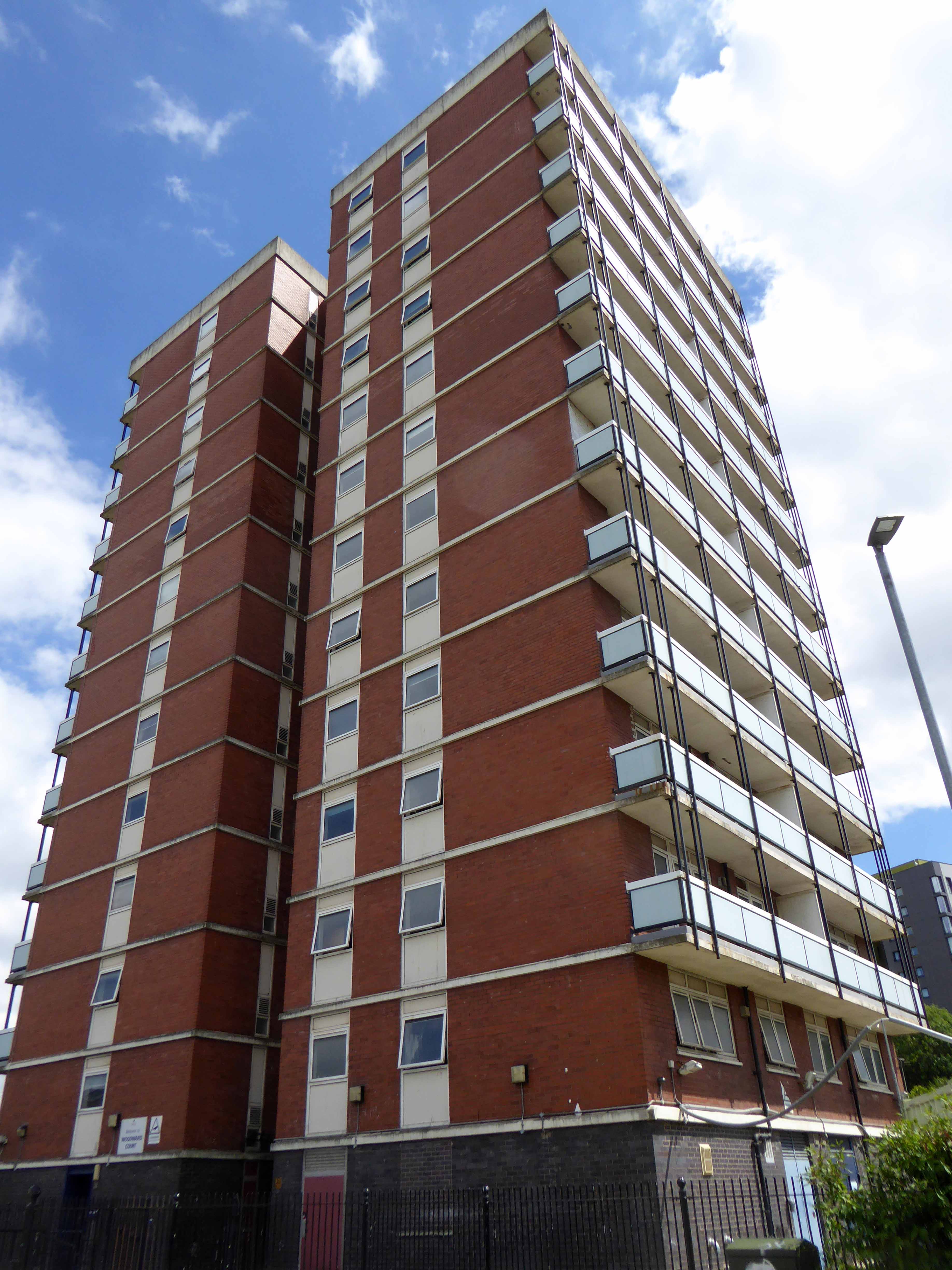
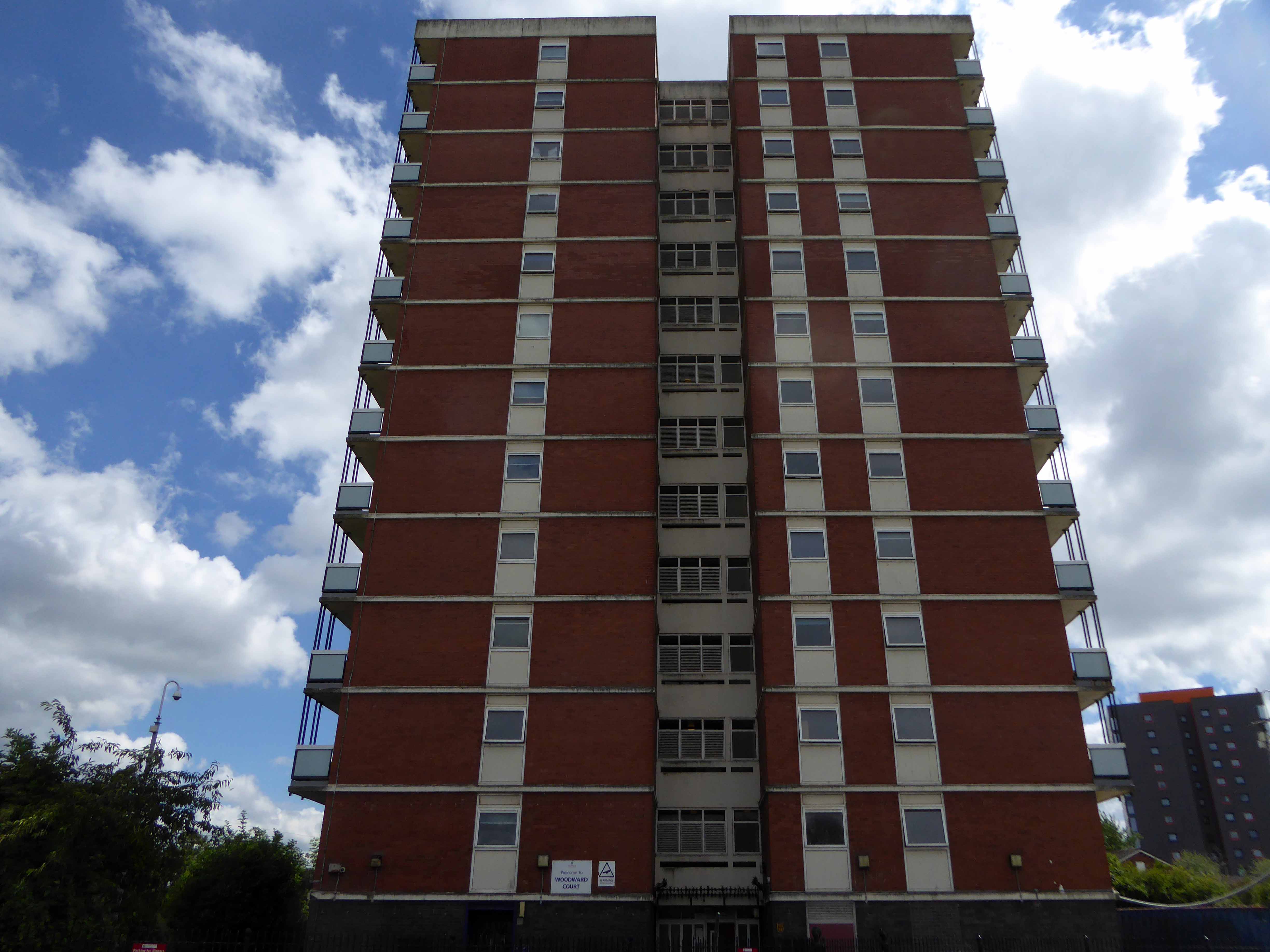
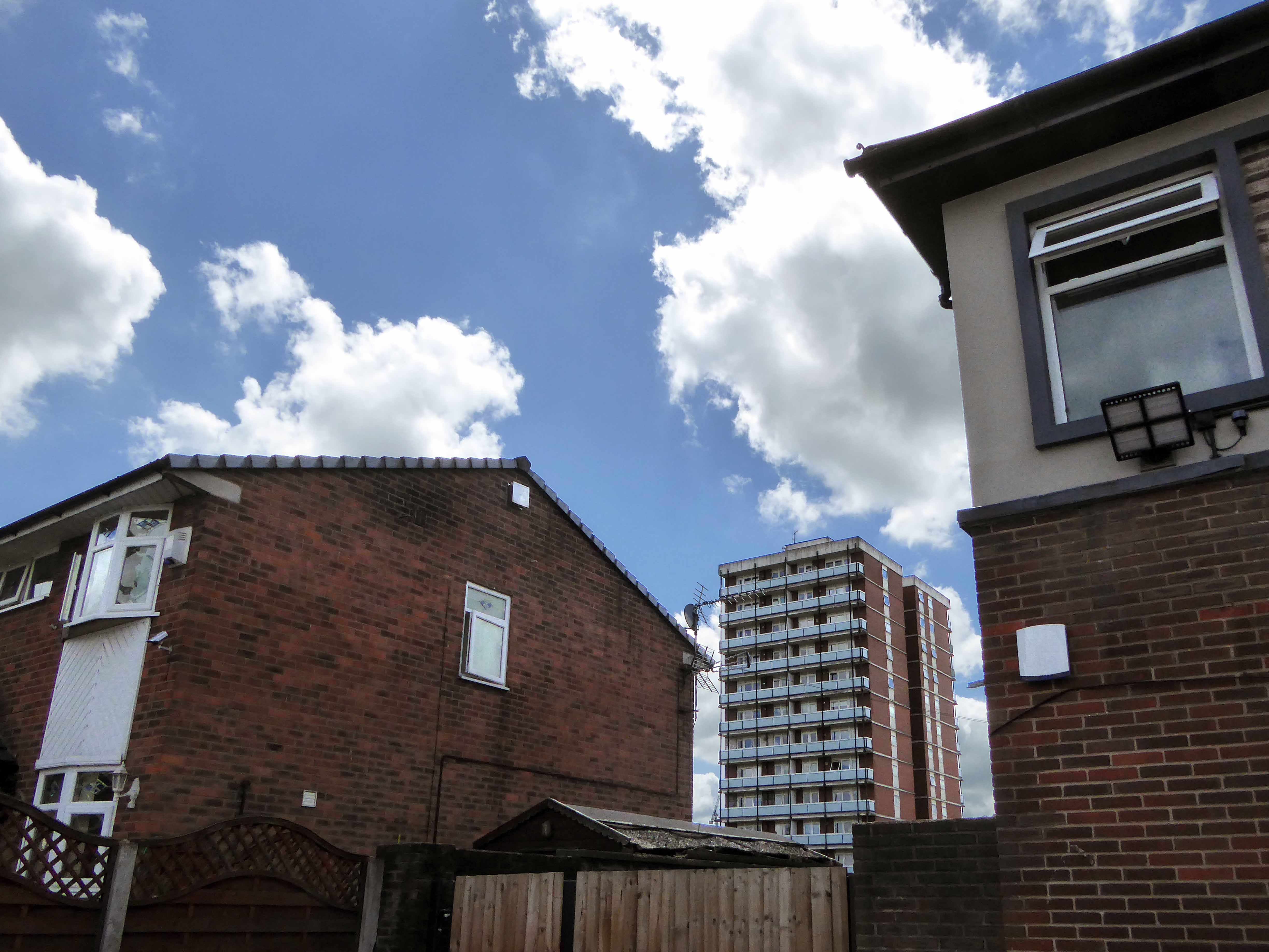
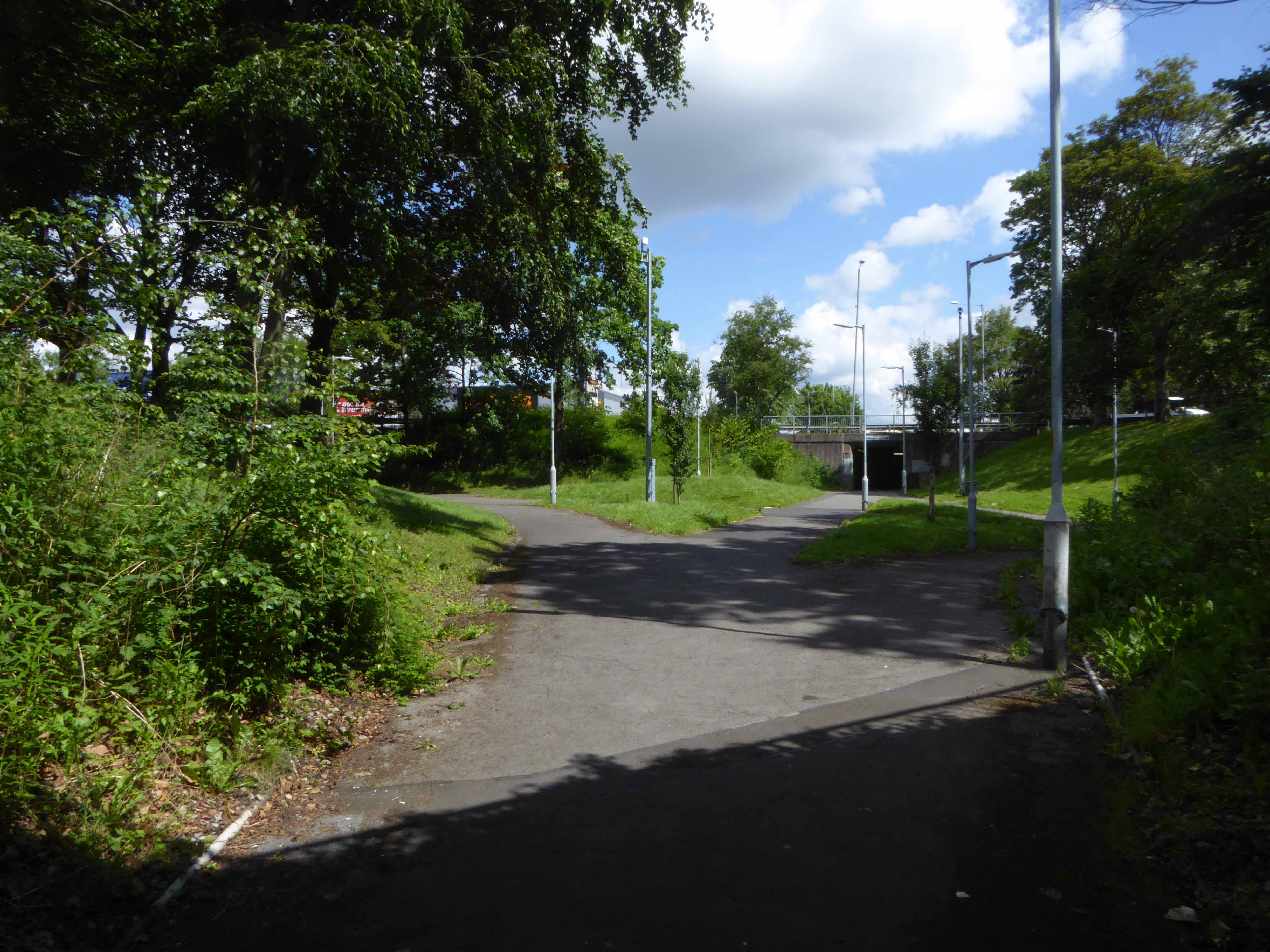
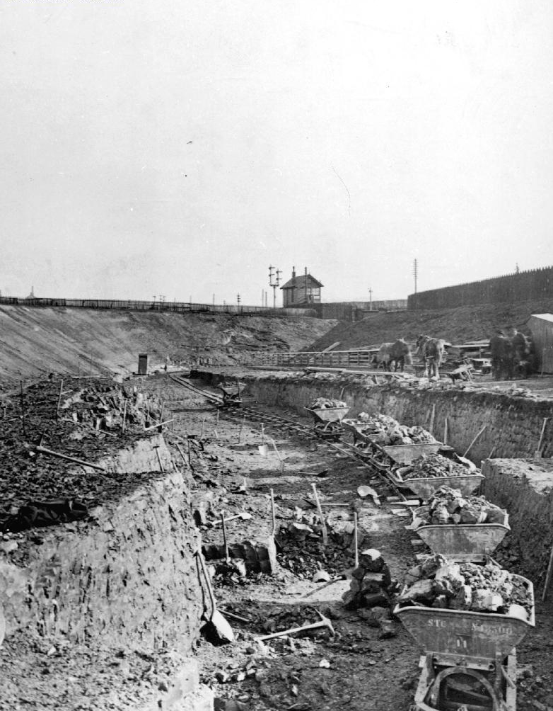
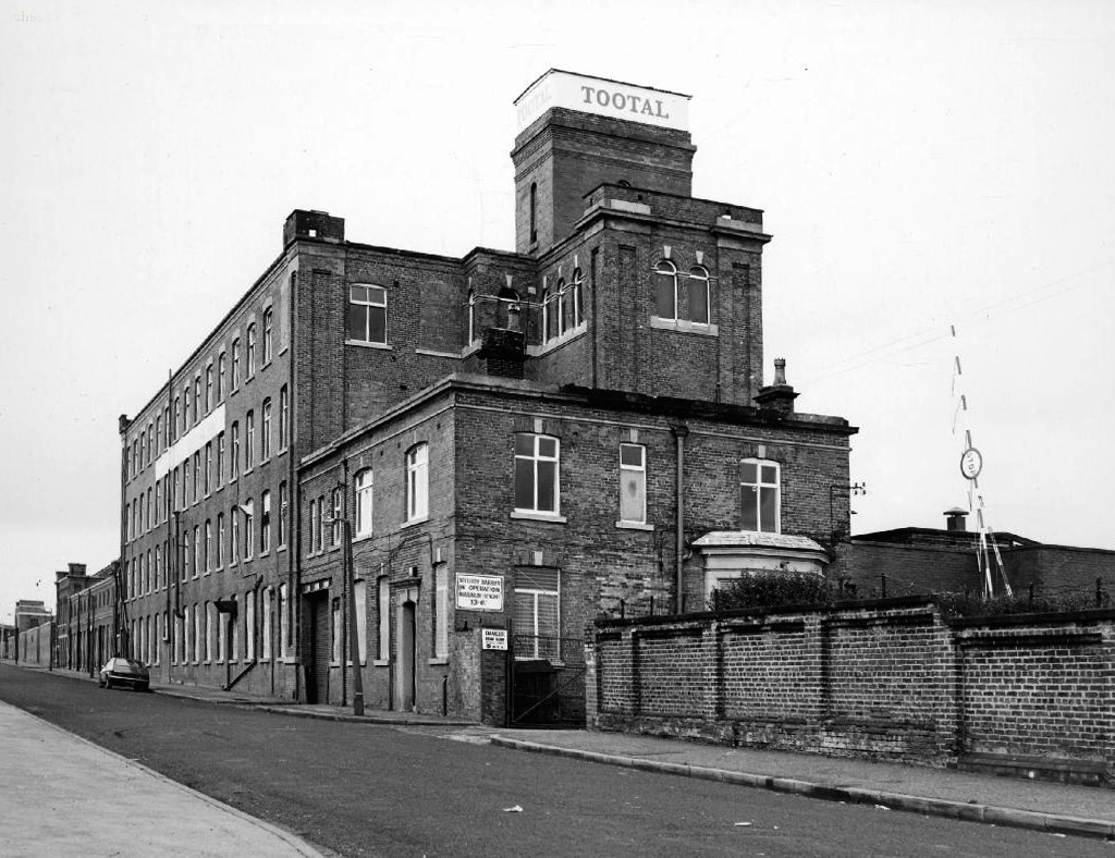
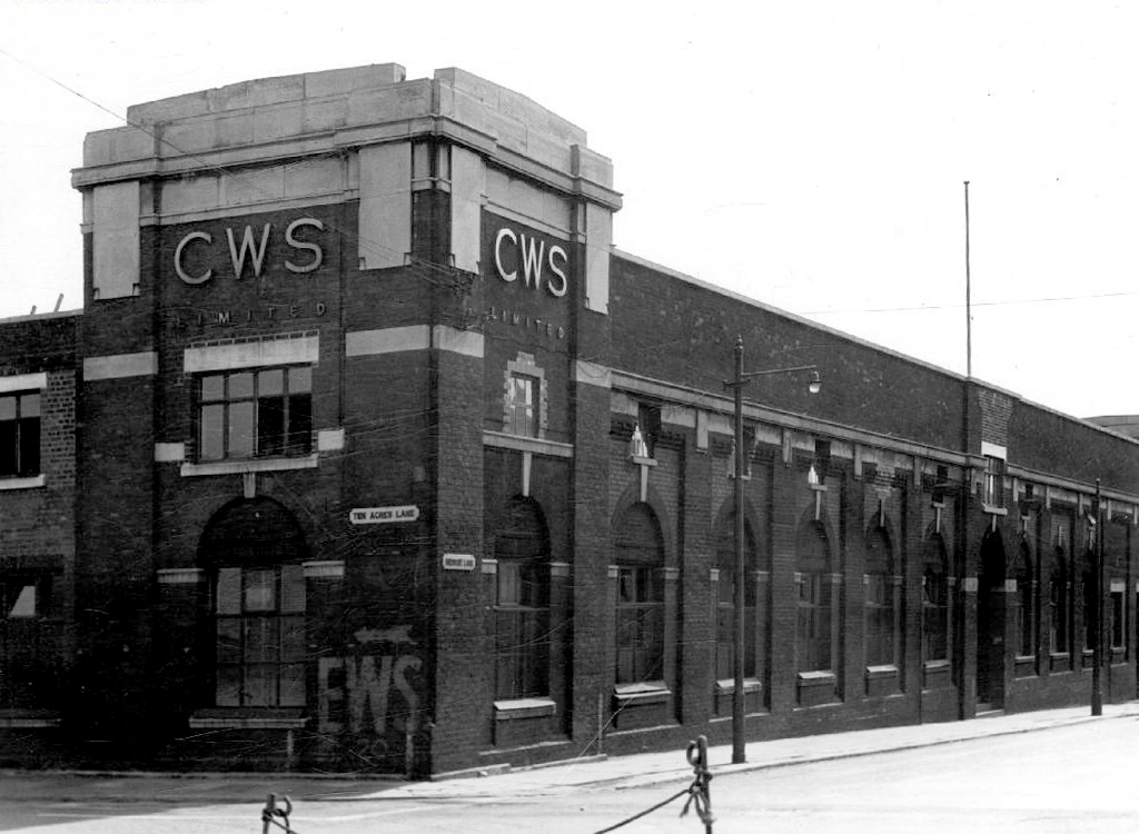
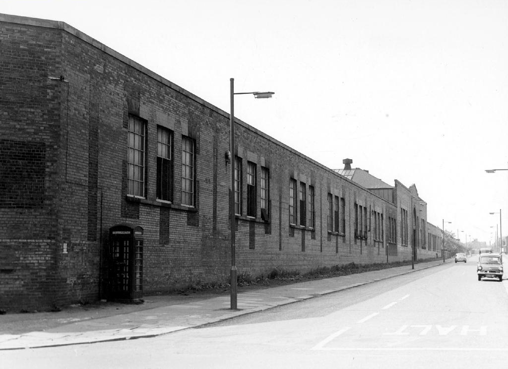
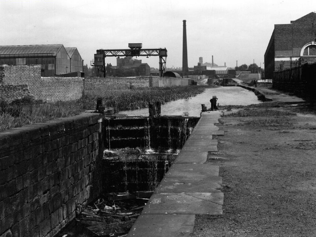
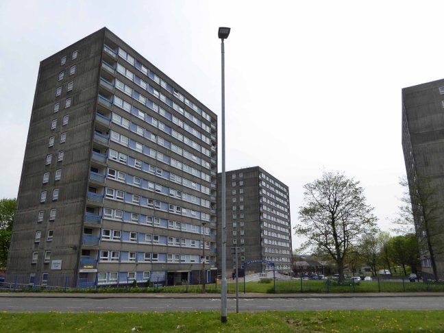
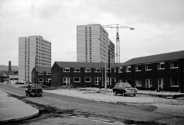
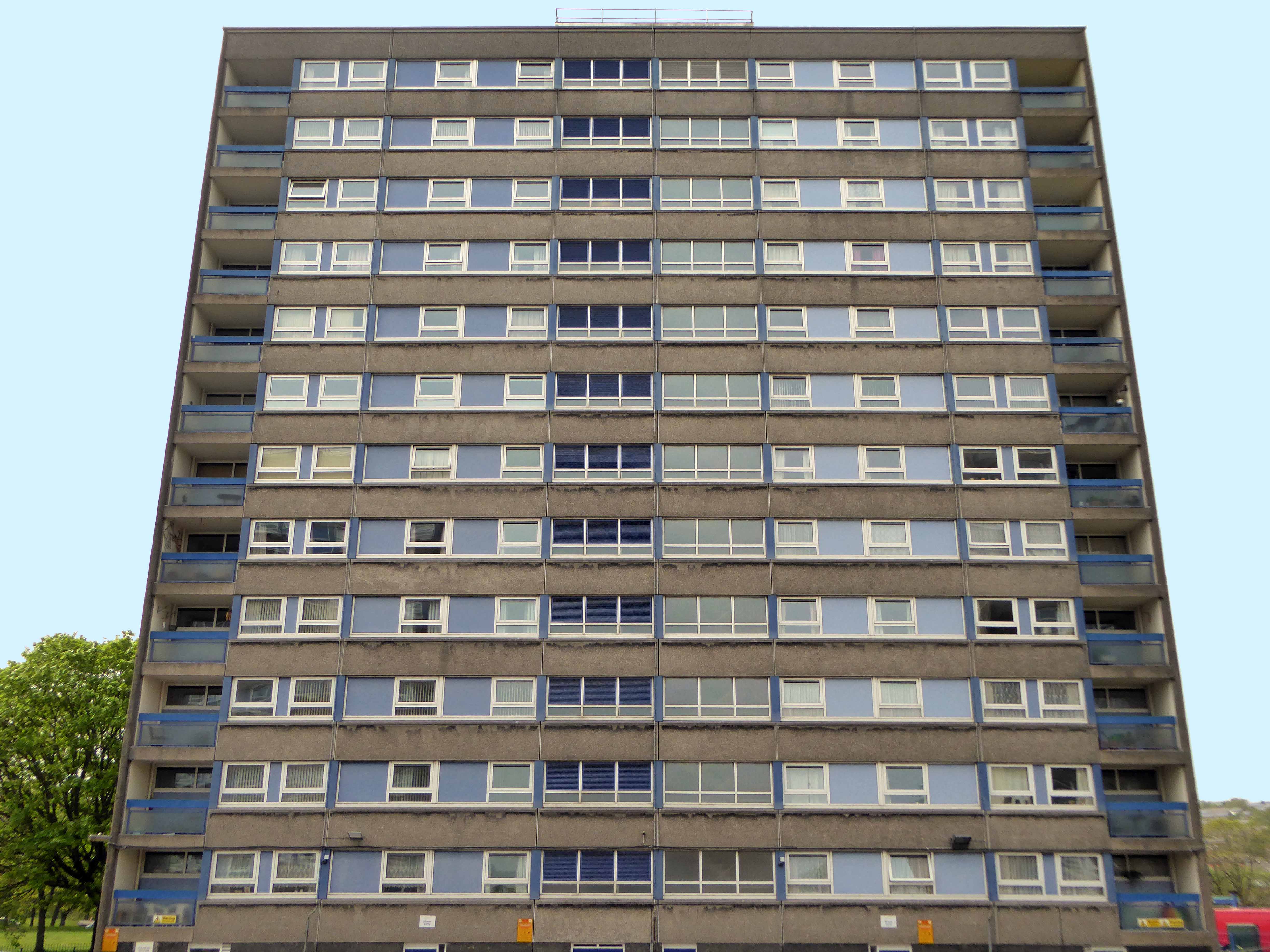
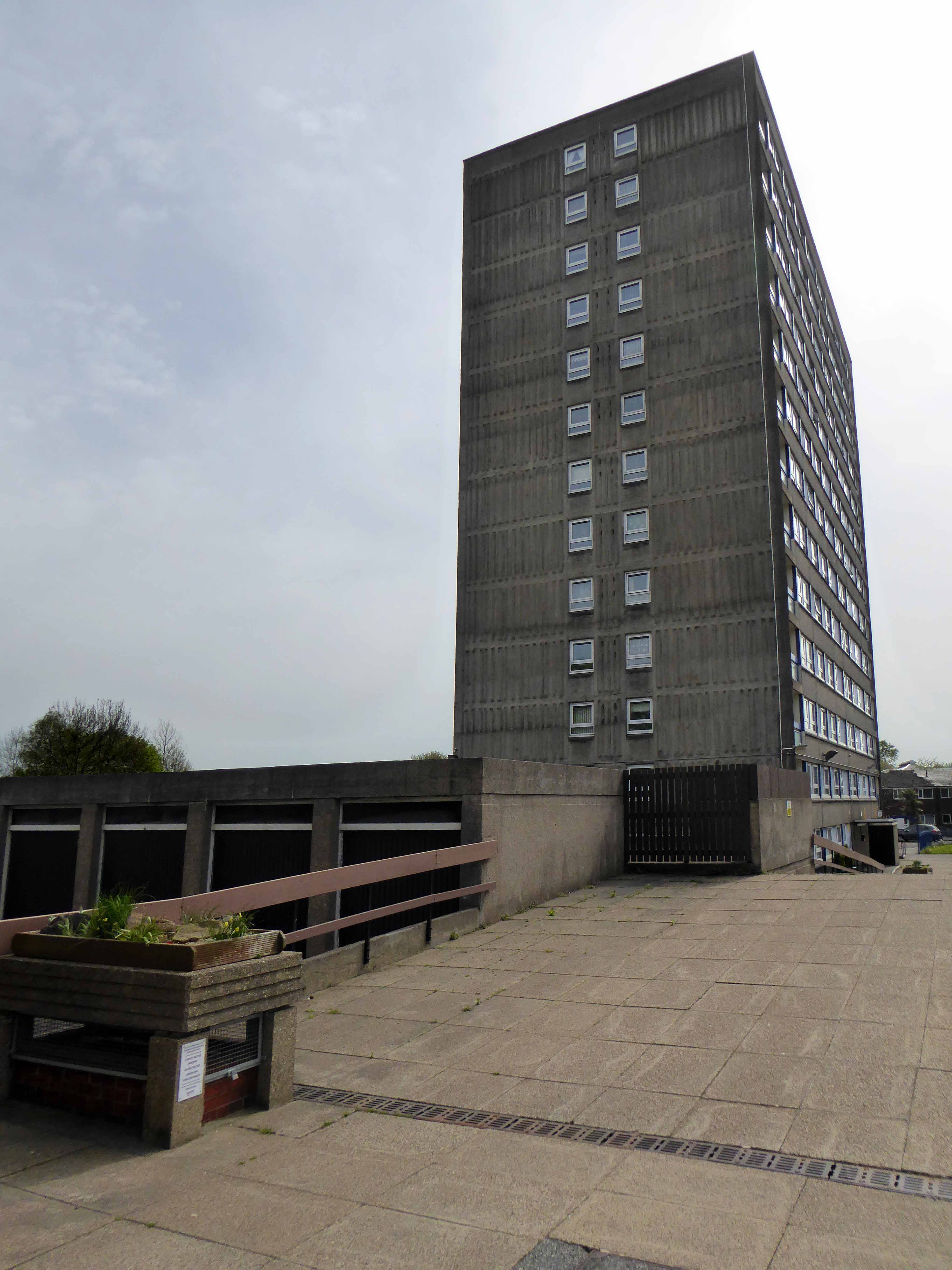
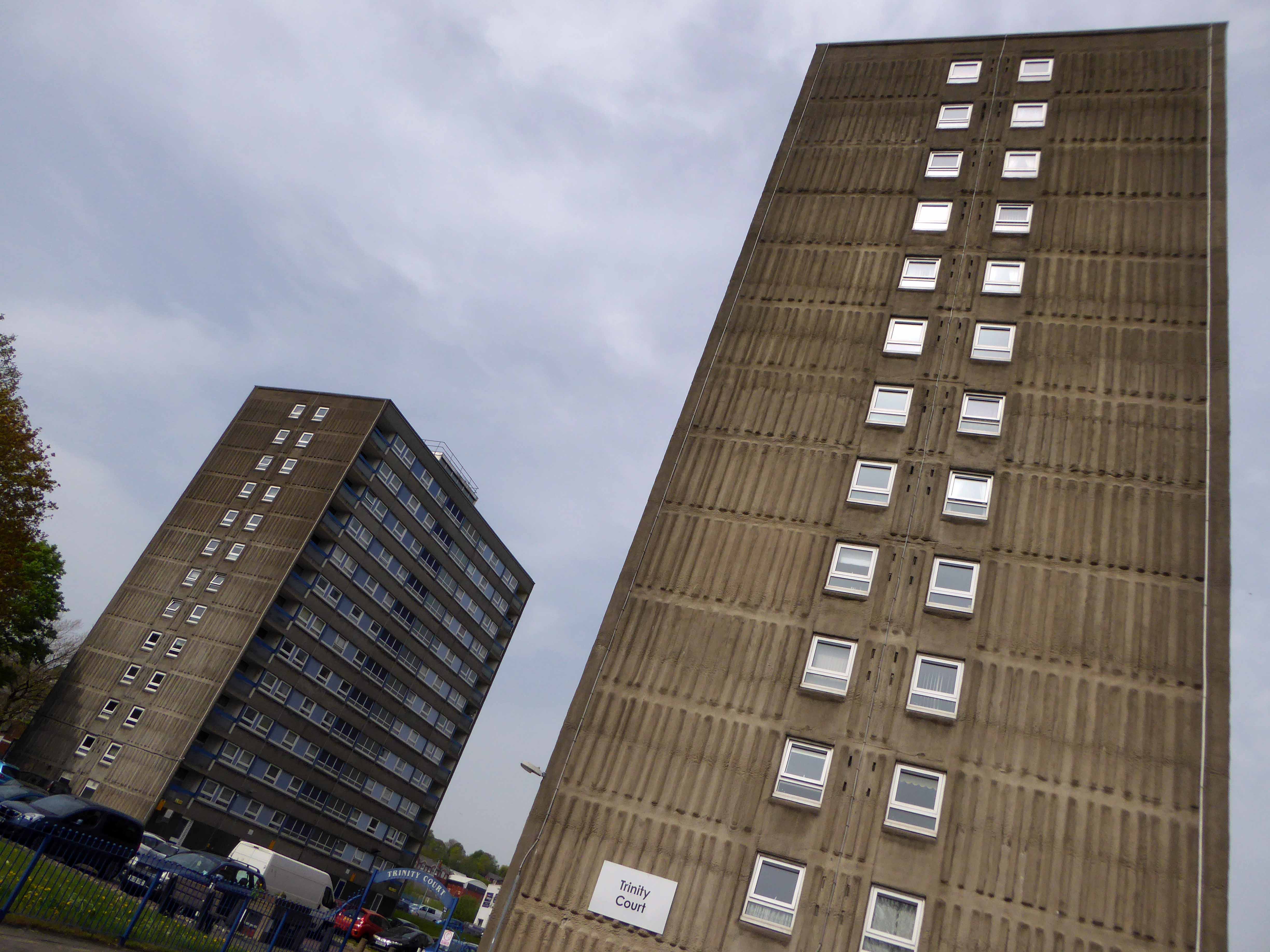
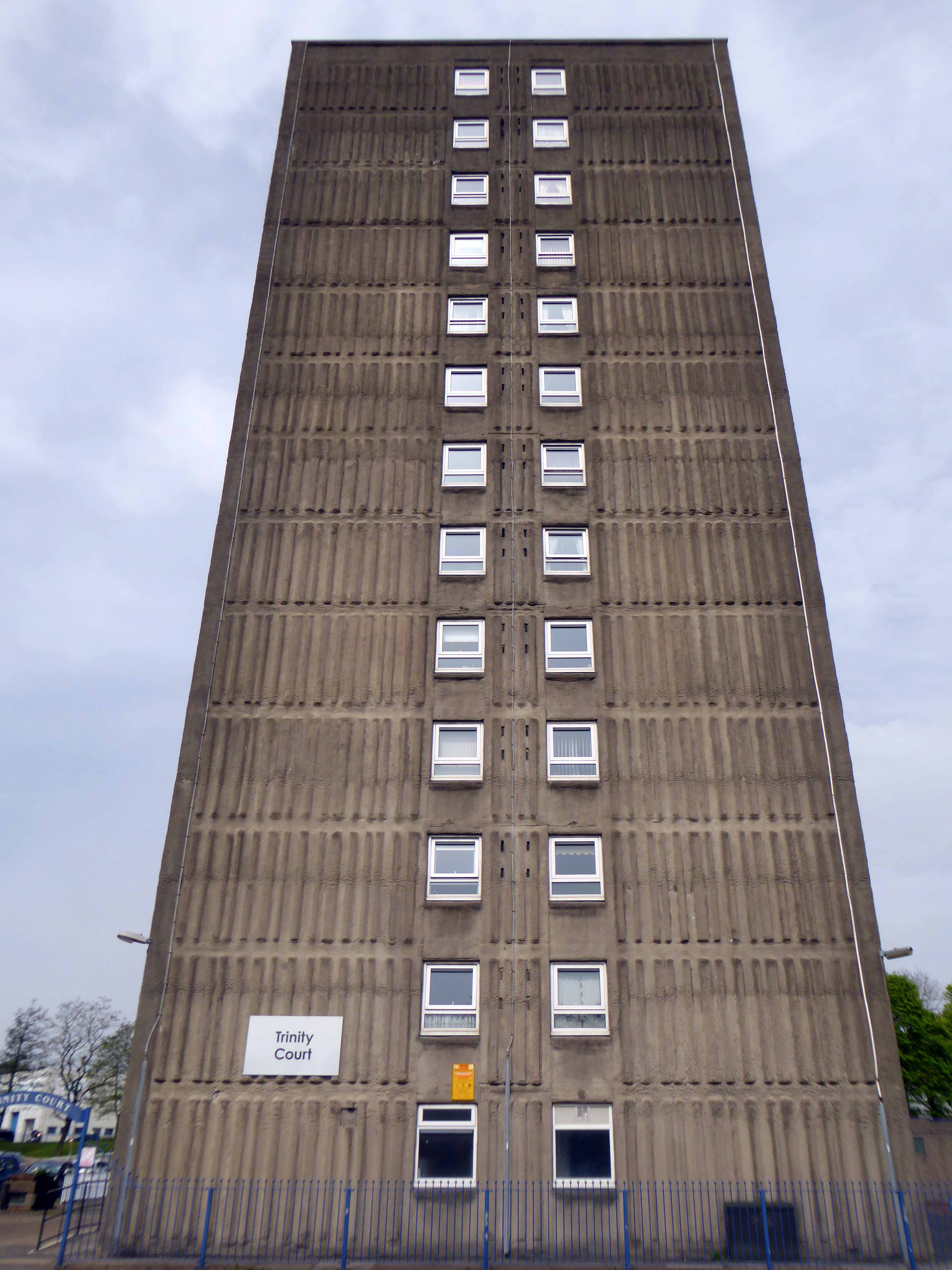
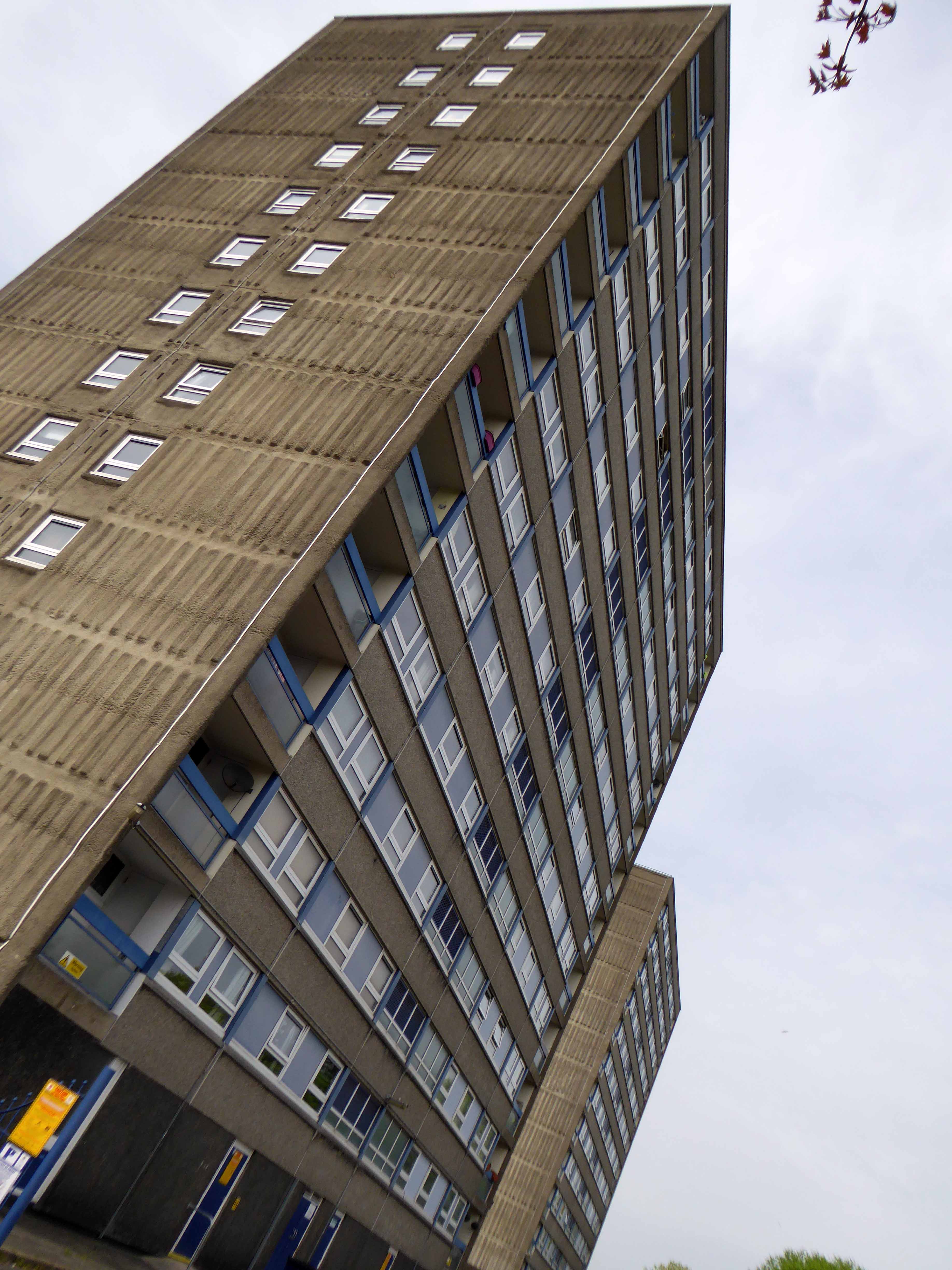
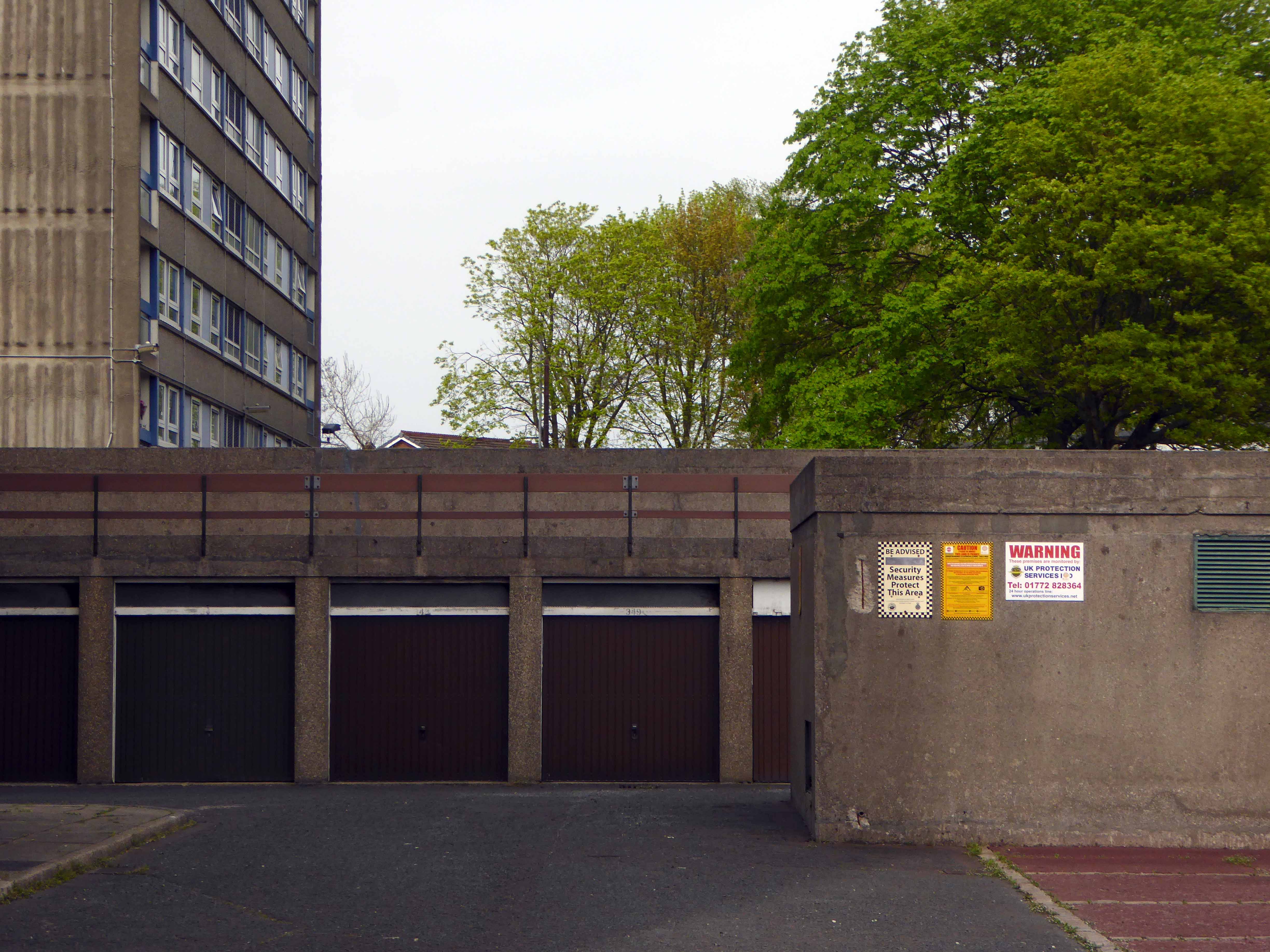
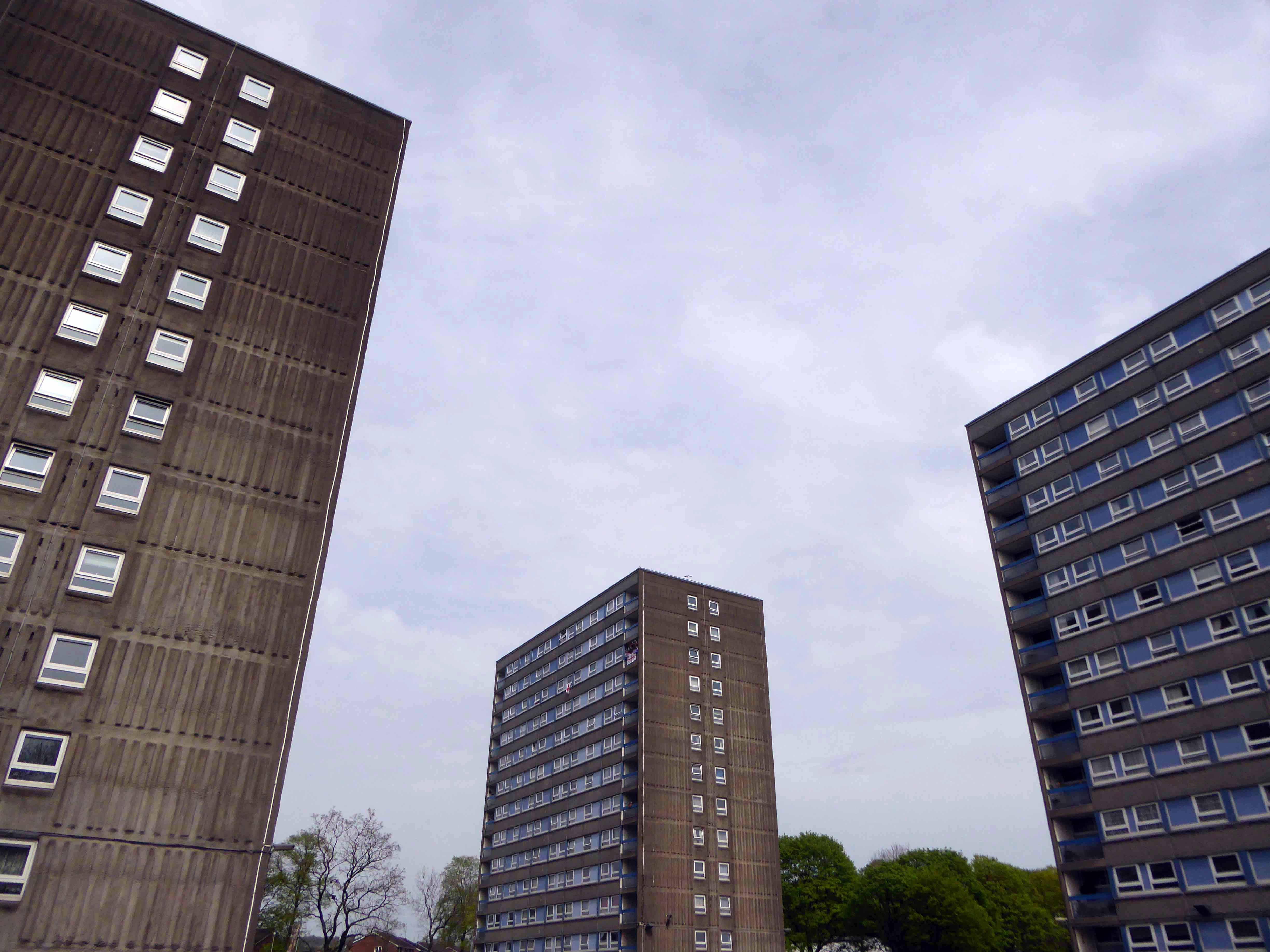
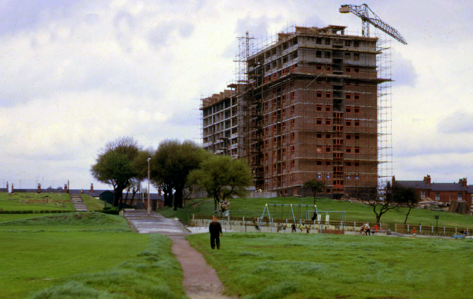
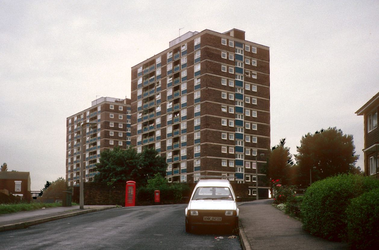
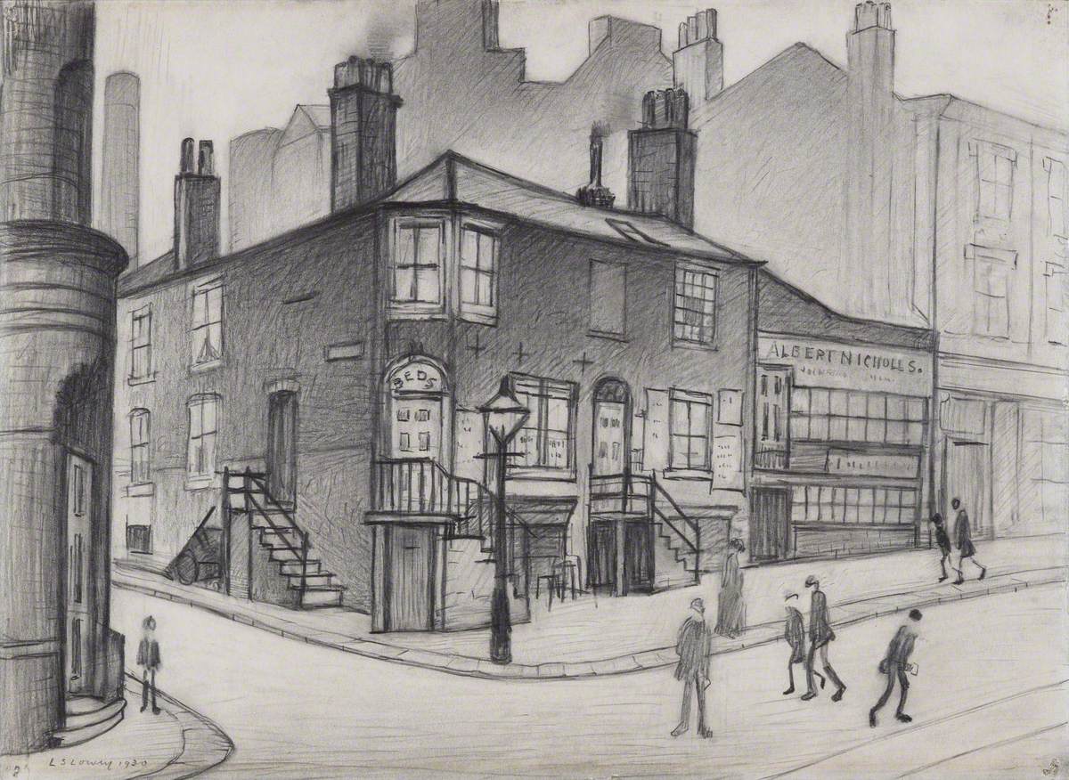
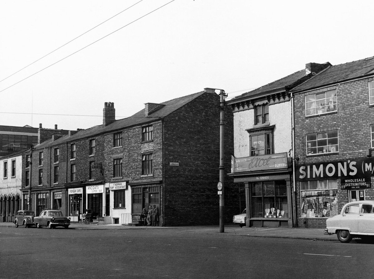
Once the realm of cobbles, railings, high rise arrivals and urban cowboys – an area overwhelmed by the weight of its past and the insubstantial promise of a sustainable future.
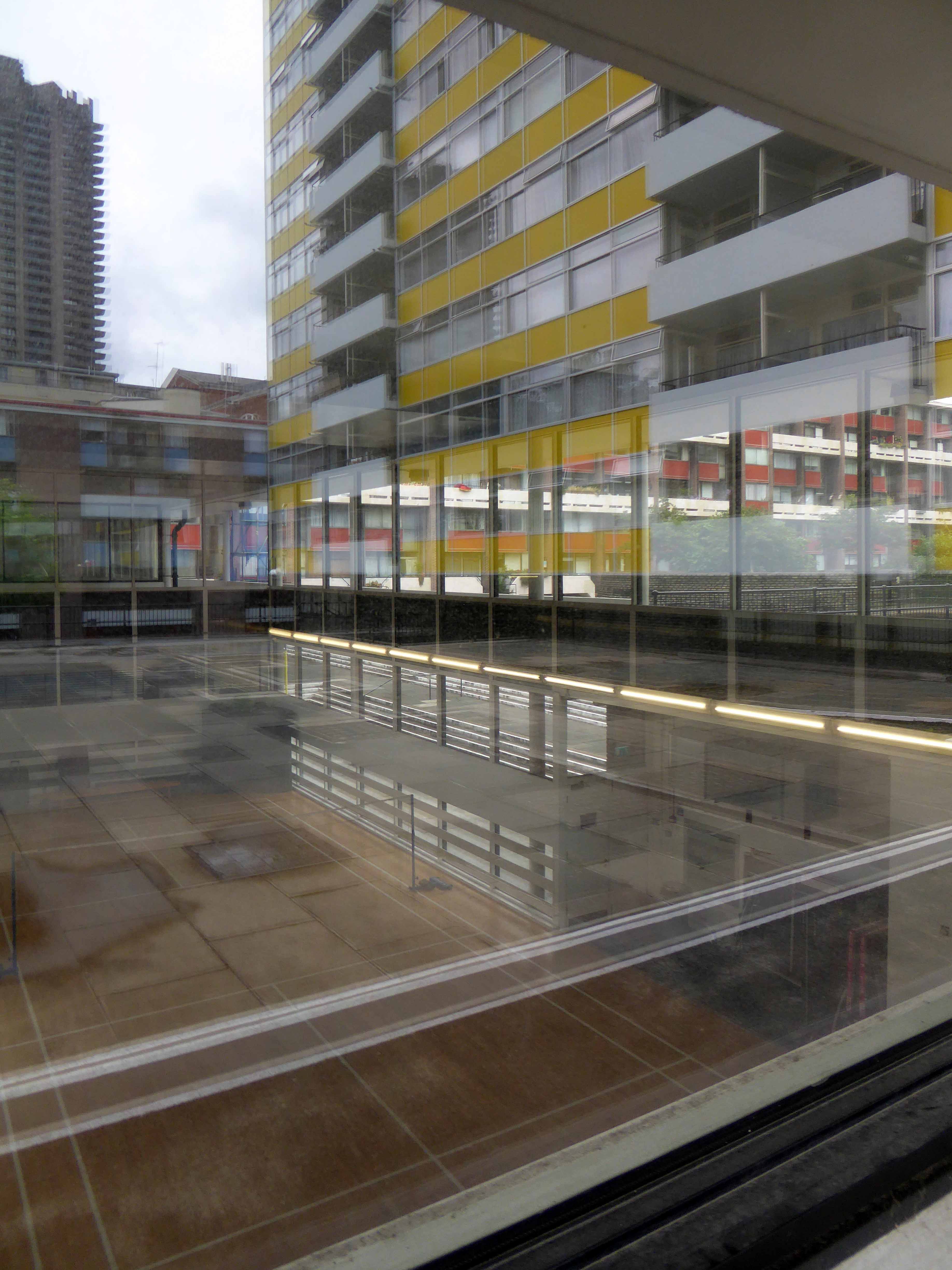
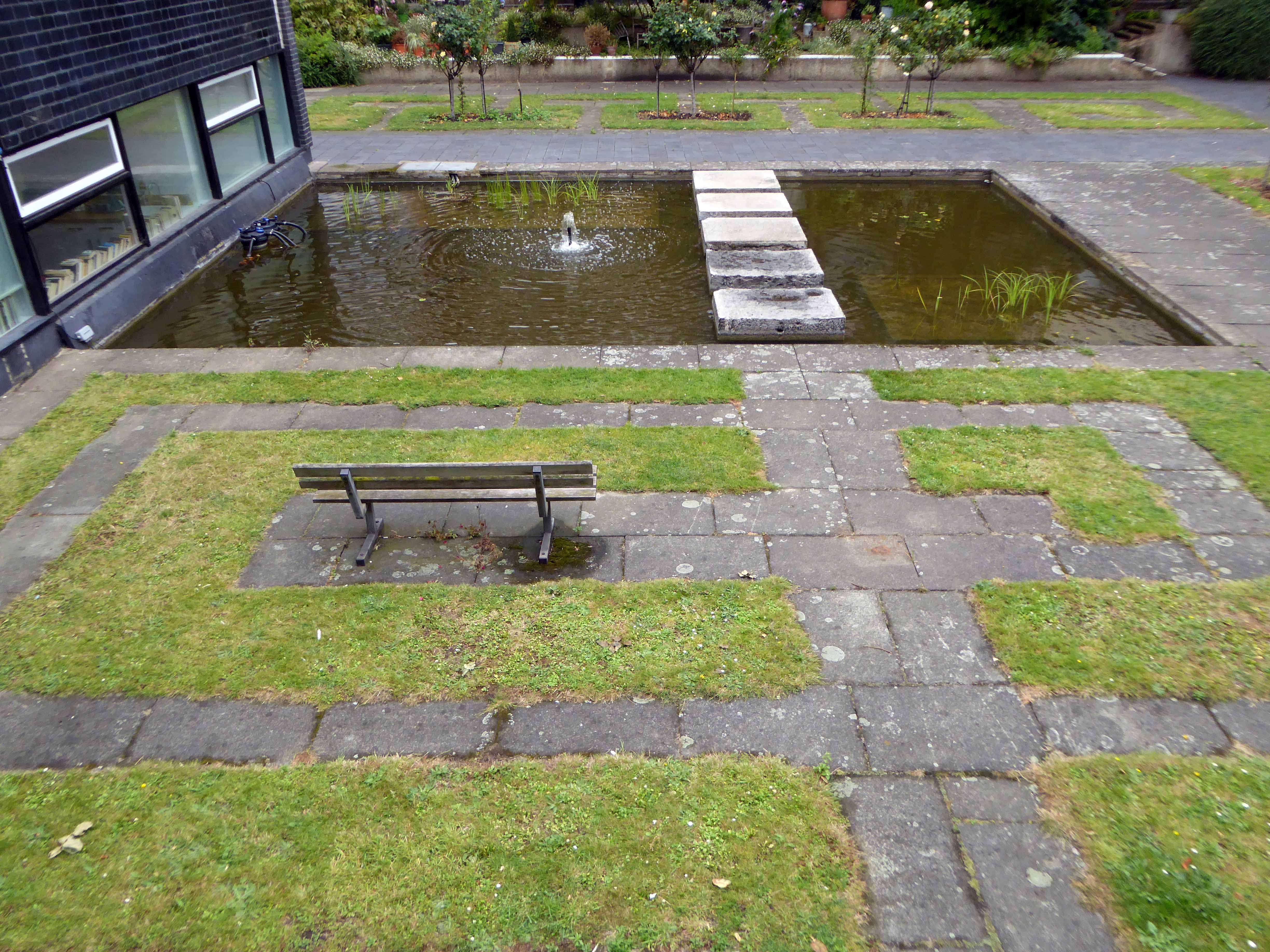
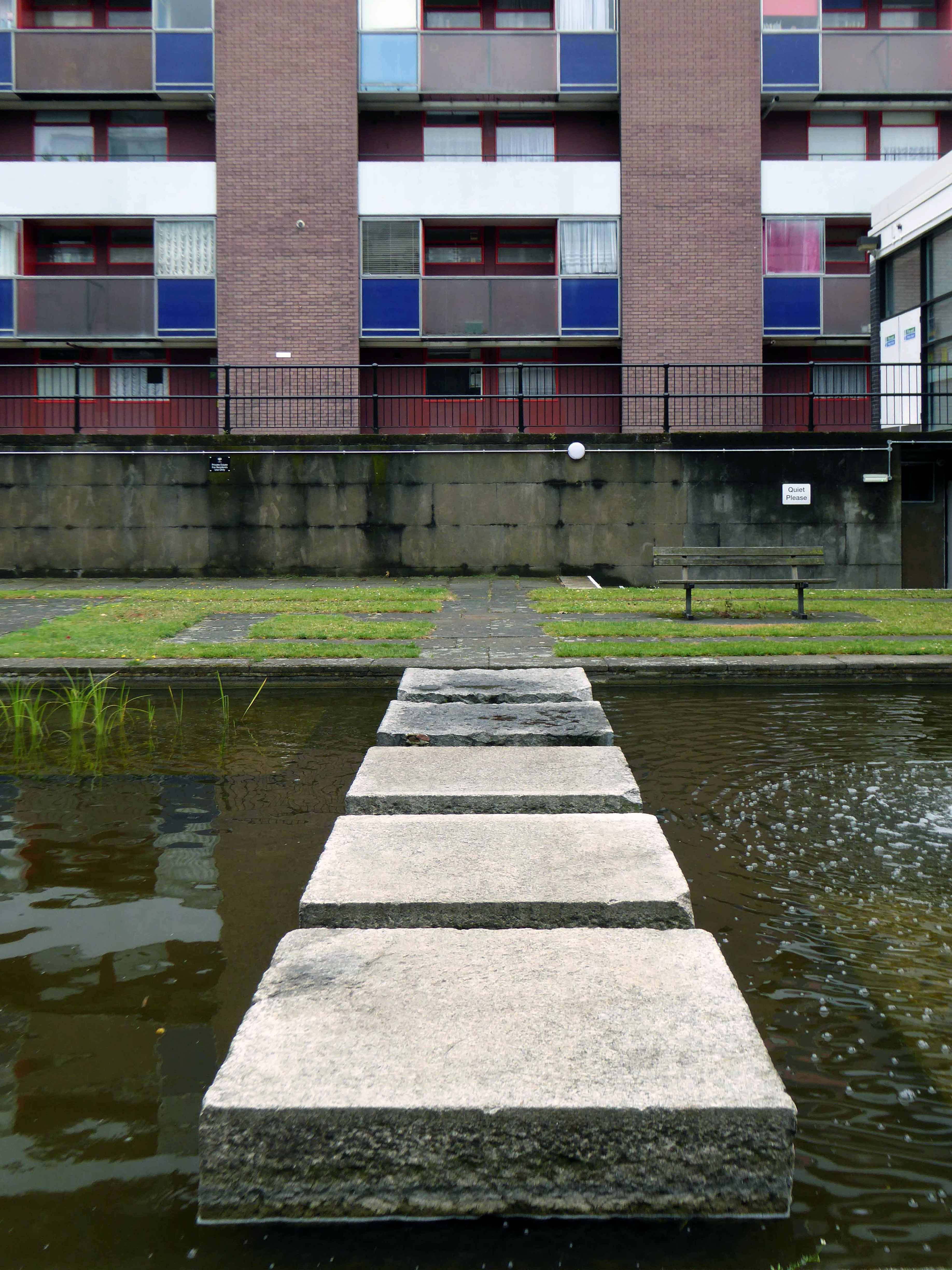
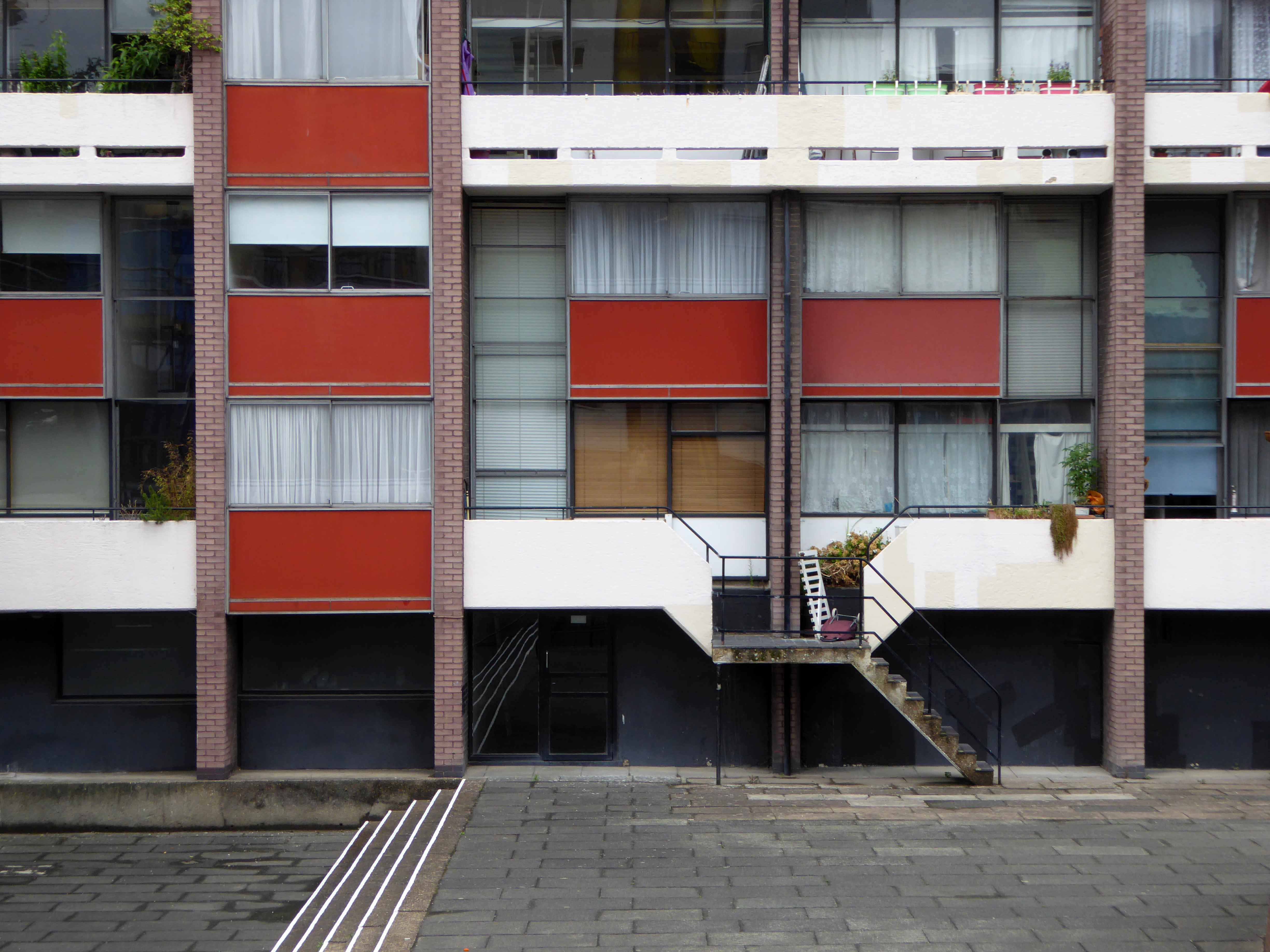
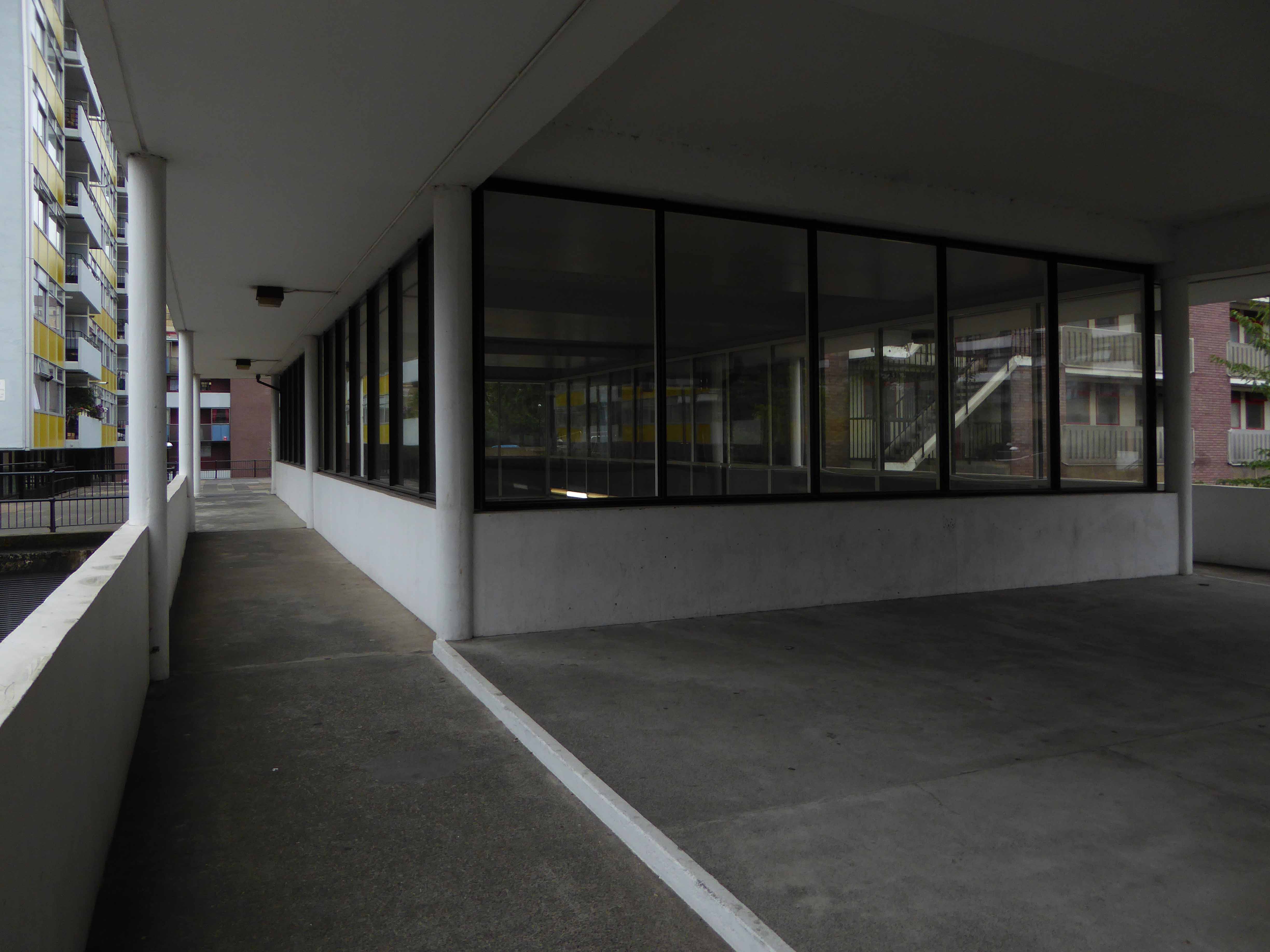
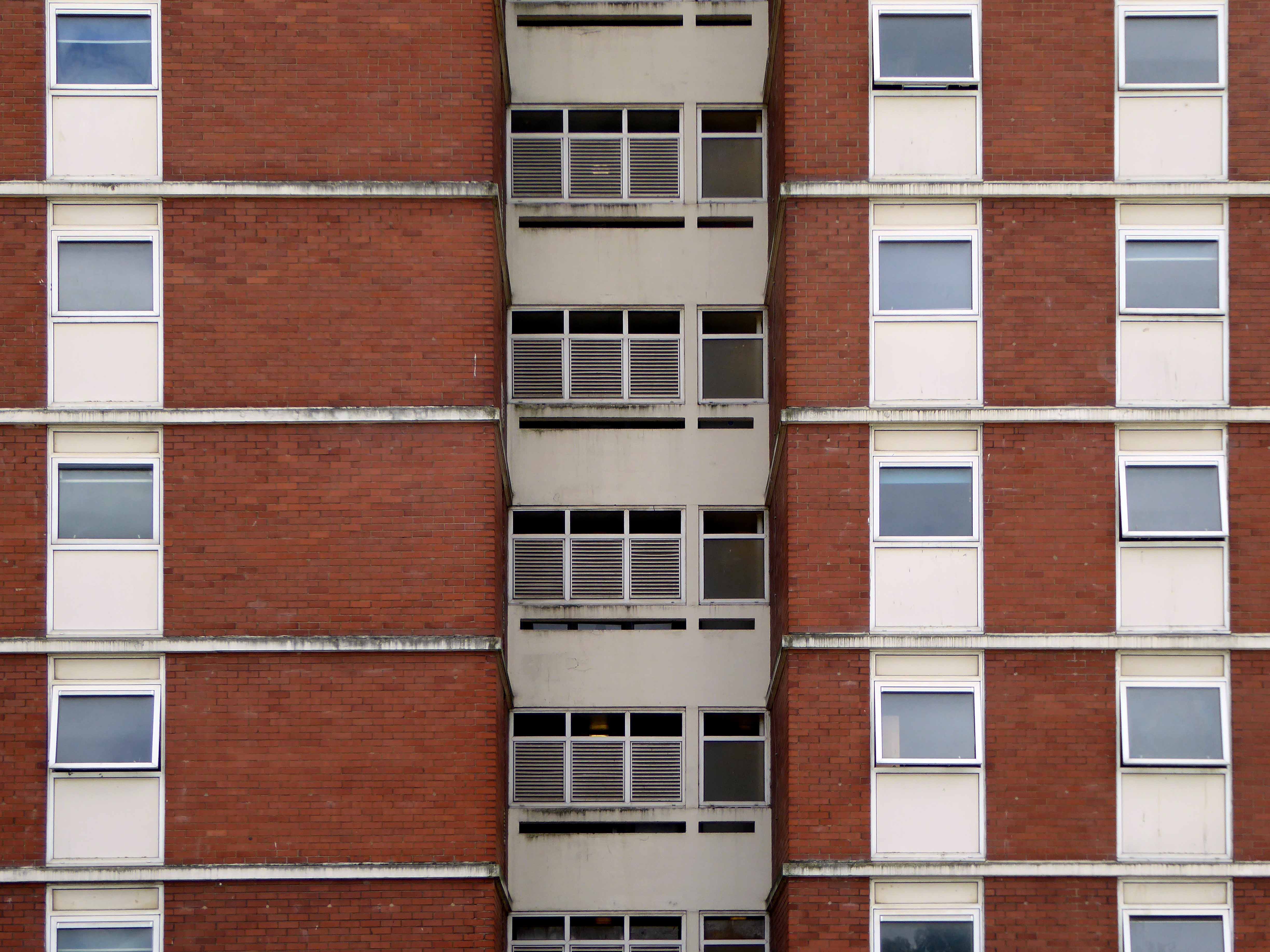
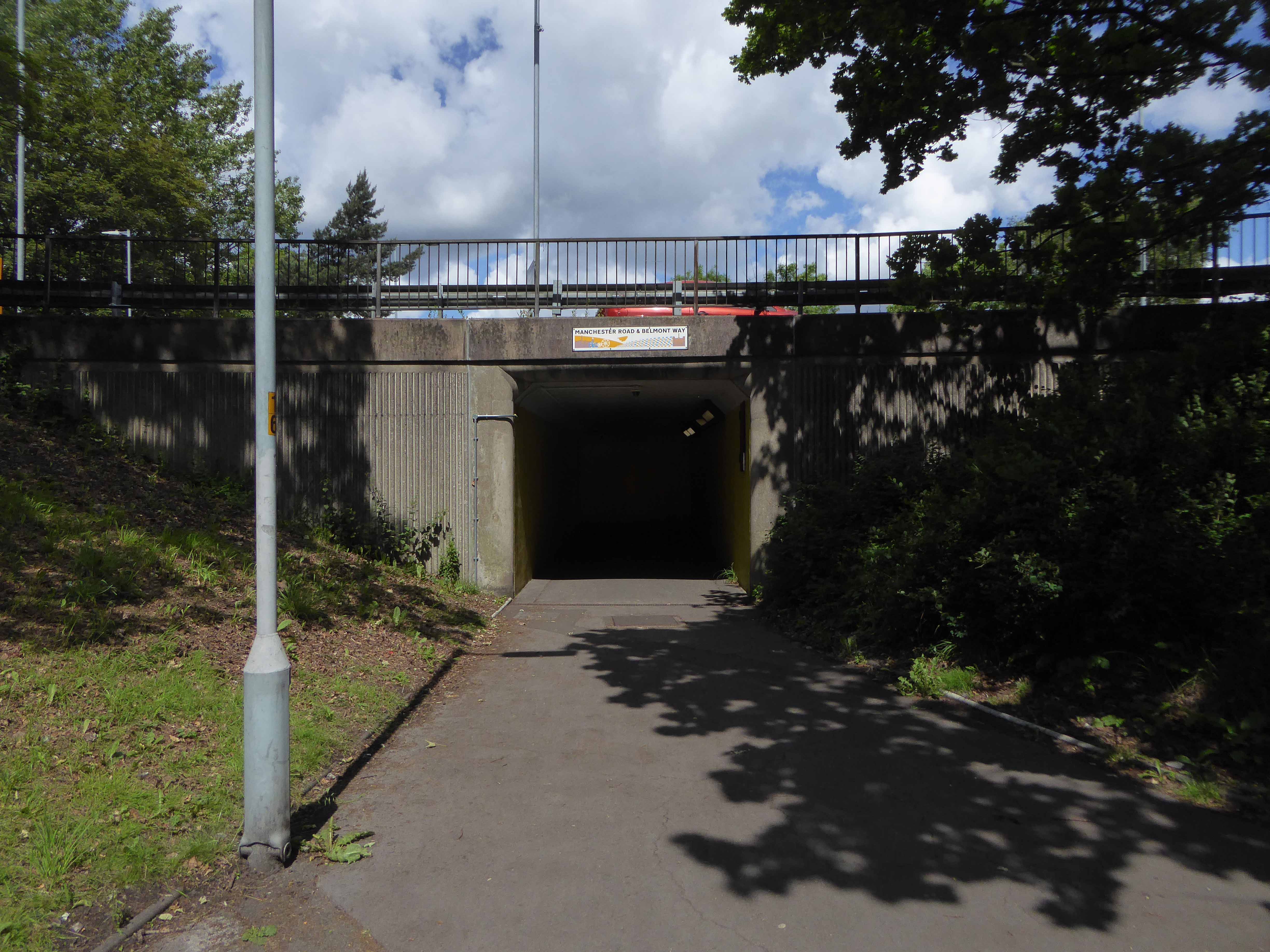
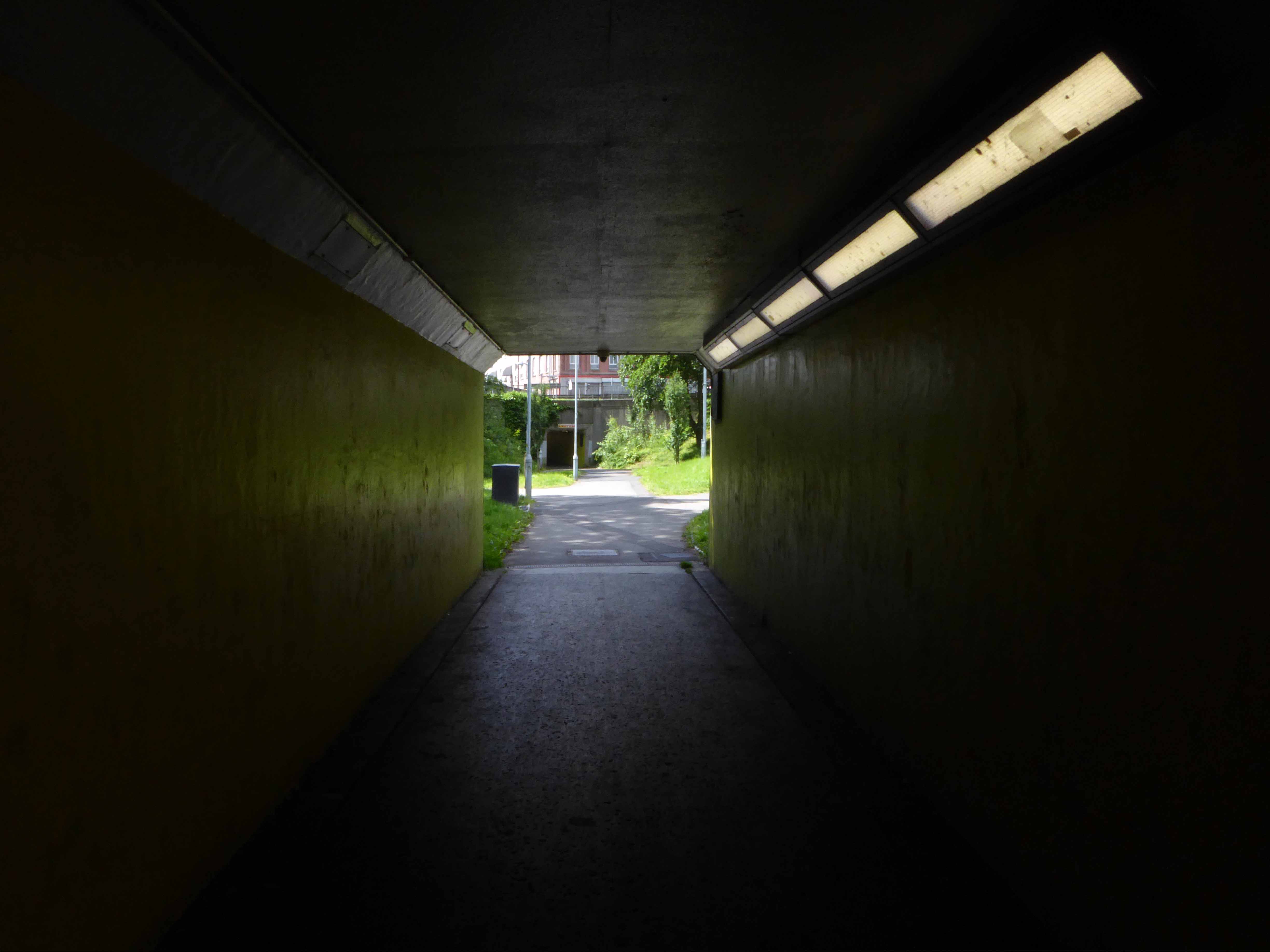
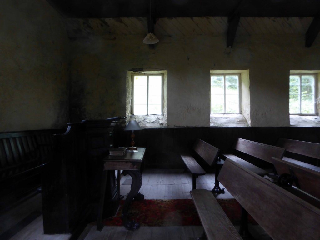
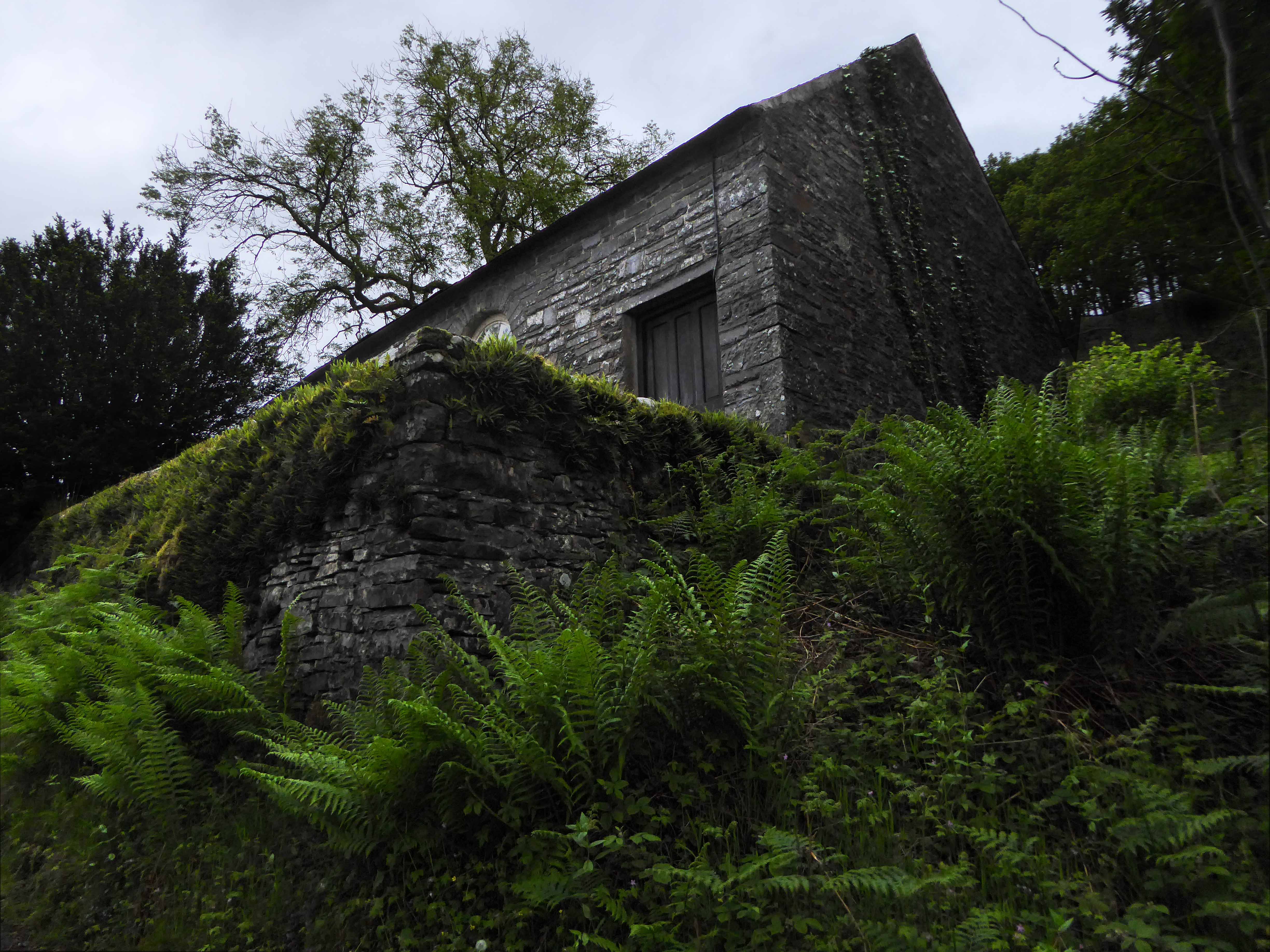
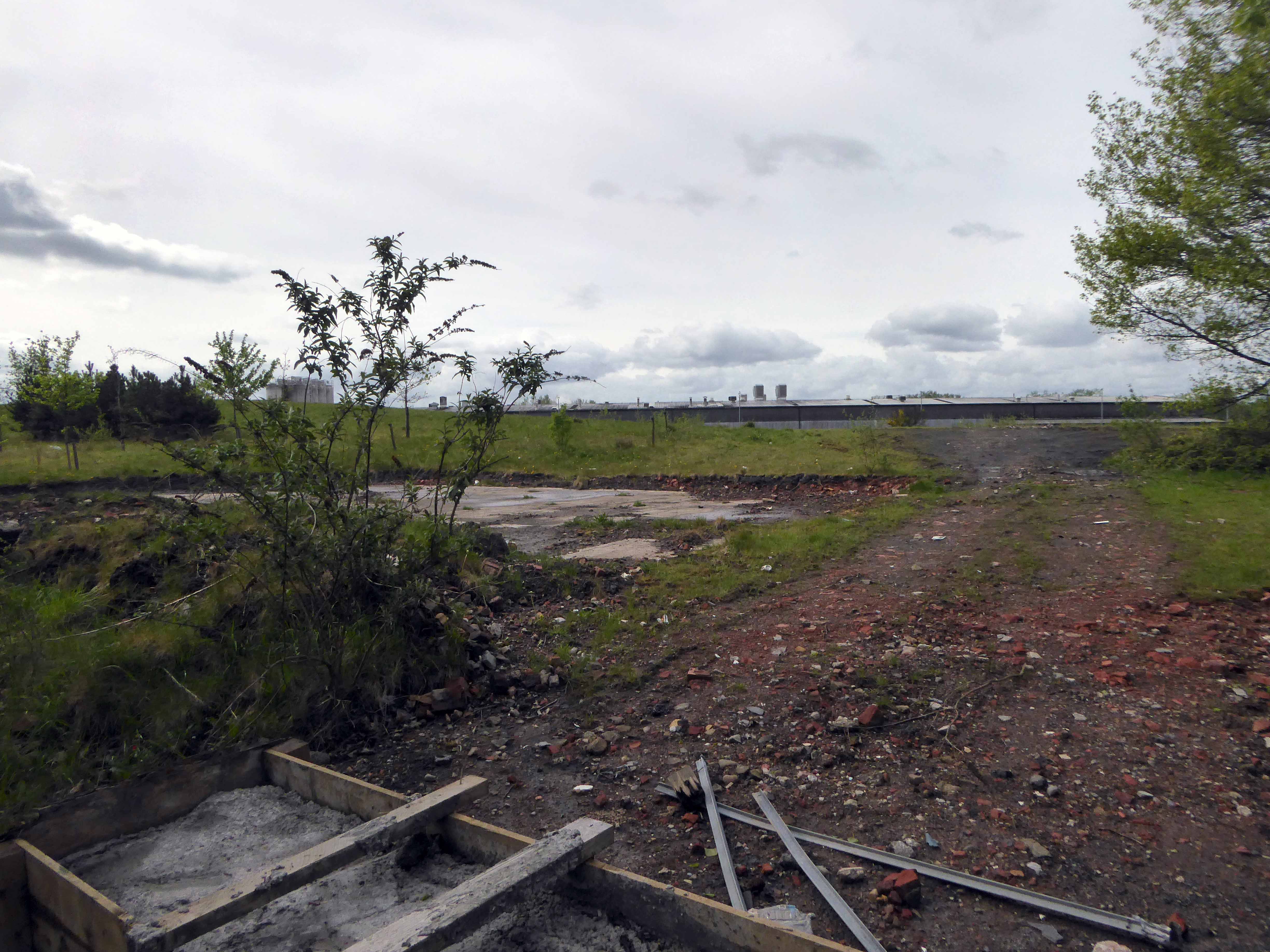
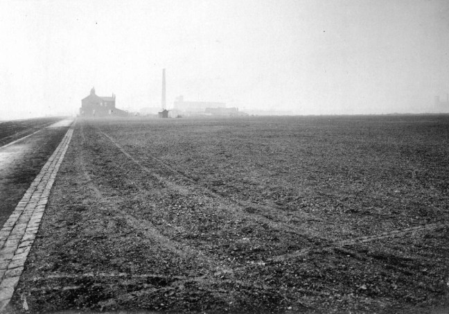
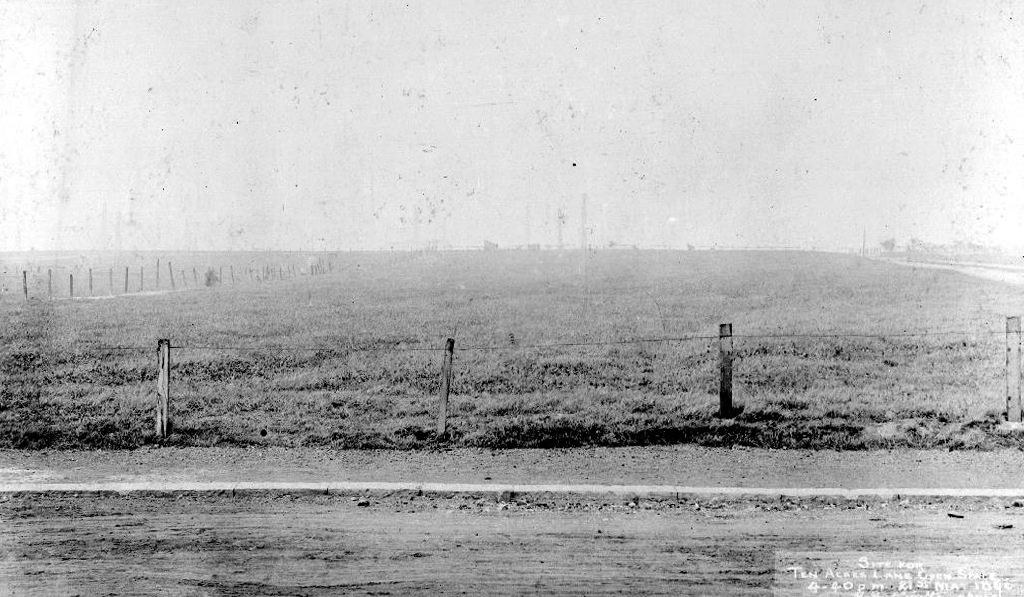
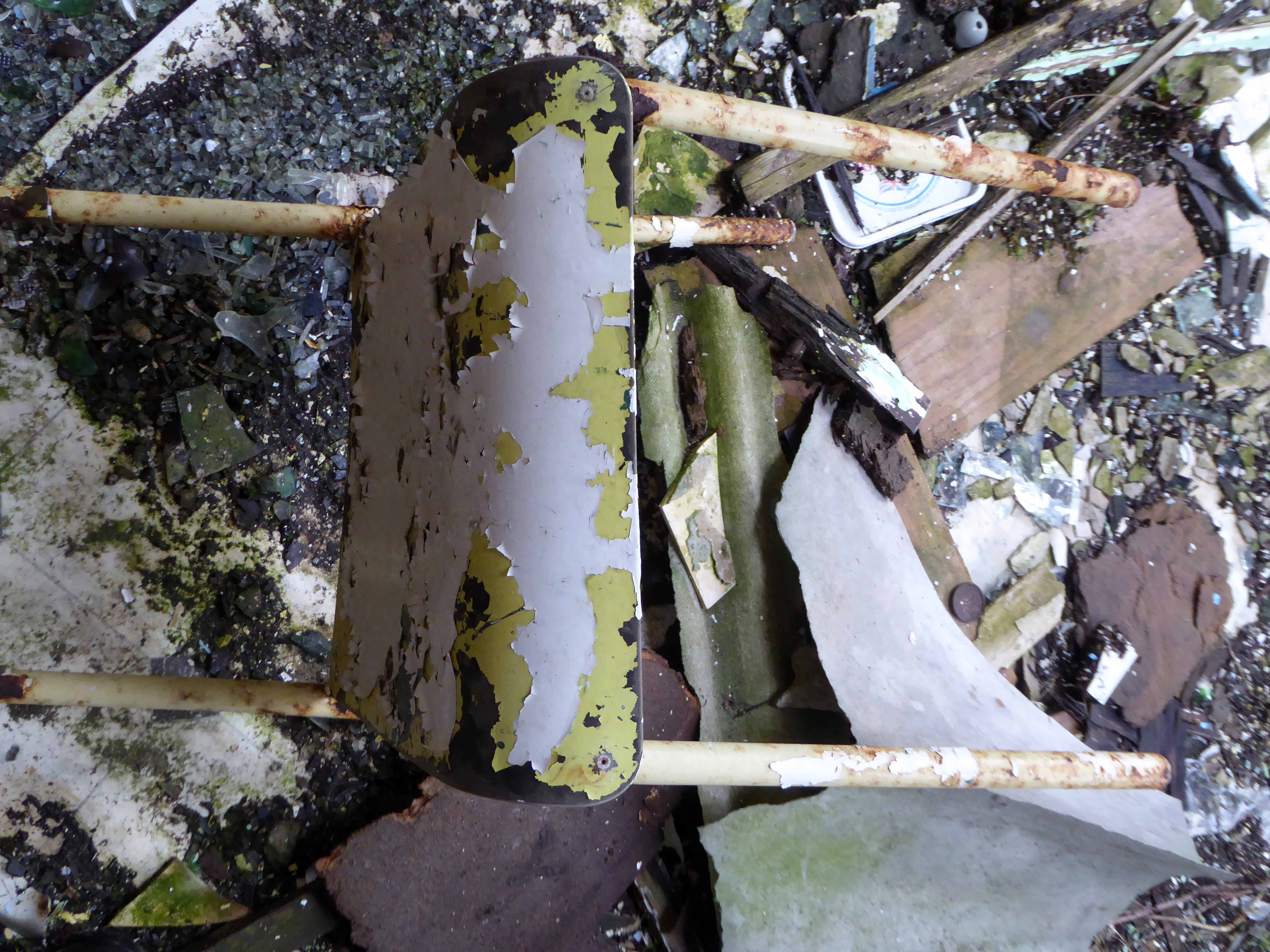
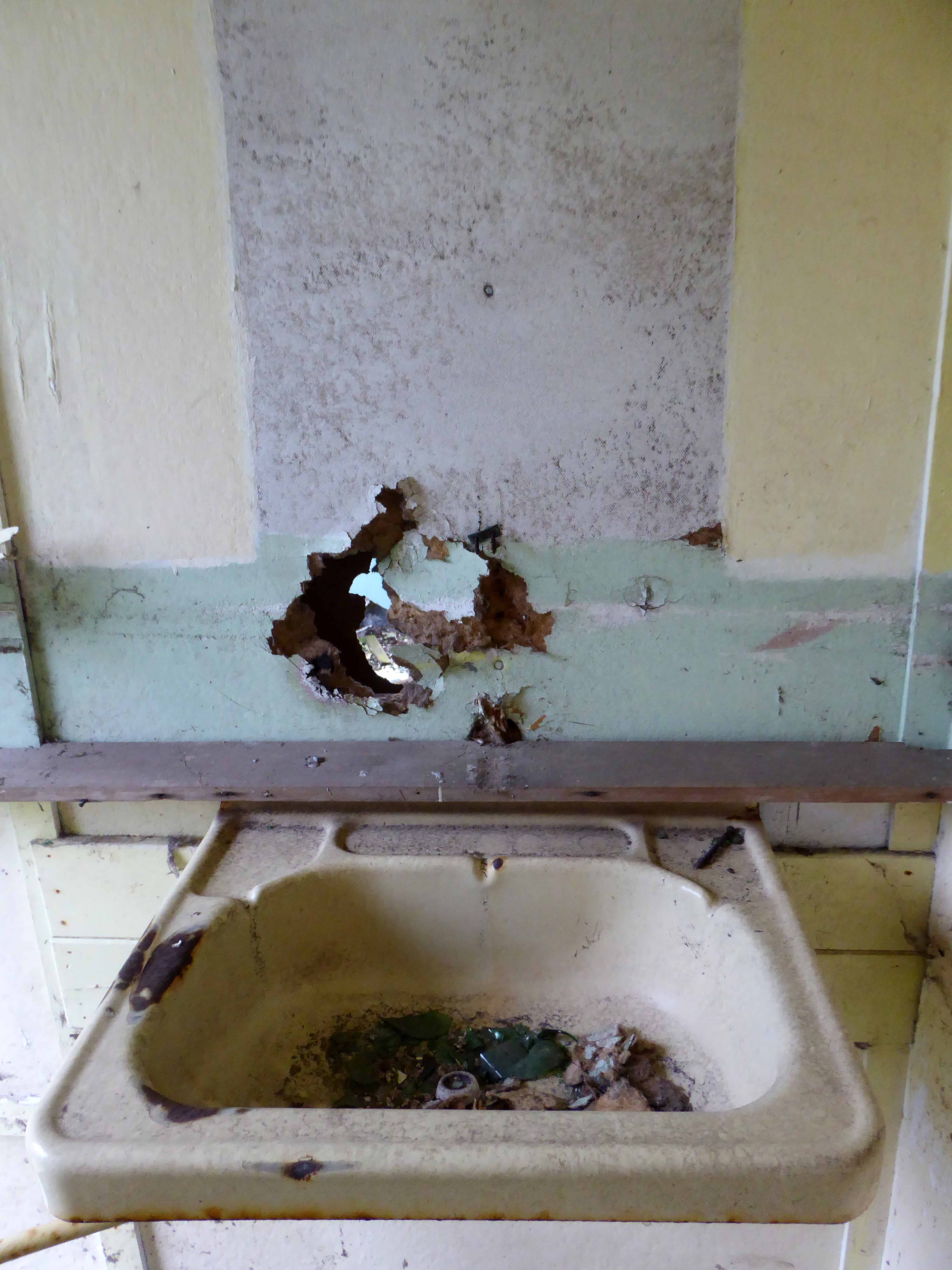
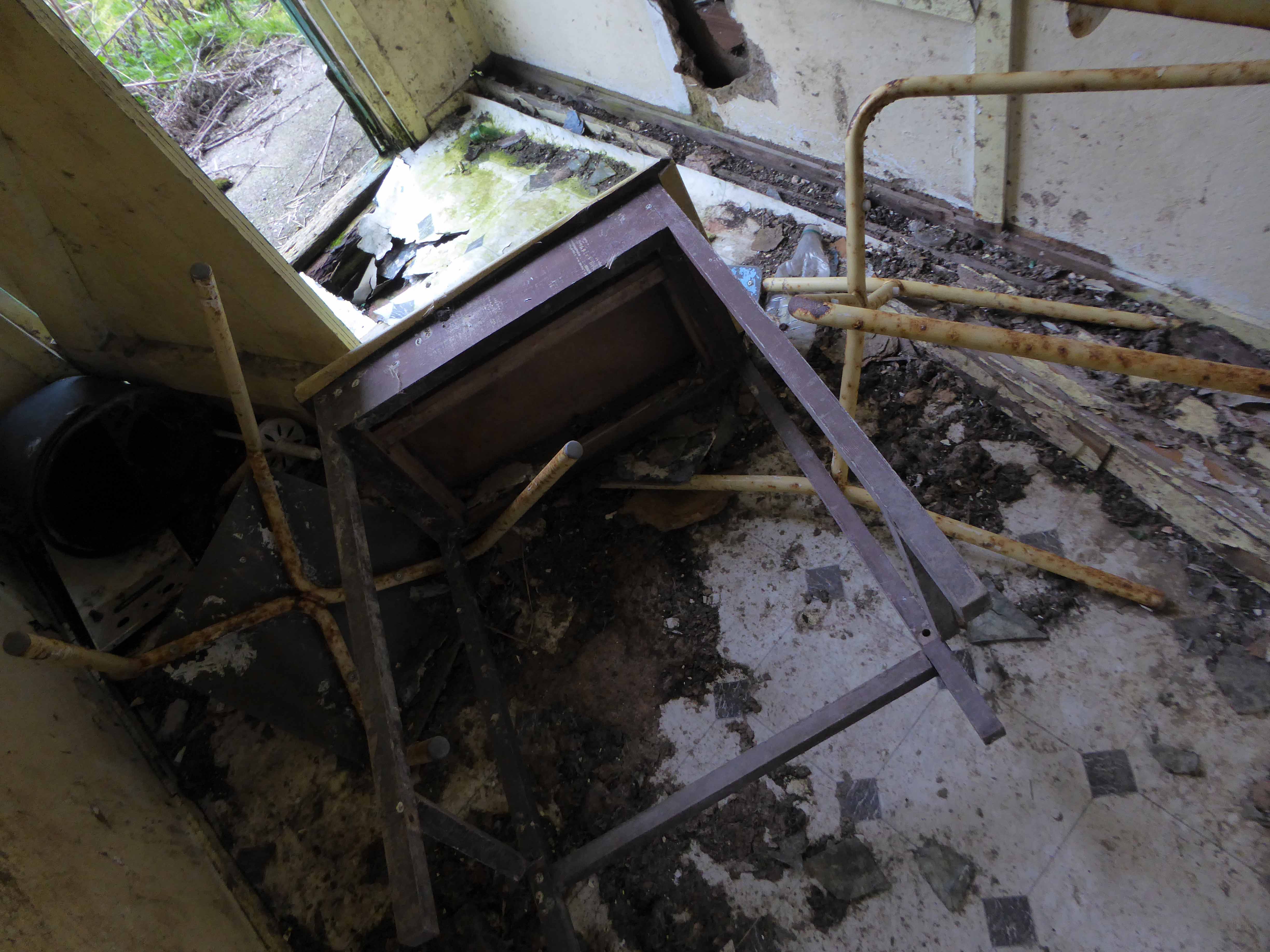
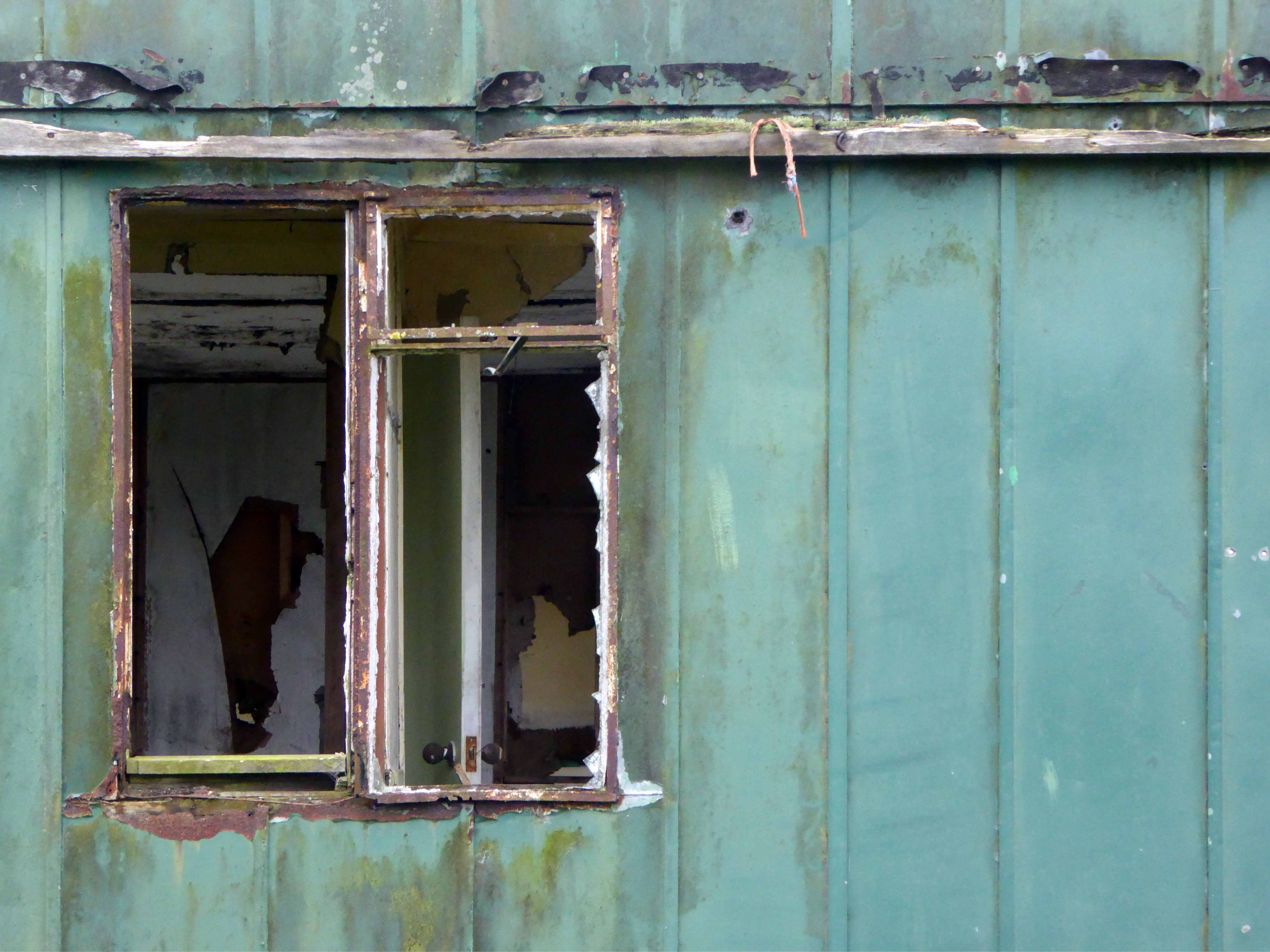
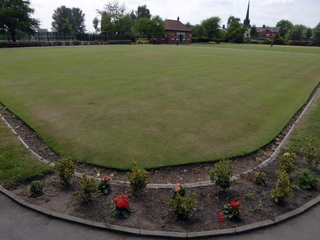
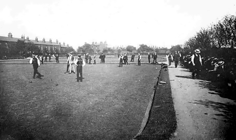
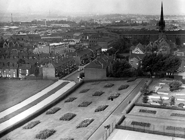
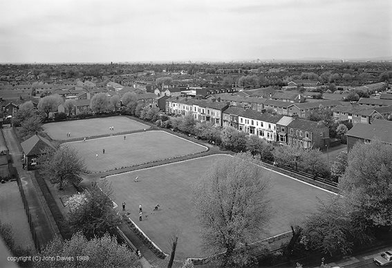
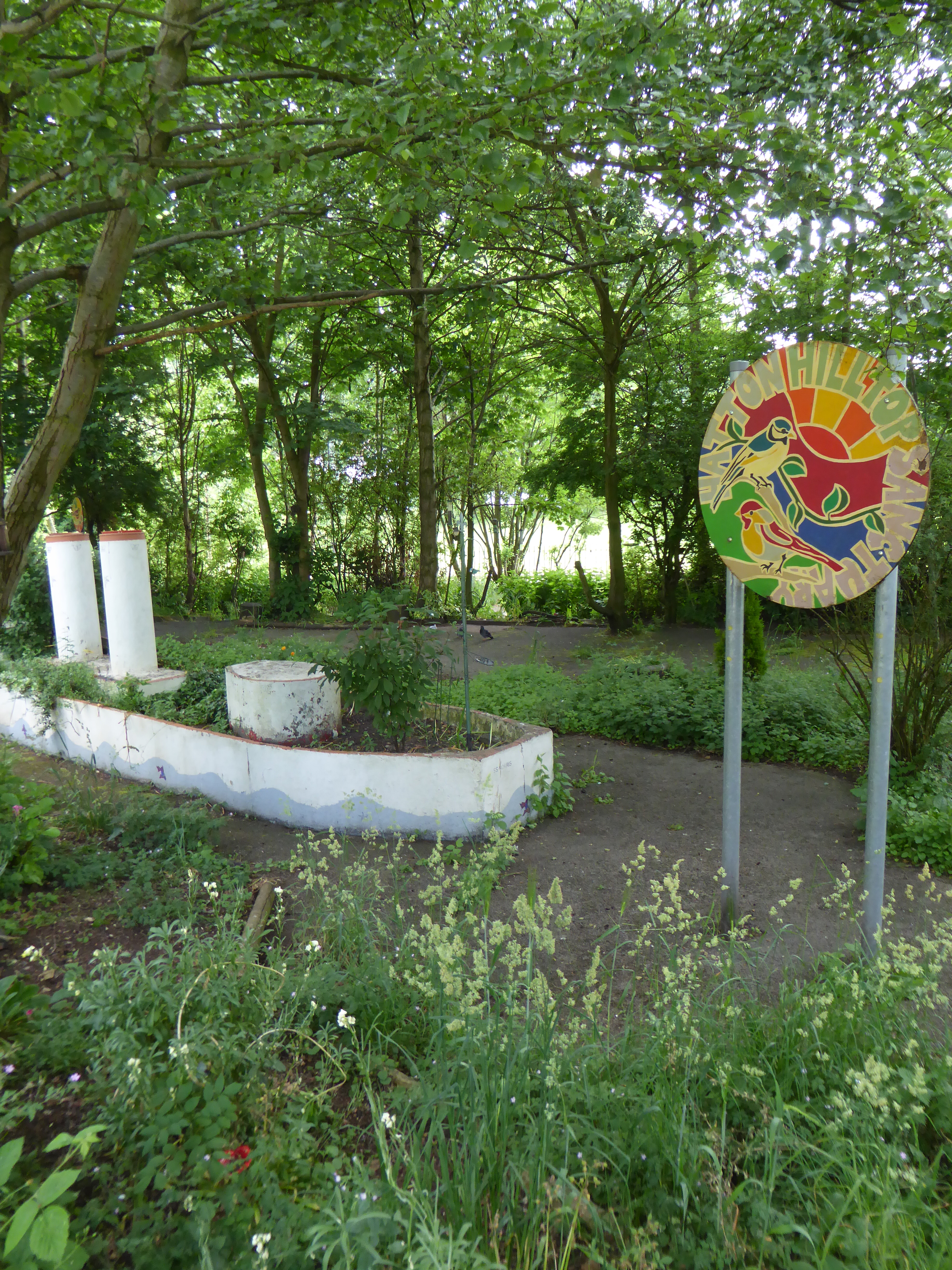
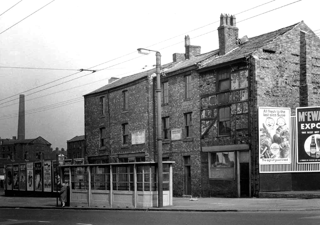
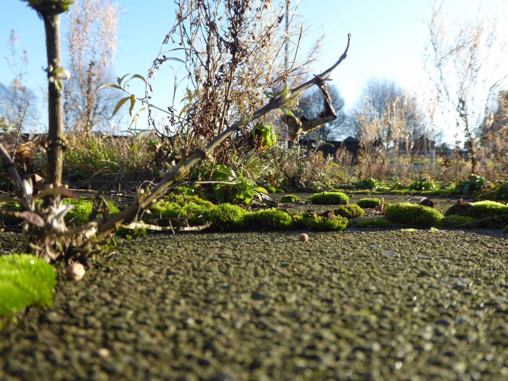
Where once productive and fulfilling lives were lived, buddleia now blooms, whilst thin grass entwines around forlorn fencing and betwixt ever widening cracks in the uneven paving.
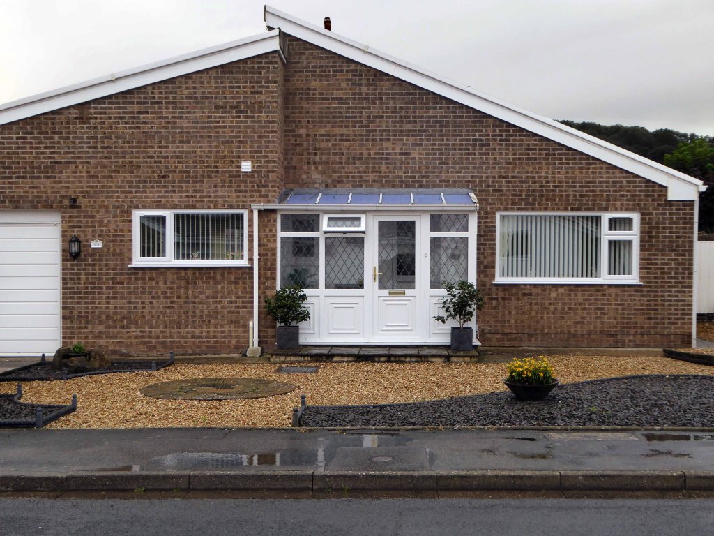
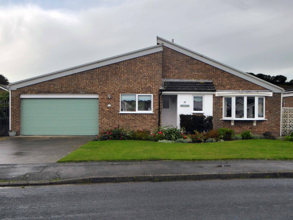
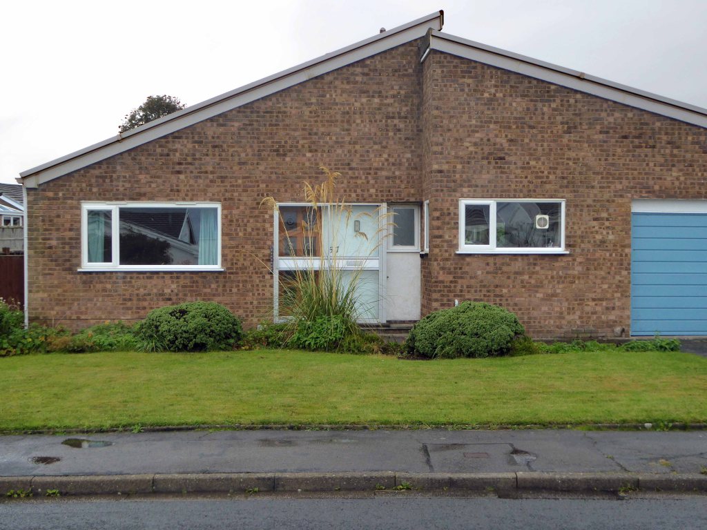
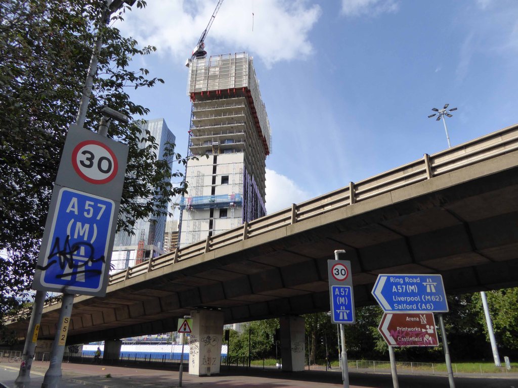
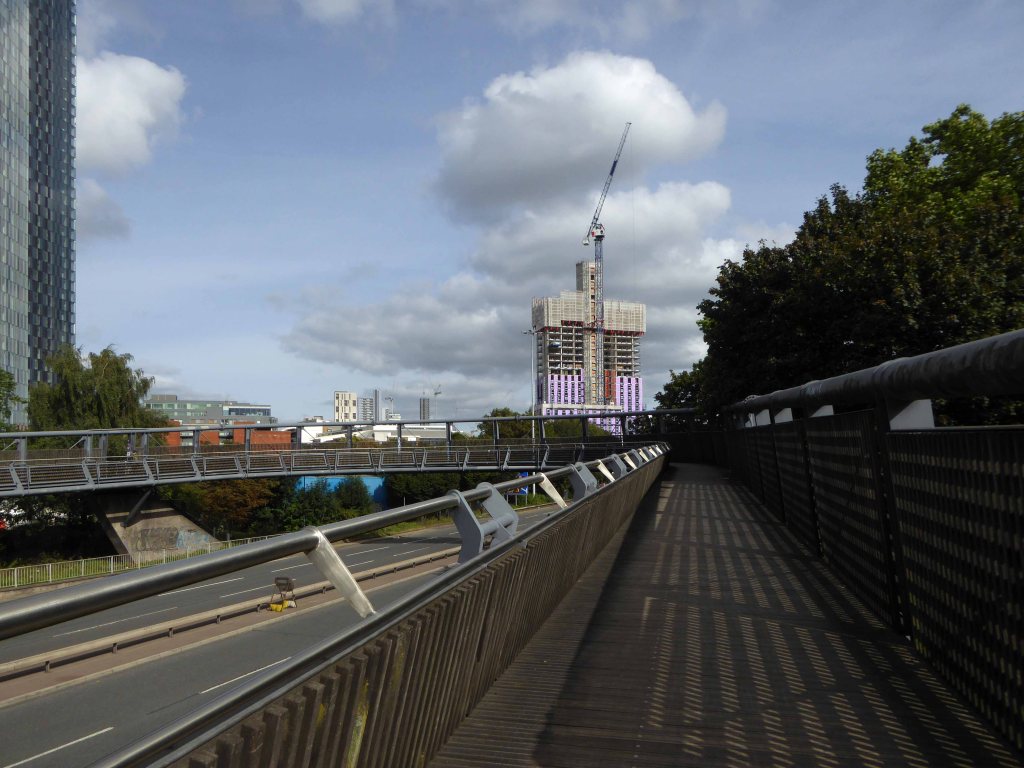
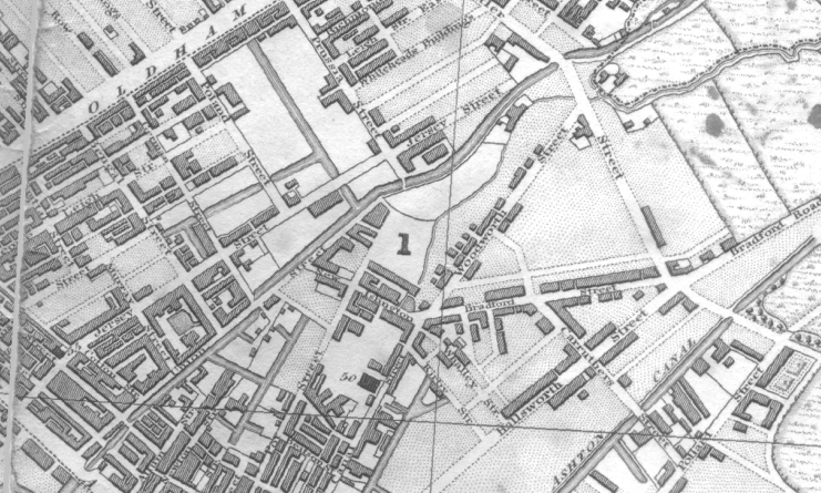
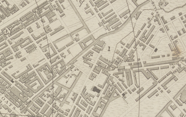
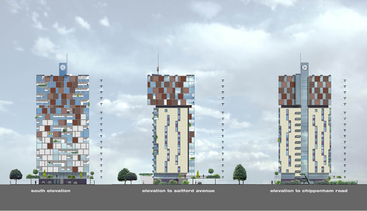
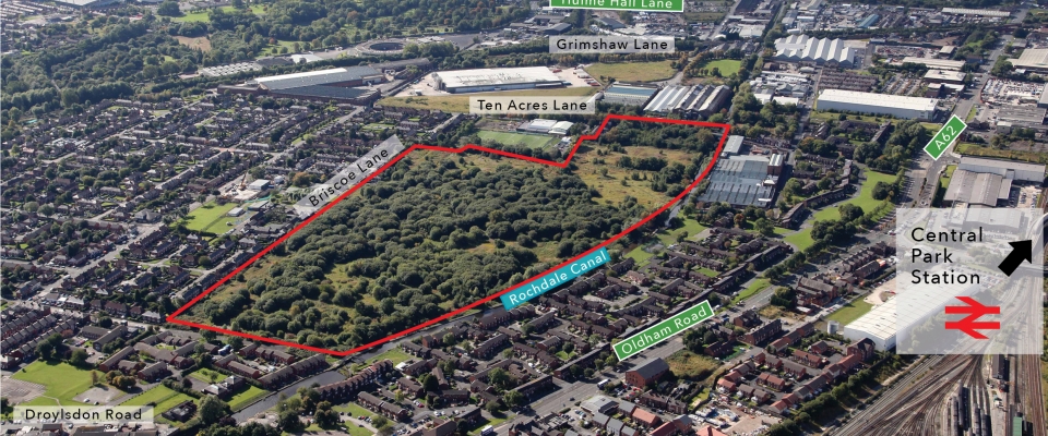
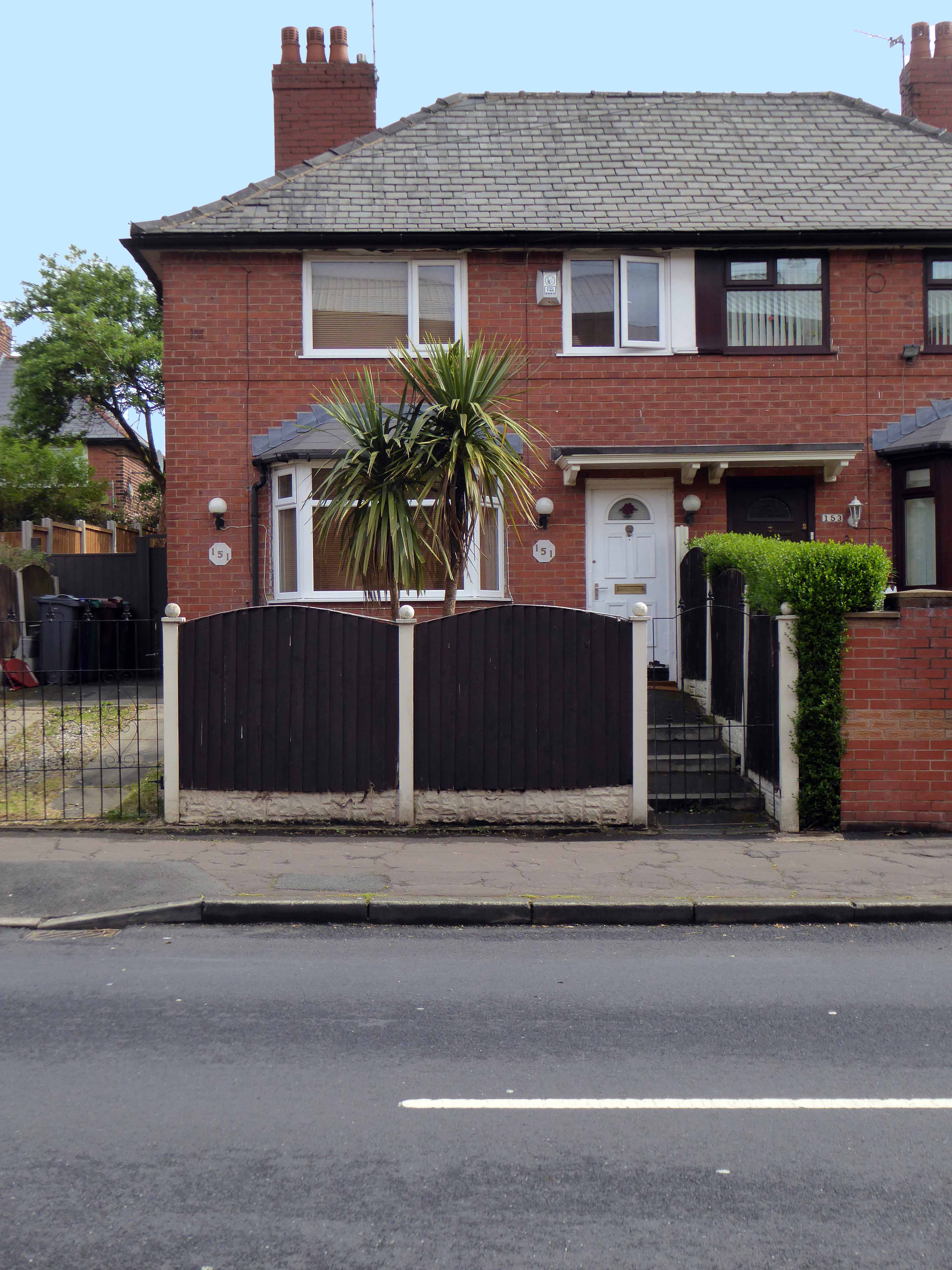
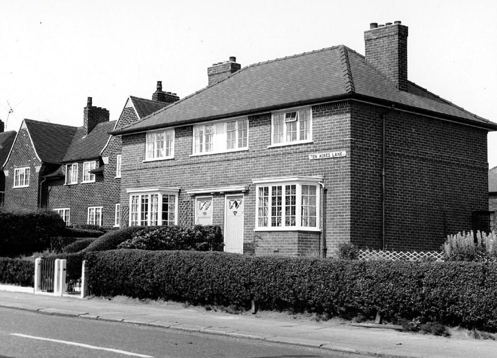
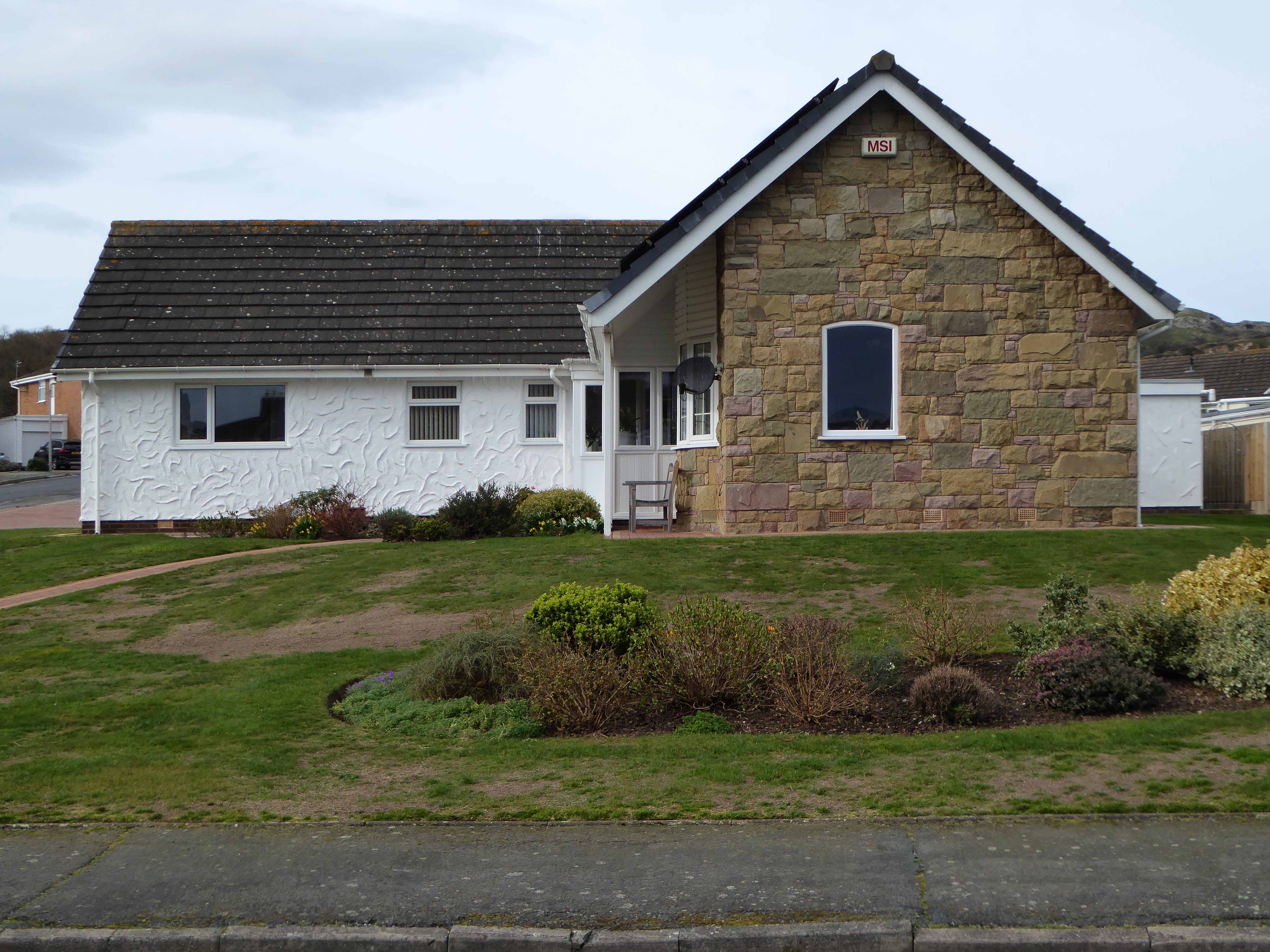
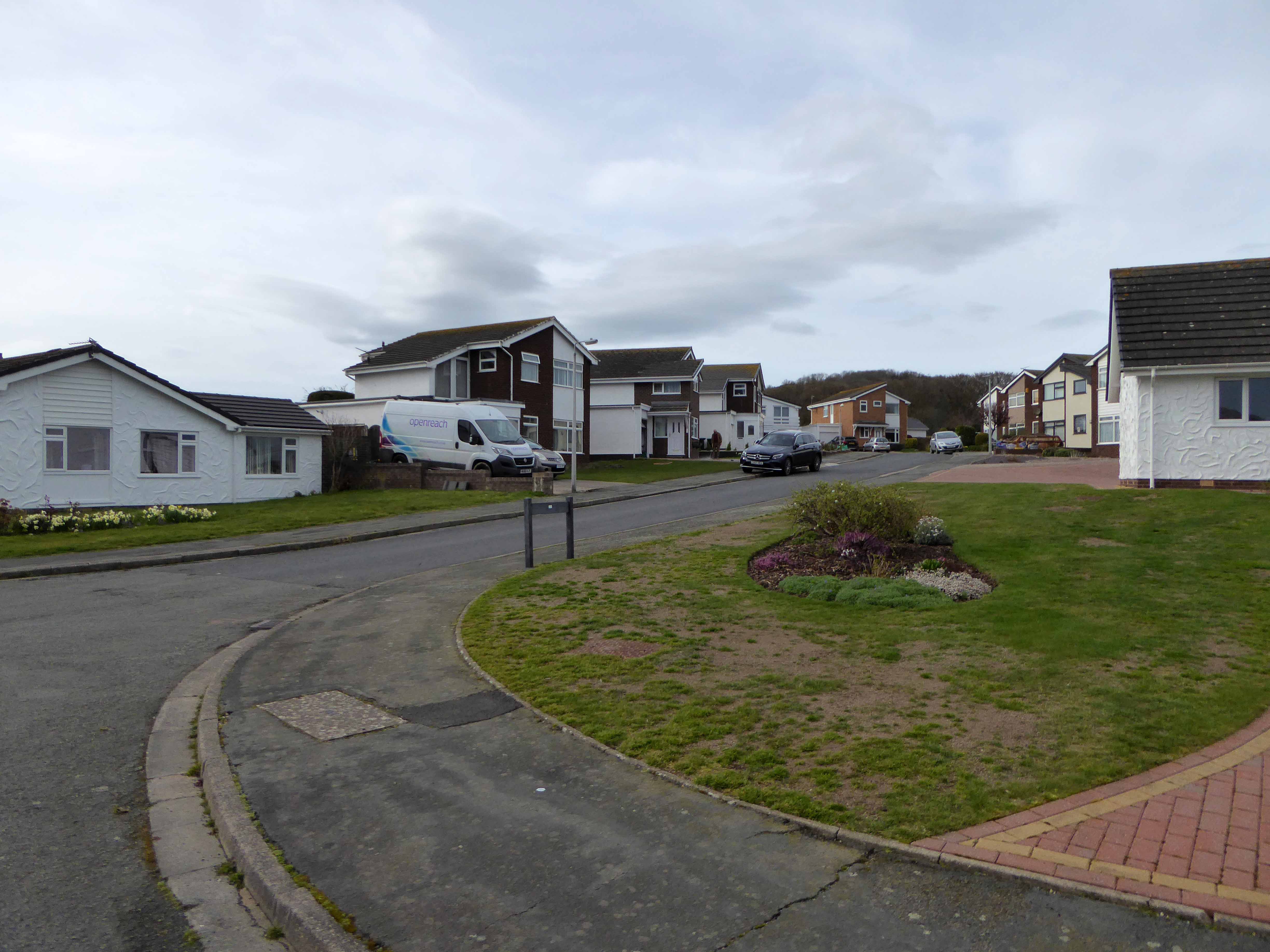
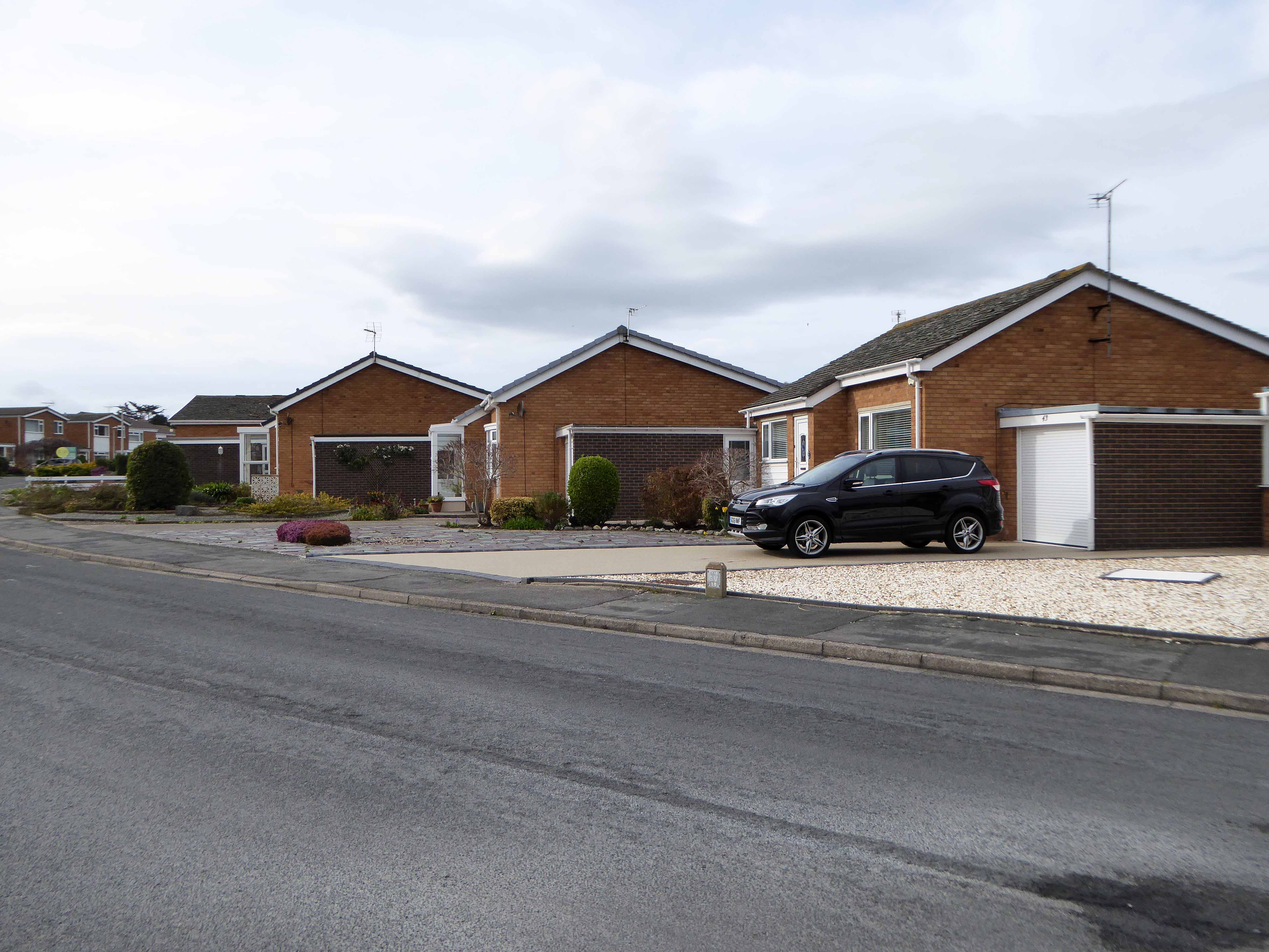
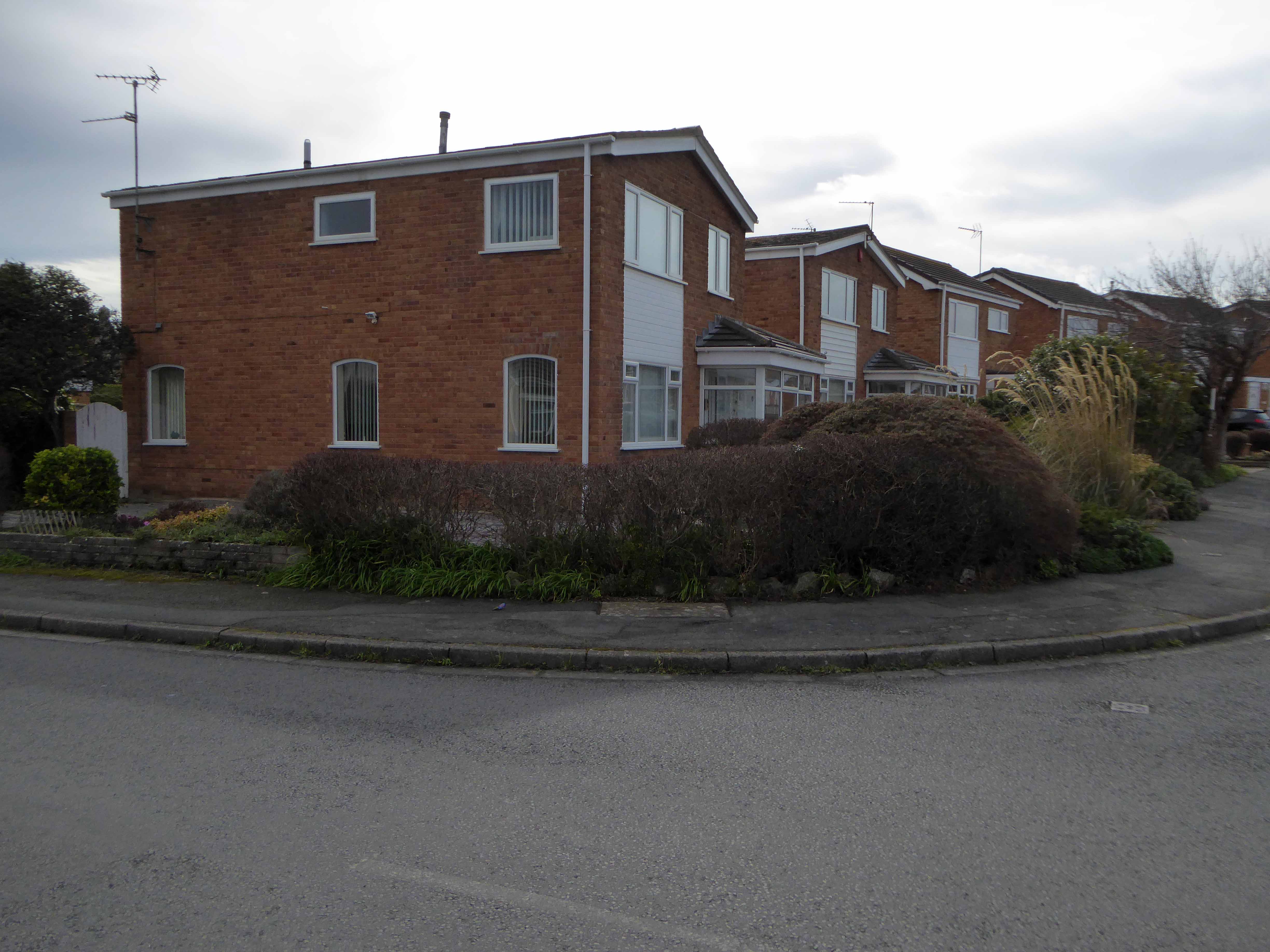
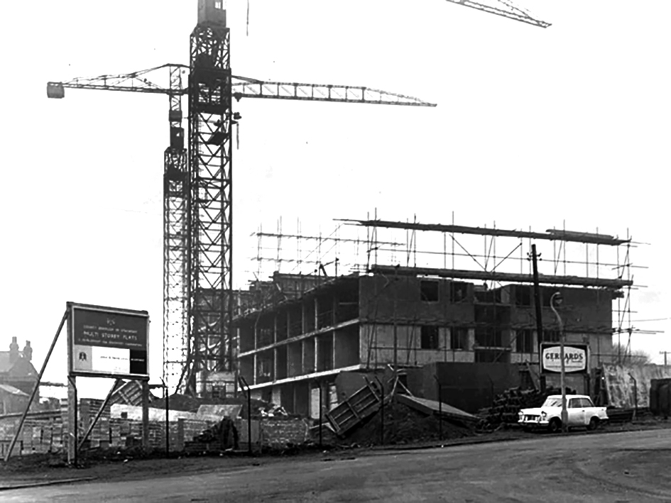
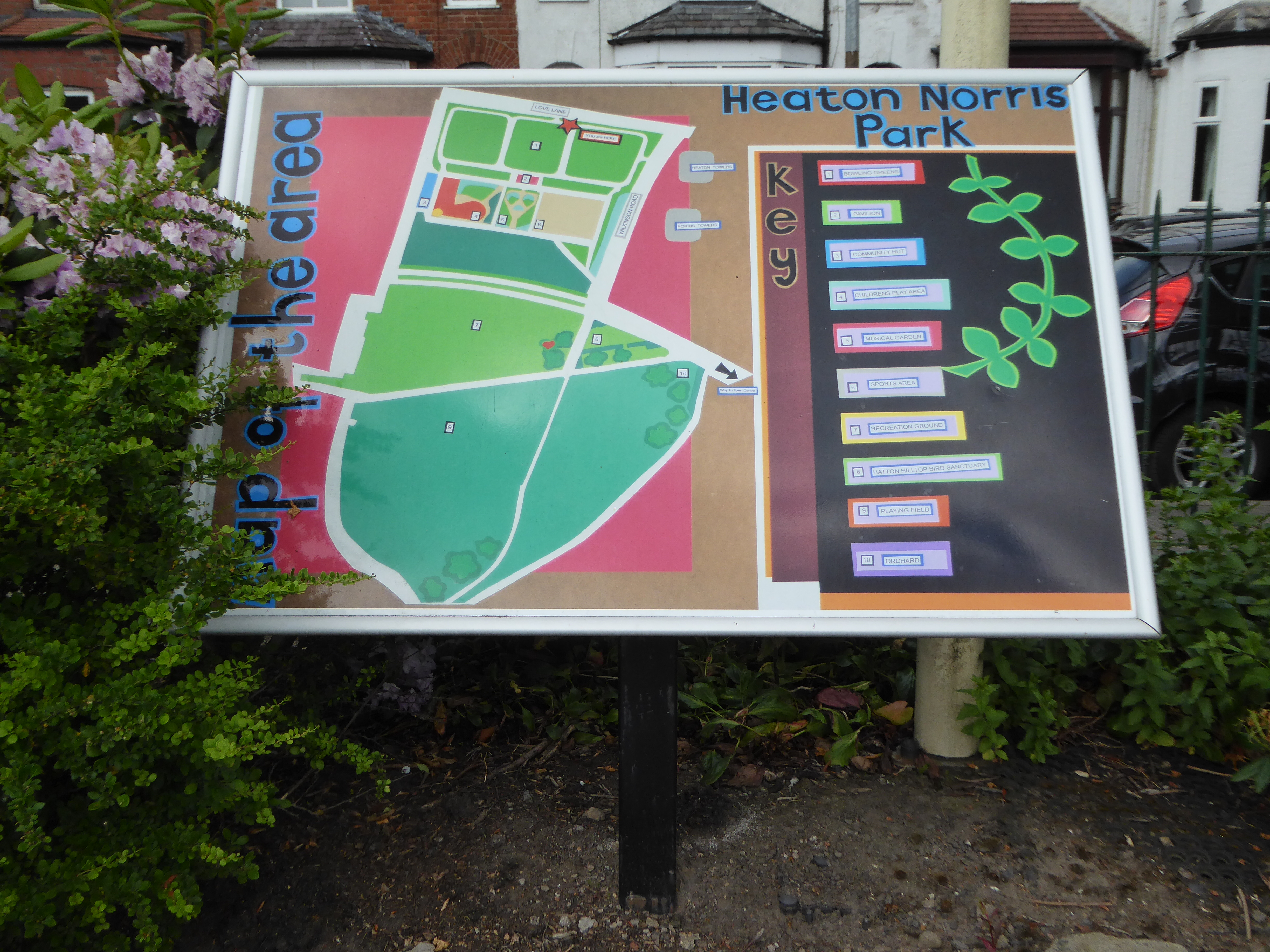
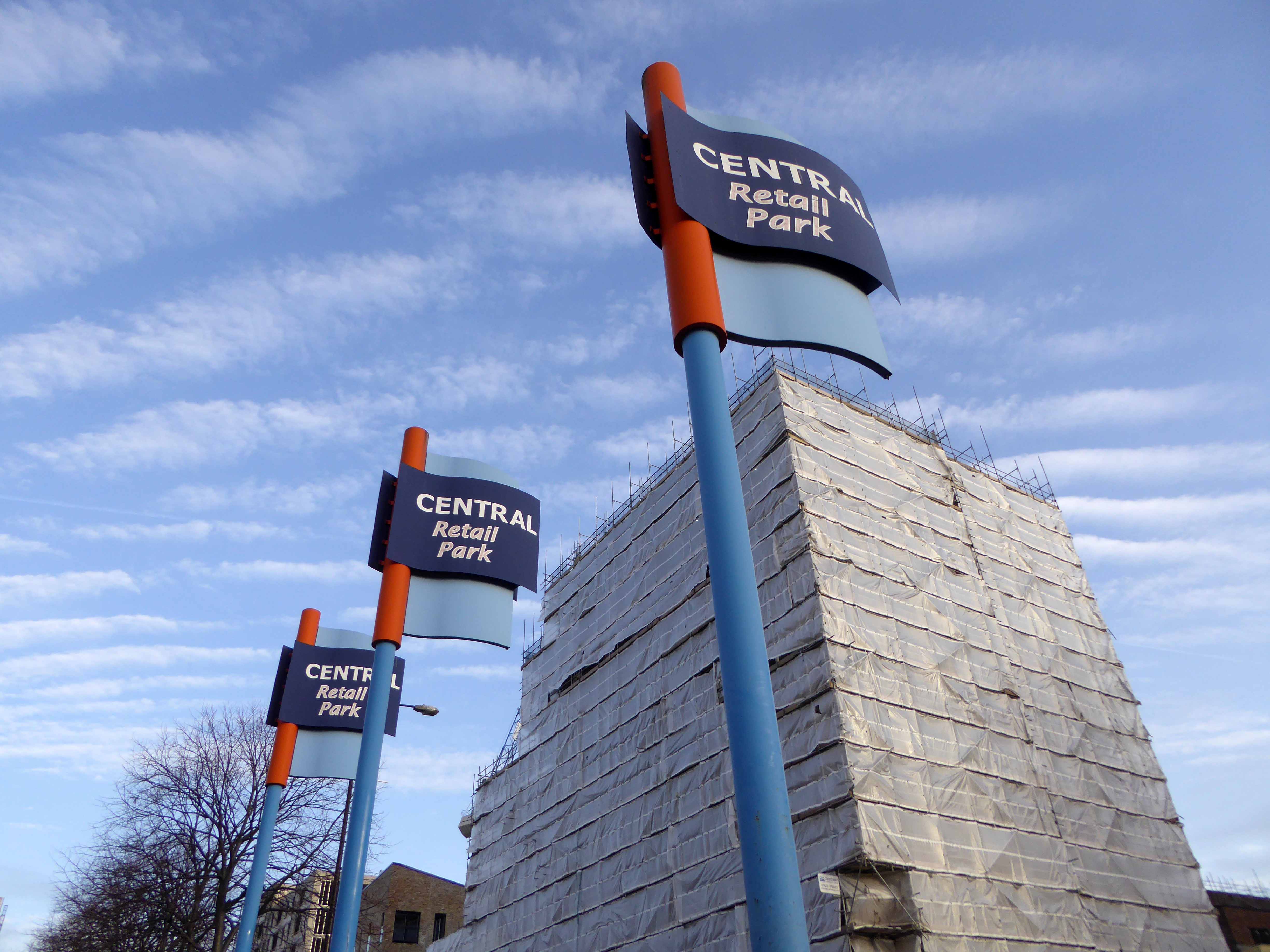
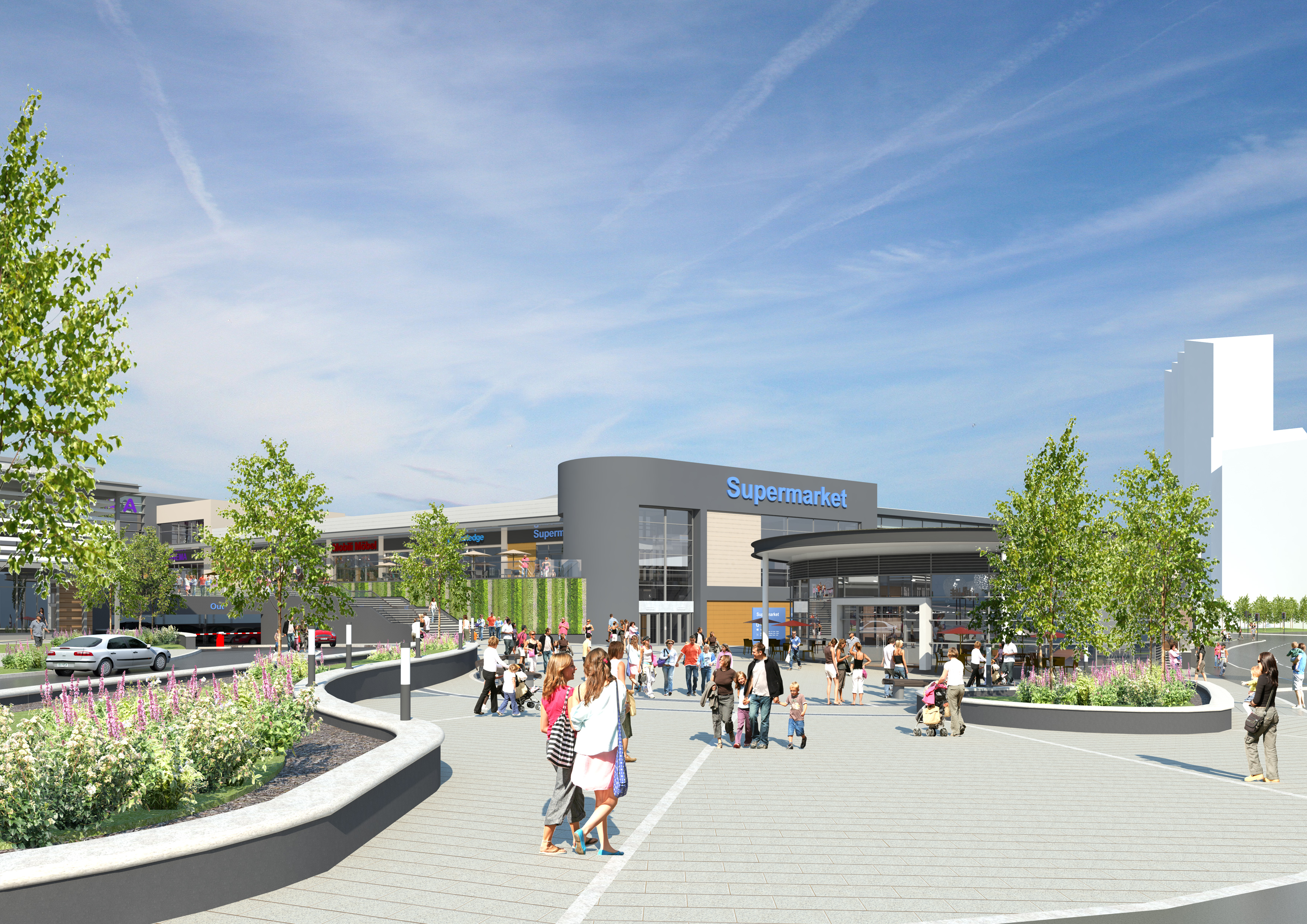
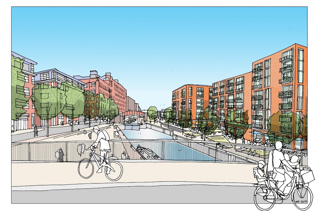
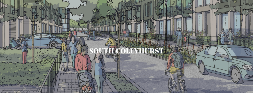
Development in South Collyhurst will take the form of residential-led, family-focused neighbourhoods. We’ll be providing a variety of housing types and tenures to encourage diversity, along with a mix of social and community infrastructure that supports a family lifestyle in close proximity to the city centre.
There are two ideas of government. There are those who believe that if you just legislate to make the well-to-do prosperous, that their prosperity will leak through on those below. The Democratic idea has been that if you legislate to make the masses prosperous their prosperity will find its way up and through every class that rests upon it.
William Jennings Bryan 1896
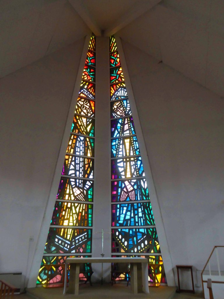
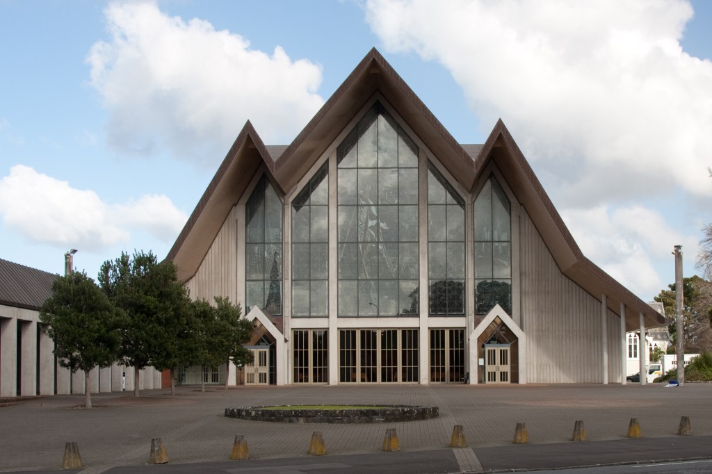
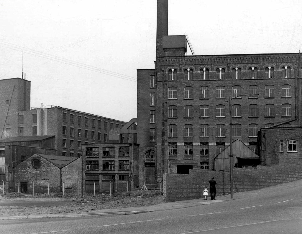
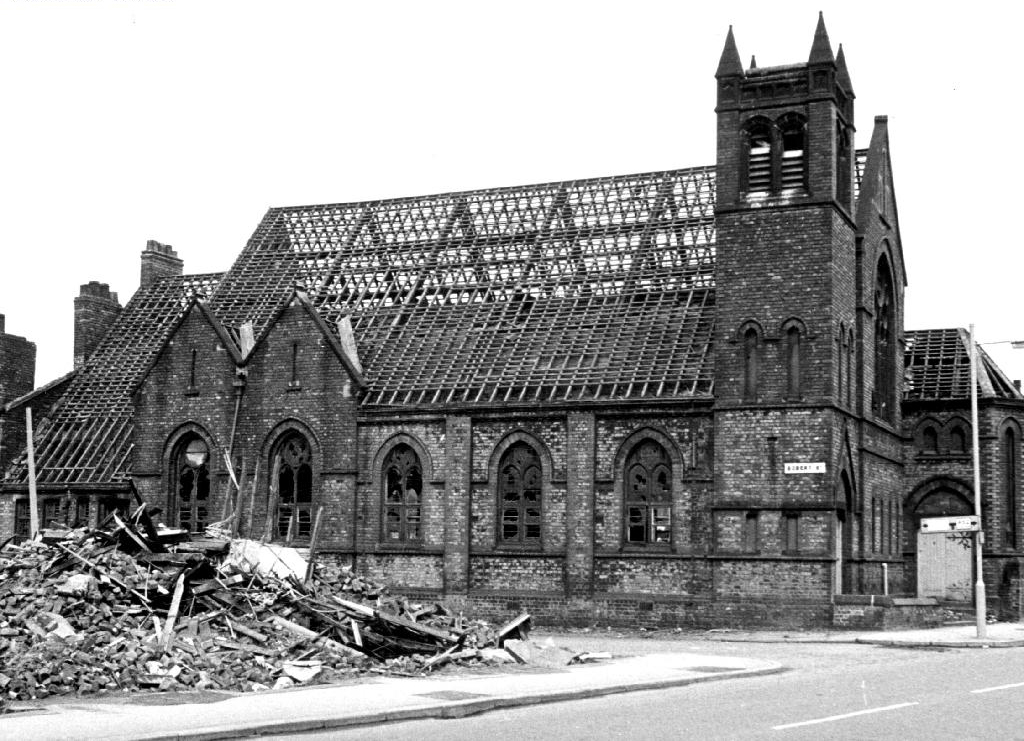
Indeed, You have turned the city into a heap of rubble, a fortified town into ruins; the fortress of strangers is a city no more; it will never be rebuilt.
Isiah 25:2

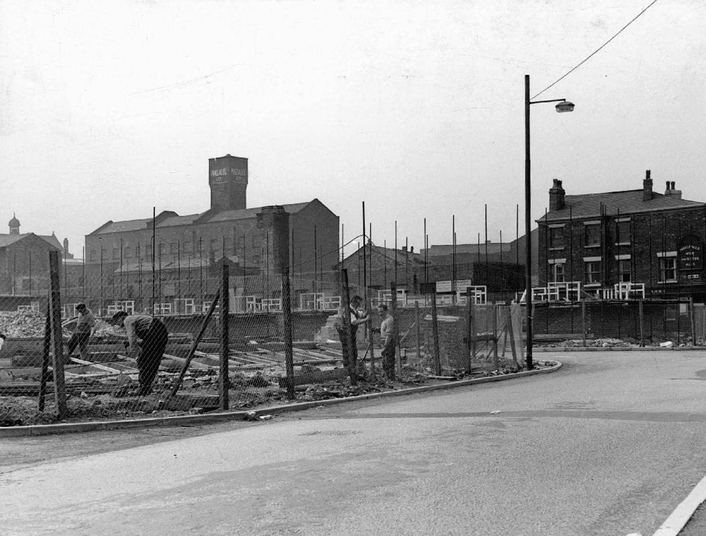
And they that shall be of thee shall build the old waste places: thou shalt raise up the foundations of many generations; and thou shalt be called, the repairer of the breach, the restorer of paths to dwell in.
Isiah 58:12
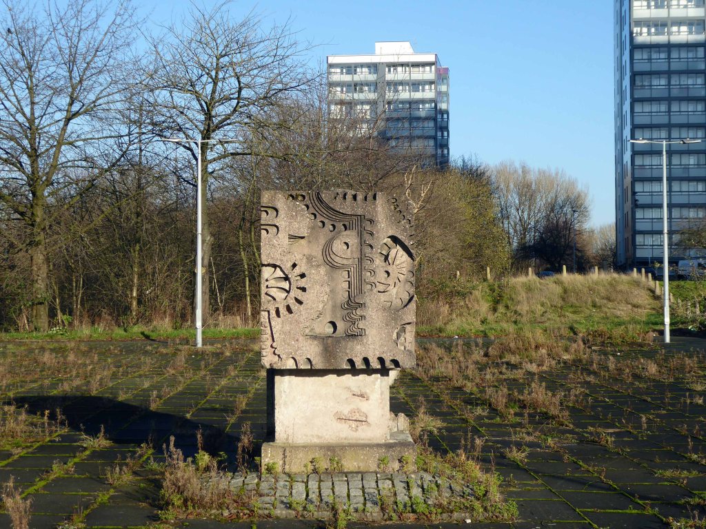
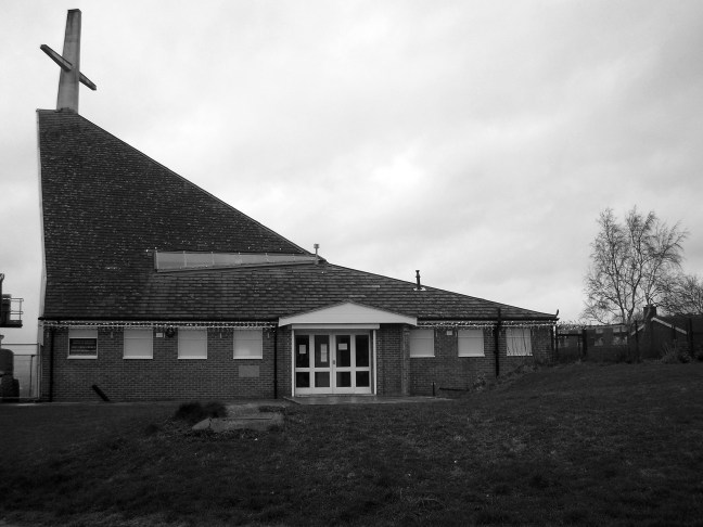
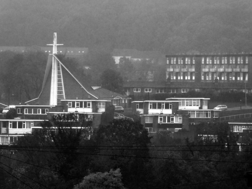
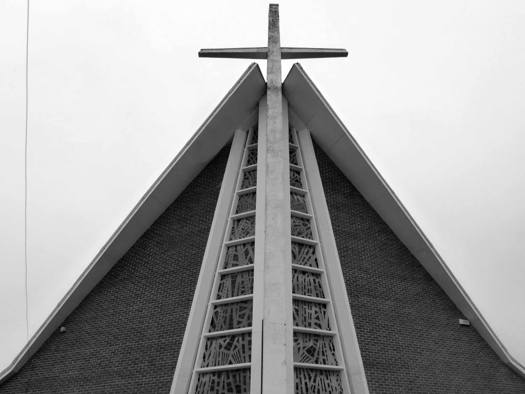
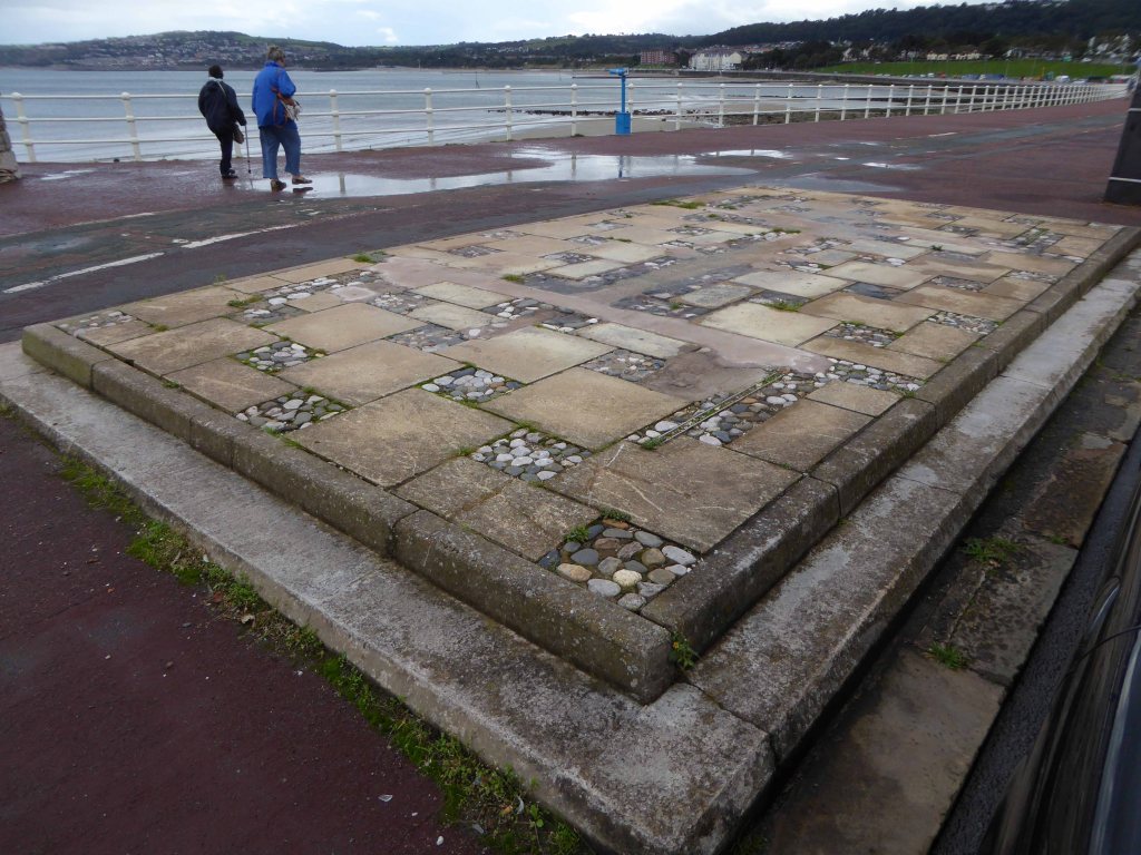
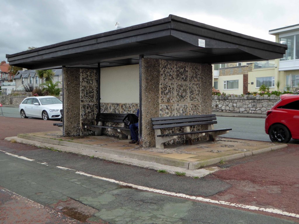
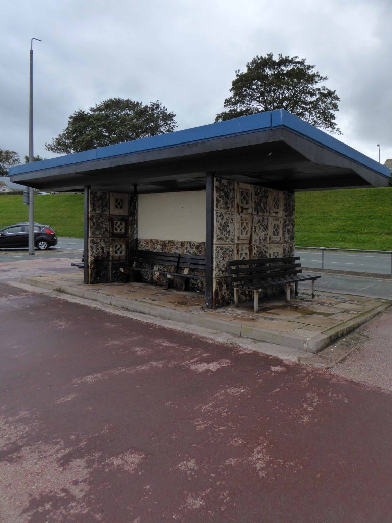
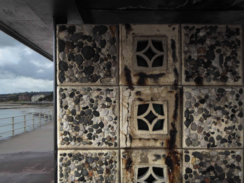
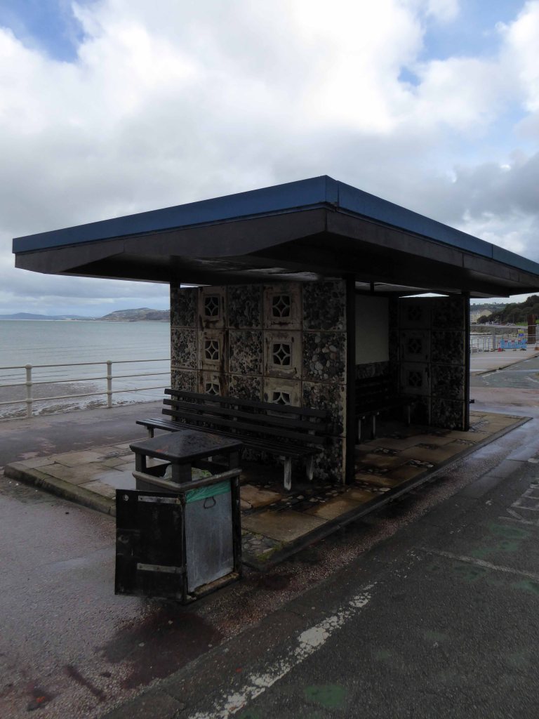
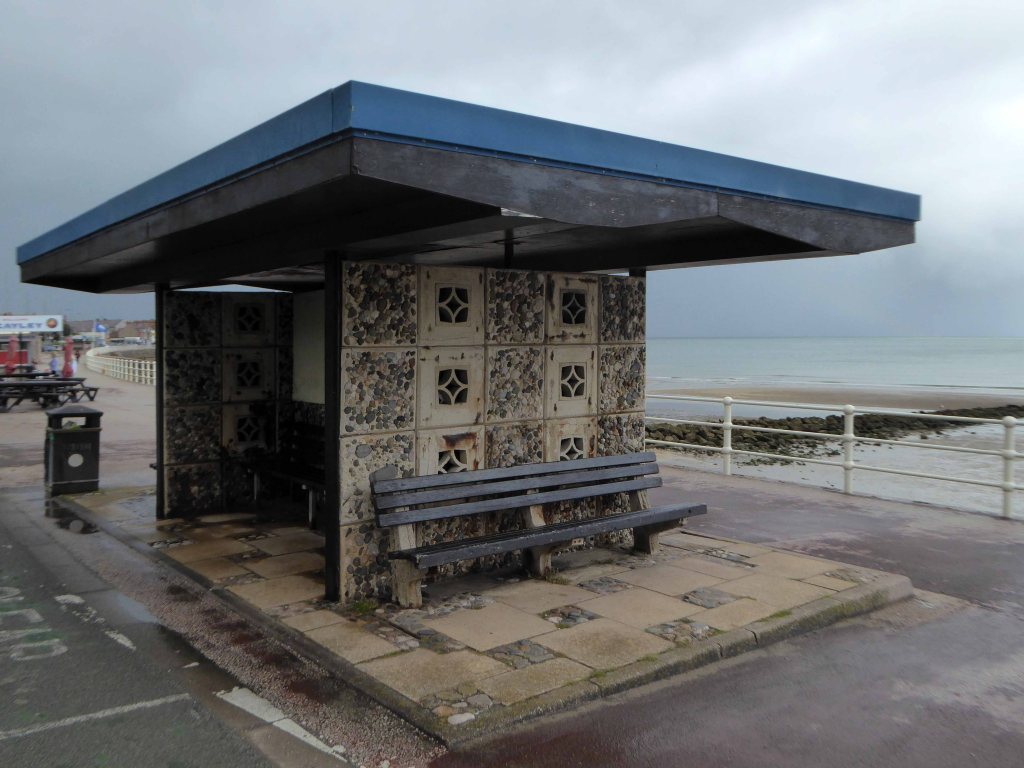
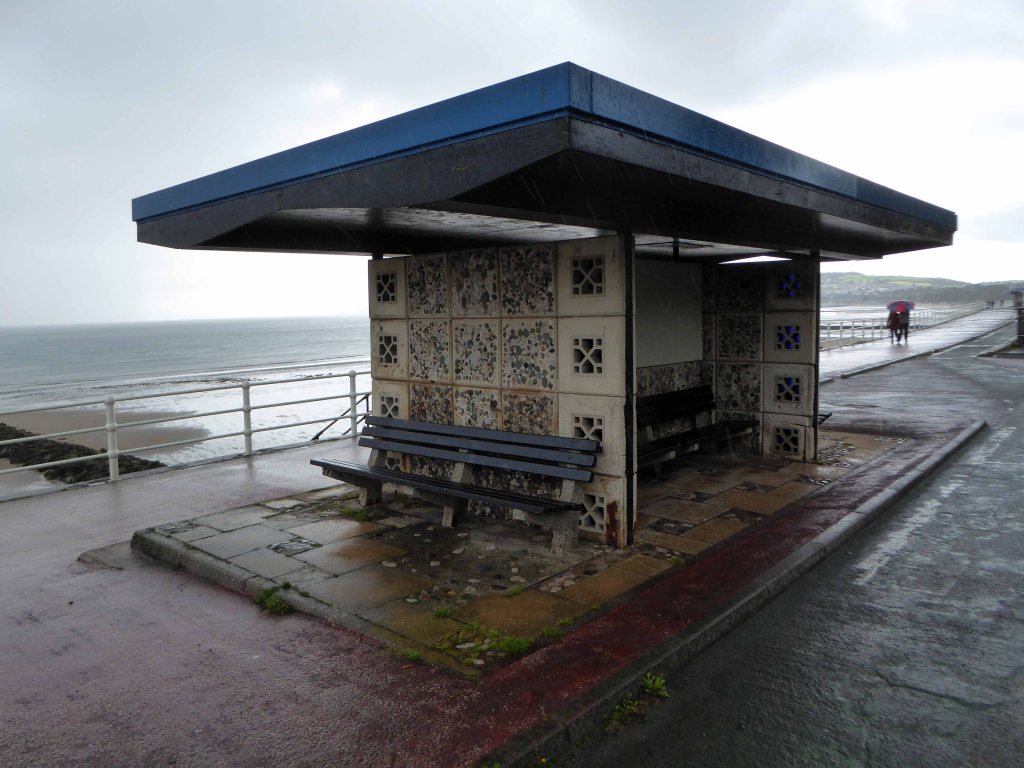
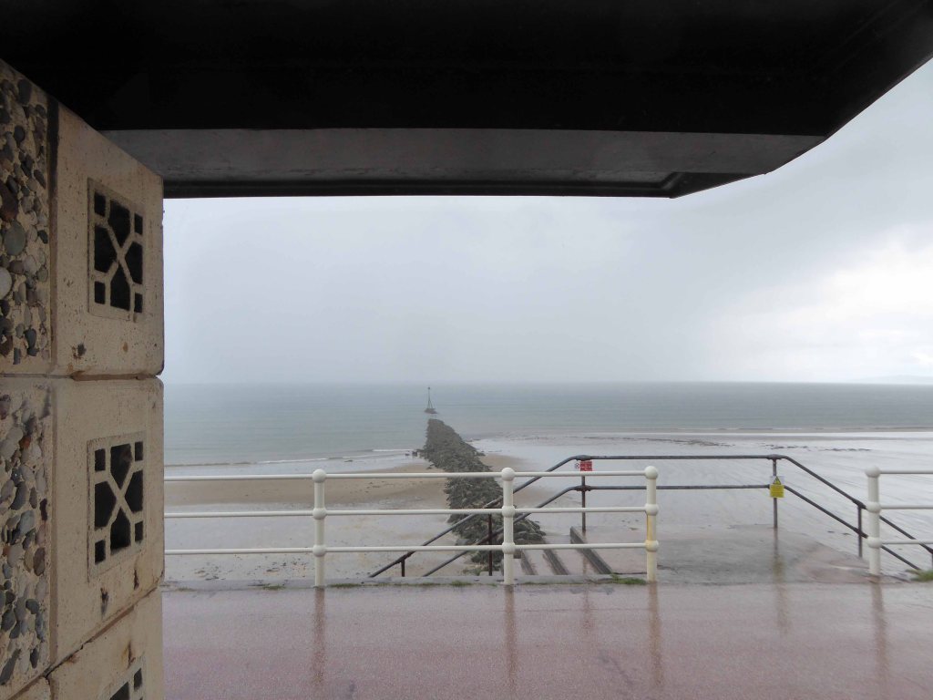
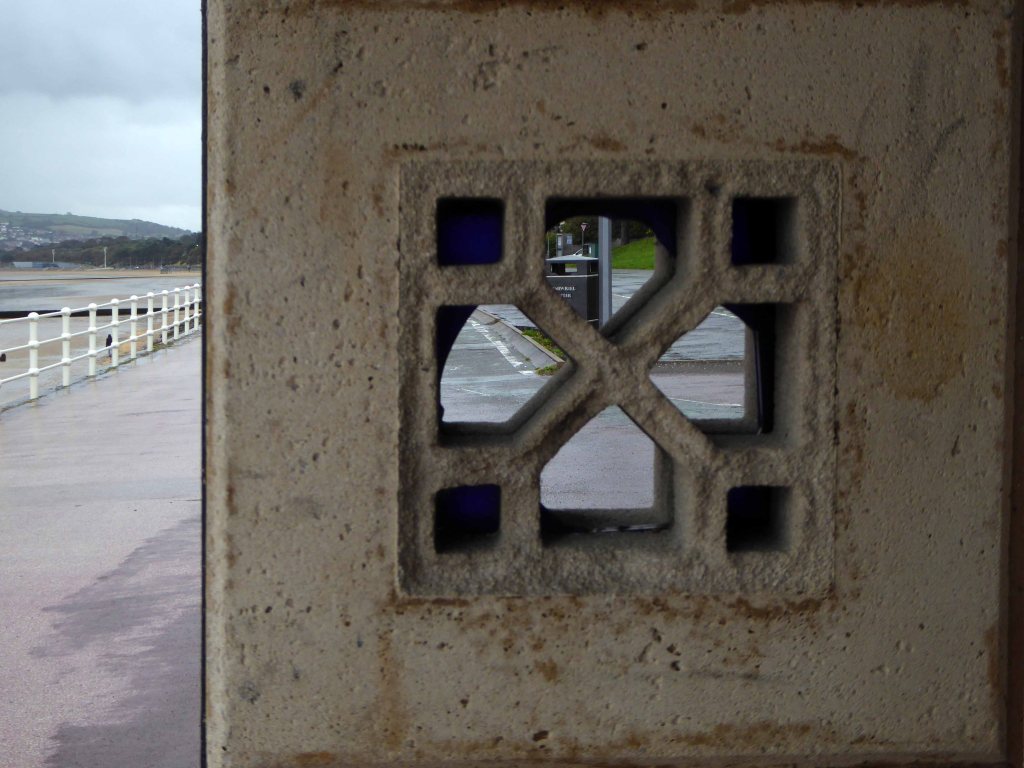
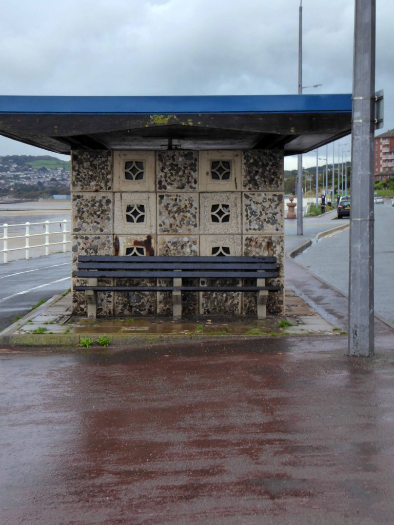
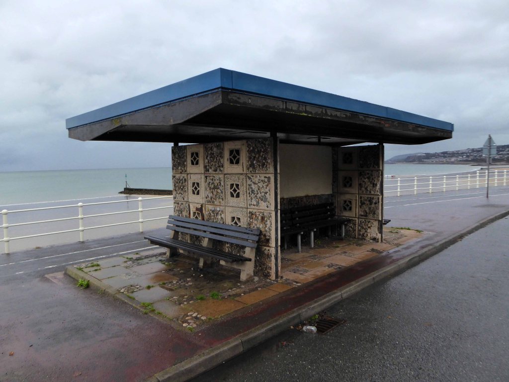
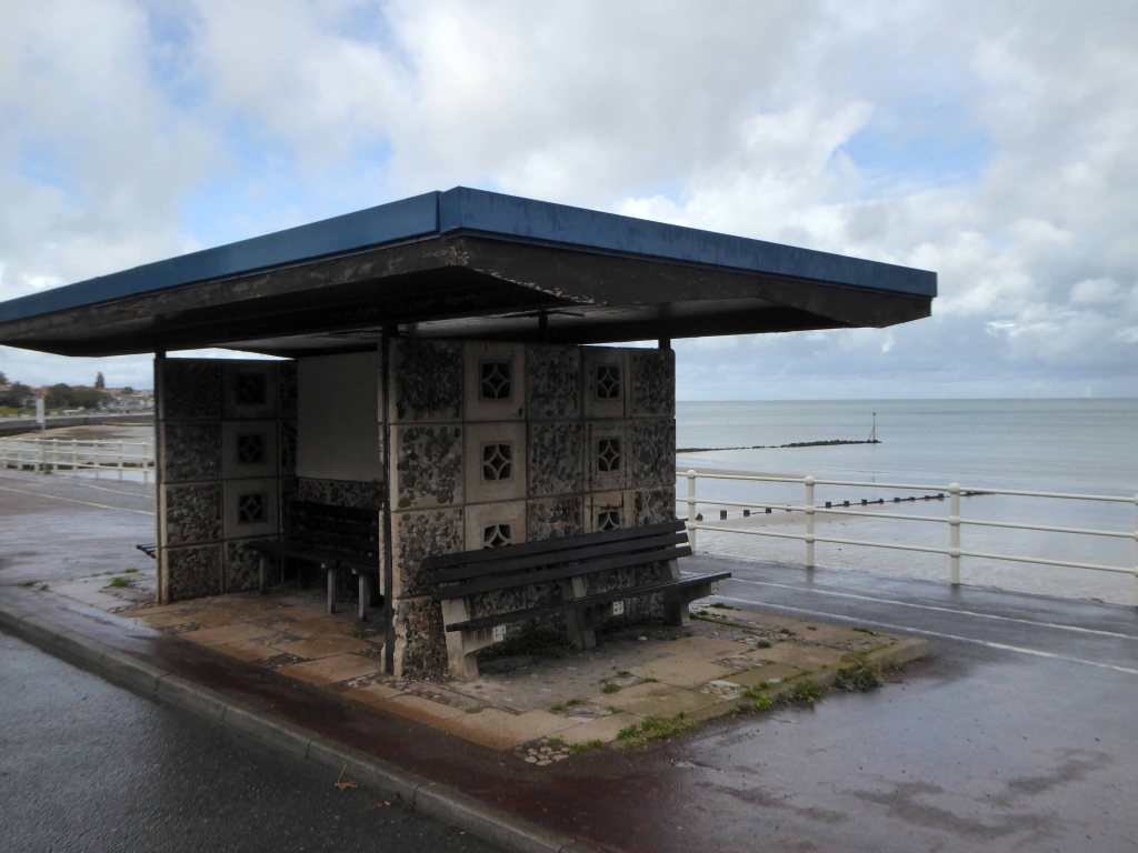
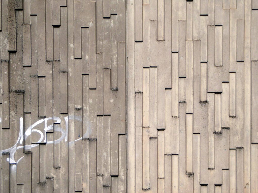
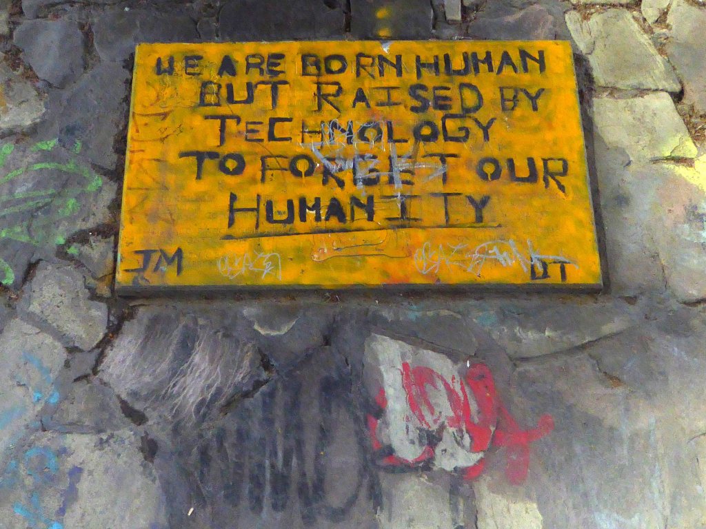
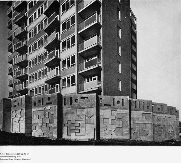
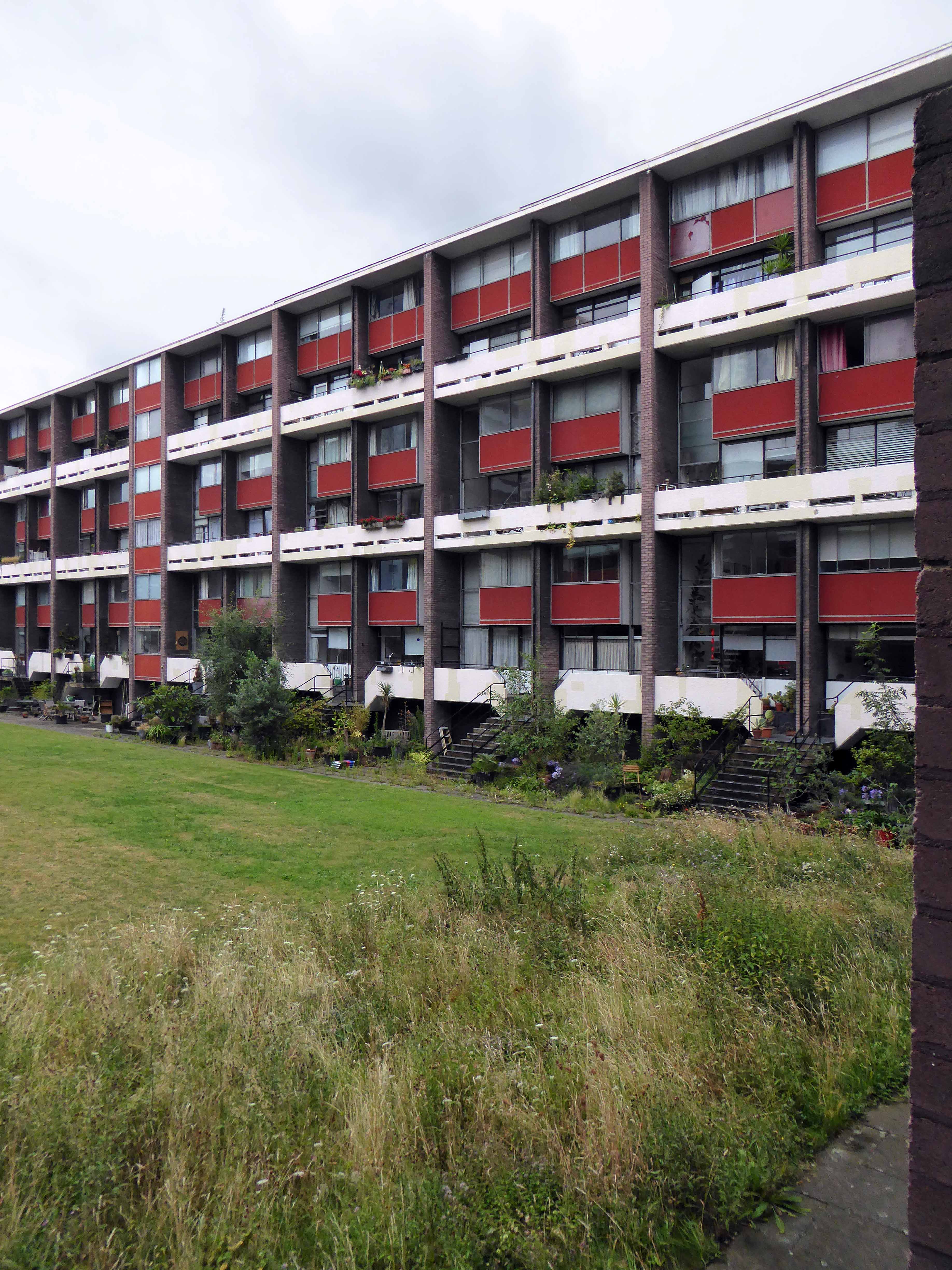
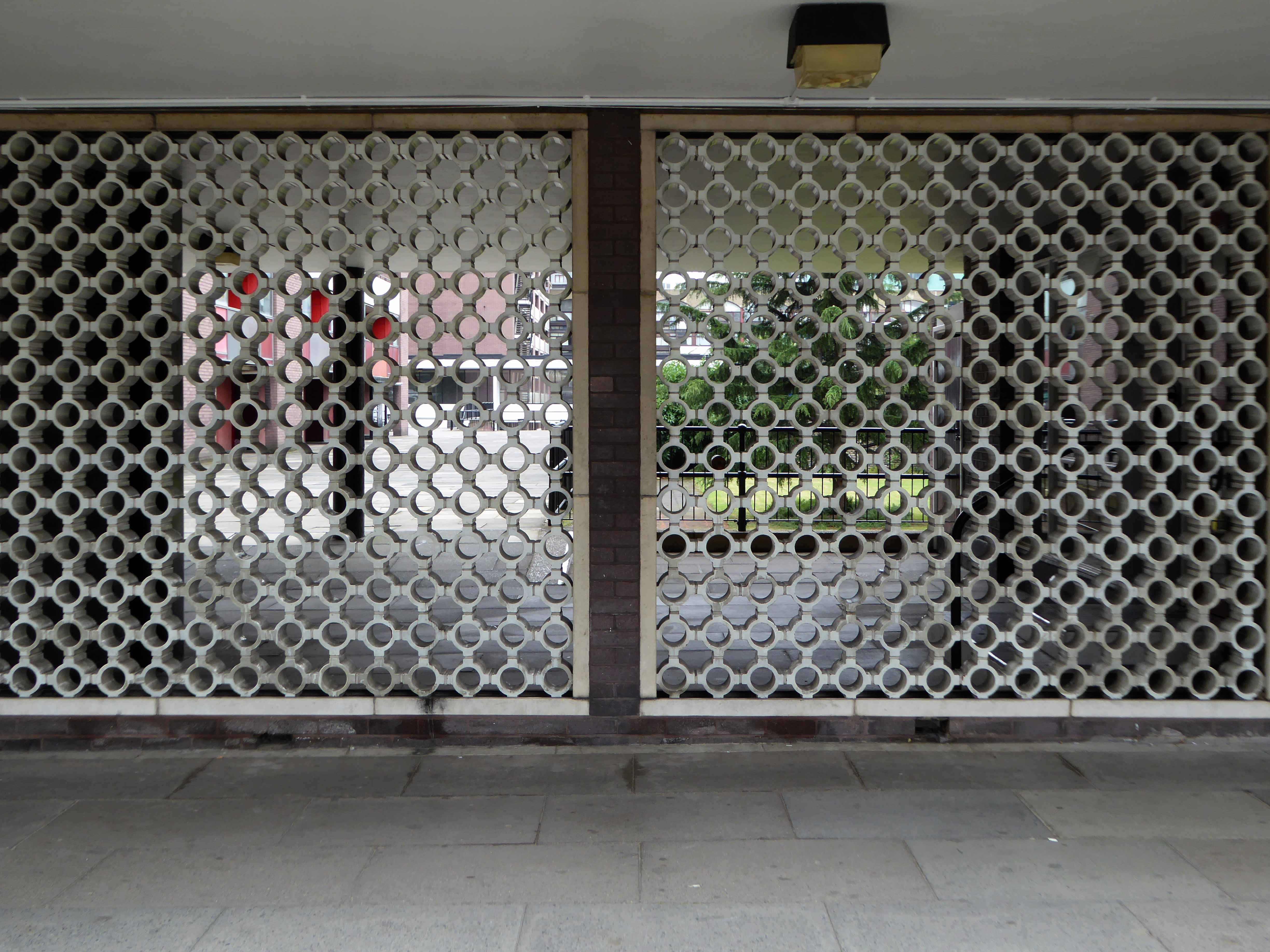
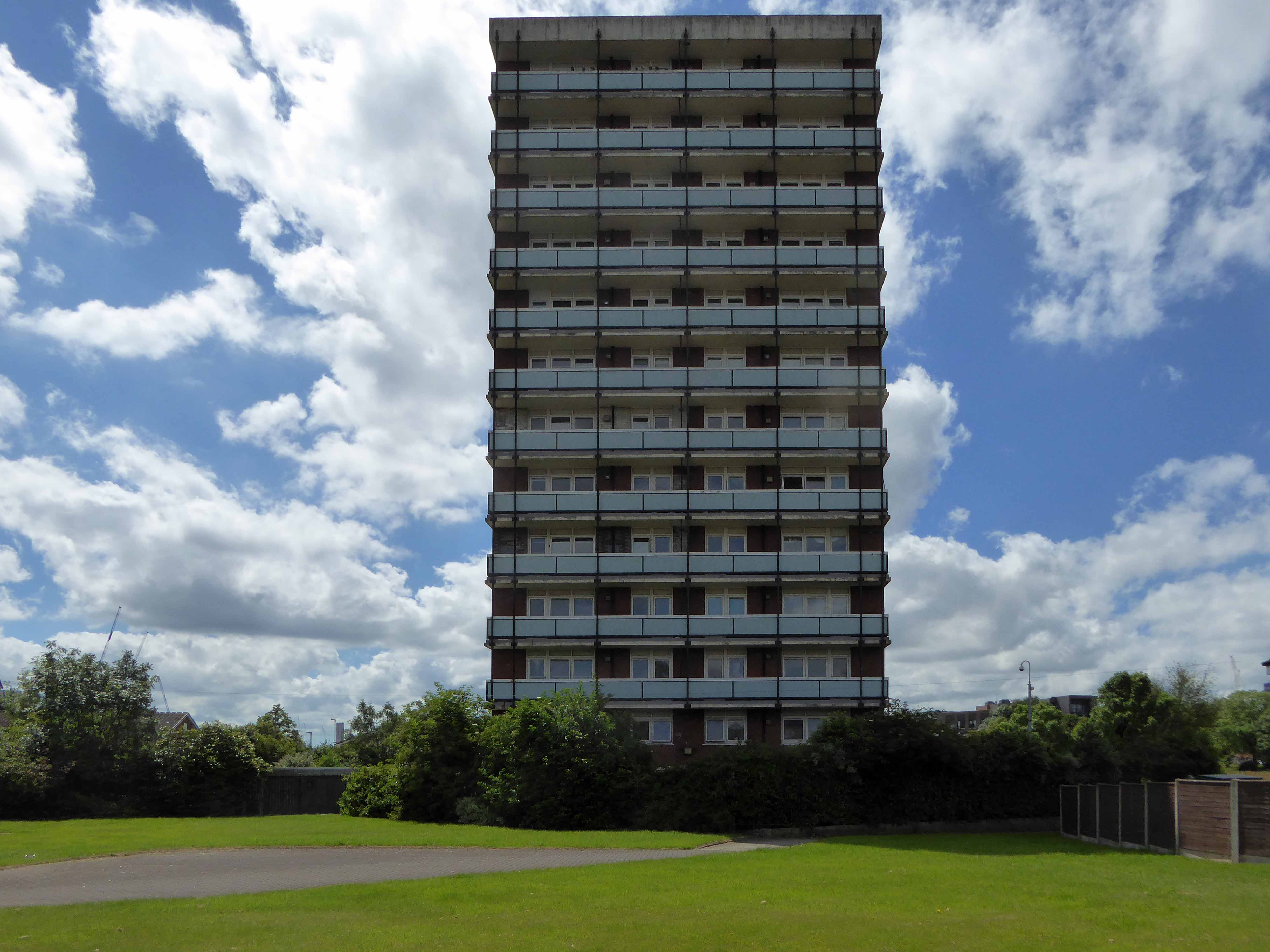
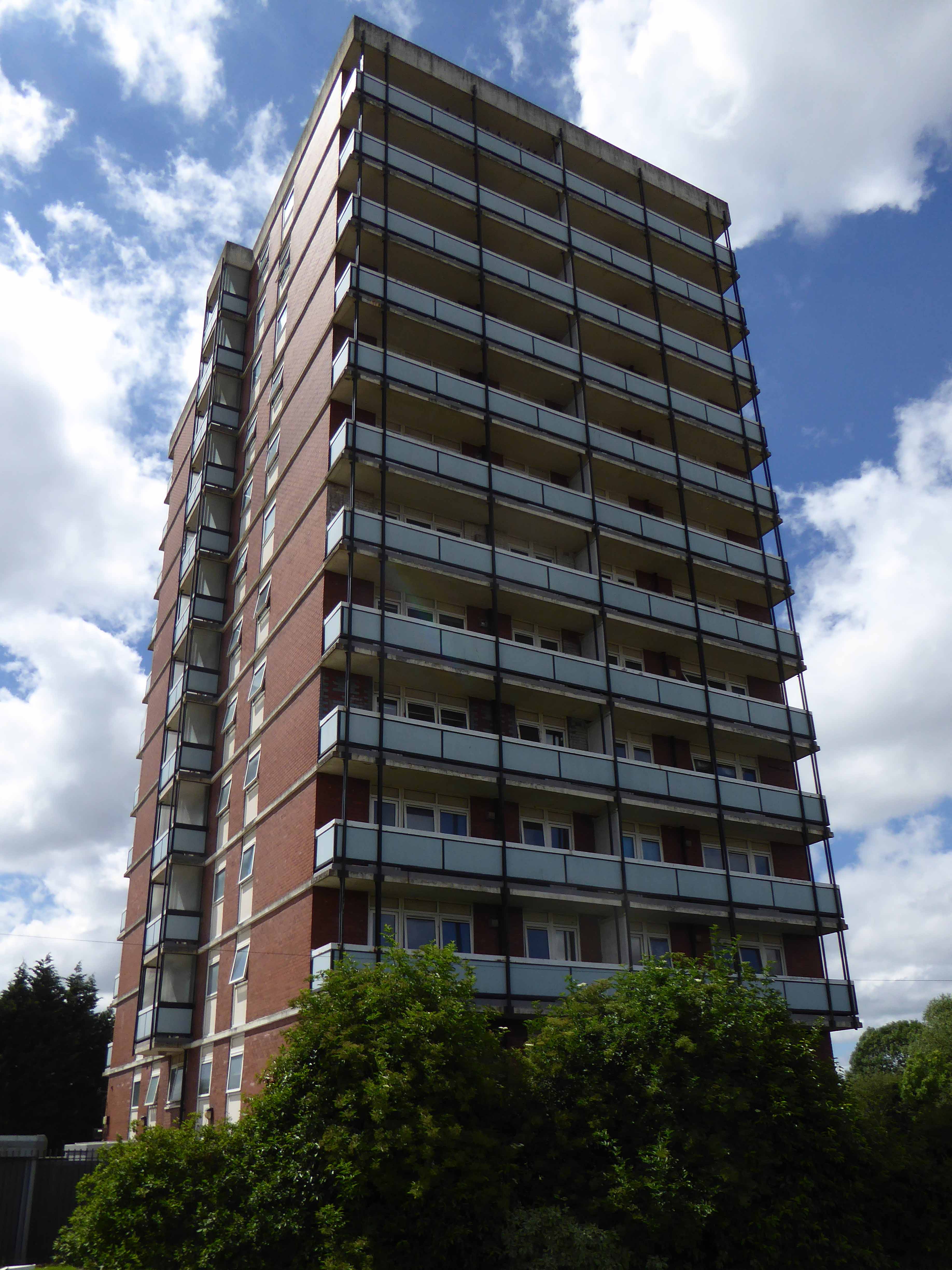
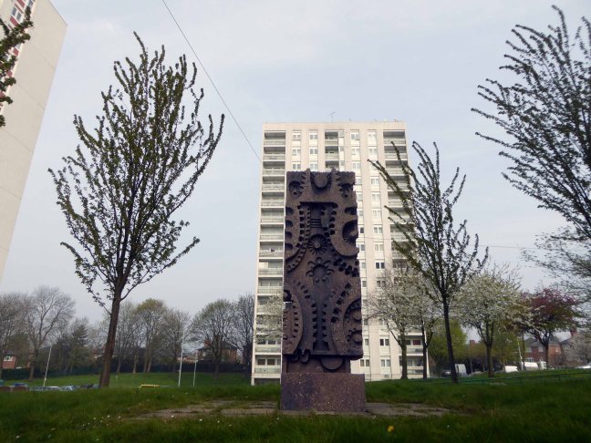
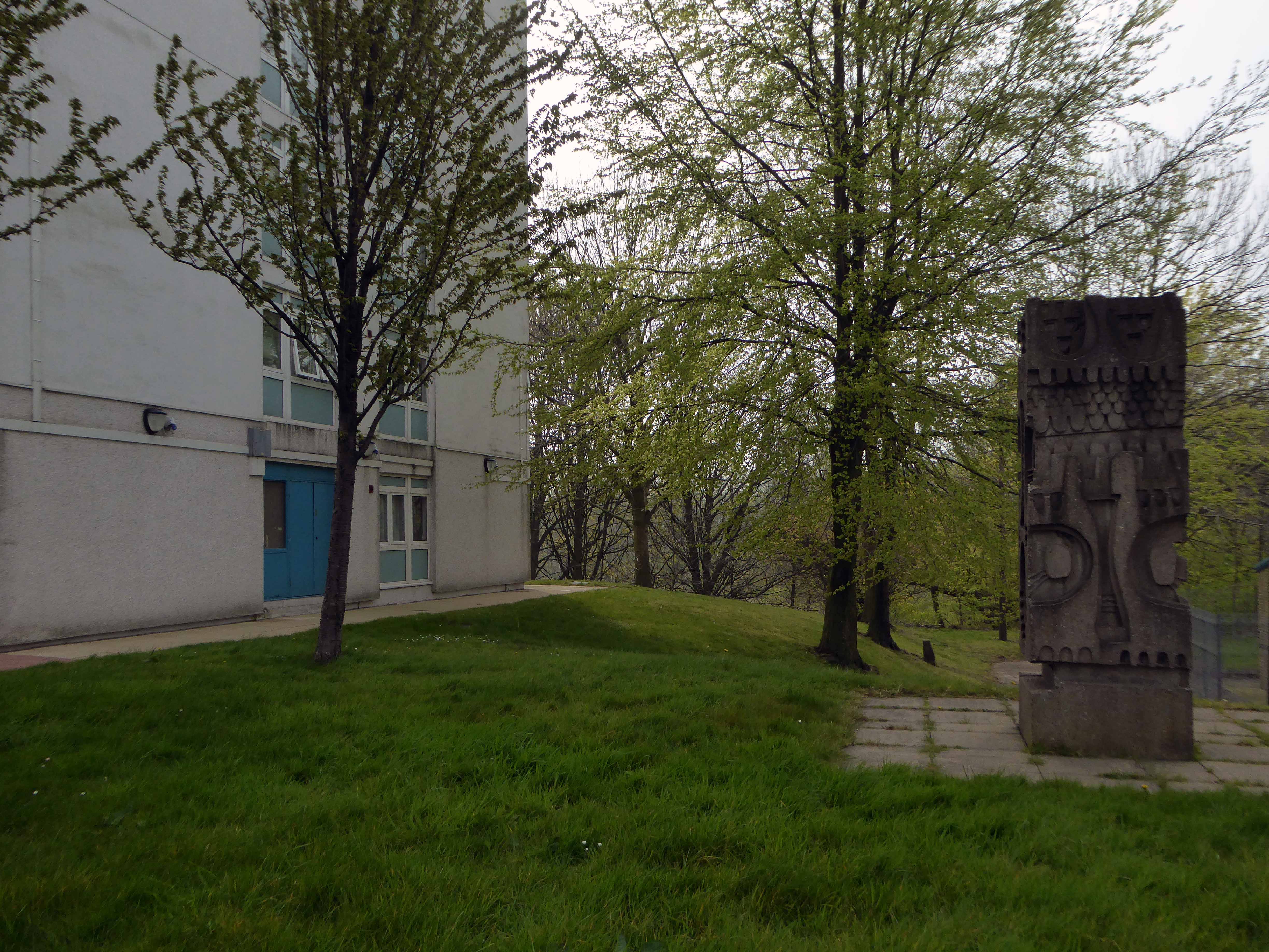
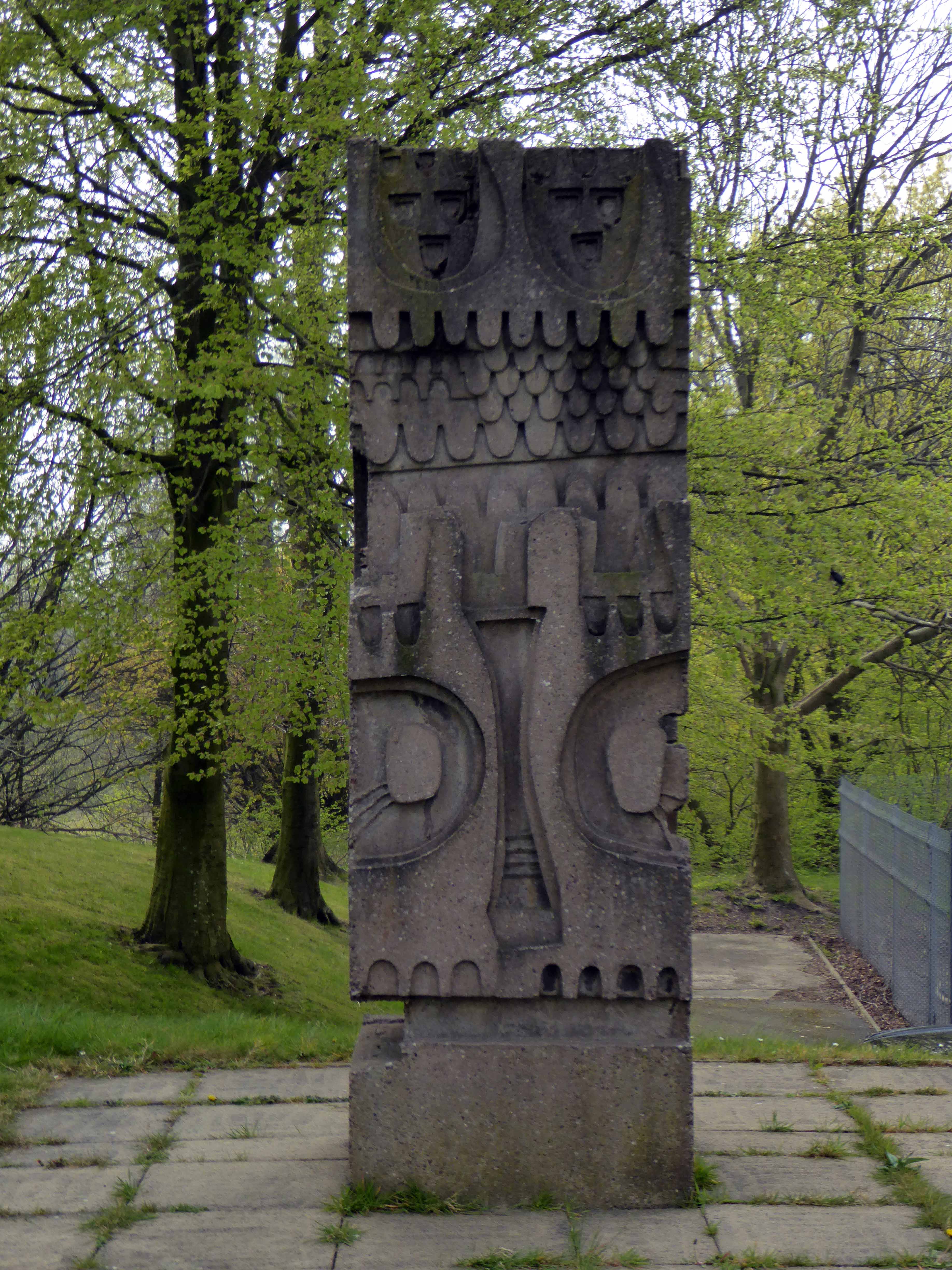
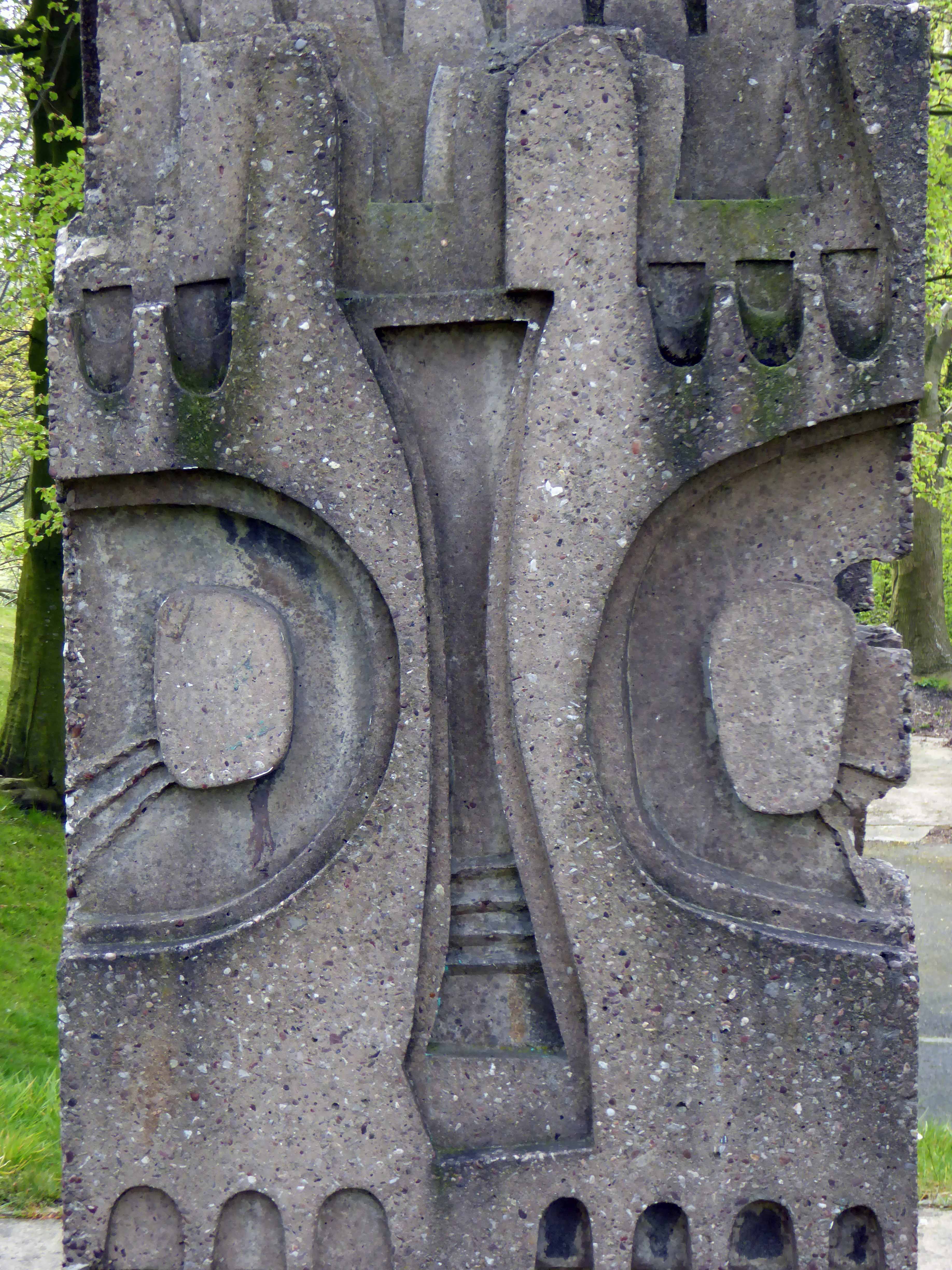
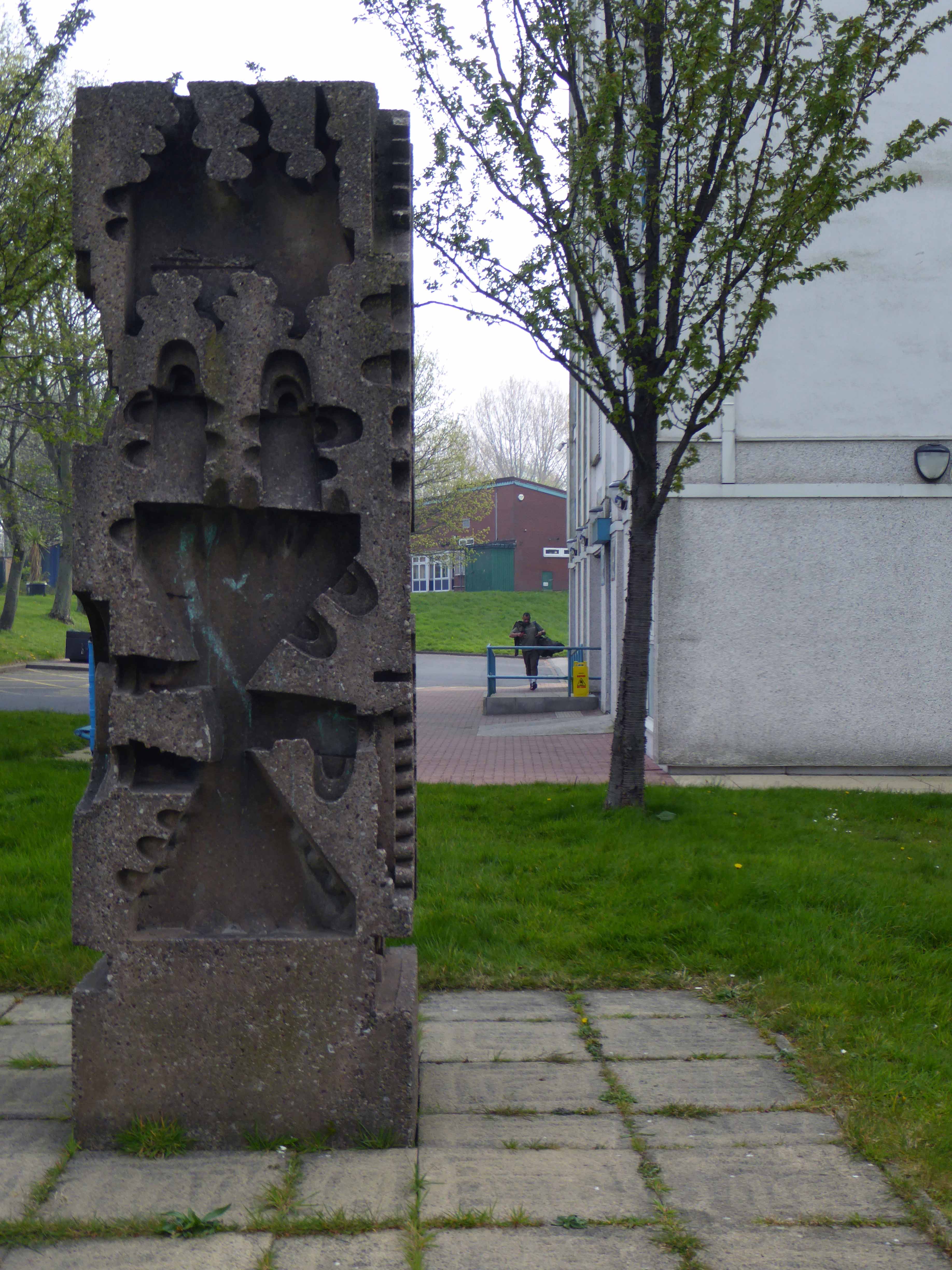
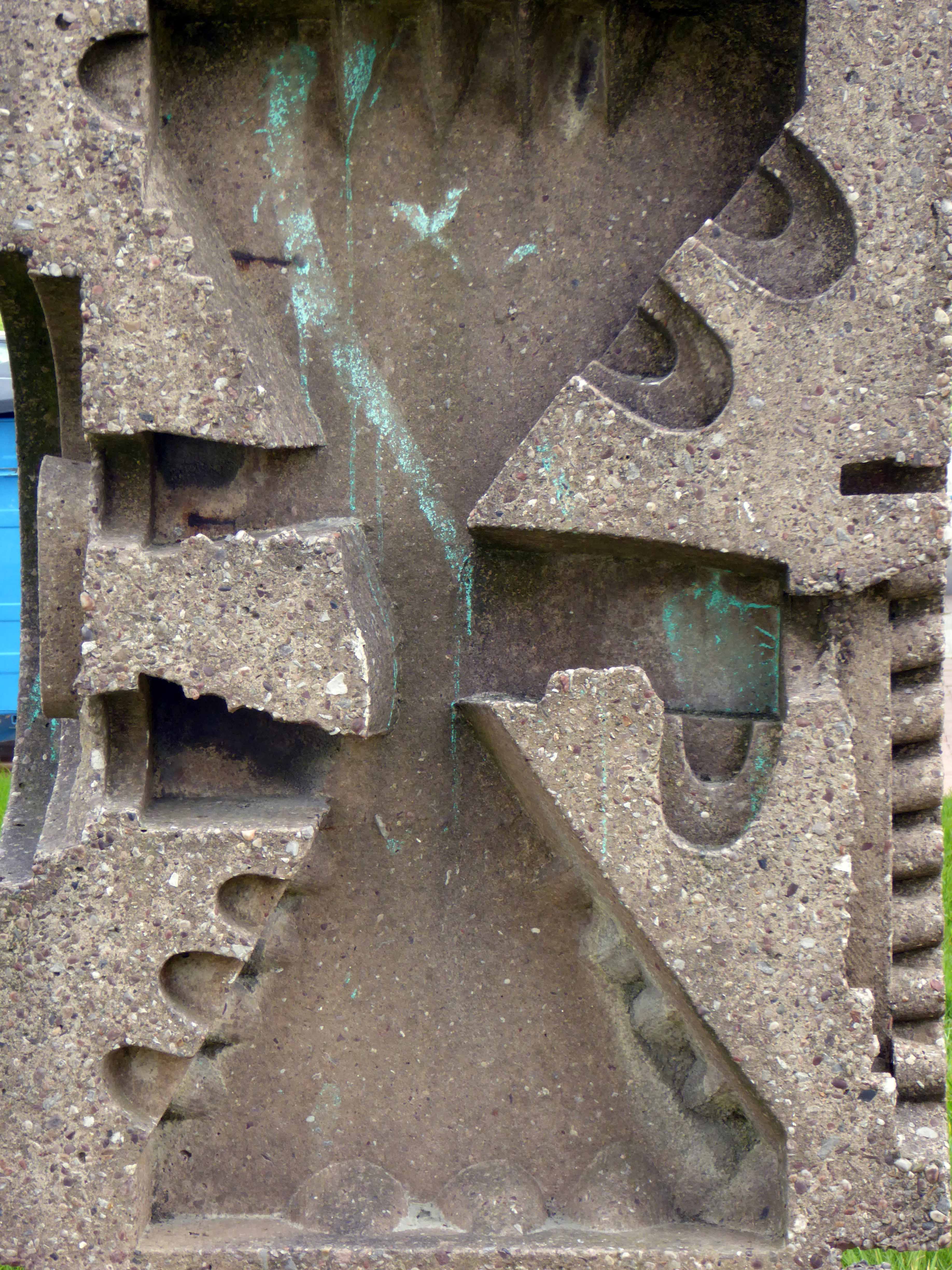
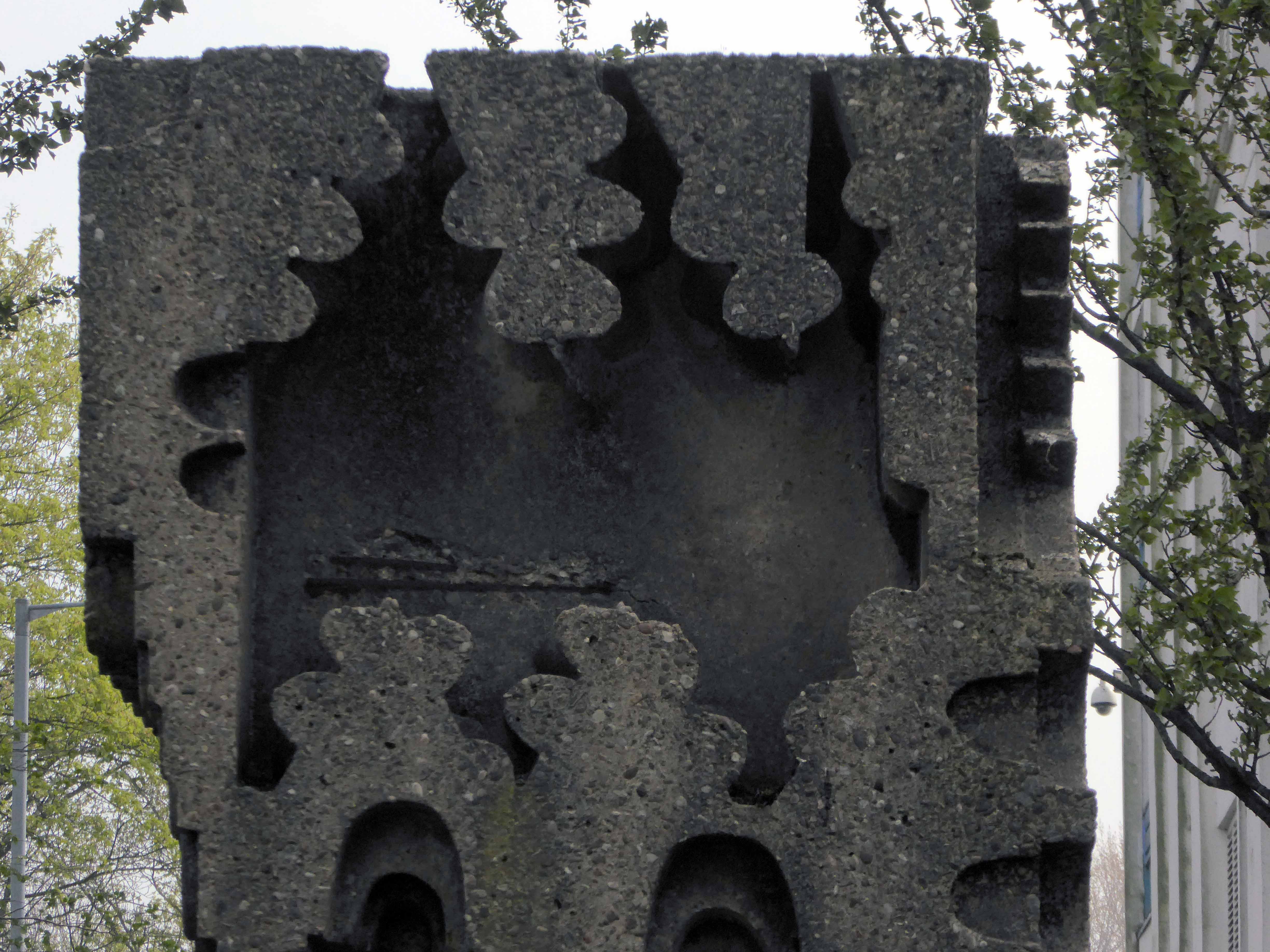
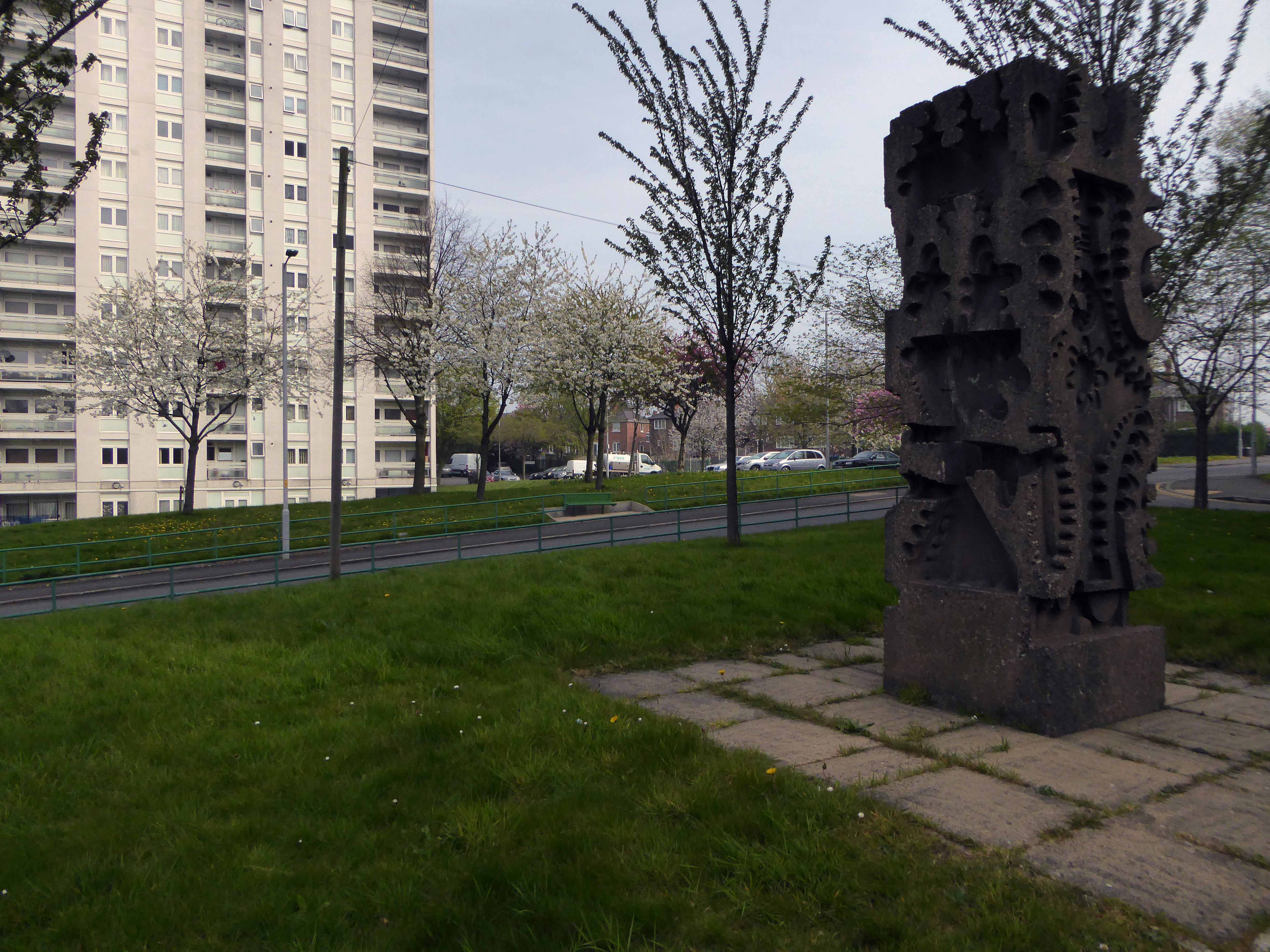
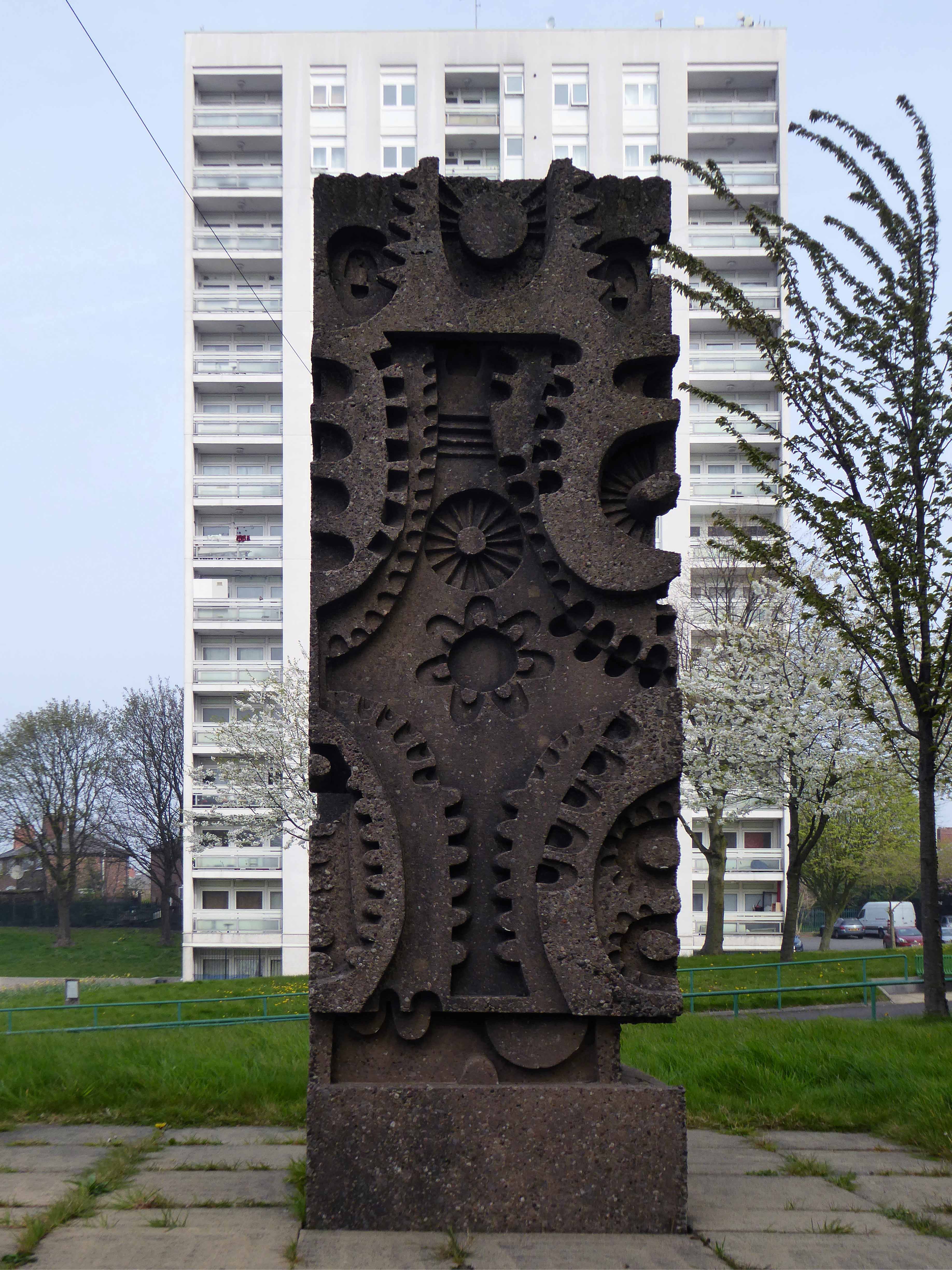
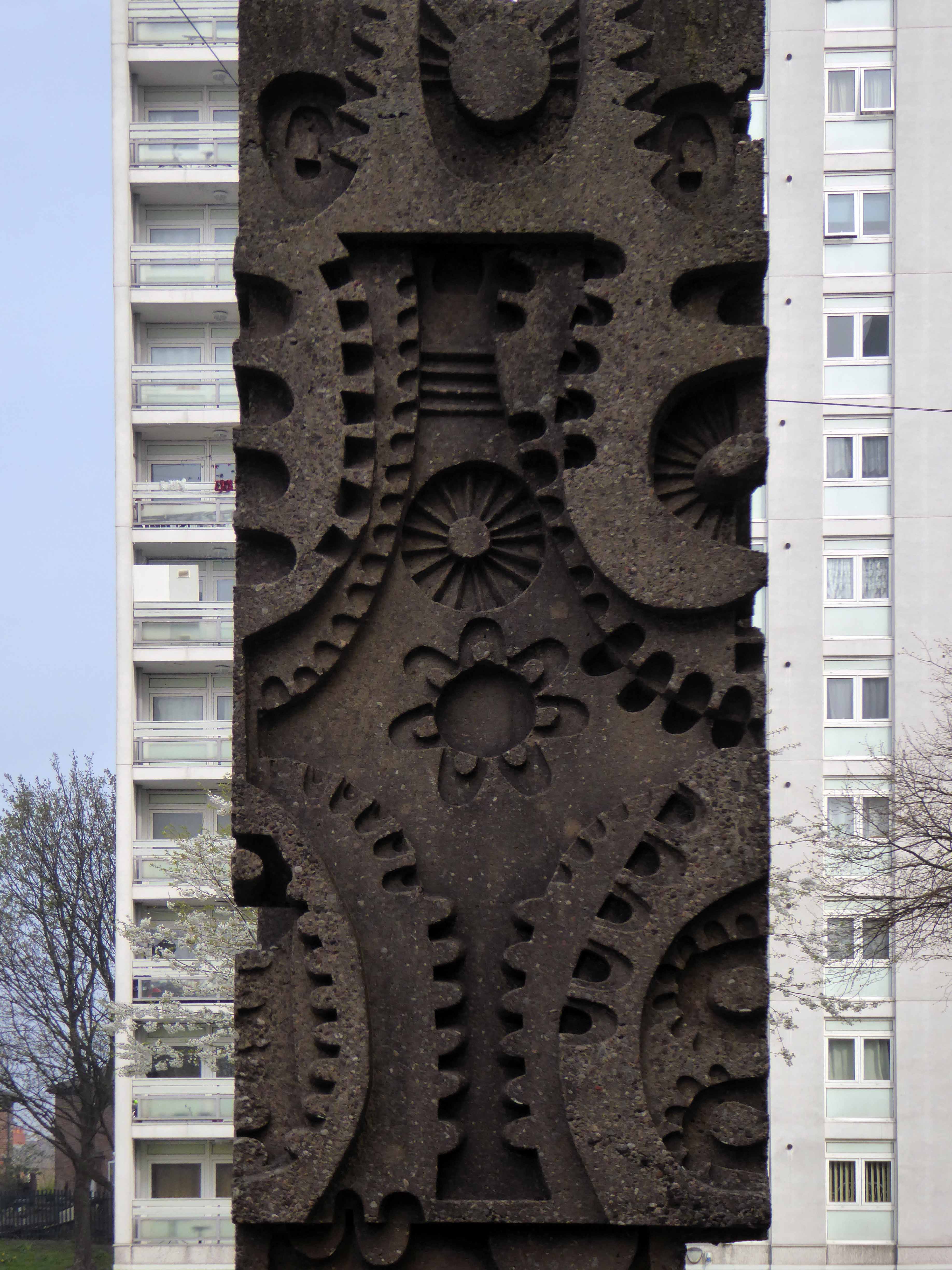
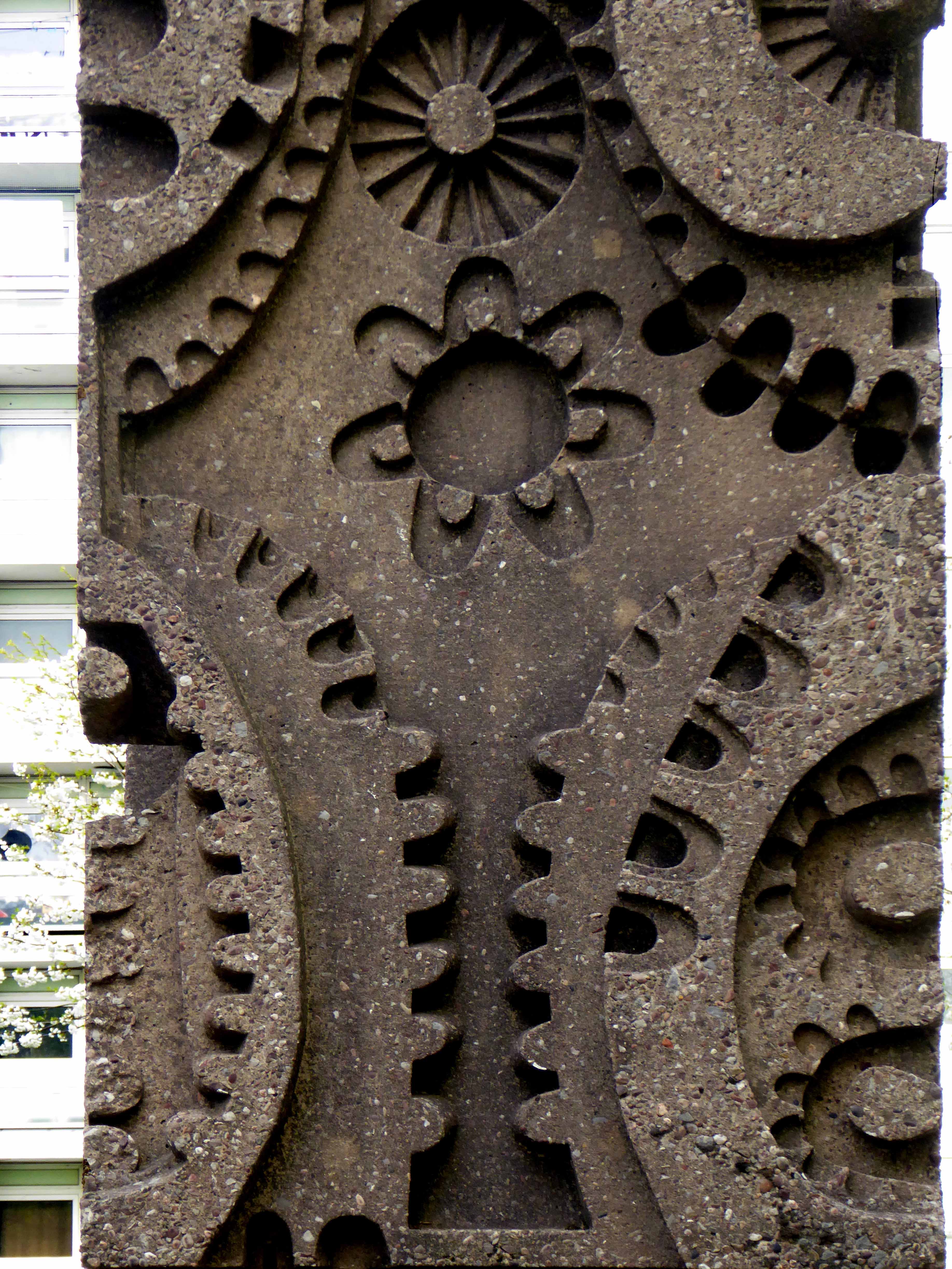
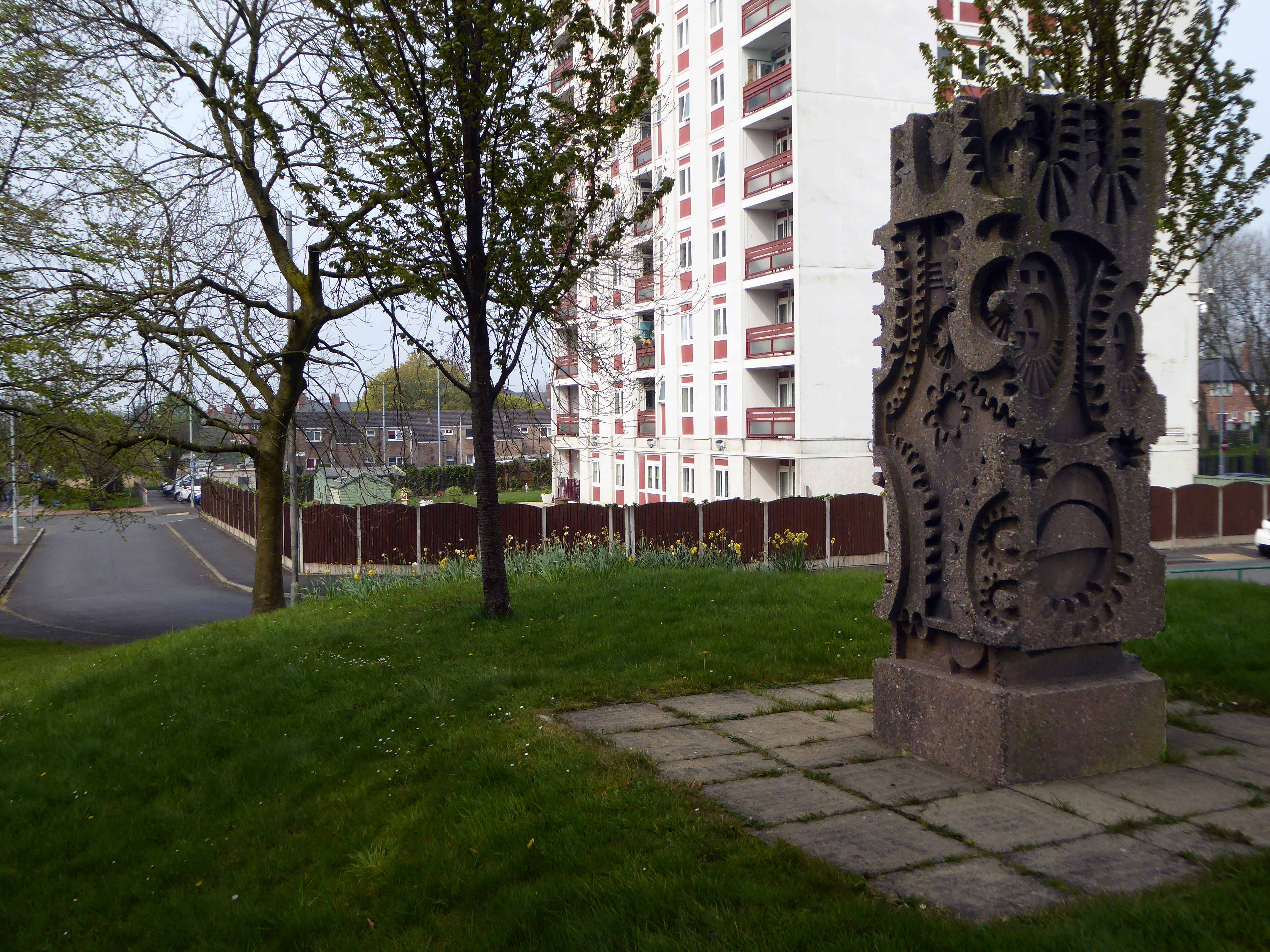
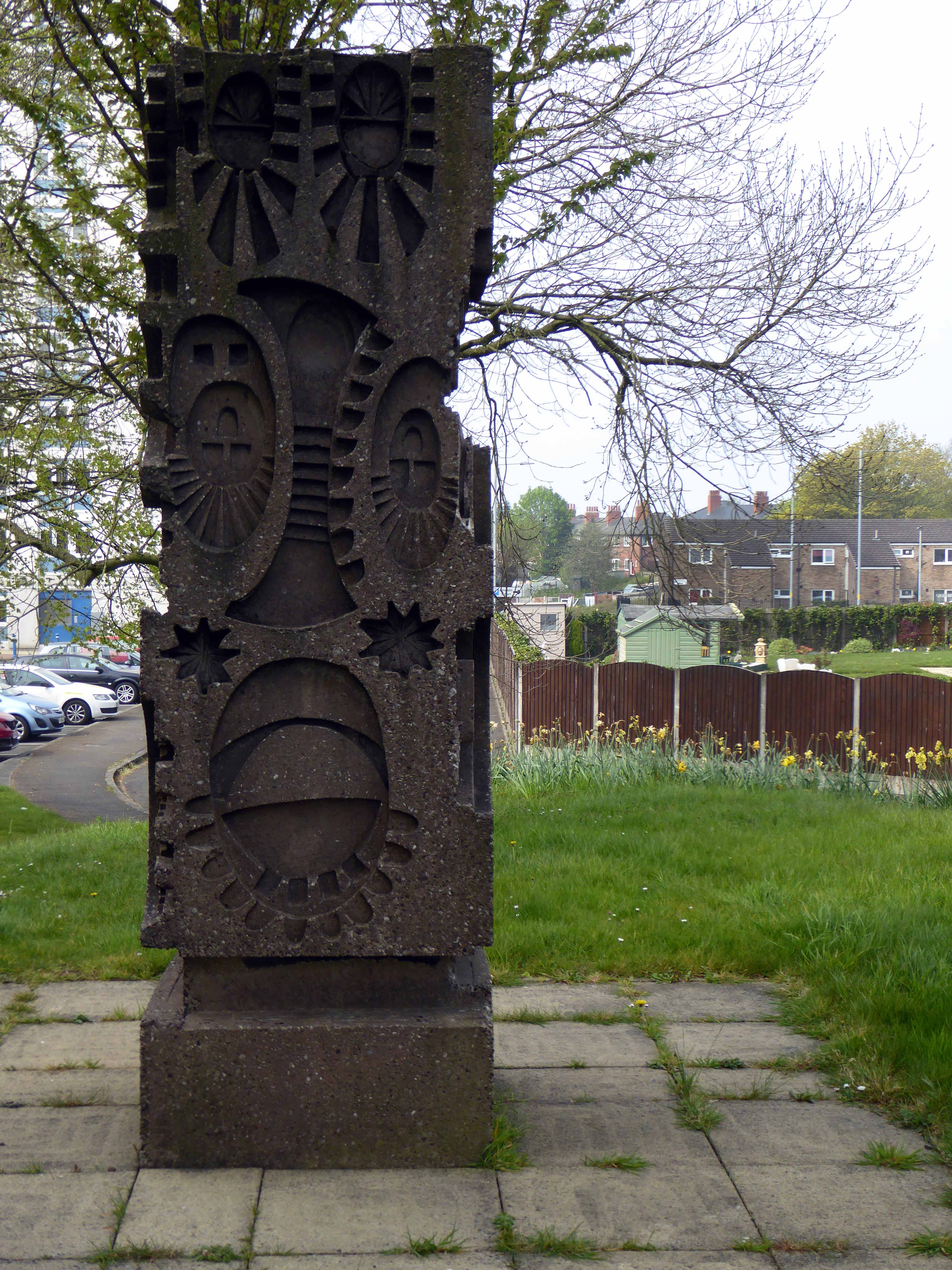
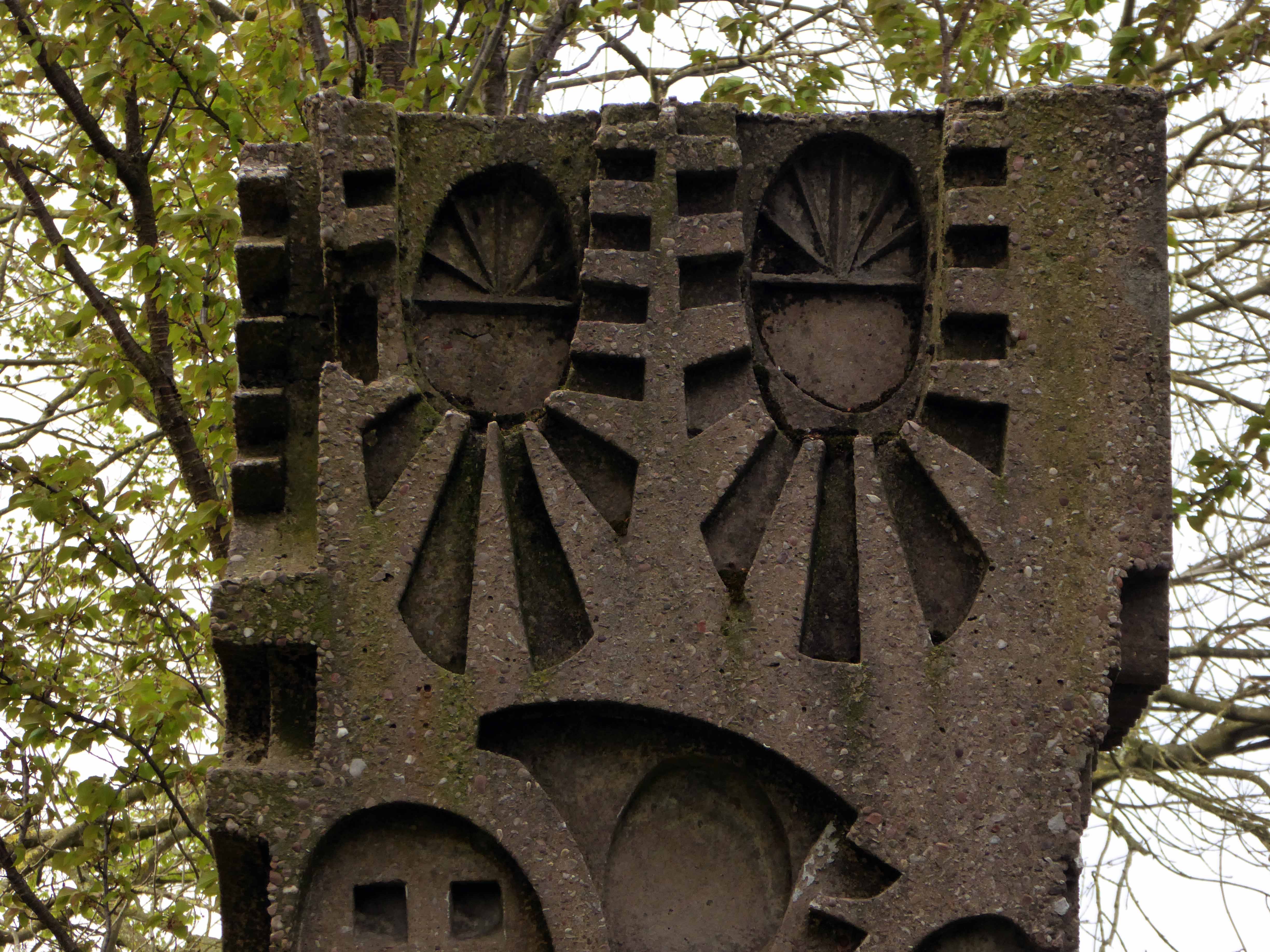
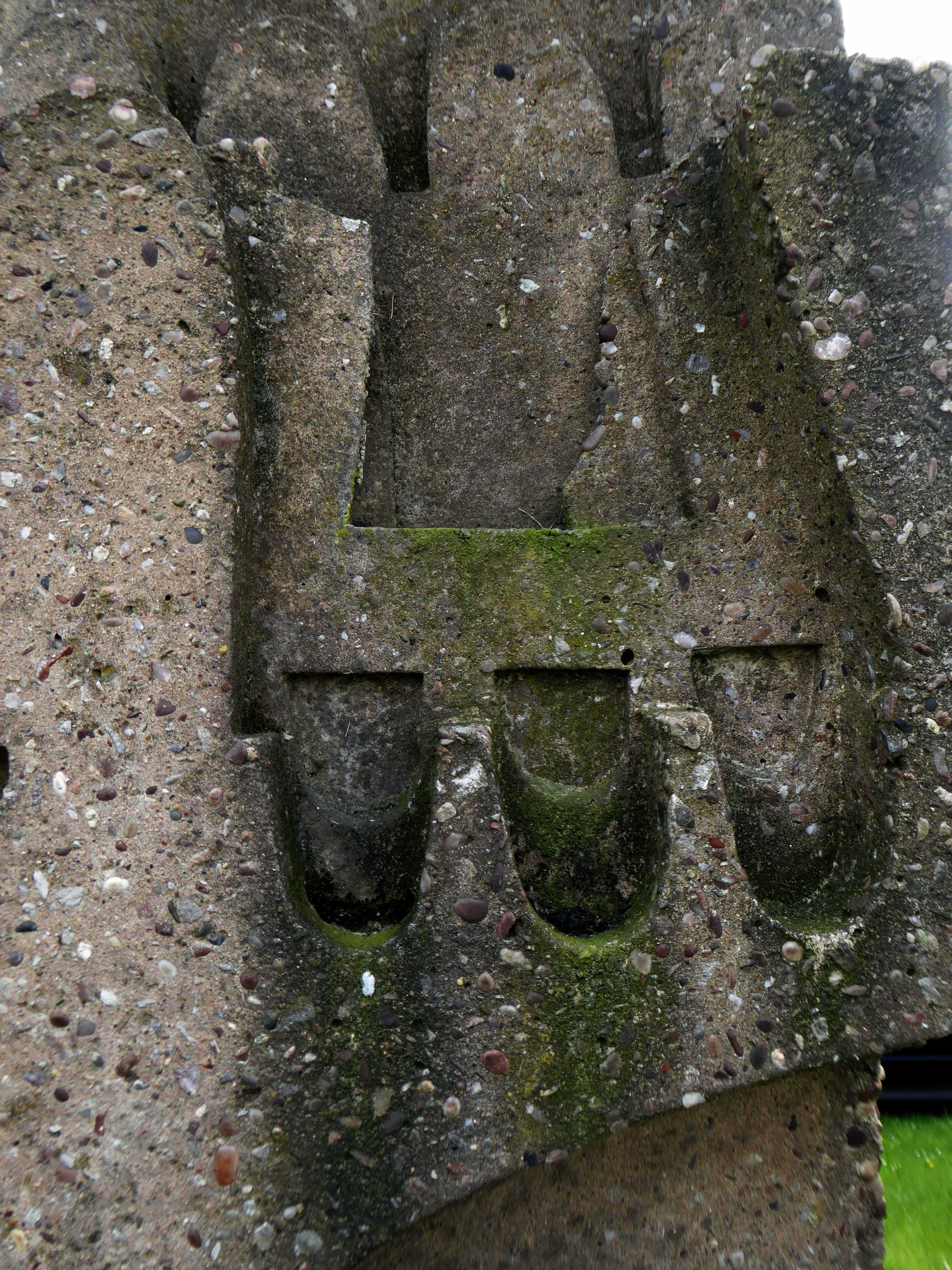
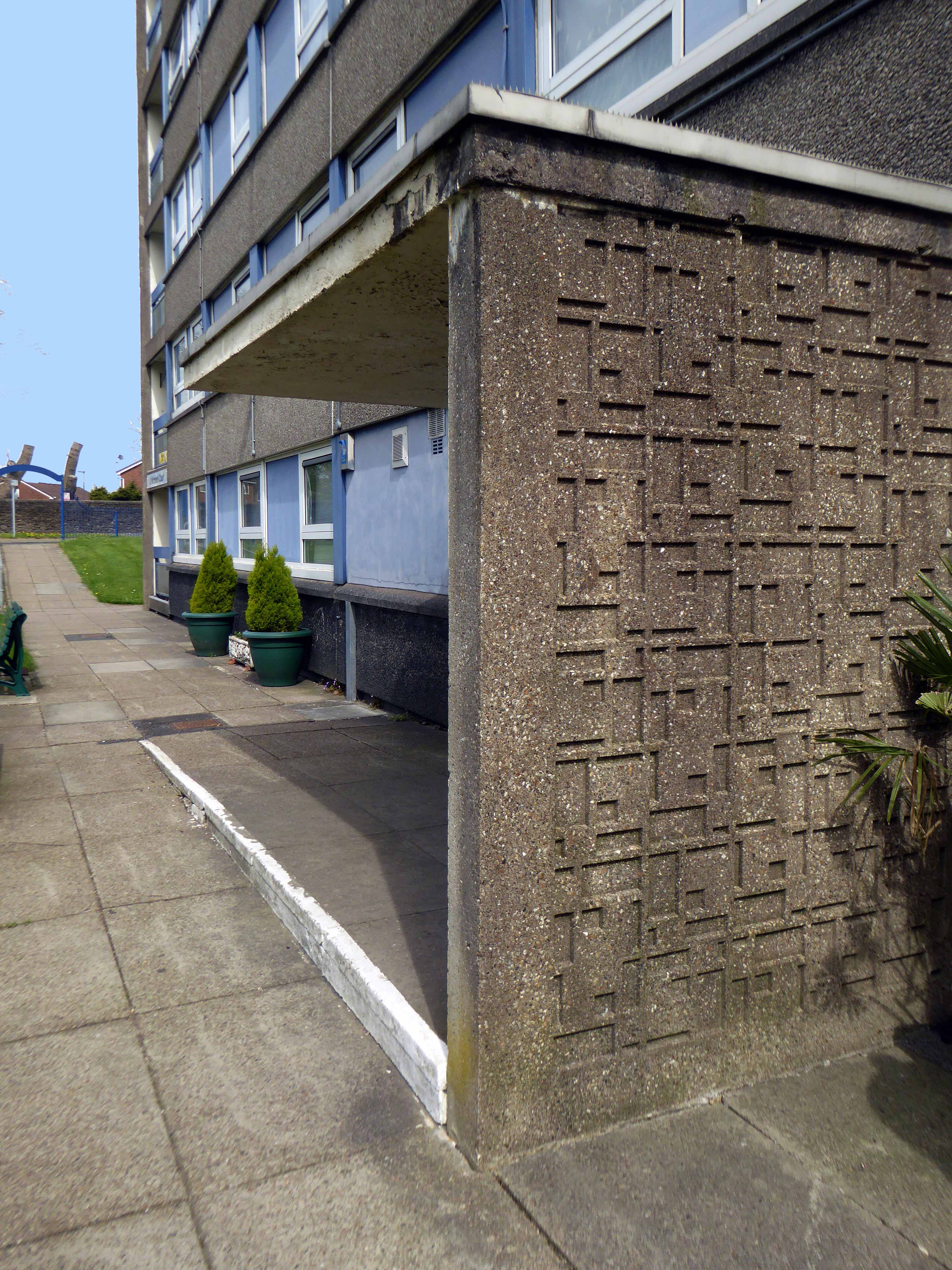
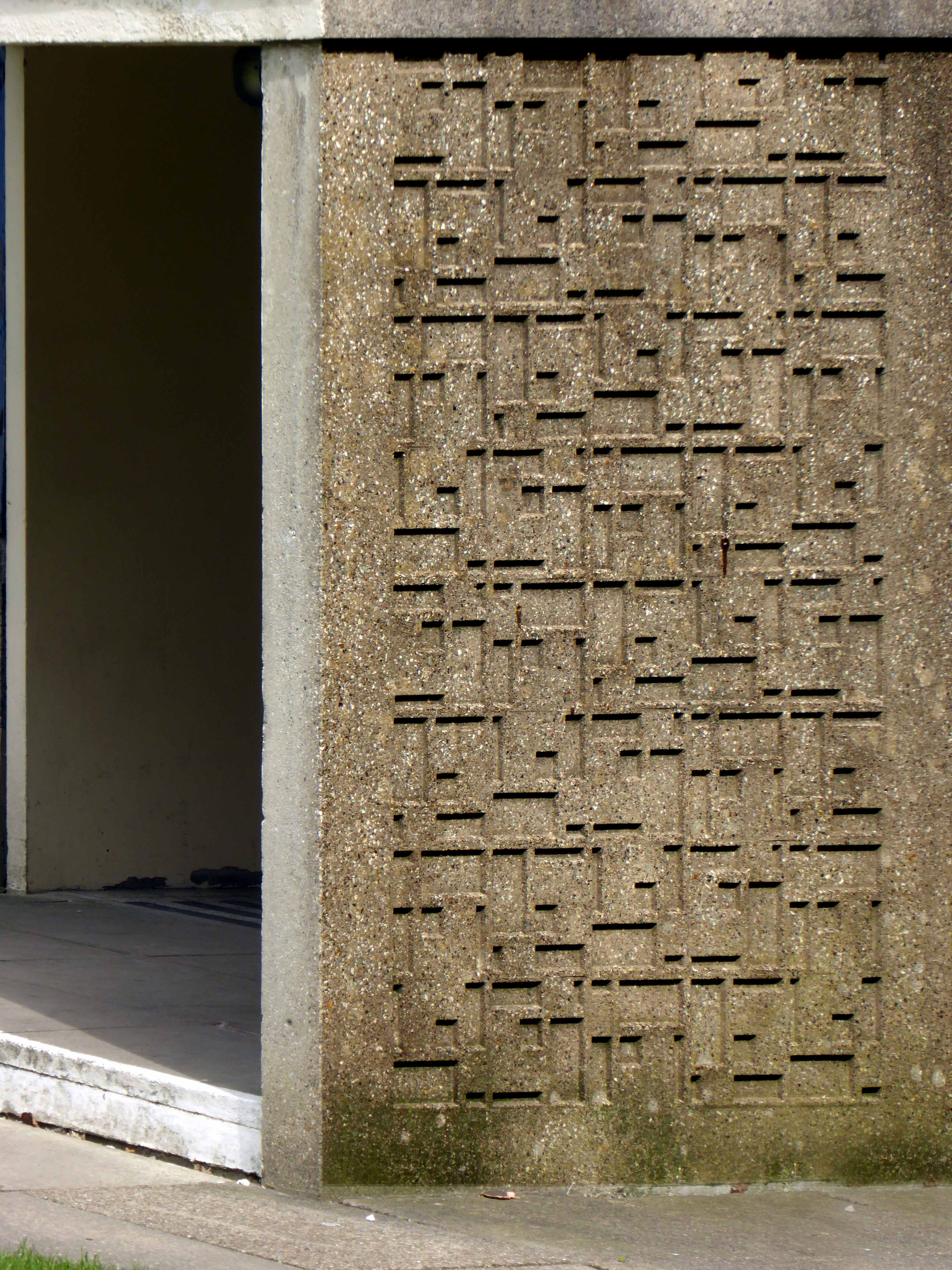
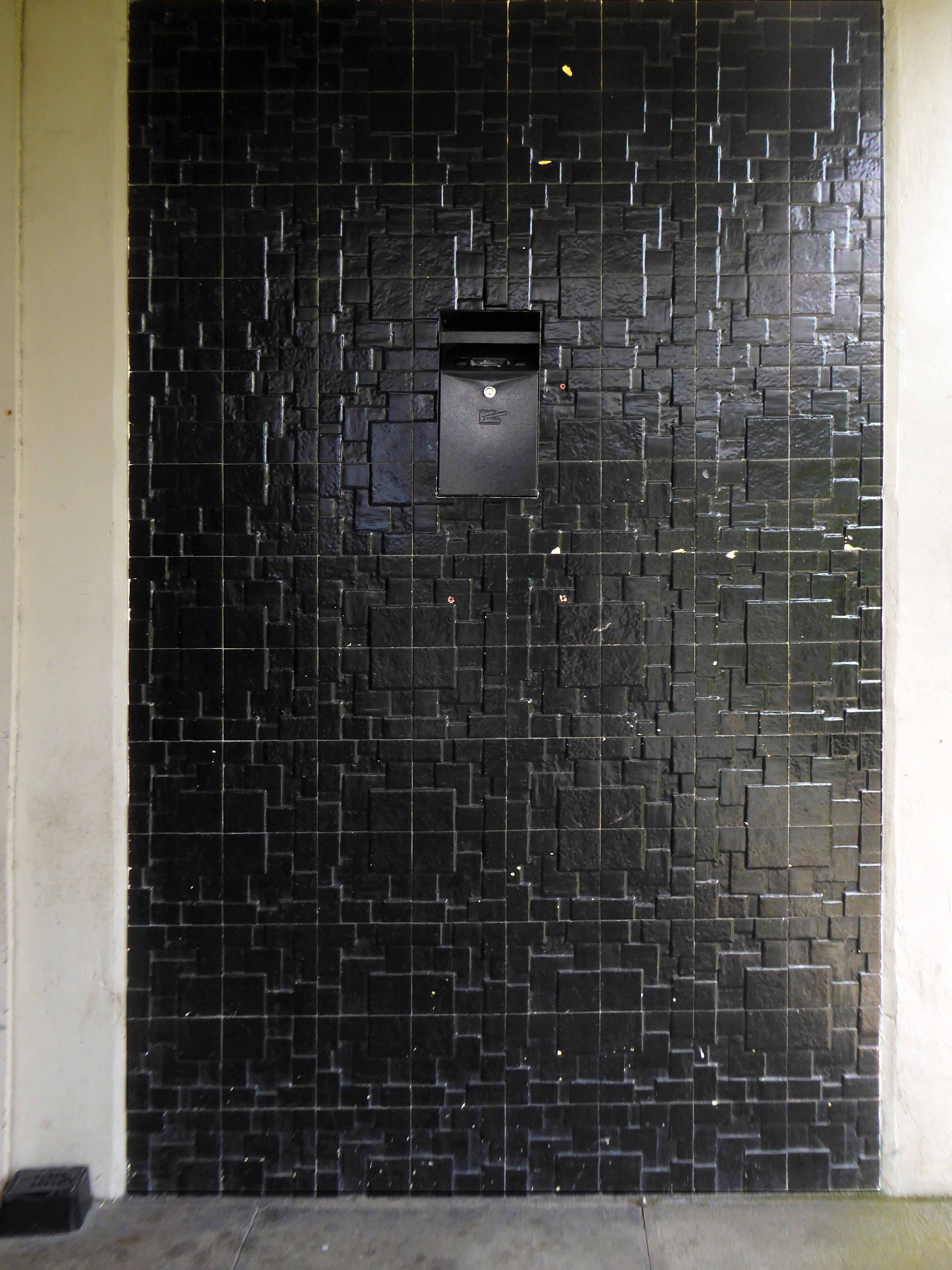
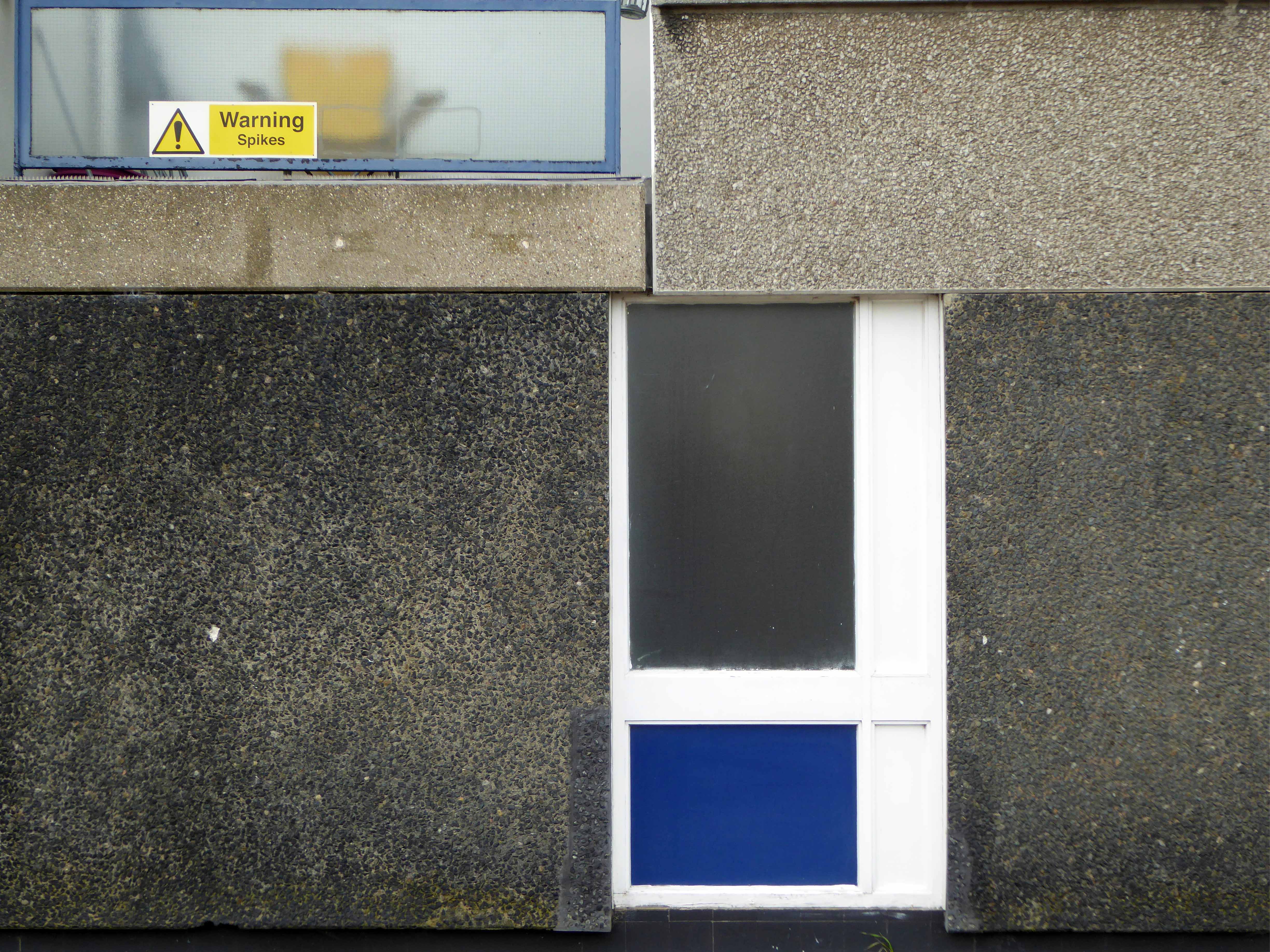
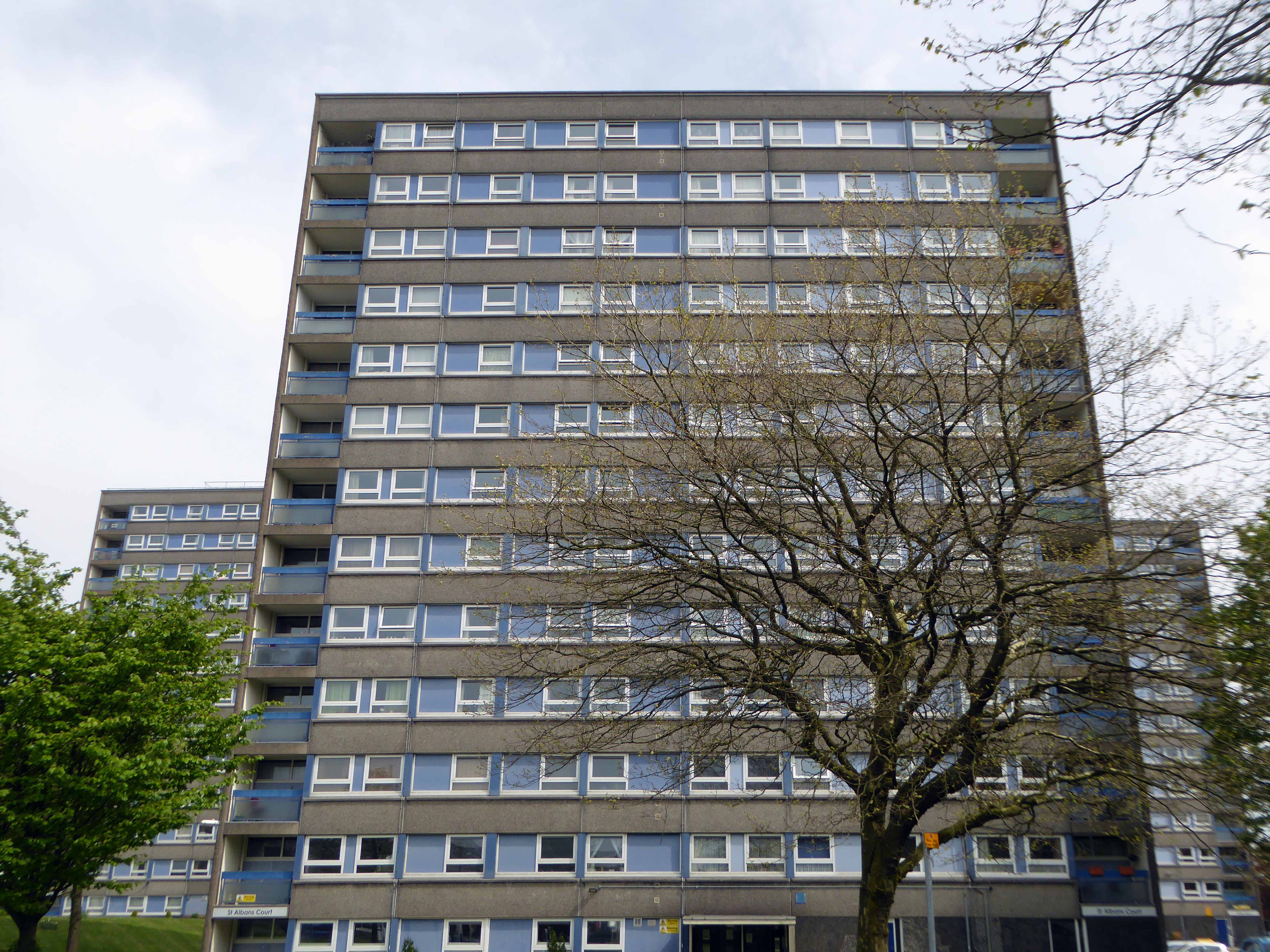
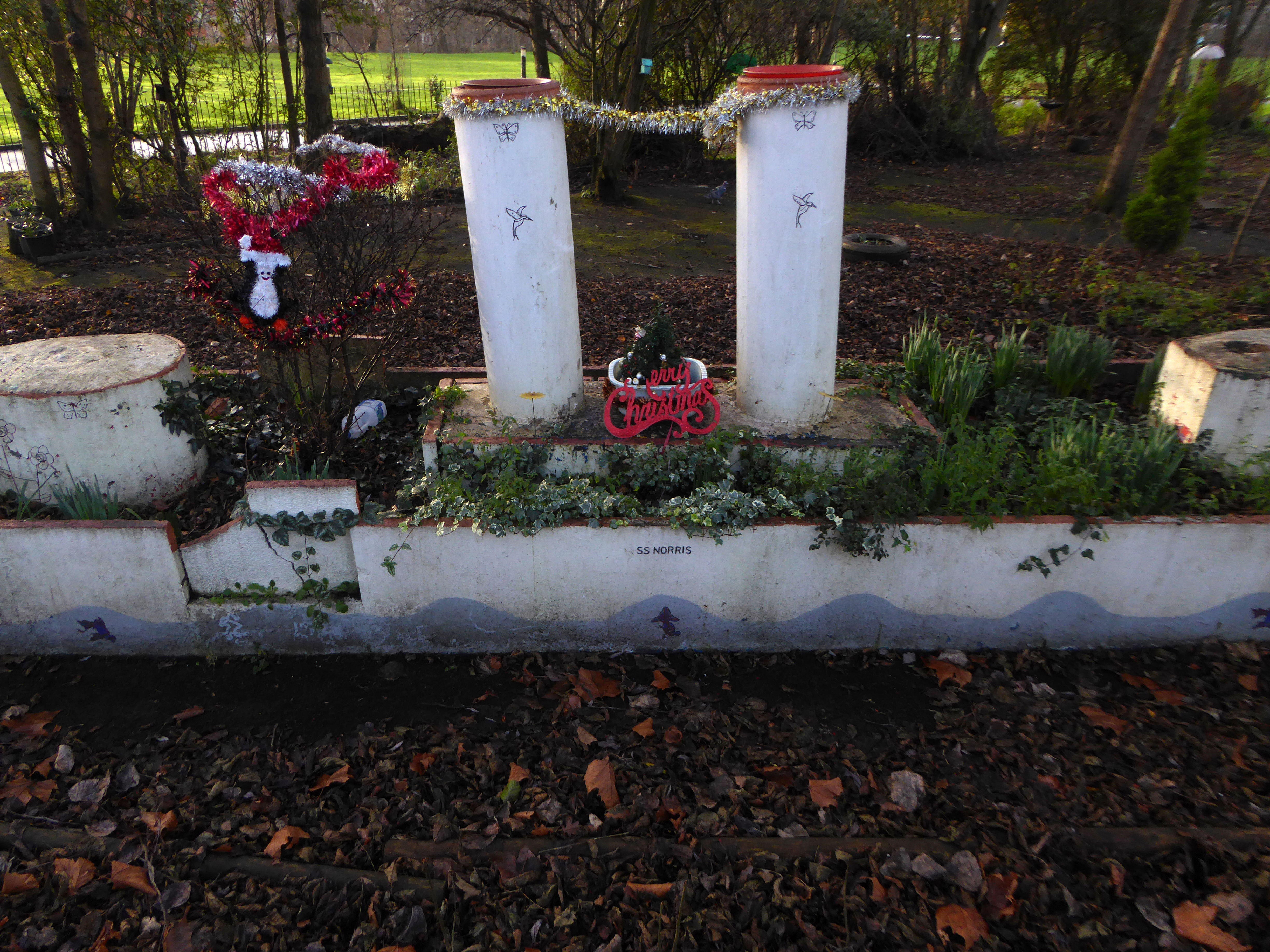
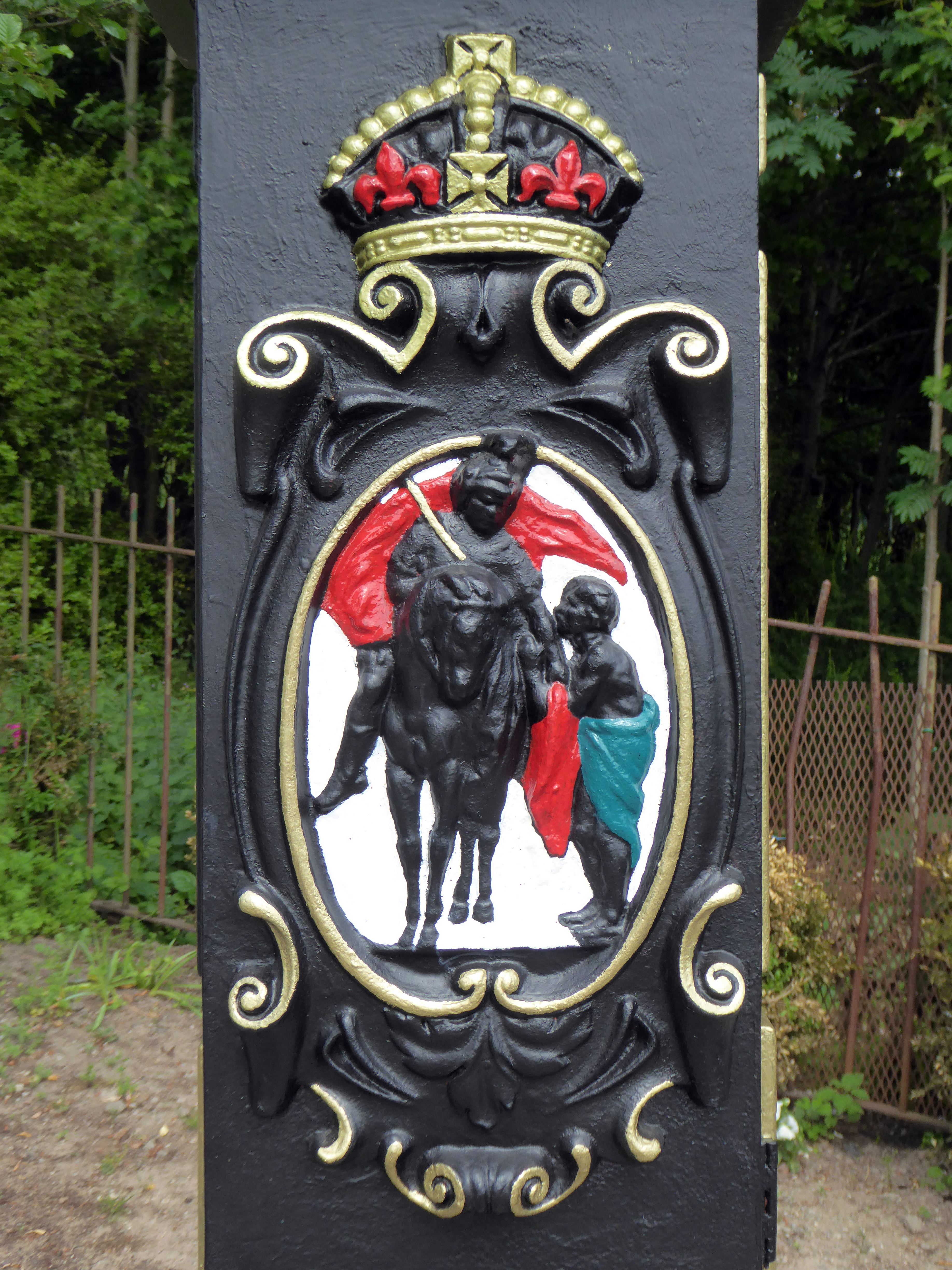
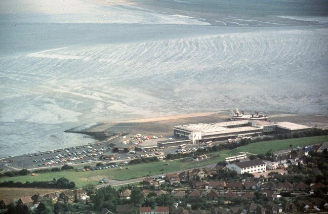
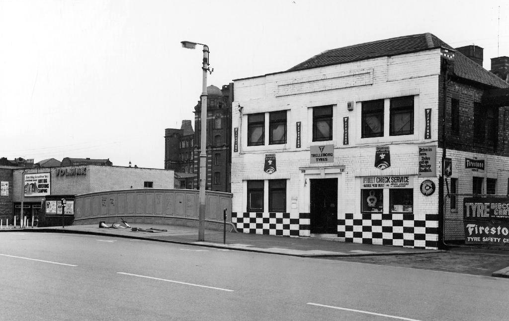
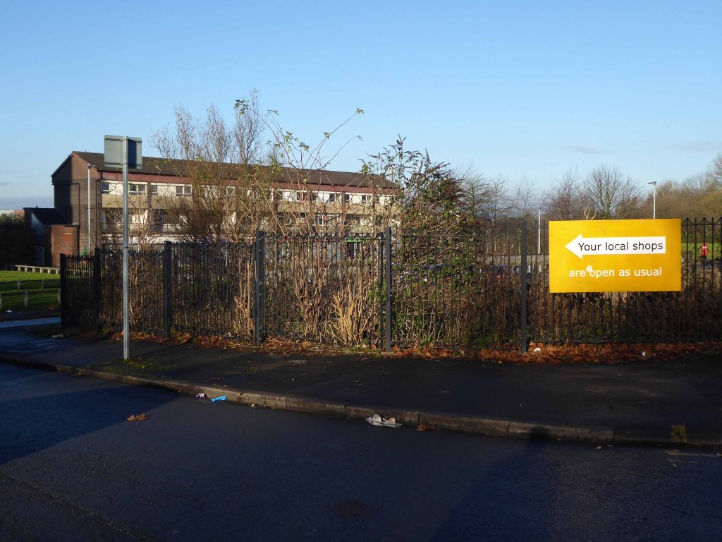
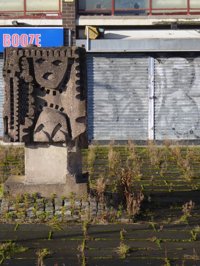
The putative William Mitchell cast concrete block stares stolidly at its surroundings, overseeing a slow and painful decline.
All that is solid melts into air, all that is holy is profaned, and man is at last compelled to face with sober senses his real conditions of life, and his relations with his kind.
Manifesto of the Communist Party
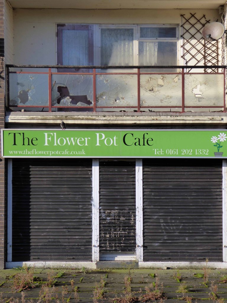

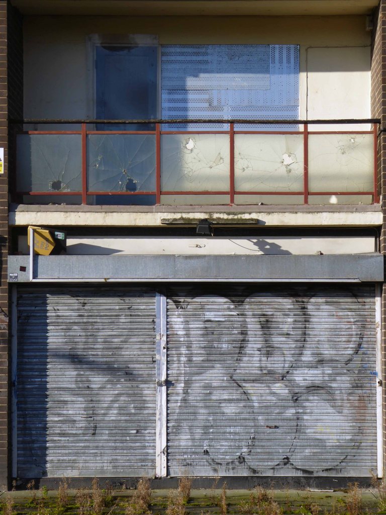
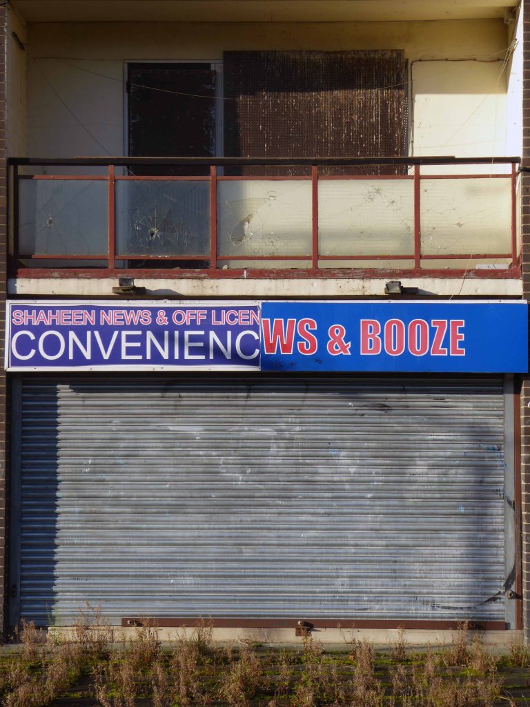
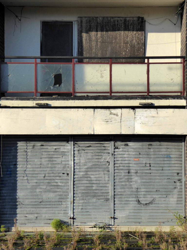
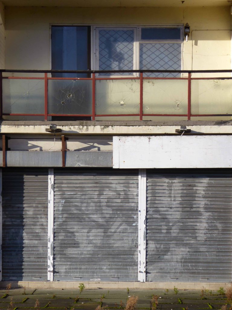
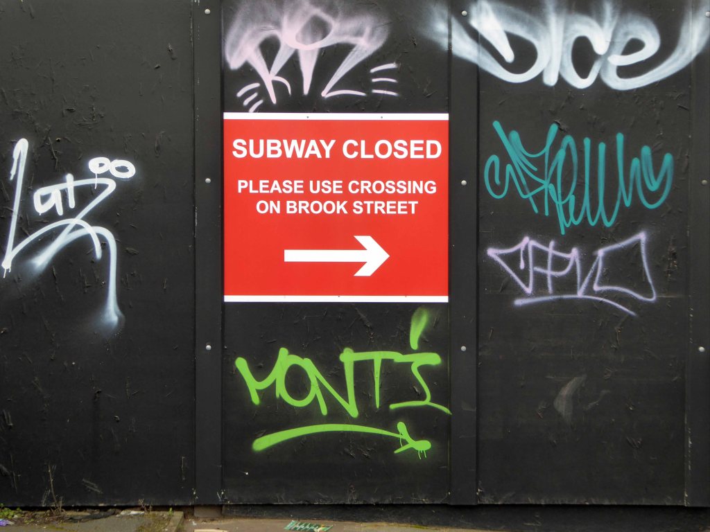
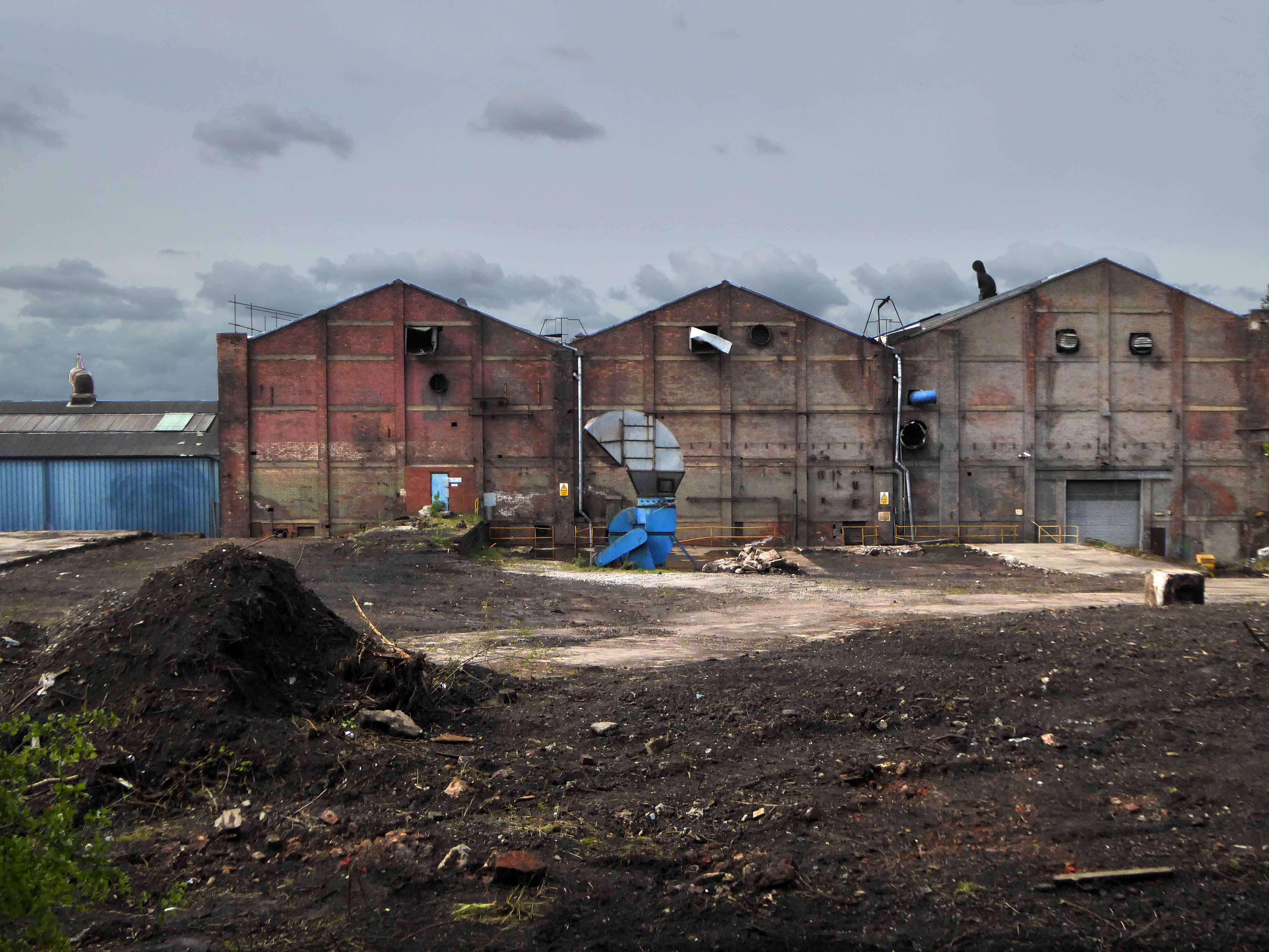
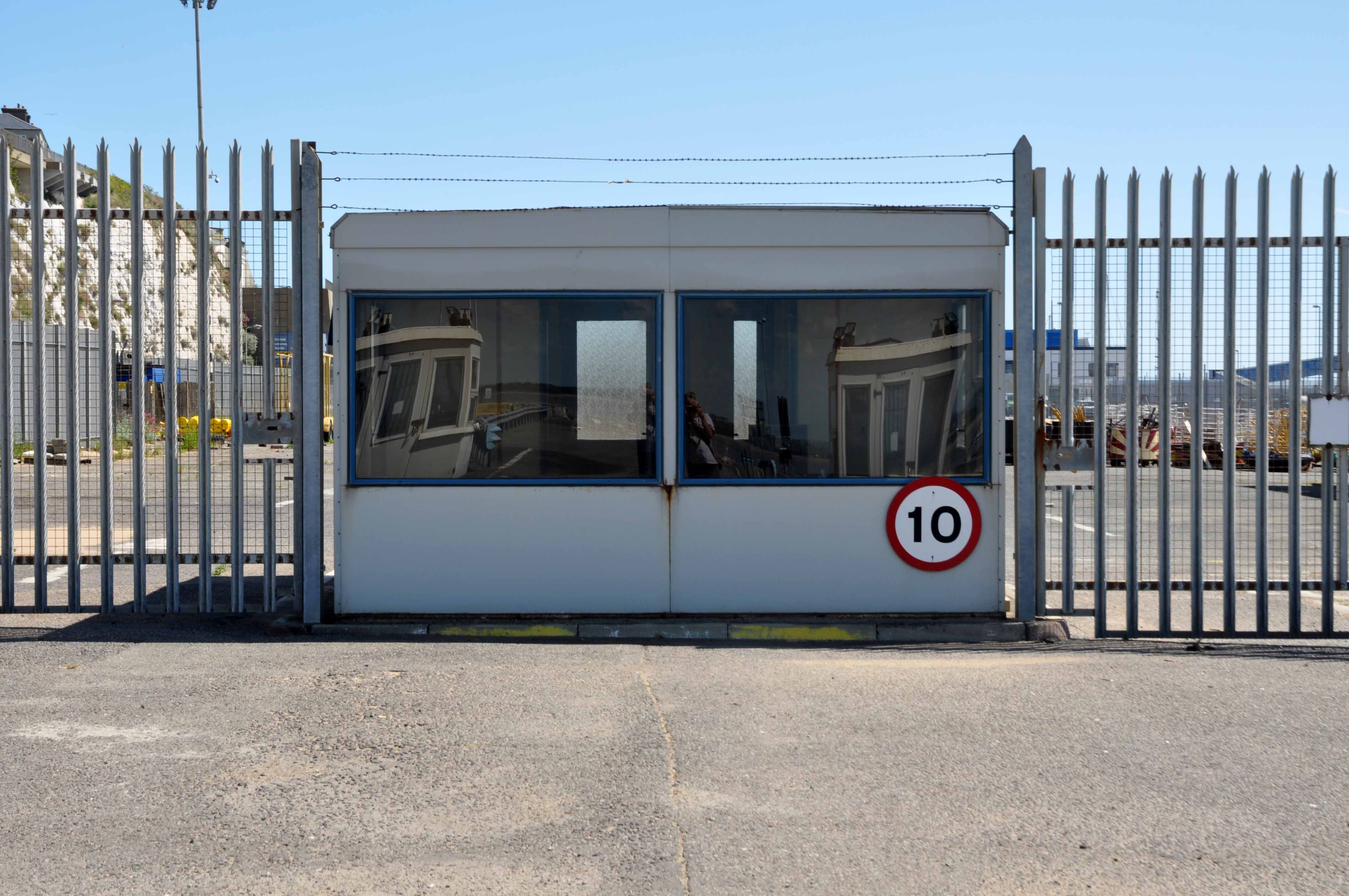
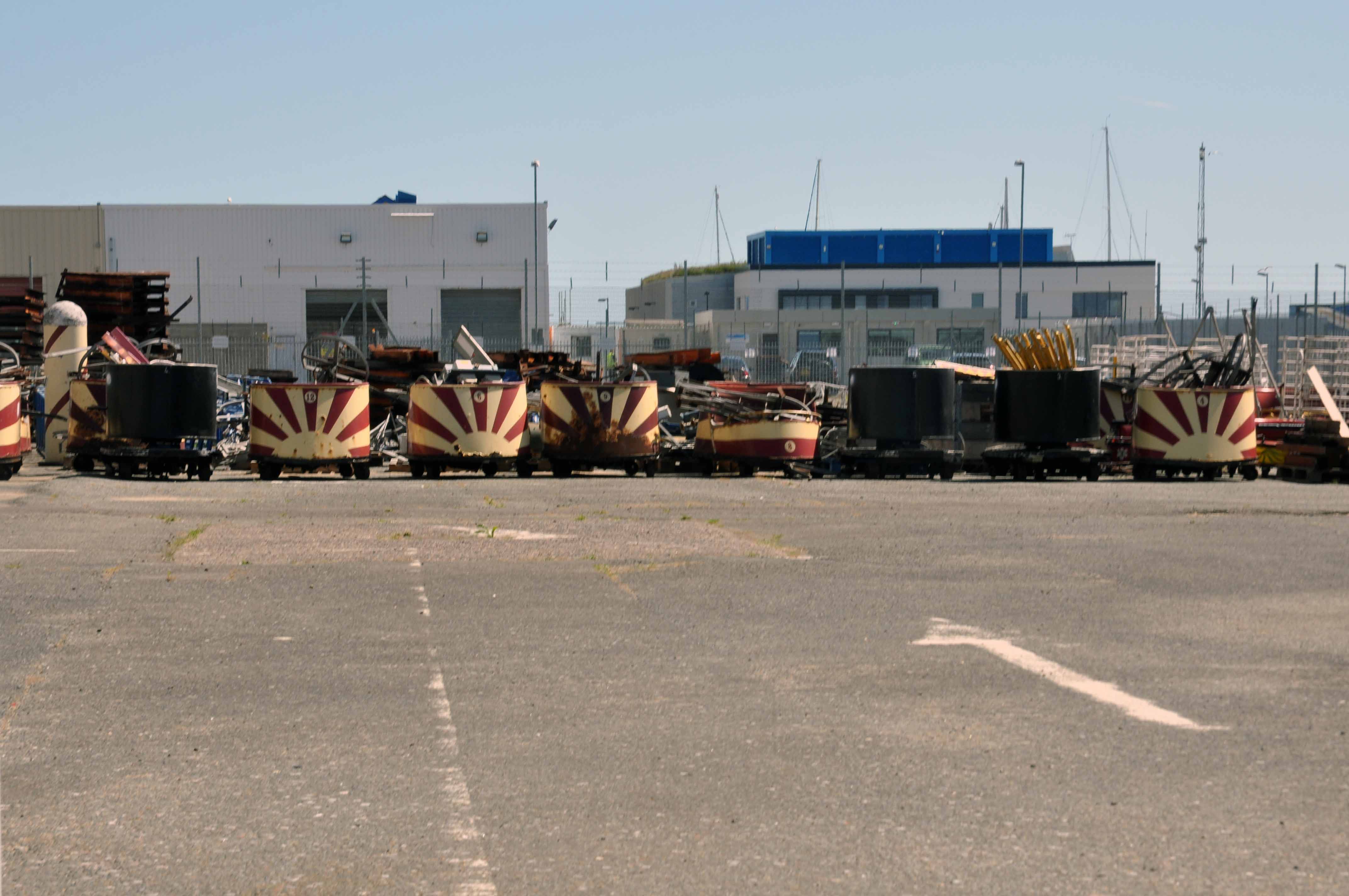
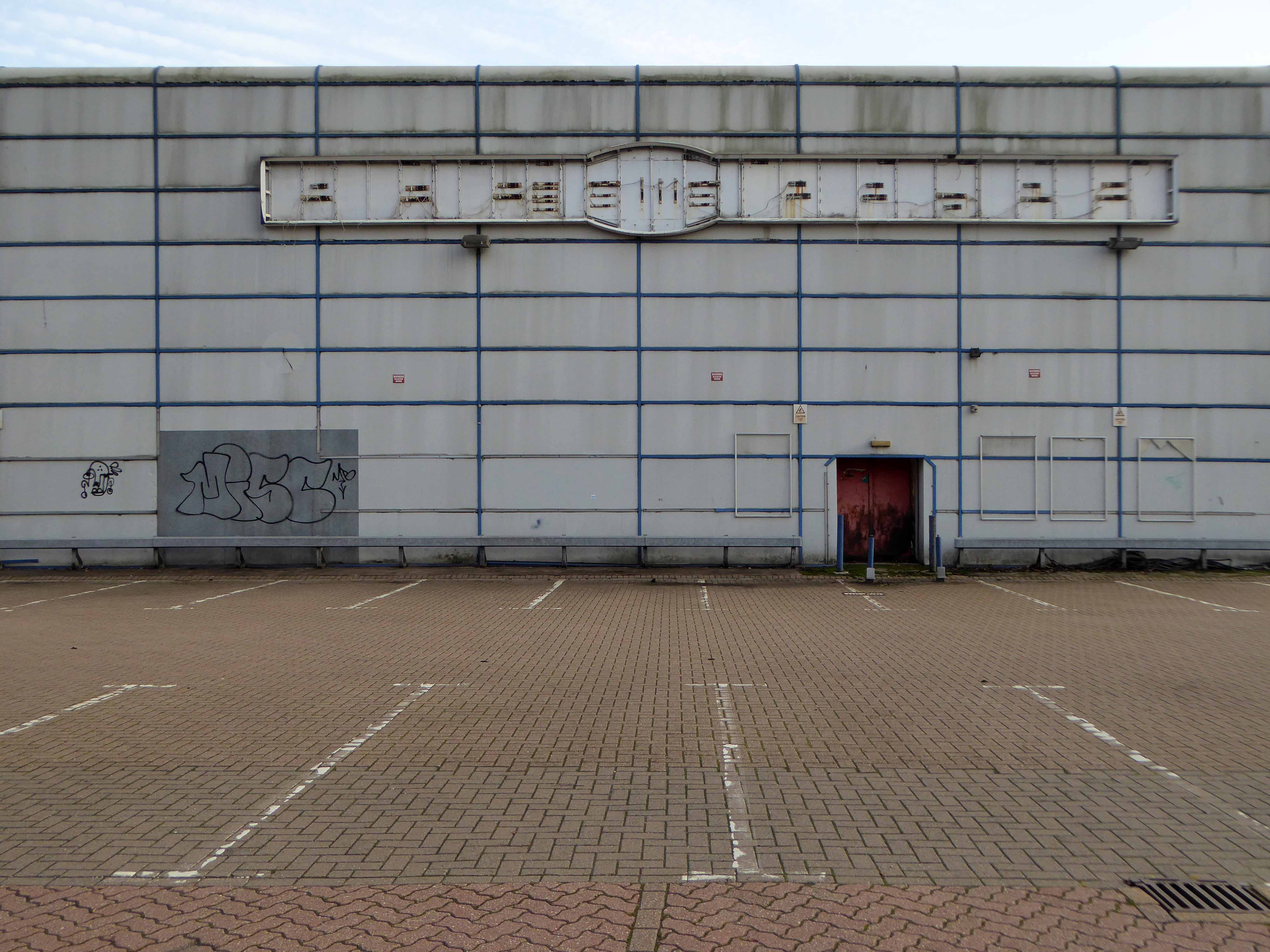
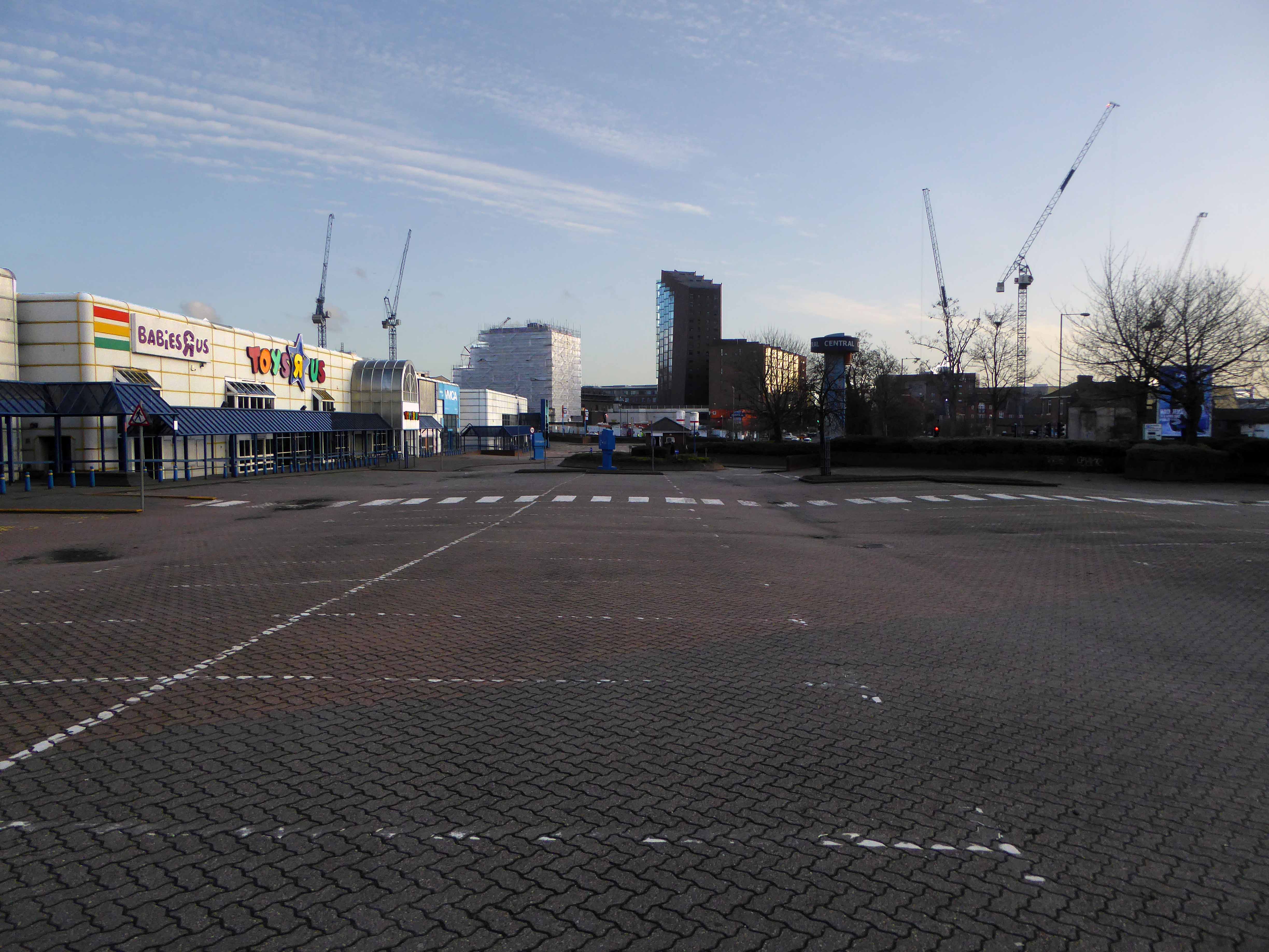
There’s no business like no business – it’s no better out the back.
This is an unprecedented opportunity to deliver a significant residential-led development connecting the north to the centre of Manchester. Working with our partners we’re re-imagining the essential neighbourhoods of our city.