Salford University

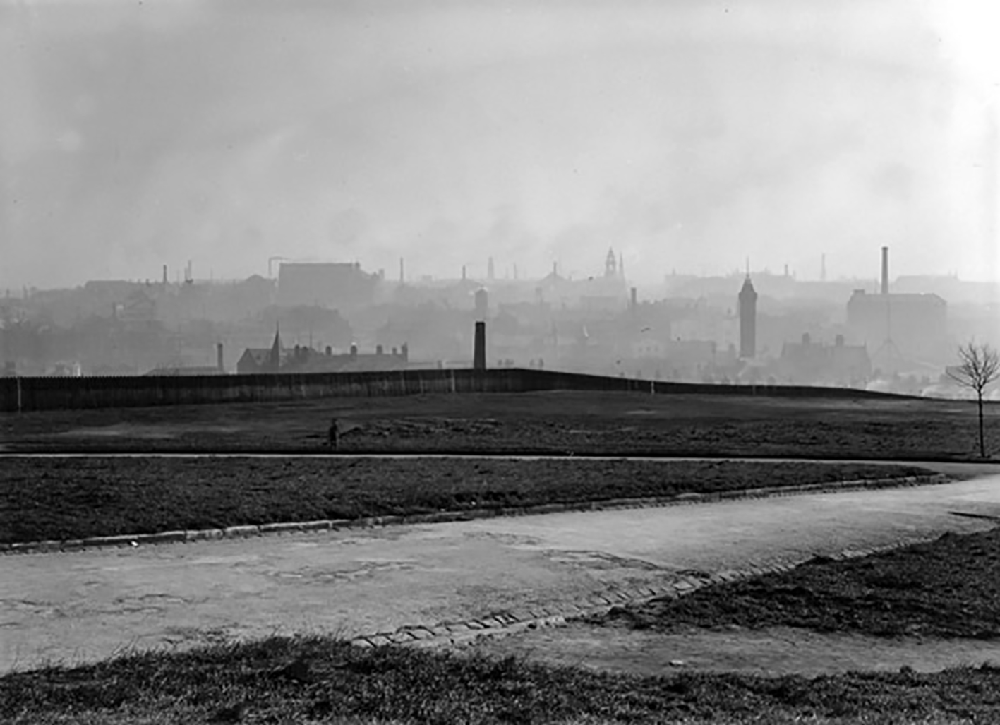
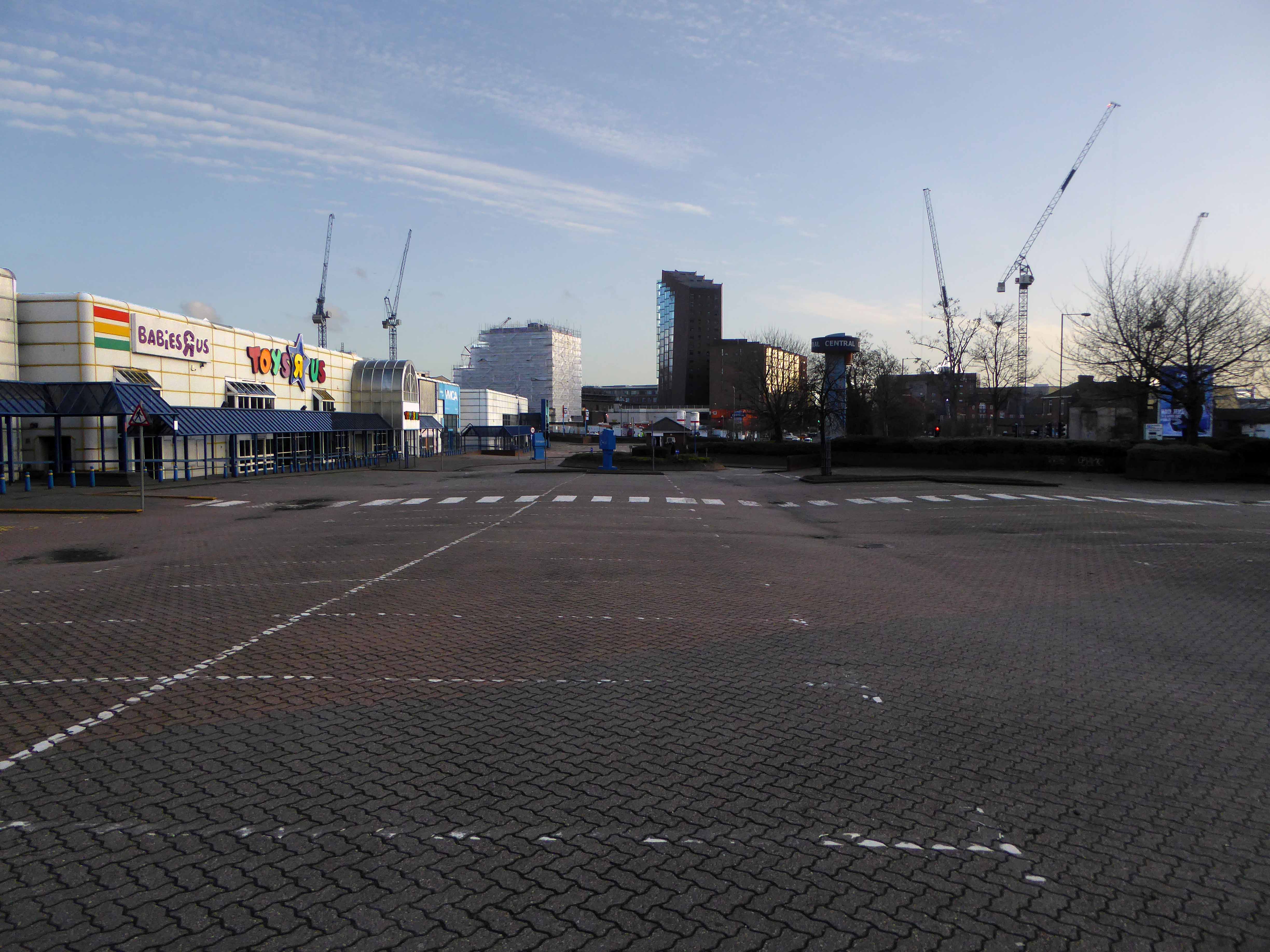
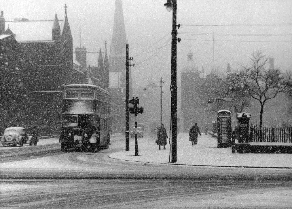
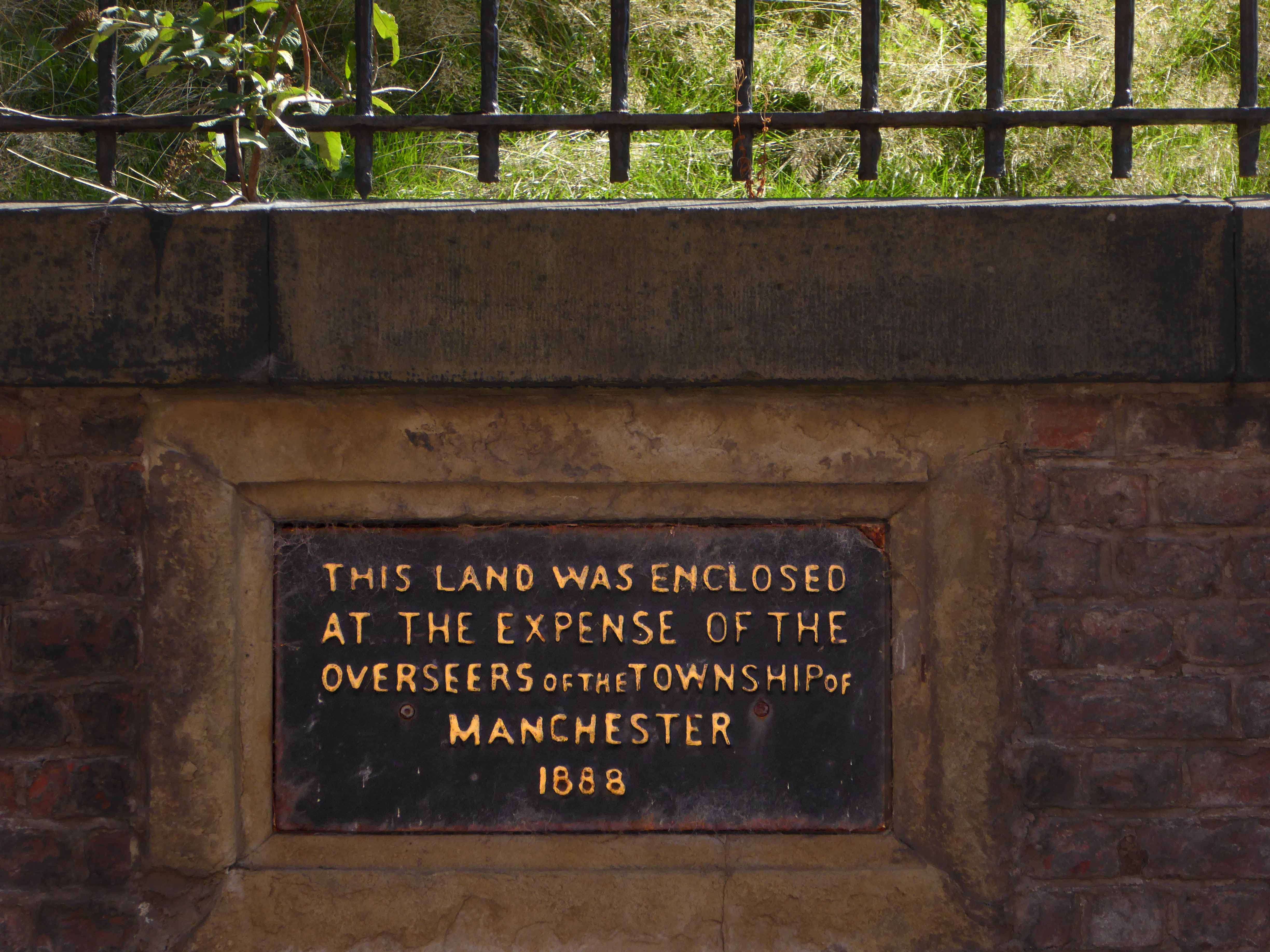
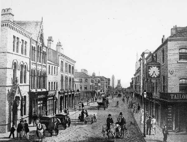
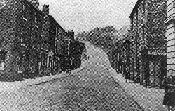
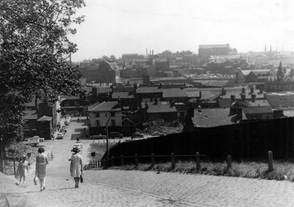
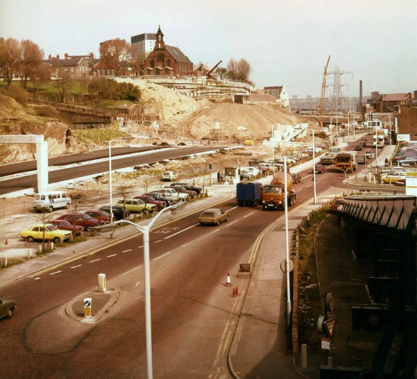
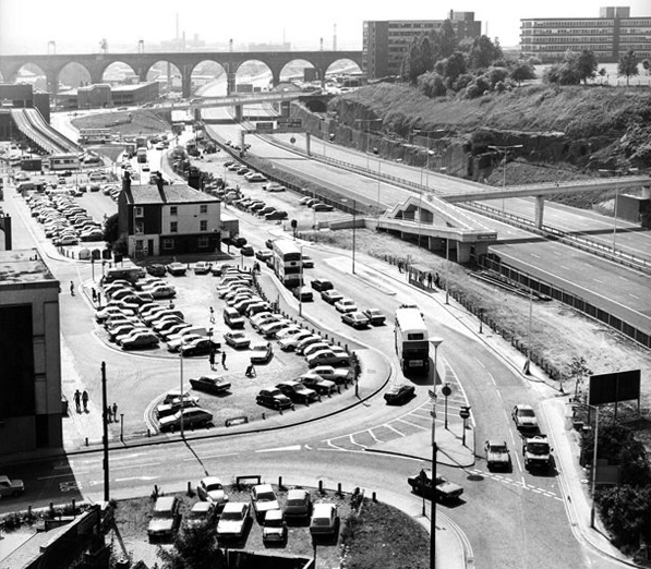
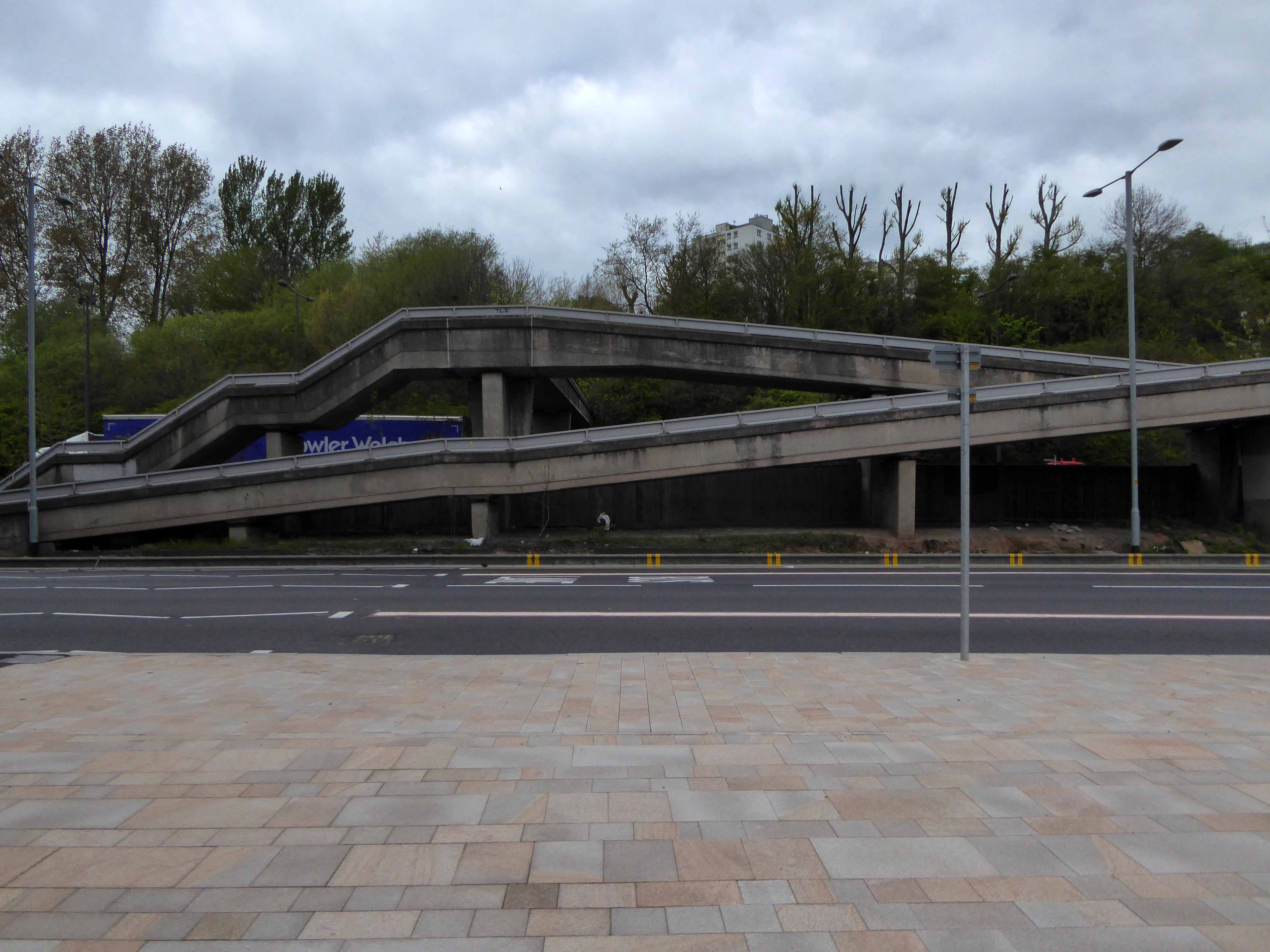
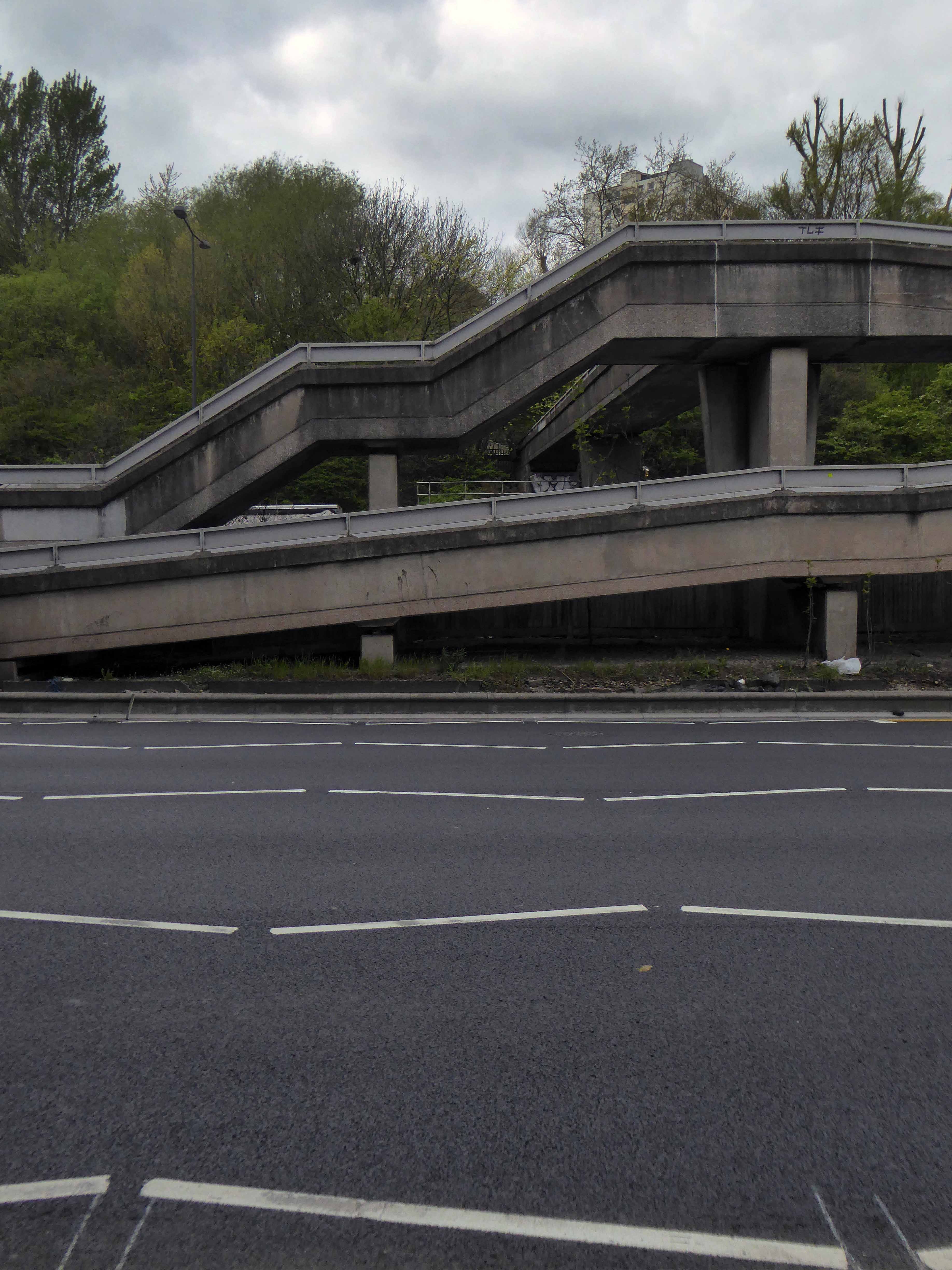
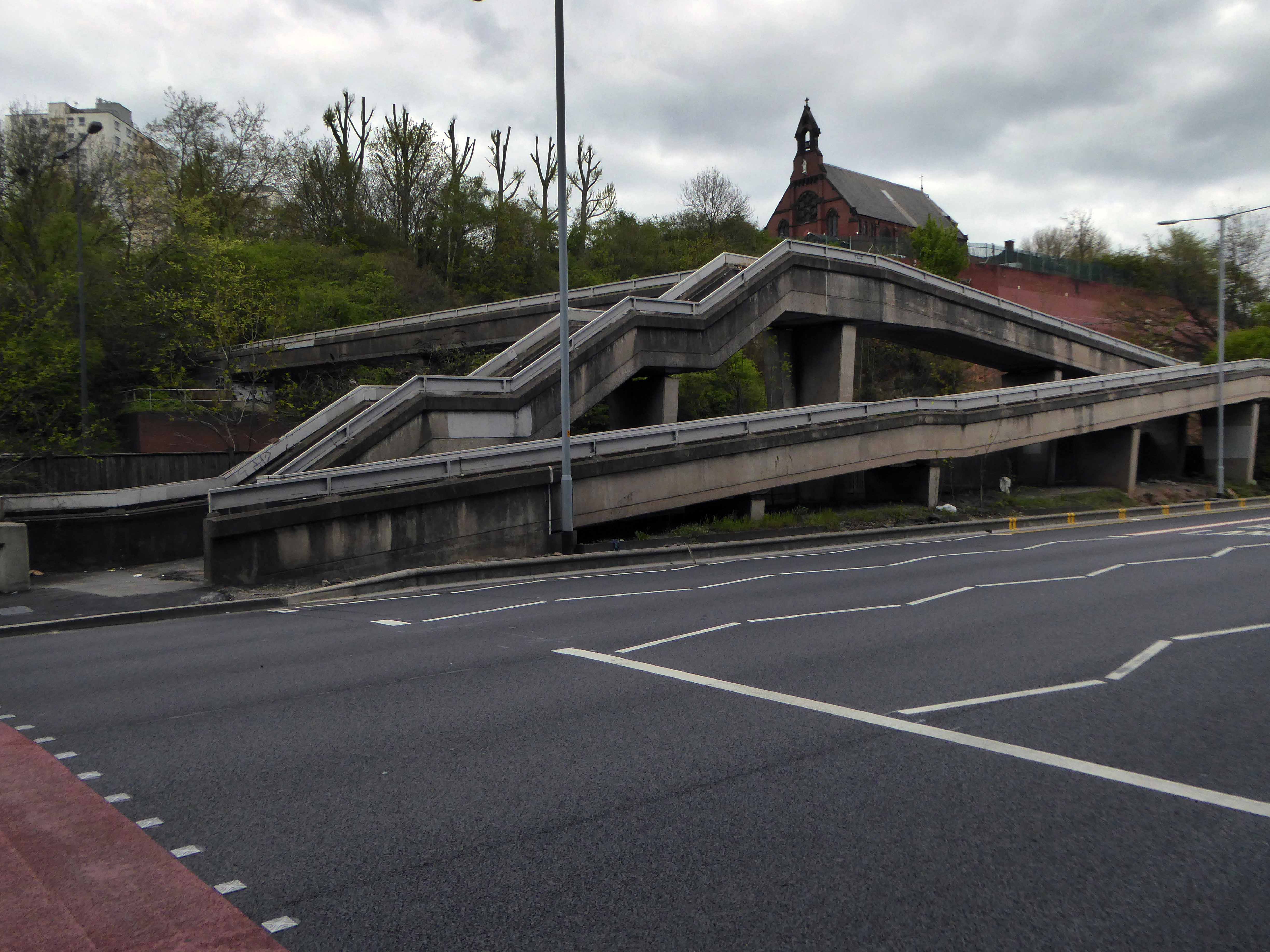
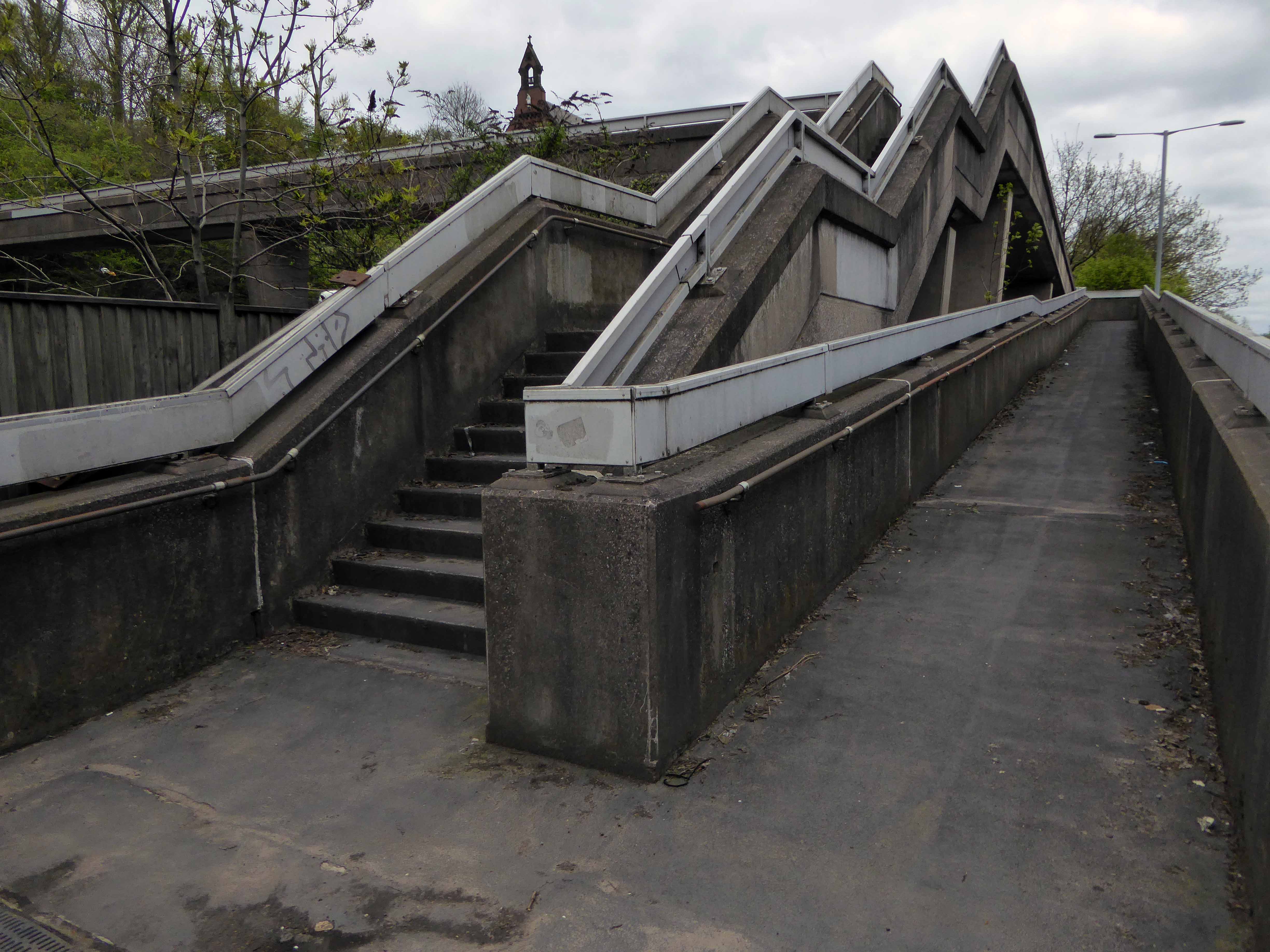
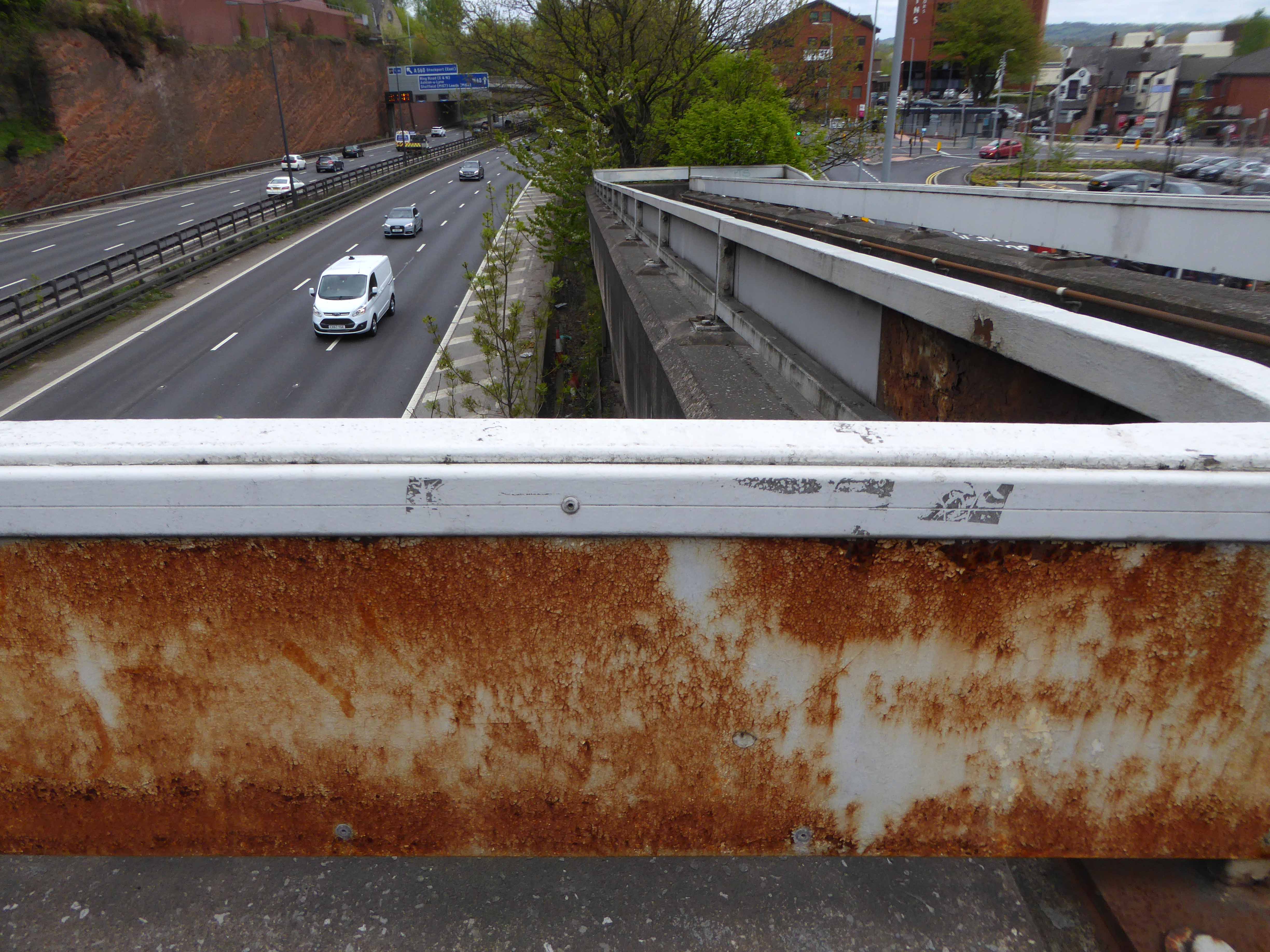
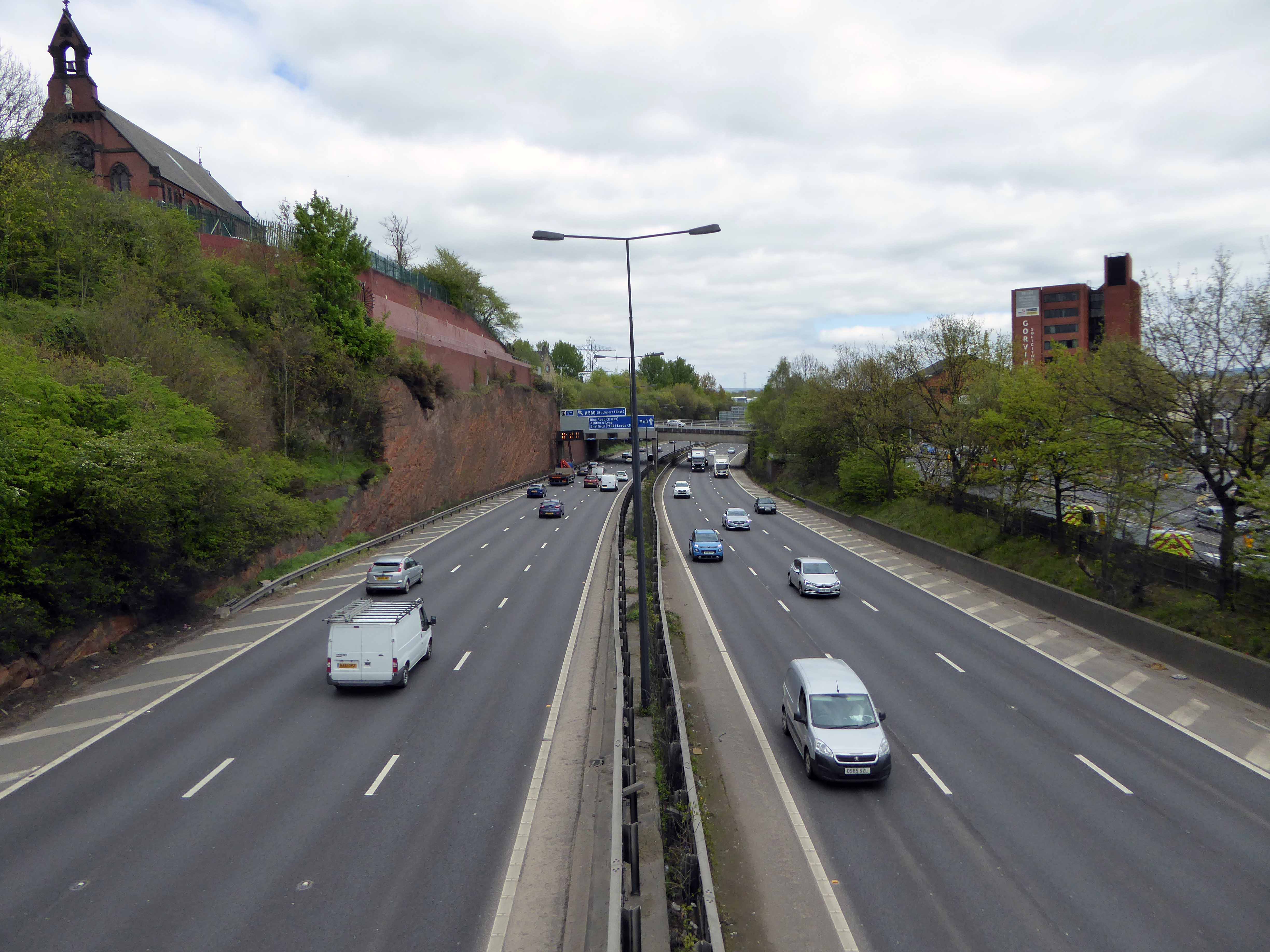
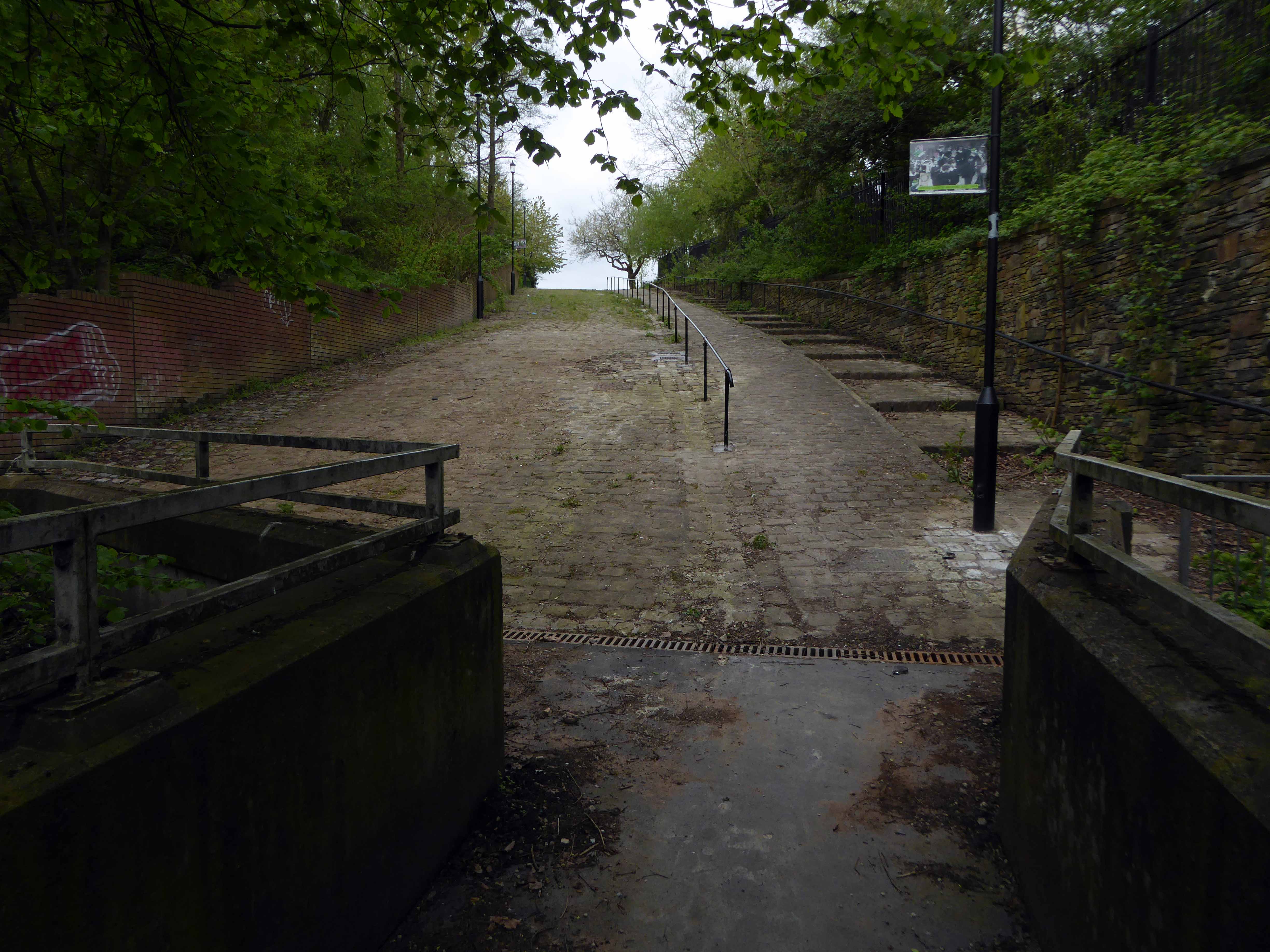
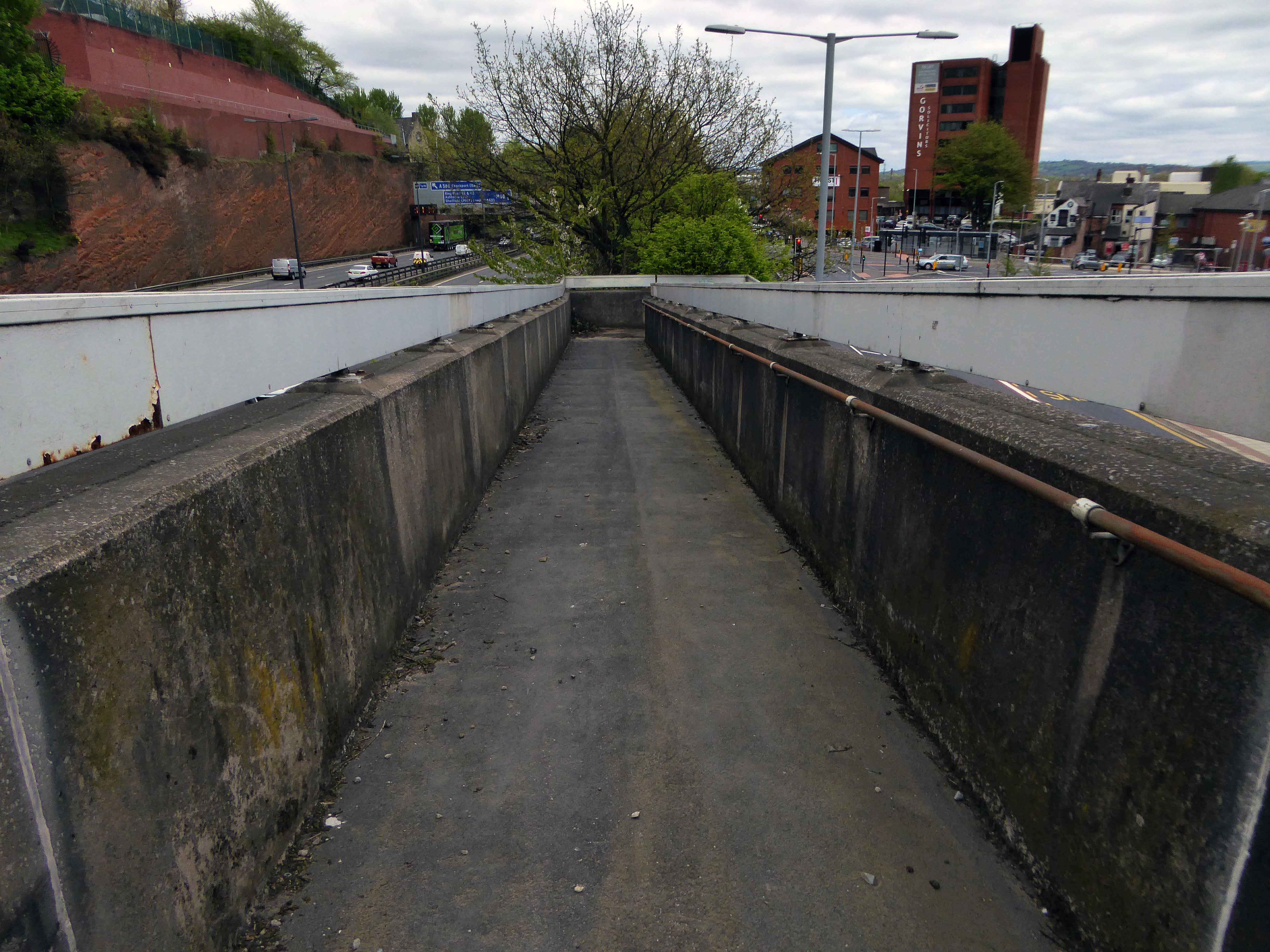
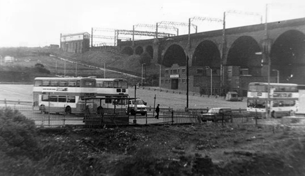
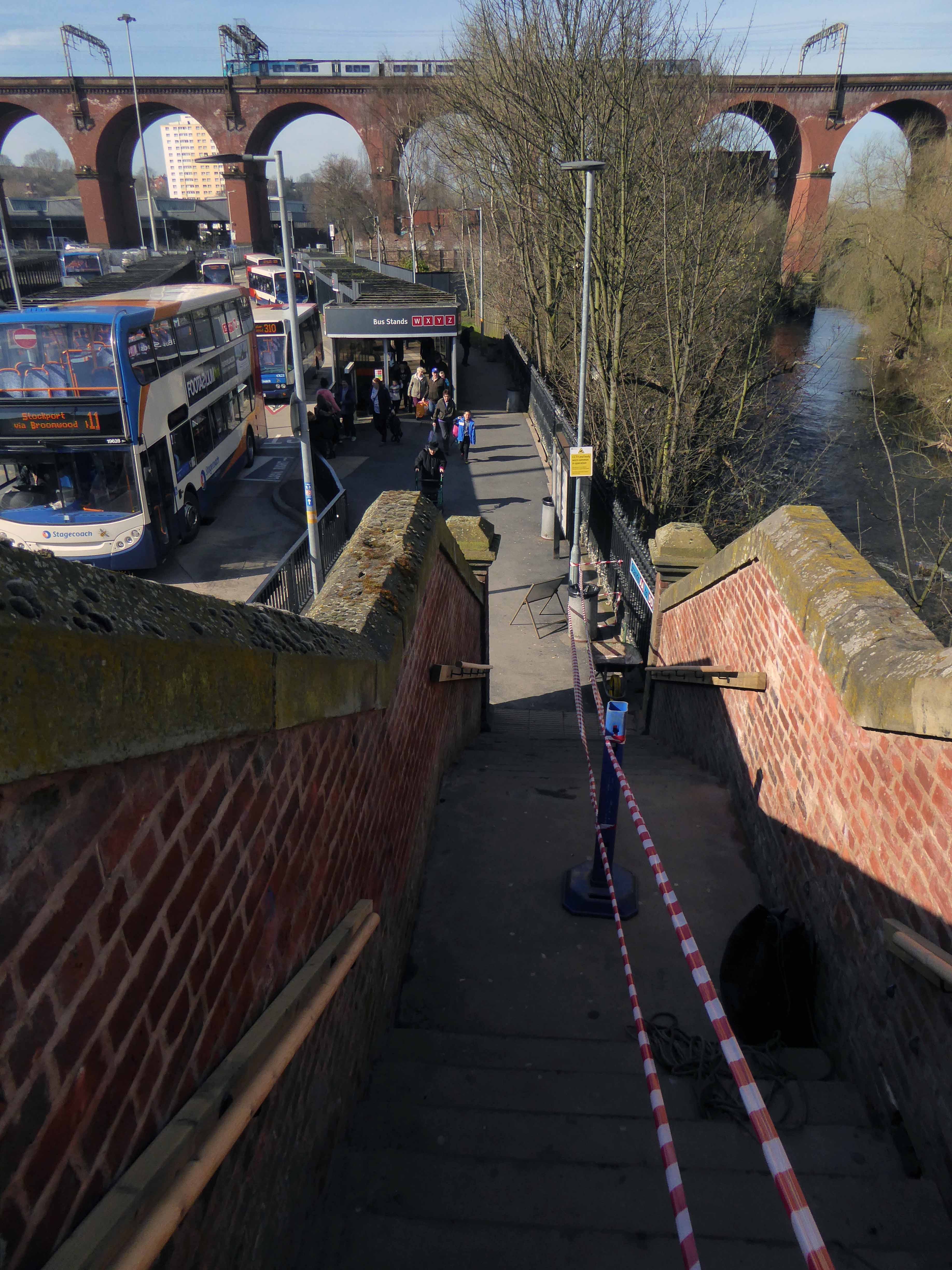
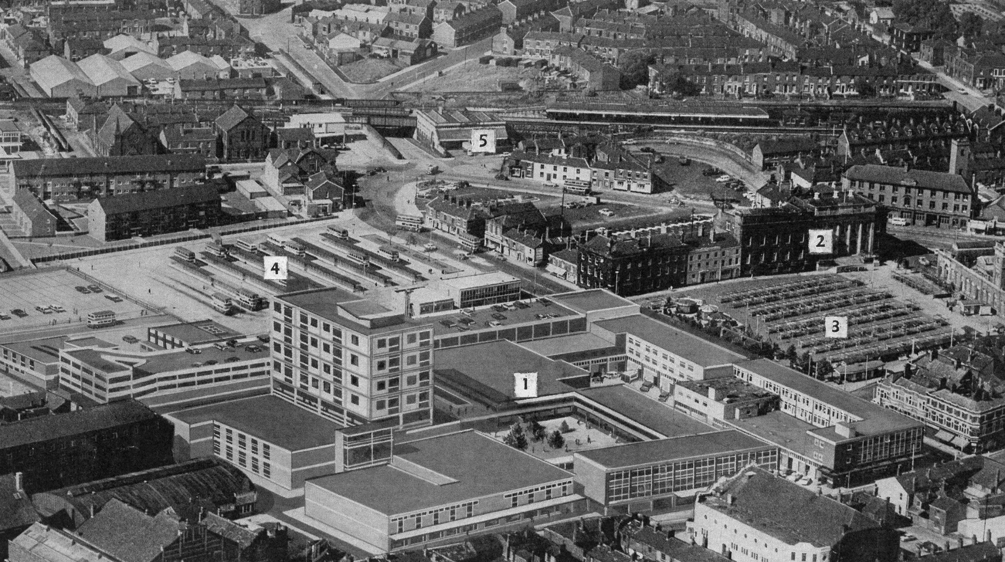
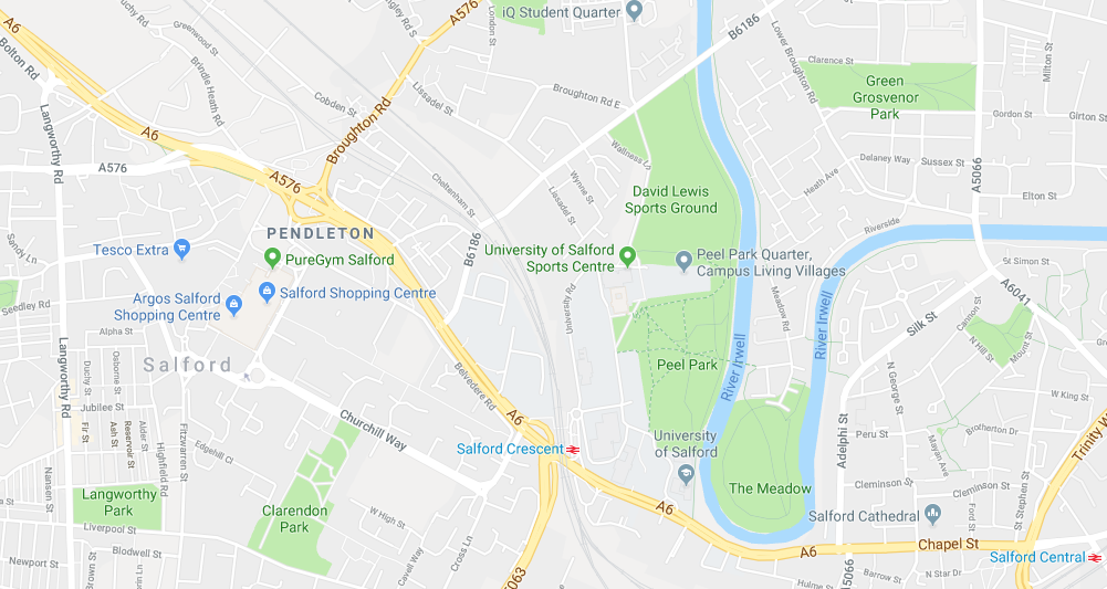
So here we are hard by the River Irwell, Peel Park and the A6.

The Royal Technical Institute, Salford, which opened in 1896, became a College of Advanced Technology in 1956 and gained university status, following the Robbins Report into higher education, in 1967.

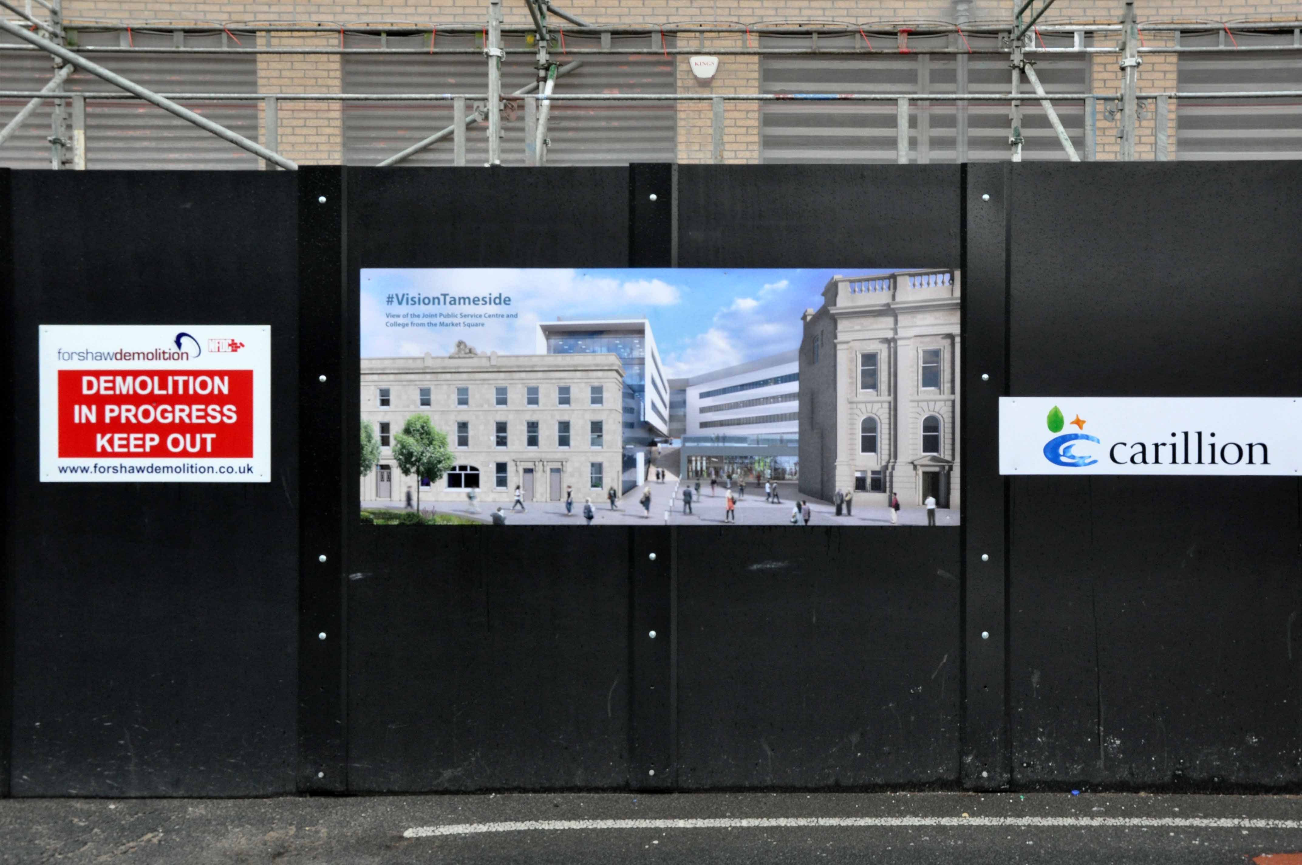
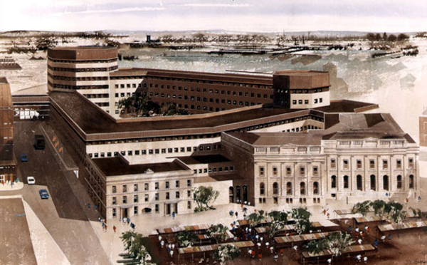
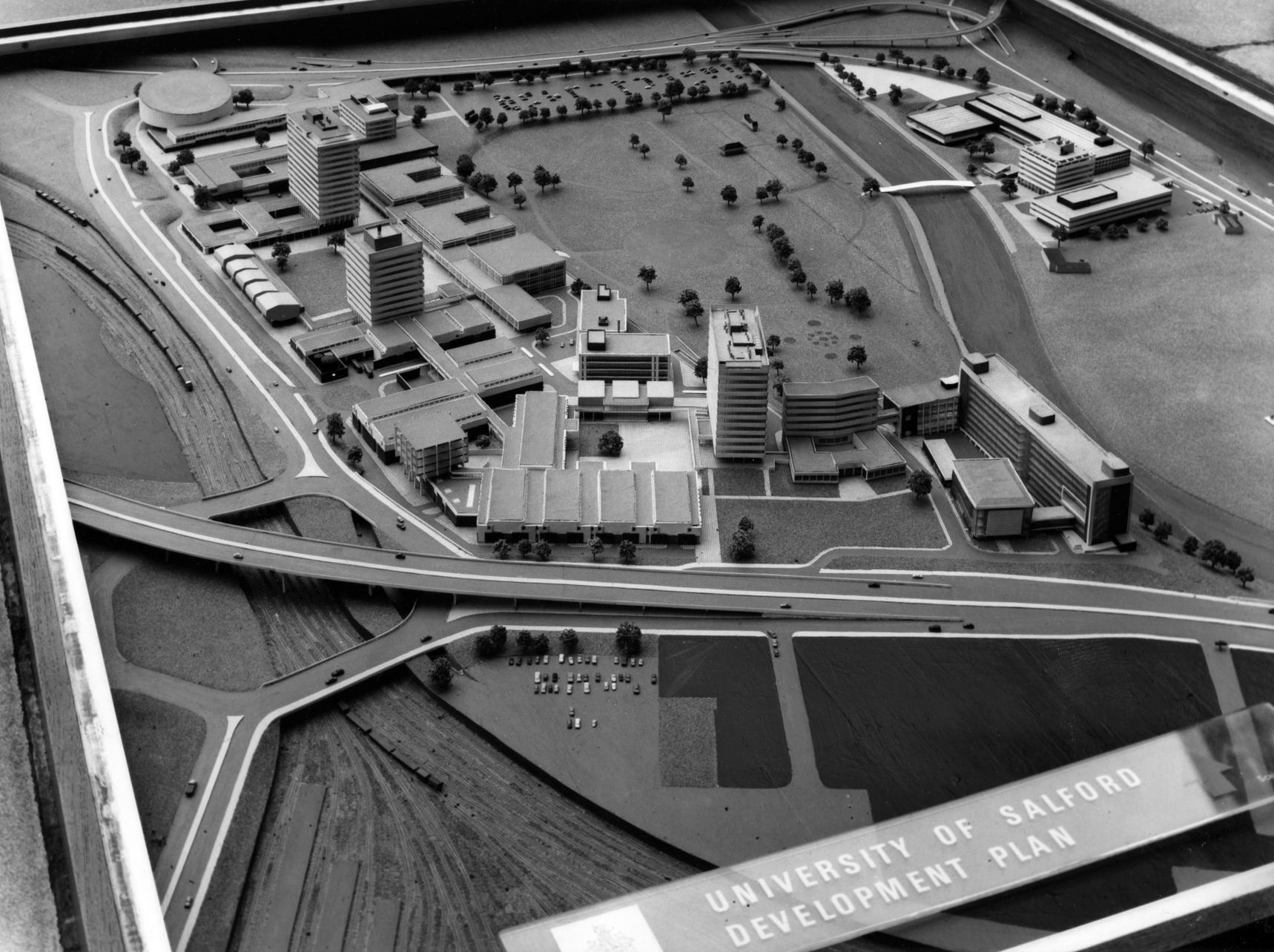
A new dawn – fired by the white hot heat of British Technology – including the unrealised demolition of the Victorian College, Art Gallery and Museum buildings.

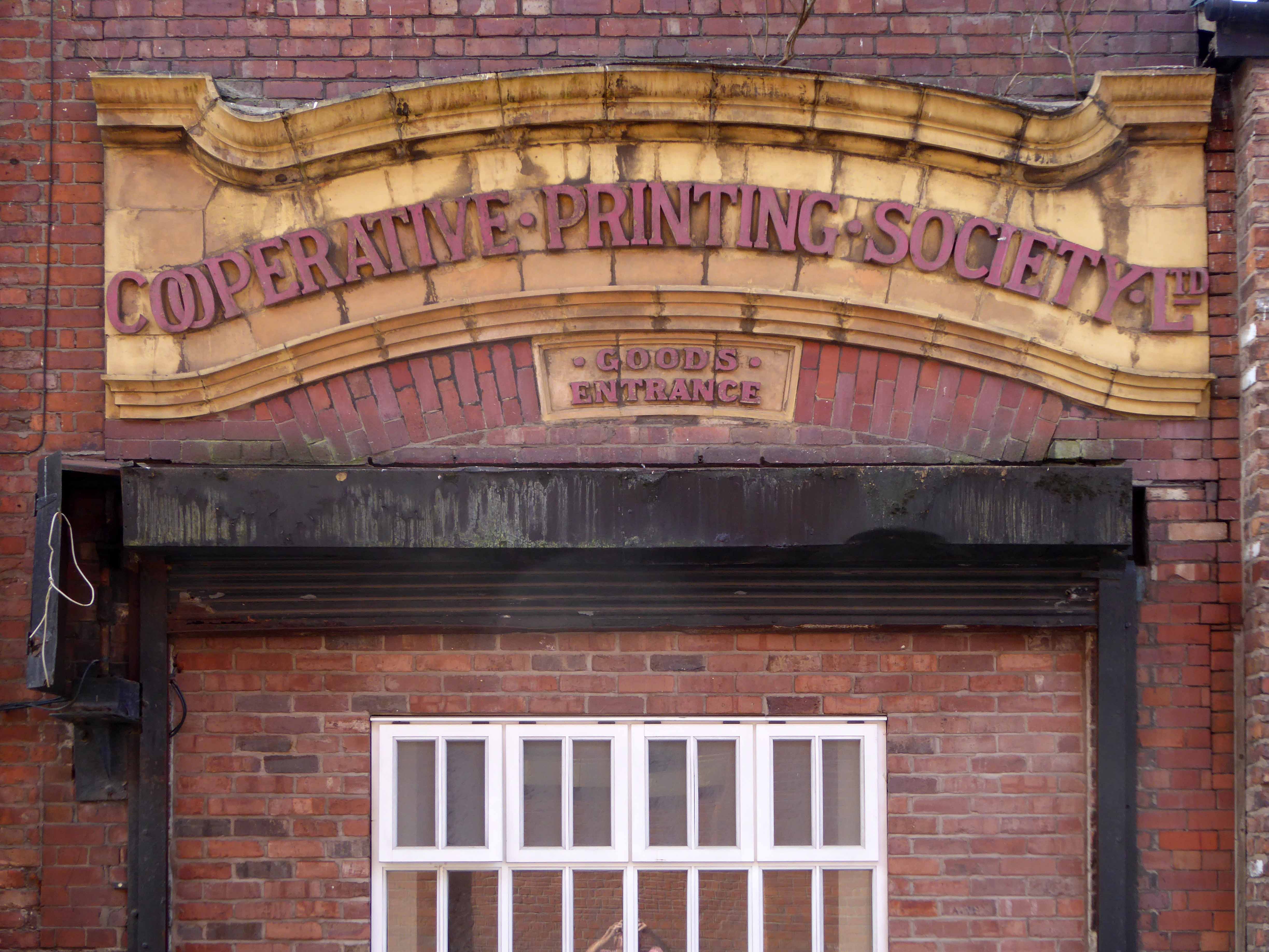
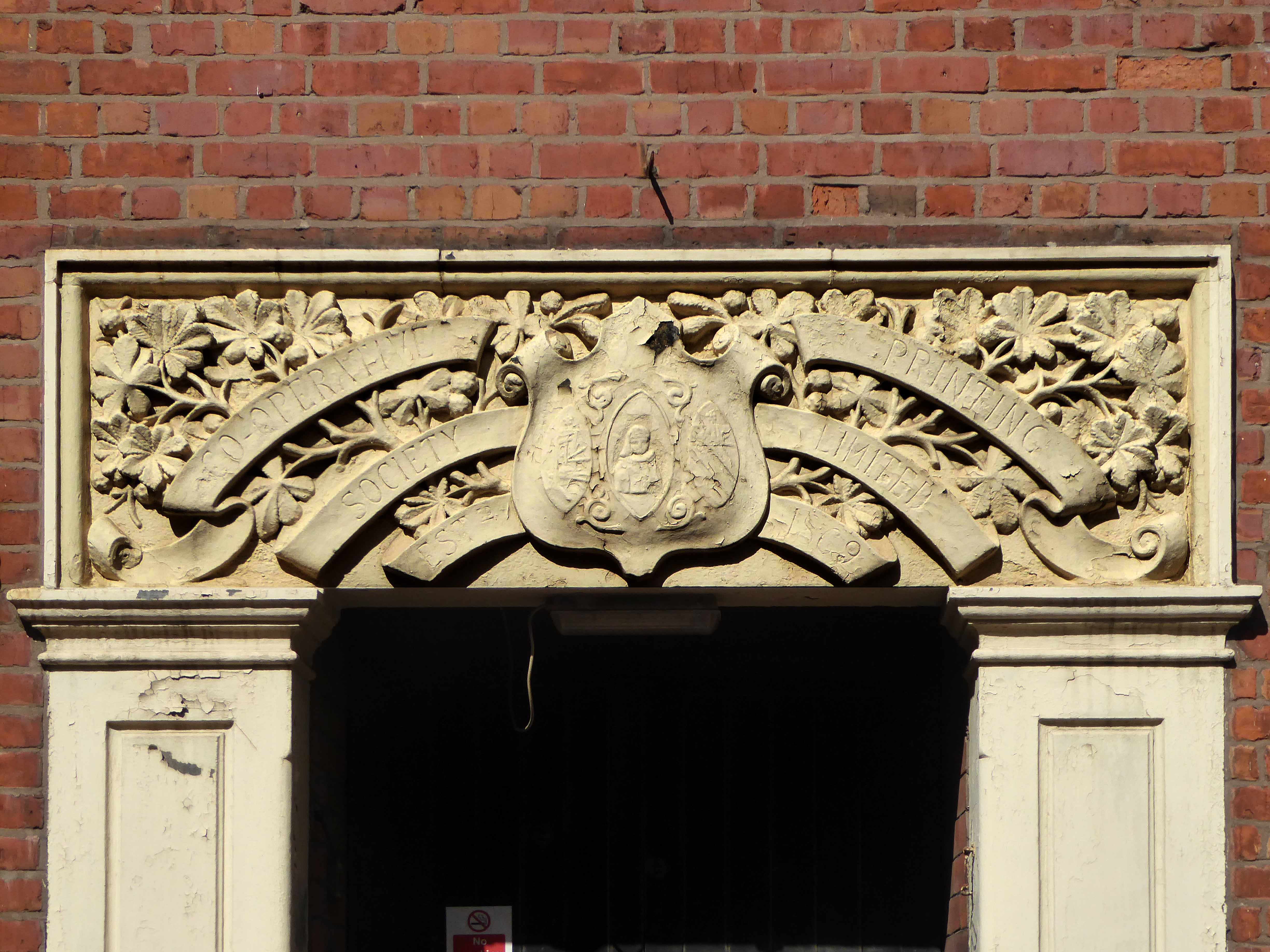
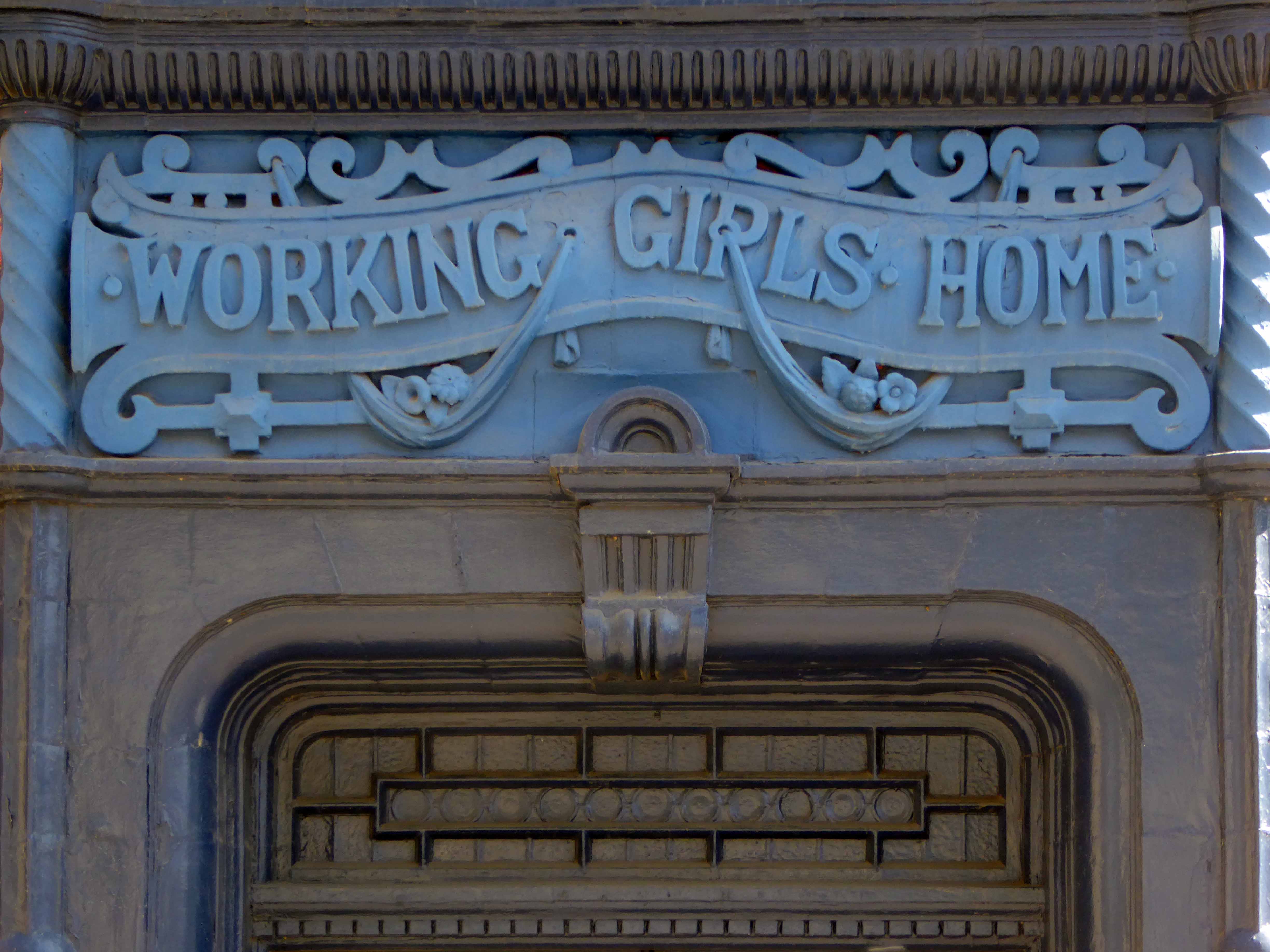
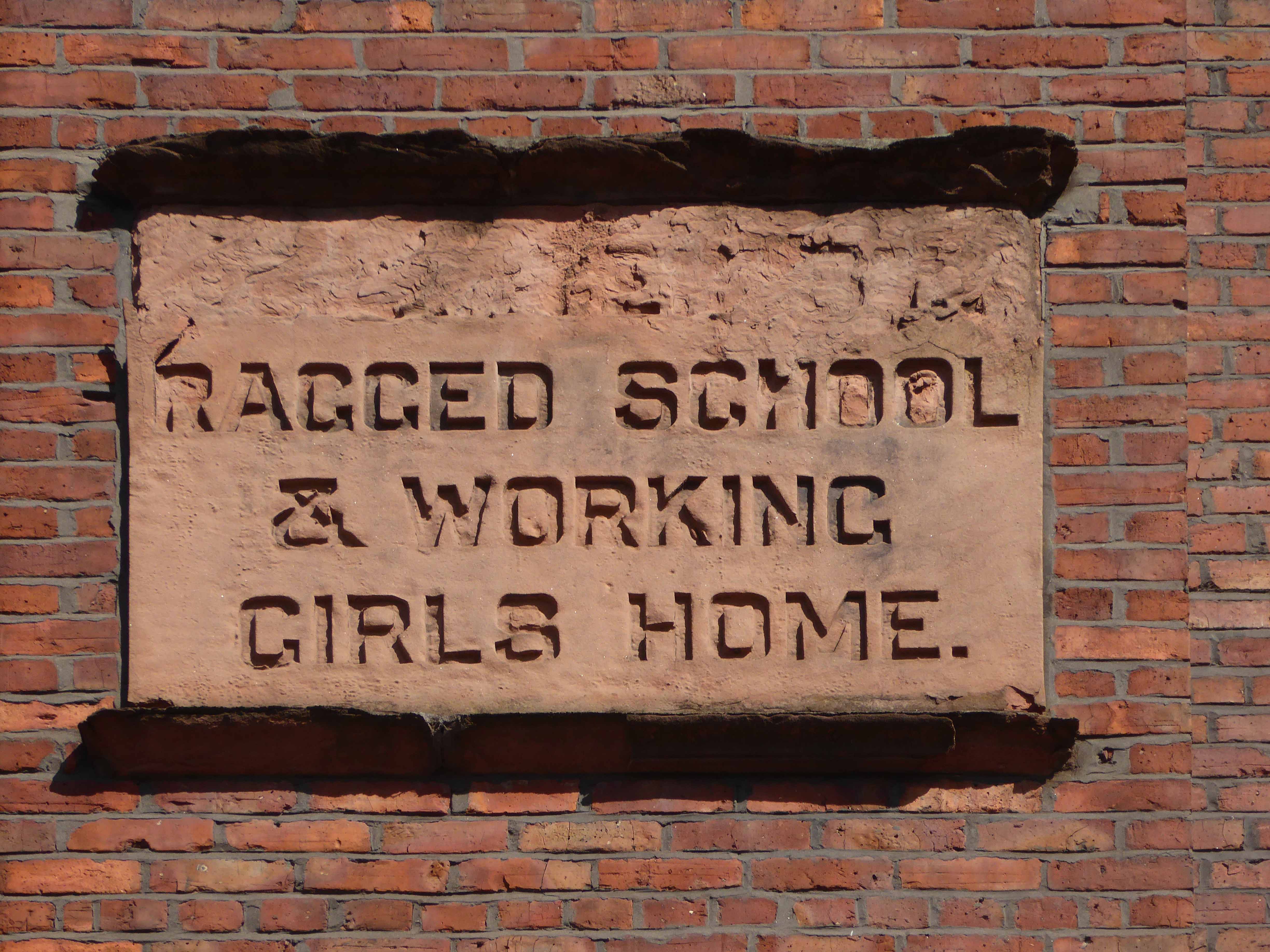
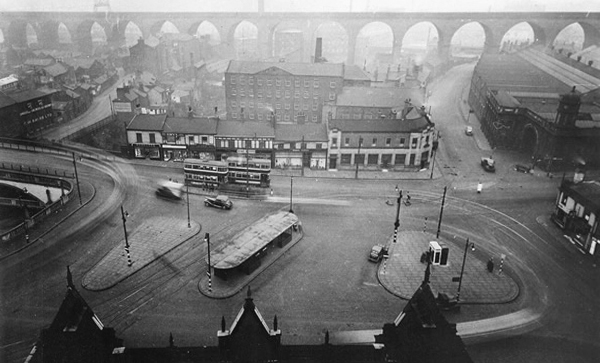
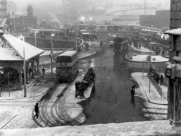
B&W images courtesy USIR Archives

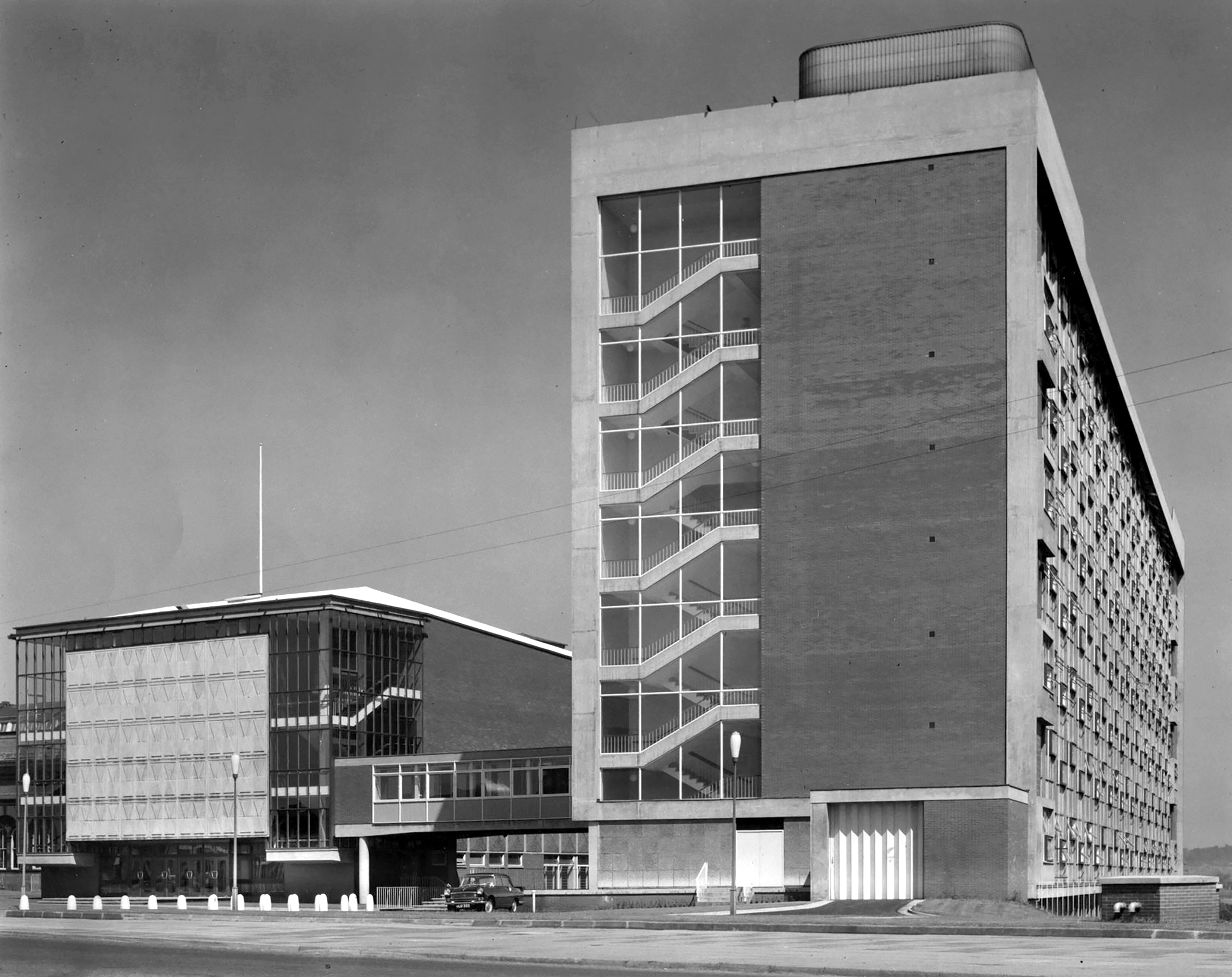
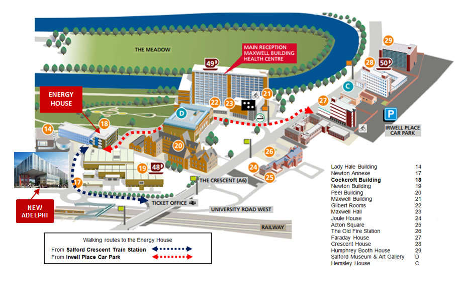
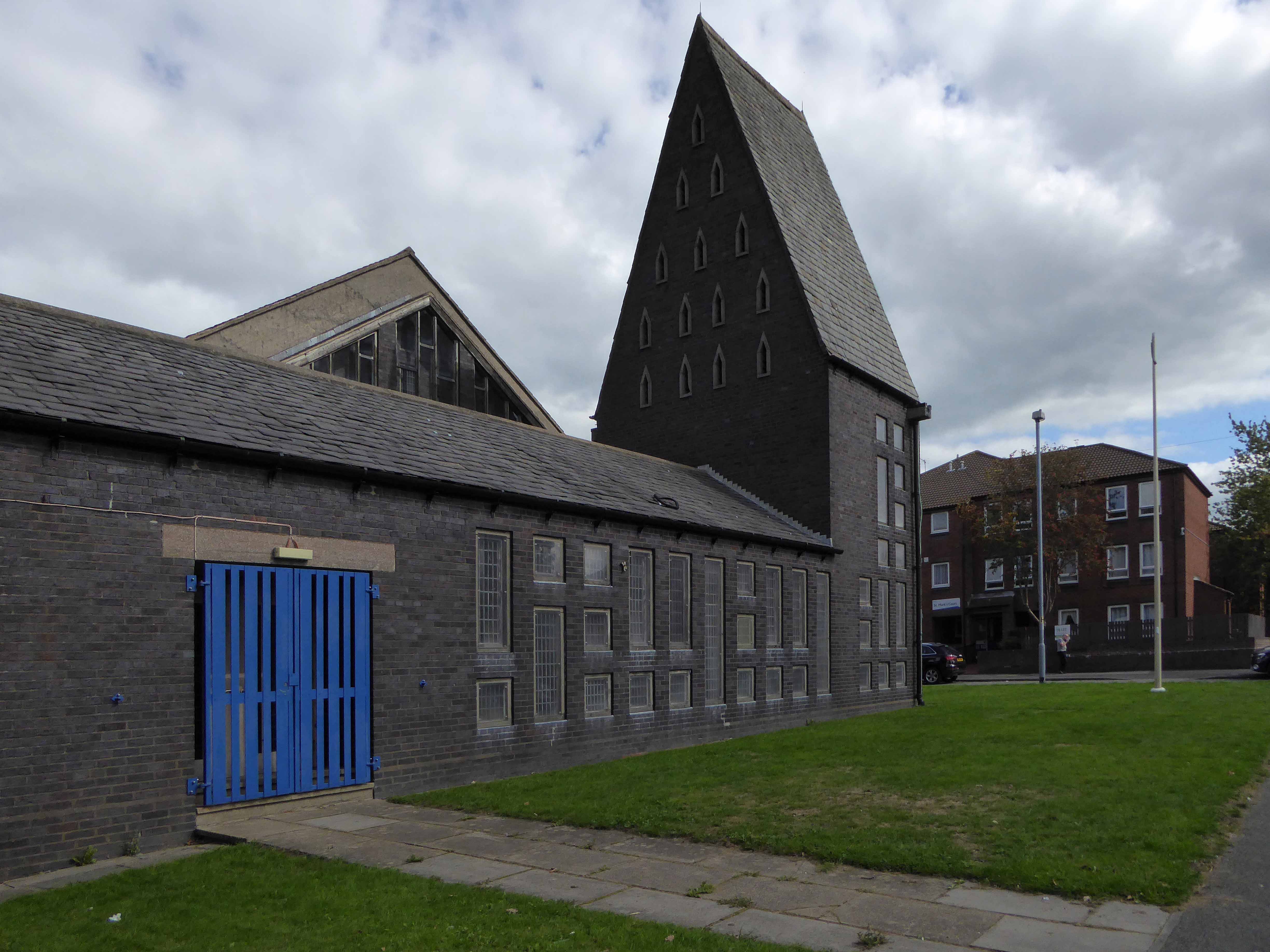
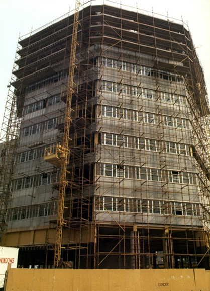
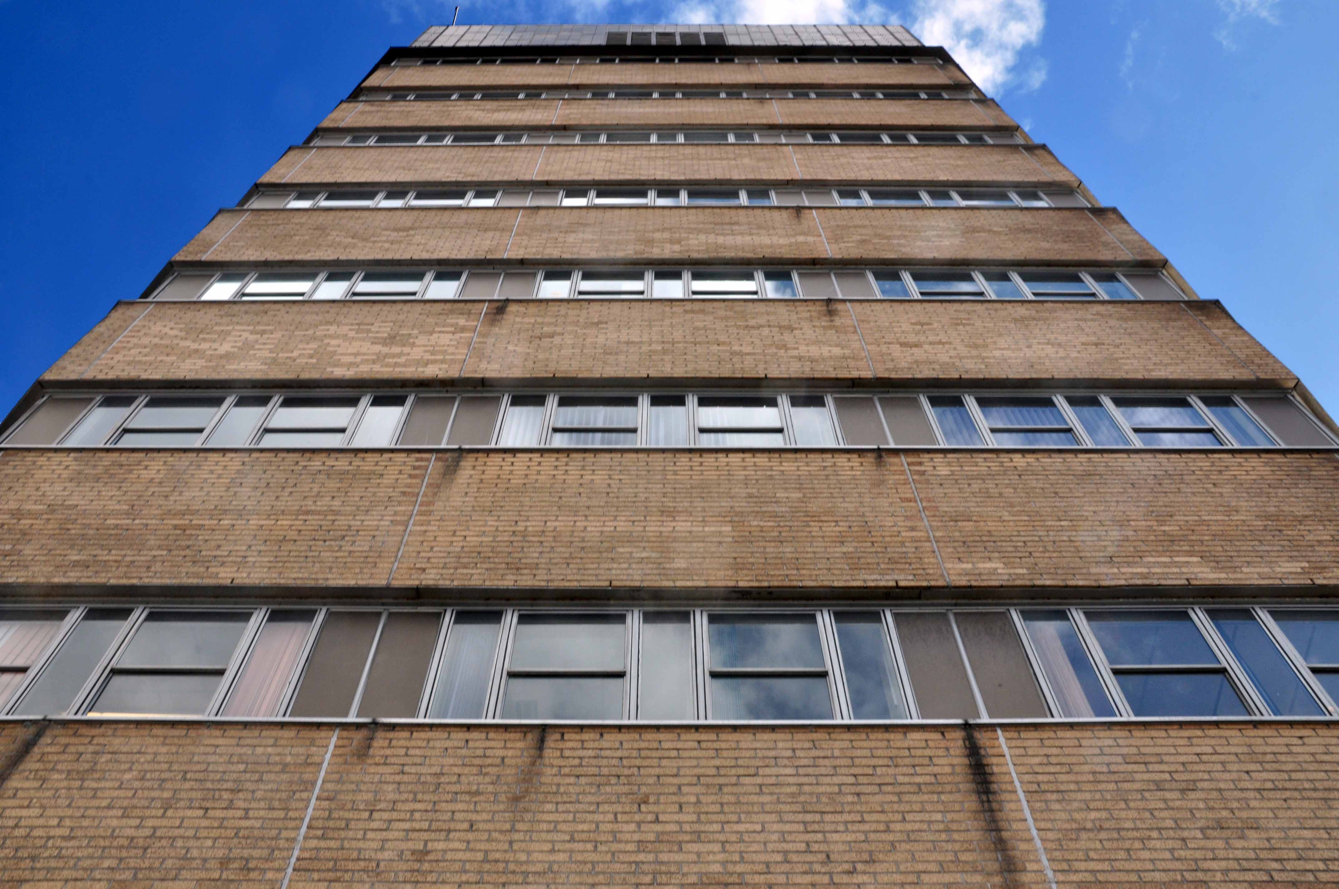
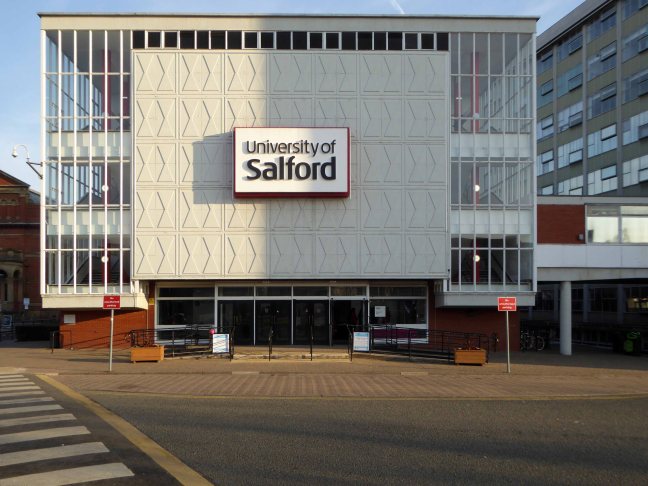
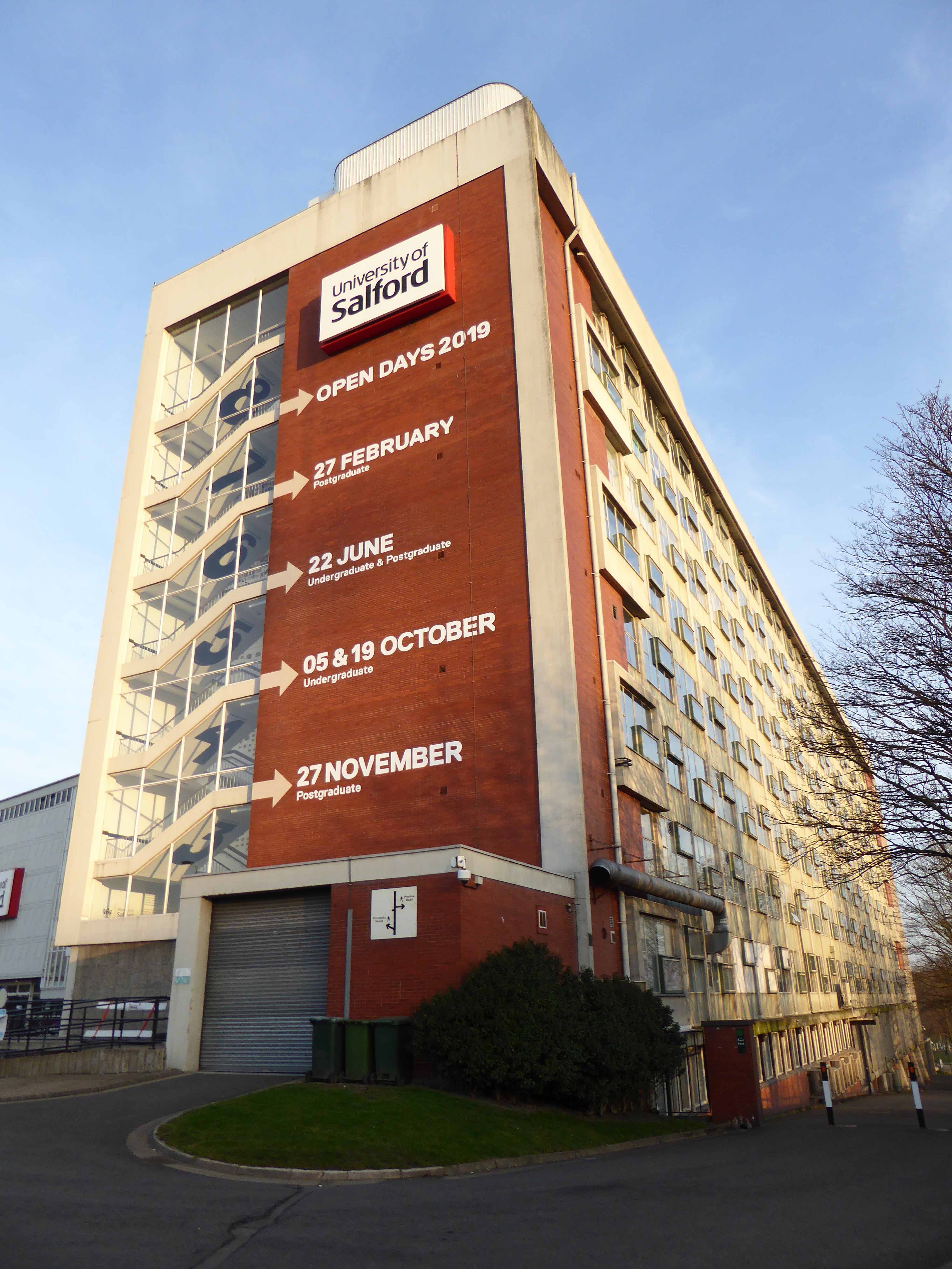
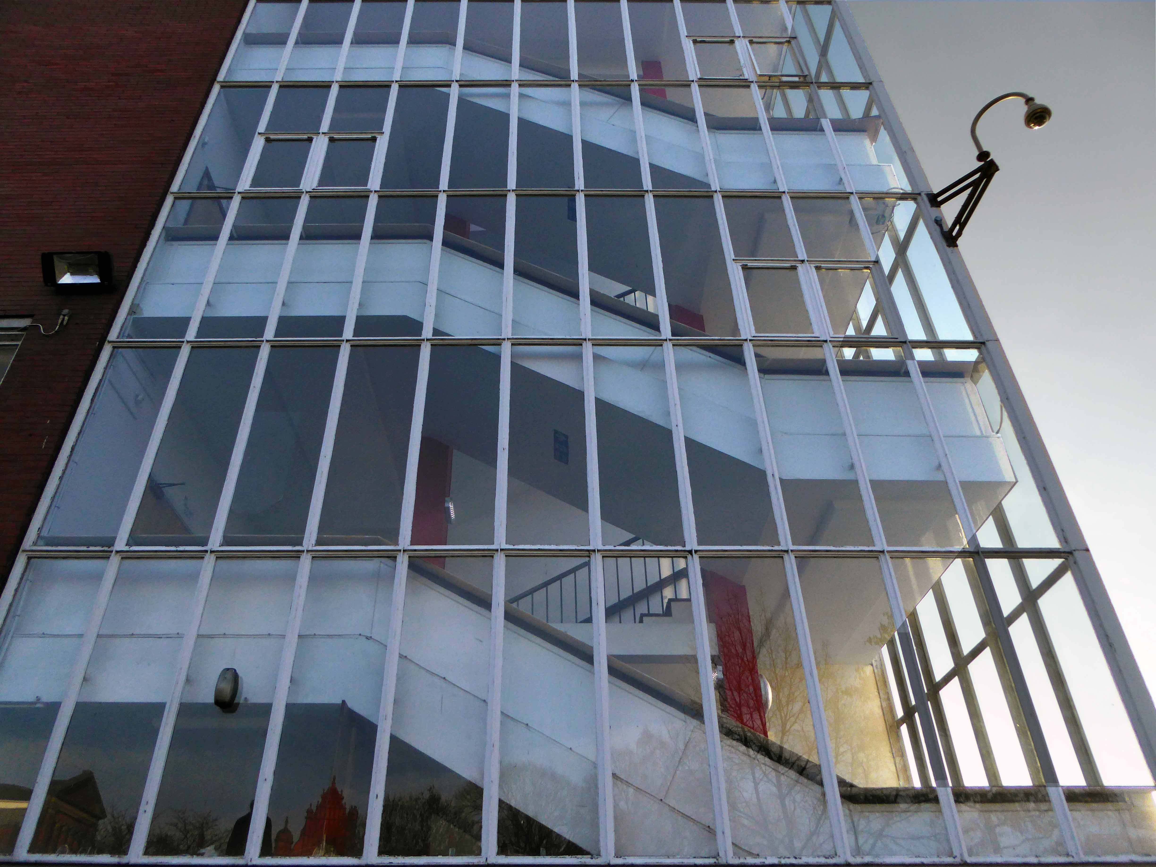
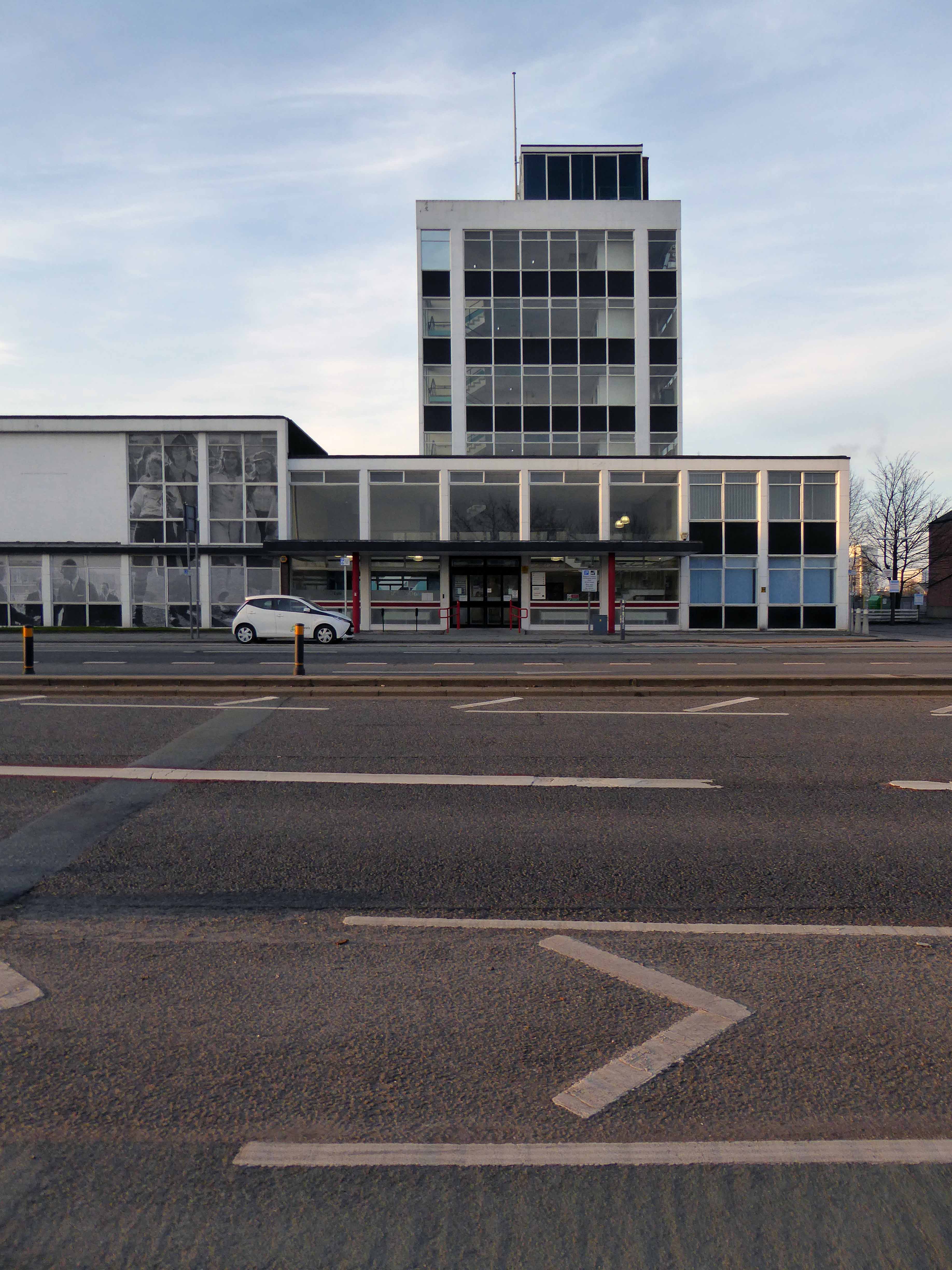
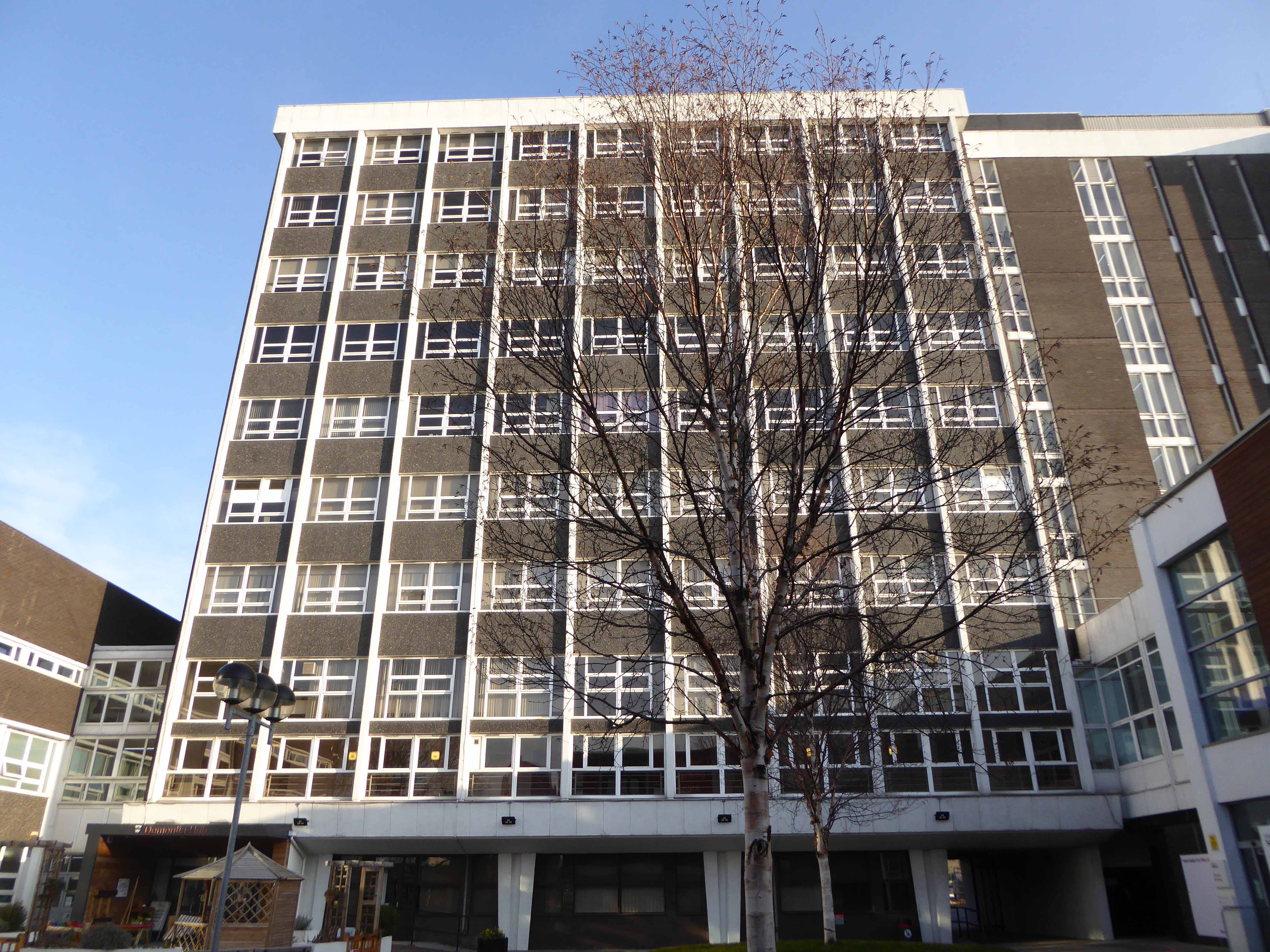
The Maxwell Building and Hall forms the older portal to the campus site.

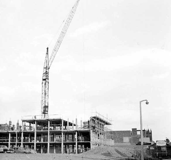
They were built between 1959 and 1960 to a design by the architect C. H. Simmons of the Lancashire County Architects Department.

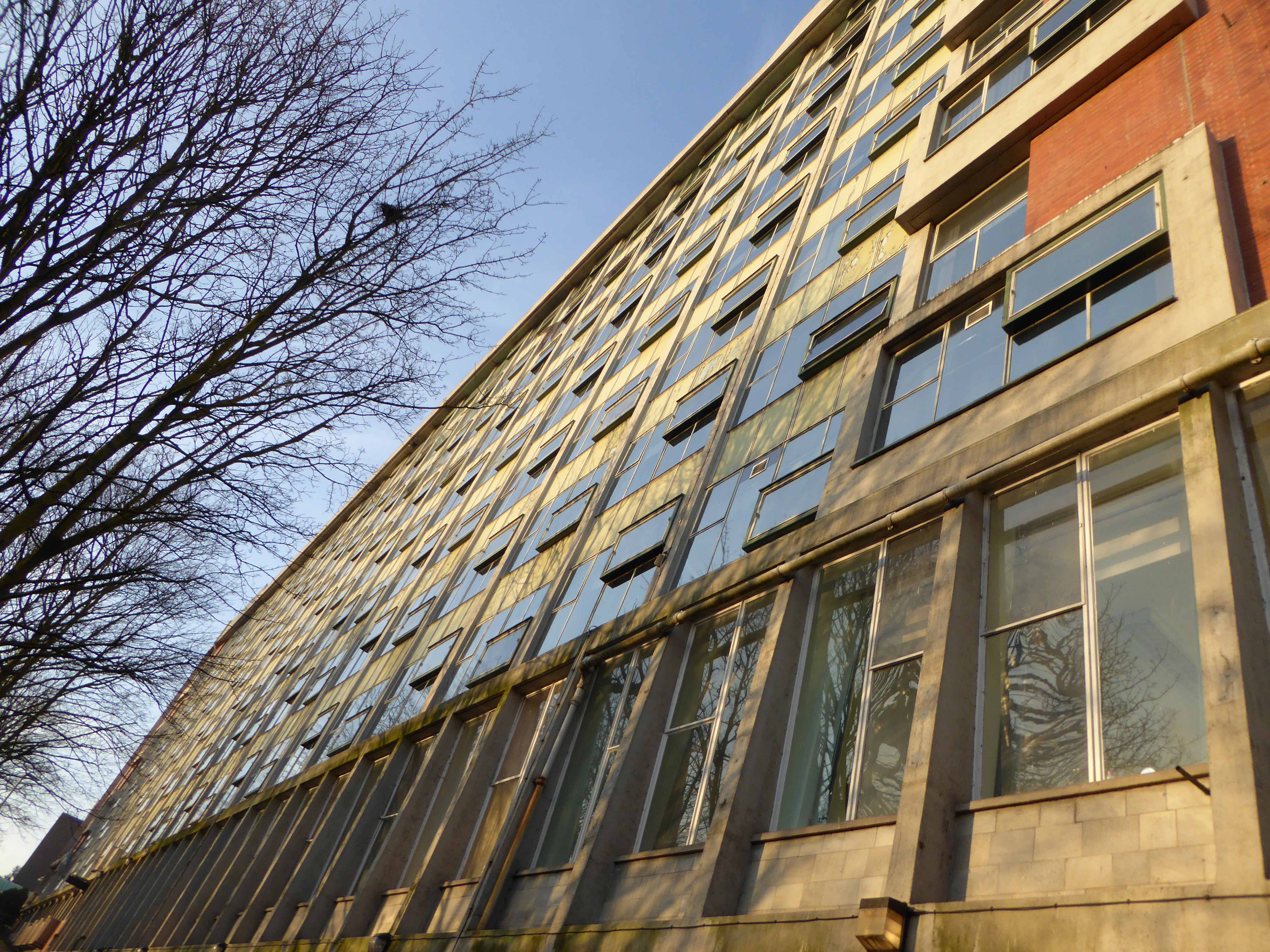
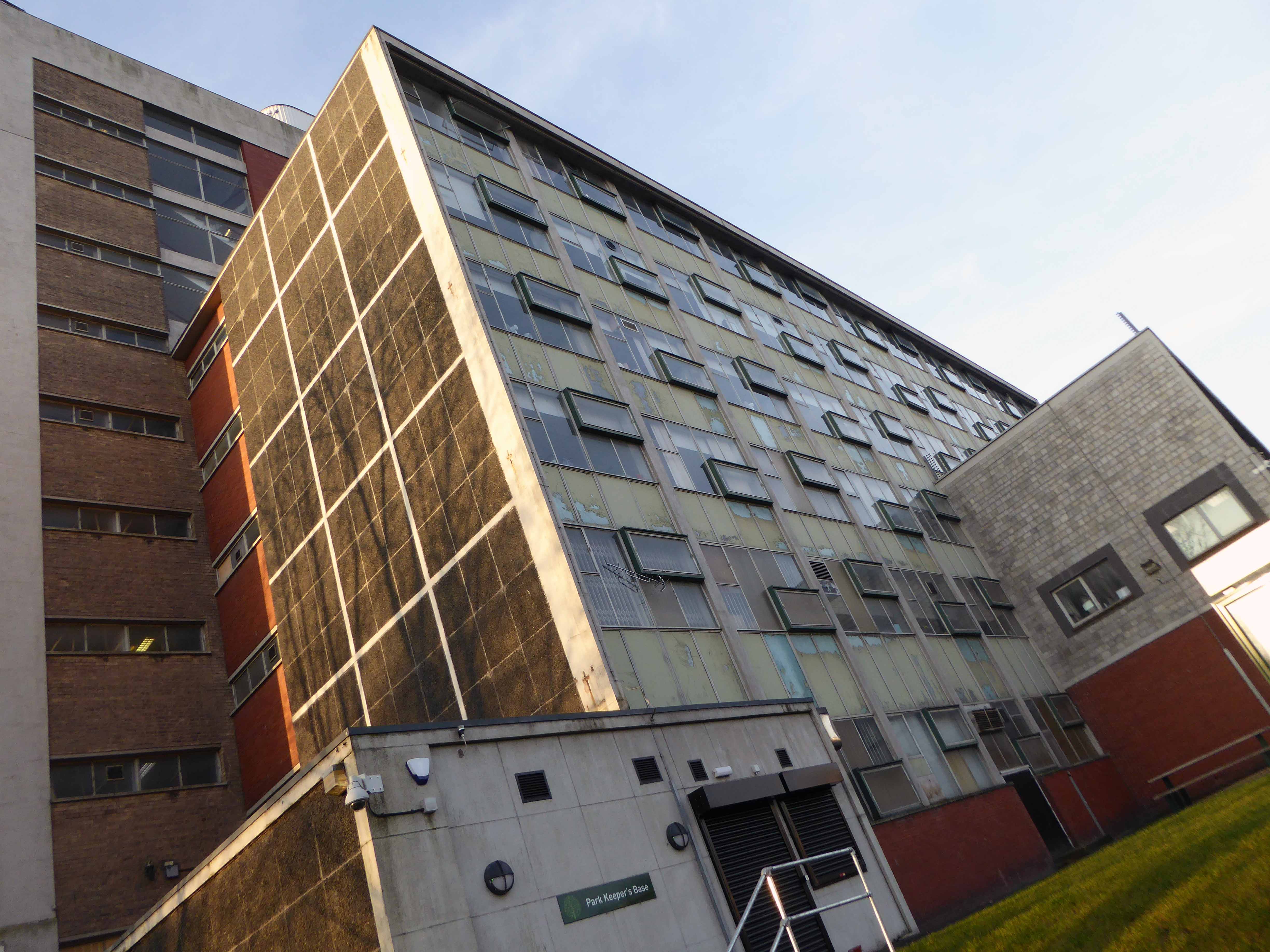
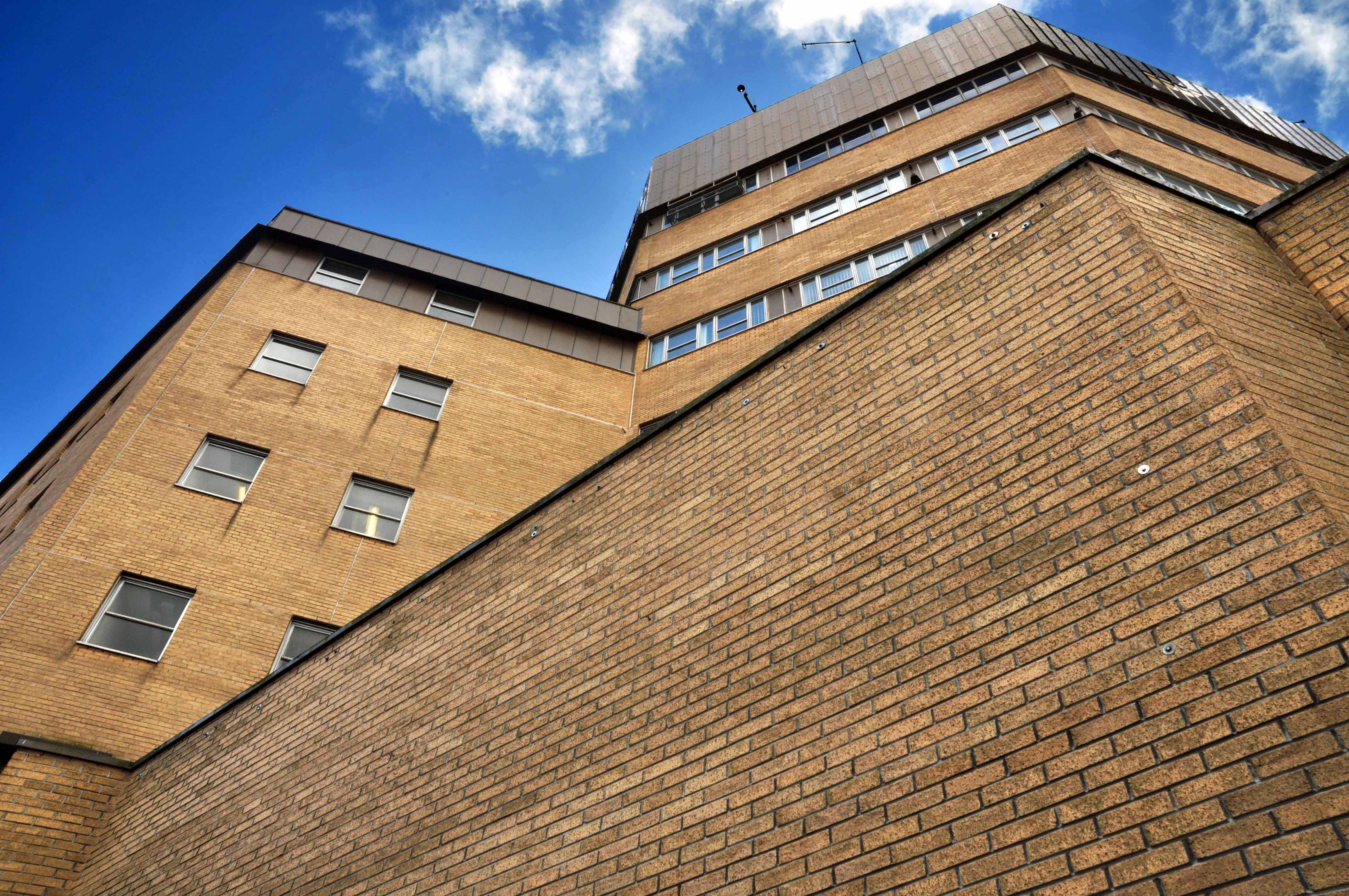
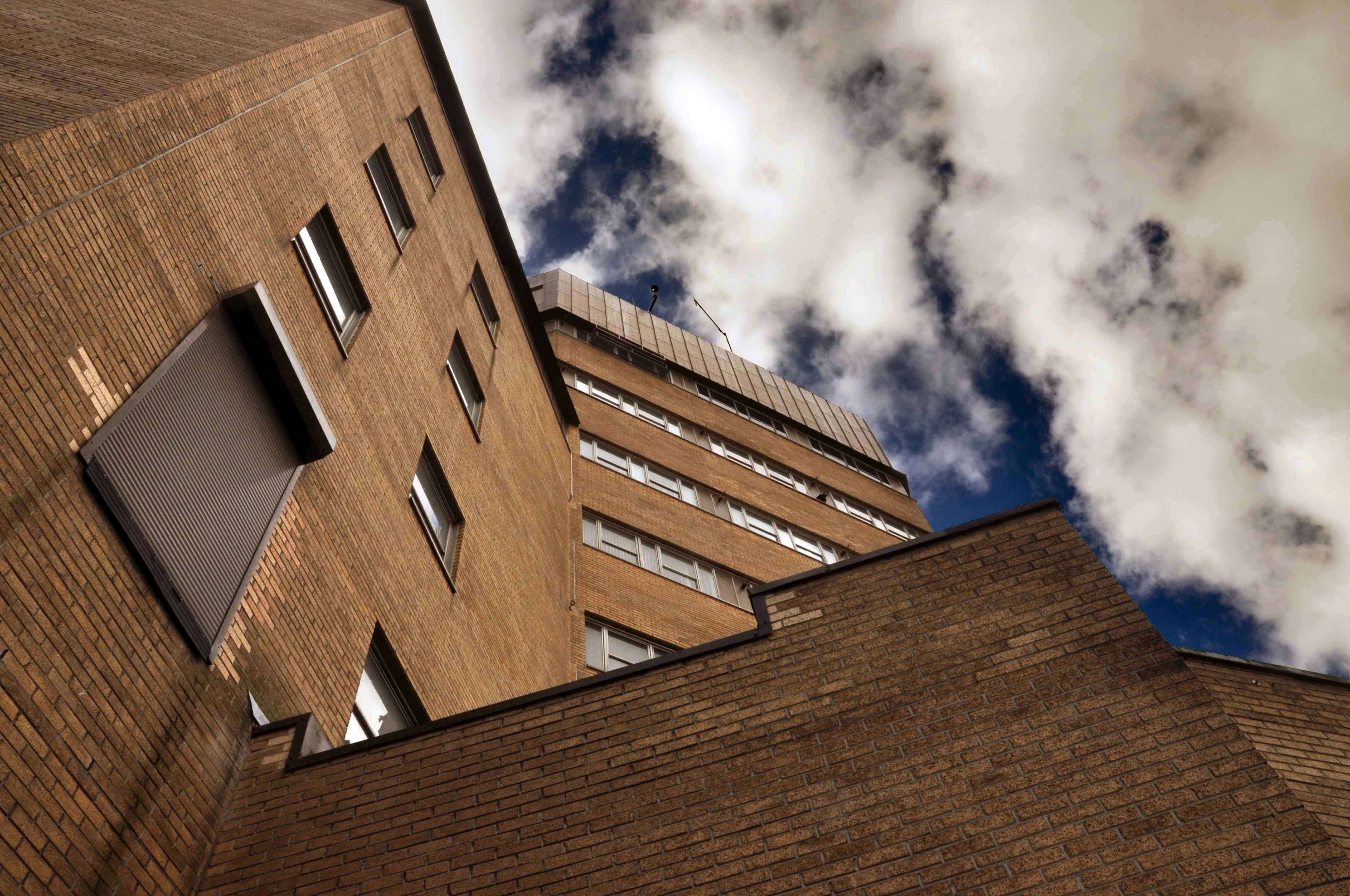
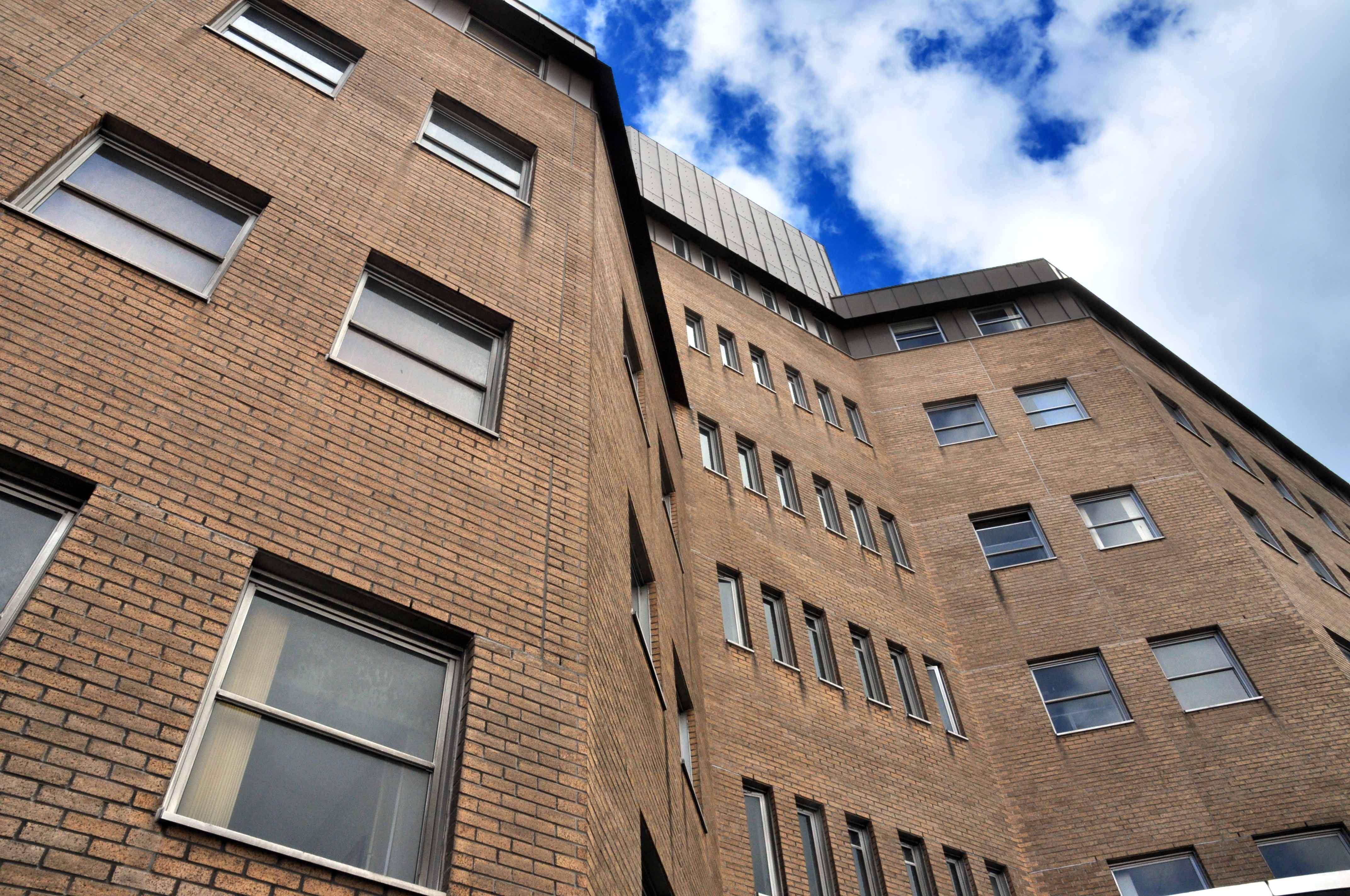
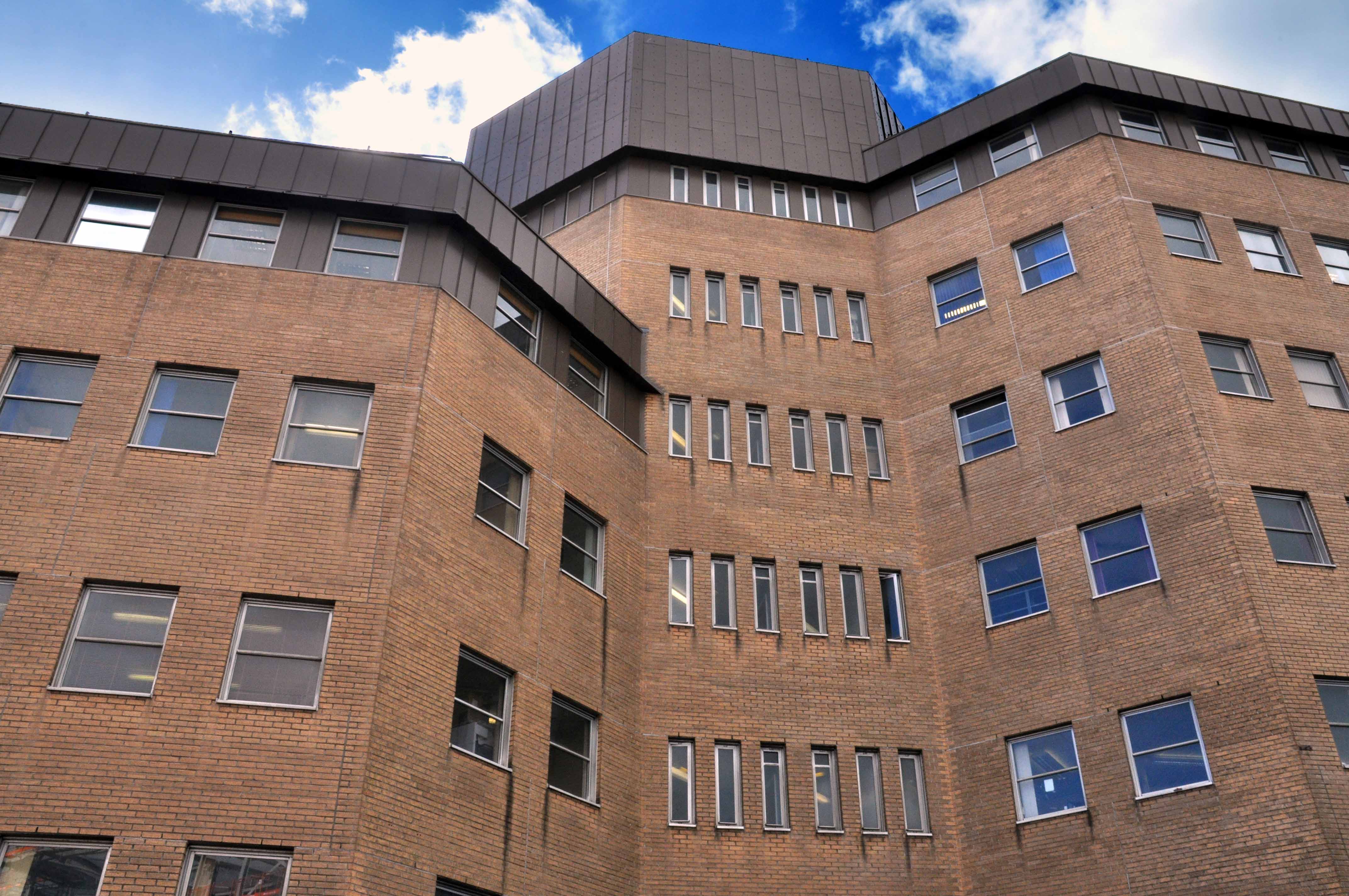
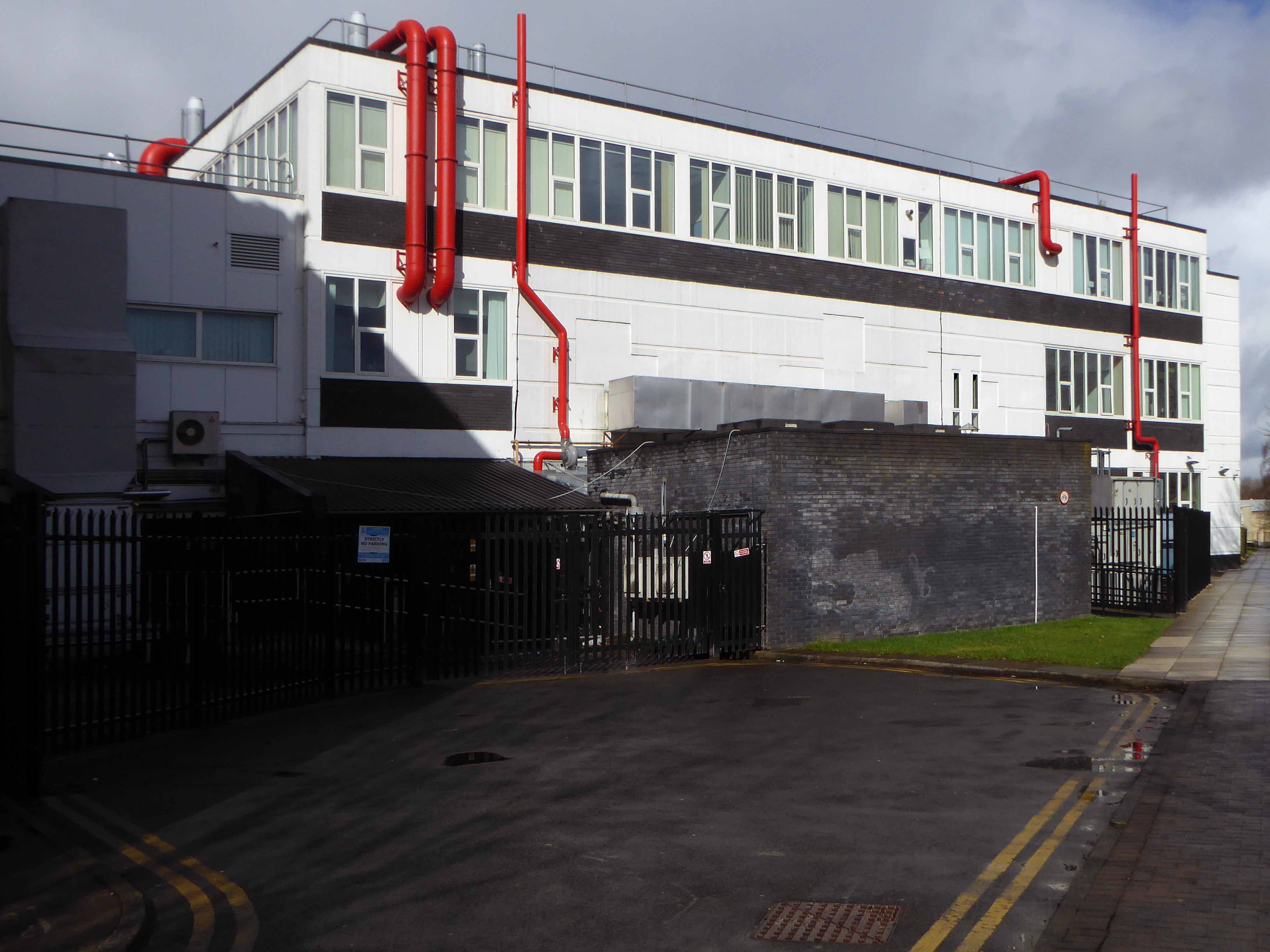
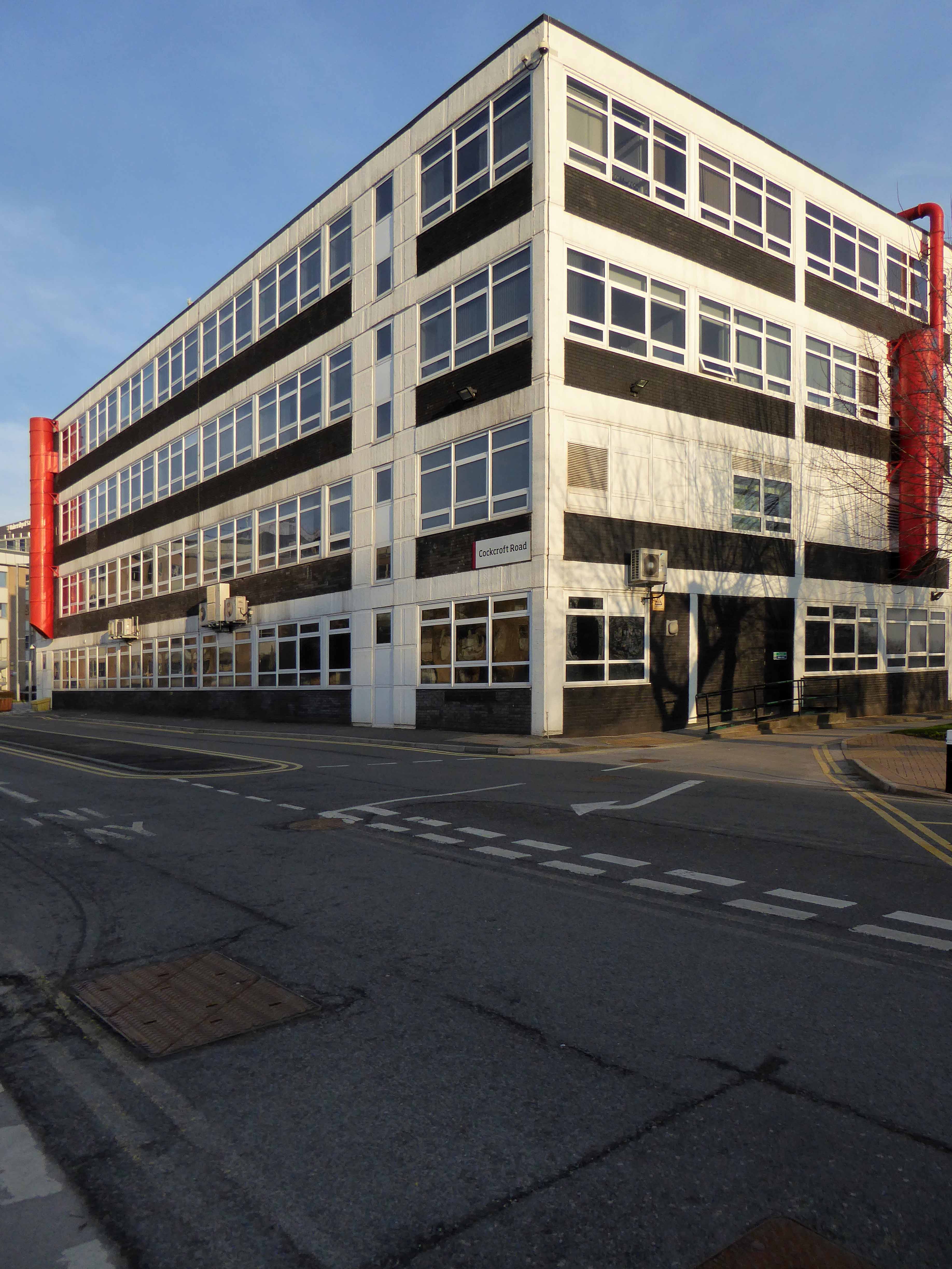
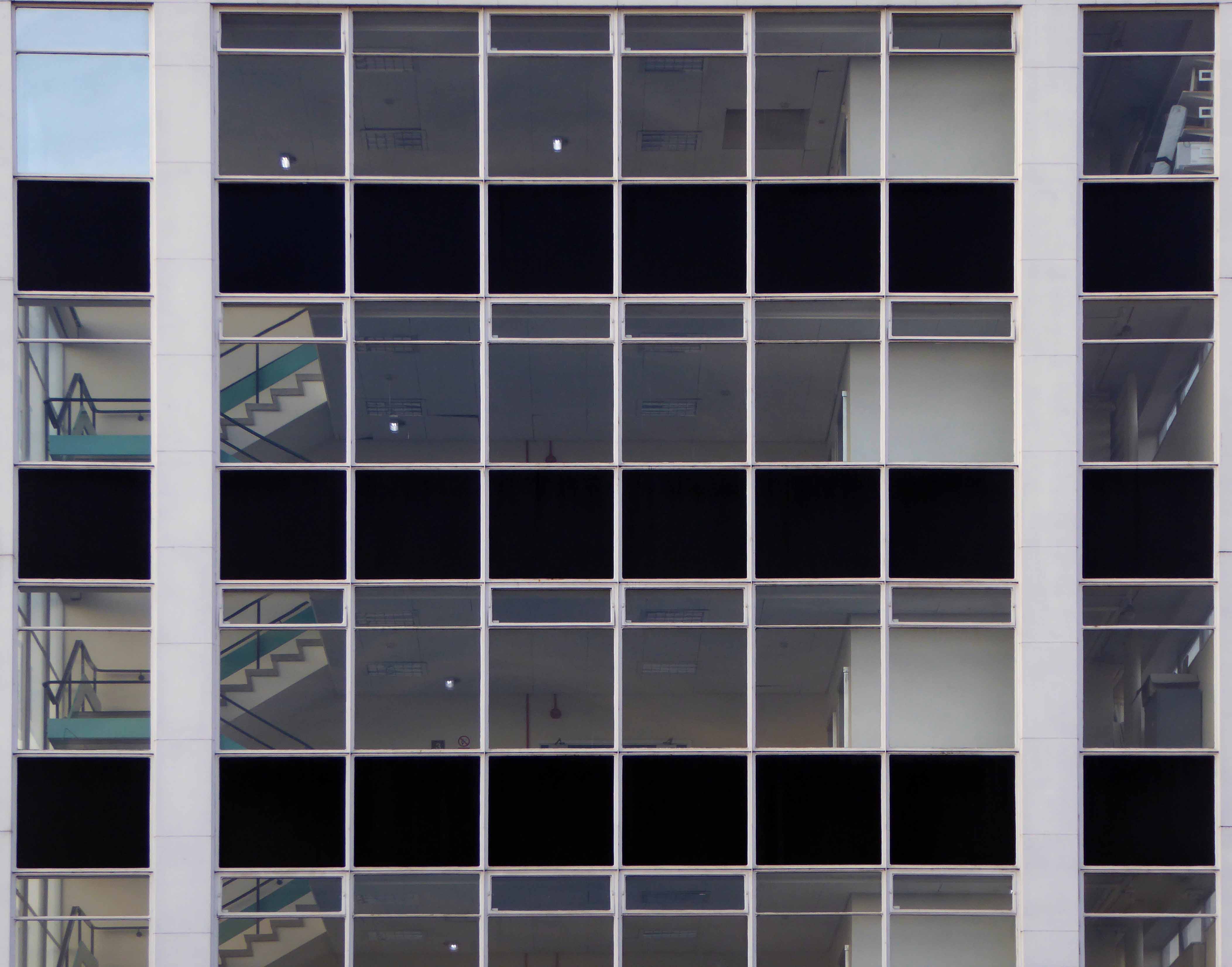
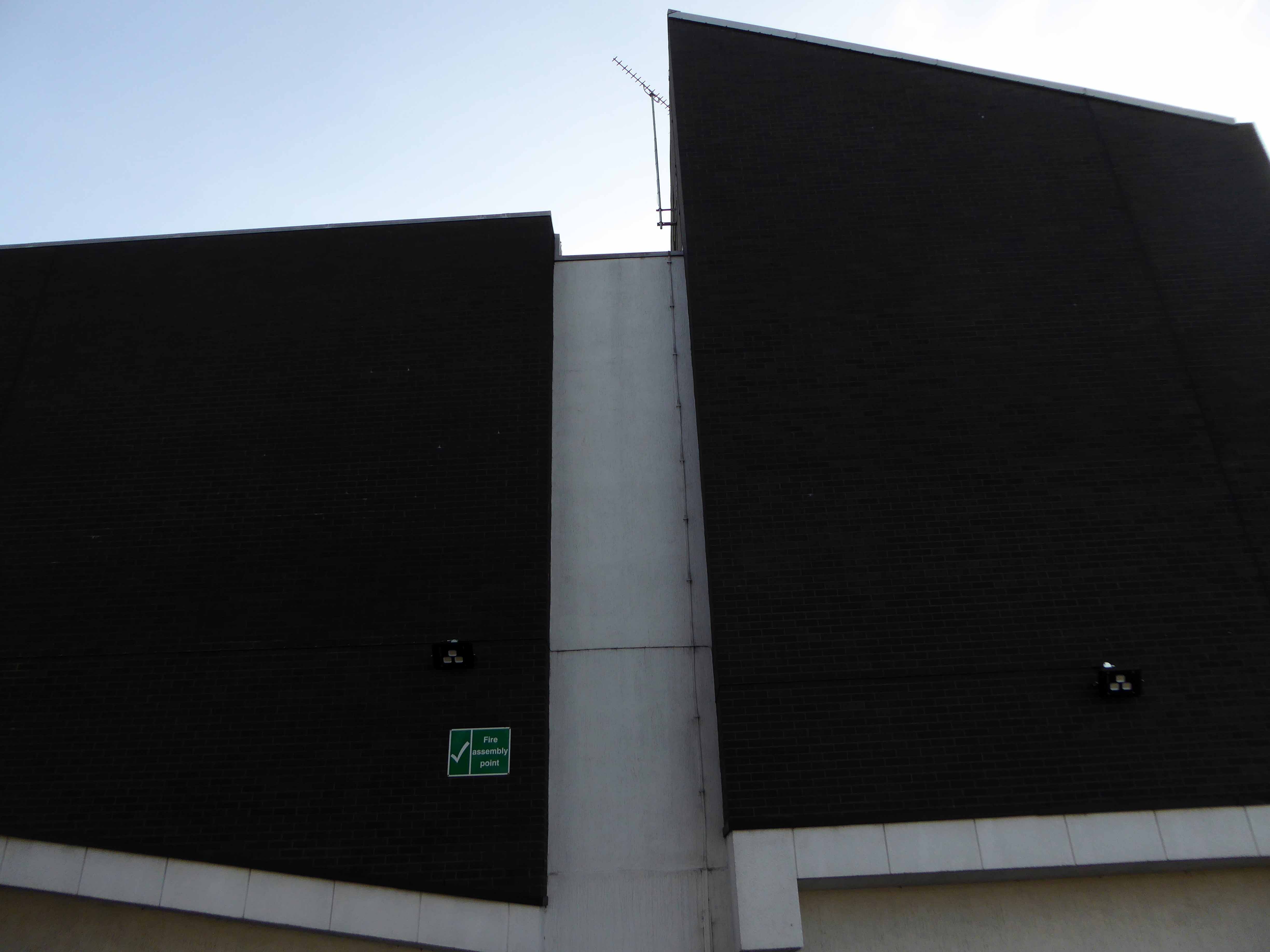
In back of the Maxwell complex is the Cockcroft Building.

Sir John Douglas Cockcroft OM KCB CBE FRS 27 May 1897 – 18 September 1967 was a British physicist who shared with Ernest Walton the Nobel Prize in Physics in 1951 for splitting the atomic nucleus, and was instrumental in the development of nuclear power.

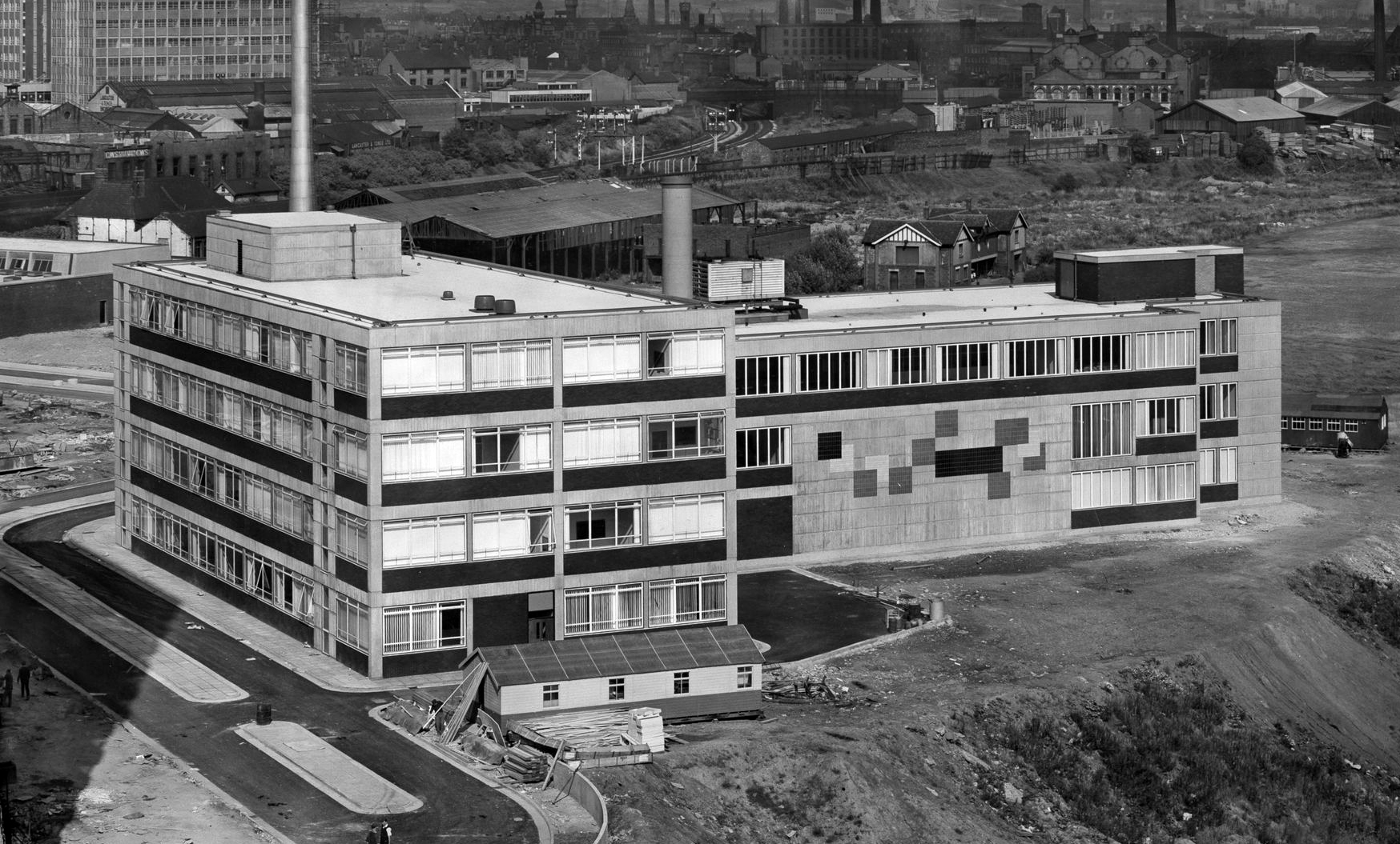
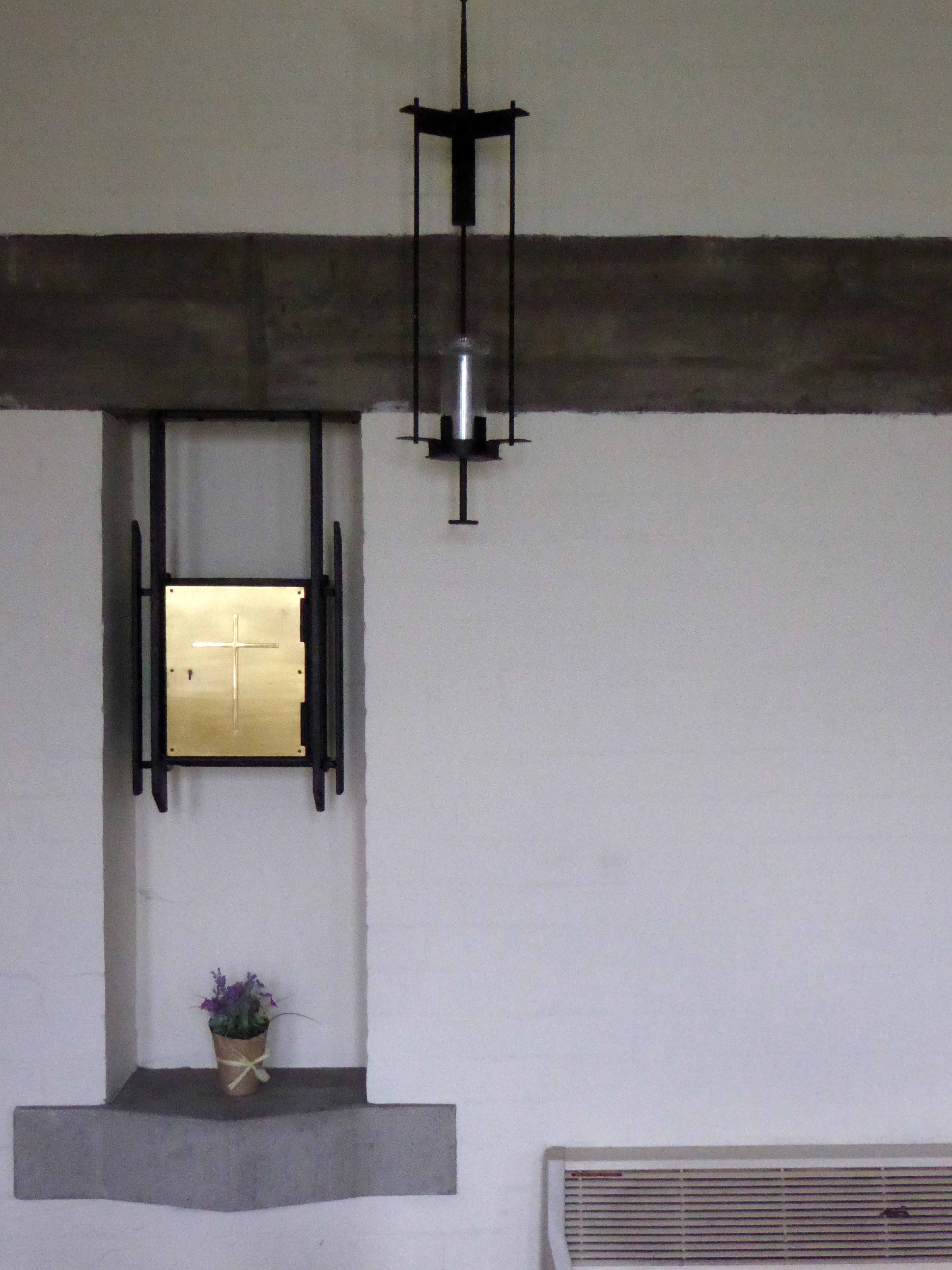
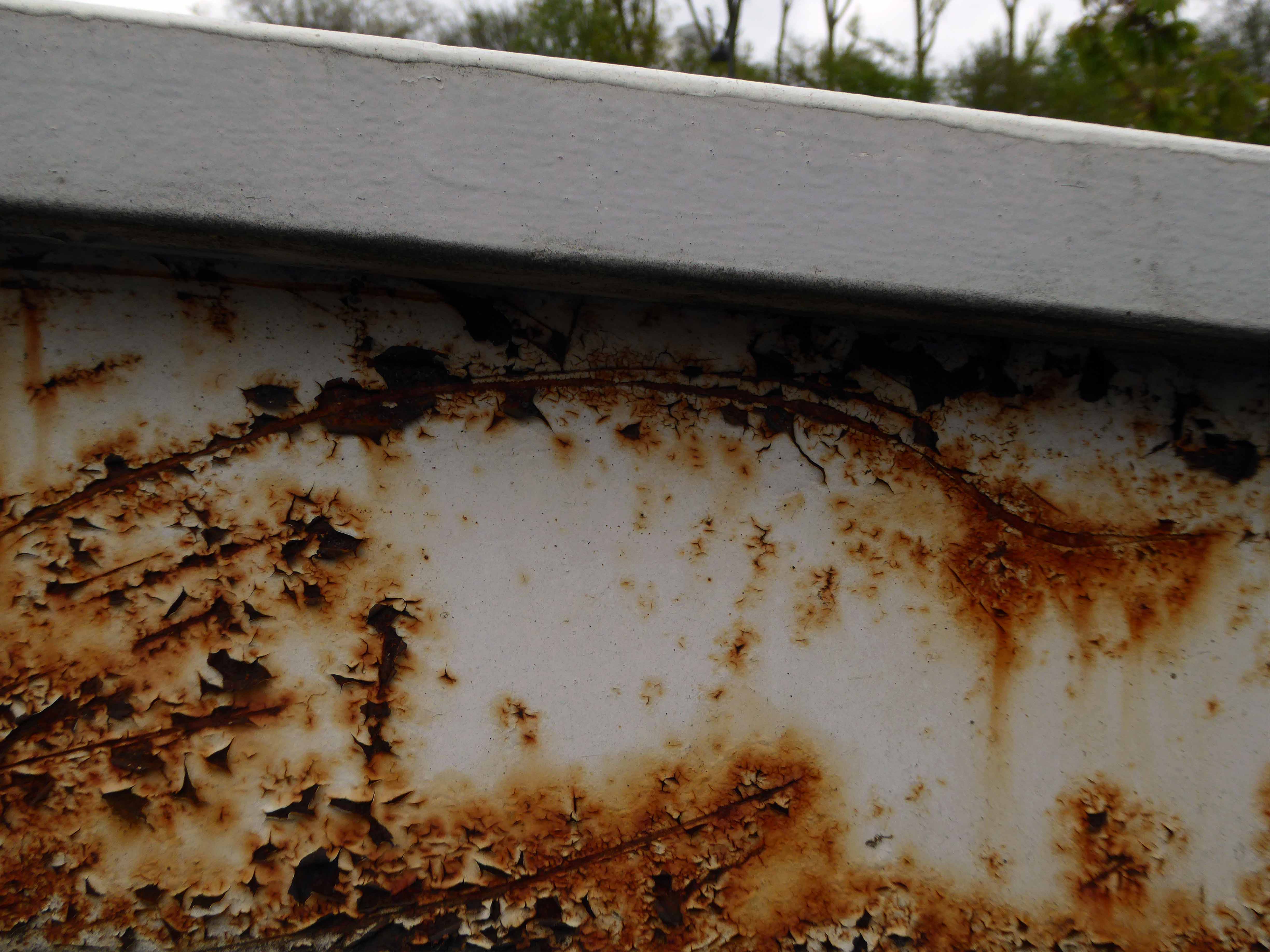
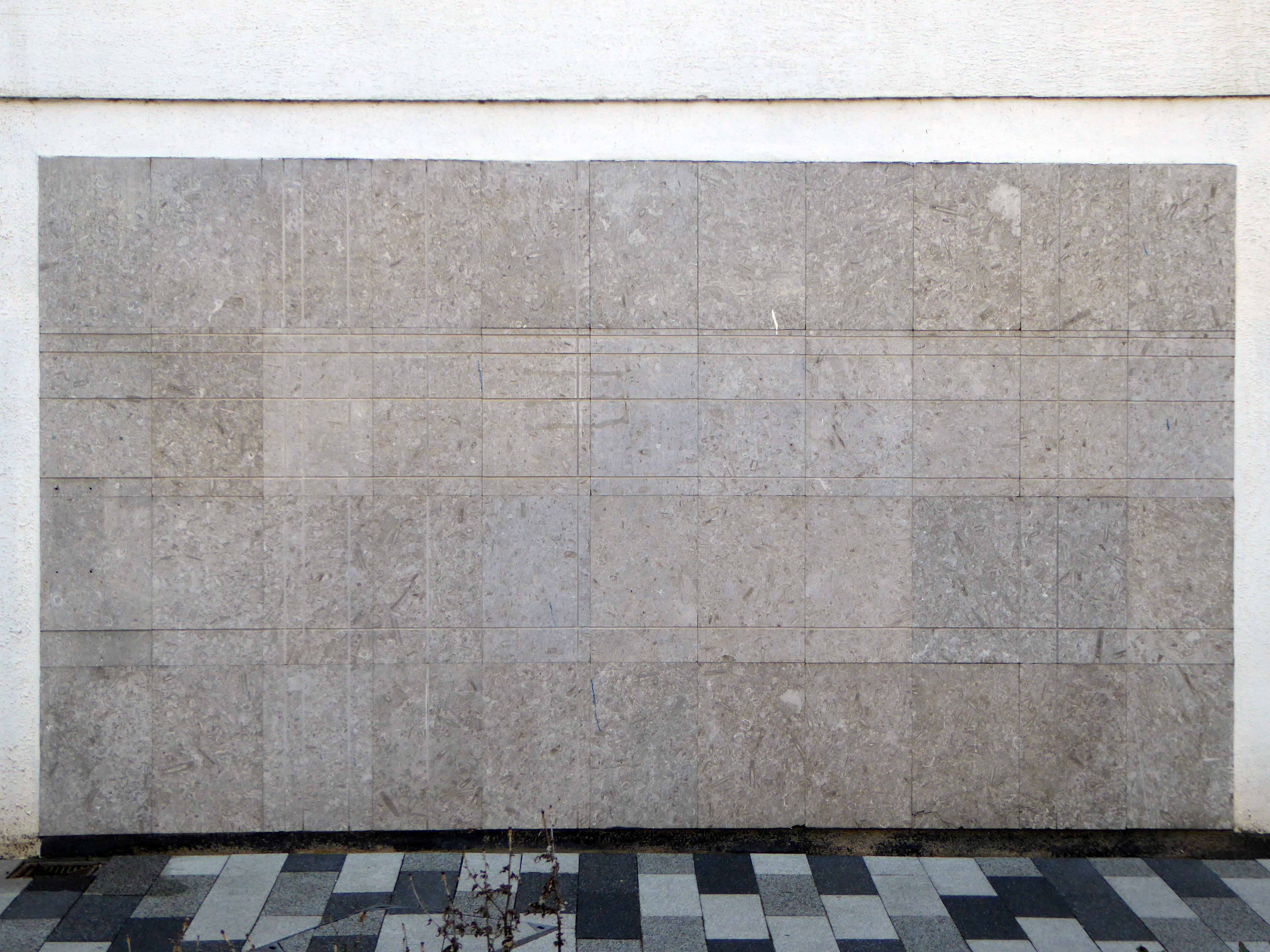
The concrete relief to the east fascia of the northern block of the building is now sadly obscured by the addition of intrusive infrastructure.

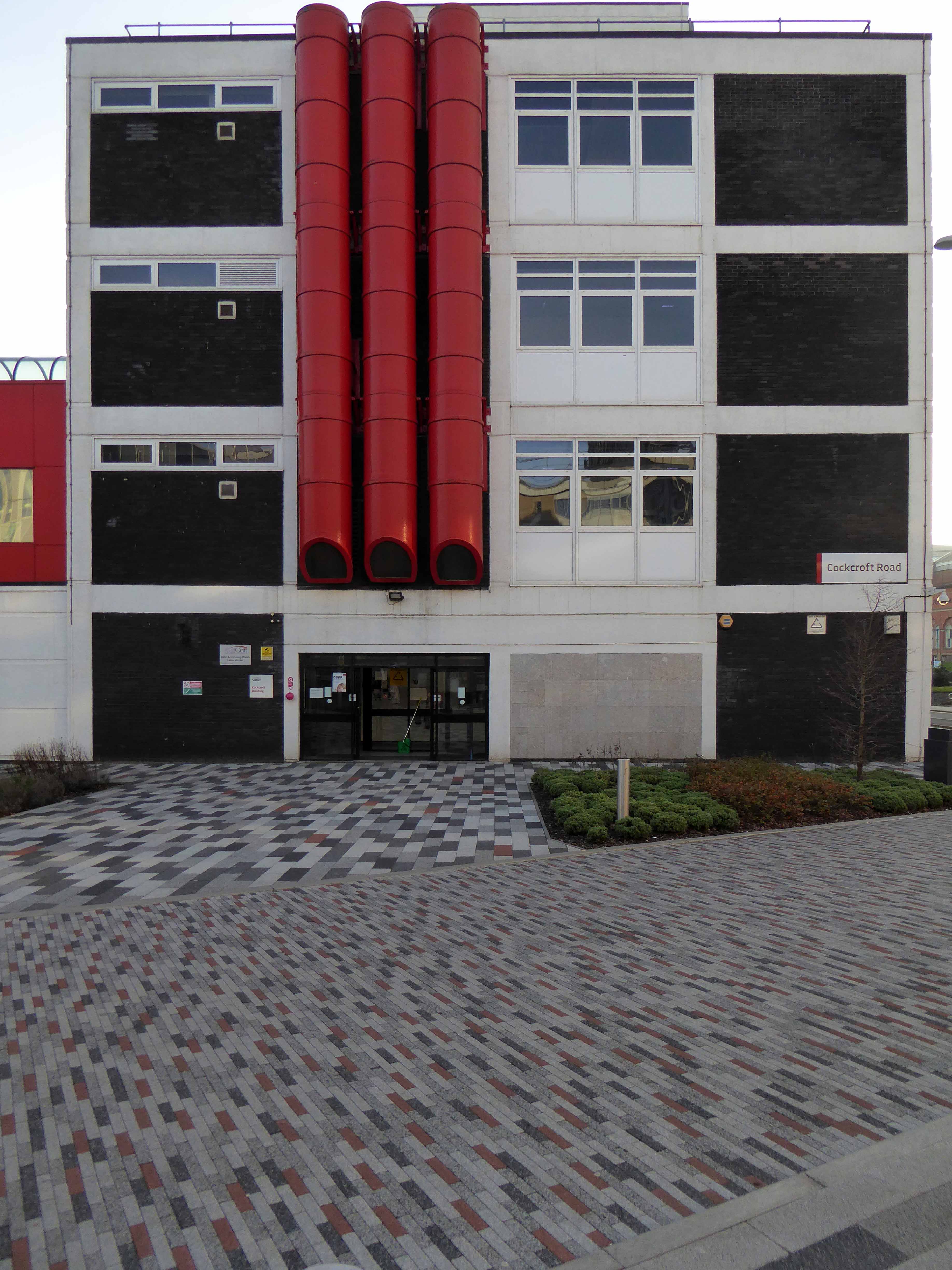
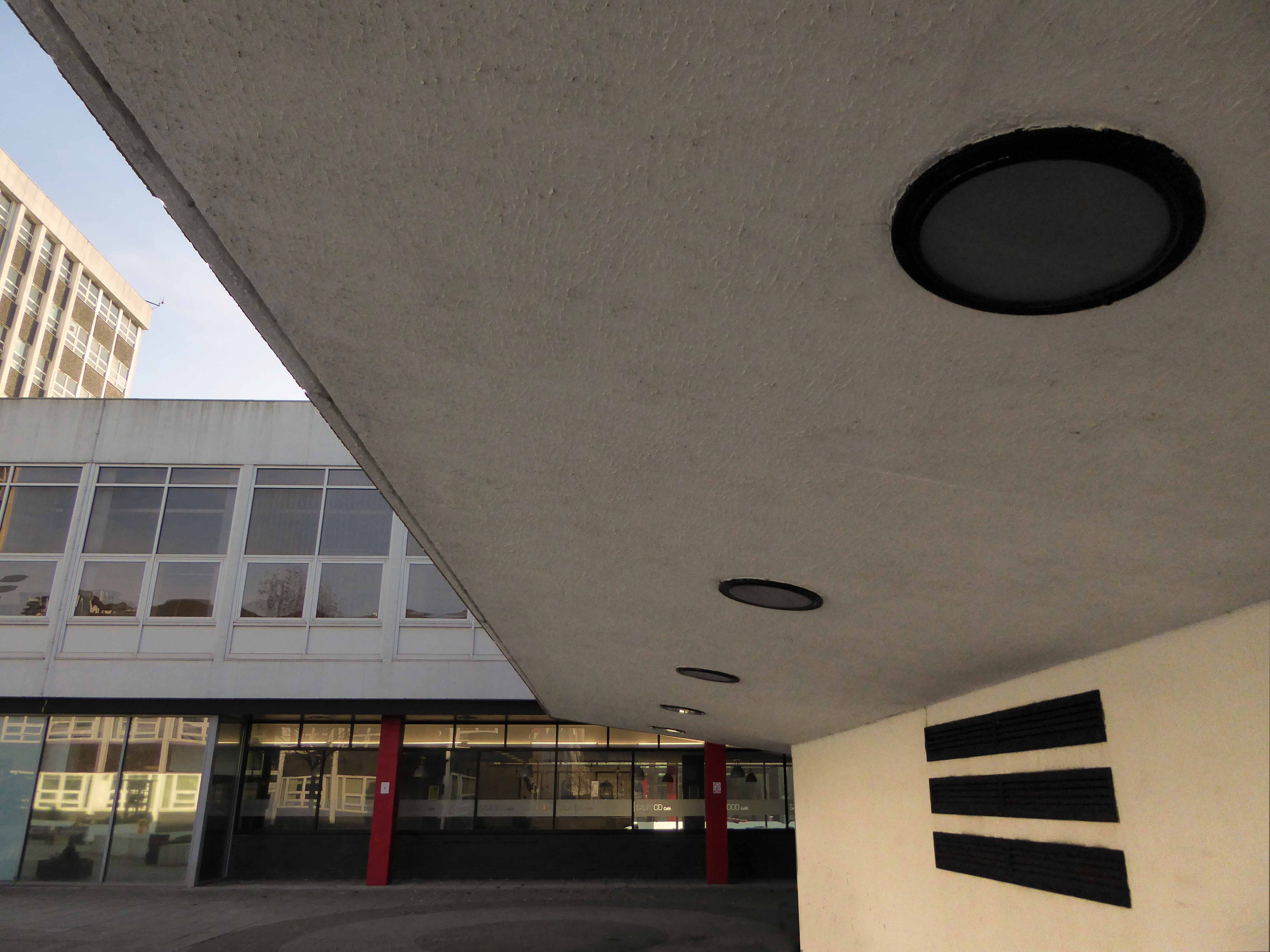
This incised block of limestone tiles laden with fossilised remains is a curious delight.

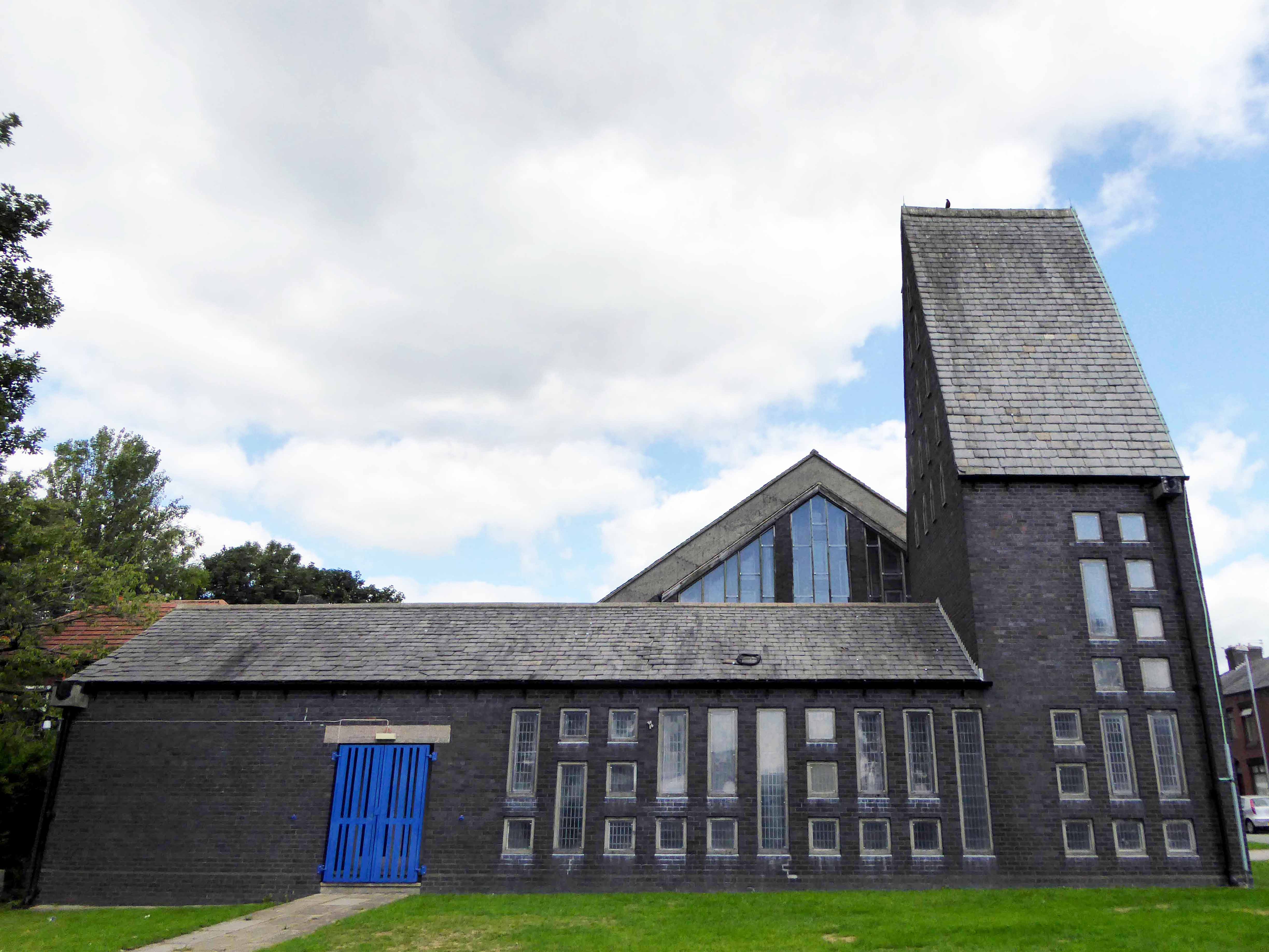
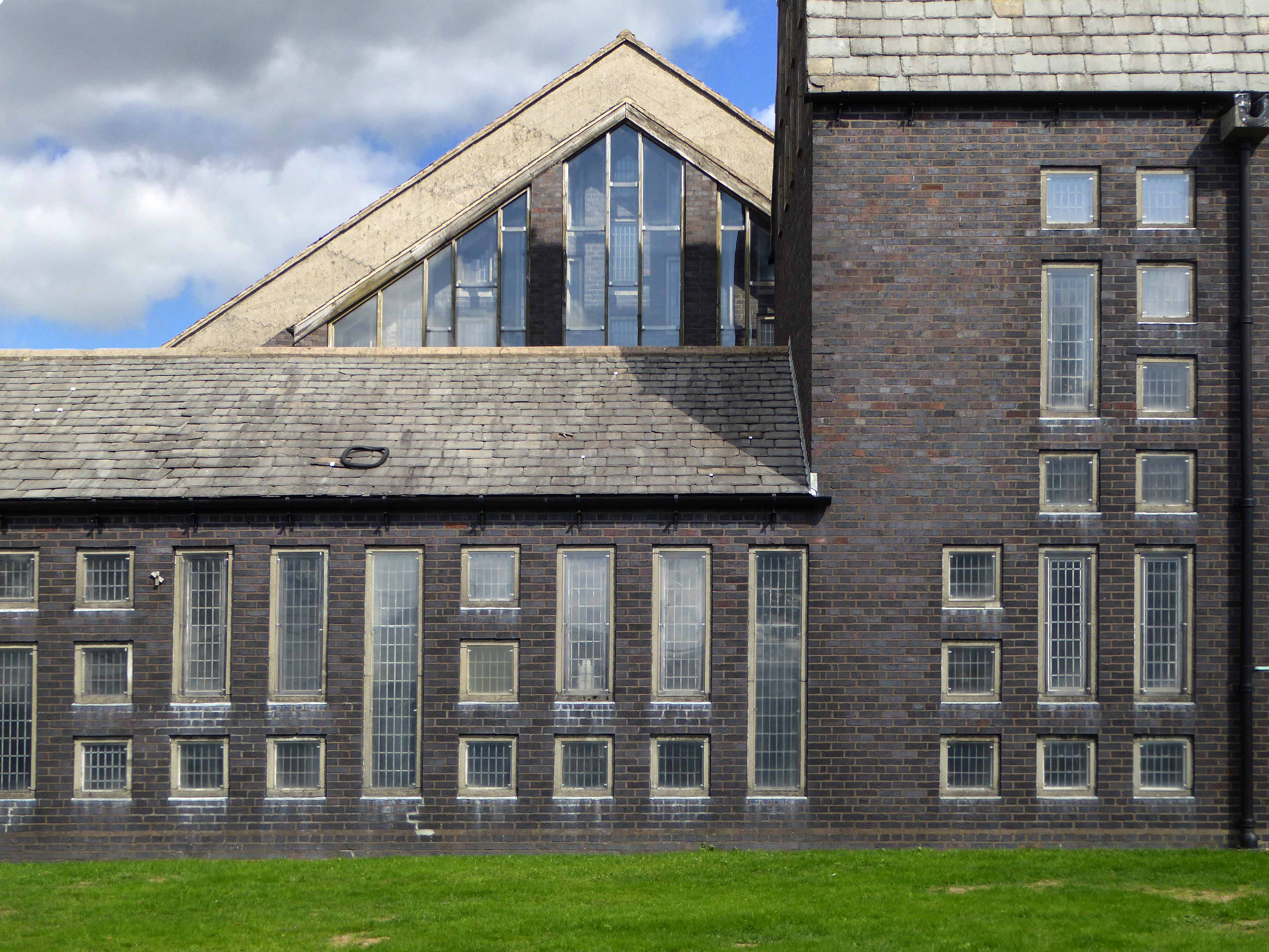
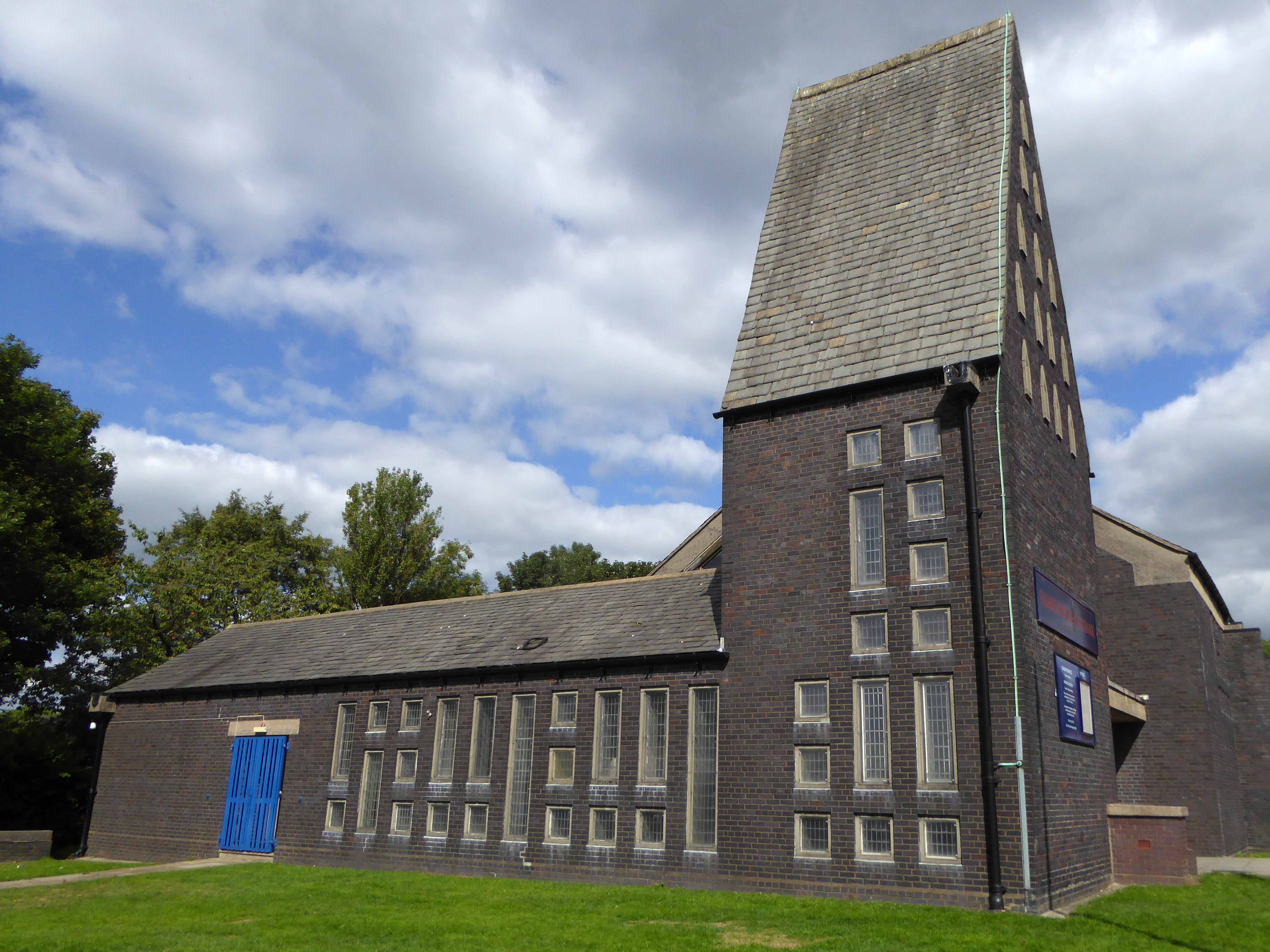
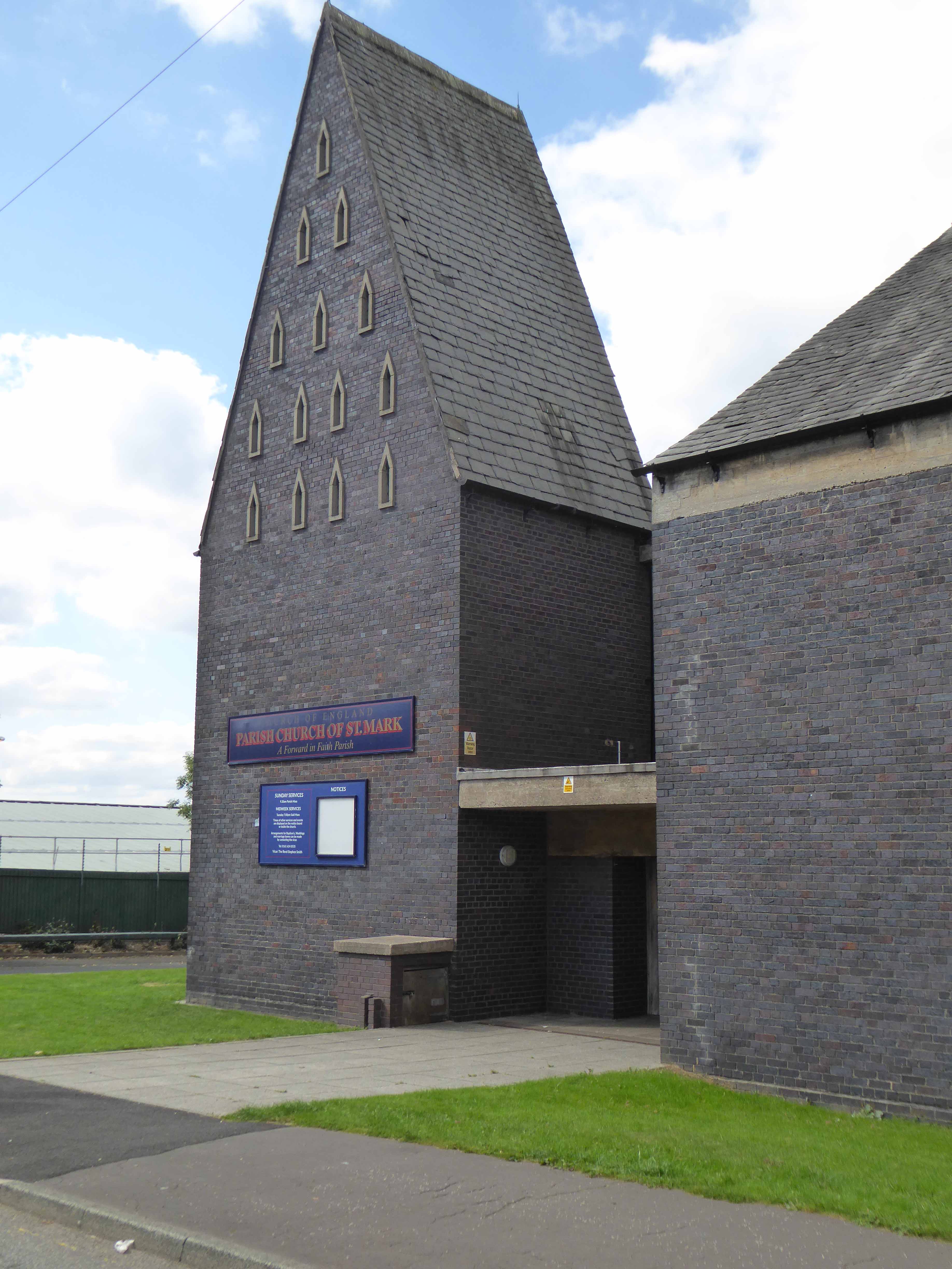
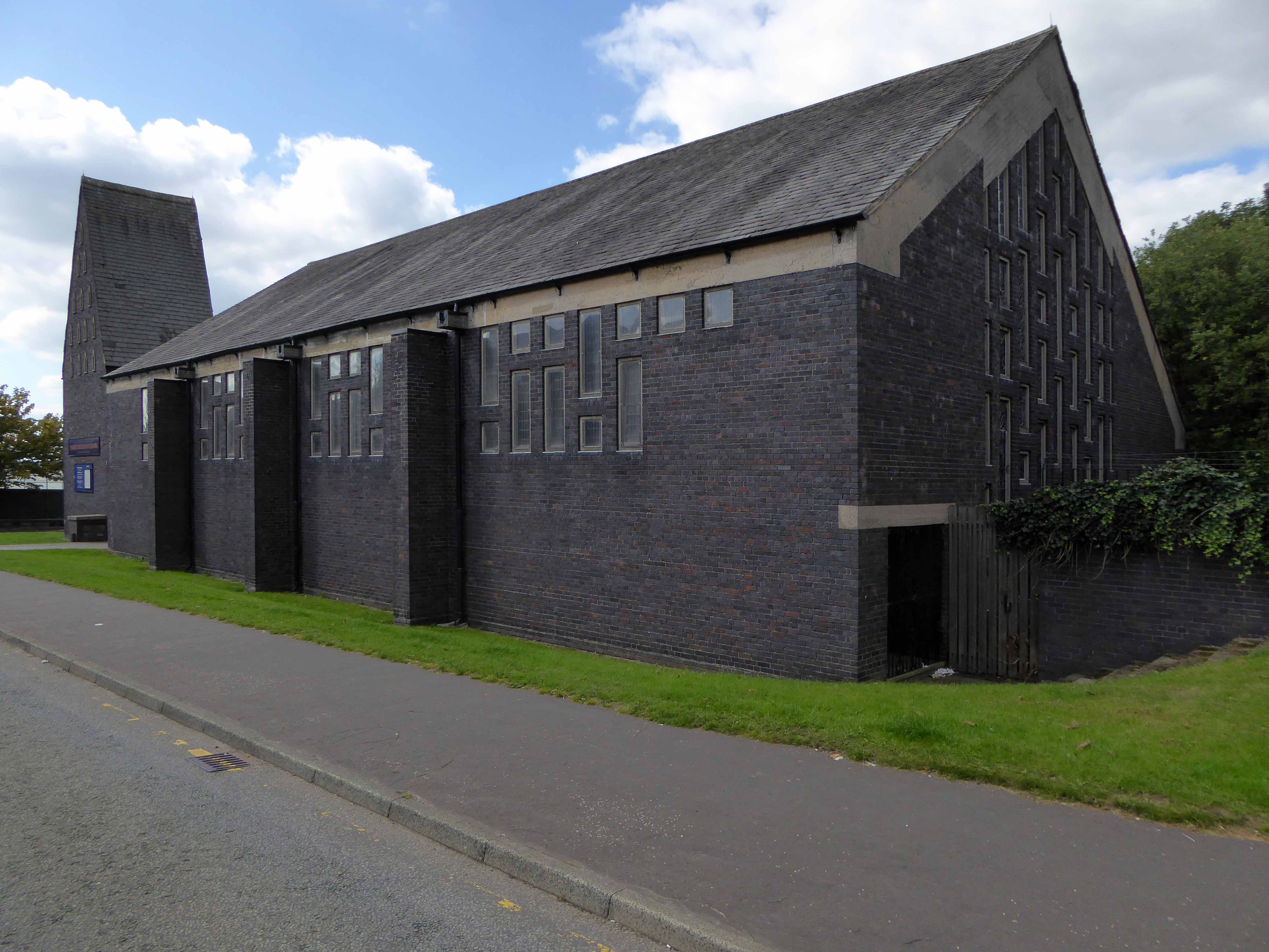
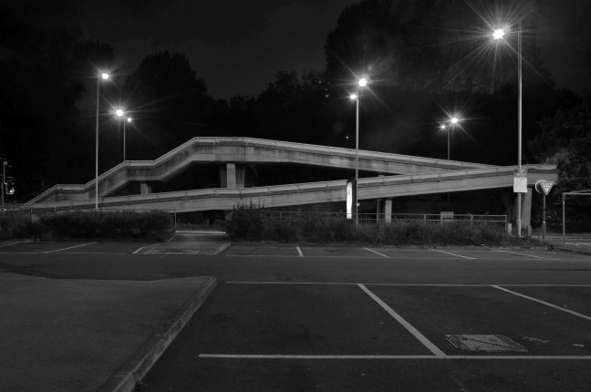
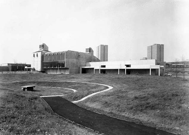
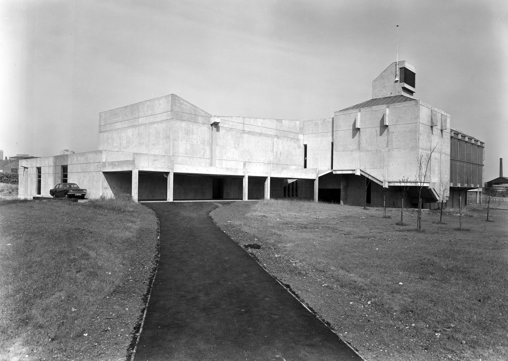
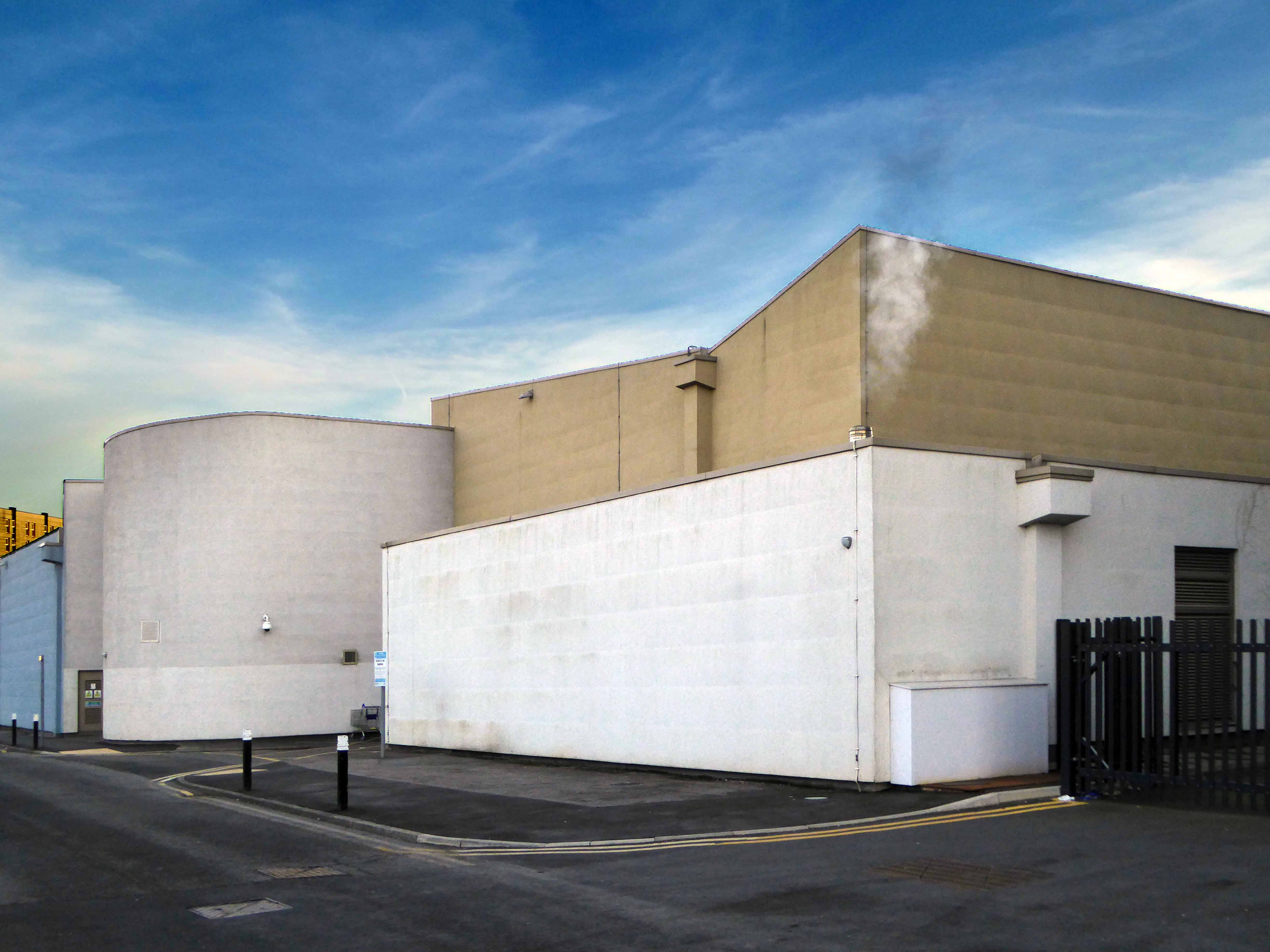
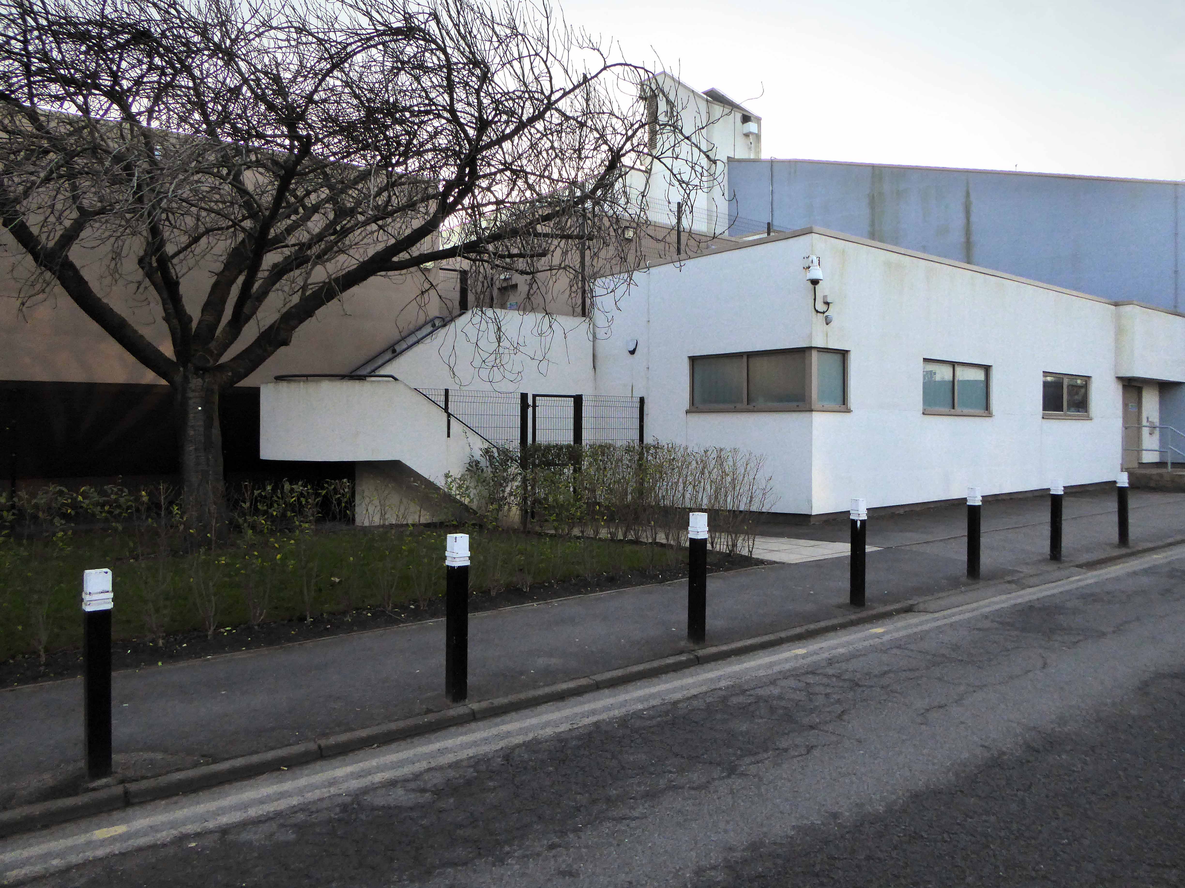
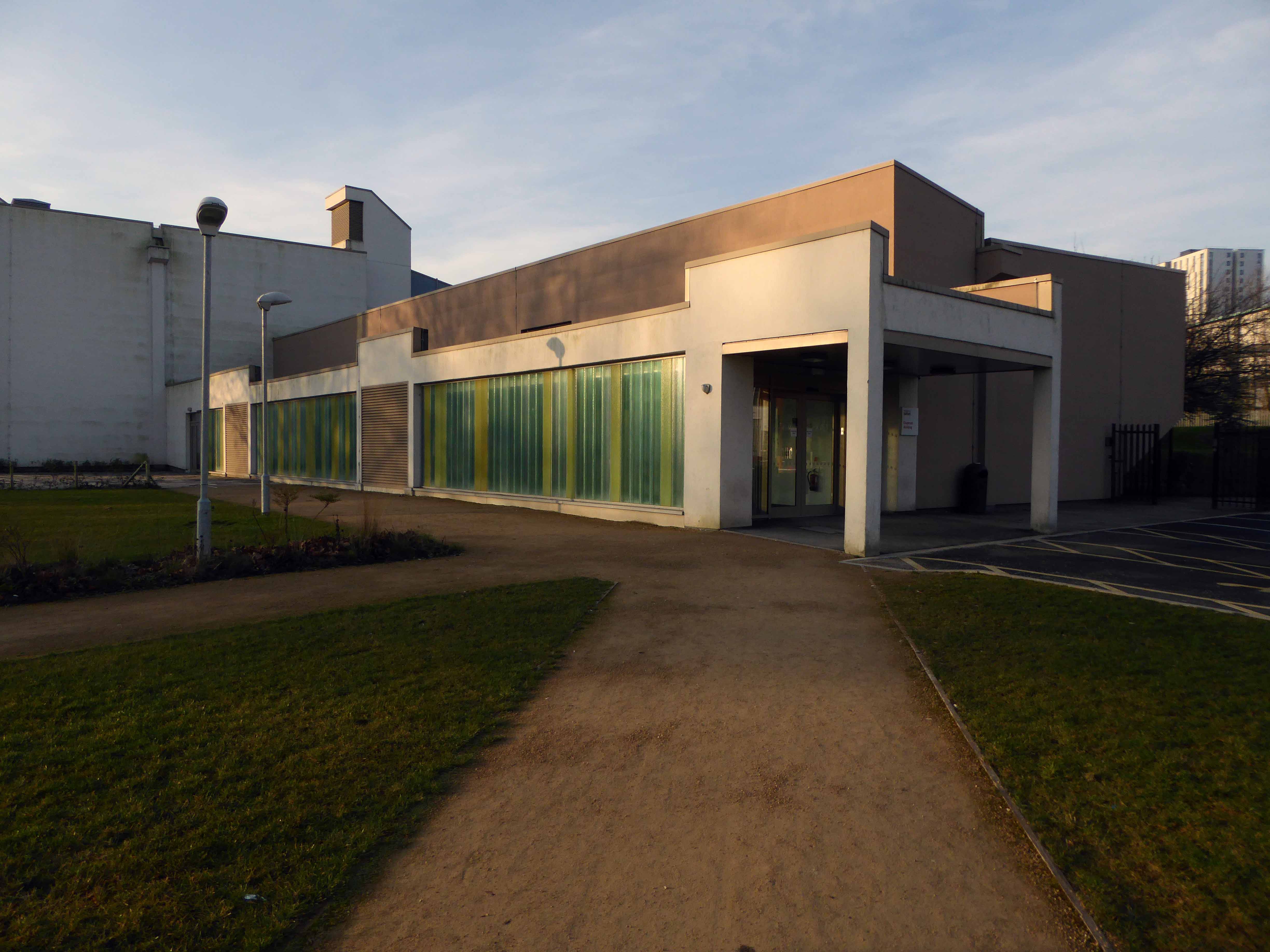
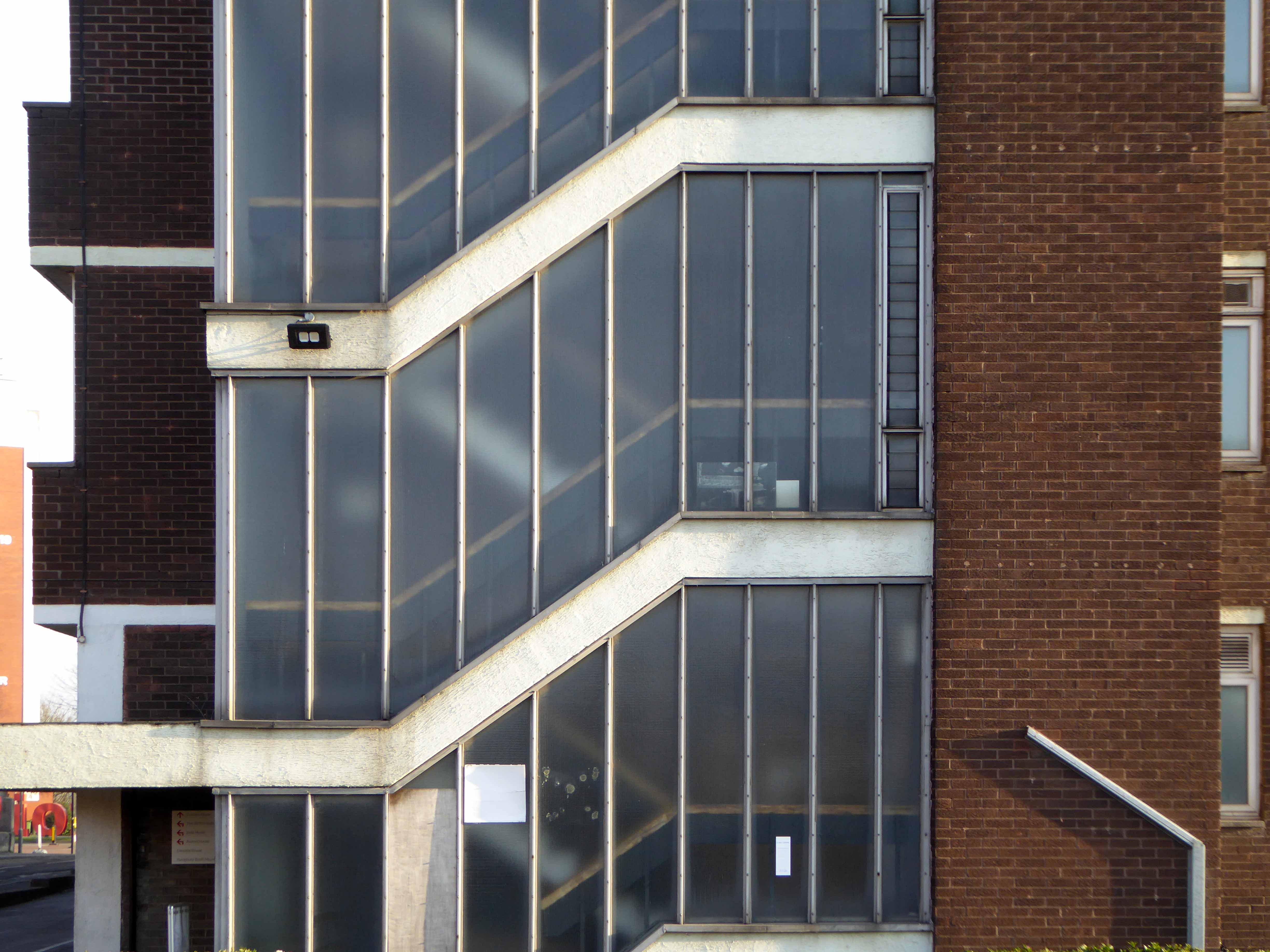
Just around the corner the Chapman Building.

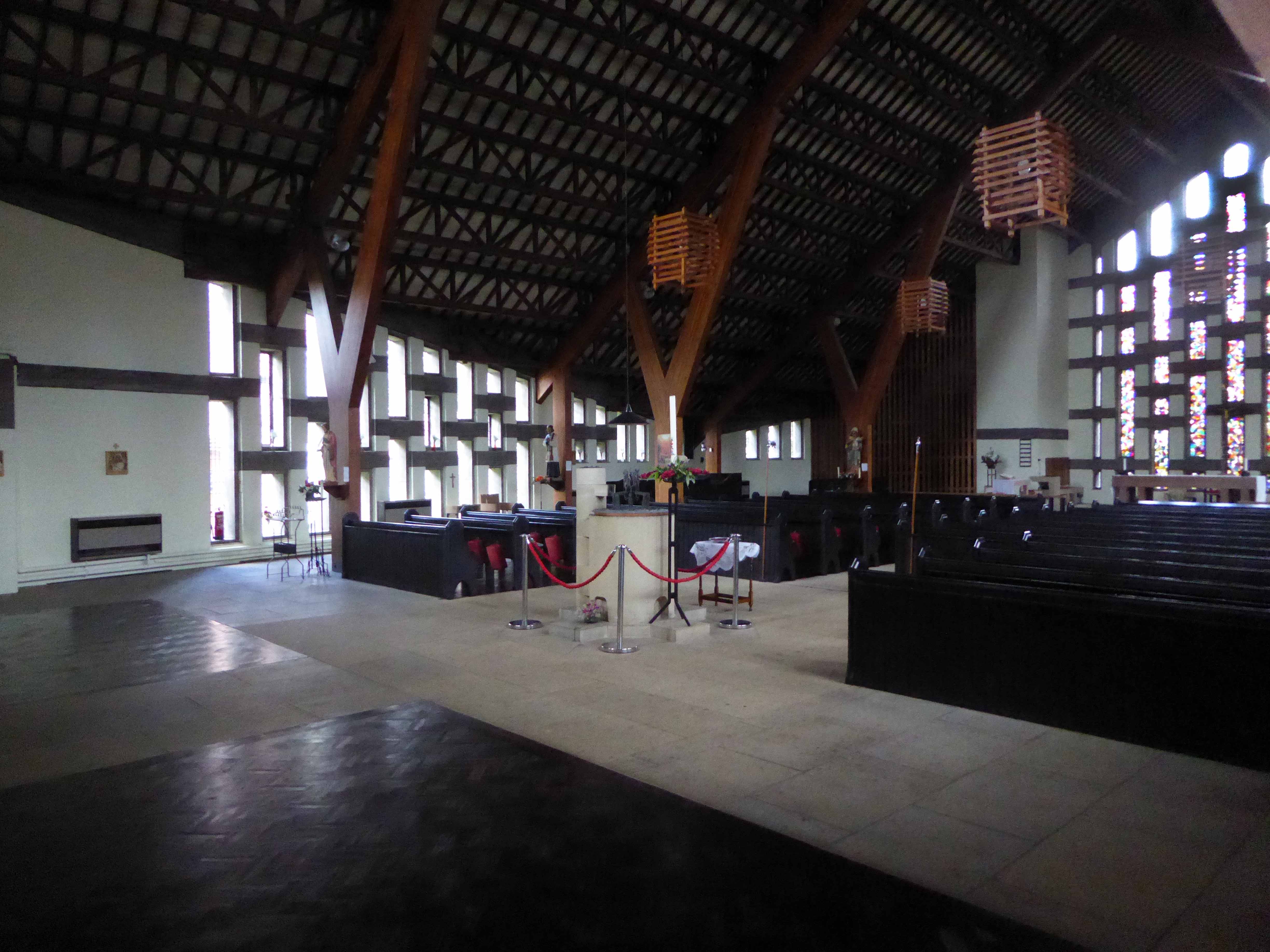
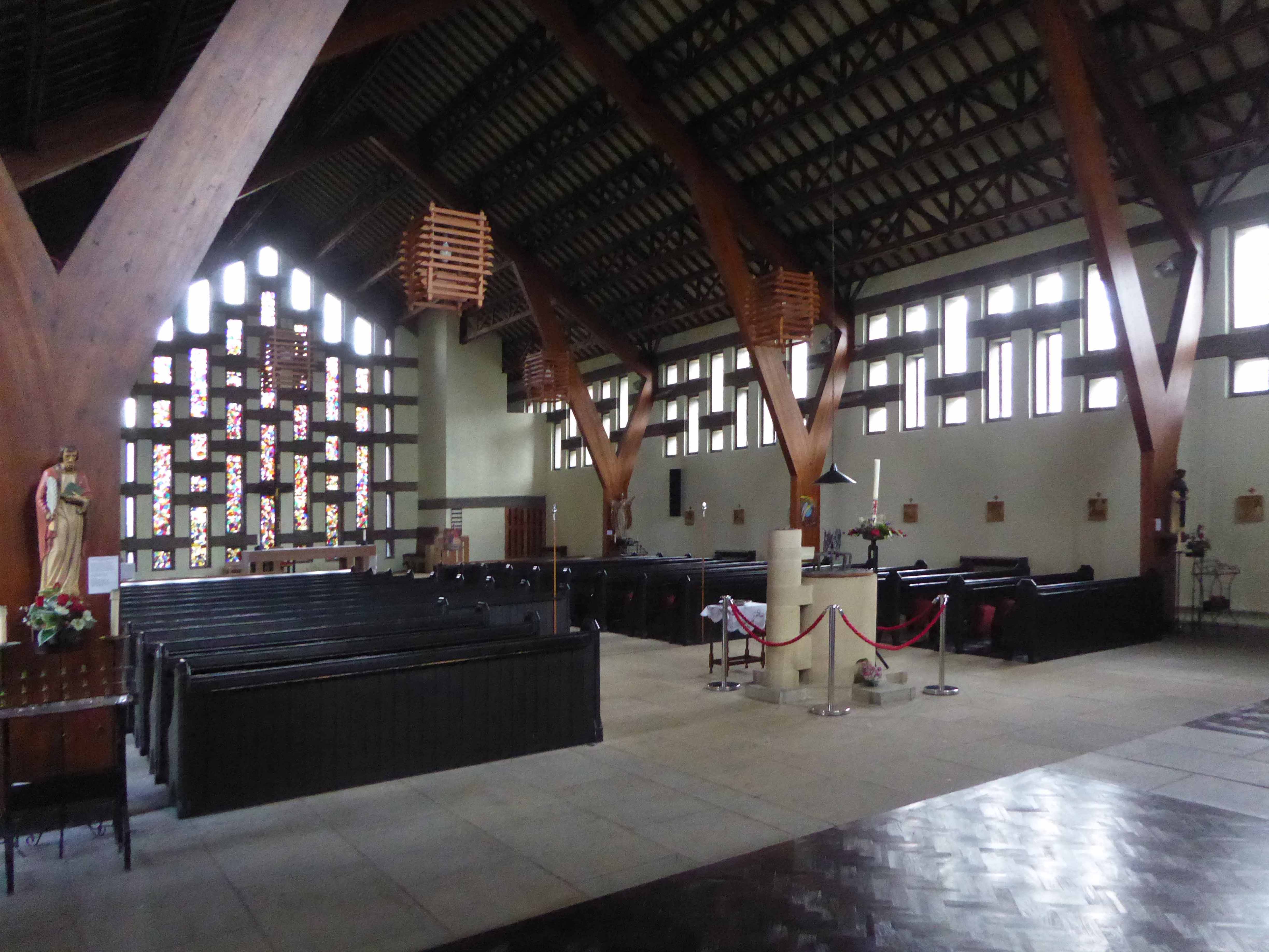
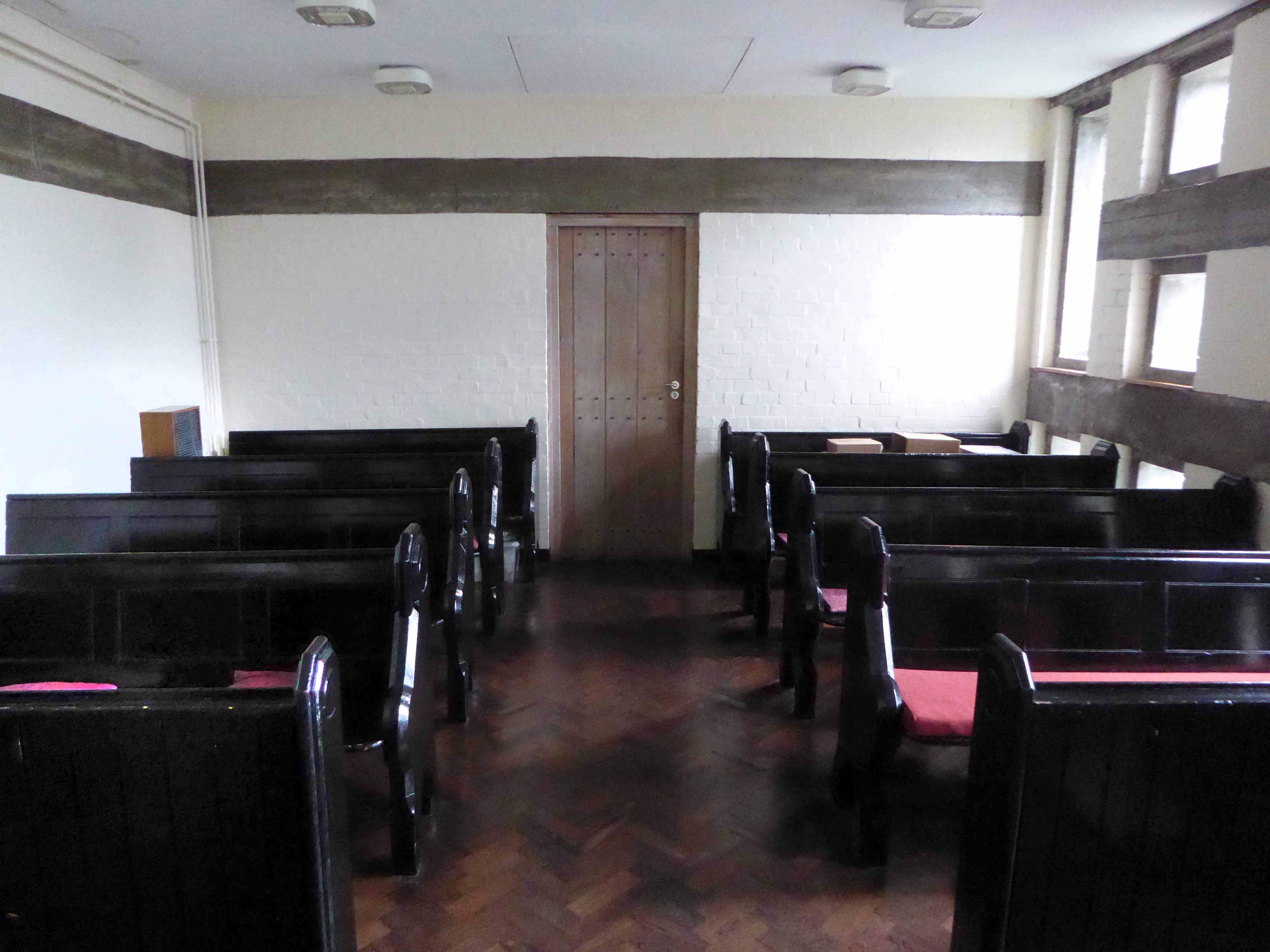
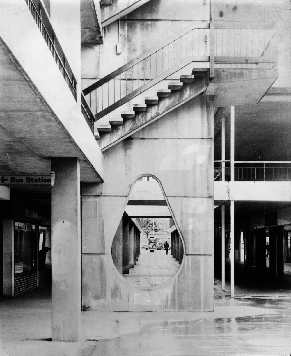
This latter day piece of brutalism is buried within the campus of the University of Salford. It was designed by W.F. Johnson and Partners of Leamington Spa, as a lecture theatre block and gallery. It sits with its long axis running parallel to the railway behind. The series of grey volumes, occasionally punctuated by colourful floods of red and green trailing ivy, hang together in a less than convincing composition. The orientation and access to the building seem confused and detached from any cohesive relationship to the rest of the campus, but there is something perversely attractive about the right essay in the wrong language. The reinforced concrete building contained five lecture theatres, communal spaces, an art gallery, AV support areas and basement plant rooms. Following a major refurbishment in 2012, several additions were made to the exterior and its total concrete presence somewhat diminished. It still houses lecture theatres and a number of other learning and social spaces.

Mainstream Modern

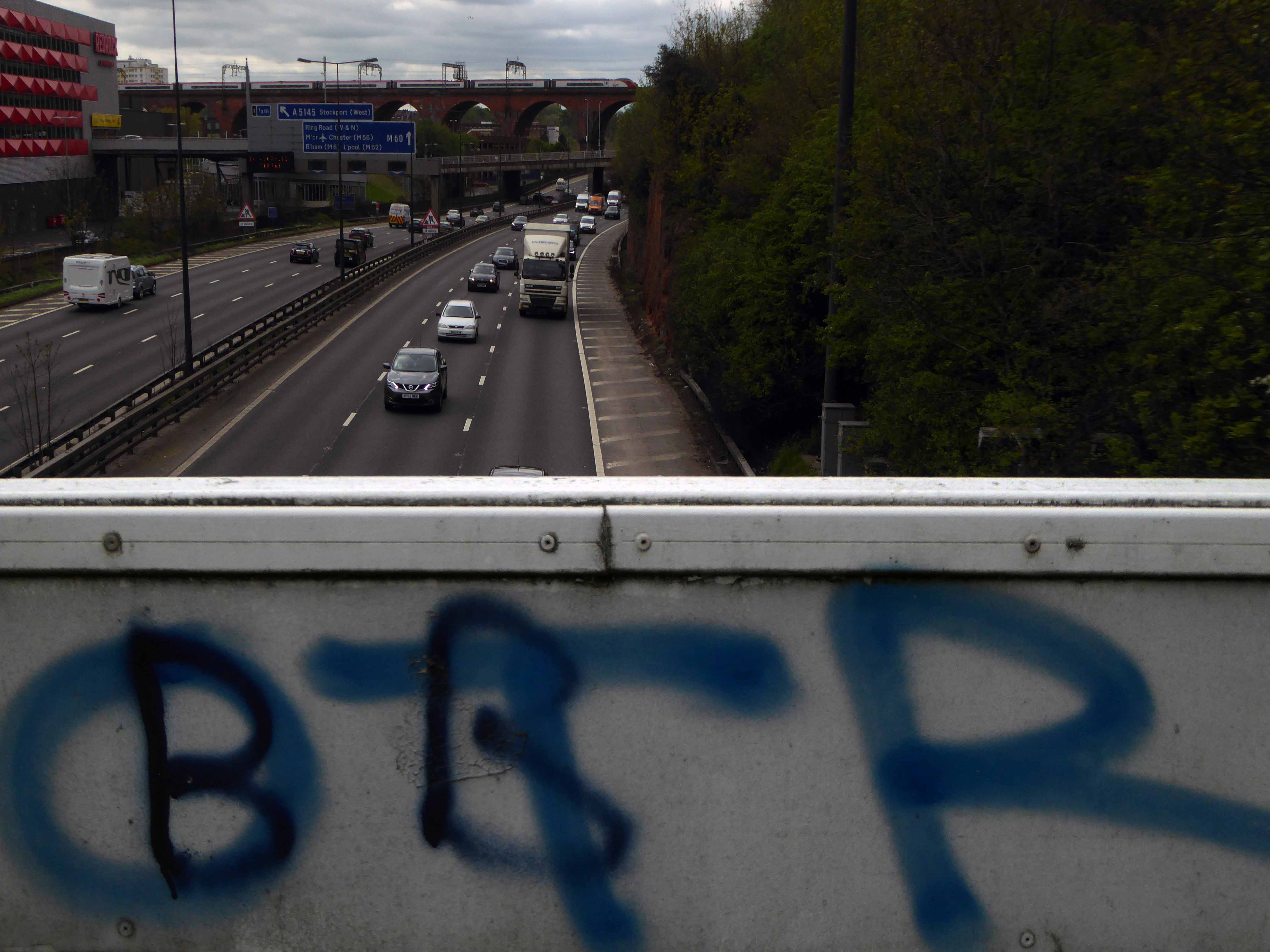
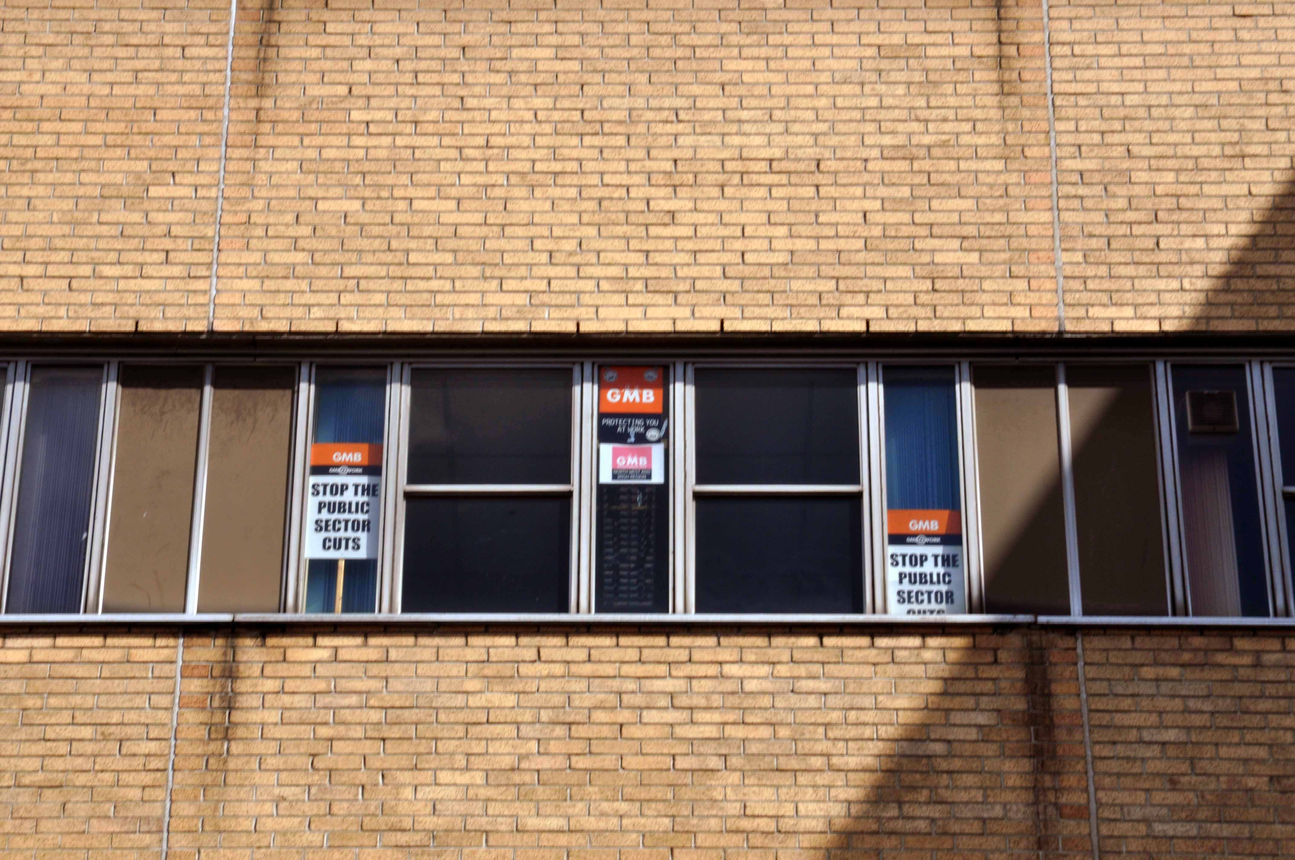
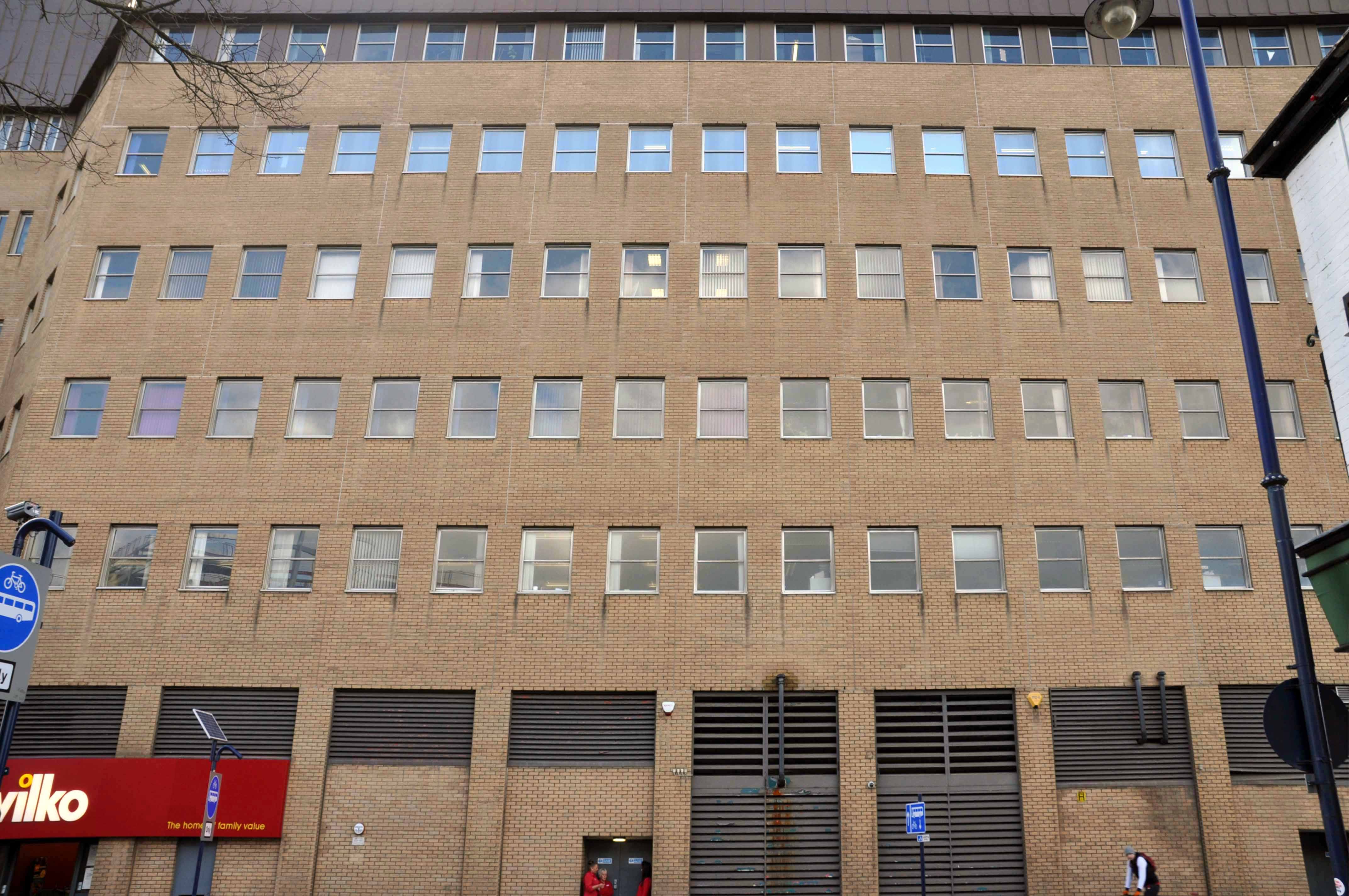
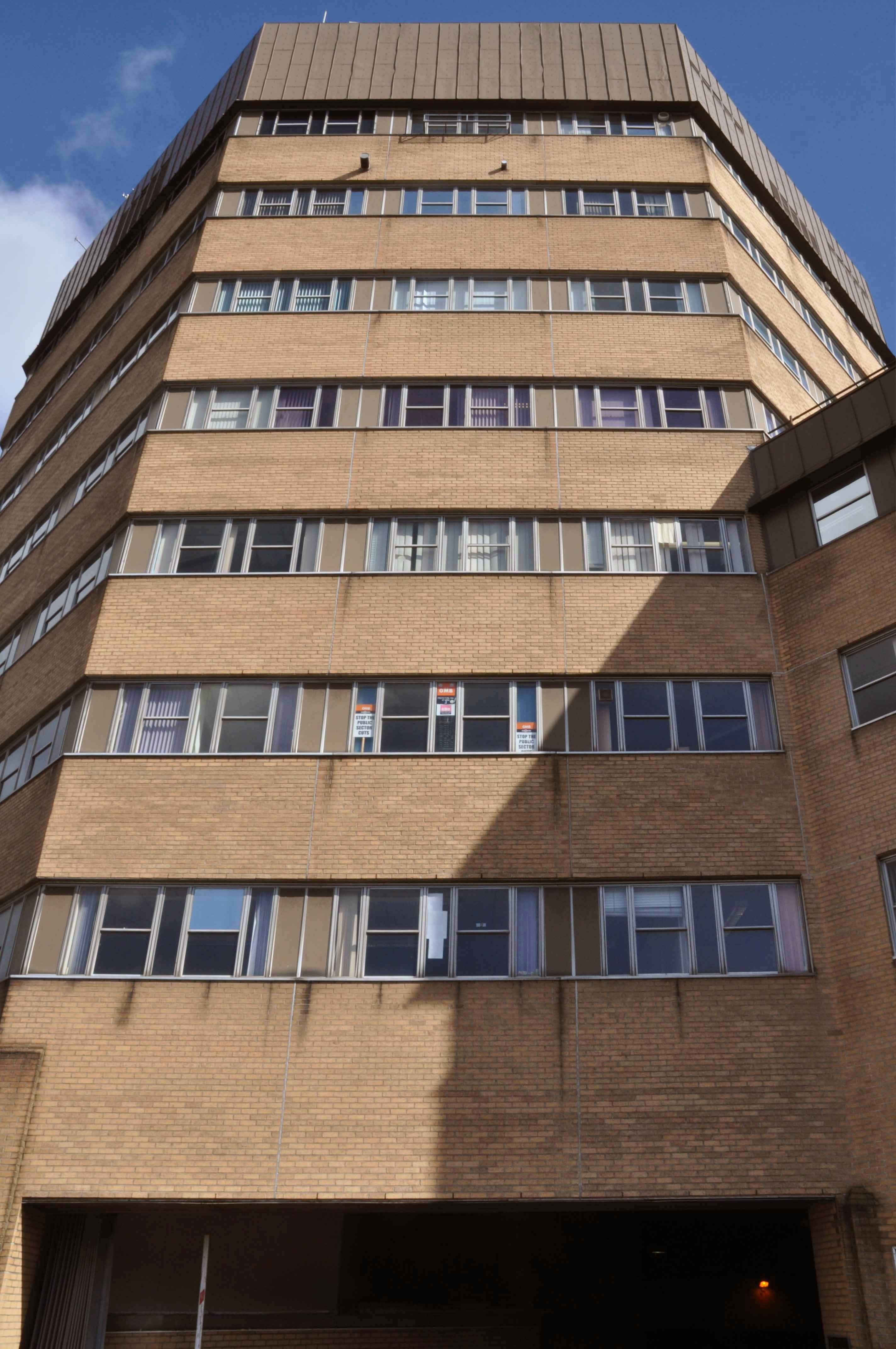
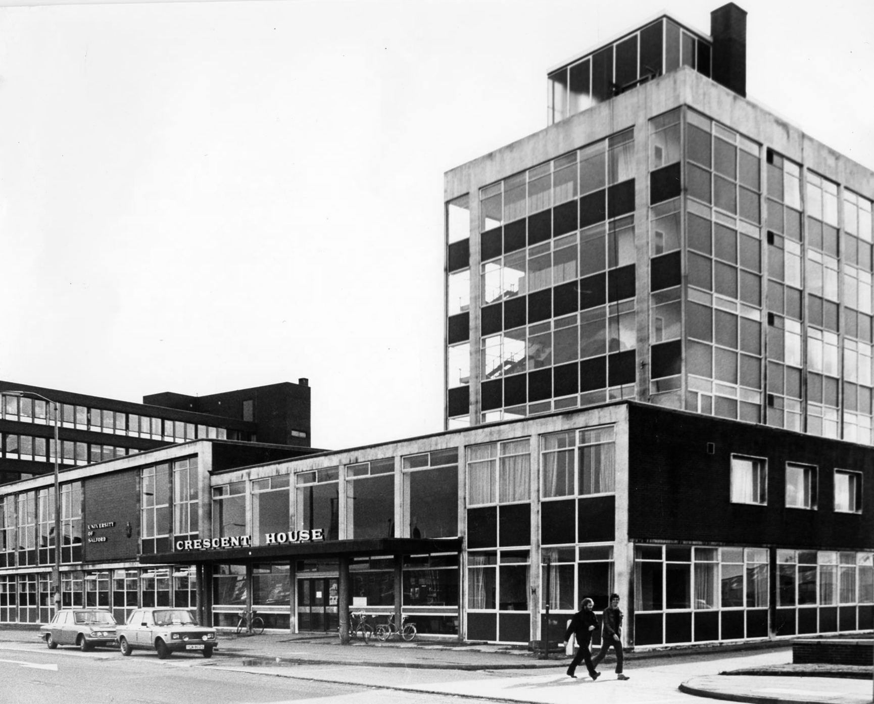
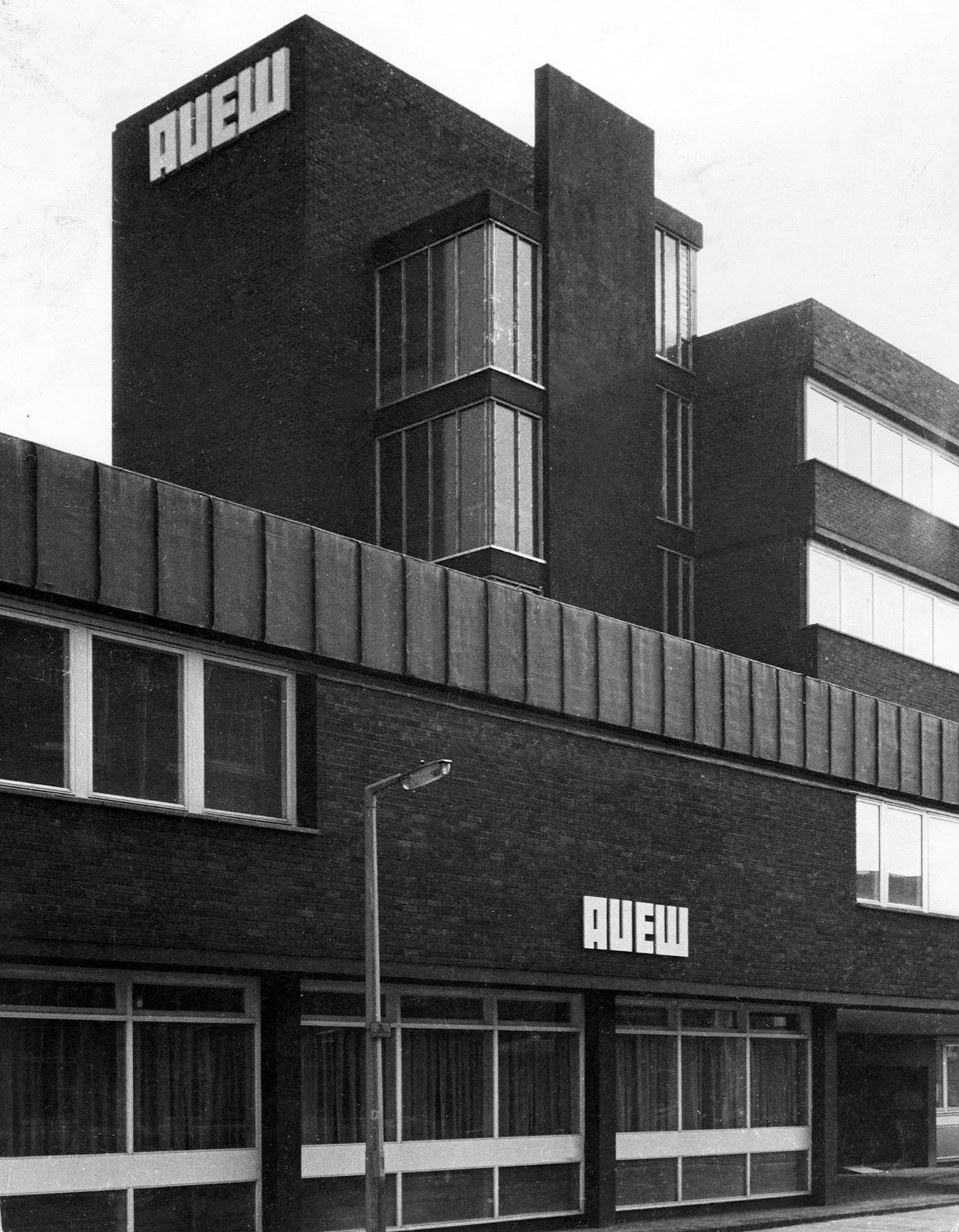
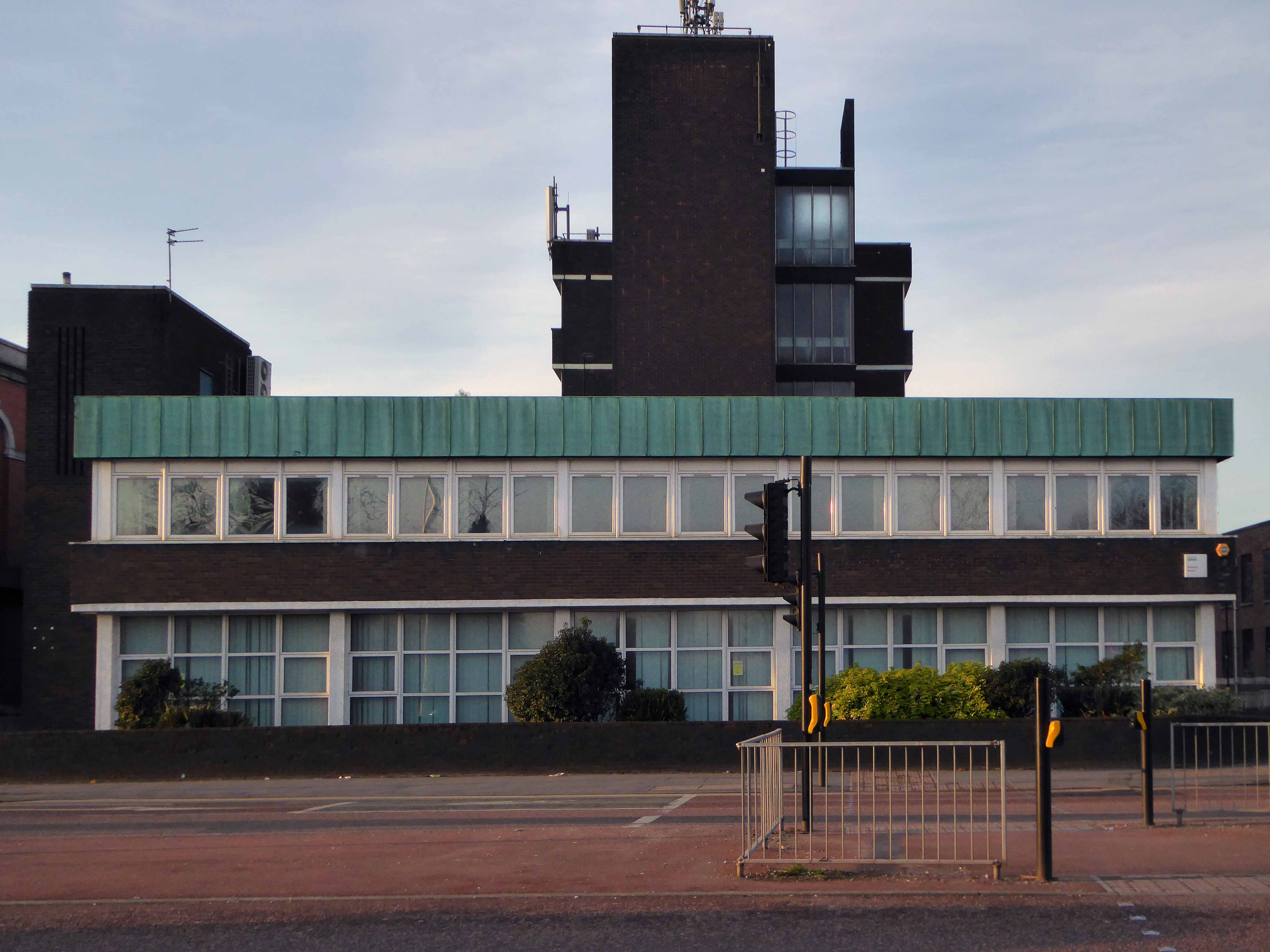
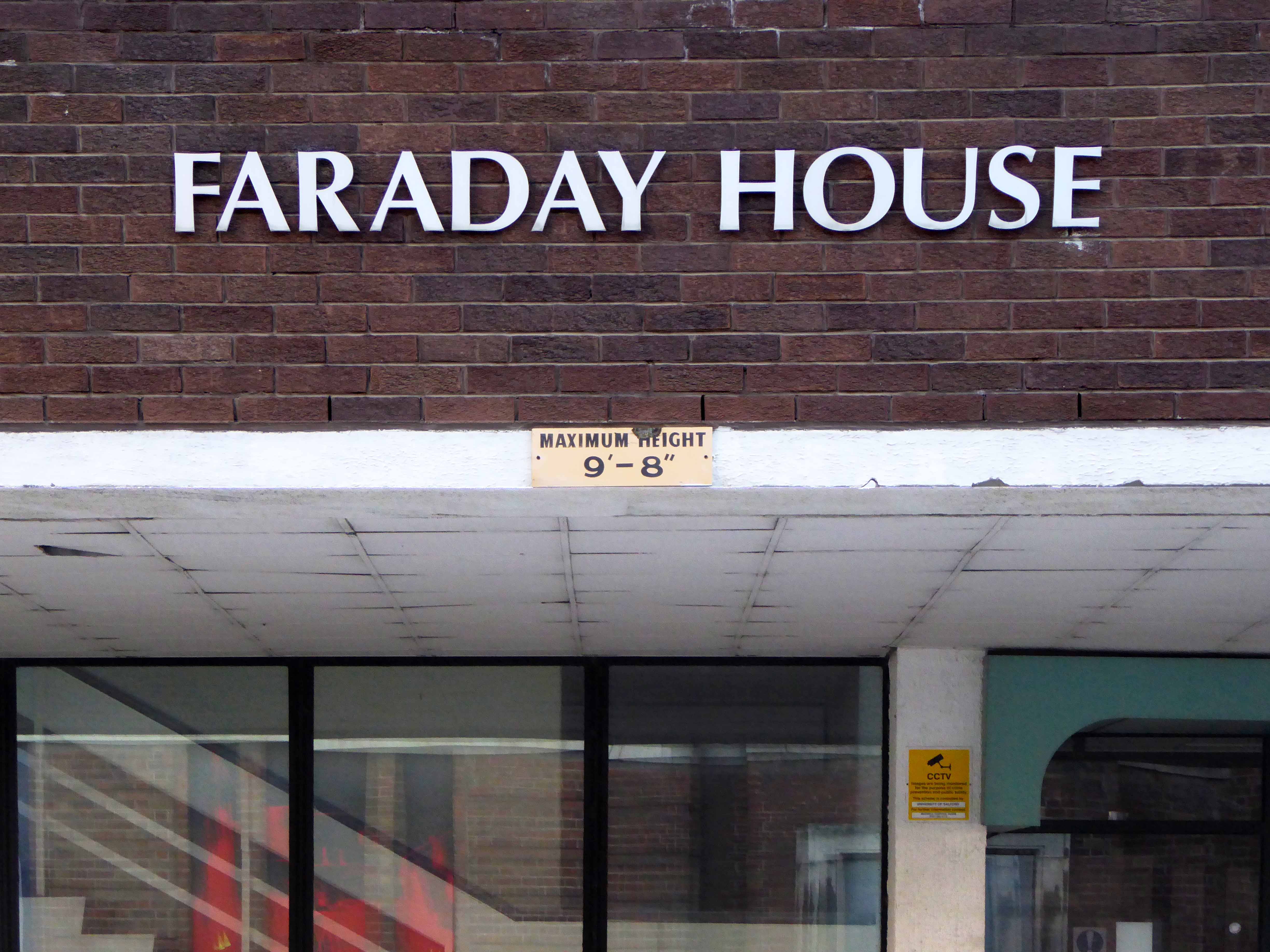
Across the wide and wider A6 are Crescent House and Faraday House – formerly home to the AUEW Amalgamated Union of Engineering Workers, ceded to the University in the 1970s

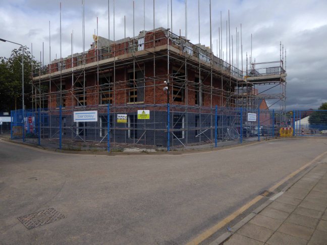
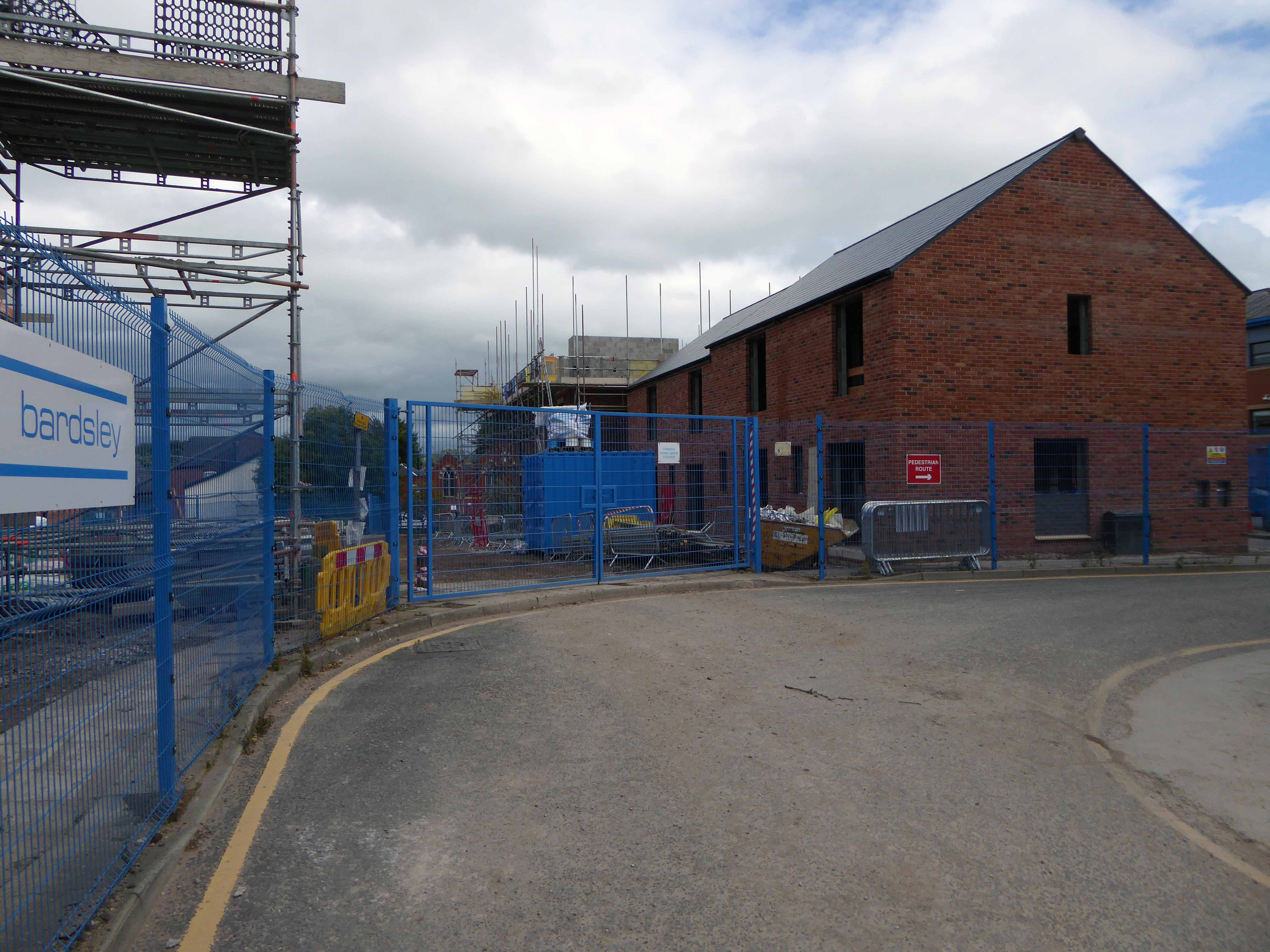
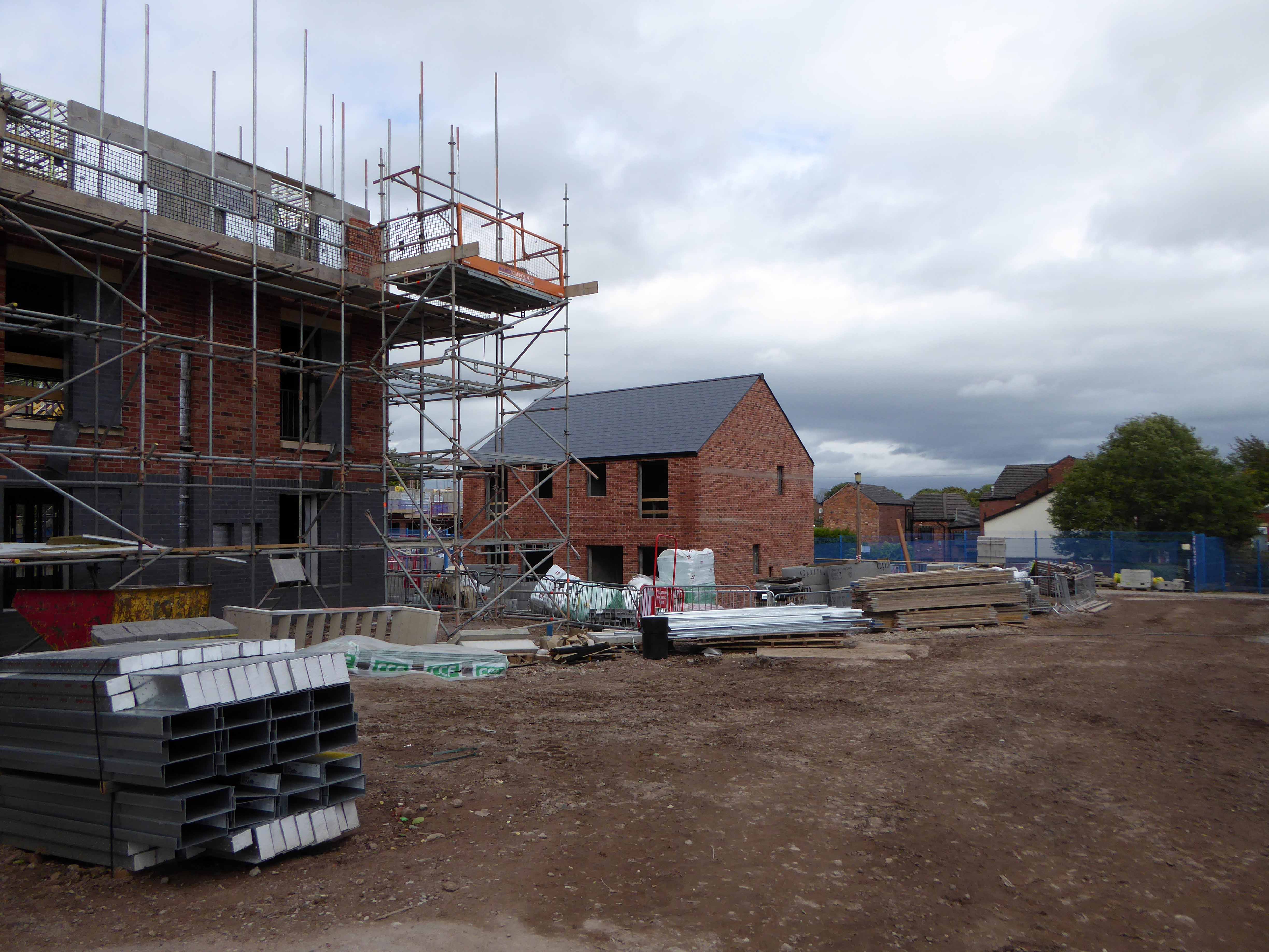
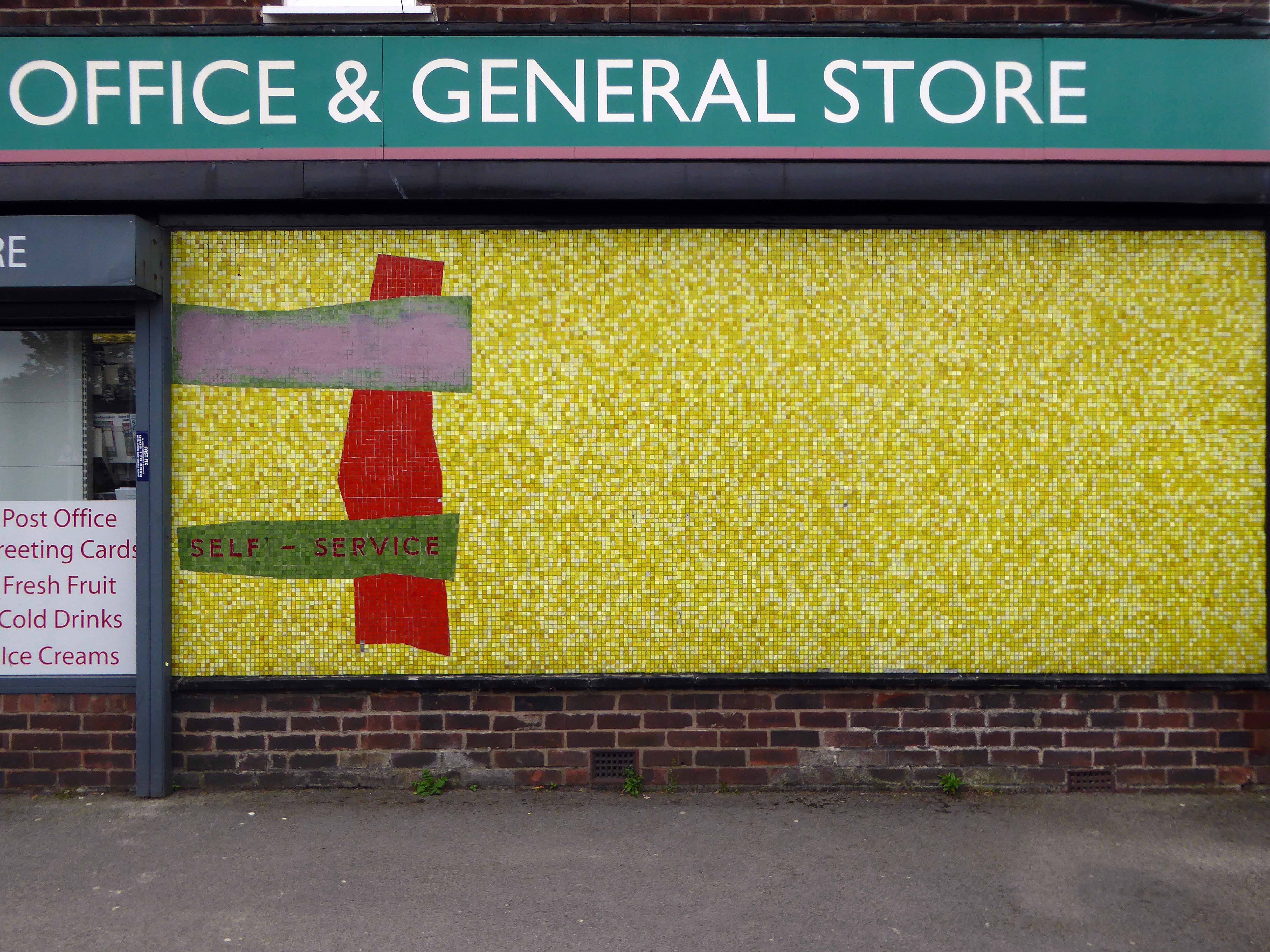
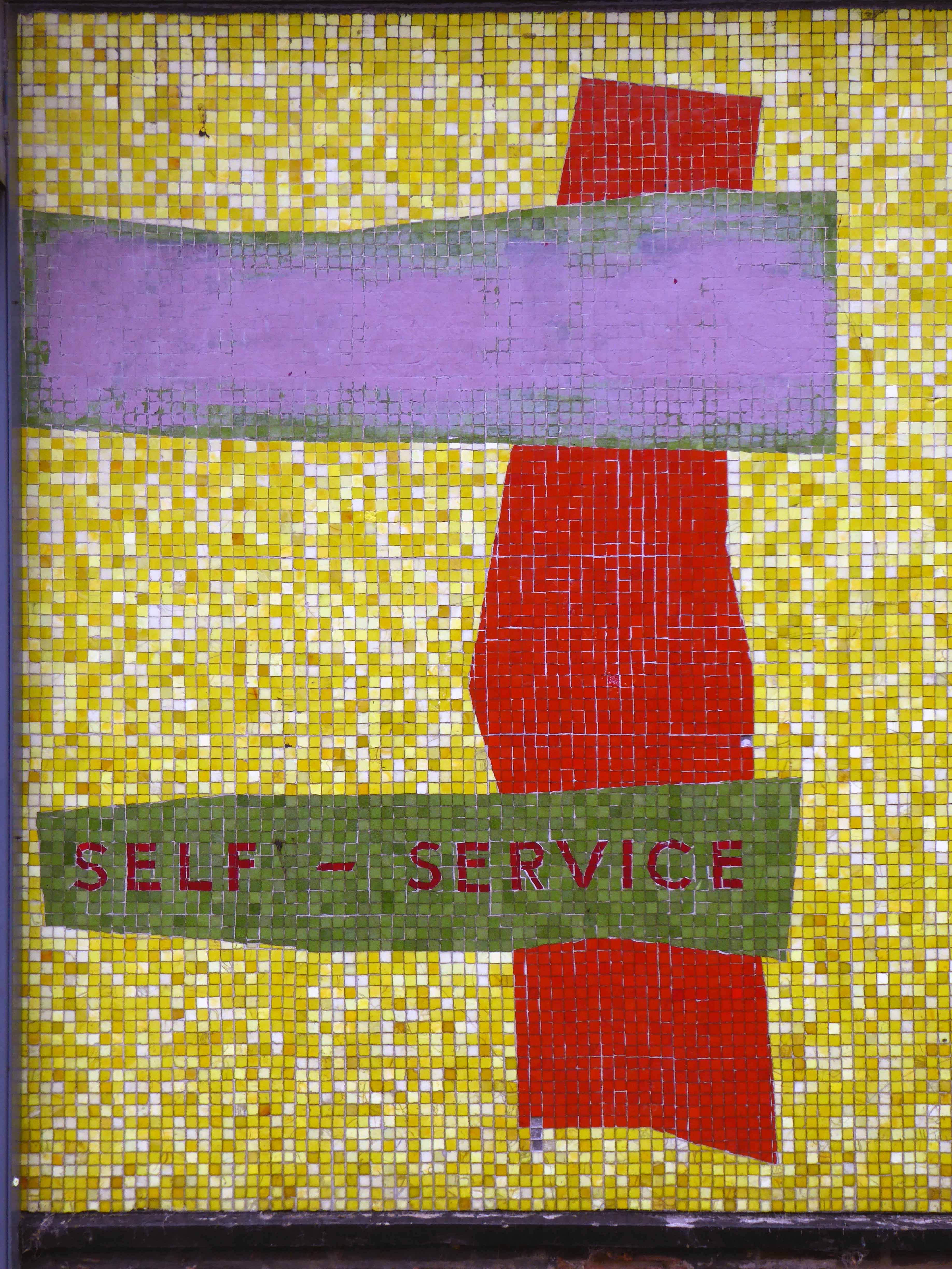
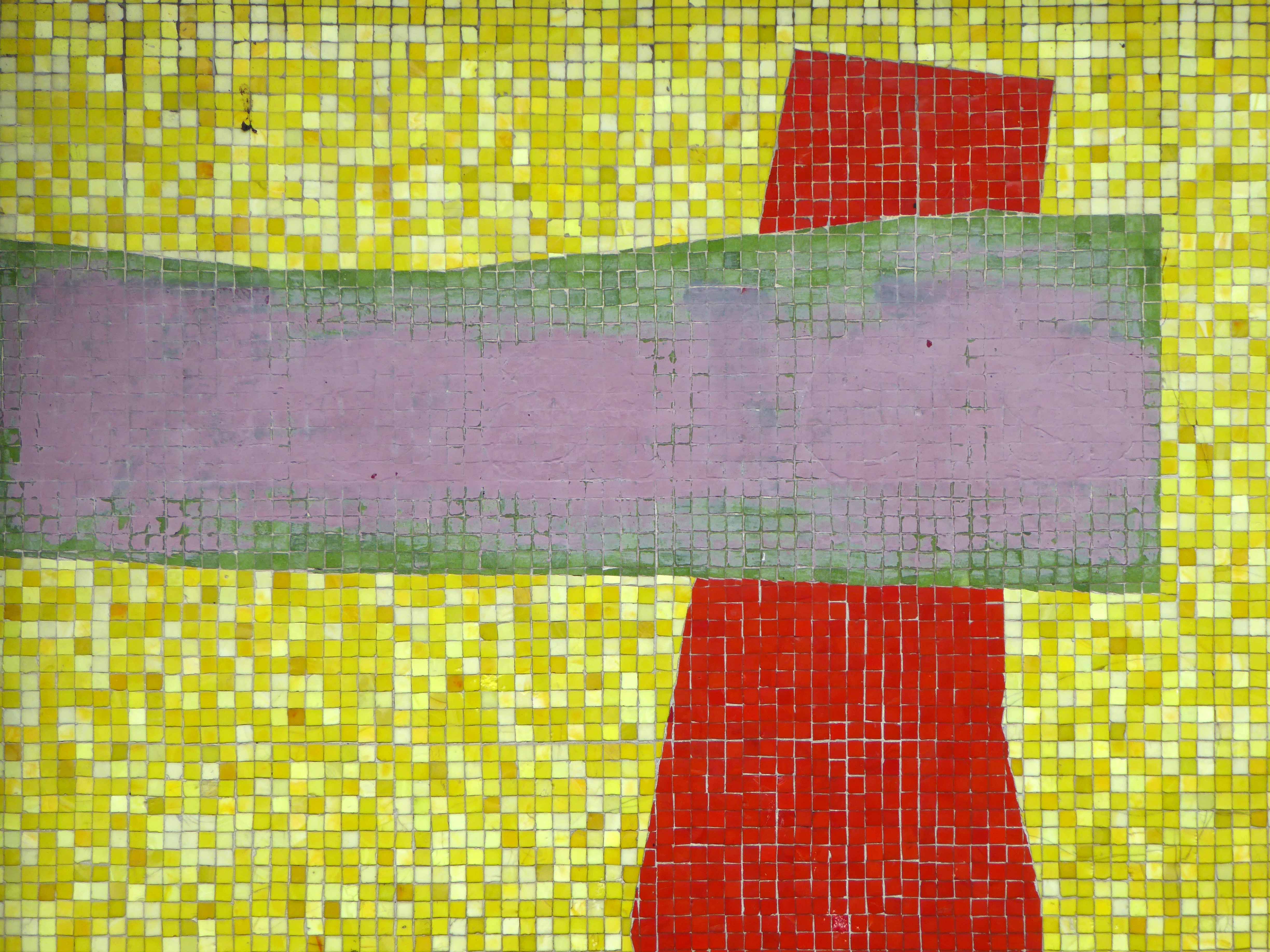
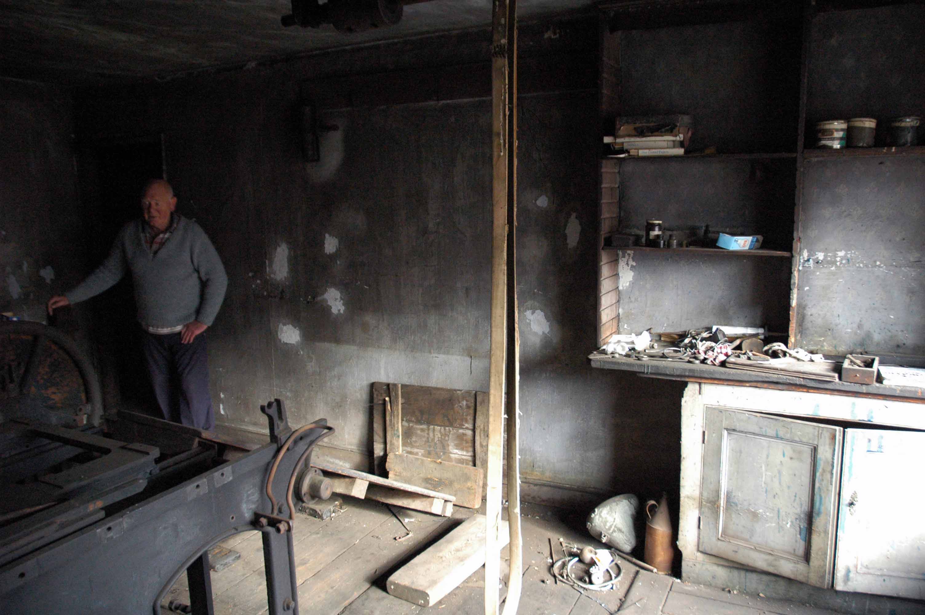
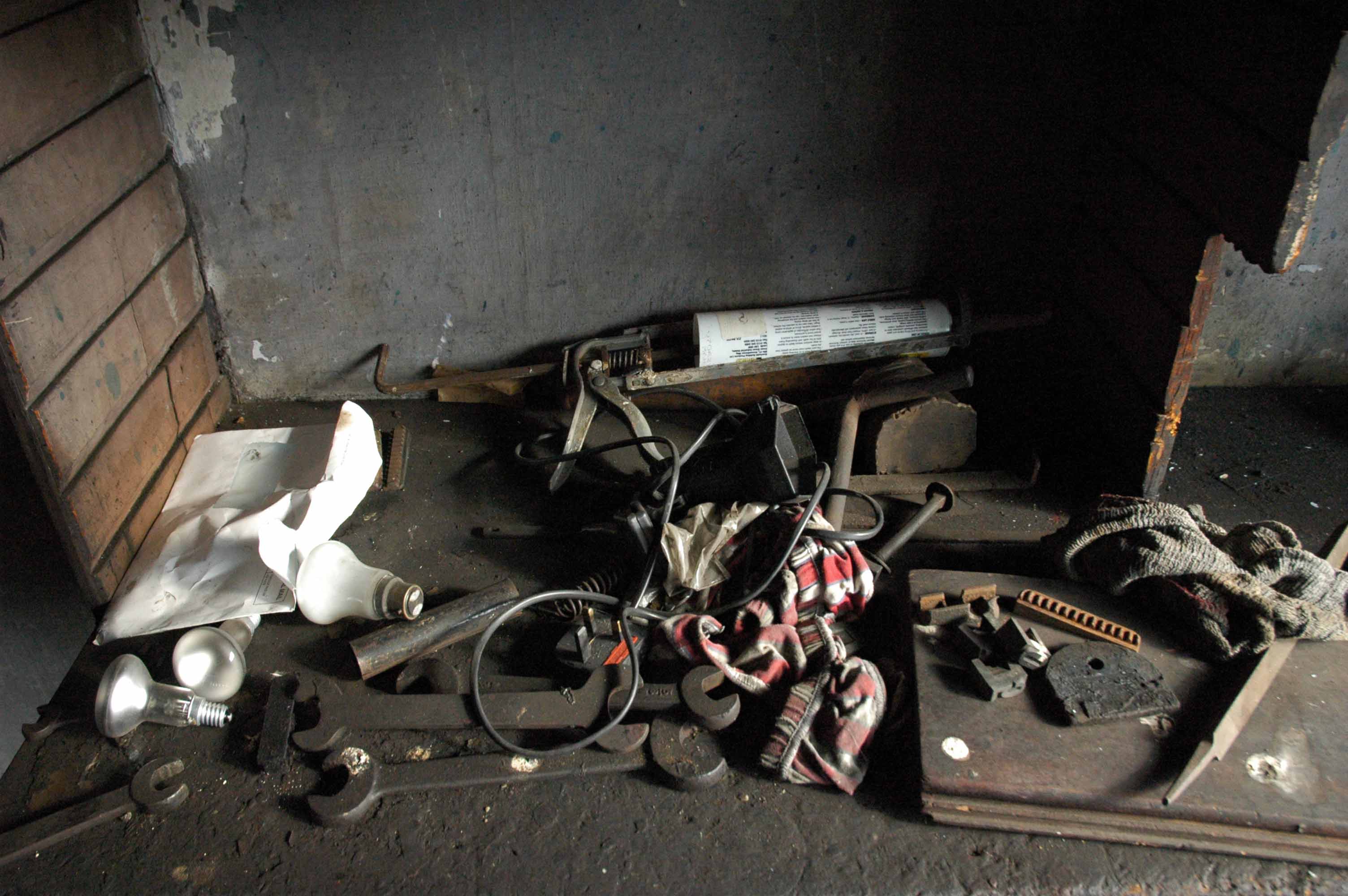
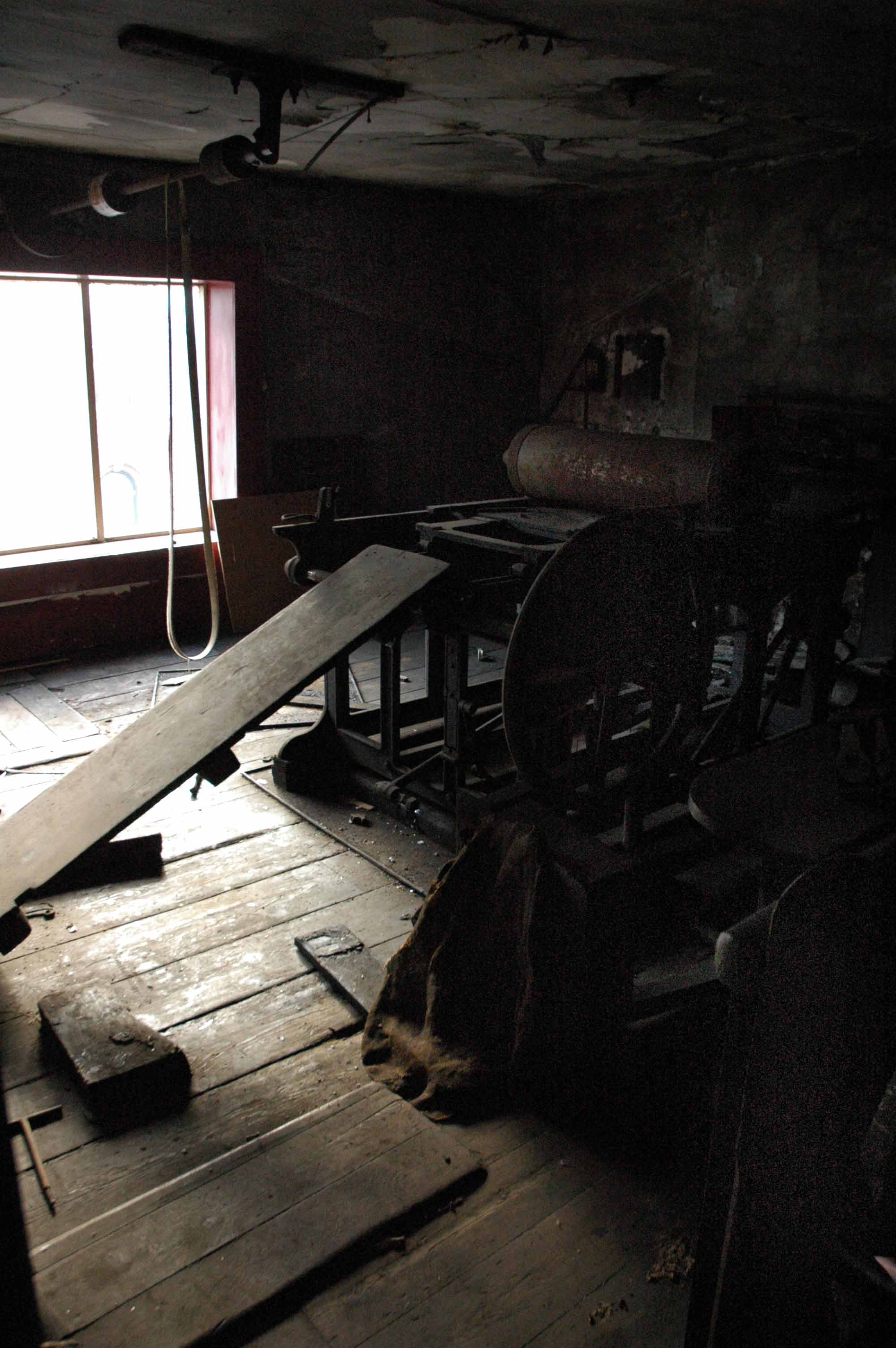
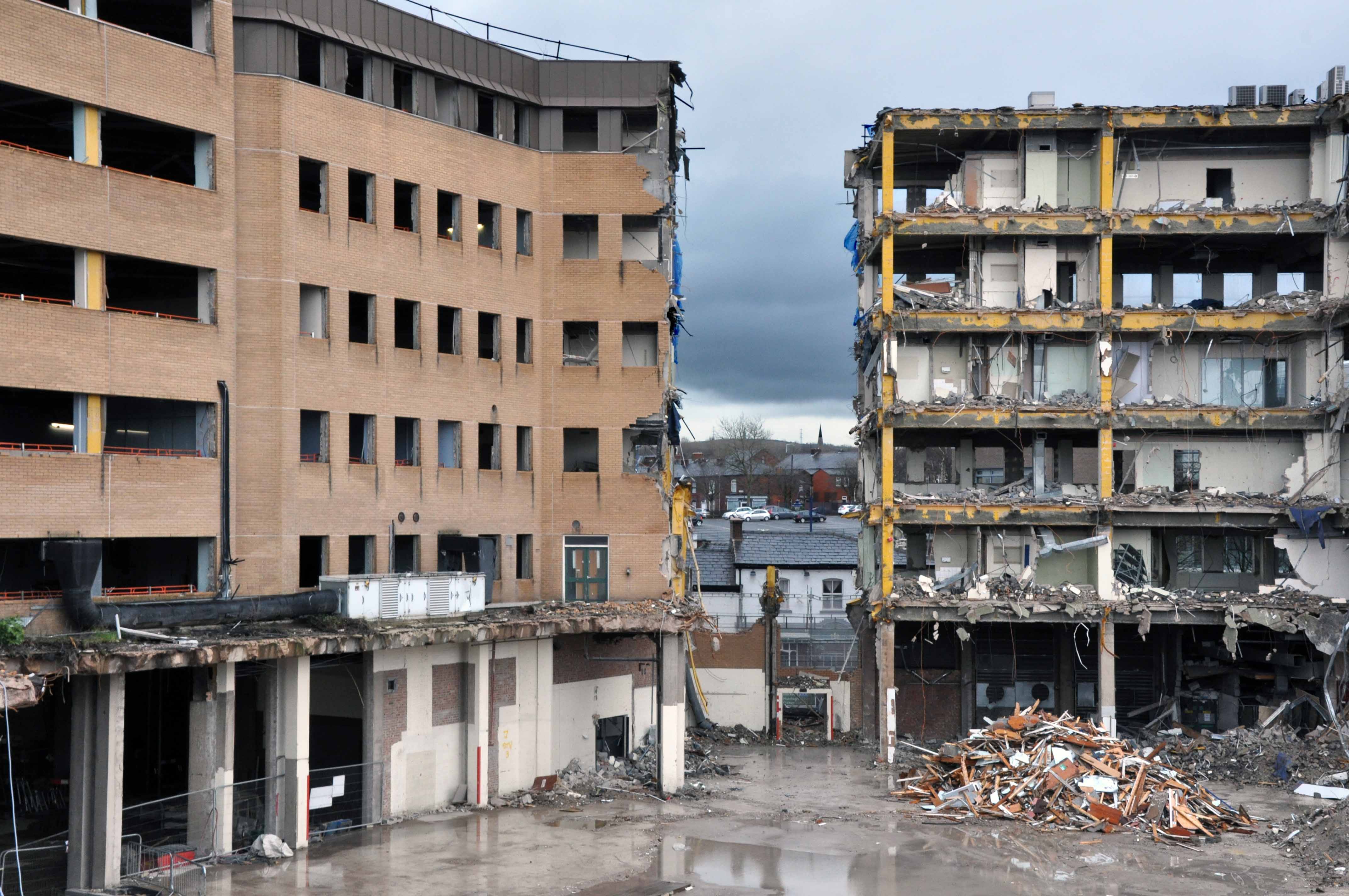
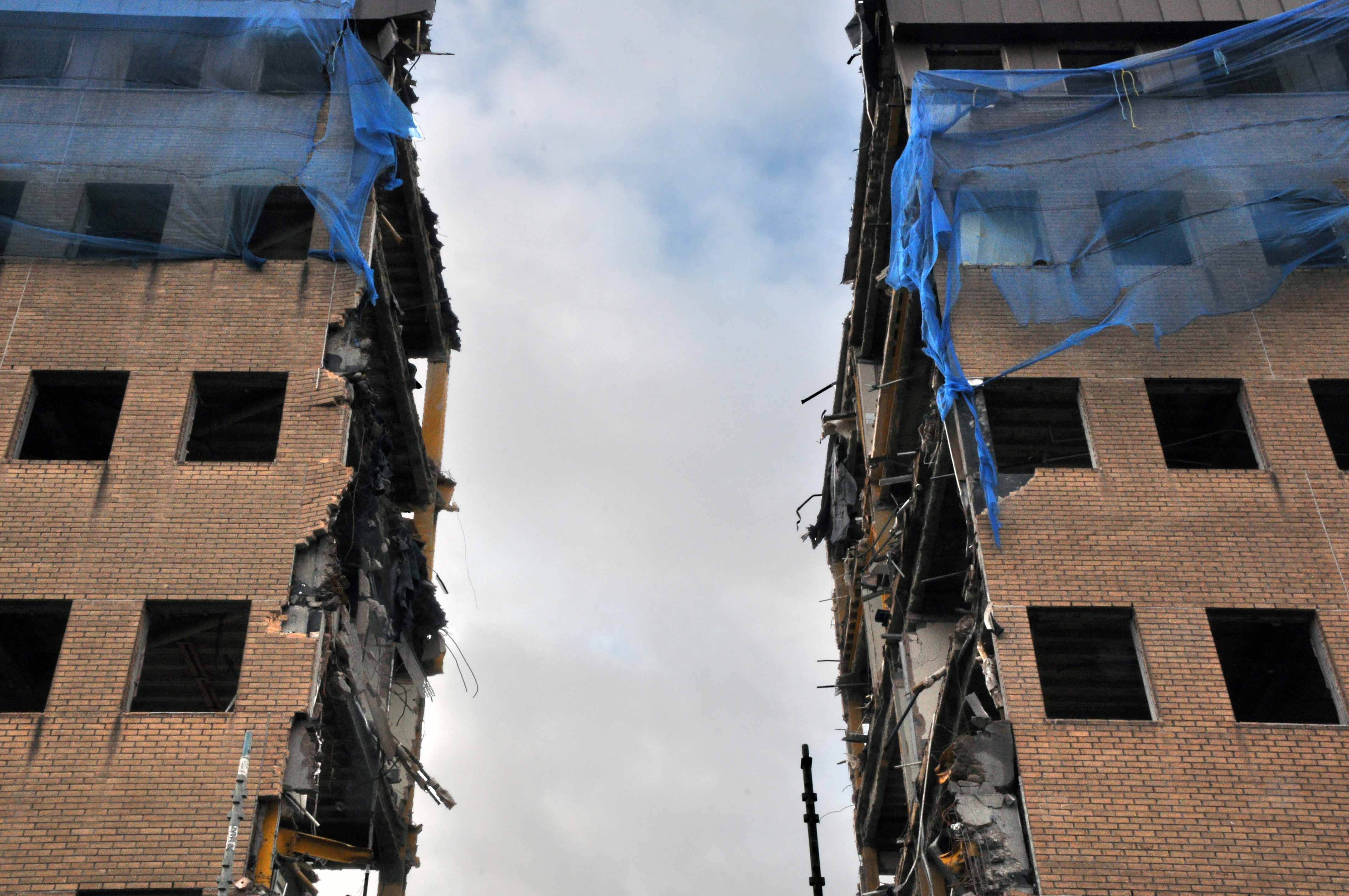
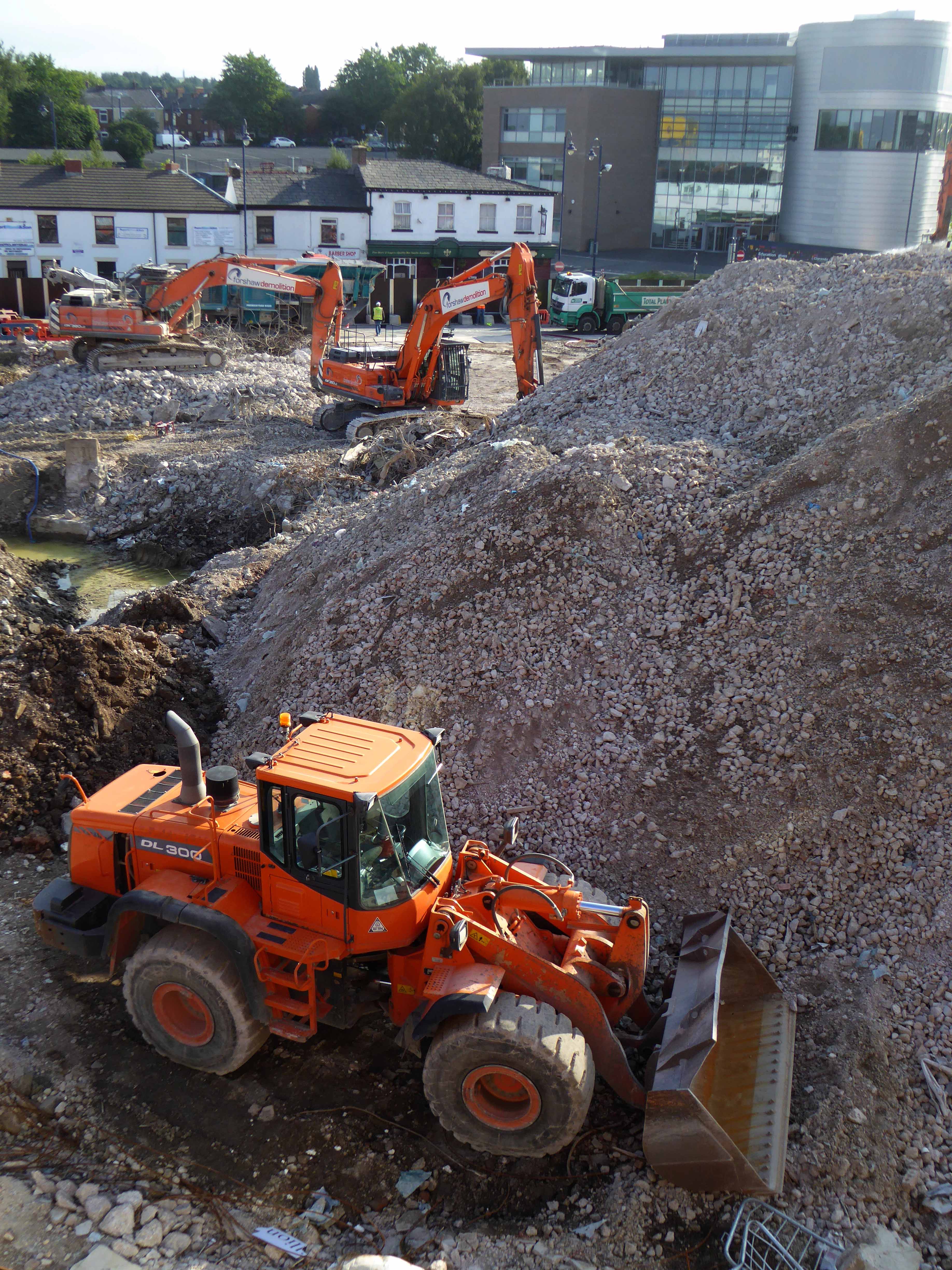
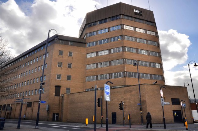
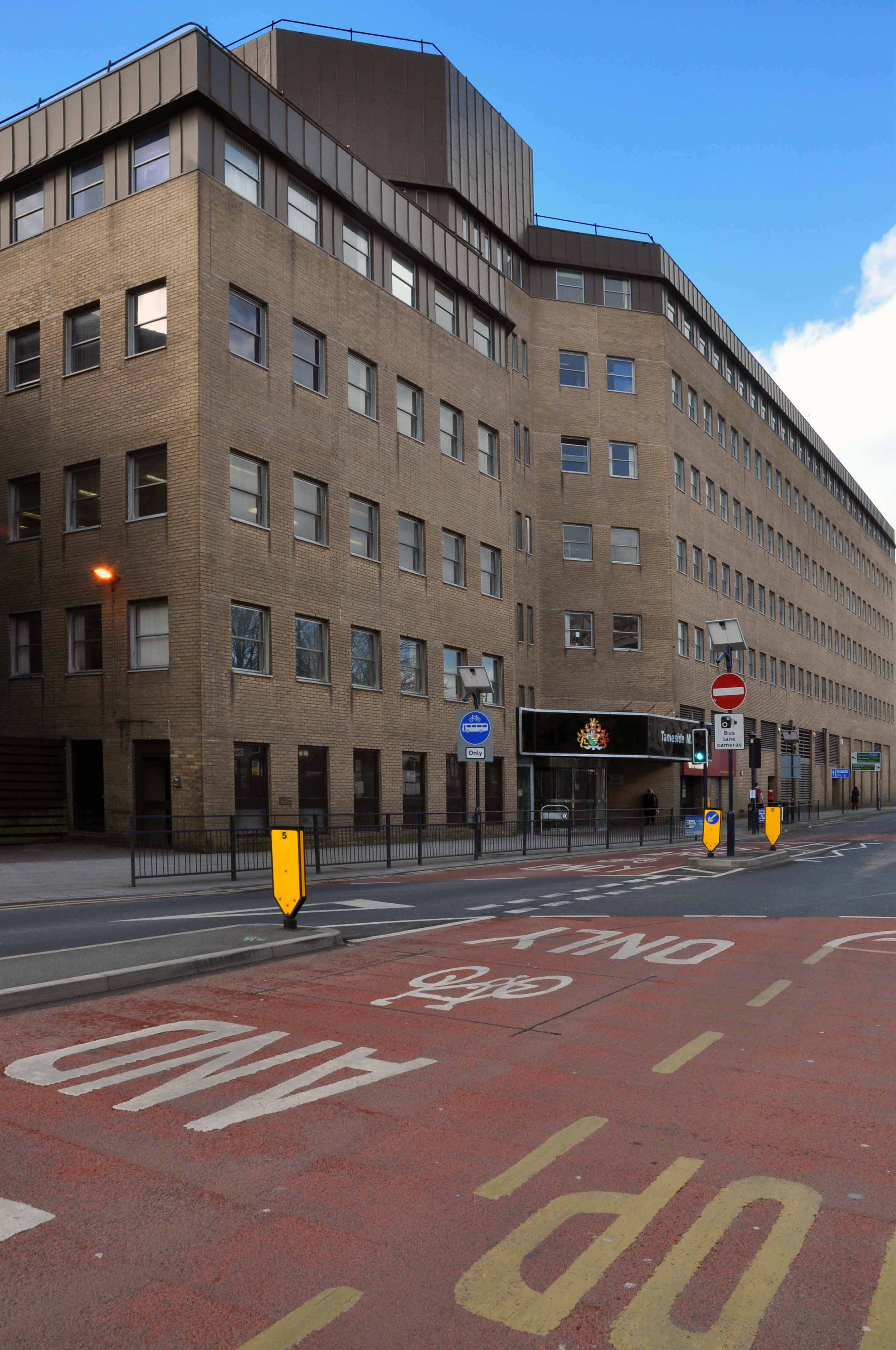
Let’s shimmy along to the former Salford Technical College site.

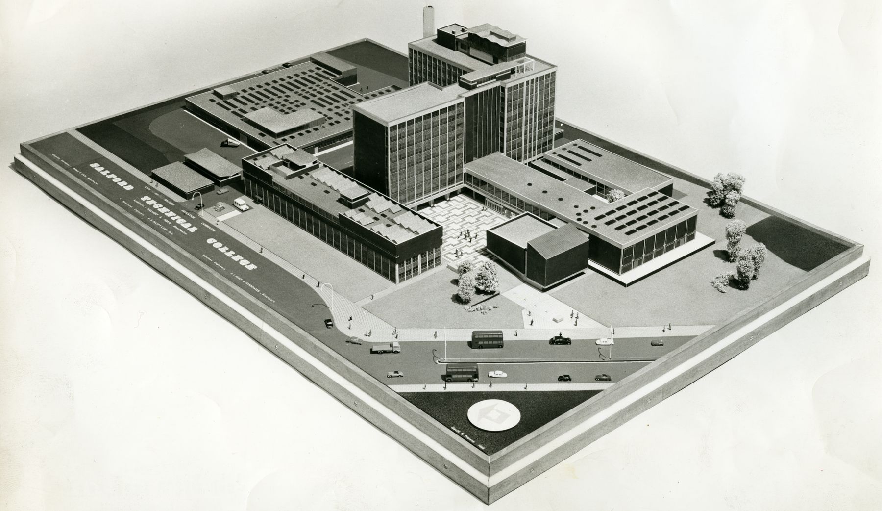
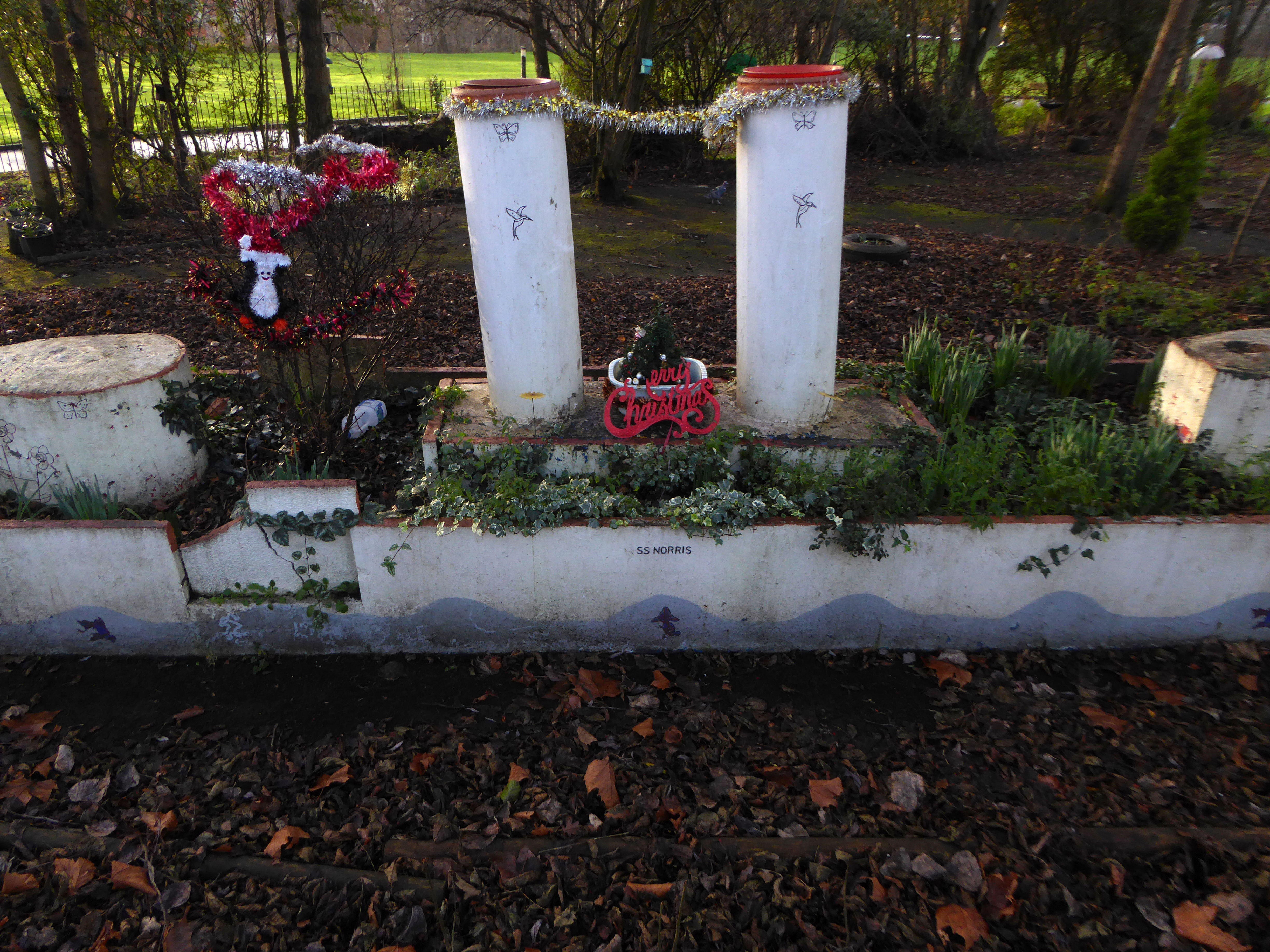
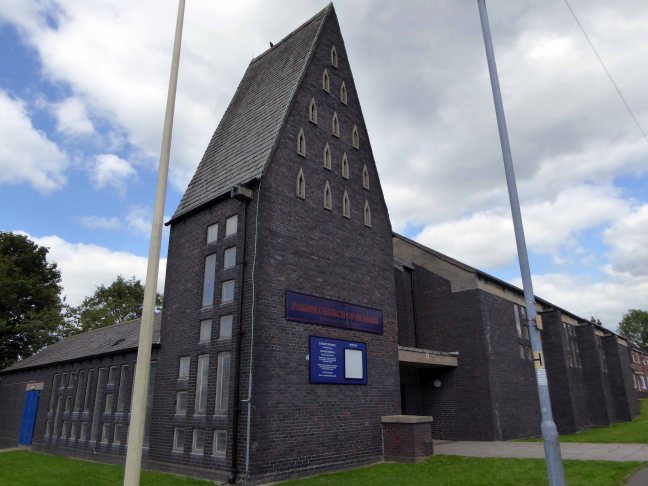
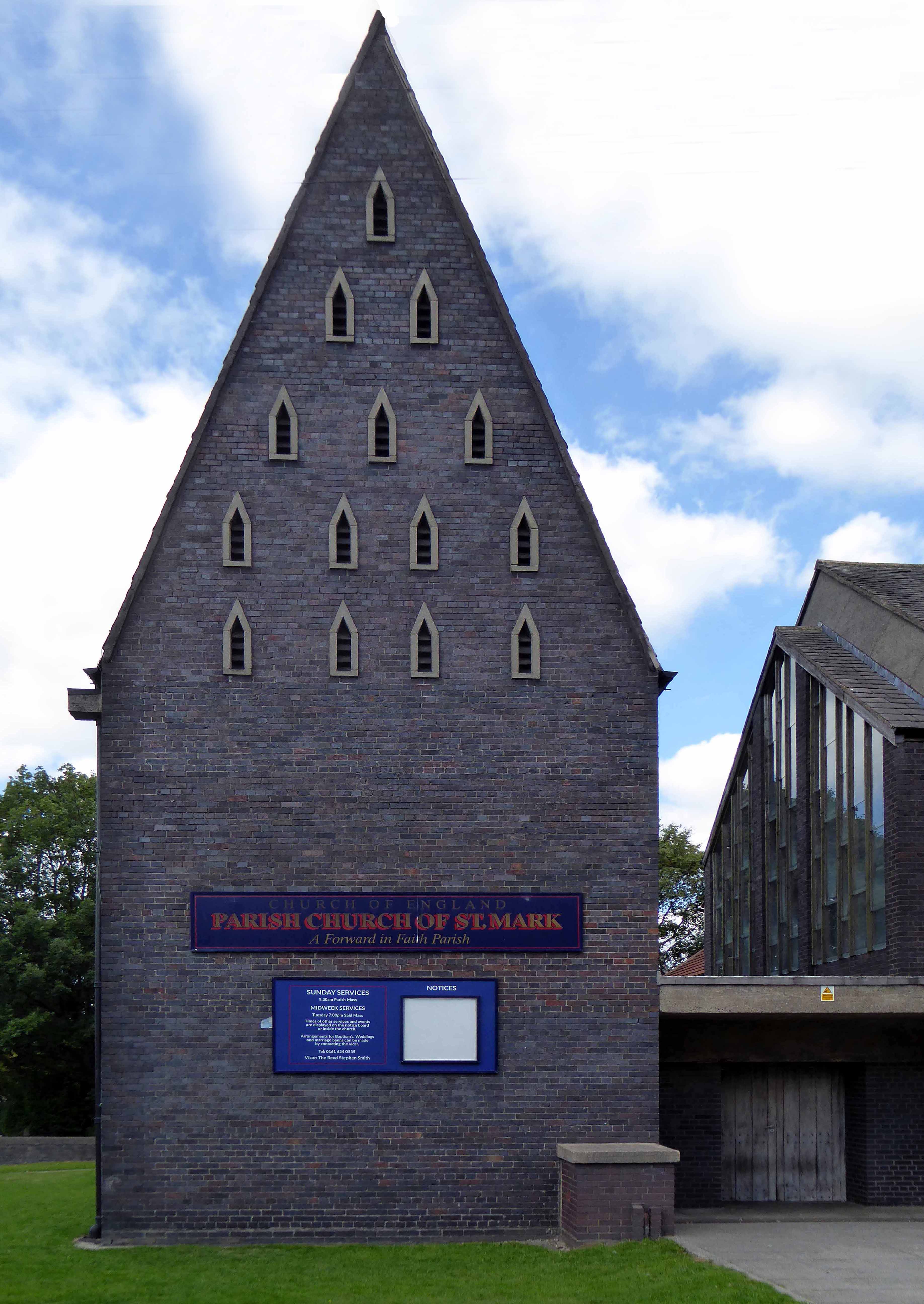
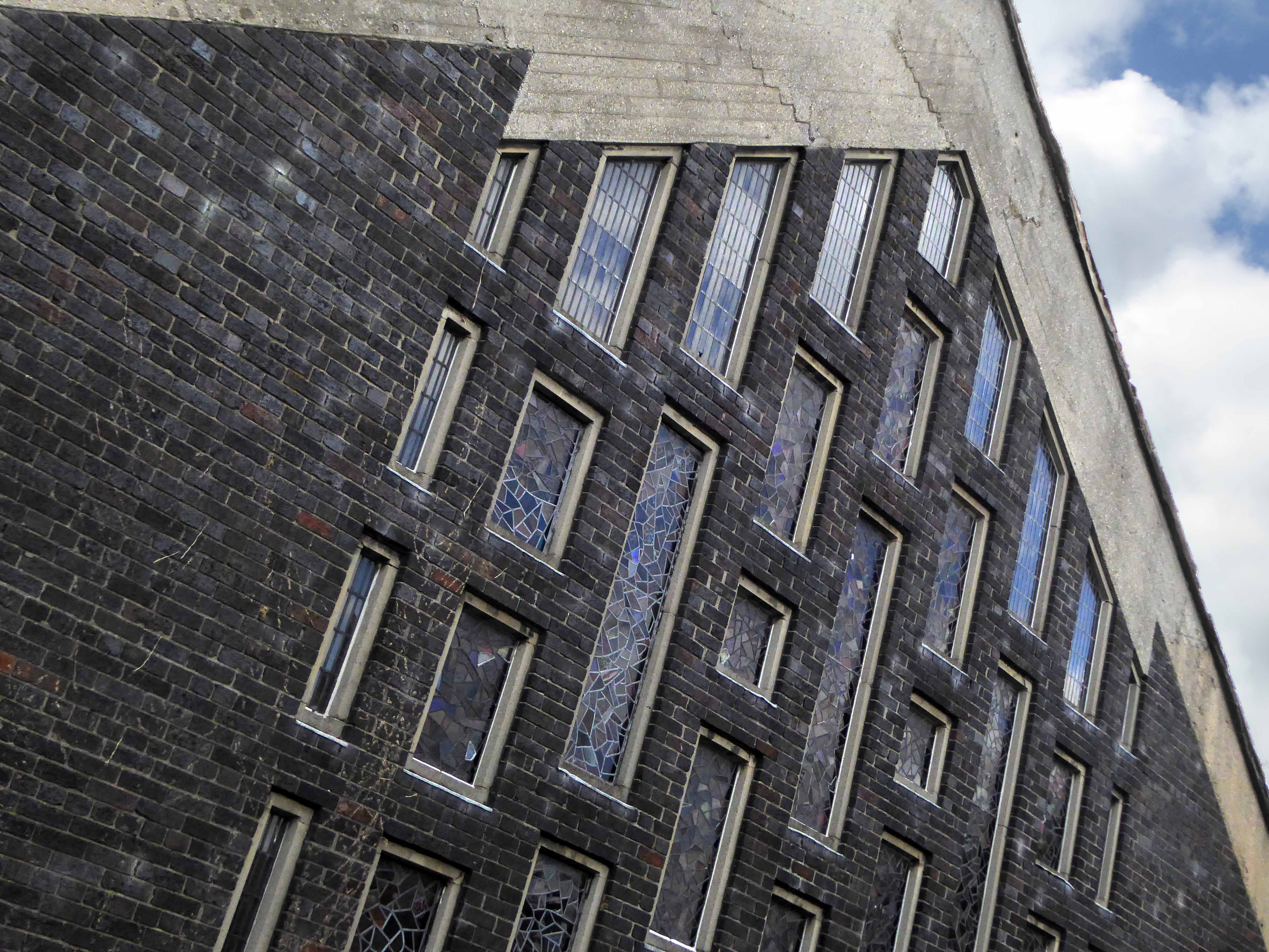
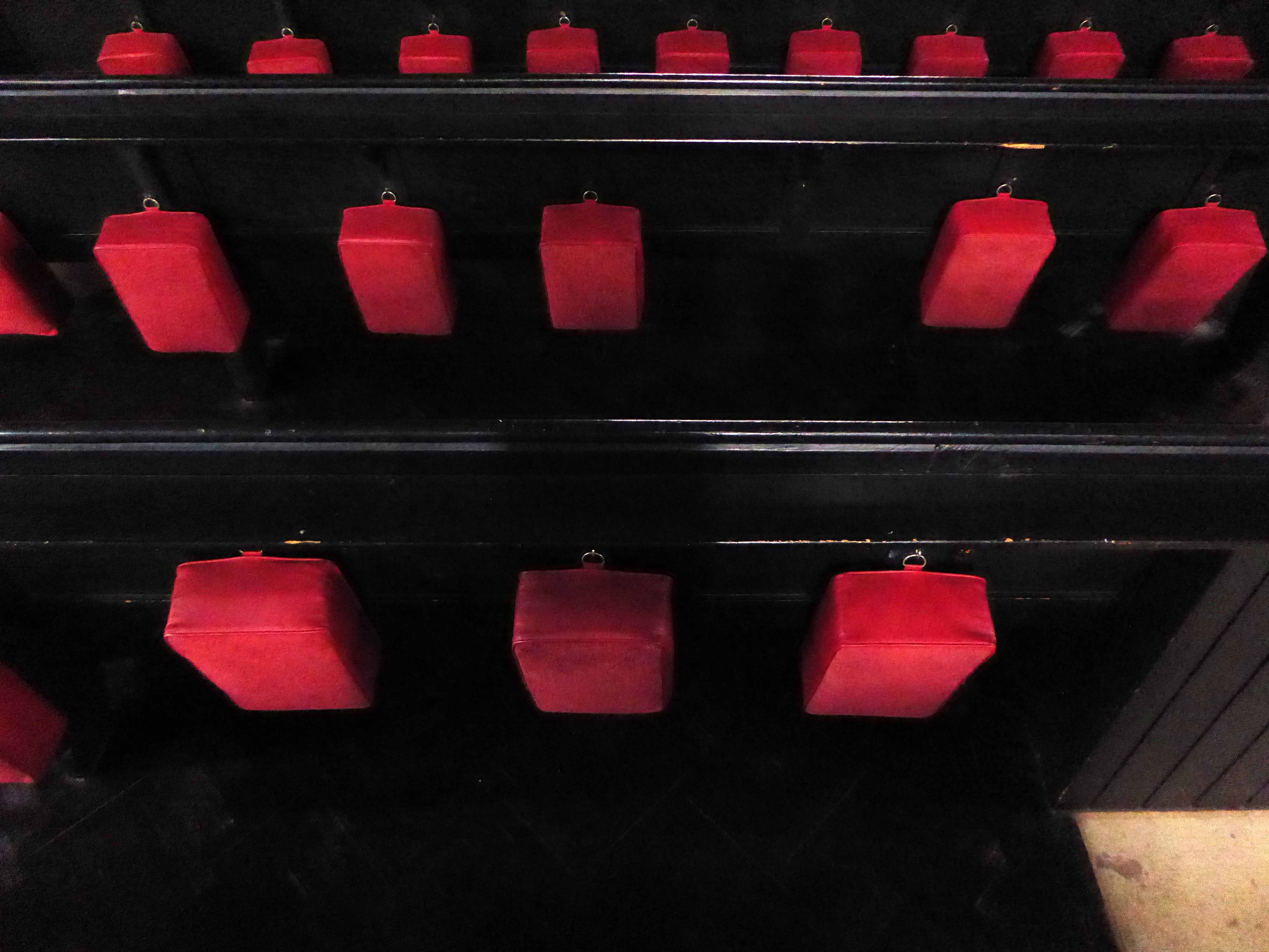
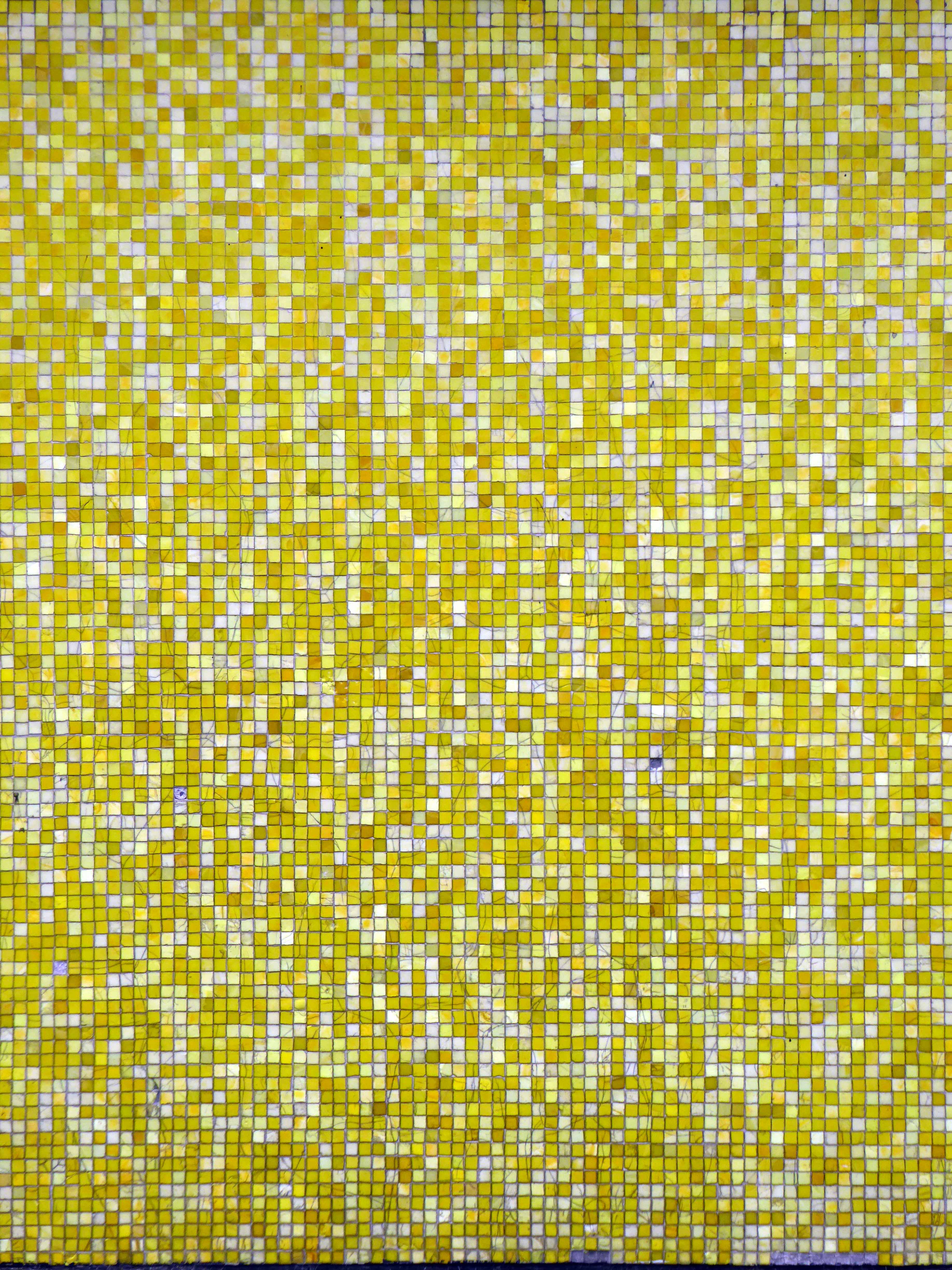
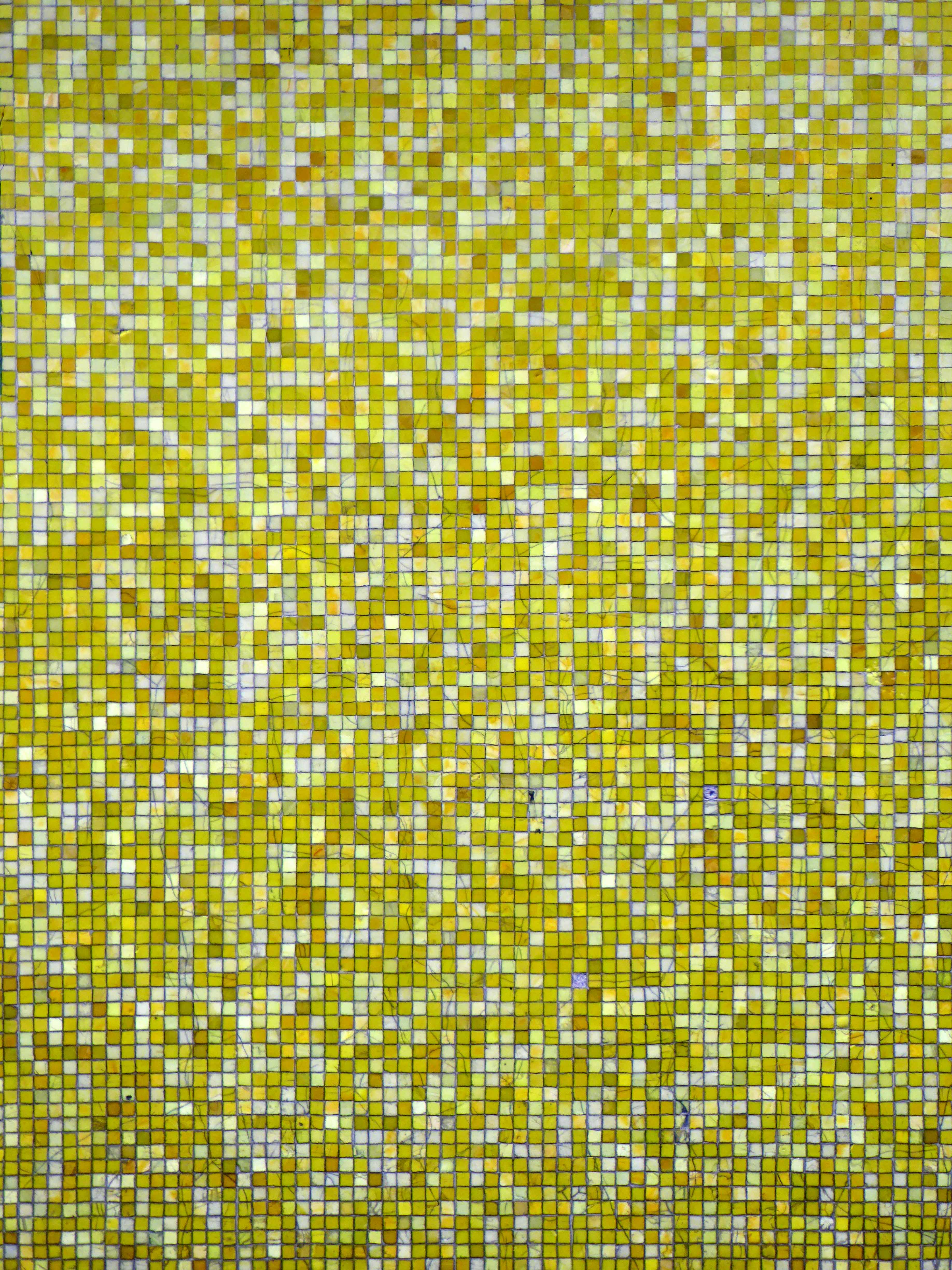
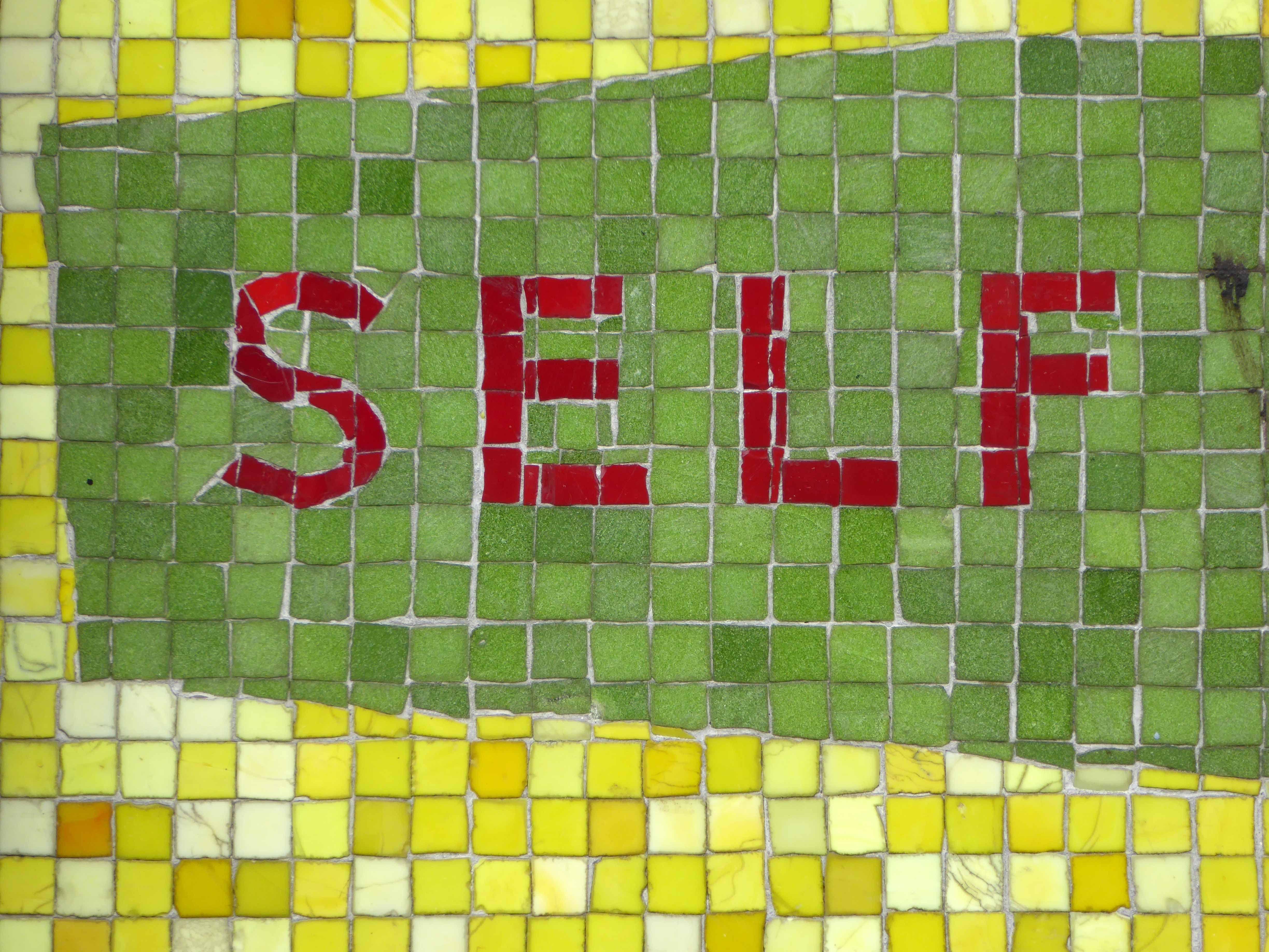
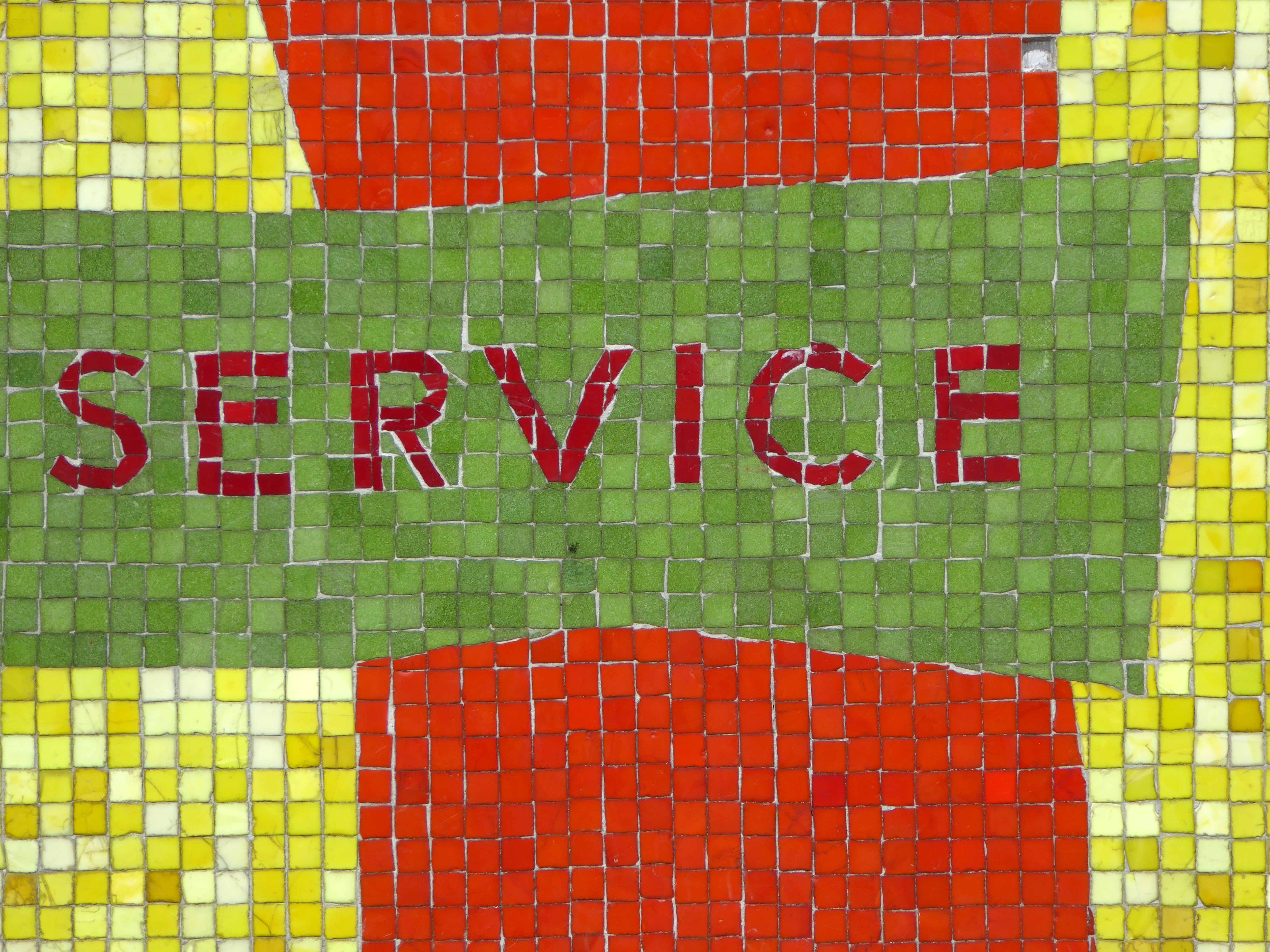
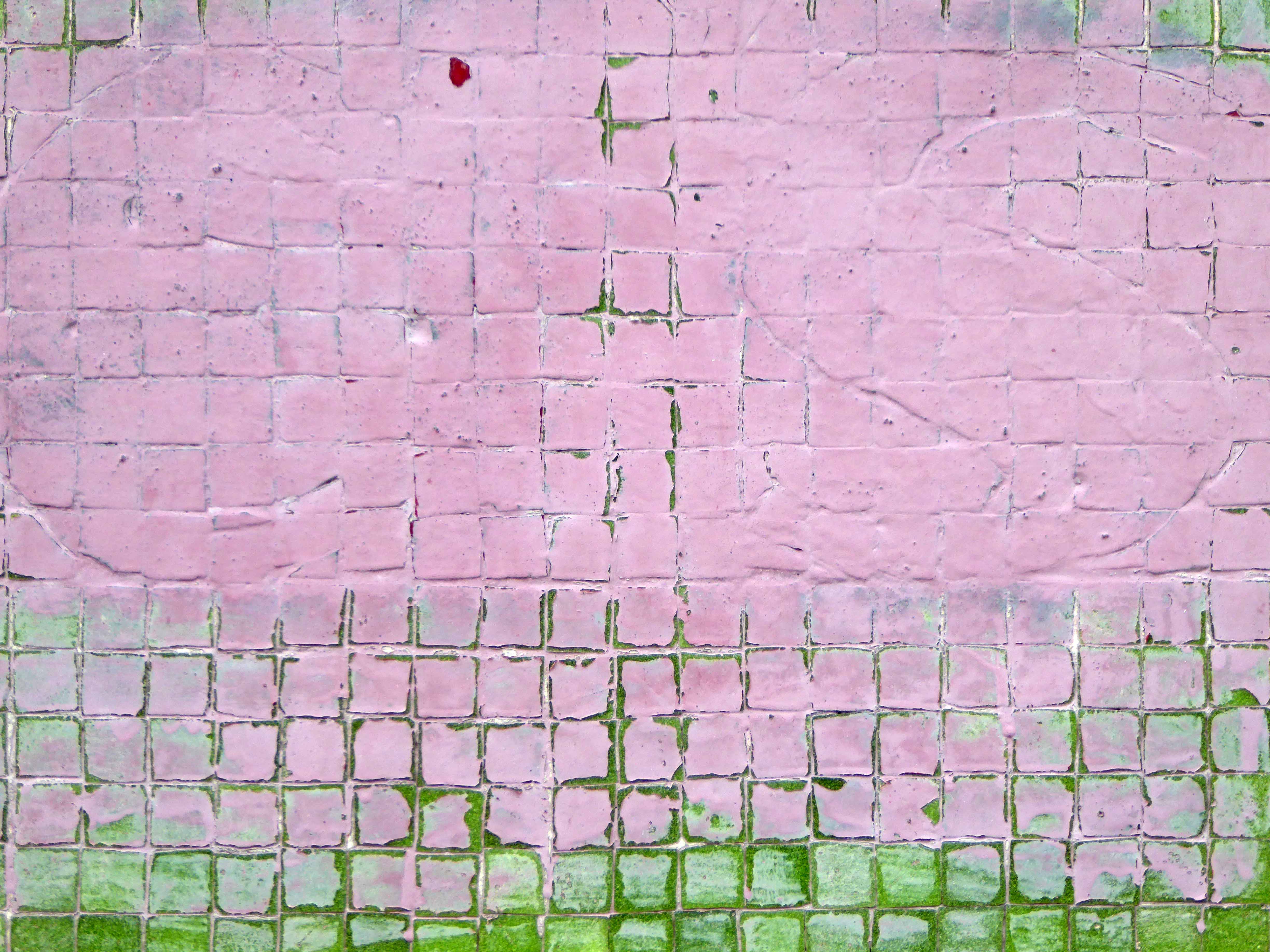
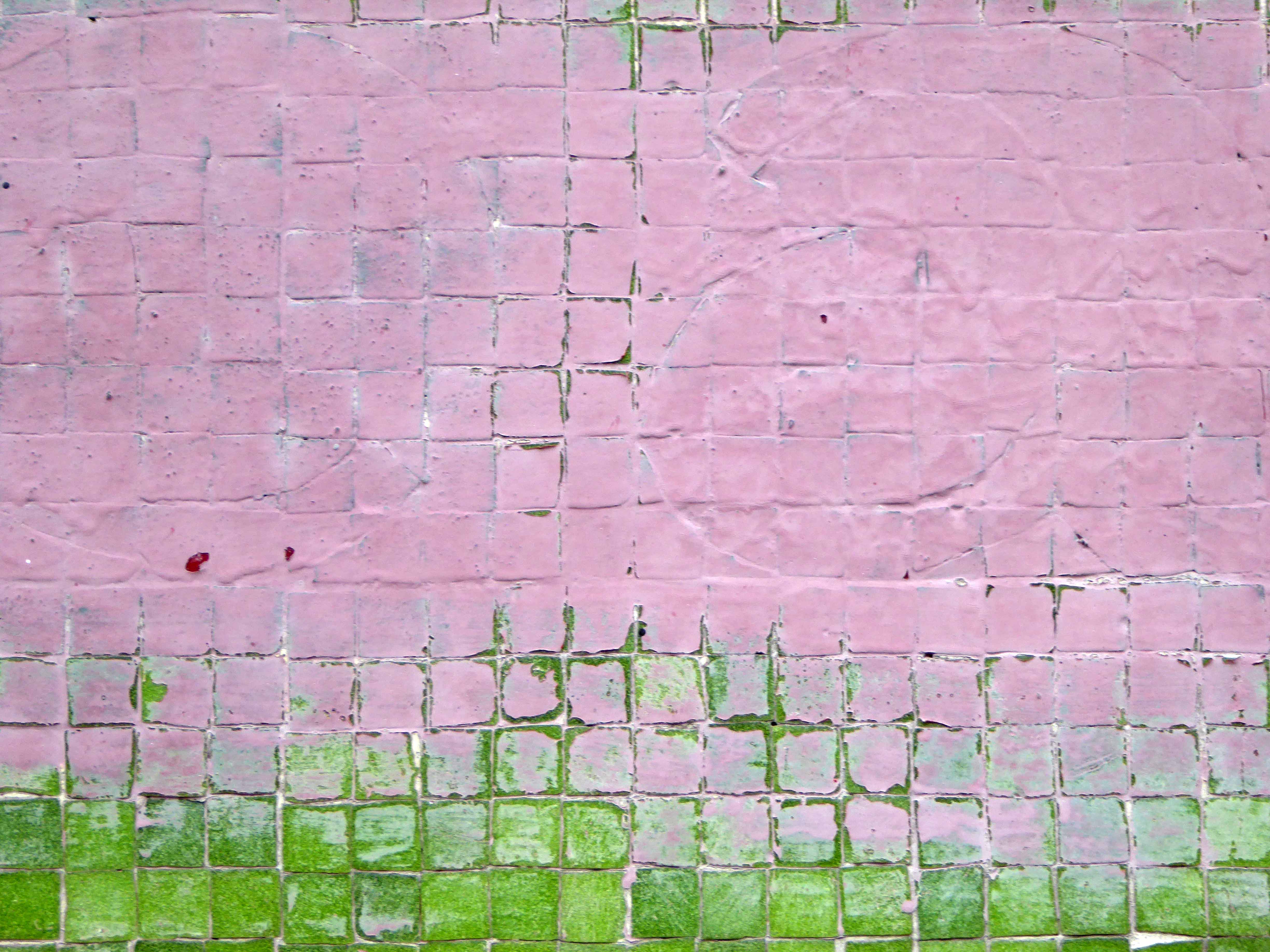
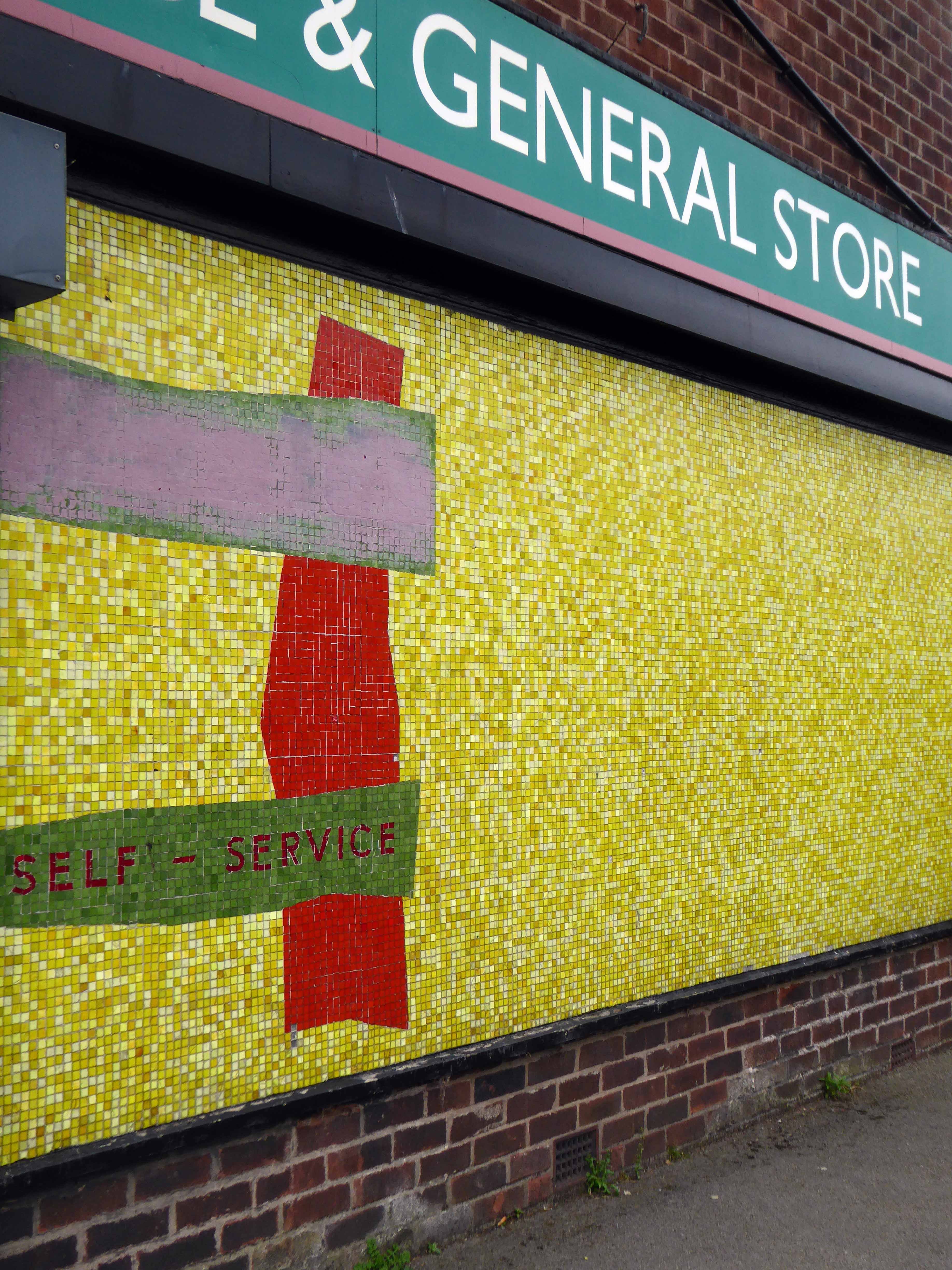
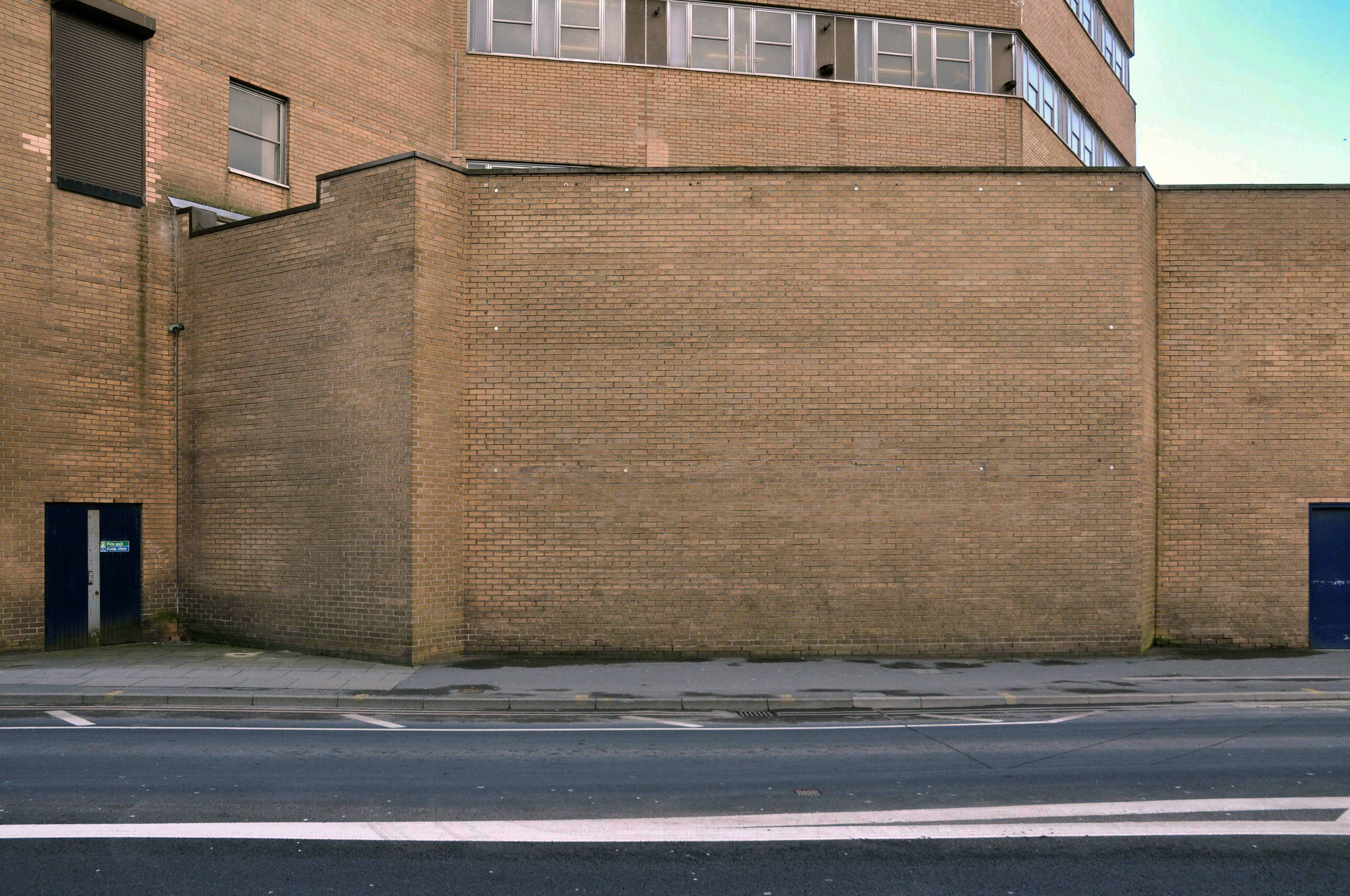
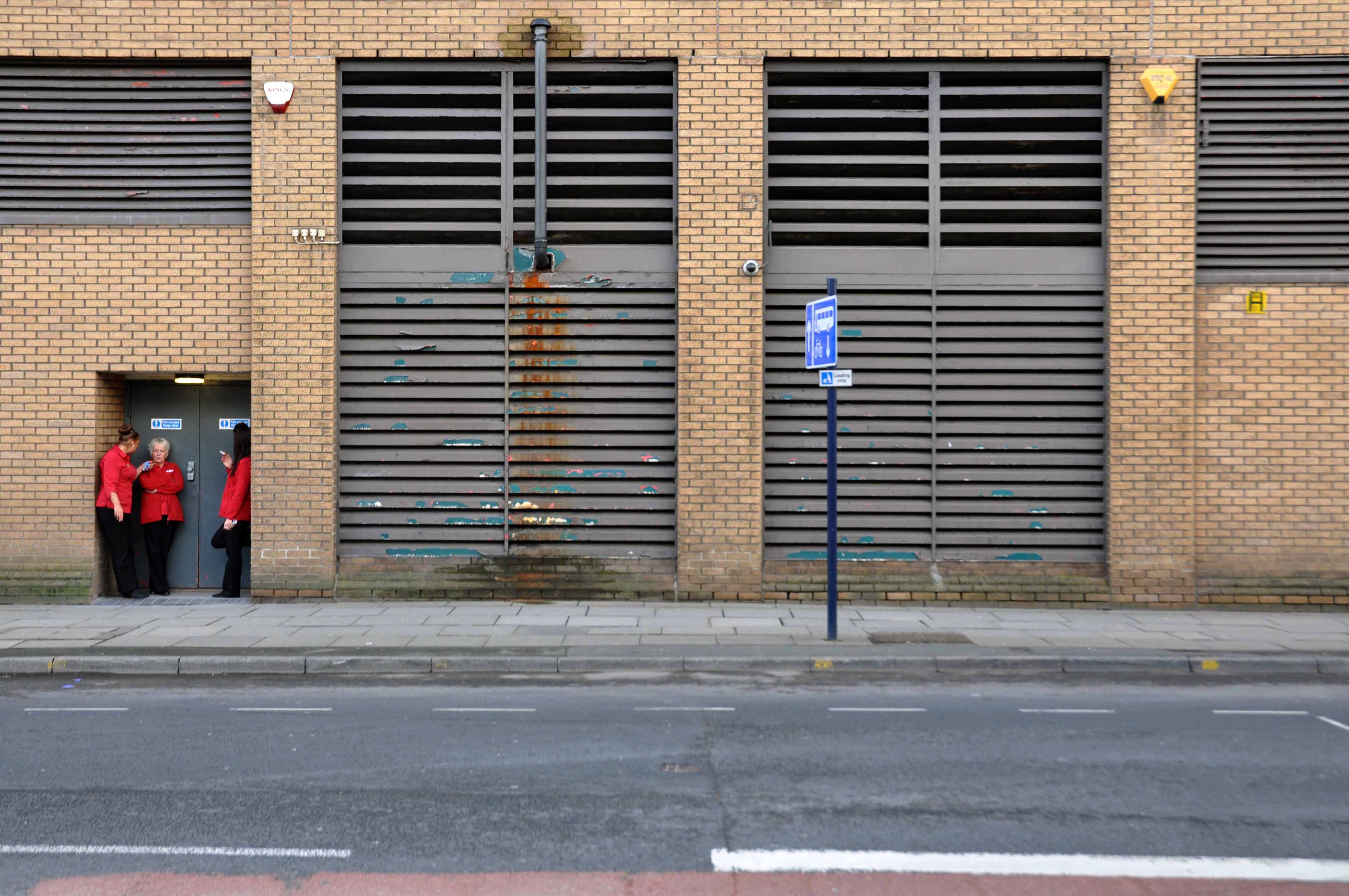
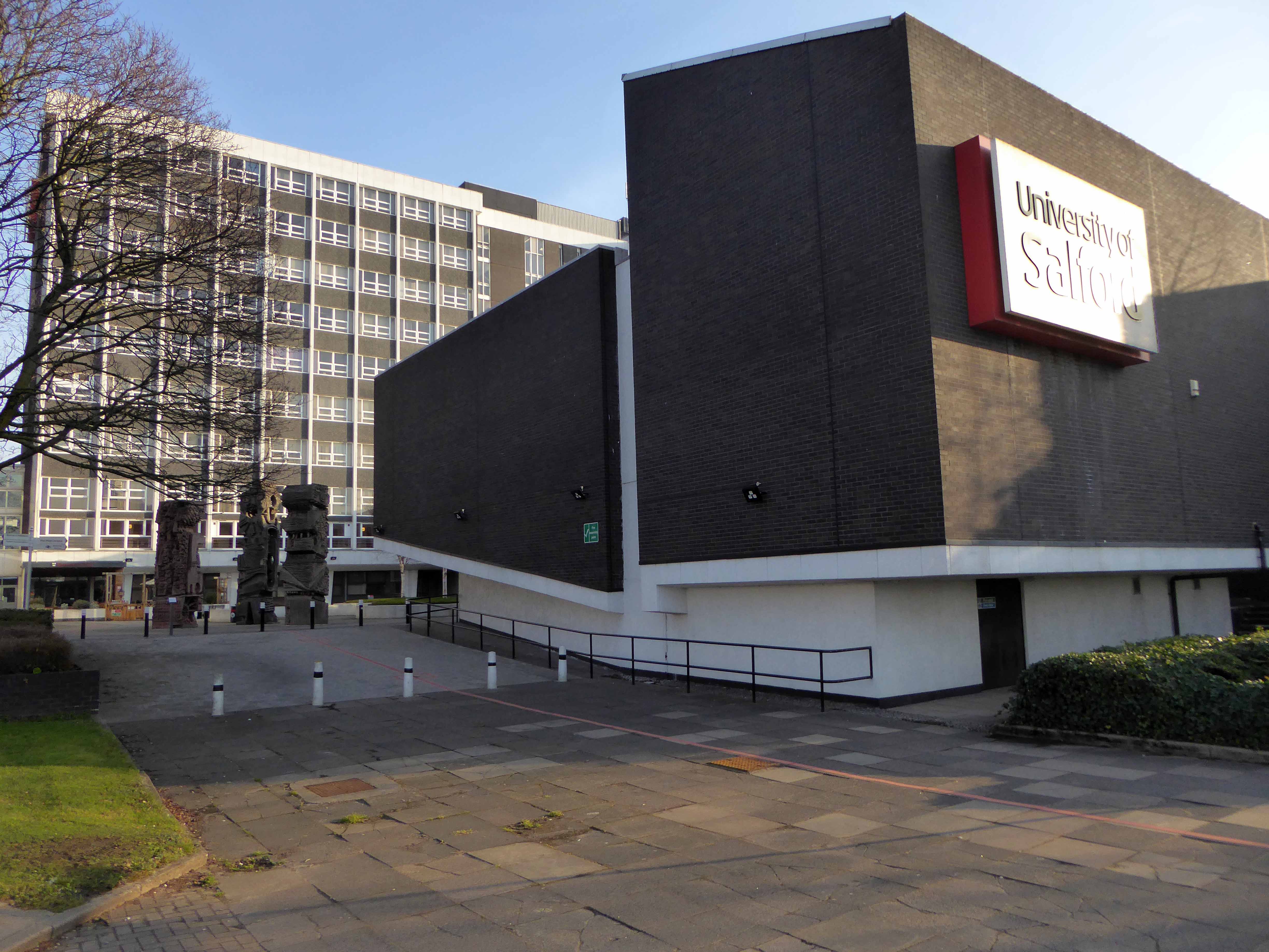
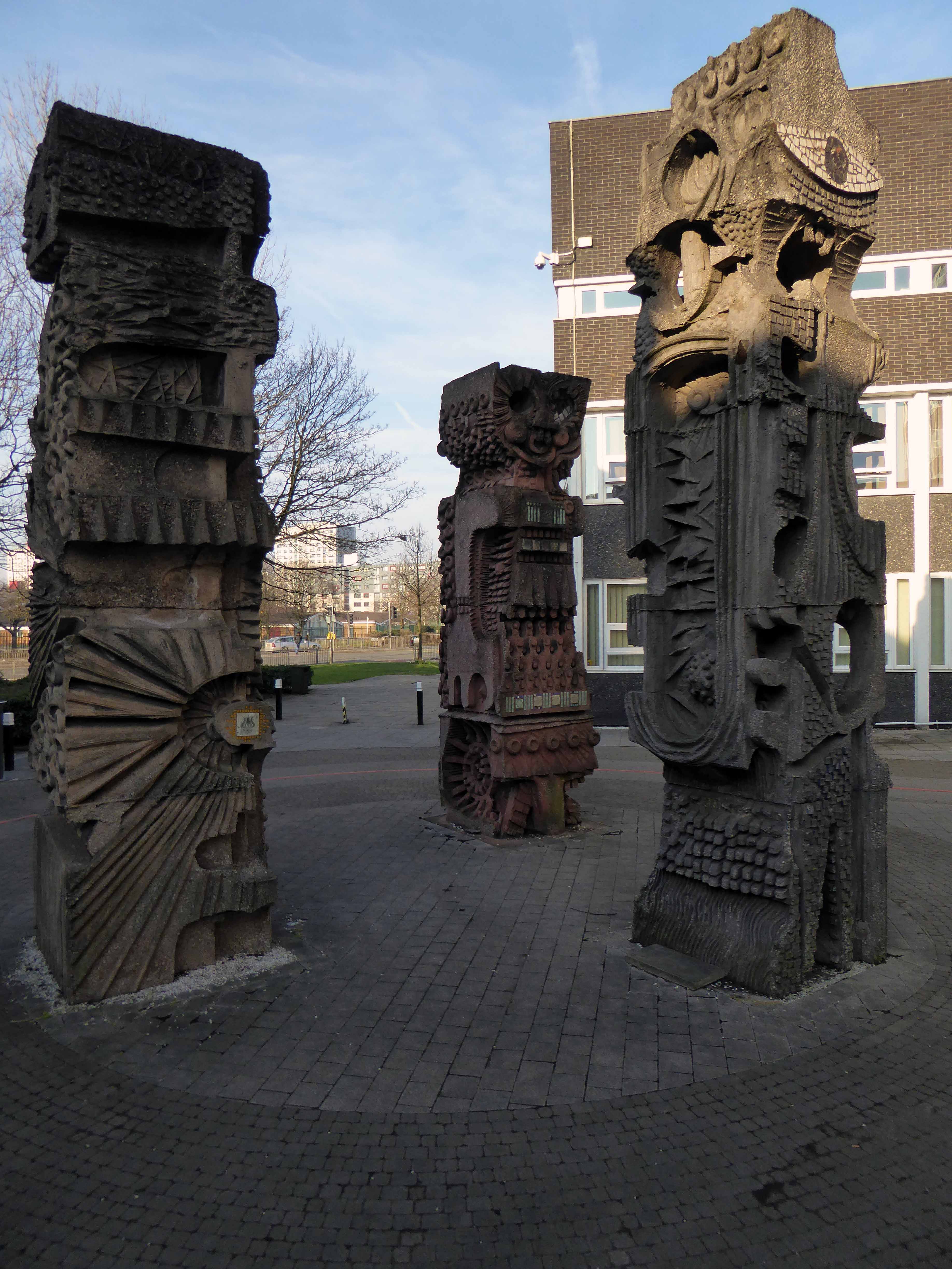
Now the part of the University of Salford, this grouping is probably the most significant work by Halliday Meecham during this period. The blocks wrap to almost enclose a courtyard and they step up in height towards the rear of the site. To the front is a lecture theatre block in dark brick. The multi-storey elements are straightforward in their construction and appearance and have had their glazing replaced. Perhaps the richest elements here are the three totemic structures by artist William Mitchell, which were listed at Grade II in 2011. Mitchell was actively engaged with the experiments of the Cement and Concrete Associations during the 1960s and produced a wide variety of works for public and private clients; other works regionally include the majority of the external art and friezes at Liverpool Metropolitan Cathedral and the Humanities Building at Manchester University. These textured concrete monoliths appear to have an abstract representation of Mayan patterns and carry applied mosaic. They were made on site using polyurethane moulds. There is another Mitchell work hidden behind plasterboard in the inside of the building.

Mainstream Modern

More about the:

Minut Men

Shopping City

High Street Estate

Flemish Weaver

Woolpack

Heaton Norris Park – Stockport

Heaton Norris Park’s elevated position gives stunning views of the Stockport town centre skyline and of the Cheshire plain. The central position of the Park means that it is a green retreat for shoppers and local residents. Also it is within easy reach of the Stockport town centre. The land for this park was acquired by public subscription and as a gift from Lord Egerton. Work on laying out the site as a public park began in May 1873, and it was formally opened on June 5th 1875. Since then it has undergone a number of changes. The construction of the M60 has shaved several acres off the park’s size.

The park is predated by the nearby Drabble Ash Pleasure Gardens – entrance strictly by token only, as commemorated on the BHS Murals in Merseyway.

5 November 1905 – Edward VII declares his eldest daughter The Princess Louise, Duchess of Fife, the Princess Royal.

He also orders that the daughters of Princess Louise, Lady Alexandra Duff and Lady Maud Duff are to be styled as Princesses of the United Kingdom of Great Britain and Ireland with the style Highness.

So they built a big bonfire on bonfire night at Heaton Norris Park – sometimes they still do.

Picture courtesy of ©Phil Rowbotham

In 1935 the area seems to be little more than windswept cinders and thin forlorn grass, traversed by broad uneven paths – overlooking the dark industrial mire below.

Into the 1960s and although now there is the provision of a children’s play area, the park is still in need of a little more care and attention, the immediate surroundings a dense dark warren of industrial activity and terraced housing.

In 1968 the construction of two twelve storey Stockport County Borough Council residential blocks begins, alongside the recreation grounds, Heaton and Norris Towers, creating 136 new homes.

The 1970s sees the banked gardens bedded out with summer flowers and a crazy golf course on the edge of the bowling area. Both of these features are now a thing of the past, the future financing, care and maintenance of our parks is always precarious, especially during times of central government funding cuts and enforced austerity.

© John Davies

The park now has a Friends group to support it, along with I Love Heaton Norris. The area is cared for and used by all ages and interests children’s play, bowls, tennis, conservation area, football, picnic and floral areas – somewhere and something to be very proud of, social spaces for sociable people.

And much beloved of Natalie Bradbury the SS Norris concrete boat.

Take a walk over the concrete bridge or along Love Lane and treat yourself to a day in the park

Archive photographs Stockport Local Image Archive

Central Retail Park – Great Ancoats Street Manchester

Way back when, when the city was a maverick mixed up maze of citizens, industry, pubs, shops and places of worship the world looked a lot like this.

Local Image Collection

However the process of clearance and redevelopment radically changed and reduced the population and appearance of Great Ancoats Street and its environs.

The back to backs aren’t coming back and their occupants shifted from pillar to post along with the businesses that served them. Following years of decline Manchester takes a long hard look at itself and decides to modernise.

In 1989 an out of town inner ring road shopping centre in the architectural style de jour is built – the anonymous industrial retail hangar appears.

2018 and the nexus of the city has shifted yet again – Ancoats is designated as the hippest place on earth and has no time for an outmoded shopping experience.

All these developers have a certain sensitivity towards this history of the area without neglecting modern tastes. 

So the Central Retail park awaits its fate.

There was to have been another retail complex.

Henderson Global Investors, on behalf of its flagships £1 billion Retail Warehouse Fund, has received detailed planning permission for a food store led regeneration at Central Retail Park, Manchester, investing £40 million in the scheme.

Though nothing lasts forever and the scheme came to nothing.

The latest proposal according to Place North West is for housing – with the attendant heated debate regarding affordable homes.

Of the 61 big residential developments granted planning permission by Manchester city council’s planning committee in 2016 and 2017, not one of the 14,667 planned flats or housesmet the government’s definition of affordable, being neither for social rent nor offered at 80% of the market rate.

Demolition of the former retail units would enable the development of the site by Manchester Life, the city’s joint venture with Abu Dhabi United Group. Previous site owner TH Real Estate, was unable to deliver the project, finally sold the Central Park site to the city council in November 2017.

The long awaited development of the site on Manchester’s inner ring road has edged closer, with site notices posted declaring that demolition is to start on 20 August.

As of last week the lone security guard at home in his brick cabin informs me that demolition has been delayed by the discovery of asbestos on the site.

Watch this forlorn windswept wet space.

All Saints – Grosvenor Square Manchester

Once upon a time there was almost nothing, as there often is.

Green fields, sylvan glades and a pleasant park in Grosvenor Square.

1813

Then all of a sudden, at the heart of the Square sat All Saints Church.

Underneath Manchester’s All Saints Park is a hidden history – an estimated 16,000 bodies. For this was the site of a former Victorian Cemetery, set up to cater for the parishioners of All Saints.

webmedia-10.php

All Saints Burial Ground officially opened on Wednesday 19 April 1820. The first interment was that of twenty-one-year-old Fanny Knowles, who lived on London Road. Her funeral was conducted by the founder himself, Charles Burton. It would be another month before the next interment took place. In the first year burials were slow with only 55 interments, however, by 1851 the number had increased to over 600 per annum. 

Michala Hulme

webmedia-9.php

Bombed in the Blitz the damaged structure was demolished – and a play area established which lasted until the 1980s

MMU Visual Resources 

The whole area having been a centre of housing, education, entertainment, commerce, public services and worship, was becoming the fiefdom of first the Polytechnic and subsequently the Manchester Metropolitan University.

But formerly there were peoples’ homes here.

Then the 1960s saw a huge programme of slum clearance in Manchester and whole communities across the Square and nearby Hulme were moved, rehoused in a thoroughly modern milieu.

webmedia-3.php copy

webmedia-1.php copy

hulme-redevelopment-mid-1960s-c-mmu

Shops came and went.

webmedia-1.php

webmedia-6.php

Paulden’s magnificent store was destroyed by fire in 1957

webmedia-4.php

Rightons haberdashers has survived though no longer haberdashing, having been amalgamated into MMU.

One day On The Eight day moved a little to the left

webmedia-3.php

The Manchester Municipal School of Art was built in Cavendish Street in 1880–81 to the designs of G.T.Redmayne.

webmedia-7.php

The fascia has been retained but the name has not been changed to protect the innocent.

Next door the Chorlton on Medlock town hall still has its portico in place, the adjacent Adult Education building has been surgically removed.

webmedia-10.php

Richard Lane, the architect of the Friend’s Meeting House on Mount Street, designed the Chorlton-on-Medlock Town Hall on Grosvenor Street.  It continued in  that role from 1831 until 1838 when Chorlton-on-Medlock became part of the city of Manchester.  In the years that followed it was used by the local community for a variety of functions but the redevelopment of the area meant that the local population diminshed and the building became redundant.  In 1970, the interior was removed, a new structure added to the rear and it became part of the Polytechnic which became the Manchester Metropolitan University.

The Fifth Pan African Conference was held there between October 15th and 21st in 1945. Ninety delegates from across Africa, Europe and the Caribbean, attended the meeting and among the delegates were a number of men who went on to become political leaders in their countries including: Hastings Banda, Dr Kwame Nkrumah, Obafemi Awolowo and Jomo Kenyatta.

Manchester History

ormond 1972

Former Chorlton Poor Law Guardian’s HQ then Registry Office, now the Ormond Building of Metropolitan University – and at the far right edge St Augustine RC.

webmedia-3.php

webmedia-2.php

The Manchester Ear Hospital on Lower Ormond Street, shortly before being transferred to Manchester Royal Infirmary. Most of the building was demolished, but the facade retained as part of MMU’s Bellhouse Building.

To the right the Presbyterian Church.

webmedia.php

Cavendish Street School

Screenshot 2018-12-05 at 13.59.22

The memorial stone on the front of the school, laid on June 17th, 1908,  declared that it was the Forty Seventh Municipal School.  Strangely, it seems that it was called the Cavendish Street School despite the fact that it wasn’t on Cavendish Street.

Manchester History

It was subsequently utilised by the Polytechnic sculpture department – then demolished to make way for something else of an educational nature.

Some or all of our social and architectural history has been overwritten, lost or swept aside by the tide of history.

Though on a dark snowy night you can still make out the bright red corporation buses,  passing by in a dark cloud of diesel.

Room on top.

webmedia-5.php

Archive images Local Image Collection

Covent Garden Stockport – Remake Remodel

I’ve been here before to record the beginning the middle and the end of Covent Garden flats – now there is a new beginning, beginning.

If you’re ready to start the next exciting chapter of your life, come and experience Nuvu Living at Covent Garden, Stockport. You will find our stunning new development that sits perfectly in this modern and vibrant community. Ideal for first time buyers and growing families, Covent Garden offers a fantastic collection of 74 spacious and contemporary 2 and 3 bedroom homes and 1 and 2 bedroom apartments.

Screen Shot 2018-09-25 at 17.44.00

Nuvu Living for the nuvu people in the cheerful anonymity of none-architecture.

Lifestyle_01-1920x1080

Replacing the old with bigger, better shiny homes at a cost yet to be disclosed.

Another history overwritten.

1658494_10152745685231600_6897842633724575569_o

Goodnight sweet flats.

With the bustling heart of Stockport just a few minutes’ walk away, this contemporary development sits perfectly in this modern and vibrant community. An ideal location for singles, couples and families, all the amenities you will ever need, including supermarkets, schools, bars, restaurants and more are all close to home. Plus, the centre of Manchester is just 7.5 miles away and easy to get to by road or rail. So, if you are ready to start the next exciting chapter in your life, come and experience Nuvu Living at Covent Garden, Stockport.

P1290745

P1290746

P1290748

P1290749

P1290750

P1290751

P1290752

P1290753

P1290754


P1290757

P1290759

P1290760

P1290761

P1290762

P1290763

P1290764

P1290765


Type Travel – Manchester

This is a journey through time and space by bicycle, around the rugged, ragged streets of East Manchester.

Undertaken on Sunday September 2nd 2018.

This is type travel – the search for words and their meanings in an ever changing world.

map

Hyde Road

P1280955
P1280956

The Star Inn – former Wilsons pub

Devonshire Street North

P1280961

Former Ardwick Cemetery

P1280962

Great Universal Stores former mail order giant

Palmerston Street

P1280979

The River Inn abandoned pub

Every Street

P1290001

All Souls Church – listed yet unloved

Pollard Street East

P1290008.jpg
Screen Shot 2018-09-04 at 08.37.57

The Bank Of England abandoned pub

P1290020

Ancoats Works former engineering company

Cambrian Street

P1290024.jpg

The Lunchbox Café Holt Town

Upper Helena Street

P1290028

The last remnants of industrial activity

Bradford Road

P1290046

Brunswick Mill

P1290048

The little that remains of Raffles Mill

P1290052

Old Mill Street

P1290054

Ancoats Dispensary loved listed and still awaiting resuscitation

P1290056.jpg

New life New Islington

Redhill Street

P1290057

Former industrial powerhouse currently contemporary living space

Henry Street

P1290063

King George VI and Queen Elizabeth passed by in 1942

Jersey Street

P1290064

Former School the stone plaque applied to a newer building

Gun Street

P1290065

The last of the few Blossom Motors

Addington Street

P1290067
P1290069

Former fruit merchants – refurbished and home to the SLG creative agency

Marshall Street and Goulden Street area

P1290070
P1290071
P1290073
P1290081
P1290086
P1290087

The last remnants of the rag trade

Former bed spring manufacturer – latterly became the County Archive.

Sudell Street

P1290089
P1290090

All that’s left of Alexandra Place

P1290092

Entrance to the former Goods Yard

Back St Georges Road

P1290096

Sharp Street

P1290099
P1290100

Simpson Street

P1290101

Where once the CWS loomed large

Charter Street

P1290102
P1290107

Ragged but right

Aspin Lane

P1290109
P1290117

Angel Meadow 

Corporation Street

P1290118

Church of St Mark – Chadderton

Life is full of little surprises, to turn from Middleton Road into Milne Street in downtown Chadderton and discover a triangular, blue-grey brick tower soaring into the September sky.

So solid geometries pierced by rectangular, triangular and angular gridded windows, deservedly Grade II Listed in 1998, made all the more extraordinary by its seemingly ordinary surroundings.

The interior mixes tradition with modernity, reusing pews and fragments of stained glass. Restrained natural lighting, complemented by slatted wooden, almost oriental boxed light shades. The furniture, fixtures and fittings bringing together a coherent decorative order.

The whole an uplifting and embracing space, punctuated by the curved y-shaped wooden supports, rising to the timber framed roof structure.

It was a pleasure to meet the current incumbent Father Stephen and a privilege to spend some time exploring this altogether delightful and impressive church.

Thank you.

I suggest that you do the same.

Contact details and location.

G.G. Pace 1960-63 – Blue engineering brick; graduated slate to pitched roofs – low pitched to church and entrance and steeply pitched to tower. Concrete dressings around windows. Five sided aisled space, three walls being orthoganal and the liturgical north side being canted outwards to provide room for the choir. Entrance with narthex to west and west also is a small rectangular chapel. Corner site, the corner itself dominated by a low rectangular brick tower with a high gabled roof. Four bay nave, the bays separated by buttresses and with rectangular windows set in varying groups high in the wall. West wall of nave is visible, and secondary glazing has been sensitively installed over the west window between the western buttresses. Thick exposed board-marked concrete beam at eaves. On return elevation, tower is flush with small chapel, with irregular groups of rectangular windows to both. Rectangular leaded lights. Recessed entrance with two doors of timber and leaded-glazing in vertical strips. Liturgical north and south faces of the tower each has a stack of 14 small pointed louvres. Jutting gutter spouts in exposed board-marked concrete.

Internally the bays are divided by three pairs of varnished laminated timber `y’ shaped supports and trusses, supporting timber trussed purlins (with prominent bolts) and timber rafters. Walls are white-painted brick with exposed board-marked concrete bands, which act as bonding strips between brick piers and as lintels for windows. Original altar of limed timber with four pairs of legs, is in original position, set forward from the east wall. Sanctuary raised by two steps. Limed timber pulpit, also chunky and so is altar rail with thick black metal supports and thick limed timber handrail. Priest’s chair to match, against east wall. Black metal crucifix also in characteristic Pace manner. Stone sedilia built into the north and south walls of the sanctuary. East window with stained glass which comprises broken and reset fragments of nineteenth-century glass. Font sited in central aisle towards the west end; this is of tooled cream stone, the bowl comprising a monolithic cylinder, flanked by a smaller cylinder which rises higher and has a prominent spout. Elaborate font cover in roughly textured cast aluminium, rising to flame-like pinnacles. Reused nineteenth-century benches, painted semi-matt black. Narthex and west chapel with limed timber doors, which have decorative nail-heads in rows. West chapel has open truss timber roof, painted white. Sanctuary light and cross are characteristic of Pace’s style.

A fine example of Pace’s idiosyncratic manner, this church shows the influence of the Liturgical Movement, especially in the forward placement of the altar.

British Listed Buildings

A fine companion to Pace’s William Temple Church in Wythenshawe.

P1290252

P1290256


P1290258

P1290260


P1290266

P1290267

P1290270

P1290275

P1290277

P1290280

P1290281

P1290283

P1290284

P1290286

P1290287

P1290288

P1290289

P1290290

P1290294

P1290299

P1290306

P1290309

P1290311

P1290314

Lady Chapel

P1290321

P1290323

P1290326

P1290329


Long Lane Post Office – Heald Green

Screen Shot 2018-05-30 at 14.09.16

190 Wilmslow Rd, Heald Green, Cheadle SK8 3BH

The original Long Lane Post Office is still there but not here:

40249

However – I digress.

One fine day, some time ago there popped into my consciousness a Sixties retail mosaic in the Heald Green area – I tracked down its precise whereabouts online, in the modern manner.

Thinks – one fine day, just you wait and see I’ll pay a visit to the Heald Green area.

So today I did, it started off fine and finished up less so.

Jumped the 368 from Stockport Bus Station alighted at The Griffin.

Walked aways up the road and there it was, almost intact – it’s original name obliterated with lilac exterior emulsion – did it once read healds?

Why of course it did – the local dairy and retailers were the shop’s original owners.

il_570xN.1484313889_n91e

A few tesserae are missing otherwise the piece is as was – a wobbly jumble of text, shape and colour.

Self service – at your service.

P1250715

P1250711

P1250712

P1250713

P1250714


P1250717

P1250718

P1250719

P1250720

P1250721

P1250722

P1250723

P1250724

P1250725


Walton’s – Ashton Under Lyne

William Walton’s and Sons – 152 Stamford Street, Ashton-under-Lyne, OL6 6AD

Stamford-Street-Ashton-under-Lyne

Founded in 1832 – when Stamford Street looked a lot like this.

Much has changed during the ensuing years, Walton’s it seems has not.

On Monday 24th October 2011 I had the privilege of meeting current owners Marilyn and Dave, spending time chatting and taking photographs.

Thank you.

They tell their own tale – take a look.

DSC_0013

DSC_0015

DSC_0018

DSC_0020

DSC_0023

DSC_0026

DSC_0027

DSC_0028

DSC_0029

DSC_0035

DSC_0036

DSC_0037

DSC_0038

DSC_0039

DSC_0041

DSC_0042

DSC_0043

DSC_0045

DSC_0047

DSC_0049

DSC_0050

DSC_0051

DSC_0052

DSC_0053

DSC_0055

DSC_0056

DSC_0058

DSC_0060

DSC_0067

DSC_0069

DSC_0072

DSC_0076

DSC_0077

DSC_0078

DSC_0079

DSC_0082

DSC_0087

DSC_0088

DSC_0089

DSC_0090

DSC_0092

DSC_0093

DSC_0095

DSC_0096

DSC_0097

DSC_0098

DSC_0099

DSC_0101

DSC_0103

DSC_0104

DSC_0105

DSC_0107

DSC_0108

DSC_0113

DSC_0114

DSC_0115

Motorway Footbridge – Stockport

A Moebius Band of motorway formerly known as the M63 wraps and warps itself around the city, ever so conveniently linking the traffic of Greater Manchester with itself.

2000px-UK-Motorway-M63.svg

Ever so conveniently it passes through Stockport – only moments from my home.

M63

Screen Shot 2018-05-04 at 17.03.27

Before the white man came.

11993

11996

The view from Princes Street along Hatton Street – towards Heaton Norris Rec. 

19617

1945

50450

1960

A boon to the modern day motorist, though happily the modern day pedestrian is also catered for in the form of the Hatton Street Footbridge – linking Great Egerton Street below, with Heaton Norris Recreation ground above.

t-s-parkinson-81.jpg

88

821-e1525450826497.jpg

Images TS Parkinson –  Stockport Image Archive

For the past two years the footbridge has been inconveniently closed, during the development of the Redrock Leisure Facility, built on the site of the former car park, in the foreground of the image above. Thus prohibiting the passage from the Post Modern world of the big brash entertainment box, to the leafy cobbled street beyond.

The Hatton Street footbridge has two spans of in-situ u-section deck, is at ground level on the north side, but is reached by steps or ramp from Great Egerton Street on the south.

William B Ball

I’m ever so pleased that access has been reinstated, from me it is both fully functional yet imbued with an elegant concrete sculptural grace, worthy of Niemeyer or Lasdun.

So take a walk on the slightly higher side, either way you win.

P1240904

P1240906

P1240908

P1240909

P1240910

P1240912

P1240913

P1240919

P1240920

P1240922

P1240924

P1240925

P1240926

P1240927

P1240928

P1240929

P1240930

P1240931

P1240932

P1240933

P1240934

P1240935

P1240936

P1240938

P1240939

P1240942

P1240943

P1240948

P1240952


Bus Station – Stockport

From the early part of the Twentieth Century trams and then buses stopped and started in Mersey Square, affording limited succour, space or shelter for the weary traveller.

22942

View from the Fire Station Tower.

10891

View from the Plaza Steps.

The land where the bus station currently stands was then owned and used by North Western Buses – a rather large and uncultivated plot.

pd hancock 78

Work began in April 1979 on a brand new bus station, the first stage finally opening on March 2nd 1982.

14406

Slowly emerging from the rough ground – a series of glass and steel boxes worthy of that master of minimalism Ludwig Mies van der Rohe, a Neue Nationalgalerie in miniature.

79

1979 copy

81

Photographs from Stockport Image Archive

It has stood and withstood the winds of change and perfidious public transport policy, the privatisation of the service, snatched greedily from local authority control.

Passengers have met and parted, whilst buses of every hue and stripe have departed from these draughty boxes.

Screen Shot 2018-04-09 at 17.13.54

Photograph from Victory Guy

There are now plans for imminent demolition and rebuilding – shaping a transport hub fit for the Twenty First Century – Space Age forms for a brave new world.

A new £42m transport interchange in Stockport town centre has taken a step forward after the local council agreed key measures to back the project.

Screen-Shot-2017-09-19-at-07.02.03

Untitled-1

April 9th 2017 here is my photographic record of the Bus Station, I’ve been, gone and come back again countless times through the years.

P1240953 copy

P1240954 copy

P1240456

P1240429

P1240431

P1240441

P1240445

P1240446

P1240447

P1240457

P1250012

P1250013

P1240459

P1240460

P1240462

P1240470

P1240472

P1240473

P1240474

P1240475

P1240476

P1240478

P1240479

P1240484

P1240485

P1240487

P1240488

P1240490

P1240507

P1240512

P1240514

P1240515


Allied Ironfounders – Audenshaw

As I walked out one morning, in search of an industrial access cover or two or more, I found more, much more, dug deeper, unearthed a can of worms, a murky past cast in cast iron.

This is the cover closest to my home on Didsbury Road Stockport, manufactured by Glynwed of Corporation Road Audenshaw, the closest foundry to my former school.

screen-shot-2016-09-16-at-17-55-59

Glynwed formerly Allied Ironfounders, the manufacturer of gas appliances, the humble Rayburn and the infamous stuff of sagas the Aga.

screen-shot-2016-09-16-at-18-34-01

the-story-behind-a-symbol-alied-ironfounders-front-cover-c-1950_600px

And the Meridian Grate – great! The foundry was also known as the Planet Works, the adjoining rough ground Planet Fields, where on wet winter days we would form a mud spattered procession of ragged schoolboys engaged in the joys of cross country running, over a factory’s spoil tip.

t07526

We never got to see the firm’s Mayfair showrooms, we never got to pass go – I guess it was just too far to run, cross country or otherwise.

21467-1-434-434-ffffff

21468-1-434-434-ffffff

The sleek Modernist lines of the Allied Ironfounders’ showpiece contrasts with the conditions of the work force manufacturing the grates and Agas.

t21844

t21854

t07525

So some fifty years and several miles separates me from my schooldays and my local gas inspection cover. Guess I’l just gas up the Thames Trader and head for the hills folks.

Yippie-aye-ay, yippie-aye-oh, ghost riders in the sky.

And underground.


Precinct – Ashton under Lyne

Possibly my first brush with modernism and modernity, the shopping precinct in Ashton under Lyne. Typically in the mid Sixties, British towns reinvented themselves as space age retail experiences, in stark contrast to their middle aged, Middle Aged market centre, market centred identity.

Out with the cobbles and stalls, in with the travelator, frothy coffee, concrete and a pedestrianised, undercover, all weather, super convenient haven of heavenly fun!

ashton precinct copy

And lo, it came to pass, let construction commence.

t01953

t01950

Simply add a few decorative embellishments courtesy of the Direct Works’ pavoirs.

12745520_10153983510951600_6512440473109429374_n

You have built it and now they will come:

Little did you know you had created a punk rock icon.

hires-10932

Featured on the cover of fanzine Ghast Up #3 – many thanks to MDMA

unknown

1979654_10152428276351641_6999424894618567349_n

10264662_10153983511236600_4523373721109693617_n

10385434_10153983511291600_4613412642380719745_n

16602225_1570603029620874_2256672277170597802_o

10342461_10153983511146600_7512830533940401704_n

12728821_10153983510731600_7256812645345890936_n

12729035_10153983511066600_1320602826549288893_n

12742561_10153983511096600_5537488918949045366_n

12743866_10153983510701600_2875237727693899359_n

12744088_10153983510966600_242545068376562667_n

10557745_10152428276466641_5539685419732486974_o

ashton precinct

precinct

Many thanks to the Tameside Image Archive

Ashton Moss – Expo 2025

Why are we here?

Screen Shot 2016-09-03 at 13.02.21

A heady cocktail of capital, coal, cotton, cultivation, commerce and cricket created you.

The end of the age of celery heralded the construction of a new landscape of consumption.

Spoil and soil from the cuttings of the M60, added to by Etihad detritus created an elevated mound some hundred feet in height, across an area of seventeen hectares.

Where are we going?

Playing golf has been permanently postponed, the proposed light industrial units were knocked back by local authority planning officers, and residents’ objections.

So let’s get off to the Expo!

I took myself off there, take a look around, get a feel for the place. Currently the province of rebel dog walkers and guerrilla gardeners, I was informed that the rights of way are regularly blocked by an employee of Cordingley’s Estate Agents, who closes the gaps in the perimeter fencing, subsequently photographing his wiry handiwork. The gaps are then promptly reopened and walkways reestablished.

P1080223

Short eared owls have been spotted.

I was told of the legend concerning Peg’s lantern – fearing for the well being of her son, Peg wanders the dark lanes in search of the errant offspring, later found drunk in a ditch.

This area is a locus of deep, deep energies and histories, monkey with it at your peril.

These are observations from a hill:

P1080237

P1080246

P1080239

P1080236

P1080219

P1080216

P1080207

P1080198

P1080197

P1080195

P1080194

P1080193

P1080191

P1080189

P1080184

P1080181

P1080179


Ashton Moss – Leisure and Light Industry

Absolute disgrace the food was disgusting and we’re we was sat it stunk of urine.

Never again will I go.

Welcome to the modern world, once home to the world’s finest celery, now home to the world’s worst online reviews.

The area, under cultivation for over a hundred years was bulldozed to one side, and left in a heap. The M60 arrived wiped its feet on the greensward  and awaited the expected redevelopment.

Welcome to the brand new shiny nowhere, the dual carriageway expanse of Robert Sheldon Way carries you away to a strikingly inevitable array of chains, human bondage has never appeared so  clean and bright.

Muse developments:

Good design is required as a key aspect of pursuing sustainable development indivisible from good planning. Good design involves seeking positive improvements in the quality of our built, natural and historic environment, addressing the connections between people and places.


P1080156

P1080157

P1080164

P1080167

P1080173

P1080256

P1080257

P1080259

P1080260

P1080261

P1080262

P1080271

P1080274

P1080275

P1080300

P1080301

P1080304

P1080320

P1080321

P1080328

Ashton Moss – The Past

oldmap03

To the east of Manchester and the west of Ashton sits The Moss.

This area of low lying, deep peaty bog, just outside Ashton-under Lyne, was drained in the mid 1800’s to grow some of the best crops – It was world famous for its celery but also grew good cabbage, cauliflowers and lettuce, with cucumbers and tomatoes grown in glasshouses.

This map of 1861 shows an area criss-crossed with lanes, ditches and field boundaries.

A world that survived into the 1980s, captured here so beautifully by Brian Lomas, prior to the building of the M60.

Photographs from – Tameside Image Archive

Then came the railways:

Map Cobb Guide Bridge area

2768061_a6170a1f

With an attendant ghost:

Screen Shot 2016-09-02 at 10.44.34

And telecommunications installation

ashton_moss-mp-04

Its location on the south east corner of the Lancashire Coalfield, and the burgeoning demands of the Industrial Revolution saw the further development of mining in the area.

As the demand for coal outstripped the output, a deeper mine was opened in 1875, at Ashton Moss. This new pit had its own railway branch and canal arm for efficient transportation of the coal. In 1882 a second shaft was sunk – at 2,850 feet, the deepest in the world at that time.

The New Rocher pit closed in 1887 and Broadoak pit closed in 1904, after which time Ashton Moss pit was the only coal mine still in operation in Ashton. Although it produced 150,000 tons of coal a year in the early 1950s and employed over 500 men, Ashton Moss colliery closed in 1959 and part of its site is now the Snipe Retail Park on the boundary with Audenshaw.

Seen here in this painting by local artist David Vaughan.

92-17-10055_468x382

Colliery lamp token.

Lancashire-ASHTON-MOSS-Snipe-Colliery-Lamp-Pit

ashton

Northern Mining

This tight little island of land was a contrasting mix of the agricultural and industrial, home also to the urgent demands of a leisured and growing working class.

The area boasted two motorcycle speedway tracks.

One located on the Audenshaw side, just behind The Snipe pub.

4ad86de0f4341895f428a5536c6d5855-1

And one in Droylsden at the Moorside Stadium – home to local legend Riskit Riley:

riskit

Screen Shot 2016-09-02 at 12.19.30

The stadium later to become a horse trotting track, known locally as Doddy’s Trot

The Moss has also provided a home for Curzon Ashton football club

46077

And Ashton Cricket and Bowling Club.

1918_Prisoner_of_War_Fund

The cricket and the football have both survived the building of the Orbital Ring Road, and the development of the site as a light industrial, retail and leisure park.

The roar of Riskit Riley is heard no more.

Ashton Moss

Ashton Moss is an area I have known for some fifty years or so, my grandfather was a collier at the Ashton Moss Pit, I worked trains around the triangle of rail that encloses the area – I returned some time ago to take a look at what remained of a once fertile area.

This area of low lying, deep peaty bog, just outside Ashton-under Lyne, was drained in the mid 1800’s to grow some of the best crops – It was world famous for its celery but also grew good cabbage, cauliflowers and lettuce, with cucumbers and tomatoes grown in glasshouses. The ground was apparently fertilised by marl dug from local banks or pits, and by dung brought by horse and cart from the elephant and tiger enclosures at Belle Vue Zoo, down the road.

Four brothers of the Kelly family came from Ireland shortly after the Irish potato famine of 1840’s, settled on the Moss and still have a descendent selling fruit and vegetables on Ashton Market today.

The Moss is also where Bill Sowerbutts, of Gardener’s Question Time fame, learnt his trade. Bill’s first memories were of his Father’s smallholding on the Moss, which had been bought from a market gardener called Tommy Knight in 1892.

http://kindling.org.uk/digging-around-ashton-moss

The celery is long gone, the land now in use as a retail leisure park, intersected by the Manchester Orbital ring road, a Metrolink tram track, several dual carriageways and the existing rail network.

Its passing does not seem to be matter of record save for this archived account of 1989.

I read today of plans to set the 2025 World’s Fair there.

In January 2009 it looked like this, heaps of spoil, recently relocated slag heaps, frozen lakes and puddles, rough tracks, barely preserved rights of way and restricted access.

DSC_0001

DSC_0006

DSC_0007

DSC_0008

DSC_0010

DSC_0011

DSC_0013DSC_0016

DSC_0017

DSC_0018

DSC_0019

DSC_0020

DSC_0021

DSC_0022

DSC_0024

DSC_0025

DSC_0034

DSC_0037

DSC_0043

DSC_0047

DSC_0052


Ashton under Lyne – The Dustbin Demolished

For over thirty year you have weathered the storms of public ignominy.

The unloved Dustbin – repository of Tameside Council’s officers and offices.

Last time I was here you were there.

Screen Shot 2016-08-01 at 13.07.59

Then along came the ‘dozers.

DSC_0001 copy

DSC_0002 copy

DSC_0004 copy

DSC_0005 copy

DSC_0008 copy

DSC_0009 copy

DSC_0016 copy

DSC_0018 copy

DSC_0019 copy

DSC_0023 copy

DSC_0022 copy

Vision Tameside has left you in tiny pieces.

– poked out your eyes and stamped you into the ground.

P1070145 copy

P1070148 copy

P1070138 copy

P1070152 copy

flag

Ashton under Lyne – Civic Offices

Last night I dreamt I went to Manderley again. It seemed to me I stood by the iron gate leading to the drive, and for a while I could not enter, for the way was barred to me. There was a padlock and a chain upon the gate. I called in my dream to the lodge-keeper, and had no answer, and peering closer through the rusted spokes of the gate I saw that the lodge was uninhabited.

Once upon a time there were council offices – then slowly there were not.

t11532

Built in the 1980s and met with almost immediate public disdain.

t11533

Welcome to The Dustbin.

An octagonal brick face concrete hub, anchoring three six storey walls, which enclose a central open courtyard area. Housing all central local authority offices.

DSC_0593 copy

DSC_0564 copy

DSC_0574 copy

DSC_0568 copy

DSC_0587 copy

DSC_0594 copy

DSC_0583 copy

DSC_0570 copy

DSC_0582 copy

DSC_0589 copy

DSC_0591 copy

DSC_0592 copy

DSC_0595 copy

DSC_0597 copy


Needwood Close – Collyhurst

Deep in the heart, just on the edge of central Manchester, there exists a dilemma.

Once a place of full employment and home occupation, time has not been kind to Collyhurst. Work is scarce and the area blighted by a reputation for crime and social problems. Yet it sits by an area of inner city wealth, economic expansion and a growing professional class.

The plan is to expand this growth outside of the fringes of city and into north Manchester, since 2008 this has been the stated aim of the local authority. Tram stops, academies, and retail parks apart, change seems slow to arrive.

Screen Shot 2016-06-17 at 13.54.30

There is a chronic shortage of public funding and seemingly an absence of private capital and speculative development – life is elsewhere.

In the mean time there are properties tinned up awaiting a new dawn.

Needwood Close is one such example.

P1040450 copy

P1040451 copy

P1040453 copy

P1040458 copy

P1040459 copy

P1040460 copy

P1040465 copy

P1040466 copy

P1040468 copy

P1040469 copy

P1040476 copy

P1040477 copy

P1040480 copy

P1040483 copy