The A6 is Britain’s fourth longest road. Its route varies greatly from the lower lands of the South East, though the Peak District, right though the heart of Manchester city centre, then onwards towards Preston. It then goes though the historic city of Lancaster before skirting the Eastern fringe of the Lake District before ending in Carlisle, bang on the start of the A7.
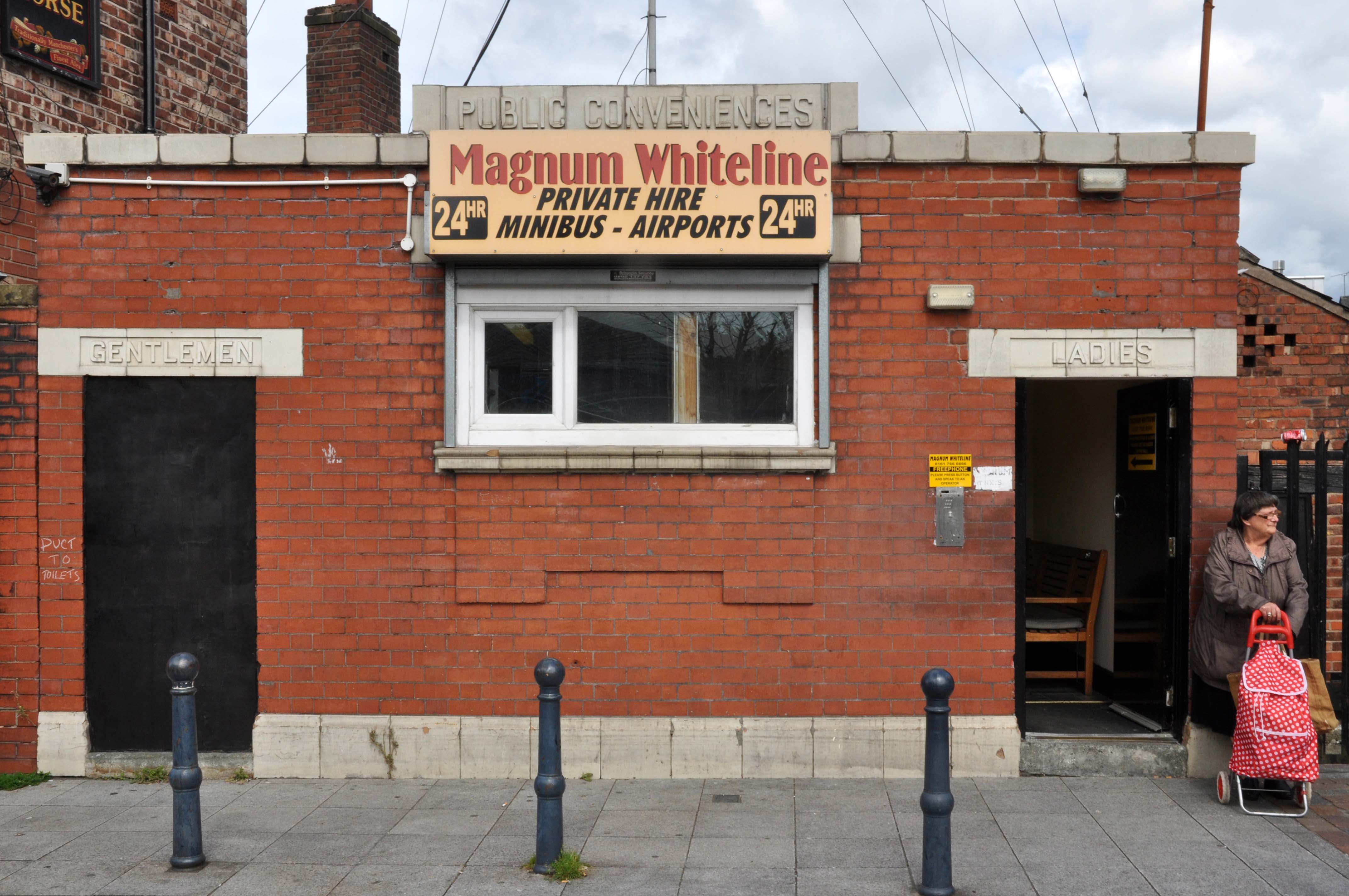
North from Stockport towards Manchester, the A6 was a wide, four lane road, but still 30 mph, which usually flowed pretty well. According to Mudge, it looks like it has now been massacred by bus lanes and red paint. Shame. We meet the A57 from the east, just south of the city centre, and multiplex until we reach Mancunian Way, the A57 heading off as a short urban motorway, the A6 heading into the city centre via London Road/Piccadily, where it loses its number and vanishes. It would have gone straight down Piccadily/Market Street to meet Deansgate, and then across the River Irwell into Salford, and up Chapel Street, where the number reappears. Market Street has been pedestrianised for years, so the A6 has long ceased to be a through route.
The A57 was nearly a coast to coast route. It passes through three major city centres (Liverpool, Manchester, and Sheffield – with elevated sections in each) and several smaller ones, multiplexes with the A6 and the A1, follows the banks of two canals and negotiates the remotest part of the Peak District. In one city it part of it is a tram route, whilst in another its former route is also a tram route. After all these adventures, it sadly gives up just 40 miles short of the east coast, Lincoln apparently proving too big an obstacle.
The A57 crosses the River Irwell at Regent Bridge before entering its moment of motorway glory as the A57(M) Mancunian Way skirting the south of Manchester’s city centre on an elevated section and crossing the A56 and A34. This includes a half-completed exit that goes the wrong way up Brook Street – a one way street. The original A57 ran further north through the city centre along Liverpool Road (now the A6143) and Whitworth Street – B6469 as far as the A6 London Road which marked the start of a multiplex.
At the end of Mancunian Way, we reach a TOTSO, straight on being the short unsigned A635(M) and thence the A635 – for Saddleworth Moor, Barnsley and Doncaster whilst the A57 turns south, briefly multiplexing with the A6, and then branching off along Hyde Road. This section of road was extensively cleared for the westward extension for the M67, and consequently has seen a lot of redevelopment.
The road now begins slightly further south than it used to. Instead of starting on Fairfield Street in Manchester city centre, it begins immediately as the Mancunian Way ends, which at this point is the unsigned A635(M). The motorway flows directly into our route. There’s a TOTSO right at a set of lights, and we pick up the old alignment, which now starts as the B6469.
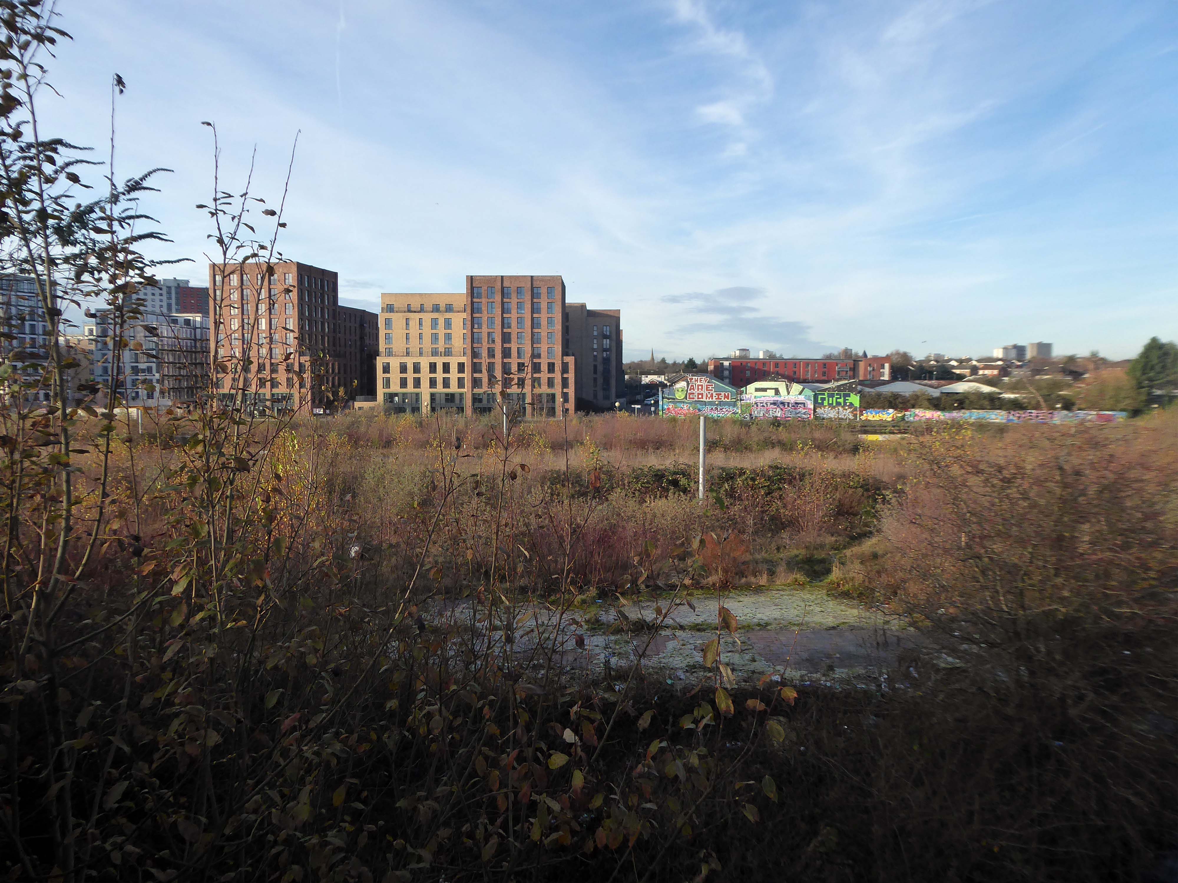
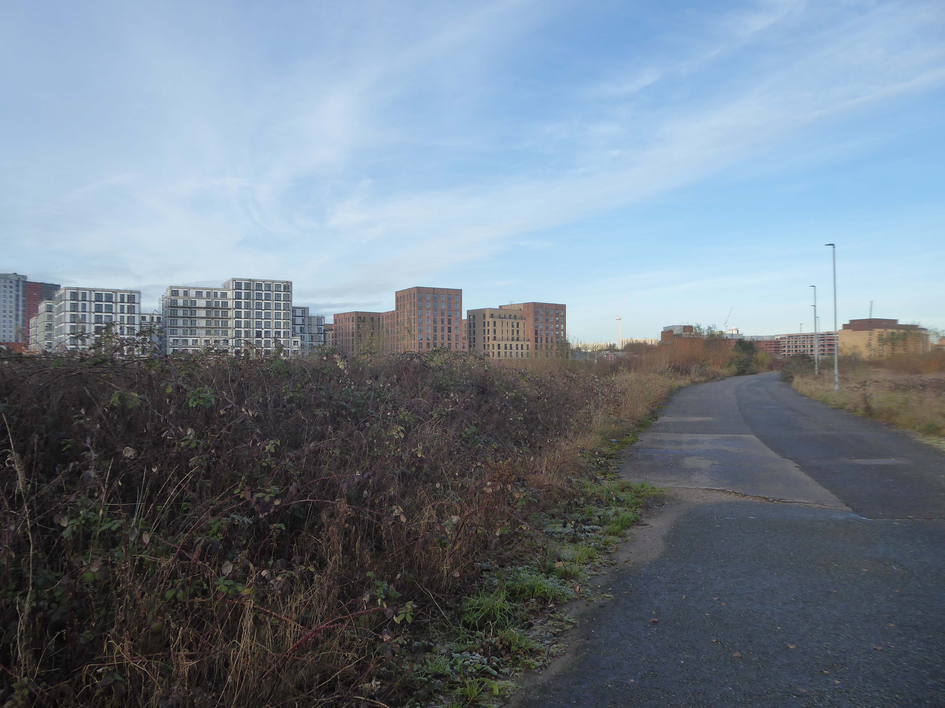
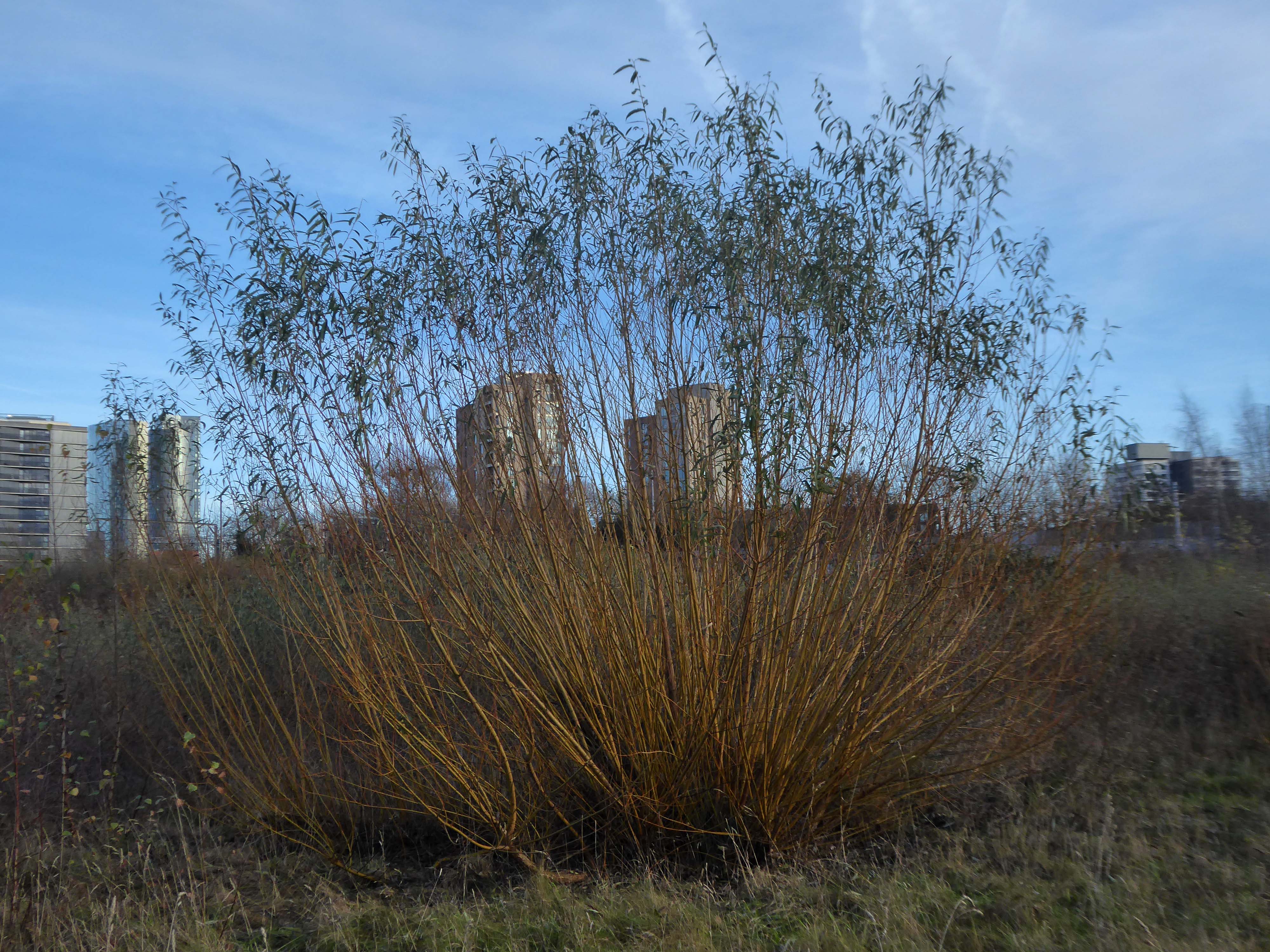
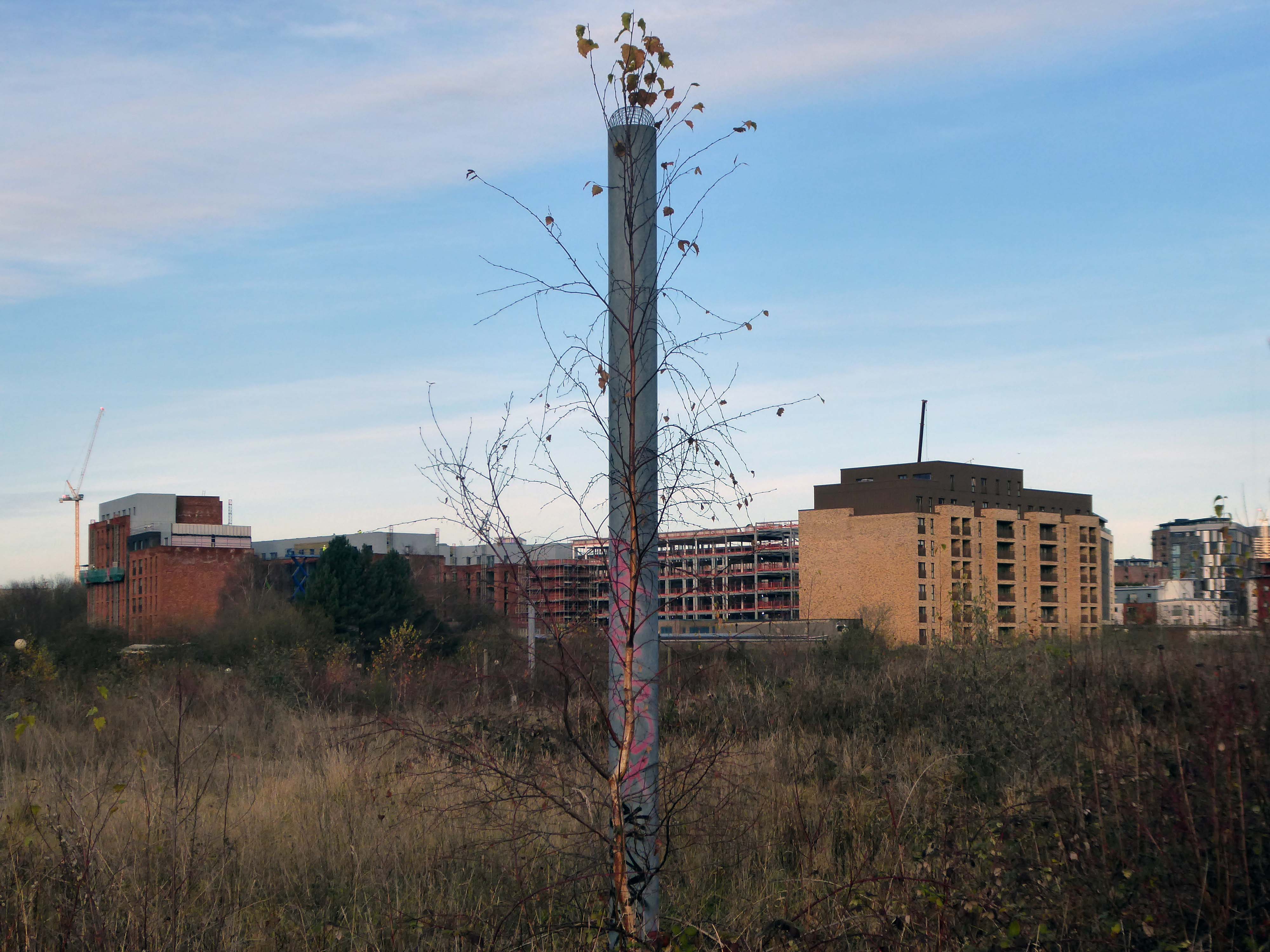
We can see the new City of Manchester Stadium on the left, site of the 2002 Commonwealth Games and now home to Manchester City FC. The road switches between S2 and S4 as it passes through the rather run-down urban areas of Ardwick and Gorton. A short one-way system at a triangular-shaped junction with the A662 leads onto a wider stretch as we near the M60 junction. This area is set to see significant industrial growth, with whole swathes of land either side of the now D3 road cleared and ready for development.
Starting at traffic lights on the A665 the road heads northeastwards, initially with the Metrolink on the left and a factory building on the right. The road then bears right at traffic lights marking the first section of on-street running for the trams, which lasts until just before a bridge over the River Medlock, after which the road passes to the south of the Sportcity complex whilst the tram line runs through the middle.
The A6010 is crossed at traffic lights, after which we see the tram lines on the left once more. We go over the Ashton Canal, then the tram lines at grade before bearing to the right to pass Clayton Park before another section of on-street running for the Metrolink begins, which continues for some distance. Just after crossing the Manchester city limit there is a set of traffic lights, after which the road becomes D2 for a short distance to allow a tram stop – Edge Lane, to be located in the central reservation. The tram leaves the road to the right for the next stop – Cemetery Road, and the stop in Droylsden town centre is once again in the central reservation. In all three cases the street running recommences after the stop.
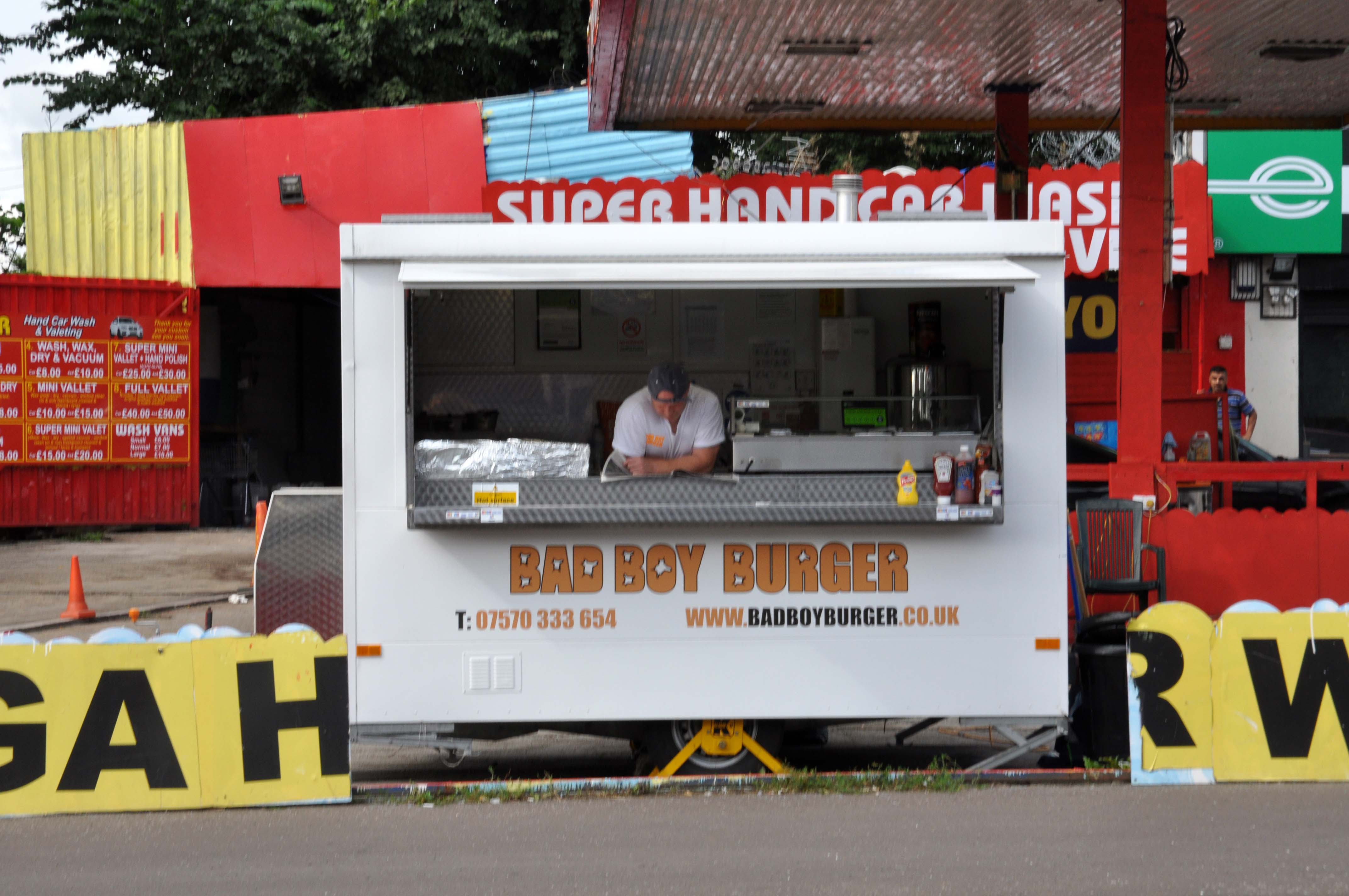
The A62, which runs from Manchester to Leeds, via Oldham and Huddersfield, was once the main route across the Pennines, connecting the largest city in Lancashire with Yorkshire’s largest city. However with the completion of the M62 towards Leeds in the early 1970s it lost much of its importance and traffic to the motorway, which runs a few miles to the north. These days, the A62 serves as a busy primary route between Manchester and Oldham, an extremely very quiet route over the Pennines, and then a fairly busy local road linking Huddersfield with Leeds.
Most maps show that the A62 starts its journey in the middle of Manchester by leaving the A6 Piccadilly and running along Lever Street – the original route was the parallel Oldham Street. However, owing to a bus gate Lever Street is not generally accessible from Piccadilly. We head out easterly on a busy street – non–primary, until we meet the Ring Road where we pick up primary status that we retain until Oldham. We turn left at this point and then immediately right to start the A62 proper.
In 2014, having taken early retirement from teaching photography, I embarked on a series of walks along the arterial roads of Manchester.
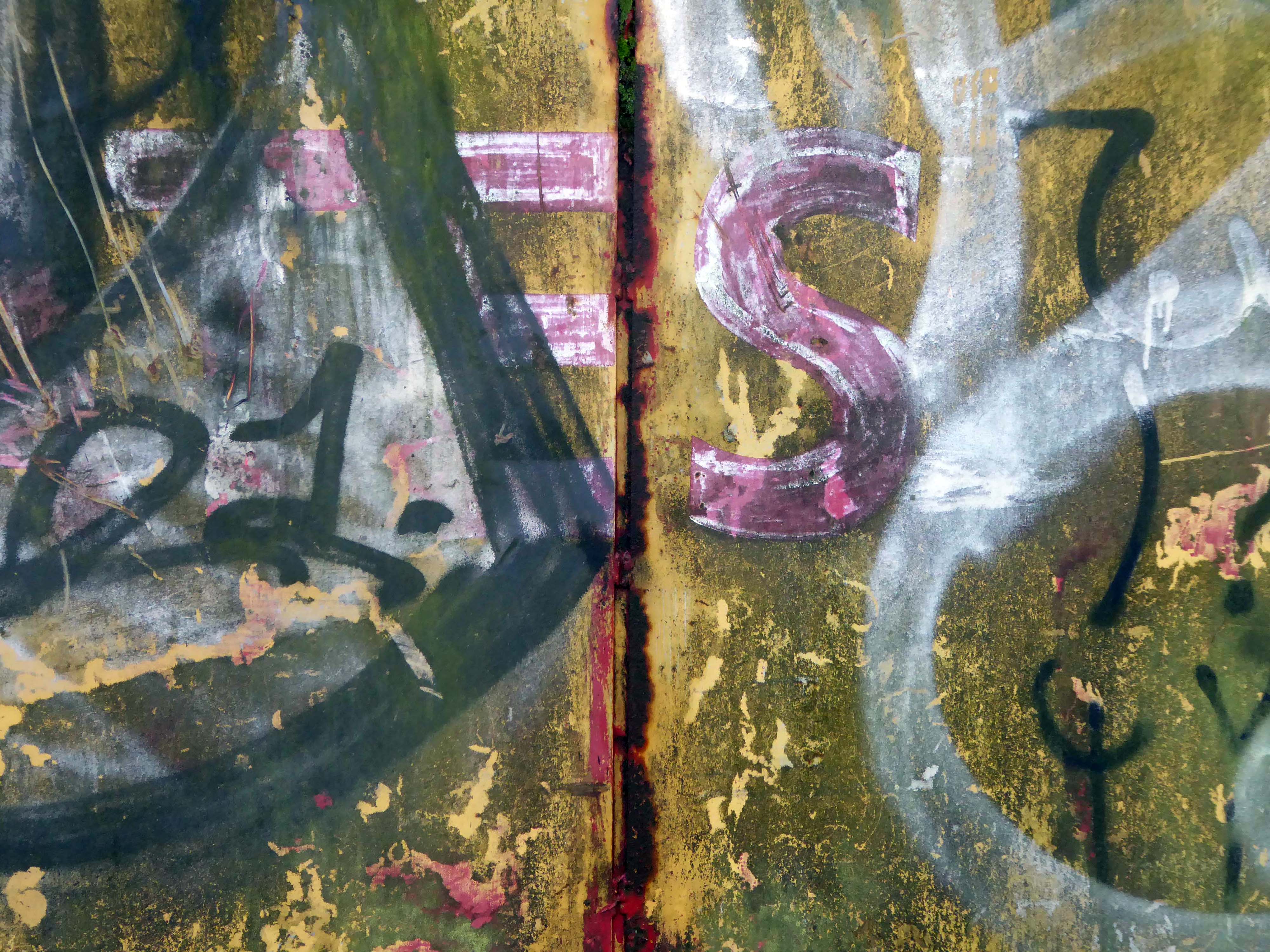
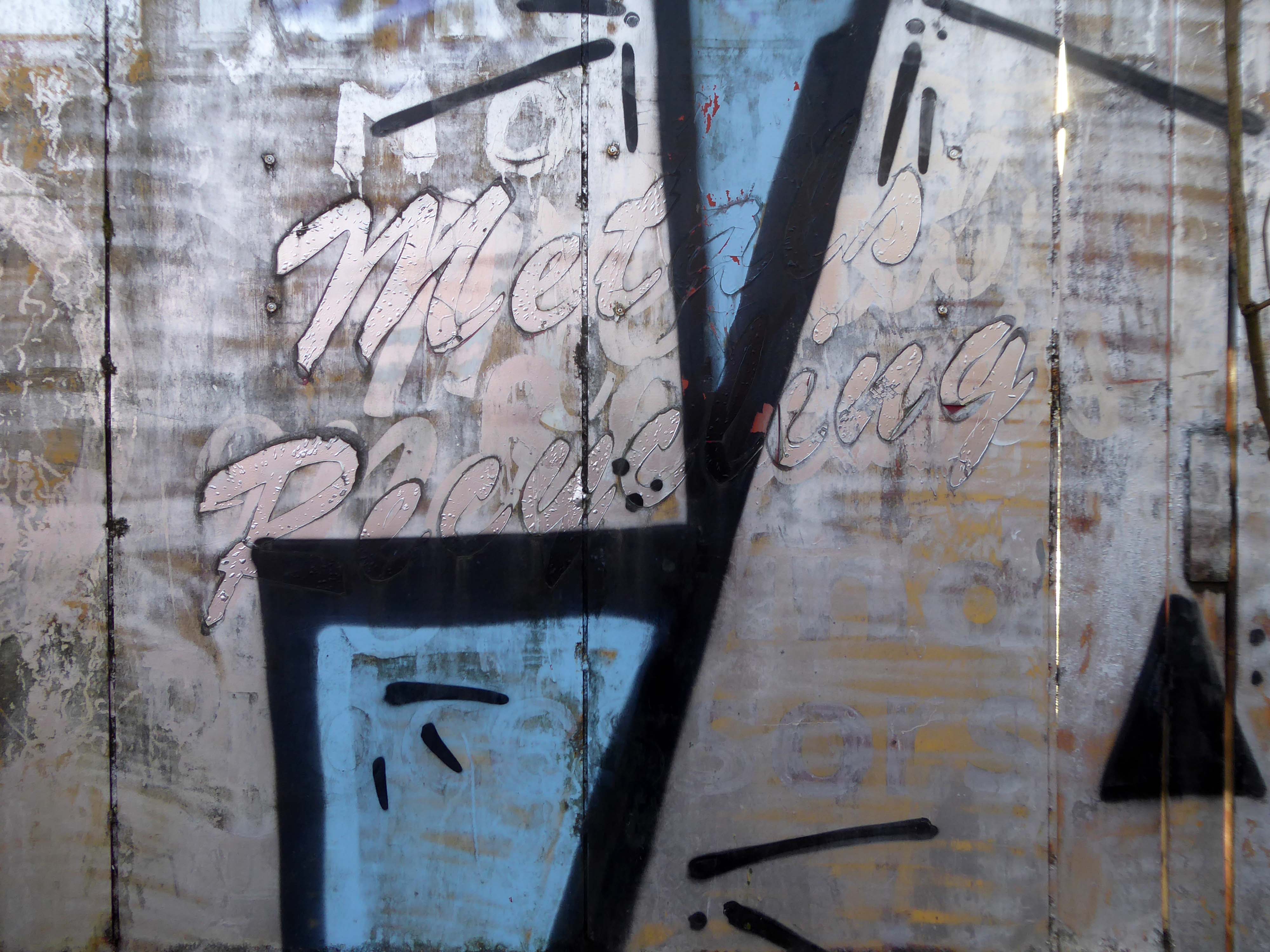
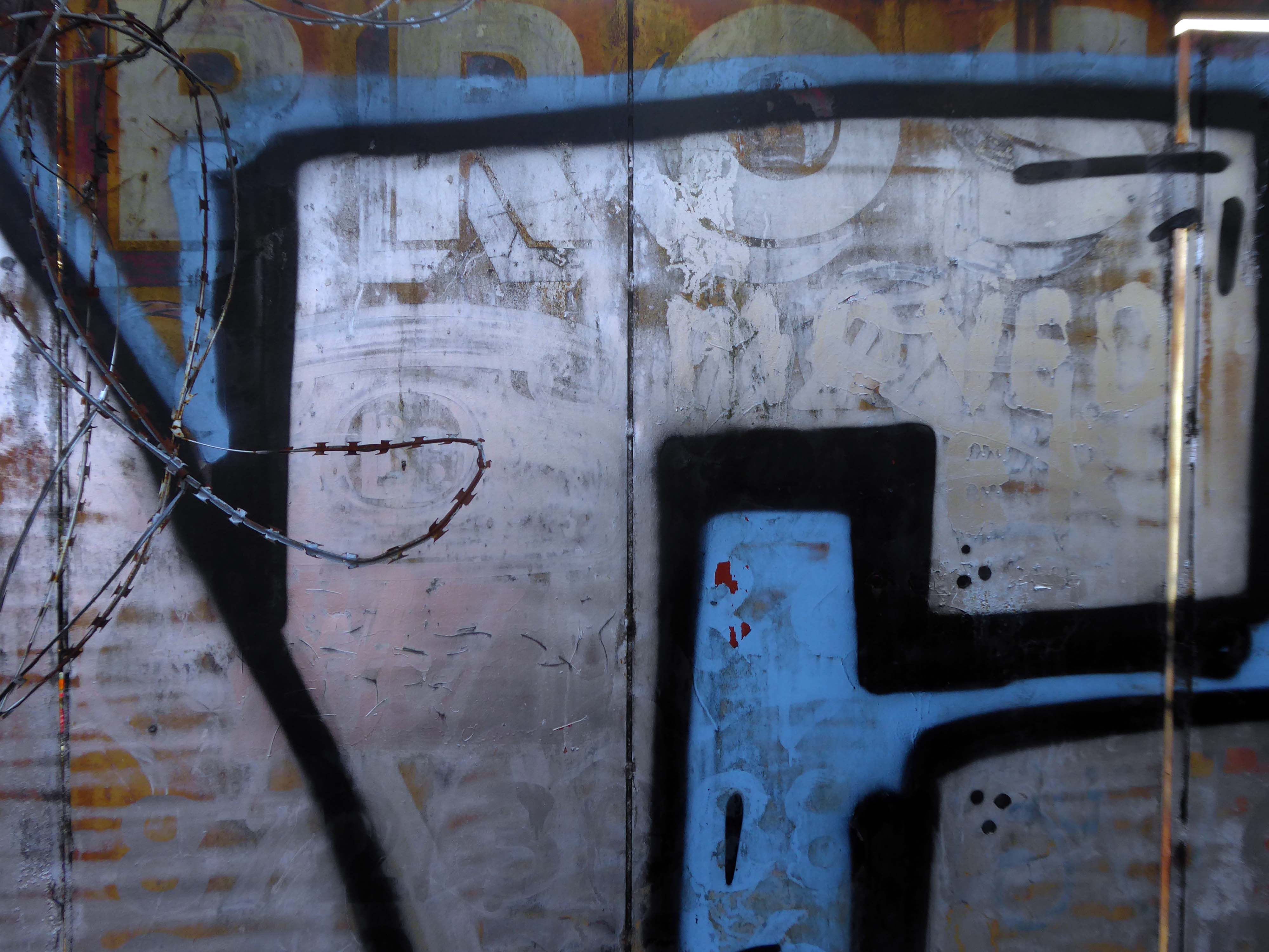
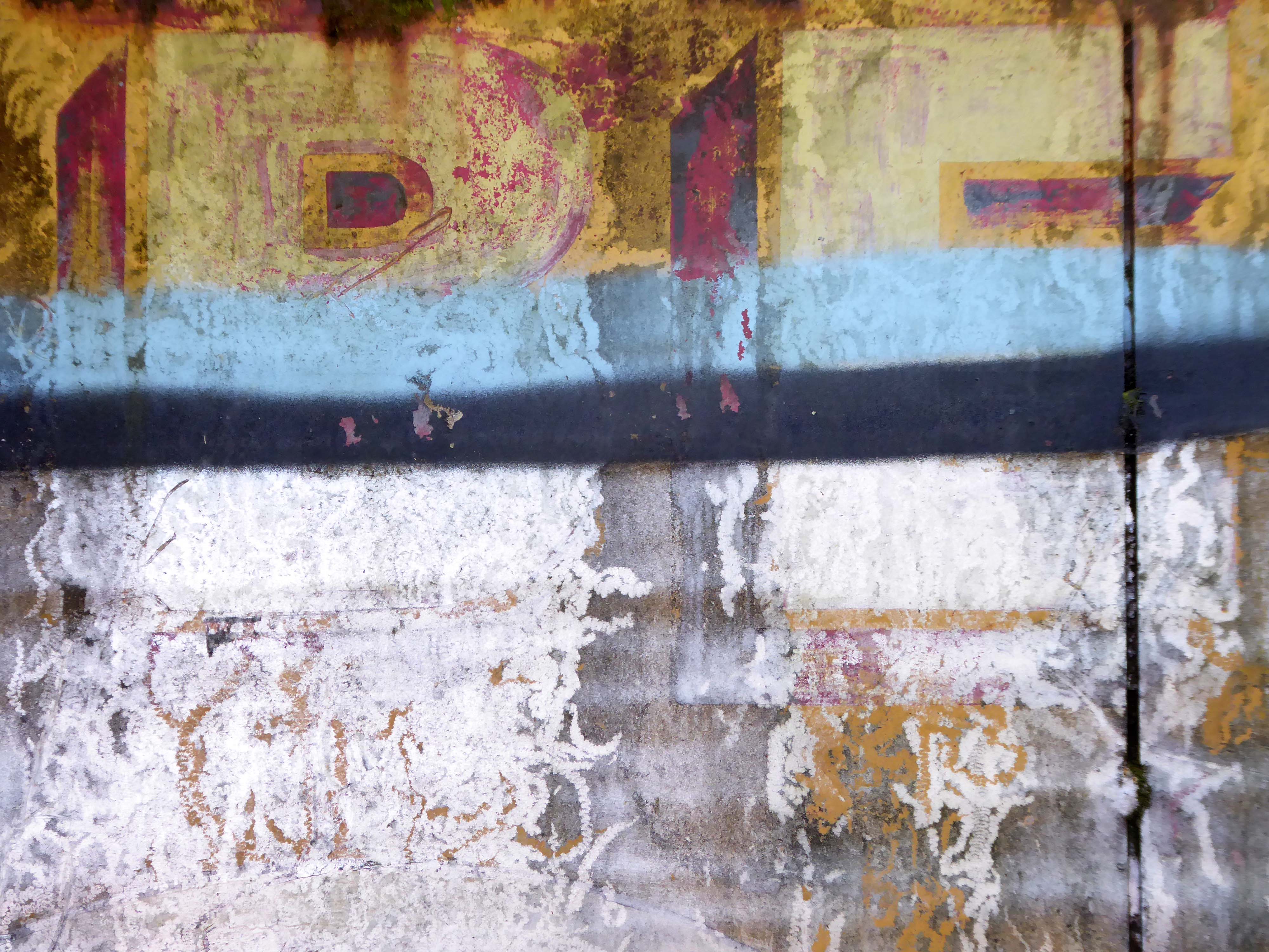
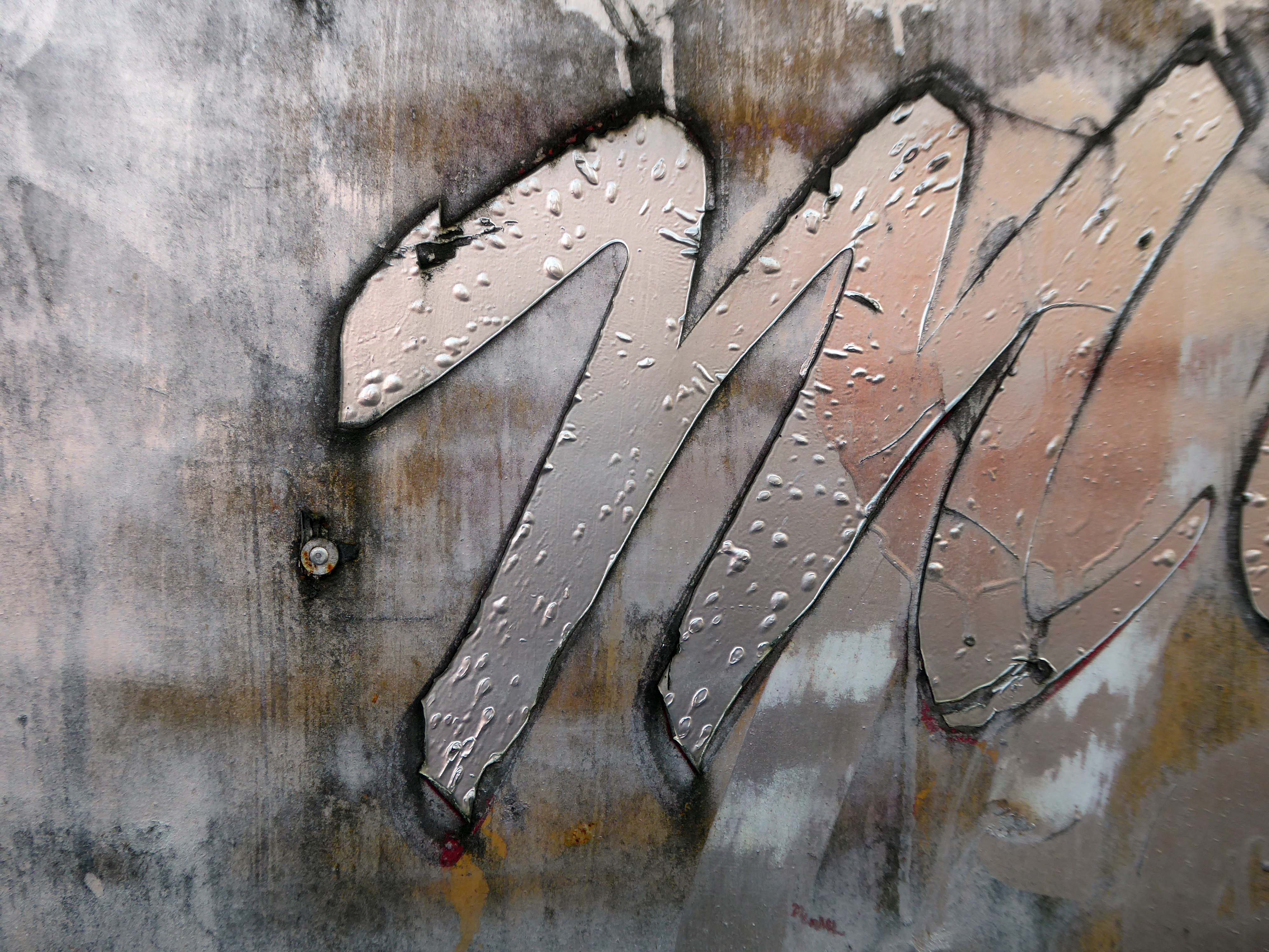
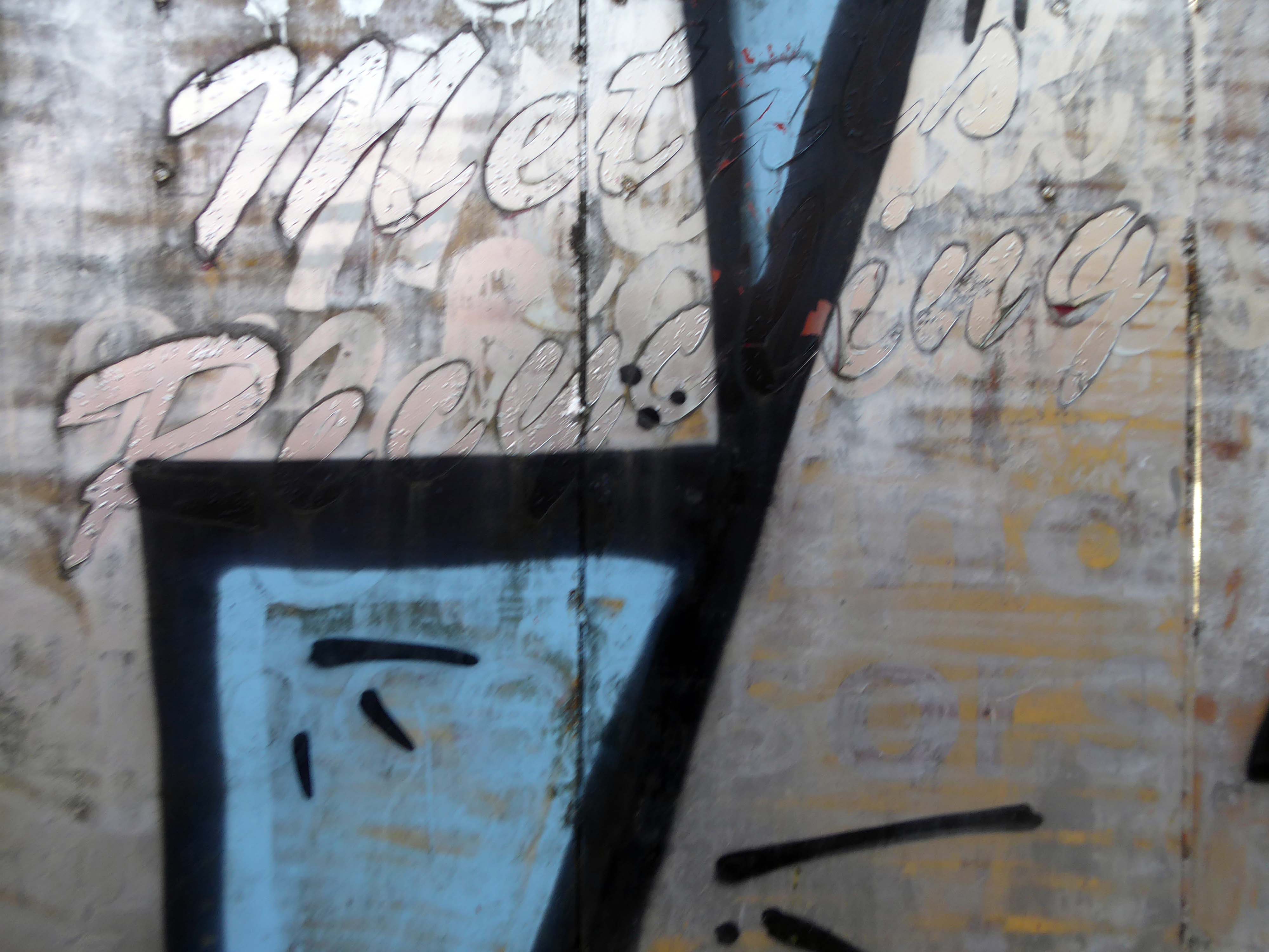
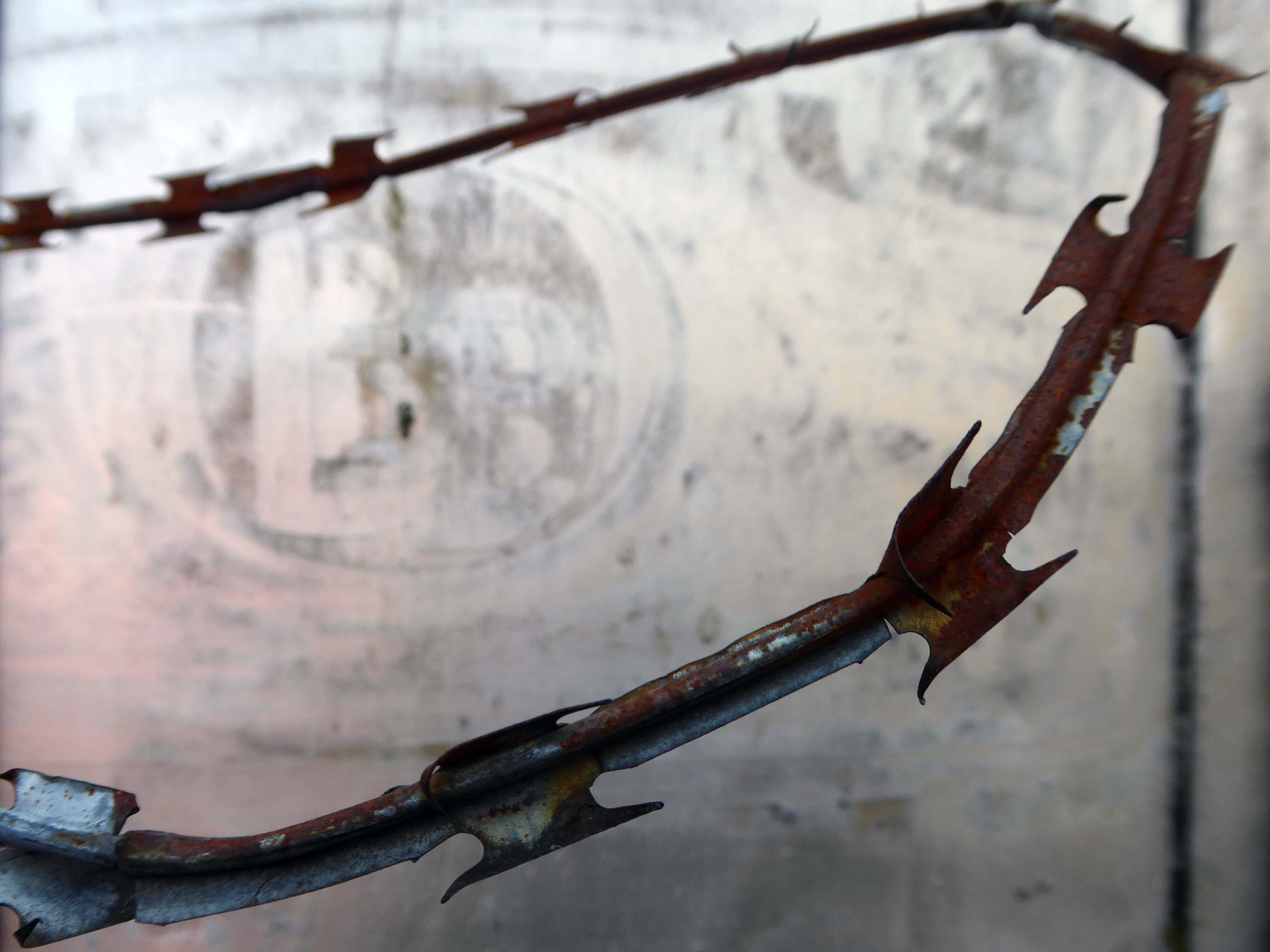
This whole undertaking was prompted in part by Charlie Meecham’s 1980’s Oldham Road project.
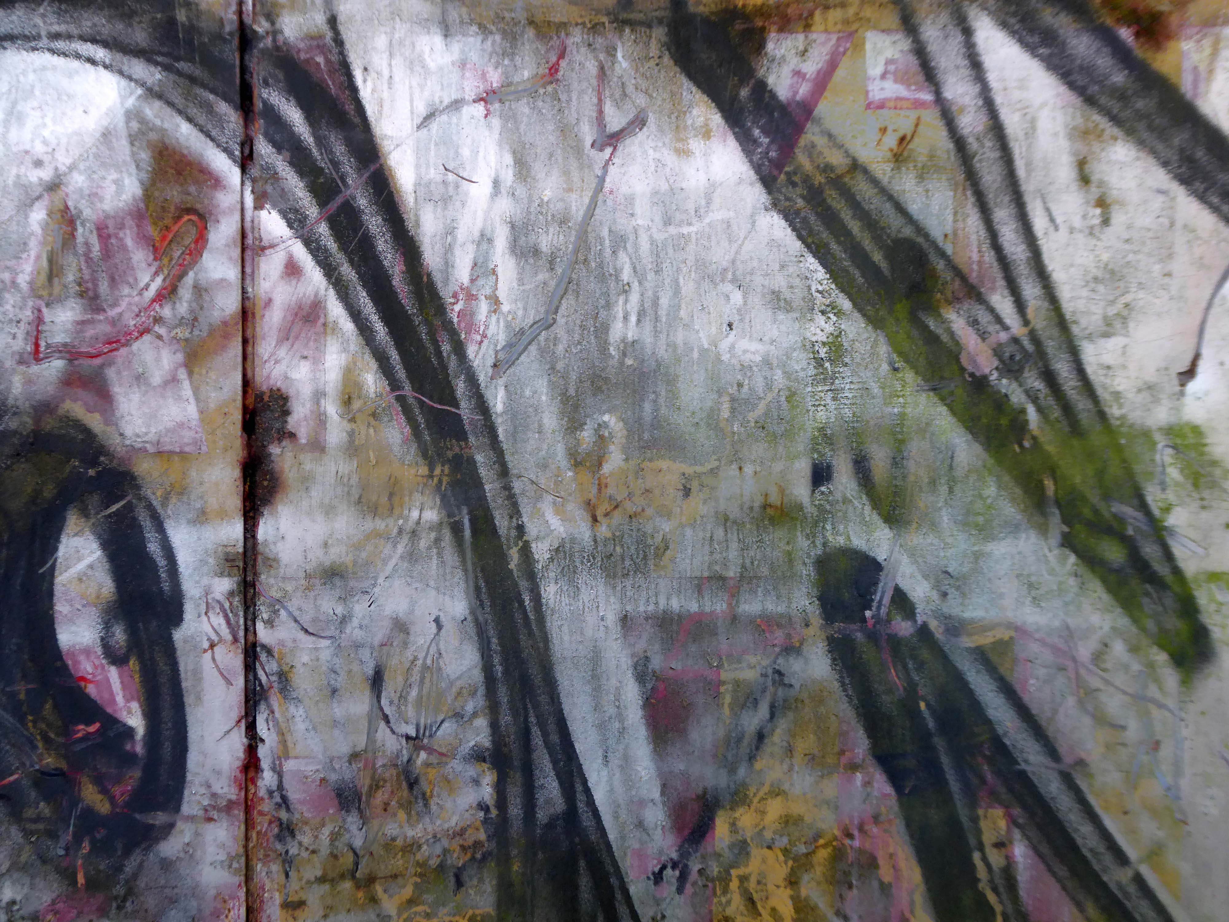
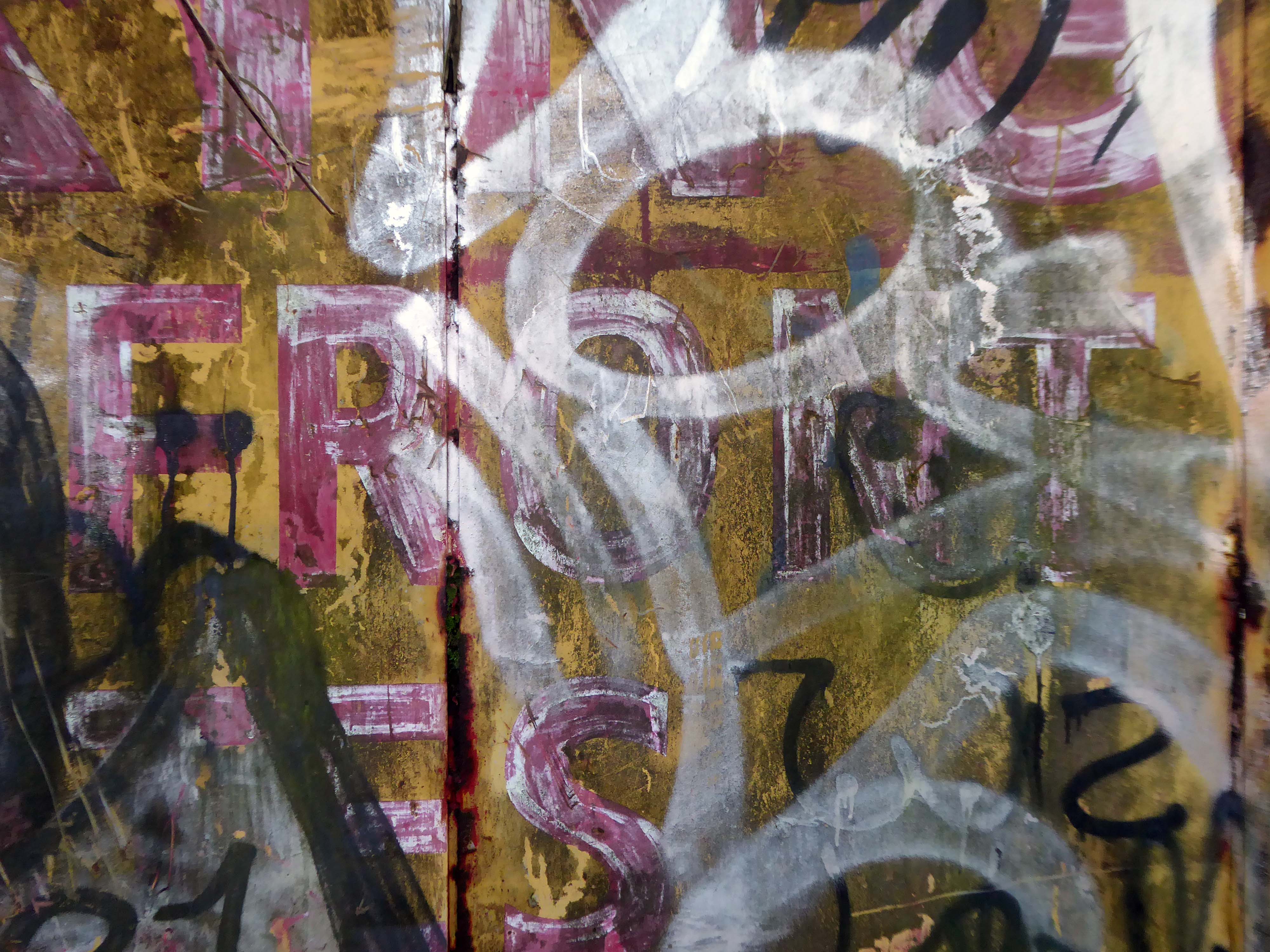
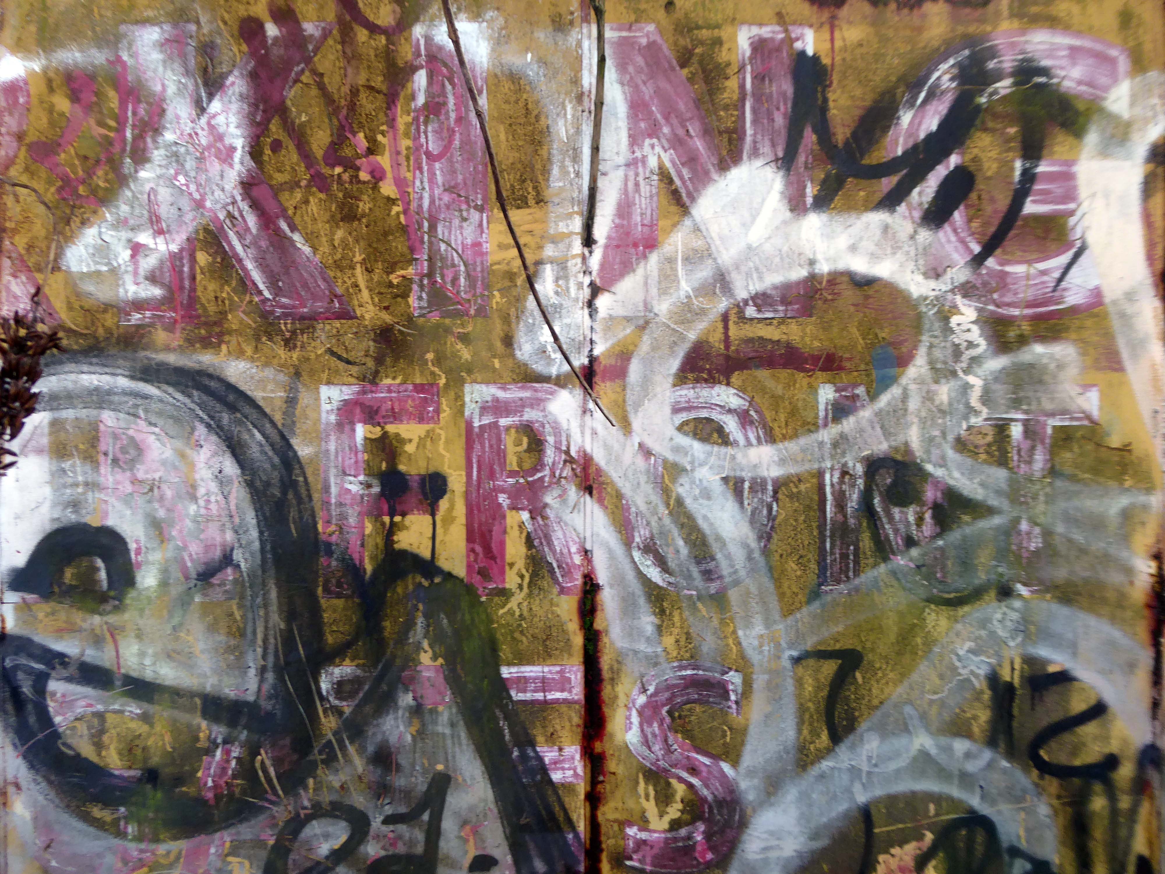
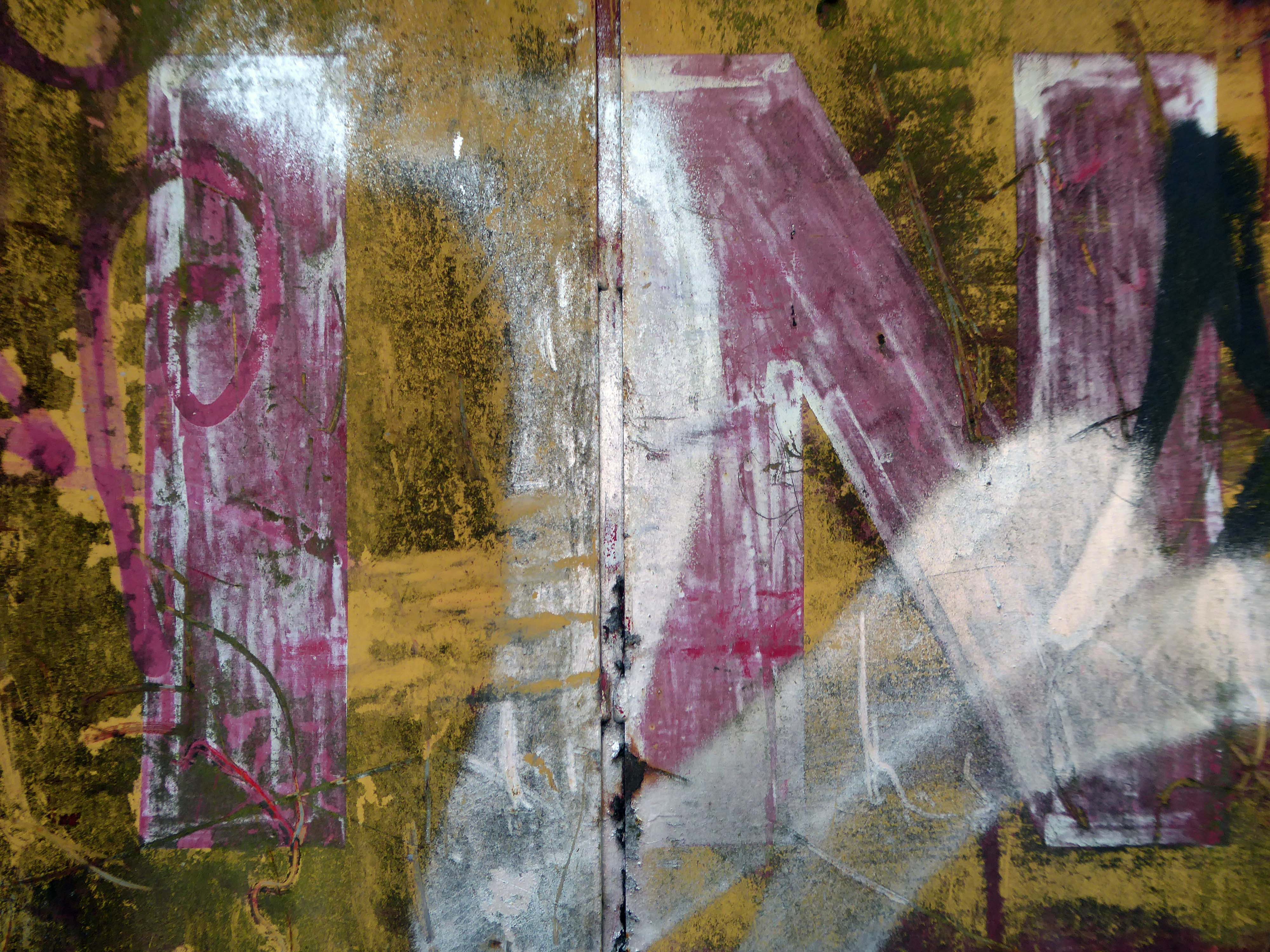
The work questions whether a sense of local identity can be maintained in an area of constant redevelopment and community displacement.
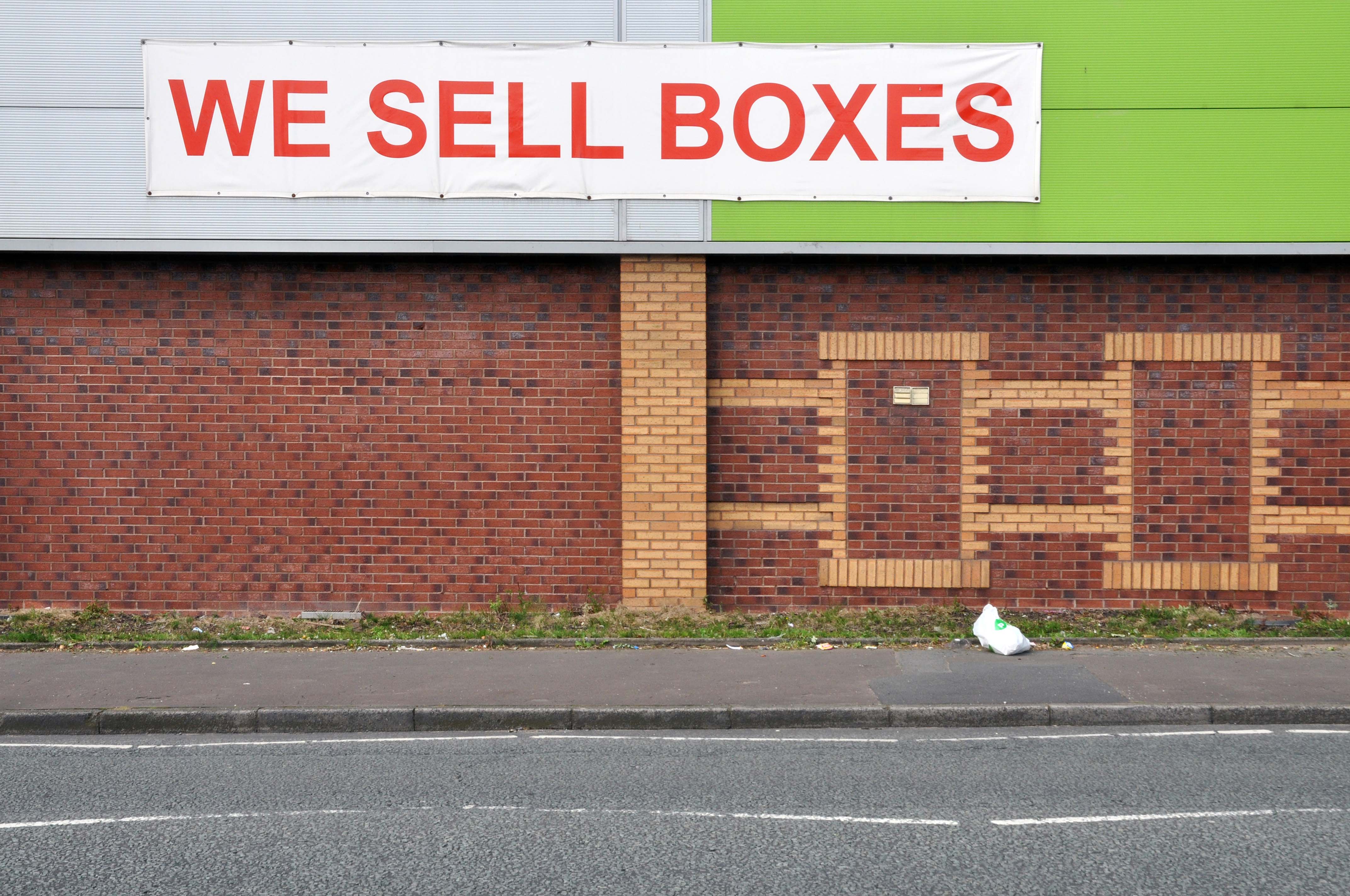
This area was first developed in the 19th century for cotton manufacture, coal extraction and later electrical and heavy engineering. The road was lined with shops and there was a vibrant community.
When I first started working on the project, most of the early industry had ceased operating and the mills were either abandoned or being dismantled. However, some had been refurbished either for new industrial use or later, made into apartments. Some run down areas were cleared making way for new housing. Clearance also provided opportunity to build new schools, trading estates and create green space. Most of the older community centres such as theatres and cinemas along the road were also abandoned and later cleared.
The obvious place for the A664 to start is on the A665 Manchester & Salford Inner Relief Route, which at this point is actually two parallel one-way streets. However, many maps show the road continuing a short distance into the city centre to end at traffic lights by the Shudehill Interchange – this is presumably for historic reasons: the road originally continued along the High Street to its terminus on the A6 Market Street.
The road heads northeastwards through the suburbs, the street name Rochdale Road, already emphasising its destination. Initially dual, the road narrows just before crossing the bridge over the railway line east of Victoria station. It continues through Collyhurst and widens again just before crossing the A6010 Intermediate Ring Road, which here is made up of two parallel one-way streets, requiring two separate sets of traffic lights to cross.
Now non-primary – but still dual for a short distance more, the road runs in a more northerly direction through Blackley, where it becomes wooded for a short distance as it passes the Boggart Hole Clough park. Slightly further on the road has been straightened, after which it bears right to widen considerably and cross the A6104 at traffic lights just before M60 J20, which only has west-facing sliproads. The road narrows again on the far side of the motorway and leaves Manchester for Rochdale at the same point.
Cheetham Hill Road is part of the designated A665. Cheetham Hill Road starts at the junction of the A6042 Corporation Street and the A665 Miller Street. It crosses the culverted River Irk to the east of Victoria Station. At its junction with New Bridge Street, it turns north-northeast and is straight for 1 km, to the A6010 Queen’s Road . This stretch was called York Street until about 1900. Cheetham Hill Road leads from here to the community of Cheetham Hill, where at Bourget Street and Crescent Road – formerly Sandy Lane, Cheetham Hill Road becomes Bury Old Road.
First crossing the M60 Manchester Outer Ring Road at Junction 7 into Stretford.
The A56 takes the name of Chester Road and continues north-eastwards through Stretford and Hulme into Manchester city centre, where it takes on the name Deansgate, one of Manchester’s main shopping streets and thoroughfares. At the end of Deansgate, the A56 takes on the name of Victoria Street as it passes Manchester Victoria railway station. Since 2012, most of Victoria Street has been pedestrianised with planters, but the road markings still remain underneath.
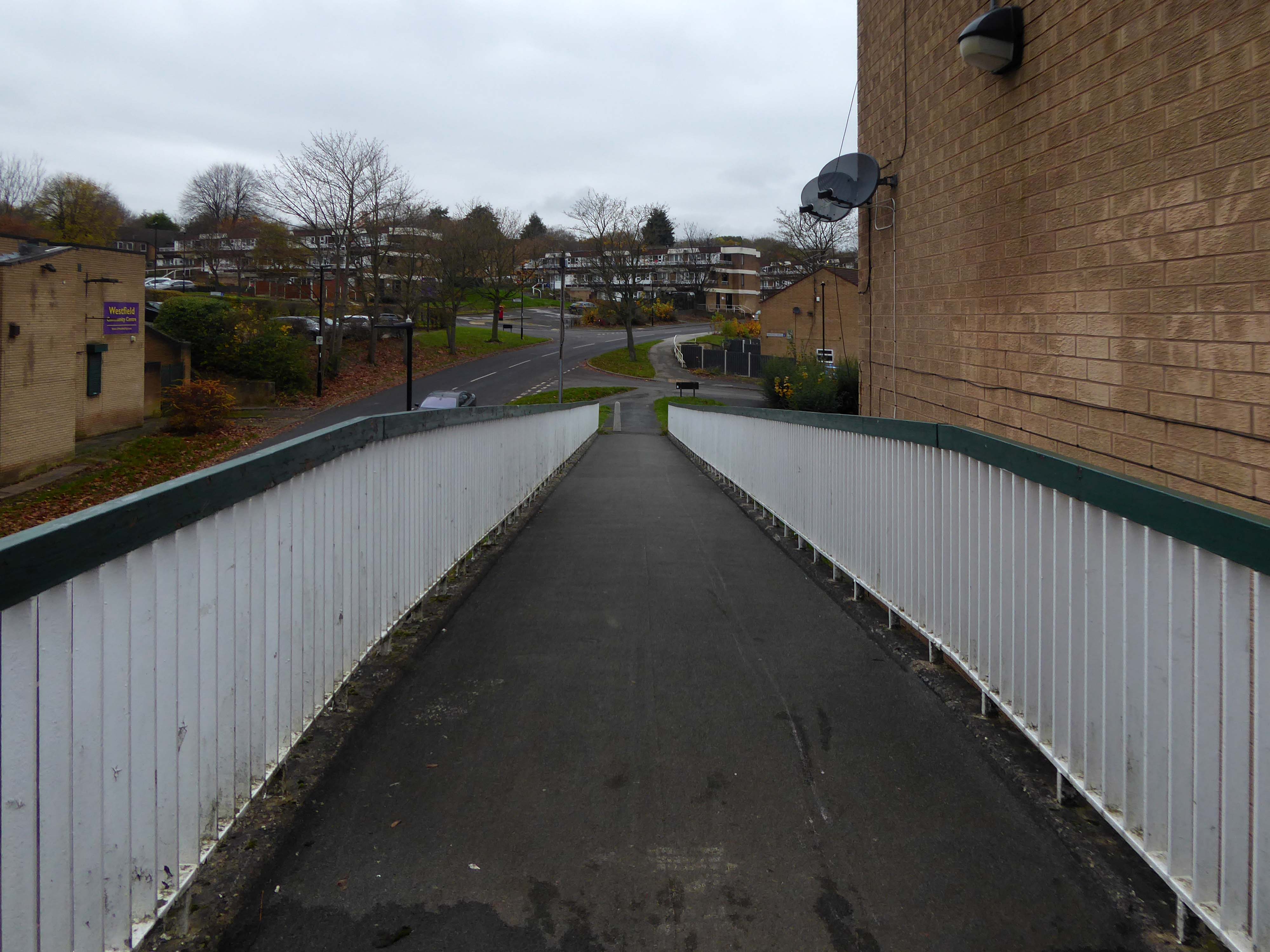
On the day, I was eager to visit the Westfield Estate for the first time.
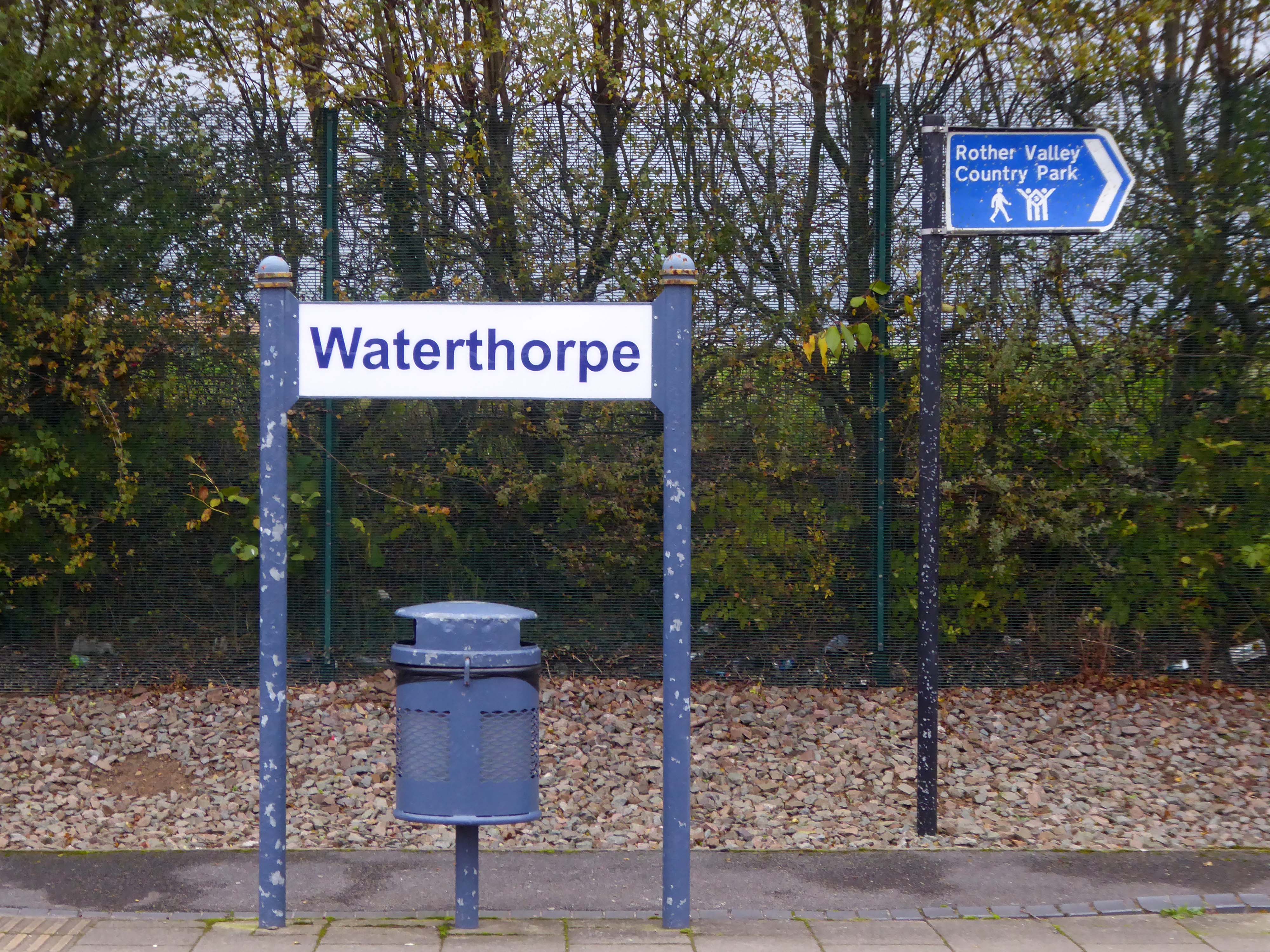
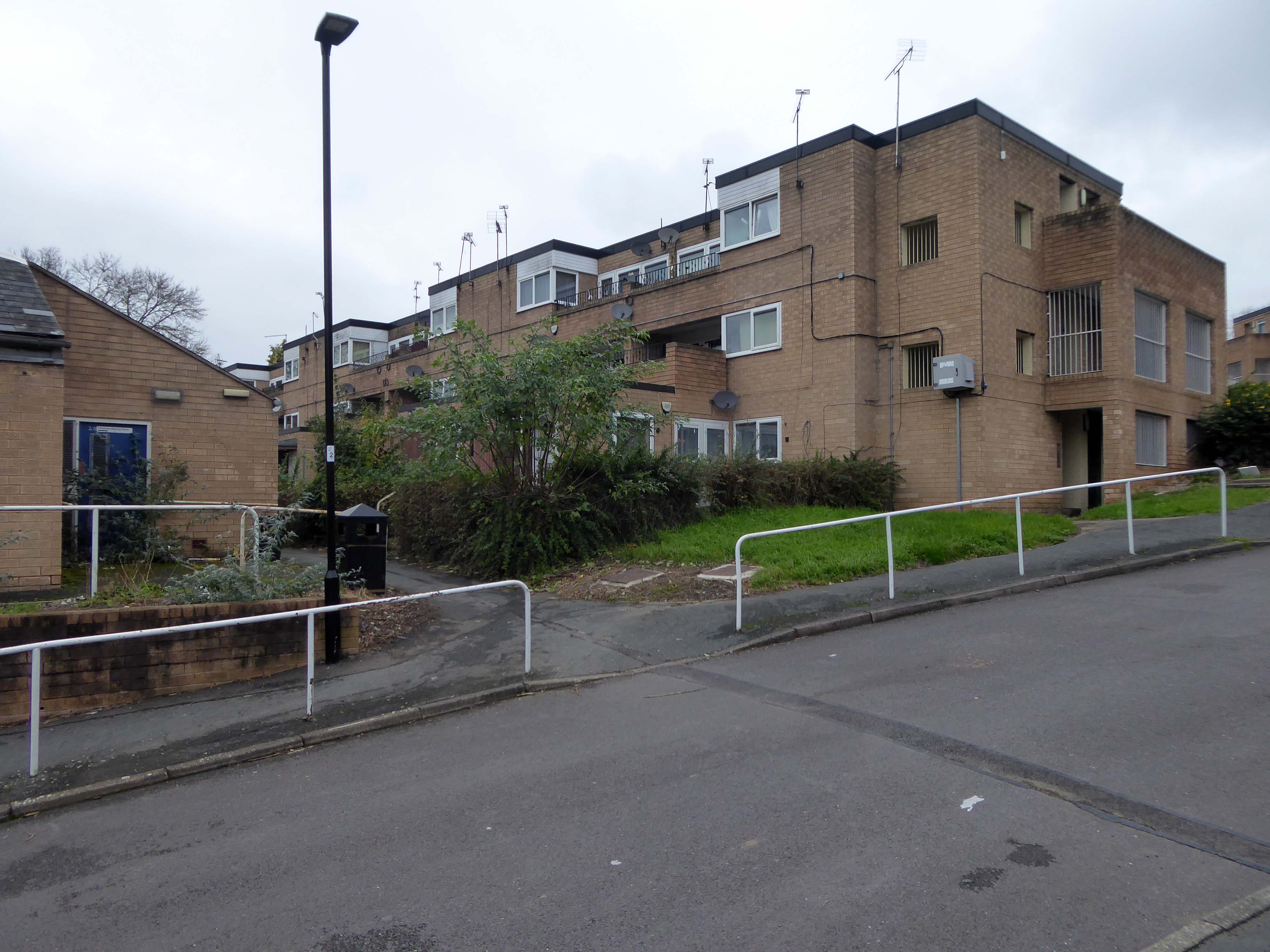
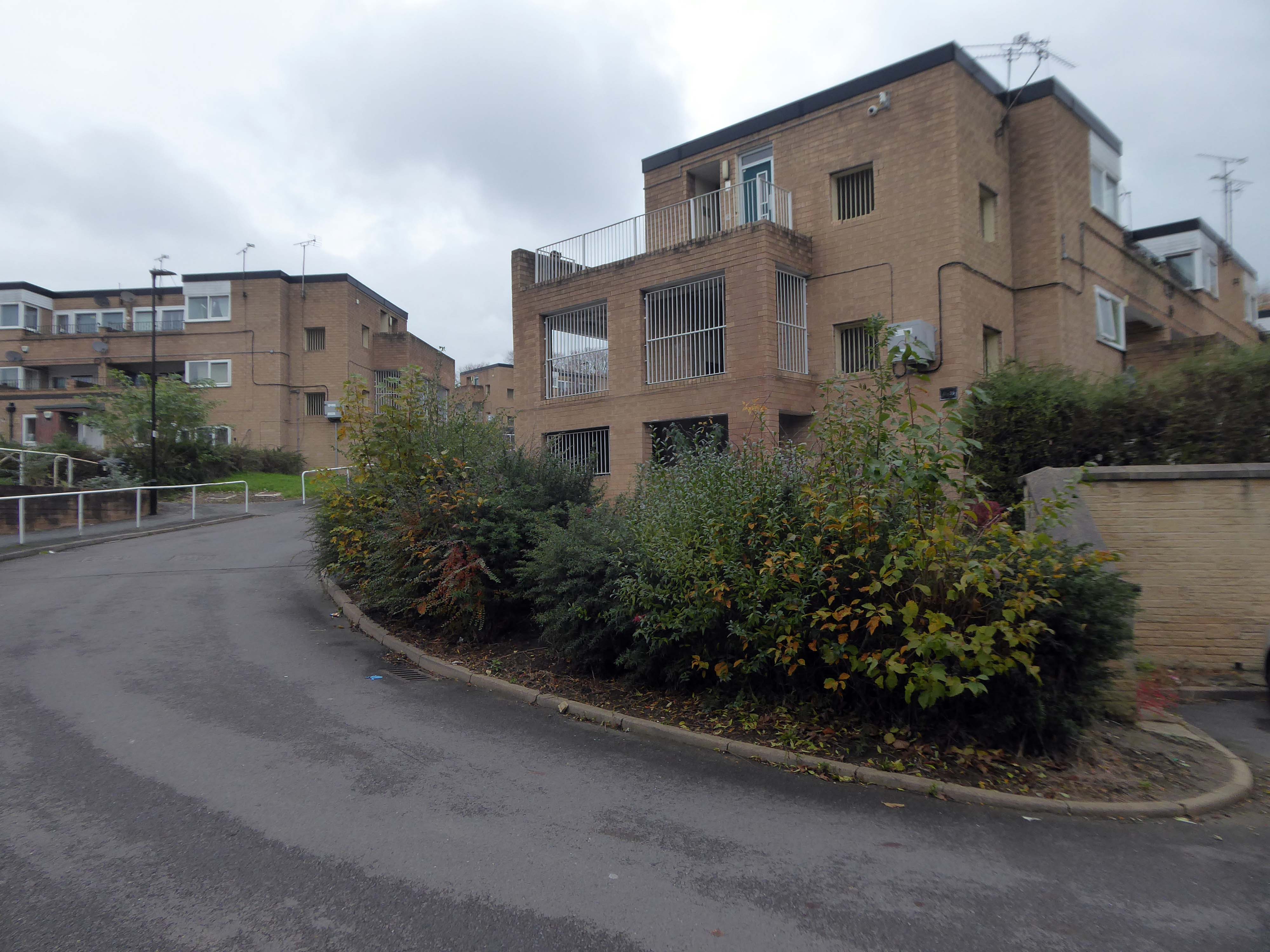
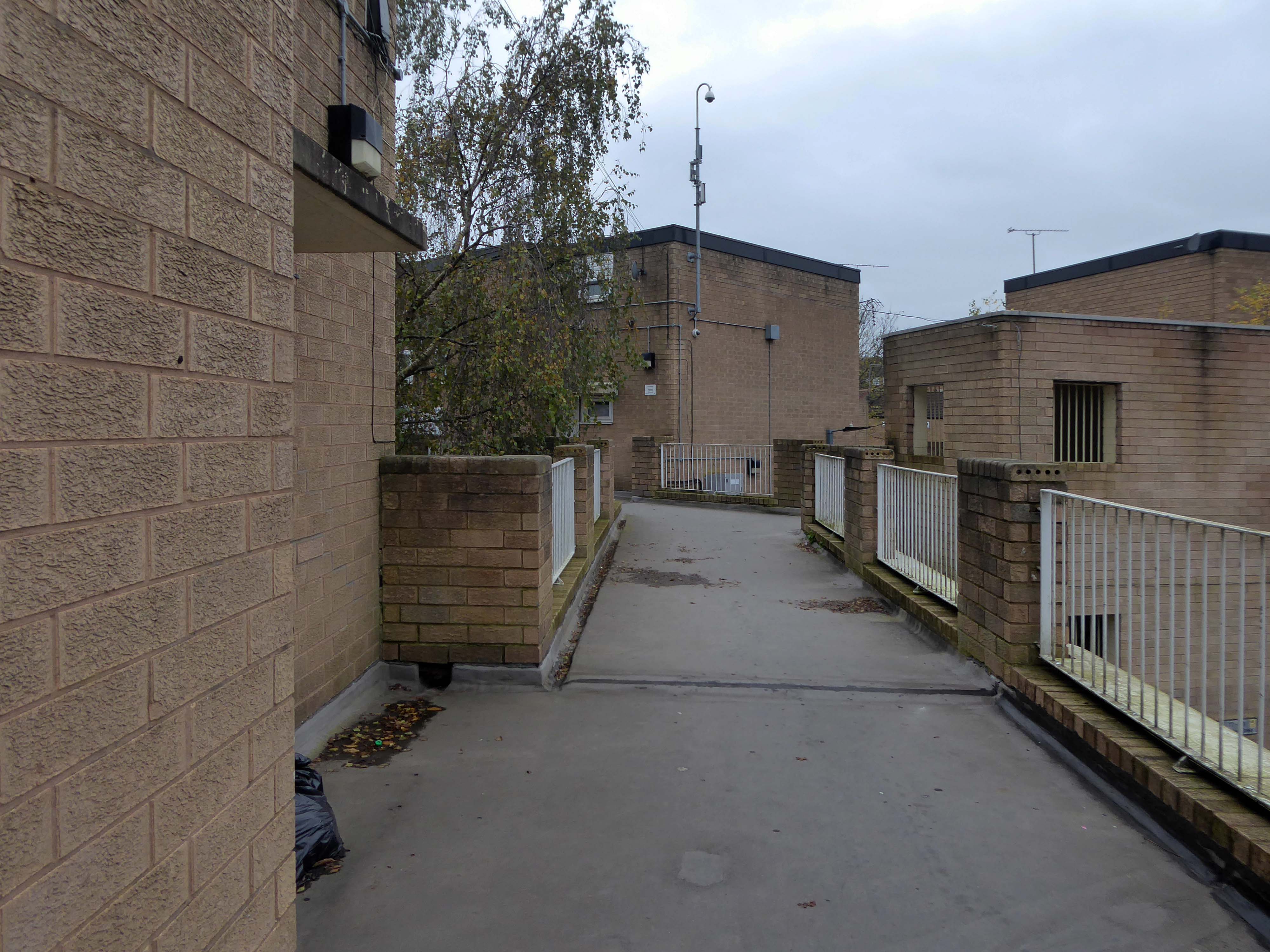
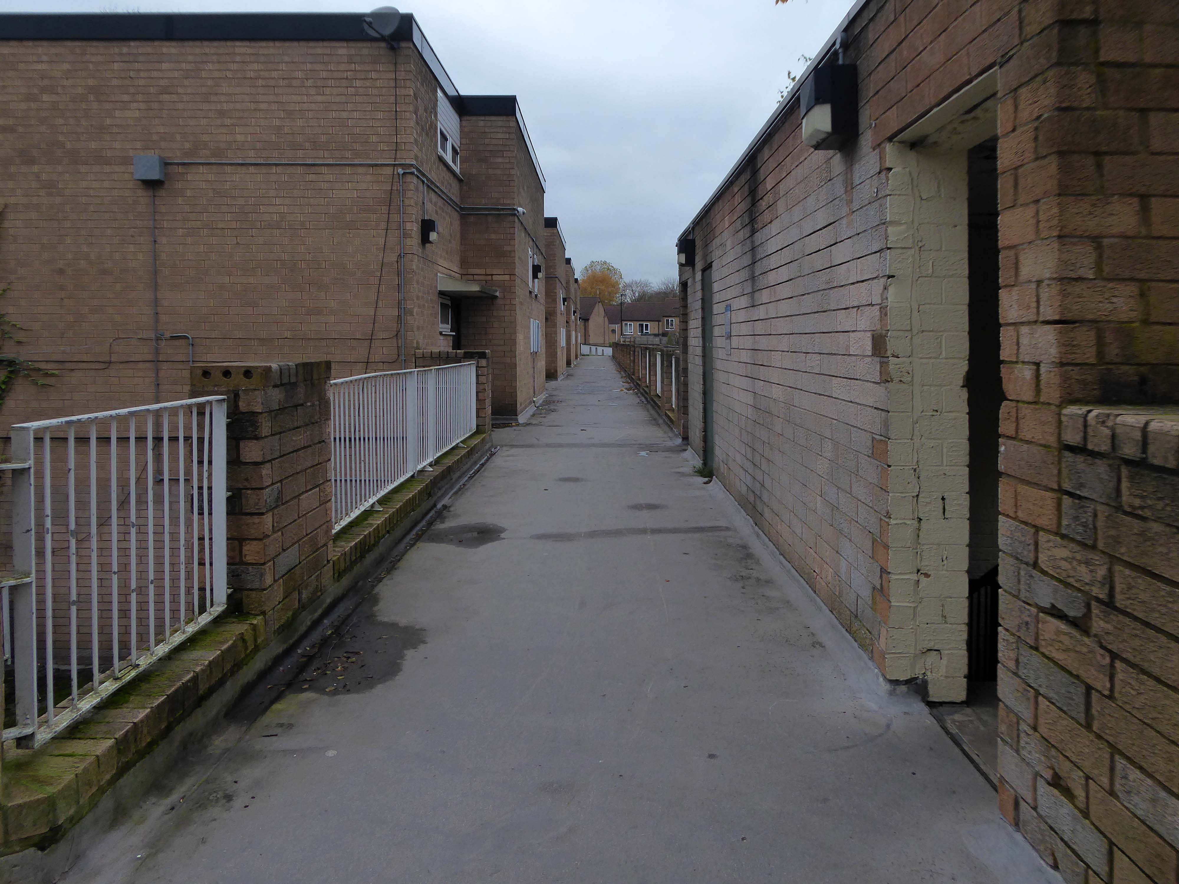
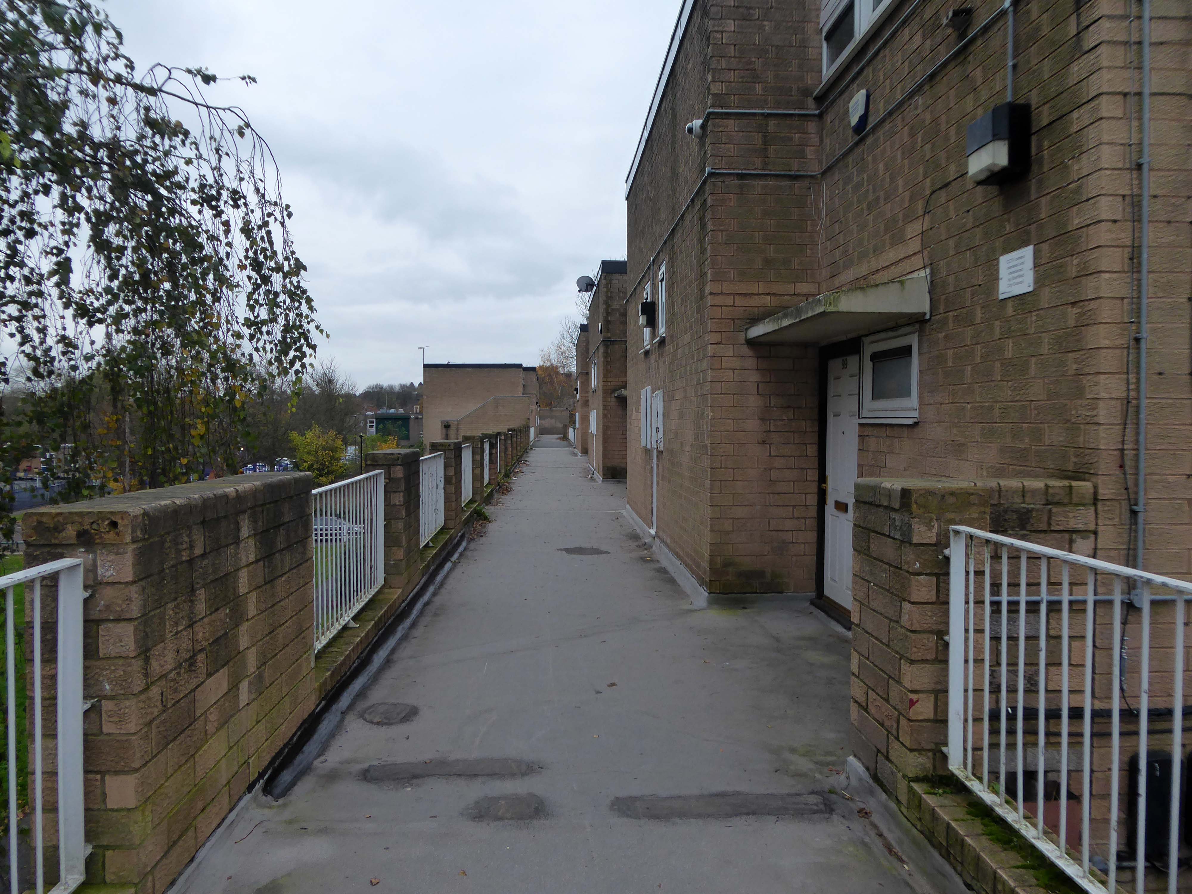
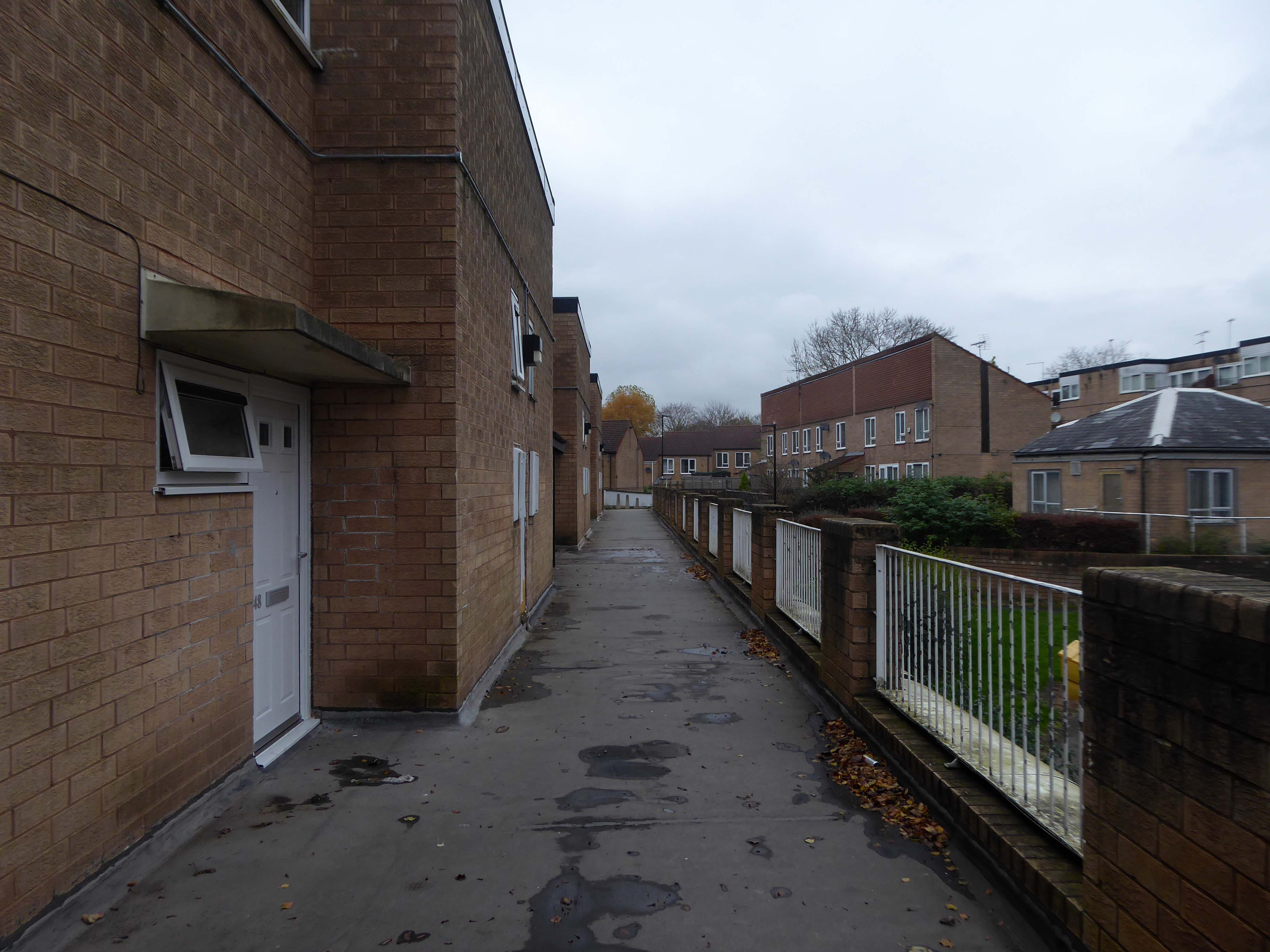
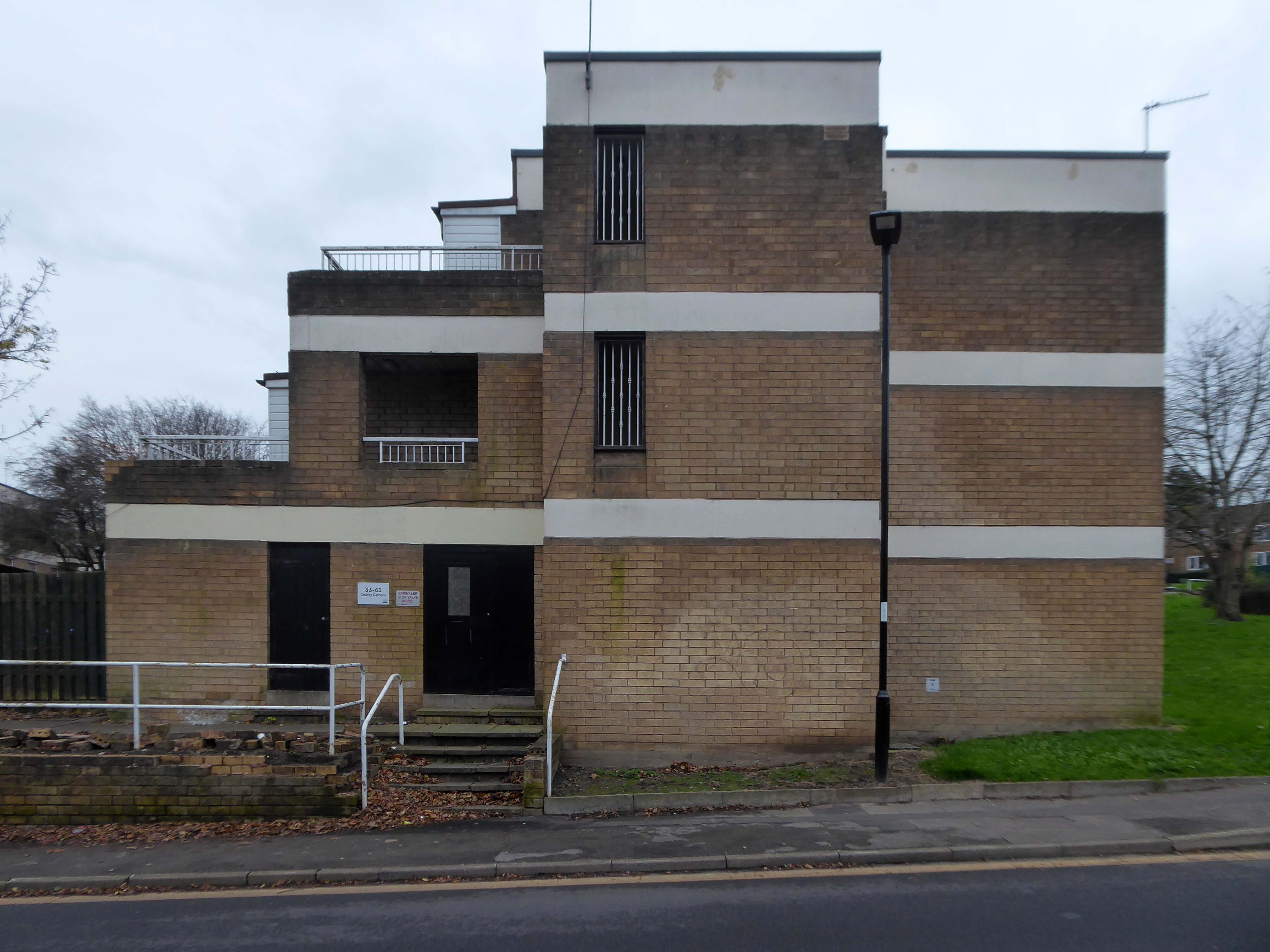
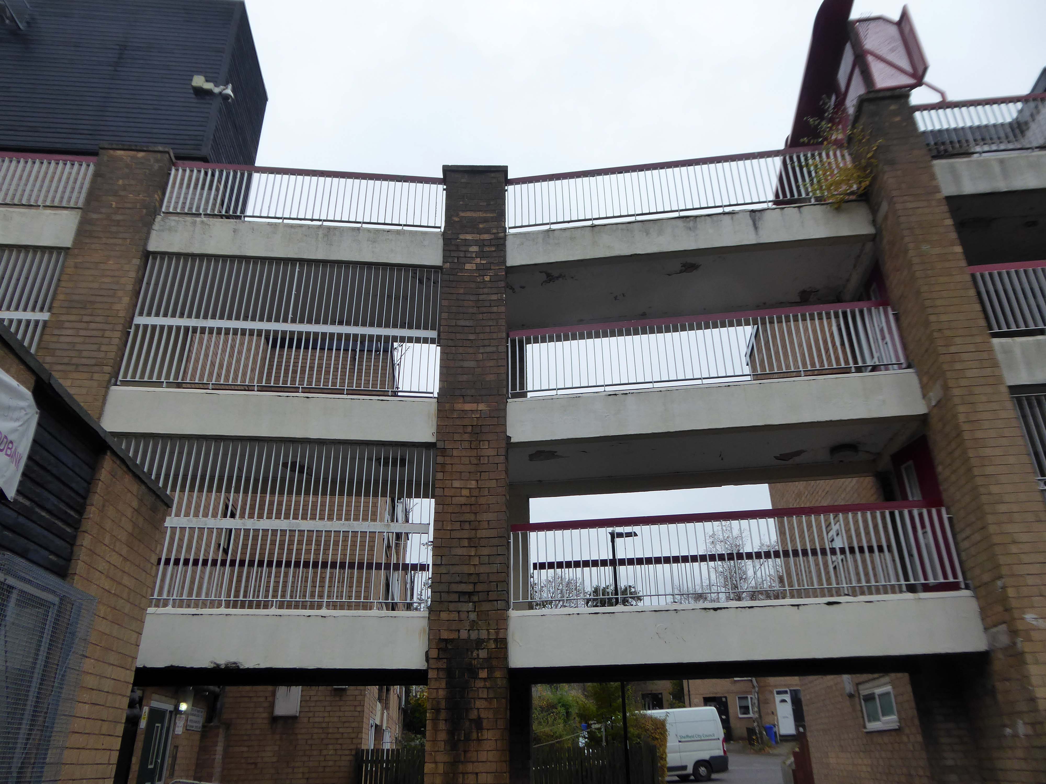
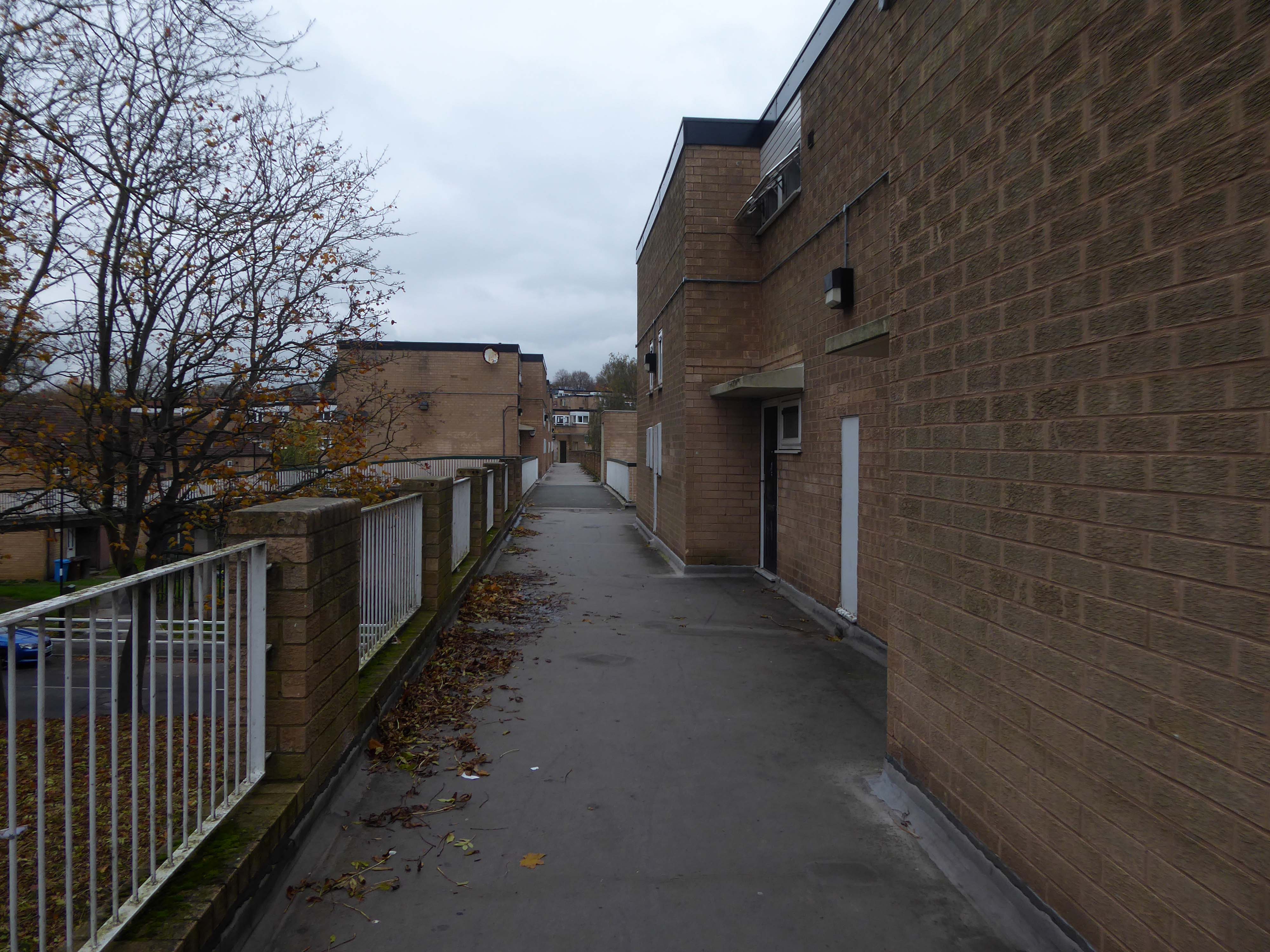
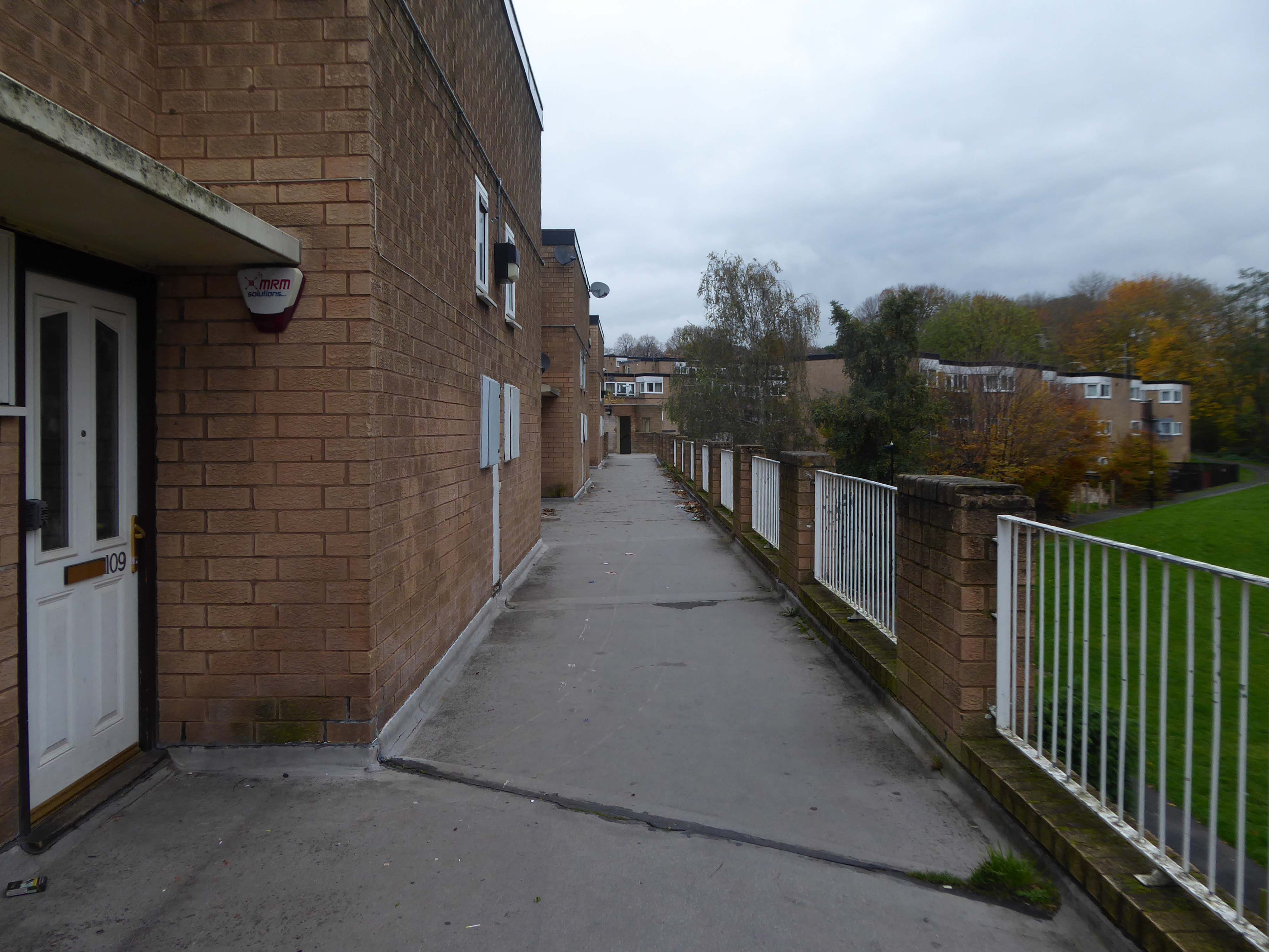
Westfield Estate Mosborough, formerly Waterthorpe Farm Estate, a rural township which was subsumed by Sheffield’s expanding housing schemes.
Mosborough, a vastly expanding village, eight miles North East of Chesterfield and six miles South East of Sheffield.
Waterthorpe Housing Estate near Beighton named after Waterthorpe – formerly Walterthorpe Farm.
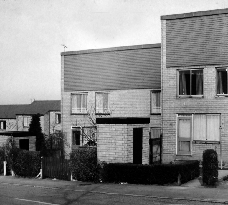
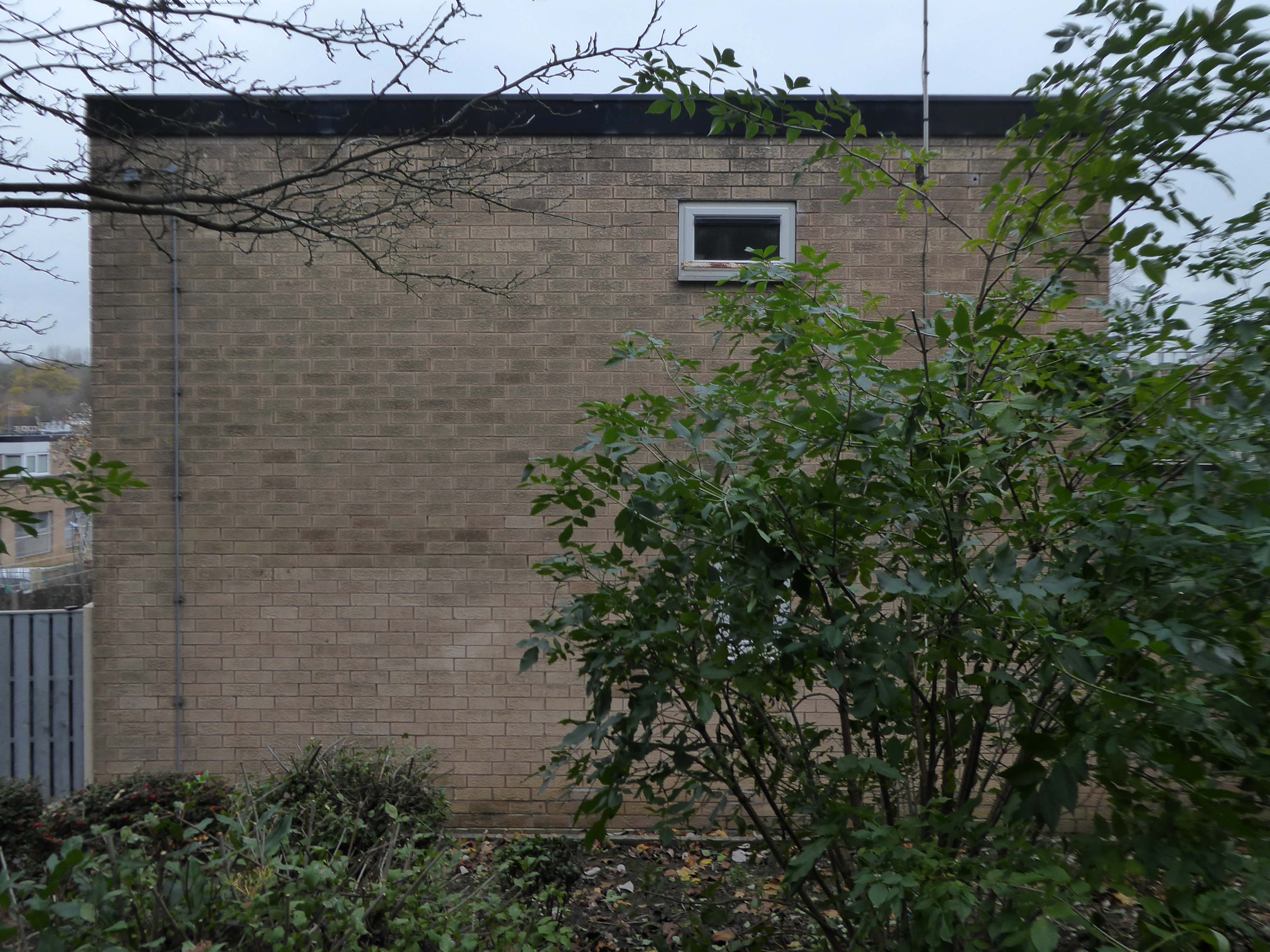
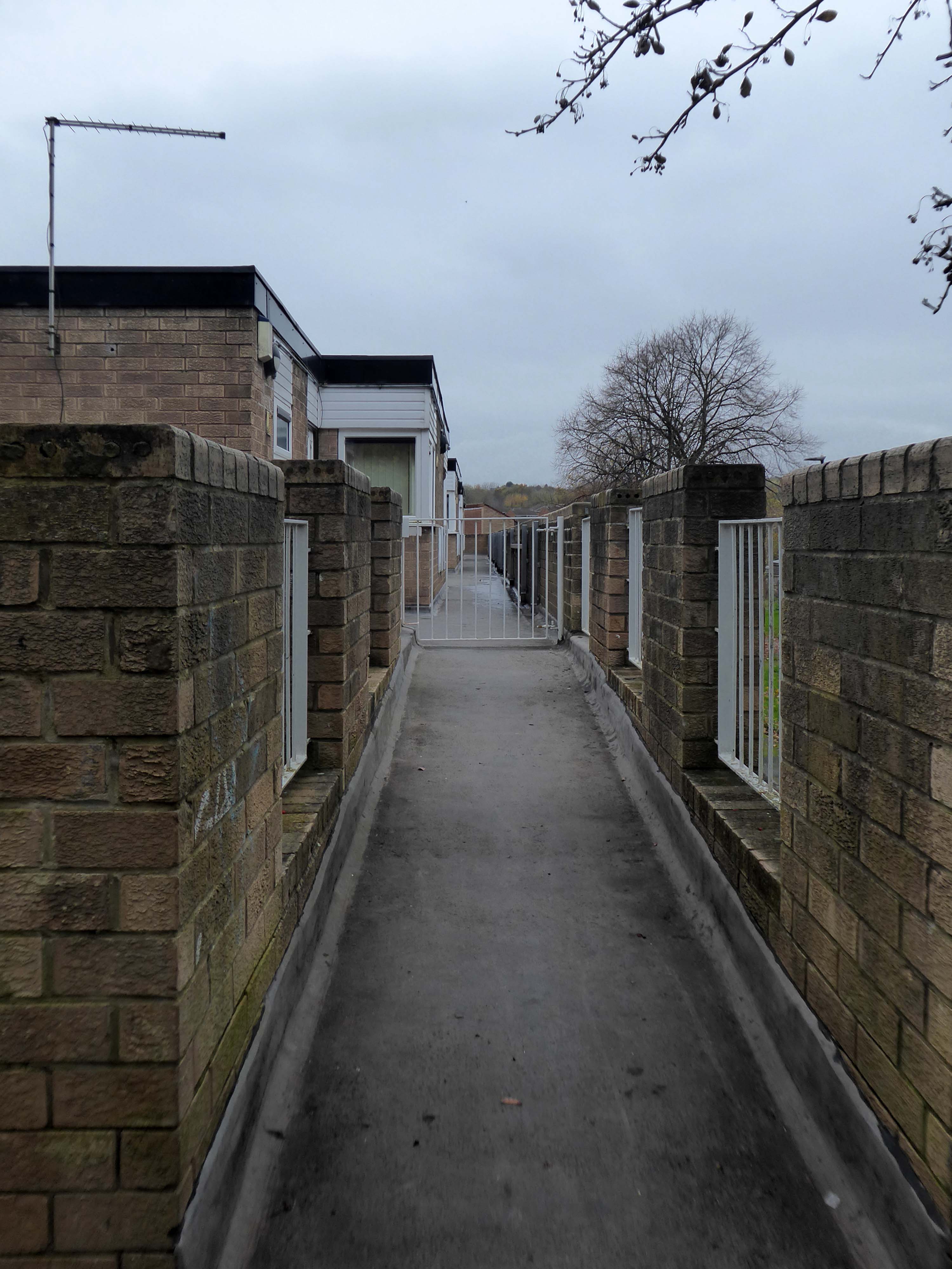
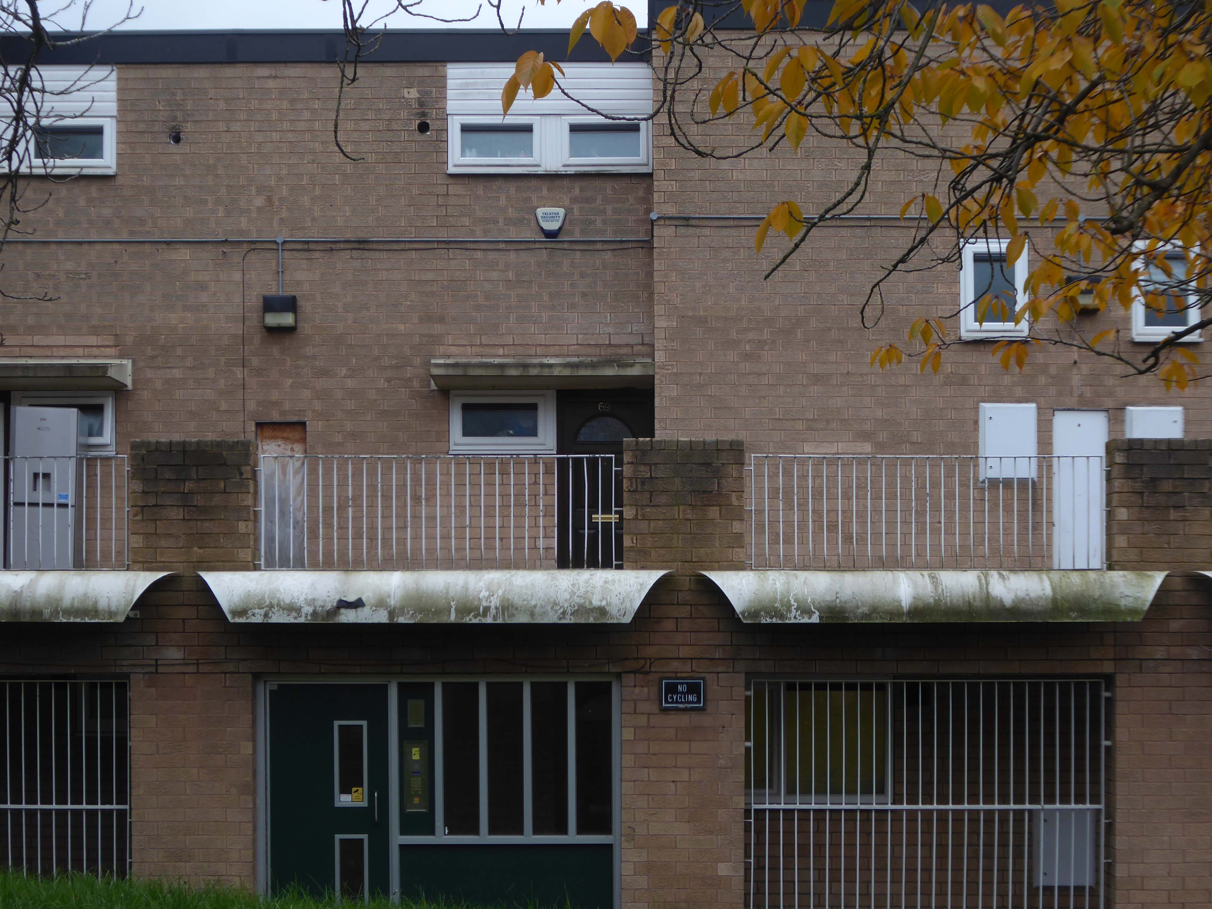
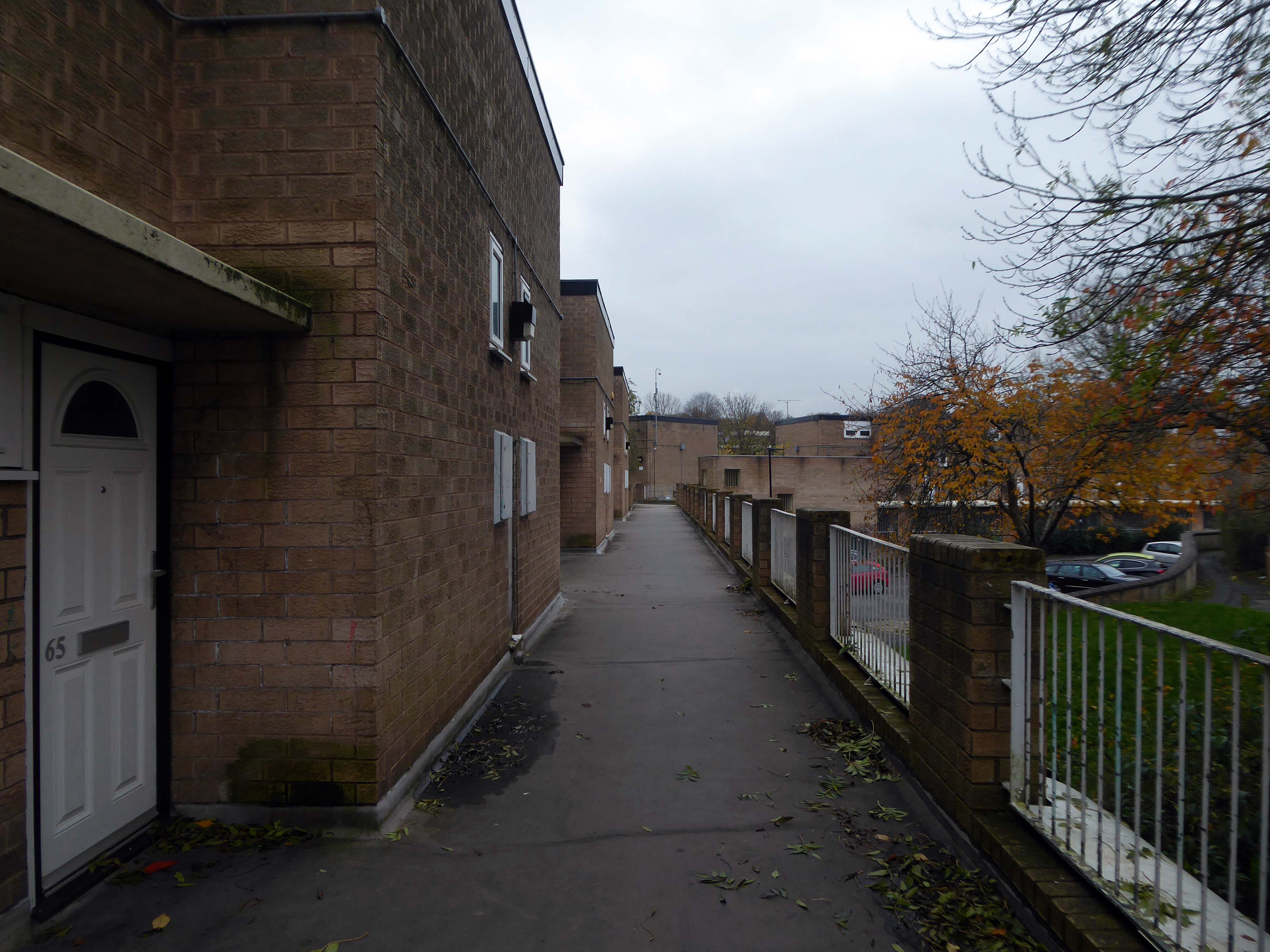
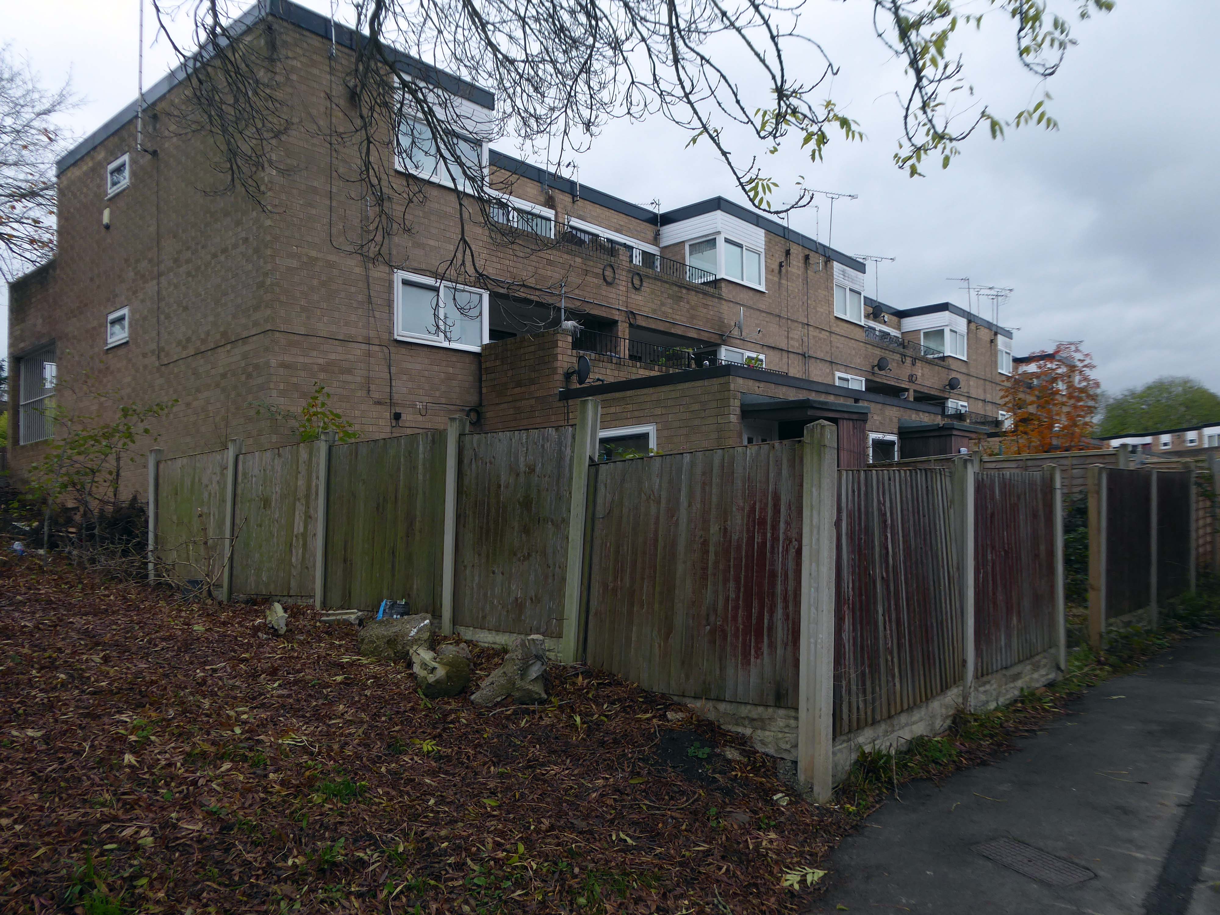
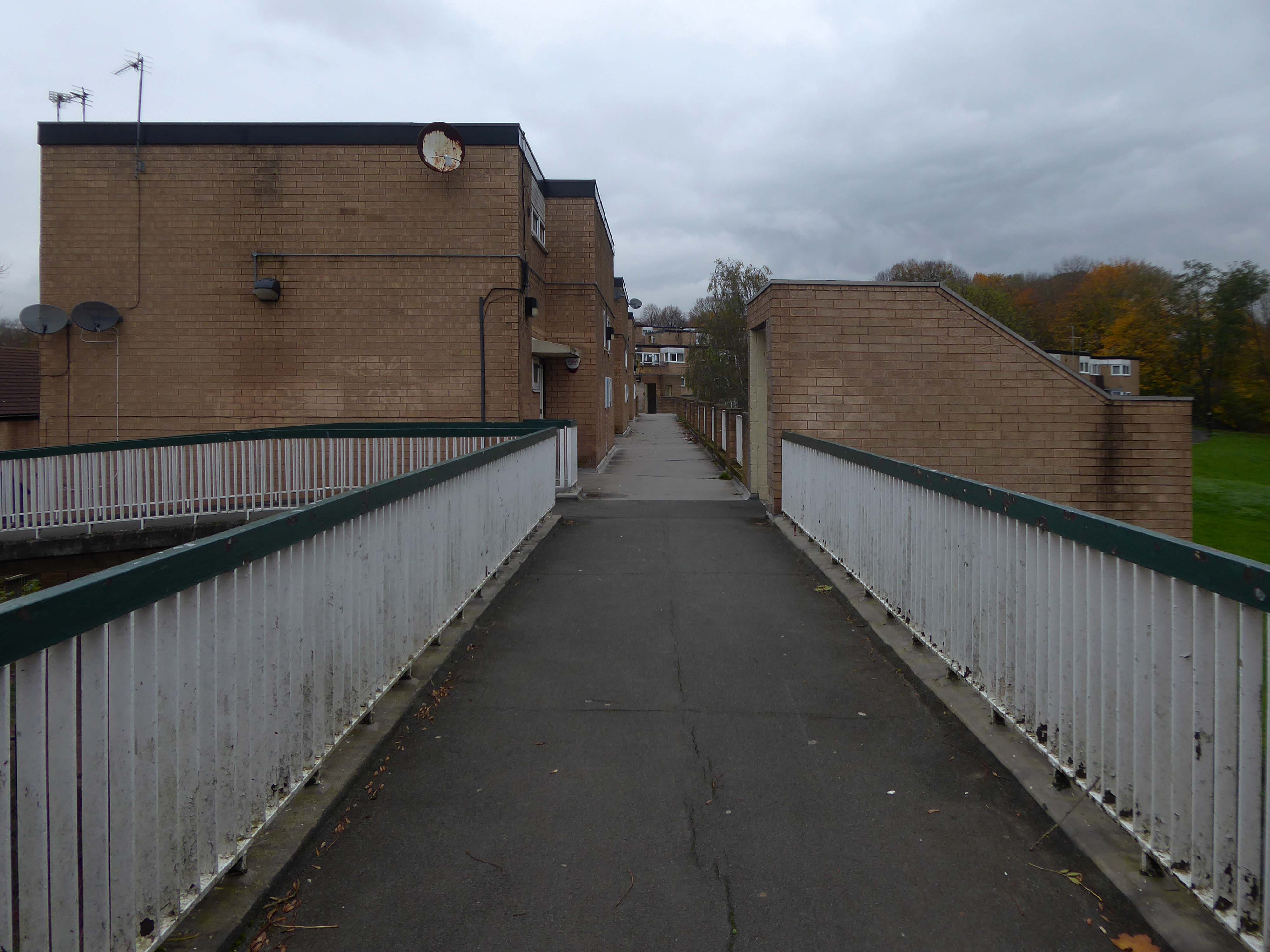
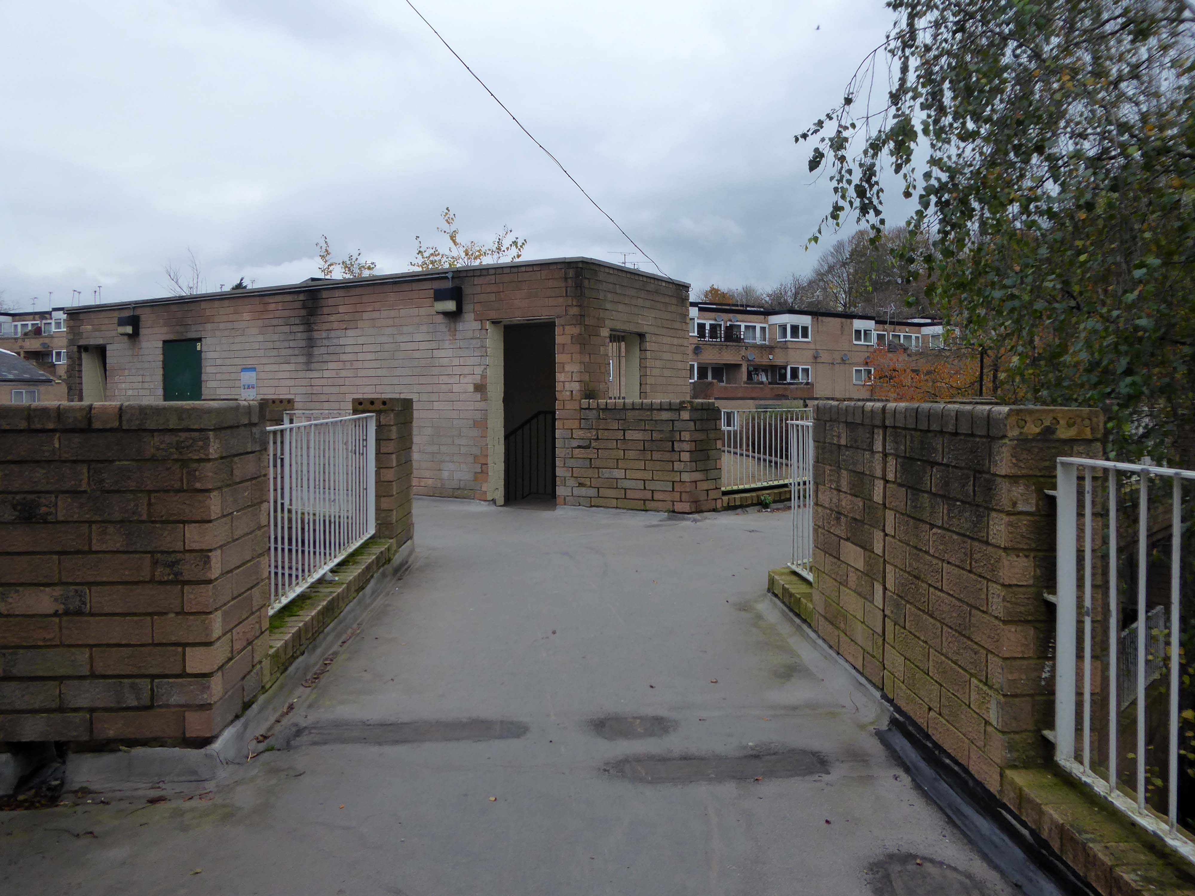
Path which goes behind houses on Short Brook Close 1974
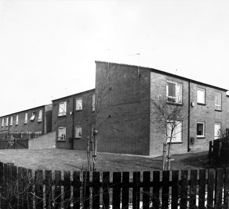
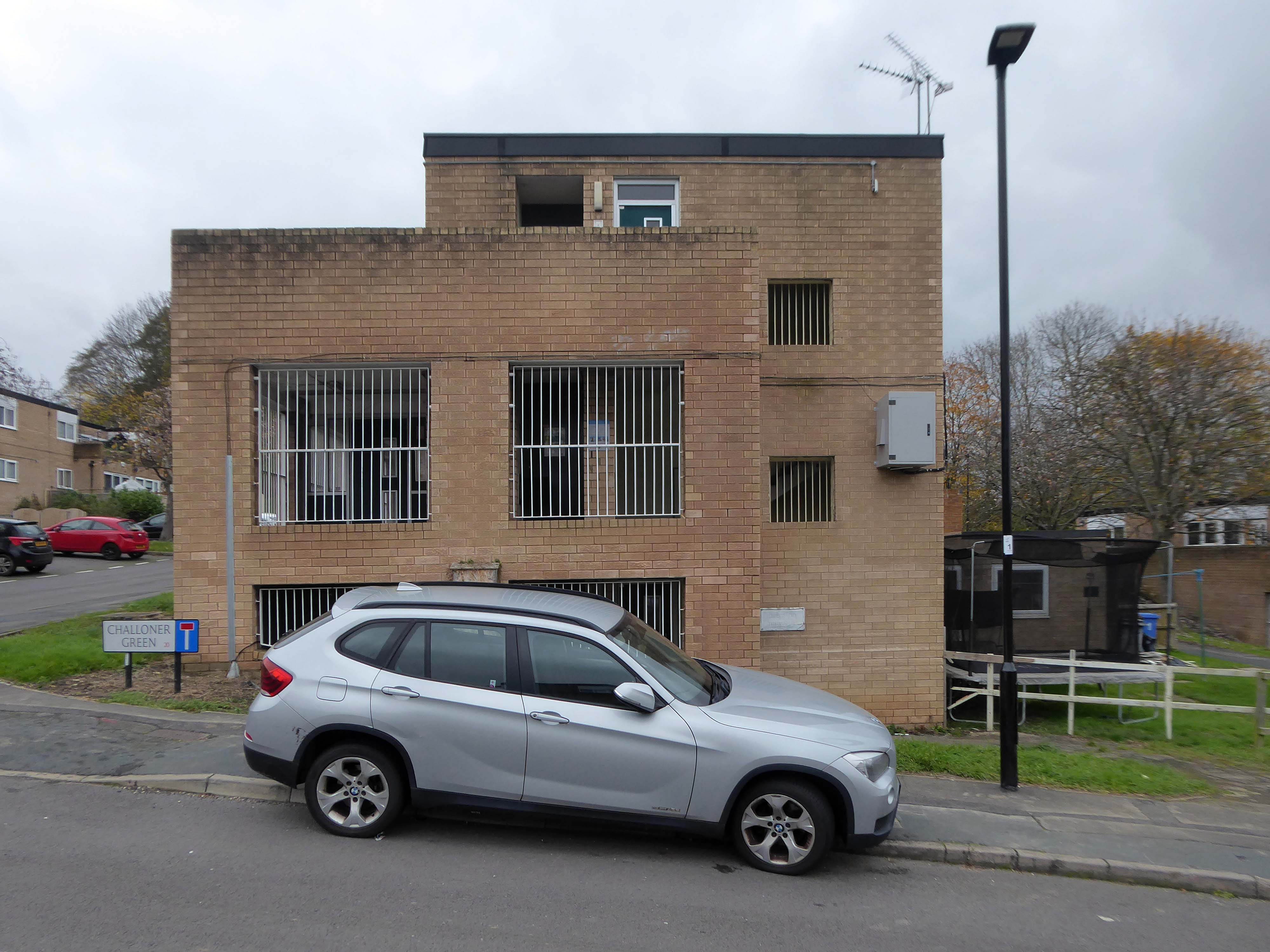
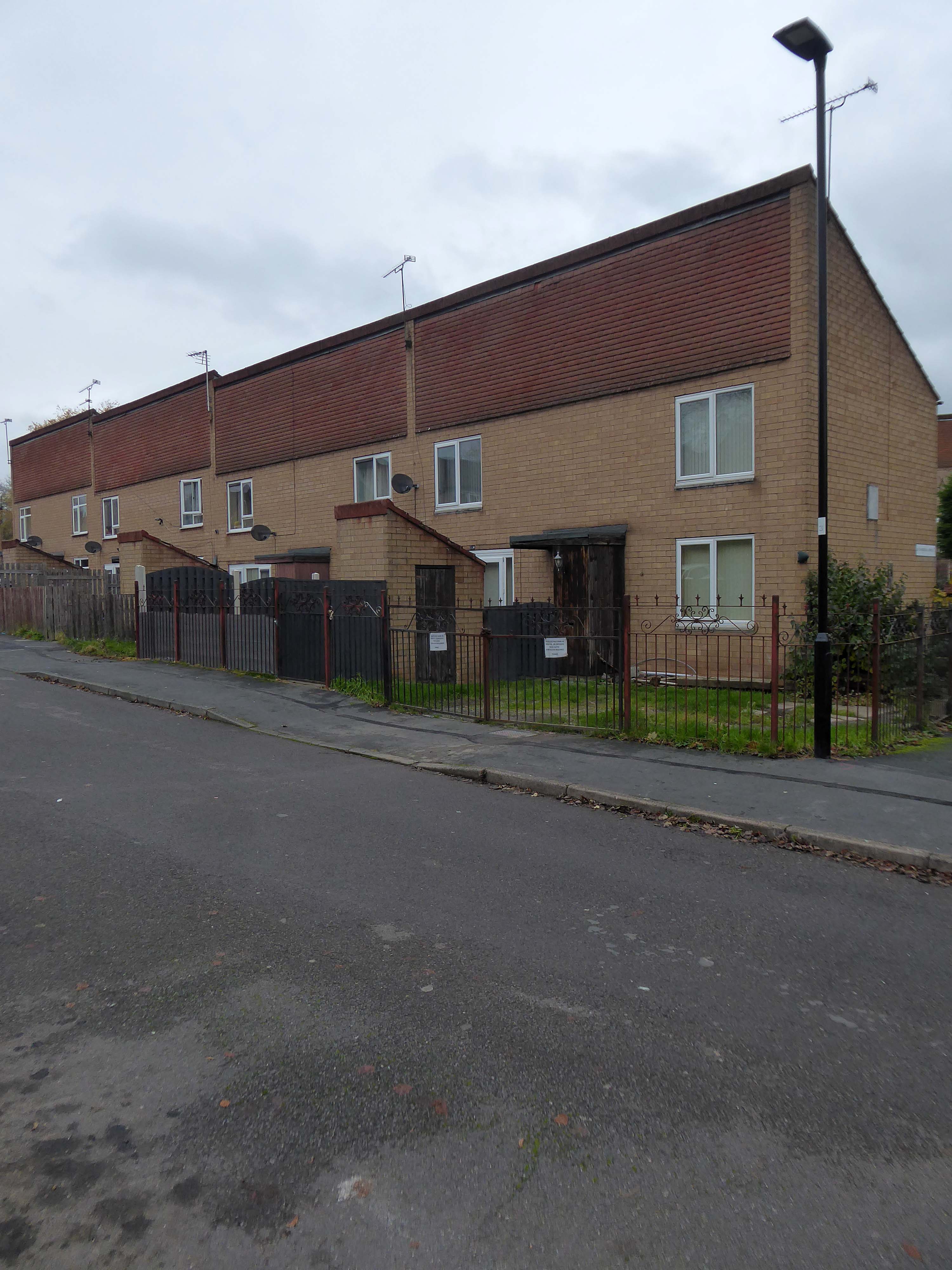
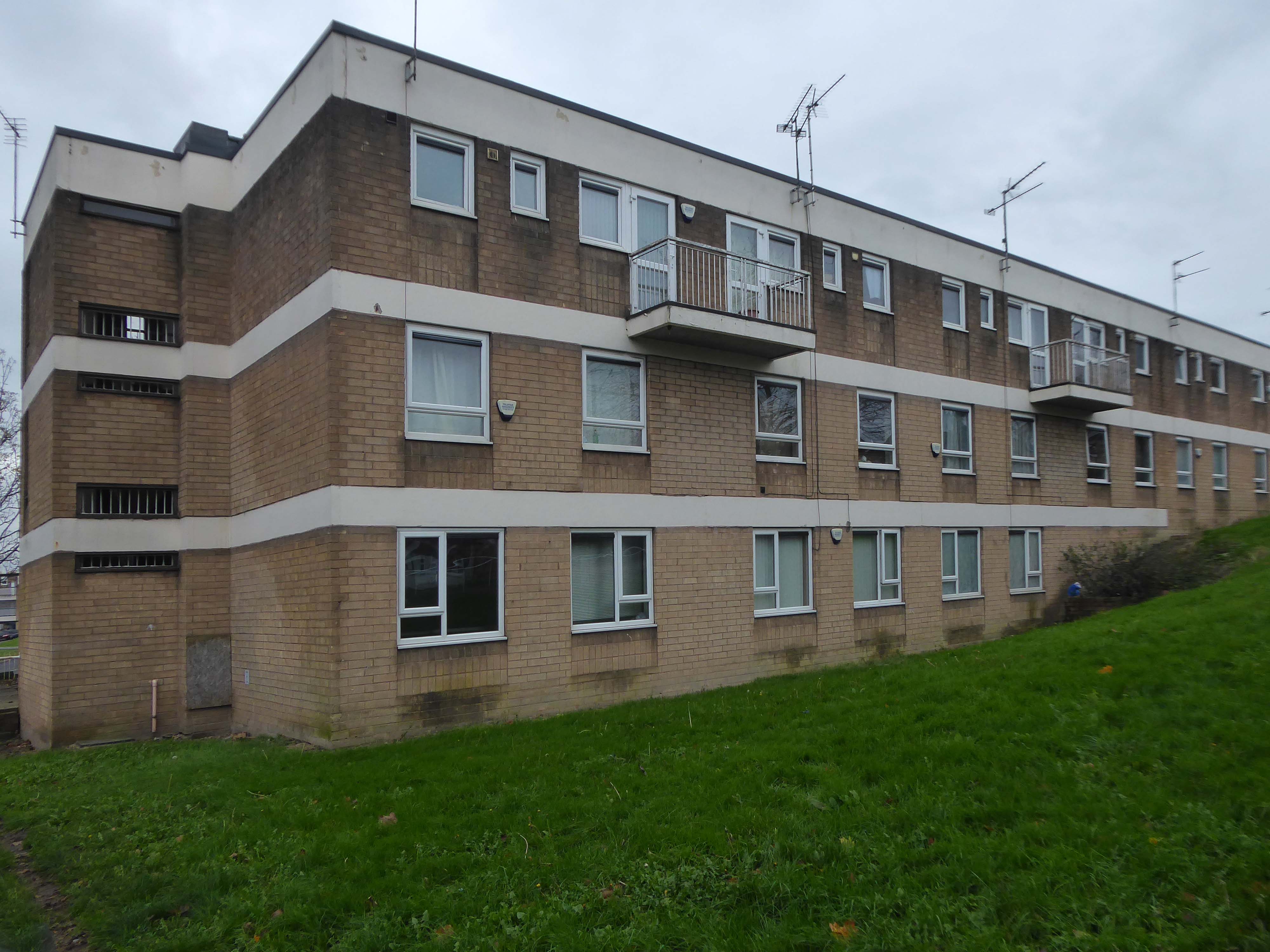
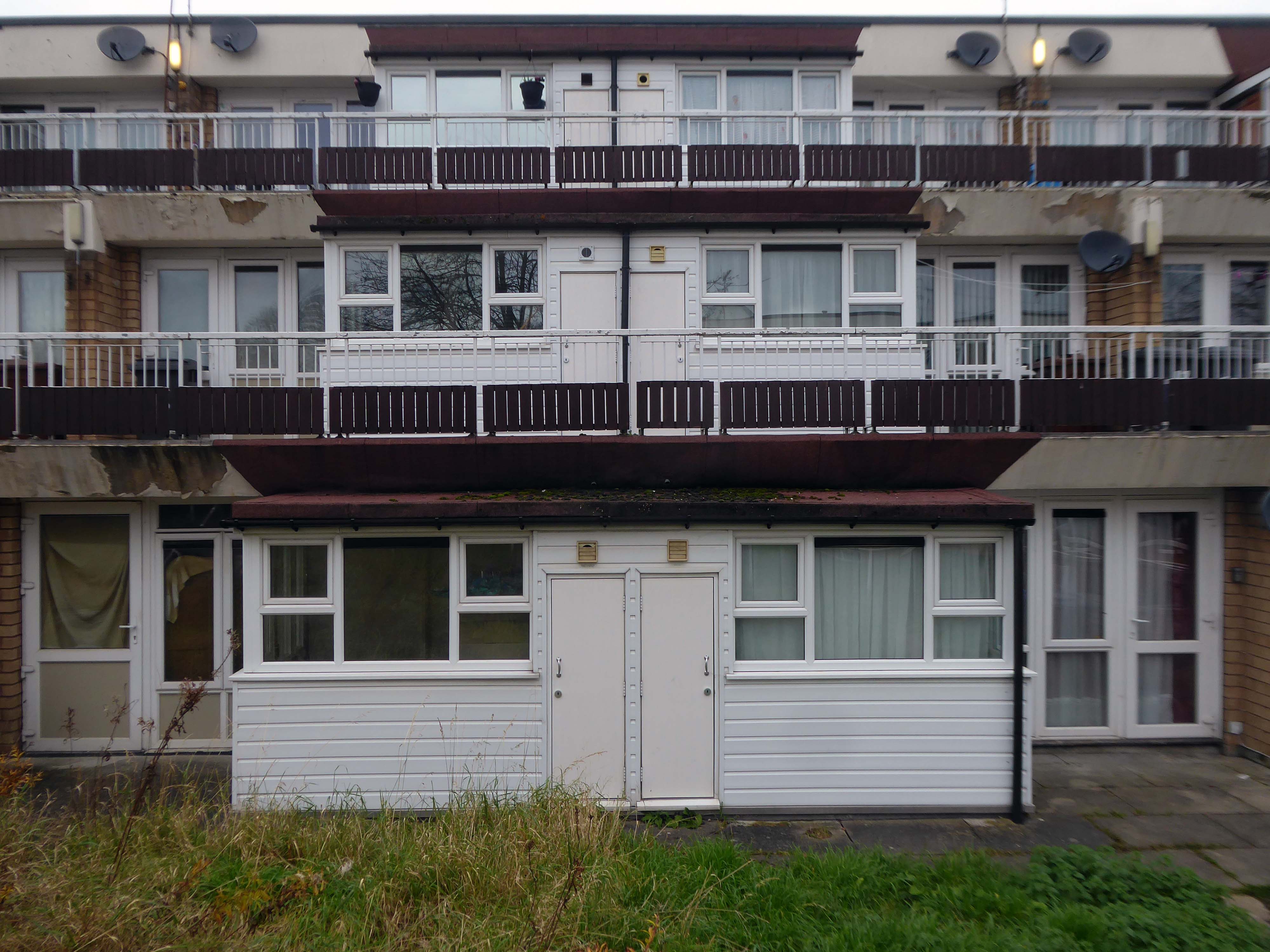
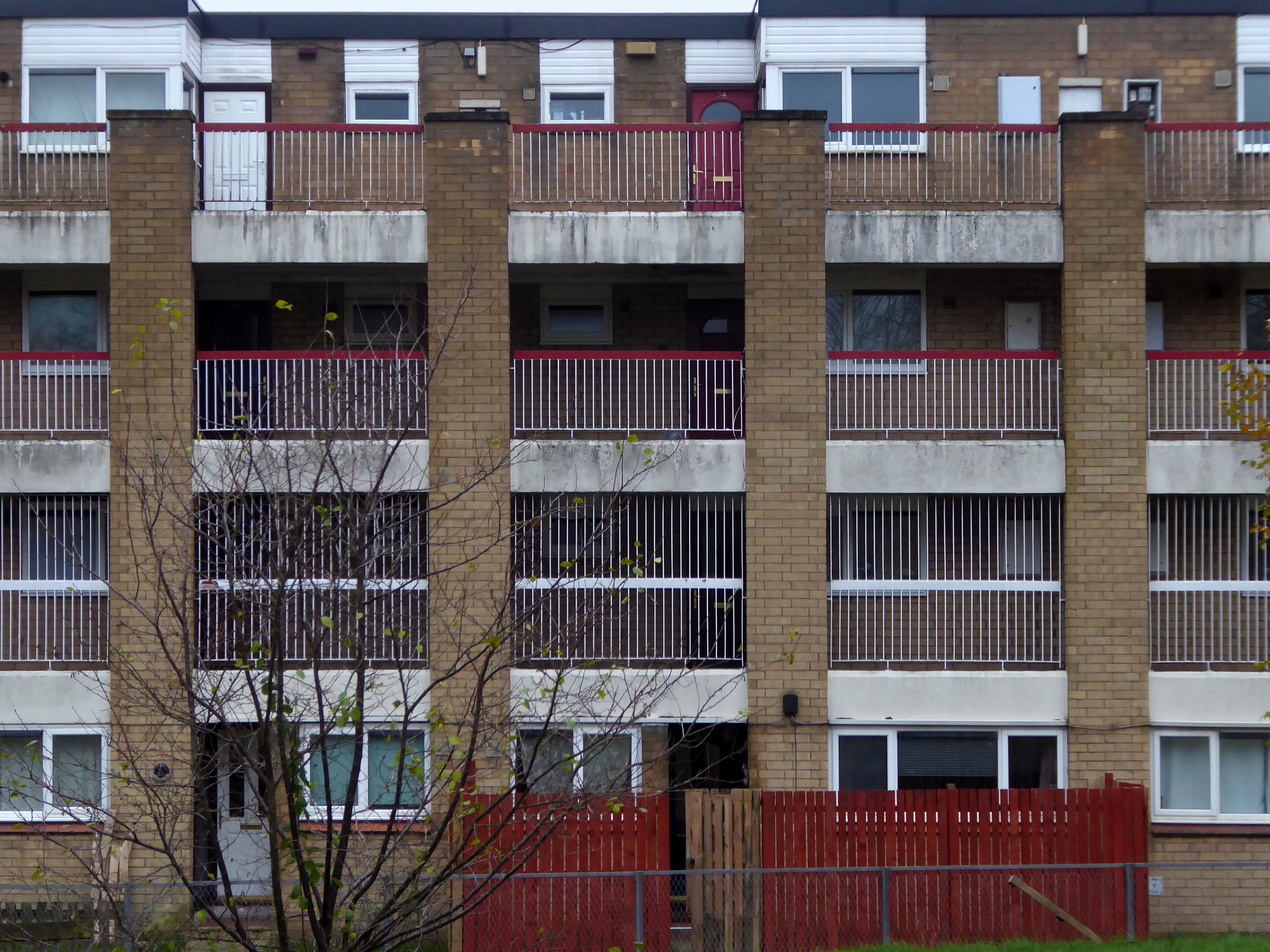
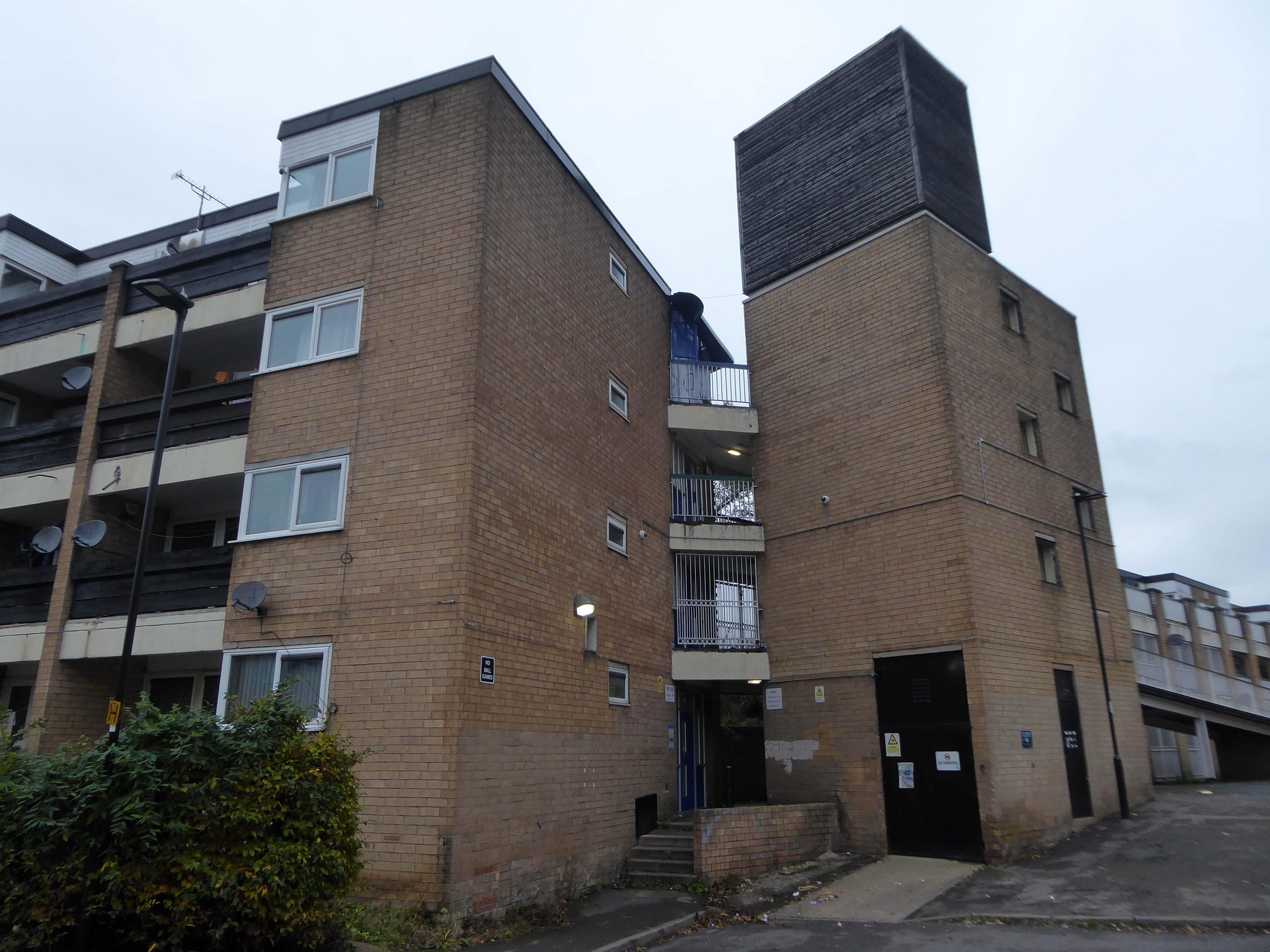
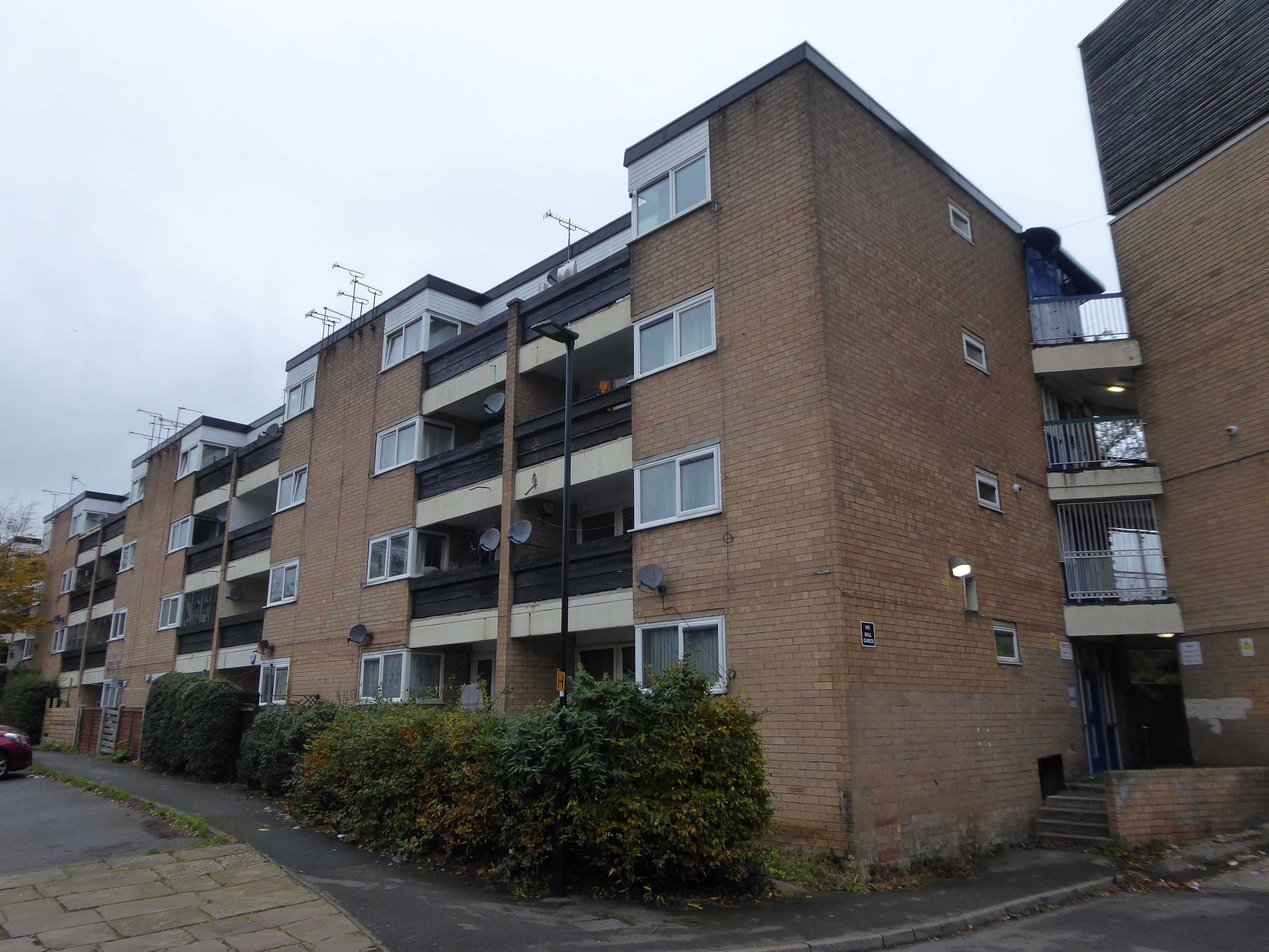
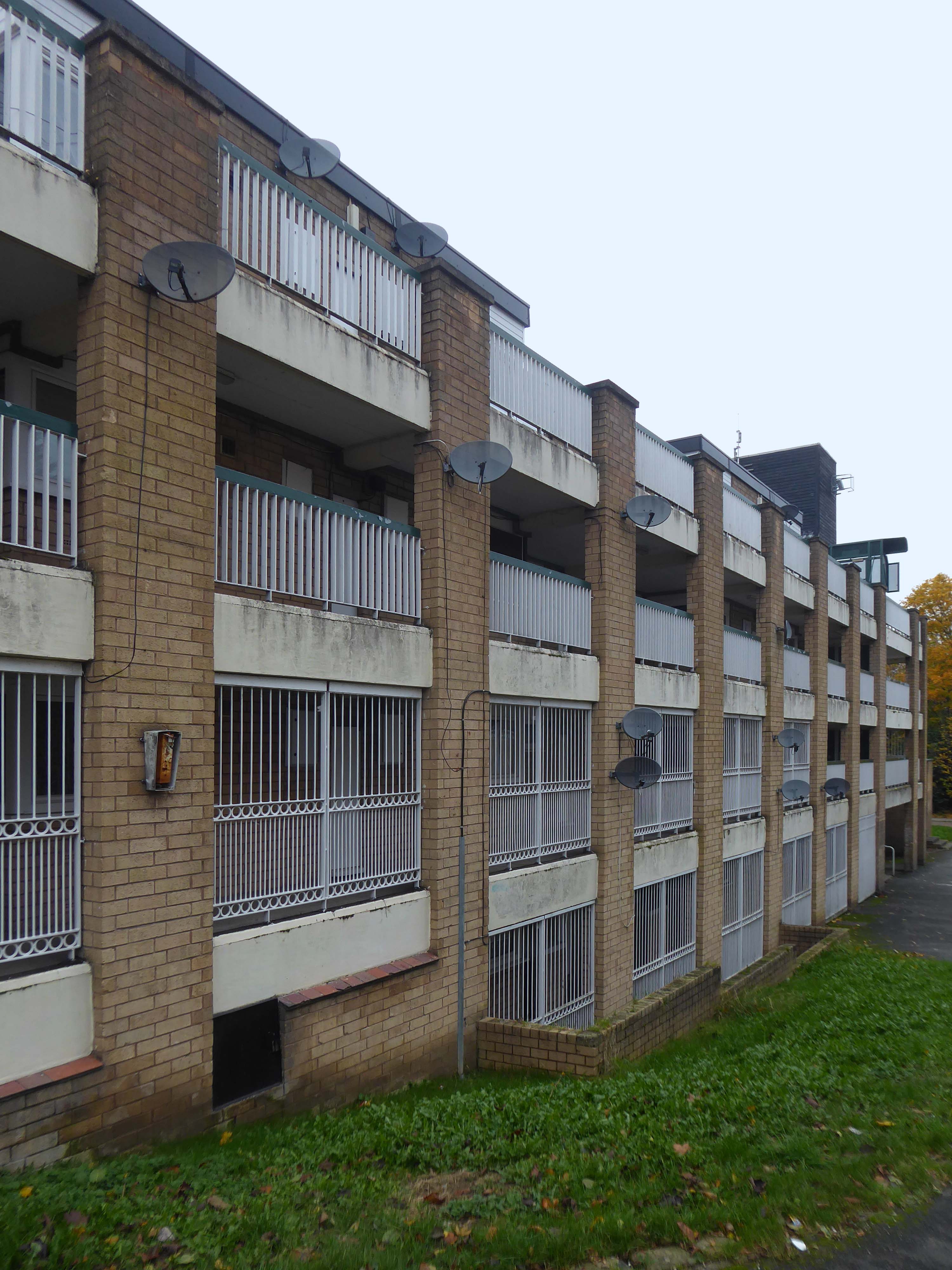
The Waterthorpe and Westfield housing estates were built from mid-1970s and were added to over a number of years. Eventually linking with both the old council estate of Beighton and the new estate of Halfway, the estates house a condensed significant number of almost wholly local authority owned properties following the phasing down and demolition of the original estates around Parson Cross and Shiregreen in the north of the city.
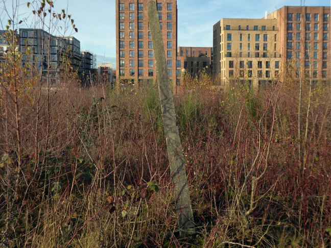
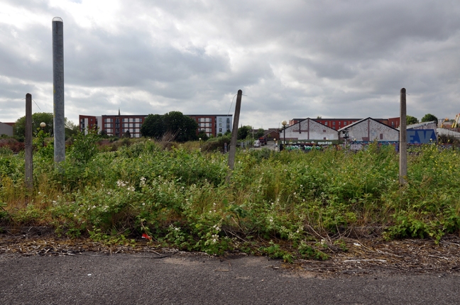
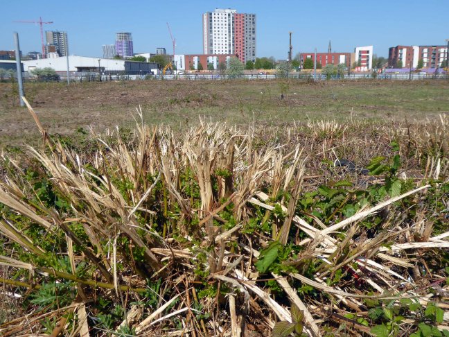
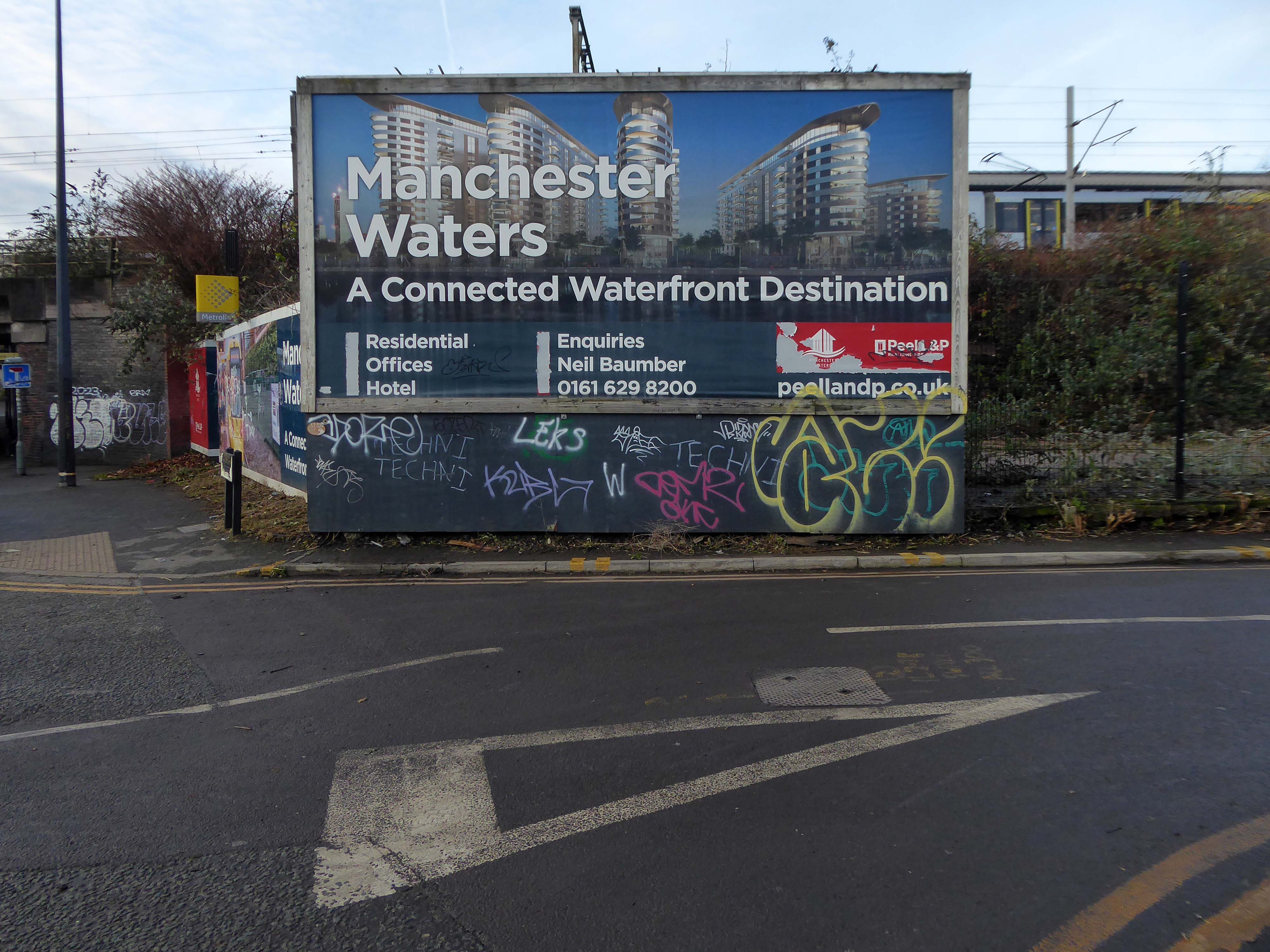
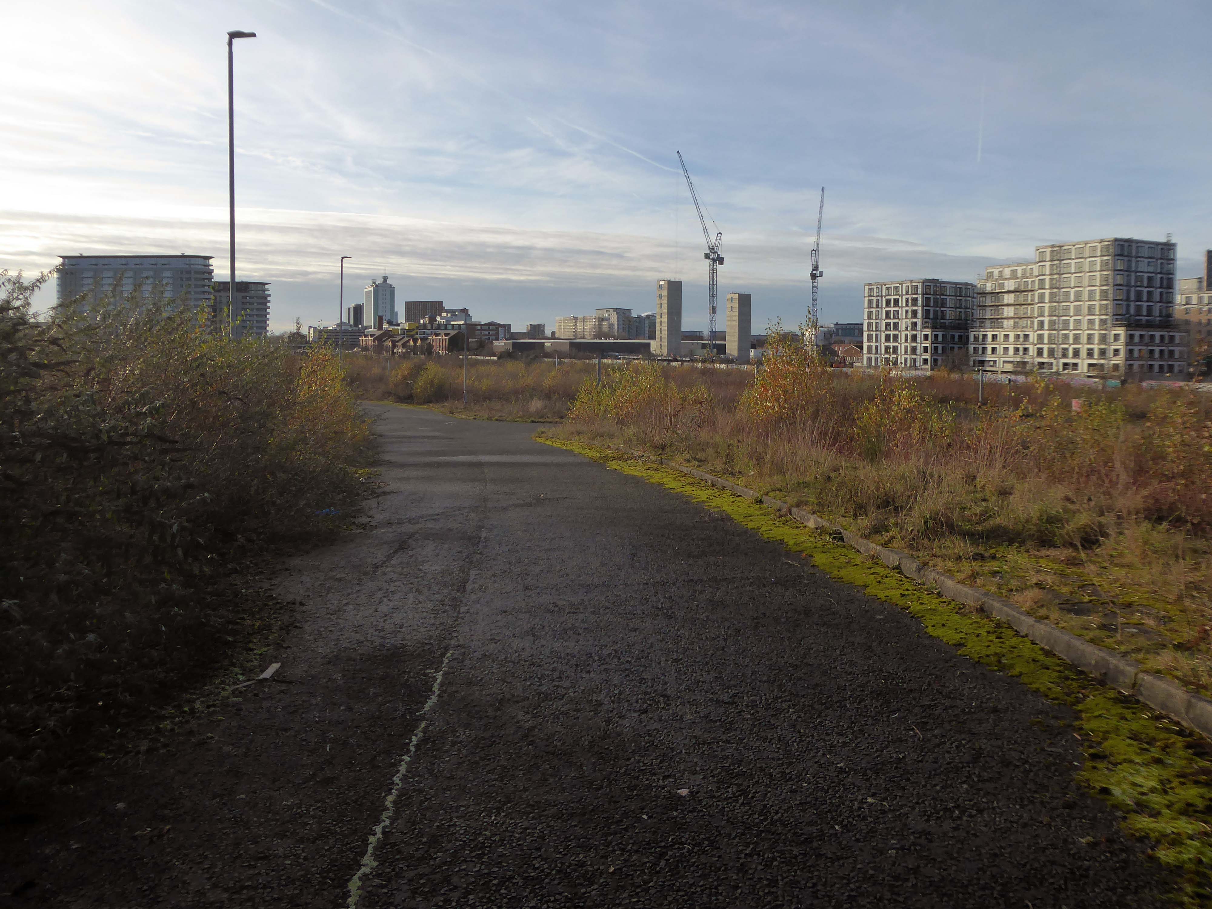
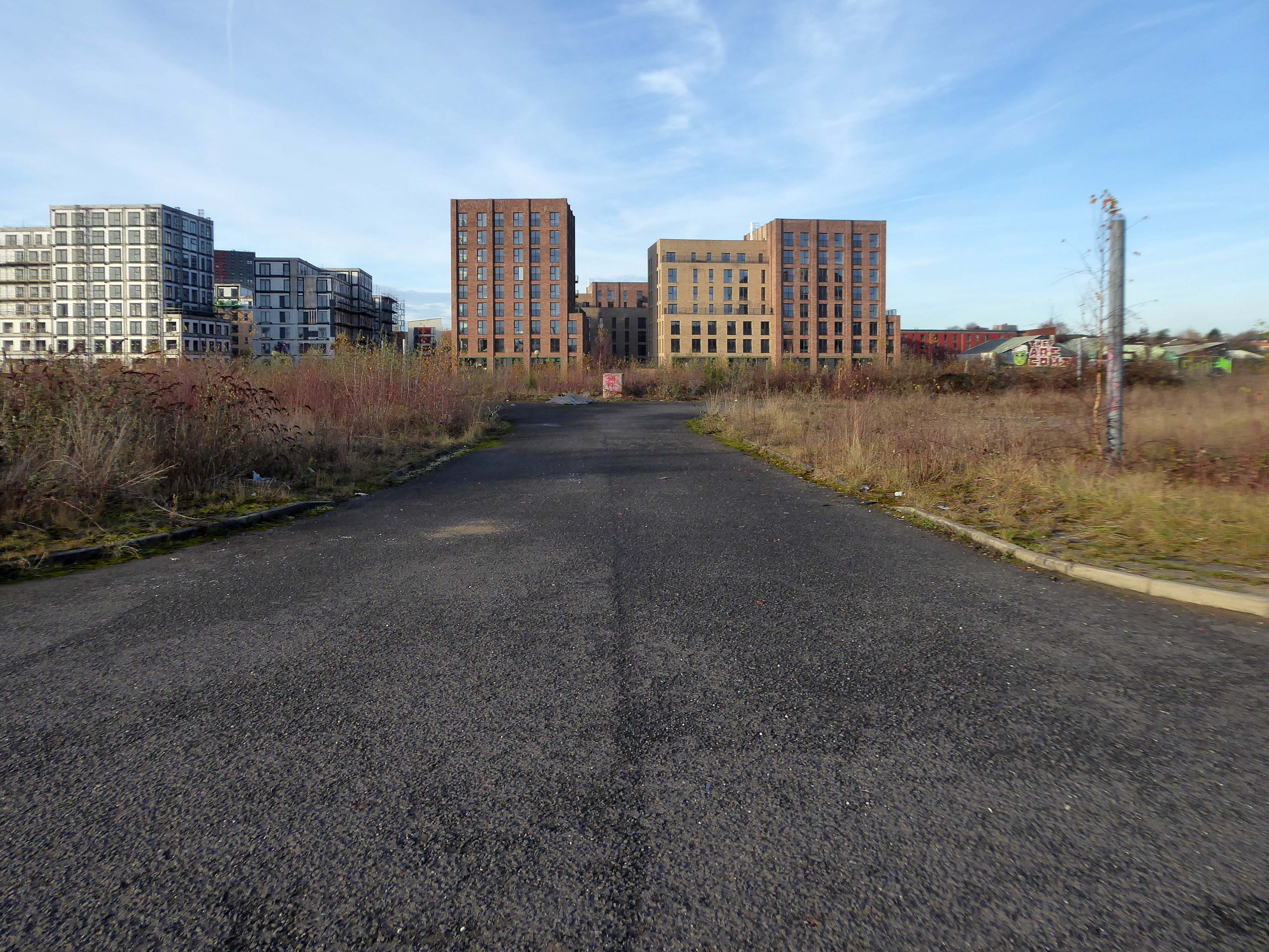
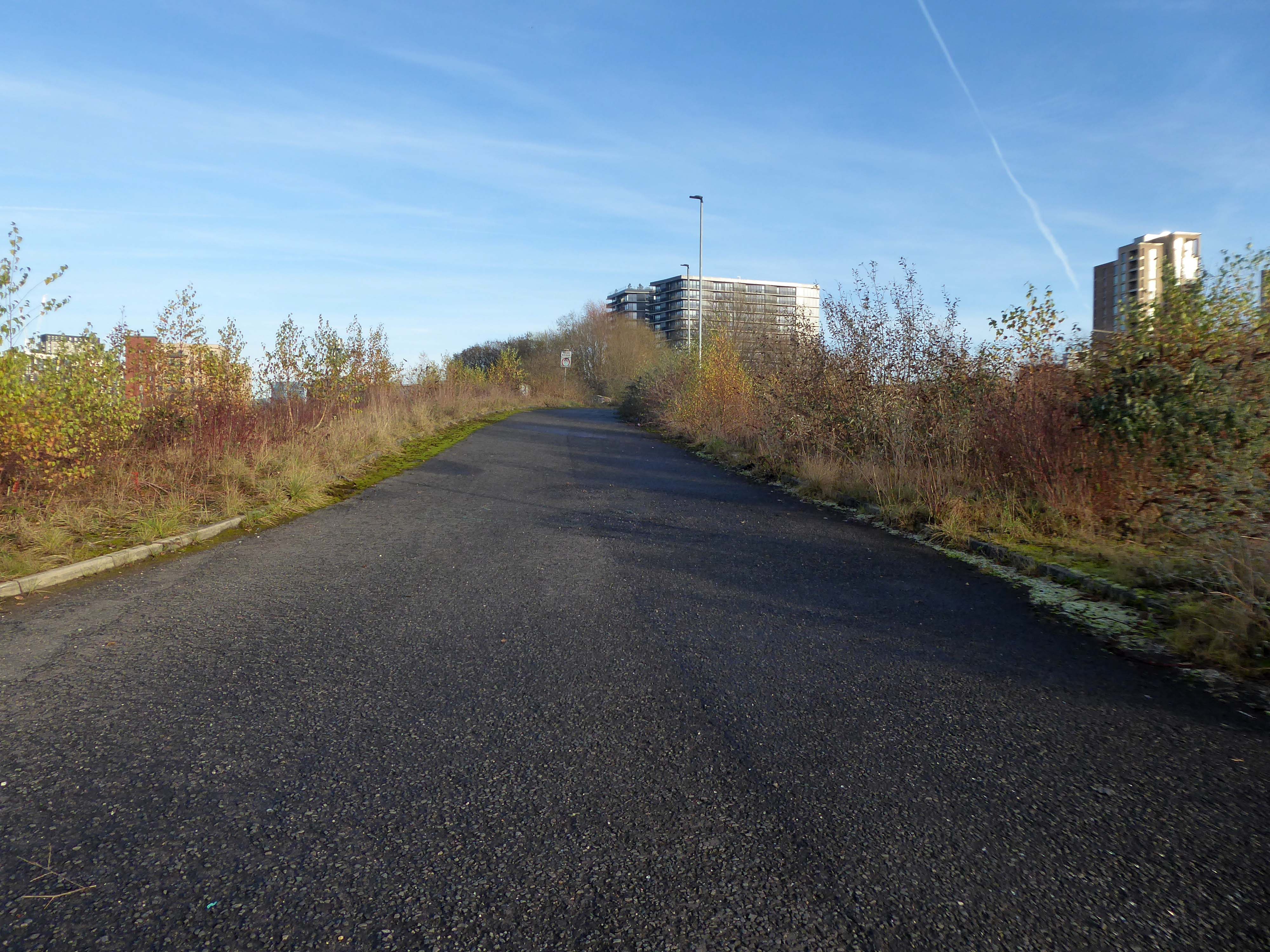
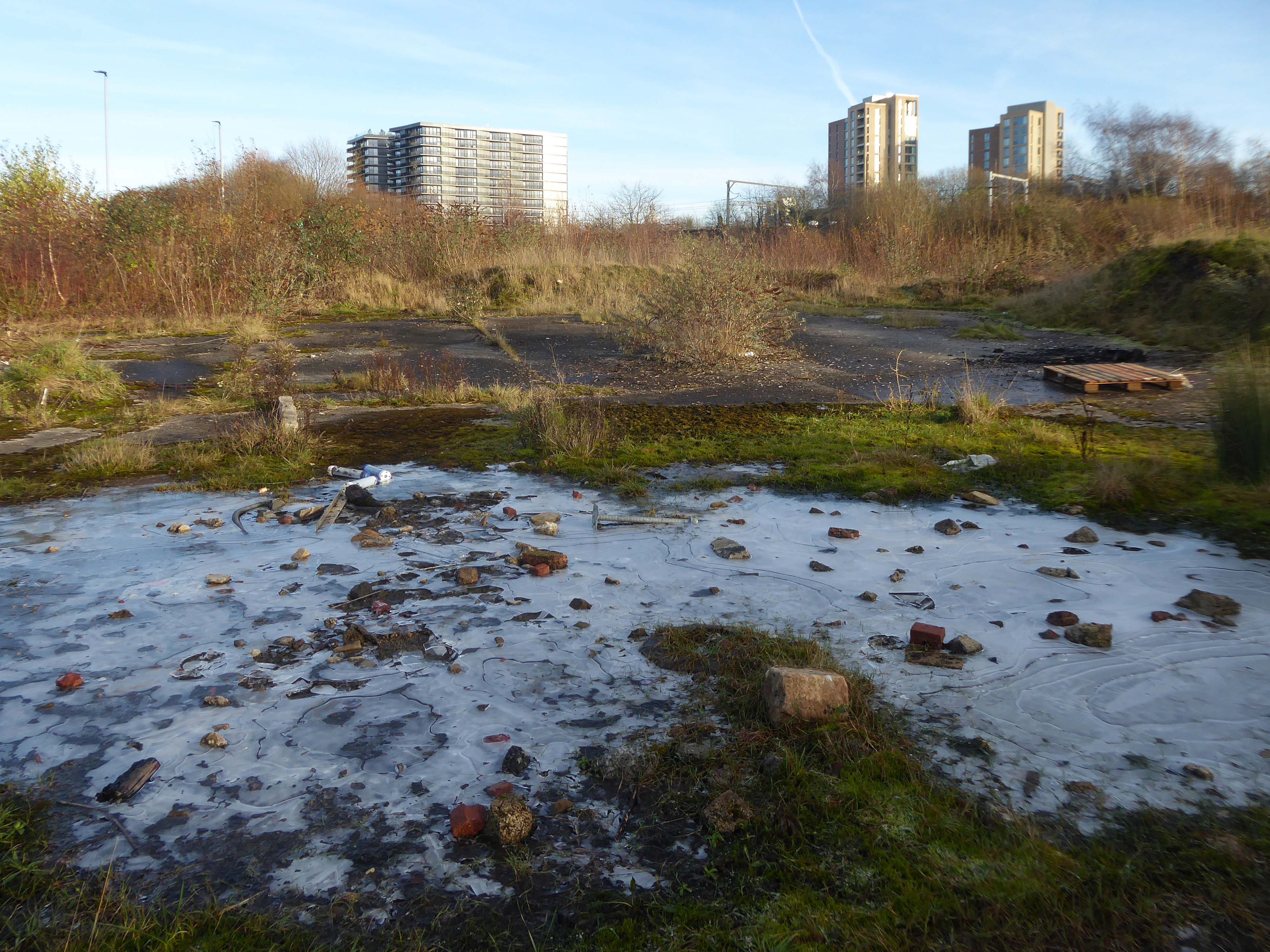
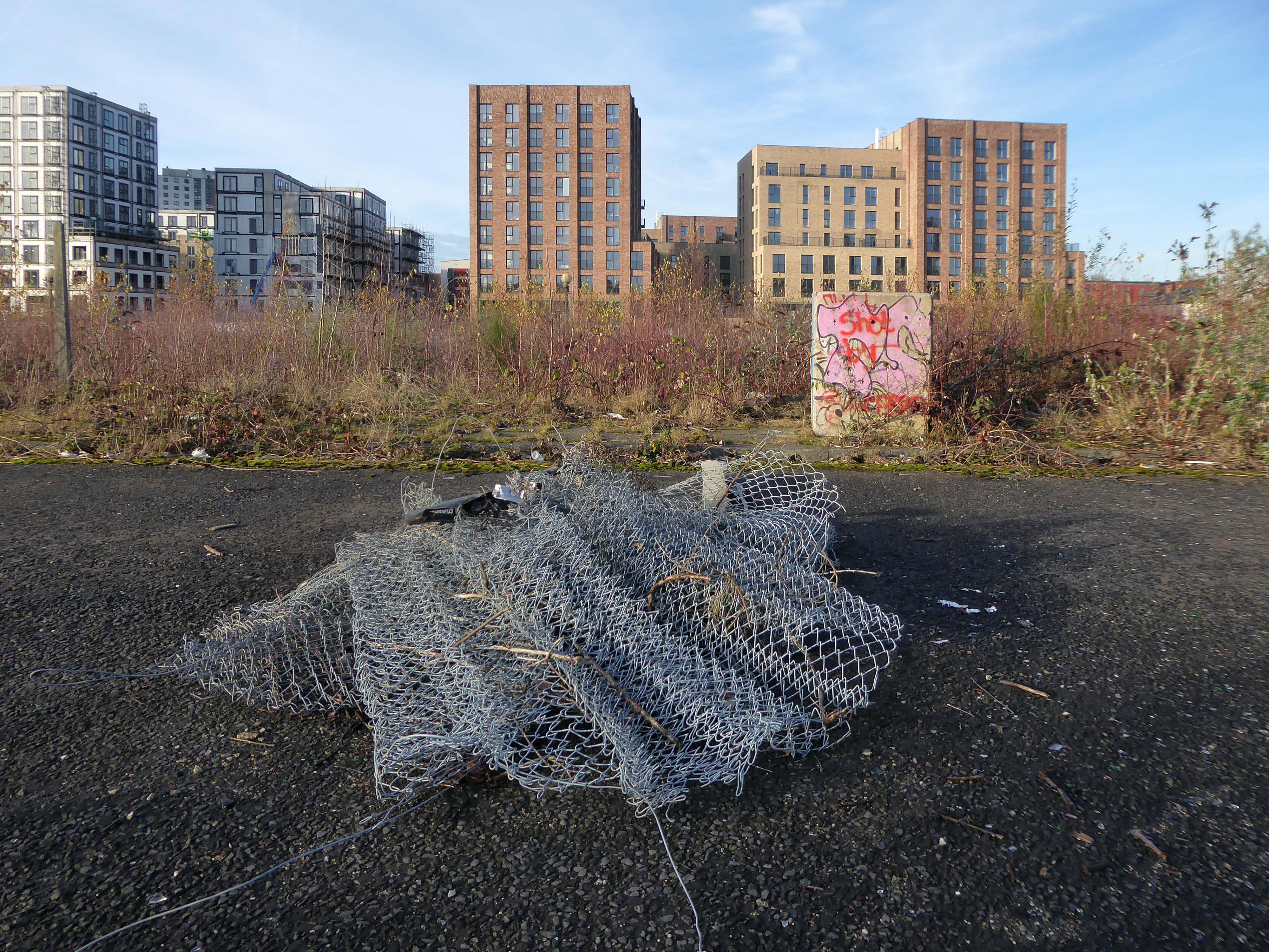
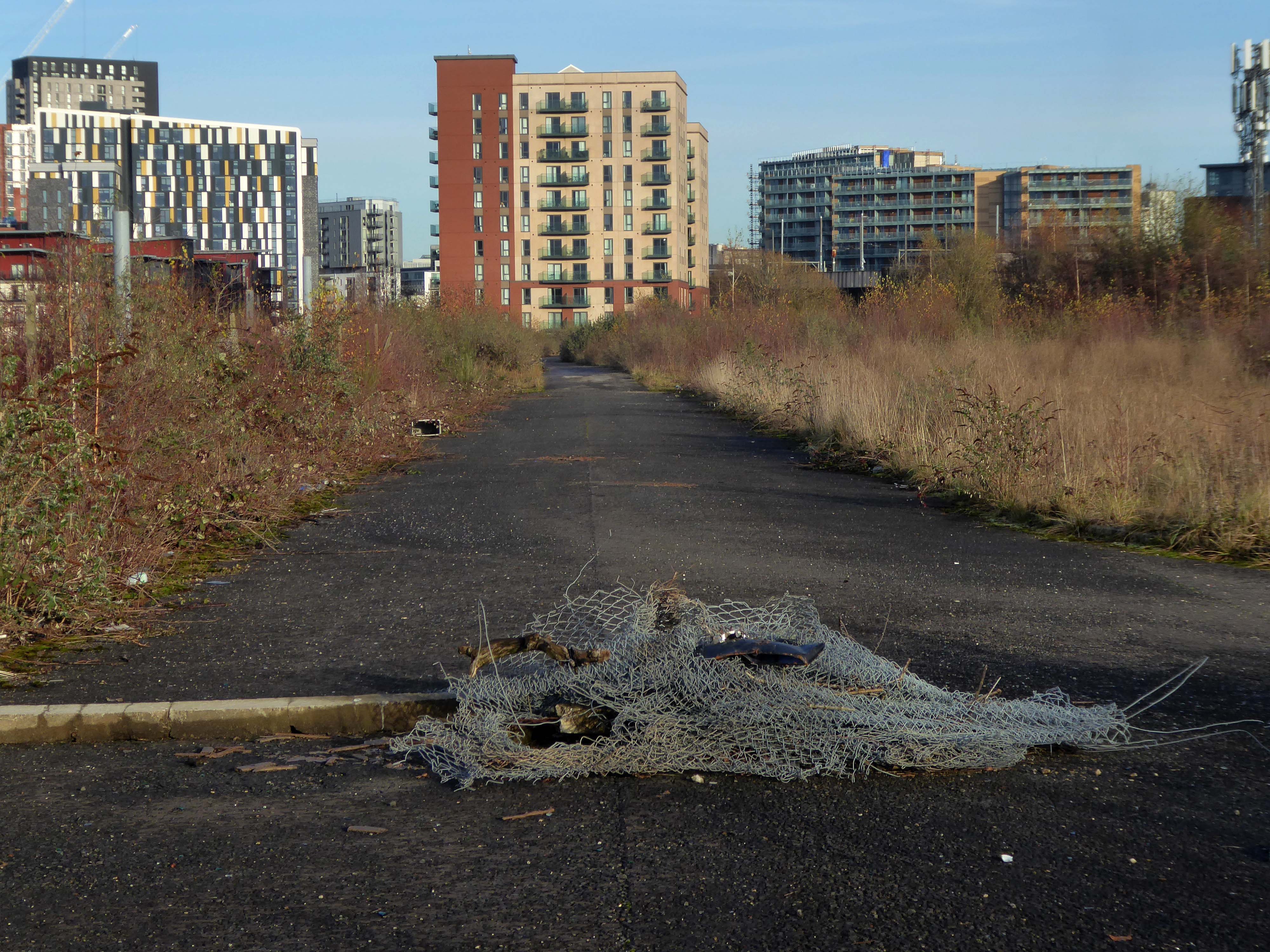
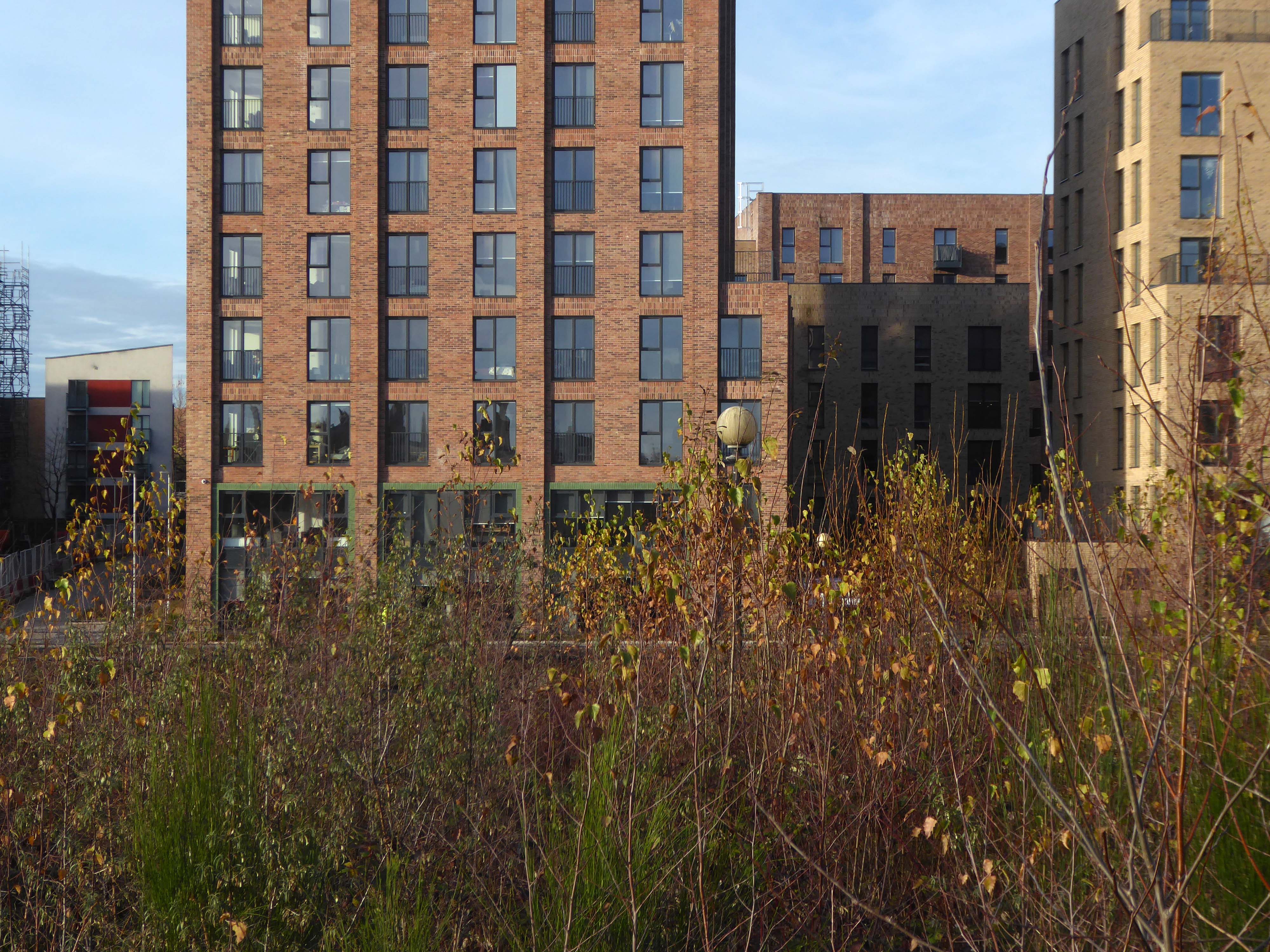
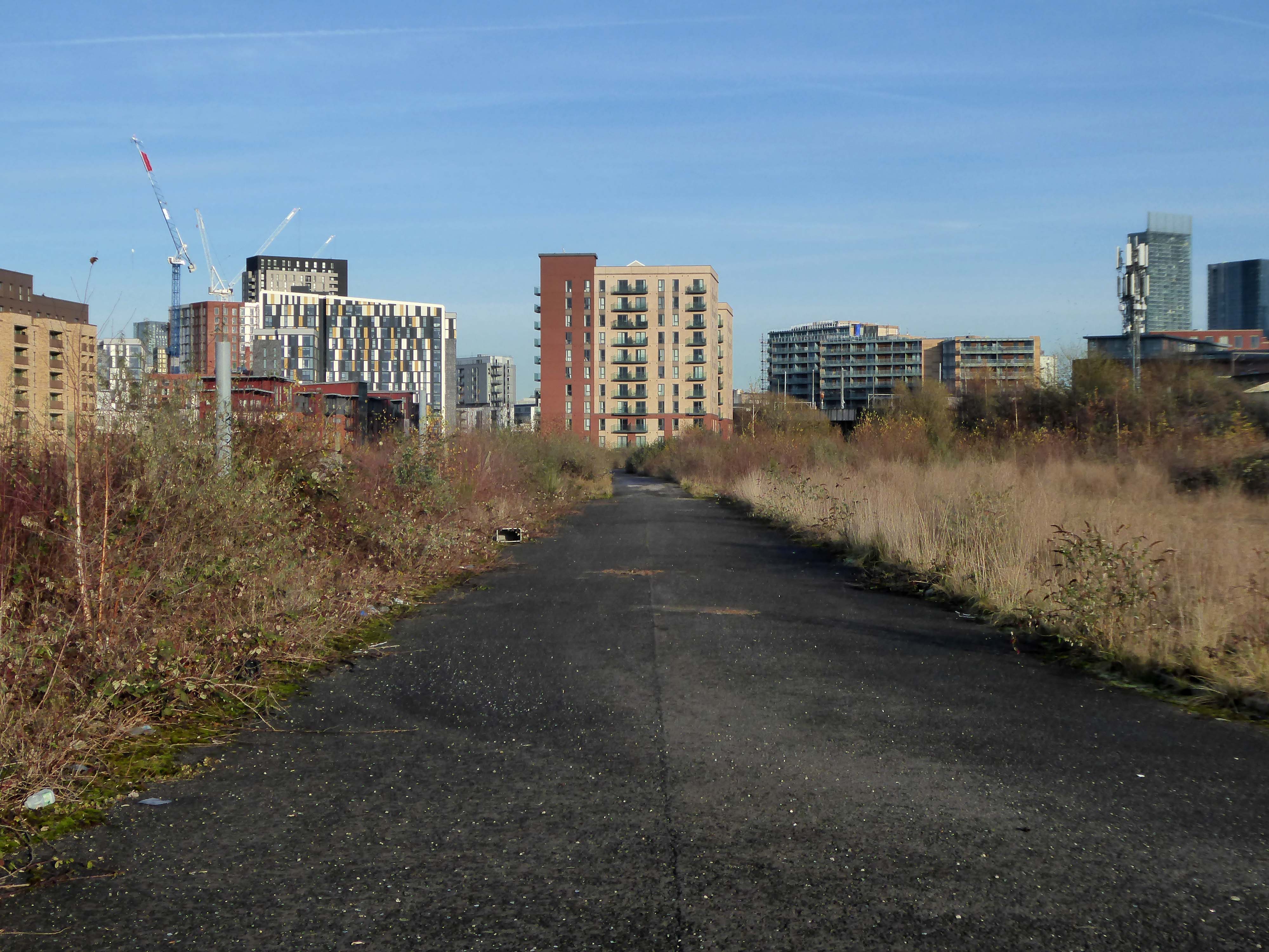
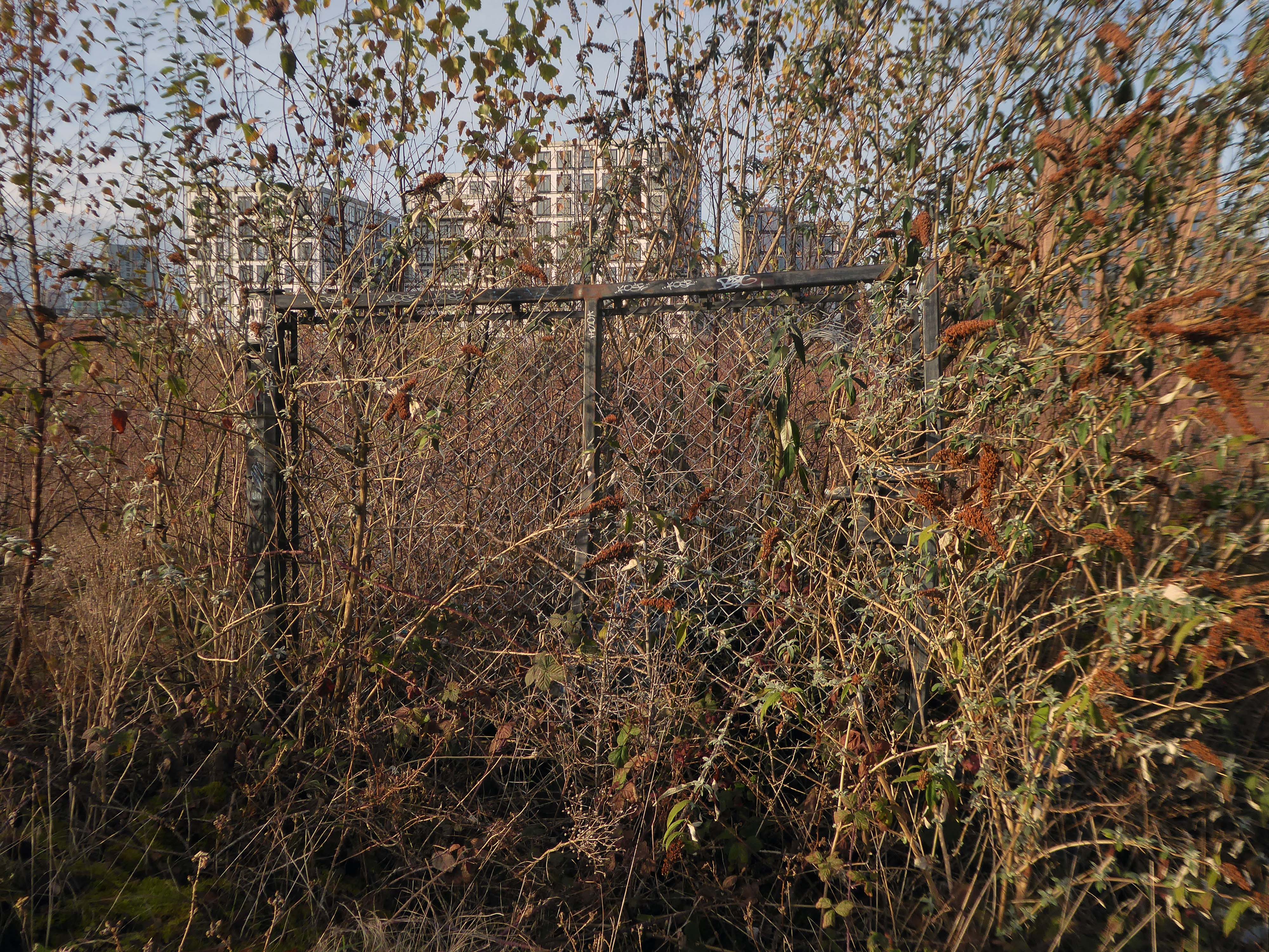
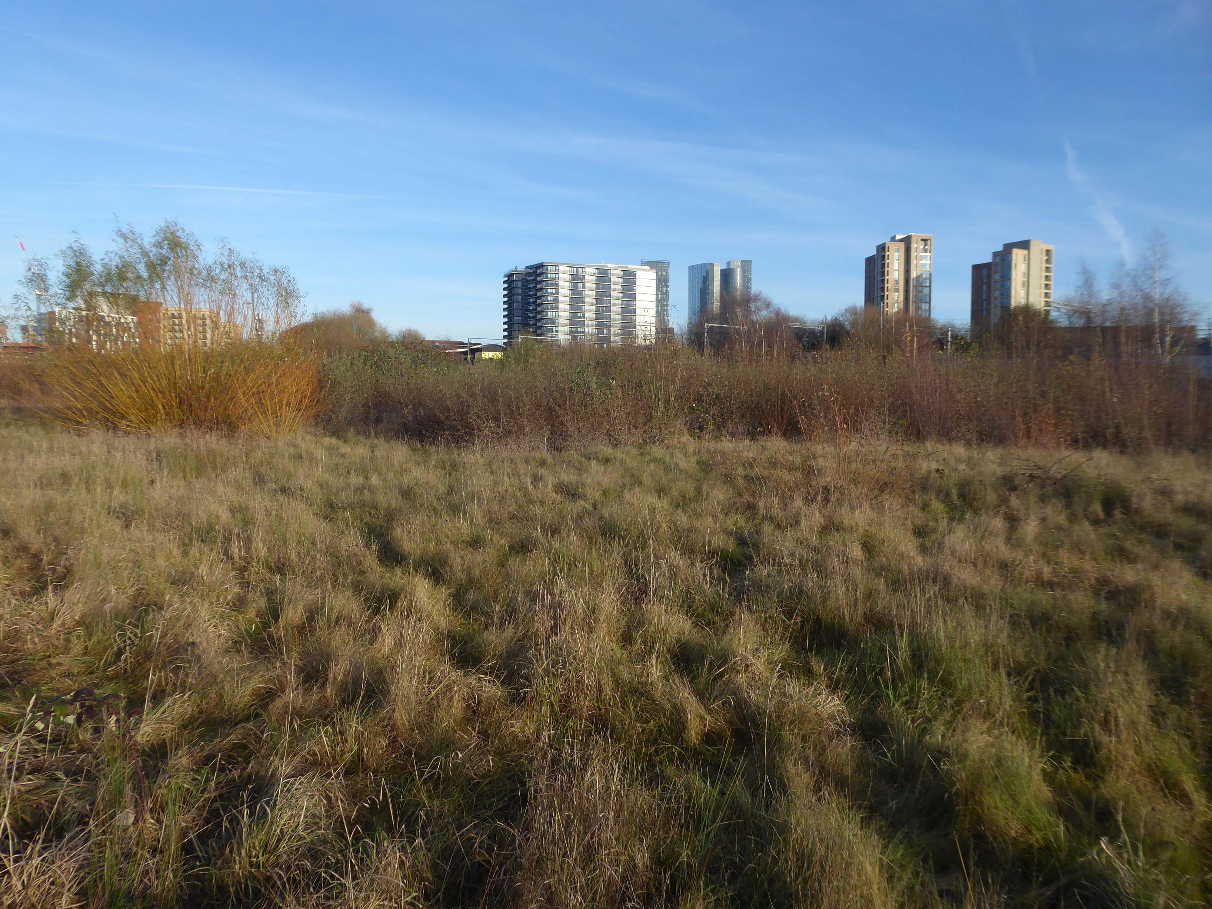
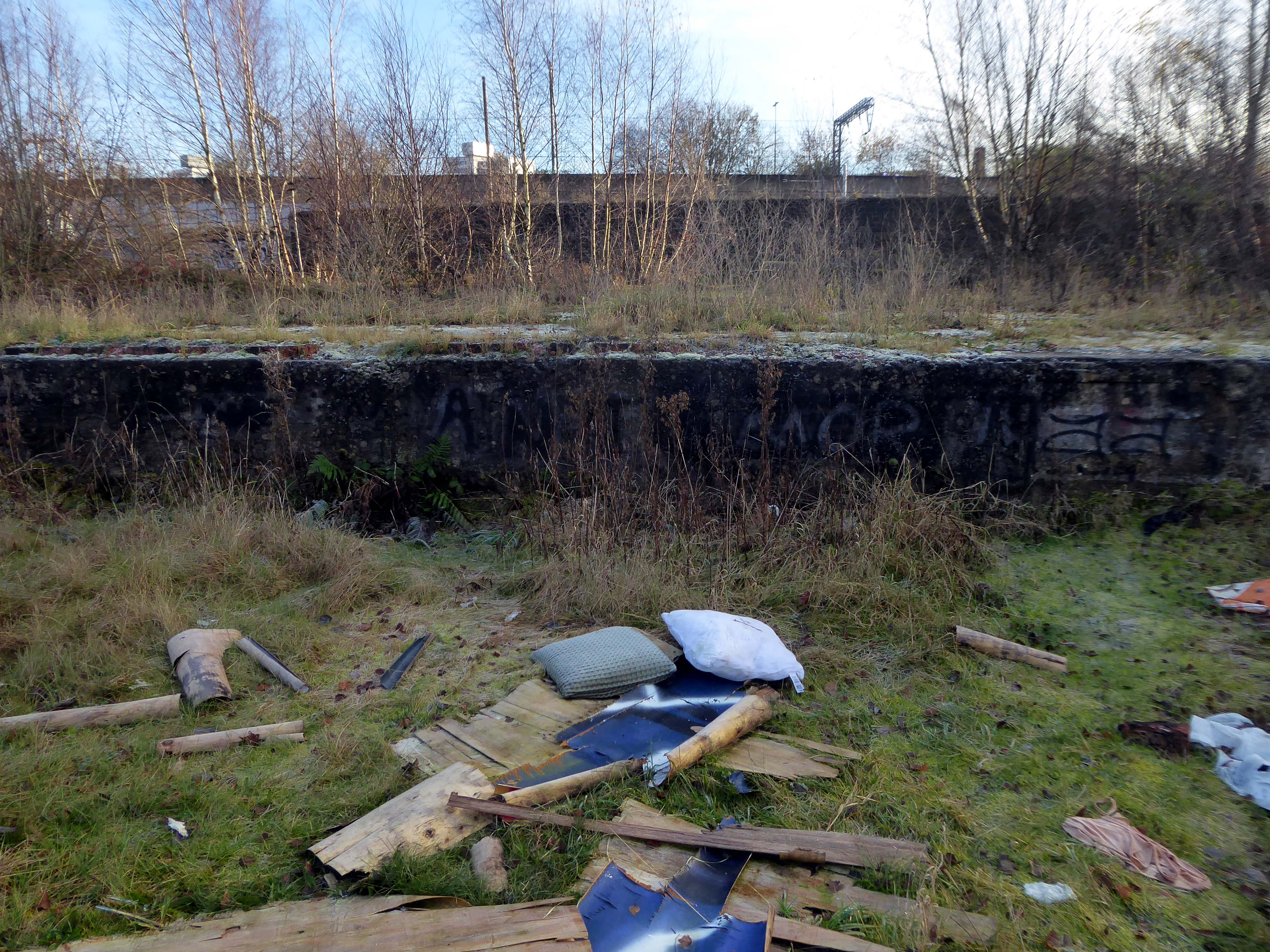
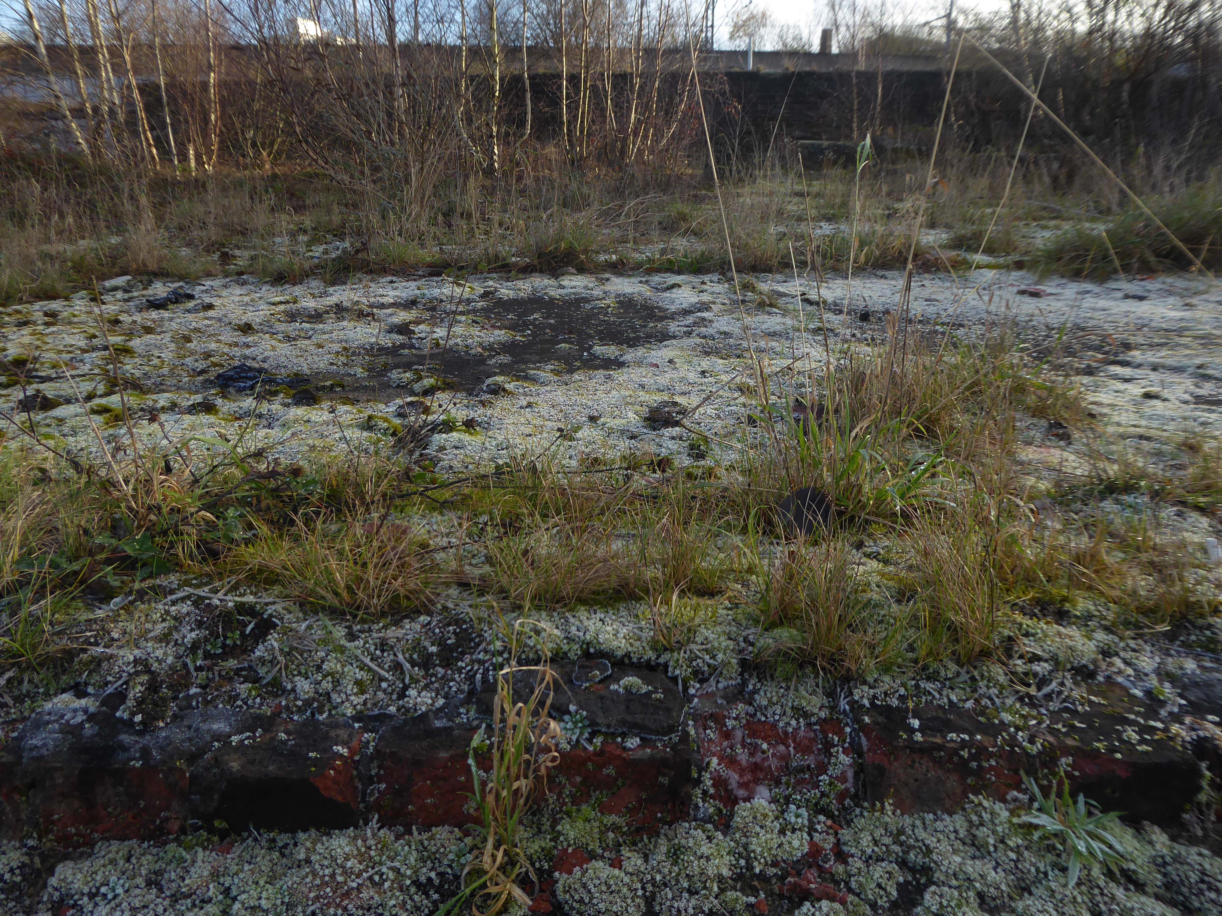
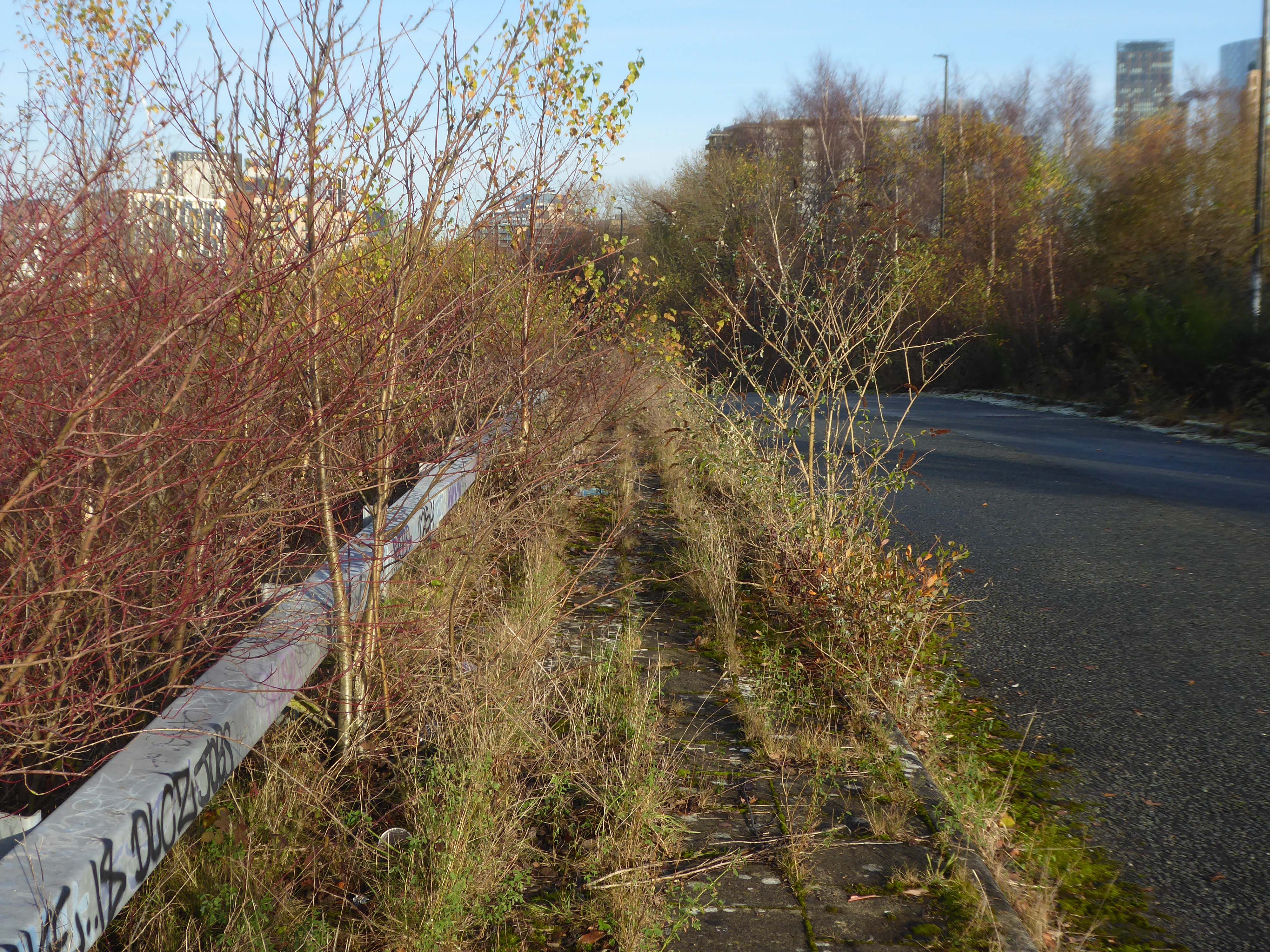
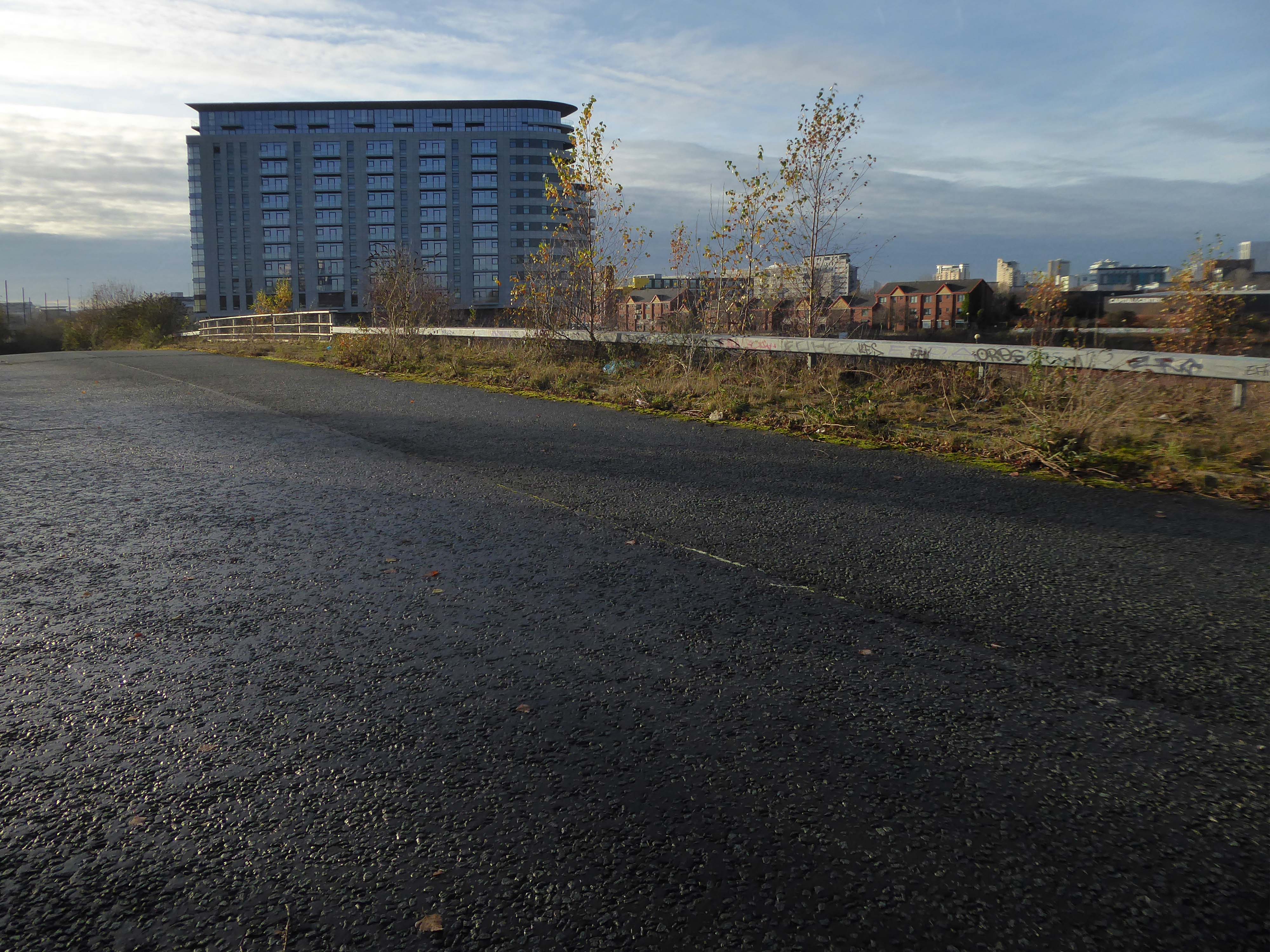
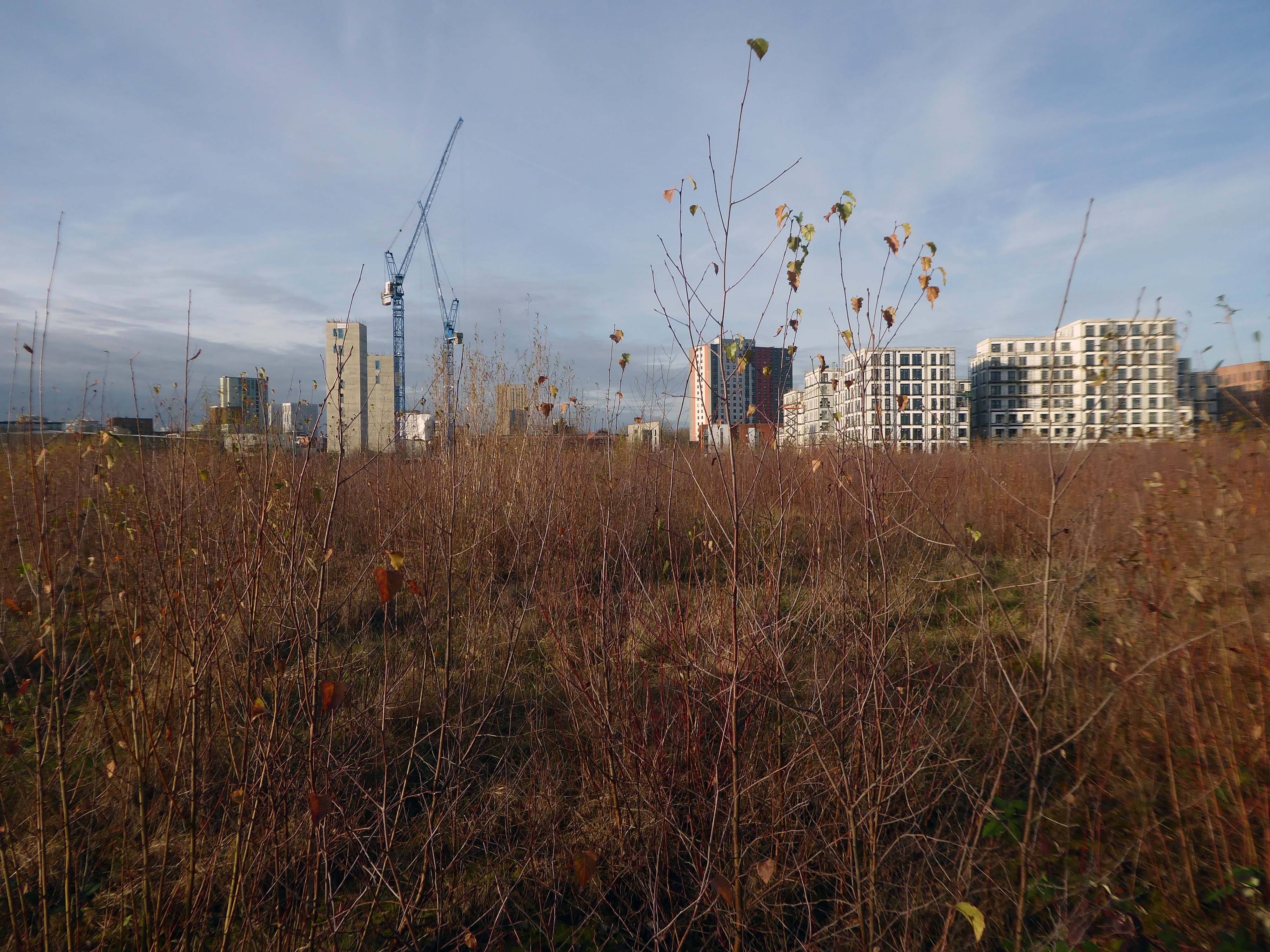
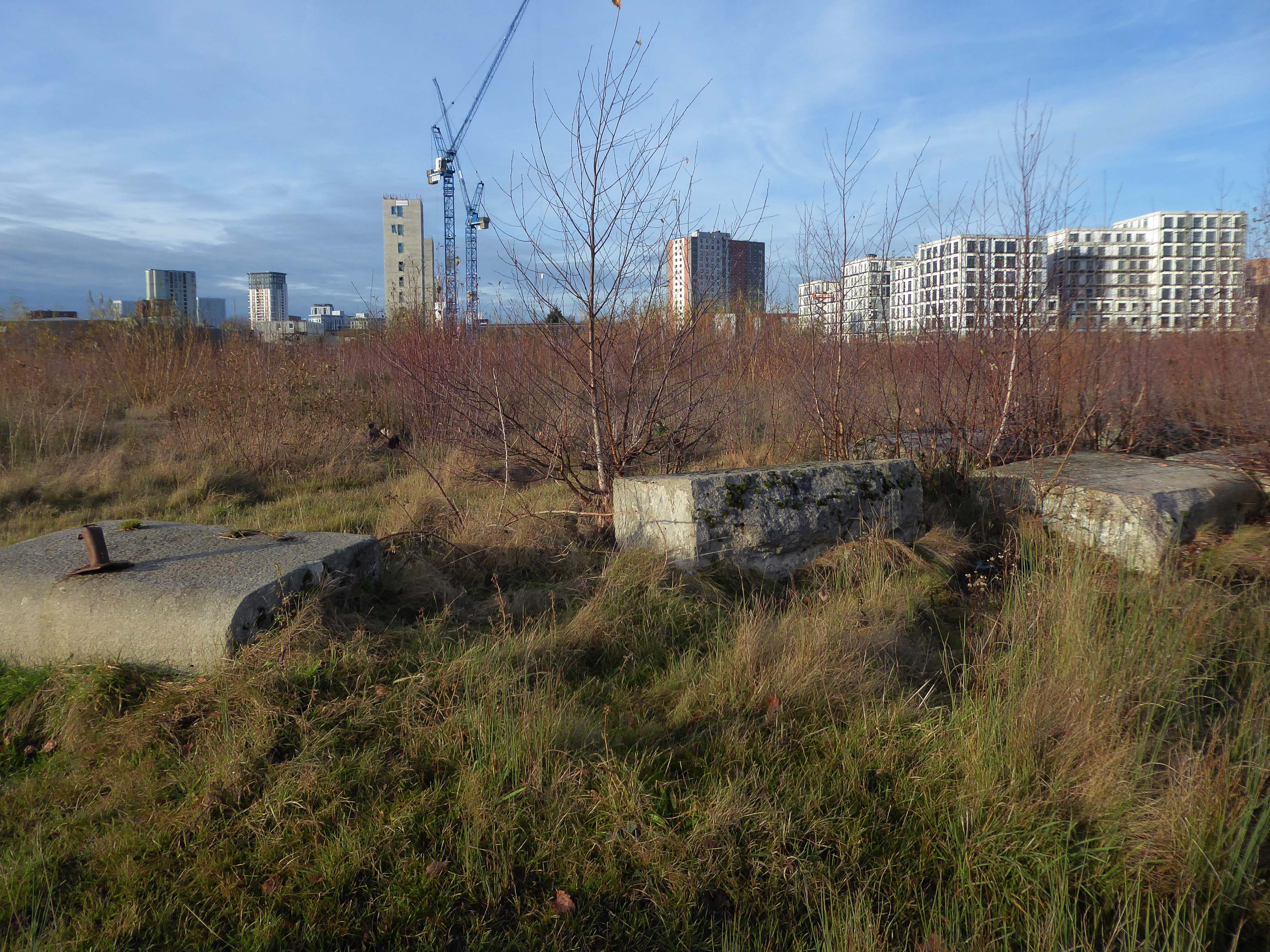
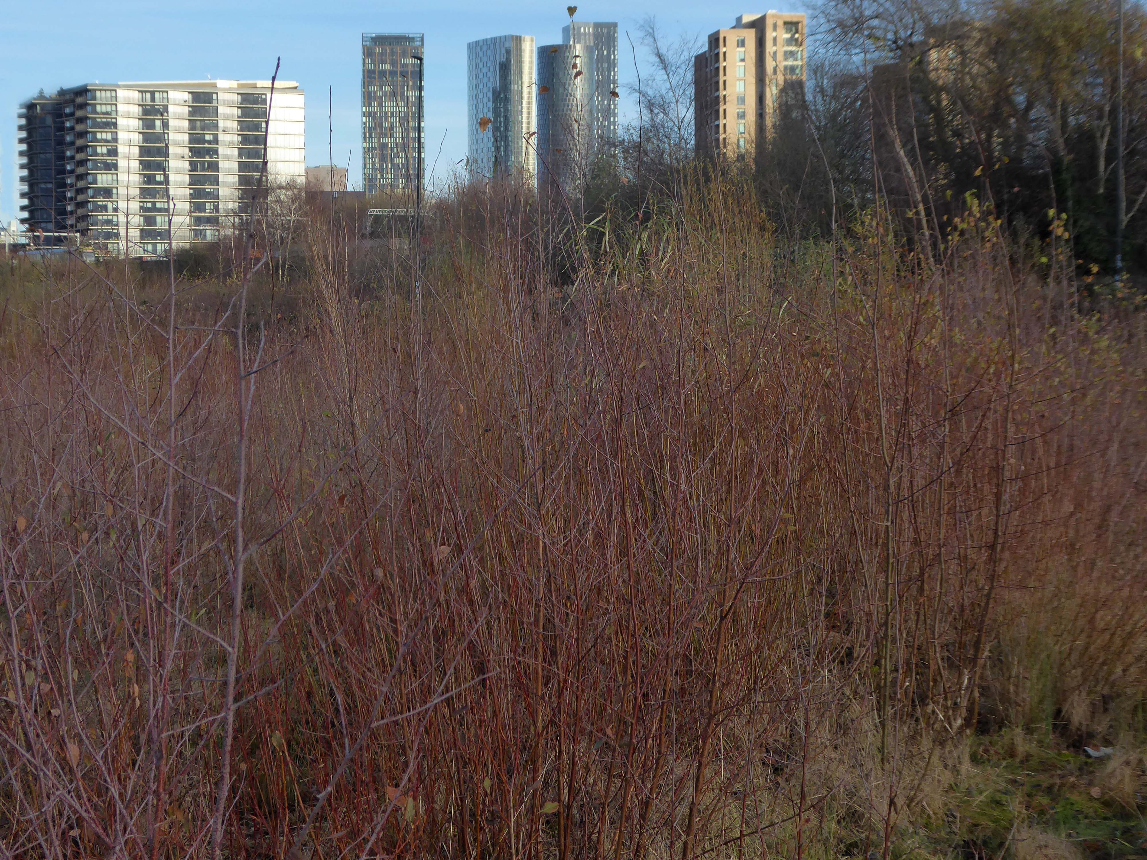
April 2020 a history and appraisal of Pomona Gardens – the undergrowth having recently having had a trim.
What were once opulent Pleasure Gardens now await the Midas touch of Peek Holdings.
What knows what fates awaits you?
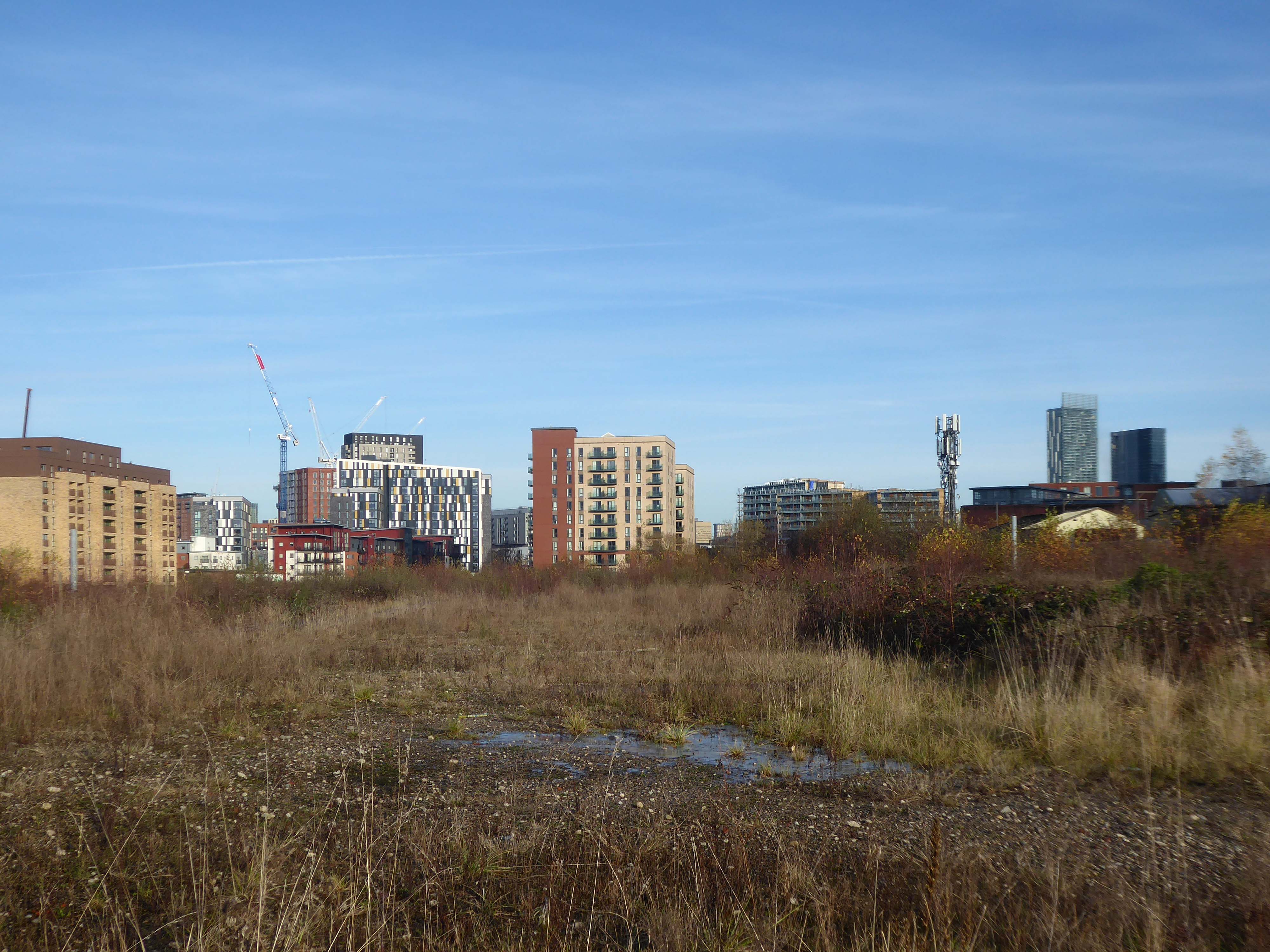
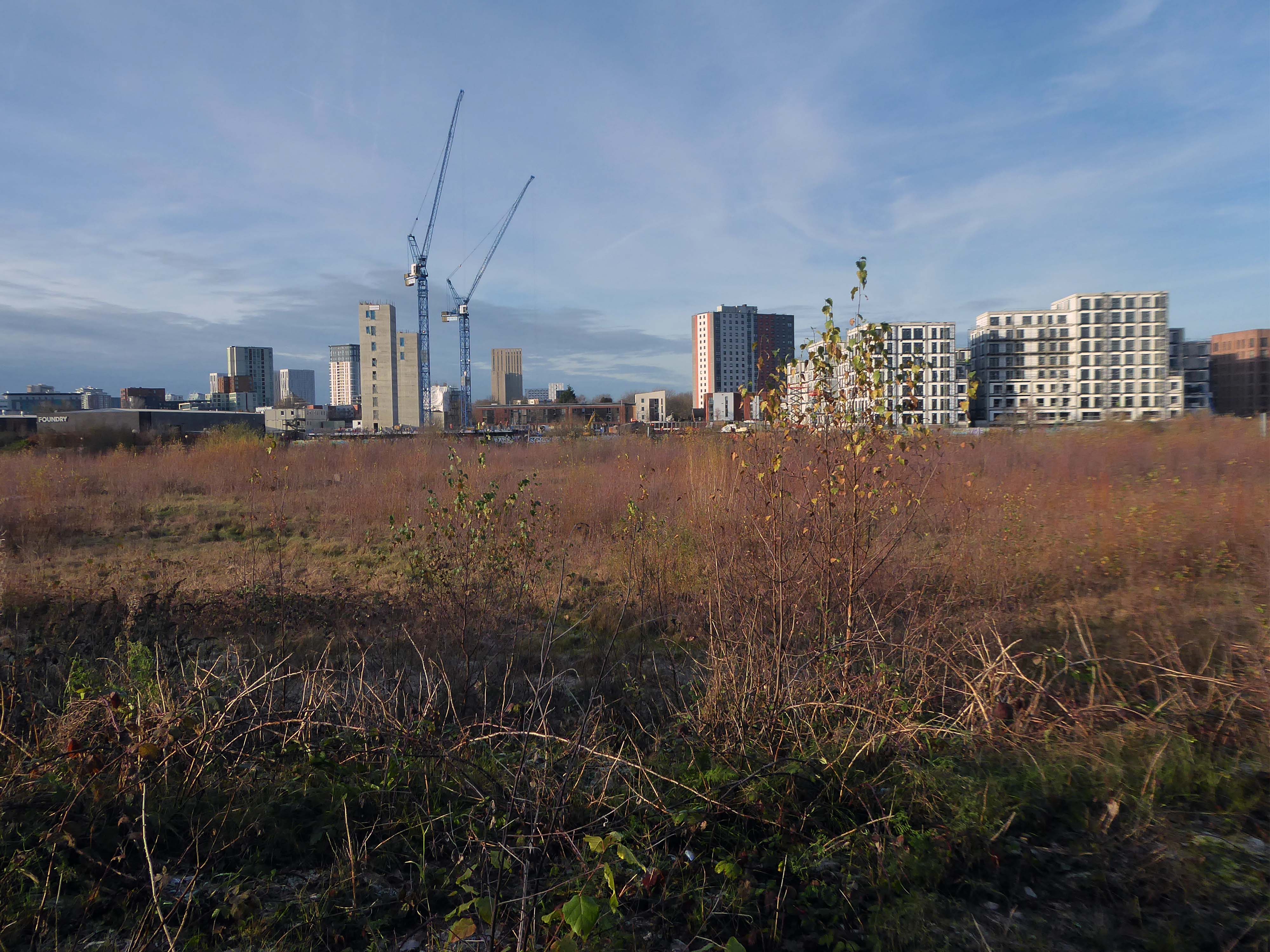
Long-awaited plans to redevelop the 26-acre swathe of land will not come forward until Peel L&P and Trafford Council reach an accord on the level of affordable housing to be provided on a separate project.
In 2021, Peel lodged plans for a 162-apartment build-to-rent scheme on part of Pomona Island.
The project featured no on-site affordable housing provision – although Peel did offer a ‘significant financial contribution’ towards off-site affordable housing – and Trafford Council subsequently recommended the development be refused.
This promoted Peel to withdraw the £35m proposals before they were discussed at committee.
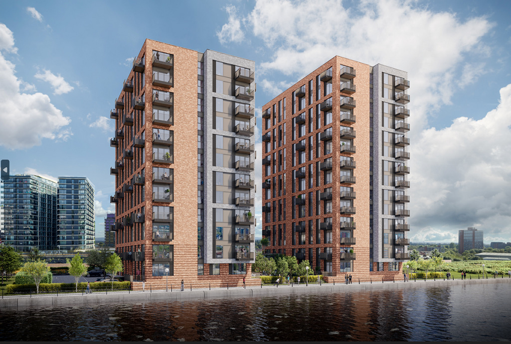
The 2023 iteration of the project, part of the developer’s Manchester Waters masterplan, also features no on-site affordable homes.
However, as part of the proposals, Peel will be making a contribution equivalent to 20% affordable housing within Trafford, the developer said. The earlier iteration proposed 5%.
The proposed nature reserve seem like a distant dream
Despite suggestions that Pomona could become the Eden Project of the north, 3,000 homes are planned for the site by owners Peel L&P and the first development, Pomona Wharf, is already complete.
This green space could have been a globally significant urban park, and a powerful statement of Manchester’s commitment to fighting climate change and protecting green spaces.
Unfortunately, the city chose more apartments and financial growth over the natural world and not for the first time – Luke Blazejewski.
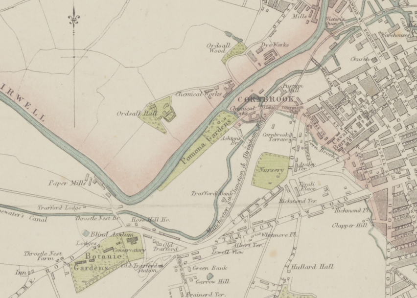
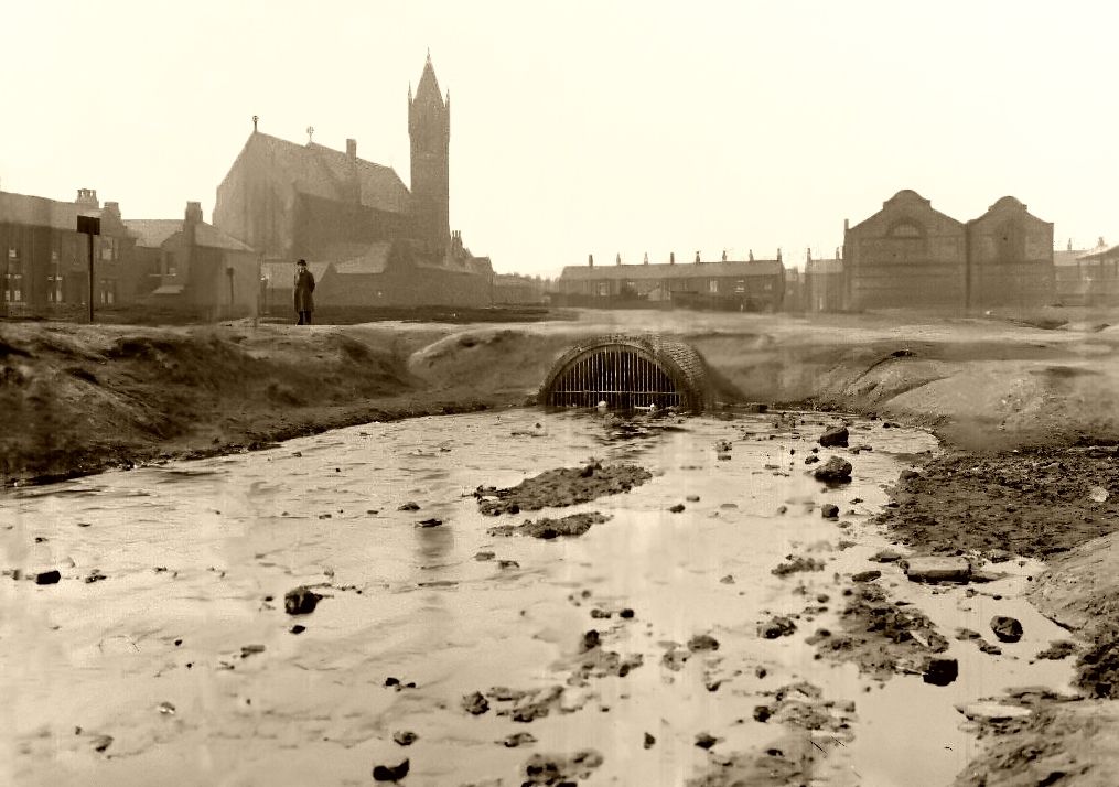
The Cornbrook drains the urban area South of the River Medlock, it rises in Gorton and follows a tortous path through Manchester’s Southern ‘inner city’ suburbs and empties itself into the Manchester Ship Canal at the Pomona Docks.
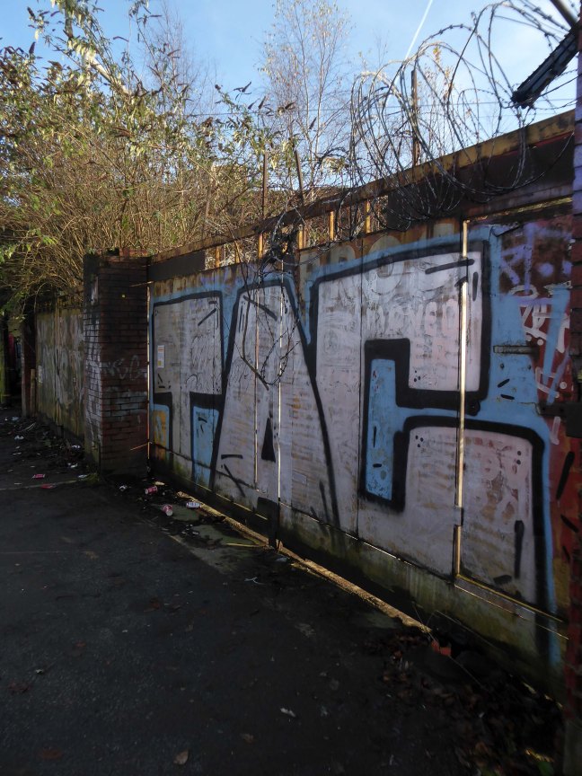
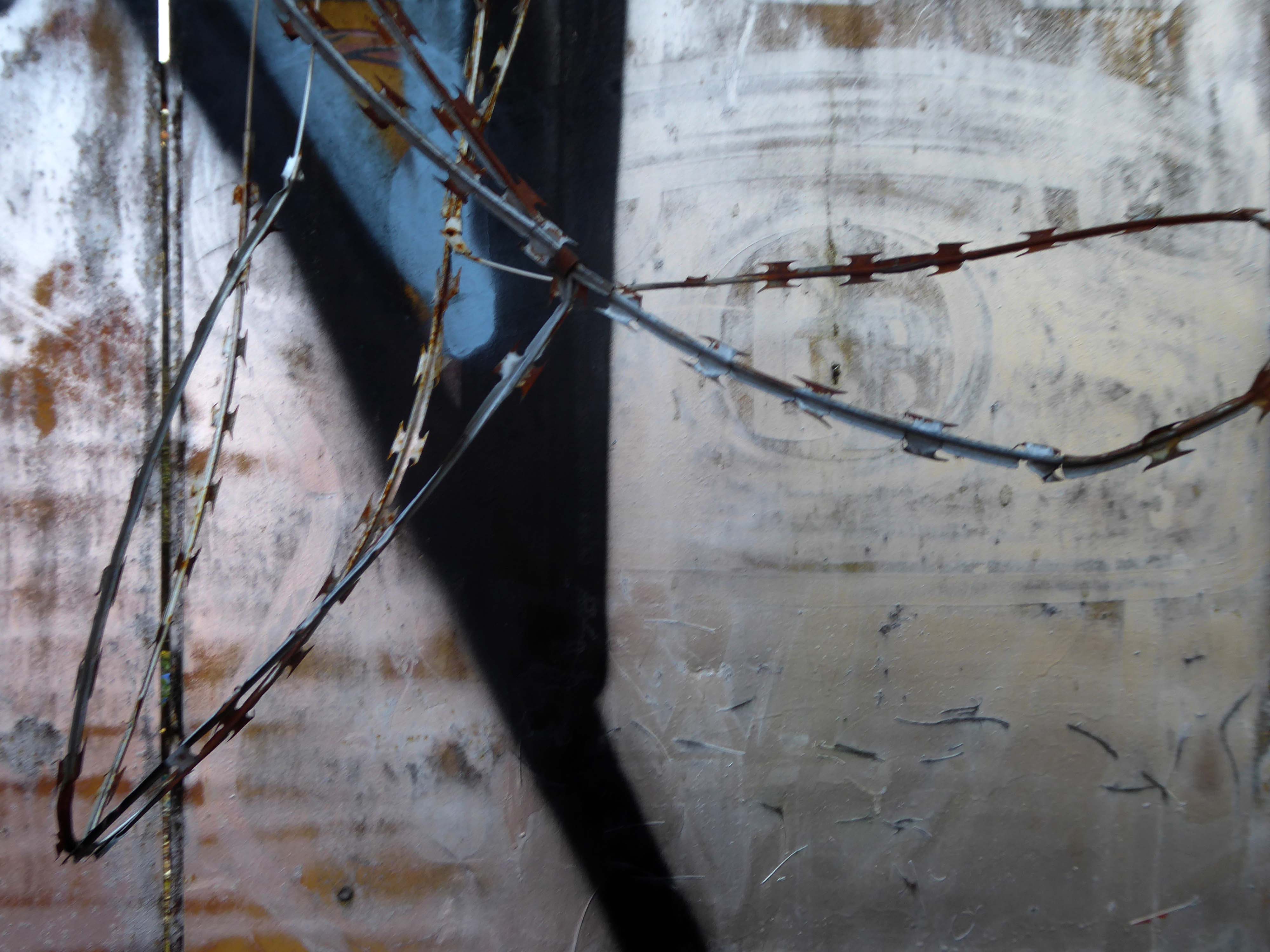
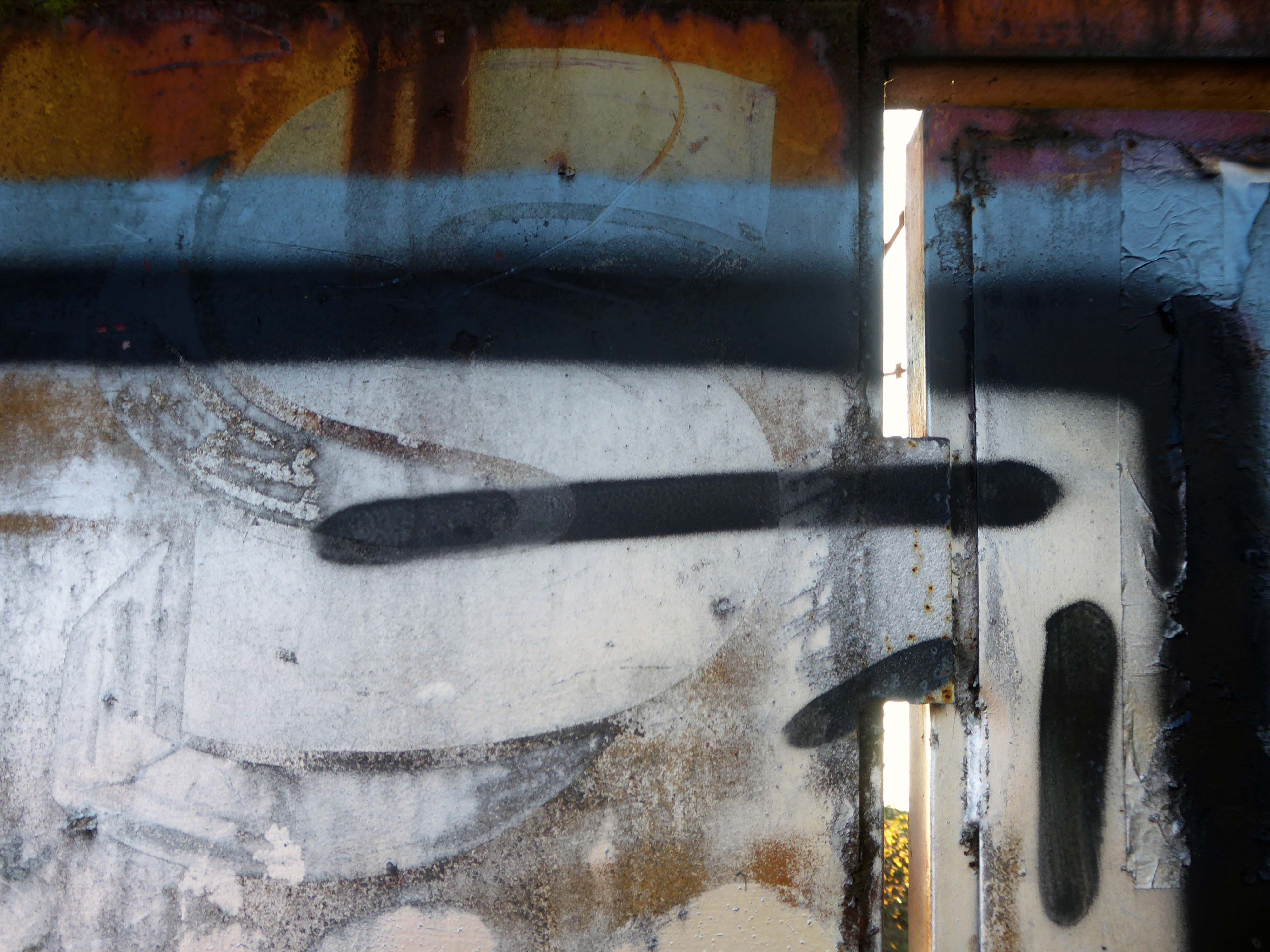
It’s a tram stop – primarily an interchange, though the brand new shiny residential new build has produced a brave band of brand new shiny residents in transit. Slipping and sliding ‘neath the bridge, skating over the age old accretion of filth, oil, diesel and detritus produced by the surrounding scrap yards.
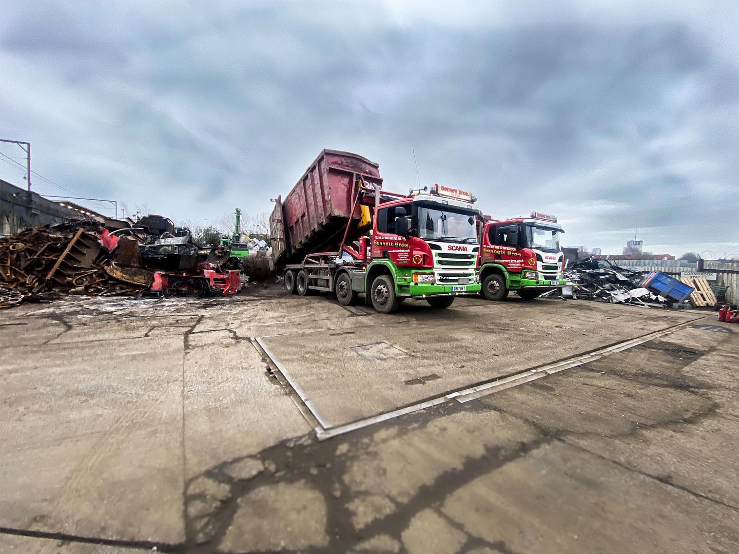
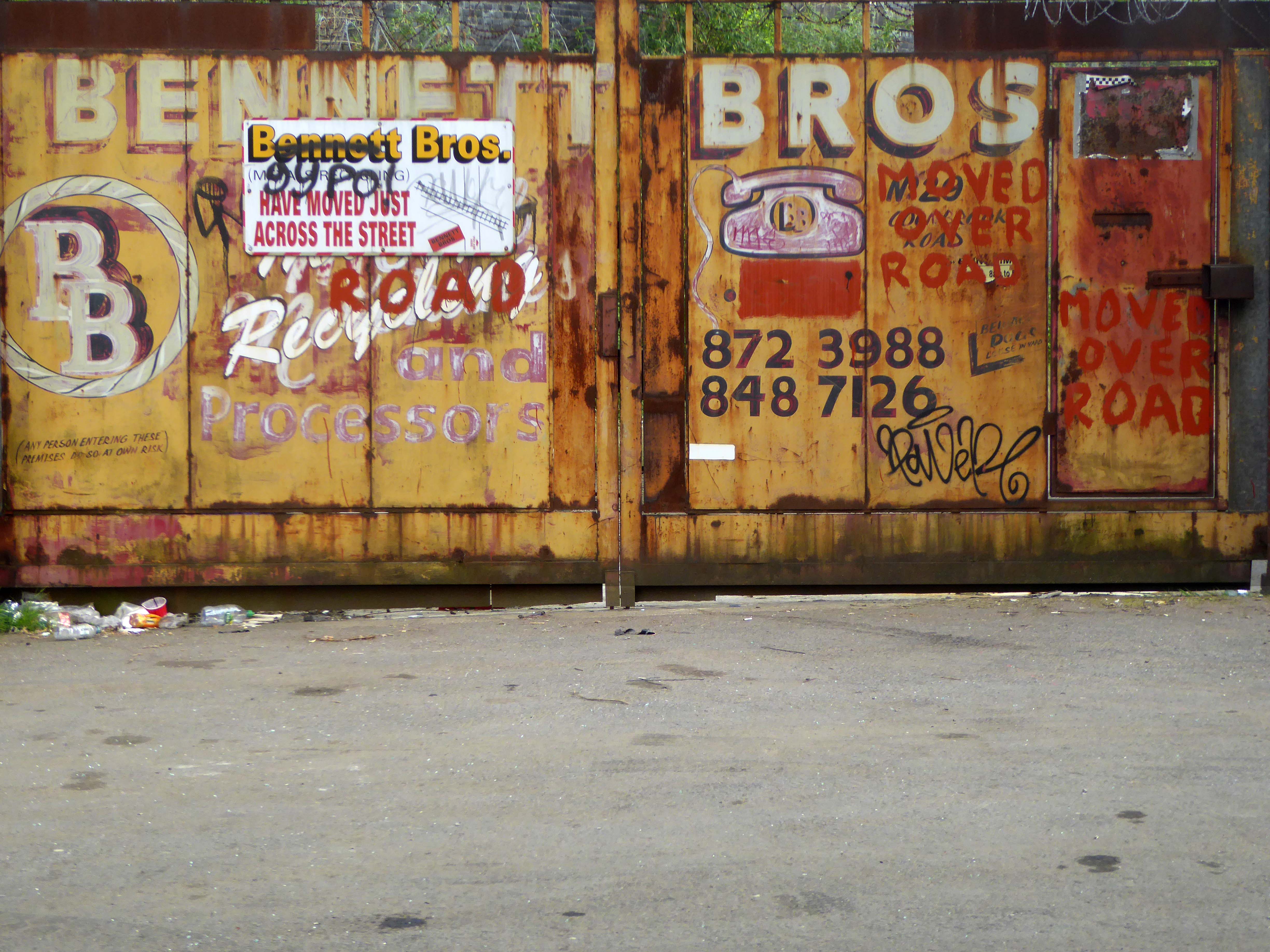
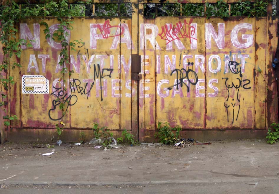
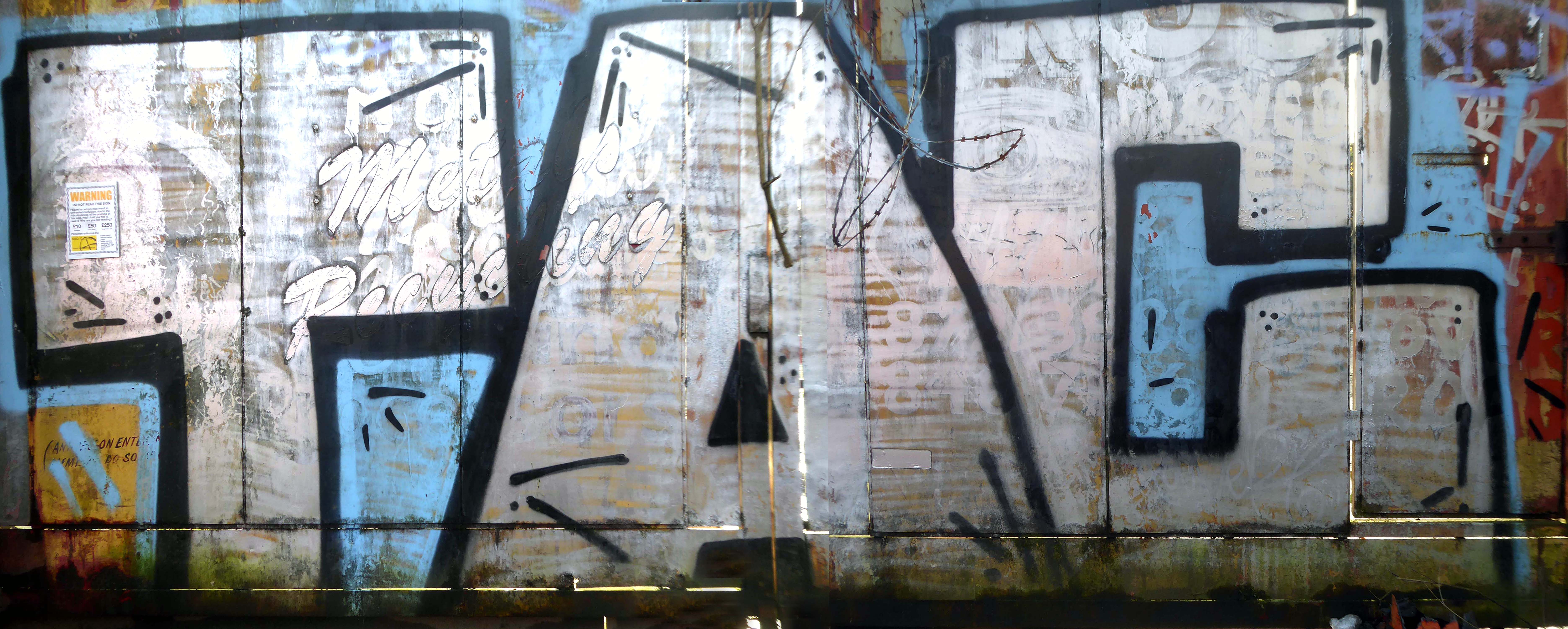
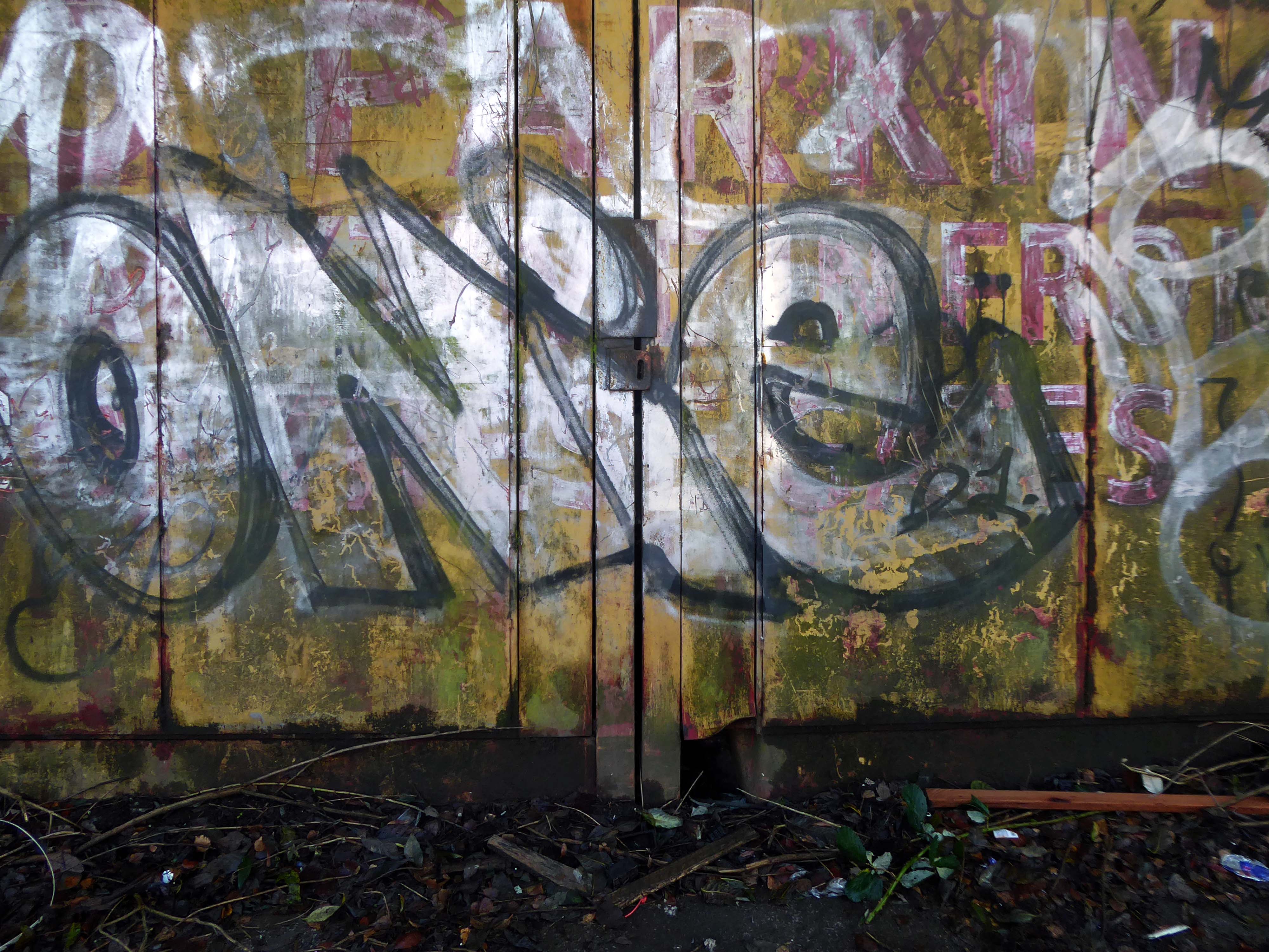
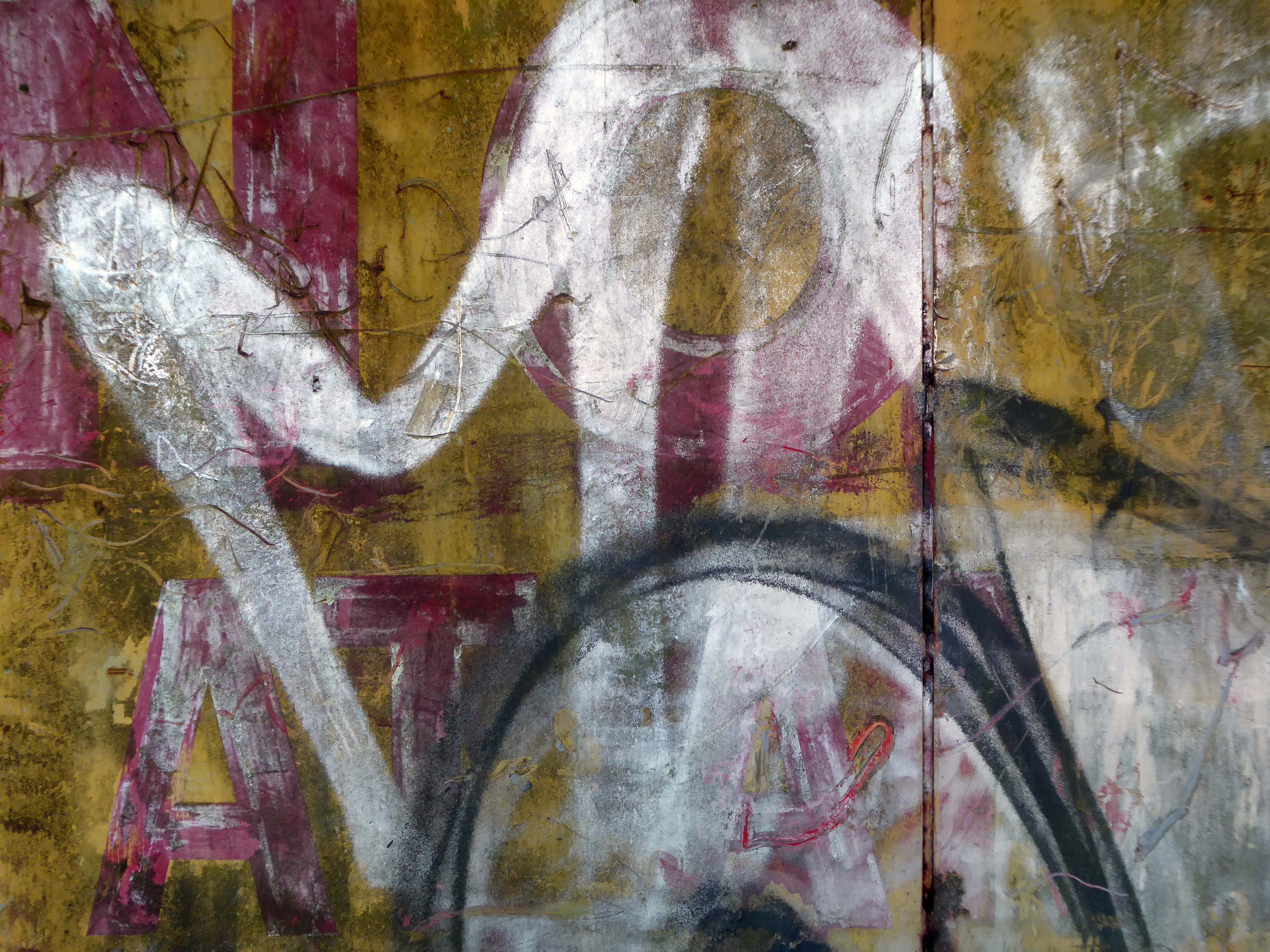
We are one of the first recycling companies operating in the North West, Bennett Bros was founded in 1948 by Francis William Bennett and Bernard Bennett, and remains a family-run business to this day. Bennett Bros was originally involved in loaning ponies to the many rag and bone men who collected unwanted household items and sold them to merchants, and while the recycling industry has now embraced modern technology, we are very proud of our heritage as innovators in what was then a new industry.
In 2017 I visited the area to snap the gates of their older site – as they had moved the business just across the street.
I returned in December 2023 to discover what had become of the gates.
Remnants of the drop shadow block lettering remain, beneath a palimpsest of tags and grime.
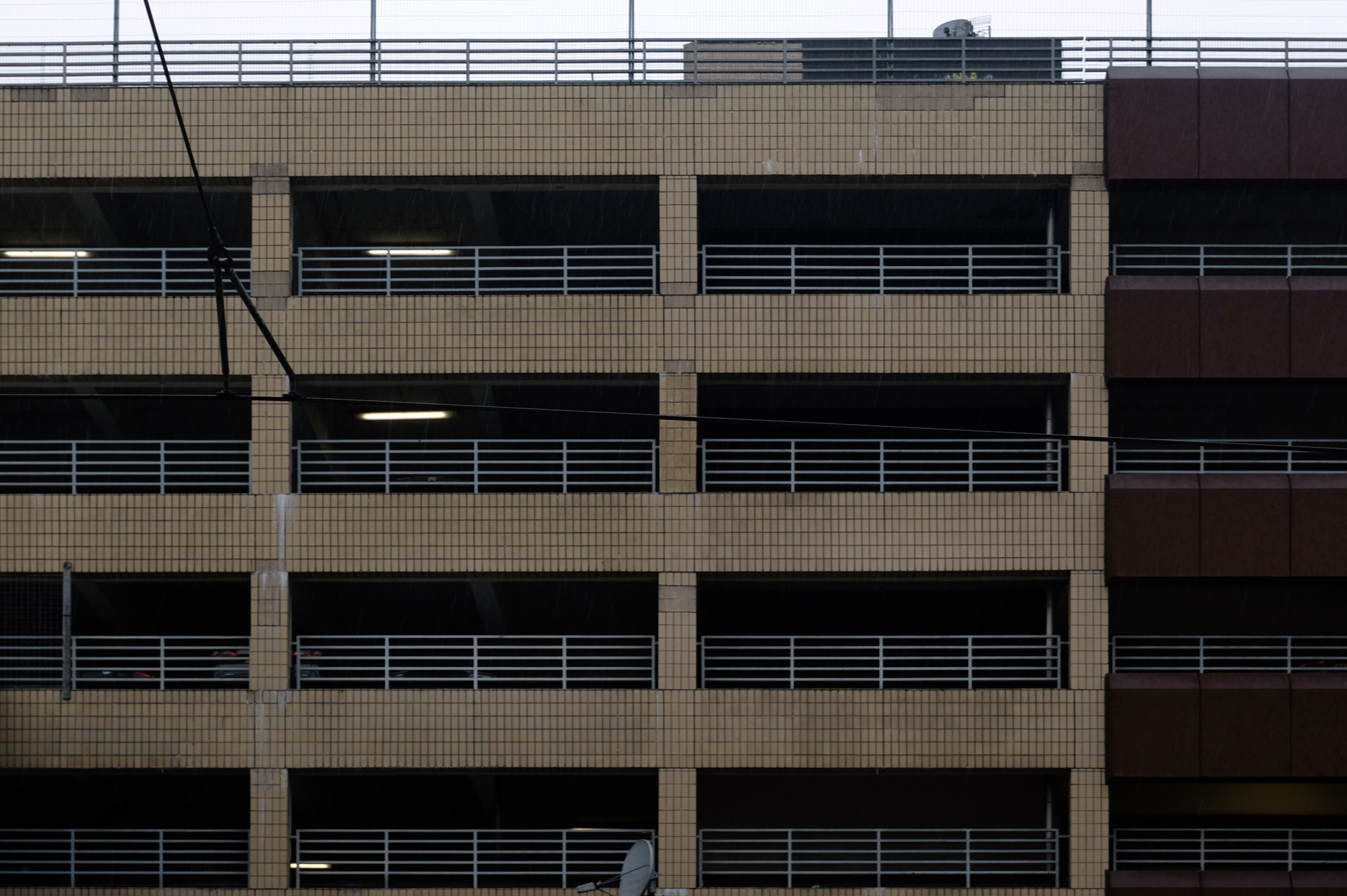
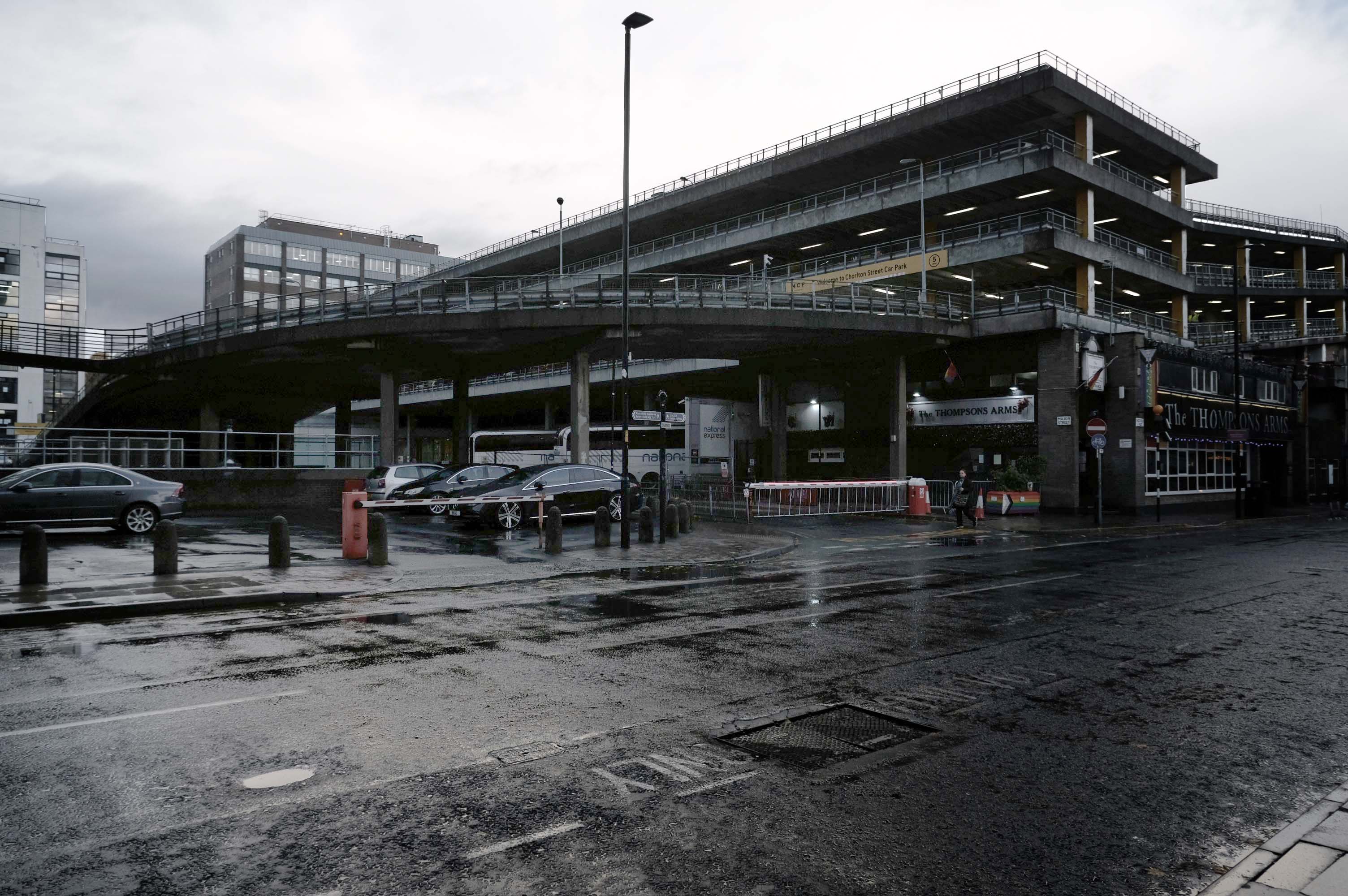
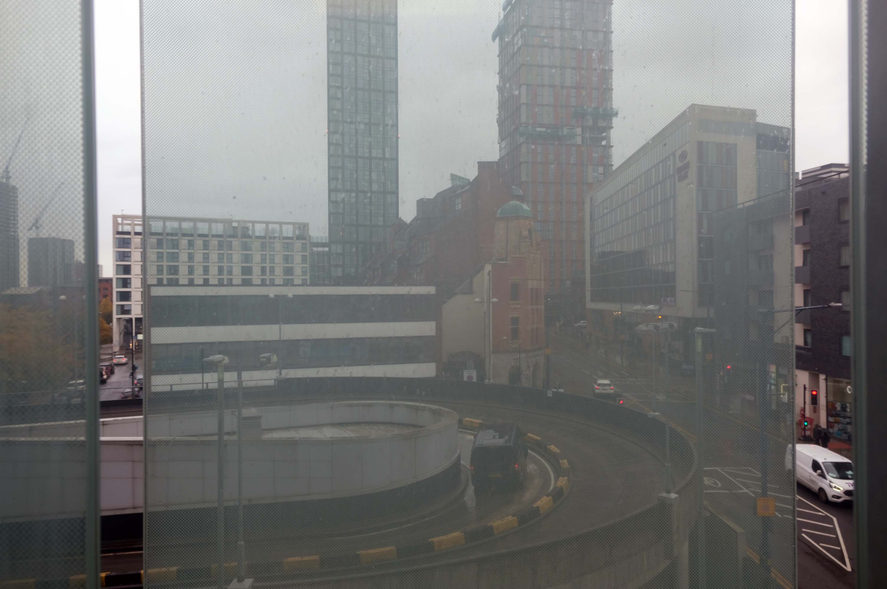
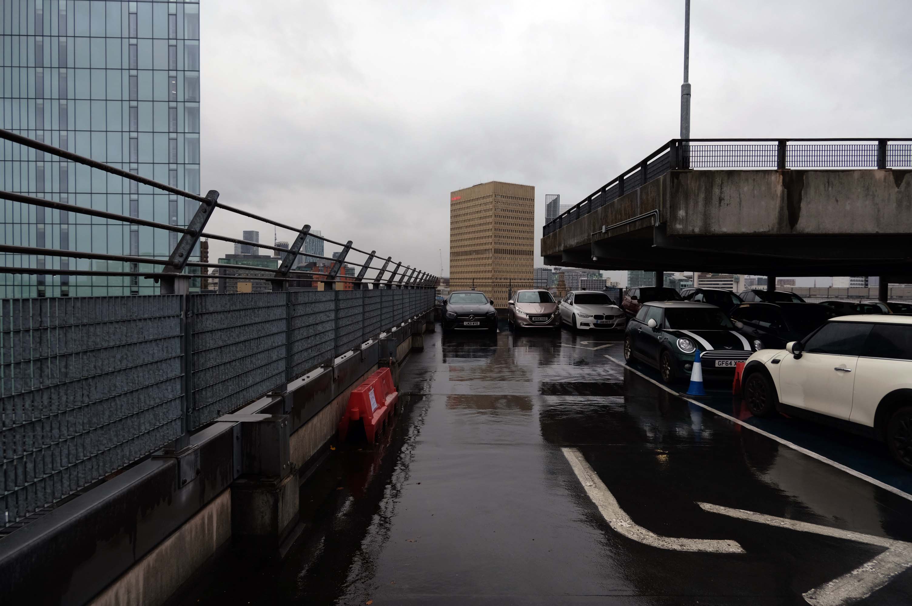
The earliest known multi-story car park in the UK was opened in May 1901 by City & Suburban Electric Carriage Company at 6 Denman Street, central London. The location had space for 100 vehicles over seven floors, totaling 19,000 square feet.
It is estimated that there are between 17,000 and 20,000 non- residential car parks in Great Britain, including those run by councils, commercial parking companies, shops, hospitals, businesses, railway stations and airports, providing between 3 and 4 million spaces.
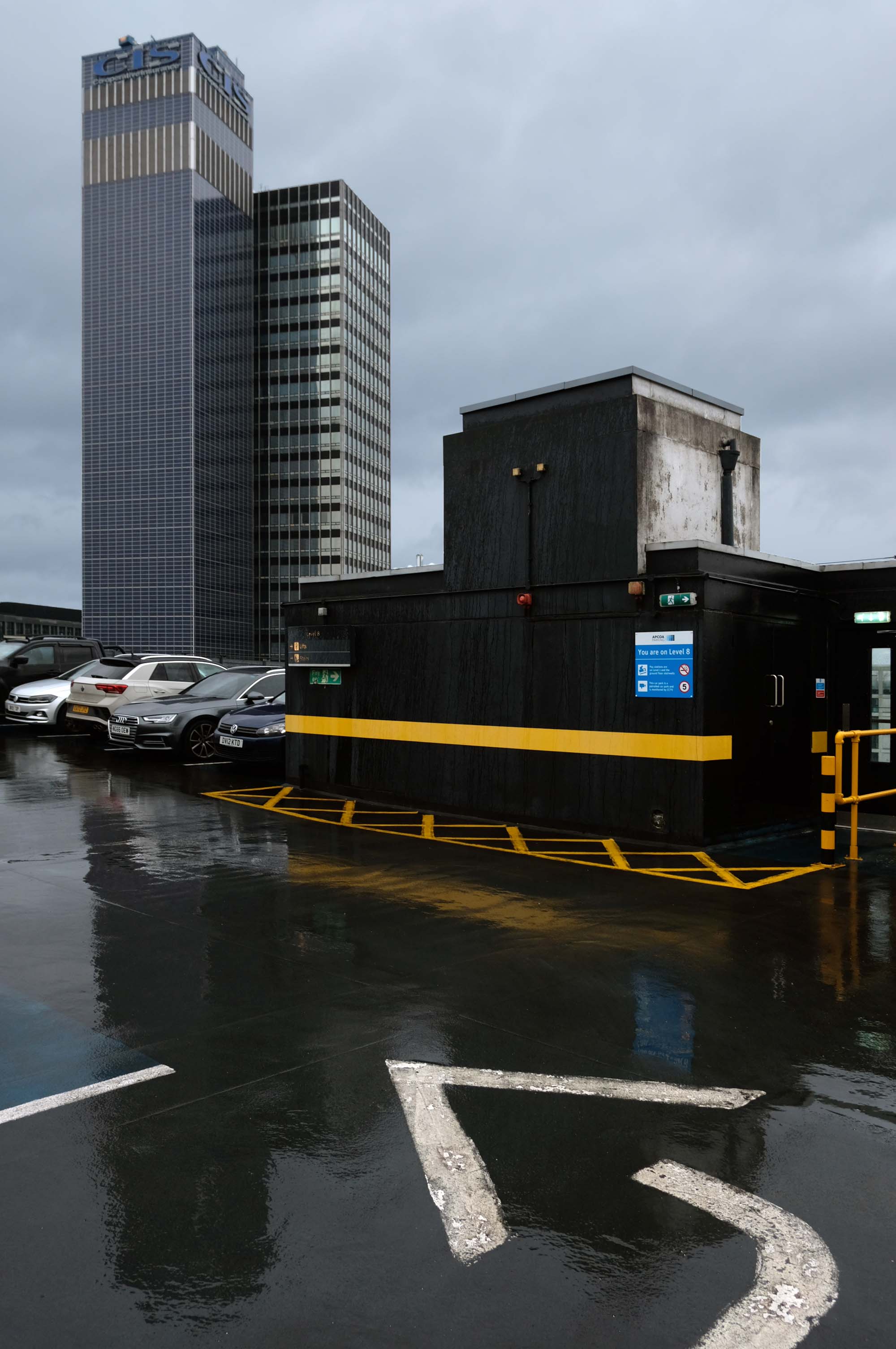
The Manchester Airport multi-storey car park is one of the largest car parks ever built; in fact, it’s the second largest in Europe. This mega-park was designed to house a staggering 8,000 cars, split over a six-level facility that stretches out over 330 metres.
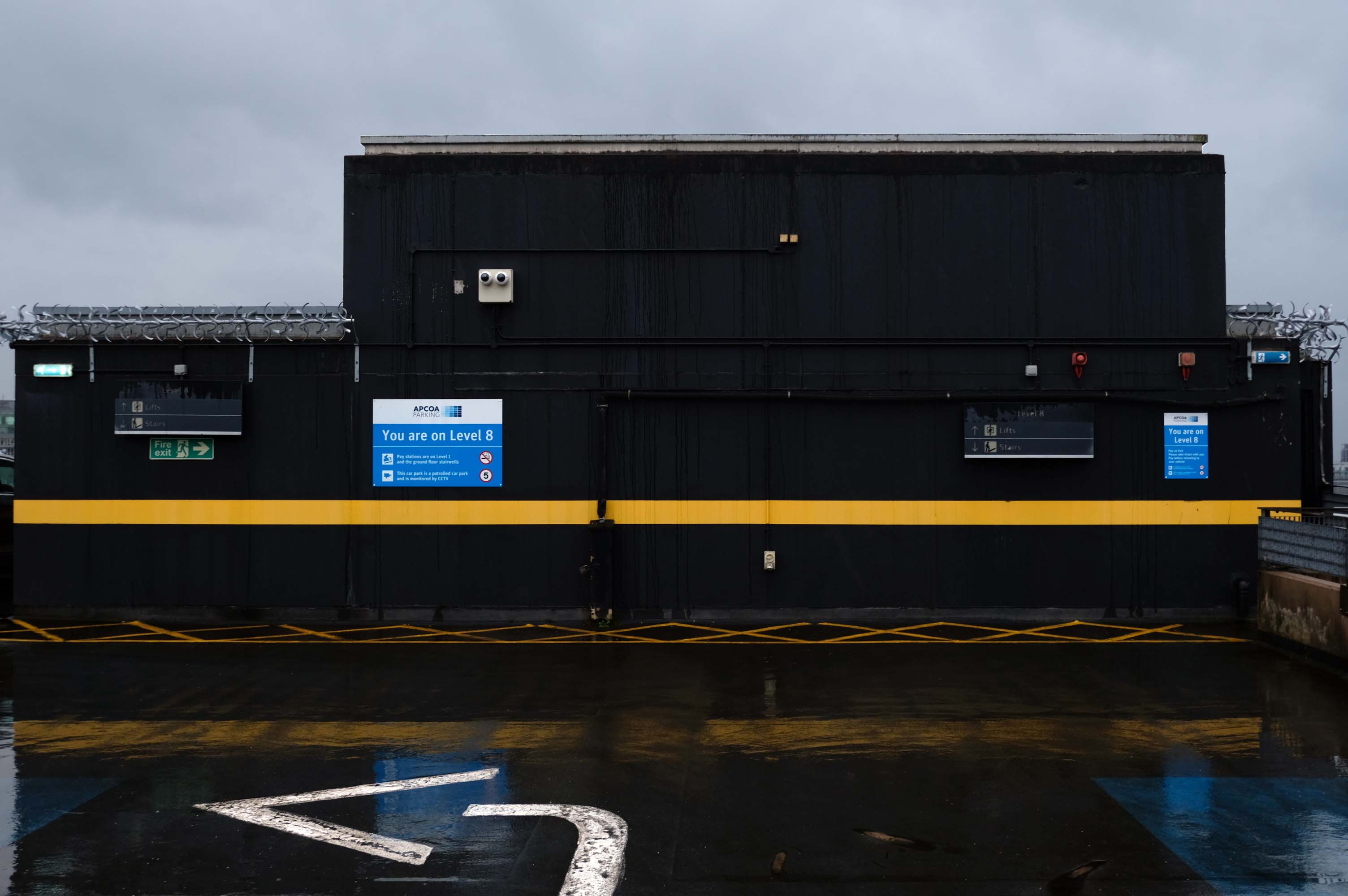
In the city centre NCP has over 13,000 car parking spaces across 43 sites
Good location but the access to the shopping centre is dirty. Lifts dirty – discarded soiled underwear, urine, spit and rubbish in the lifts. Car park also full of litter.
The most unnecessarily complicated ticketing system I have ever seen for a car park. Designed to fail so that the system can fine you. Beware. Better avoided for overseas visitors
Immerse yourself in the eclectic vibe of the Northern Quarter, the heartbeat of art, culture, and urban lifestyle. Whether you’re heading to its vintage shops, art studios, or chic cafes, finding the cheapest, best parking is paramount.
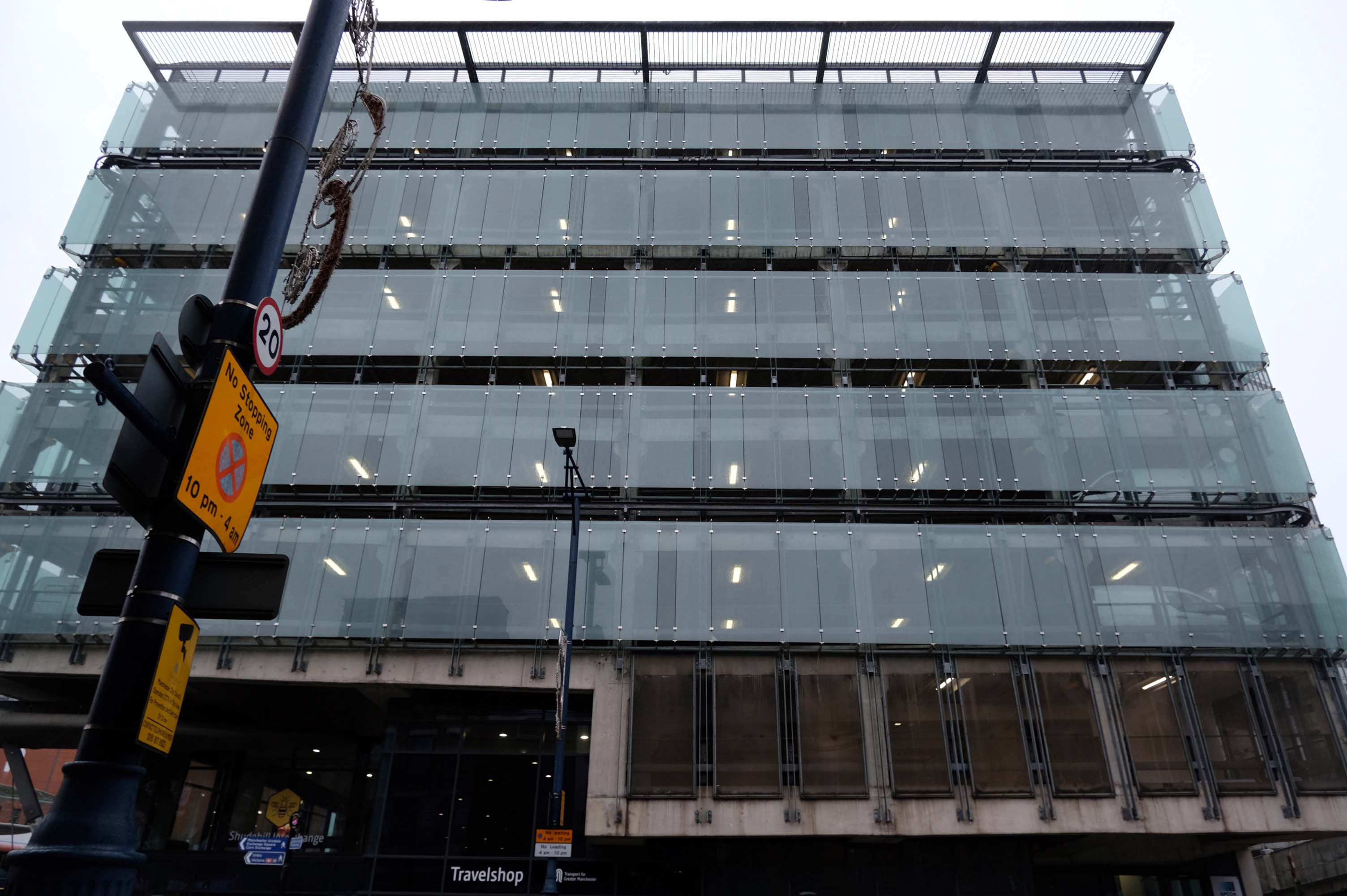
The Shudehill Interchange car park and bus station, designed by Jefferson Sheard Architects working with Ian Simpson, replaced the former Cannon Street bus station, under the Manchester Arndale; since the redevelopment of Manchester city centre, the latter has disappeared along with Cannon Street itself.
Great location but narrow roadway between floors. Pay in advance so you need to know how long you’re staying for.
£20.40 for 4 hours is expensive but you are minutes from Deansgate shops.
Only given one star because there wasn’t an option for zero. Not secure, car broken into theft of personal effects, pedestrian gate was un locked, no CCTV that I could see anywhere. Cost me over £25 to park for 6 hrs and lost over £200 of personal effects, complained to council, no response. Wouldn’t park here ever again.
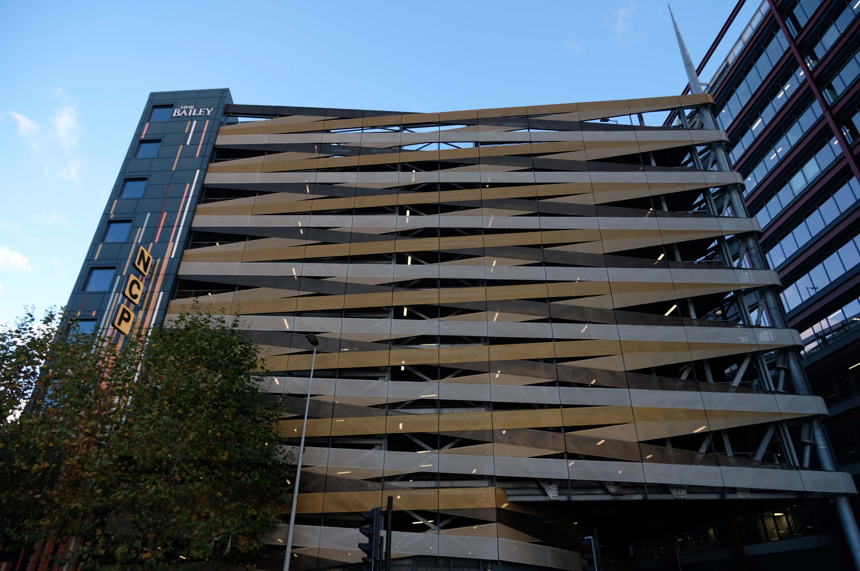
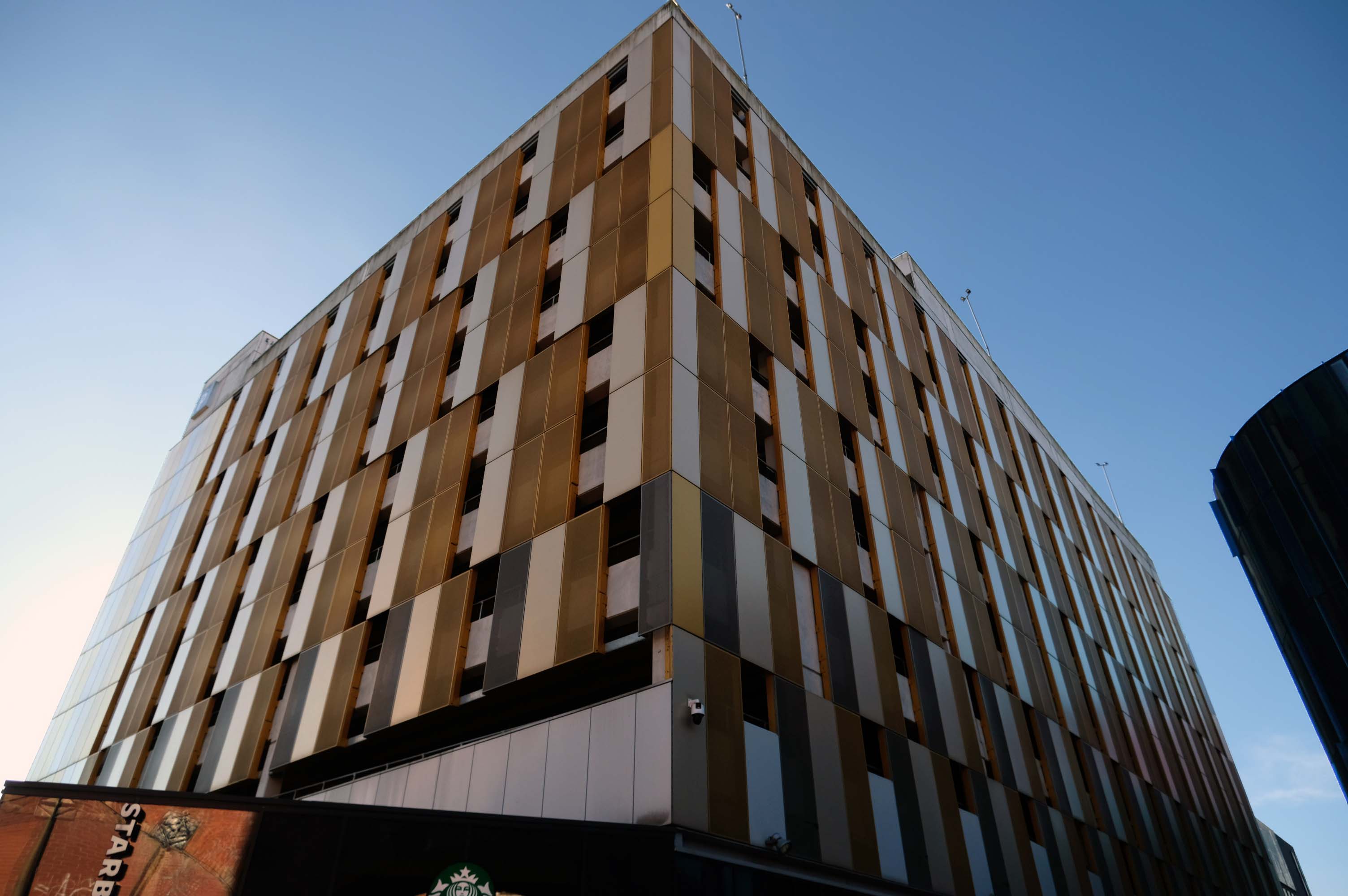
Maple gave architects Aedas RHWL the freedom to express themselves on a prominent multi-storey car park development in Salford. Their imaginative design created a great concept – the nine storey New Bailey car park appearing to be wrapped in ribbons that echo the lattice patterns and intersections in the ironwork of nearby Victorian bridges.
A good, clean and modern carpark. Easy to navigate and sensibly sized spaces. The only downsides are that it’s not cheap and getting into it from Trinity way is hard, as the traffic blocks the junction meaning it takes may cycles of the traffic lights to get across the junction.
Part of the Piccadilly Plaza development of 1965 by Covell Matthews and Partners
Nice central location with a large entrance so you dont have to risk scratching your car as you pull in. Found there was a lack of signage to direct to nearest pay machine or walkway exit. Also had trouble when it was time to pay. I typed in my registration and yet it wasnt recognised and so I had to estimate my time of arrival. I ended up paying £10.50 for around 3 hours, which probably is the going rate for city centre parking.
Sadly after seeing several reviews that cars were broken in to, I would certainly reconsider parking here in future. I got lucky here, I had suitcases locked in the car, with several hundreds of pounds worth of travel money.
Worst place to park on earth, we had our car broken int0, everything stolen, it’s common knowledge that the drunks in the town hang around the car park to steal and then use your cards to buy their booze
Secure and easy to find while driving, struggled to get back in through side door, had to walk up the ramp.
Expensive.
Stairwell stinks like piss and I’ve seen homeless people sitting in there. Doesnt feel safe.
Great car park, security is great, right in the city centre above the bus station that goes Scotland to Cornwall, Wales to Norwich and many more, Manchester city centre literally with Piccadilly Gardens around the corner.
Great car park we use all the time in Manchester, easy to book online, no messing with cash machines. Takes your car reg by camera for easy access in and out. Plenty of spaces mainly upper floors, just tight around corners.
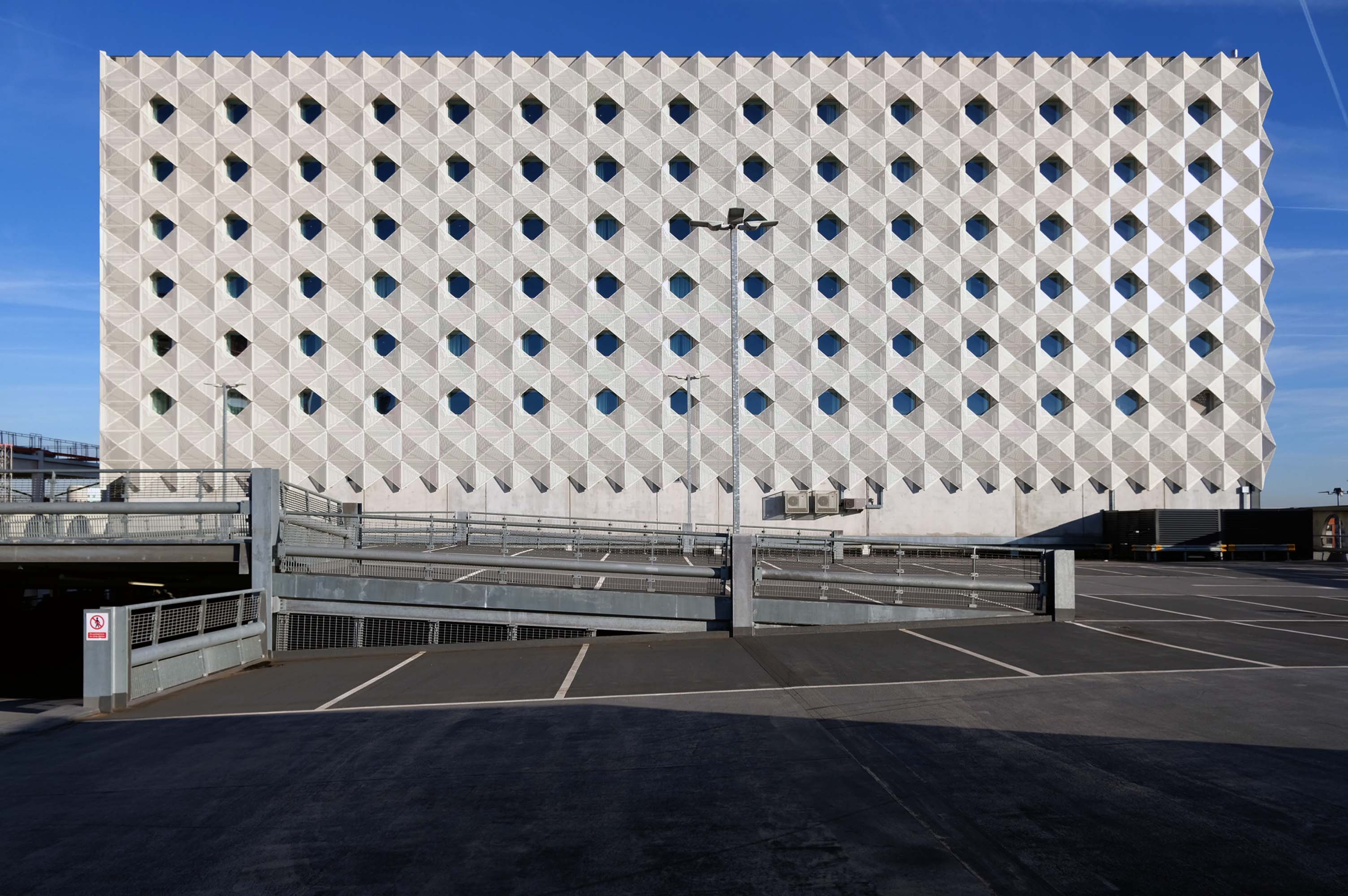
Fielden Clegg Bradley were concept architects while Leach Rhodes Walker were delivery architects.
A series of four × two-storey-deep lattice girders and a single one-storey girder, all measuring up to 27m-long, span over the zone where the underground pipes are located. In these parts, the car park has no first-floor level as the local water board needed a 5m ground-to-ceiling clearance in case they had to undertake any maintenance works. Consequently, the first floor is only a partial level and is set within the depth of the larger lattice girders, as is the second floor, while the third level is supported on top of these members.
Supporting a hotel would be challenging enough, however the design has also had to incorporate large bridging elements as there are two subterranean 600mm-diameter water pipes crossing the site. “It’s a very unusual design and one that was originally designed as a concrete-framed structure,” says James Killelea Senior Structural Engineer Charlie Twist. “However, the bridging parts would have proven to be too difficult to build and consequently a steel-framed solution was chosen for the car park, which in turn supports a precast concrete hotel.”
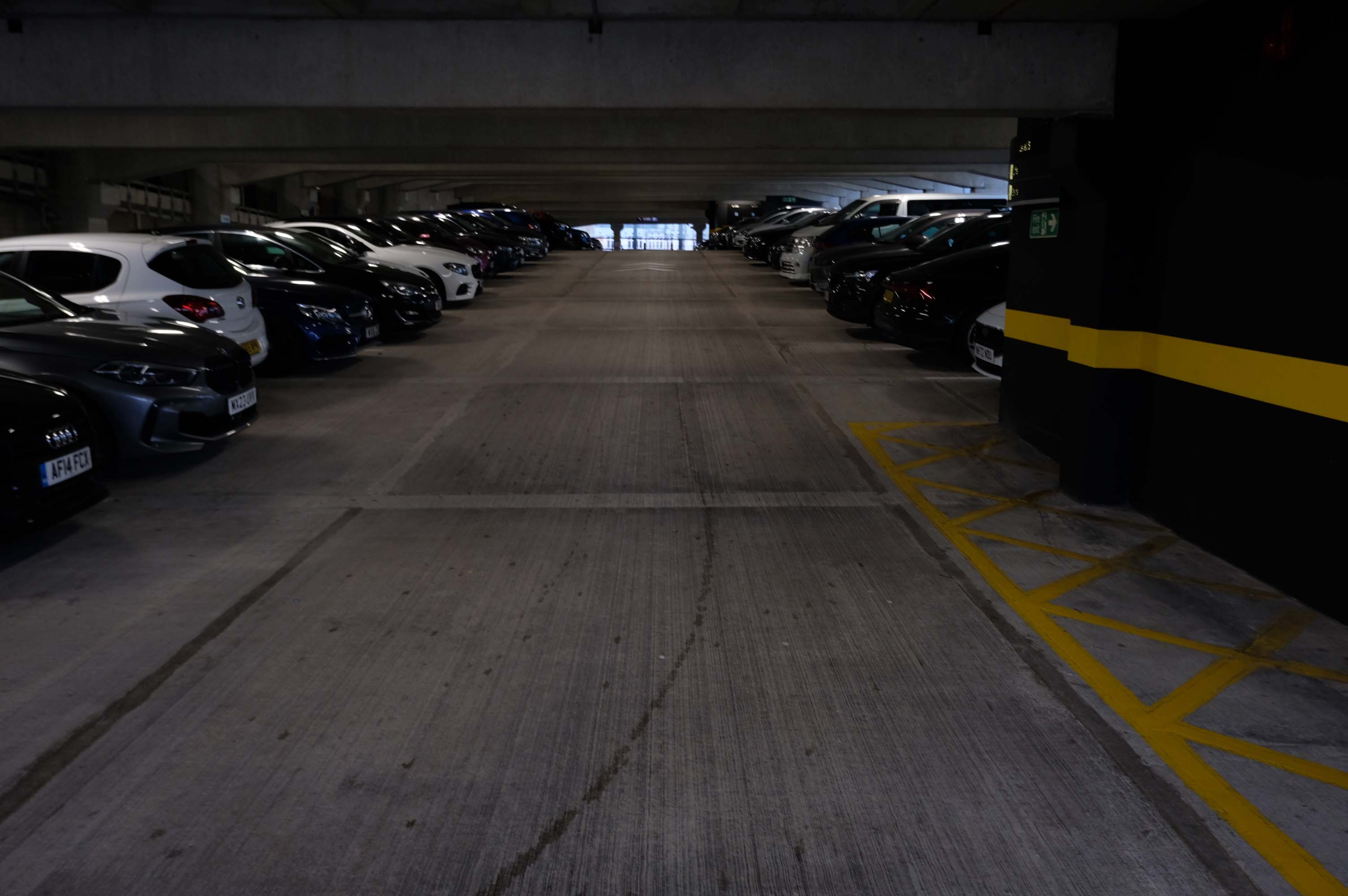
This car park is one of the cleanest and most well maintained in Manchester.
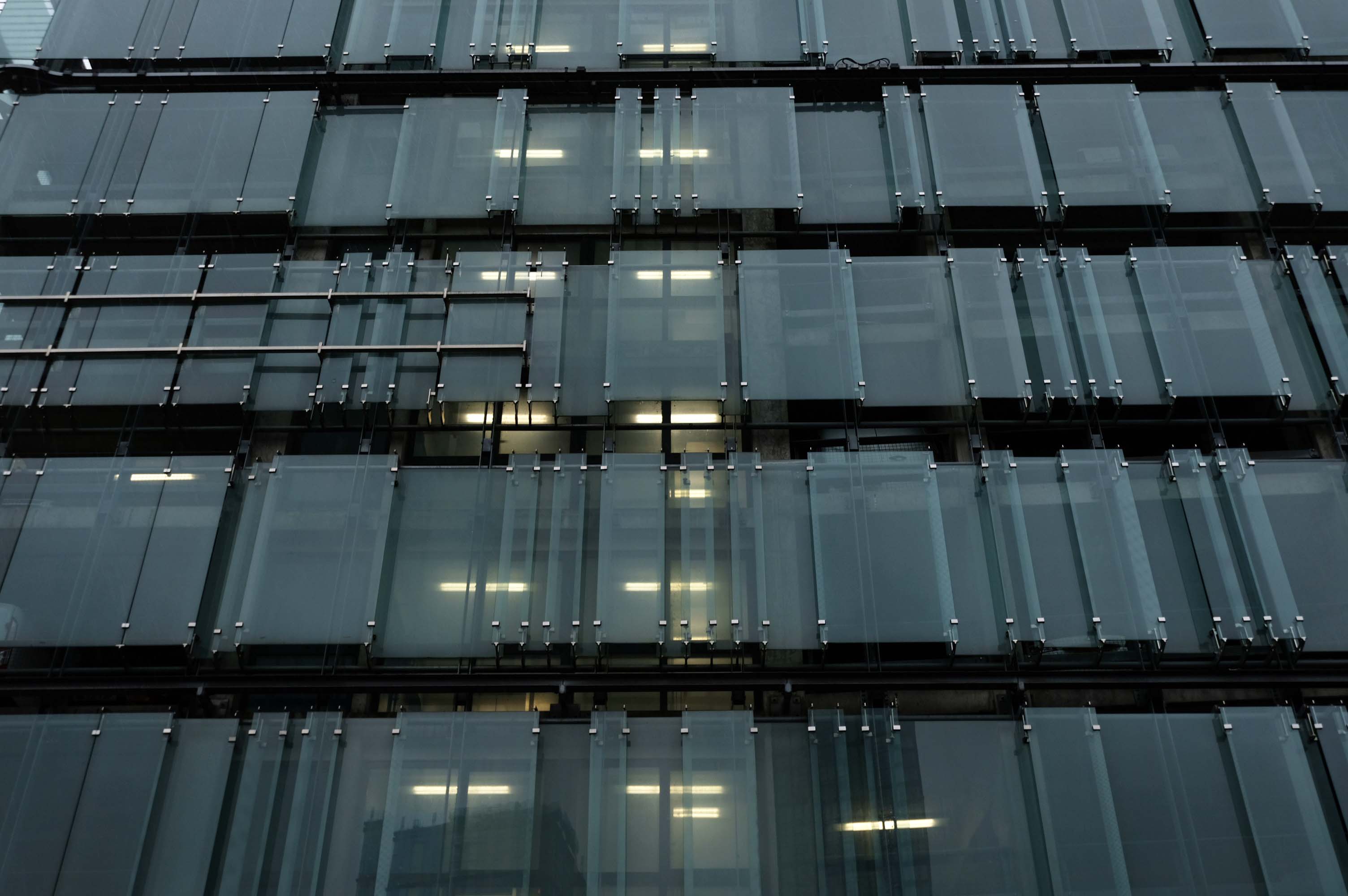
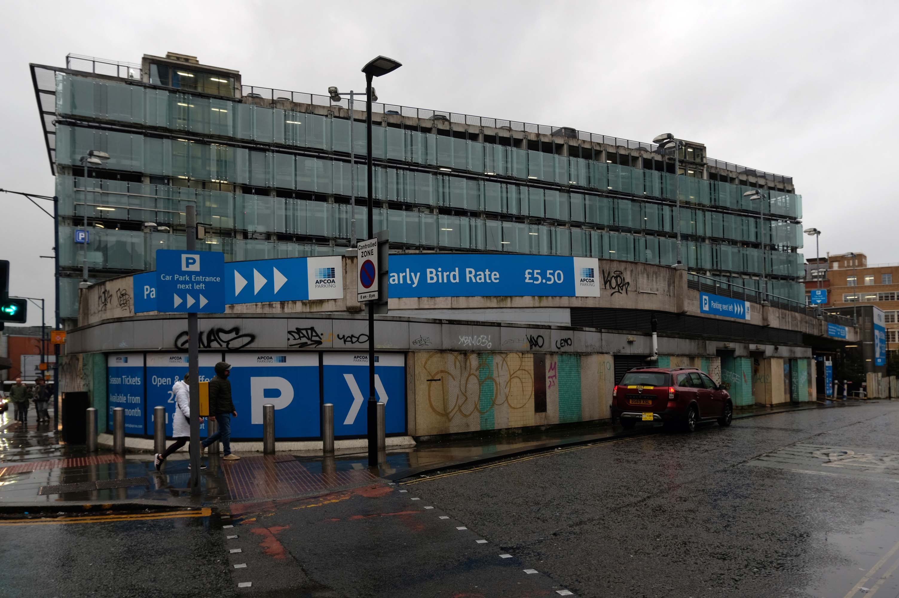
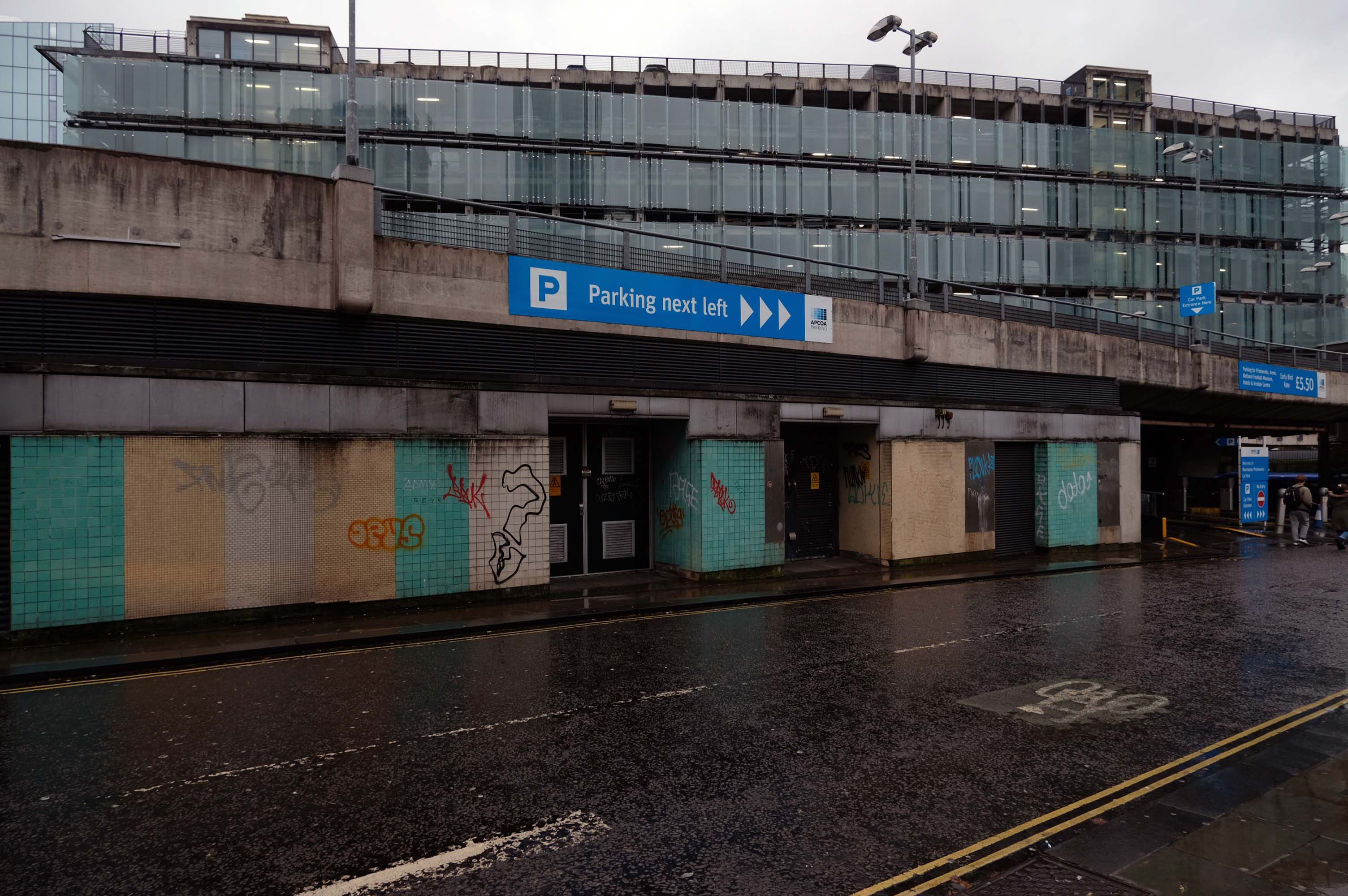
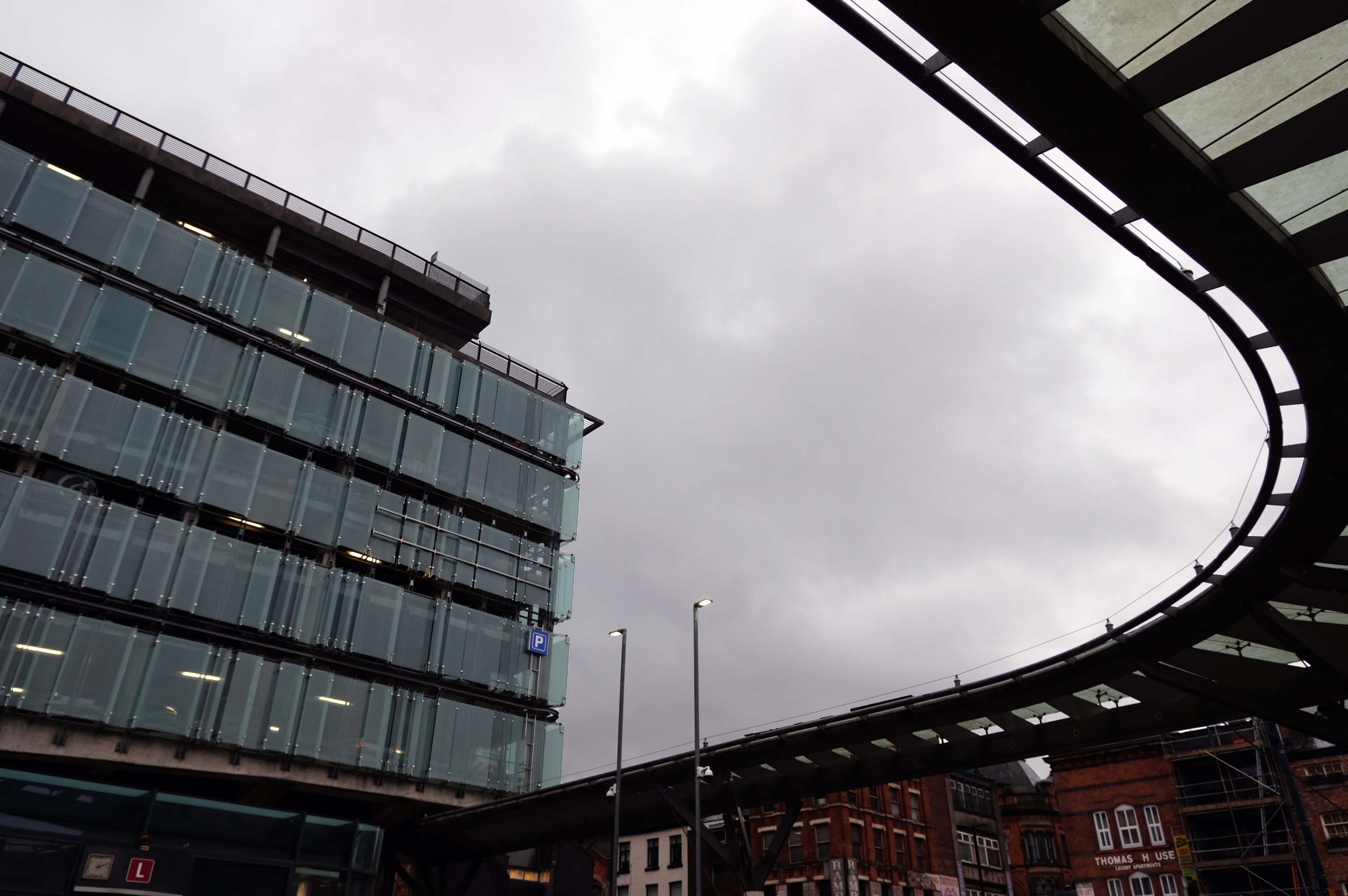
JHA Pulmannwere commissioned via network rail to deliver an extension to, and re-cladding of an existing 1970’s concrete frame carpark outside of Manchester Piccadilly station.
The carpark is fine but as a lone female arriving off the train in the early hours of the morning, I felt quite vulnerable getting back there. It’s in a very quiet dark place accessed by going through a tunnel going under a bridge.
Easy to find, plenty of spaces and only a short walk to Piccadilly station – great!
Itreplaced the former Cannon Street bus station, under the Manchester Arndale; since the redevelopment of Manchester city centre, the latter has disappeared along with Cannon Street itself.
The project realises a strategy for integrating city centre circulation comprising an interchange for public and private transportation. It unifies stands for buses, a tram stop and multi-level parking for cars, to provide a convenient, attractive and safe public concourse. The high-quality contemporary design establishes a new positive identity for a transport interchange that complements the heritage values of the Shudehill conservation area.
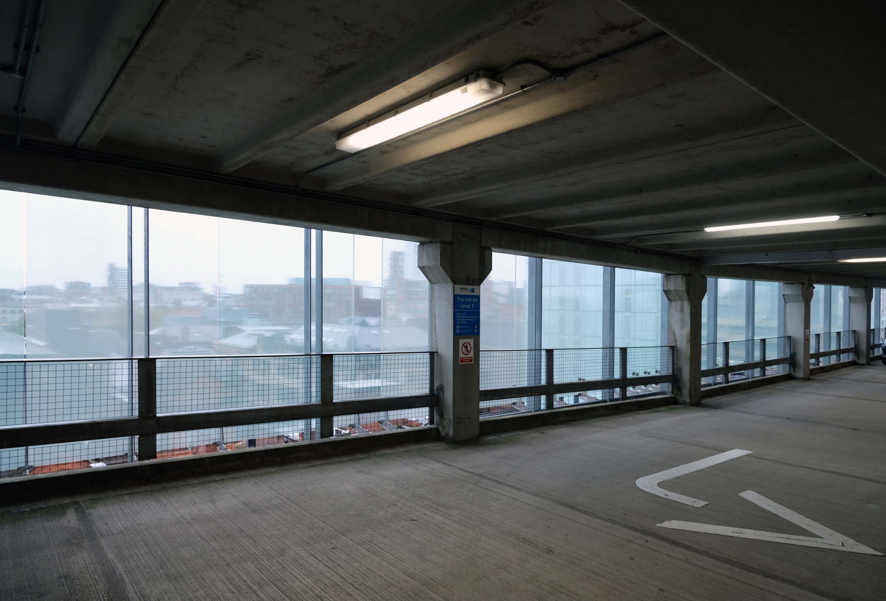
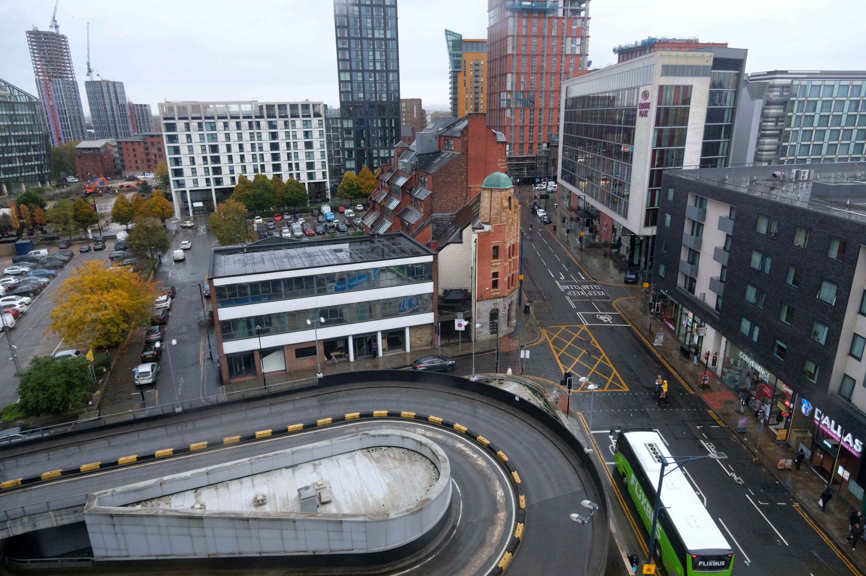
The pedestrian in a car park found it to be accessible and vaguely commodious – affording fine views across the city.
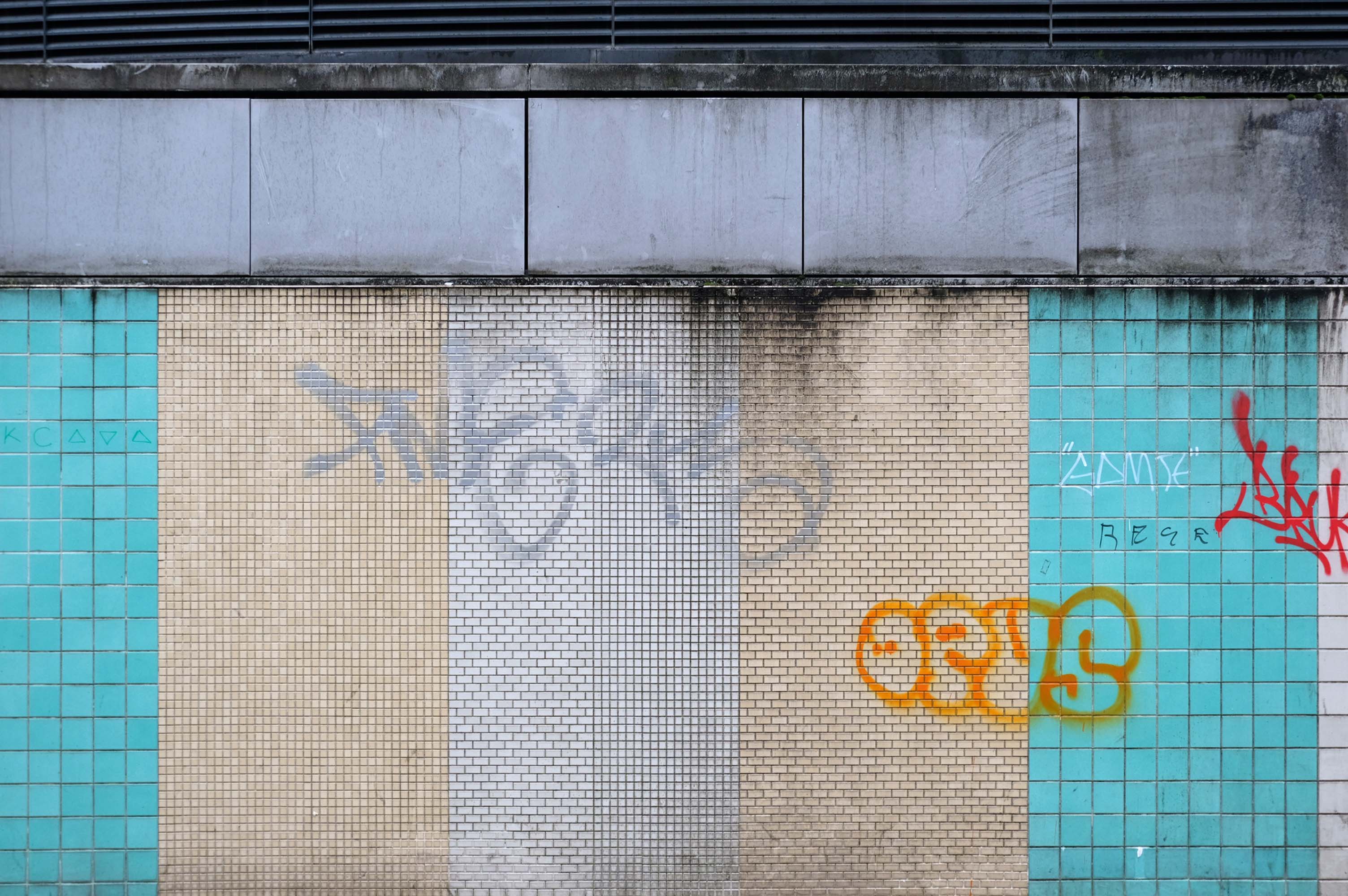
Sadly the decorative mosaic is woefully neglected, careworn and forlorn.