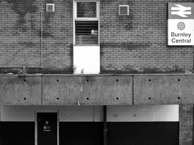
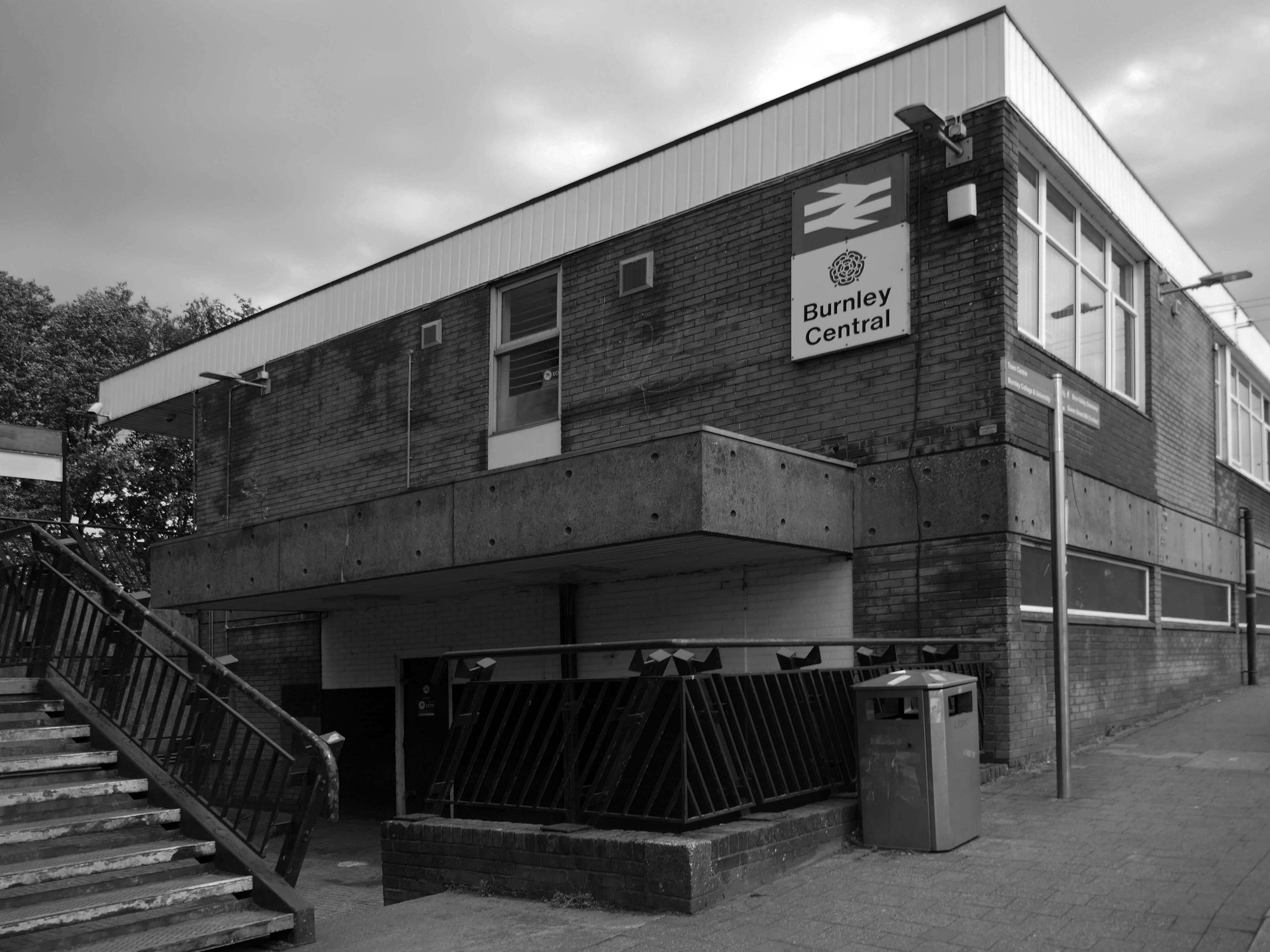
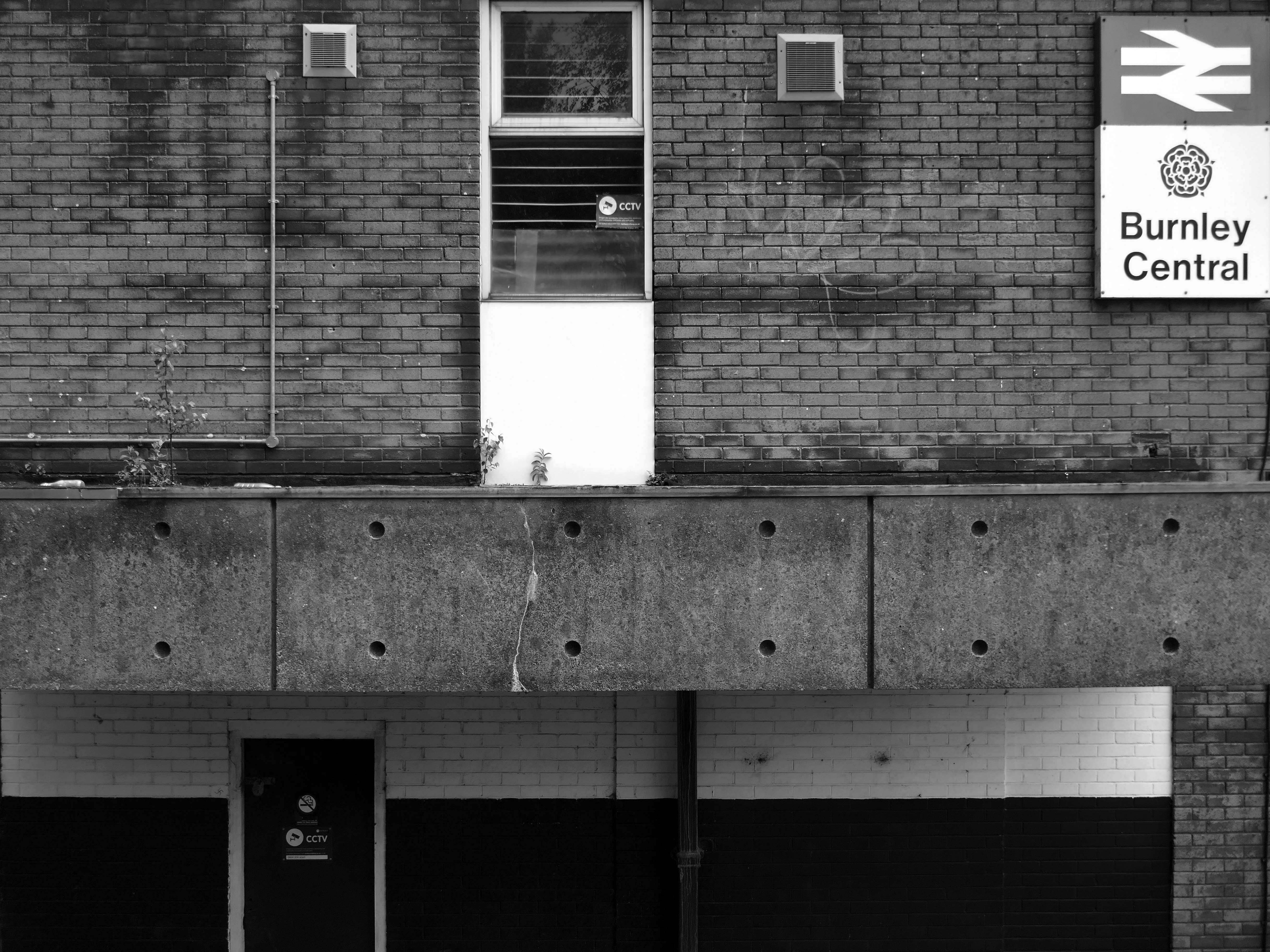
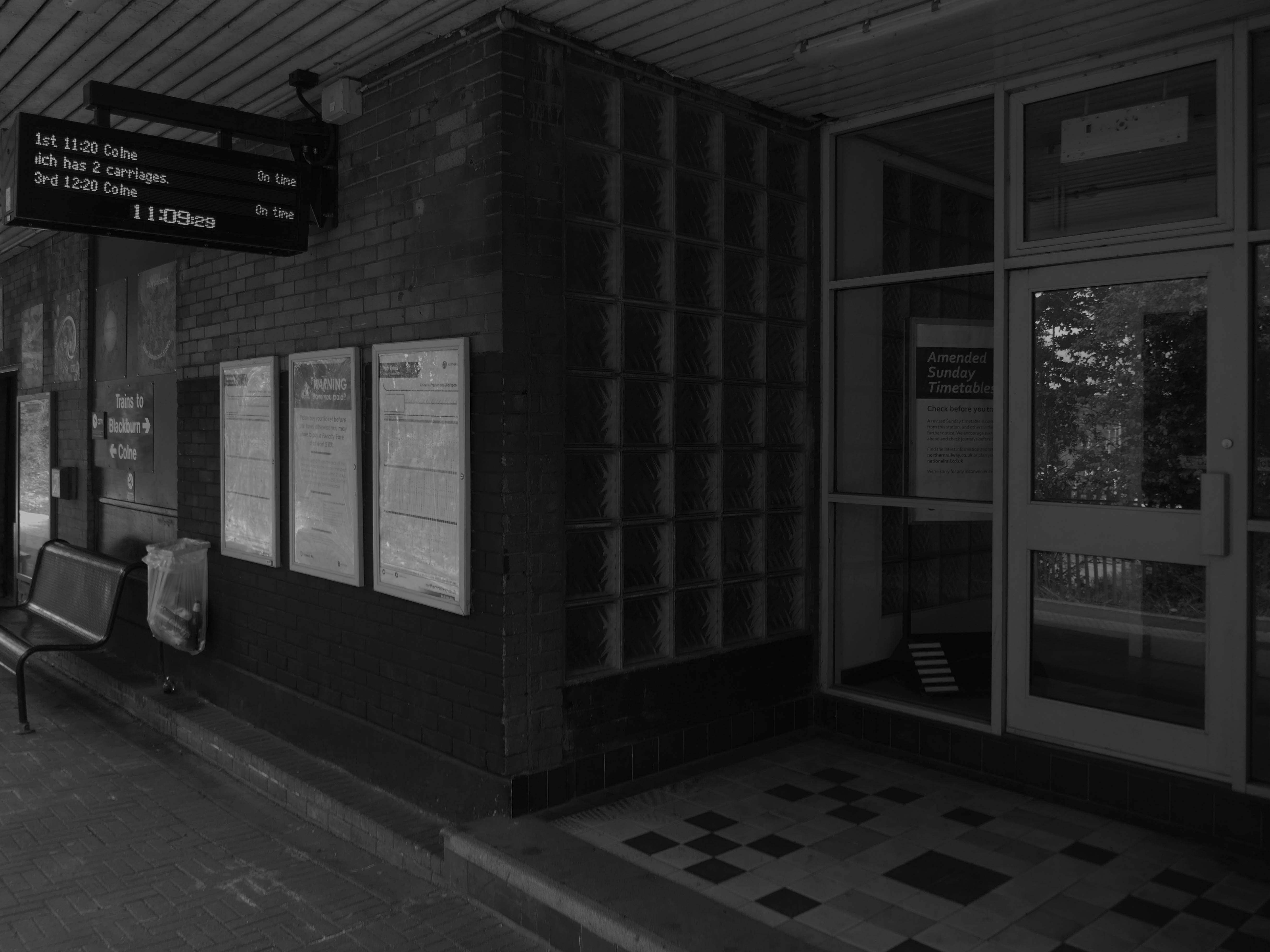
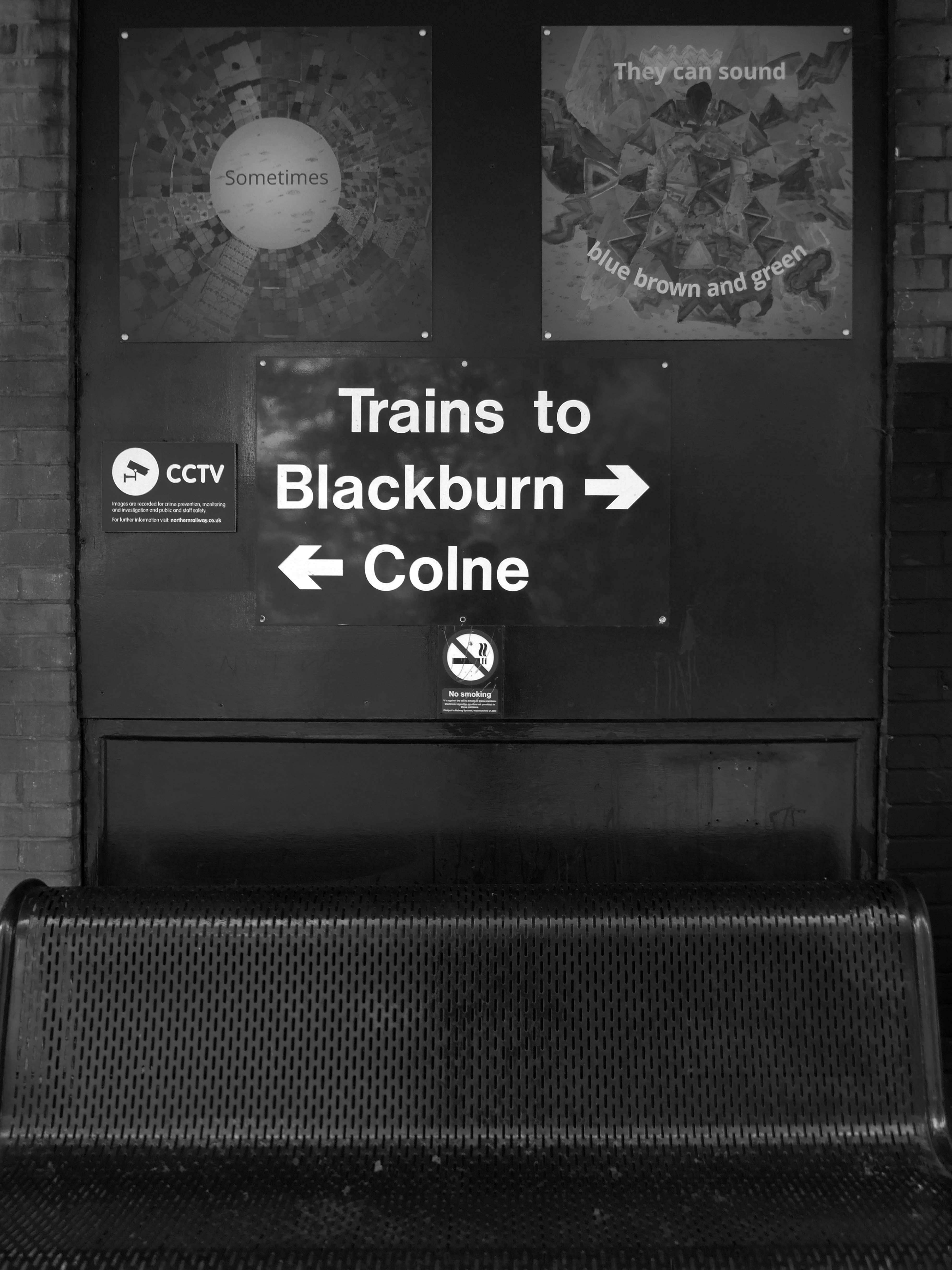
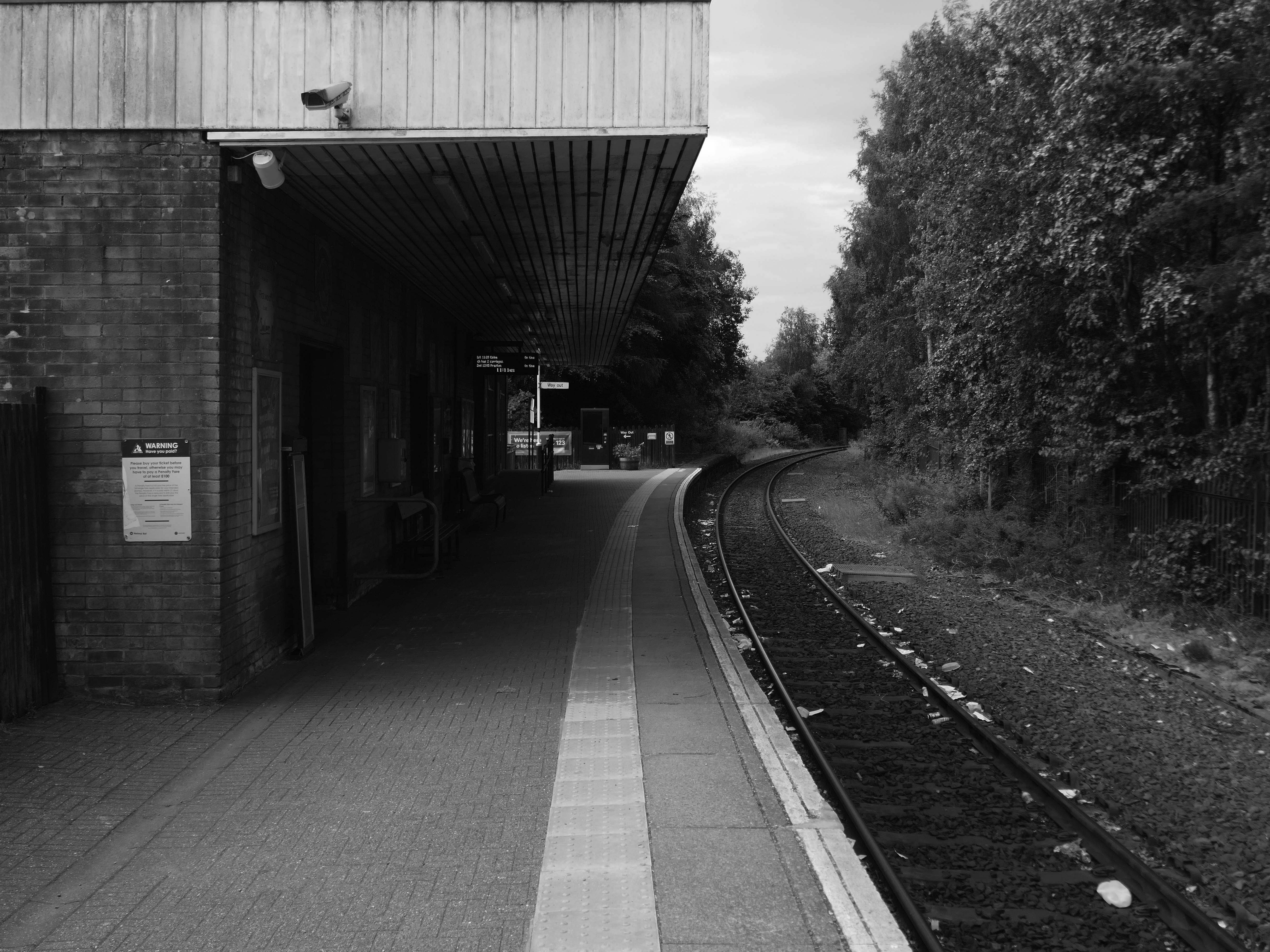
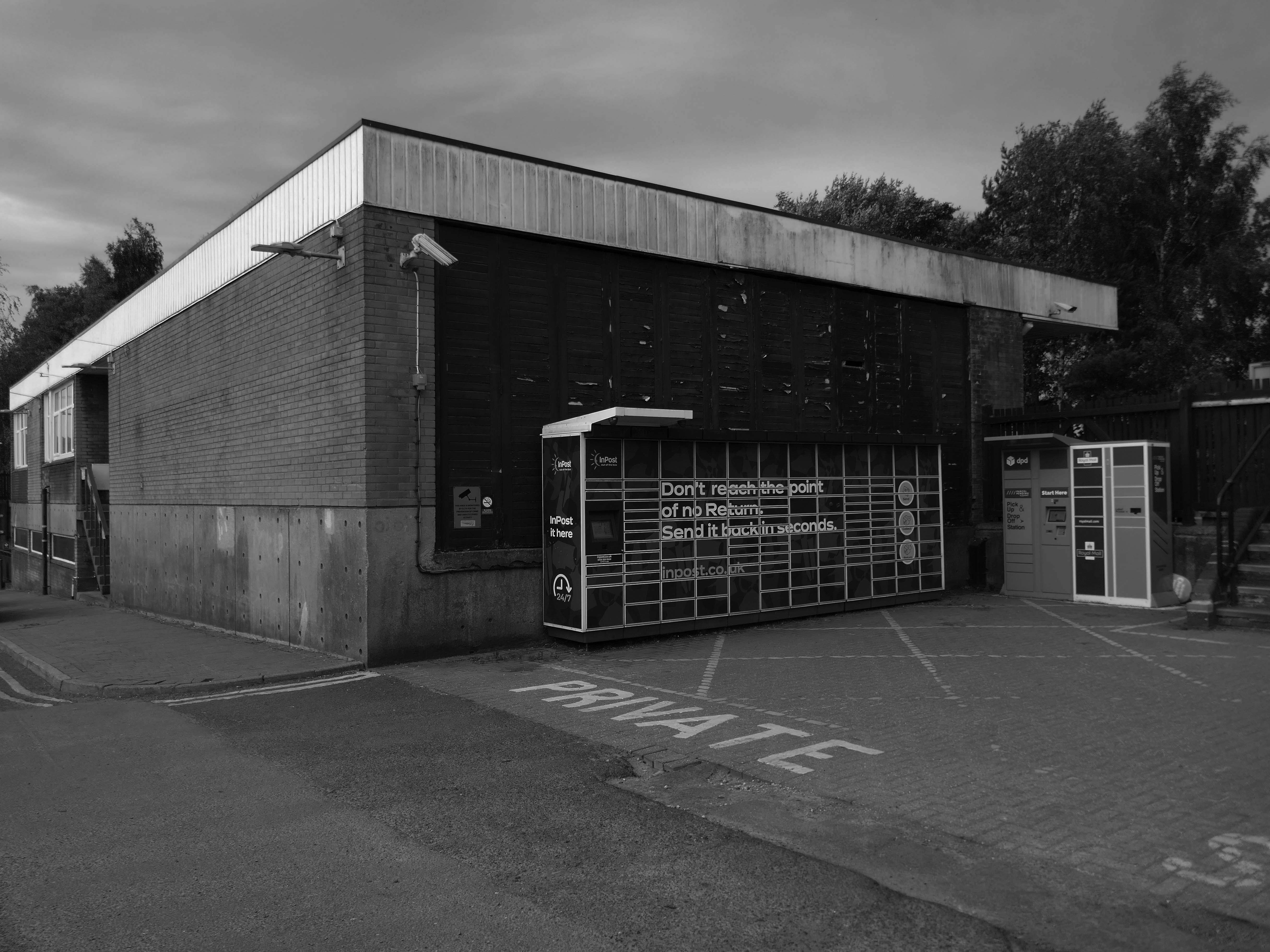
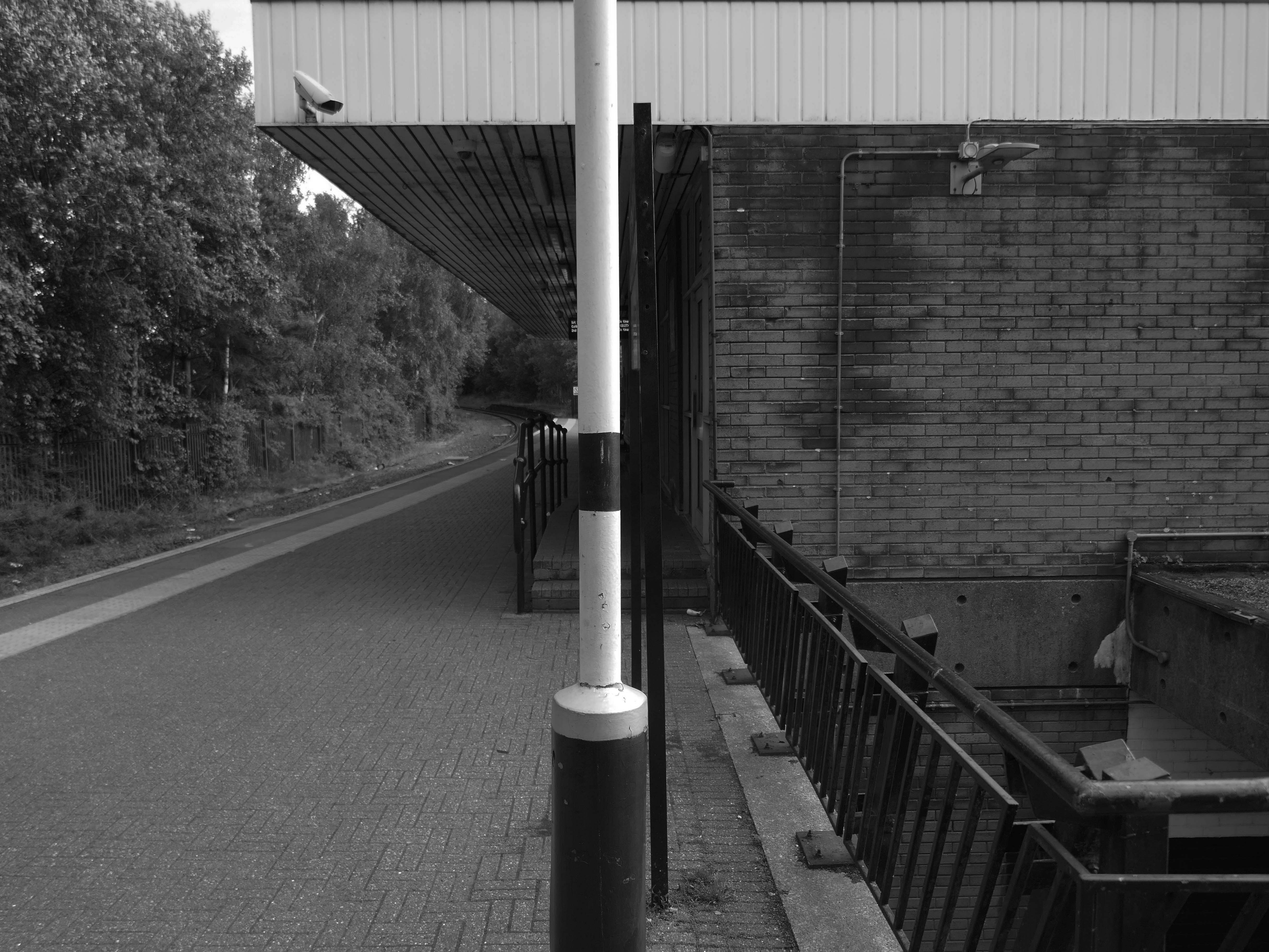
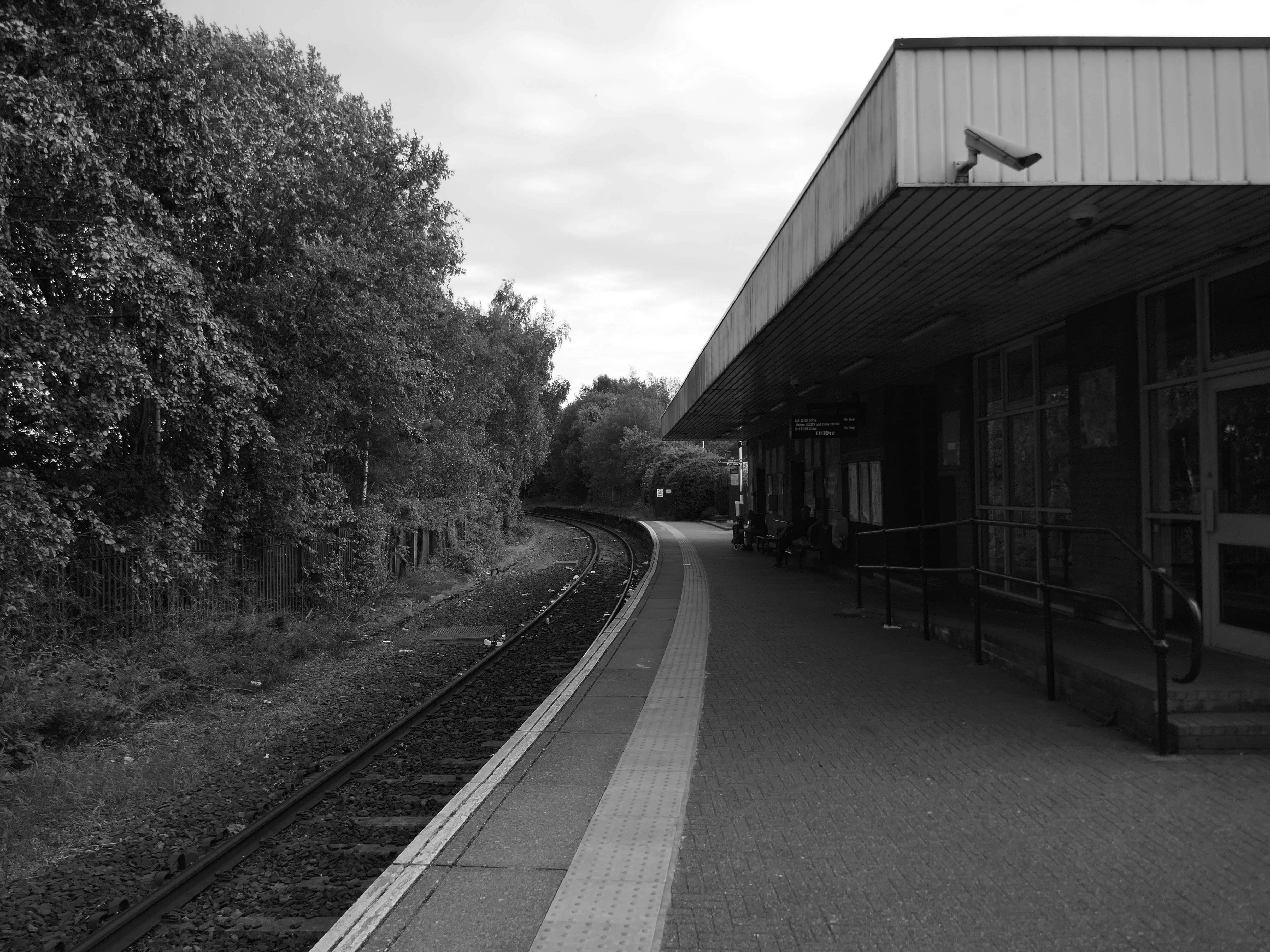
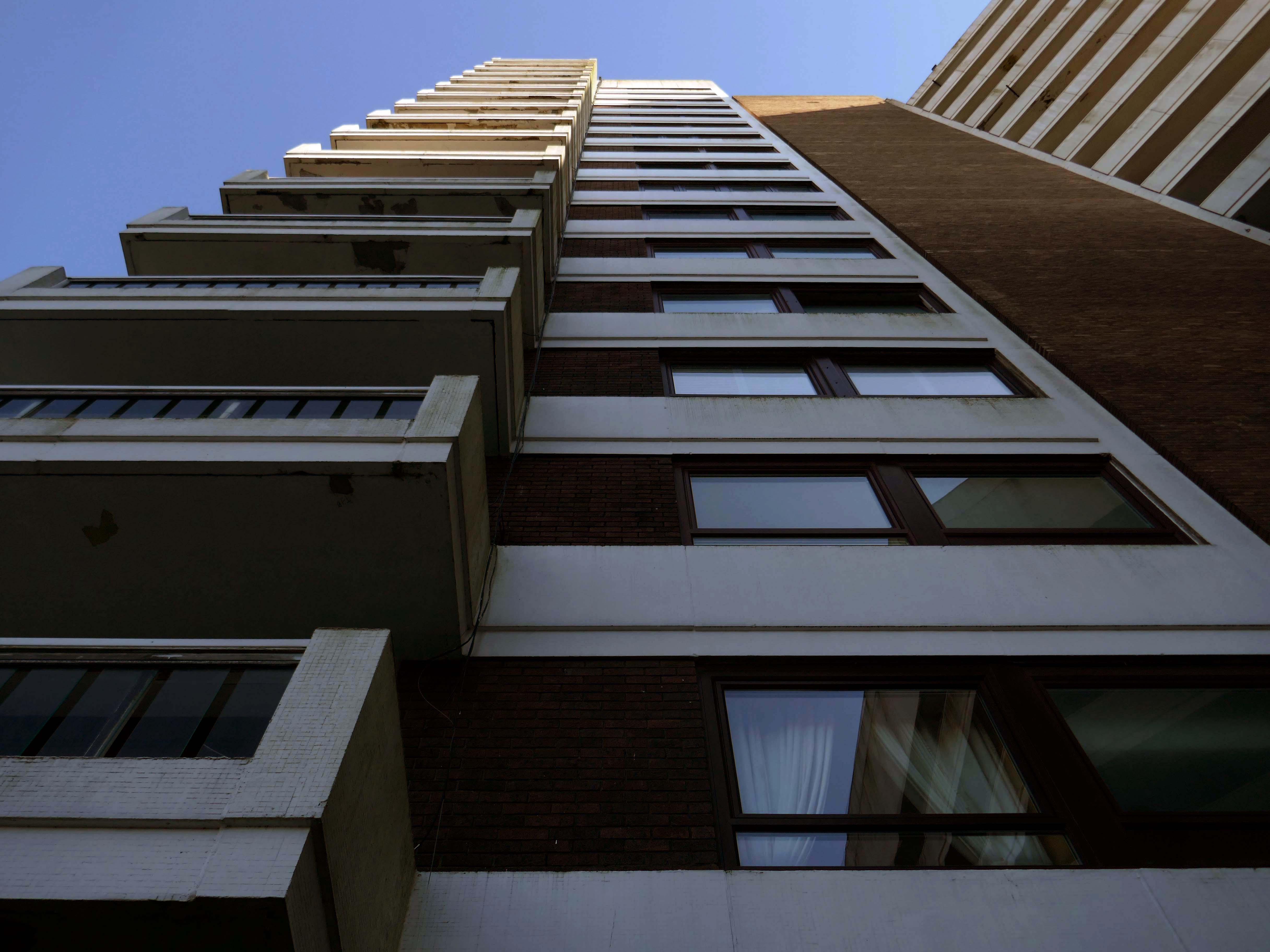
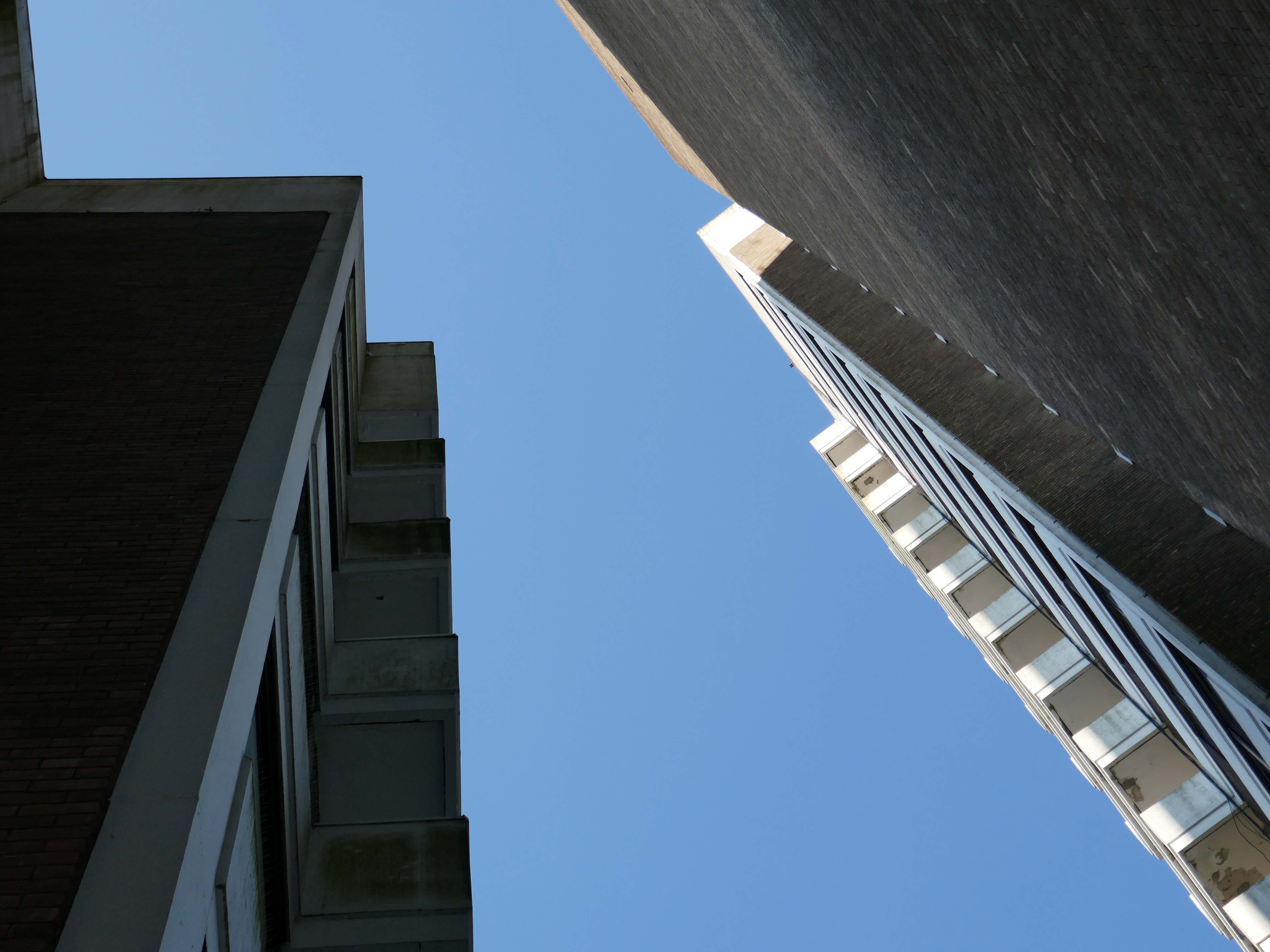
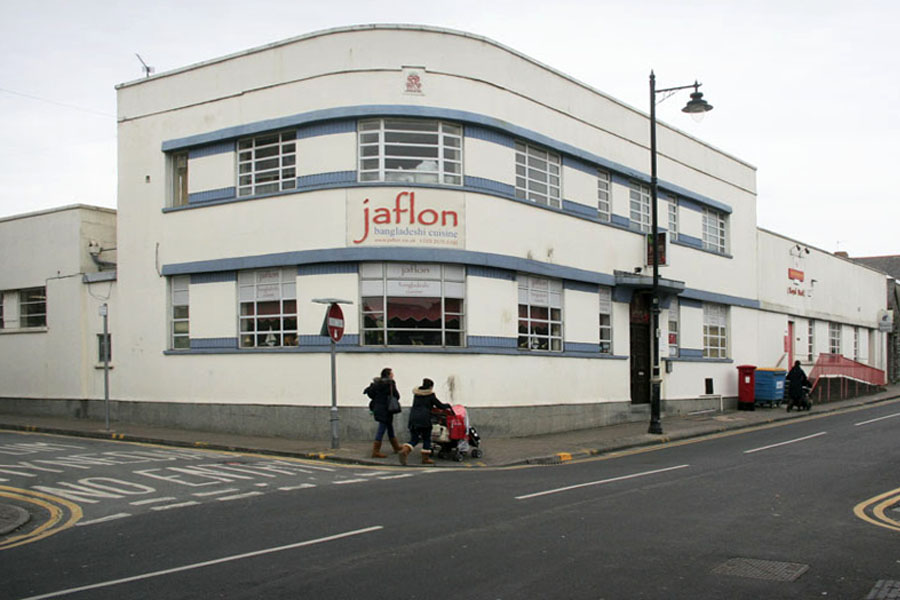
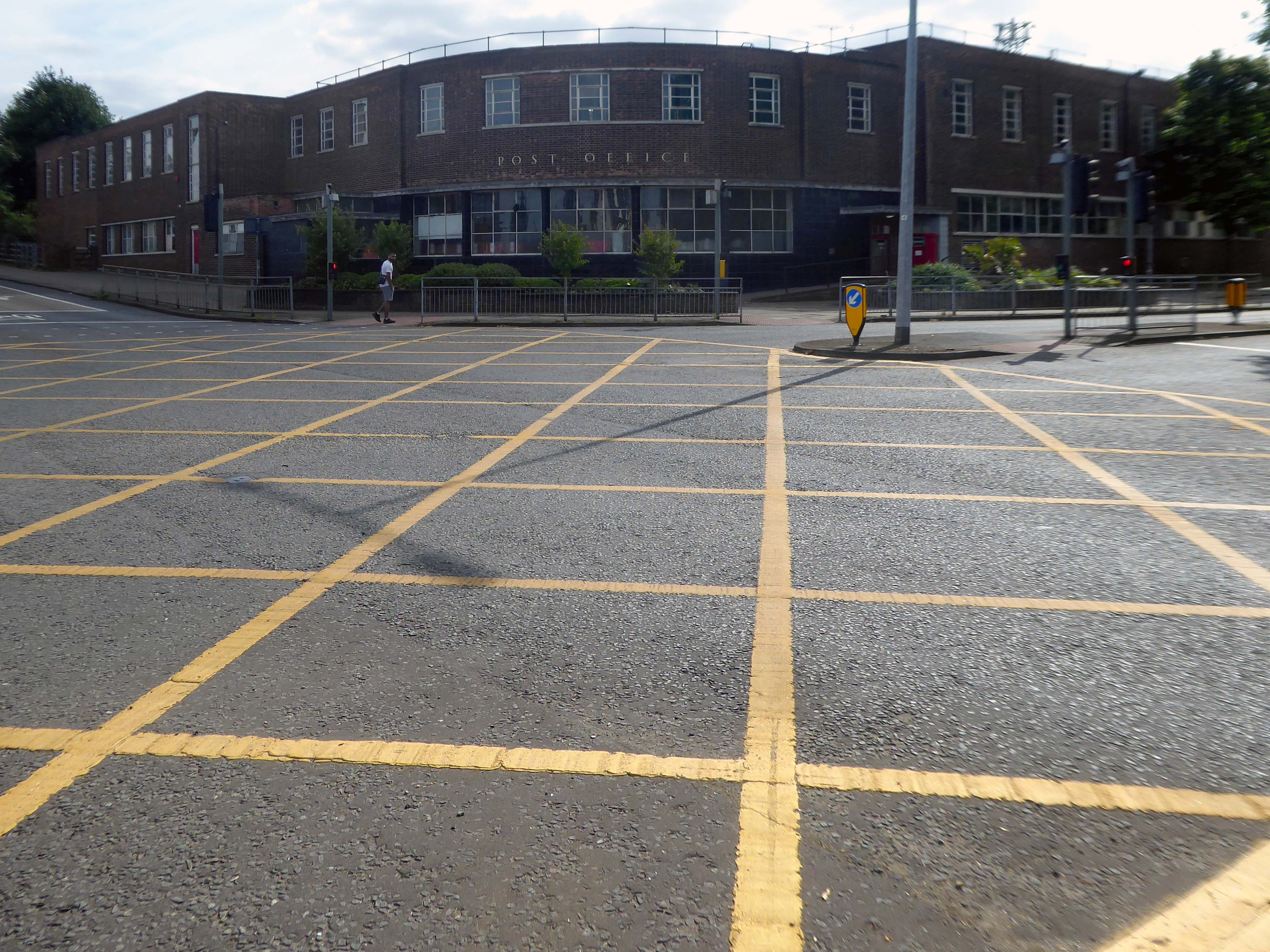
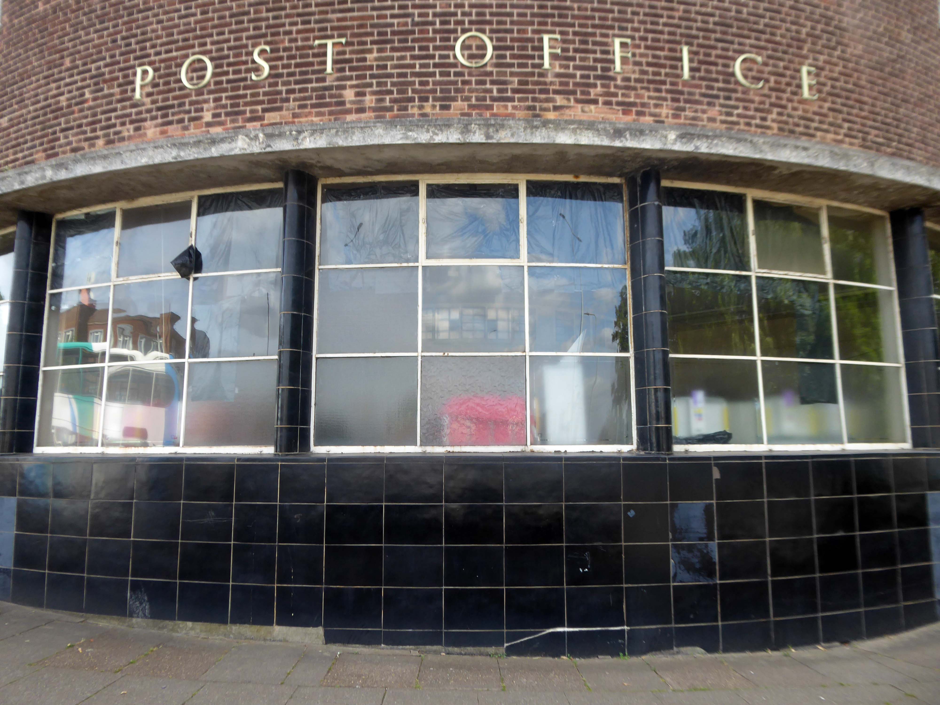
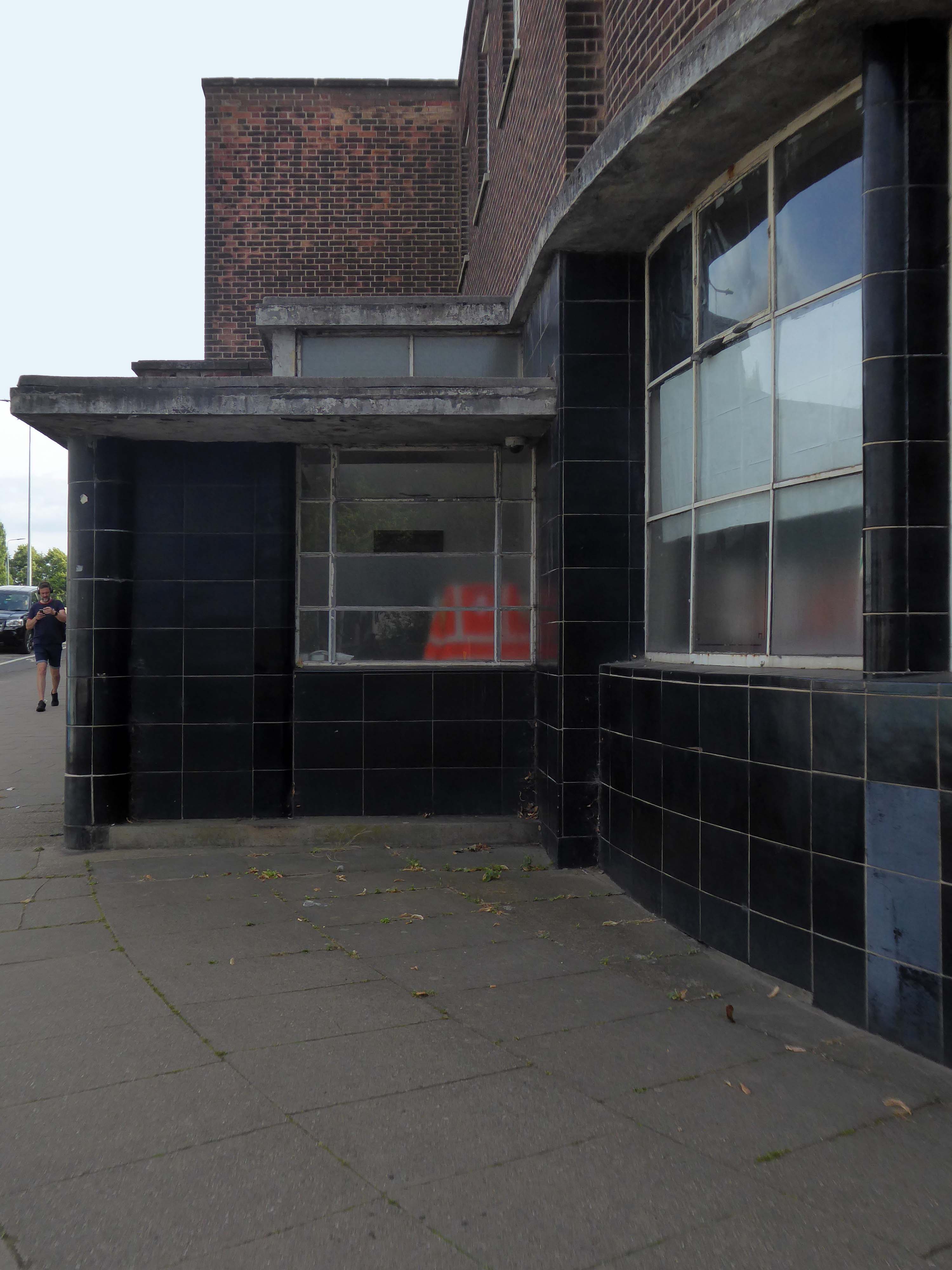
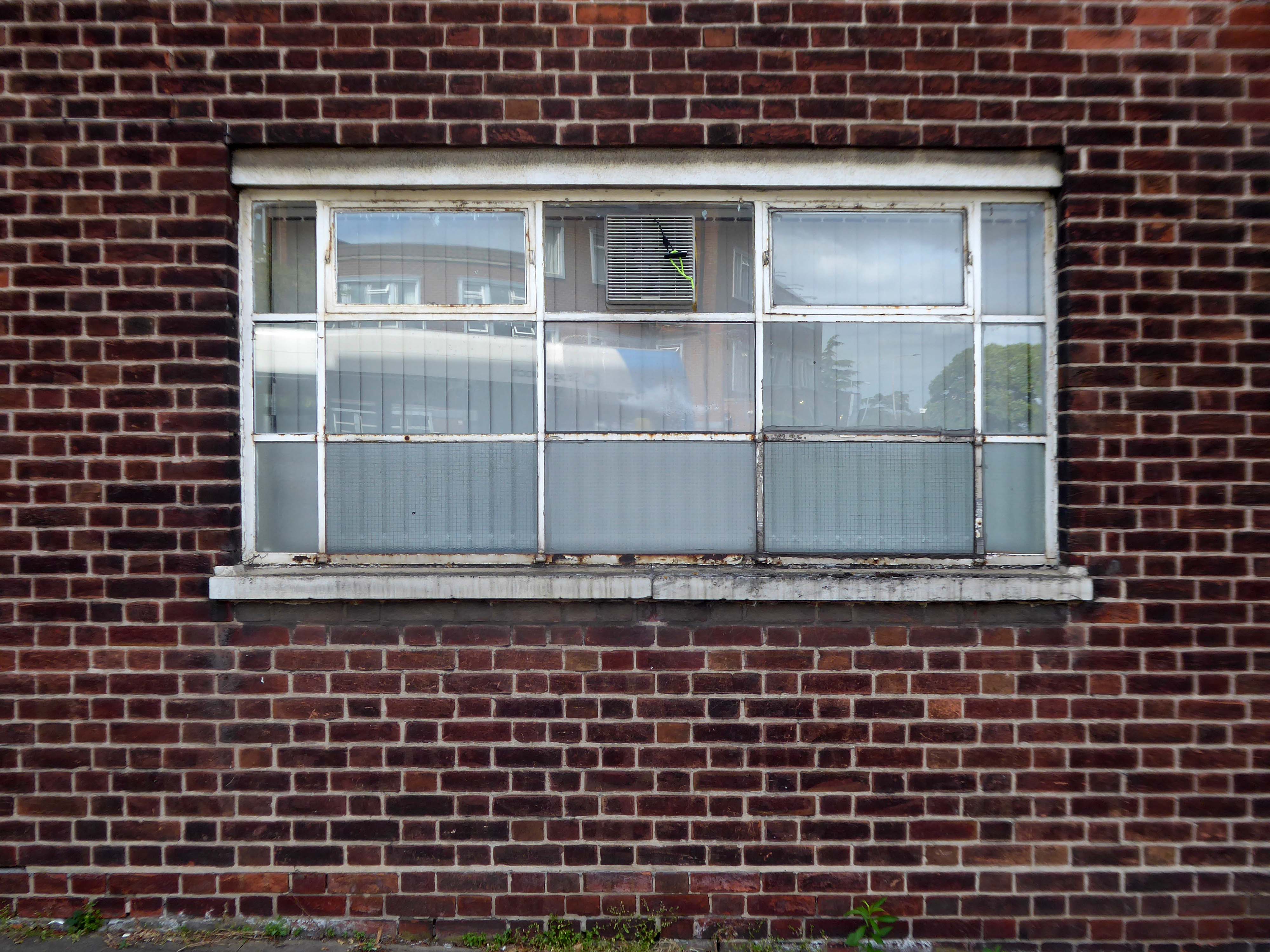
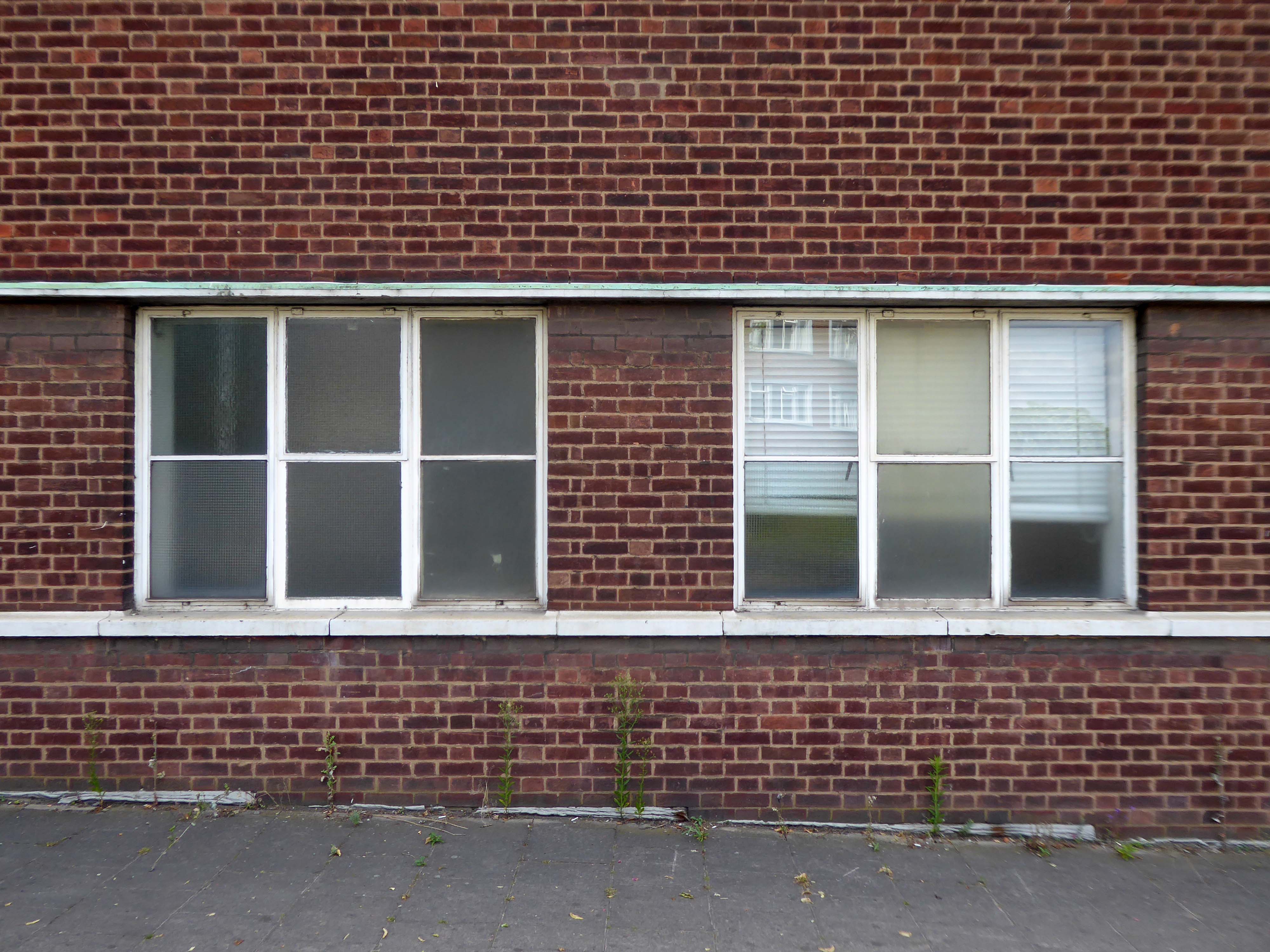
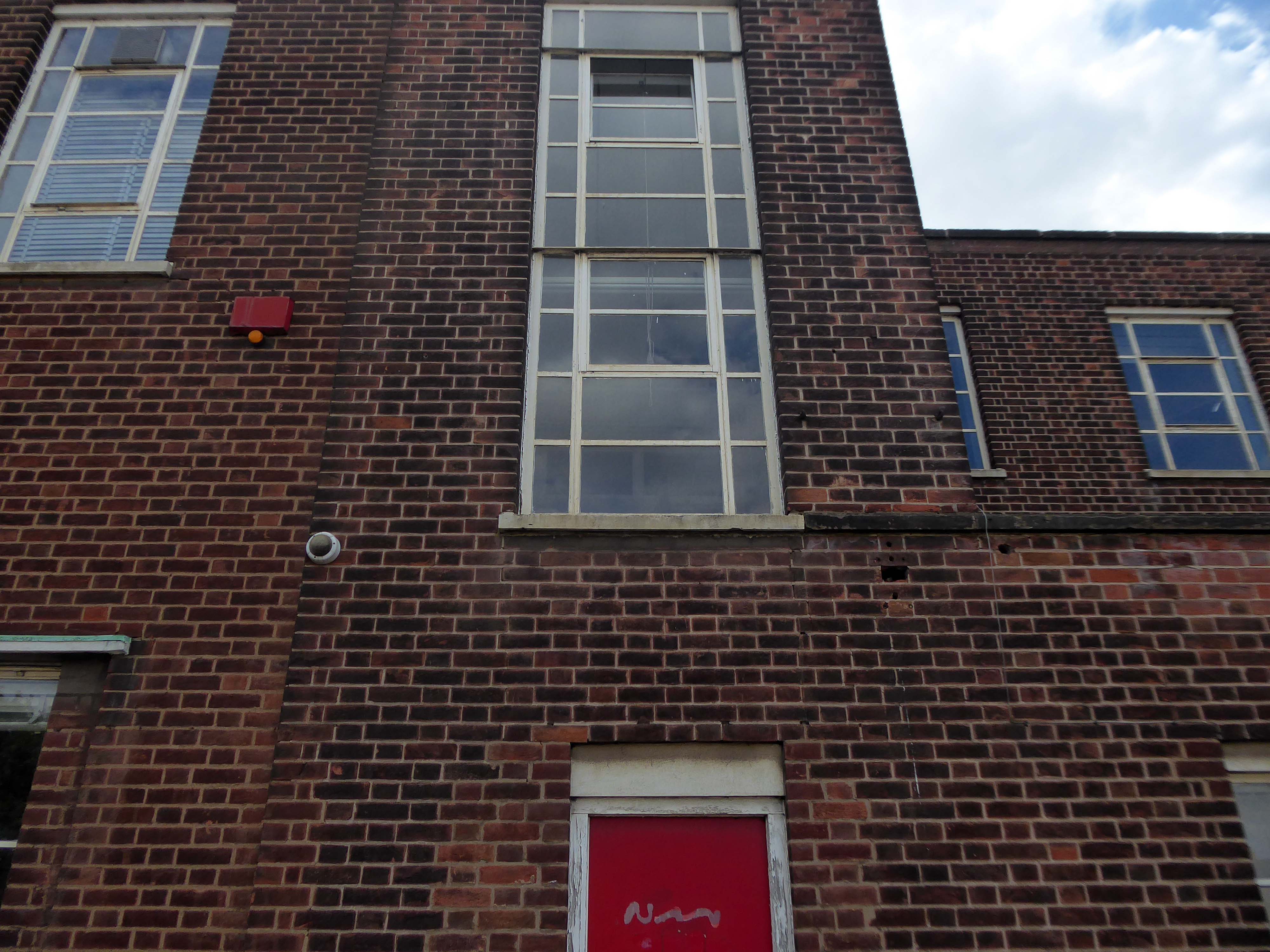
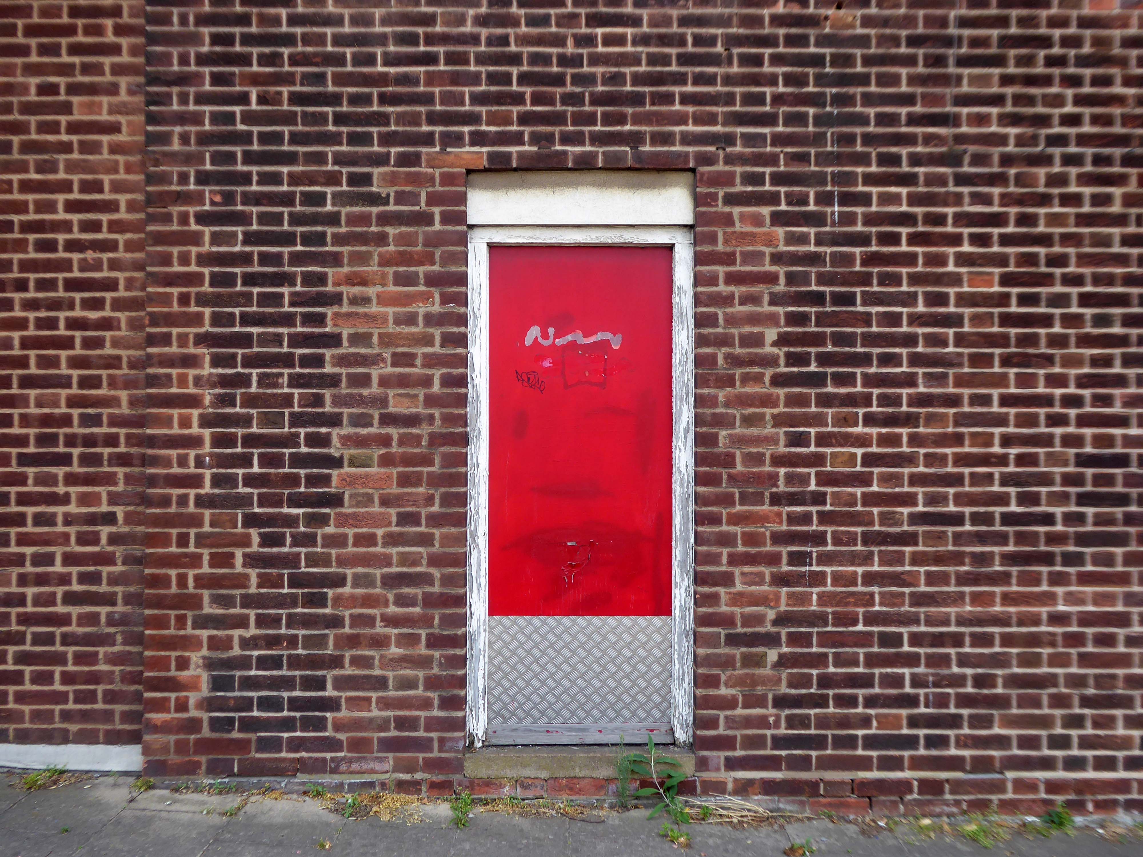
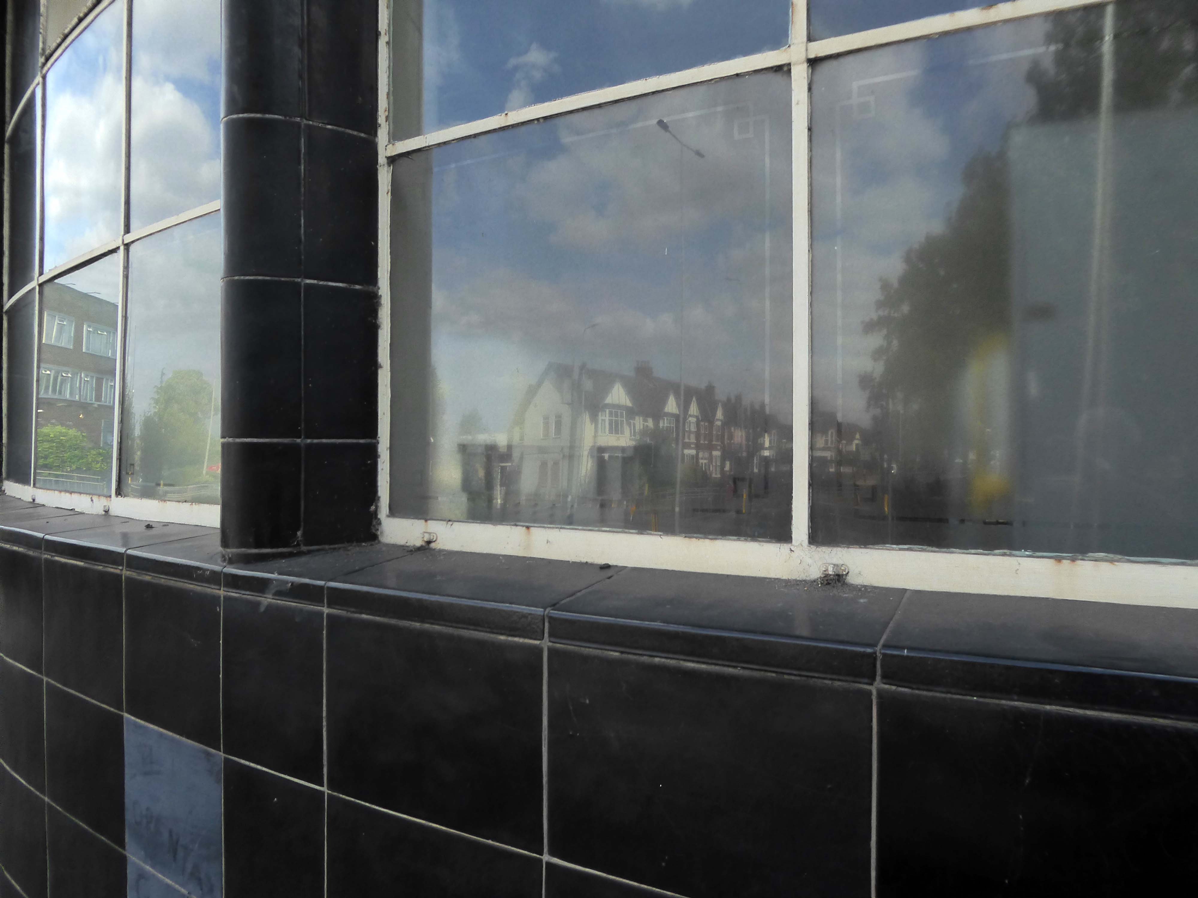
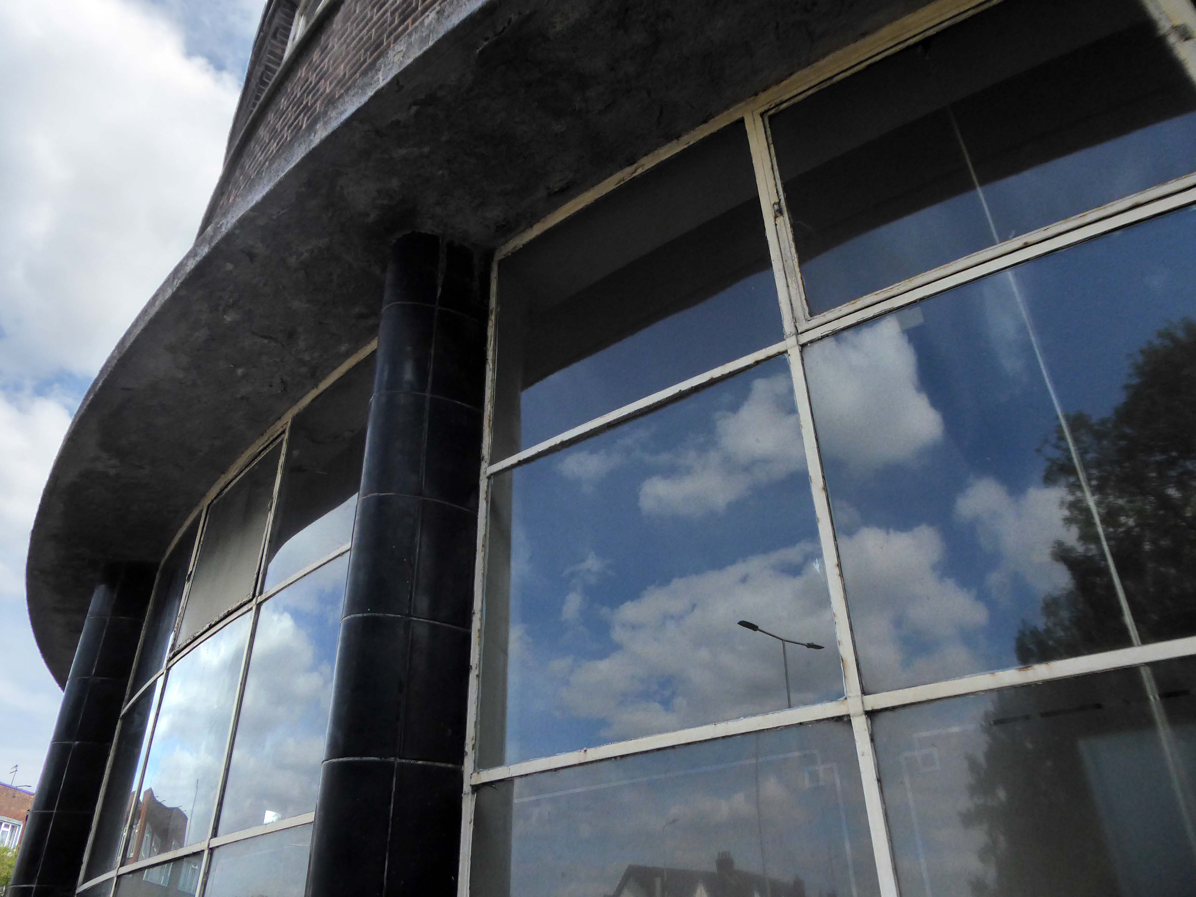
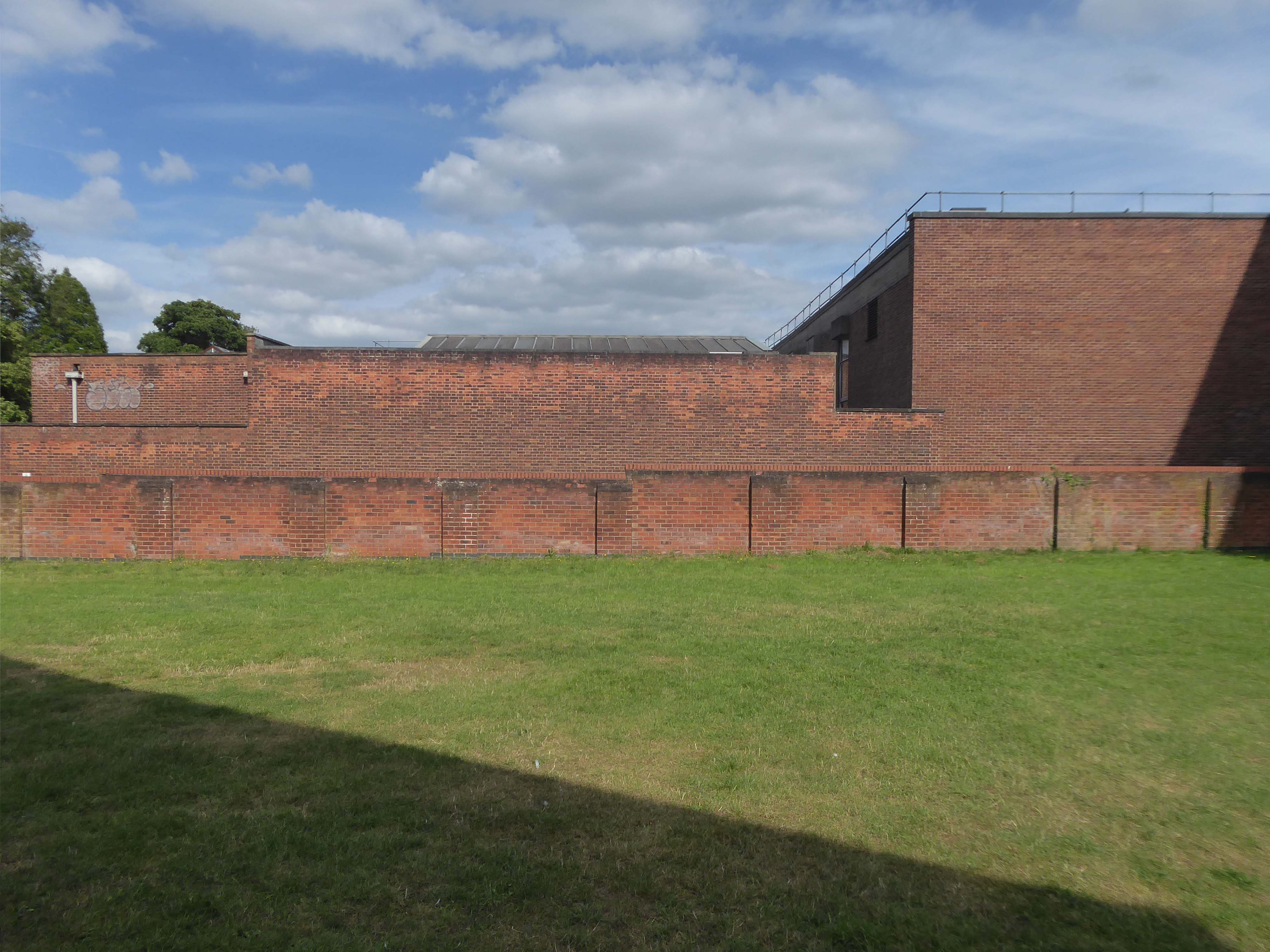
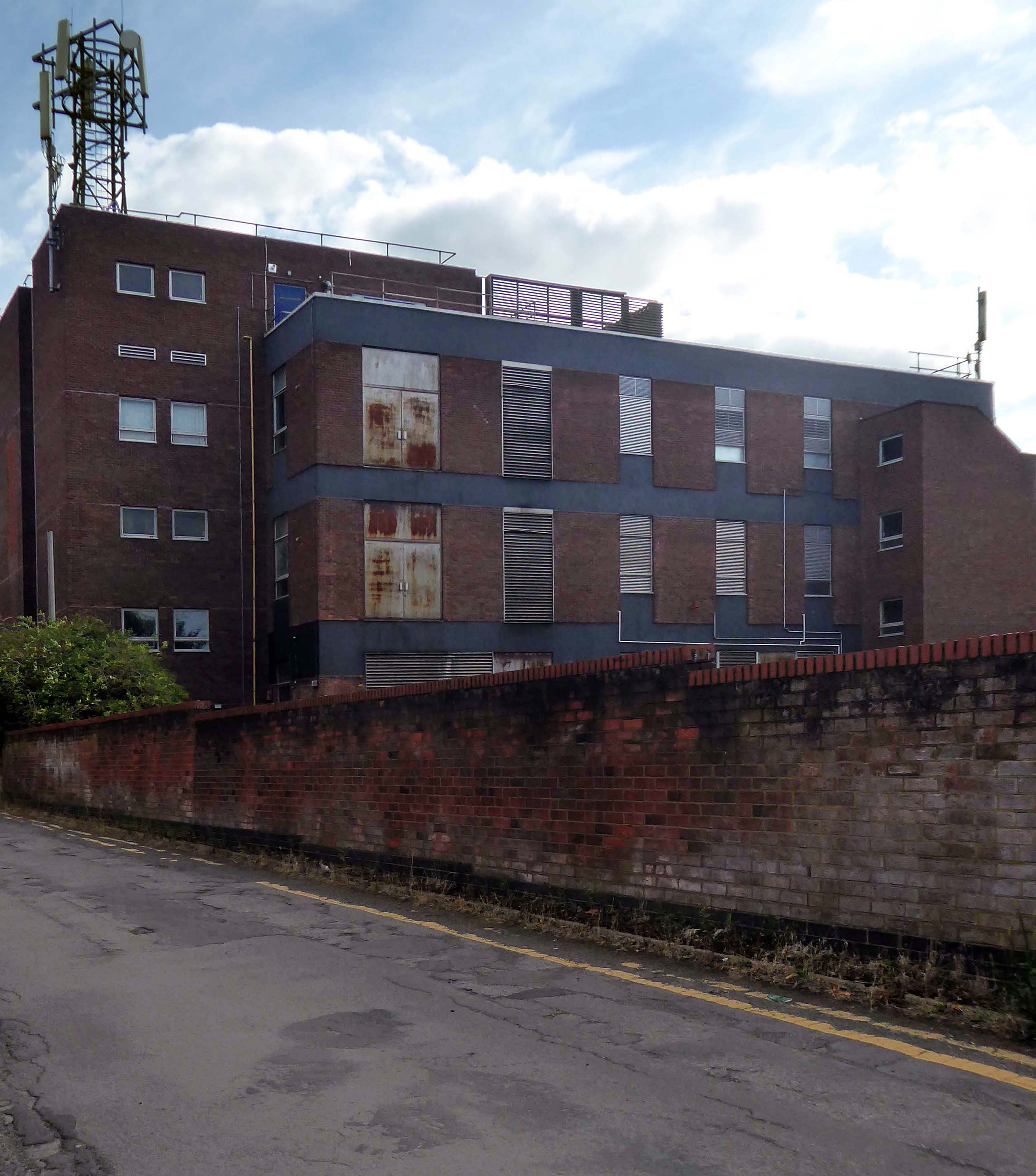
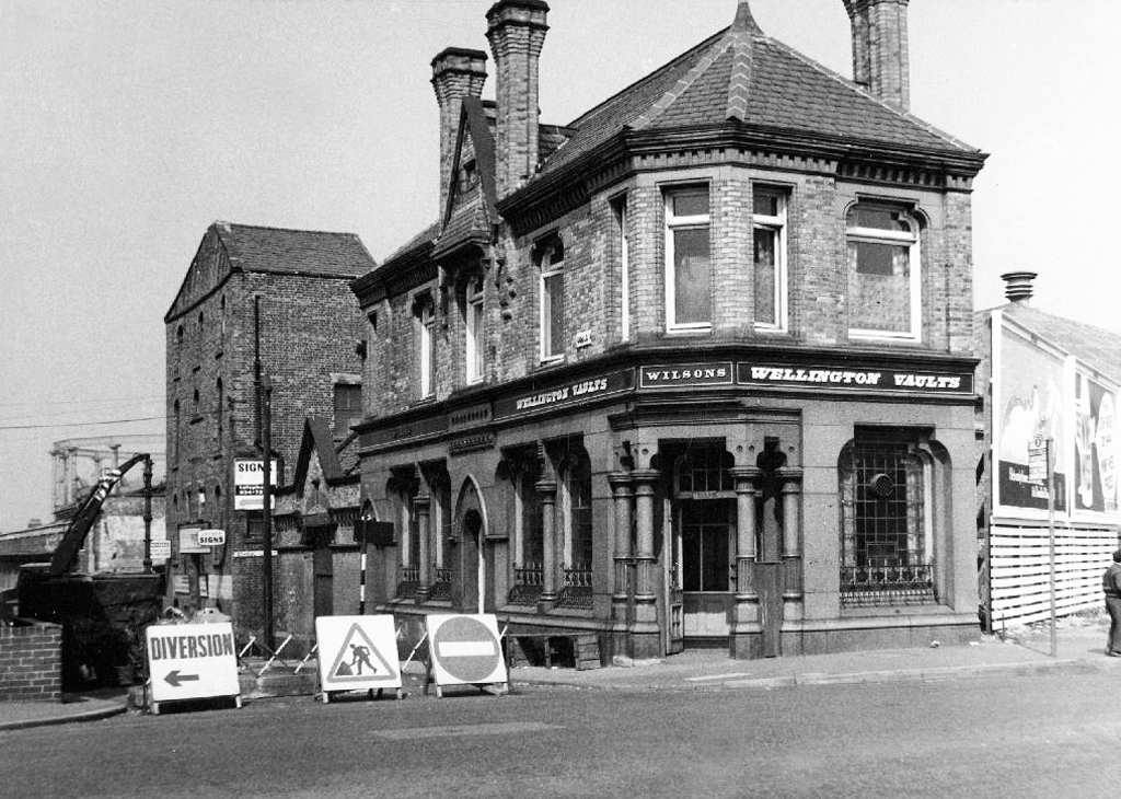
Burnley Central railway station is a stop on the East Lancashire Line, it is managed by Northern Trains, which also provides its passenger service.
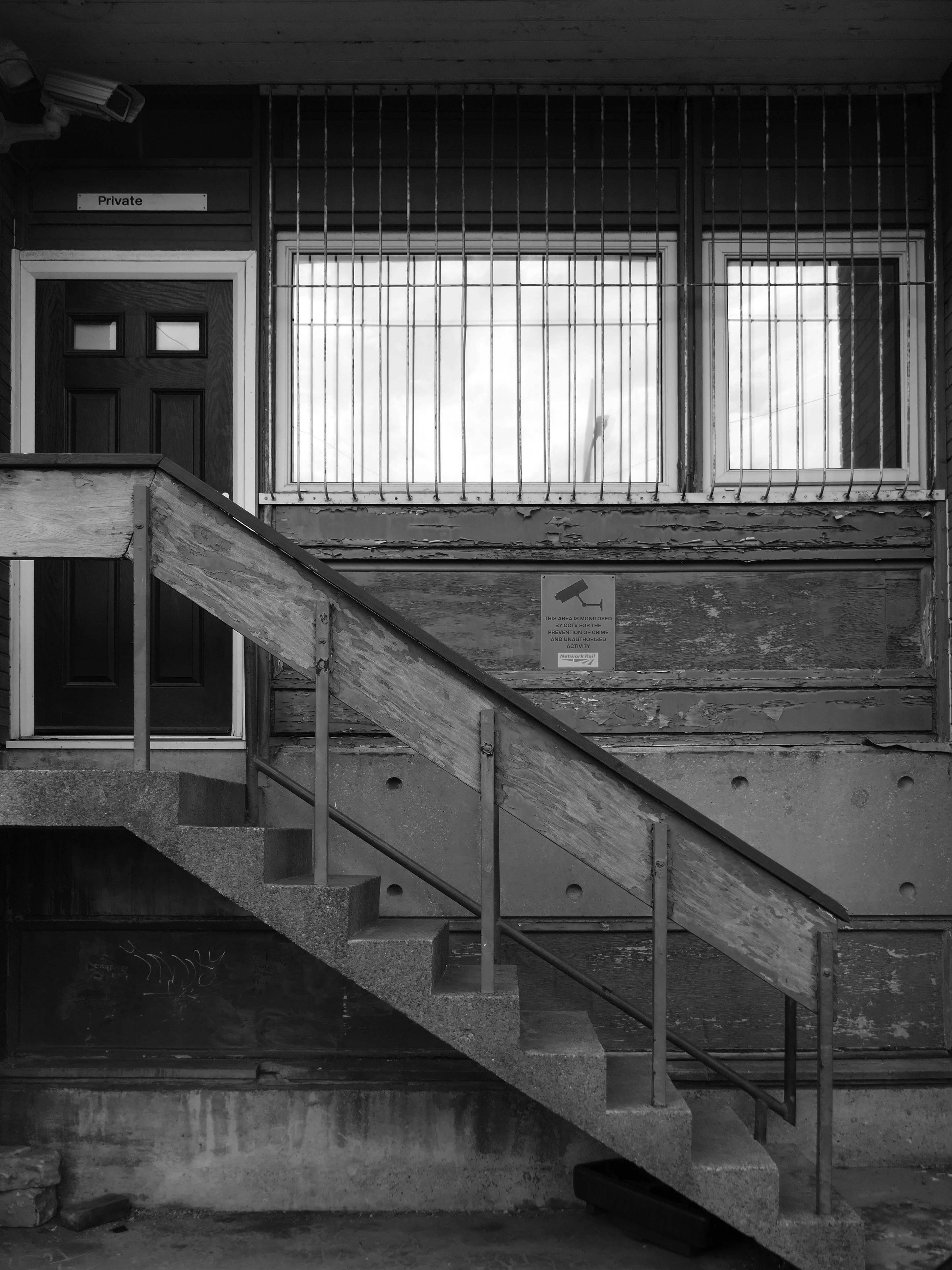
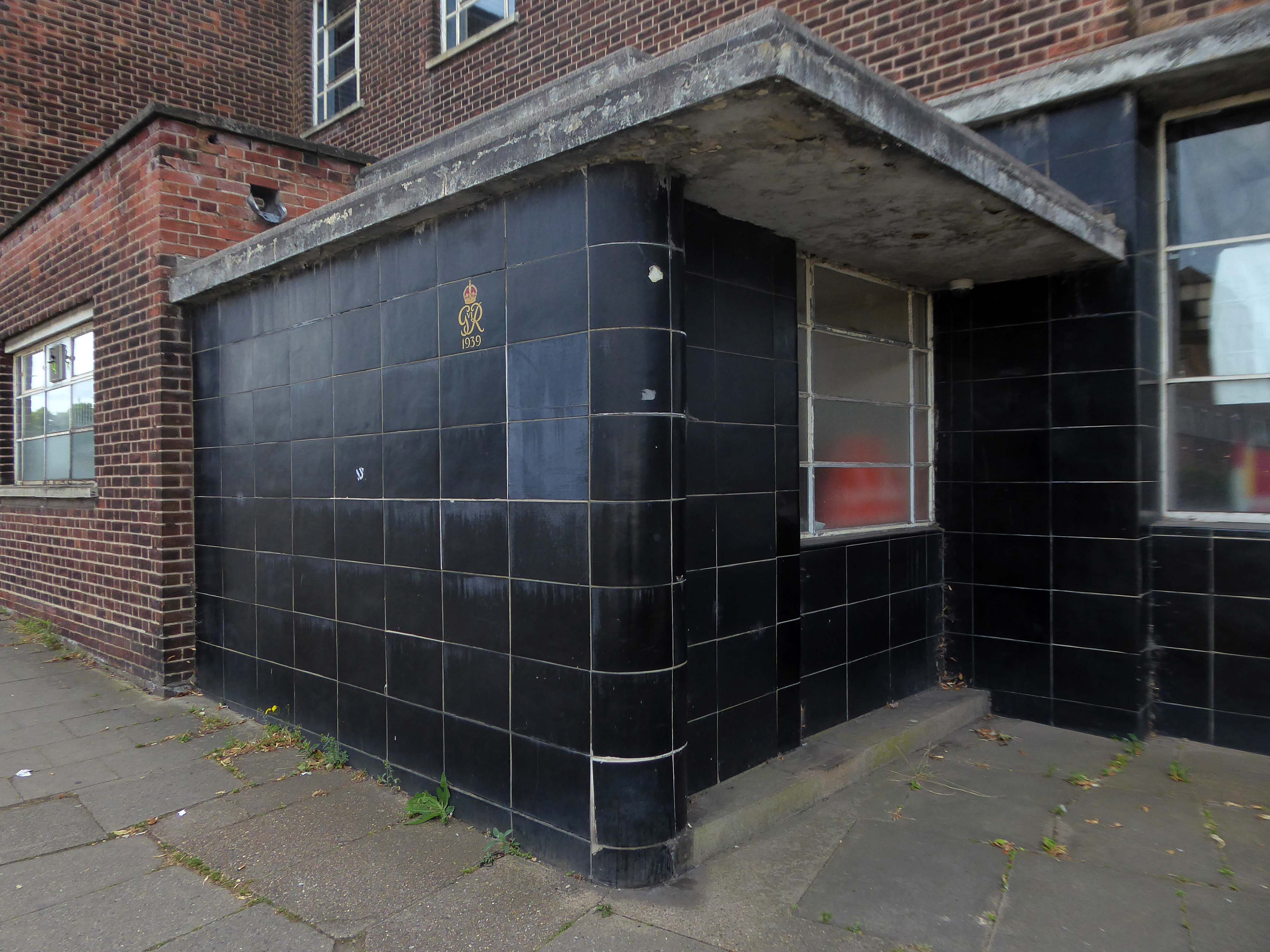
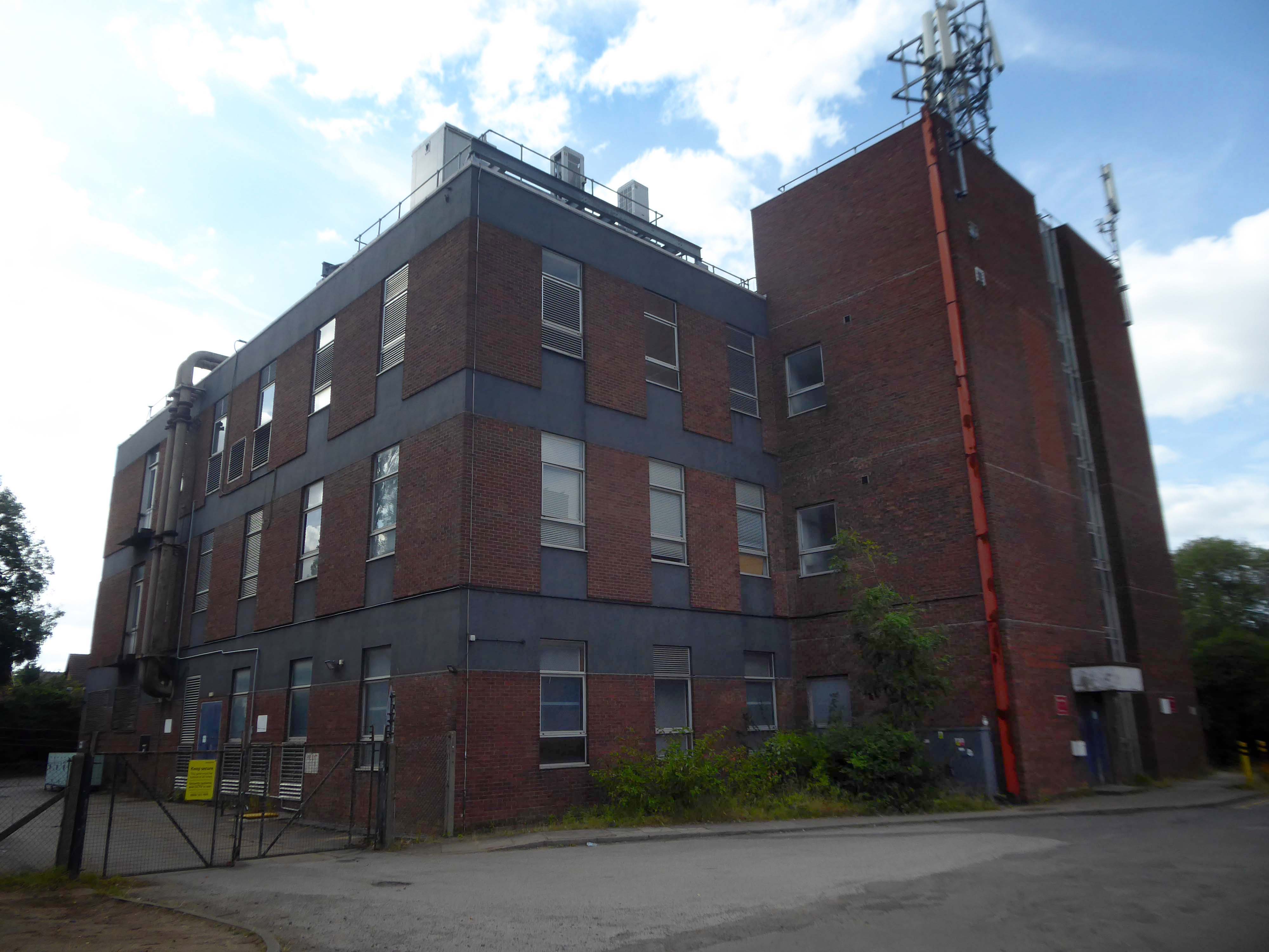
Architect: RL Moorcroft of British Rail 1964-1966
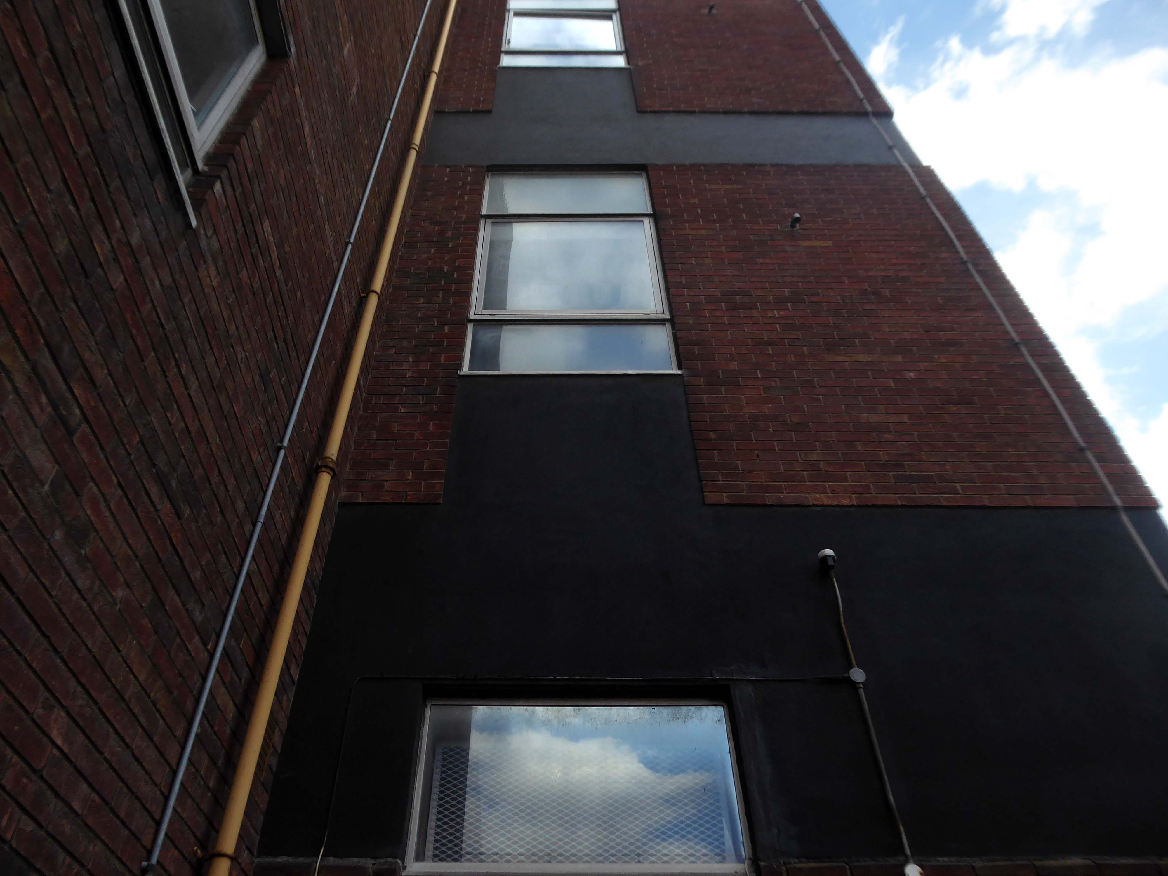
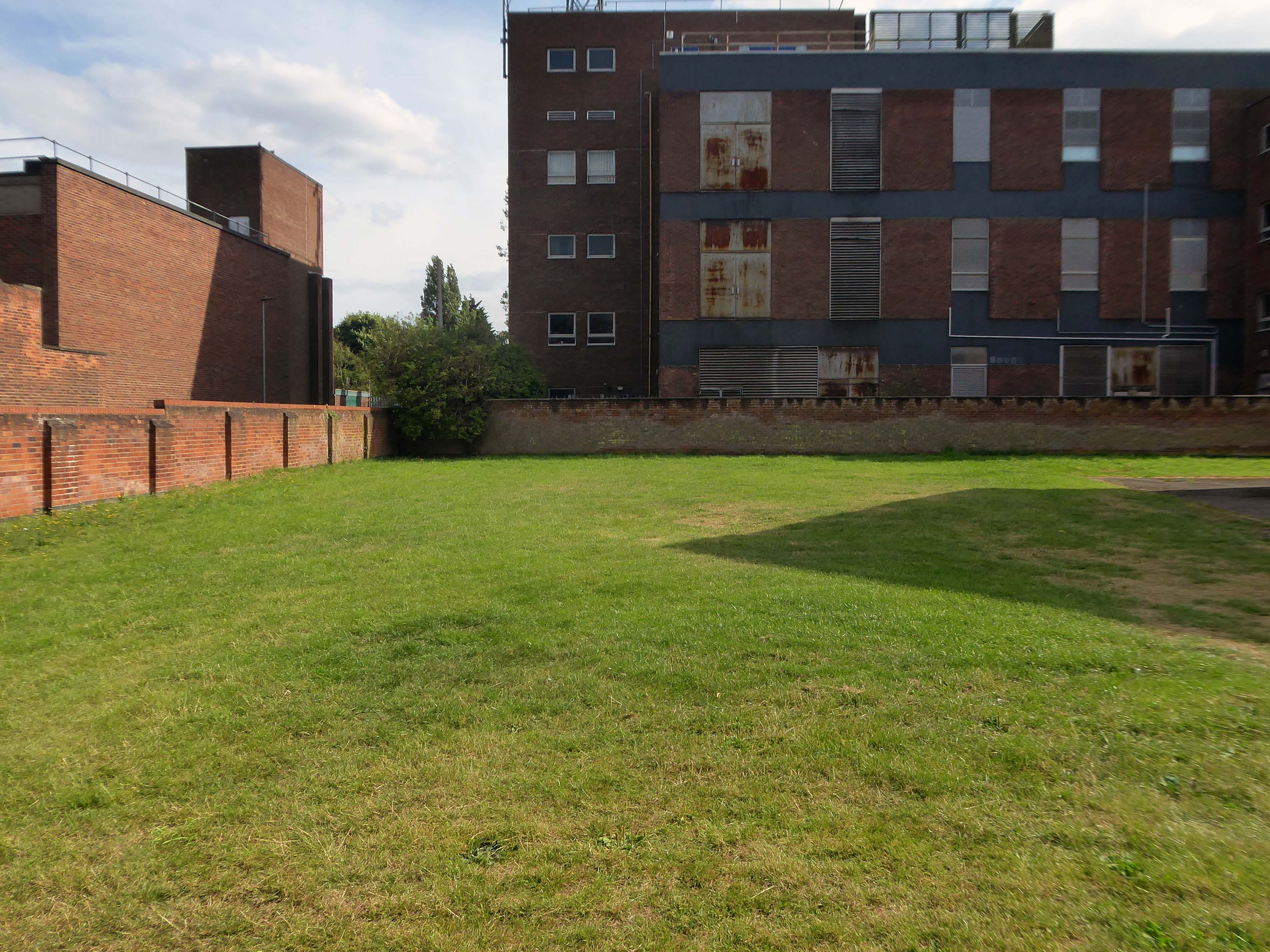
Described by Claire Hartwell in the Buildings of England Lancashire: North as – of blue brick, bleak.
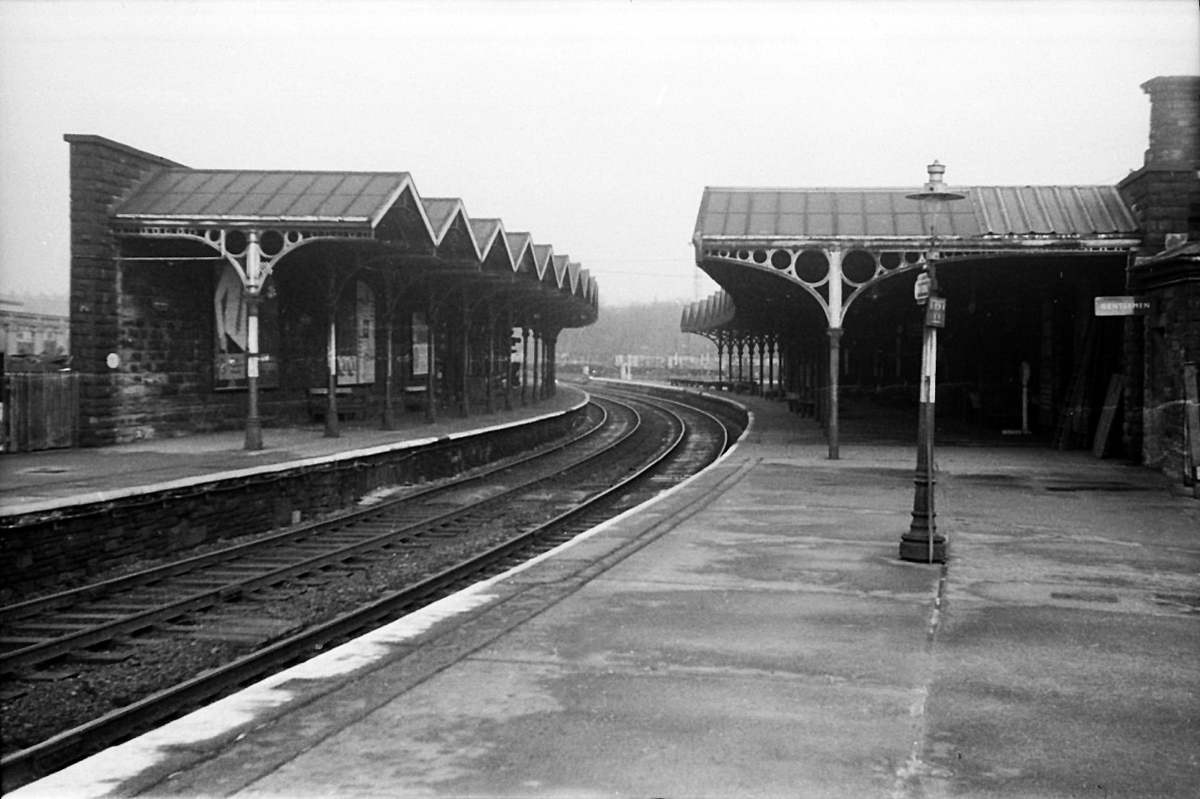
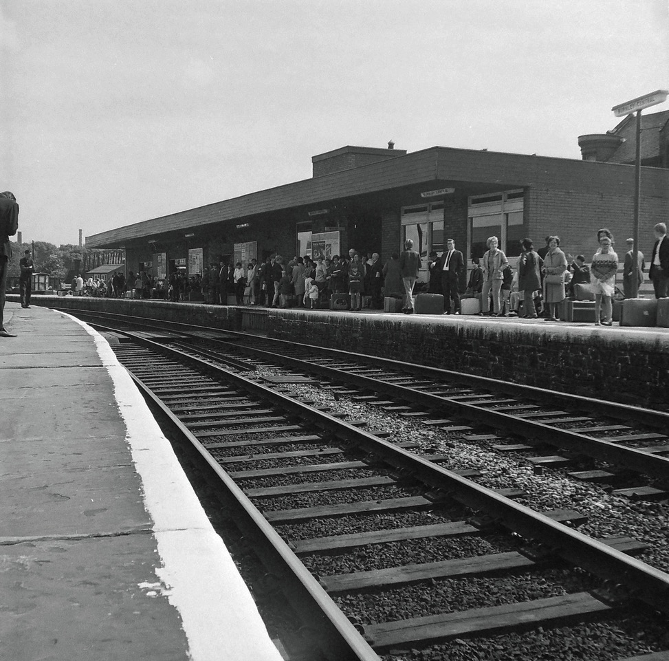
The station was opened by the East Lancashire Railway in 1848, as part of its route from Bury and Blackburn to Colne; here, an end-on junction was made with the Leeds and Bradford Extension Railway line from Skipton that had been completed several months earlier. The service from Colne through the station to Manchester Victoria, via Accrington and Bury, was well used from the outset by the owners of the local cotton mills, who travelled from their homes in the area to make their purchases of raw cotton at the Royal Exchange several times each week. It was also possible to travel from the station by direct train to Blackpool, Liverpool and Skipton and even through to London Euston, via Blackburn, Manchester Victoria and Stockport.
1964 Red Rose Collections.
However, the cutbacks of the 1960s affected the station badly, with through trains to Manchester via Bury ending in 1964 (two years before the withdrawal of the Accrington to Bury service) and those to Liverpool in 1969 whilst the line to Skipton was closed to all traffic in 1970. This left the station on a 10.5 km long dead-end branch line from Rose Grove to Colne.
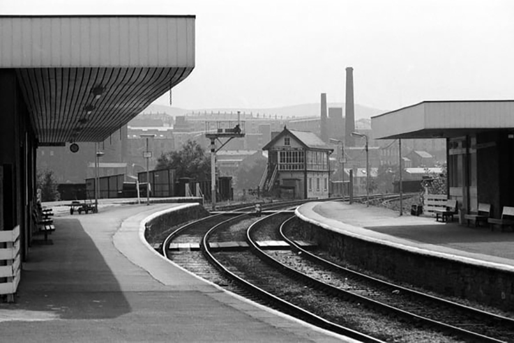
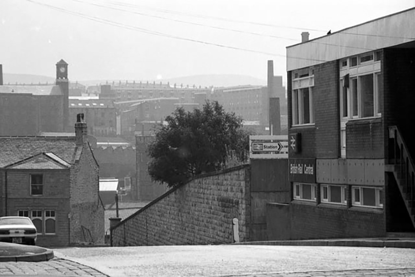
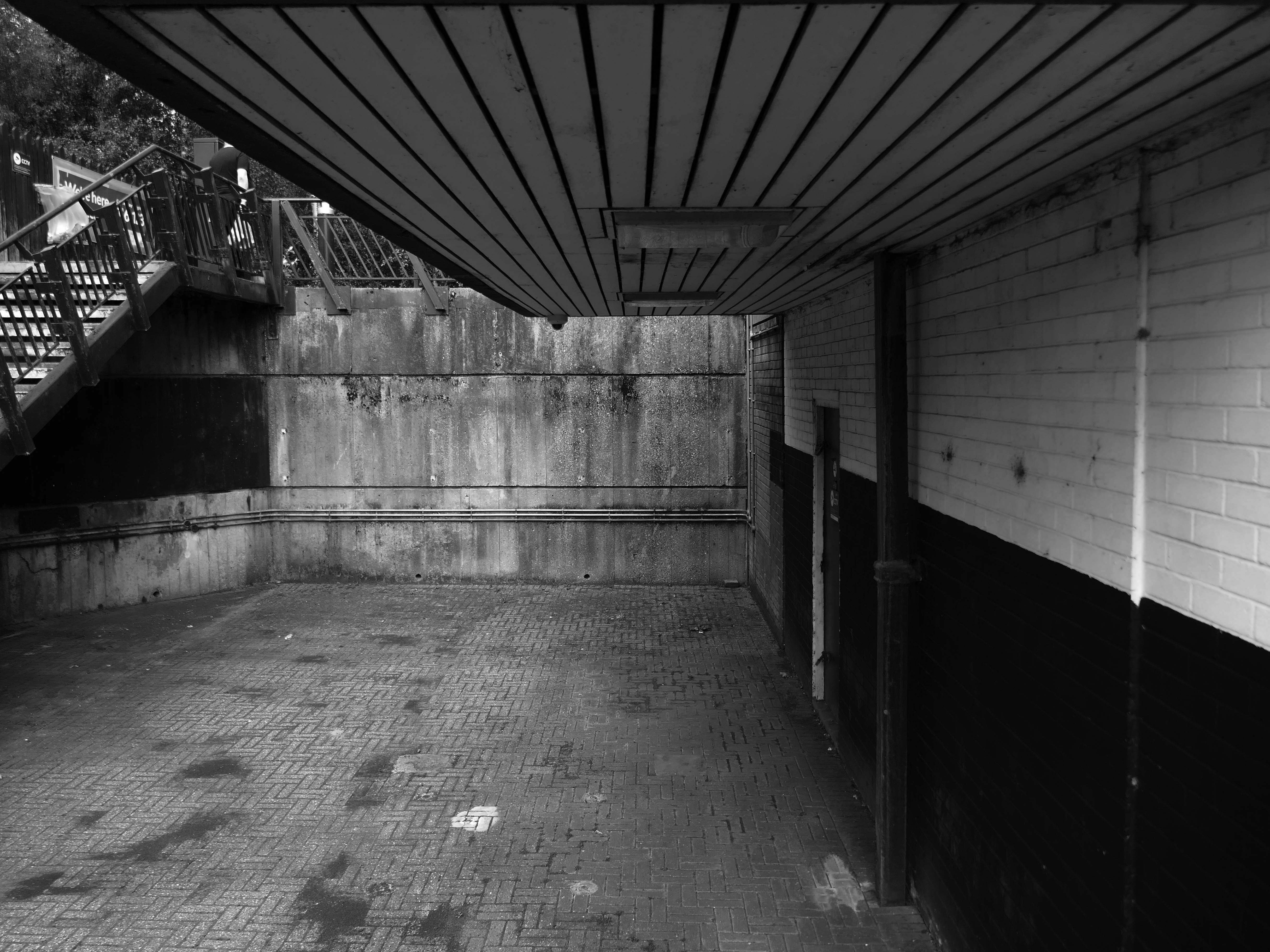
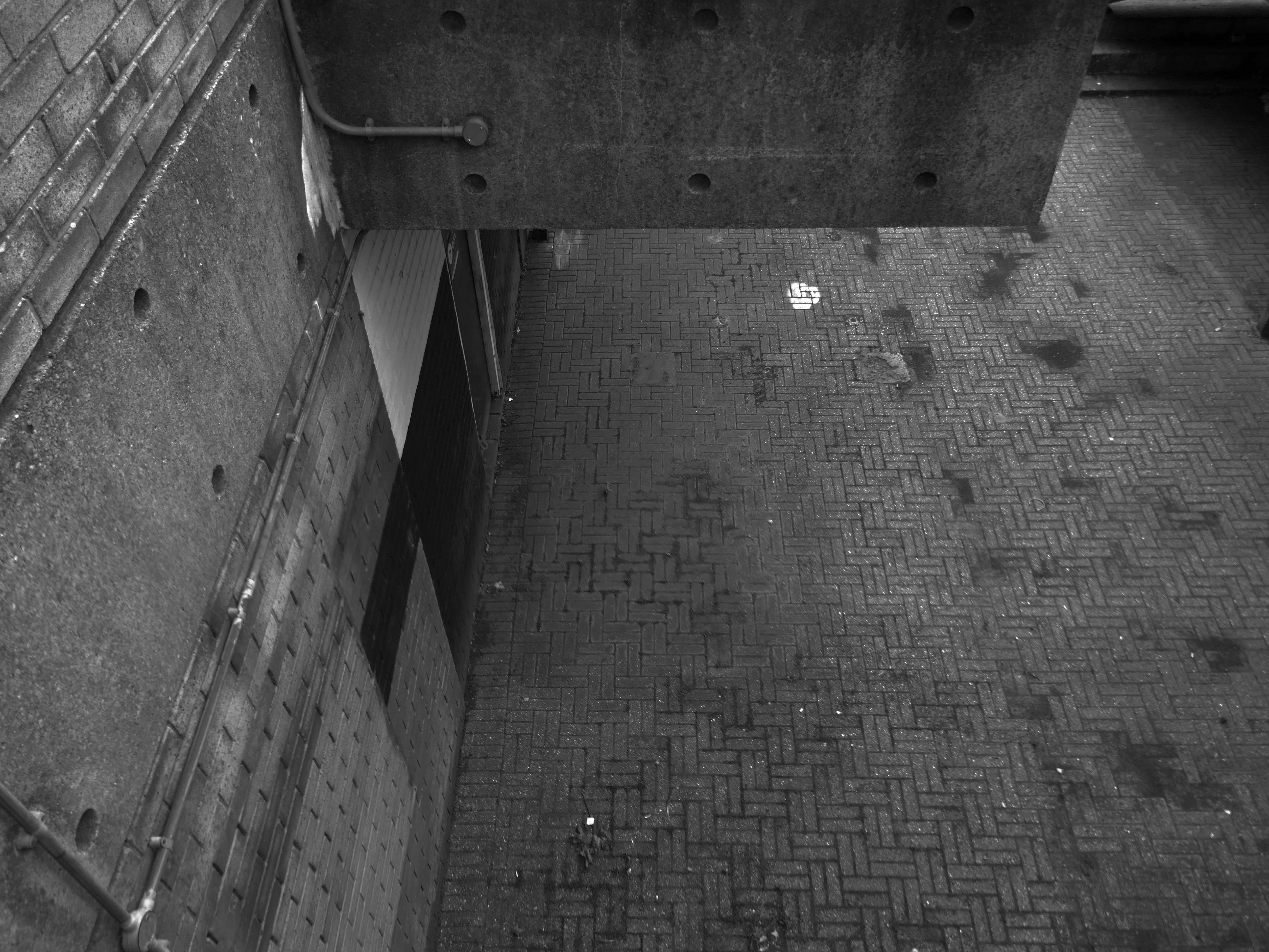
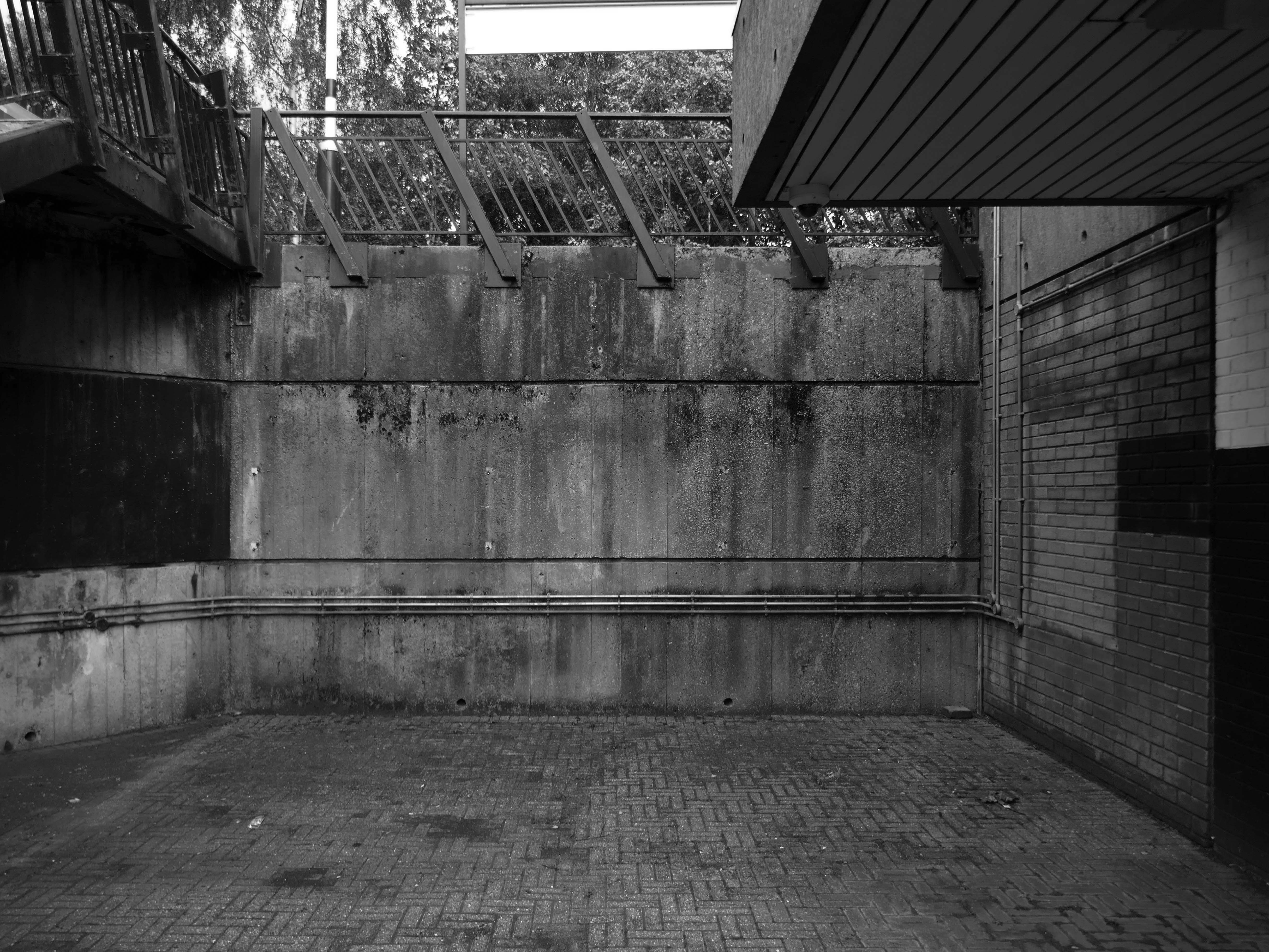
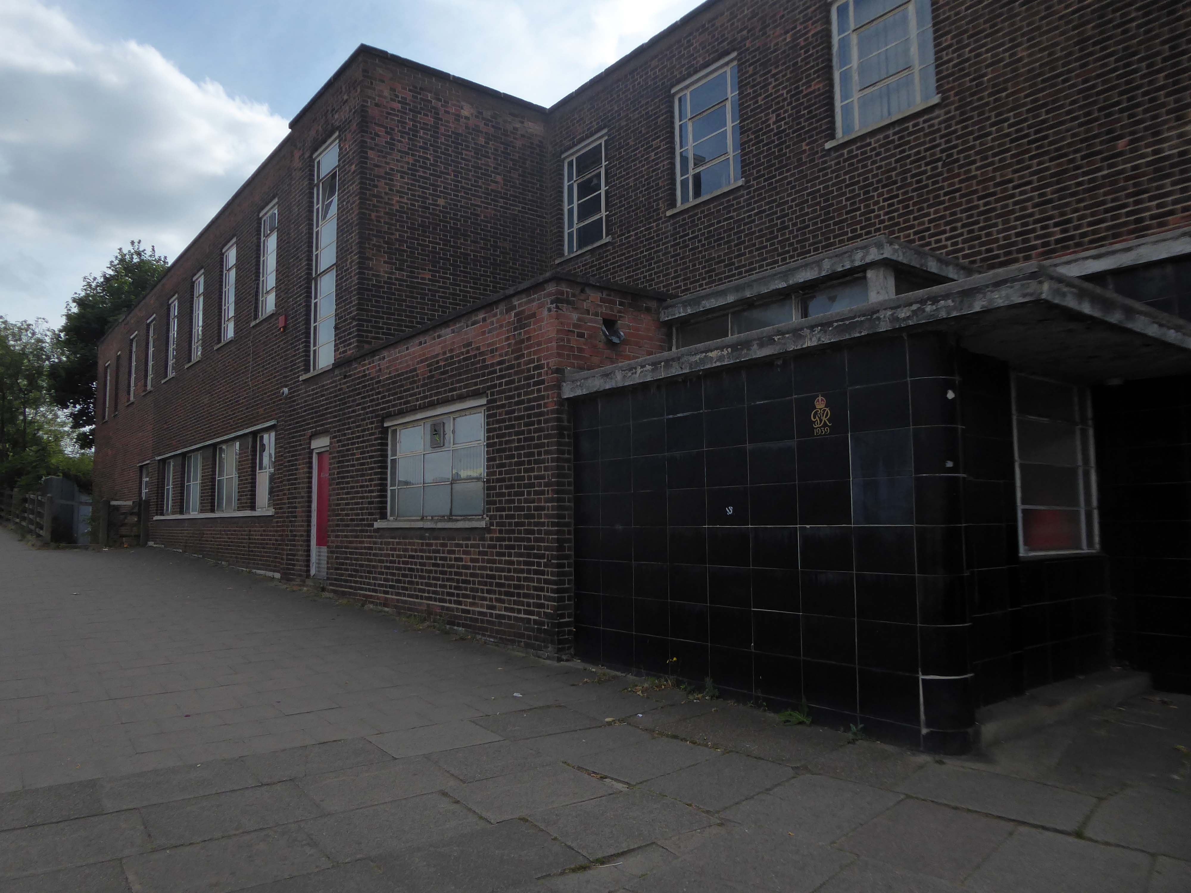
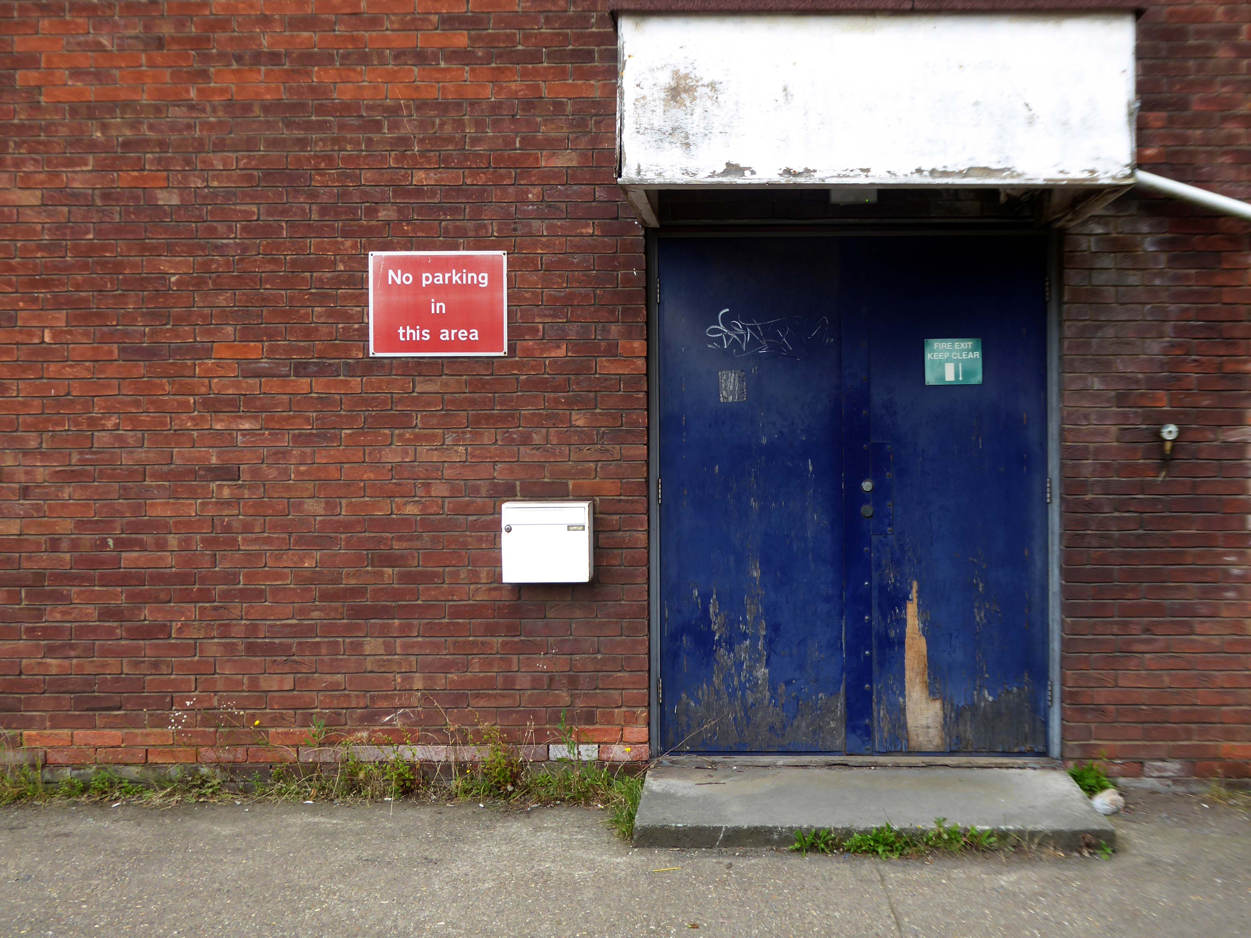
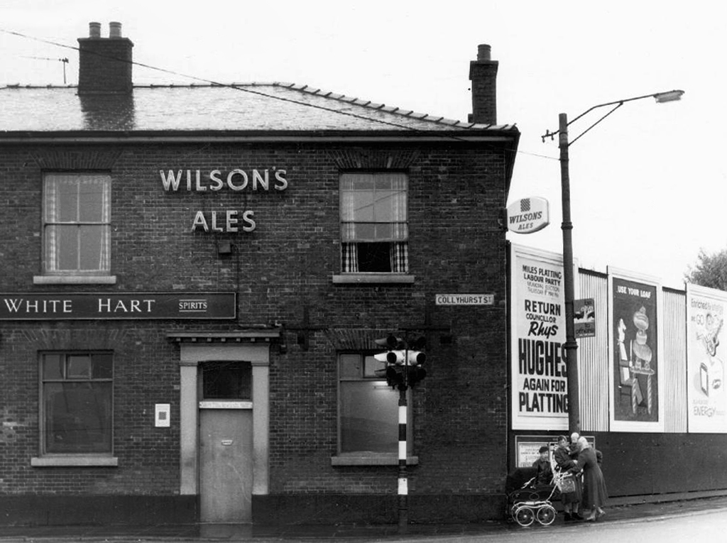
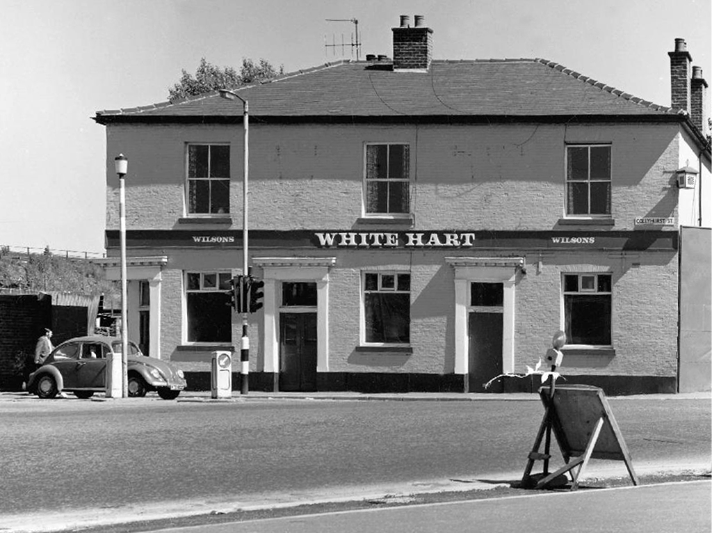
The station was rebuilt in 1965, its ground floor is at street level and the first floor at platform level.
Following the rapid growth of the town of Barrow-in-Furness, the construction of the Furness Railway following the discovery of deposits of iron ore in the Furness peninsular, and the development of industries using iron as a raw material resulted in many commissions for the practice – the population of Barrow doubled between 1851 and 1861, and doubled again in the next decade.
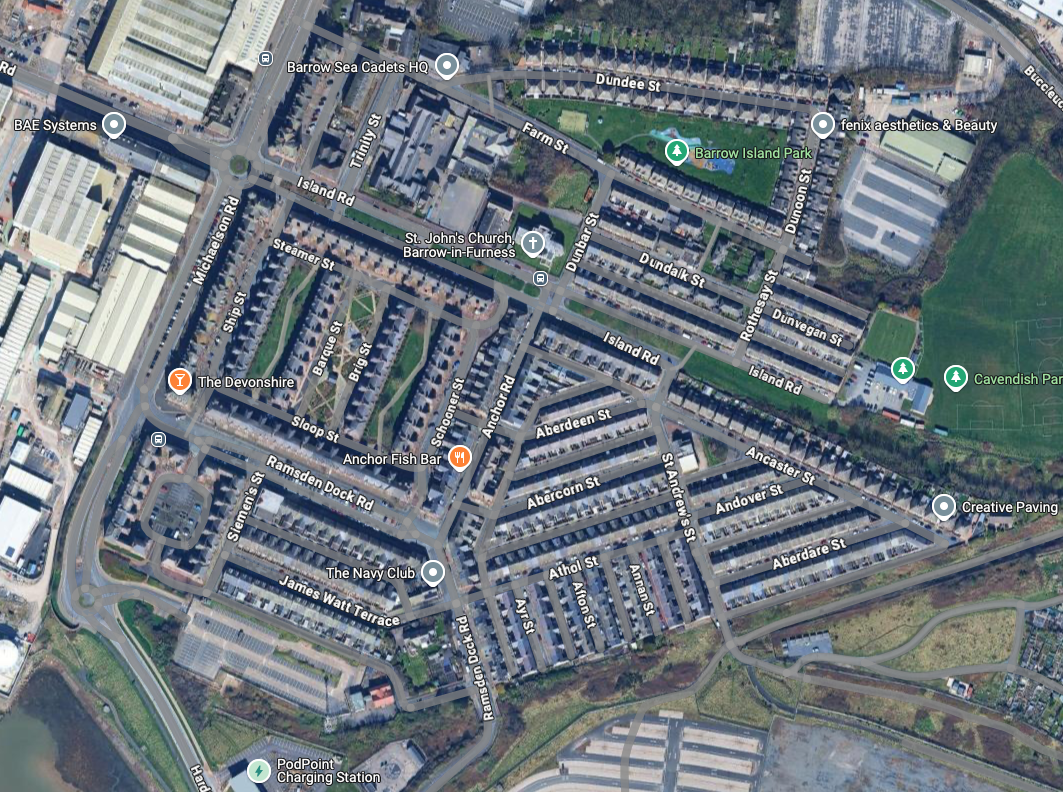
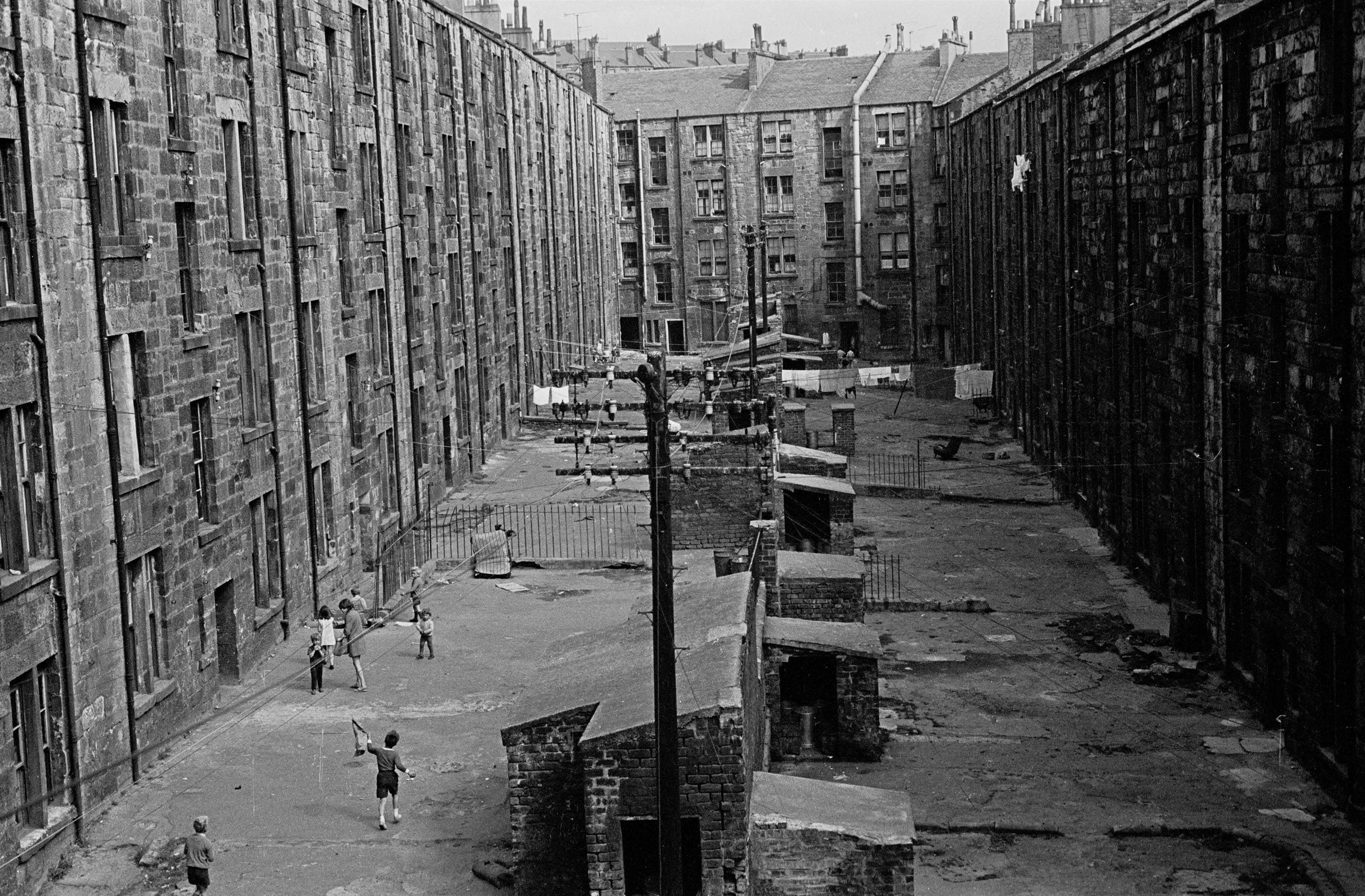
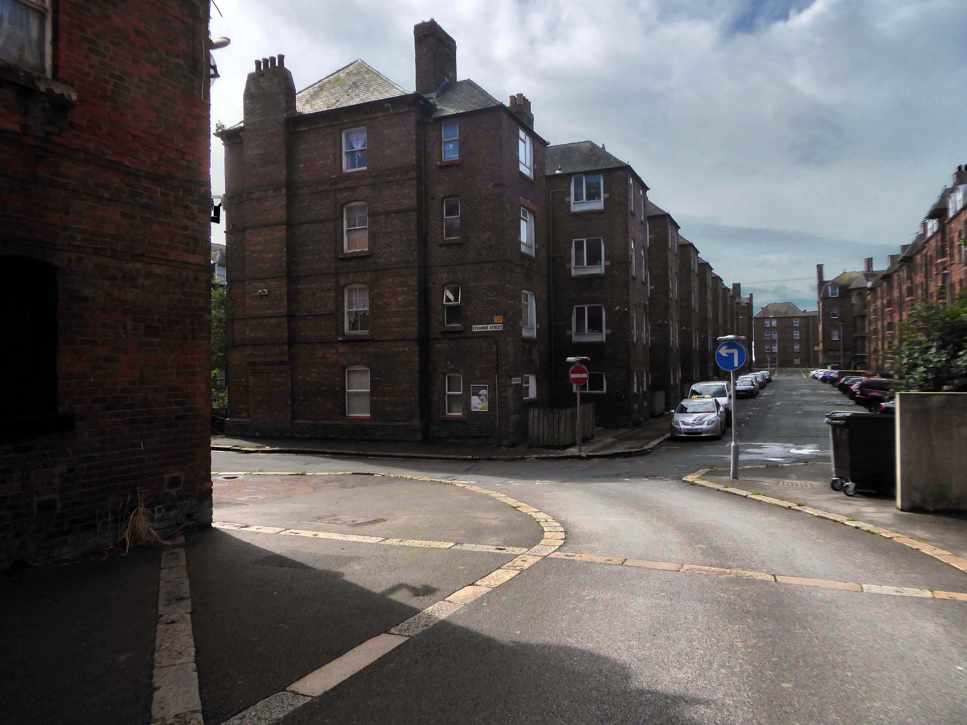
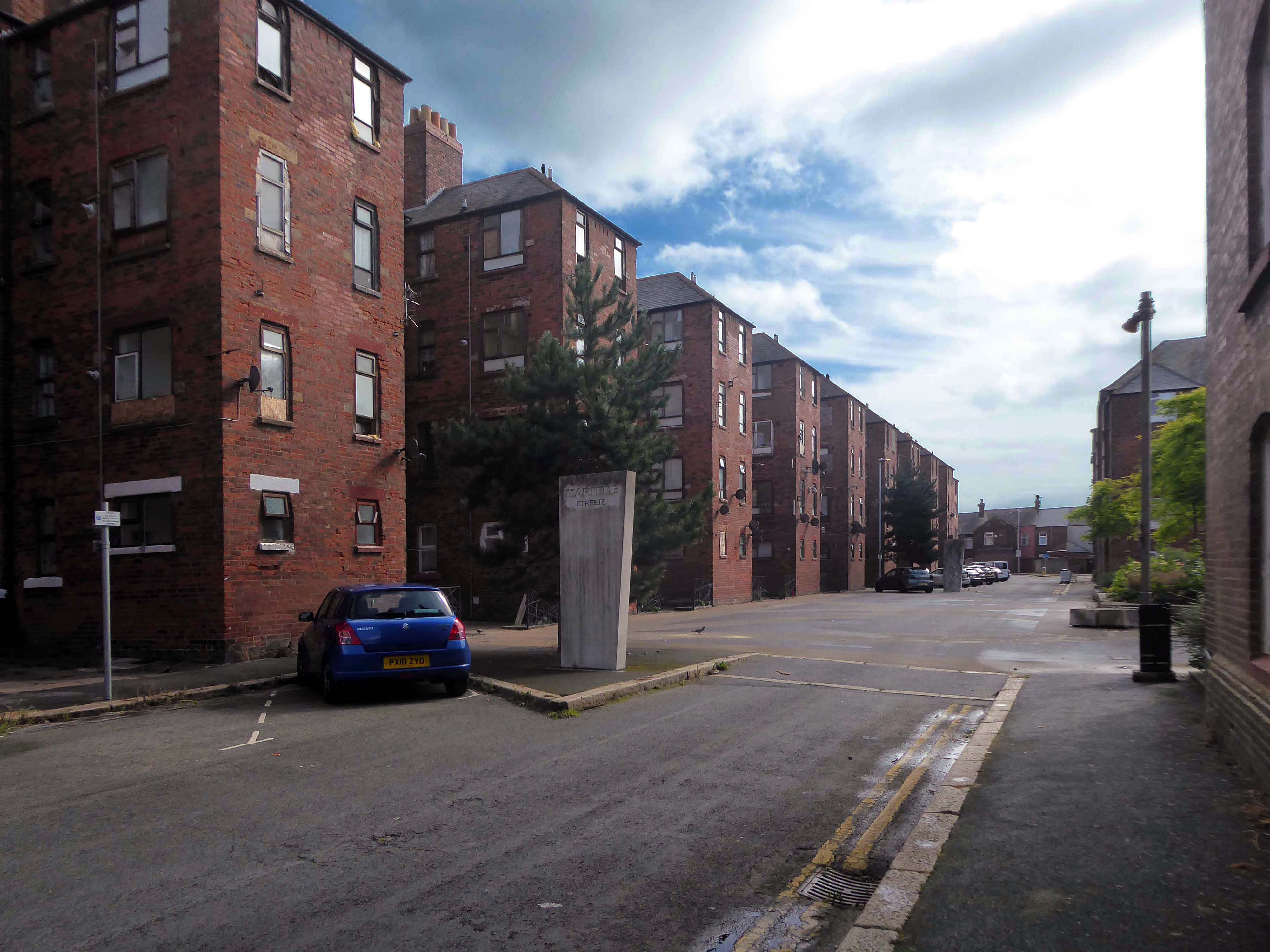
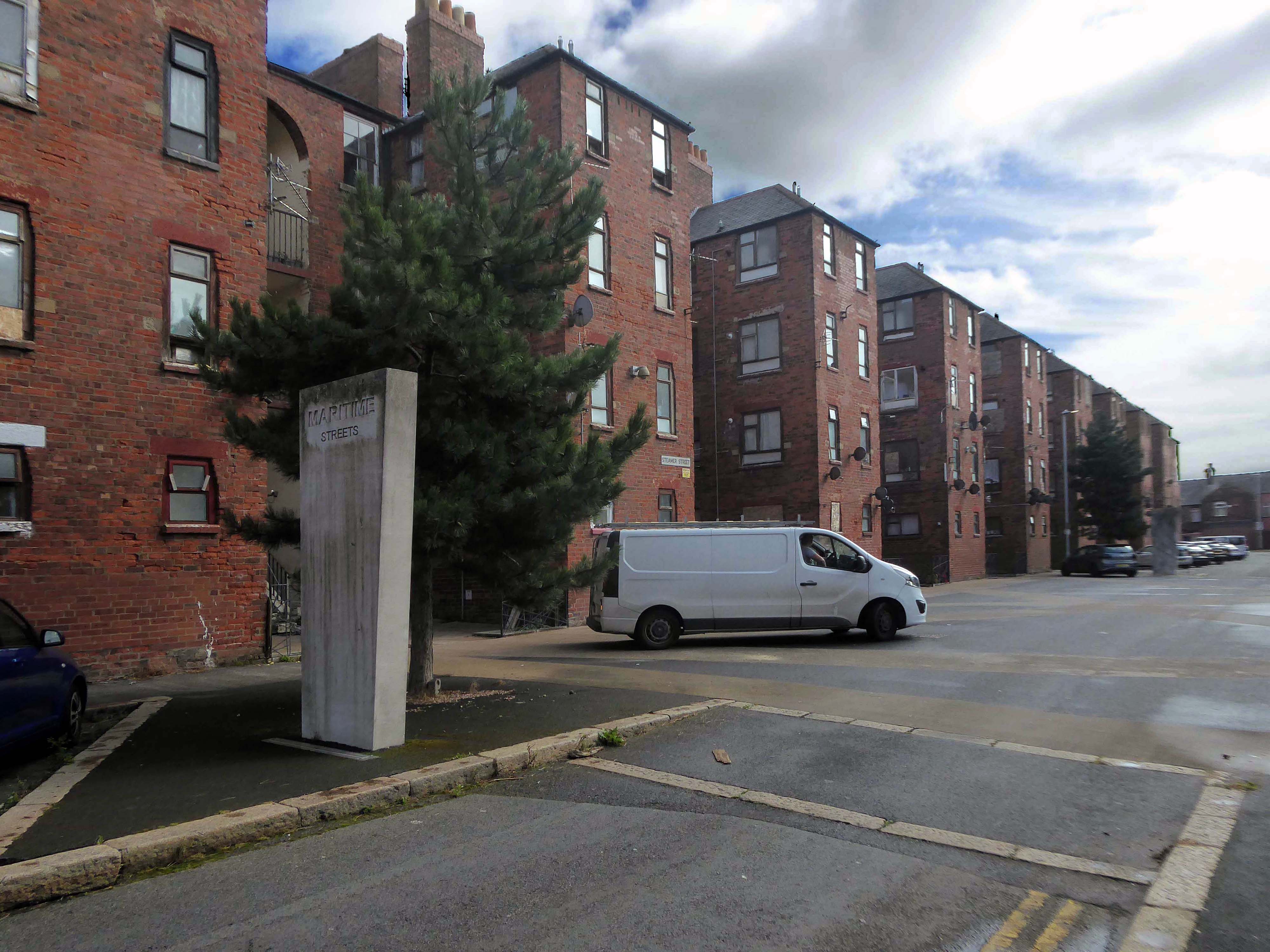
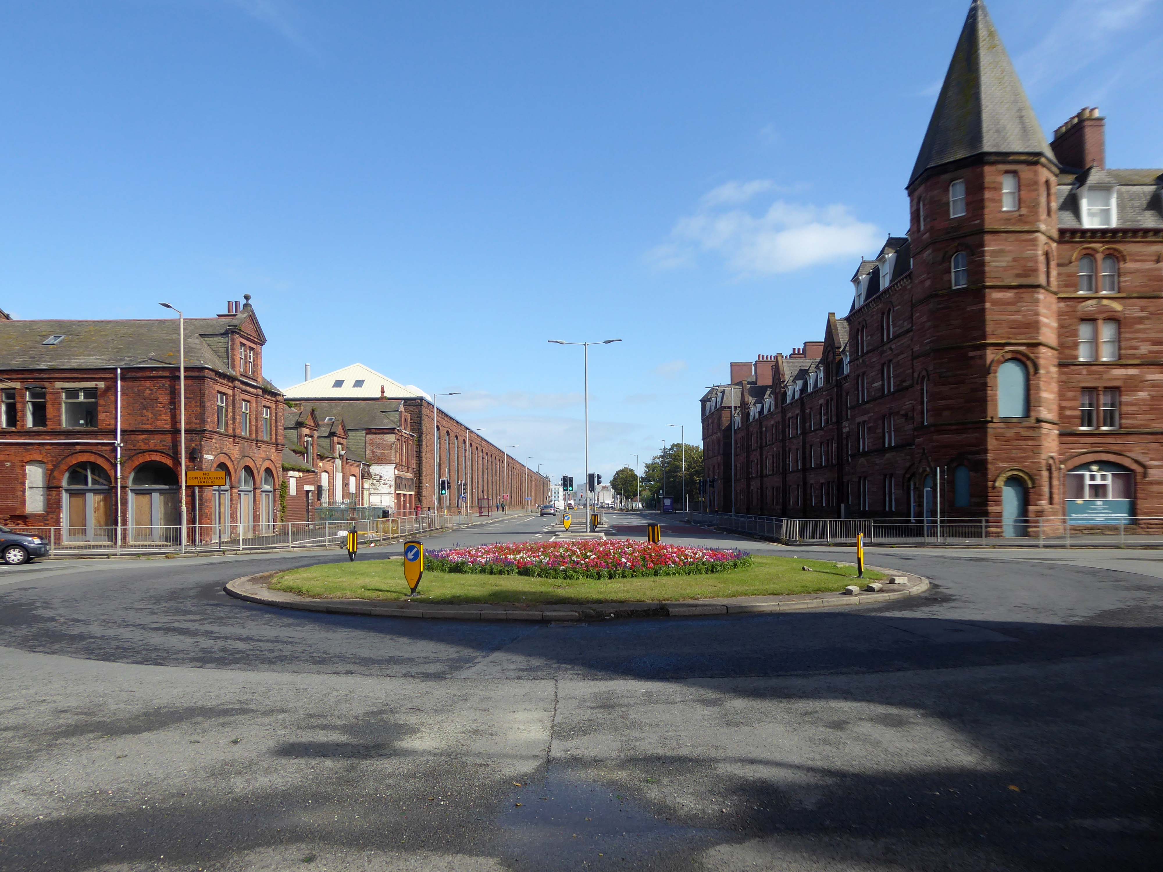
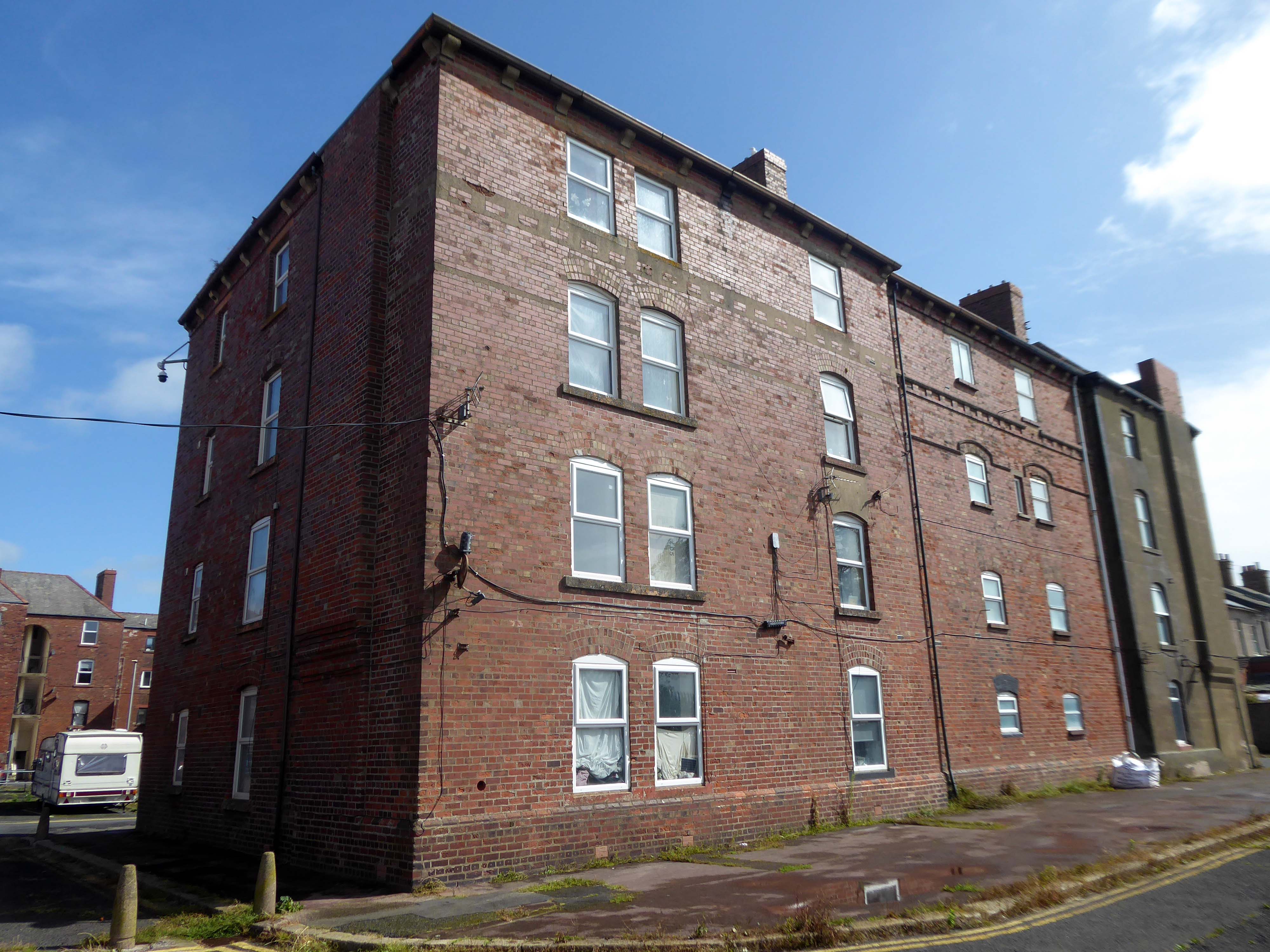
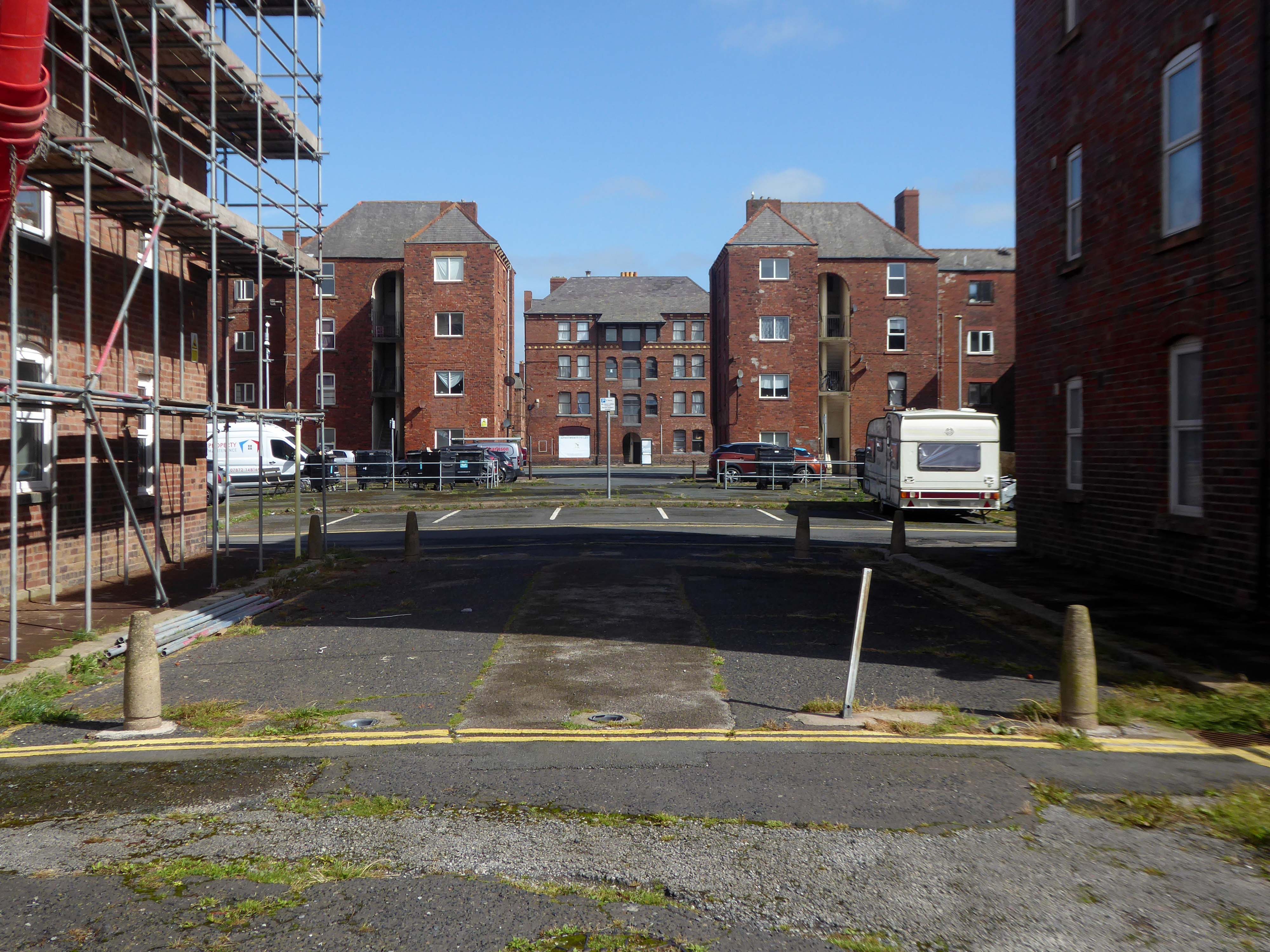
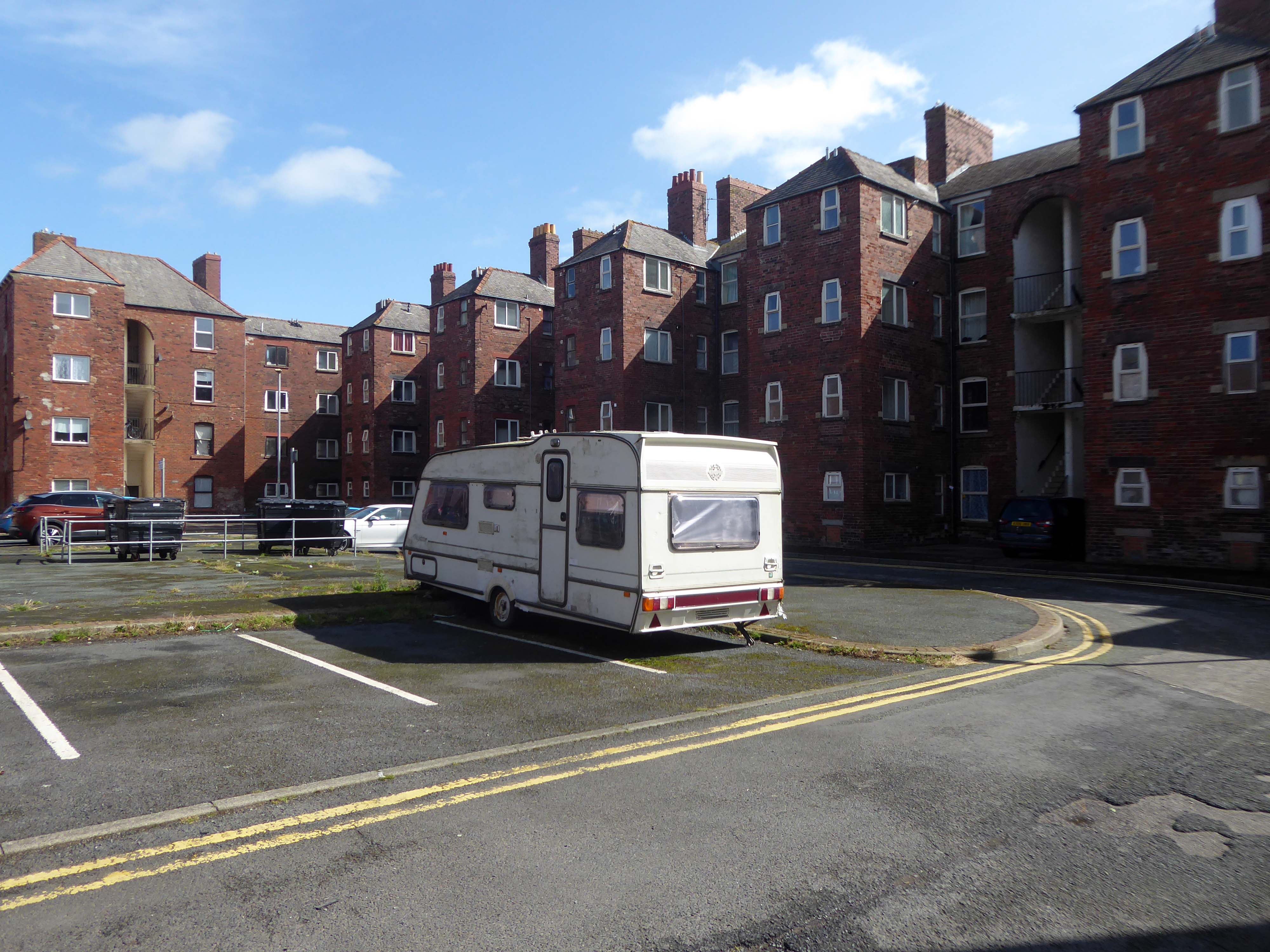
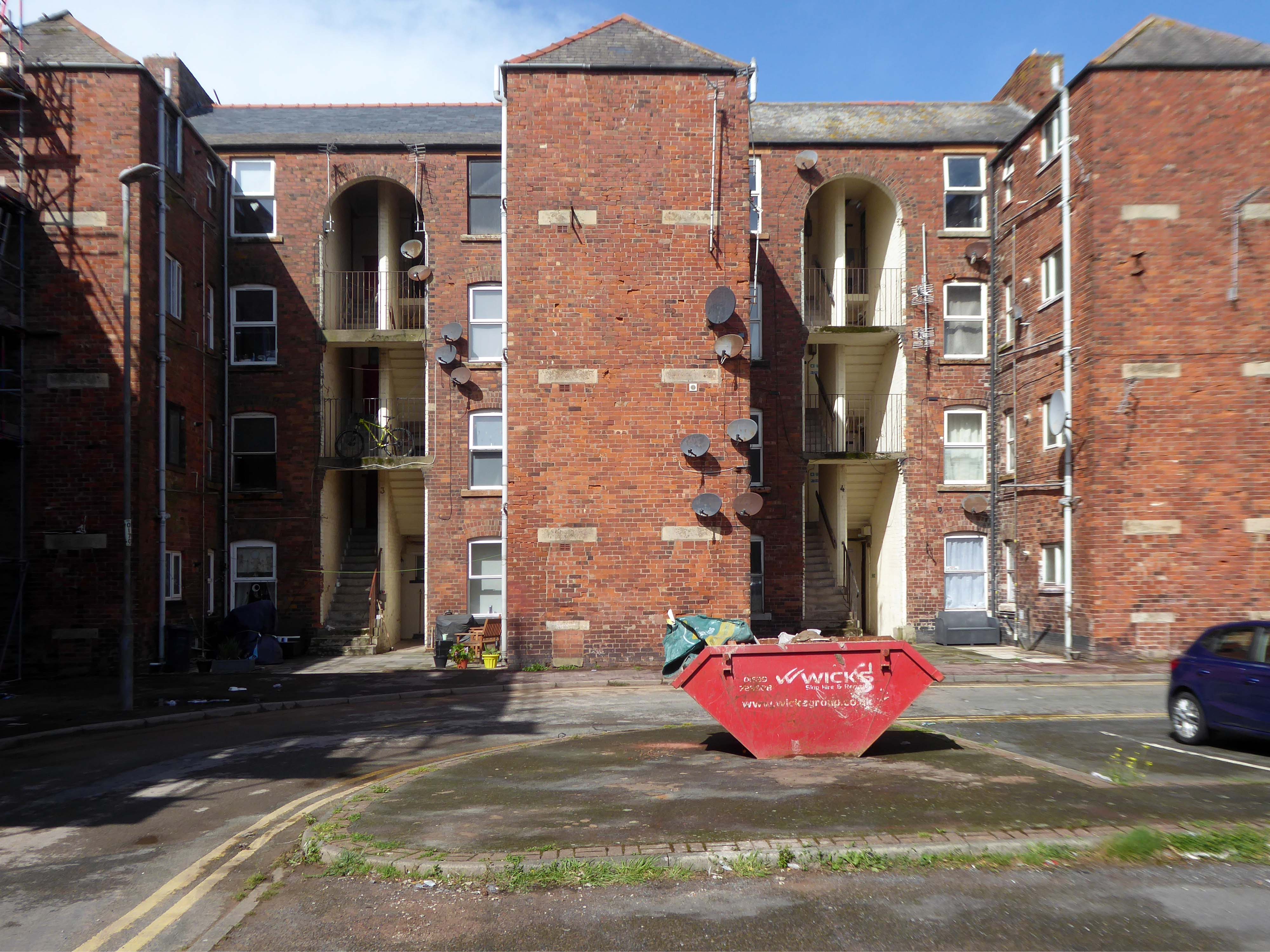
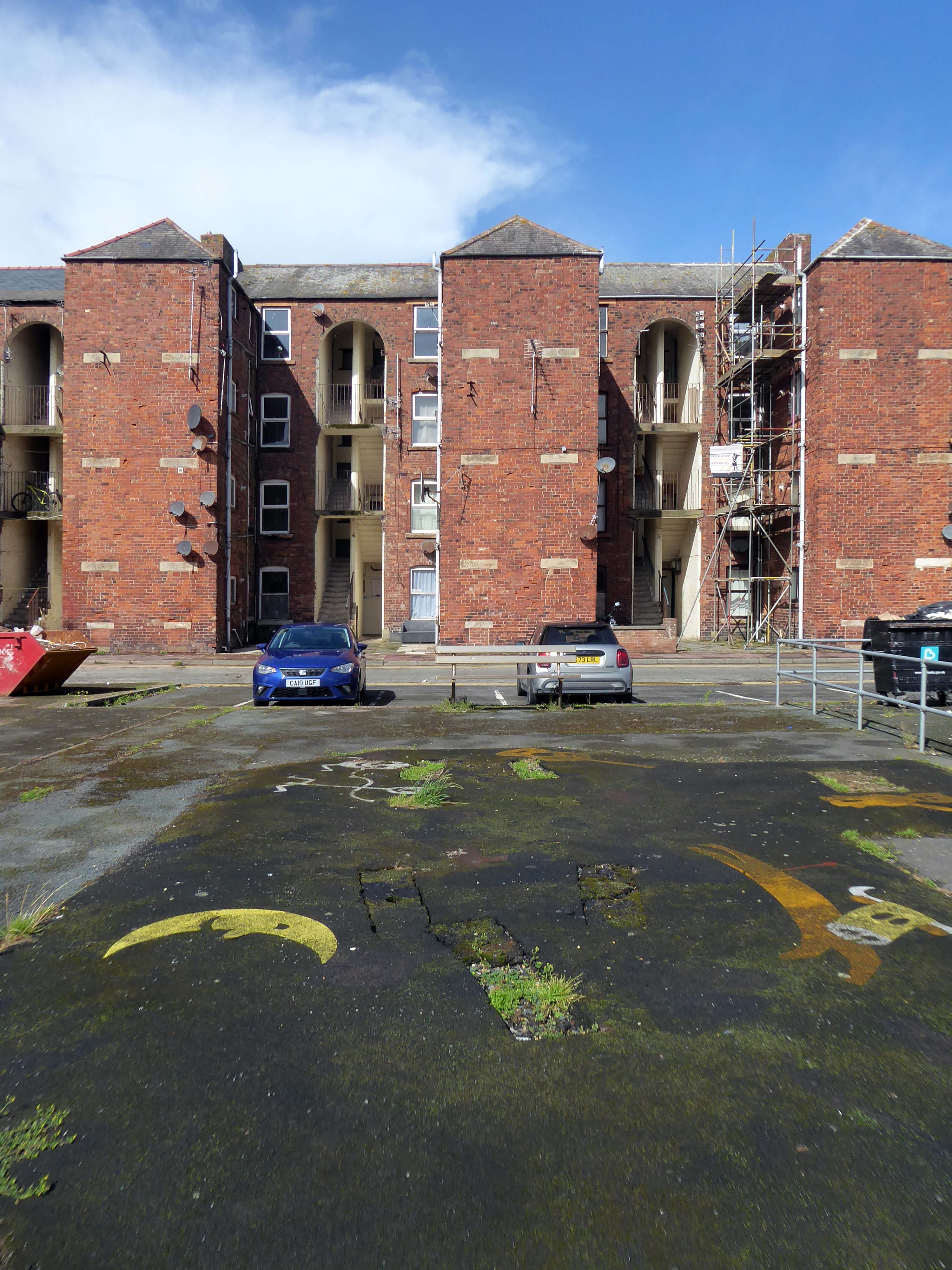
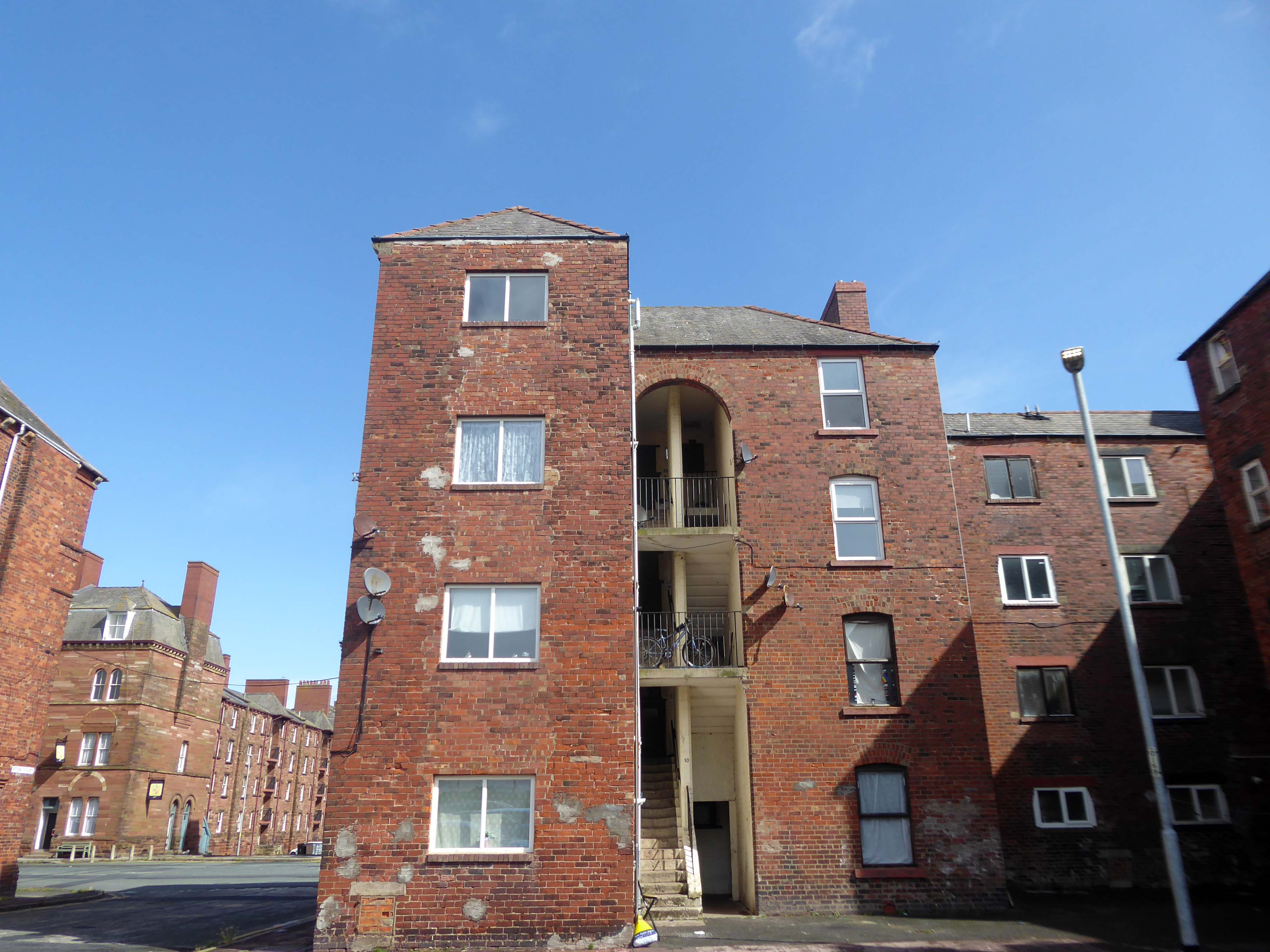
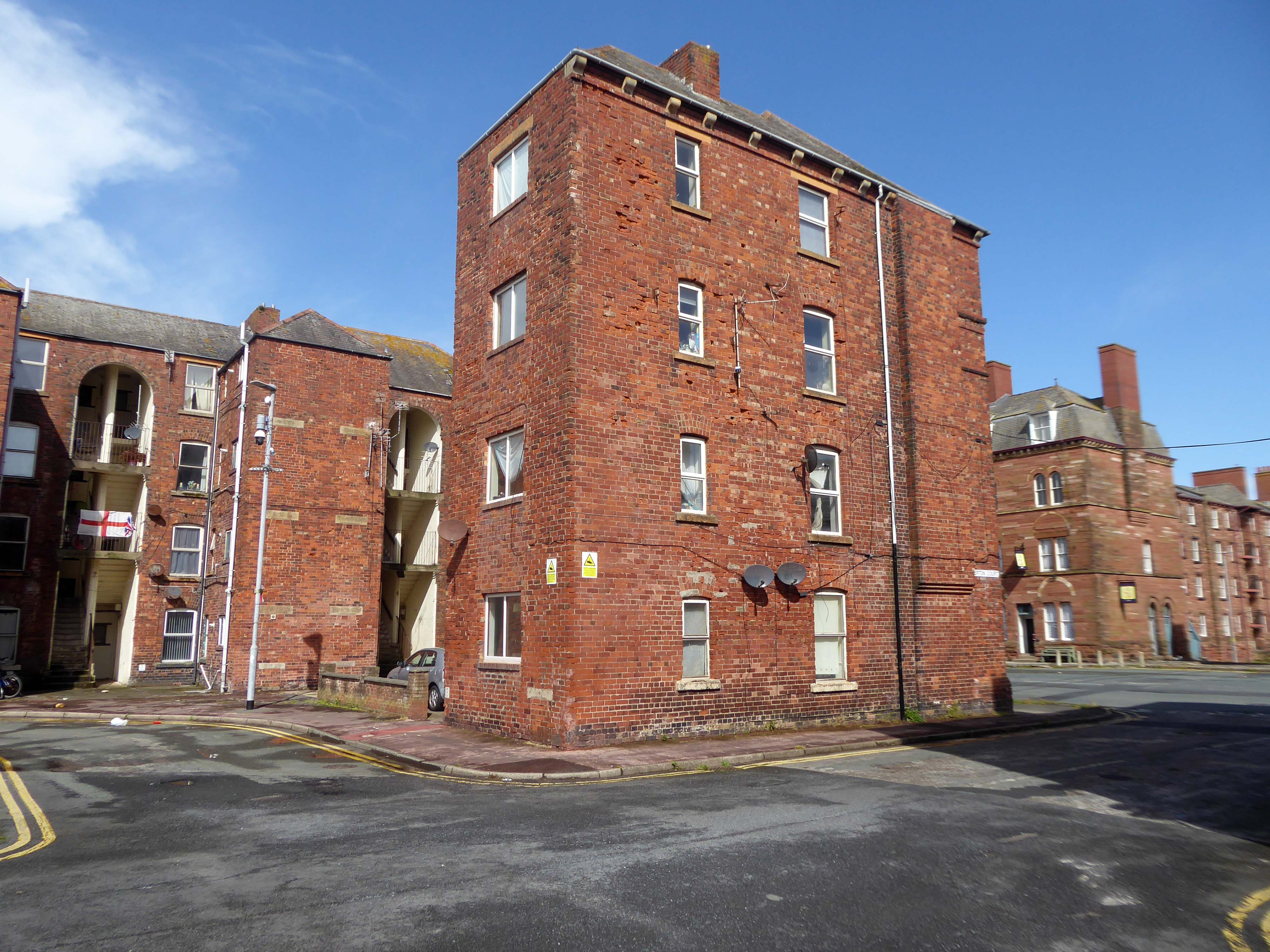
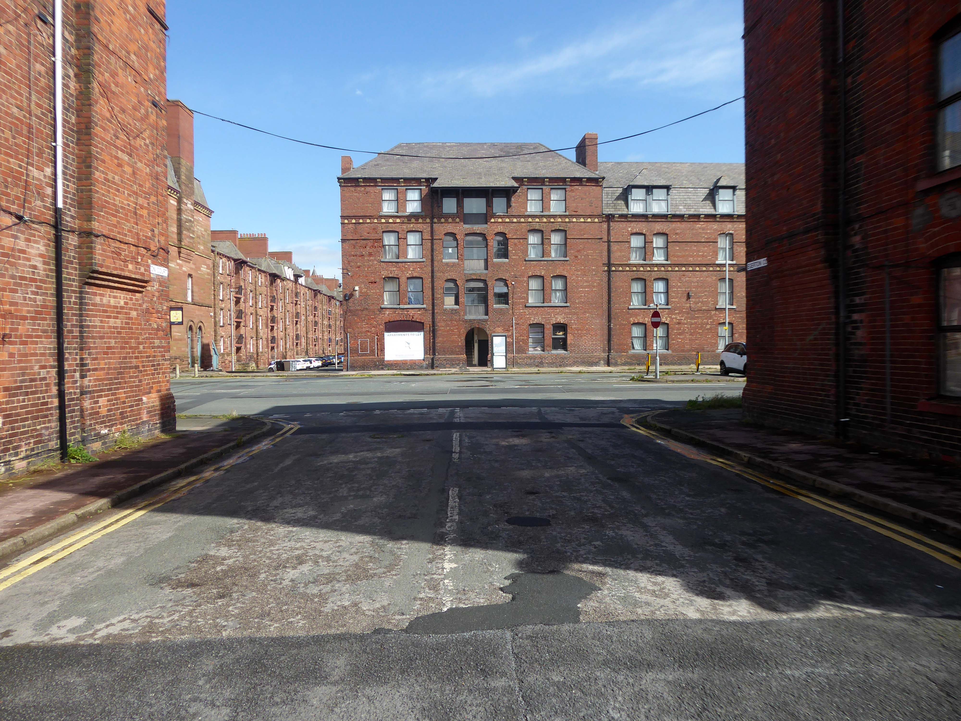
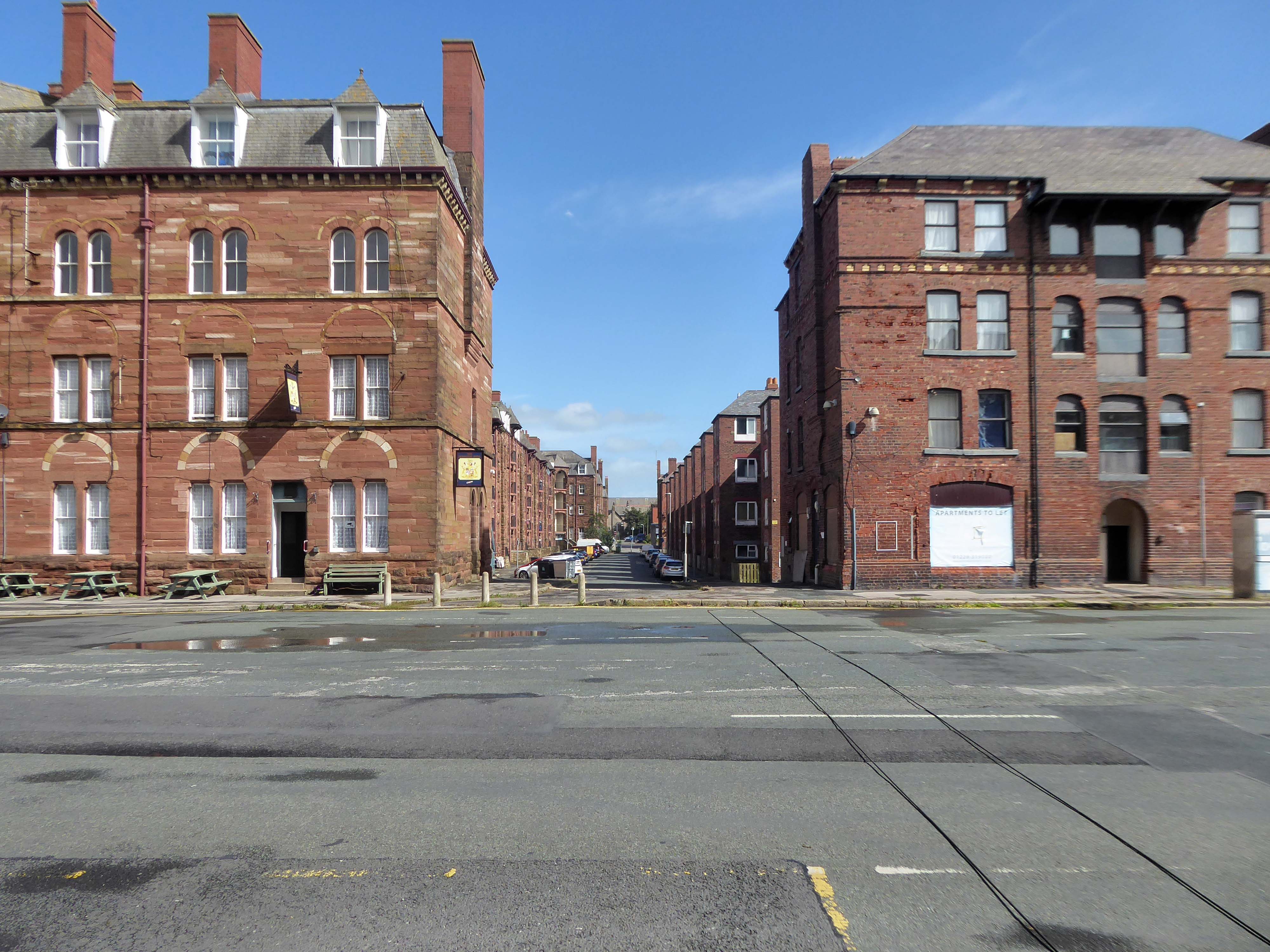
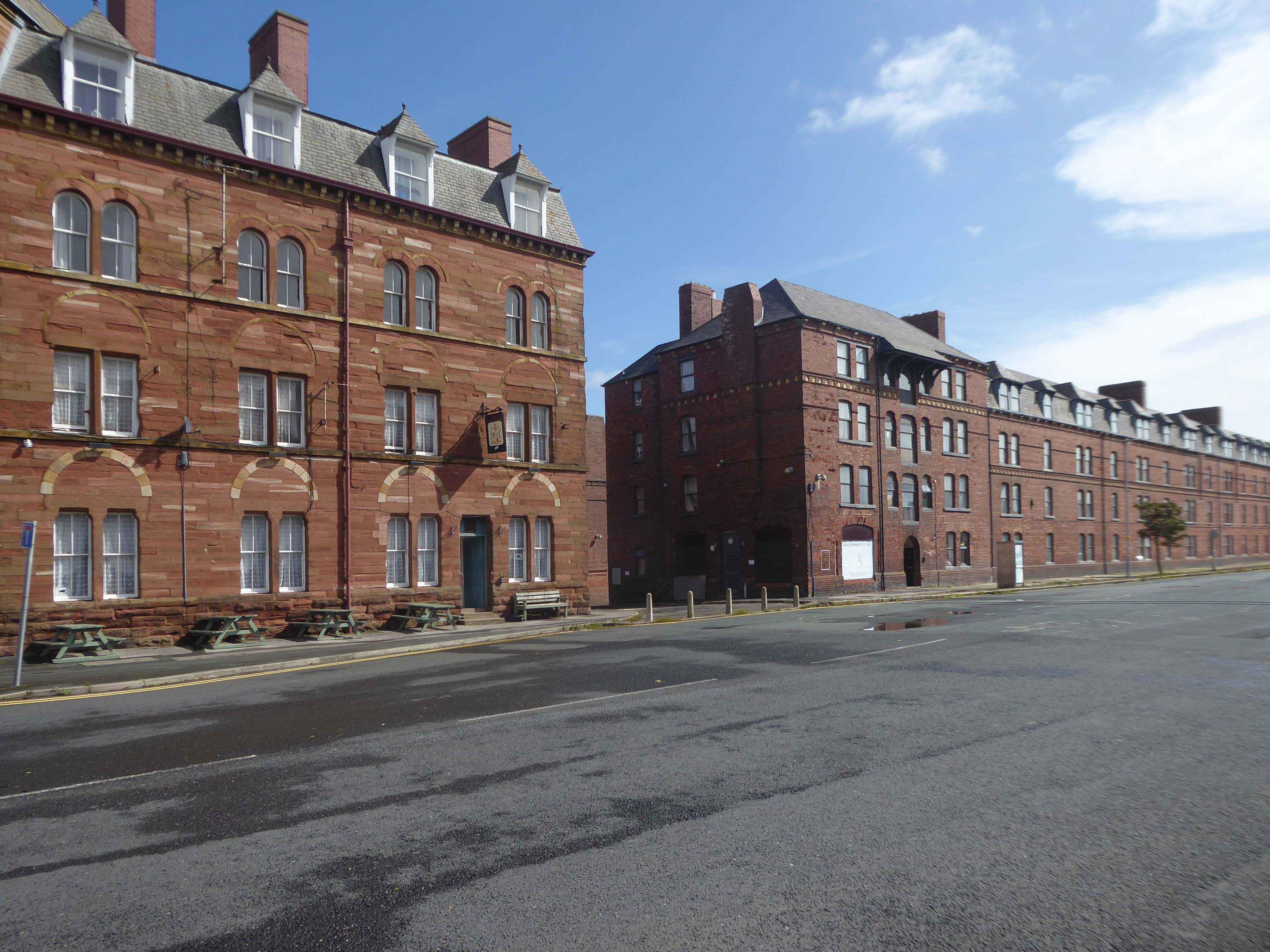
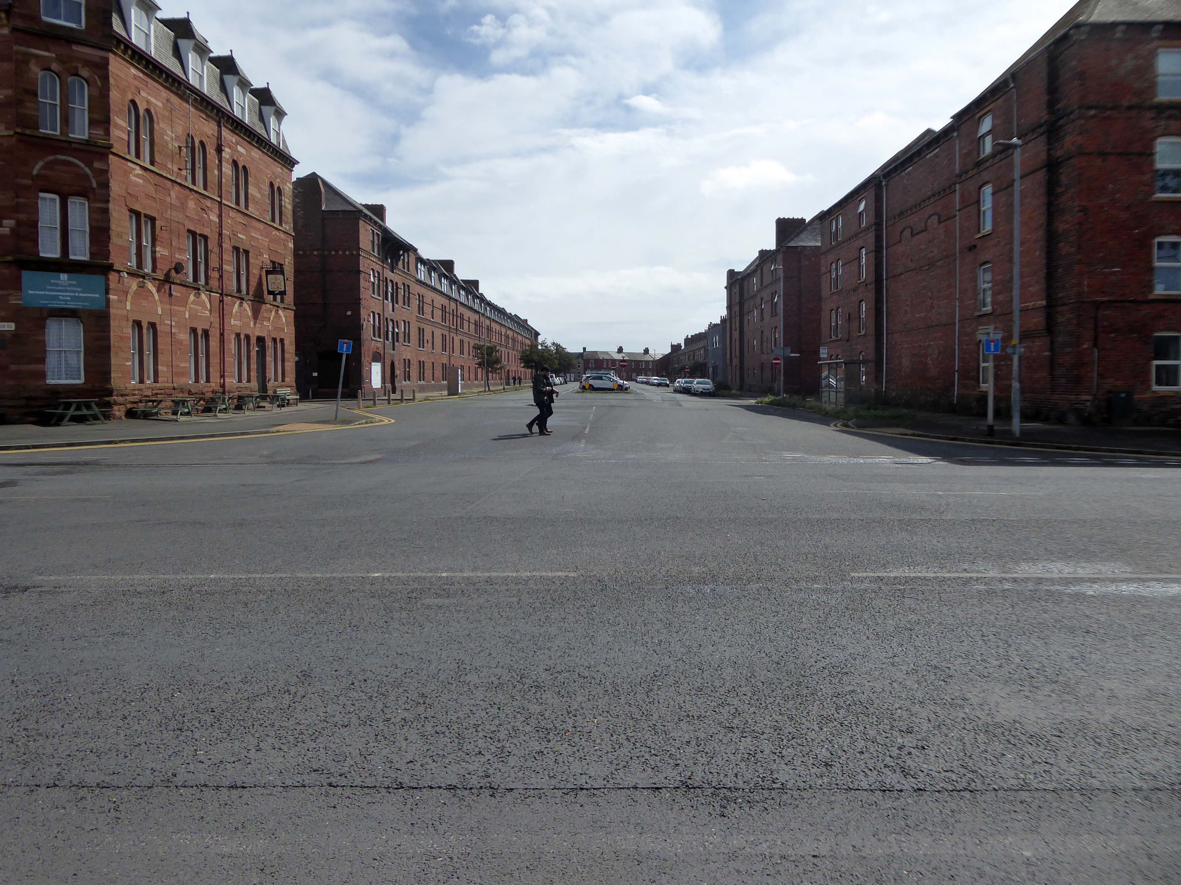
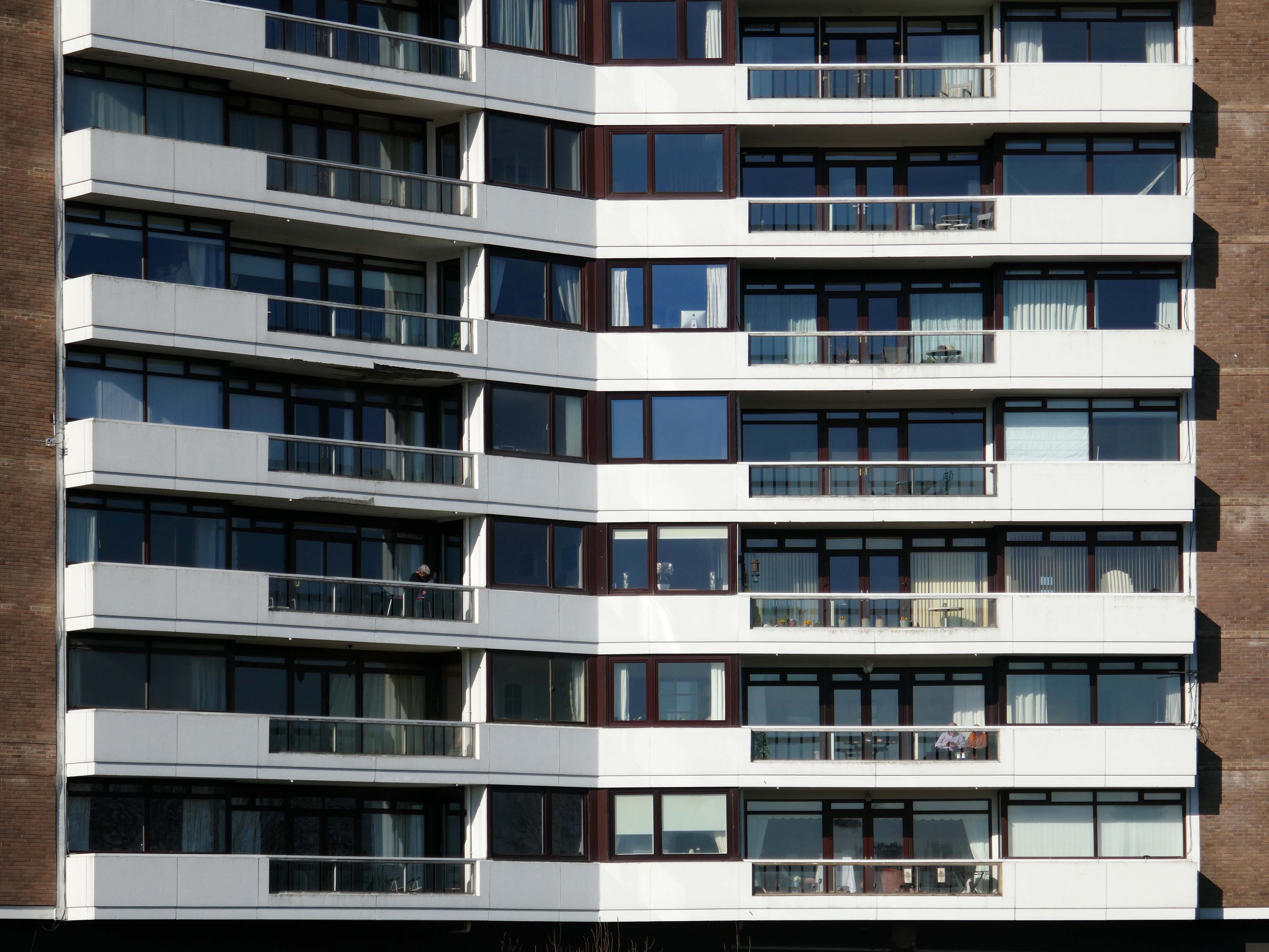
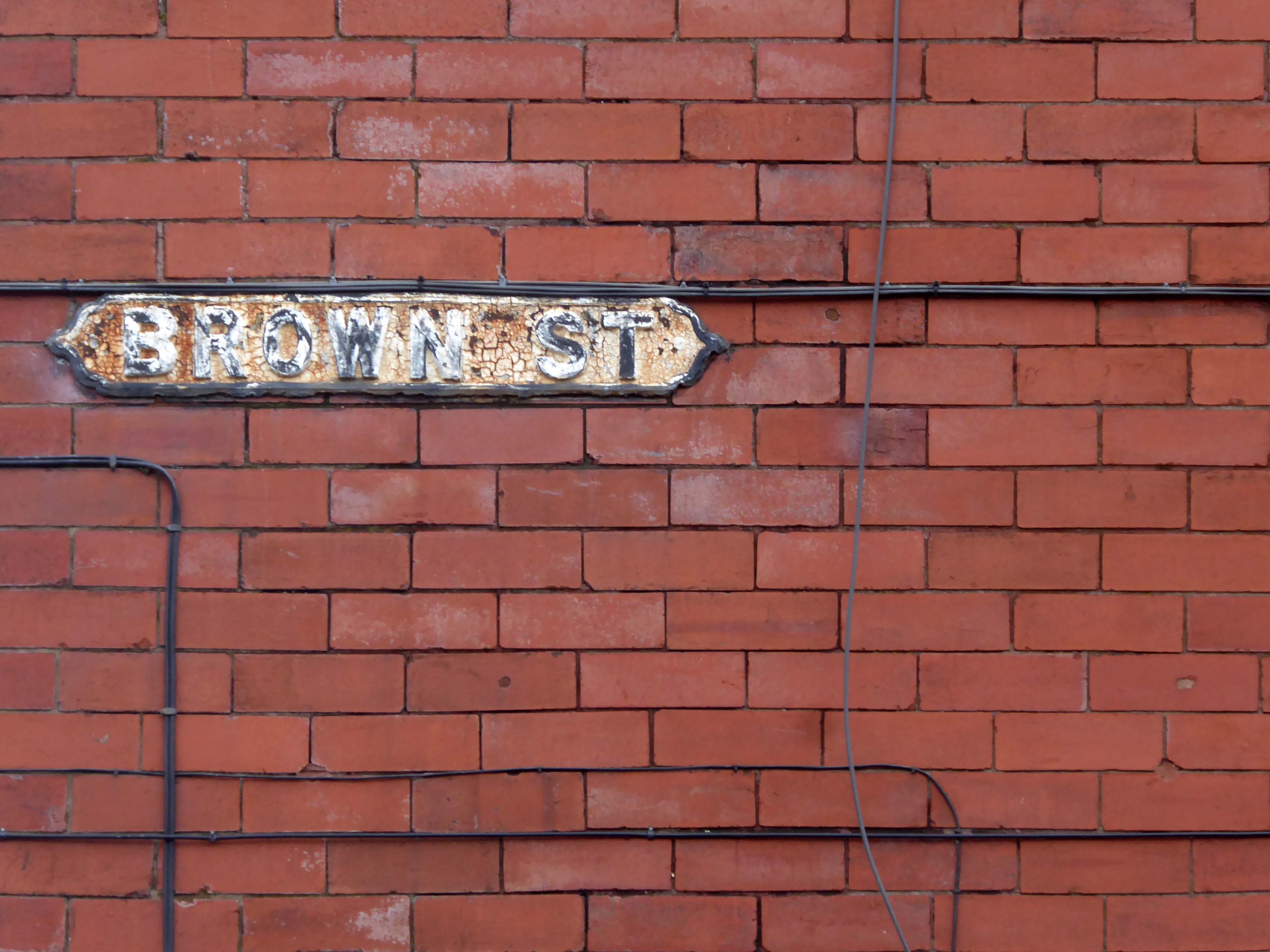
There’s a tight knit group of roads, where the housing is redolent of Scottish tenements.
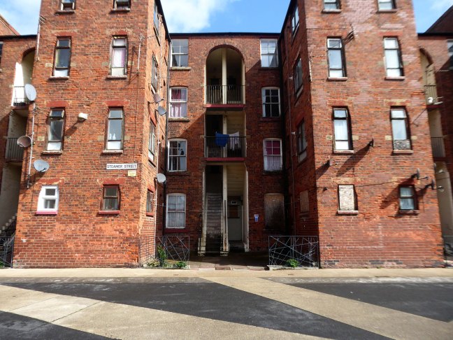
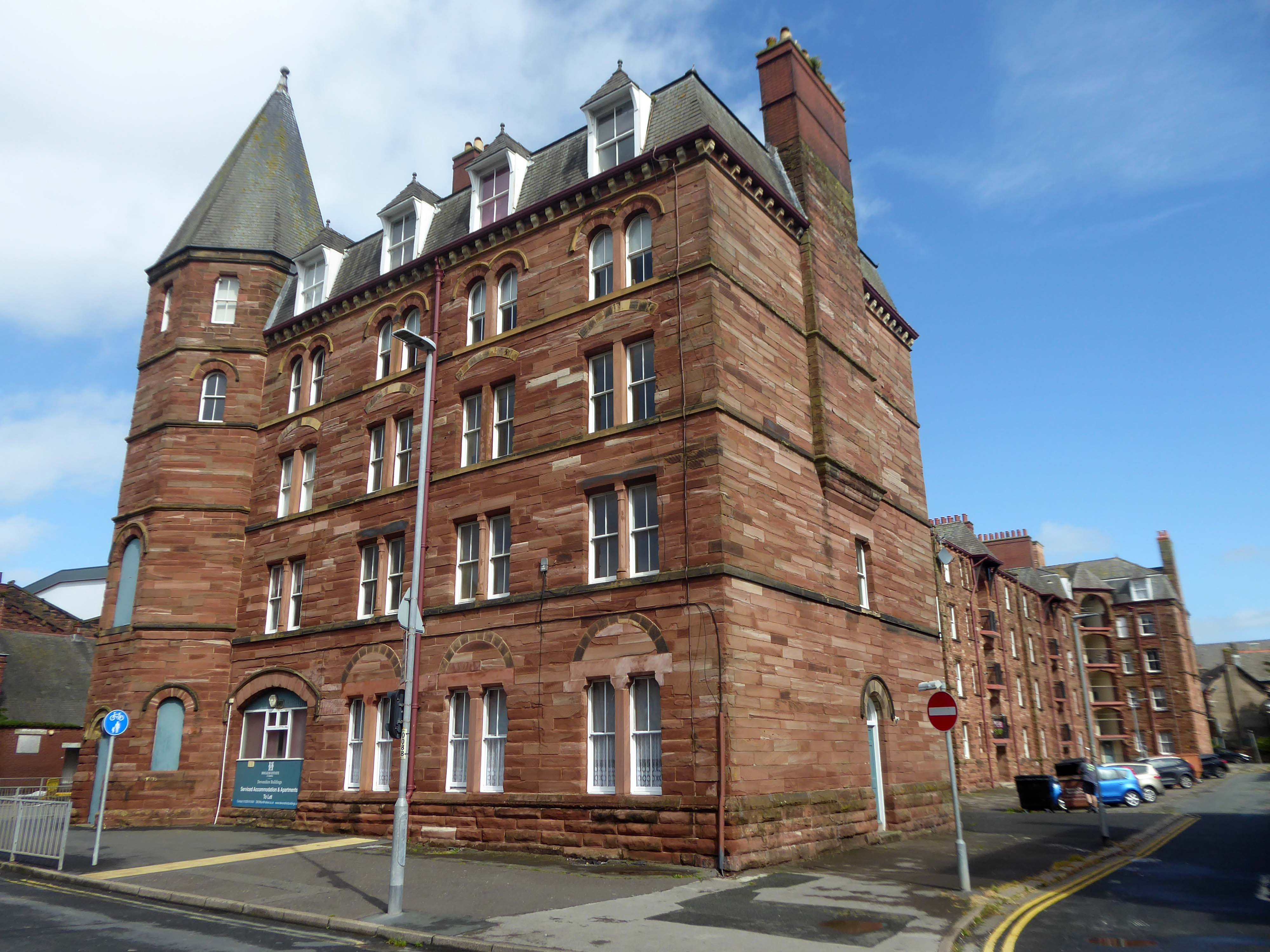
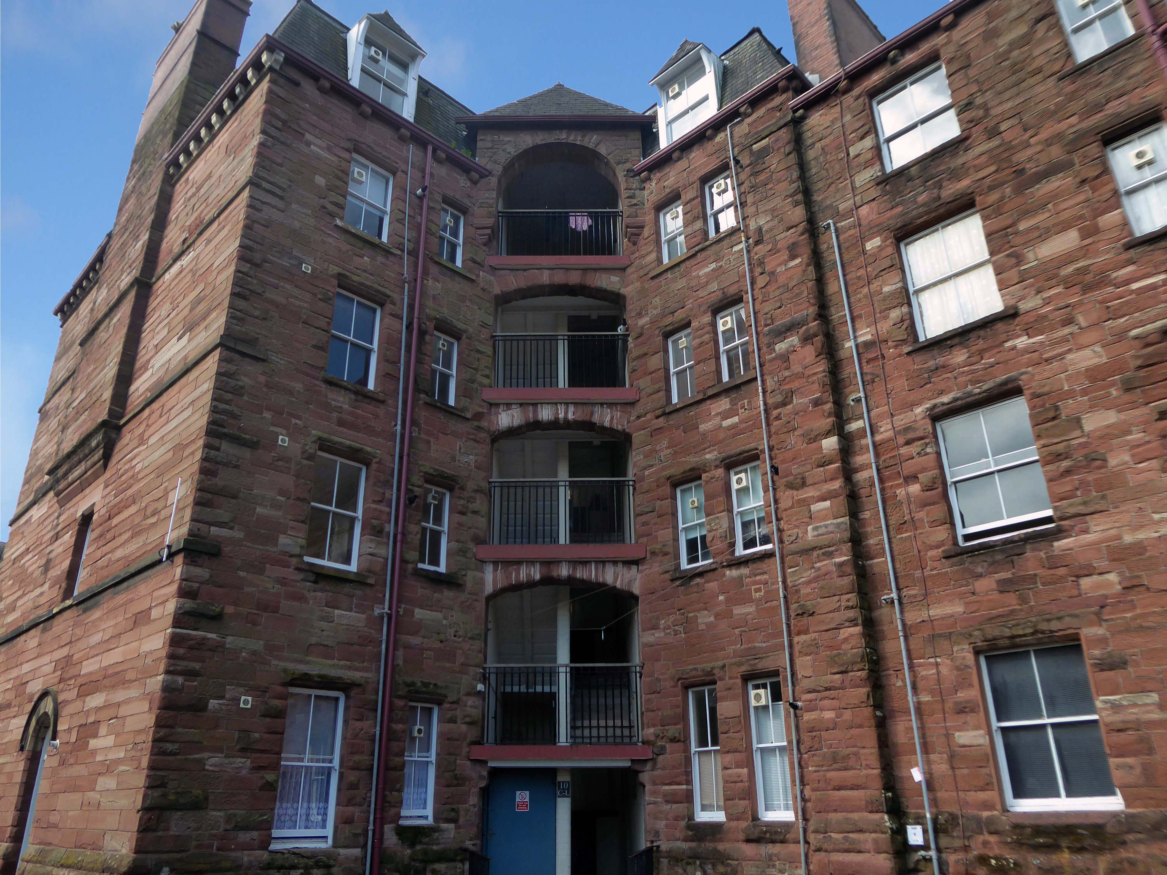
These are the Ship Street Tenements brick built in 1881-84, for the Furness Railway Company, they are Grade II Listed.
Architects Paley and Austin of Lancaster, the main contractors Smith and Caird of Dundee.
They provided accommodation for the families of employees in the Furness Railway Company’s nearby shipbuilding works, they consist of two identical four-storey blocks of nine tenements, making eighteen tenements in total.
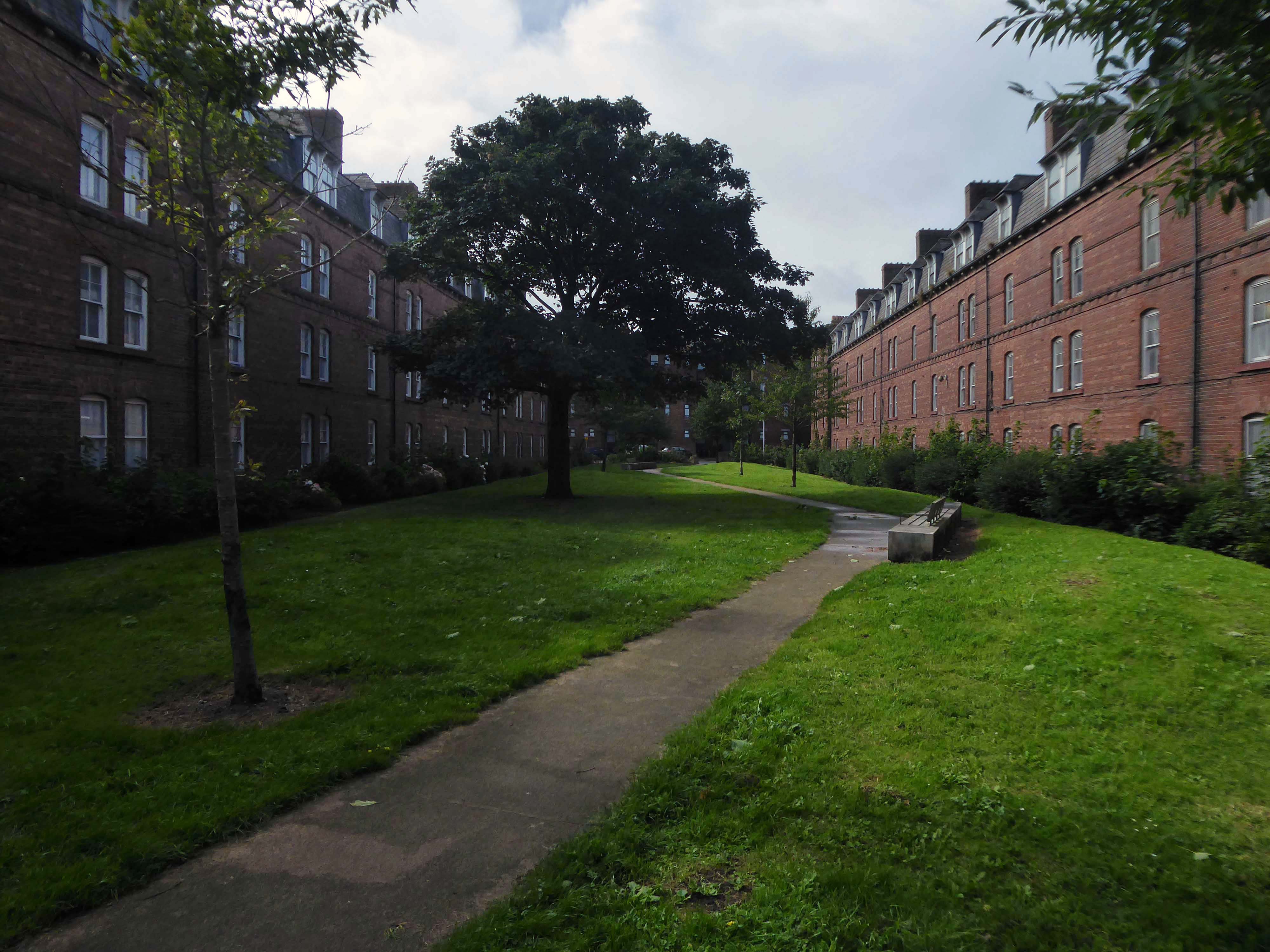
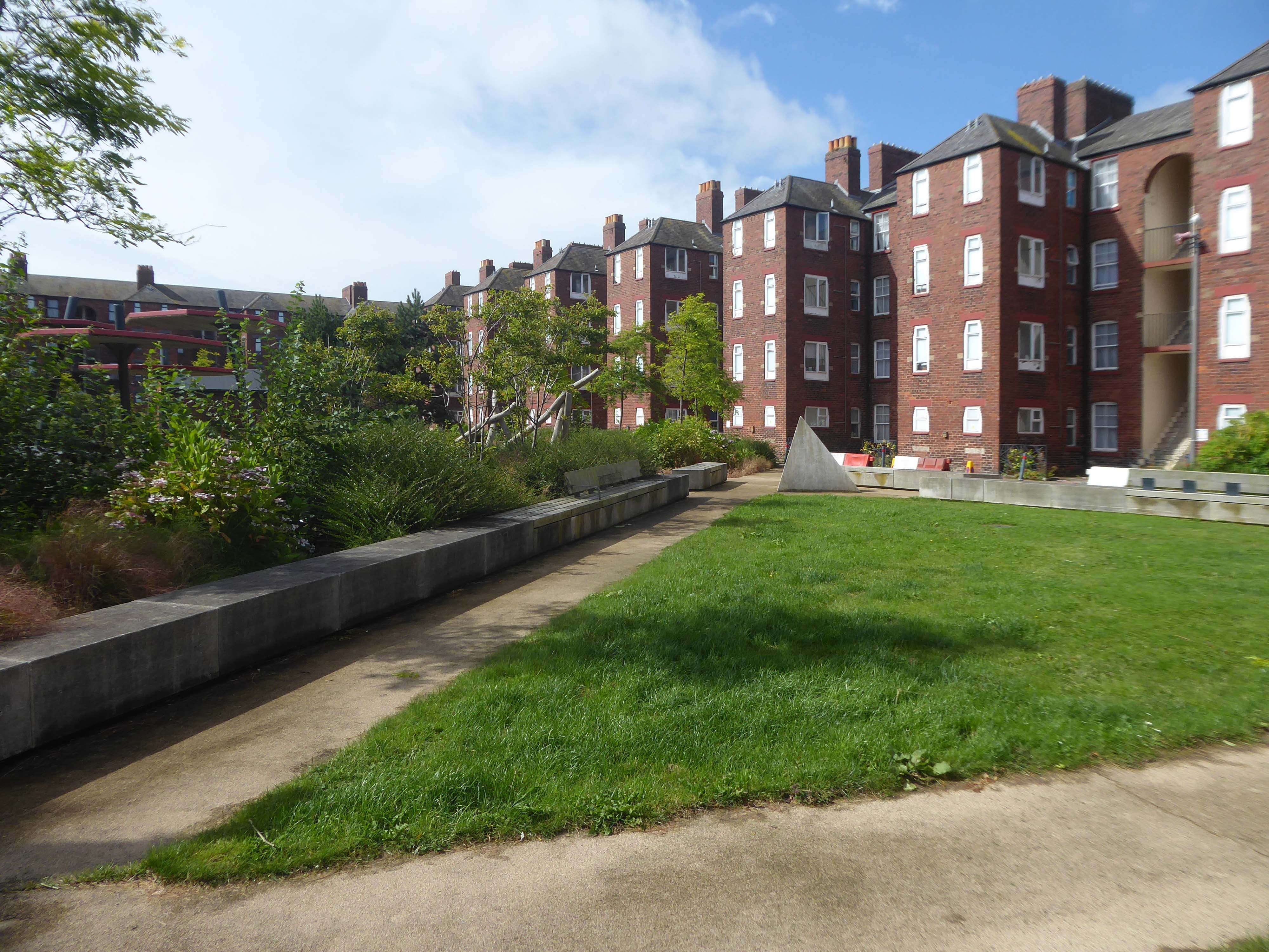
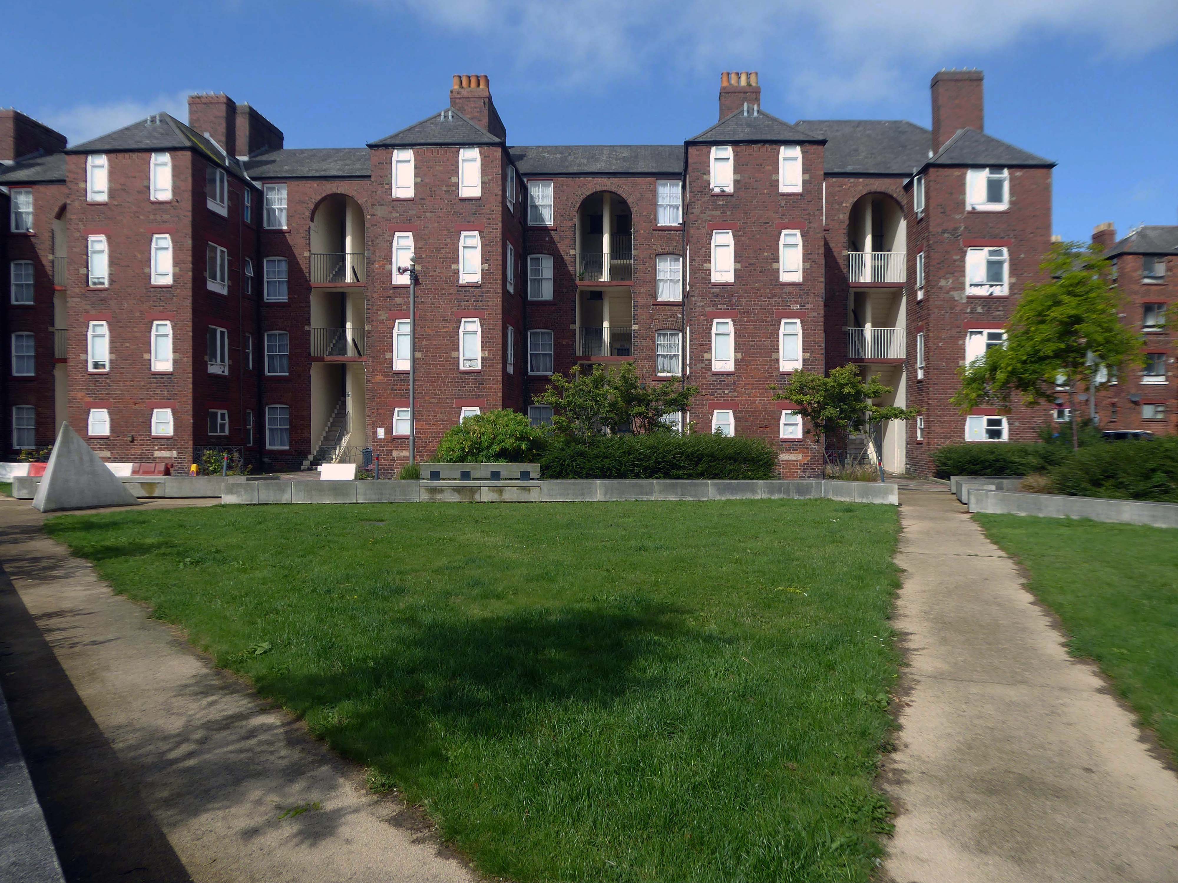
The area has been revitalised and improved in recent years and rebranded.
This beautiful and inviting public realm has acted as a catalyst for renewal of this neighbourhood in Barrow-in-Furness. The inspirational scheme won the award for Best Commercial Landscape Design at the Northern Design Awards in 2017 as well as winning the Adding Value Through Landscape award at the Landscape Institute Awards 2018 and it’s easy to see why.
The newly named Maritime Apartments are now advertised for short stays, demonstrating the increased desirability of the neighbourhood. Lisa Hart Pearce, Manager of Maritime Apartments has said: “The new landscape has transformed Maritime Streets, not only visually but holistically. People now have a happy, modern, green space to enjoy; full of colour and beauty. There is no doubt in my mind that the wellbeing of the local community has been positively encouraged by the regeneration of the area and I hope it will continue through generations.”
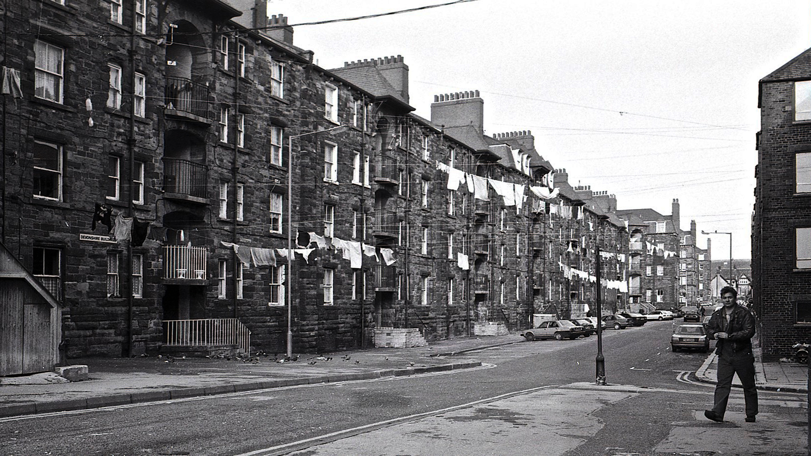
Next door are the adjacent sandstone Devonshire Buildings of old, constructed in the 1870s for the Barrow Iron Ship Building Company, by the Duke of Devonshire at a cost of £50,000, to house local shipyard workers, and recently refurbished by Holker Estate.
The buildings are currently for sale for offers in the region of £4,950,000.
Having once provided homes for the traditional shipbuilders, they now offer lets to the employers of BAE Systems.
Home to our pioneering Submarines Academy for Skills and Knowledge, Barrow-in-Furness is a hub for learning and innovation. We’re not just building the next generation of nuclear submarines here. We’re developing the next generation of engineering talent.
We’re always looking for talented individuals to join our team in Barrow-in-Furness. Whether you’re looking to start your career, or you’re an experienced professional looking for a new challenge, we might have a job for you.
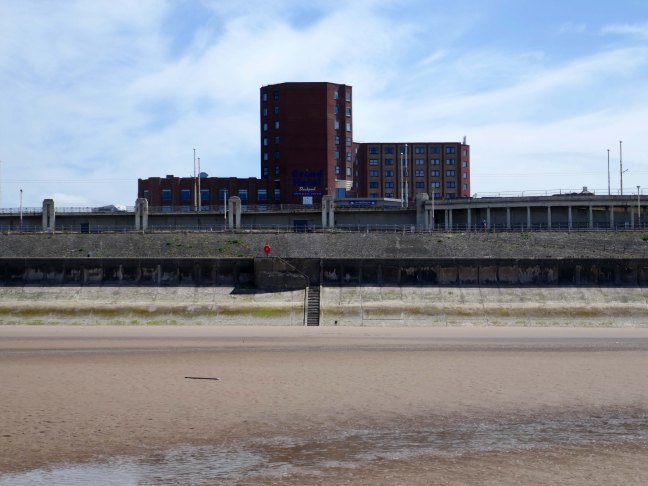
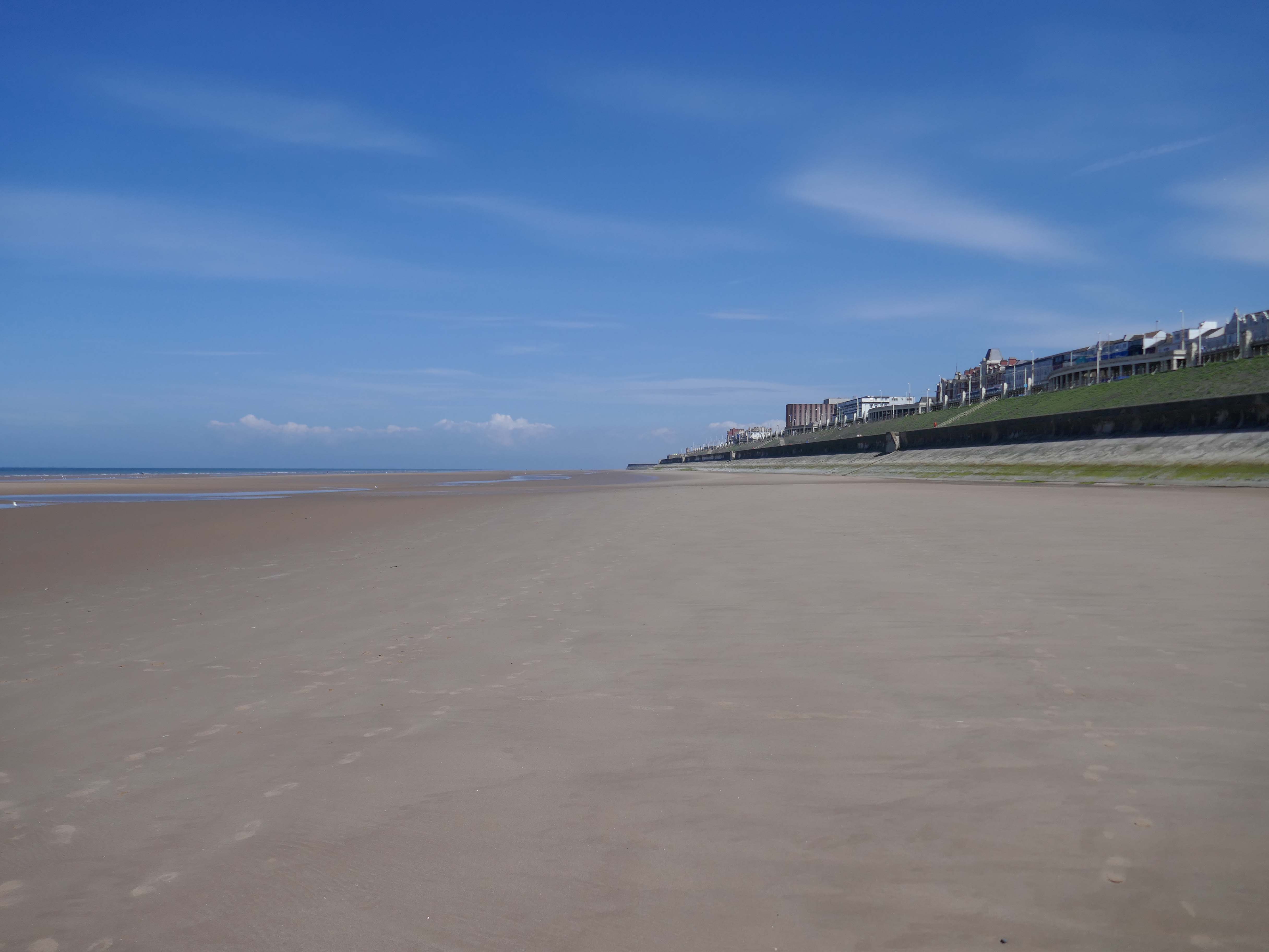
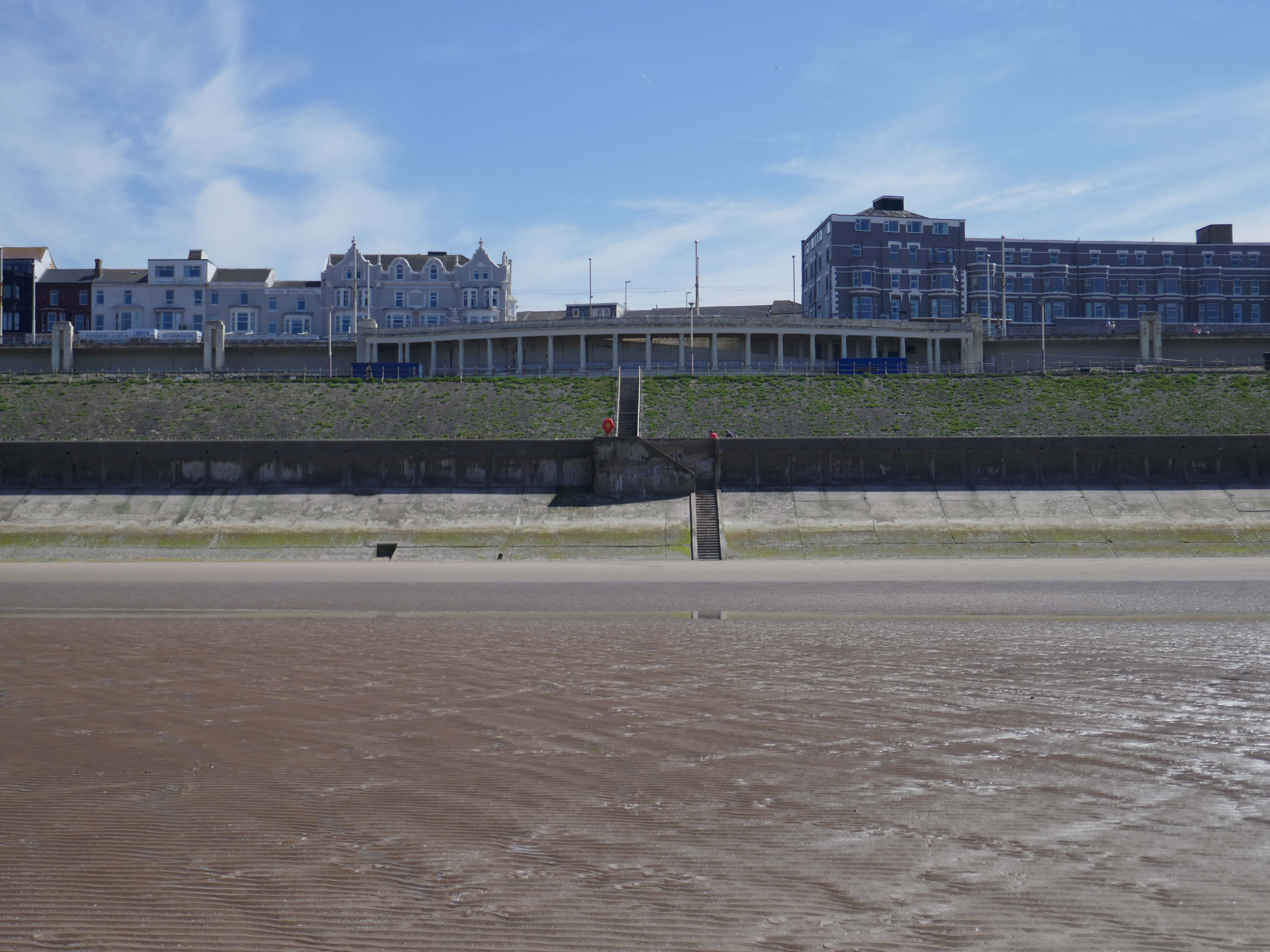
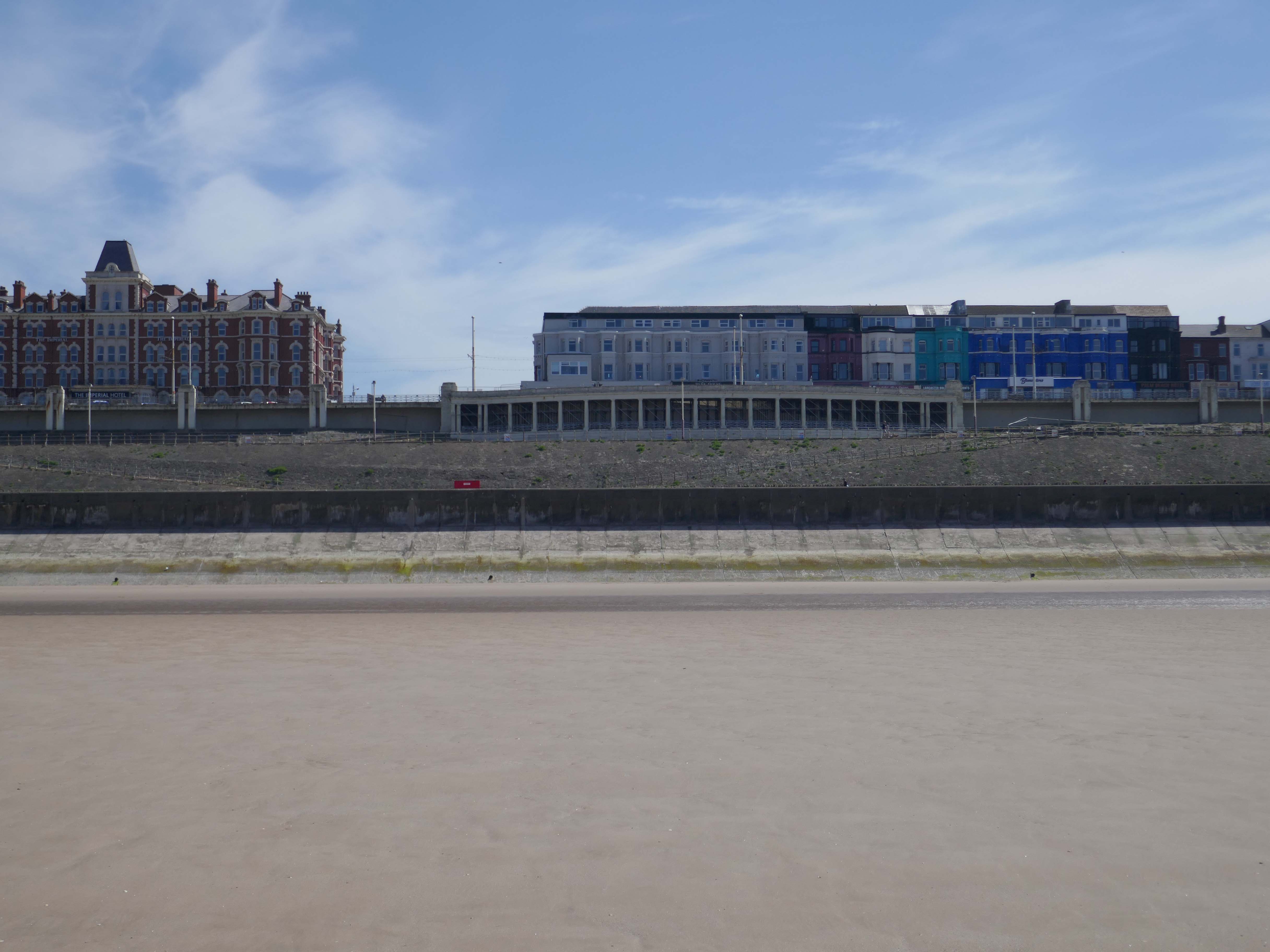
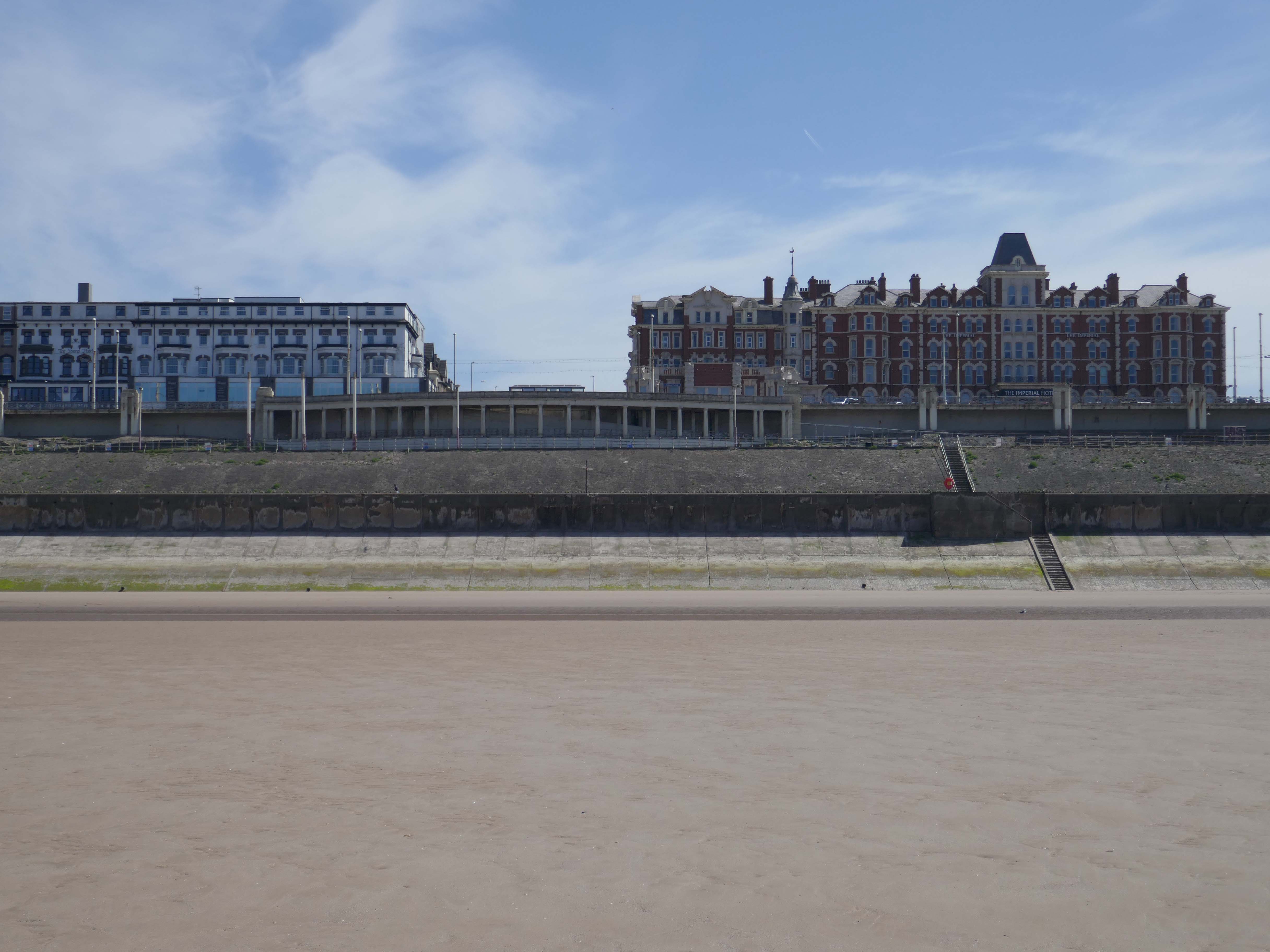
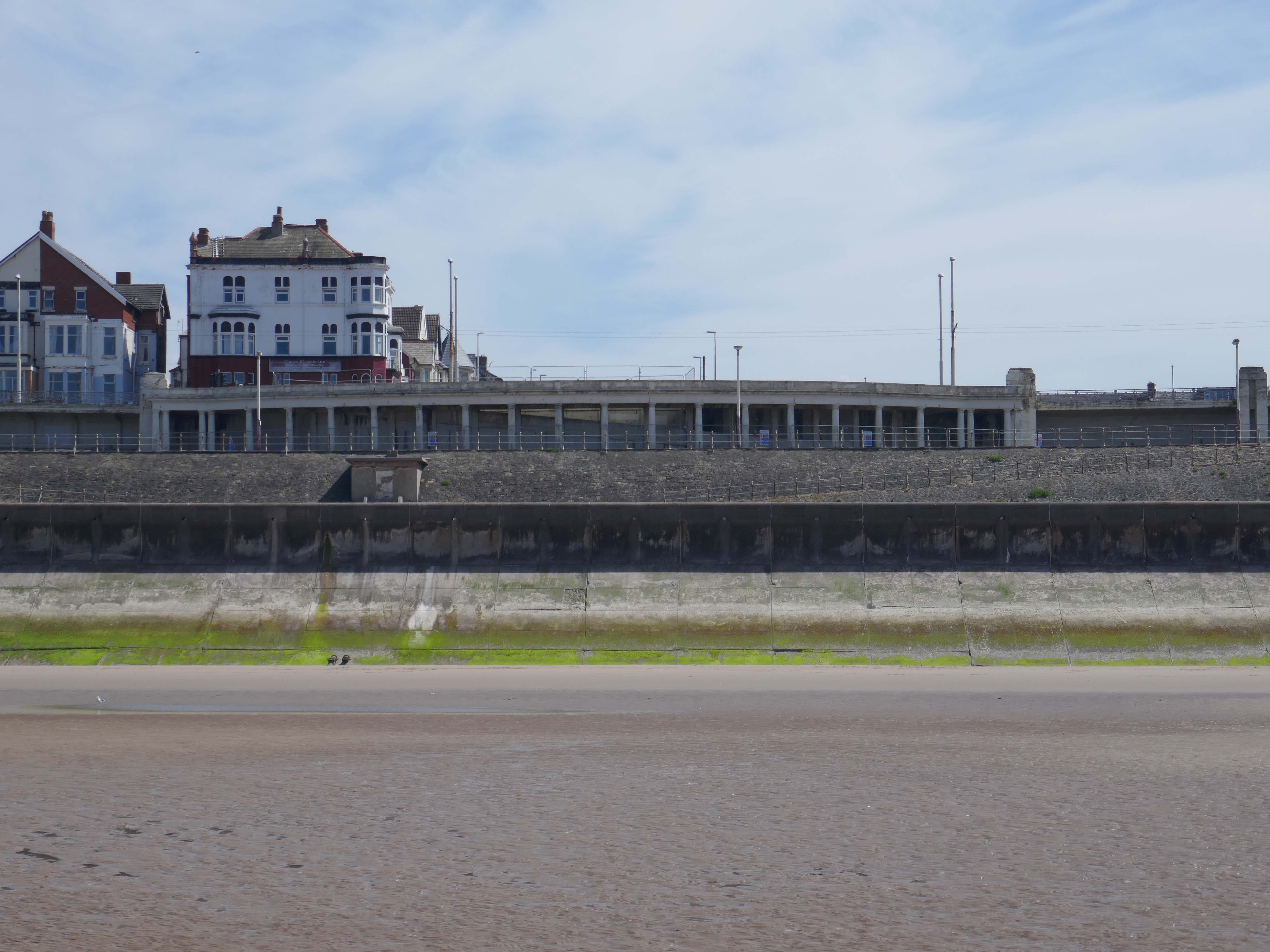
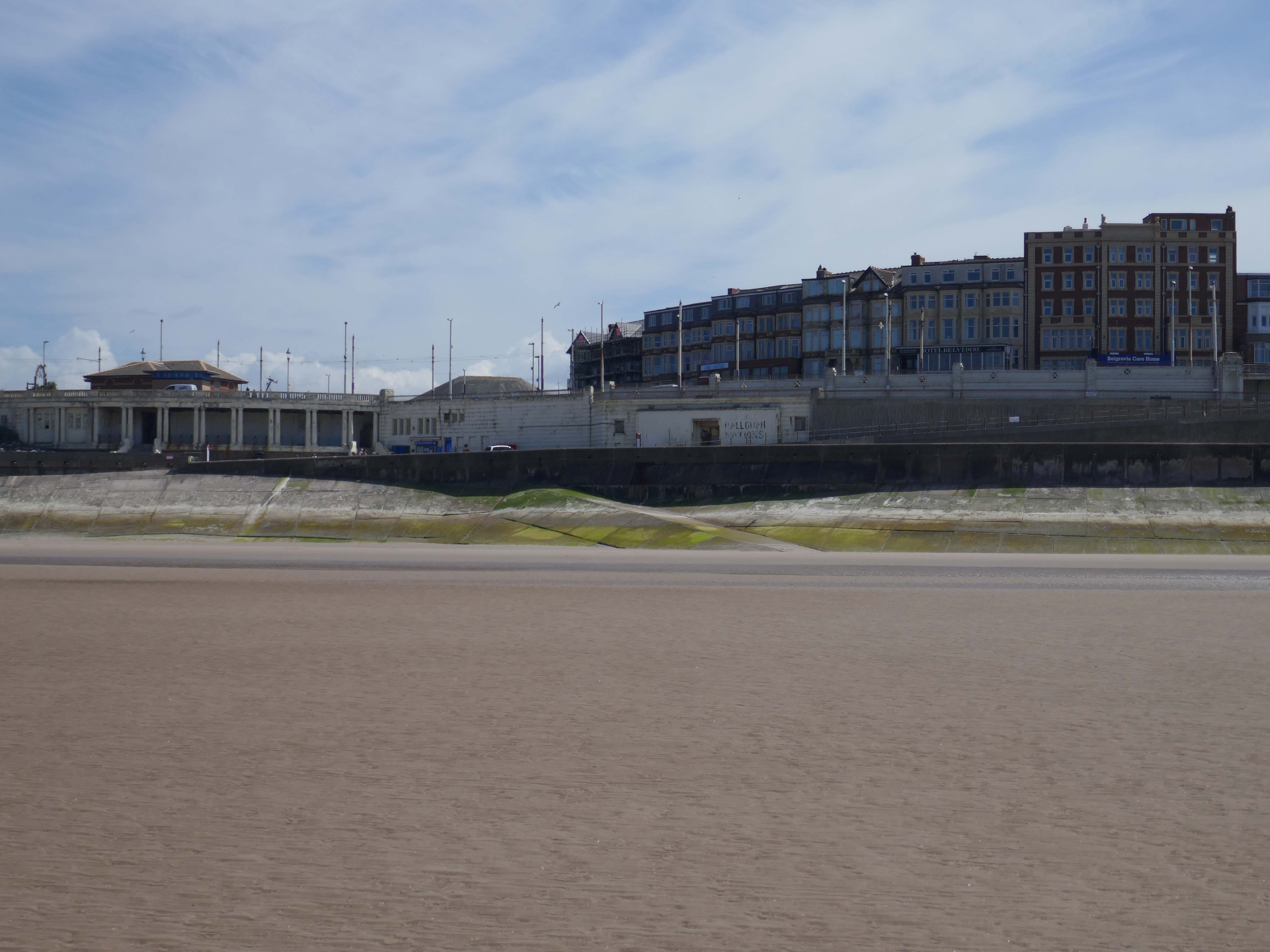
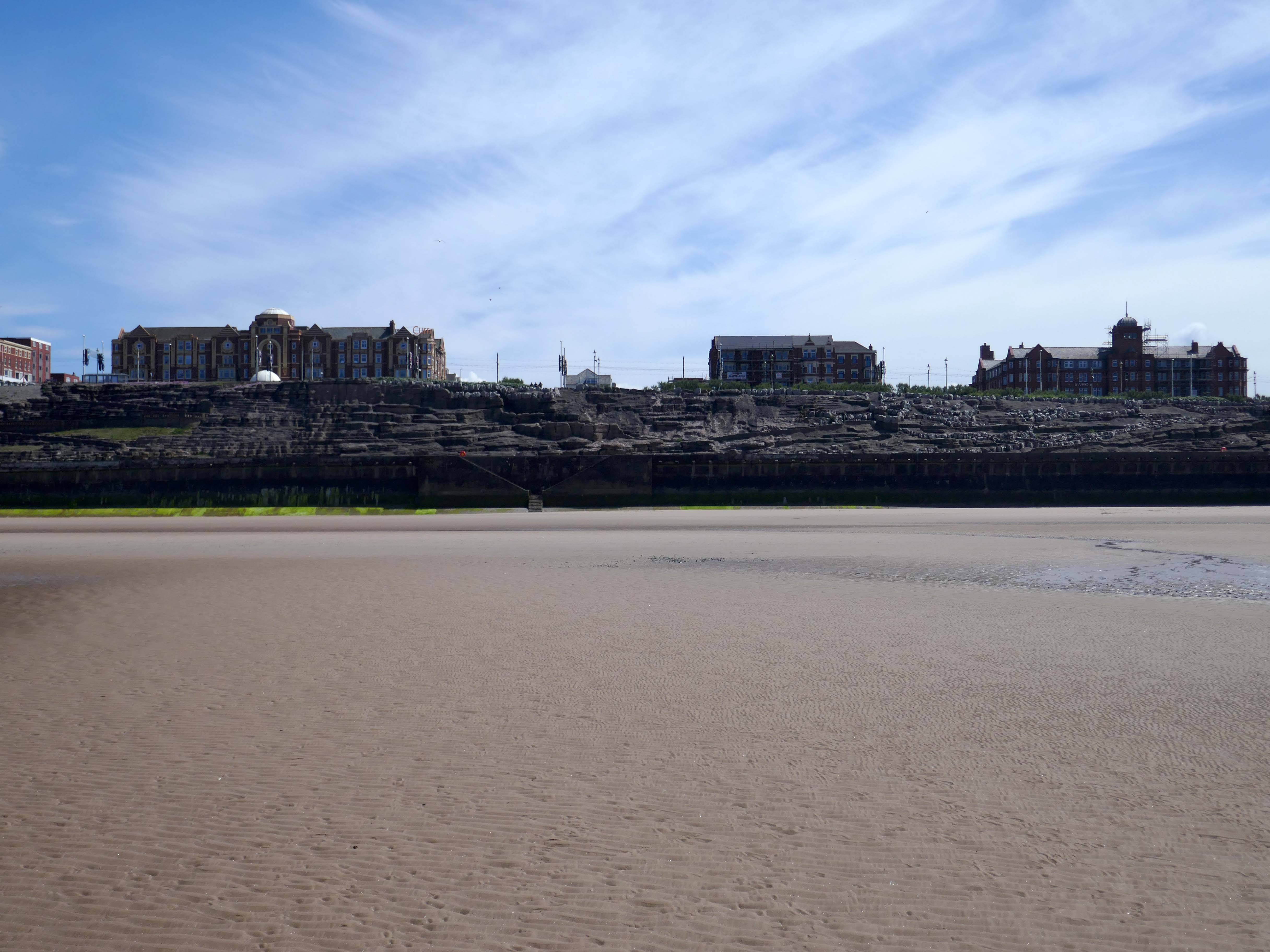
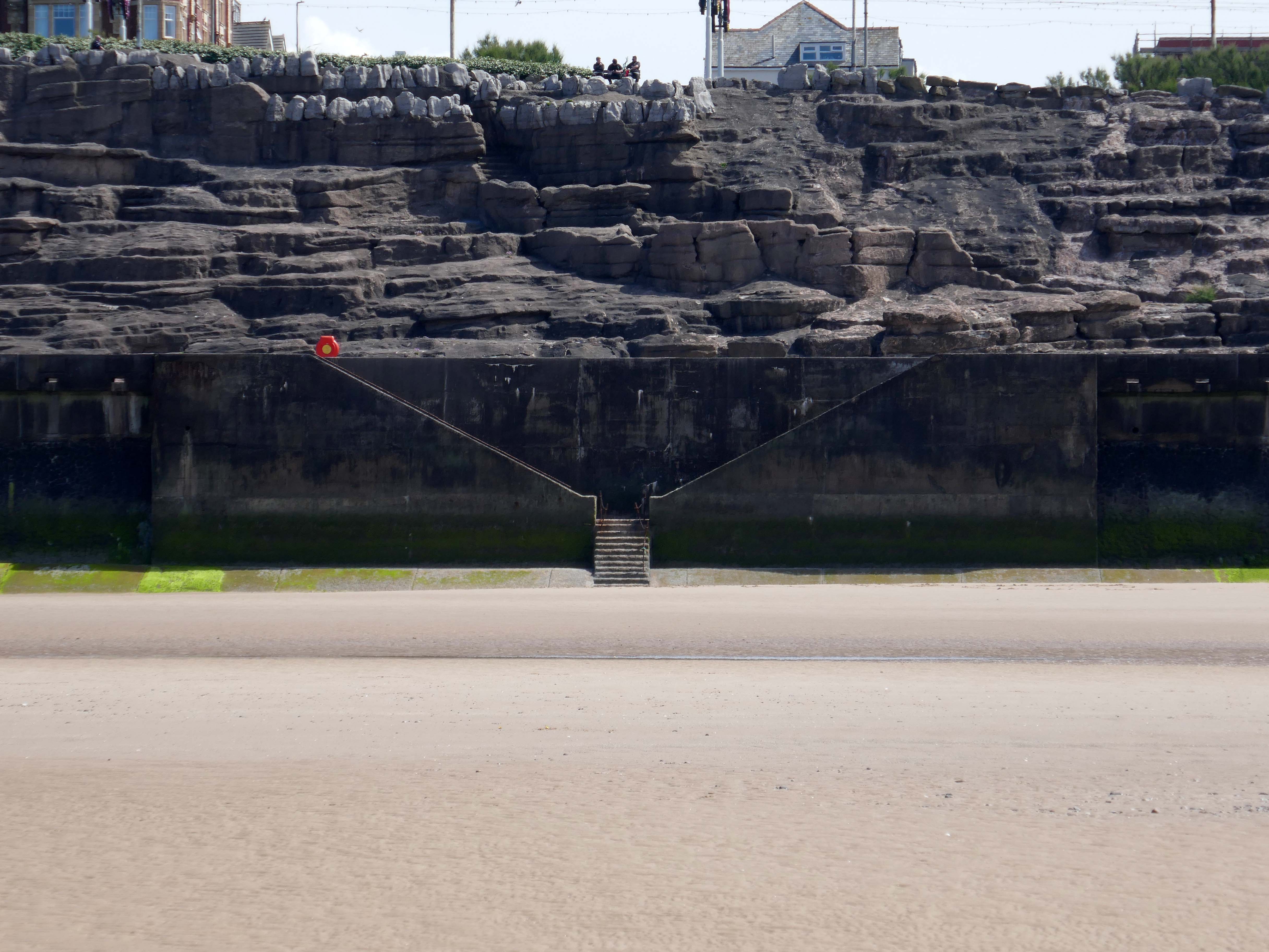
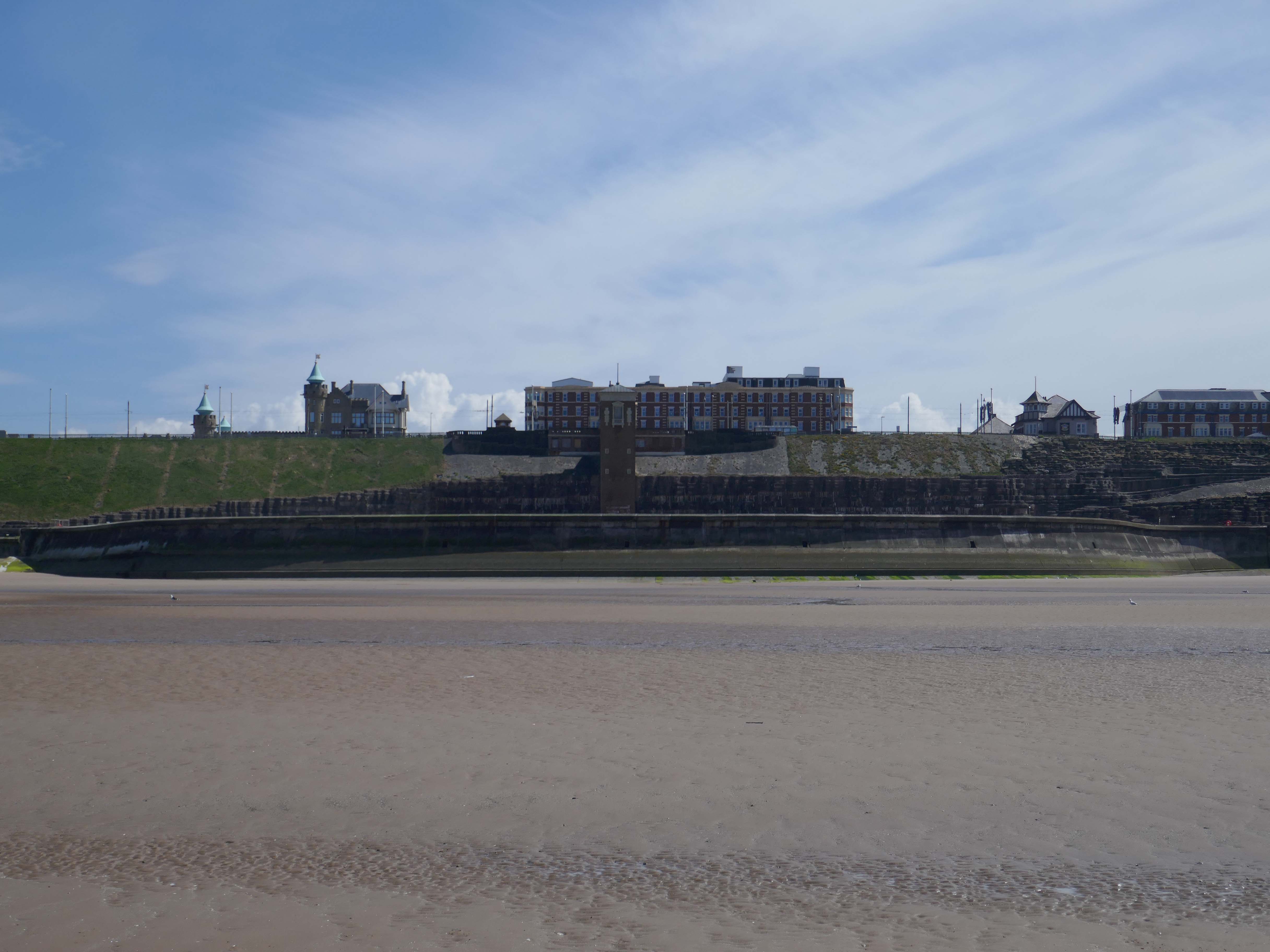
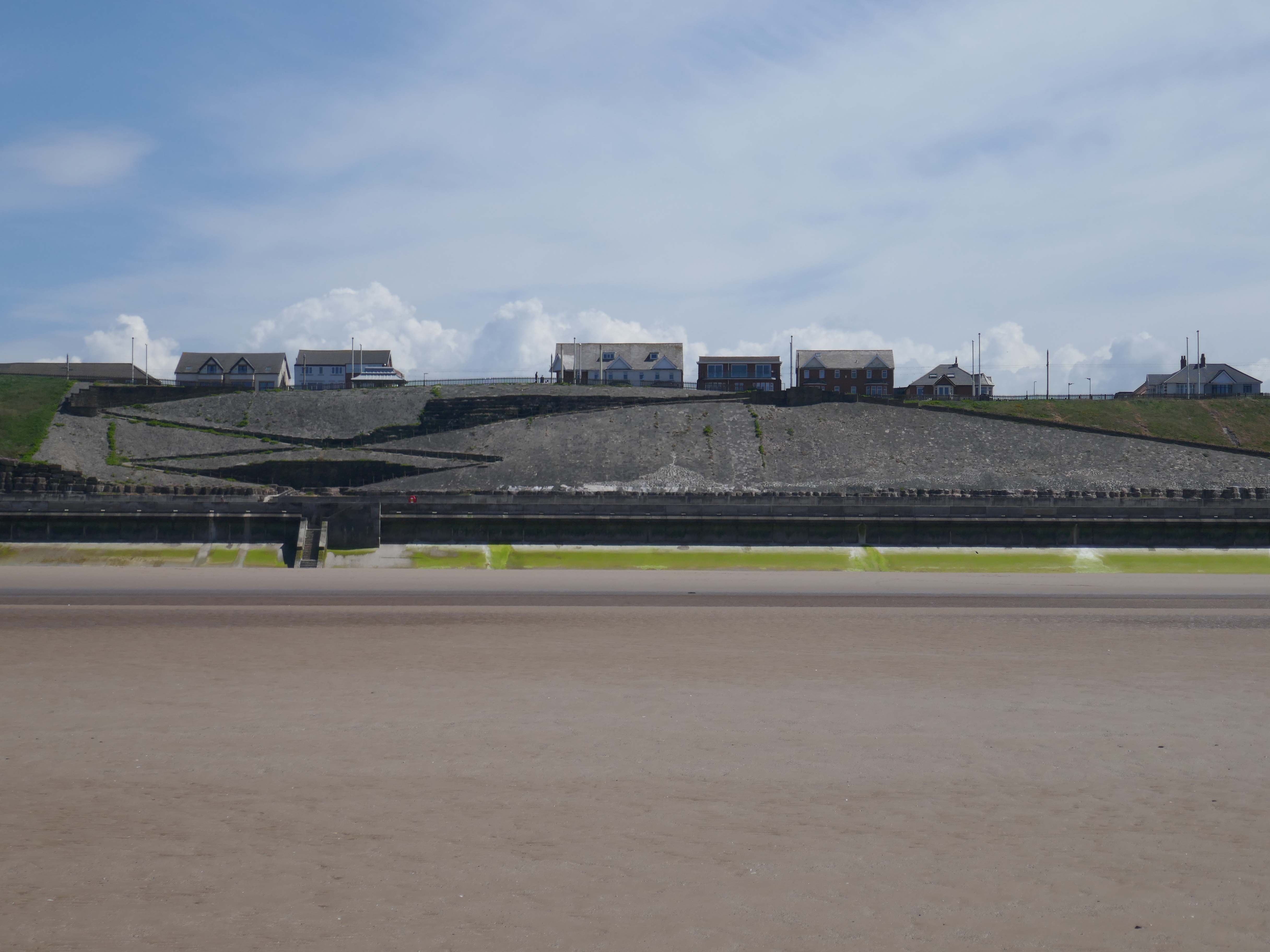
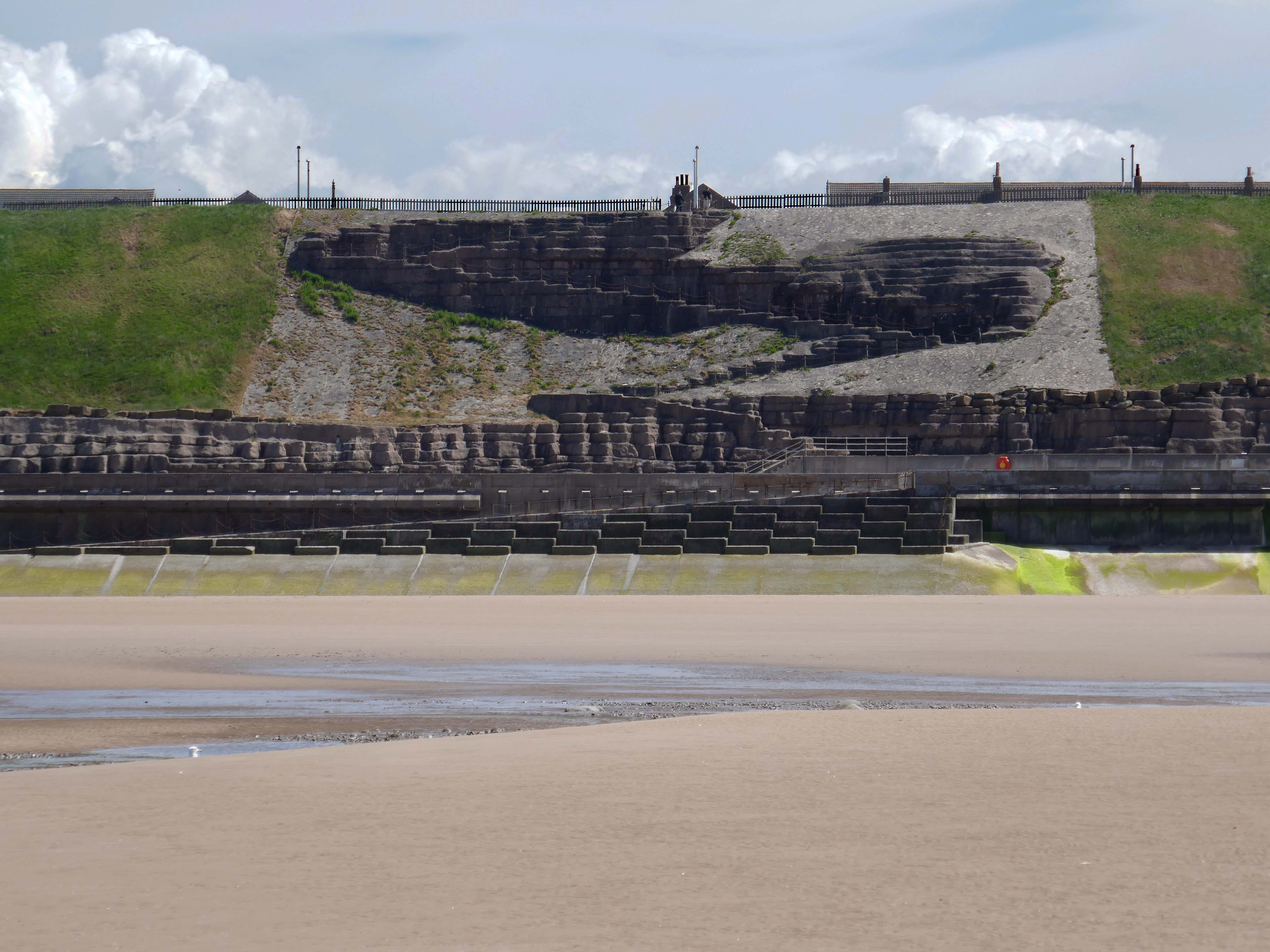
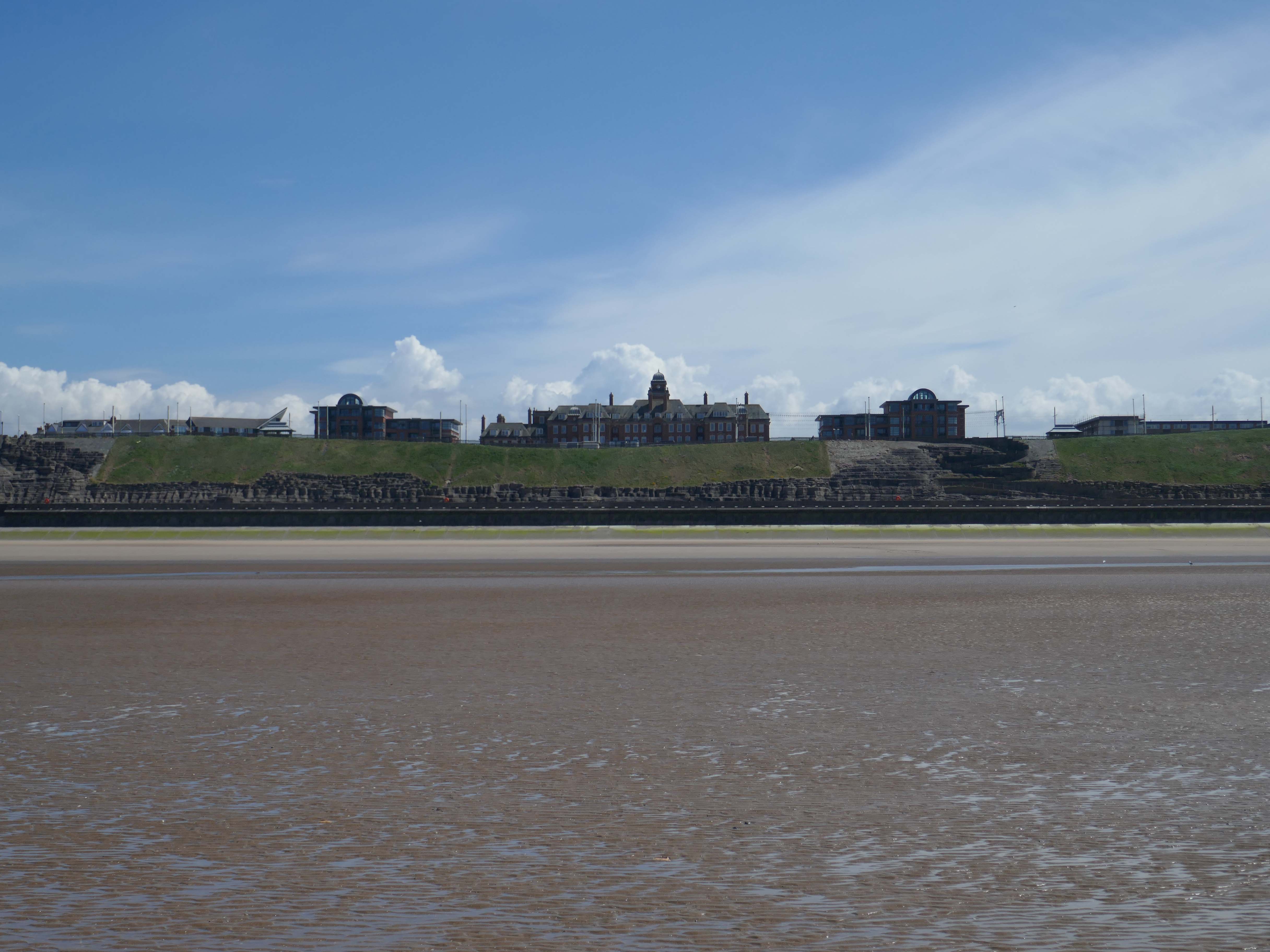
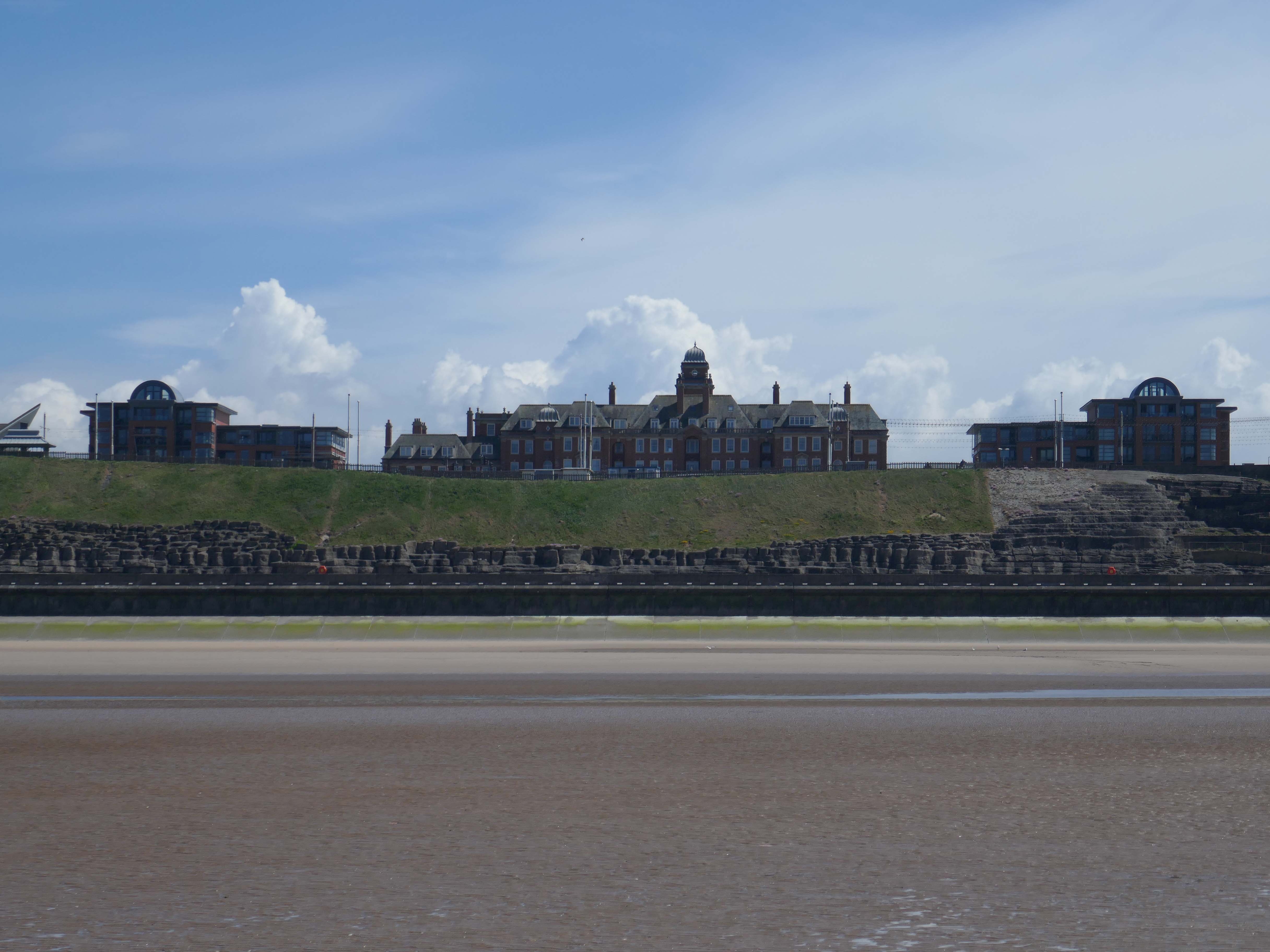
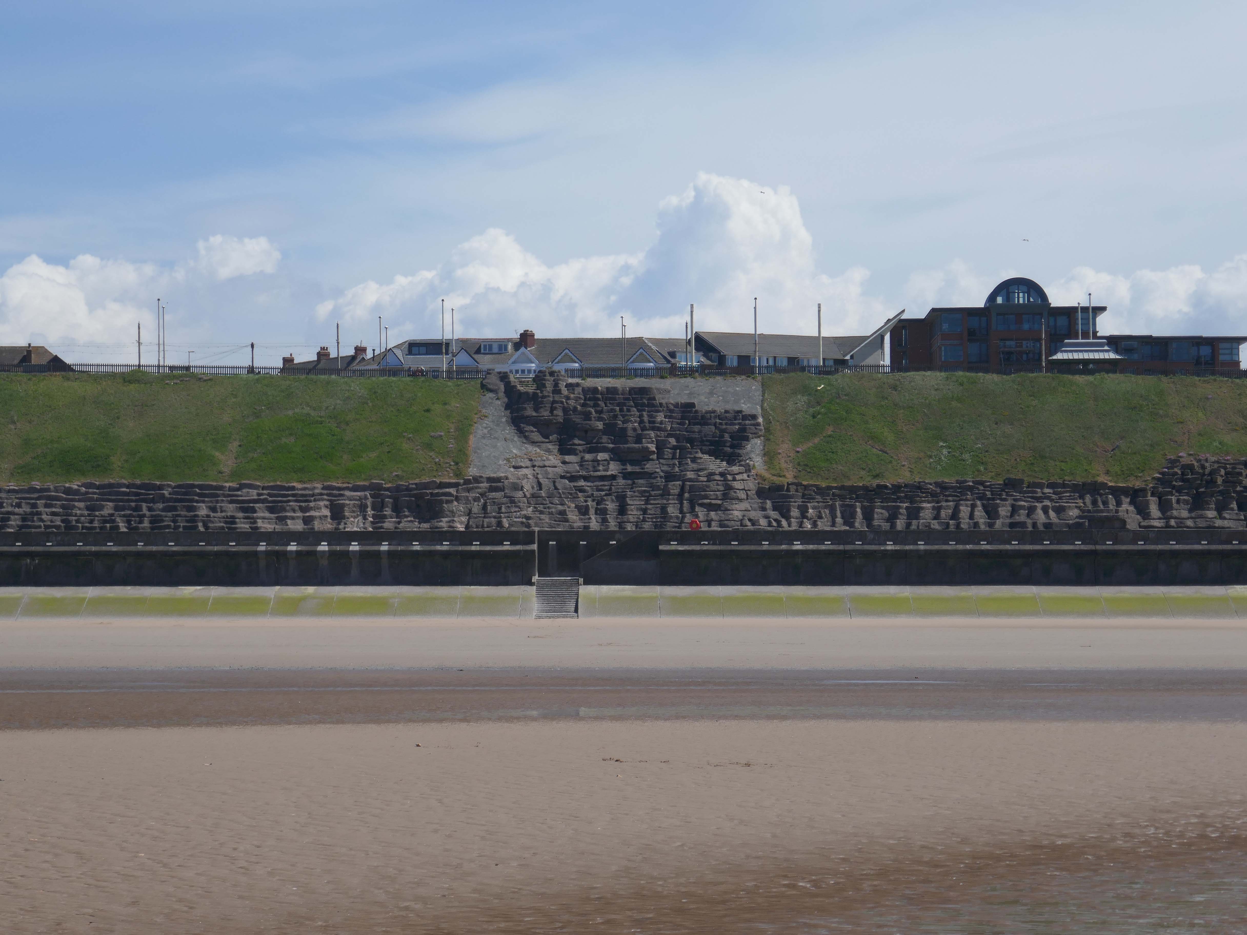
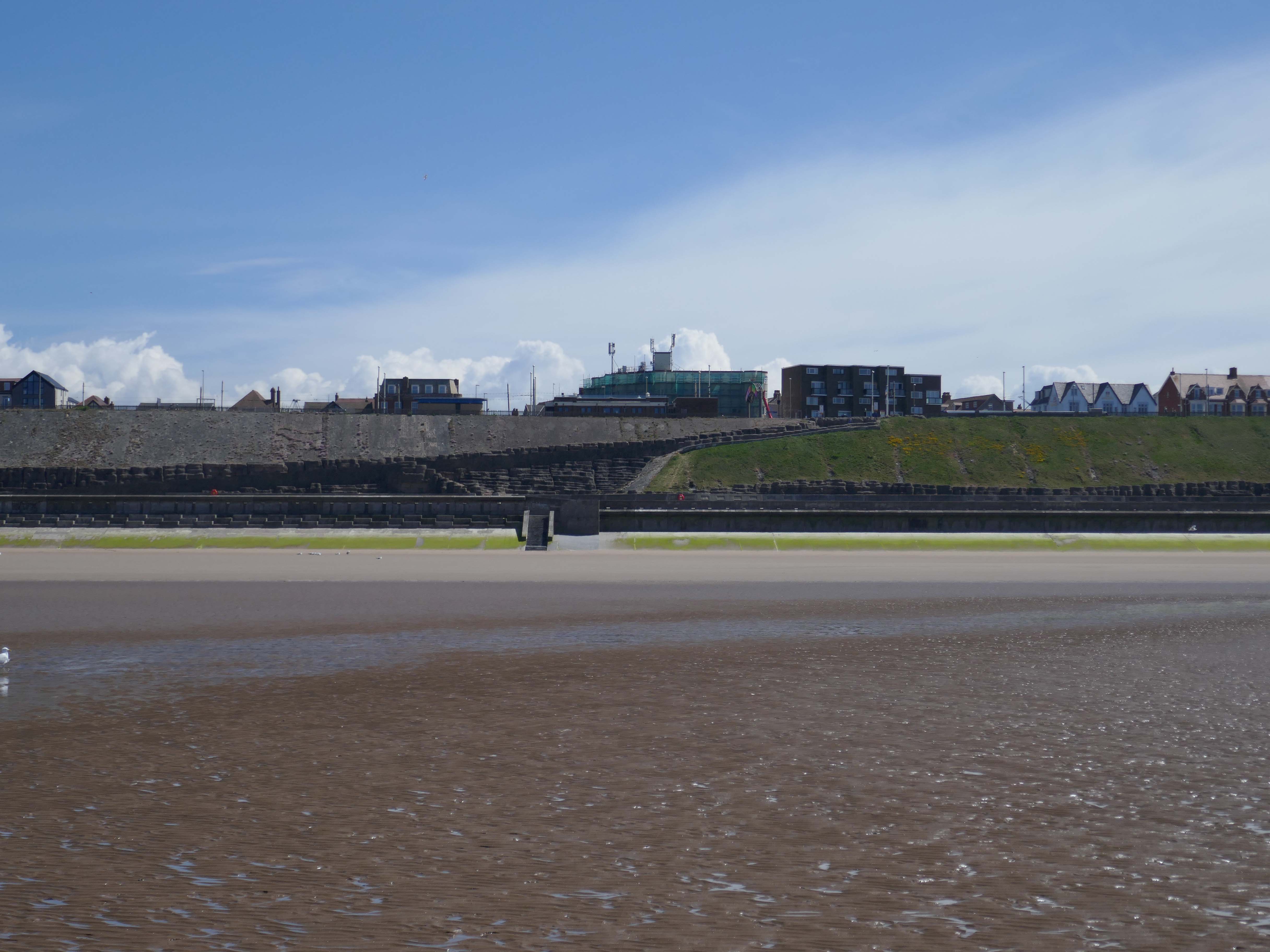
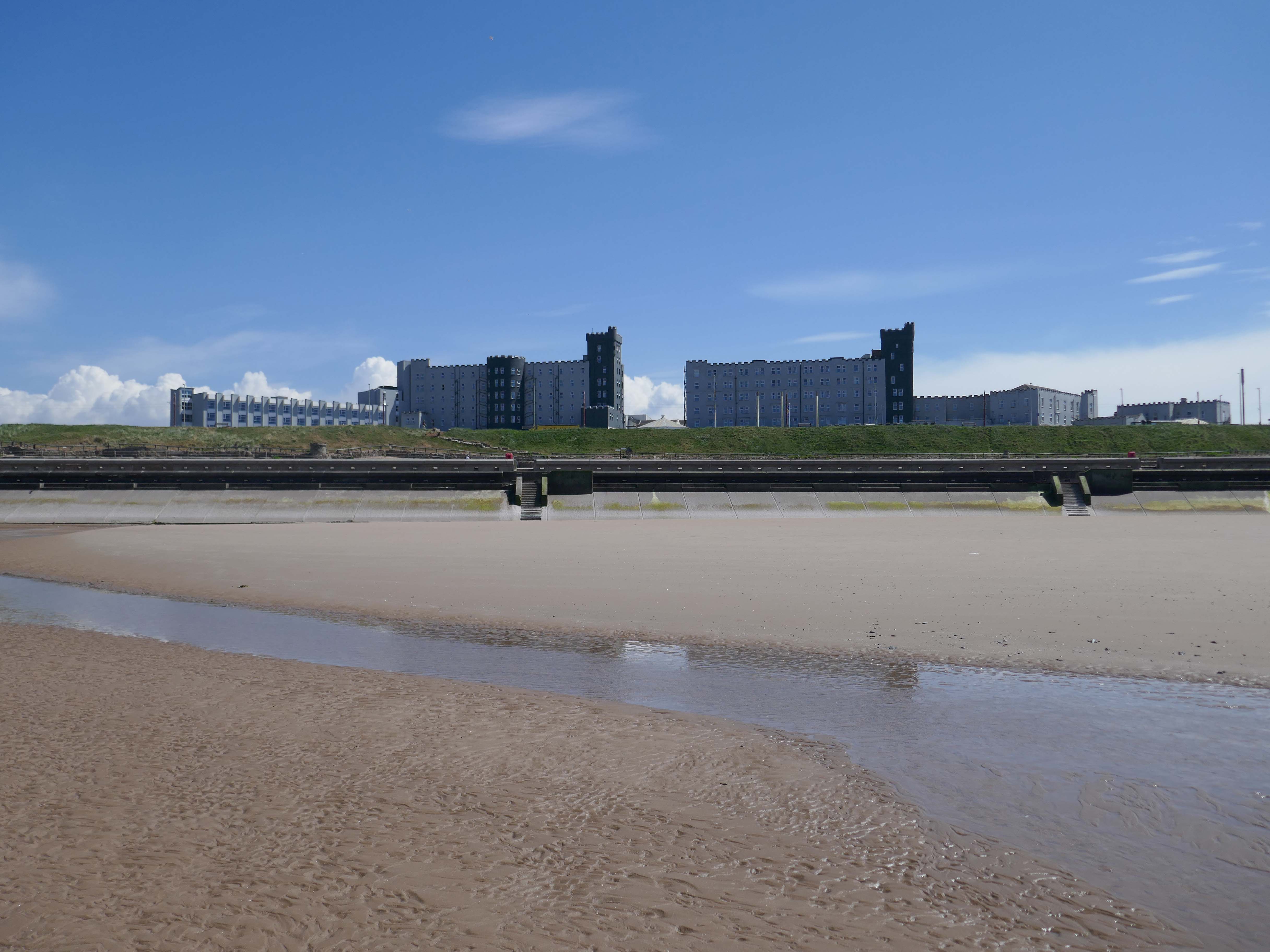
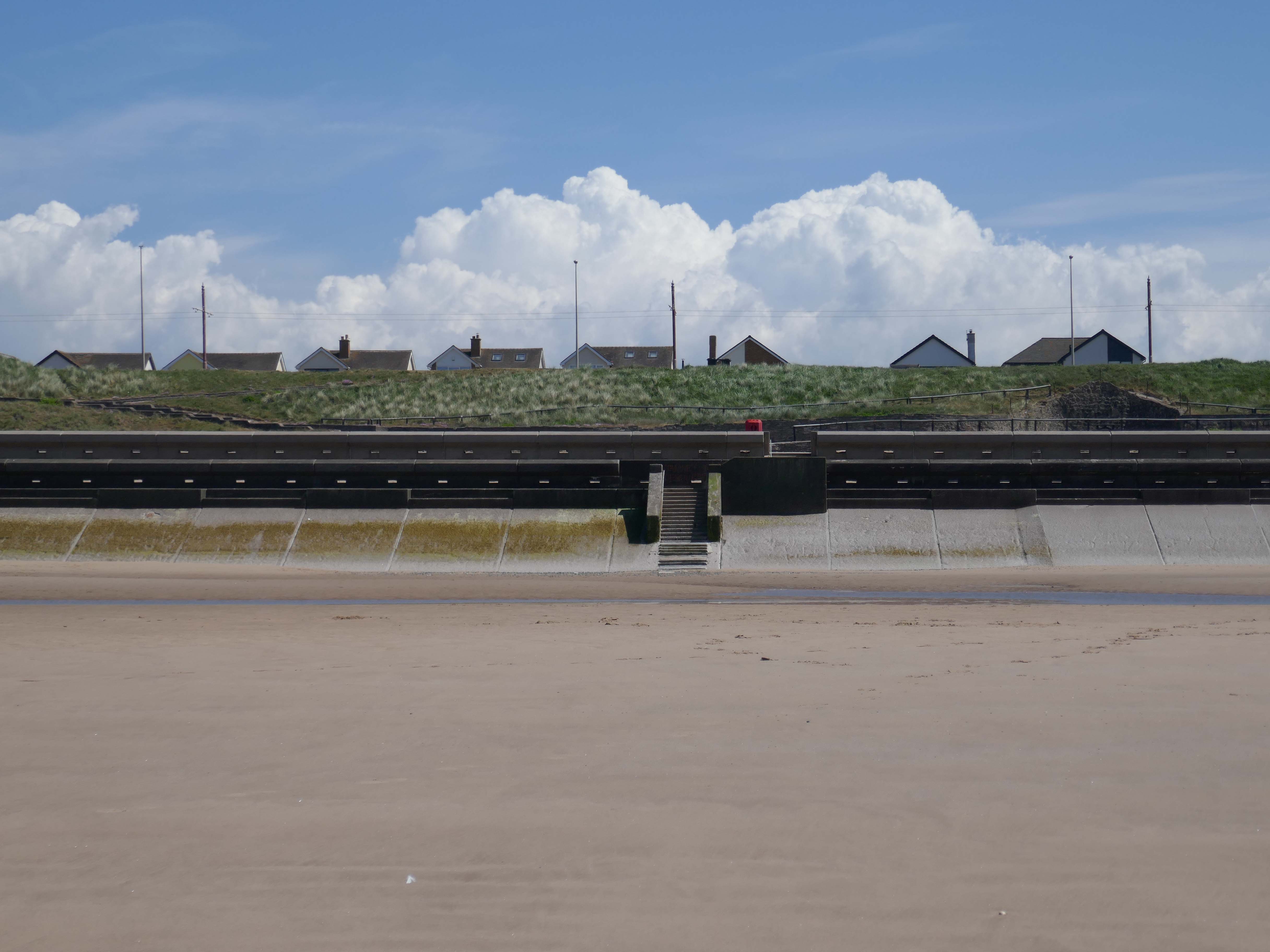
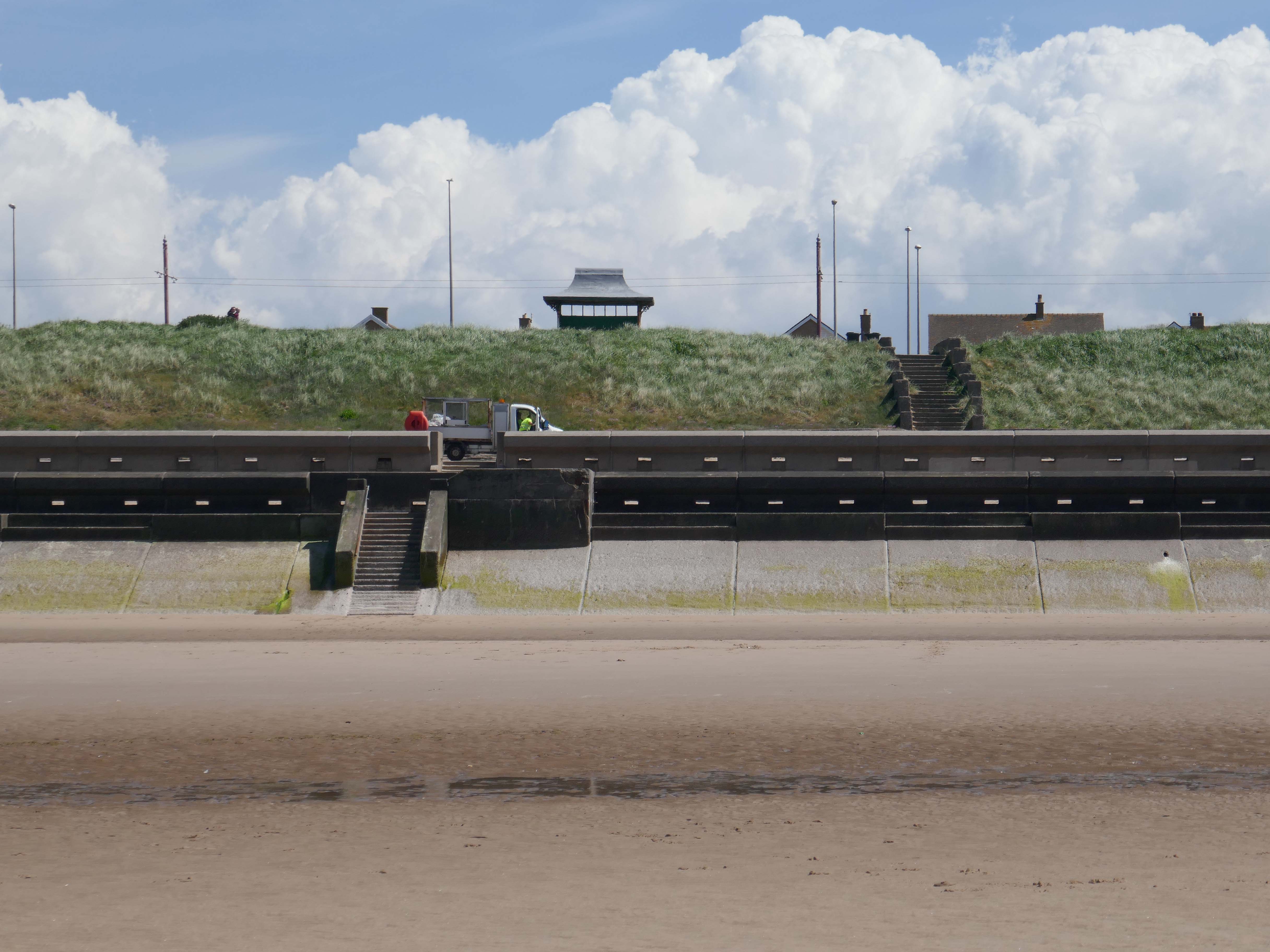
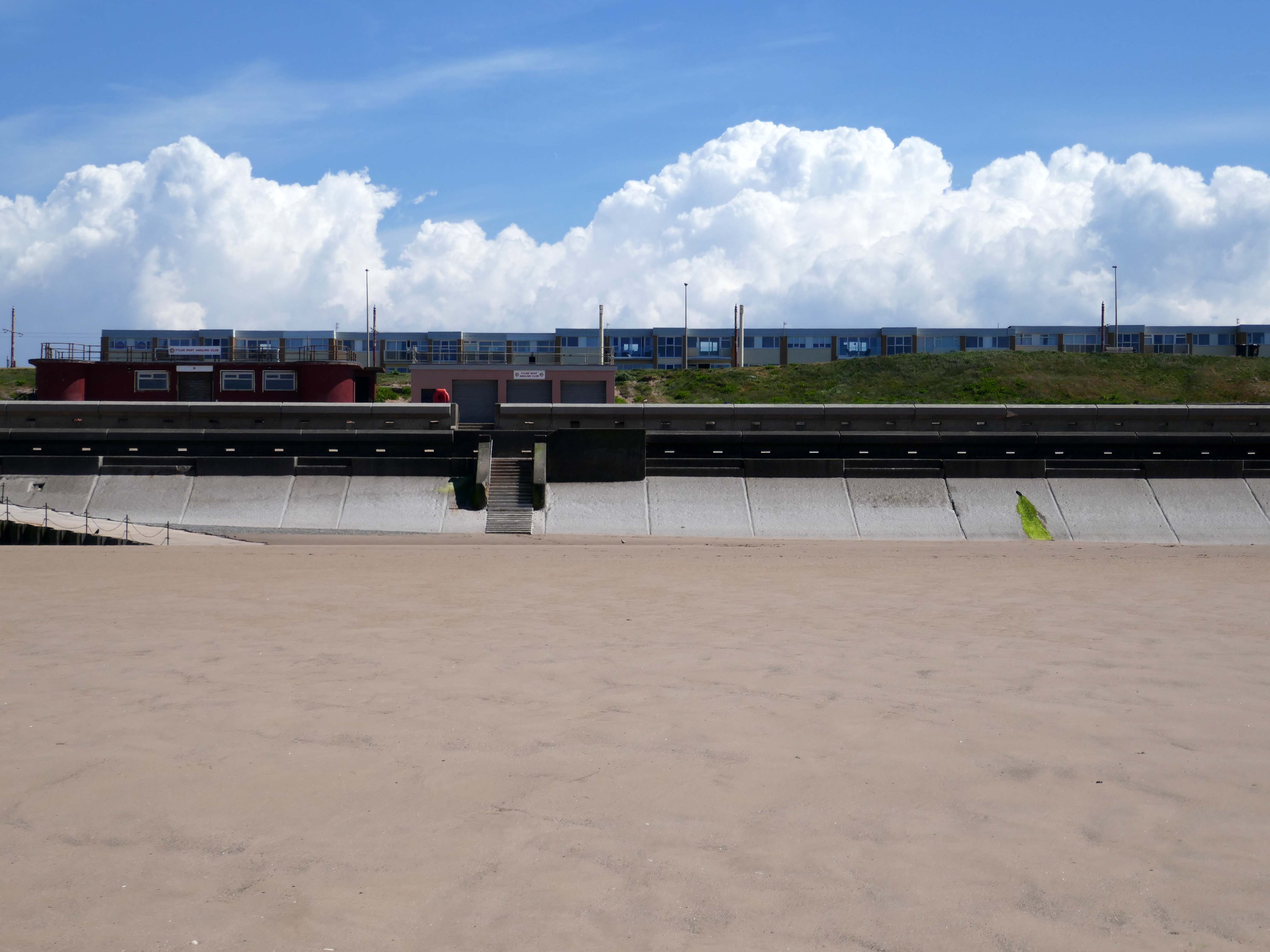
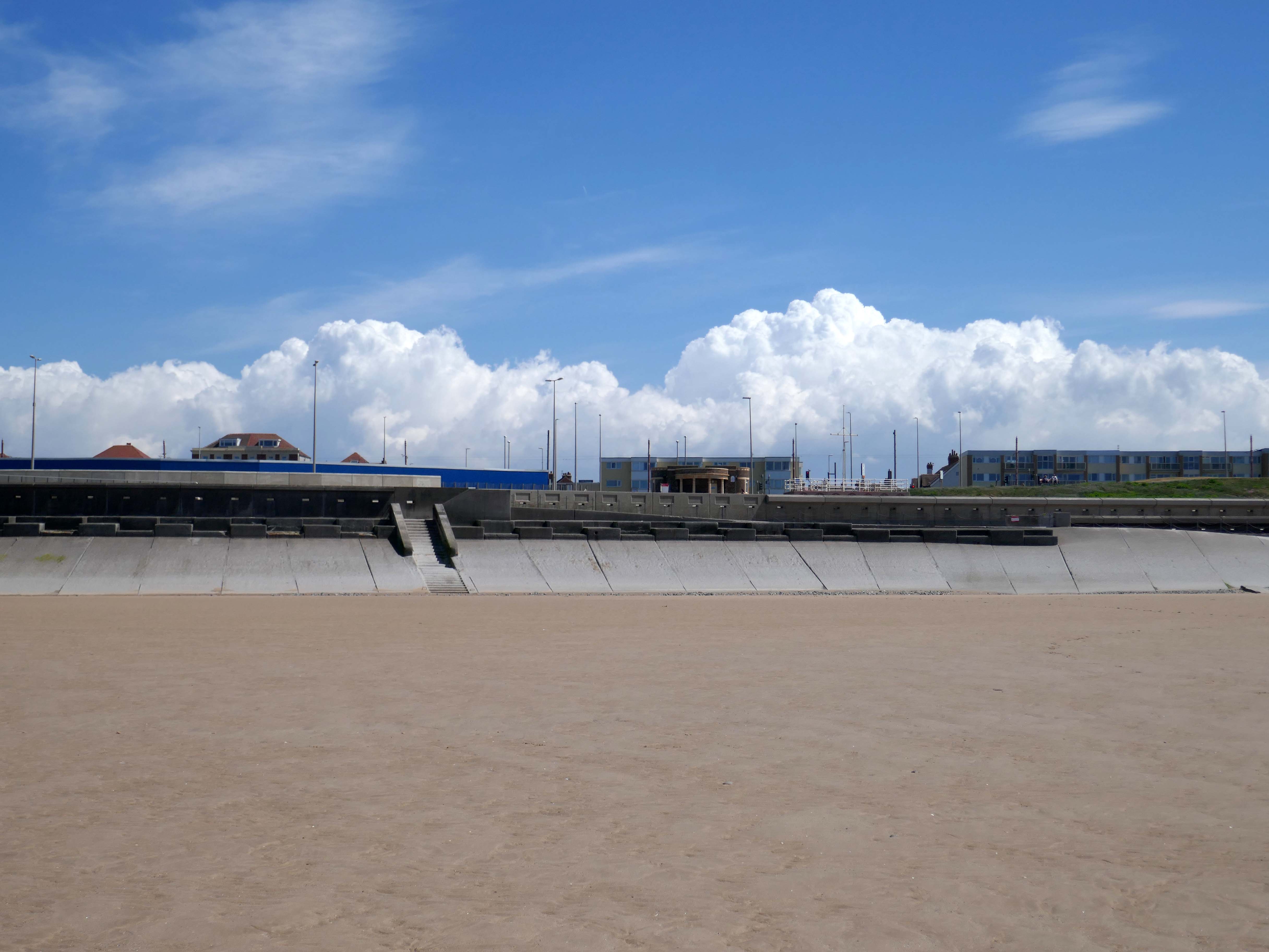
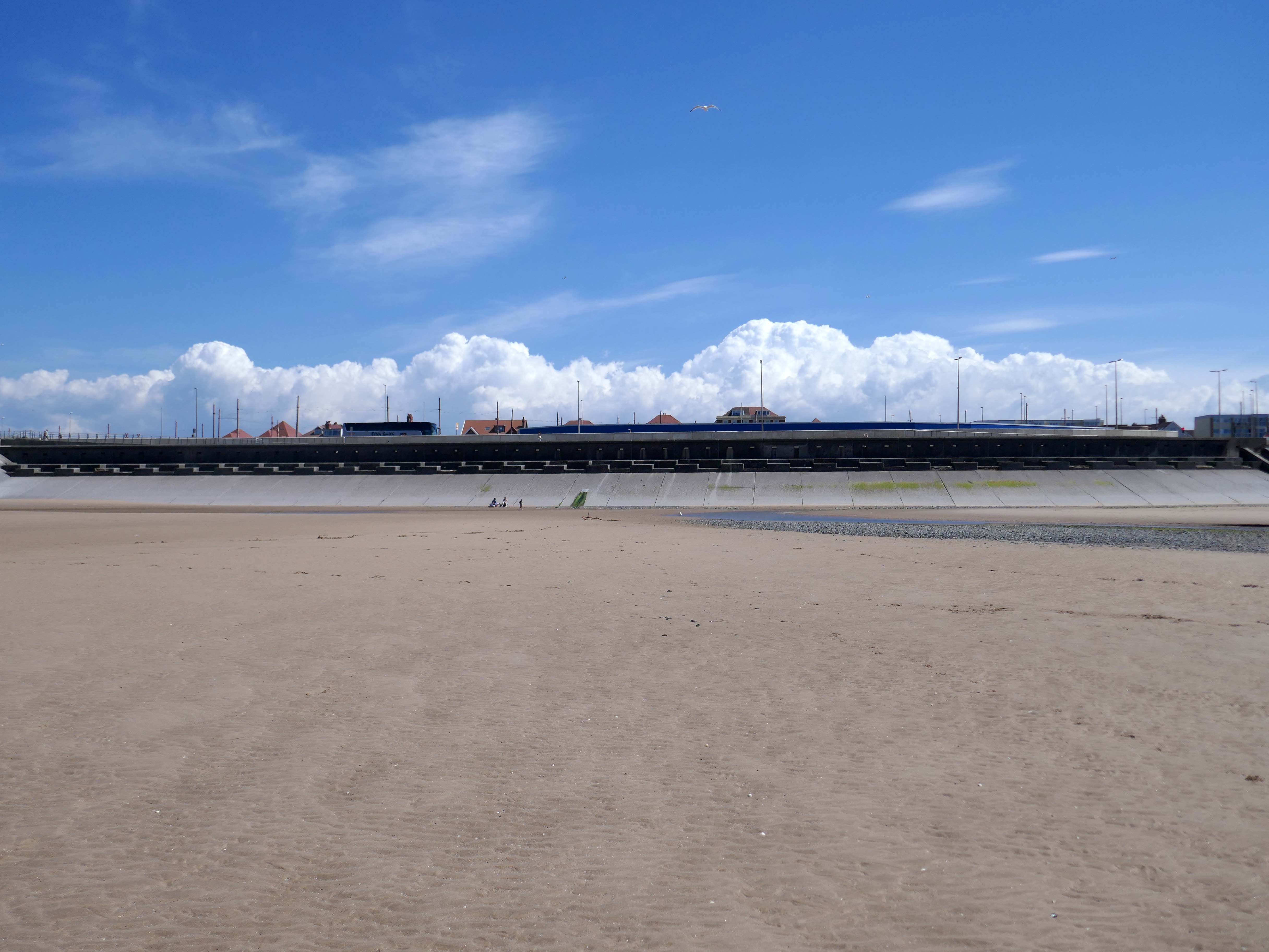
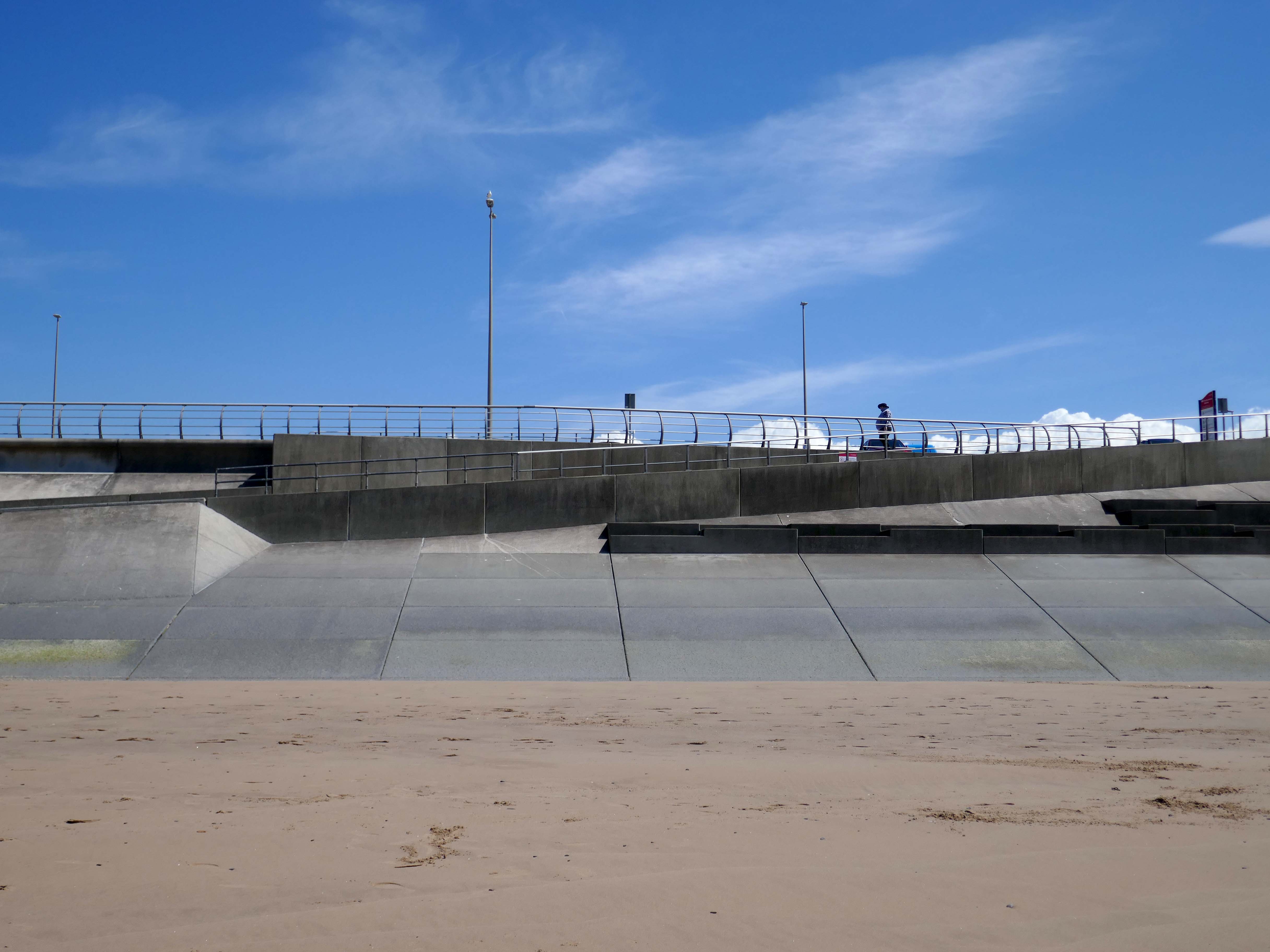
Yesterday, Wednesday 21st May 2025, the sun was shining and the tide was out, I decided to walk along the sands, and look towards the land.
To the right the Imperial Hotel – 1866-7 by Clegg and Knowles of Manchester, wing added 1875 by Mangnall and Littlewood.
The hotel was established in 1867. Charles Dickens stayed at the hotel in 1869. In 1904, the hotel was extended with the addition of a large neo-baroque style dining room. In 1912, Princess Louise, Duchess of Argyll stayed at the hotel.In the mid 20th century, Winston Churchill, Queen Elizabeth The Queen Mother, Princess Margaret, Countess of Snowdon and The Beatles stayed at the hotel. Queen Elizabeth II stayed at the hotel when visiting Blackpool. In 1985, Margaret Thatcher celebrated her 60th birthday in the hotel. In 2002, US President Bill Clinton and Prime Minister Tony Blair stayed at the hotel for the Labour party conference.
Join us at The Imperial Hotel Blackpool for an unforgettable experience where entertainment, family fun, and group leisure come together. Book now and start creating memories that will last a lifetime.
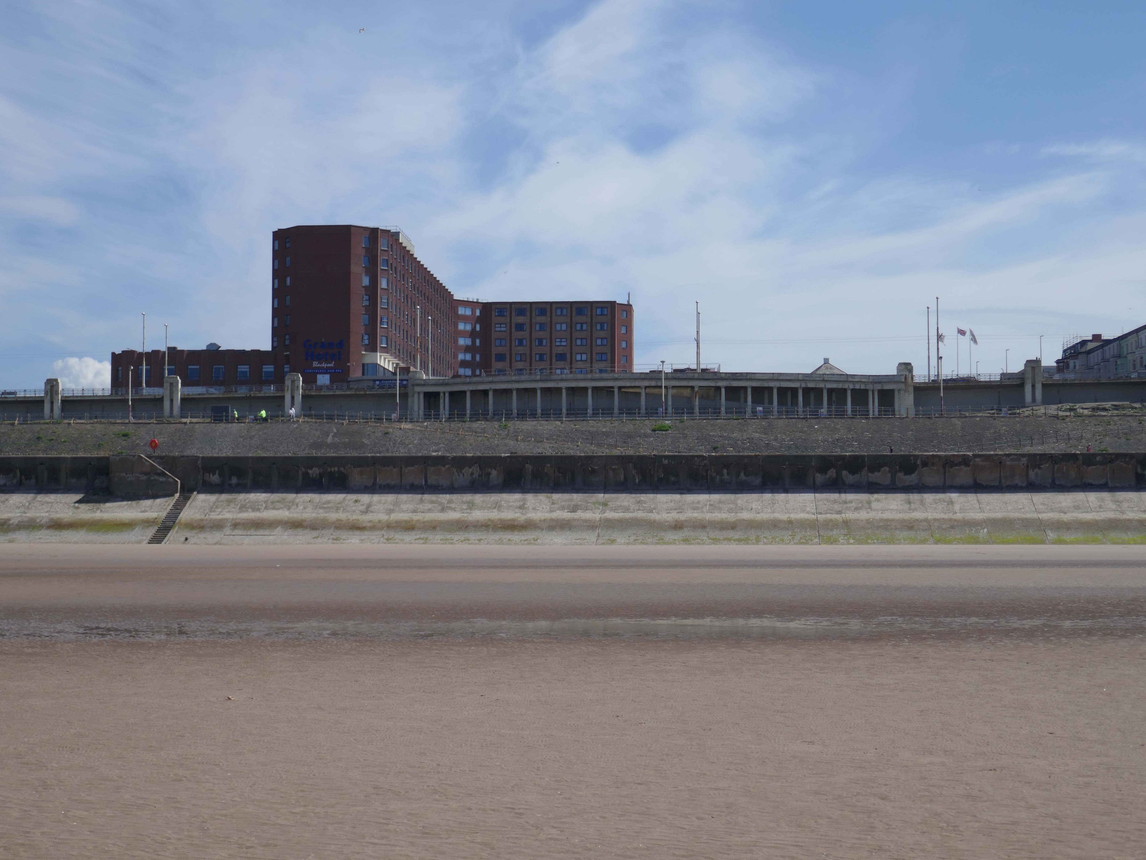
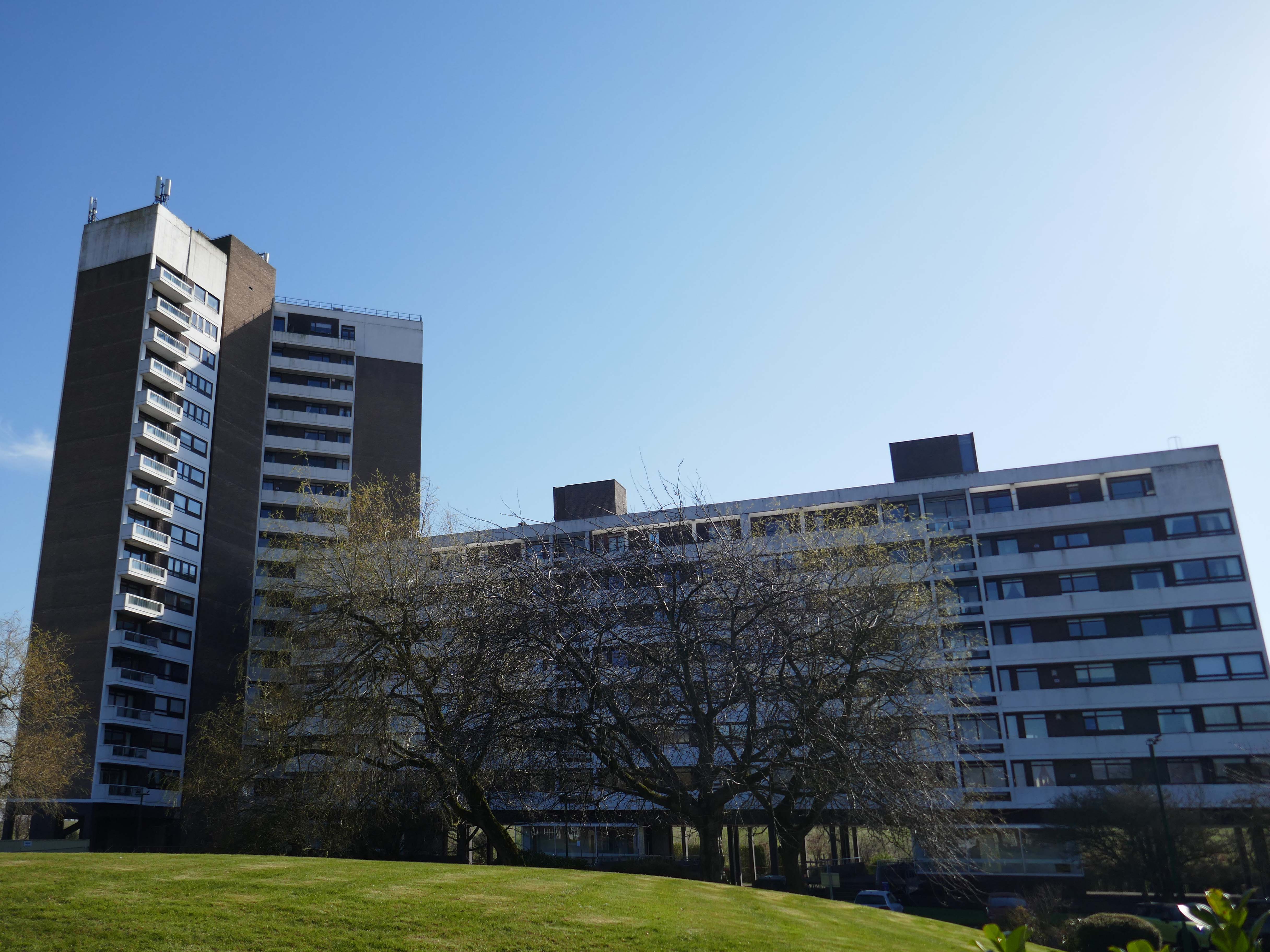
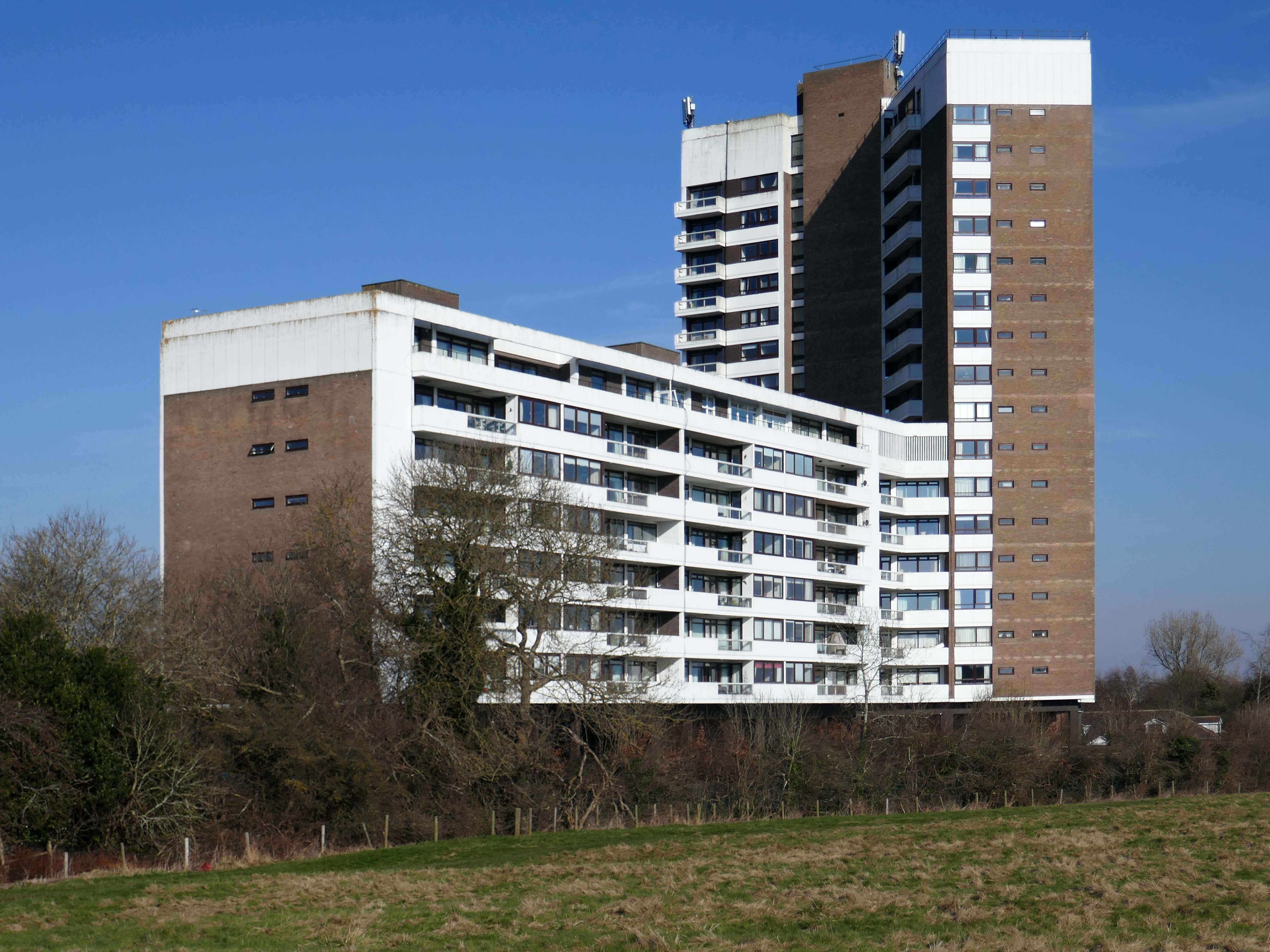
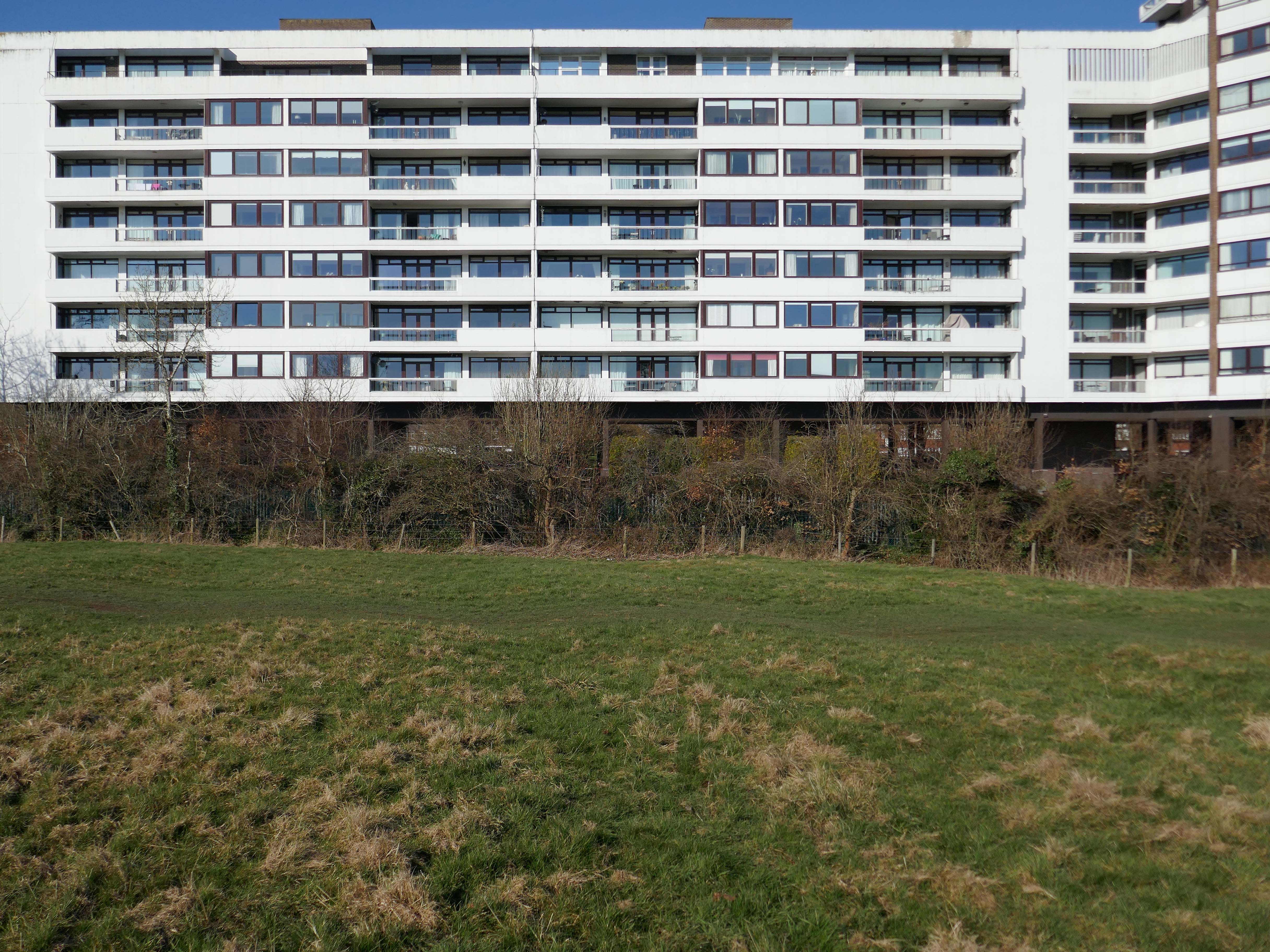
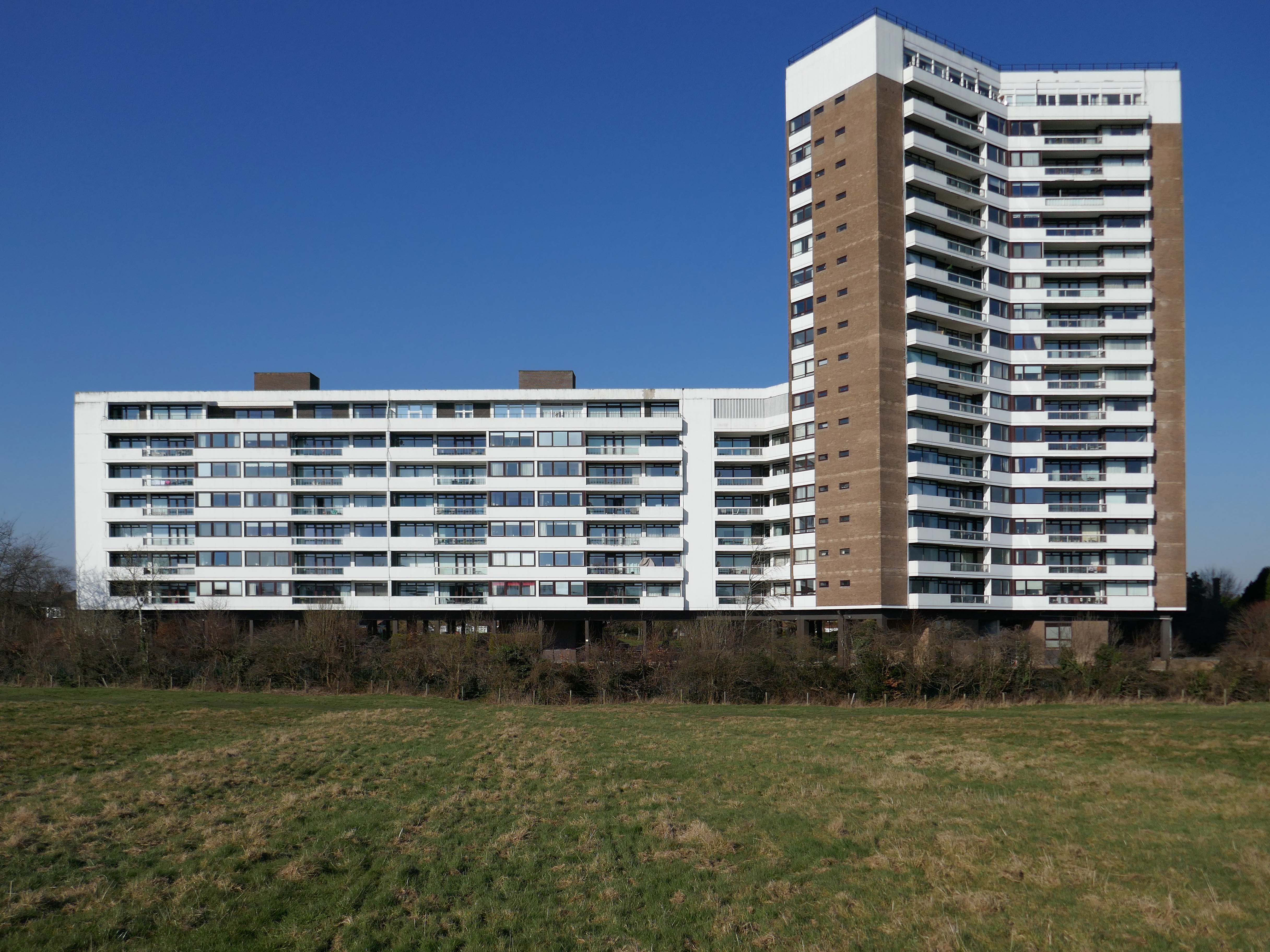
Grand Hotel – the hotel was built as the Pembroke Hotel in 1982, became the Hilton Hotel in 1999 and The Grand Hotel in 2017
The hotel was built next to the site of the Derby Baths 1939 – architect: John Charles Robinson who between 1920-1944 designed many of Blackpool’s landmark civic buildings including libraries, schools, swimming baths, leisure facilities and tourist infrastructure.
The Savoy Hotel, just north of Gynn Square, is one of the series of large red brick and red terracotta hotels built around the turn of the century. The architect was TG Lumb and the hotel opened in 1915; the sun lounge in Hathern’s cream faience was added in 1935 by Lumb and Walton.
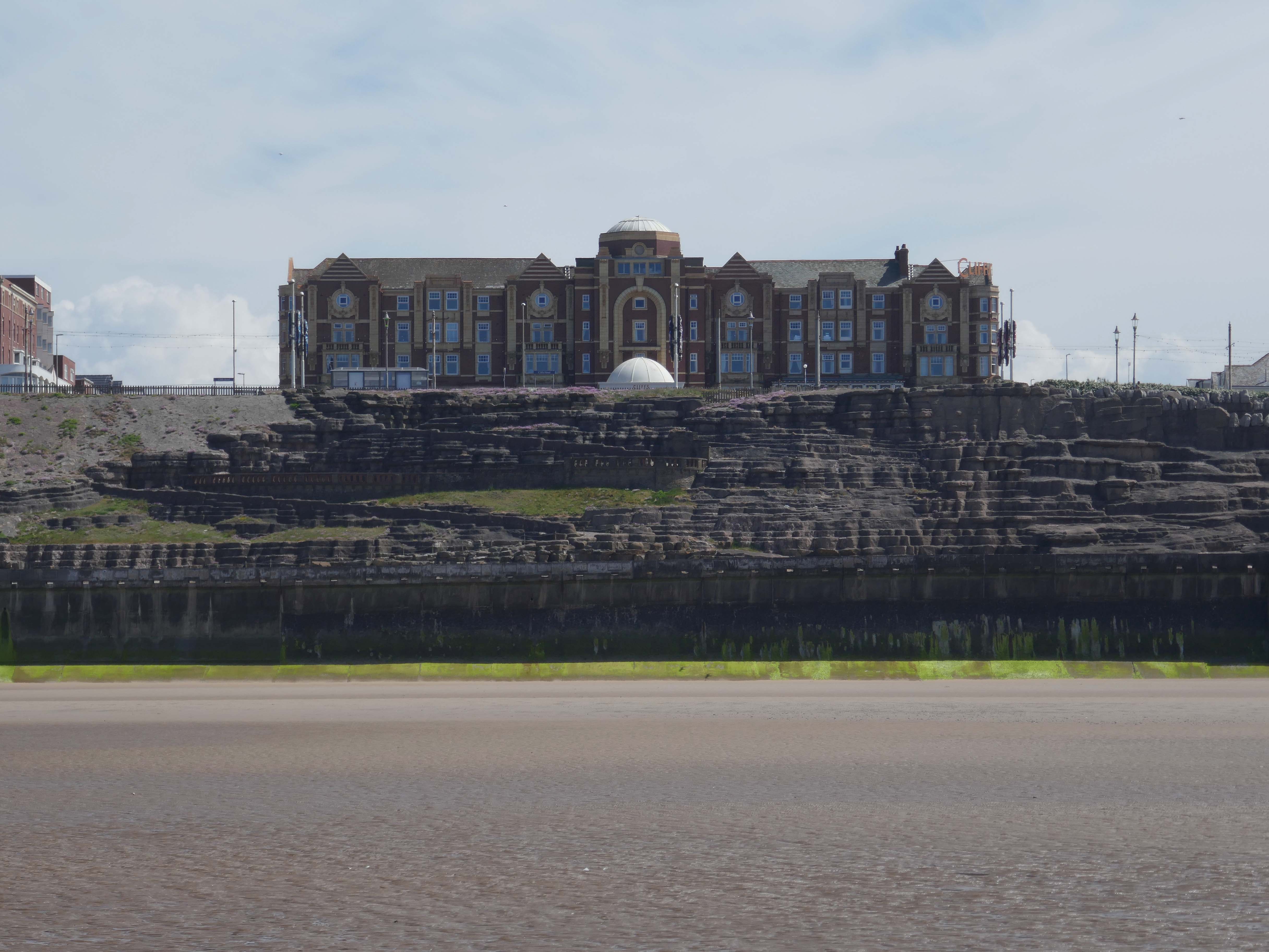
The Cliffs Hotel started in 1921 – architect Halstead Best substantially rebuilt and enlarged the building 1936–37 and added an underground carpark
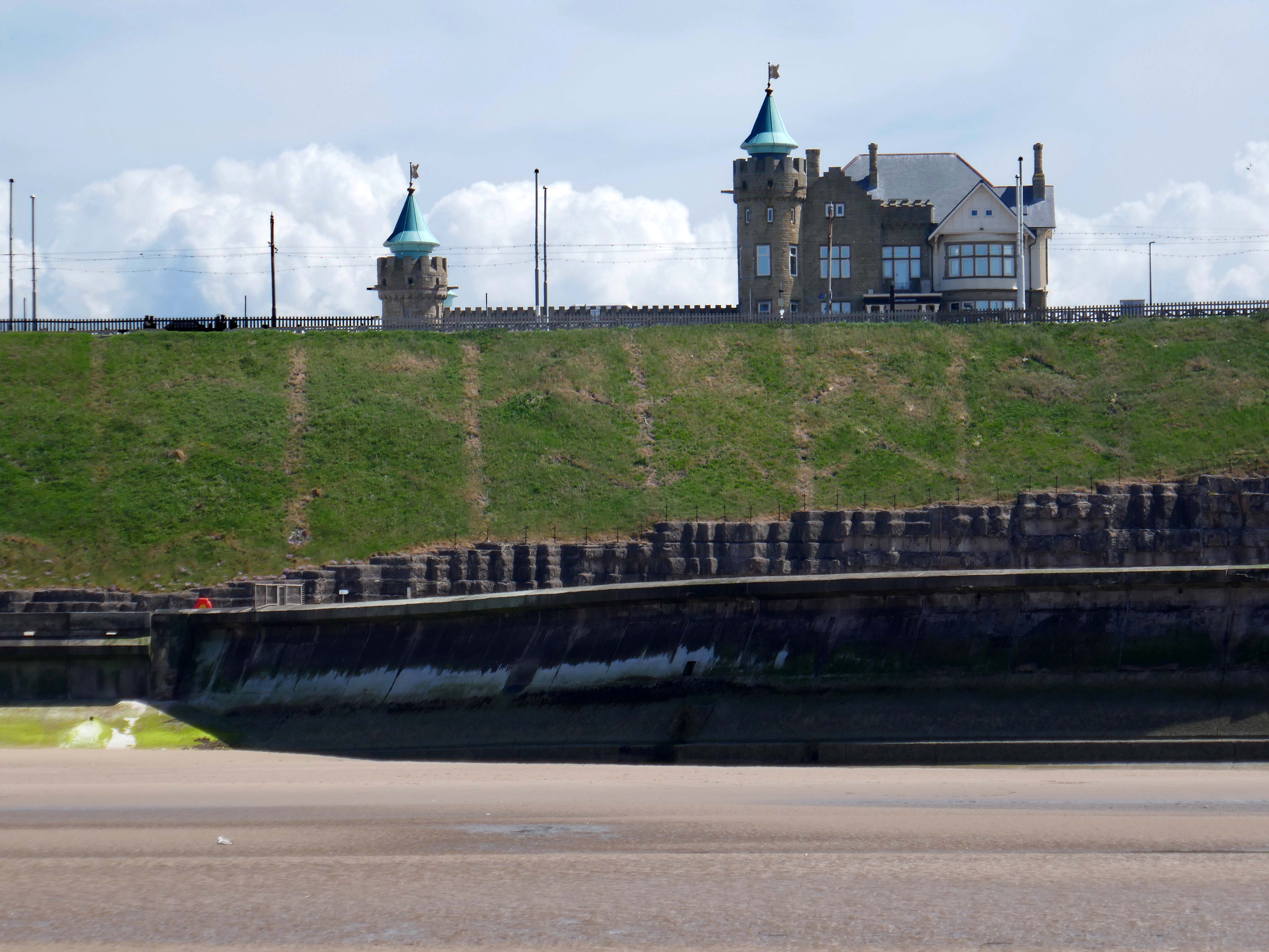
Castle Casino – architect: Arthur Hindle 1906
Arthur Knowles built the Castle at 64 Queens Promenade North Shore for his wife, who unfortunately stayed in France. The couple stayed in the house for a mere nine months during 1929. Apart from housing Belgian refugees during World War 1, it stayed empty until 1935. It then opened briefly as an old people’s home, before being bought by Lawrence Wright – AKA Horatio Nicholls, as his home.
Wright sold it in 1941, and after several years as the home of the Blackpool and Fylde Motor Club, it became the Castle Casino of today in 1965, first owned by wrestler Jack Pye, who moved to Blackpool in 1950. It has had various identities, and was last taken over in 2005, now being known as the Genting Club – part of a national chain of that name.
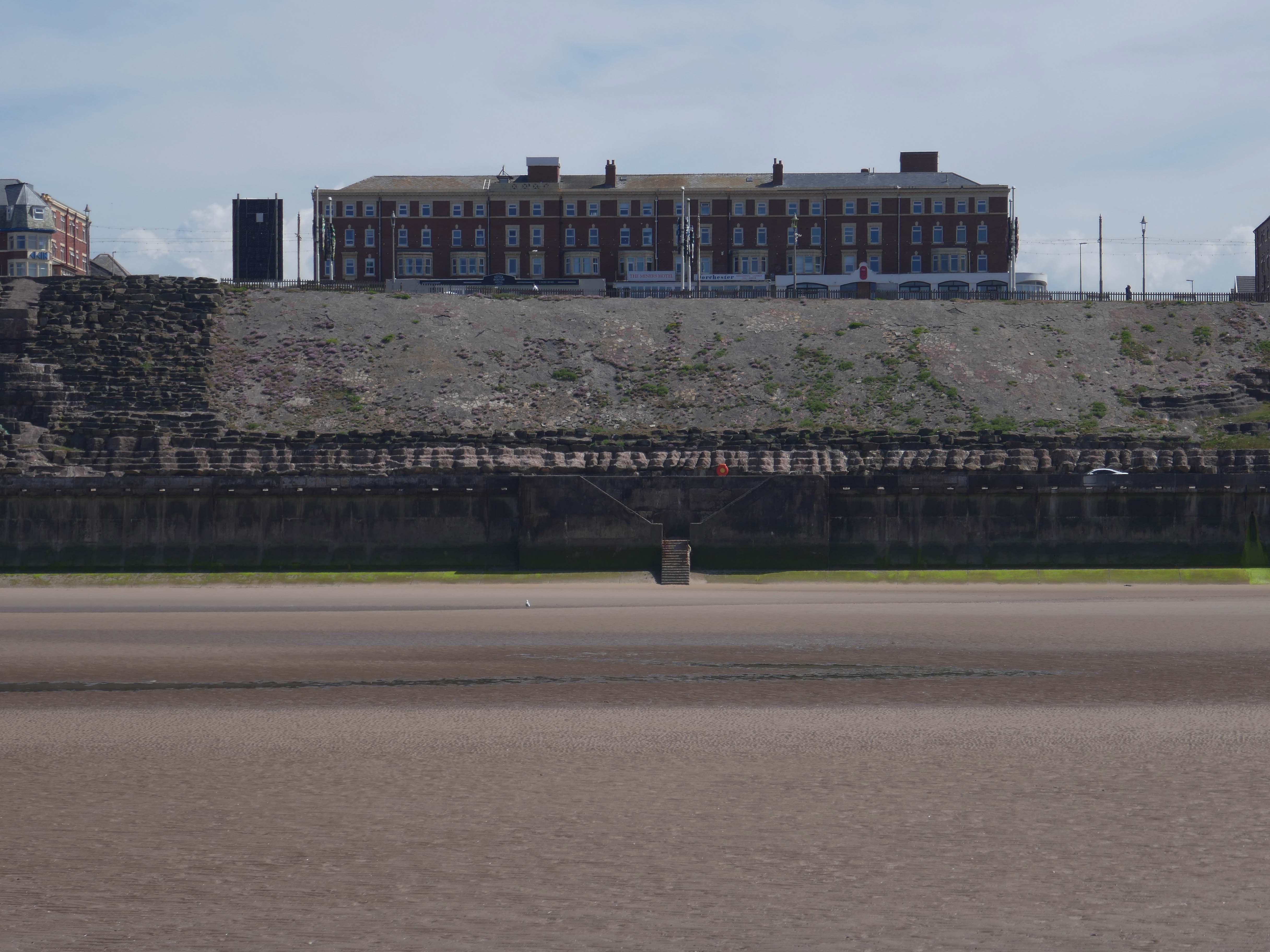
Former Miners Convalescent Home 1925-27 – architects: Bradshaw Gass & Hope, Grade II listed
Converted to apartments in 2005 – trading as Admiral Point.
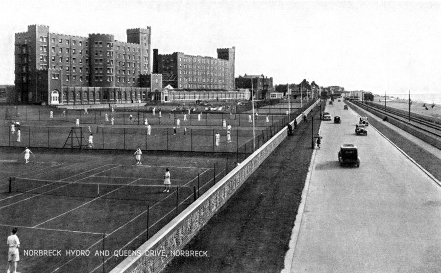
Norbreck Castle Hotel originally built as a large private country house in 1869, it was bought around the end of the 19th century by JH Shorrocks, who used the house to entertain friends and colleagues at lavish weekend parties. The popularity of these parties led to Shorrocks running them on a commercial basis by taking paying guests.
The S Block by architect WH Longworth 1912 – the N Block by Halstead Best 1933-34.
In the 1970’s the Motel wing was added along with, the large Norcalympia exhibition hall, the name was changed from the Norbreck Hydro to Norbreck Castle.
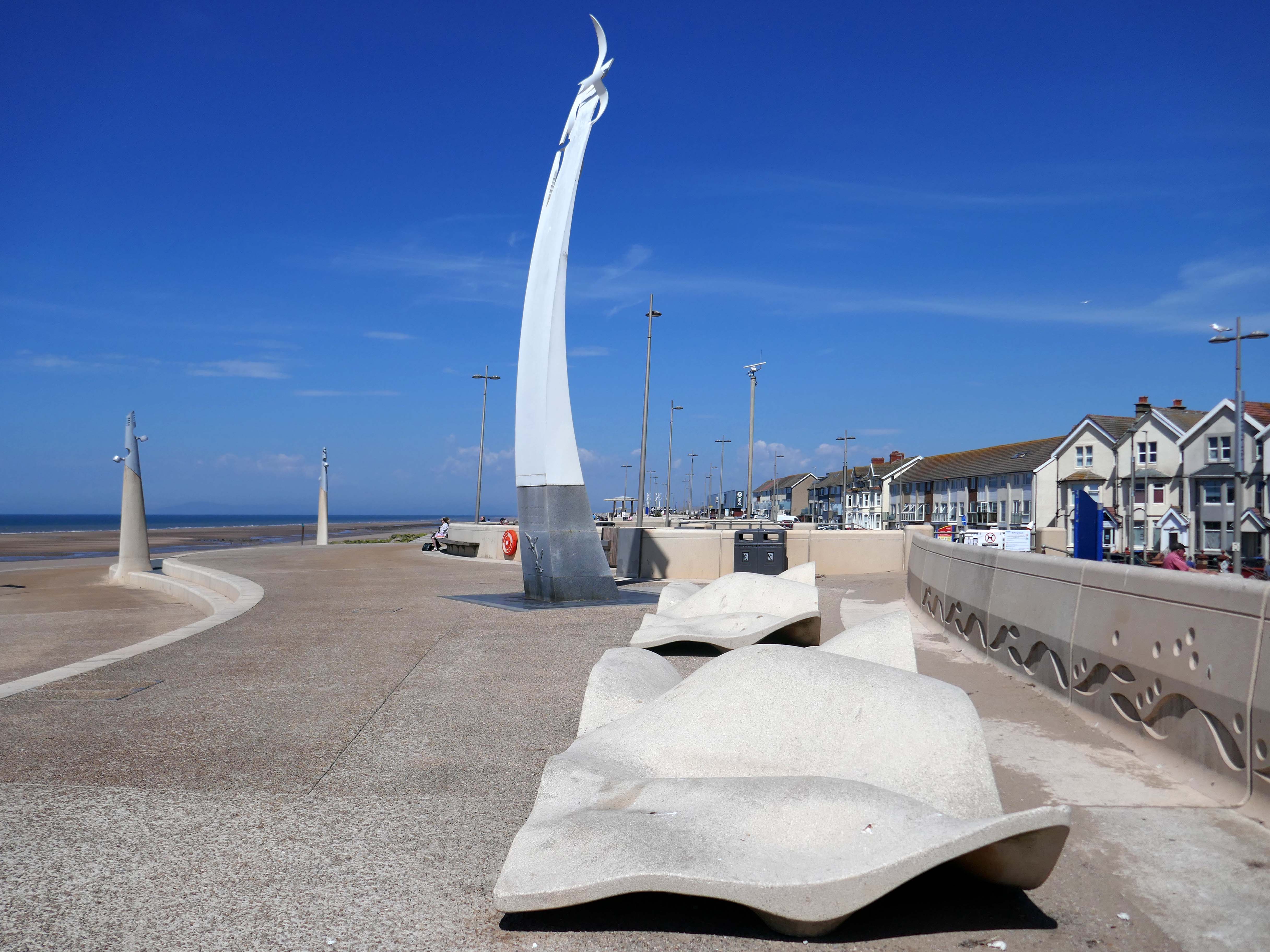
European Regional Development Fund cash of £450,000 was granted towards a regeneration project on Cleveleys Promenade. Wyre Council improved 64,000 sq ft of the promenade to create a more attractive place for visitors to the town. The latest work complements the £20m sea defence installation.
Broadbent Studio worked collaboratively from the outset with Wyre Council, Ferguson & McIlveen and Faber Maunsell in 2008, to create an exciting new promenade and sea defence scheme for the coastline at Cleveleys.
The Sea Swallow is a 10m tall structure that brings to life Wyre’s Mythic Coast storybook ‘The Sea Swallow’. The coated aluminium sculpture, has the feel of ‘a book coming to life’, with the two sea swallows symbolic of the town’s protectors emerging from the page.
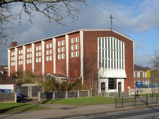
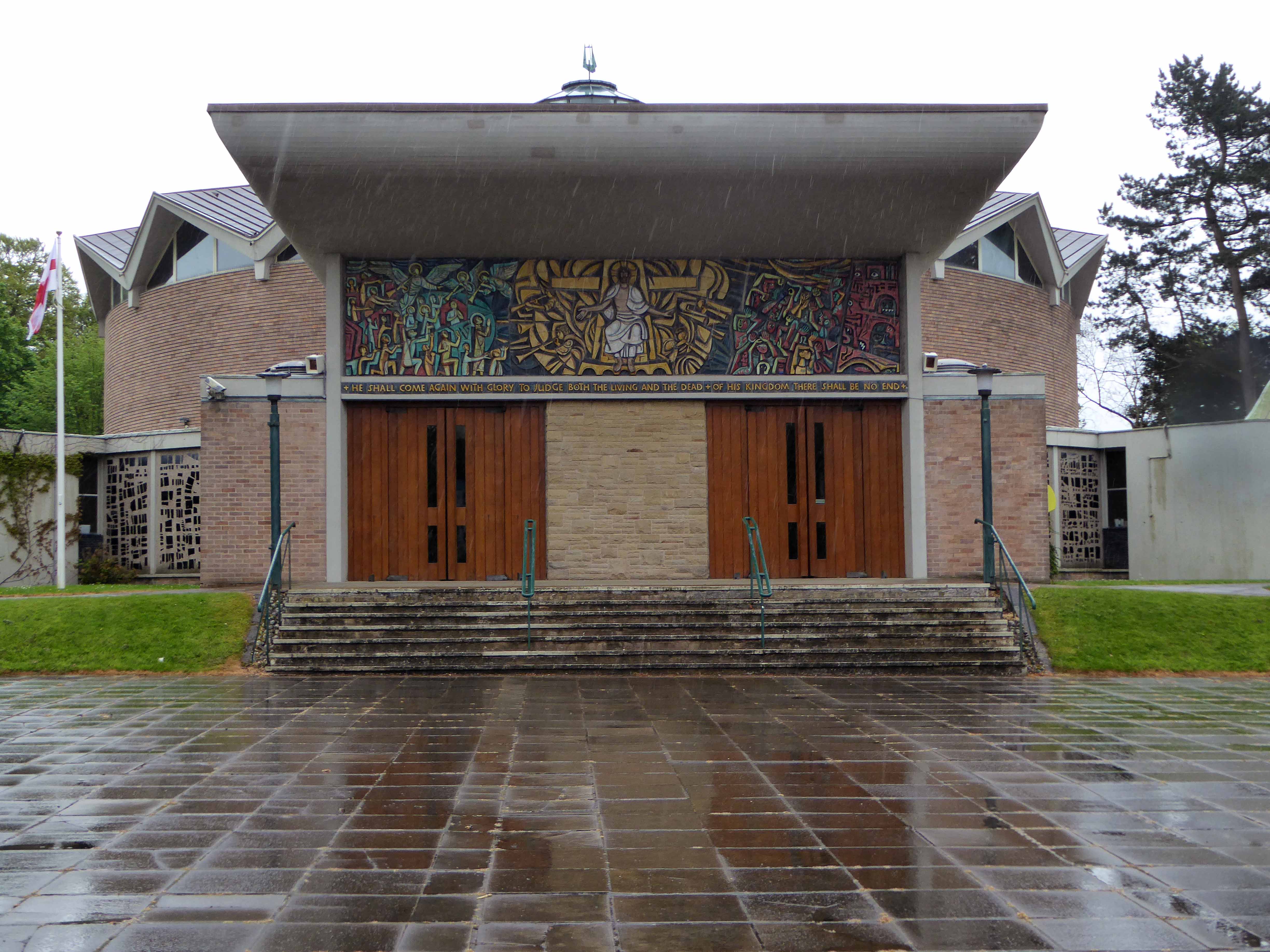
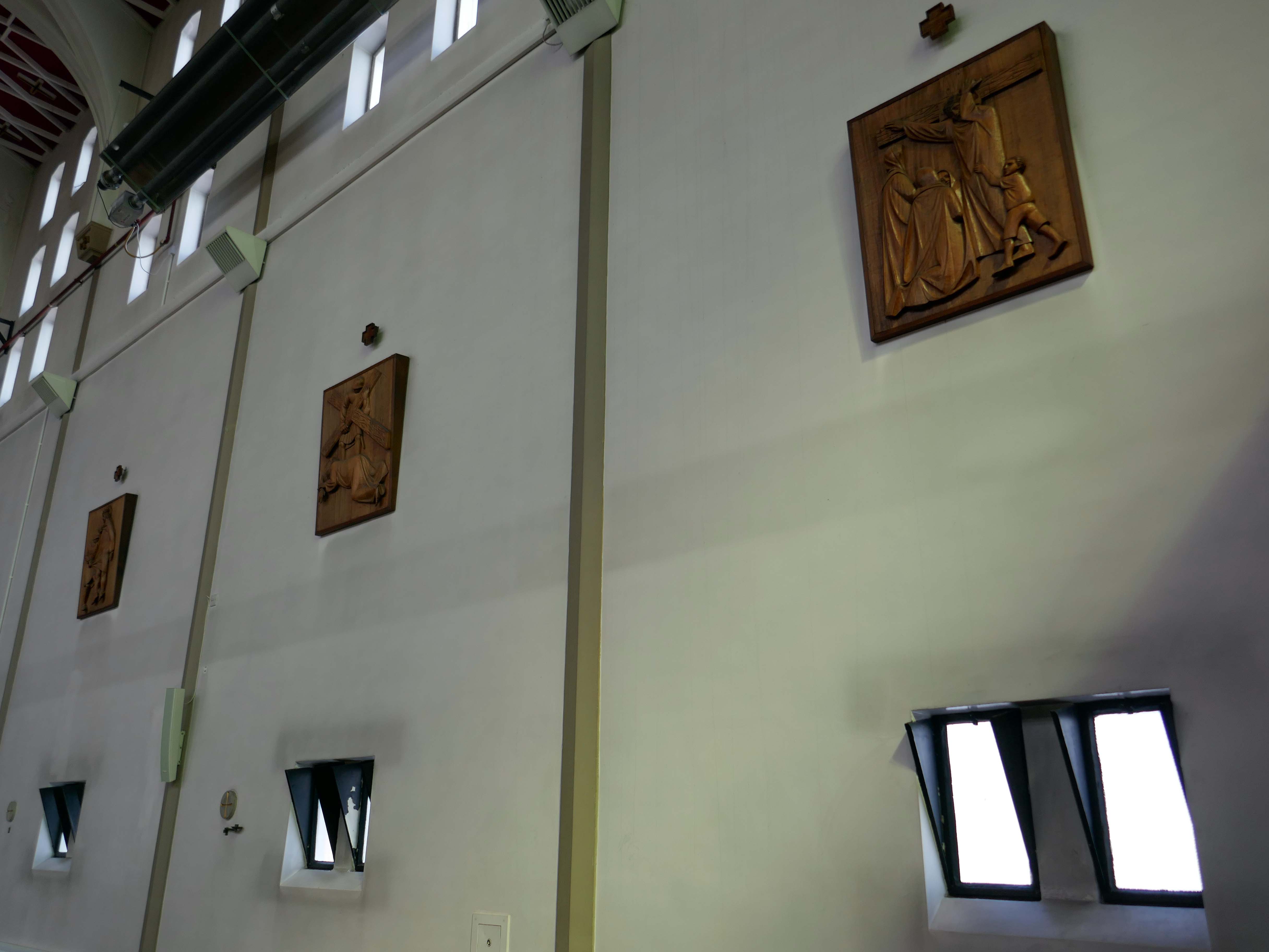
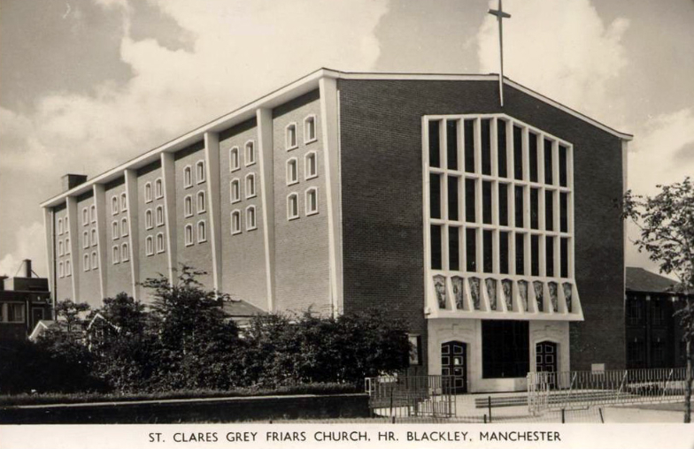
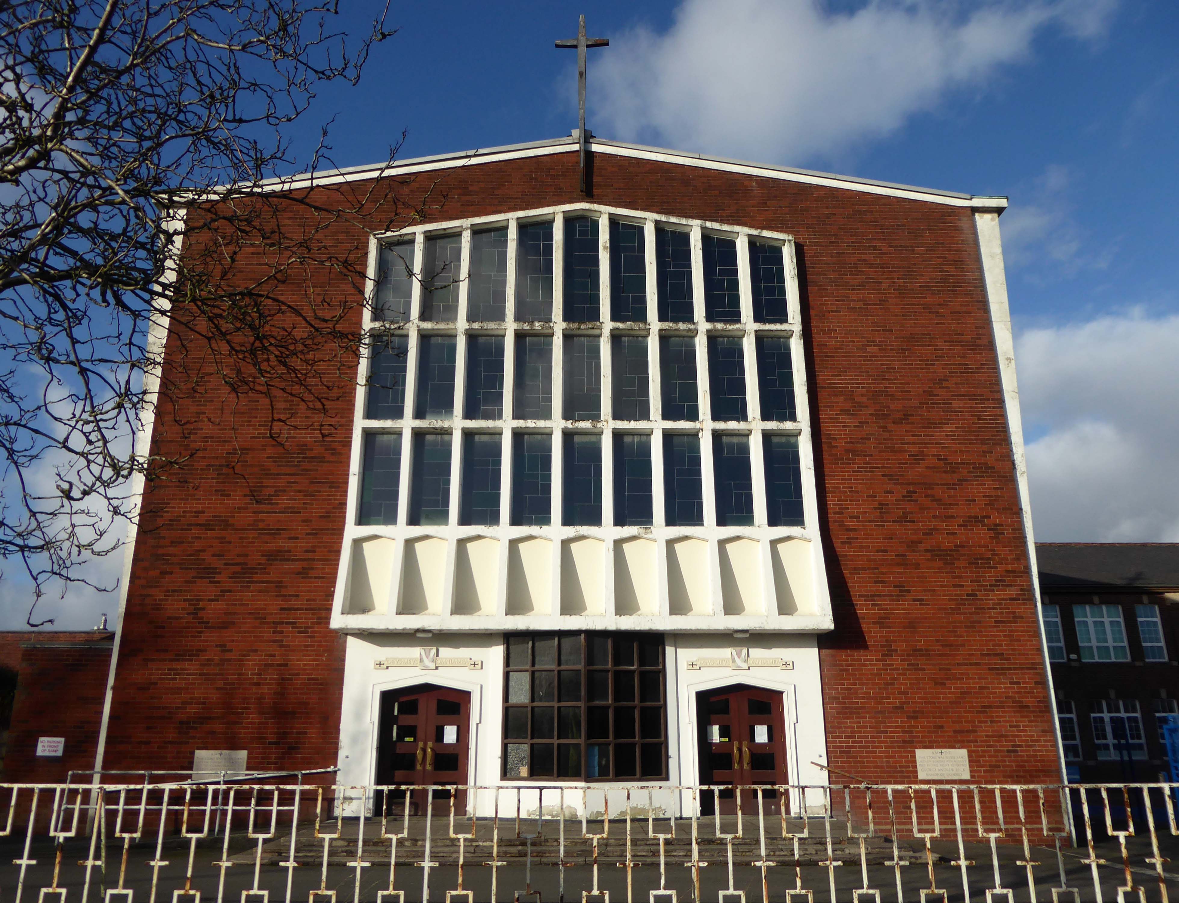
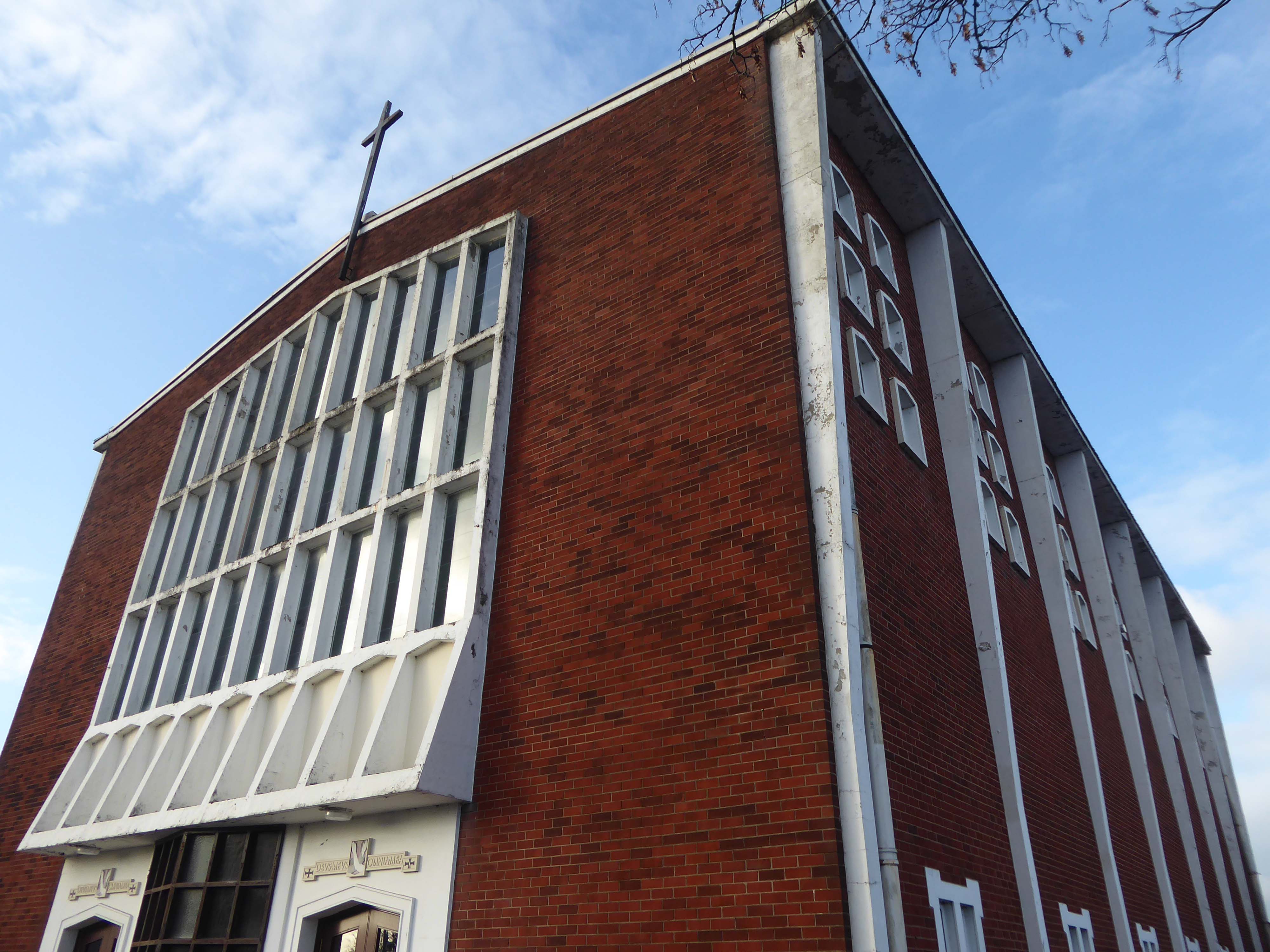
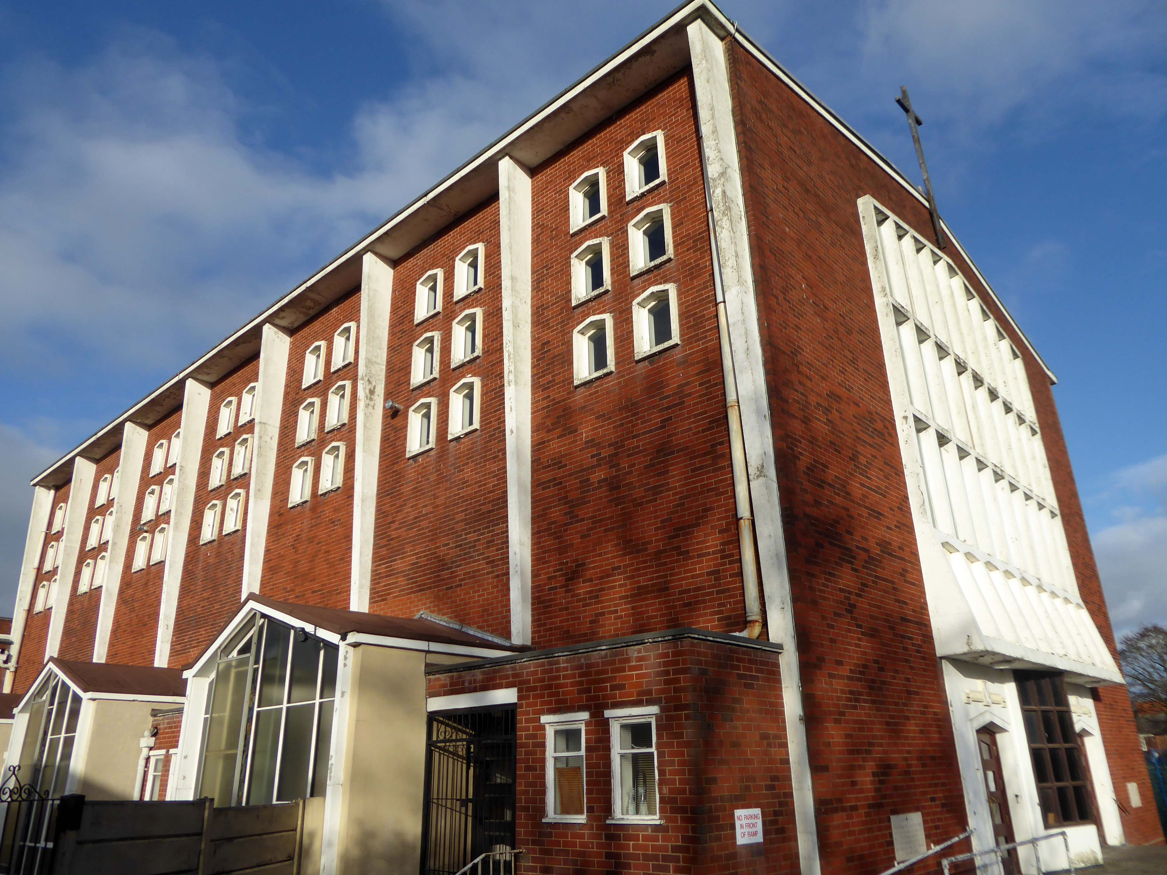
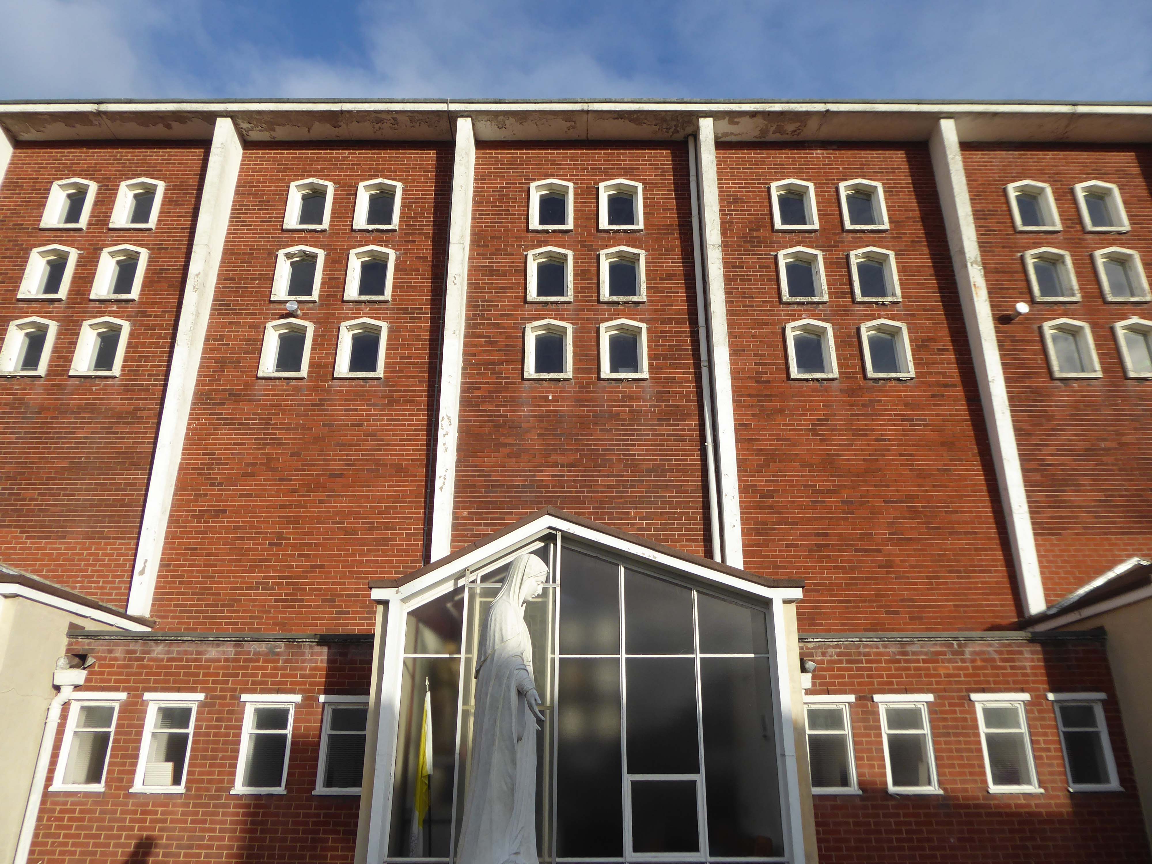
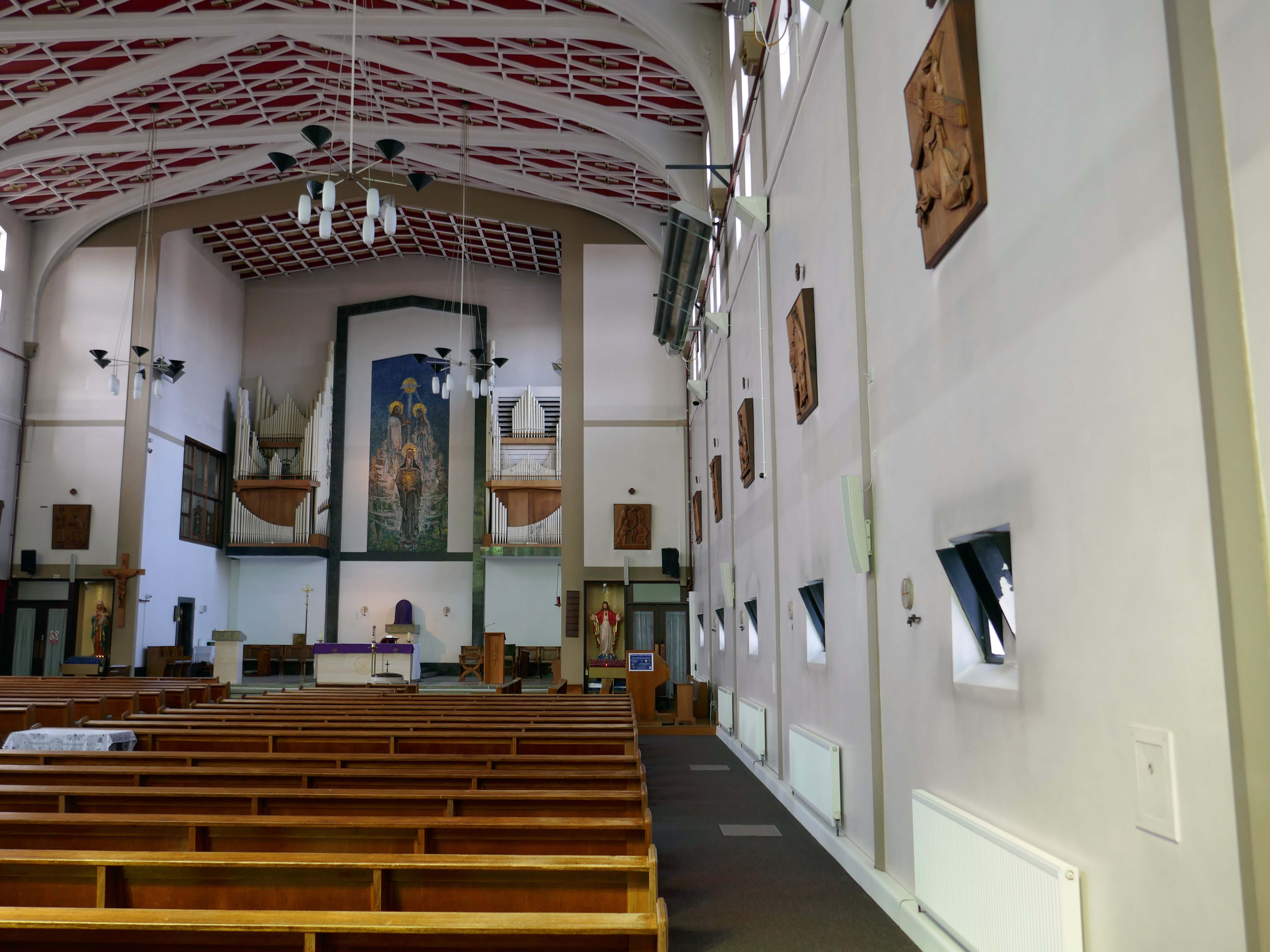
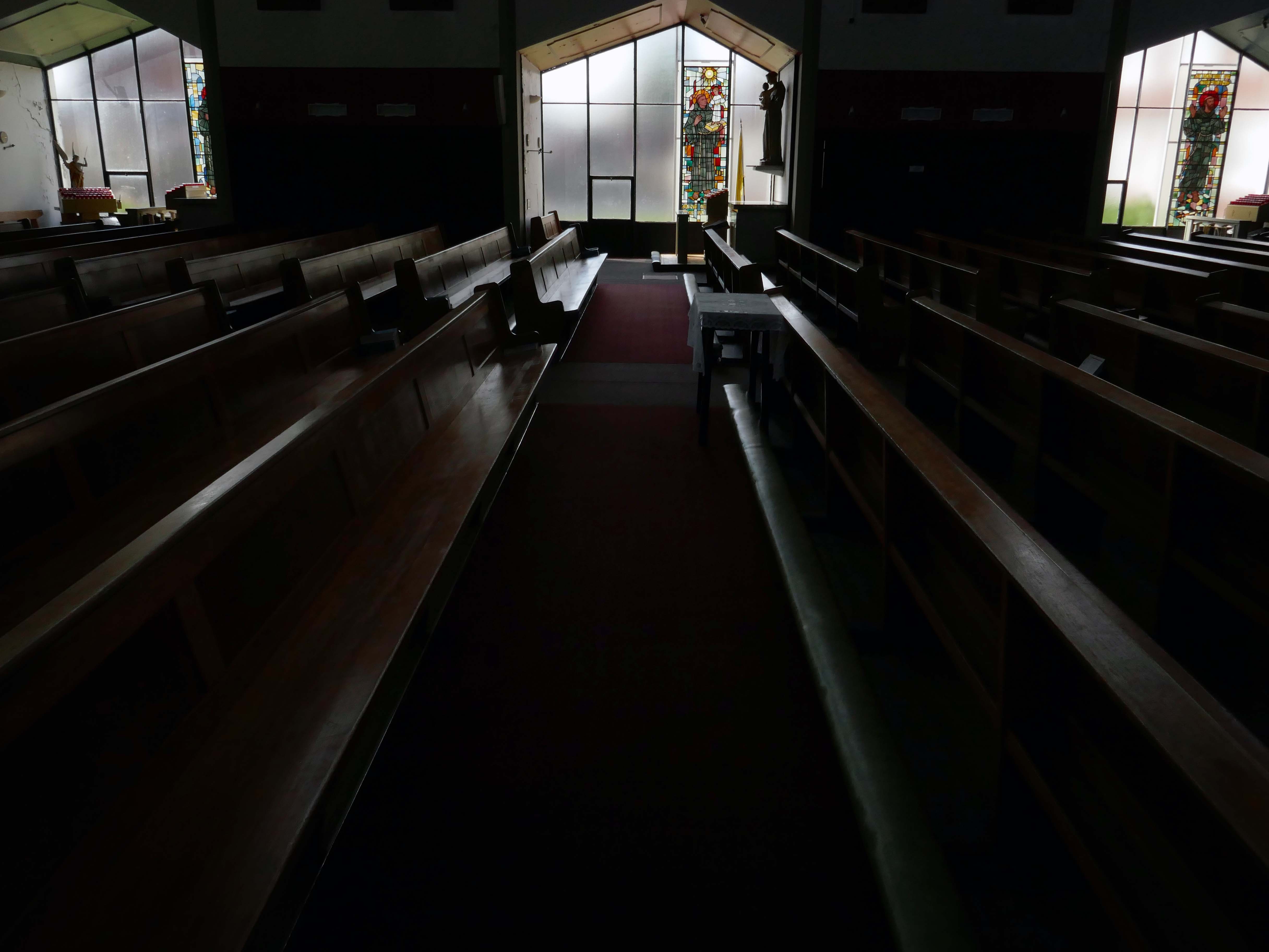
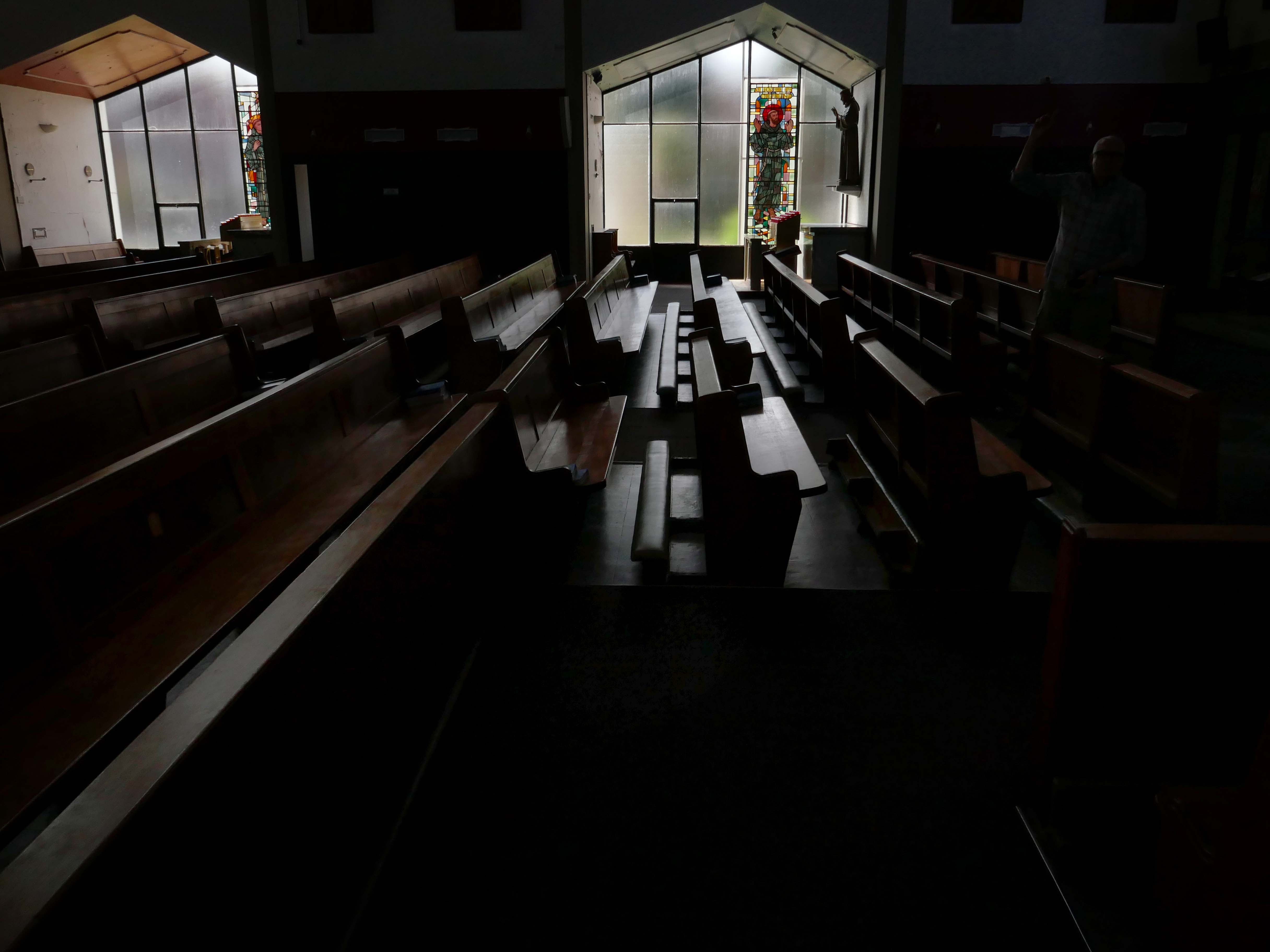
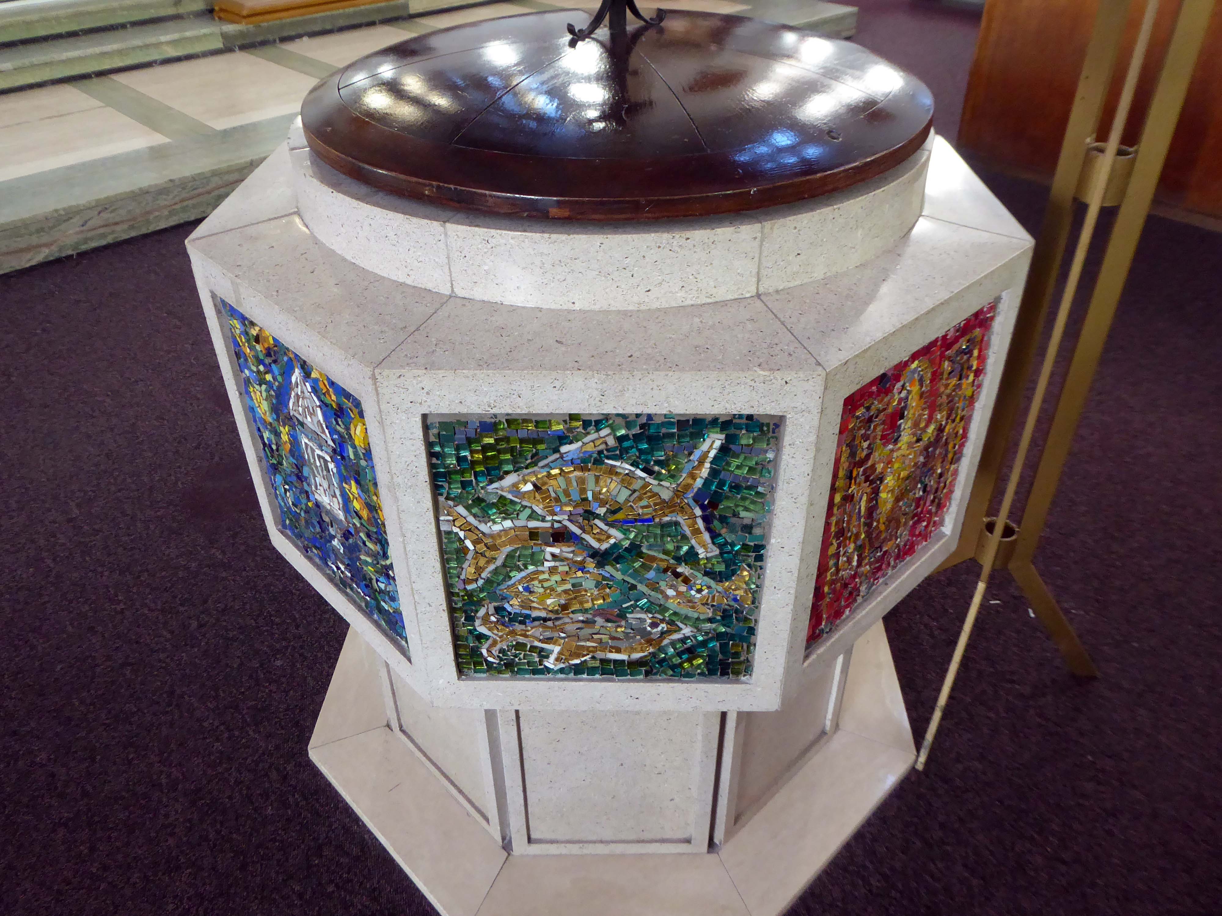
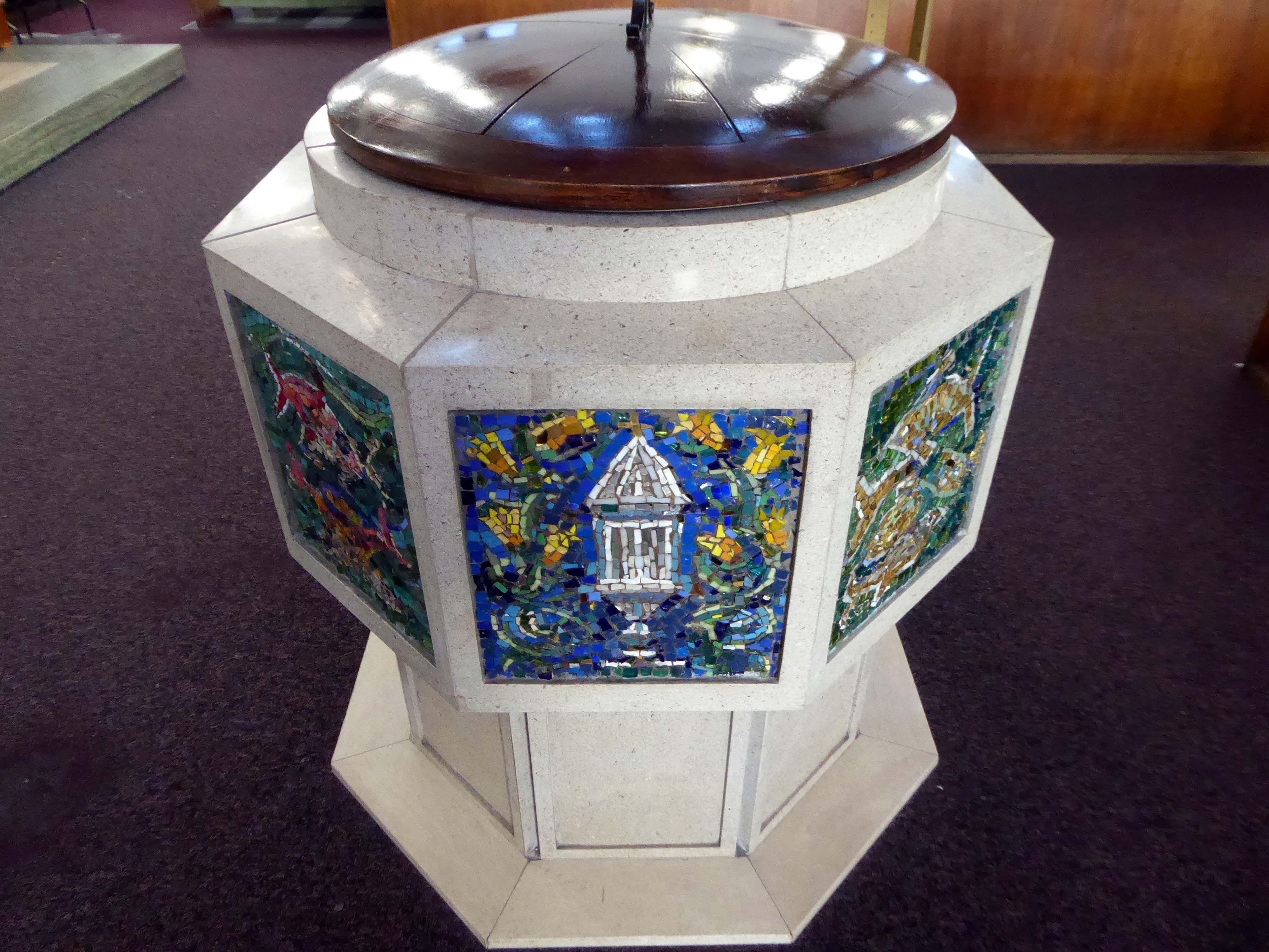
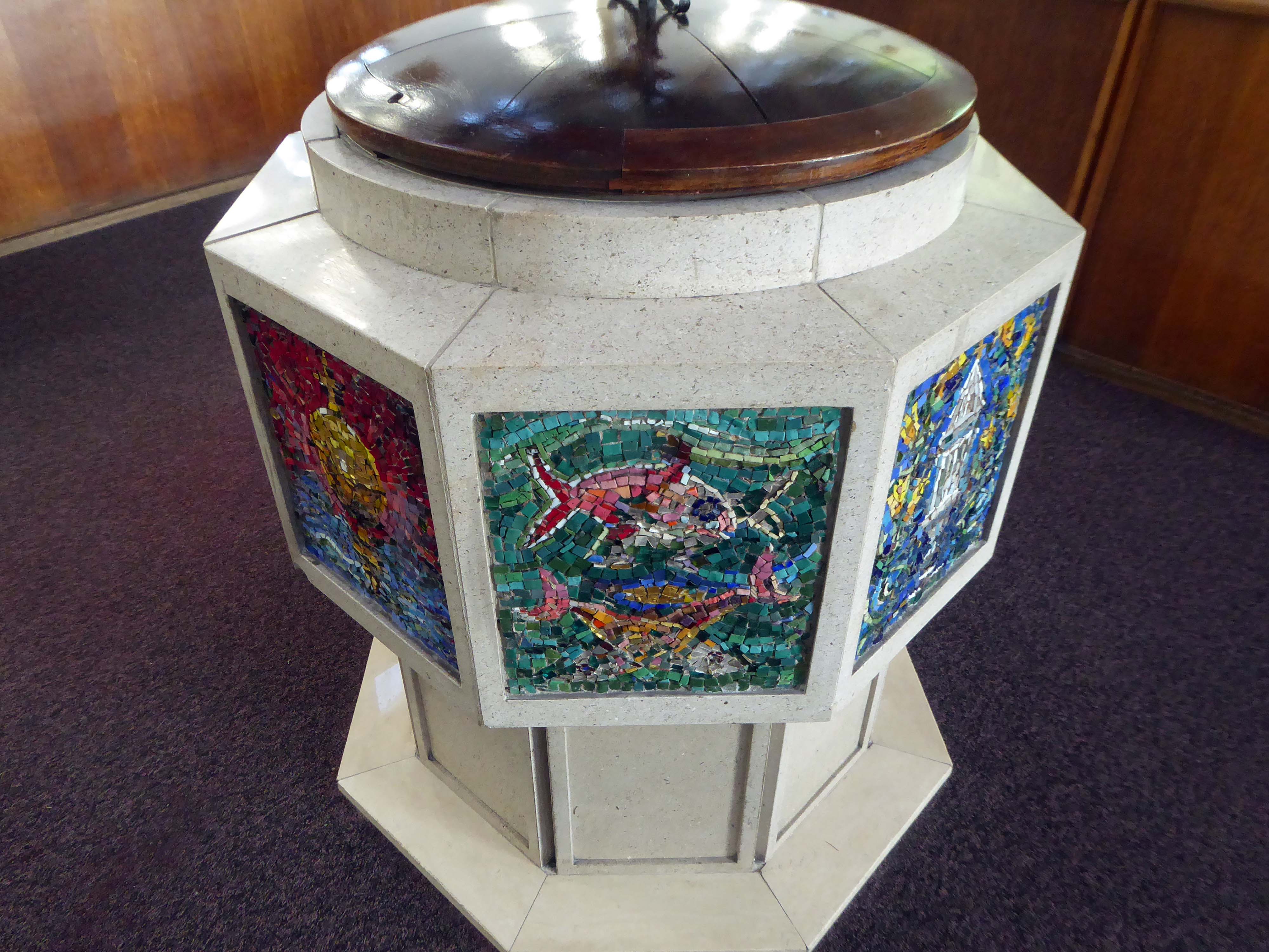
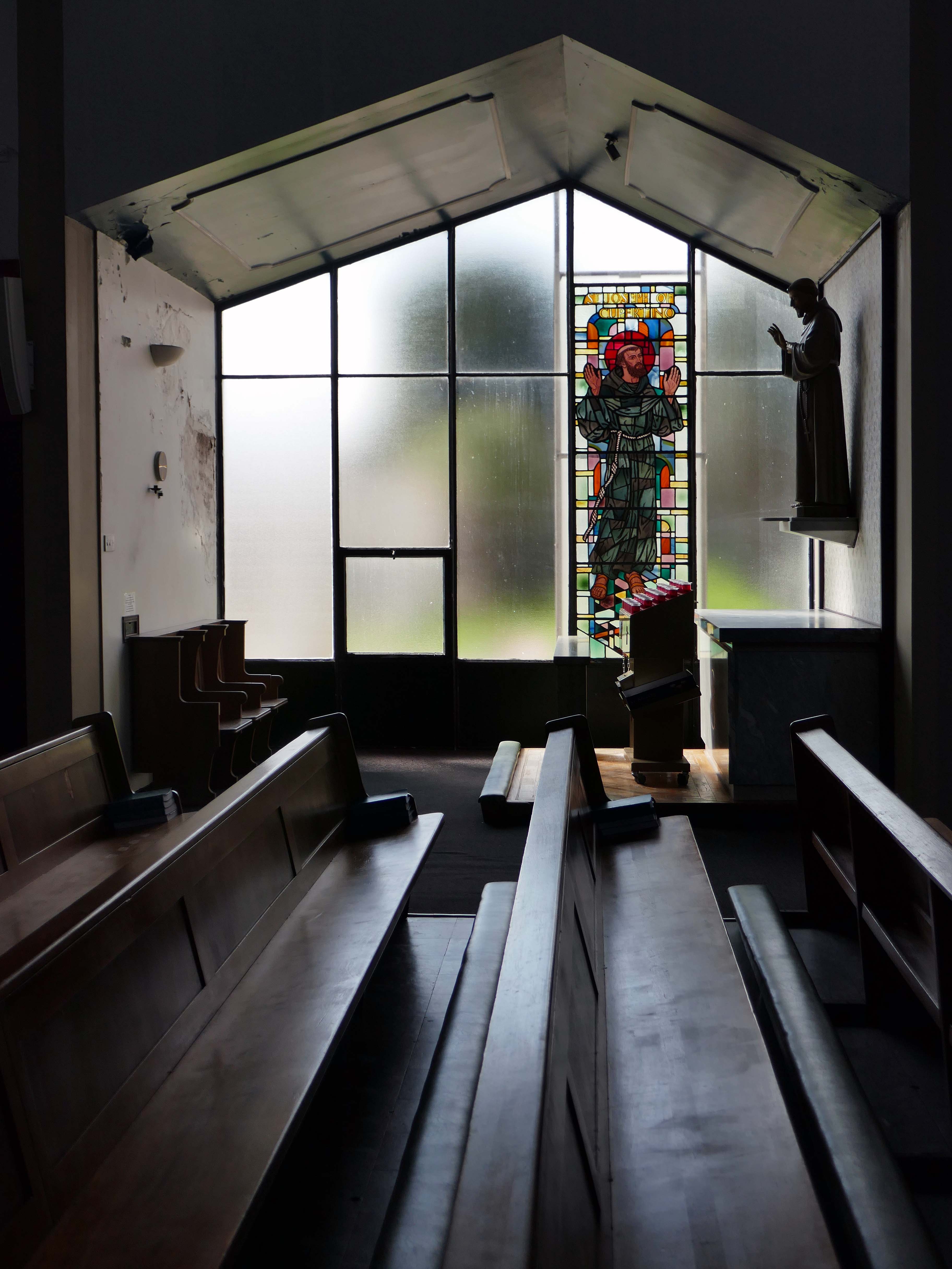
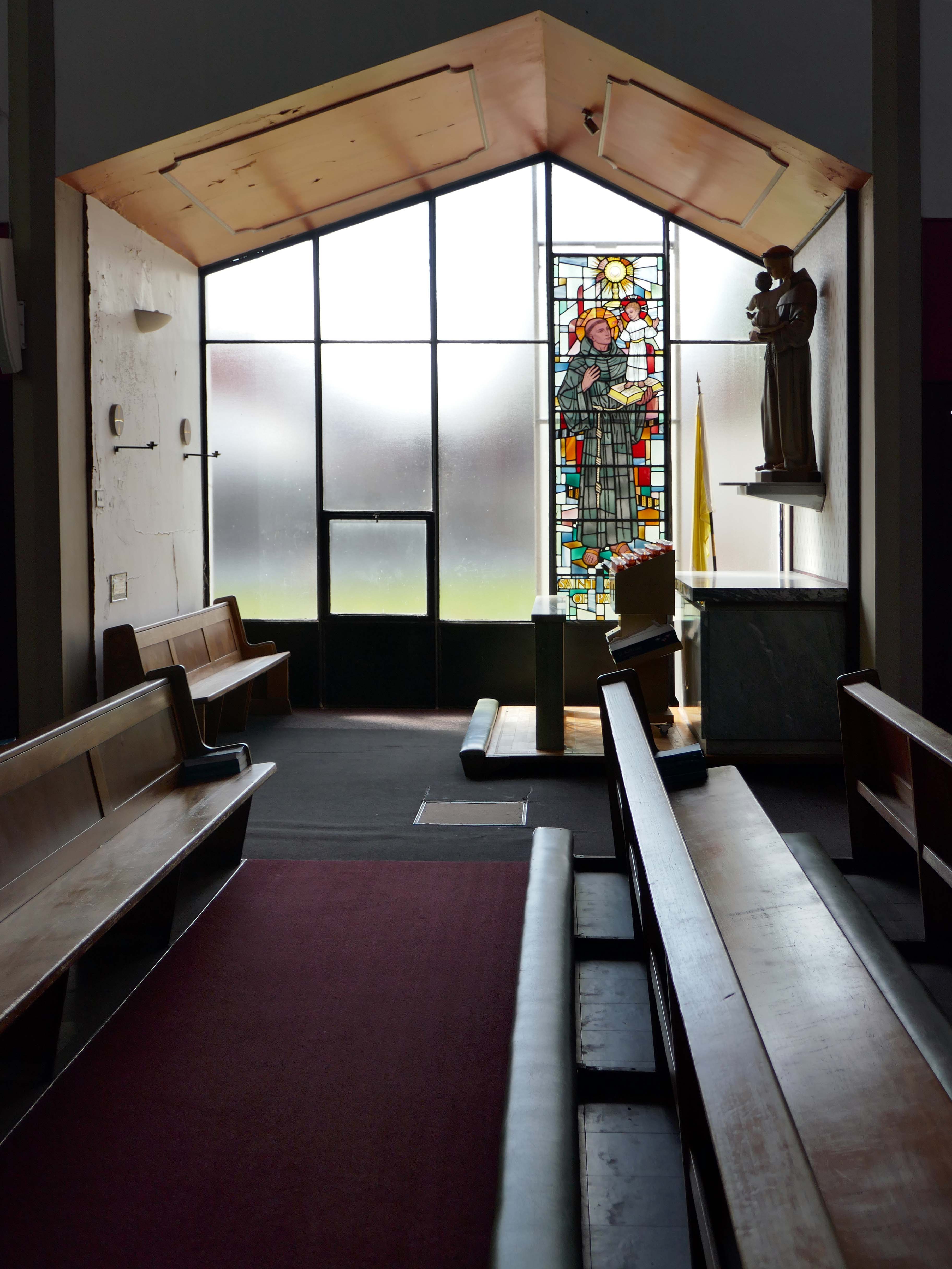
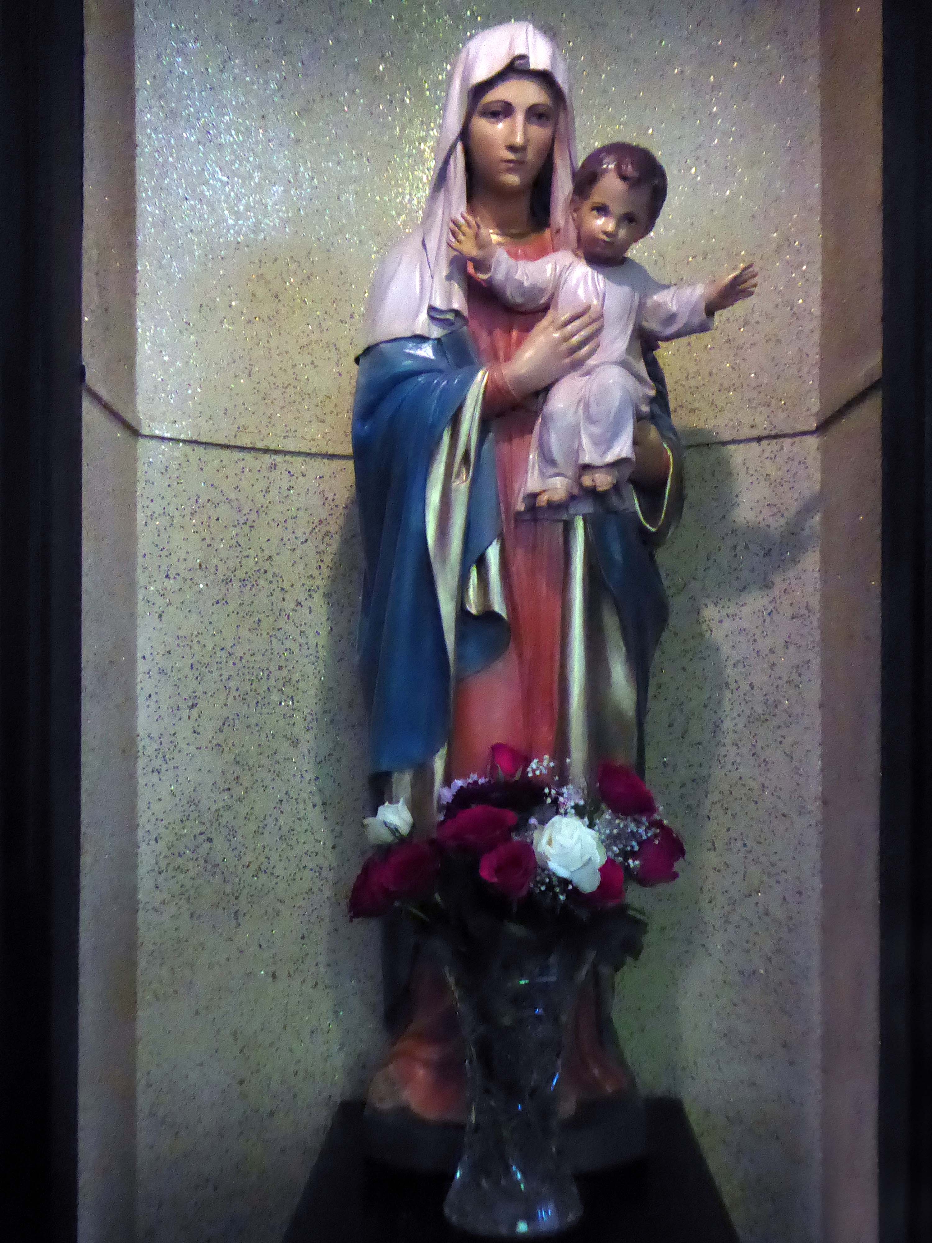
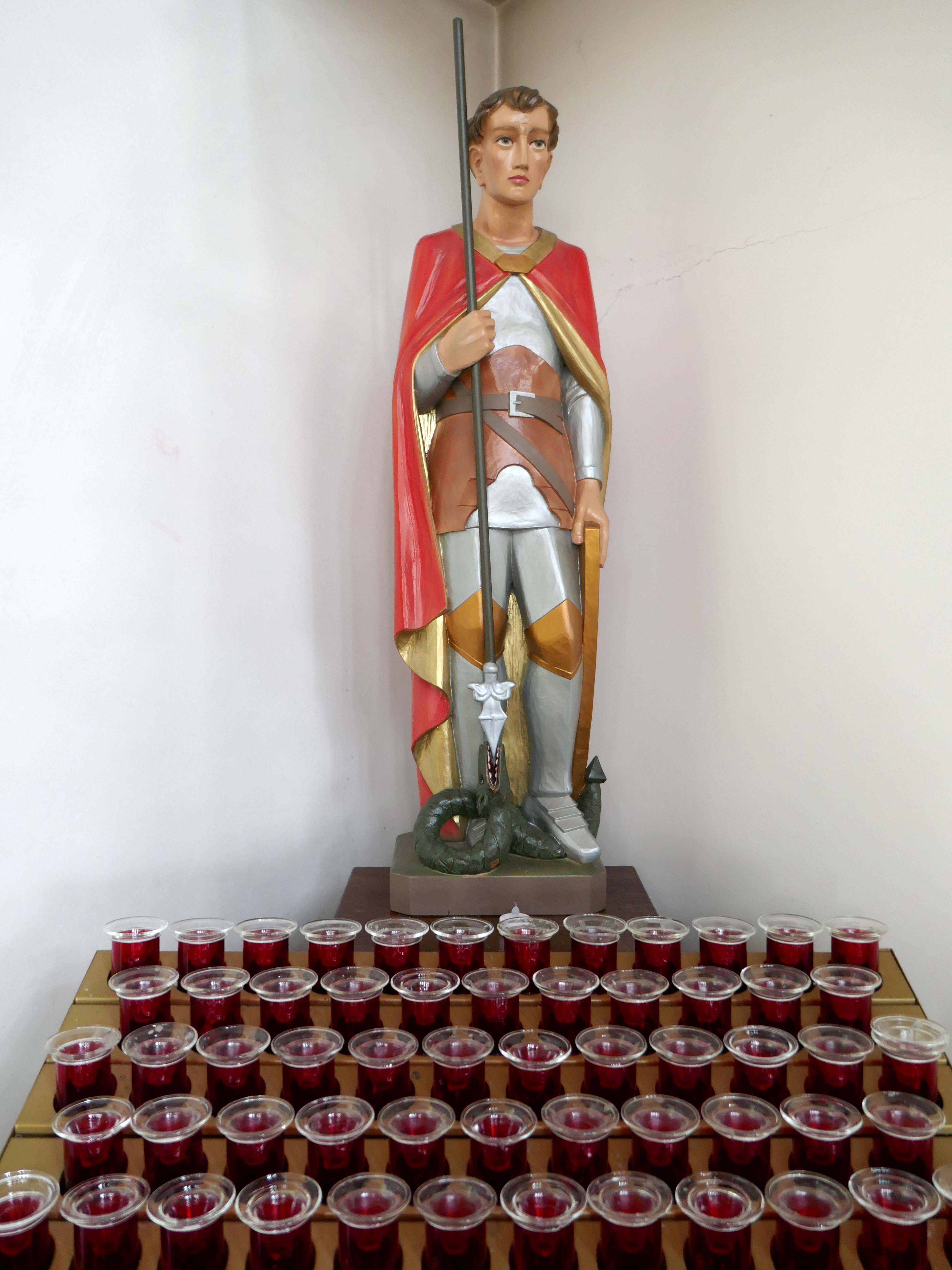
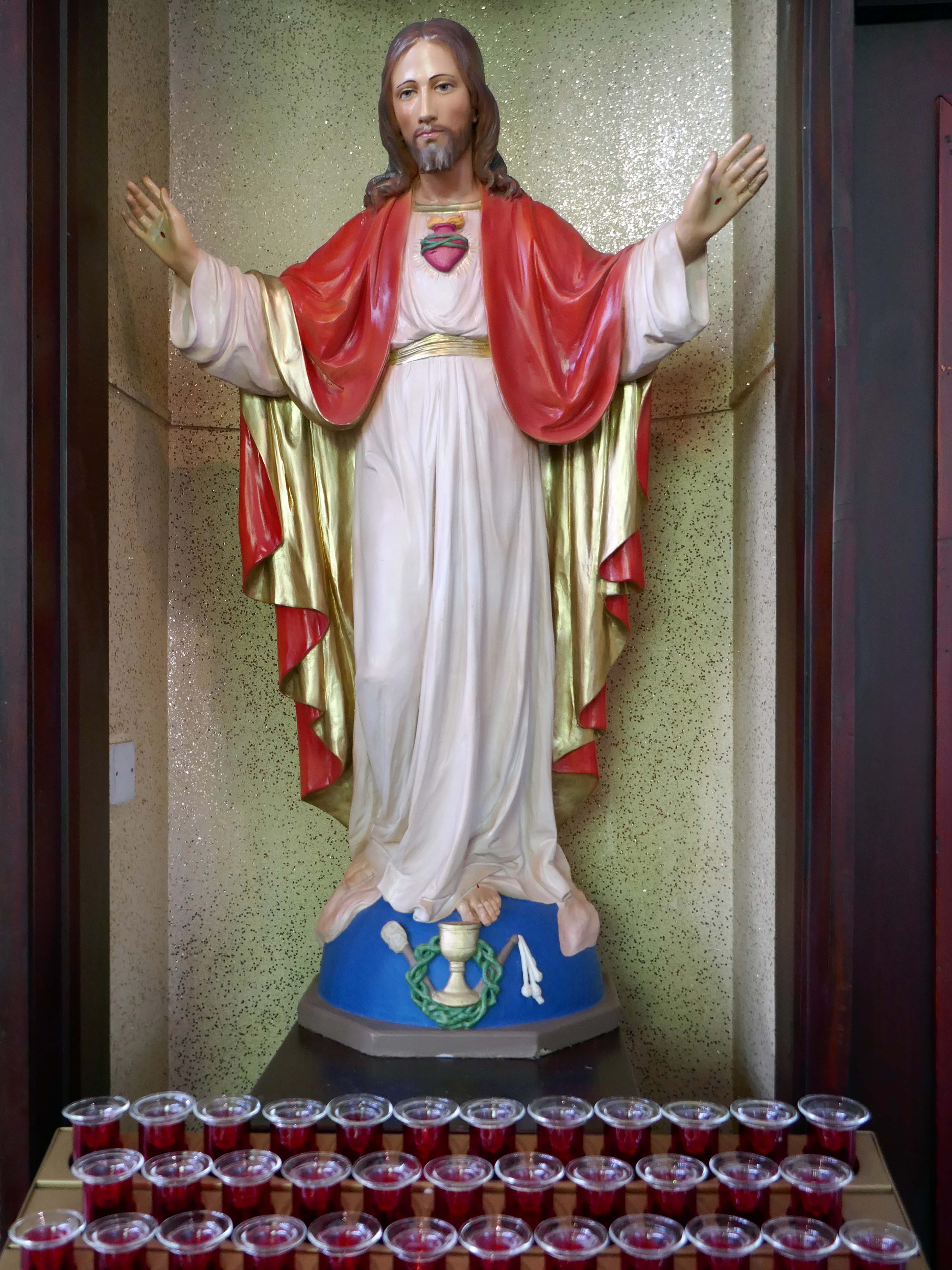
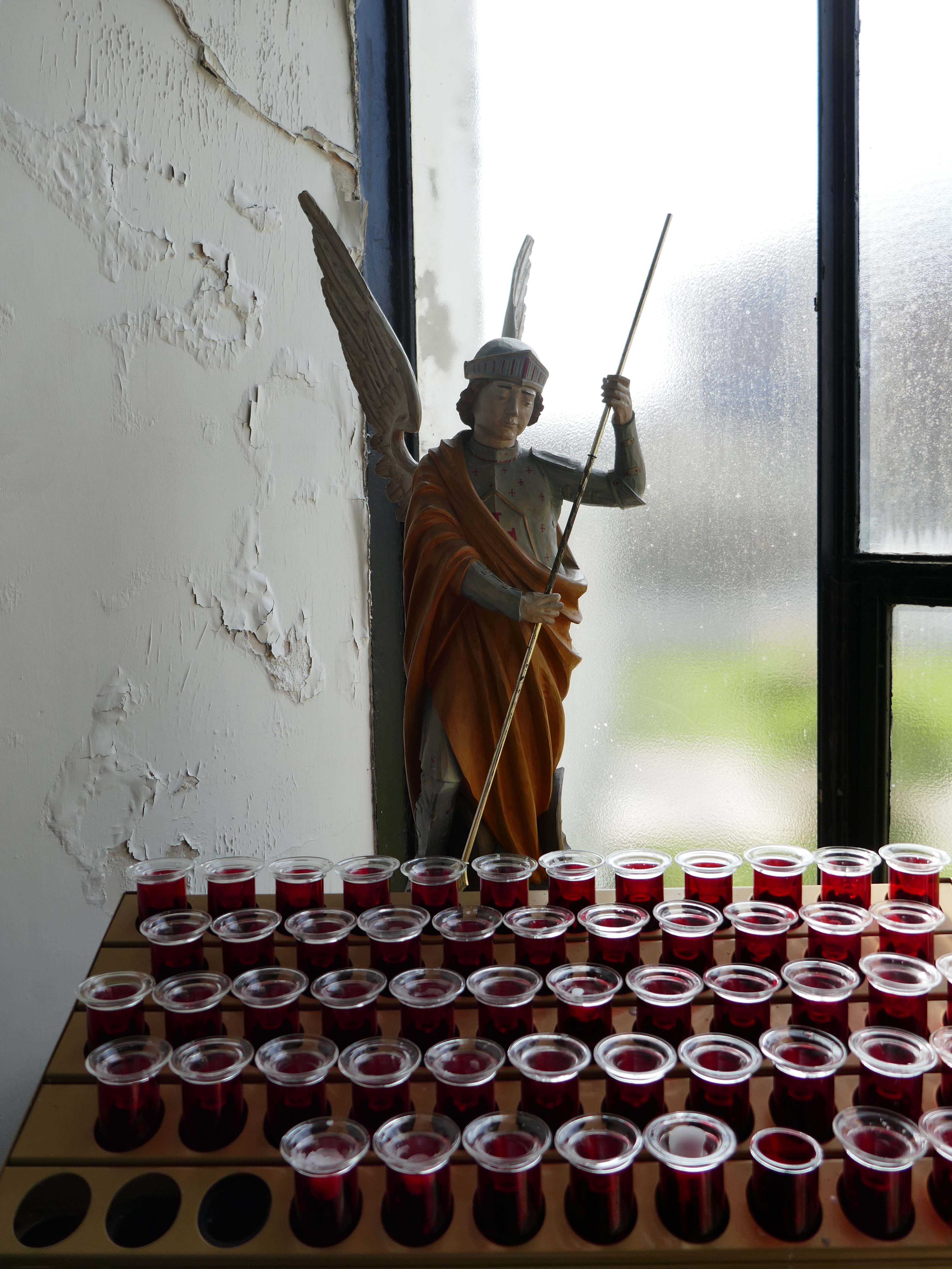
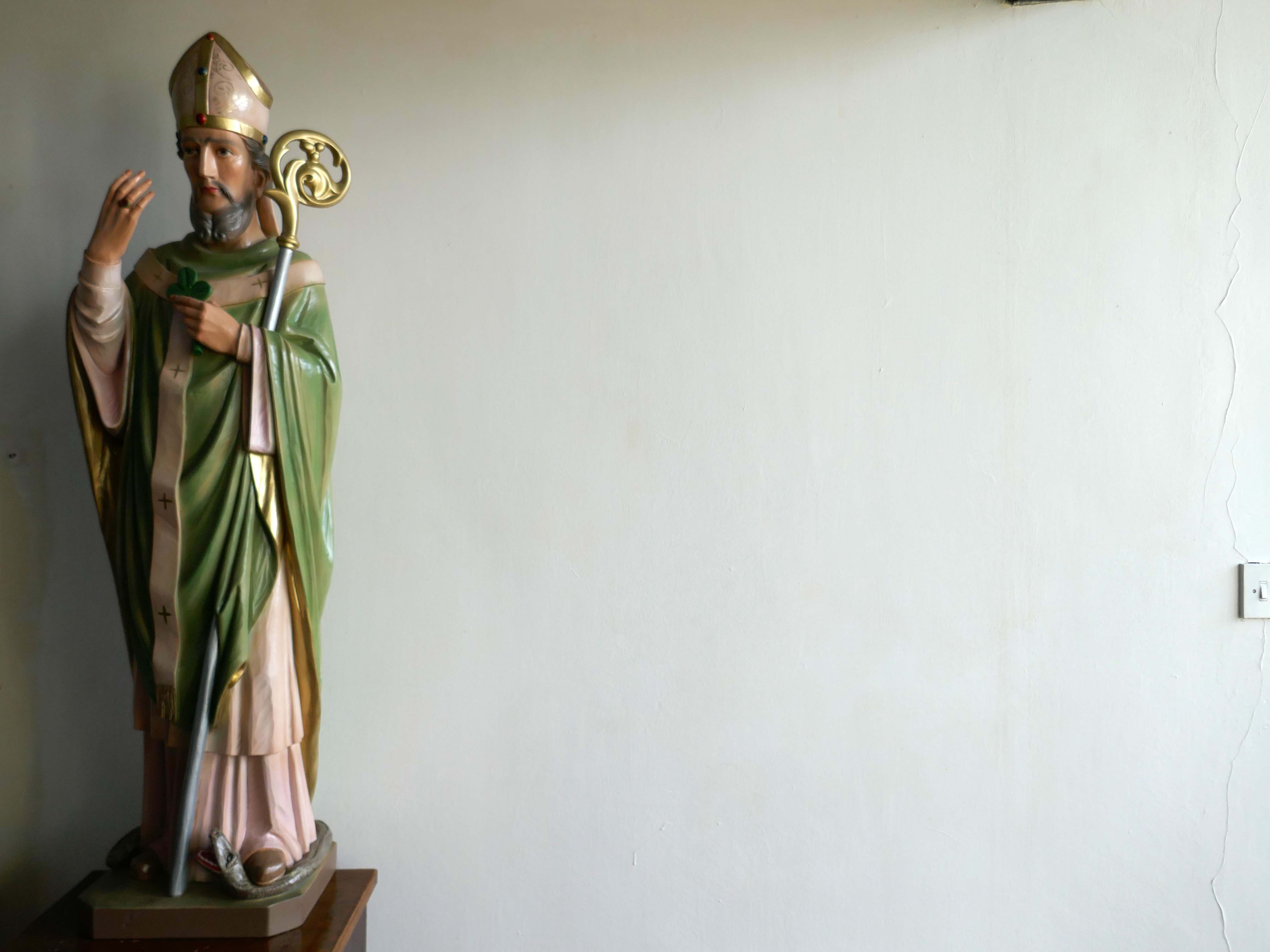
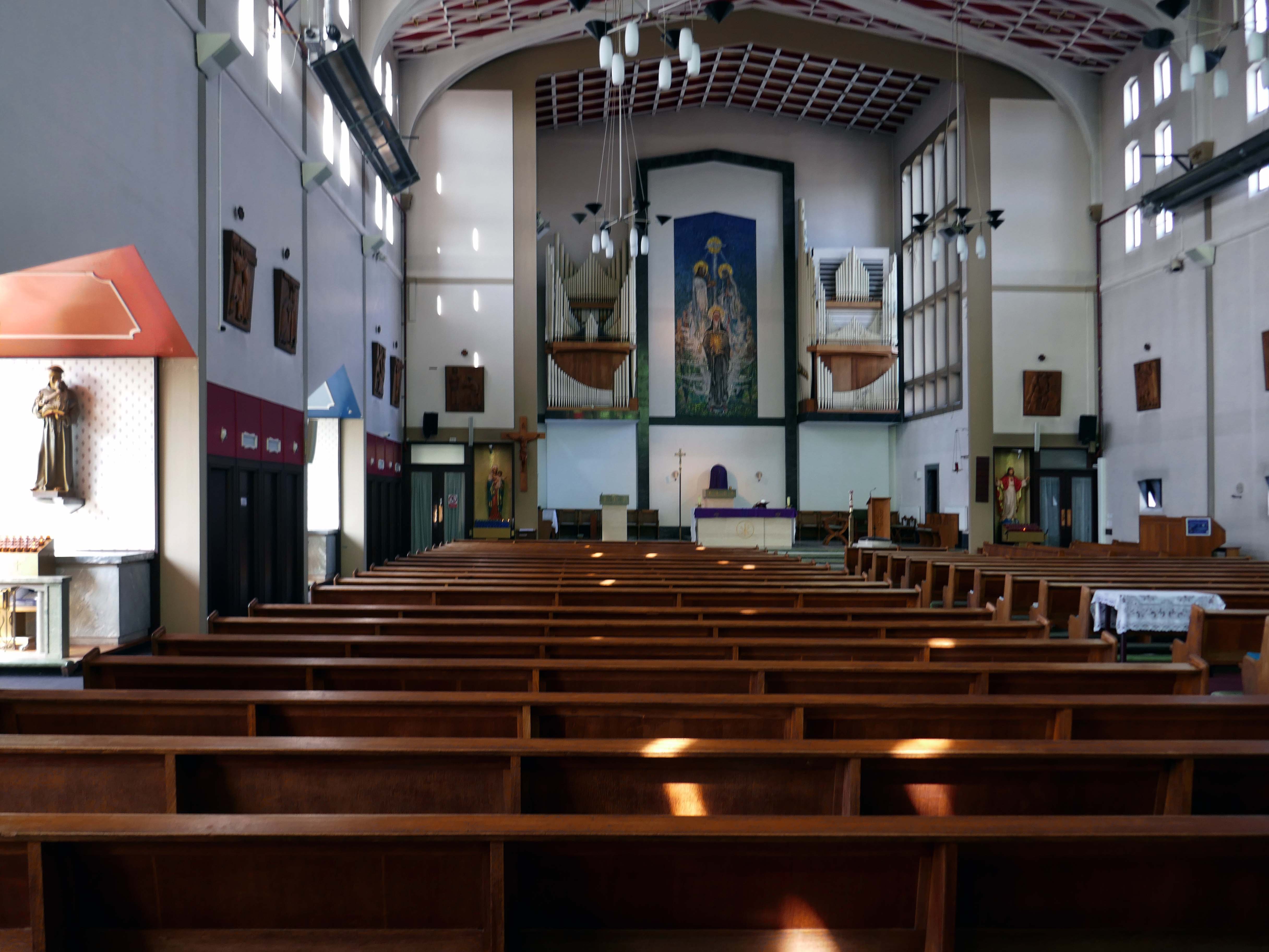
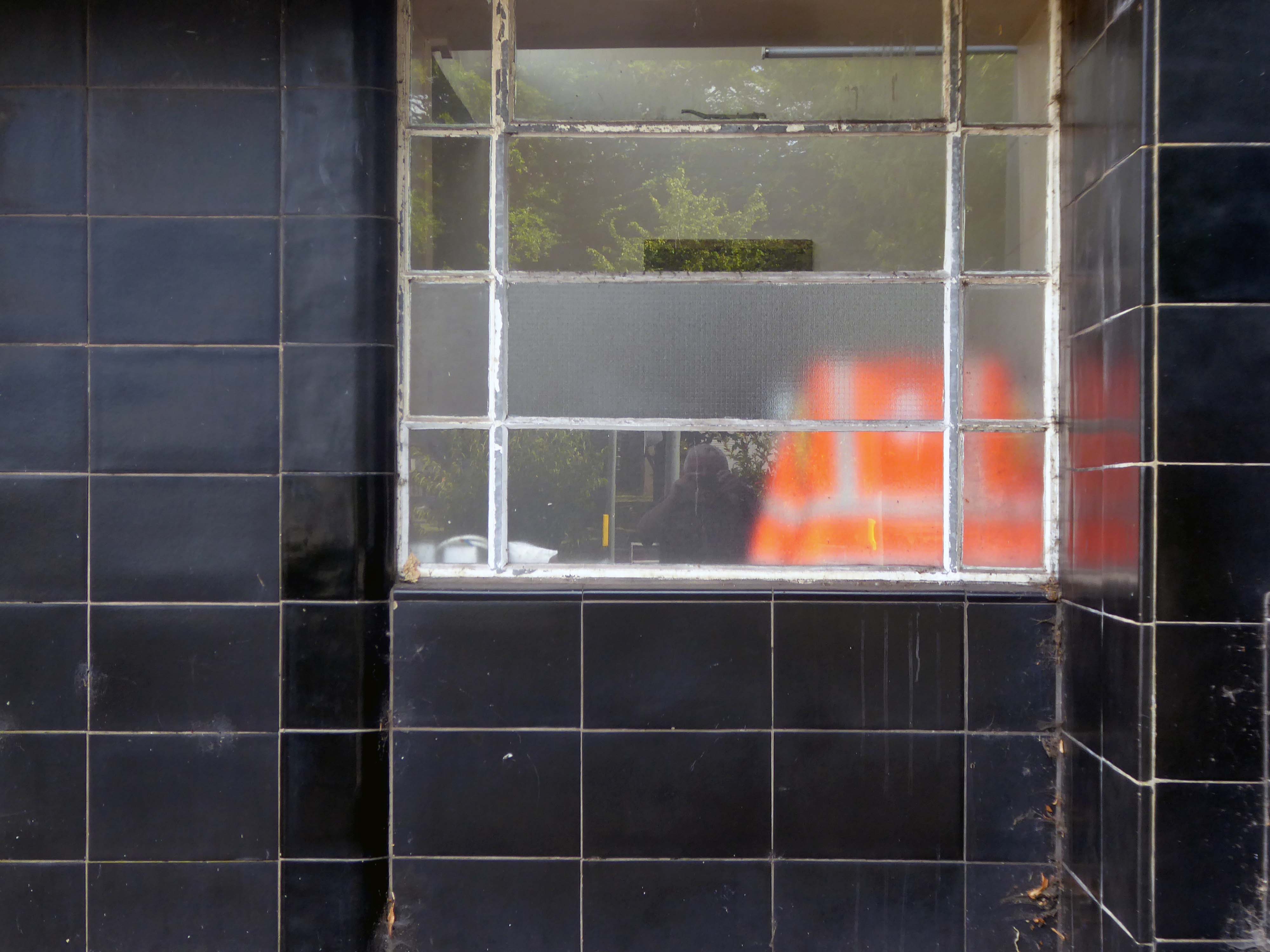
This is the result of my two visits to St Clare’s – an urban church which is kept open each day. I urge you to visit as and when you can, you will be rewarded by an uplifting experience – the most refined, calm and spiritual space.
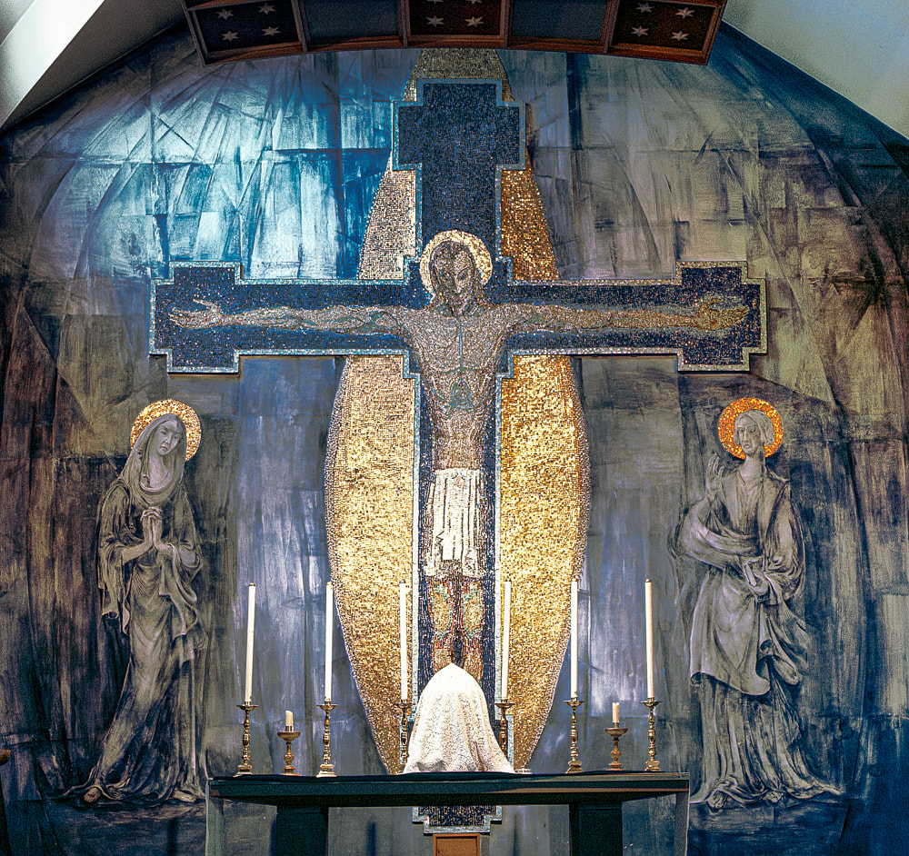
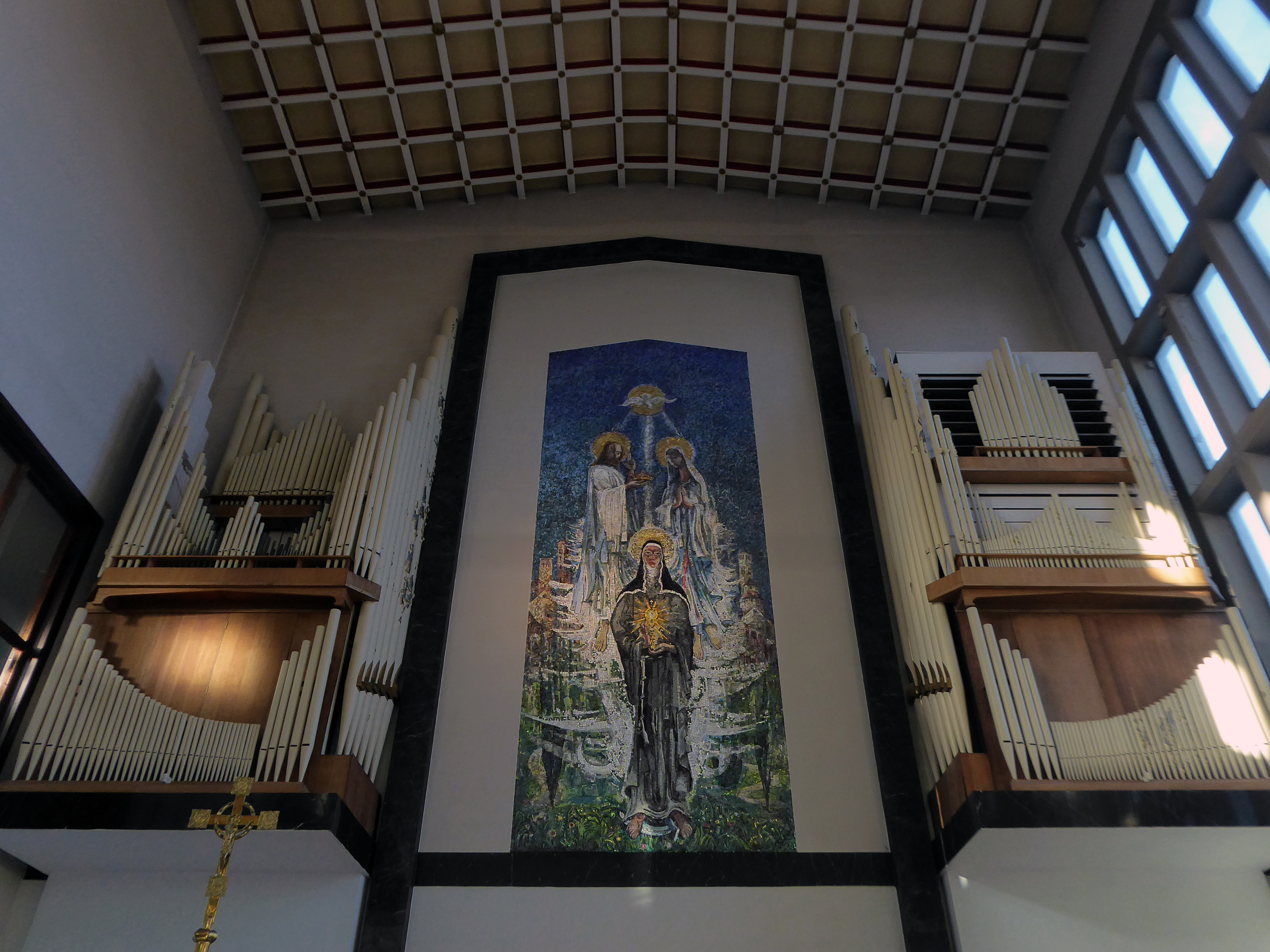
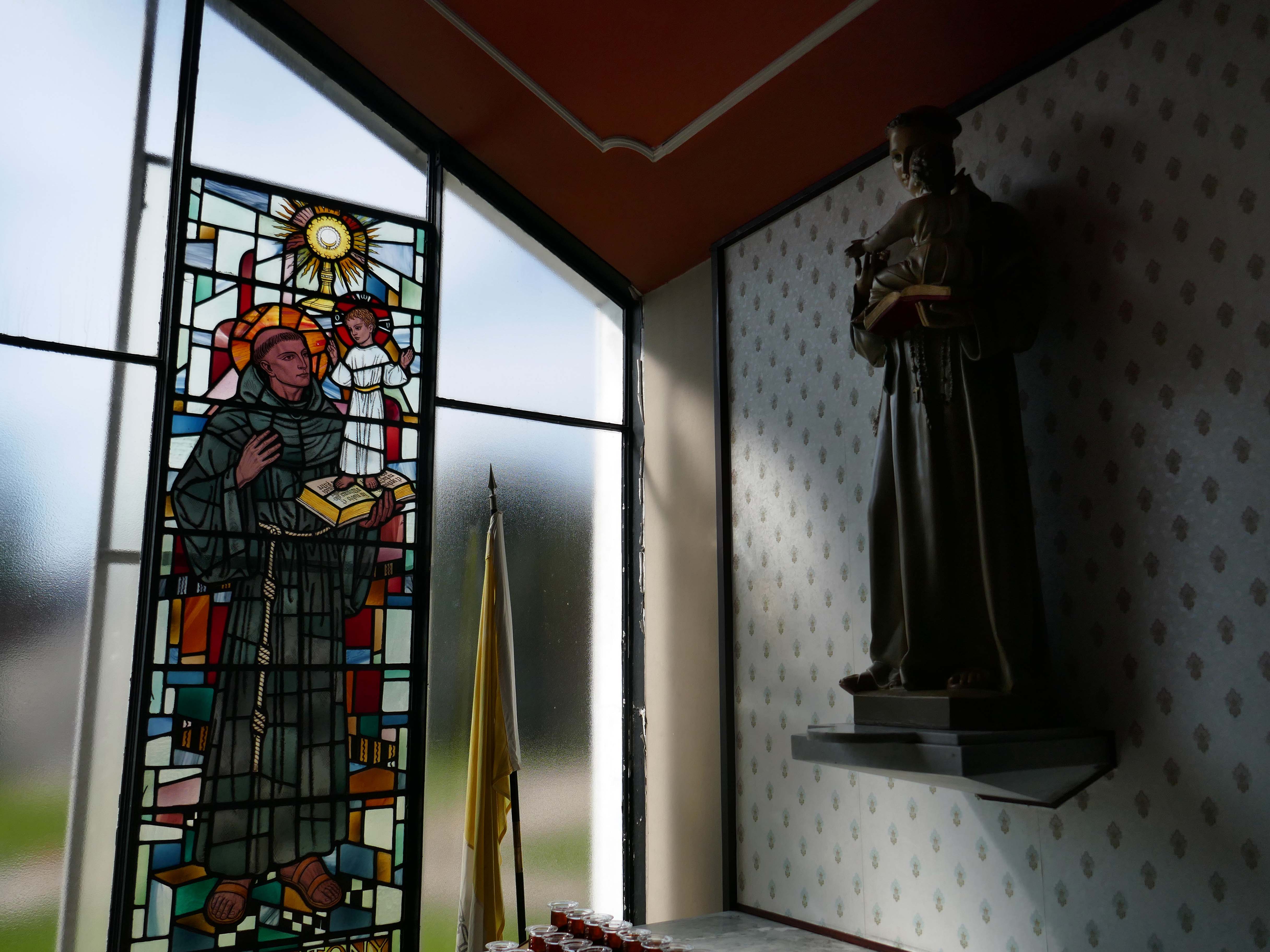
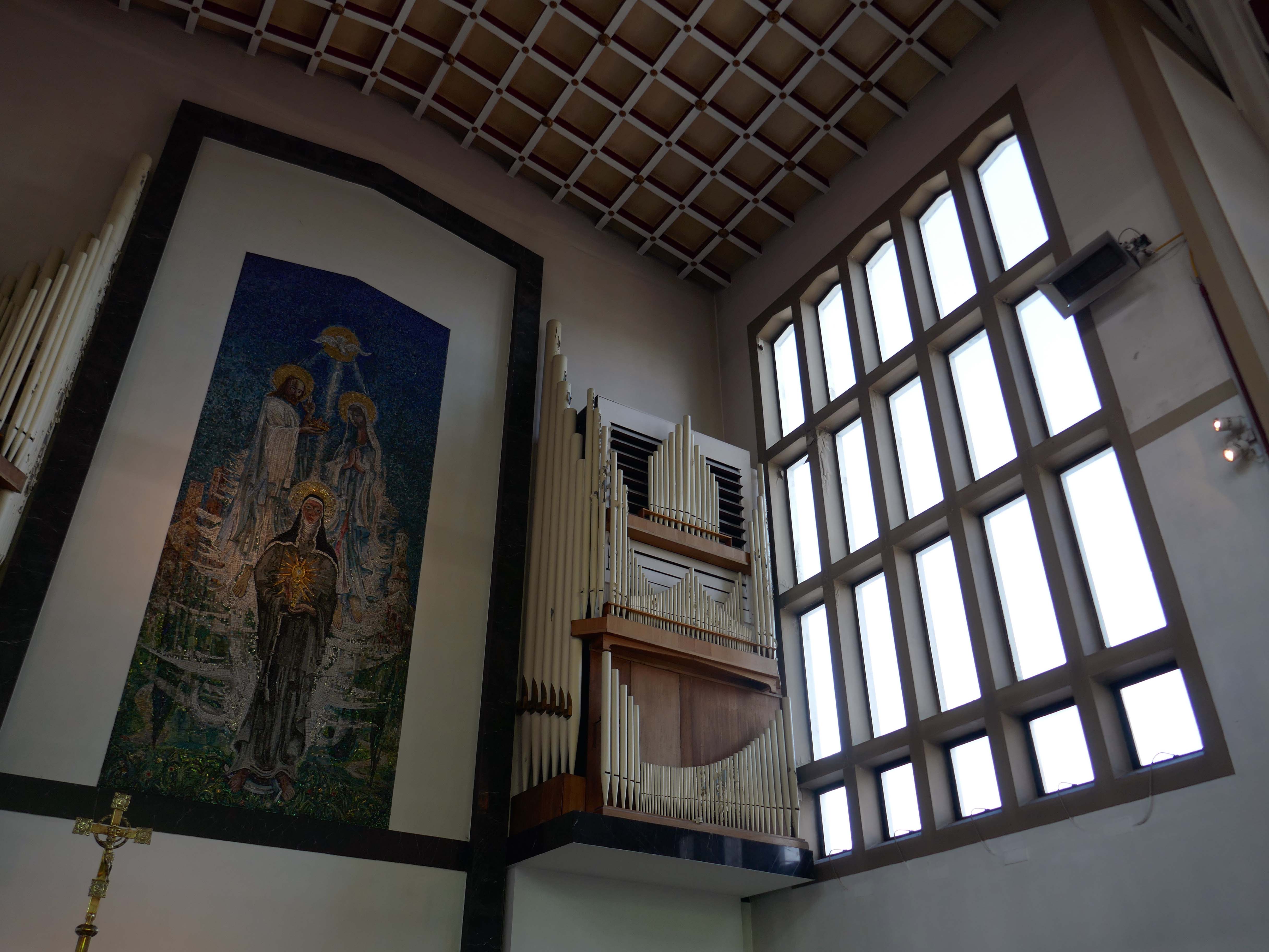
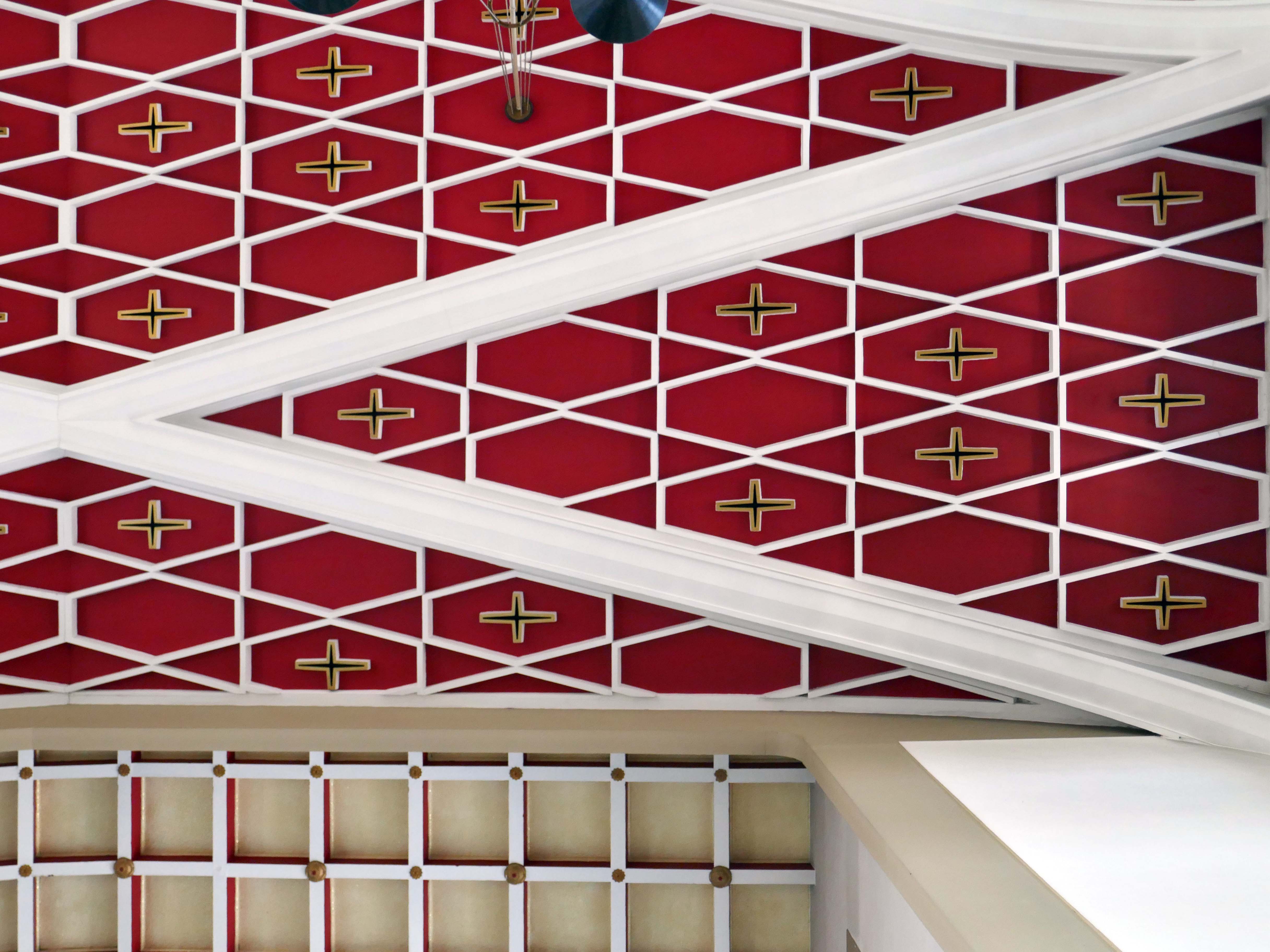
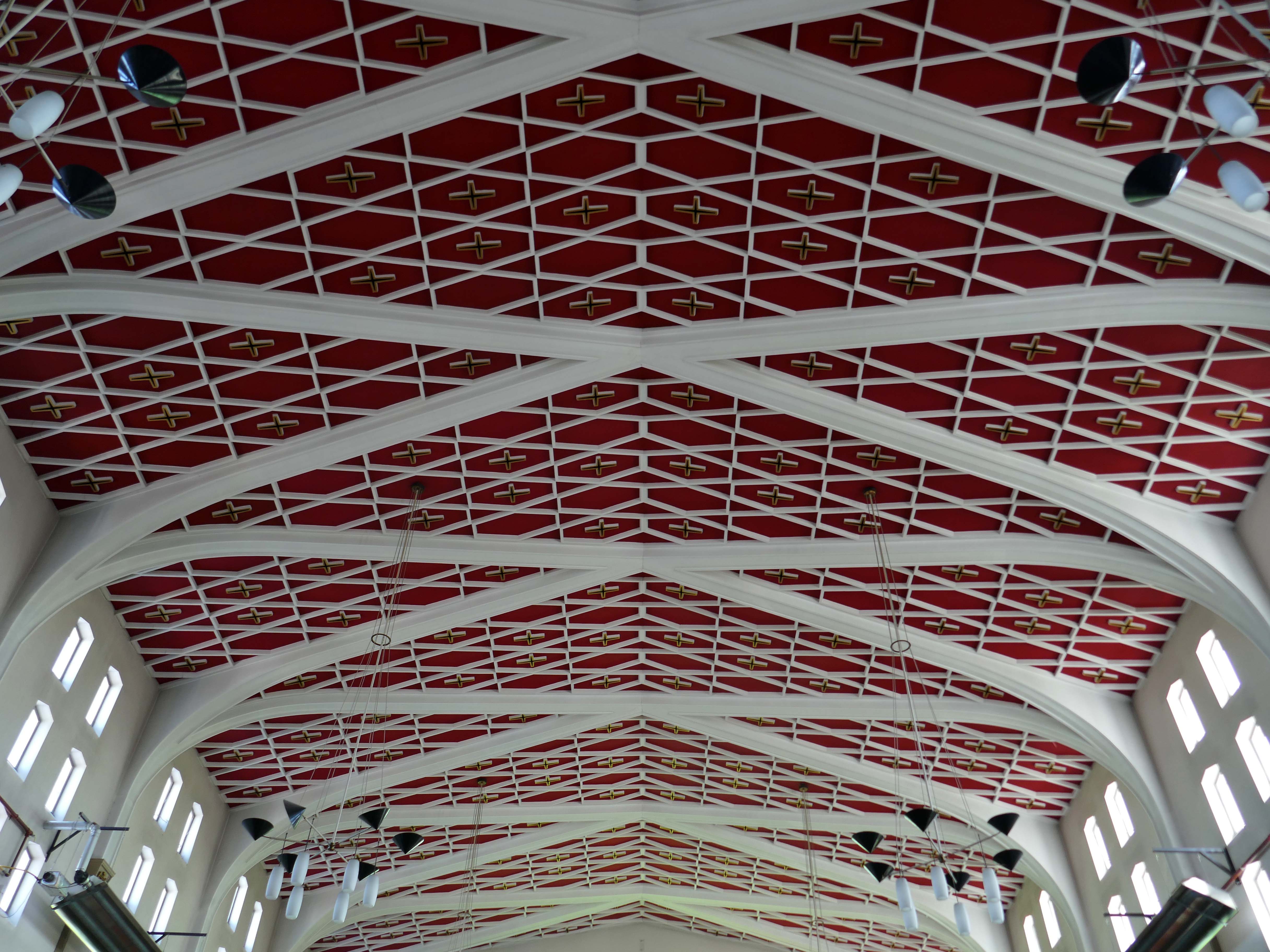
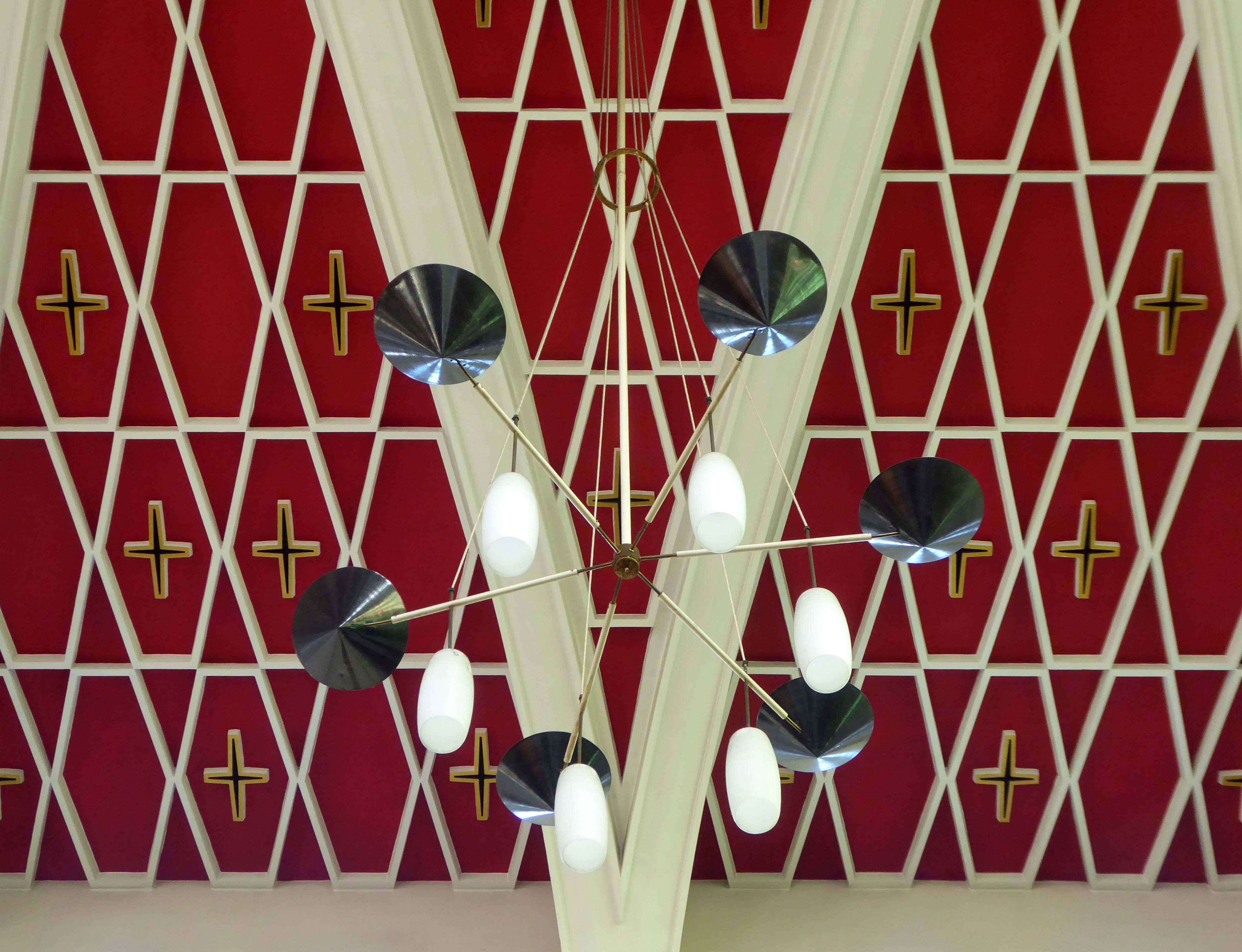
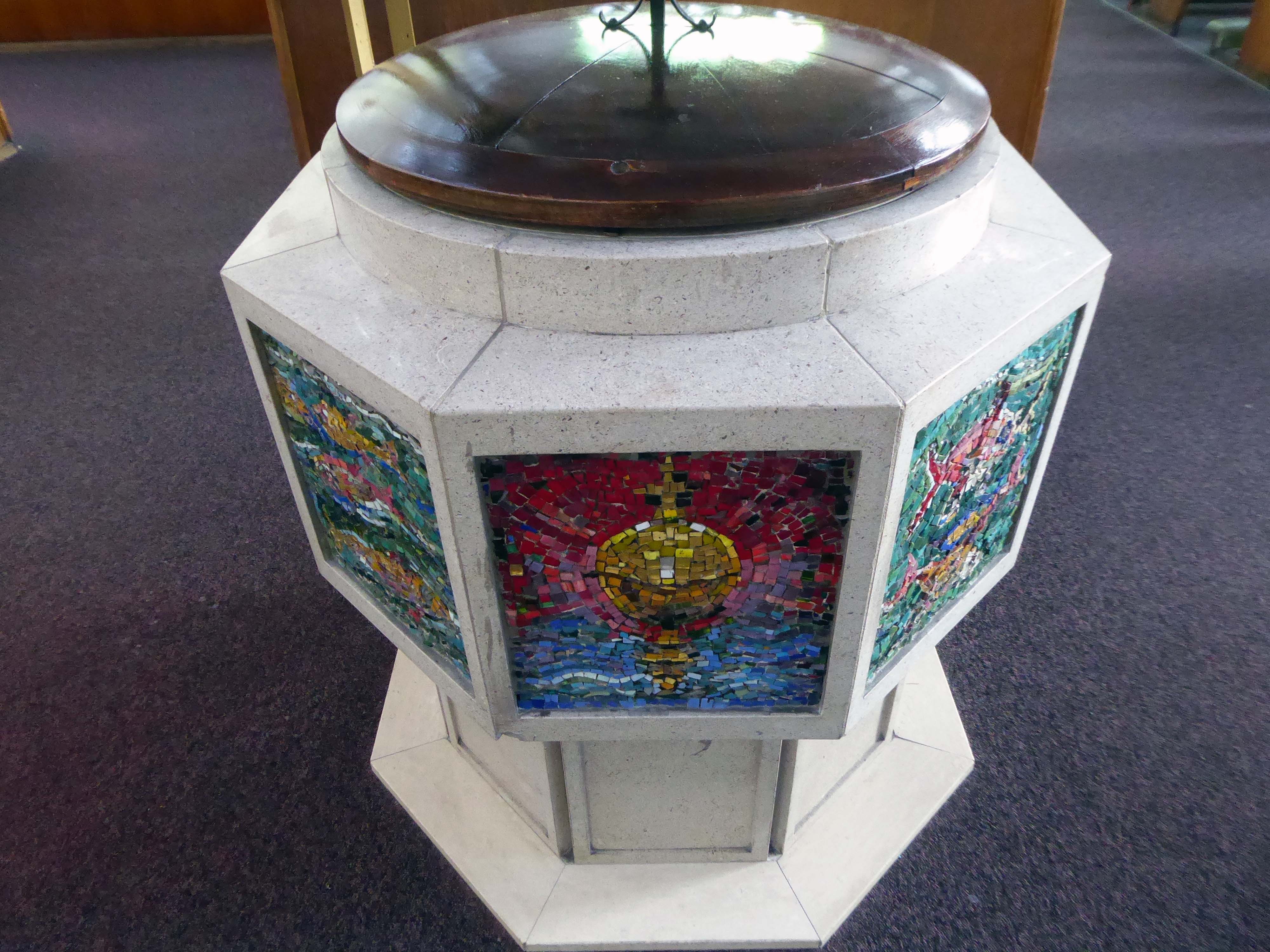
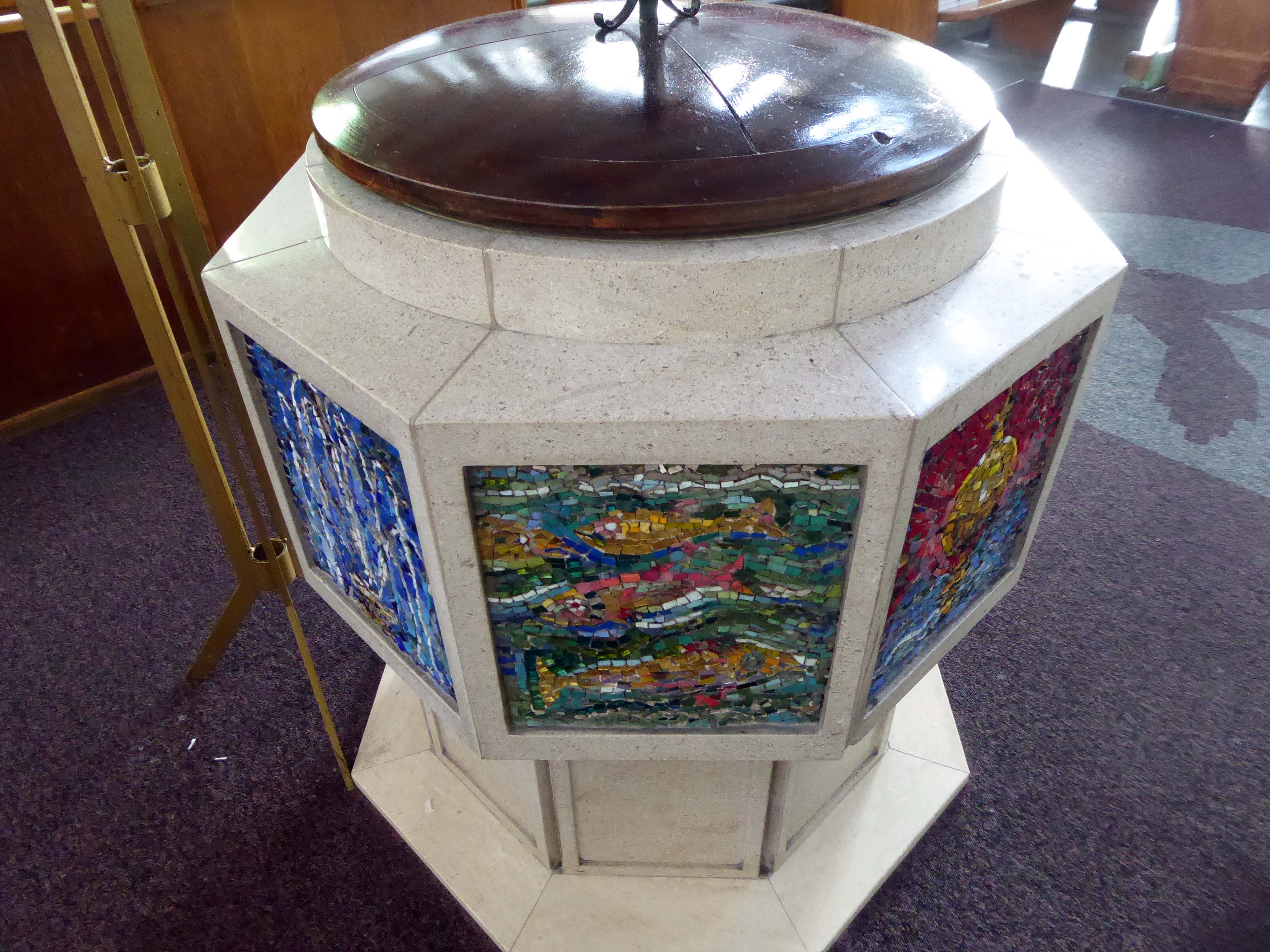
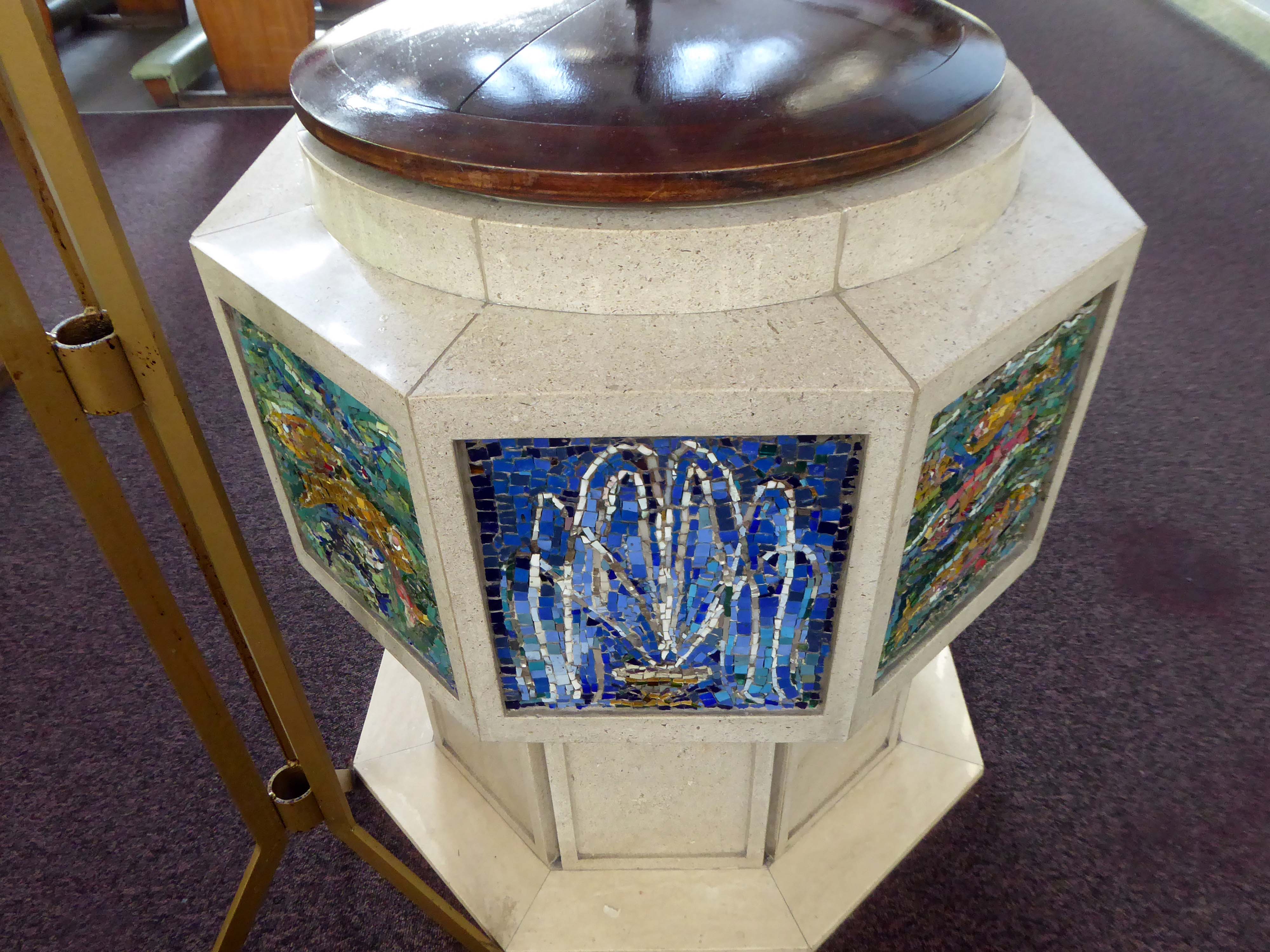
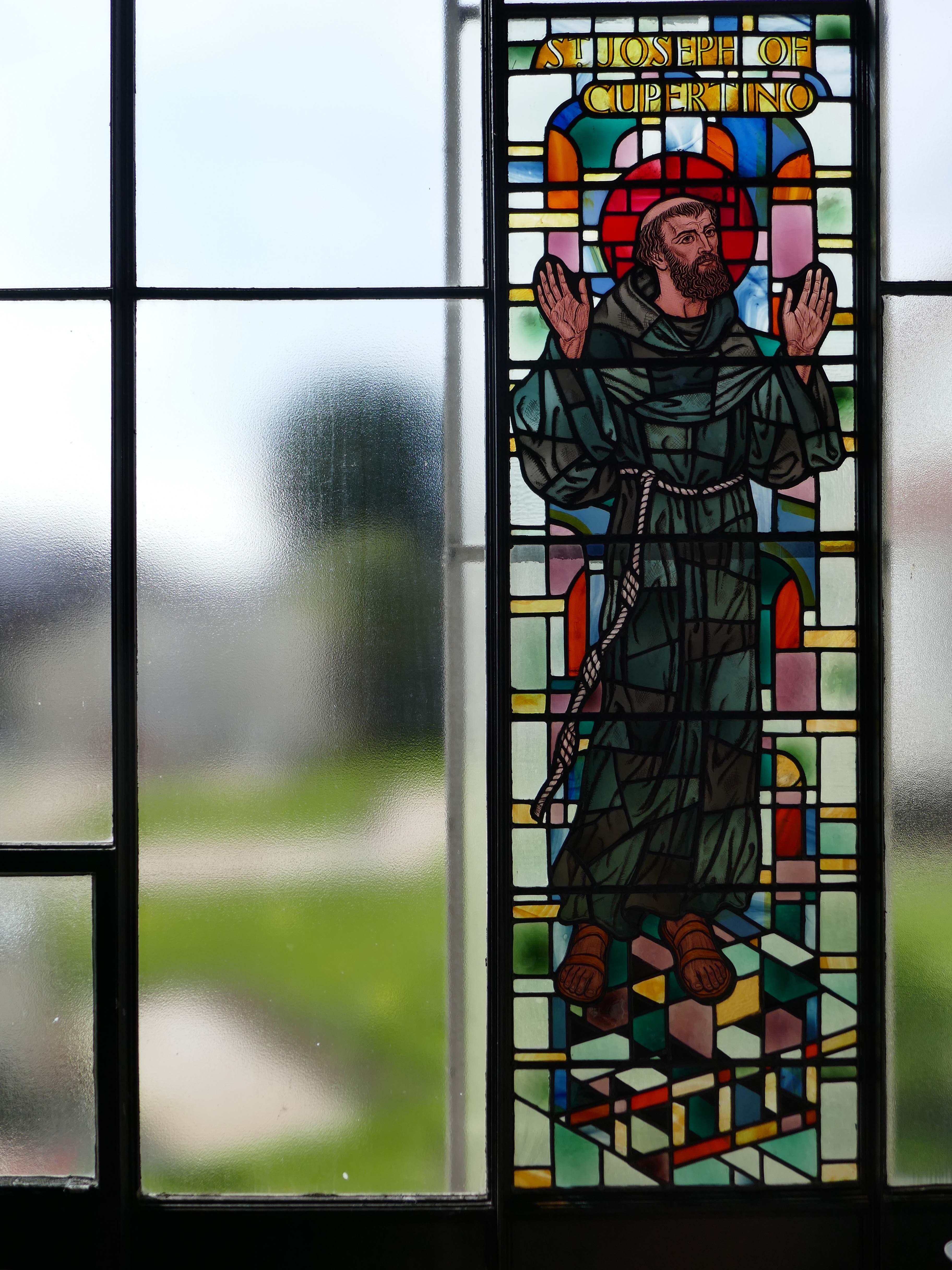
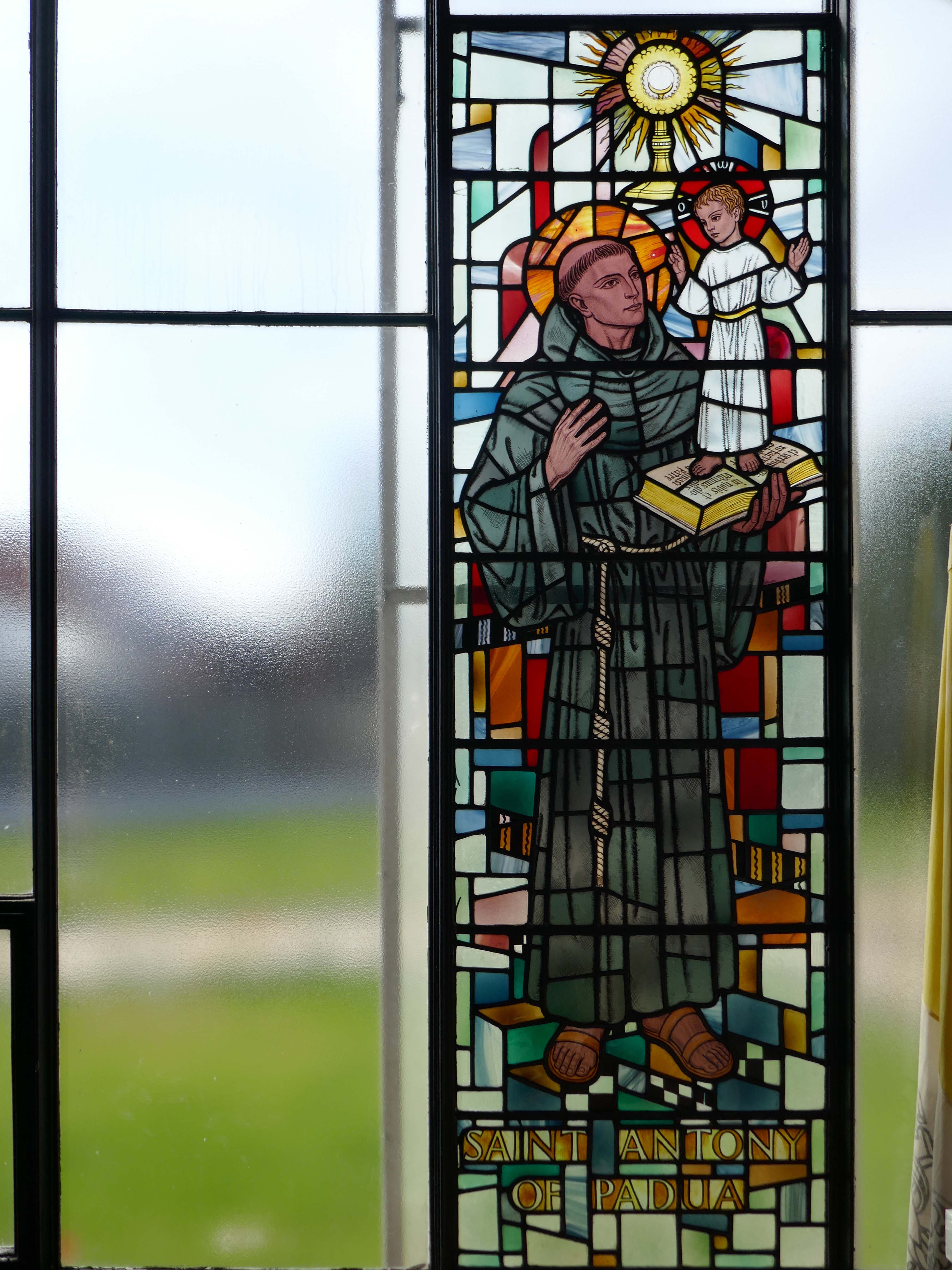
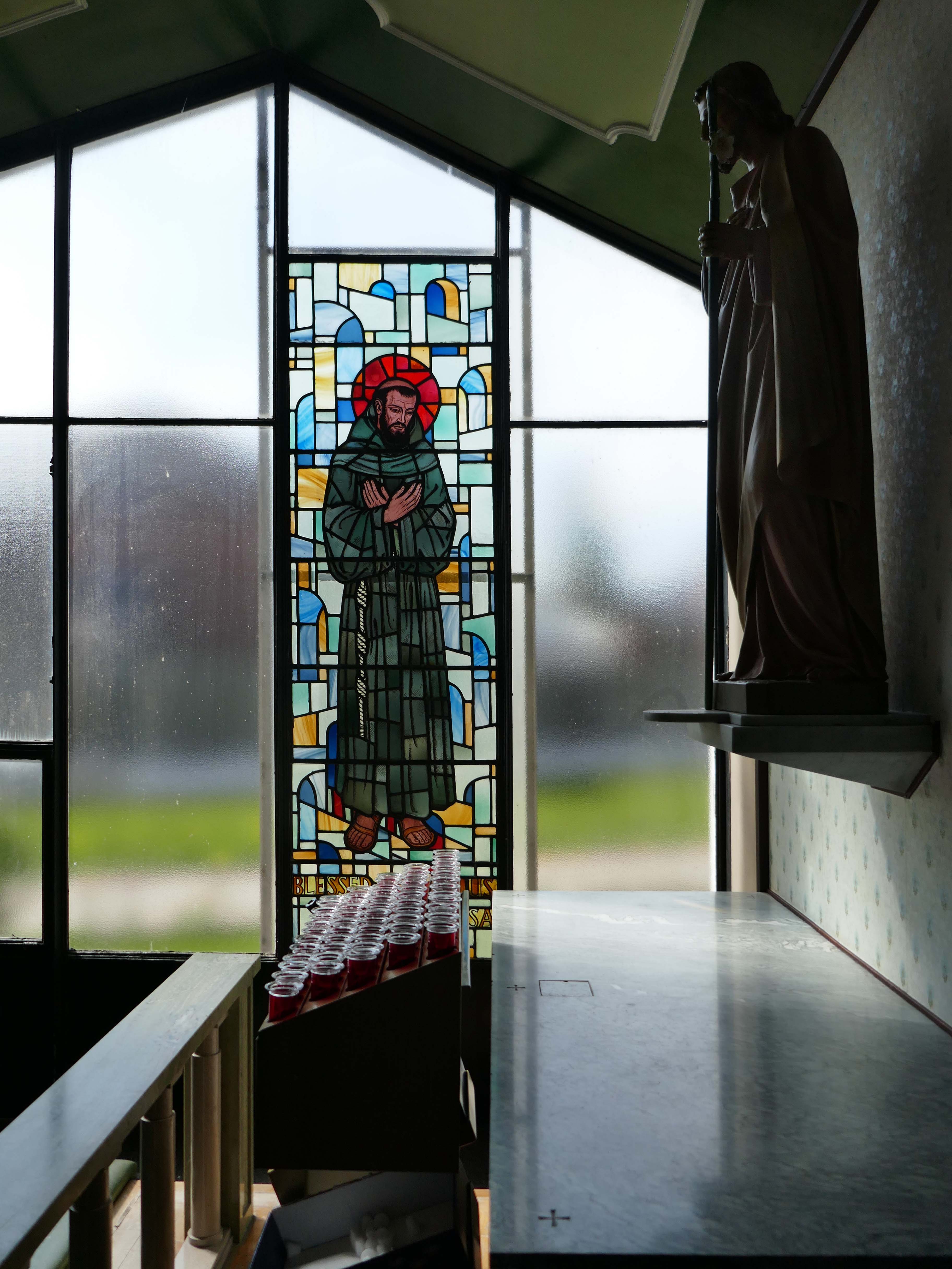
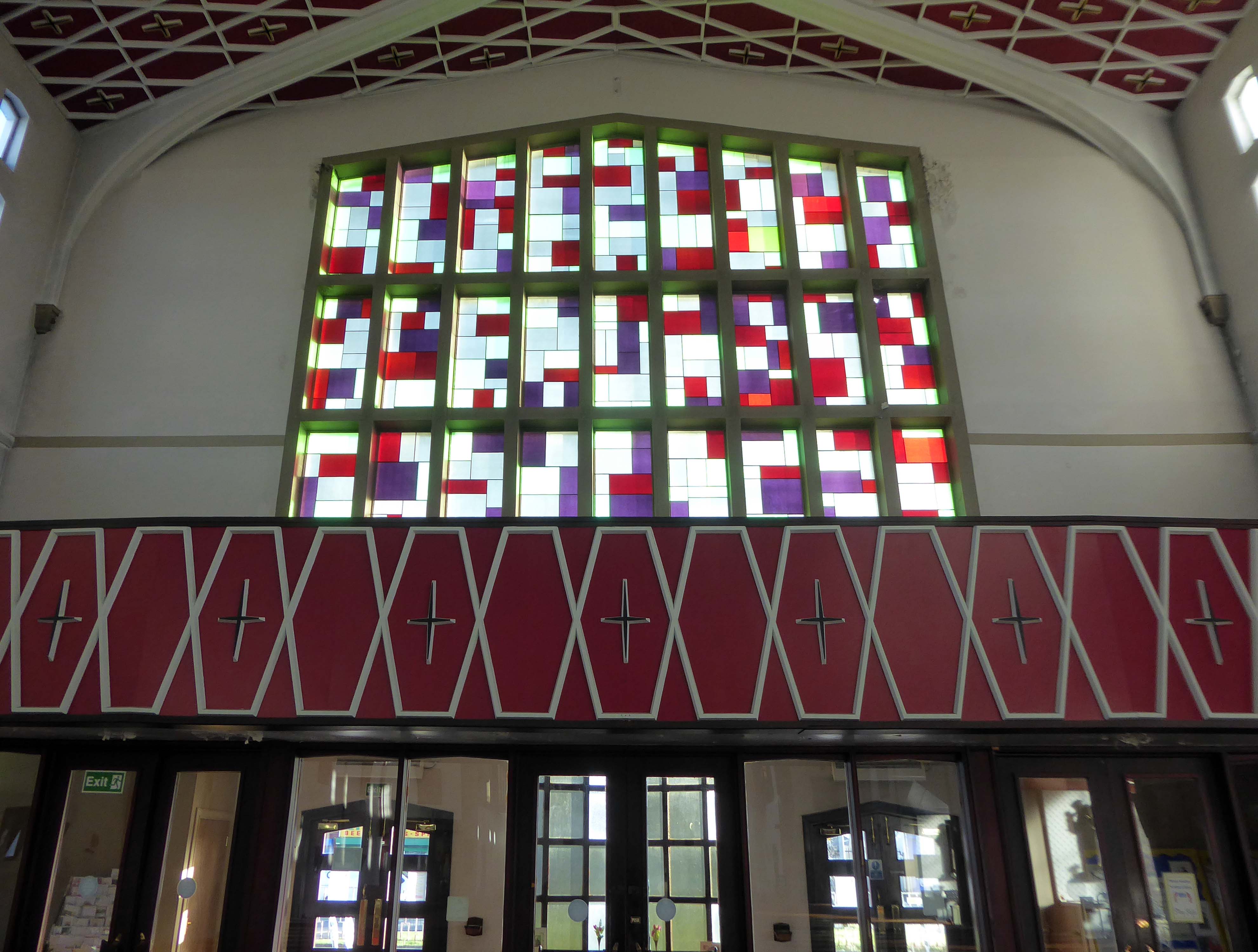
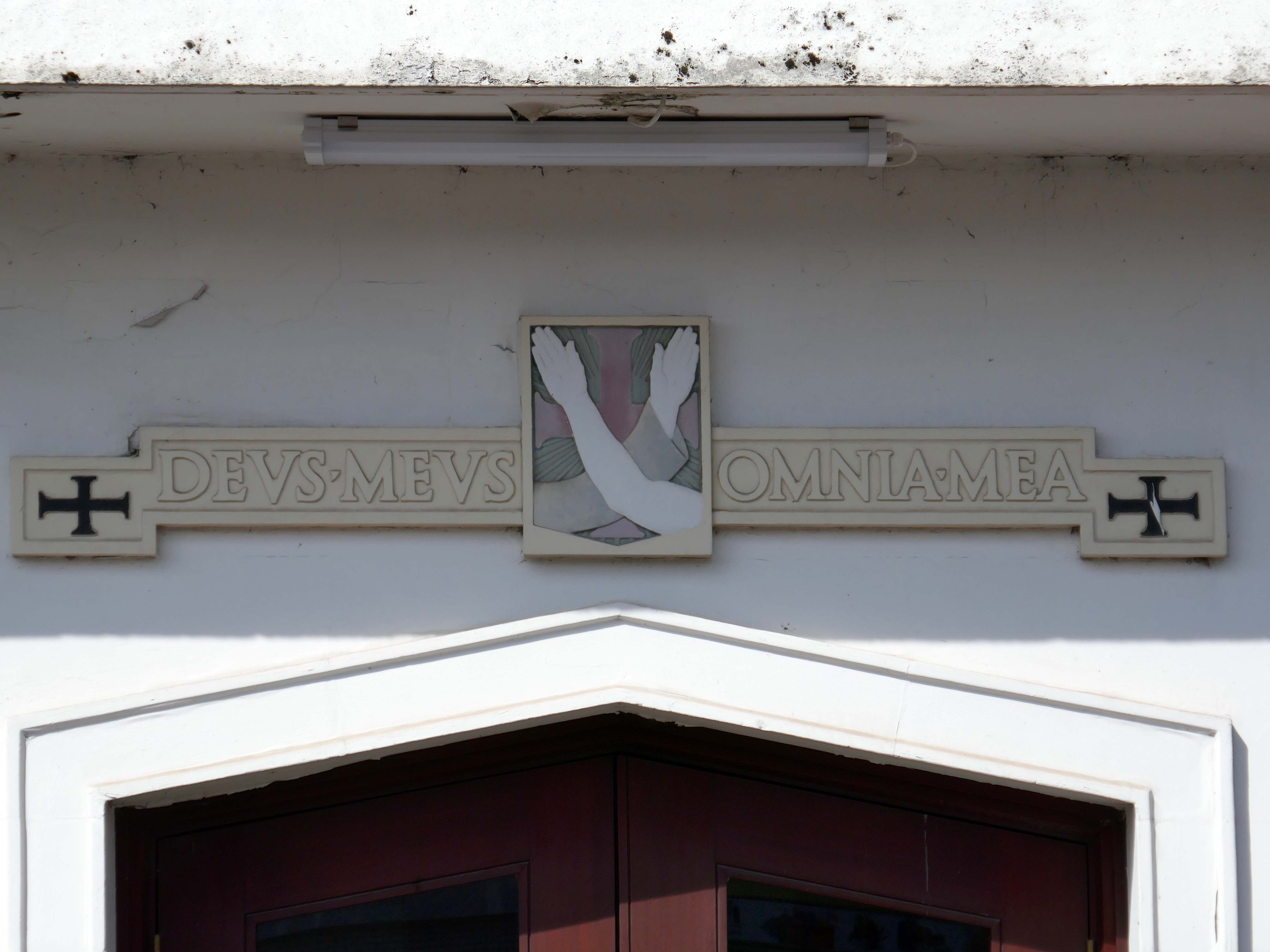
A striking example of post-war church design built for the Franciscans, combining original modern forms and references to historic ecclesiastical architecture. The church predates the Second Vatican Council, and is of traditional basilican plan. Apart from the original sanctuary arrangements, the interior is well preserved, with furnishings of note – the large mosaic over the high altar, depicting St Clare of Assisi raising the Blessed Sacrament by Georg Mayer-Marton, stained glassbyJoseph Nuttgens, Stations of the Cross by David John.
Mayer Marton was also responsible for the fresco and mosaic mural at the Church of the Holy Rosary, Oldham – which is currently under threat.
There is a large west window grid, continued at the base, where it is angled out, to form a canopy over the entrance. Mosaics in this position have been overpainted or lost.
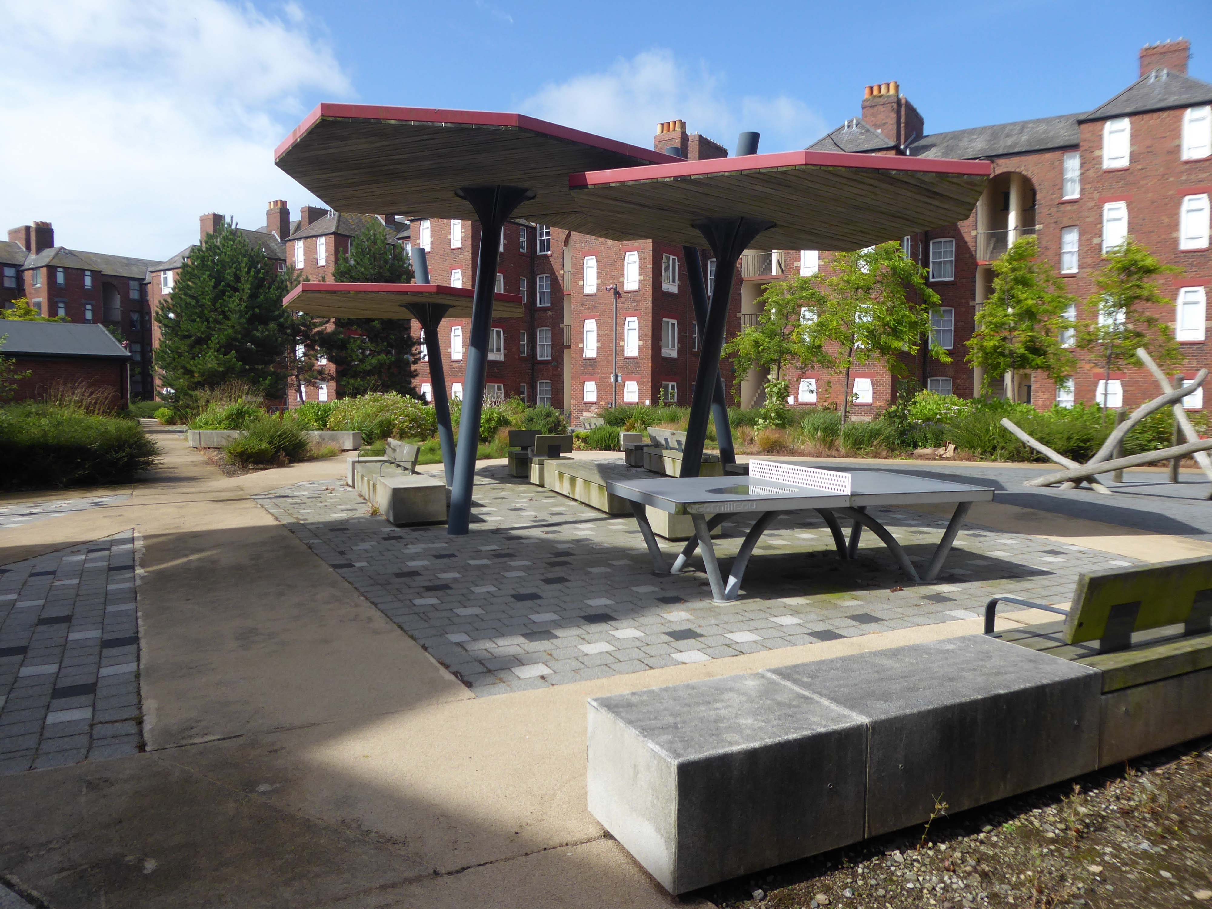
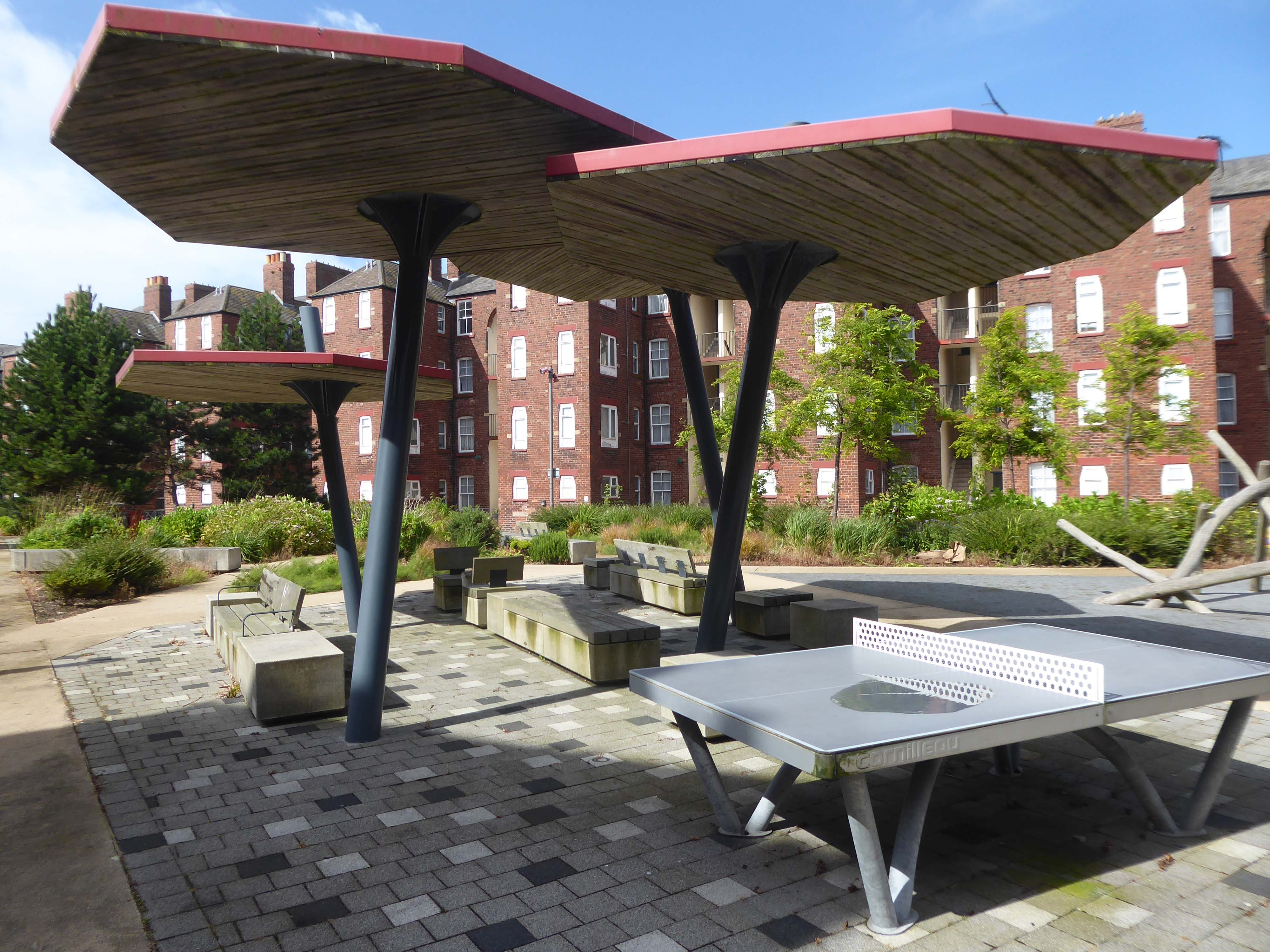
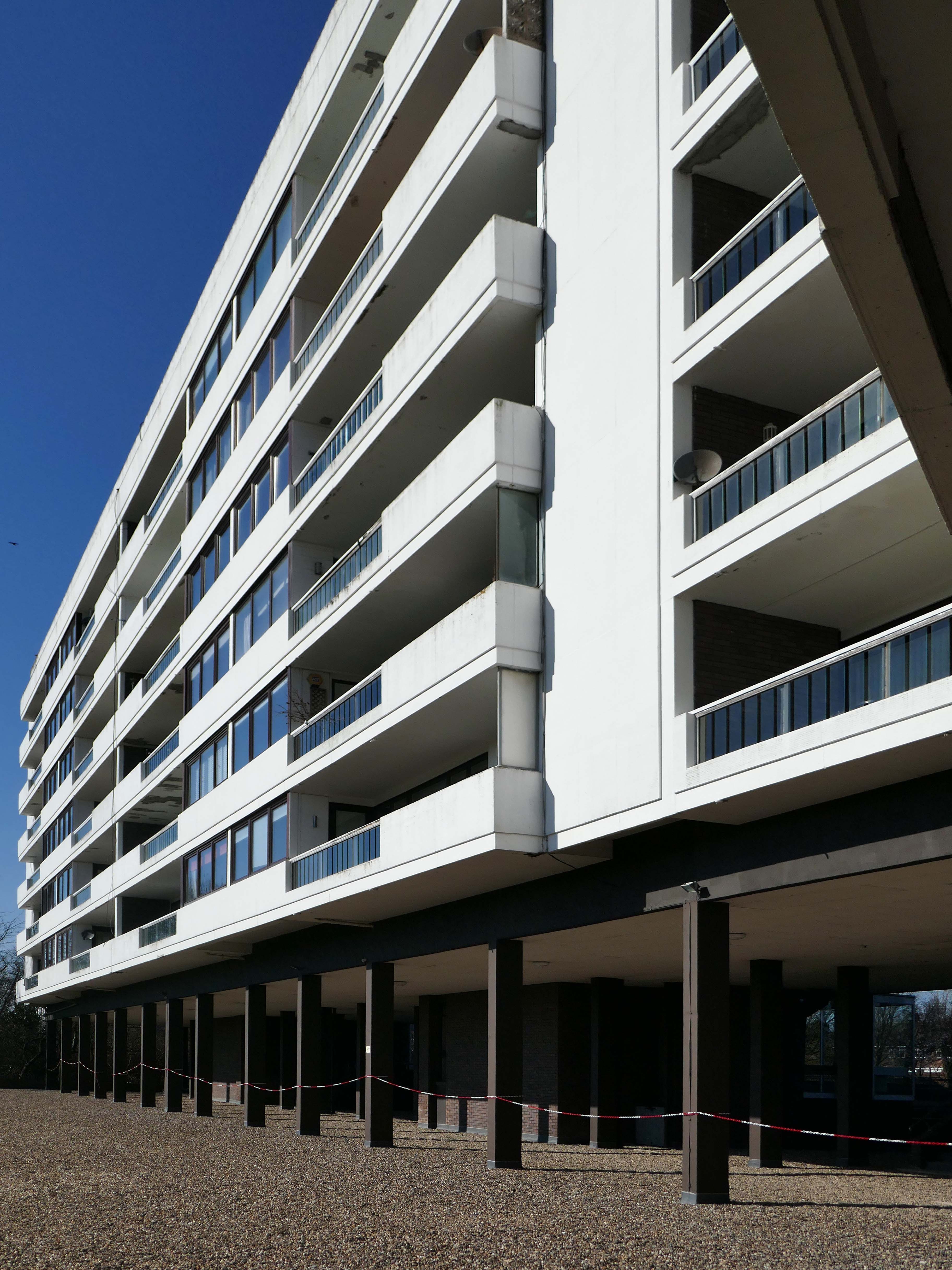
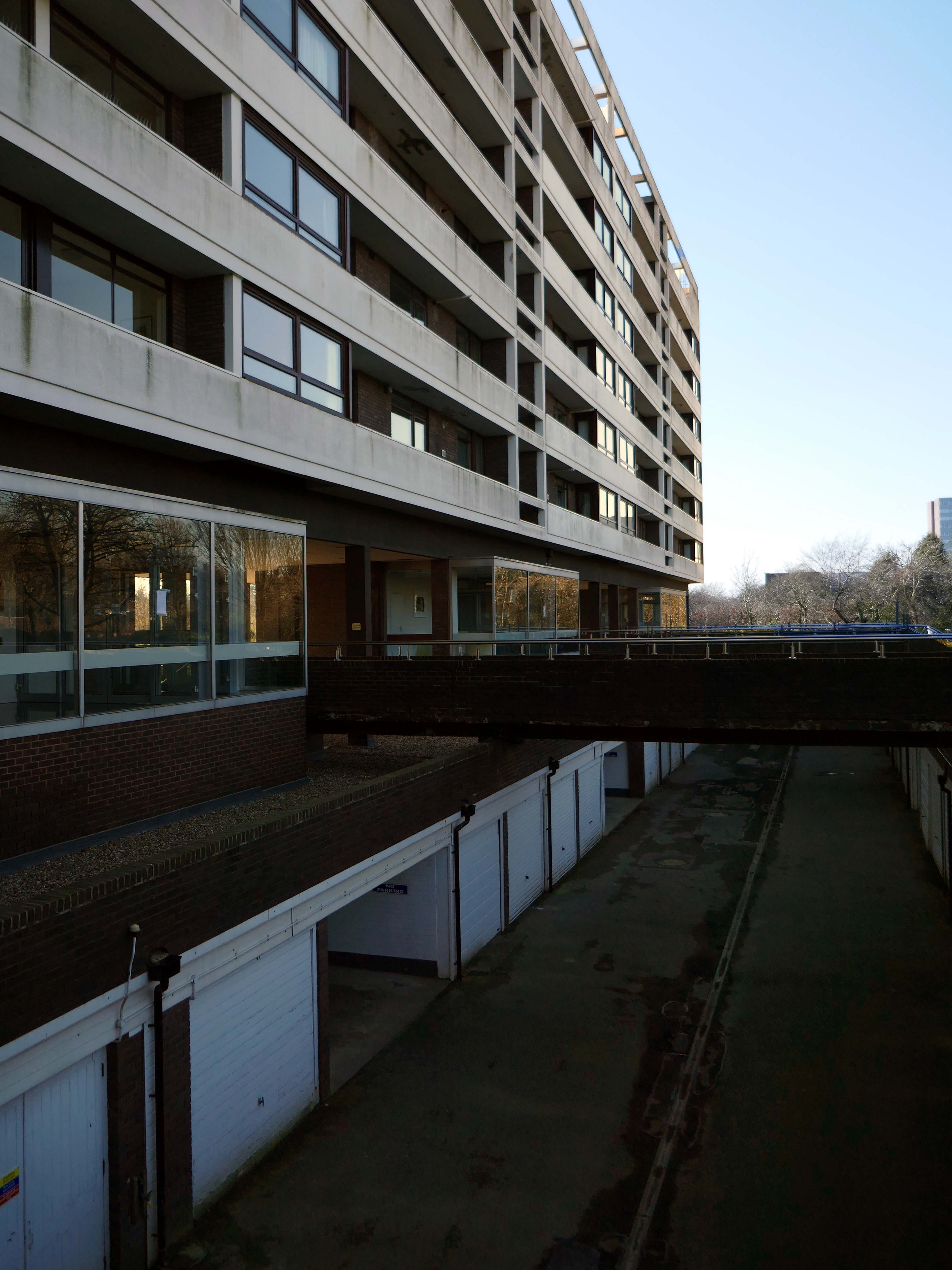
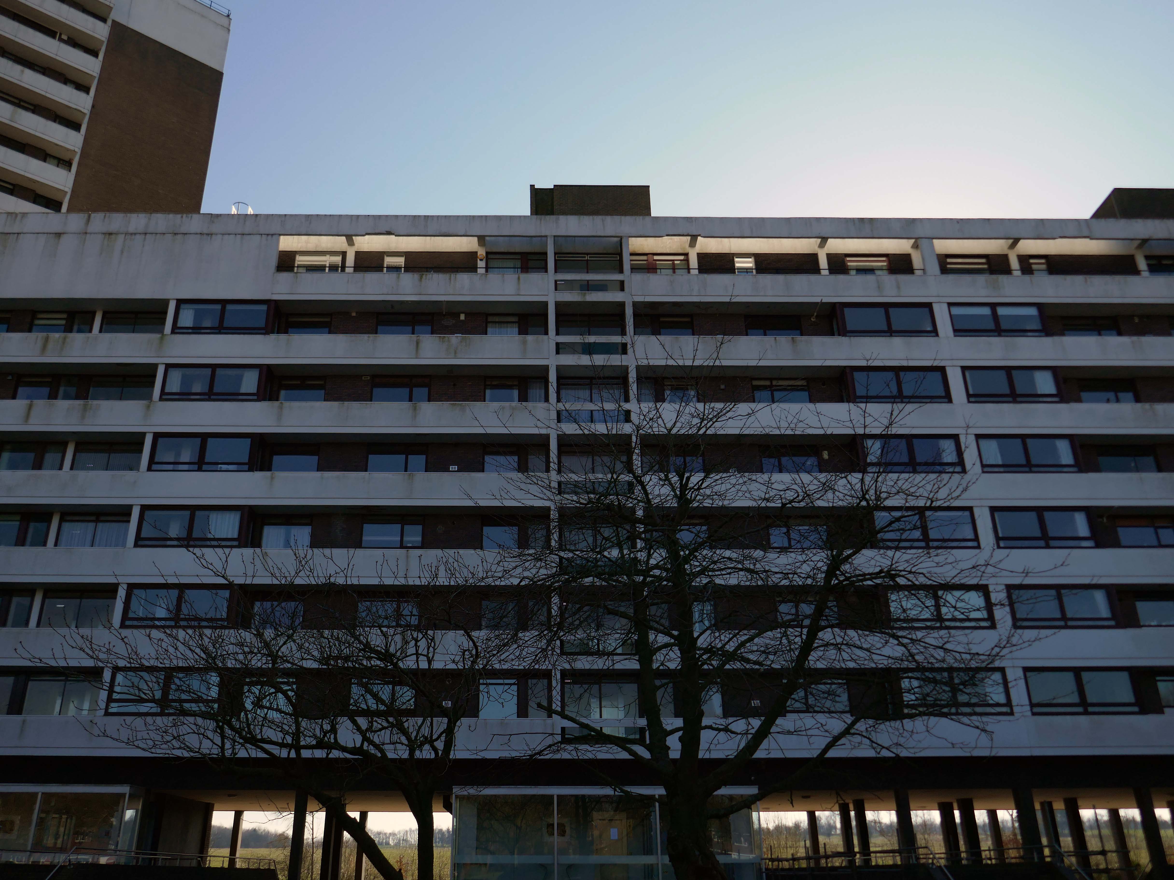
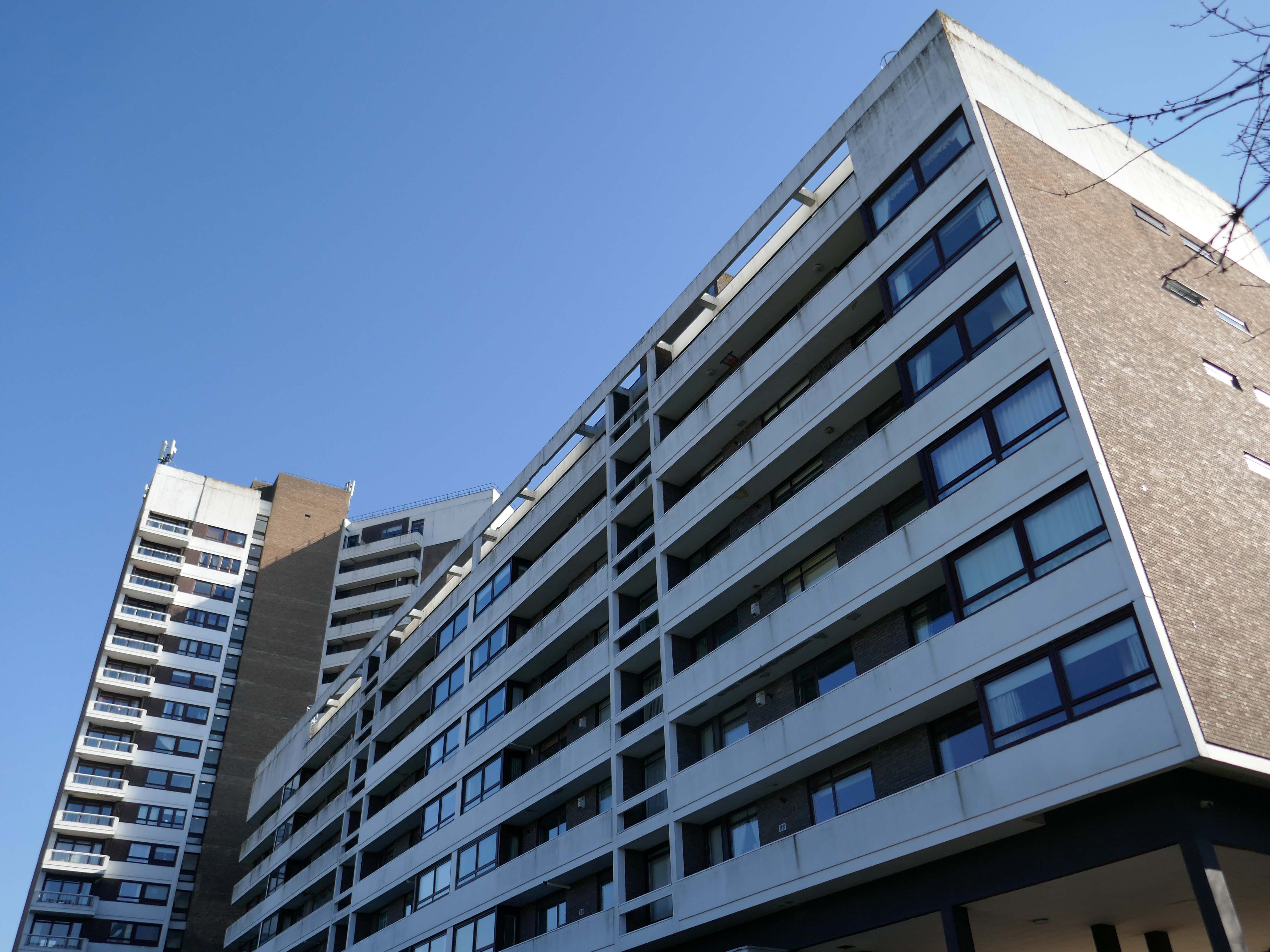
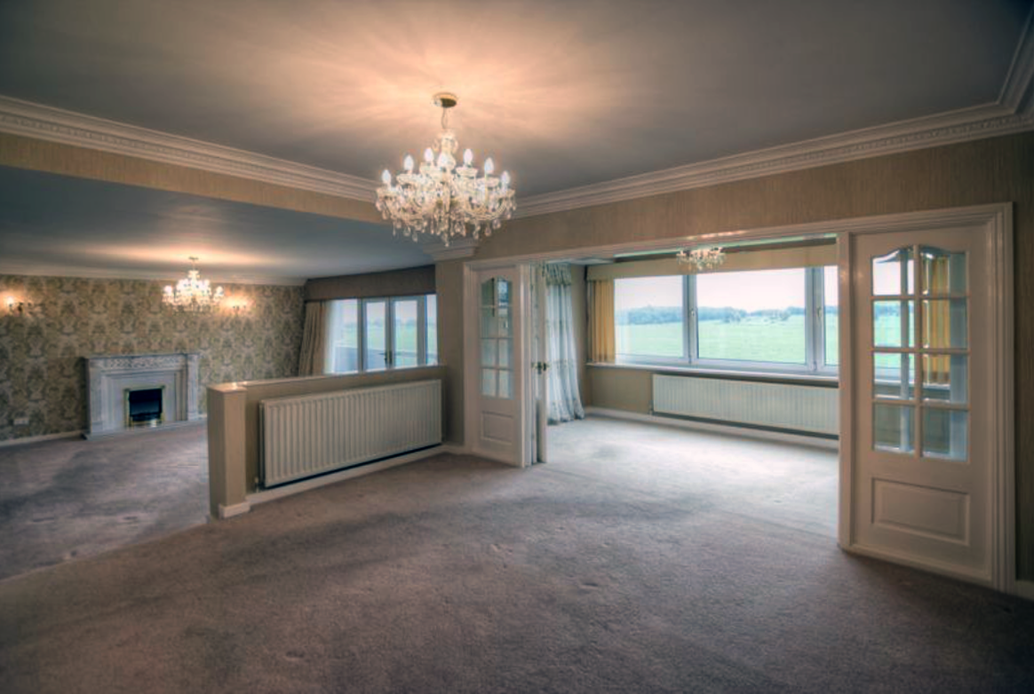
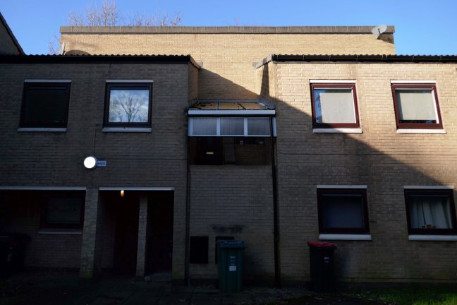
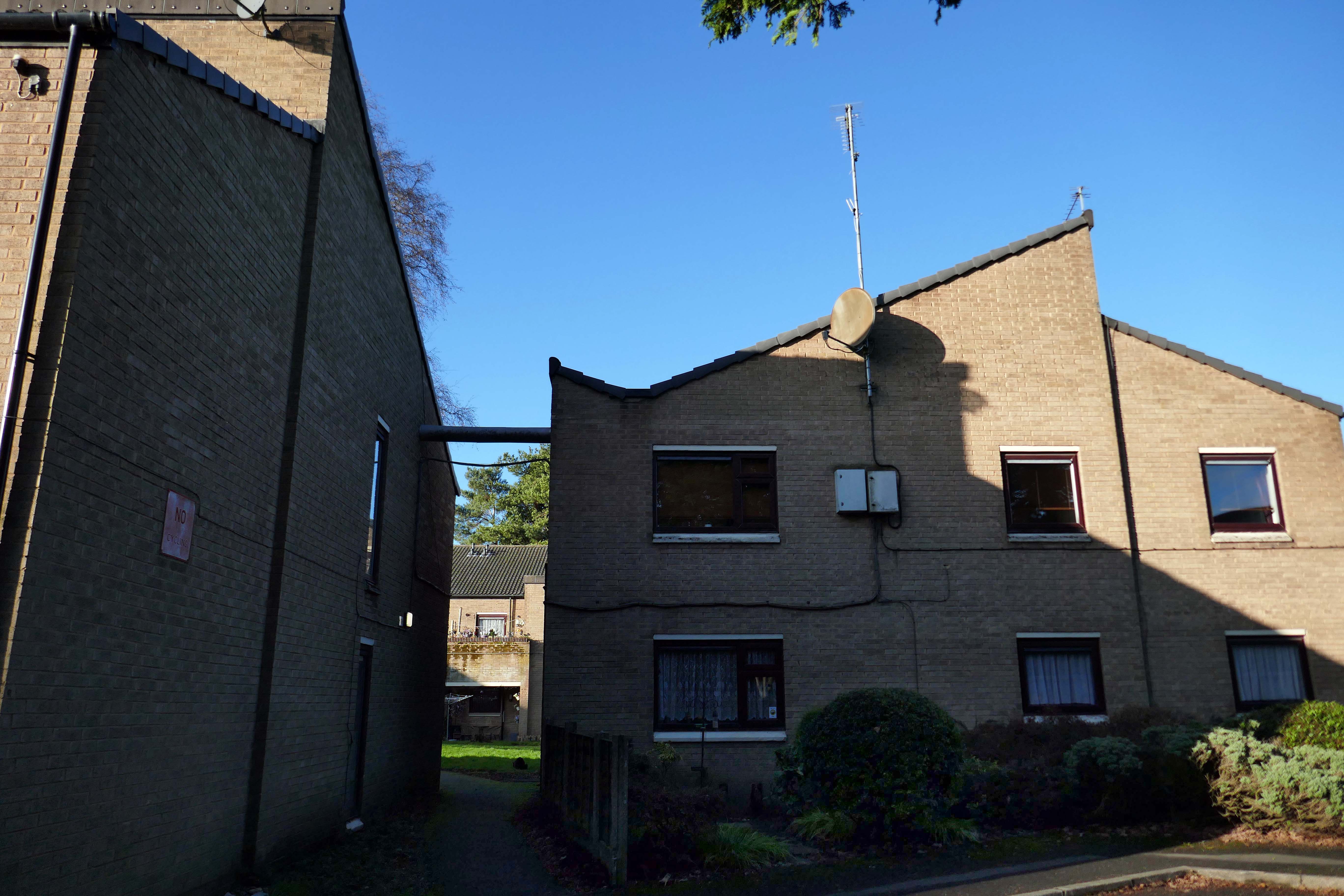
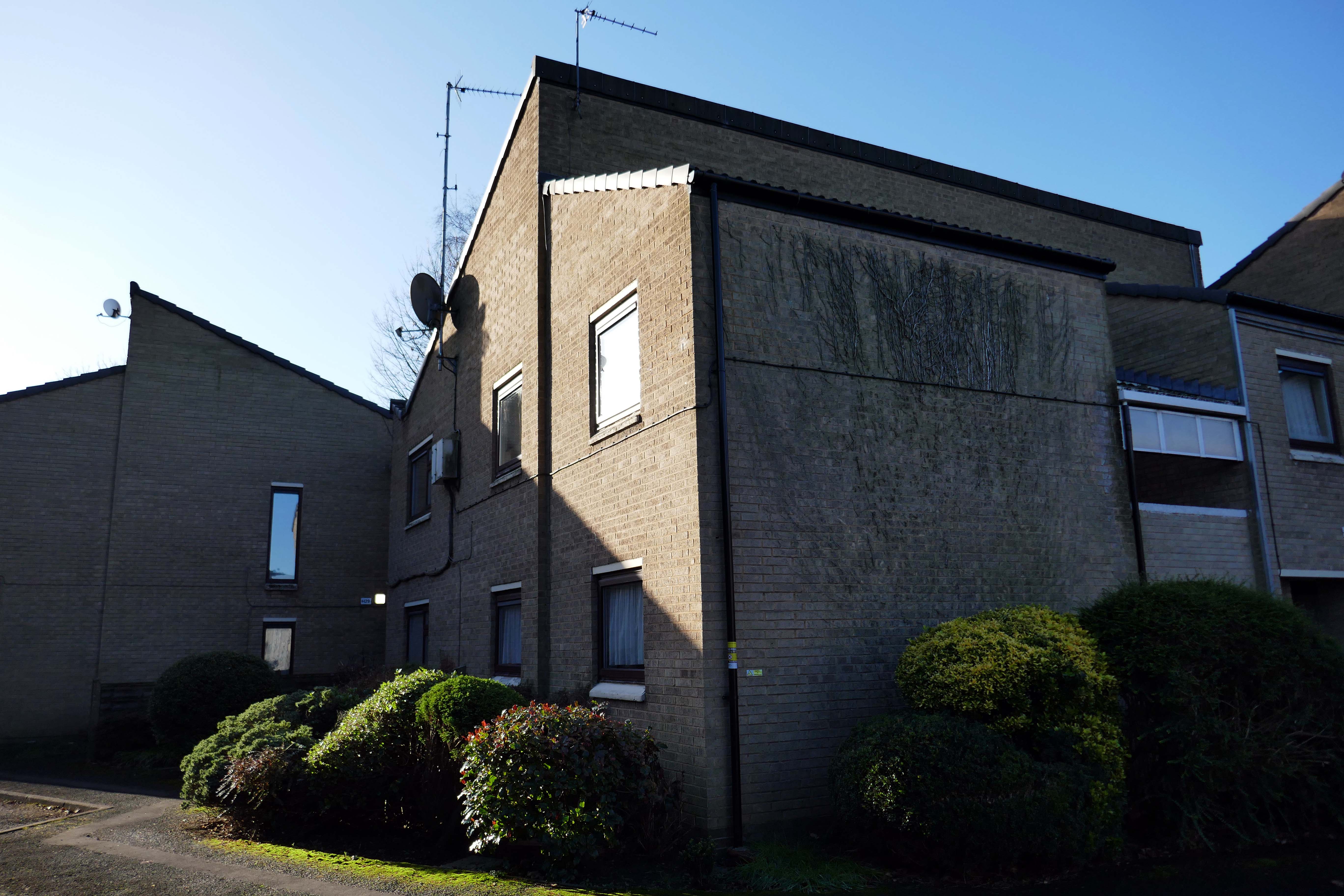
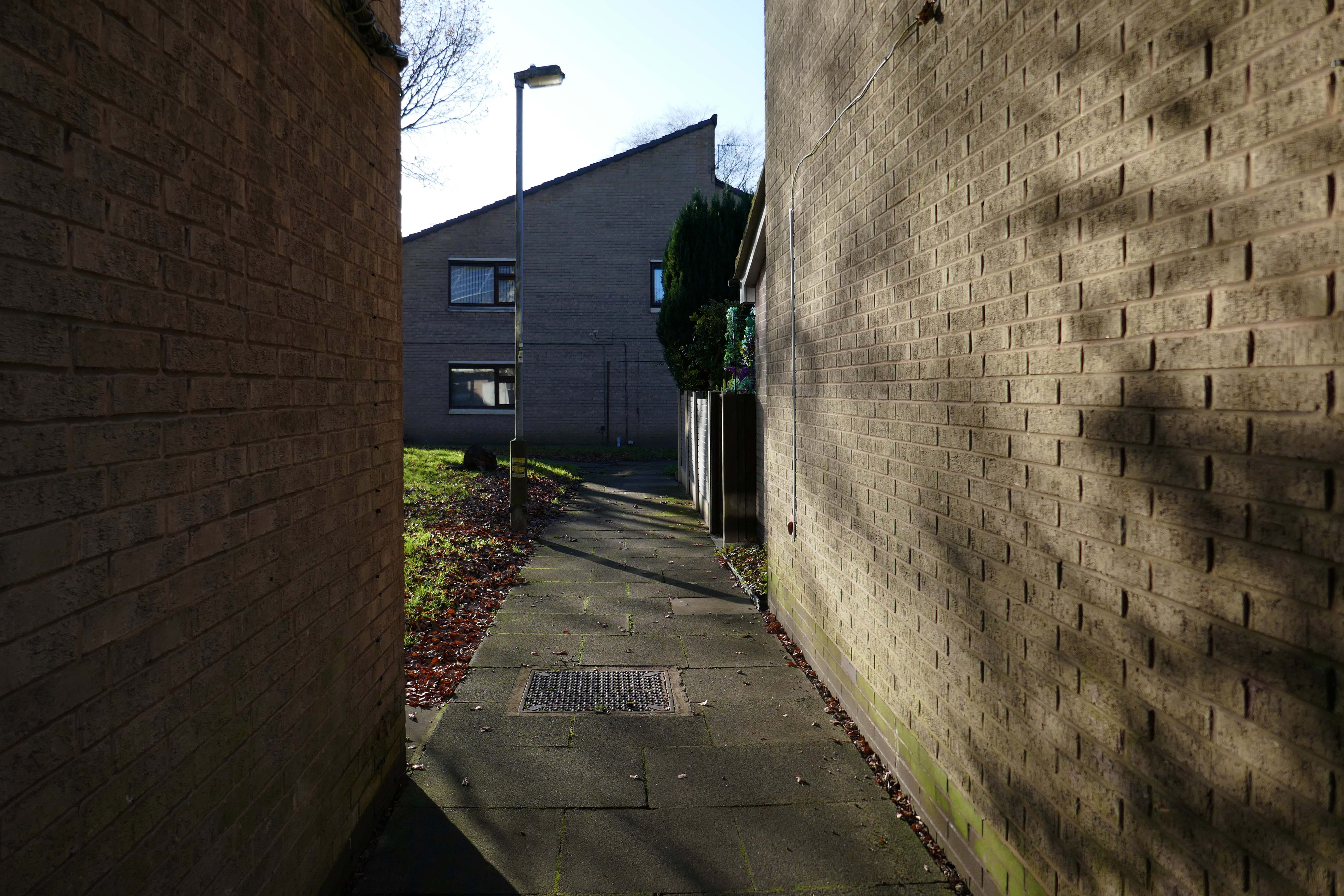
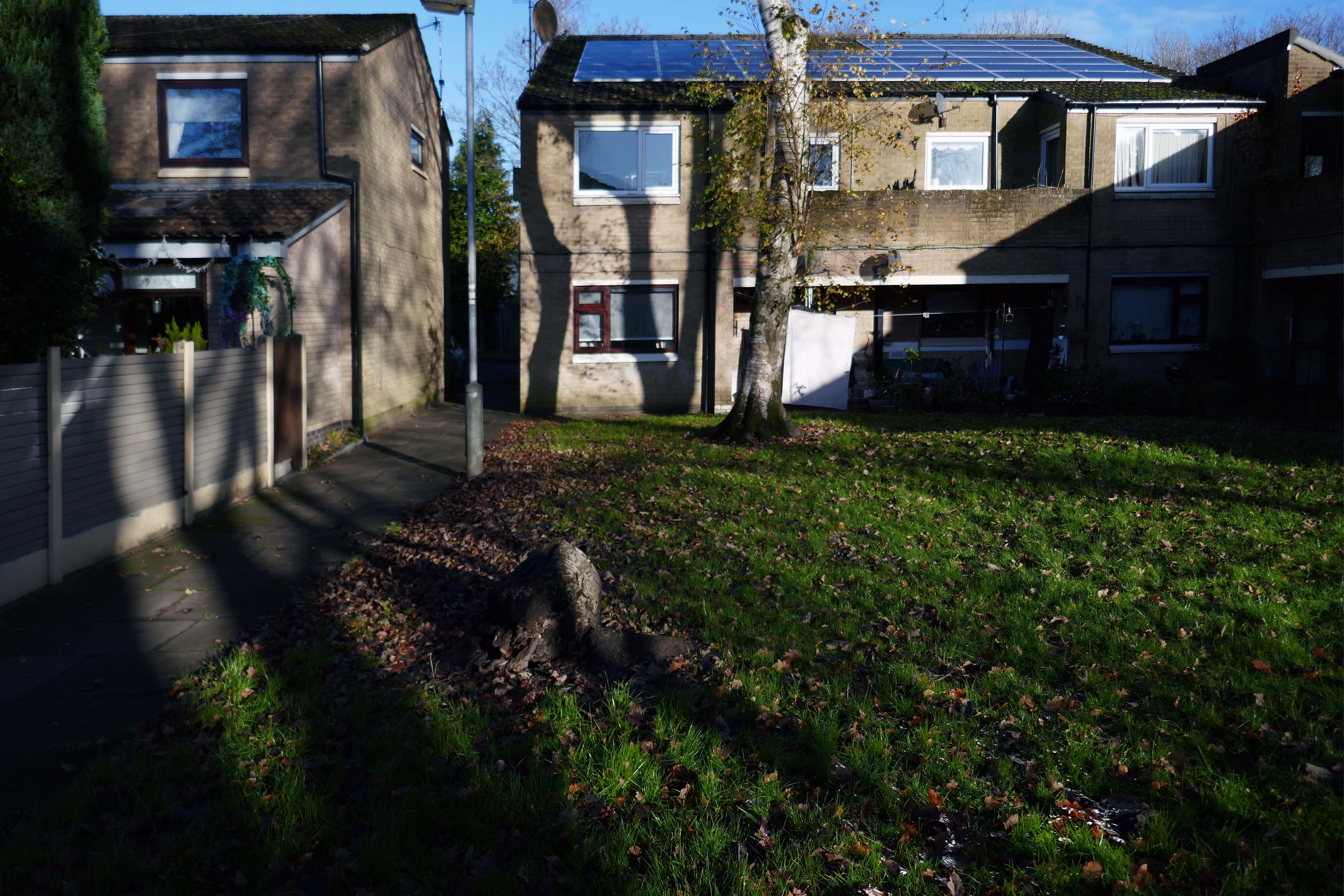
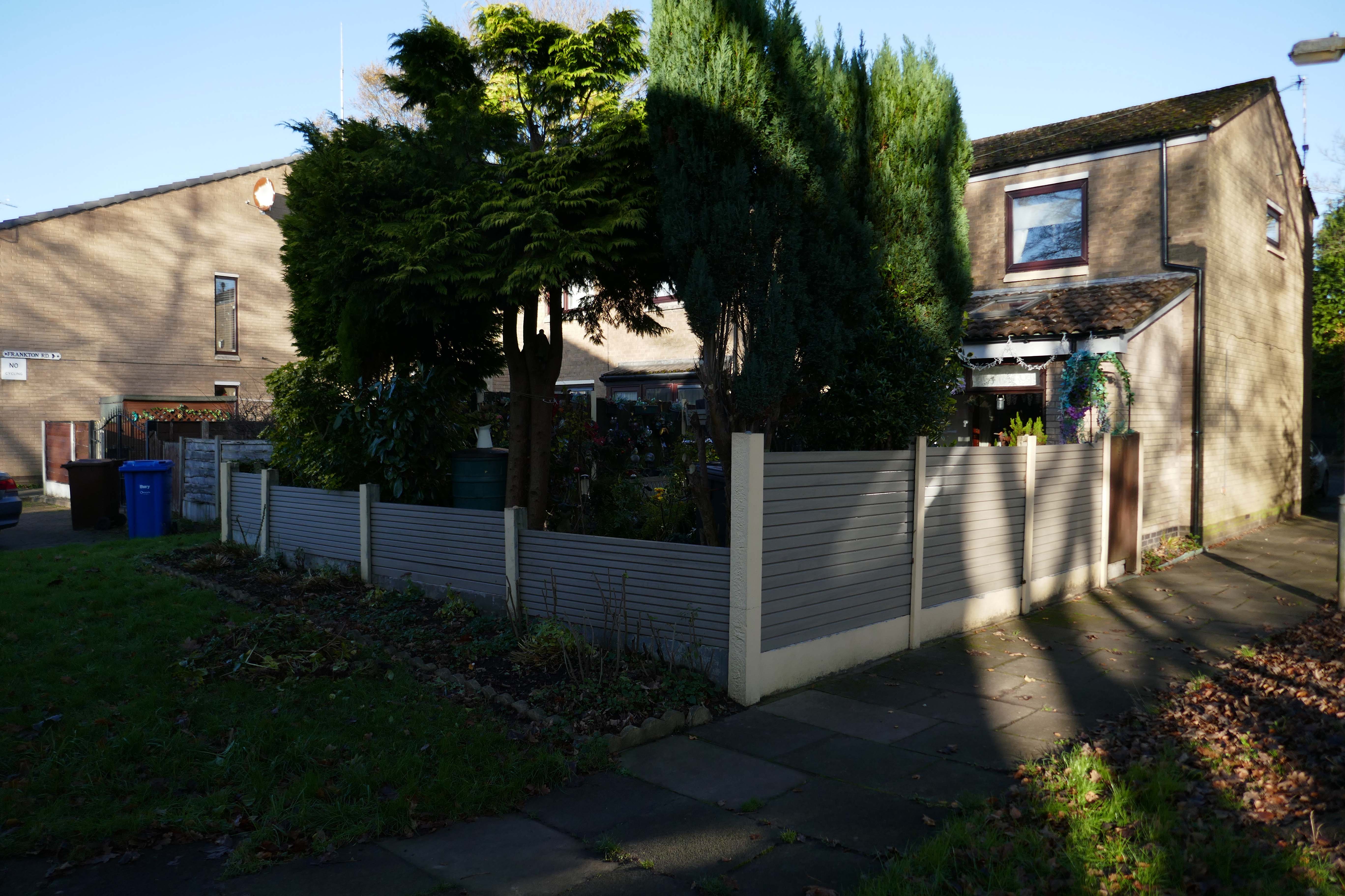
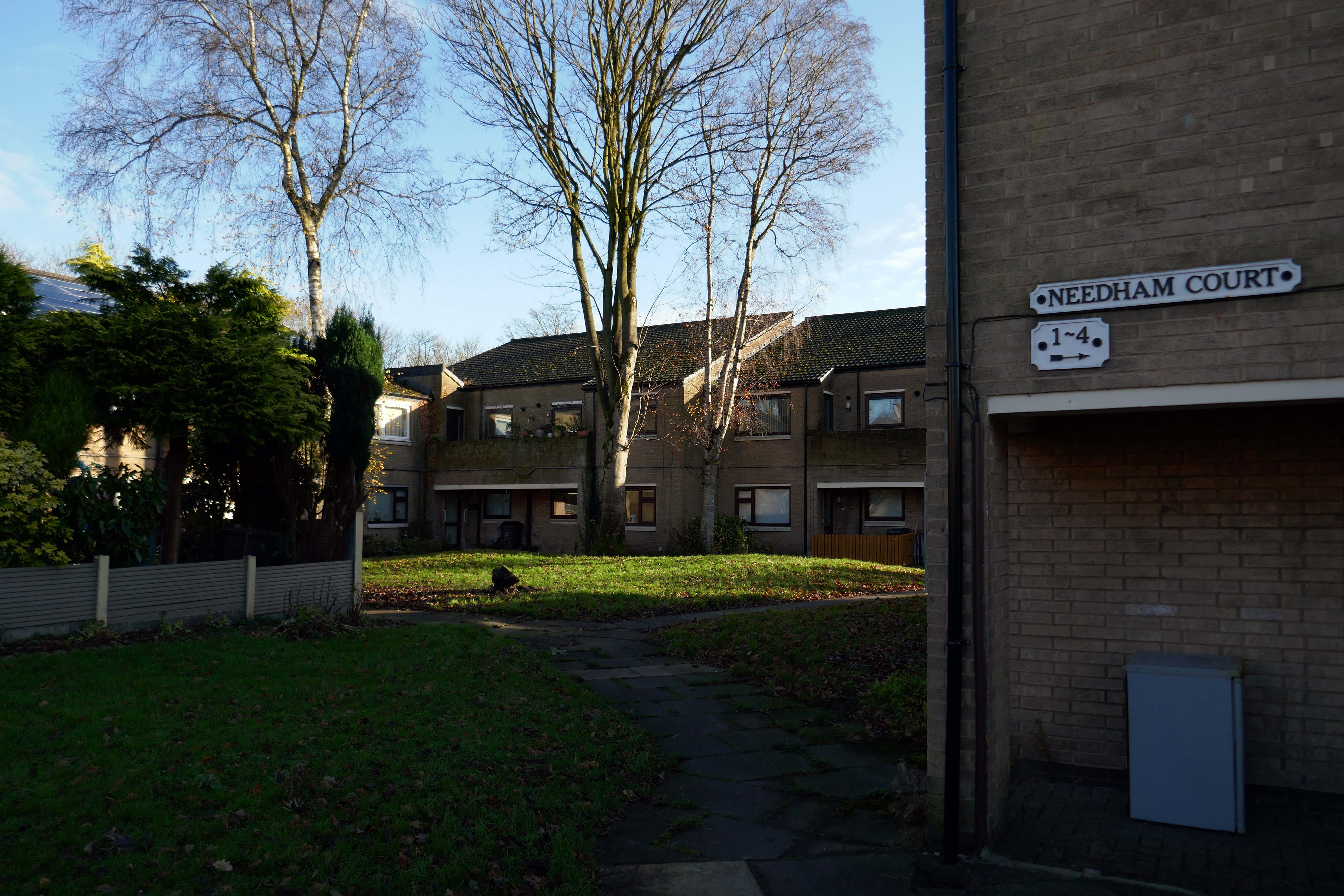
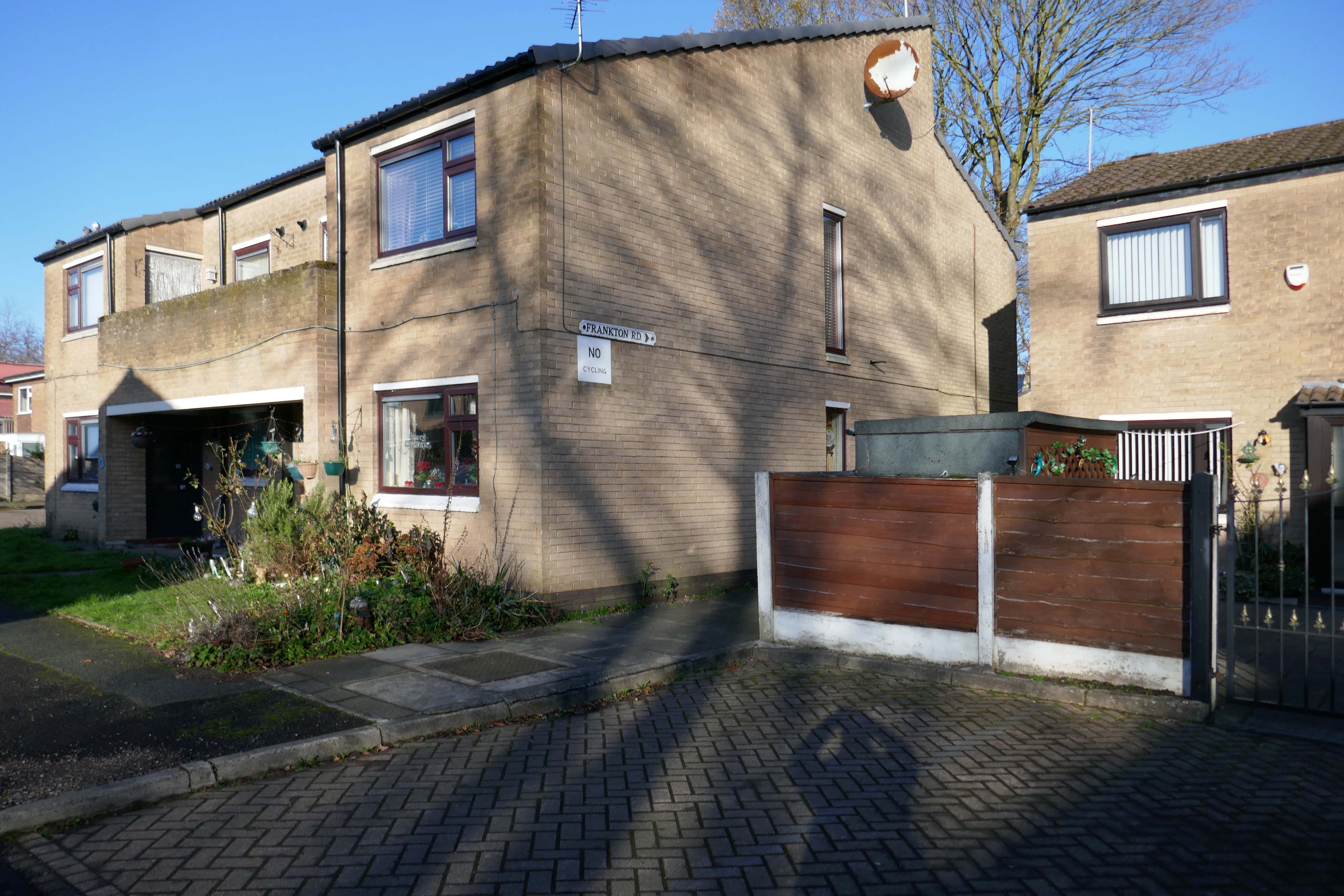
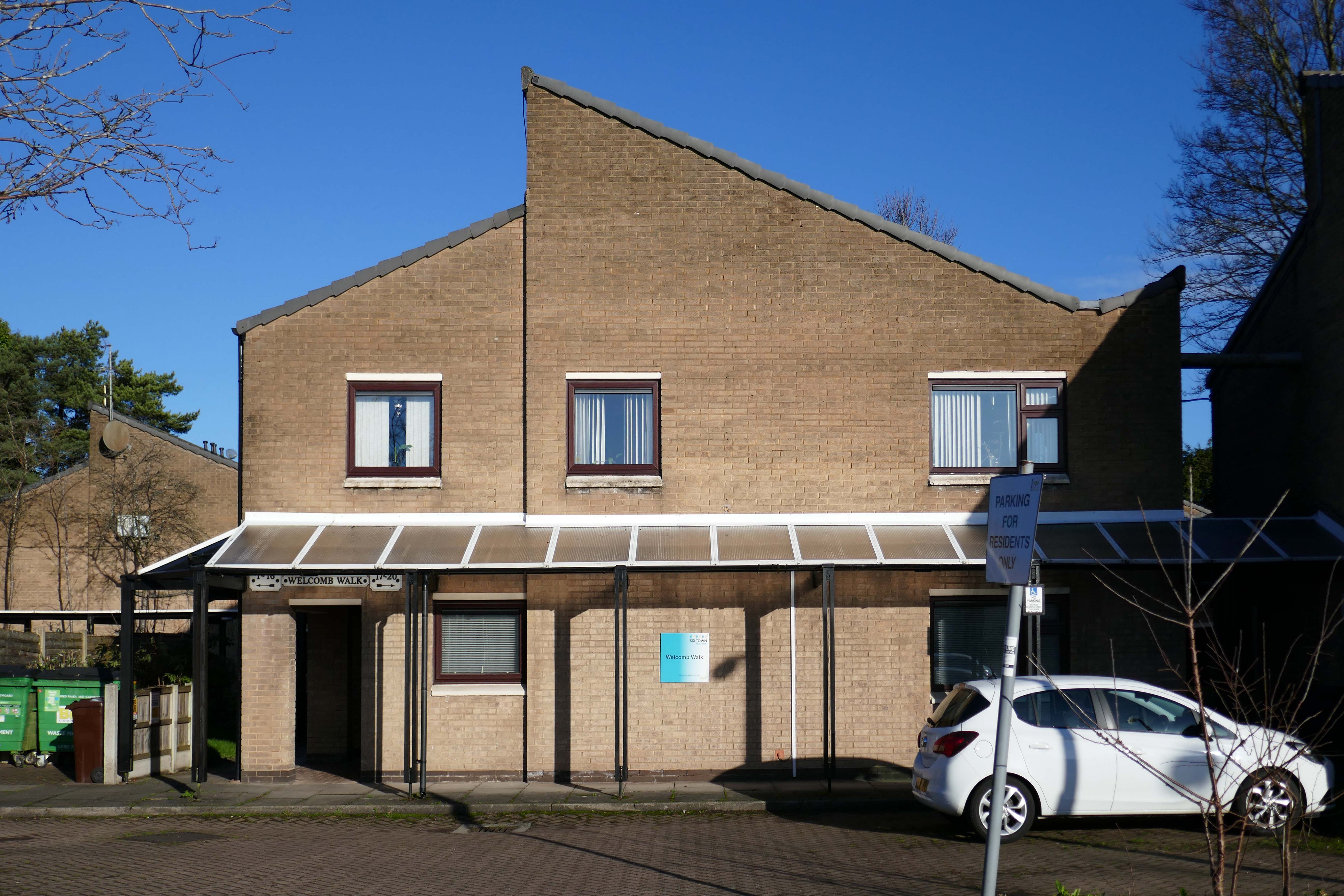
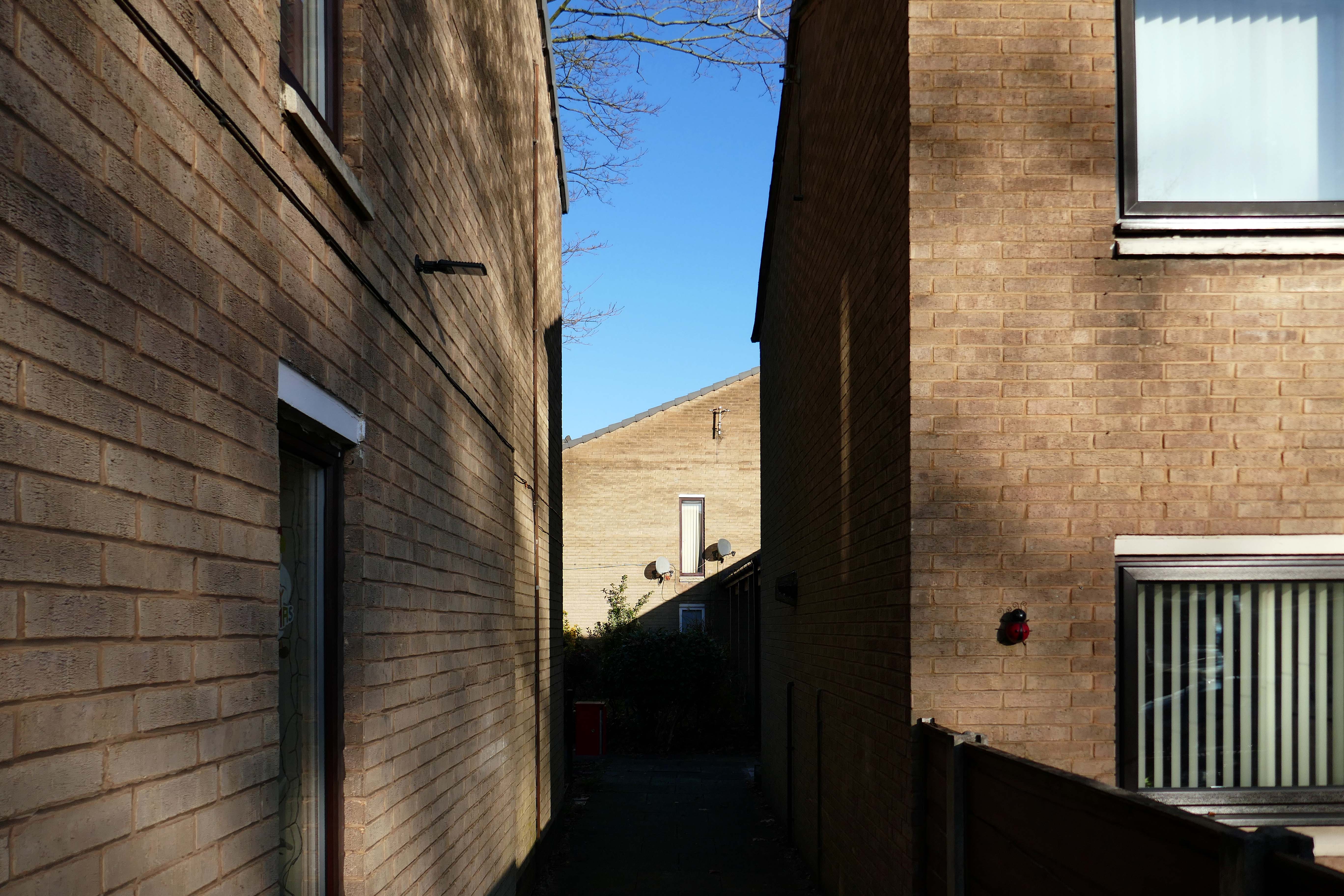
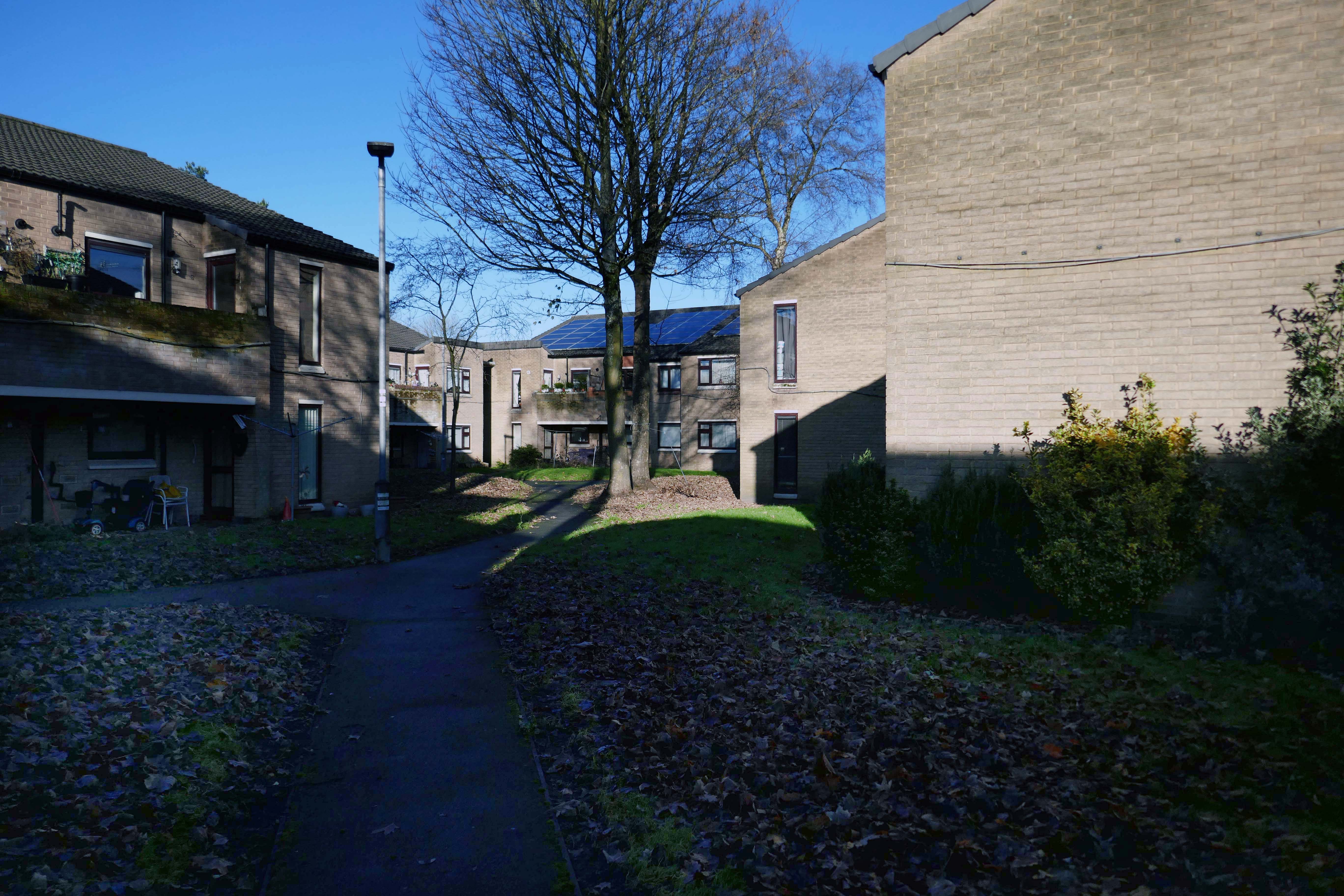
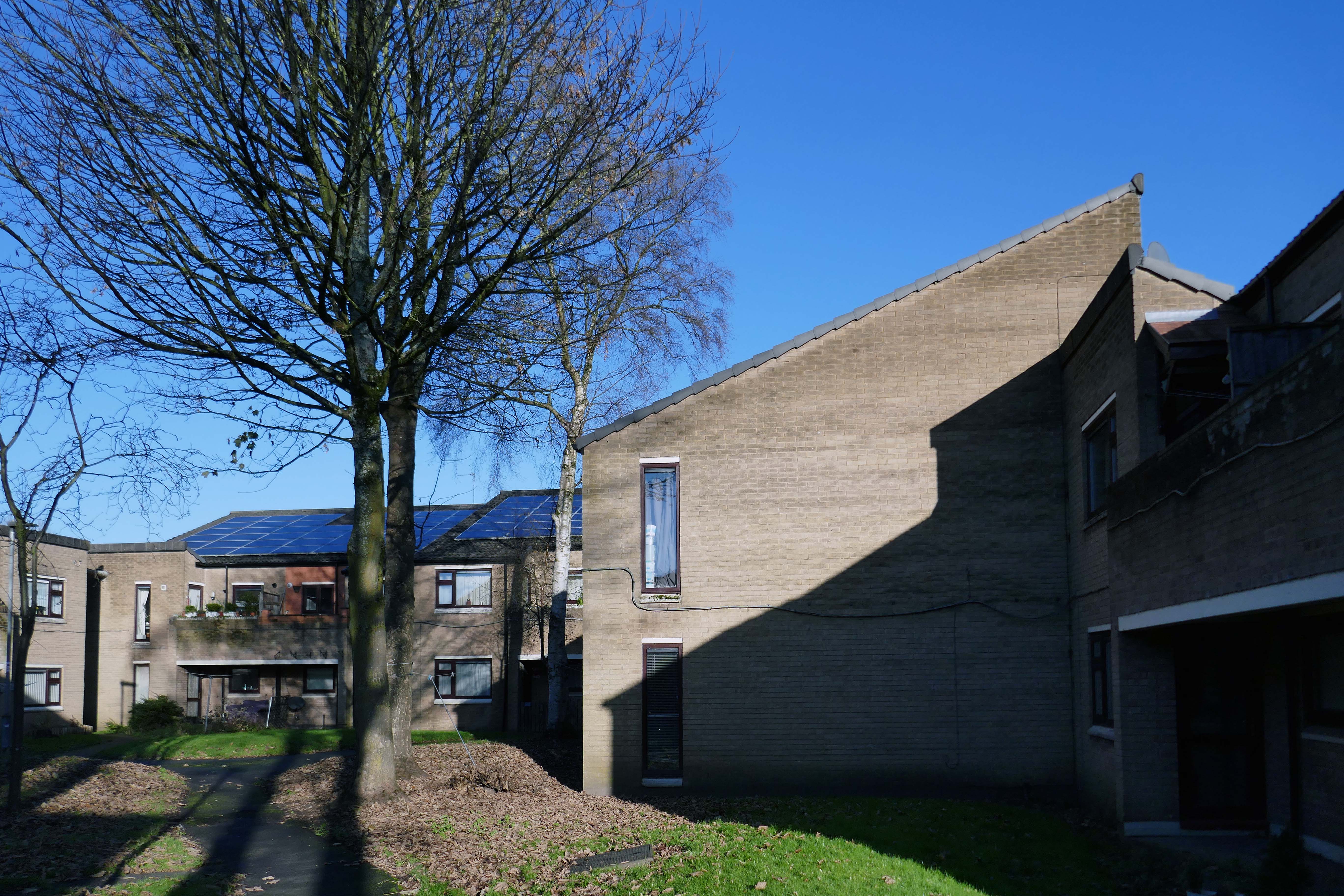
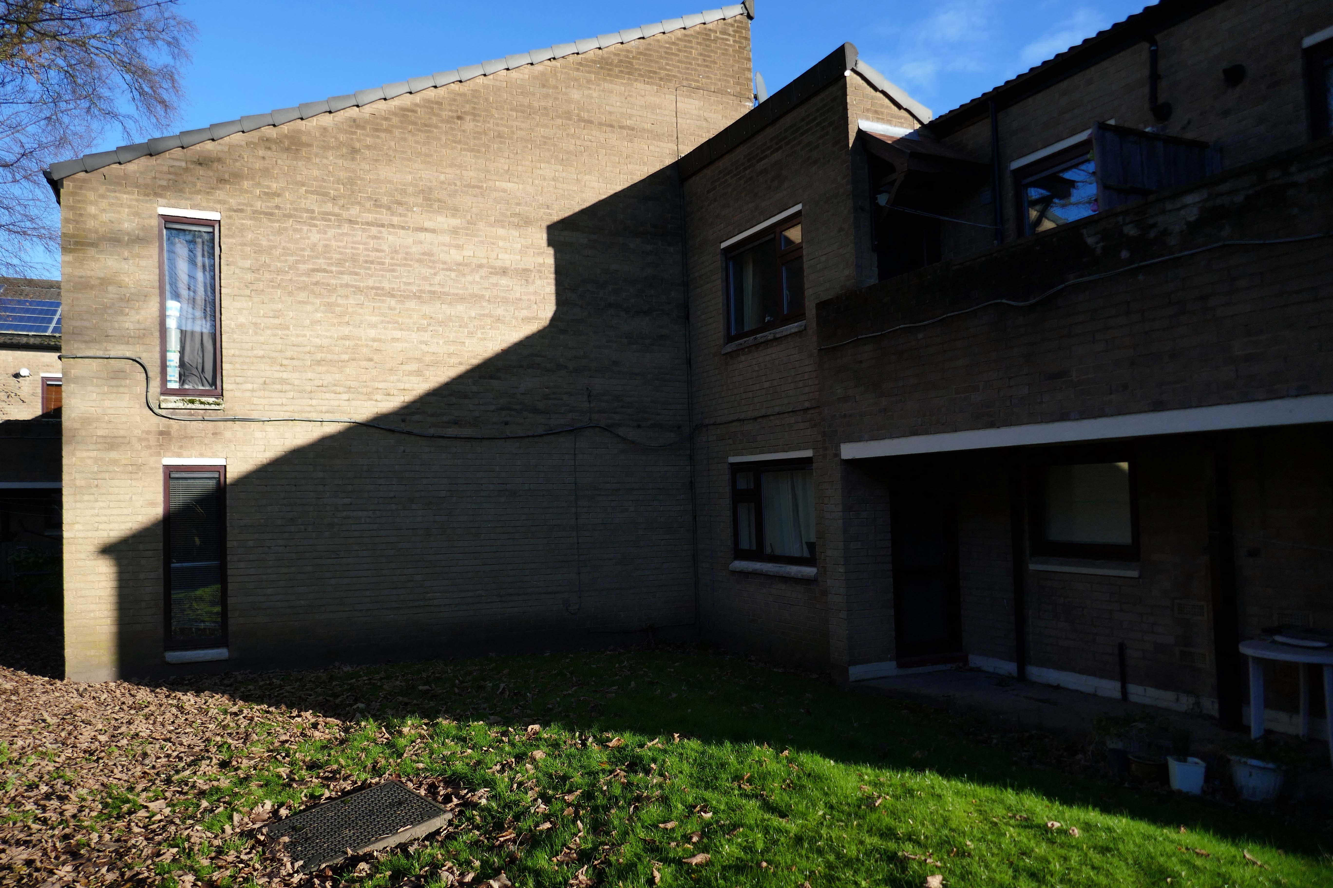
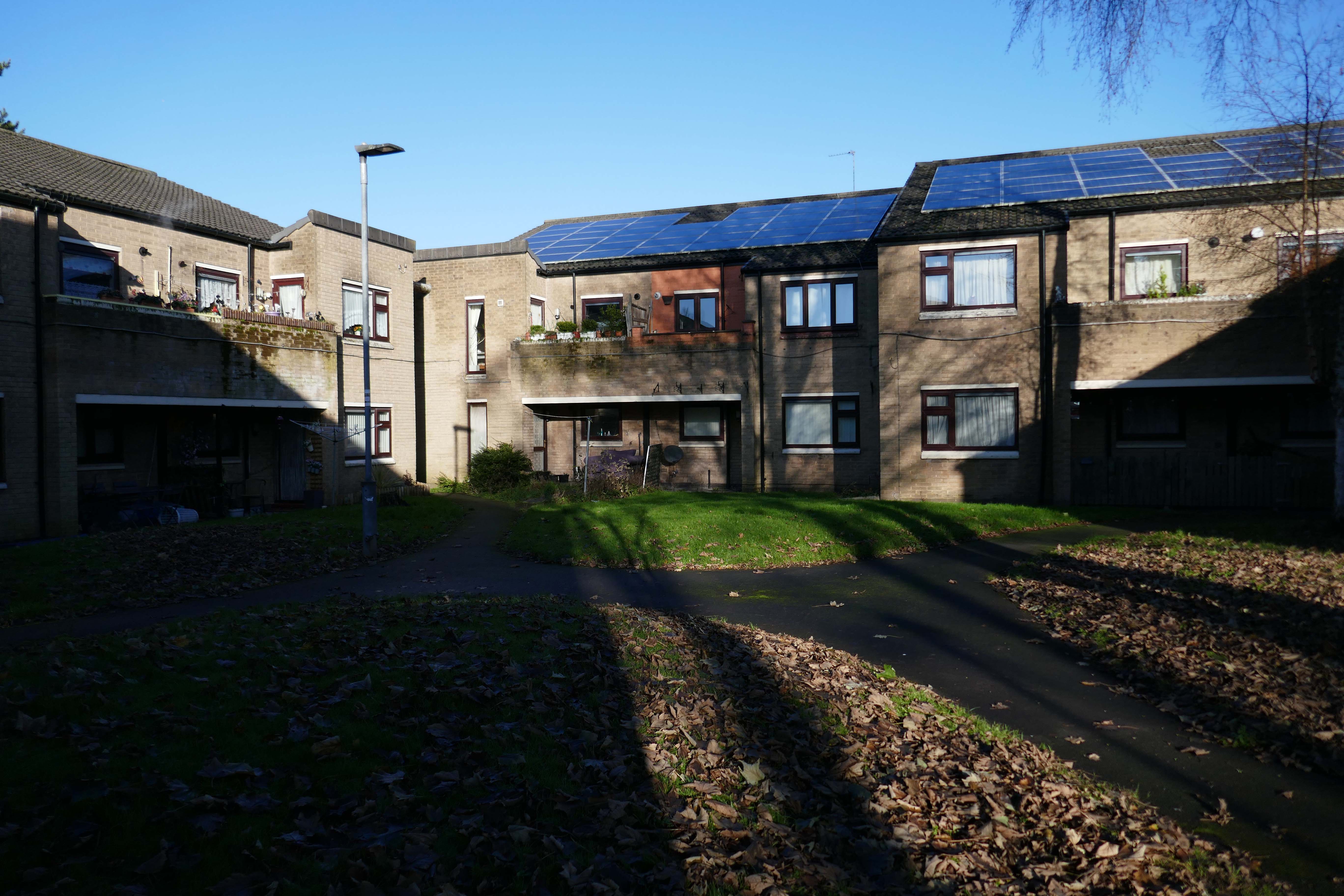
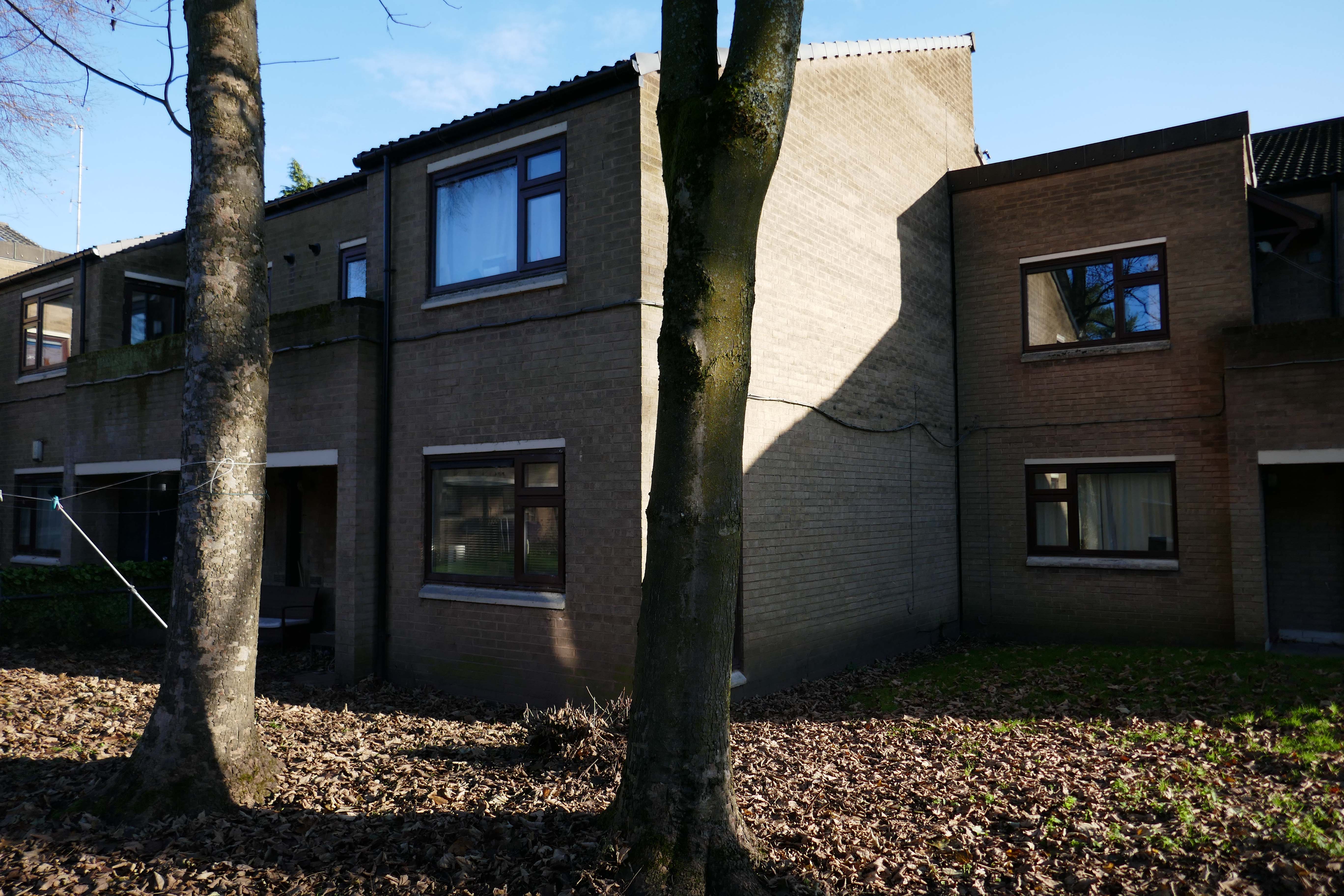
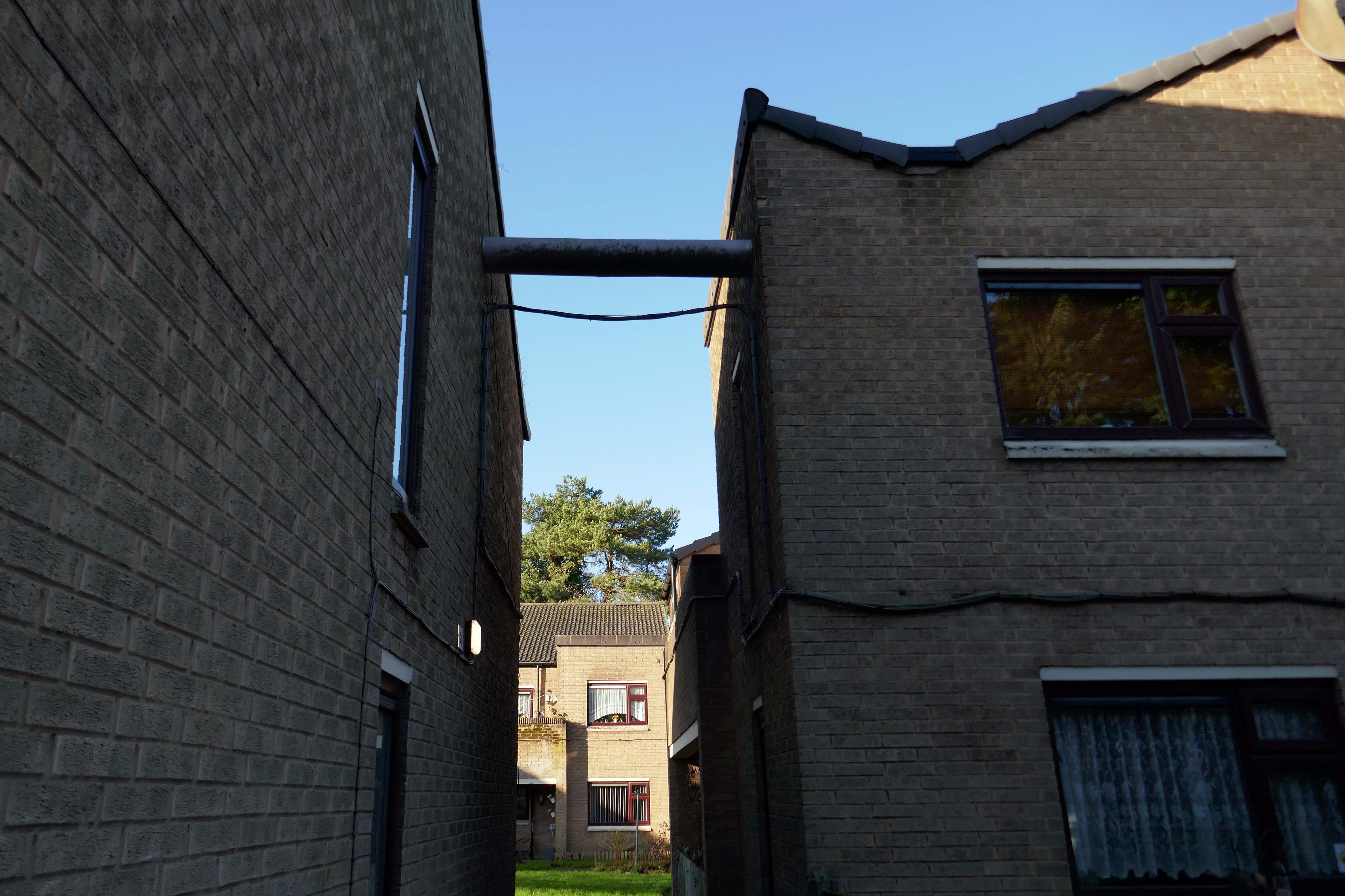
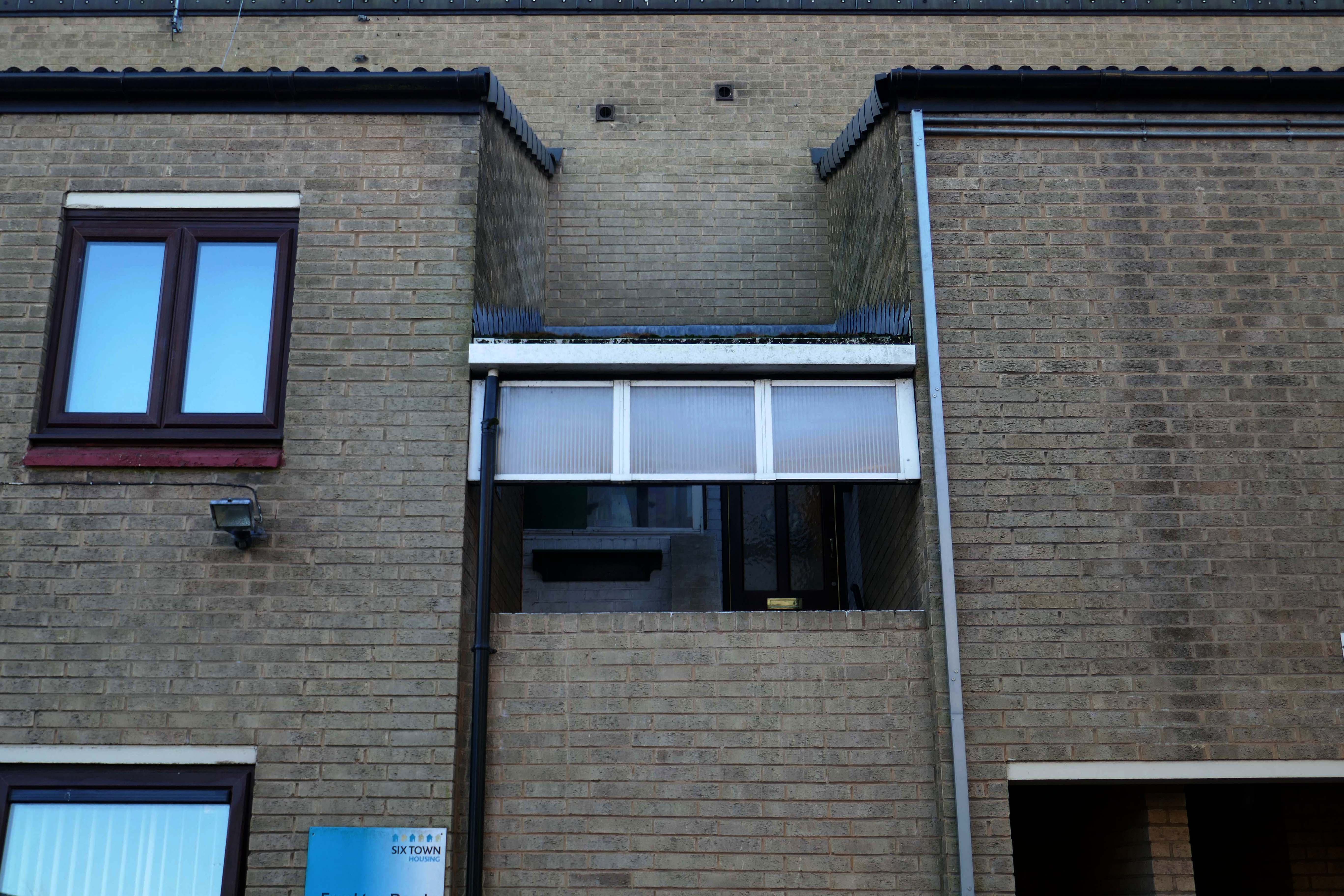
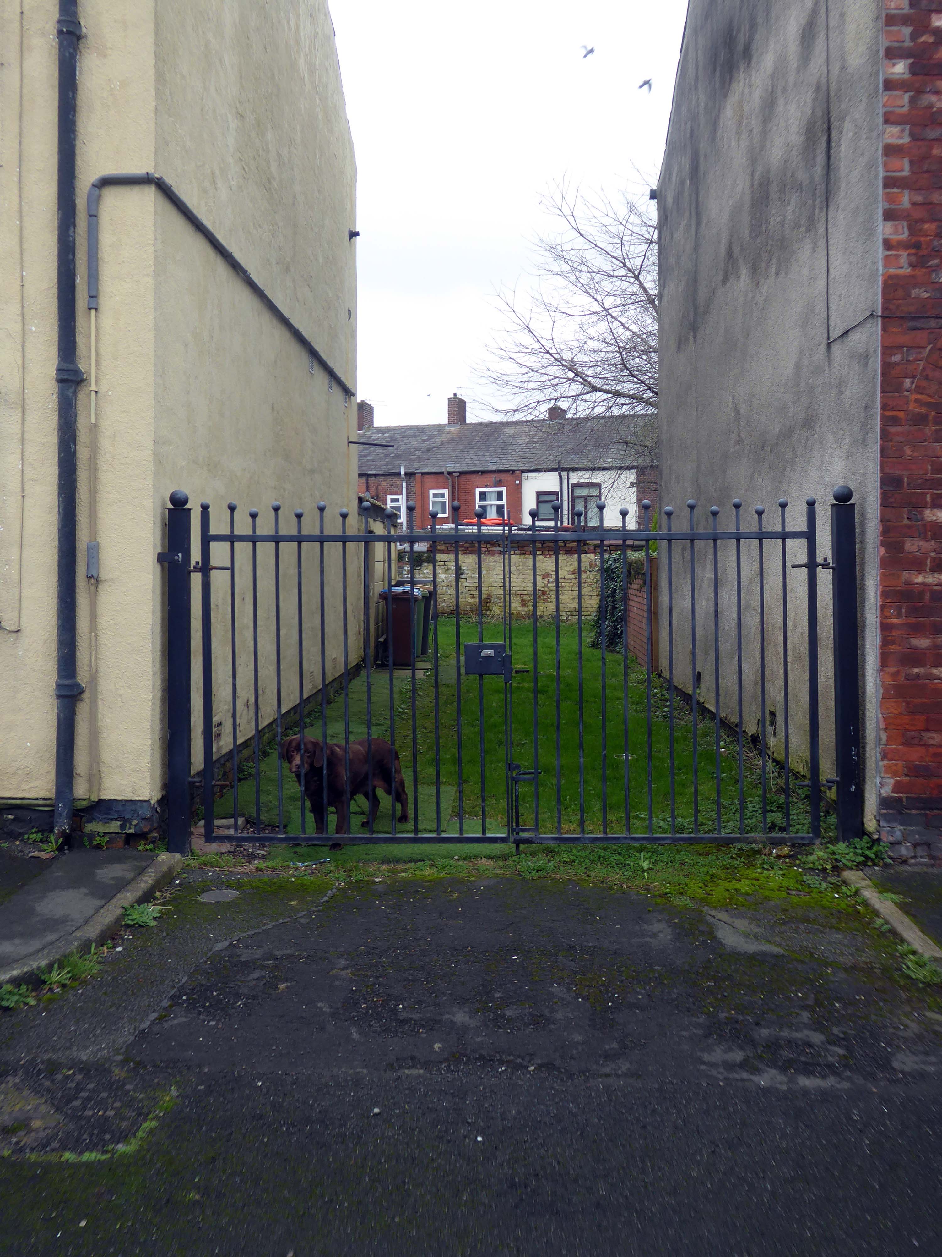
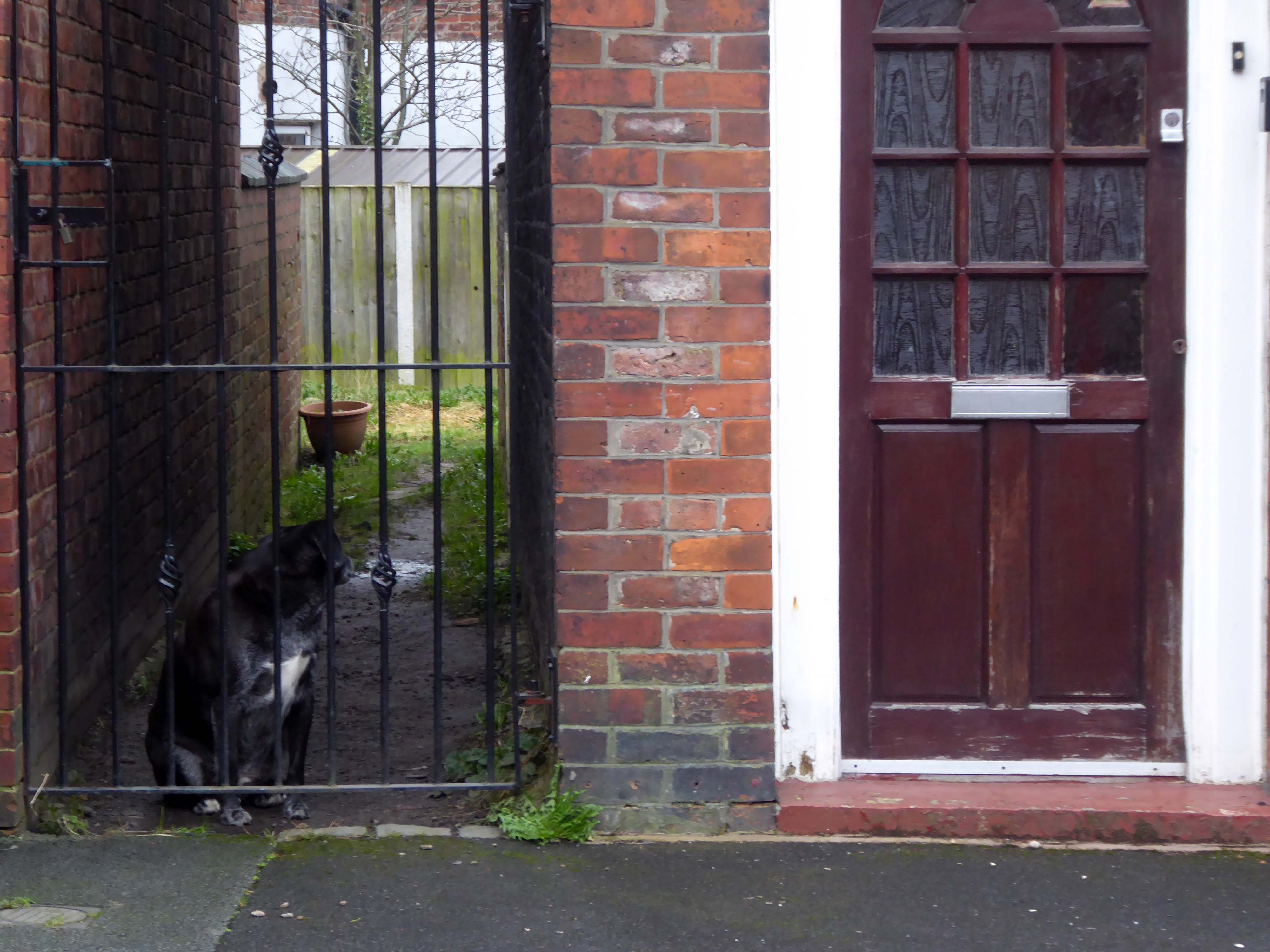
Whilst not seeking sheltered housing for my good self, I am always intrigued by small developments of interesting social housing, grouped around pedestrian walk ways and green space.
The residents with whom I chatted seems content with their homes and the management thereof.
I bade them adieu and went about my way, taking these few snaps.
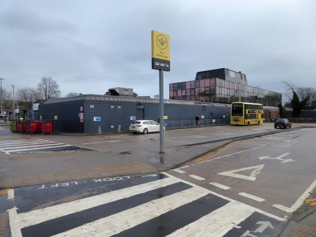
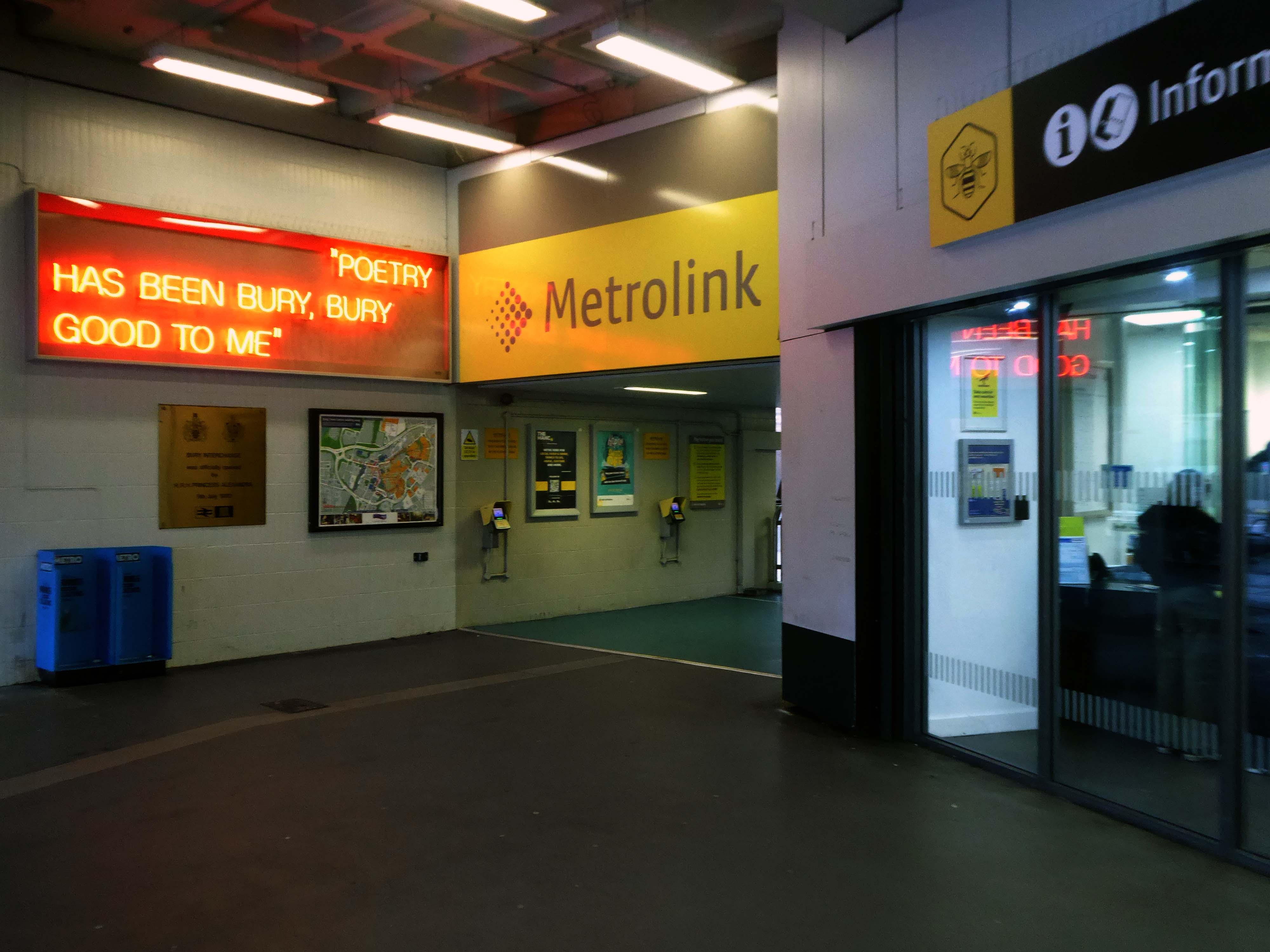
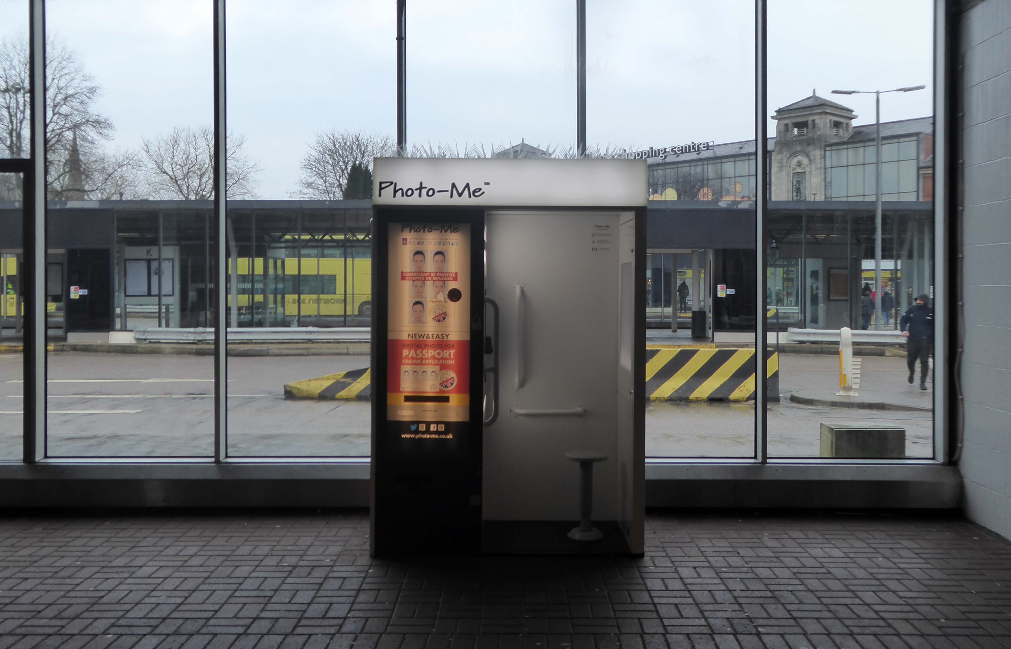
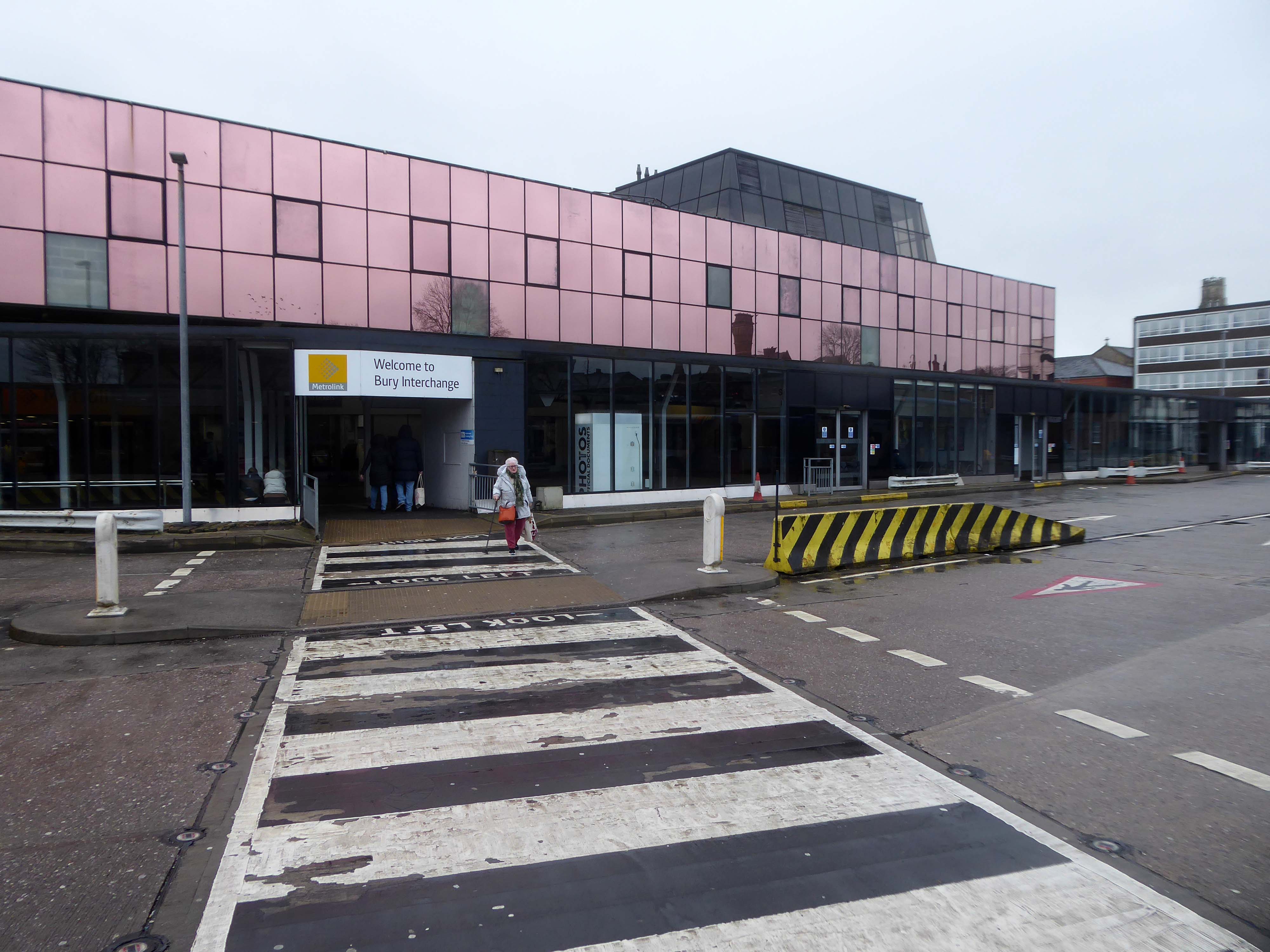
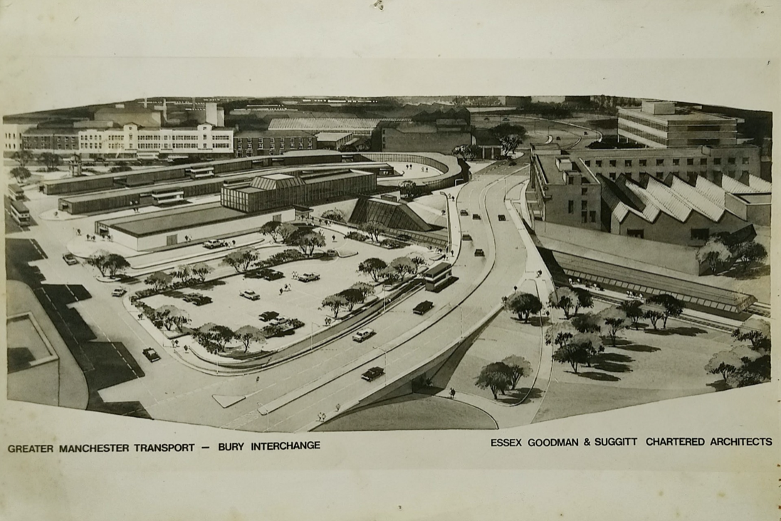
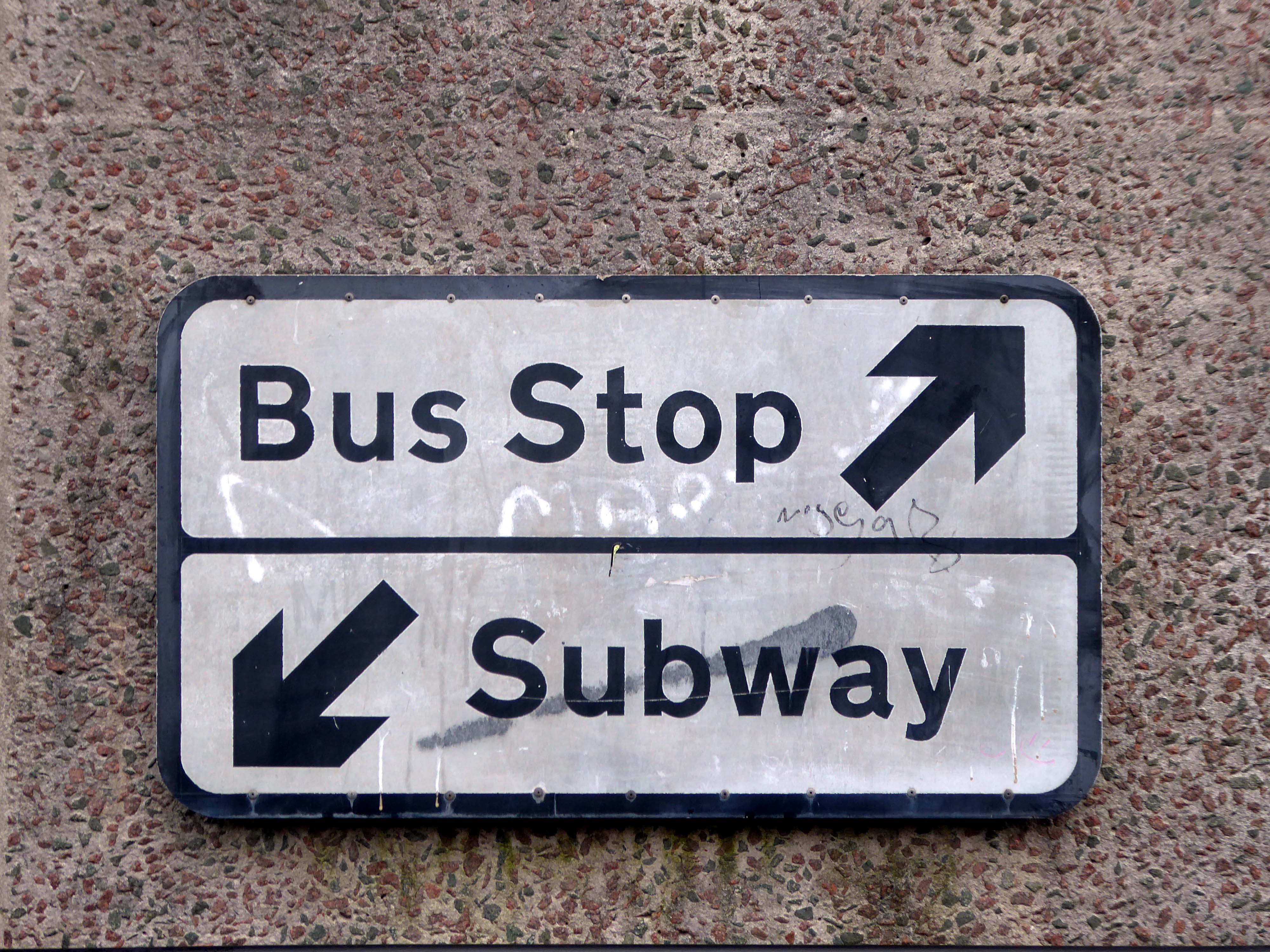
Arriving at and looking around the Interchange – 1980 architects: Essex Goodman & Suggitt
It is the northern terminus of the Manchester Metrolink’s Bury Line, which prior to 1992 was a heavy-rail line.
A new short spur line was constructed to connect the new station. The railway had originally run into Bury Bolton Street which was further away from the town centre, and was closed by British Rail on the same day that Bury Interchange opened.
It also incorporates a bus station.
Bury Interchange replaced the bus termini scattered around Bury town centre, notably around Kay Gardens.
An £80m transformation is coming to the Bury Interchange, which will see step-free access at the Metrolink, a “vertical circulation core” to better connect the Metrolink with the bus facility, and an integrated travel hub with spaces for cycle storage.
The work is much-needed, explained Transport for Greater Manchester’s Alan Lowe, he said that the interchange was built in the 1980s and very much is of its time.
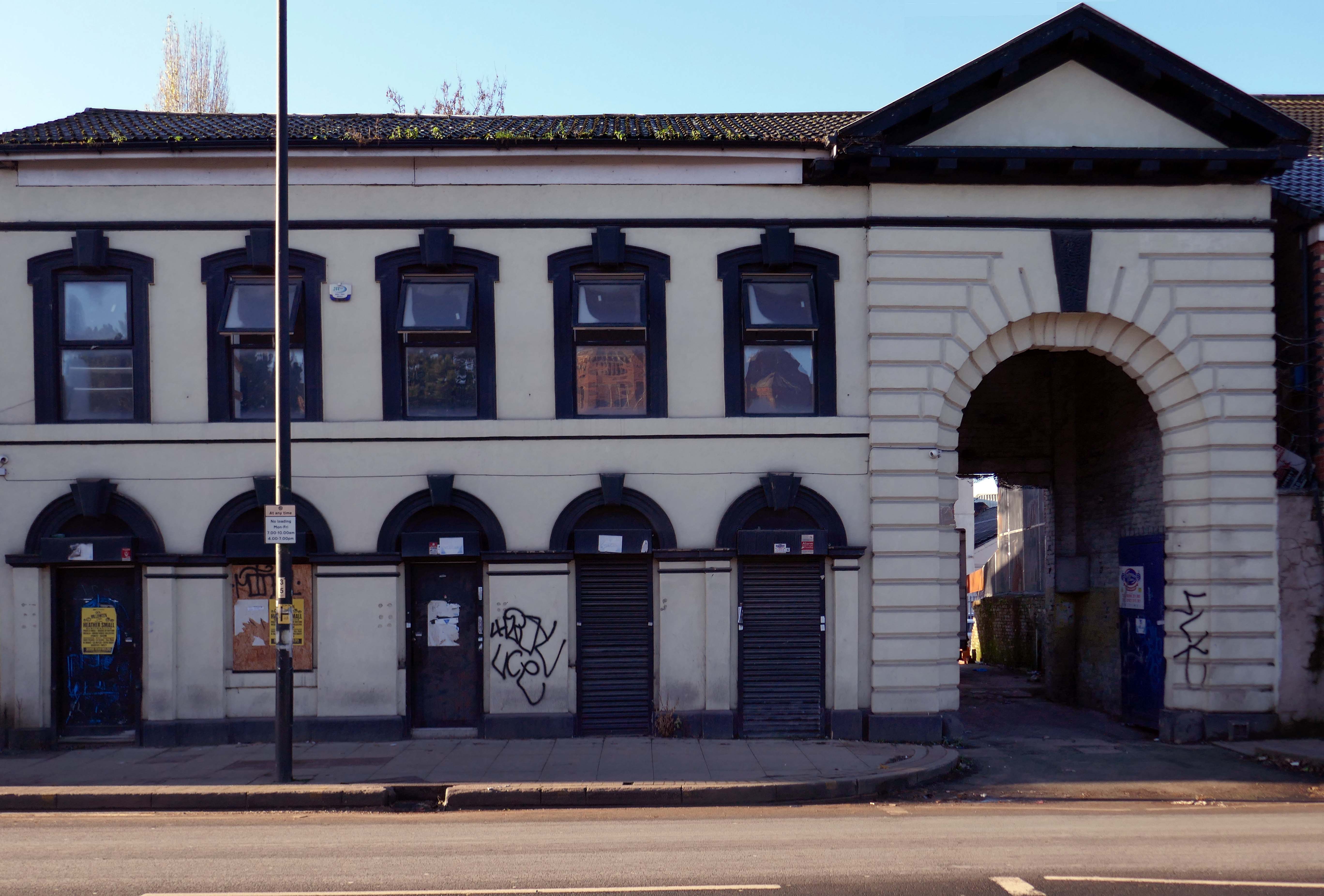
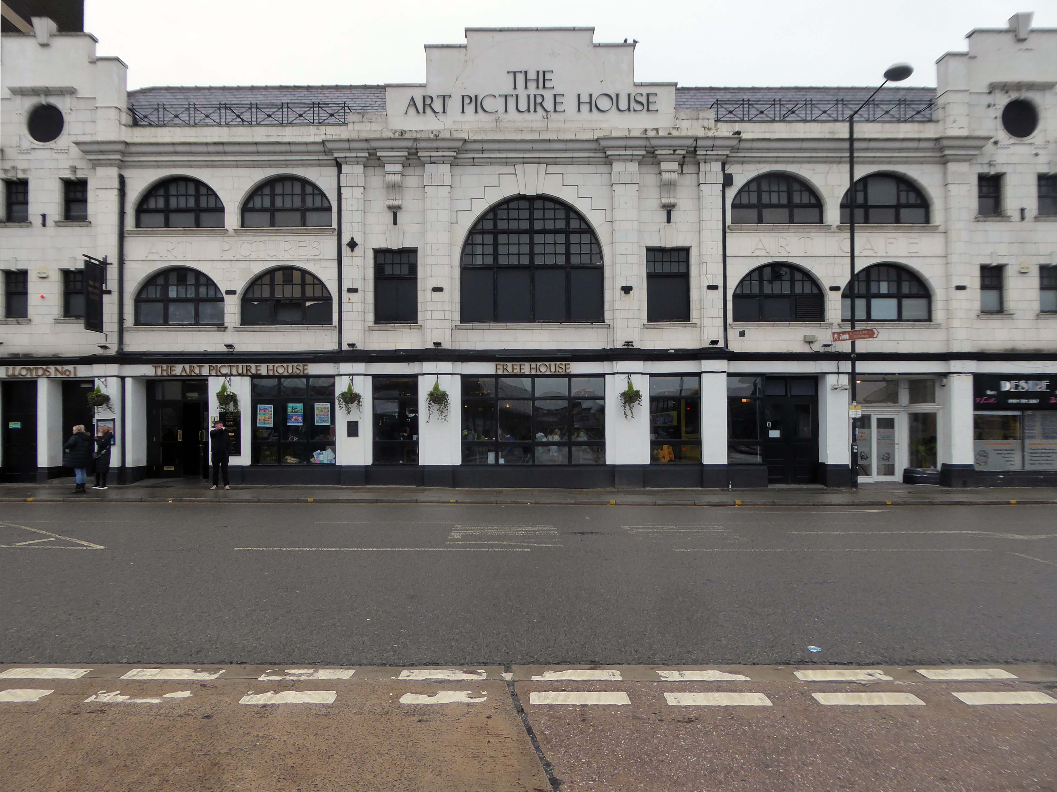
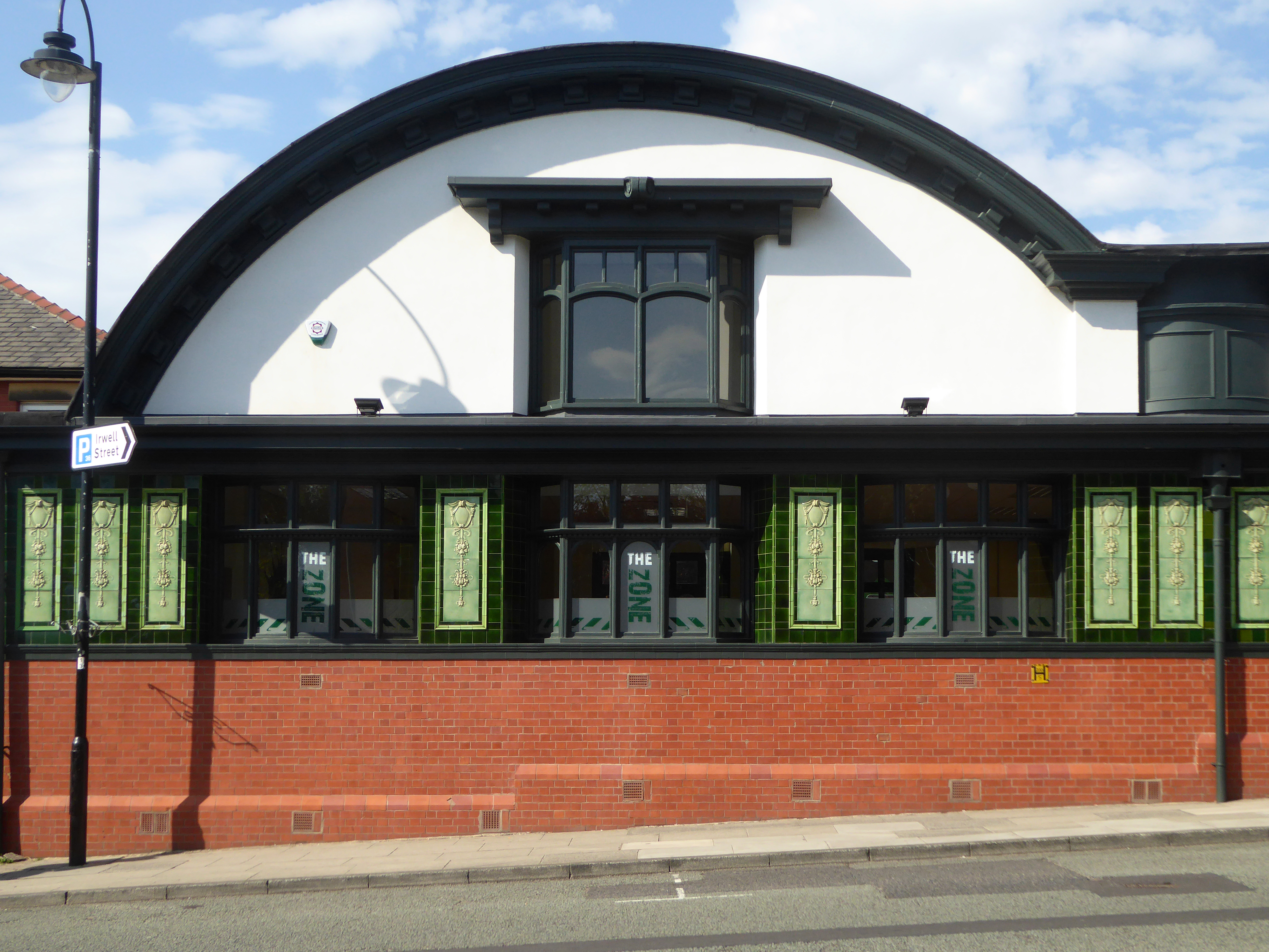
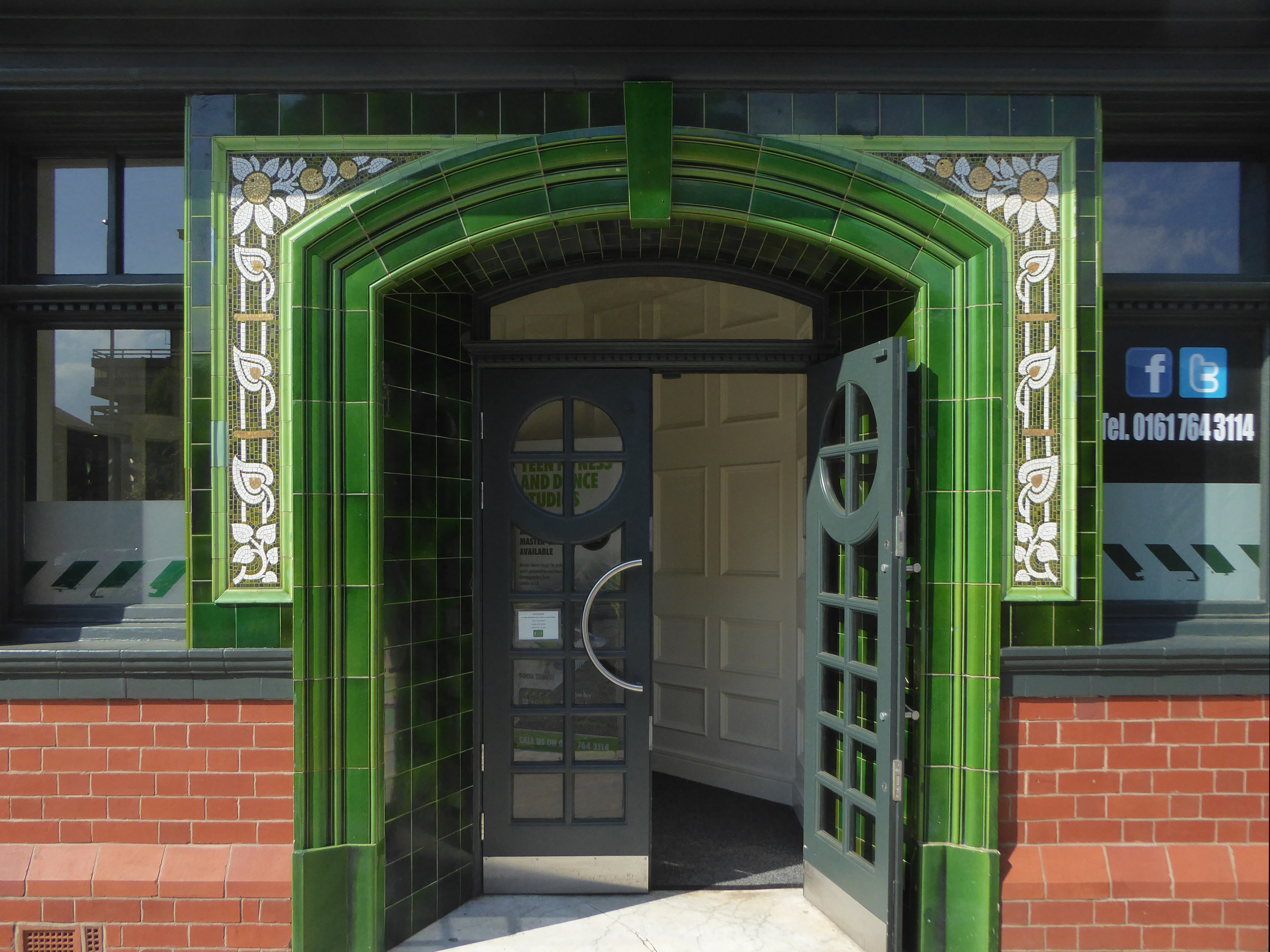
The Art Picture Palace was a 1923 rebuild of the earlier Art Picture Hall both designed by architect Albert Winstanley. The Art Picture Palace was opened on 26th January 1923. A remarkably complete survivor of a 1920’s cine-variety house executed in an elaborate style.
Films ceased in February 1965 and it became a bingo club. Later converted into a billiard hall until 19th May 1991 when it became a bingo club again, it later became a Chicago Rock Cafe.
Cinema Treasures
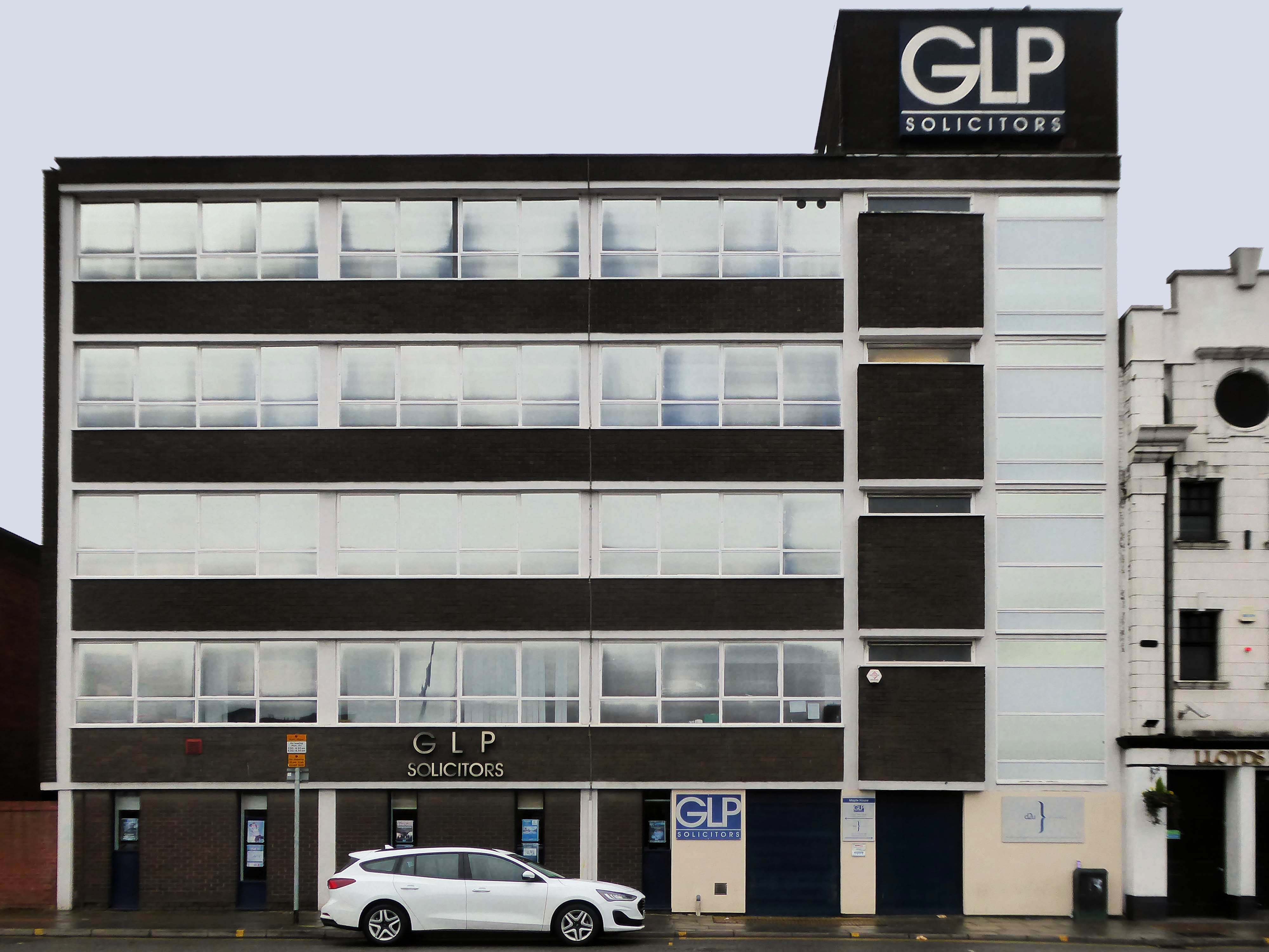
Next door a typical steel glass and brick banded office block Maple House.
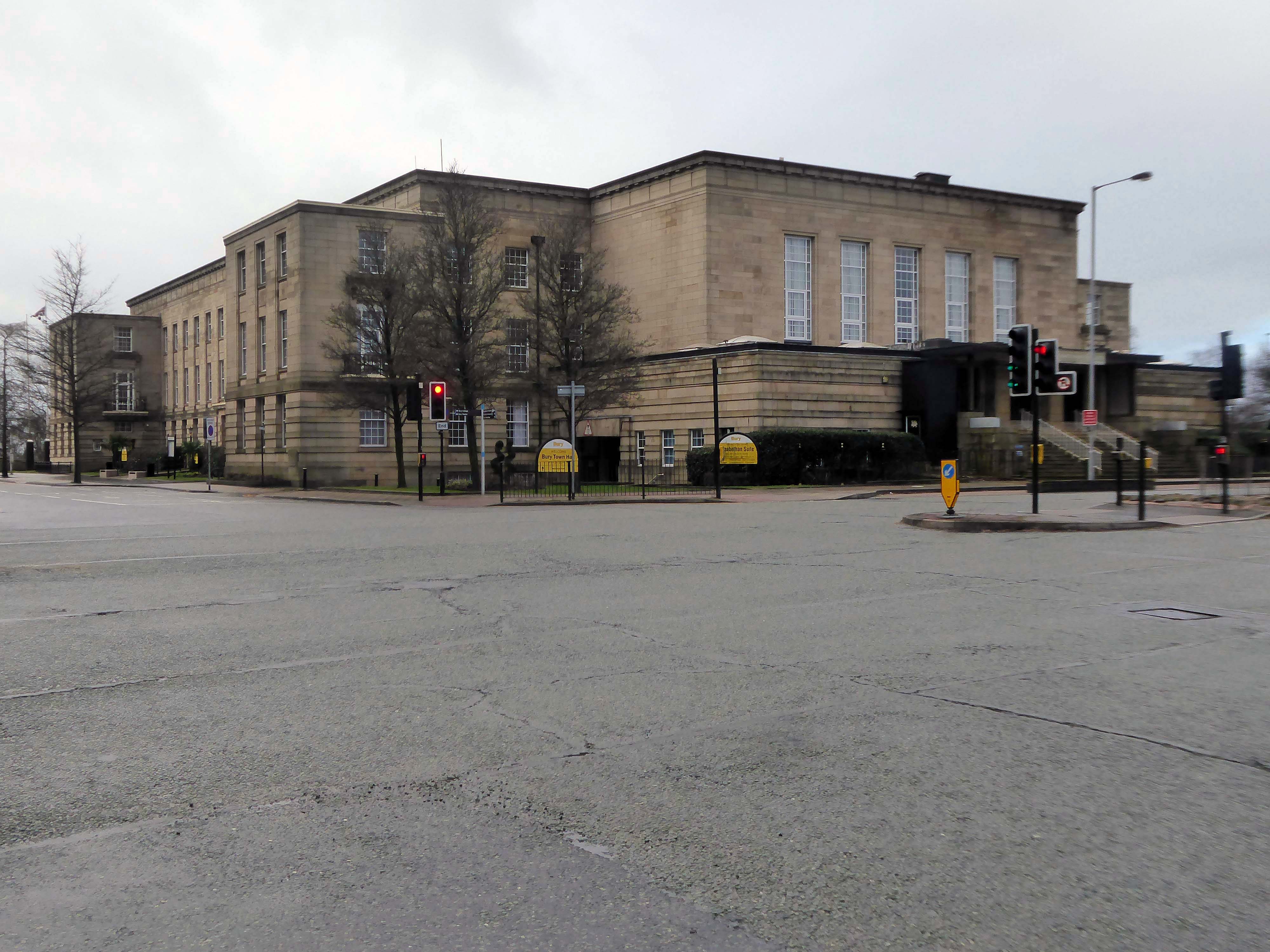
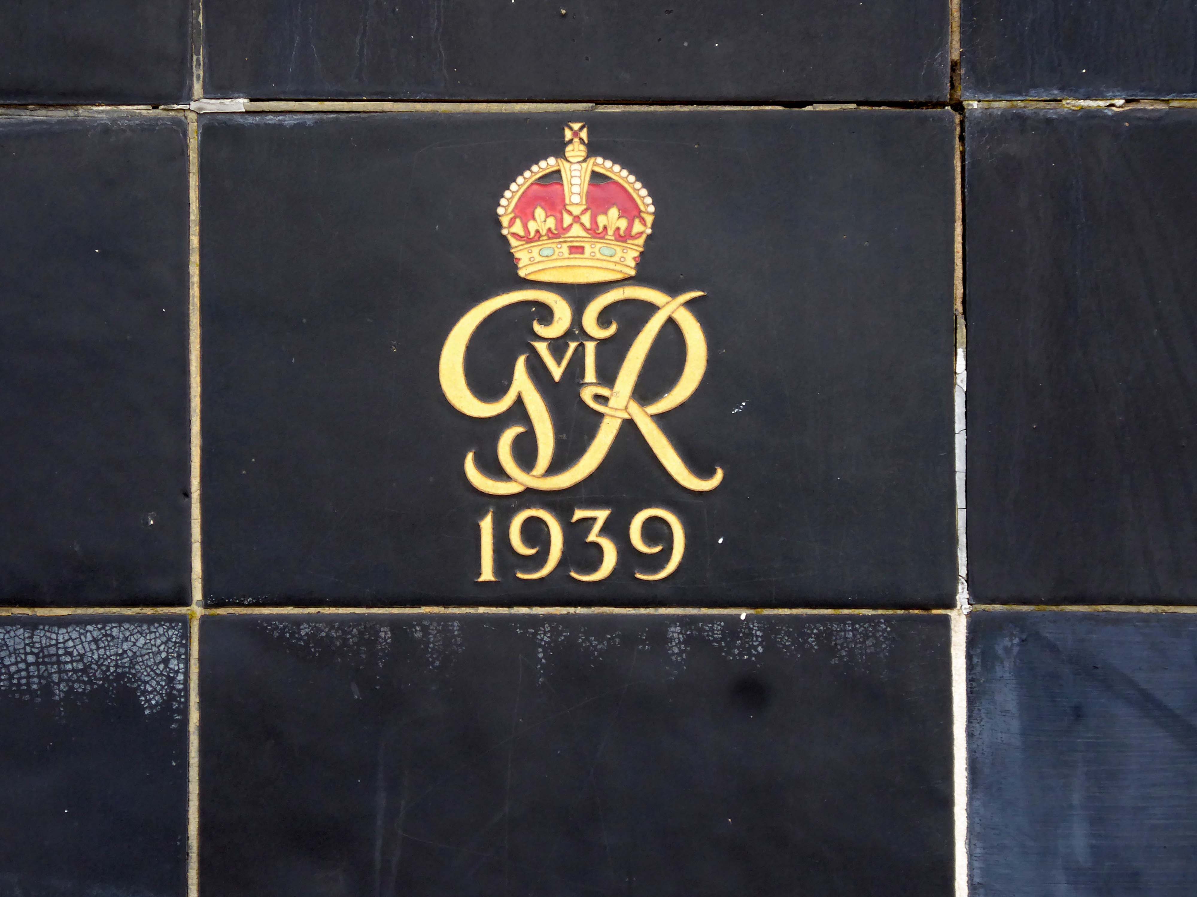
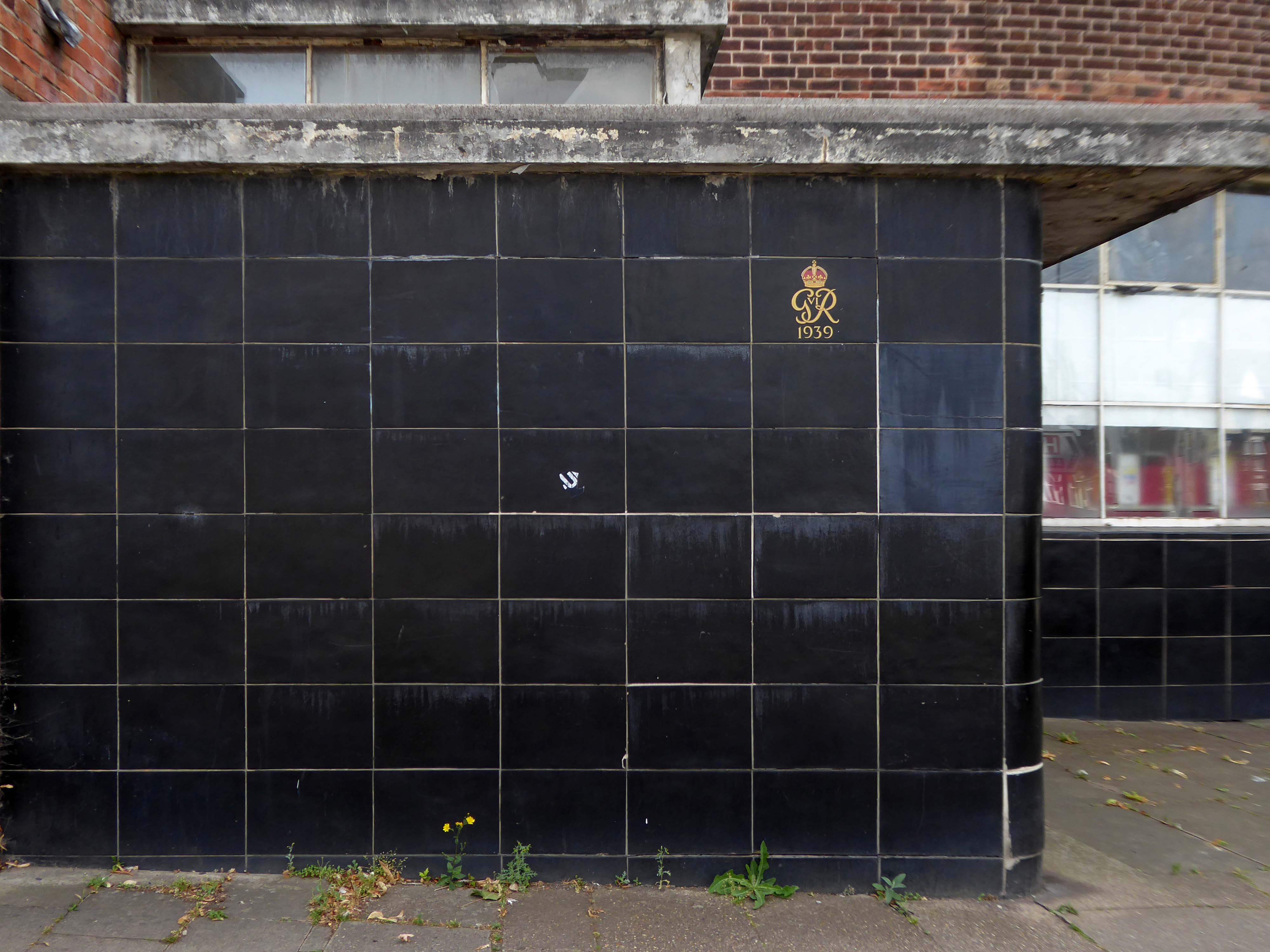
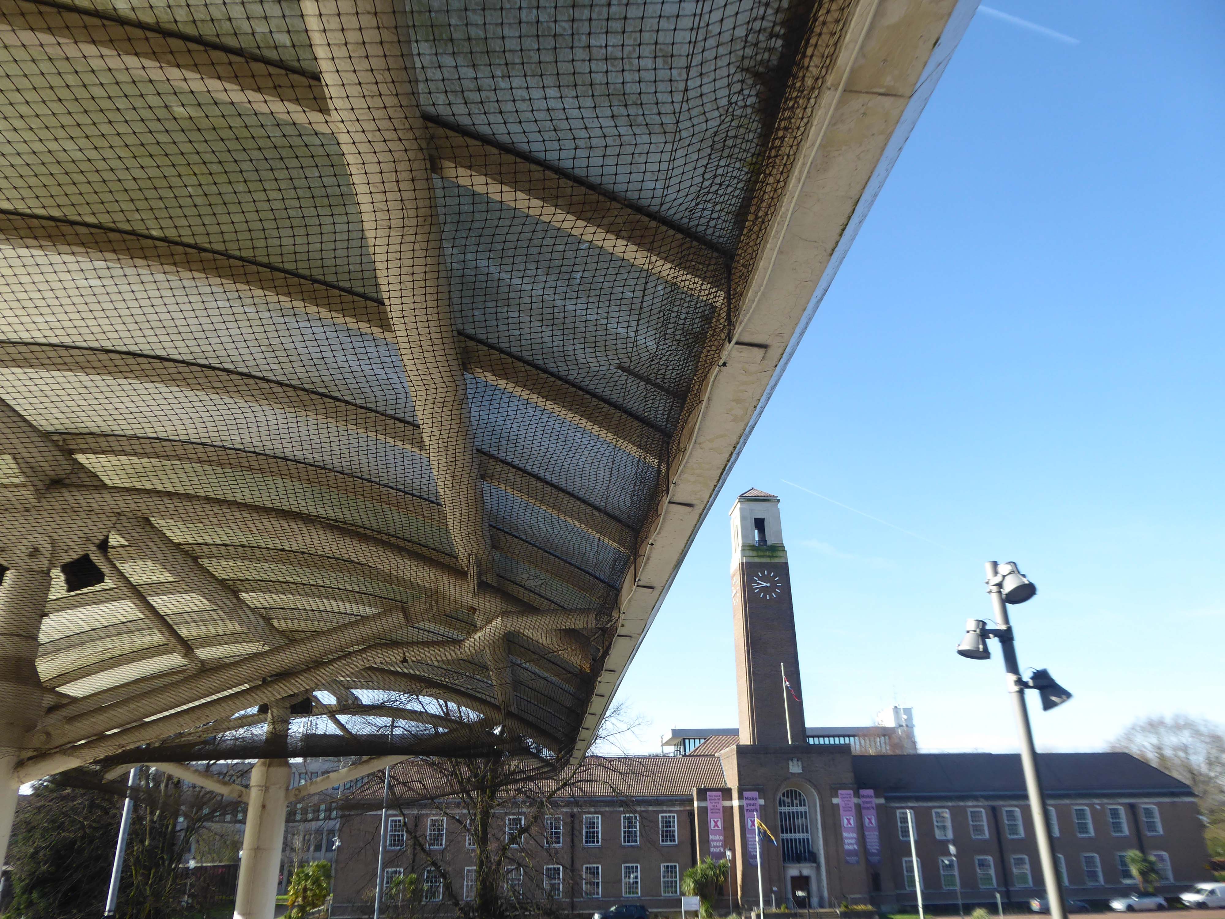
Around the corner and over the road to the Town Hall 1939-40 architects: Reginald Edmonds of Jackson & Edmonds then 1947-54.
Large and Dull – Niklaus Pevsner.
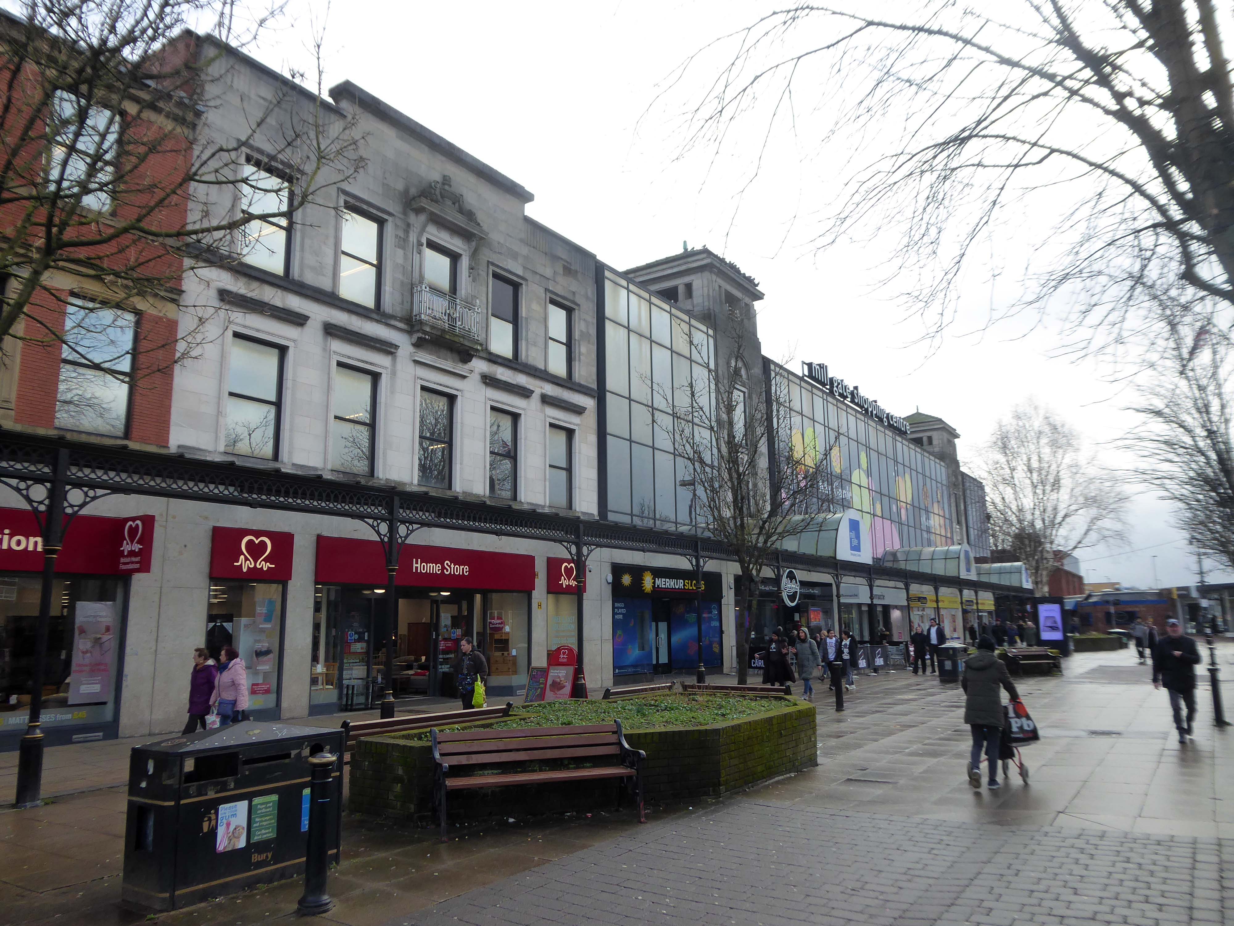
Back through the Interchange to the former Cooperative Store of the 1930’s.
The Portland Stone towers still visible – the elevation largely retro-clad in glass.
Passing through the Millgate Shopping Centre of the 1980’s.
Unambitious but successful, the floors cheerfully tiled – Niklaus Pevsner.
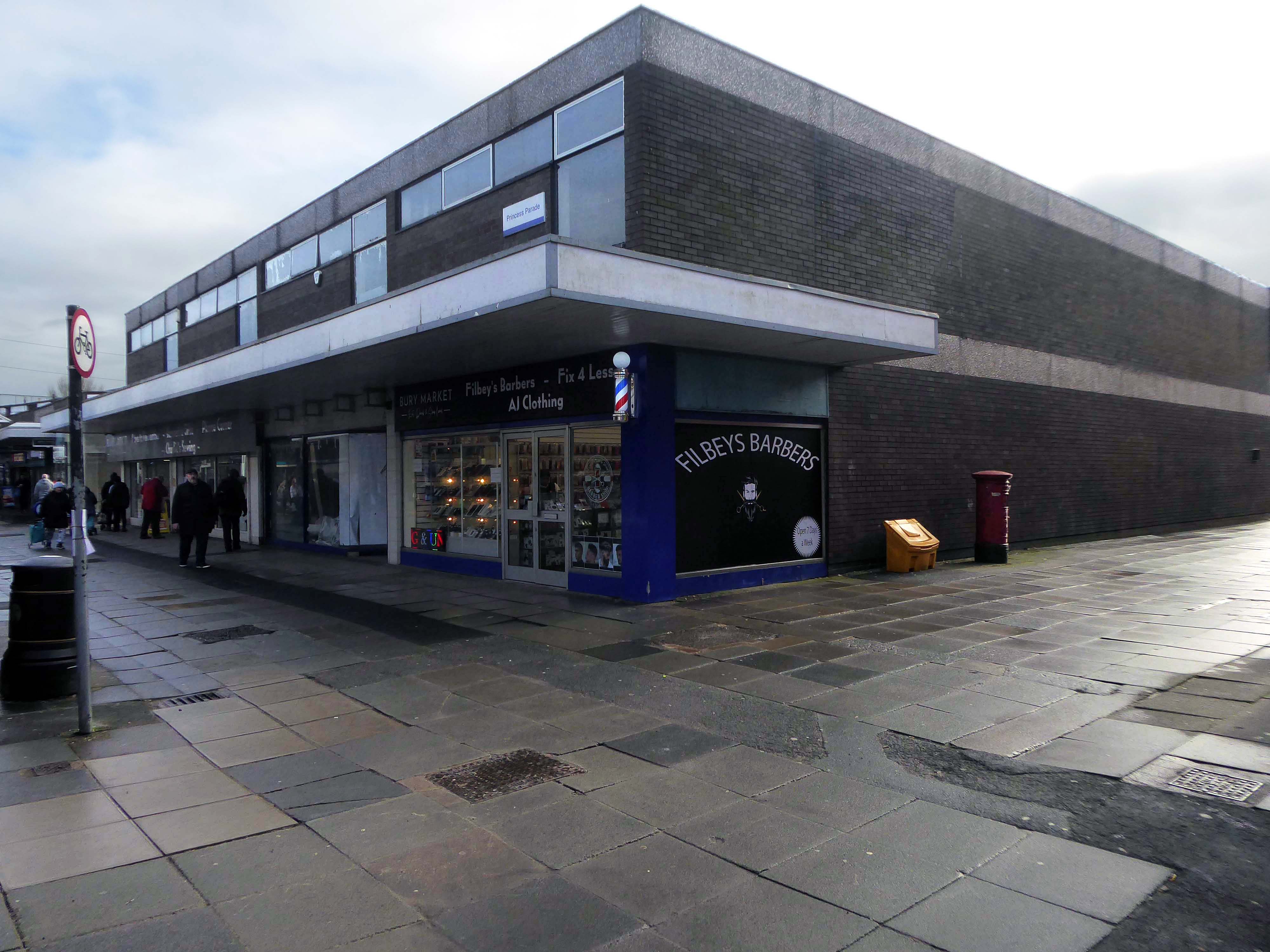
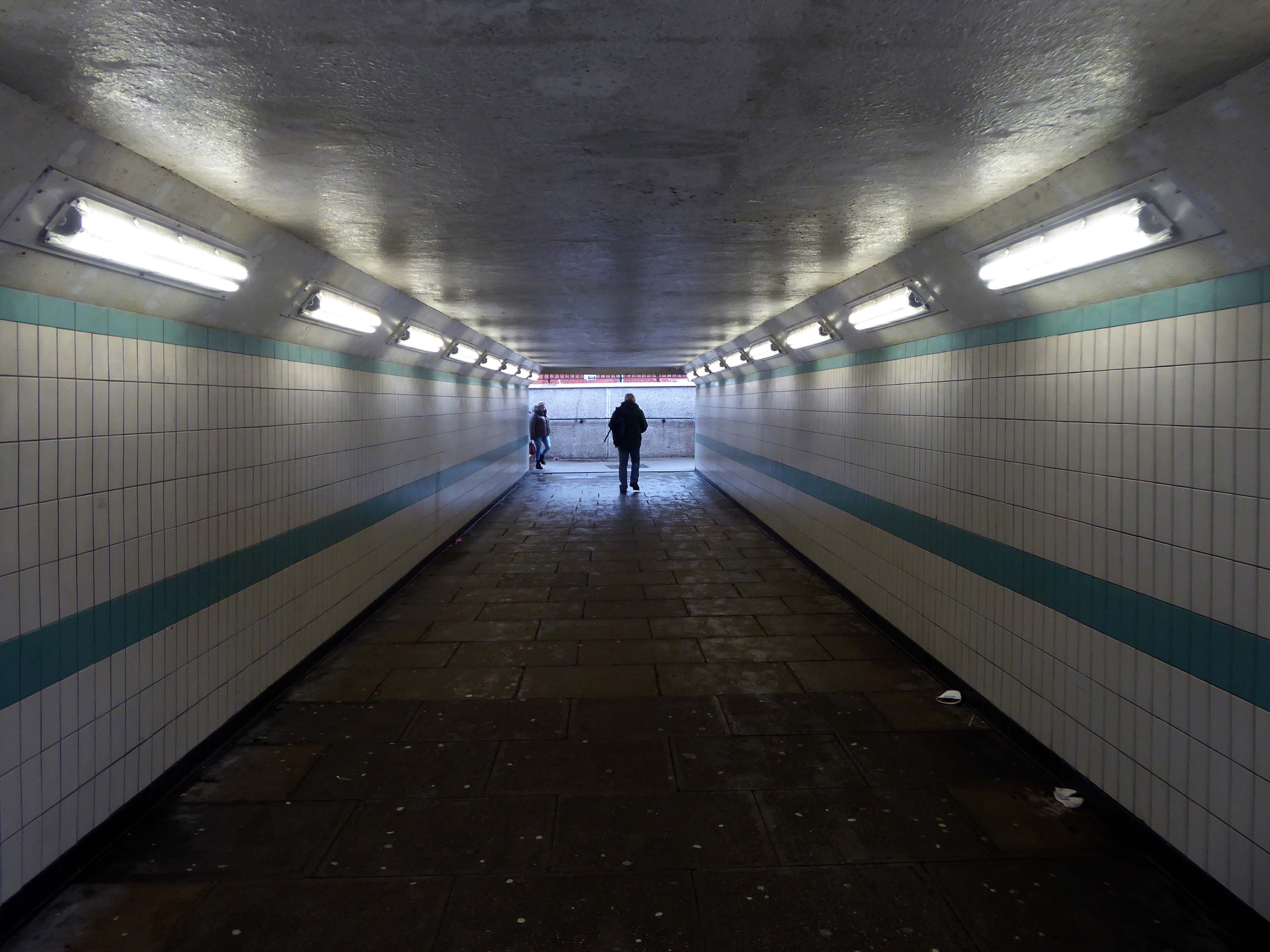
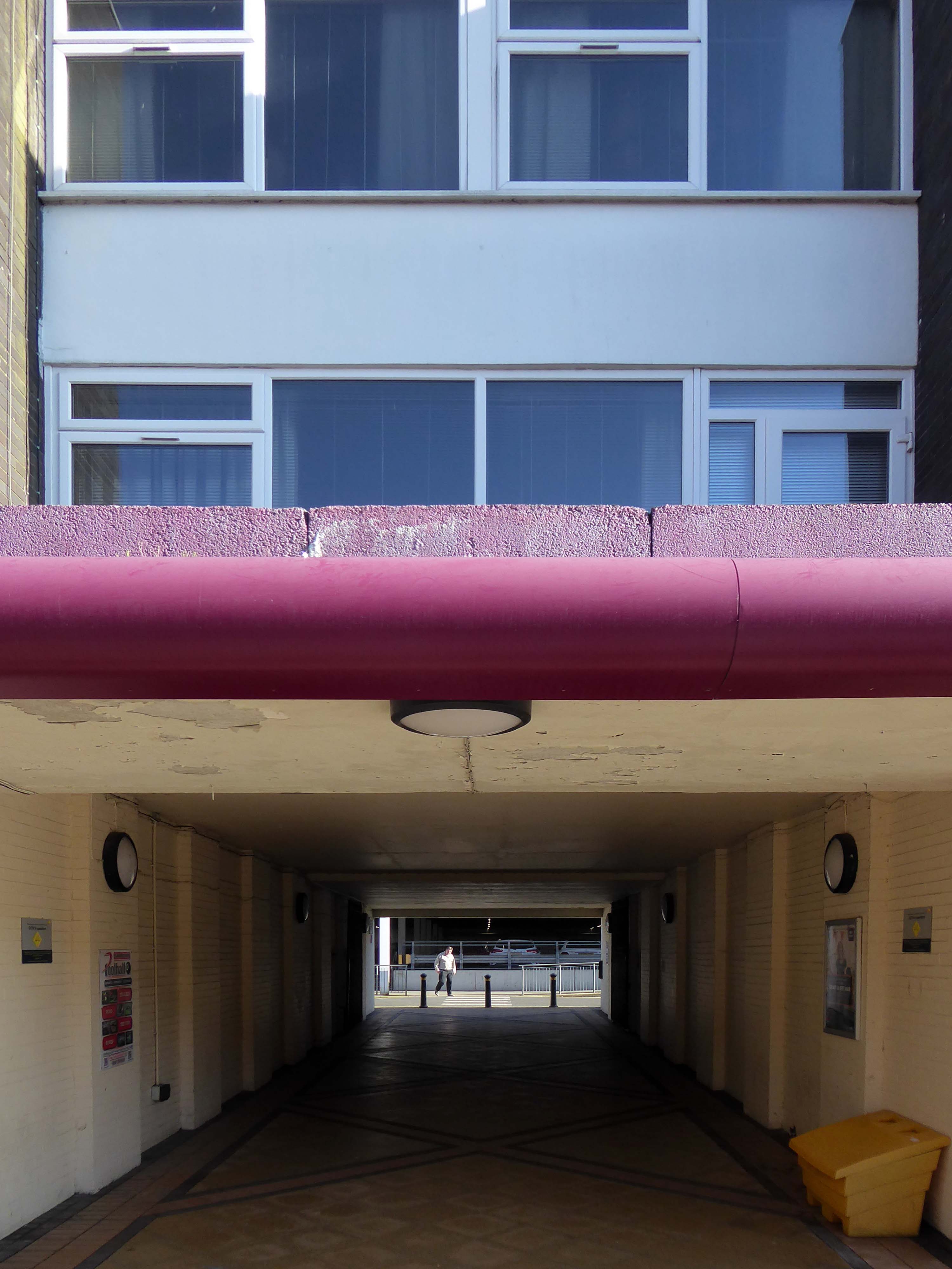
Down in the subway at midday.
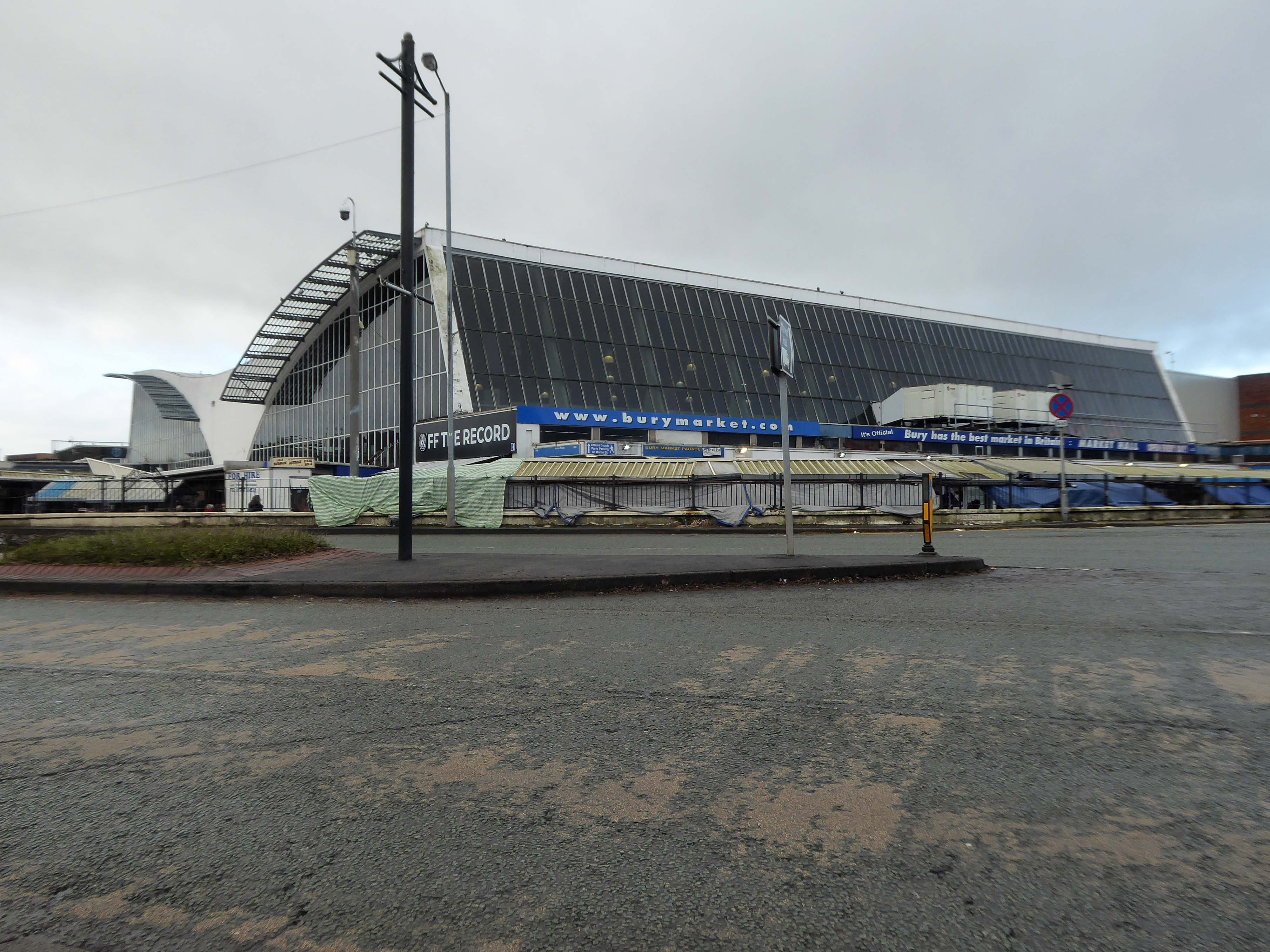
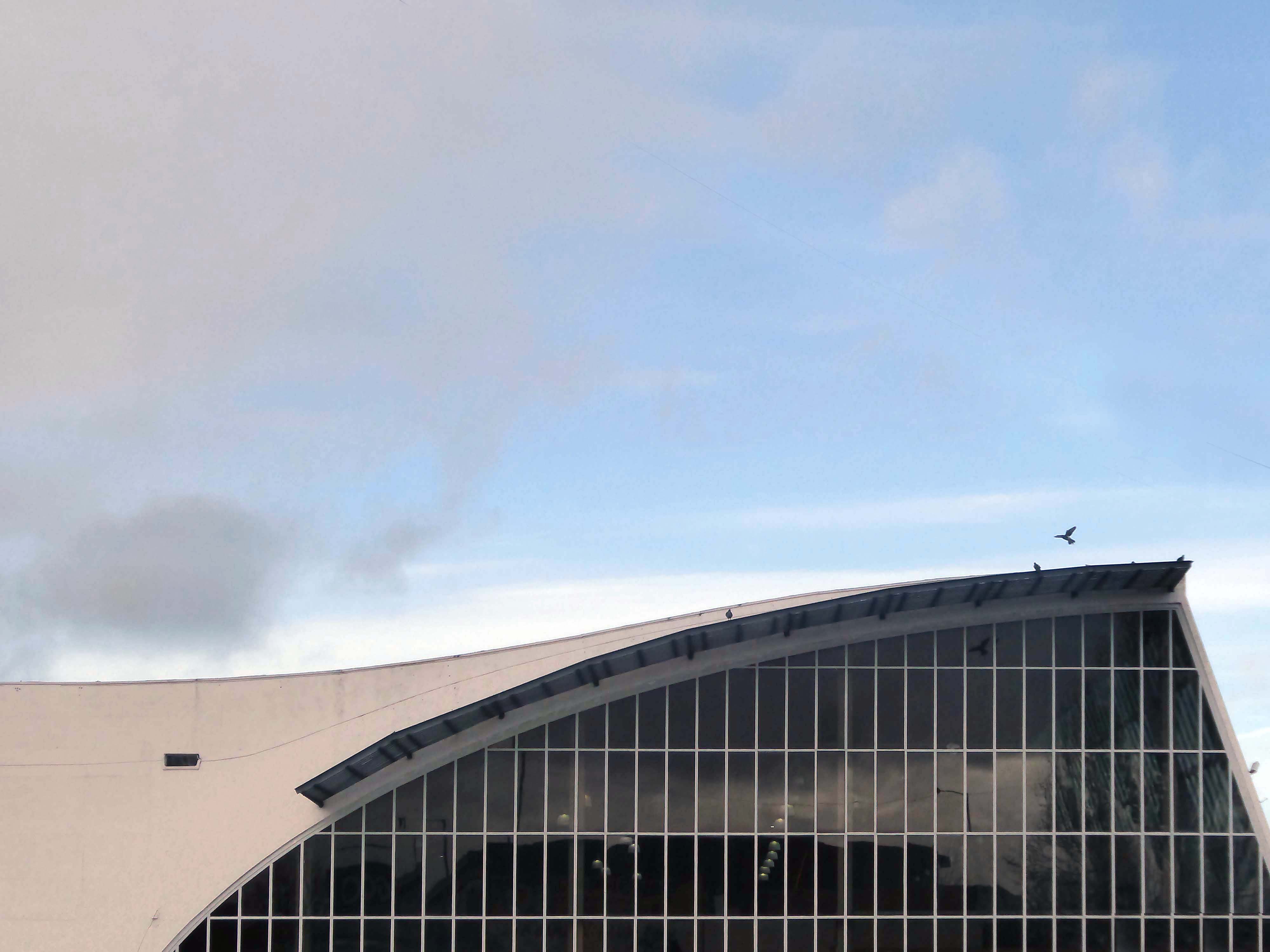
The better to get a view of the Market Hall 1971 – architects: Harry S Fairhurst.
The Indoor Market Hall is currently closed due to the discovery of Reinforced Autoclaved Aerated Concrete – within the building structure. RAAC is a lightweight type of building material that was used between the 1950s and 1990s.
Back under the road – where we find a delightful Telephone Exchange.
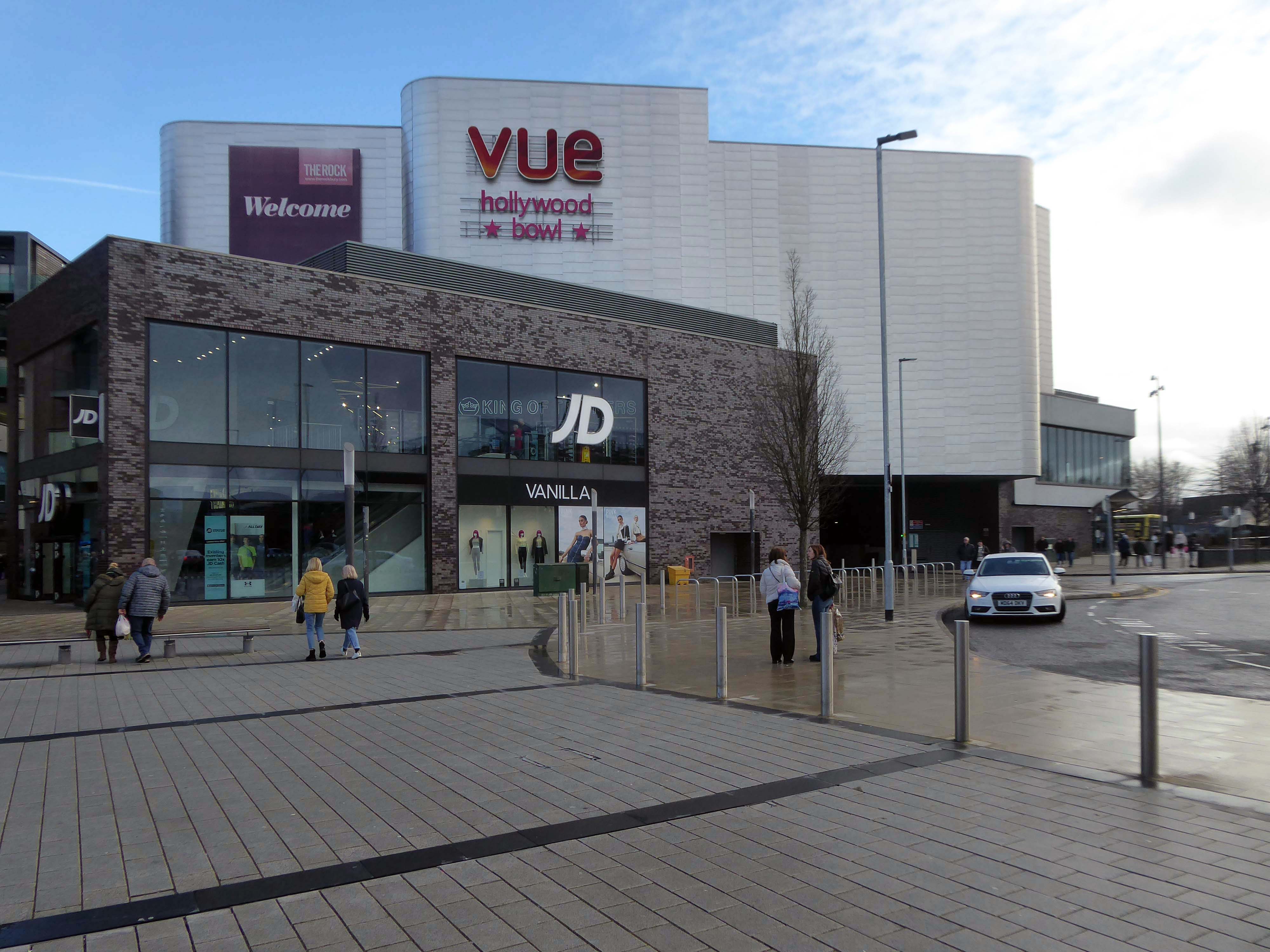
The Rock is a vibrant retail and leisure centre which is home to a range of high street fashion brands, independent retailers, tantalising eateries and fantastic entertainment – it’s the perfect place to visit any day of the week.
It is the work of architects BDP – completed in 2010 at a cost of £350 million.
Our masterplan for The Rock took into account the historical street pattern and public realm context to give the scheme its own identity, and make visual connections to local landmarks.
The retail and leisure scheme brings many exciting brands to Bury for the first time.
New pedestrian streets rejuvenate and improve connections to adjacent areas stitching the town back together.
The development will also contain 408 one and two-bedroom apartments.
Back to basics at a former Burton’s hiding its faience facade.
Typical inter-war infill on our crazy mixed up mongrel high streets.
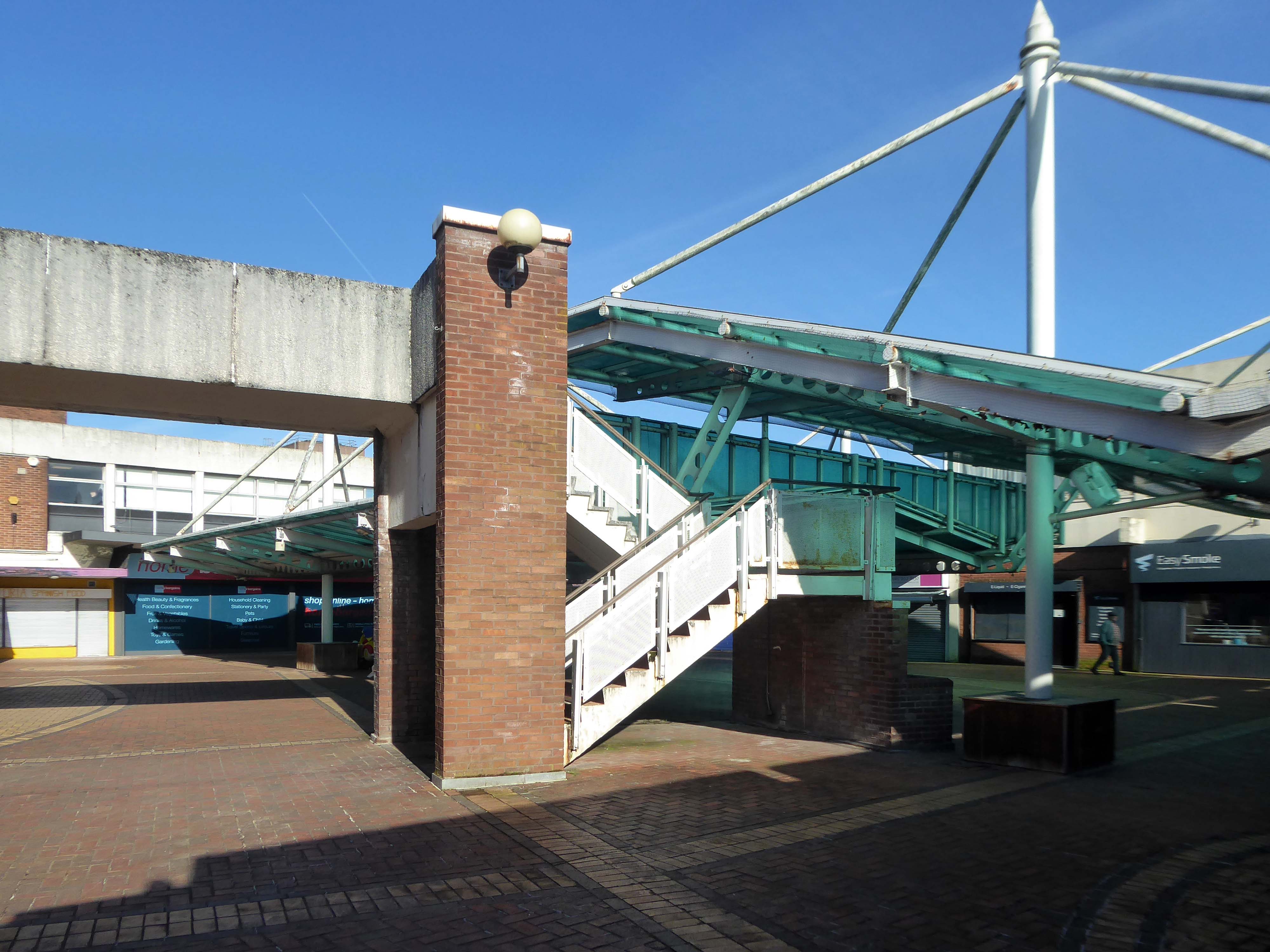
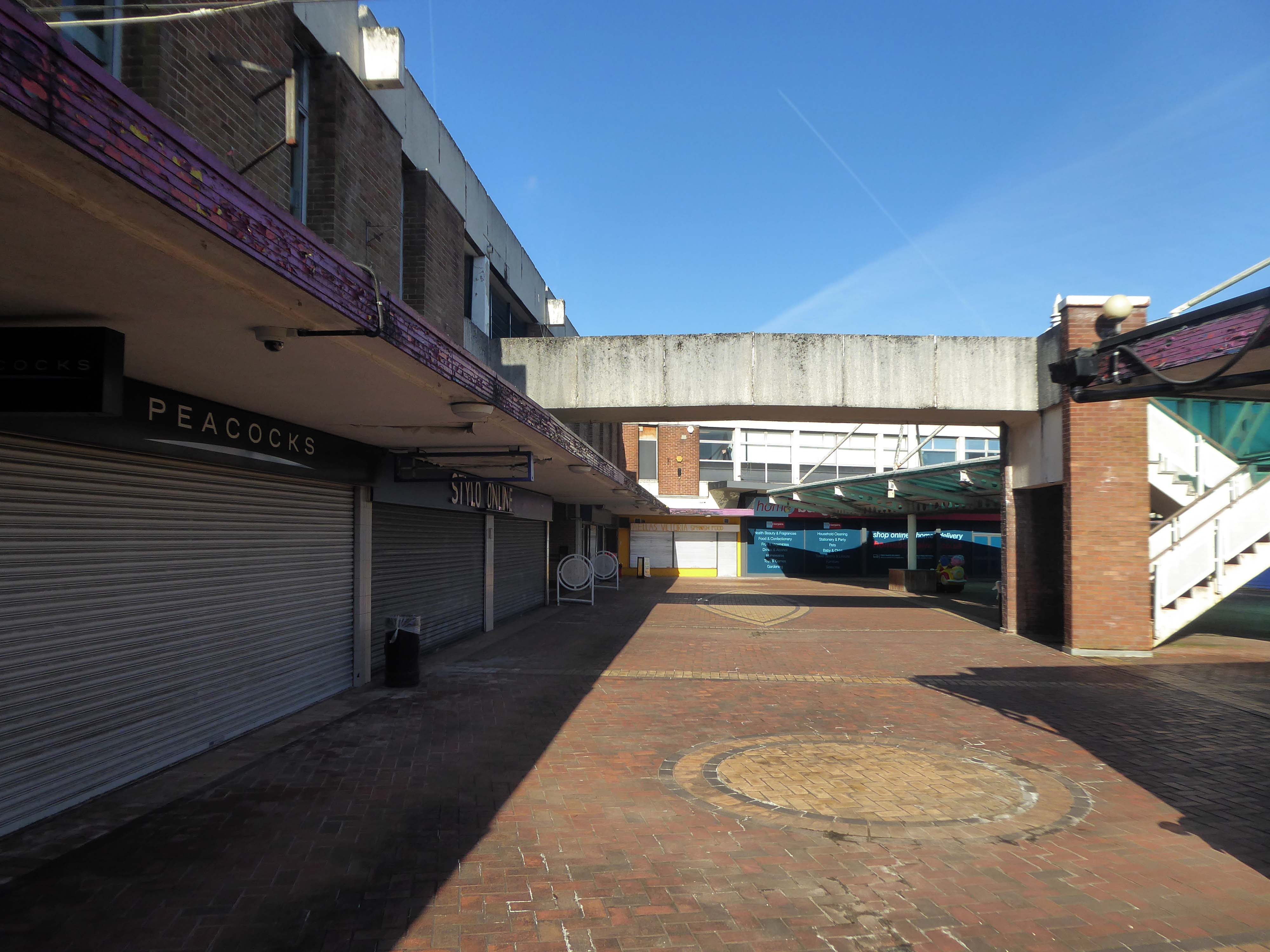
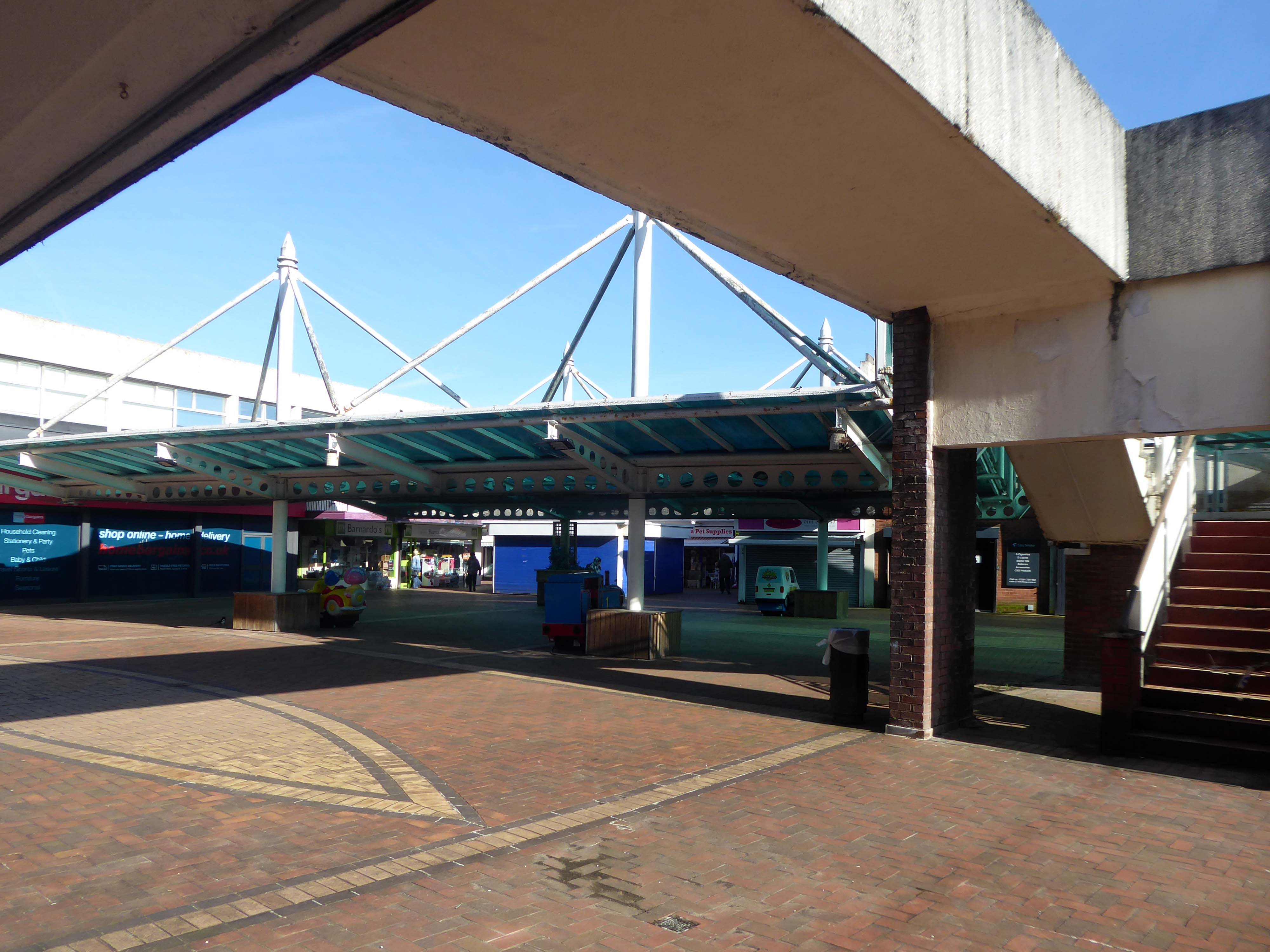
Ribblesdale House
Application by Shop and Store Developments Ltd submitted August 1965. Architect on application was Samuel Jackson and Son of Ocean Chambers in Bradford but during the application process this changed to John Brunton & Partners – Brunton was a partner in Jackson’s firm, at the same address. It had a restaurant and shops on the first floor.
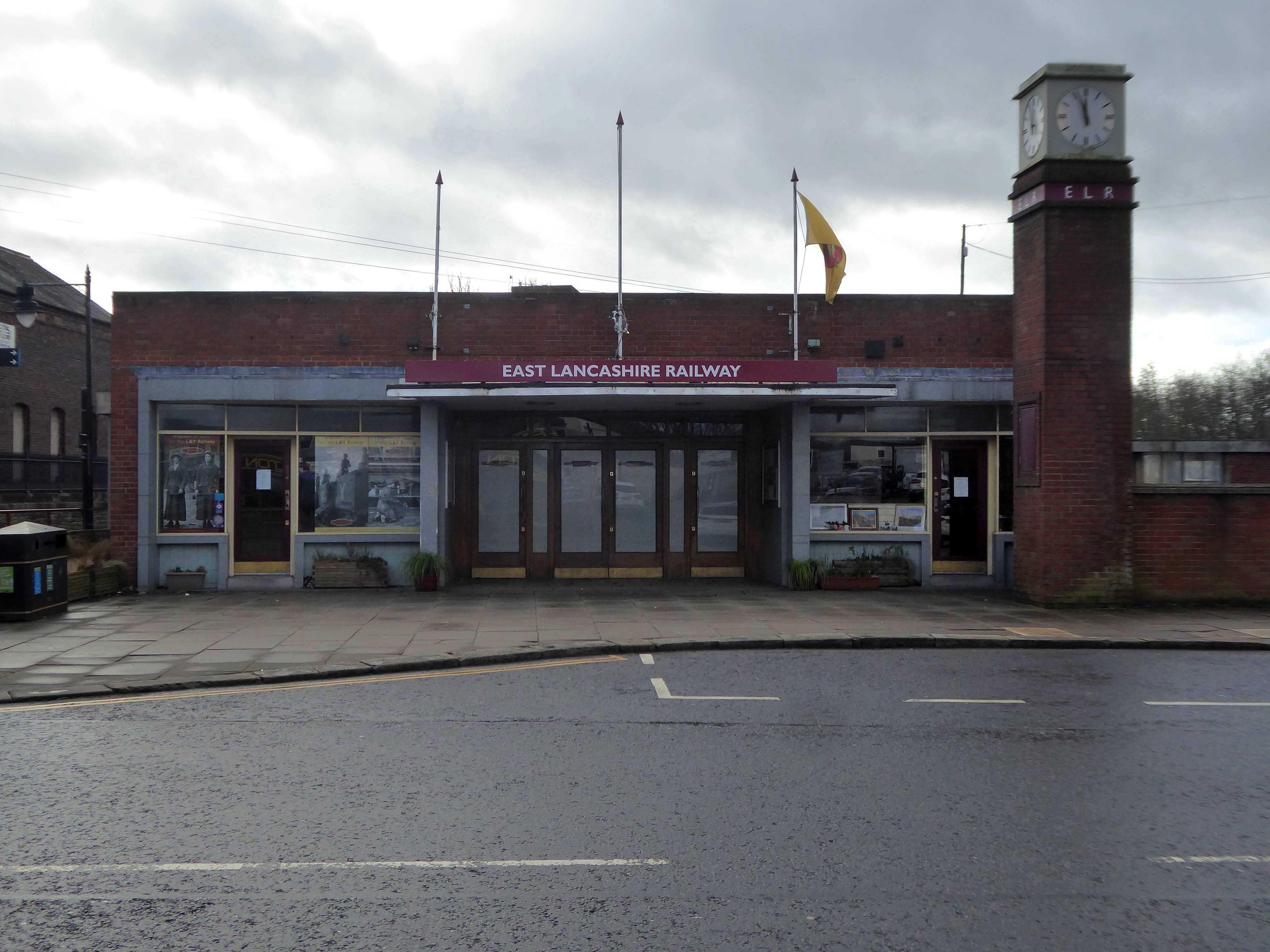
The street level buildings were destroyed by fire on 14 May 1947 and were replaced with a new brick and concrete entrance and footbridge in 1952.
British Rail closed the station on 17 March 1980, when it was replaced by a new bus/rail interchange station further east into the town centre. Bury Interchange railway station served up until 1991 before the entire Bury Line was converted to light rail operation. It reopened in 1992 for Metrolink operation.
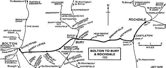
Bury was once the centre of multiple train links and the lost station of Knowsley Street.
Over the road the former Temperance Billiard Hall 1910 architect Norman Evans.
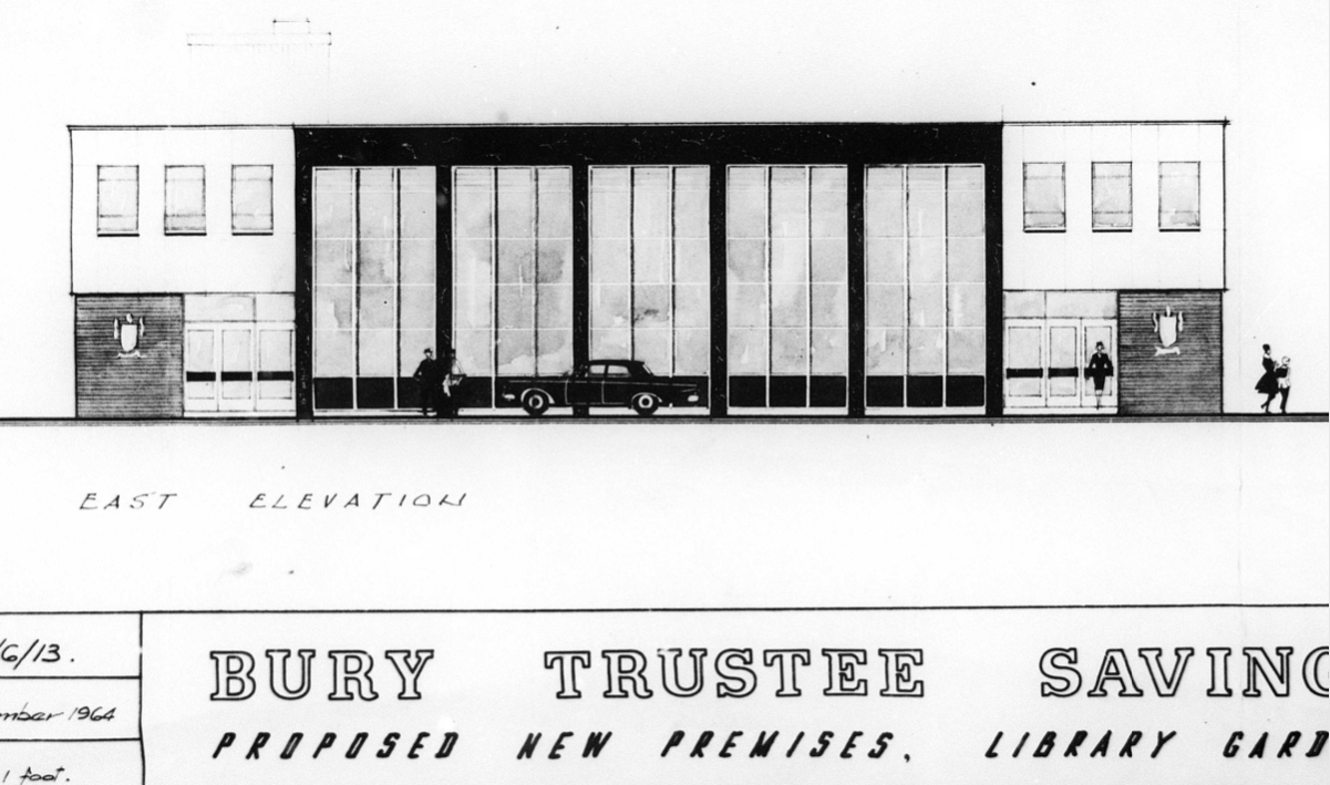
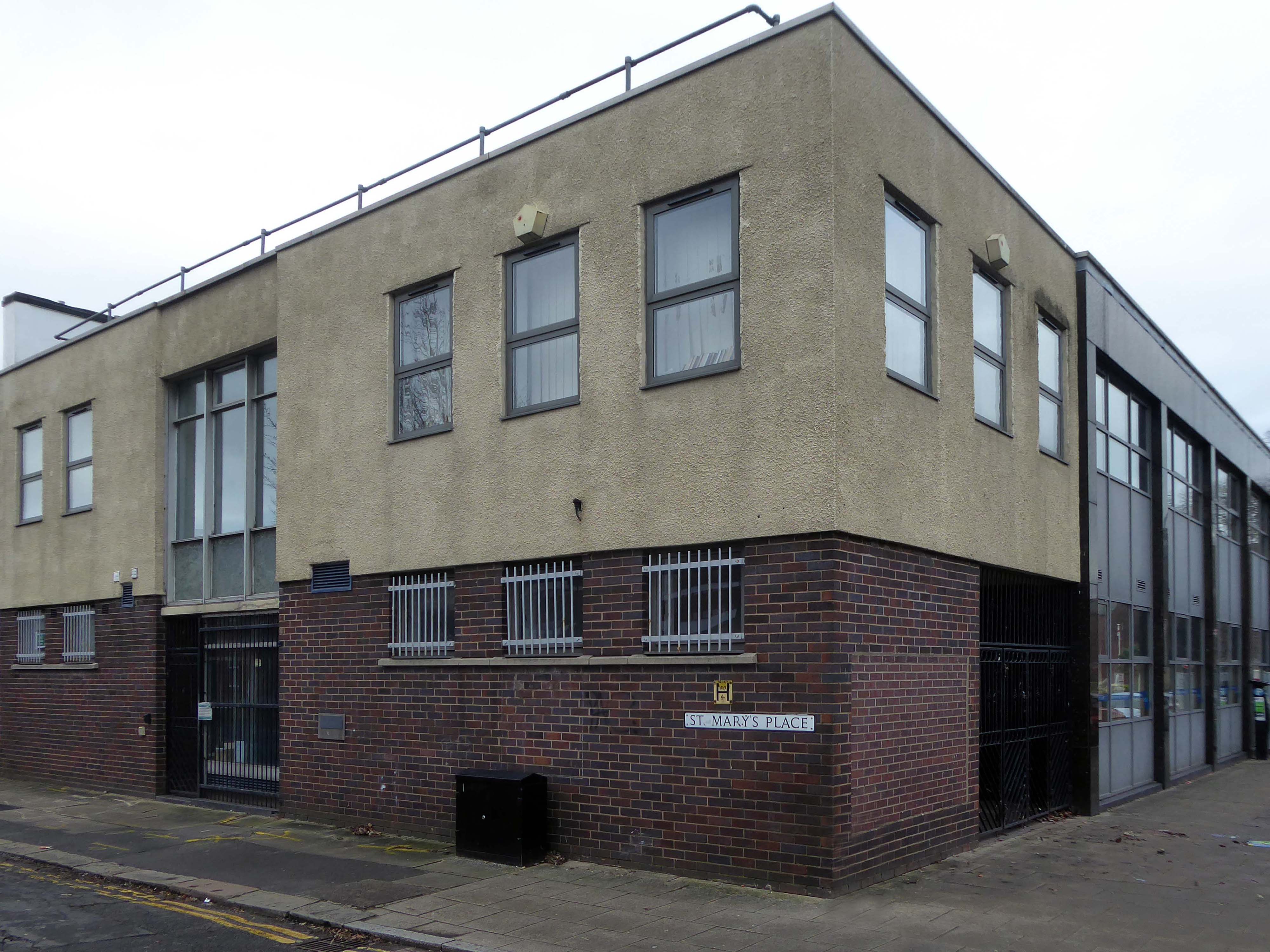
Planning application January 1965 – work started in June 1965. The architectural firm was Richard Byrom, Hill and partners. Richard Byrom was submitting building applications in the 1930s in Bury and locally.
The rendering on the building is original but the windows have been changed. The Job Centre took over the building in 1993. It is in a conservation area and the Civic Trust had some concerns!
Many thanks to David French for the above information.
Far, far away from the mad, rushing crowd, Please carry me with you. Again I would wander where memories enfold me, There on the beautiful Island of Dreams.
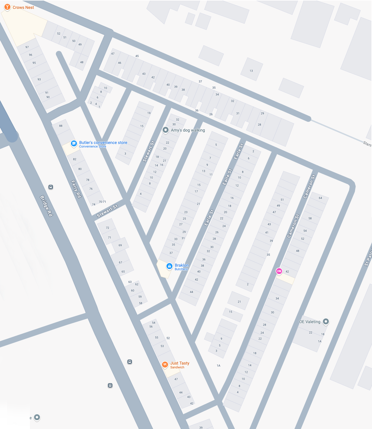
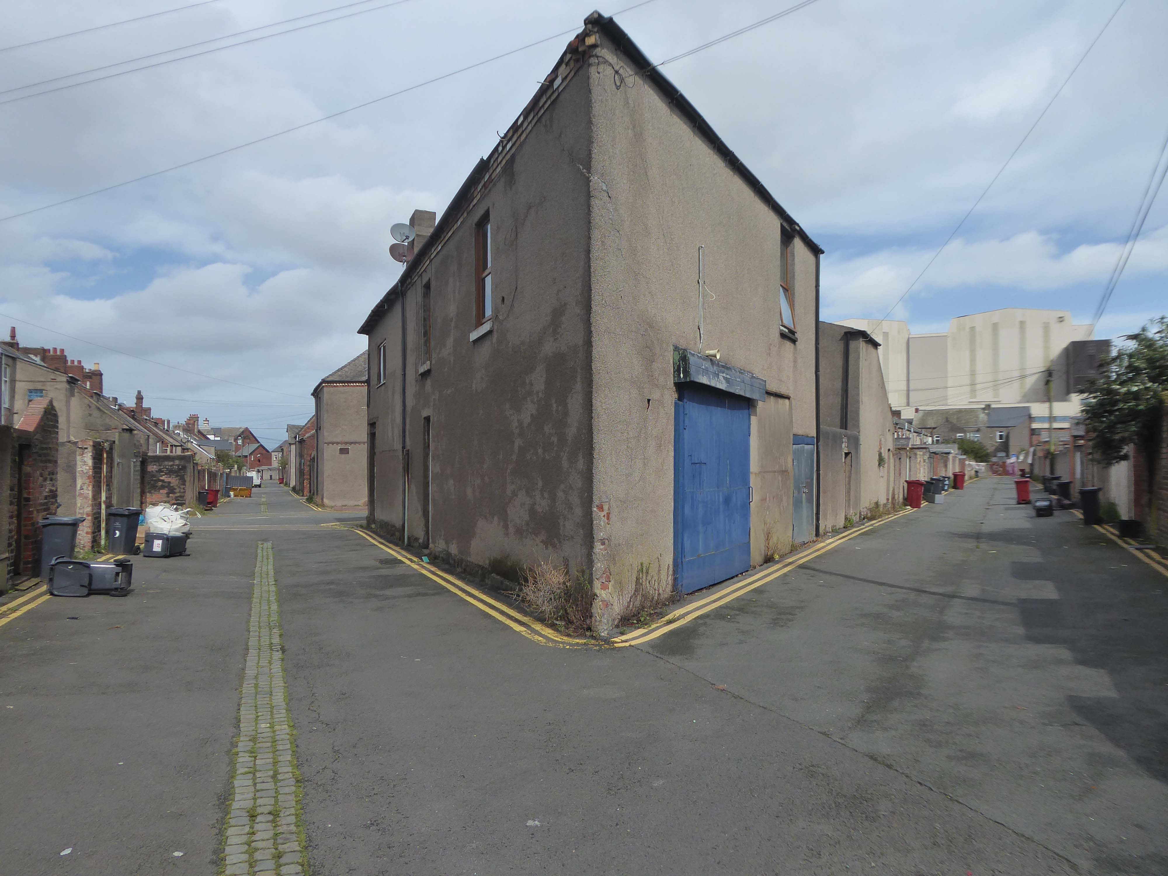
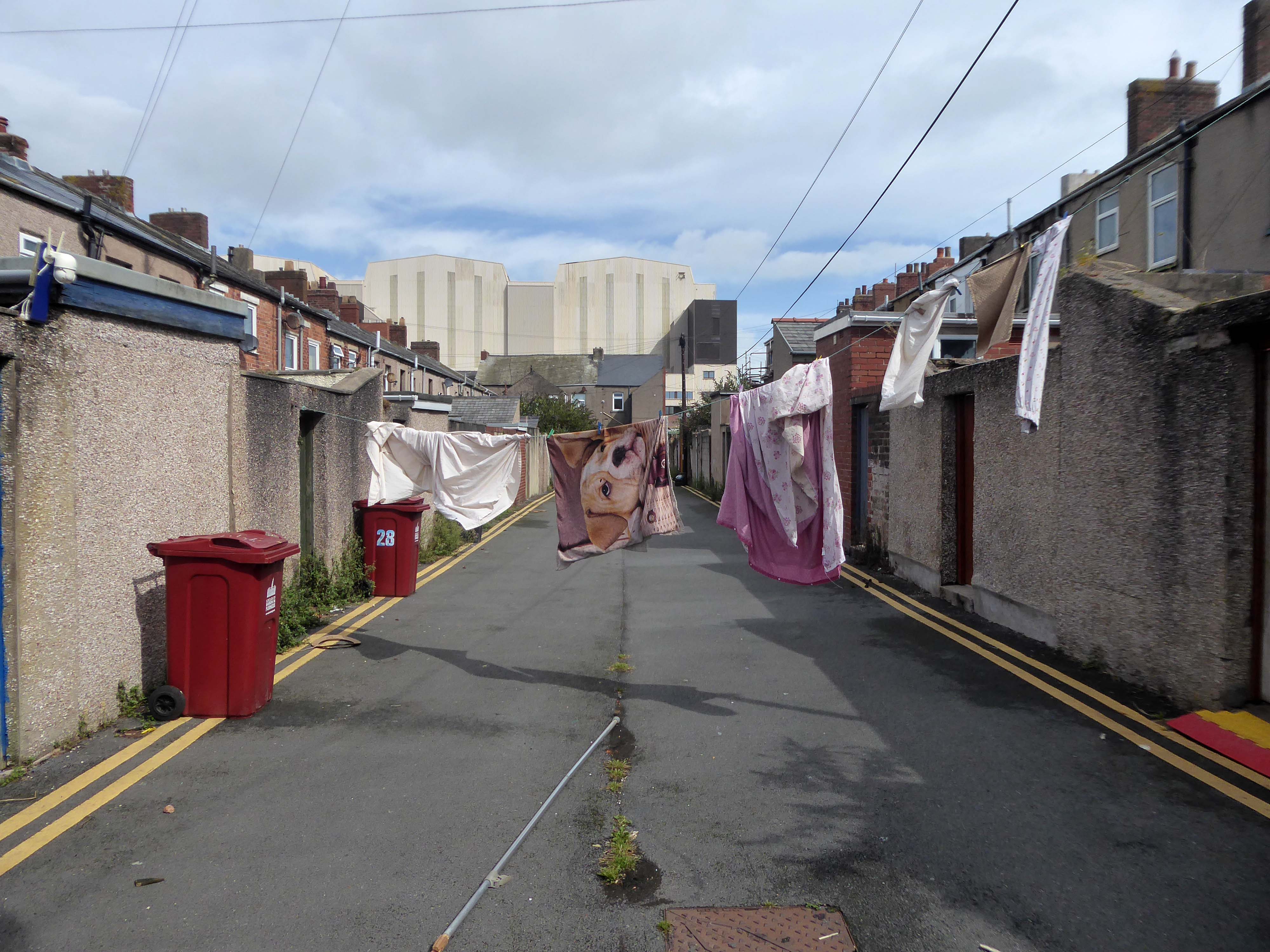
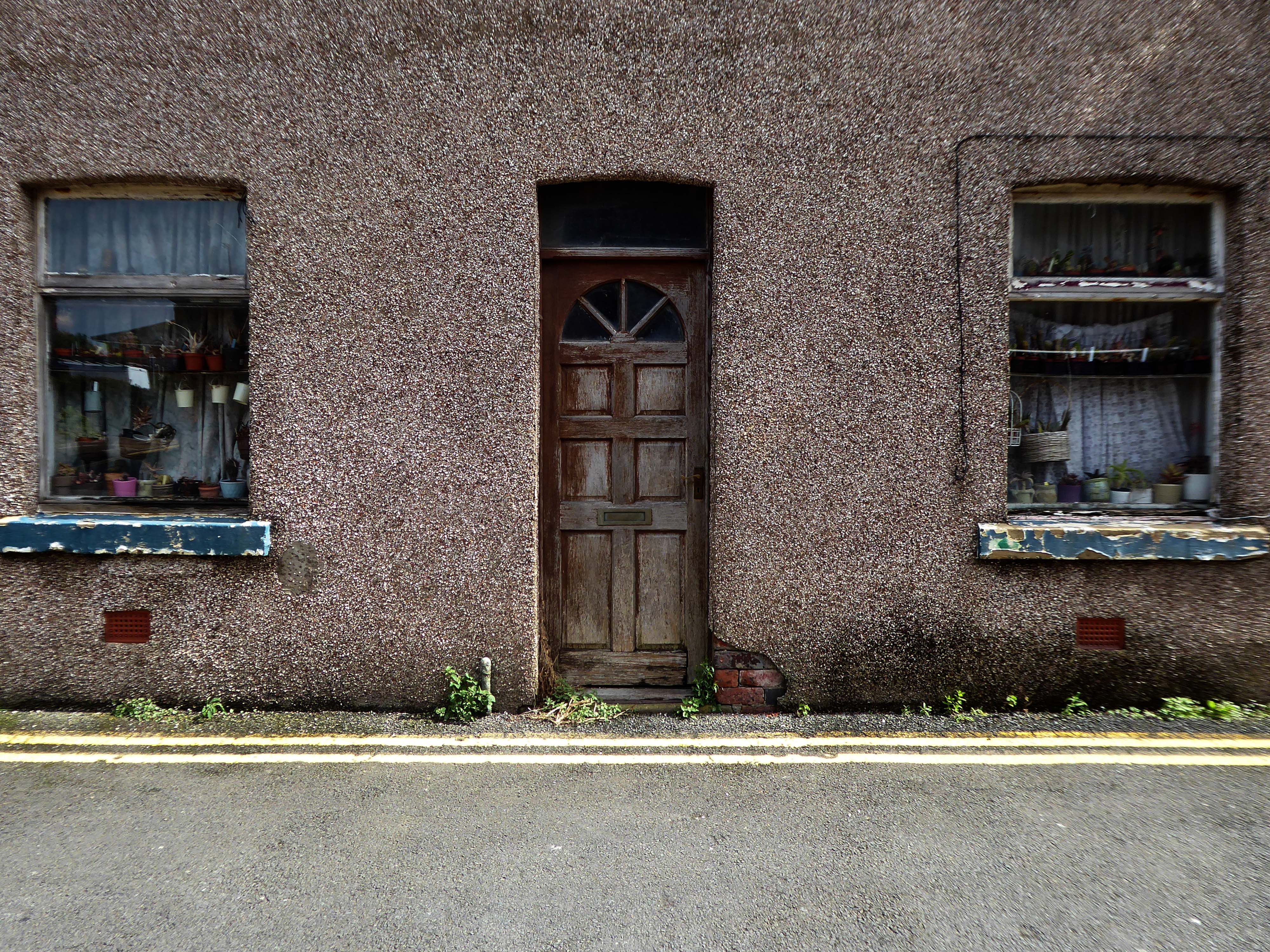
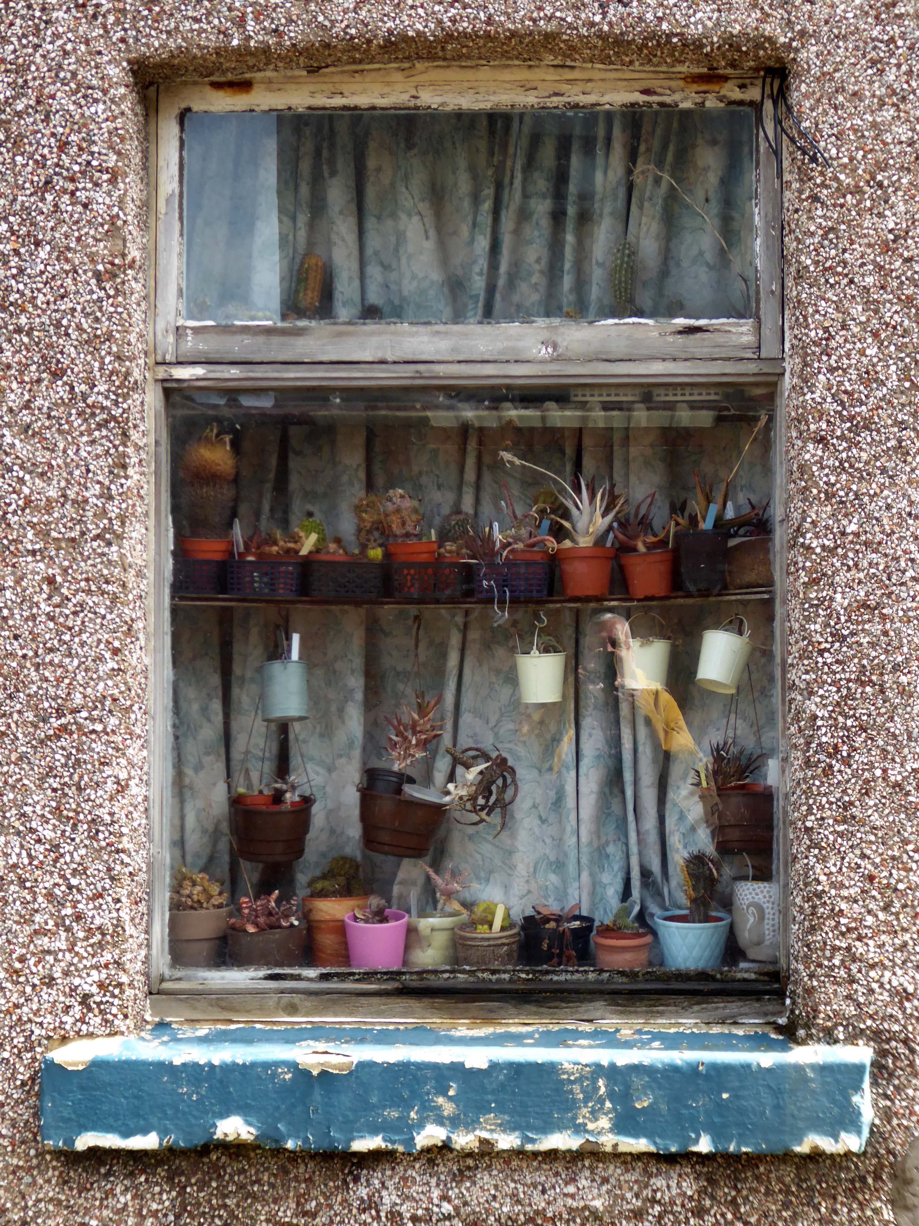
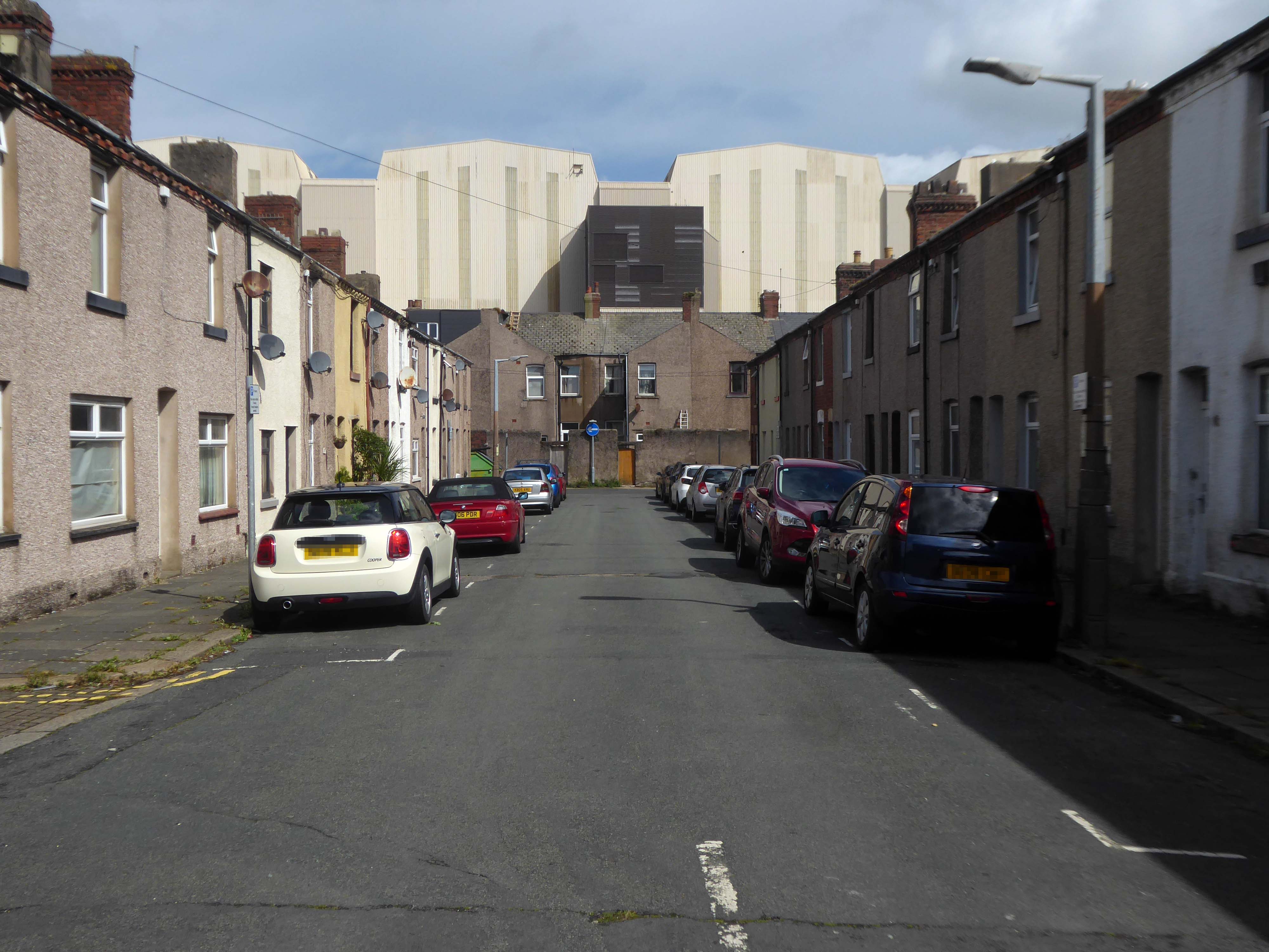
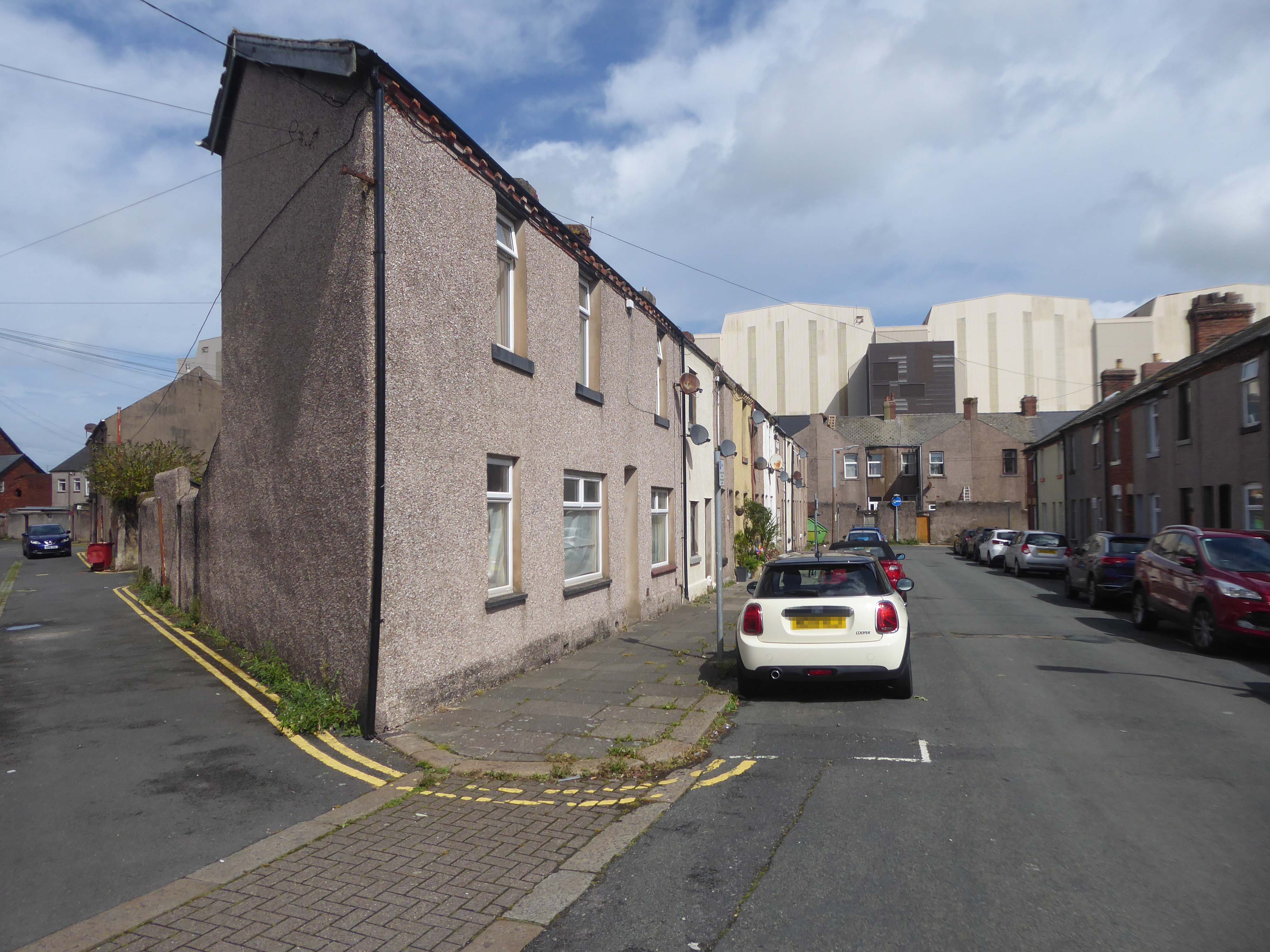
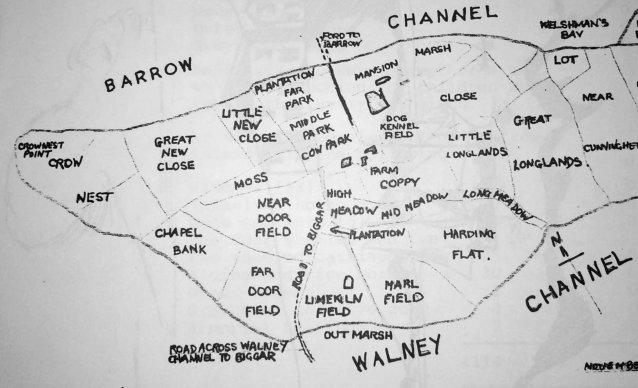
At the northern end of Barrow Island lies the Ferry Road Triangle. Covering an area formerly known by the field names, Crow Nest, Great New Close, Little New Close, Moss, Cow Park and Middle Park; the Ferry Road area has always been known as the Triangle, because the shape of the estate is truly a triangle.
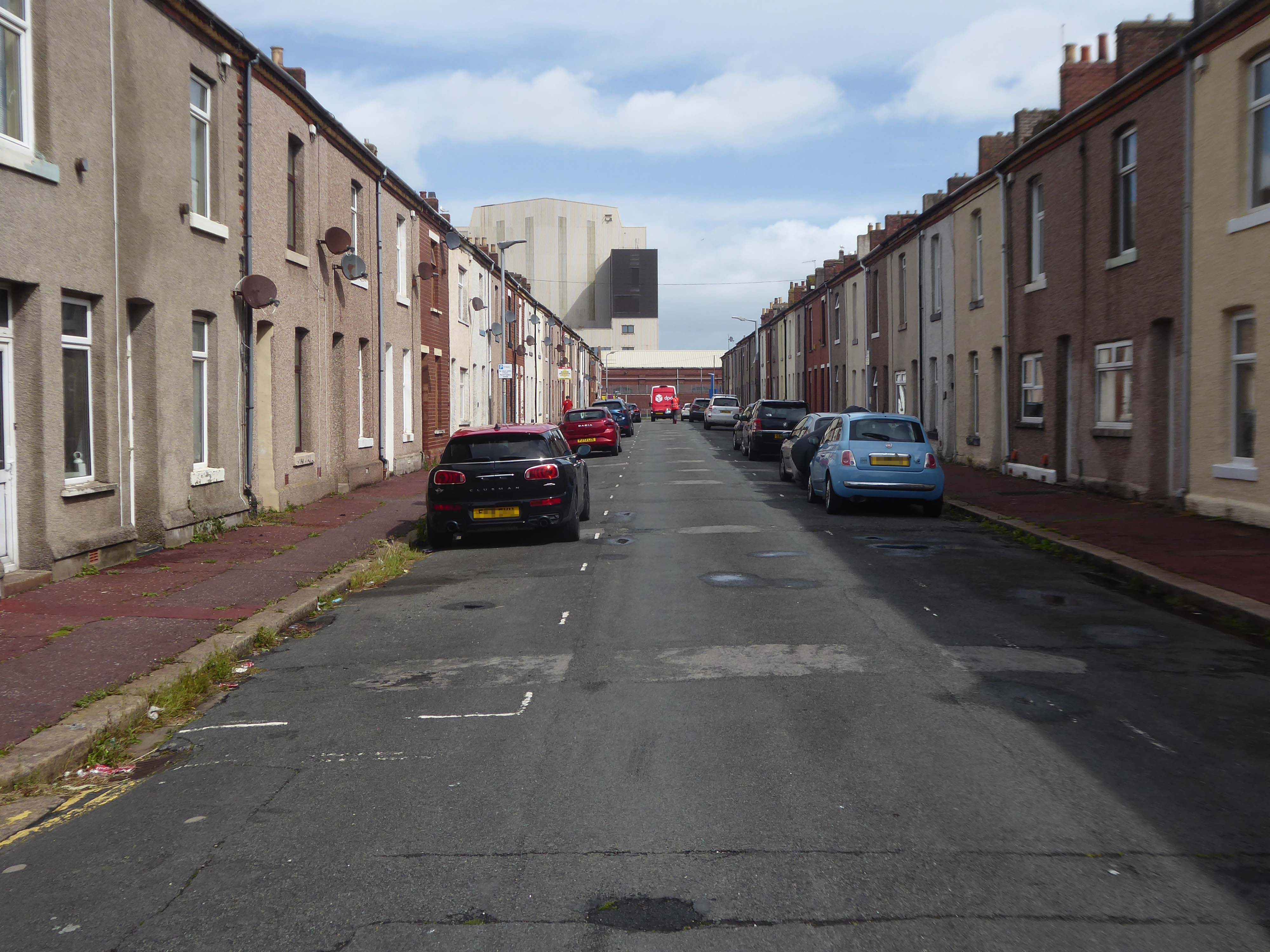
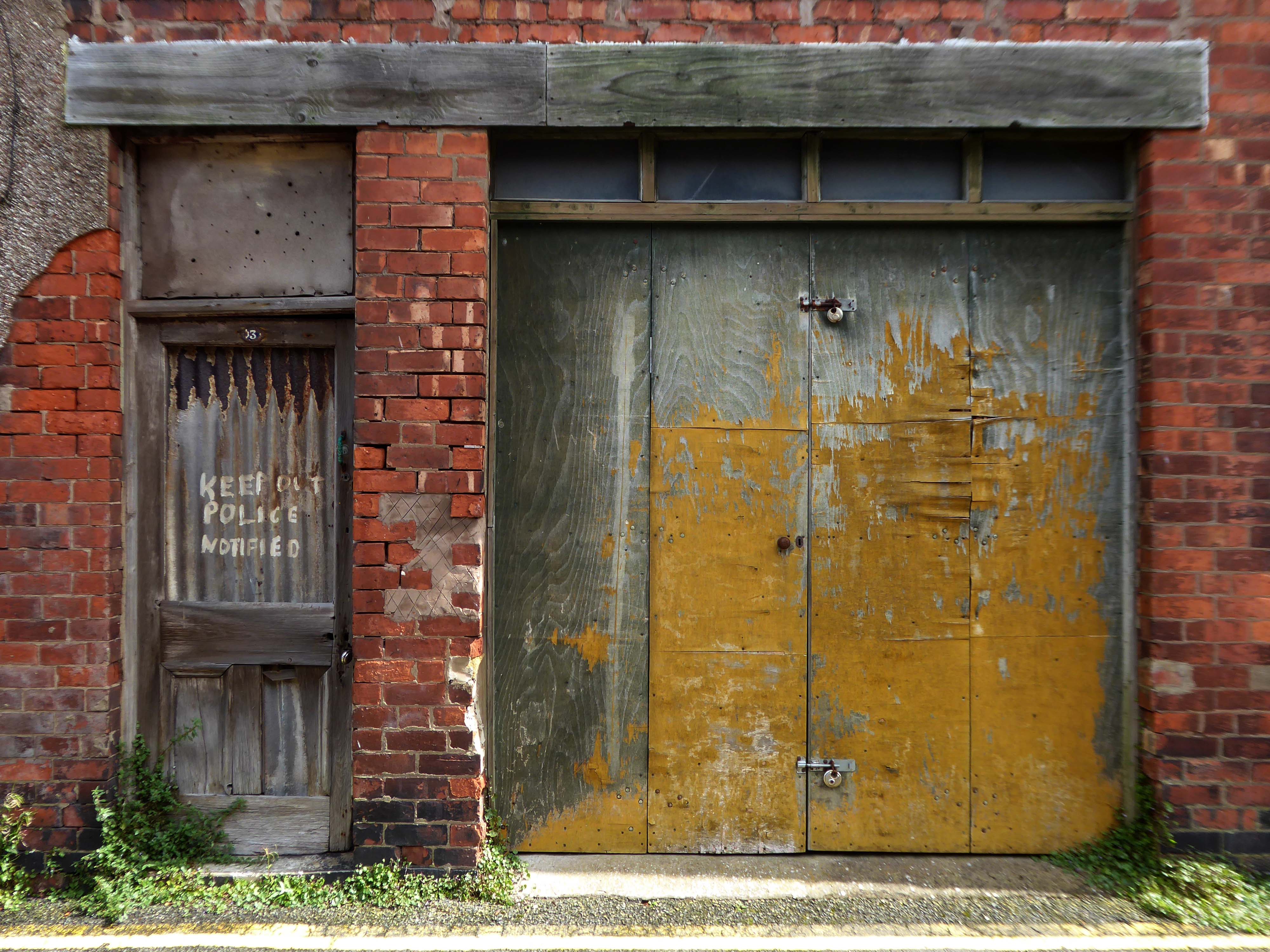
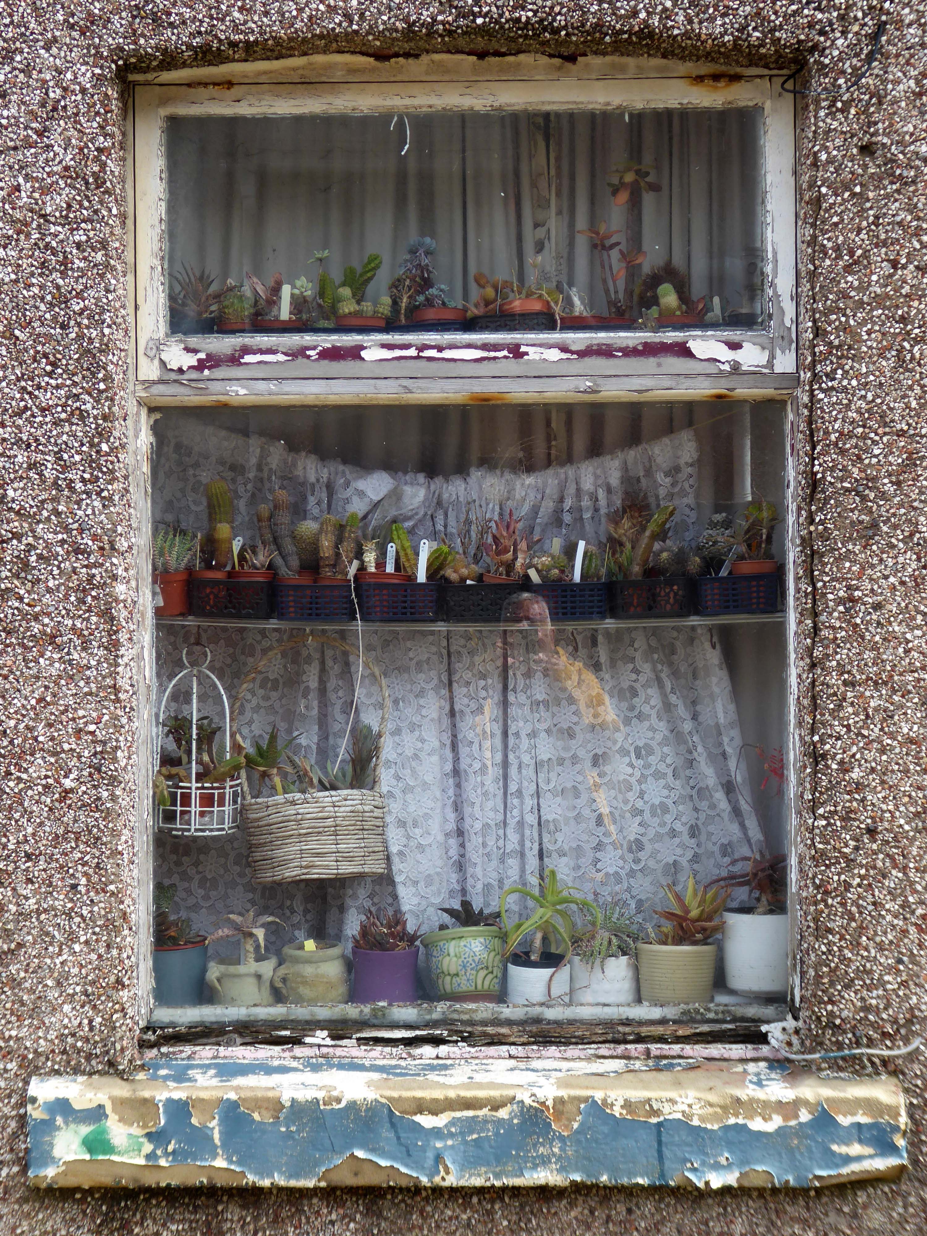
I had arrived in Barrow in Furness and taken to wandering the streets, hastily in search of nothing in particular.
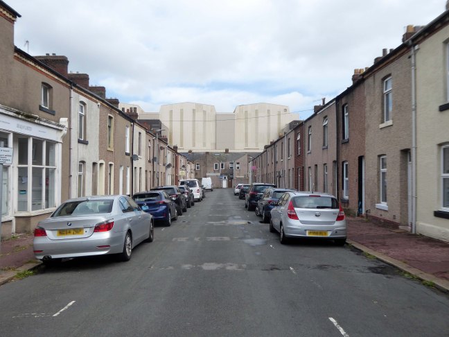
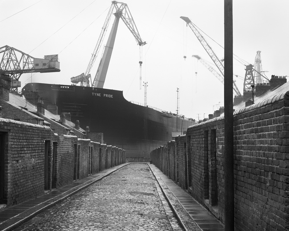
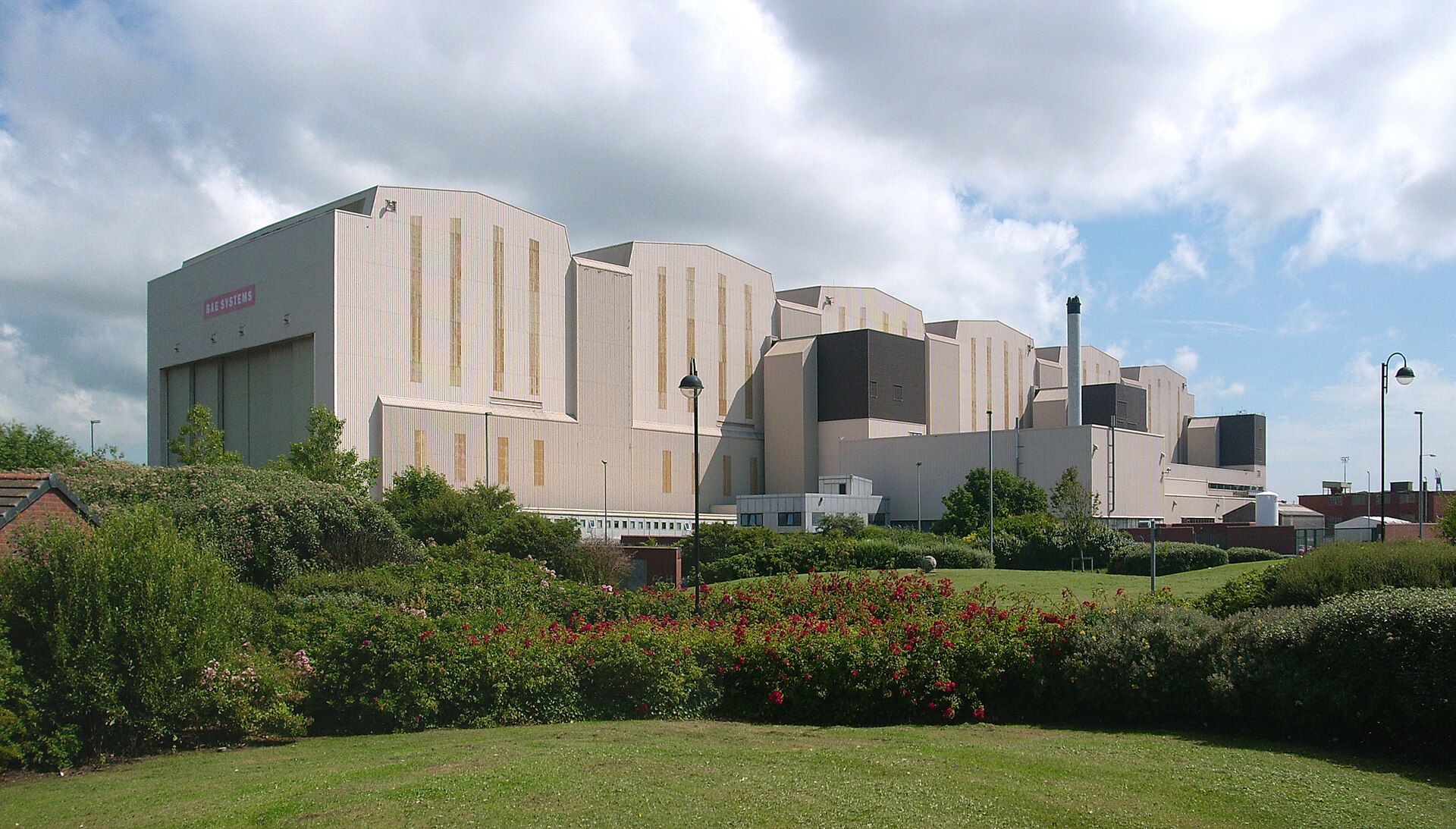
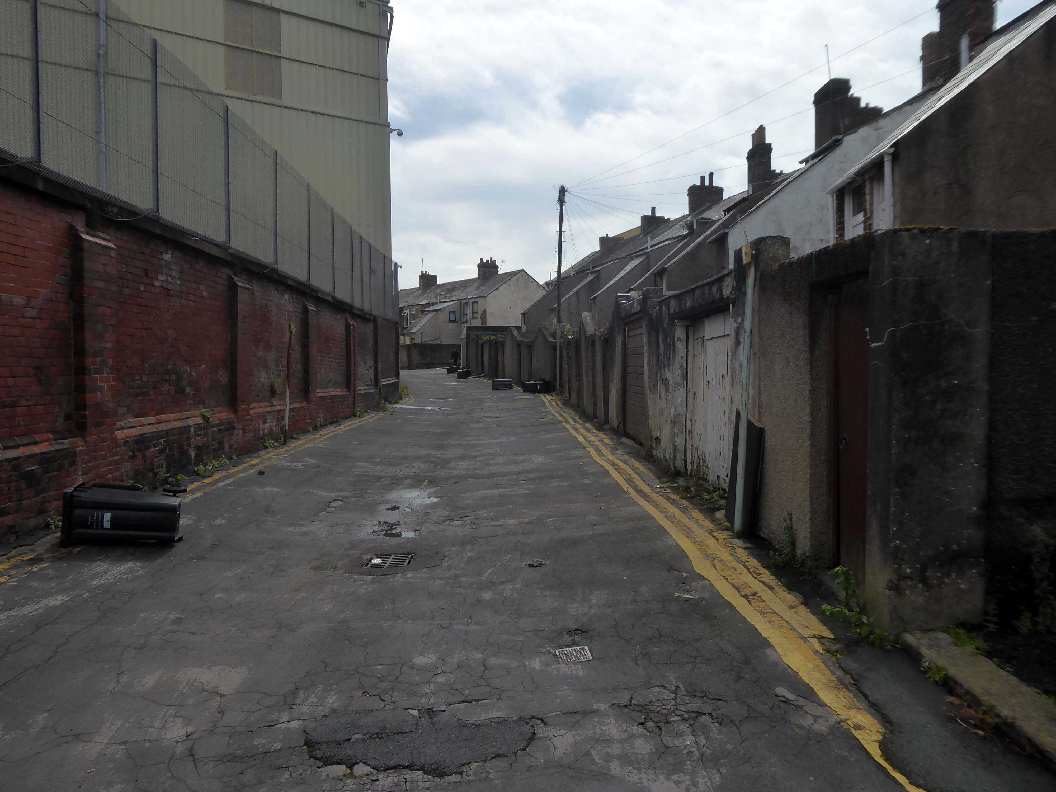
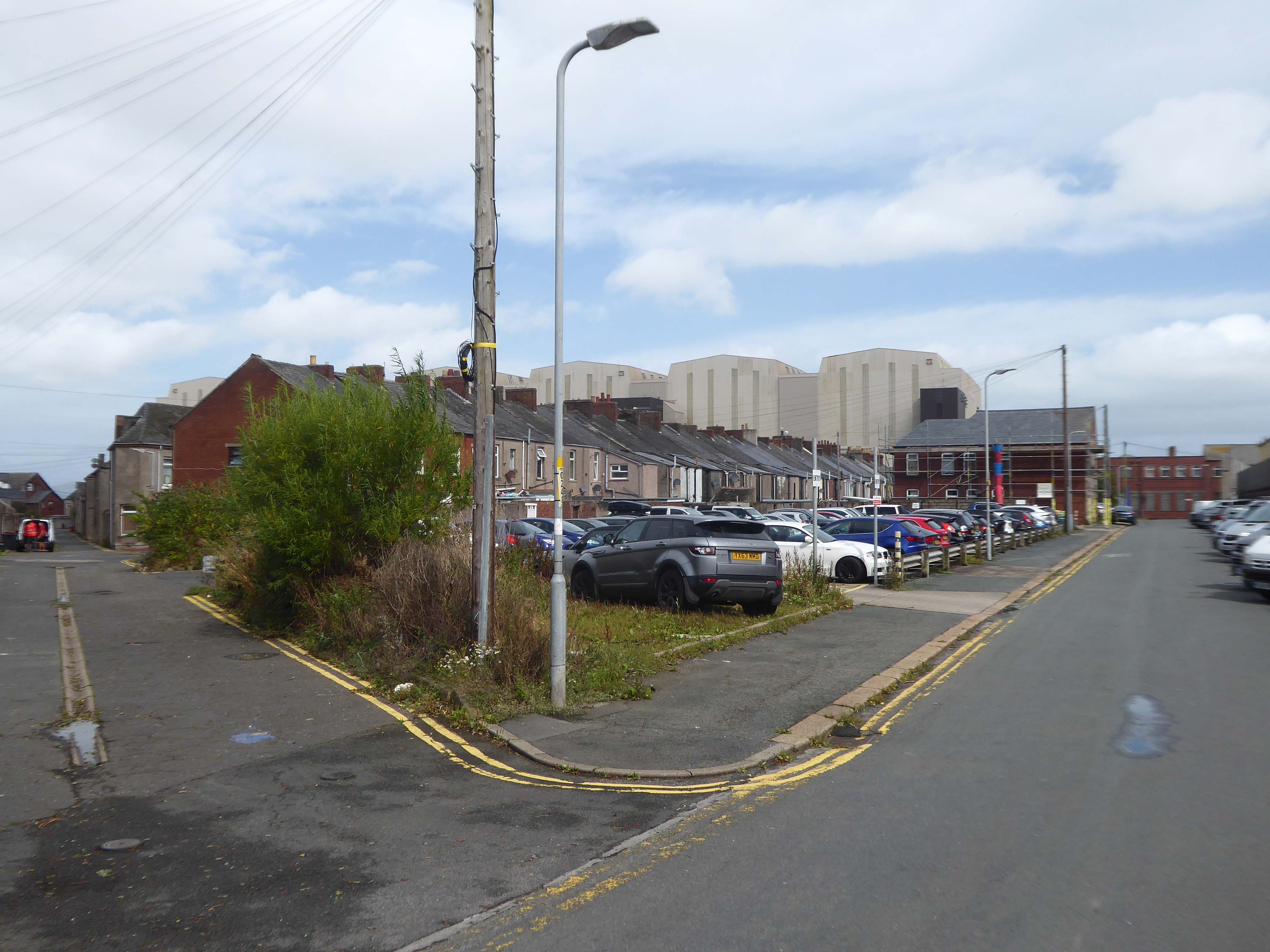
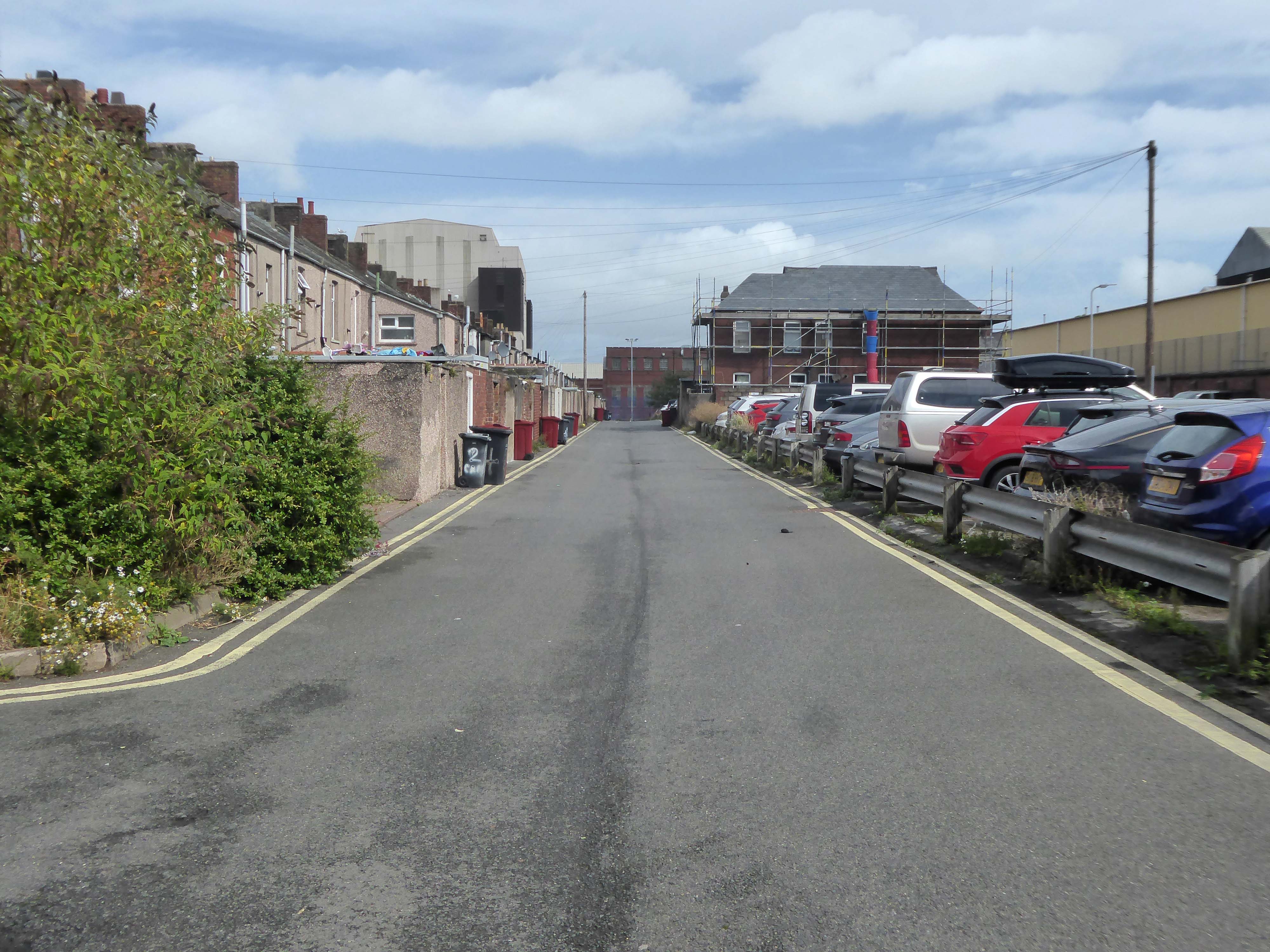
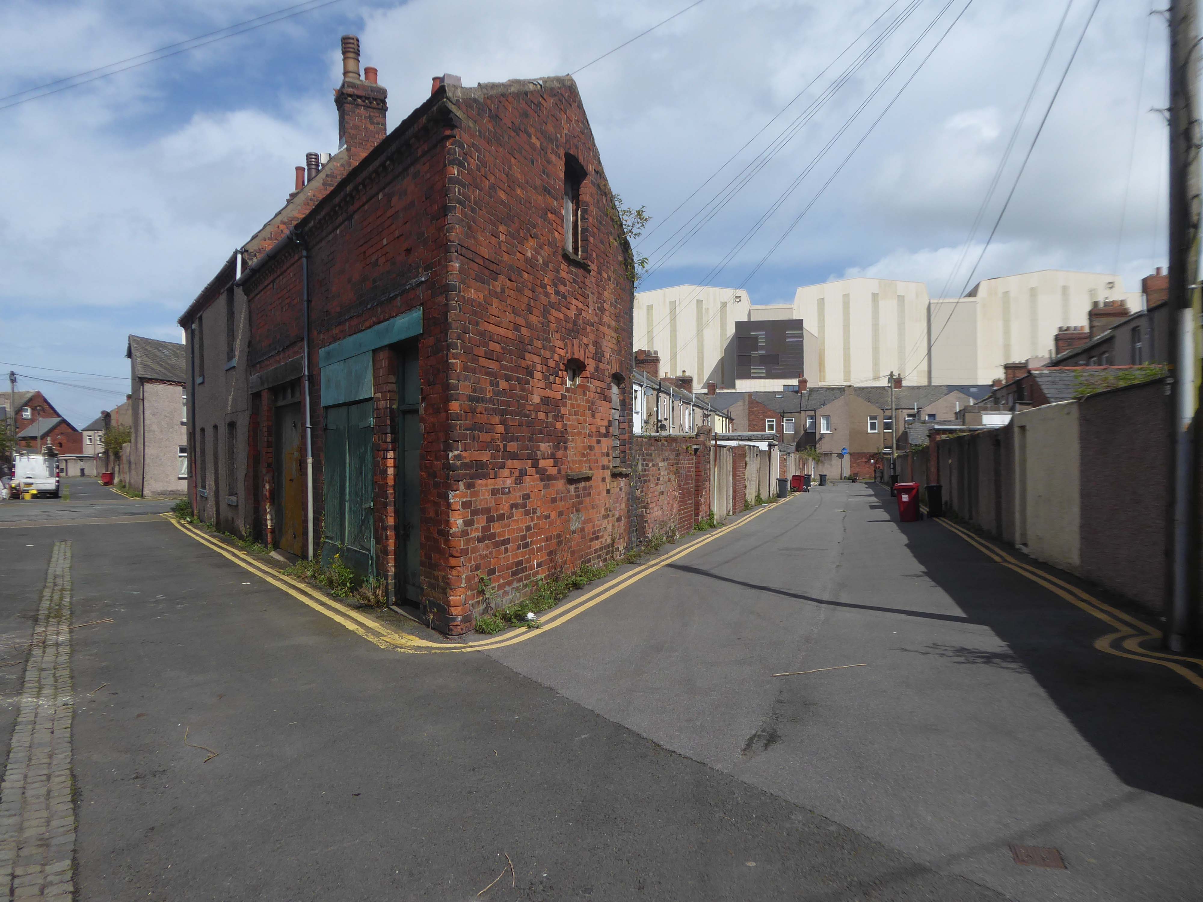
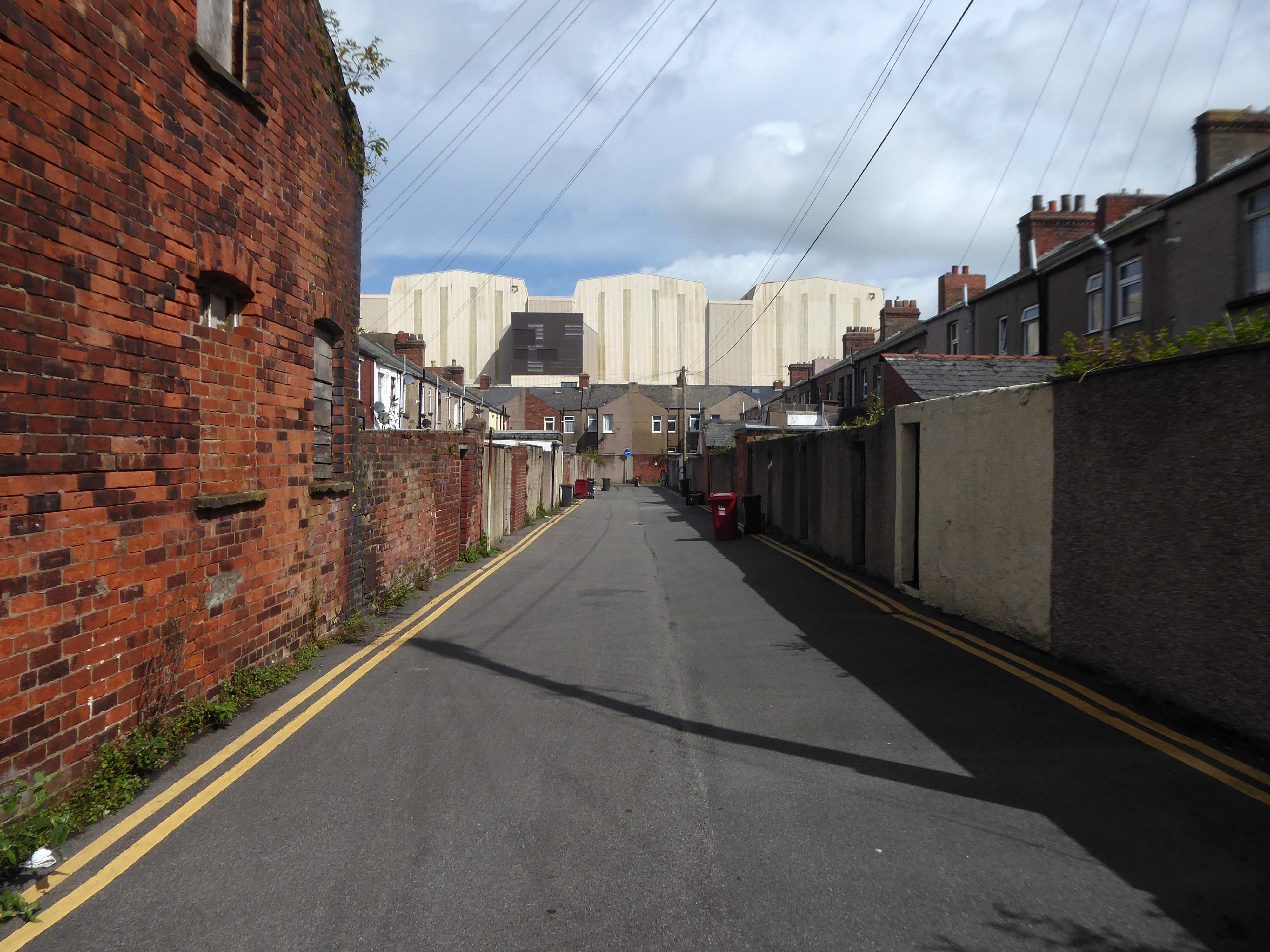
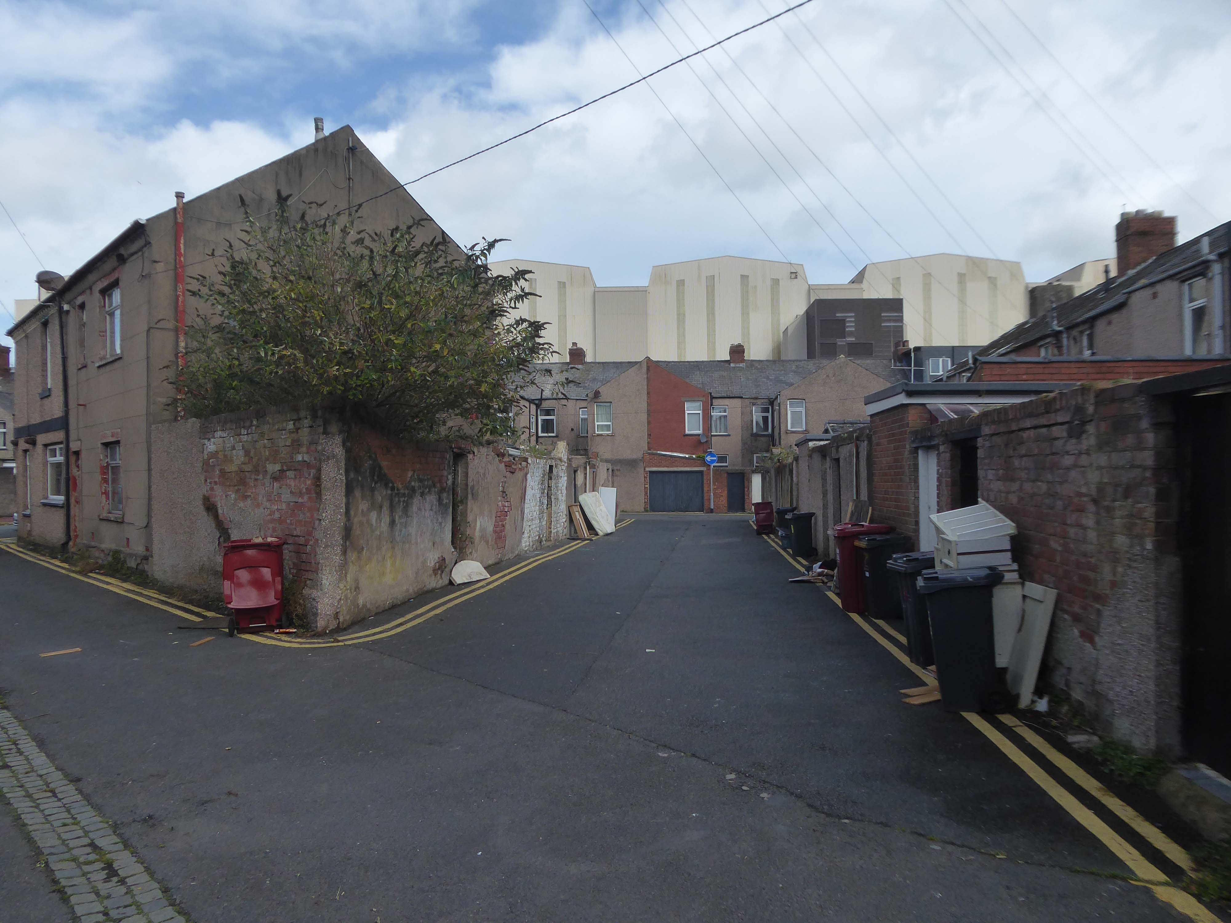
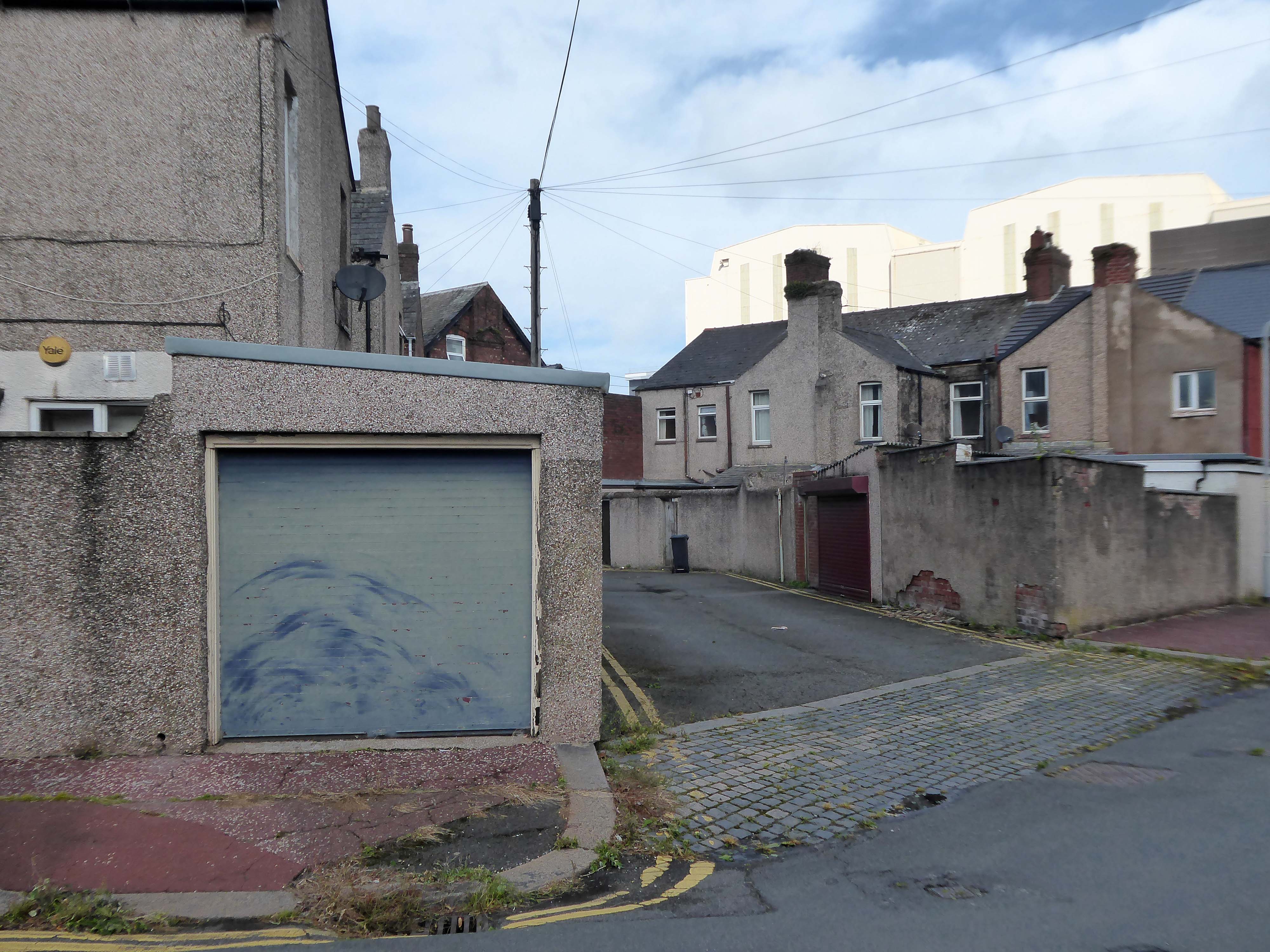
I came upon a neat triangle of terraced housing, which abutted the huge BAE Systems sheds.
The collision of scale created by the low lying domestic buildings, and the gargantuan industrial nuclear submarine homes, immediately put me in mind of Chris Killip’s photographs.
He had recorded the last days of a dying industry, whilst the BAE contracts represent a long term lifeline to a once dying town.
The Ministry of Defence has awarded £3.95 billion of funding to BAE Systems for the next phase of the UK’s next-generation nuclear-powered attack submarine programme, known as SSN-AUKUS.
The funding follows the AUKUS announcement in March by the leaders of Australia, the UK and the United States. This will eventually see Australia and the UK operate SSN-AUKUS submarines, which will be based on the UK’s next generation design, incorporating technology from all three nations, including cutting-edge US submarine technologies.
Having started early design work in 2021, the £3.95bn funding will cover development work to 2028, enabling BAE Systems to move into the detailed design phase of the programme and begin to procure long-lead items. Manufacture will start towards the end of the decade with the first SSN-AUKUS boat due to be delivered in the late 2030s.
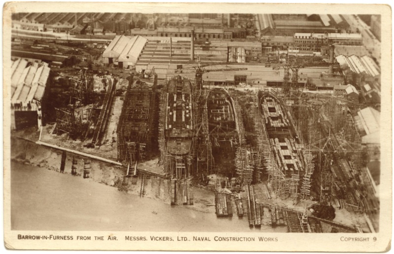
It has been said of Barrow: A rich mineral district was the cause, a railway was the effect, and an important manufacturing town the result.
The dramatic growth of Barrow-in-Furness in the late 19th and early 20th Centuries was fuelled by the ready availability of Furness iron ore. Significant investments were made in developing the town to exploit this resource. The various ironworks, steelworks, foundries, shipyards and docks required a huge influx of population to support them. This in turn led to the rapid building of rows of good quality mass-produced terraced housing for the workers, and substantial sandstone villas for the management.
I stopped to chat with a local lad – I had thought Barrow to be a hard town, he thought not.
There’s not much trouble, though we have hard times – how so?
The Tories – now my kids have all got jobs for the next twenty years.
There were no reported crimes in June 2024
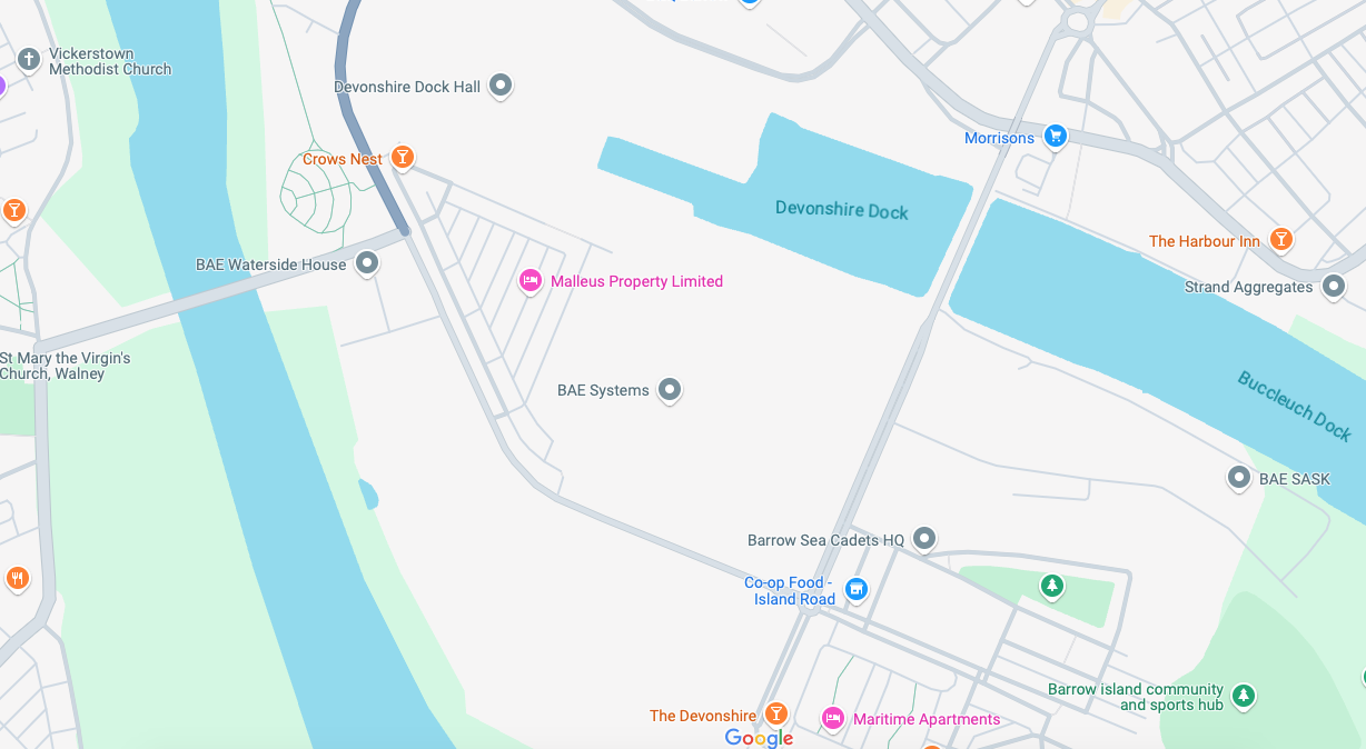
Devonshire Dock Hall is a large indoor shipbuilding and assembly complex that forms part of the BAE Systems shipyard.
Constructed between 1982 and 1986 by Alfred McAlpine plc for Vickers Shipbuilding and Engineering, DDH was built on land that was created by infilling part of Devonshire Dock with 2.4 million tonnes of sand pumped from nearby Roosecote Sands.
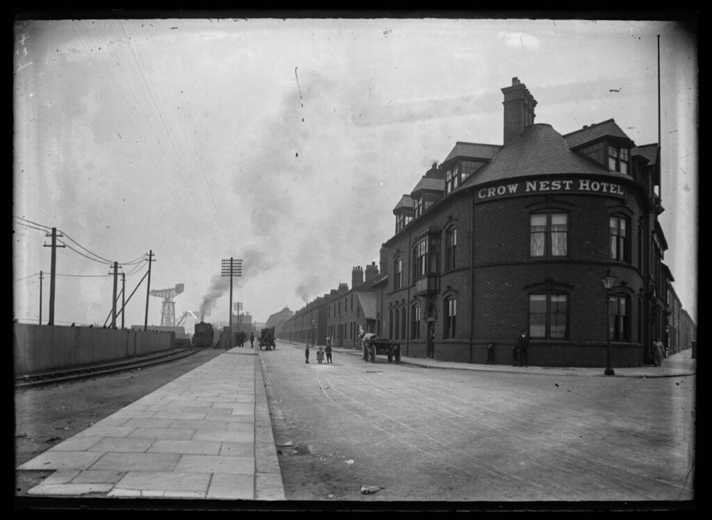
Opened in May 1888 it was described by the Barrow News as one of the best-appointed hotels in Barrow. From this start, Walton Lee, elected Town Councillor in 1886 envisaged an estate for the workers literally within spitting distance of their workplace.
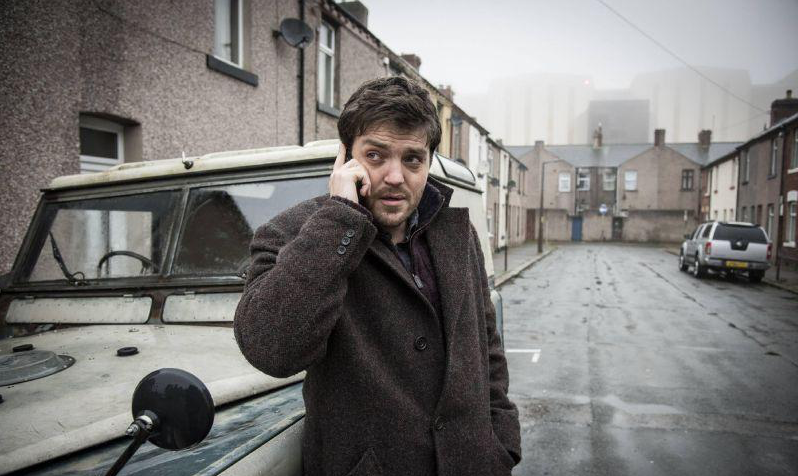
A section of Career of Evil was filmed at The Crow’s Nest.
Barrow shipyard’s Devonshire Dock Hall, The Crow’s Nest pub, Barrow Island streets, including Stanley Road and Stewart Street, and Michaelson Road Bridge, all featured in episode one of Career of Evil on Sunday night.
The Ferodo Factory was founded in Caernarfon in 1962, and officially opened by Princess Margaret.
However, the Ferodo Factory faced a significant setback in April 2001, when a lengthy industrial strike by the Transport and General Workers Union members began.
The strike lasted for an astonishing two and a half years.
Following the strike, the Ferodo Factory underwent a change in ownership. Bluefield Caernarfon Ltd acquired the site in 2007/08, with plans for redevelopment and revitalization. However, these plans did not come to fruition, and the factory’s buildings gradually fell into disrepair.
The site was identified as a potential location for a multi-million pound North Wales prison. This development would have created numerous job opportunities and breathed new life into the area.
Plans for this proposed redevelopment where rejected.
An appeal was launched in 2023 to find ex-strikers, in order to invite them to the premiere of a documentary to mark the 20th anniversary of one of Britain’s longest industrial disputes.
The hard-hitting film, Y Lein: Streic Friction Dynamics – The Line: Friction Dynamics Strike, has been made by Dïon Wyn, the grandson of one of the strikers, Raymond Roberts, who was determined the historic injustice should never be forgotten.
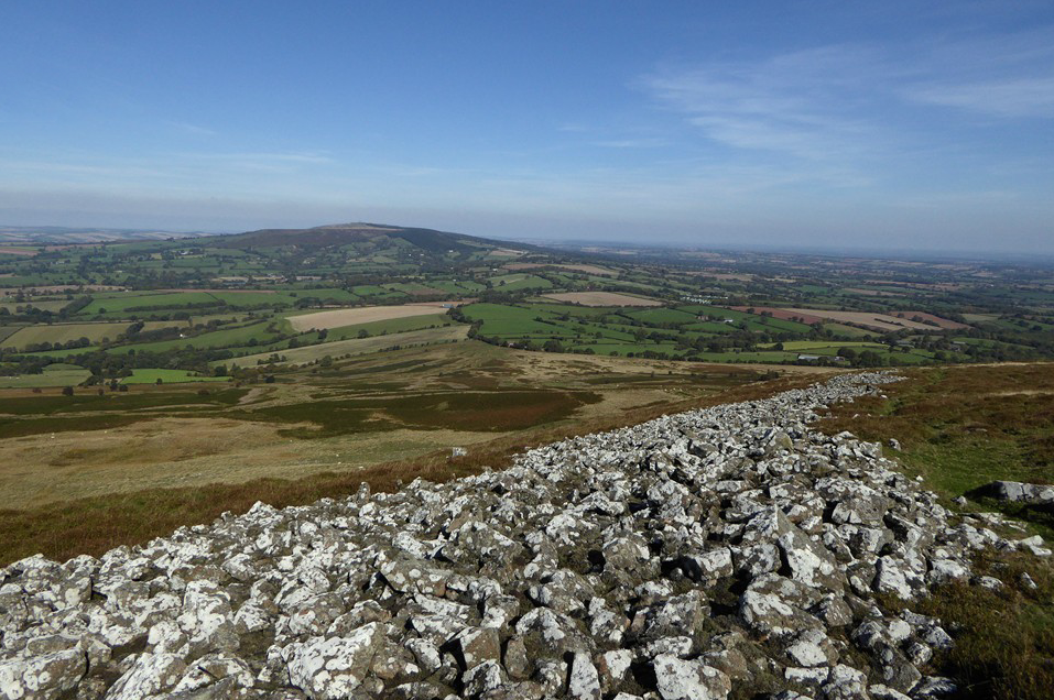
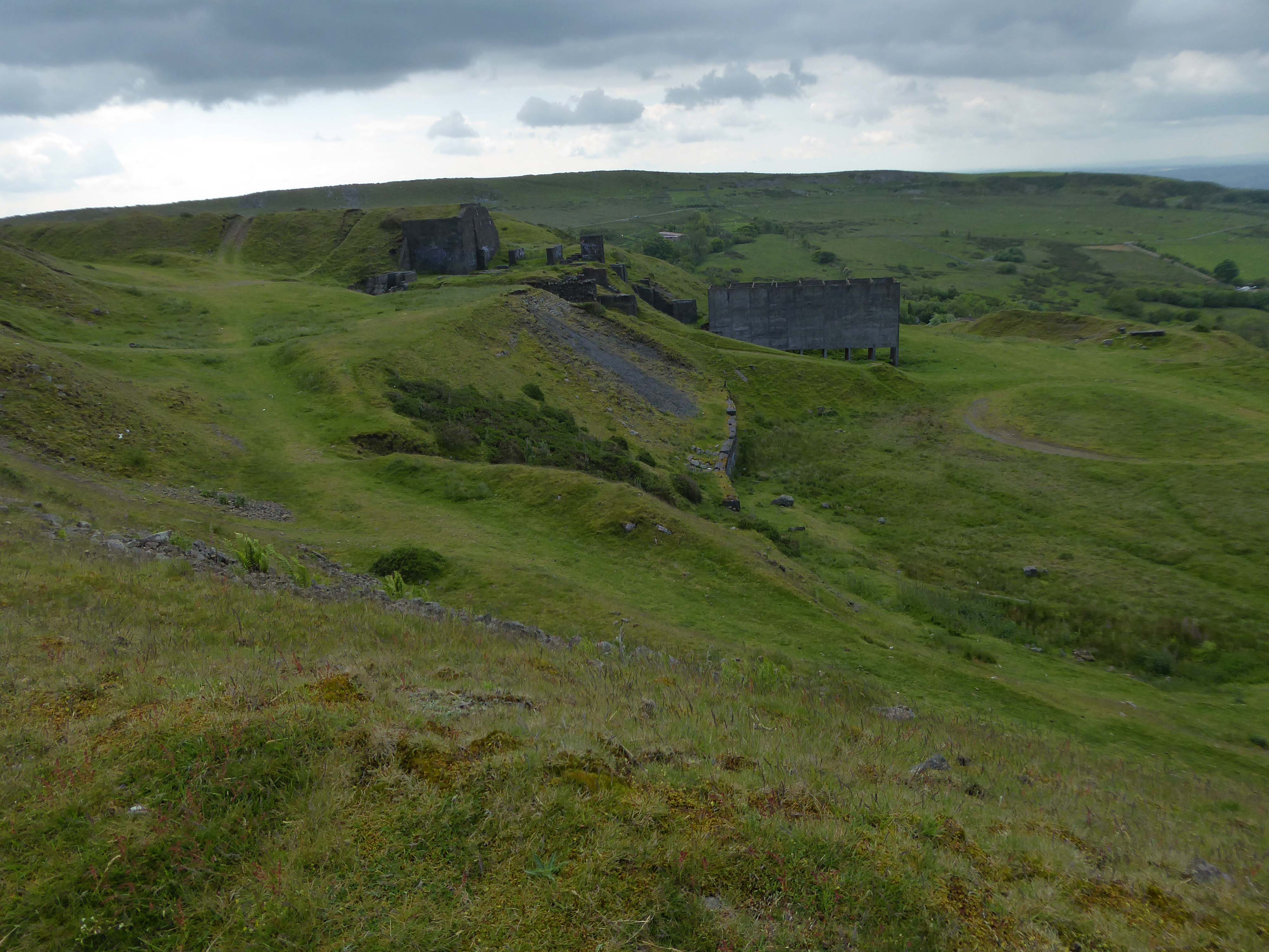
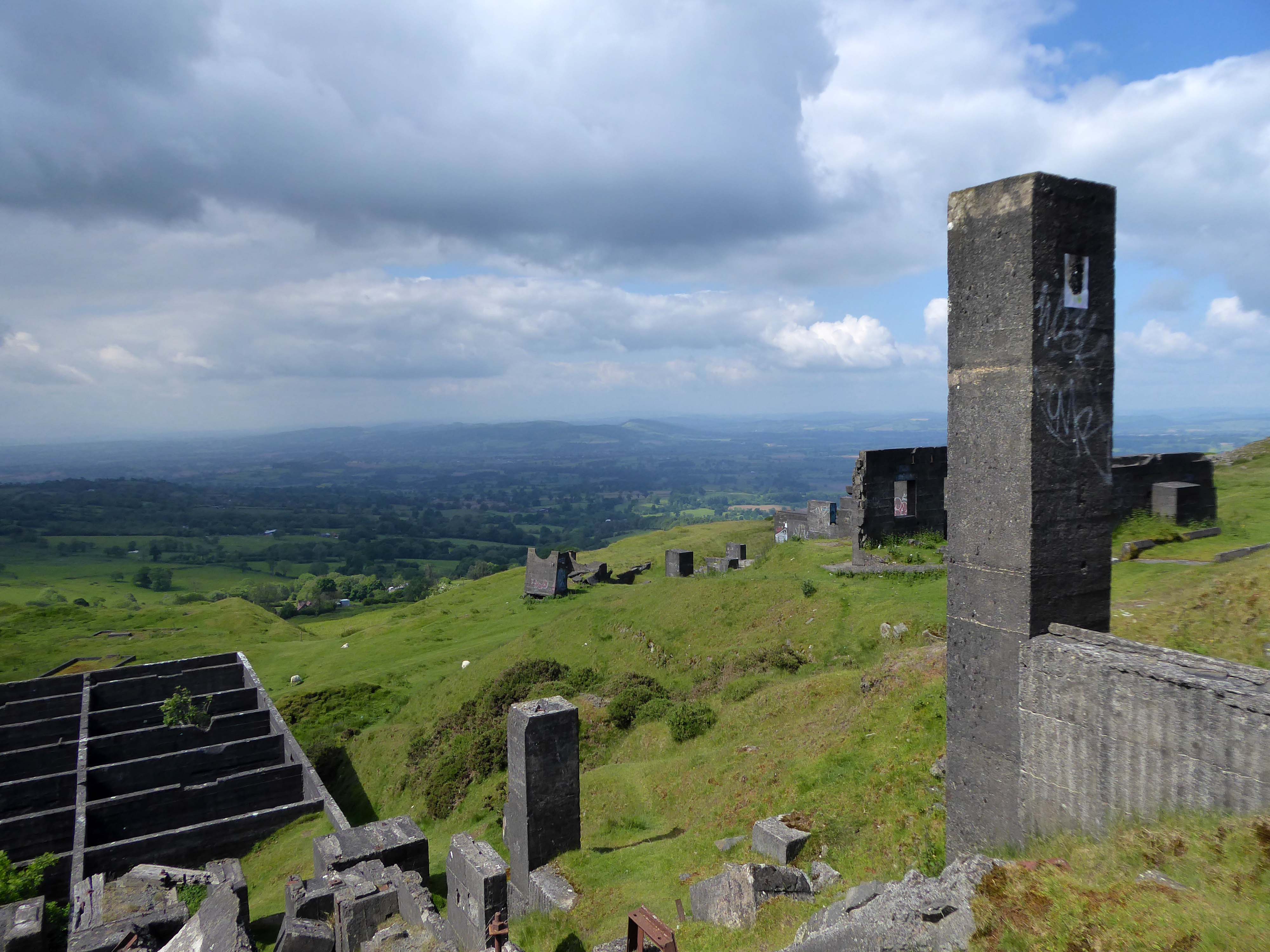
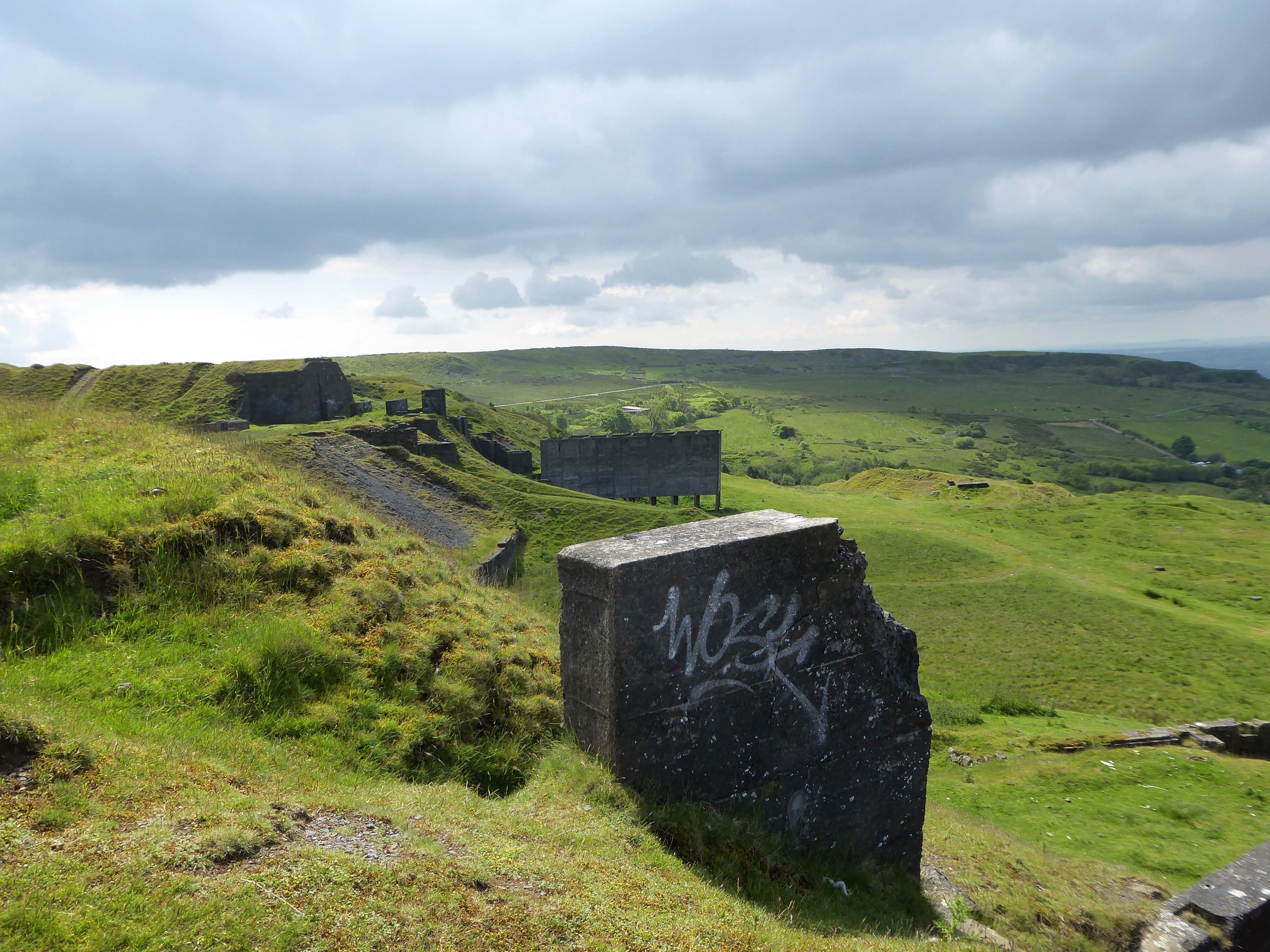
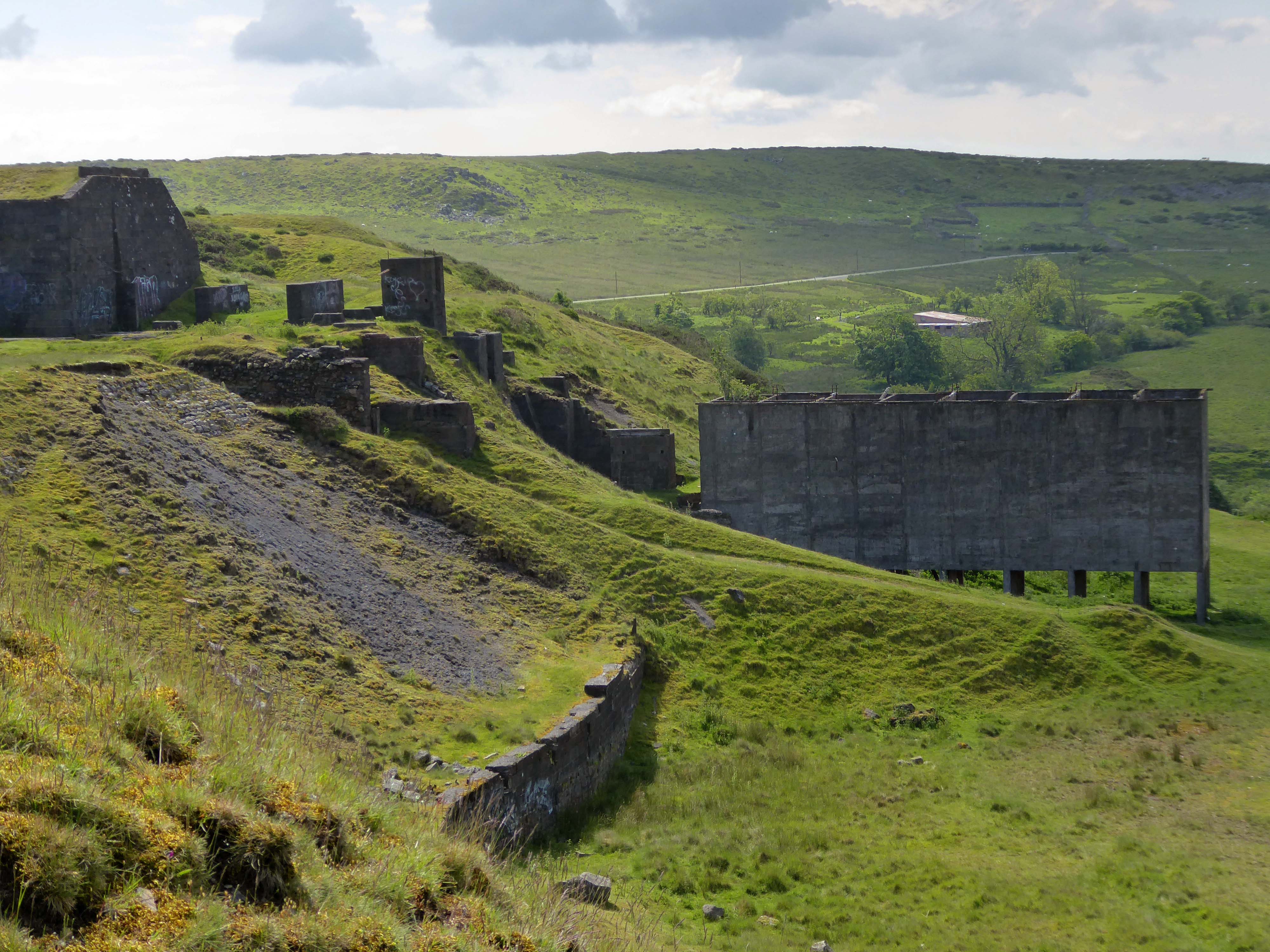
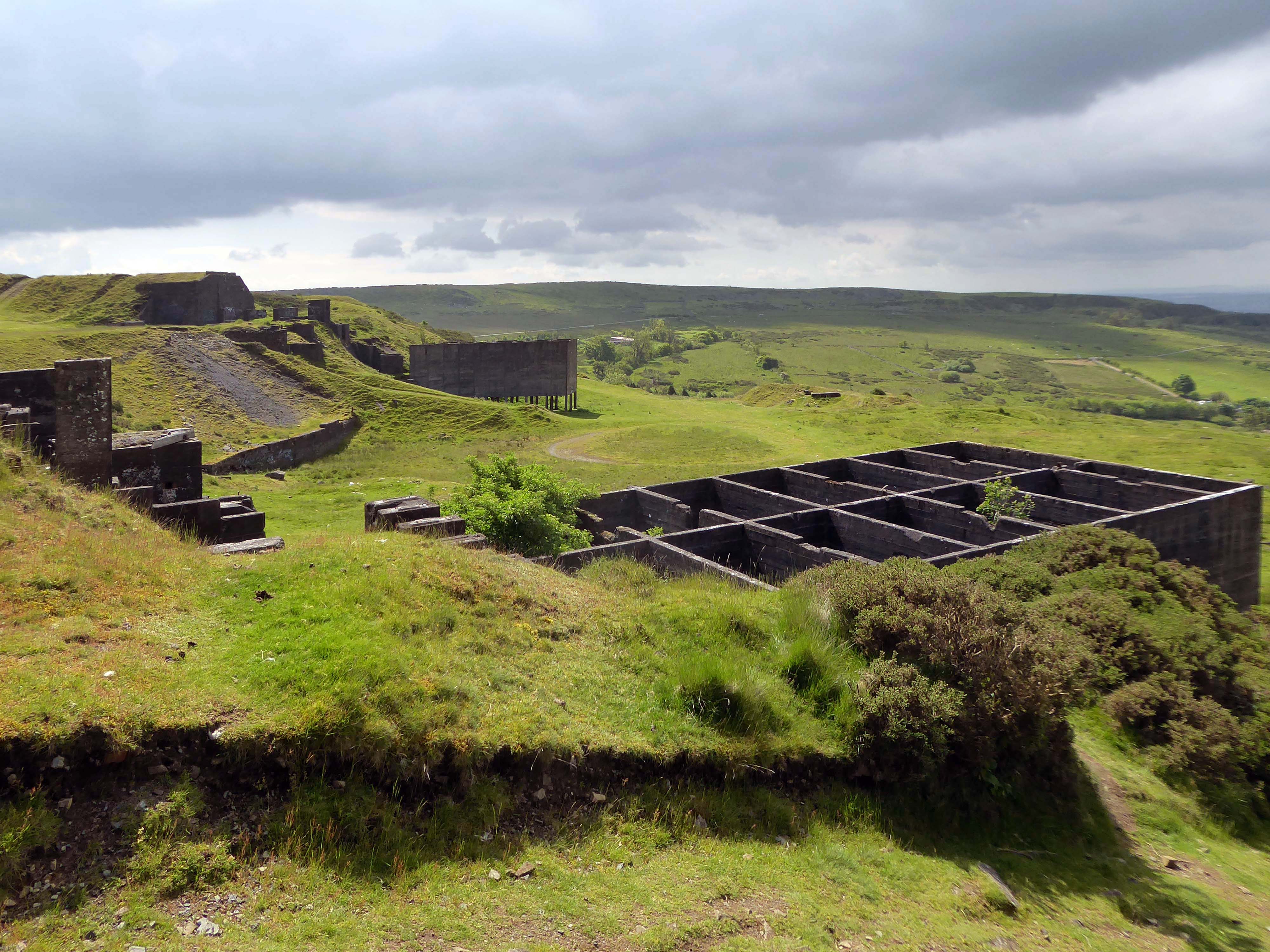
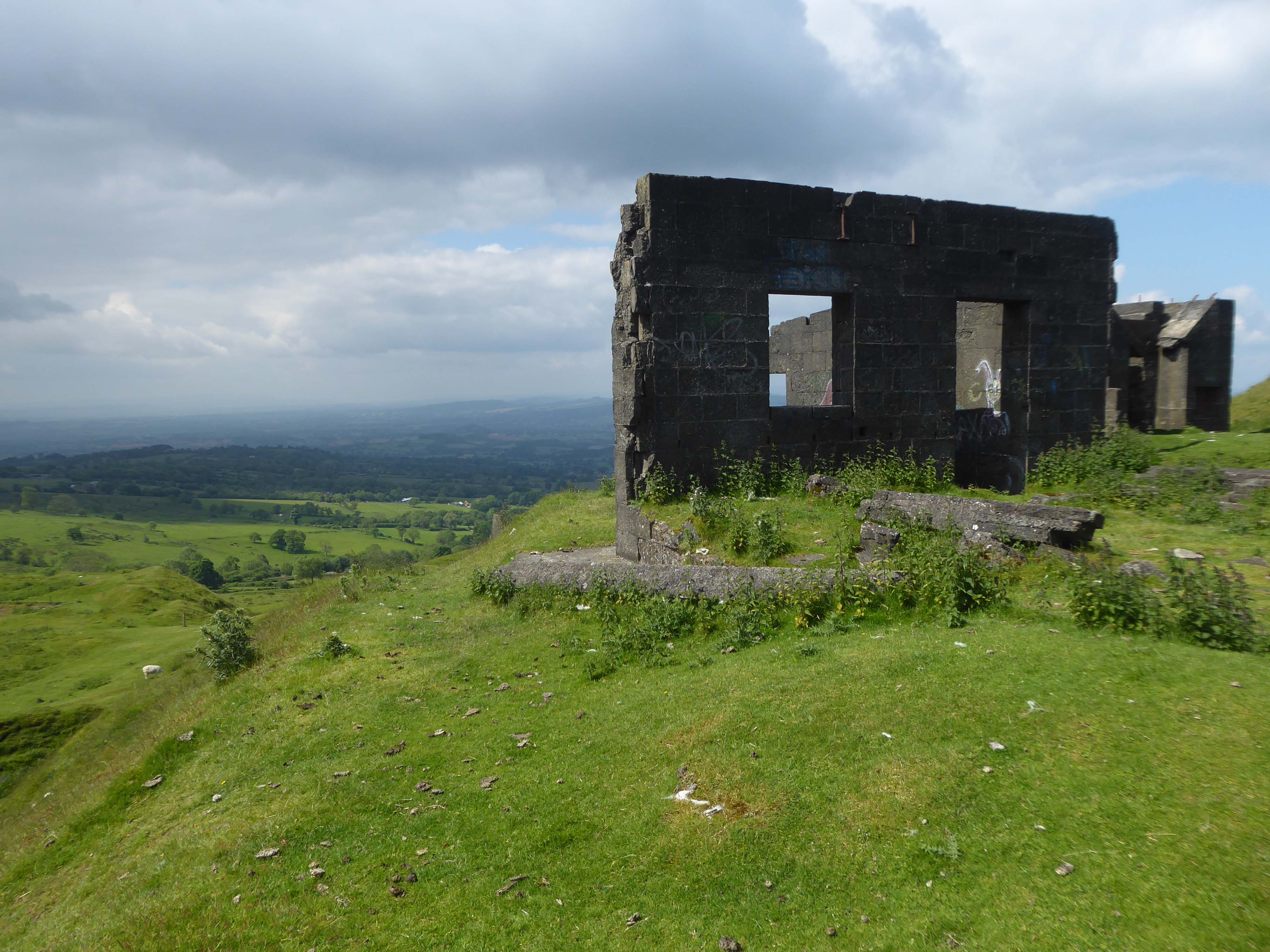
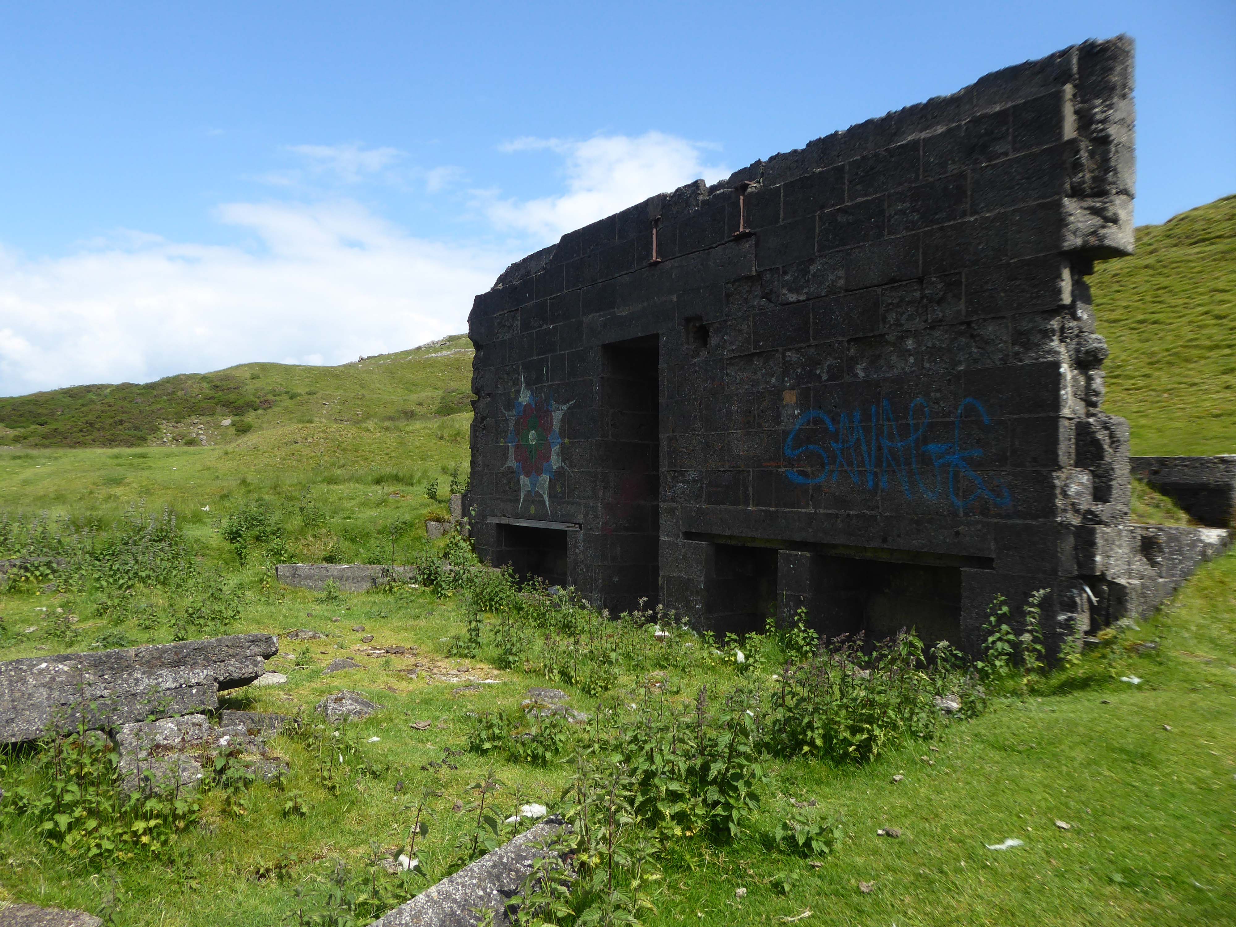
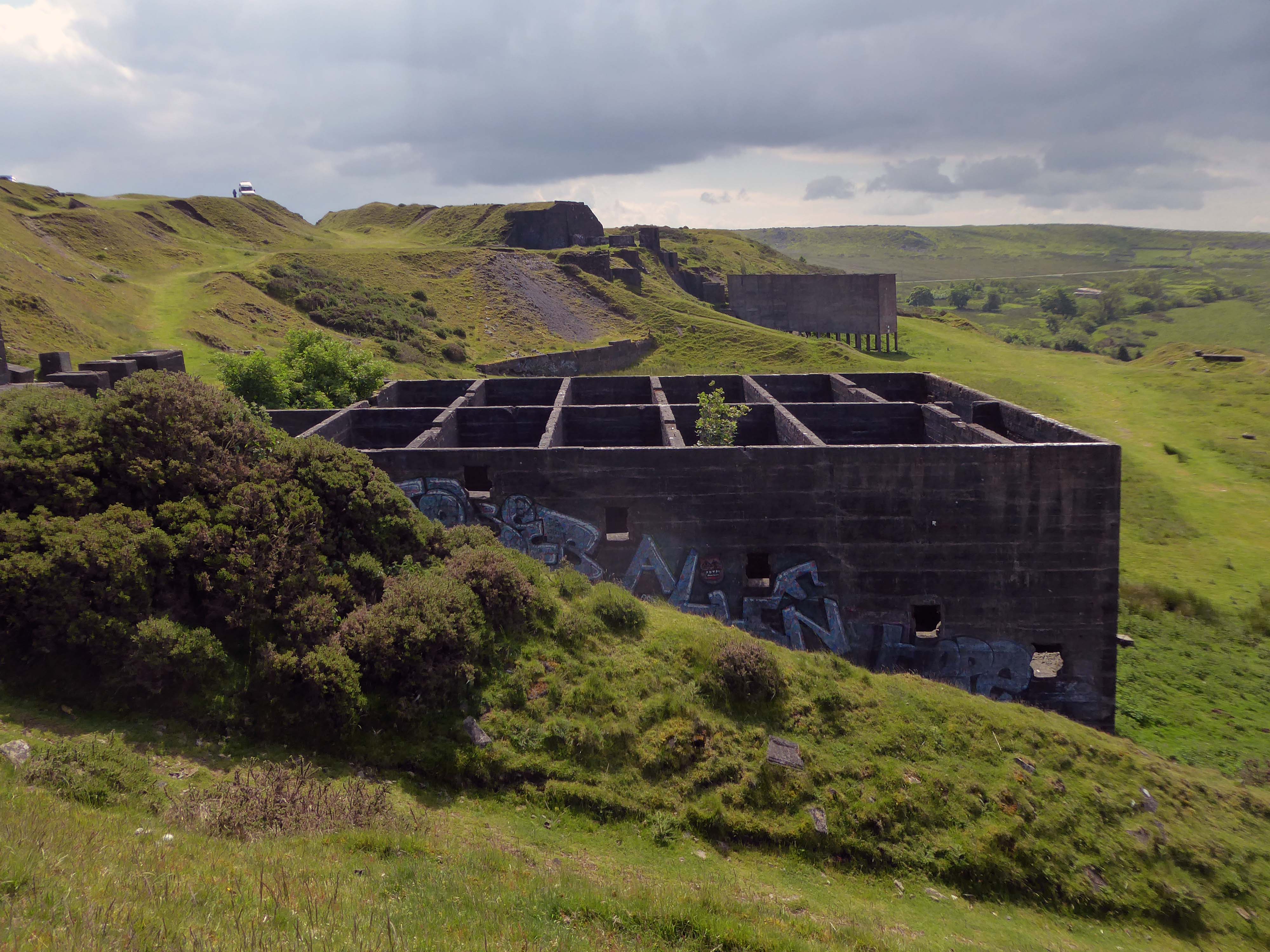
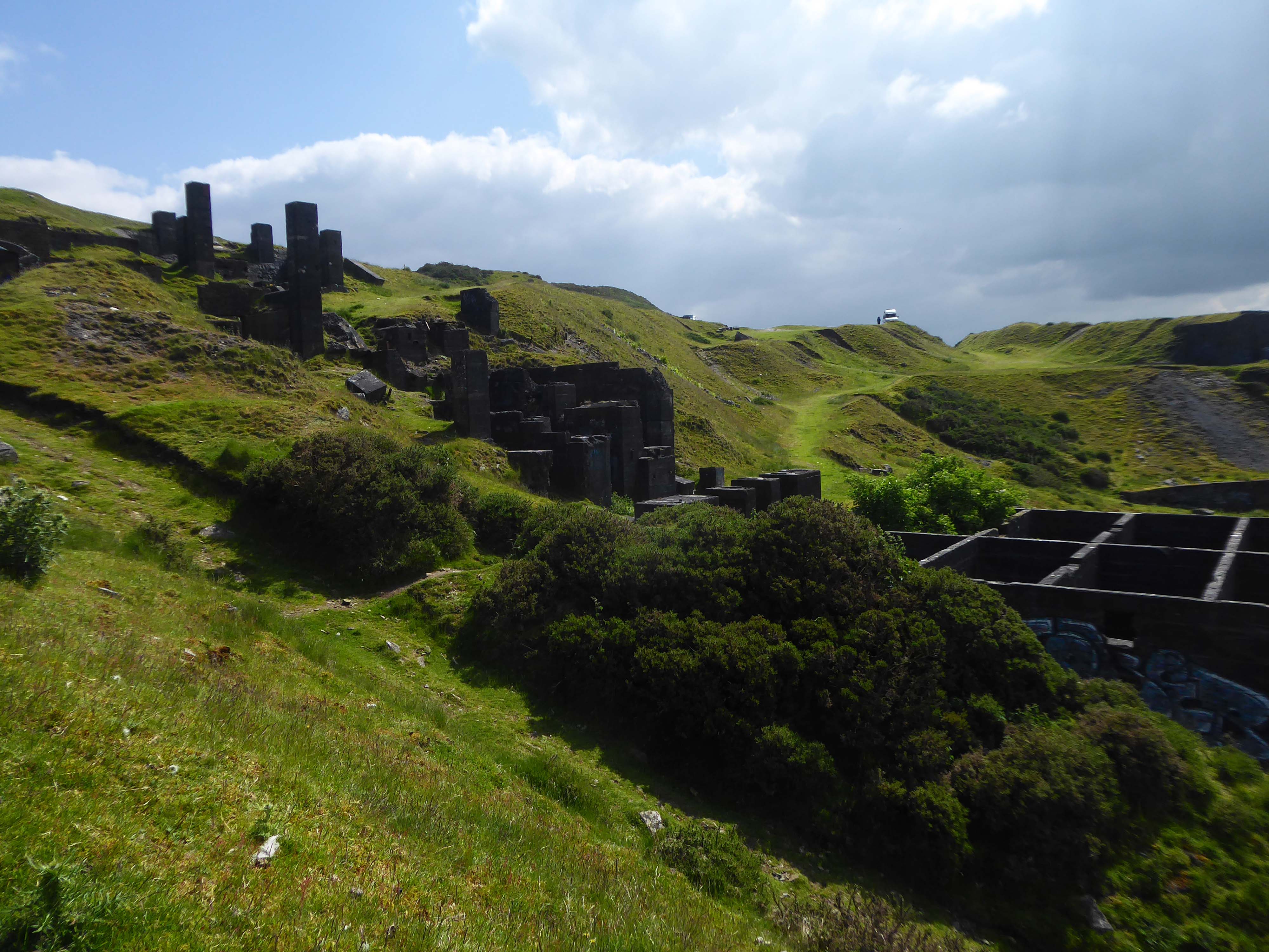
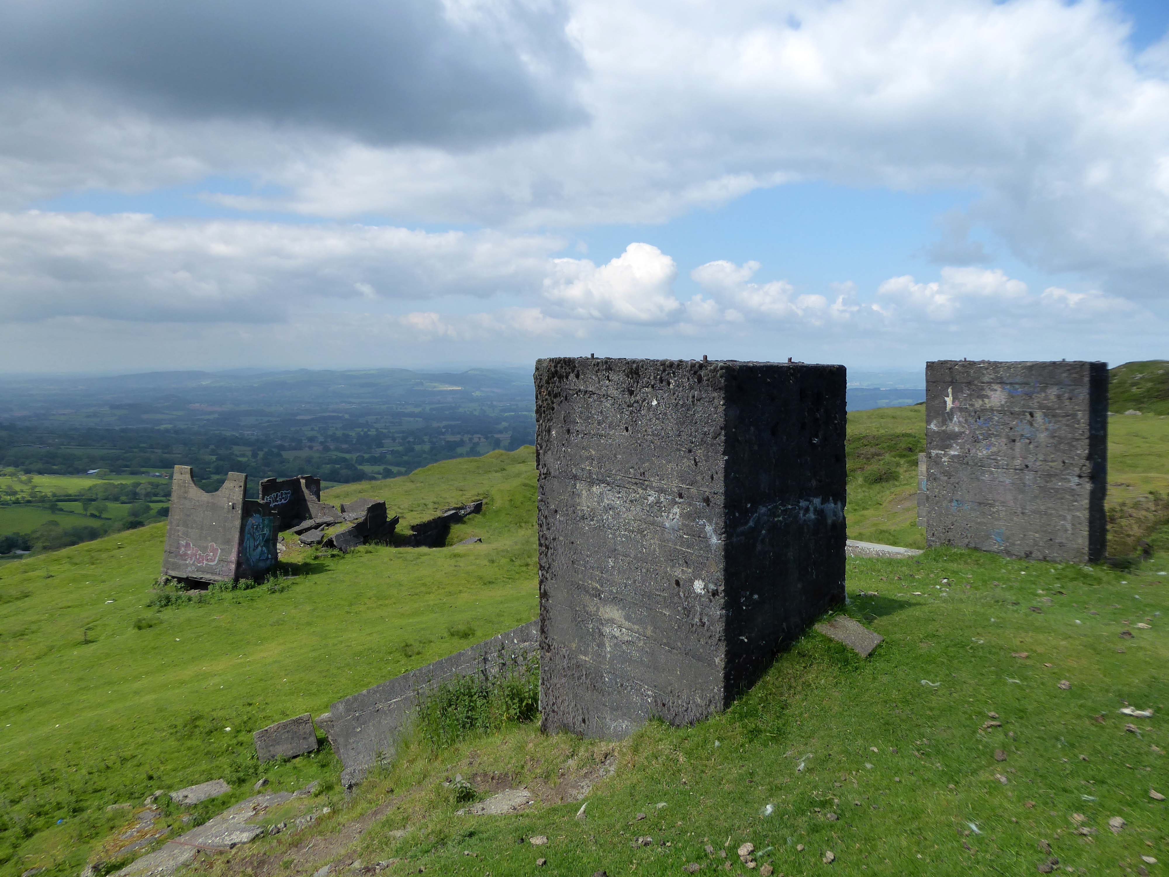
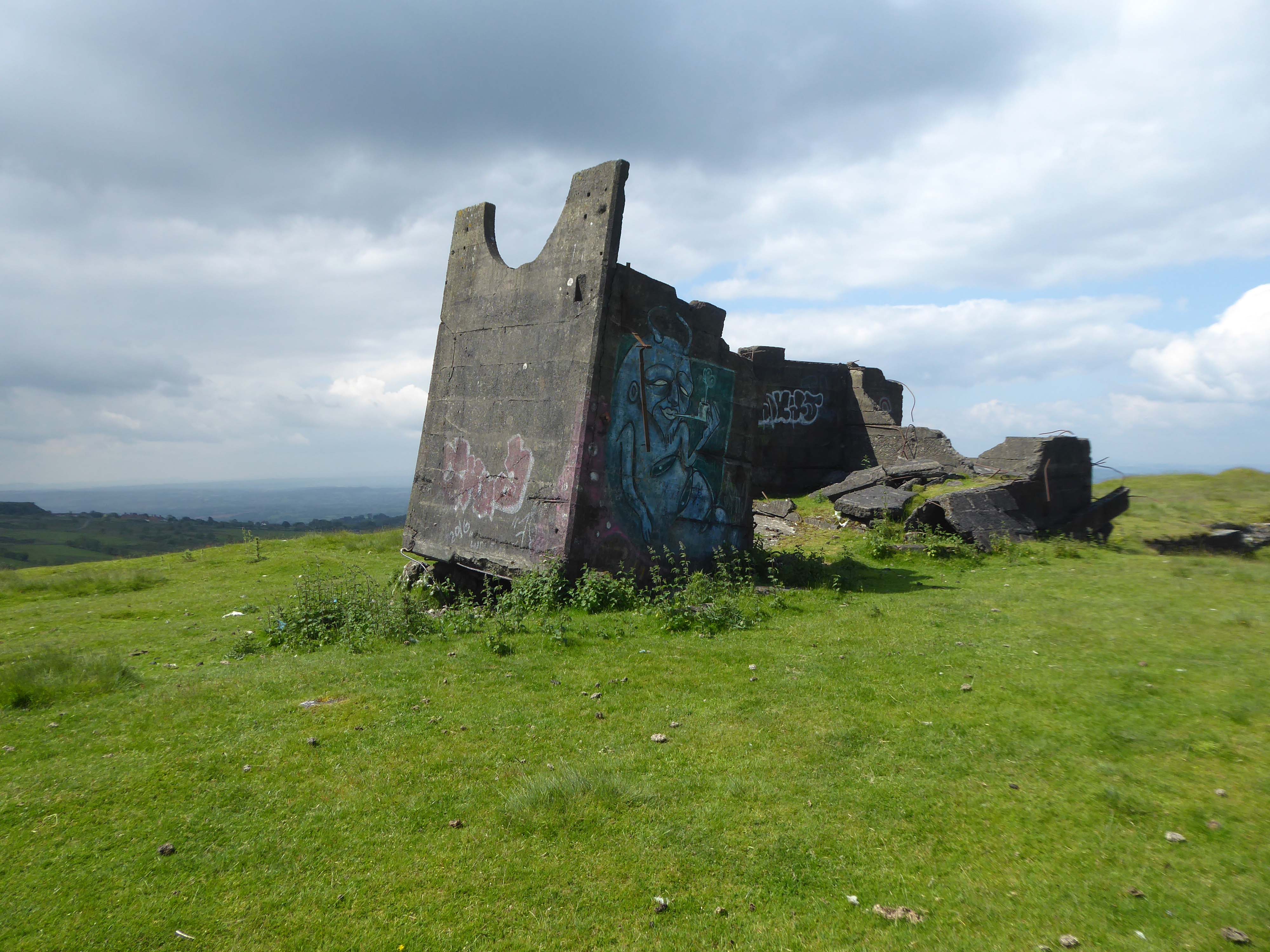
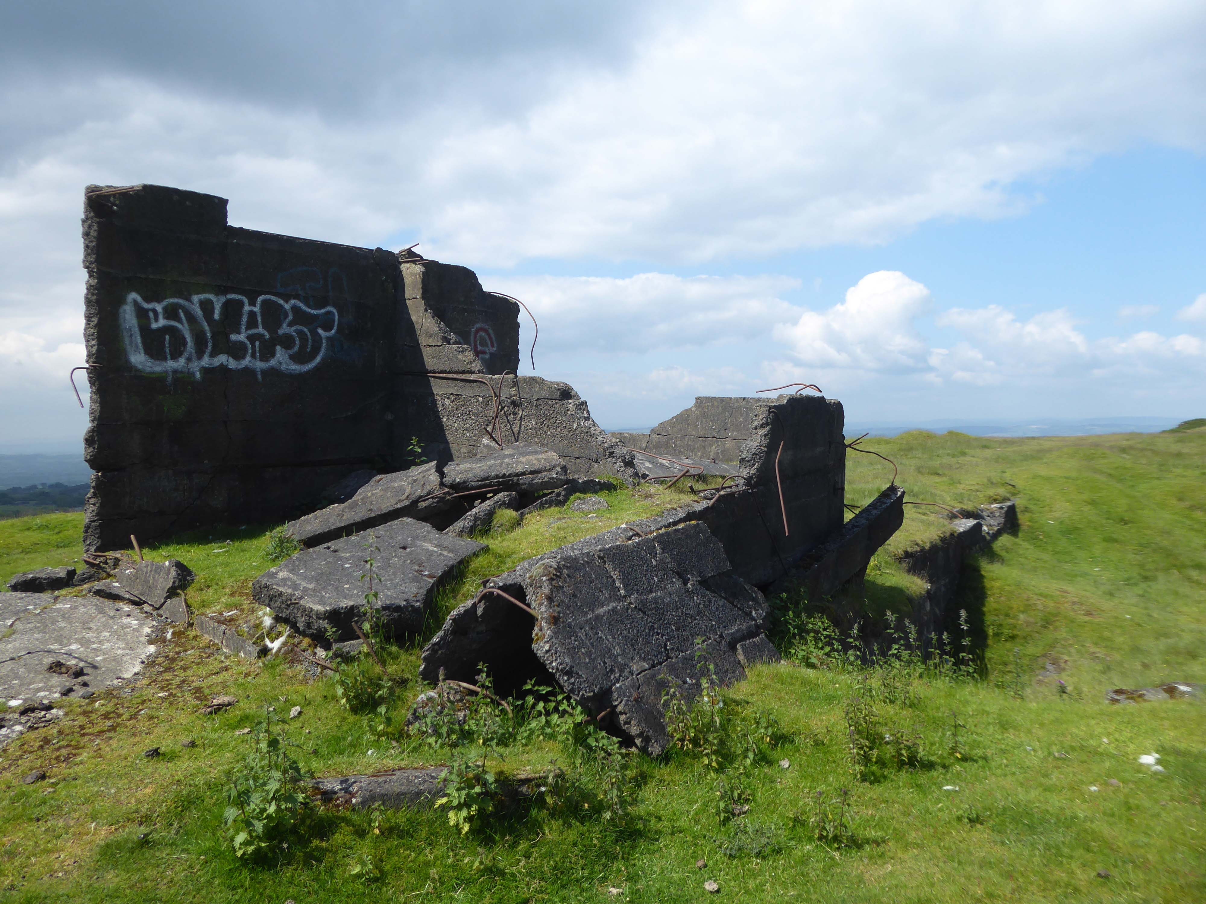
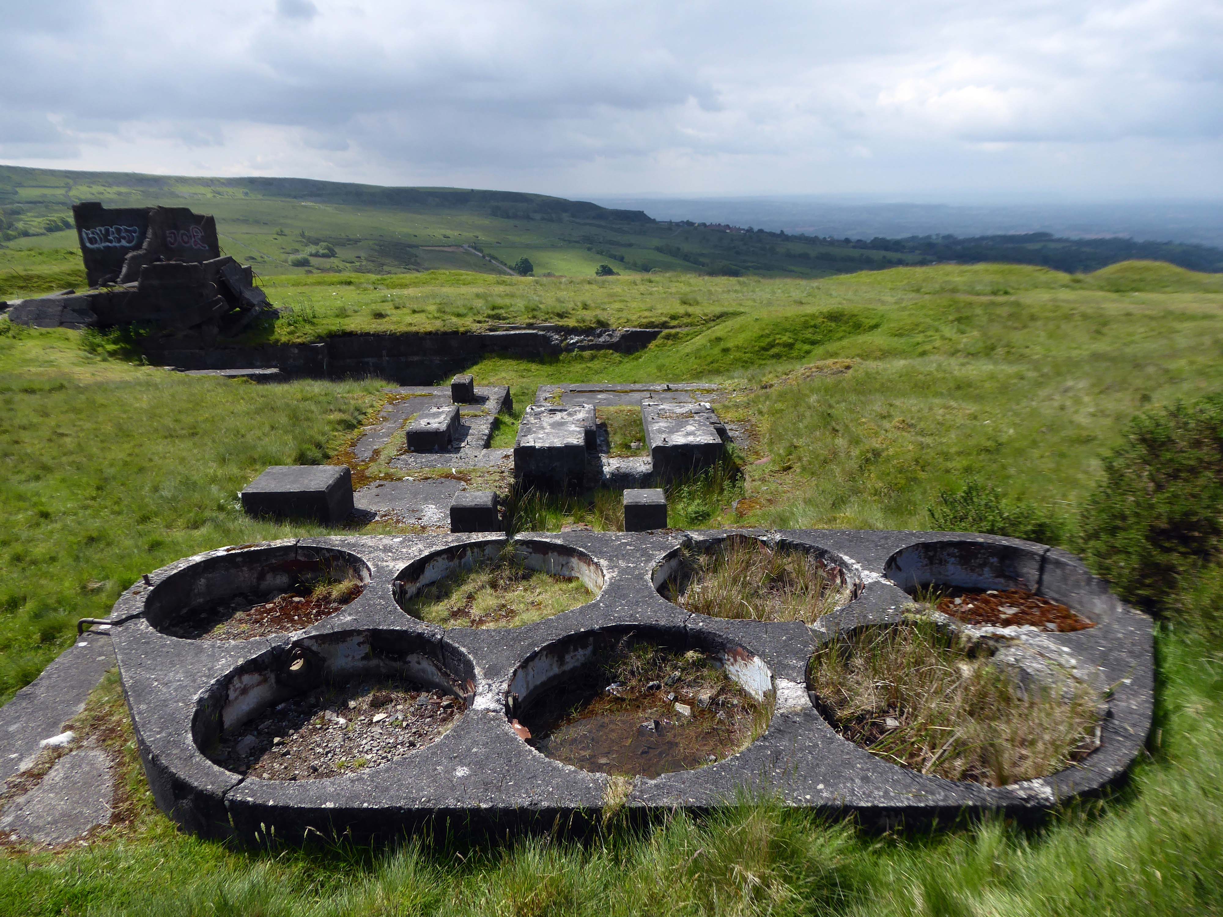
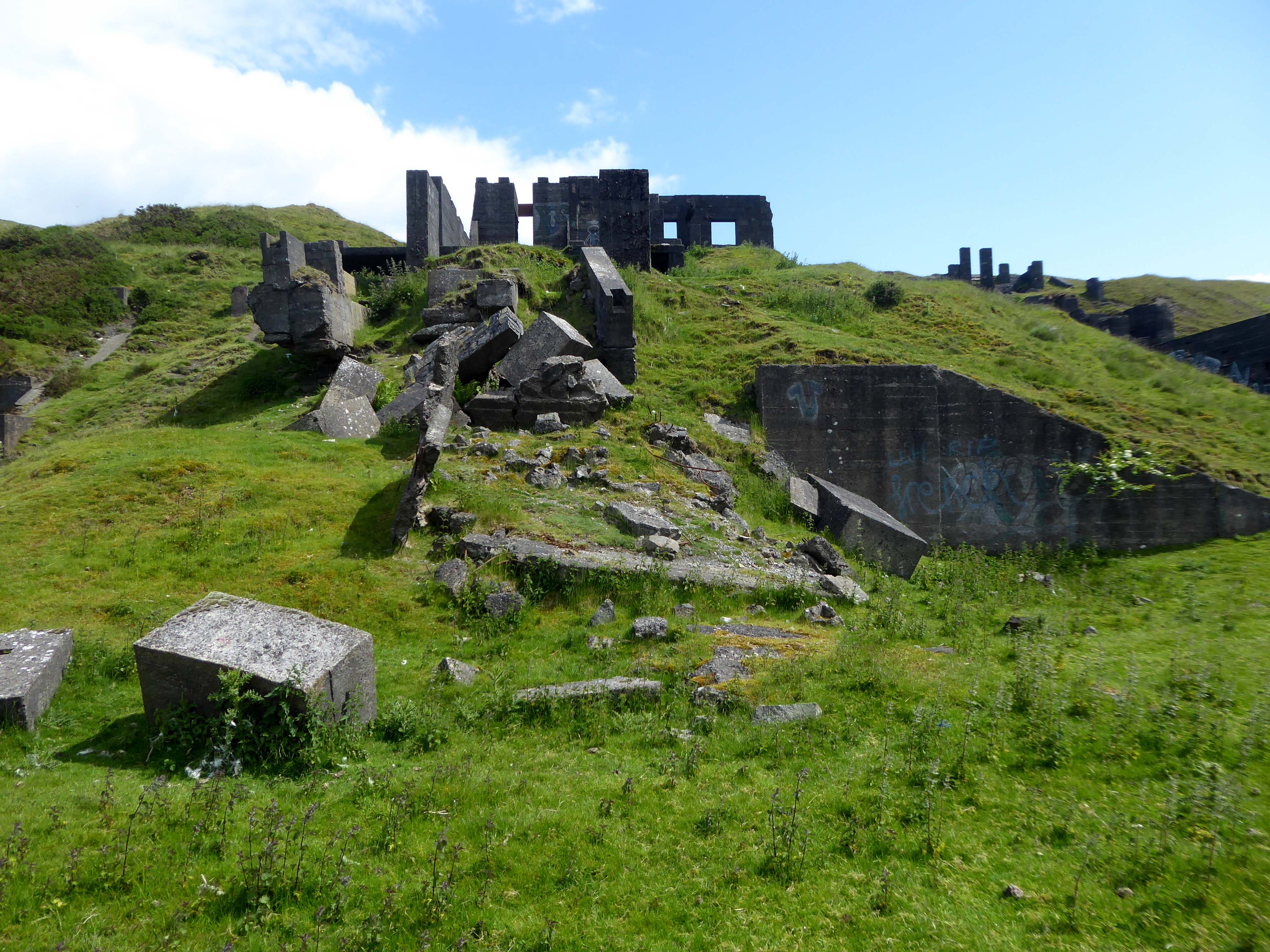
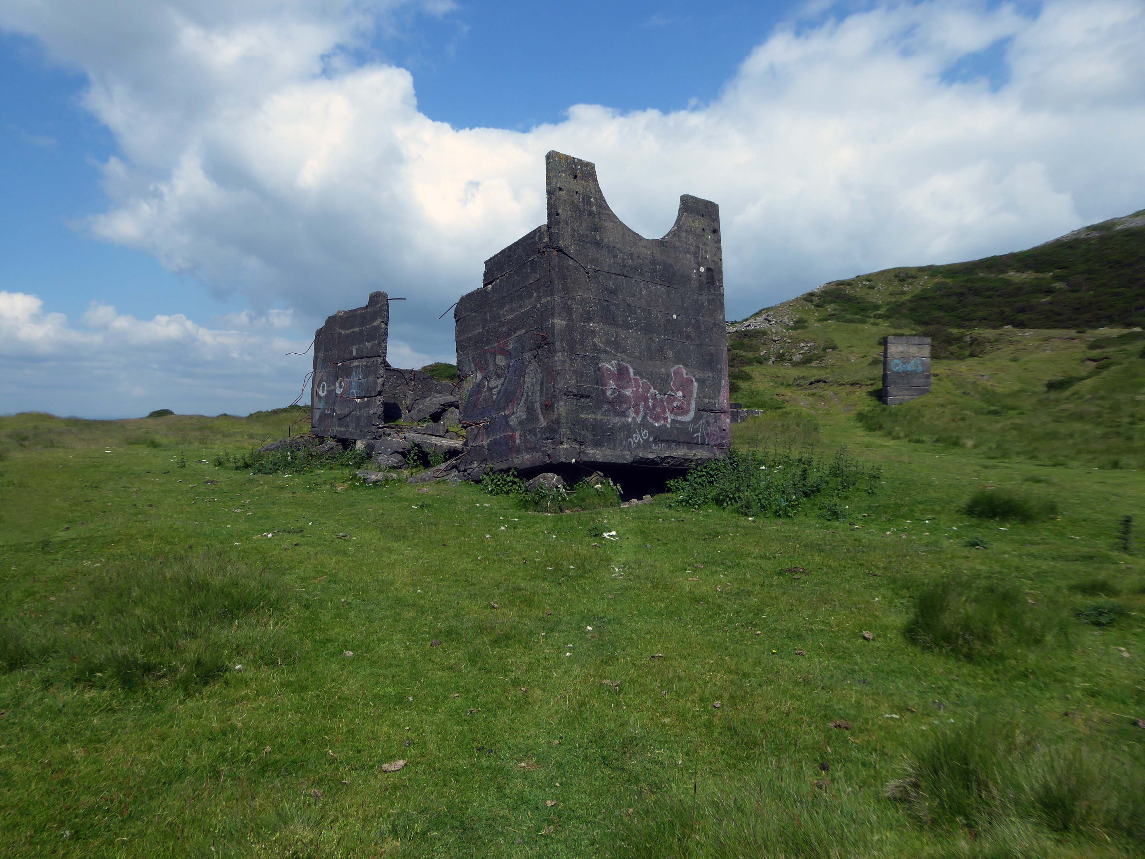
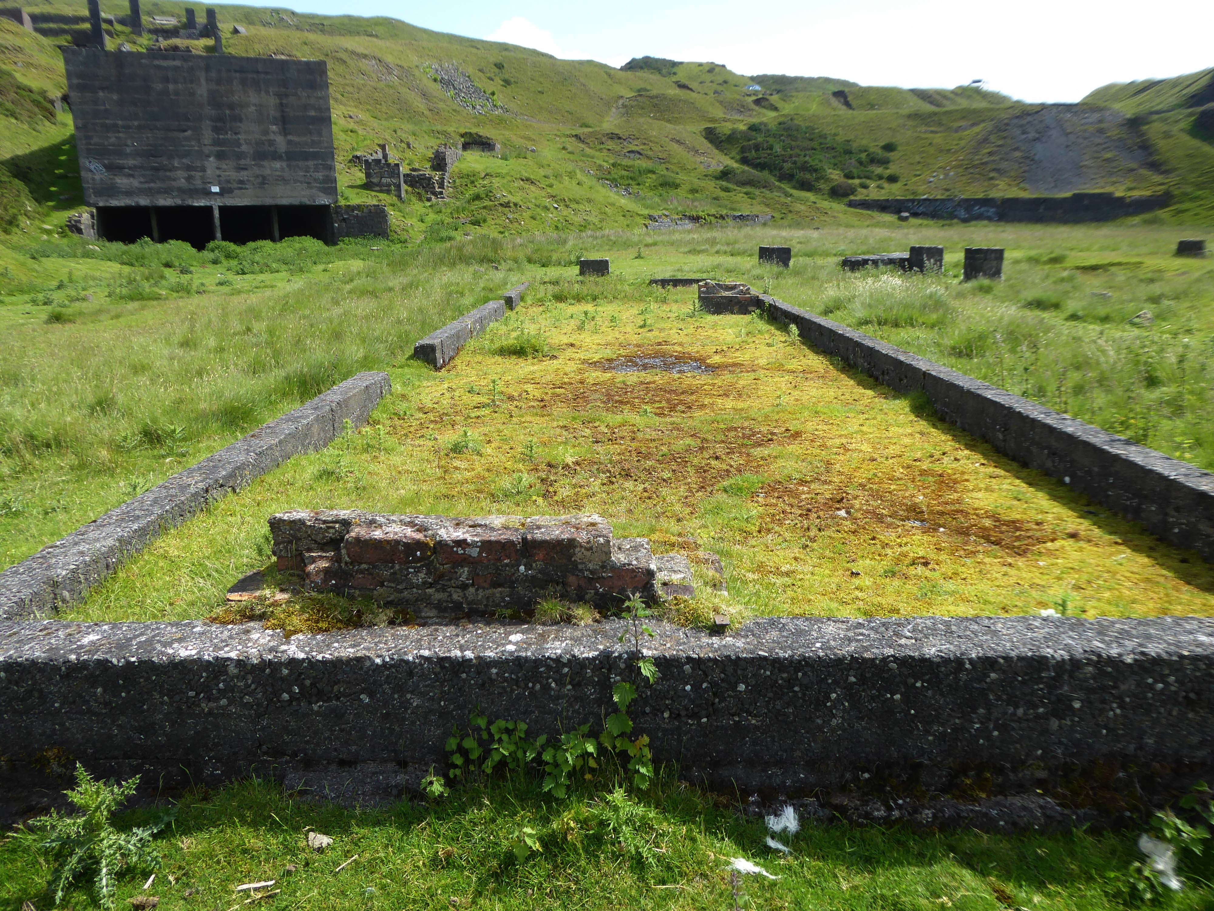
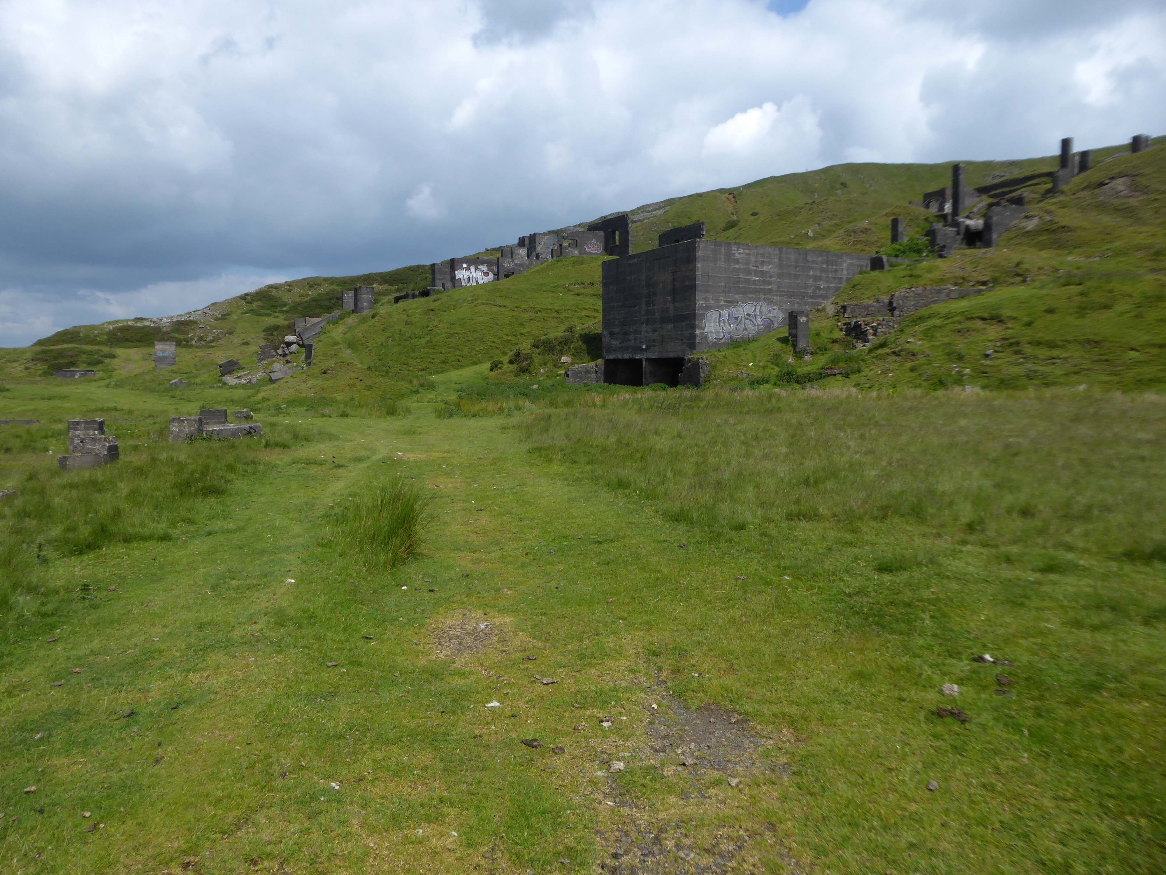
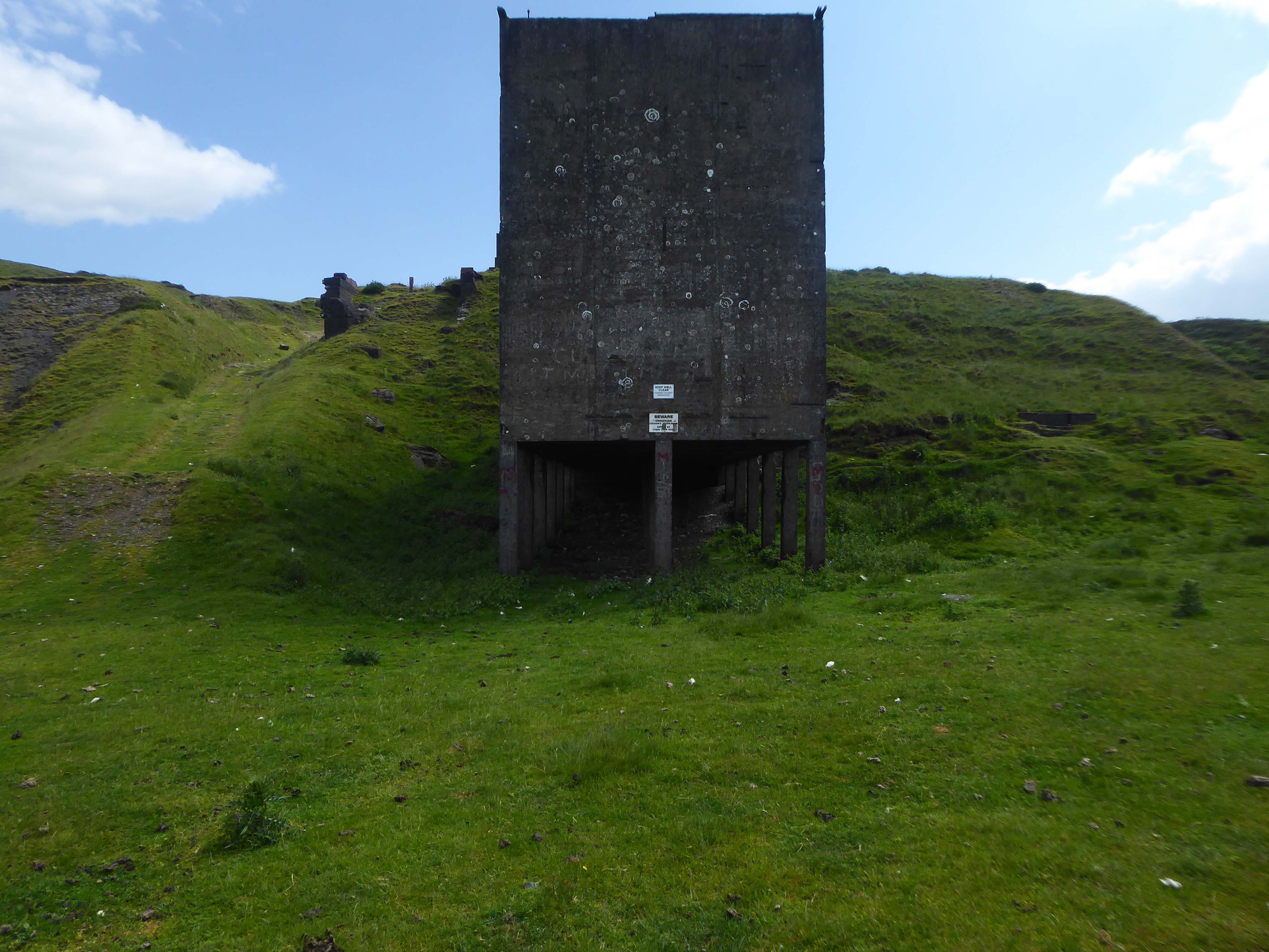
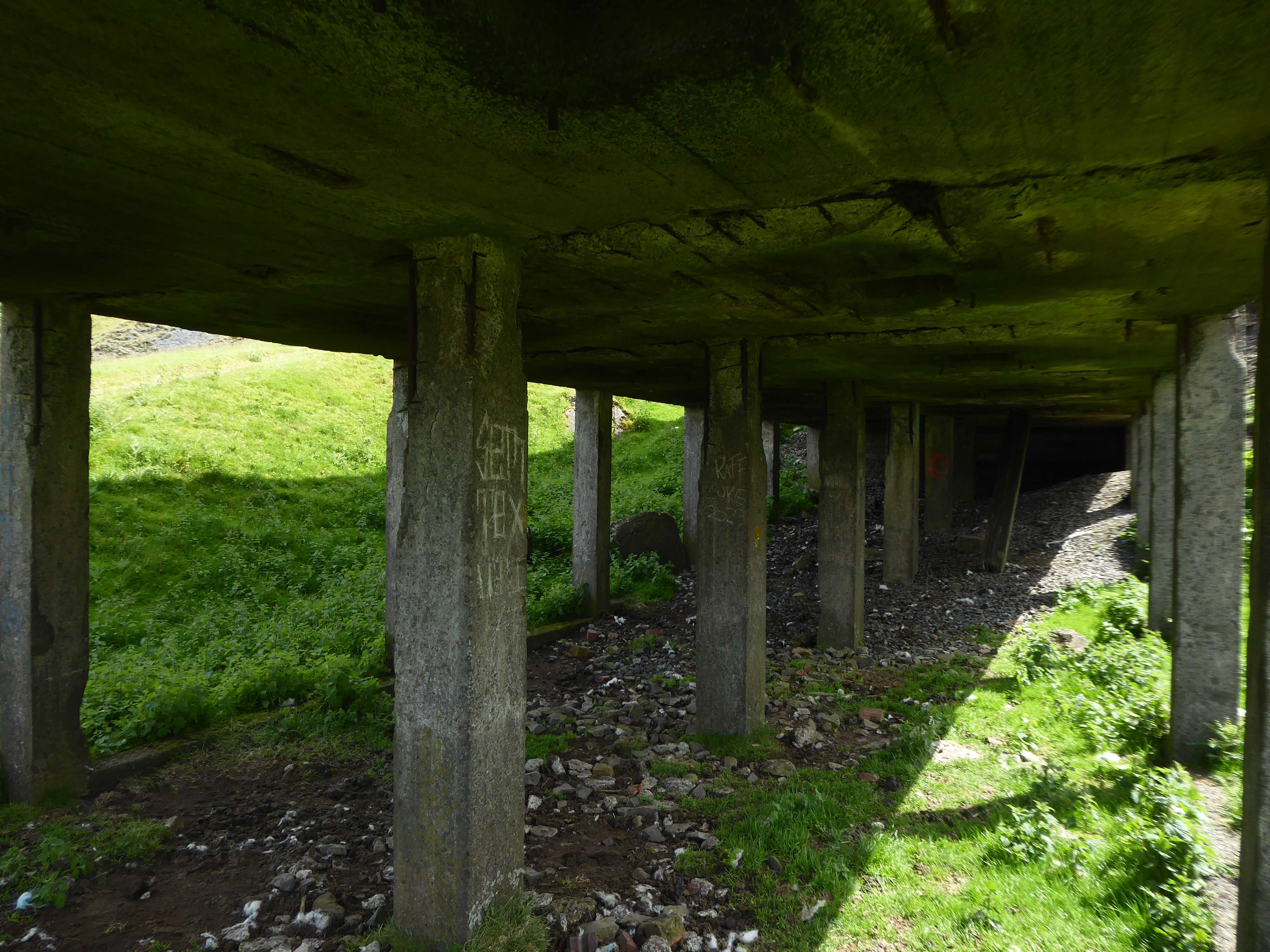
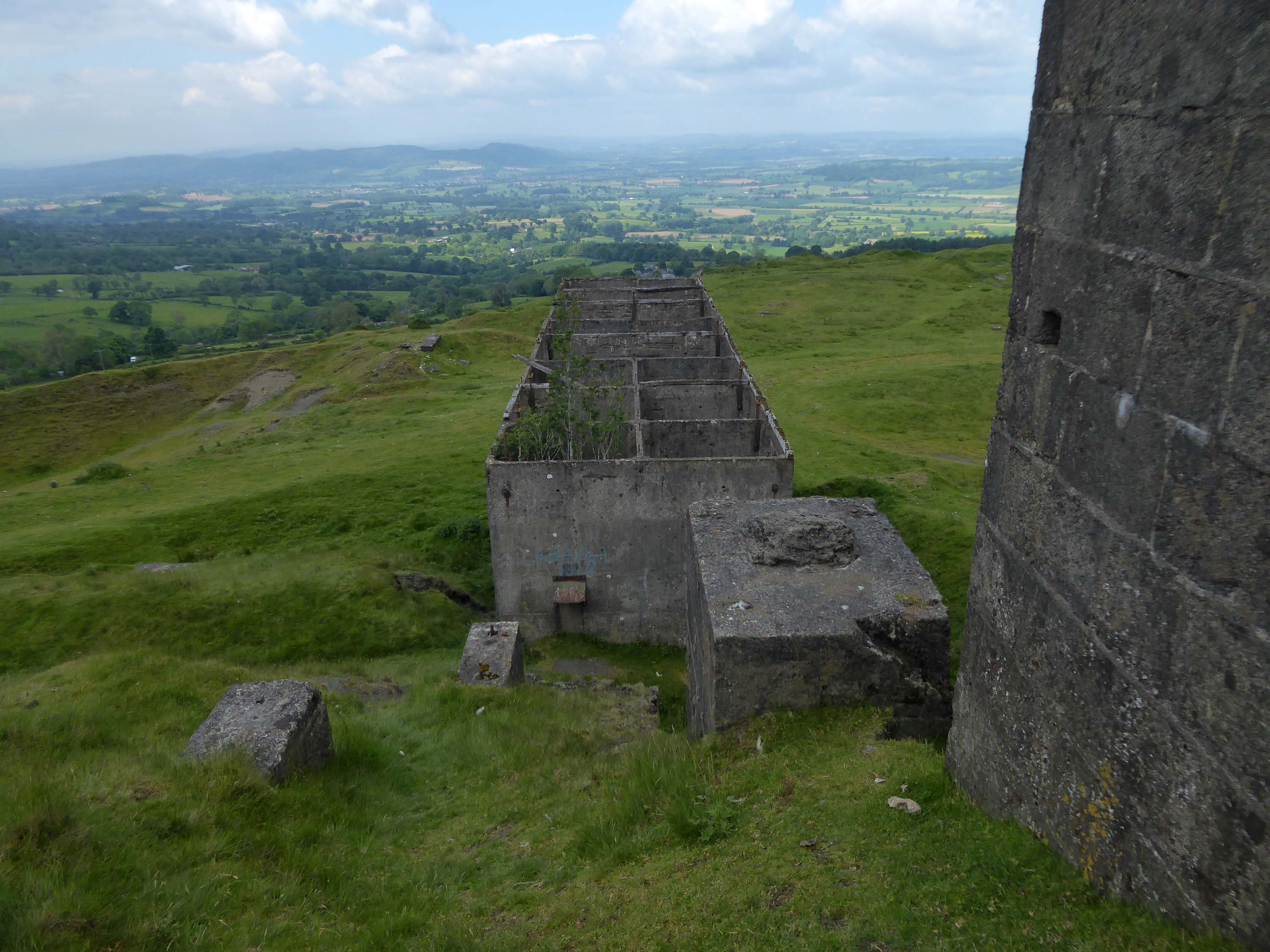
Titterstone Clee is the third-highest hill in Shropshire rising at the summit to 533 metres – 1,749 ft above sea level.
Most of the summit of the hill is affected by man-made activity, the result of hill fort construction during the Bronze and Iron Ages and, more recently, by years of mining for coal and quarrying for dolerite, known locally as dhustone, for use in road-building. Many derelict quarry buildings scattered over the hill are of industrial archaeological interest as very early examples of the use of reinforced concrete.
Near the summit trig point are the remains of a Bronze Age cairn, dating back up to 4,000 years and indicating that the summit was a likely ceremonial site. Although partly destroyed by quarrying, Titterstone Clee’s Iron Age hill fort is enclosed by a huge boundary earthworks.
It is of note that the walls of the fort are made up of stone blocks, instead of earth banks.
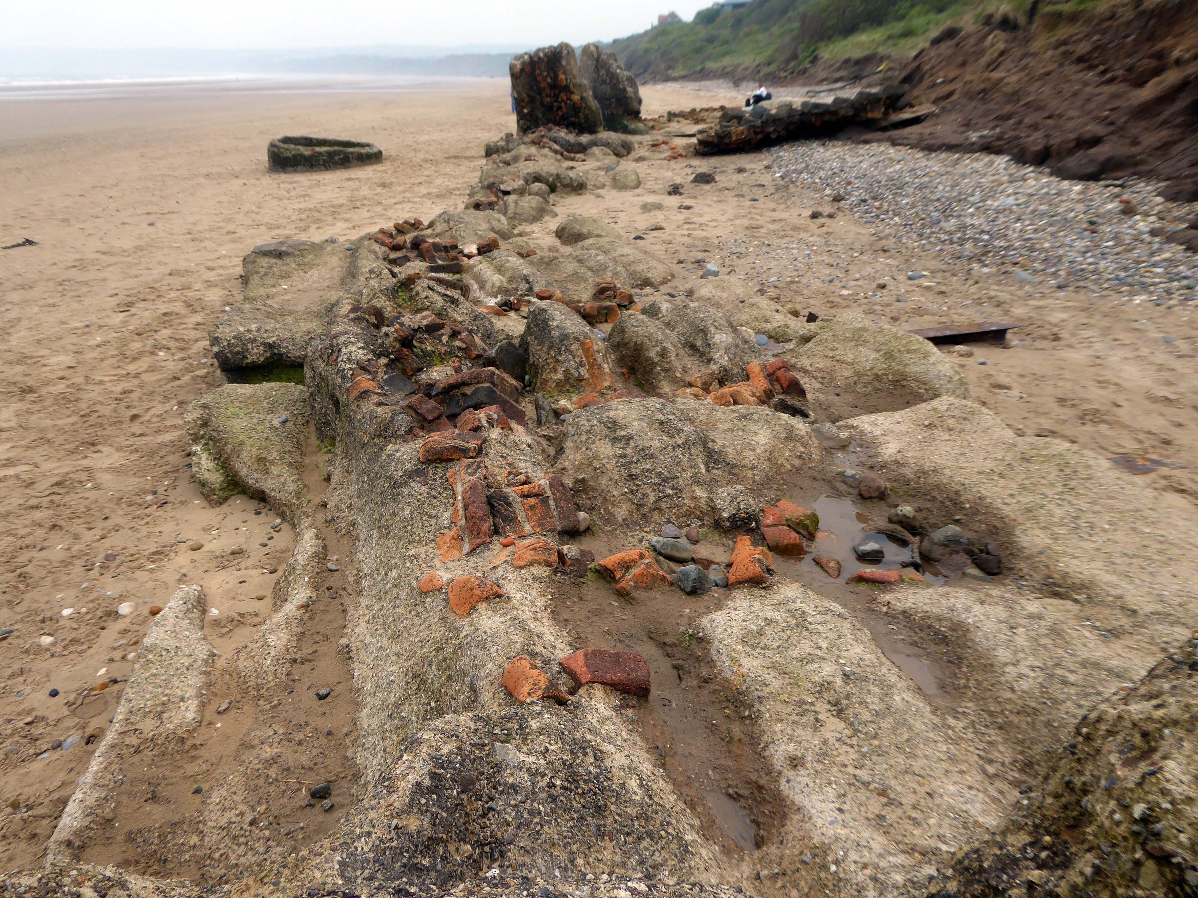
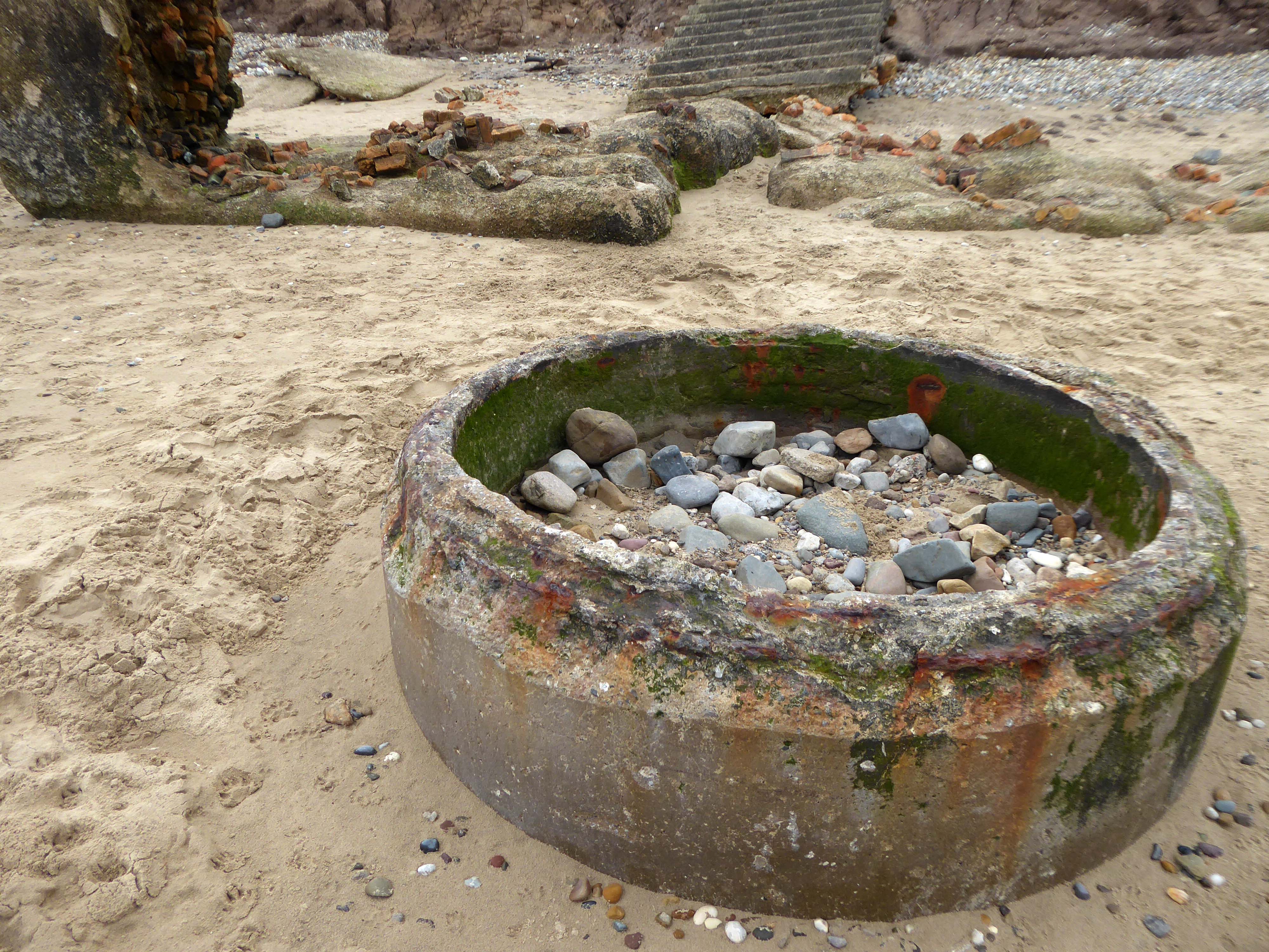
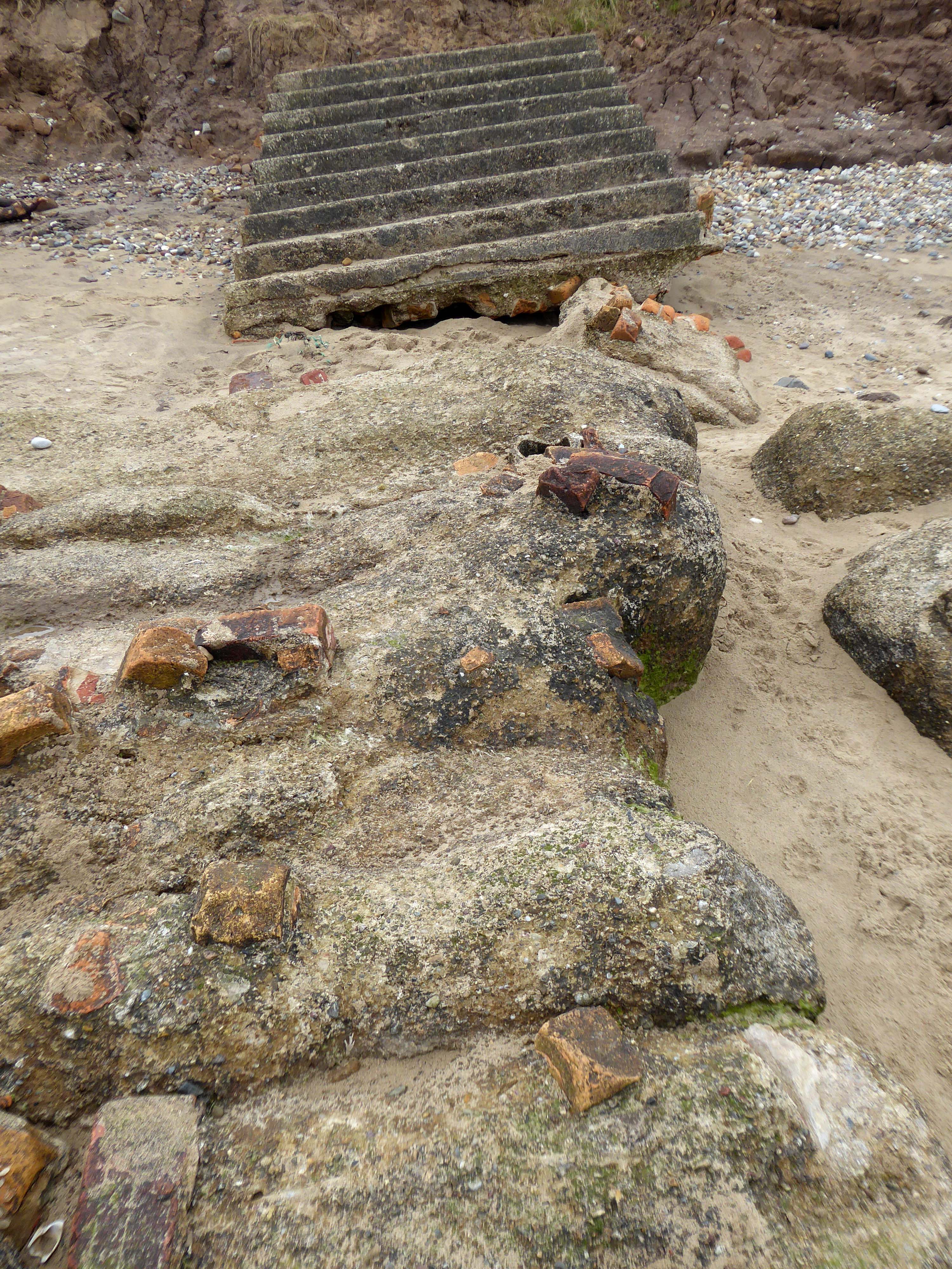
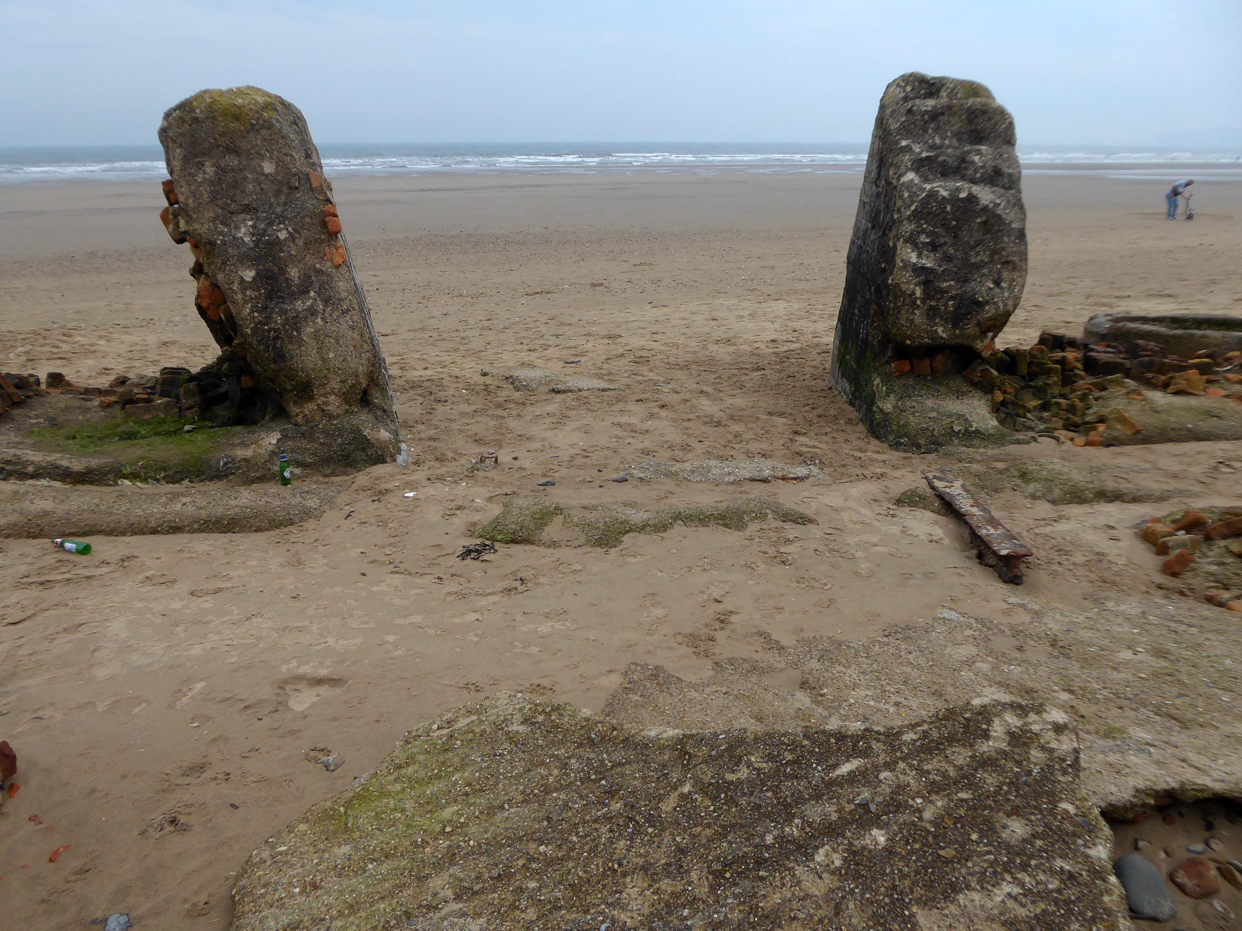
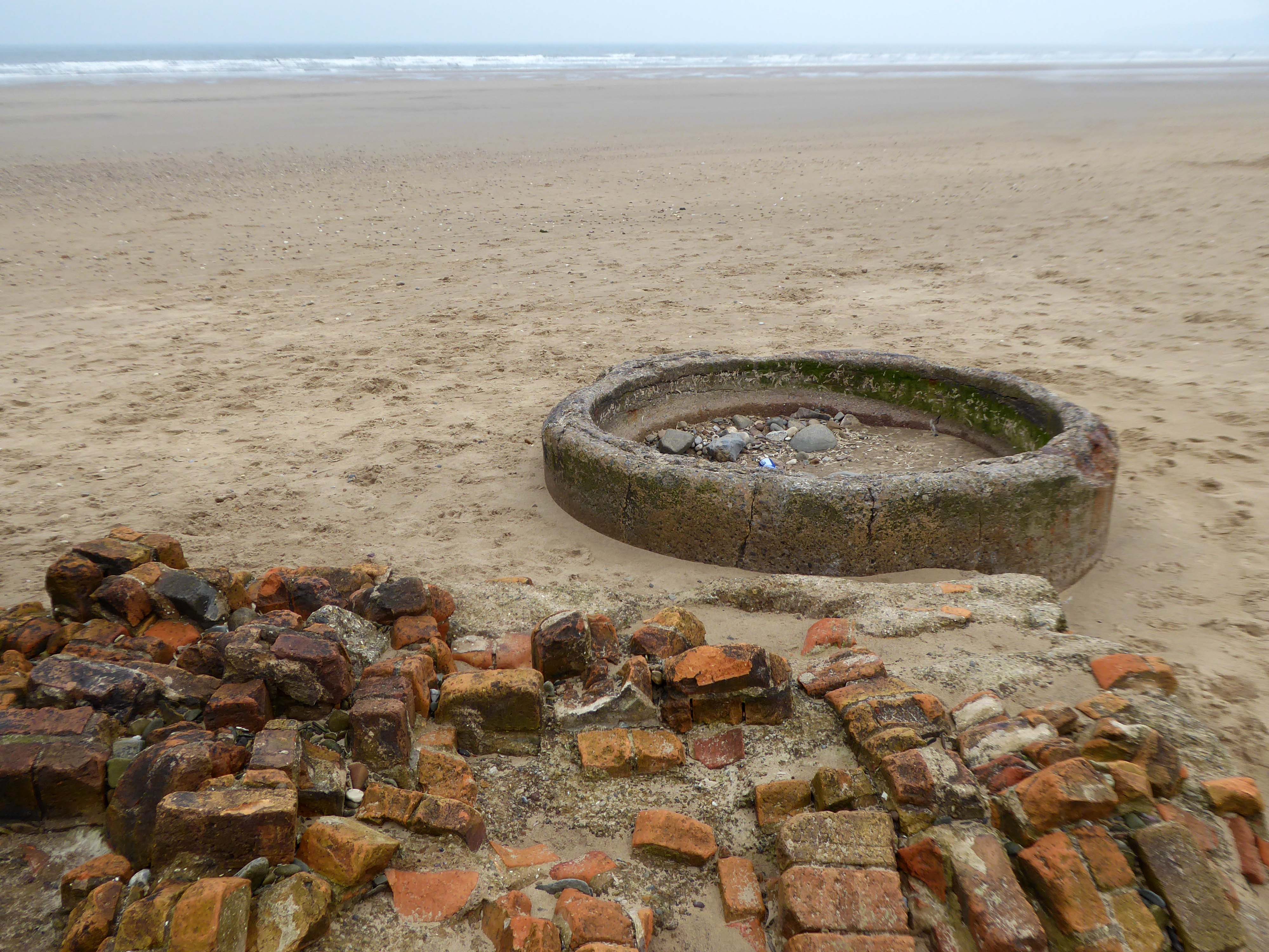
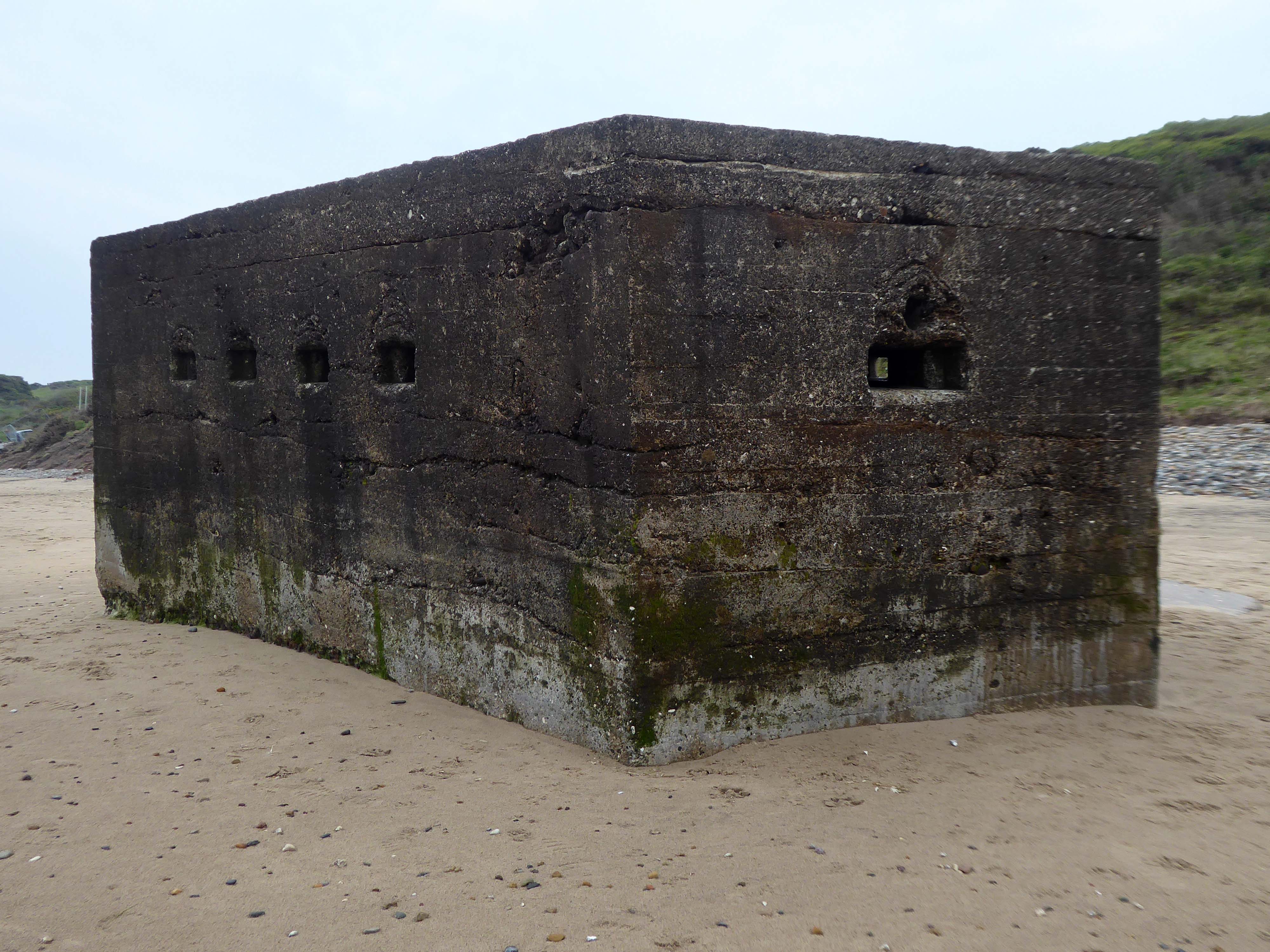
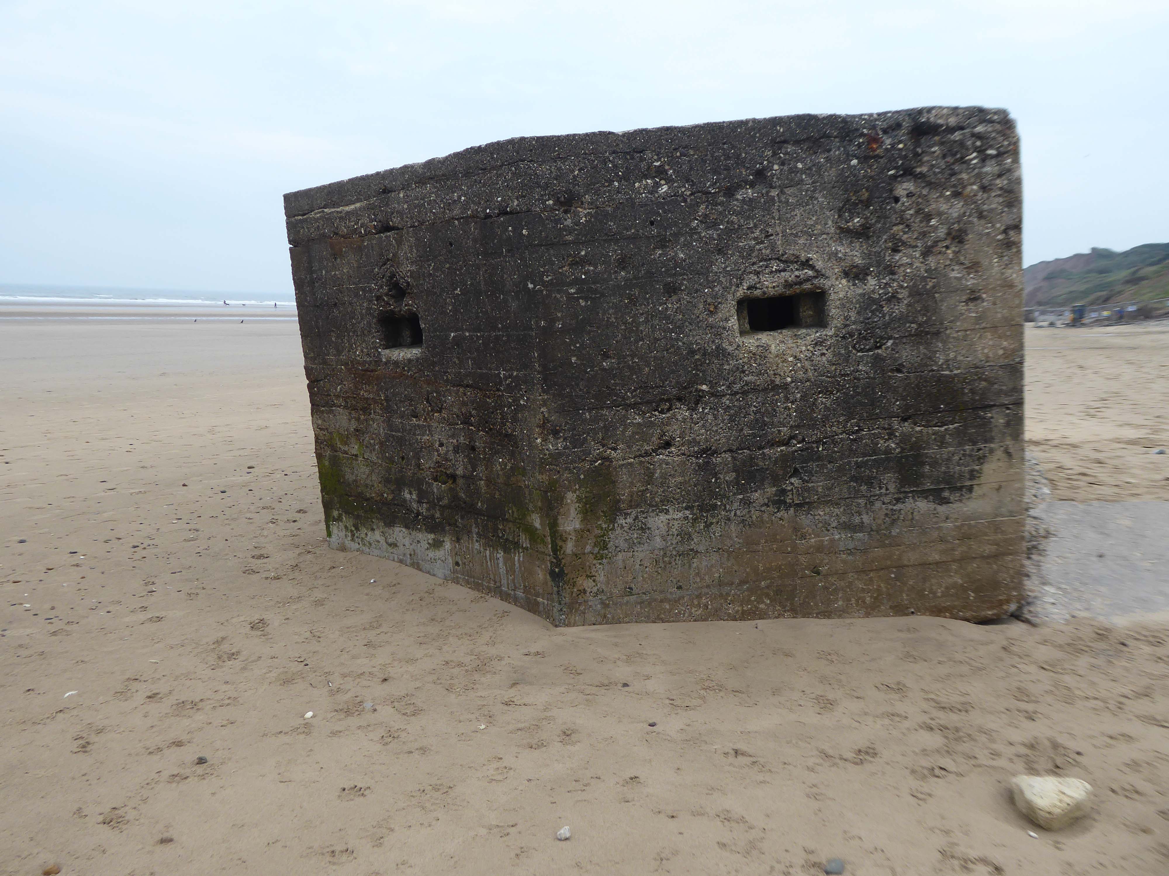
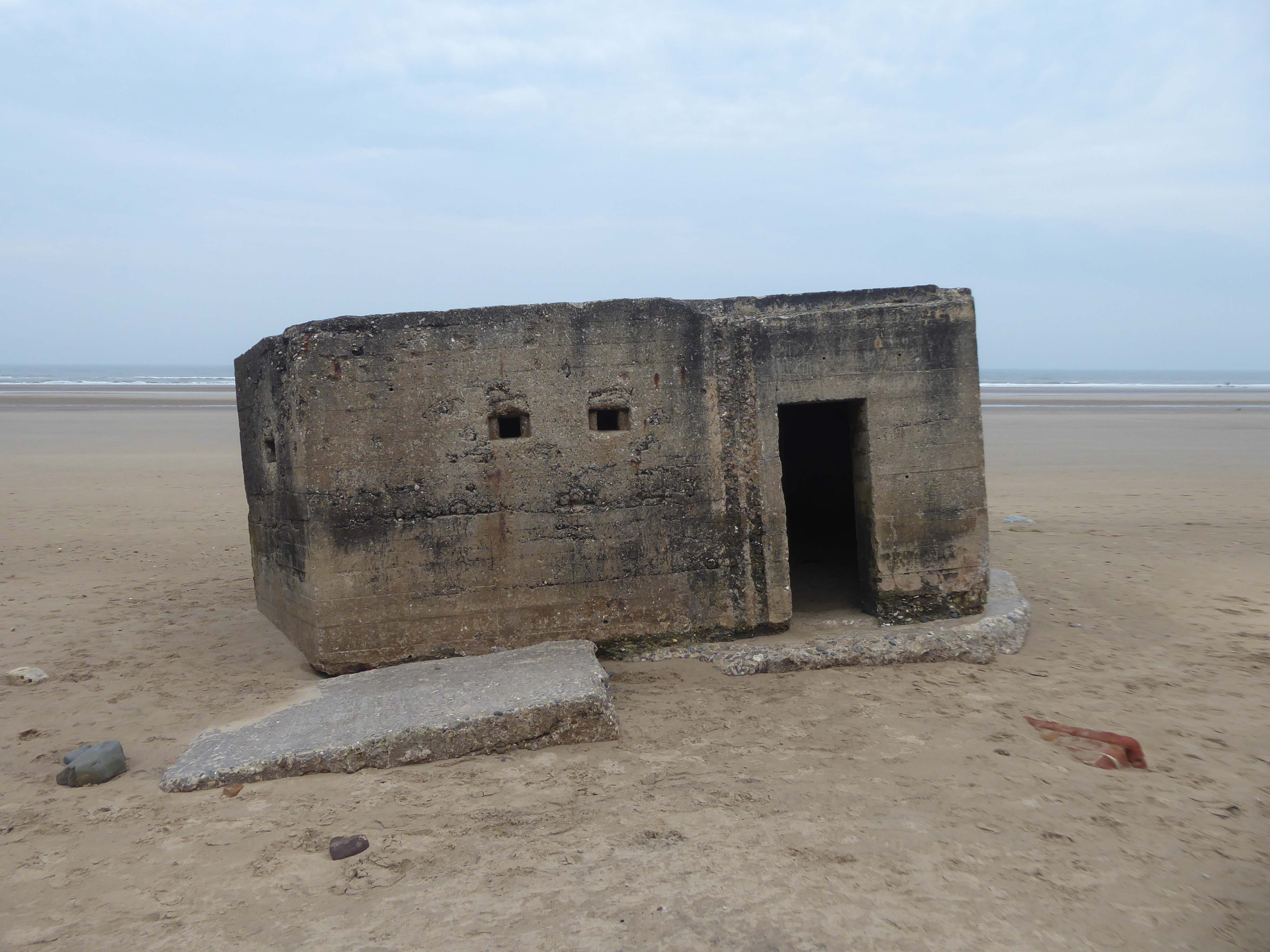
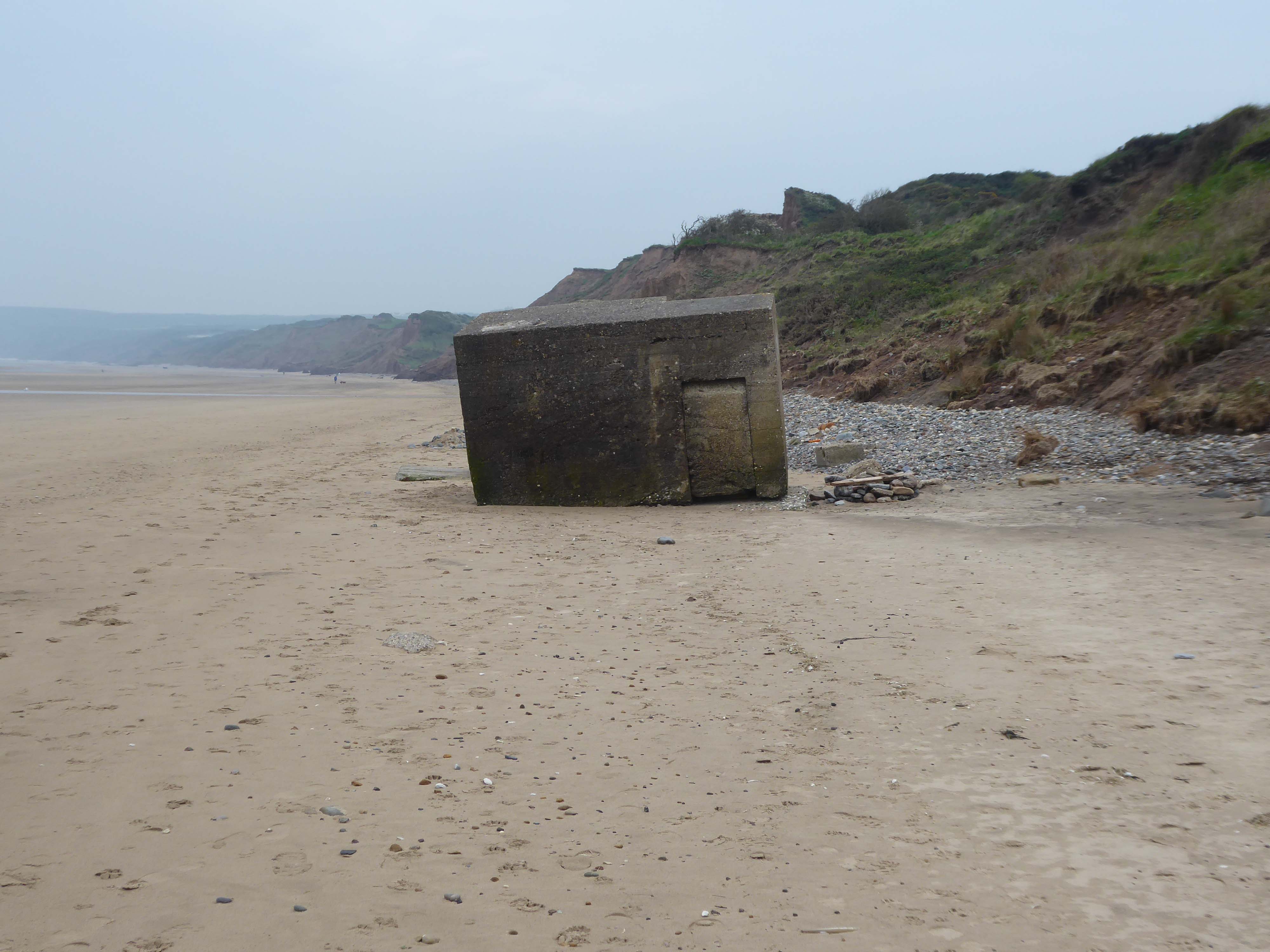
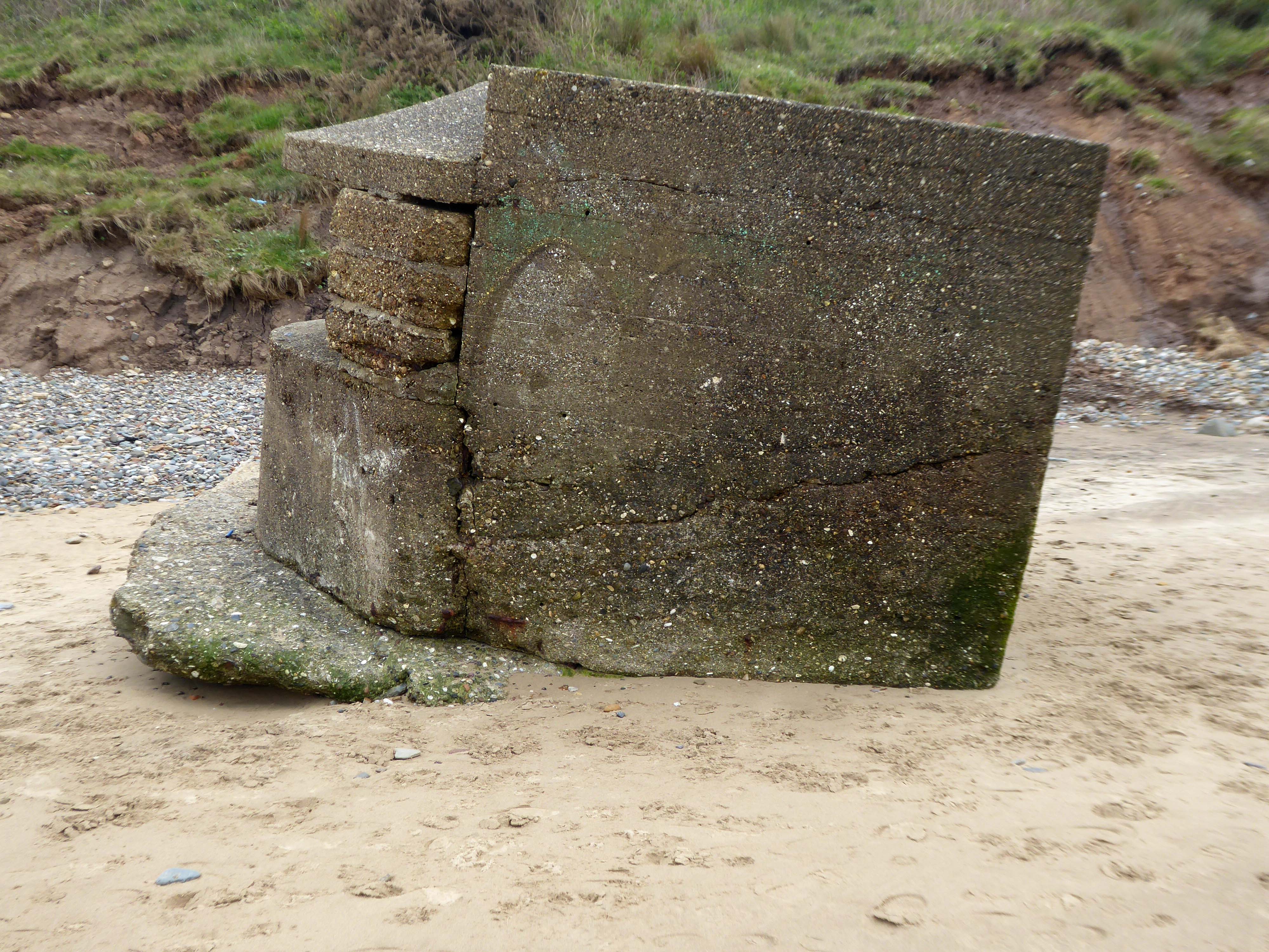
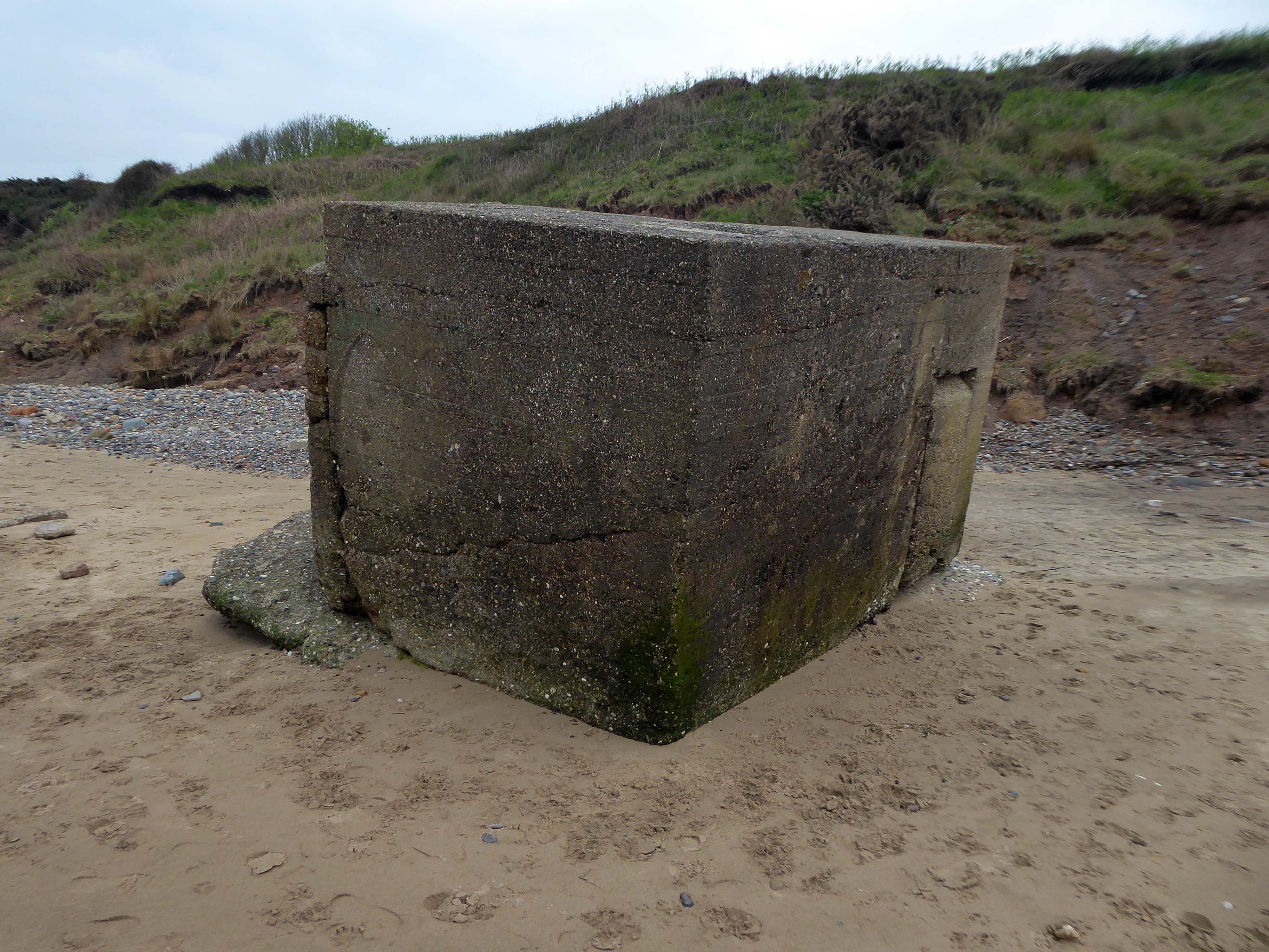
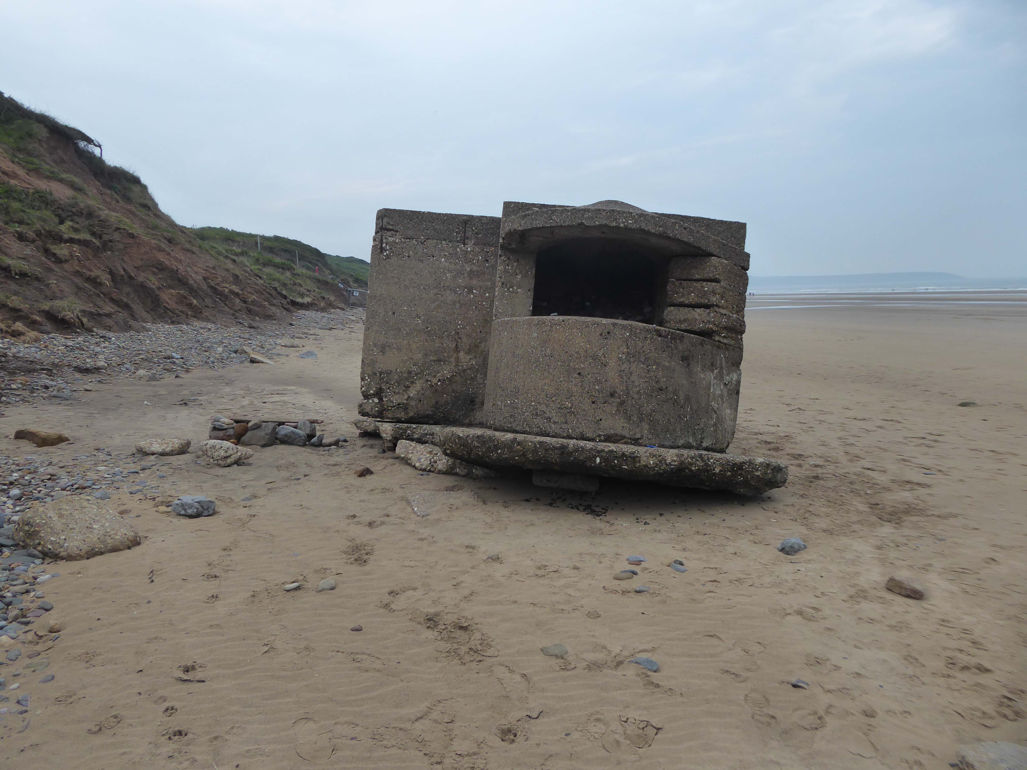
Once more unto the beach, dear friends, once more, or close the wall up with our English dead.
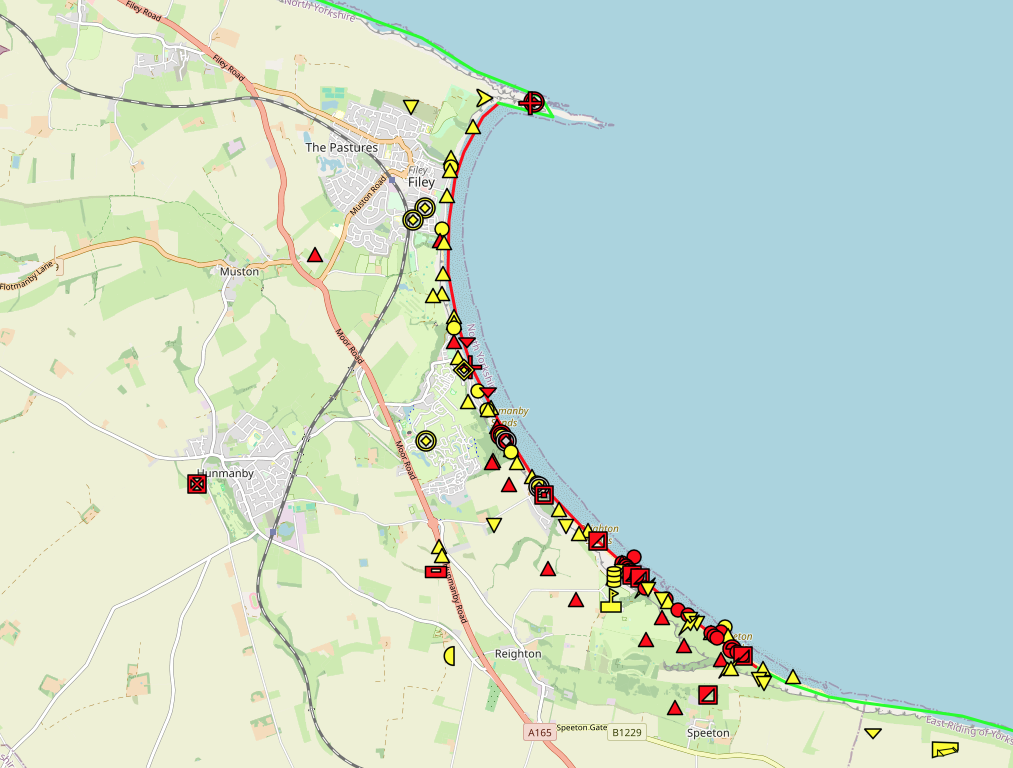
Having visited Cayton Bay last year I ventured forth last week, to Filey and beyond.
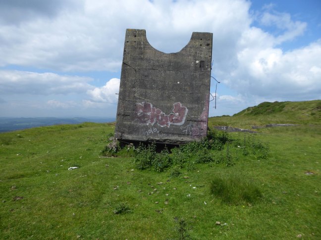
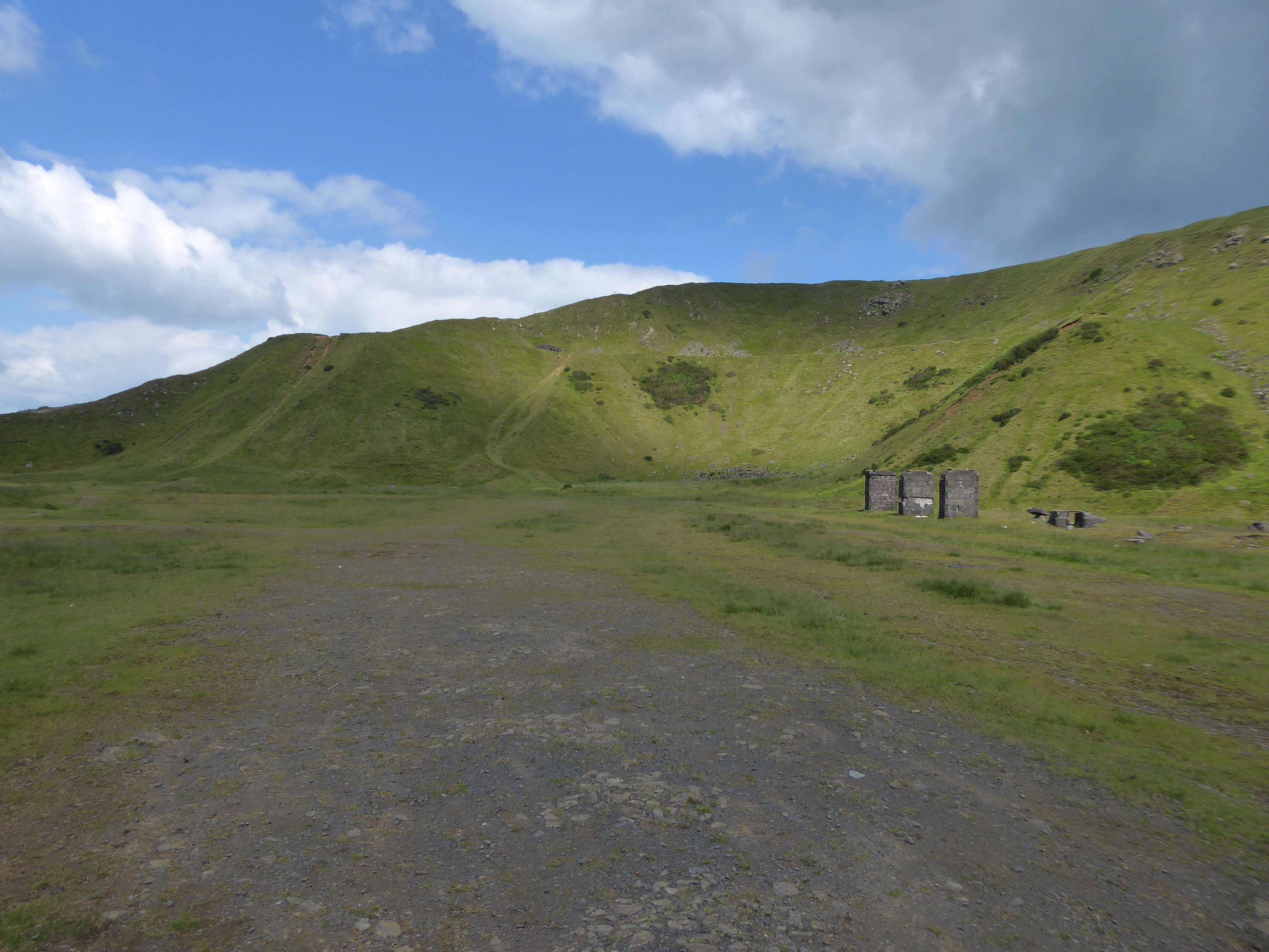
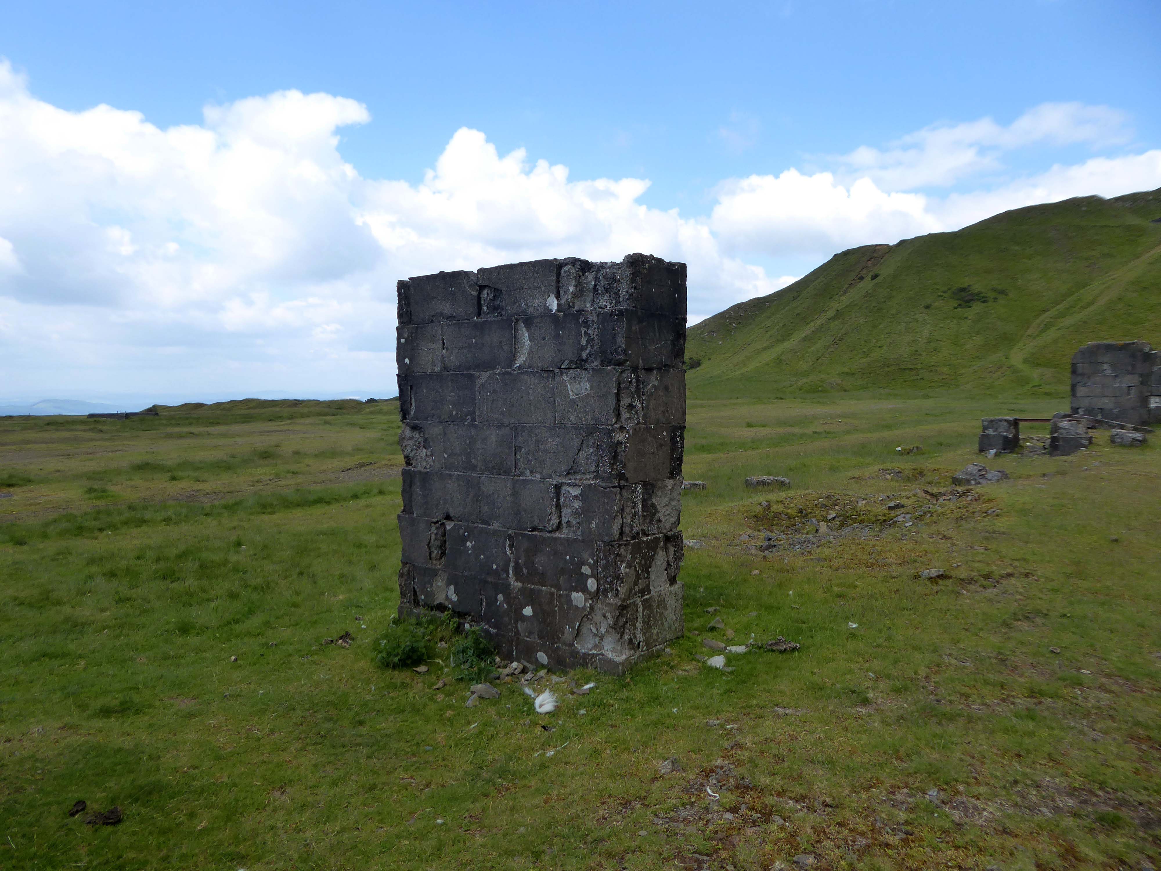
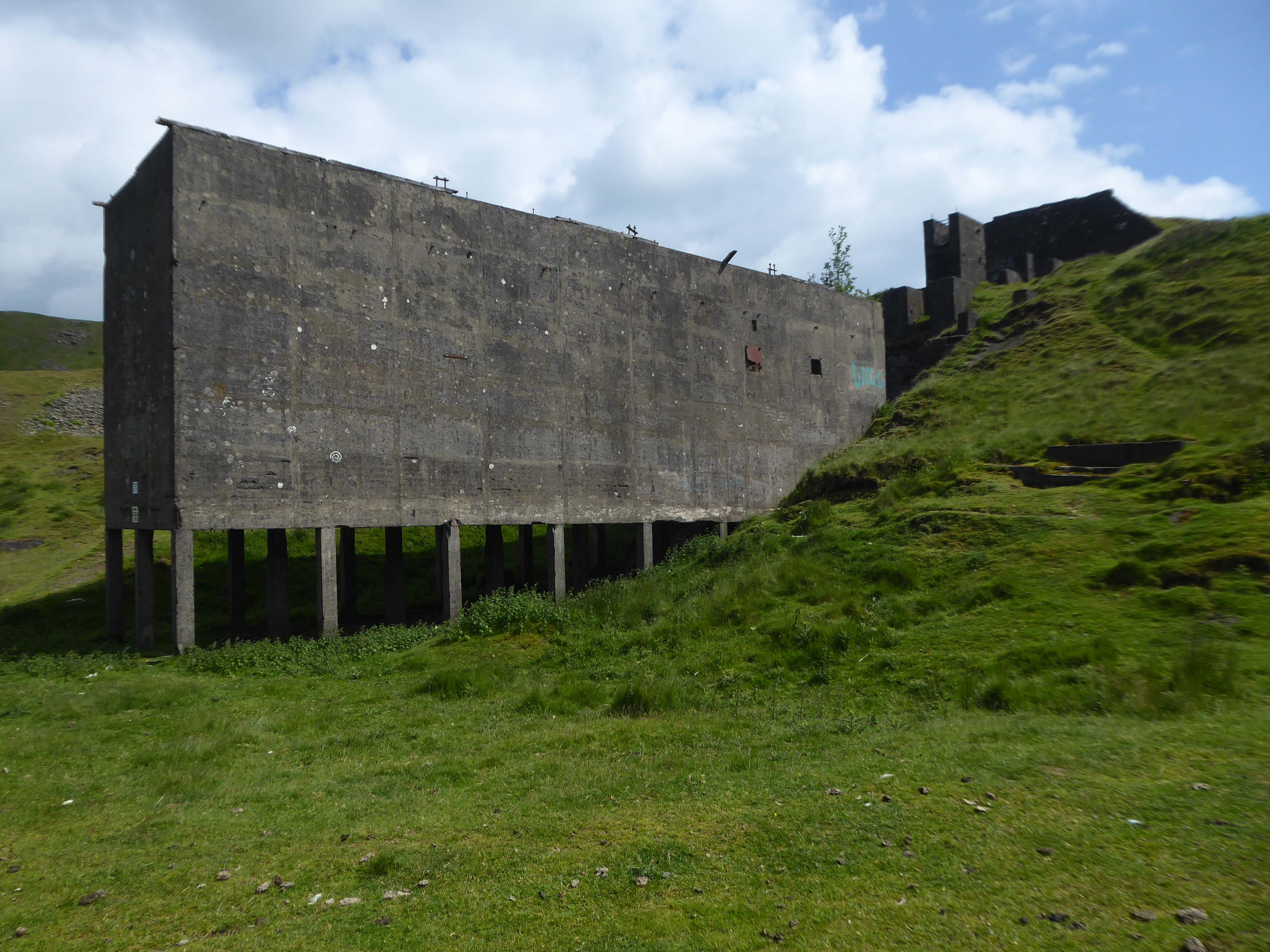
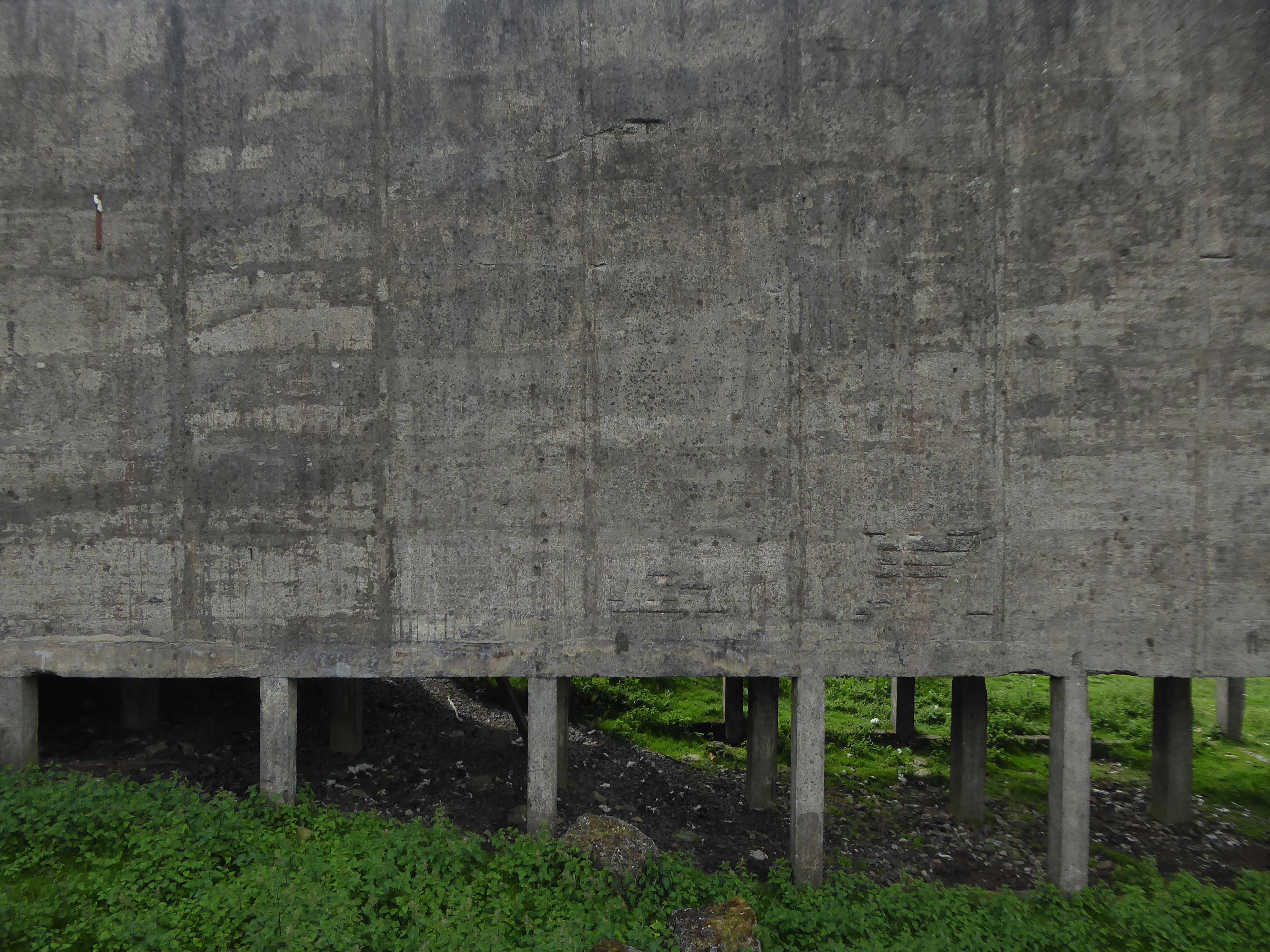
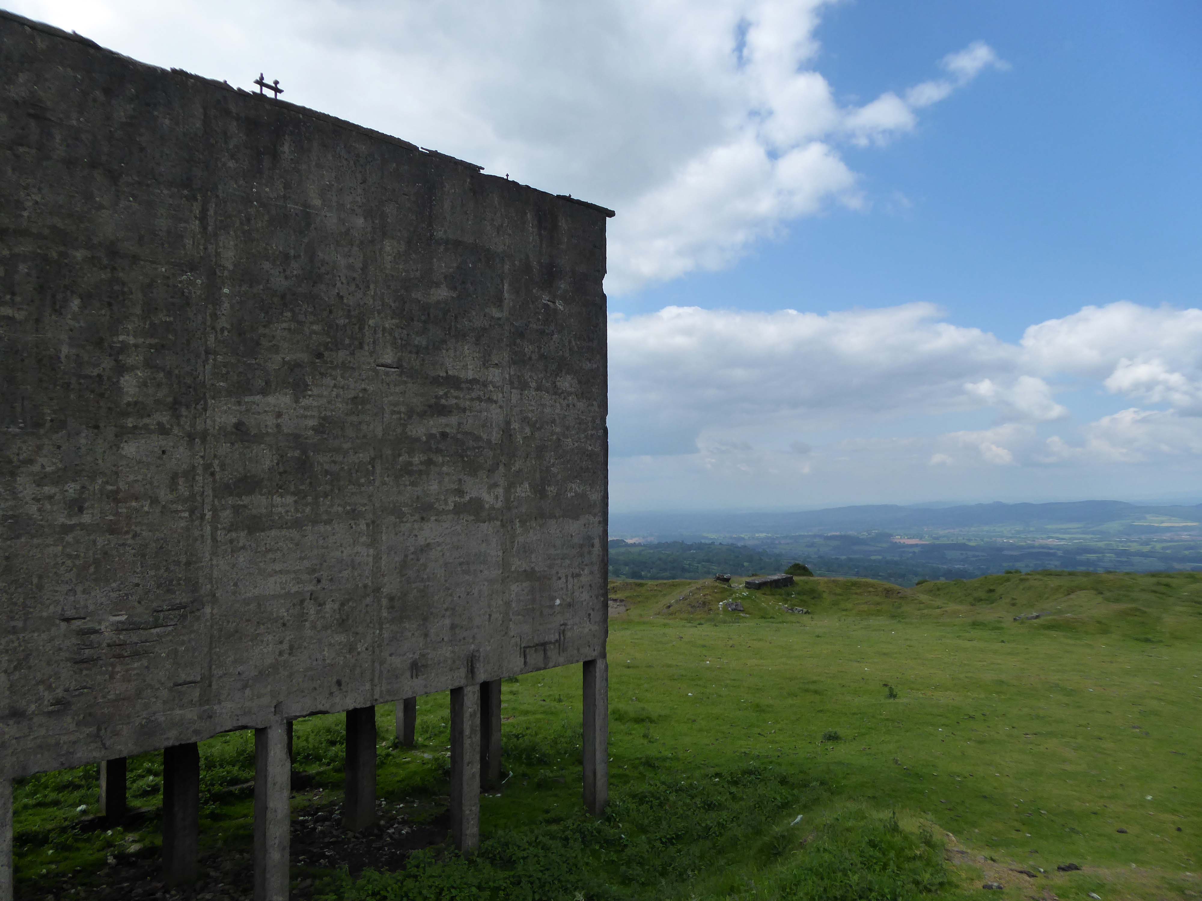
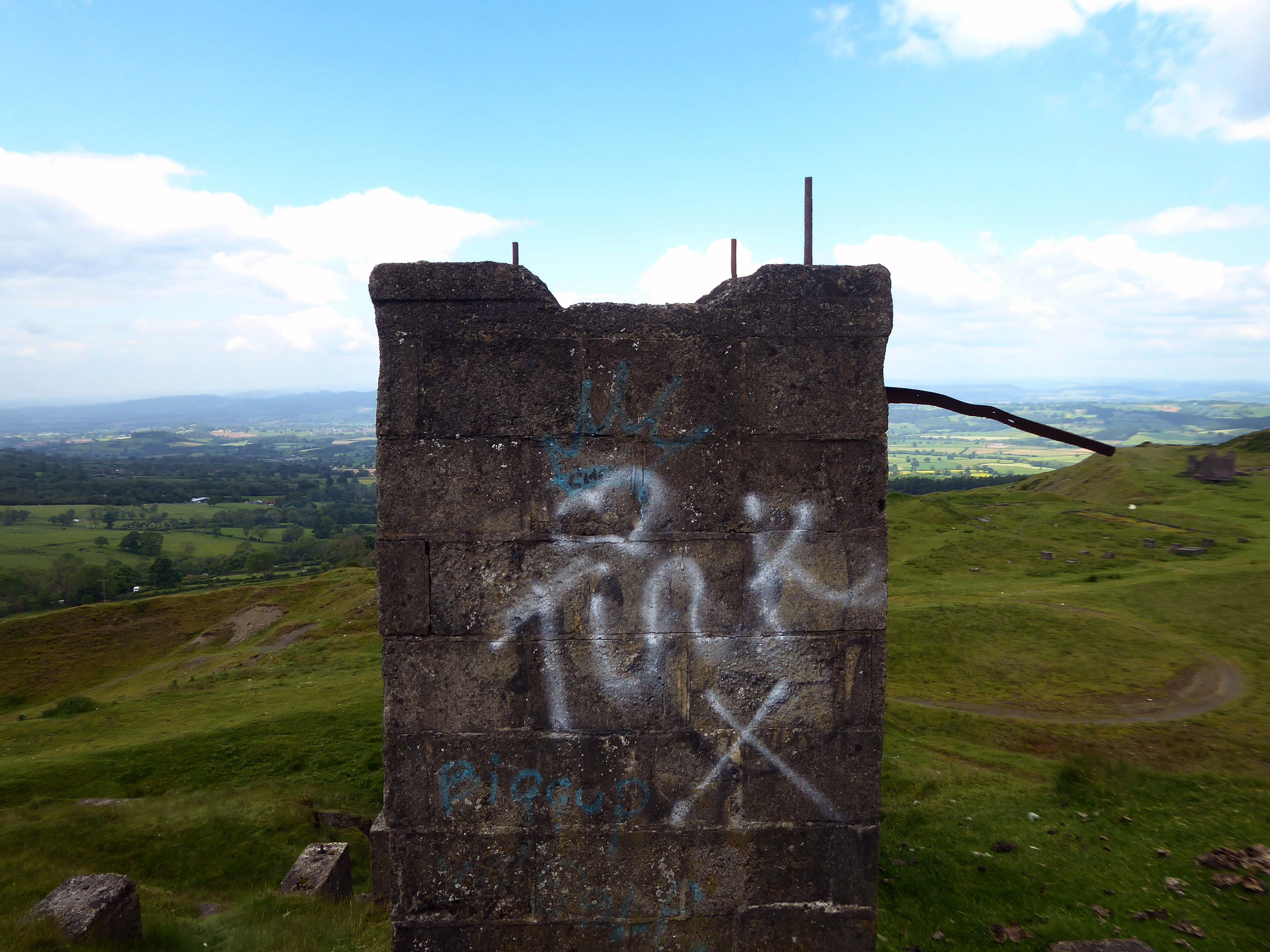
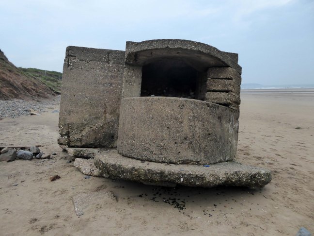
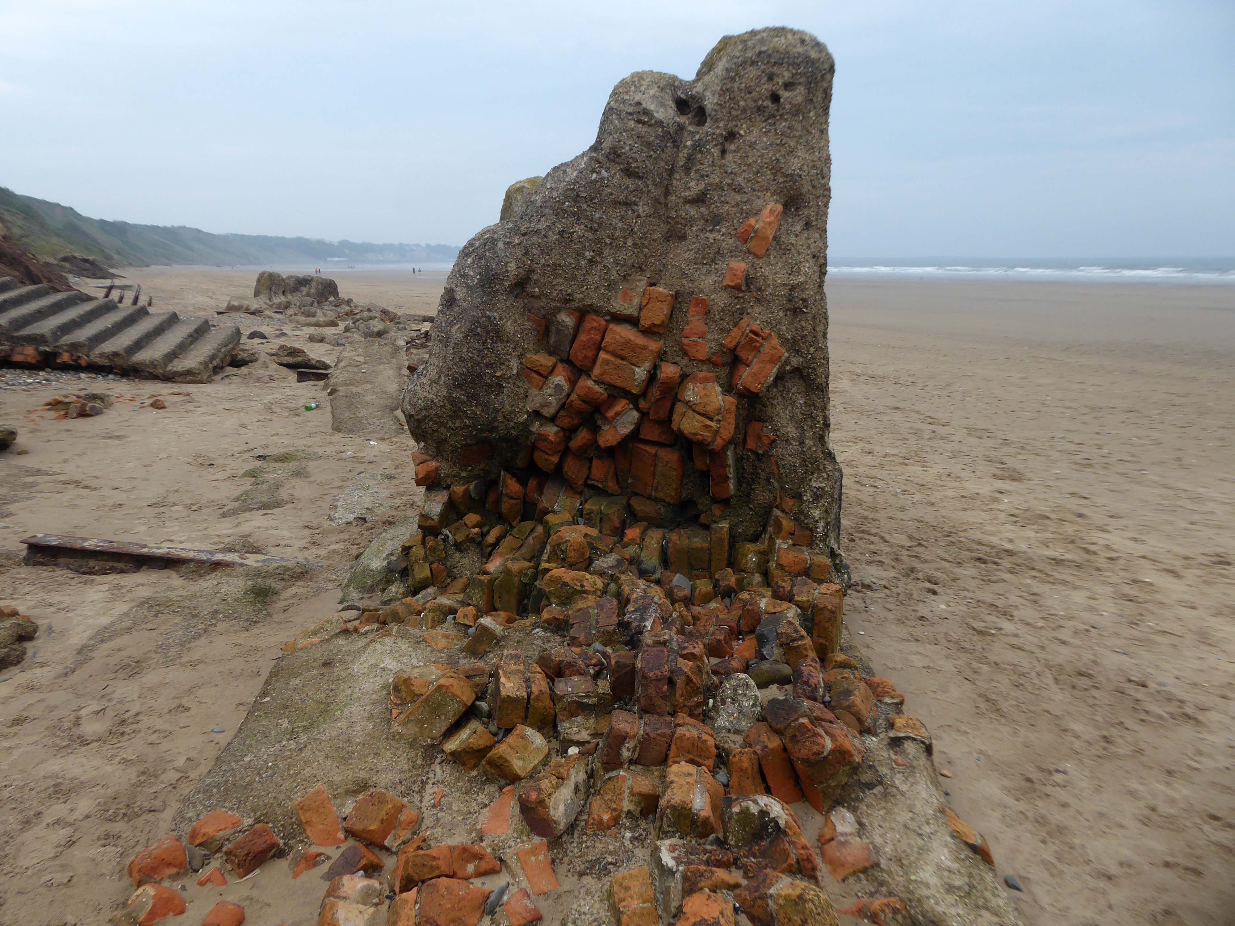
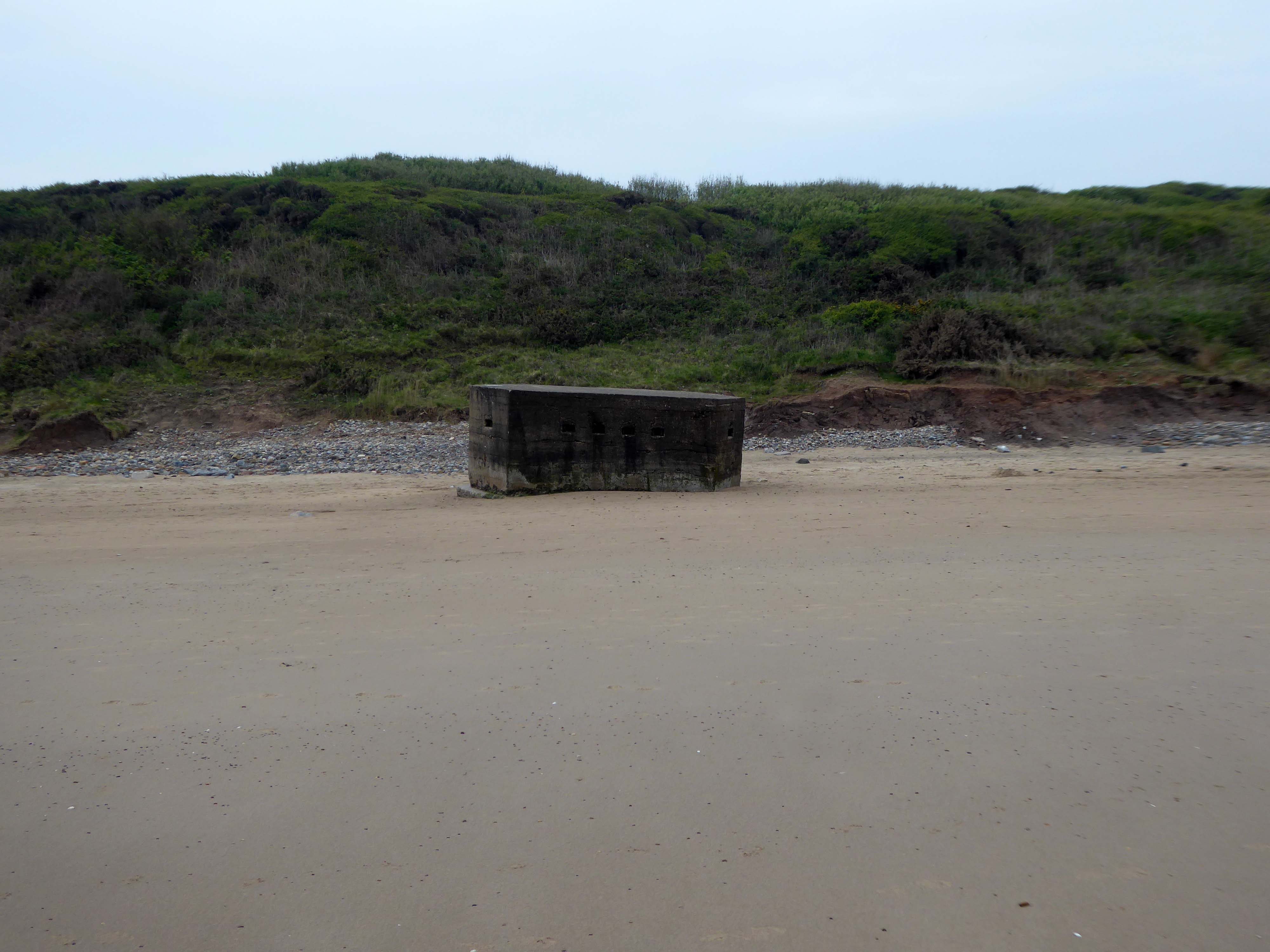
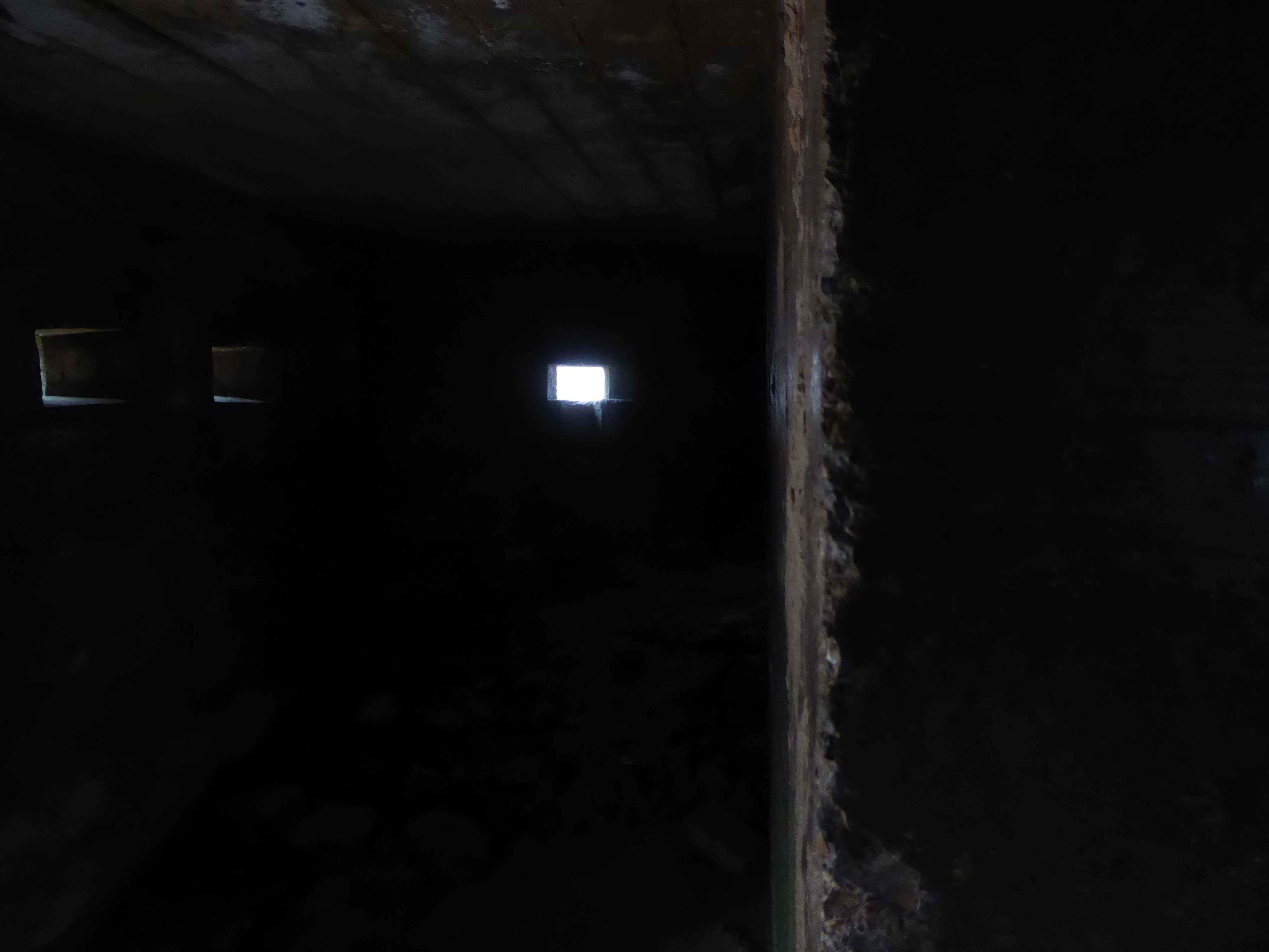
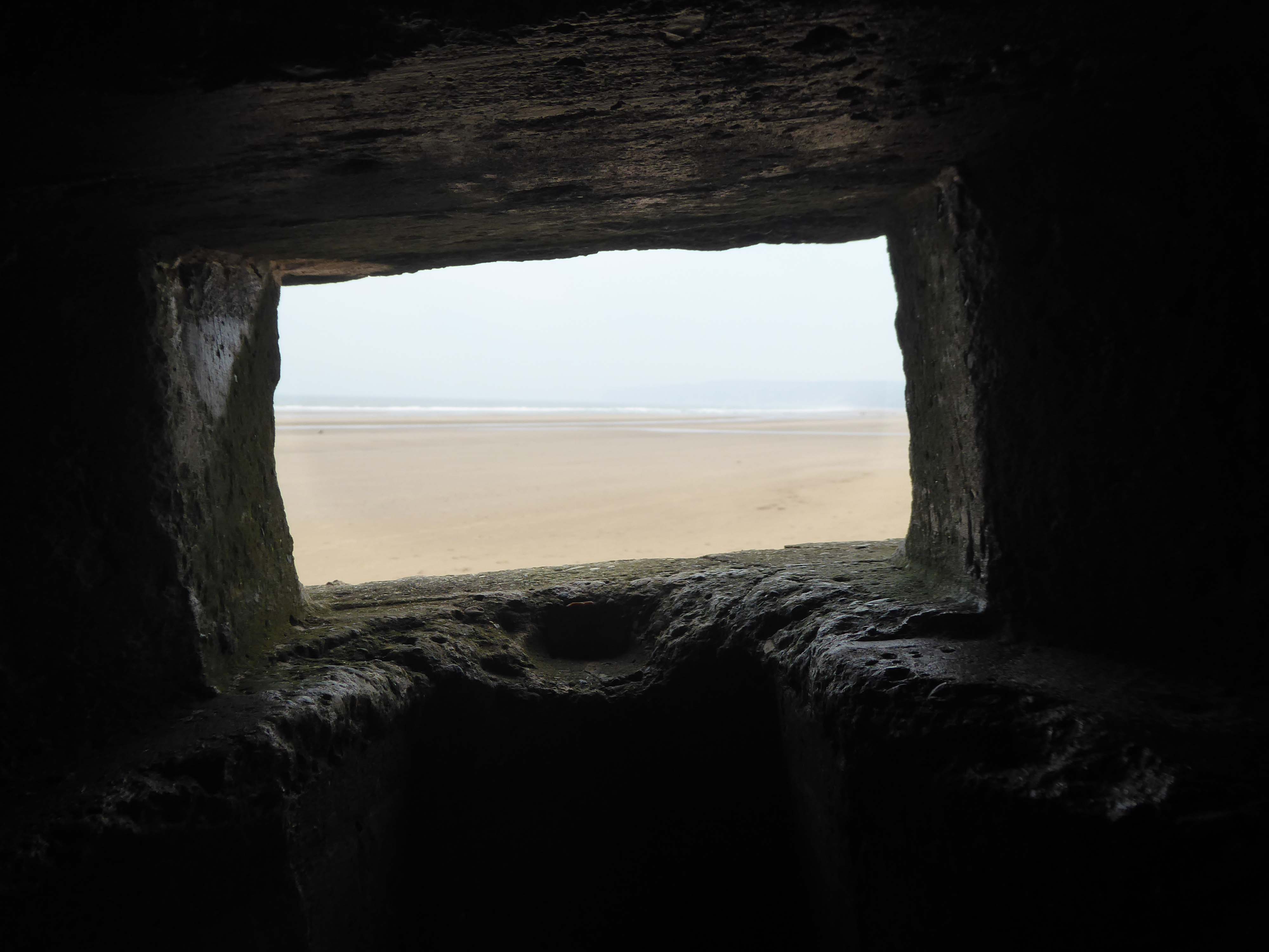
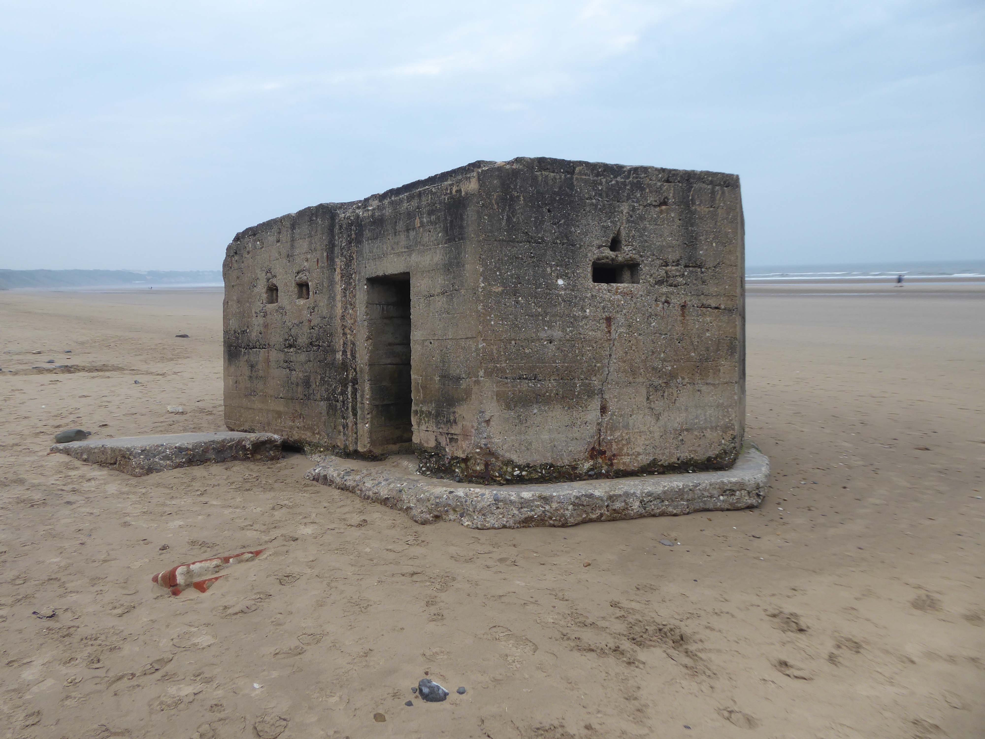
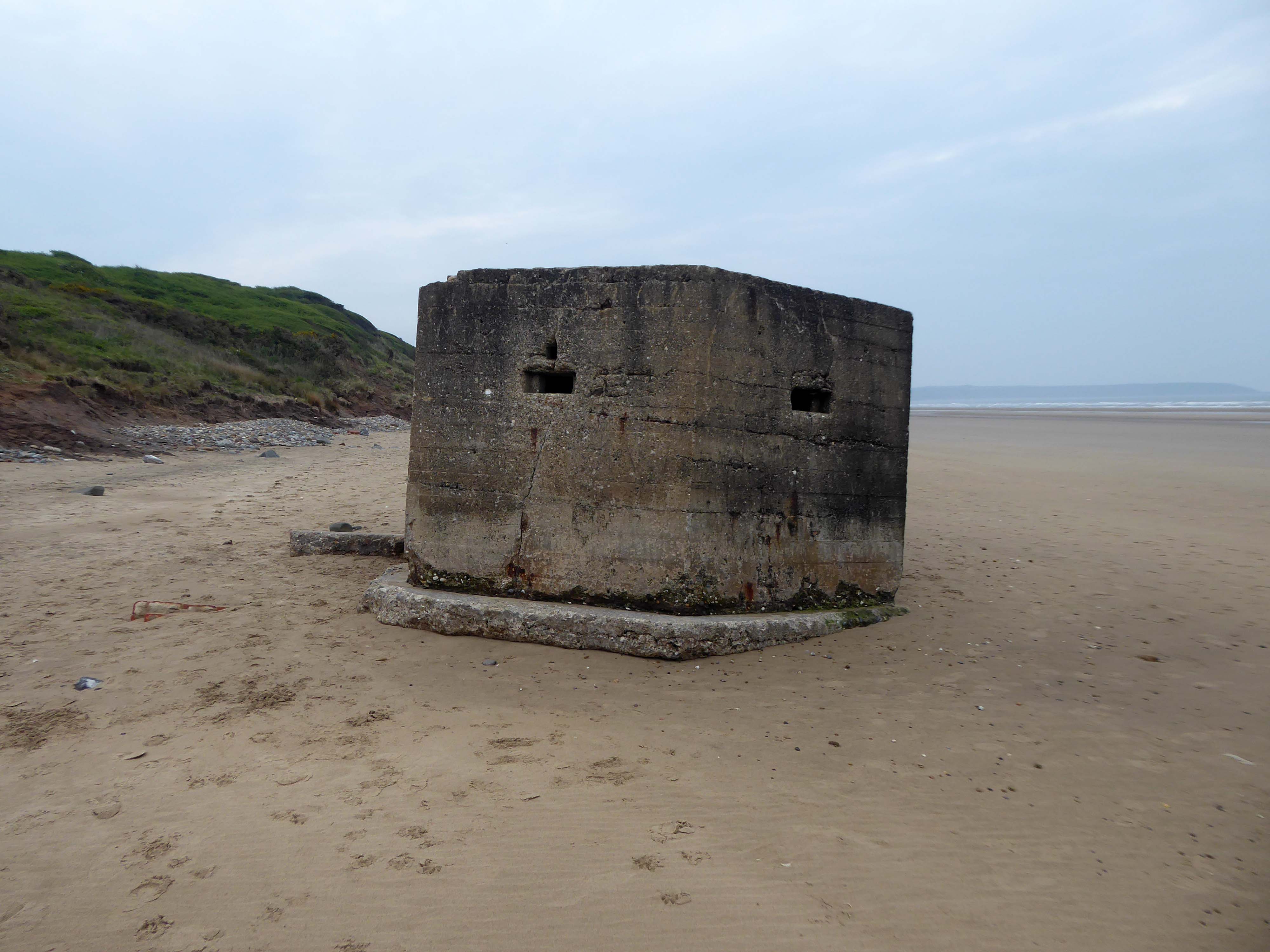
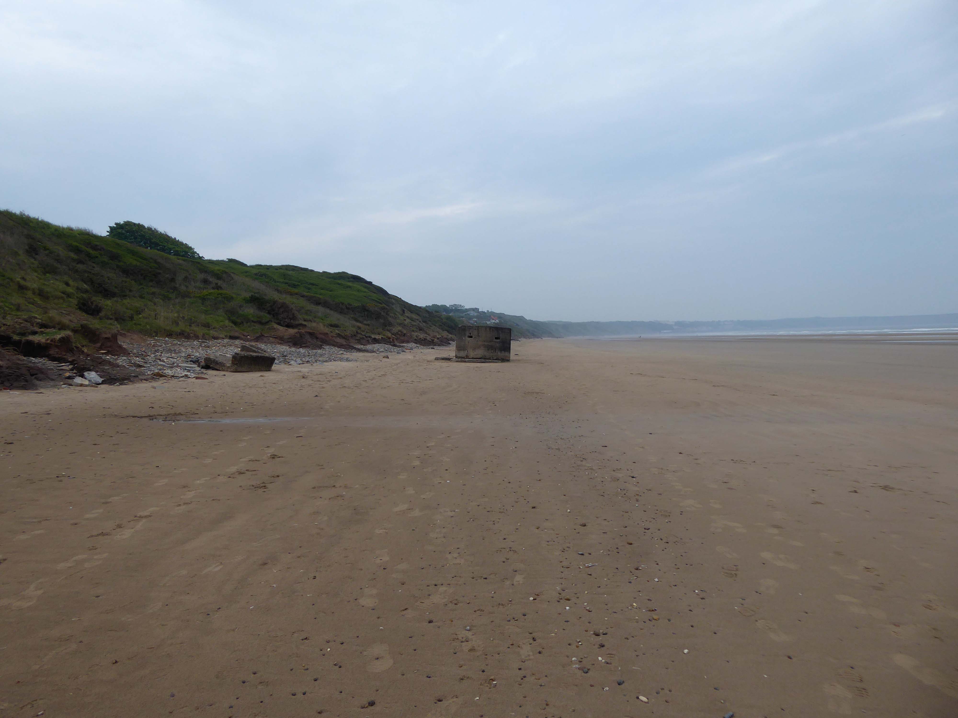
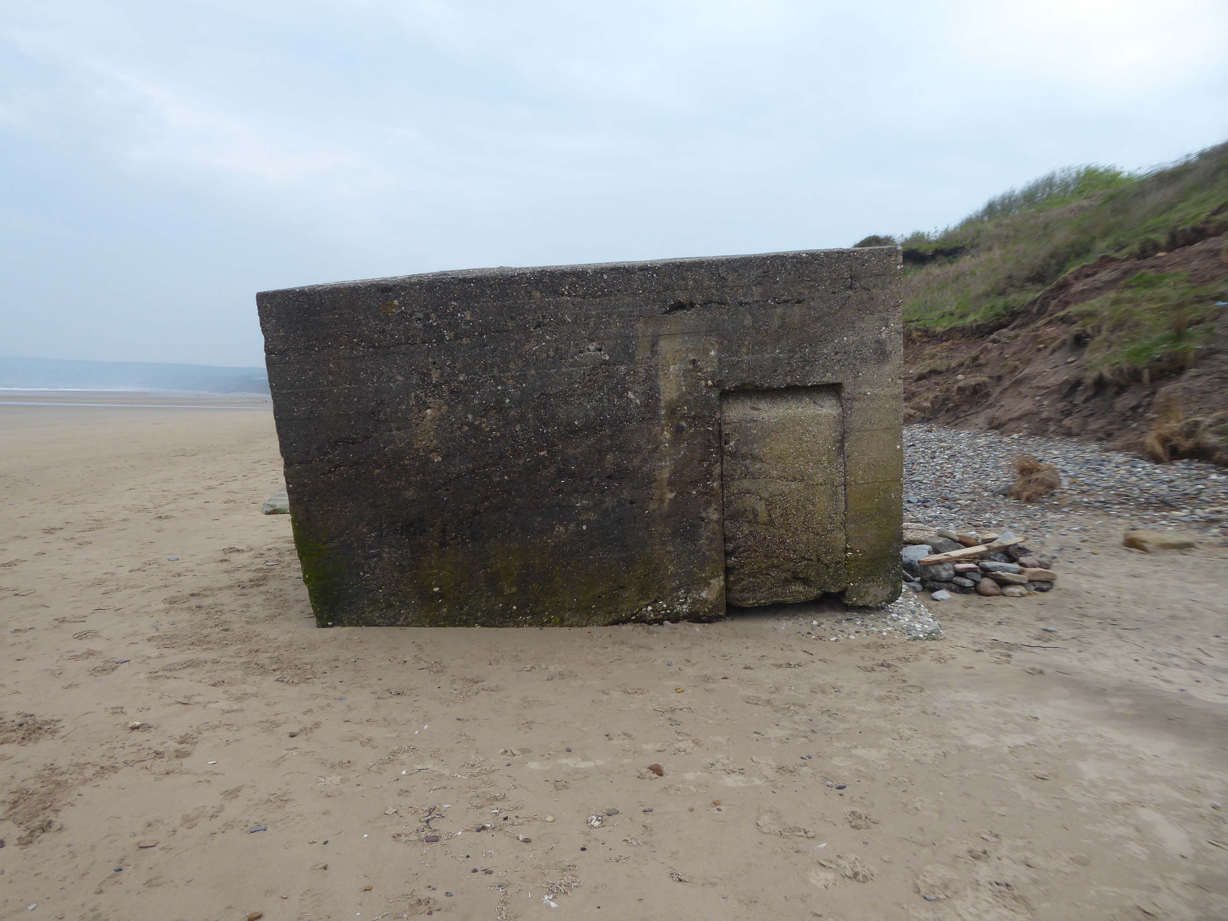
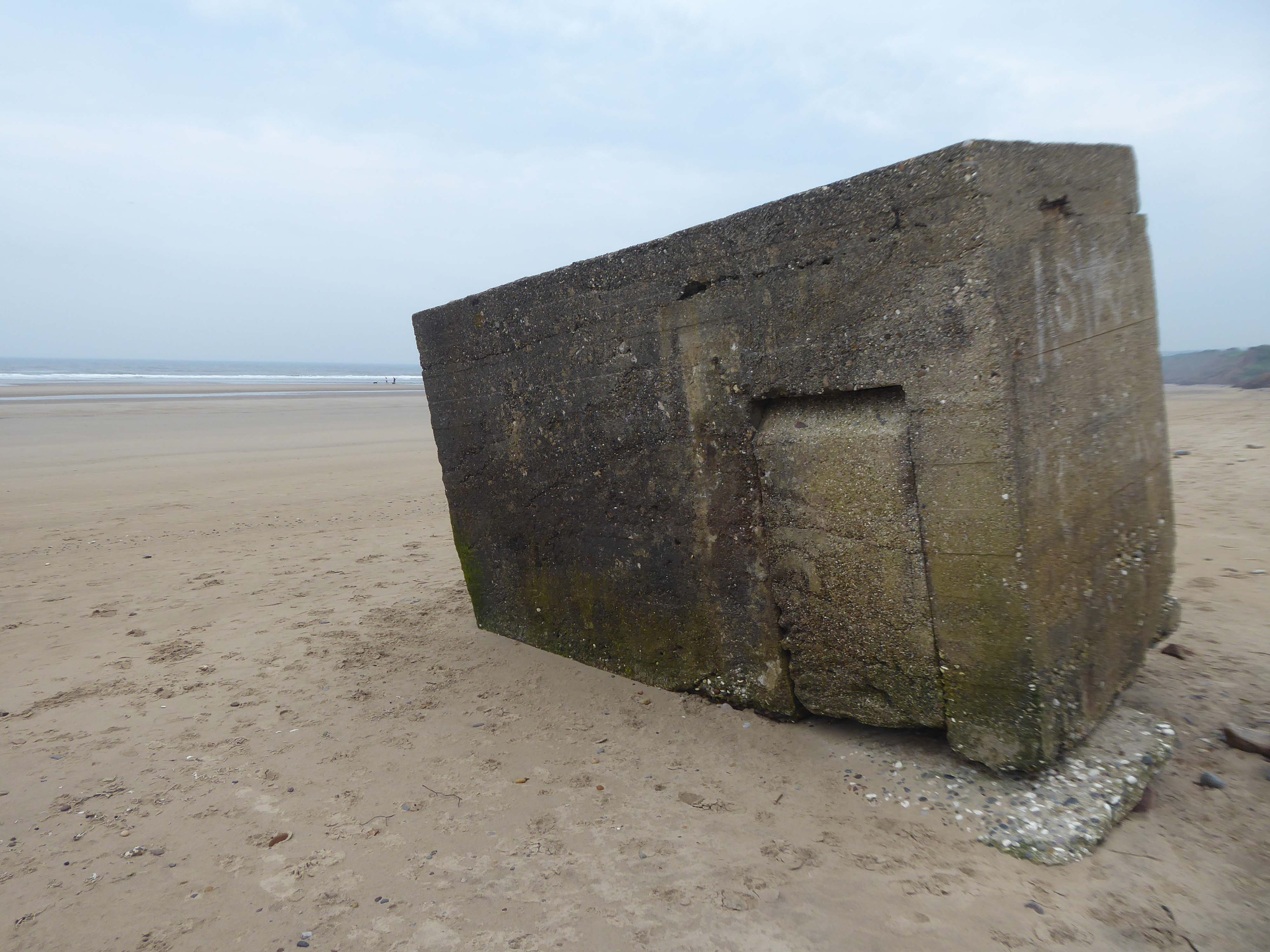
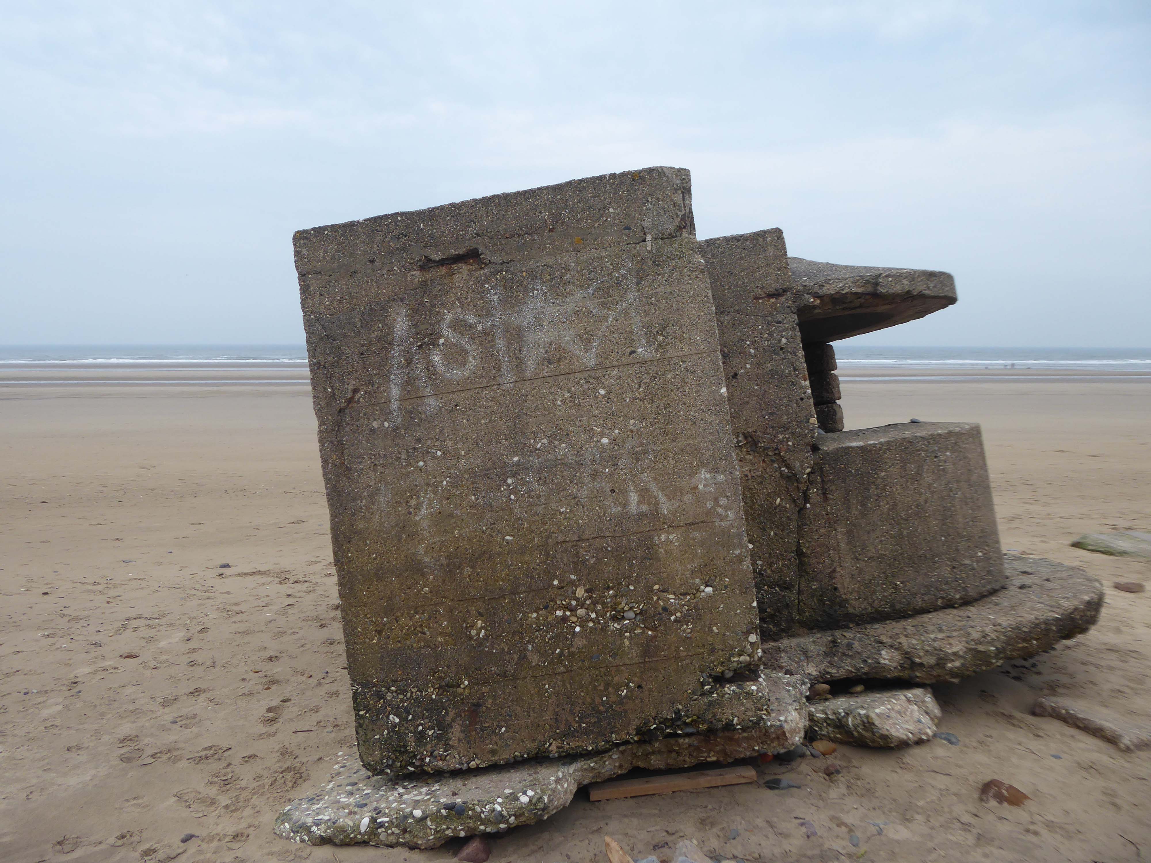
The shore toward Hunmanby Gap when faced with the threat of invasion, was home to a plethora of coastal defences, formed from raw concrete between the years 1941 and 1942, along with attendant armed forces.
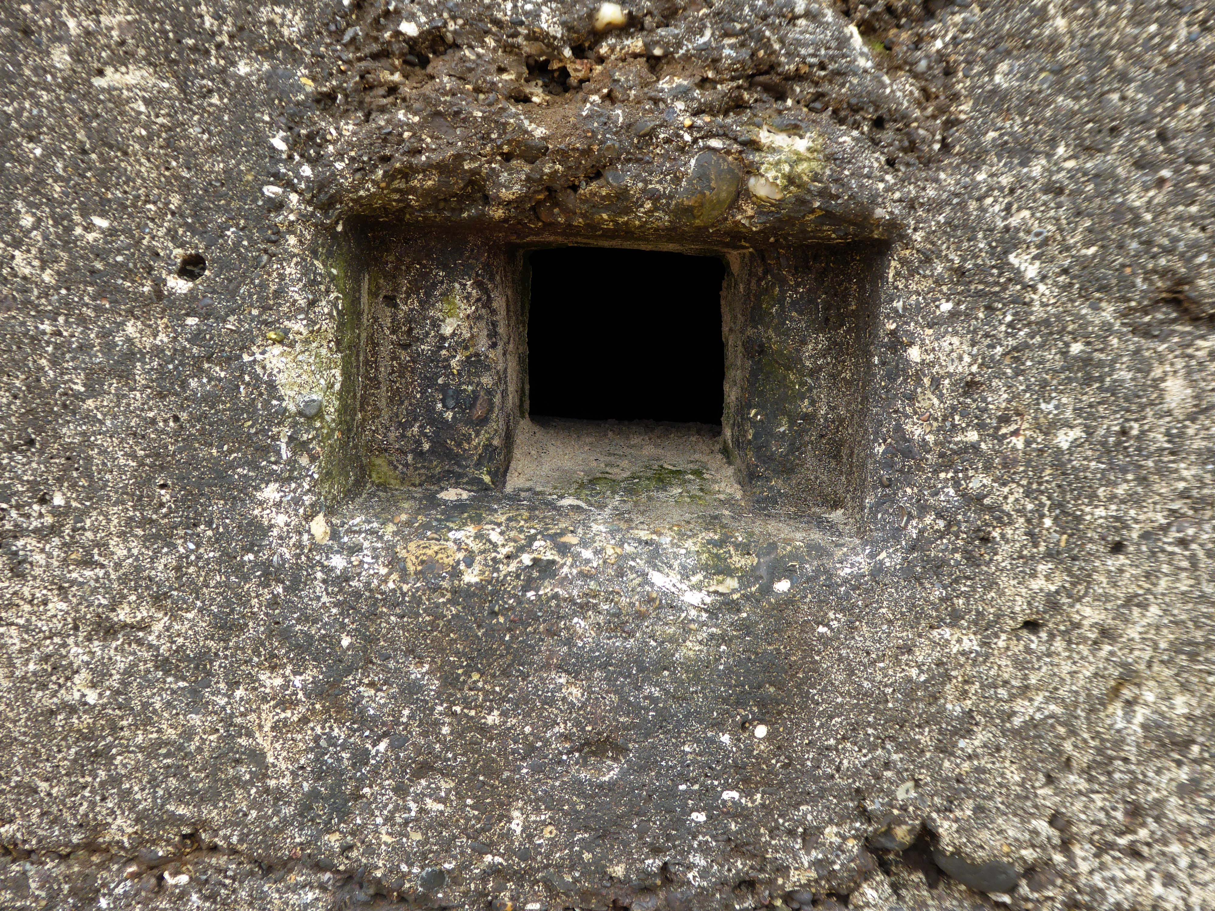
Pill boxes, anti-landing trenches, anti-tank obstacles, beach lights, coastal batteries, flame fourgasses, gun emplacements and machine gun posts were clustered along the coast.
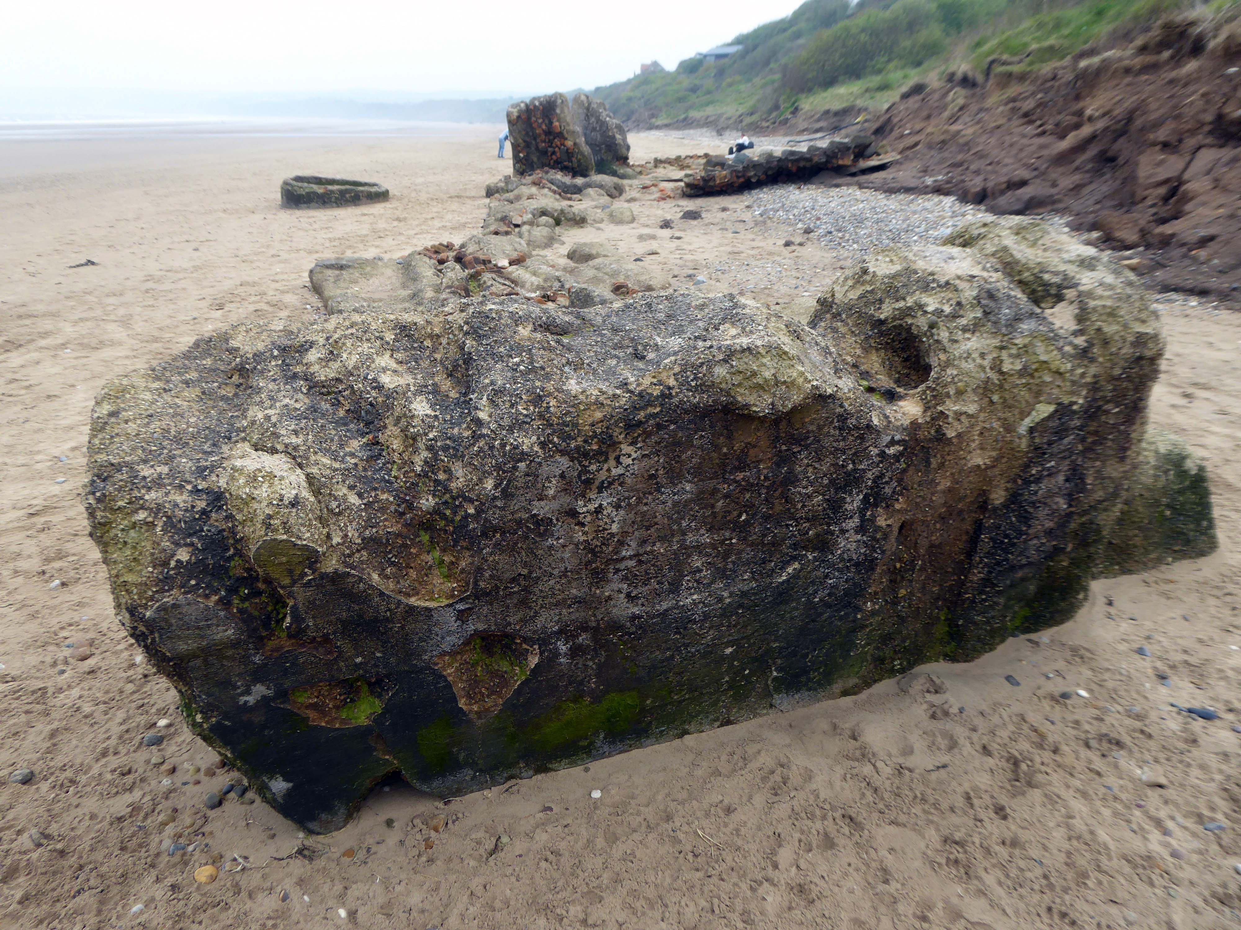
The majority have subsequently been removed, a few are extant – slipping from their cliff-top positions, as the soft clays have been eroded.
Their remains are now skewed and diminished by the weather and the North Sea’s formidable waves, taking on striking sculptural forms, embedded in the shifting sands.
During May 1940 the branch of the Directorate of Fortifications and Works – FW3, at the War Office was set up under the Directorship of Major-General G.B.O. Taylor. Its purpose was to provide specific pillbox designs to be constructed throughout the countryside at defensive locations.
During June and July 1940 saw the FW3 branch issue seven basic designs. However, often, once in the field, the local construction companies modified these under the direction of the area commands.
The FW3 pillbox design concept was to provide a simple fieldwork standard that could be constructed very quickly. Most designs consisted of or incorporated some of the following features:
Minimum of Bullet/Splinter Proof protection No attempt was made to provide living accommodation Some designs were enhanced to Shell Proof standard Simple Blast Walls to protect open entrances External flat side walls with rectangular or polygonal shape
The use of common designs with standard sizes for doors, loopholes and flat sides made it easier to mass produce items for concrete shuttering and hence the speed of construction. However, with the general countrywide lack of material it was often necessary to use bricks as the shuttering. This often fools the casual observer into believing that the whole structure is constructed of brick. Closer examination often reveals the integral reinforced concrete back-bone.
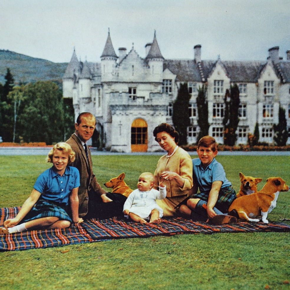
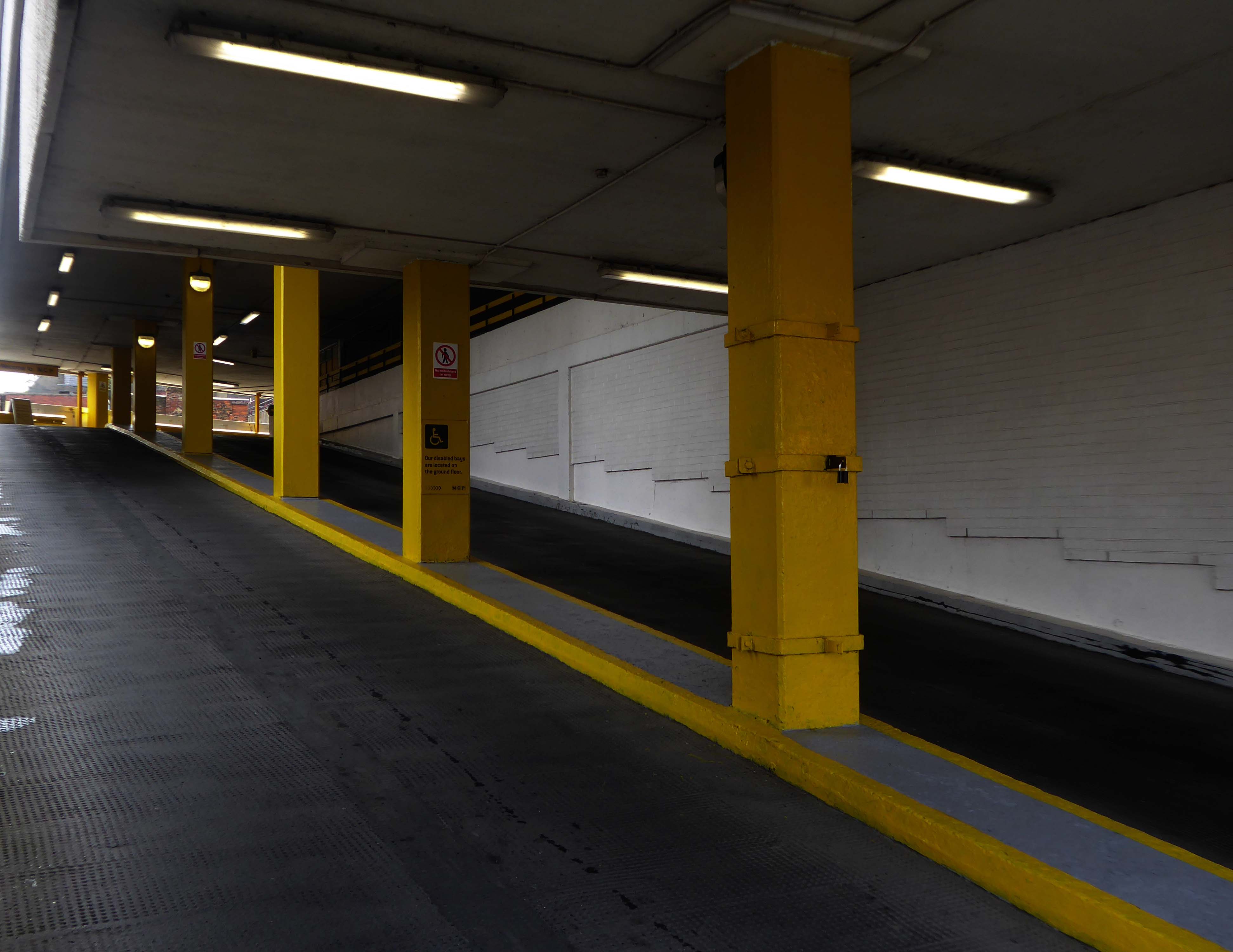
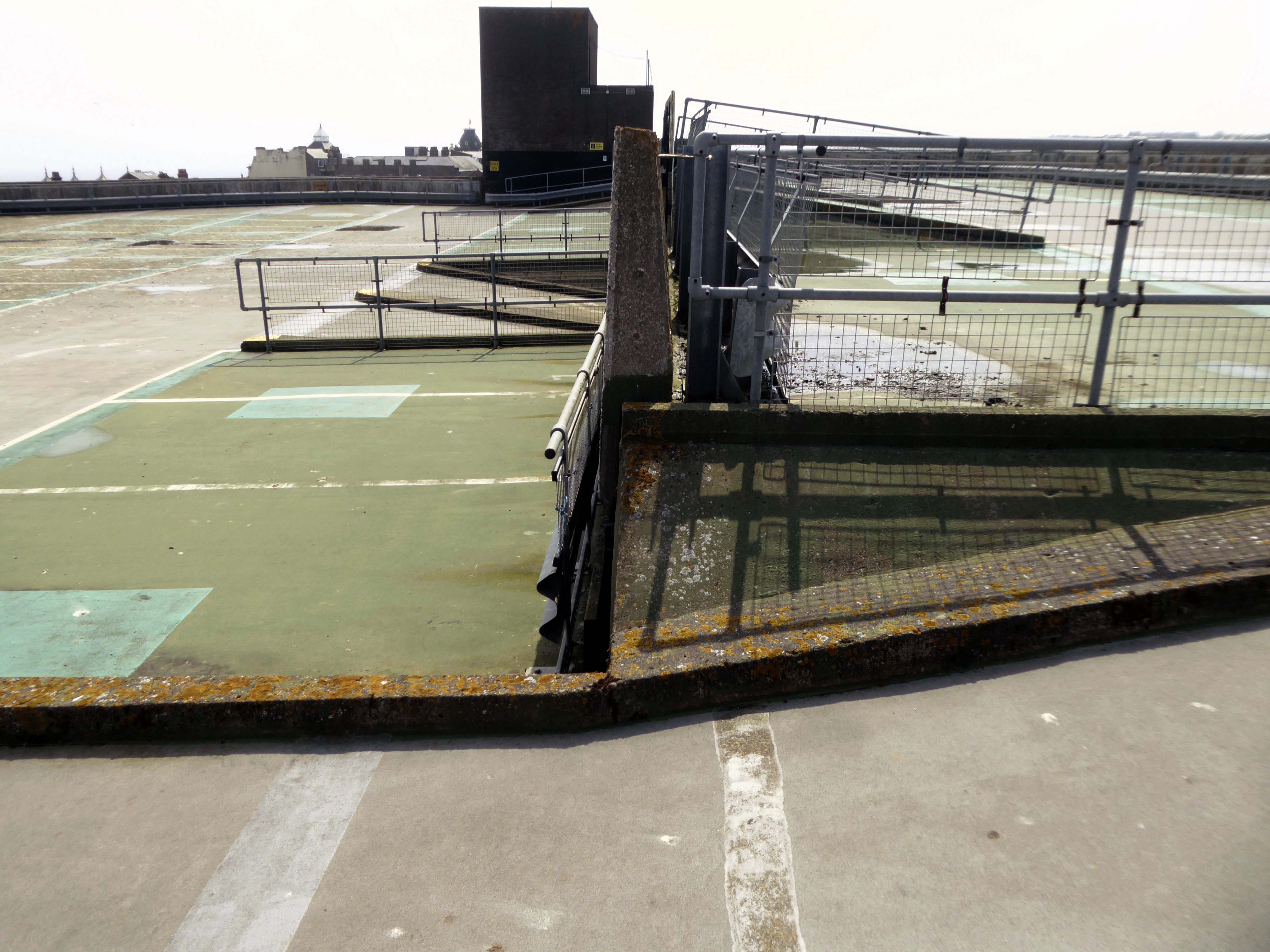
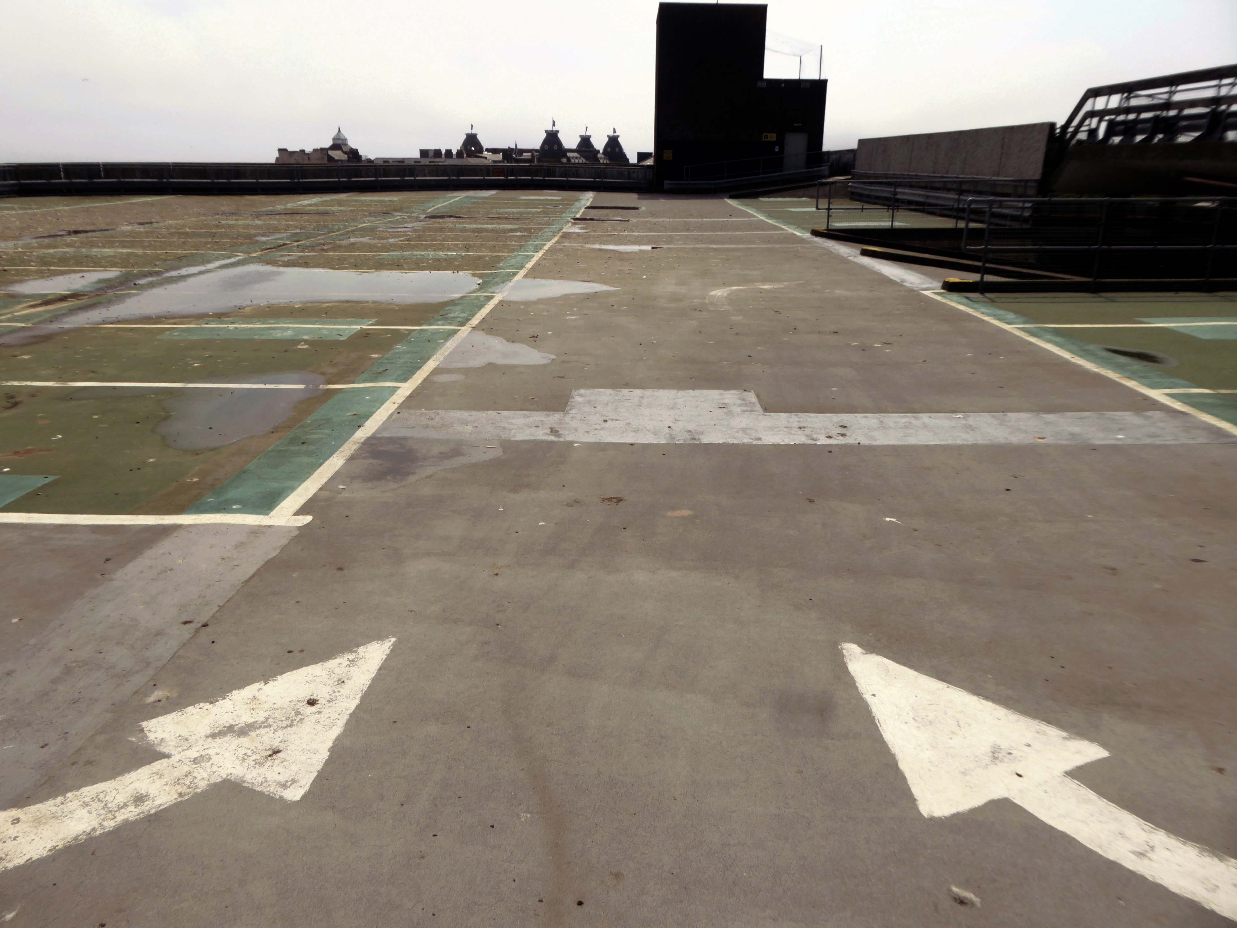
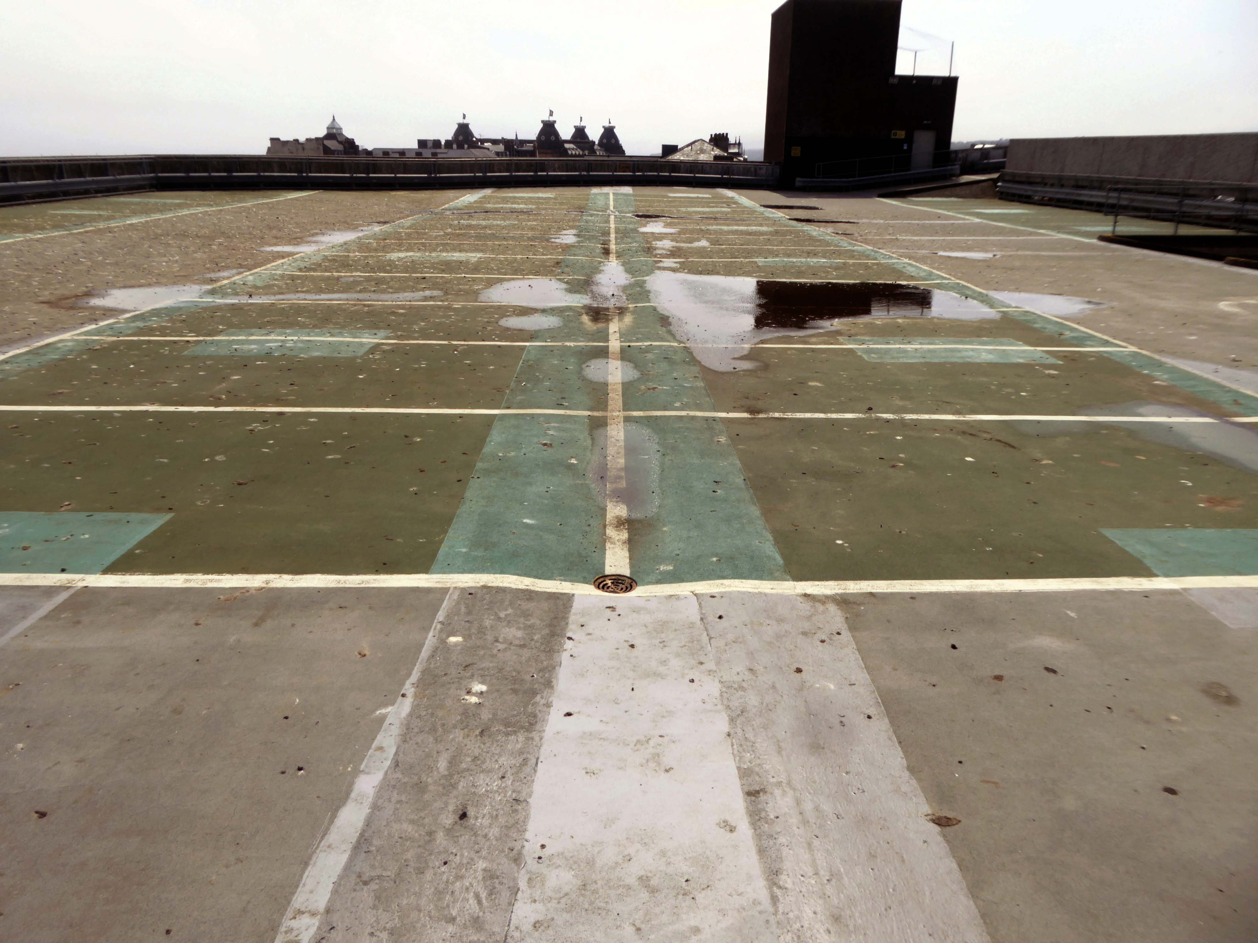
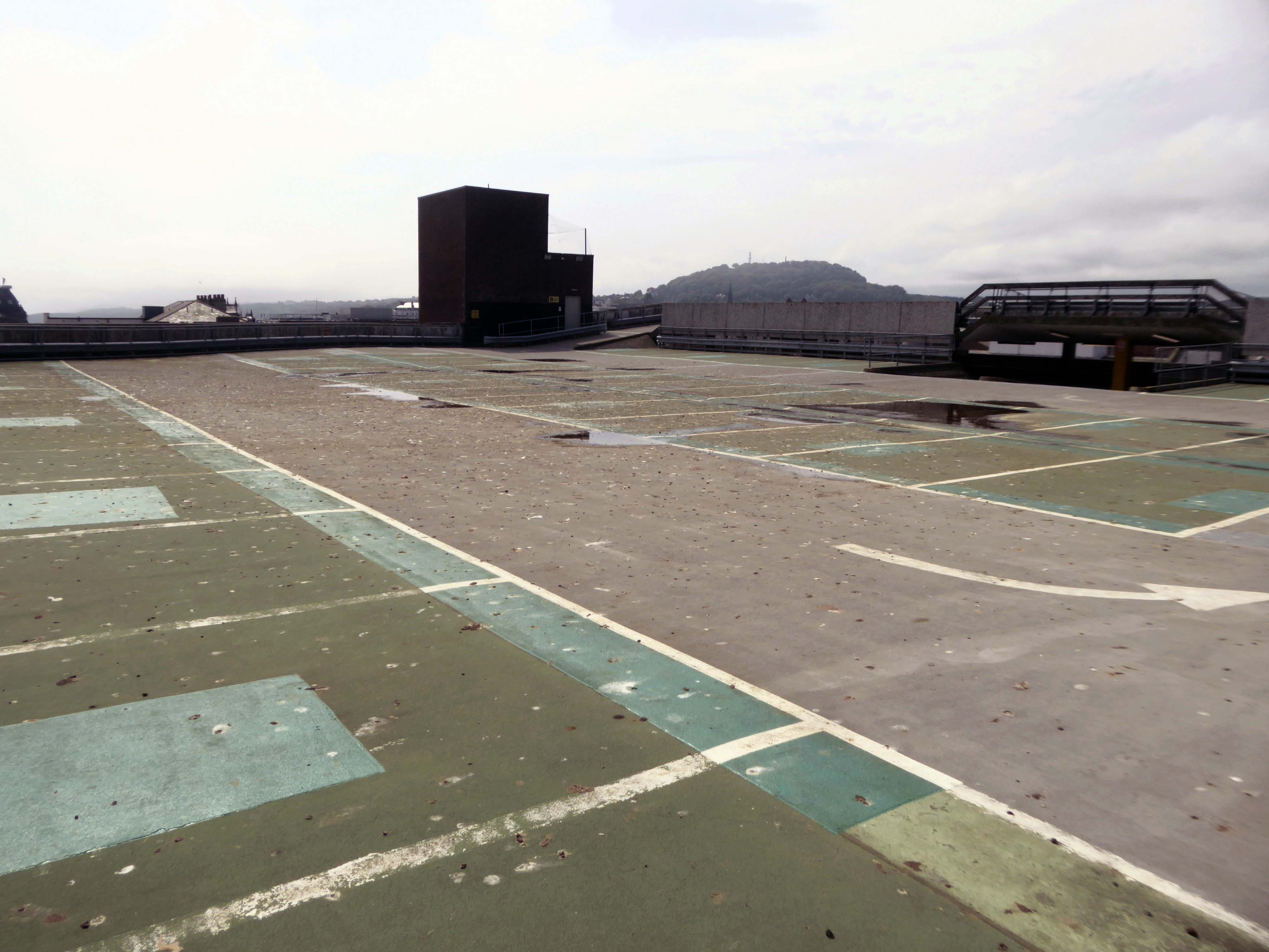
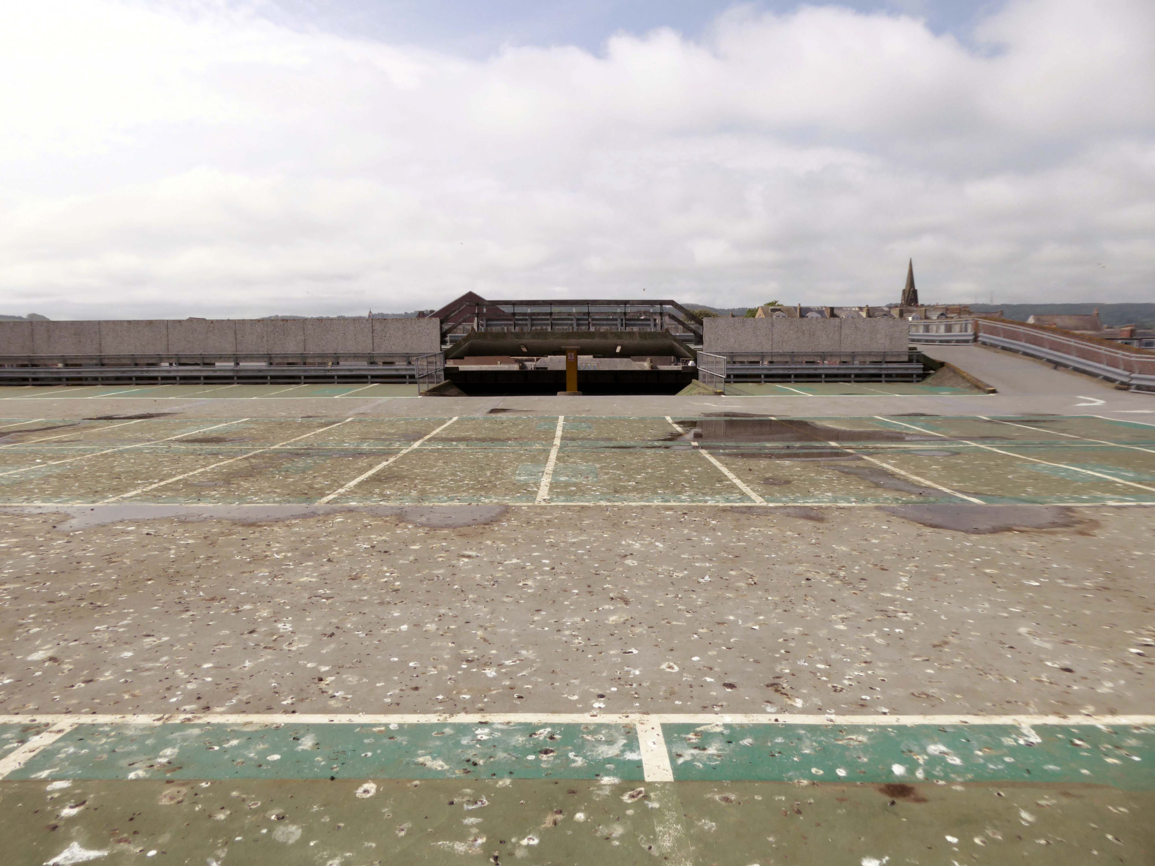
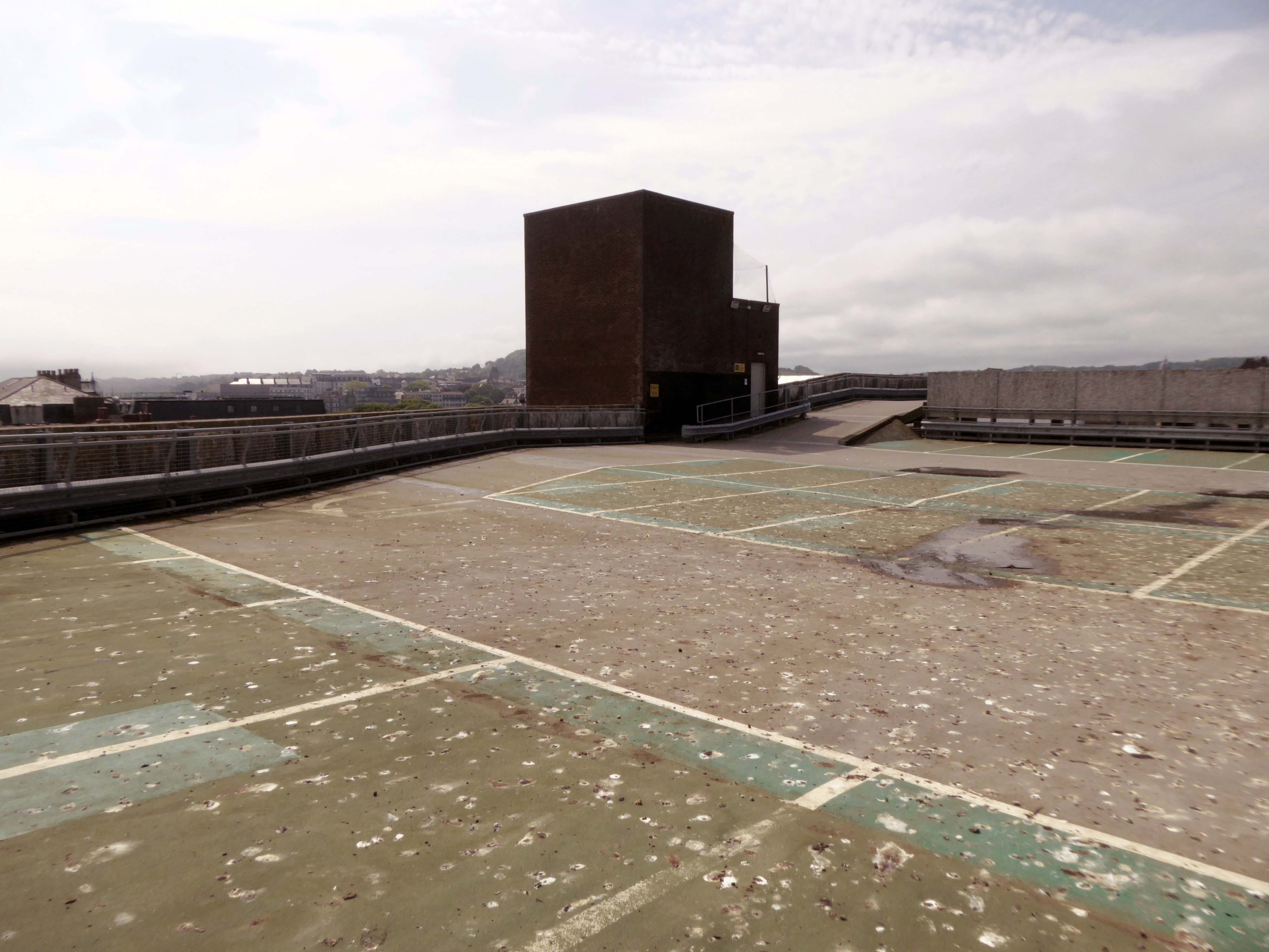
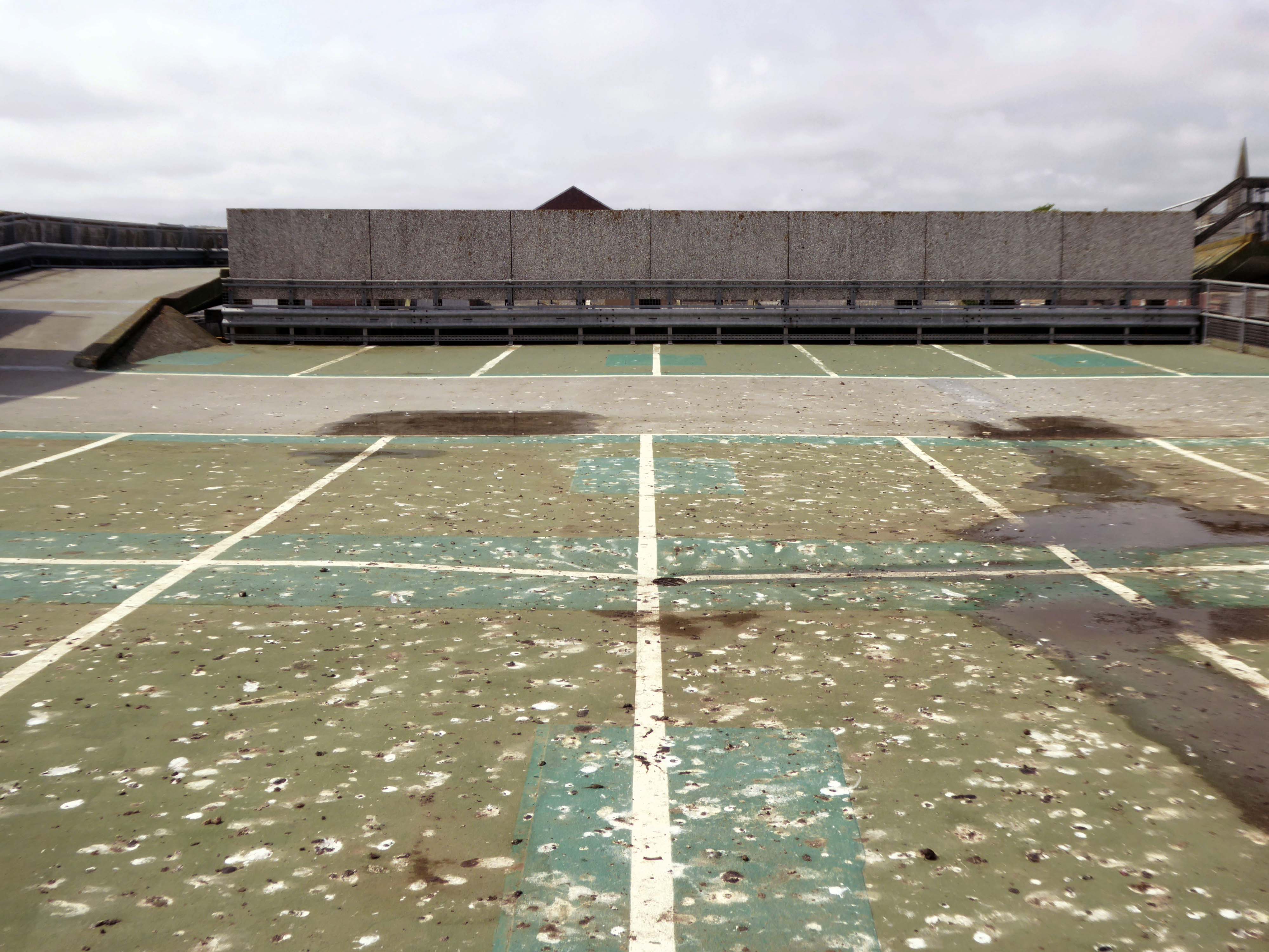
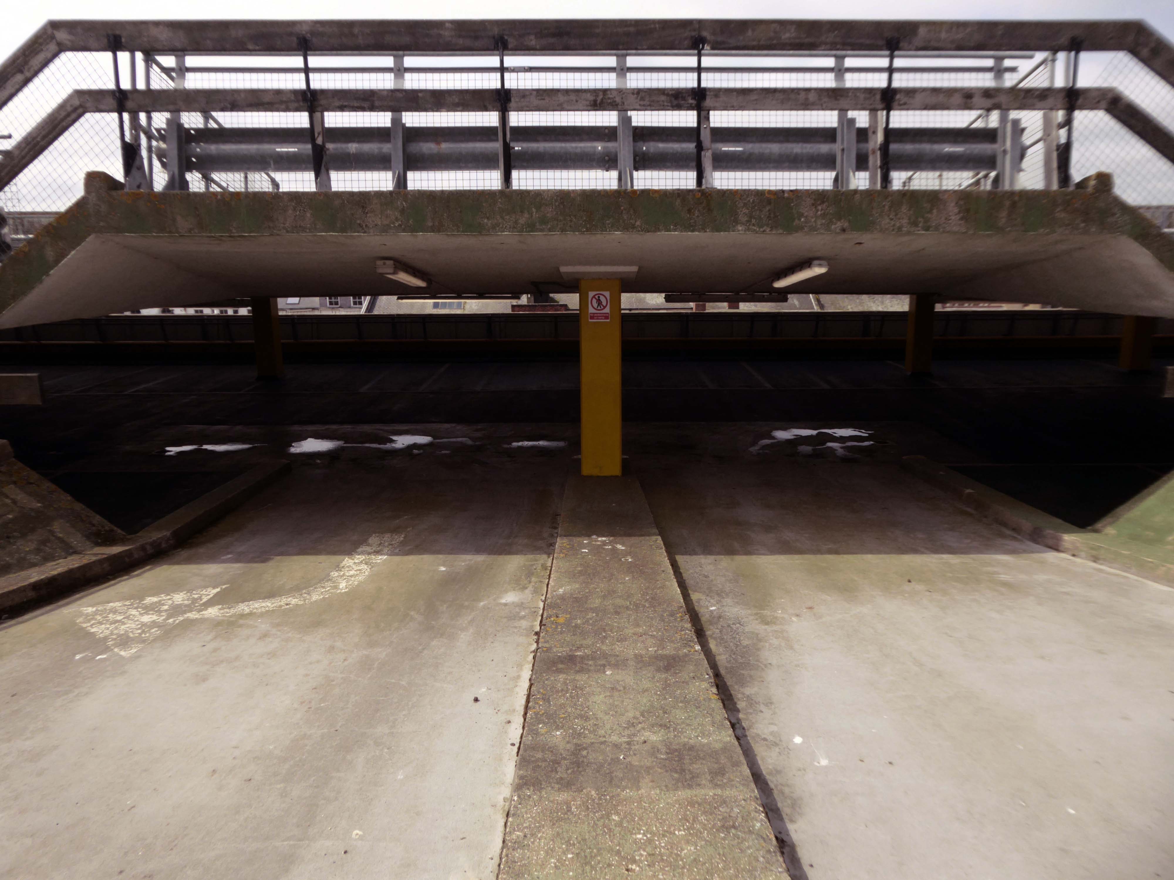
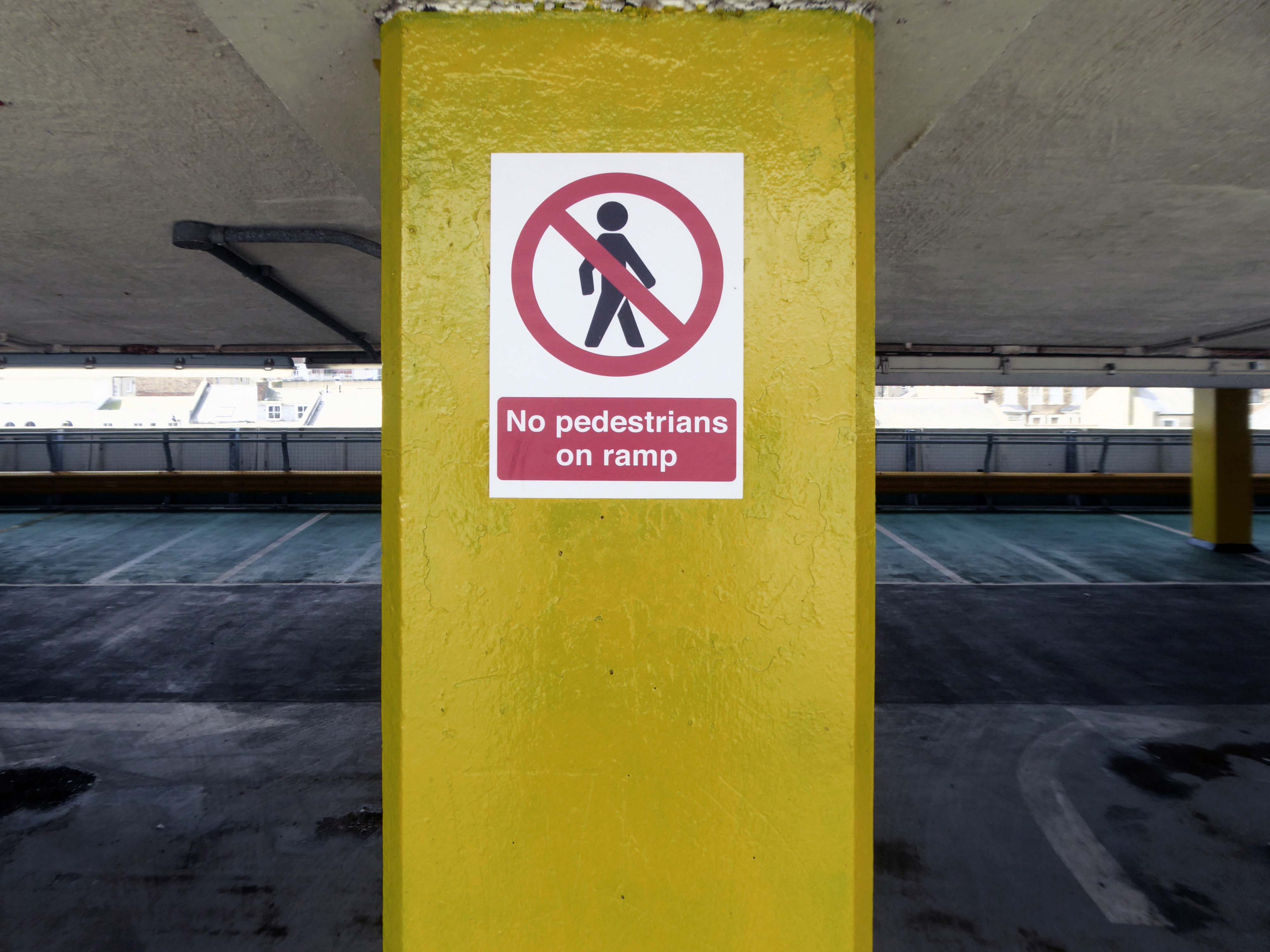
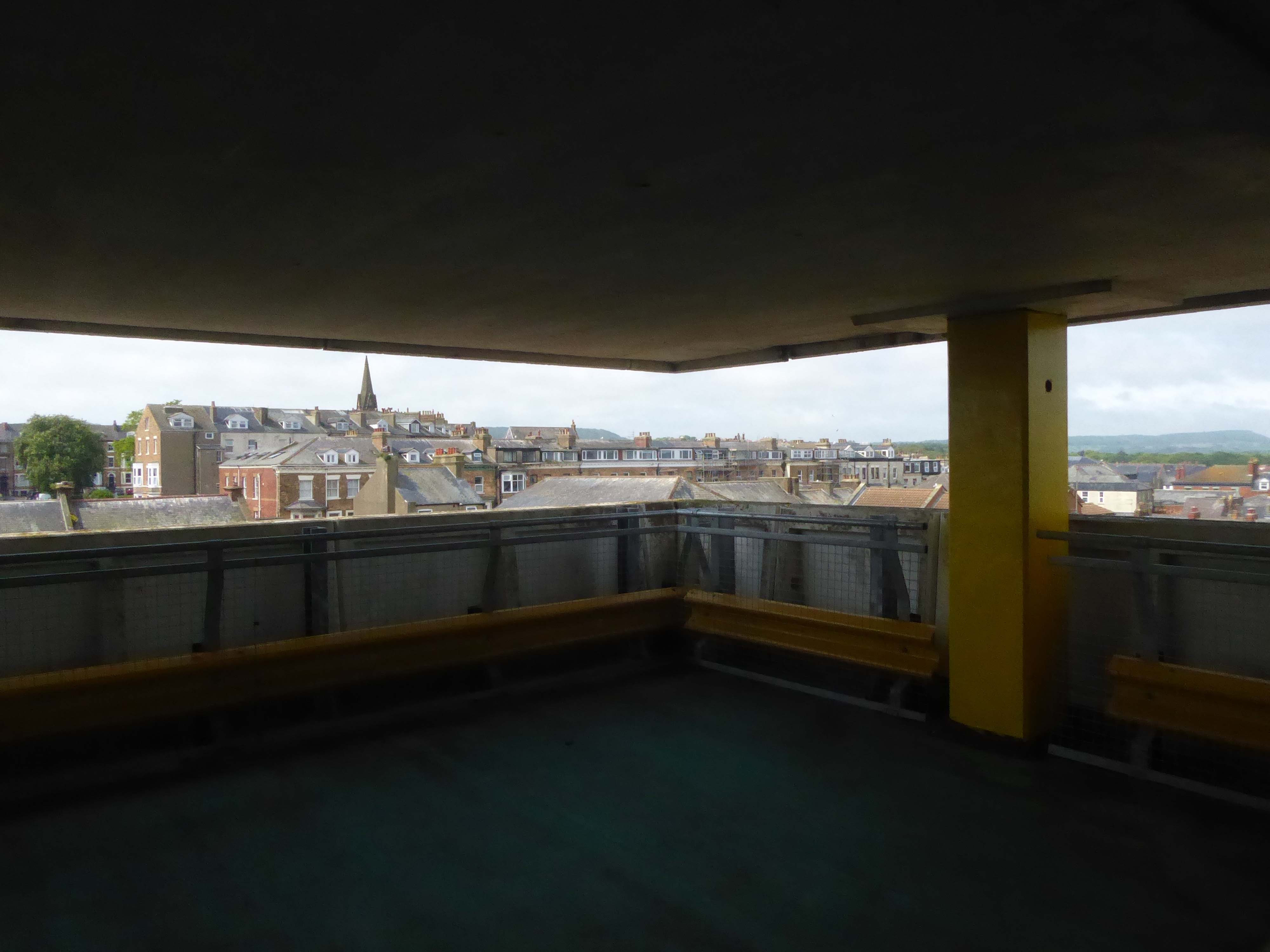
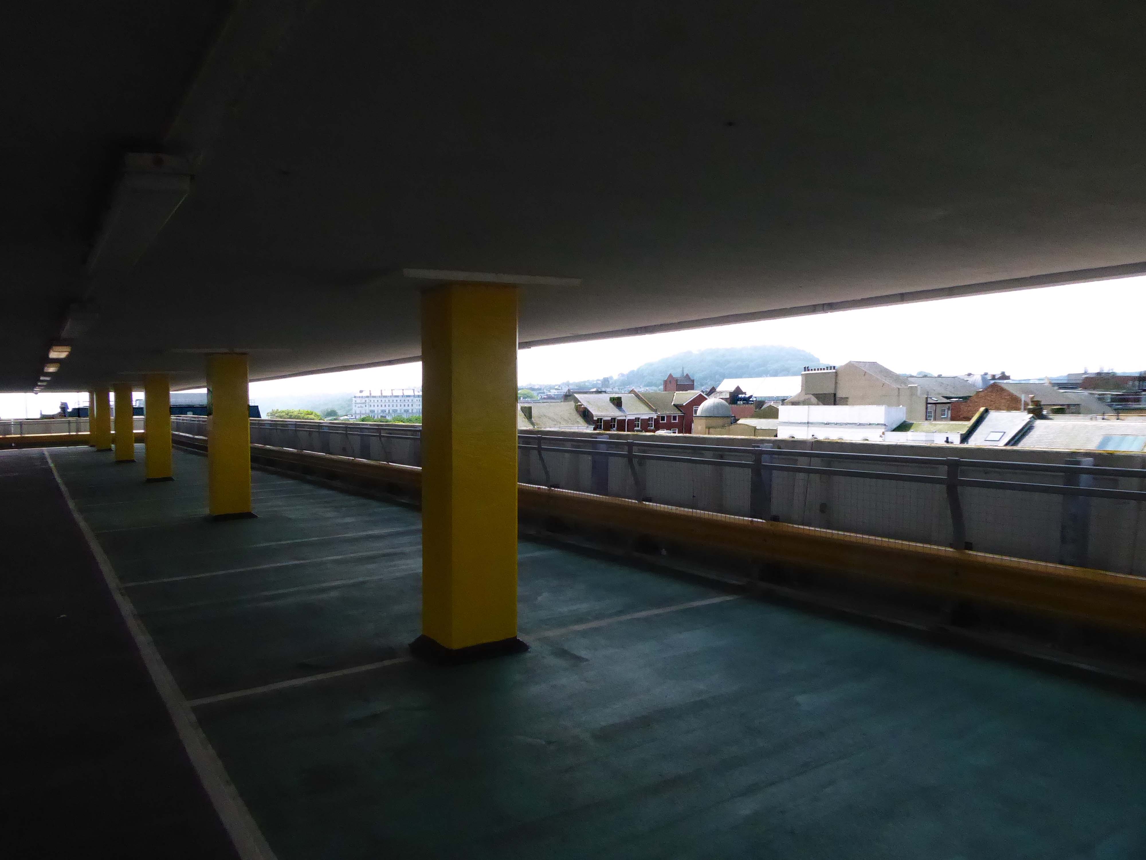
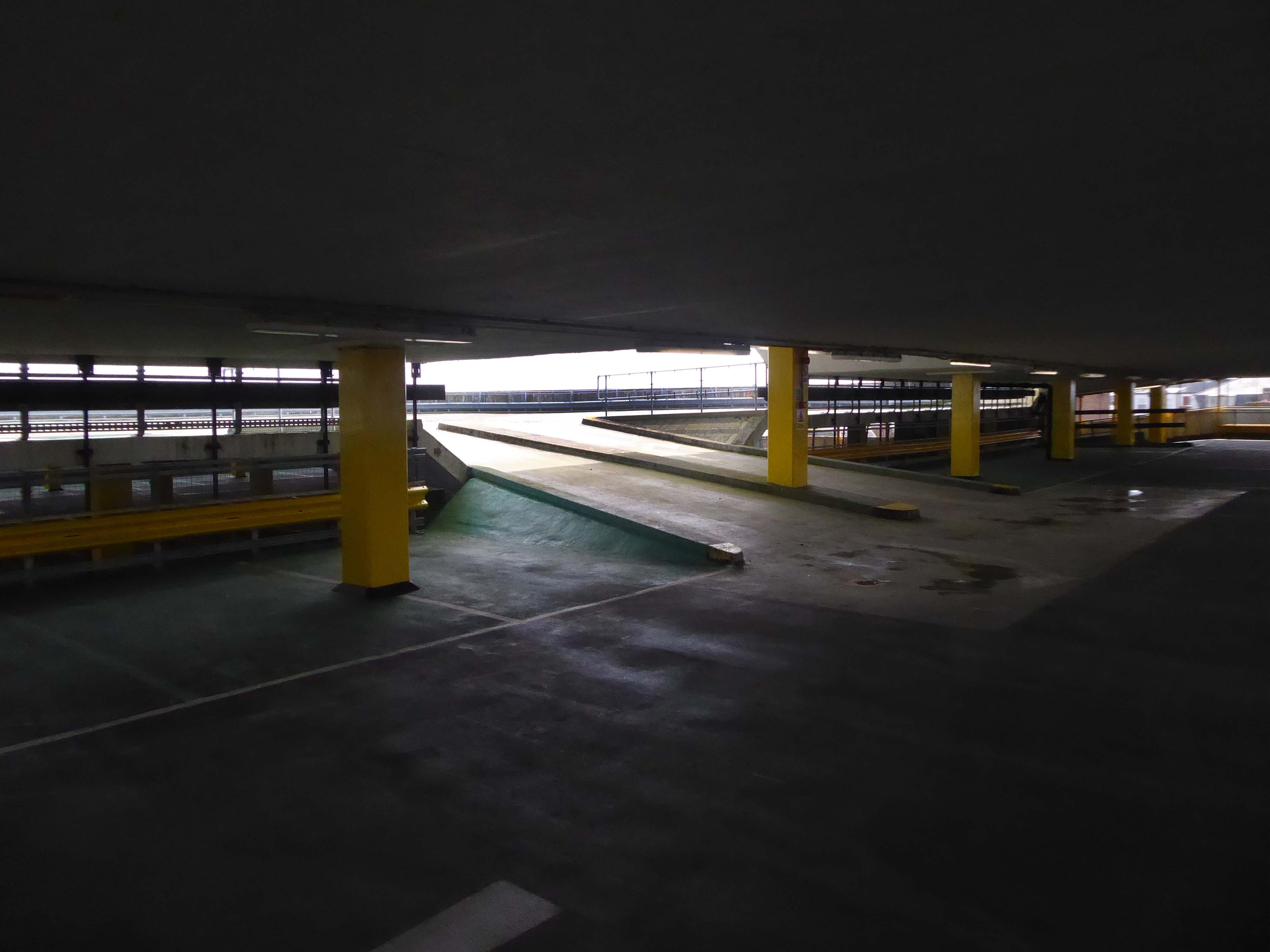
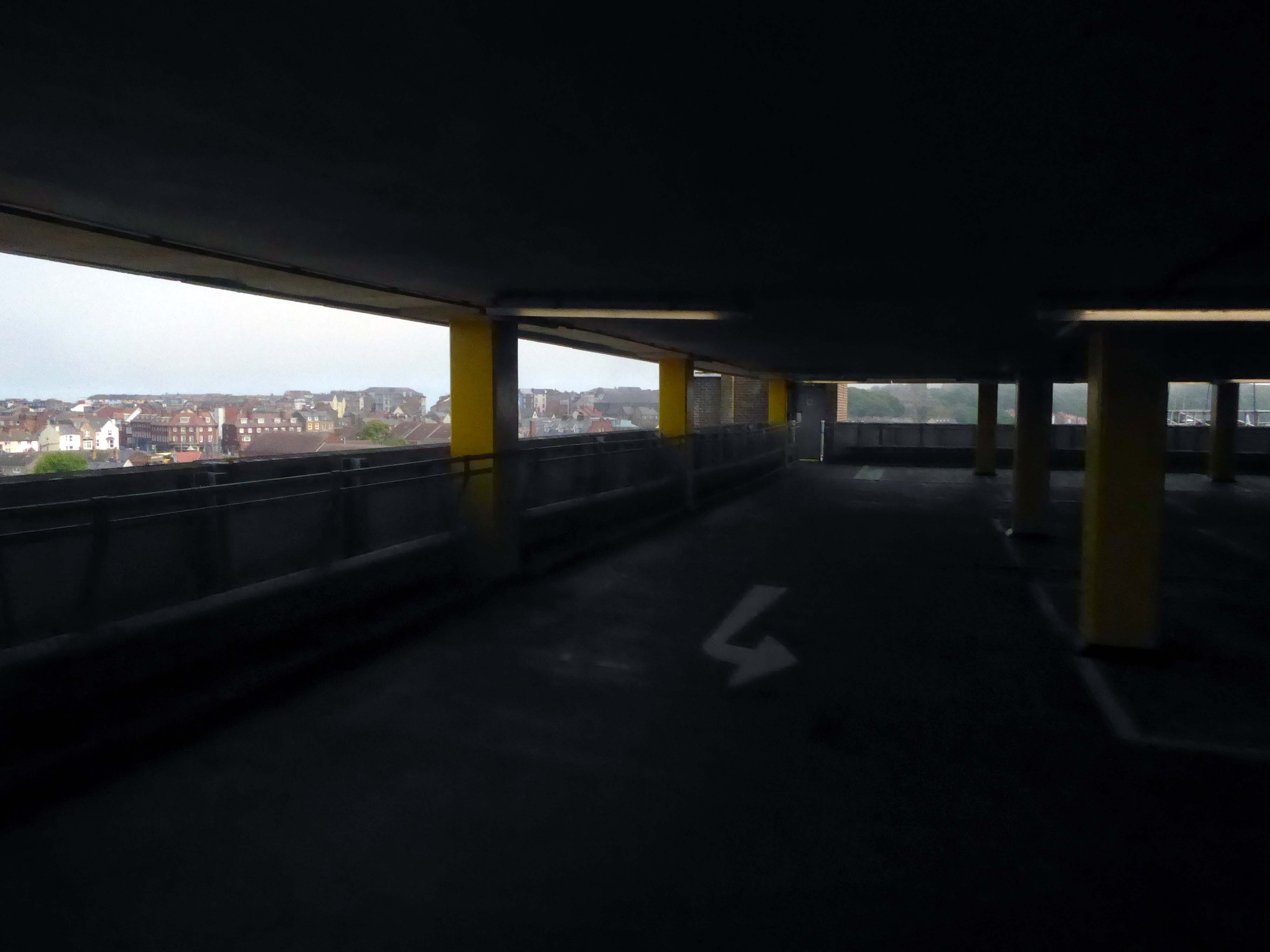
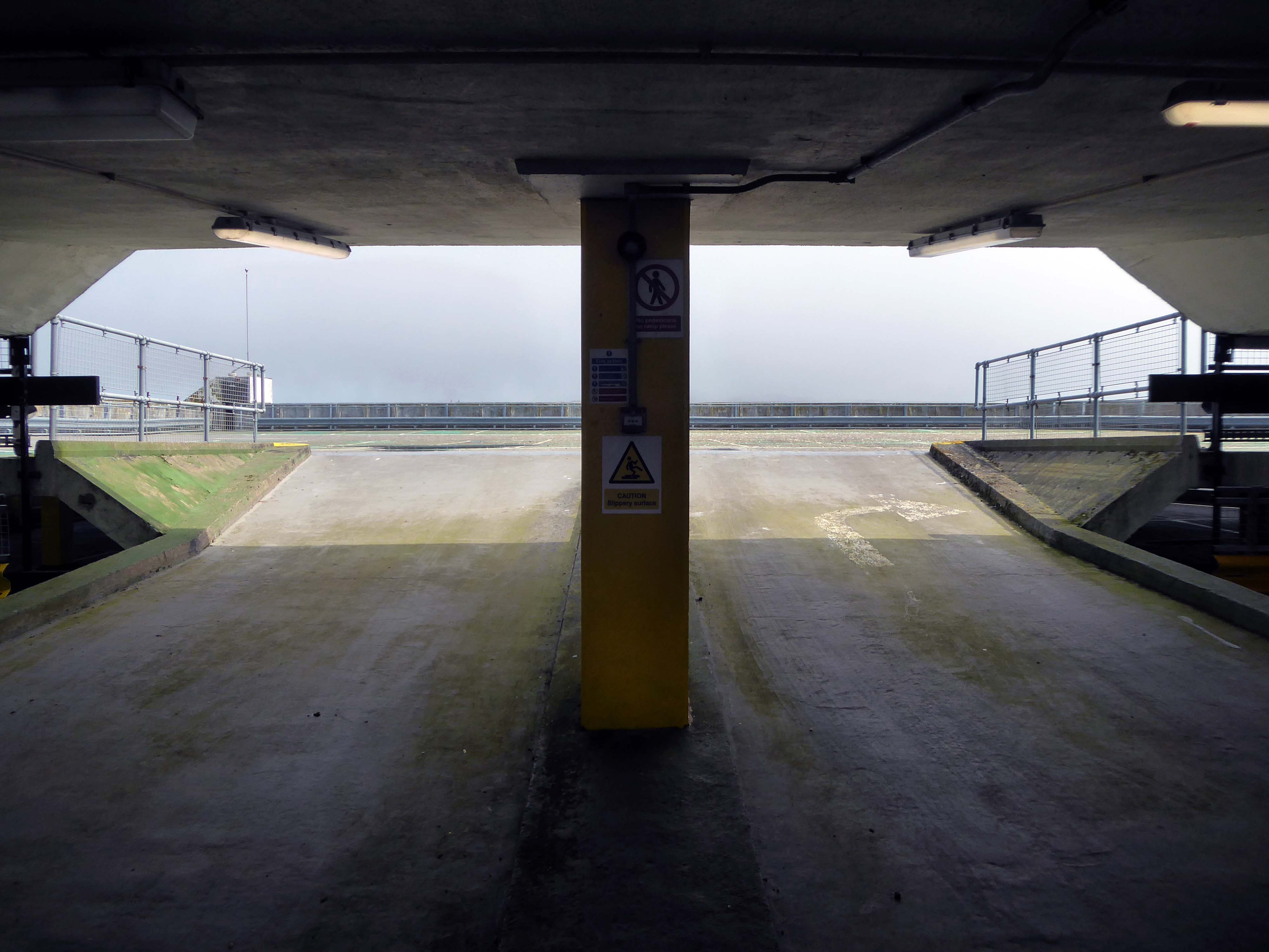
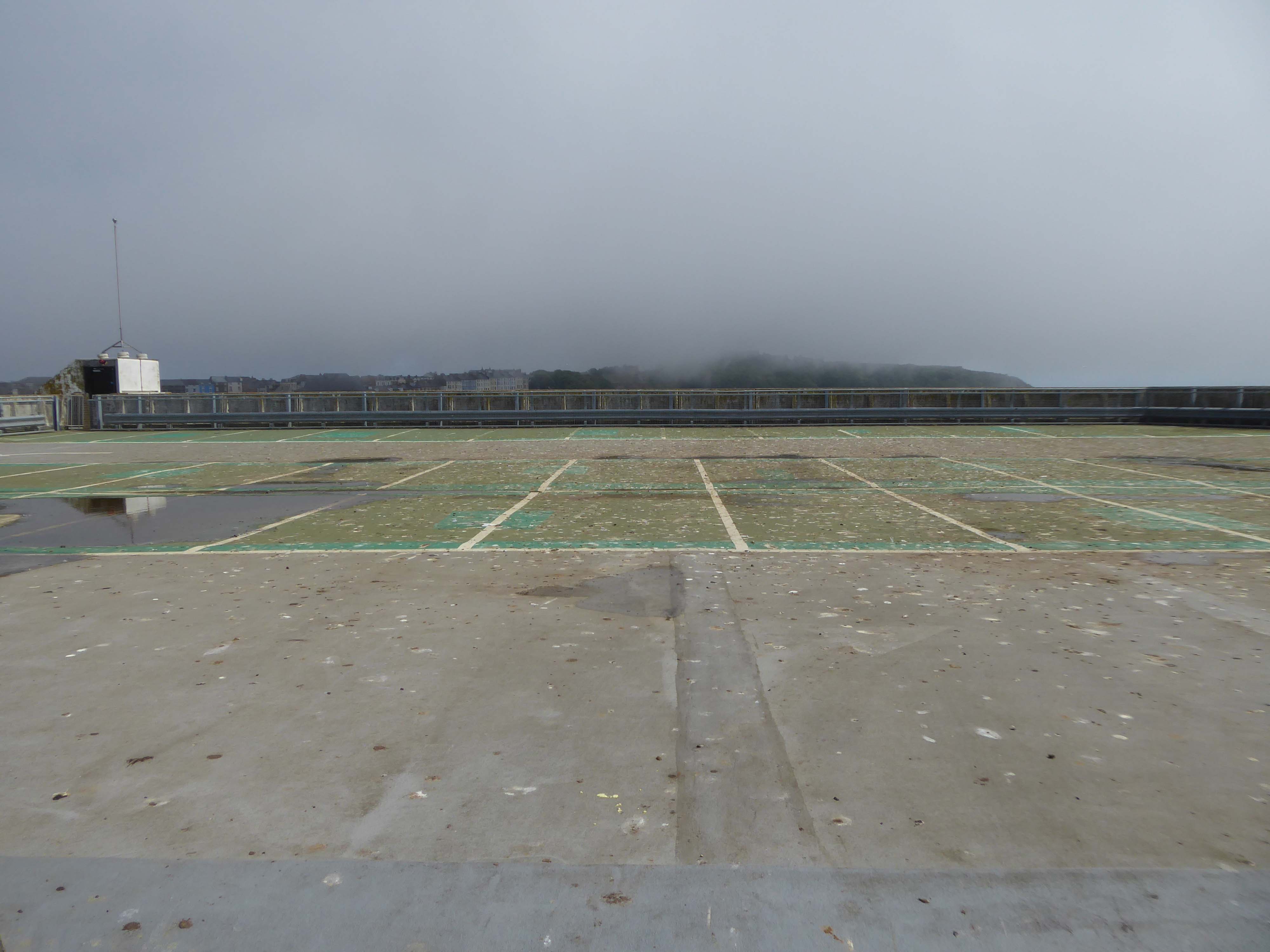
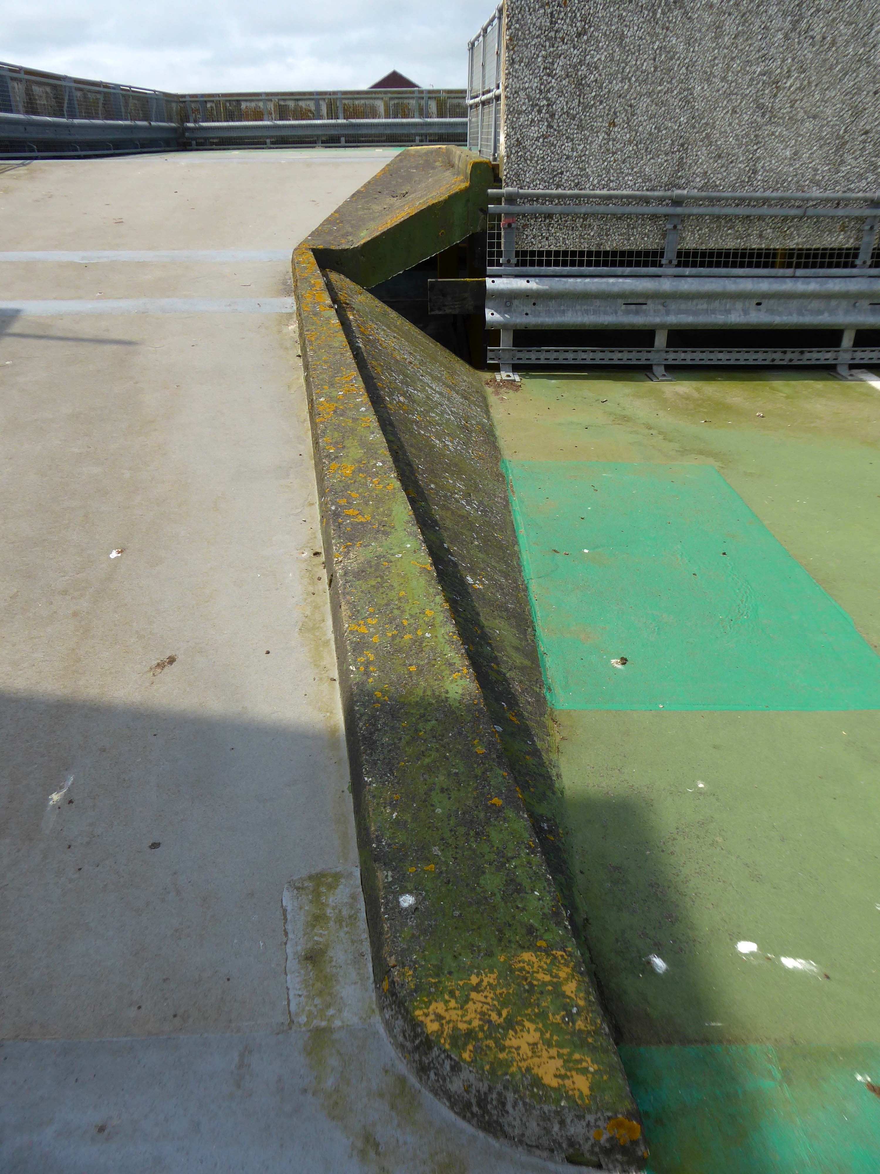
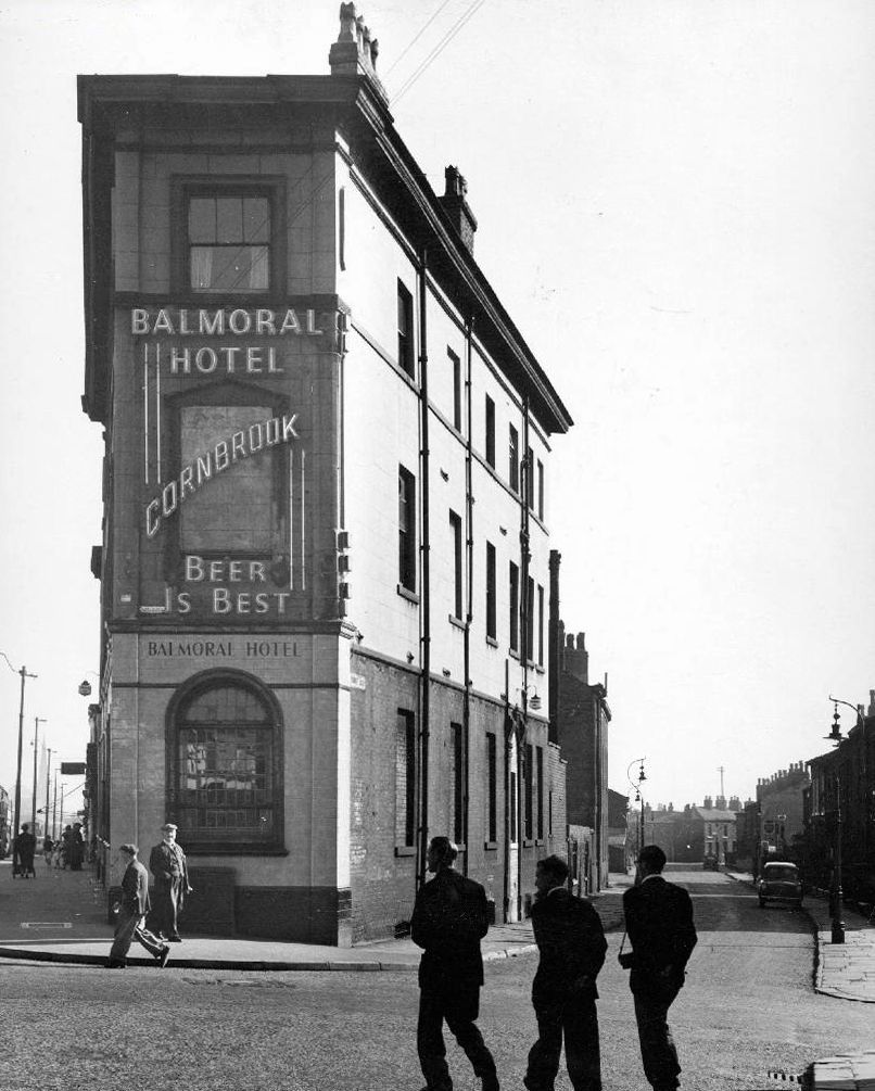
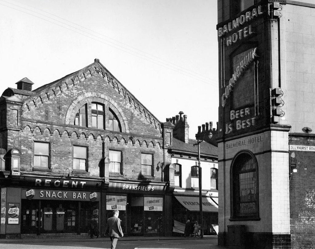
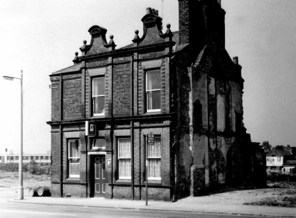
Last day of the holidays and we’re off to Balmoral!
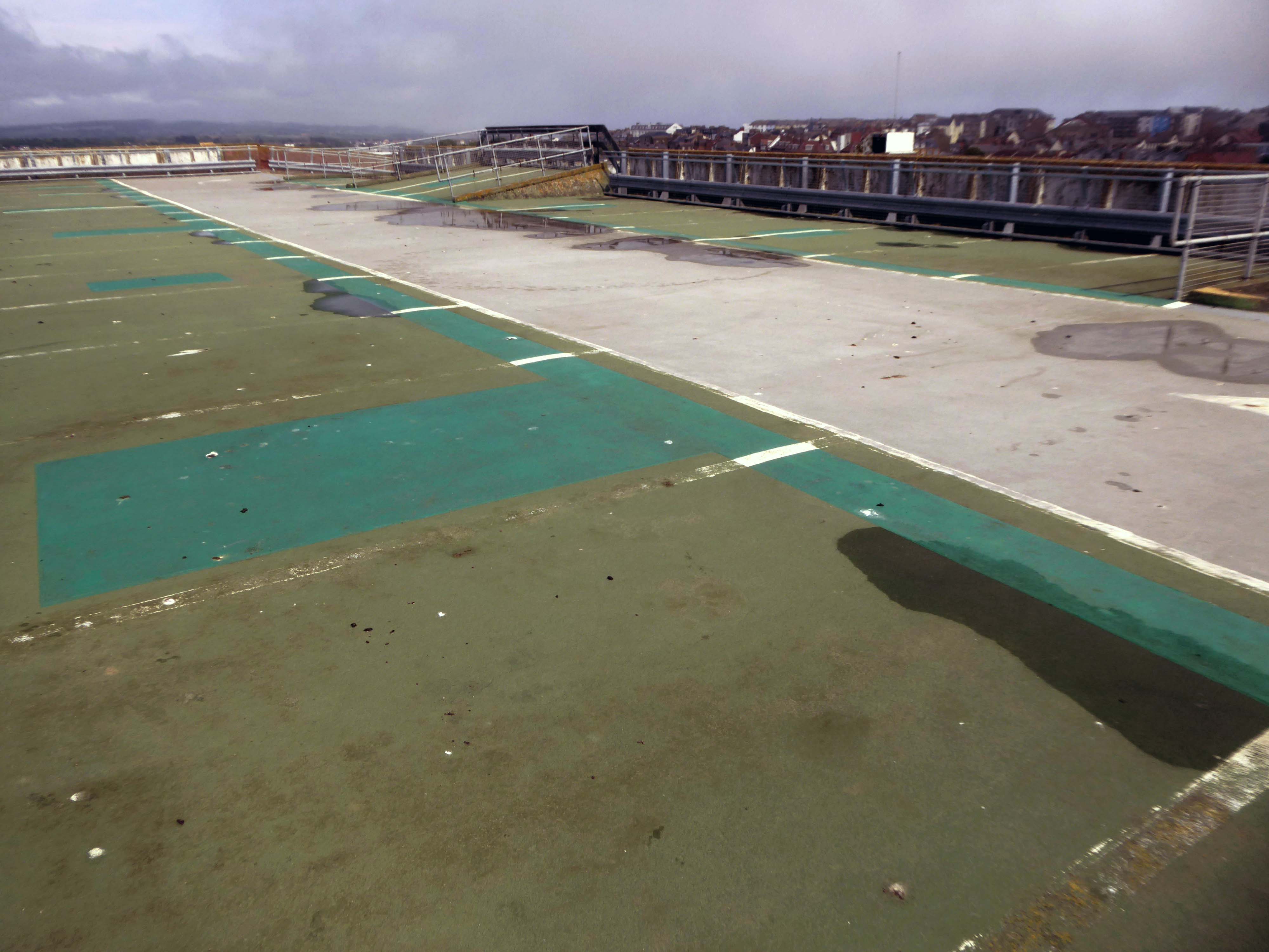
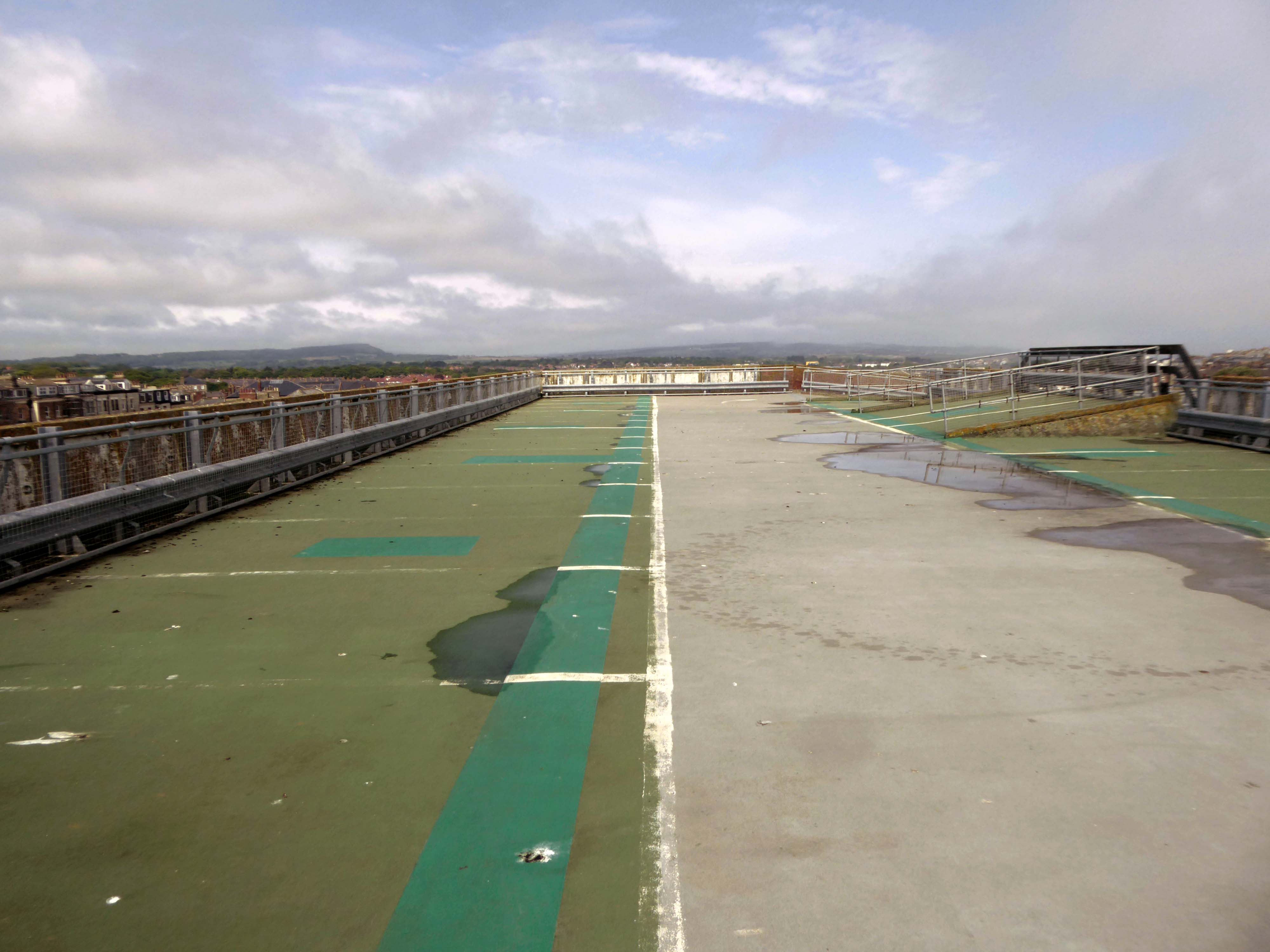
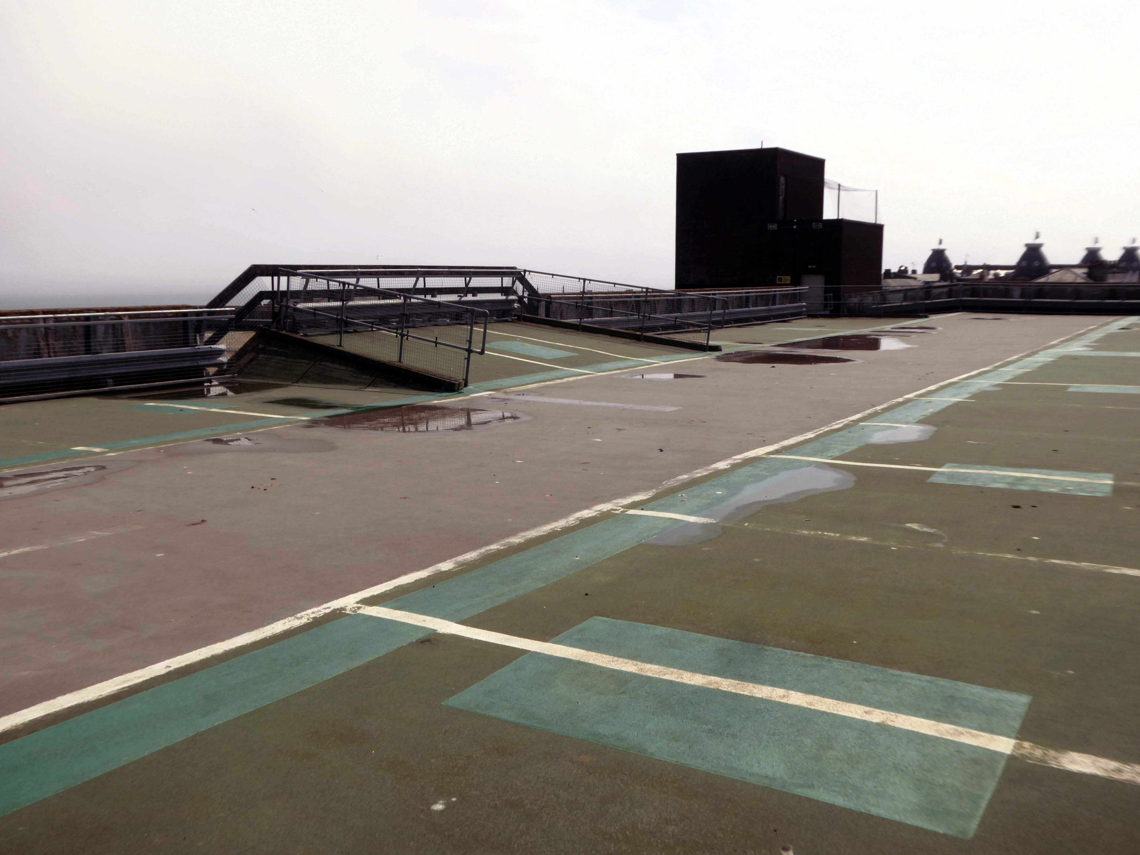
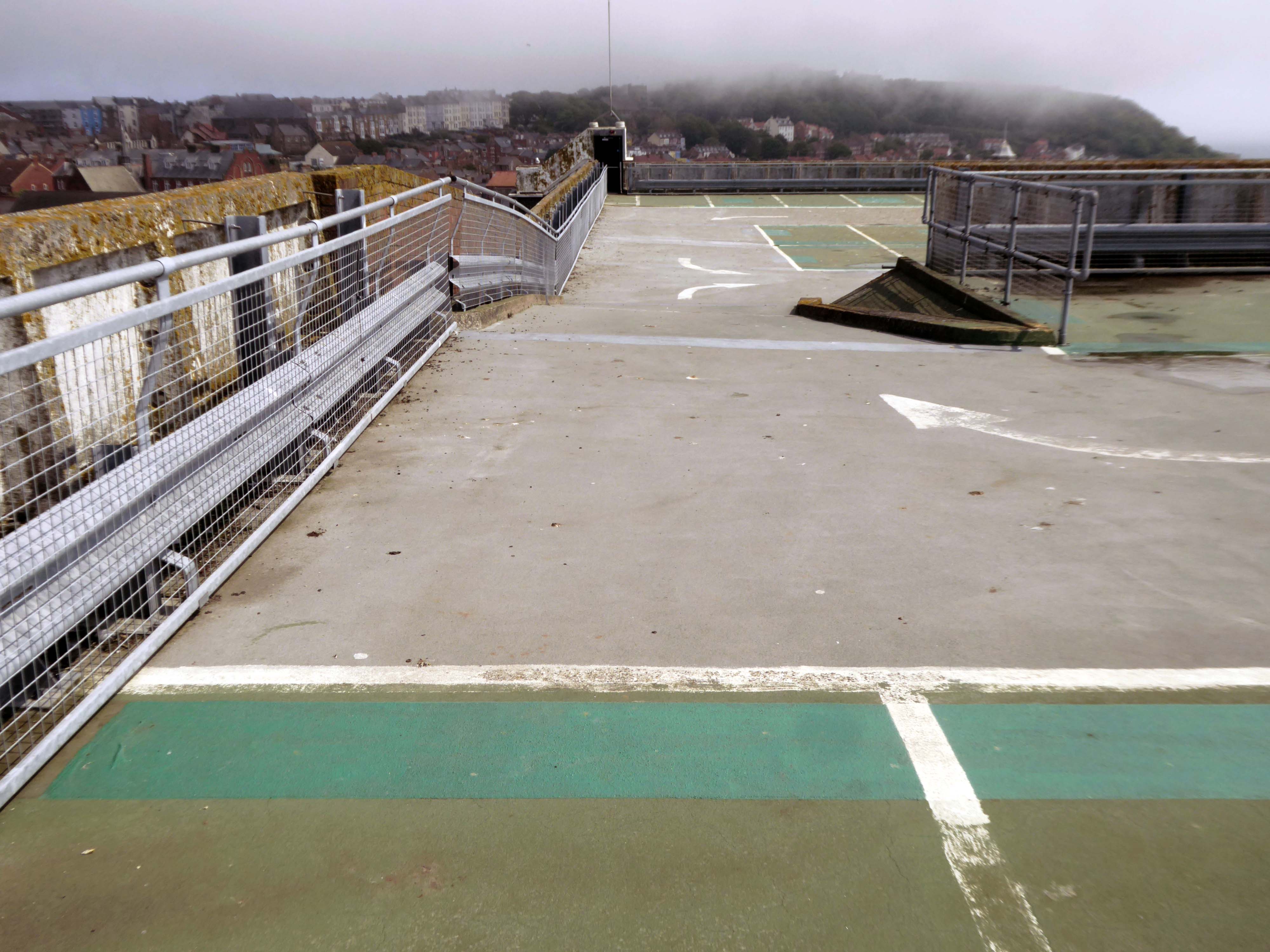
No not that Balmoral the other Balmoral, the car park attached to the Balmoral Centre, built in 1974 – with little or no reference to the Highland baronial.
Though the old Balmoral Hotel had to be removed in 1973.
Scarborough is a beloved seaside resort and we’re pleased to have secured these well-known, popular parades, bringing them into our in-house portfolio.
We are committed to focusing our efforts on regional retail centres and neighbourhood parades where we can see there is incredible potential. The Balmoral Centre and Bar House provide us with significant opportunities to add significant value and we are already looking to identify how we can revitalise these centres further. We hope to make announcements on how we can achieve this over the next few months.
The staff at this car park are always friendly and really helpful.
You can tell they take pride in their car park.
We stay in this car park every time we come to Scarborough and stay in Britannia hotels, we find it safe and secure to park your car, the staff are very helpful and polite and keep the car park in tip top condition.
We will always park here great opening and closing times also five minute walk to Royal and Grand Hotel and shops.
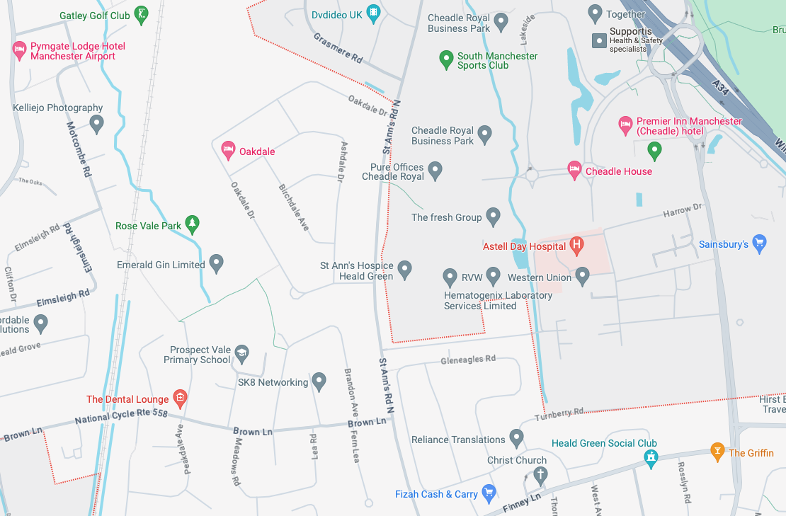
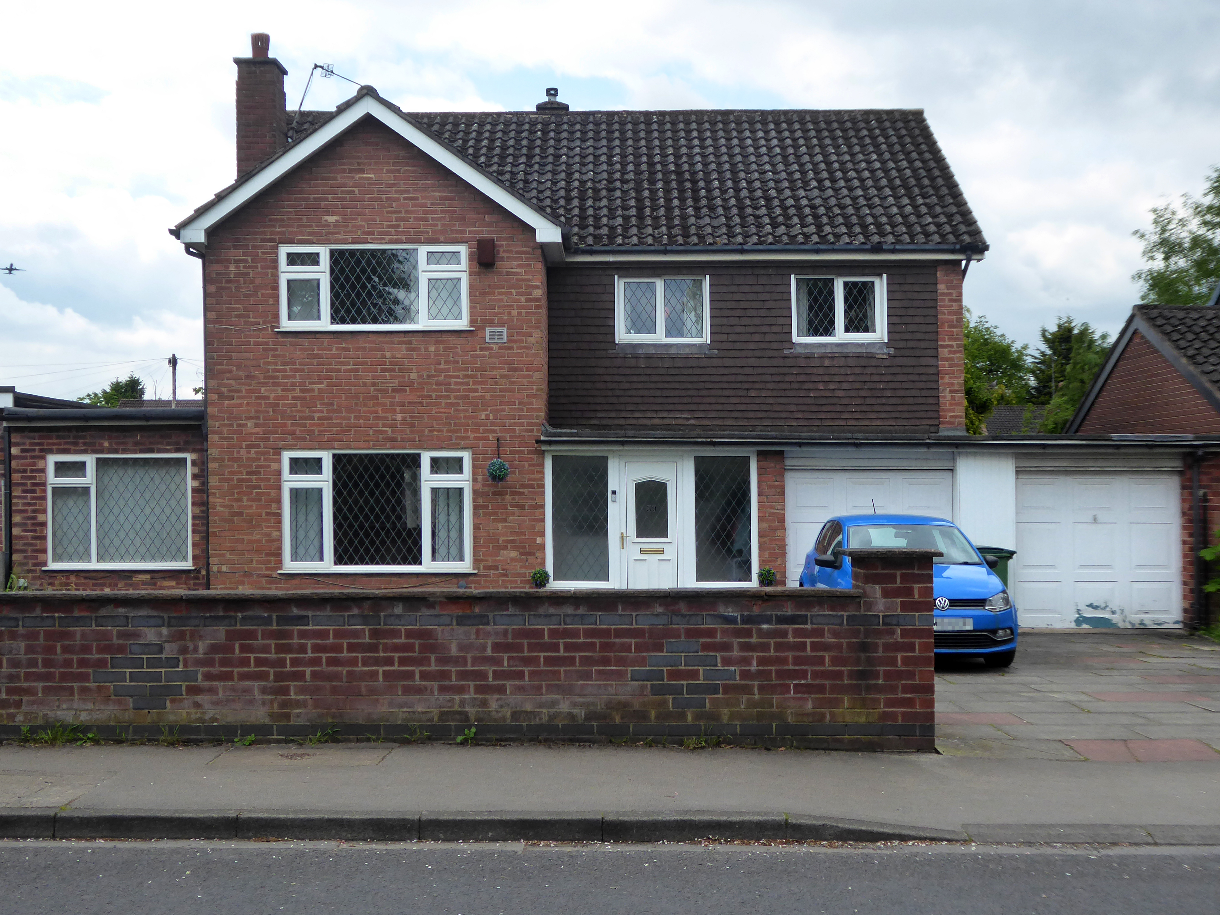
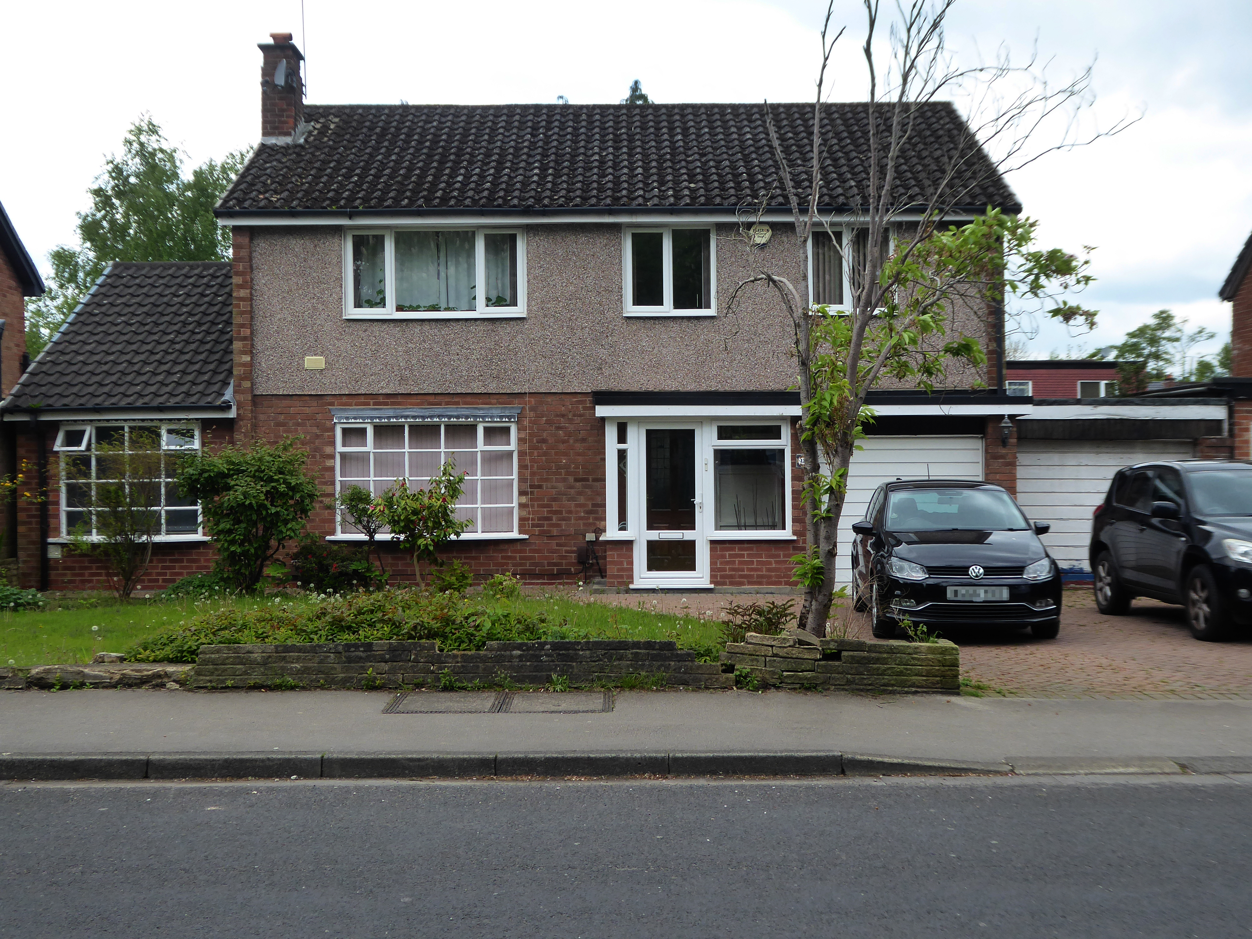
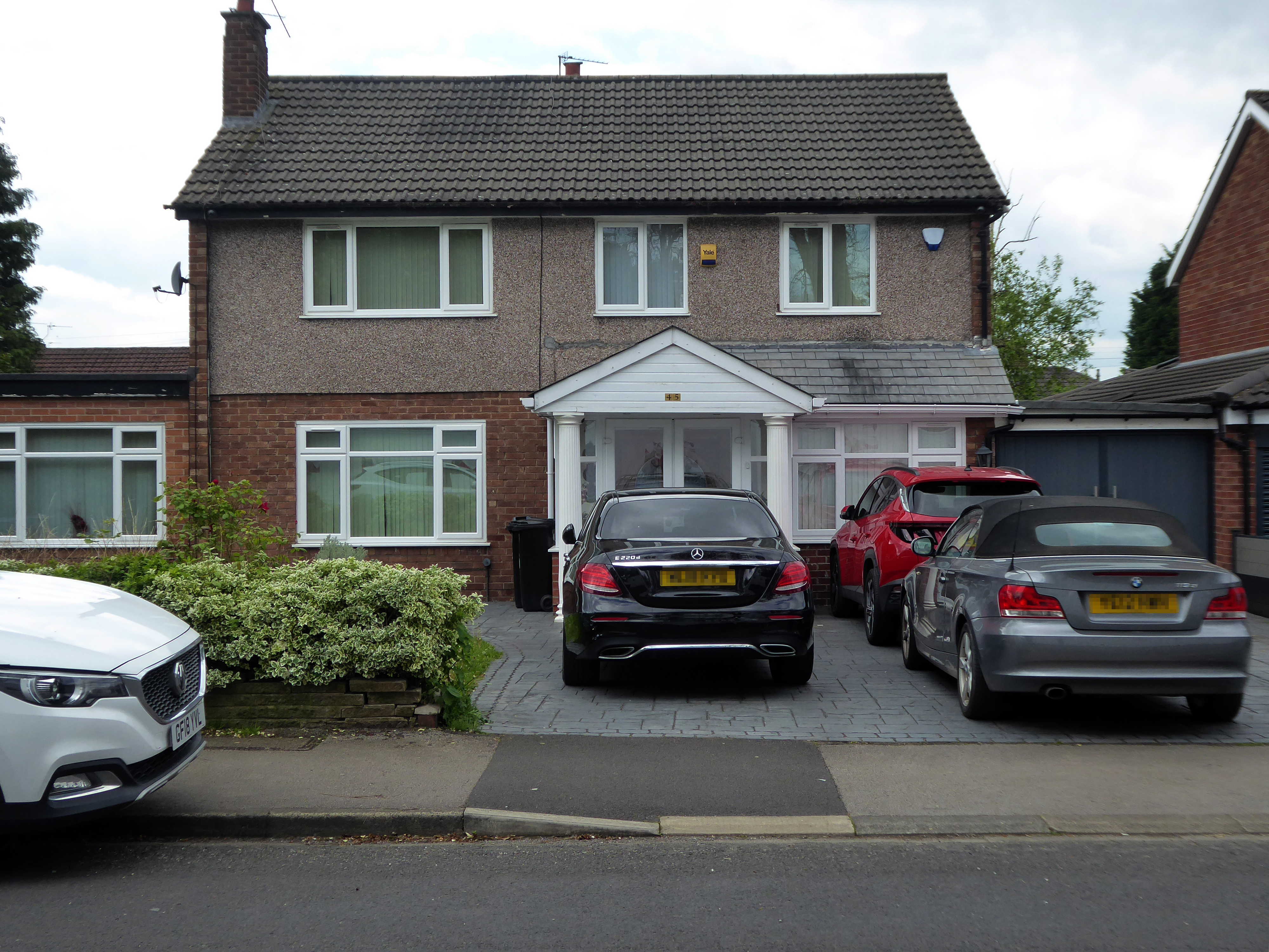
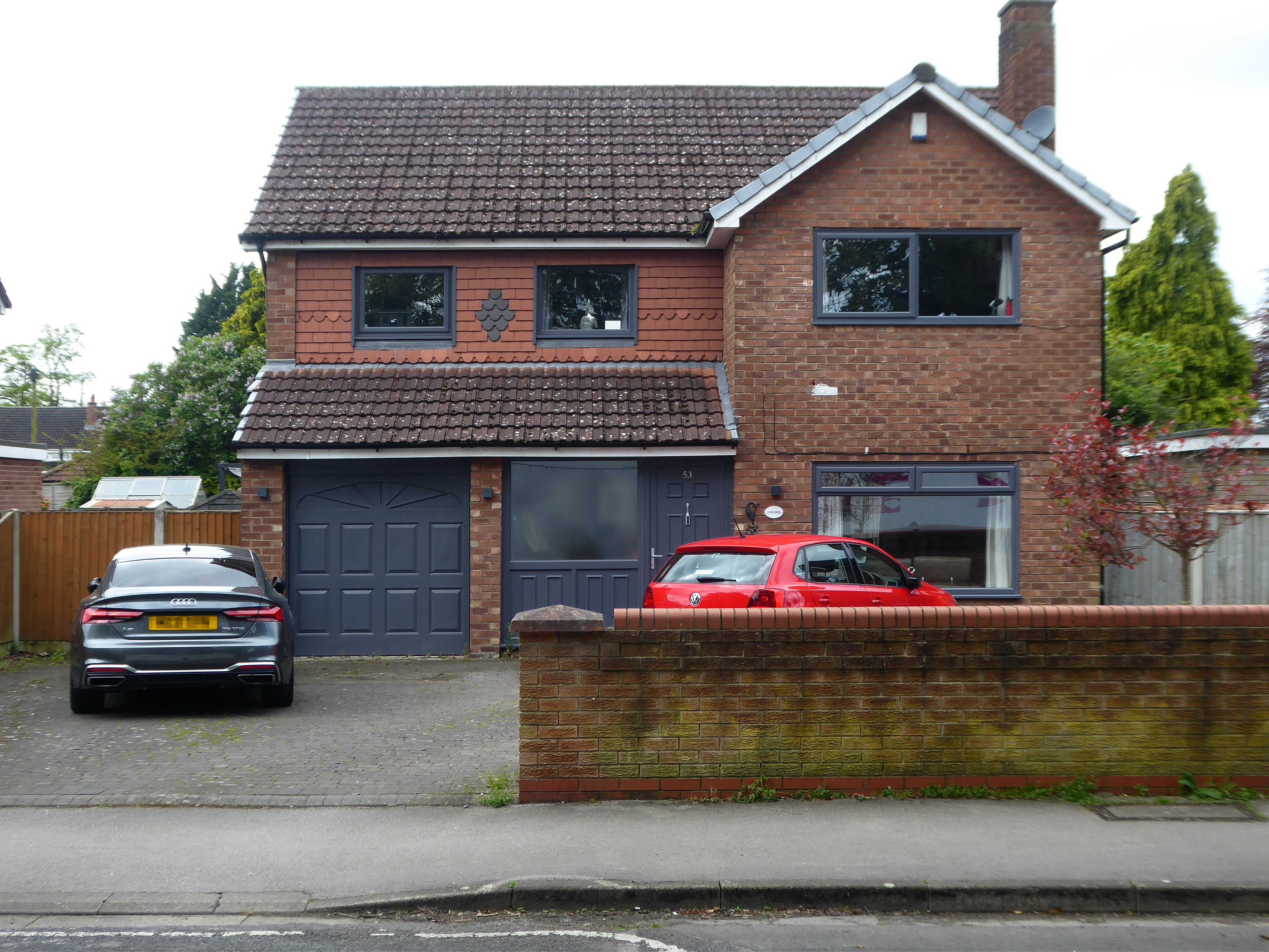
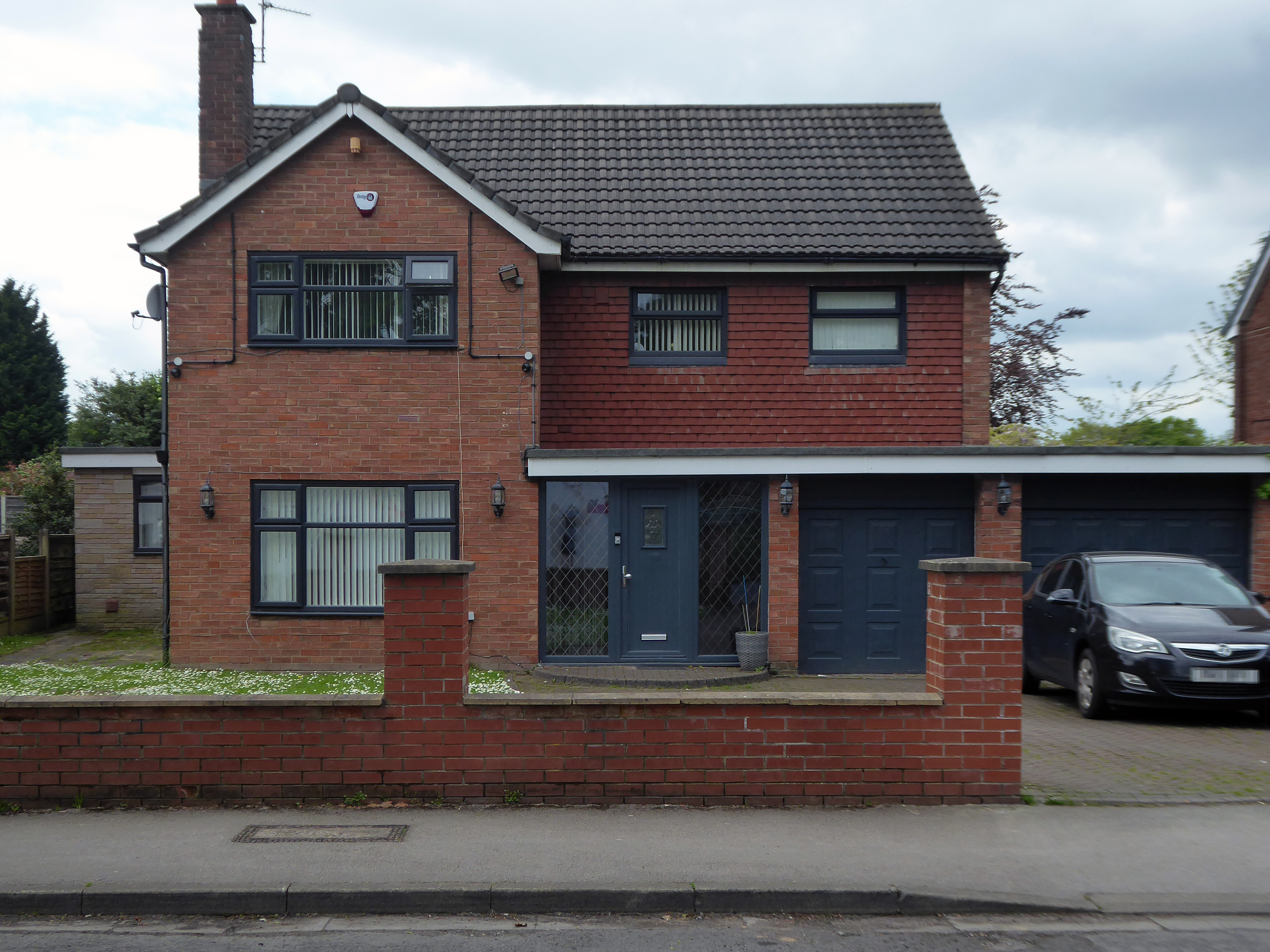
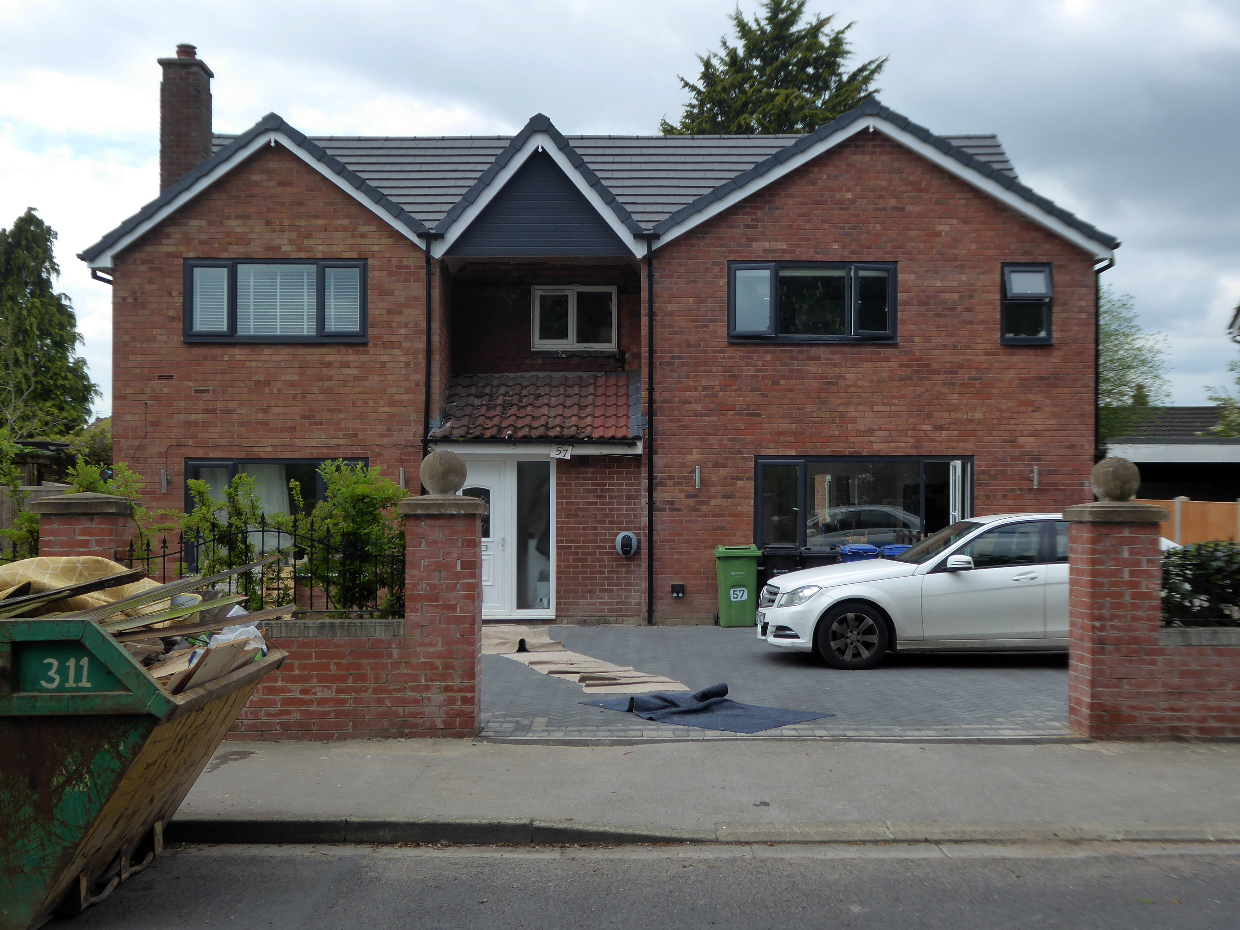
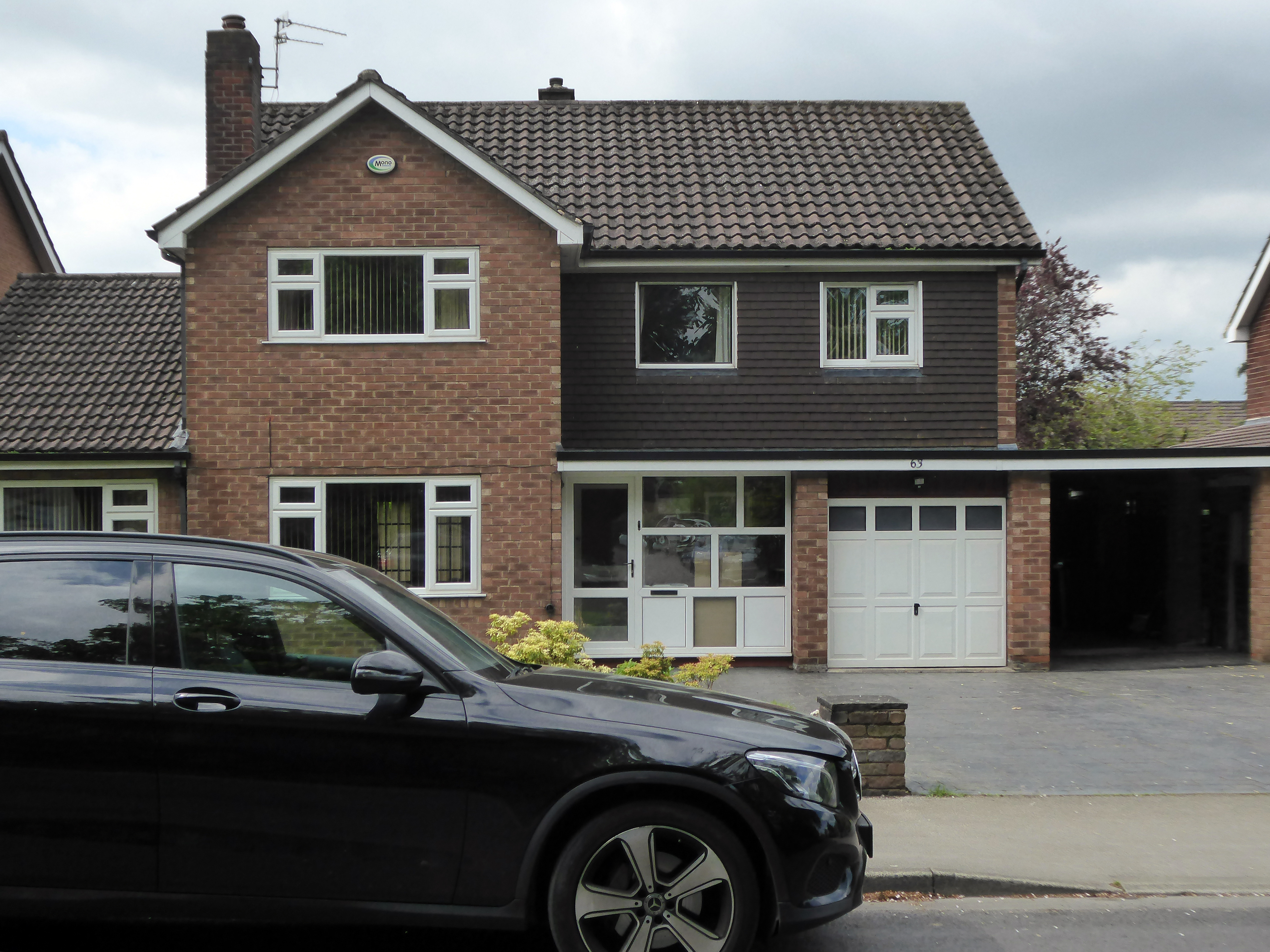
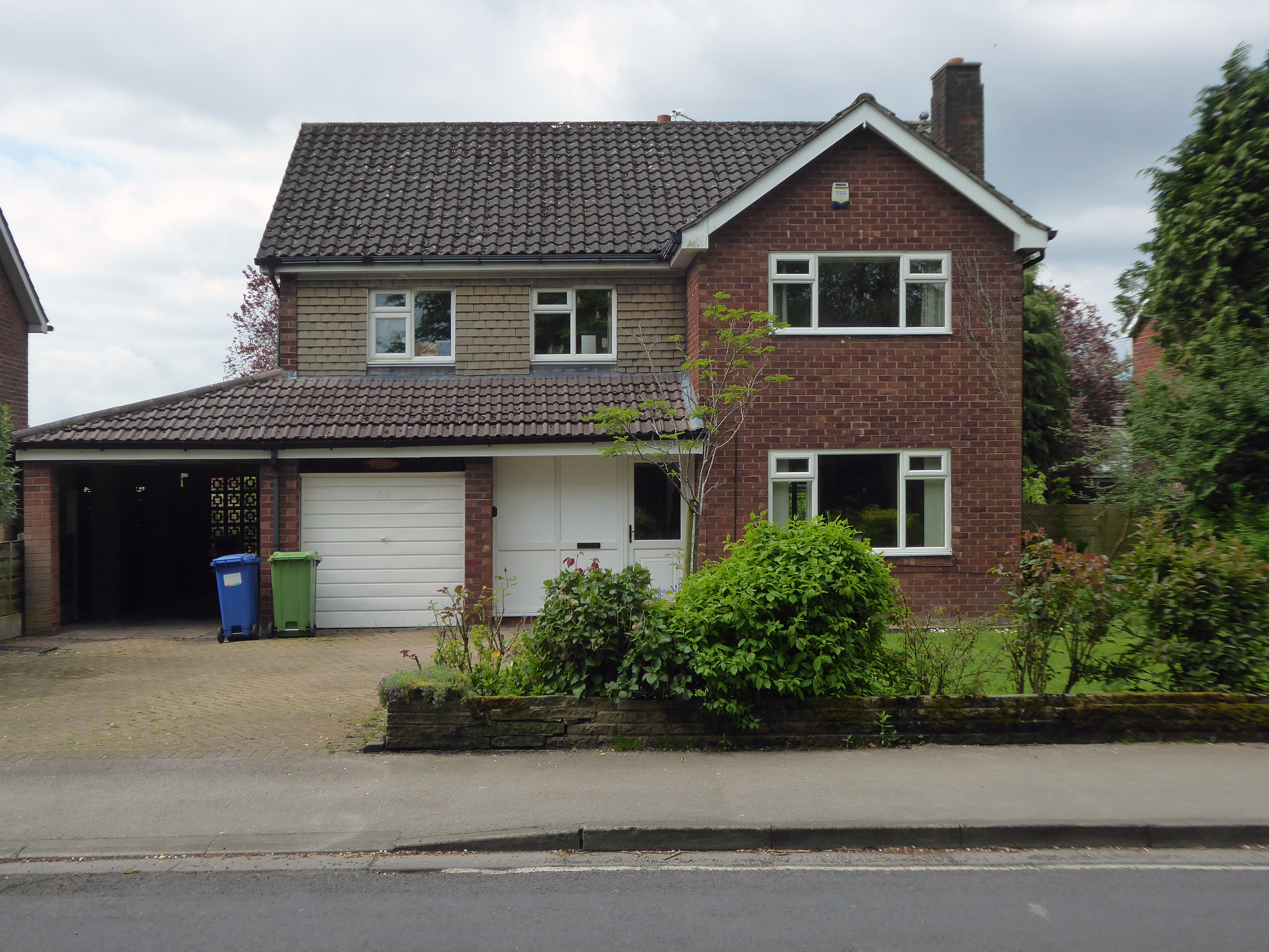
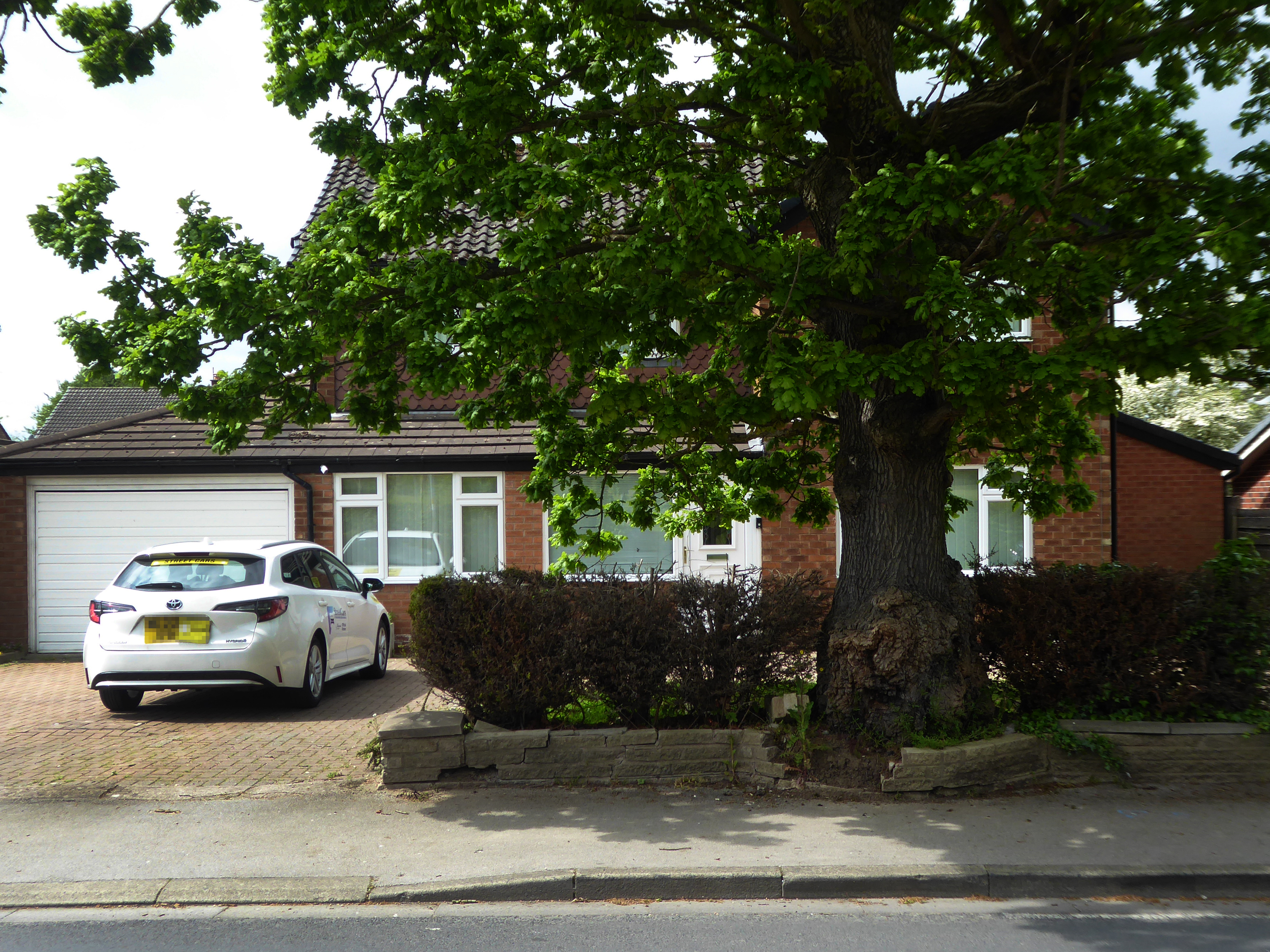
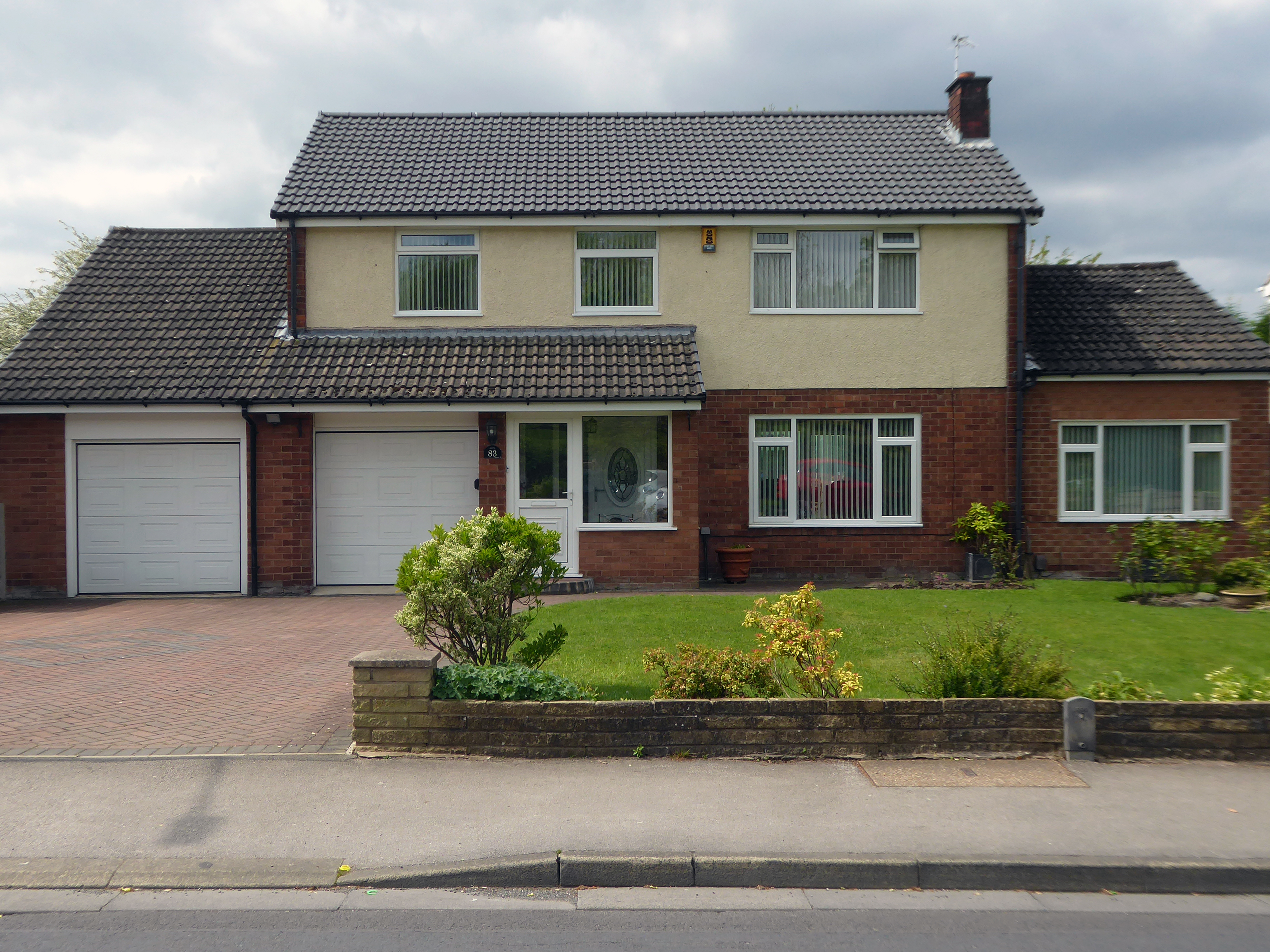
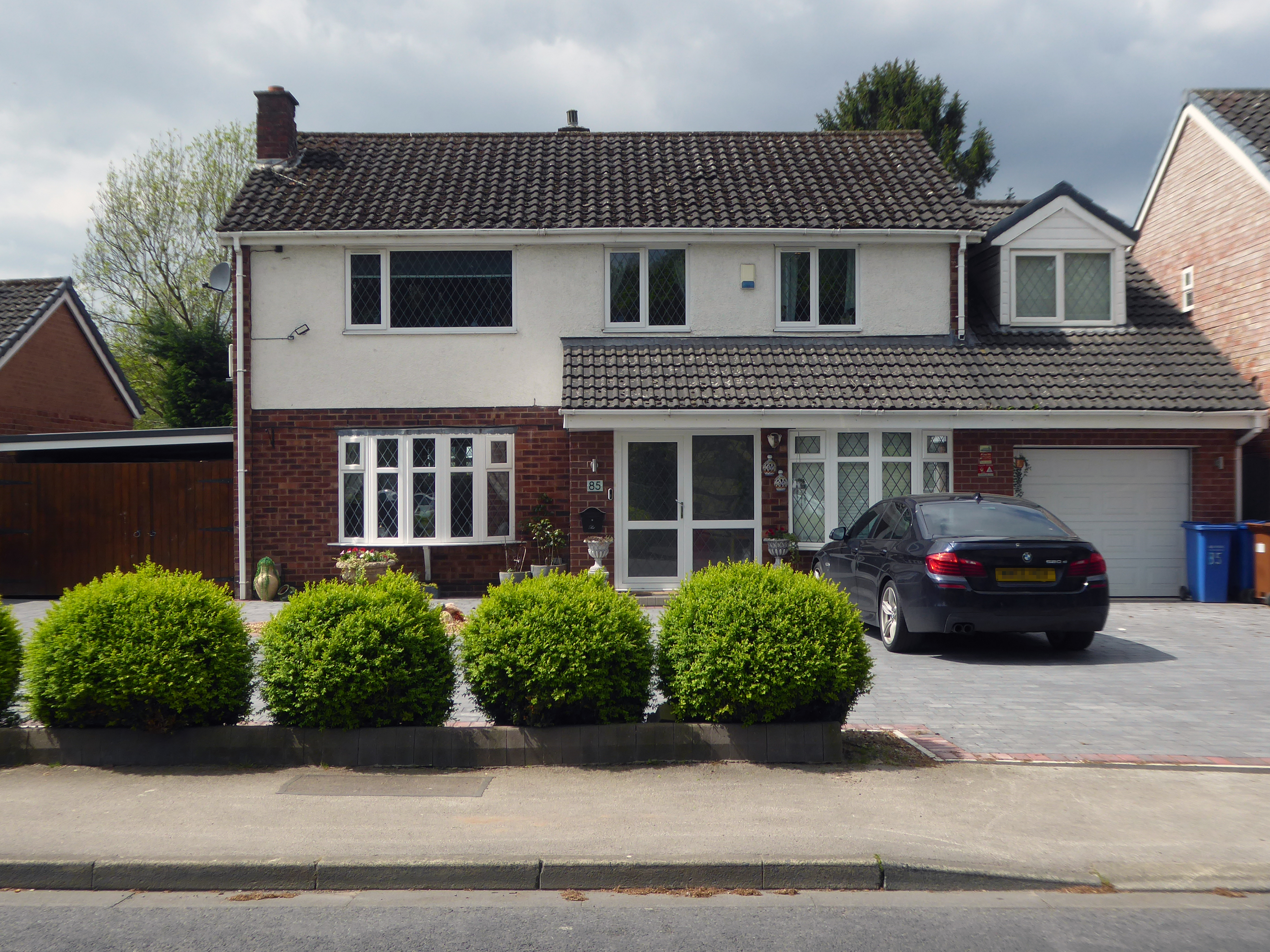
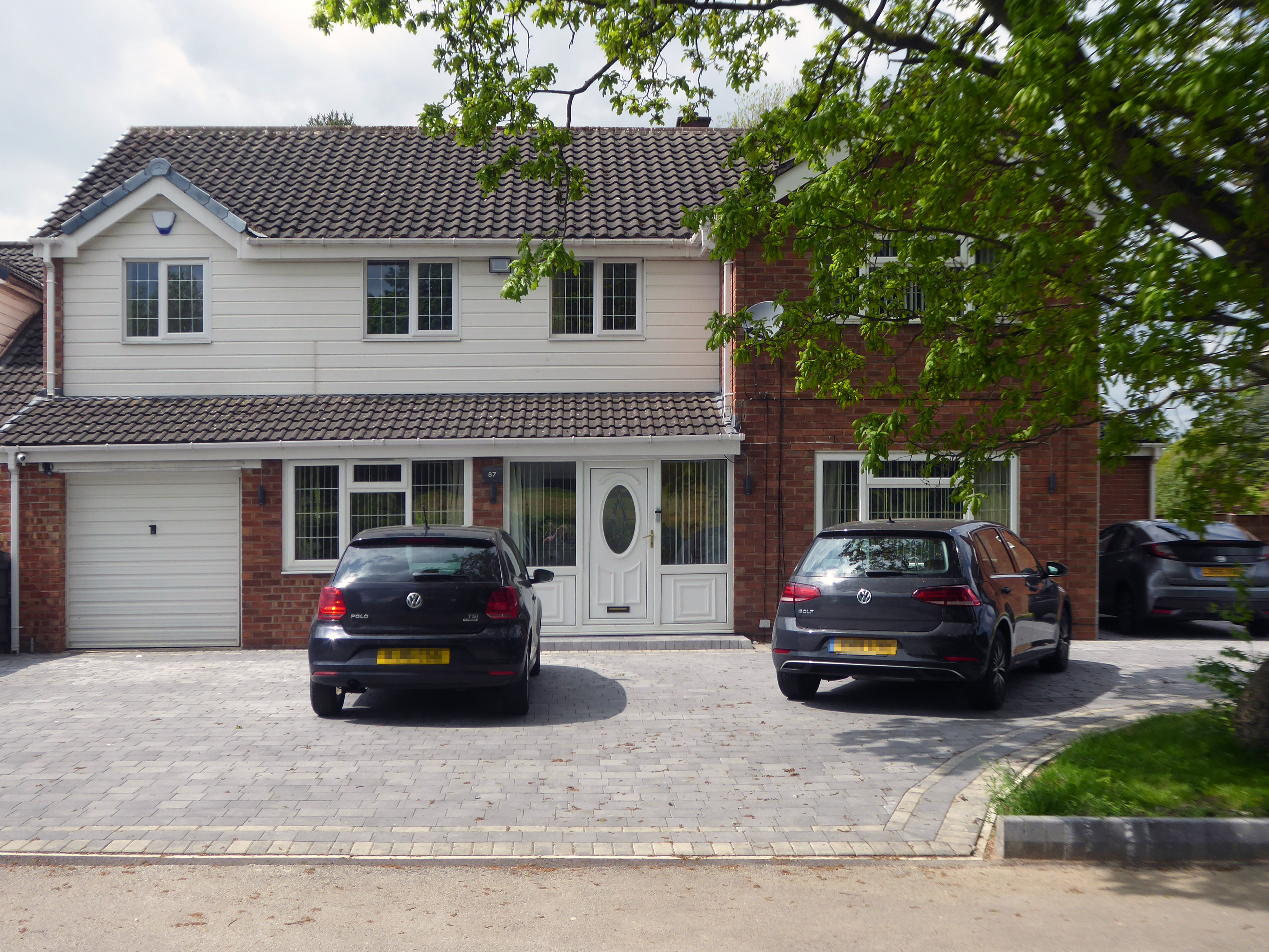
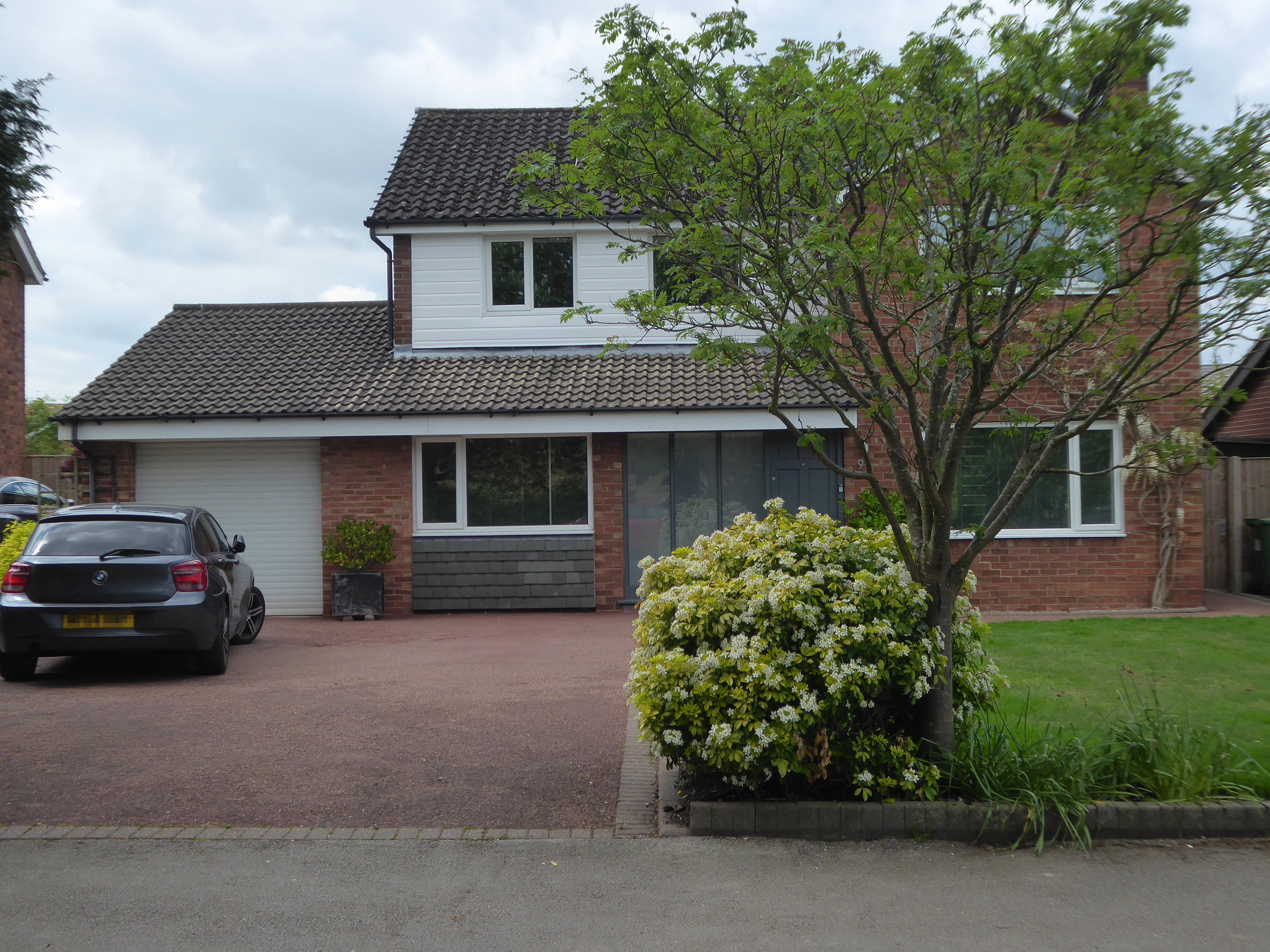
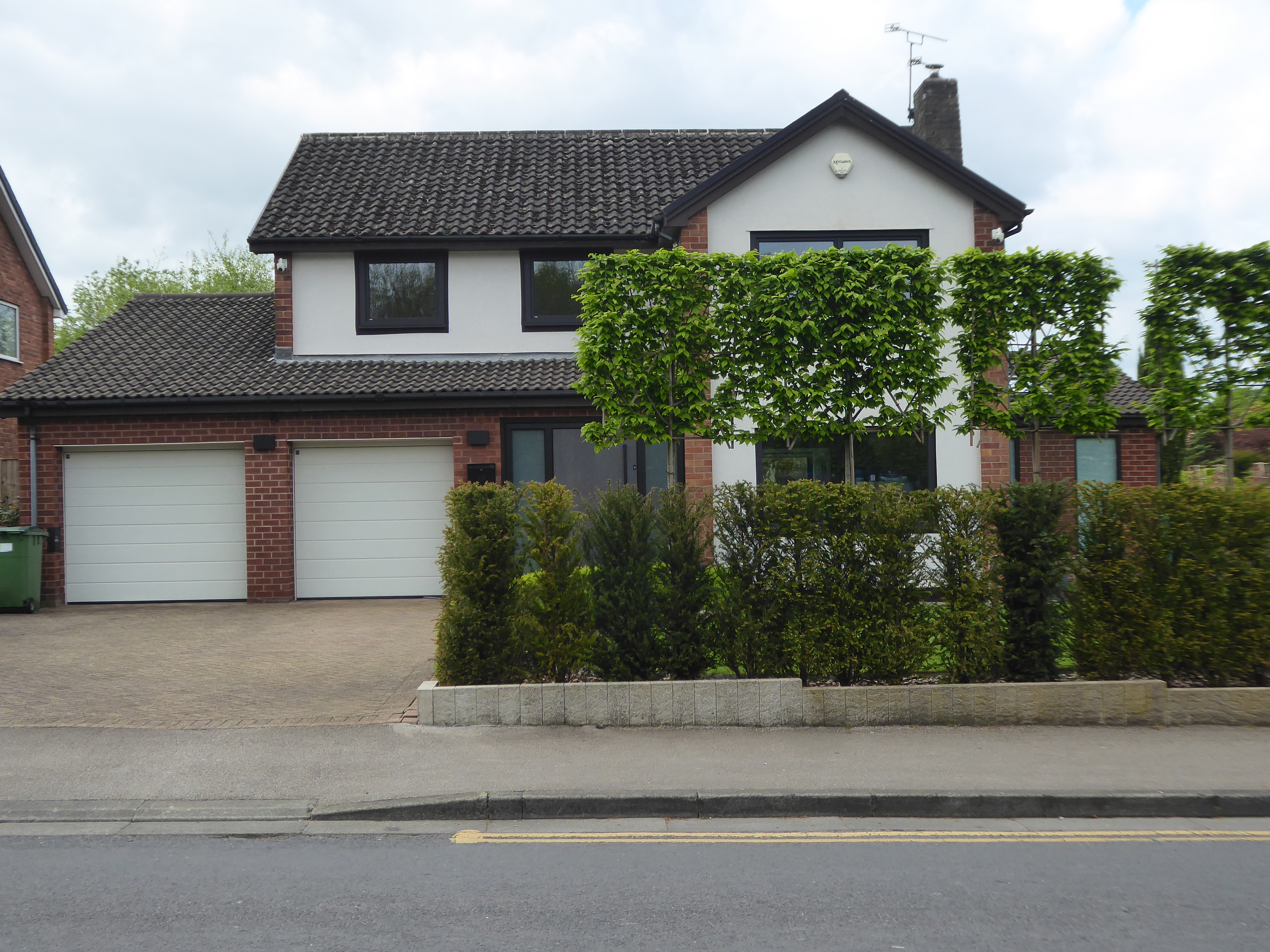
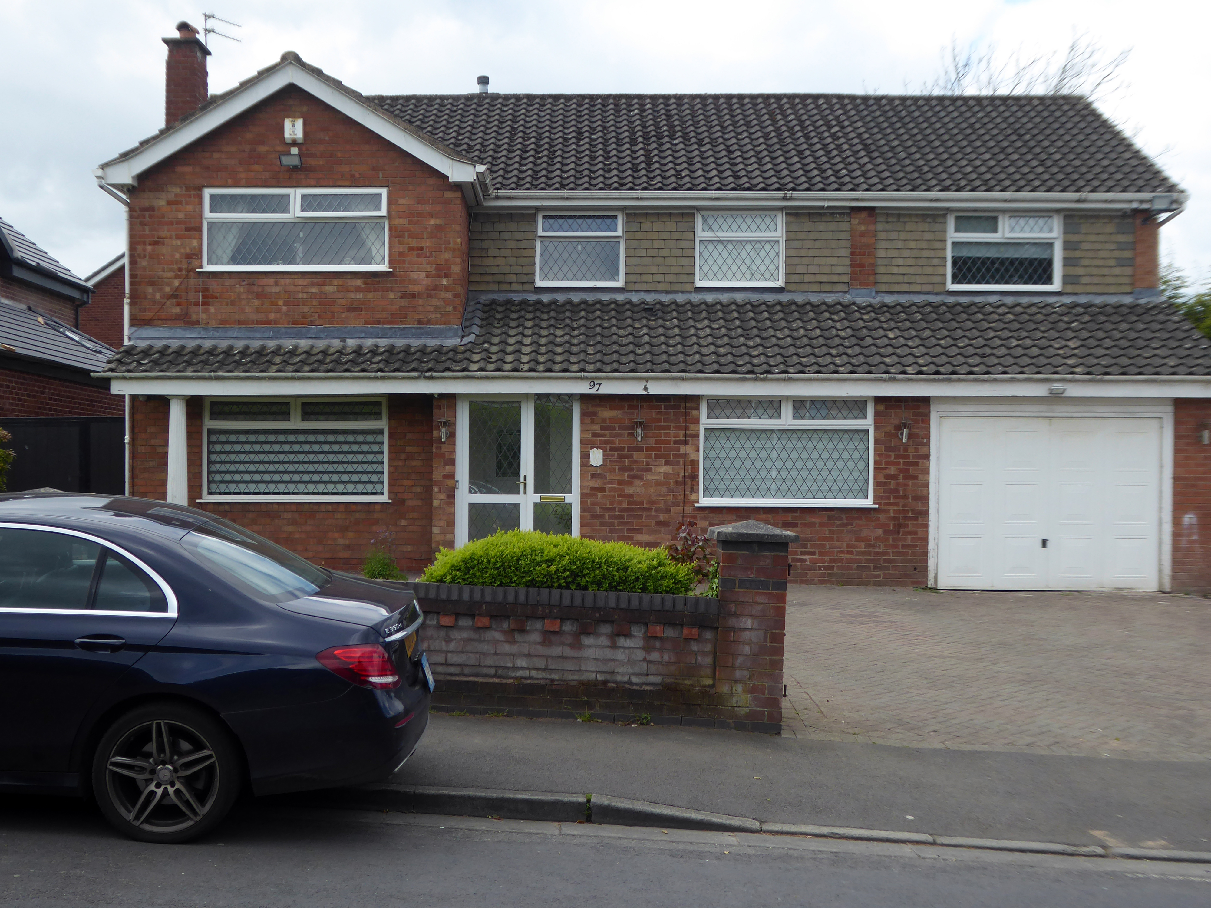
St. Anns Road North in Heald Green is in the North West region of England. The postcode is within the Heald Green ward/electoral division, which is in the constituency of Cheadle.
This area was once described to me as built by Cowboys for Indians – though statistically there are more Pakistani residents.
This is a dormitory suburb of Manchester and nearby Stockport and is oh so close to the airport, polite and professional well presented and aspirational.
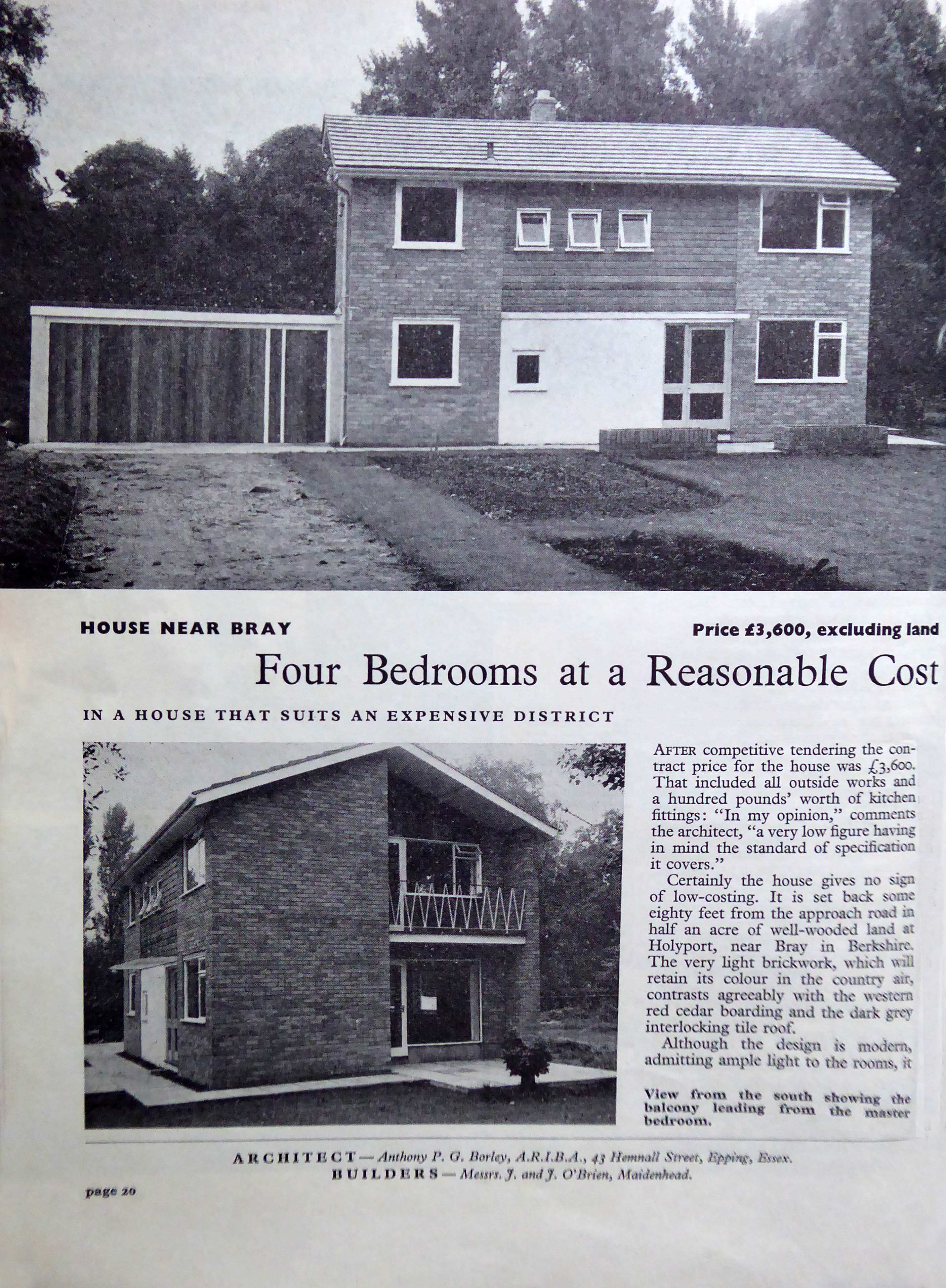
Once this was a Modern paradigm.
Subsequently the plaything of the upwardly mobile – extending in all directions, adding period details way out of period, or embracing the current vogue for the refined and smoothly rendered grey-ification of their homes.
Welcome to the land of the performance vehicle, impressive impressed drive, carriage lamp and bay window, overlooking a well clipped lawn.
So on a light bright sunny day, I took another look around.
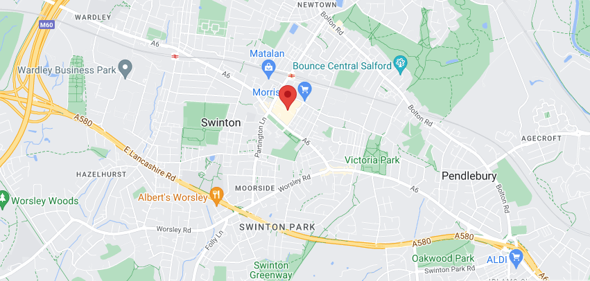
Salford’s town centres are important to the city’s future. They provide employment for local people, retail and leisure opportunities, homes, a sense of community, and a place for local people to interact. However, it is well known that town centres are changing and that they need to adapt and reposition themselves so that they can thrive and meet the needs of the local communities.
Despite Swinton’s many strengths, it faces similar challenges to other towns. The shopping centre and other buildings in the town centre are dated and in need of investment. Demand for local housing has grown by 23% in the last five years, but there is a lack of high-quality family and affordable housing in the right locations in the area.
The city council has identified Swinton town centre – along with Eccles, as a priority area for regeneration. On that basis, the council has engaged with the community and local stakeholders to establish a clear vision for the town that will help to guide change and future investment, whilst protecting what local people consider important for Swinton.
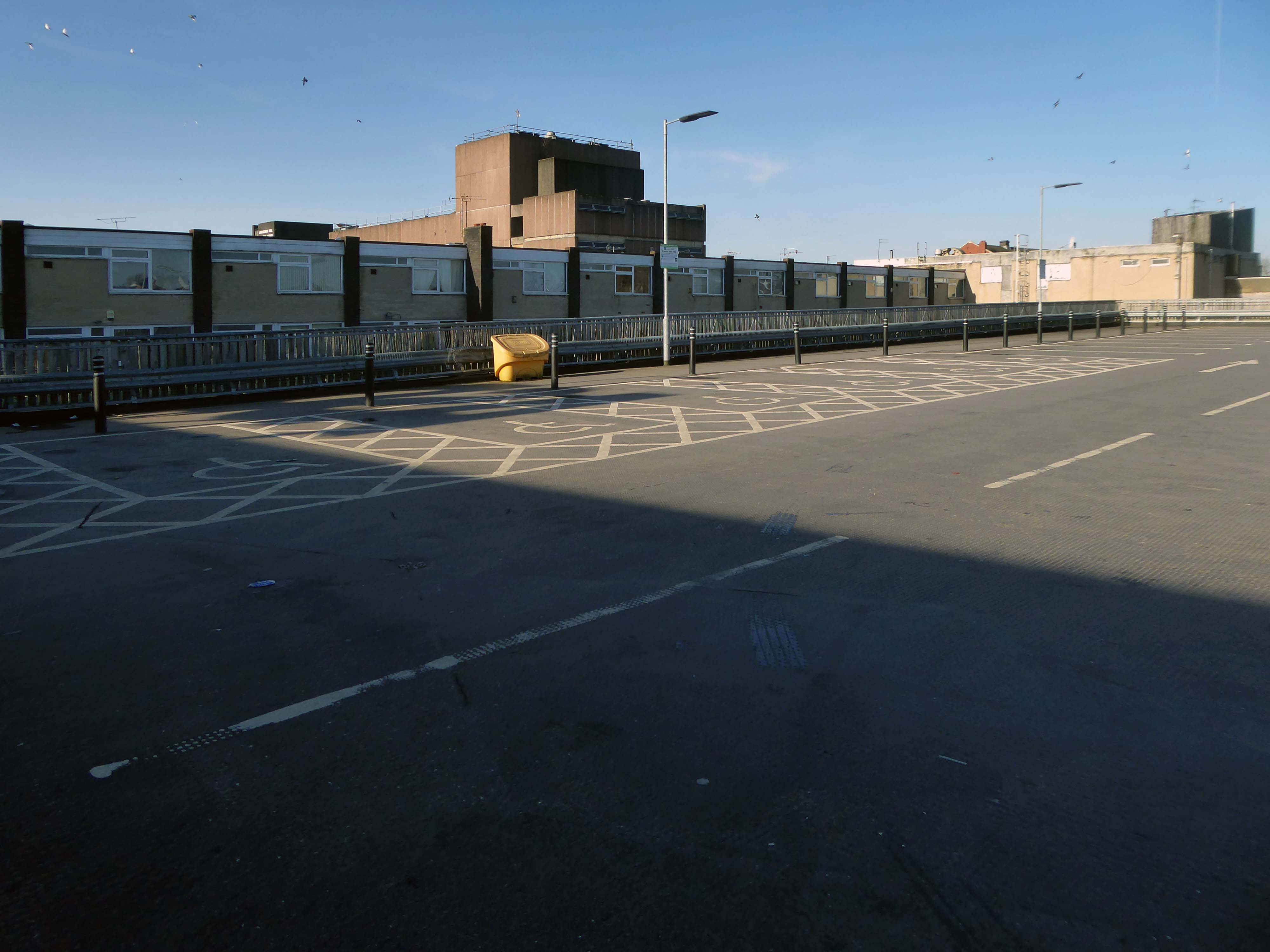
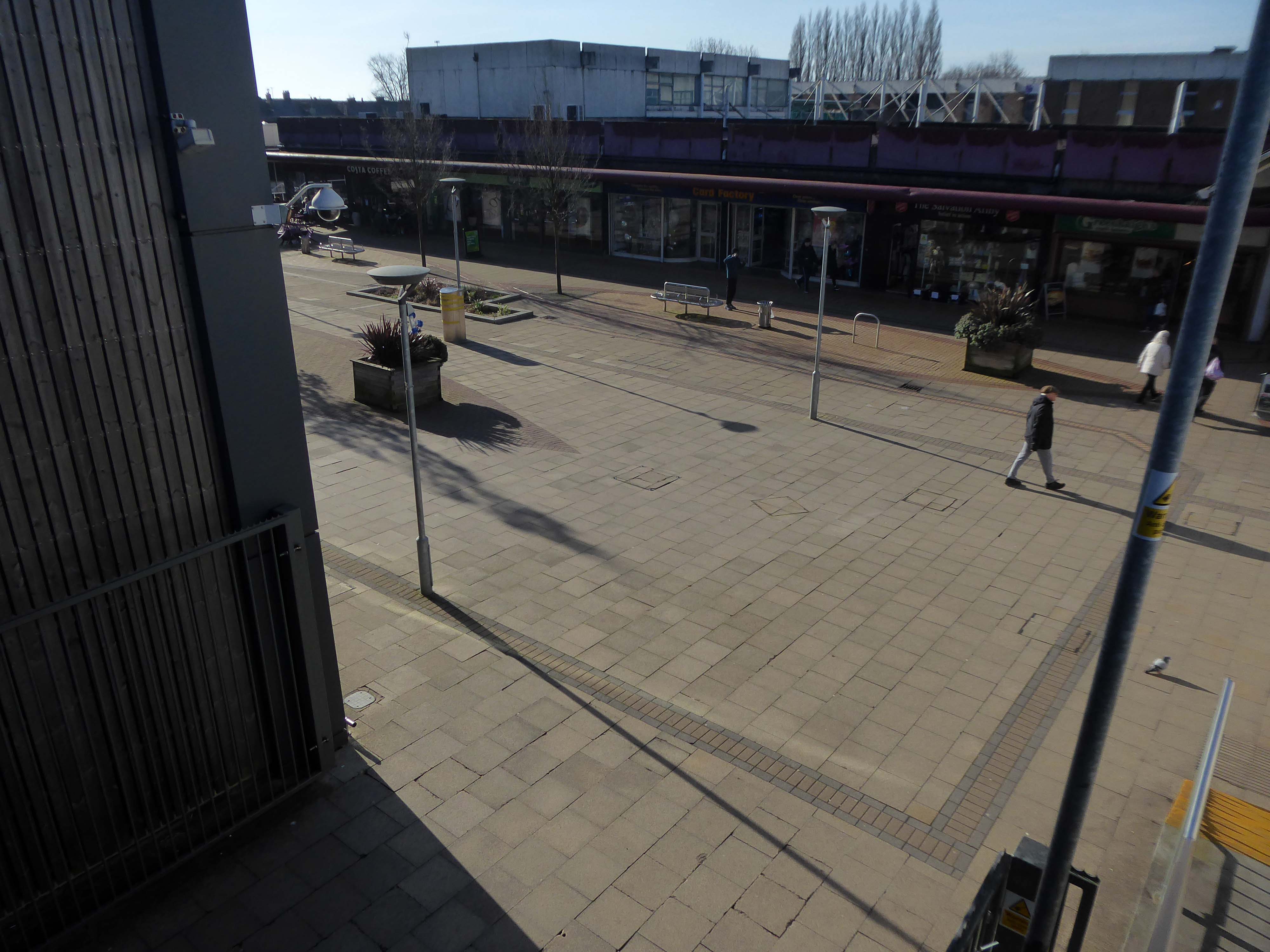
Swinton Square is in private ownership and therefore not something that the council has any direct control over. It is also important to acknowledge that the issues facing Swinton precinct are not unique to Swinton and those challenges are varied but linked to changing shopping habits, decline in the retail offer, competition from out-of-town centres as well as changes in the wider economy.
We do have an open dialogue with the owners of Swinton Square, the West Bromwich Building Society, who are aware of the vision and aspiration for Swinton.
One of the aims of the council’s events and animation programme is to encourage additional footfall and dwell time within the town centre.
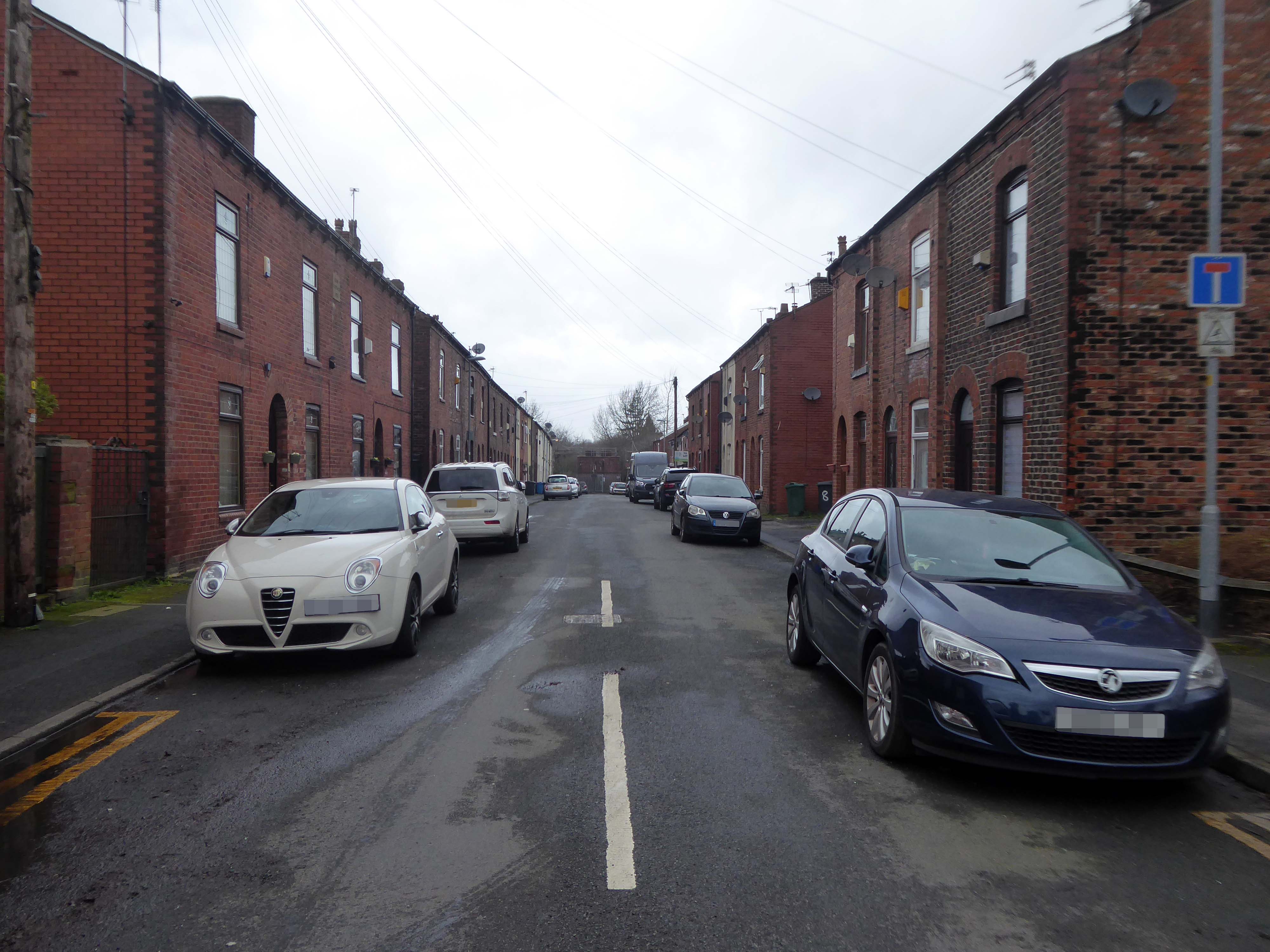
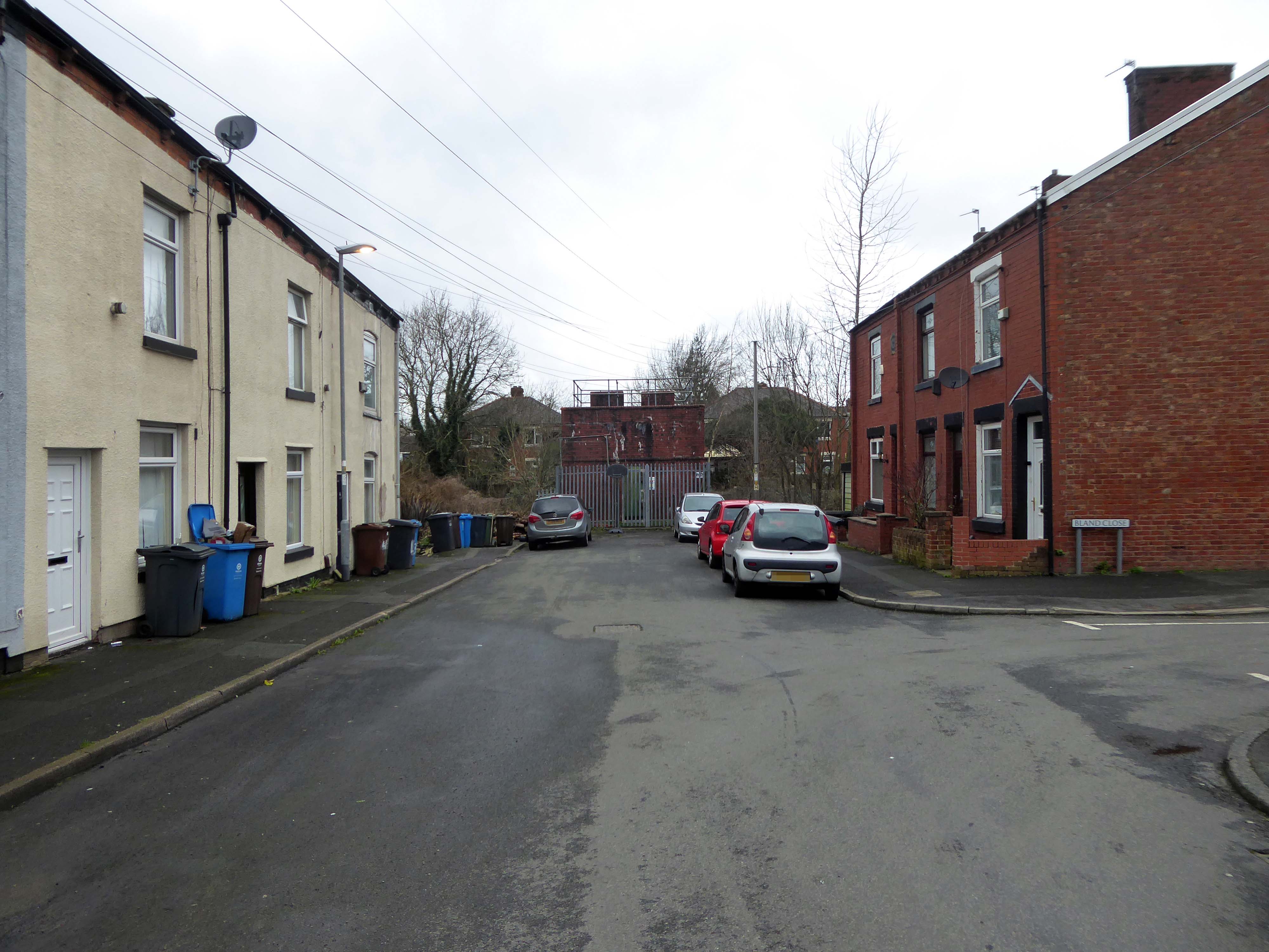
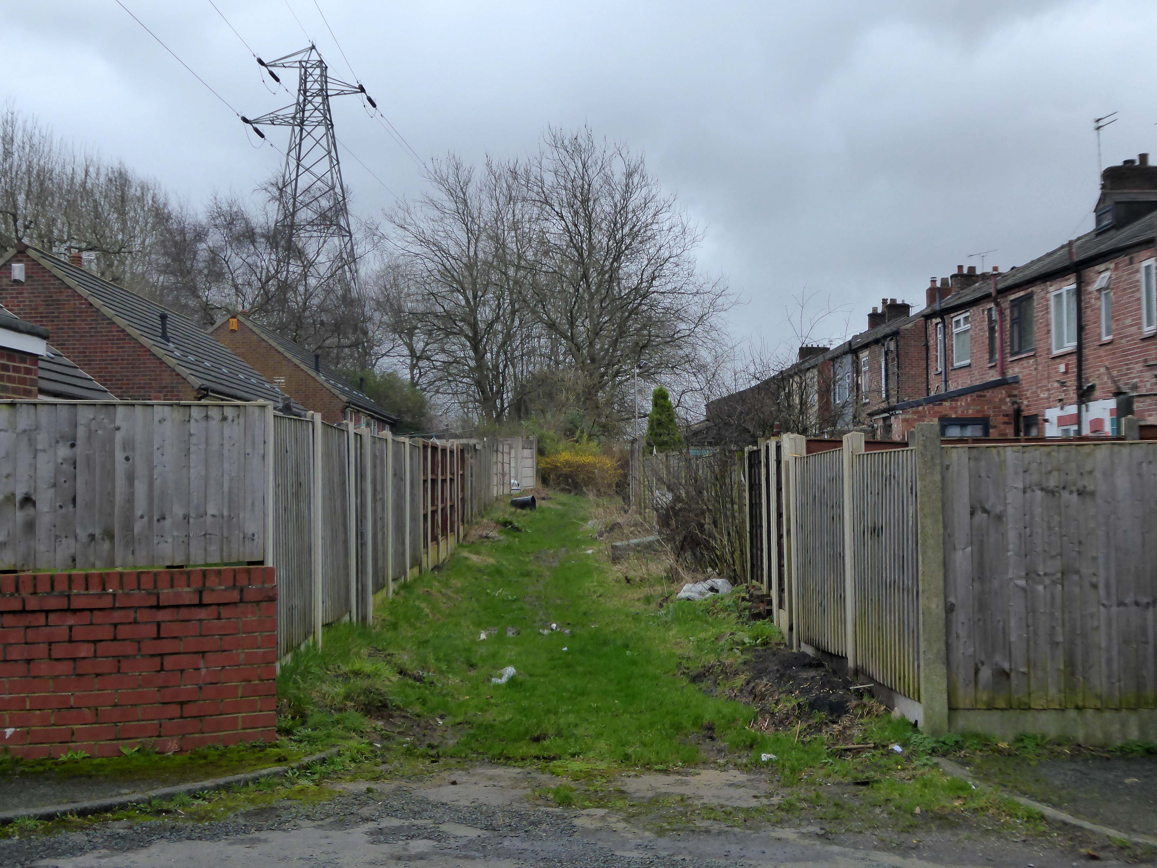
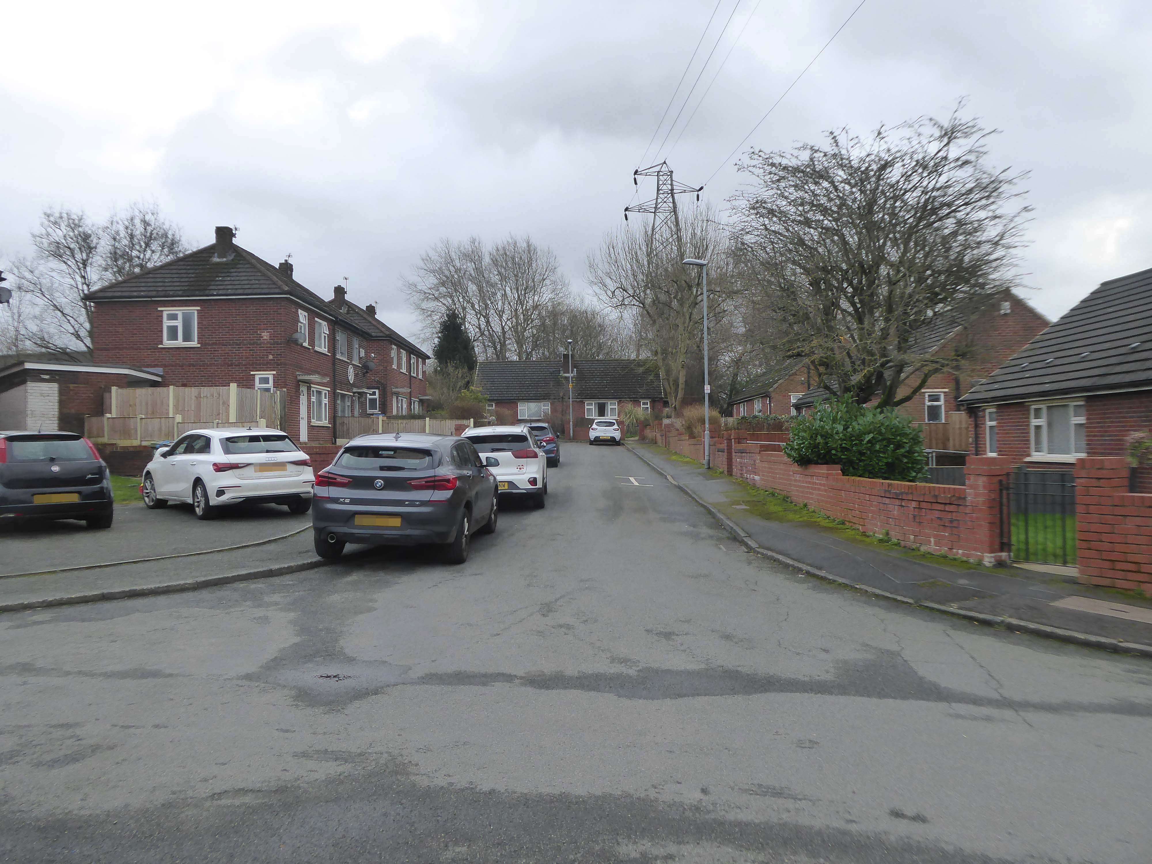
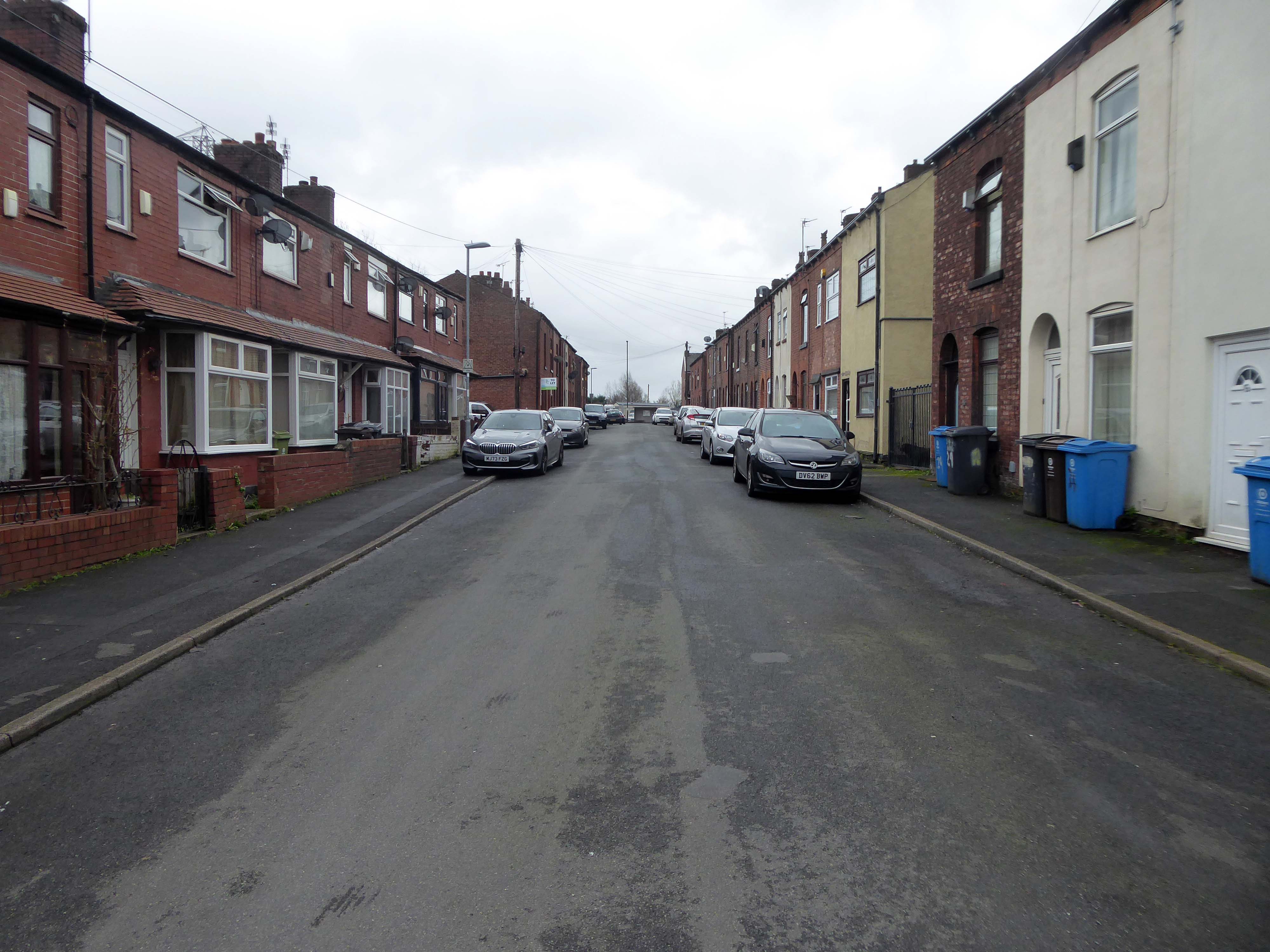
On a February morning the streets were well behaved and consisted of a typical mix of nineteenth century terraces and postwar semis, the residents chatty and welcoming, whilst they went about their business.
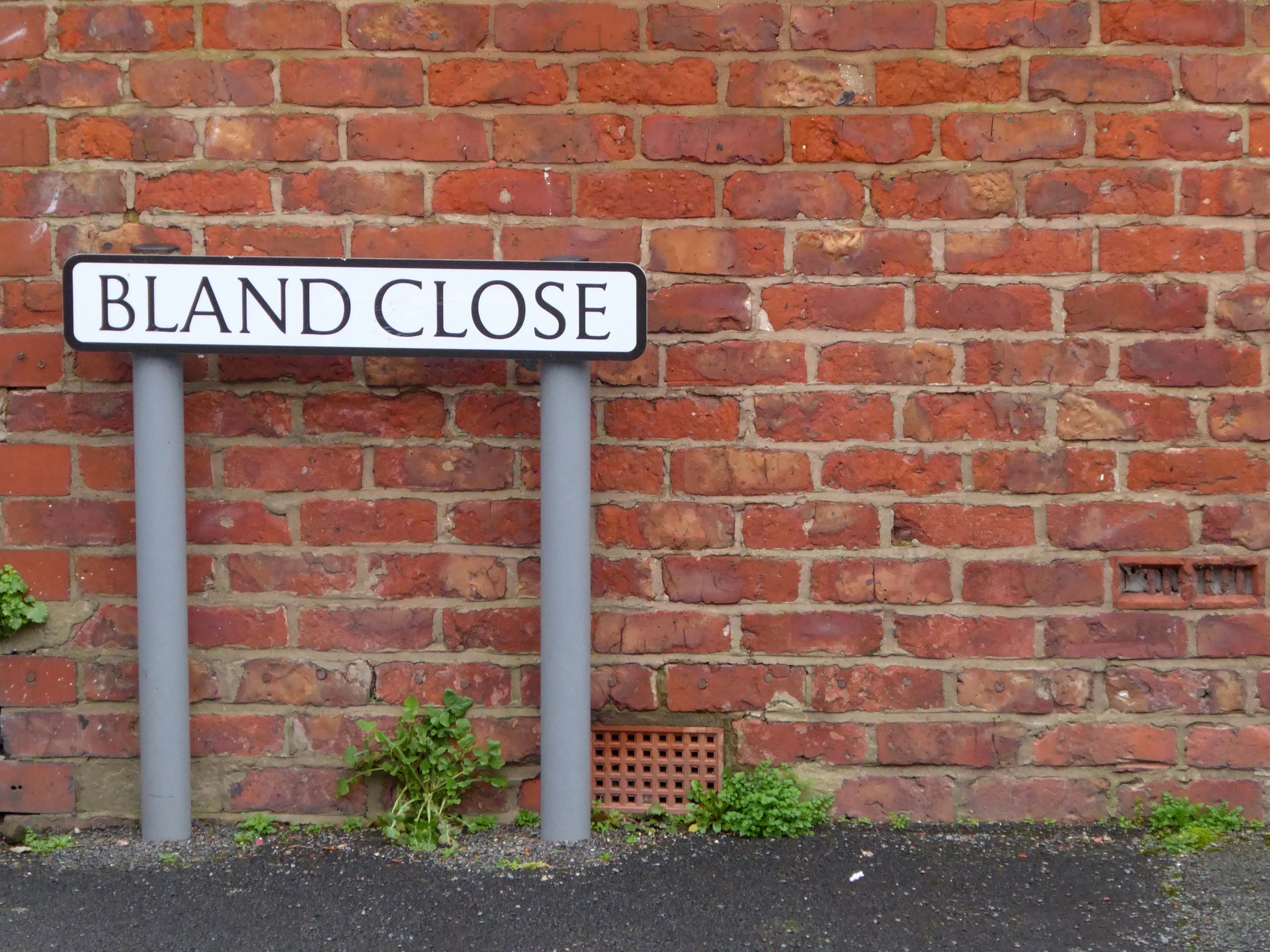
There are different causes that can make a street name controversial:
A person, organisation or event who or which was once honoured with a street name is subsequently thought to not or no longer deserve one, for example because that person later turned out to be a criminal.
A group of street names – for example in a residential area, is deemed to be unrepresentative for the population of that place, region or country because some demographics are overrepresented and others underrepresented, for example, because a disproportionate number of streets are named after men, and few after women.
Research has found that if you live on Pear Tree Lane your property is more likely to attract potential buyers and a higher price, than those living in a similar property on Crotch Lane.
What are the guidelines for street naming?
The exclusion or inclusion of certain numbers for cultural or religious reasons
The use of building names without numbers
New building or street names should not begin with The
The use of street names which include numbers that can confuse, for example – 20 Seven Foot Lane sounds the same as 27 Foot Lane
The use of the names of deceased people in the adoption of any street names. The reason for choosing a person’s name should be established in the council’s policy
The use of the name of a living person – it’s not recommended
The adoption of historic connotations by developers – guidance on this should be provided by the council to all developers through close liaison with local historic societies.
The use of national or local historic figures or events
The use of a name with Royal connotations – the Lord Chamberlain’s office must be contacted if a name has any reference to the Royal family or if the word ‘Royal’ is suggested.
The use of names and their combination with numbers that could be considered rude, obscene, and racist or contravene any aspect of the council’s equal opportunities policies
The use of names and their combination with numbers that could be easily vandalised or changed into any of the above, for example – Canal Turn
The use of names that can cause spelling or pronunciation problems
The use of names that can be construed to be used for advertising or commercial gain
The use of names would lead to variations in the use of punctuation as these can confuse or result in early demands for a change of address from occupiers.
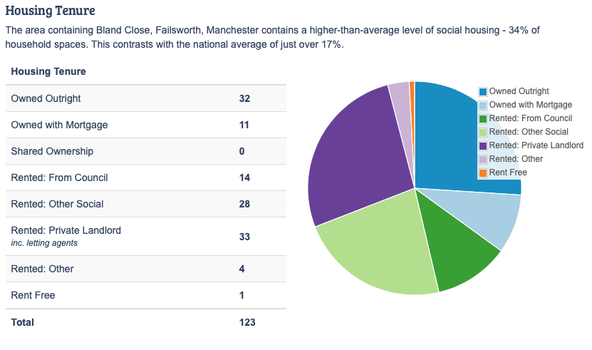
So in summary the name Bland does not in my opinion represent the close’s appearance and may in fact detract from the value of the property and possibly the perception of the area.
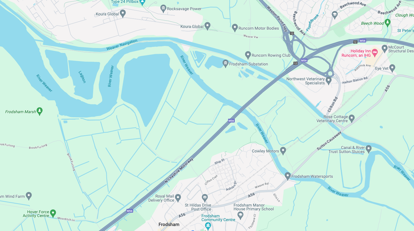
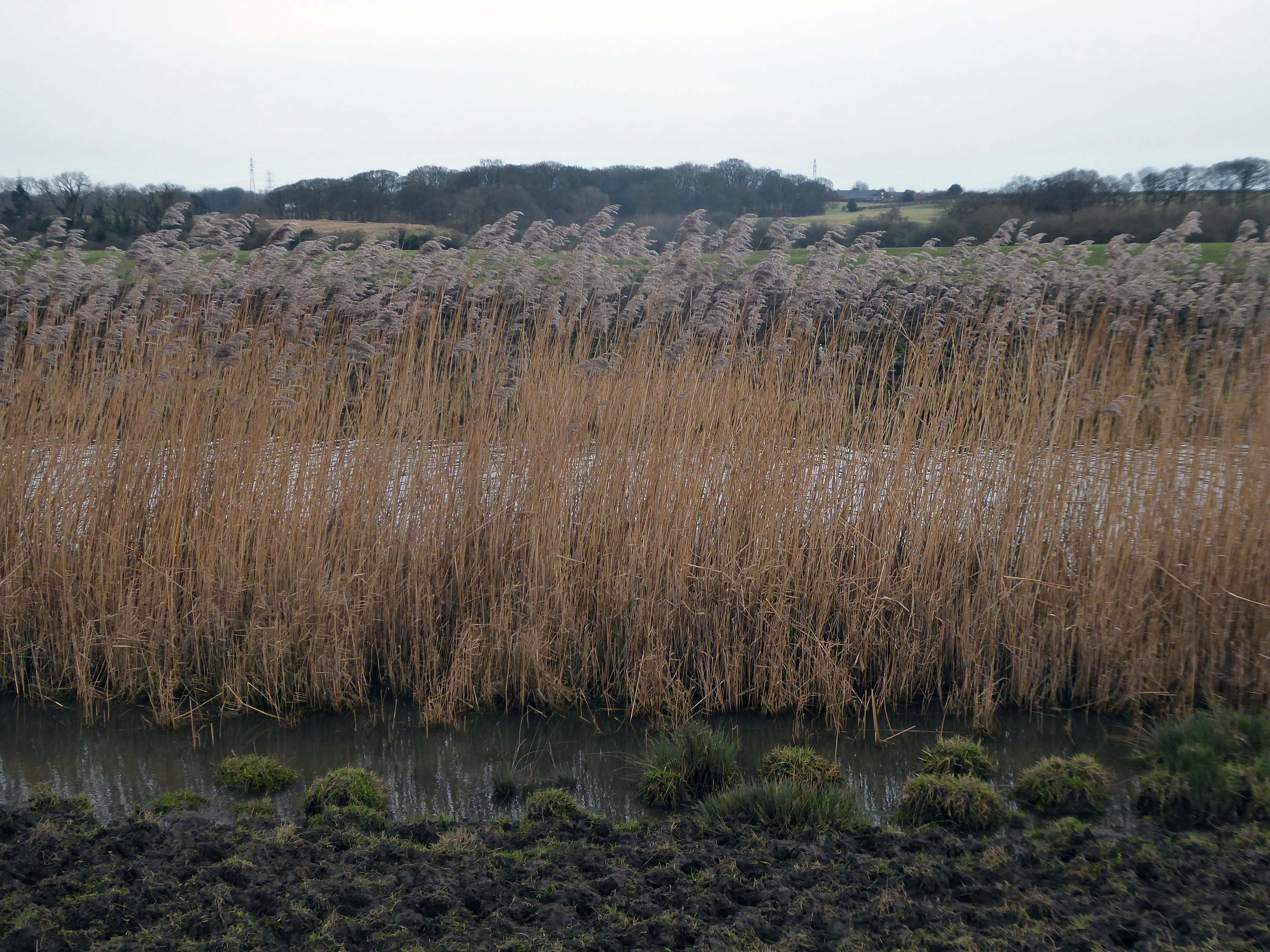
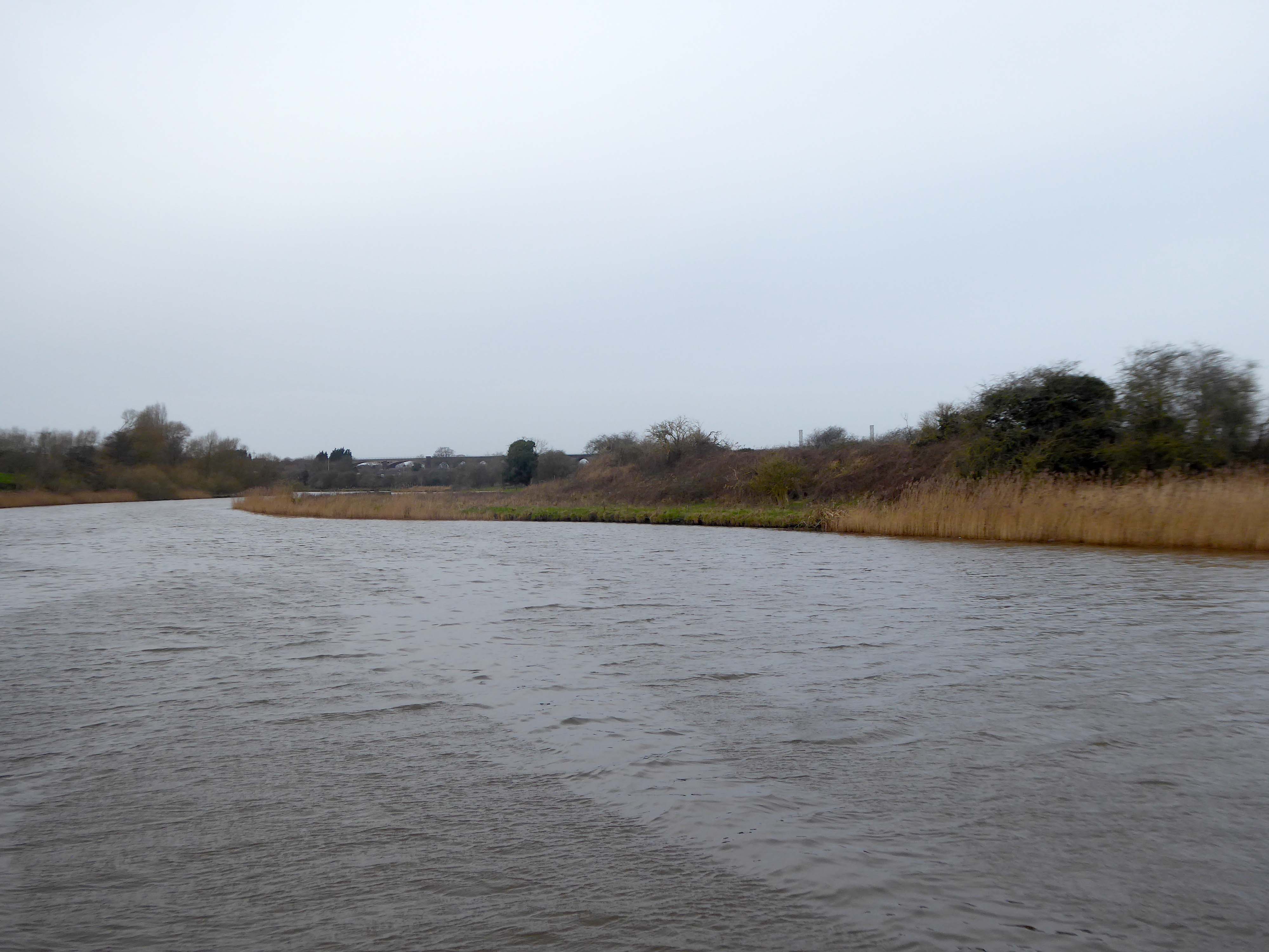
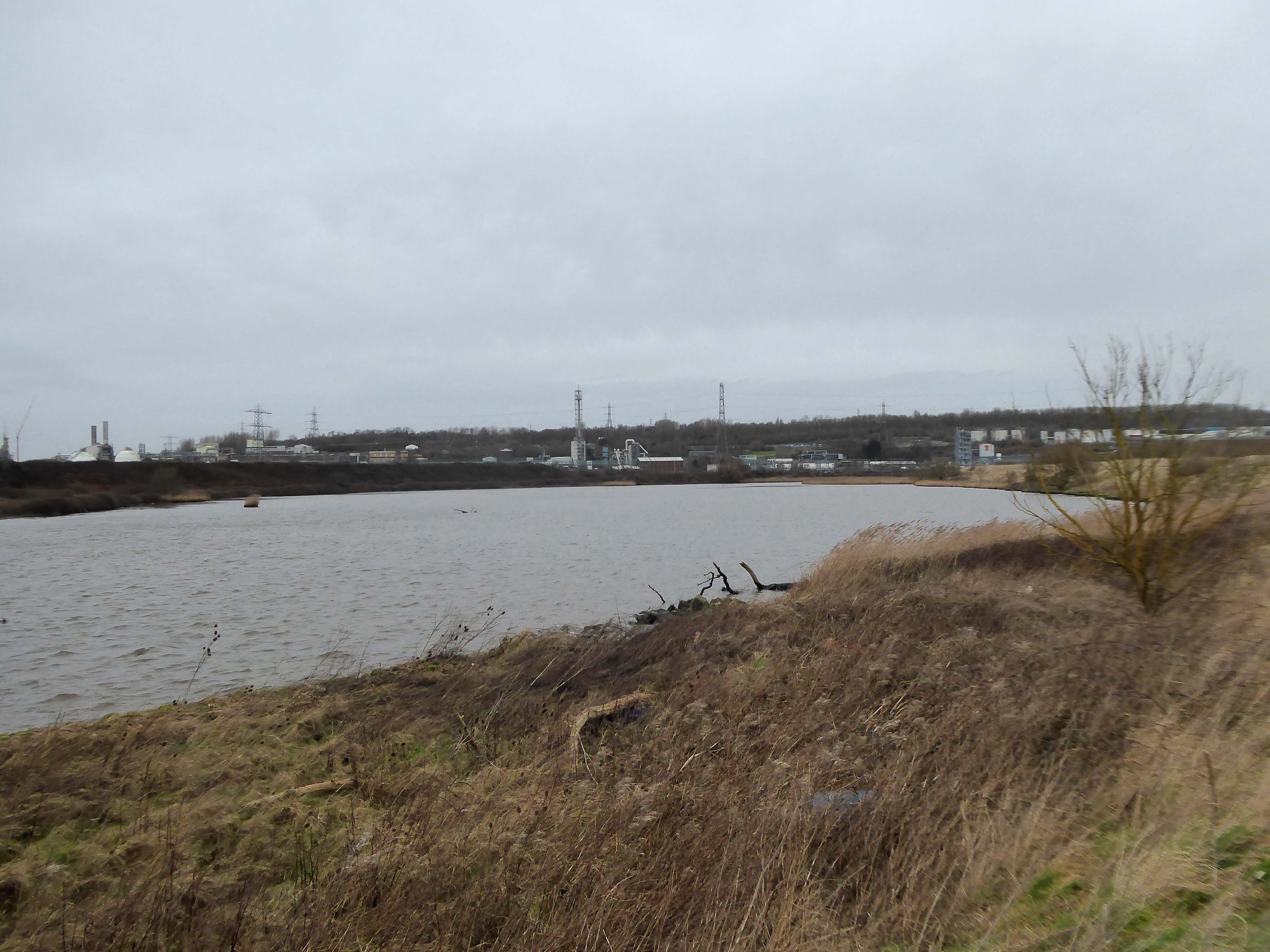
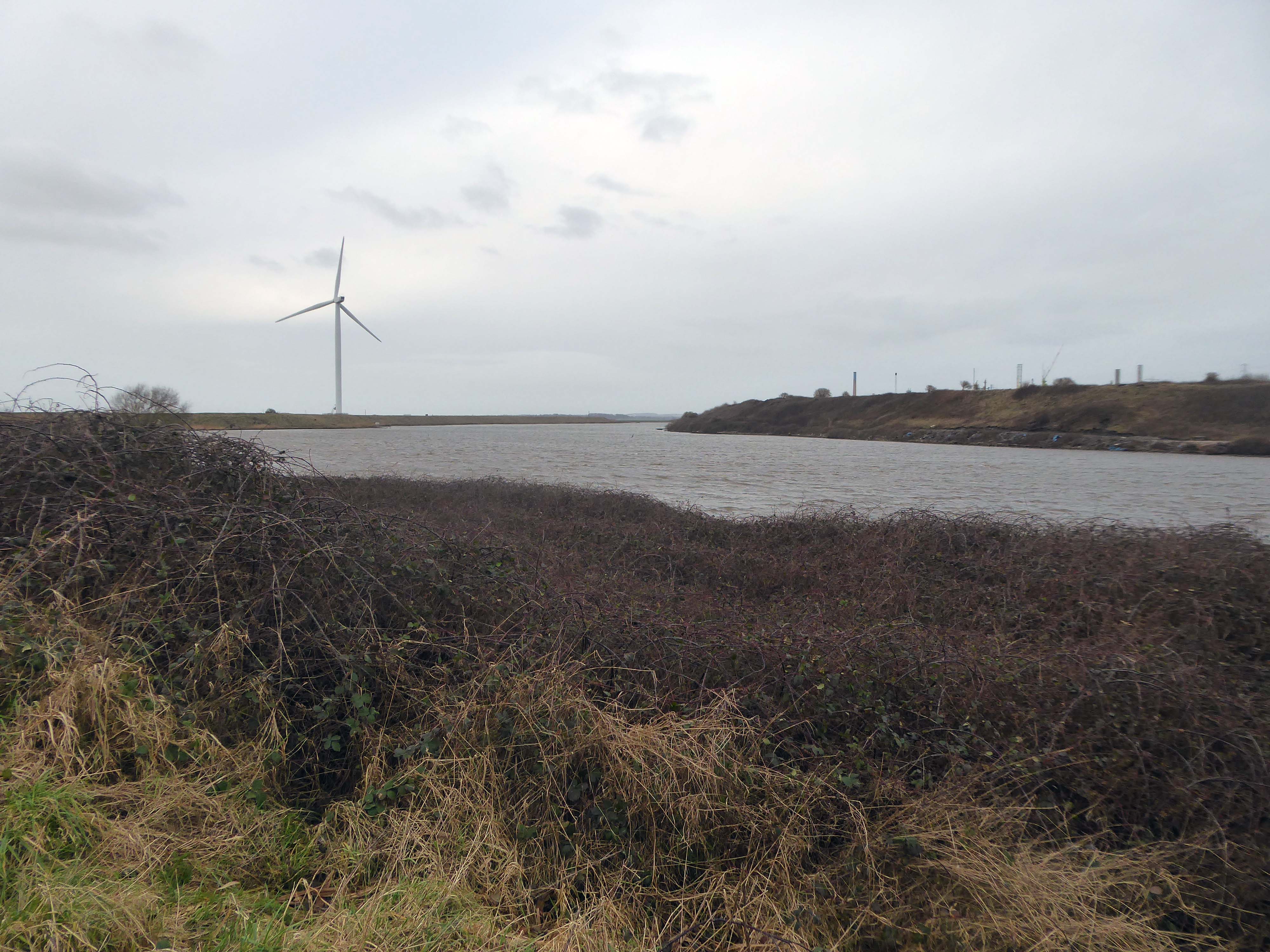
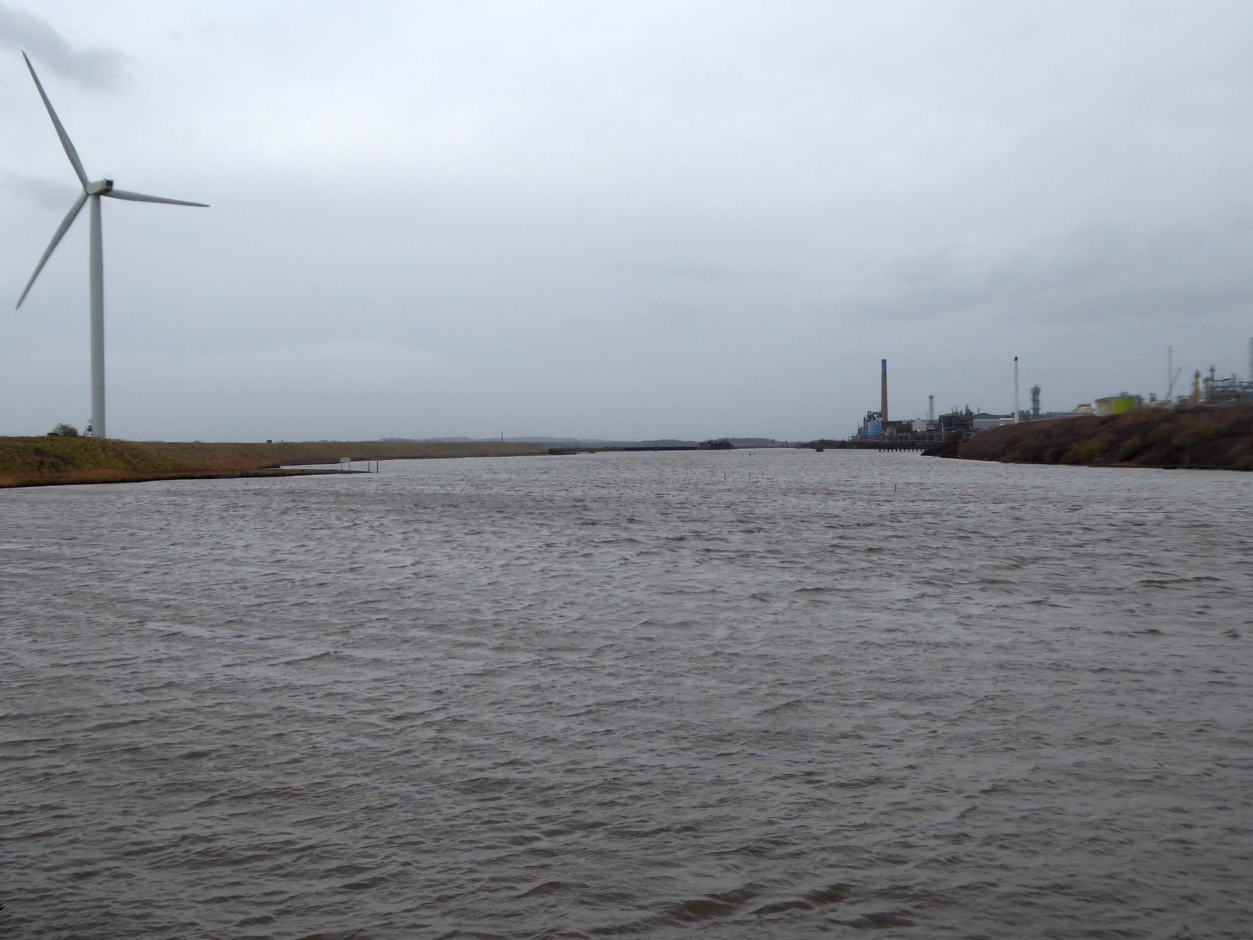
Along with my almost lifelong friend Mr Tim Rushton – I took a trip along a short stretch of the River Weaver, walking from east to west.
River Weaver – rising on the boundary between the counties of Shropshire and Cheshire and then flowing 45 miles north to reach the Irish Sea estuary of the River Mersey to the west of Runcorn.
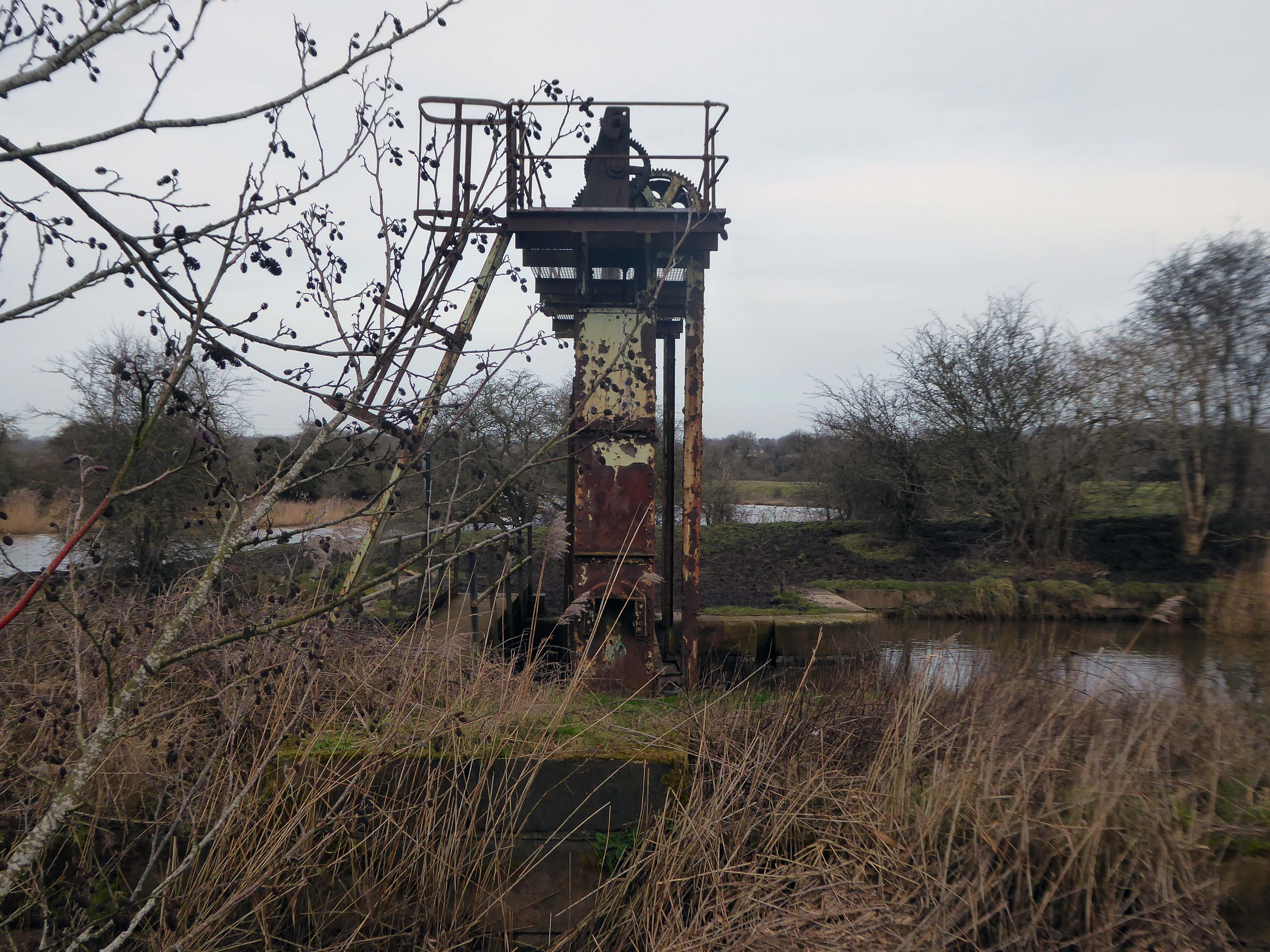
Below Winsford, the course of the river has been altered several times, by the construction of cuts and locks, to enable small ships to trade on it. The river formerly joined the River Mersey at Weston Marsh, but since the construction of the Manchester Ship Canal, begun in 1887, it has flowed into the canal, from where surplus water enters the Mersey by the Weaver sluices, just upstream of the junction. The tidal river section below Frodsham has been bypassed by the Weston Canal since 1810 and is no longer navigable, as Frodsham Lock is derelict.
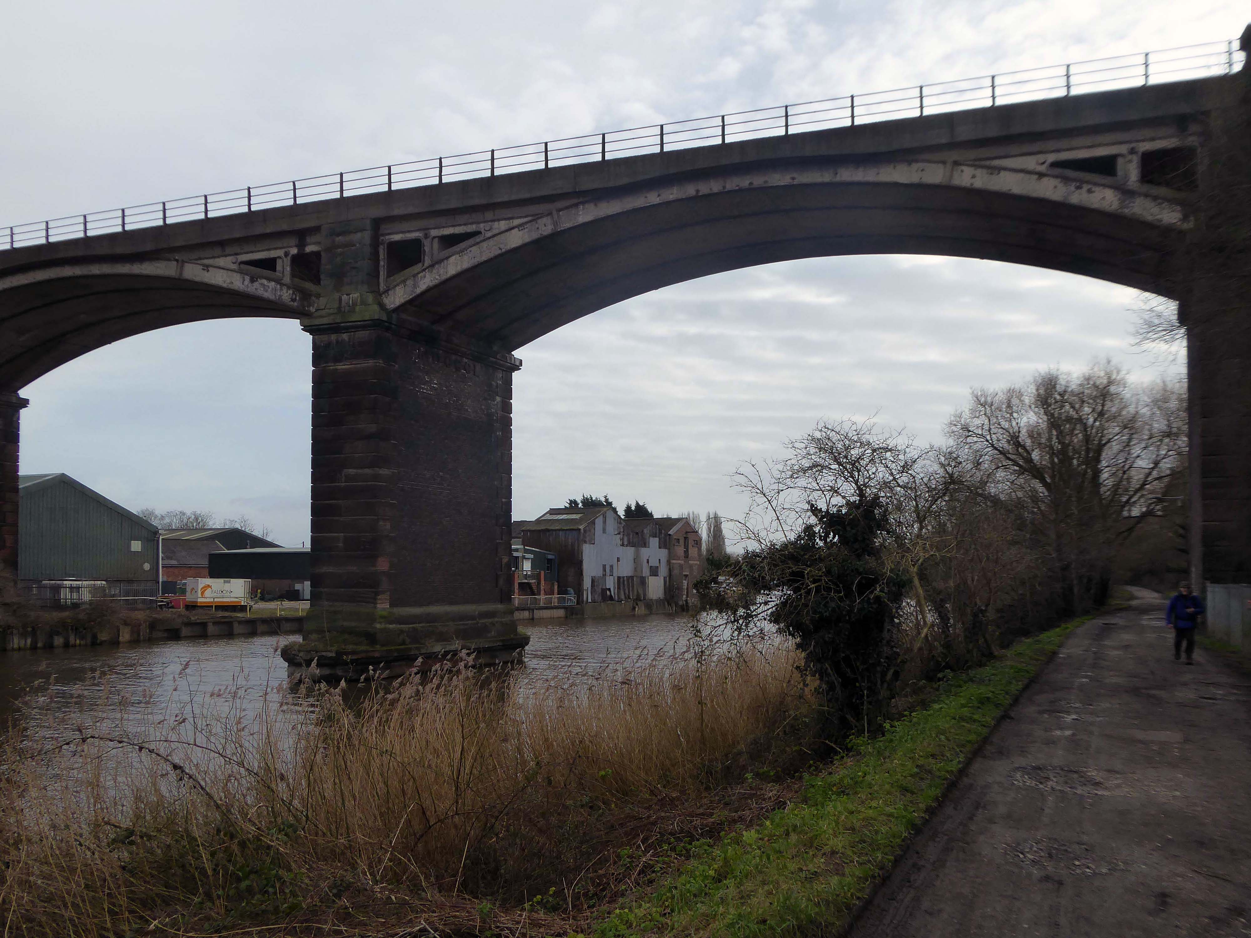
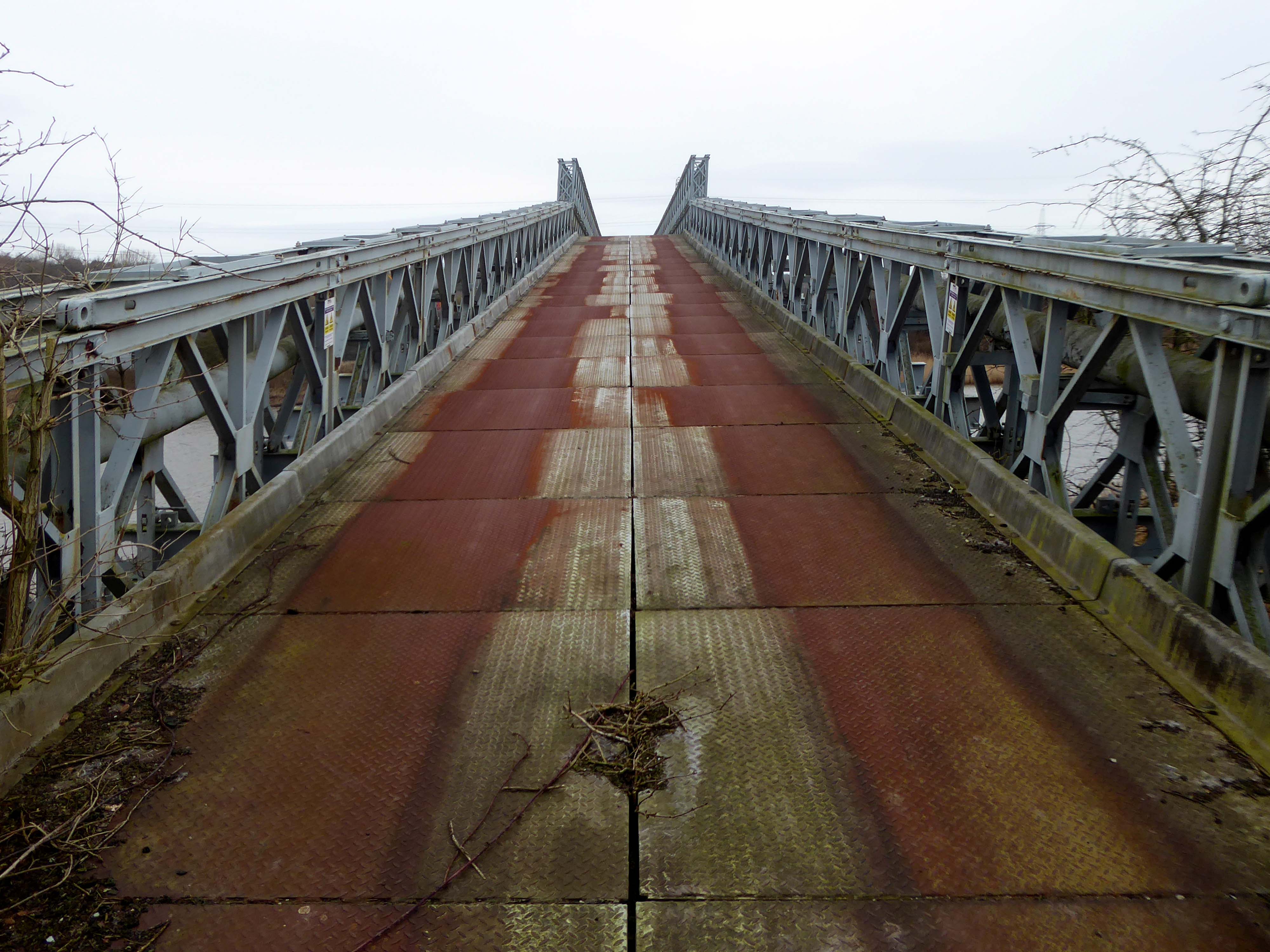
Railway viaduct over River Weaver and adjoining land by A Rendel Engineer and Thomas Brassey, contractor 1848-1850 – for Birkenhead Lancs & Cheshire Junction Railway Co.
Red sandstone, brown brick and cast iron, two segmental-arched iron spans of circa thirty metres over river; two round arches on west bank and twenty one on east bank. Piers to iron spans are rusticated tooled ashlar; the other spans have rusticated voussoirs, pier faces and quoins and rock-faced spandrels with brick reveals, cornice to iron-span piers, plainer imposts to others.
Top of central pier to river modified to take mid C20 concrete track bed.
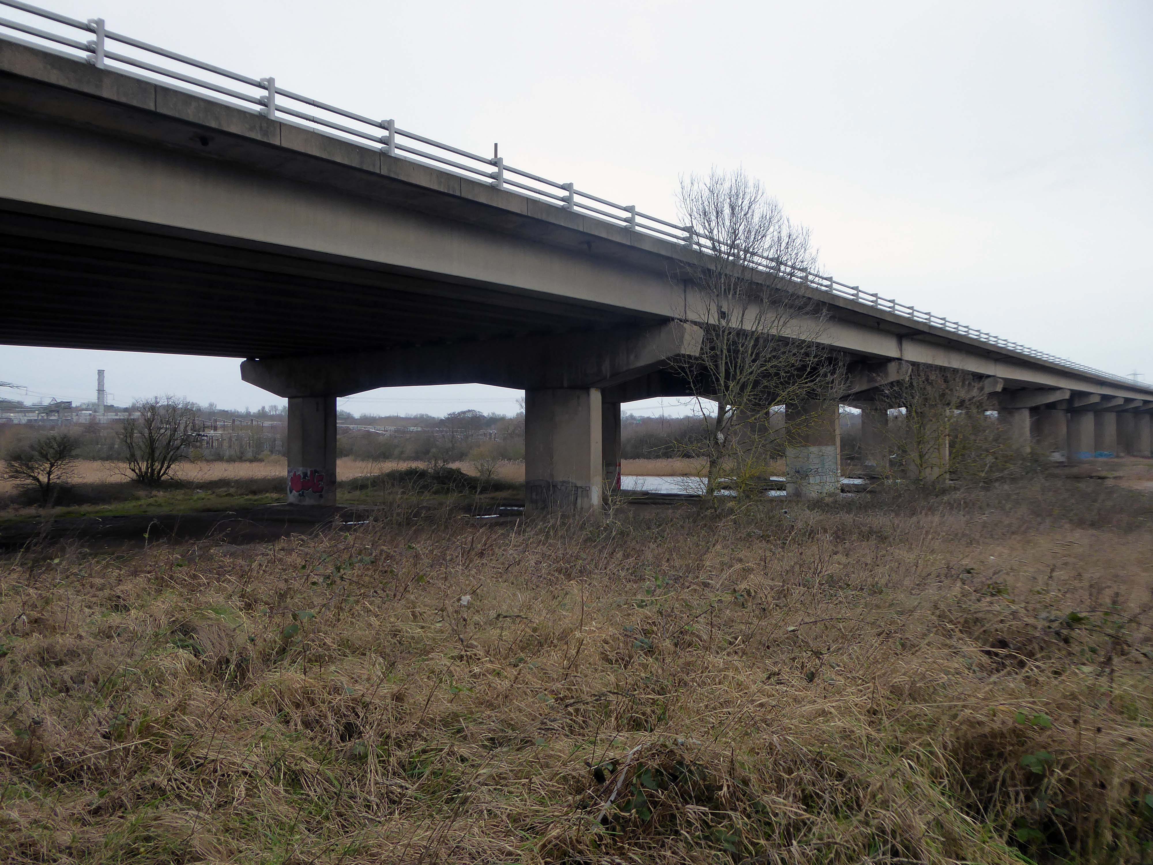
Weaver Viaduct is one of the outstanding features of M56 and its design was approved by the Royal Fine Arts Commission. The three-quarter mile of elevated motorway and approach embankments over the River Weaver and Weaver Navigation Canal opened on 21 February 1971.
Design was by Husband and Co of Sheffield – acting for Department of Environment, who also supervised the project.The contractor was Christiani Shand with a tender price of £3,146,387 in March 1968.
Work began in April 1968 – the eventual cost was put at £3.5 million.
Thirty two 125-foot concrete 100-tonne beams were put into place in July 1970; the concrete beams were made by Matthews & Mumby of Windmill Lane Denton.
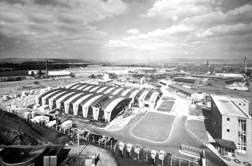
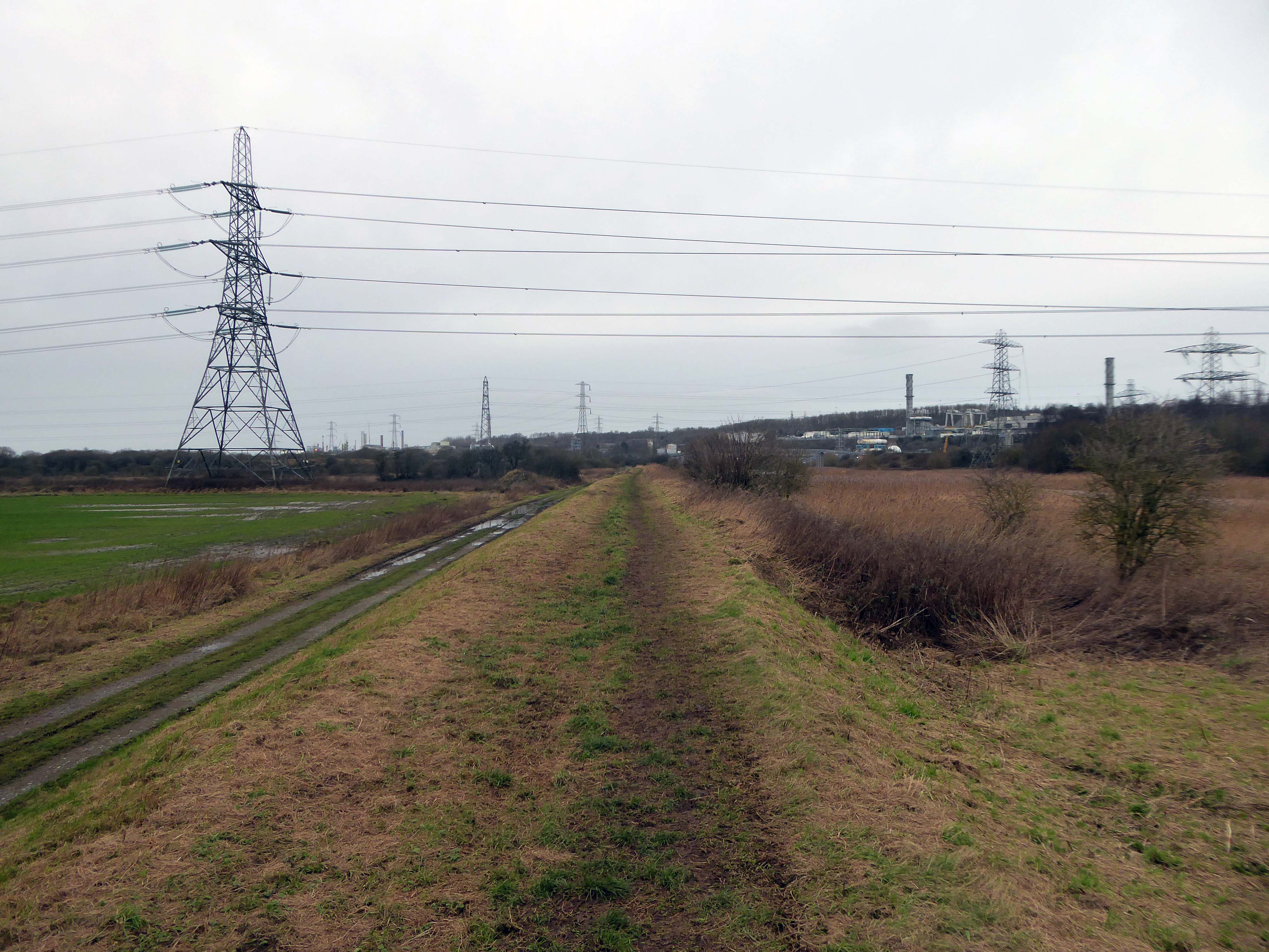
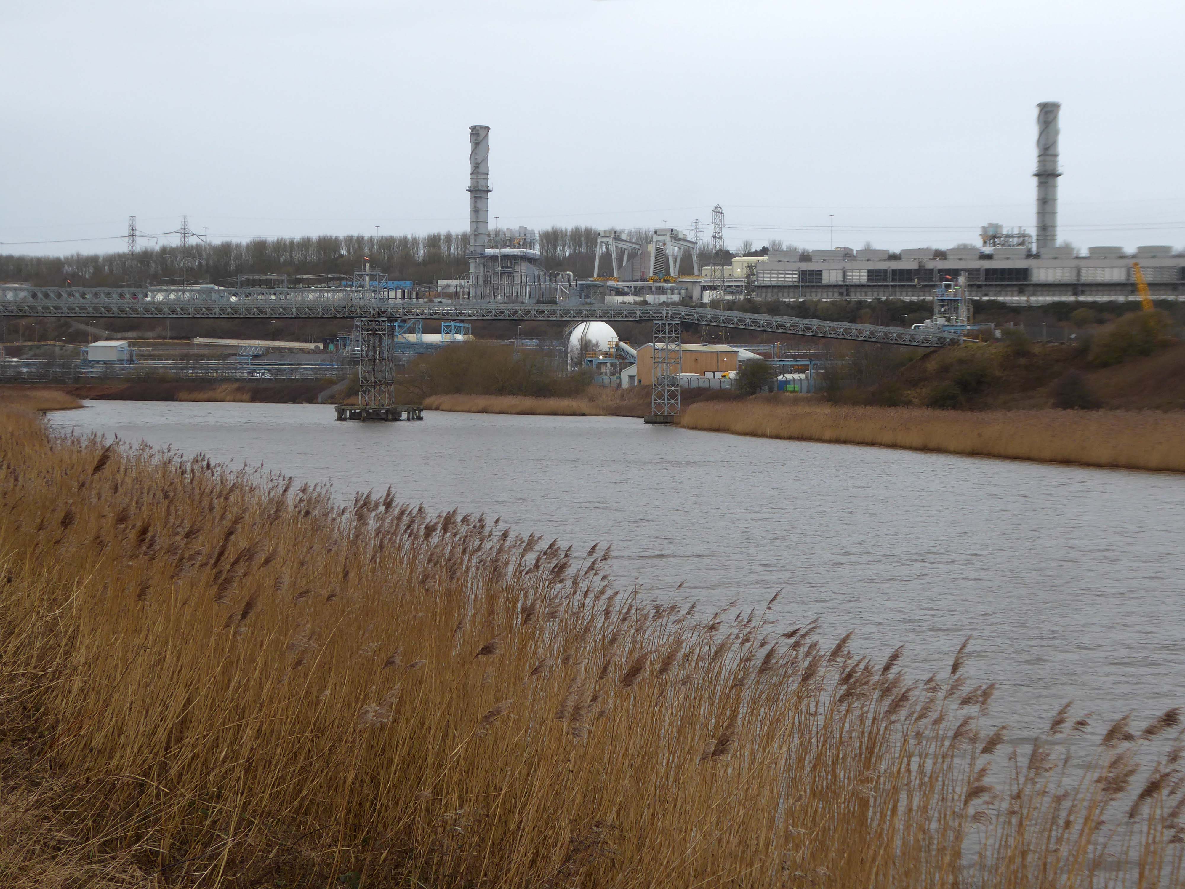
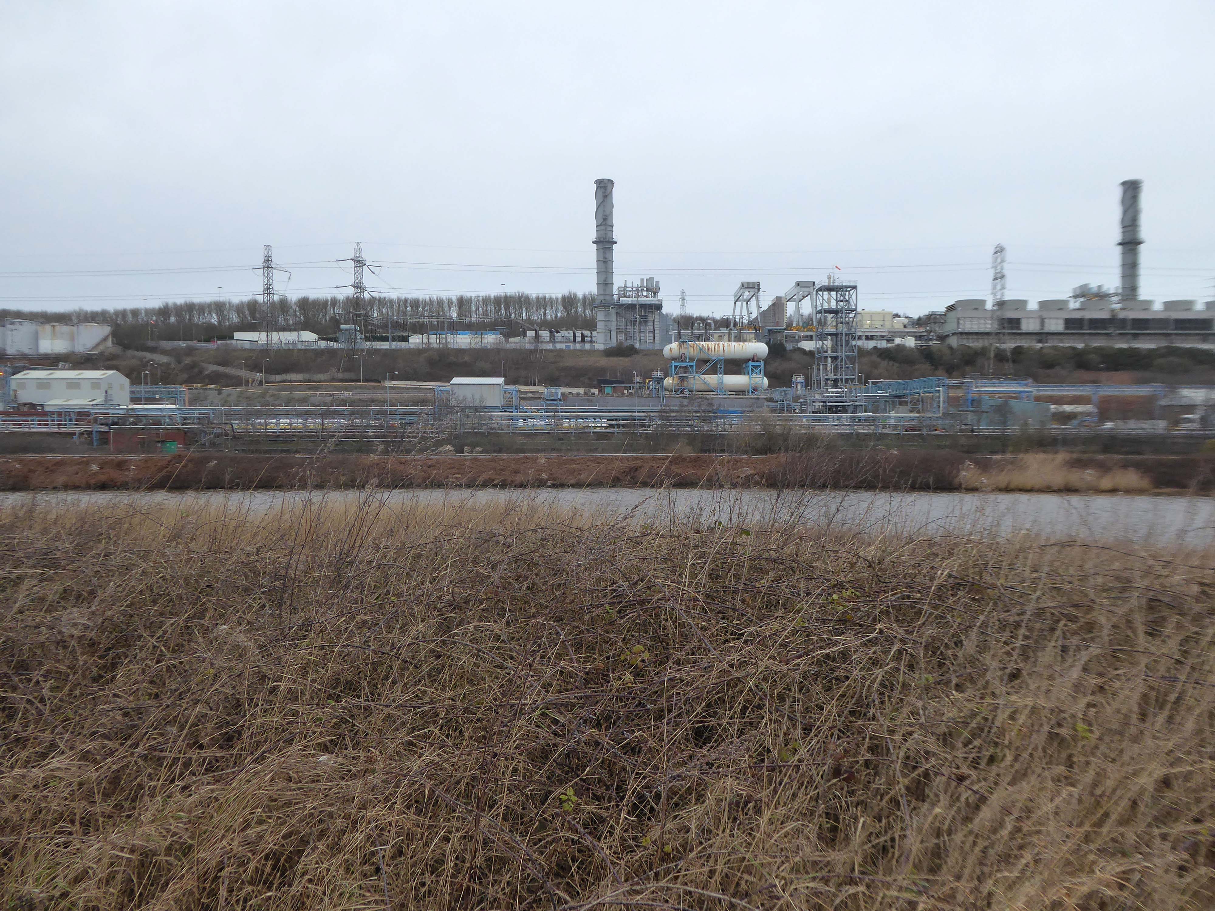
High-VoltageFrodsham Substation – Rock Savagepower station
Rock Savage Power Station is an 800 MWe gas-fired power station.
It was opened by Queen Elizabeth II on 31 July 1998, and owned by InterGen, a company that is now jointly owned by Ontario Teachers’ Pension Plan and China Huaneng Group, it cost £375m.
It sponsors the Runcorn Jets baseball club, the Highfield Male Voice Choir and the Weston Angling Club.
The name comes from the nearby ruined Elizabethan mansion – Rocksavage.
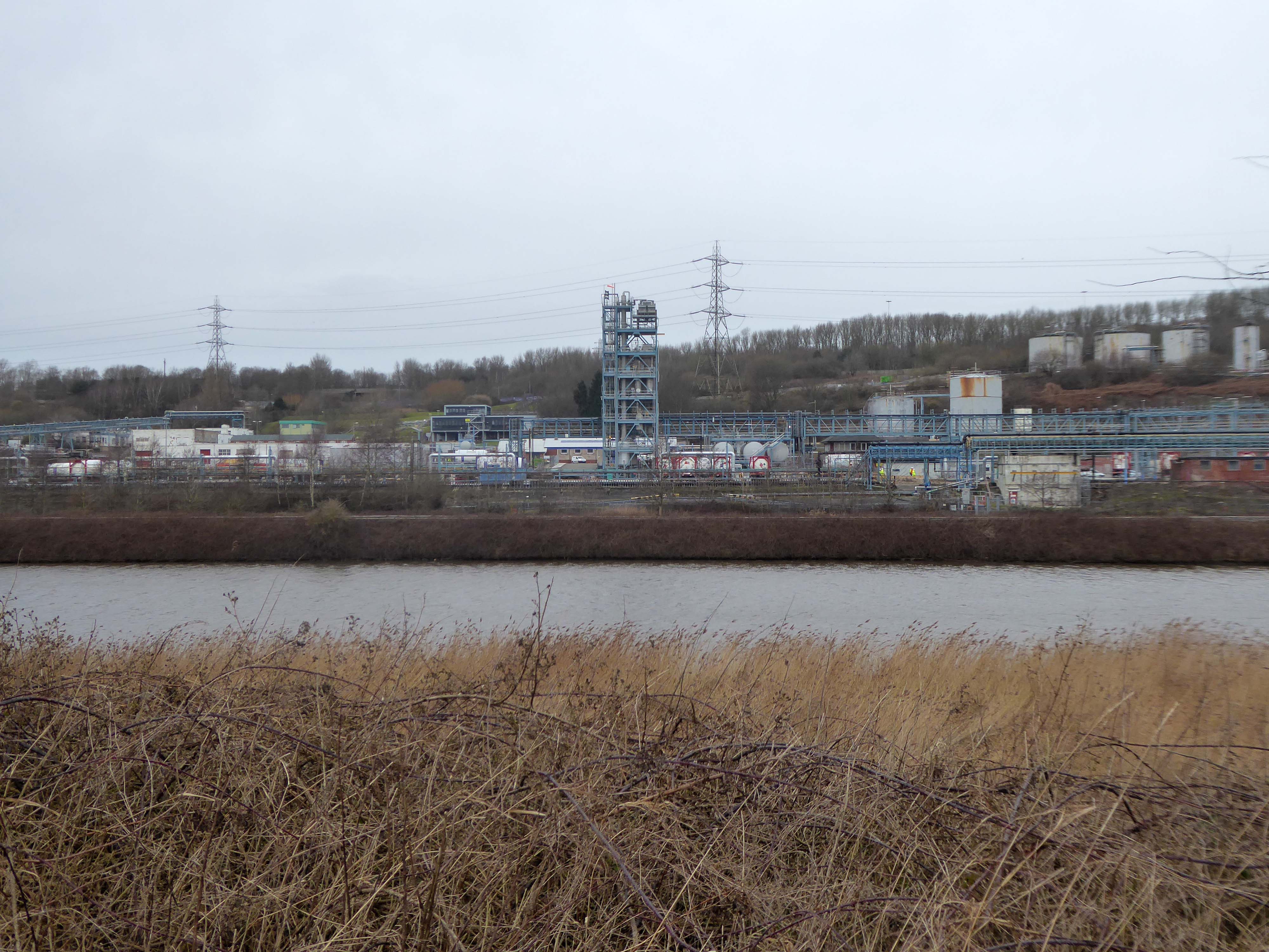
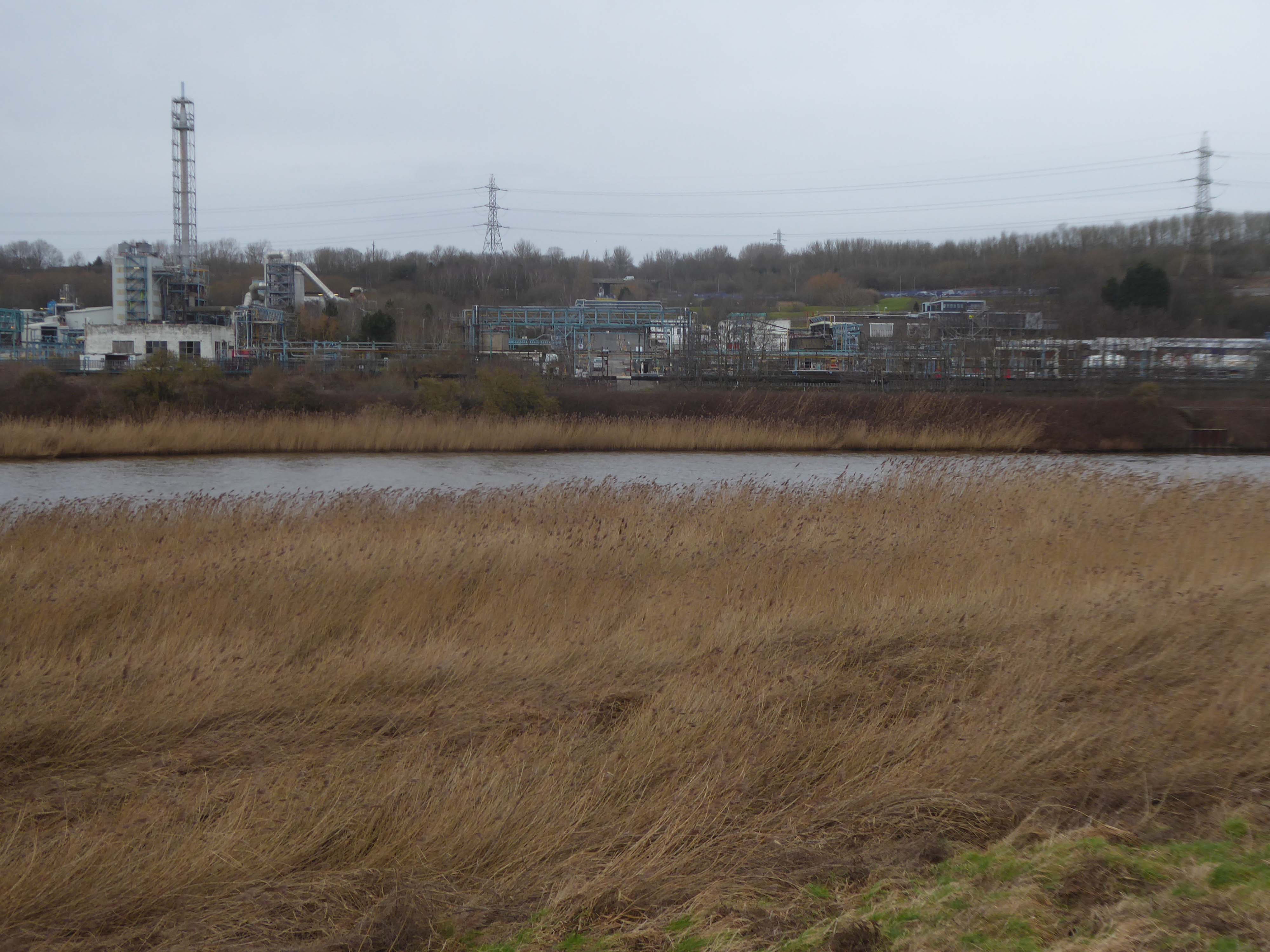
KouraGlobal – leader in the development, manufacture, and supply of fluoro products and technologies, opened a new HFA 152a production facility at their Runcorn site in the UK.
Chiesi, the international research-focused pharmaceuticals and healthcare group, signed a commercial agreement to use the new low carbon footprint medical propellant for inhalation product development and clinical trials in 2019.
Britain from Above 1948
Ineos Chemical Complex formerly ICI Rocksavage Works on the banks of the River Mersey River Weaver and Manchester Ship Canal in Runcorn formerly ICI works of Rocksavage and Castner Kelner Works which produced fluorcarbons such as aerosol propellants dry cleaning solvents and chlorine UK January 2007
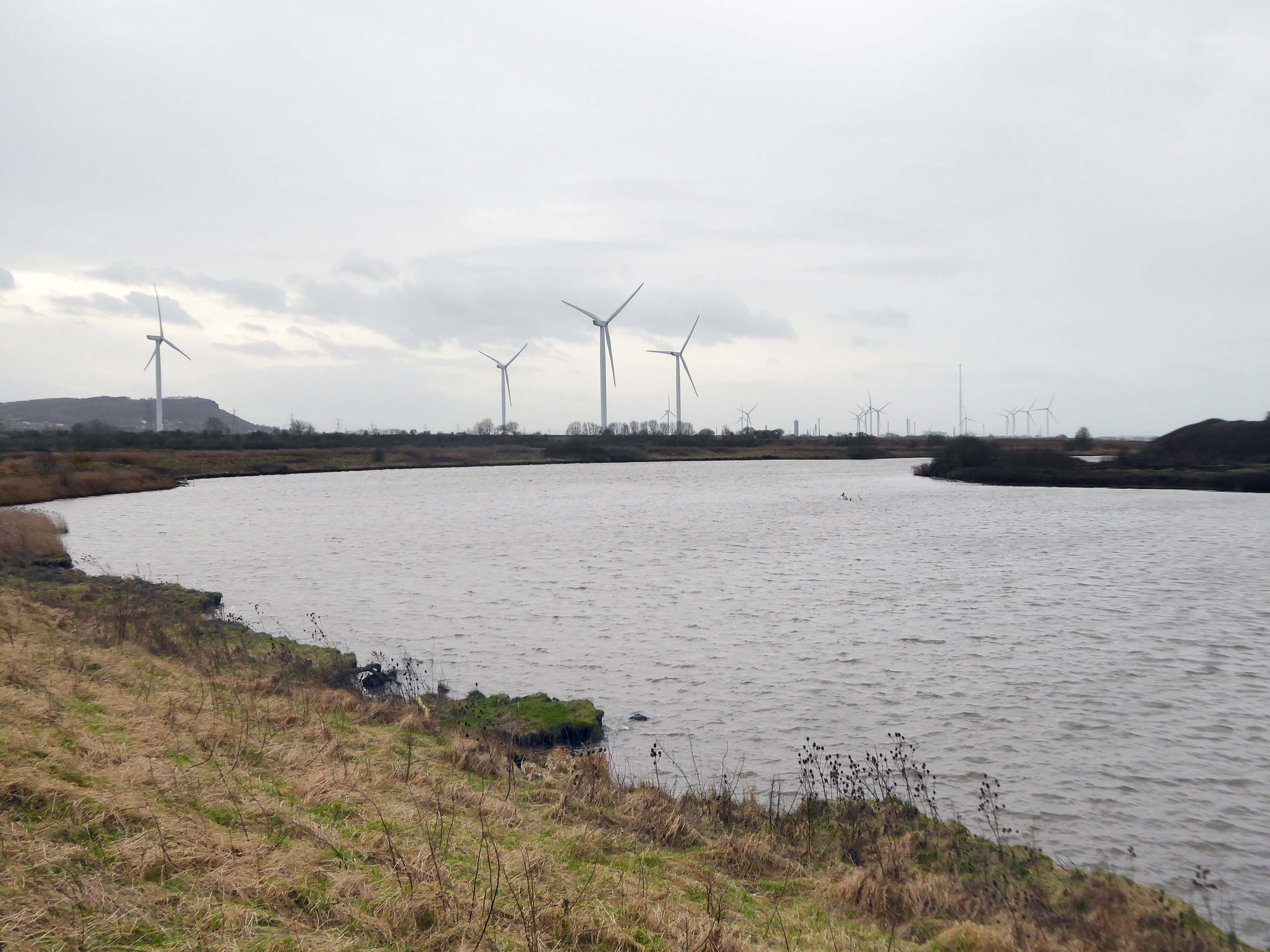
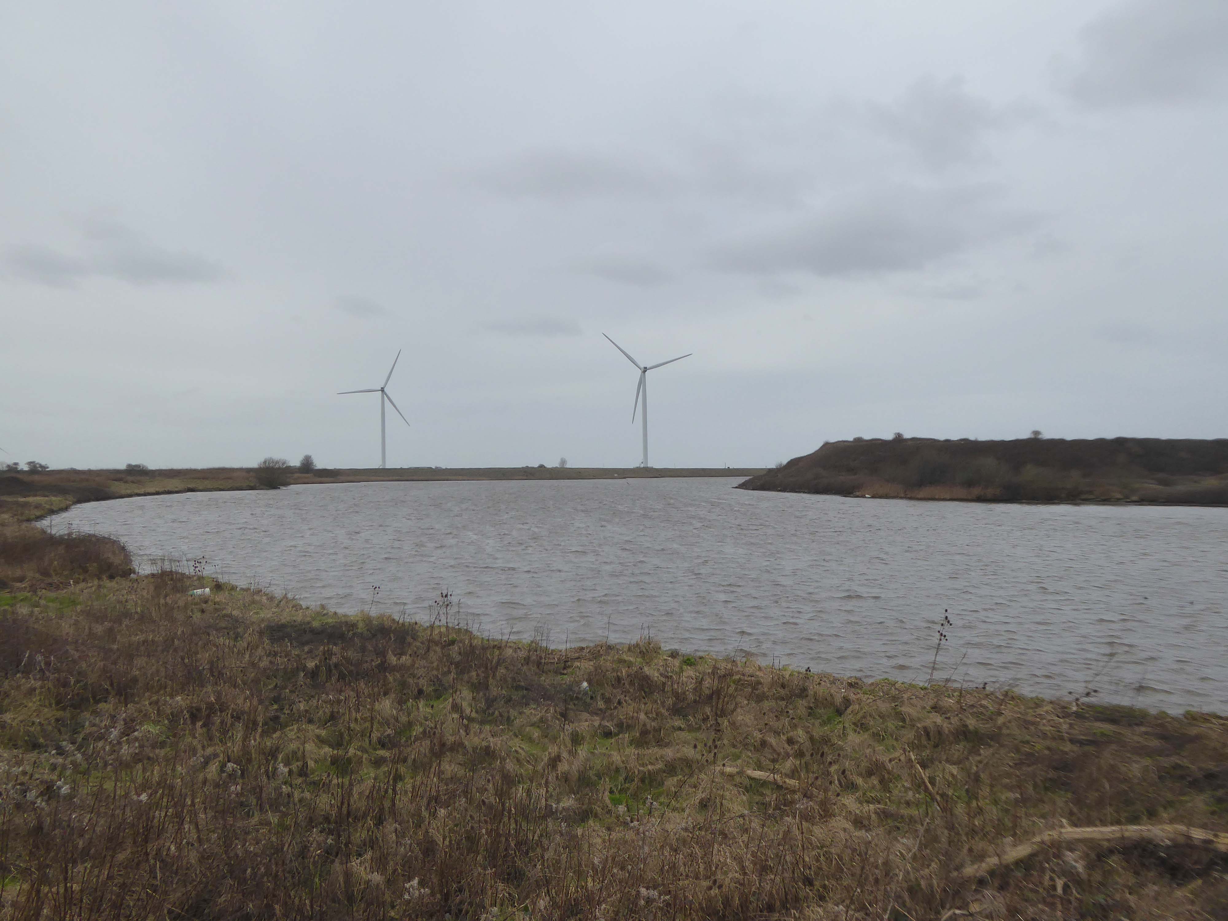
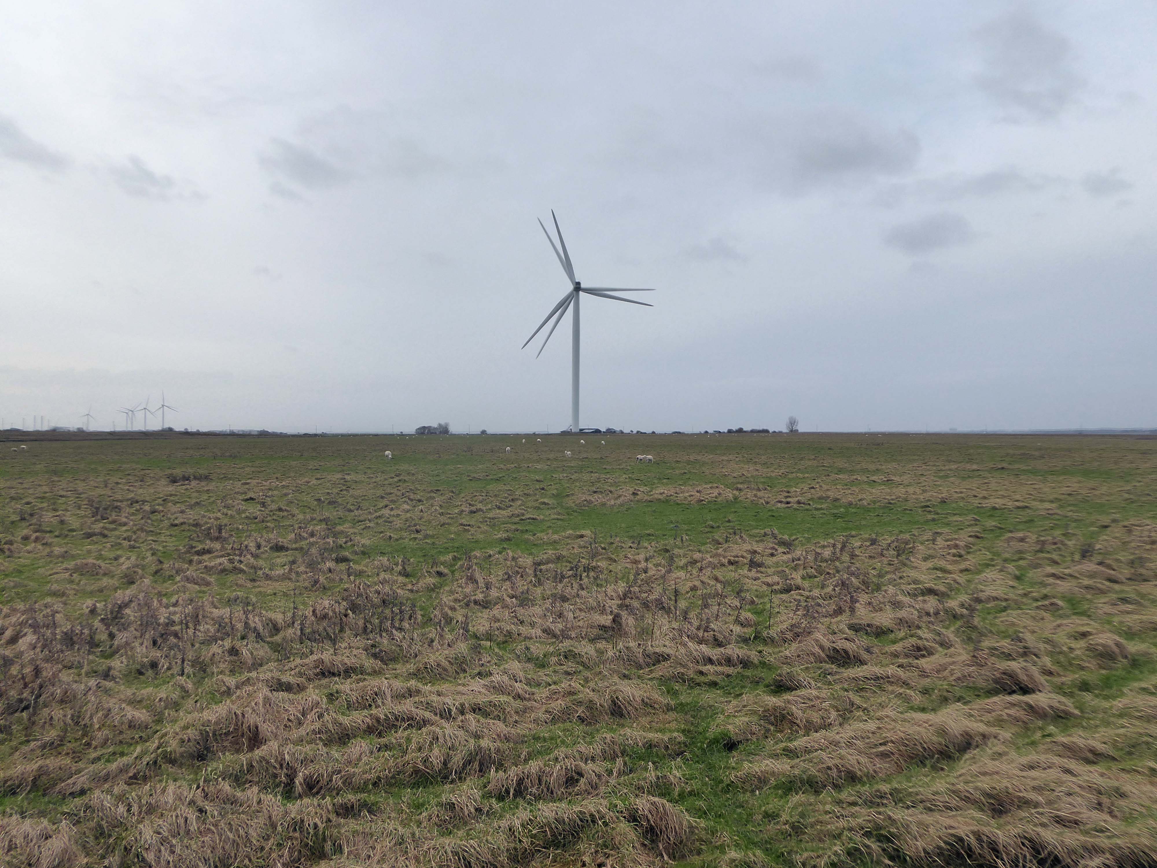
Frodsham Wind Farm is one of England’s largest onshore generating stations, and the largest in the Cheshire region, with an installed capacity of more than 50 MW. Construction of the wind farm began in March 2015 and became fully operational in February 2017.