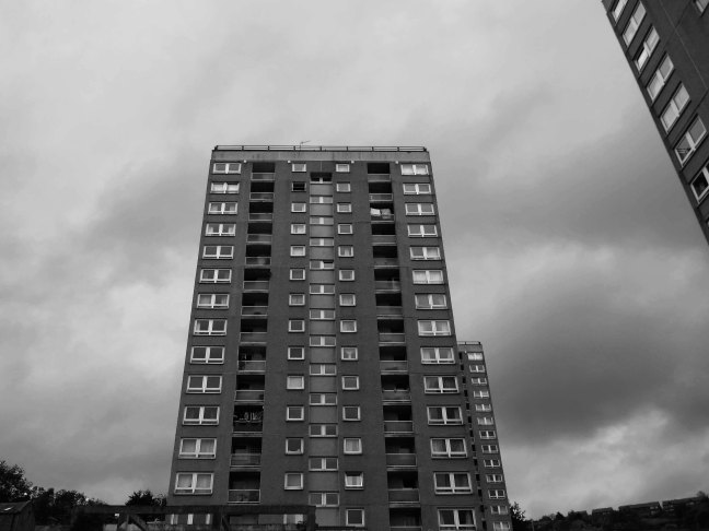
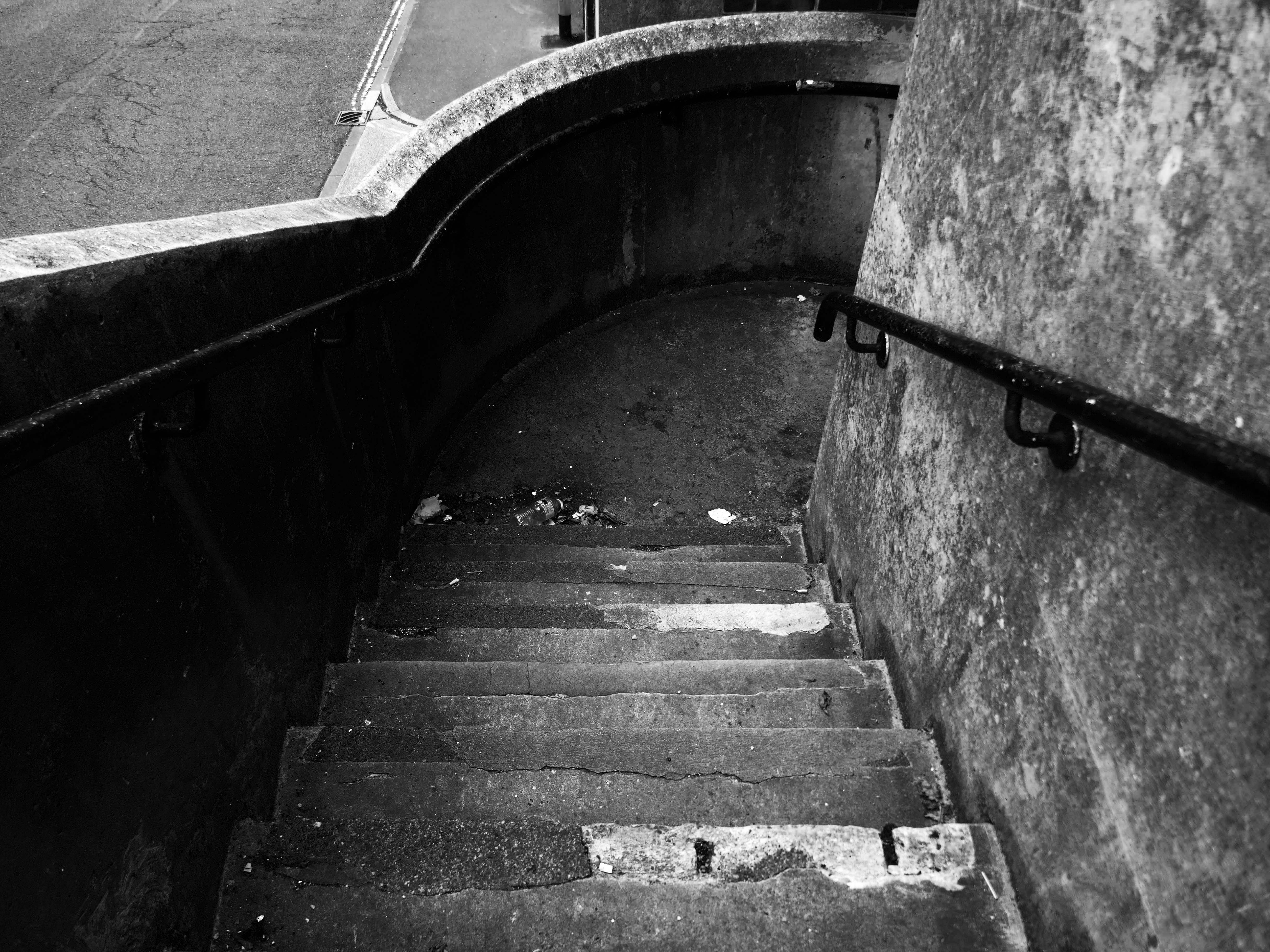
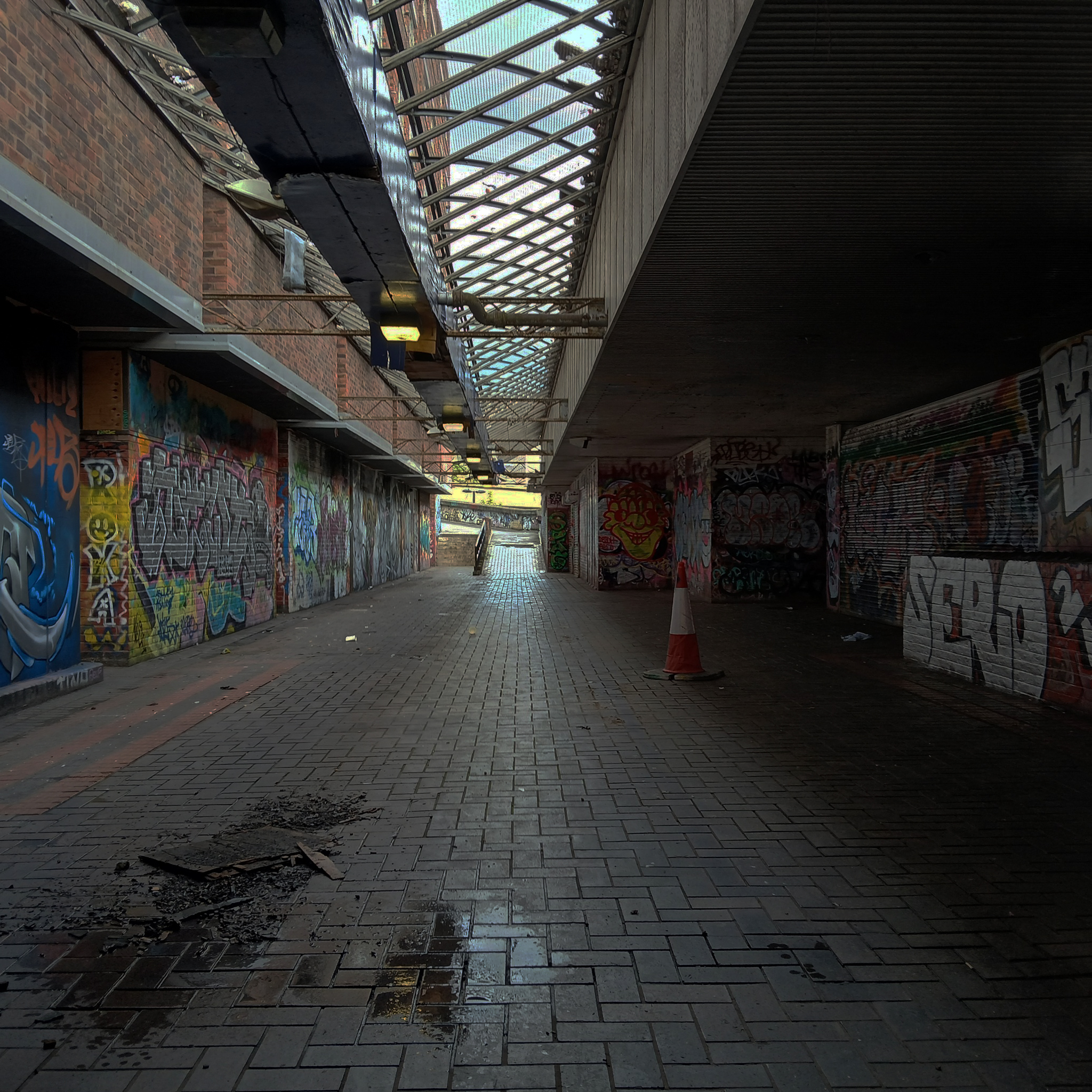
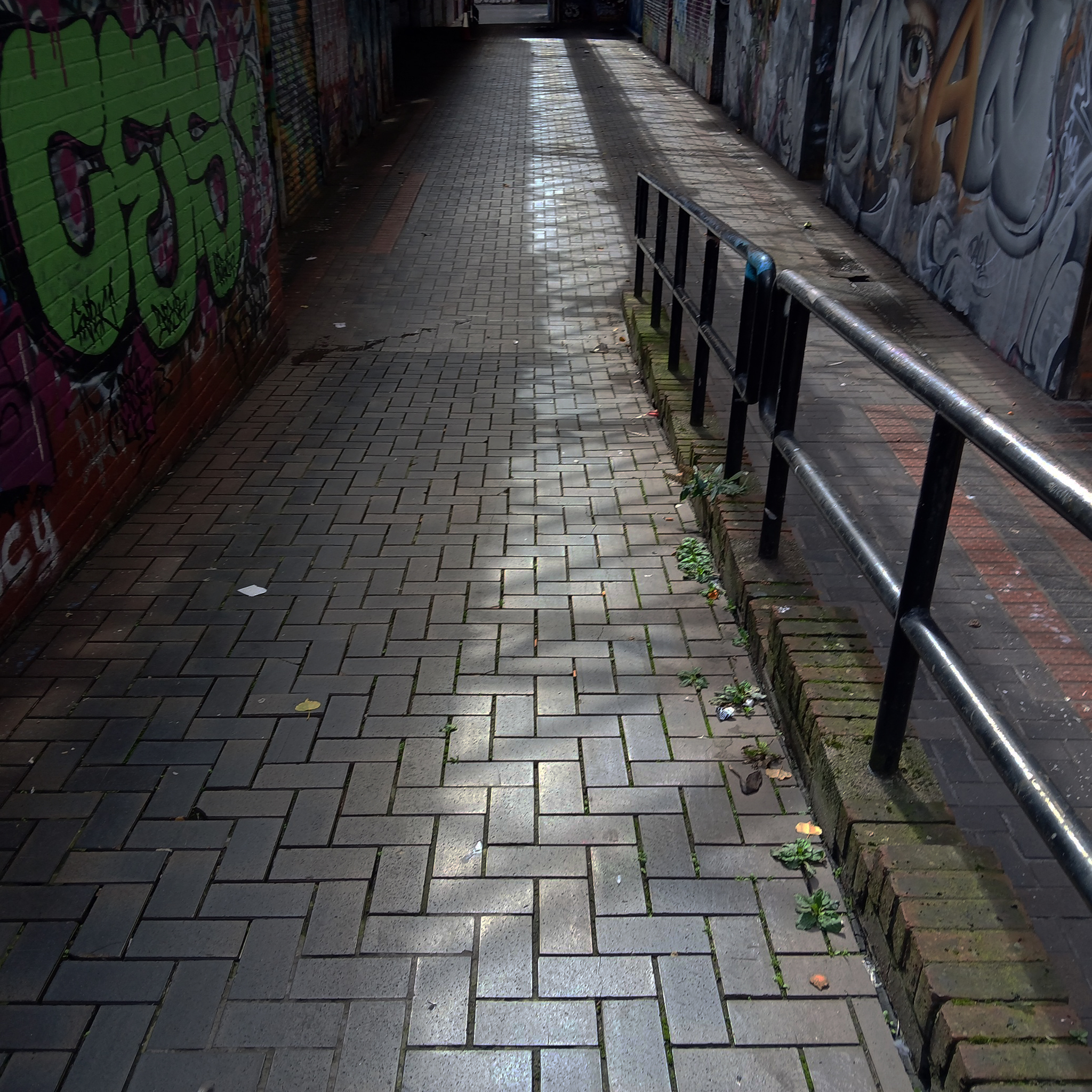
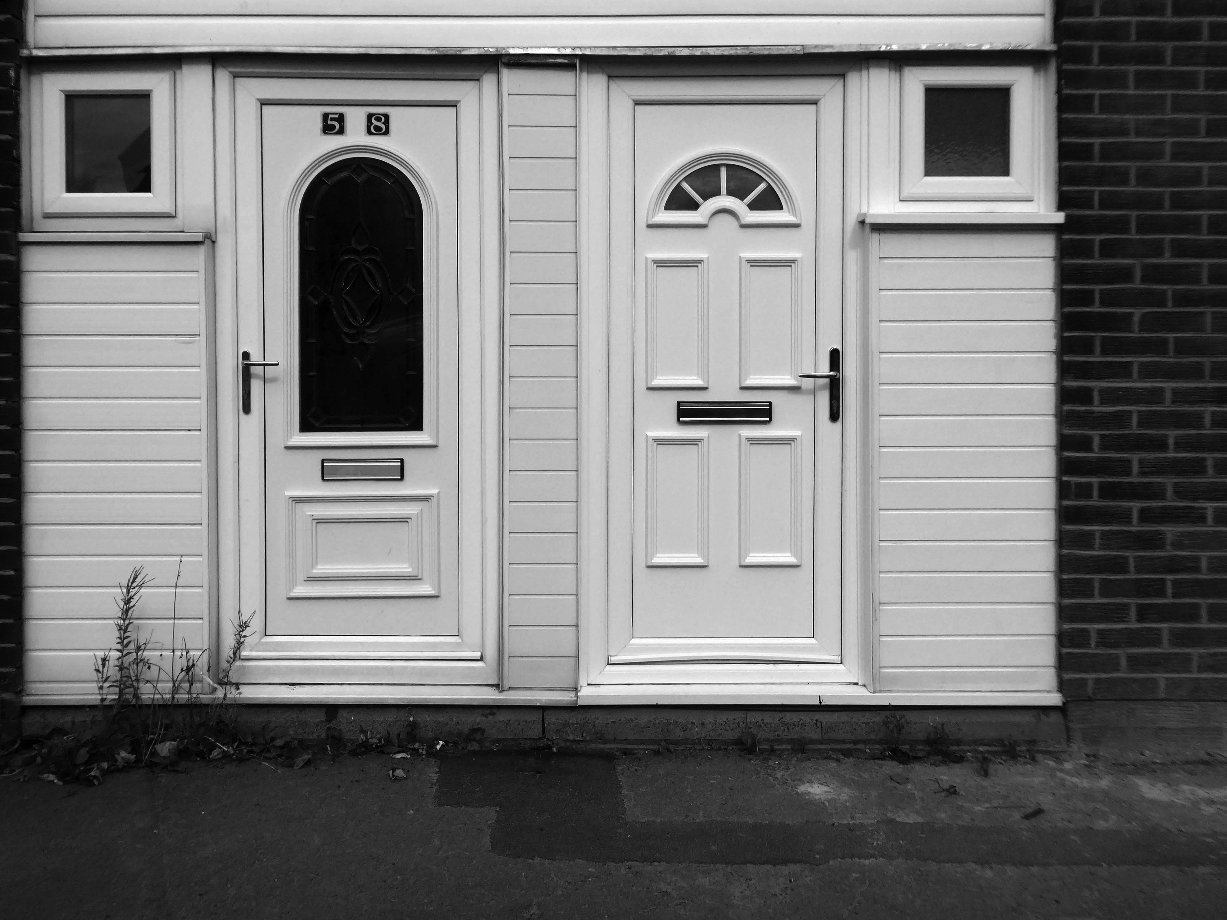
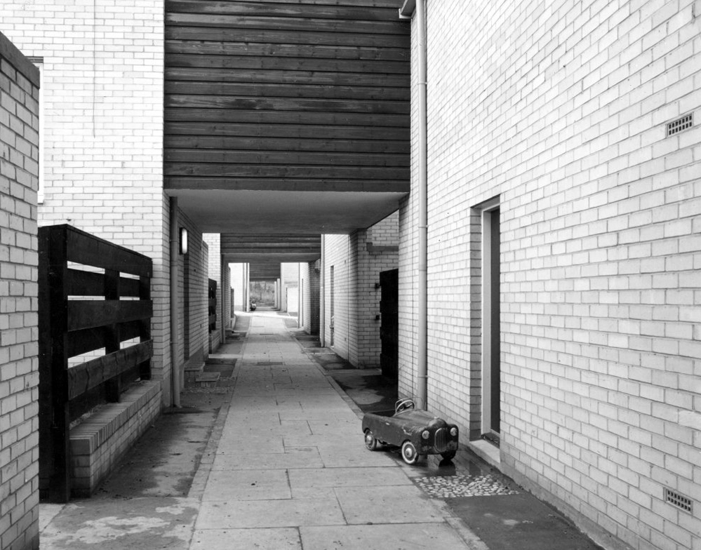
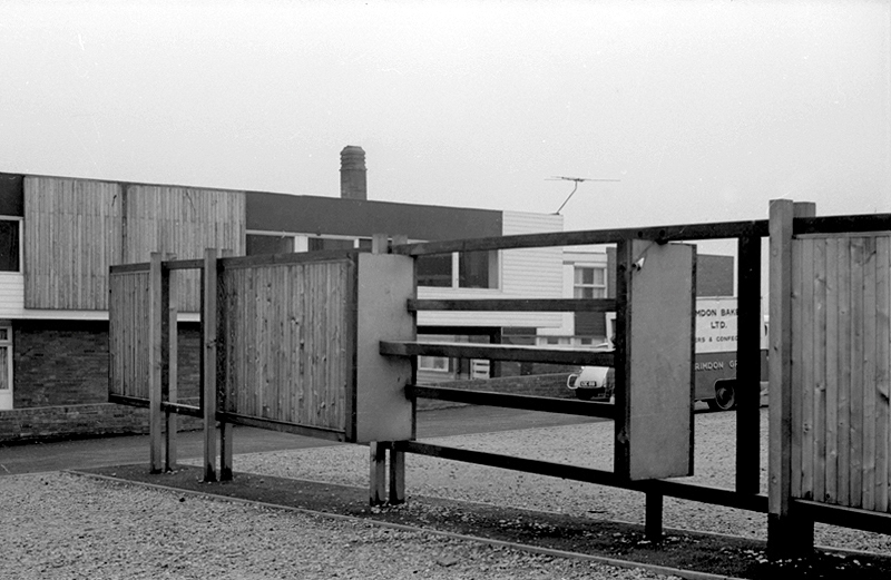
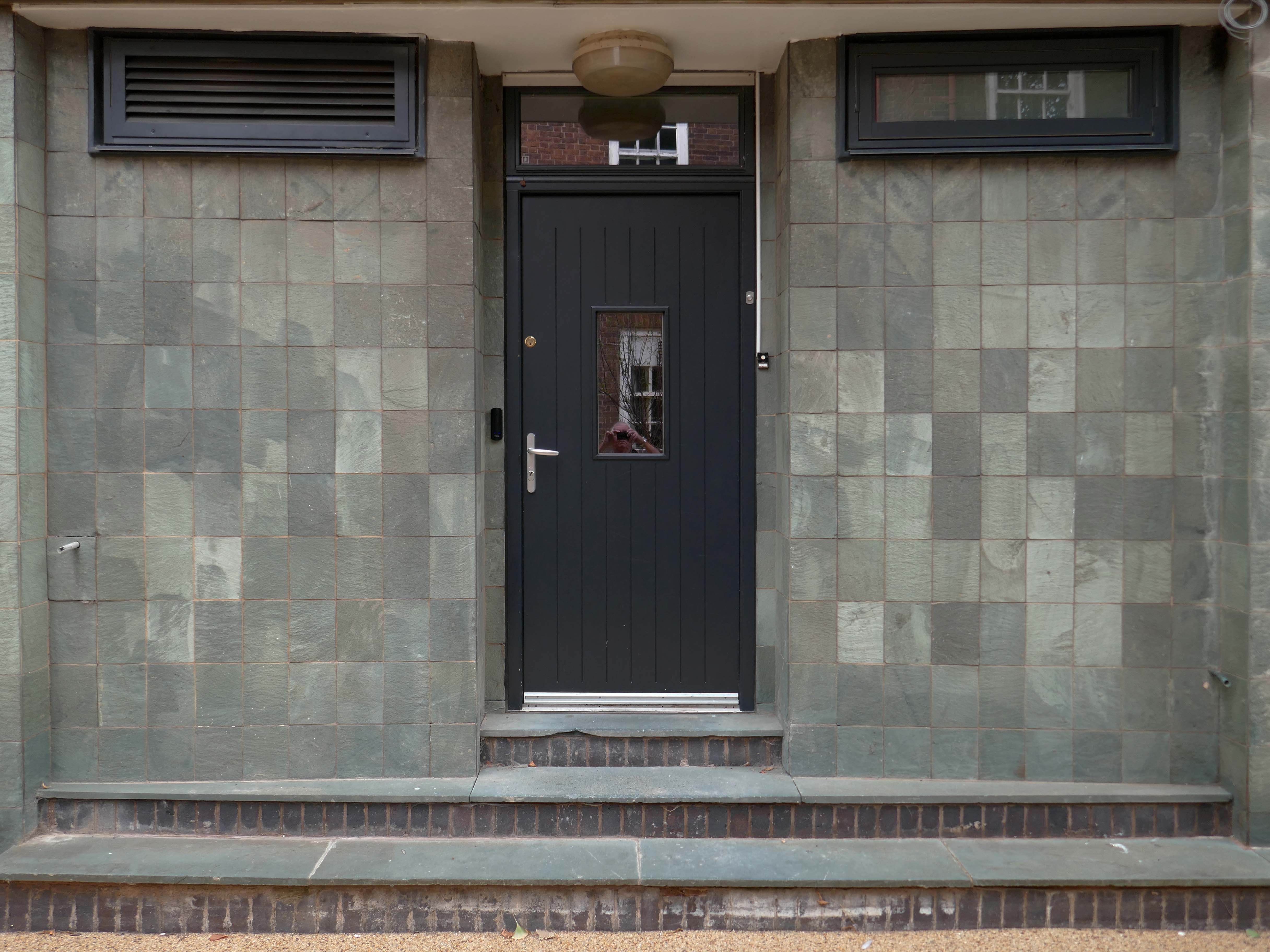
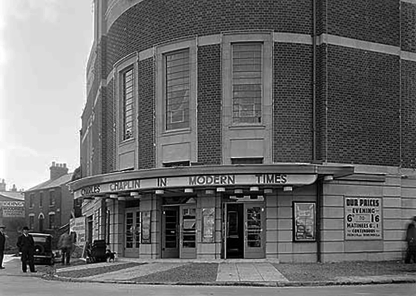
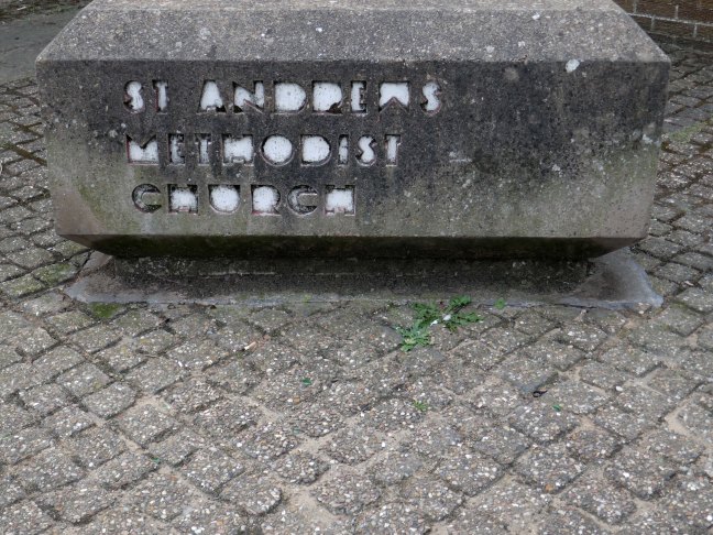
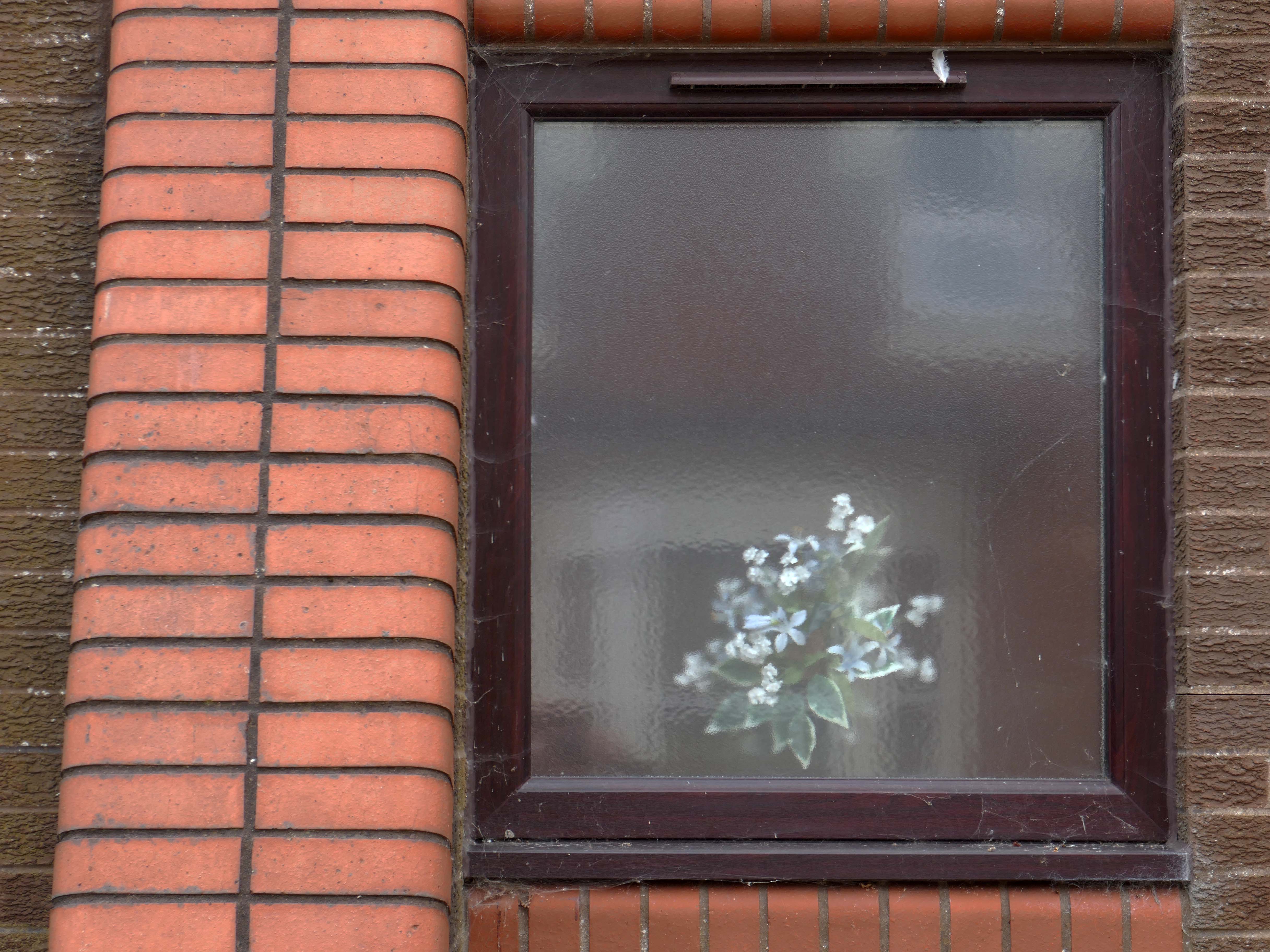
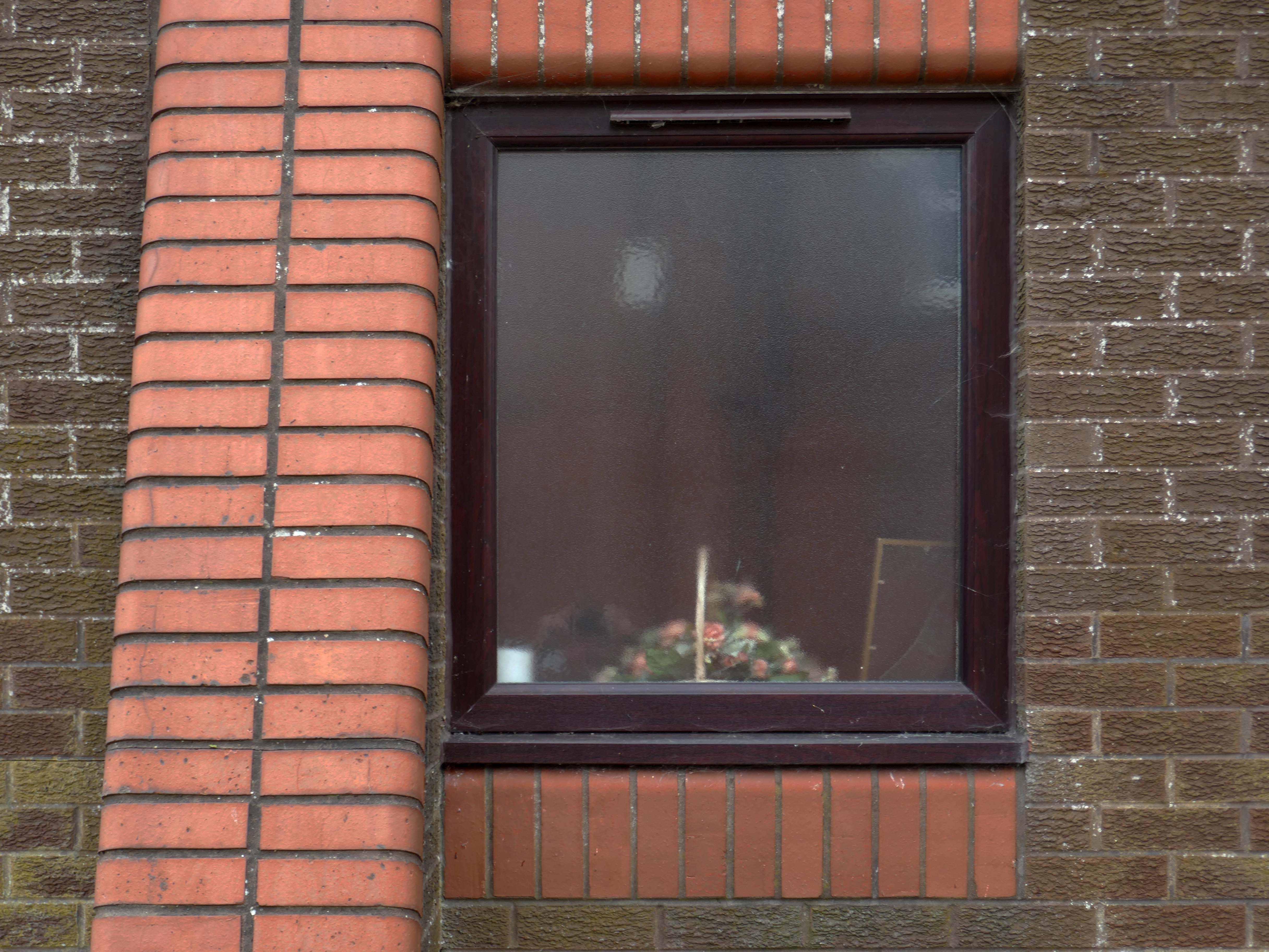
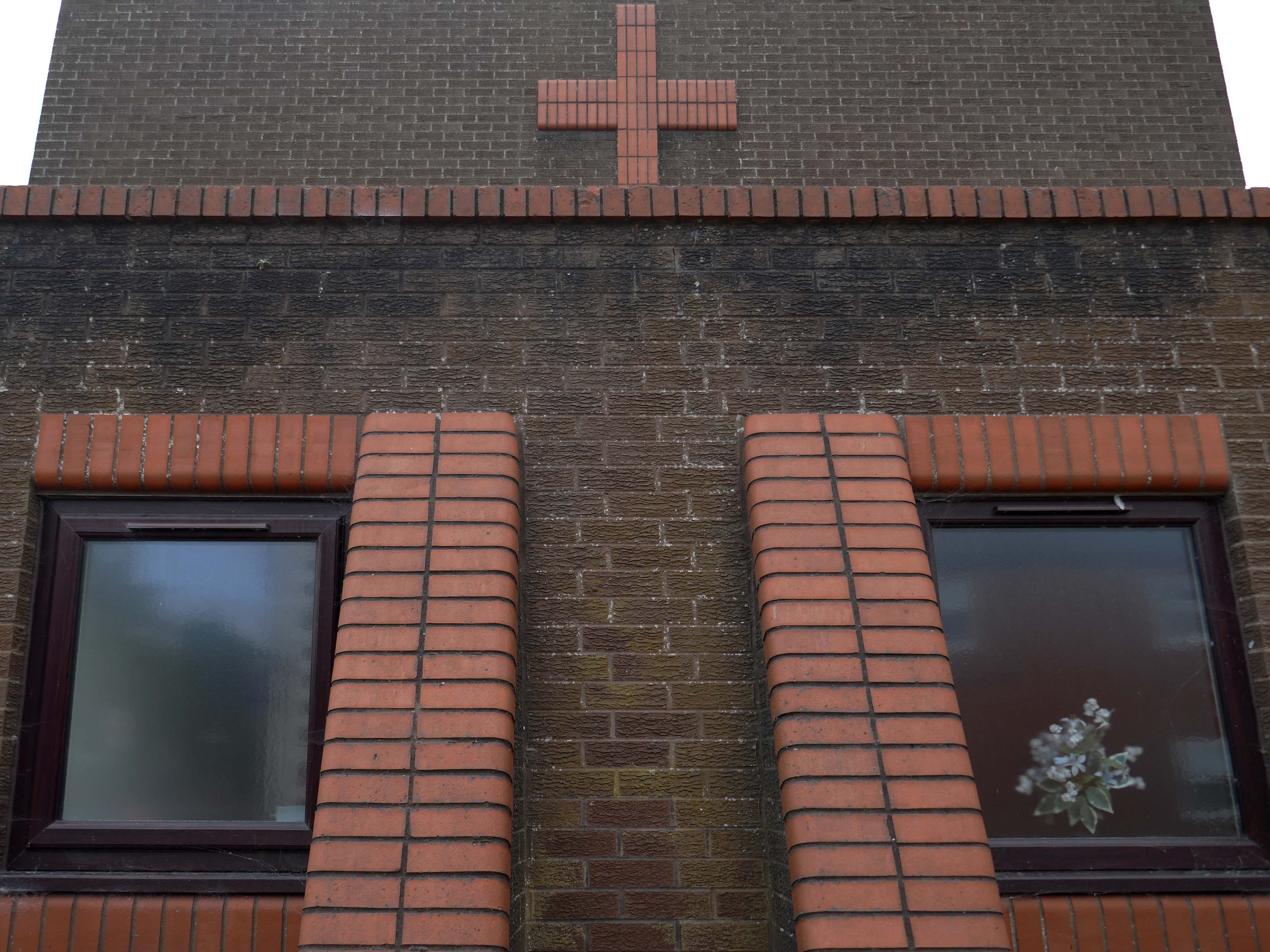
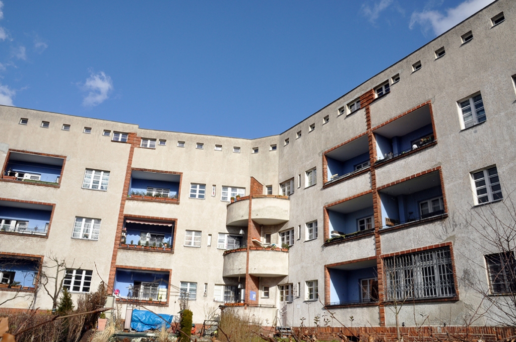
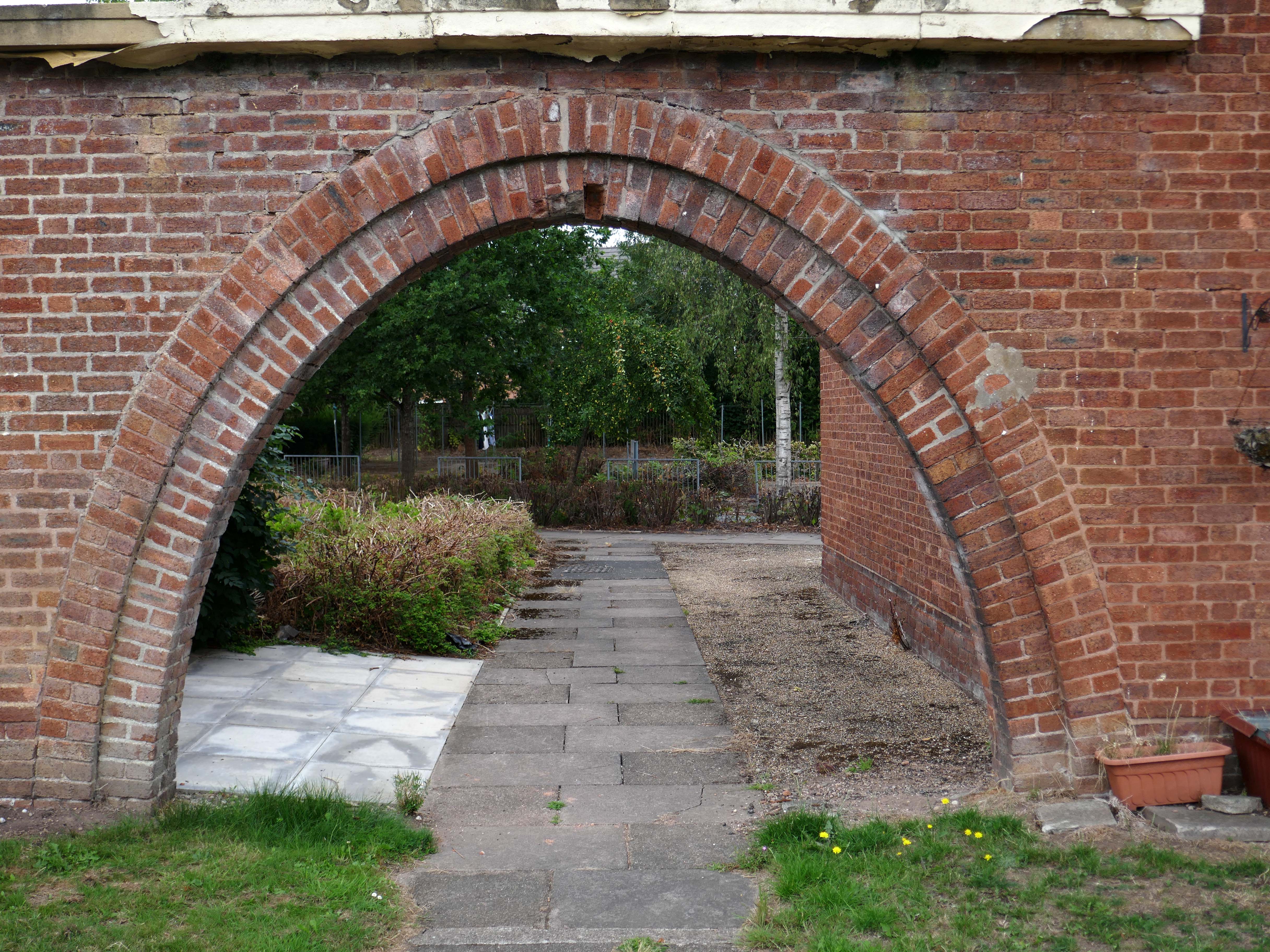
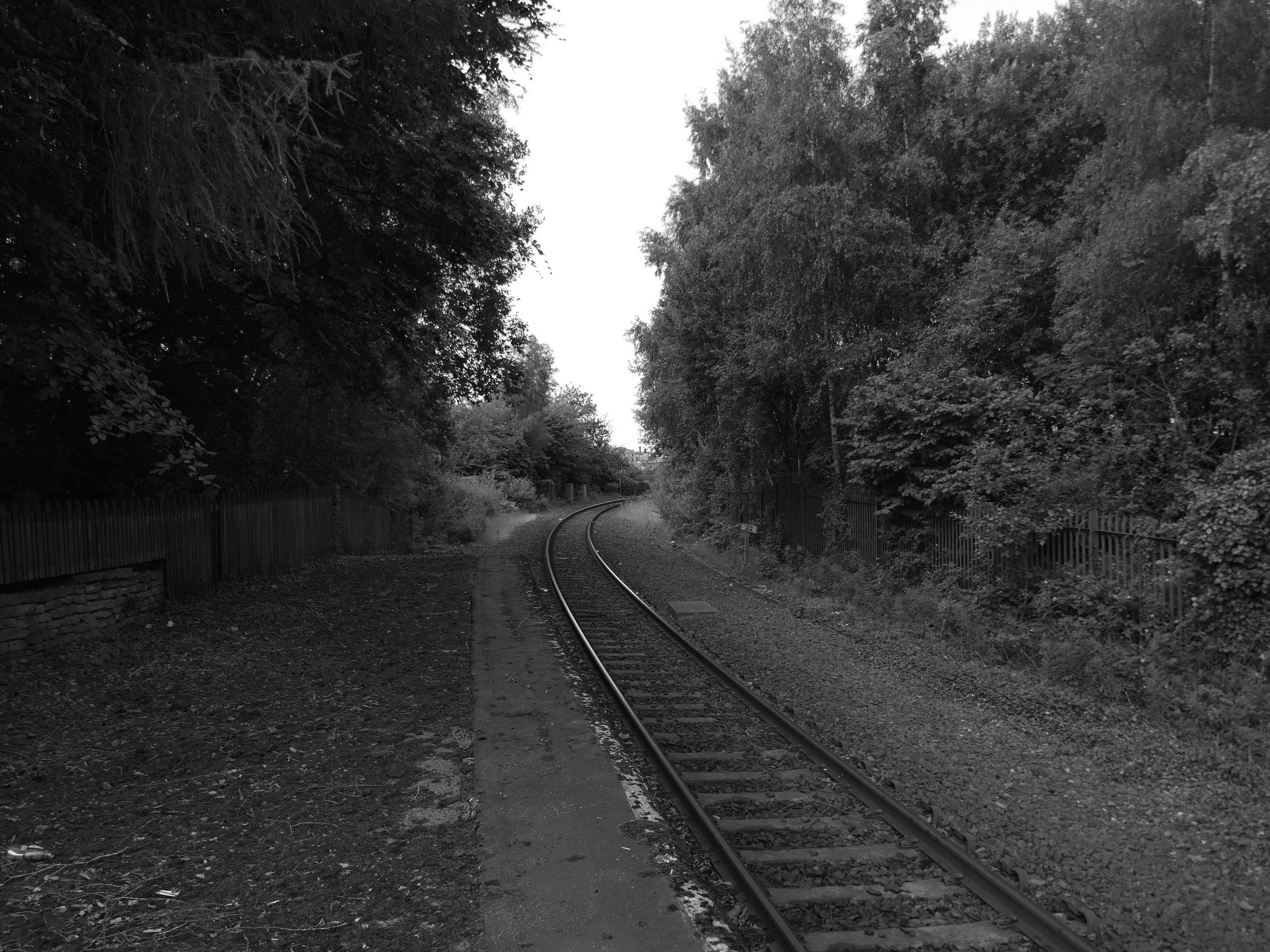
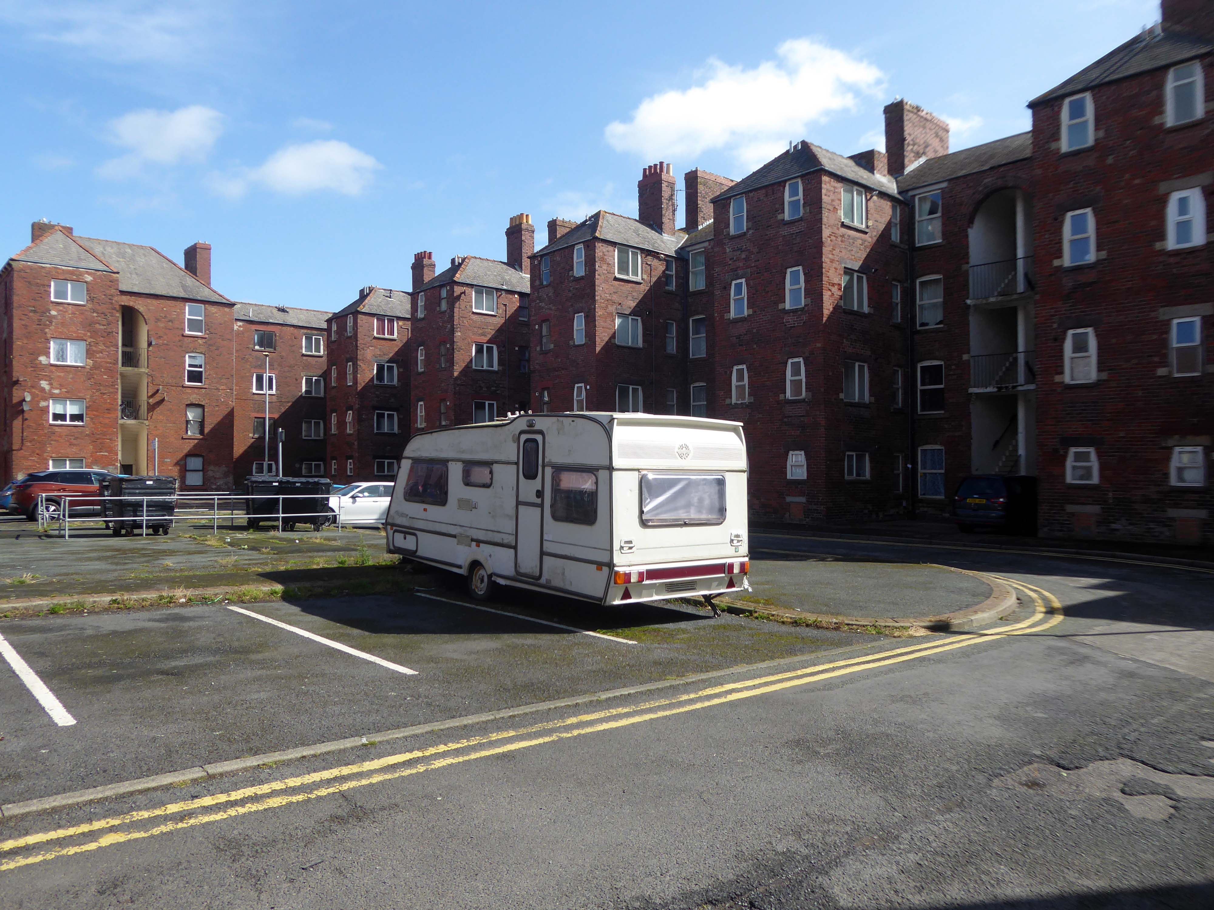
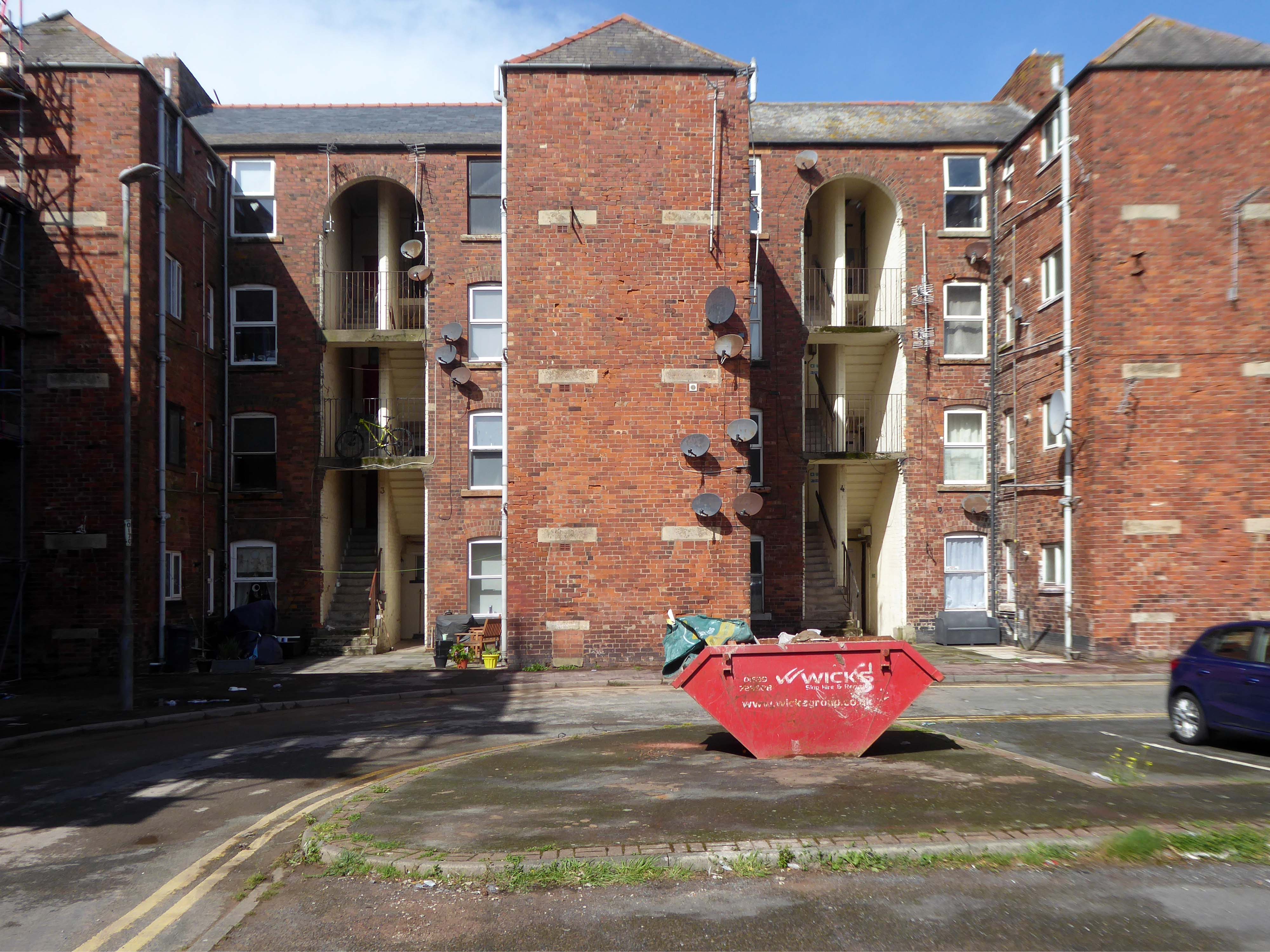
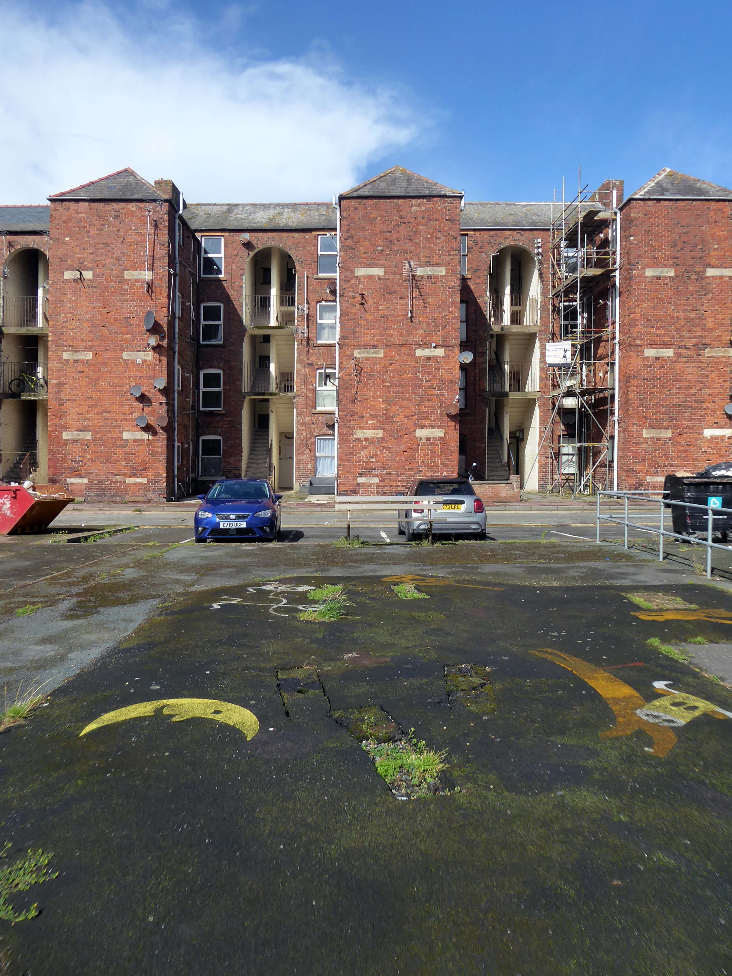
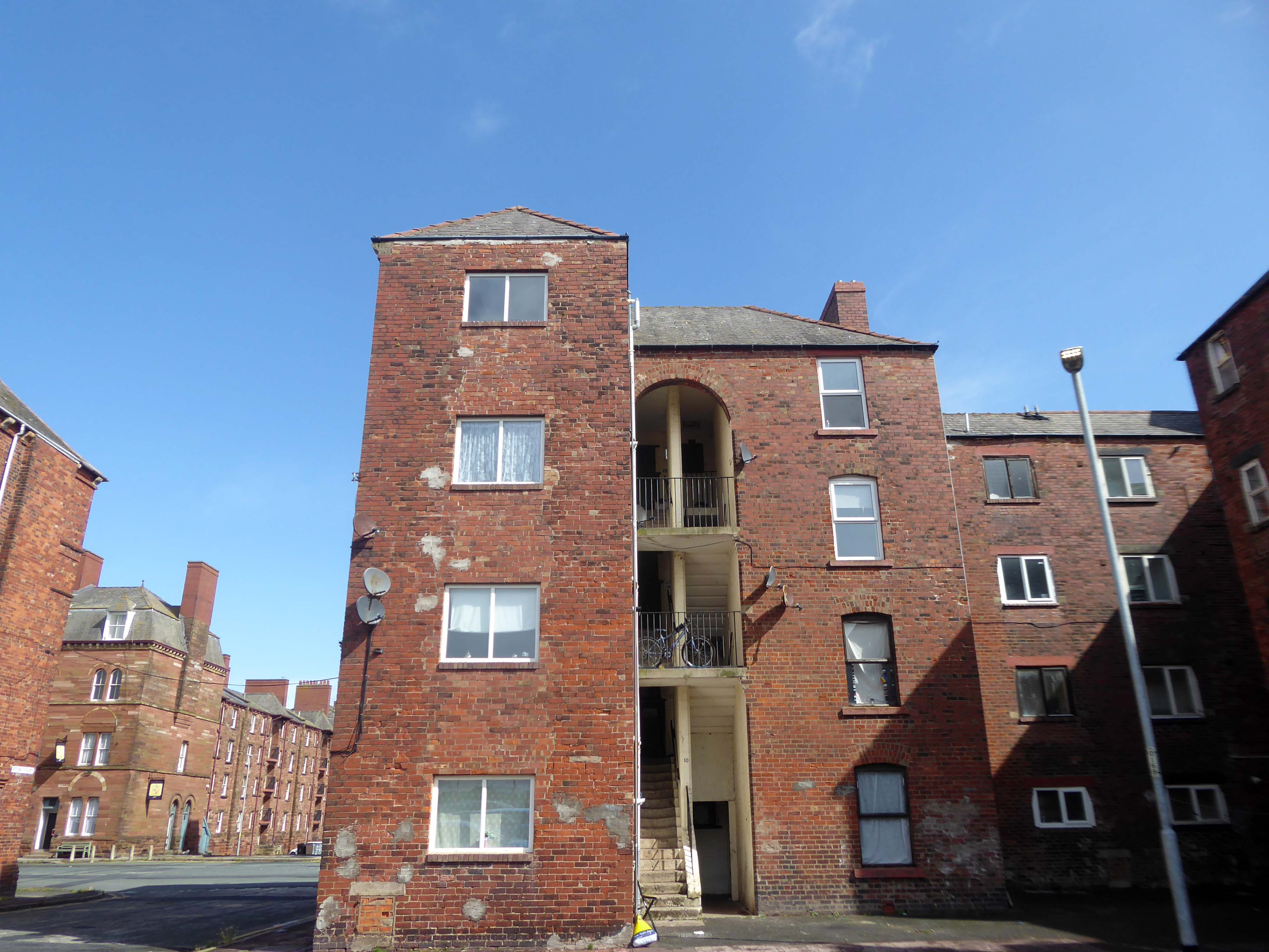
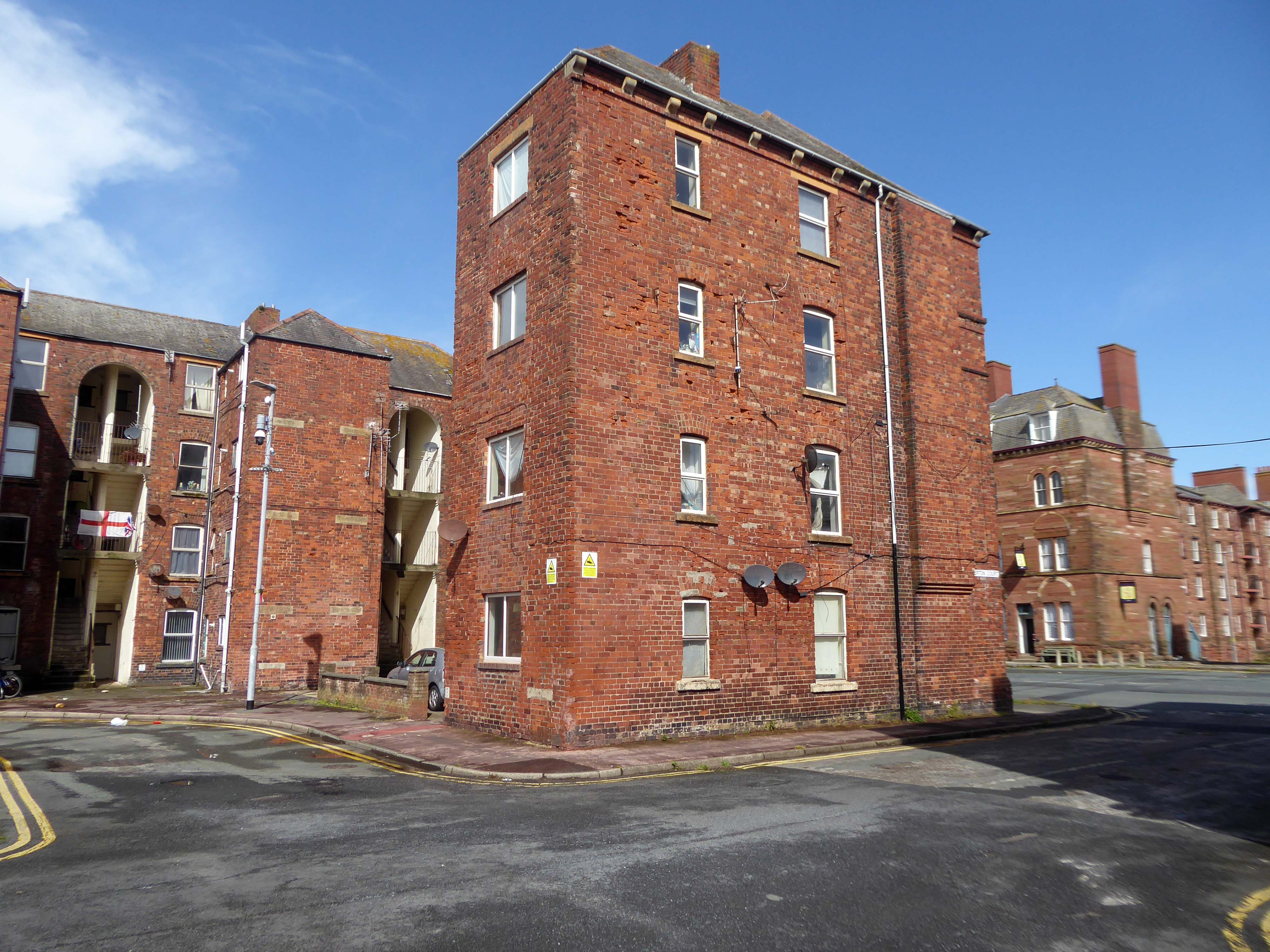
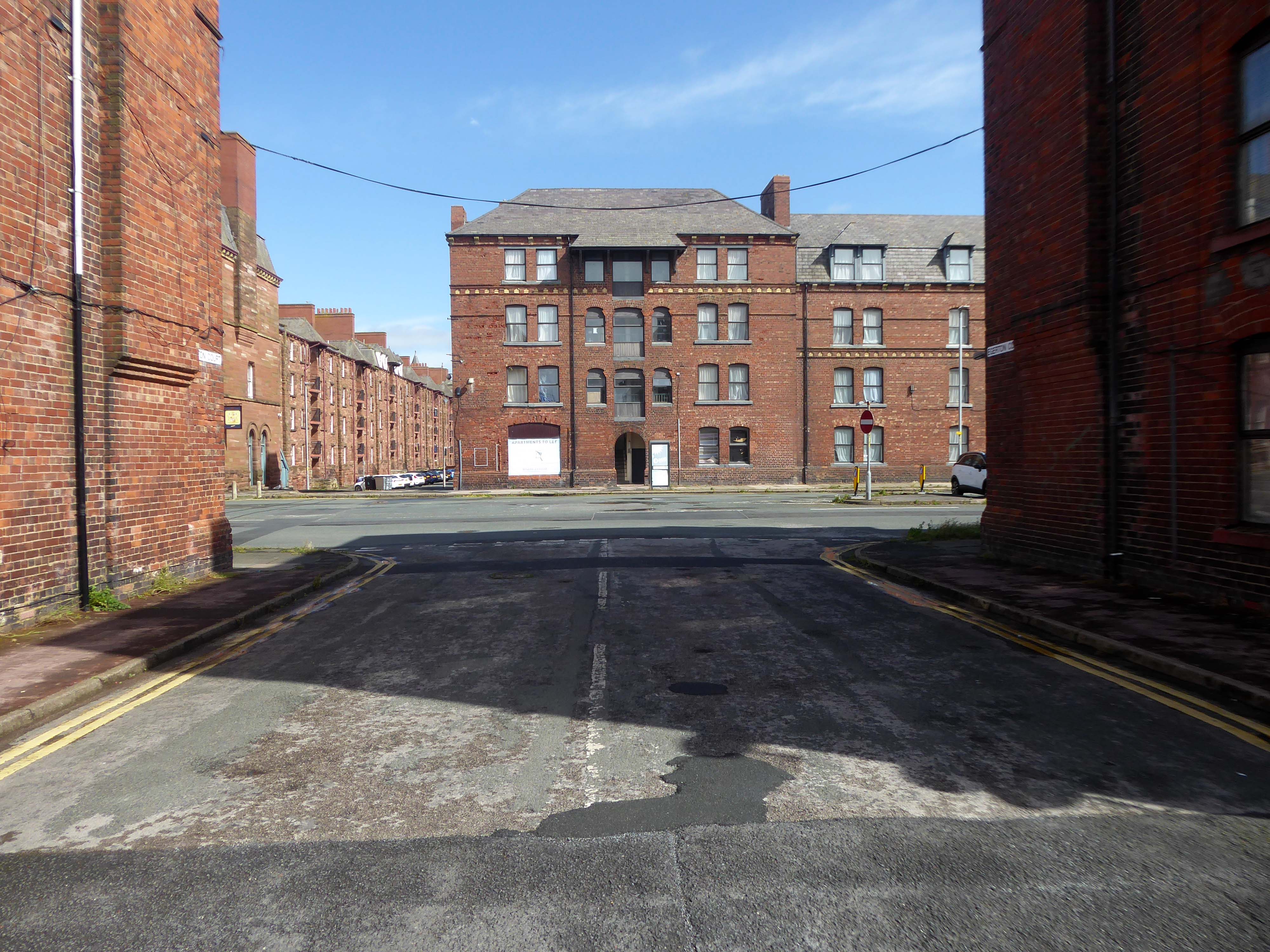
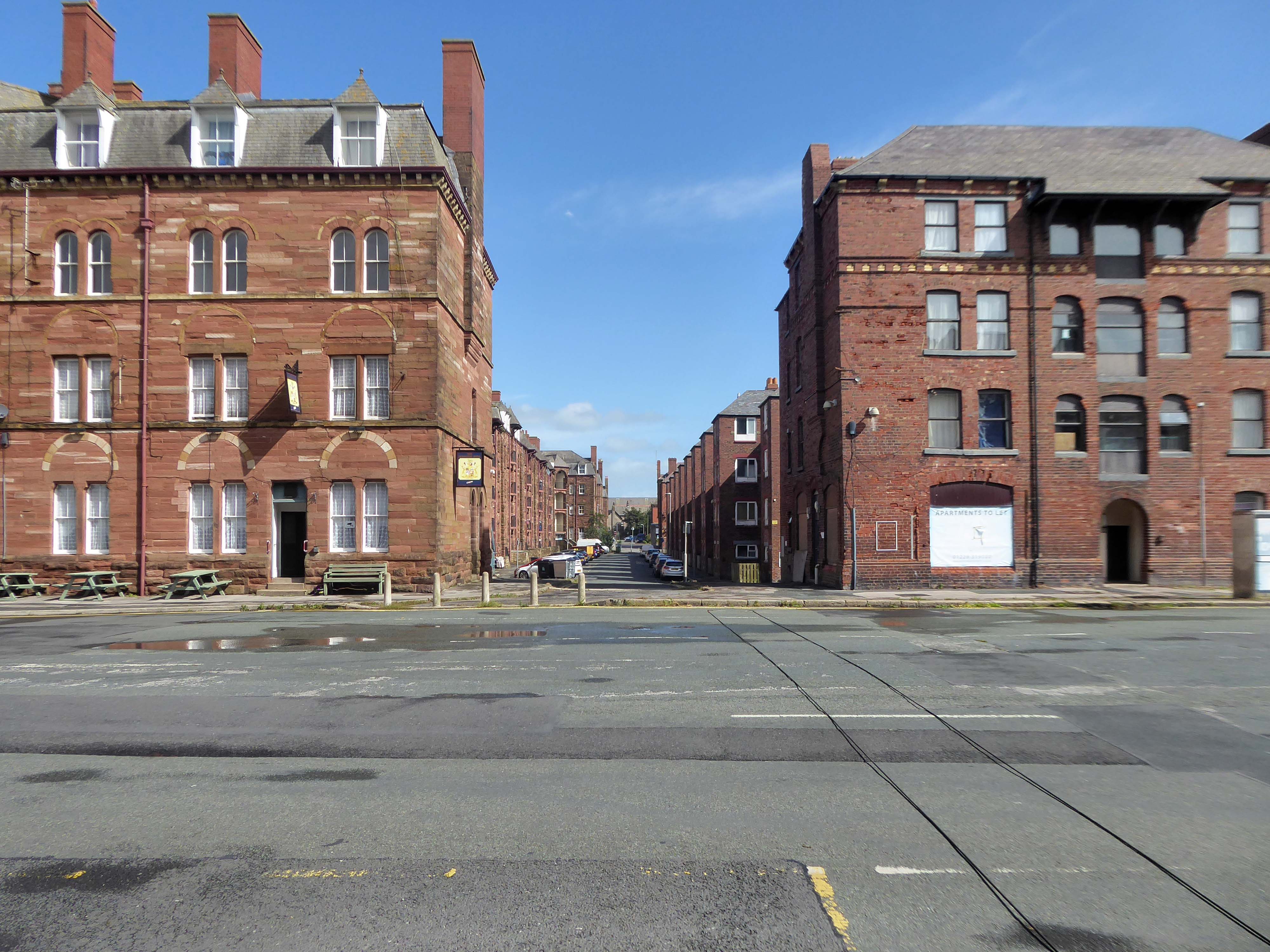
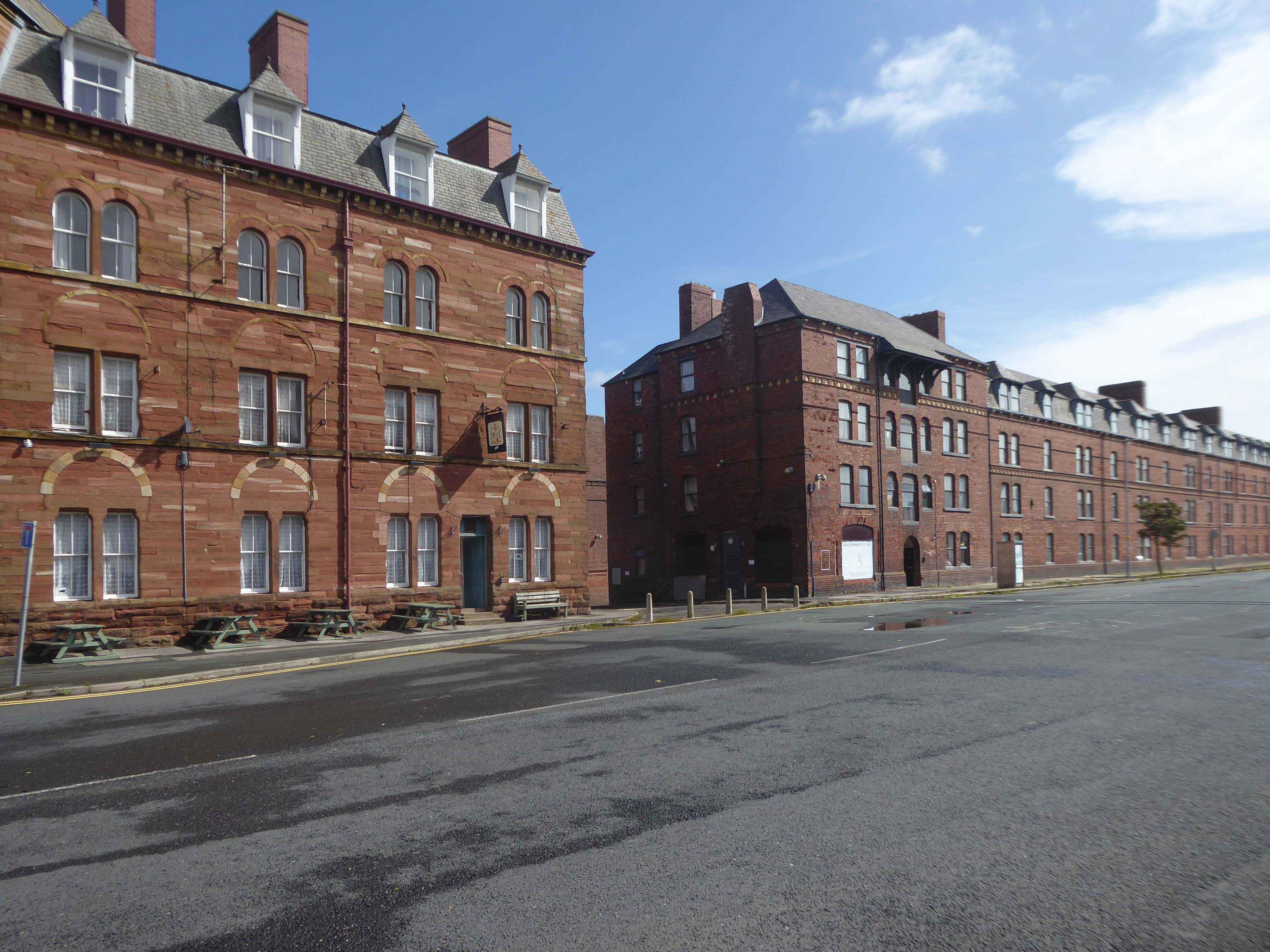
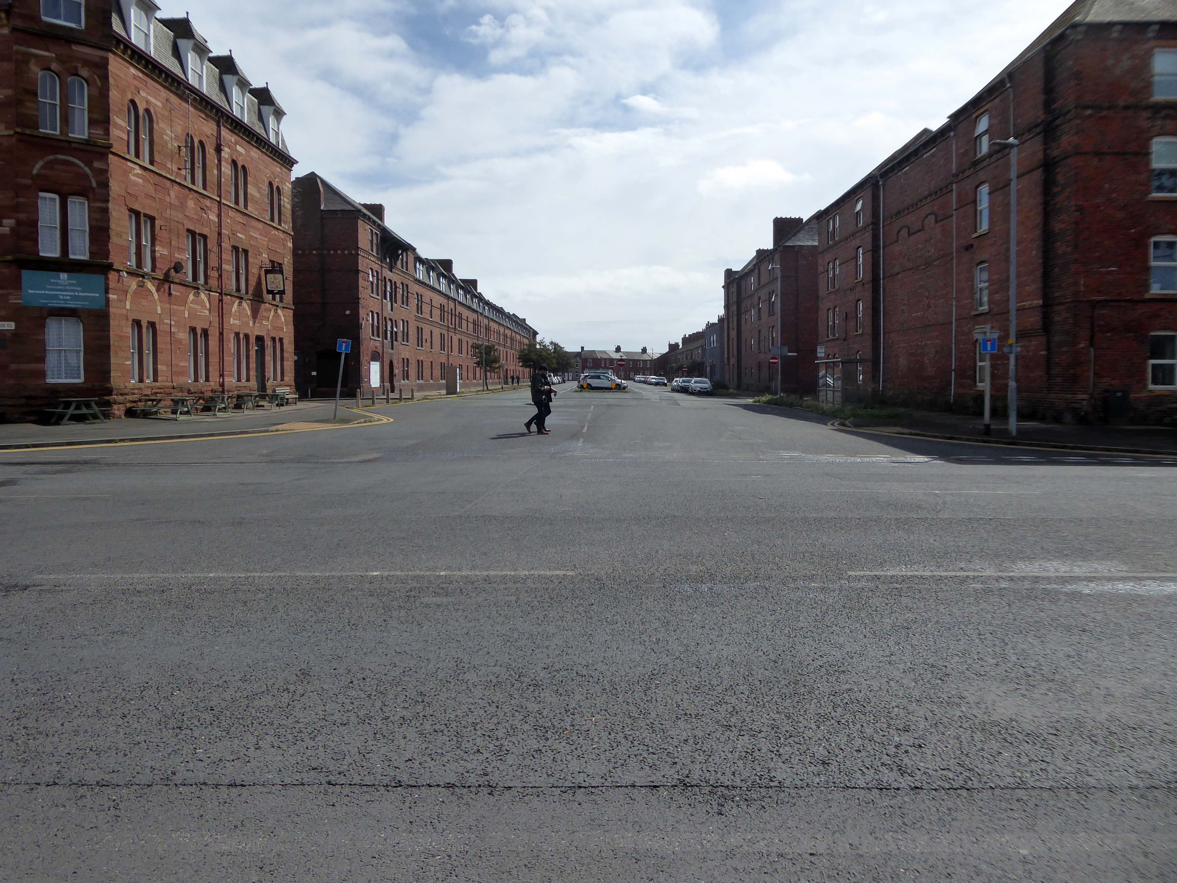
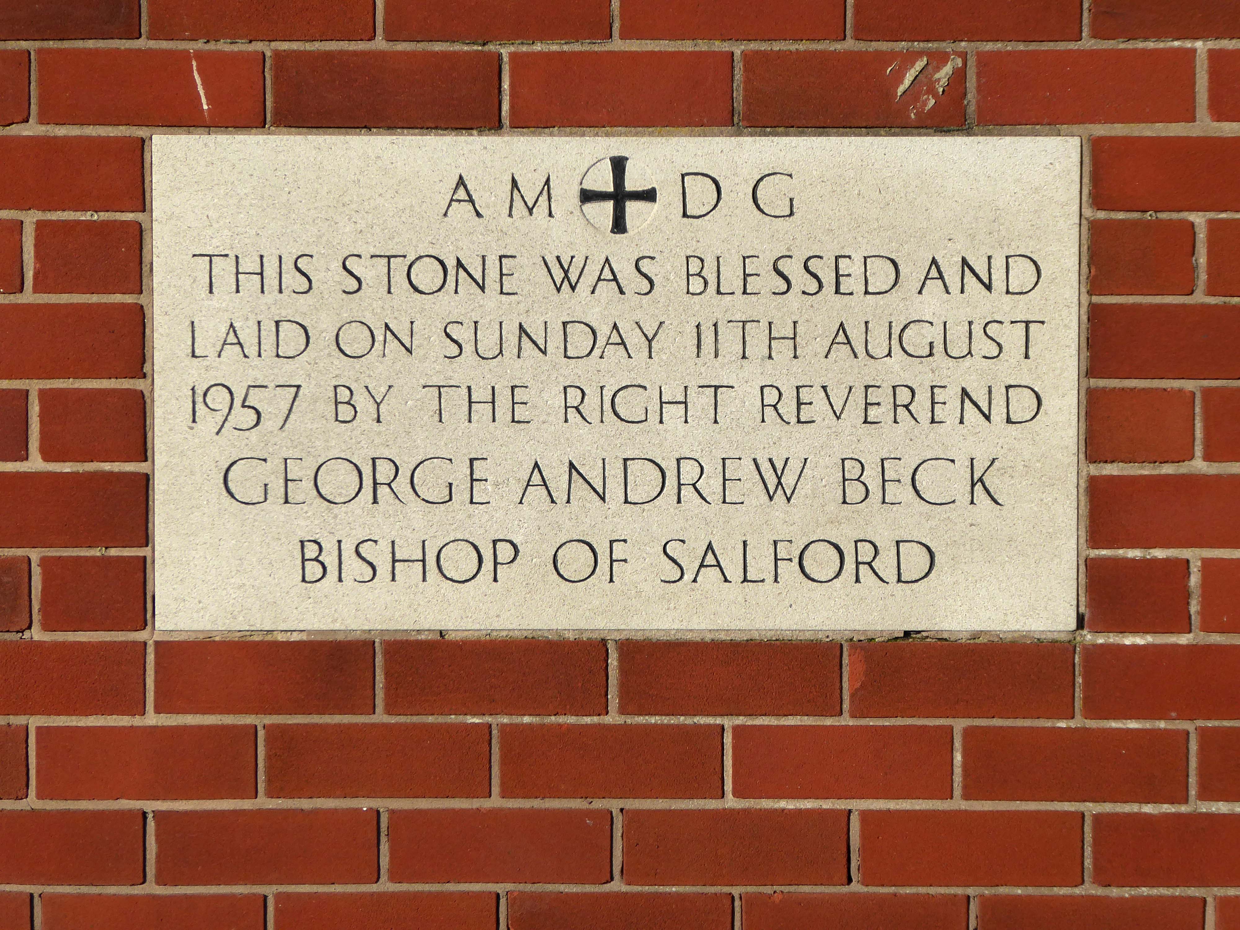
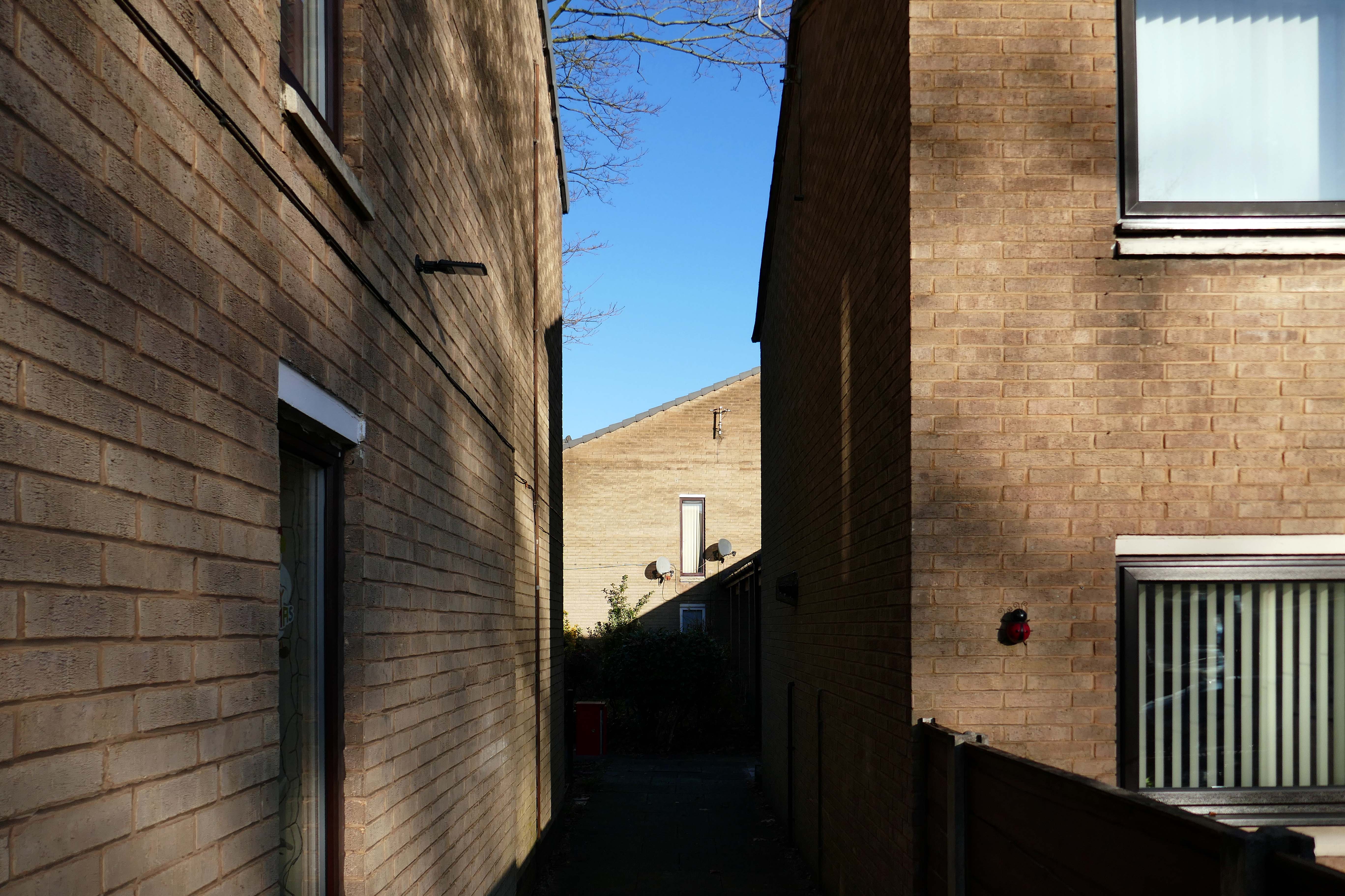
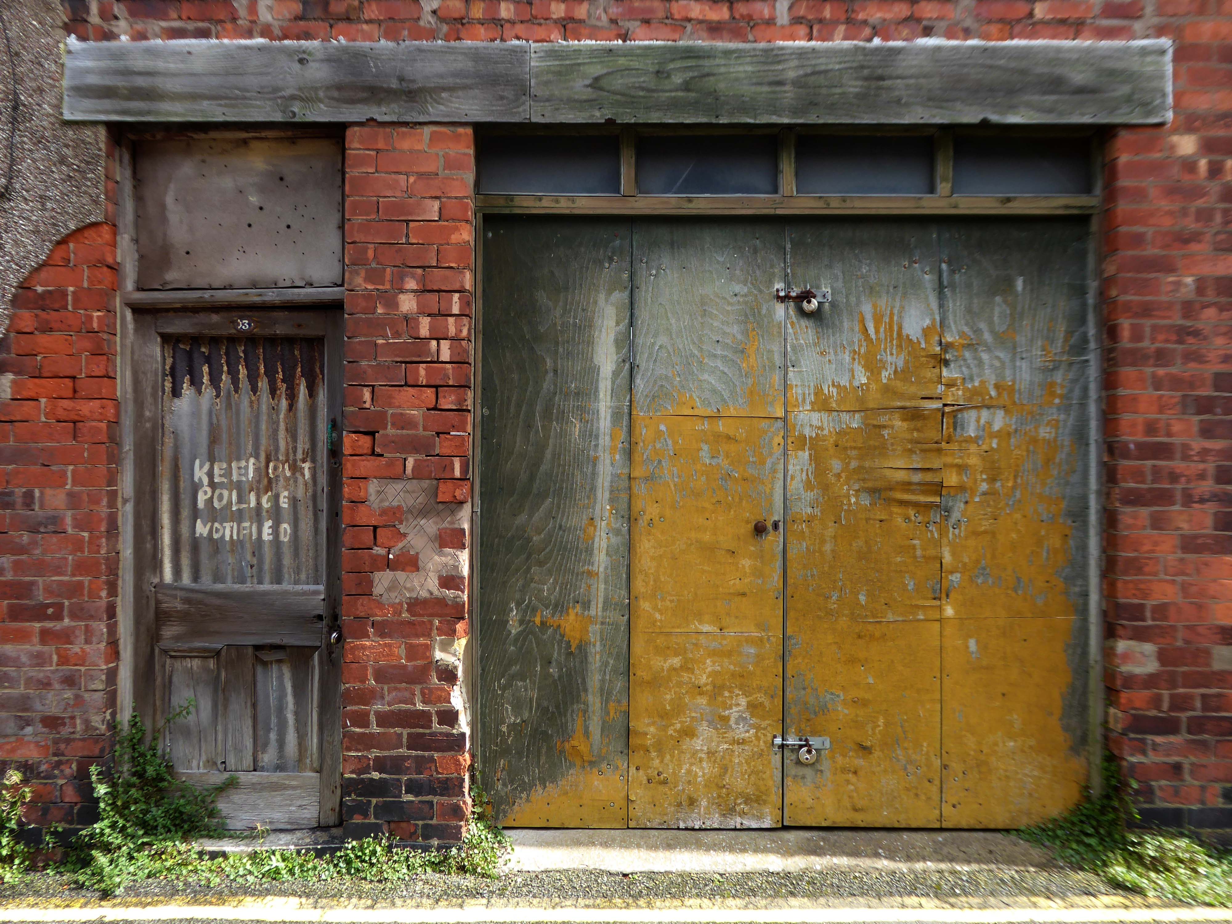
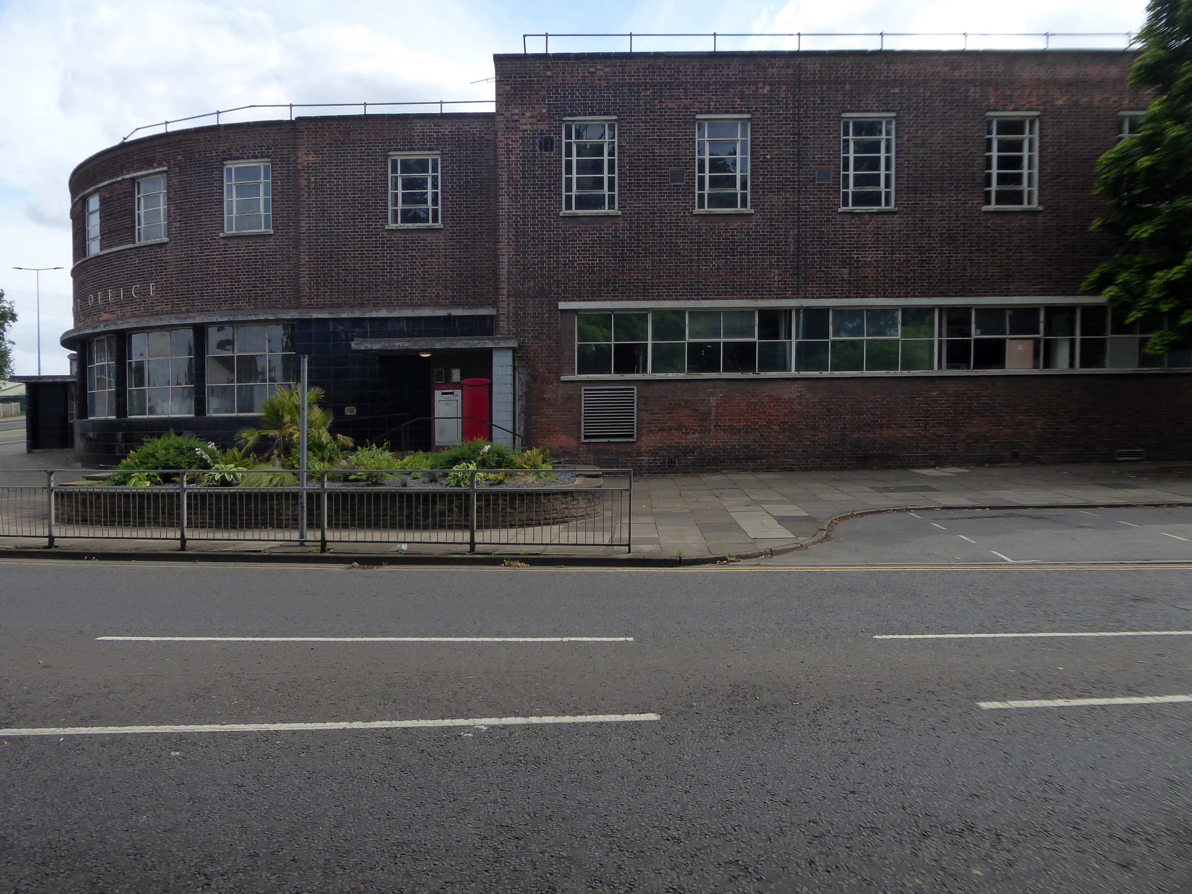
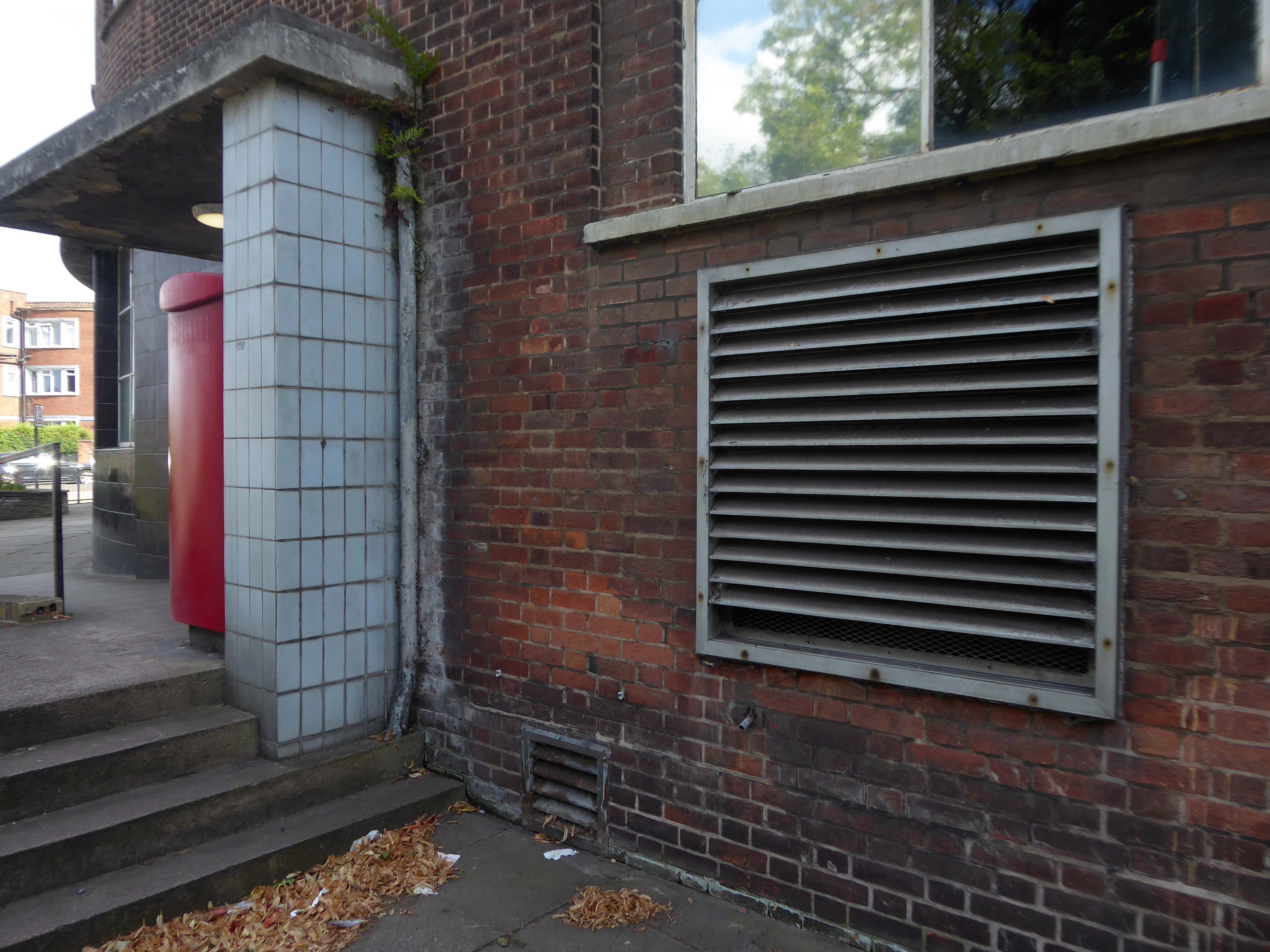
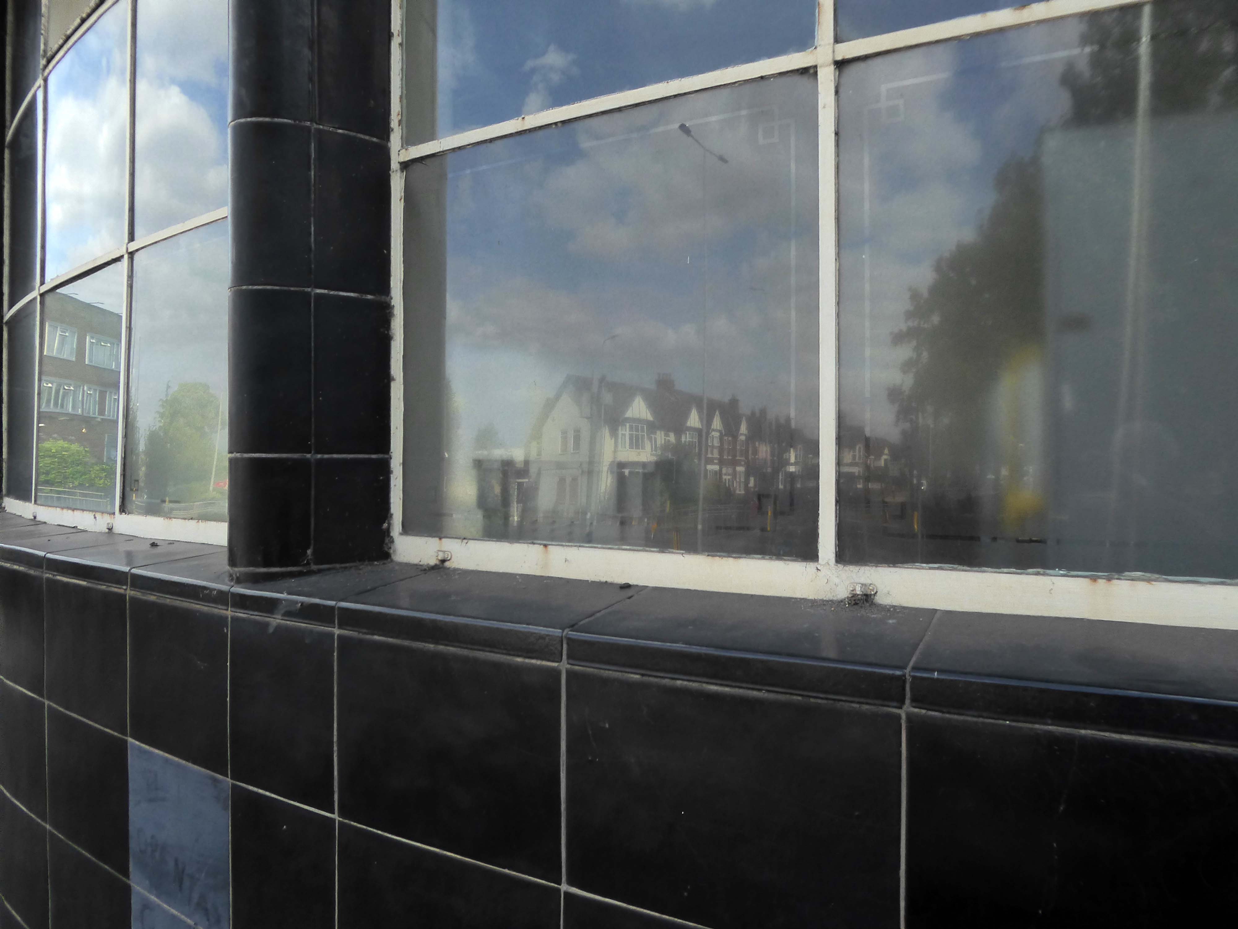
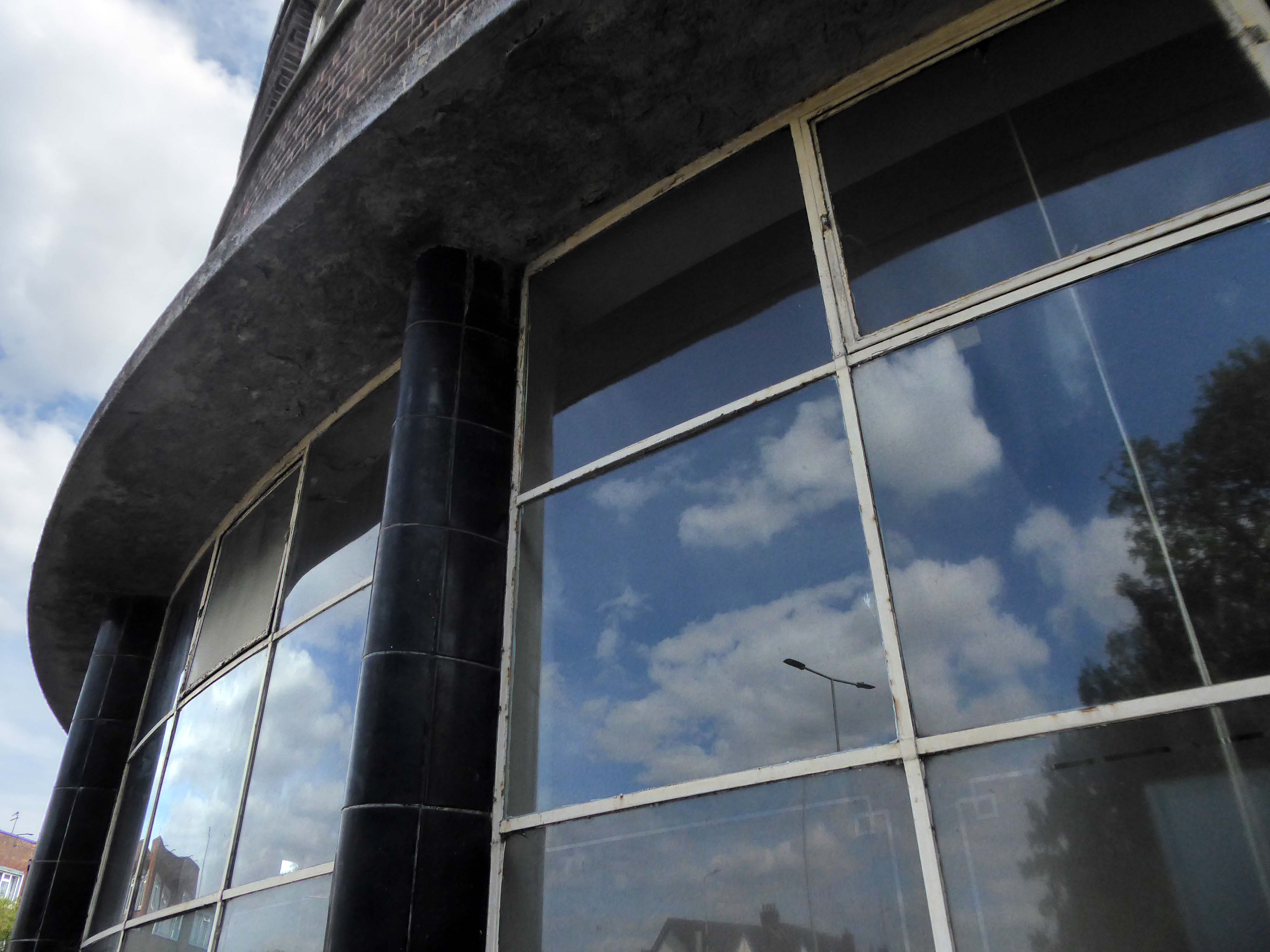
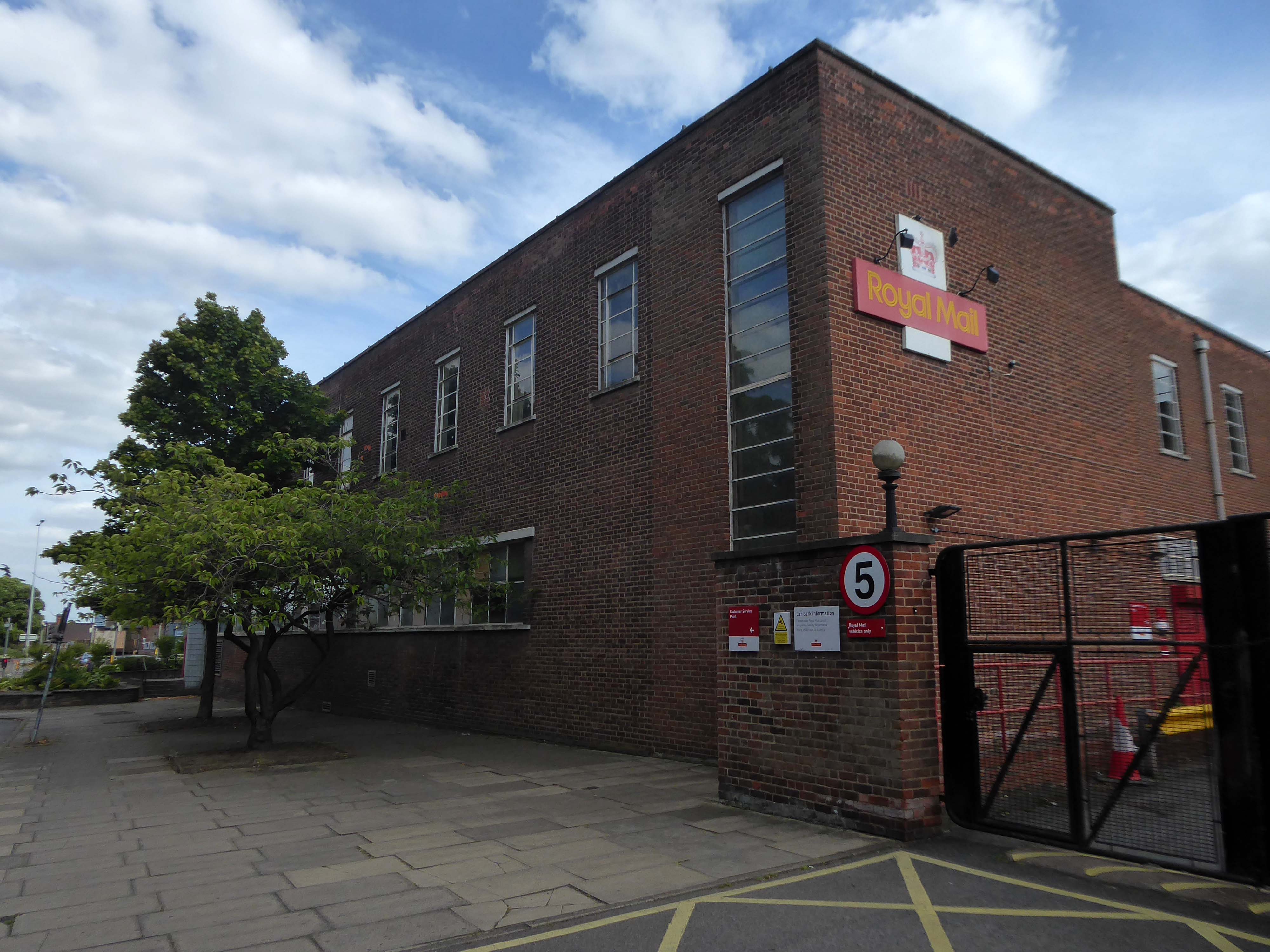
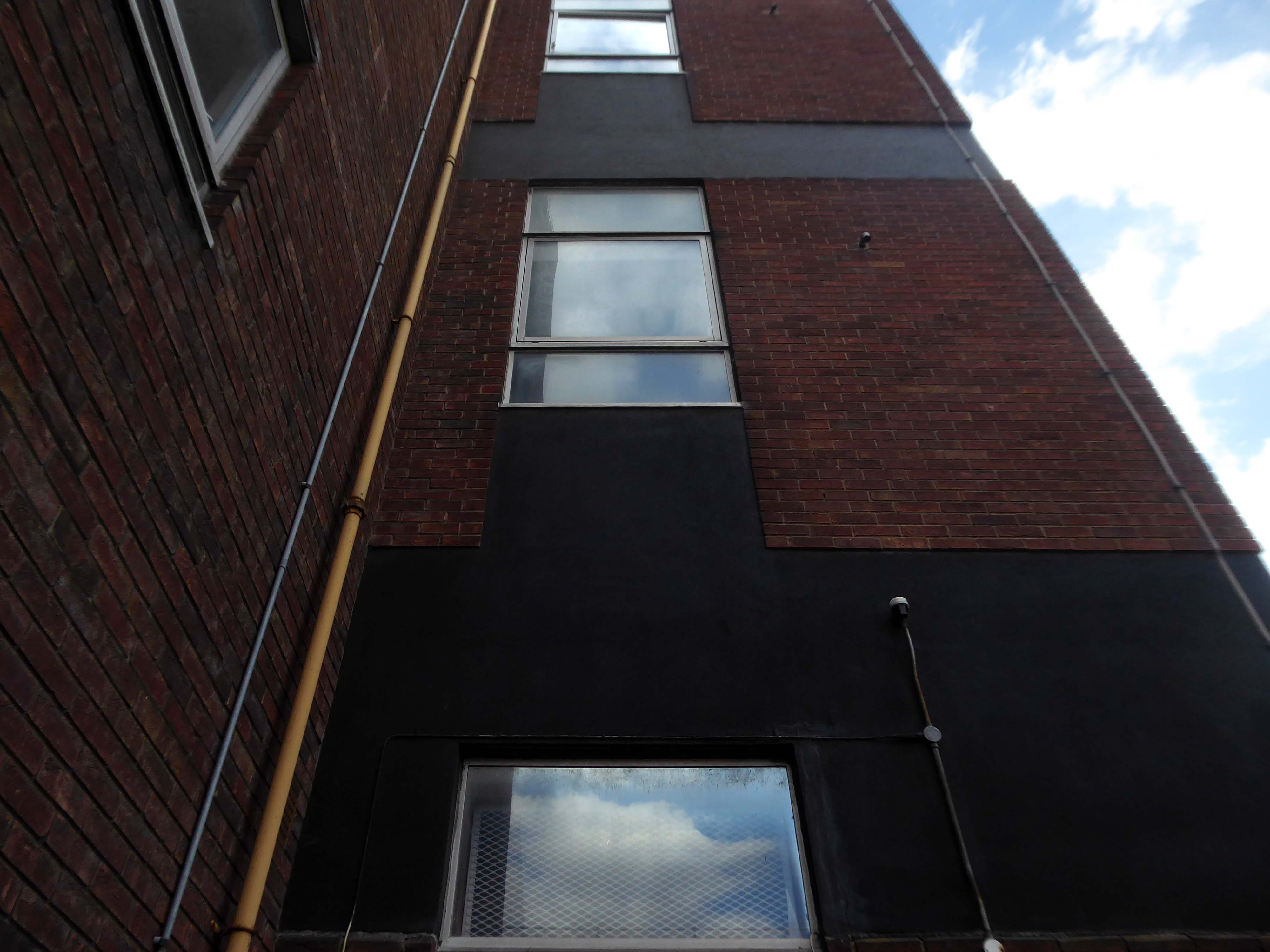
When in Halifax it’s imperative to visit Haley Hill flats, as we did in May 2025.
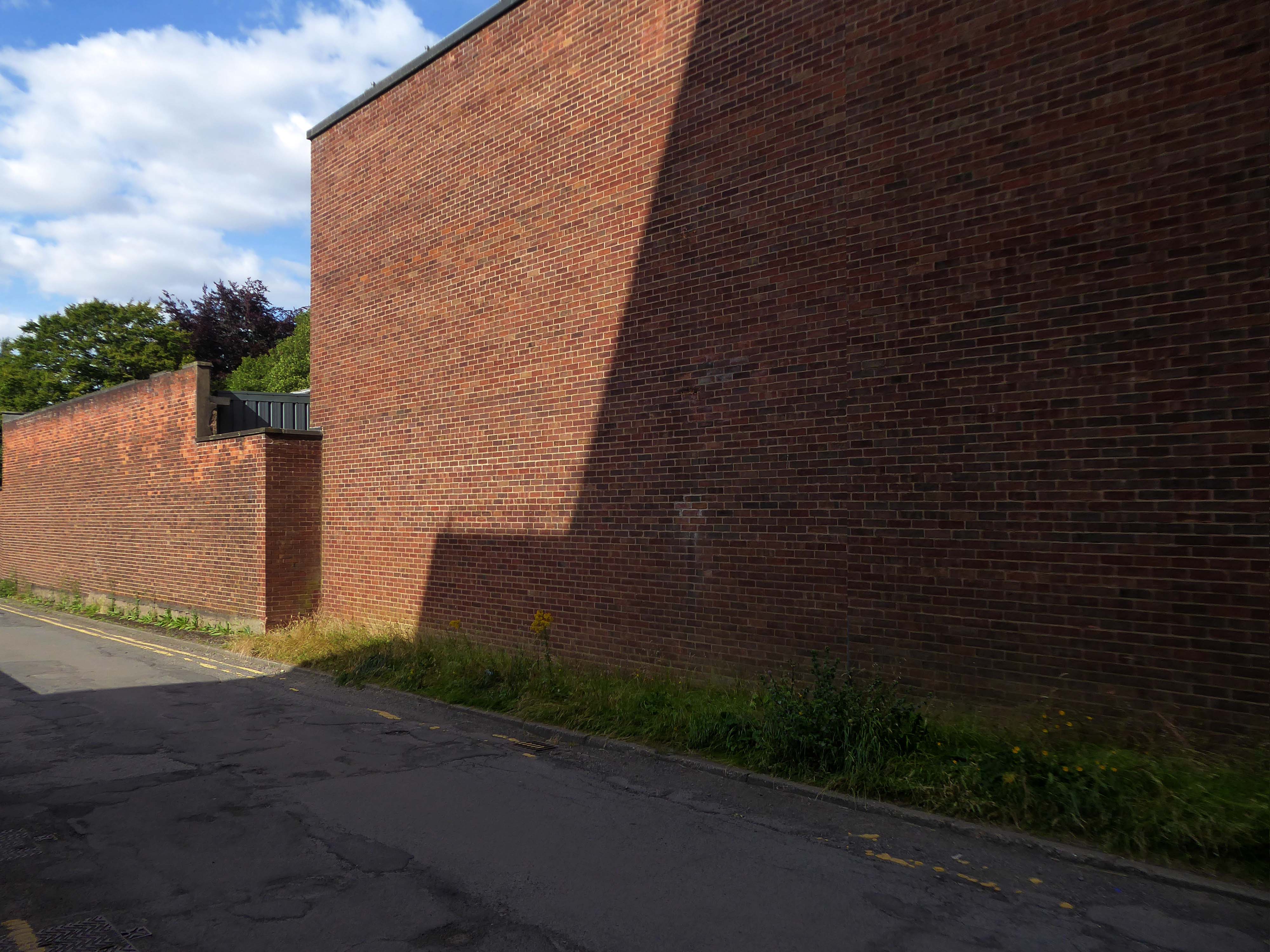
It’s a labour of love ascending the granite setts to the side of Dean Clough.
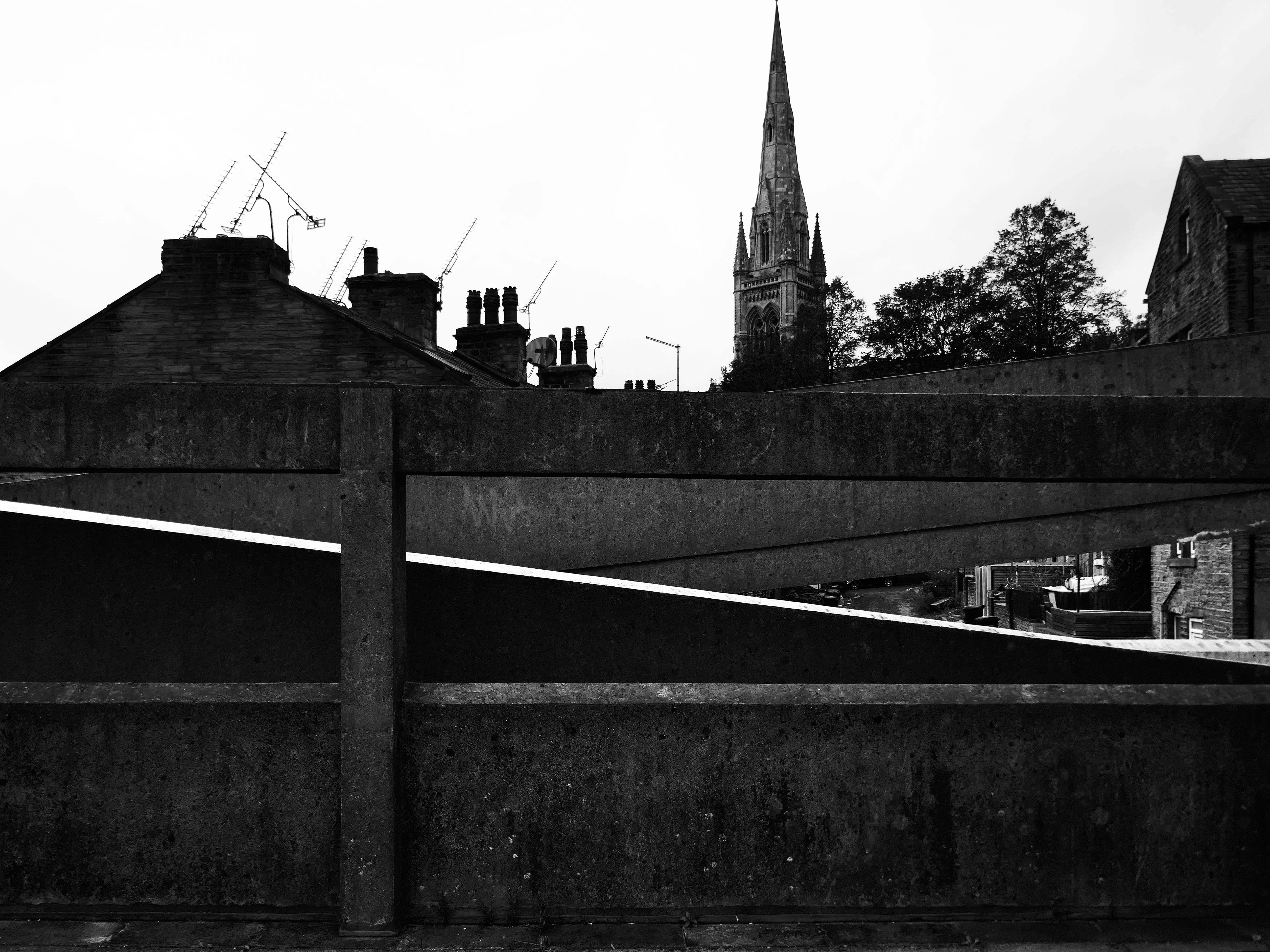
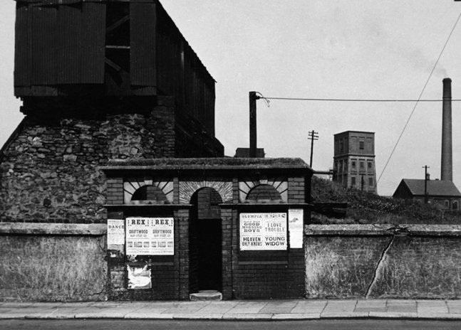
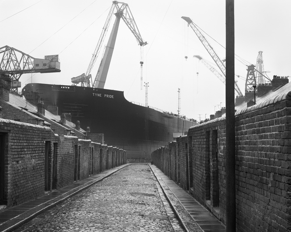
Walking in the footsteps of photographer Bill Brandt.
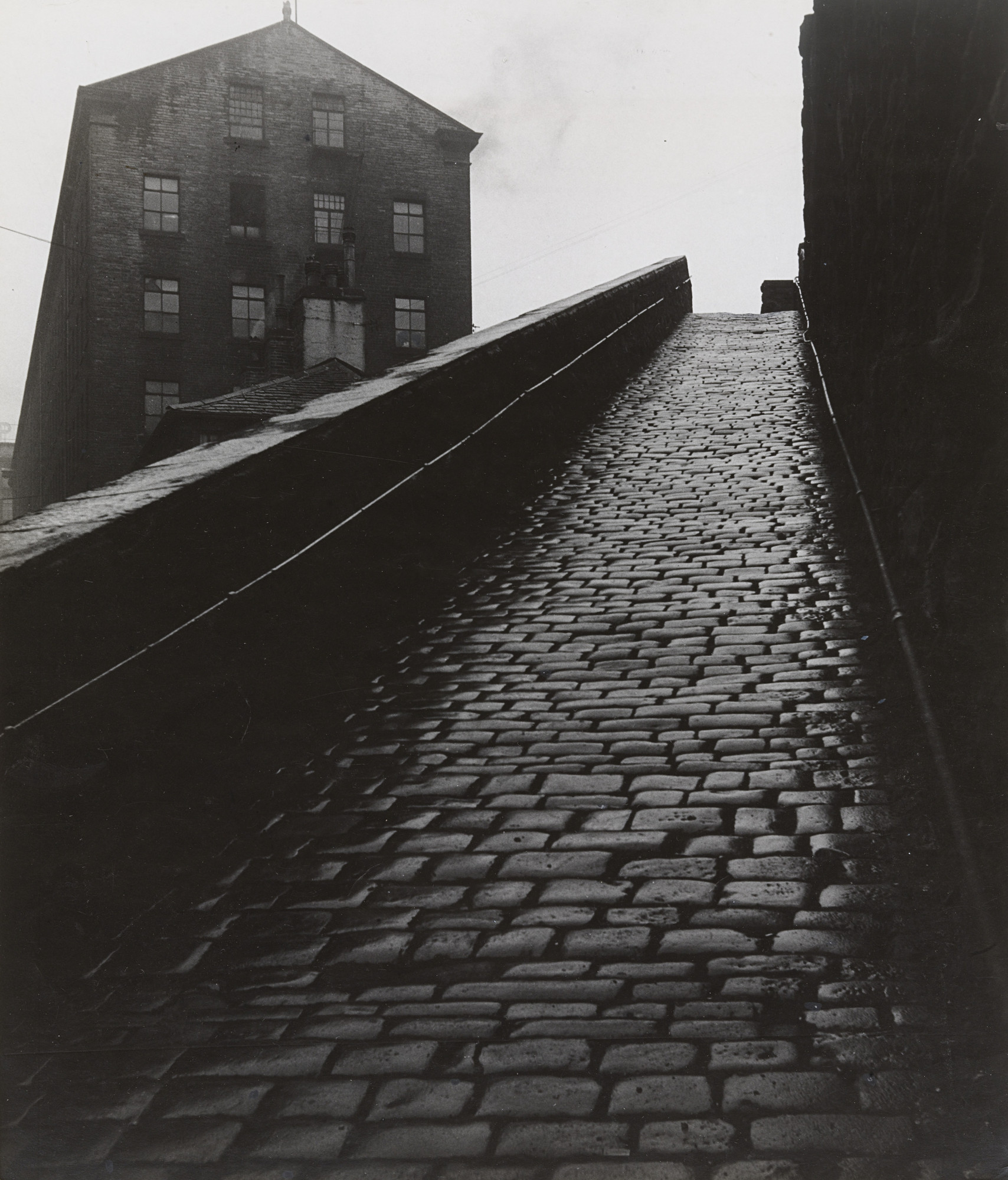
A Snicket in Halifax: Bill Brandt 1937
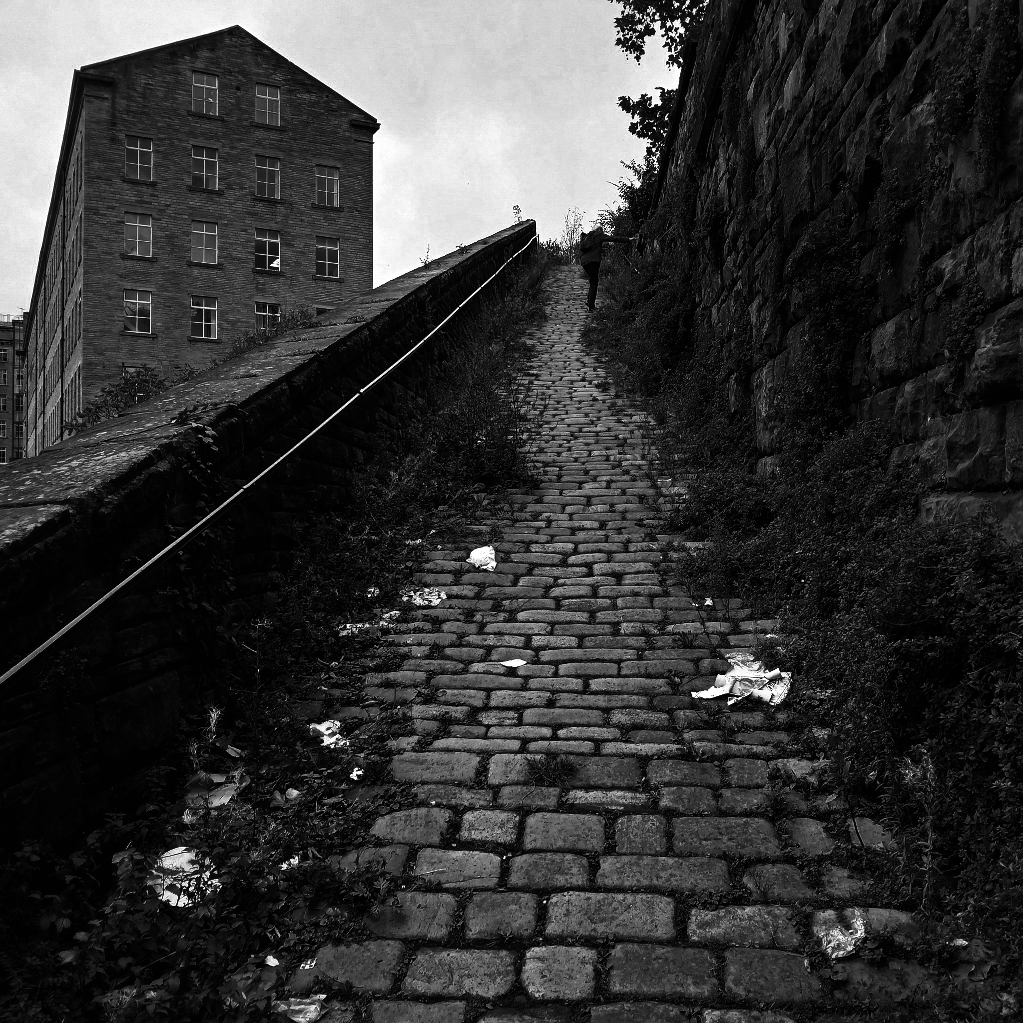
A Snicket in Halifax: Steve Marland 2025
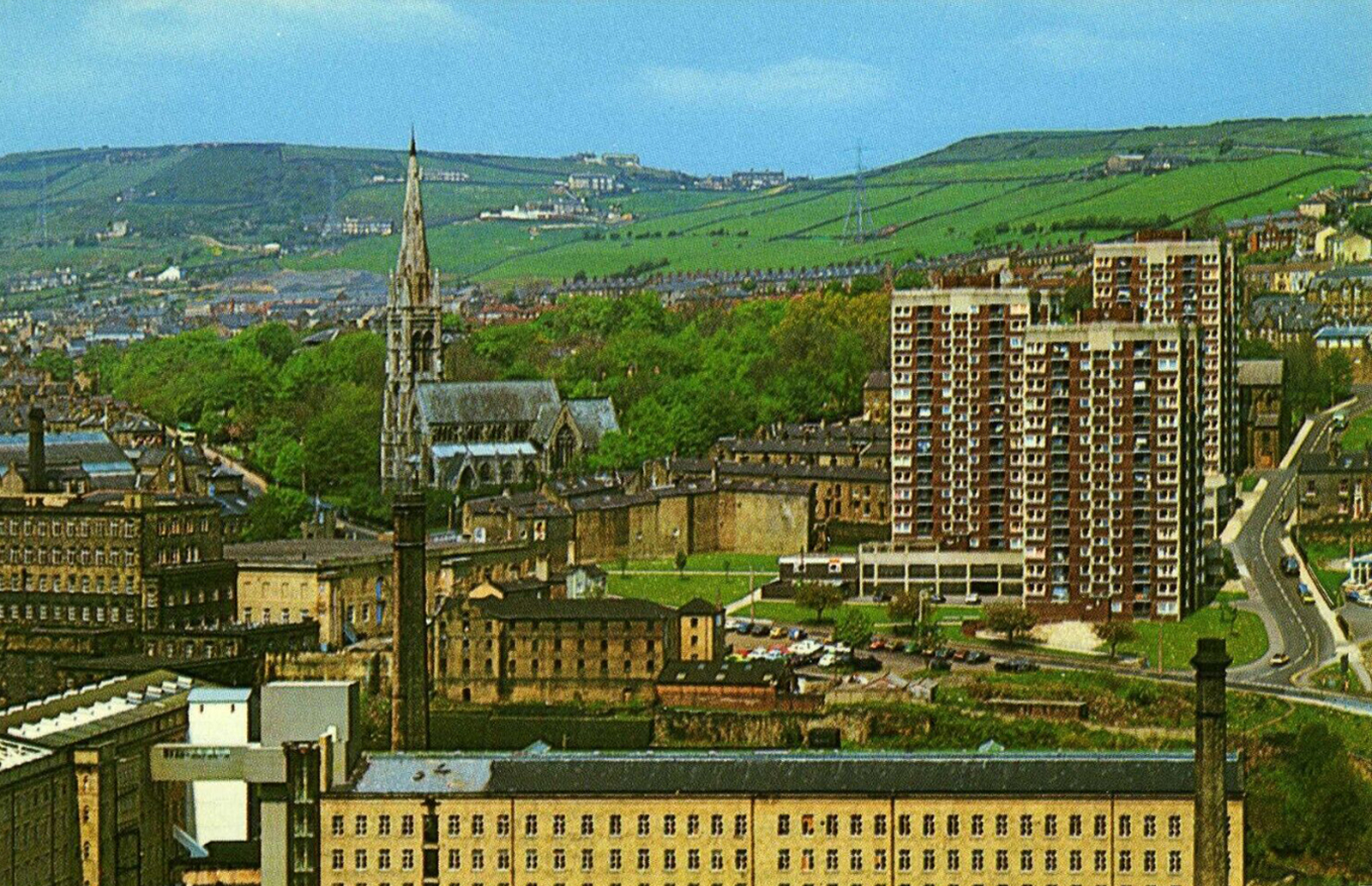
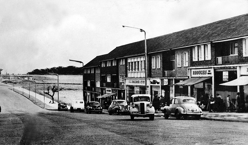
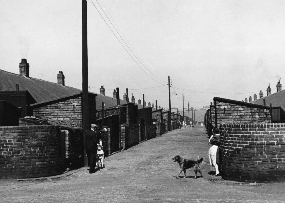
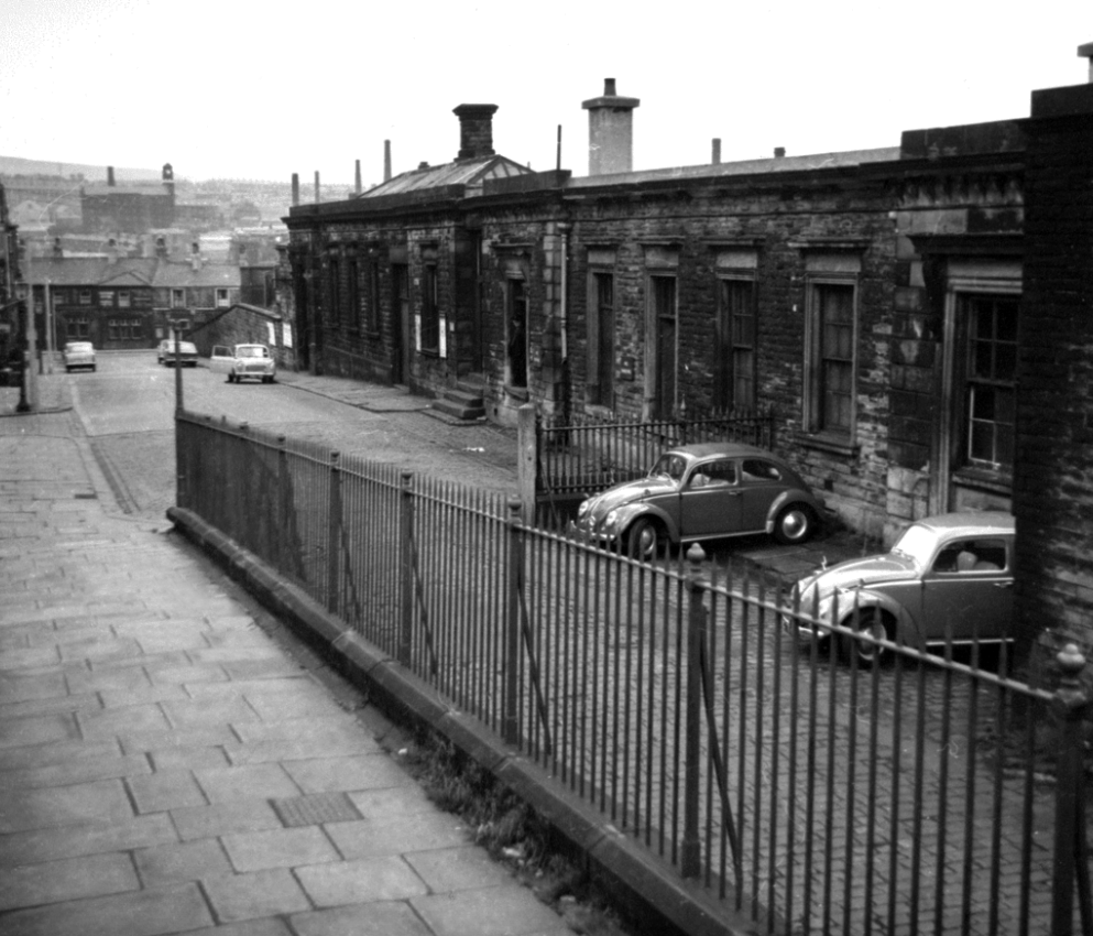
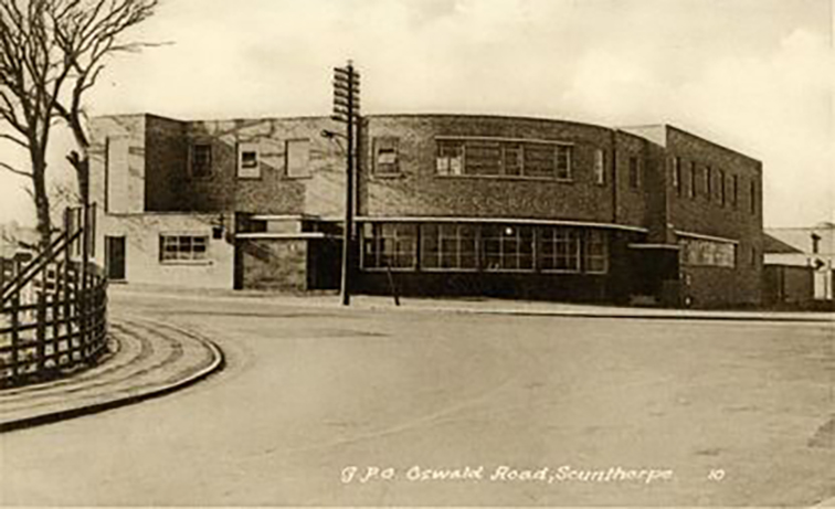
Postcard c. 1970
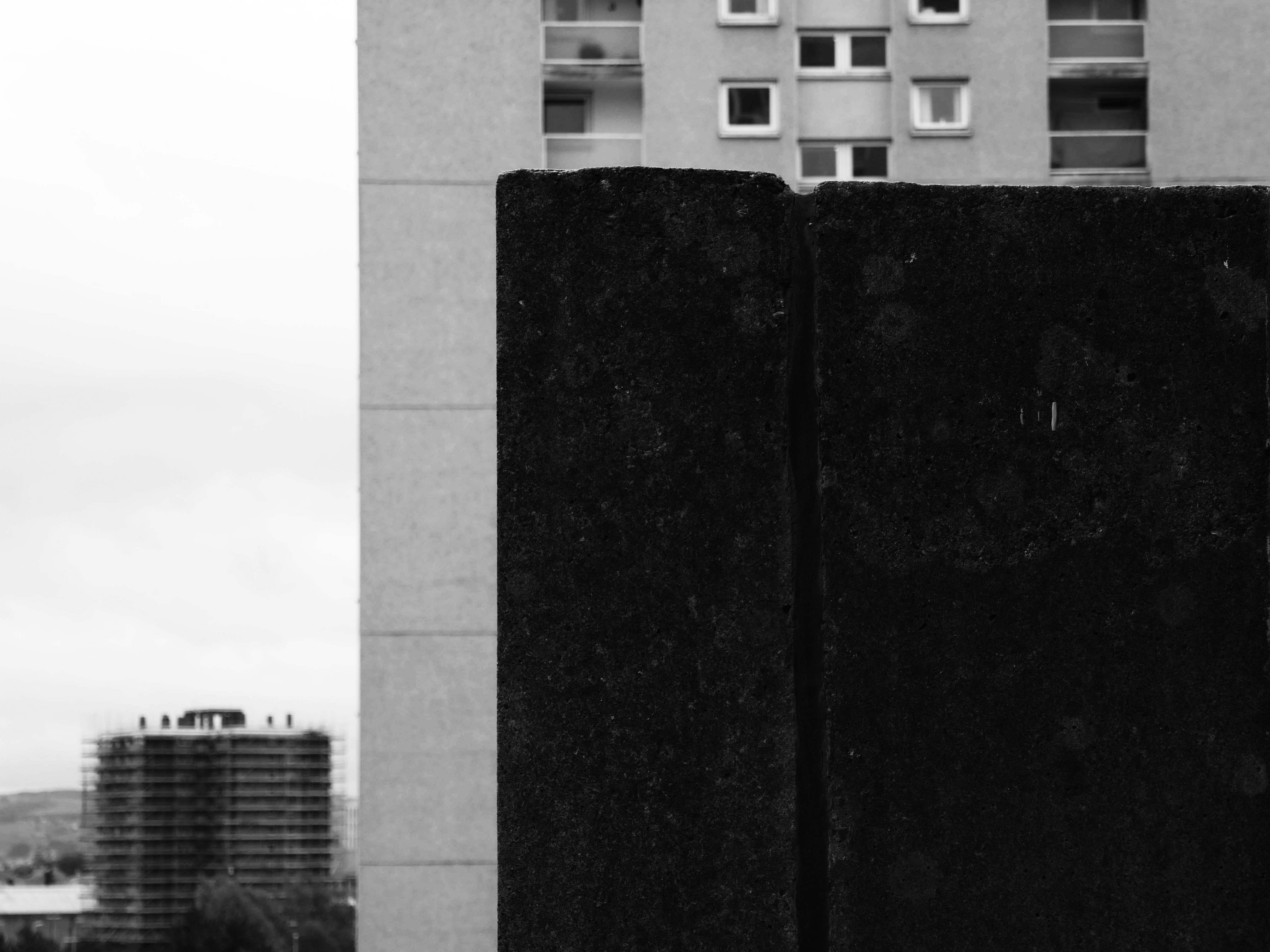
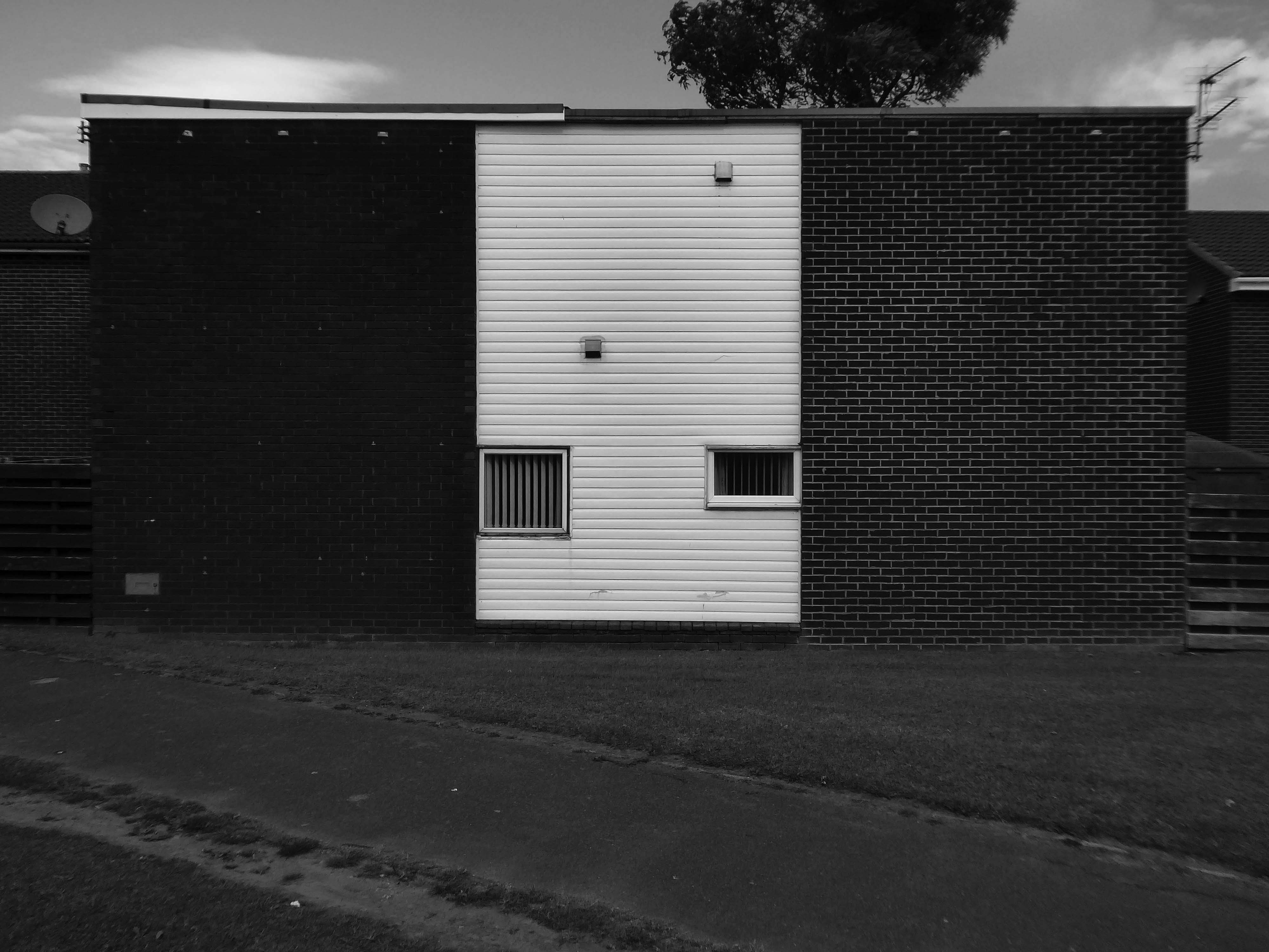
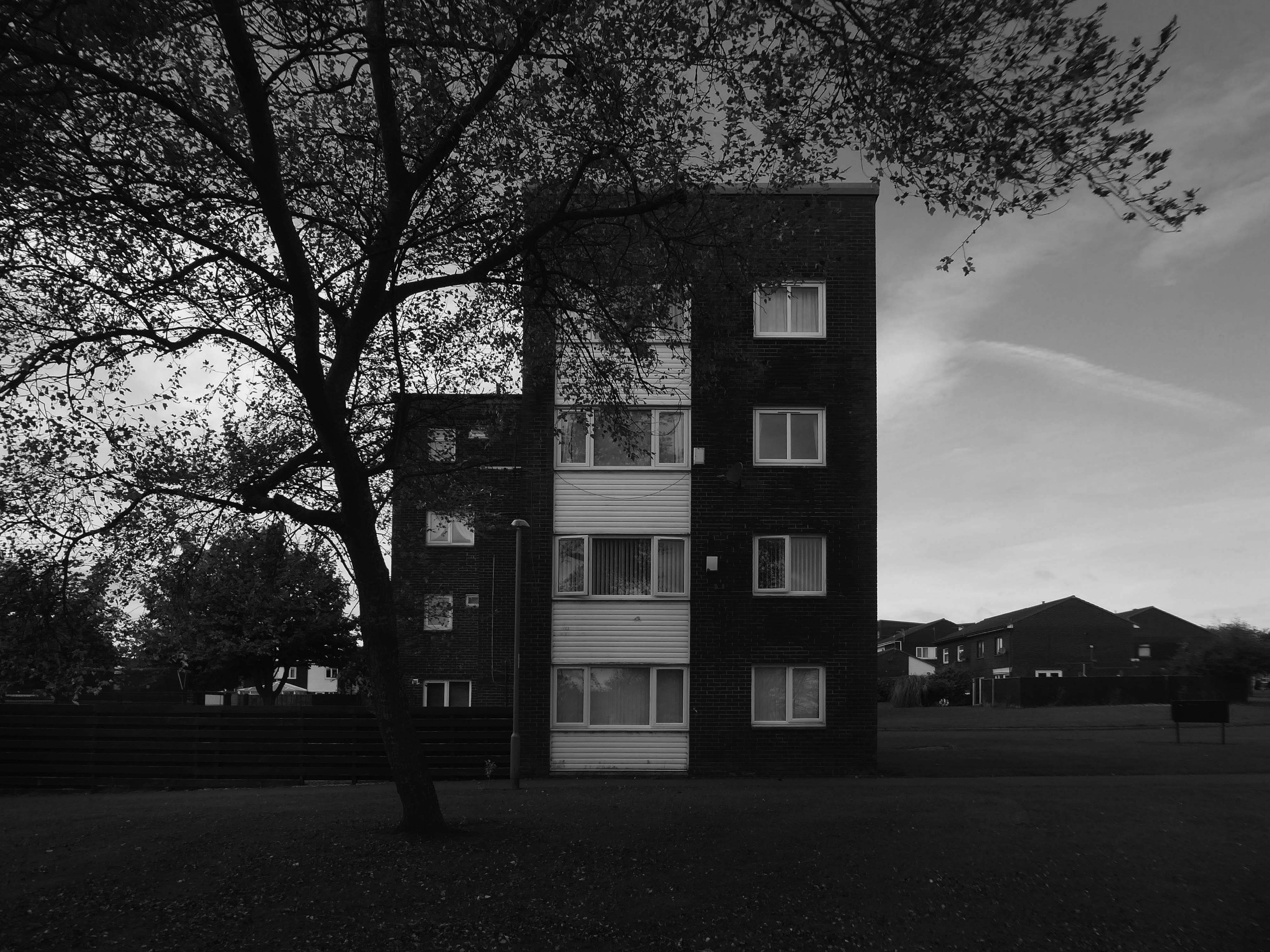
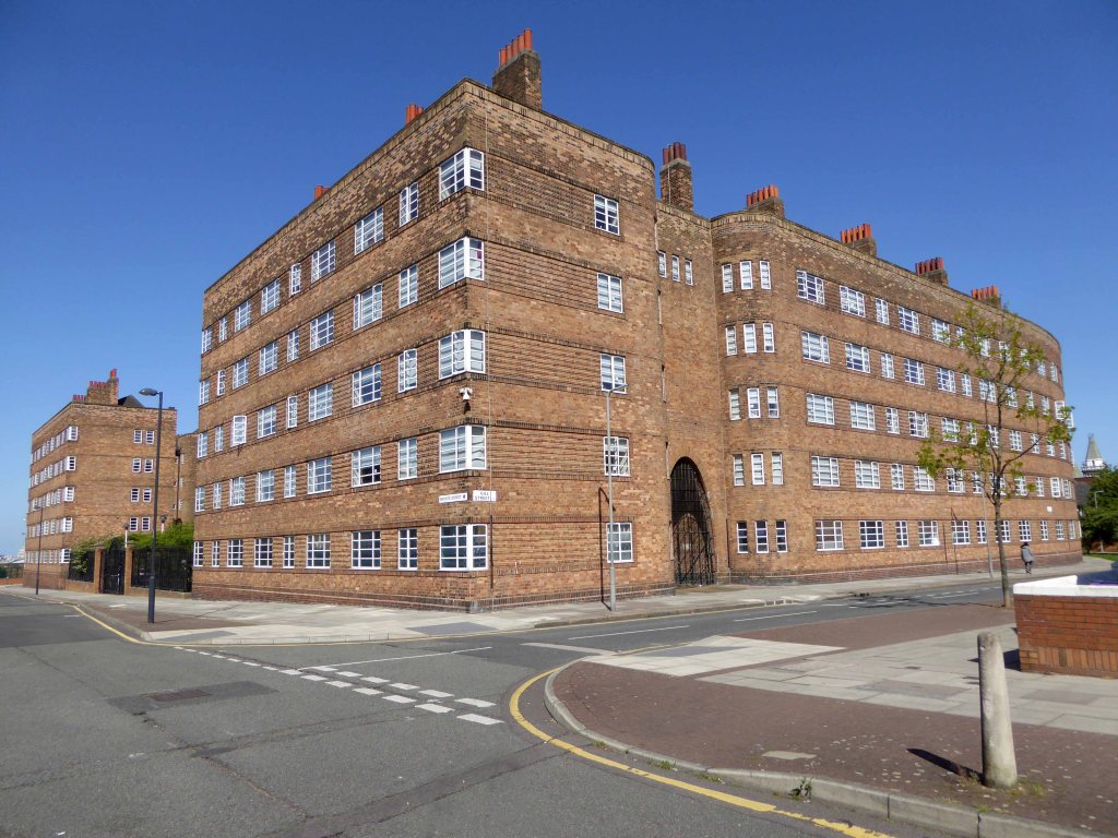
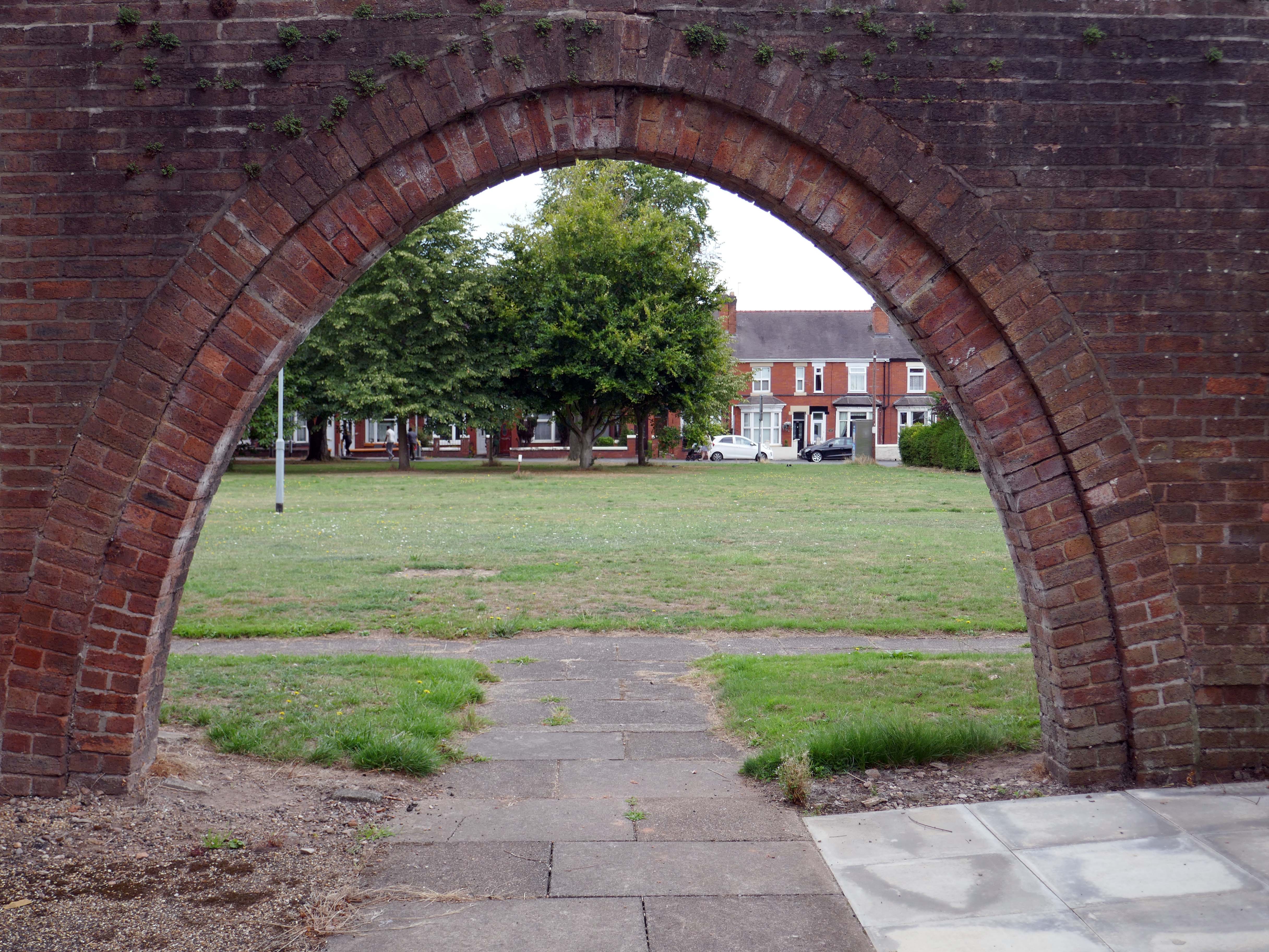
So it’s October 2025 and today Matthew I am mainly Bill Brandt.
Walking in the footsteps of giants.
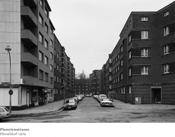
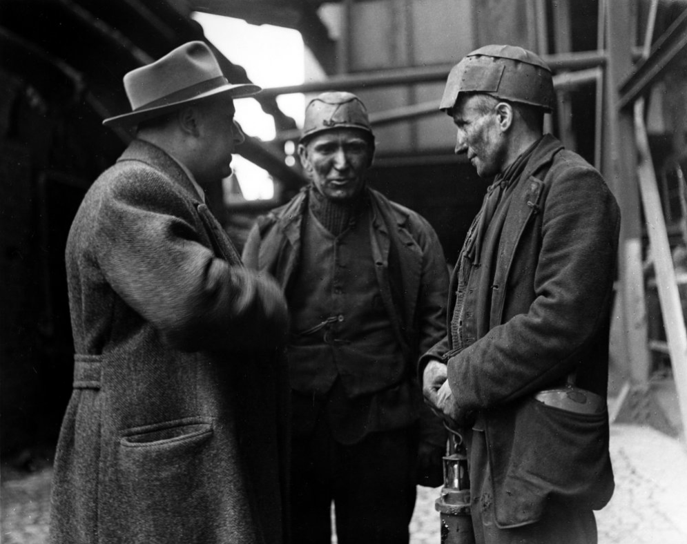
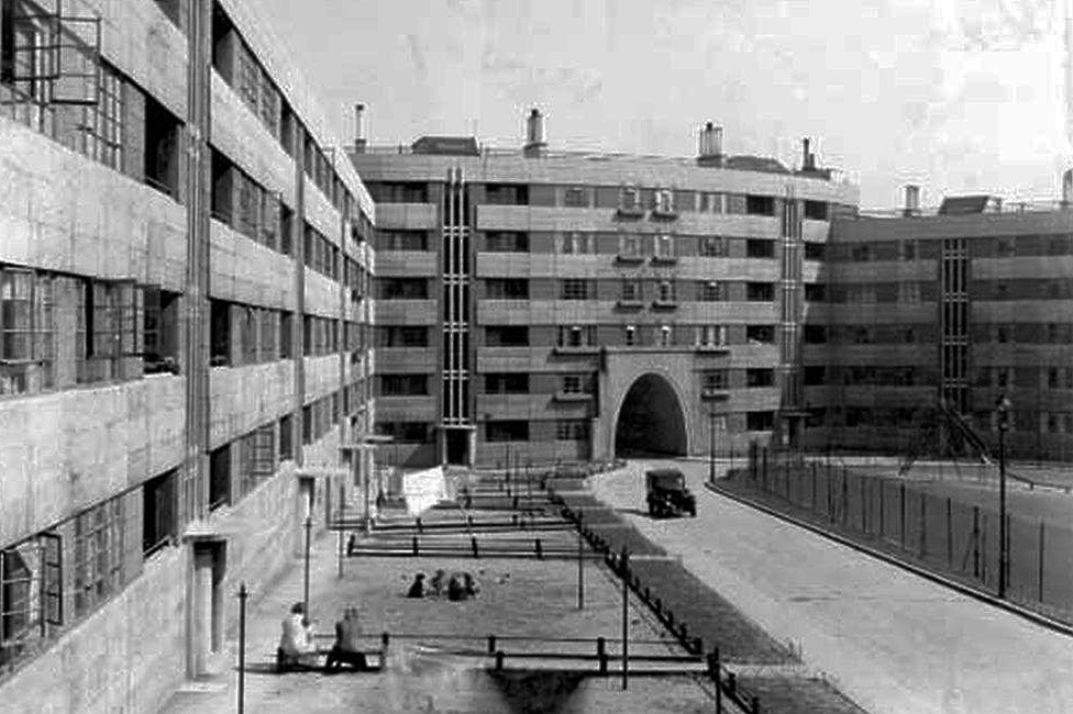
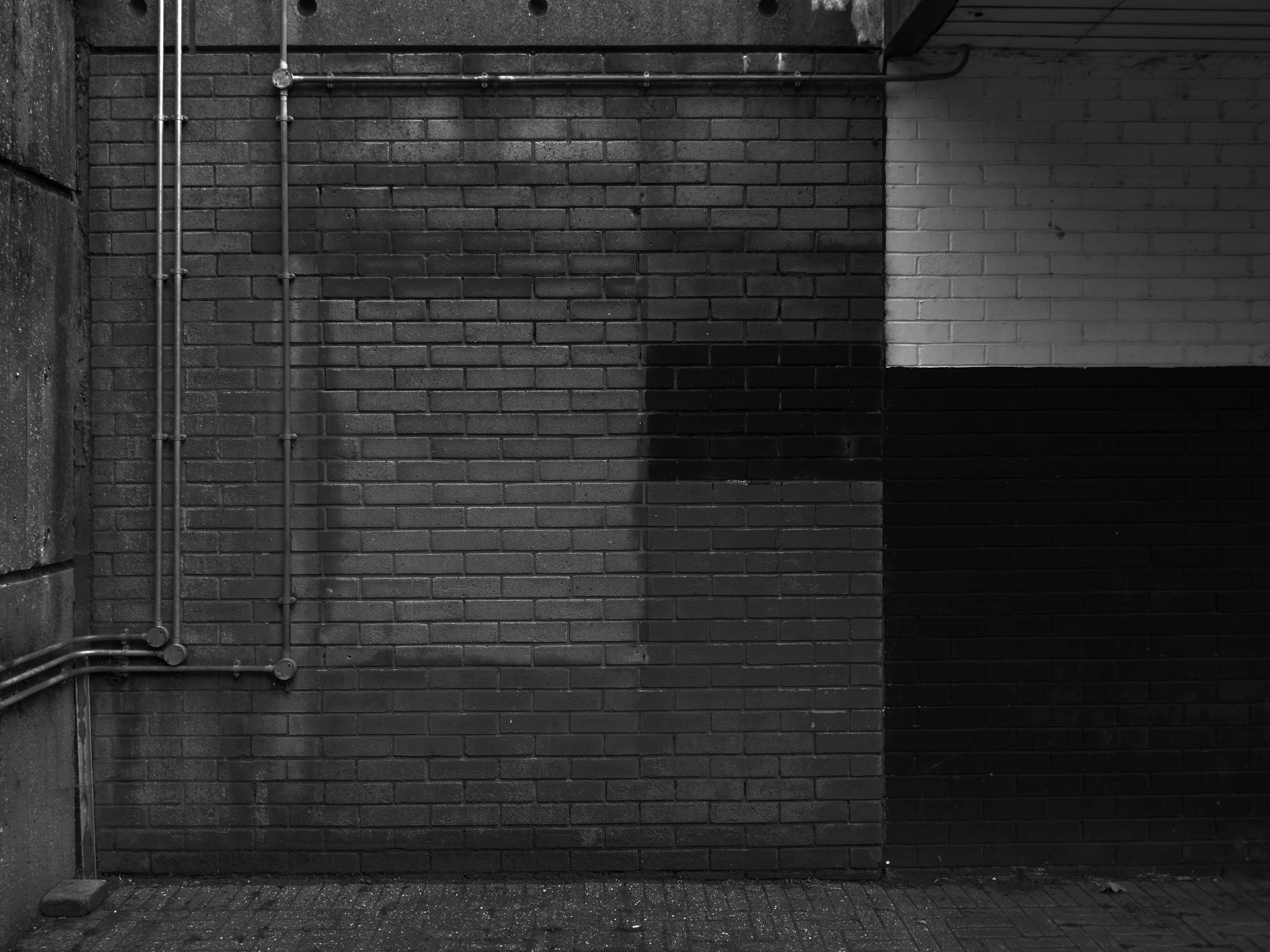
Print quality is a variable thing depending on the purpose of the image. I would expect a pure record photograph to have a full range of tone, with both shadow and highlight gradation. Against this, pictorial or art based imagery requires the range of tones best suited to making the statement. The classic case is the soot and whitewash printing of Bill Brandt. So we have a situation that carries a contradiction; blocked up shadows in applied work is not acceptable but blocked up blacks in pictorial work is often perfectly acceptable, if that lost information is not relative to the image. Burnt out highlights are more dangerous, but again Bill Brandt did it with great effect.
Bill Wisden
So, the record print would have an even tonality thus:
Whilst the pictorial artist may favour the higher contrast.
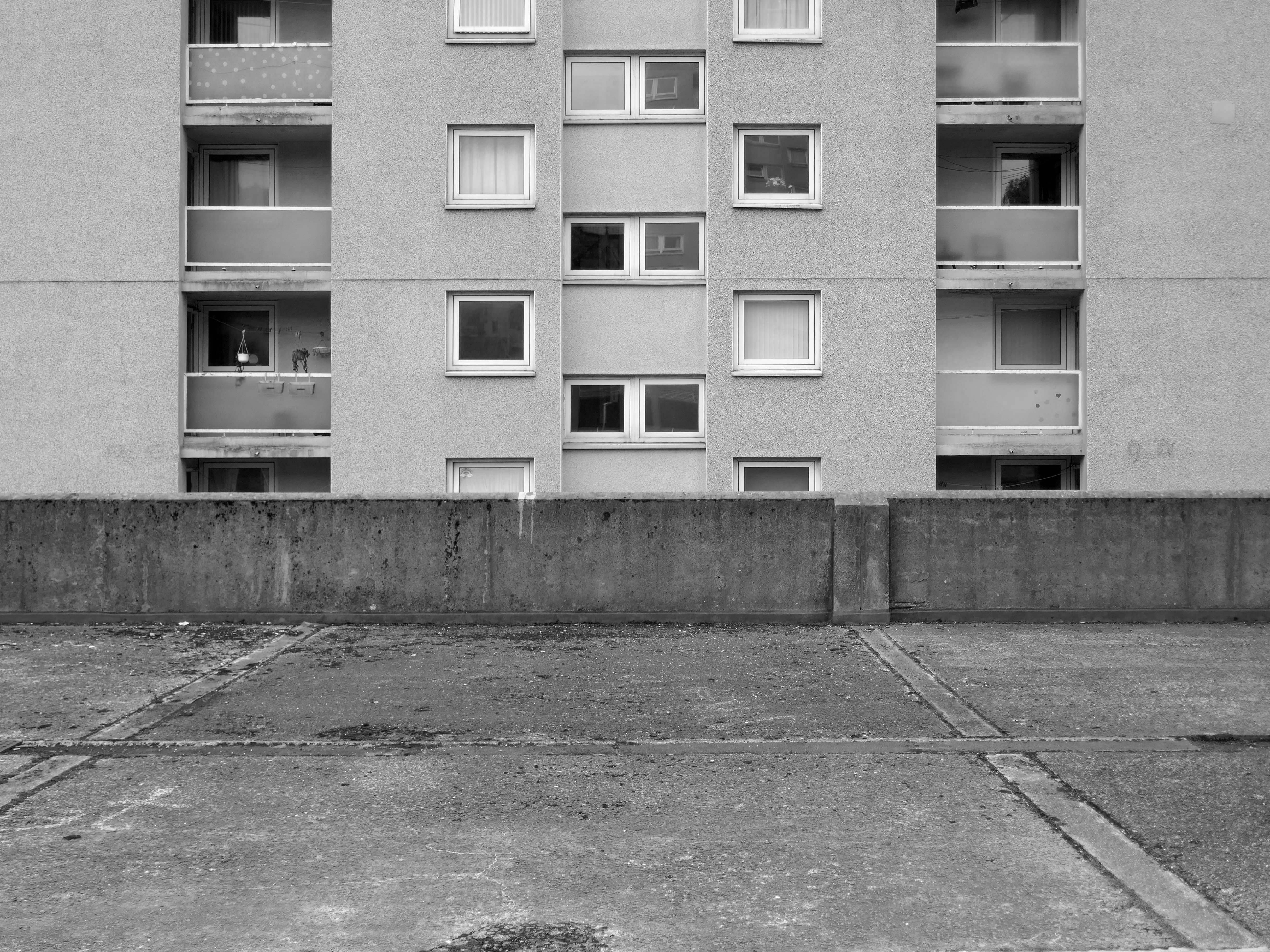
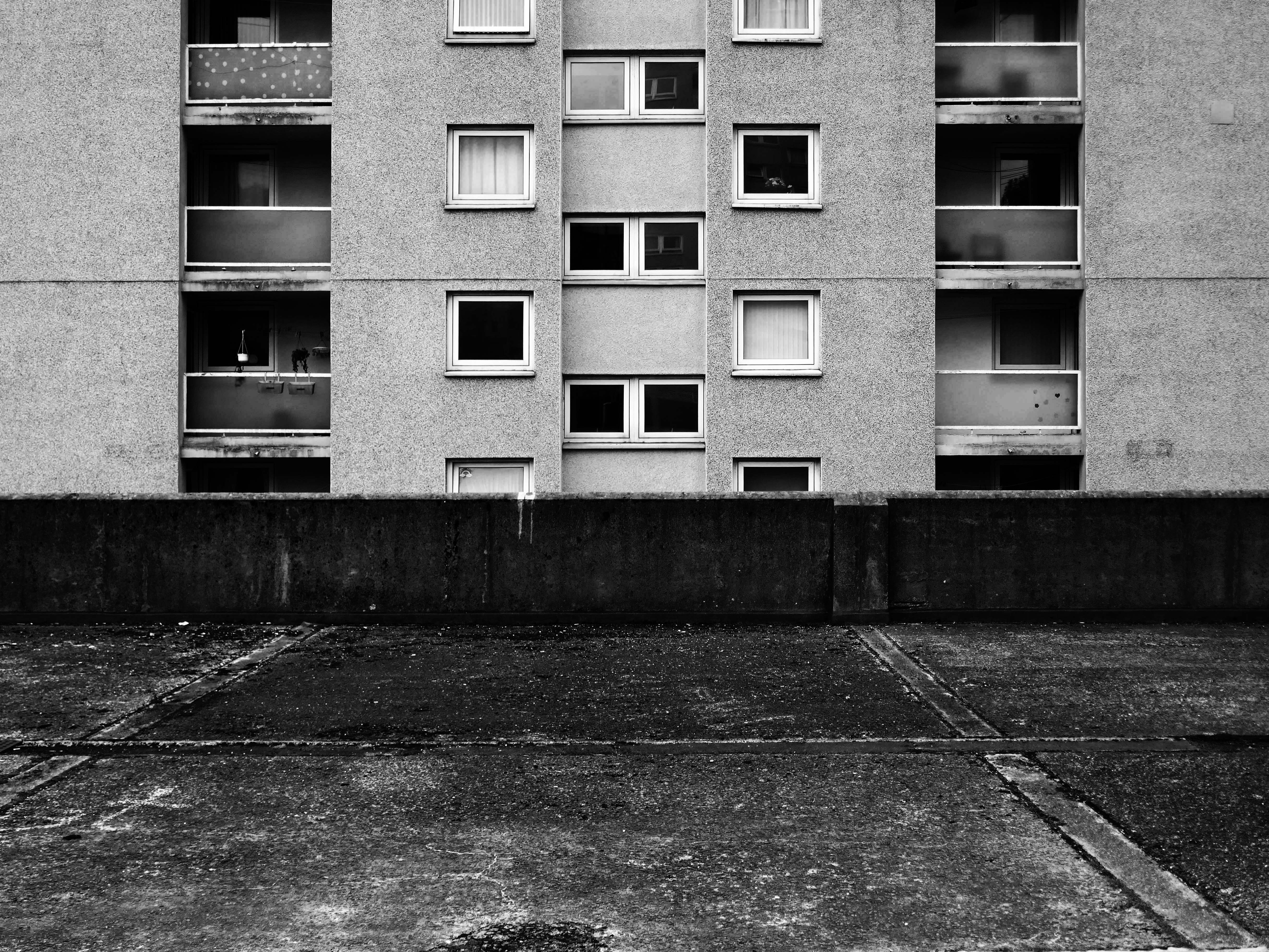
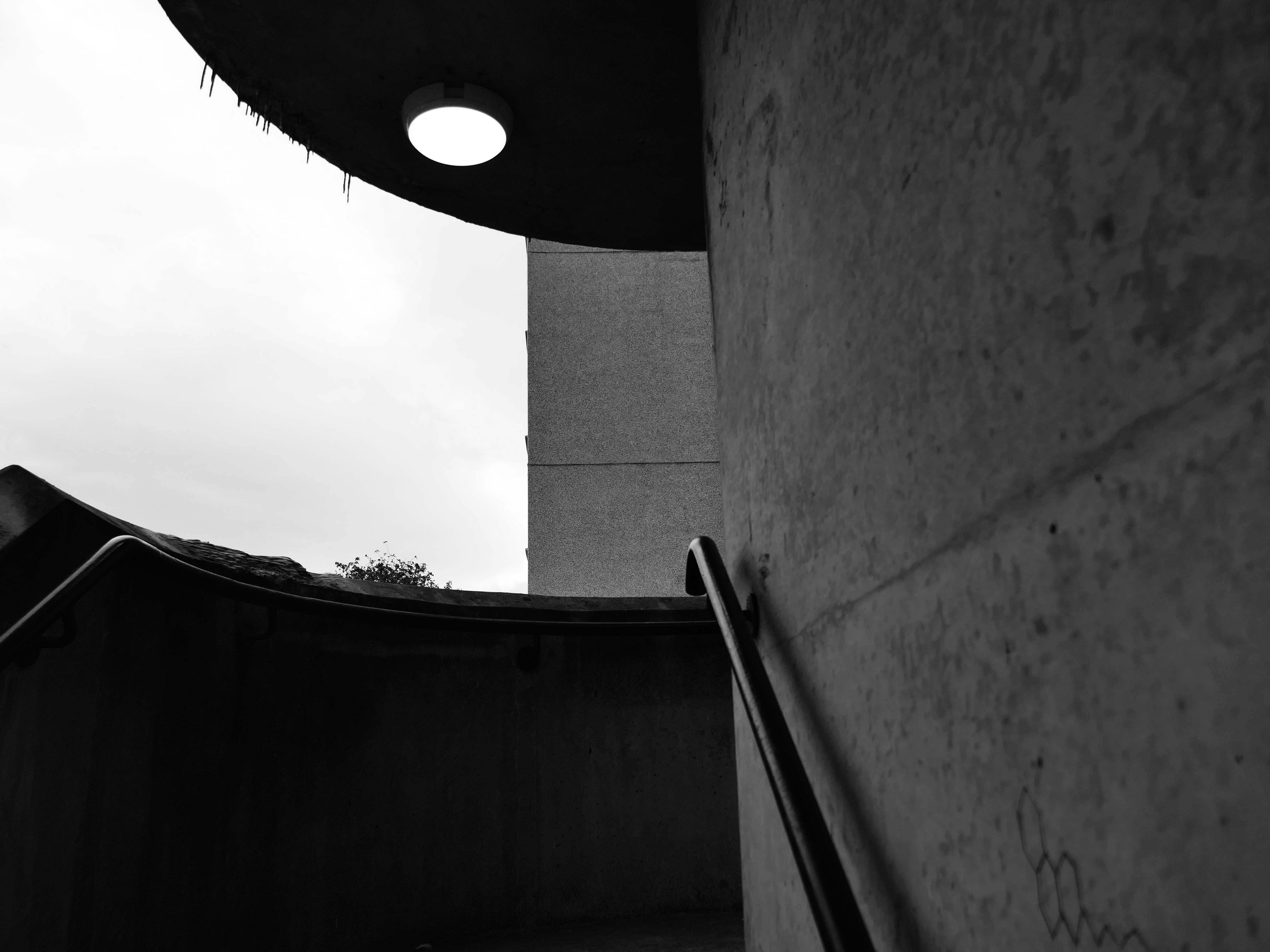
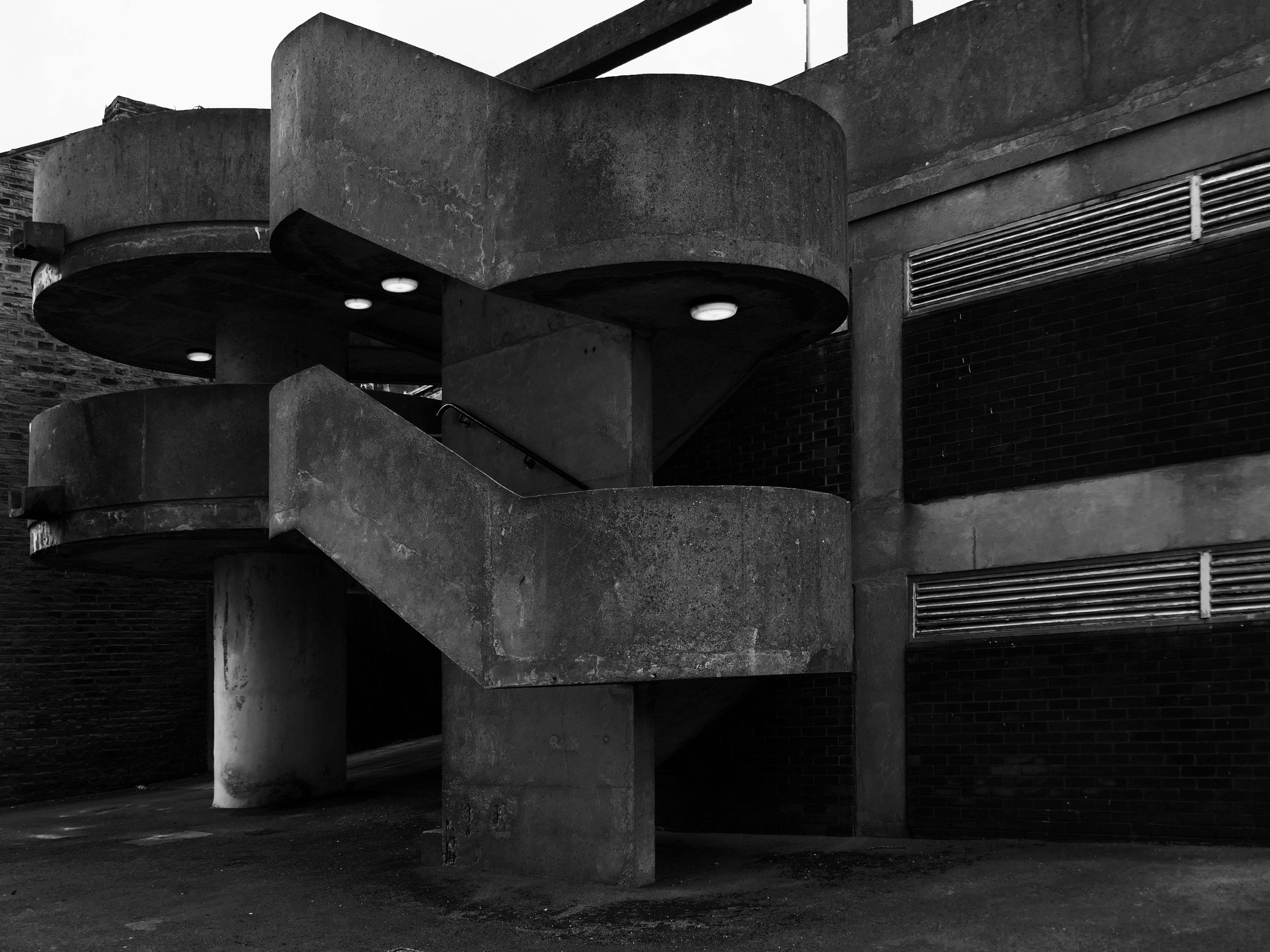
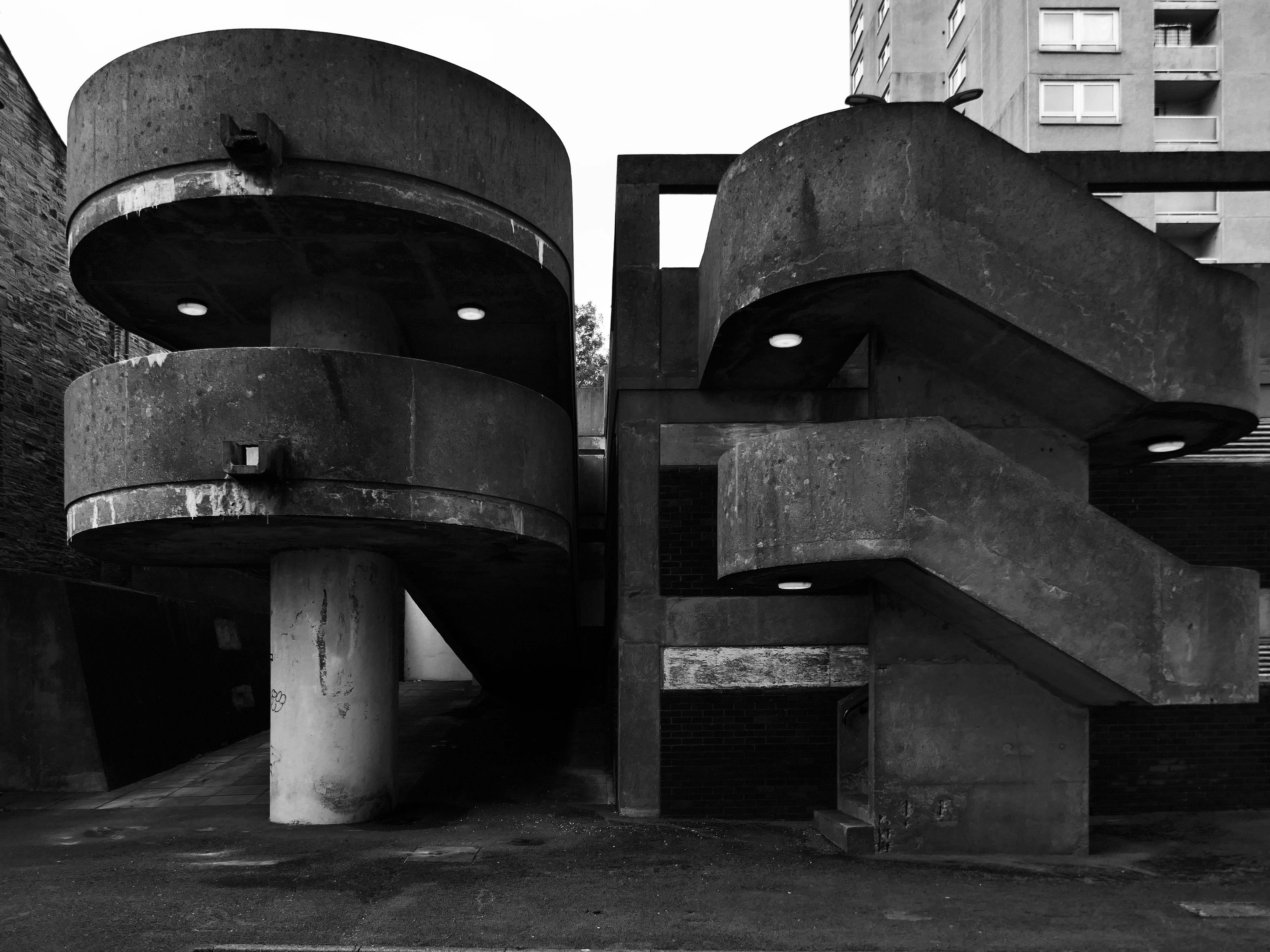
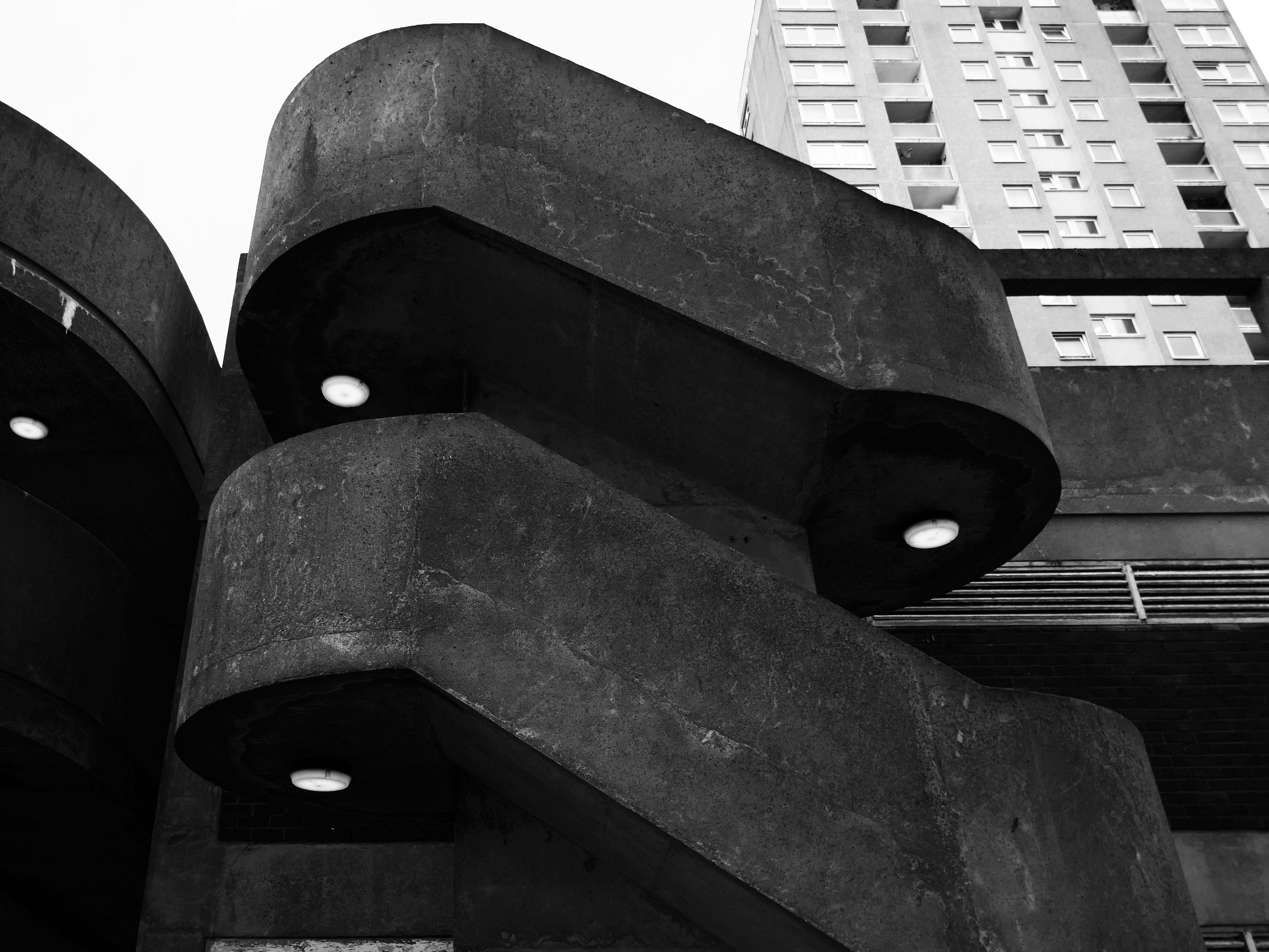
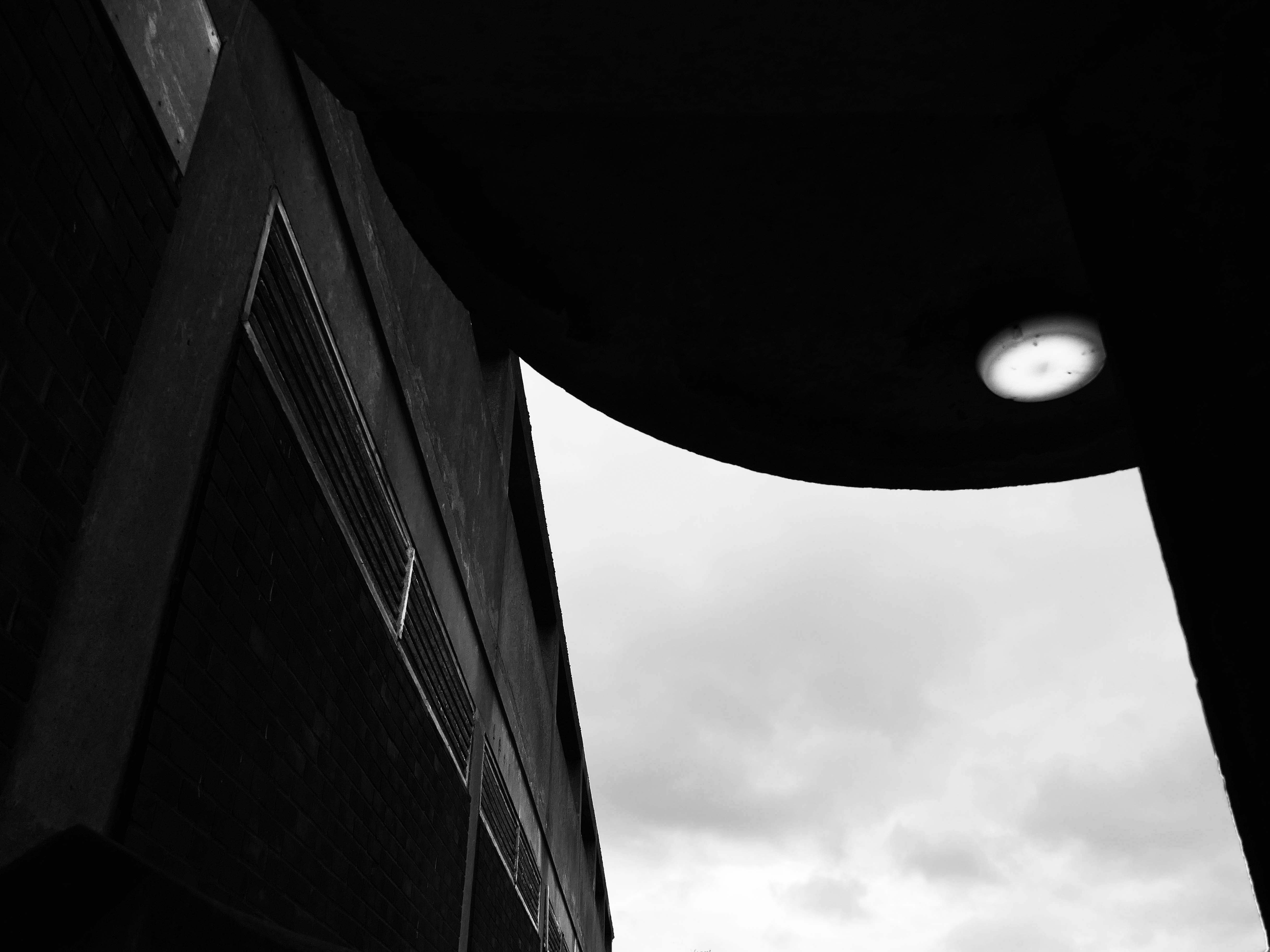
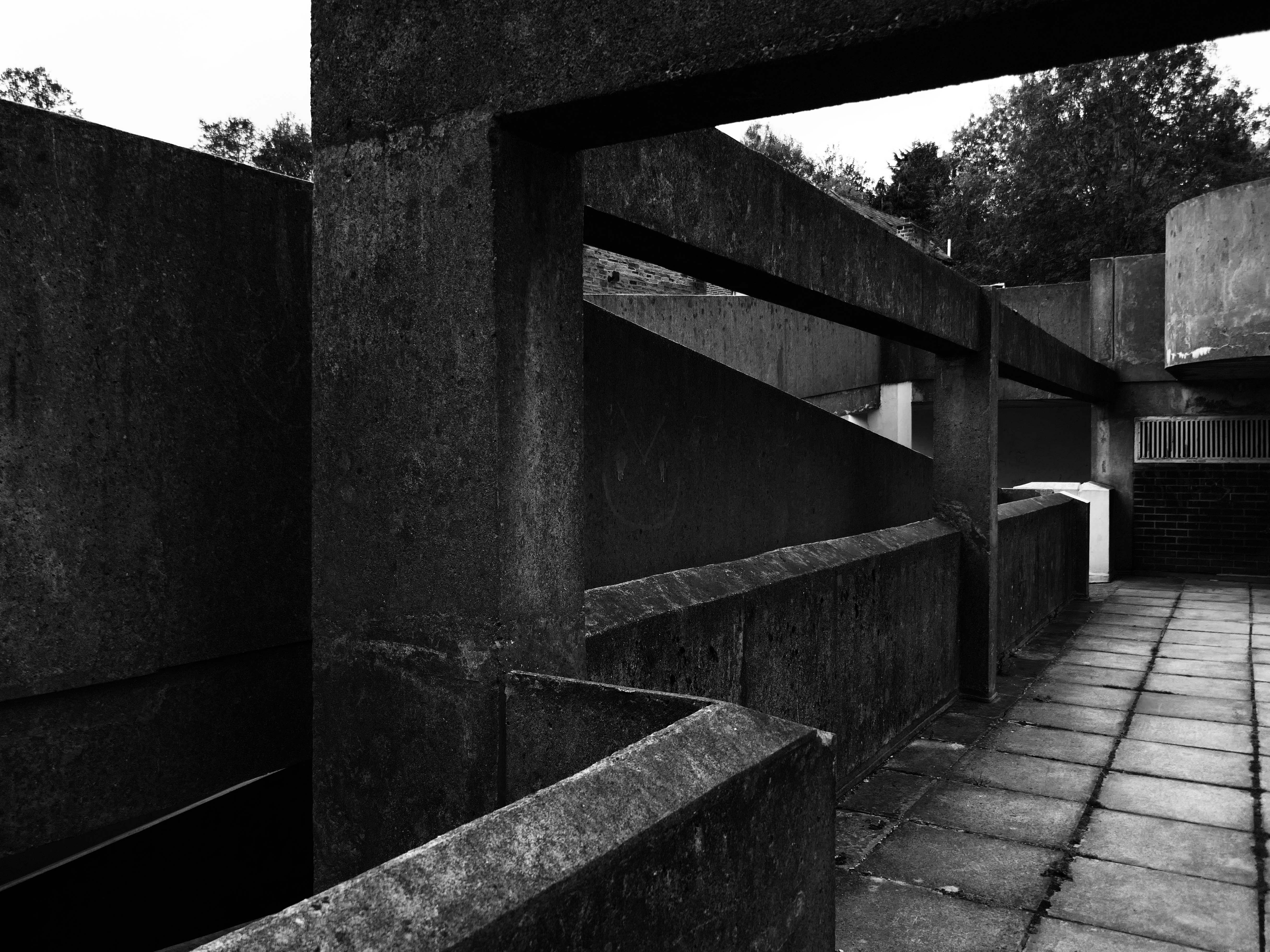
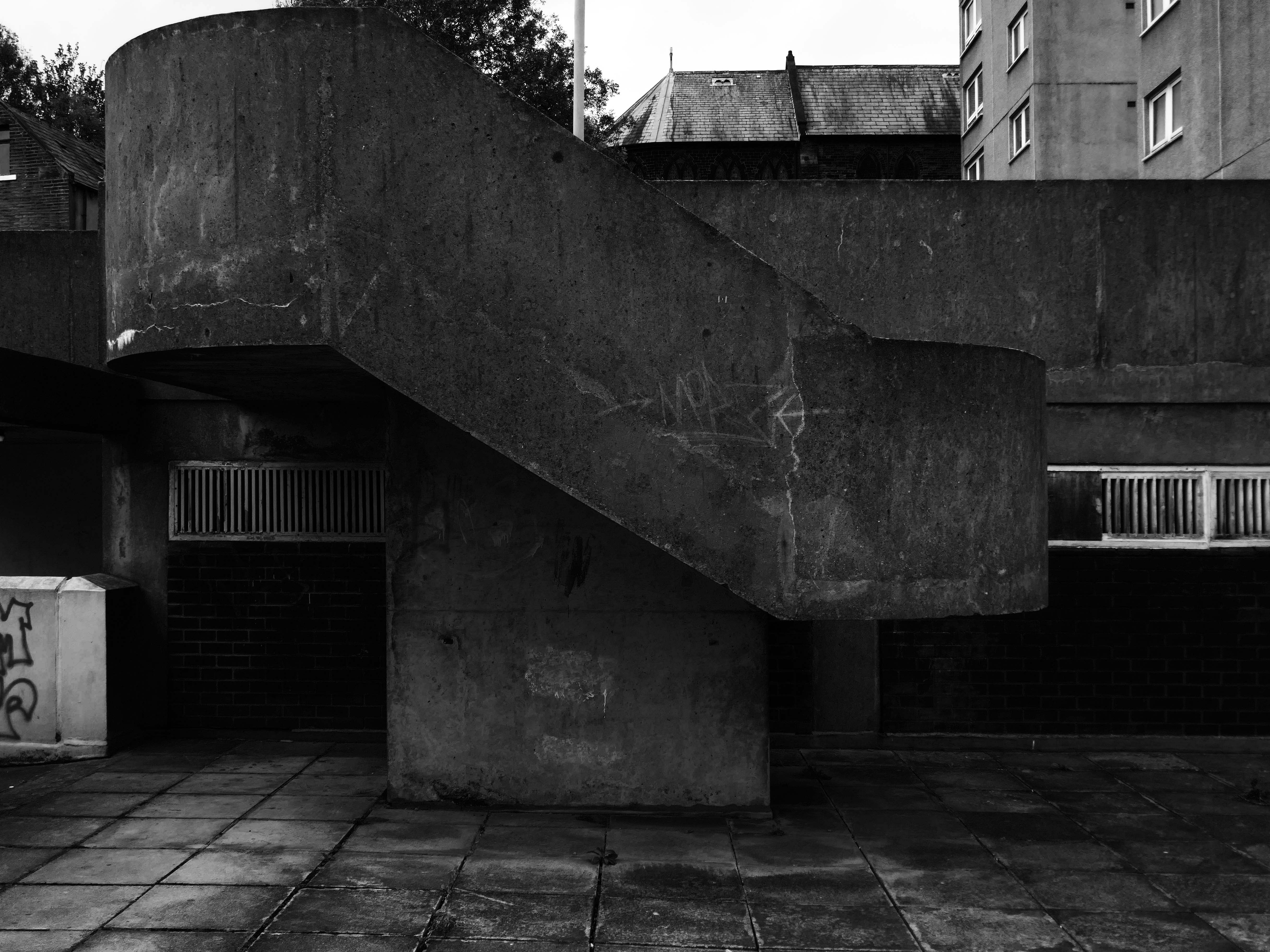
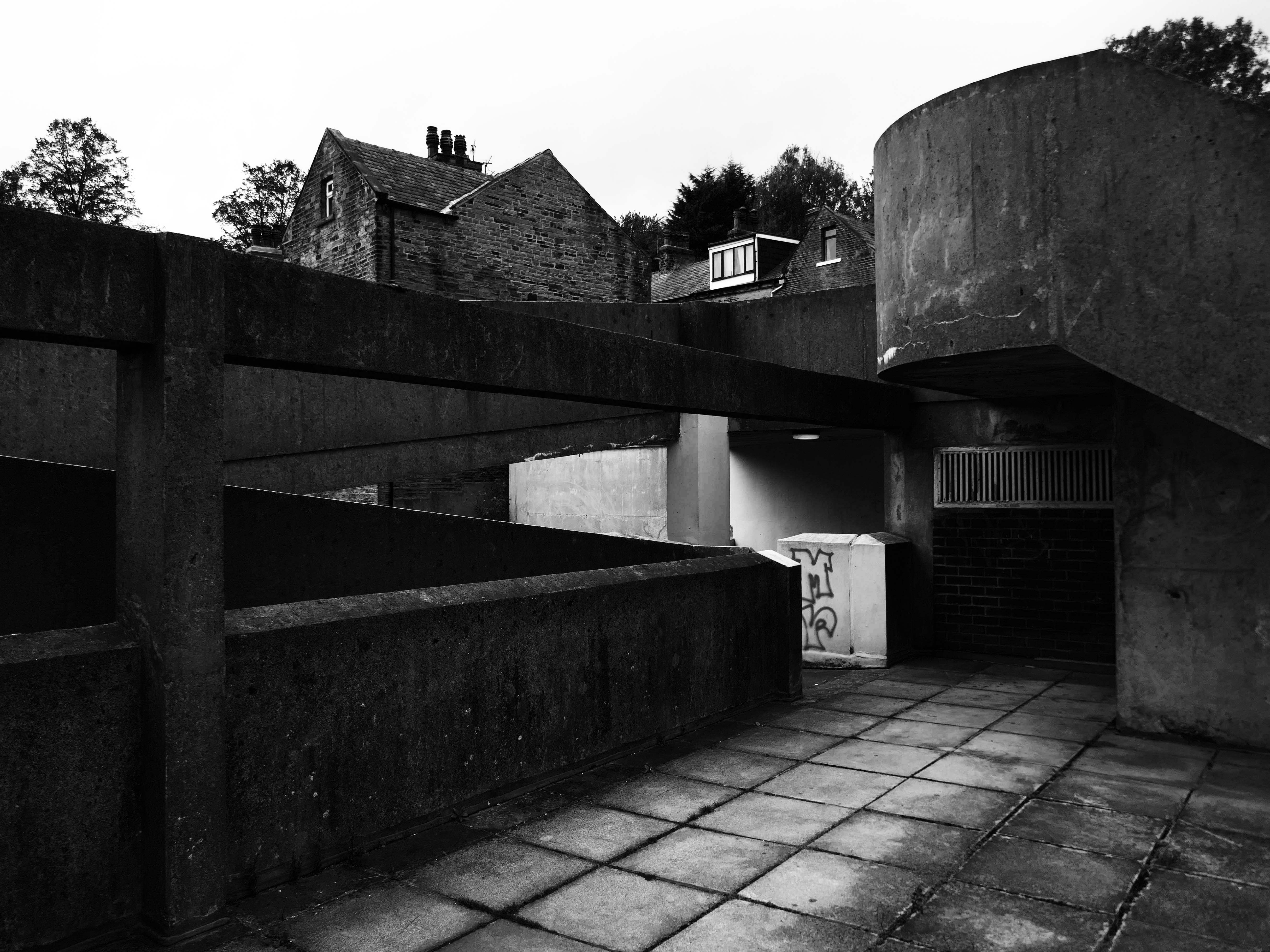
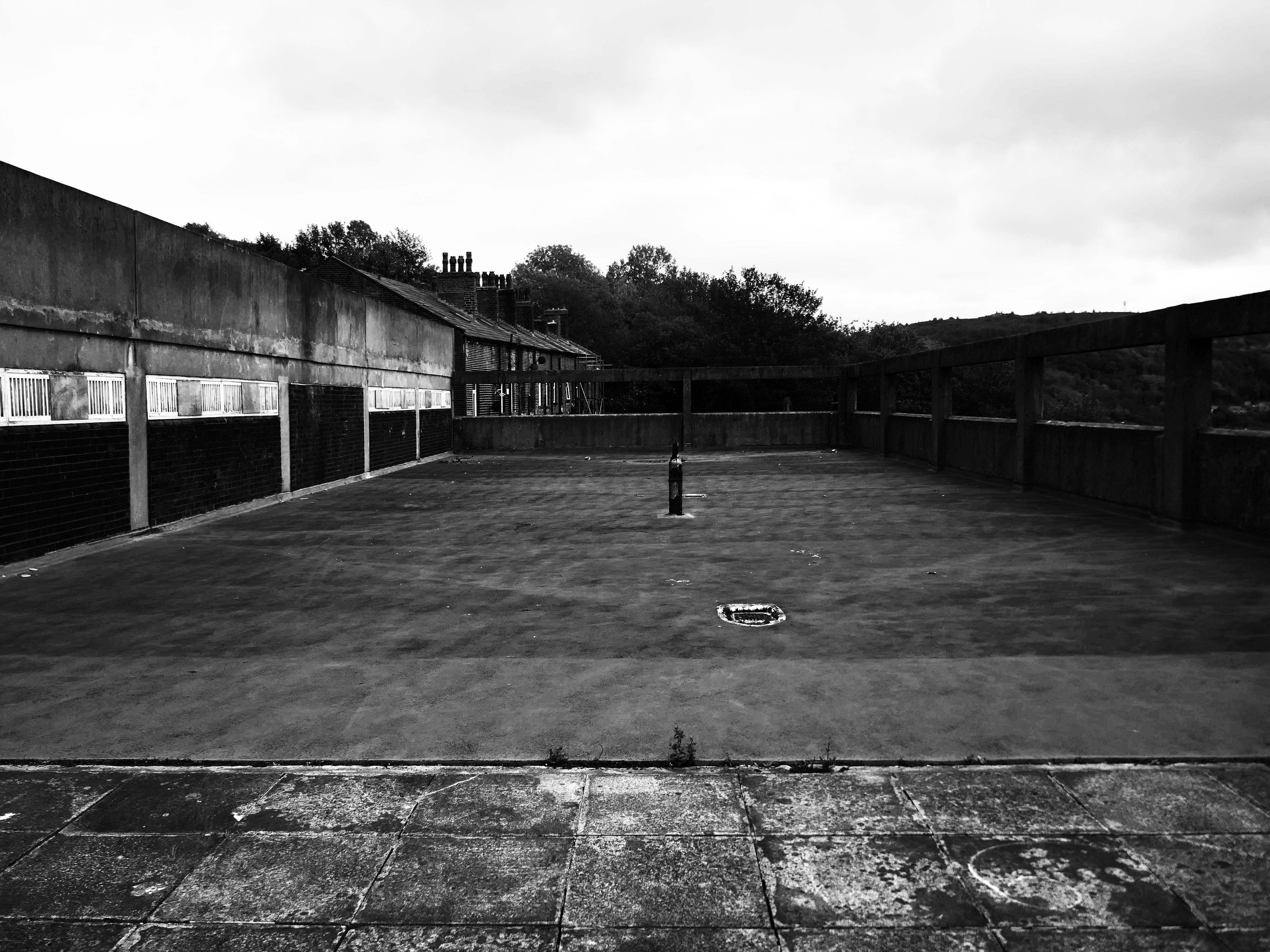
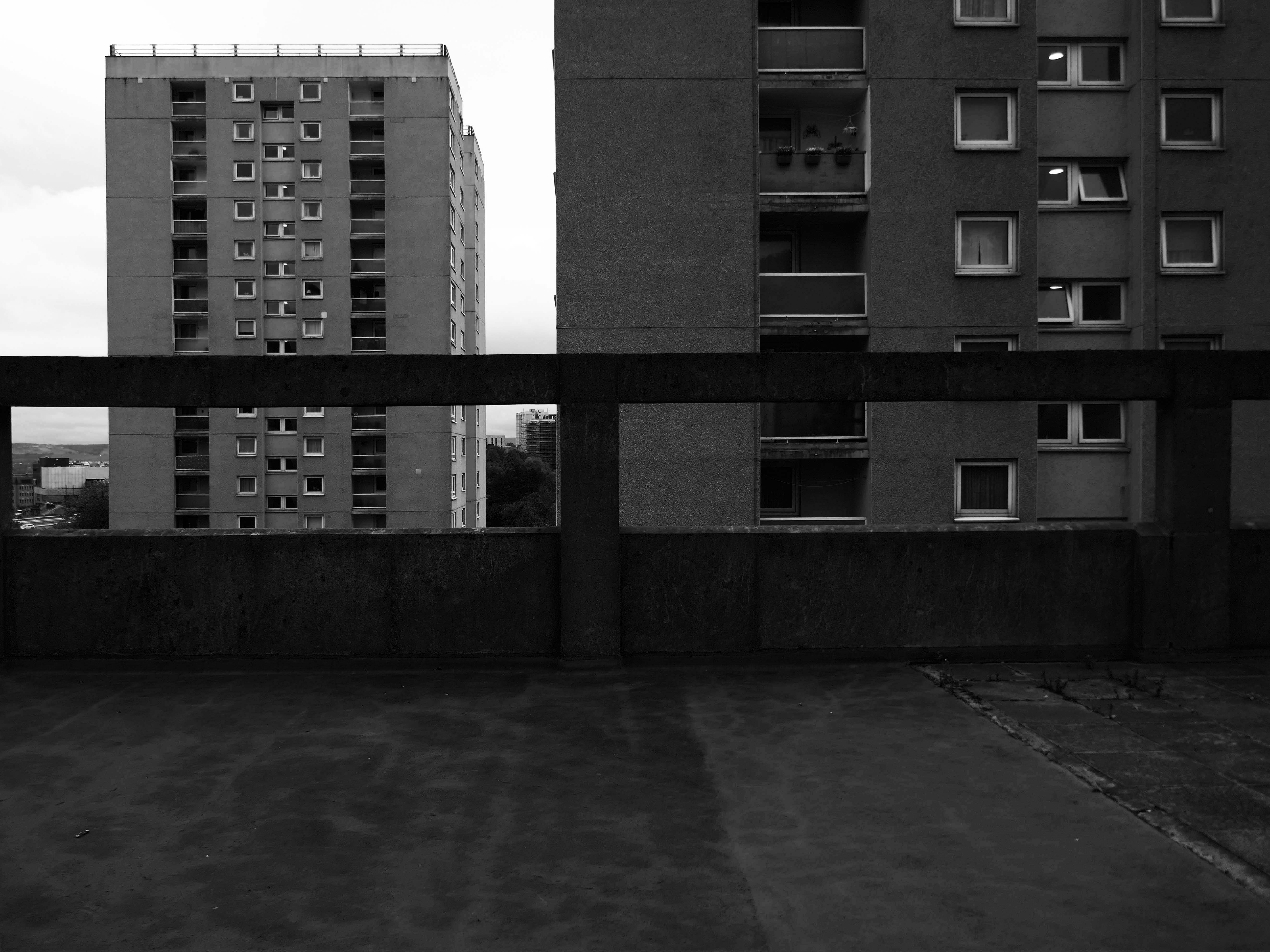
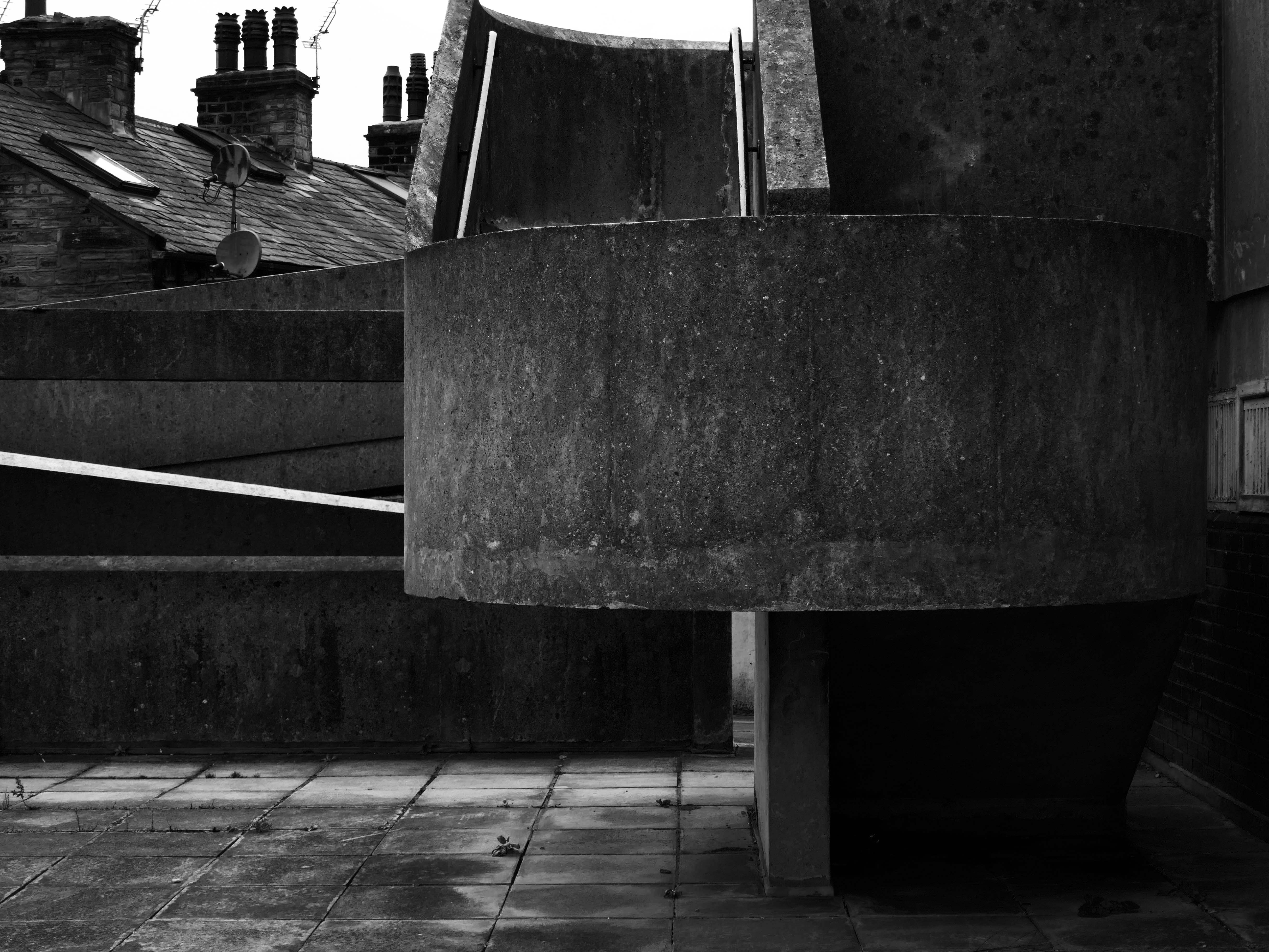
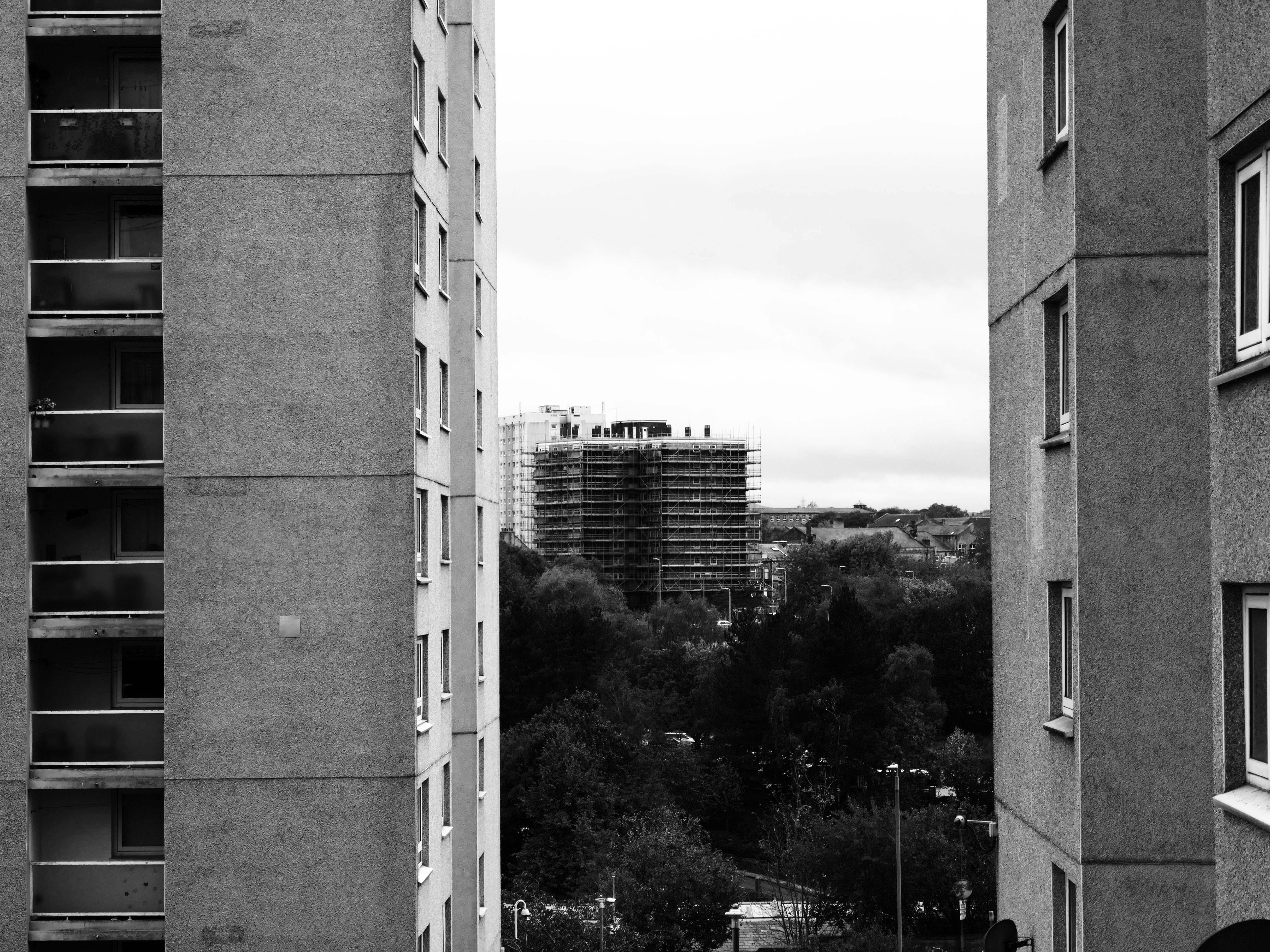
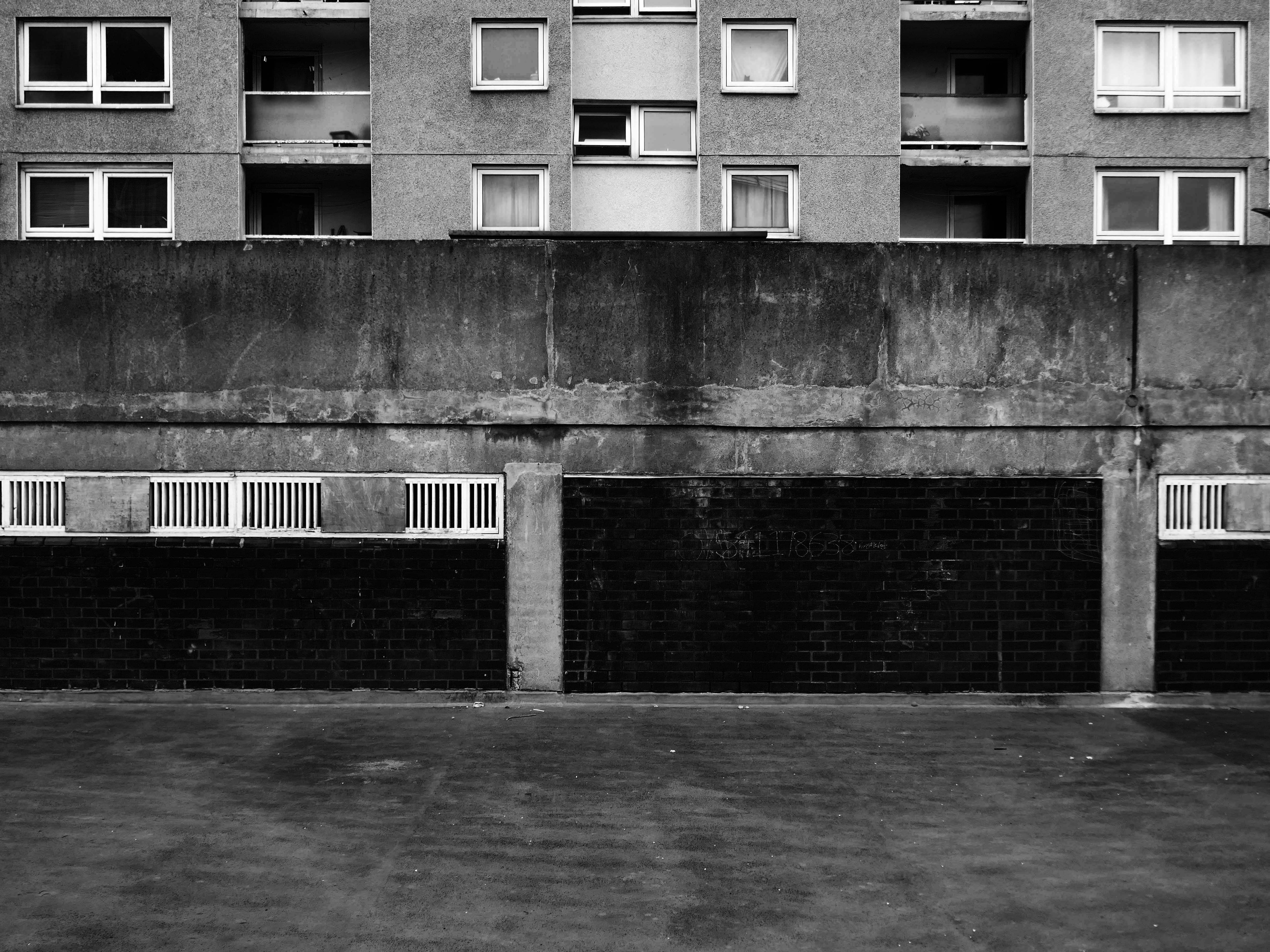
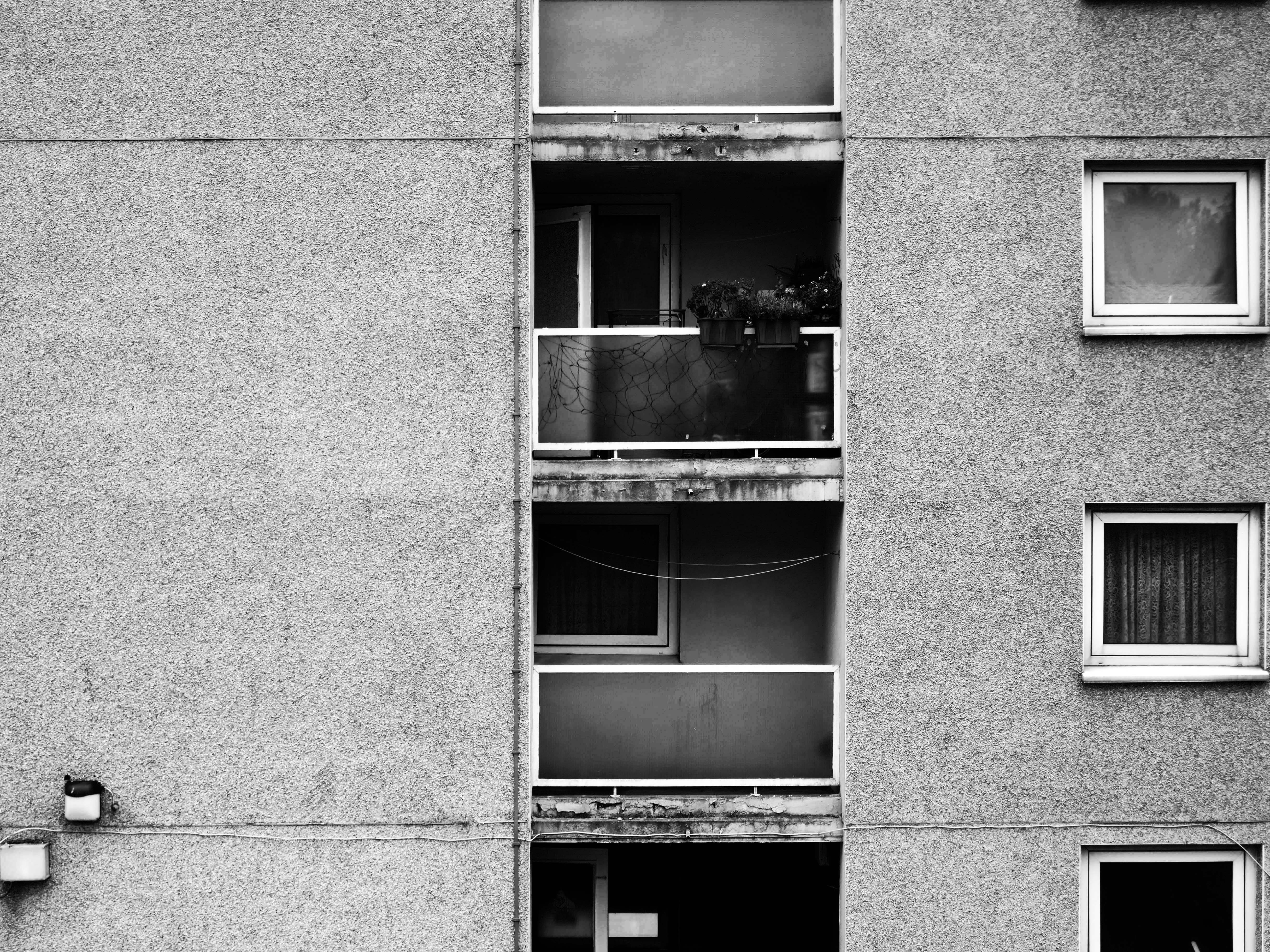
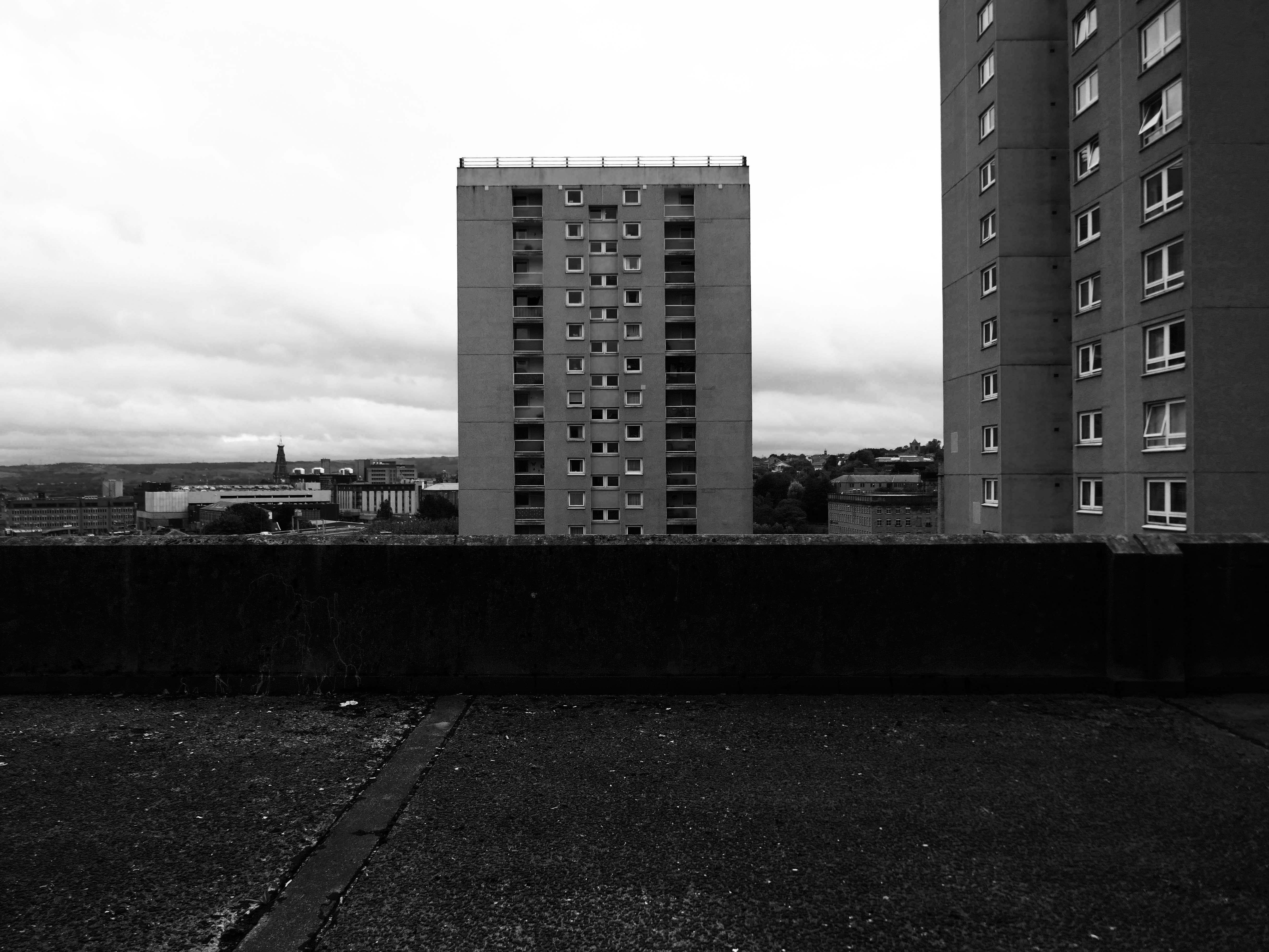
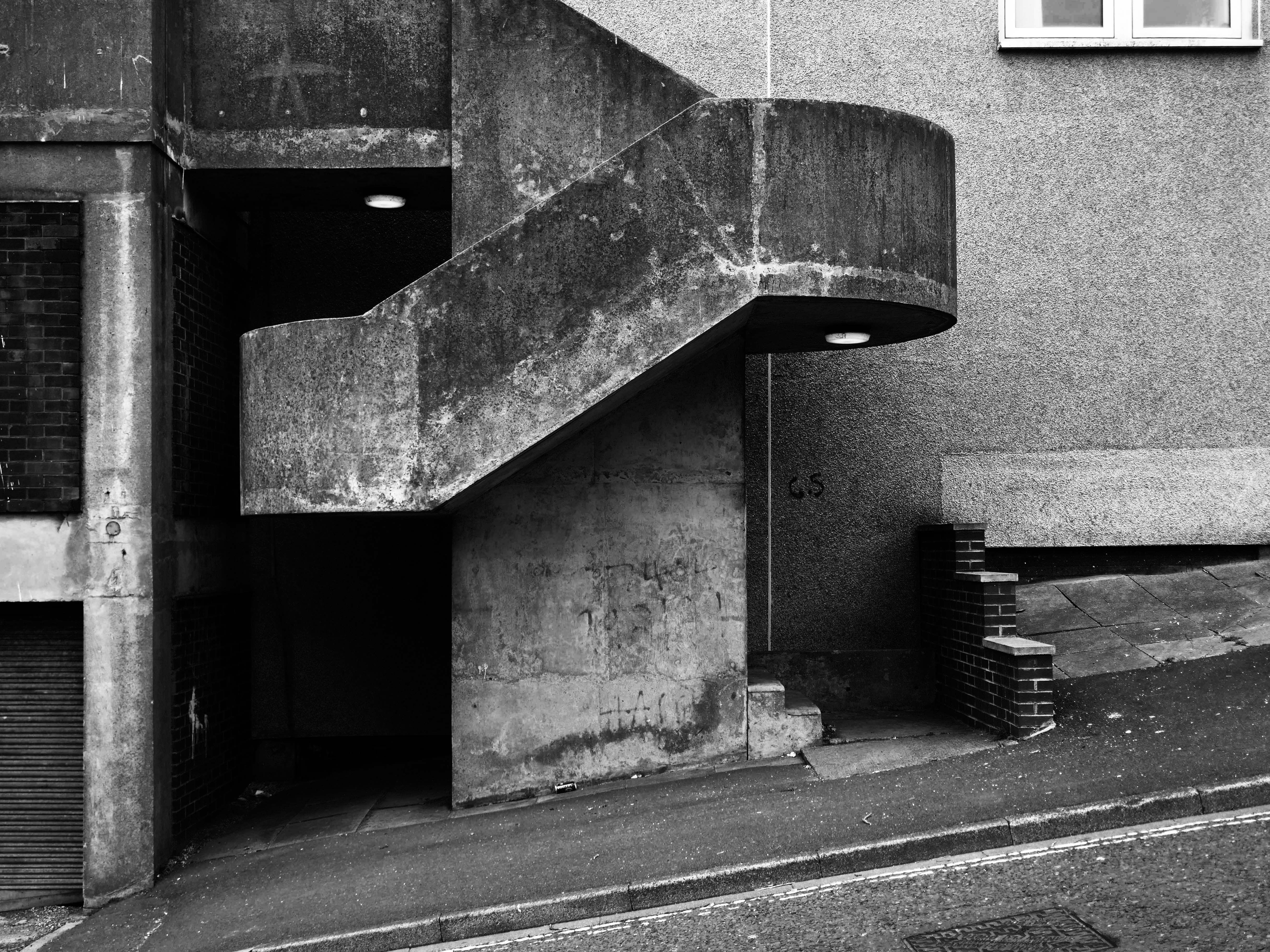
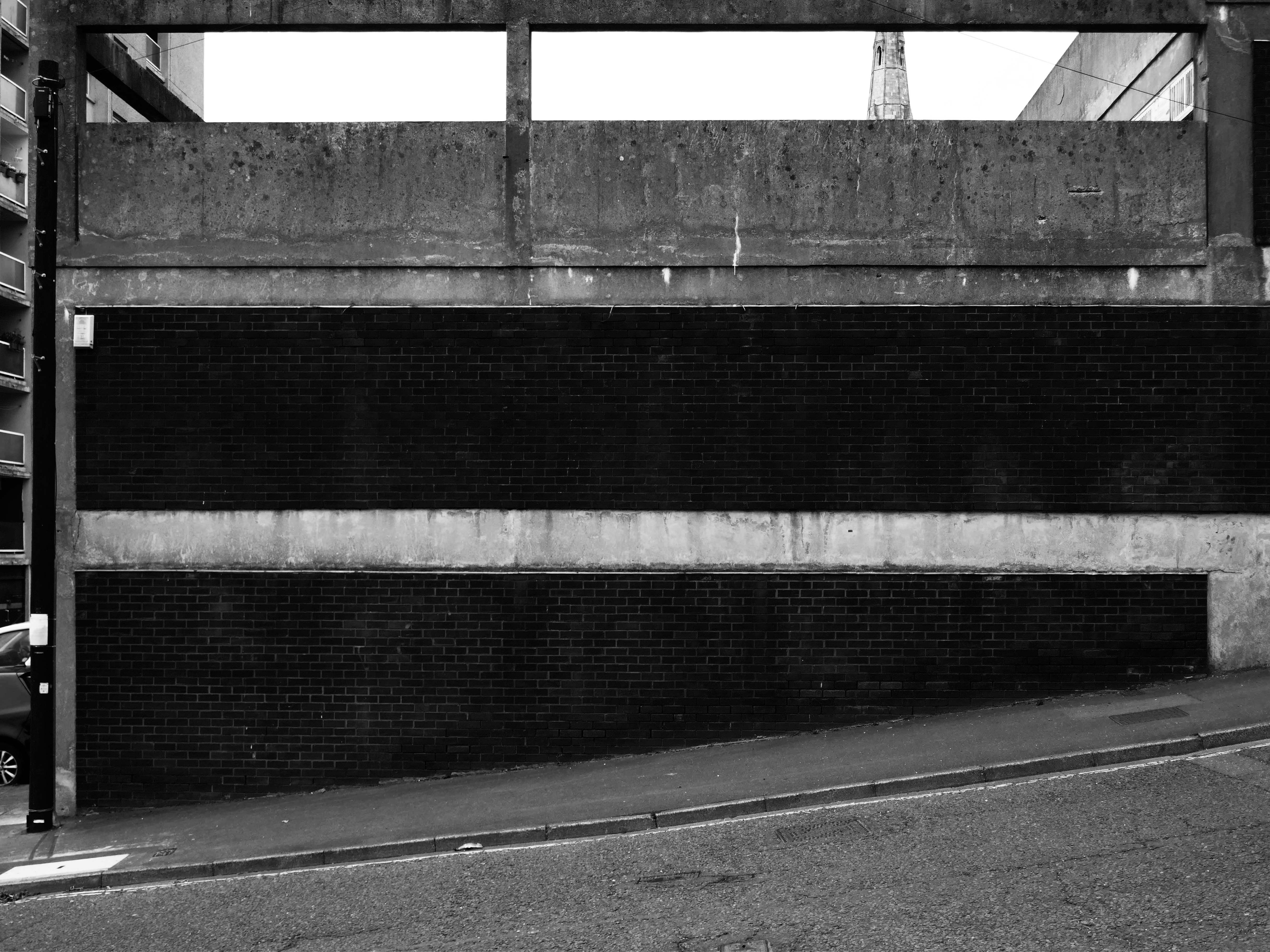
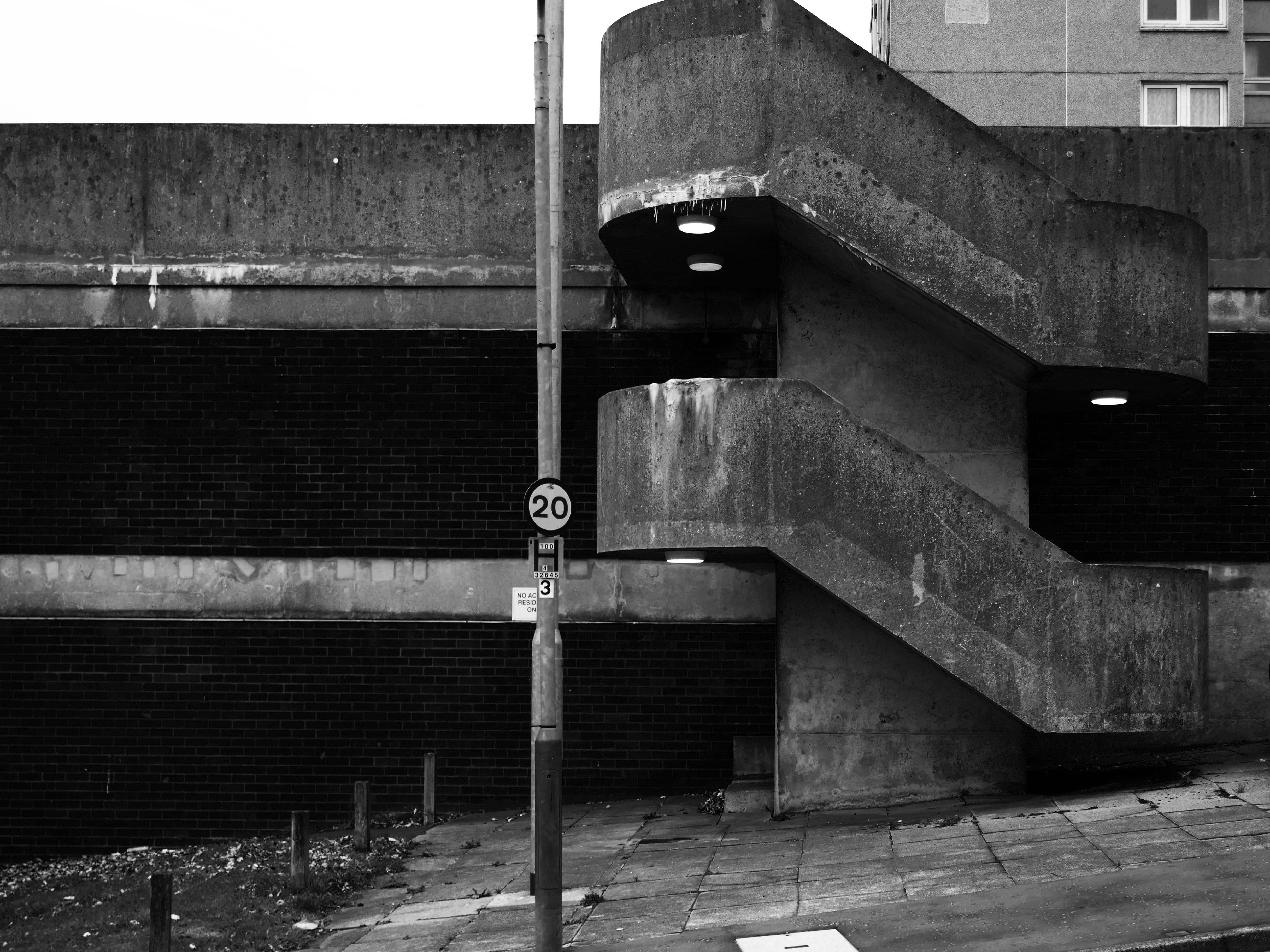
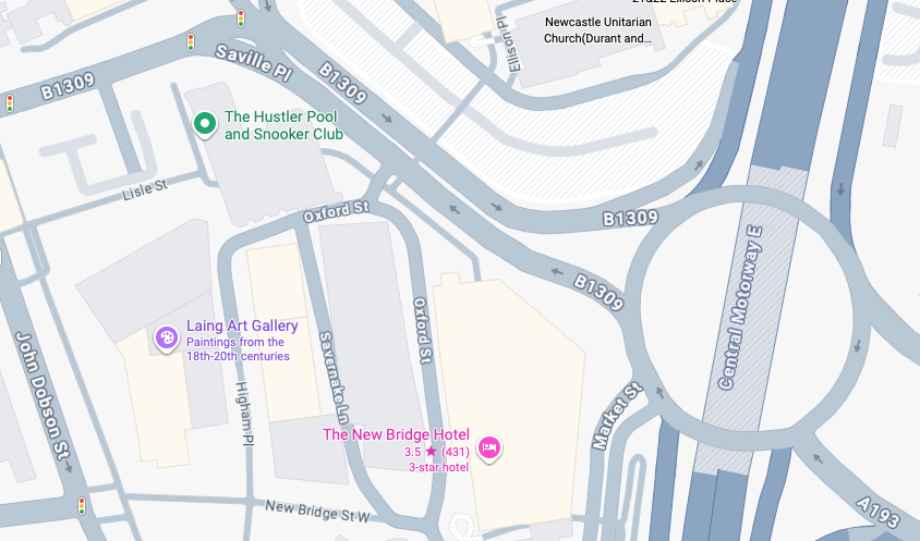
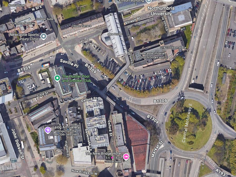
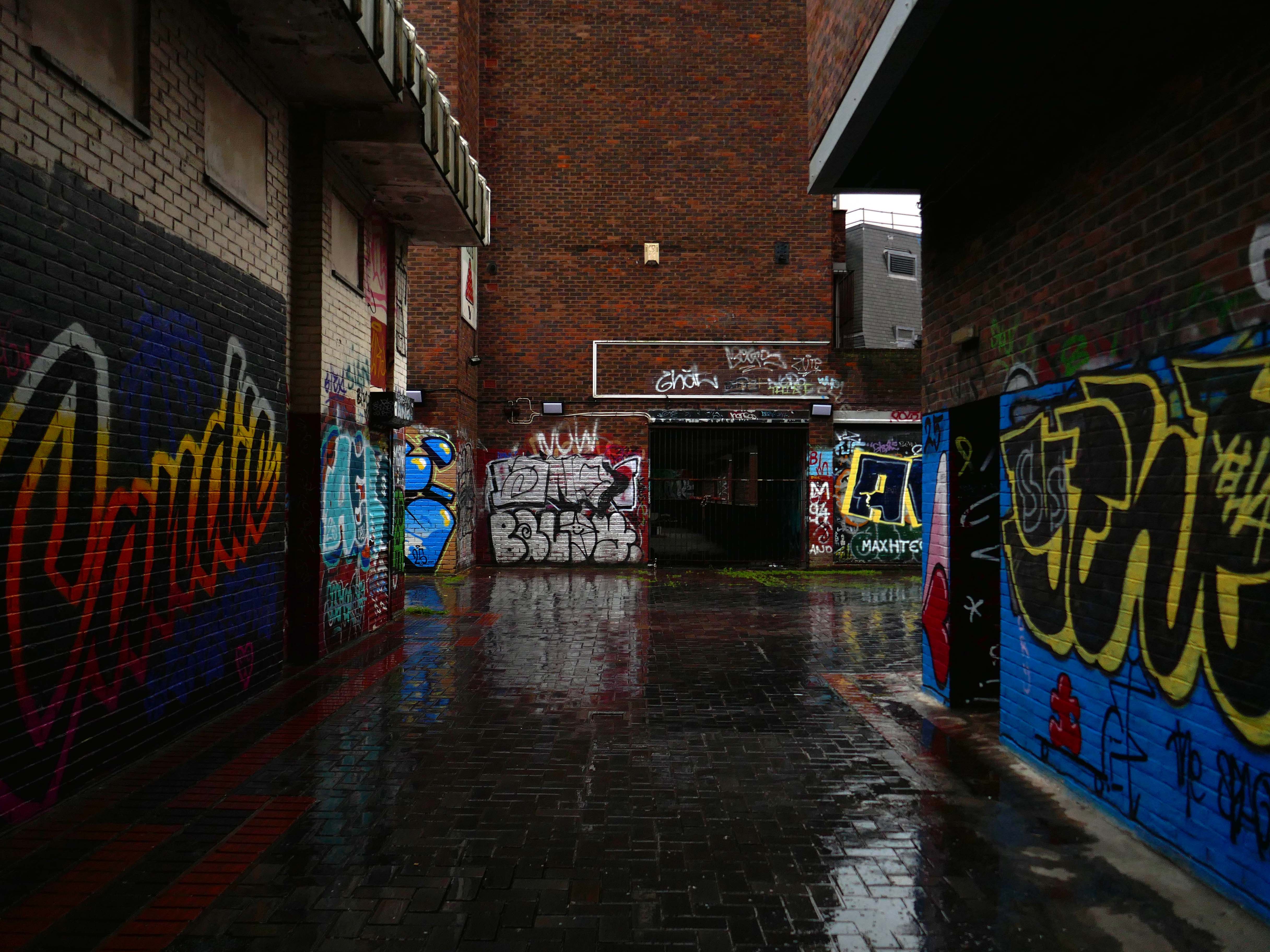
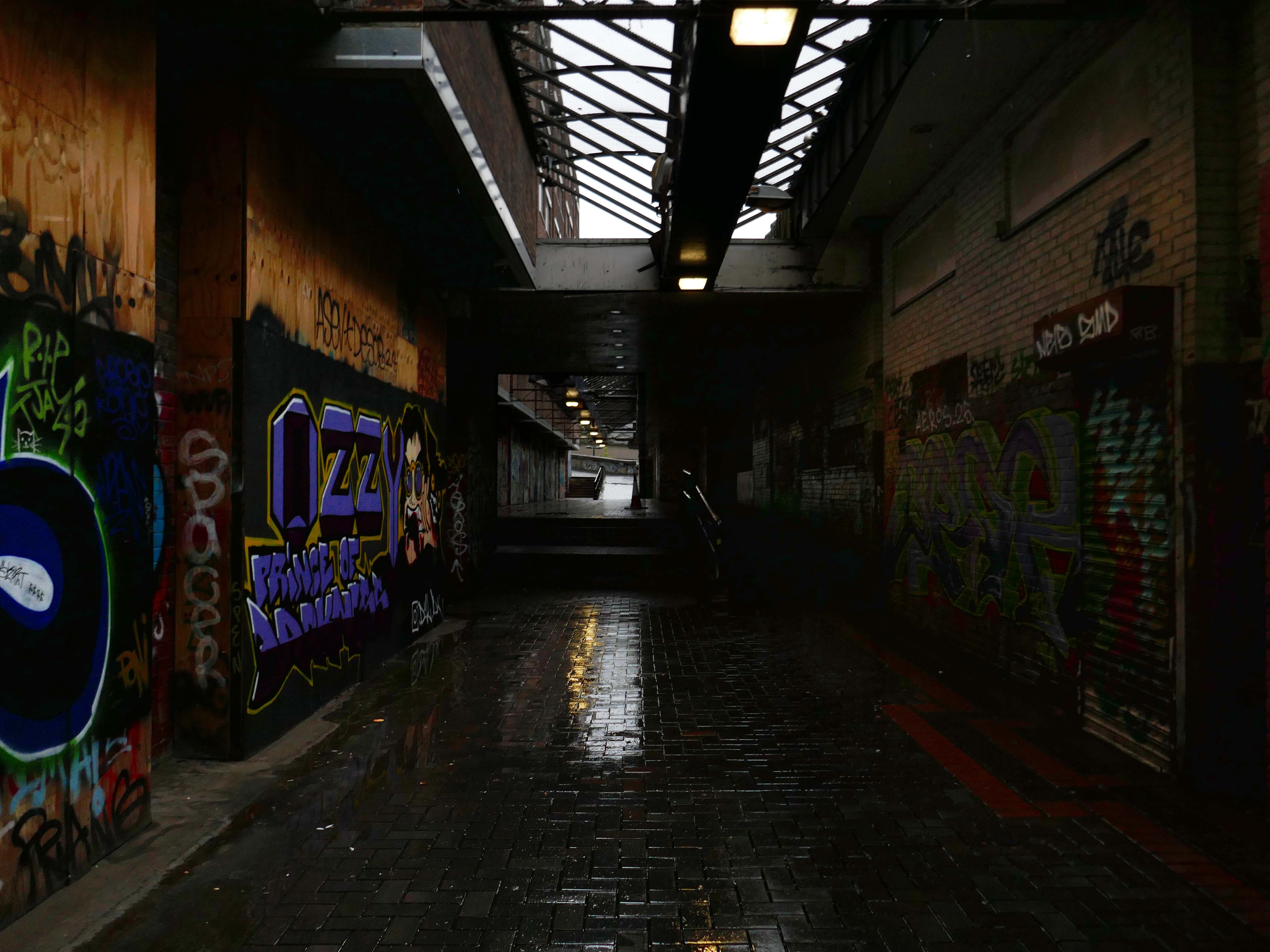
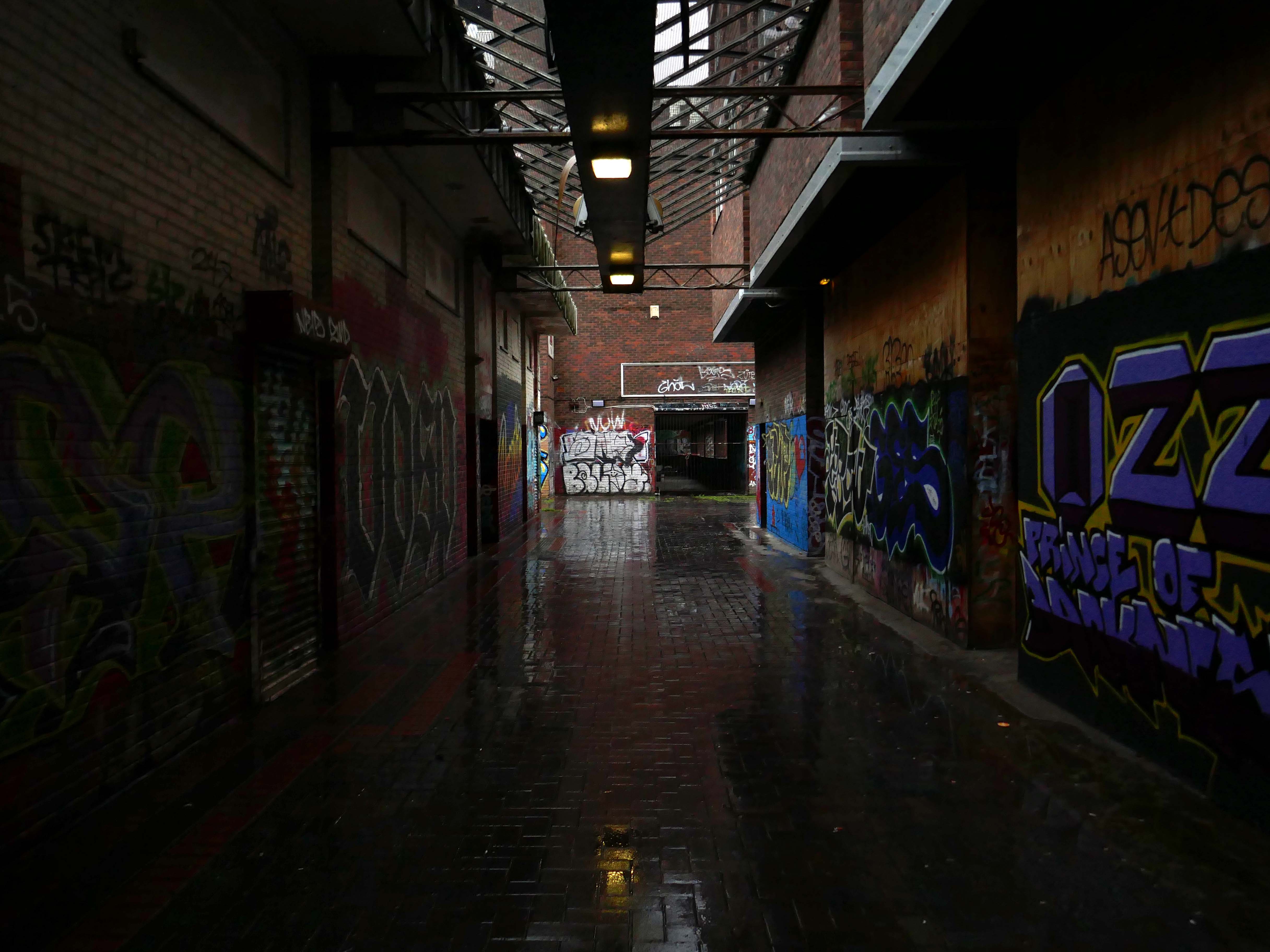
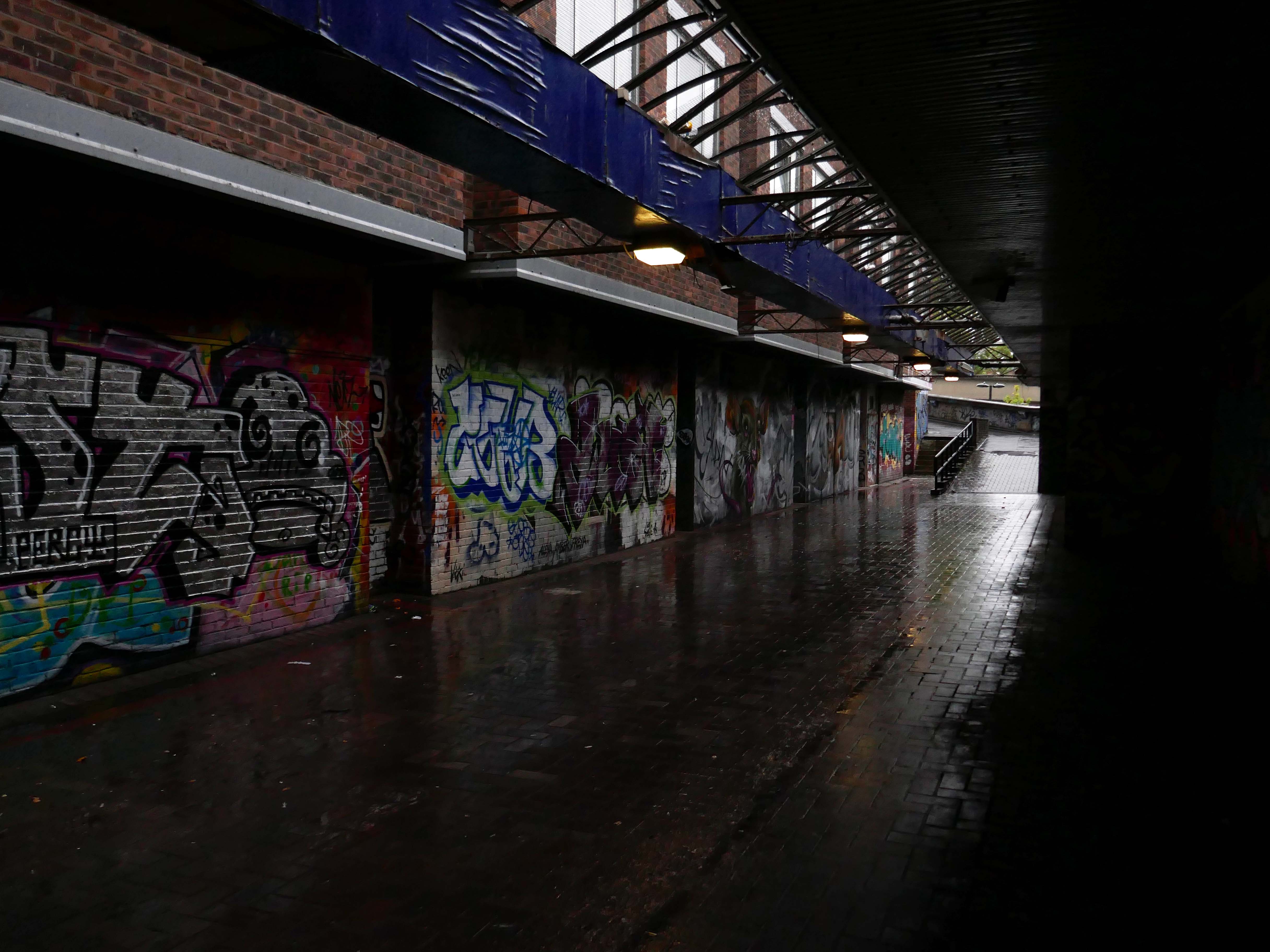
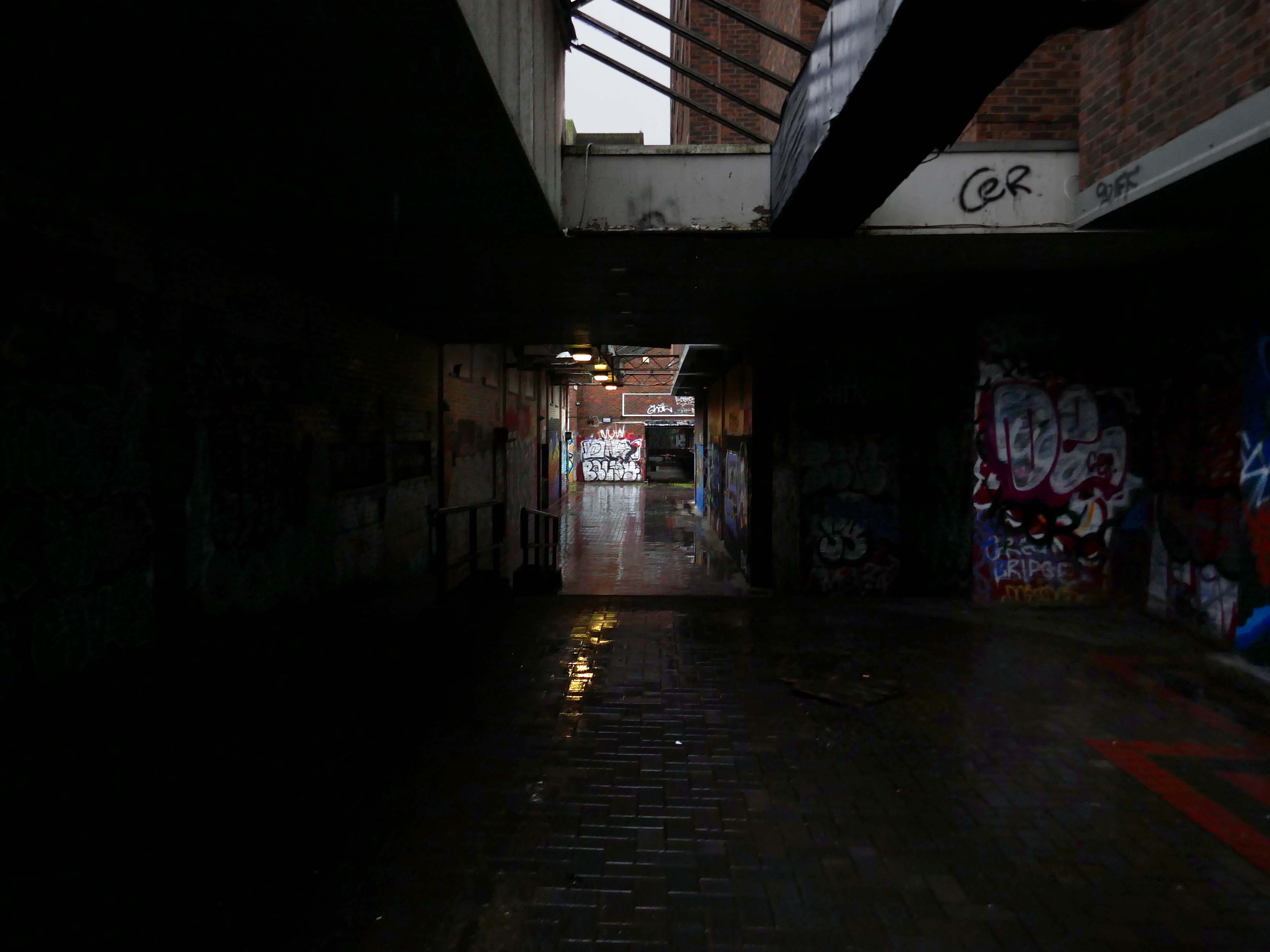
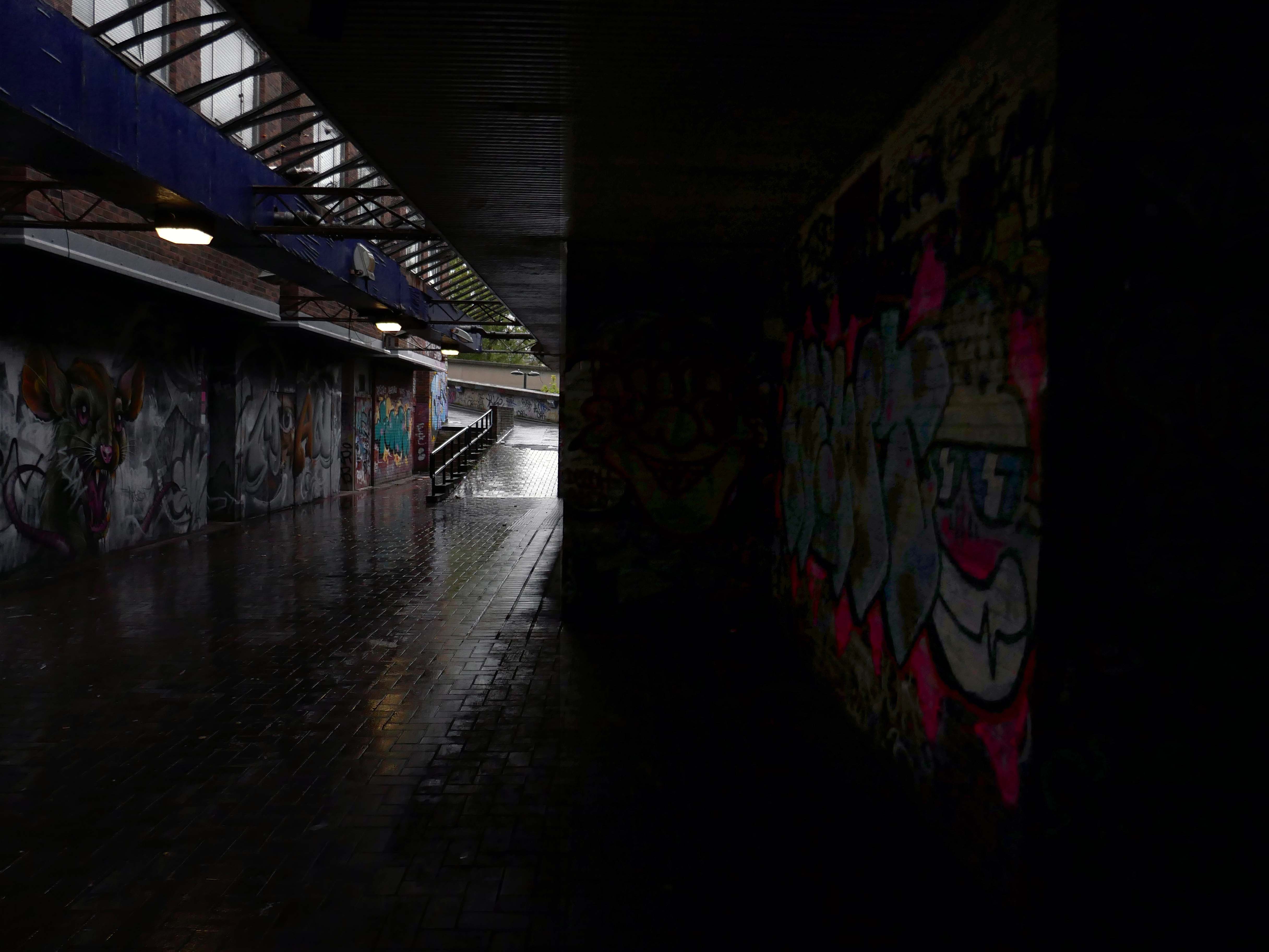
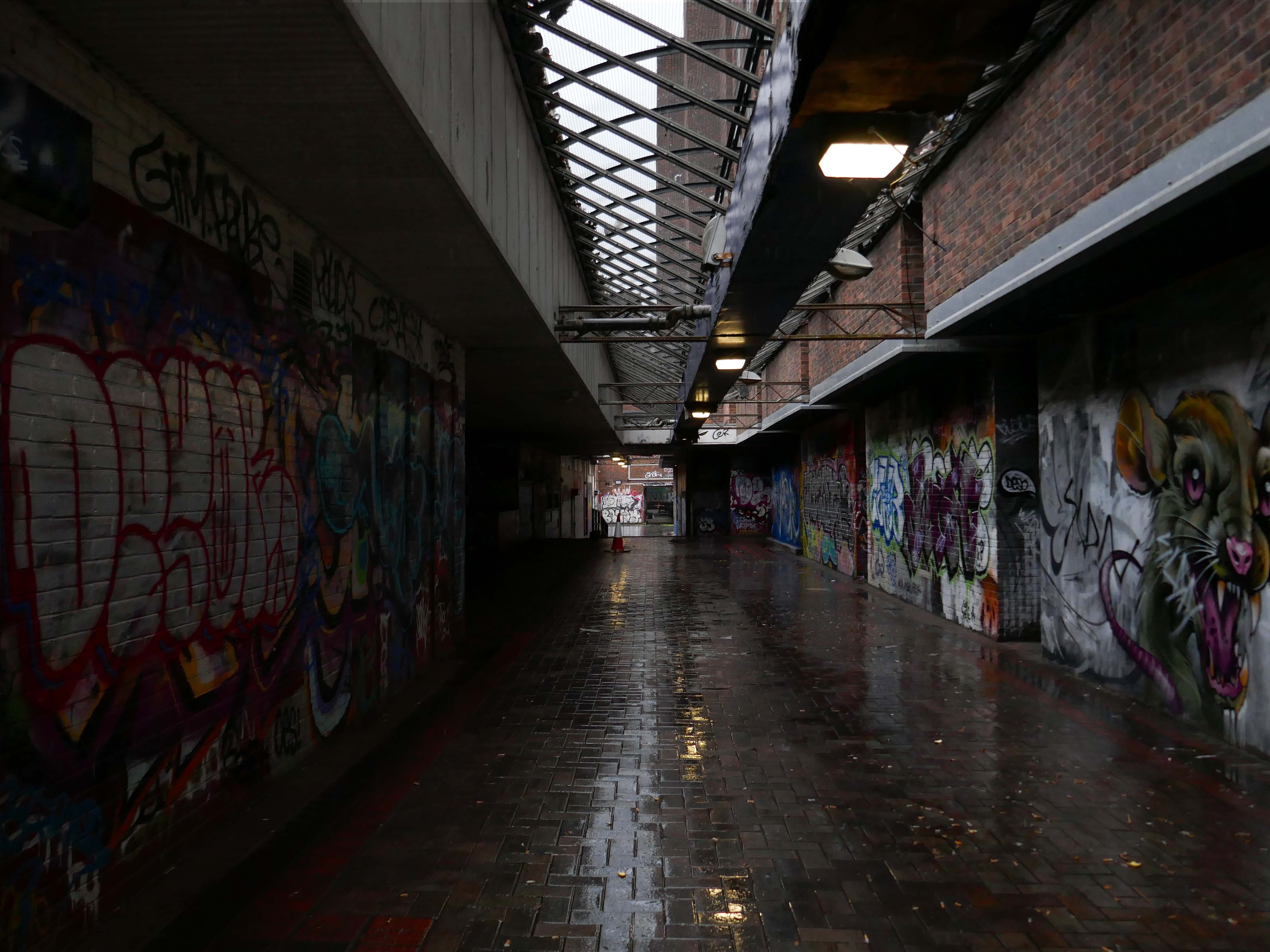
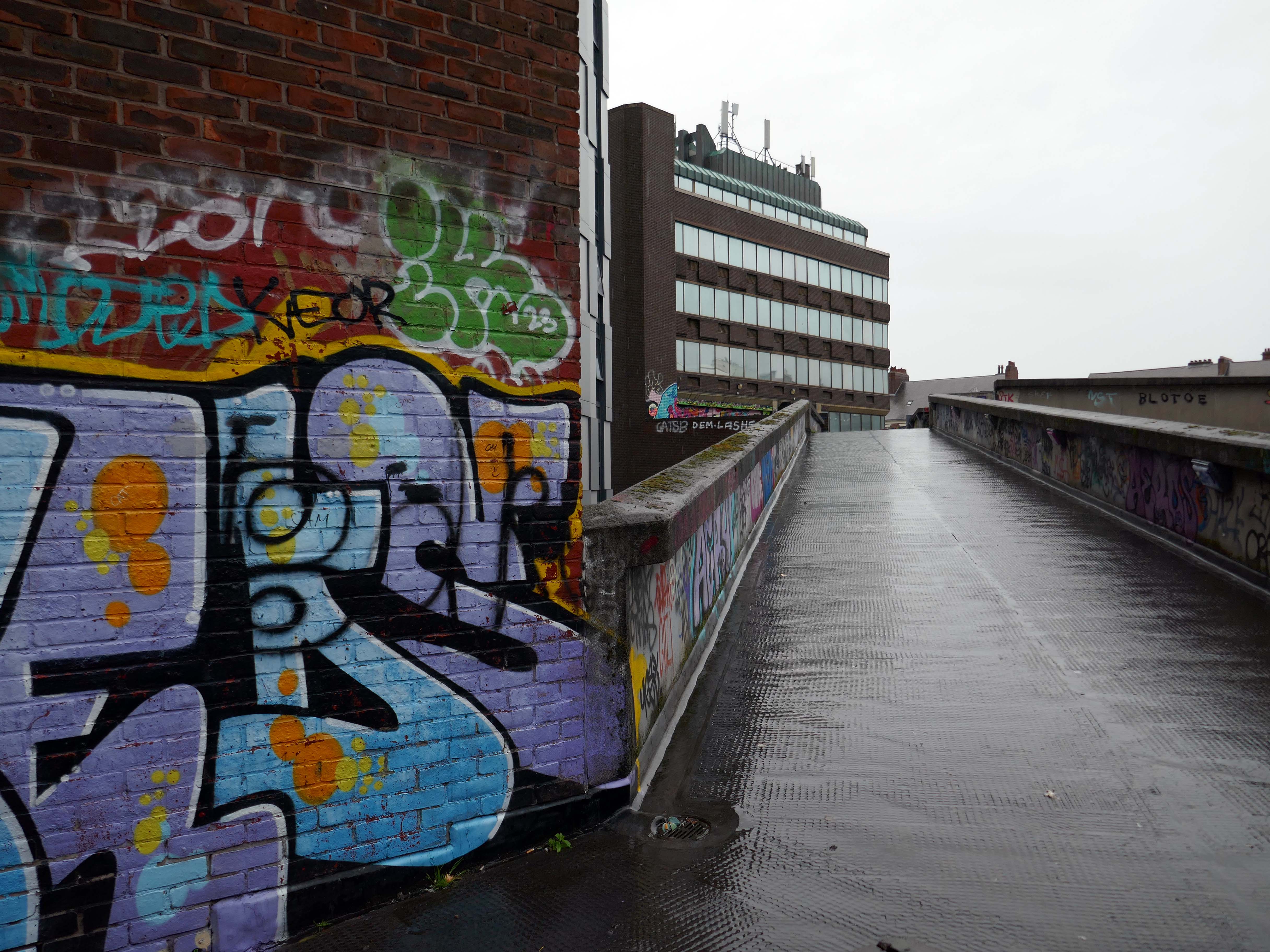
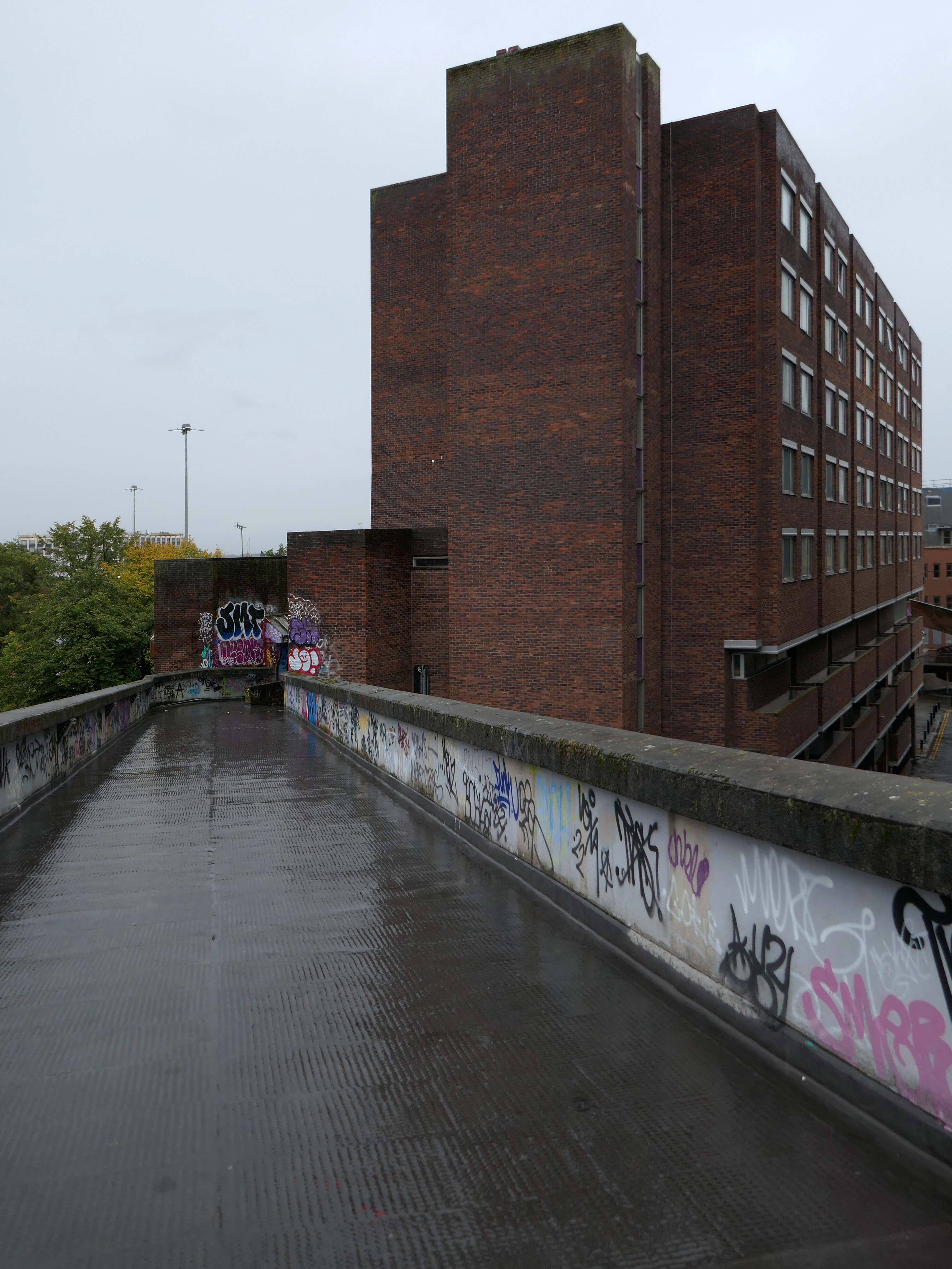
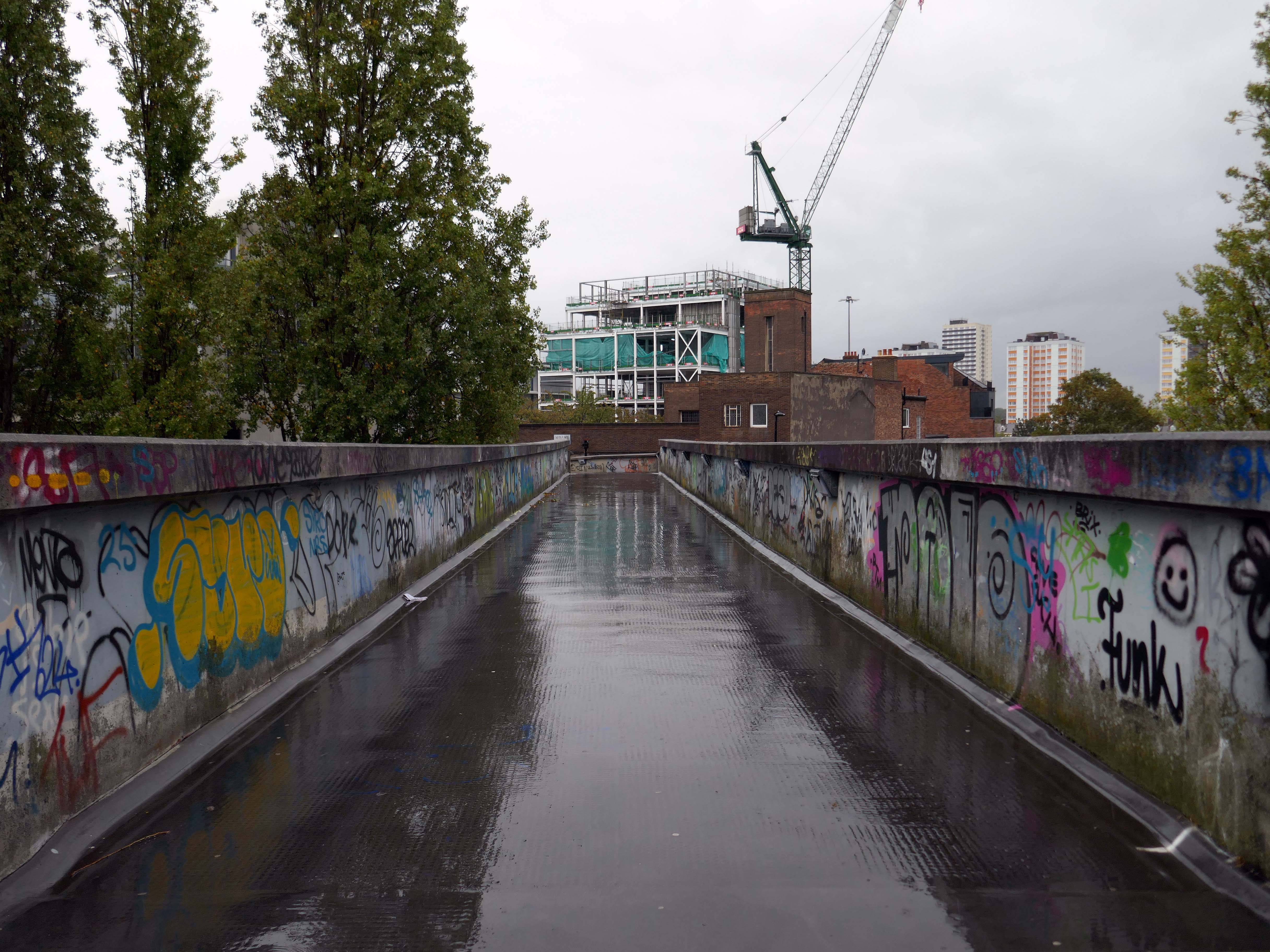
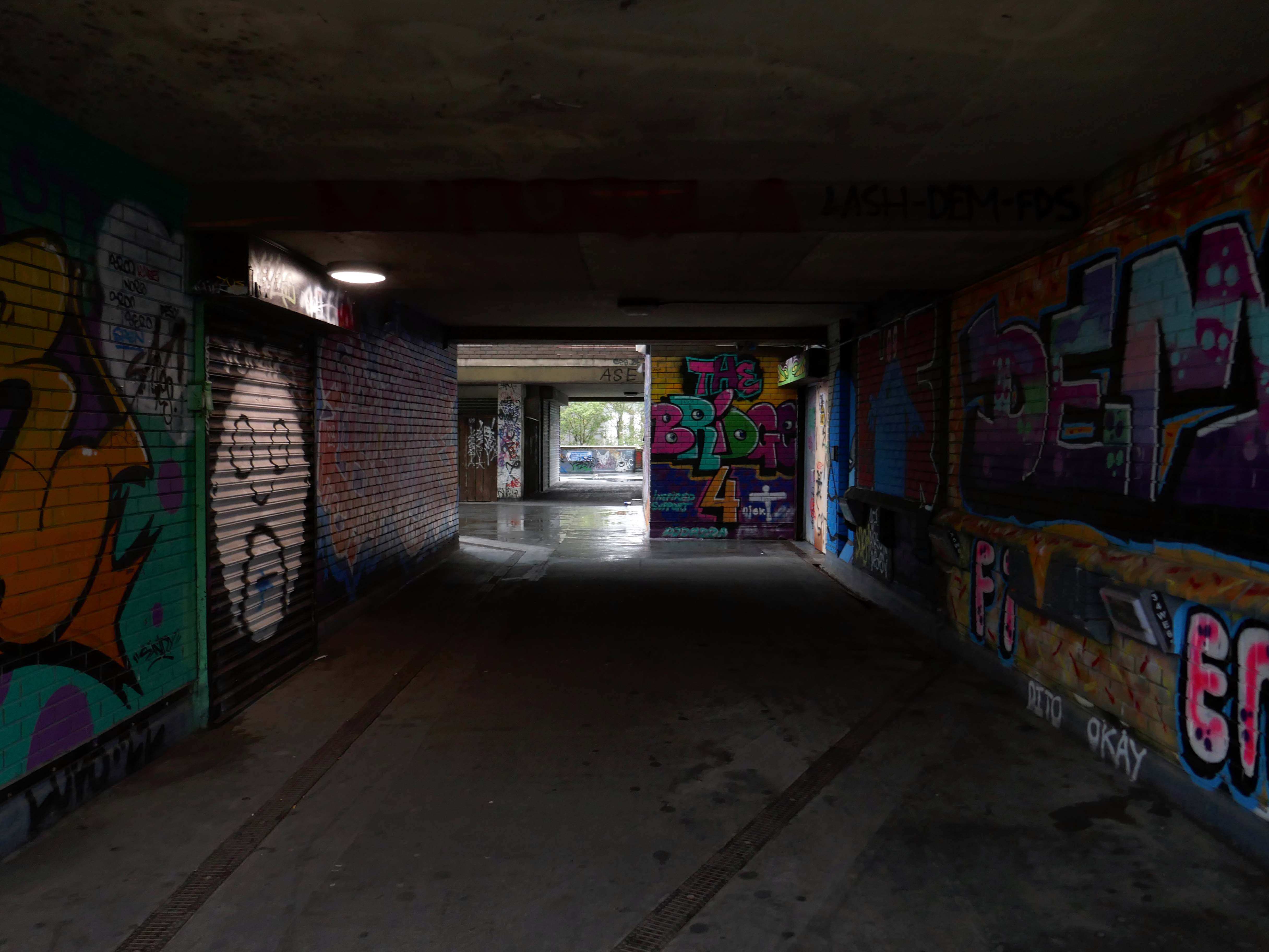
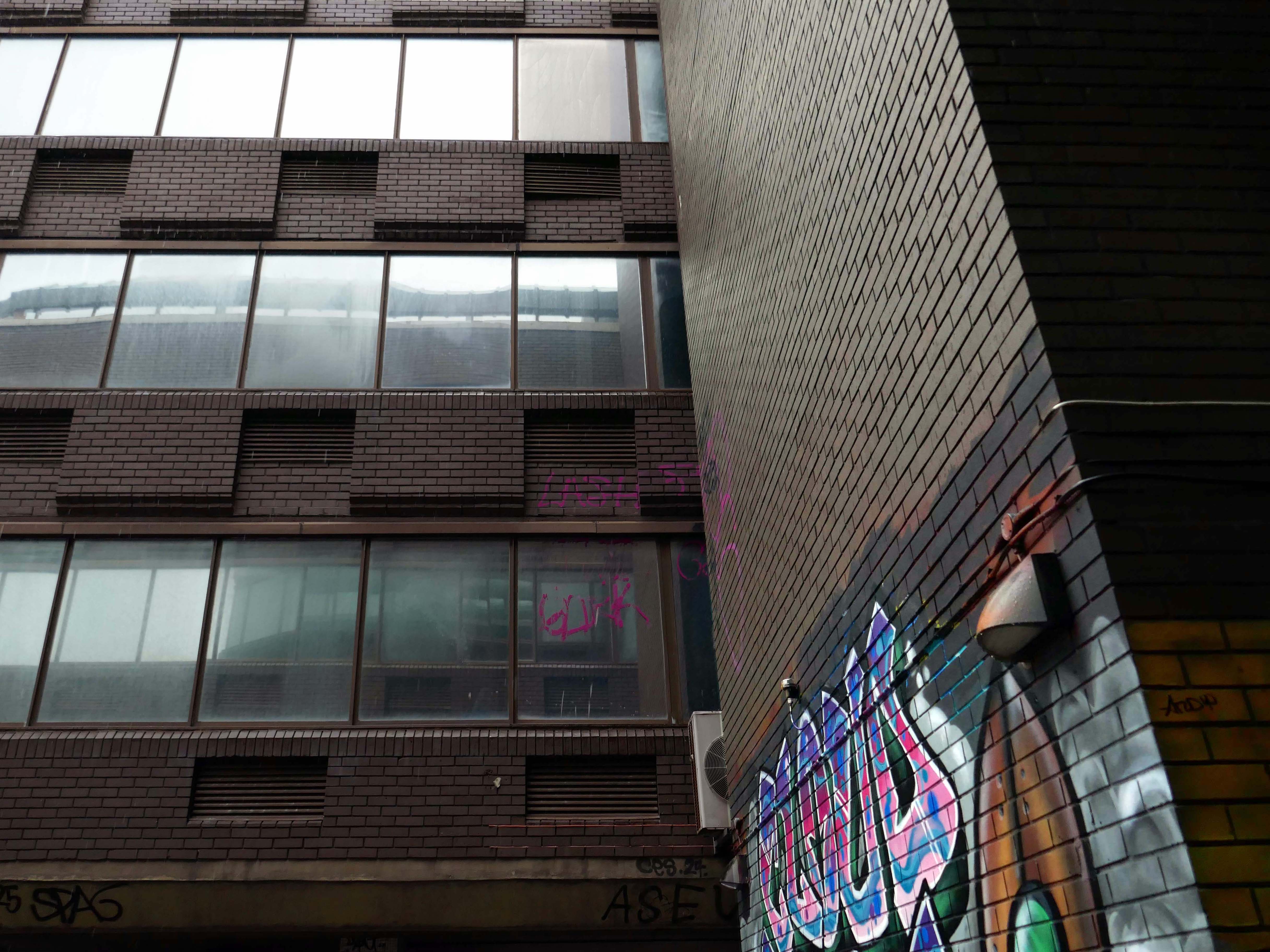
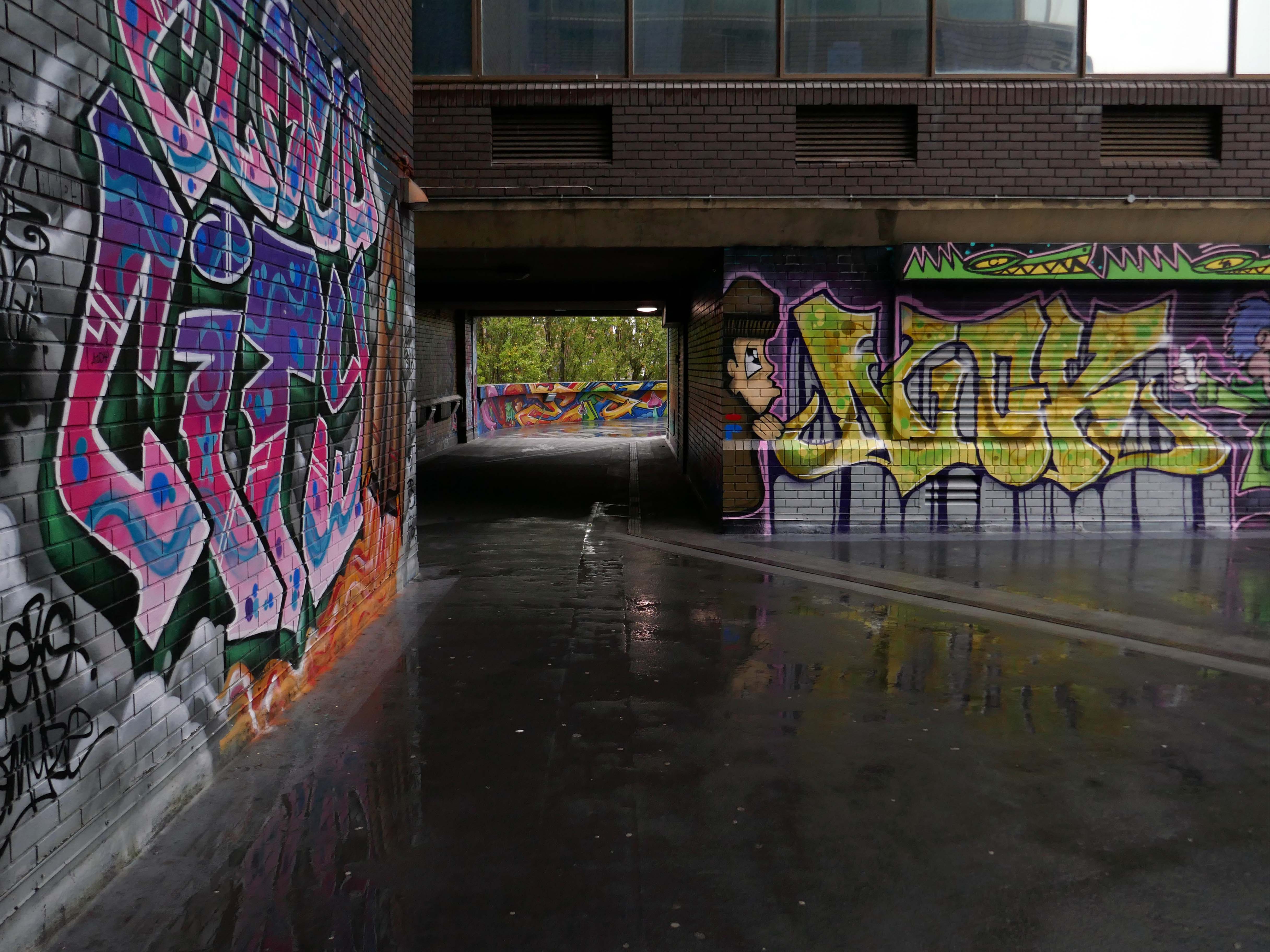
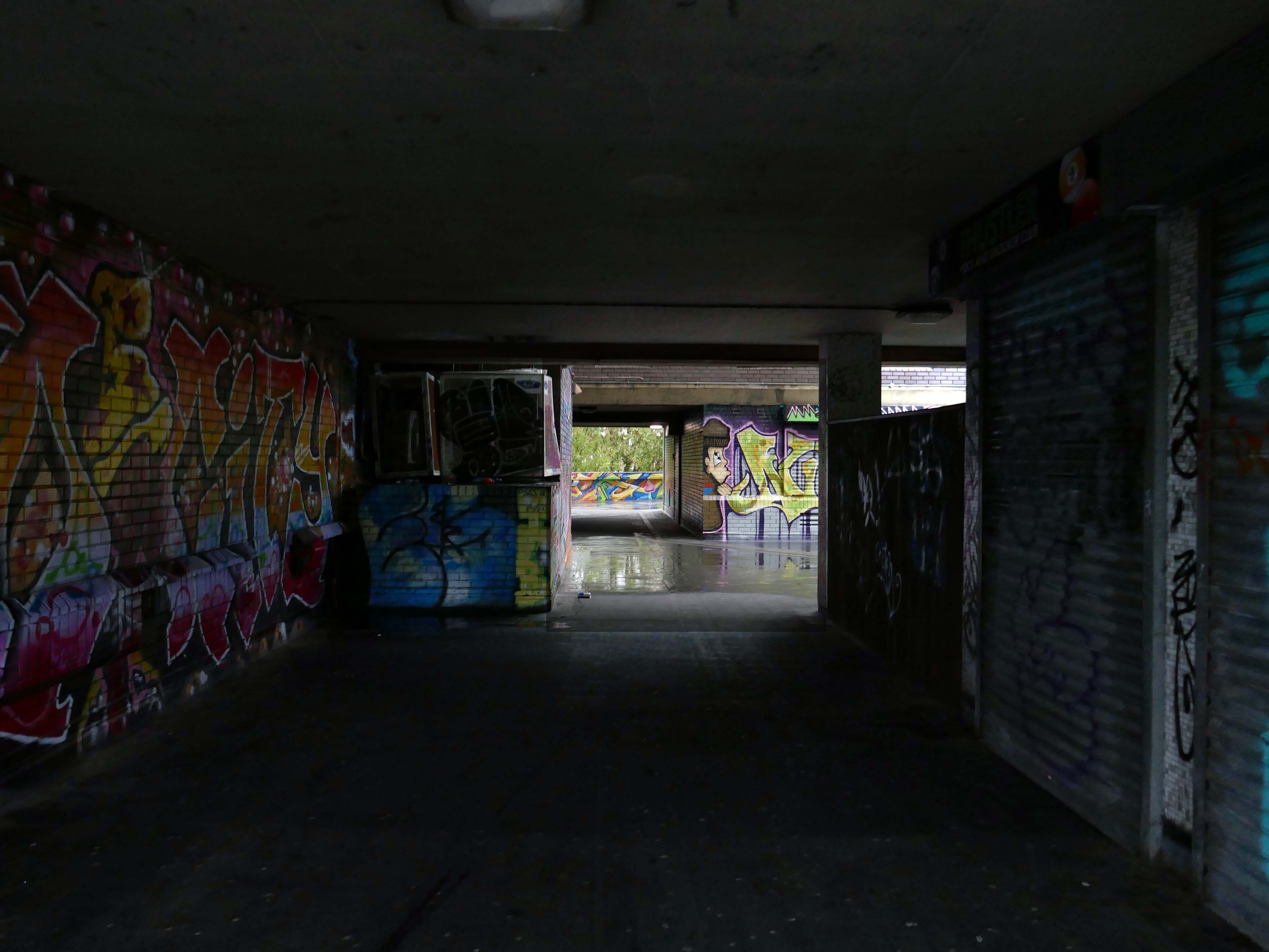
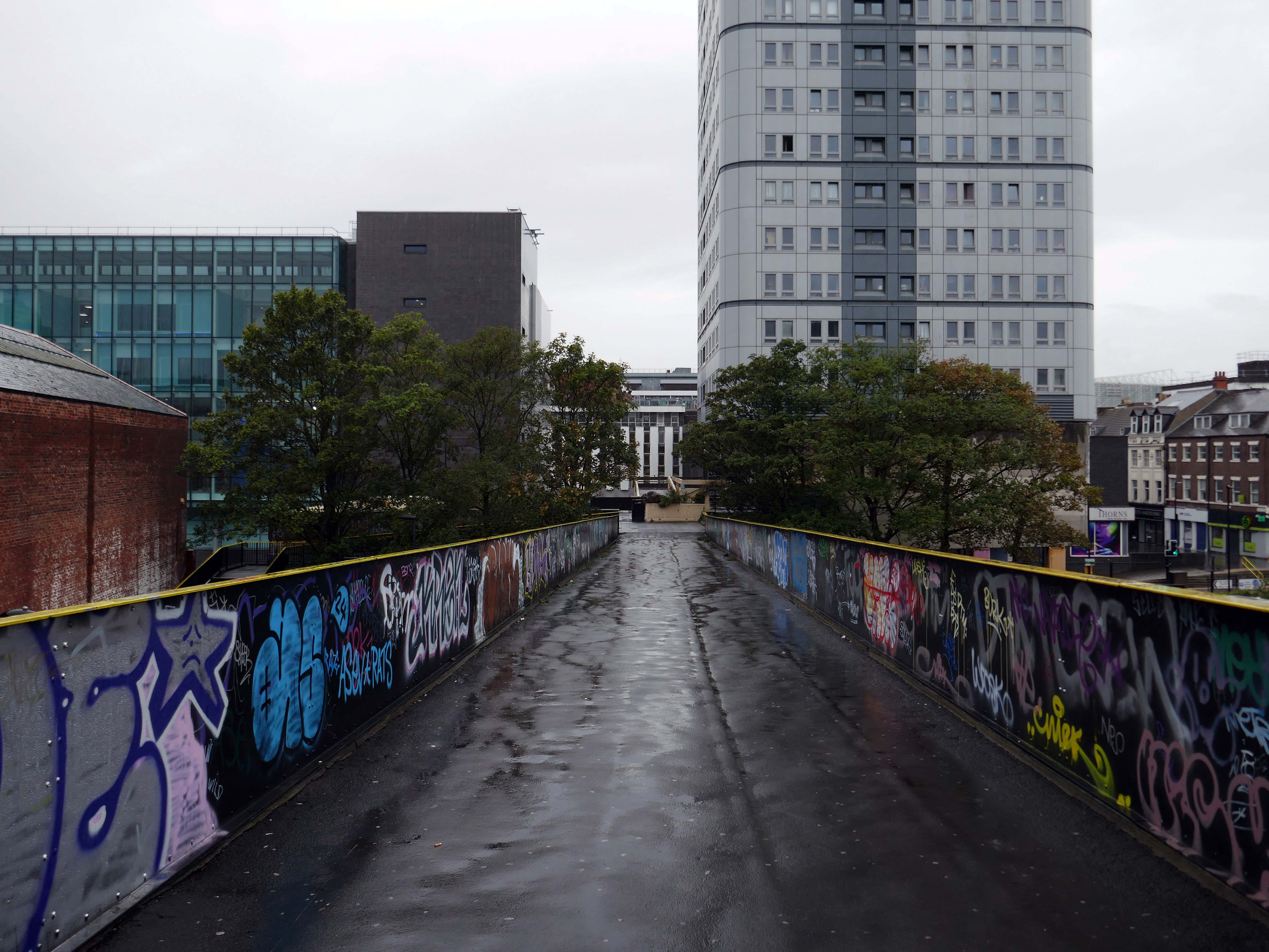
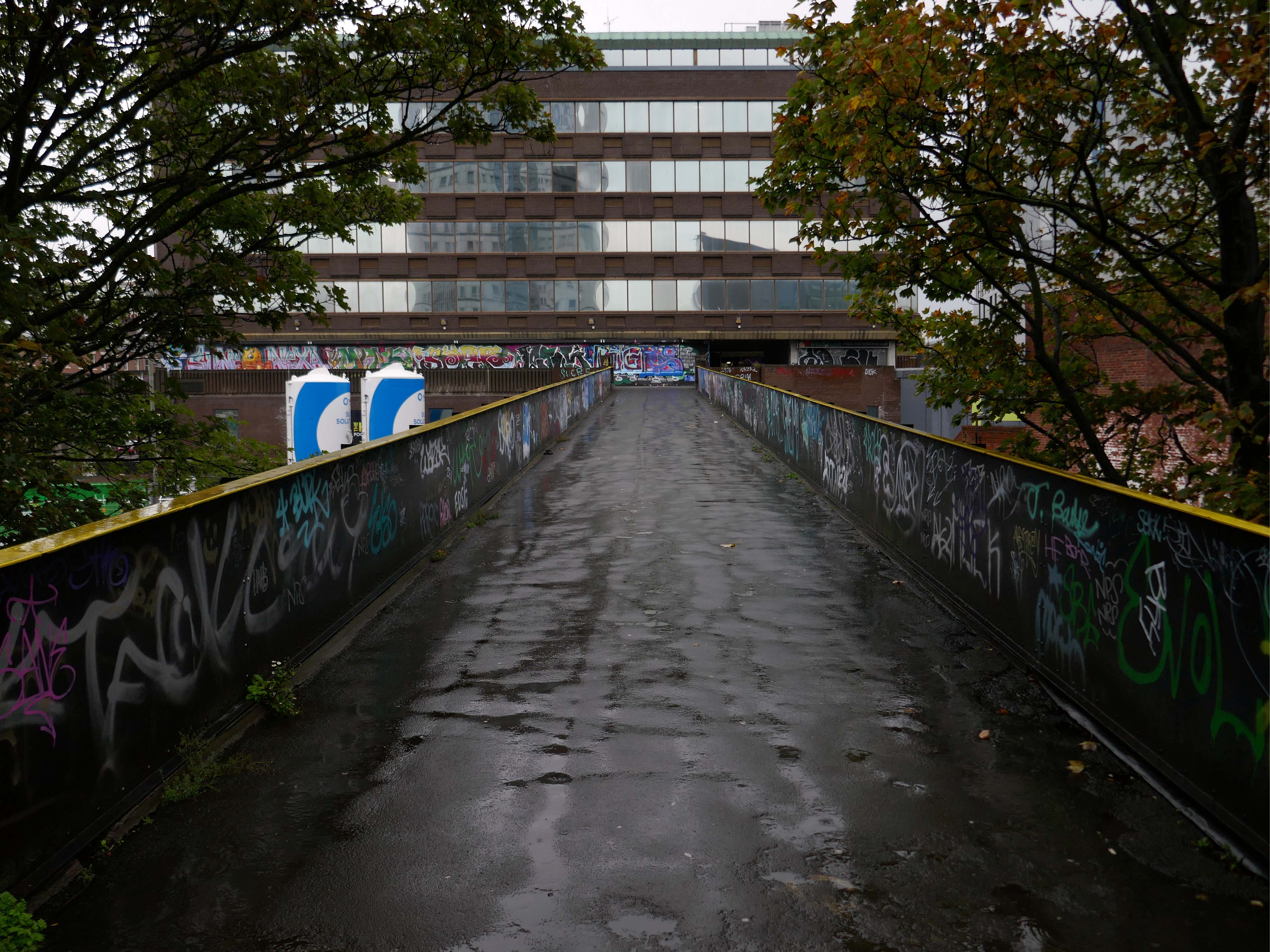
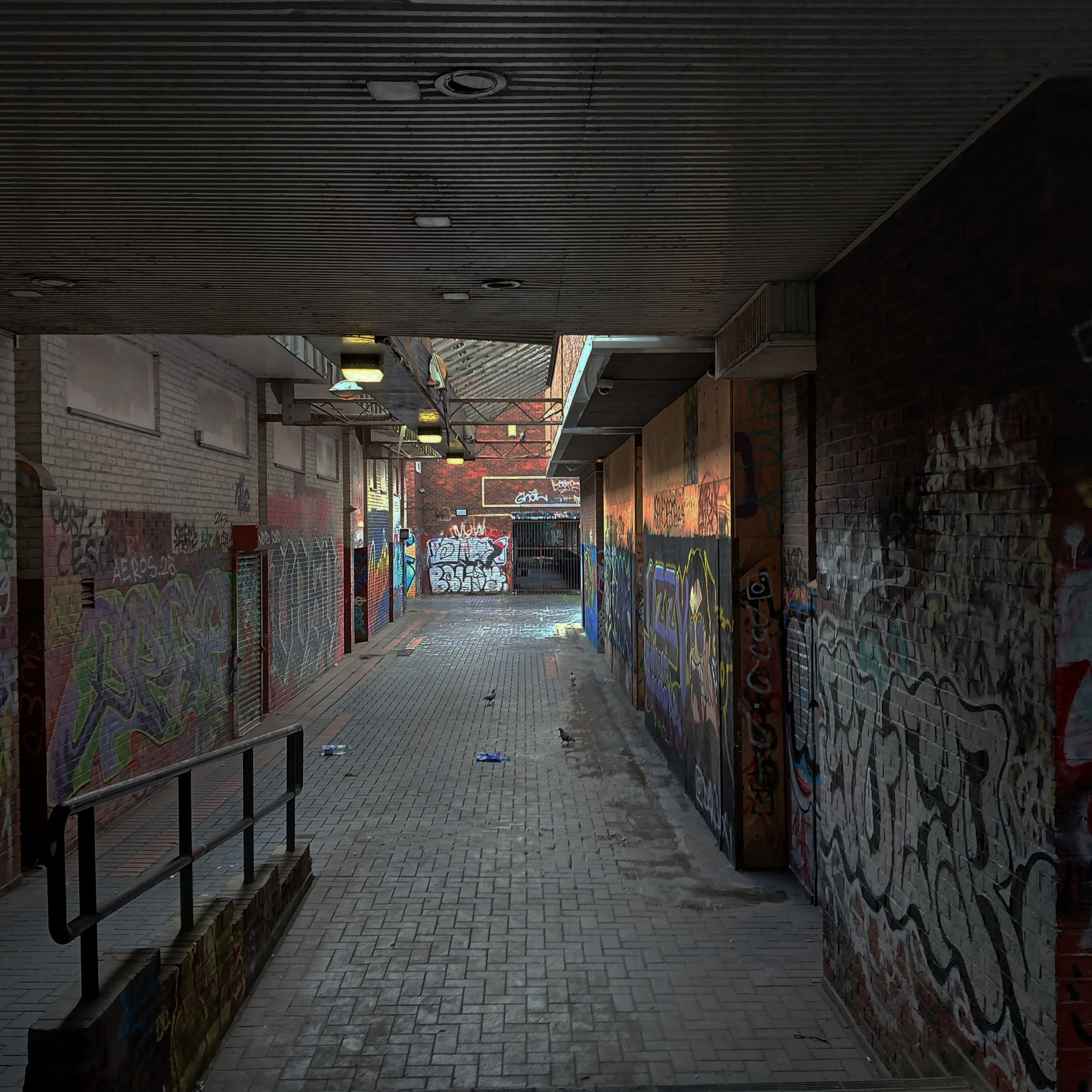
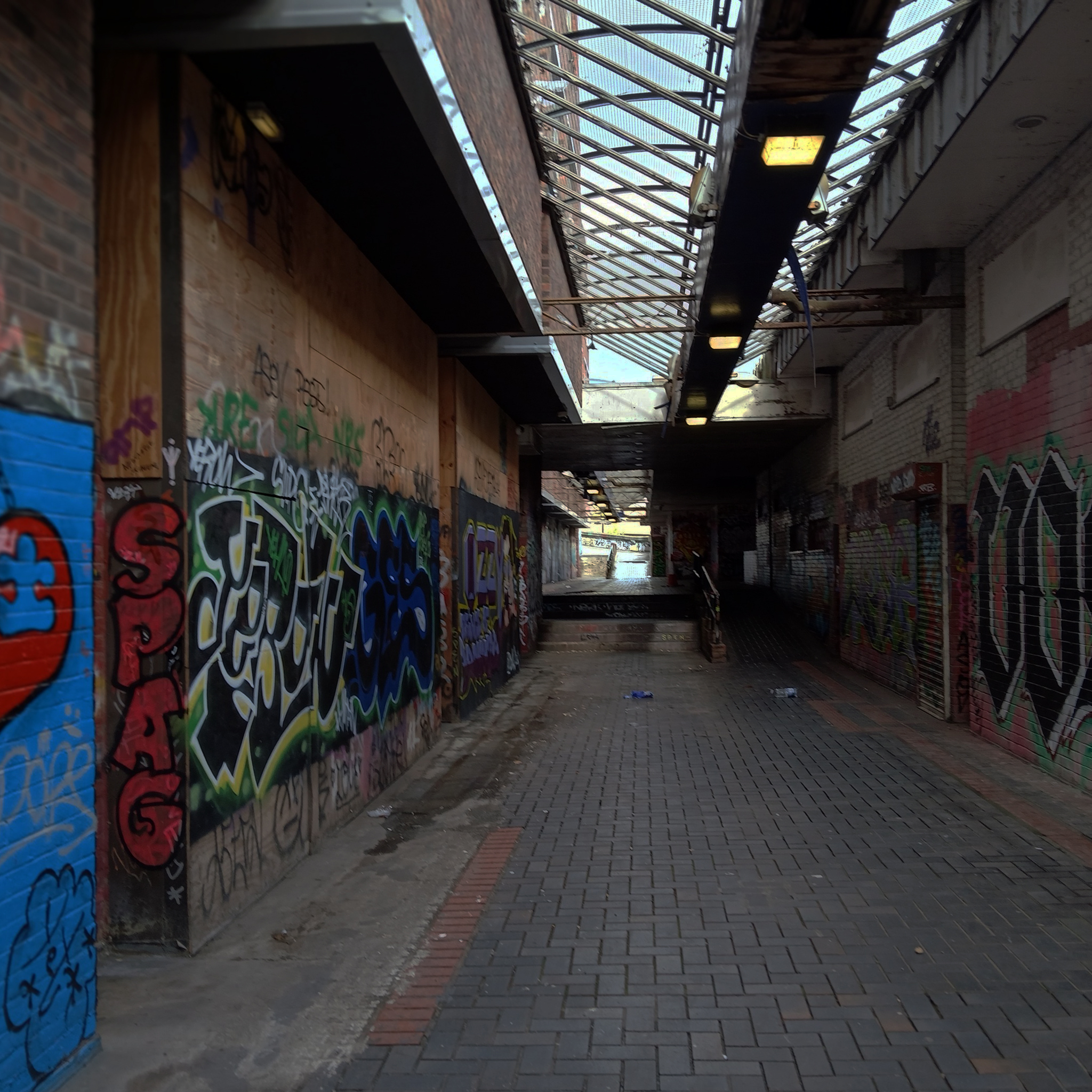
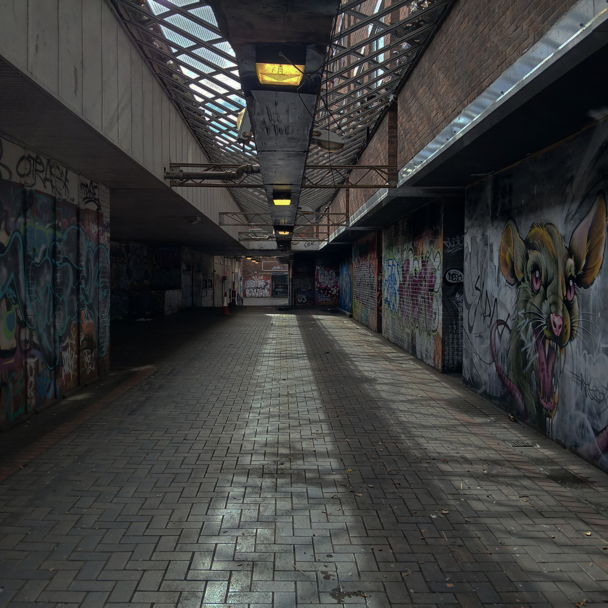
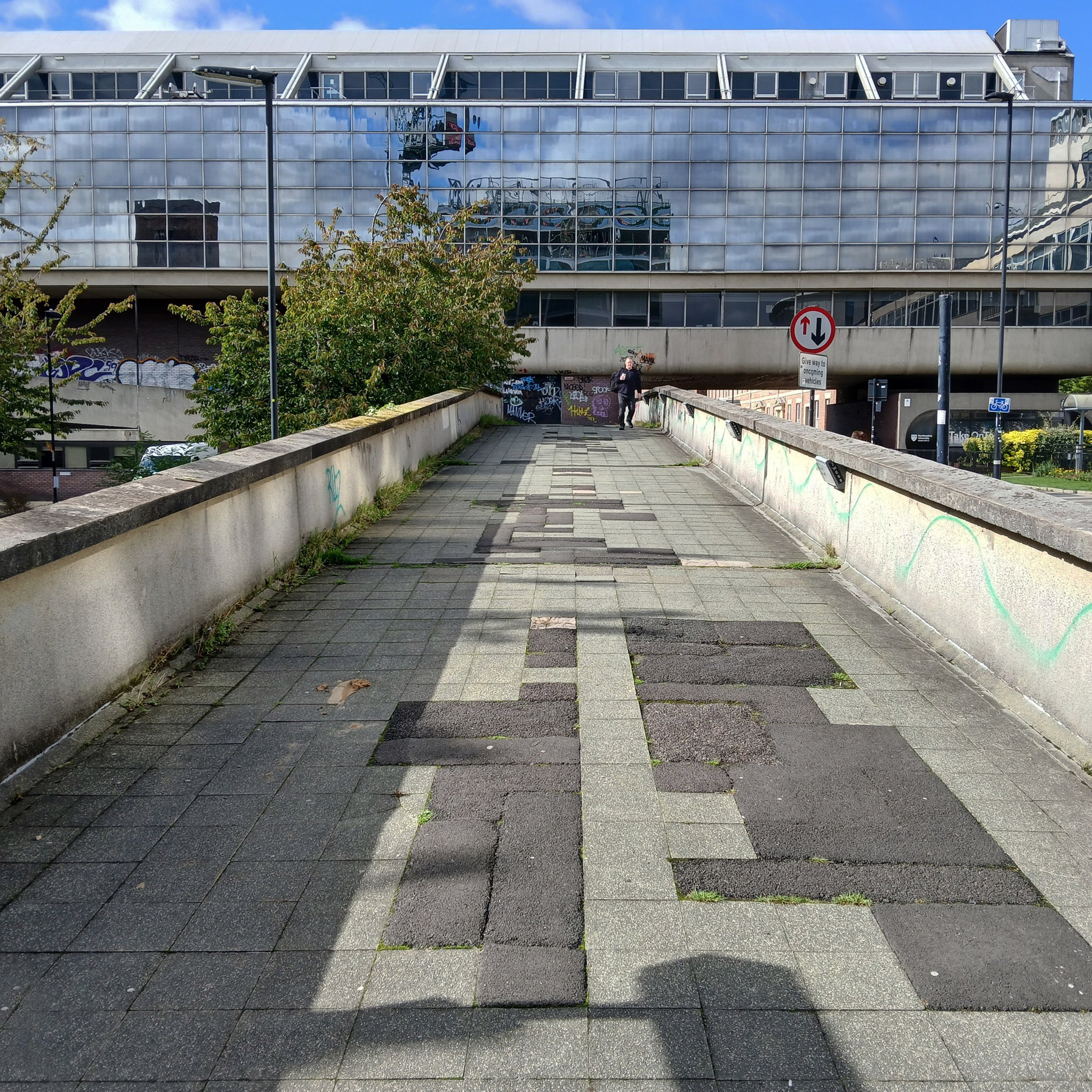
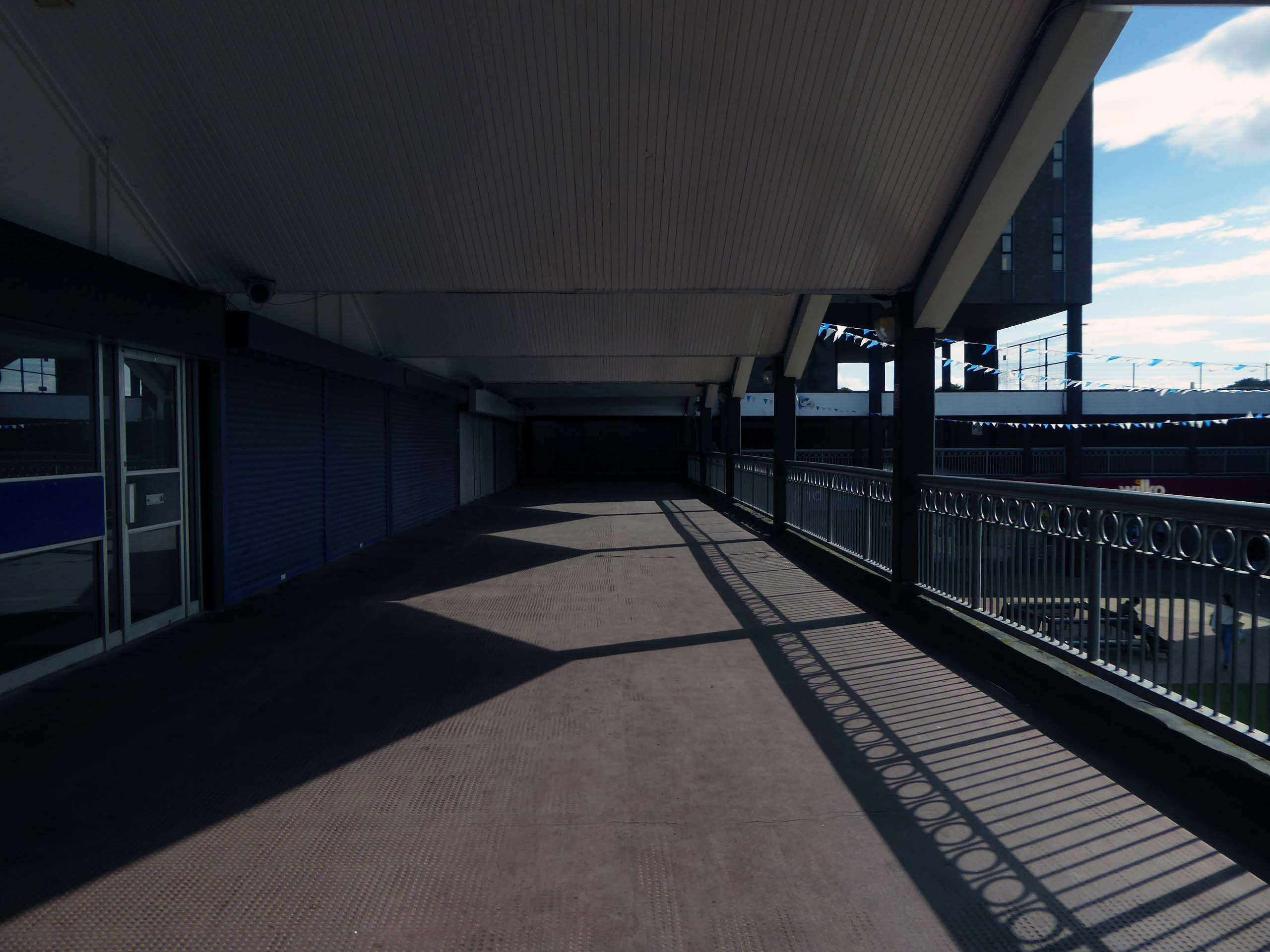
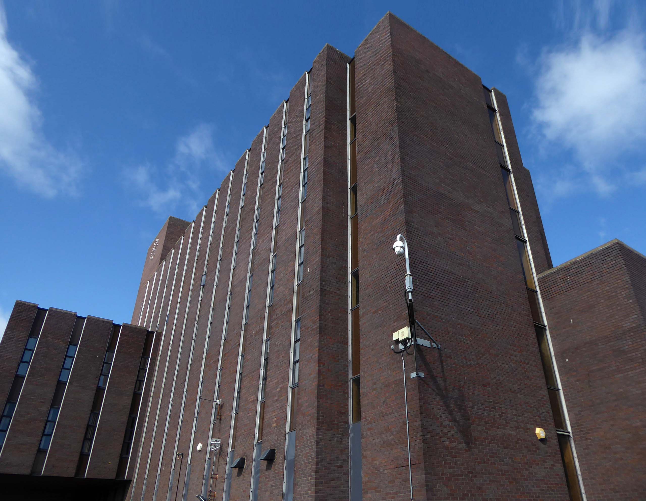
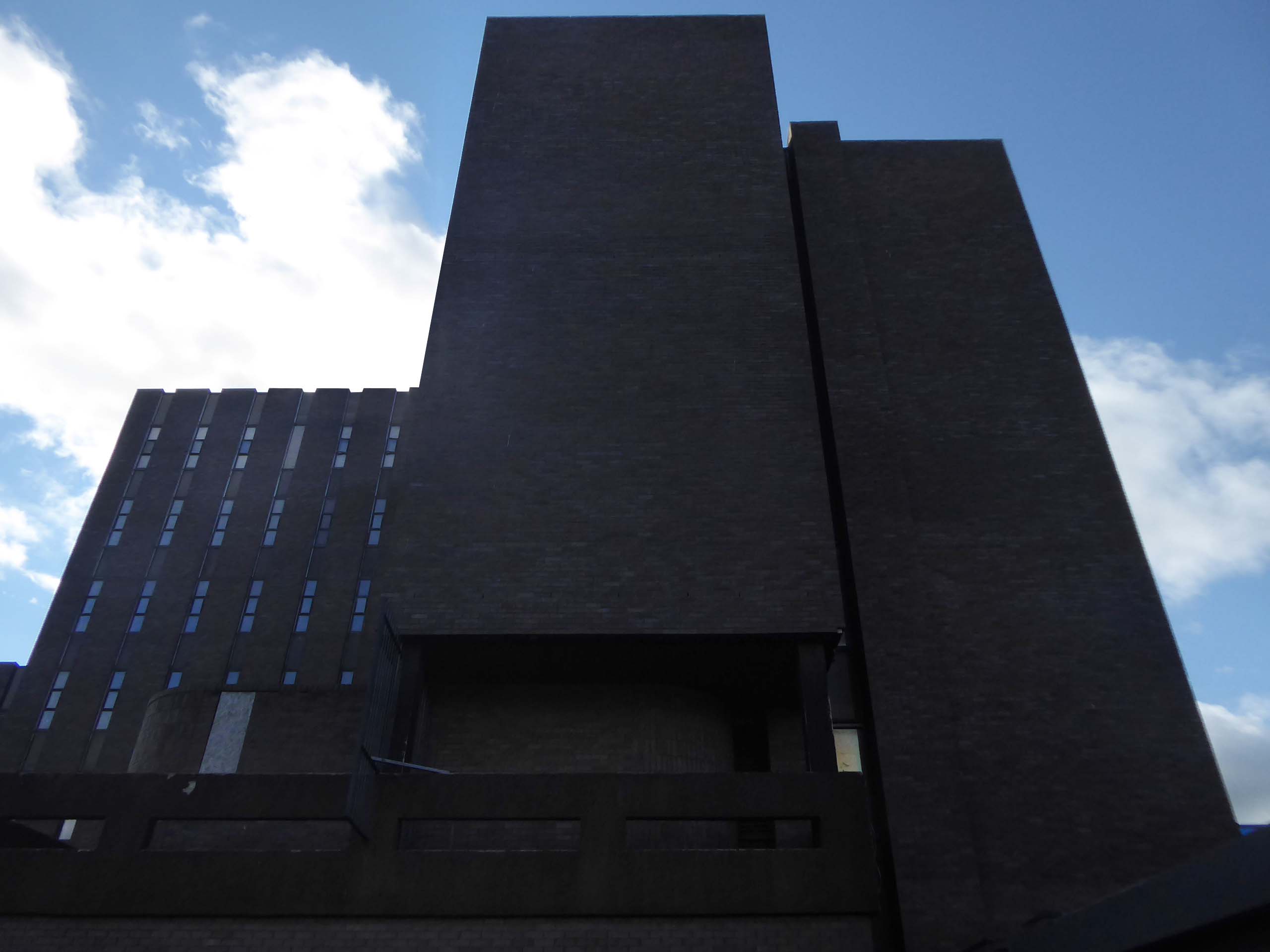
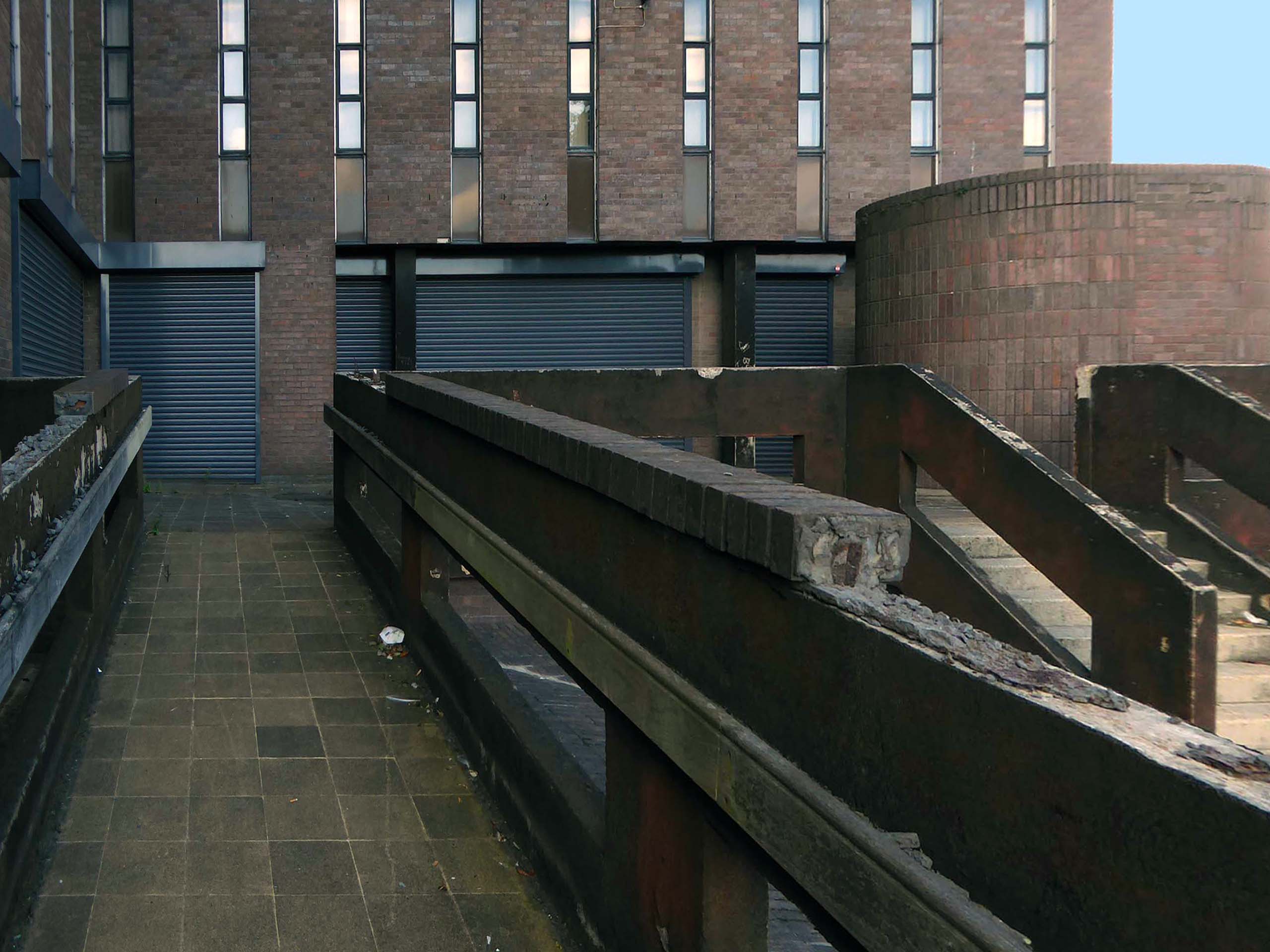
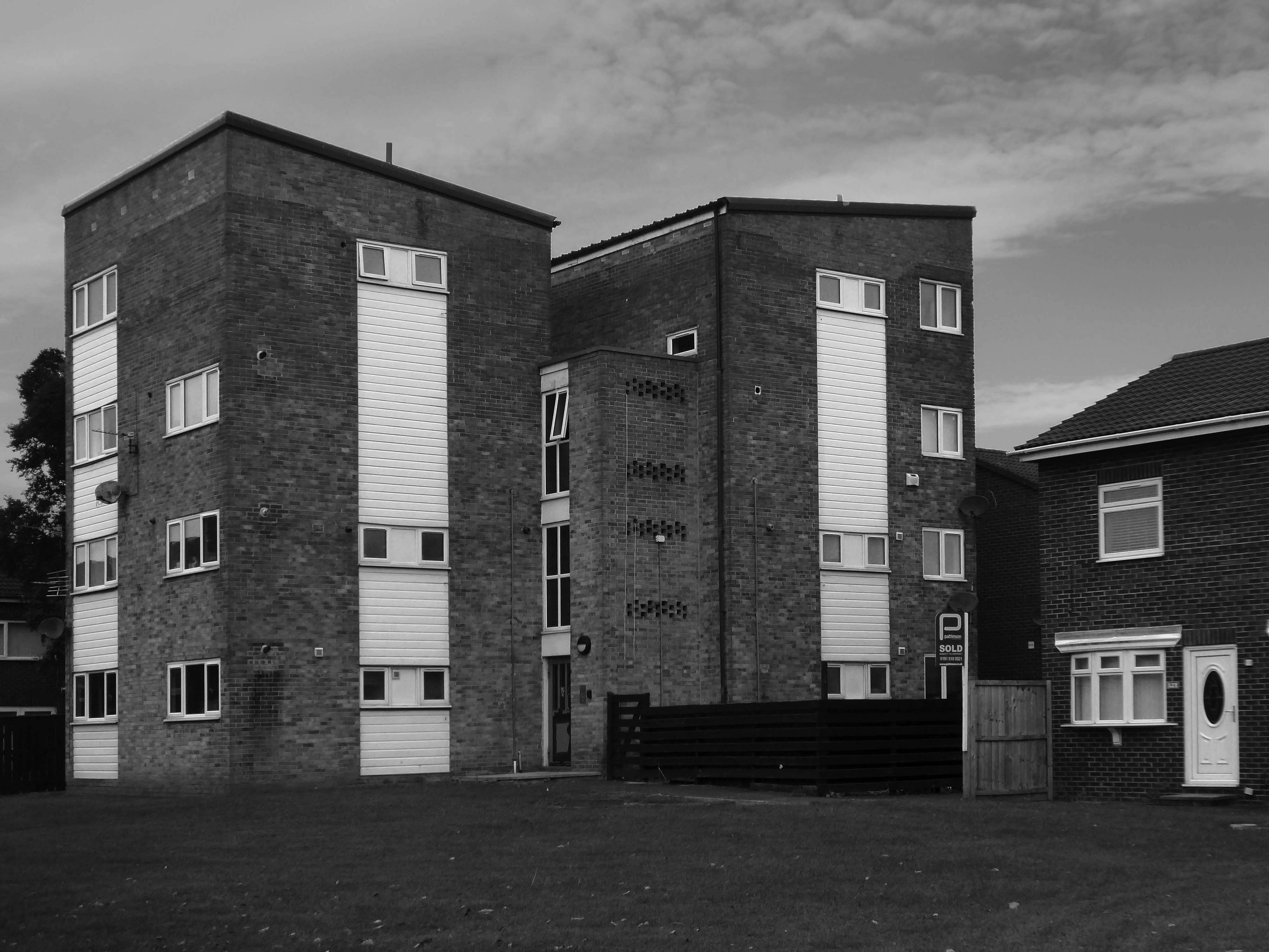
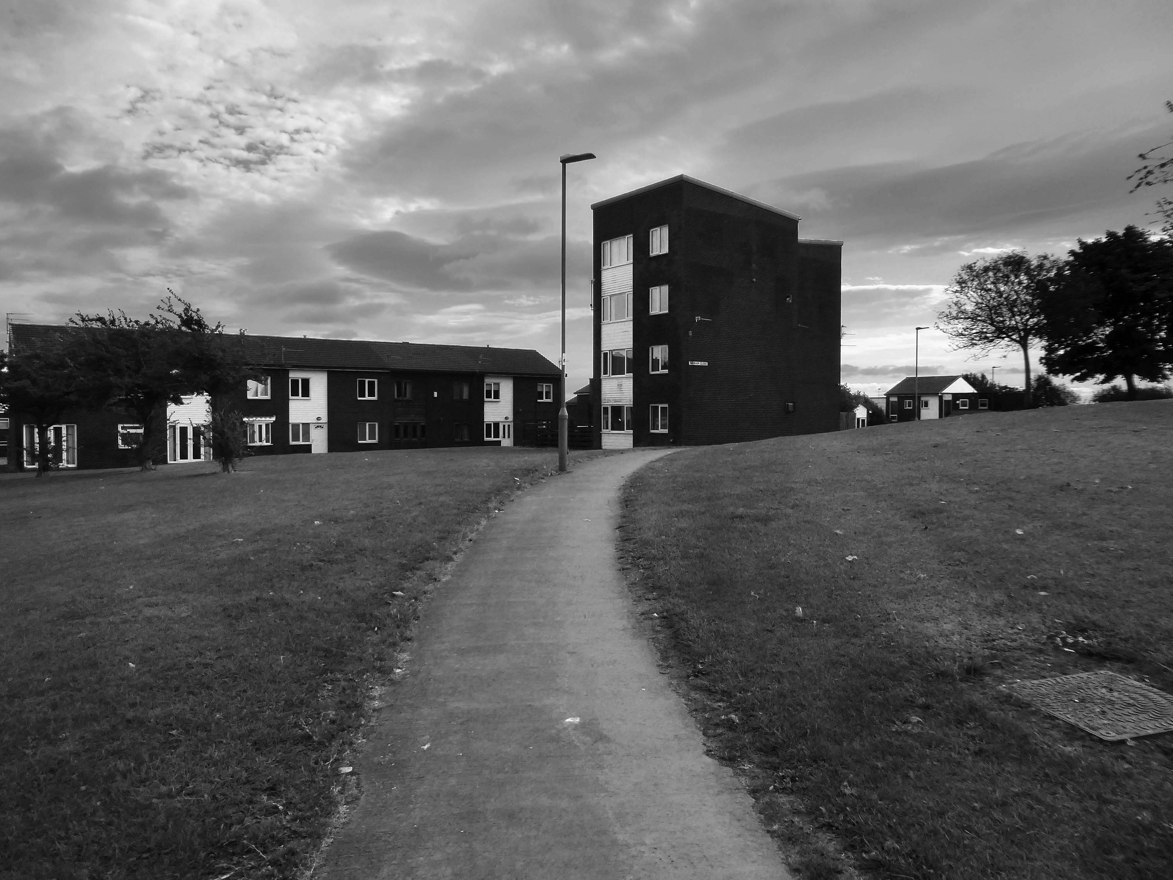
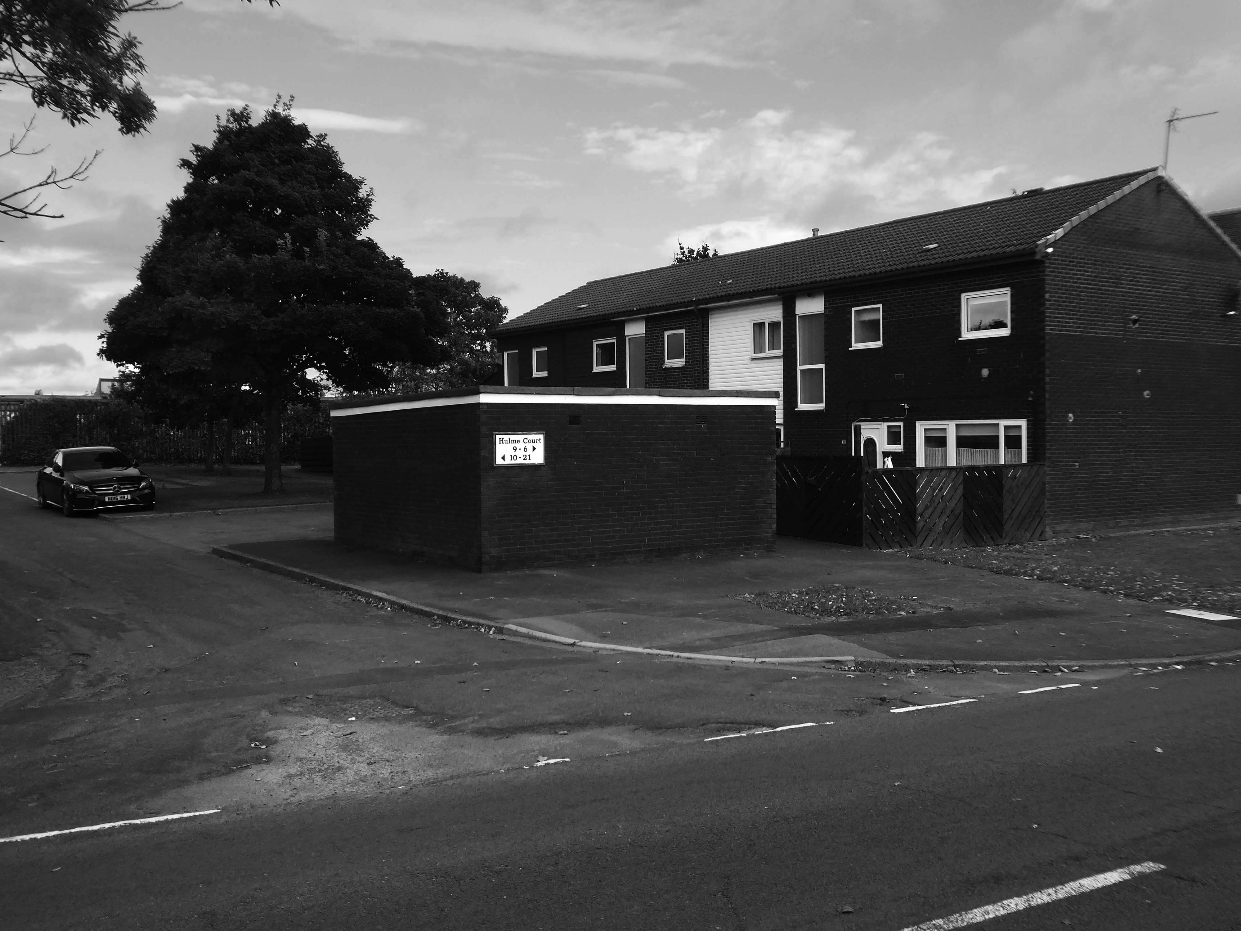
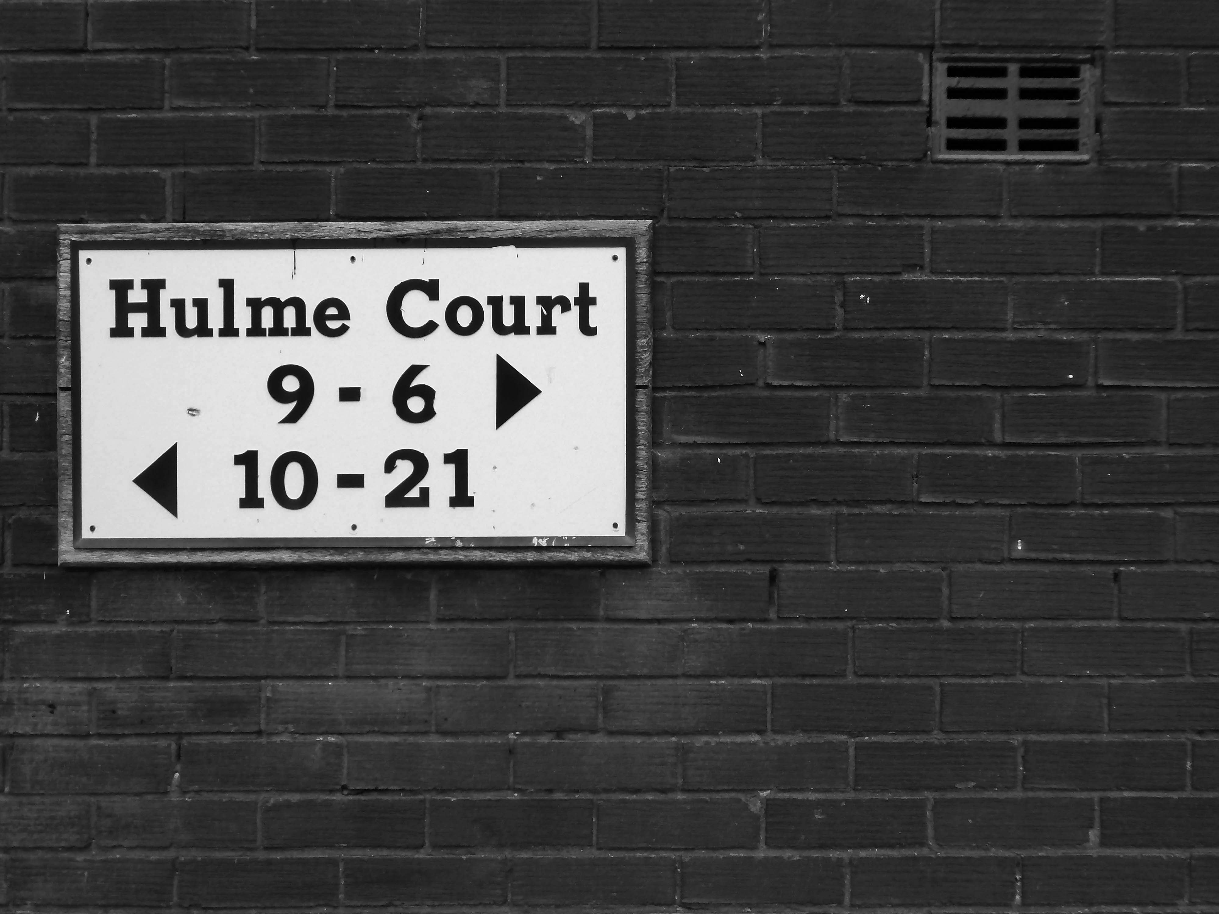
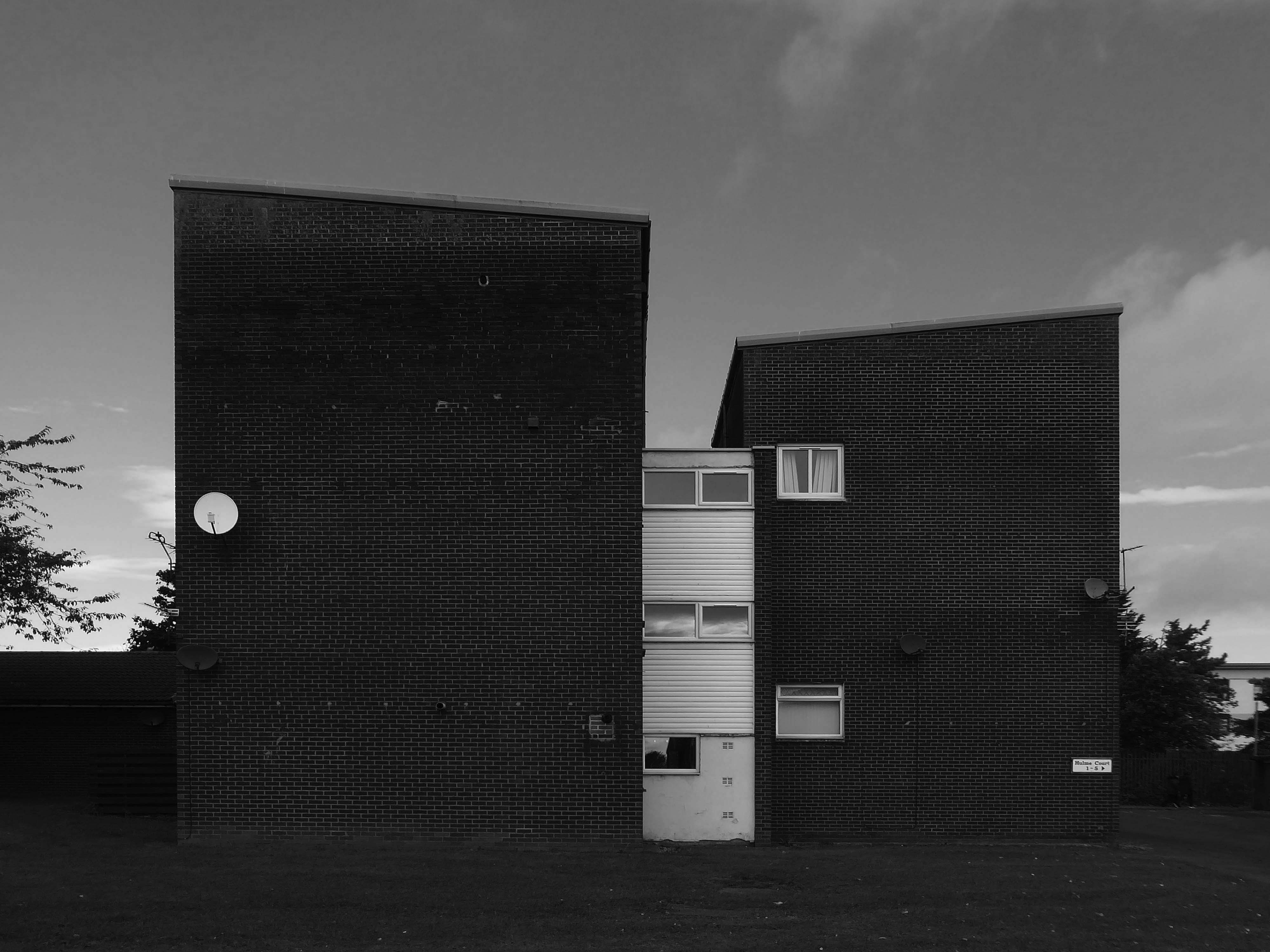
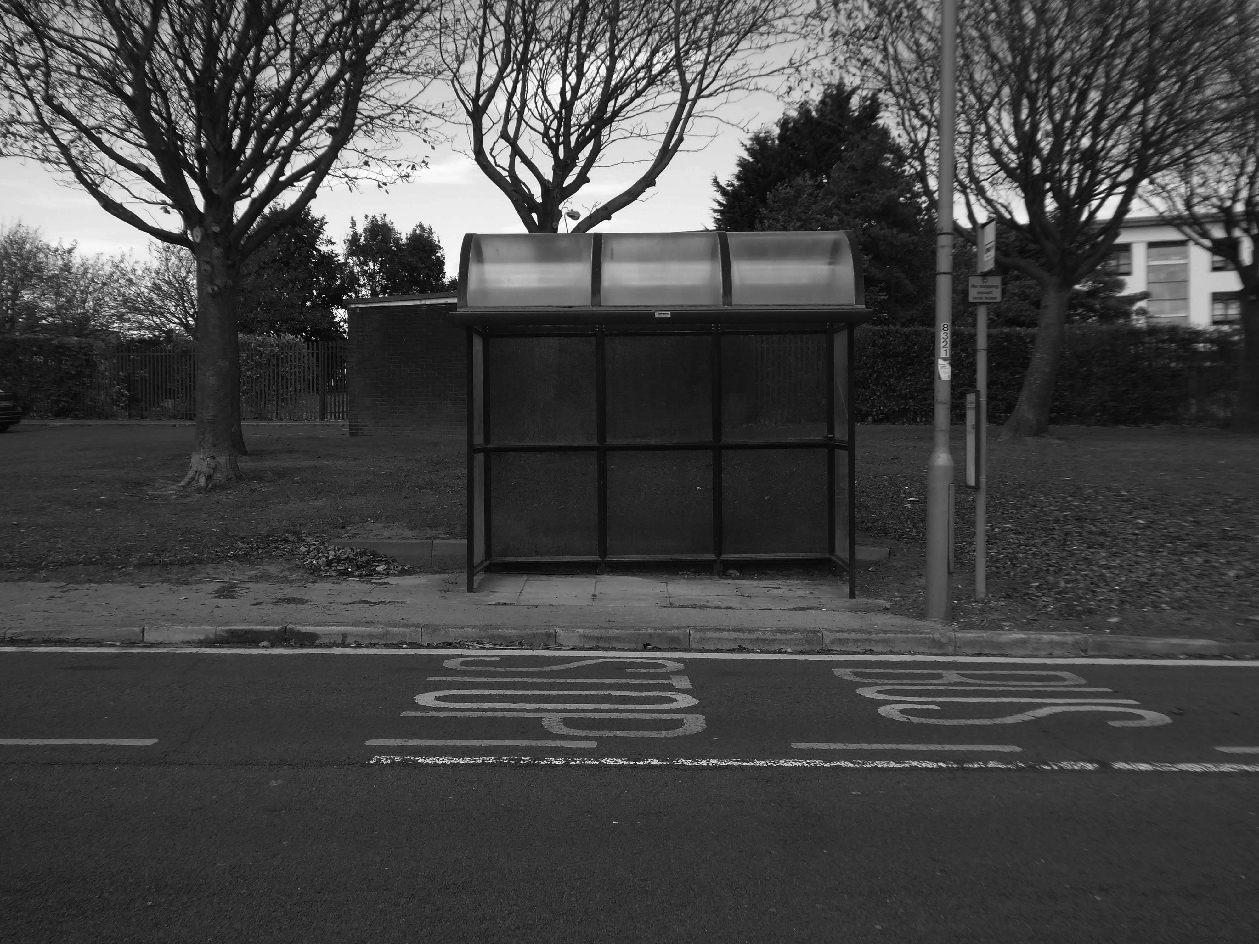
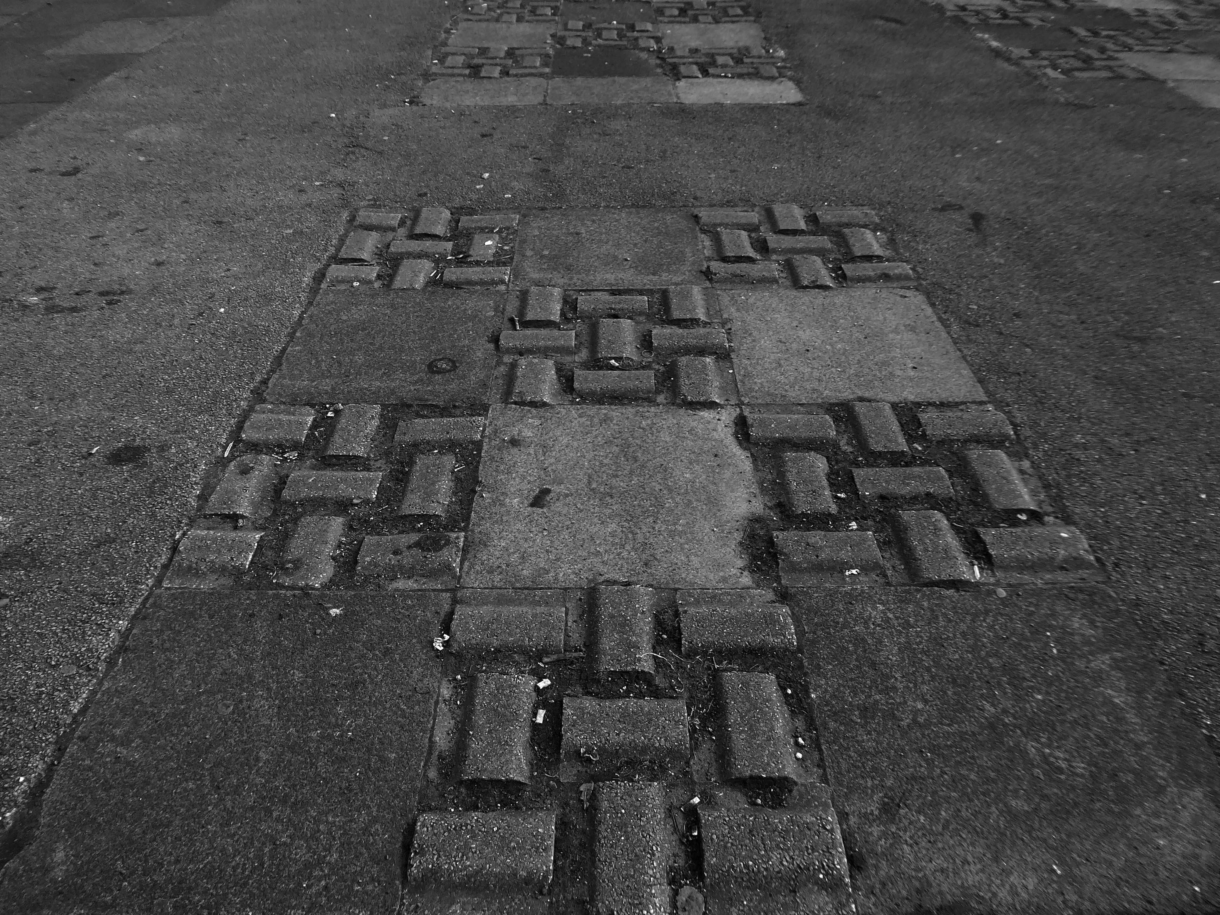
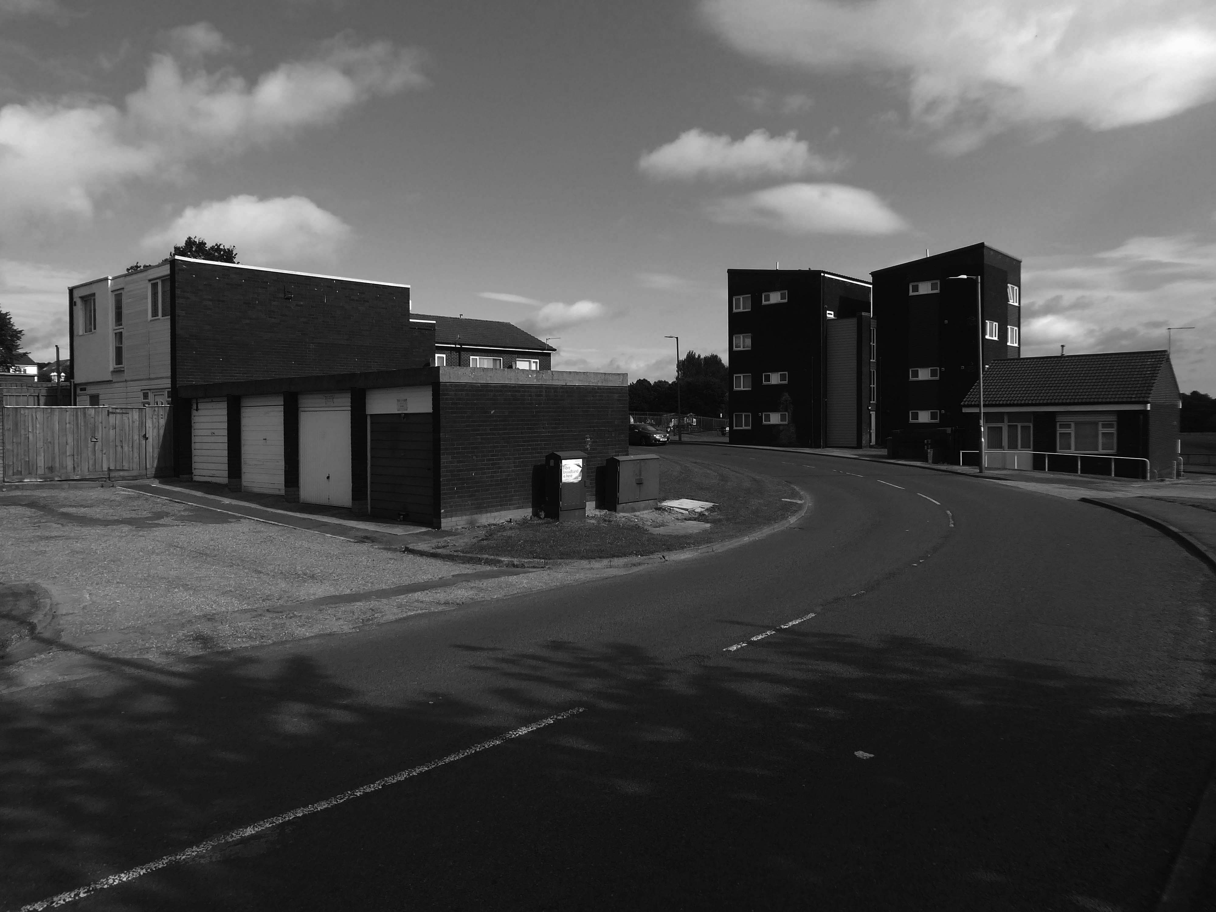
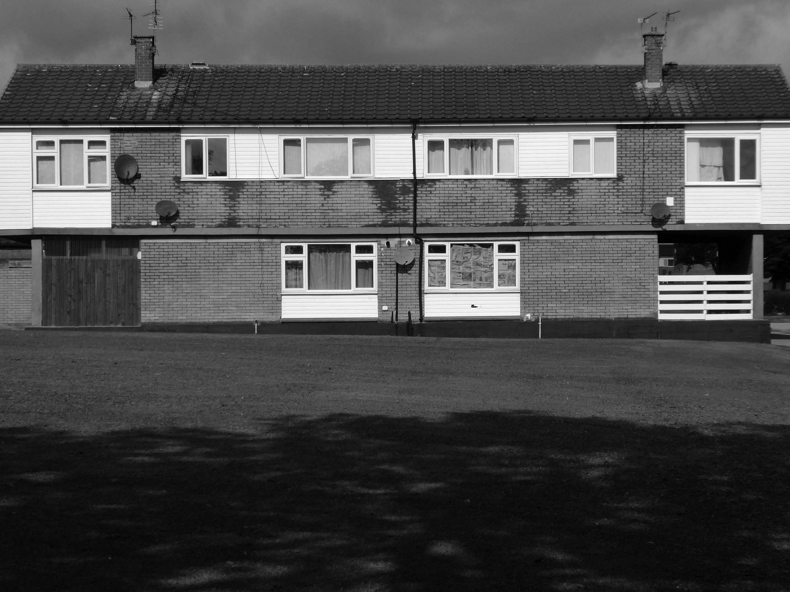
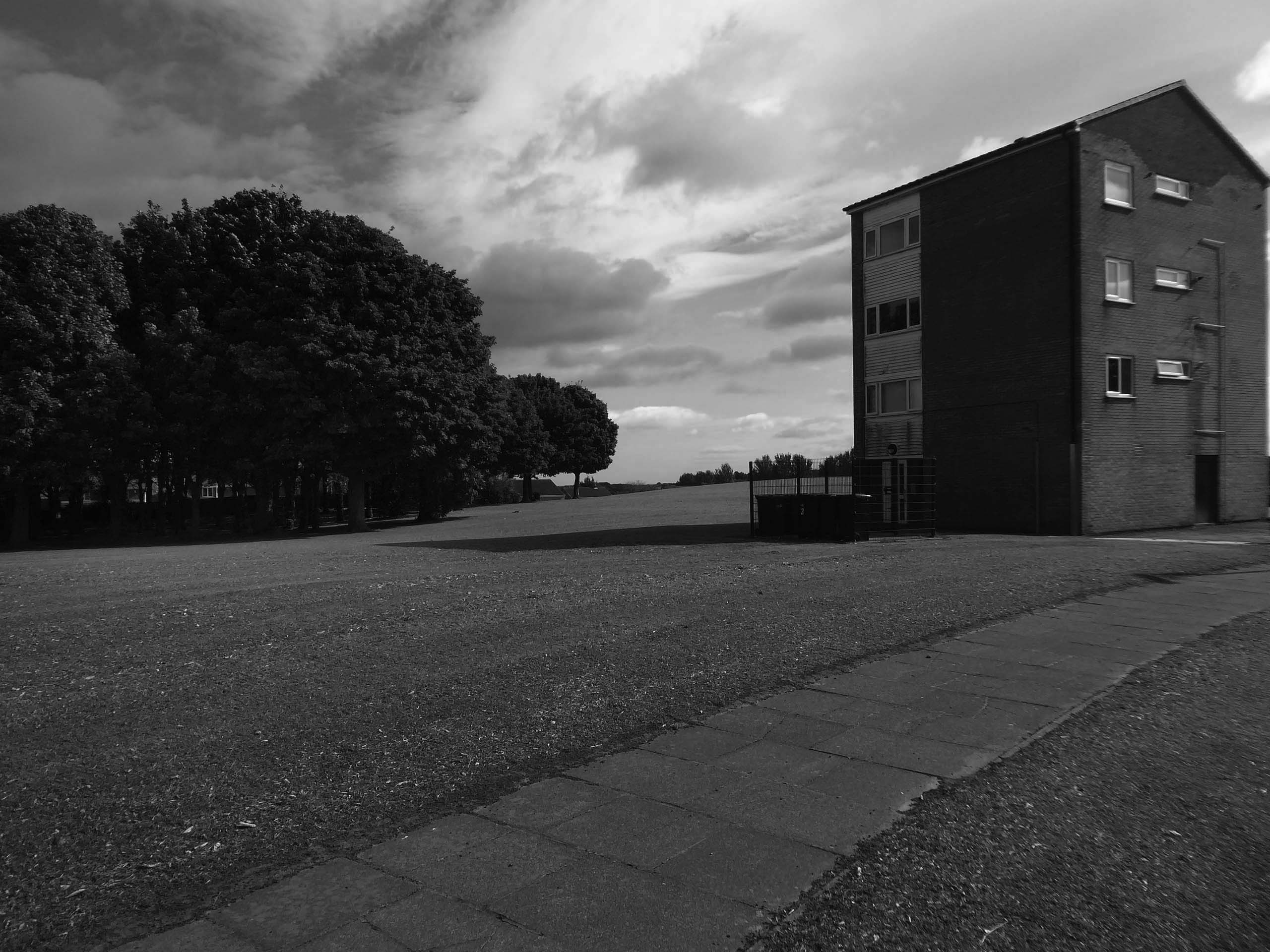
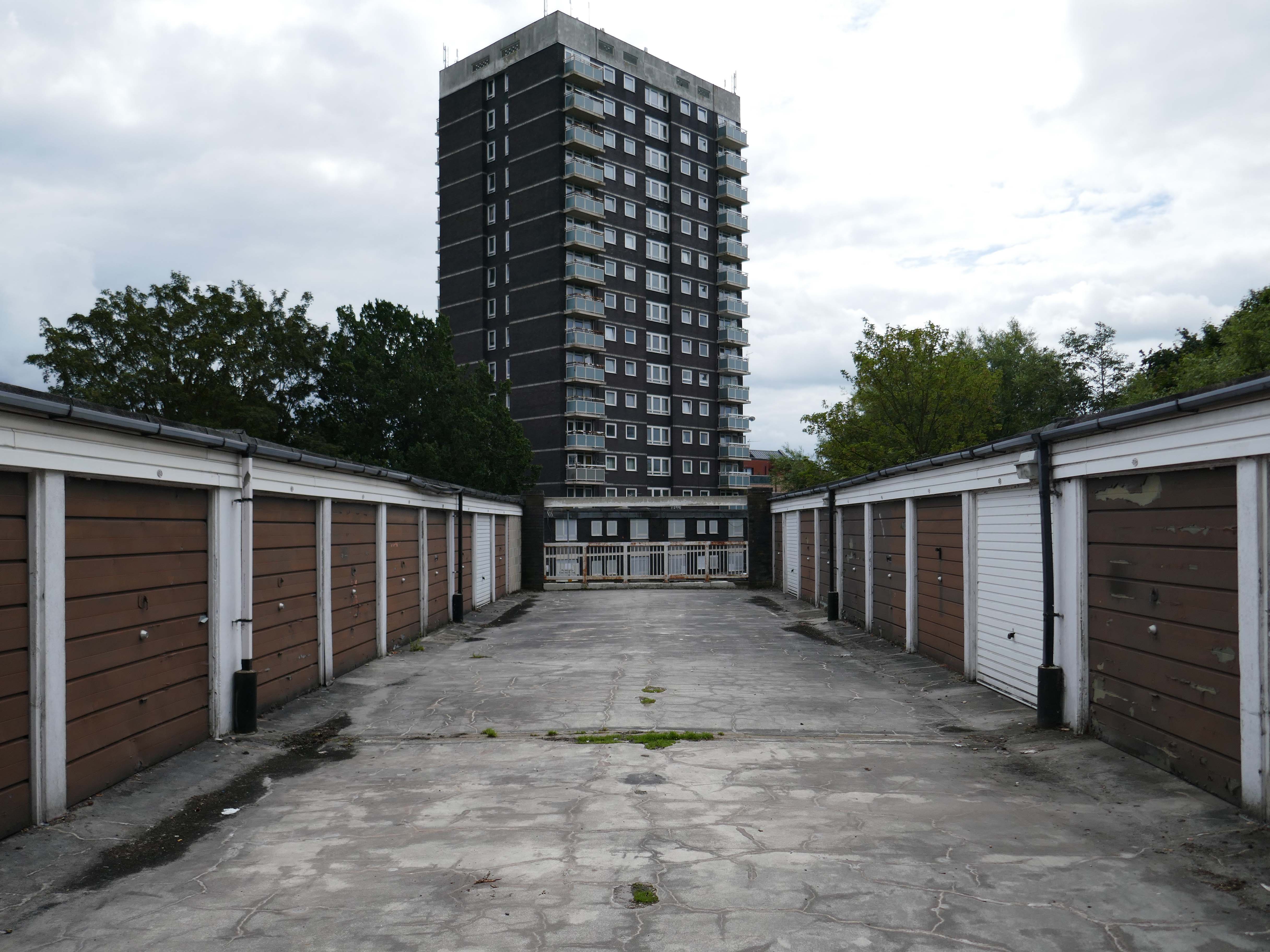
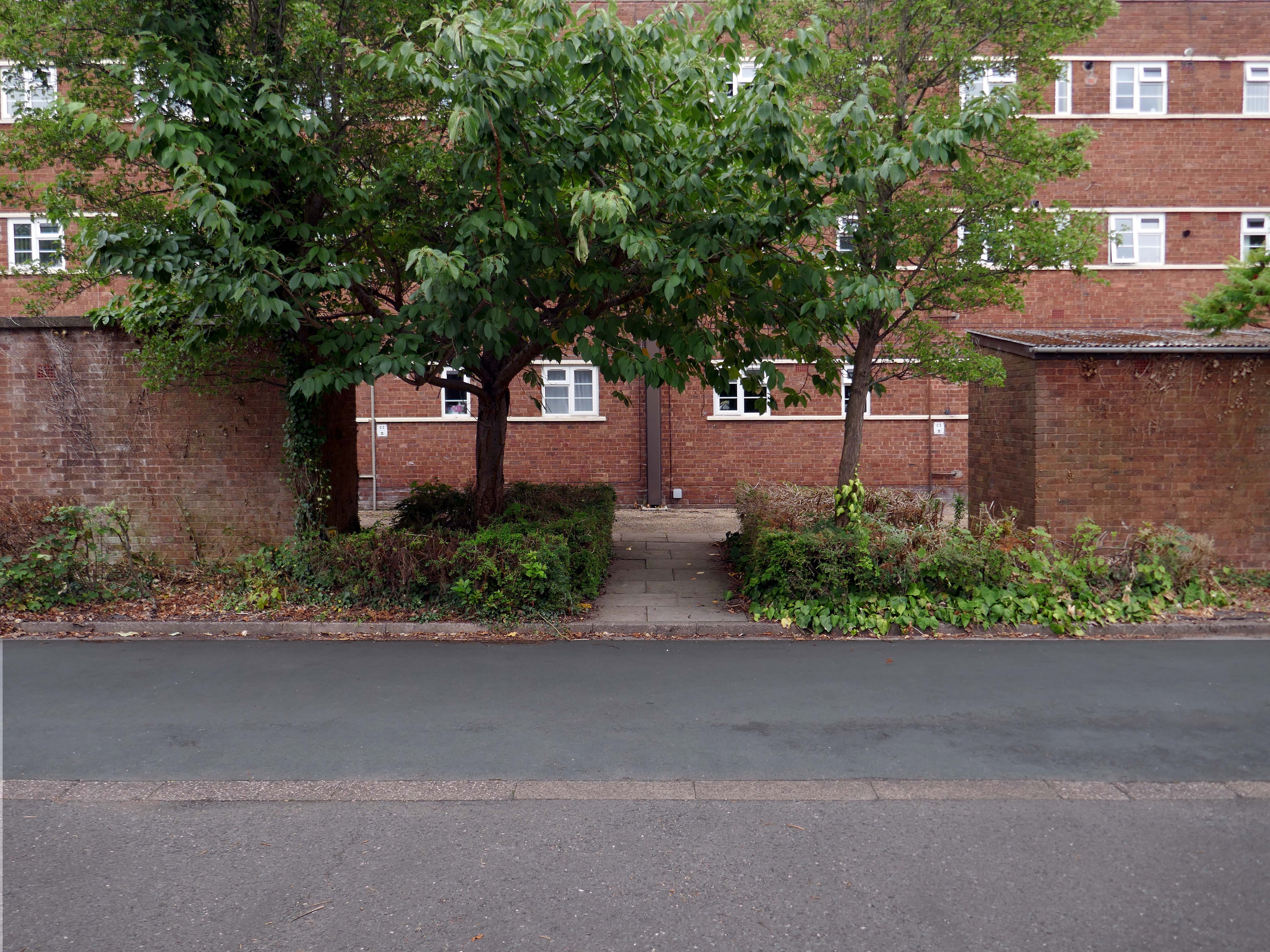
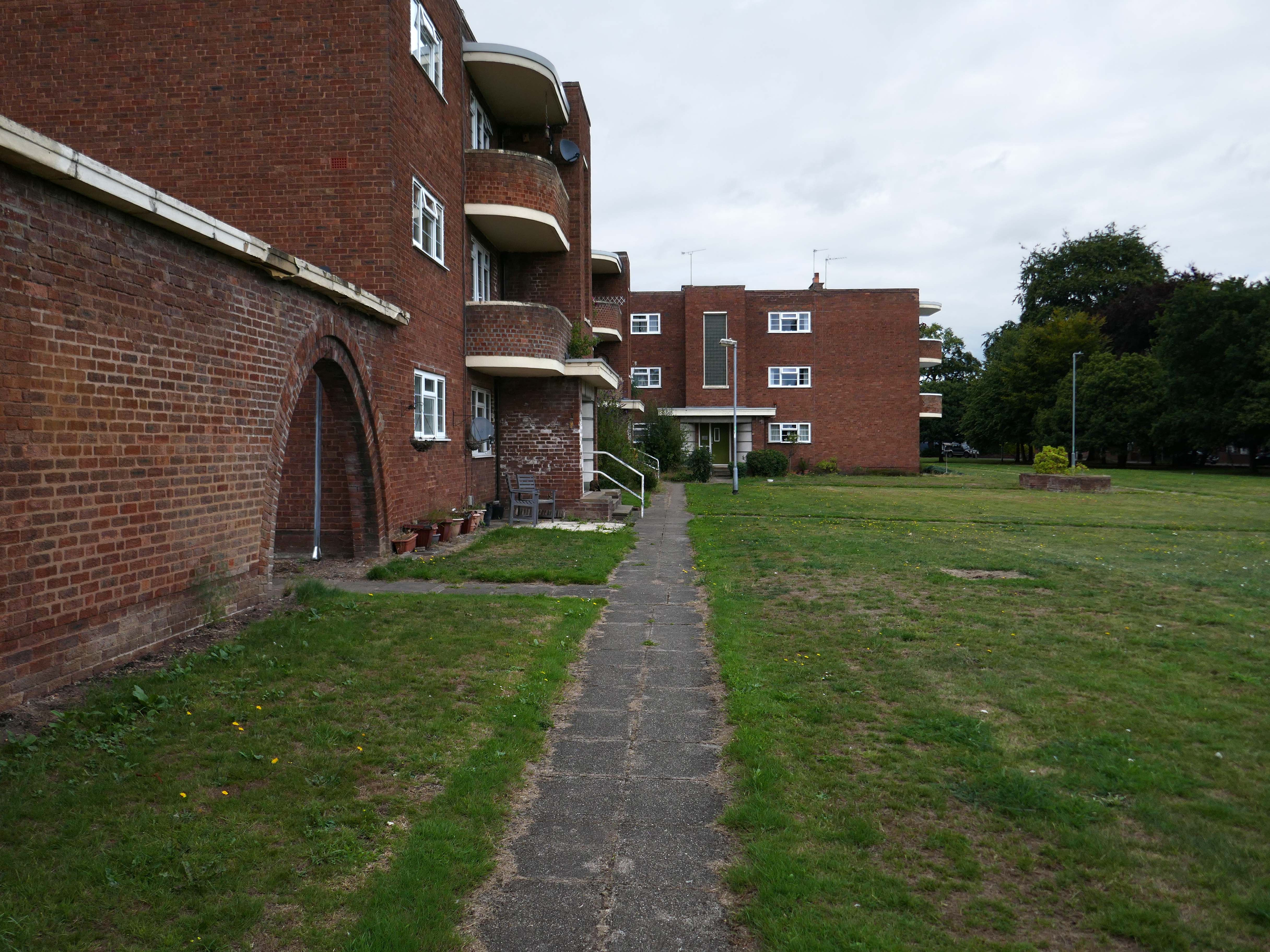
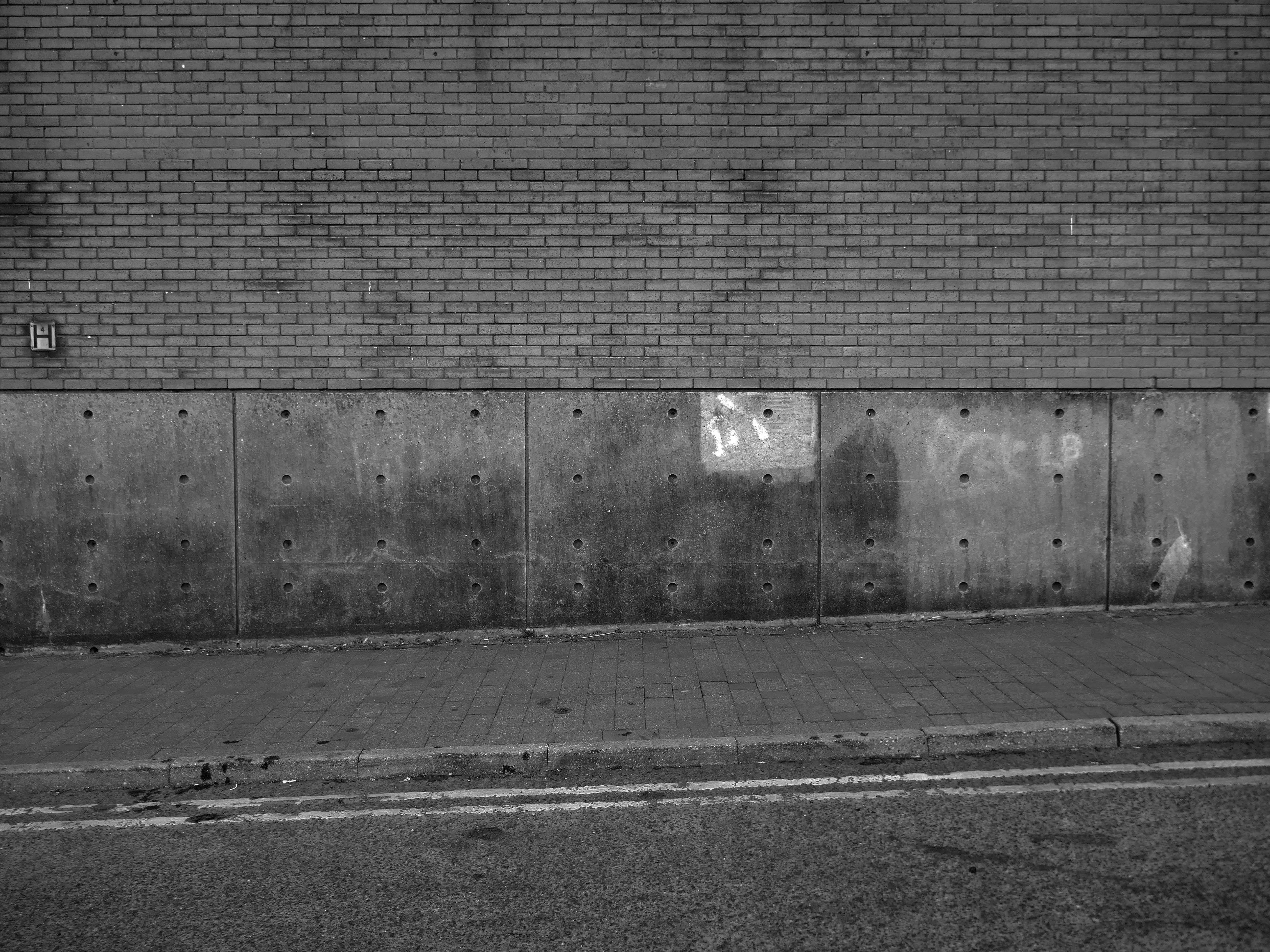
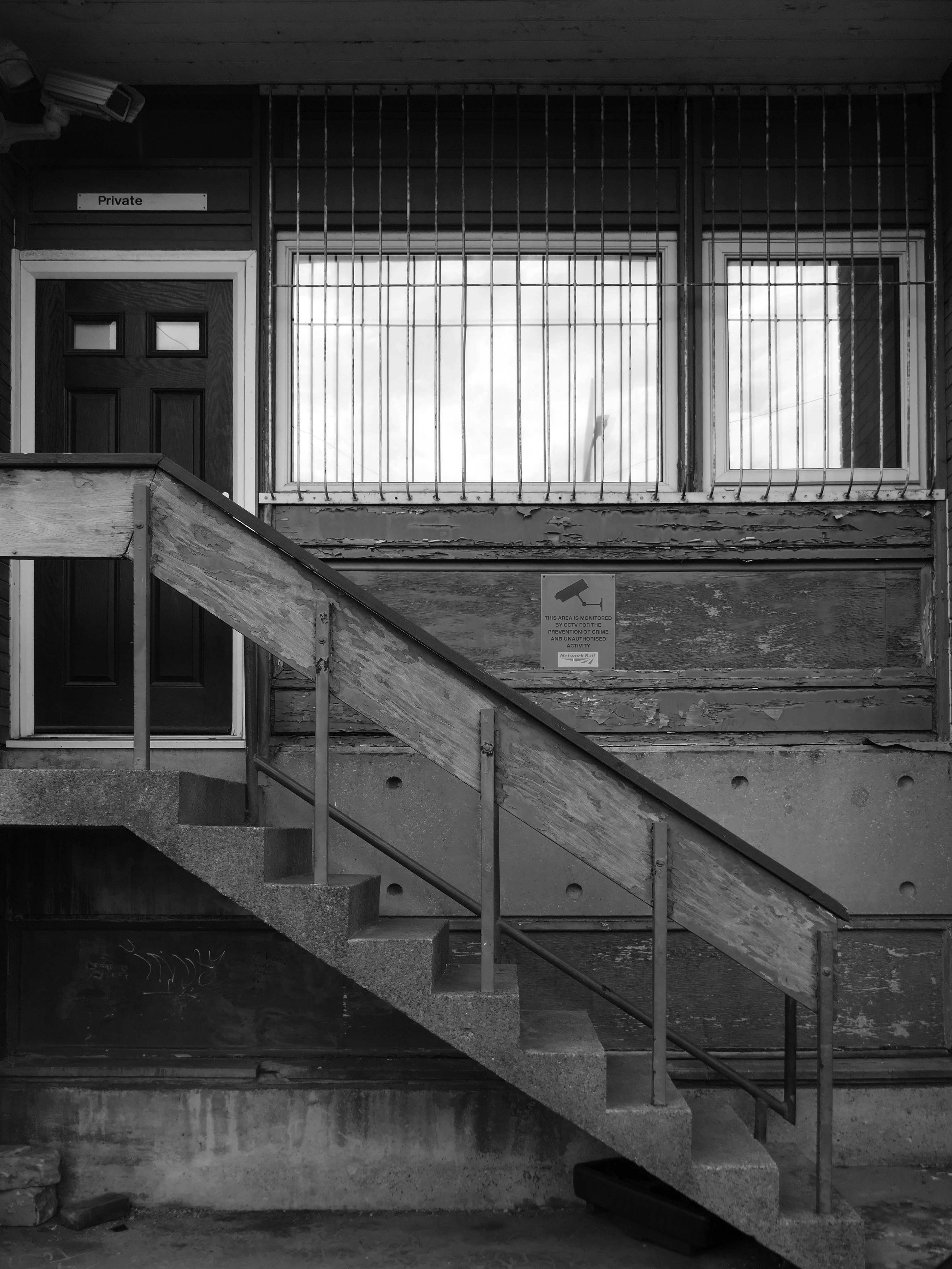
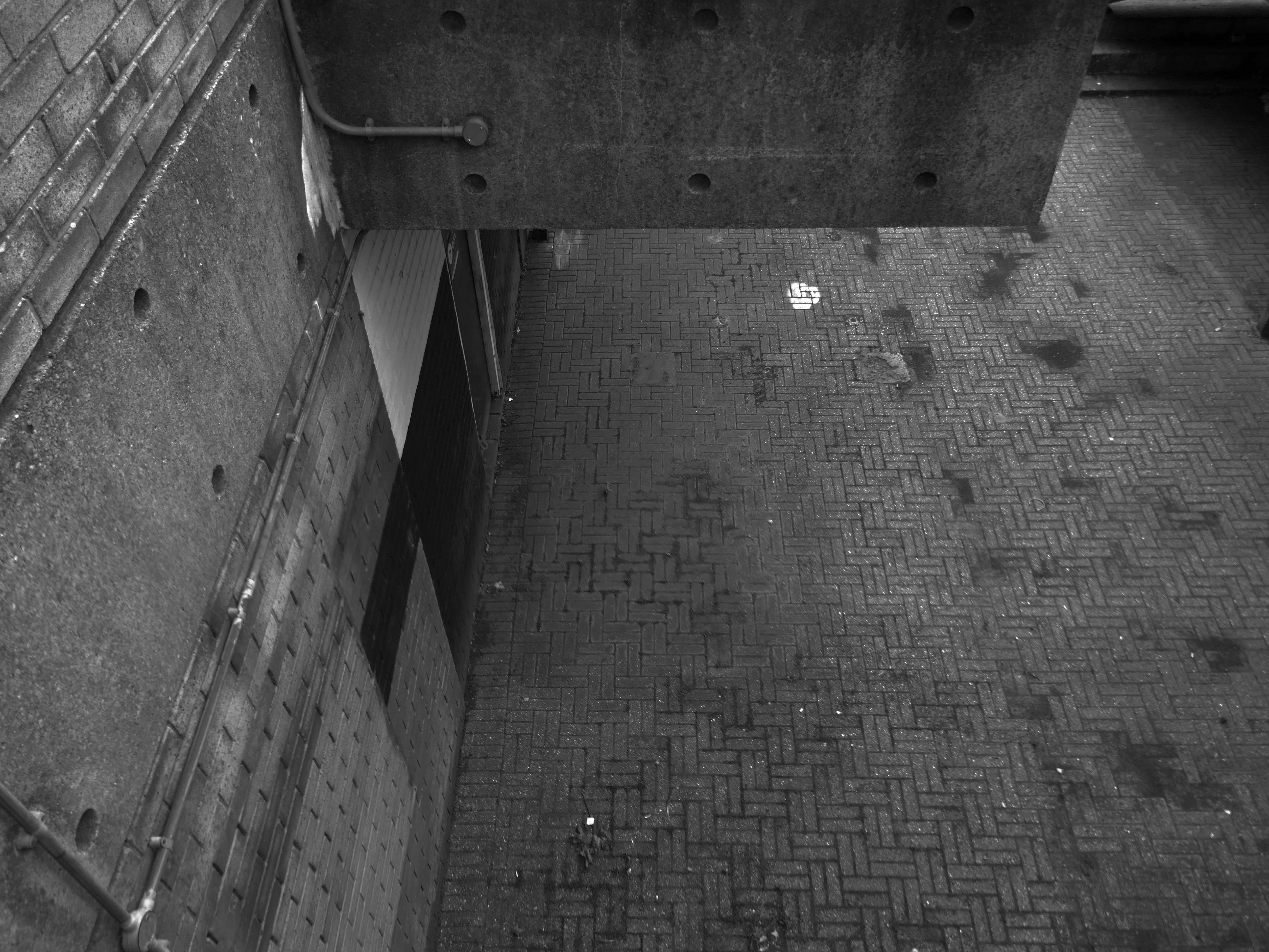
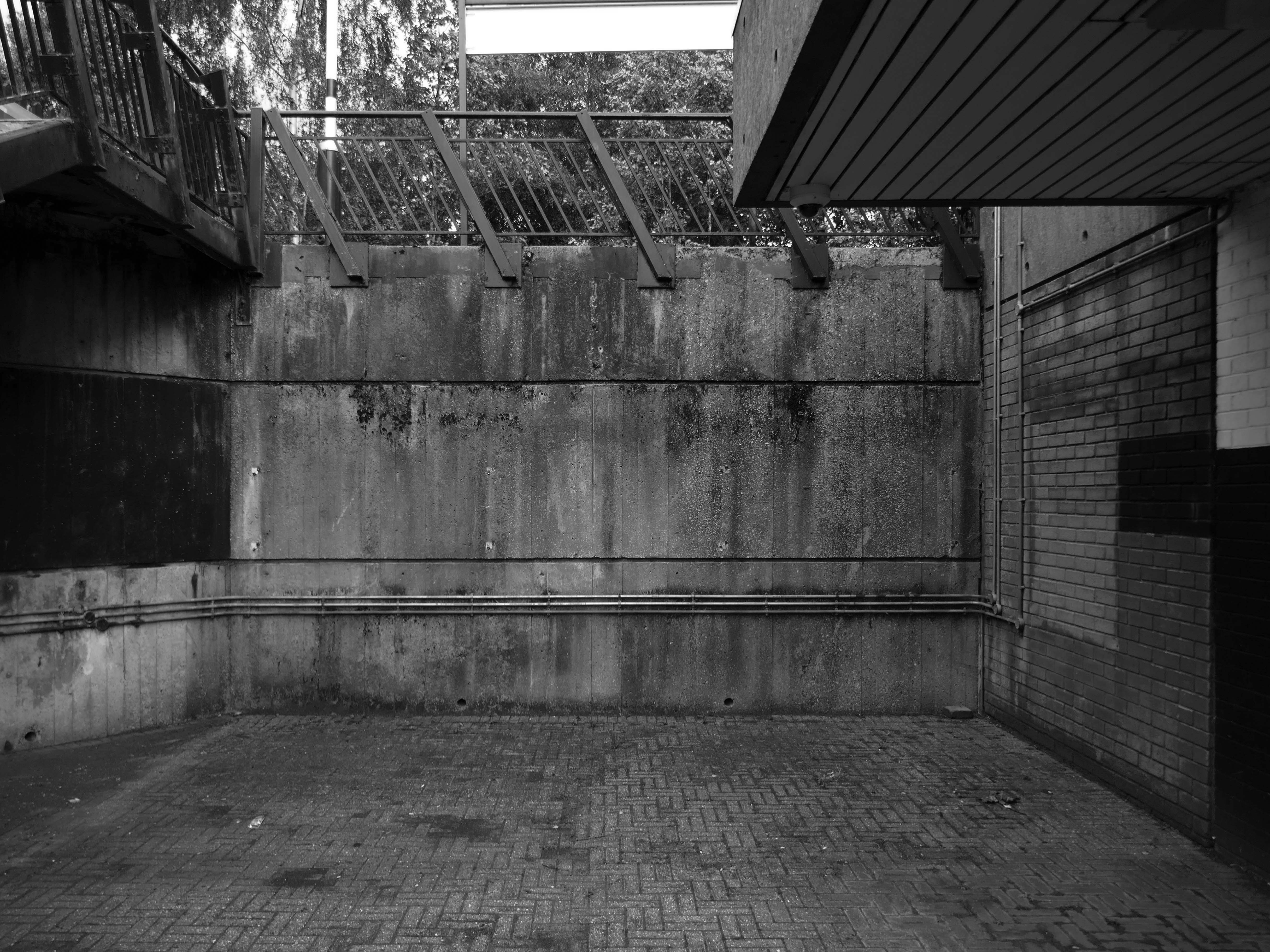
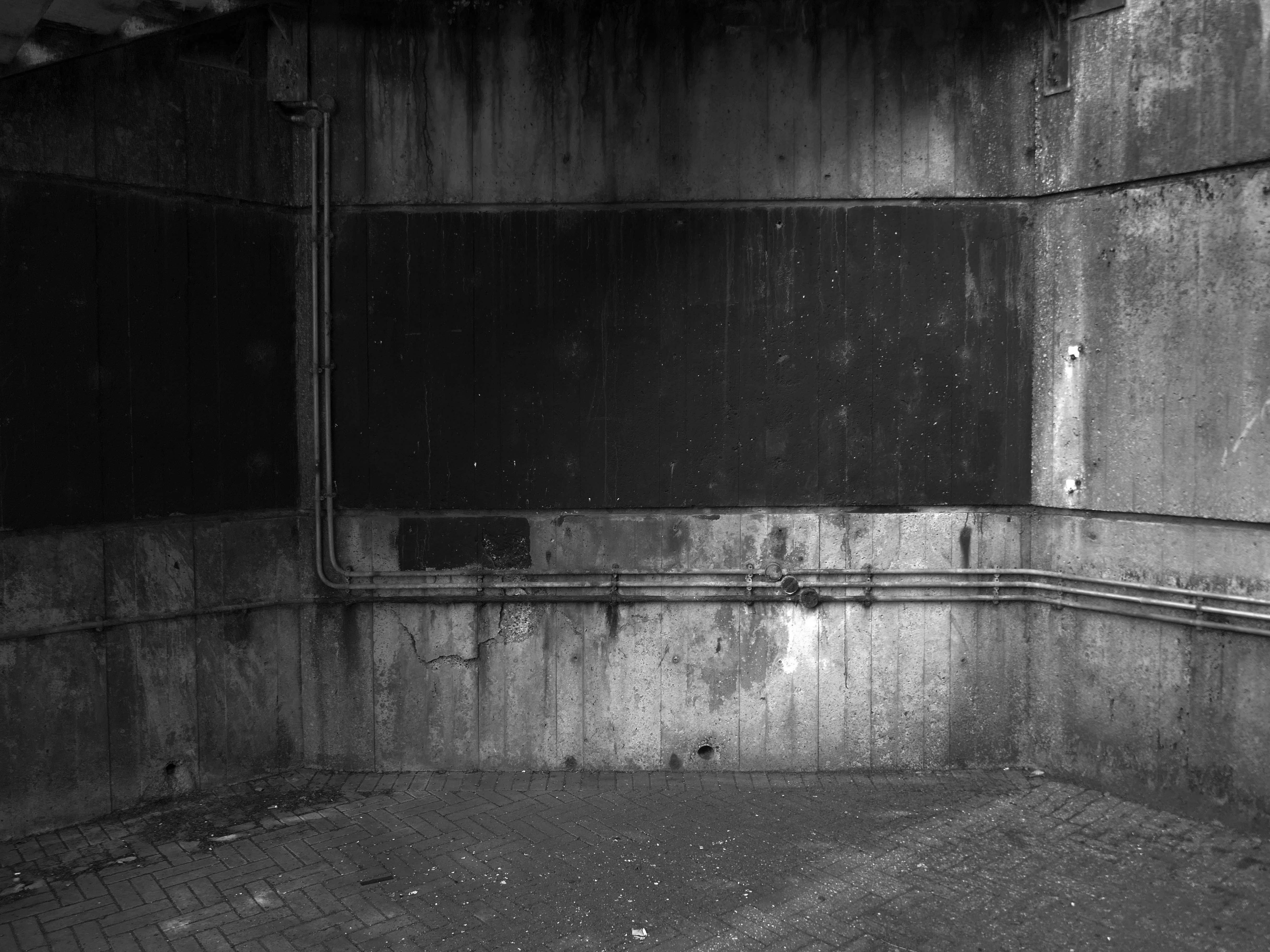
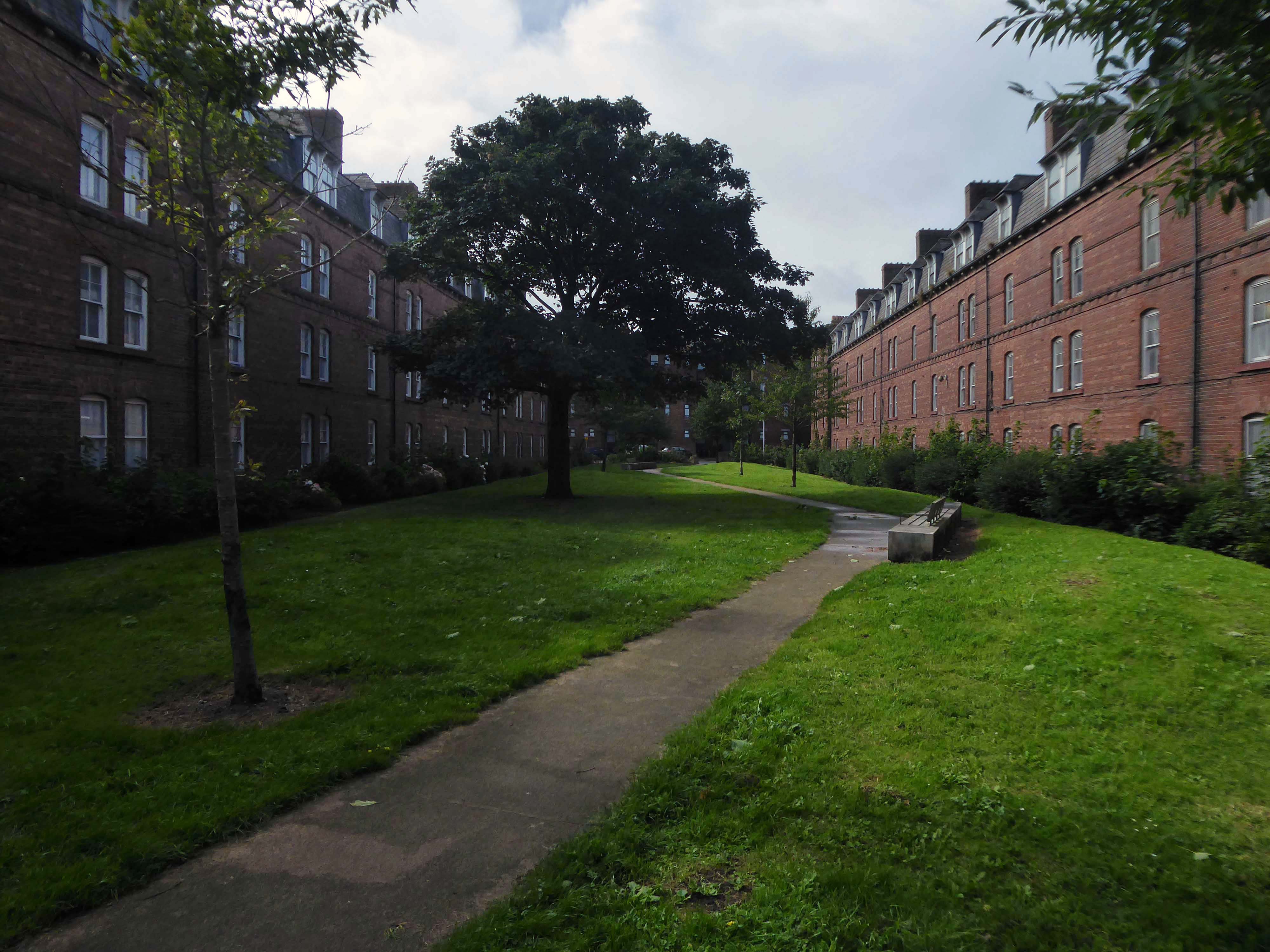
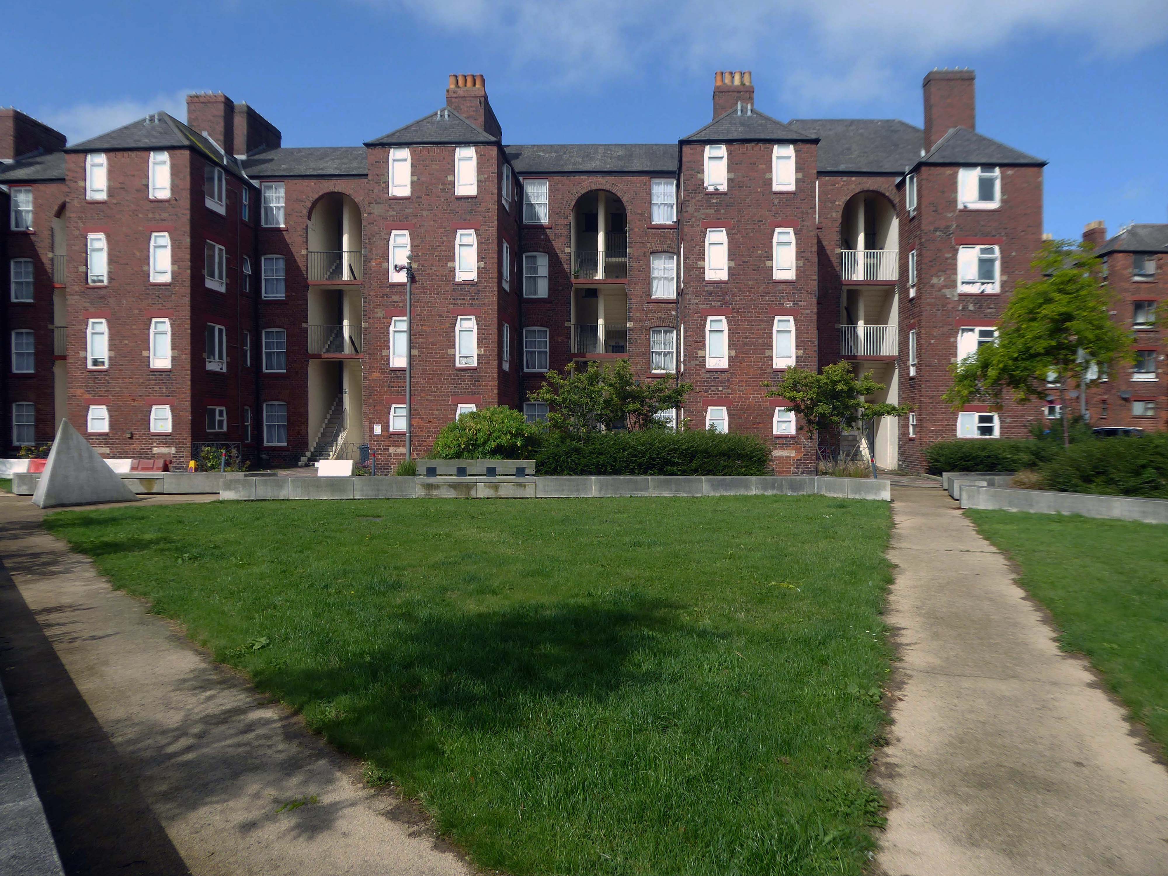
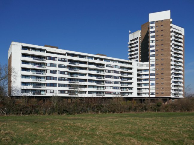
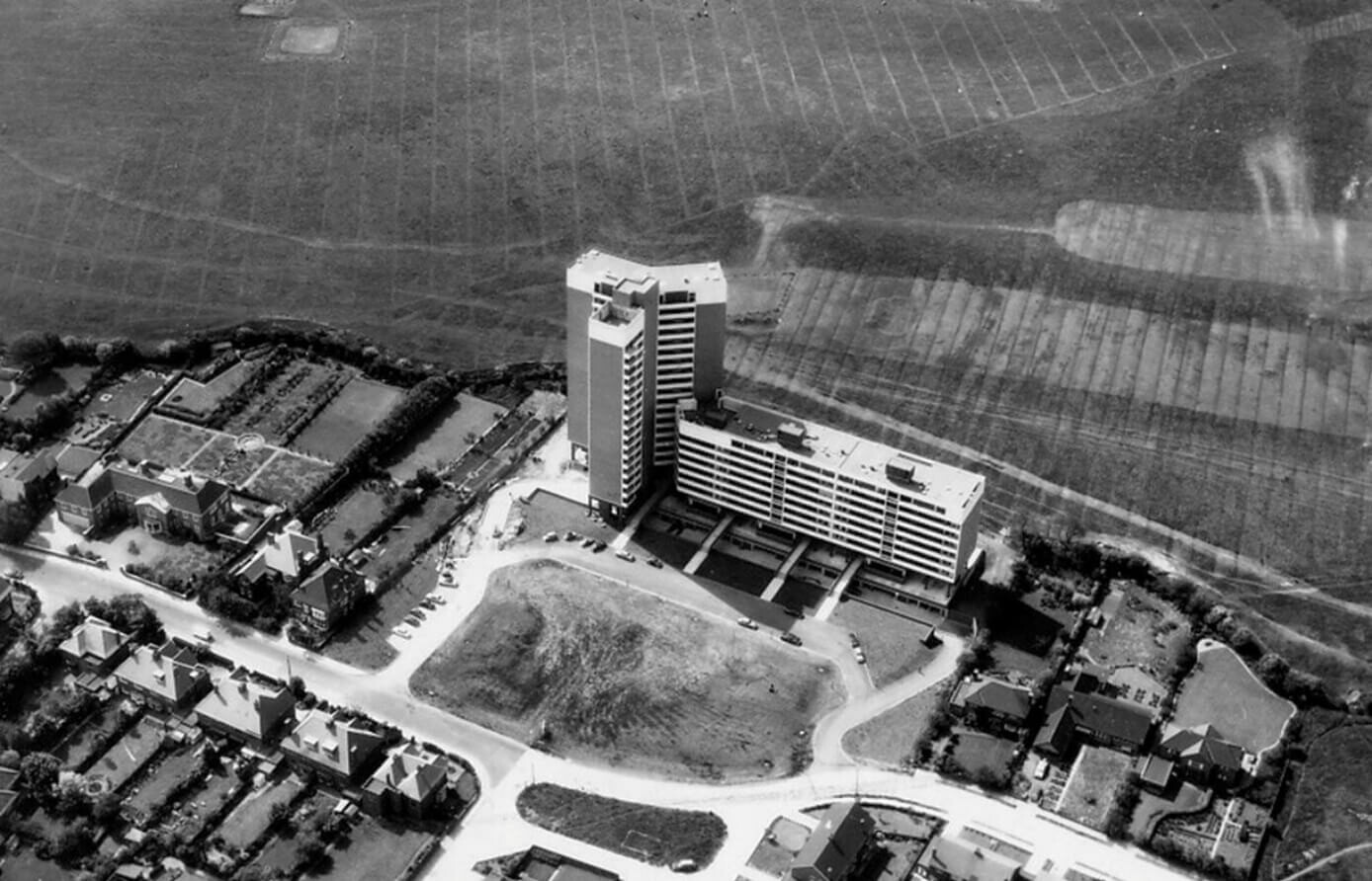
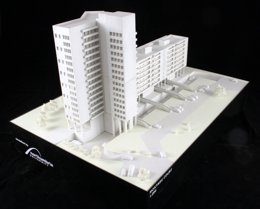
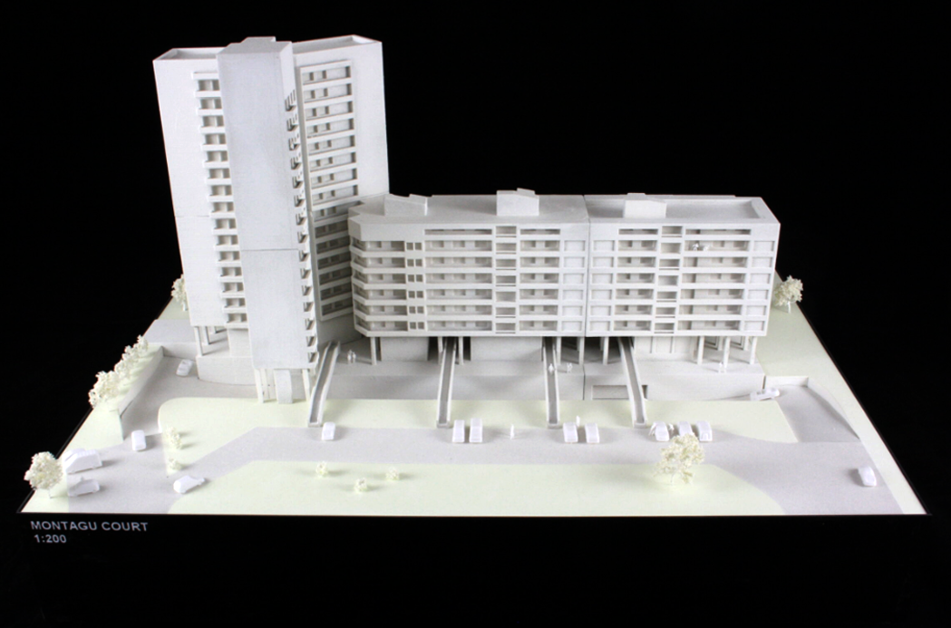
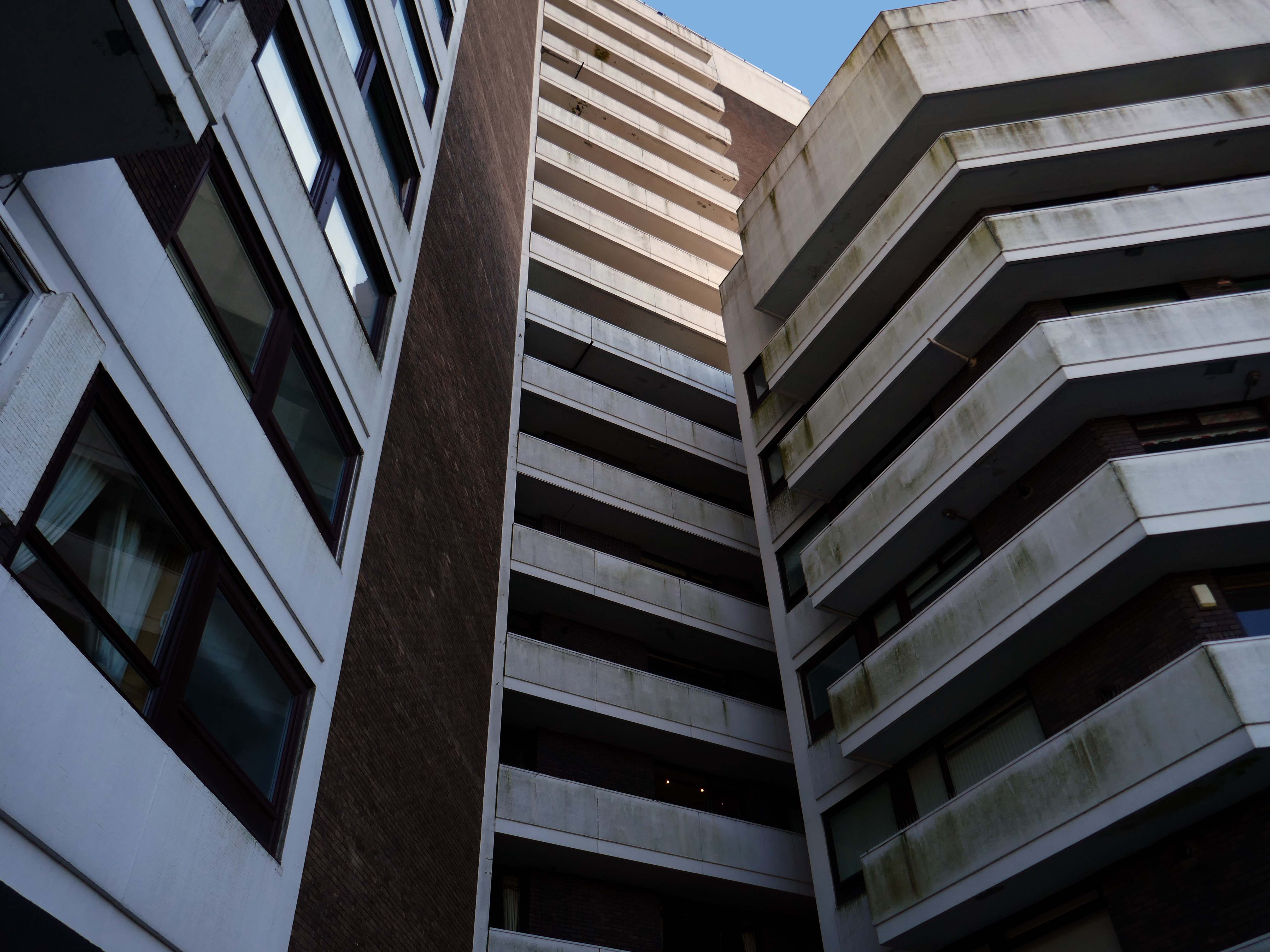
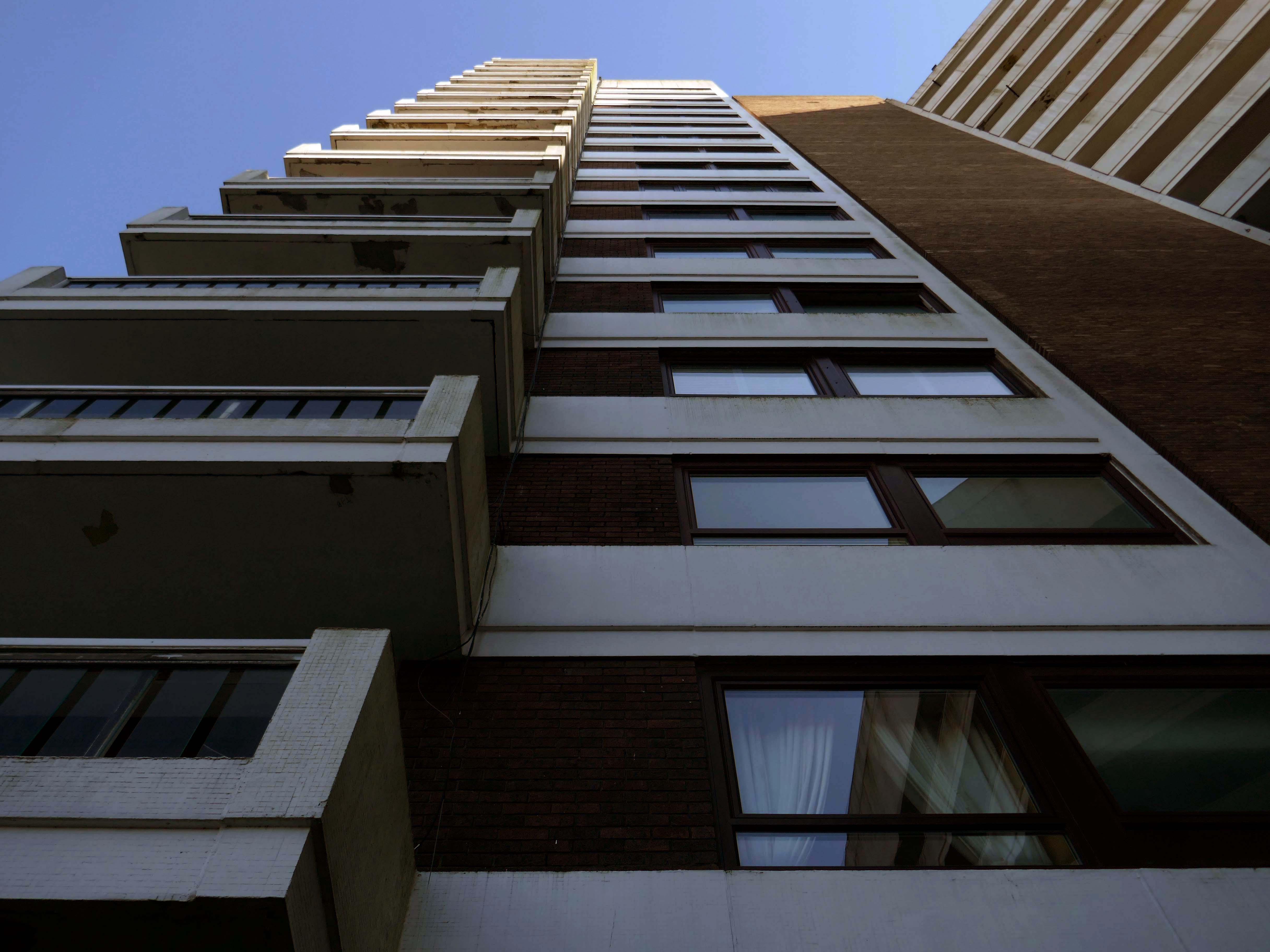
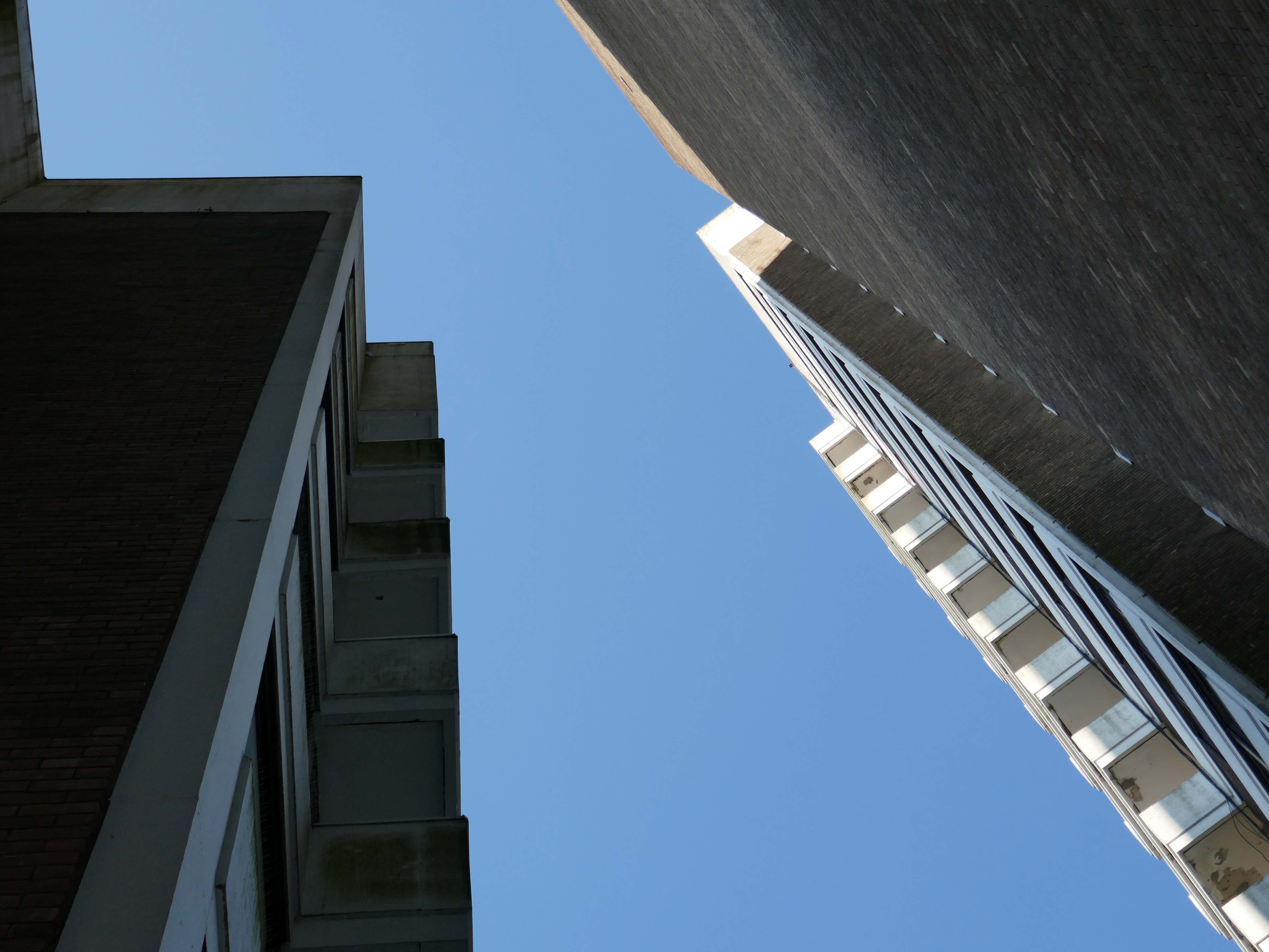
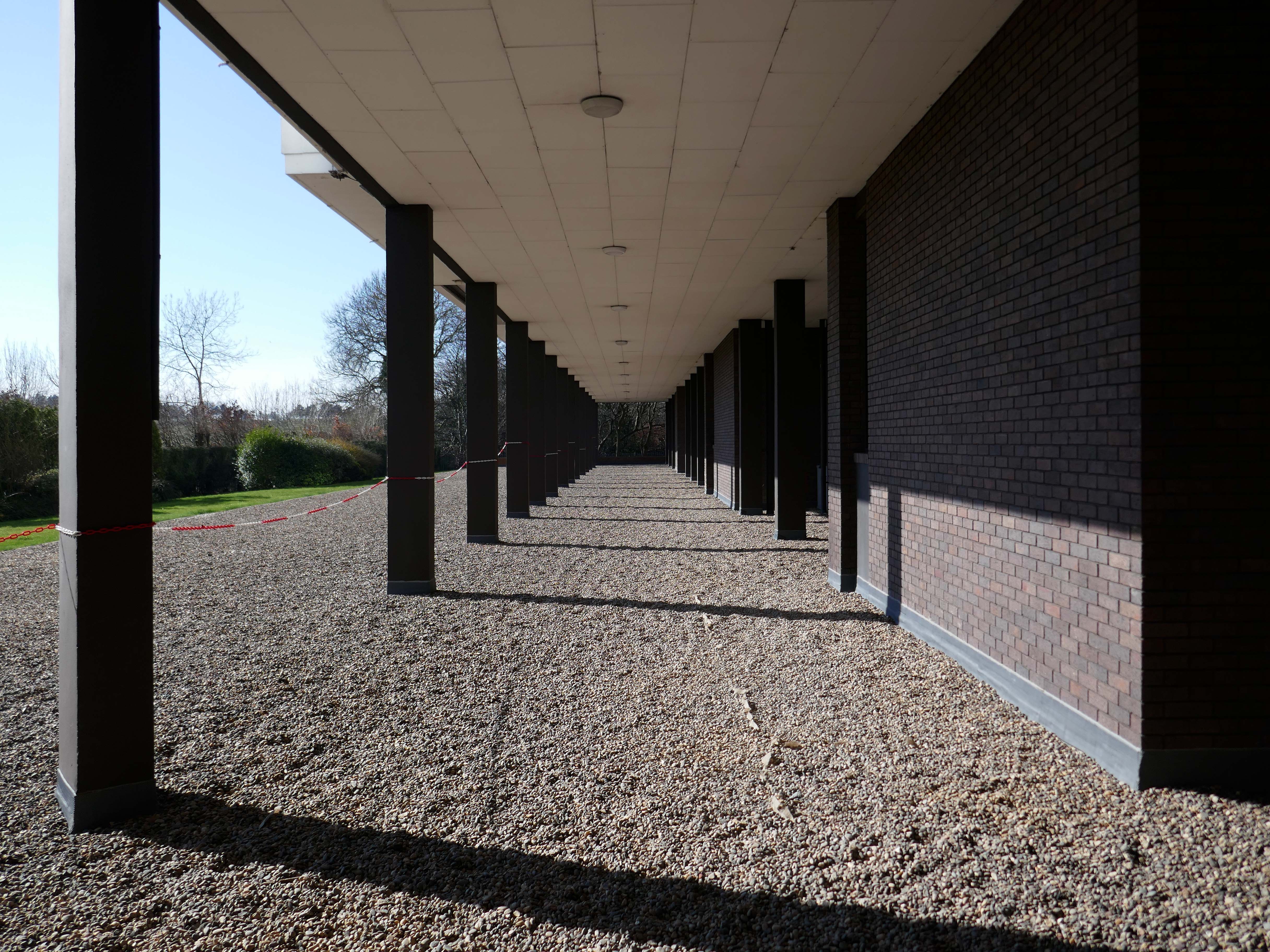
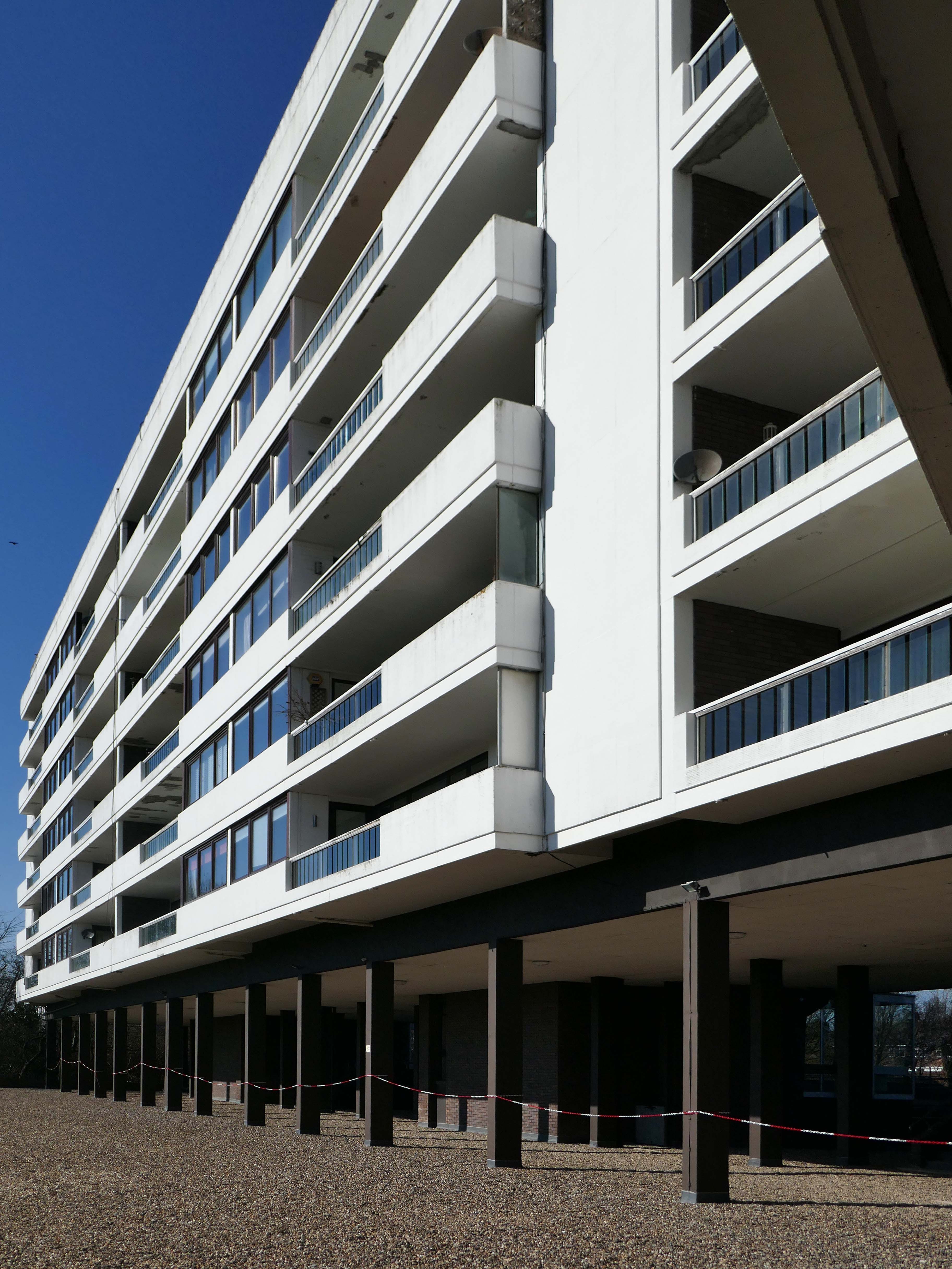
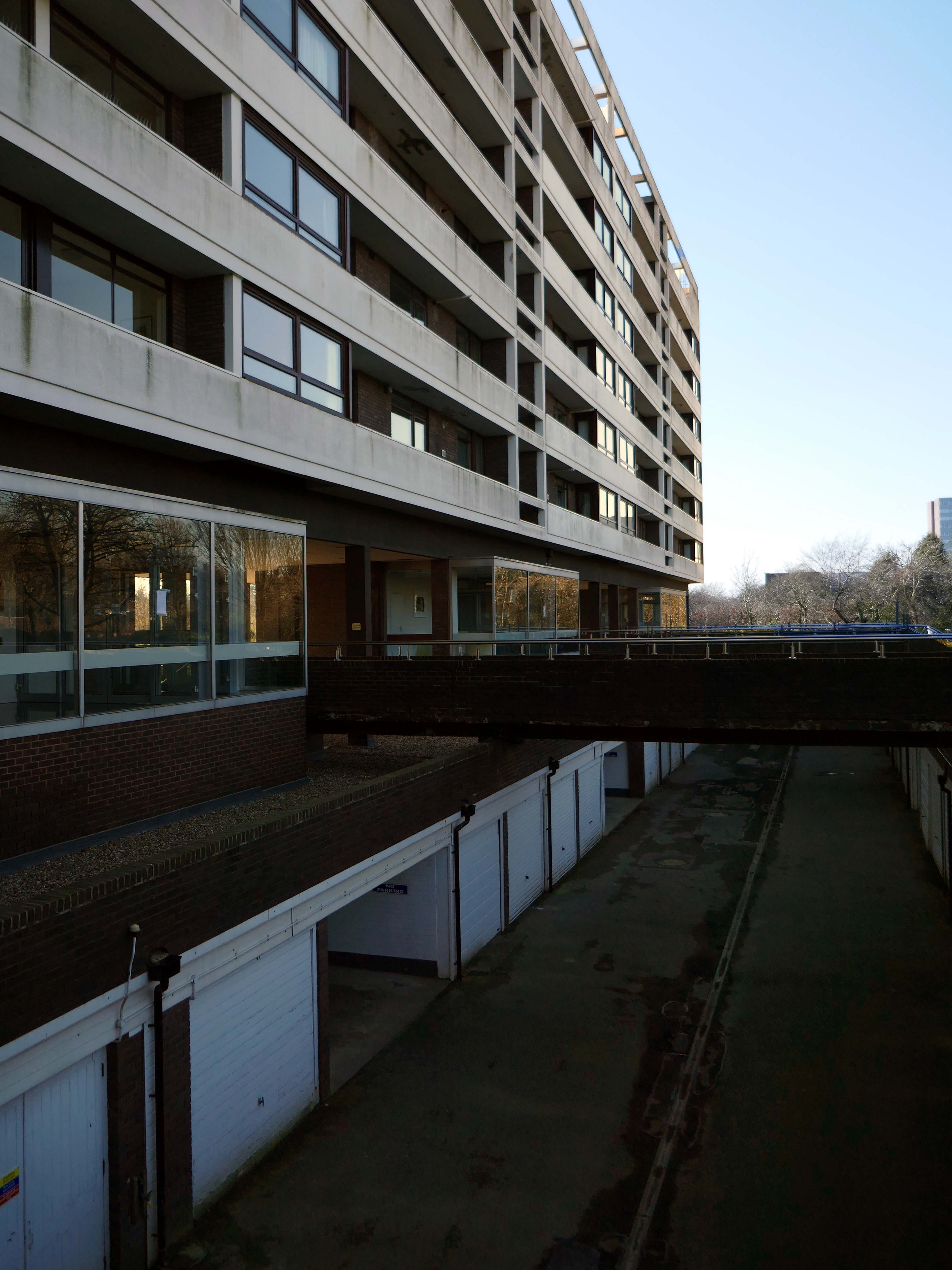
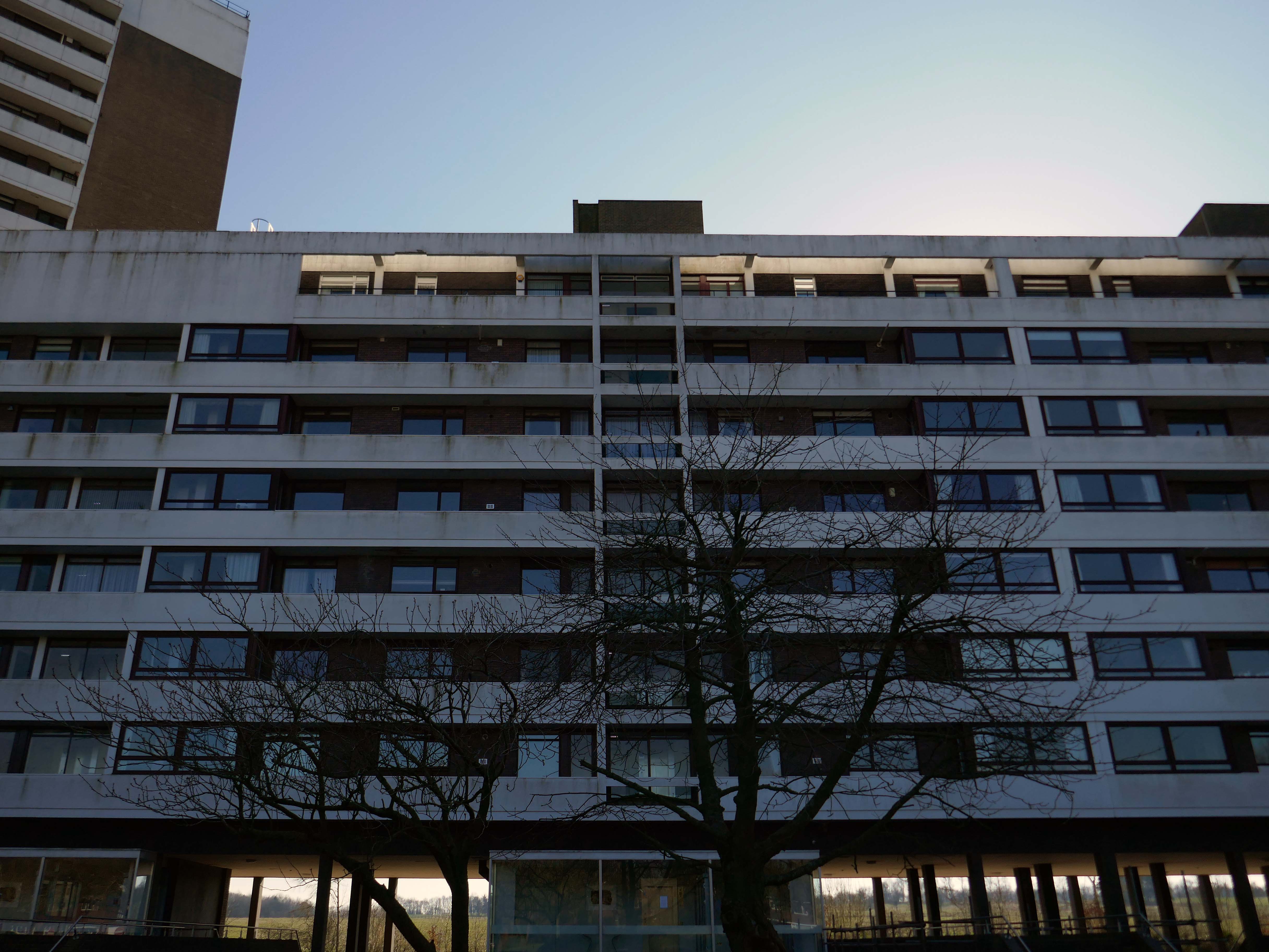
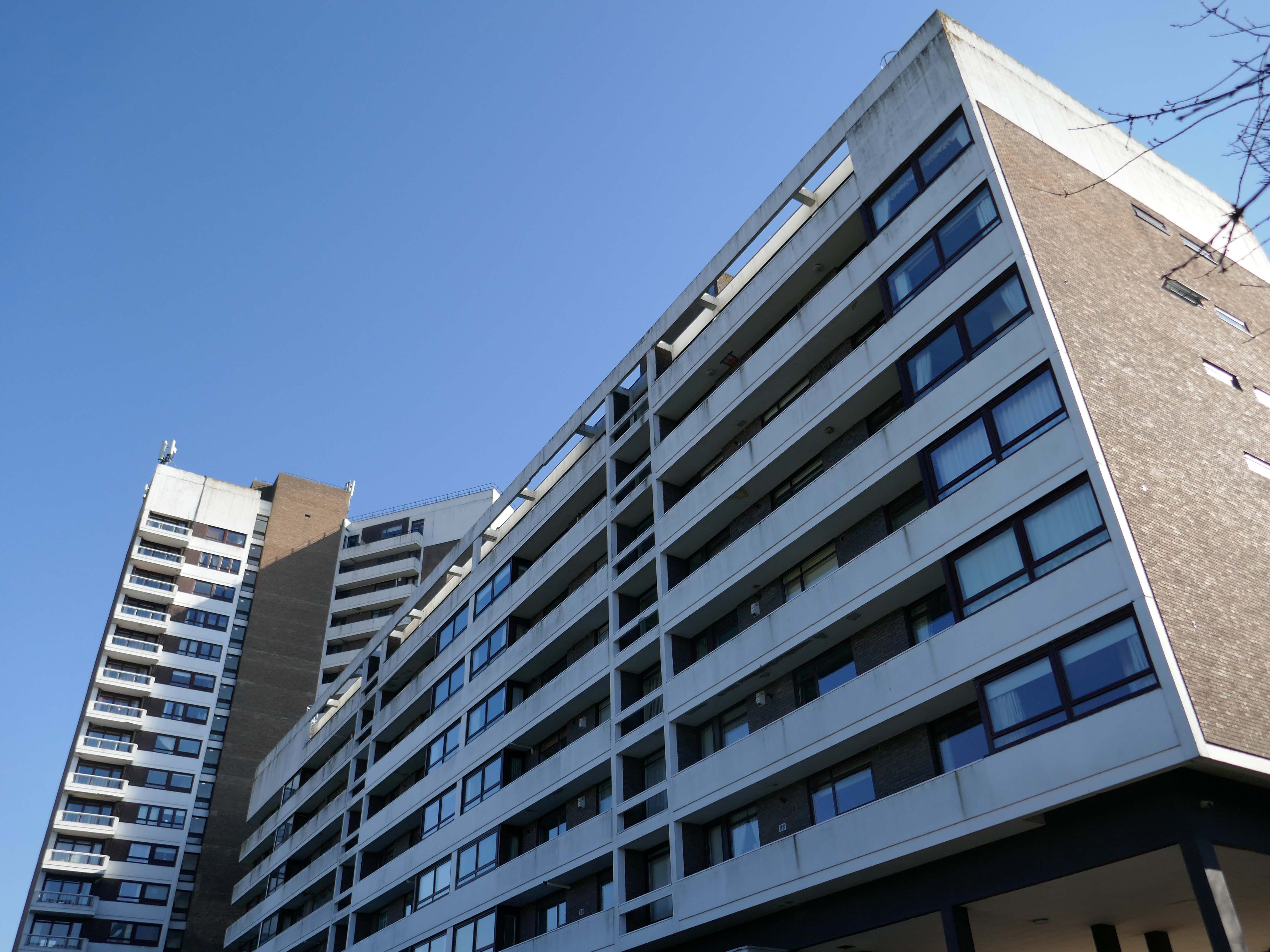
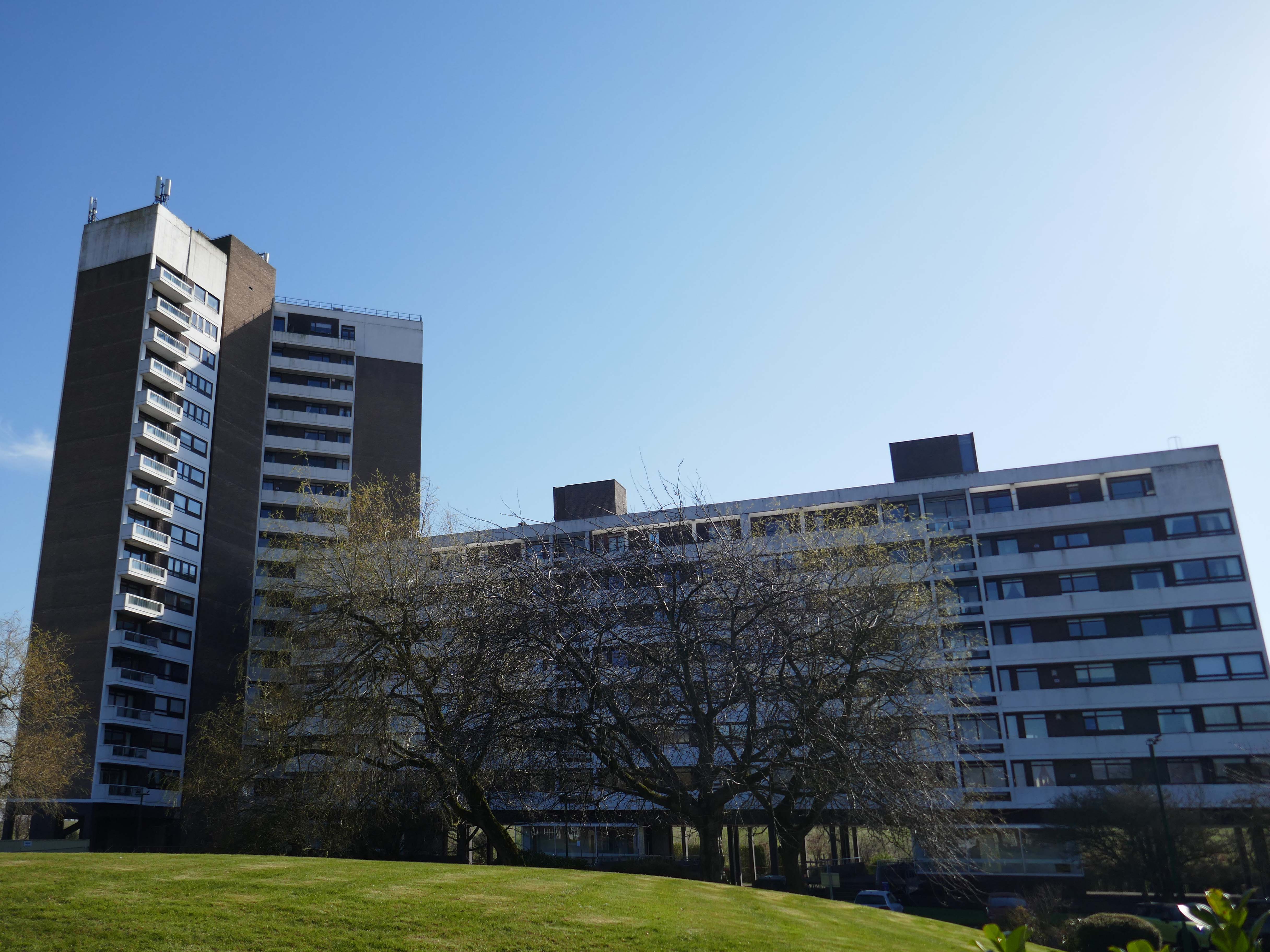
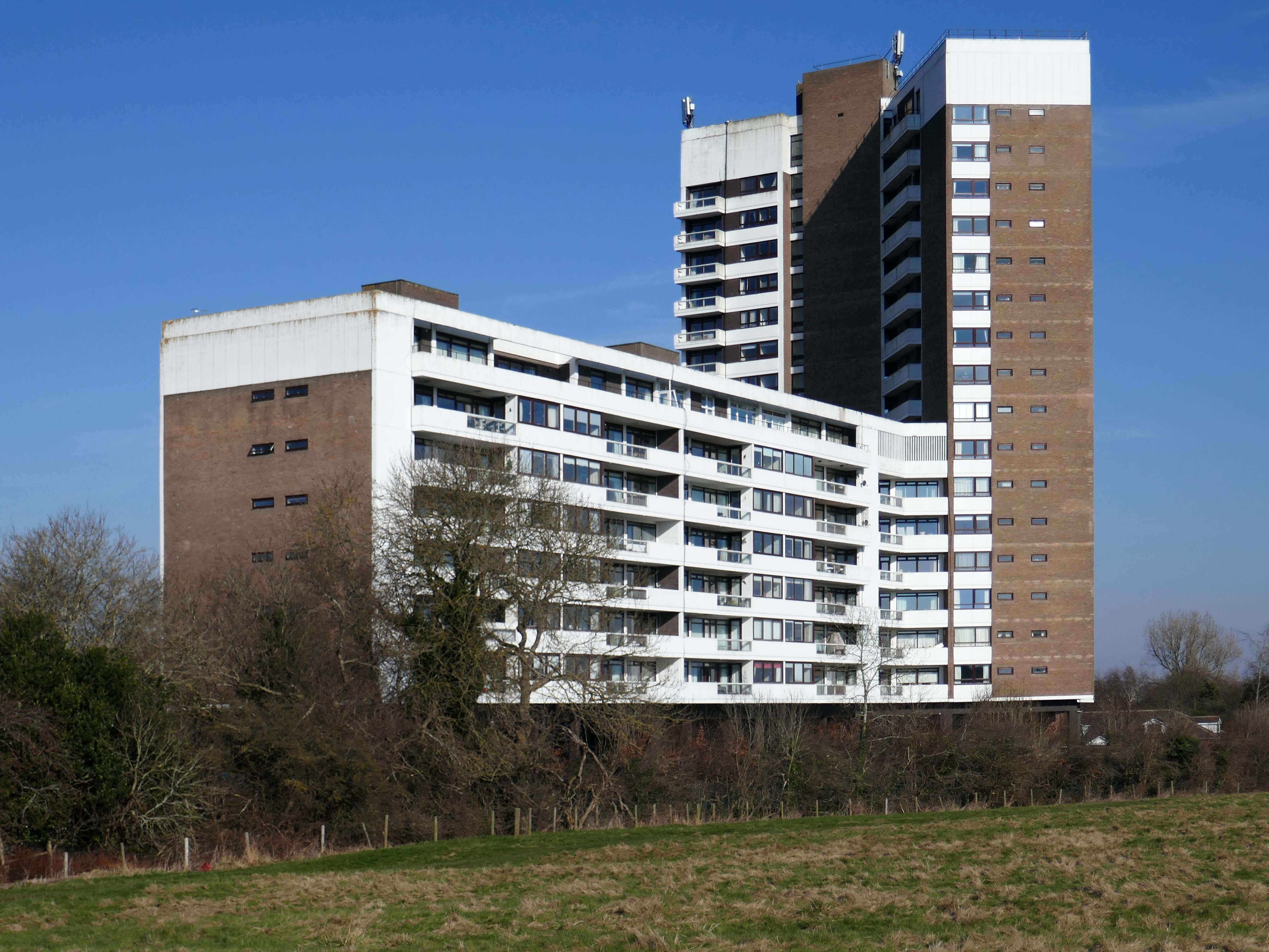
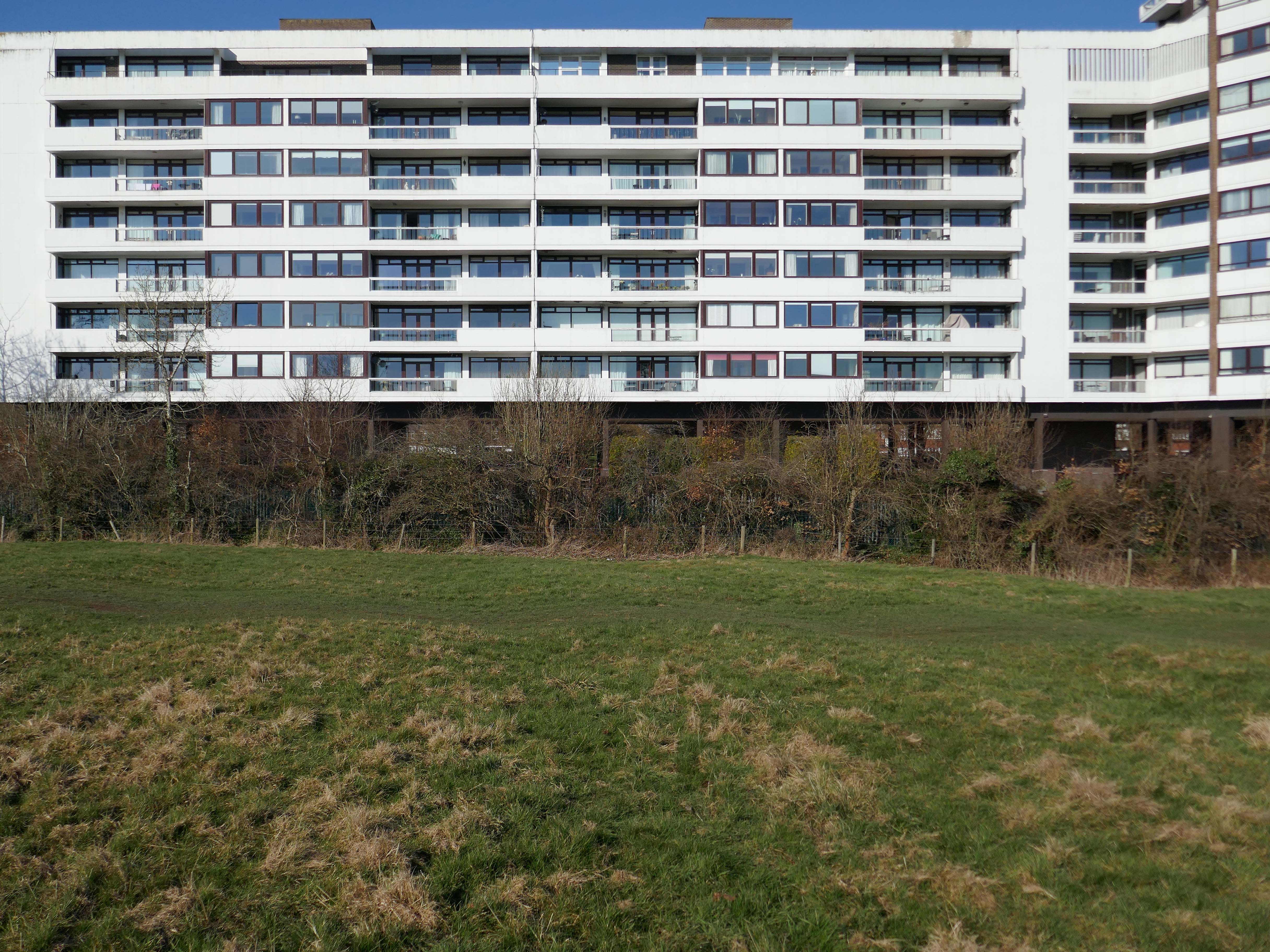
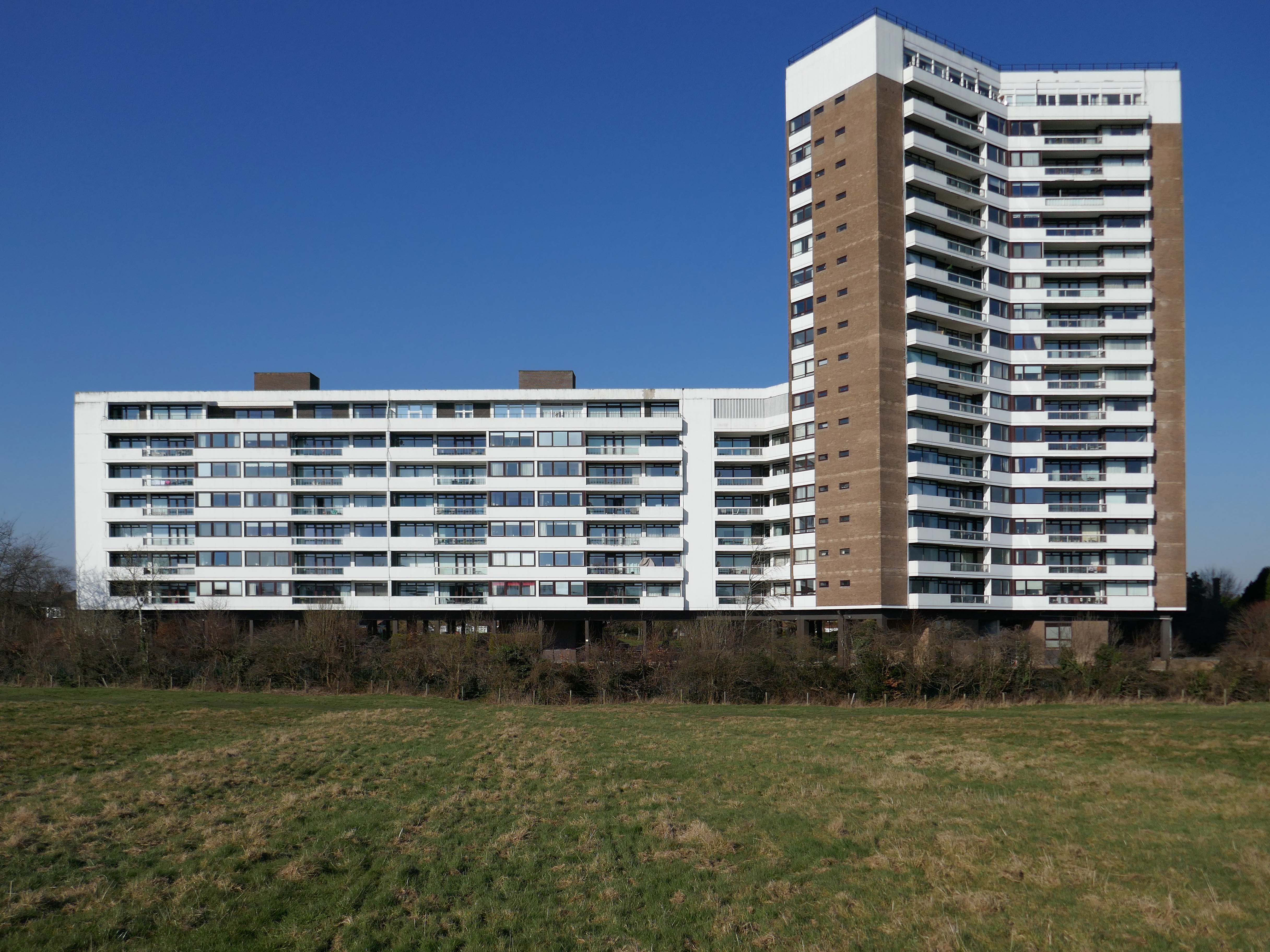
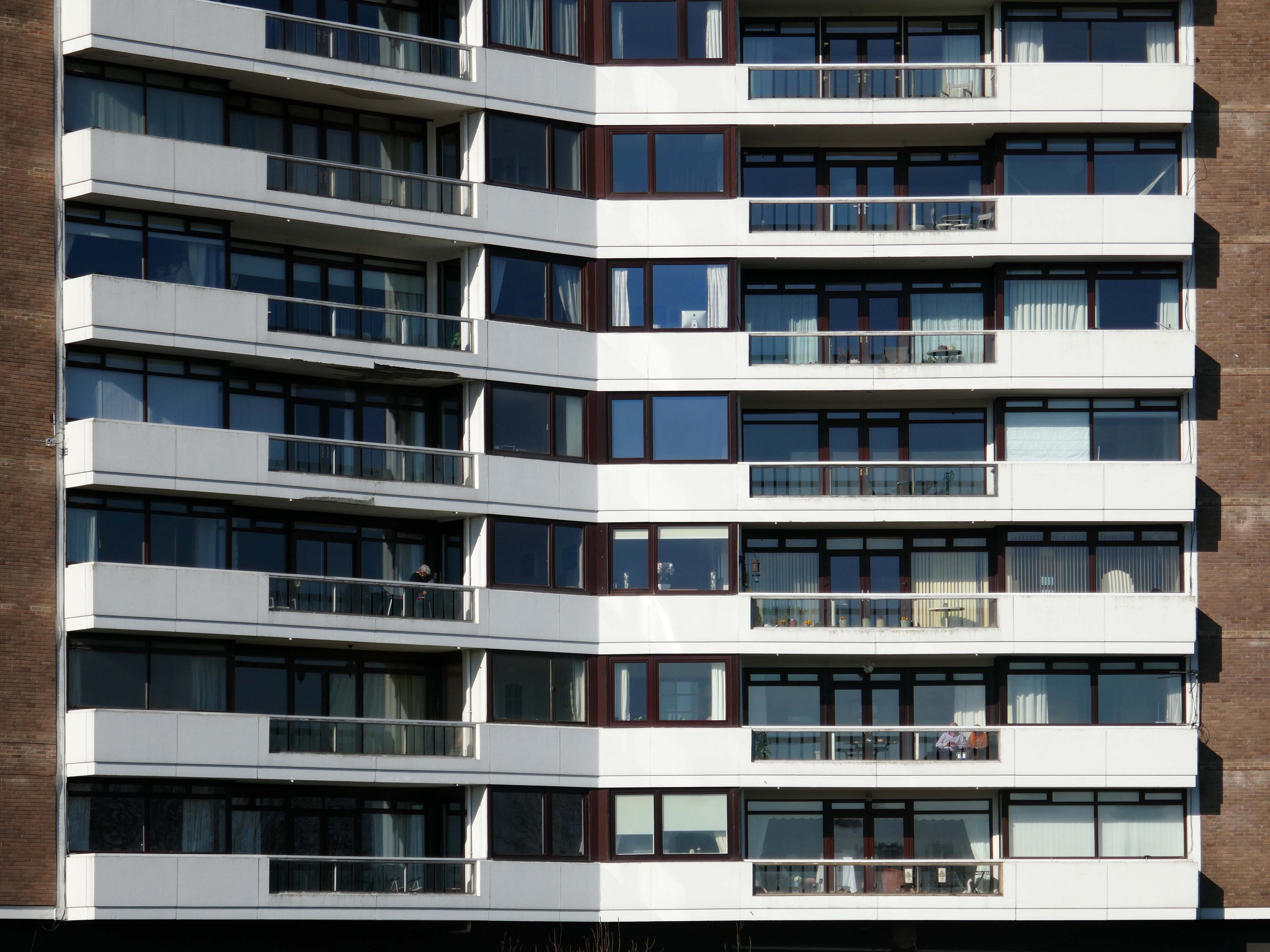
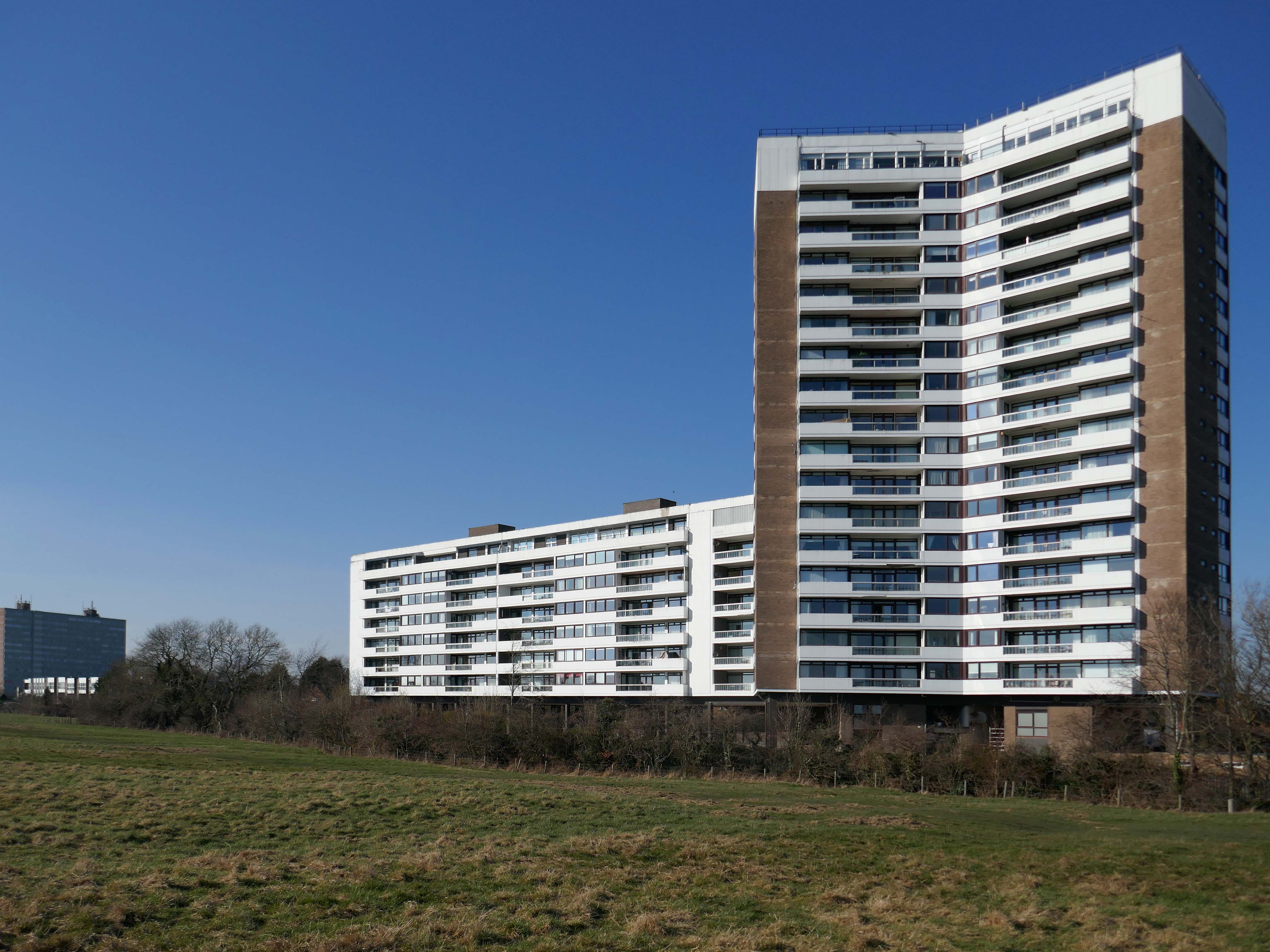
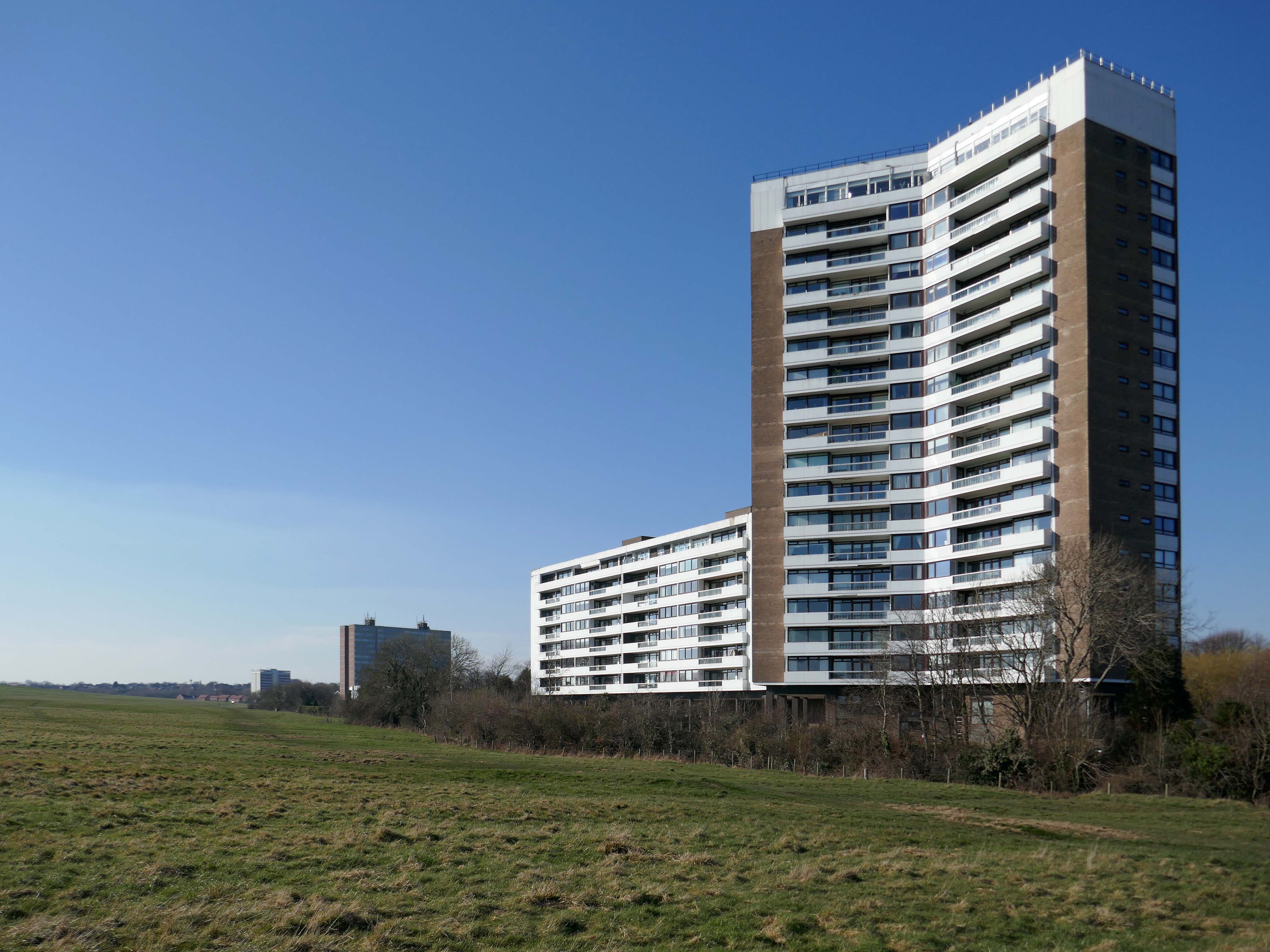
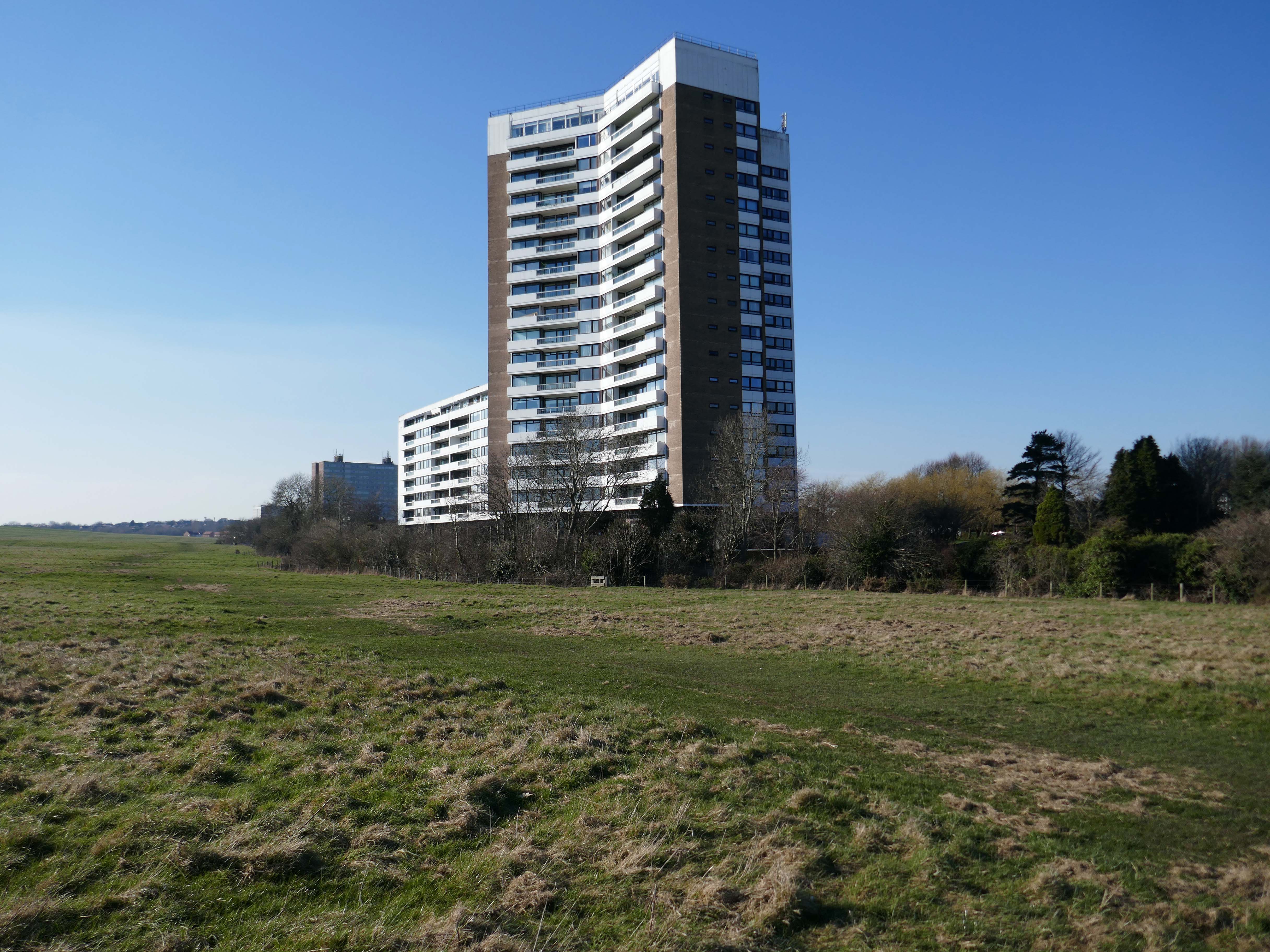
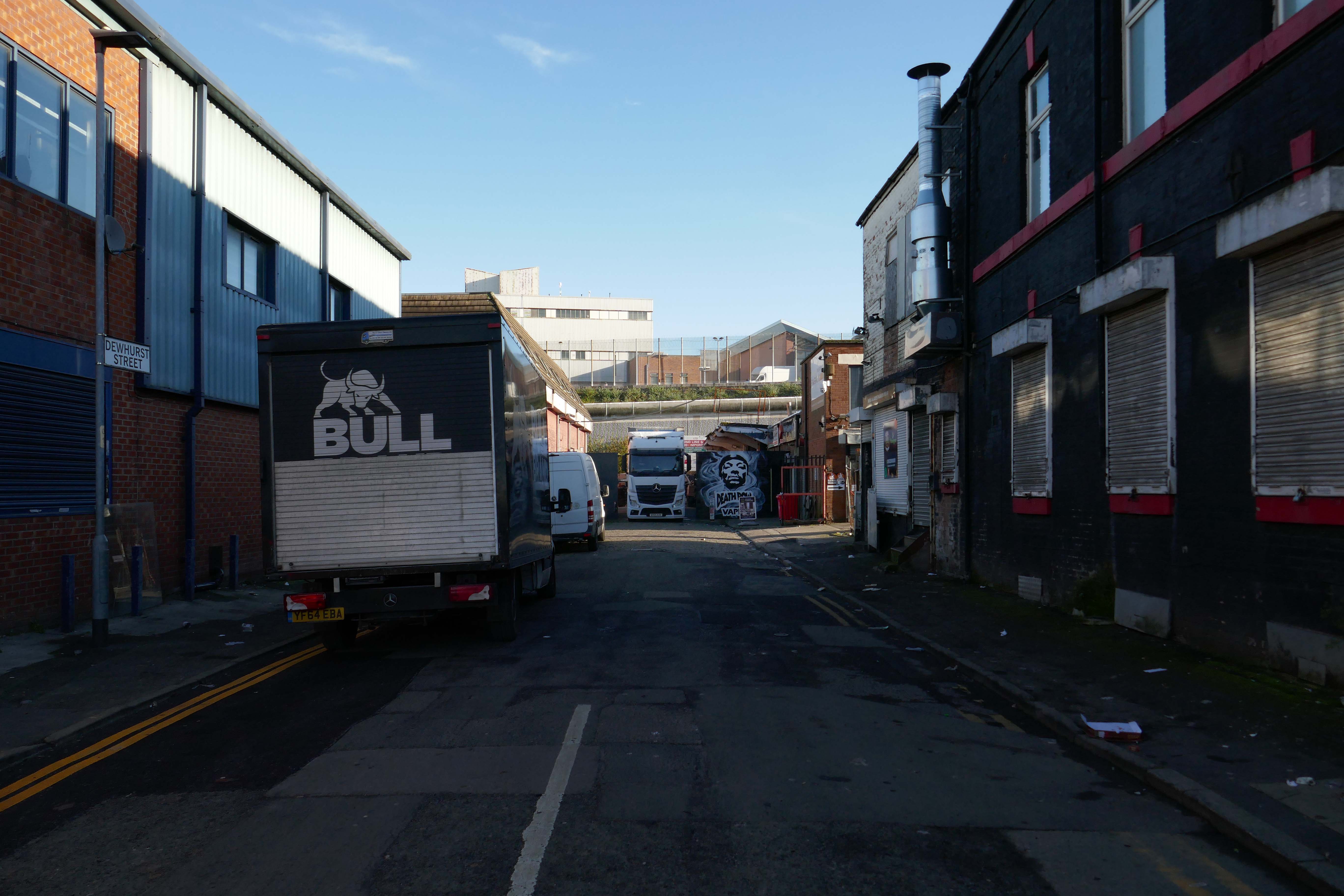
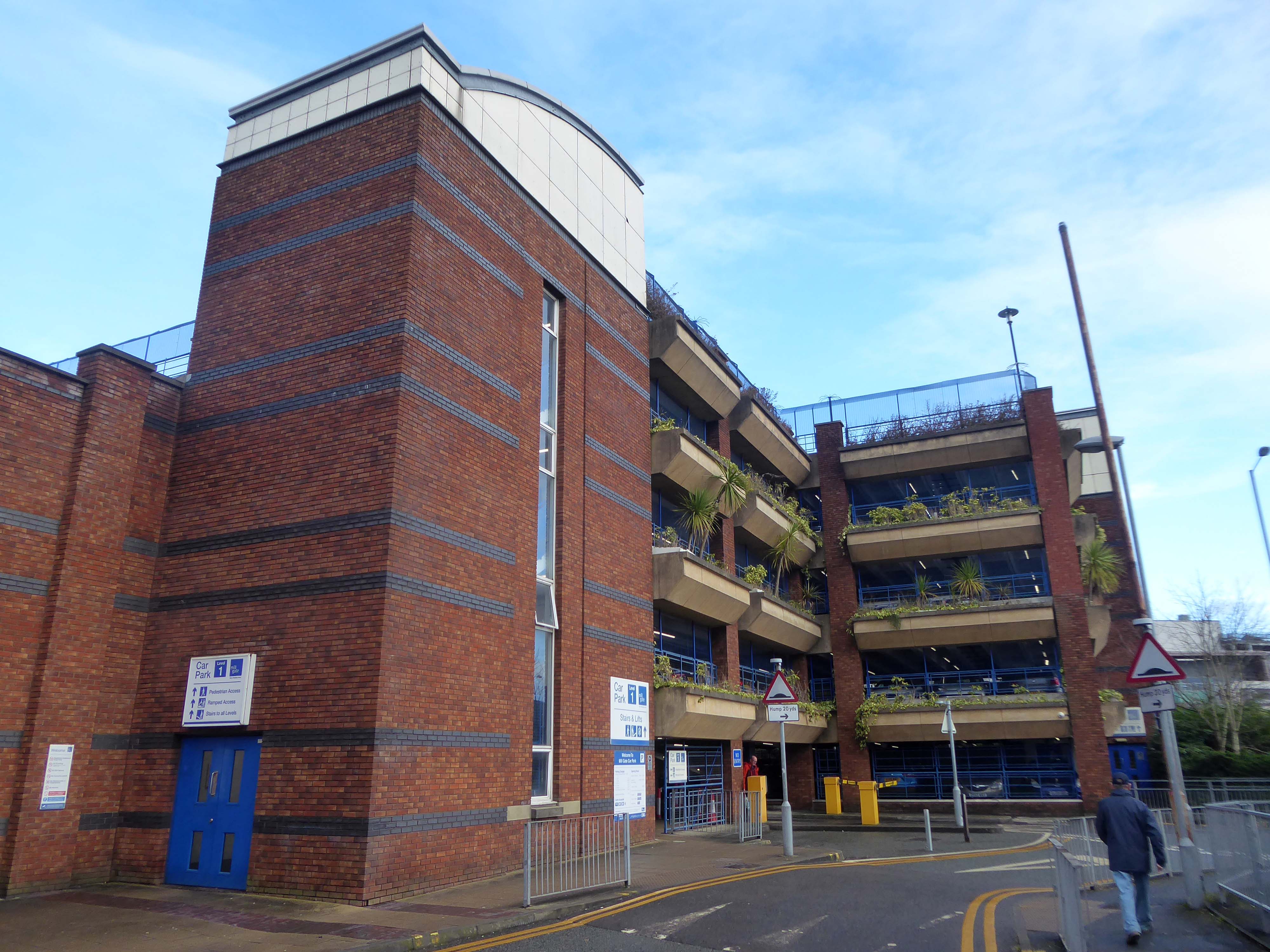
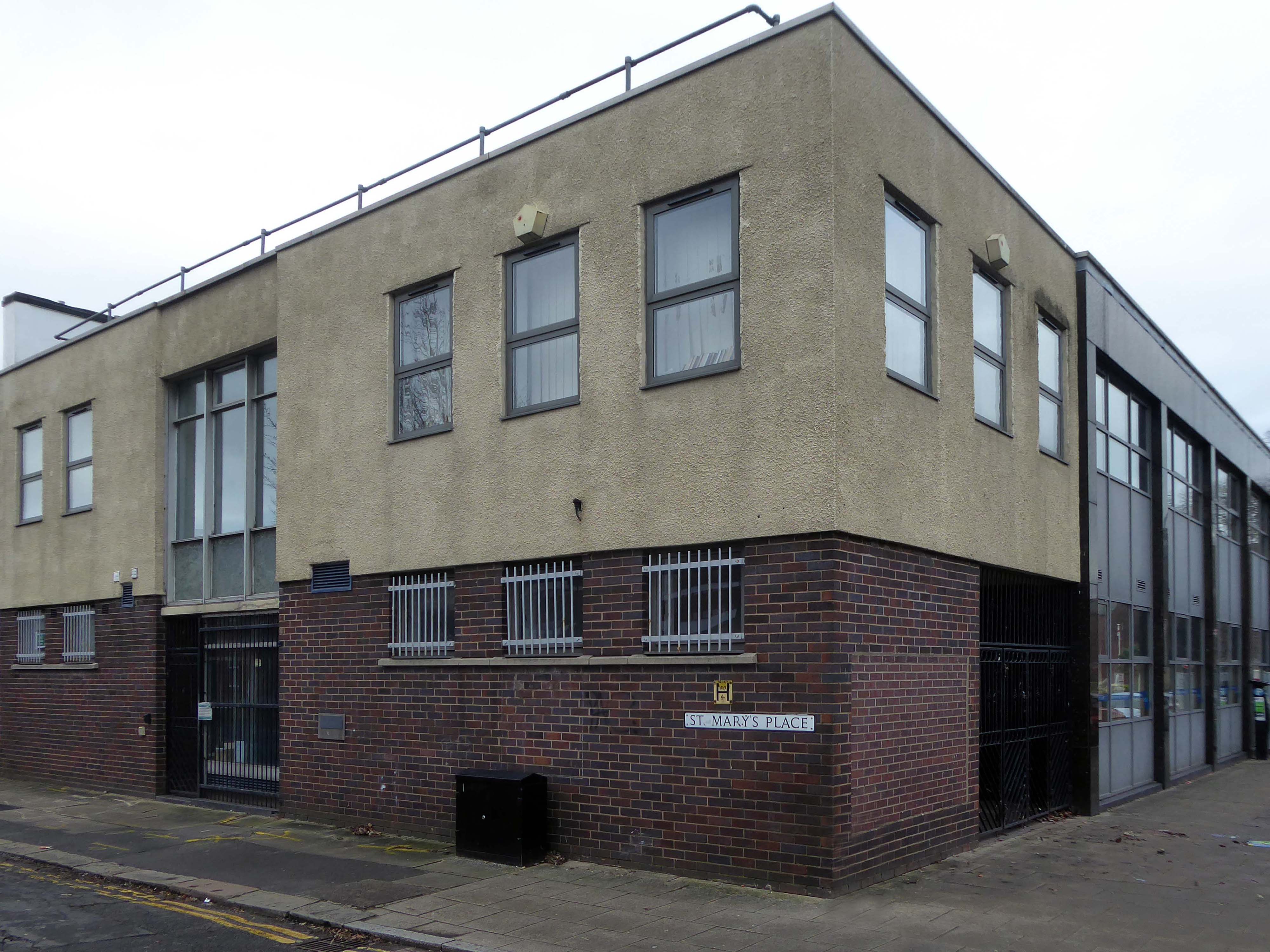
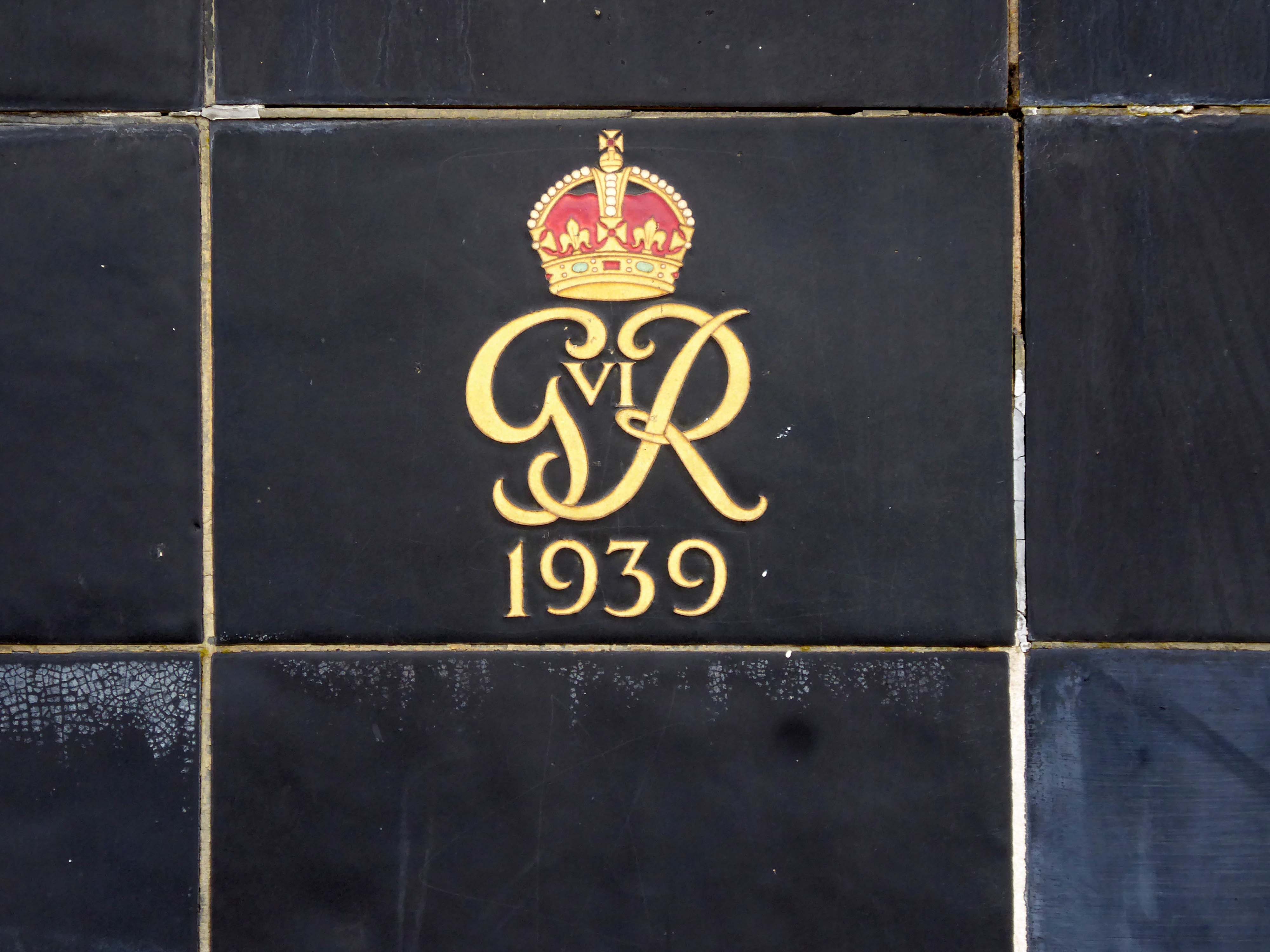
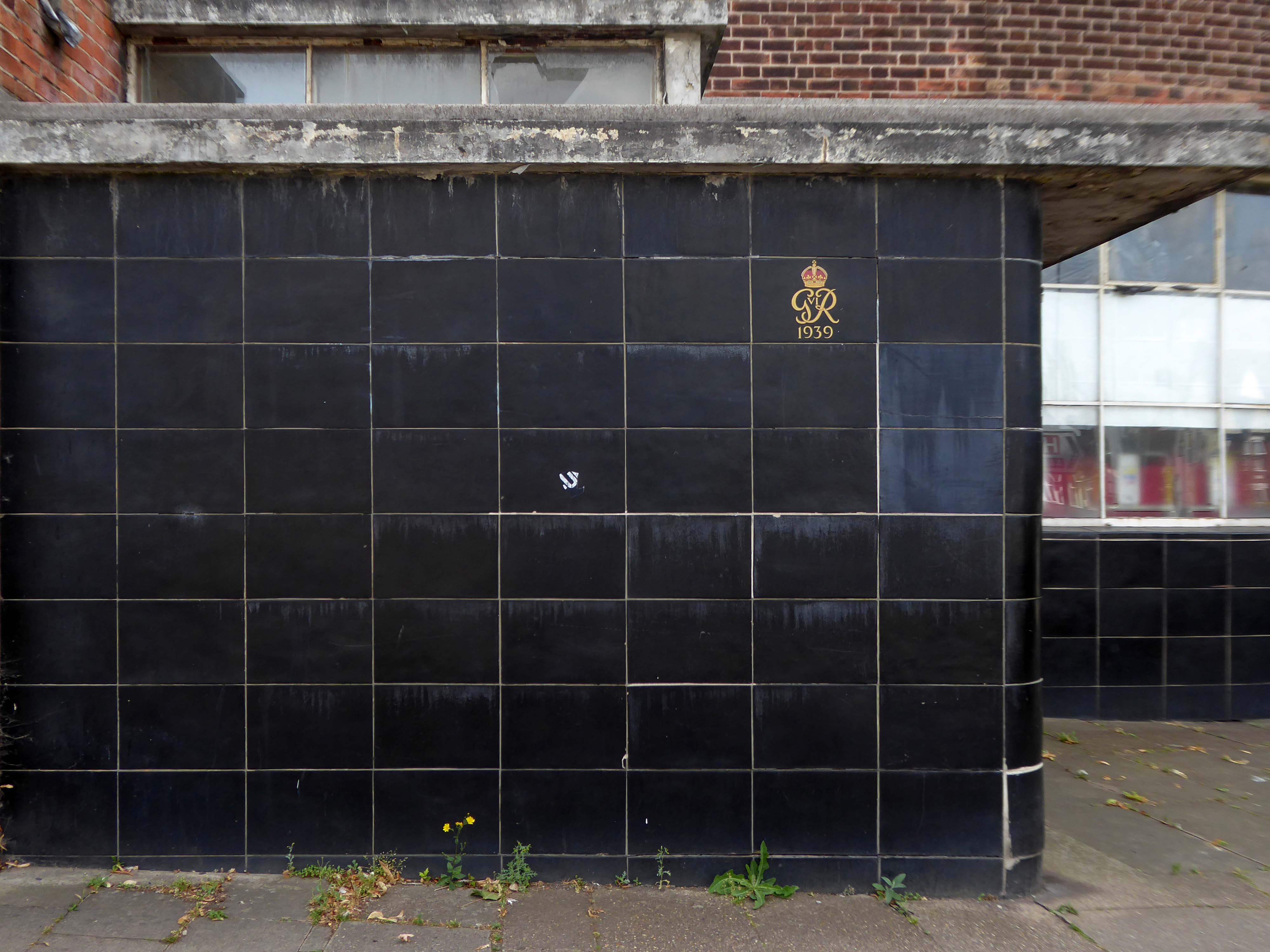
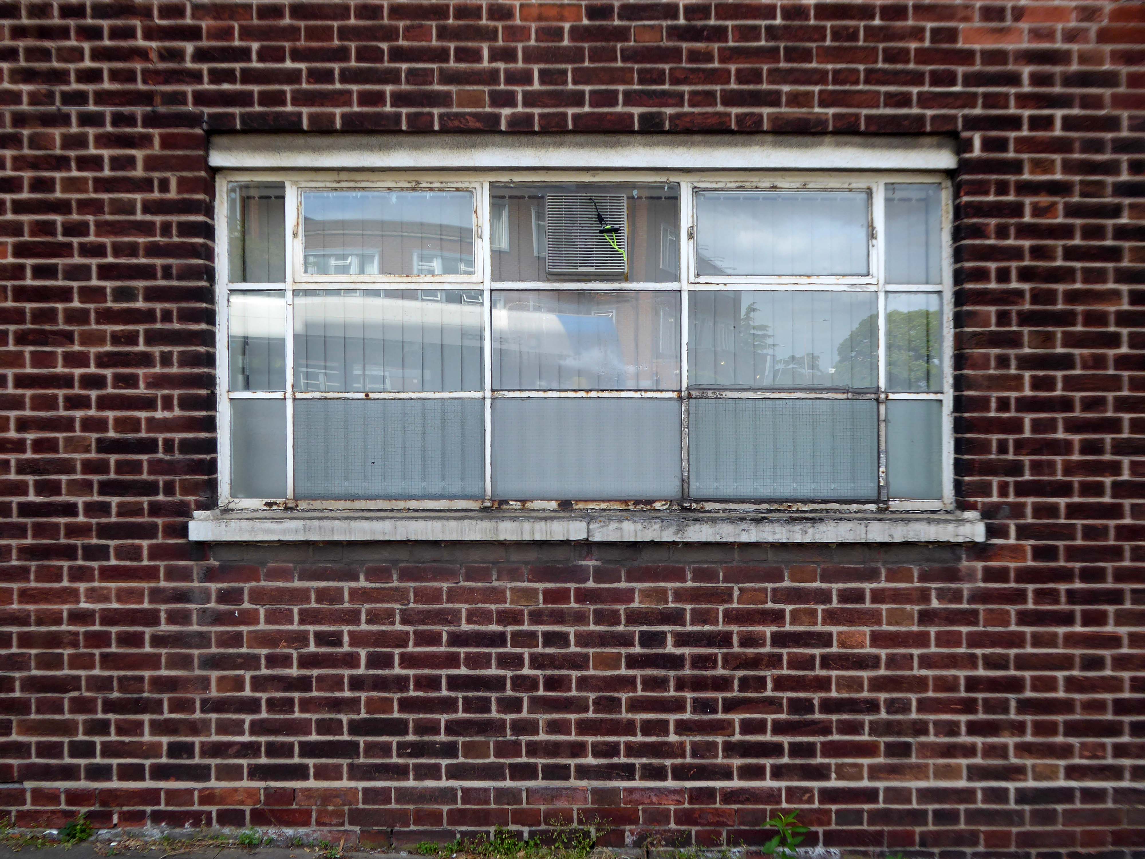
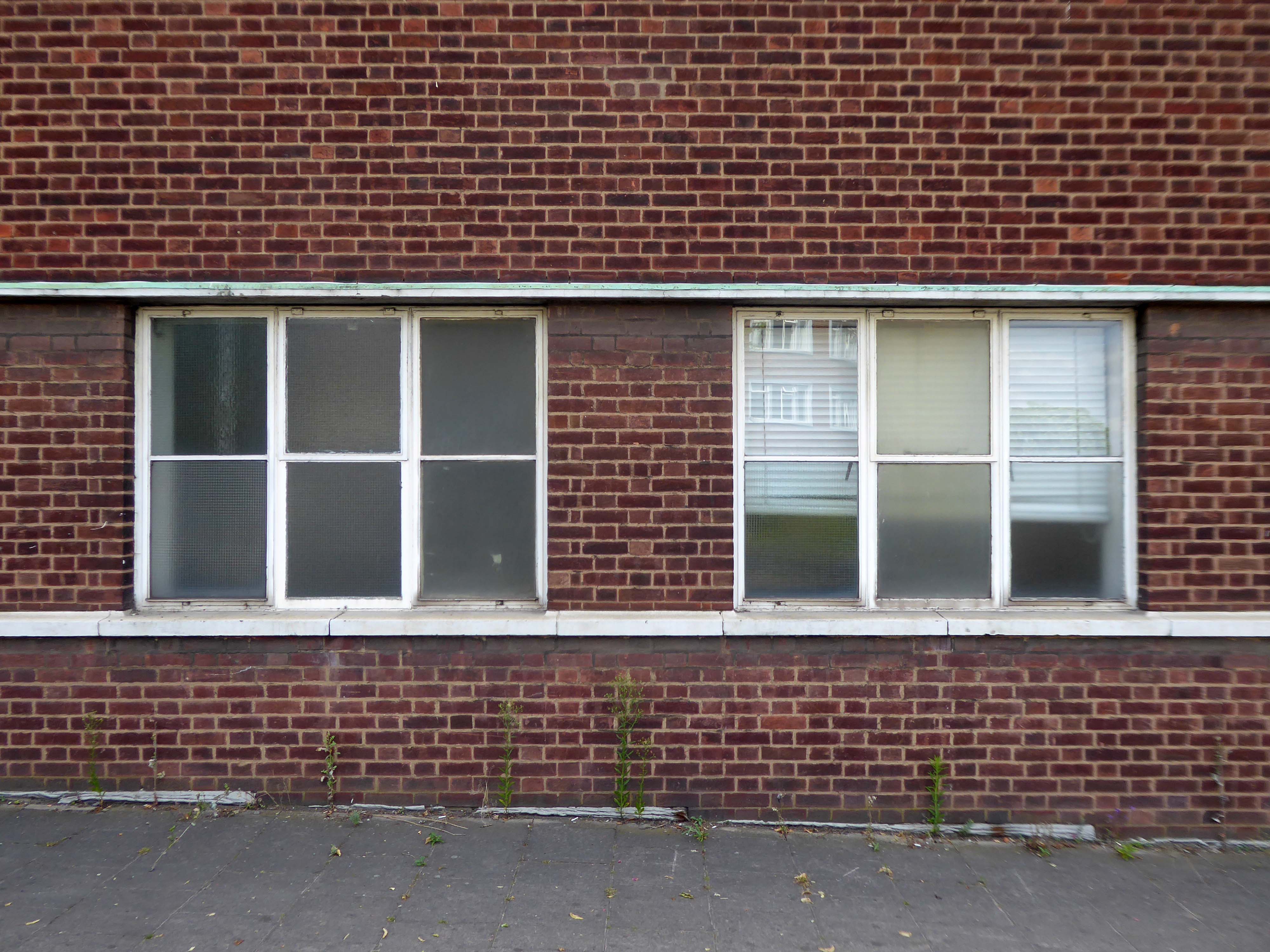
These are the streets in the sky passing between the Central Motorway, Saville Place and Oxford Street.
Streets constrained by infrastructure, a University and doomed leisure provision.
Welcome to Newbridge Hotel Newcastle upon Tyne – a charming oasis located in the heart of the vibrant city, just a short stroll from the renowned Theatre Royal and beautiful St James’ Park. Whether you’re visiting for business or leisure, the location ensures that you have easy access to the best of Newcastle, including fantastic shopping at Eldon Square and local attractions like the Metro Radio Arena.
Discover the essence of Newcastle from Newbridge Hotel, where every stay becomes a unique experience tailored to your needs.
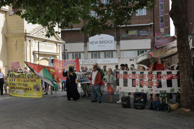
Two sets of protestors gathered outside the New Bridge Hotel in Newcastle, as “Newcastle Welcomes Refugees” stood up to “Send Them Back” protesters who want an end to migrants being housed in the hotel.
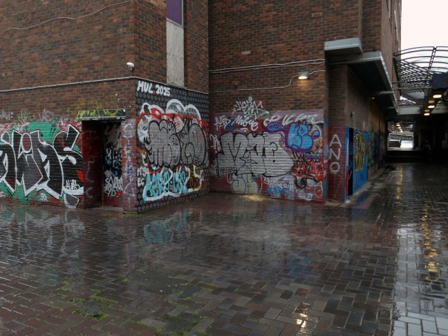
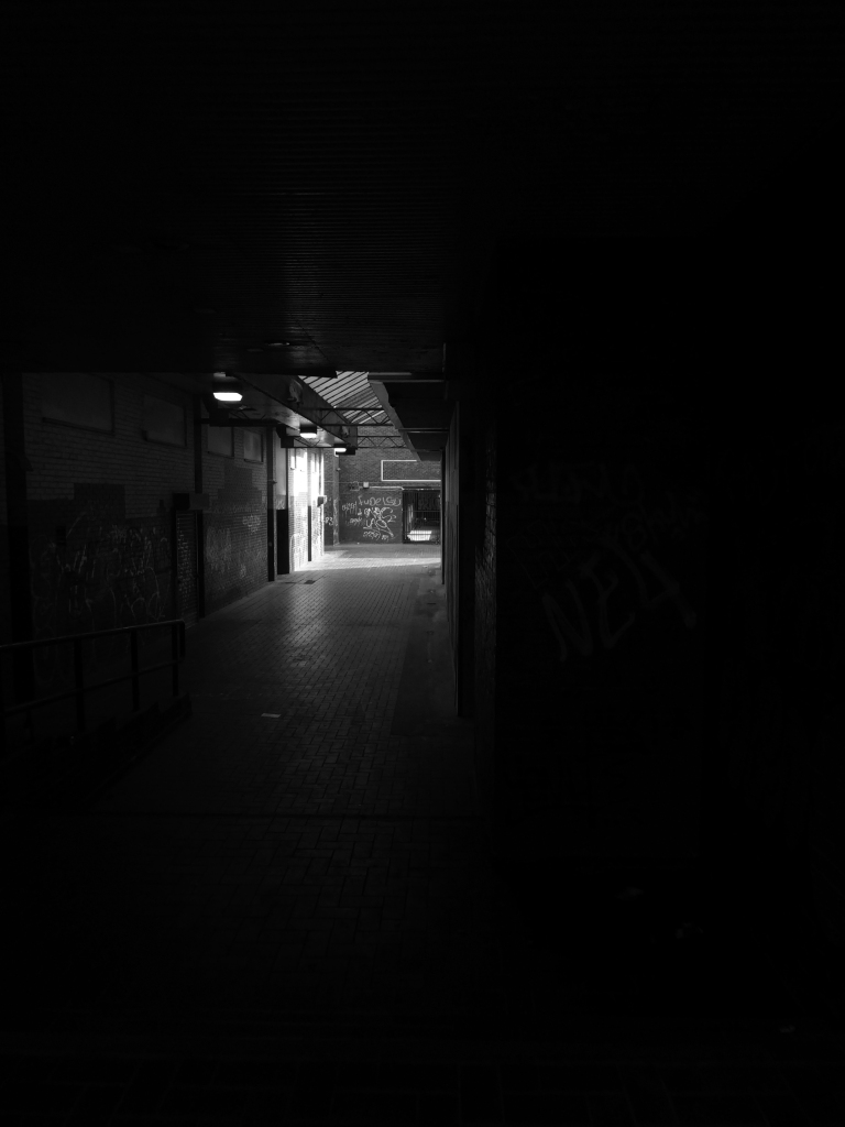
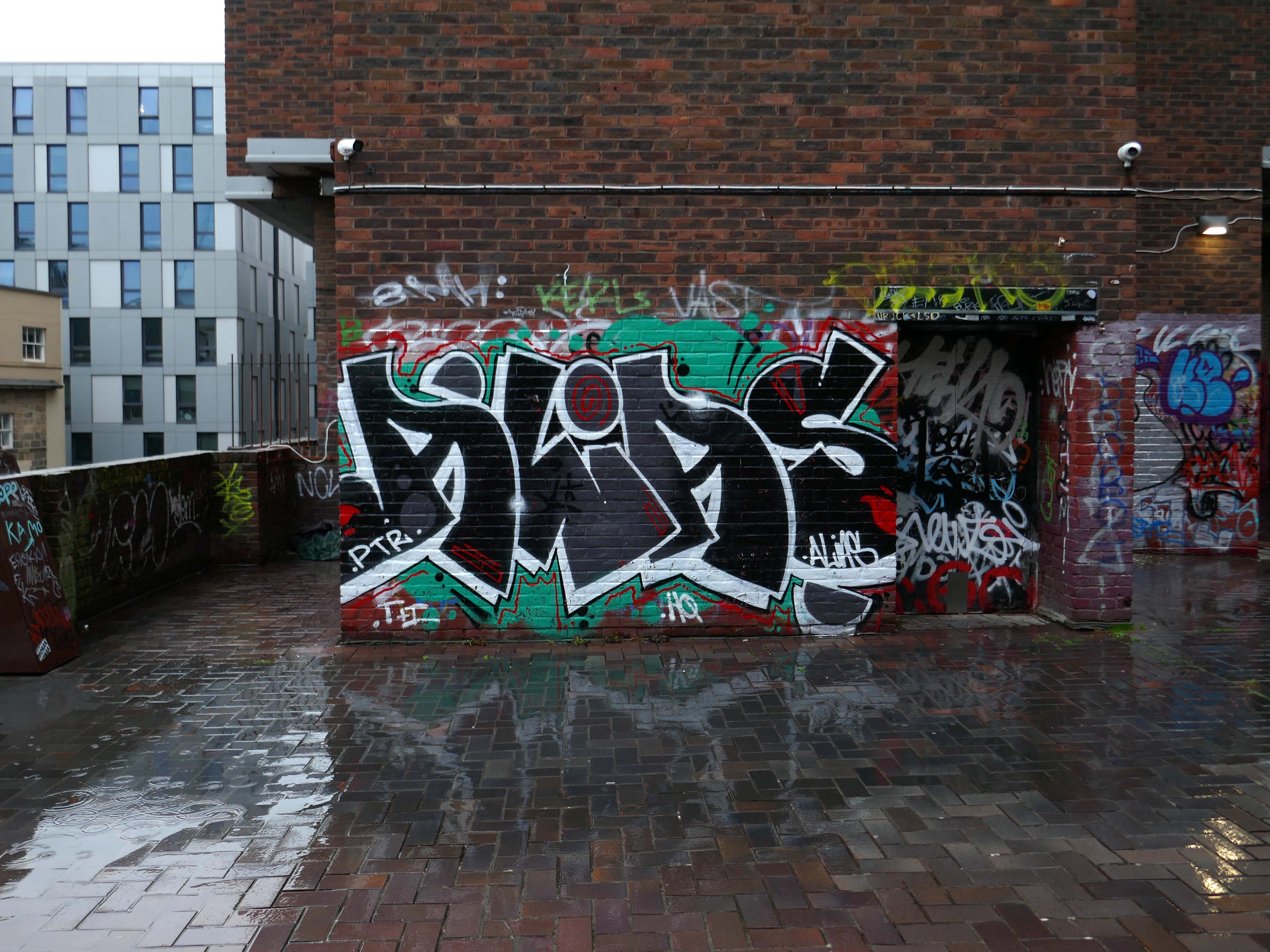
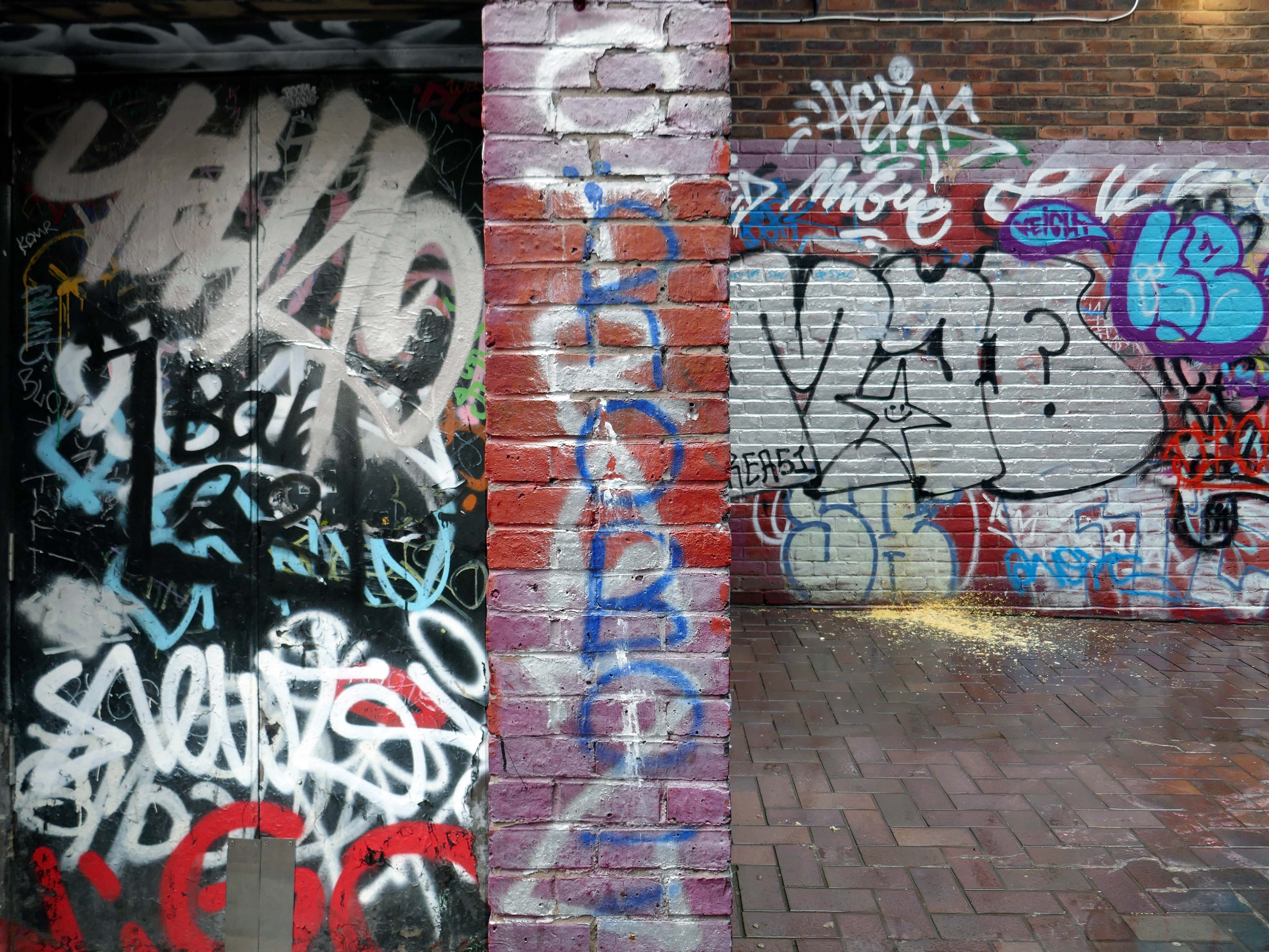
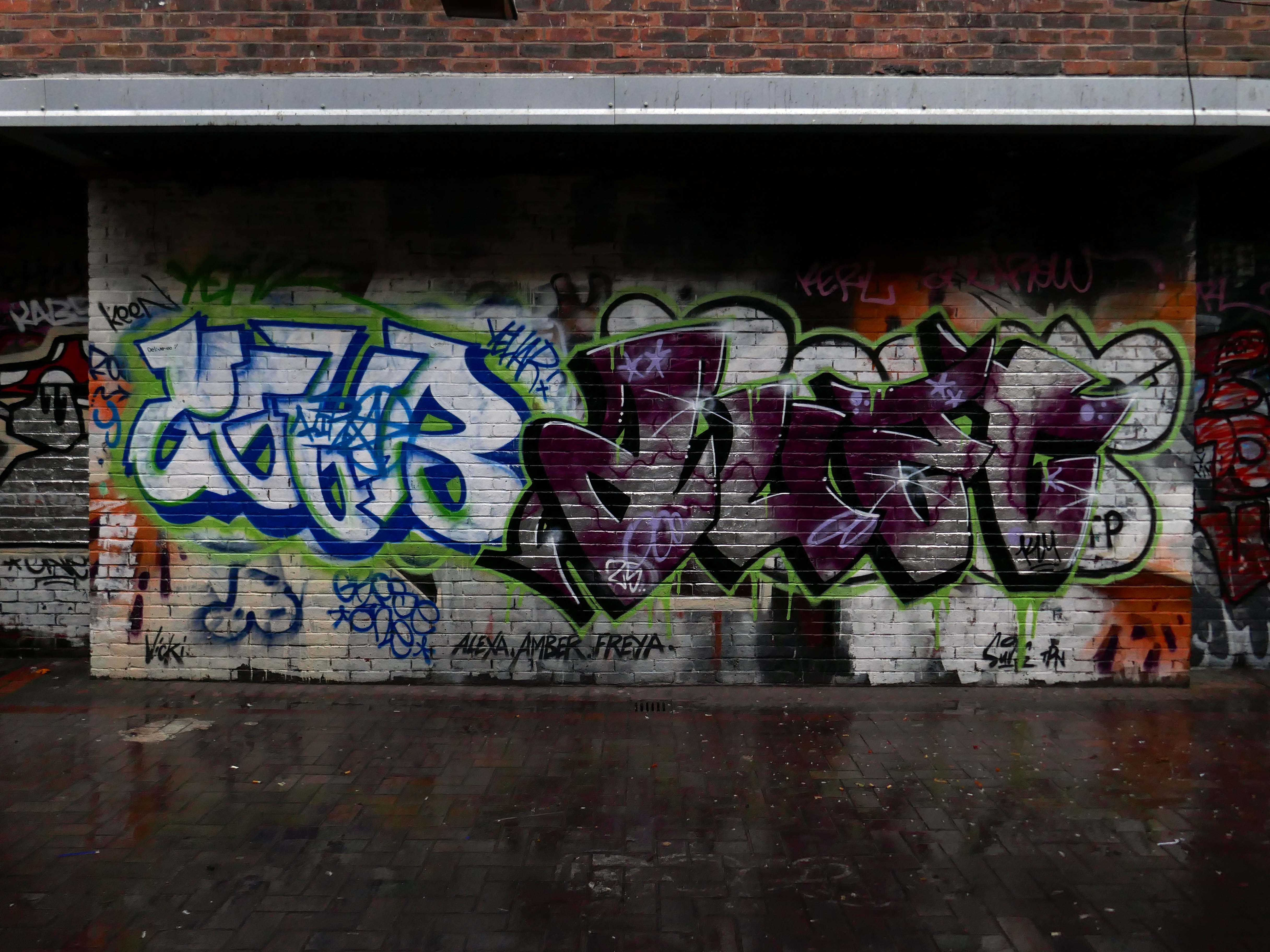
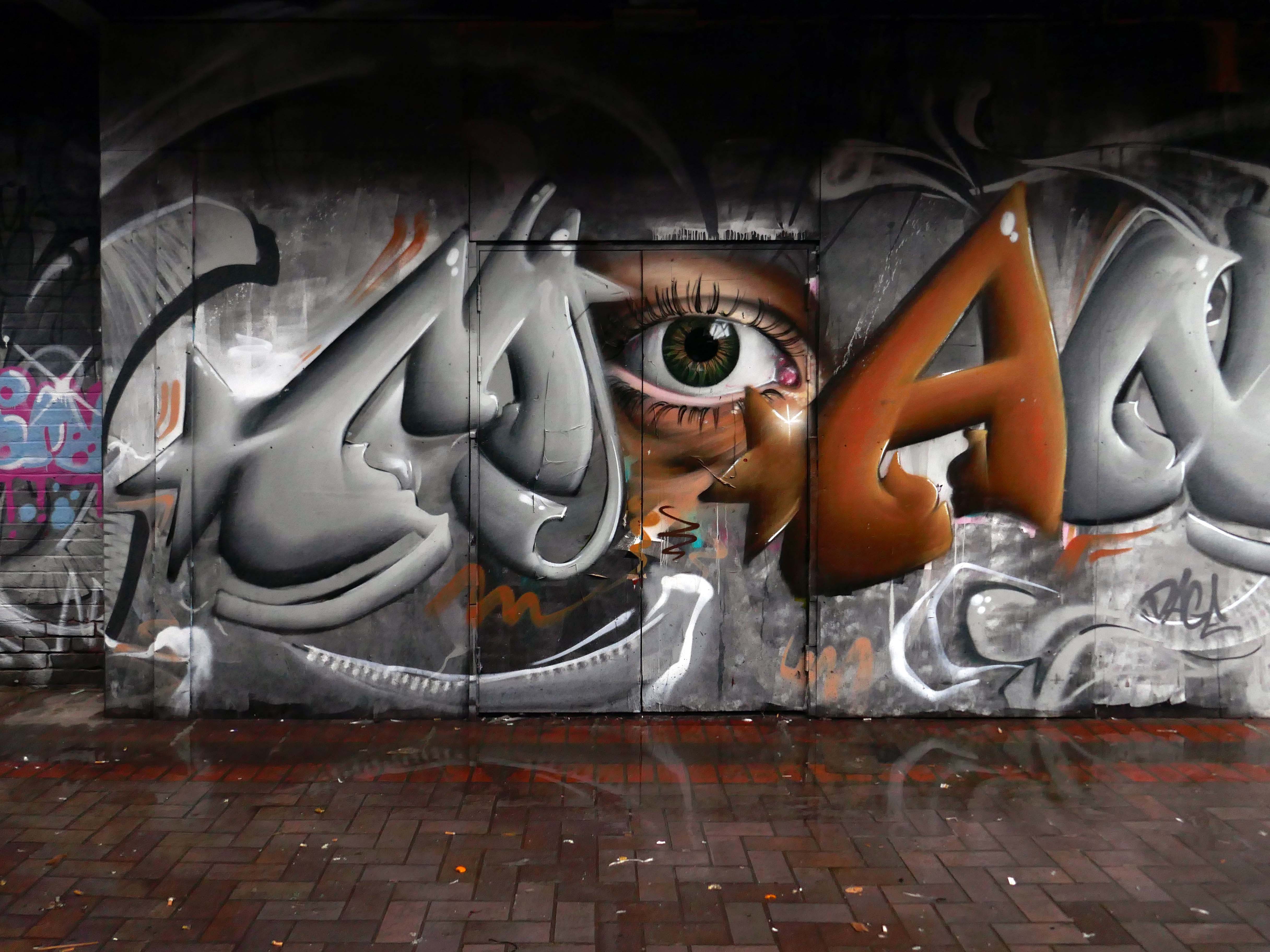
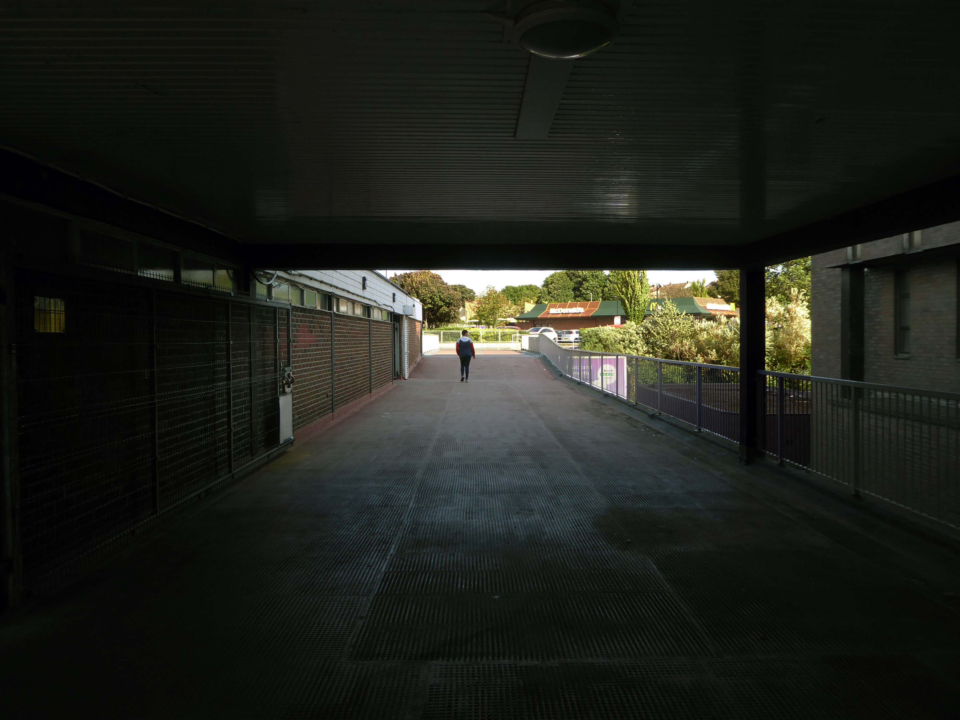
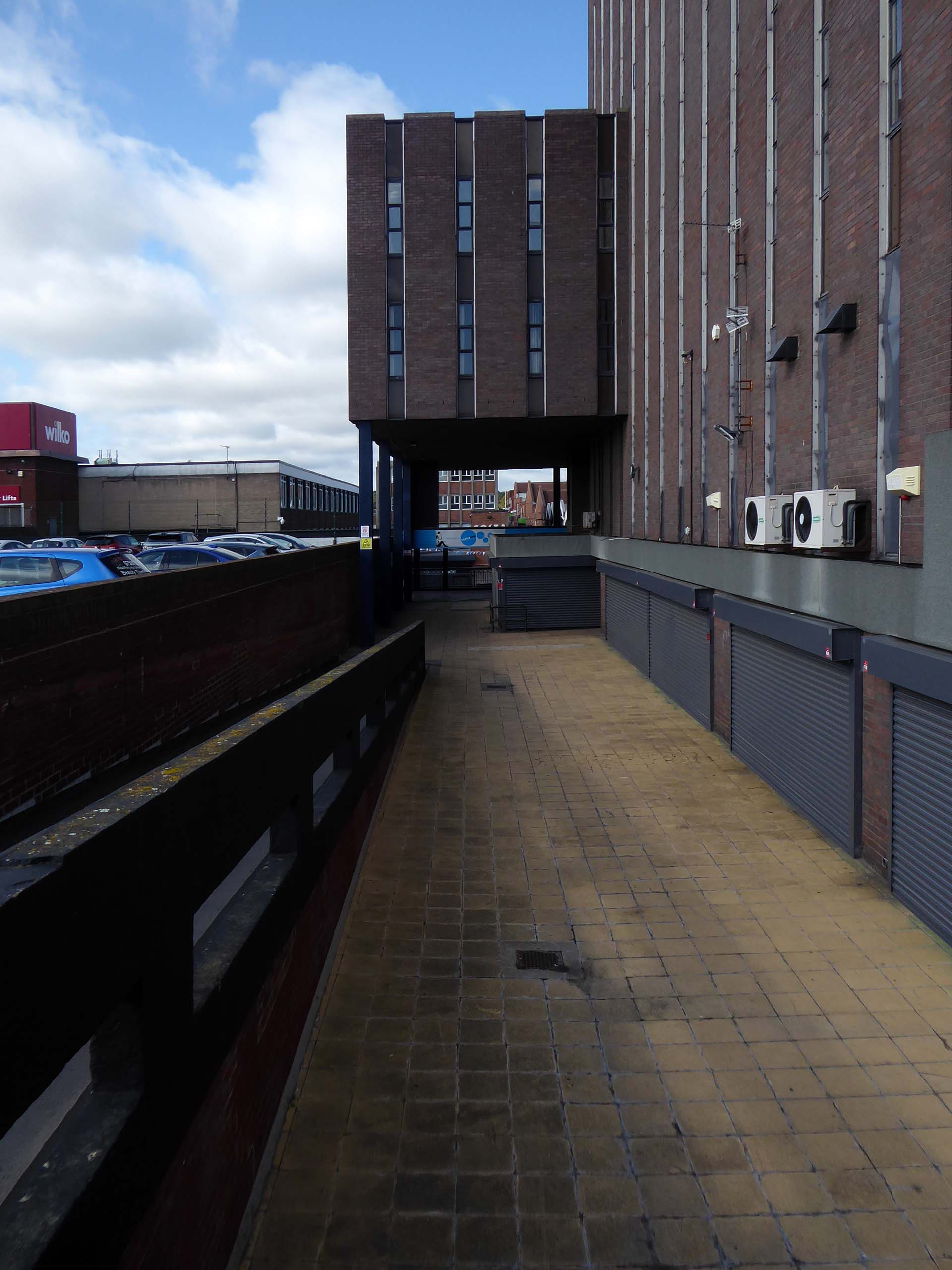
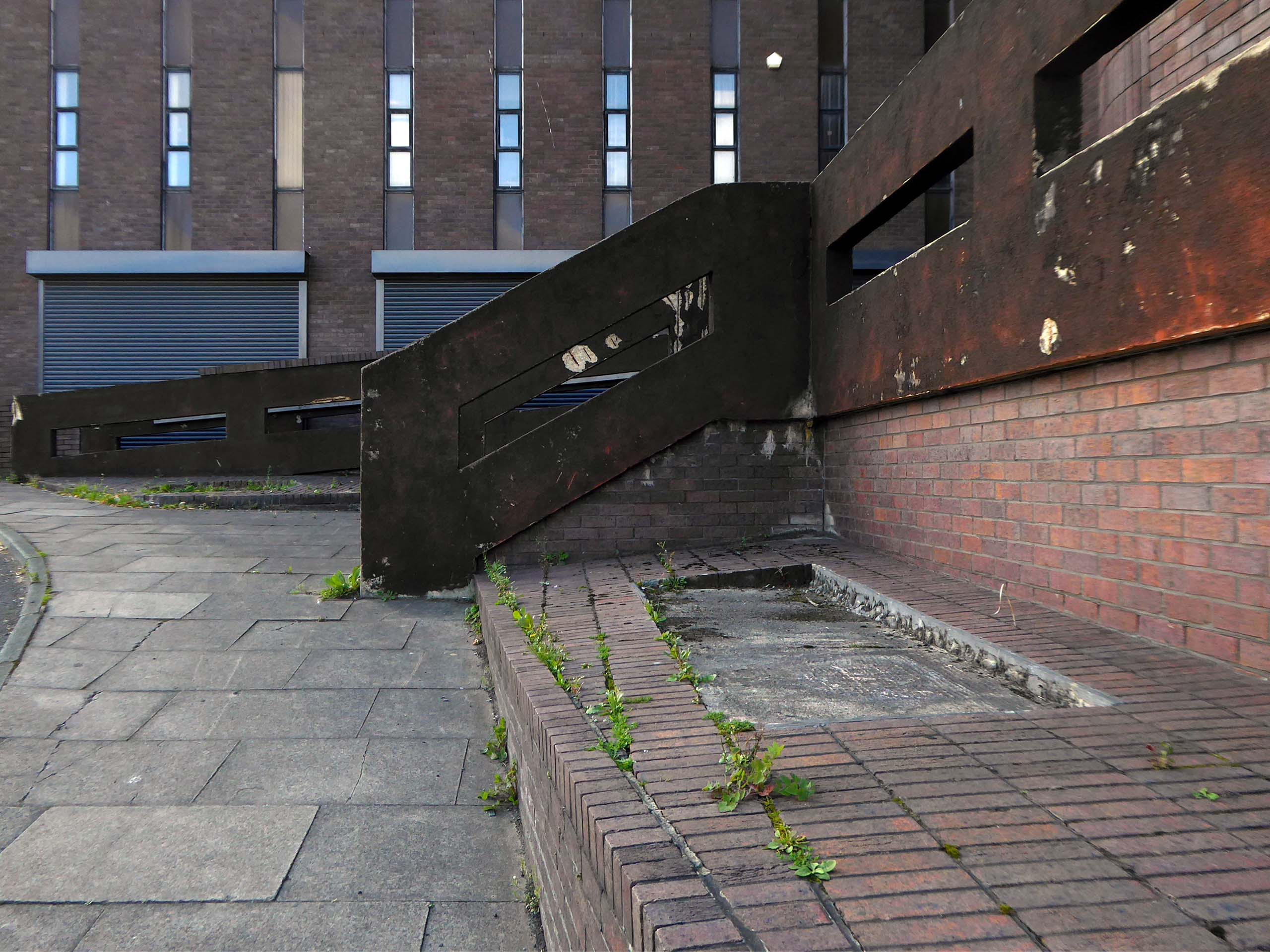
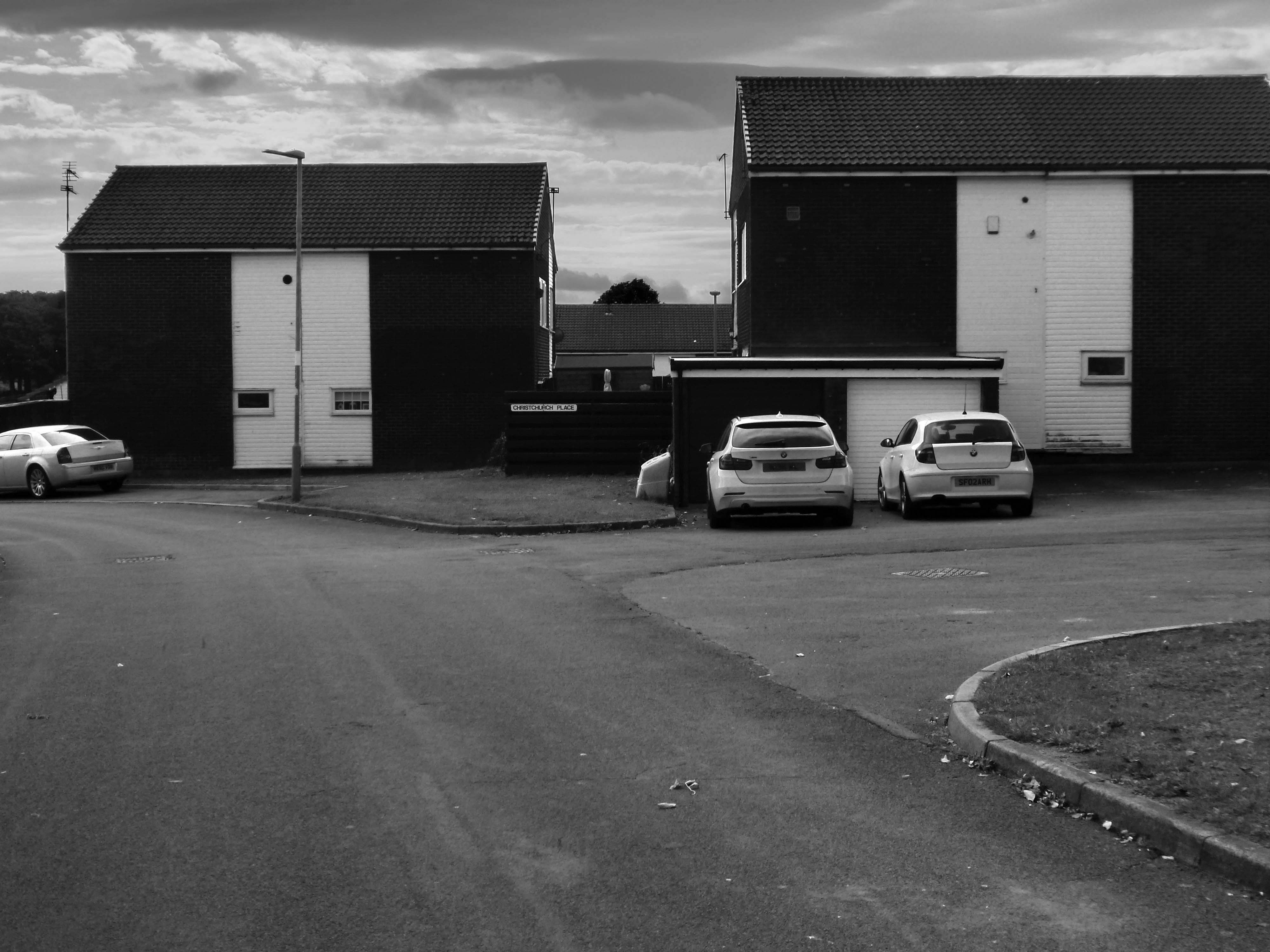
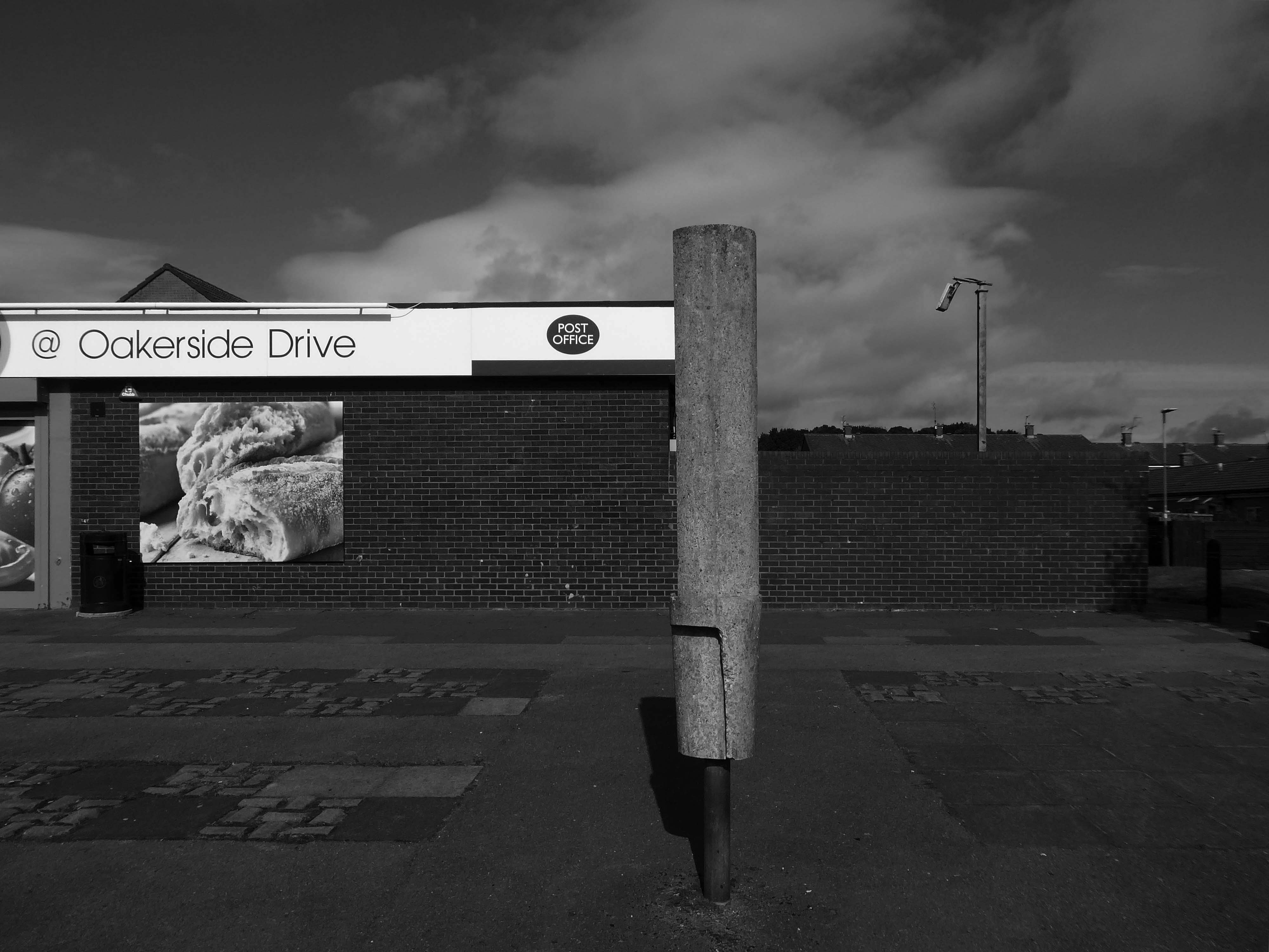
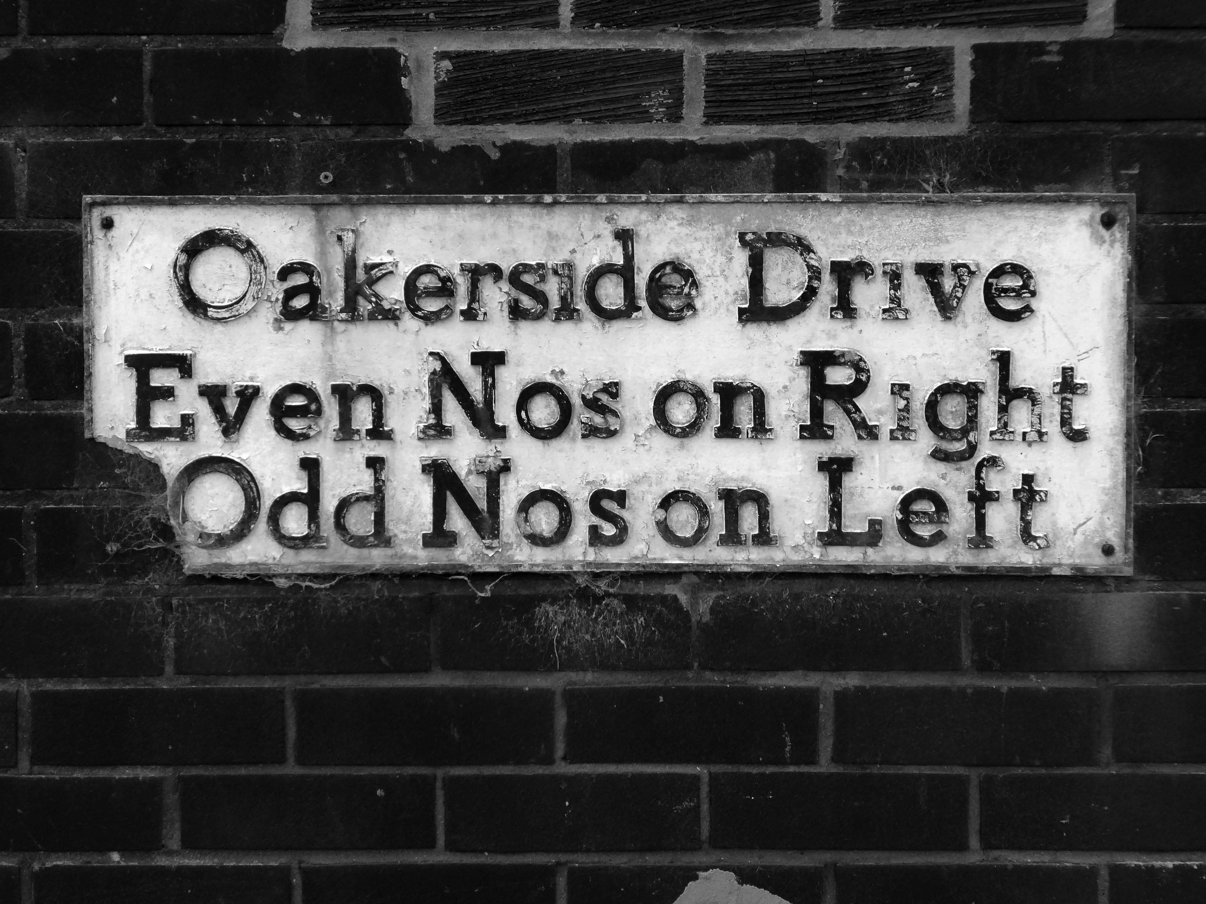
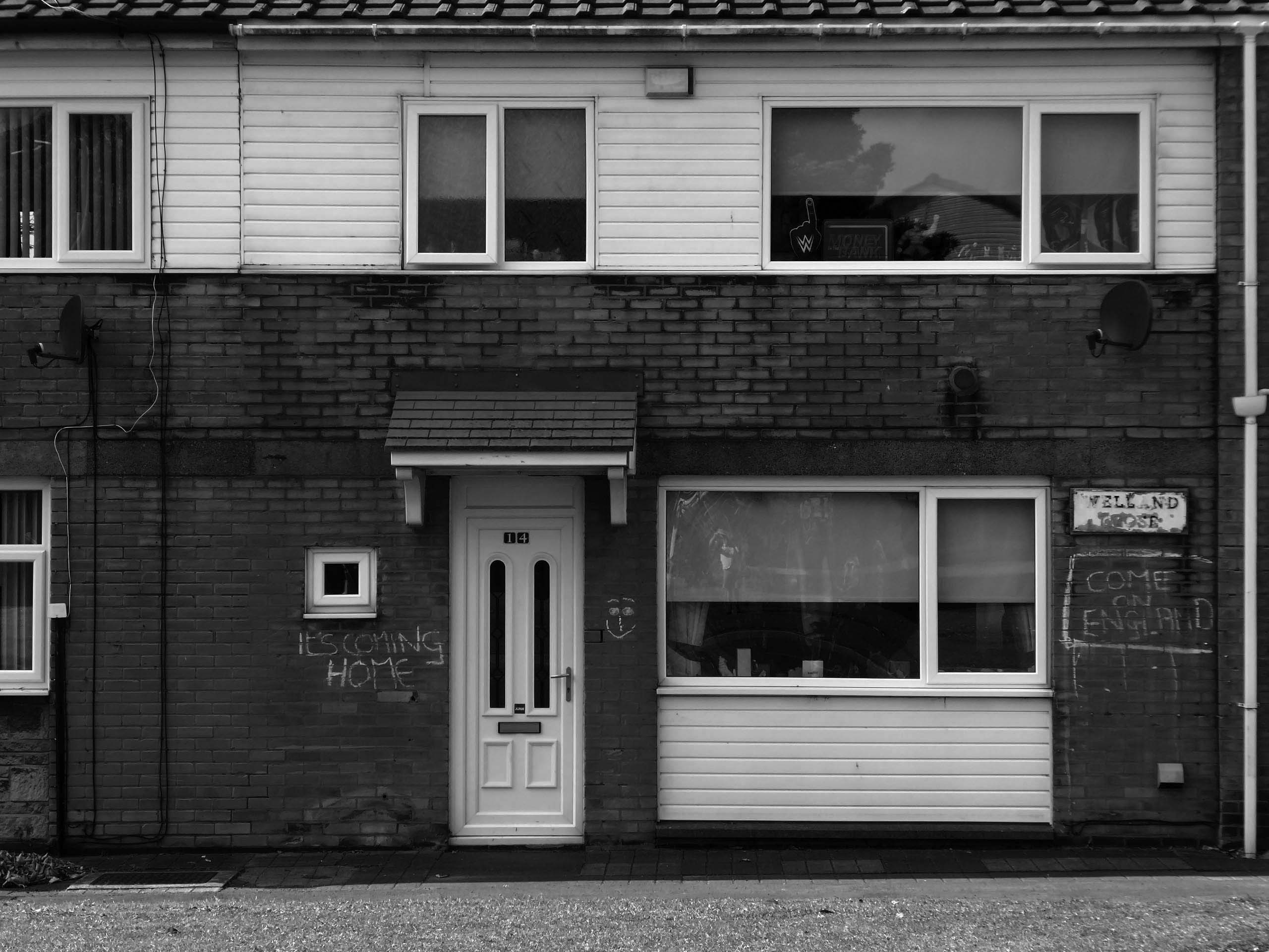
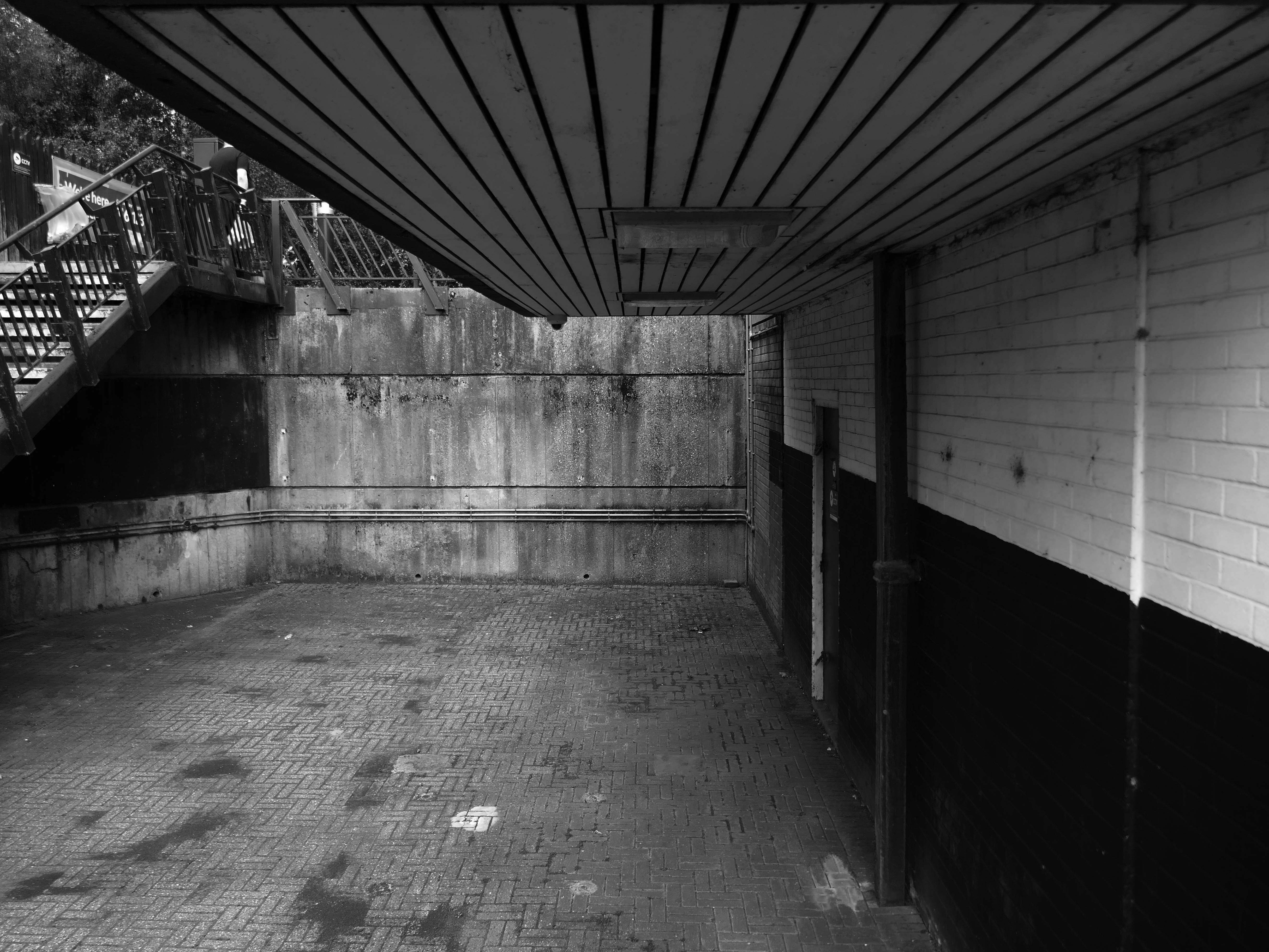
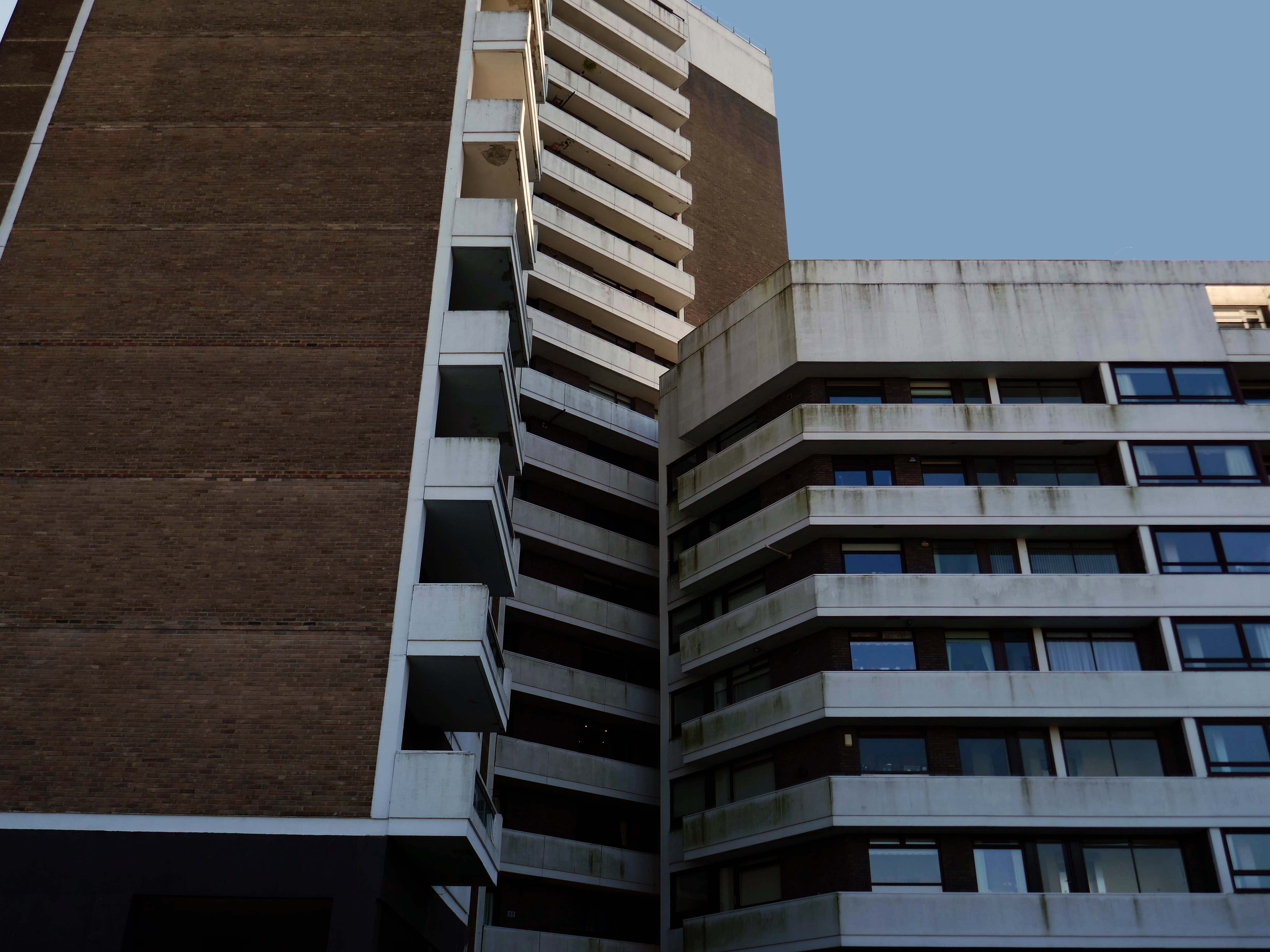
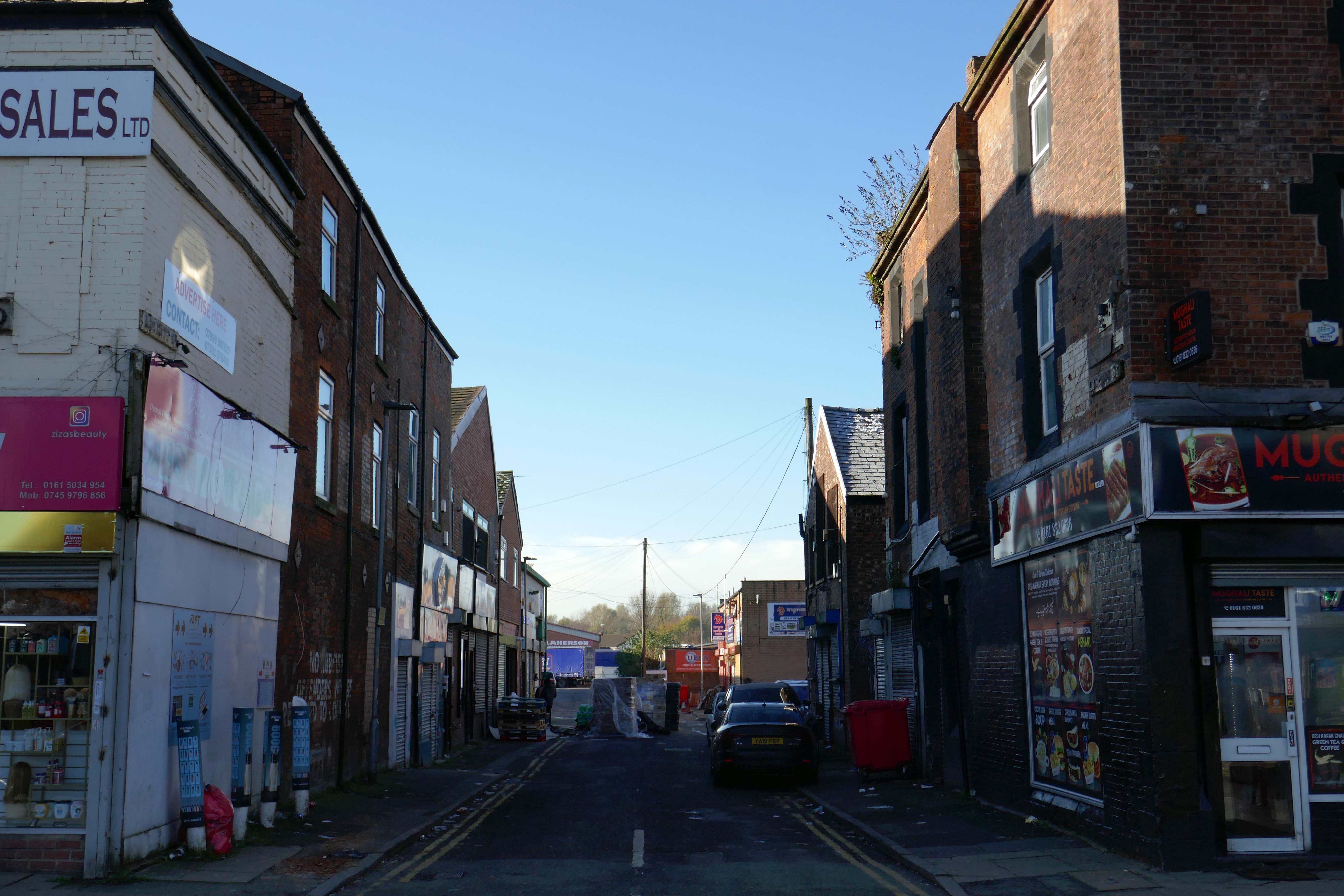
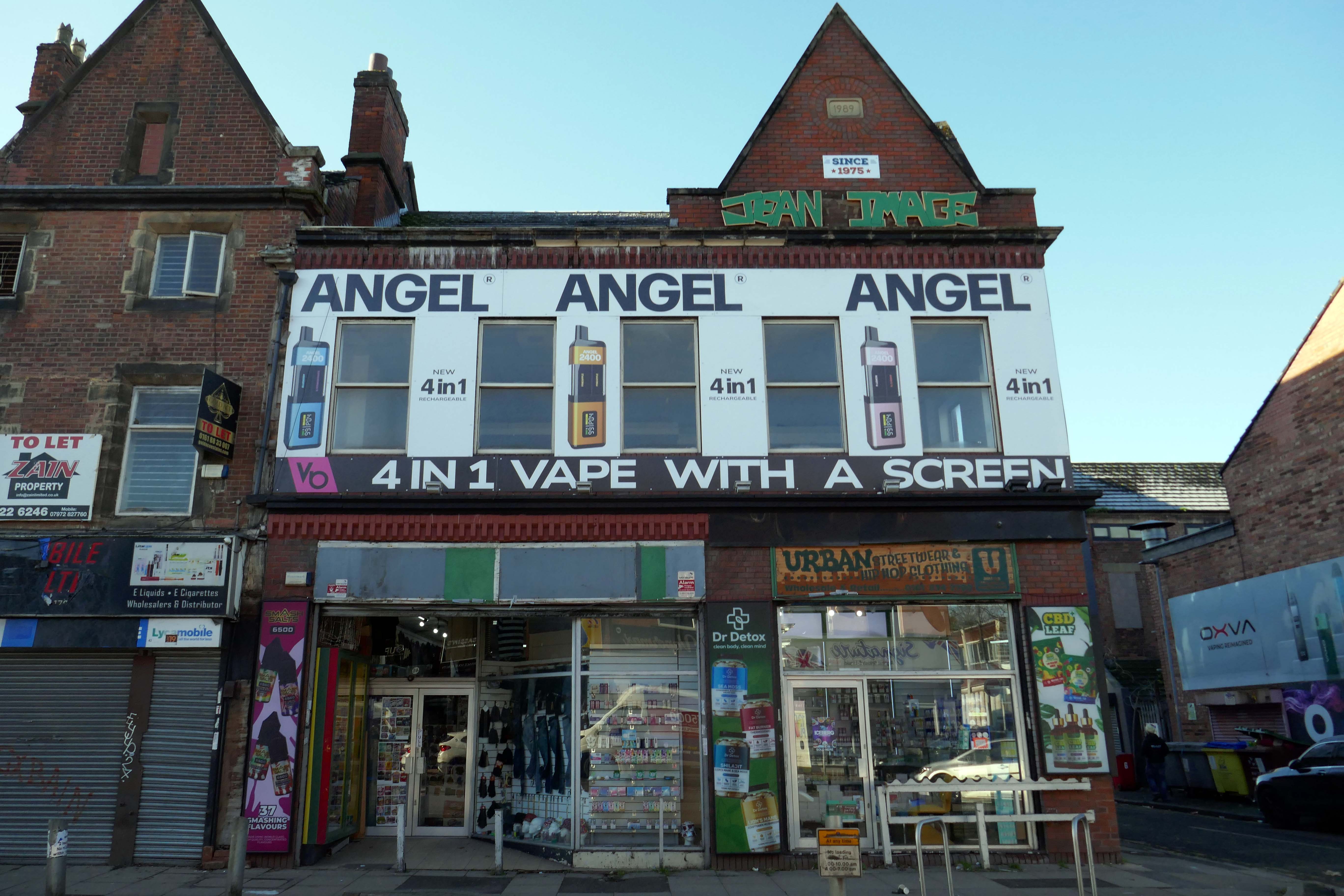
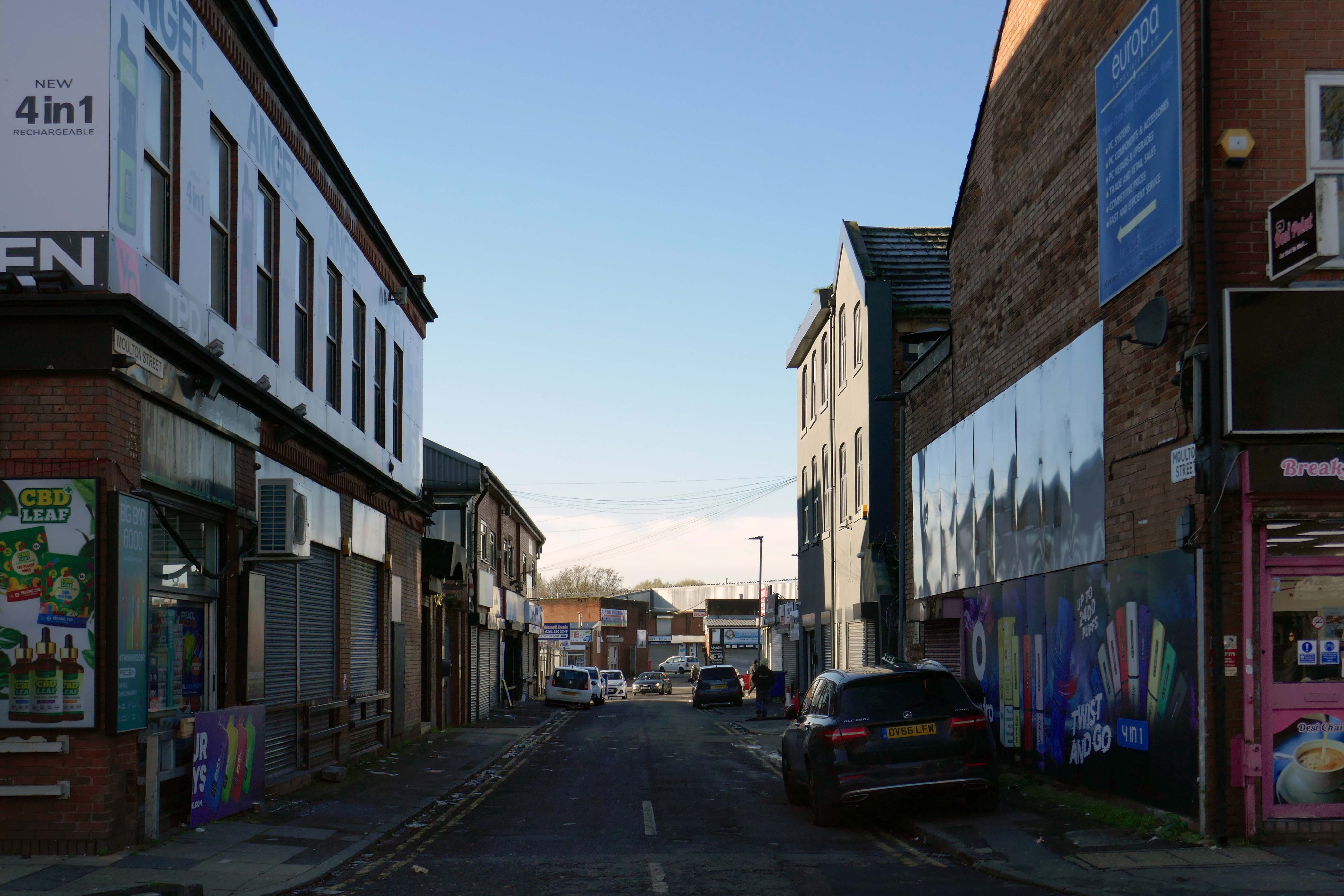
This is an inland island of anonymity, home to pigeons, shake can shakers and the terminally curious.
It always rains on Saturdays.
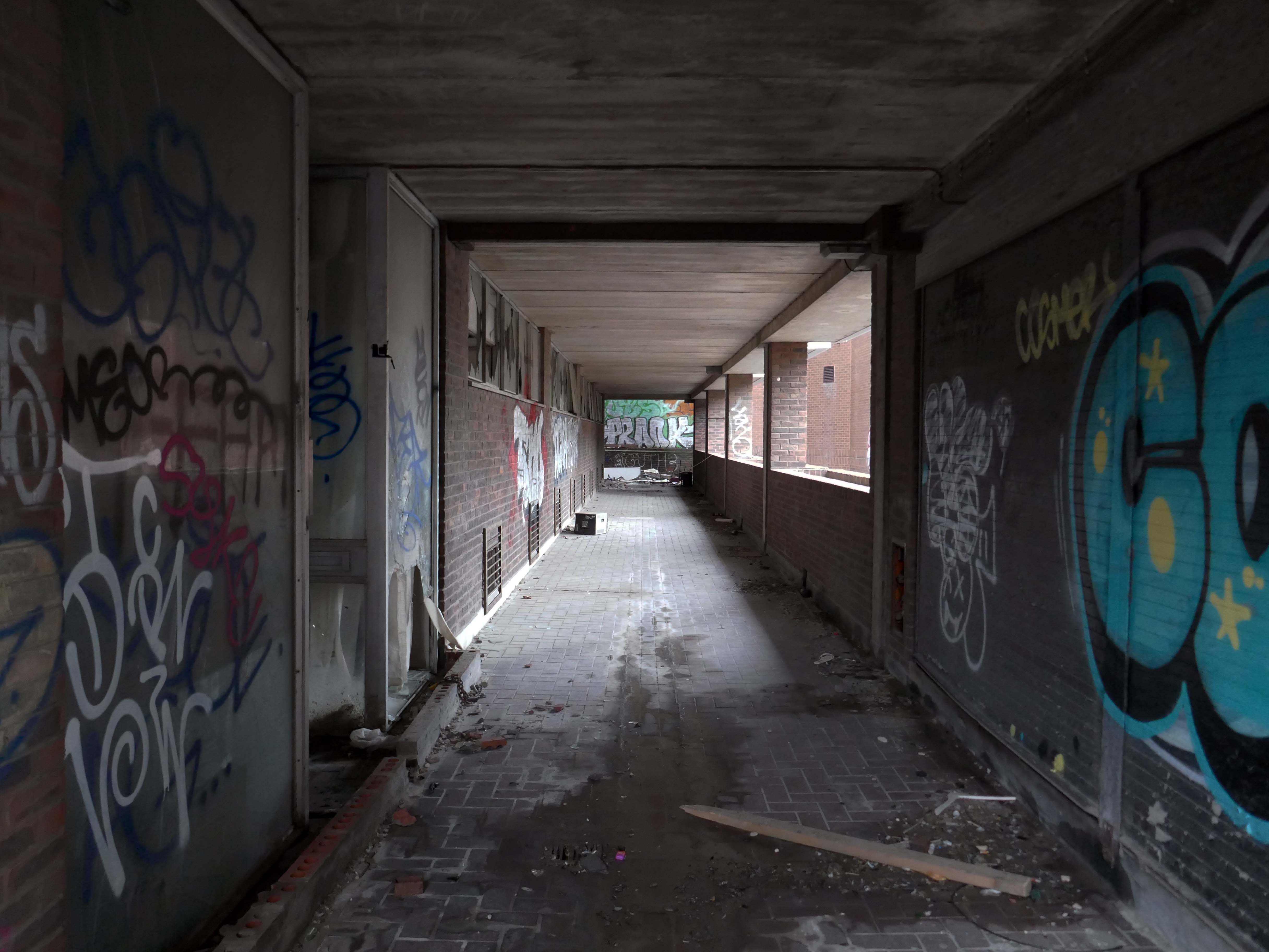
Happily, the sun always shines on Sunday.
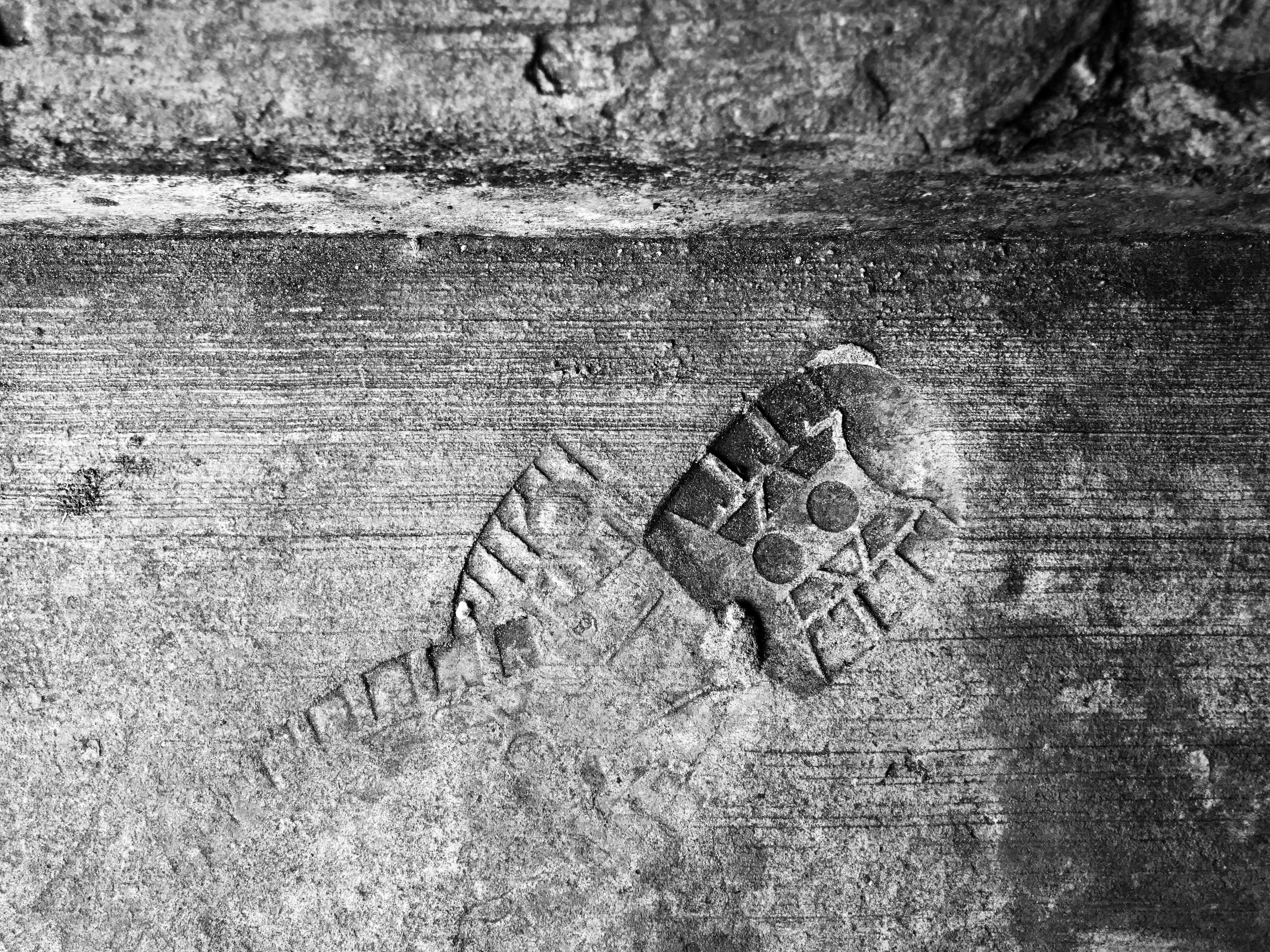
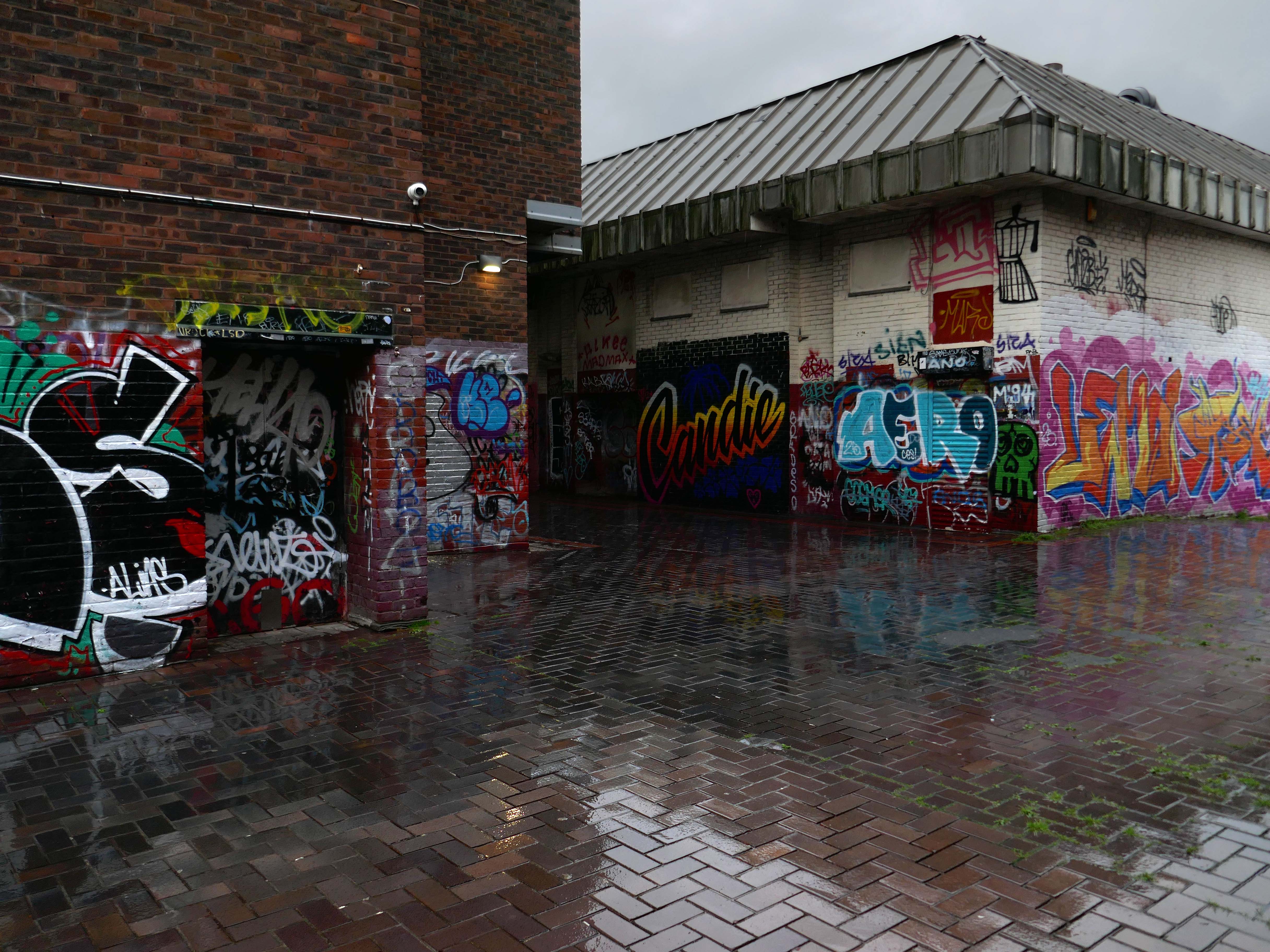
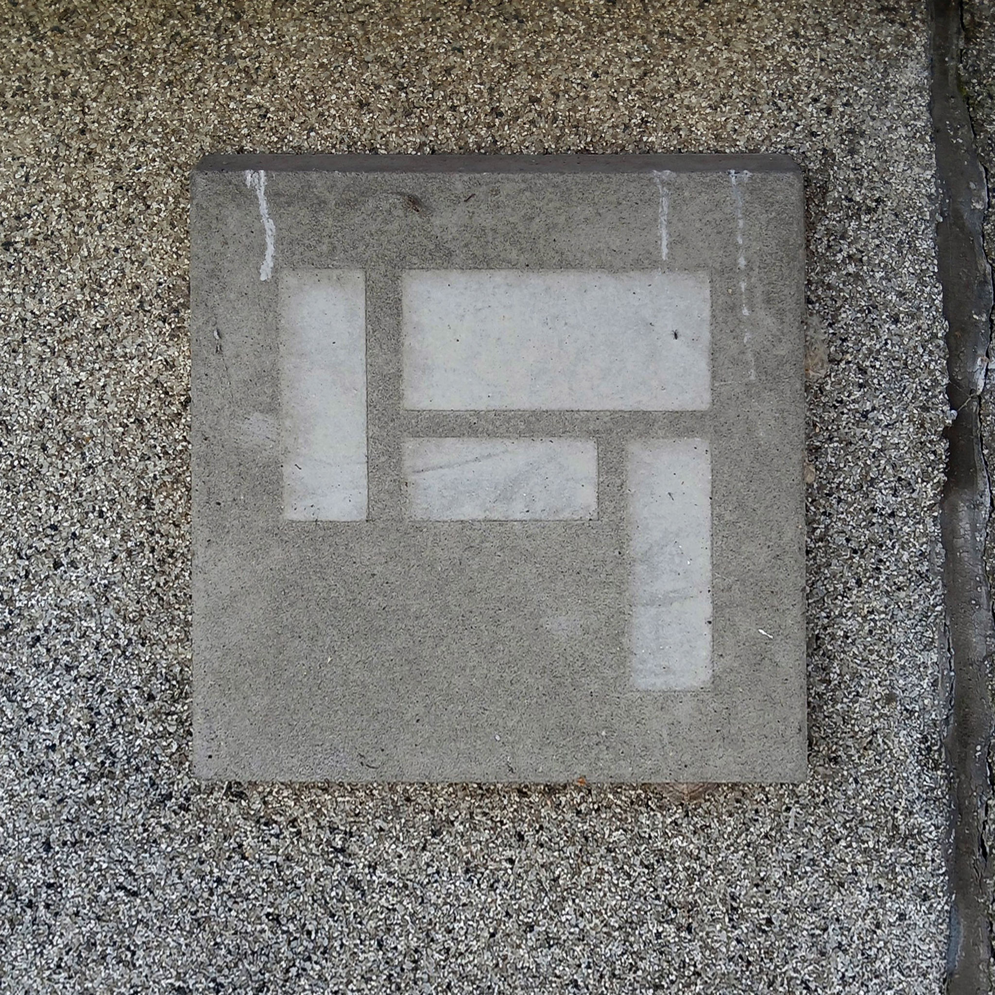
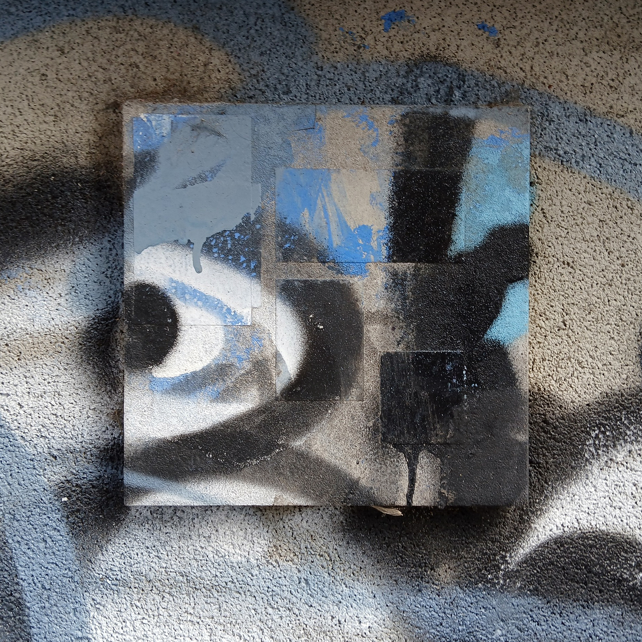
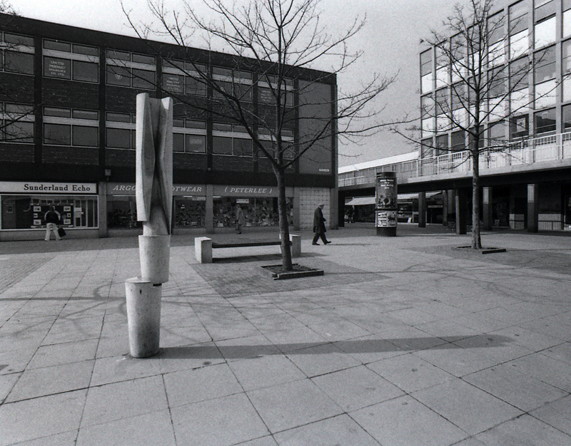
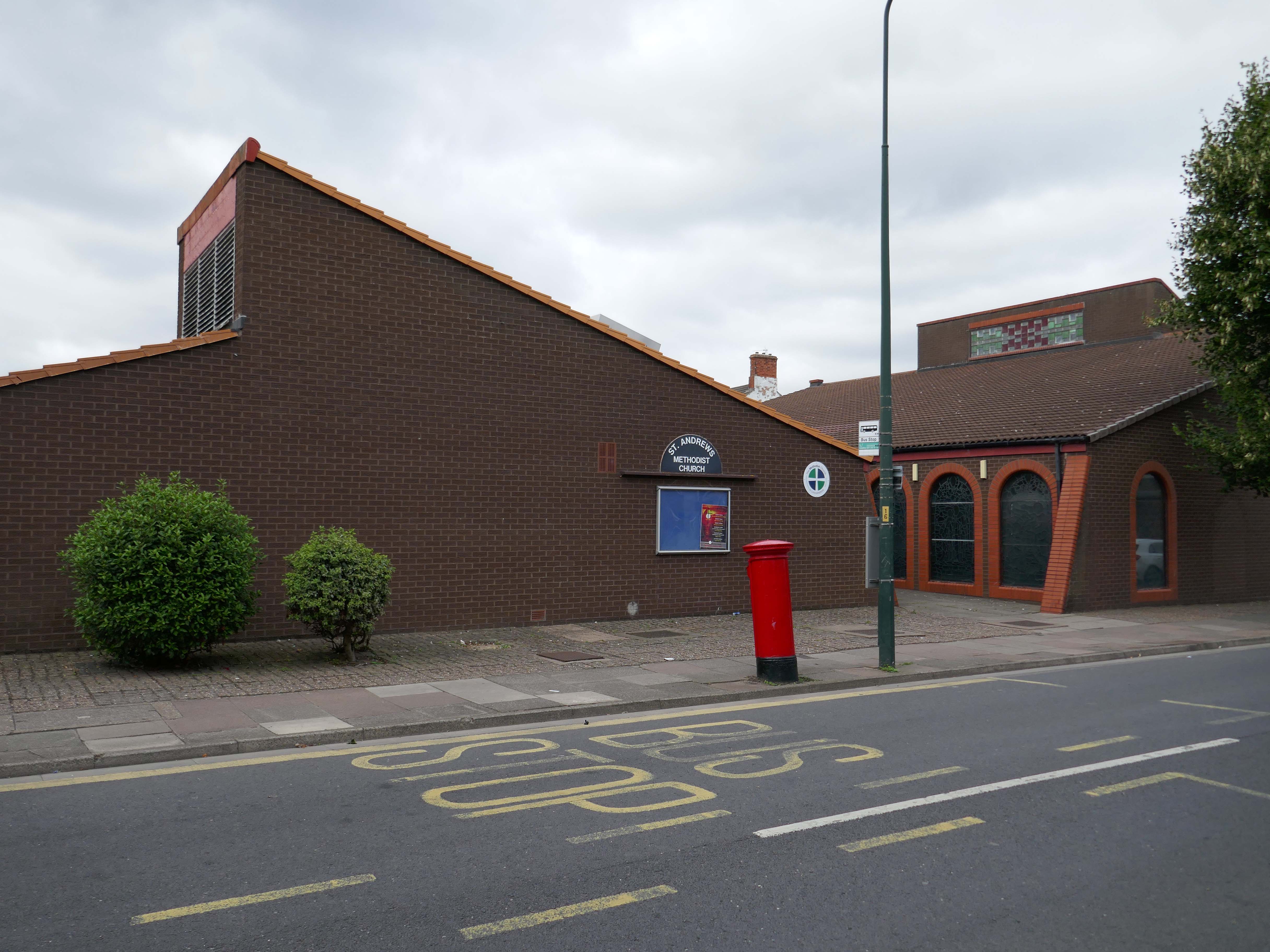
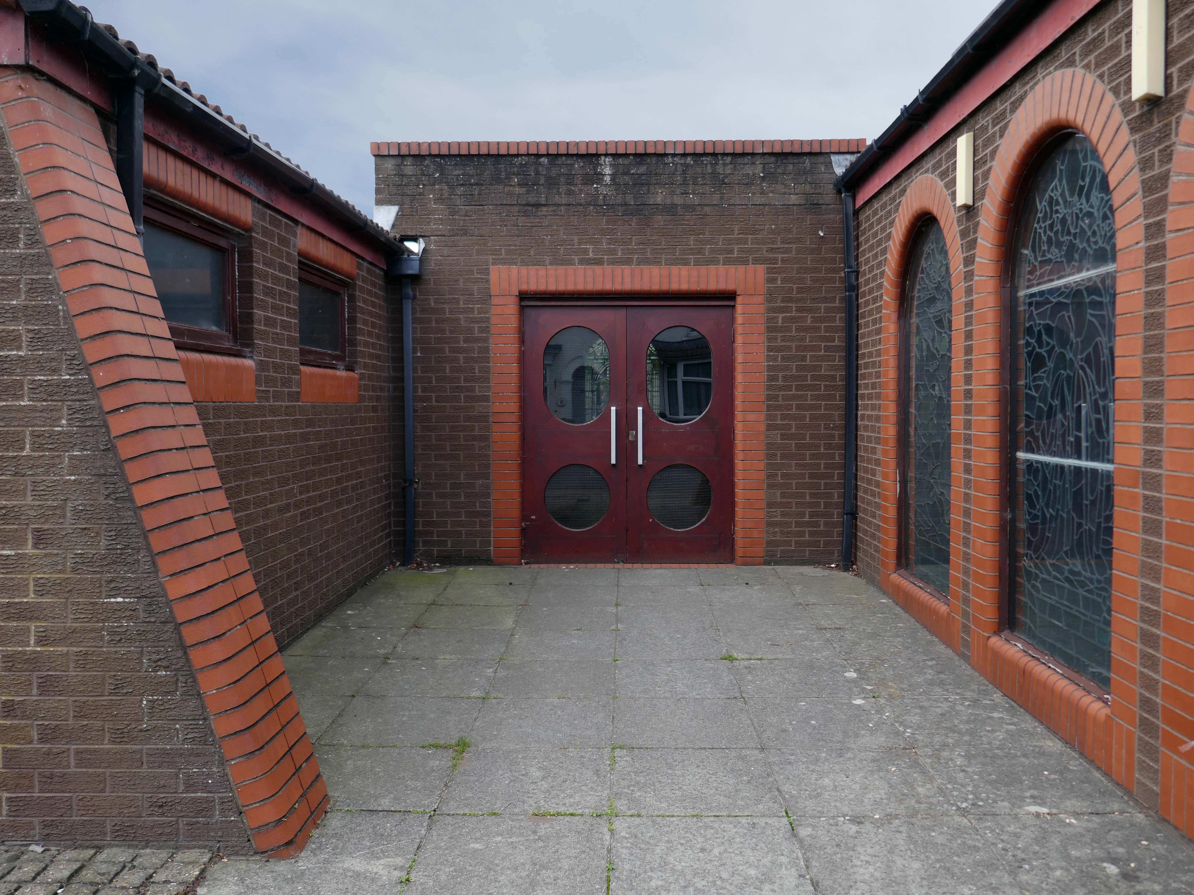
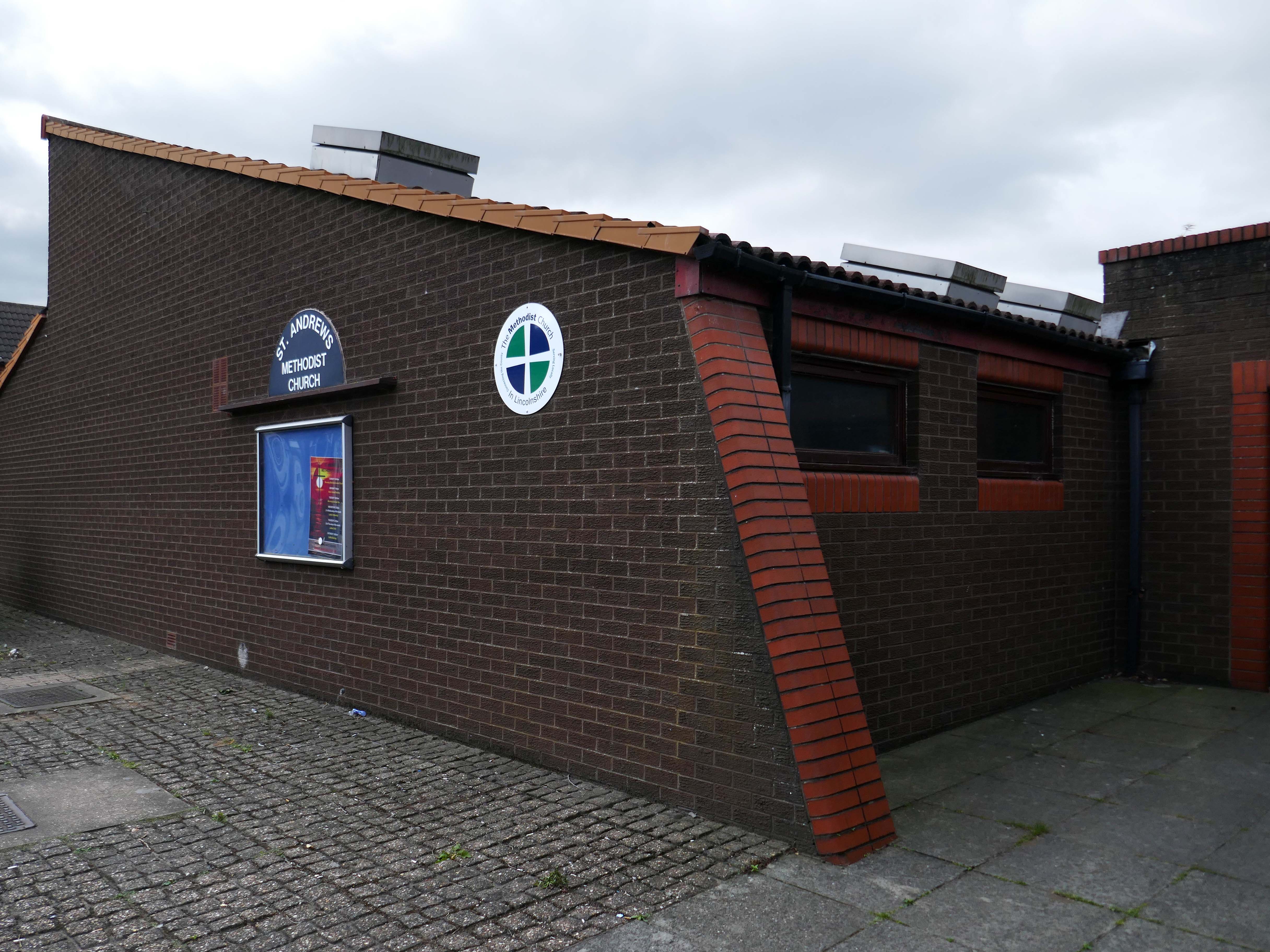
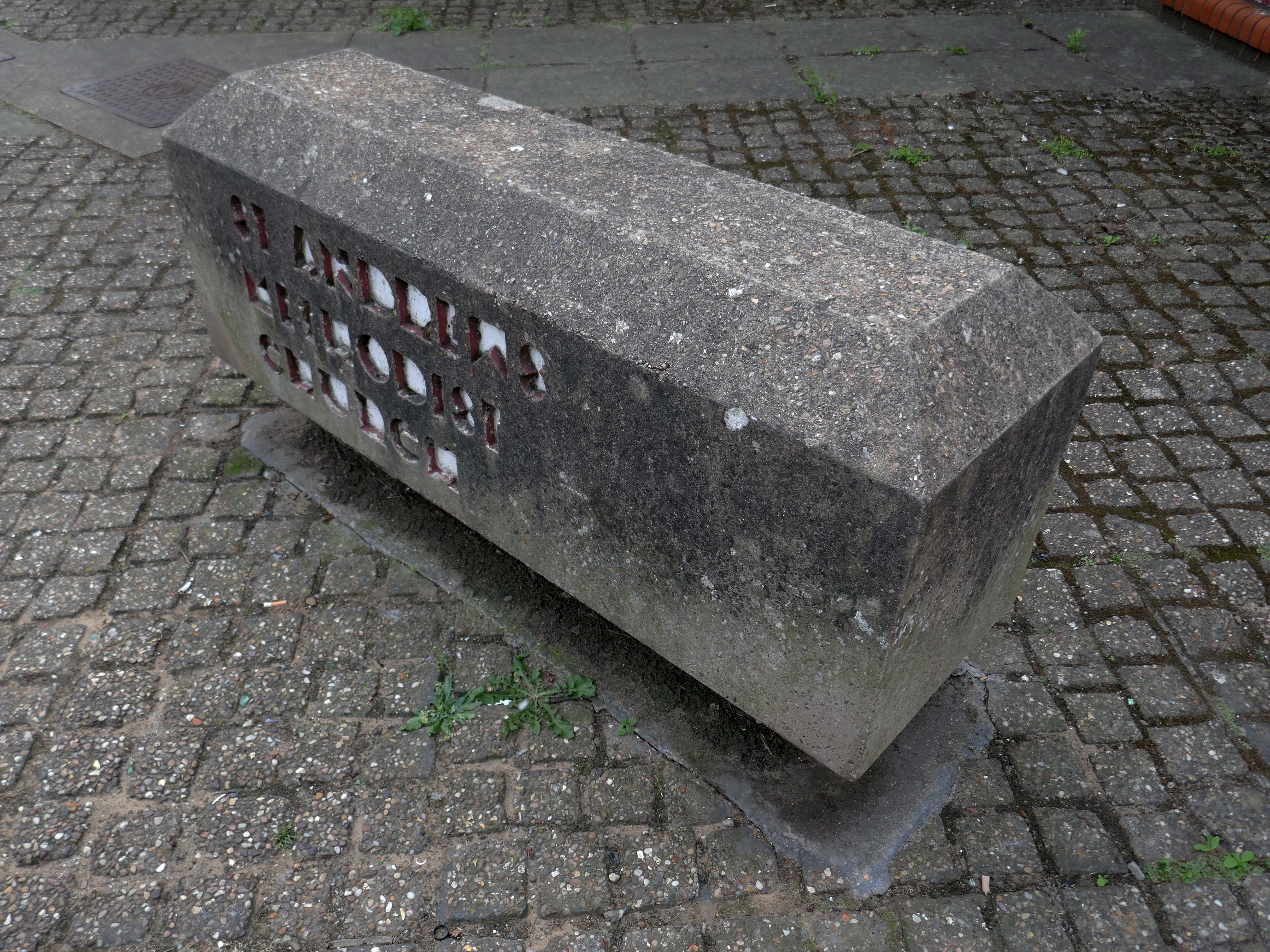
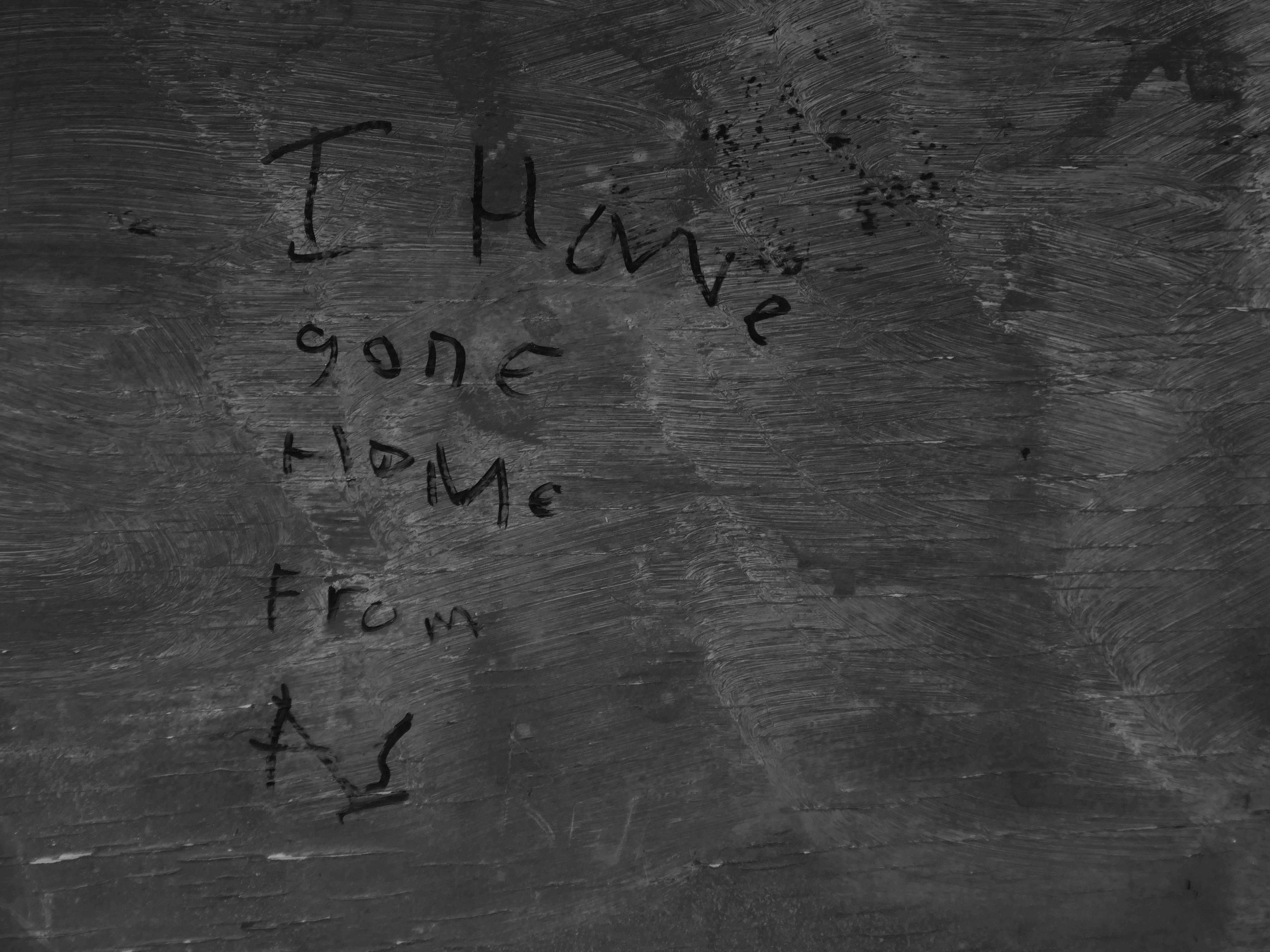
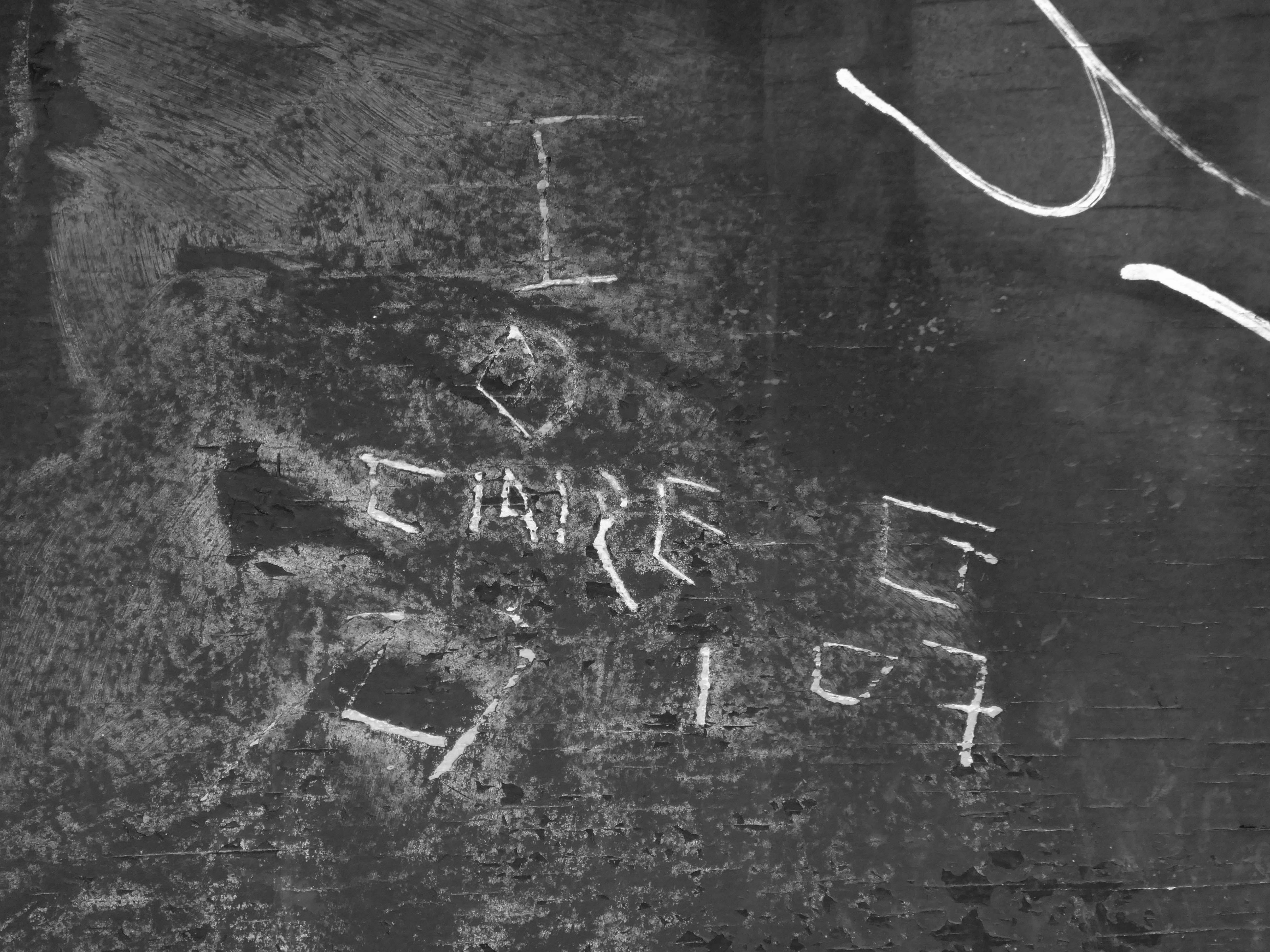
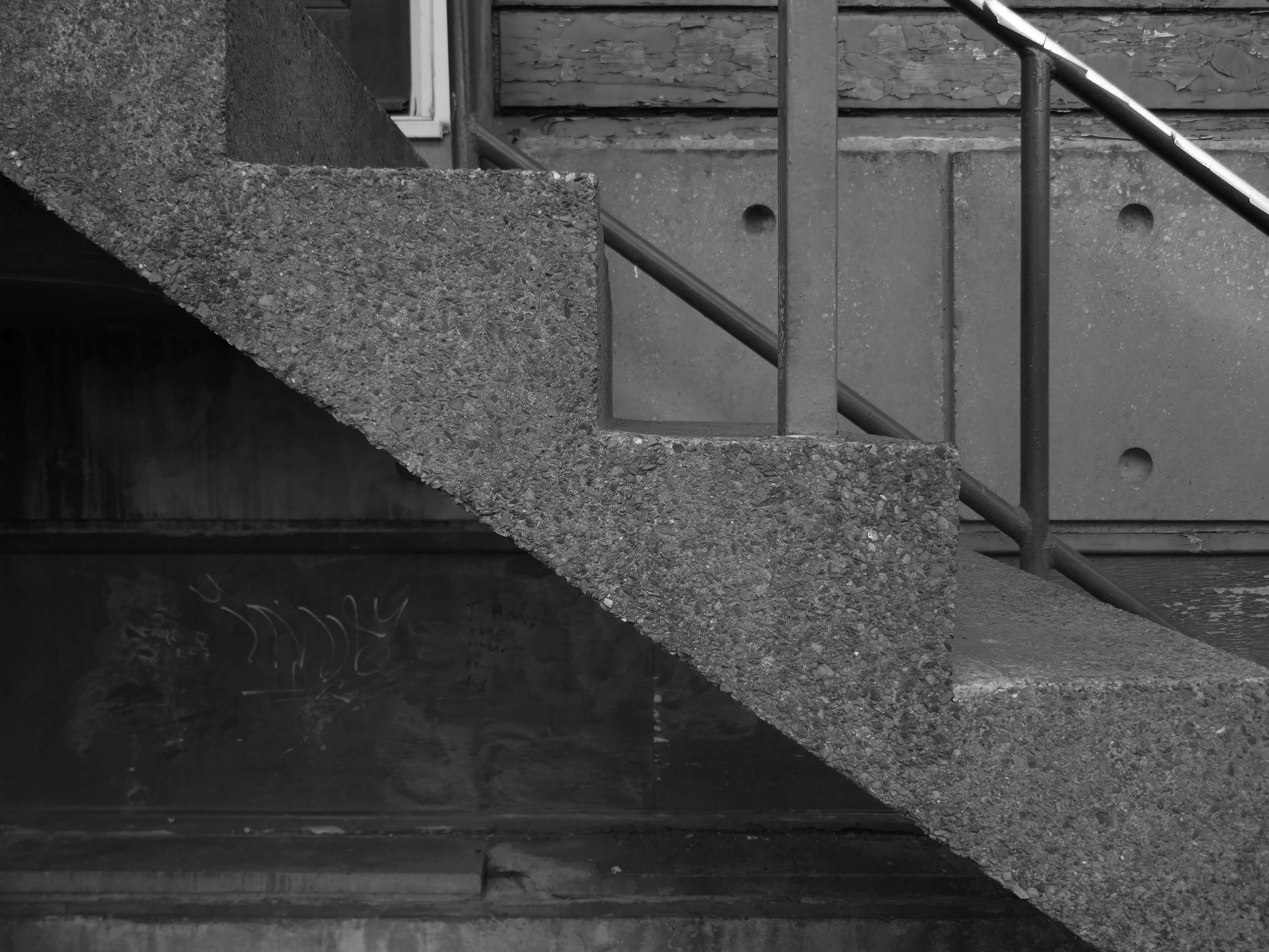
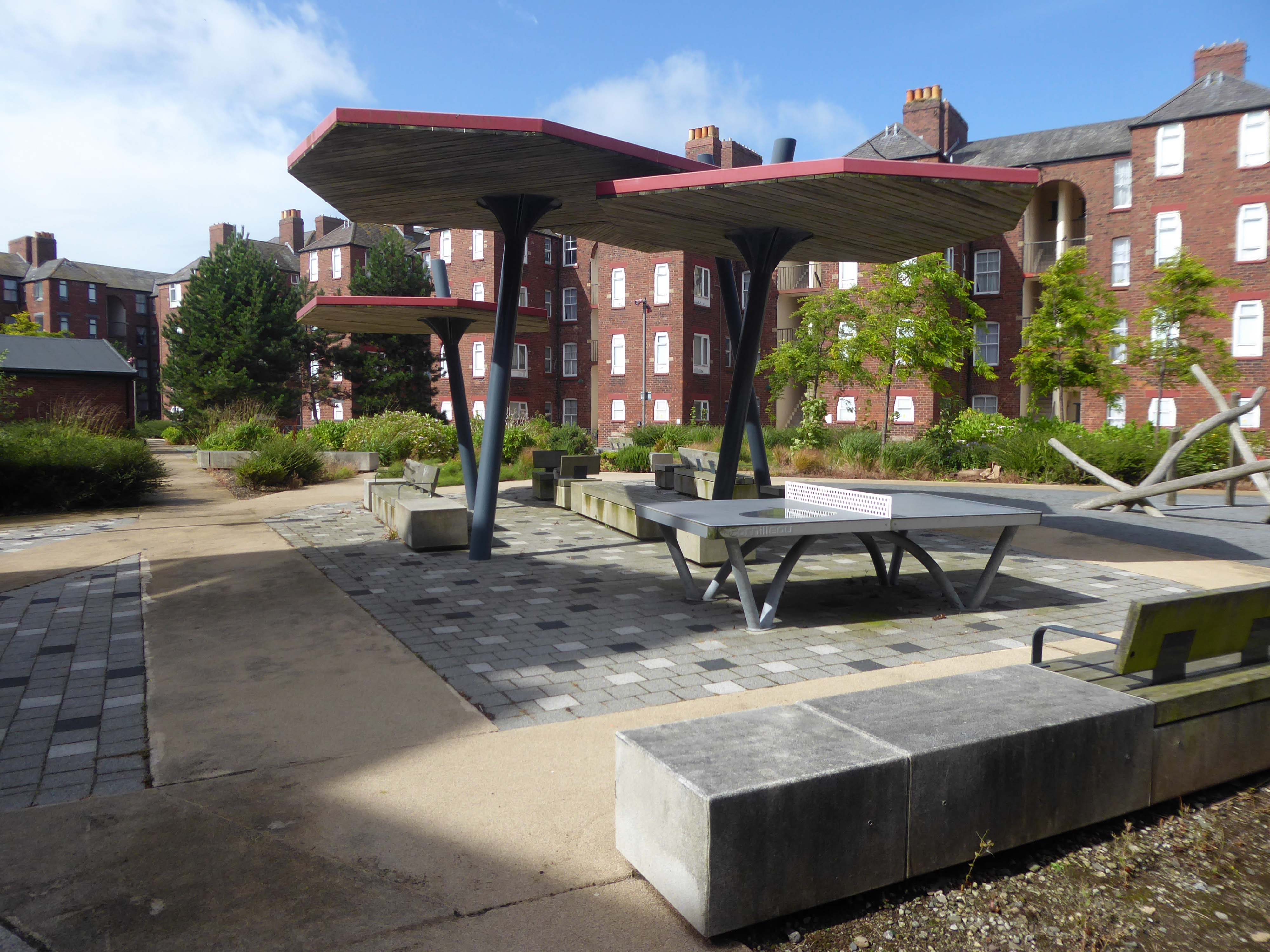
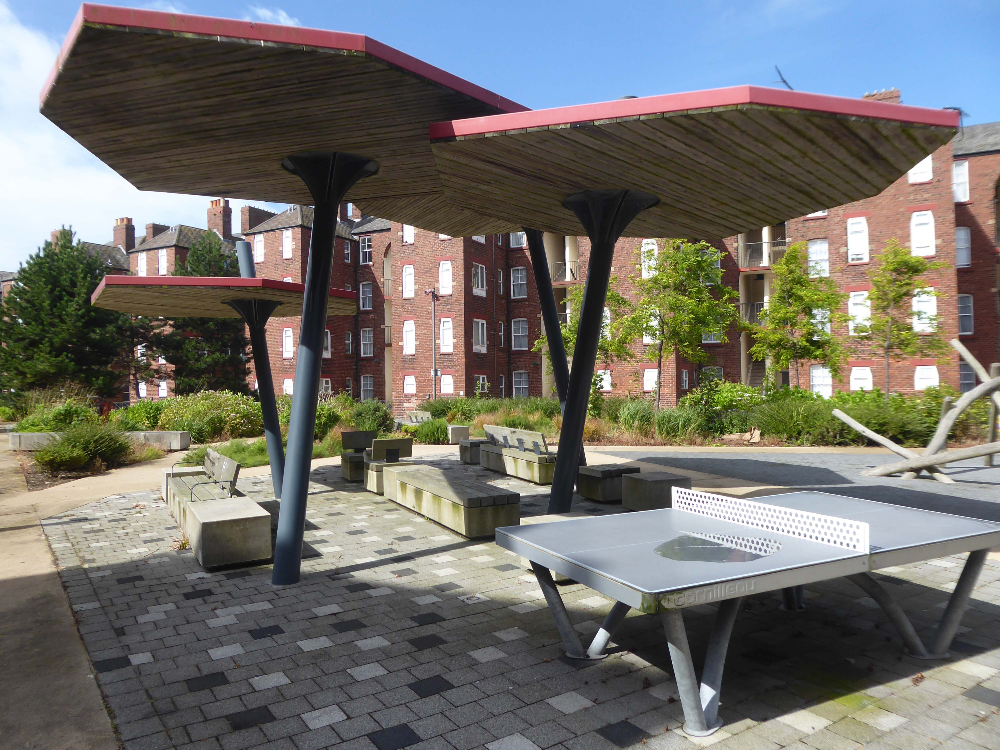
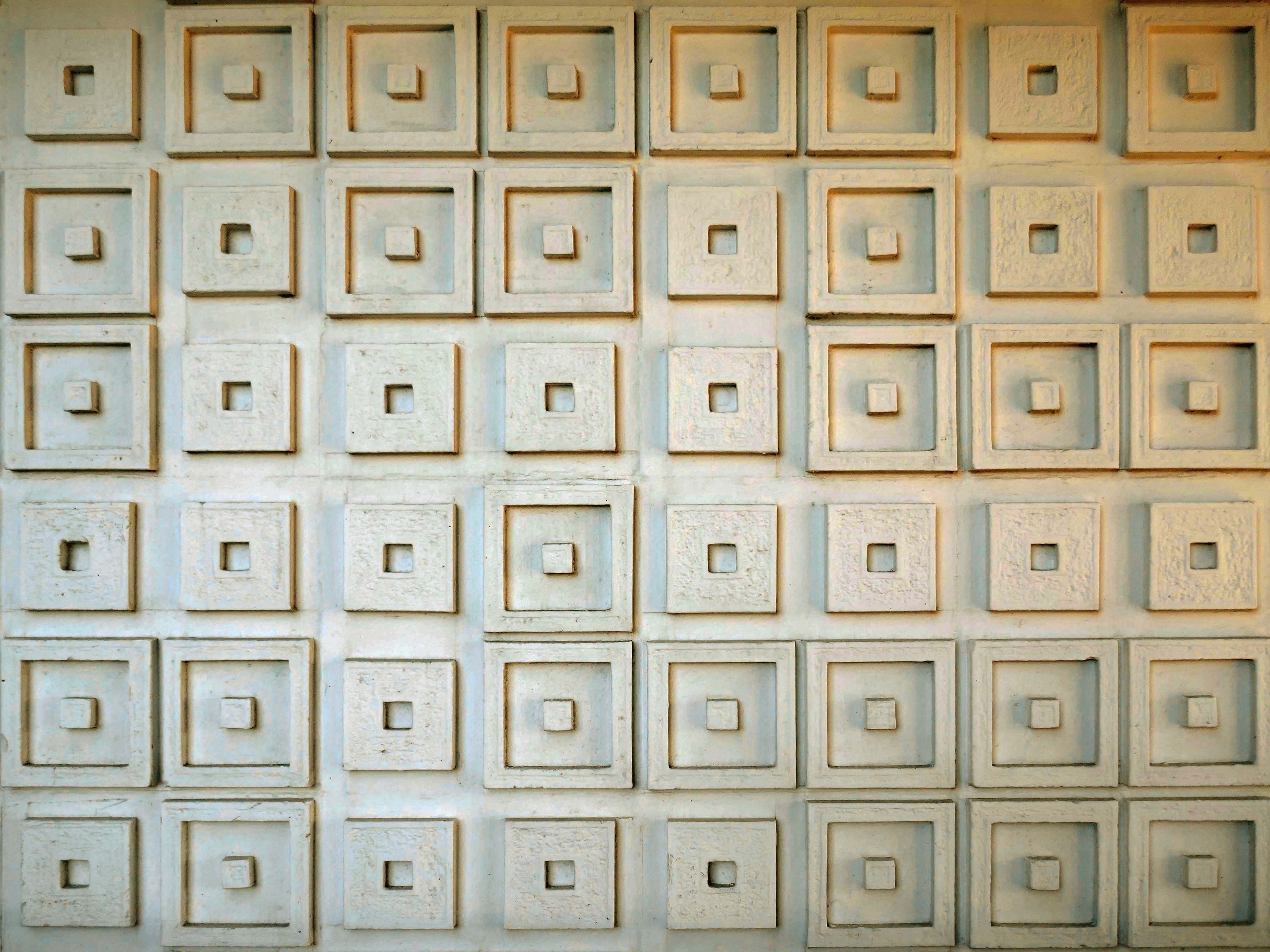
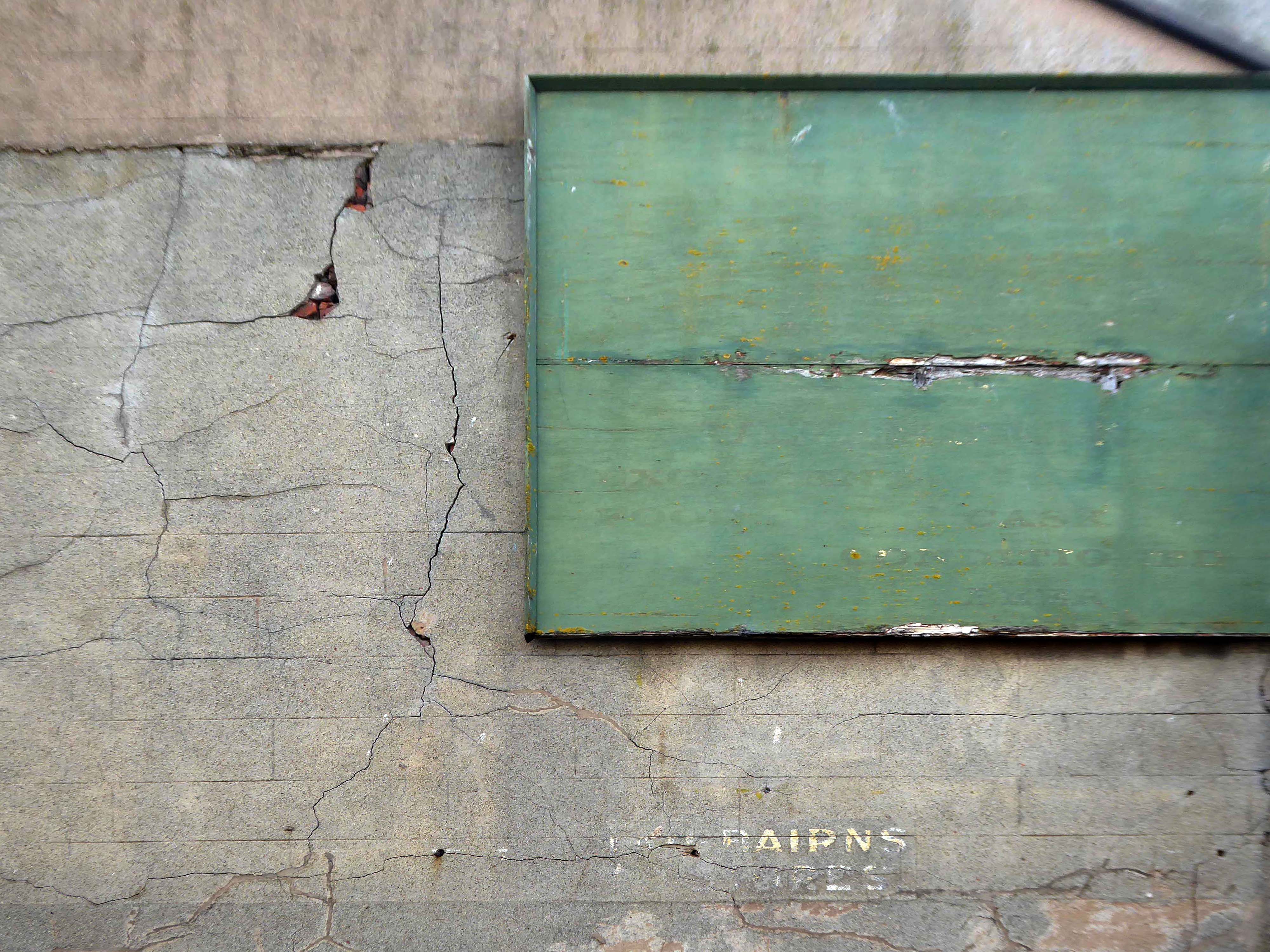
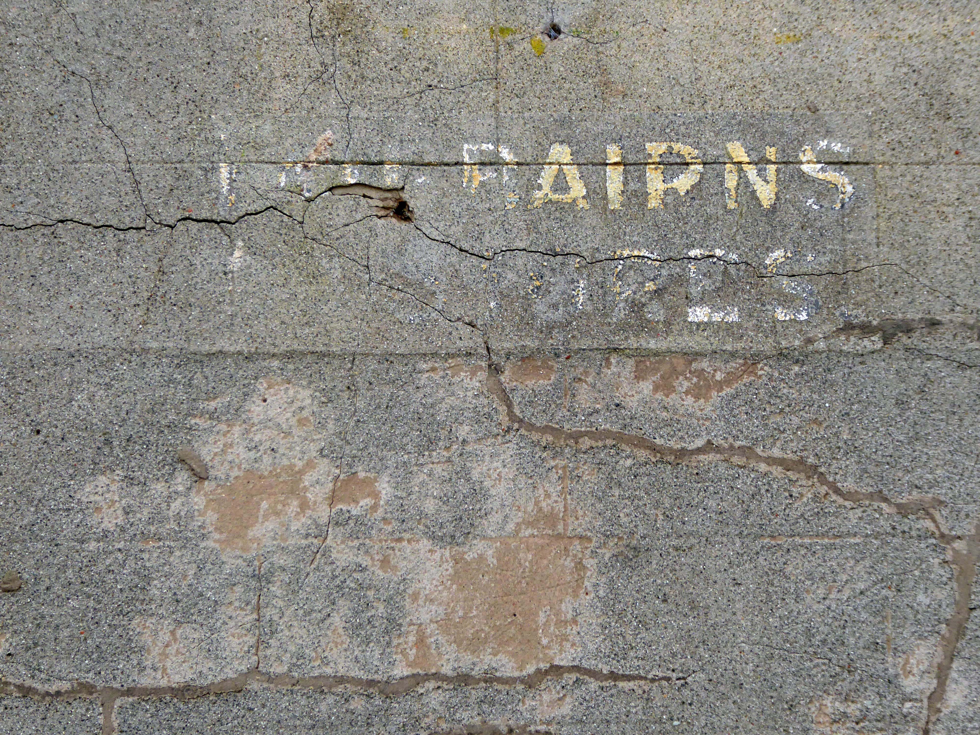
Hidden within and upon the walls of the walkways are these two cast concrete panels – the work of guerrilla artist Euan Lynn.
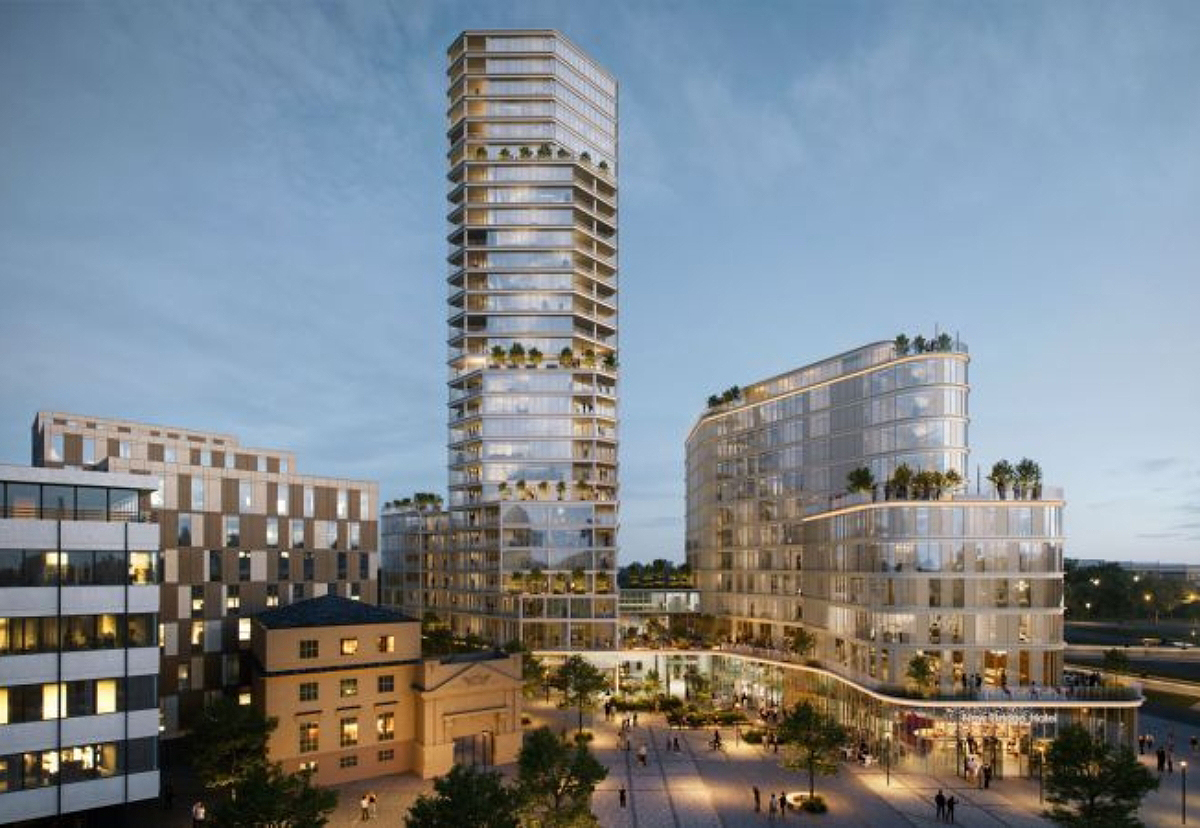
North east property group Gainford has unveiled its revised plan for a £170m residential and hotel project to transform Newcastle’s skyline.
It plans to redevelop a former Premier Inn site on New Bridge Street, with a 29-storey tower of 185 flats, alongside a separate 150-bedroom hotel, and bars, restaurants, and leisure space.
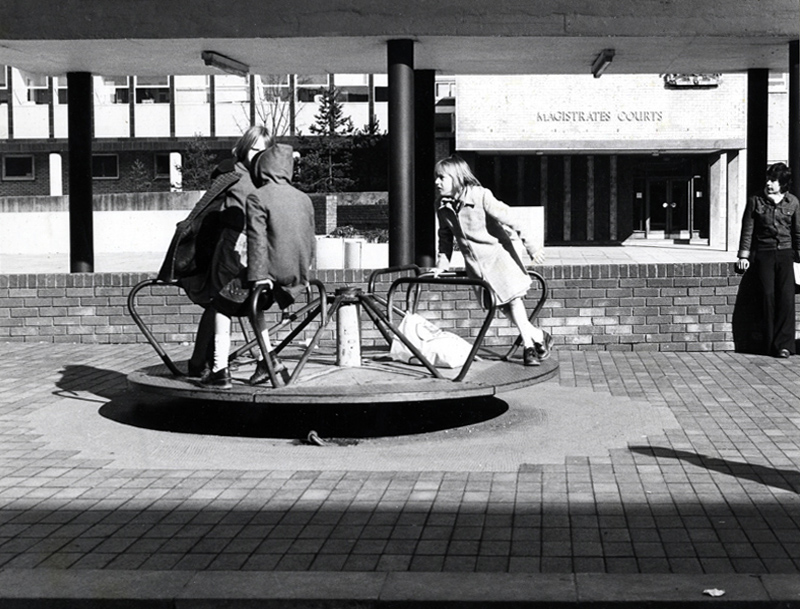
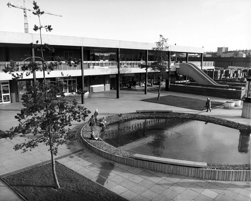
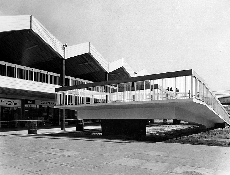
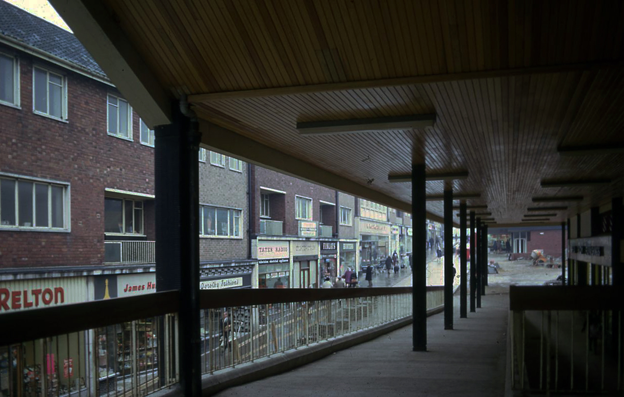
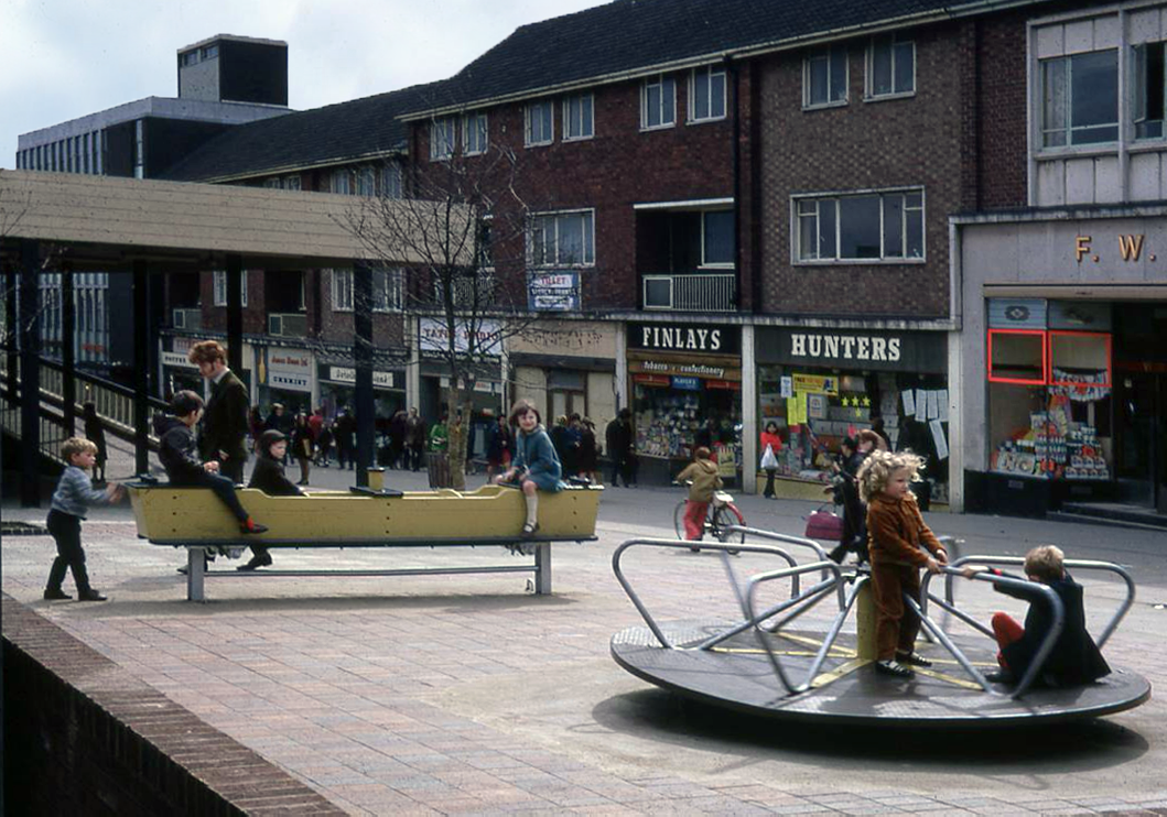
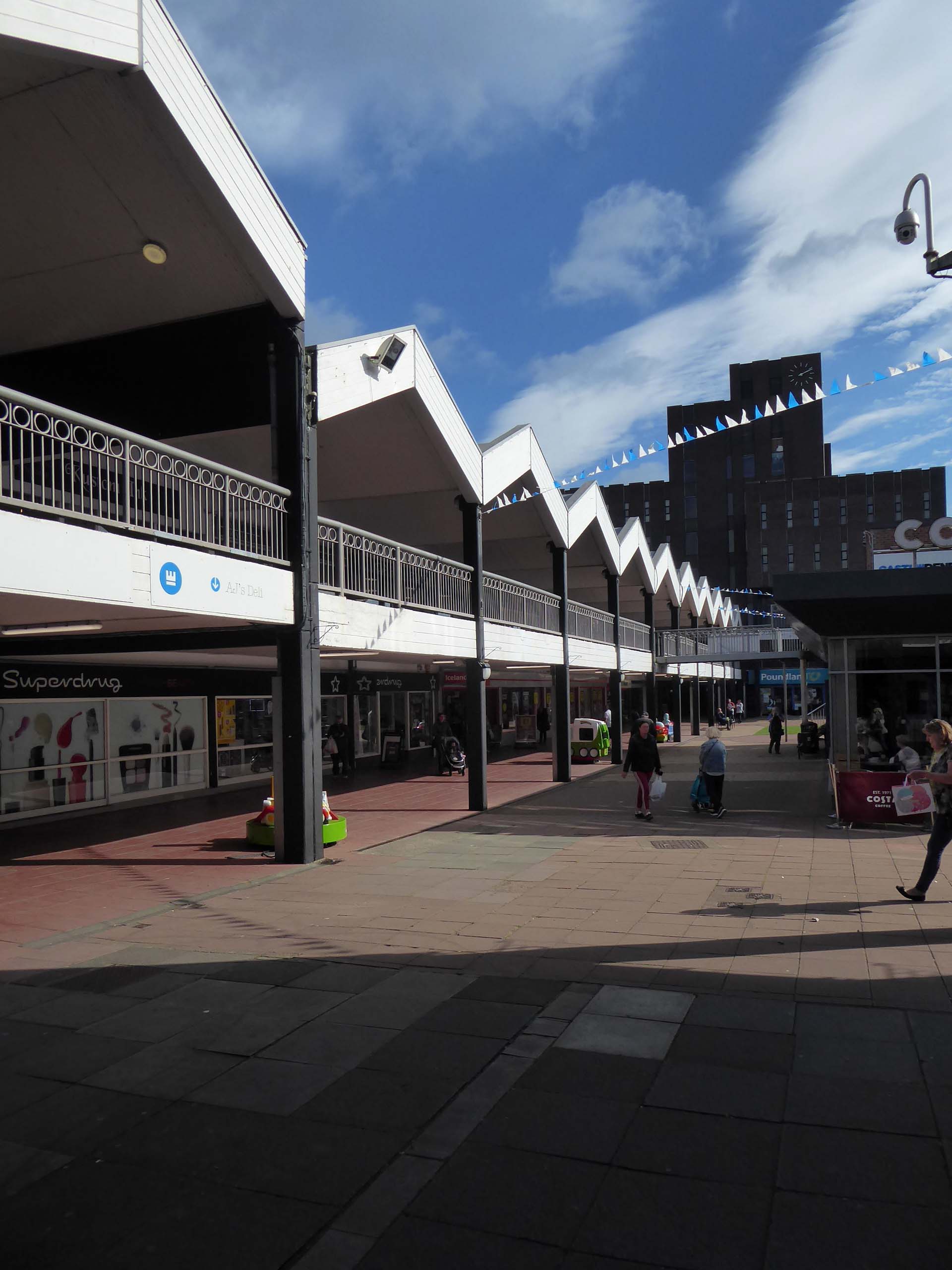
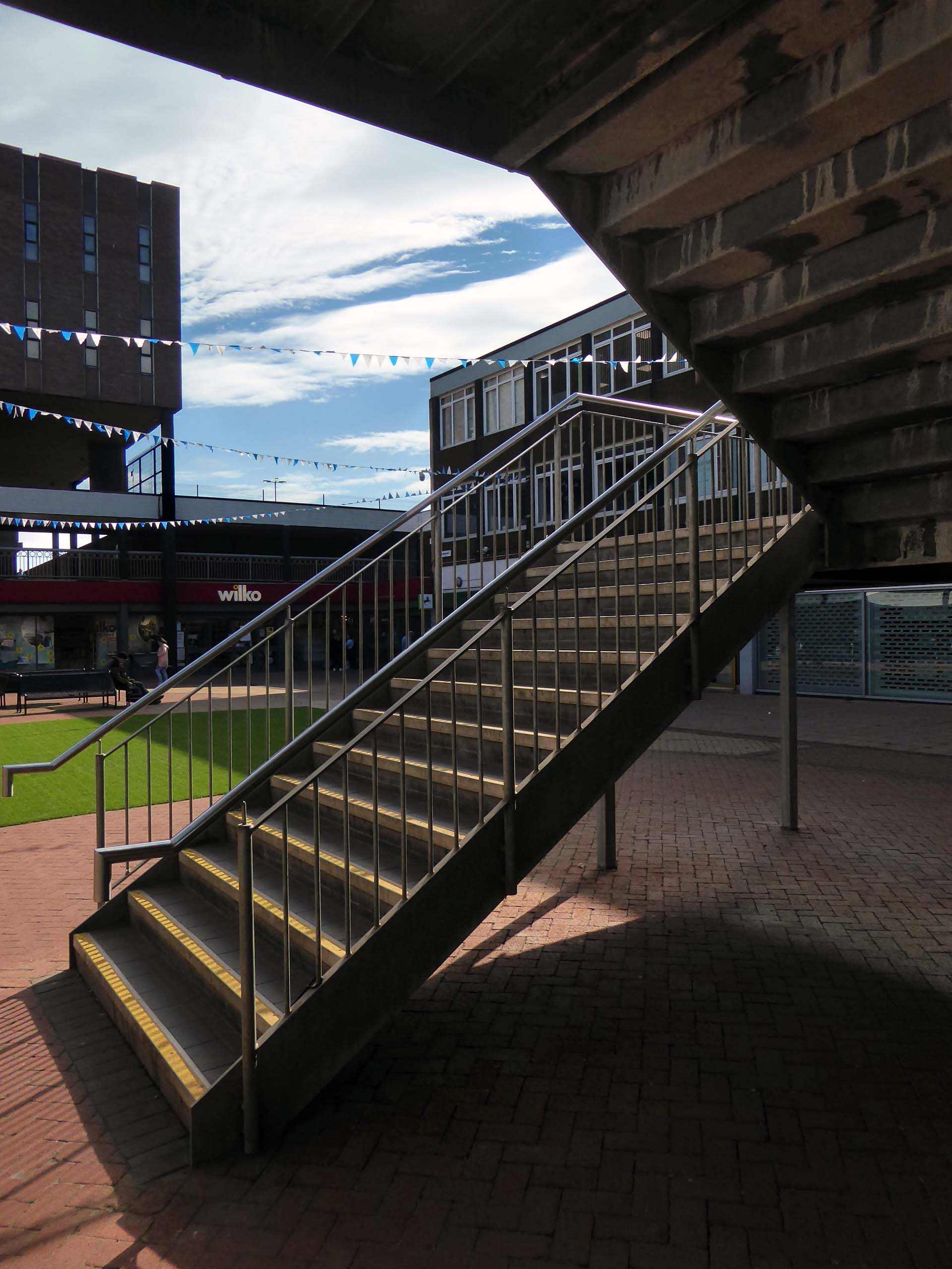
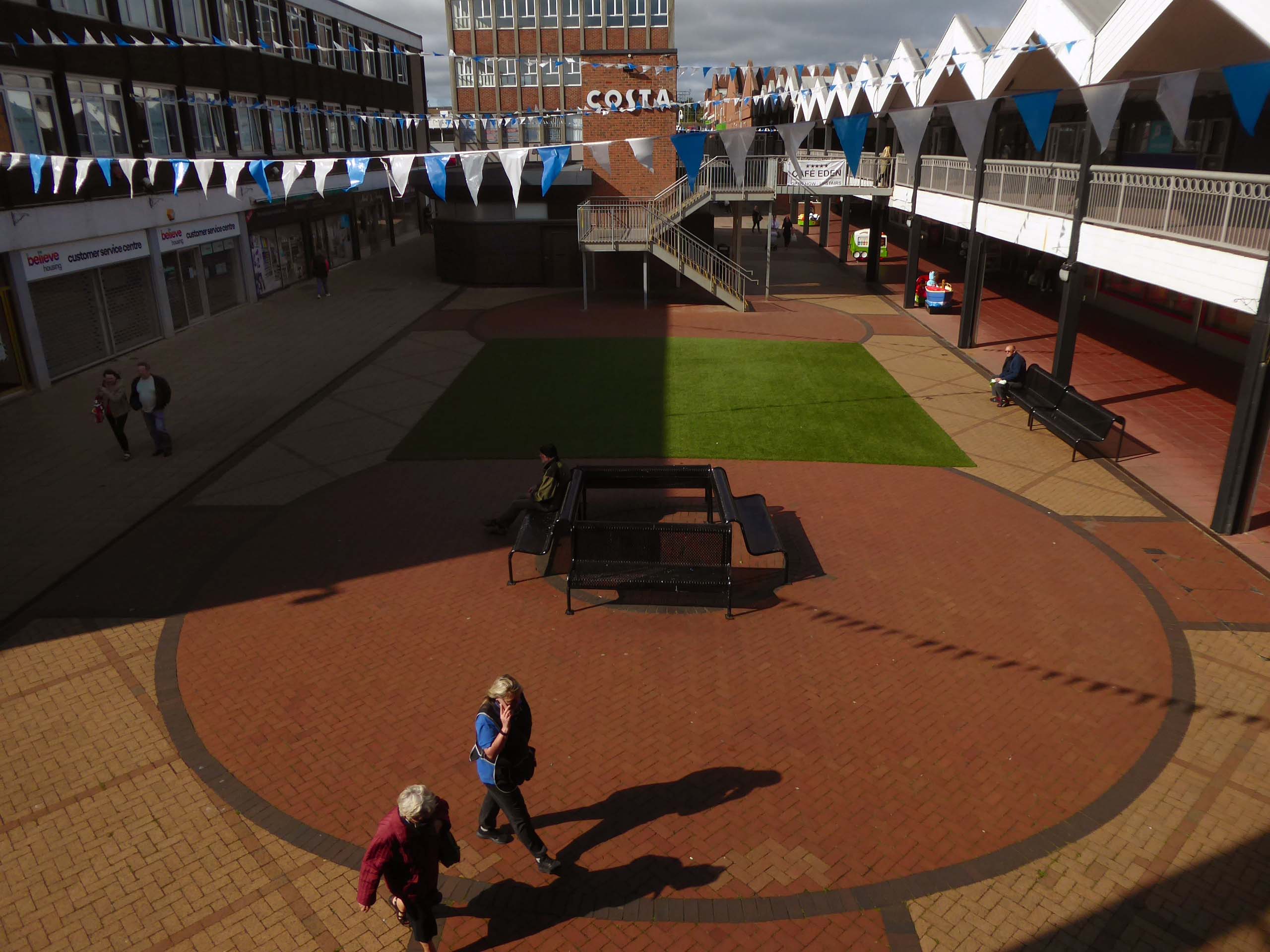
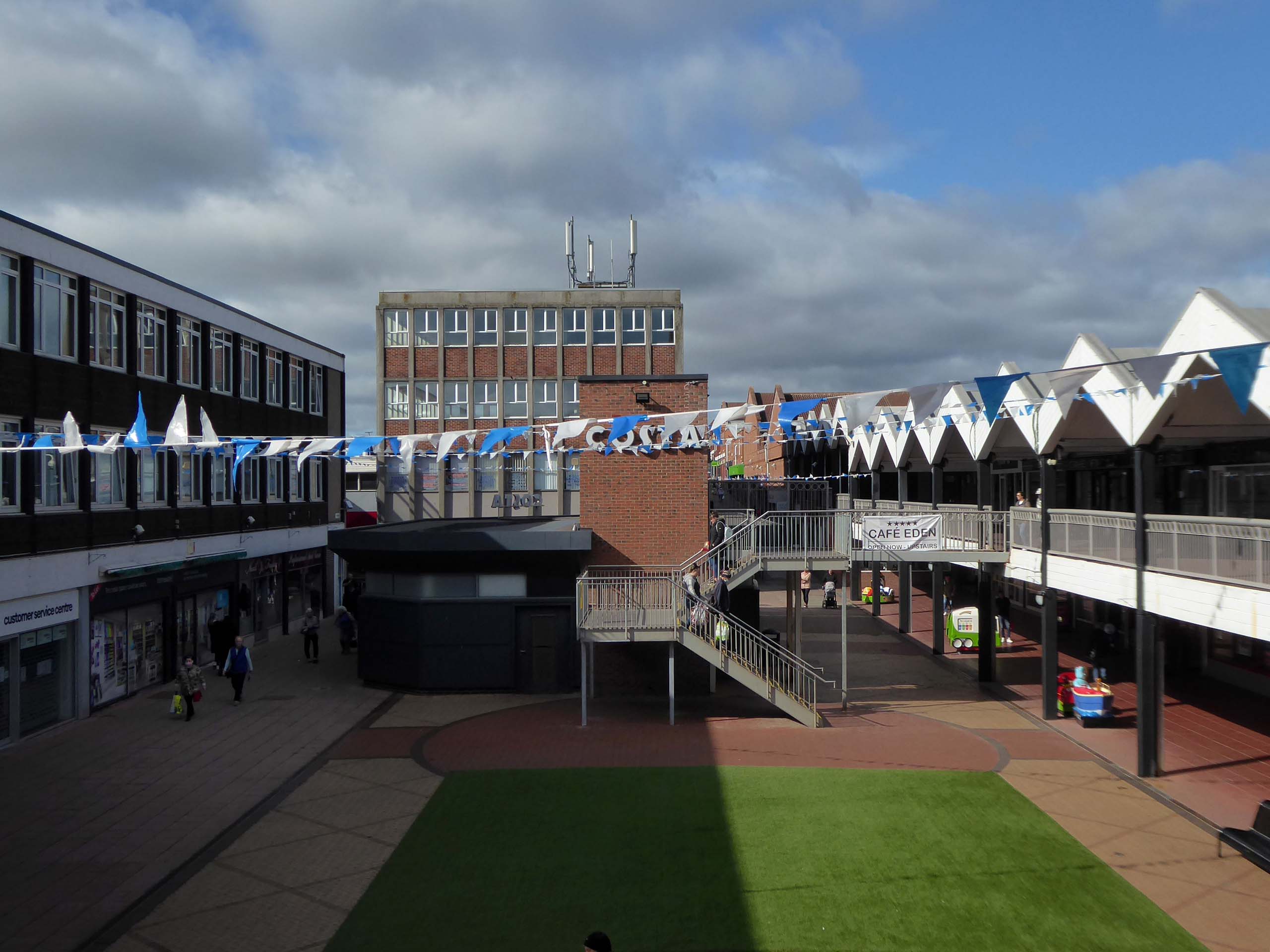
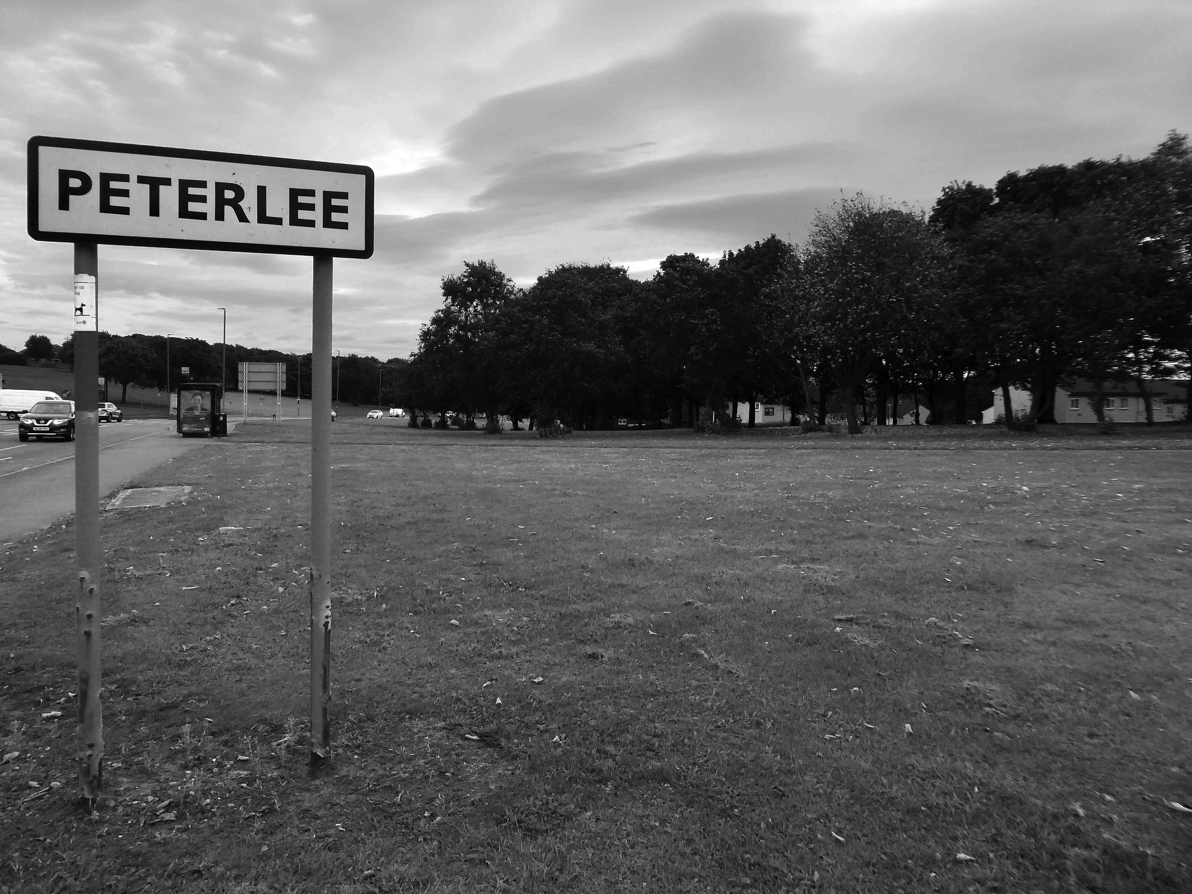
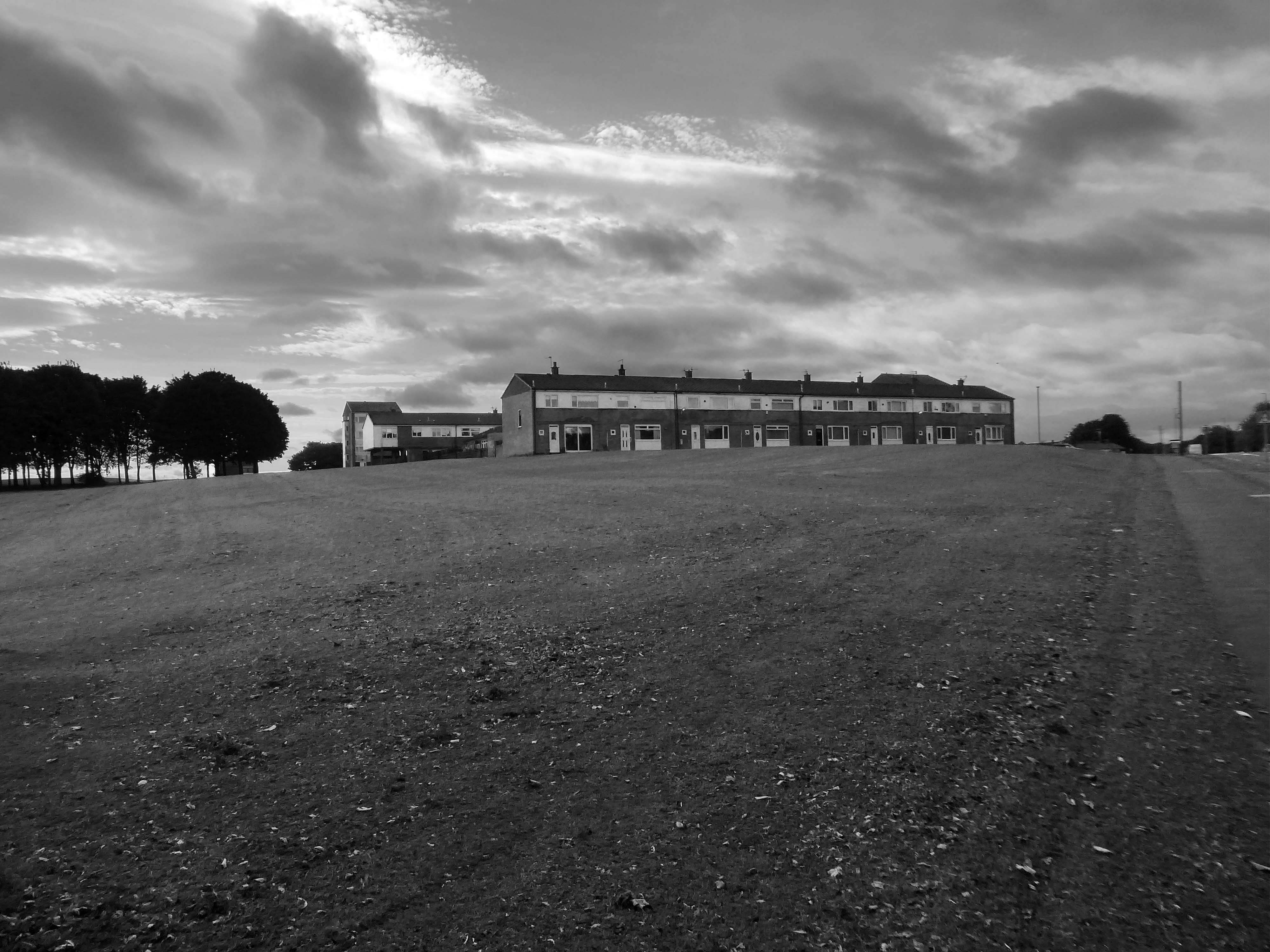
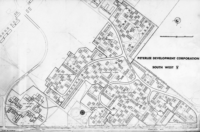
Plans for the new town centre started to be developed in 1960 by Chief Architect Roy Gazzard. The process would go through eight sets of revisions before they were finally approved in 1968. Yoden Way was then pedestrianised, and the small row of shops built in 1950’s was incorporated into the new shopping precinct, forming the north western end of Yoden Way. Like many other town centres across Britain undergoing modernisation, the high-street was split onto two levels, with ramps providing access to raised walkways.
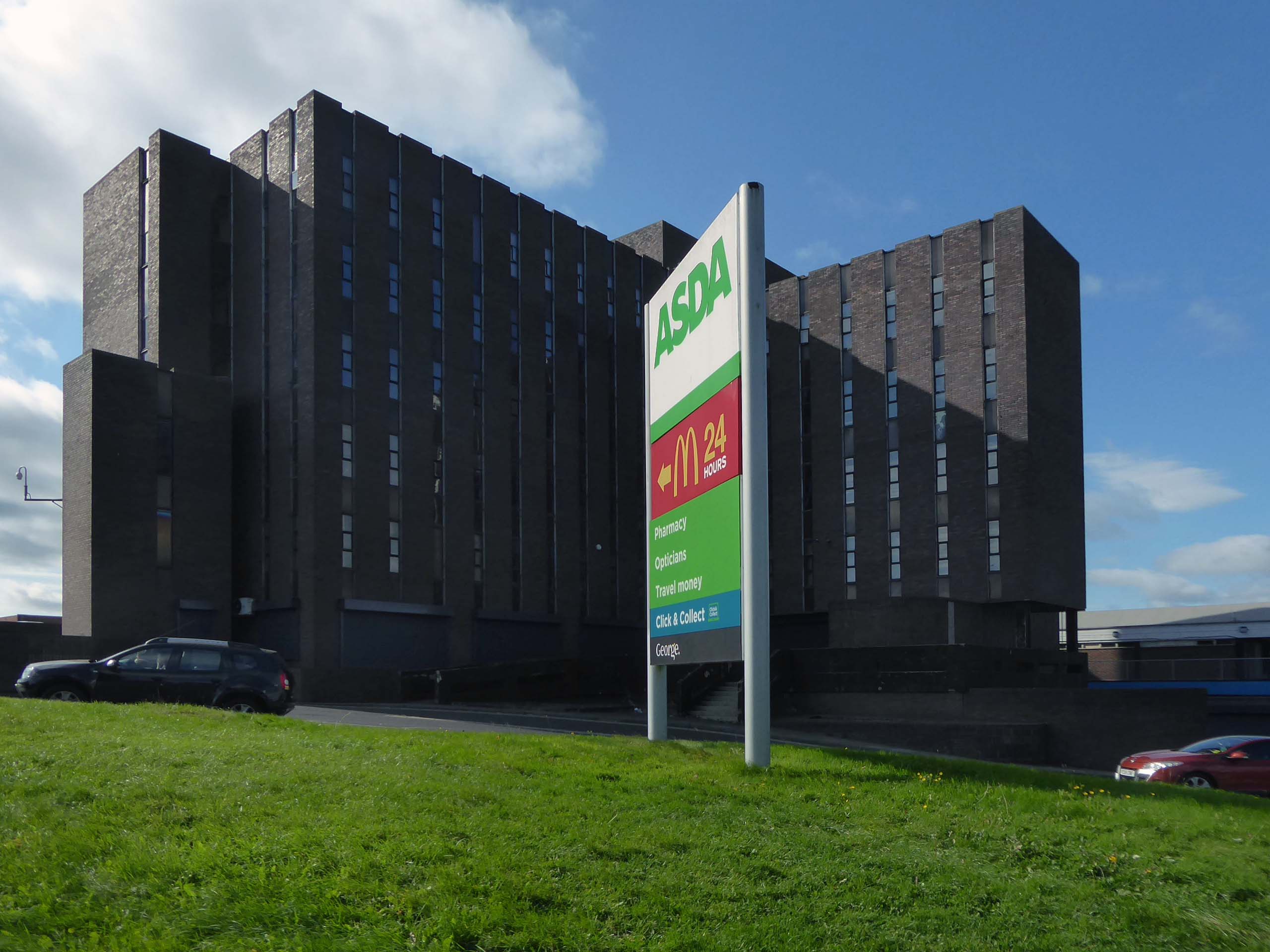
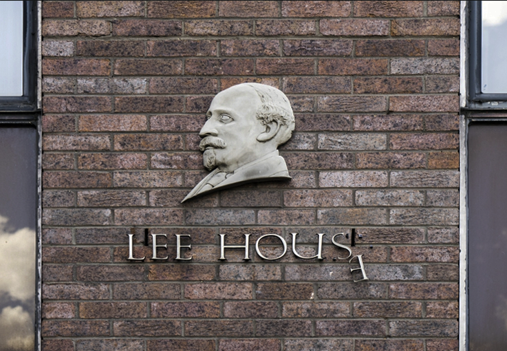
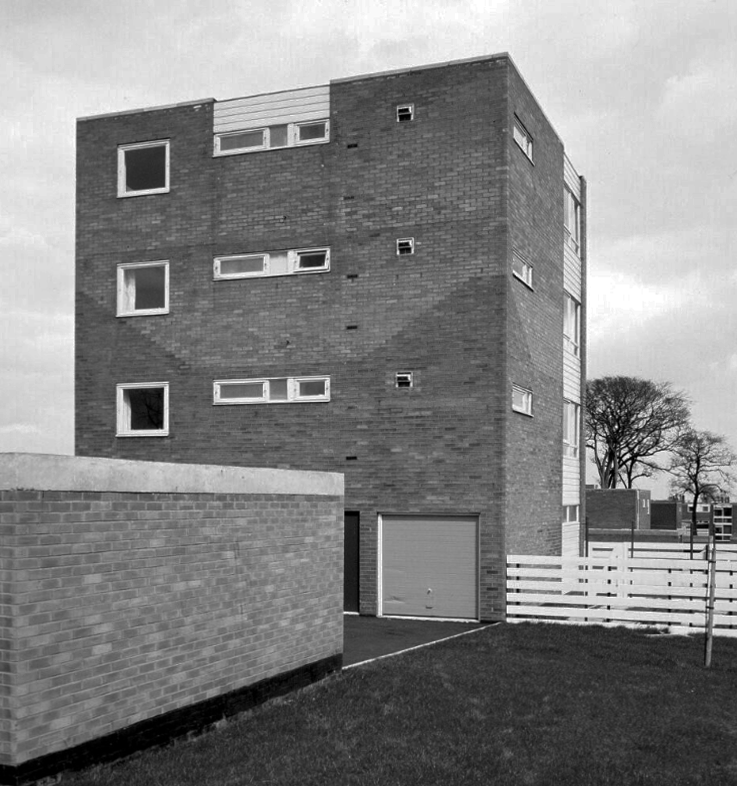
The construction of Lee House – named after Peter Lee, started in 1974. Once completed, the Development Corporation moved its Headquarters from Old Shotton Hall to Lee House in 1976, occupying the building until it was sold in 1984 and remaining staff relocated to Newton Aycliffe.
Enhancing the built environment, Peterlee Town Centre was furnished with play equipment, an ornamental pond, open air escalators, and a sculpture by John Pasmore – son of Victor.
These features were later removed after the town centre was sold to Teesdale Investments – Peterlee Limited in 1985.
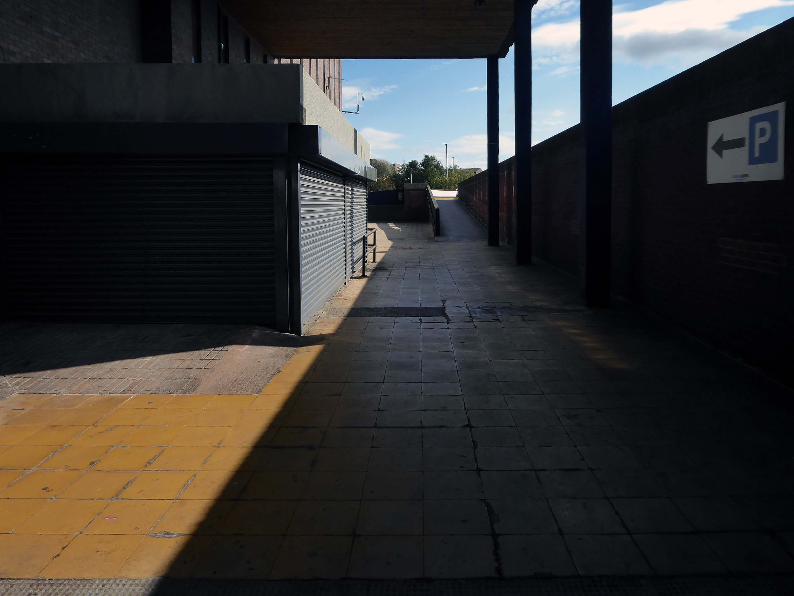
Access ramp at the bottom end of Yoden Way, prior to the construction of Lee House in 1973.
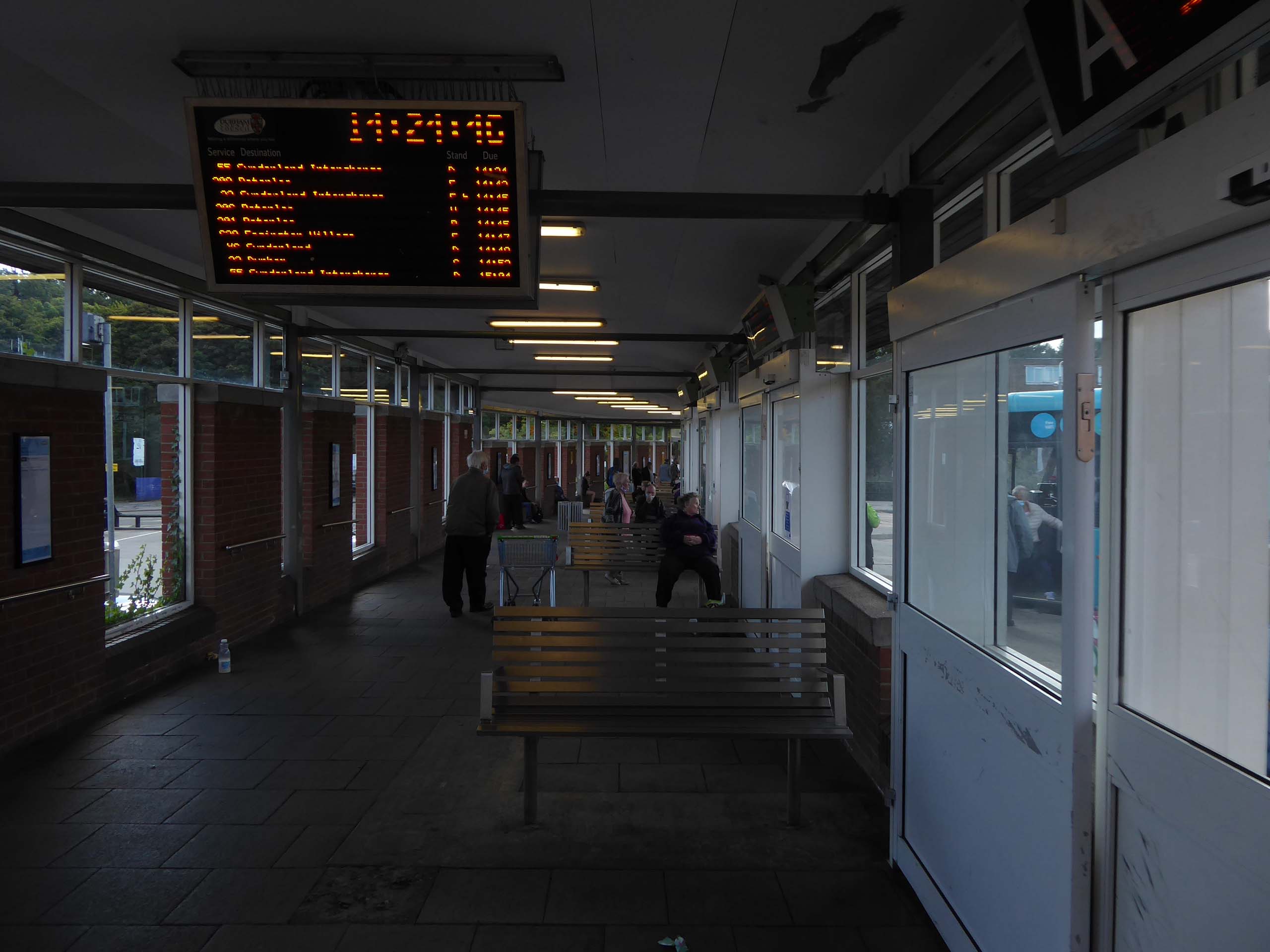
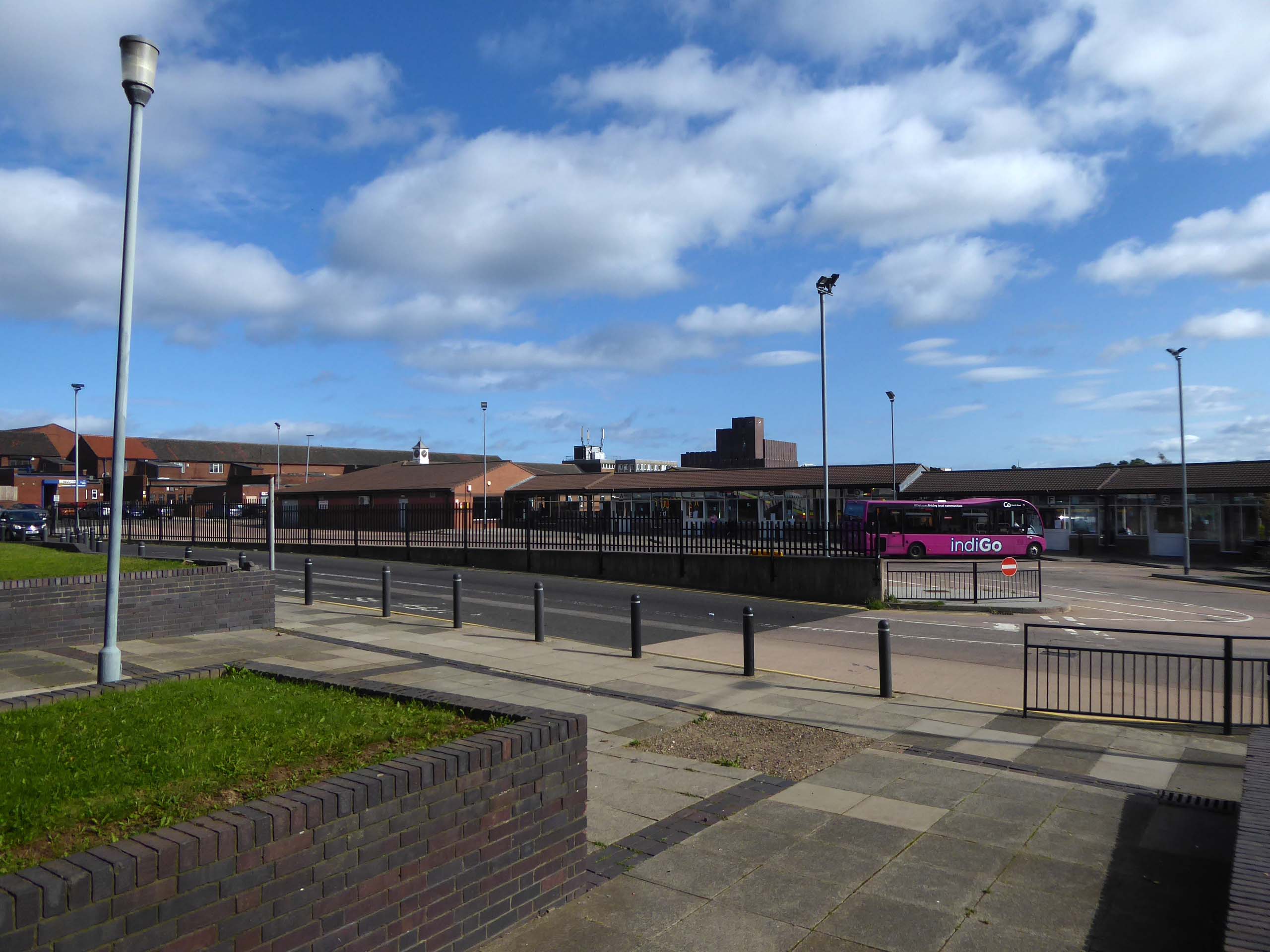
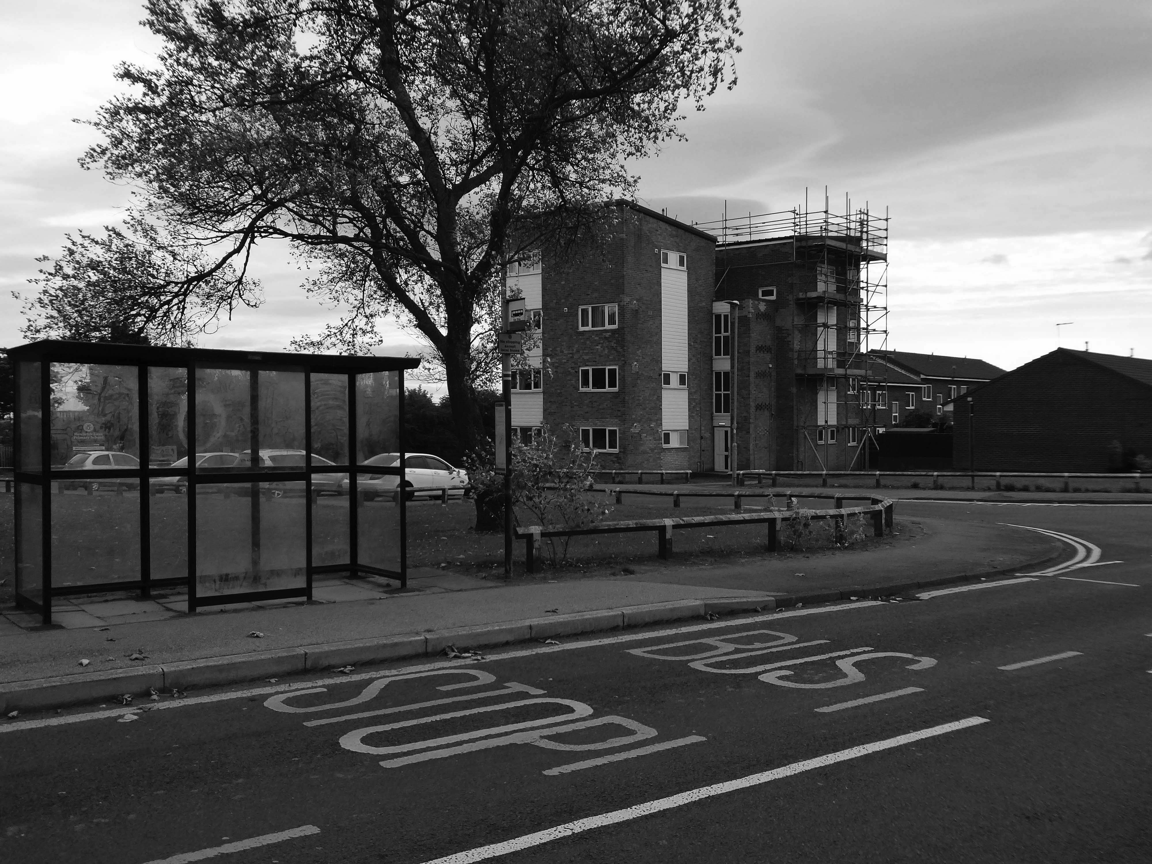
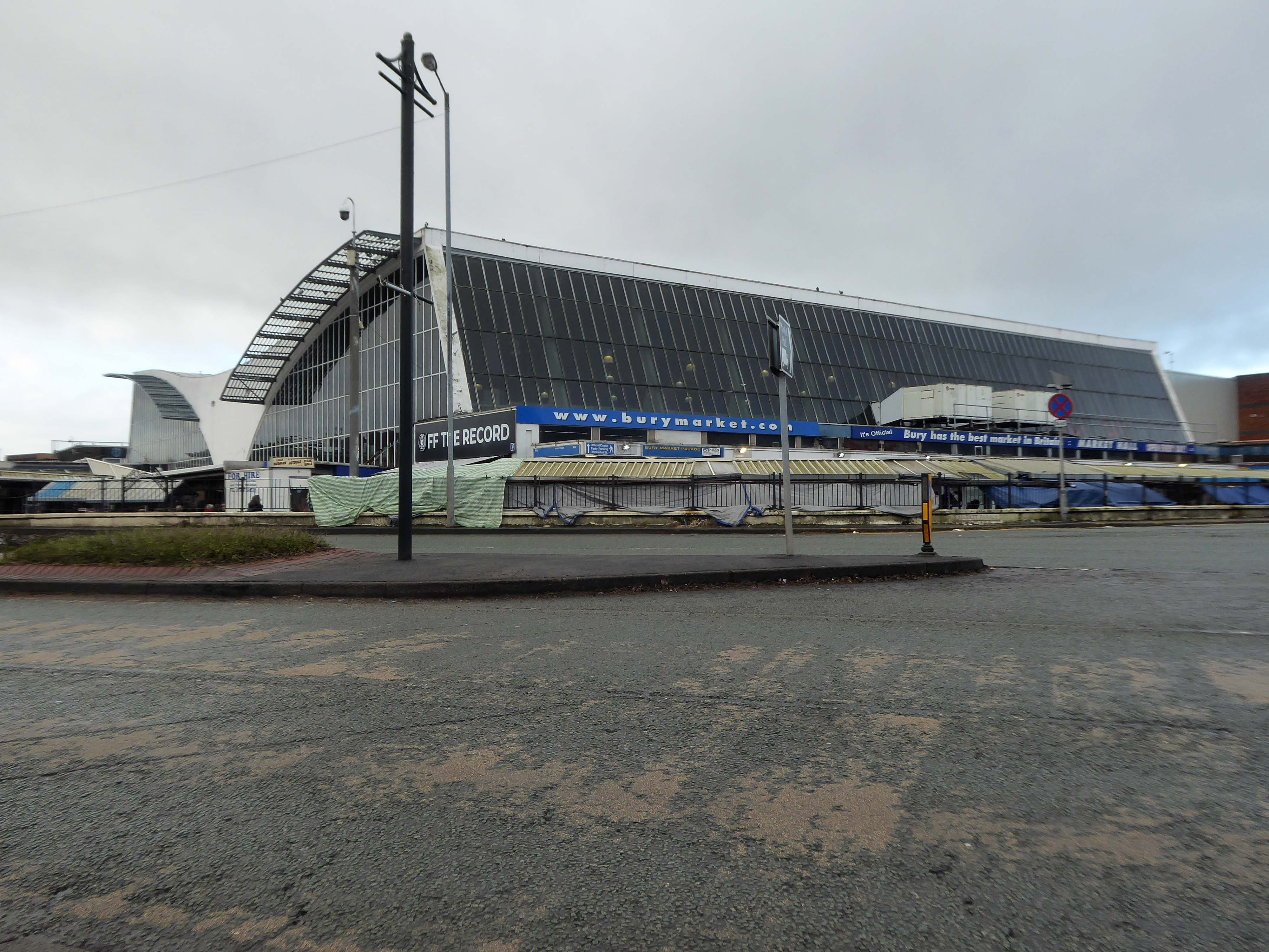
It’s 2021 and I arrive at the Bus Station.
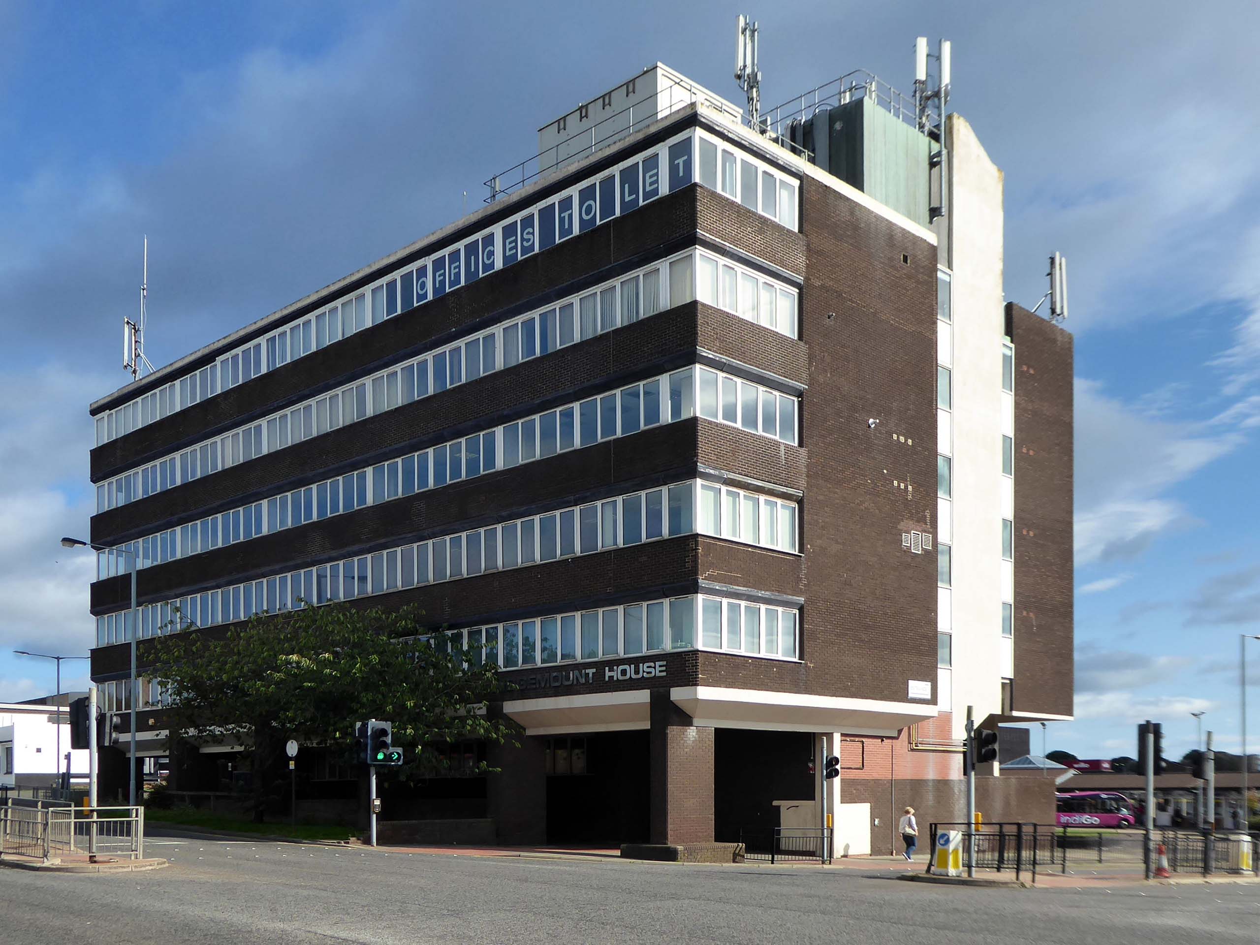
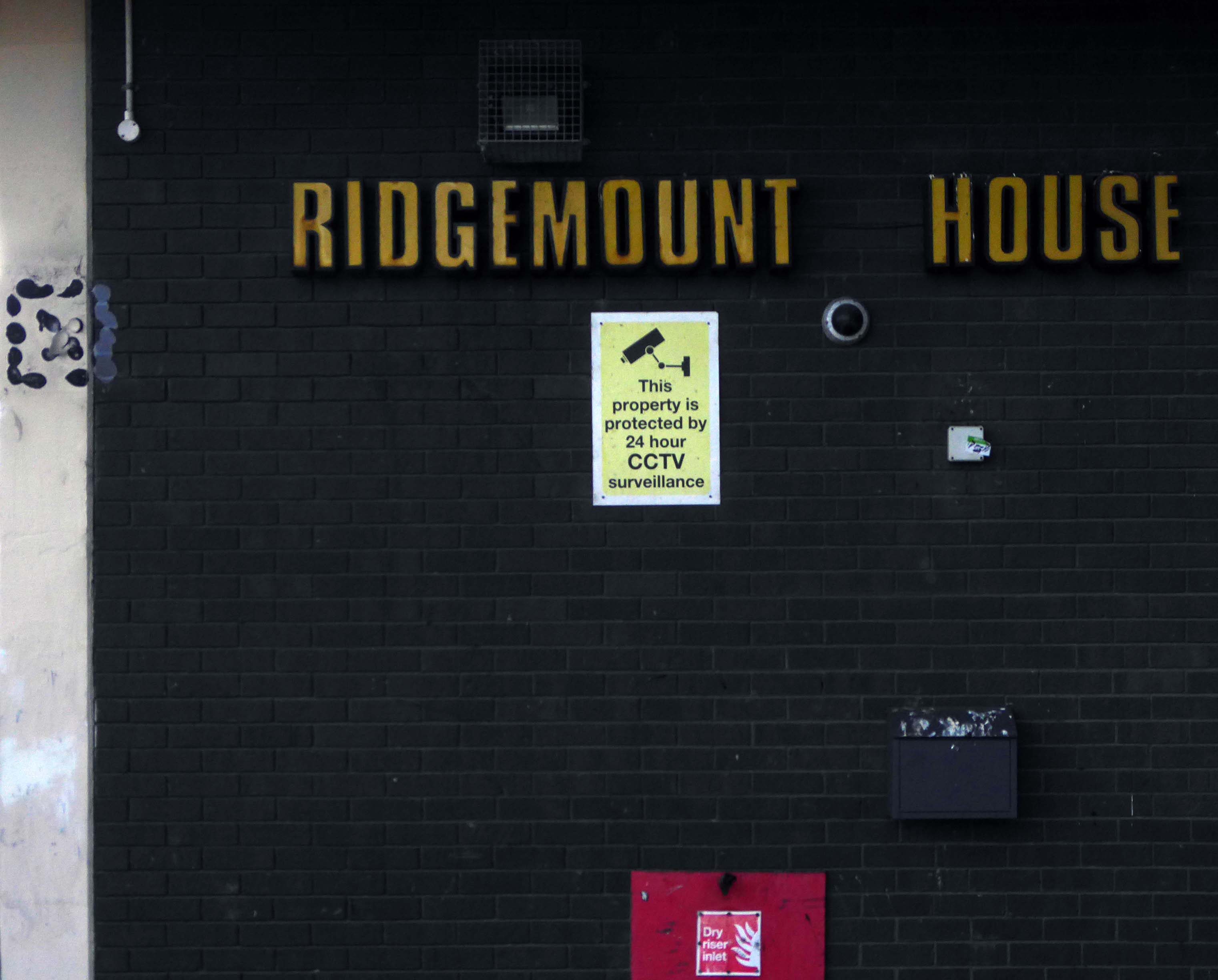
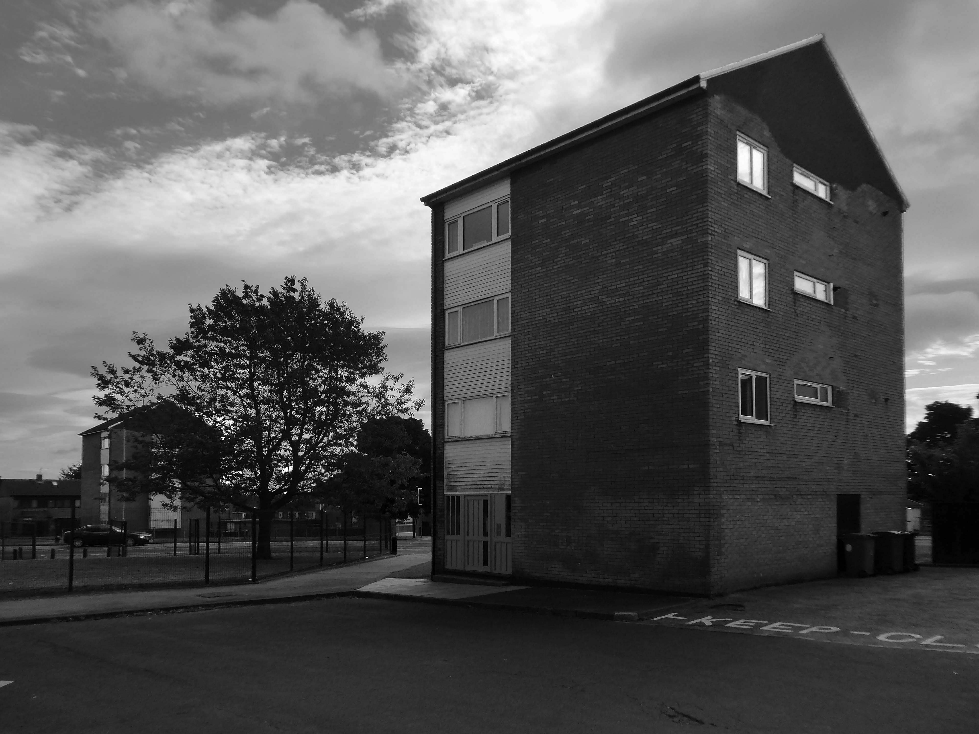
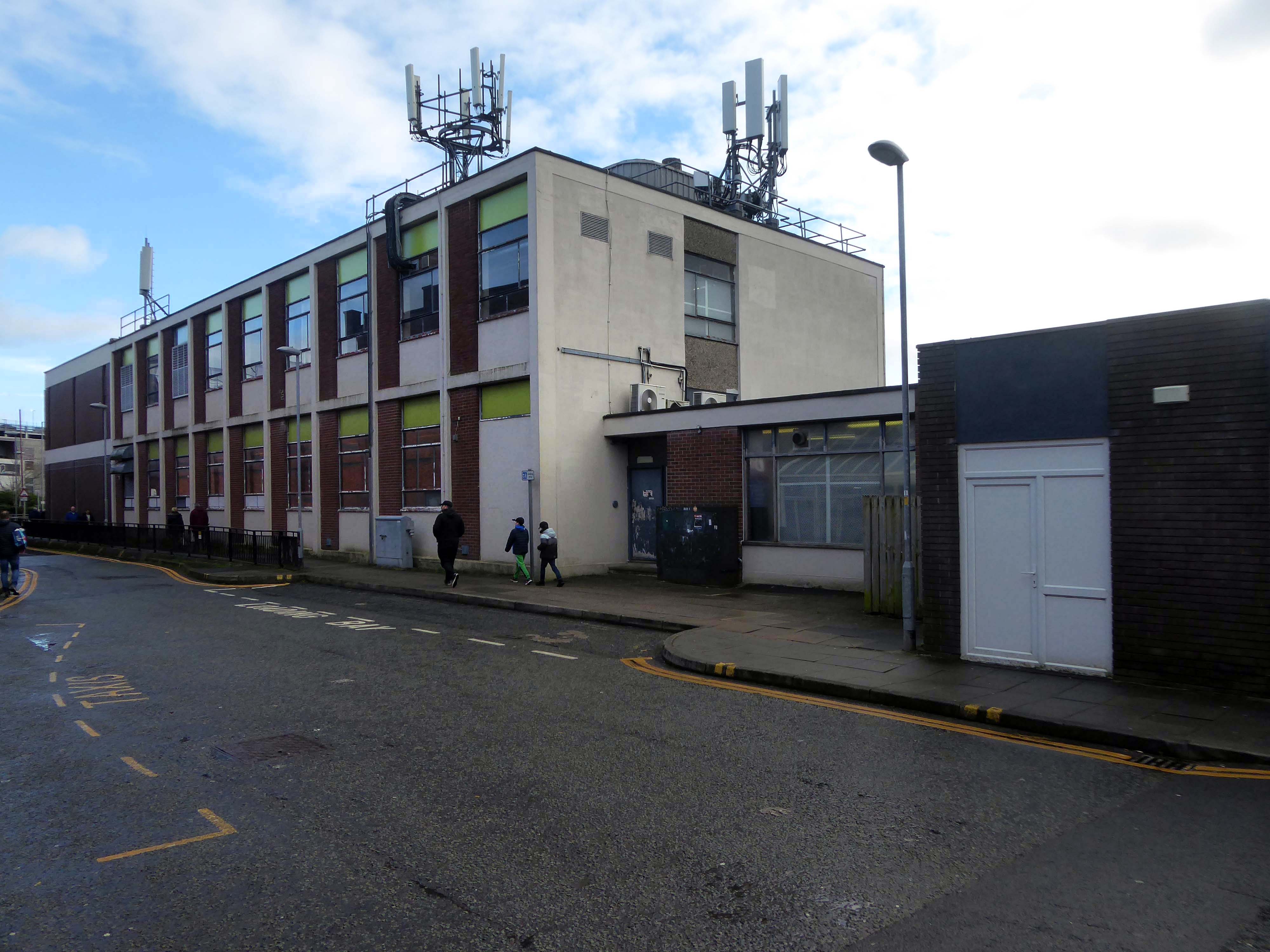
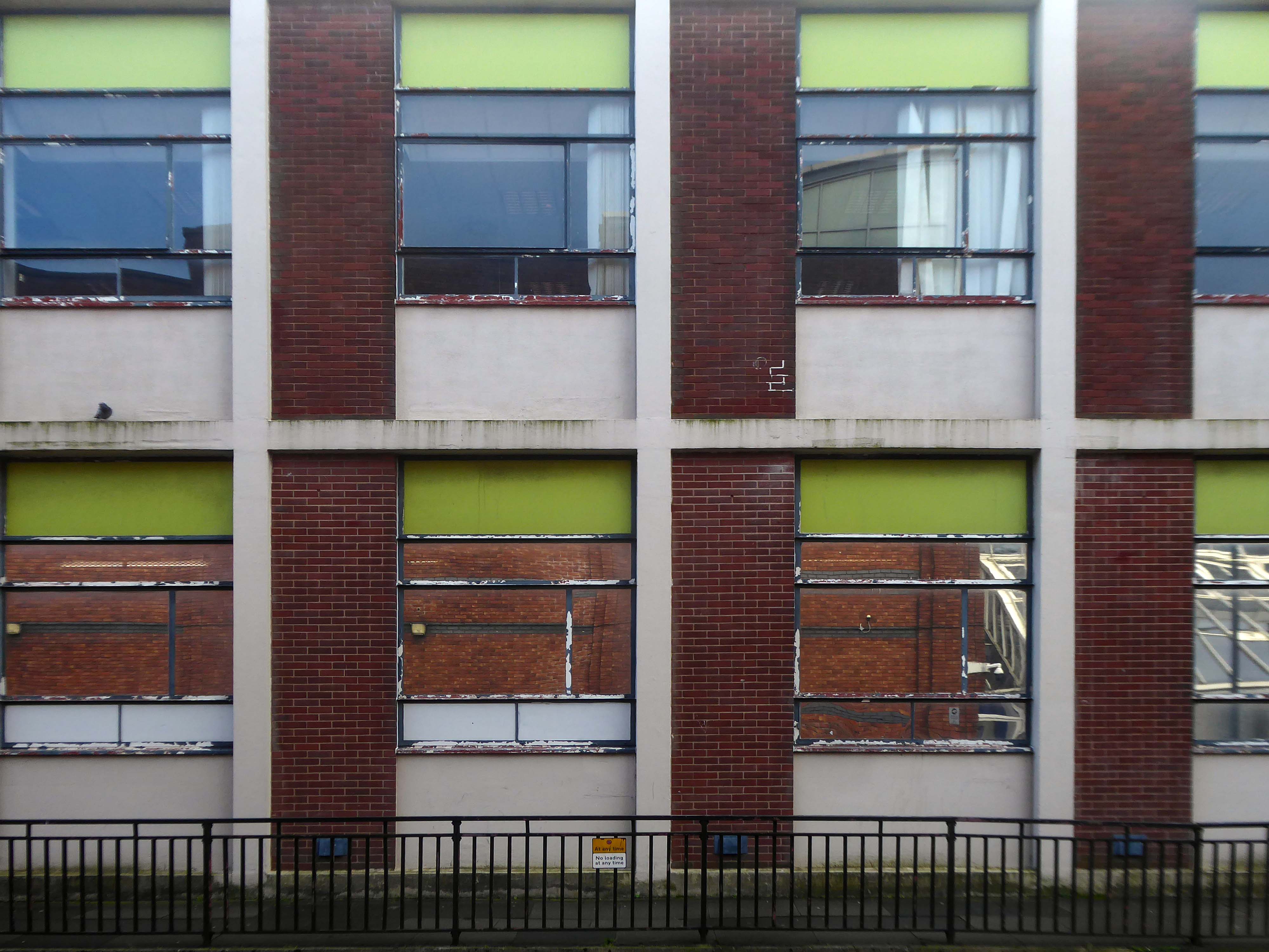
Immediately adjacent is Ridgemount House. – once home to the Job Centre.
Firefighters were called to the disused Ridgemount House on Bede Way in Peterlee on Wednesday August 16th 2023 at about 8.20pm after reports of a blaze.
Crews found a fire had broken out in the first floor of the building, which was found to be the home of thousands of pounds worth of cannabis plants back in 2020, after a man converted two floors for use as a drug farm.
Tarlochan Singh, owner of Ridgemount House, has been prosecuted following the discovery of several serious fire safety breaches at the property.
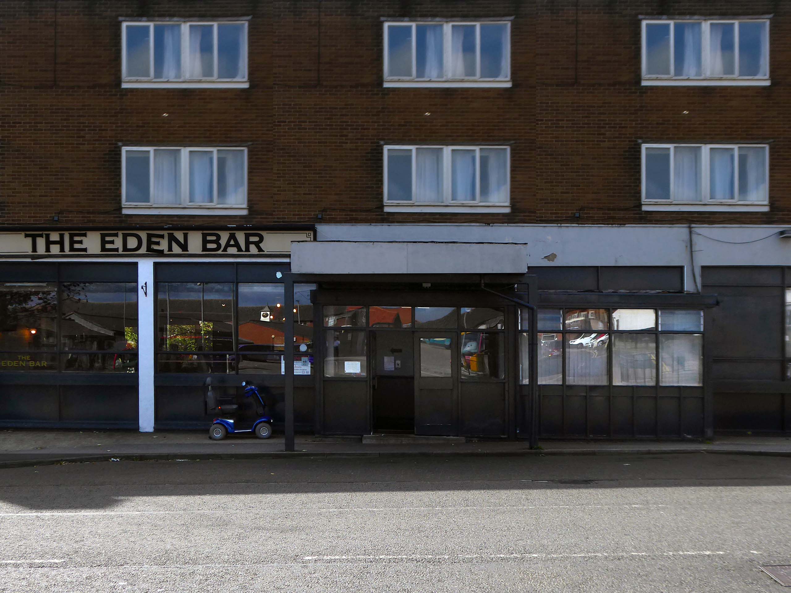
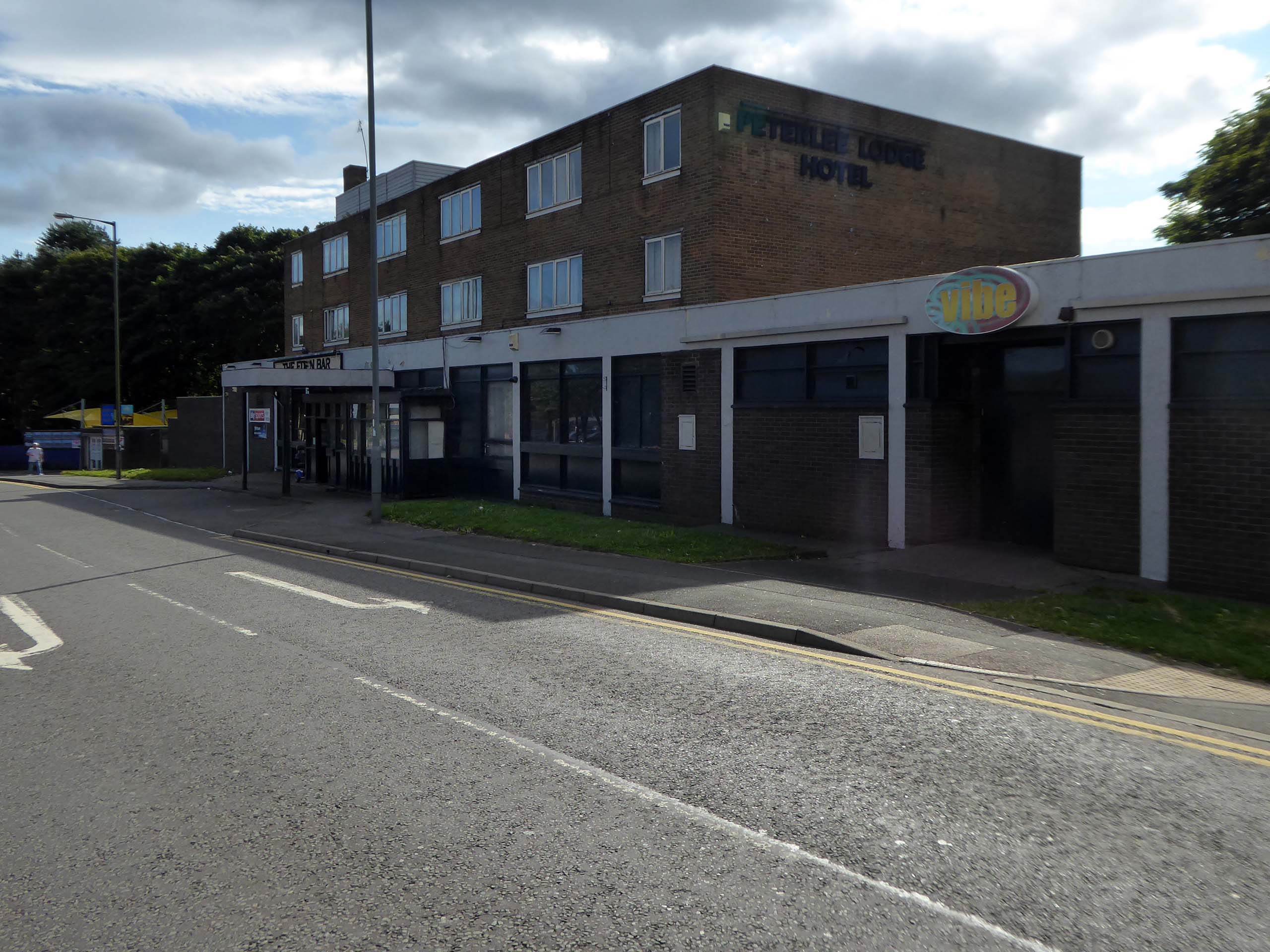
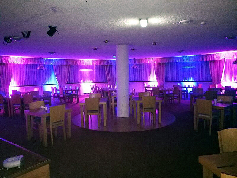
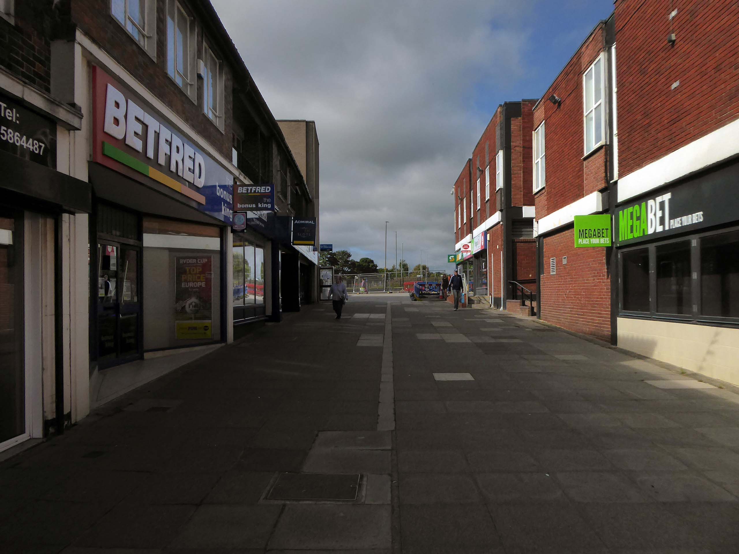
Readers have voted Peterlee nightspot Vibe as the ‘most tragic hometown club’ in the North East
Formerly known as The Dance Factory, Vibe, in Peterlee town centre, is a place famous for it’s almost impossible to get off ‘tramp stamp’ and next door neighbour The Lodge, where many locals will go for pre-drinks and some karaoke before heading to the club.
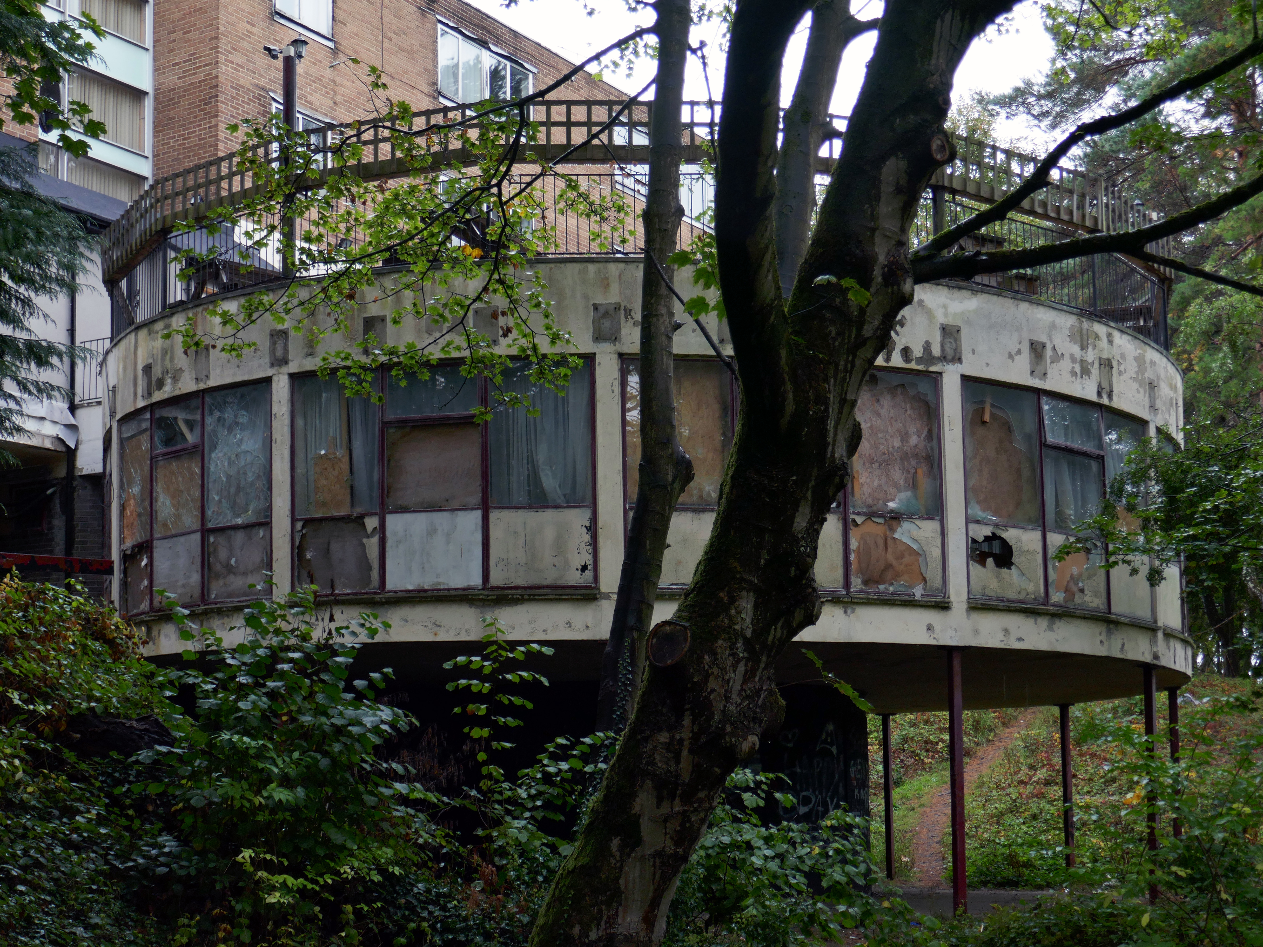
The bar which once boasted a bijou rotunda with an exclusive upper terrace, has now closed.
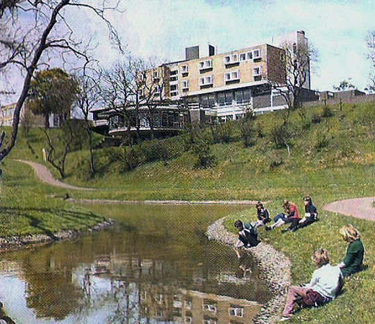
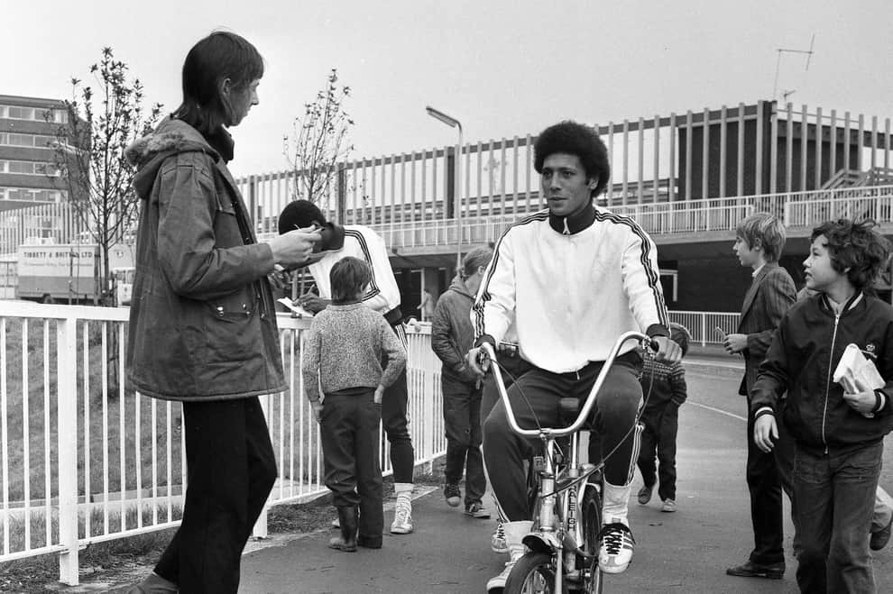
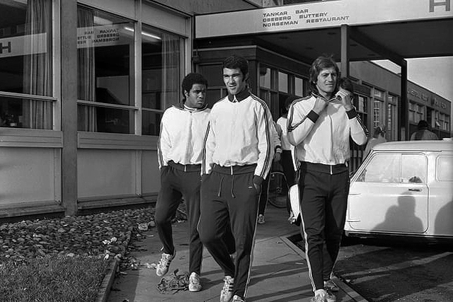
Back in 1973 the hotel was badged as the Norseman.
The giants of Sporting Lisbon faced Sunderland in the European Cup Winners Cup and they spent the build-up to the tie in the Norseman Hotel. They met local children, took a walk in the dene, signed autographs and even tried riding a Chopper bike. The side lost 2-1 at Roker Park to a talented Sunderland team before overcoming the Black Cats 2-0 back in Portugal.
Back in 2021 Sambuca was the other town centre bar – badged with Olde English type.
Formerly the Red Lion a Cameron’s estate pub.
April 20th 2014 – Happy Easter everyone. We are open today all the way to 10pm – £2 bottles VHFs, house spirits only £3 double, buckets £4, Corona £2.50 selected shots 50p, cider cans £1 + £2 Karaoke – from now on everyone who sings gets a free shot Then we have the best in all your favourite dance ‘n’ house tunes to take you into Monday.
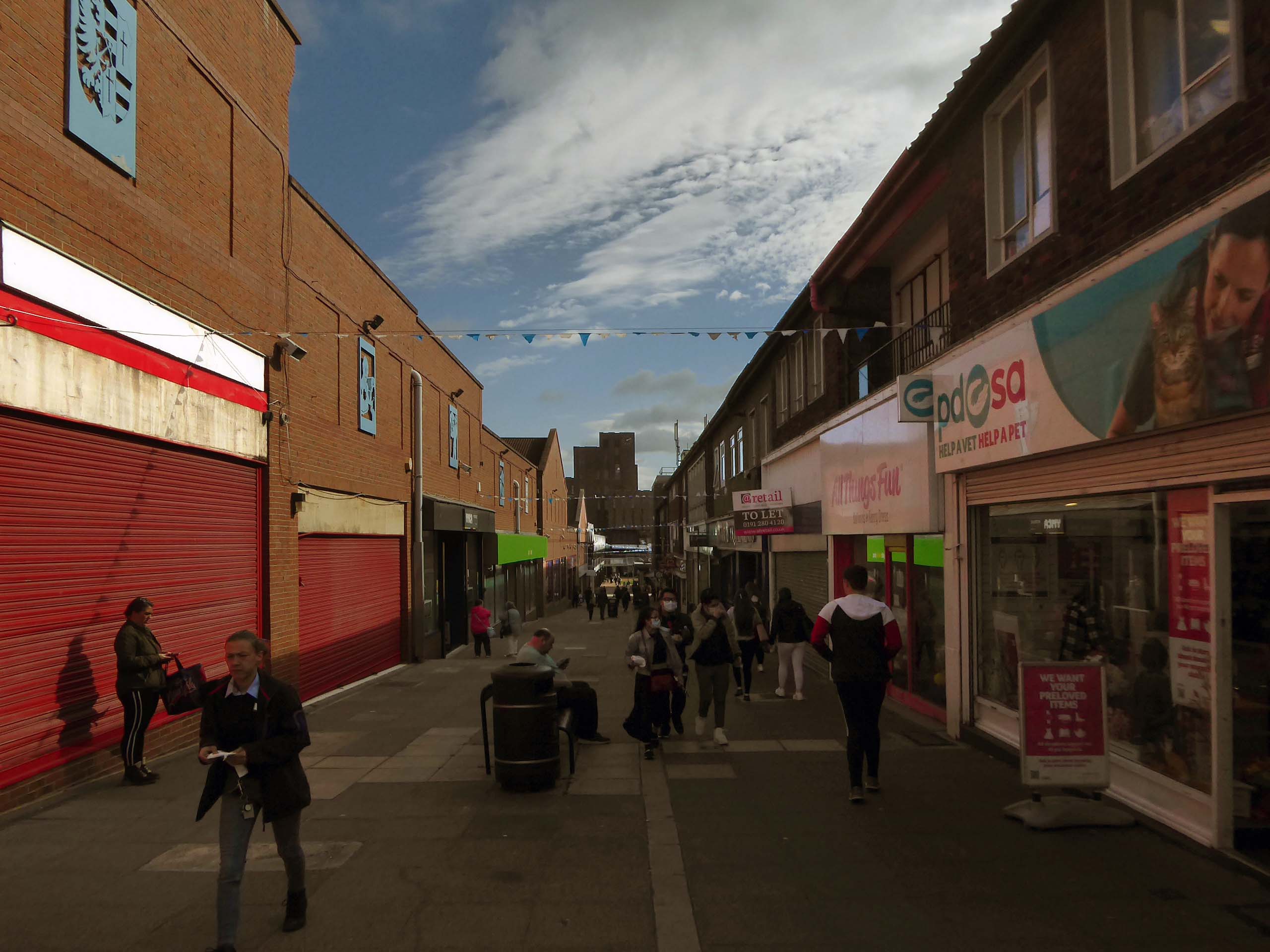
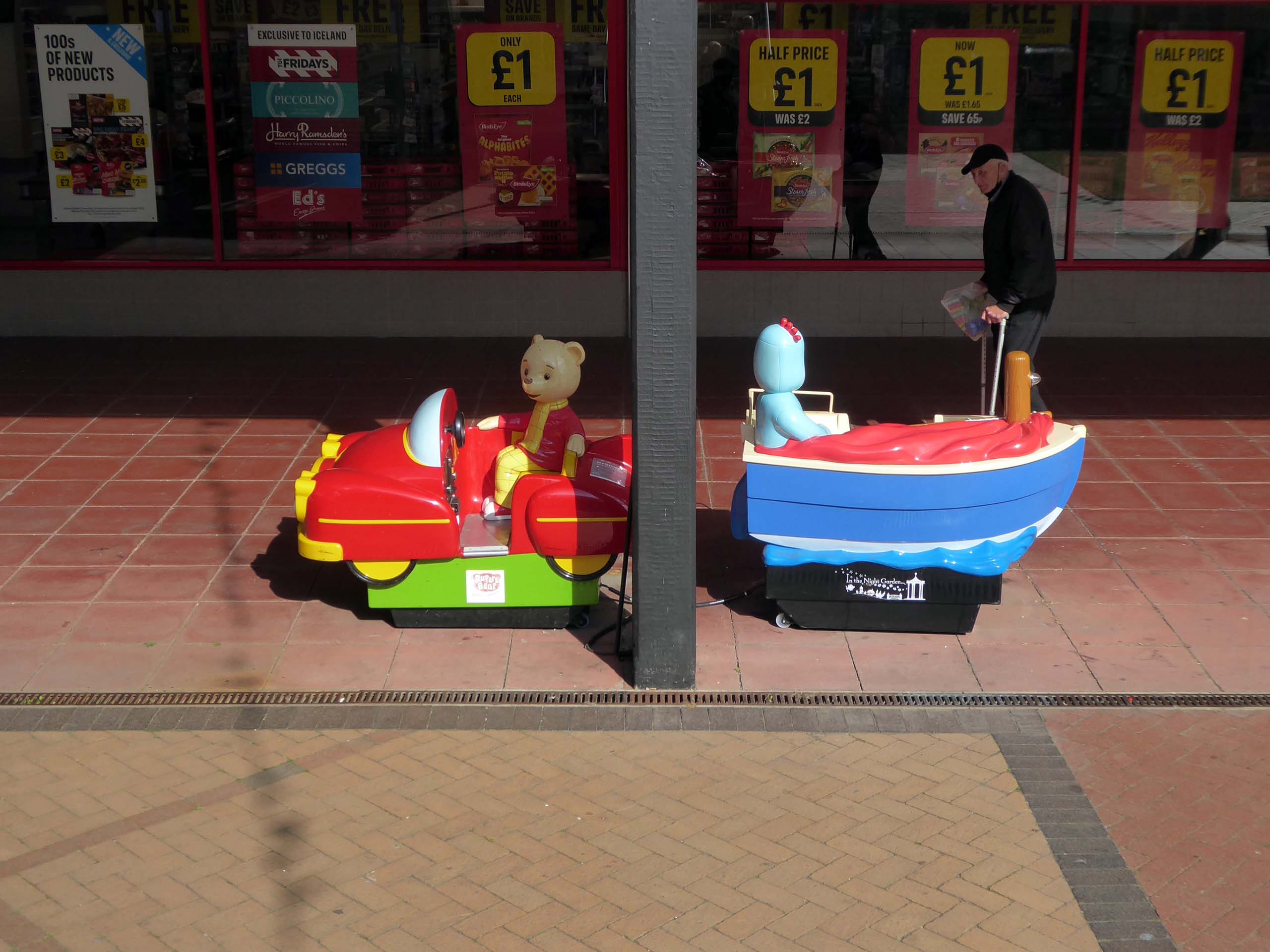
Onward to the Shopping Centre.
Yoden Way looking towards Lee House in 1977.
Photographs: JR James
The 1950’s shops are still in situ.
Though some of the original architectural detailing and features are no more.
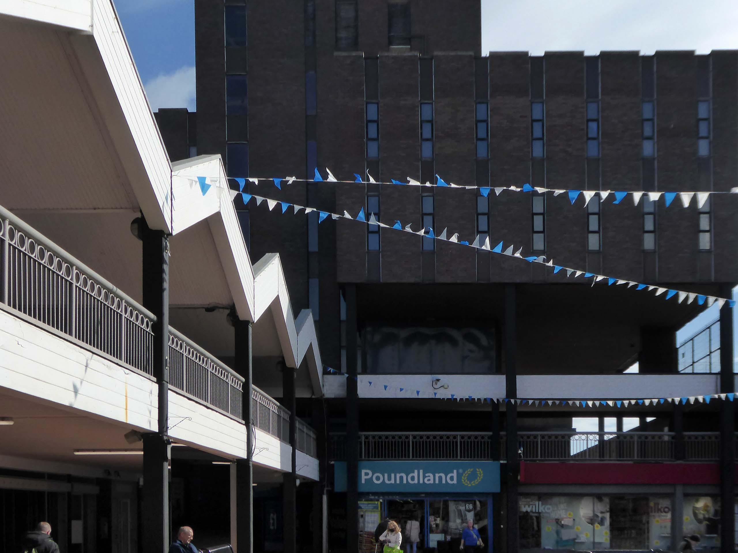
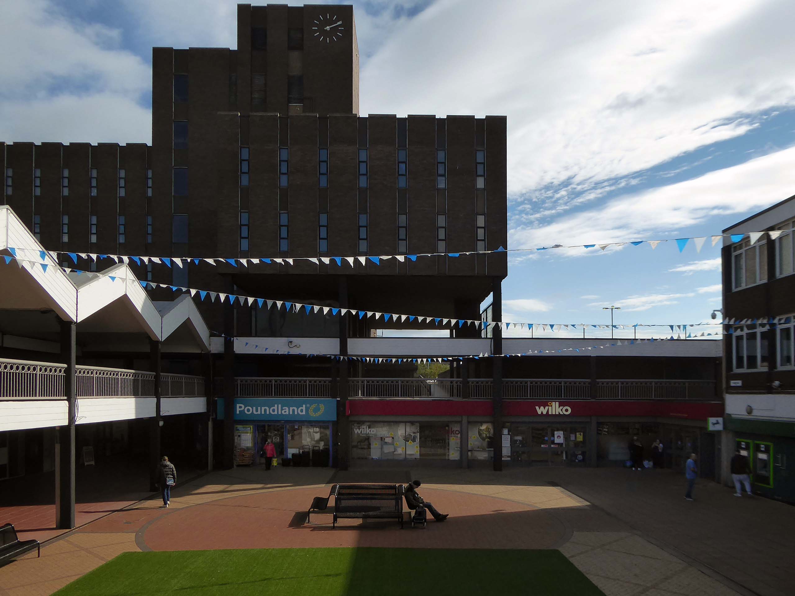
Lee House is still standing but vacant.
Lee House was once home to charity and community groups, but in 2015 the building owners ordered them to vacate the property.Even the building’s clock has stopped working and has been stuck on the same ten-past-two reading.
However, Durham County Council has now confirmed the building is in new hands. Economic development manager Graham Wood said: “We have worked with the previous owner to try to ensure the building is secured while we await proposals for its long-term future.
Four fire engines rushed to Lee House on Upper Yoden Way in Peterlee on Friday afternoon September 19th 2025 after a fire broke out on the first floor of the seven floor building.
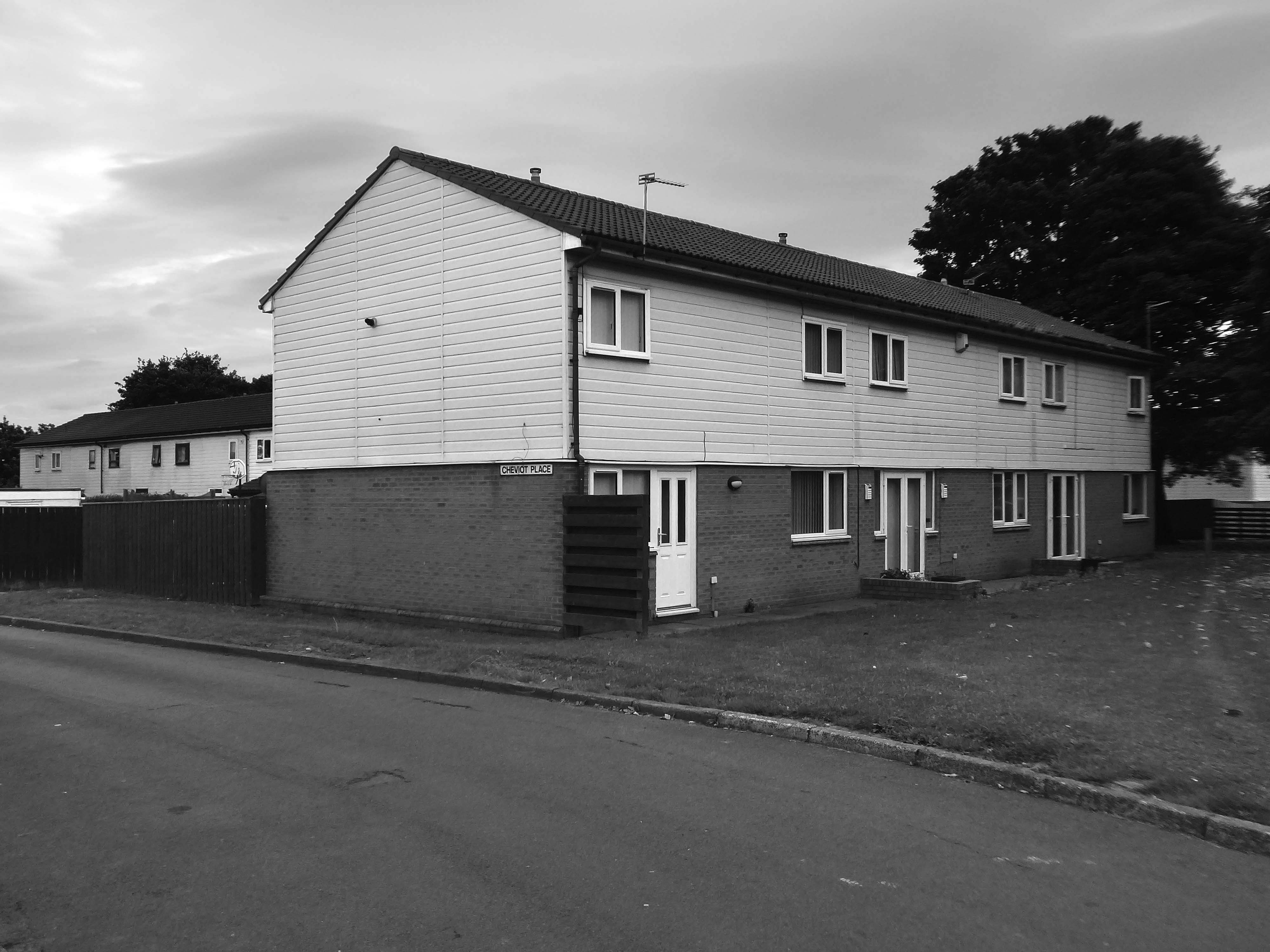
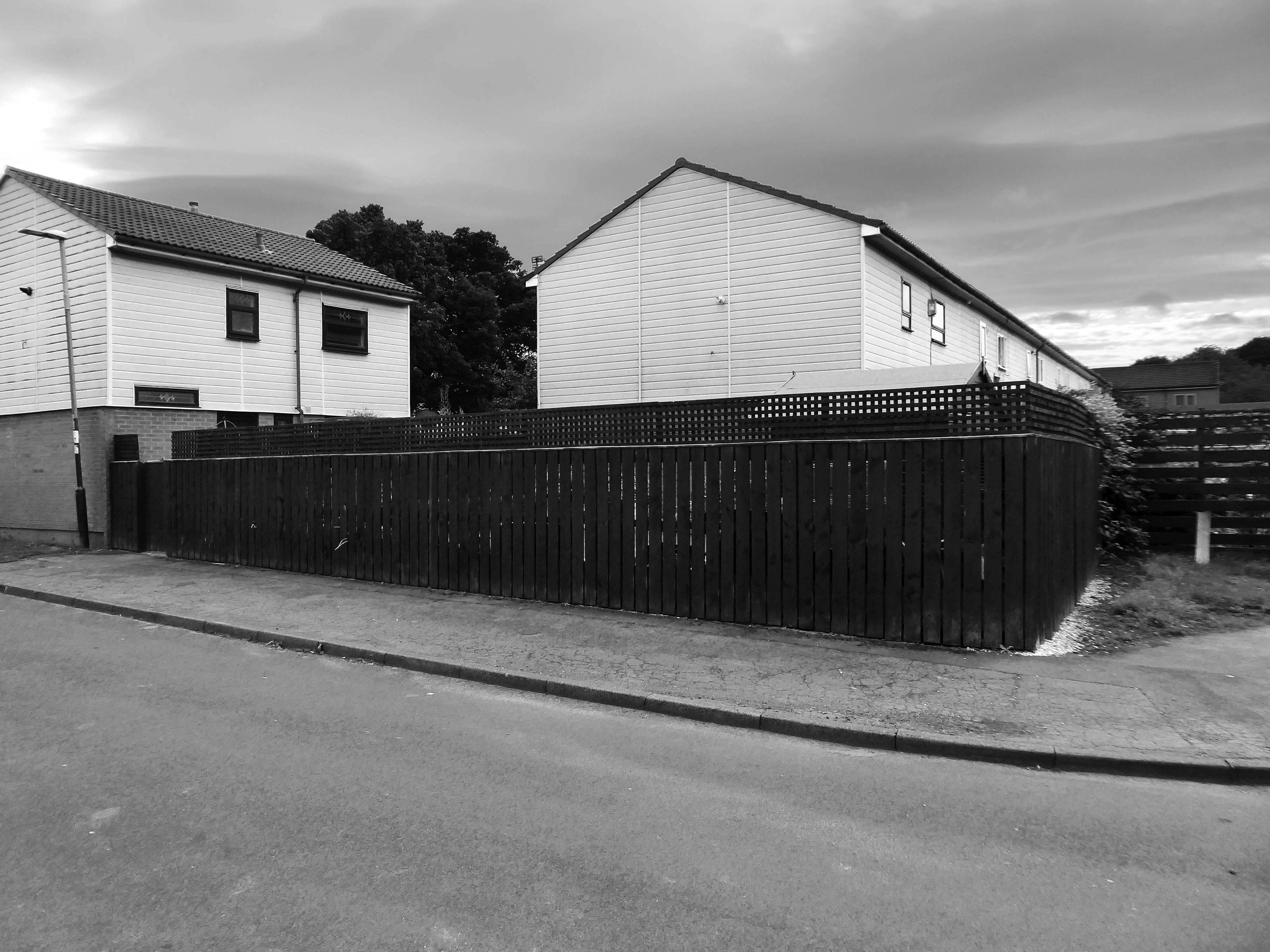
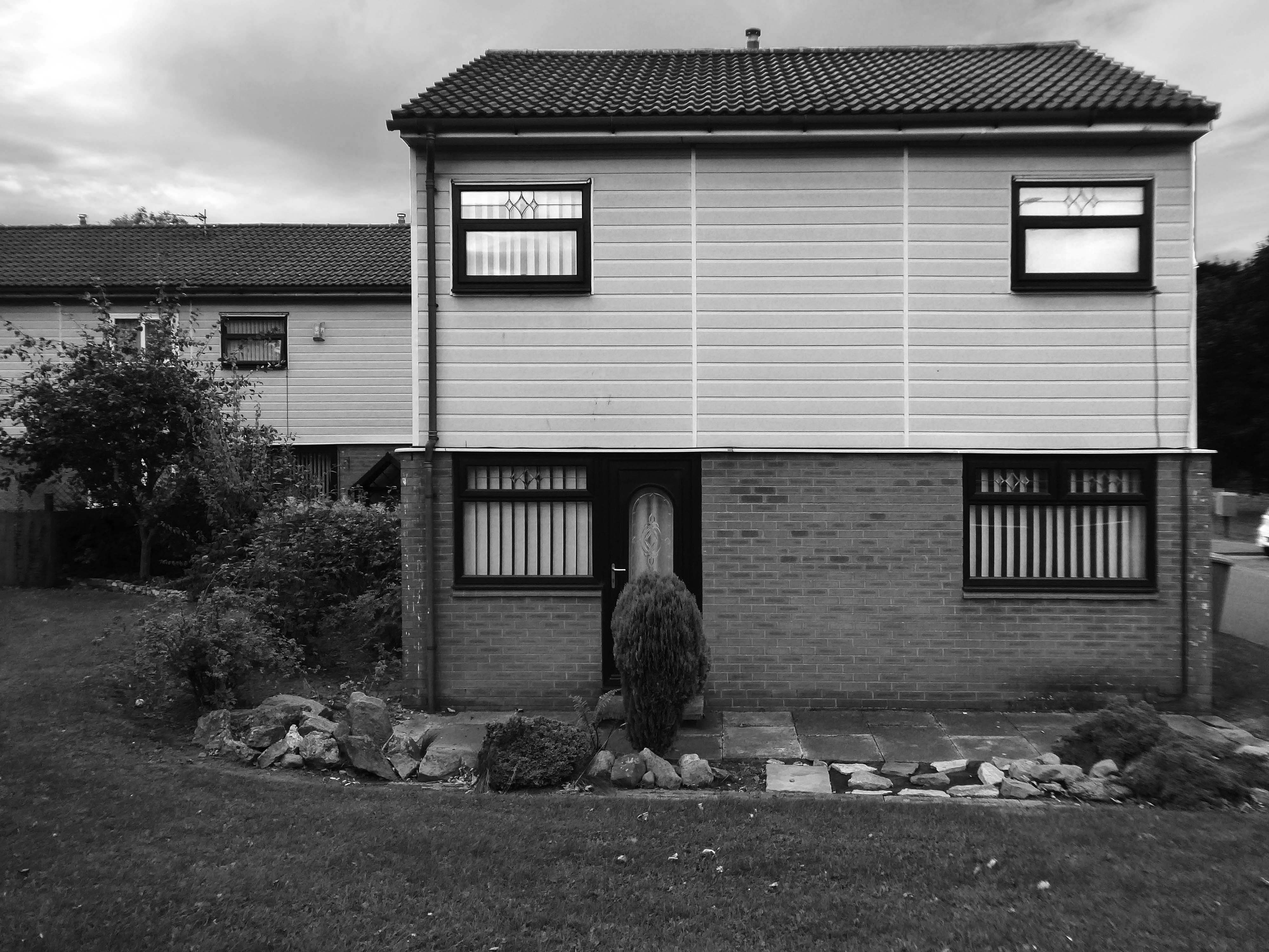
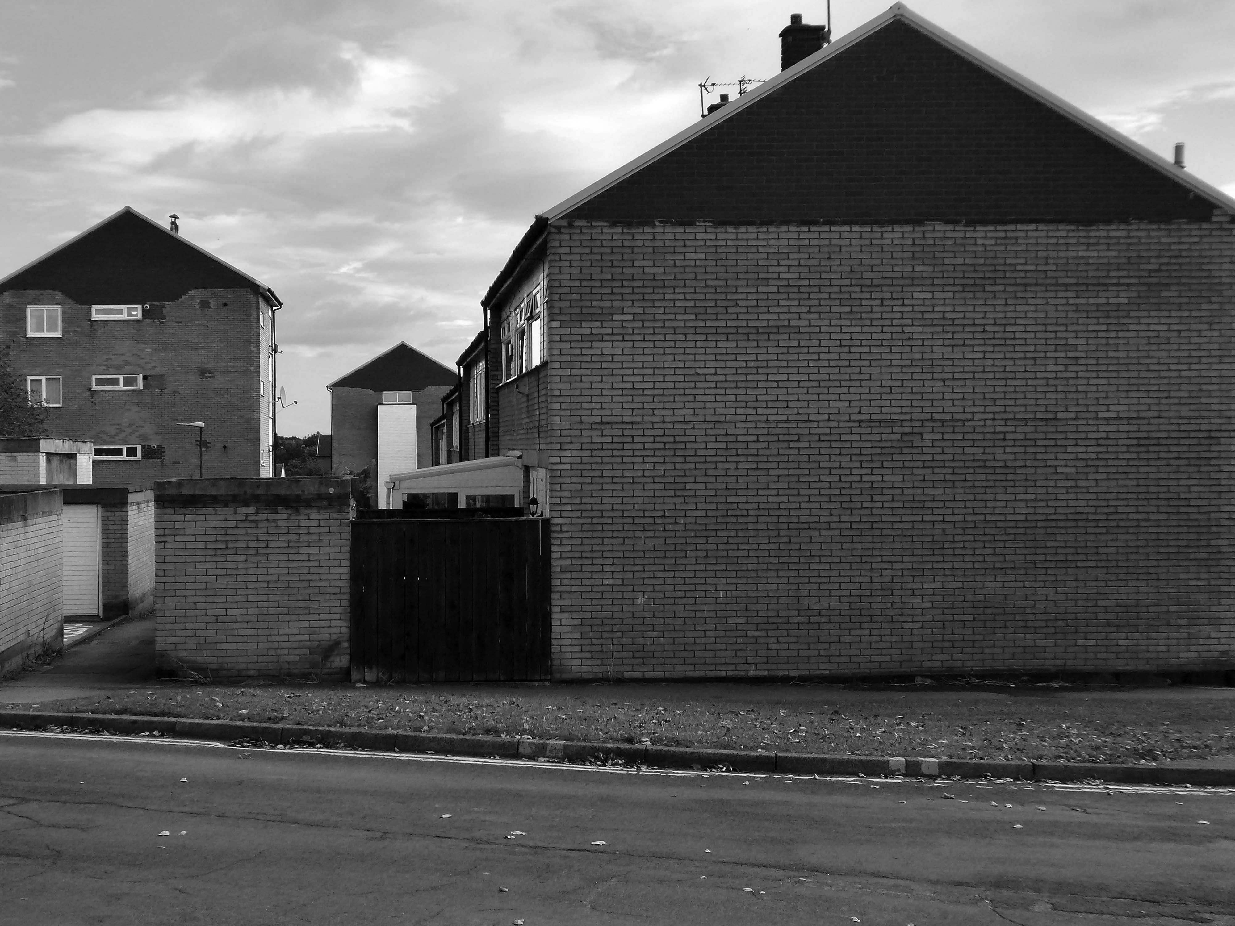
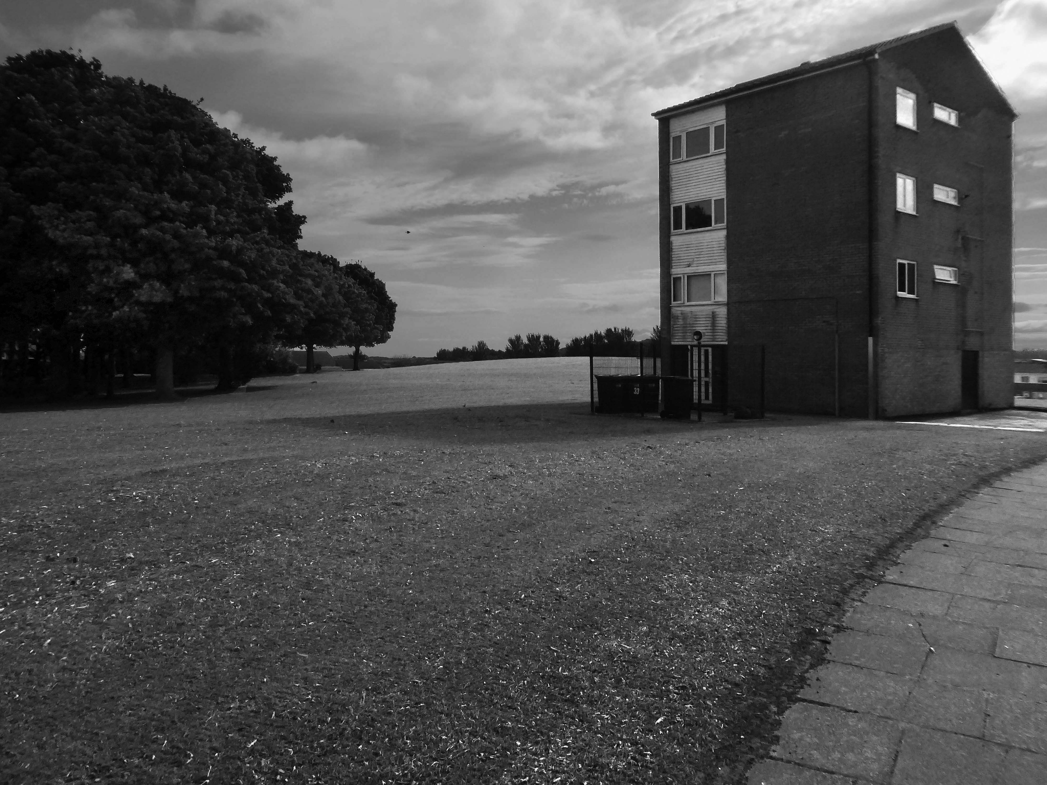
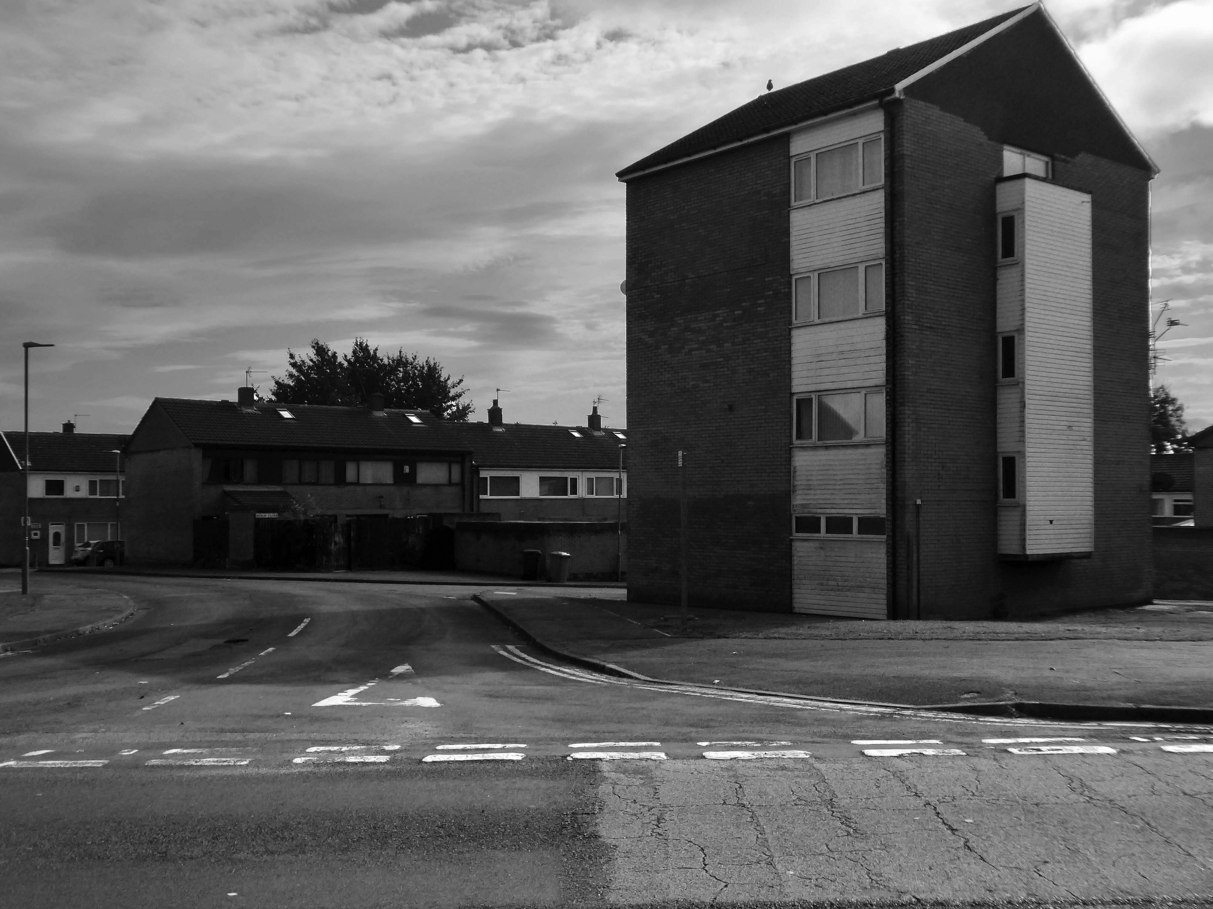
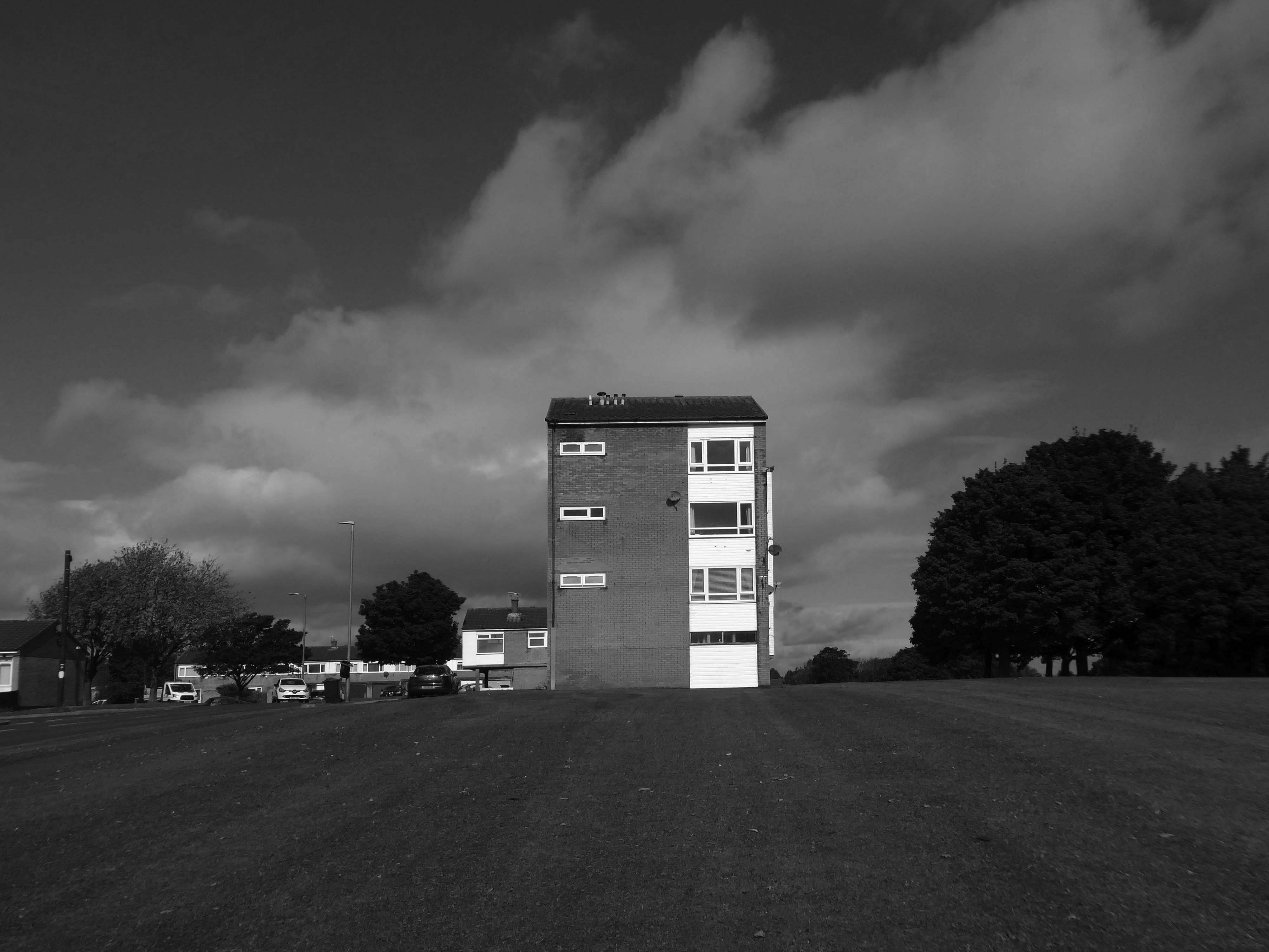
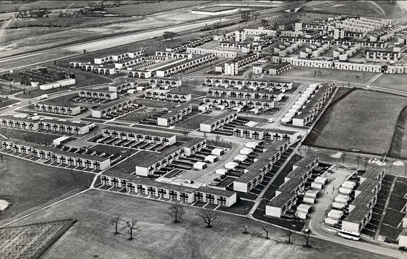
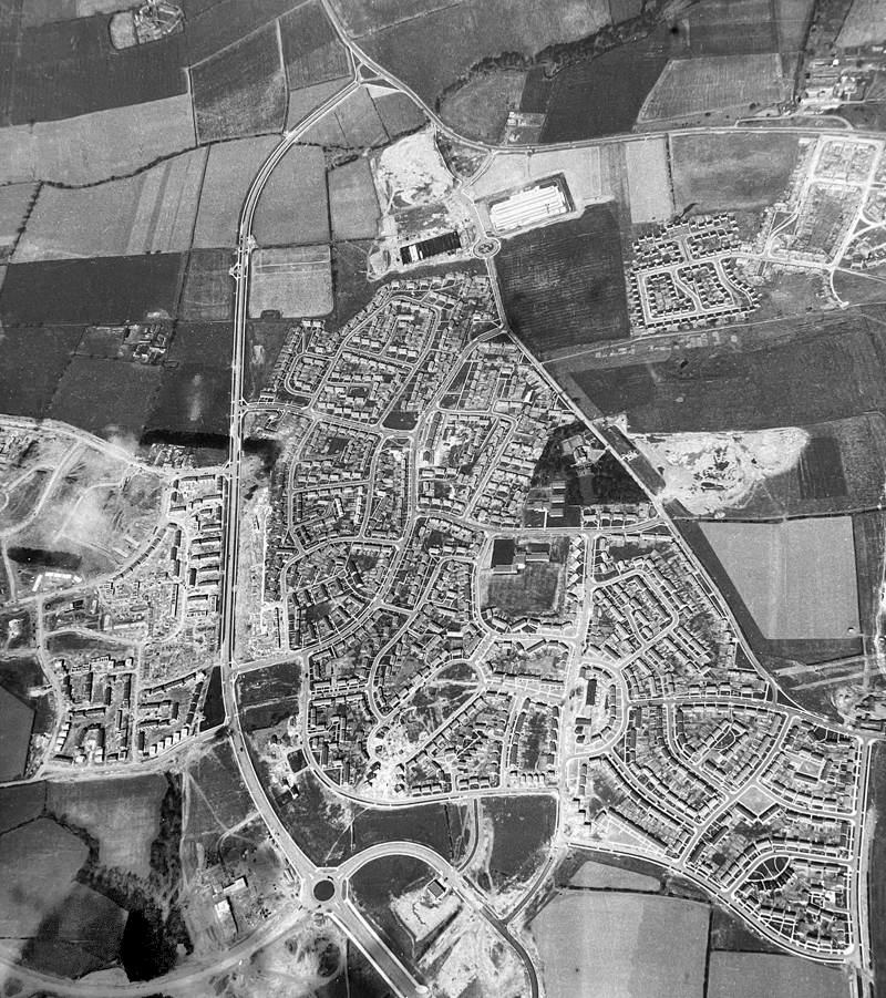
An express bus ride away from Newcastle City Centre – arriving in Peterlee, with a clear intent to wander around and look at housing.
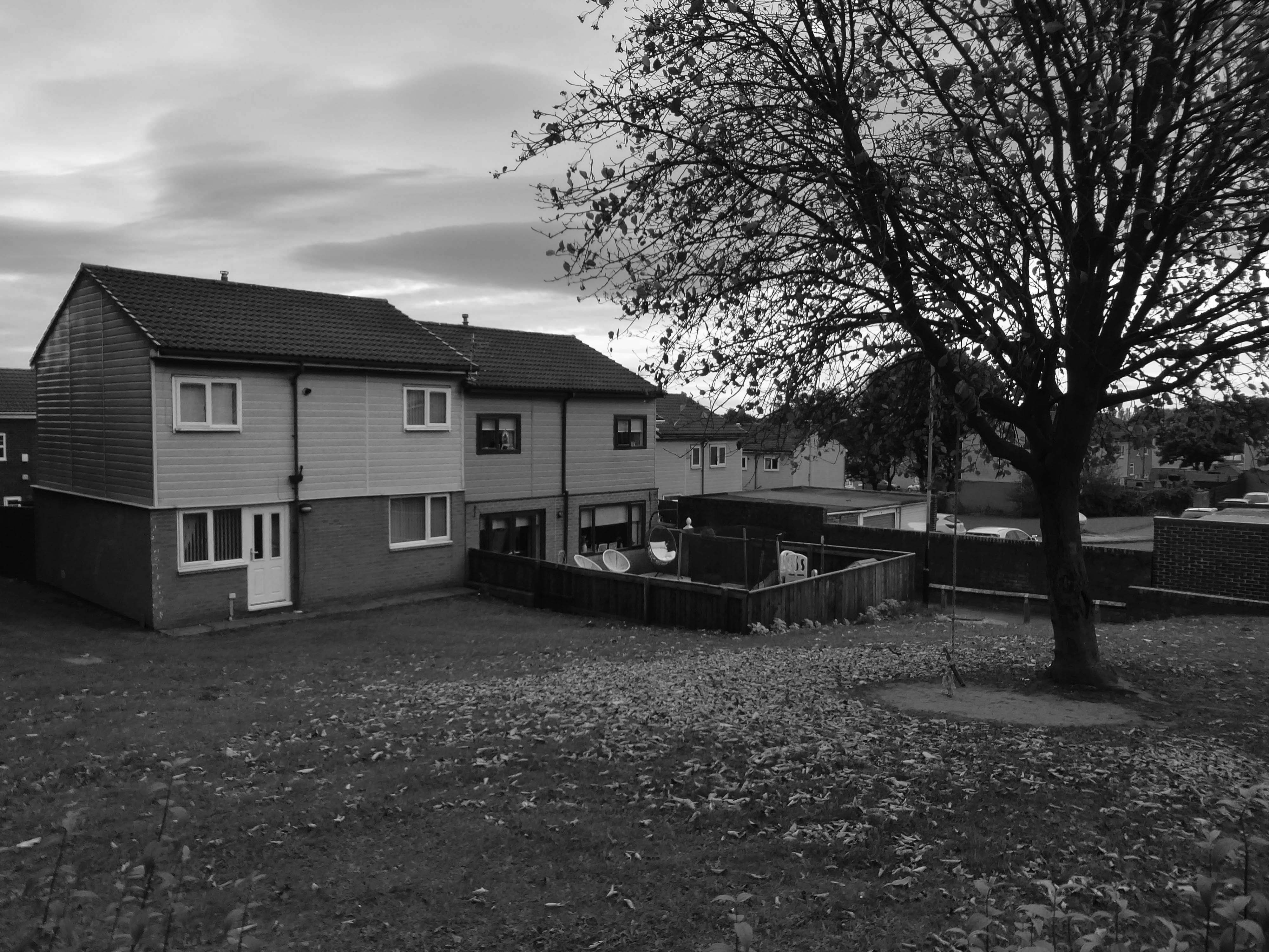
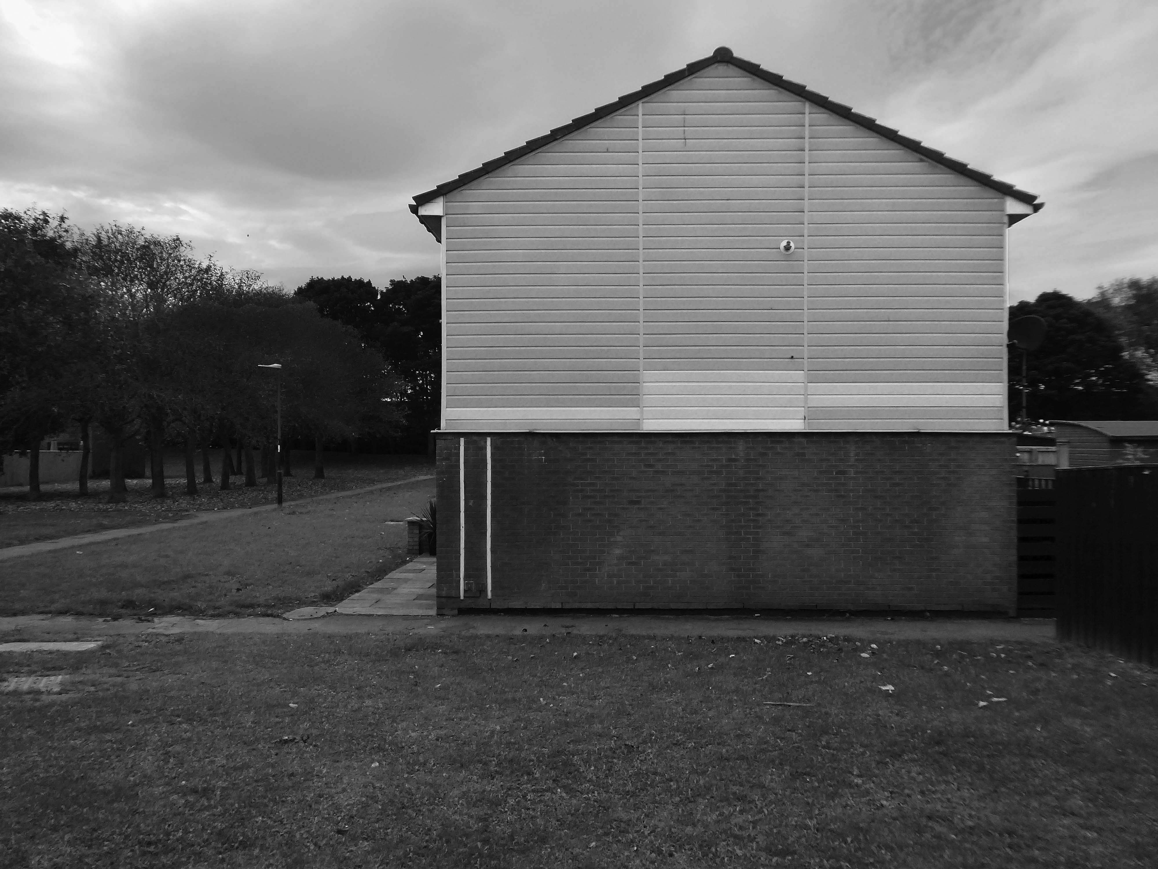
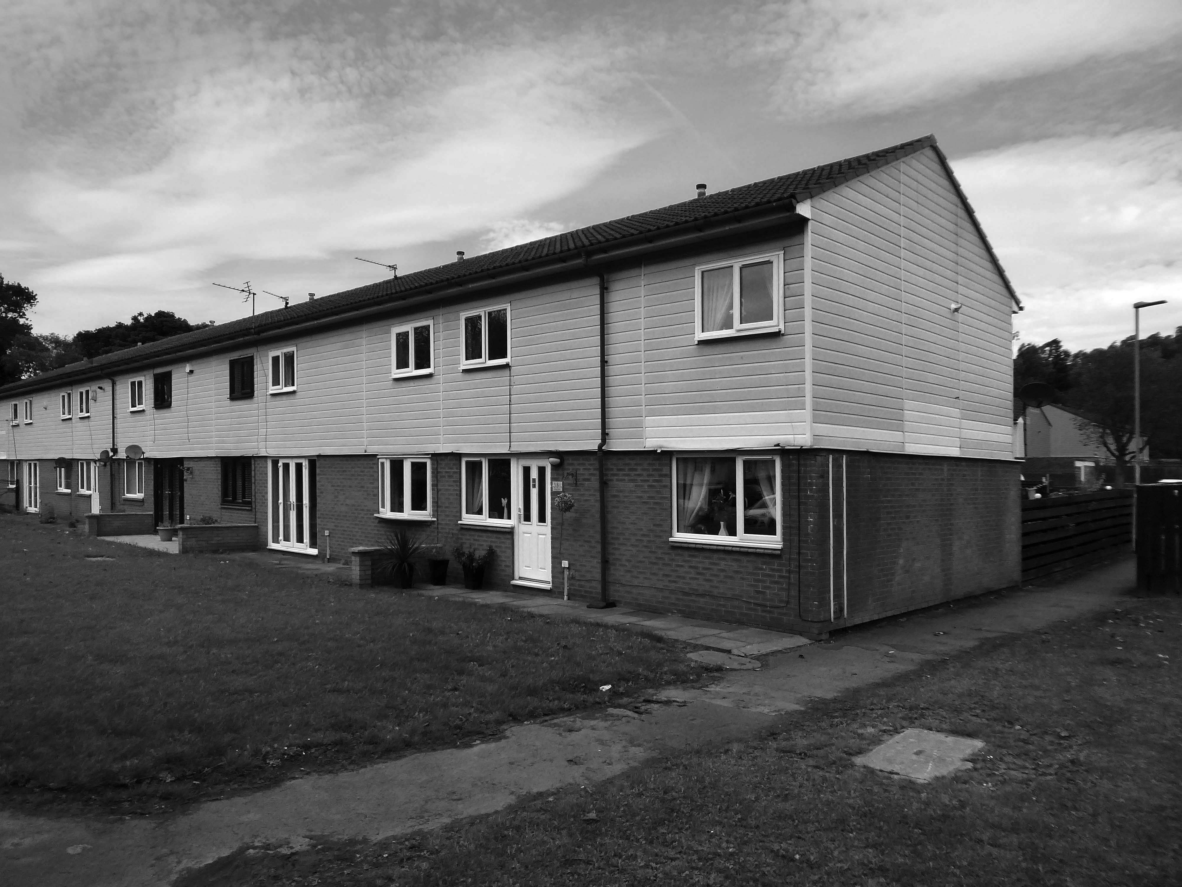
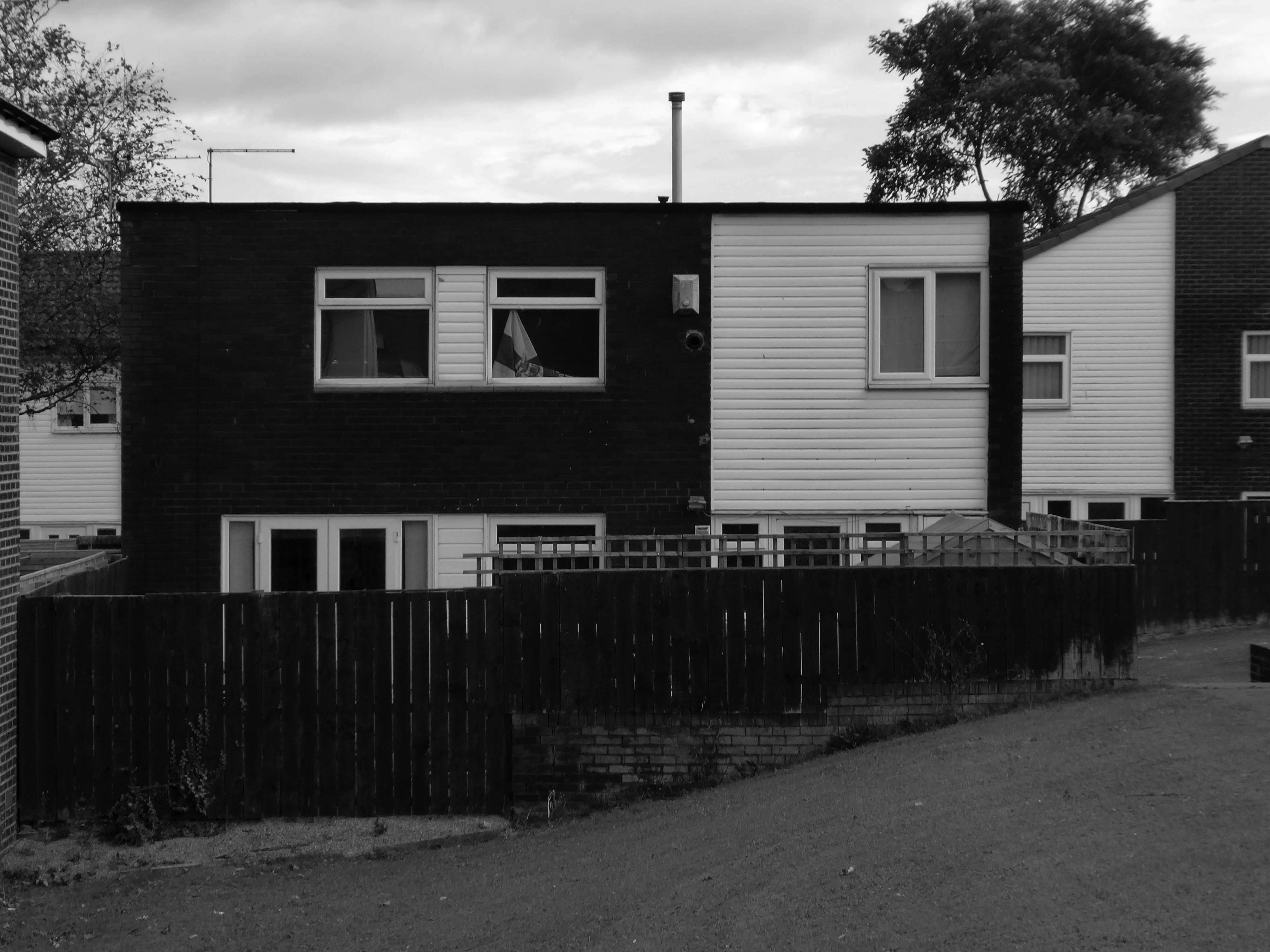
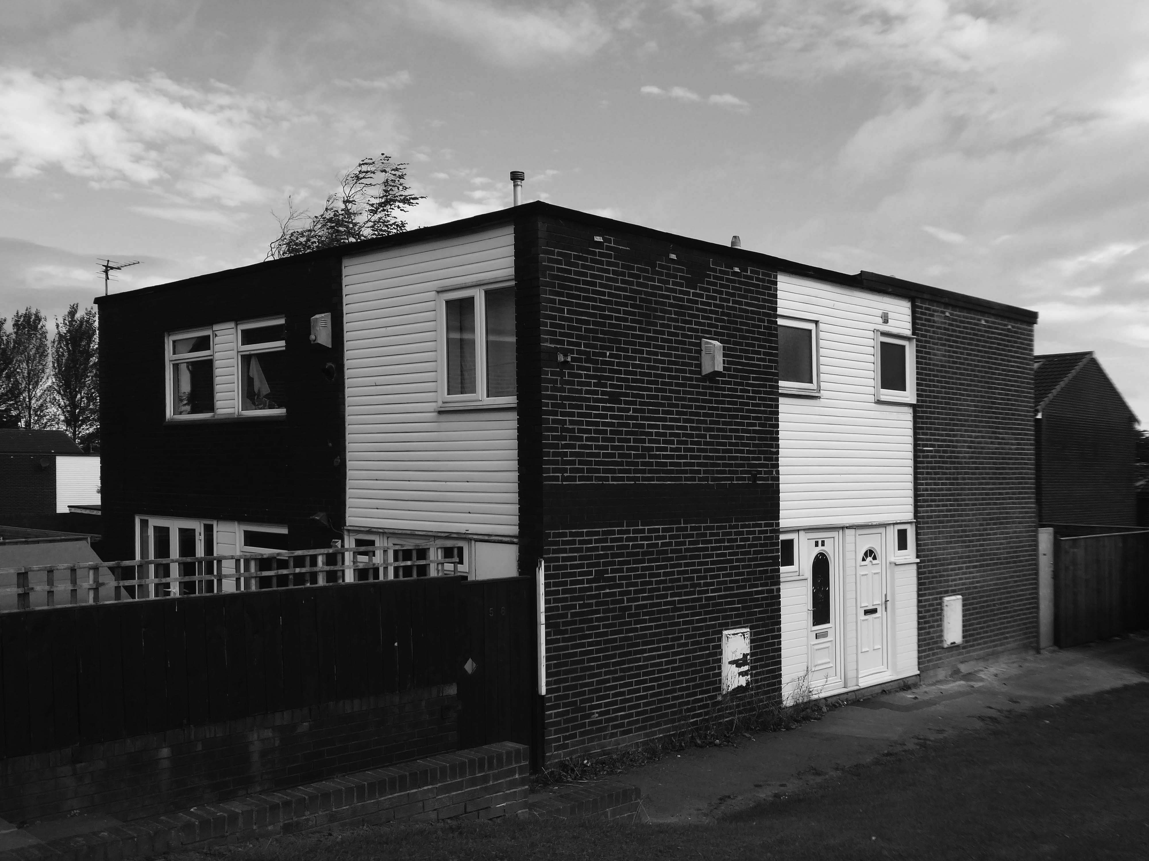
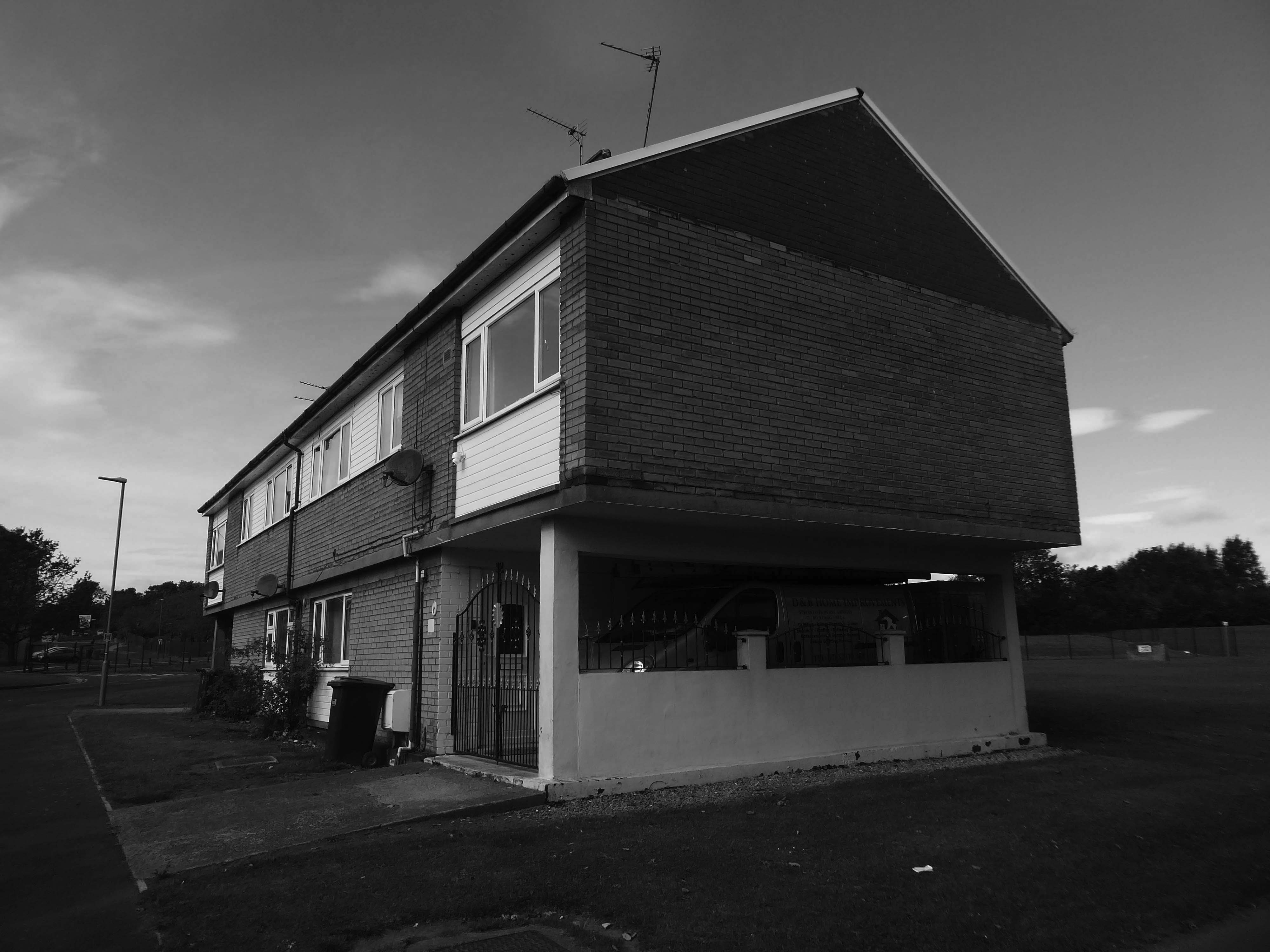
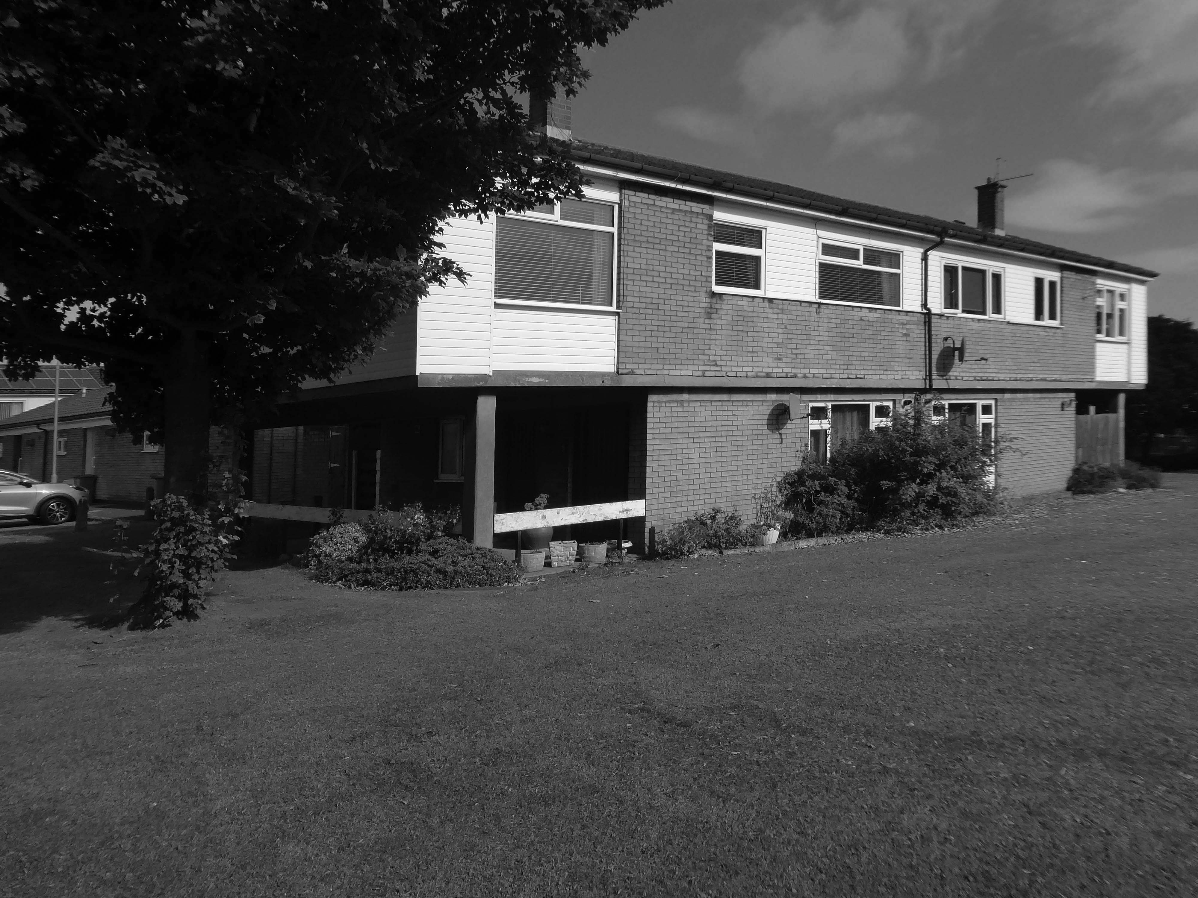
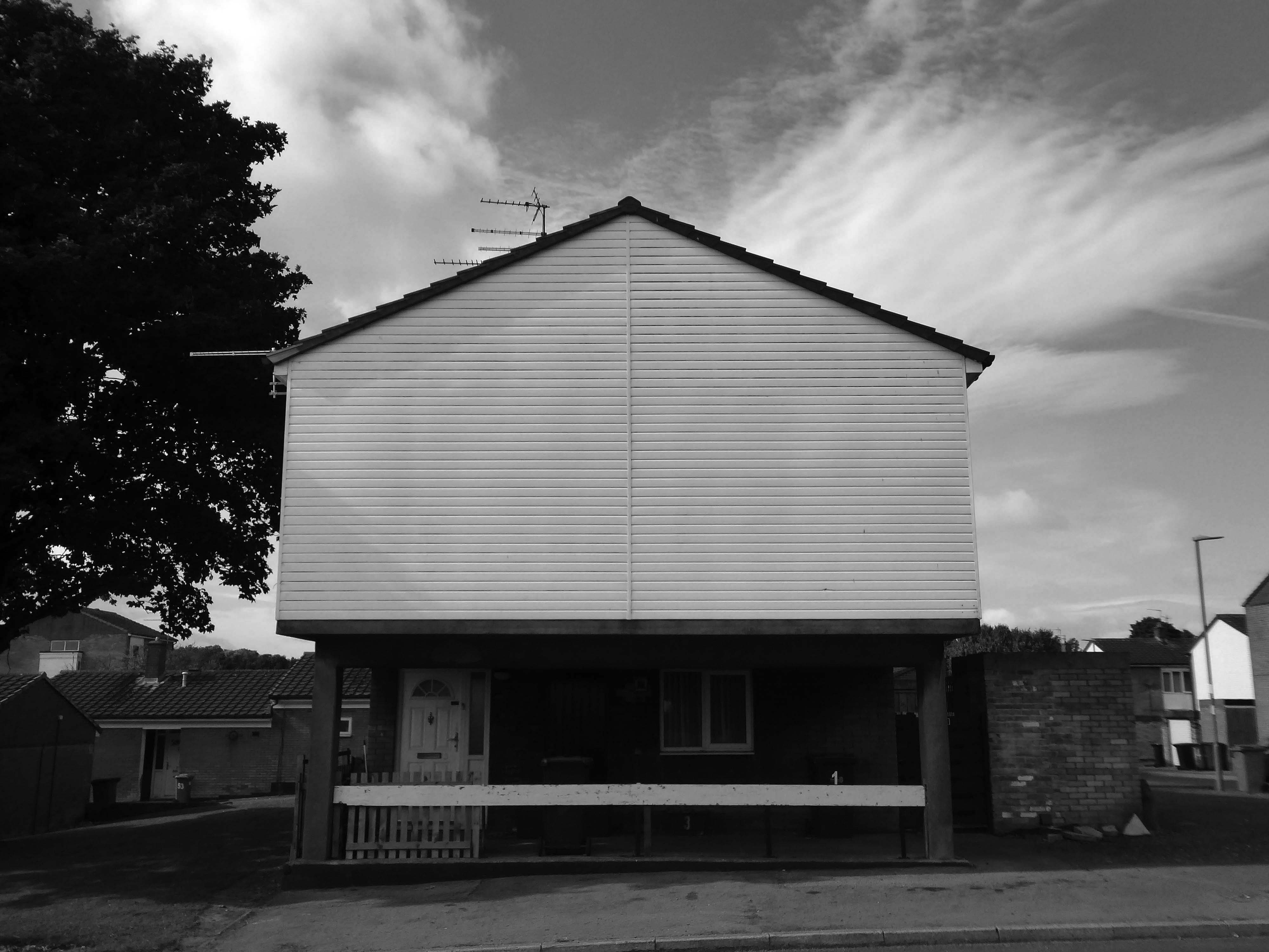
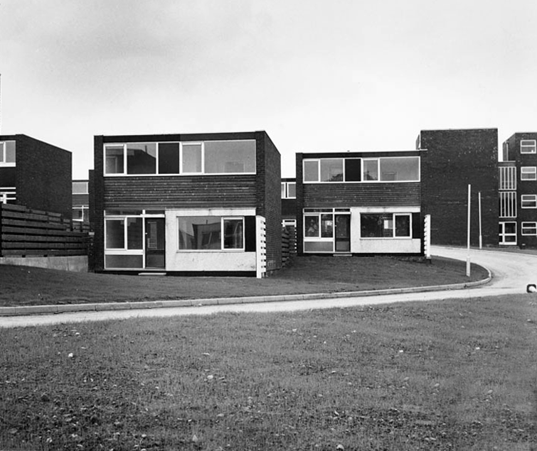
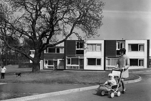
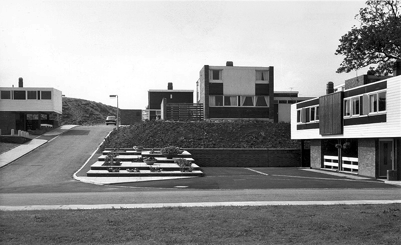
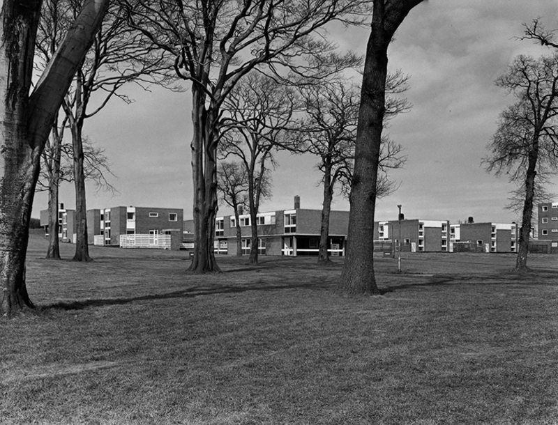
There have been many alterations and amendments made, in the short time since the inception of the Masterplan. Flat roofs have largely been and gone, timber replaced by uPVC, what remains is an interesting array of building types set in an attractive rolling landscape.
The case for founding Peterlee was put forward in Farewell Squalor by Easington Rural District Council Surveyor CW Clarke, who also proposed that the town be named after celebrated Durham miners’ leader Peter Lee. A deputation, consisting mostly of working miners, met the Minister of Town and Country Planning to put the case for a new town in the district. The minister, Lewis Silkin, responded by offering a half-size new town of 30,000 residents. The subsequent new residents came largely from surrounding villages in the District of Easington.
Peterlee Development Corporation was founded in 1948, first under Dr Monica Felton, then under AV Williams. The original master plan for tower blocks of flats by Berthold Lubetkin was rejected as unsuitable for the area’s geology, which had been weakened by mining works, and Lubetkin resigned in 1950. George Grenfell Baines’ plan was accepted, and construction quickly began, but it was of poor quality. Williams invited artist Victor Pasmore to head the landscaping design team.
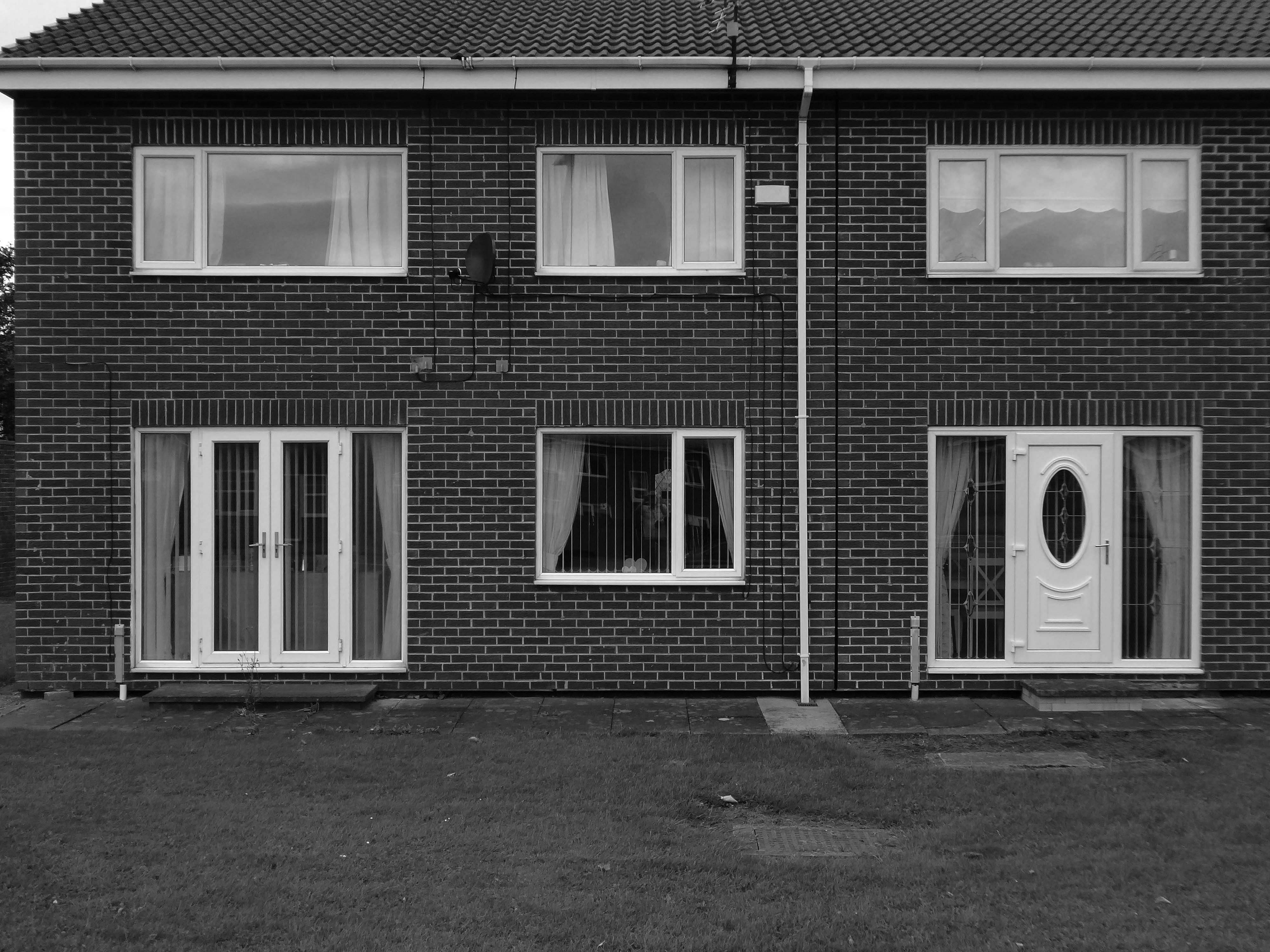
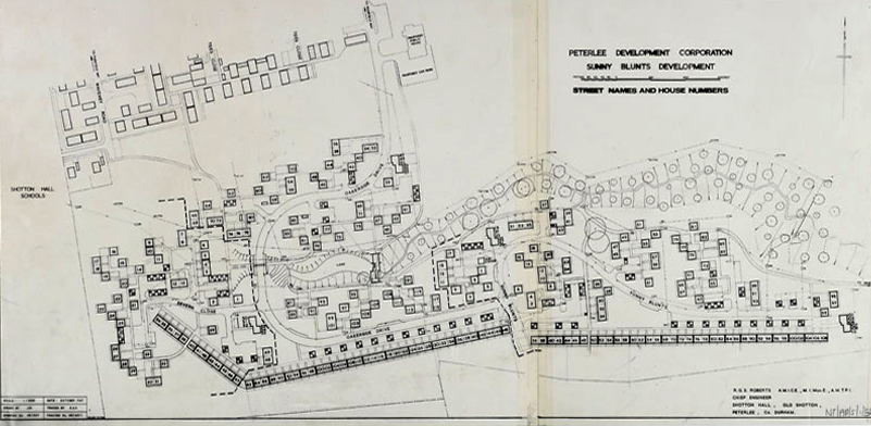
The long and narrow site intersected by a sloped ravine necessitated a new design approach for the layout of the road system and housing in Sunny Blunts. Rather than imposing a grid system as before, the roads follow the natural contours of the landscape so become curvilinear. The housing is then arranged in asymmetric patterns – a deconstructed grid system is one way of describing it.
One of the oddities of Sunny Blunts is the way the houses are rotated 180 degrees in relation to the conventional streetscape where enclosed gardens are normally at the rear of the houses. At Sunny Blunts the front door opens into the garden, while the backdoor opens out onto public realm space, often directly onto grassed areas, which because of how the houses are arranged forms small communal gardens isolated from road traffic for safe places to play. Peterlee at this time had a very high percentage of young families.
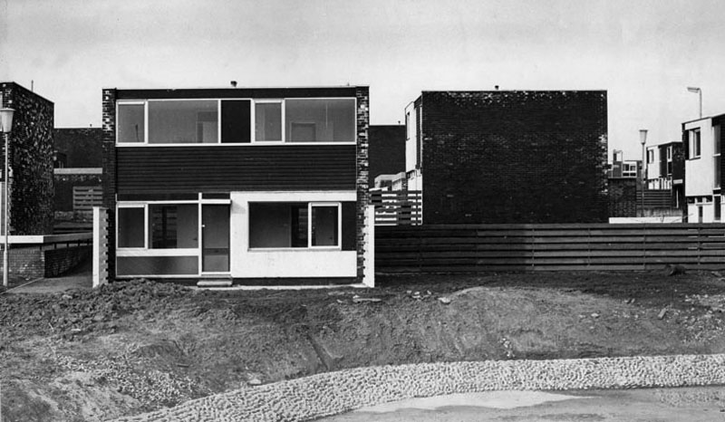
Sunny Blunts is also where the now infamous Crudens houses were introduced – along with the Howletch area. Crudens owned the British rights to the Skarne building system, where prefabricated concrete walls and floors are bolted together to form the frame of the house. The system reduced building costs by 10% per house unit, though at Sunny Blunts this saving was then absorbed by the costs of remedial work required to make many of the houses habitable for residents to move in. This still didn’t fully resolve issues with water ingress in some cases.
After the completion of Sunny and Howletch the Development Corporation reverted back to using more traditional building methods.
The Peterlee Development Corporation initially employed the Russian modernist architect Berthold Lubetkin to design the new town. Appointing a renowned Modernist architect such as Lubetkin demonstrated the importance that was placed on innovative design. Lubetkin initially planned to build a modern town of high-rise towers and walkways in the sky. However, his plan was rejected because towers of such height could not be built on land that had been mined.
After Lubetkin’s resignation in 1950 a new architect, Grenfell Baines, was employed to work on the development of Peterlee. After further dissatisfaction with the plans, Victor Pasmore was invited to collaborate on a new scheme for the south west area of the town in 1955. Pasmore’s role was to work alongside the architects to add imagination to a project that could potentially get weighed down with the restrictions of building regulations. That Pasmore – one of the most influential abstract artists in Britain at the time – was given such a vital role in the development of Peterlee demonstrates the central role art played in urban design after the war.
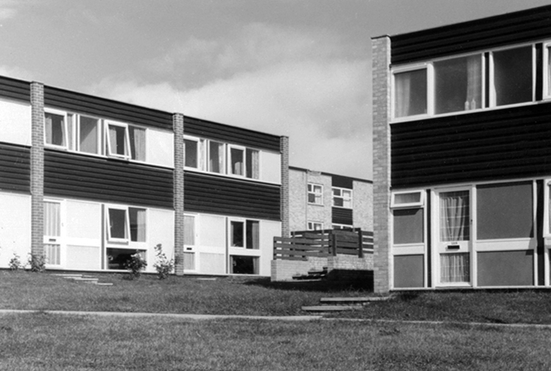
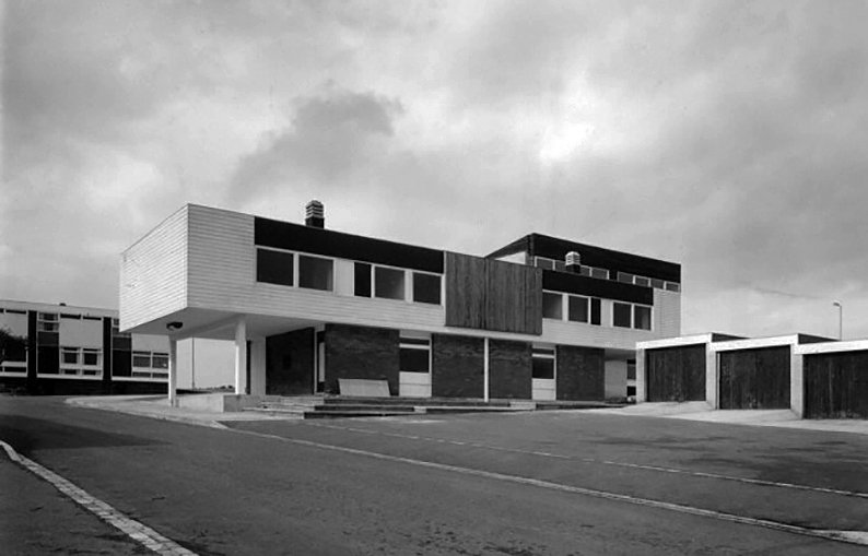
As well as appearing in the Chapel Hill area, this house style was also introduced in parts of Acre Rigg, along Manor Way, and in the early phases of the South West Area. These were designed and built in the early 1960’s when Roy Gazzard was Chief Architect. The three story blocks of flats with their distinctive butterfly roof design that were introduced in the same areas of the new town can also be credited to Gazzard.
Roy Gazzard left Peterlee Development Corporation in June 1962 and went on to become Chief Architect at Killingworth in North Tyneside.
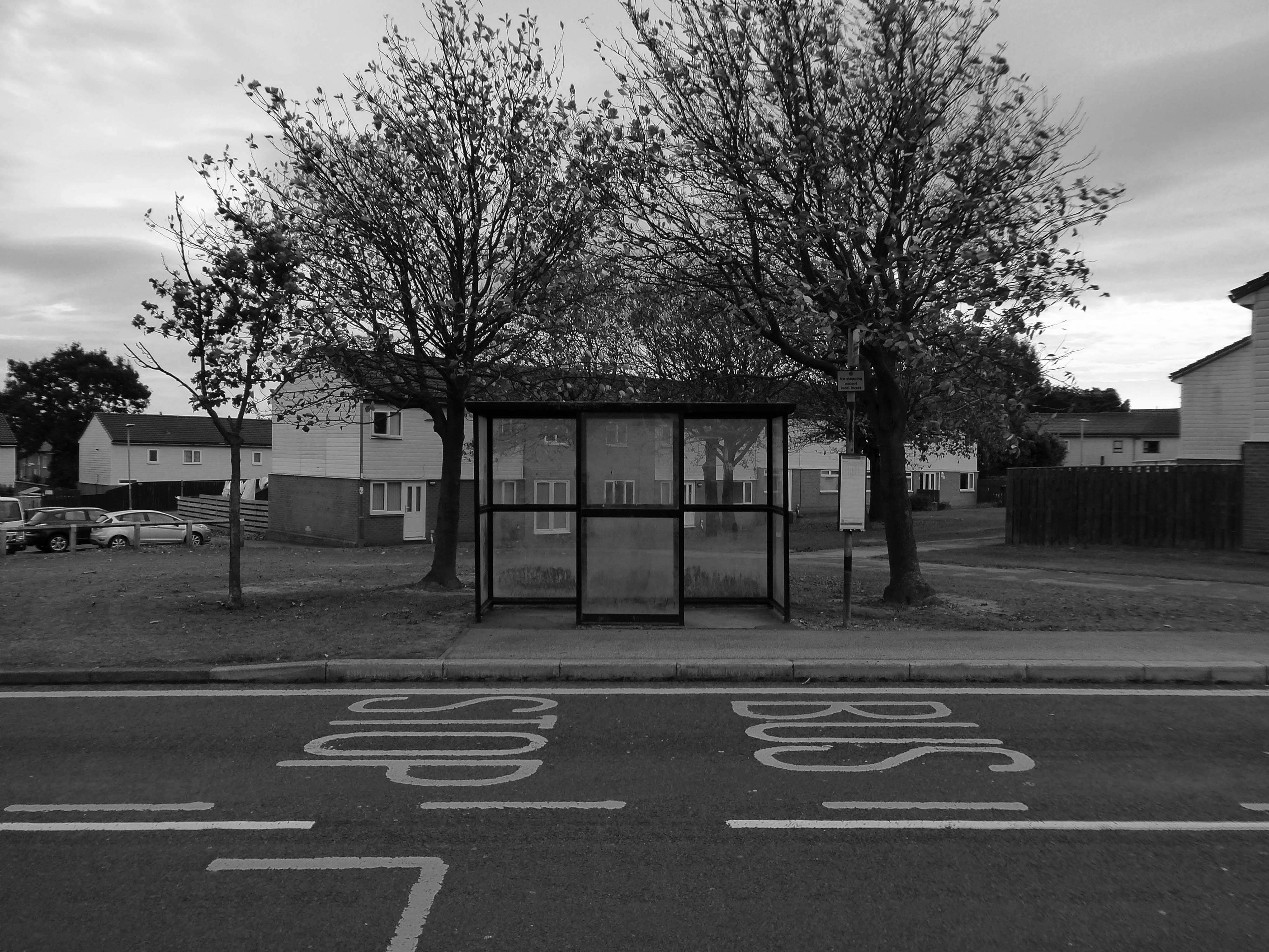
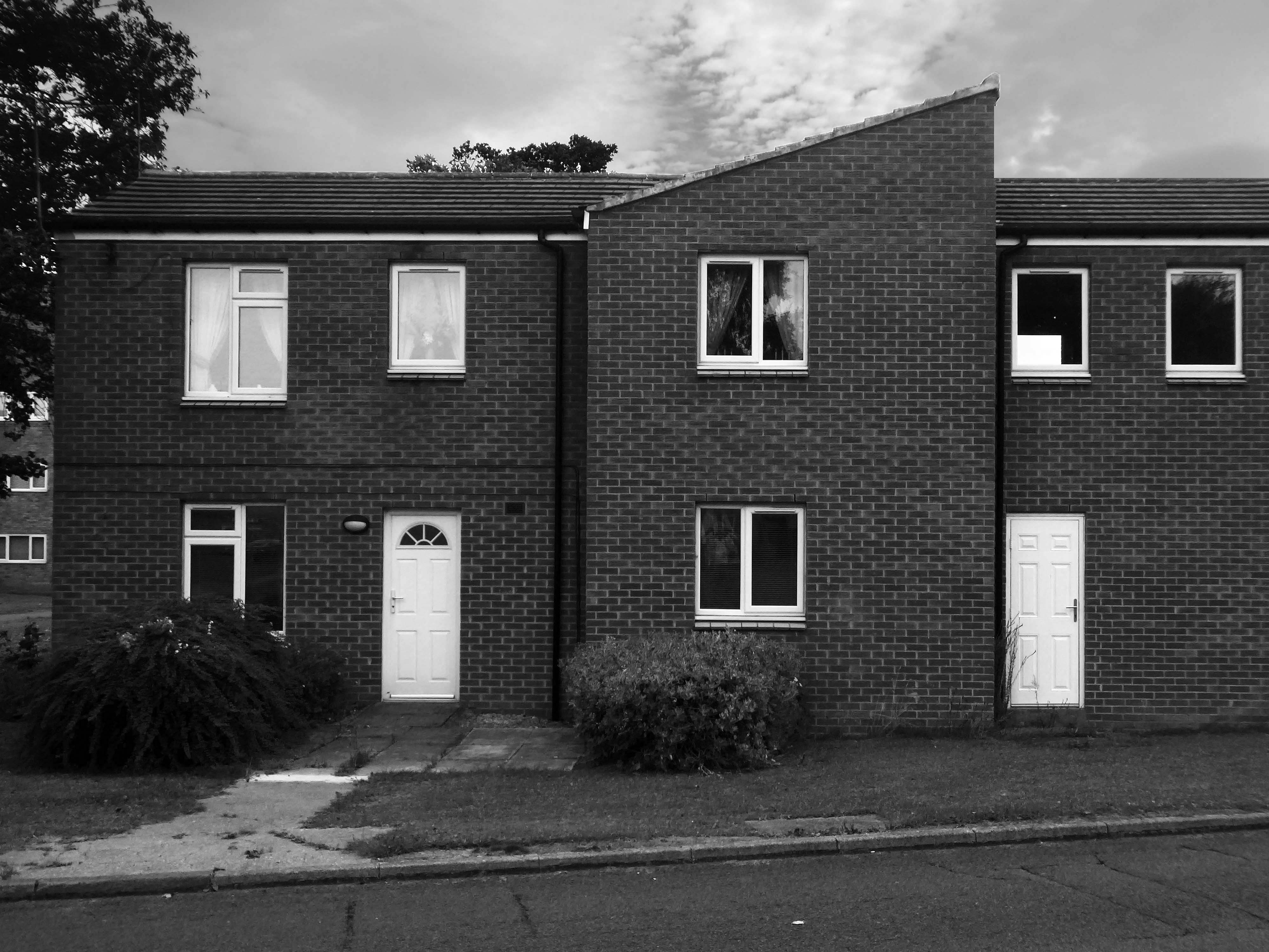
The footpath running between a group of two-bedroom houses.
Essington Way is the main spine road running north from the town centre to Thorpe Road which connects Easington Village and Colliery, with Horden and Sunderland Road. East of Essington Way is the North East Quadrant . West is Acre Rigg which was built in five phases from 1956-1966. The early phases of Acre Rigg share a similar character to that of the earlier North East Quadrant. The later phases built in the 1960s contrast sharply, drawing on the design approached developed in the South West Area under the guidance of artist Victor Pasmore.
The contract to build the Howletch area was awarded to Crudens, who owned the British franchise for the Swedish designed Skarne building system.
The Crudens houses were constructed using prefabricated concrete sections bolted together to form the frame of the building. The gable end walls were then rendered with brick, with non-loadbearing glass, wood, and rendered panel sections forming the front and rear elevations of the houses.
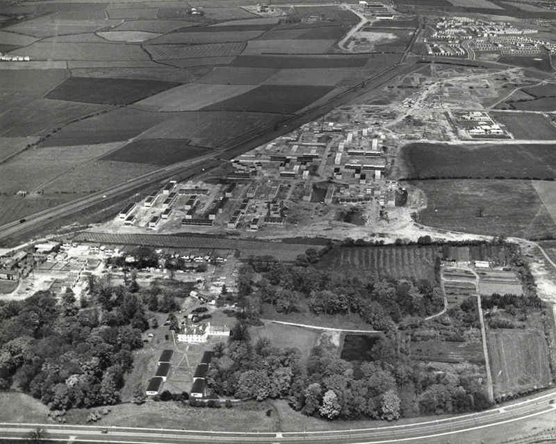
In the foreground of this aerial photo is Old Shotton Hall, which at this time was the headquarters of Peterlee Development Corporation after it was refurbished in 1948 by Architect Planner Berthold Lubetkin. In 1976 the Development Corporation moved its headquarters to Lee House in the town centre. It is now the offices of Peterlee Town Council.
After the departure of Berthold Lubetkin, Grenfell Bains was drafted in as Architect Planner to develop the new Master Plan and oversee development of the North East Quadrant. Bains at the time filled the position at Newton Aycliffe, another of the first wave new towns located 20 miles south west of Peterlee.
1956
As the dates of these aerial photographs testify, building work was already well underway in the North East Quadrant by the time the Peterlee Master Plan was published in September 1952. Indeed, as surviving residency agreements and rent books also testify, houses in this part of Peterlee were already occupied, such were the pressures on the Development Corporation to have something tangible to show for their efforts.
Thorntree Gill was the first phase of residential development completed in Peterlee. It was home to the towns first residents, who began moving in in 1951. The road layout is that designed by Architect Planner Berthold Lubetkin for his ‘Hundred Houses’ scheme , though the houses eventually built differed dramatically from what Lubetkin had envisaged.
In the first phase of the South West Area, Victor Pasmore – Consulting Director of Urban Design, Frank Dixon – Building Architect and Peter Daniels – Landscape Architect, settled upon an orthogonal layout system – roads and houses set at right angles to form a grid pattern.
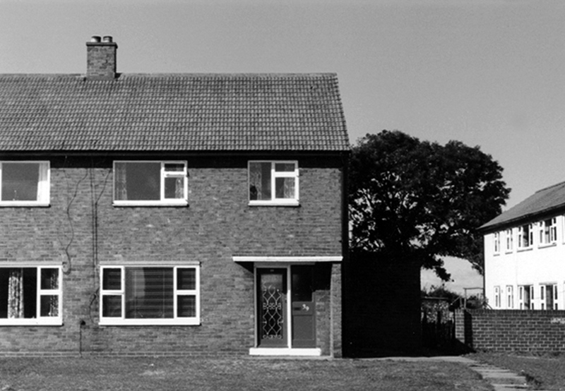
Three bedroom semi-detached cantilever house on Avon Road.
Screen partition on Thames Road.
Dart Road
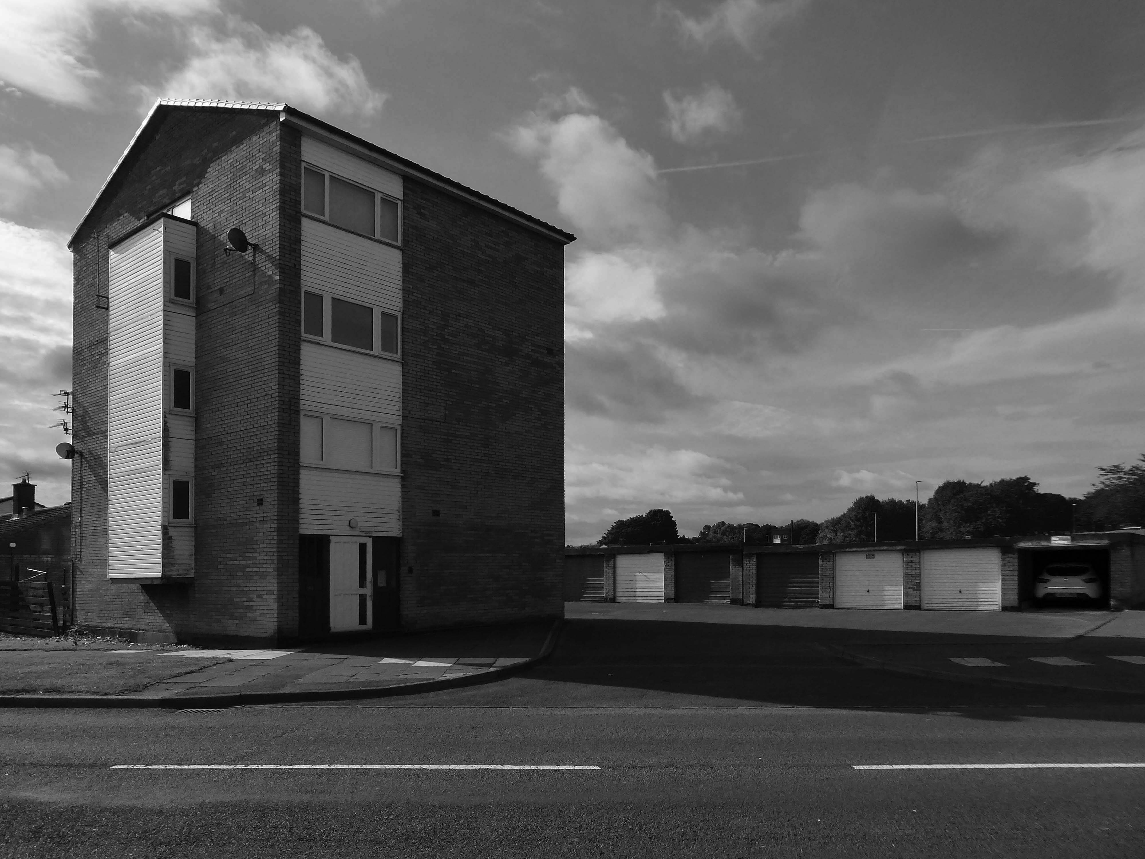
A stub block of single-bedroom flats over garages.
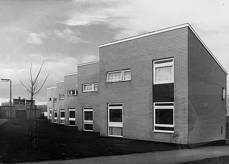
The road and housing layouts in the South West III and IV areas extend the orthogonal grid pattern introduced in the South West I and II areas.
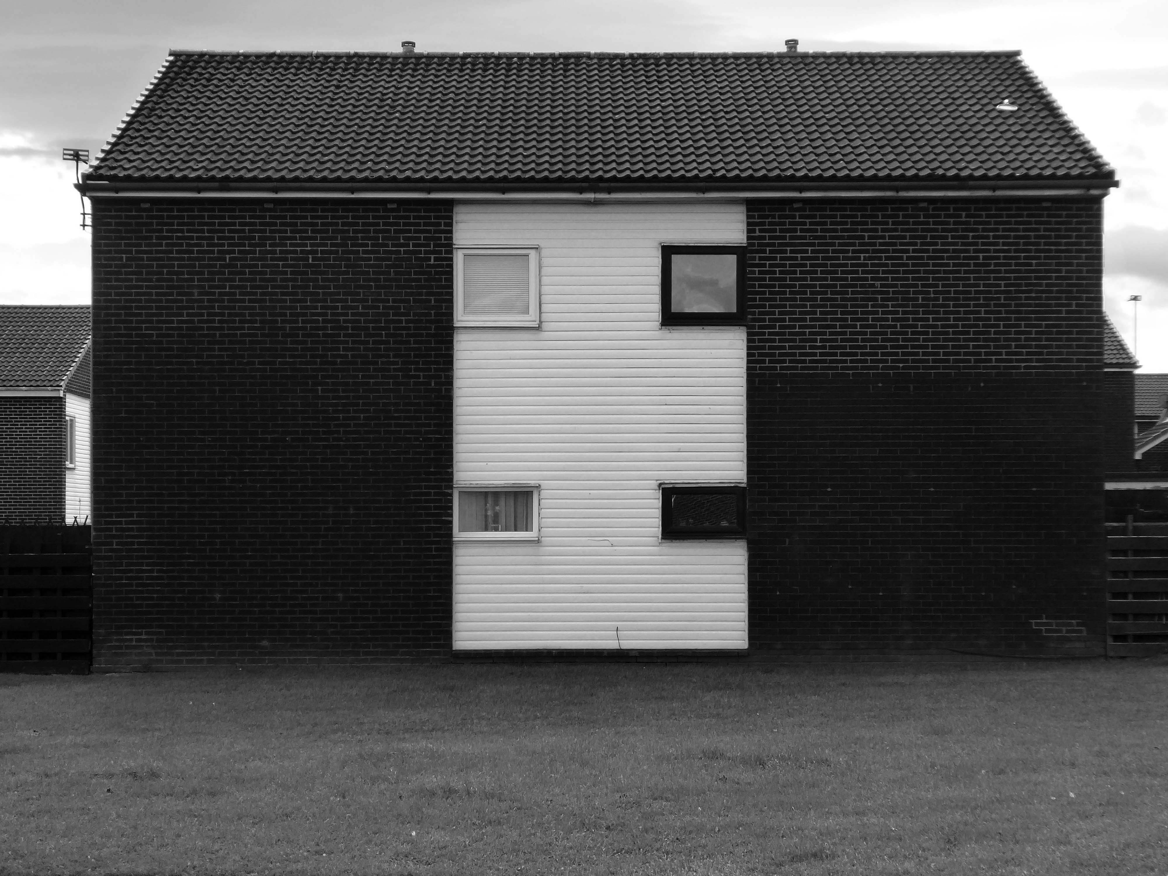
The presence of existing mature trees is a feature of South West III which helps give the area an identity that is distinctive from South West I and II. This distinctiveness is further enhanced by the choice of building material.
The South West III and IV areas were built with cured lime brick, with black dye added to a material that is naturally white, creating symbolic reference to a coal face. The visual effect was then sharpened with white panelling. When the dye added to the bricks began fading to a pale grey colour through exposure to the elements, the intended symbolism uncannily started to mirror the fate of the coal industry across the east Durham area.
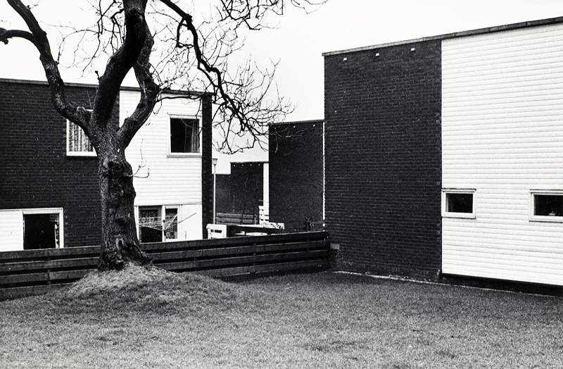
The South West V Area is approximately twice the size of Sunny Blunts. This final phase of development therefore provided Victor Pasmore with the opportunity to expand the new layout system without the constraints presented by the Sunny Blunts site.
Though the basic cubic house unit is retained in South West V, the detailing in the house elevations is much simpler and closer in feel to the South West III and IV Areas.
This is an an abridged version of the material to be found on PeterleeHistory – intended as an accessible guide to visitors wishing to explore the town.
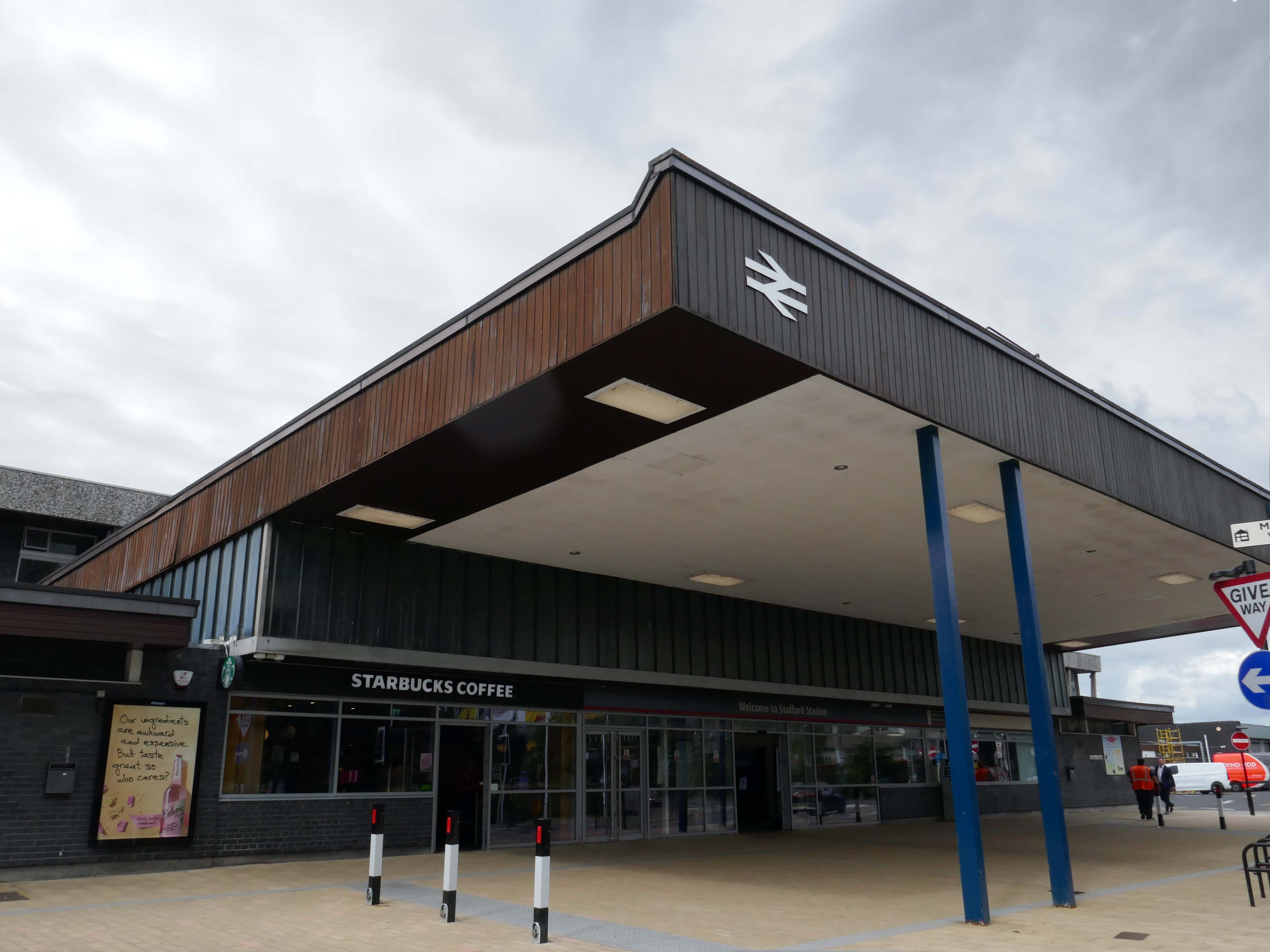
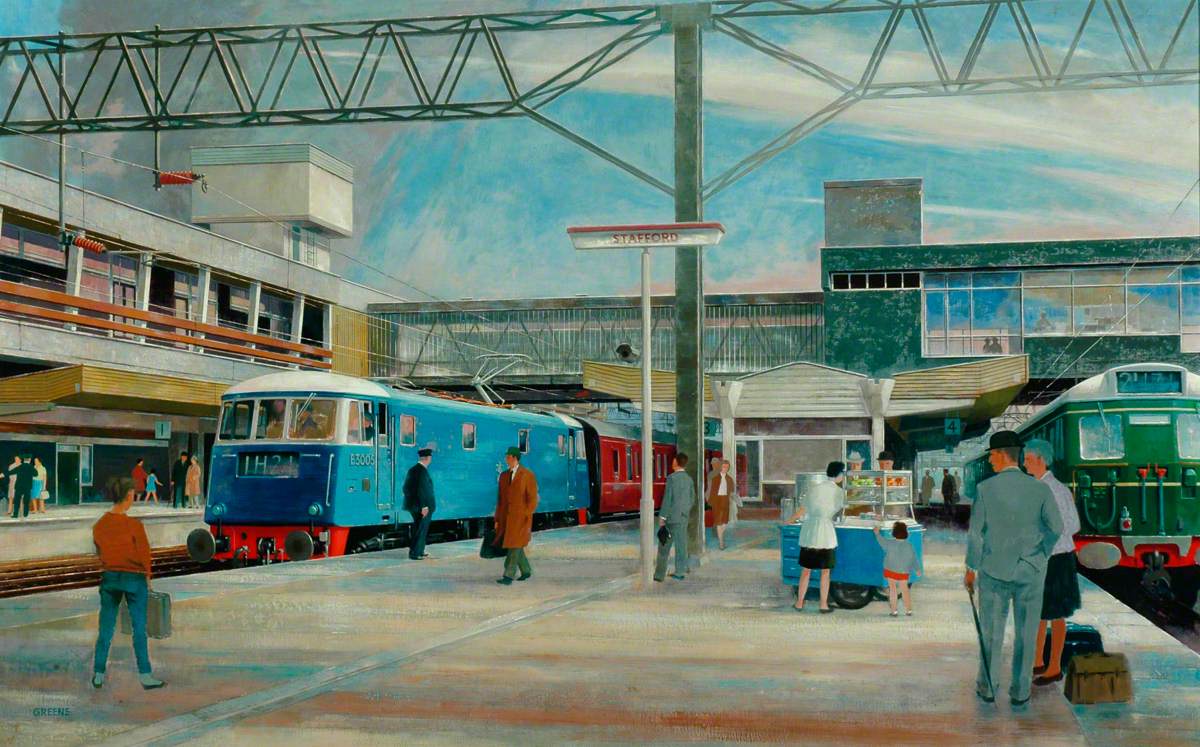
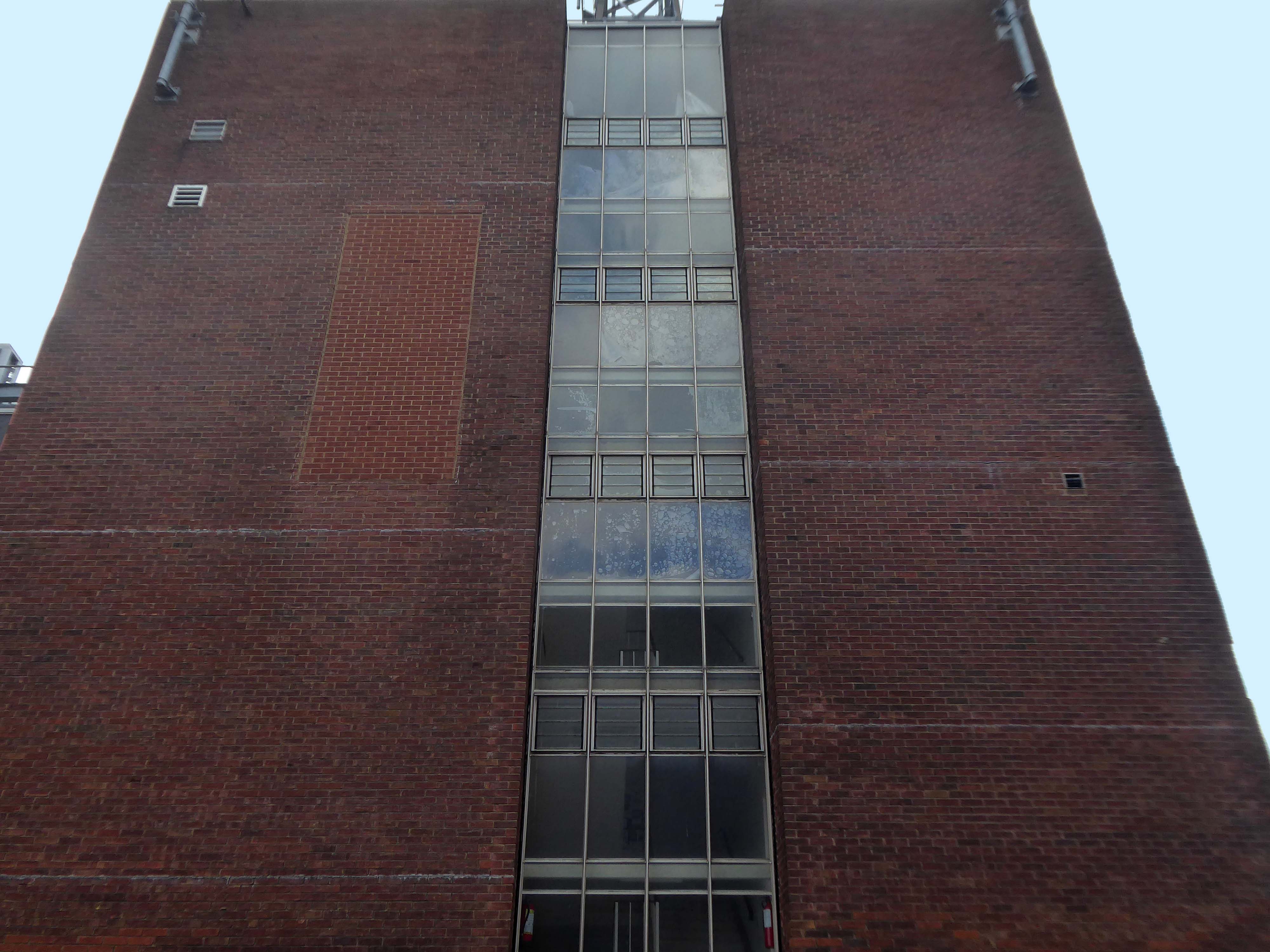
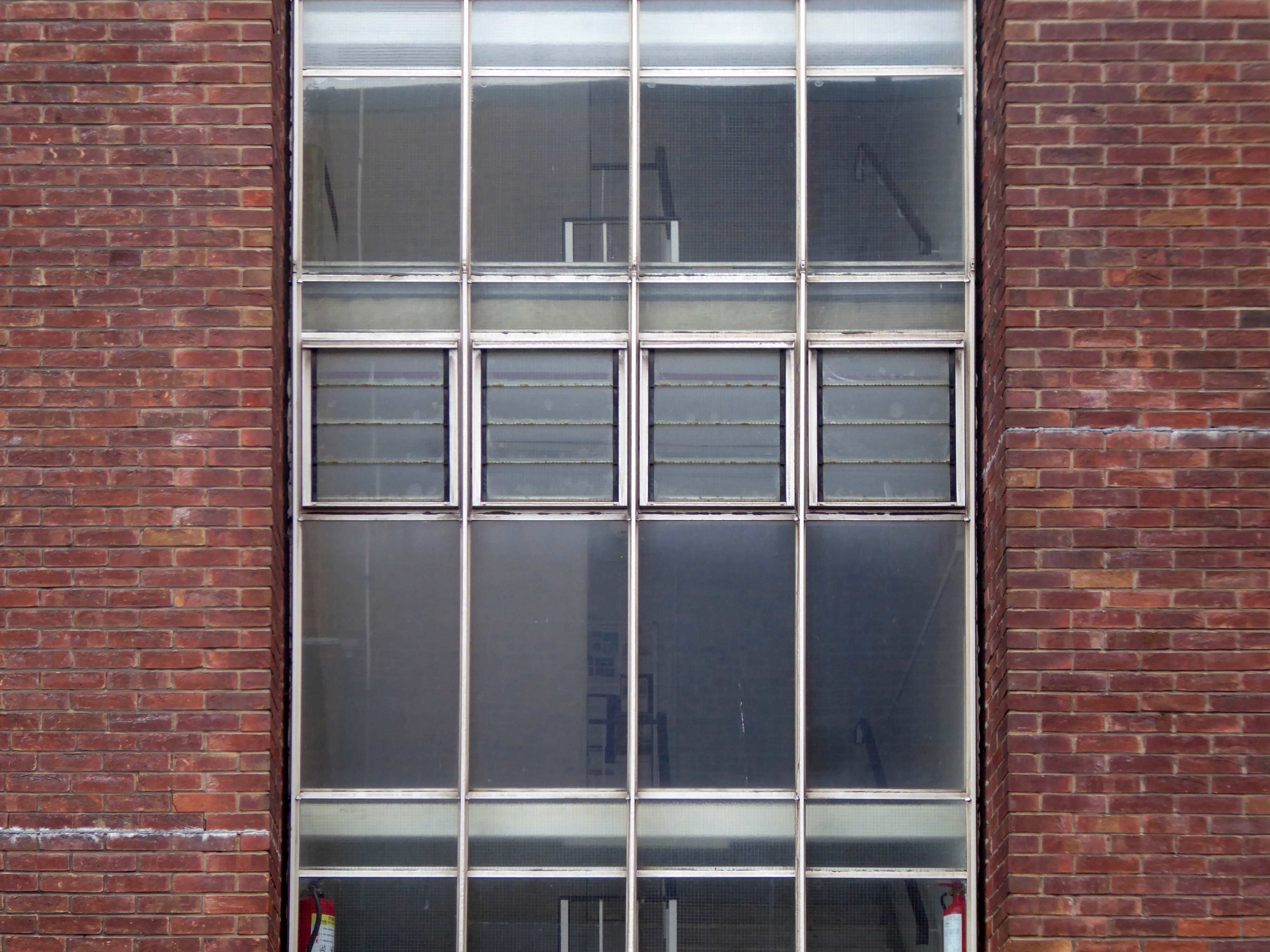
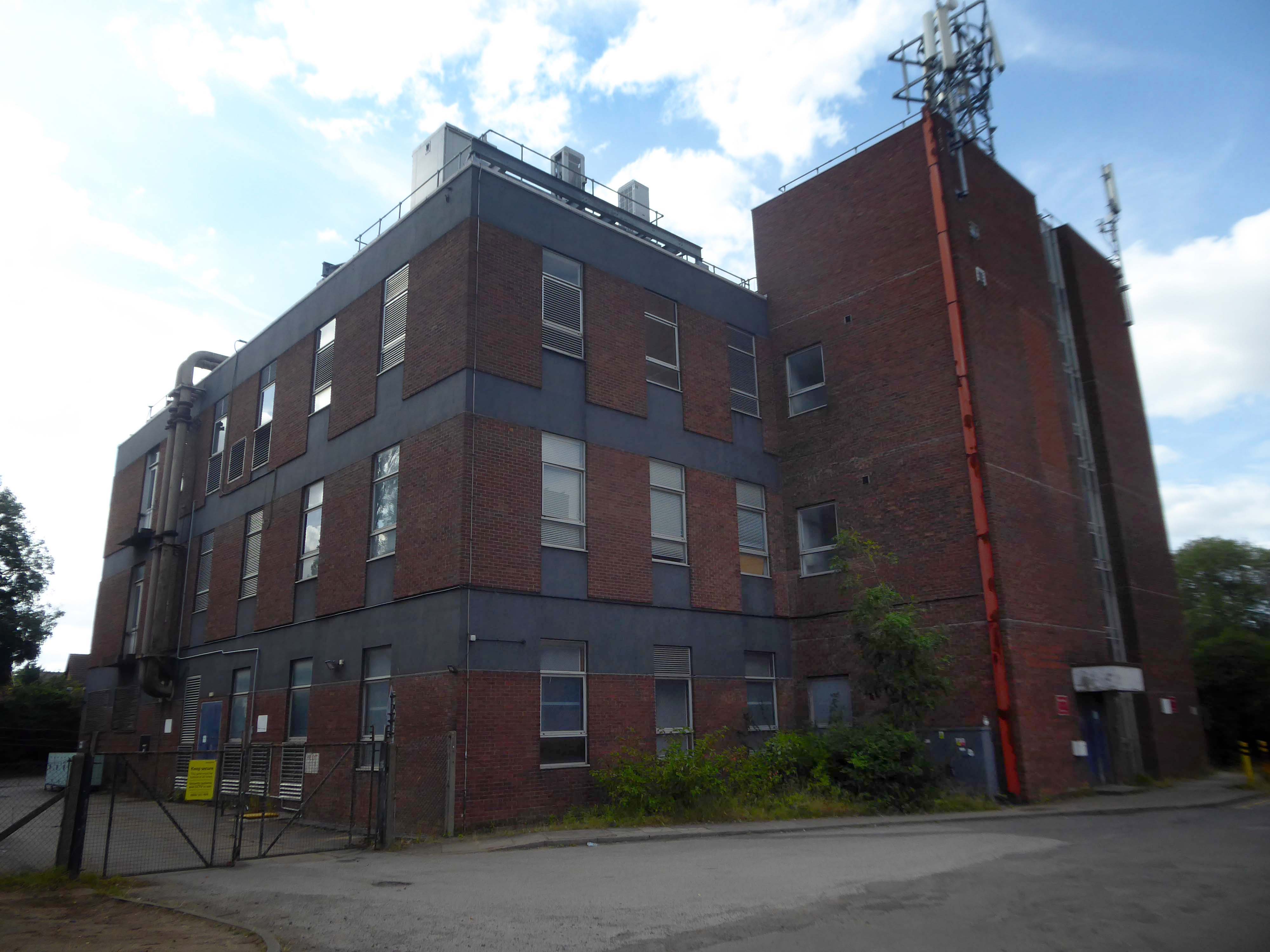
The current station was built in 1962, by the architect William Robert Headley, as part of the modernisation programme which saw the electrification of the West Coast Main Line.
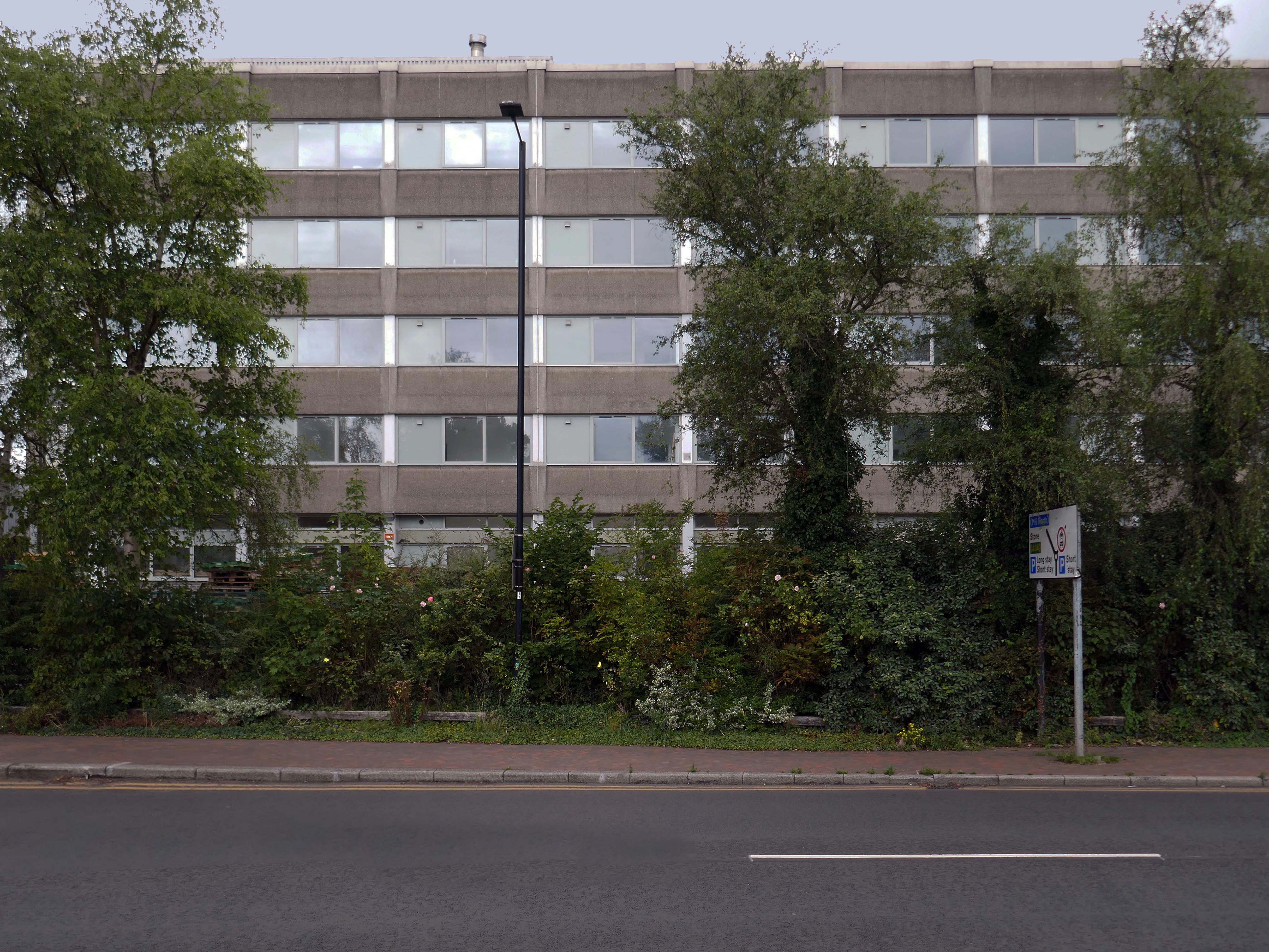
On leaving the station there is an as yet partially un-let Sixties office block to let – Victoria Park House.
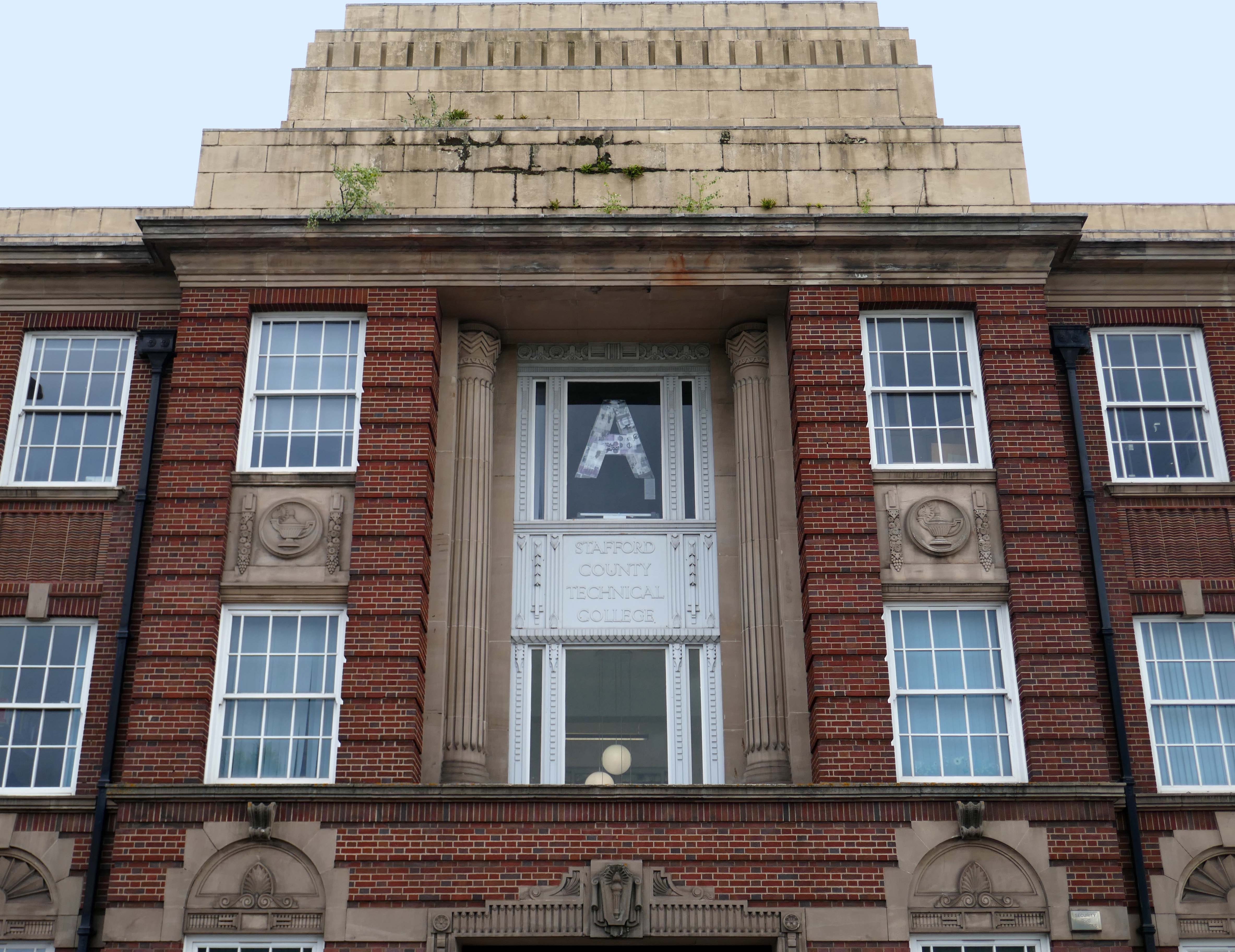
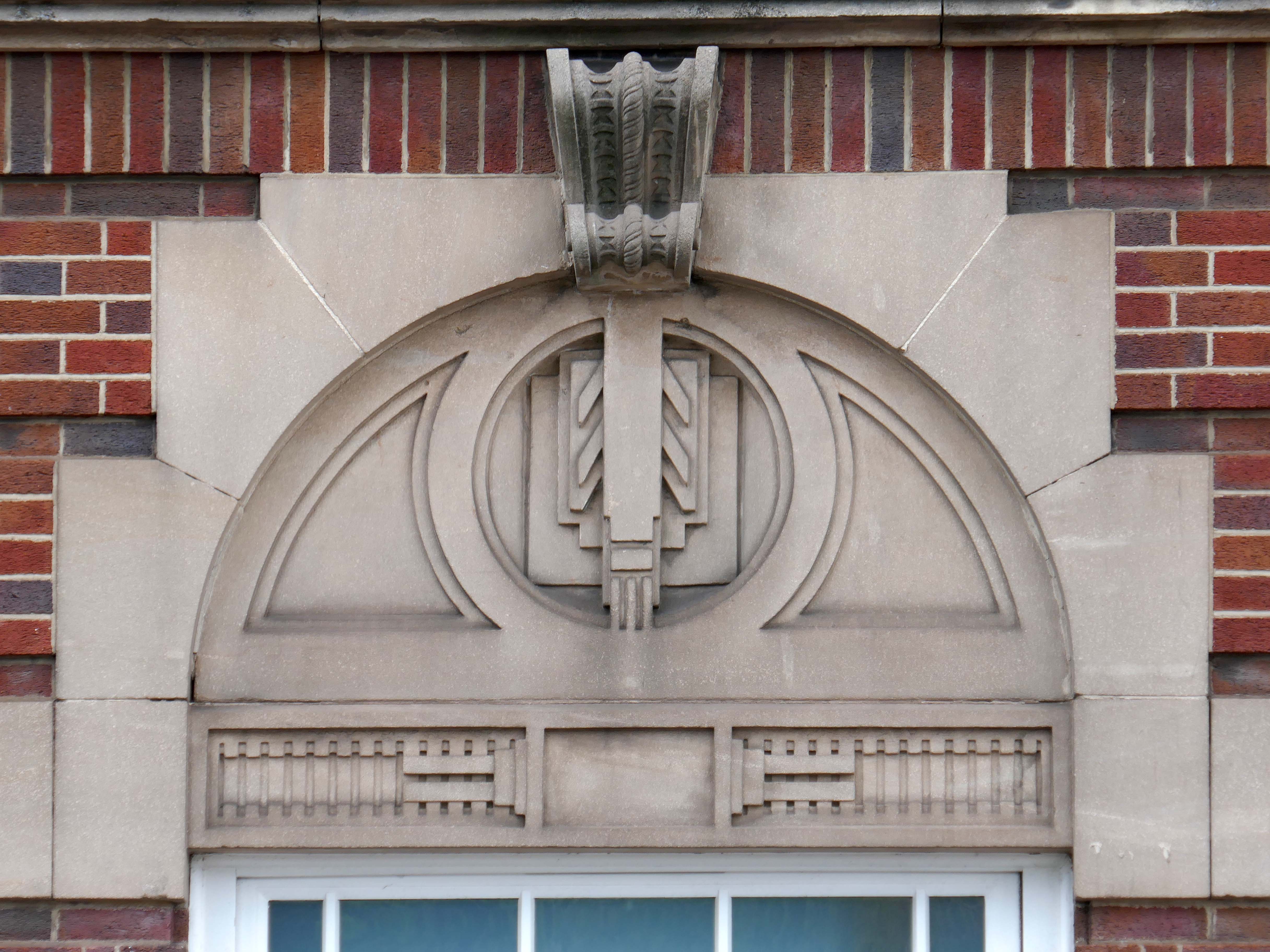
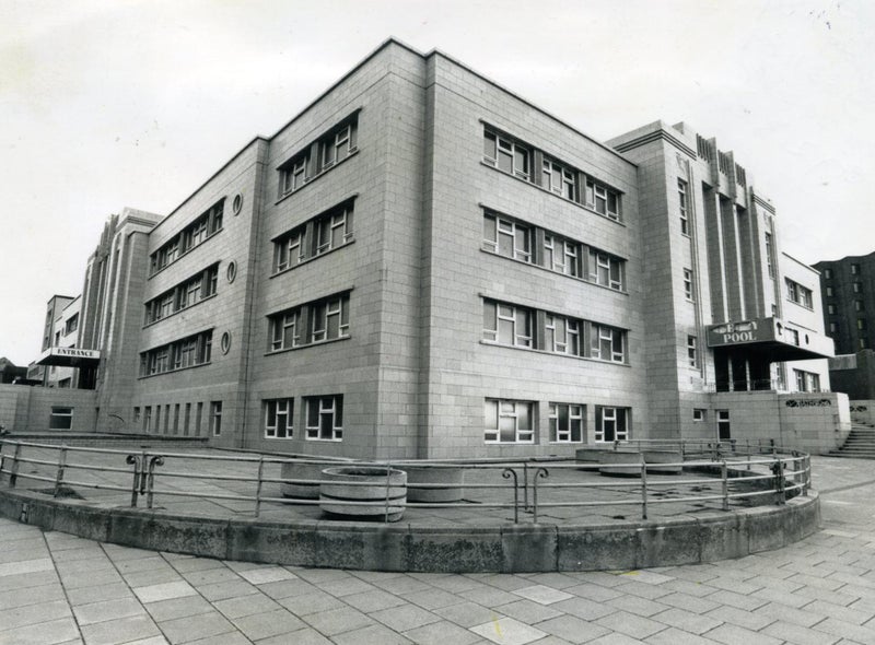
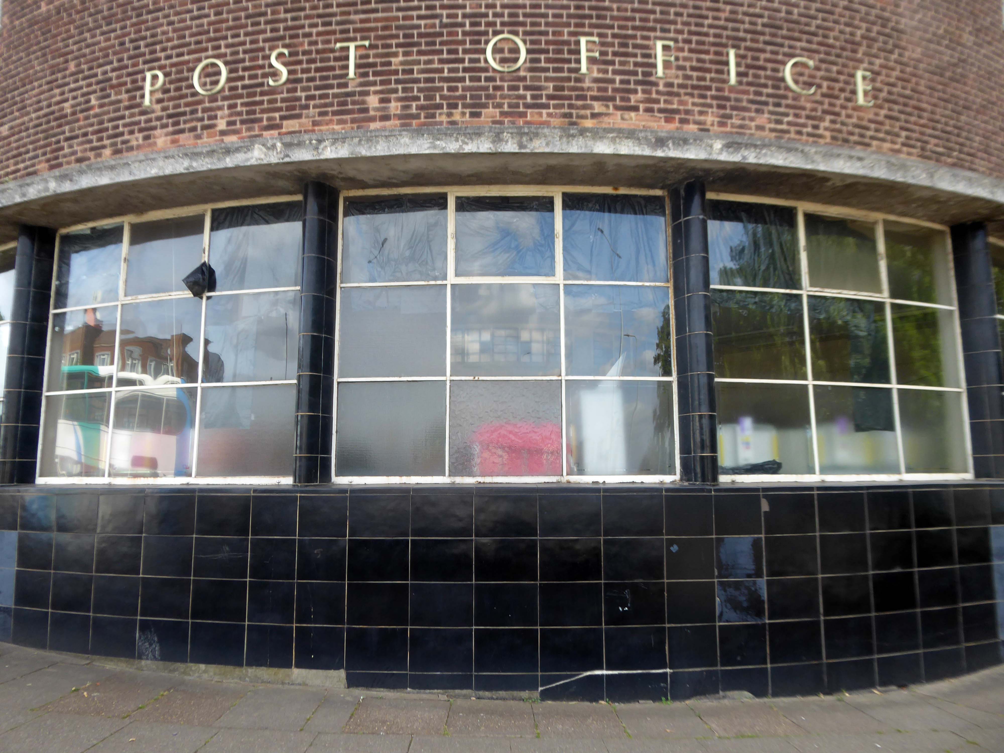
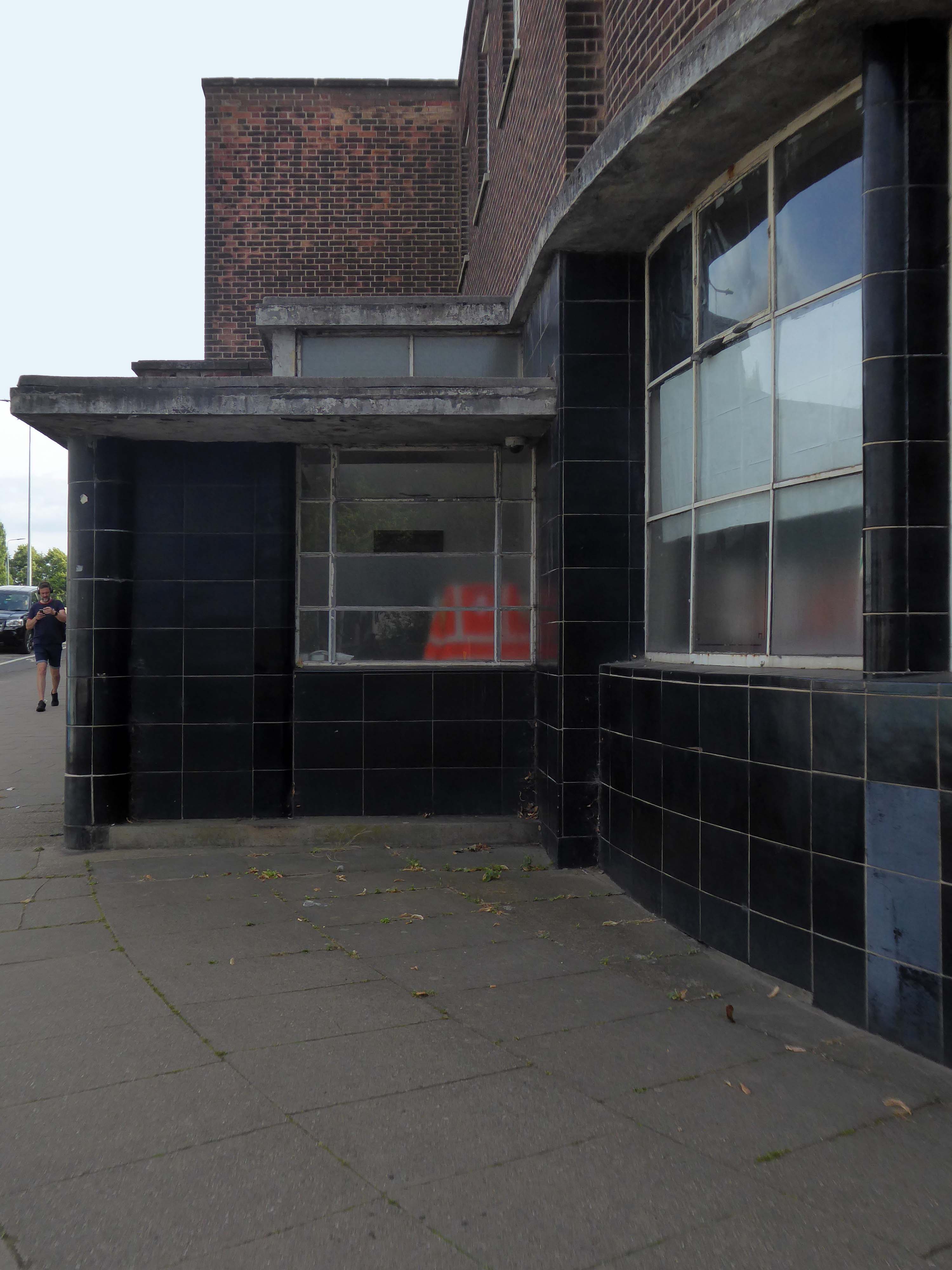
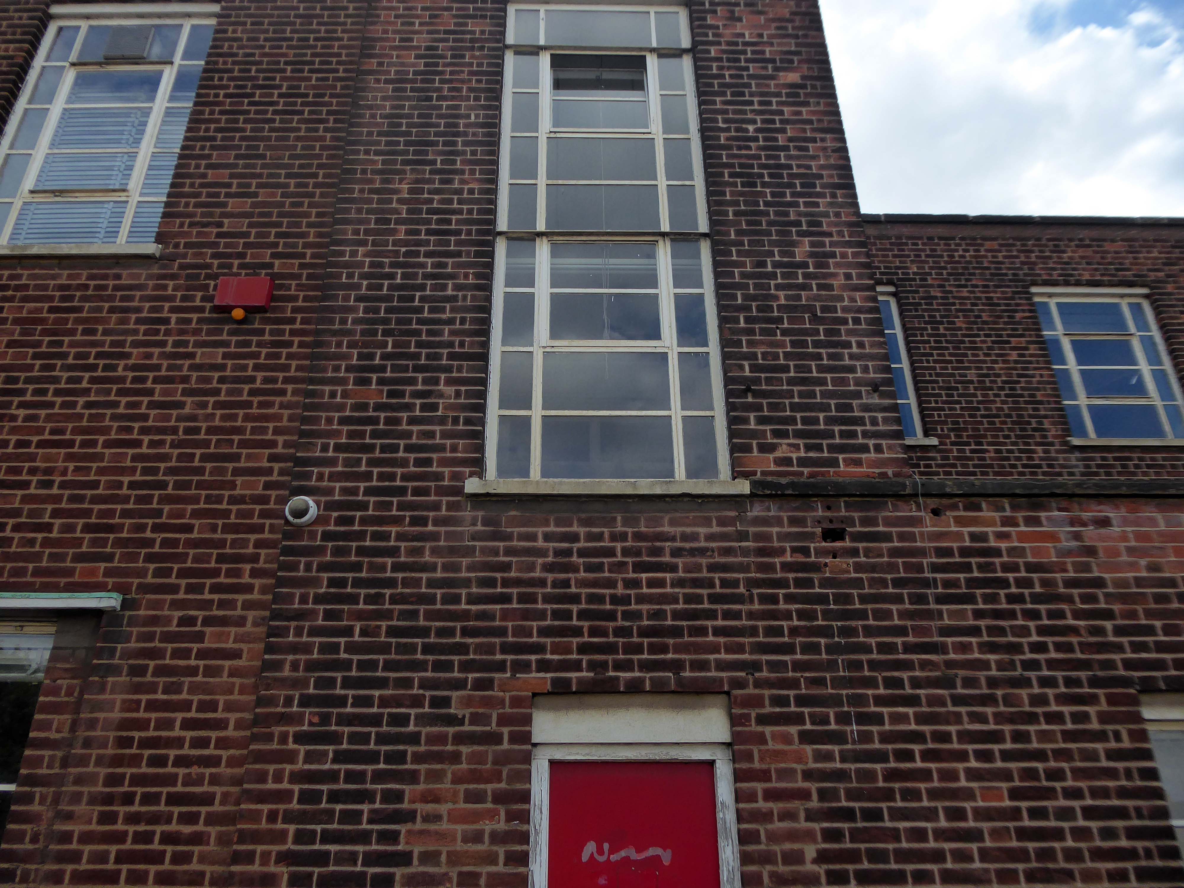
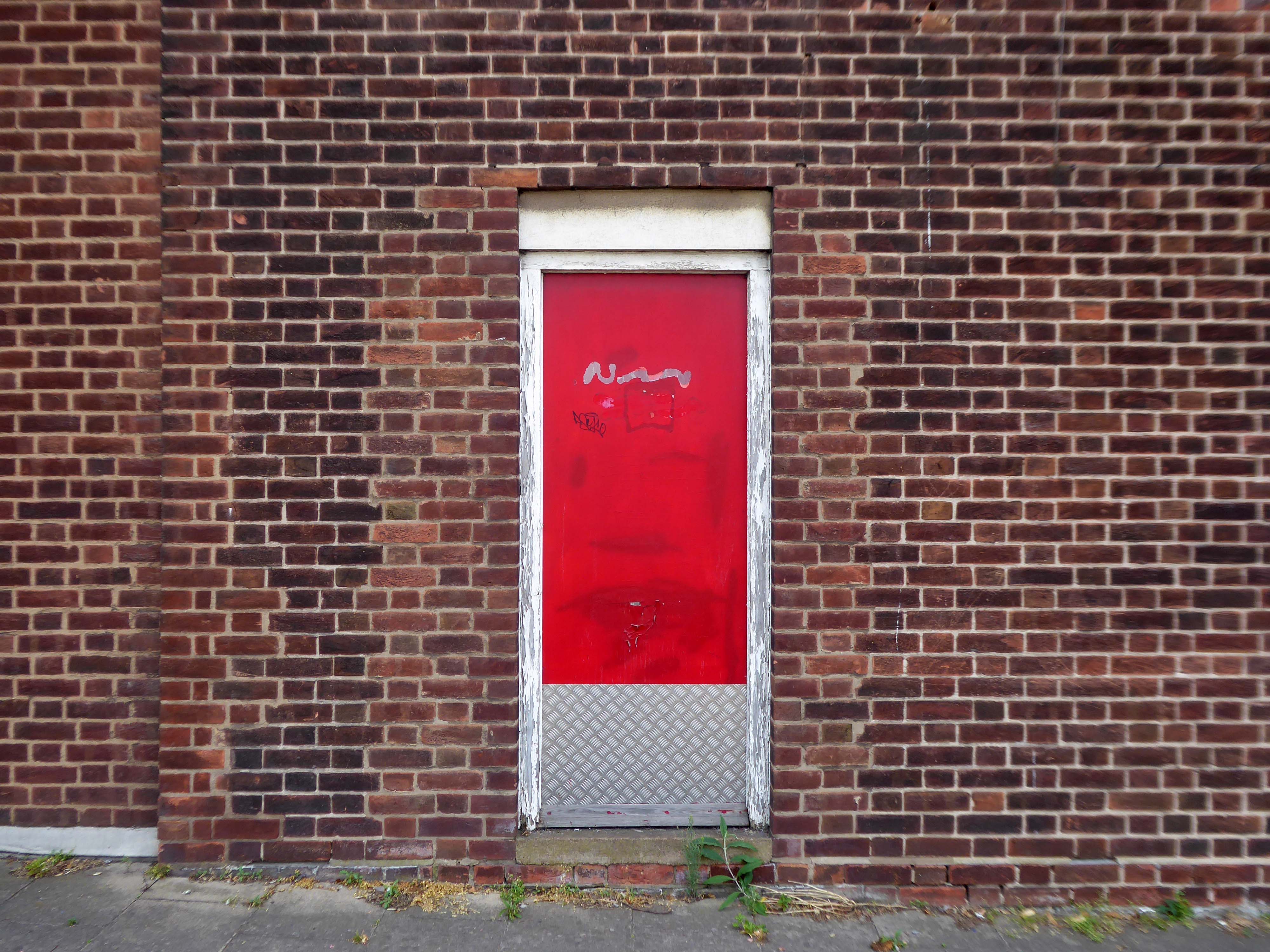
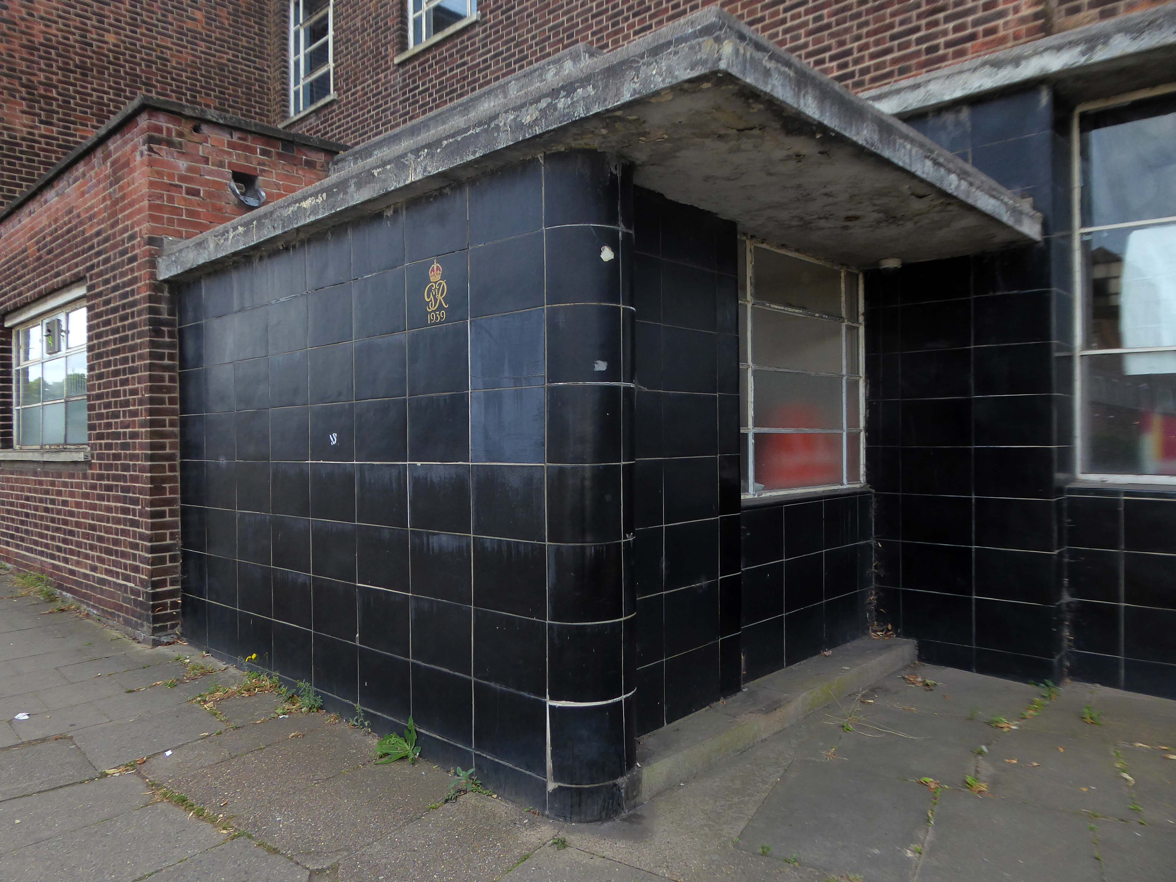
Onward to the County Technical College 1937 Grade II Listed – interior completed 1946.
The shell of the building was completed in 1937, after which it was used as an American army hospital during the war, then completed afterwards.
Heavily loaded with Art Deco details.
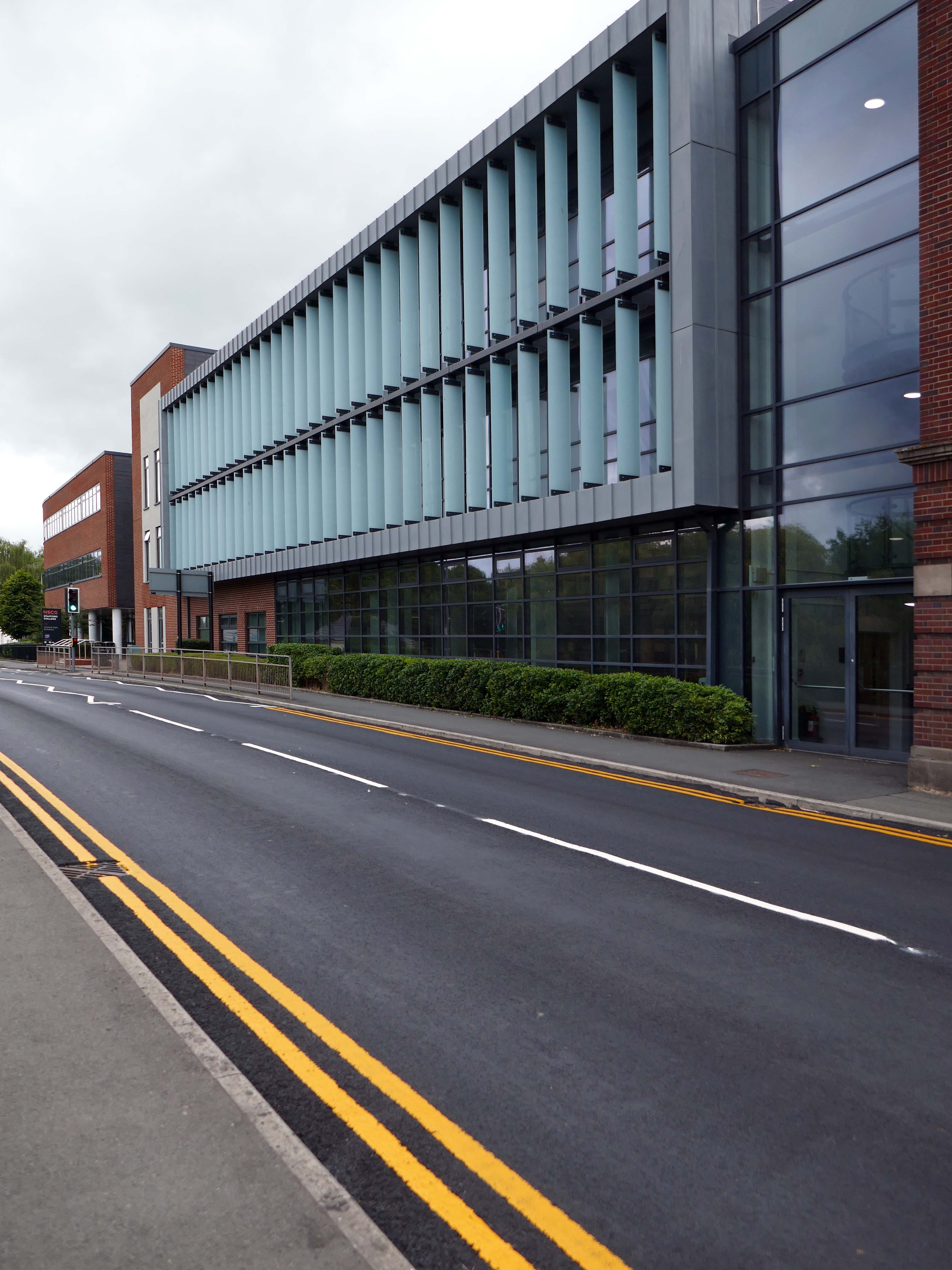
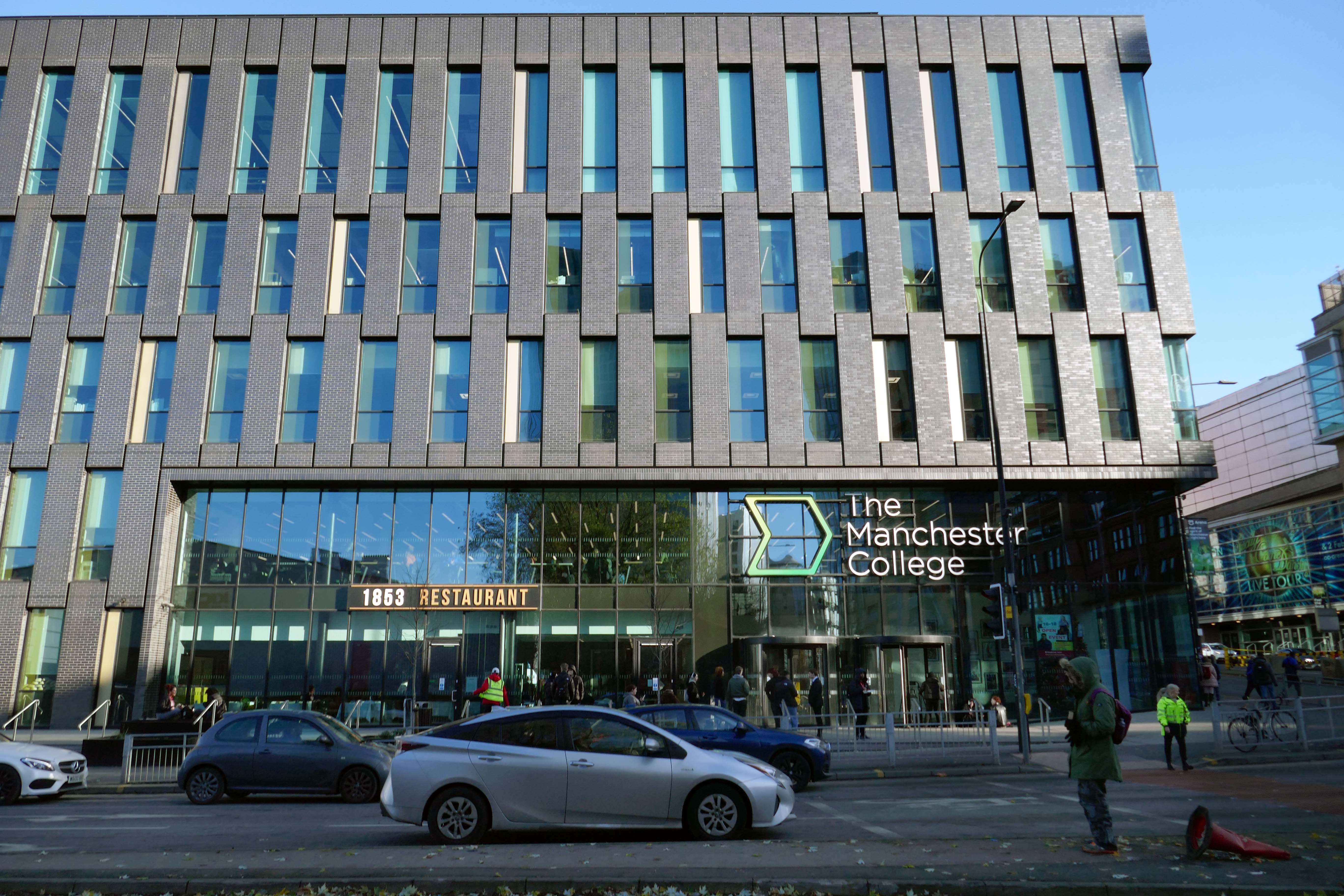
The new £28m three-storey Skills & Innovation Centre at Stafford College, completed in August 2023, was one of the first further education college schemes to be delivered under the DfE framework and a pathfinder scheme for delivery in accordance with the Further Education Output Specification. The new Centre is equipped with cutting-edge equipment and state-of-the-art facilities for construction, engineering and hybrid / electric vehicle maintenance facilities, as well as IT rich seminar suites and open learning break-out spaces along with a 4-court sports hall, a fully-equipped gym and a flexible 300-seat auditorium.
A 1970’s block was demolished to make way for the new development.
Almost everywhere we go we find a PoMo Crown Courts 1991 – architects: Associated Architects of Birmingham, cost of £10.4 million.
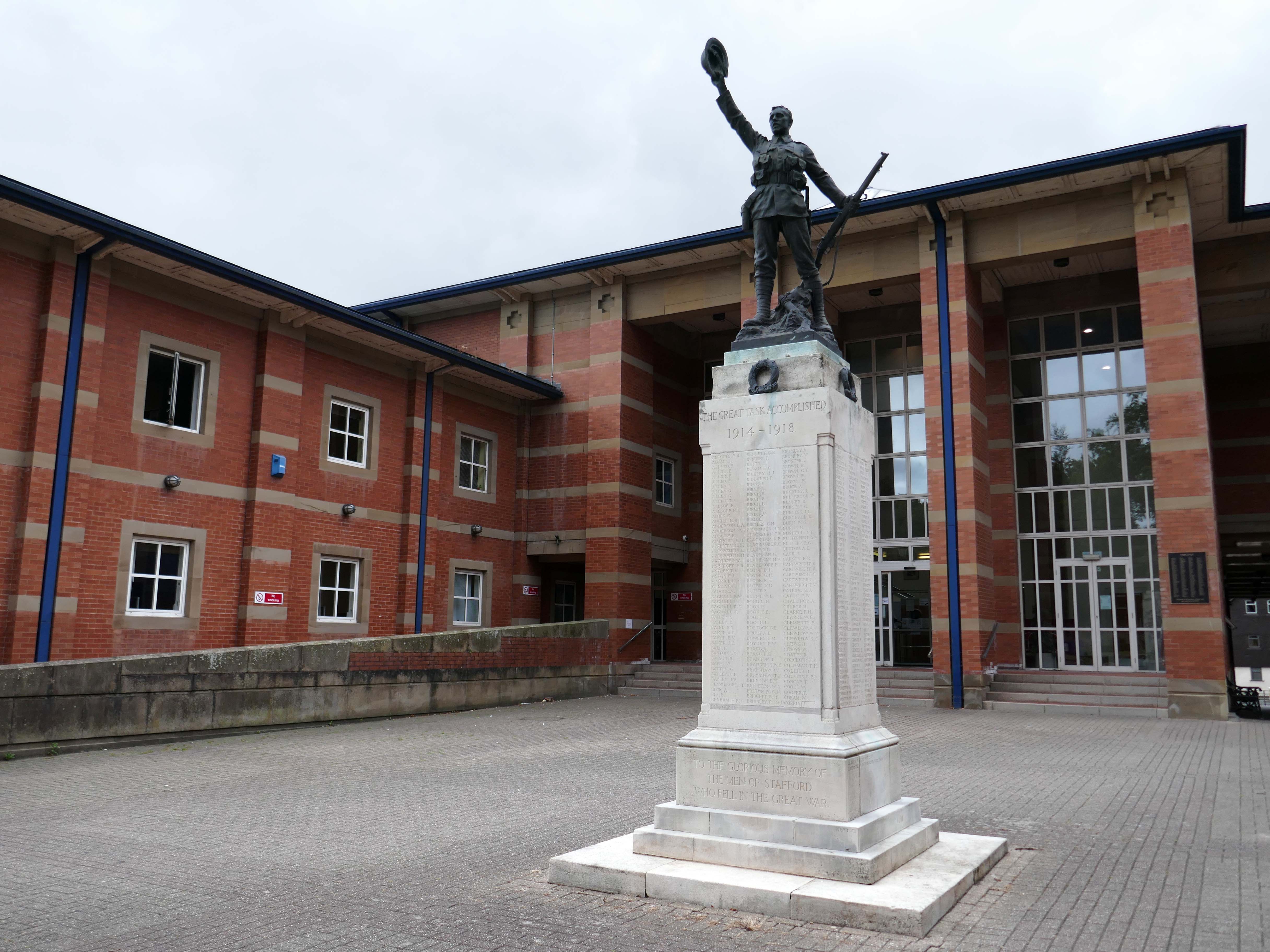
The war memorial of 1922 is by Joseph James Whitehead.
Sneaking through the alley to and before the McDonalds – one many more recent buildings with jetted lead clad bays.
Keeping the town Tudor one bay at a time..
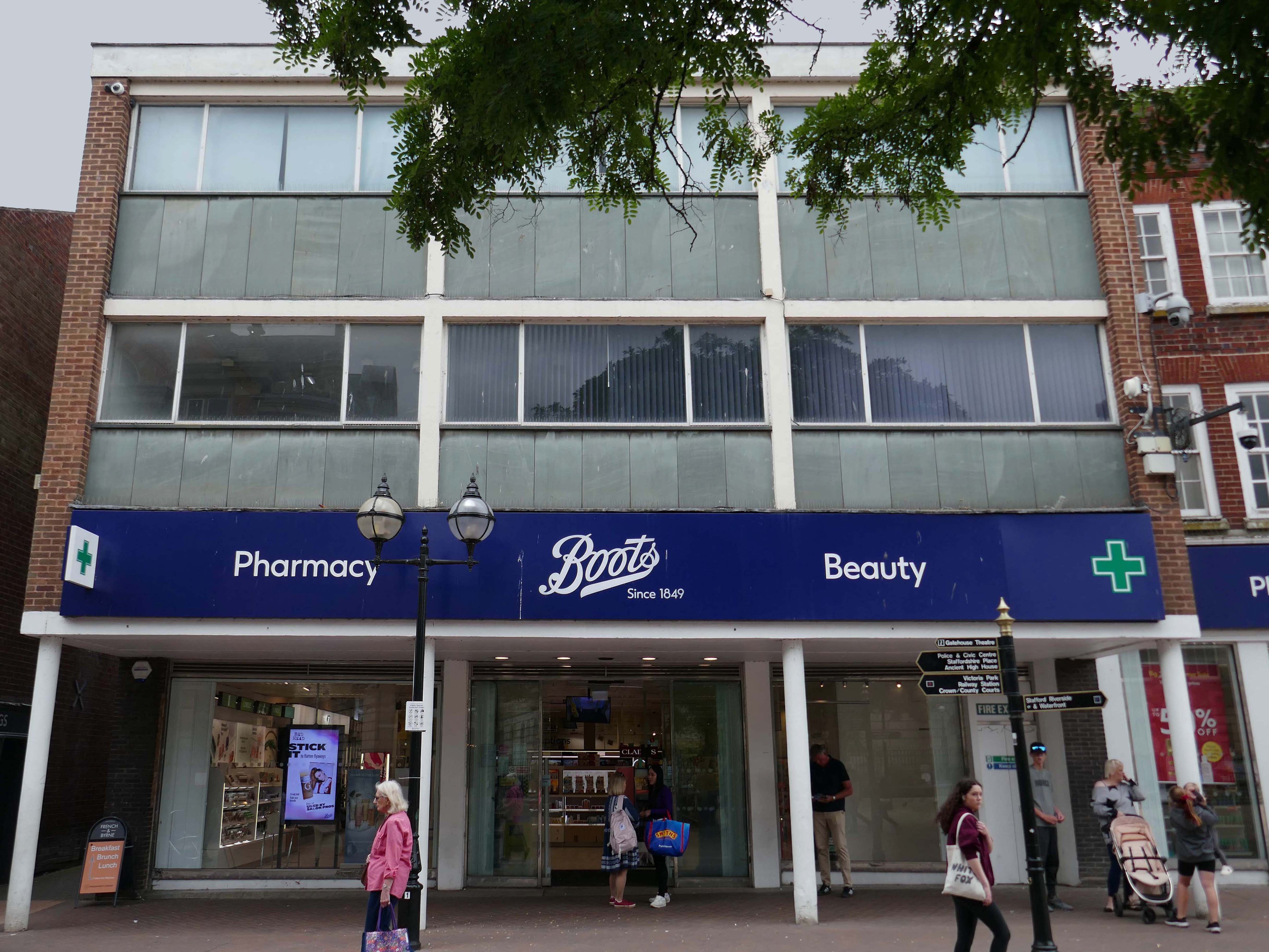
Further along a Sixties Boots.
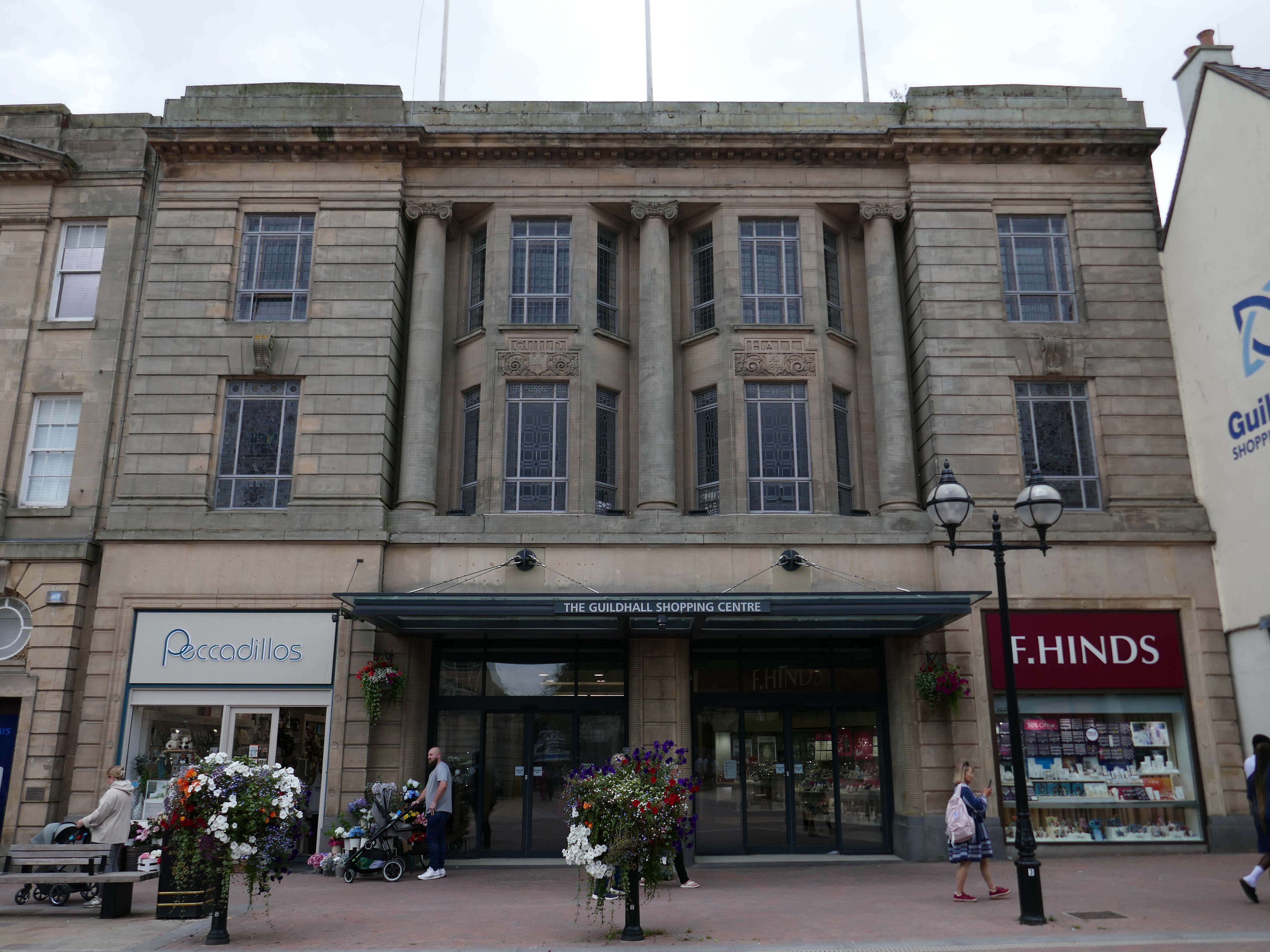
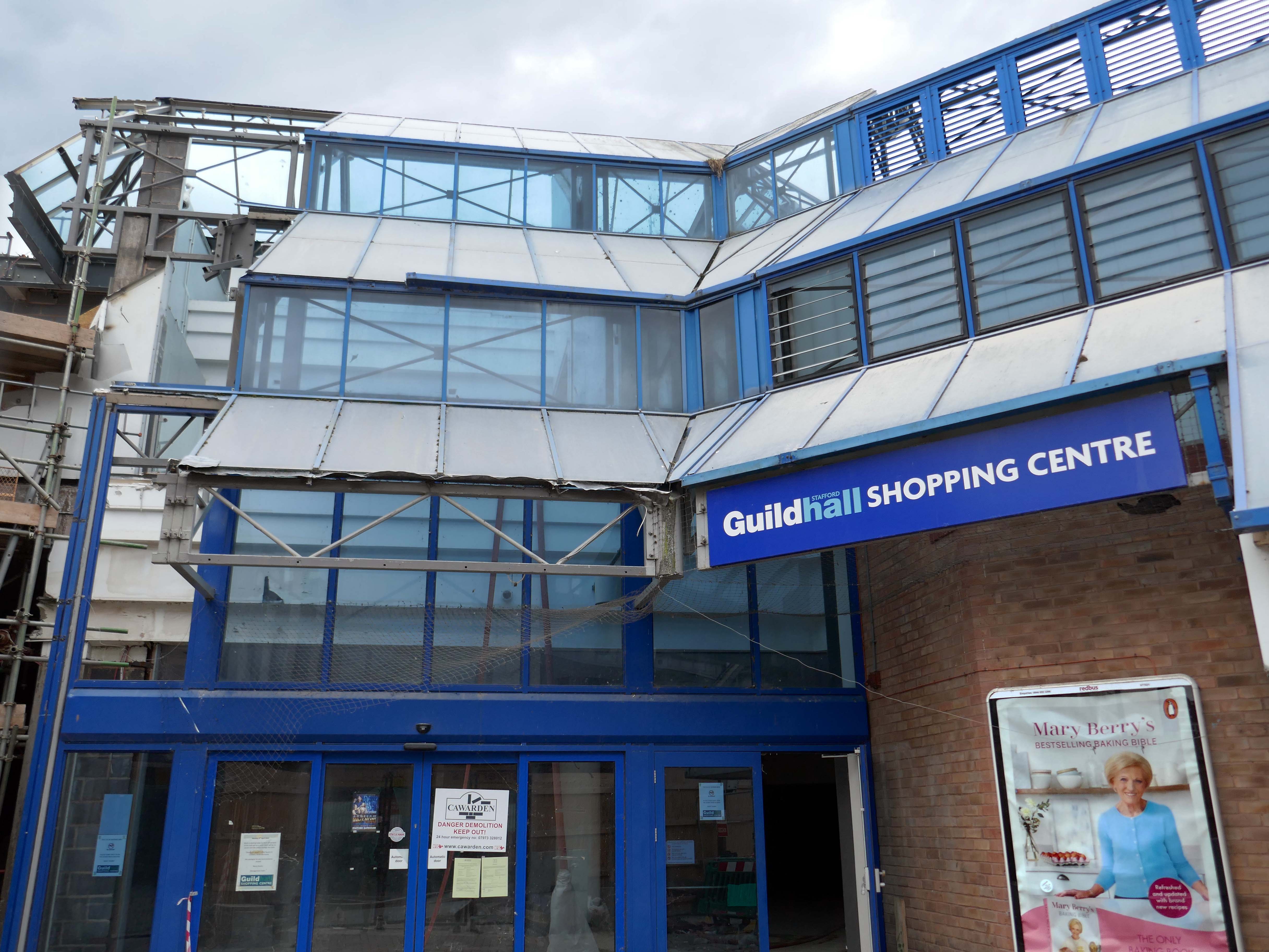
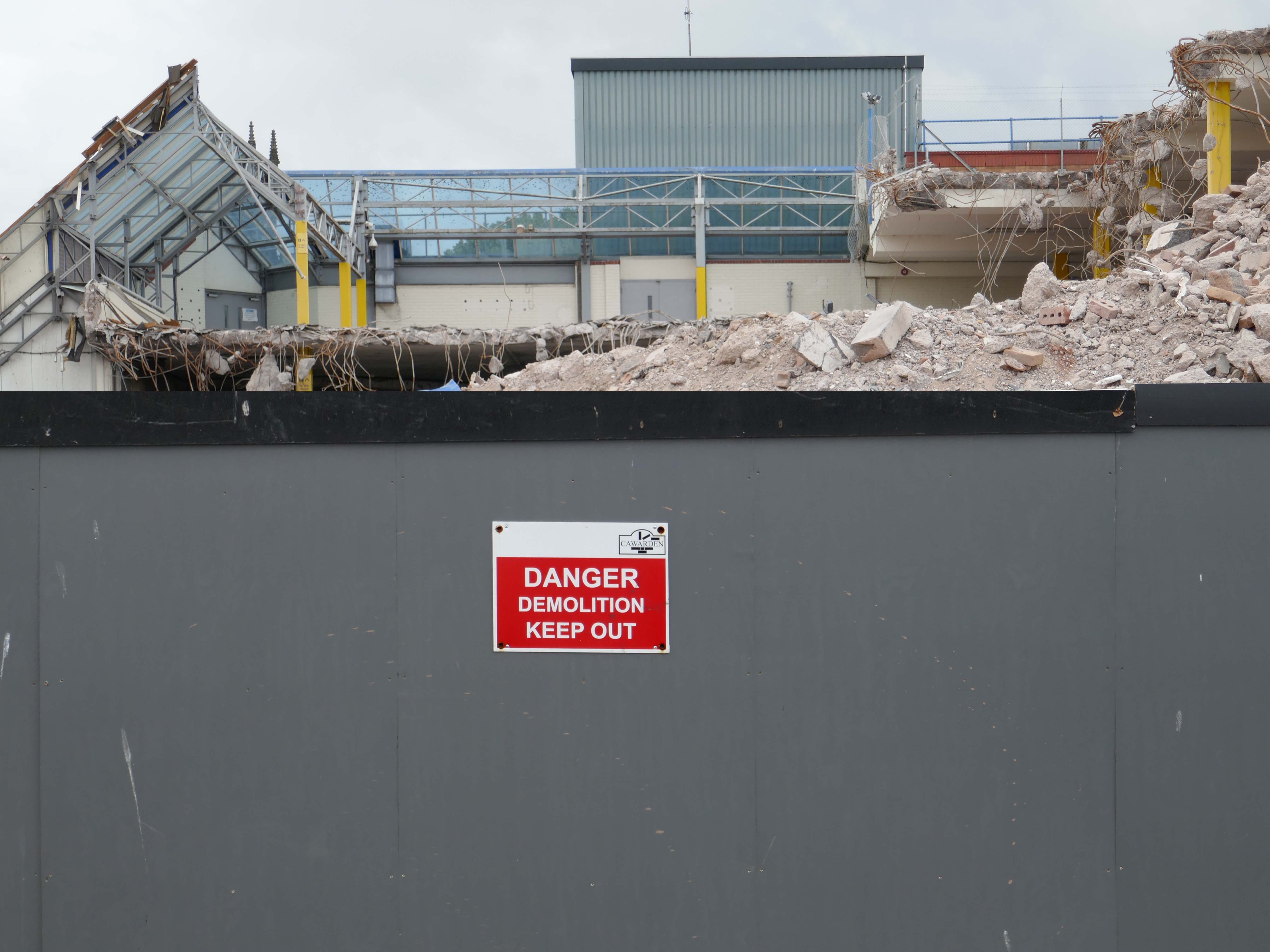
The Classical stone frontage of the Guildhall Shopping Centre.
Working with Mercia Real Estate, Glancy Nicholls Architects have designed a contextual mixed-use scheme in the heart of Stafford Town Centre, within the footprint of a disused shopping centre. This includes the regeneration of the 1930’s Guildhall building that serves as the main entrance to the shopping centre and the listed Market Square building.
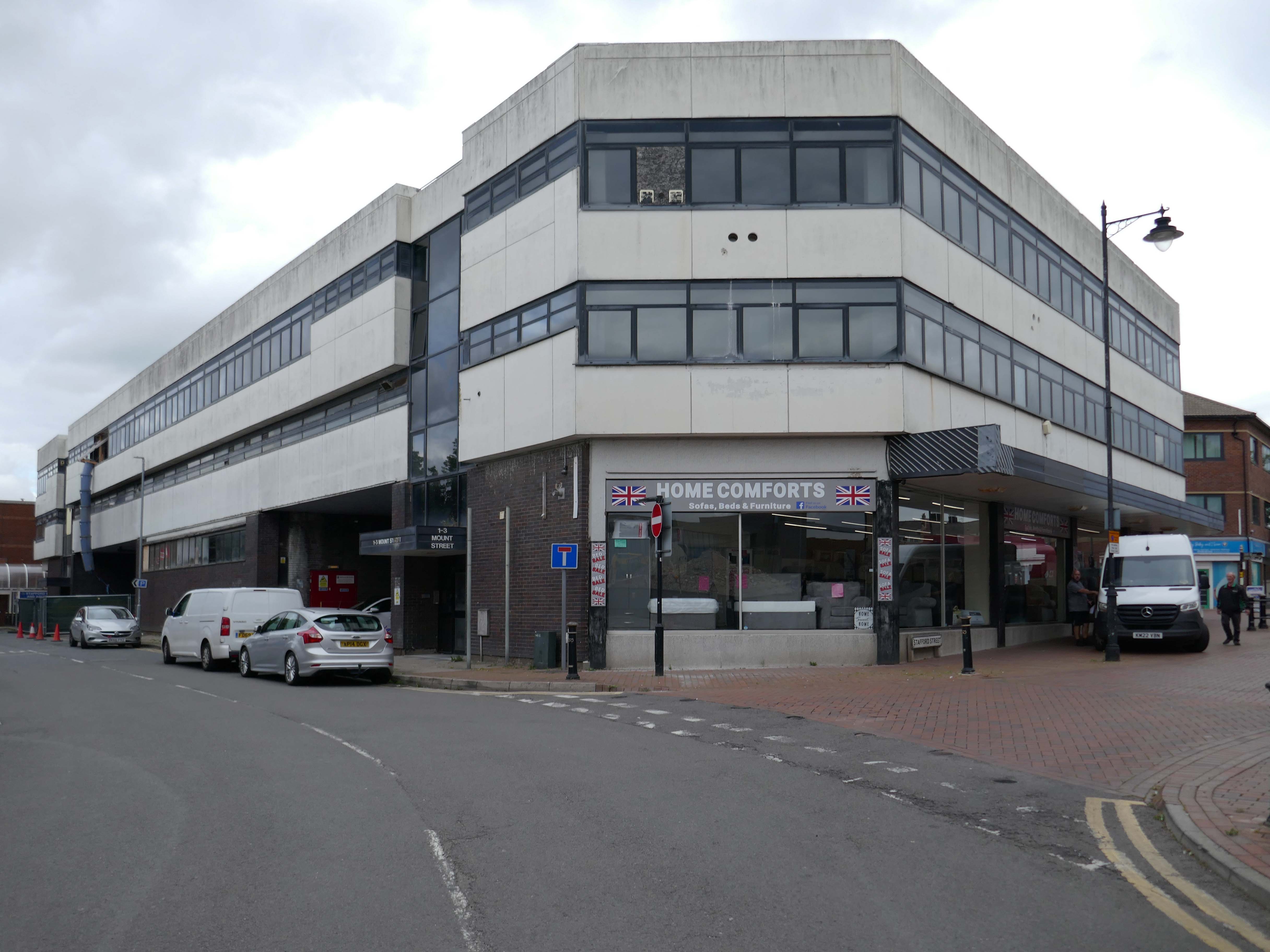
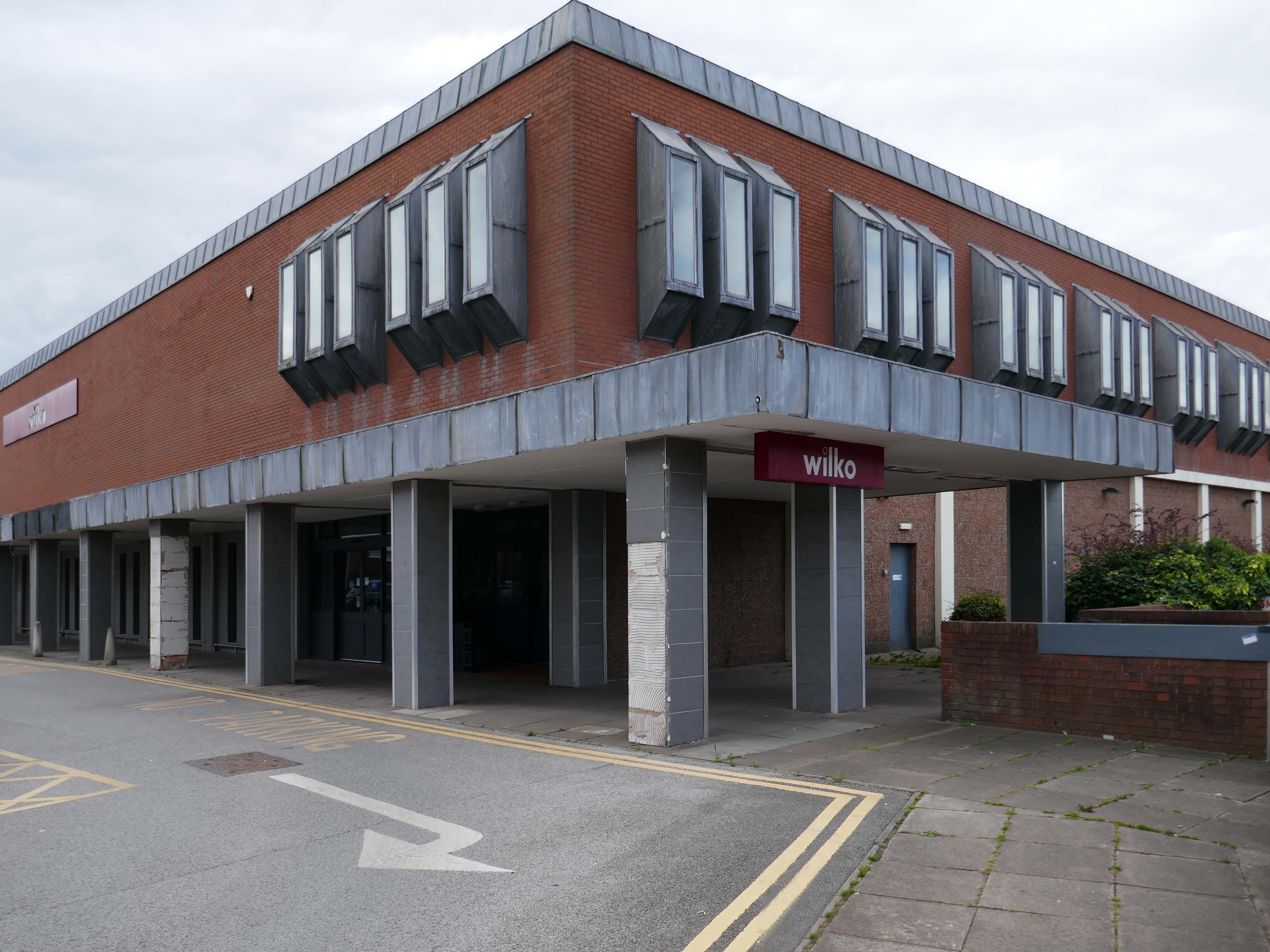
Around the corner a somewhat neglected retail development.
And a long lost Wilko.
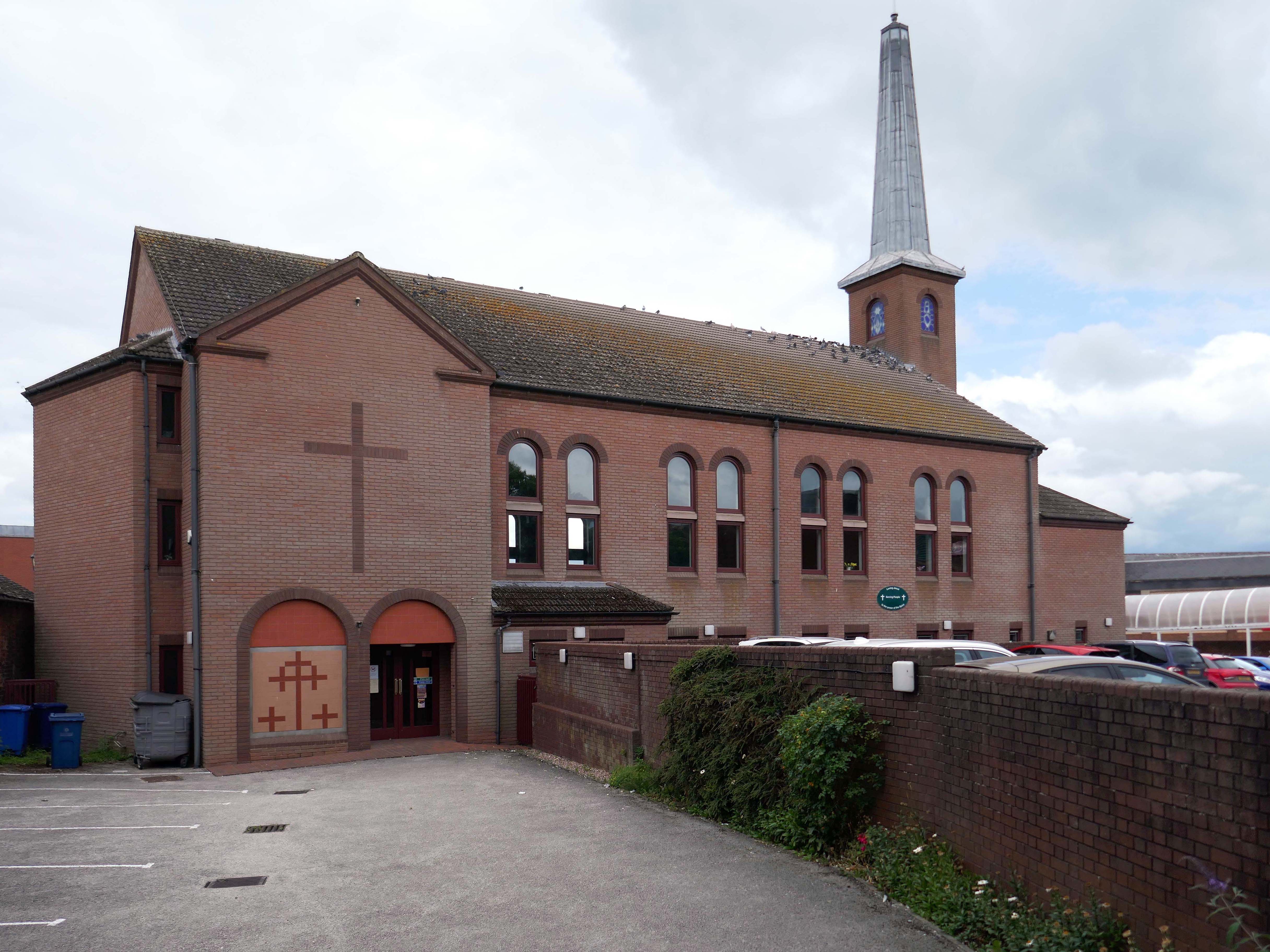
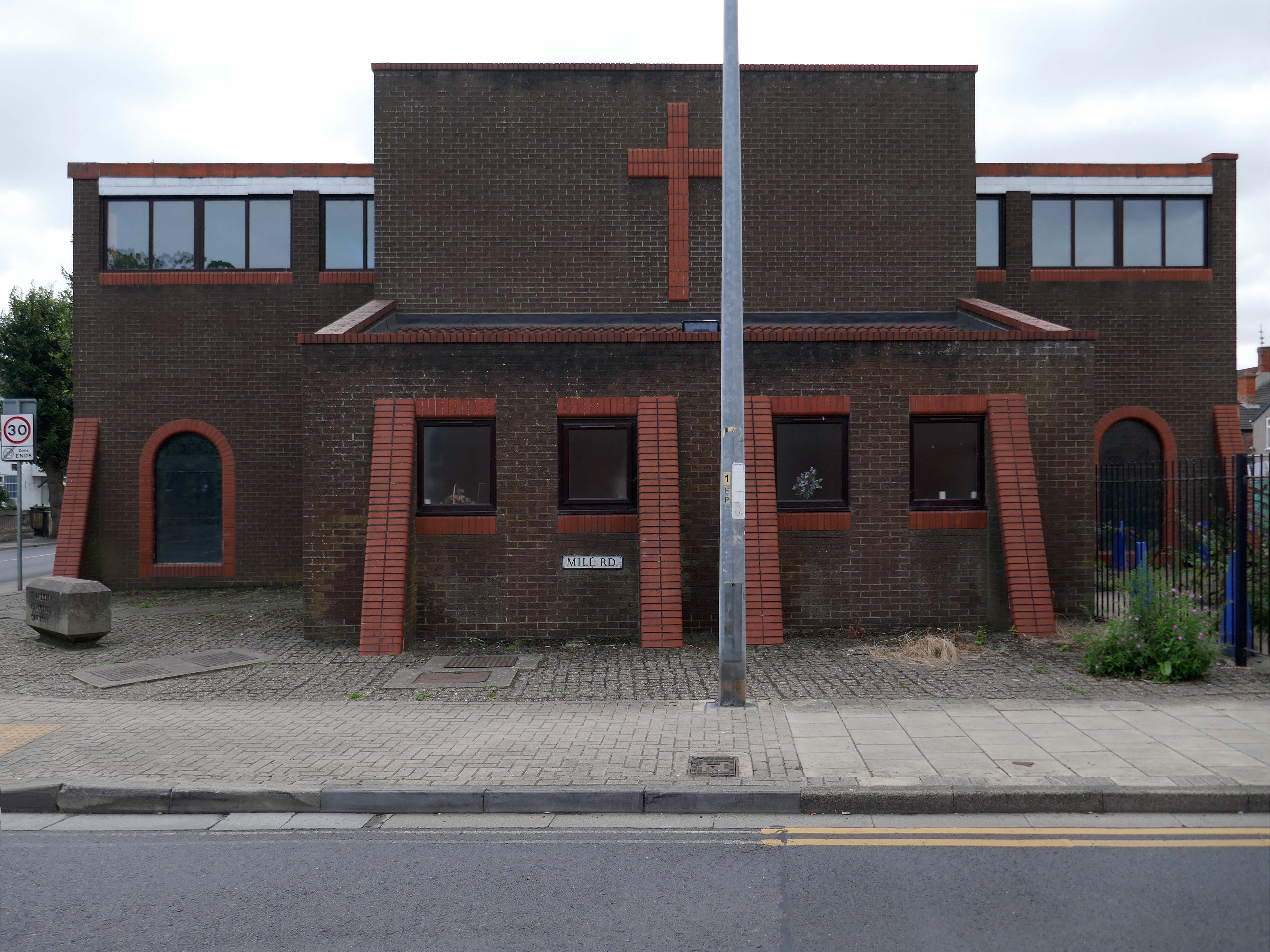
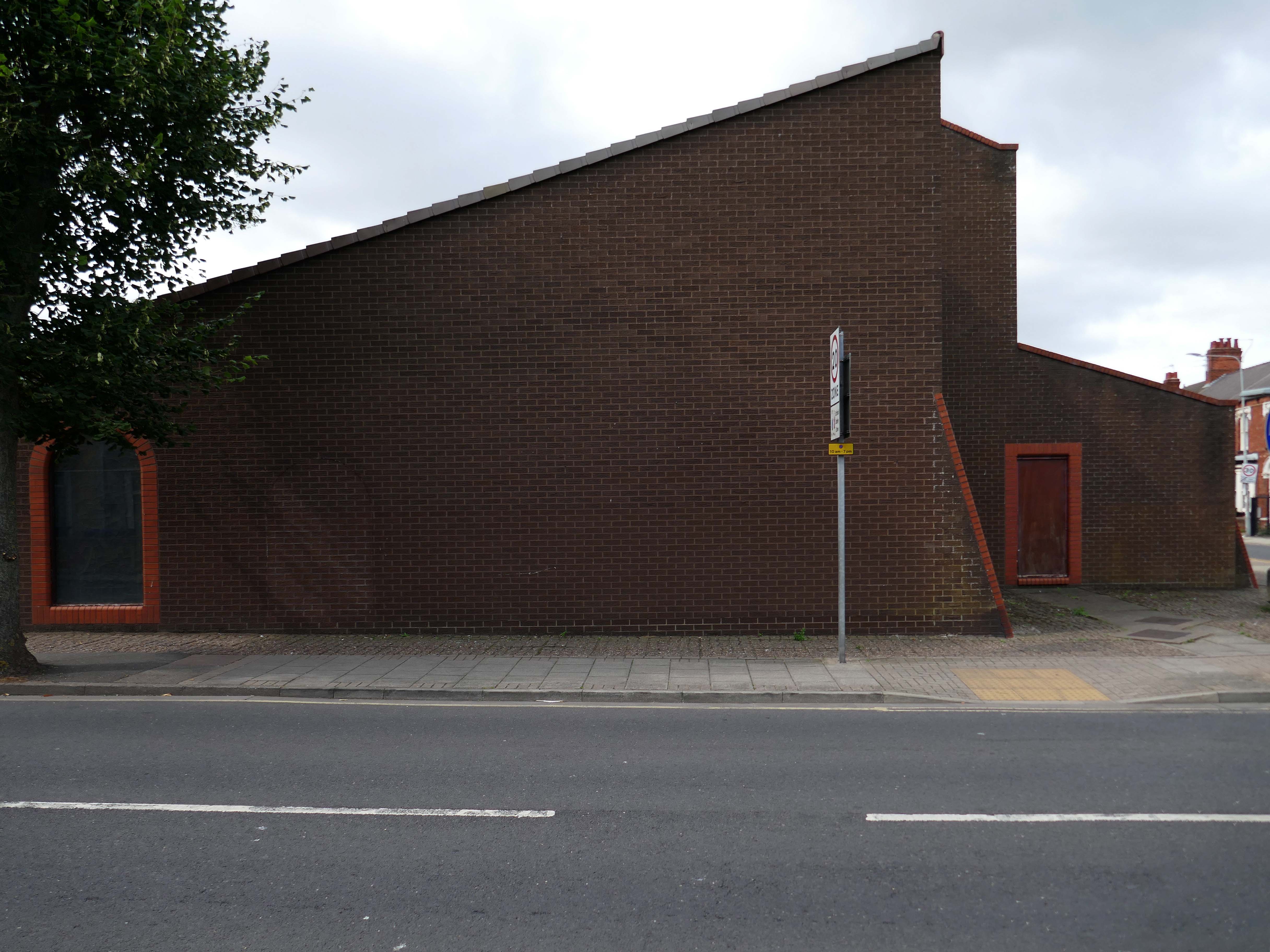
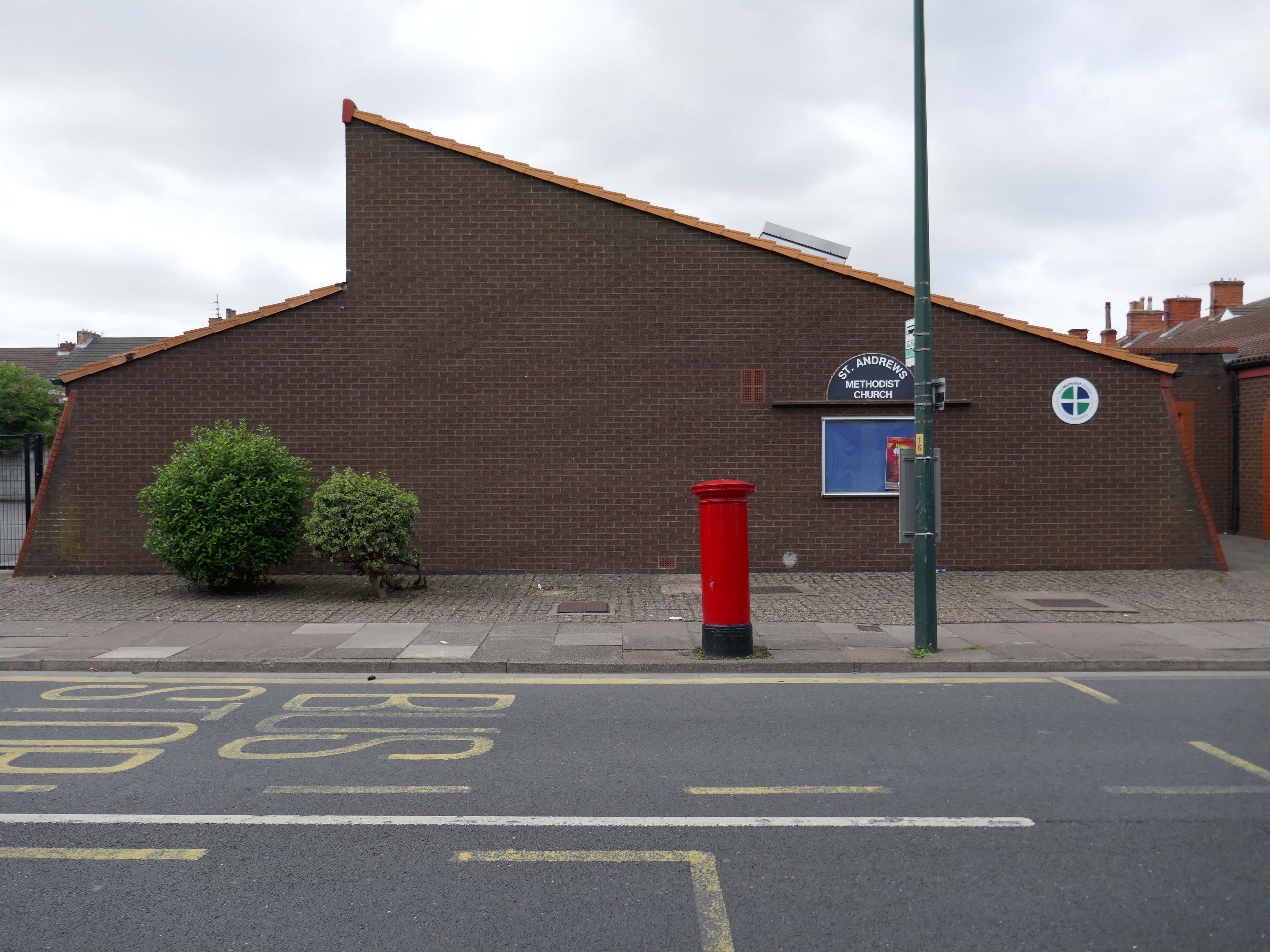
Amidst it all the curious time warp that is Trinity Church 1988.
It is used by Methodist and United Reformed Church congregations.
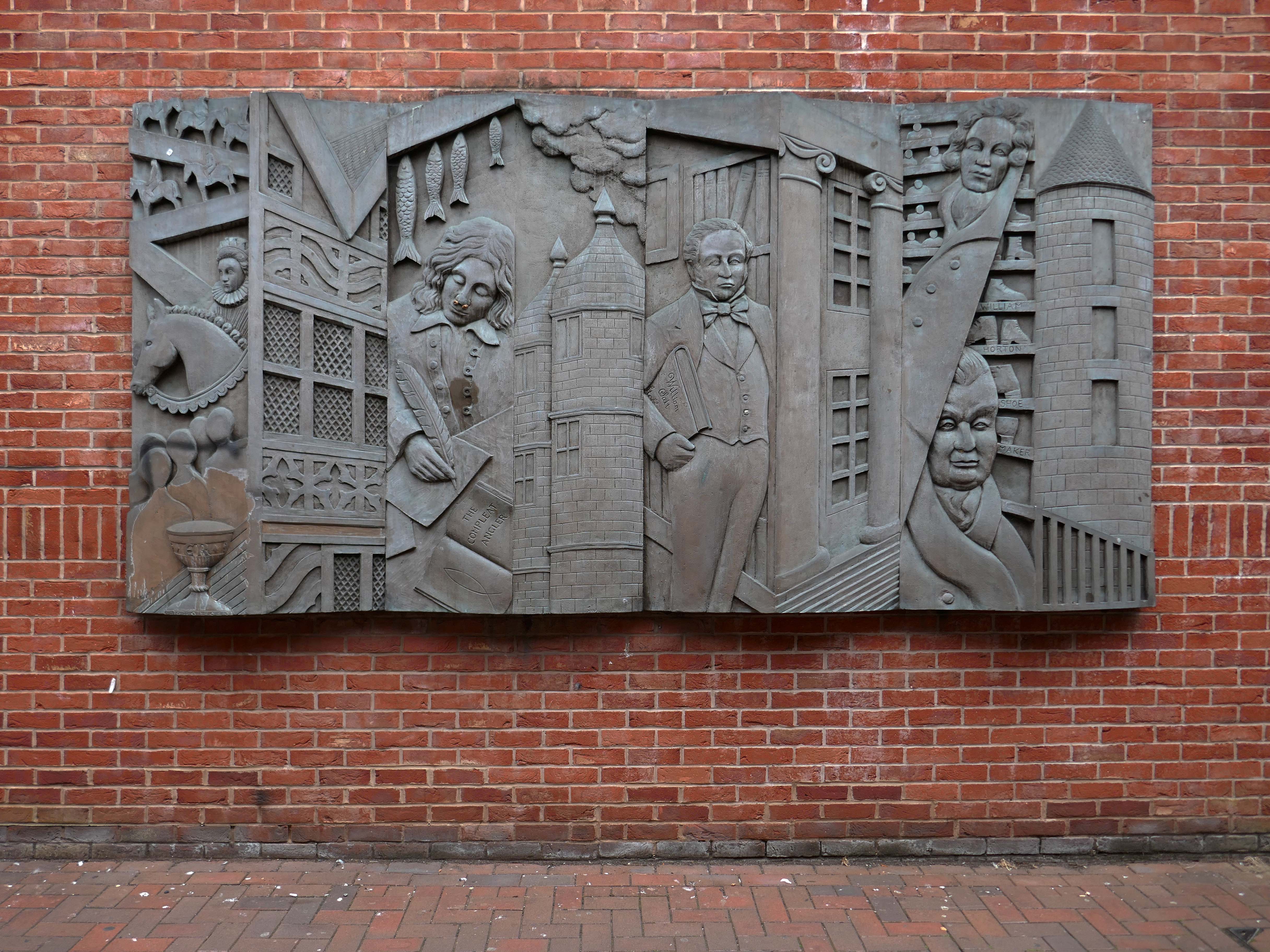
Tucked away in a minor maze of retail a piece of figurative commemorative public art by Glynis Owen Jones, entitled Stafford Faces.
Around the corner a big B&M.
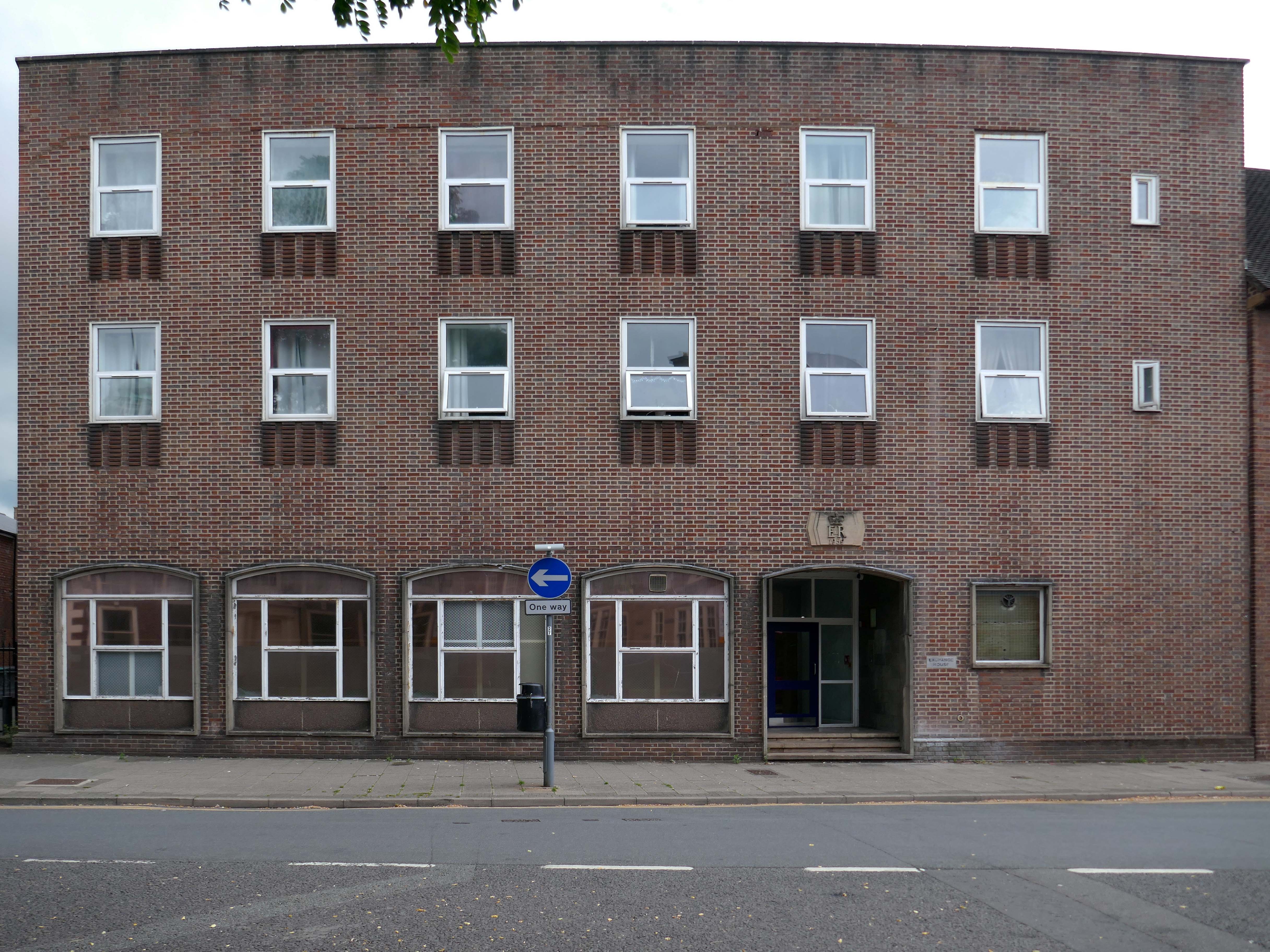
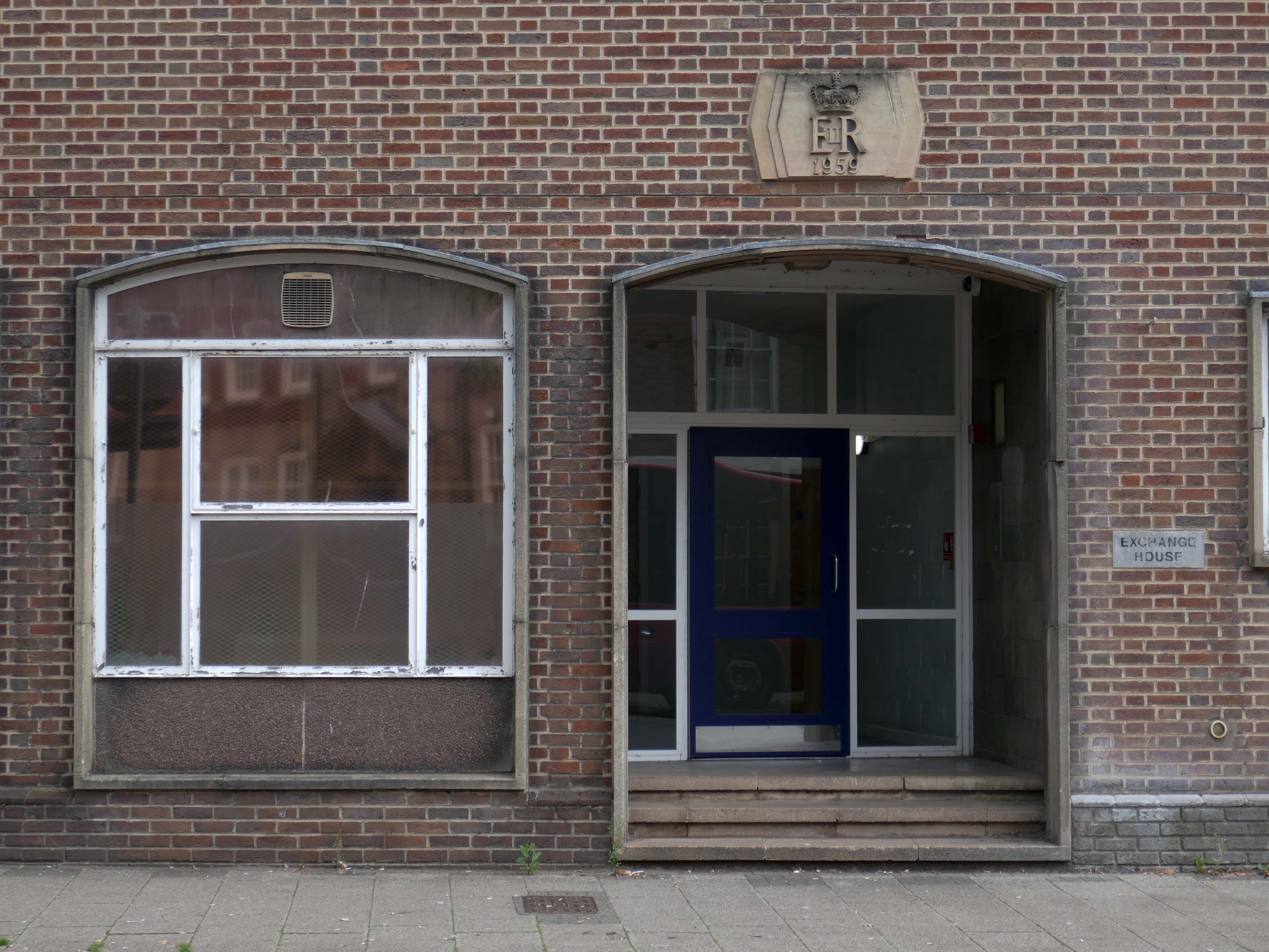
Further along a brick FoB Telephone Exchange of 1959.
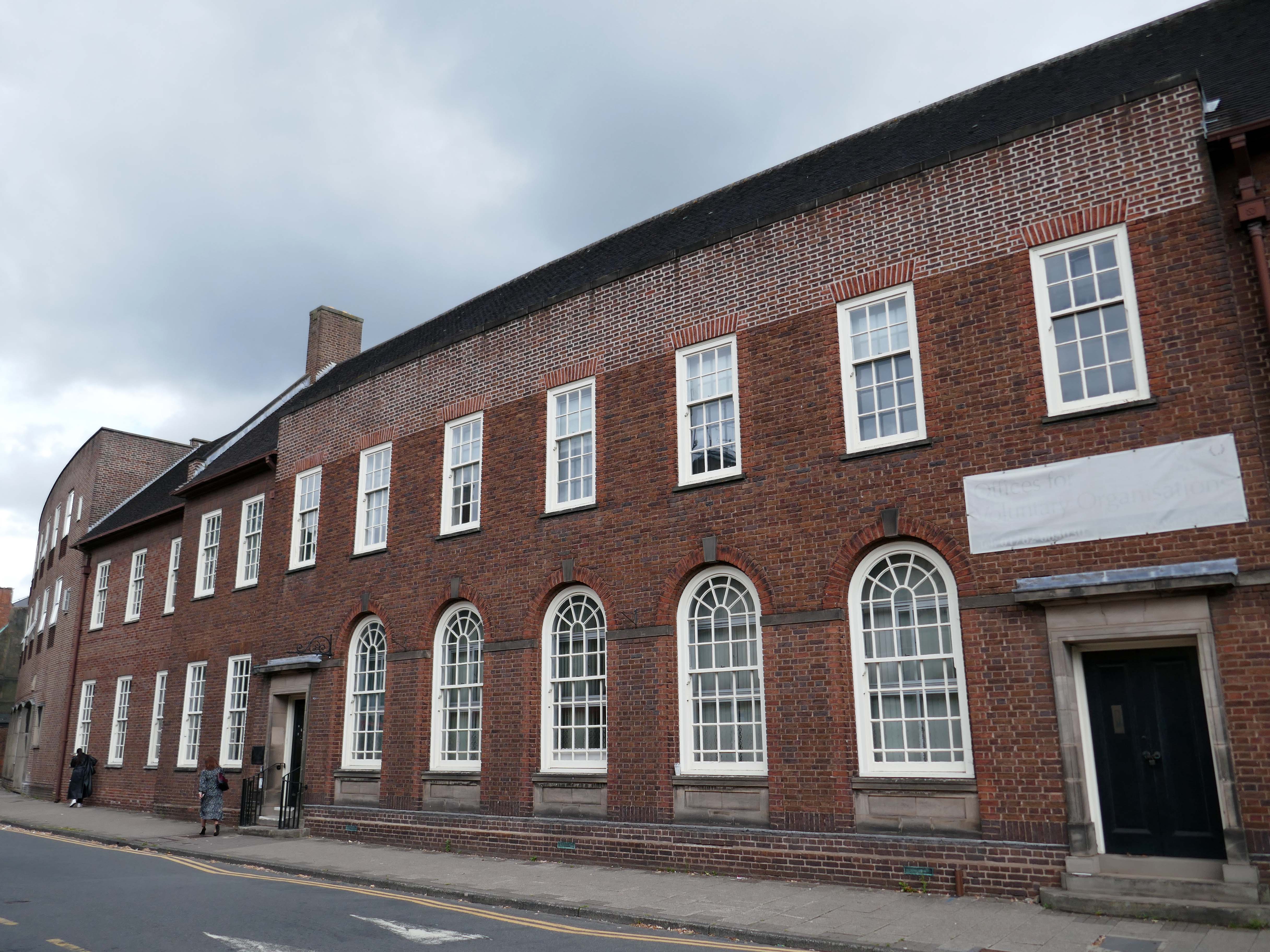
Adjoined by the County Records building.
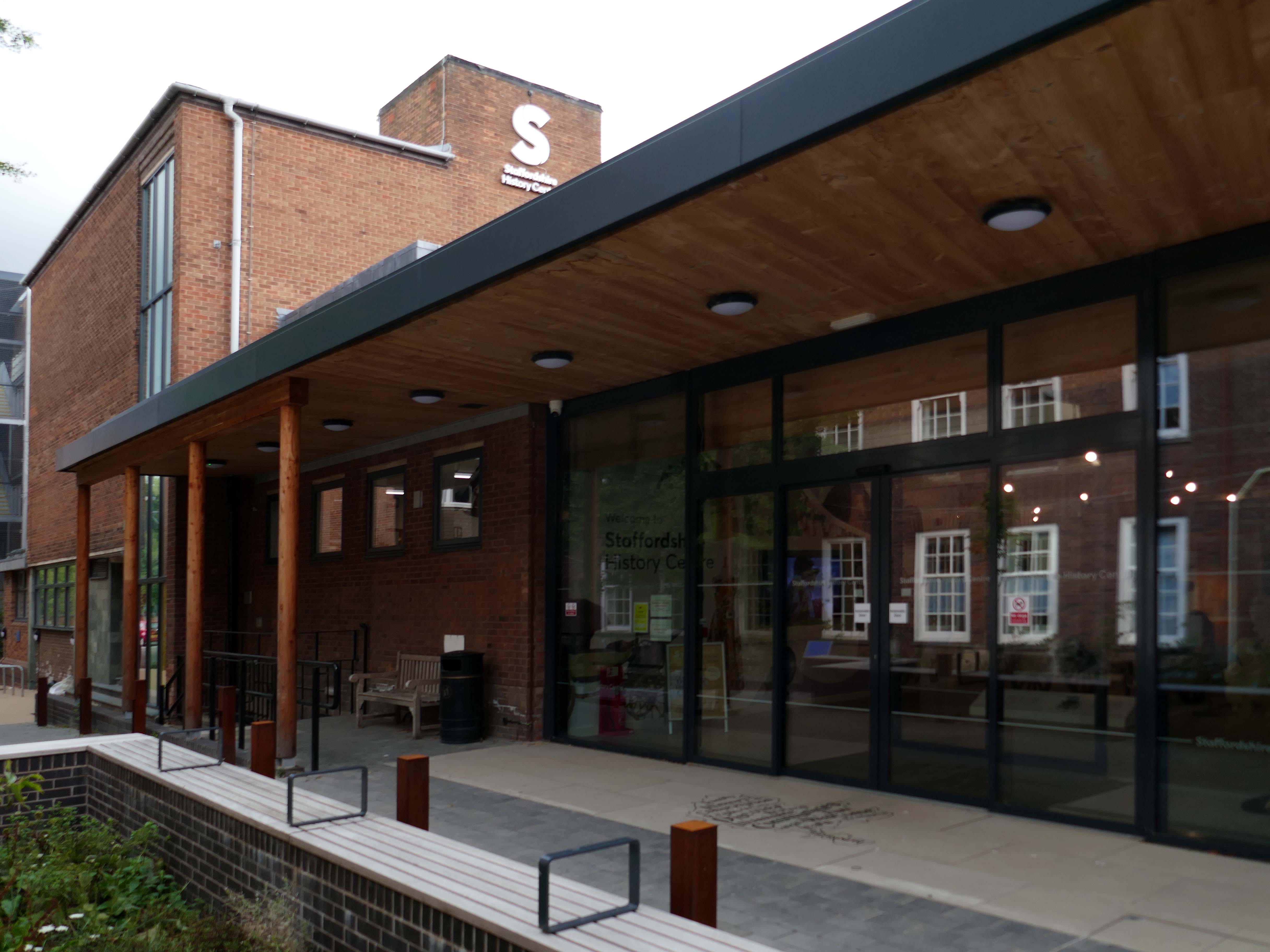
Pringle Richards Sharratt Architects have been appointed by Staffordshire County Council to create a new History Centre for Staffordshire and Stoke on Trent.
The new £4m centre will be located on Eastgate Street in Stafford and will hold historical records and collections up to 1,000 years old.
The scheme will help to provide a rejuvenated service combining the existing Records Office building and William Salt Library, in Stafford and provide a welcoming destination for all of those with an interest in local history. This will include bringing on to the Stafford site the Lichfield Records Office and aspects of the County museum.
Further FoB in the Civic Building.
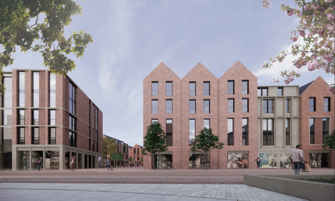
Close by the Staffordshire Place a civic and retail mixed use development.
Our scheme delivers 135,000 ft2 of high quality contemporary office space across two buildings linked by a new town square. The ground floor incorporates a mix of retail and leisure uses around a sequence of smaller public spaces to maximise the amount of visible active frontage and create a natural extension to the town centre.
Sustainability issues fundamentally informed the design approach, from mitigating energy consumption to ‘future proofing’ the finished building. The building achieves a BREEAM ‘Excellent’ rating and a European Energy Performance of Buildings Directive Rating ‘A’.
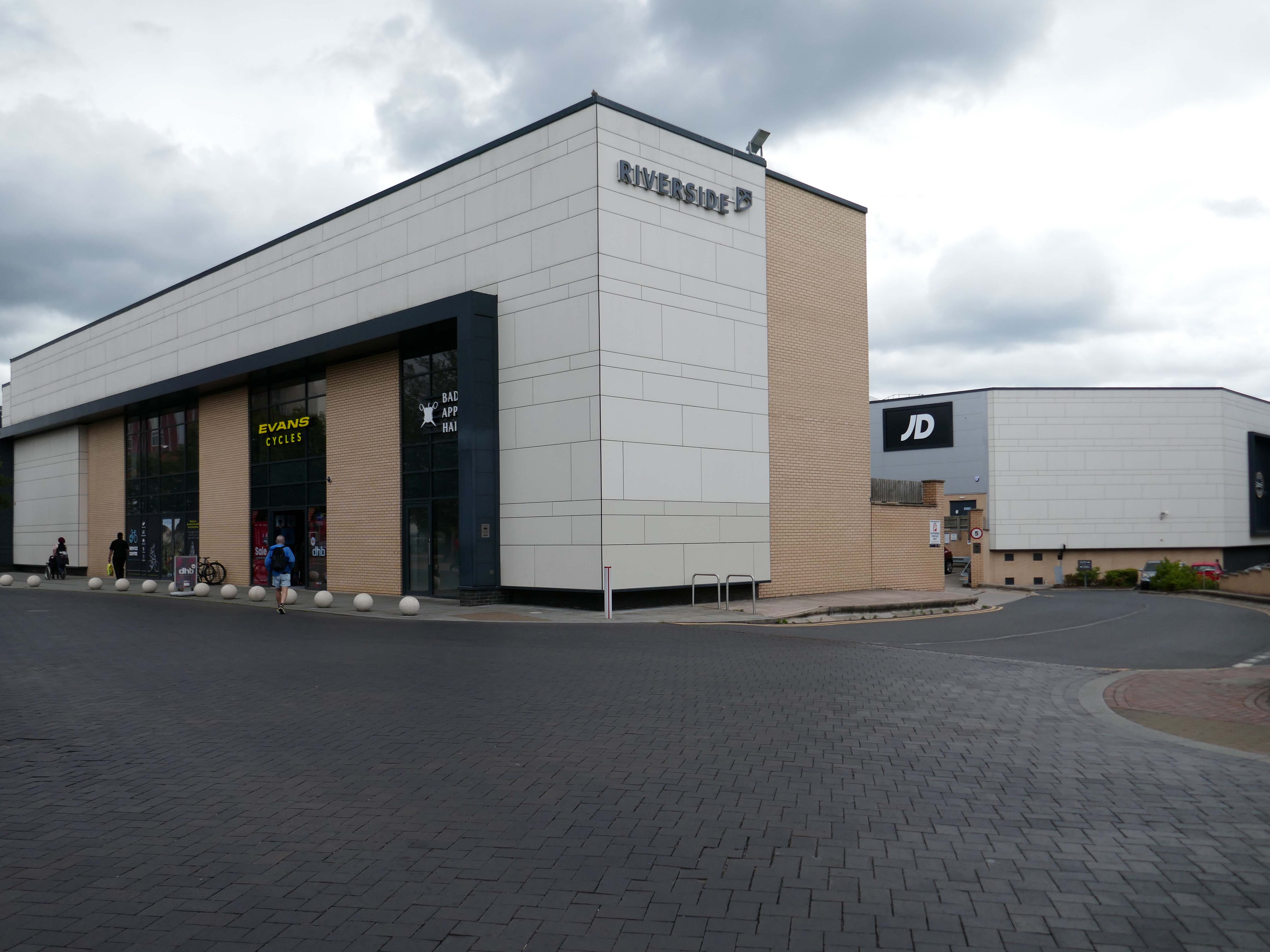
Surprise surprise another retail development Riverside.
£70m riverside town centre retail and leisure development in the heart of Stafford. The 230,000 sq. ft. scheme anchored by M&S will deliver 18 retail units arranged over ground and first floors, five leisure units and a six-screen cinema to complement and strengthen the town centre economy and create new businesses and jobs.
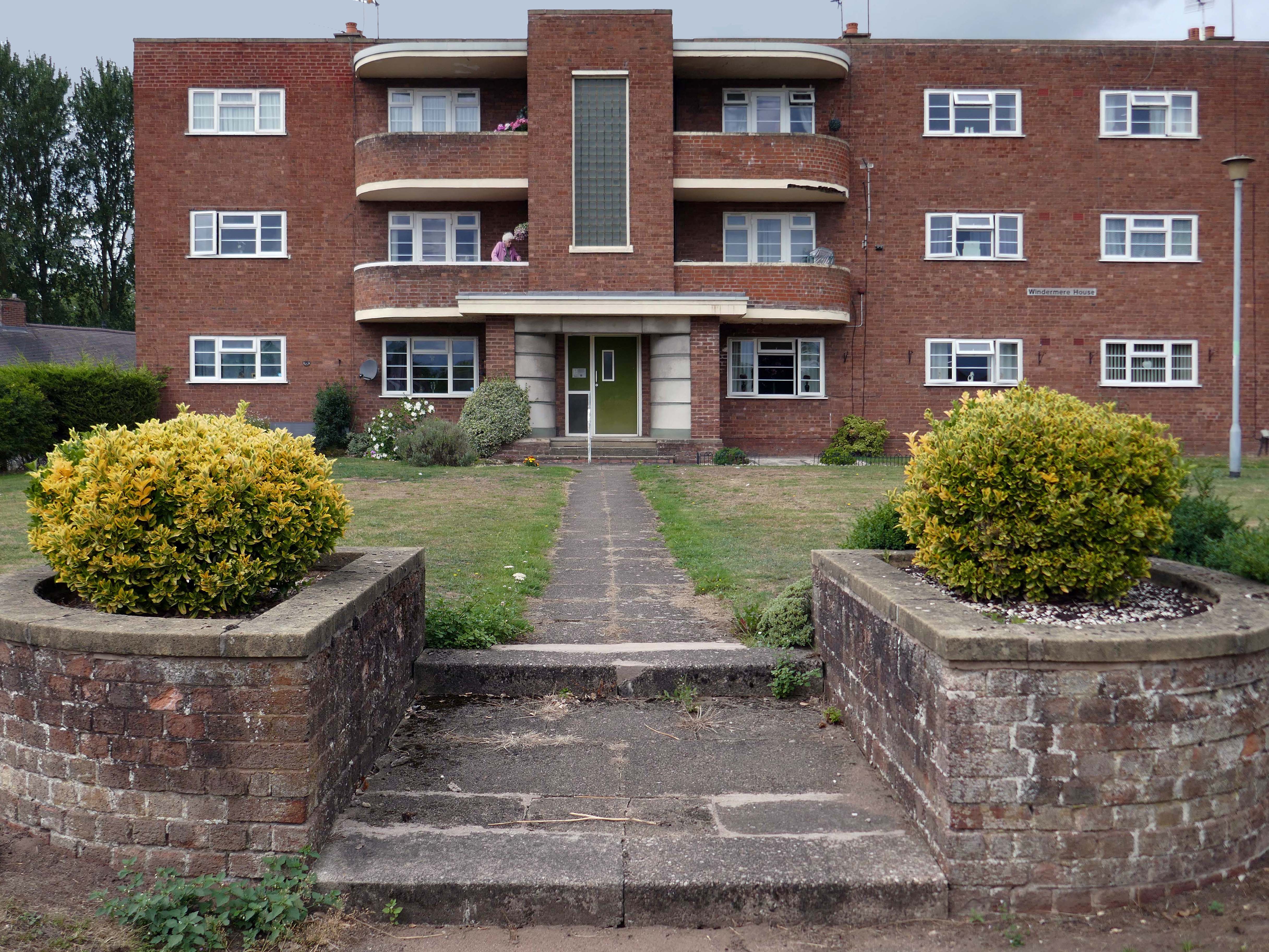
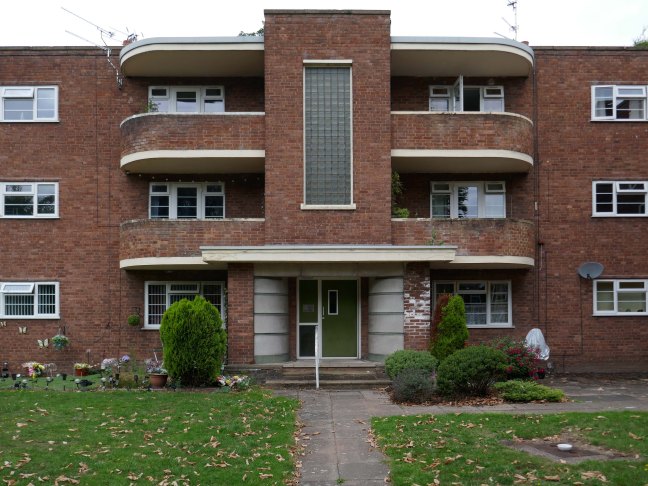
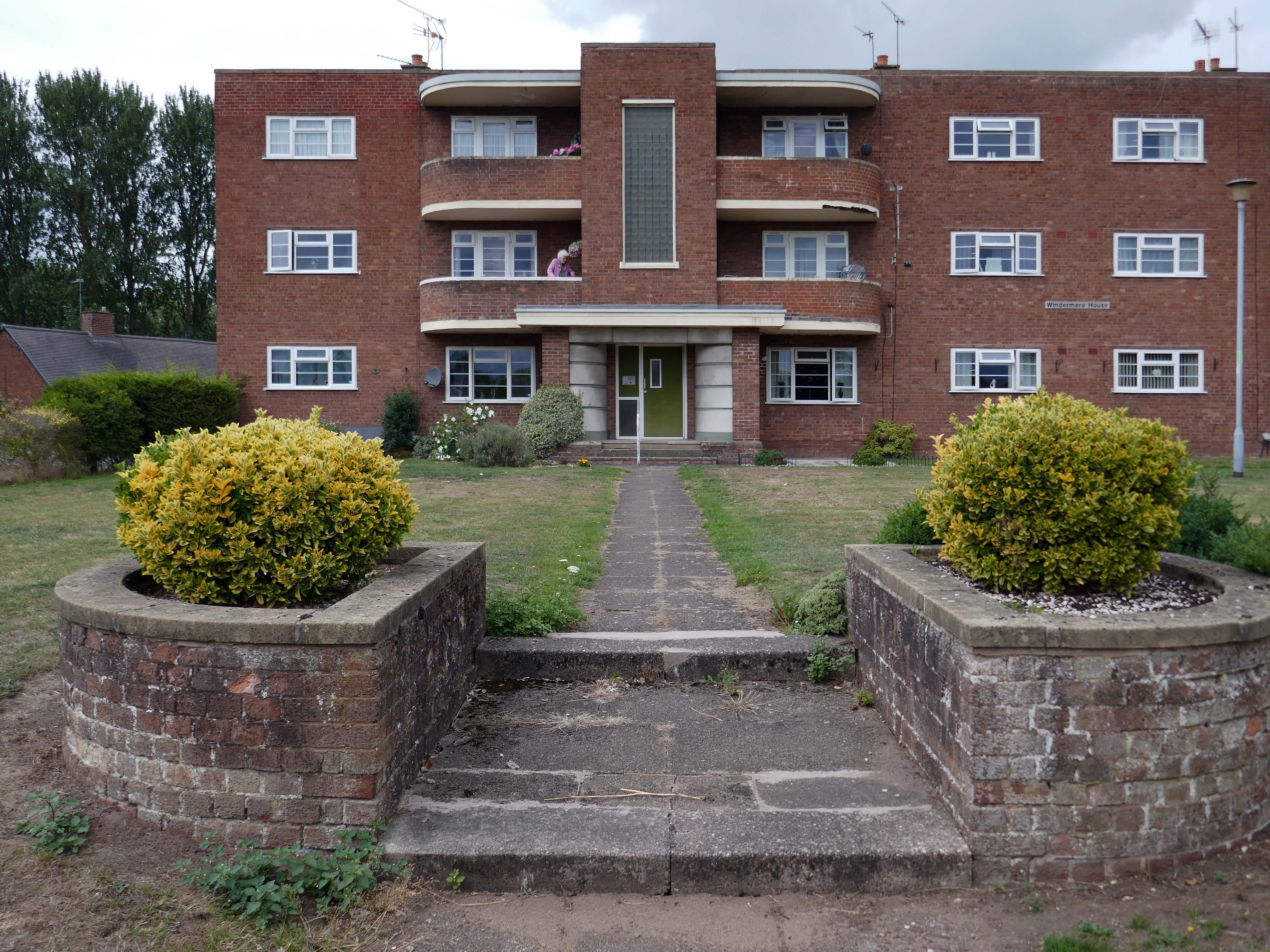
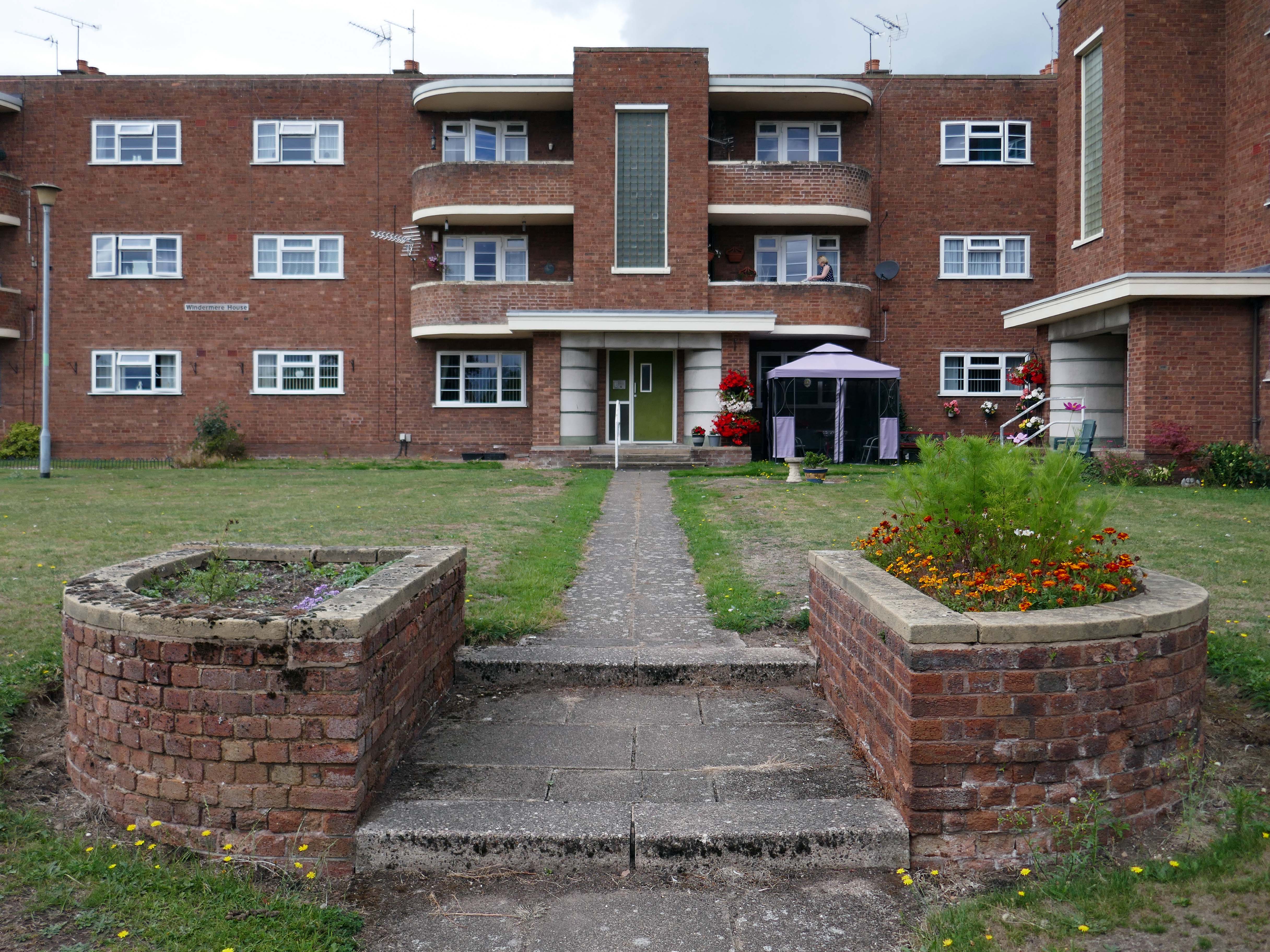
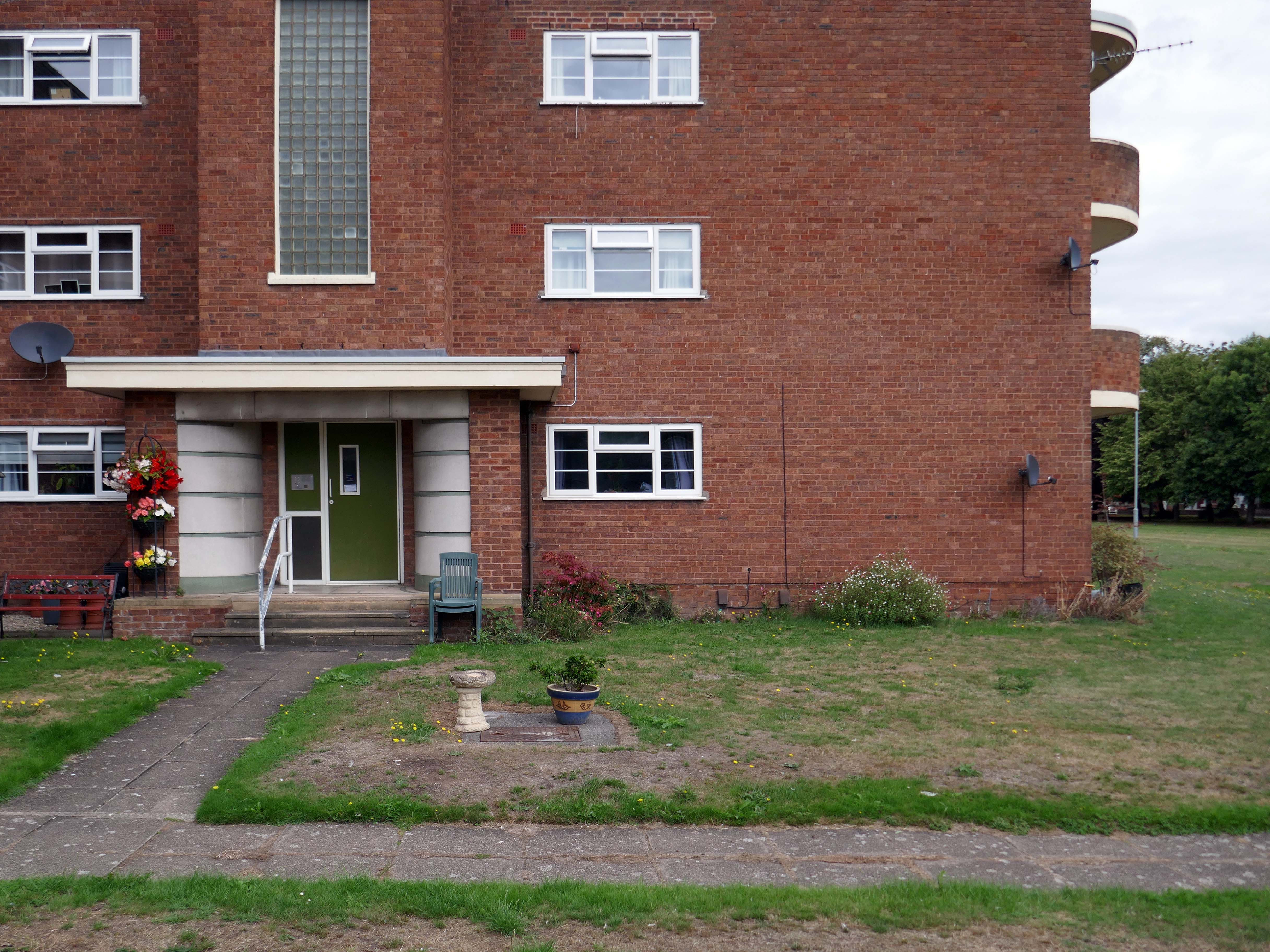
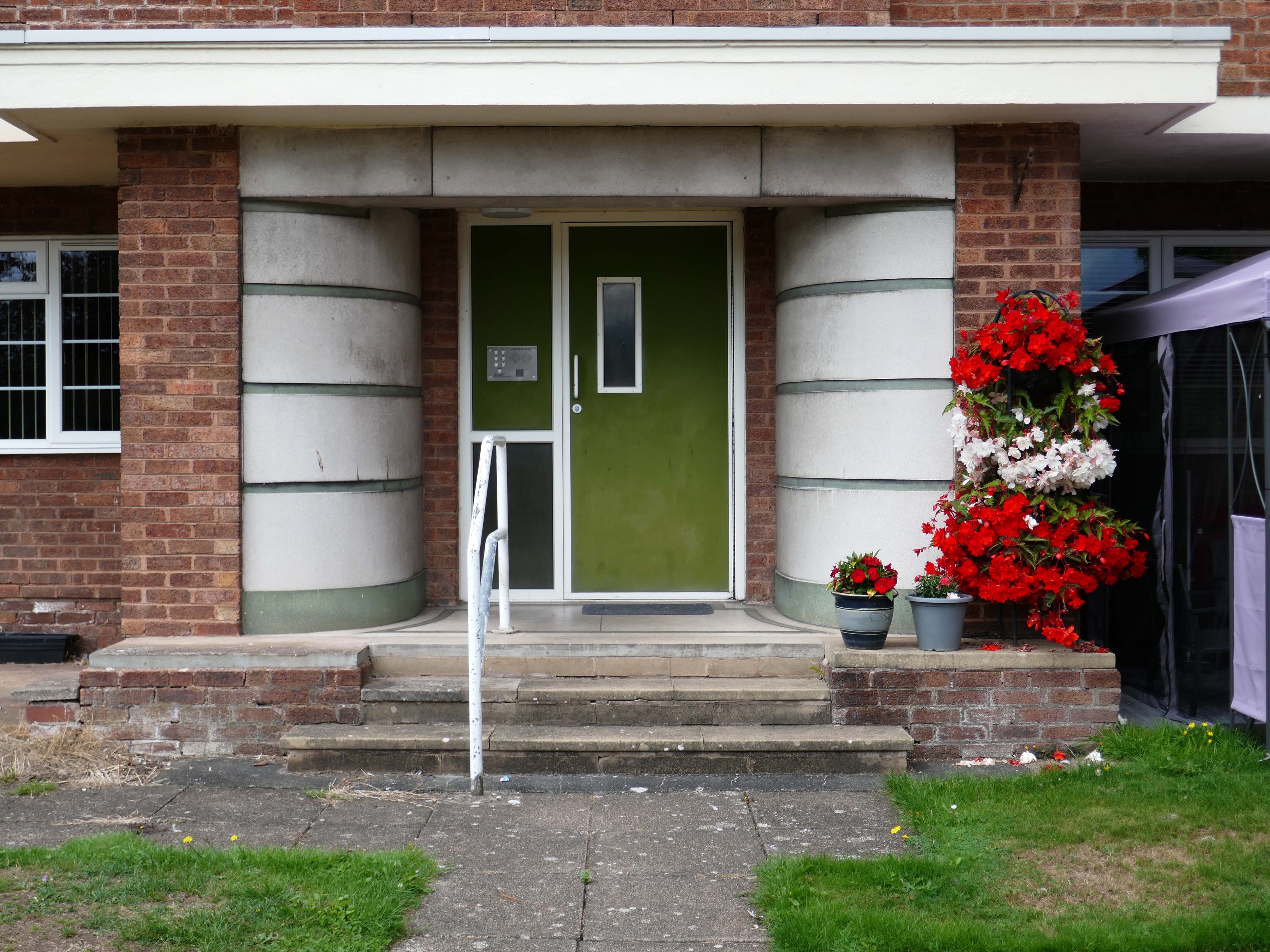
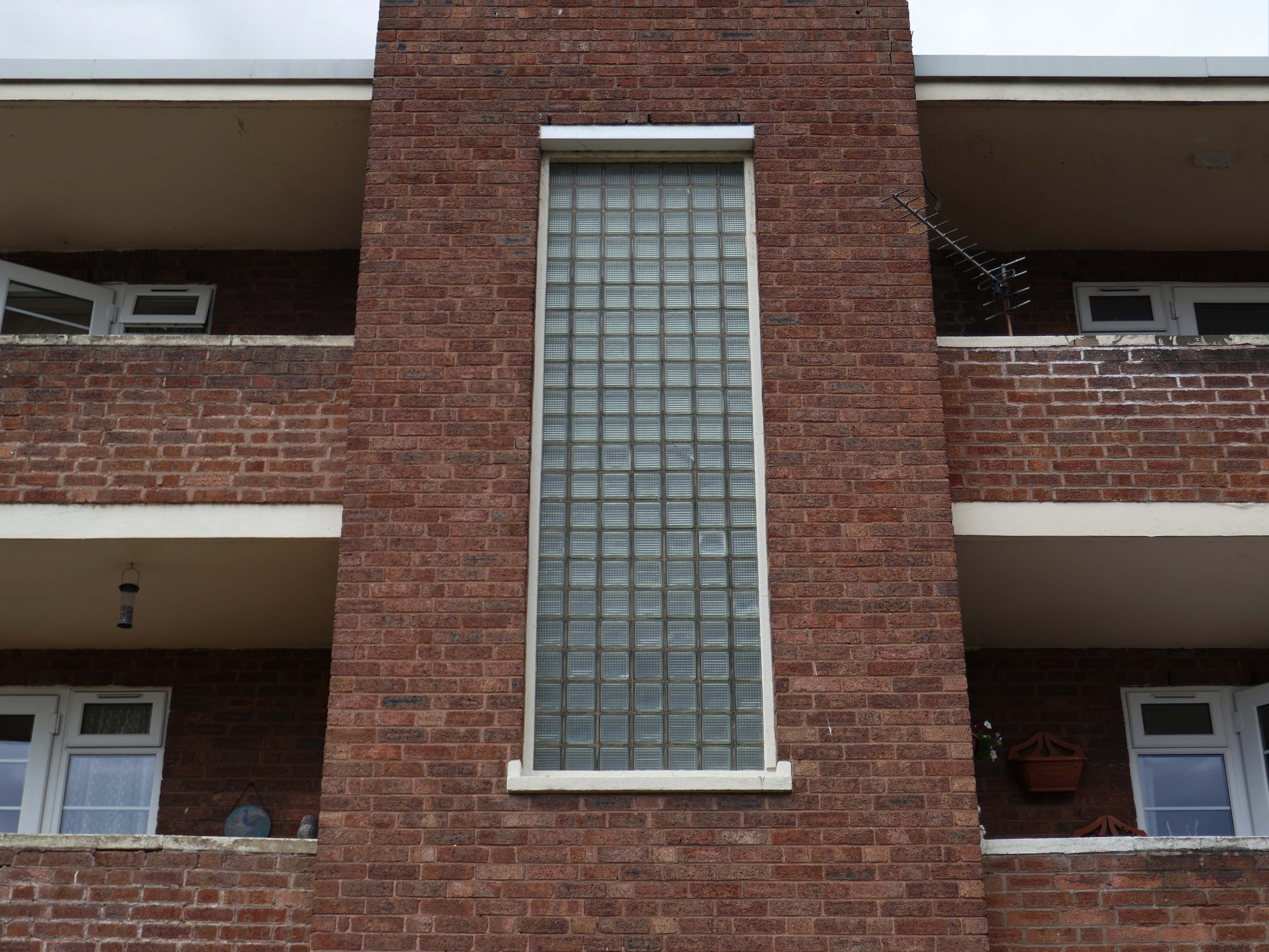
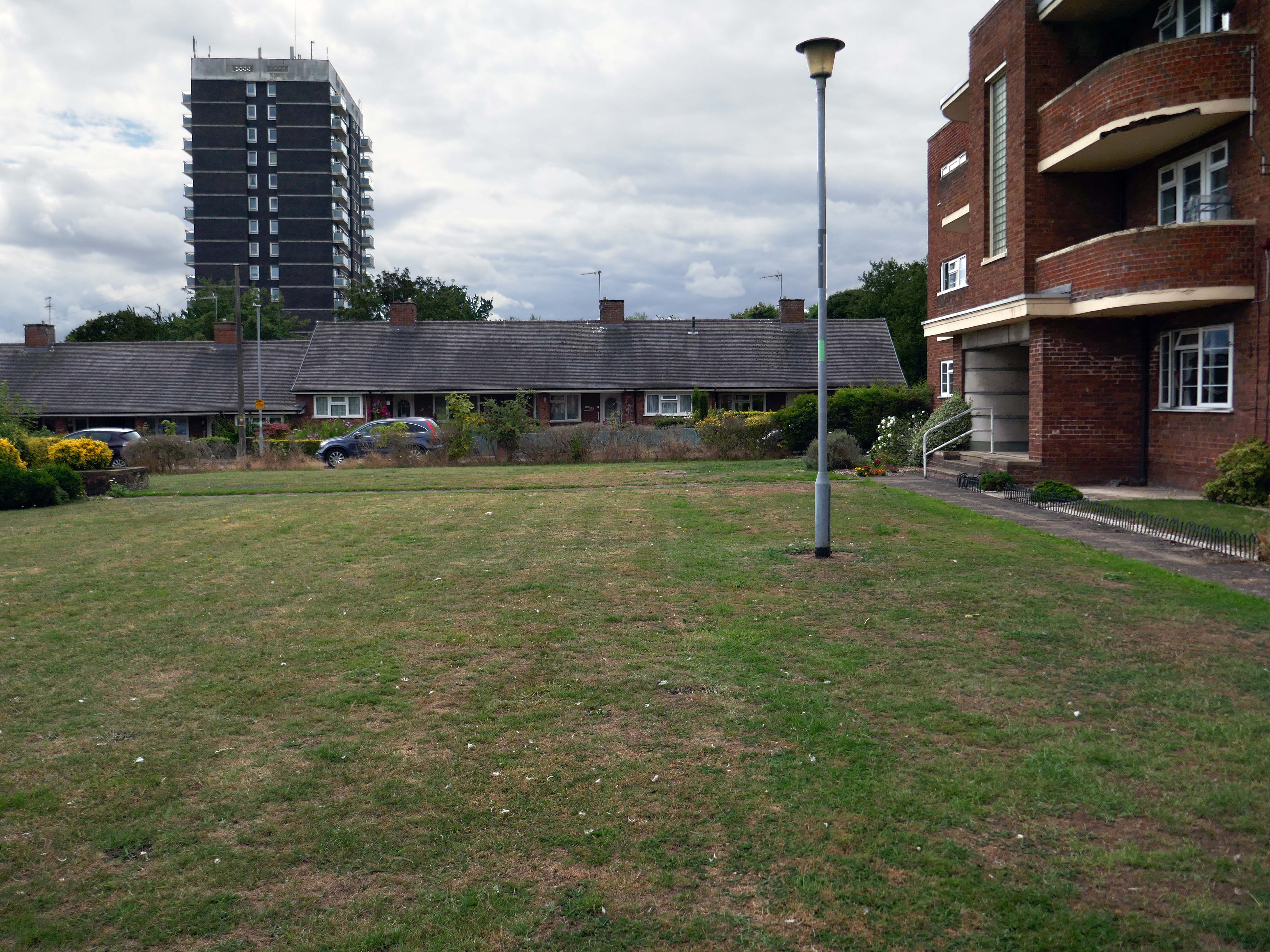
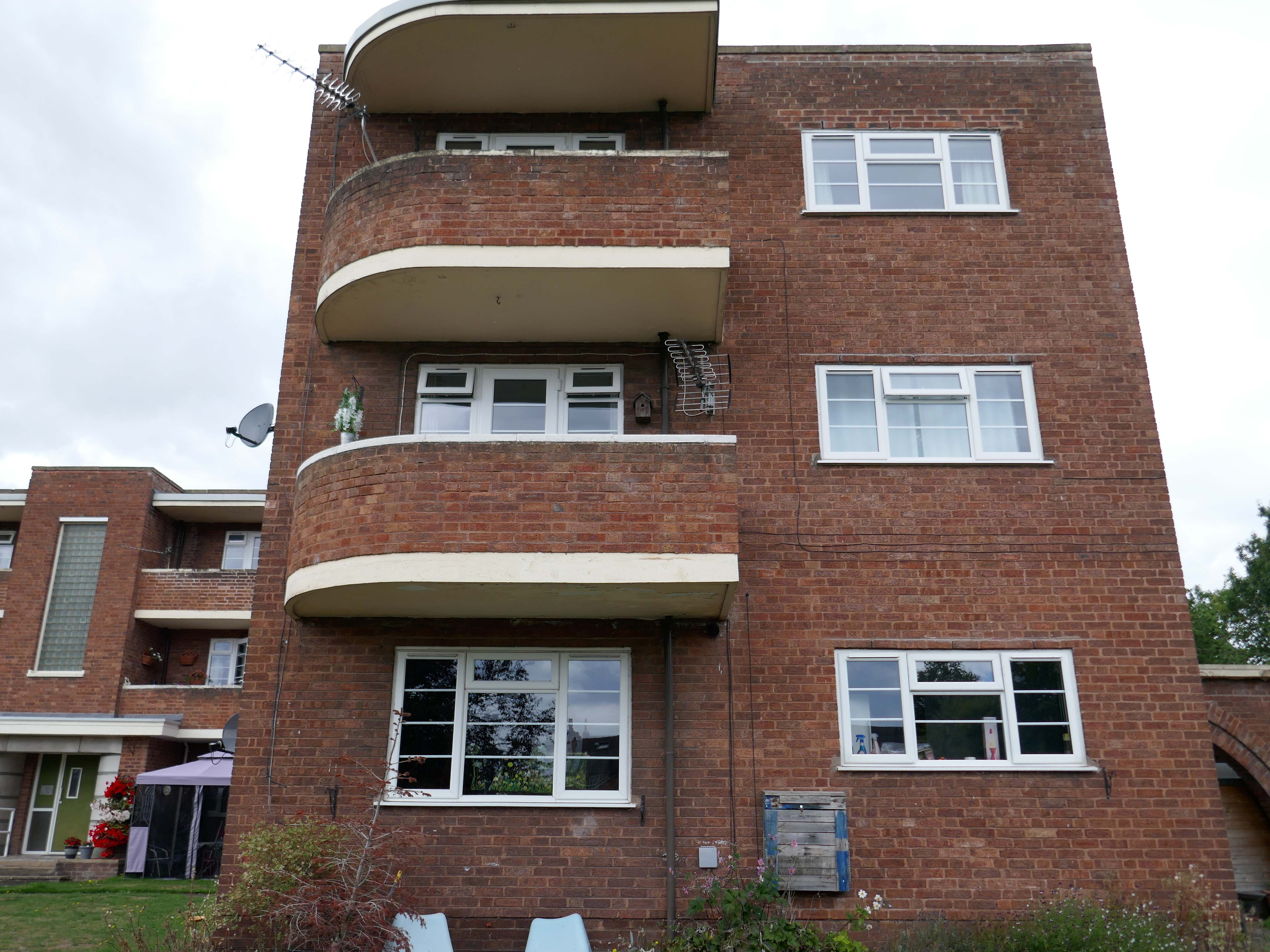
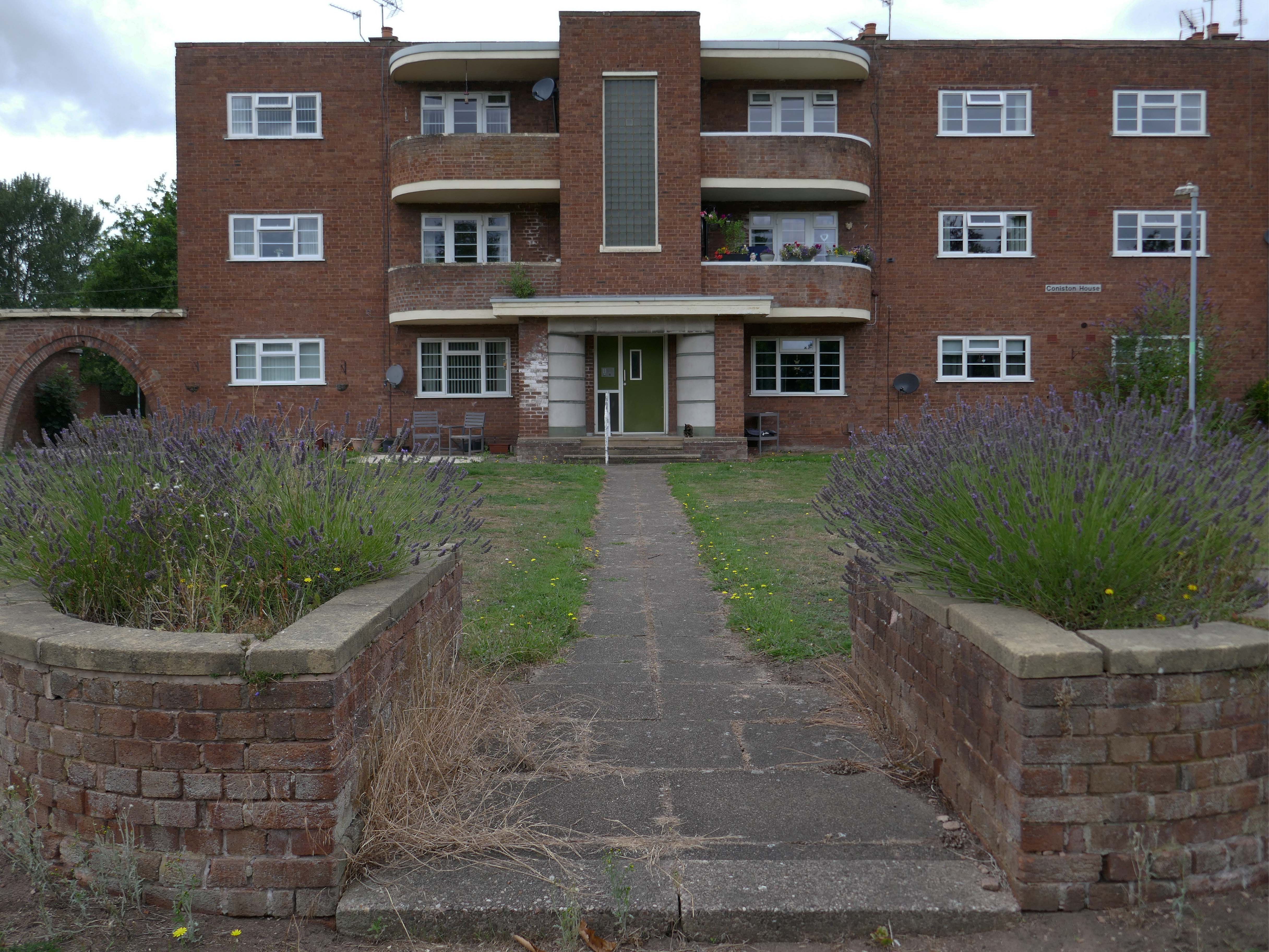
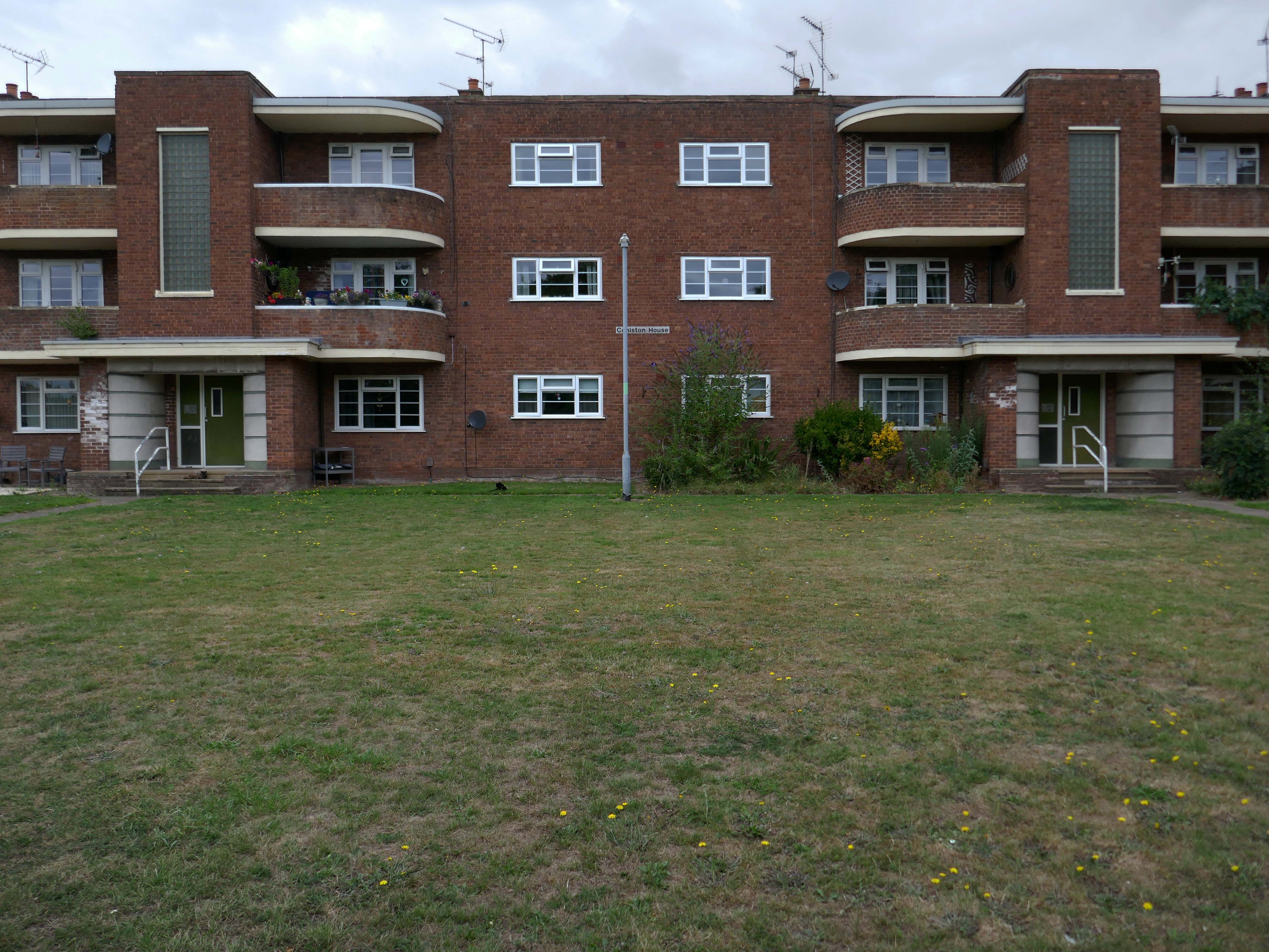
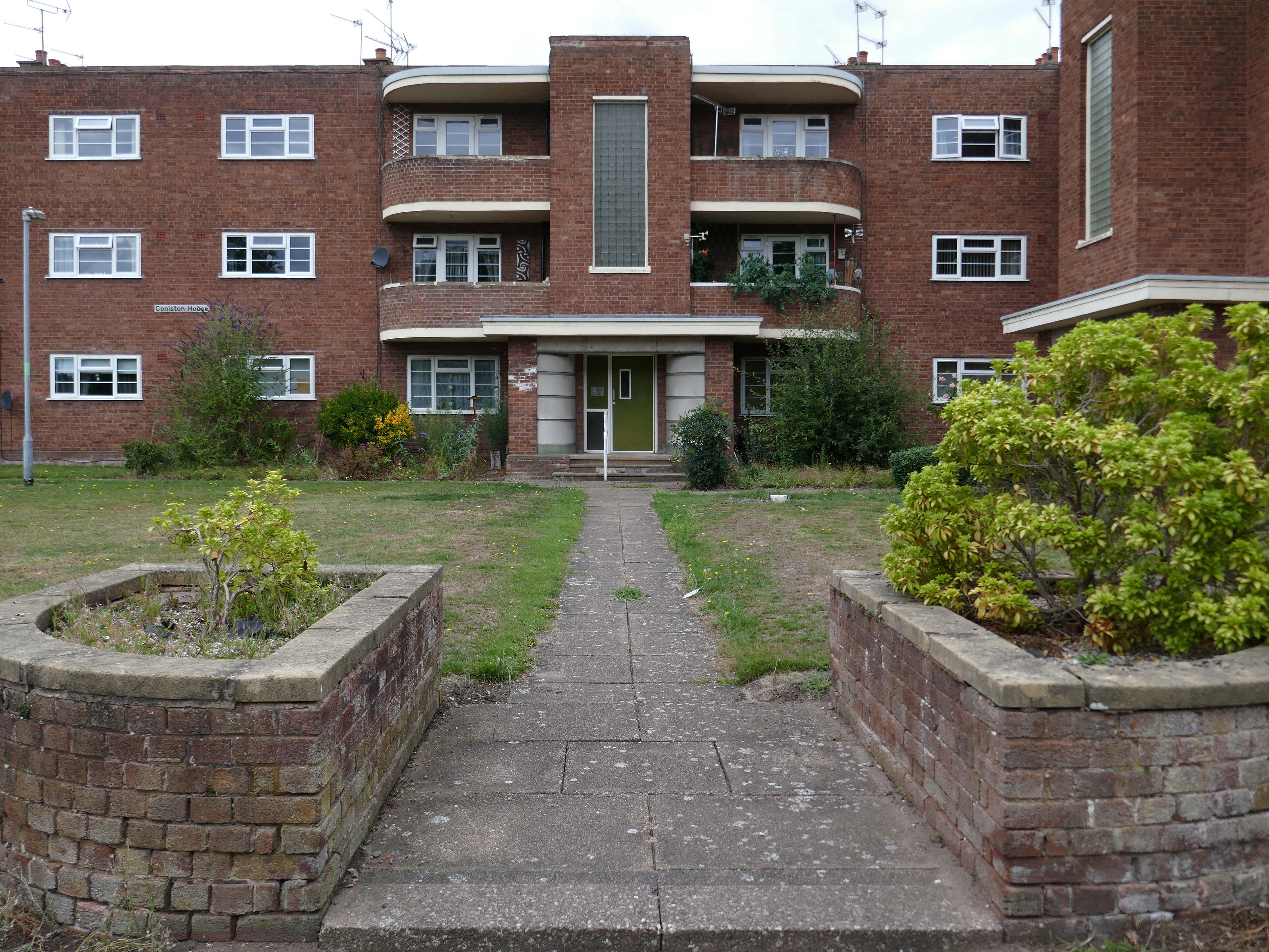
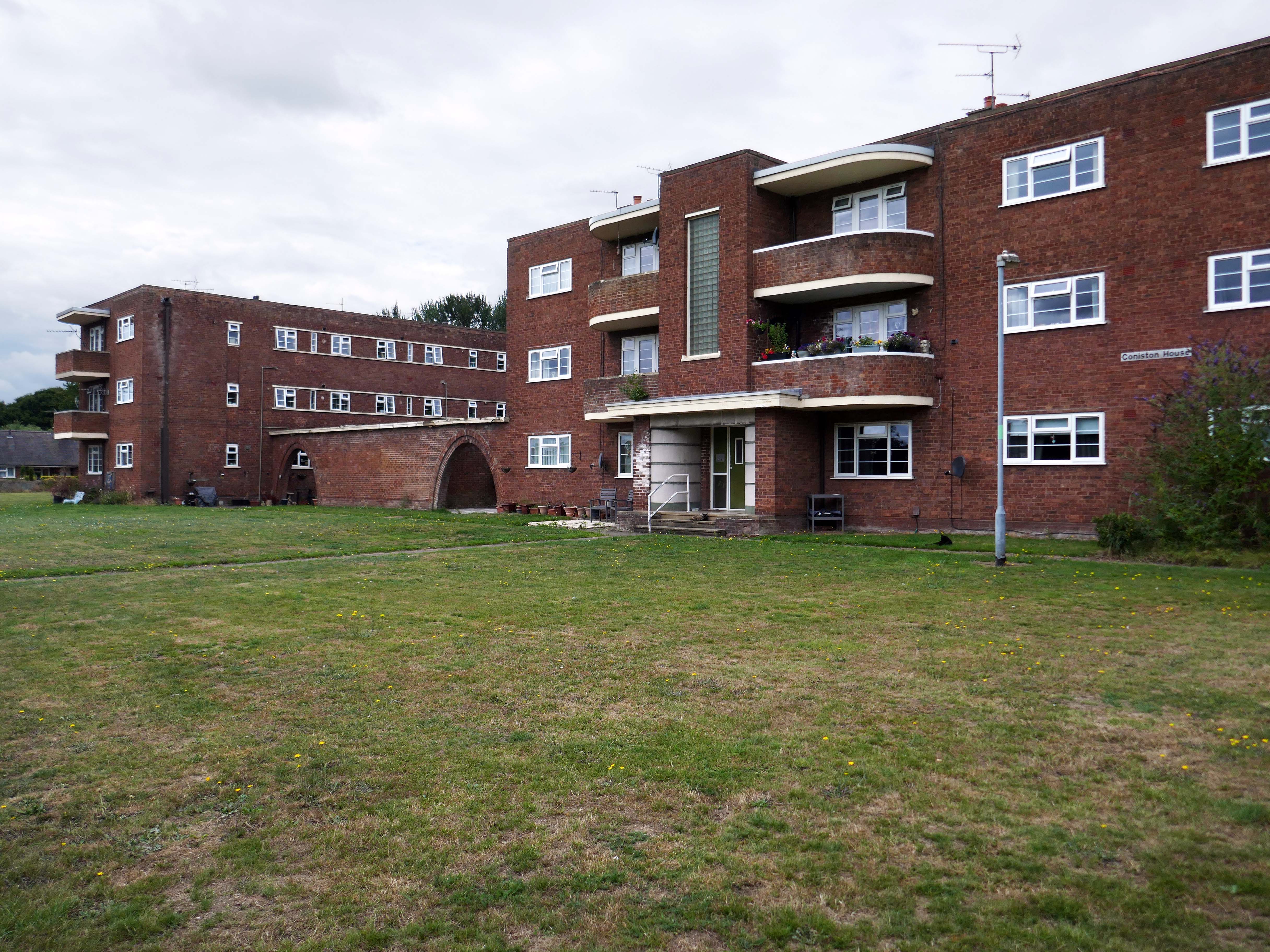
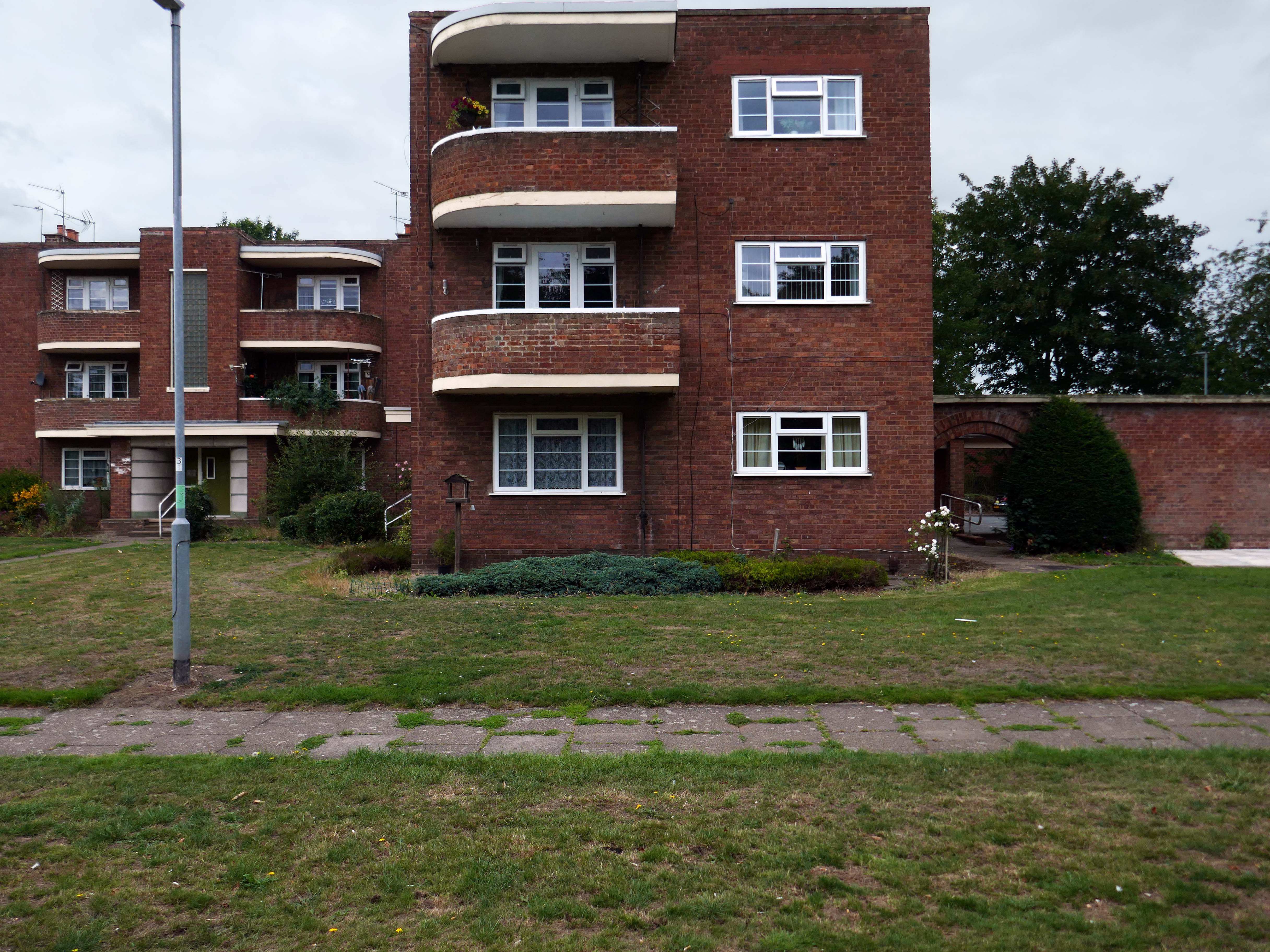
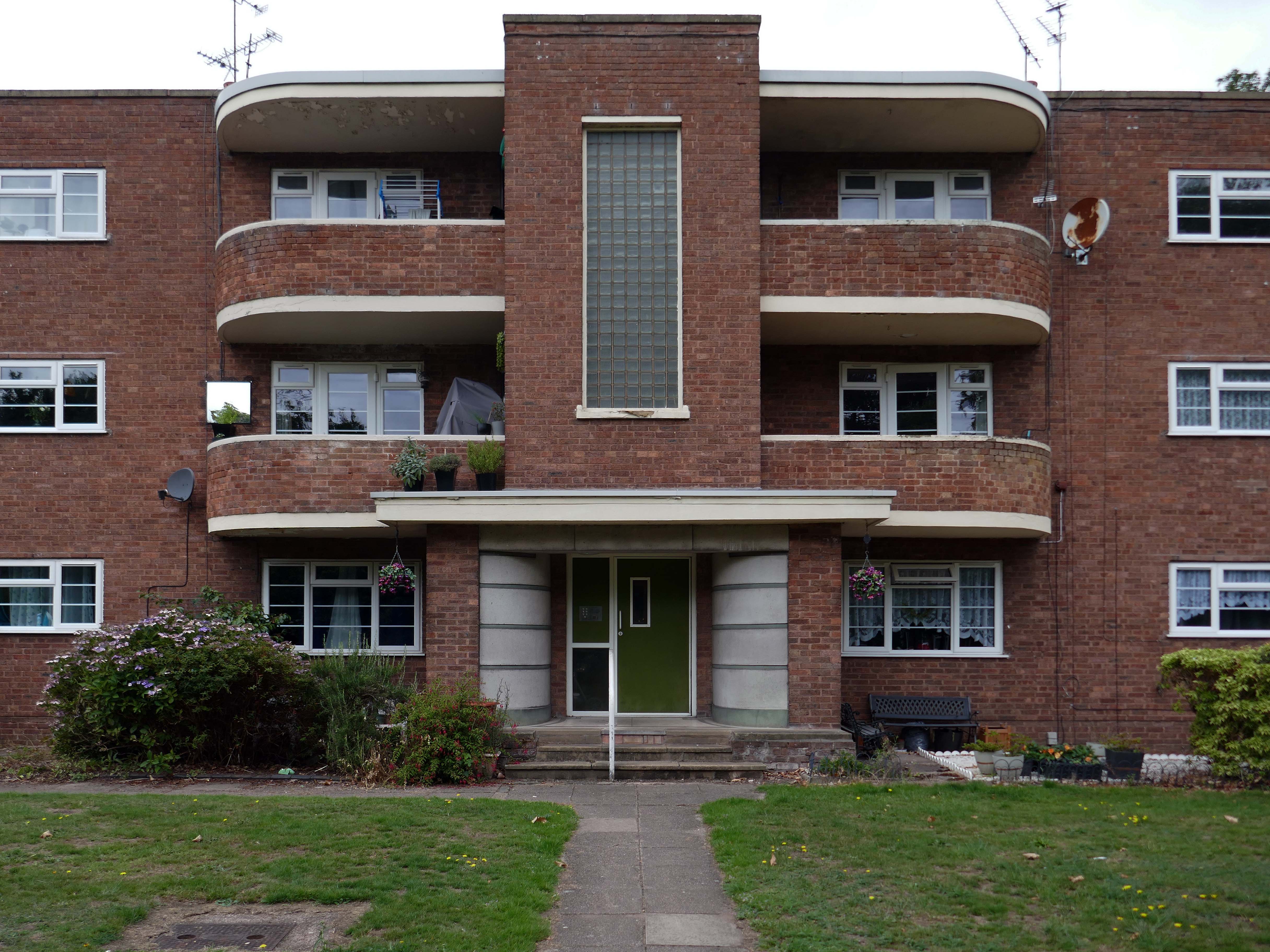
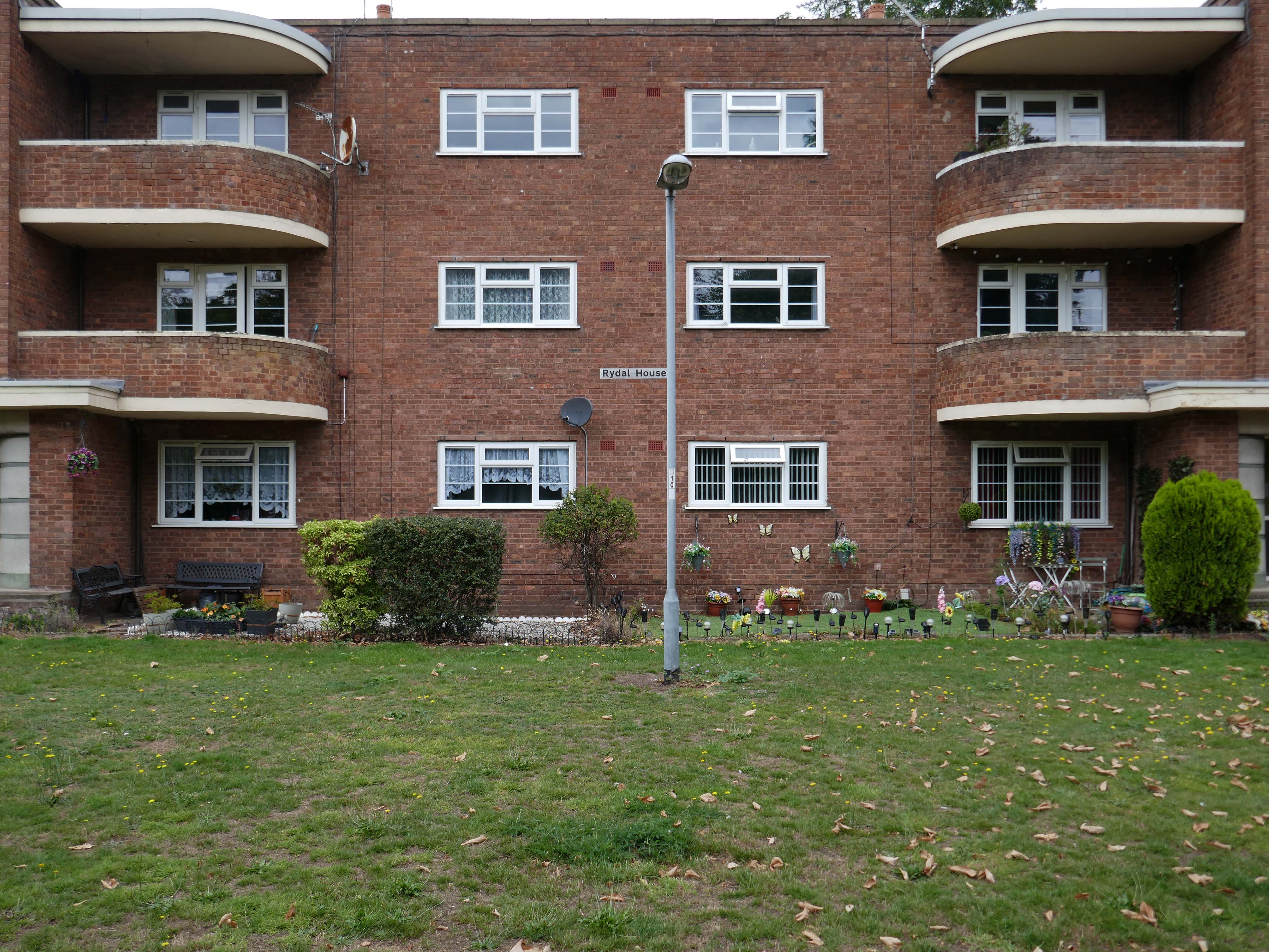
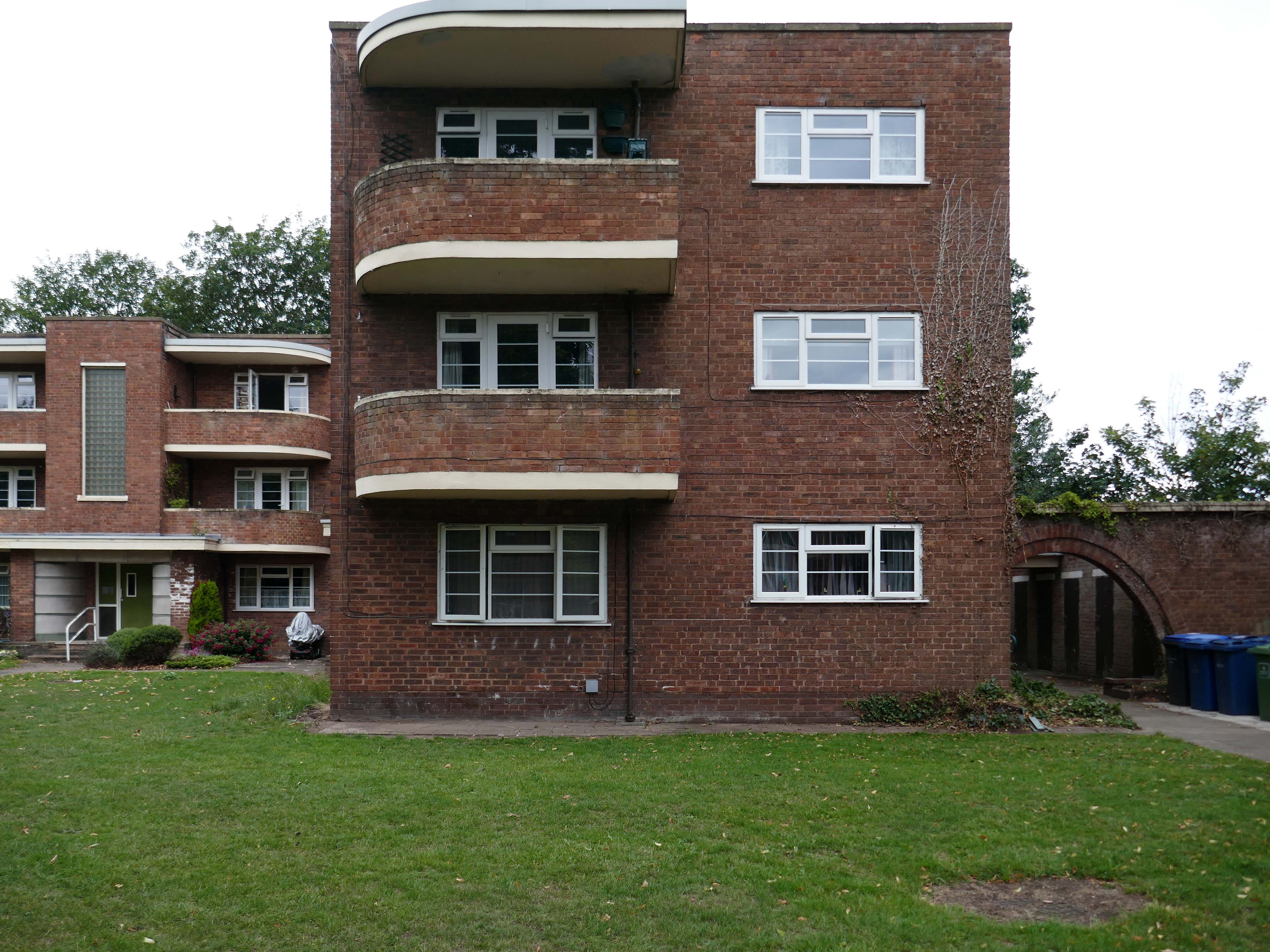
Coniston, Windemere and Rydal were among the first council homes to be built in Stafford, between 1951-52, under the direction of County Architect CM Coombes.
The flats were built as a result of The Housing – Financial and Miscellaneous Provisions Act 1946, which gave subsidies to local authorities to provide social housing. The expansion of the Borough Council’s civic duties included the employment of County Architects, in this case CM Coombes FRIBA, to whom these flats are attributed.
54 flats were built in total, to a distinctly Modernist design, and their appearance and setting are very well preserved.
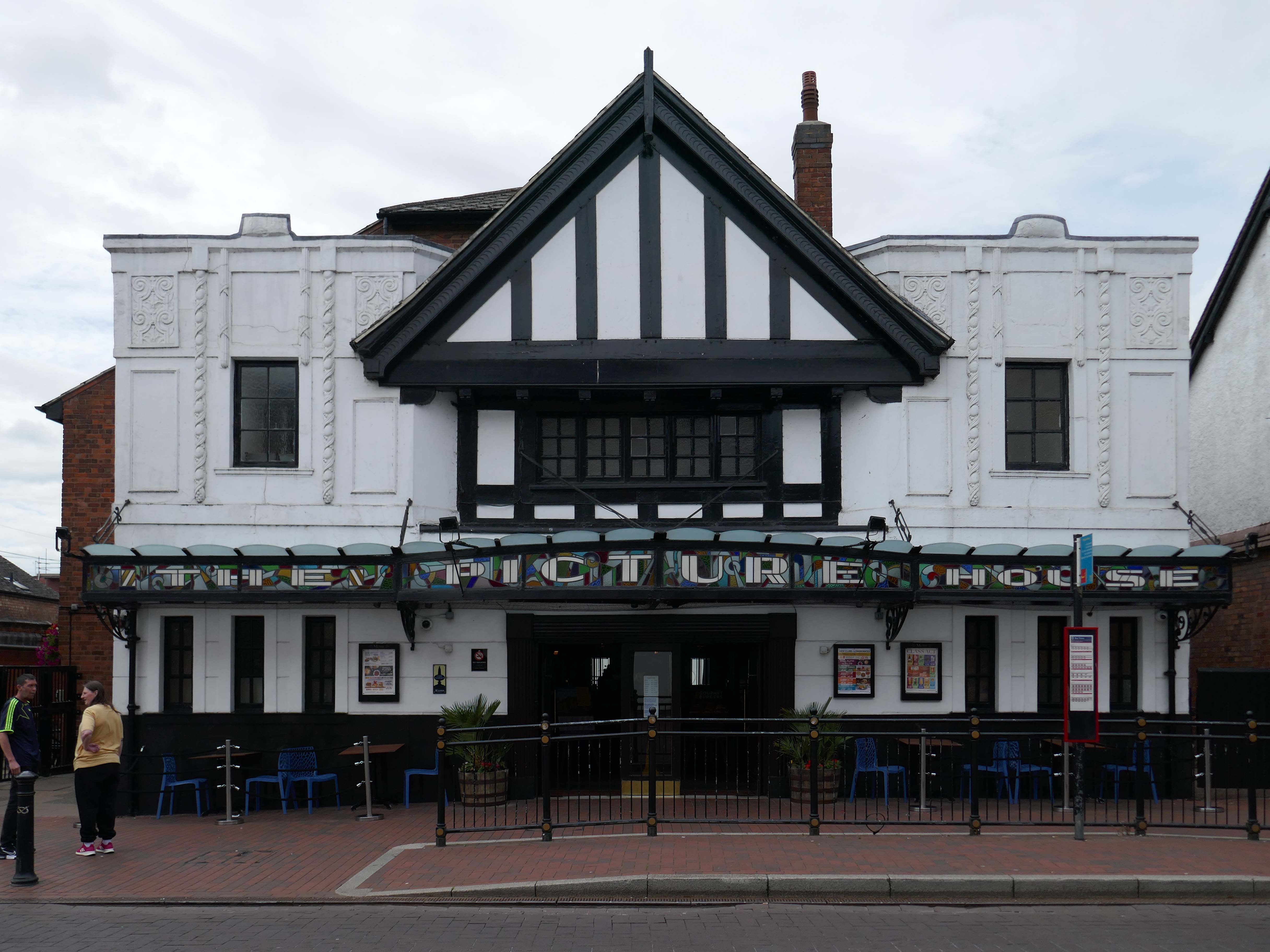
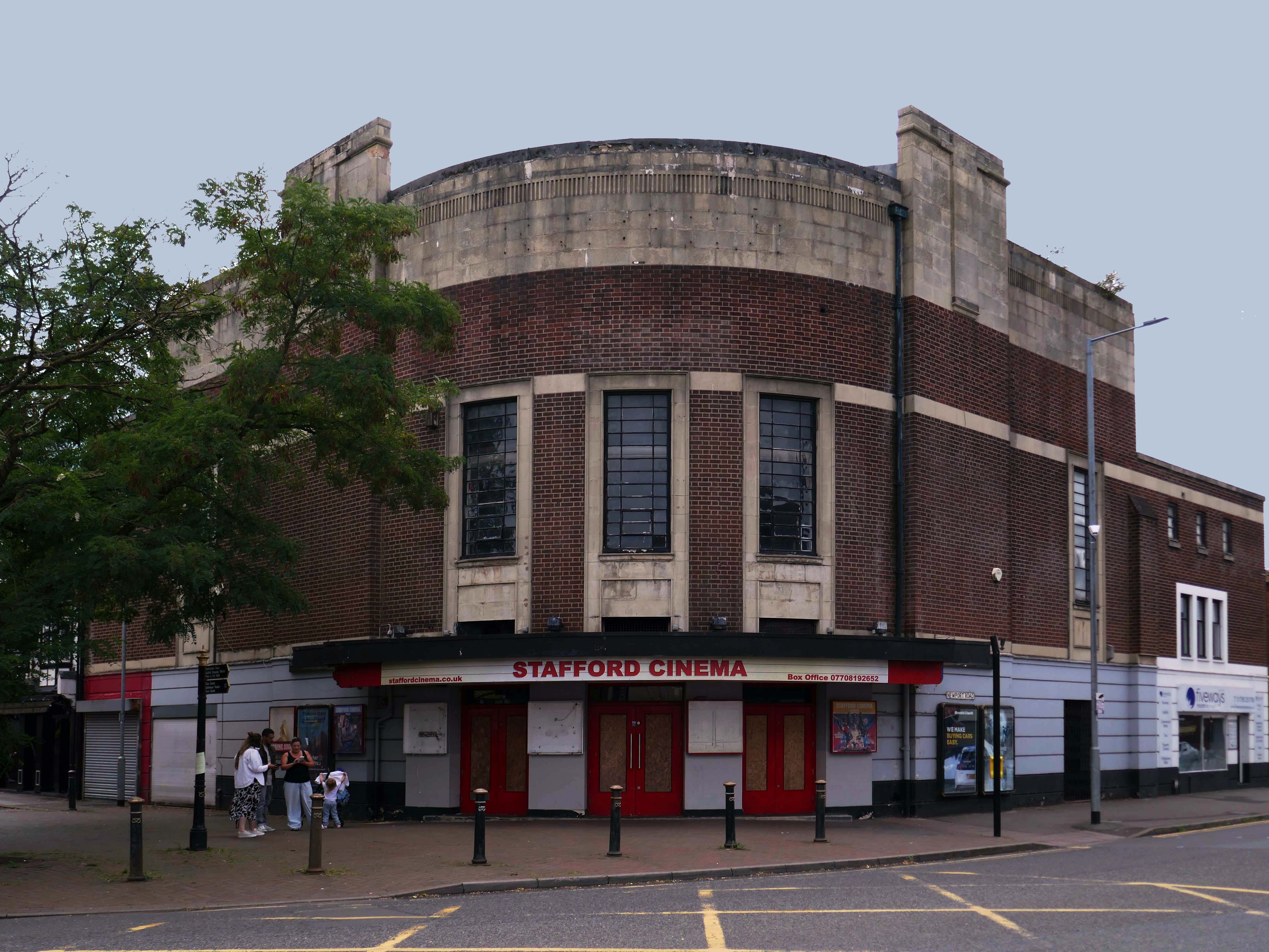
Let’s head back into the town centre – to the Grade II ListedPicture House 1914
The Picture House was closed on 30th March 1995 after a three week run of Disclosure starring Michael Douglas, there were seventy eight attending the final performance.
It was disposed of by the Rank Organisation in July 1981 and was taken over by the Hutchinson Leisure Group who re-named it Astra Cinema. In December 1981 it was tripled with 435 seats in the former stalls and two mini cinemas in the former circle seating 170 and 168.
In 1988 it was taken over by Apollo Cinemas and re-named Apollo Cinema. The downstairs cinema was closed and became a bingo club for a couple of years, during which time the two mini cinemas in the former circle remained open. The bingo operation gave way to films again in 1990 and all three screens were again open, with seating for 305, 170 and 164. In January 2014 it was taken over by the Curzon Cinemas chain and renamed Stafford Cinema.
It was closed on 18th December 2017 with Star Wars:The Last Jedi.
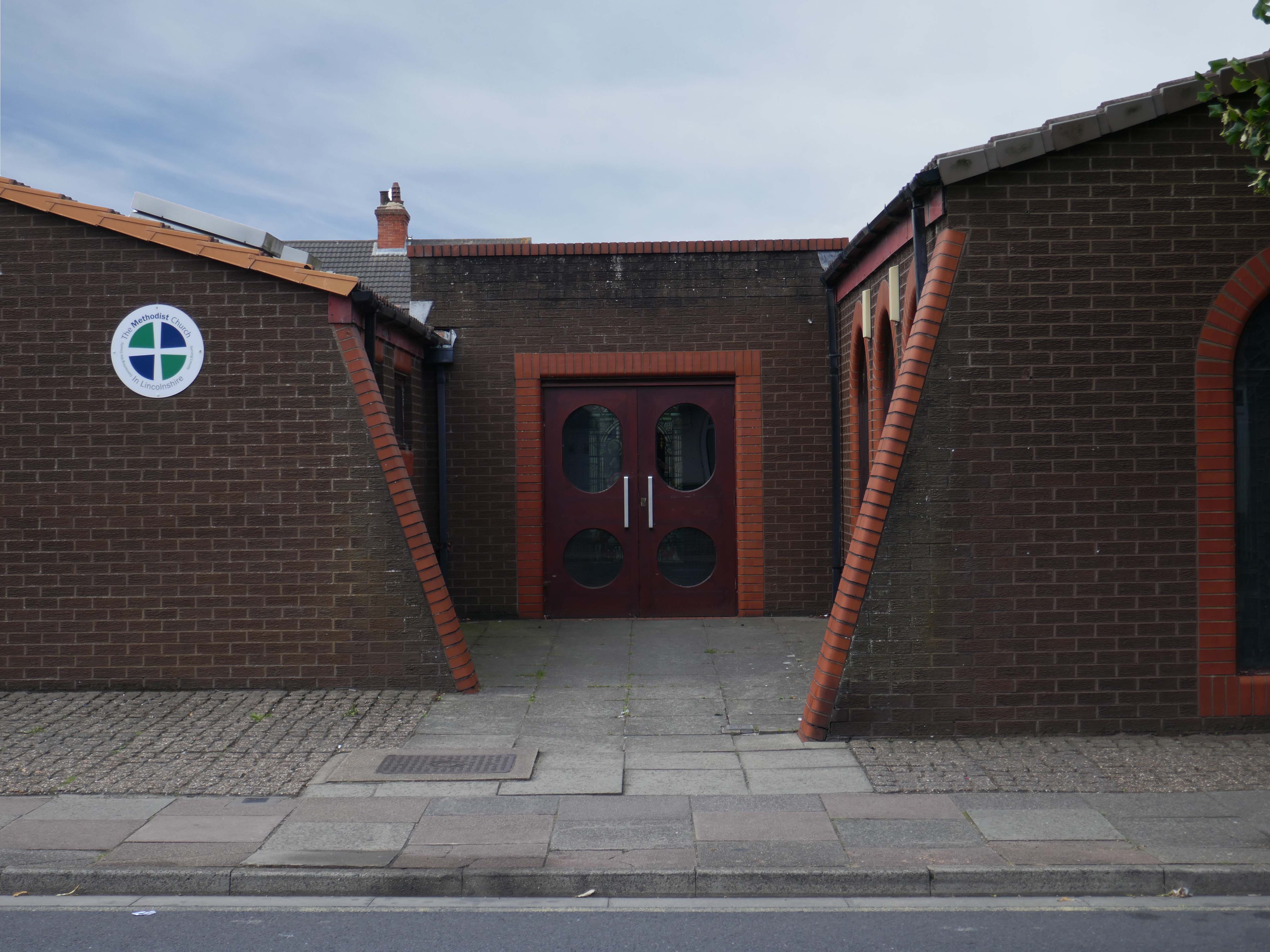
The current church occupies this corner site by the mini roundabout – a very particular architectural style, an angular brick low level ziggurat, with buttresses to the side elevation and entrance. There are glazed brick details around the buttresses, windows and doors.
It has a central entrance which divides the main body of the chapel from the function room.
There are Victorian stained glass panels, which may be from the previous chapel.
Below the pitched roof there is a modern inset decorative glass panel.
Coniston, Windemere and Rydal were among the first council homes to be built in Stafford, between 1951-52, under the direction of County Architect CM Coombes.
The flats were built as a result of The Housing – Financial and Miscellaneous Provisions Act 1946, which gave subsidies to local authorities to provide social housing. The expansion of the Borough Council’s civic duties included the employment of County Architects, in this case CM Coombes FRIBA, to whom these flats are attributed.
54 flats were built in total, to a distinctly Modernist design, and their appearance and setting are very well preserved.
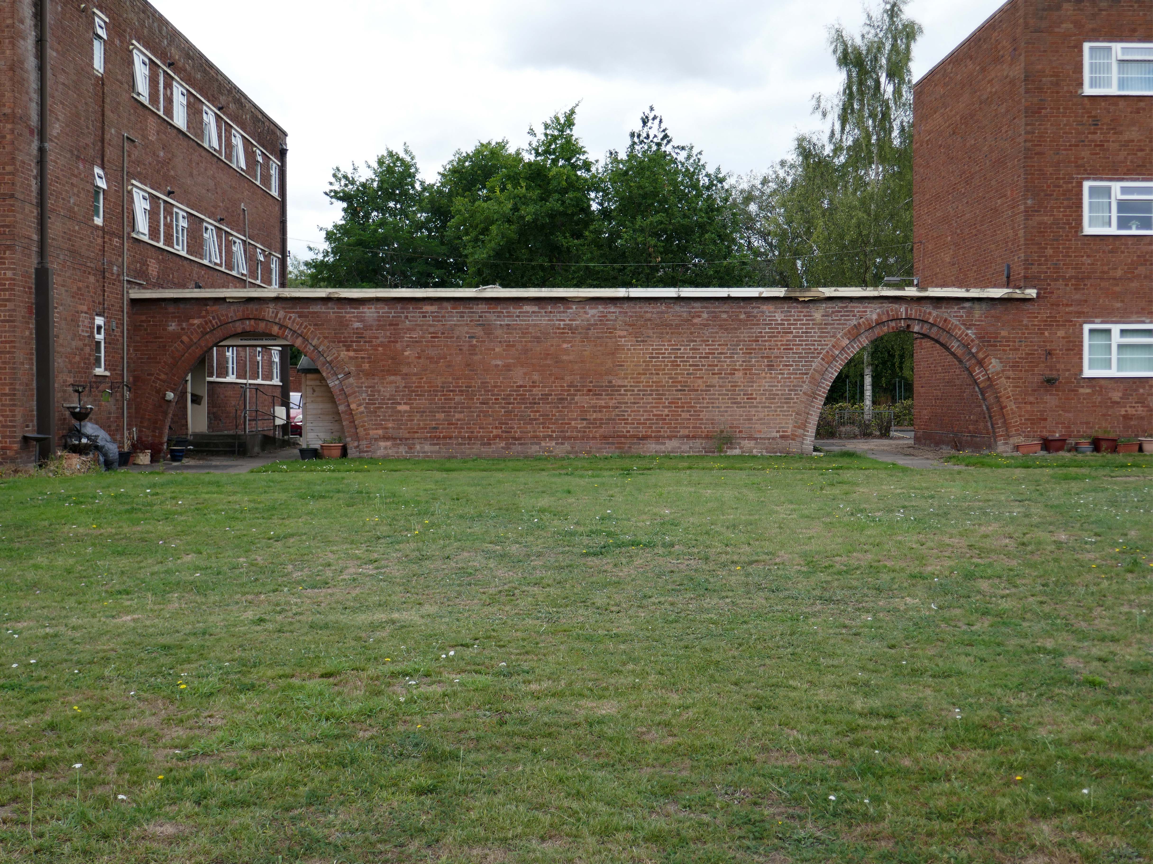
Whilst there are some common stylistic characteristics the Corporation Street Flats are of a more modest order. There are communal areas and a grassed apron, balconies and arched passages.
Over time the standard of maintenance seems to have declined, and the Crittall Windows have been replaced by white uPvc, where once there was a bowling green, this is now roughly mown and unused.
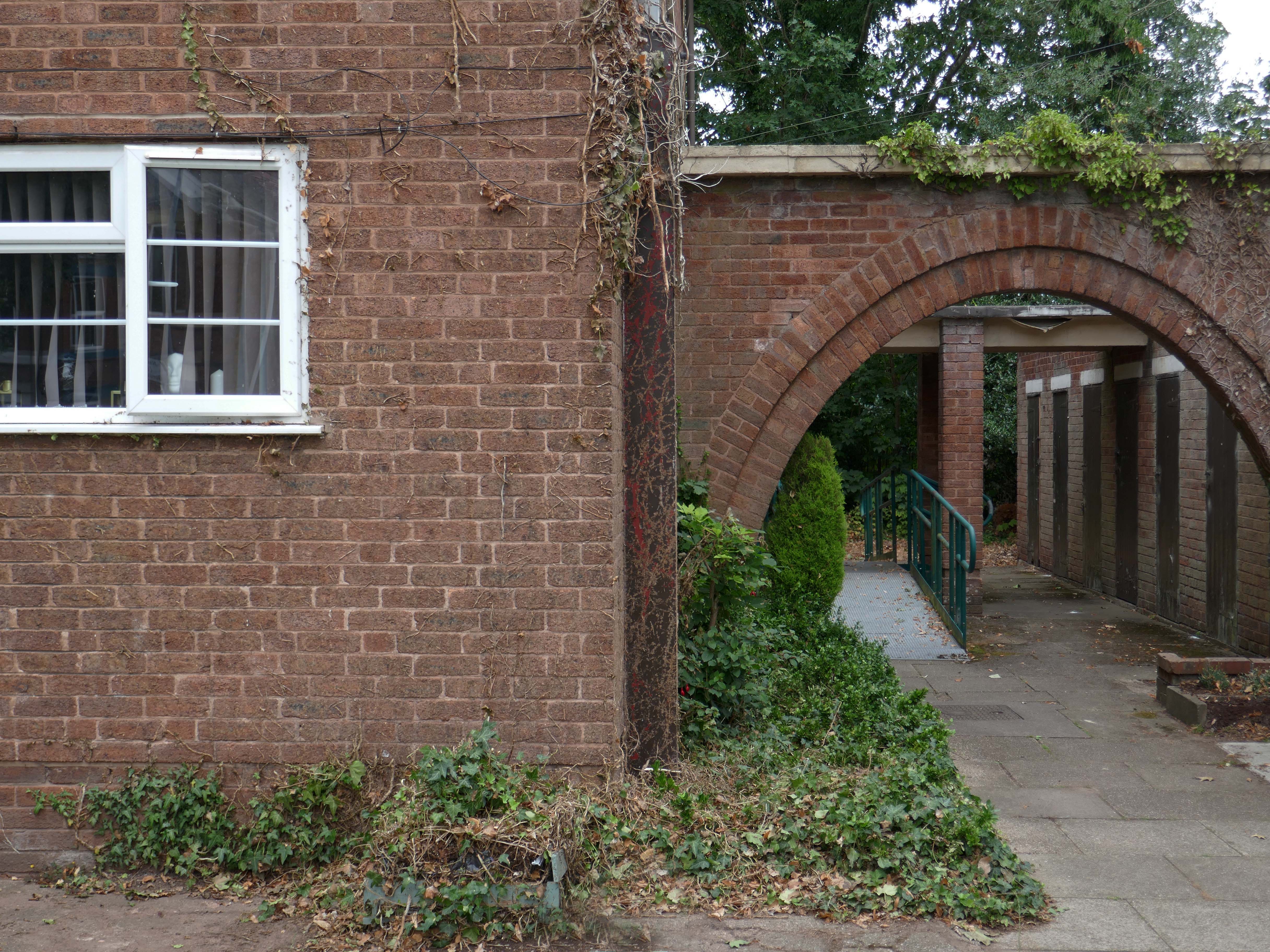
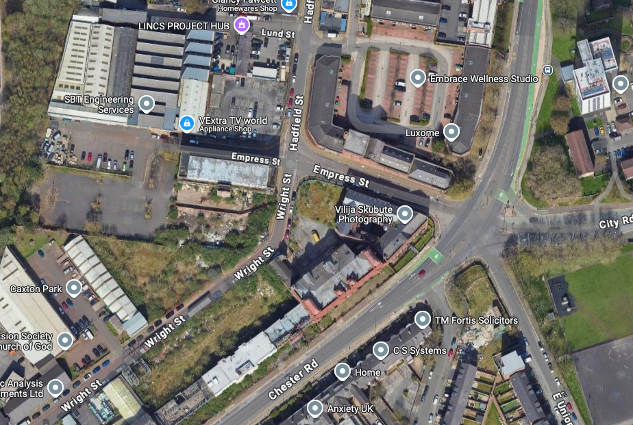
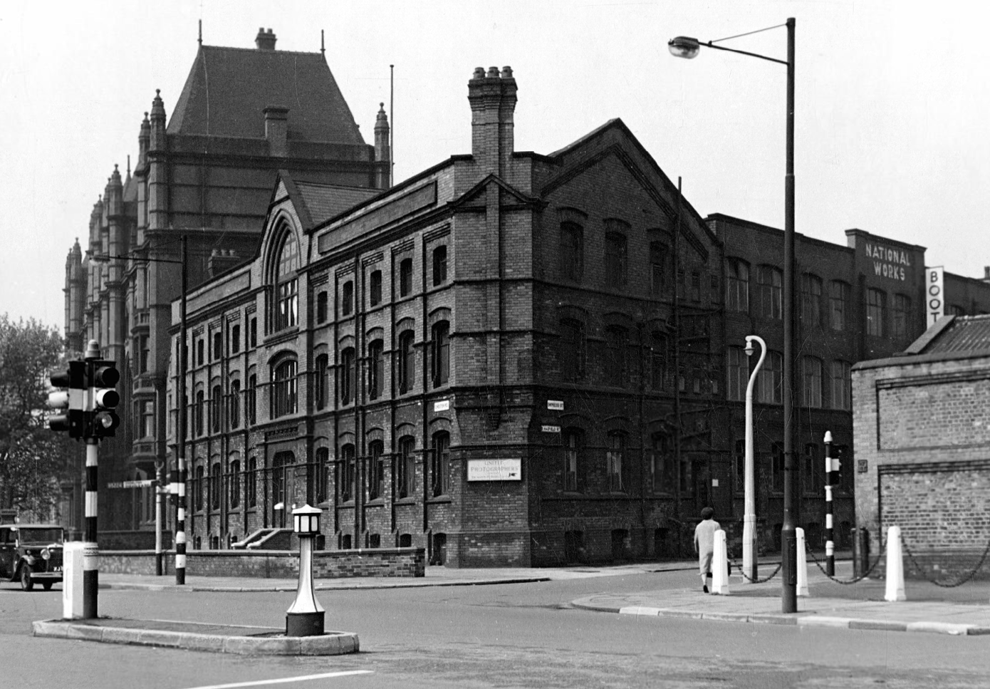
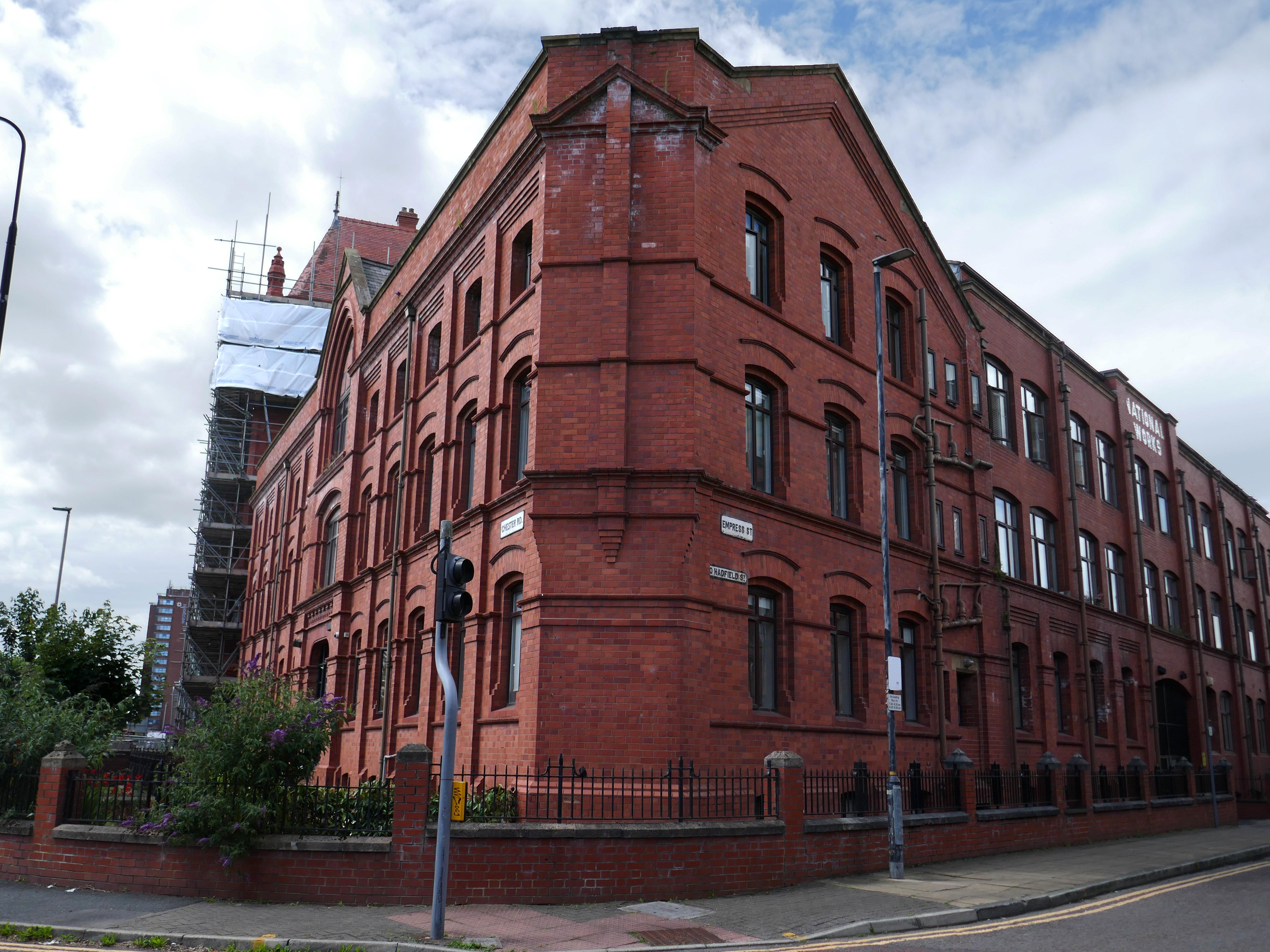
Walking from Cornbrook toward Stretford along Chester Road – which is one half of my Tram Trip to Altrincham
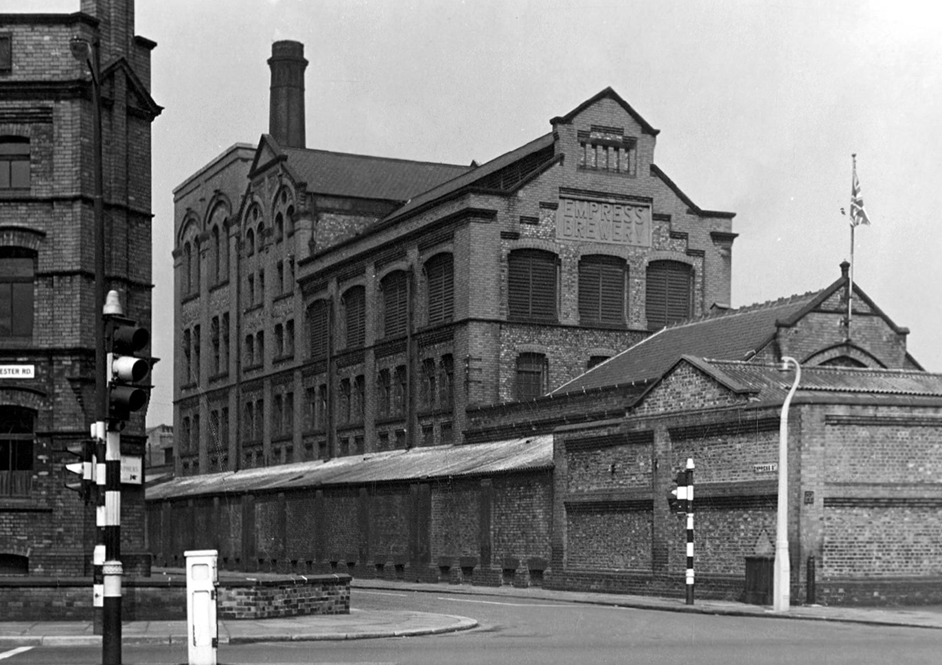
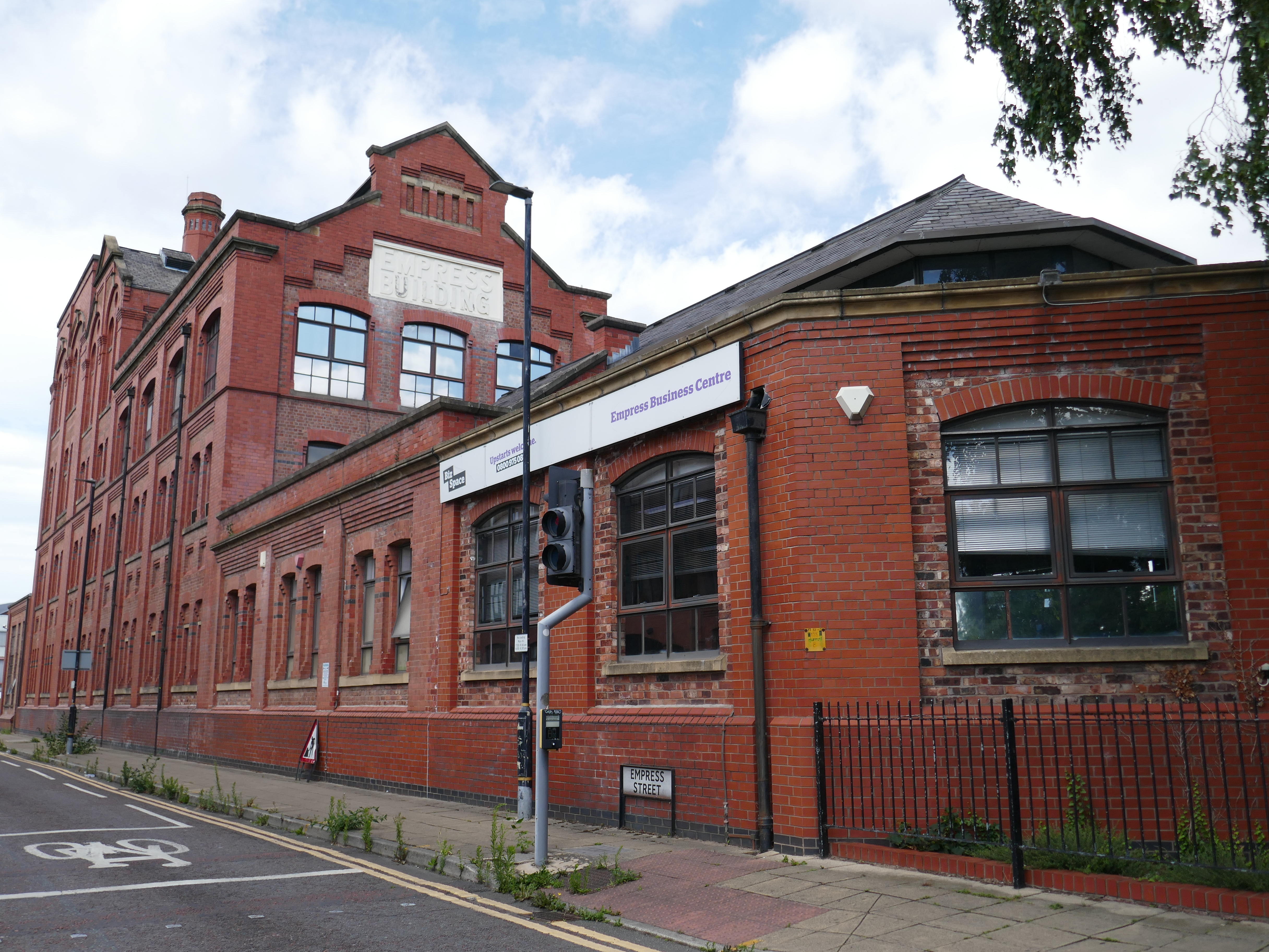
There is a cluster of former industrial buildings around Empress Street.
First up is the Empress Brewery.
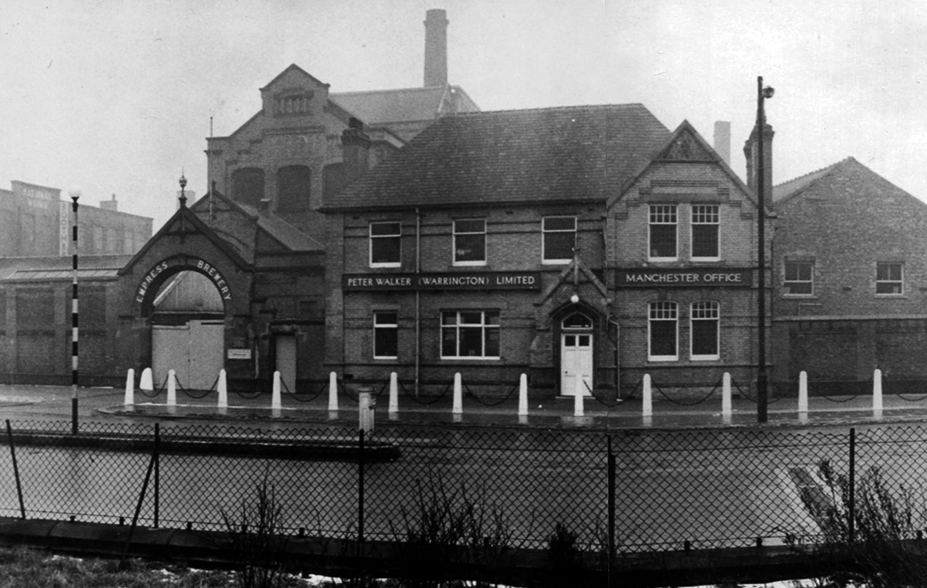
The Empress Brewing Company was established by Charles Dawes in c. 1880, although the company was sold to William Henry Fulford in 1884, who had recently sold the Monarch Brewery in Salford. Fulford was based at the Empress Brewery on Clarence Street in Manchester, but had relocated to new premises on 383 Chester Road. These had been built in 1889 and operated initially as the Old Trafford Brewing Company, but the name had changed to the Empress Brewery Company by 1895. The company acquired a number of breweries and associated licenced house during the early 20th century, however, in 1929 it was taken over by Peter Walker and Son. The brewery closed in 1955.
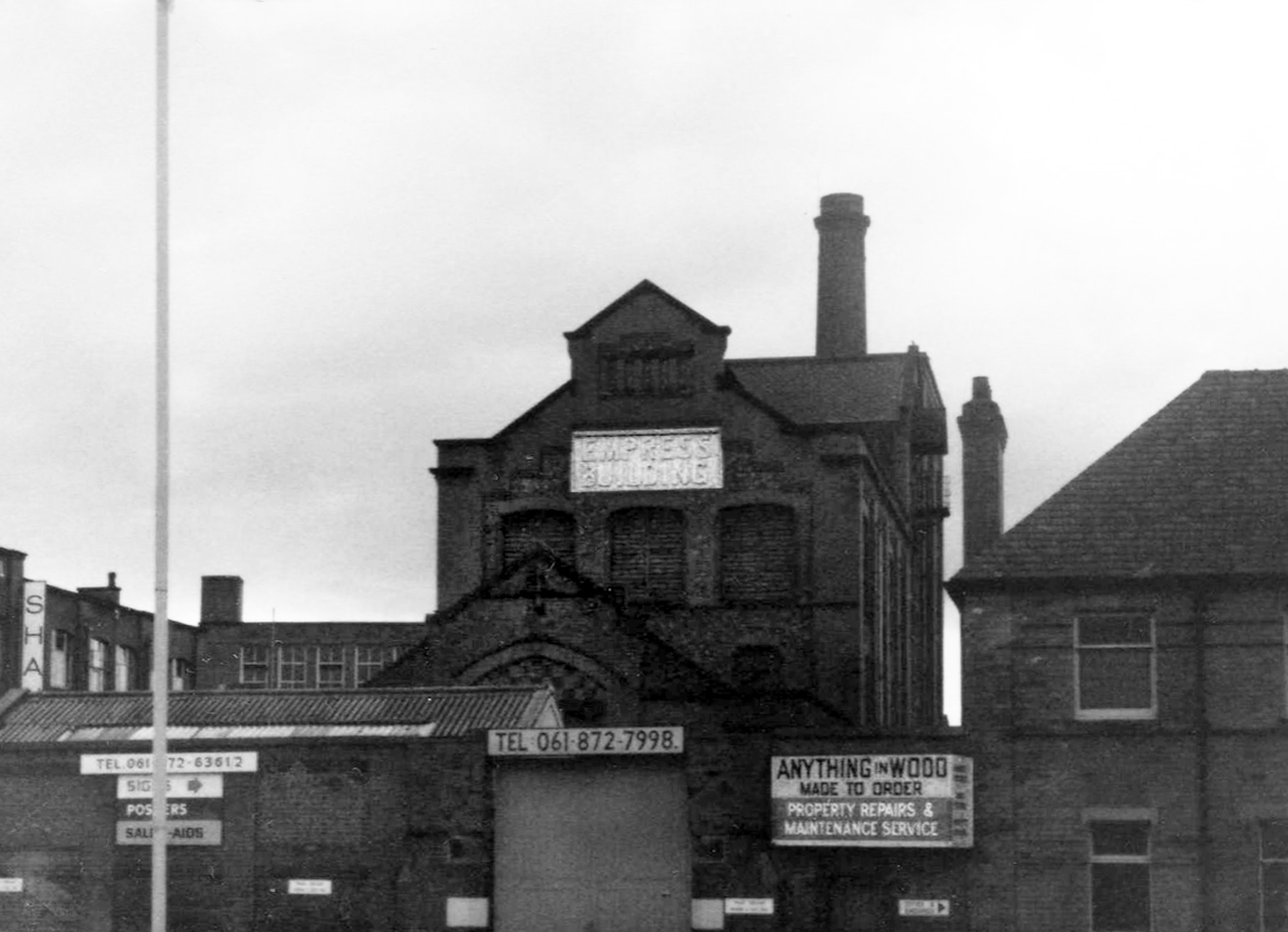
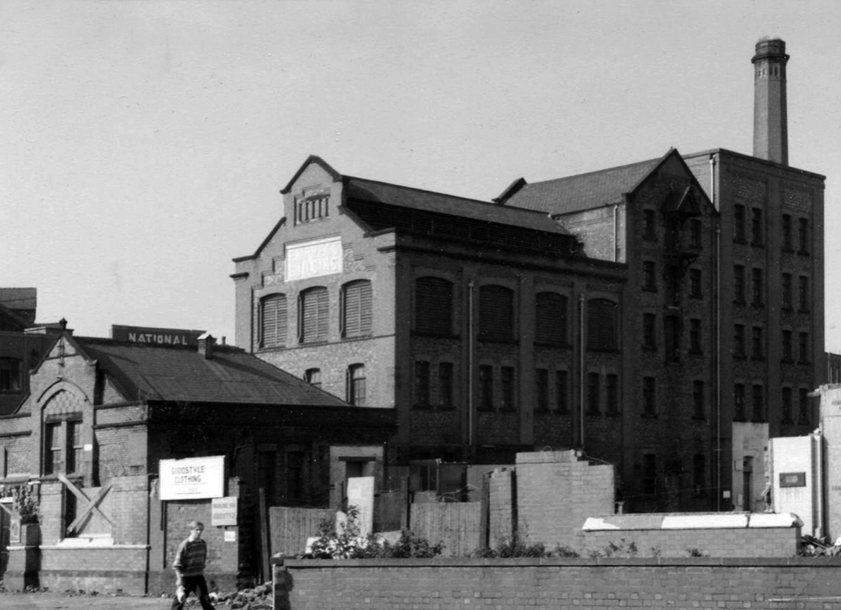
The building was converted into offices in 1992 as part of the development of the Empress Business Centre, which saw new office and business units built to form a courtyard.
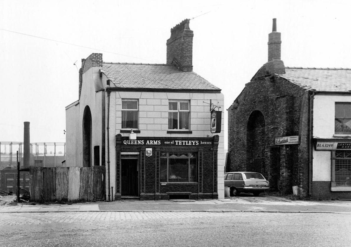
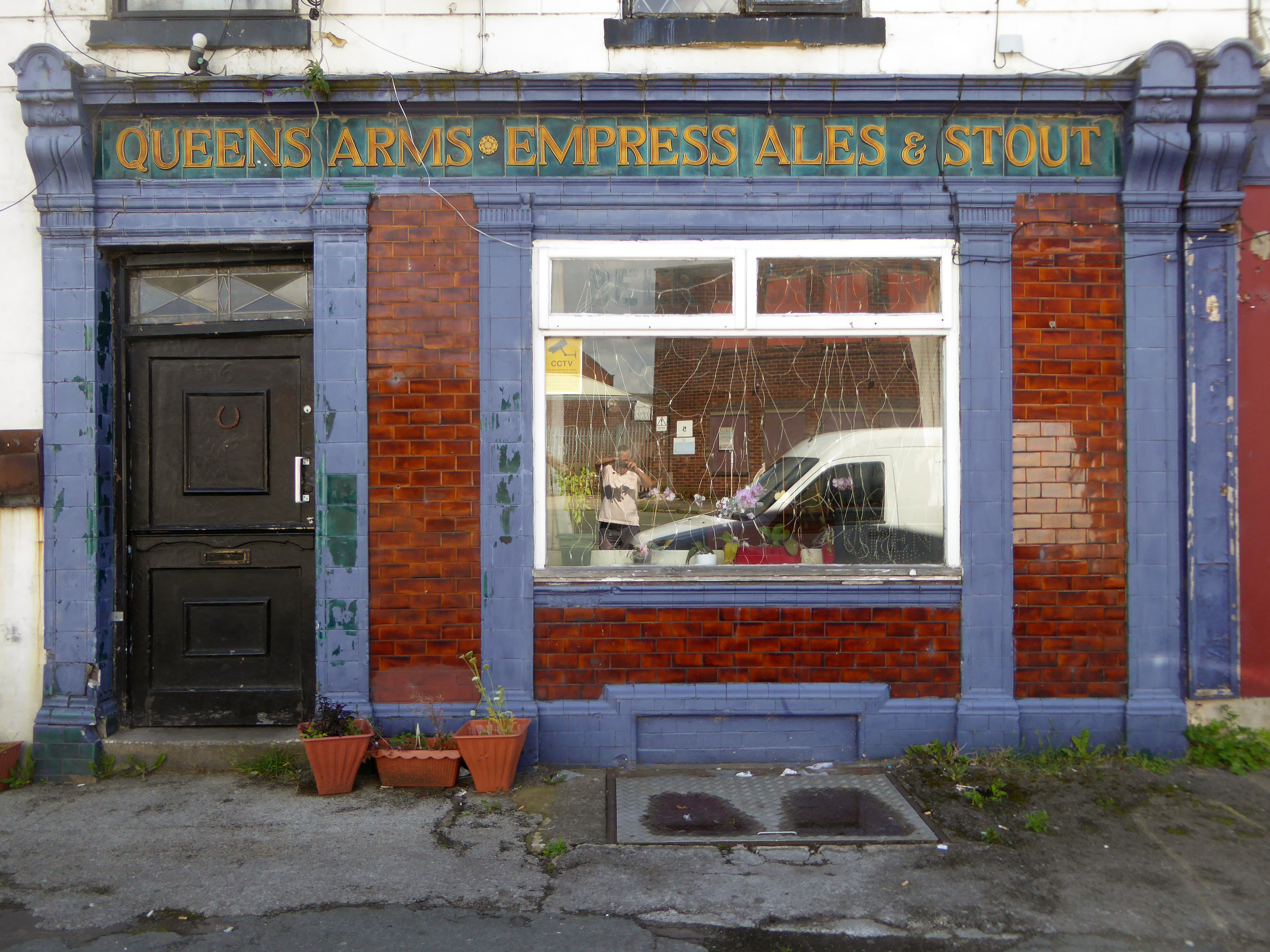
Including the Queens Arms on Honey Street Red Bank, one of the first independent real boozers back in the 1980’s, subsequently it has seen various uses last seen on my Collyhurst Circular walk.
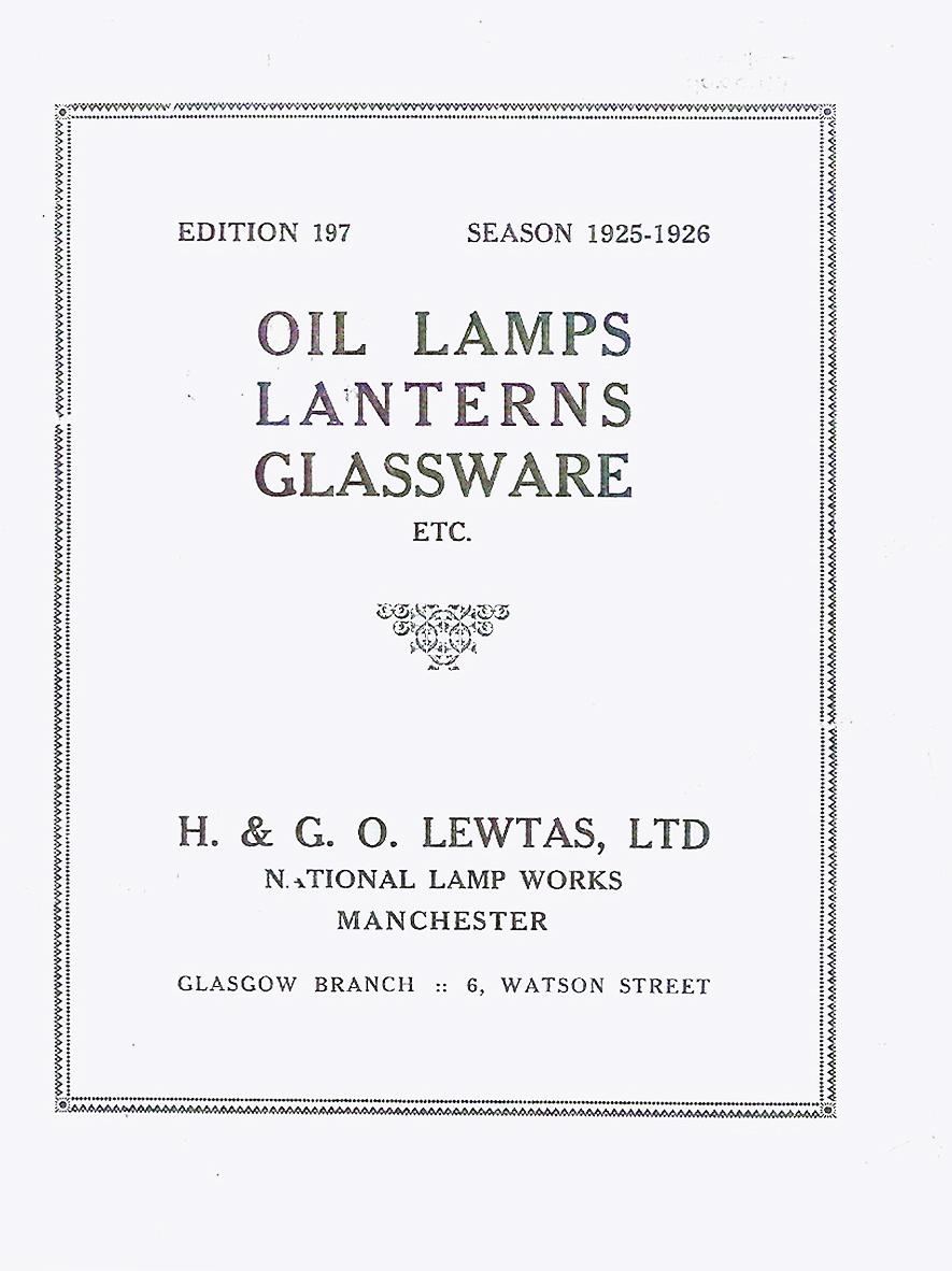
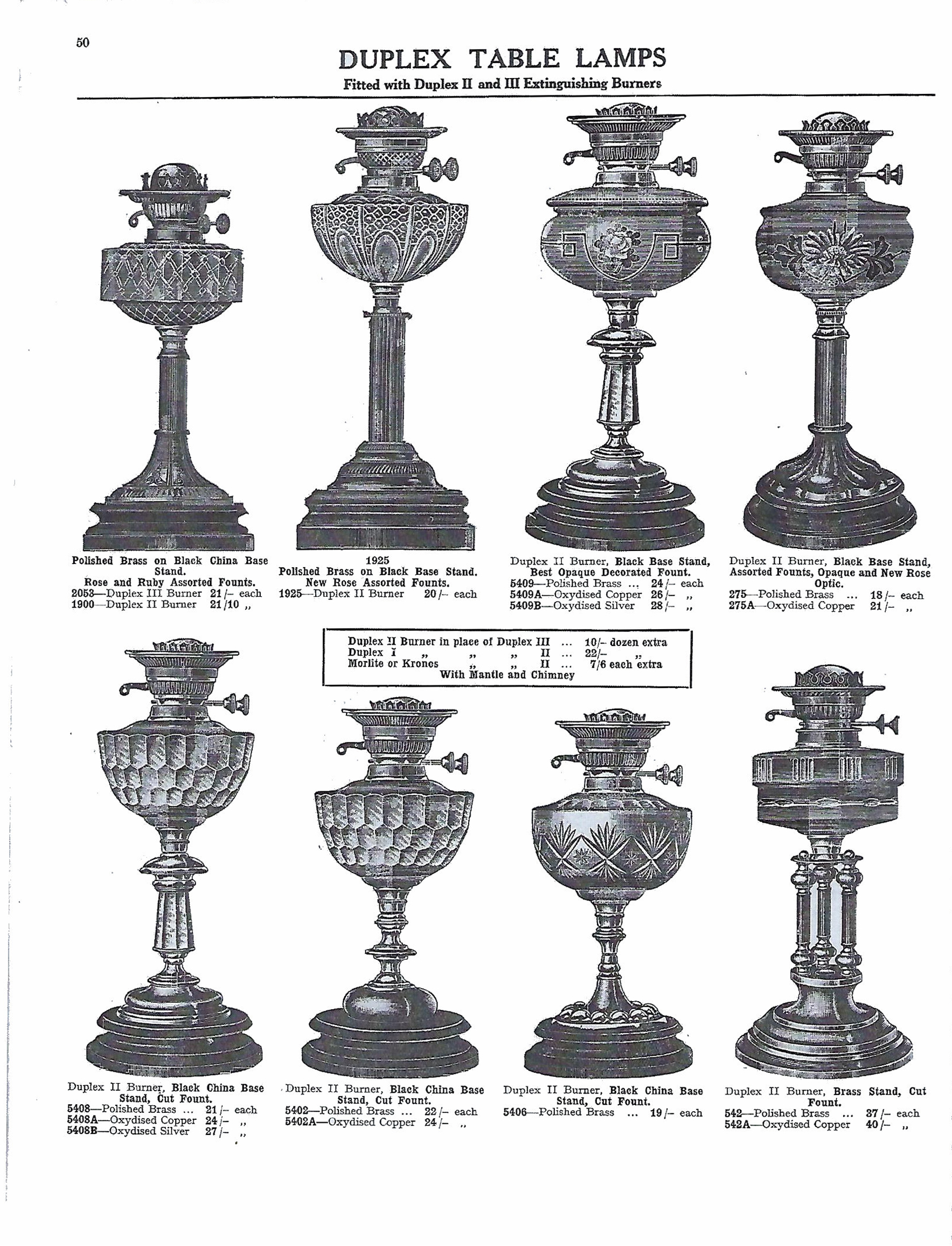
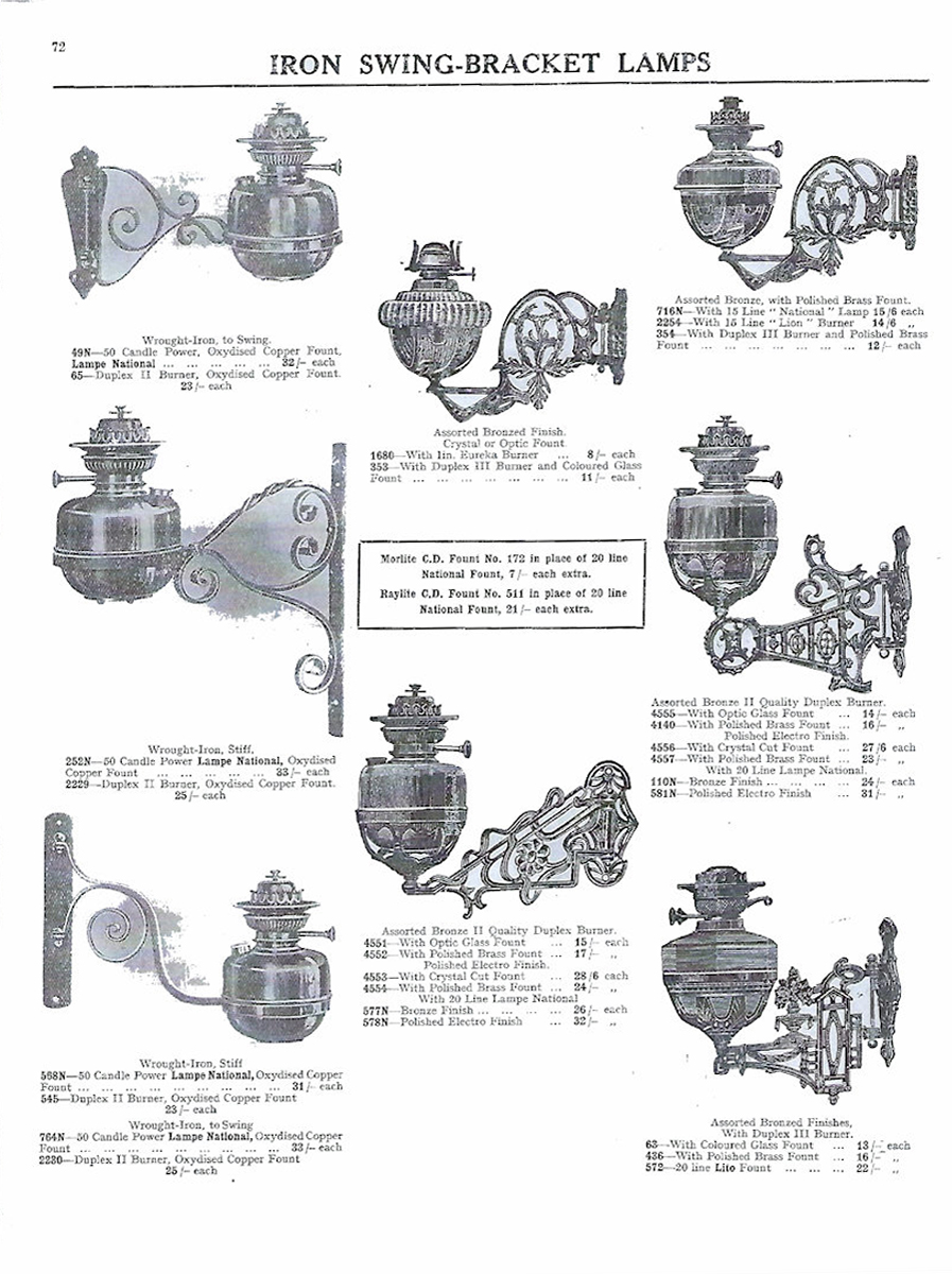
The development of the site can be traced from the sequence of Ordnance Survey 1:2500 maps. The First Edition of 1893 shows the site as undeveloped. The First Revision map of 1908 shows 384 Chester Road to have been developed, and the site of the National Works to have been occupied by an open-fronted L-shaped range along the western and southern sides, with a detached rectangular building in a central courtyard. It is possible that these buildings all formed part of 384 Chester Road, listed as being occupied by H, G & O Lewtas, lamp manufacturers, in Slater’s trade directory for 1911. The Second Revision map of 1922 shows the early building to have been subsumed by the current building.
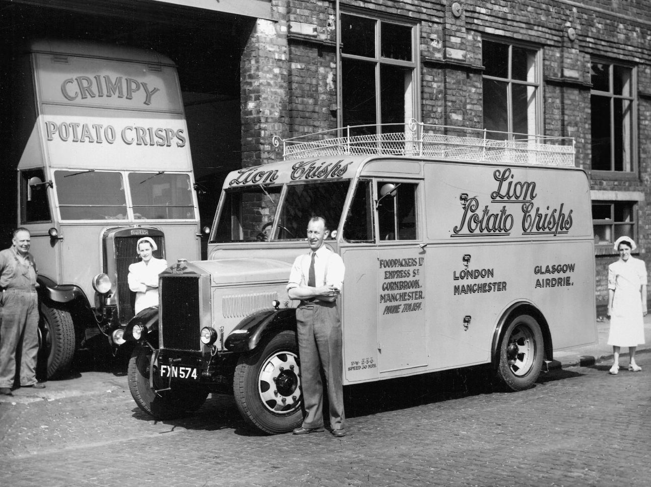
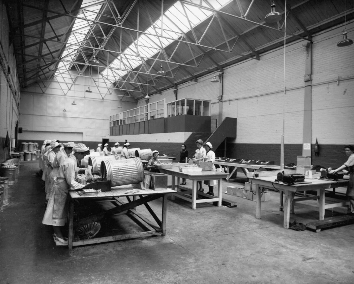
1961 Local Image Collection
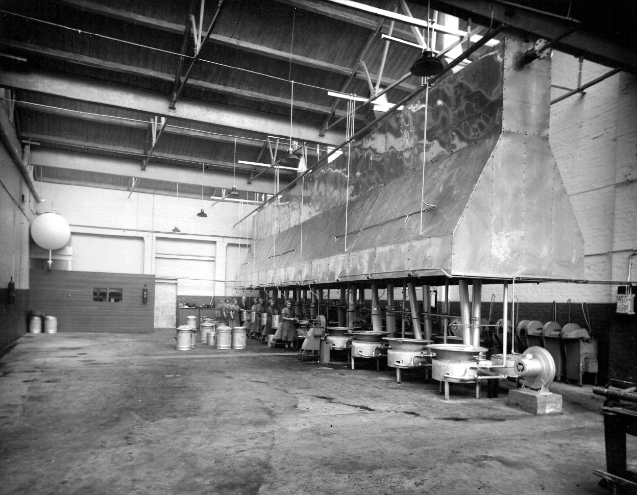
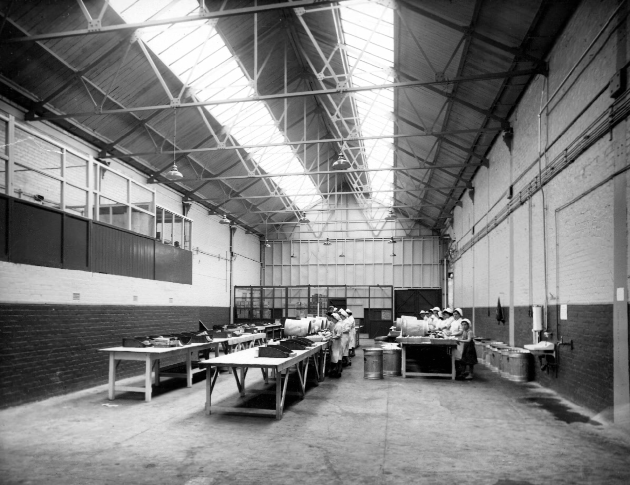
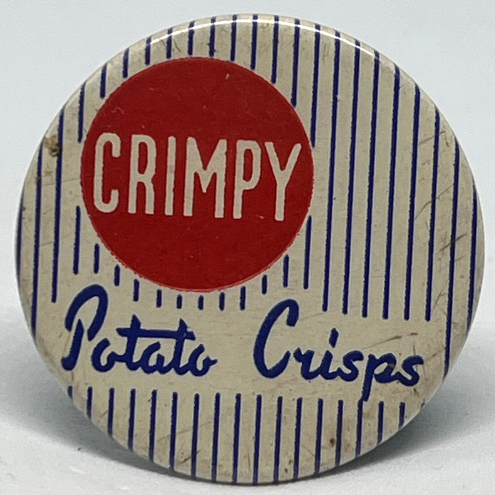
Later the home of Lion Foodpackers Ltd and Crimpy Crisps.
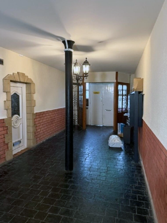
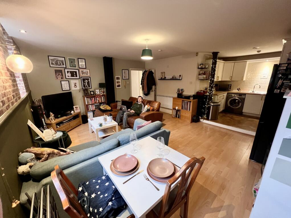
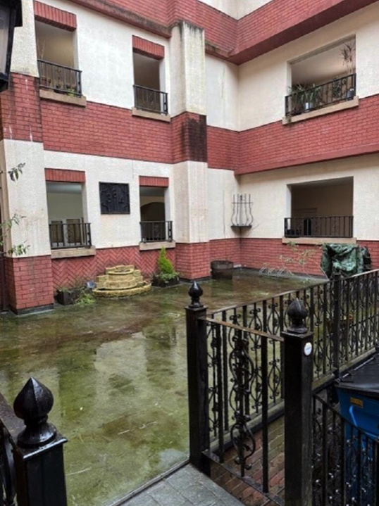
Situated on the lower ground floor of a gorgeous, red brick, landmark building, this 2 double bedroom apartment merits further inspection. A good size living room opens on to a good fitted kitchen. It also has a great, spacious shower room. It also benefits from a parking space, although a great attraction is the location, being just 1 mile from Deansgate and the City along with being 10 minutes walk to a Metro station.
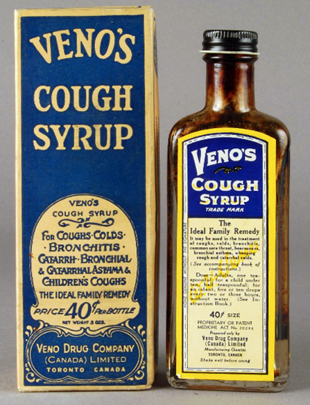
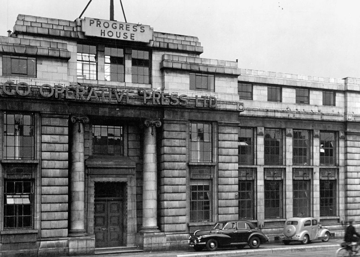
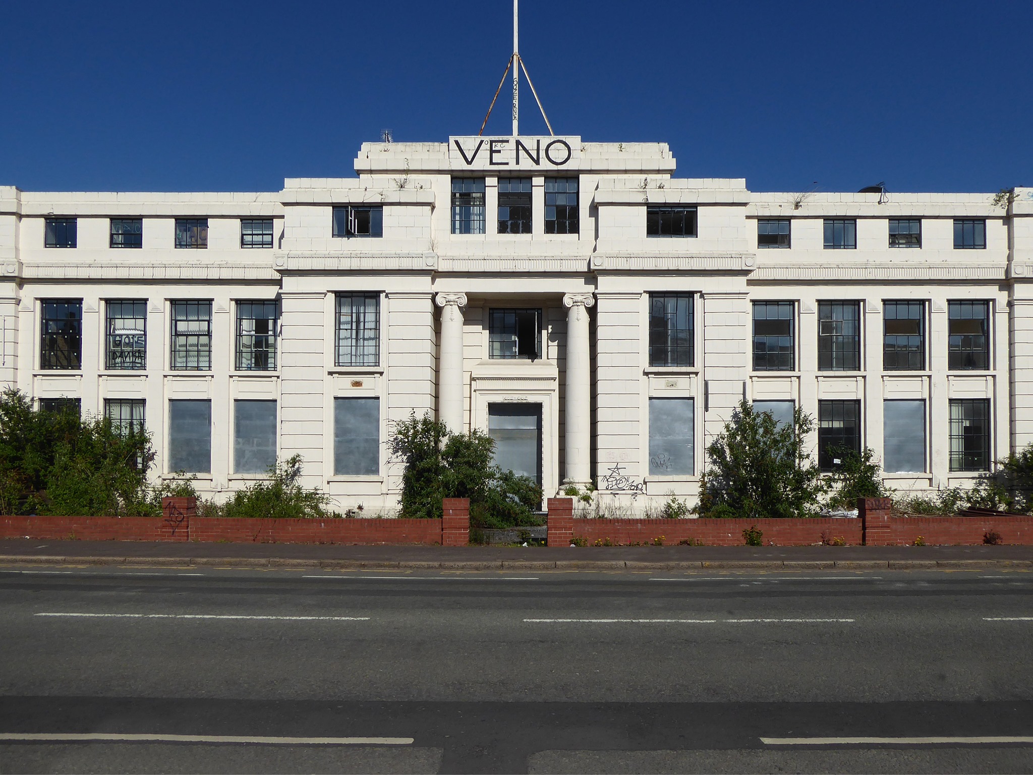
Then we have the Veno’s Building, which was once a pharmaceutical company founded by William Henry Veno. He established a company in the US before returning to Britain and founded the Veno drug Company in Manchester in 1898.
In 1925 the company was sold to Beecham Estate and Pills Ltd. In the 60s the building was under the name Progress House and was home to the Co-Operative Press Limited, later to become Trafford Press.
Rare sighting of a Profil aka Stymie Bold Italic hyphen.
Designed by brothers Max and Eugen Lenz and first cast by Haas in 1947.
The front elevation was originally in red brick, with a later faience facade applied.
Veno’s a stalled and cursed development. In 1925 William Henry Veno sold his company for £500,000, a decision he later rued. He sought to enhance his million pound fortune but lost everything through speculative investments and the 1929 Depression. He shot himself at his home during a fit of impulsive insanity.
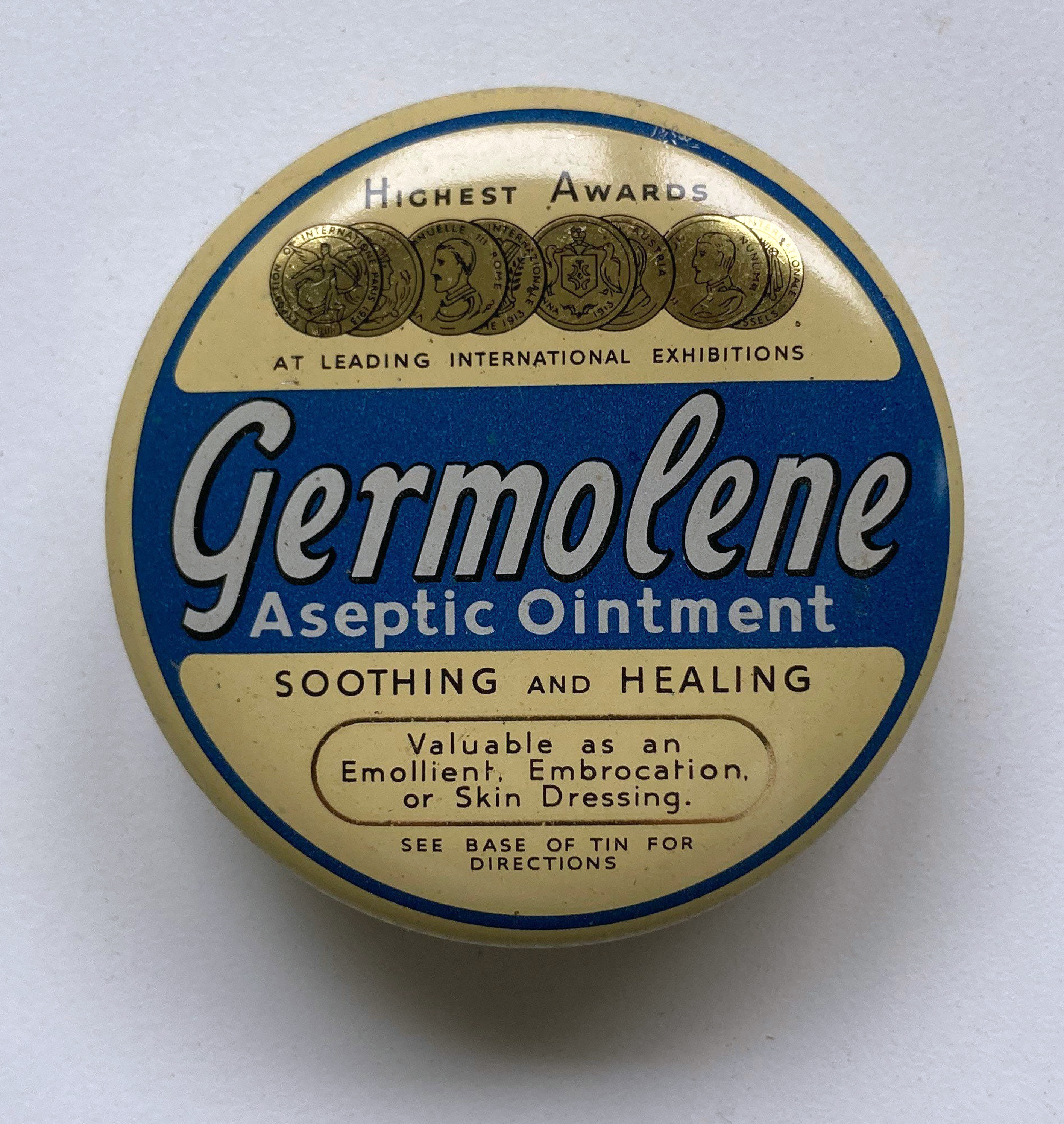
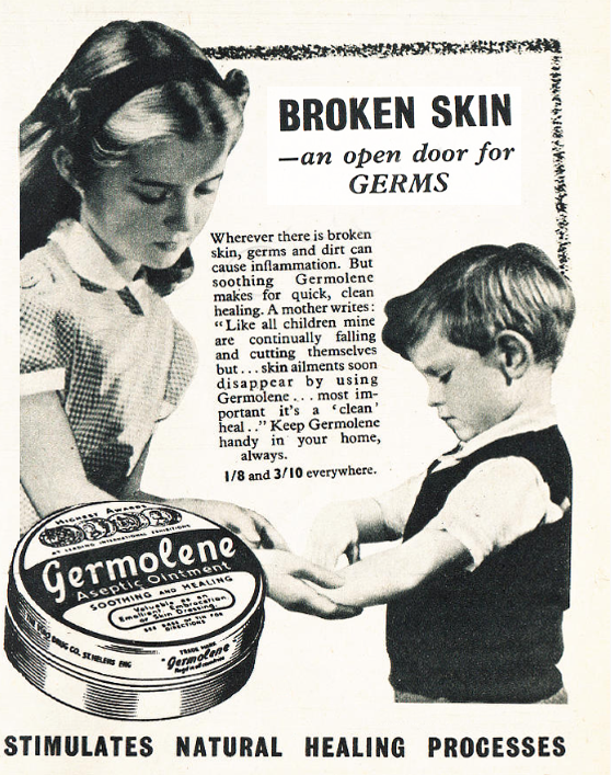
It was also the home of Germolene, a thick antiseptic ointment with a distinctive pink colour and scented with oil of wintergreen
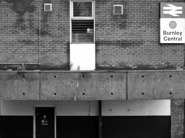
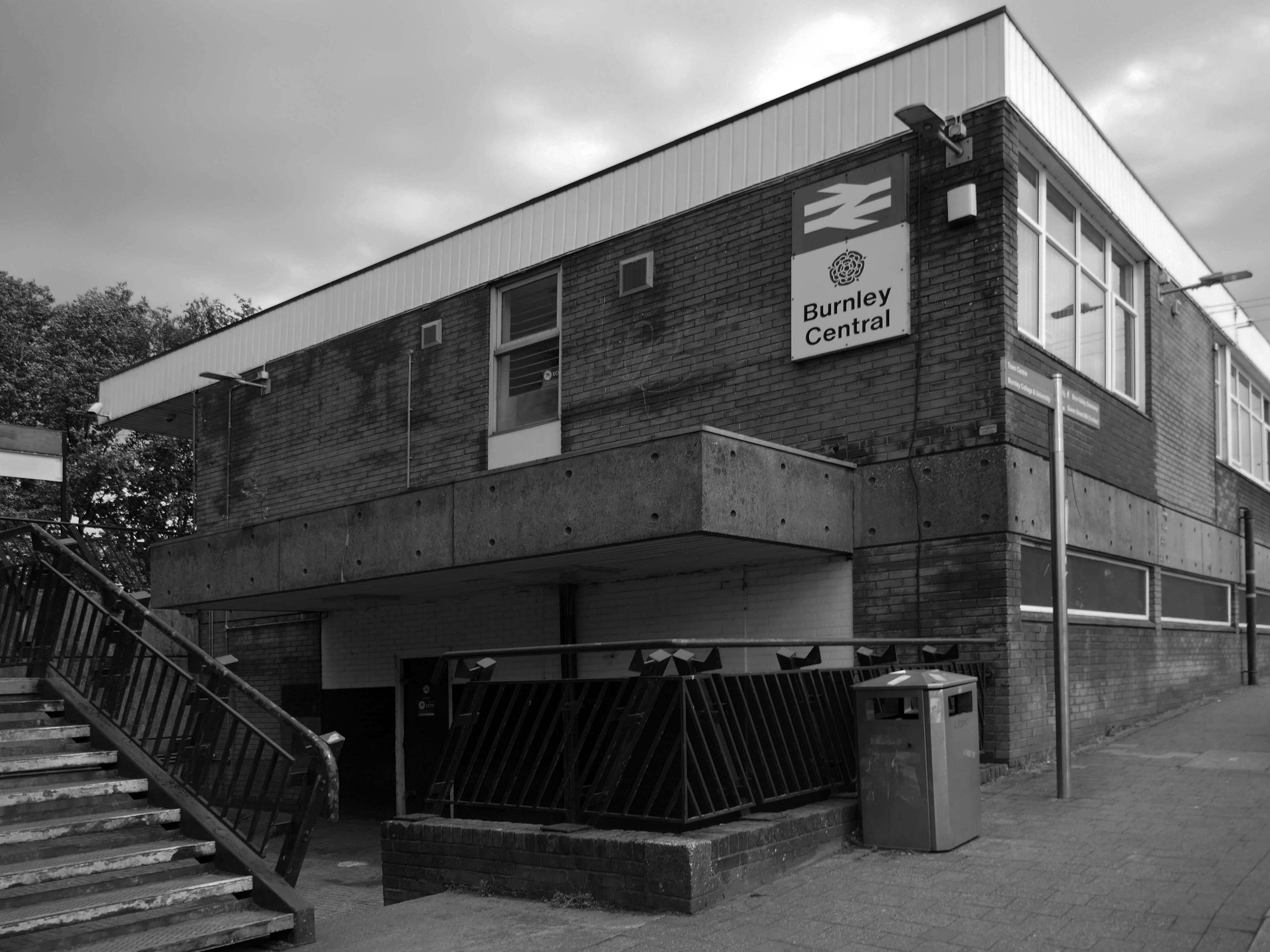
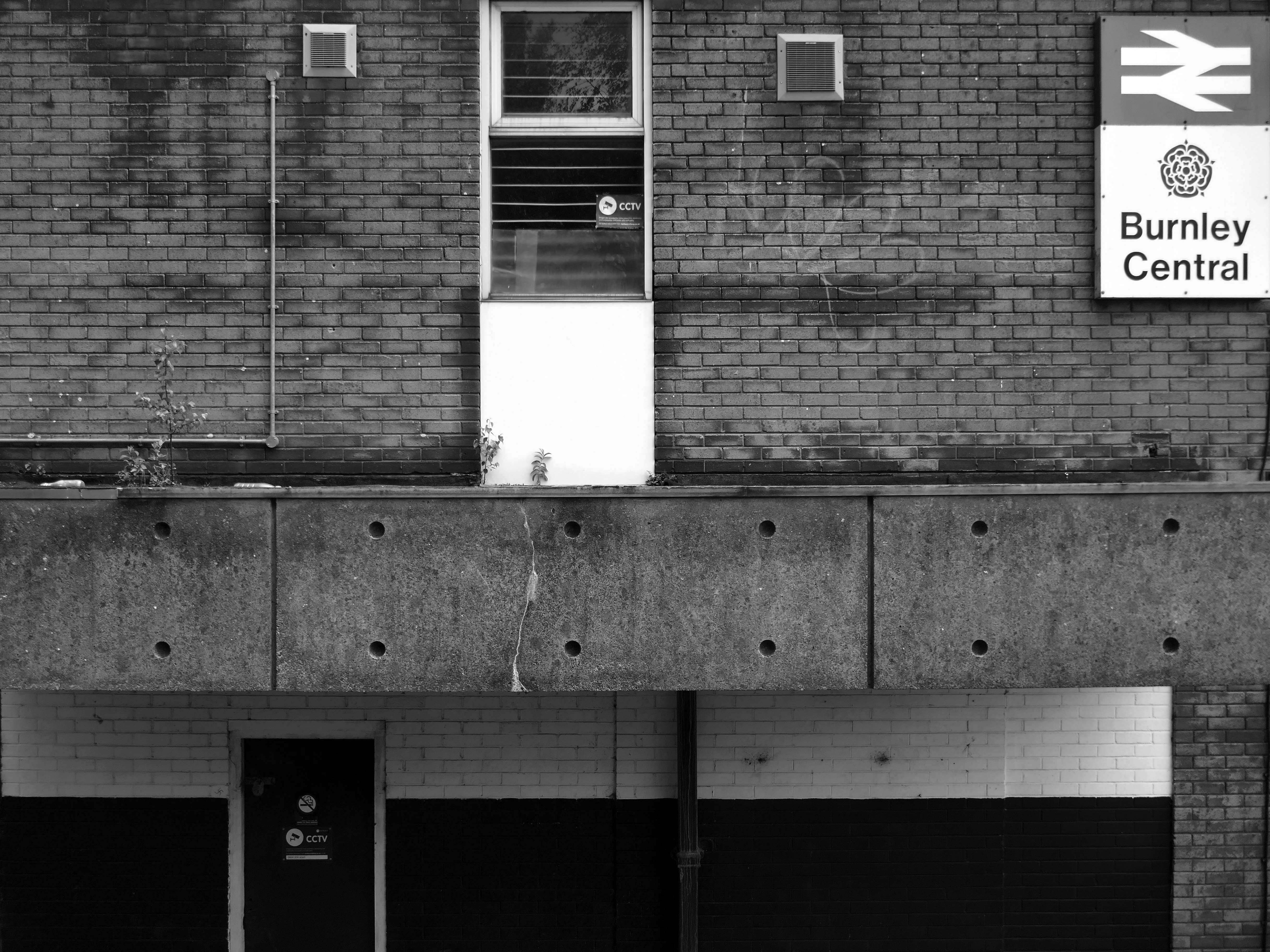
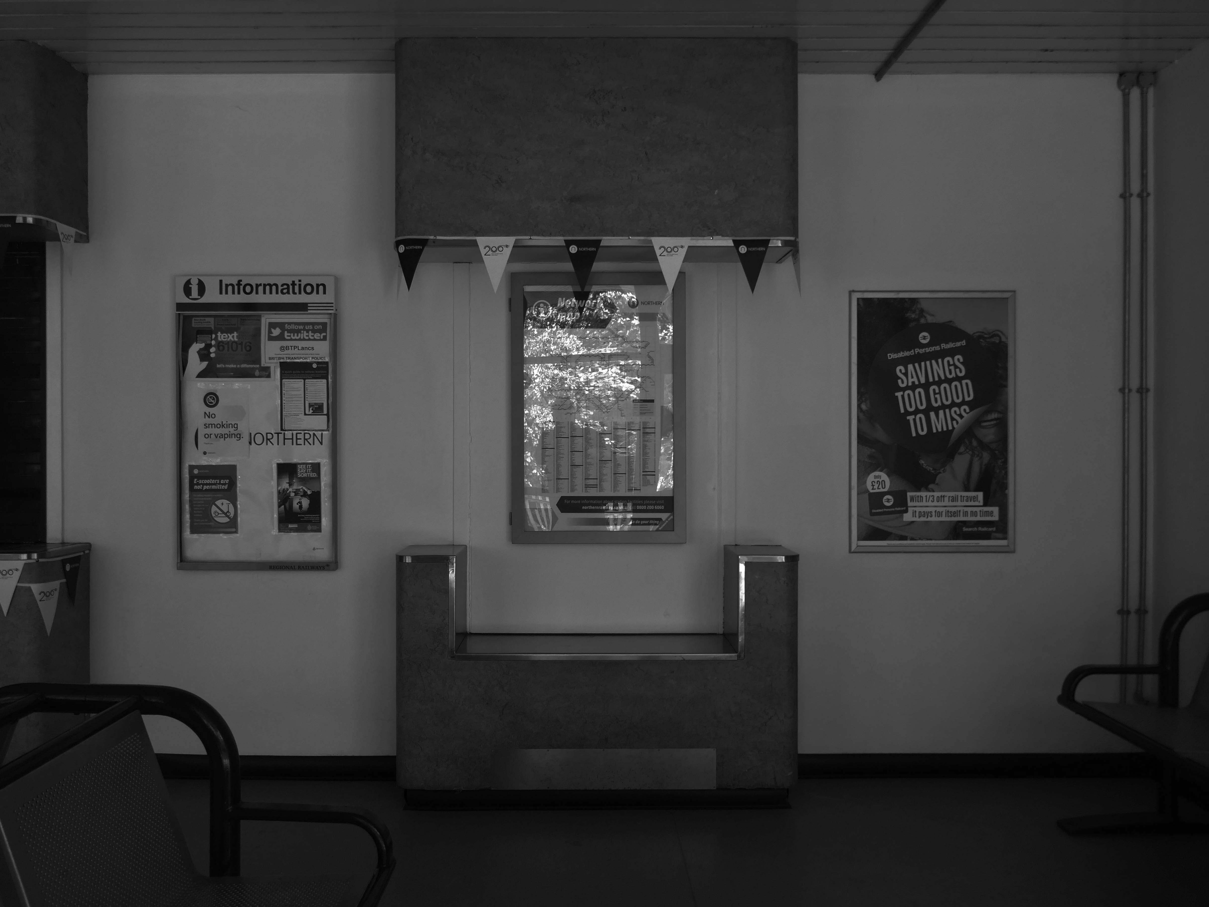
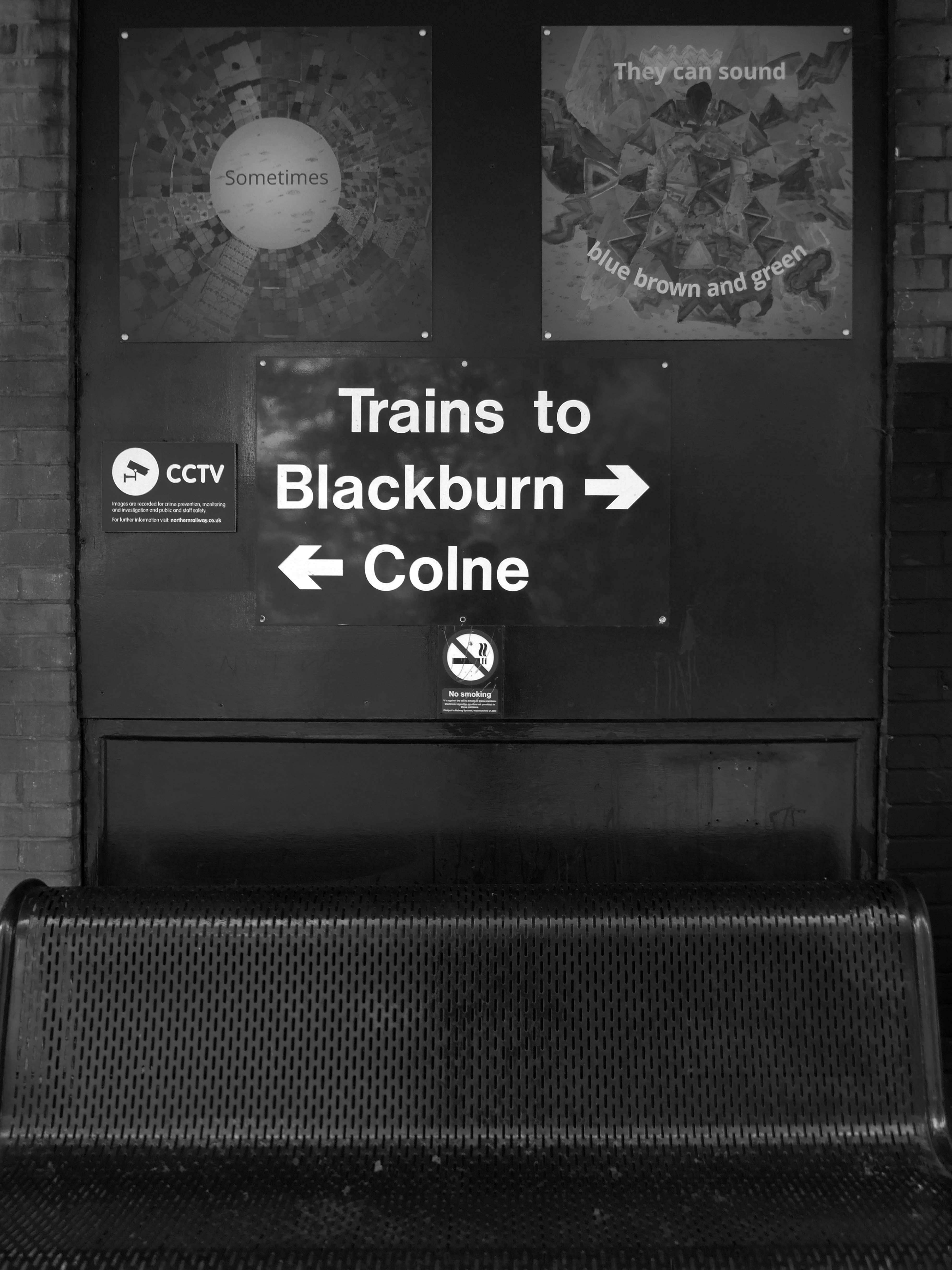
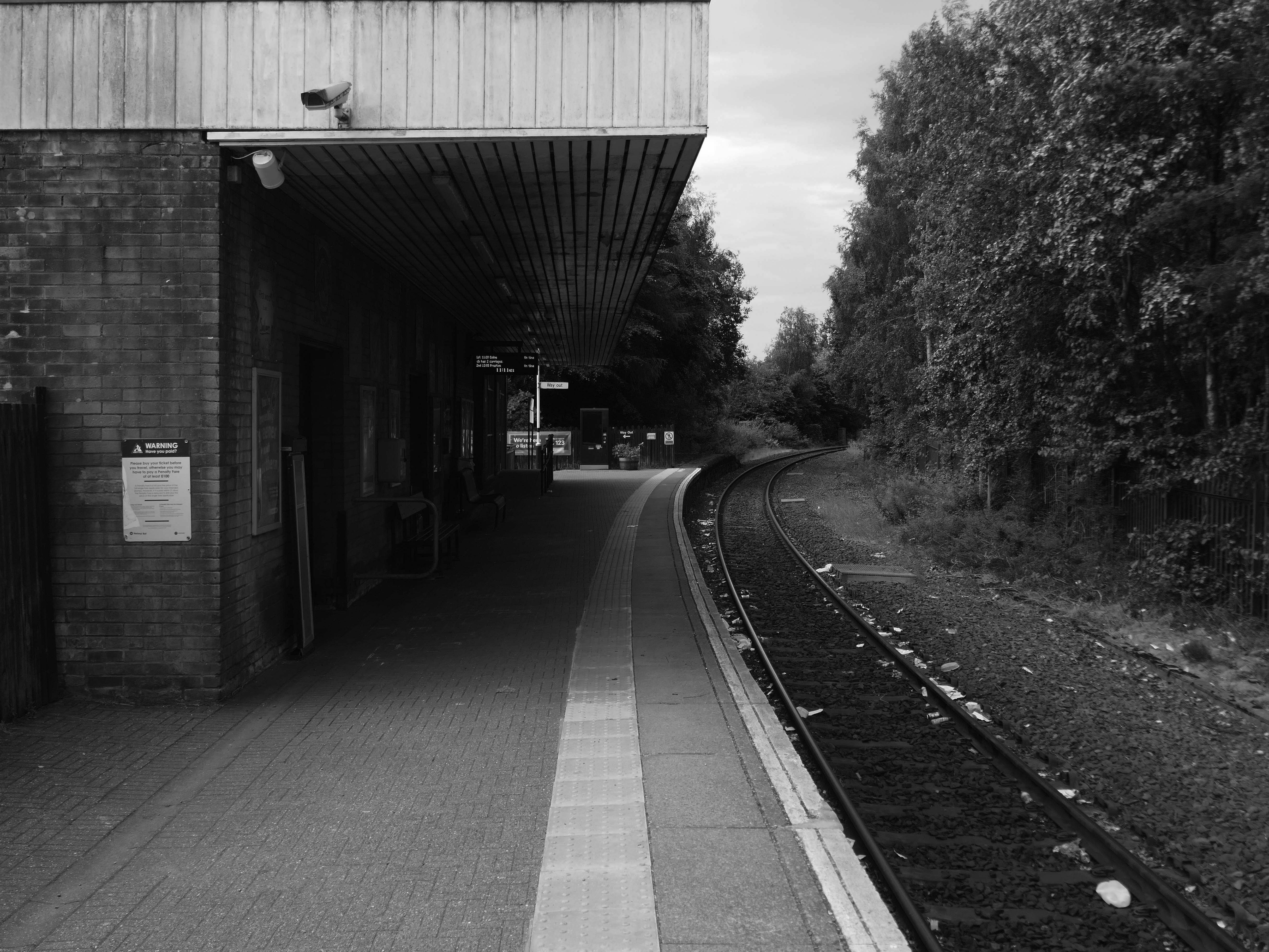
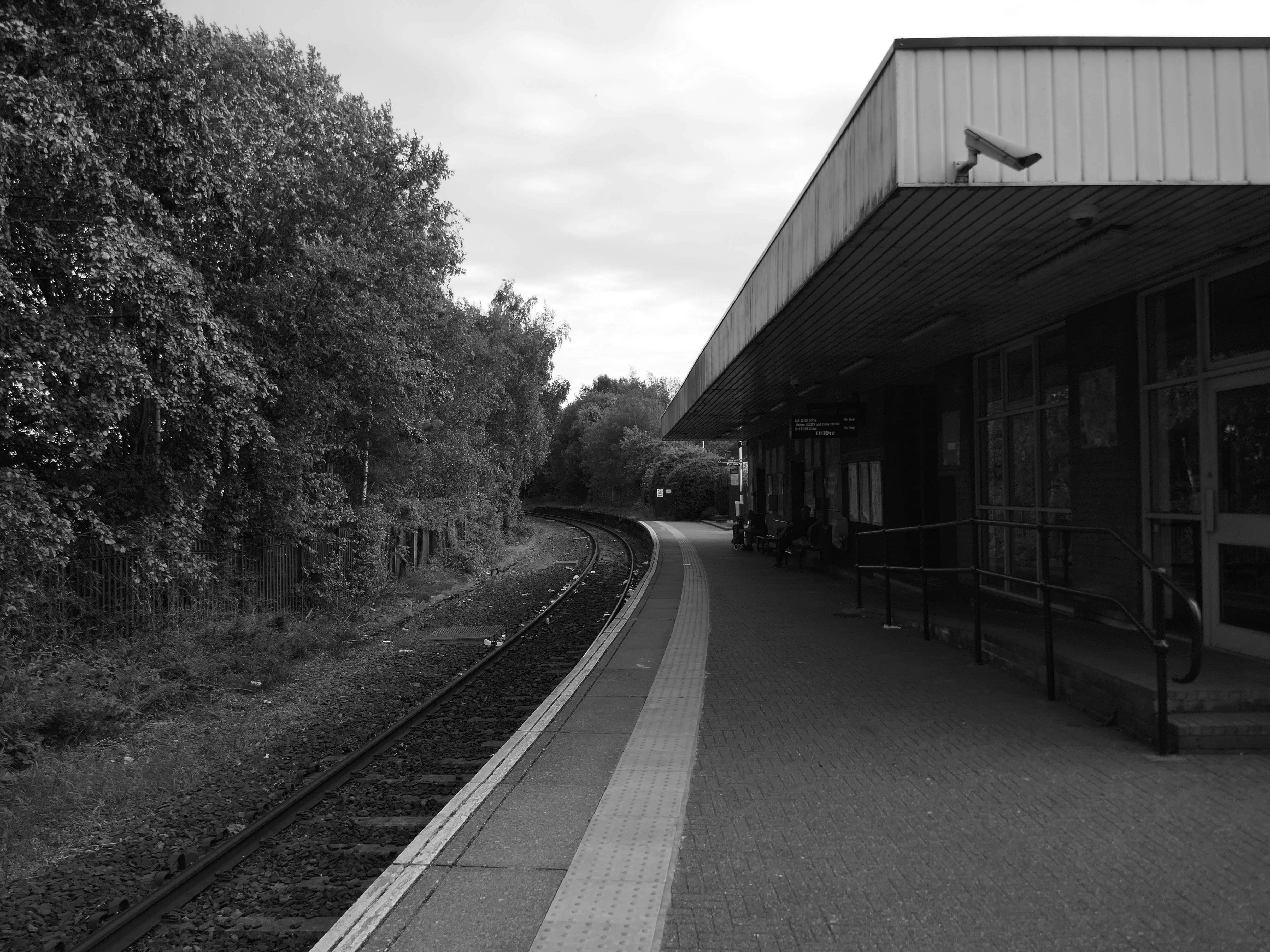
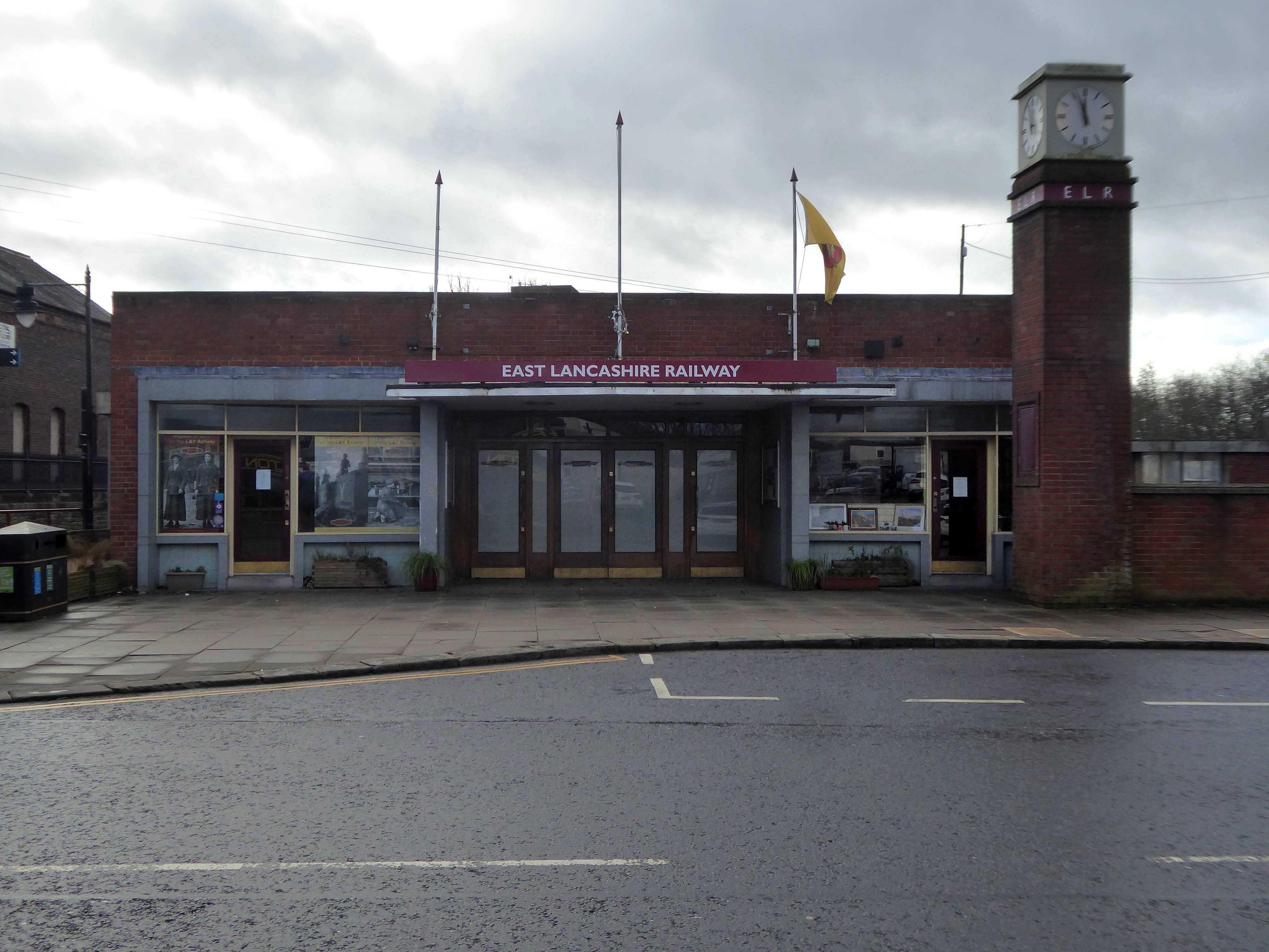
Burnley Central railway station is a stop on the East Lancashire Line, it is managed by Northern Trains, which also provides its passenger service.
Architect: RL Moorcroft of British Rail 1964-1966
Described by Claire Hartwell in the Buildings of England Lancashire: North as – of blue brick, bleak.
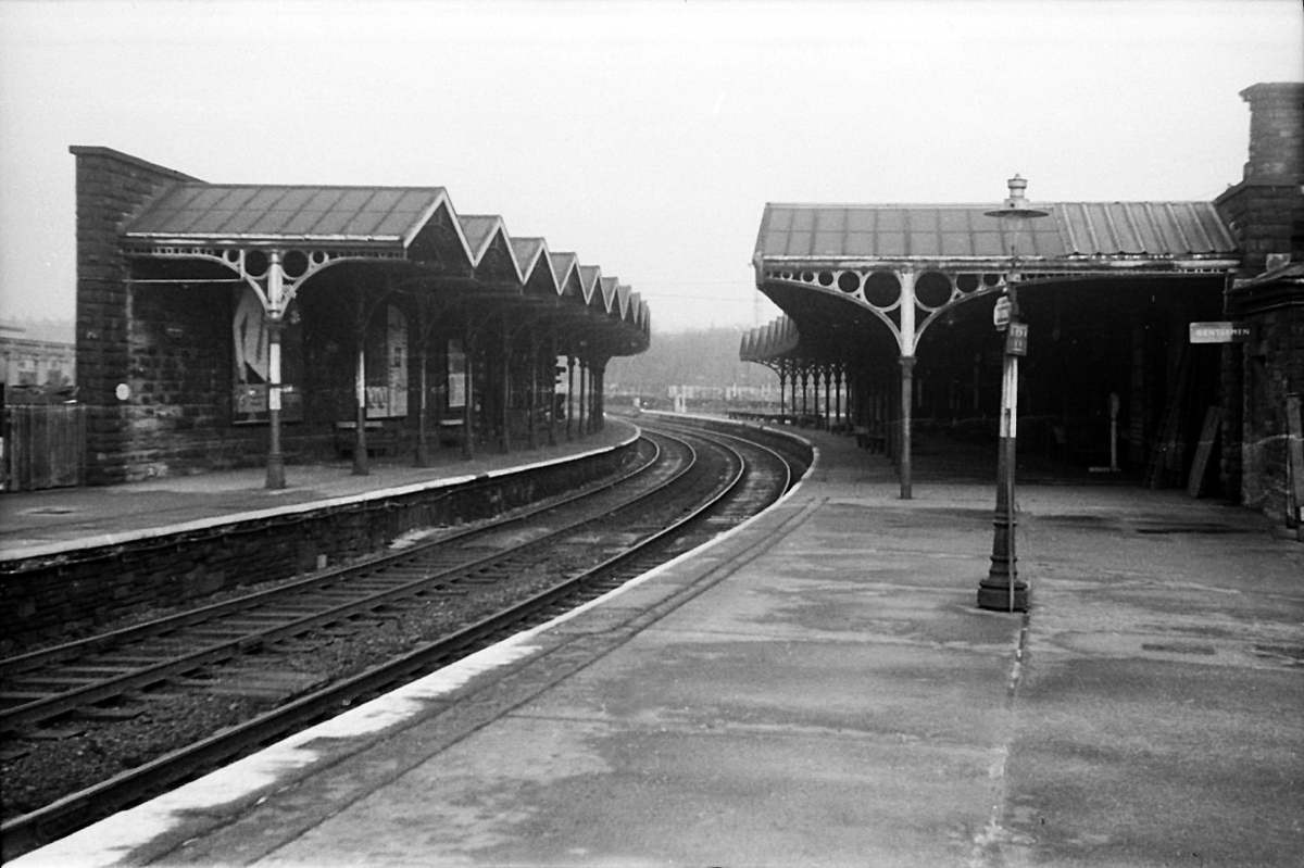
The station was opened by the East Lancashire Railway in 1848, as part of its route from Bury and Blackburn to Colne; here, an end-on junction was made with the Leeds and Bradford Extension Railway line from Skipton that had been completed several months earlier. The service from Colne through the station to Manchester Victoria, via Accrington and Bury, was well used from the outset by the owners of the local cotton mills, who travelled from their homes in the area to make their purchases of raw cotton at the Royal Exchange several times each week. It was also possible to travel from the station by direct train to Blackpool, Liverpool and Skipton and even through to London Euston, via Blackburn, Manchester Victoria and Stockport.
1964 Red Rose Collections.
However, the cutbacks of the 1960s affected the station badly, with through trains to Manchester via Bury ending in 1964 (two years before the withdrawal of the Accrington to Bury service) and those to Liverpool in 1969 whilst the line to Skipton was closed to all traffic in 1970. This left the station on a 10.5 km long dead-end branch line from Rose Grove to Colne.
The station was rebuilt in 1965, its ground floor is at street level and the first floor at platform level.
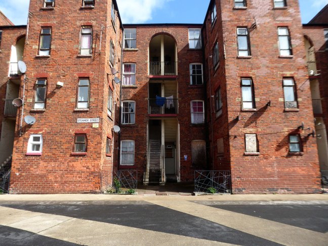
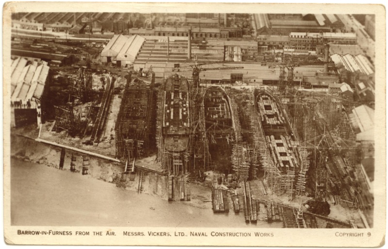
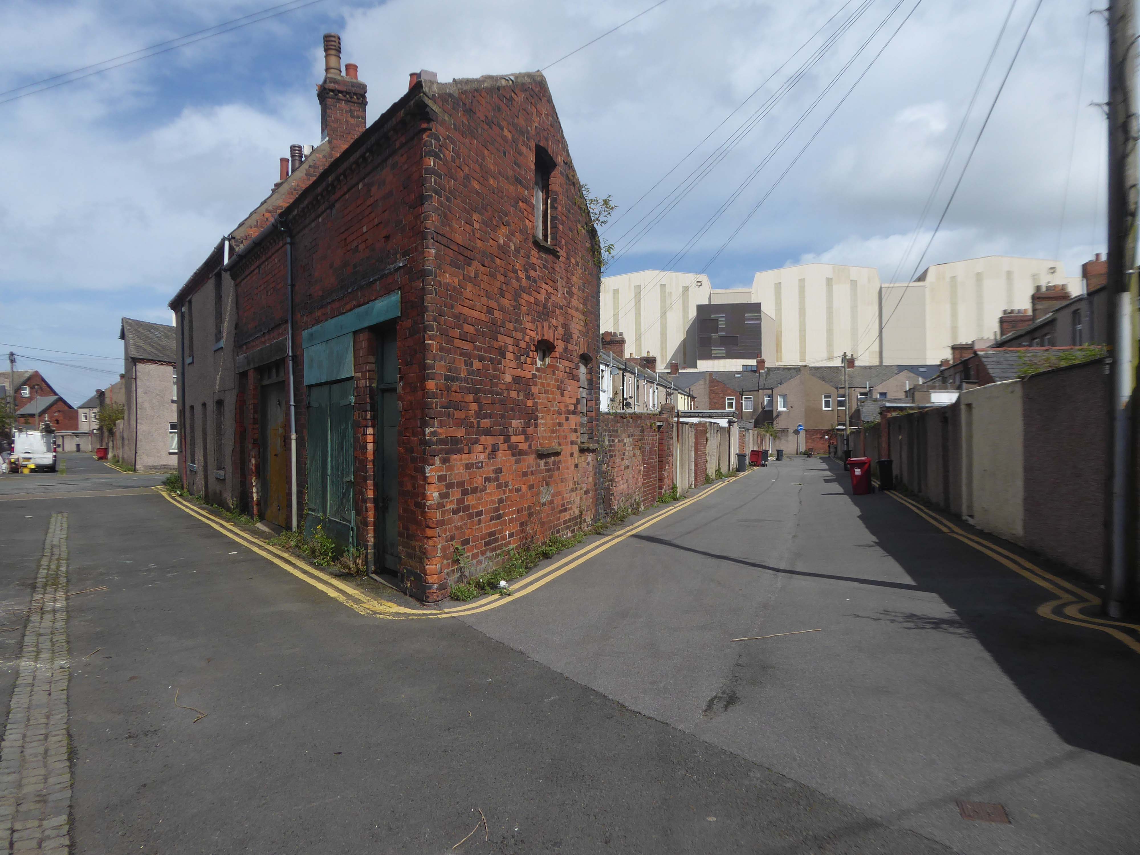
Following the rapid growth of the town of Barrow-in-Furness, the construction of the Furness Railway following the discovery of deposits of iron ore in the Furness peninsular, and the development of industries using iron as a raw material resulted in many commissions for the practice – the population of Barrow doubled between 1851 and 1861, and doubled again in the next decade.
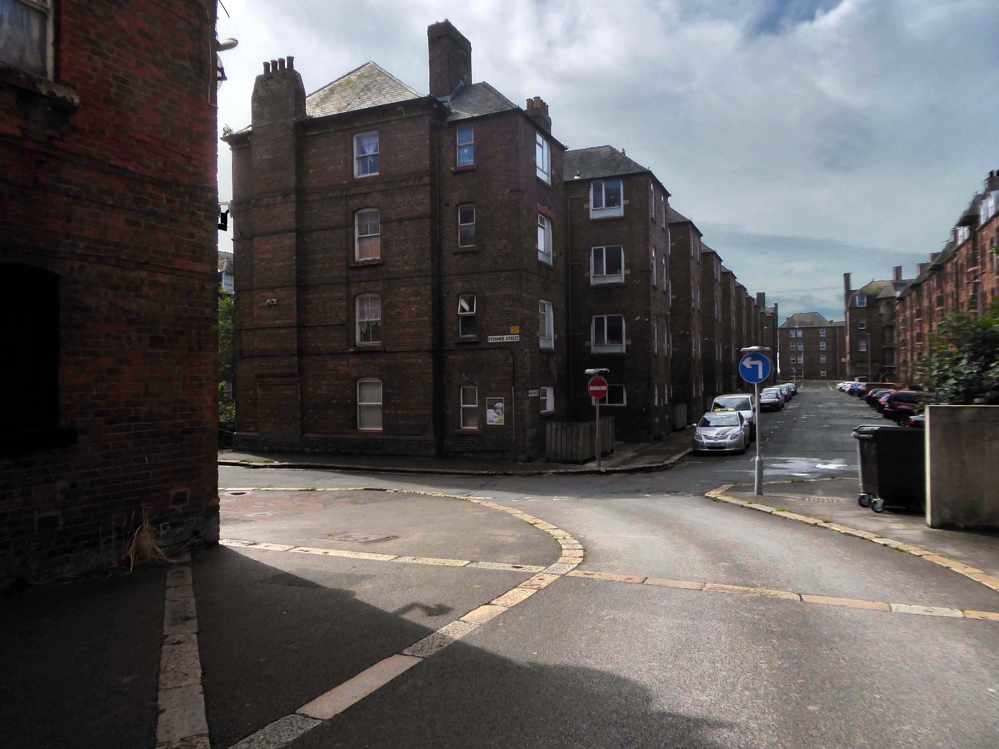
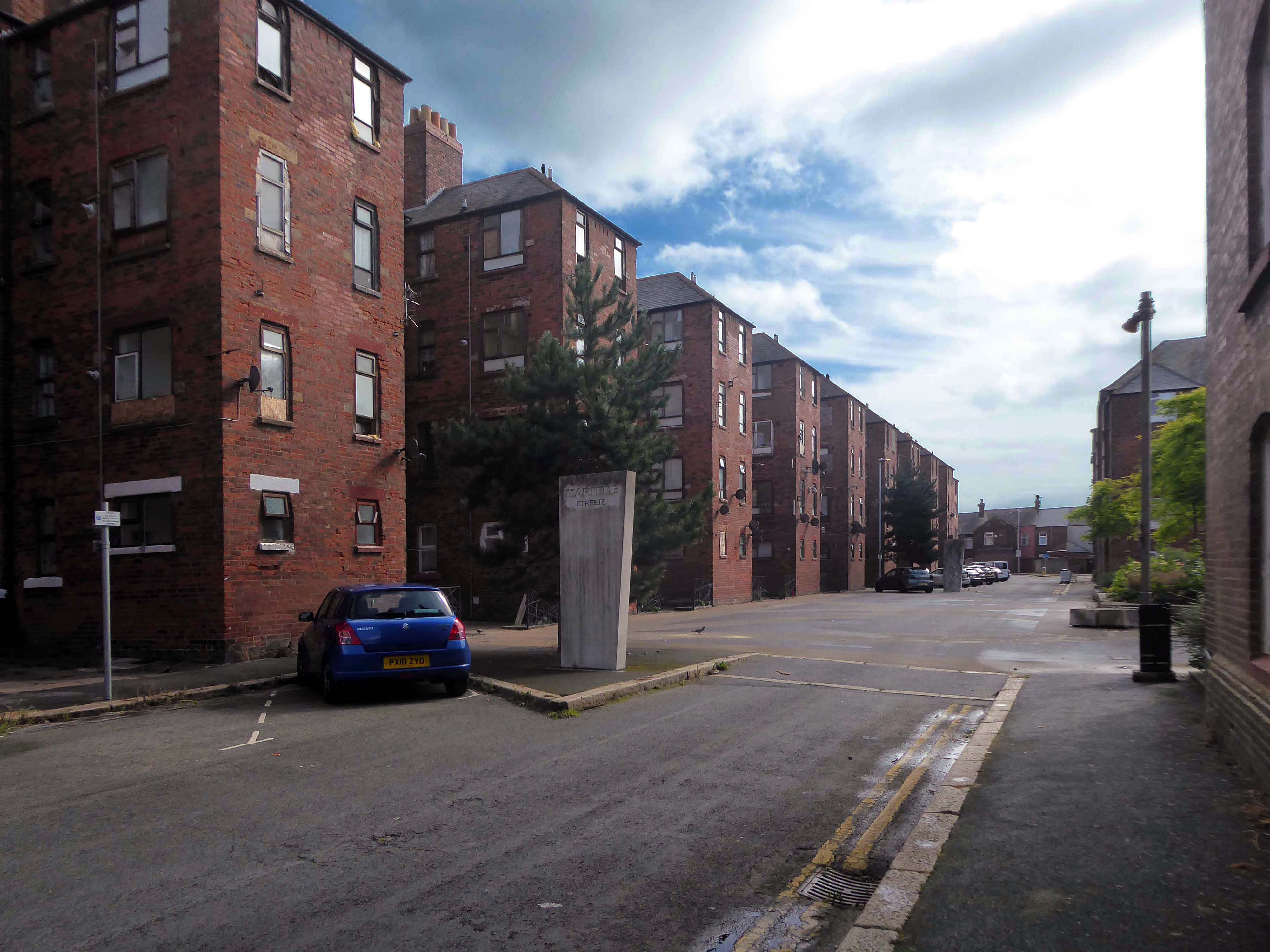
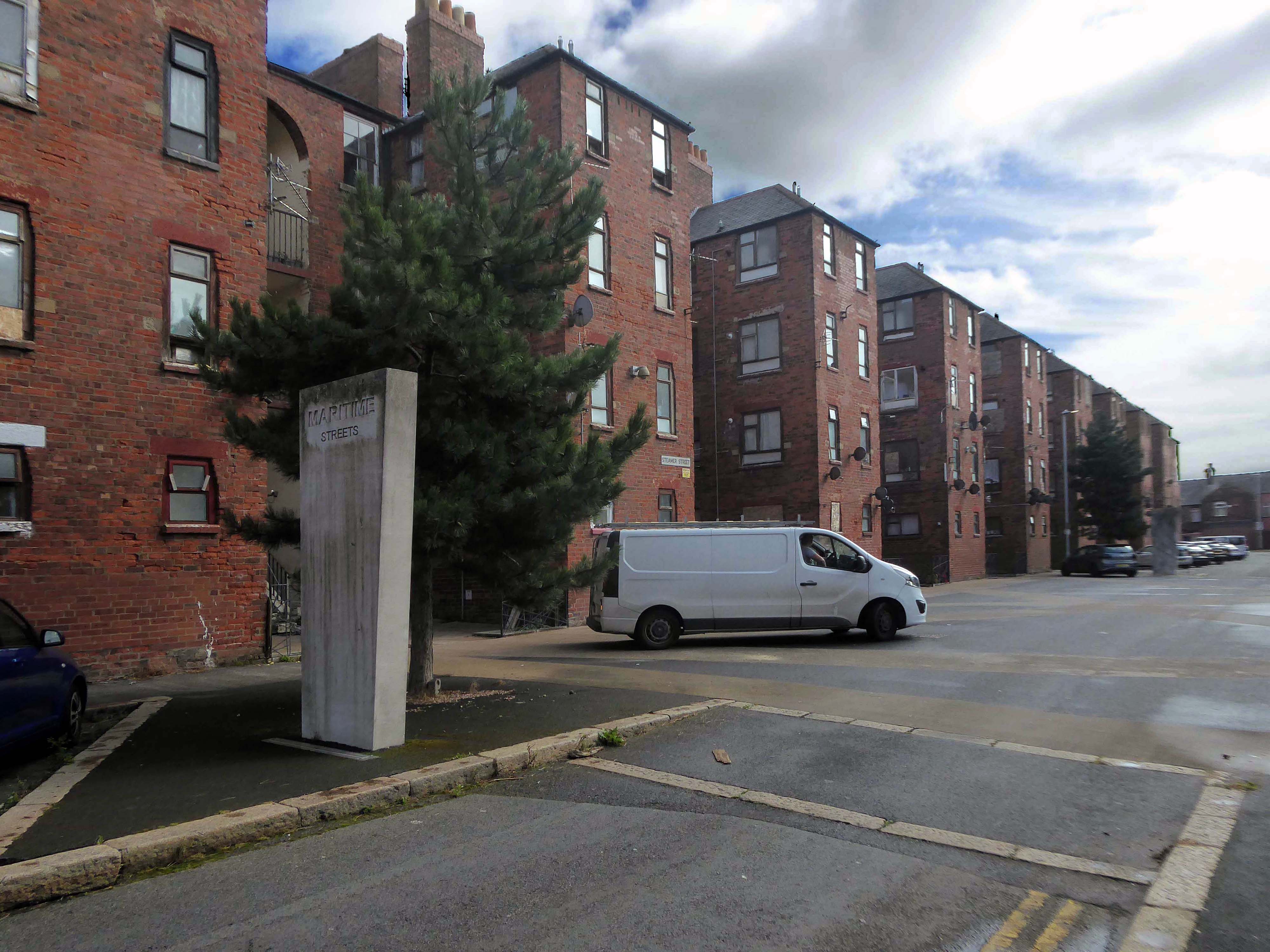
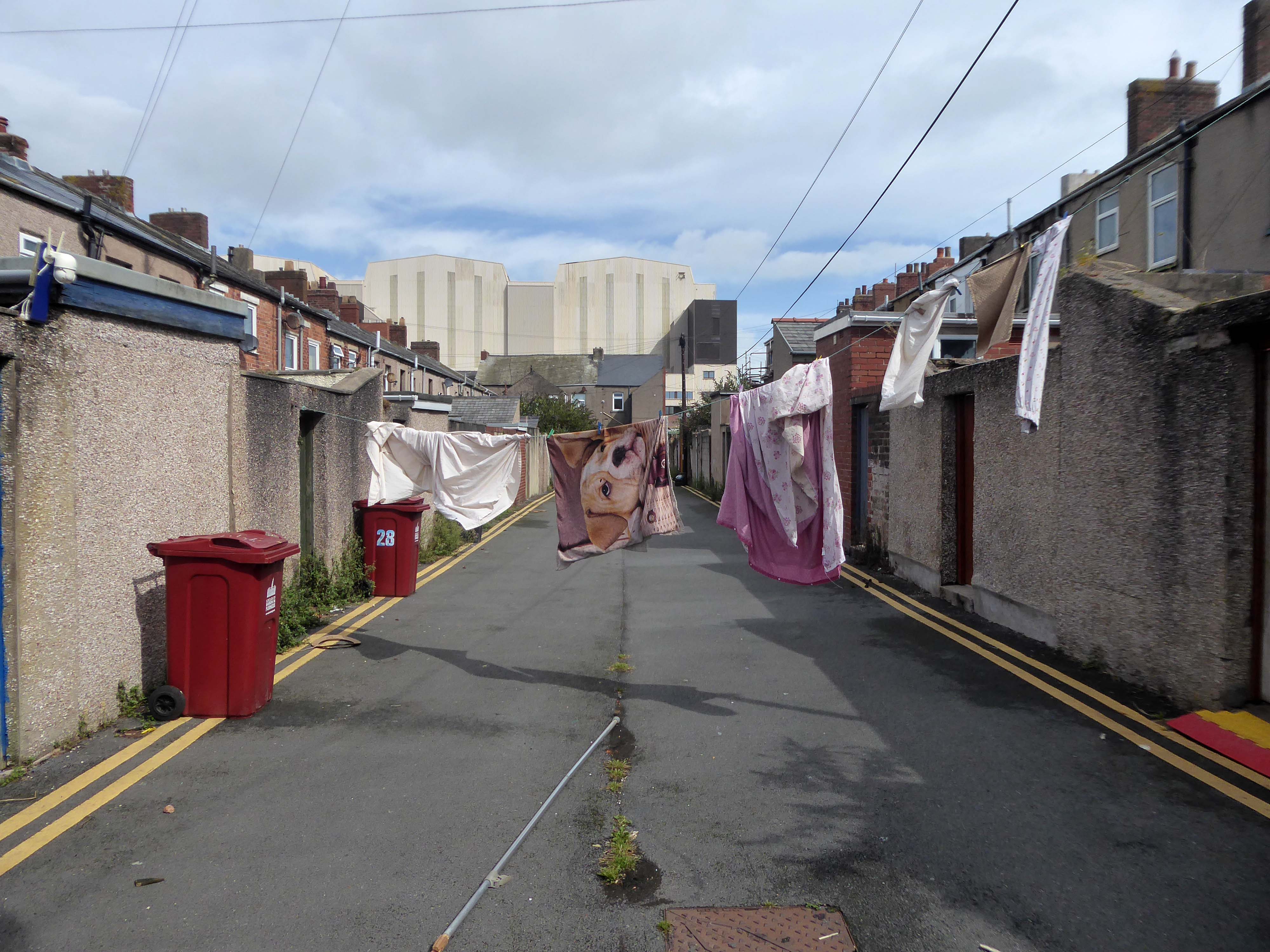
There’s a tight knit group of roads, where the housing is redolent of Scottish tenements.
These are the Ship Street Tenements brick built in 1881-84, for the Furness Railway Company, they are Grade II Listed.
Architects Paley and Austin of Lancaster, the main contractors Smith and Caird of Dundee.
They provided accommodation for the families of employees in the Furness Railway Company’s nearby shipbuilding works, they consist of two identical four-storey blocks of nine tenements, making eighteen tenements in total.
The area has been revitalised and improved in recent years and rebranded.
This beautiful and inviting public realm has acted as a catalyst for renewal of this neighbourhood in Barrow-in-Furness. The inspirational scheme won the award for Best Commercial Landscape Design at the Northern Design Awards in 2017 as well as winning the Adding Value Through Landscape award at the Landscape Institute Awards 2018 and it’s easy to see why.
The newly named Maritime Apartments are now advertised for short stays, demonstrating the increased desirability of the neighbourhood. Lisa Hart Pearce, Manager of Maritime Apartments has said: “The new landscape has transformed Maritime Streets, not only visually but holistically. People now have a happy, modern, green space to enjoy; full of colour and beauty. There is no doubt in my mind that the wellbeing of the local community has been positively encouraged by the regeneration of the area and I hope it will continue through generations.”
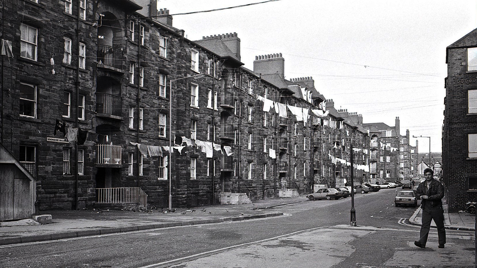
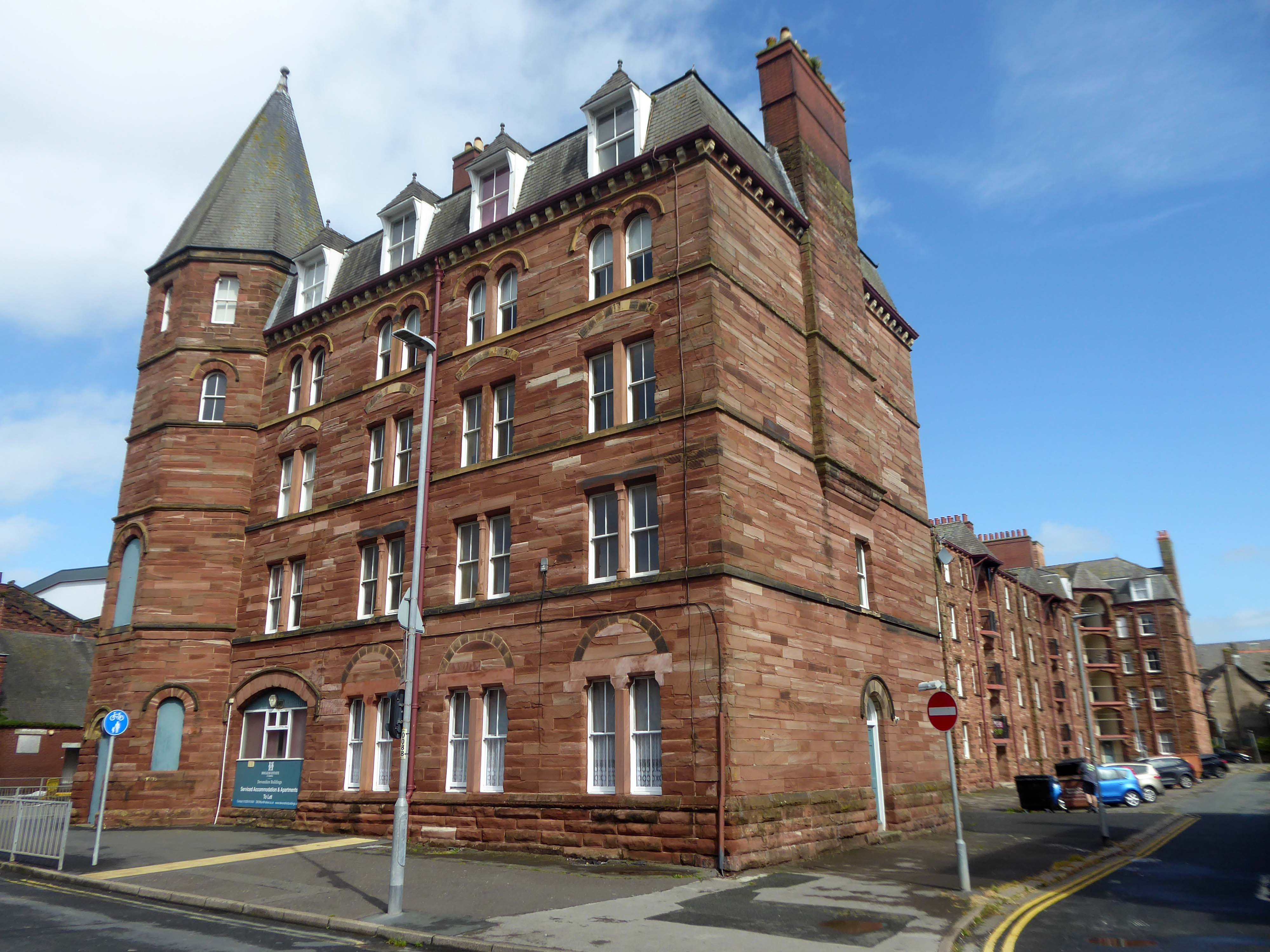
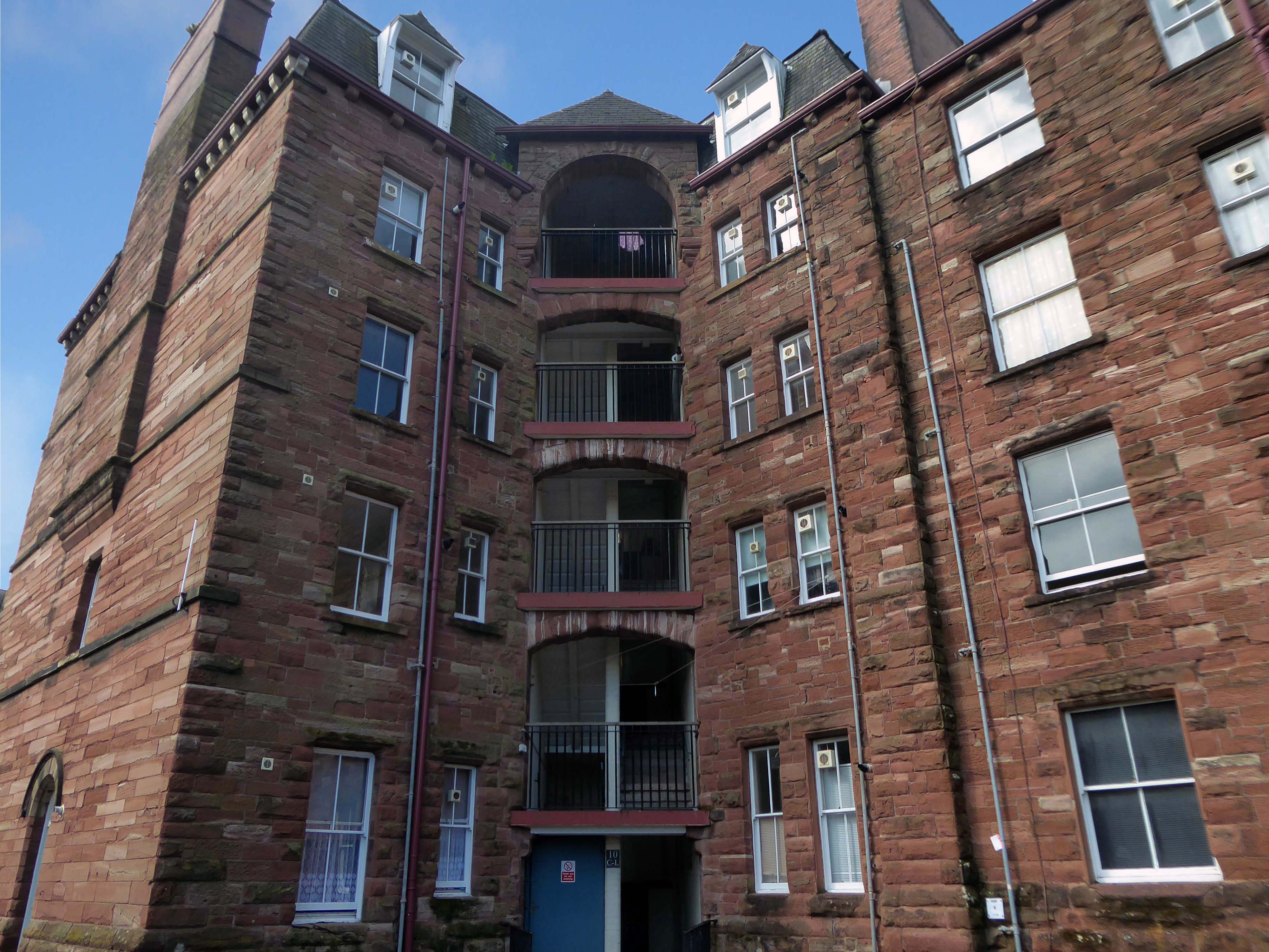
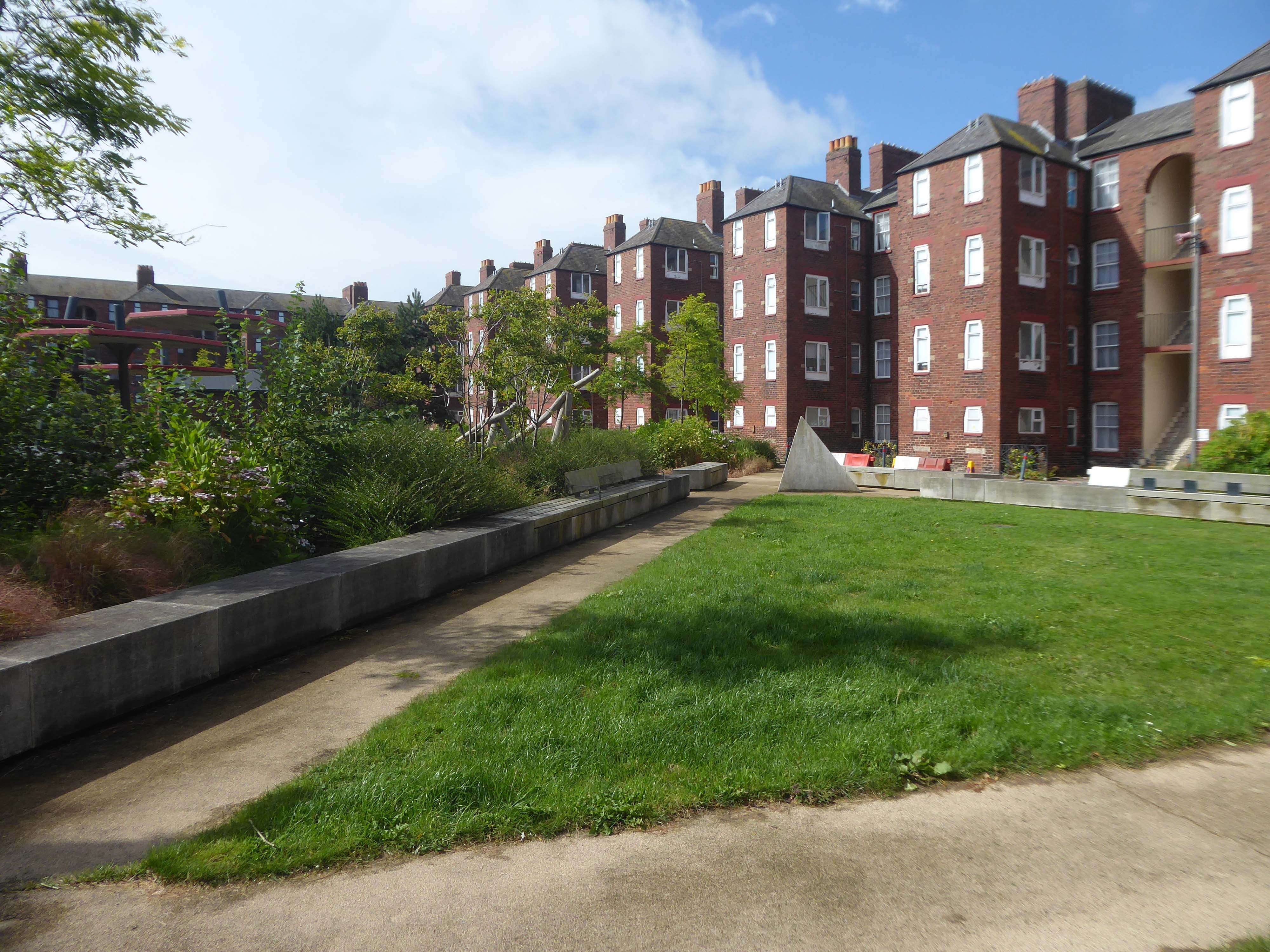
Next door are the adjacent sandstone Devonshire Buildings of old, constructed in the 1870s for the Barrow Iron Ship Building Company, by the Duke of Devonshire at a cost of £50,000, to house local shipyard workers, and recently refurbished by Holker Estate.
The buildings are currently for sale for offers in the region of £4,950,000.
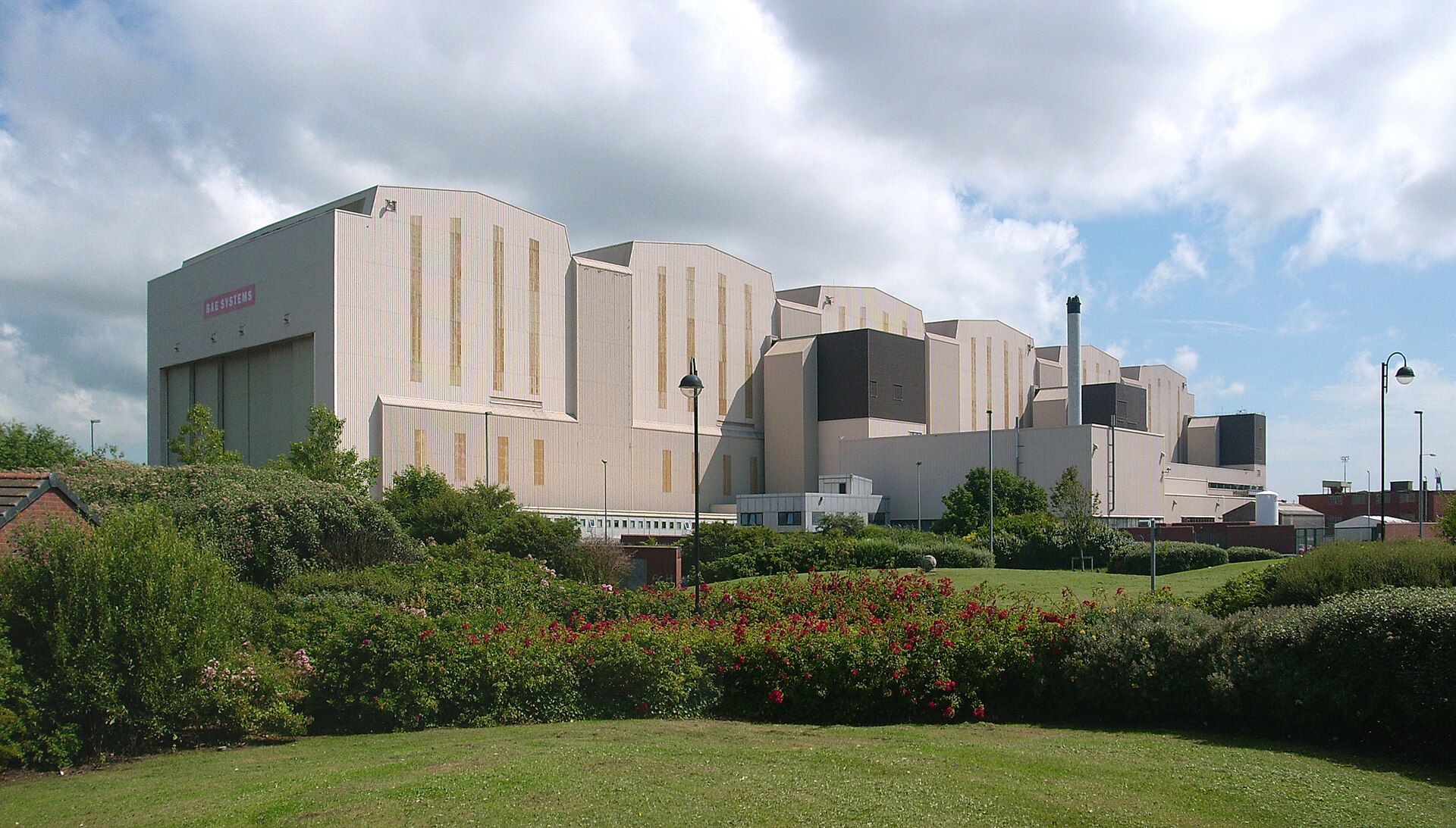
Having once provided homes for the traditional shipbuilders, they now offer lets to the employers of BAE Systems.
Home to our pioneering Submarines Academy for Skills and Knowledge, Barrow-in-Furness is a hub for learning and innovation. We’re not just building the next generation of nuclear submarines here. We’re developing the next generation of engineering talent.
We’re always looking for talented individuals to join our team in Barrow-in-Furness. Whether you’re looking to start your career, or you’re an experienced professional looking for a new challenge, we might have a job for you.
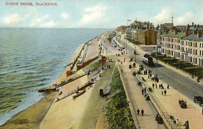
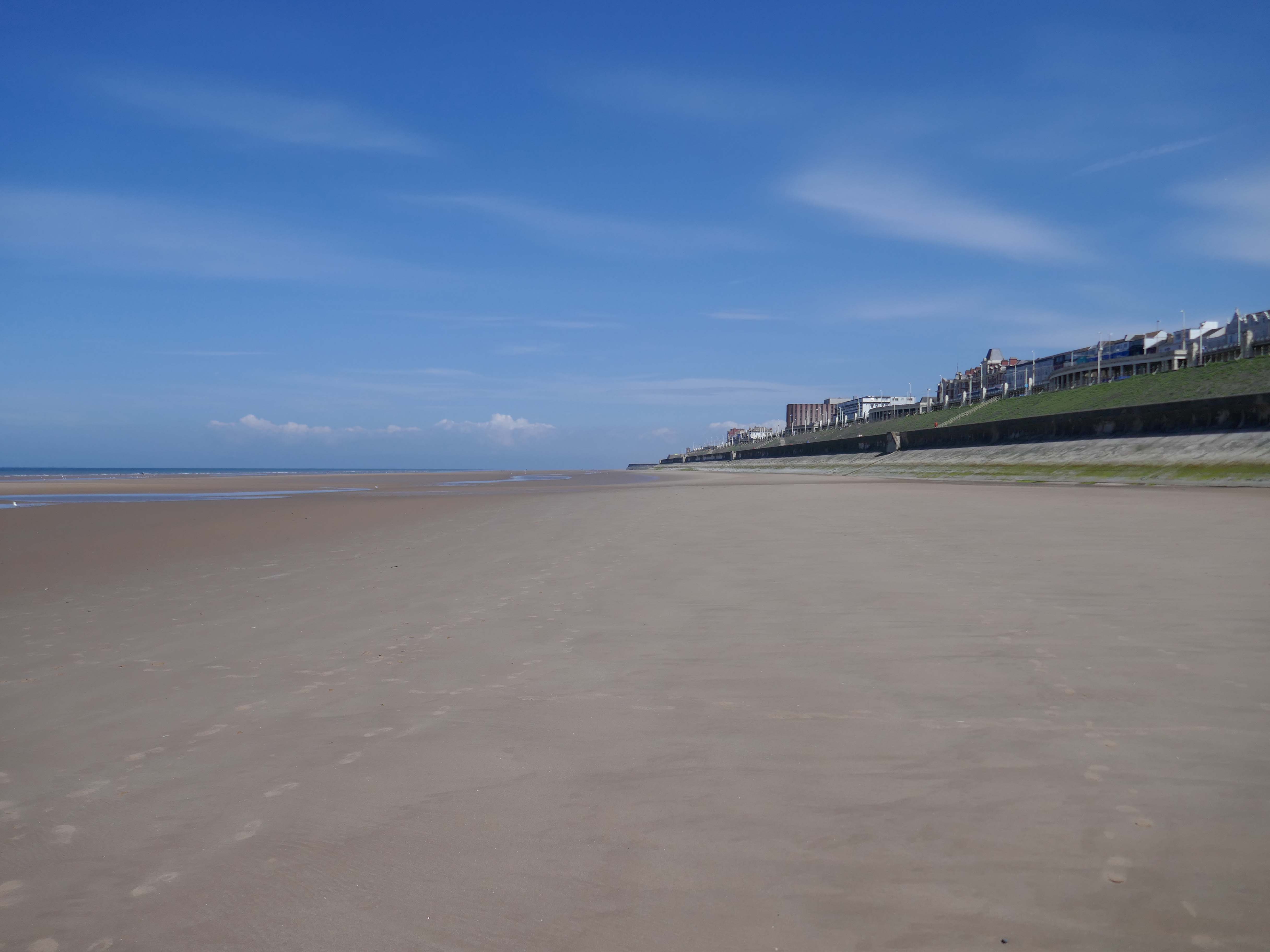
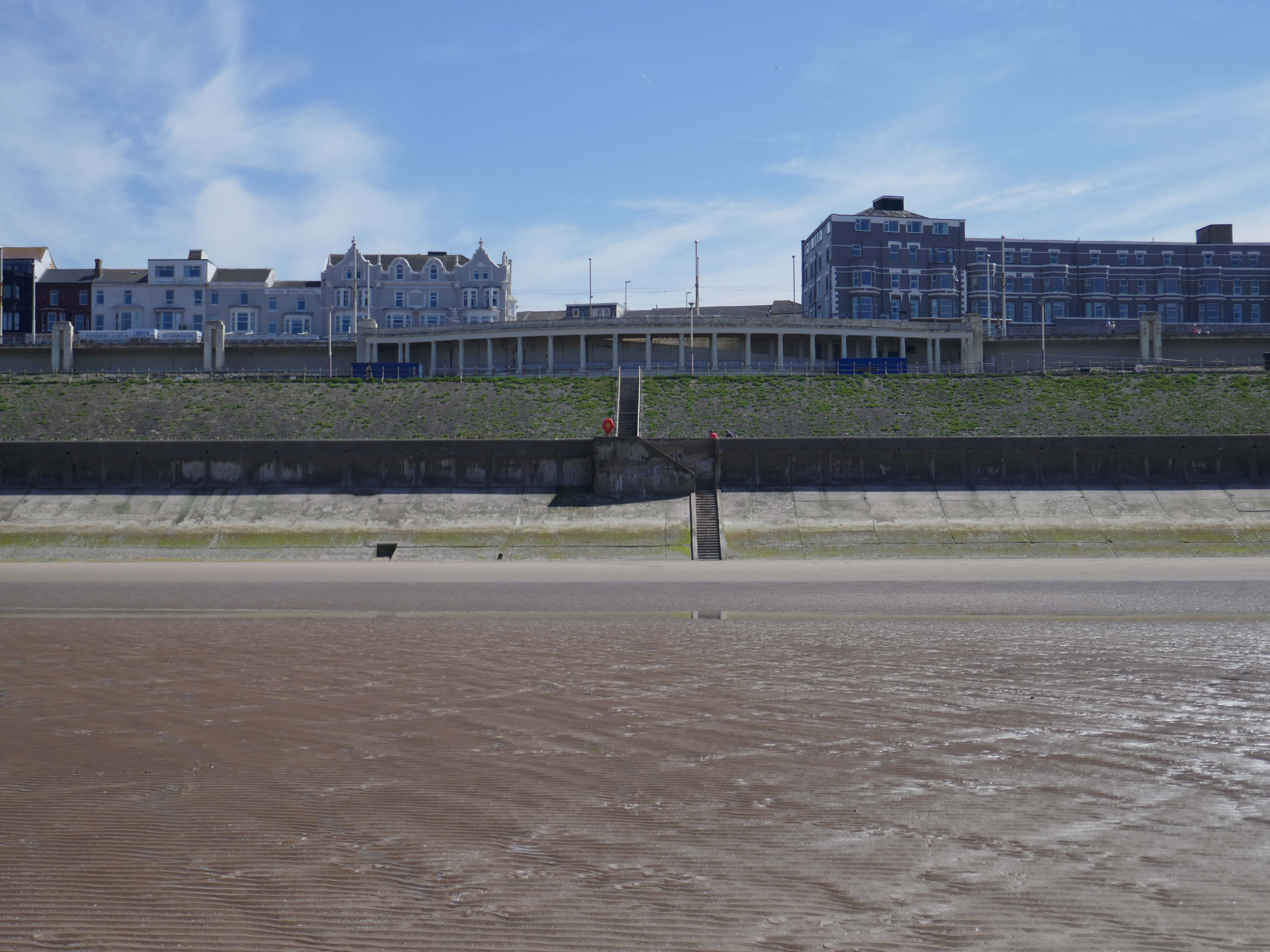
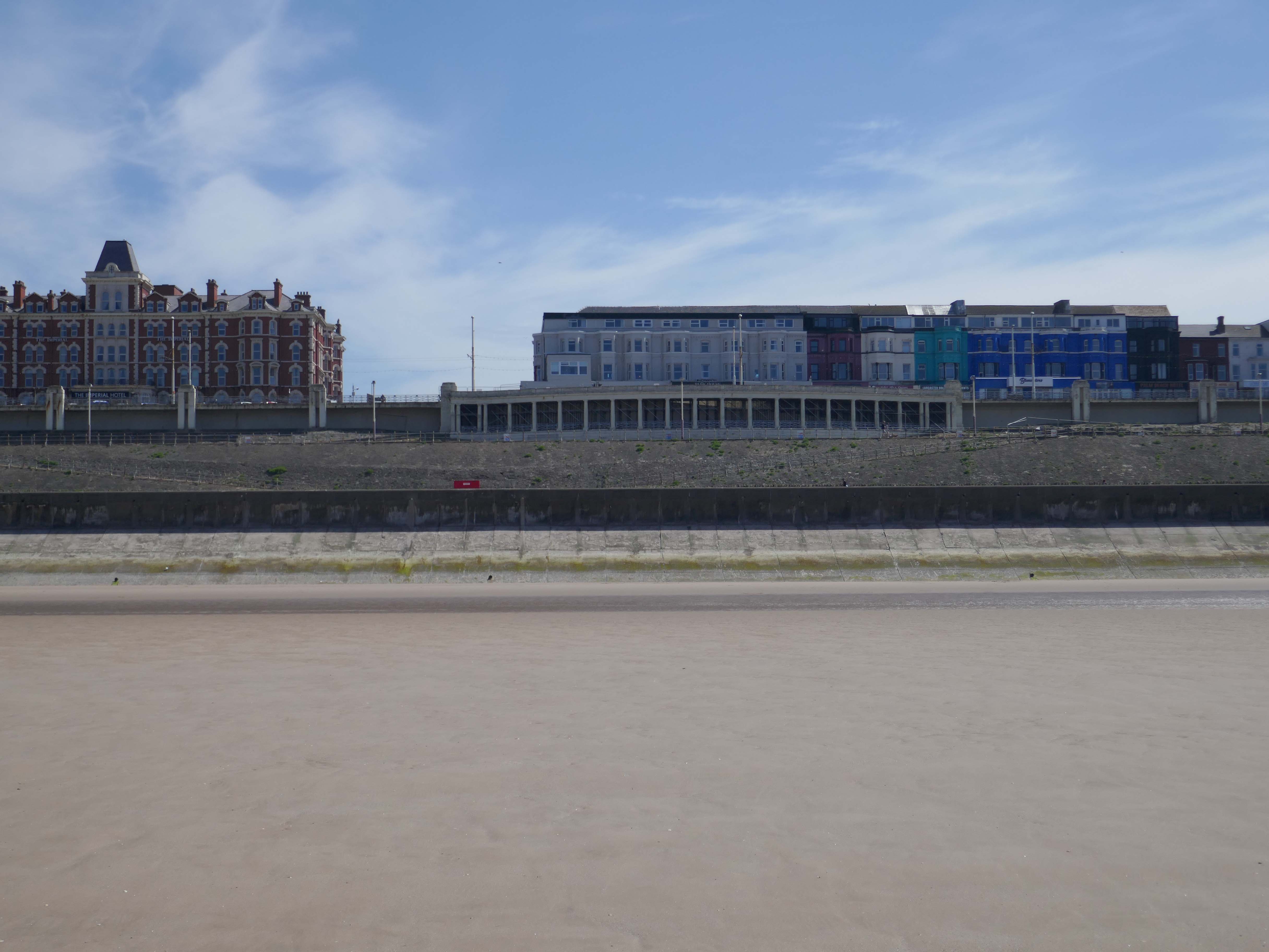
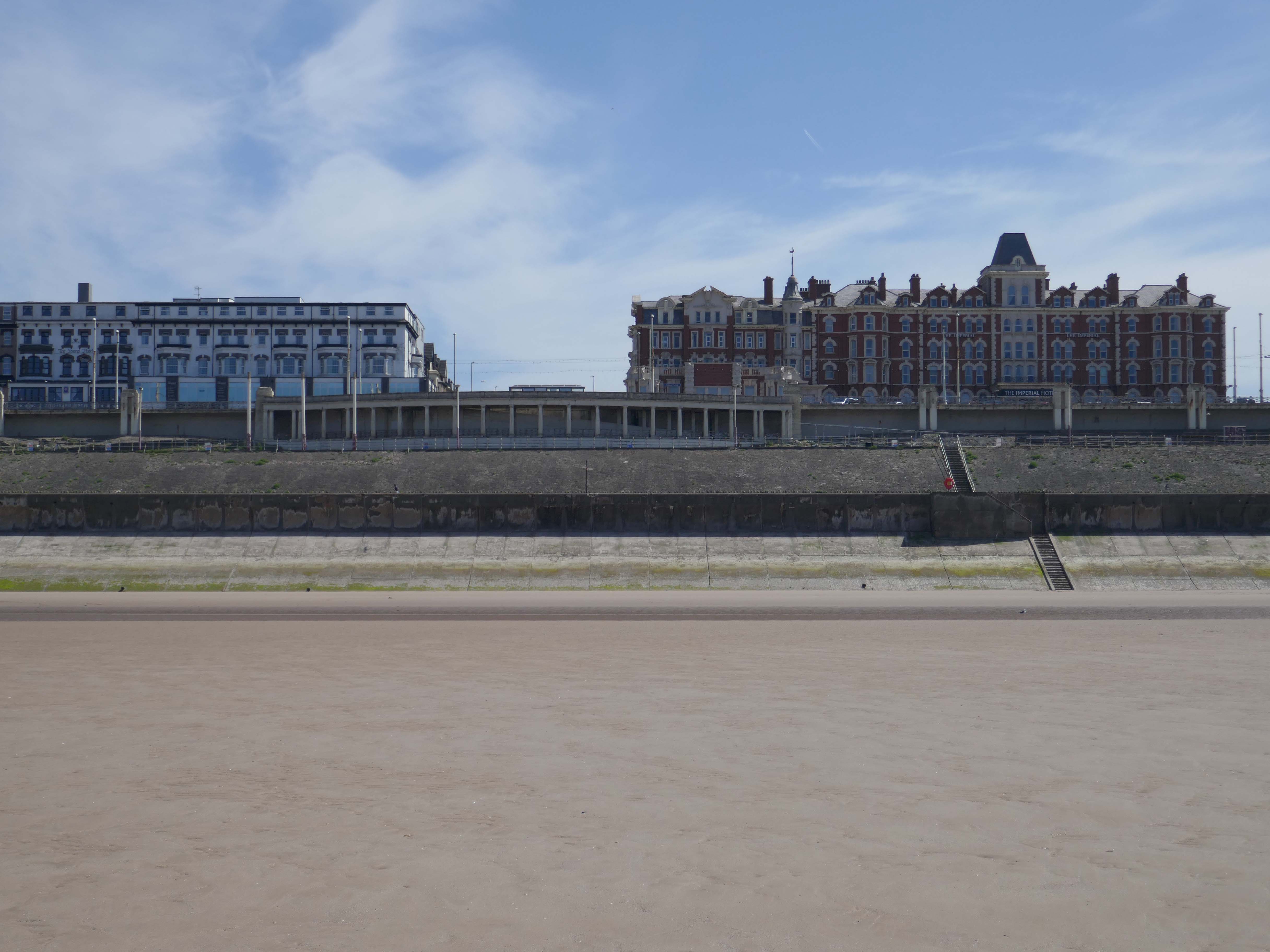
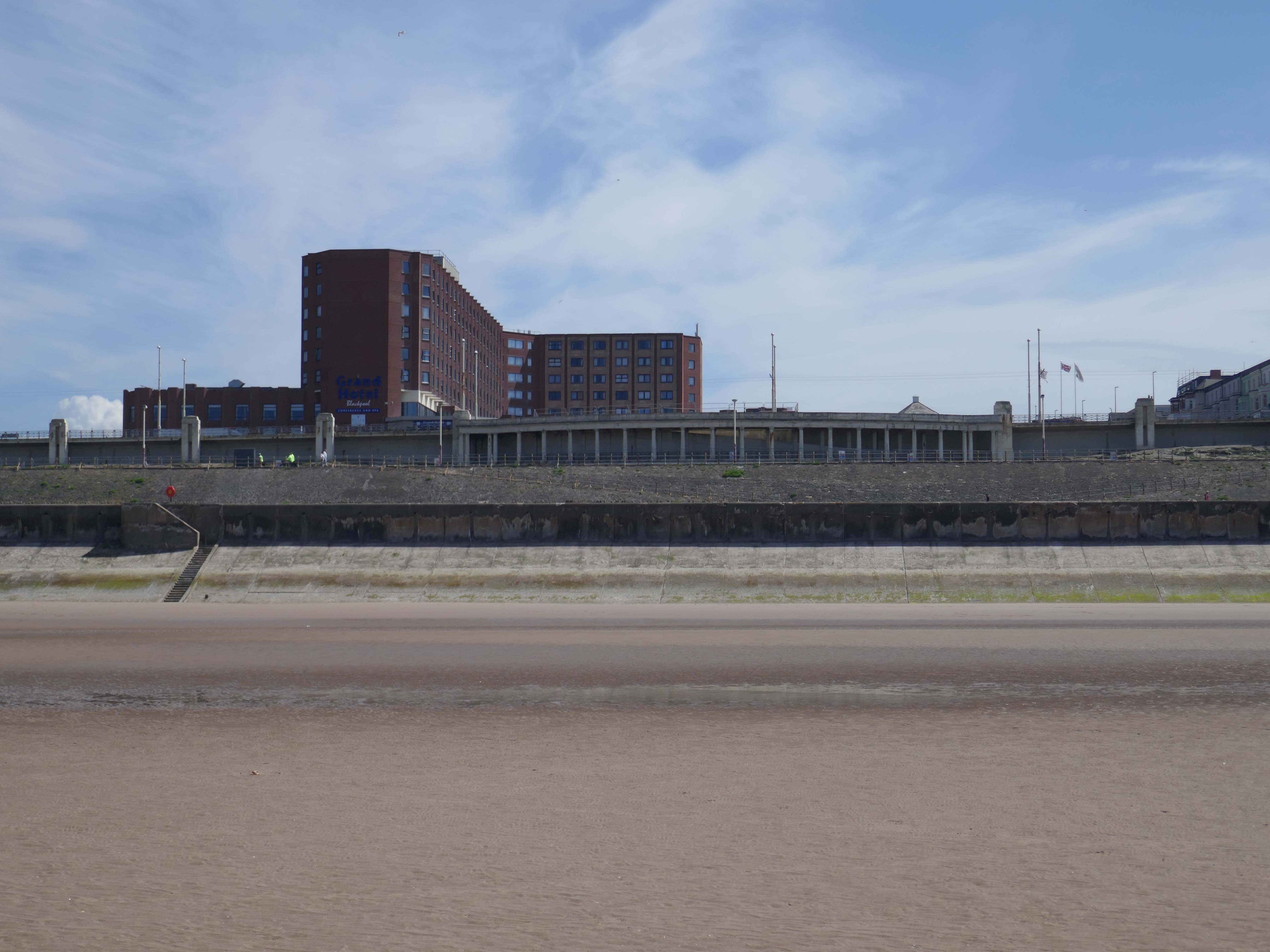
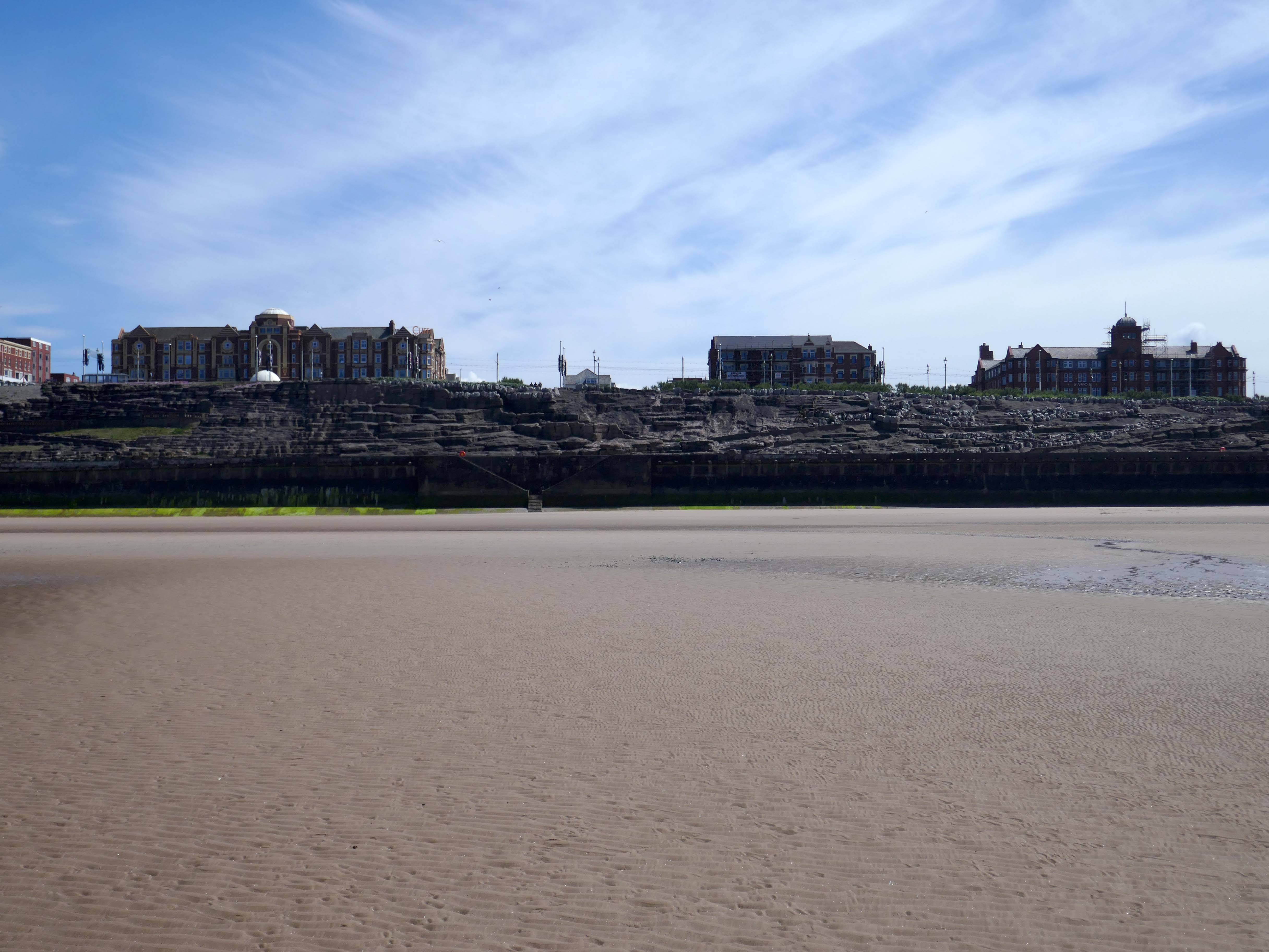
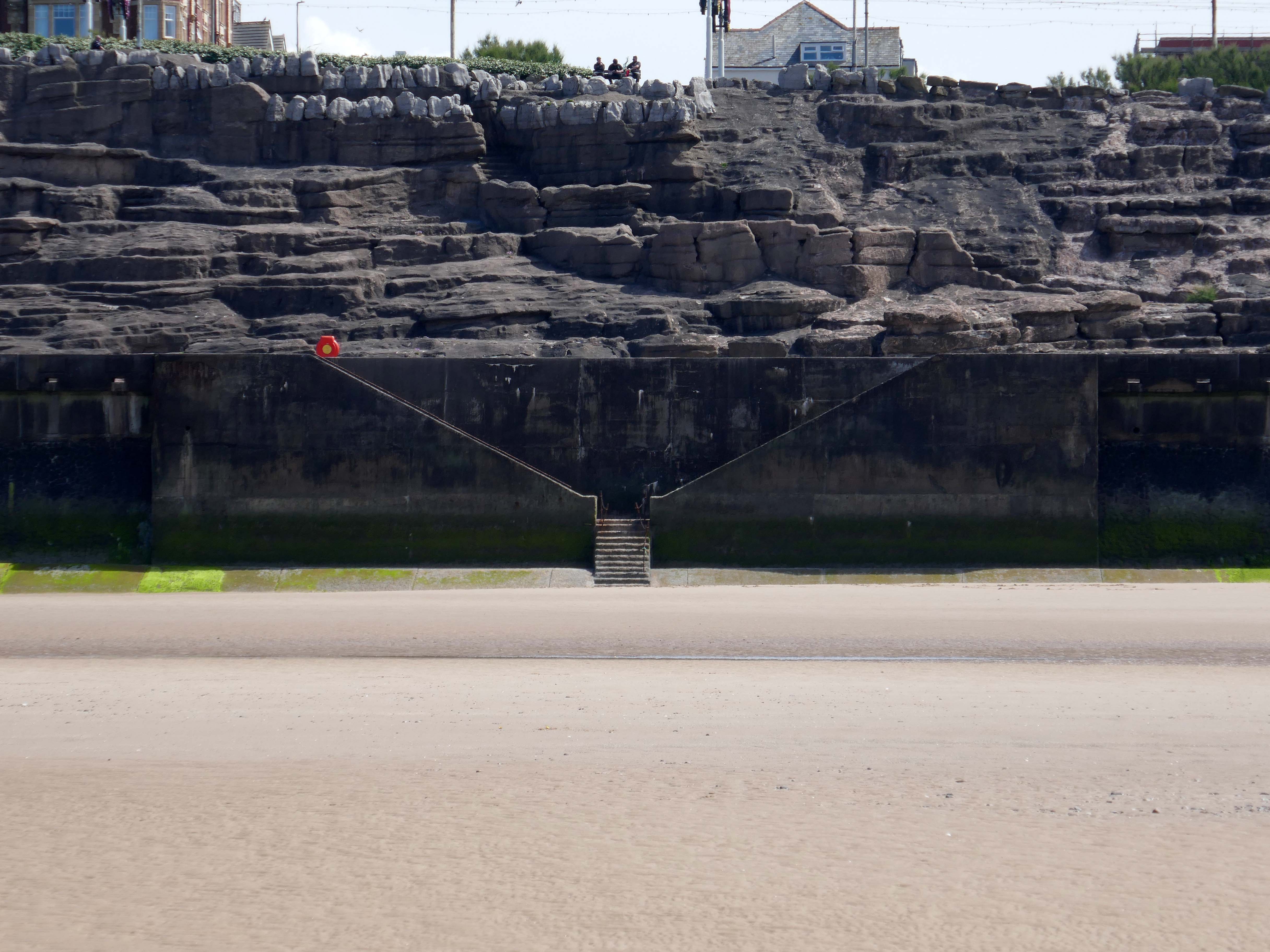
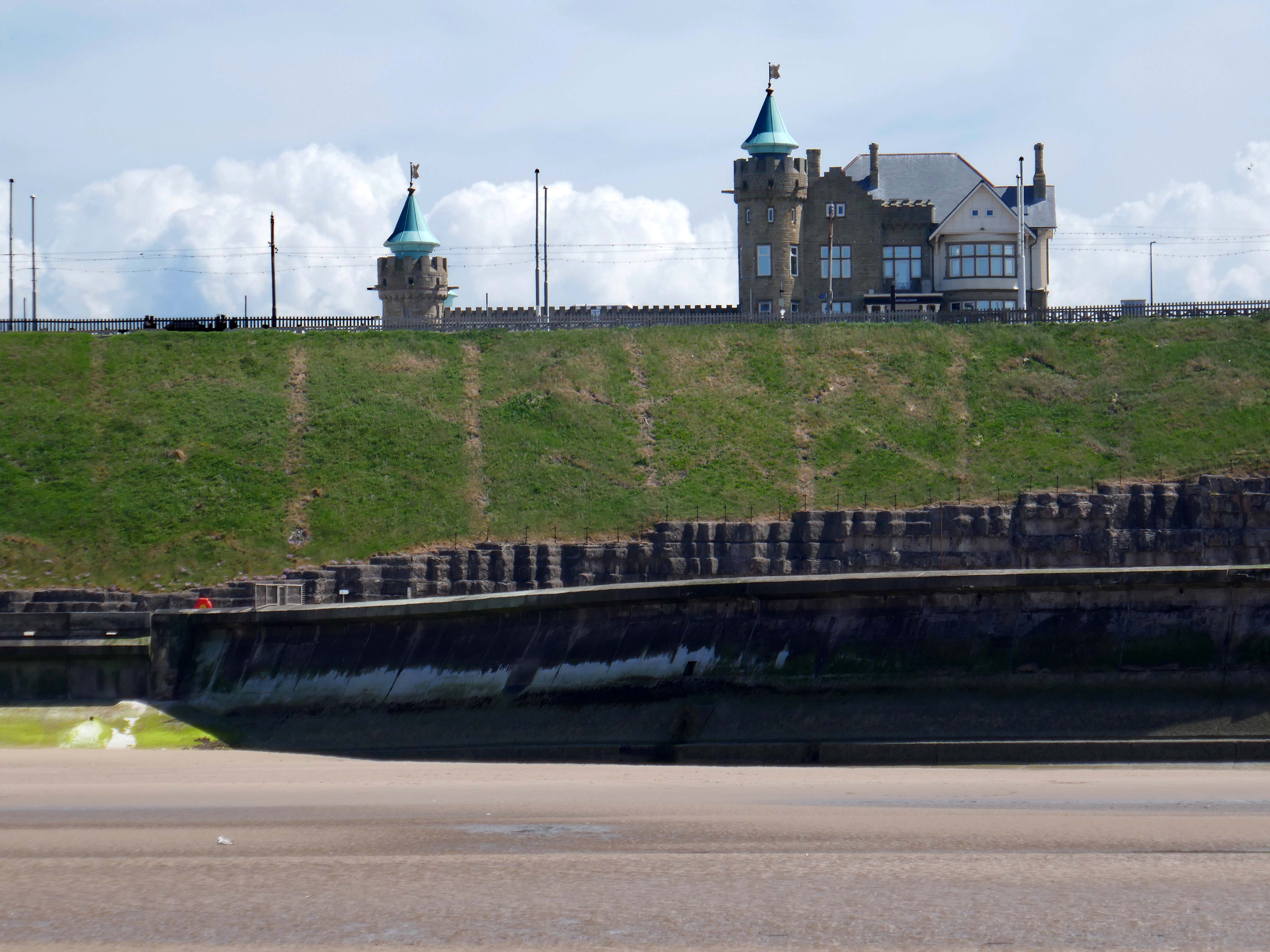
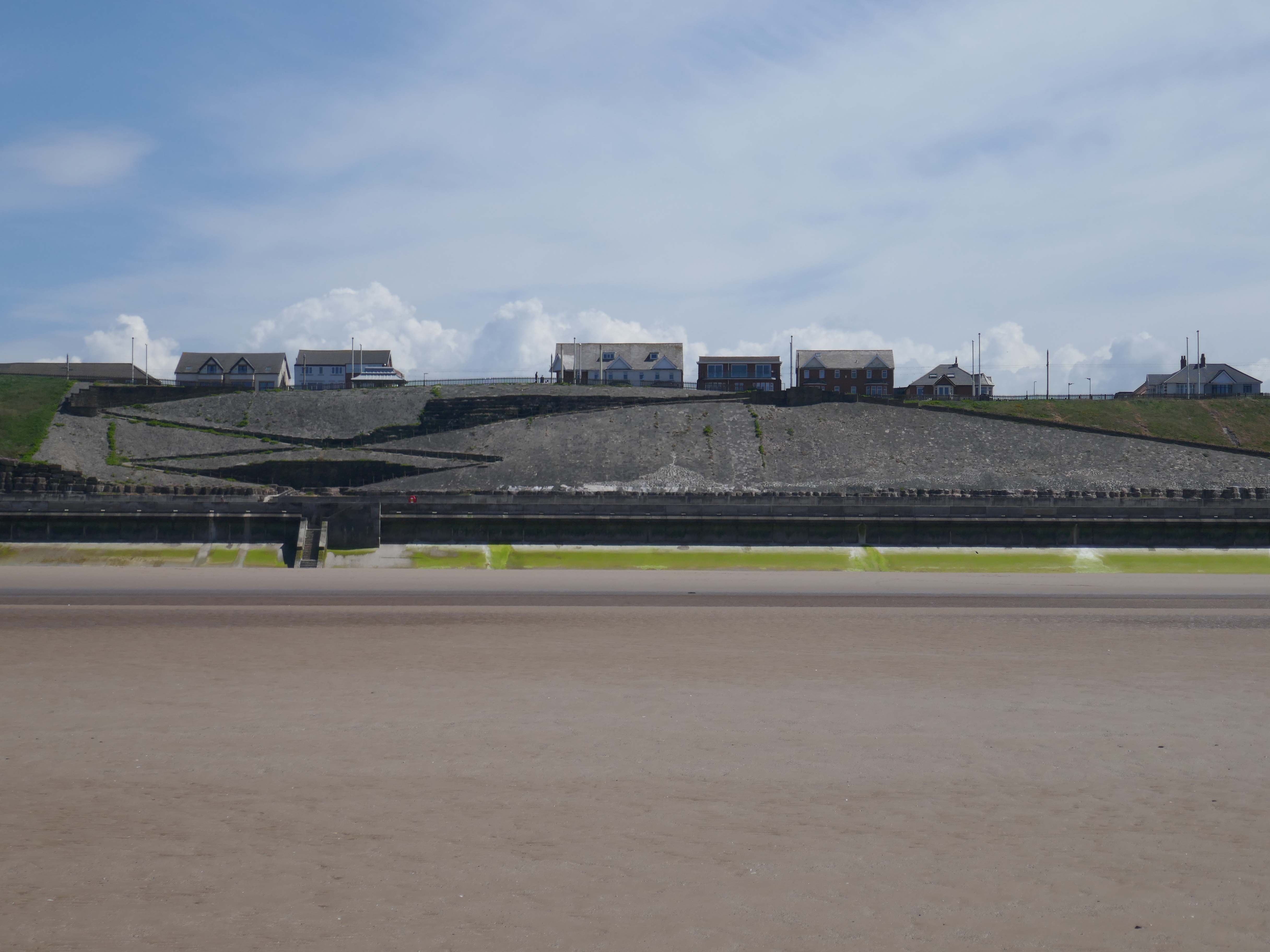
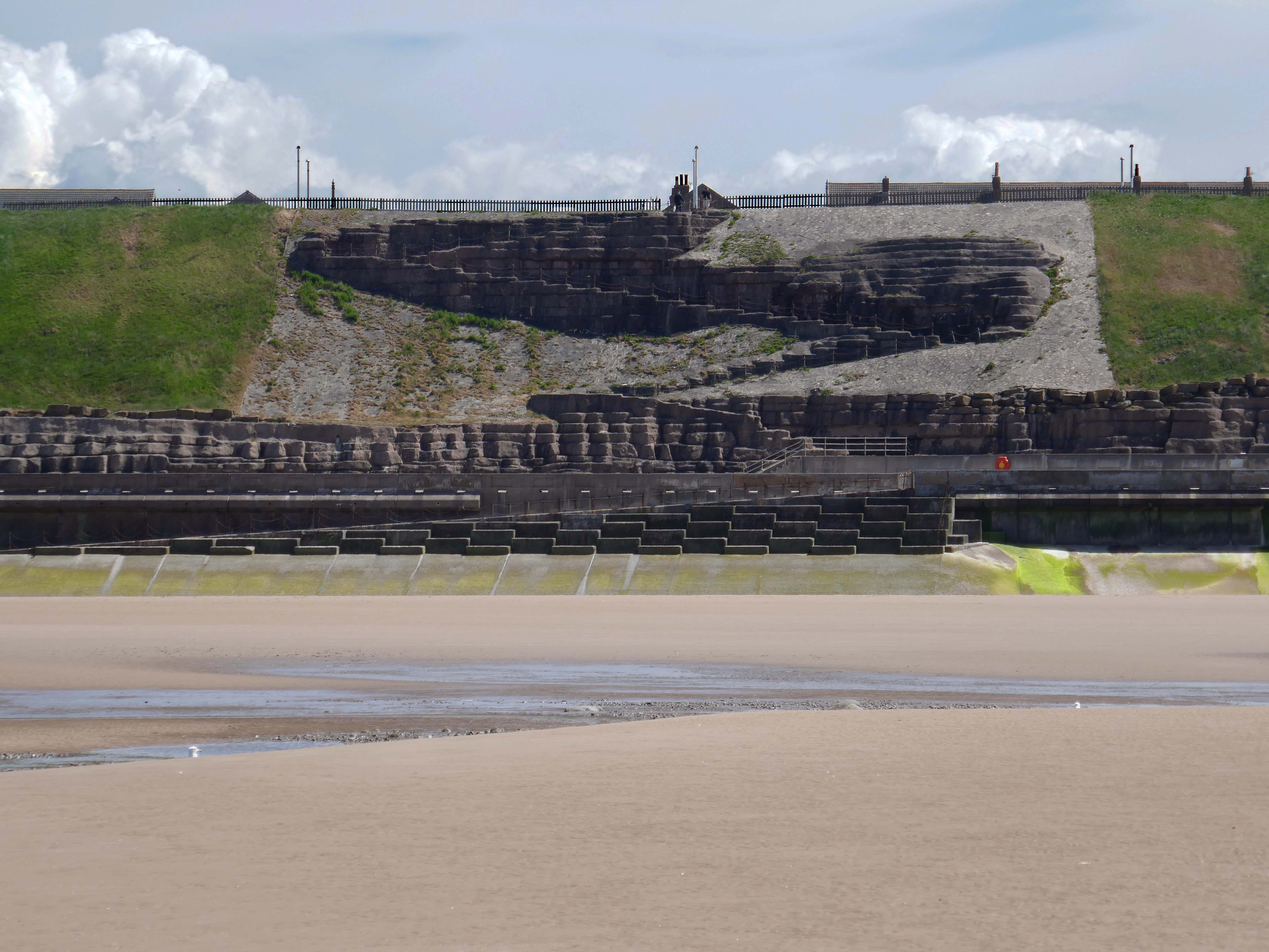
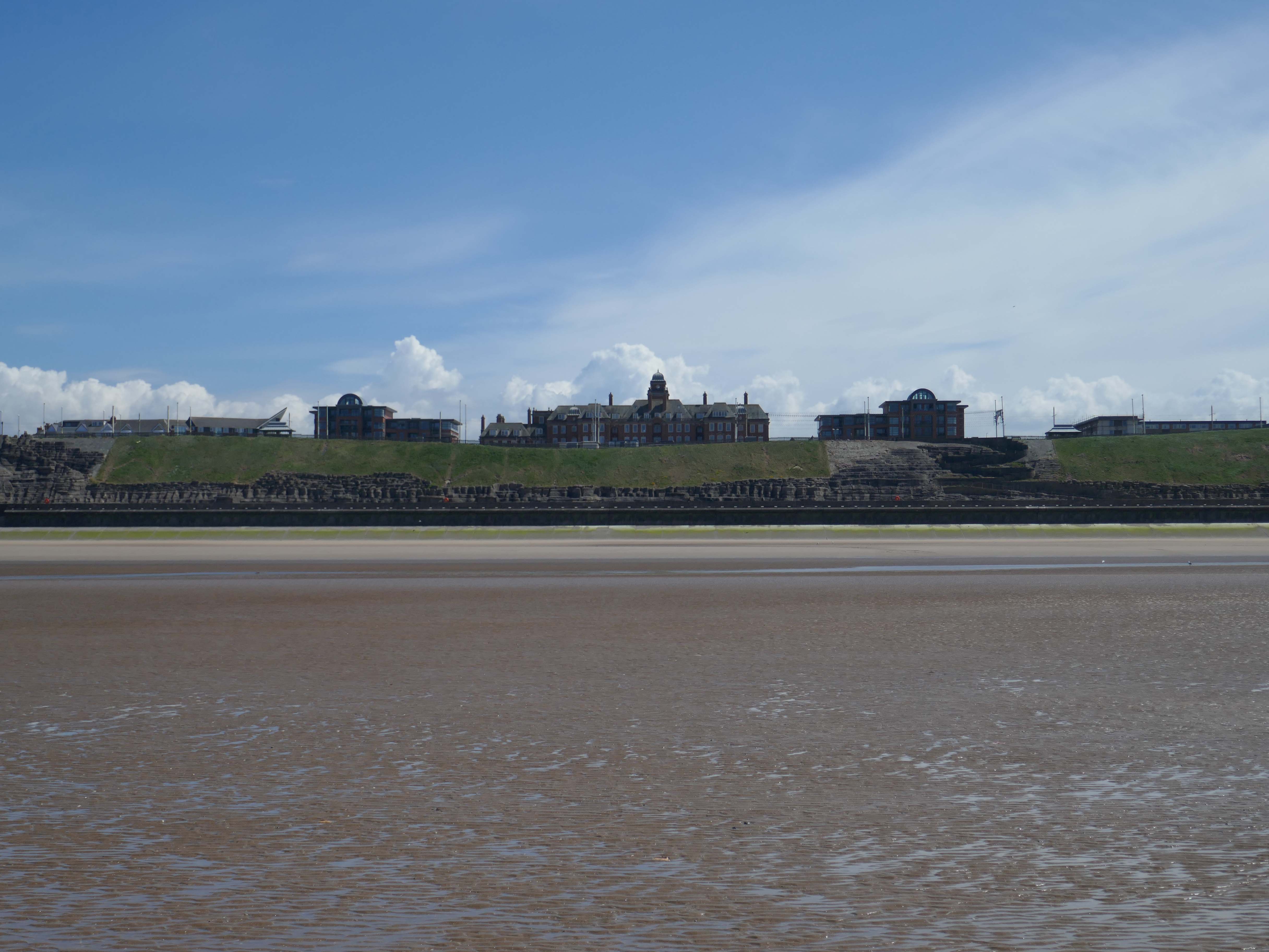
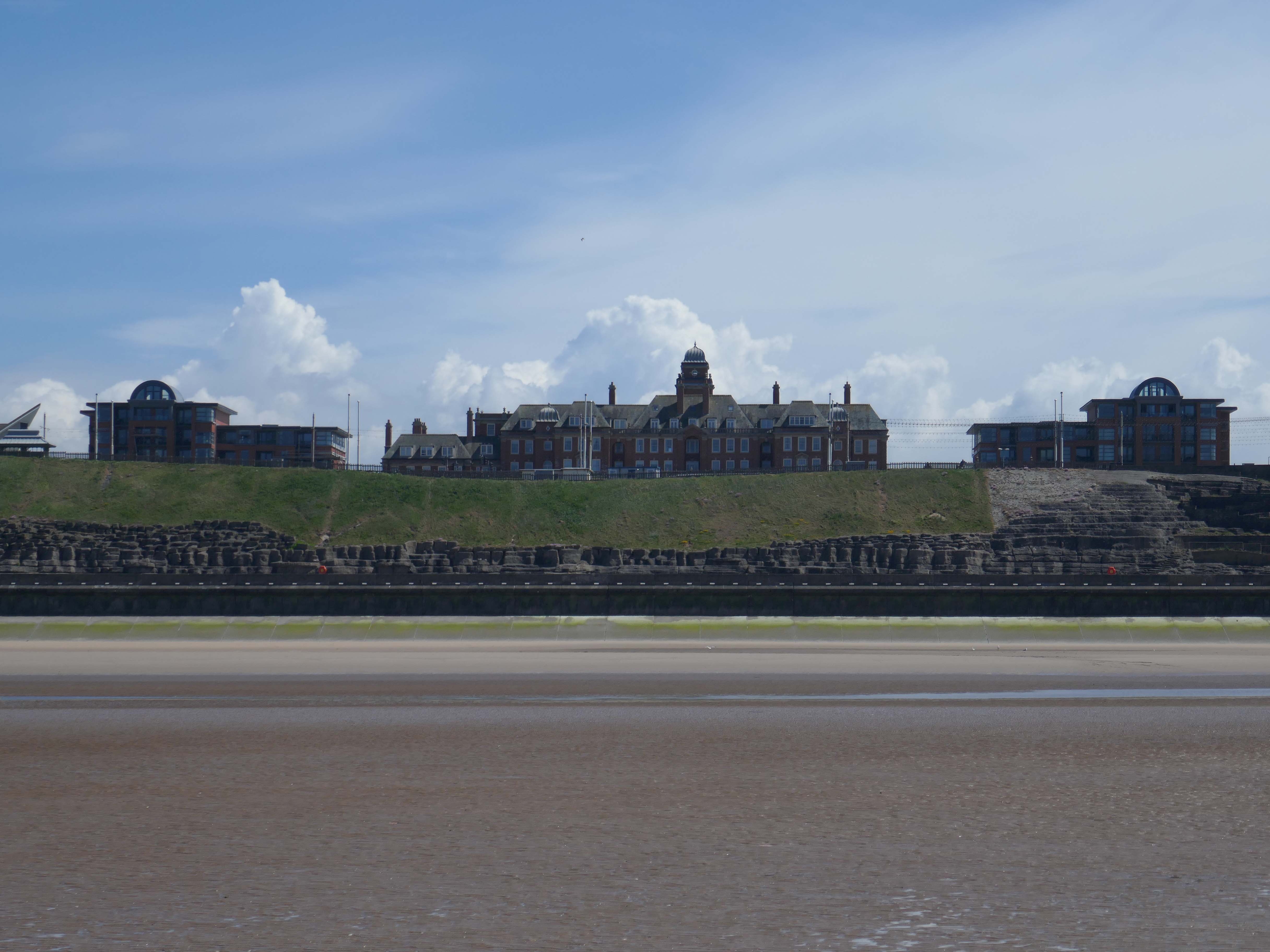
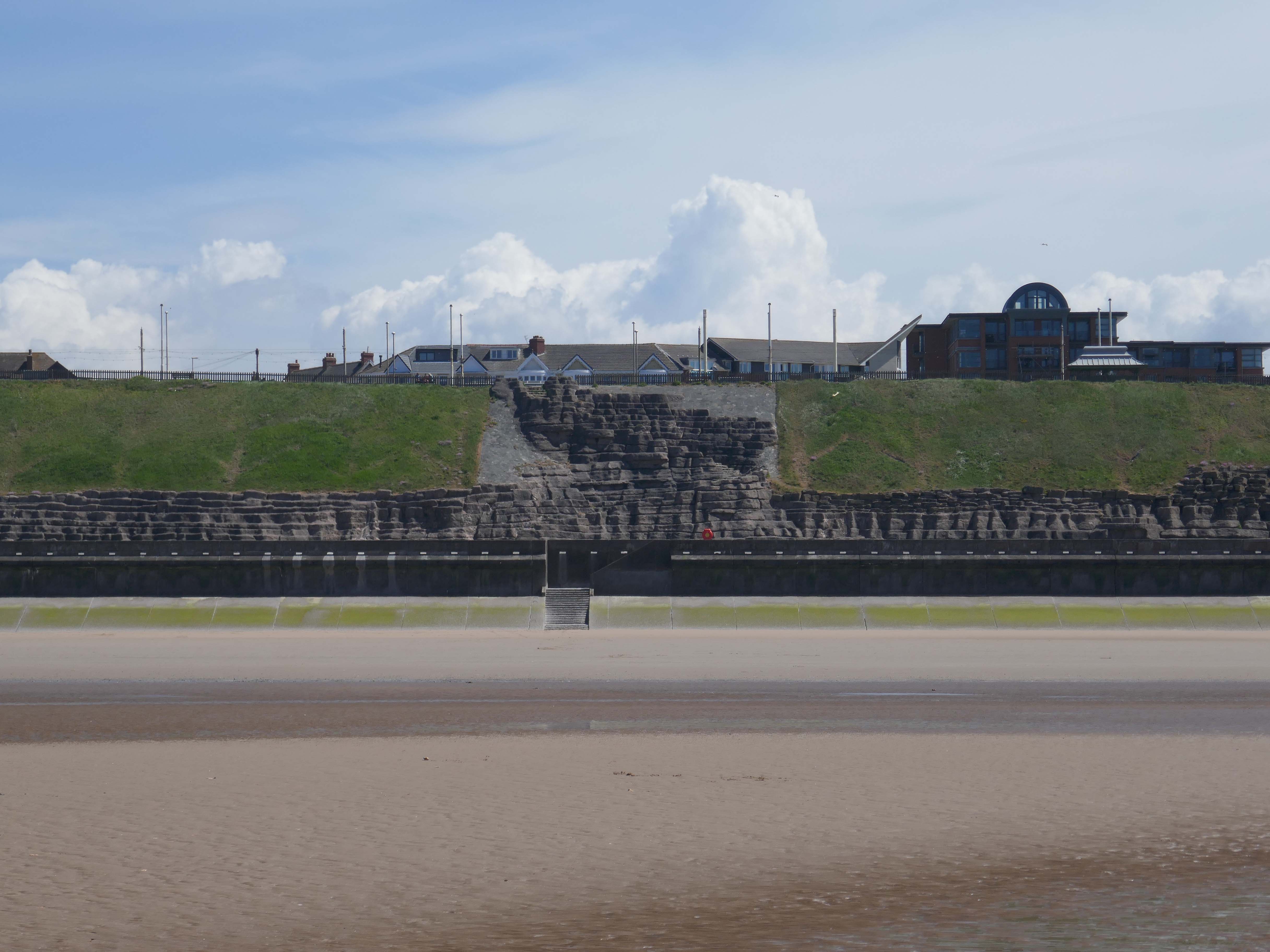
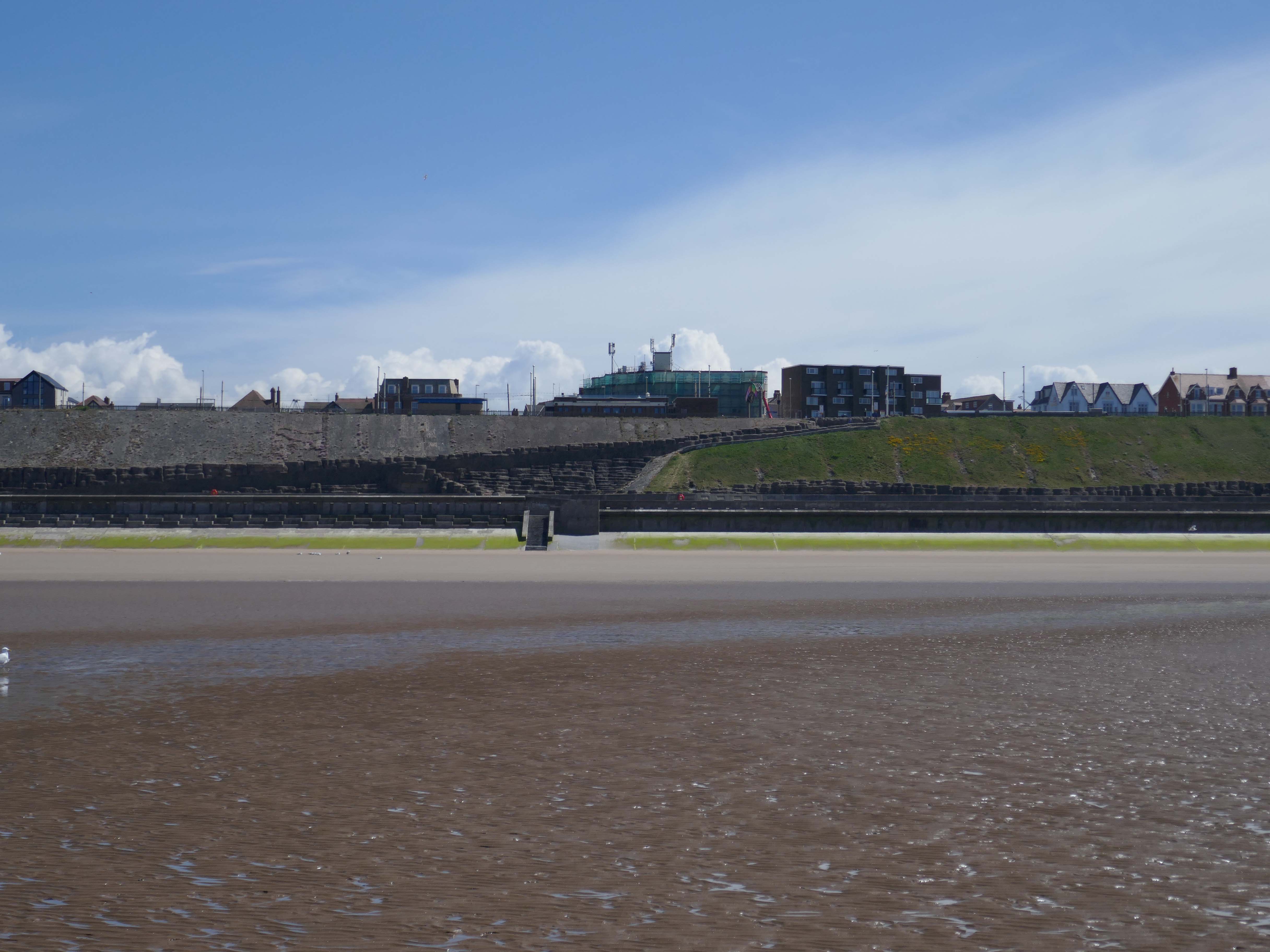
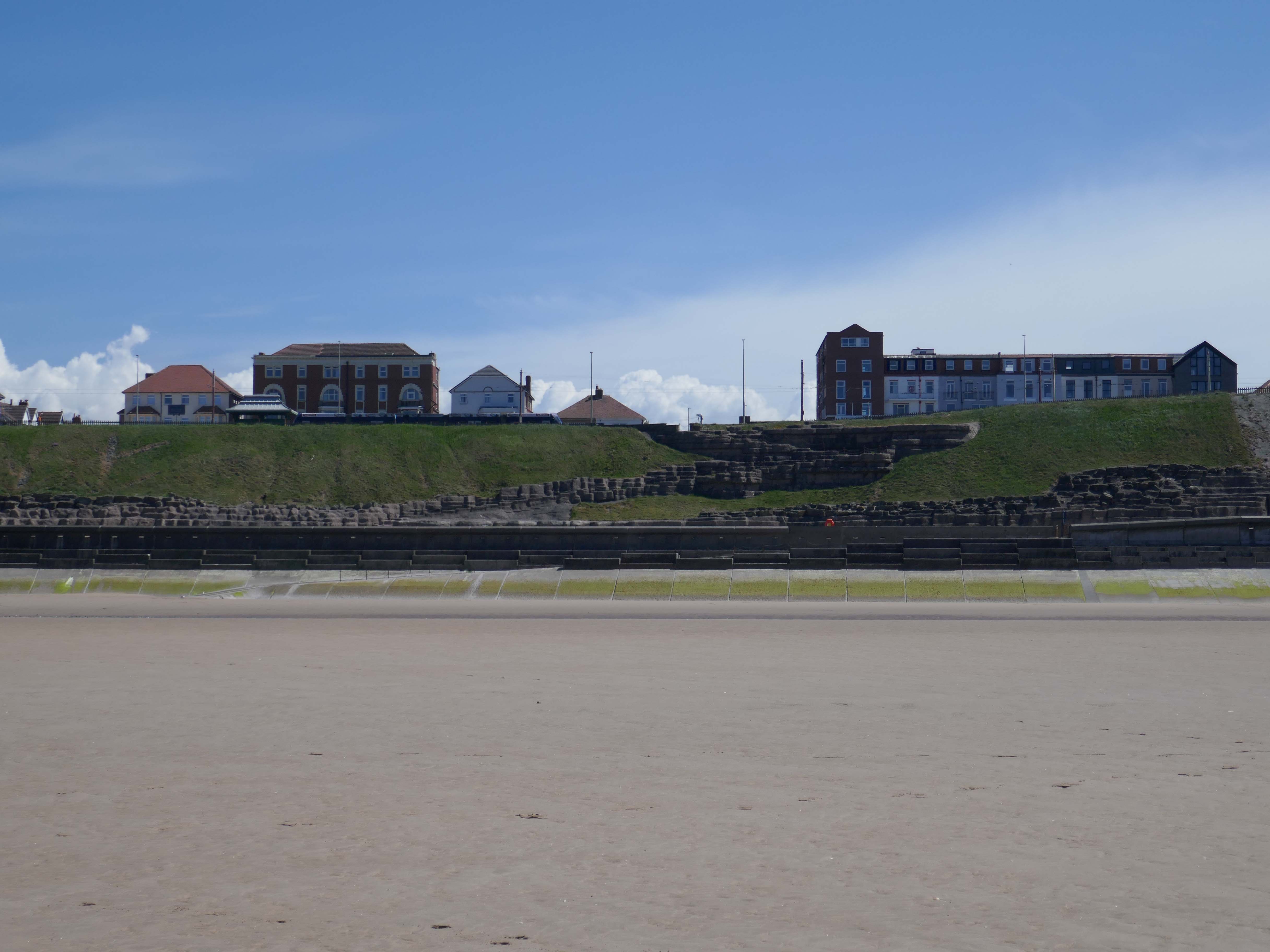
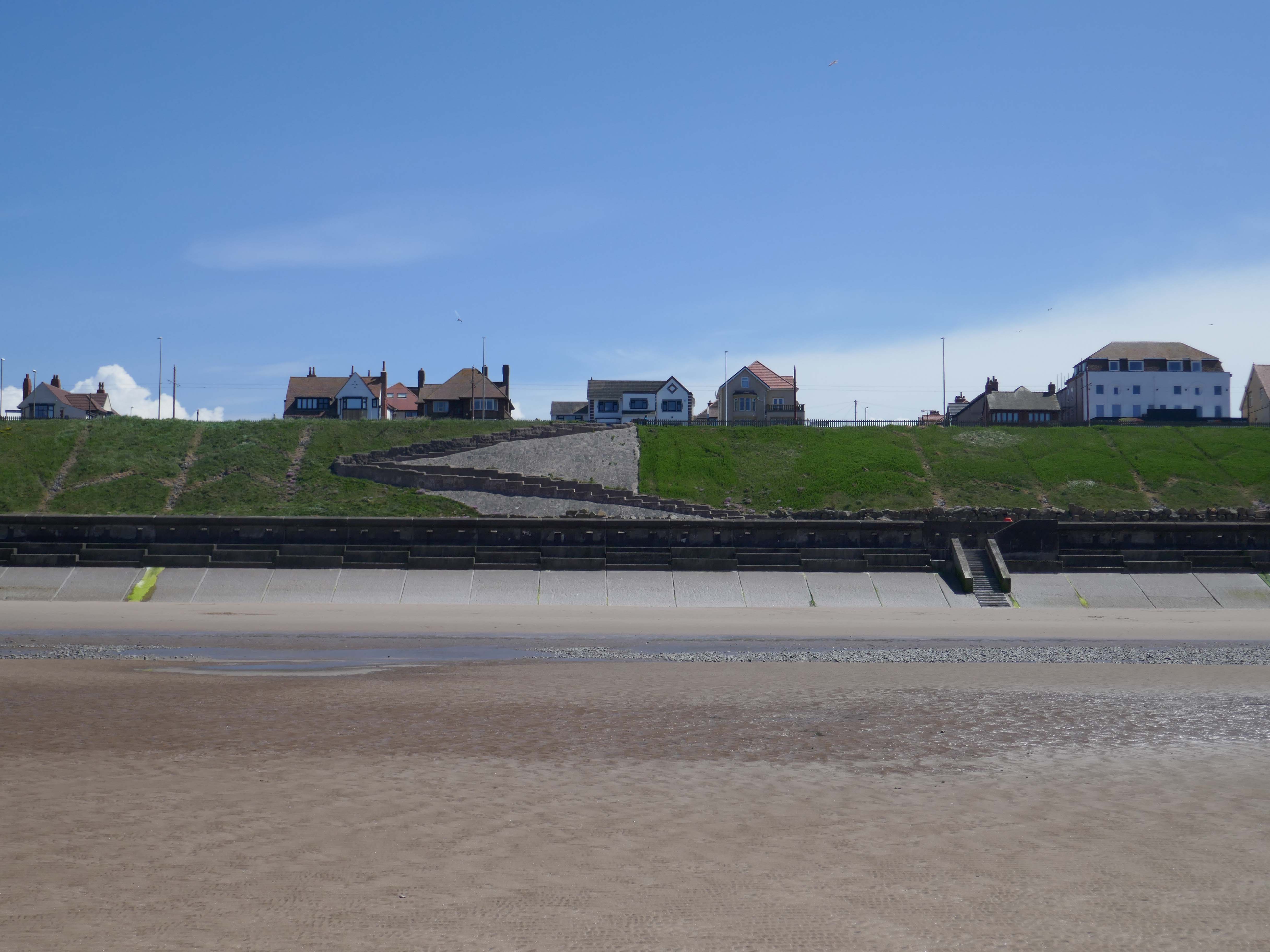
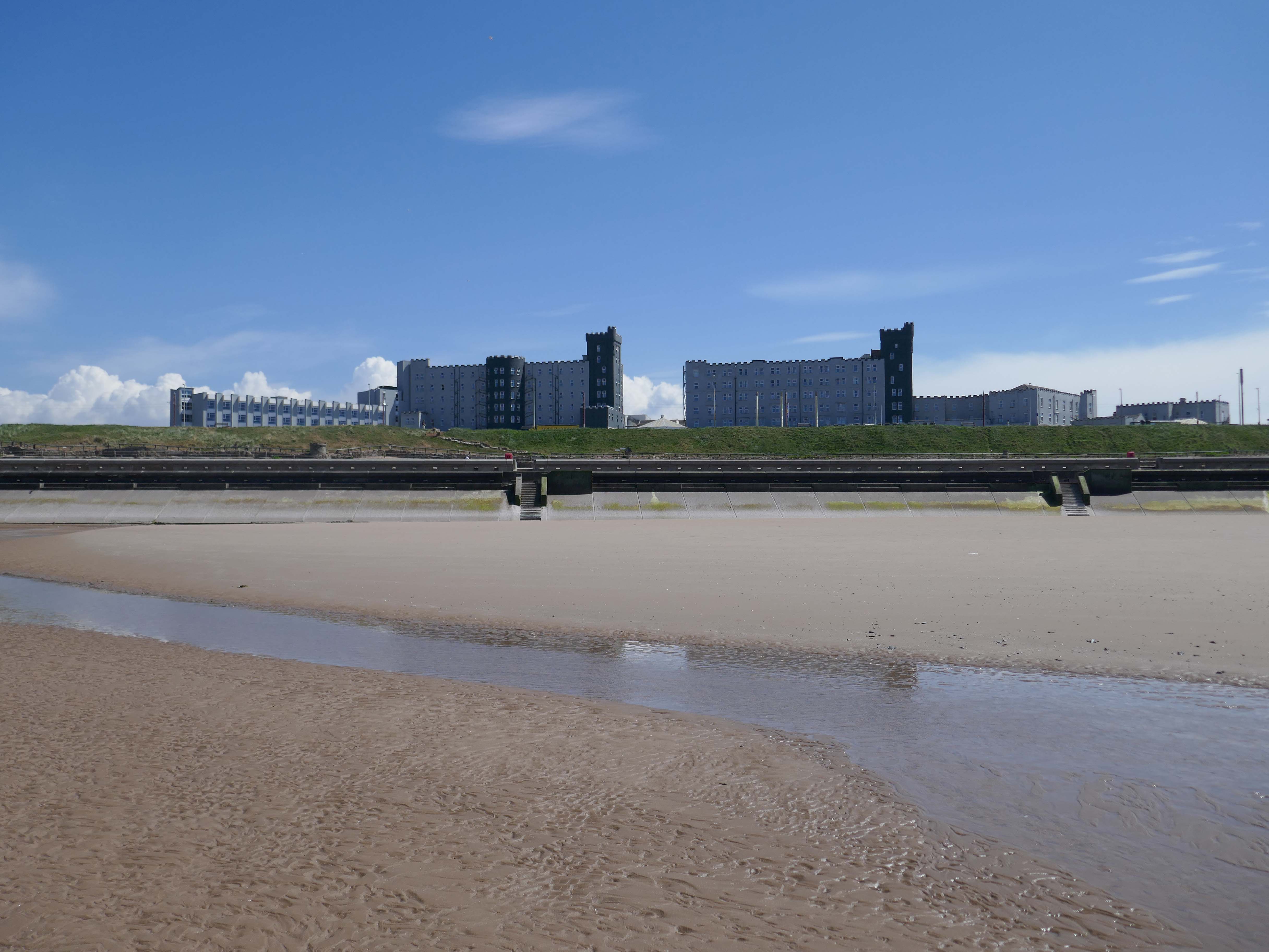
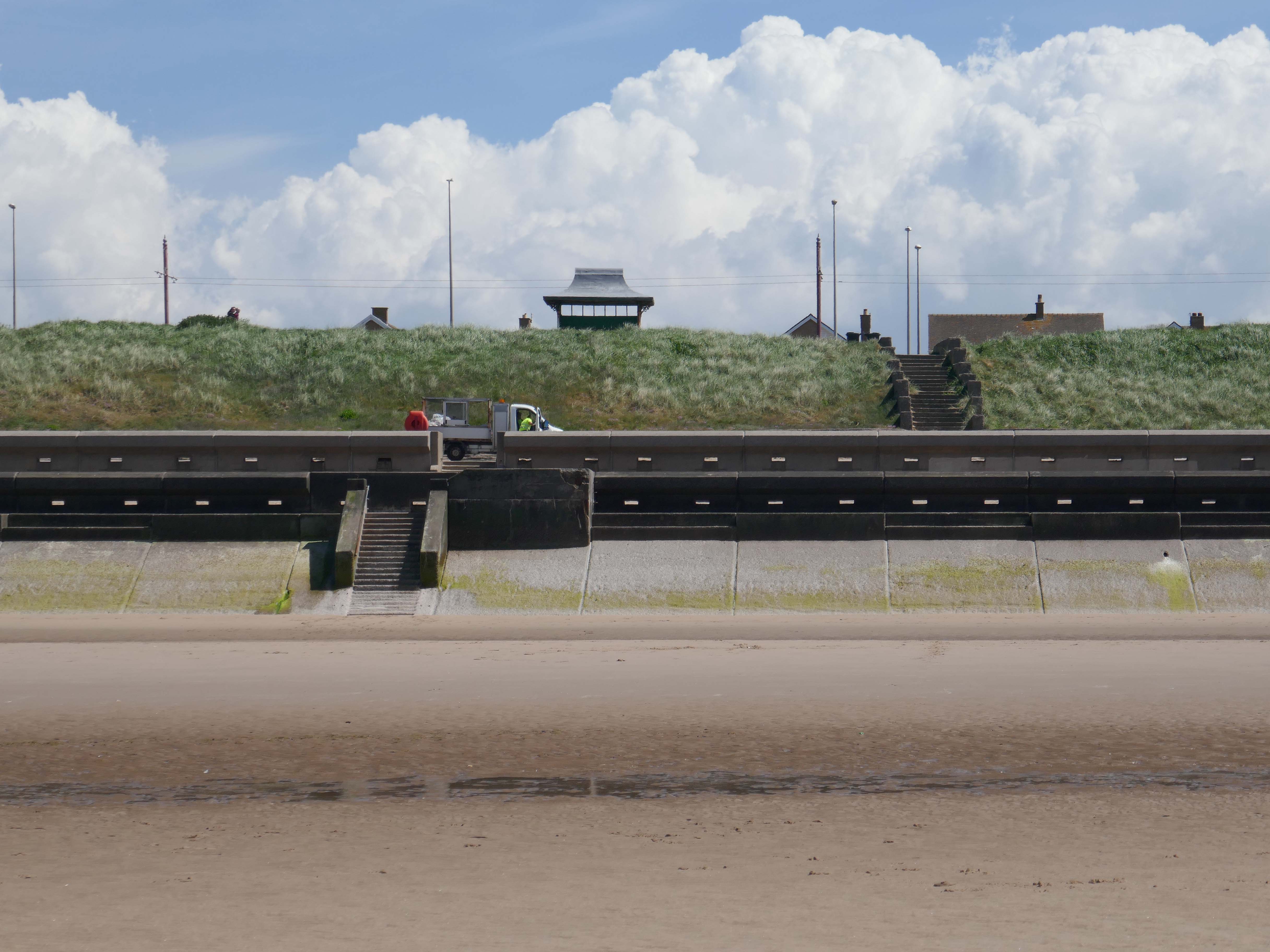
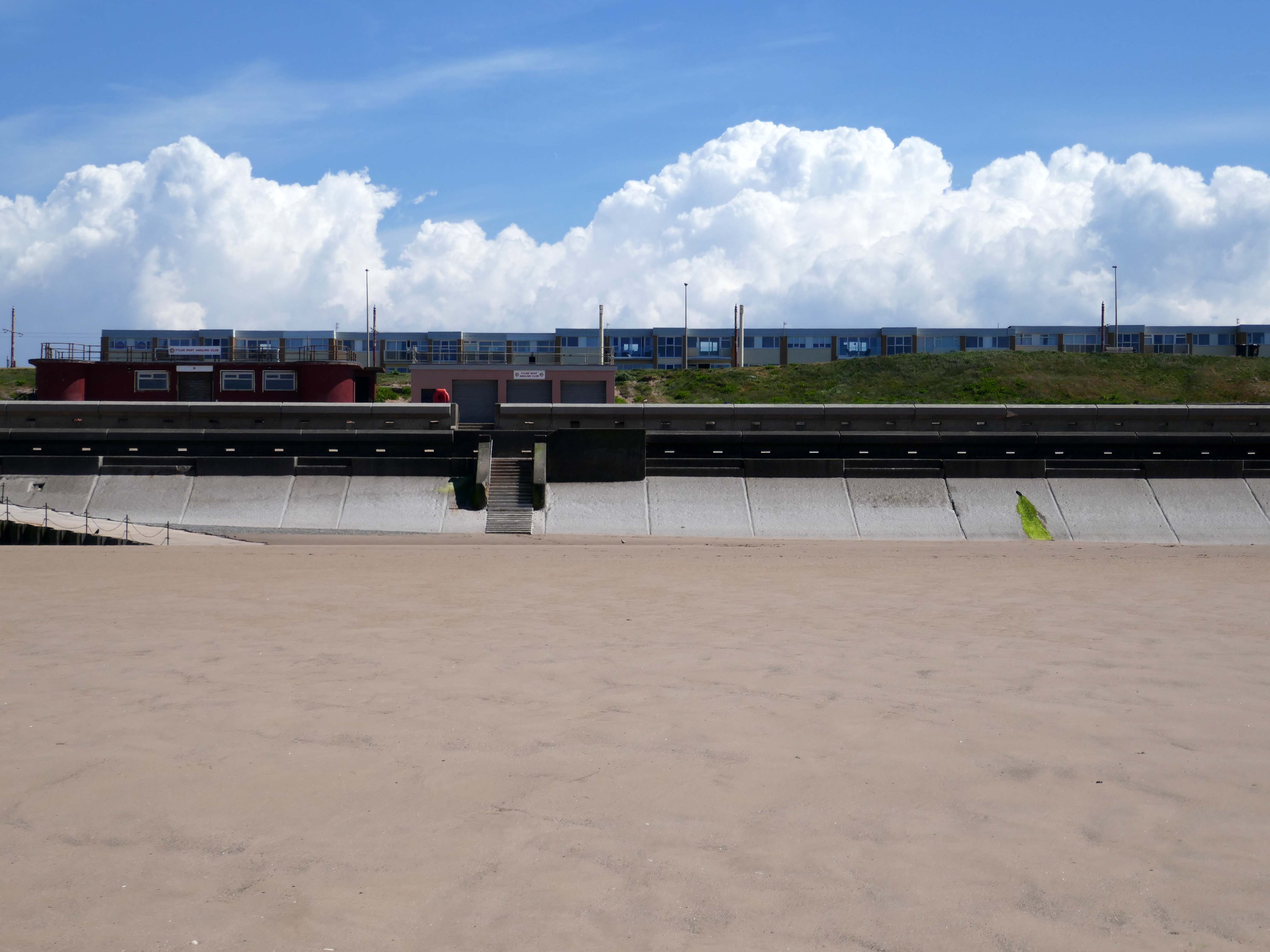
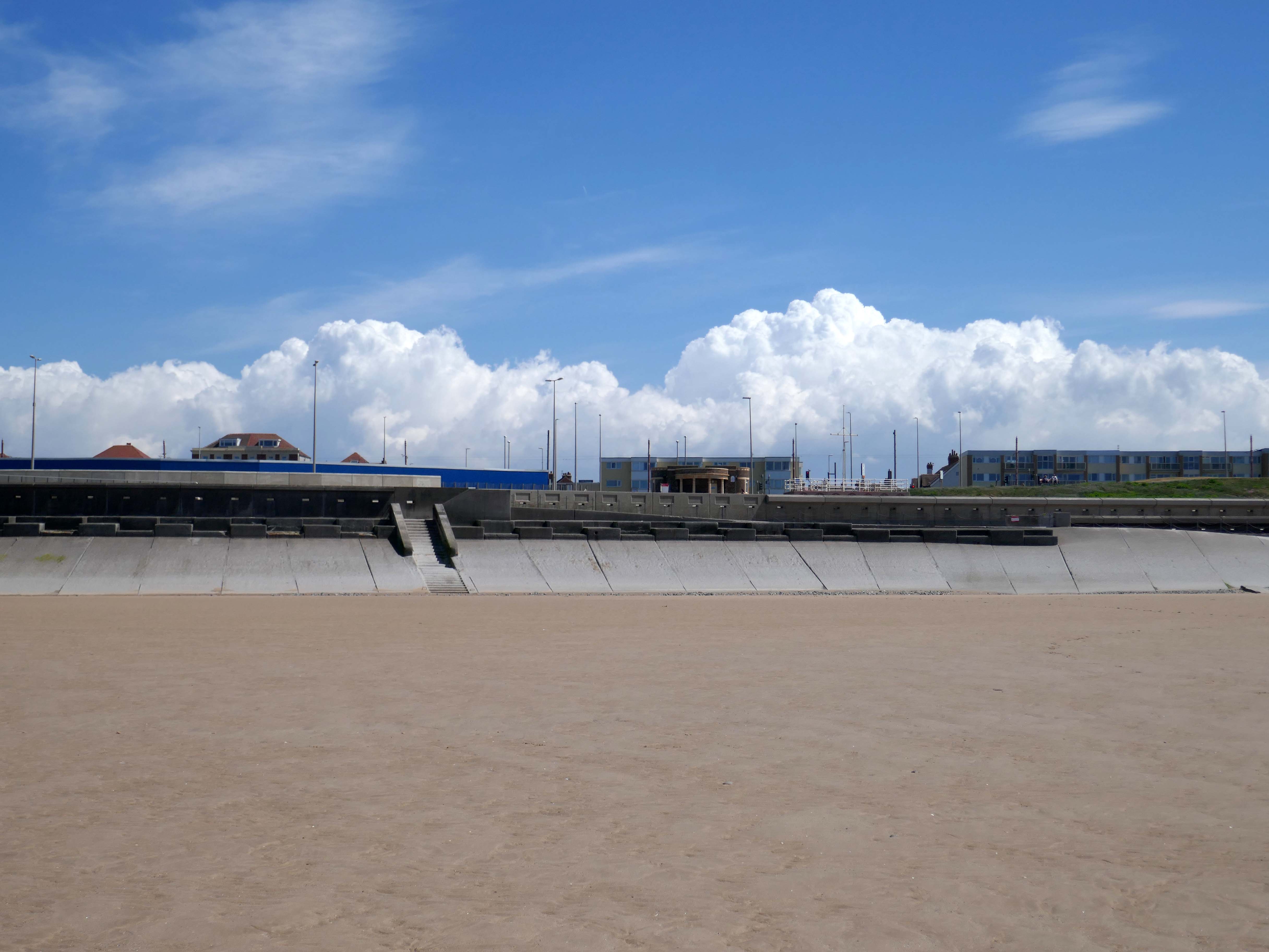
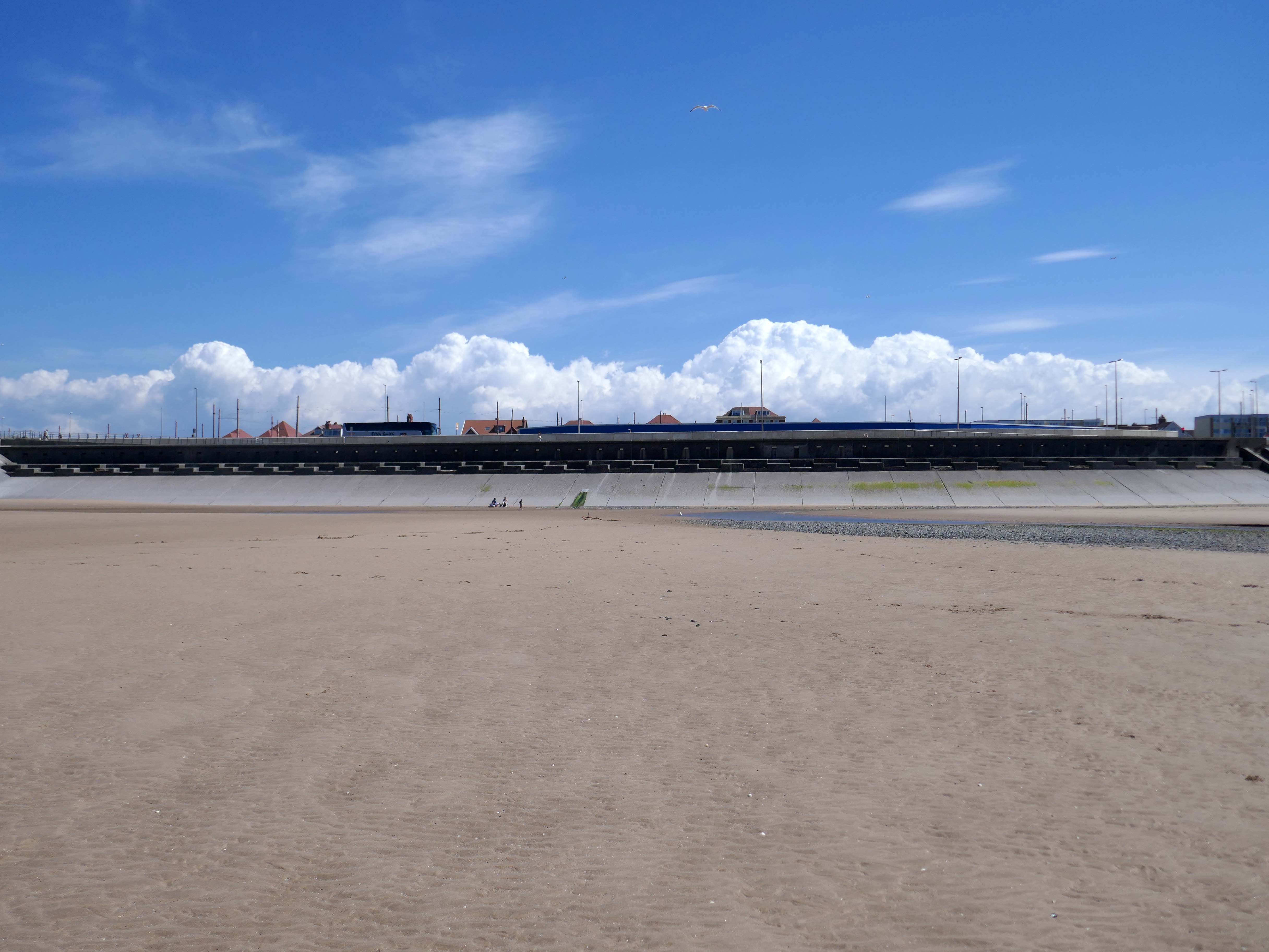
Yesterday, Wednesday 21st May 2025, the sun was shining and the tide was out, I decided to walk along the sands, and look towards the land.
To the right the Imperial Hotel – 1866-7 by Clegg and Knowles of Manchester, wing added 1875 by Mangnall and Littlewood.
The hotel was established in 1867. Charles Dickens stayed at the hotel in 1869. In 1904, the hotel was extended with the addition of a large neo-baroque style dining room. In 1912, Princess Louise, Duchess of Argyll stayed at the hotel.In the mid 20th century, Winston Churchill, Queen Elizabeth The Queen Mother, Princess Margaret, Countess of Snowdon and The Beatles stayed at the hotel. Queen Elizabeth II stayed at the hotel when visiting Blackpool. In 1985, Margaret Thatcher celebrated her 60th birthday in the hotel. In 2002, US President Bill Clinton and Prime Minister Tony Blair stayed at the hotel for the Labour party conference.
Join us at The Imperial Hotel Blackpool for an unforgettable experience where entertainment, family fun, and group leisure come together. Book now and start creating memories that will last a lifetime.
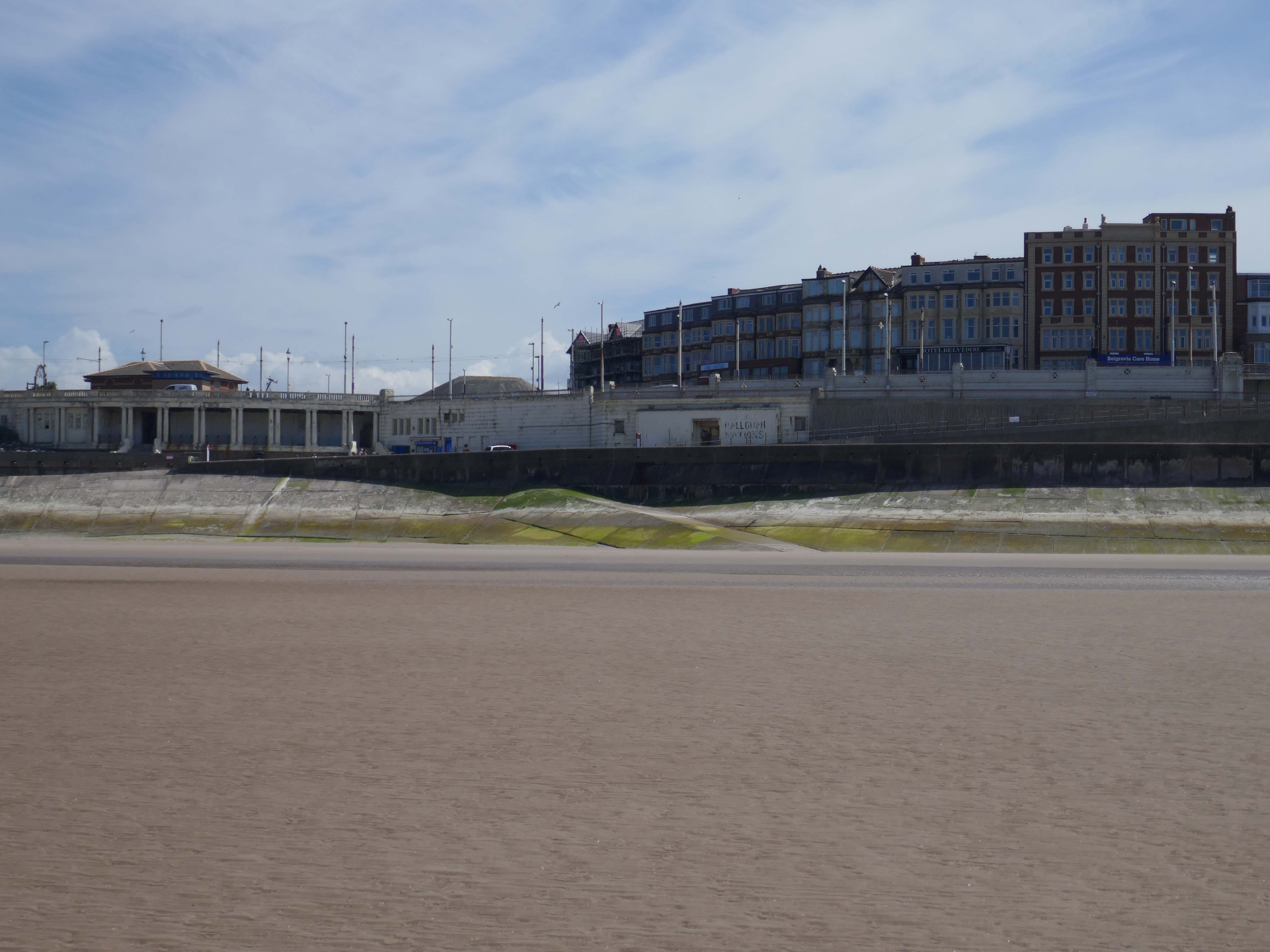
Grand Hotel – the hotel was built as the Pembroke Hotel in 1982, became the Hilton Hotel in 1999 and The Grand Hotel in 2017
The hotel was built next to the site of the Derby Baths 1939 – architect: John Charles Robinson who between 1920-1944 designed many of Blackpool’s landmark civic buildings including libraries, schools, swimming baths, leisure facilities and tourist infrastructure.
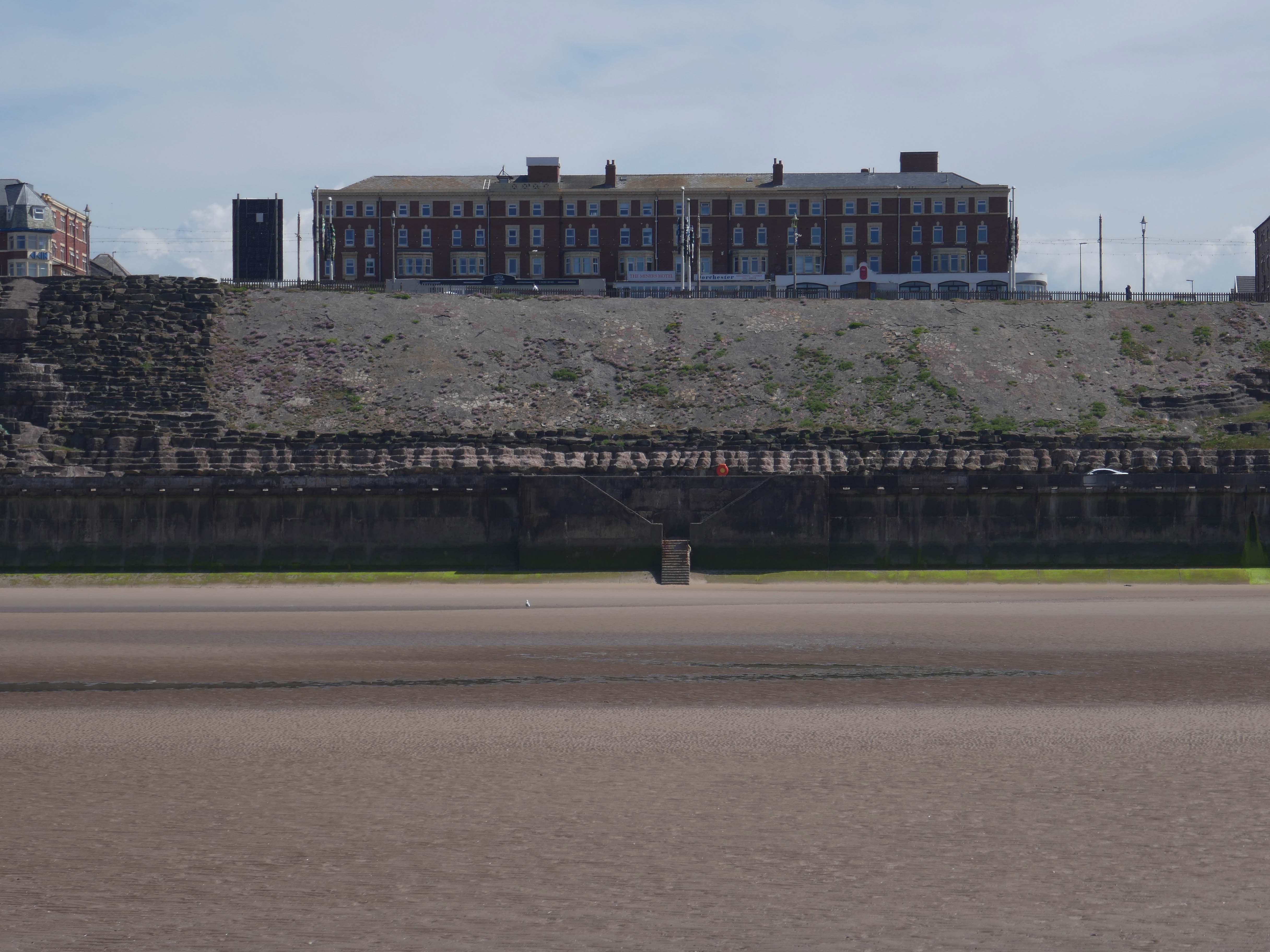
The Savoy Hotel, just north of Gynn Square, is one of the series of large red brick and red terracotta hotels built around the turn of the century. The architect was TG Lumb and the hotel opened in 1915; the sun lounge in Hathern’s cream faience was added in 1935 by Lumb and Walton.
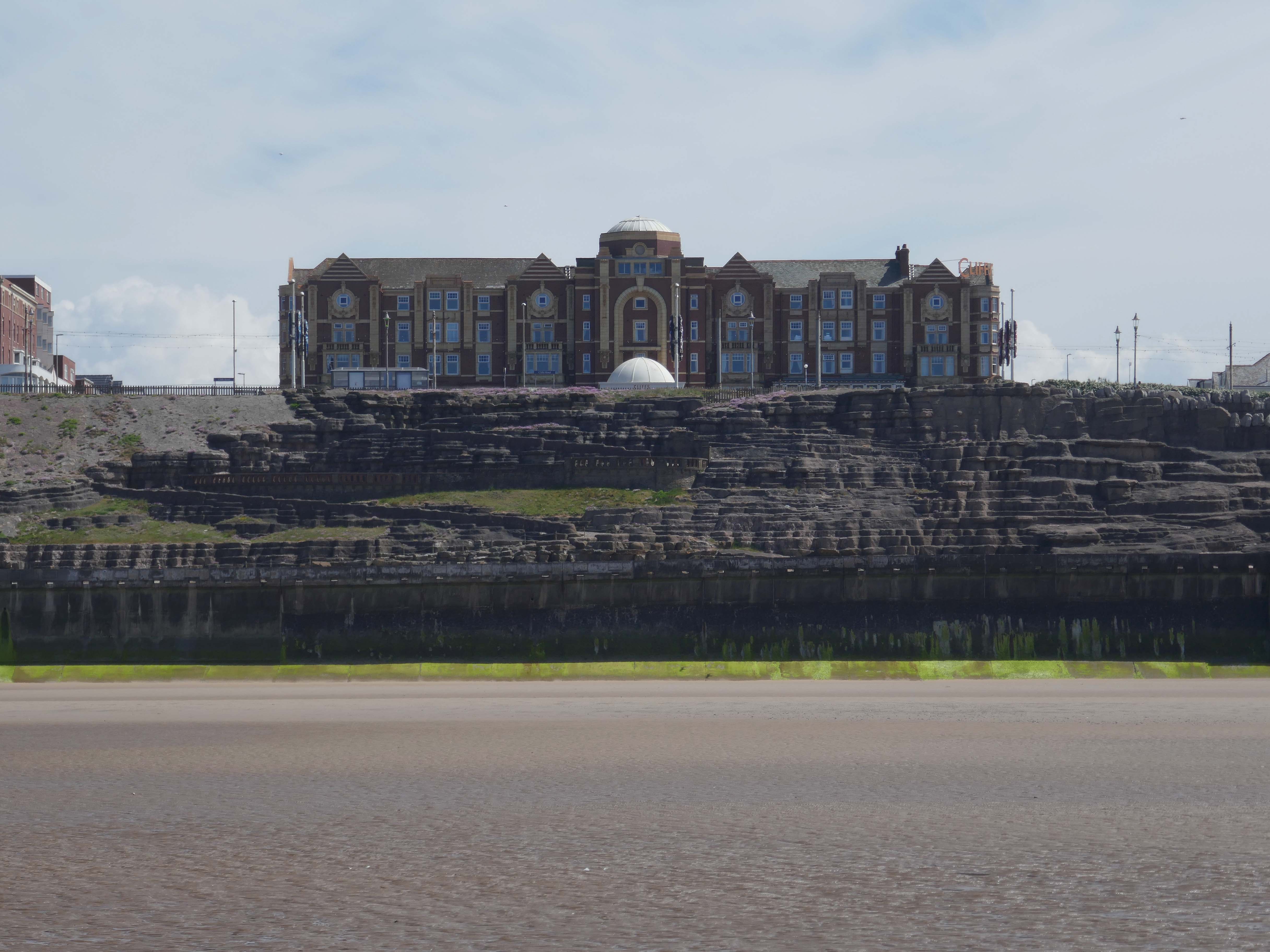
The Cliffs Hotel started in 1921 – architect Halstead Best substantially rebuilt and enlarged the building 1936–37 and added an underground carpark
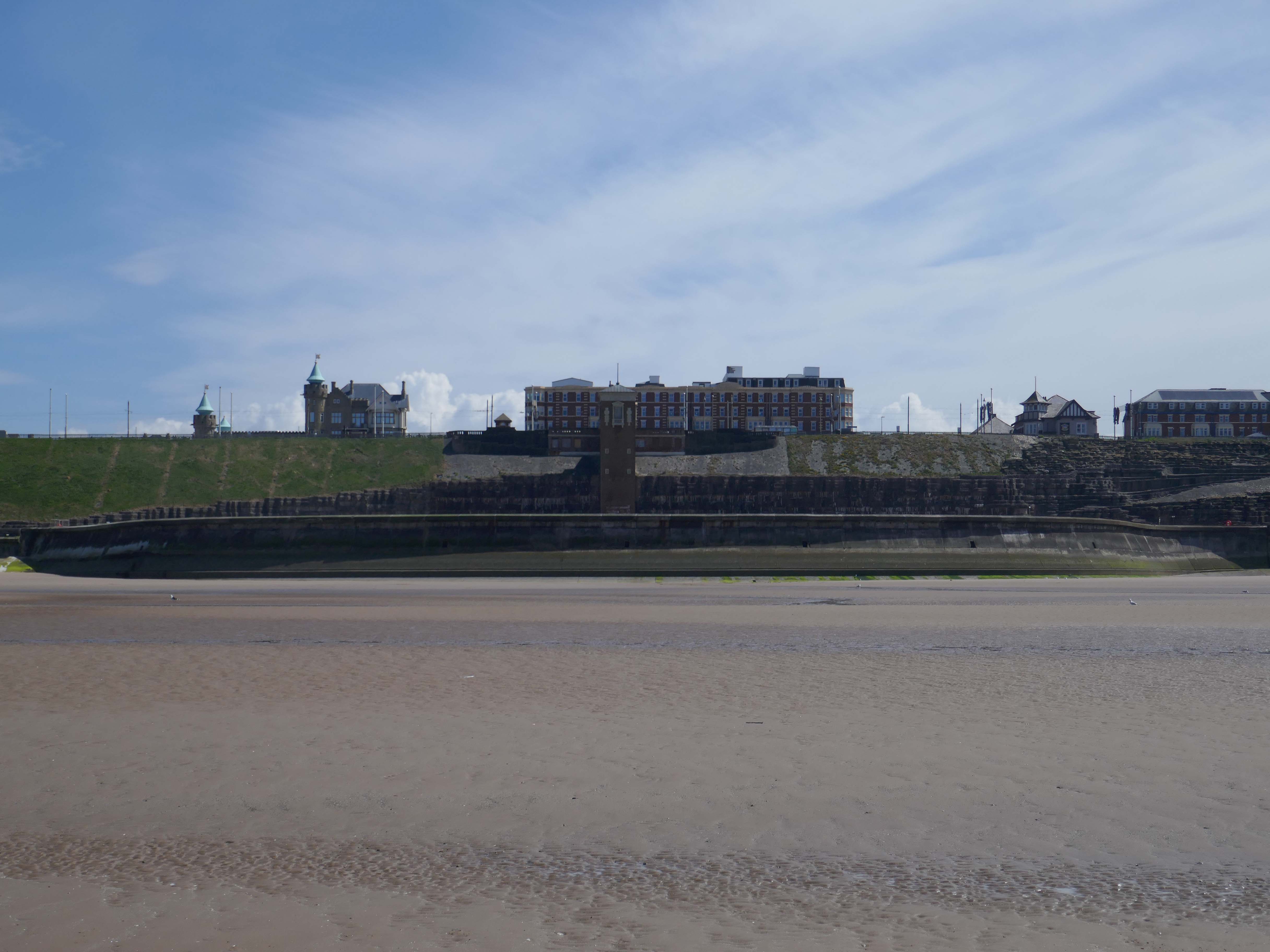
Castle Casino – architect: Arthur Hindle 1906
Arthur Knowles built the Castle at 64 Queens Promenade North Shore for his wife, who unfortunately stayed in France. The couple stayed in the house for a mere nine months during 1929. Apart from housing Belgian refugees during World War 1, it stayed empty until 1935. It then opened briefly as an old people’s home, before being bought by Lawrence Wright – AKA Horatio Nicholls, as his home.
Wright sold it in 1941, and after several years as the home of the Blackpool and Fylde Motor Club, it became the Castle Casino of today in 1965, first owned by wrestler Jack Pye, who moved to Blackpool in 1950. It has had various identities, and was last taken over in 2005, now being known as the Genting Club – part of a national chain of that name.
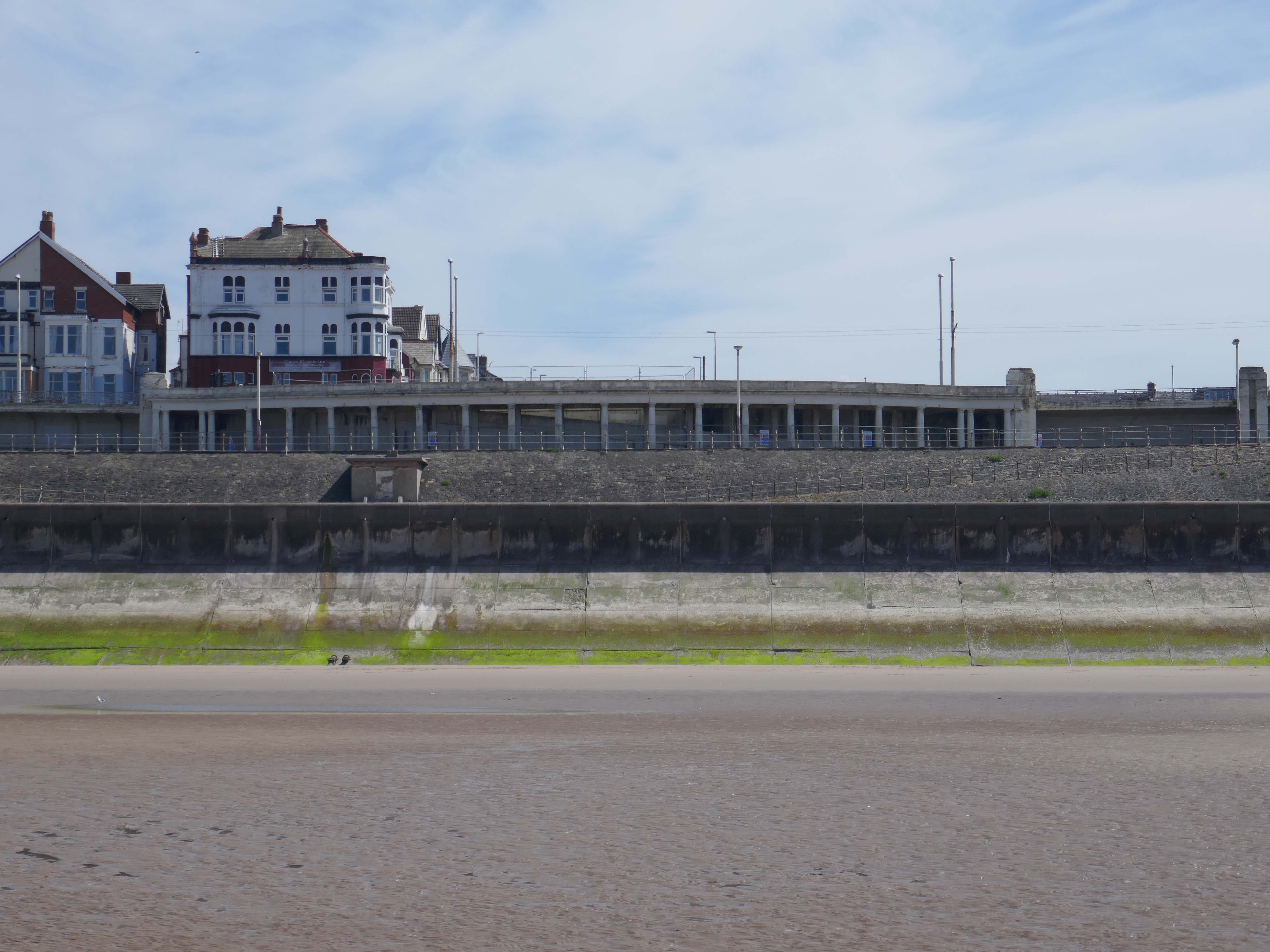
Former Miners Convalescent Home 1925-27 – architects: Bradshaw Gass & Hope, Grade II listed
Converted to apartments in 2005 – trading as Admiral Point.
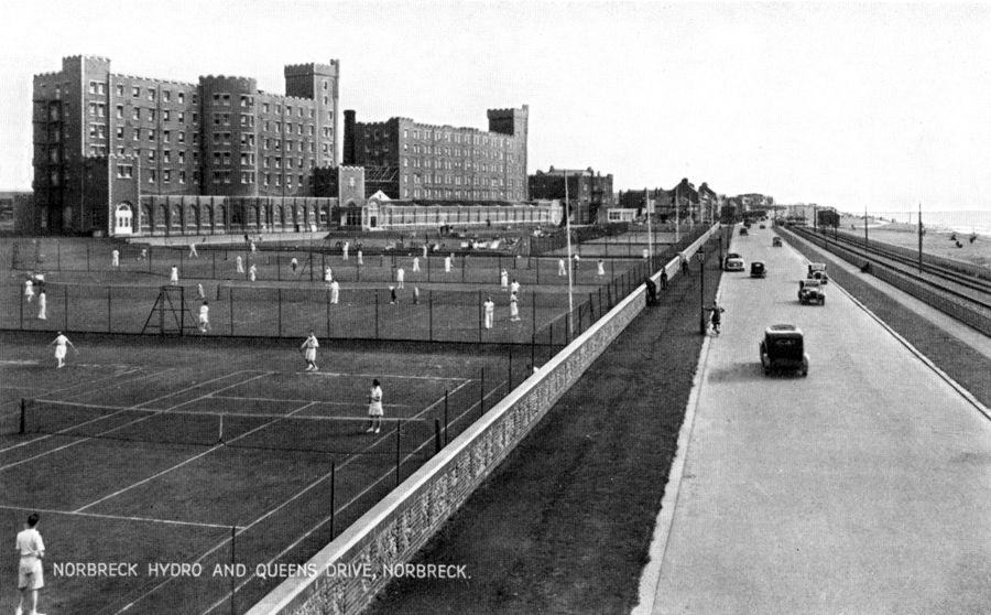
Norbreck Castle Hotel originally built as a large private country house in 1869, it was bought around the end of the 19th century by JH Shorrocks, who used the house to entertain friends and colleagues at lavish weekend parties. The popularity of these parties led to Shorrocks running them on a commercial basis by taking paying guests.
The S Block by architect WH Longworth 1912 – the N Block by Halstead Best 1933-34.
In the 1970’s the Motel wing was added along with, the large Norcalympia exhibition hall, the name was changed from the Norbreck Hydro to Norbreck Castle.
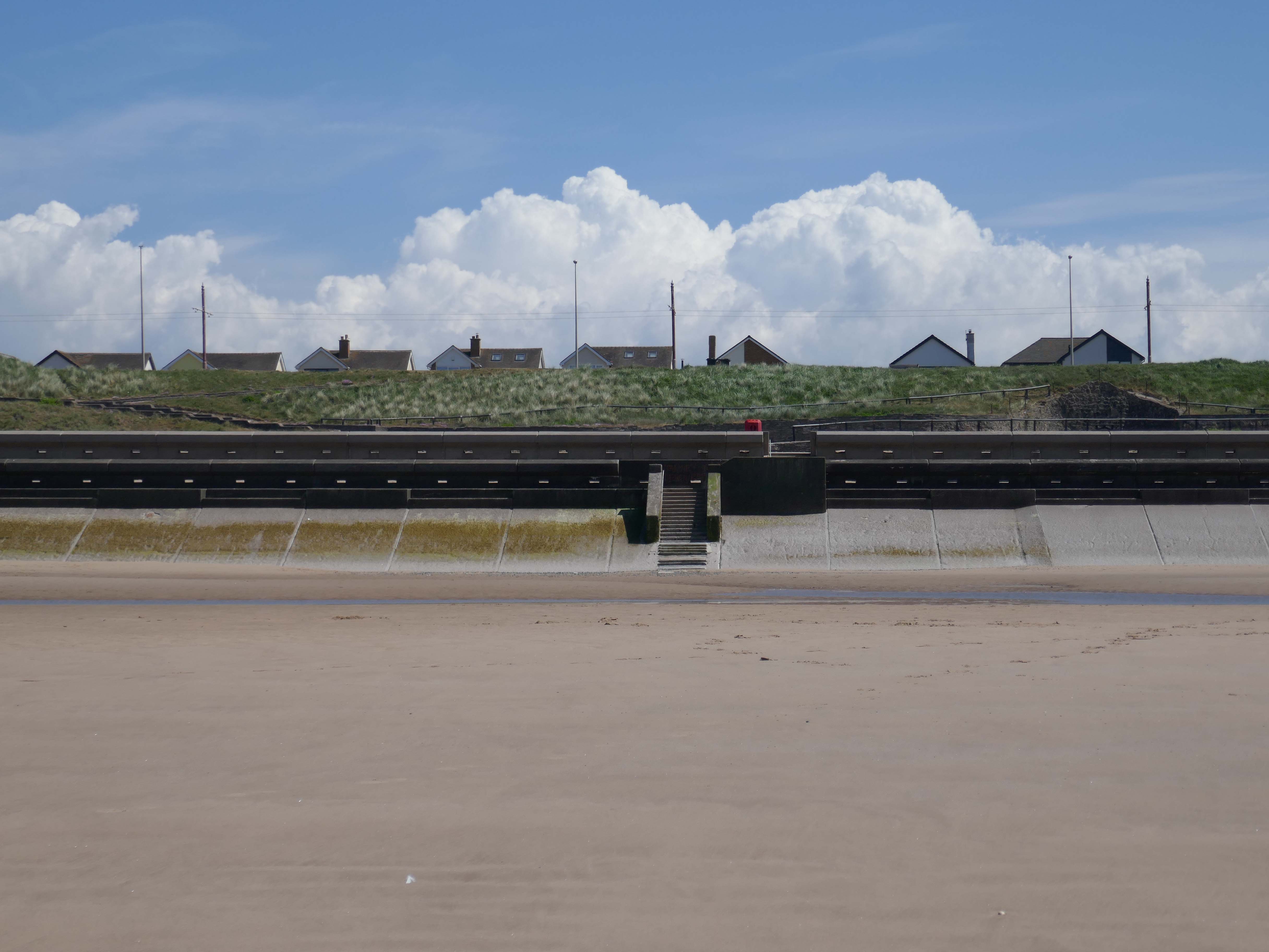
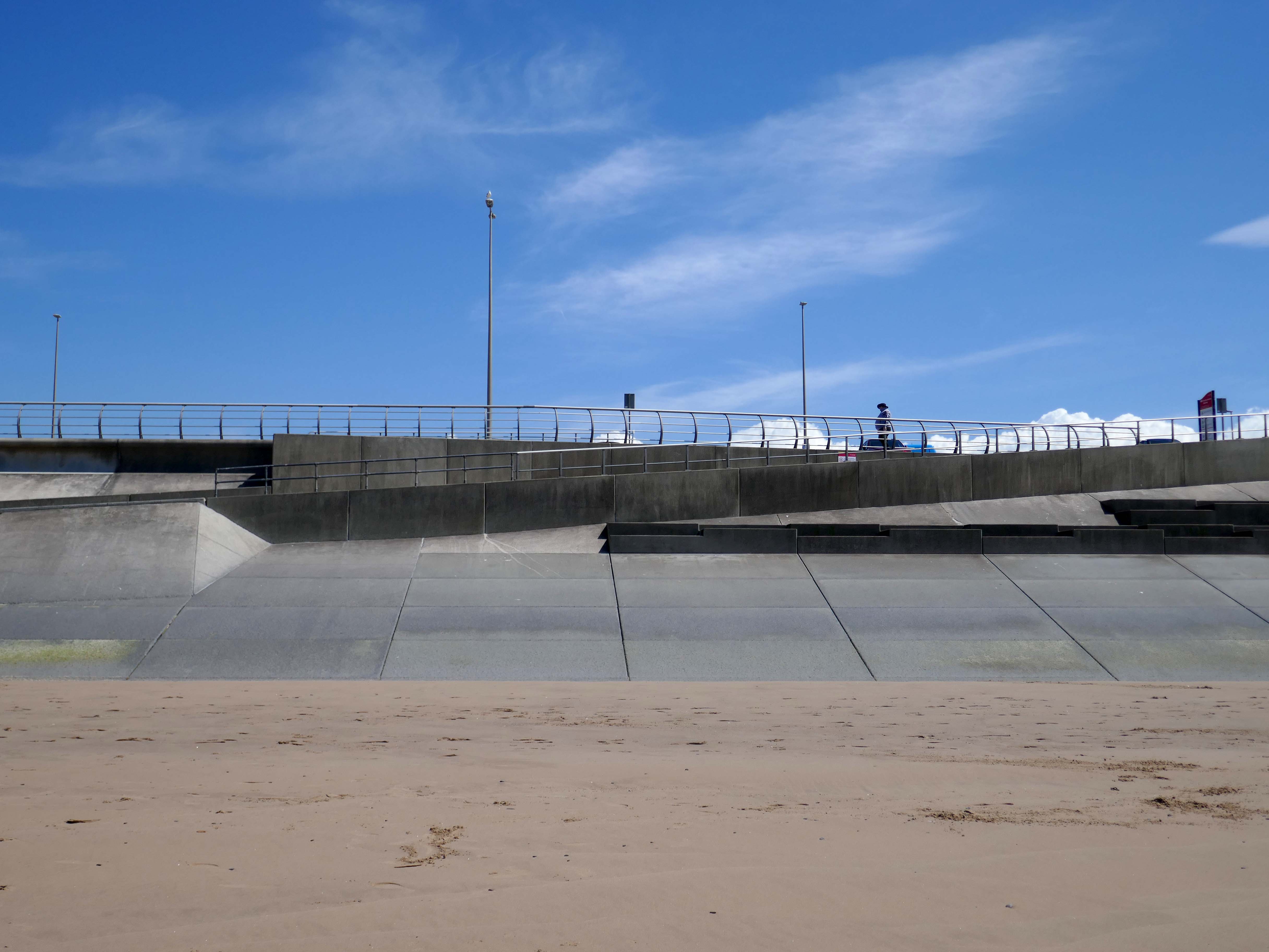
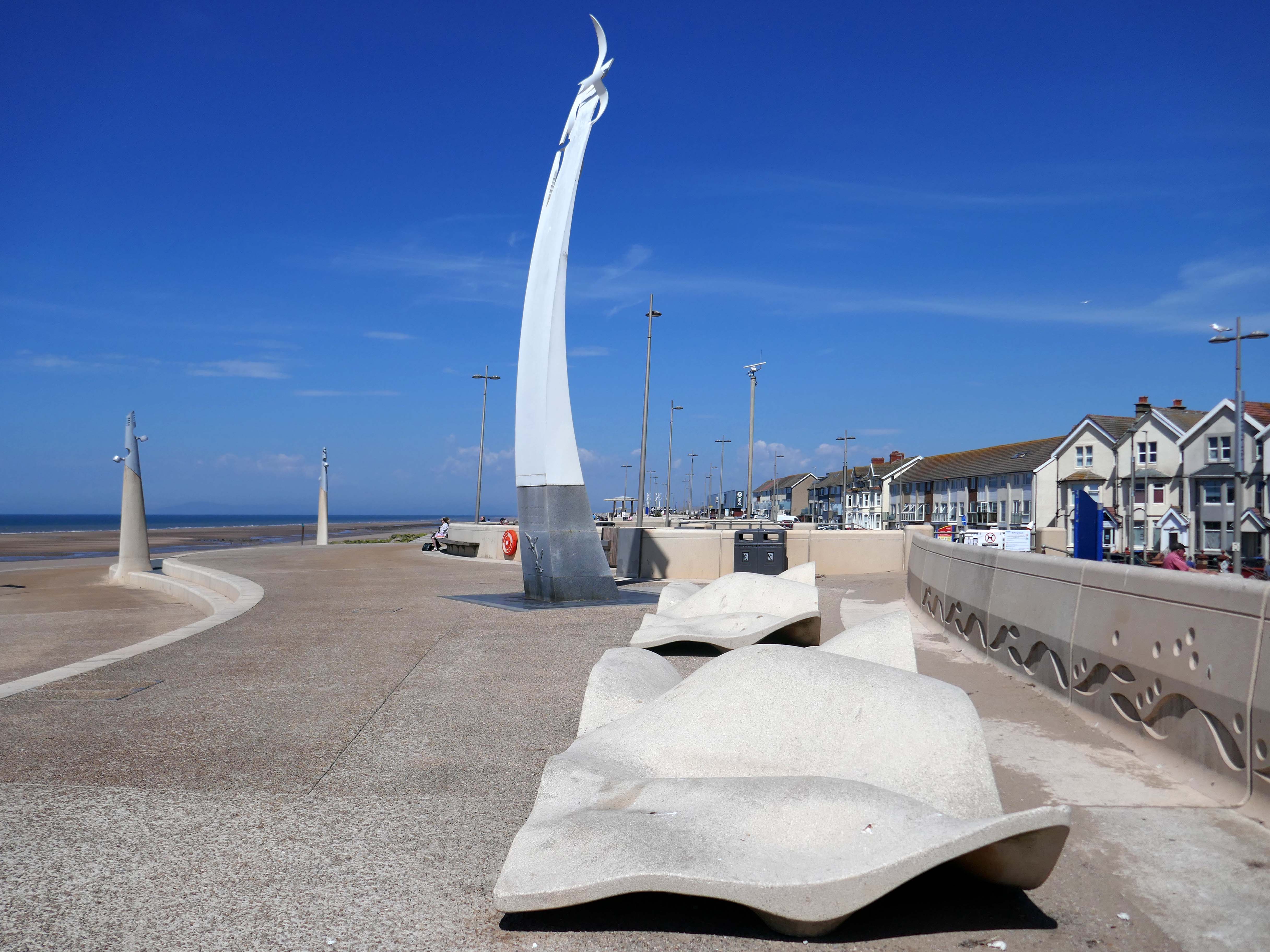
European Regional Development Fund cash of £450,000 was granted towards a regeneration project on Cleveleys Promenade. Wyre Council improved 64,000 sq ft of the promenade to create a more attractive place for visitors to the town. The latest work complements the £20m sea defence installation.
Broadbent Studio worked collaboratively from the outset with Wyre Council, Ferguson & McIlveen and Faber Maunsell in 2008, to create an exciting new promenade and sea defence scheme for the coastline at Cleveleys.
The Sea Swallow is a 10m tall structure that brings to life Wyre’s Mythic Coast storybook ‘The Sea Swallow’. The coated aluminium sculpture, has the feel of ‘a book coming to life’, with the two sea swallows symbolic of the town’s protectors emerging from the page.
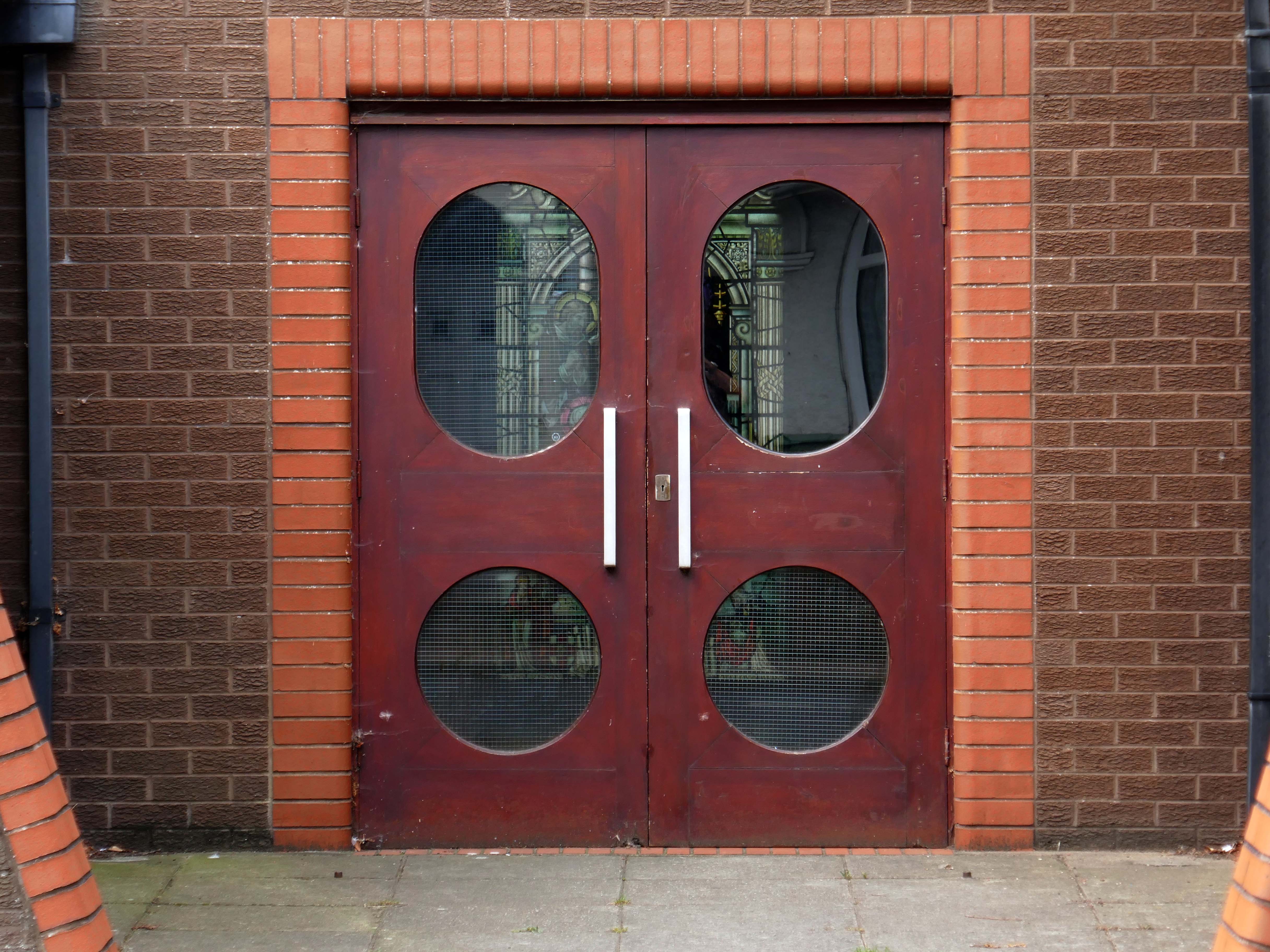
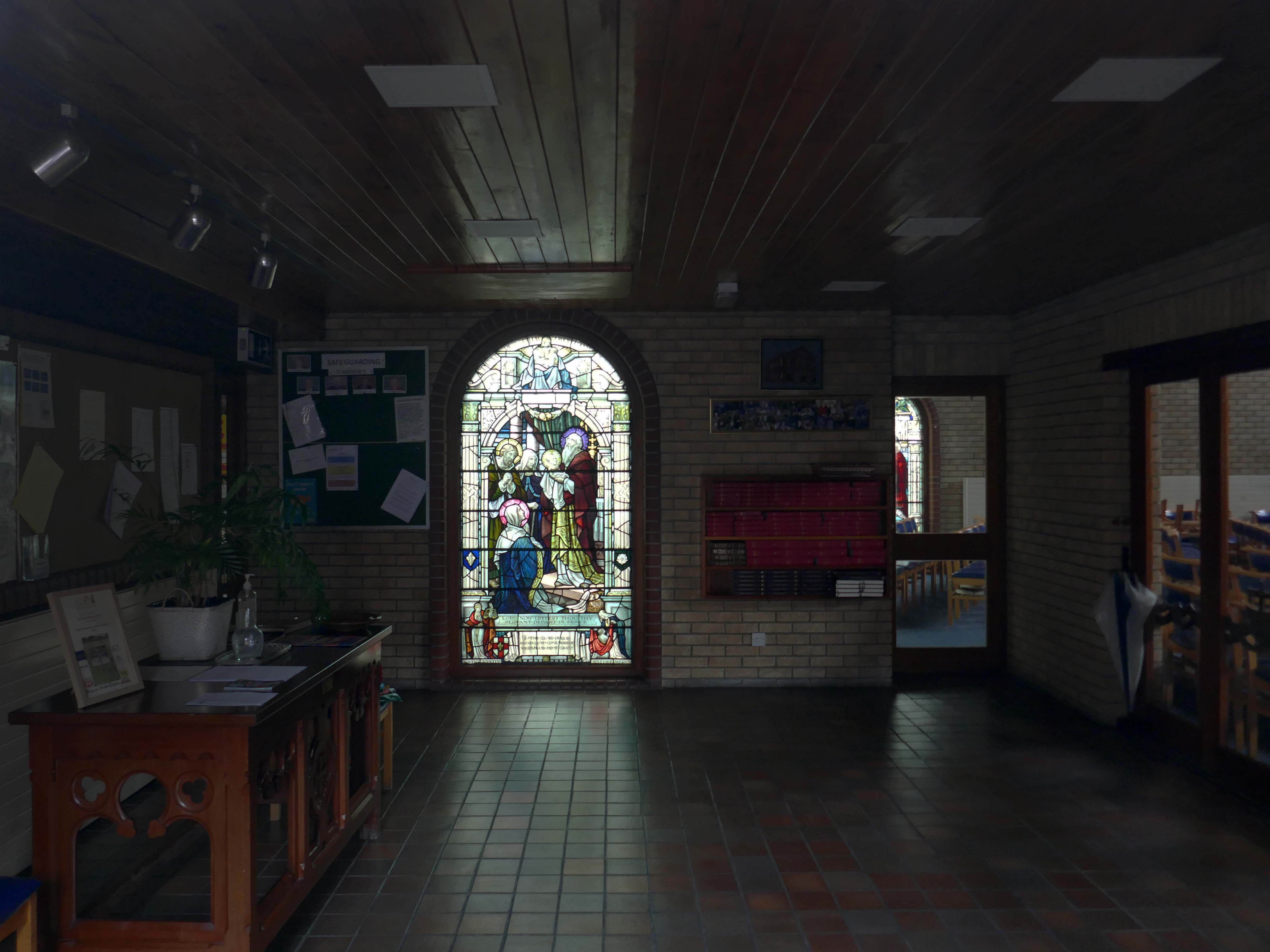
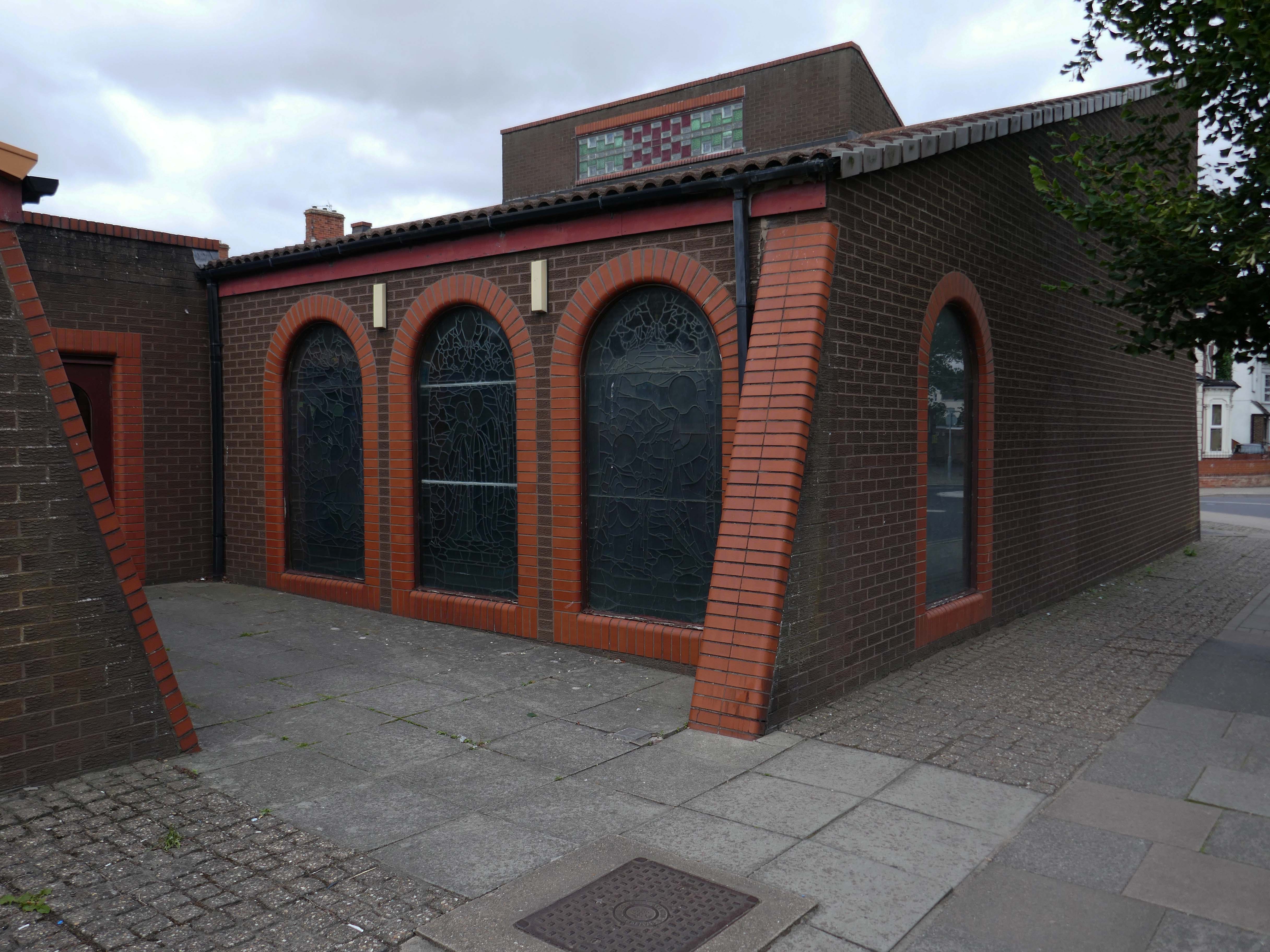
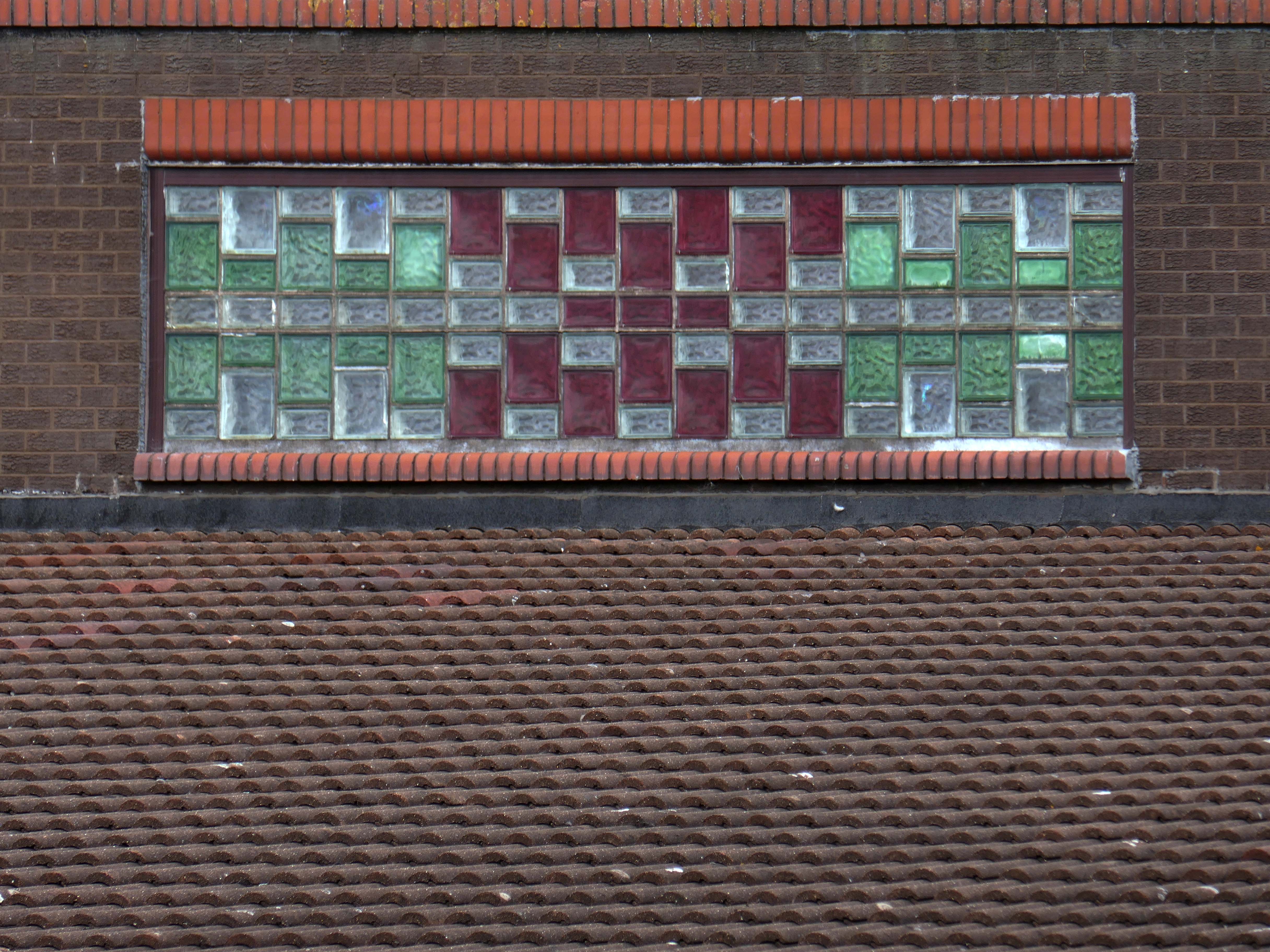
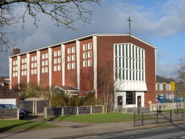
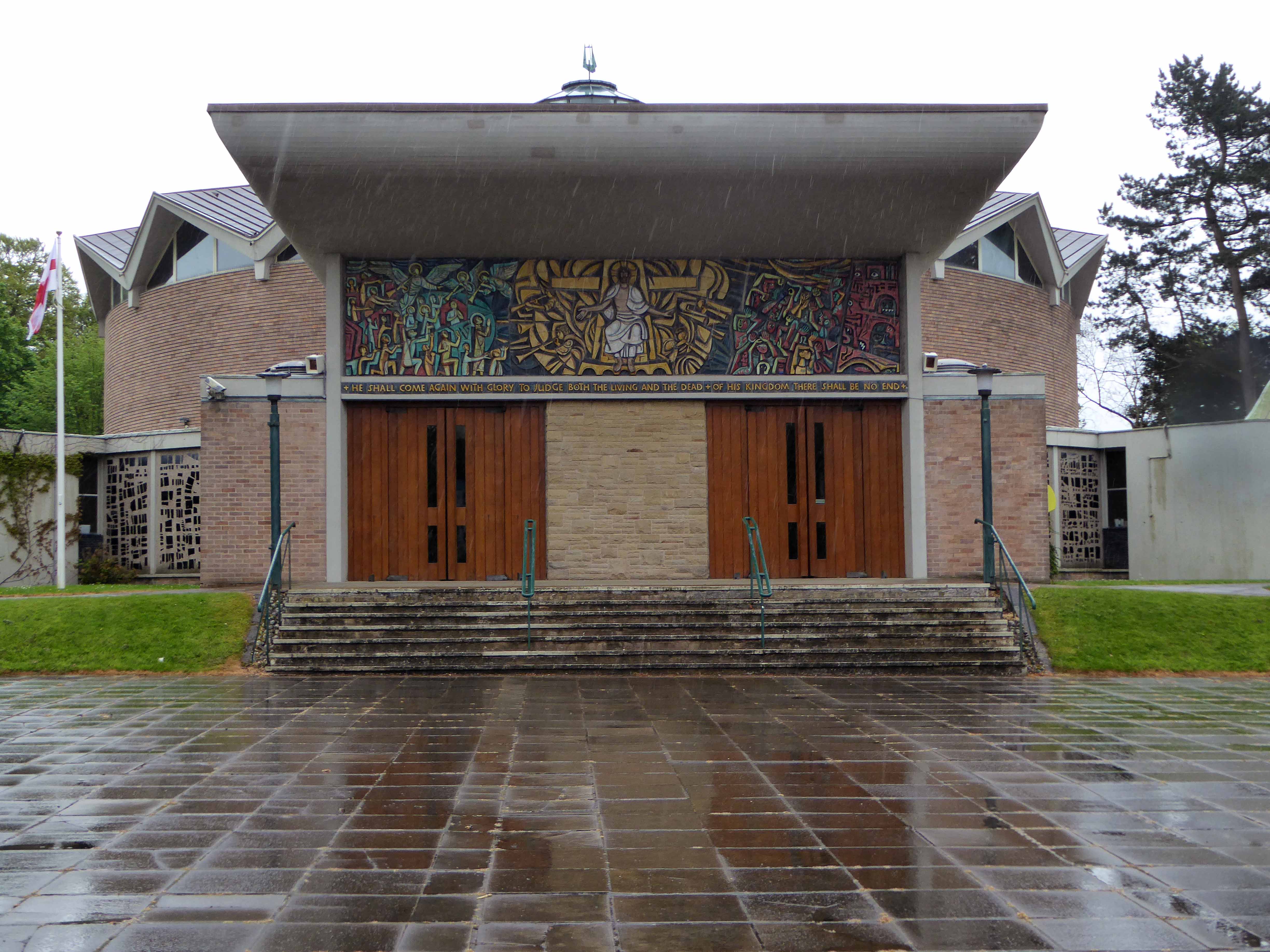
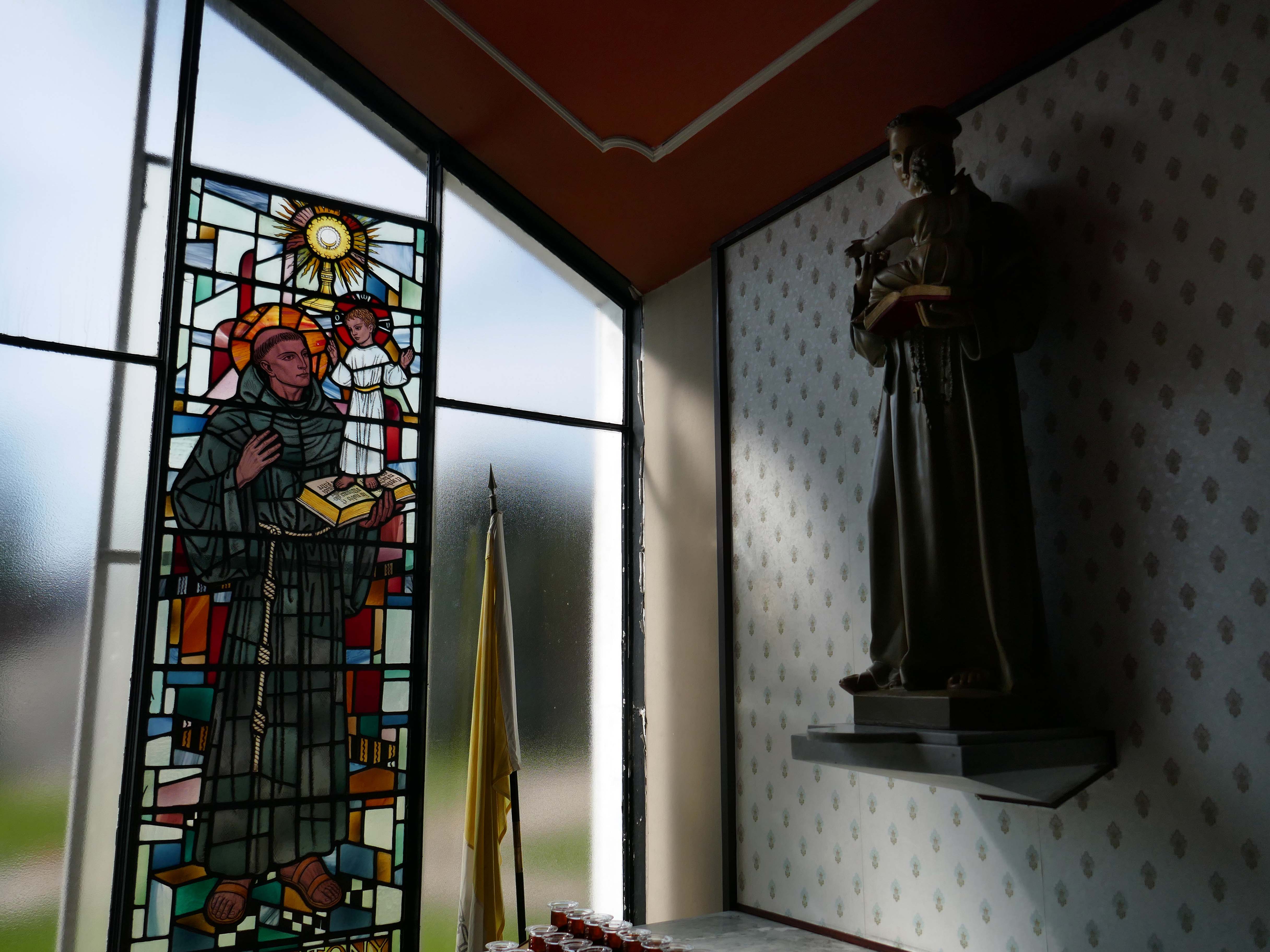
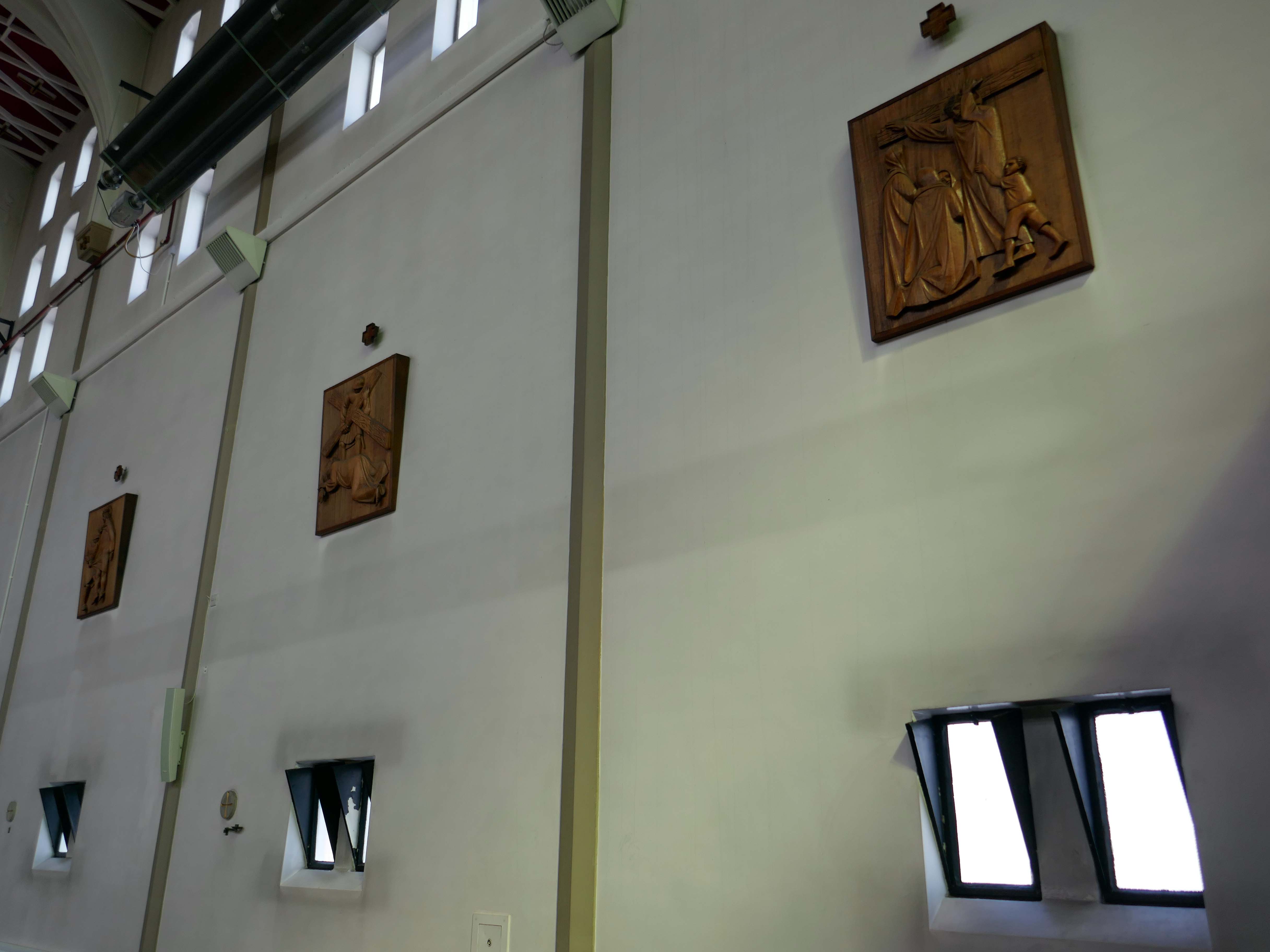
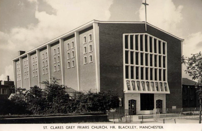
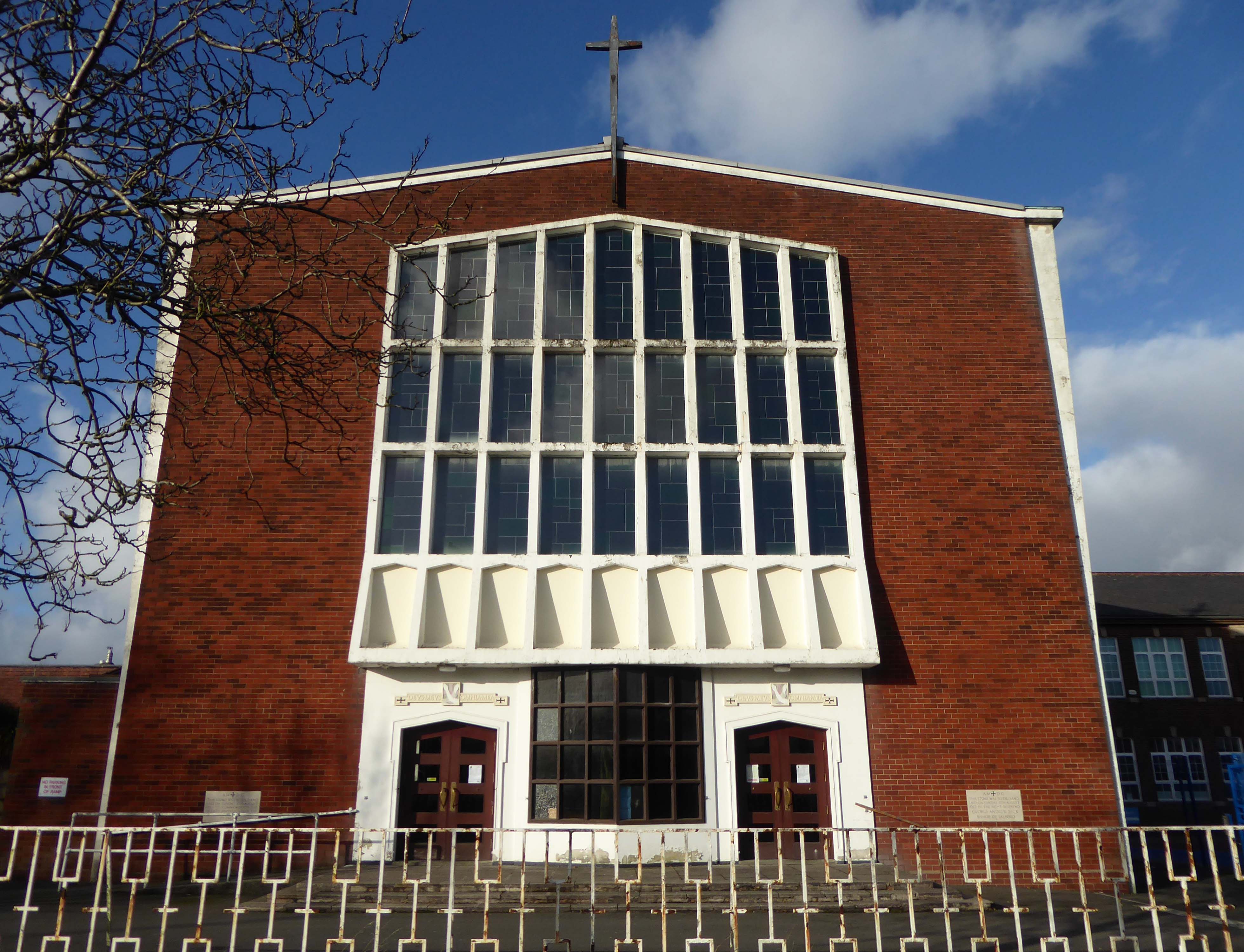
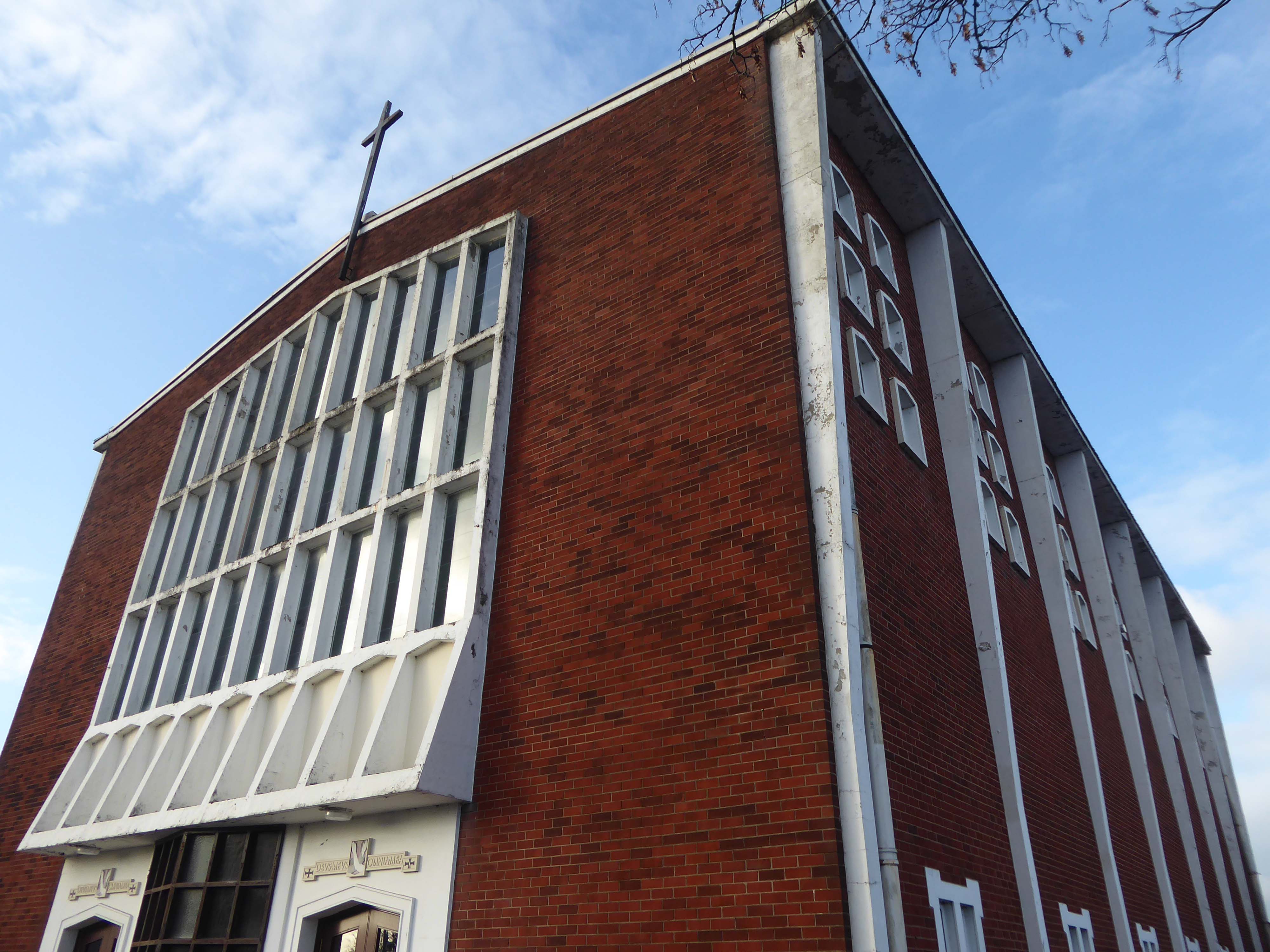
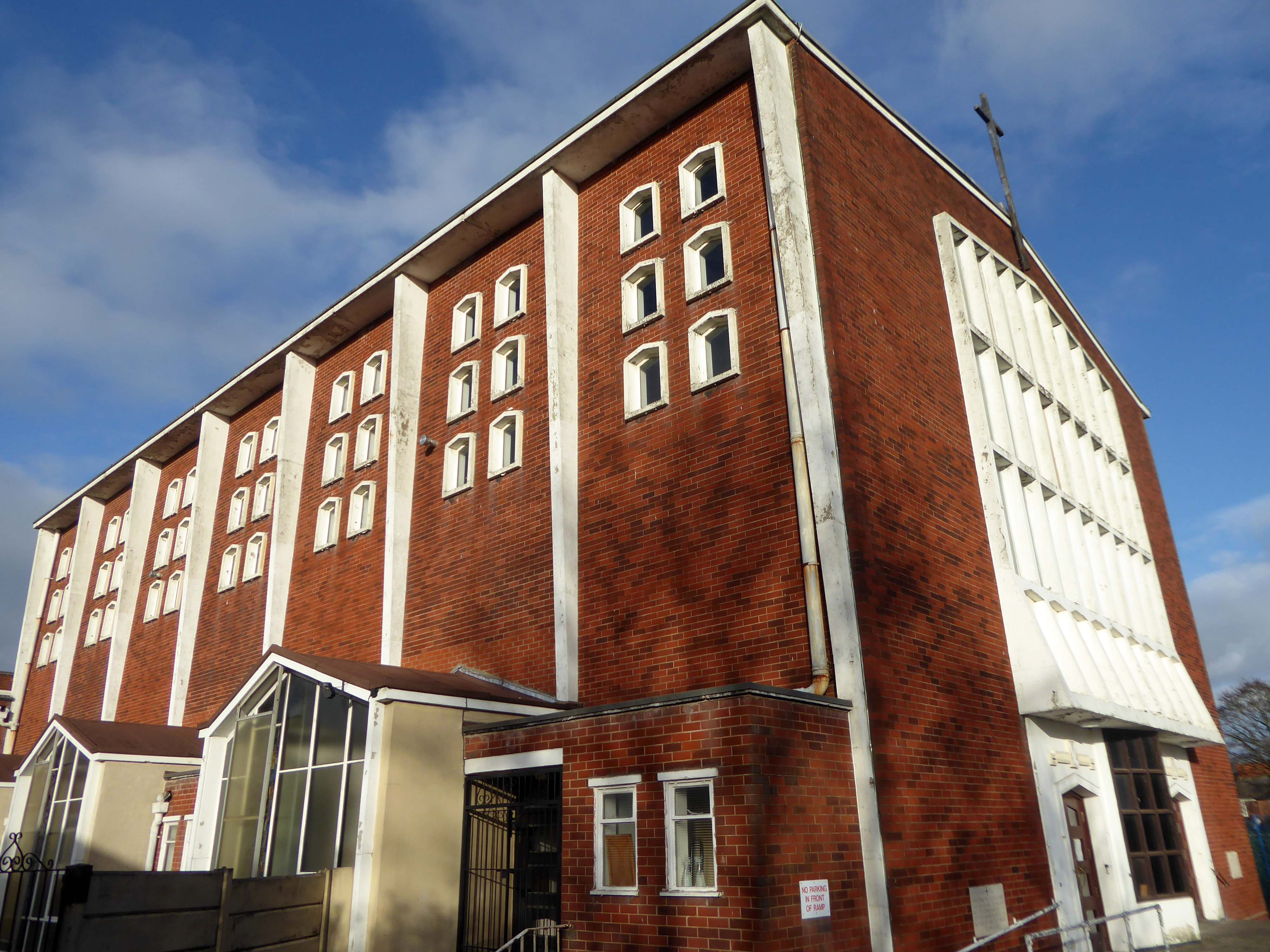
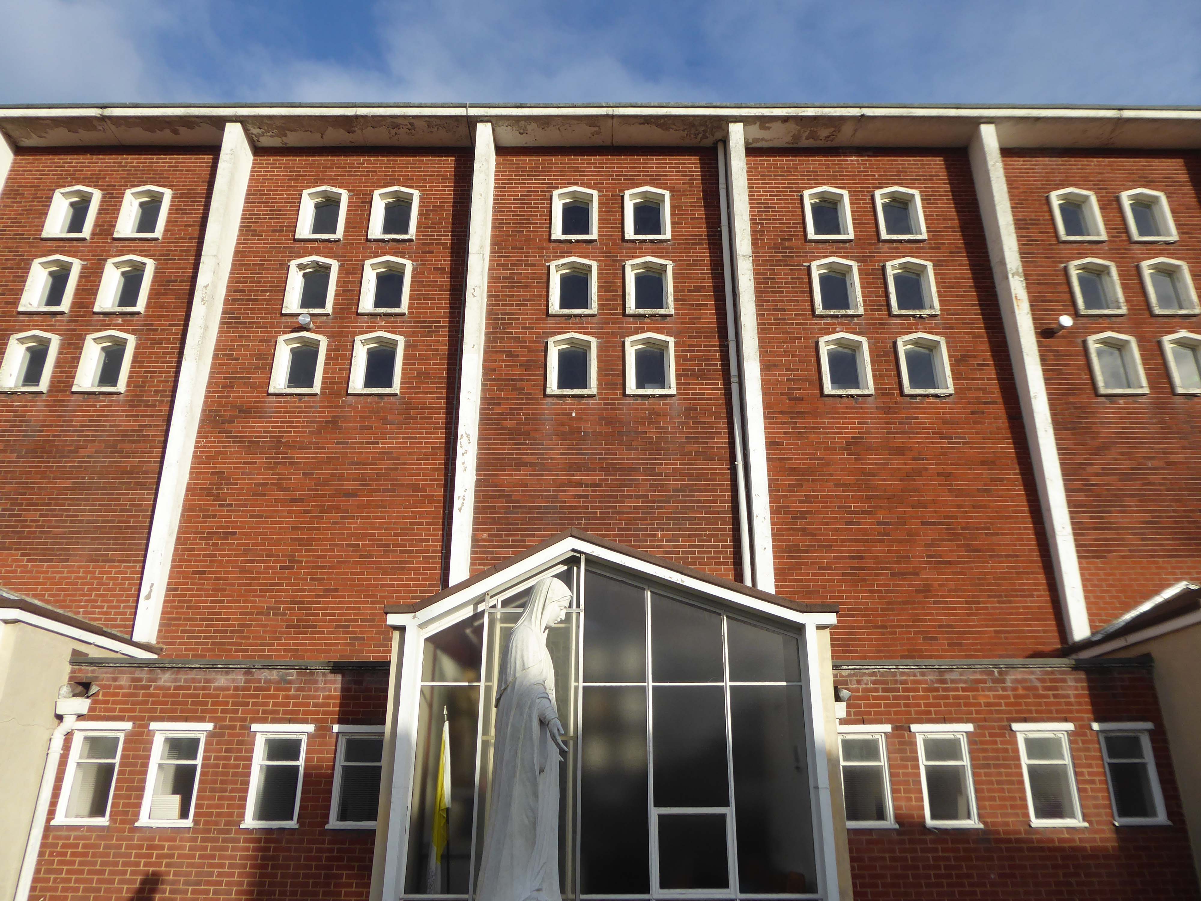
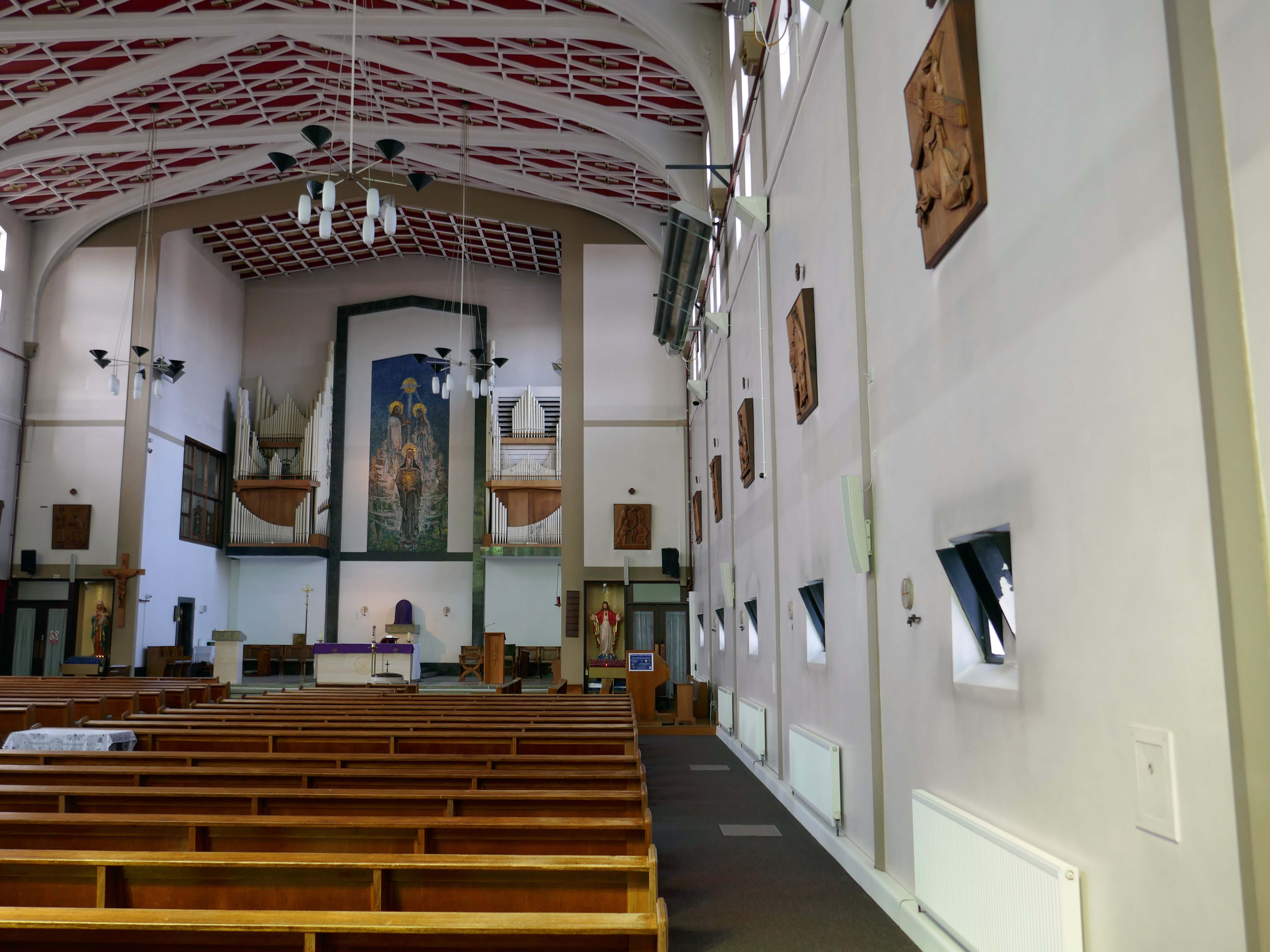
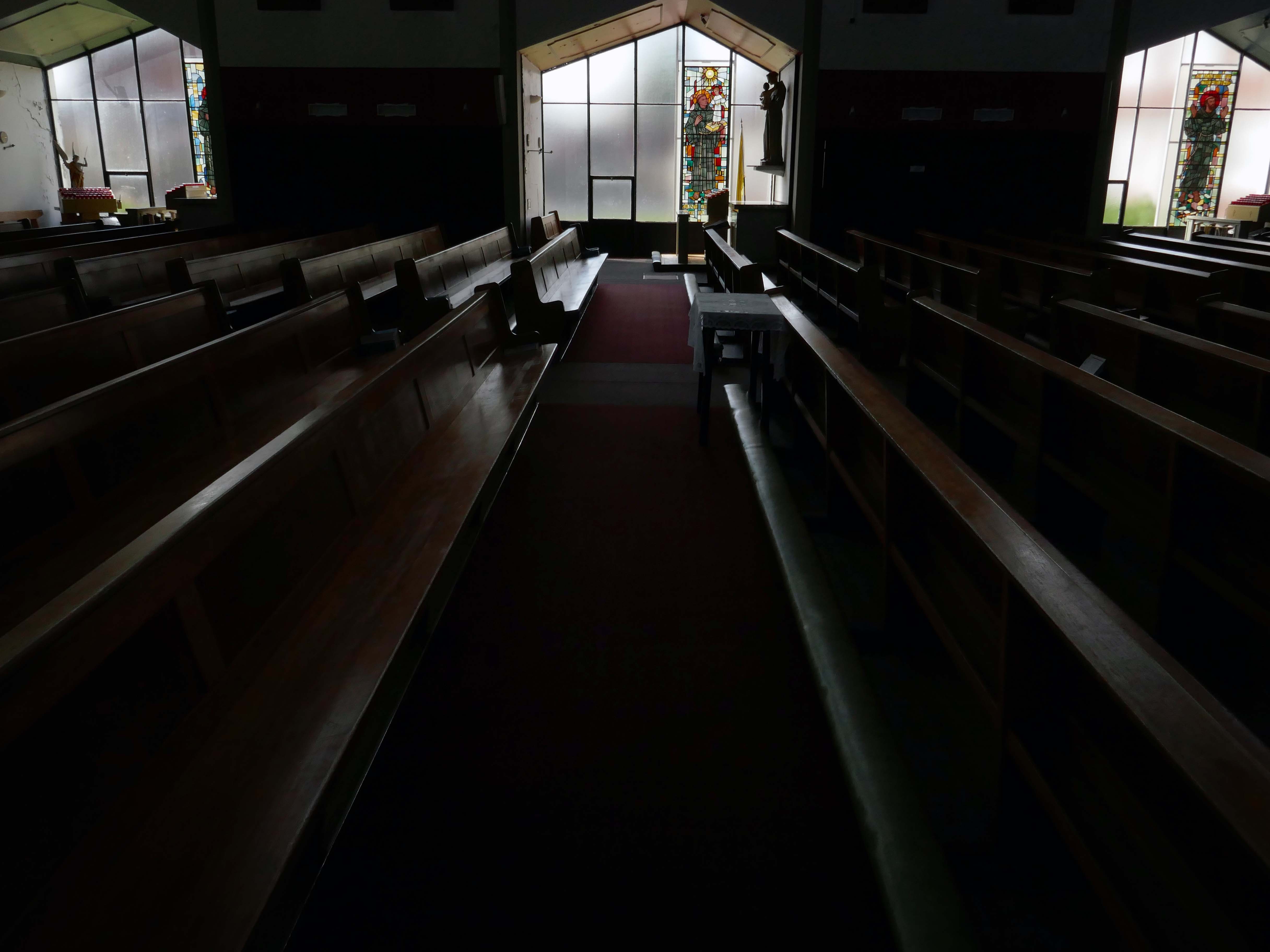
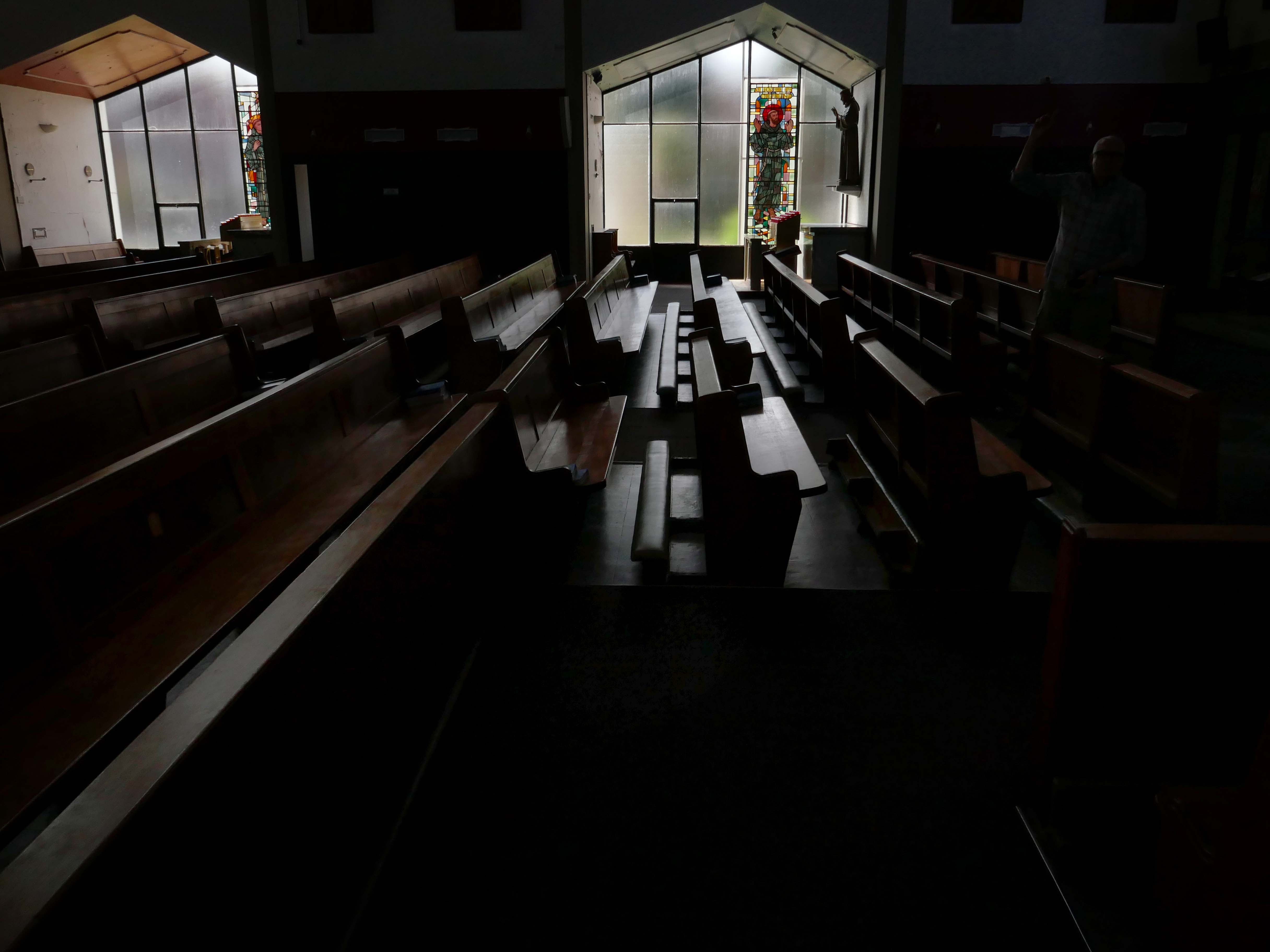
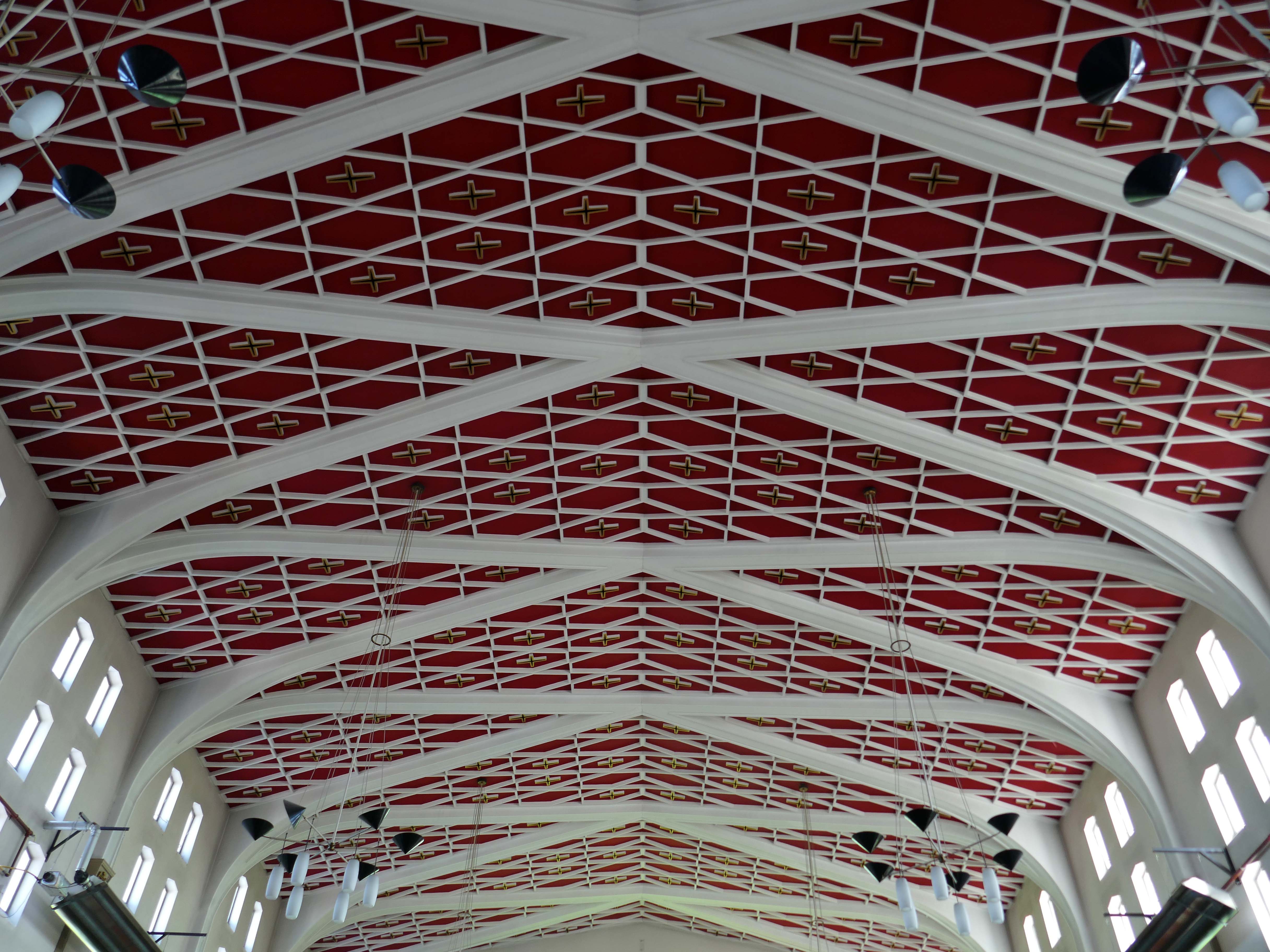
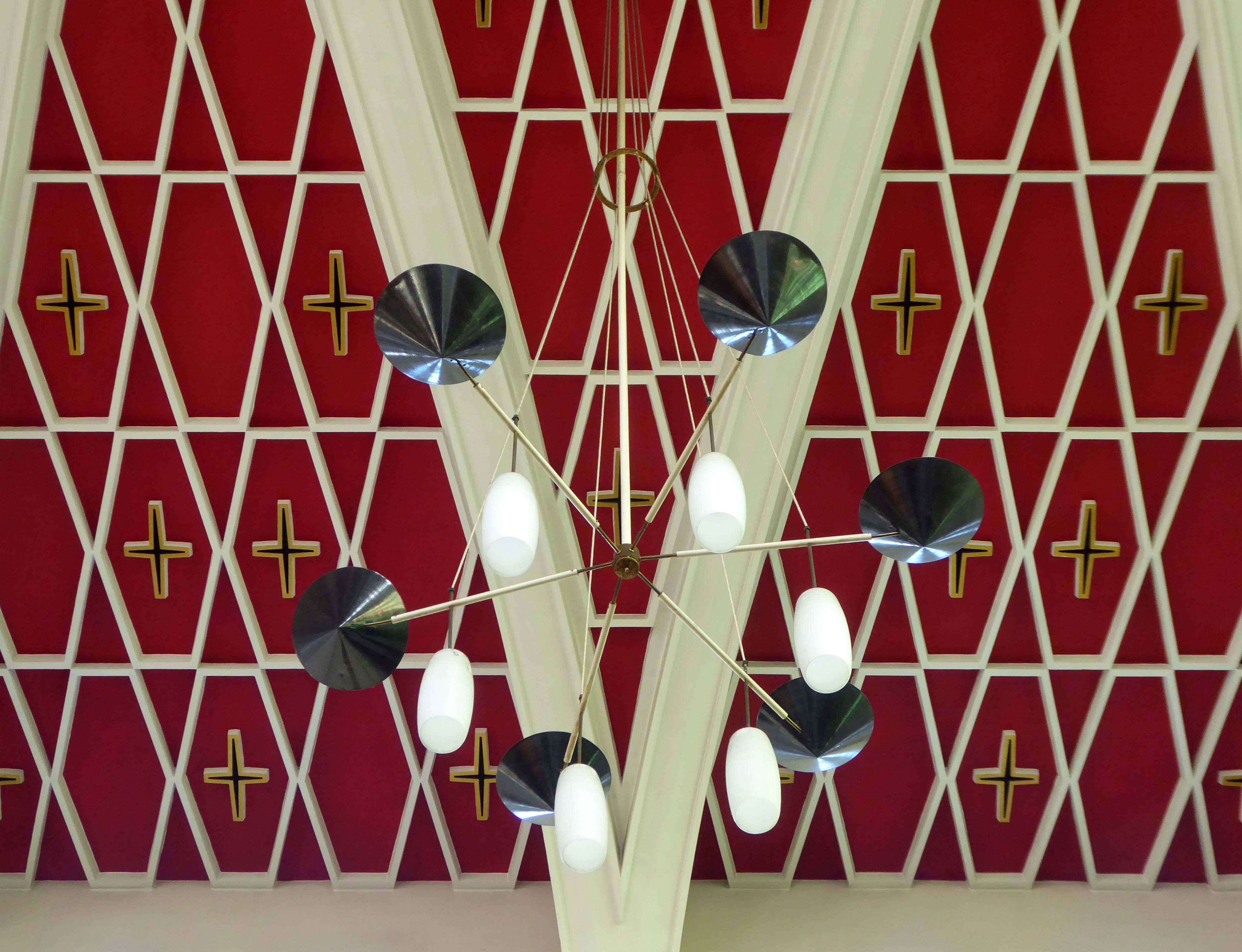
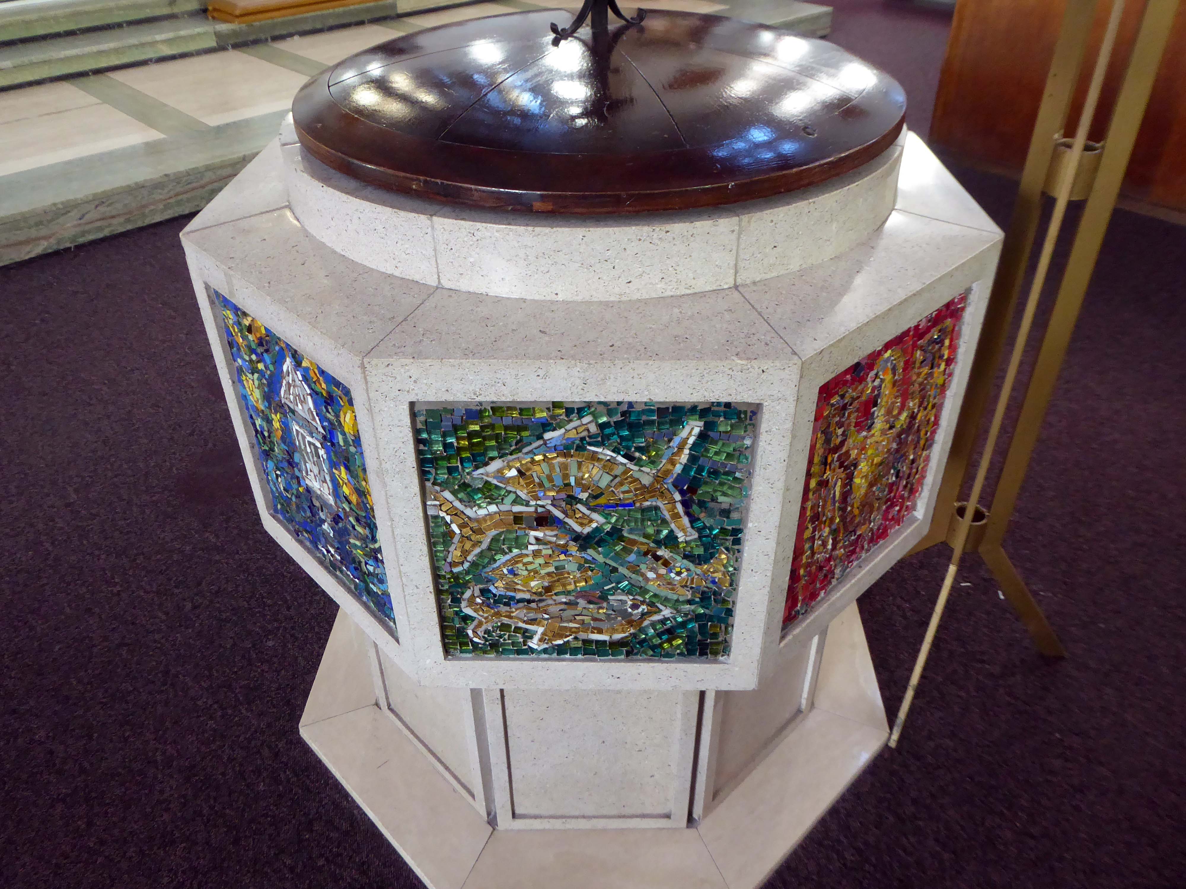
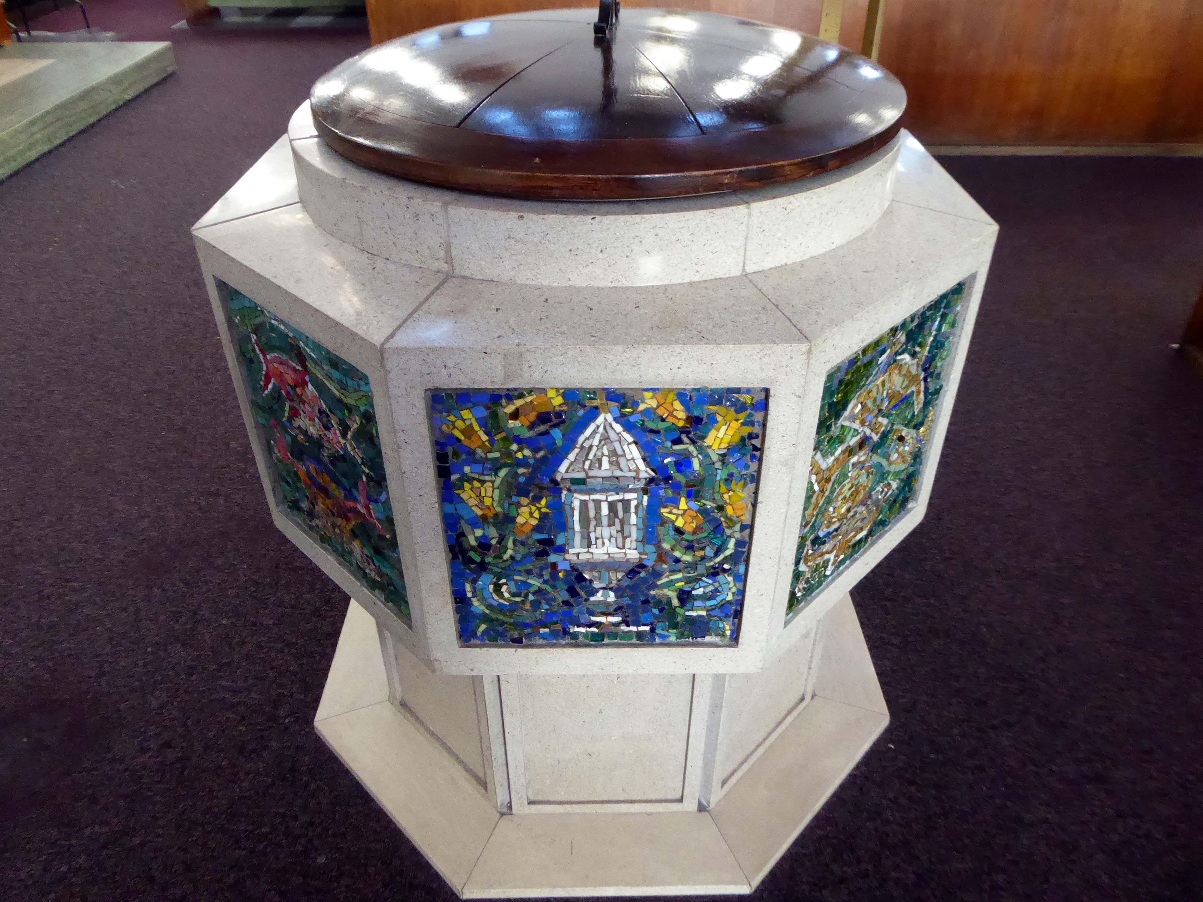
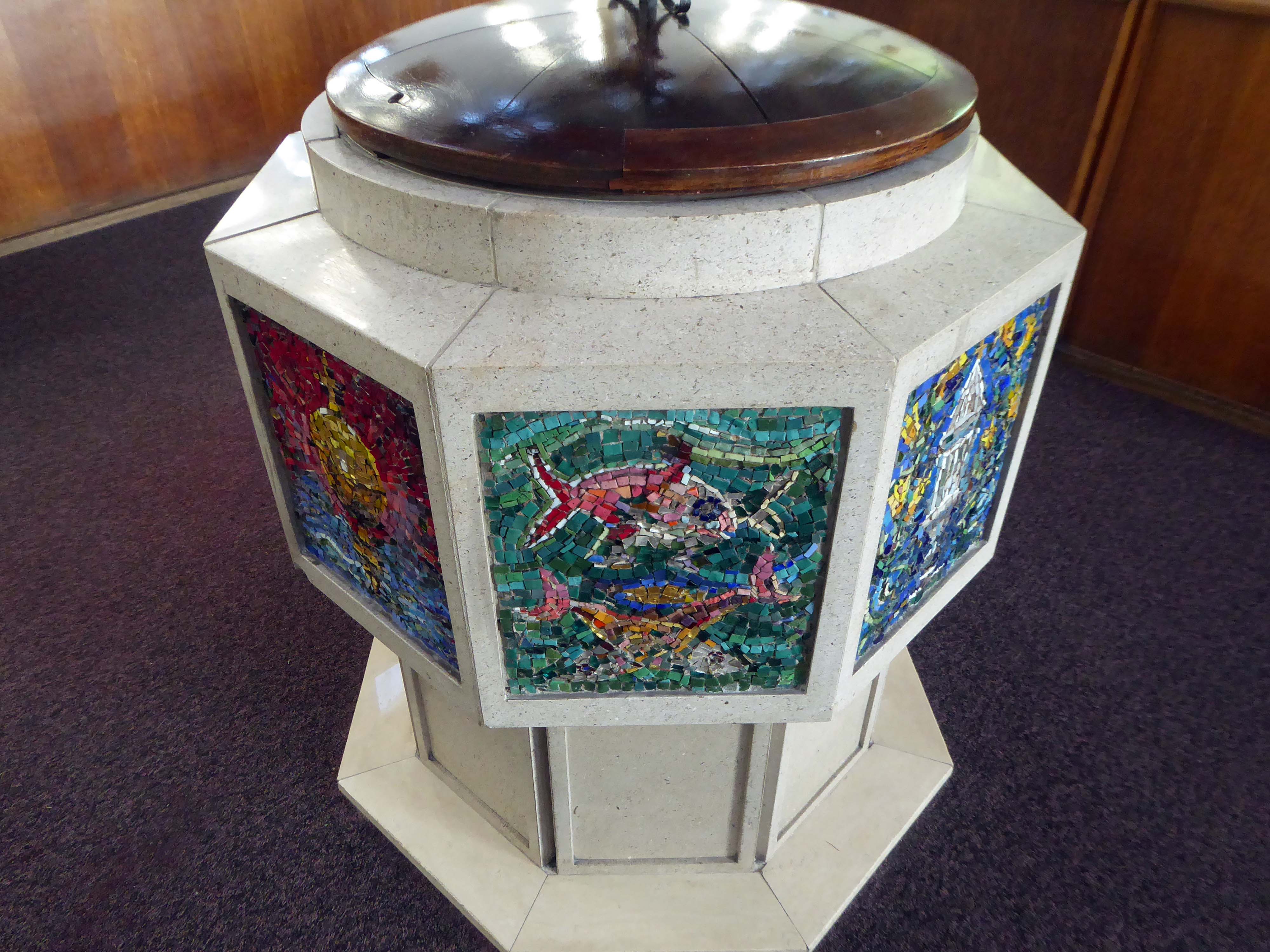
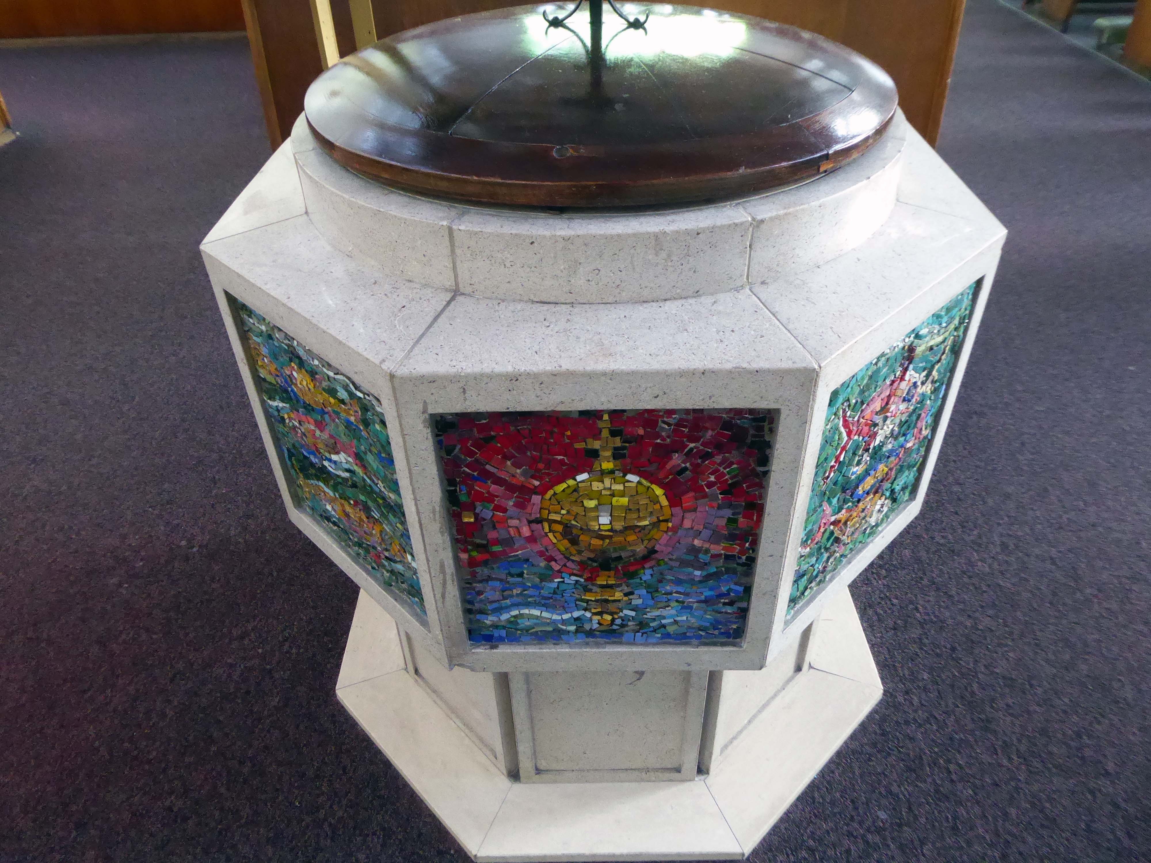
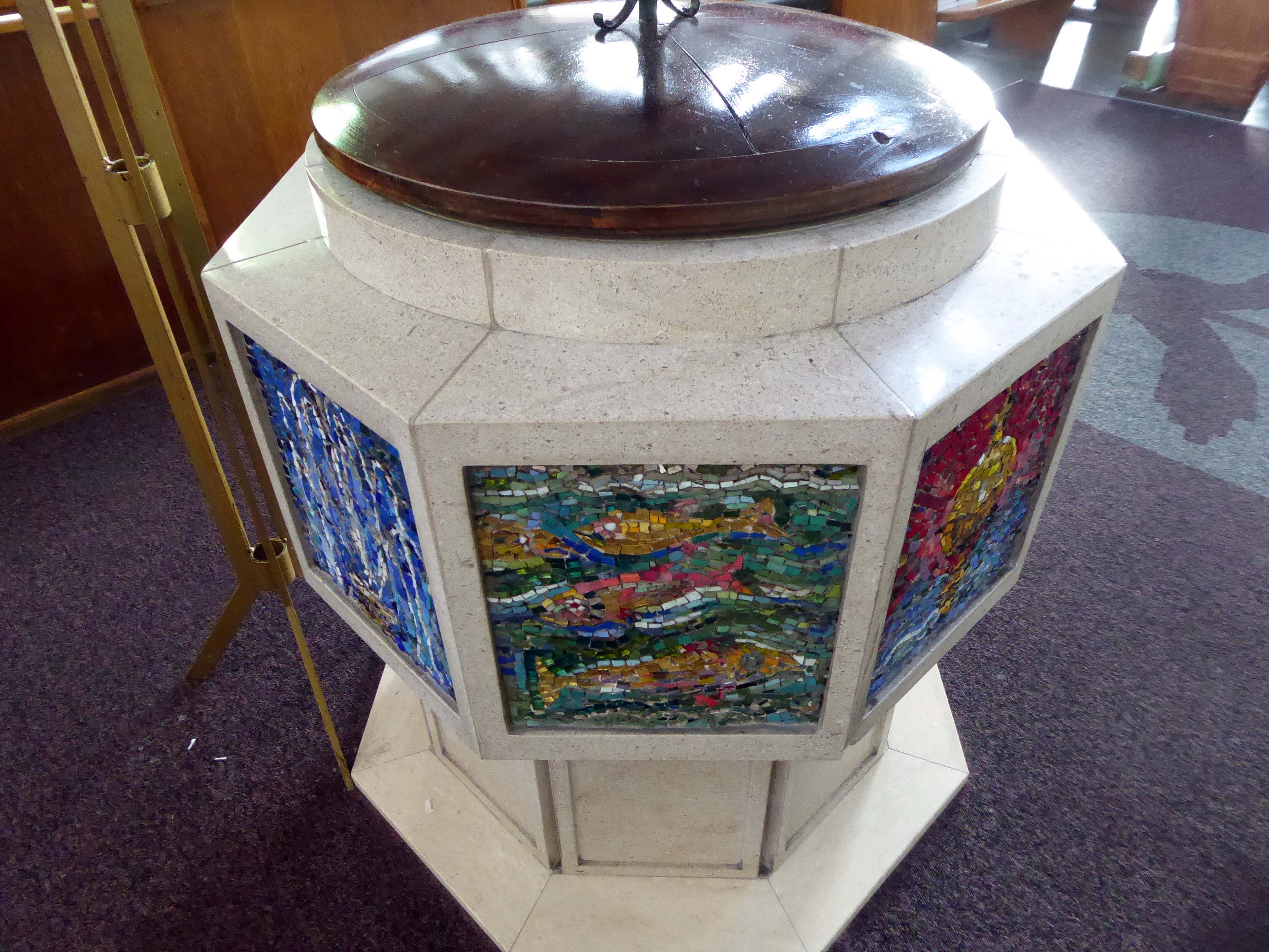
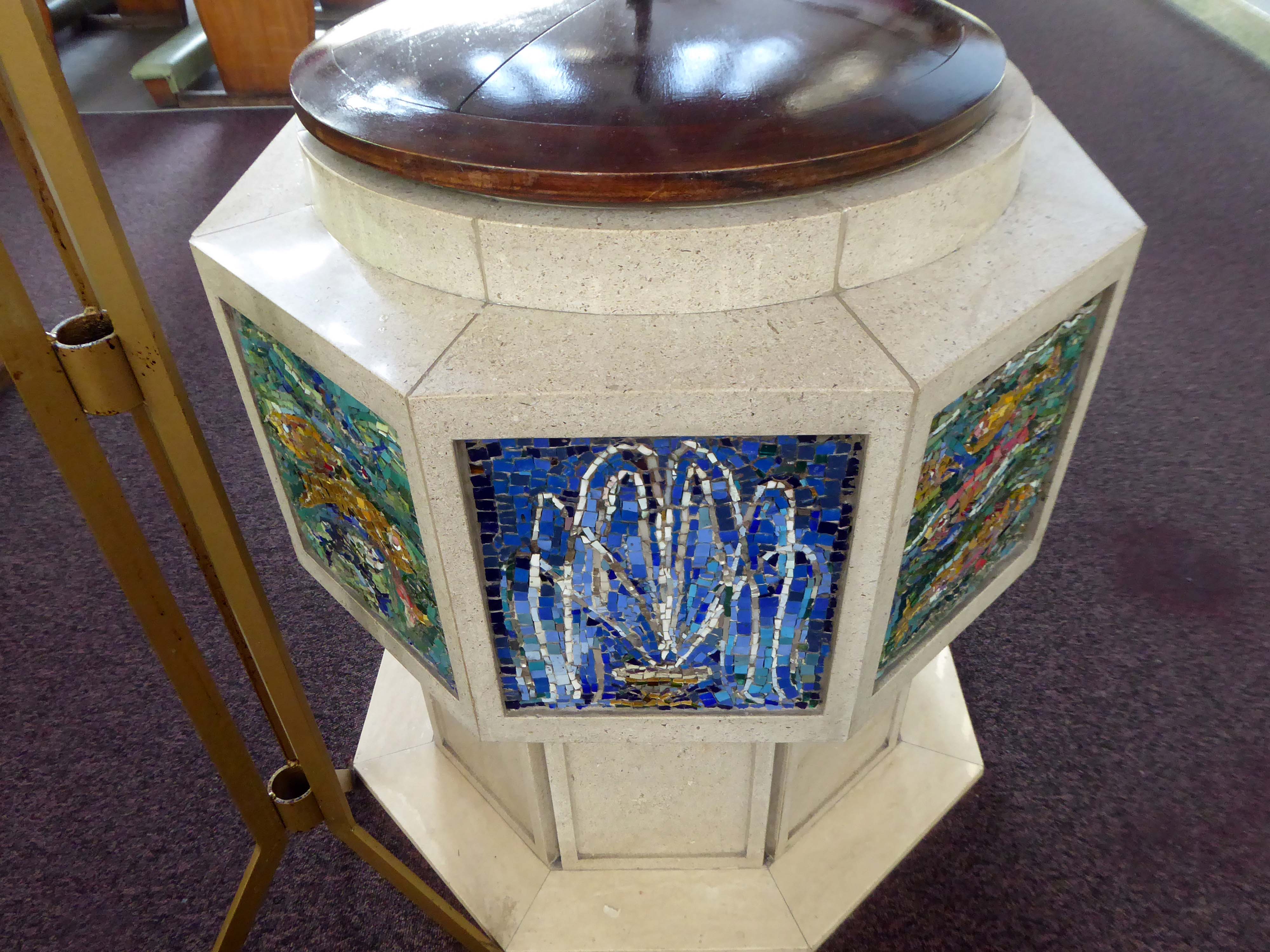
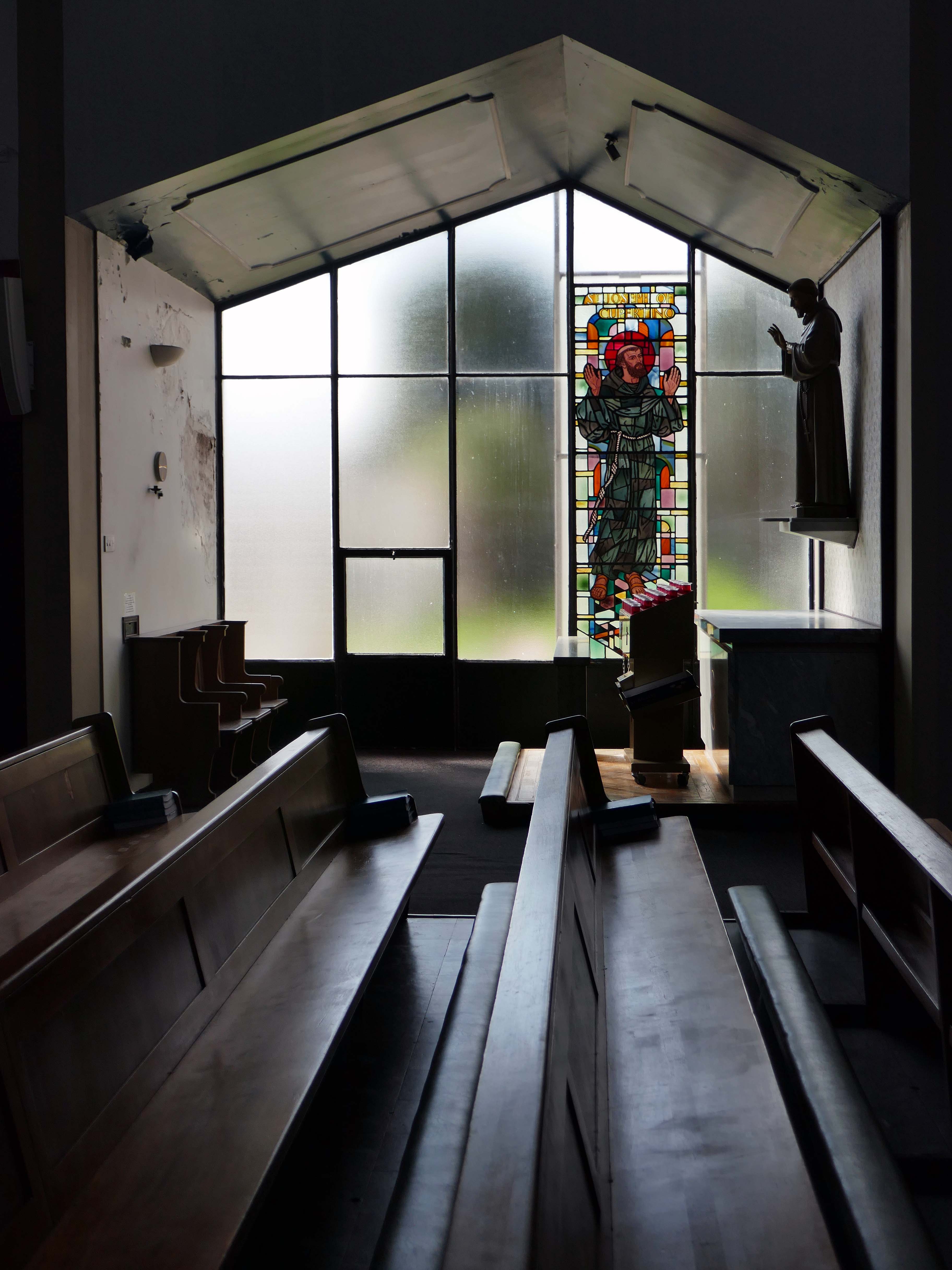
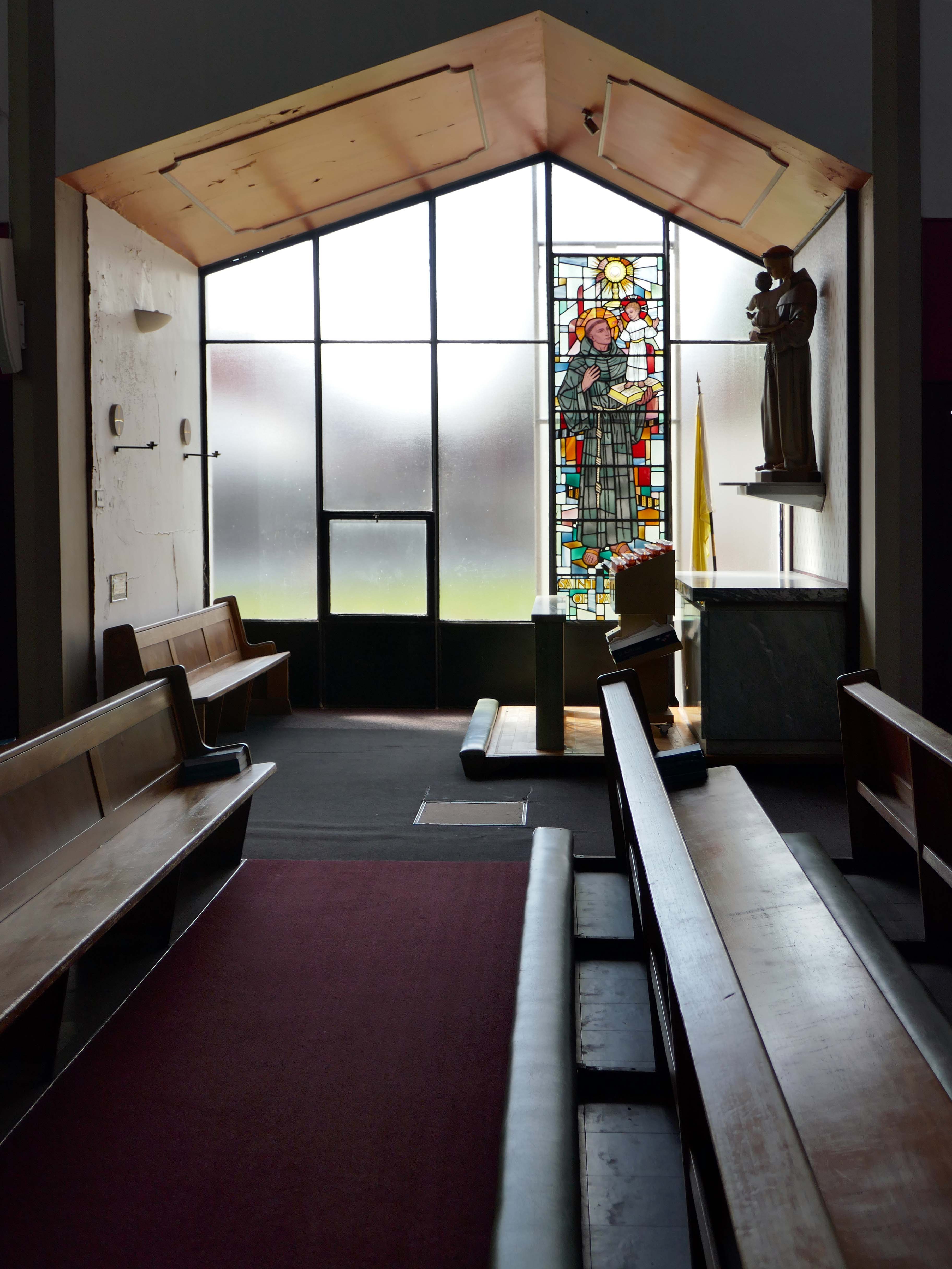
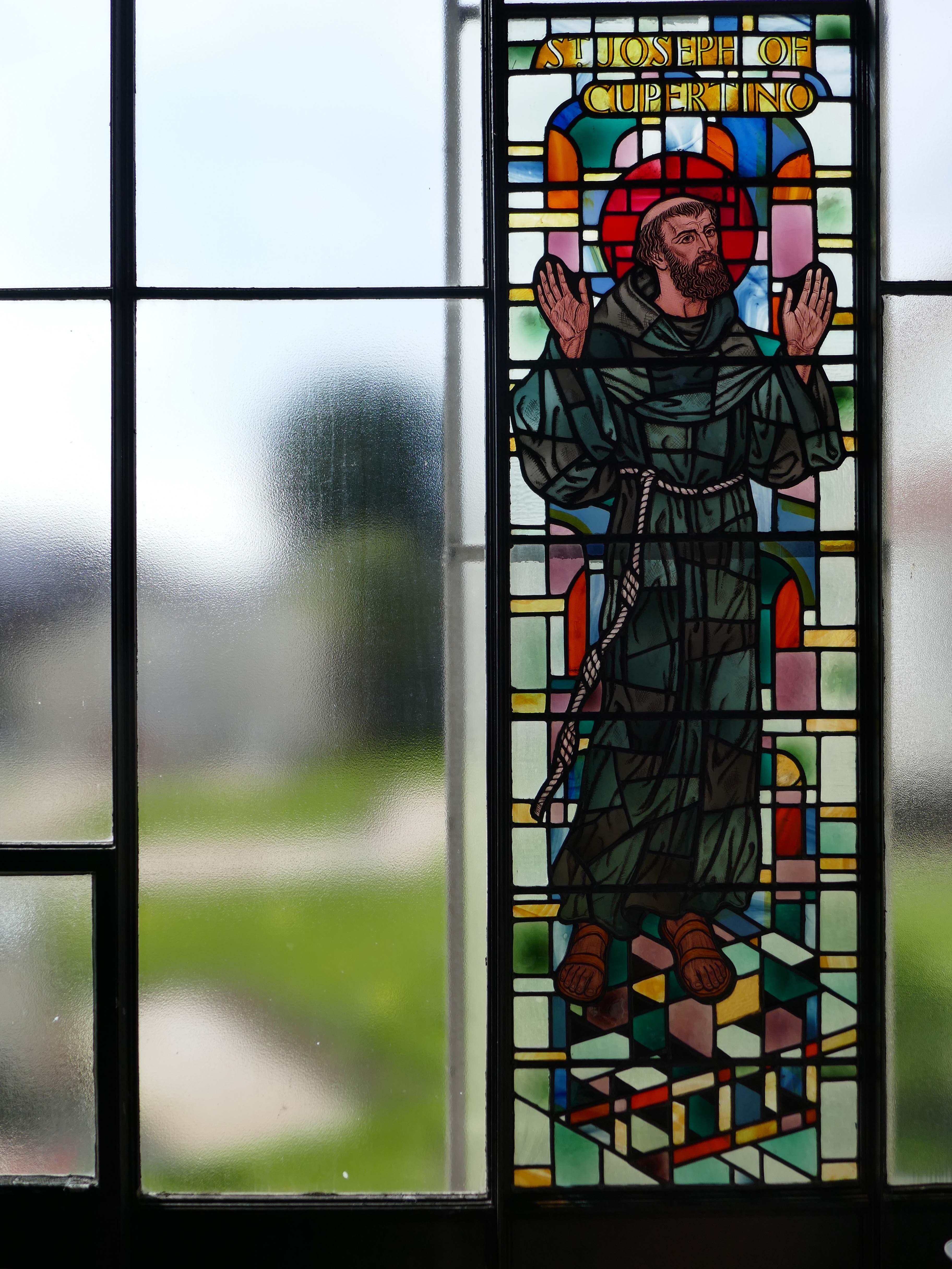
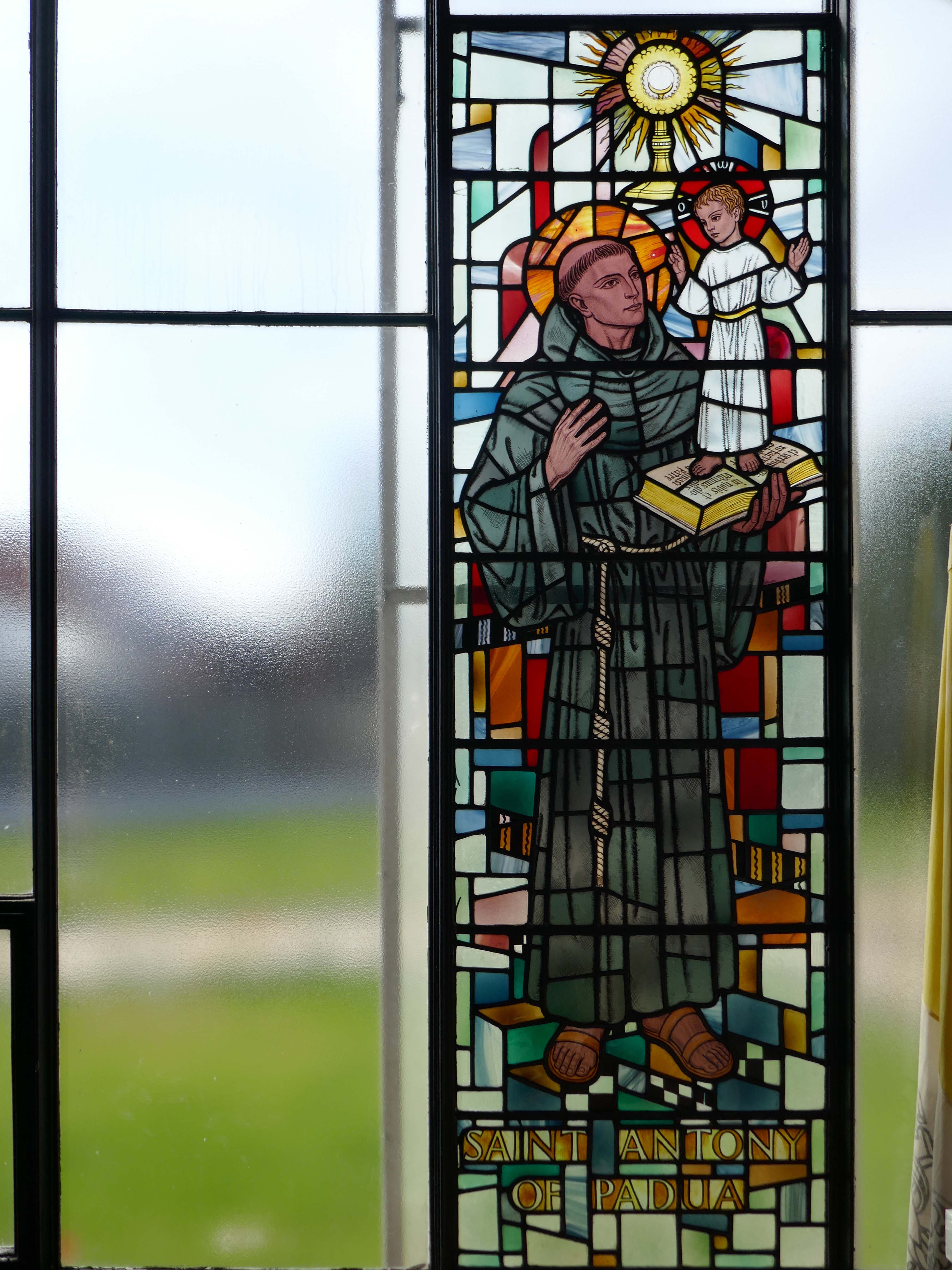
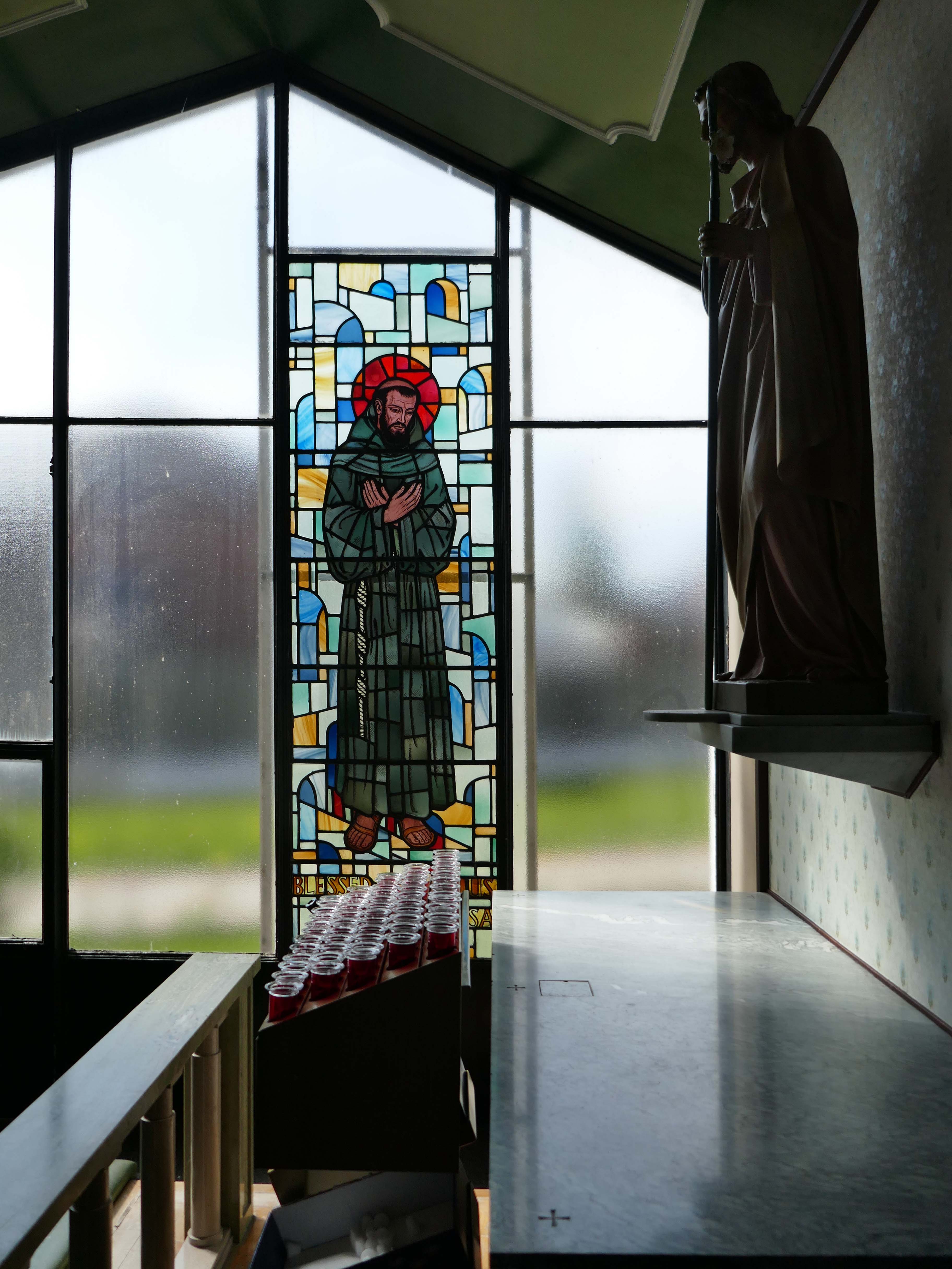
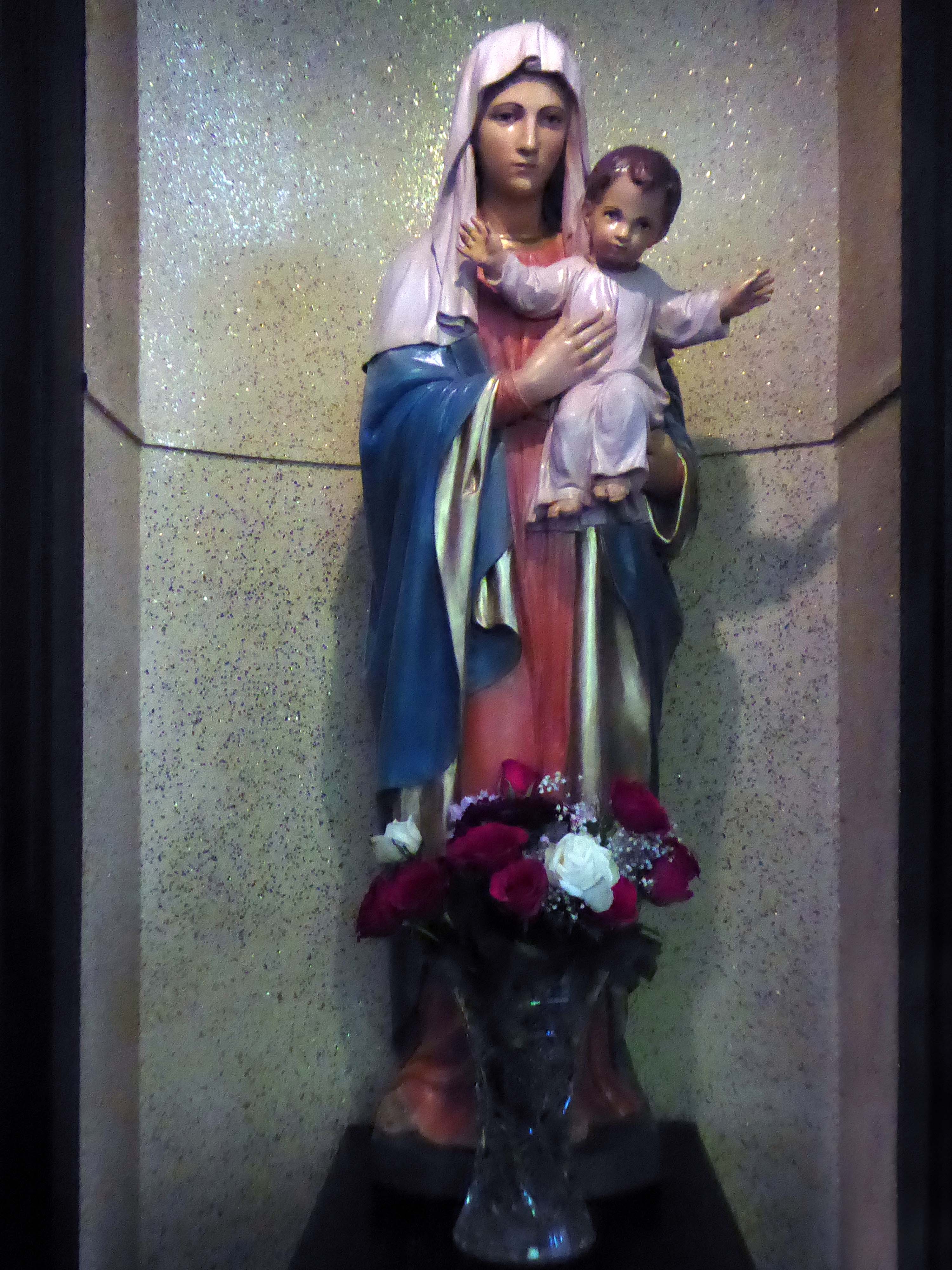
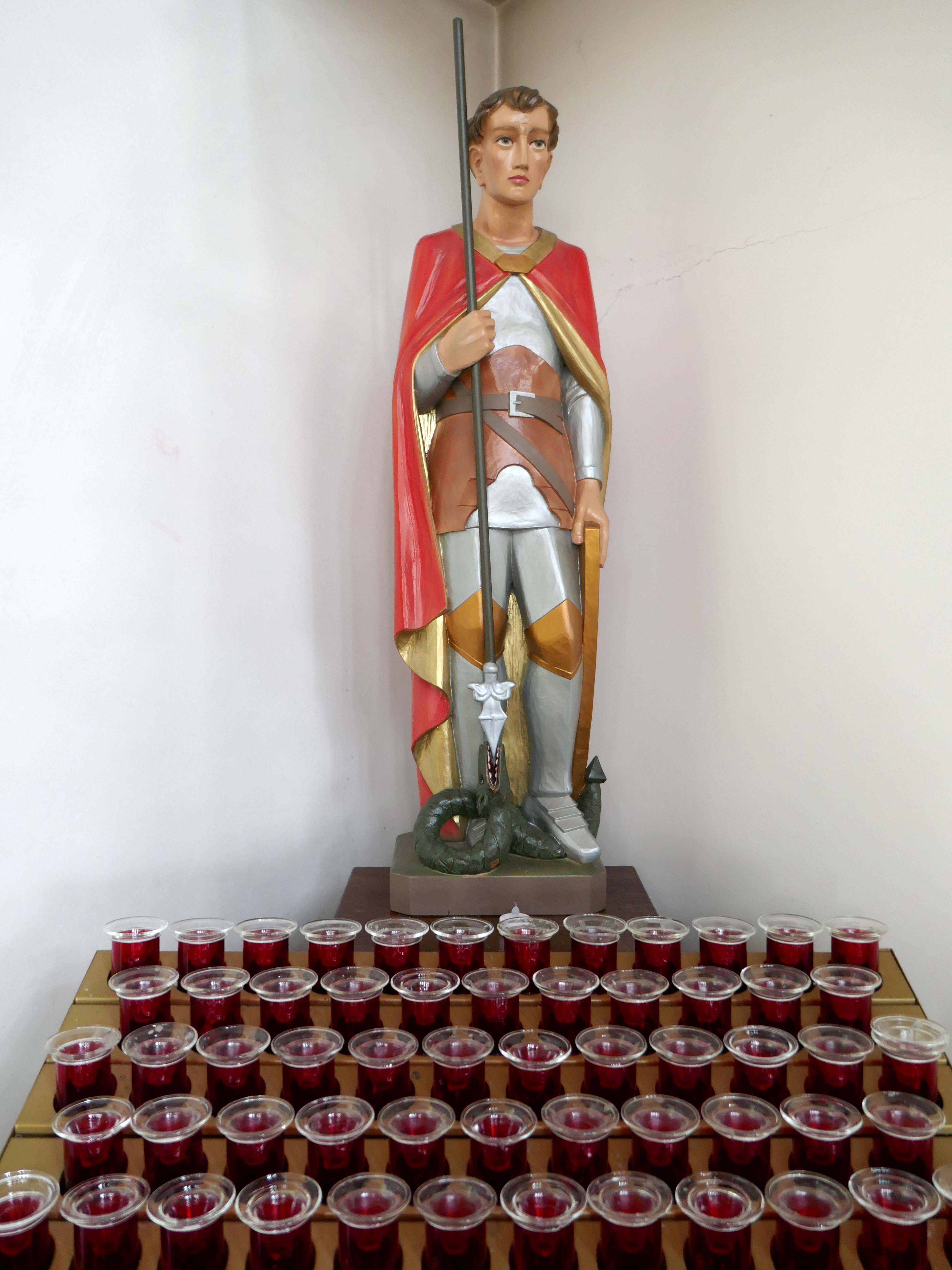
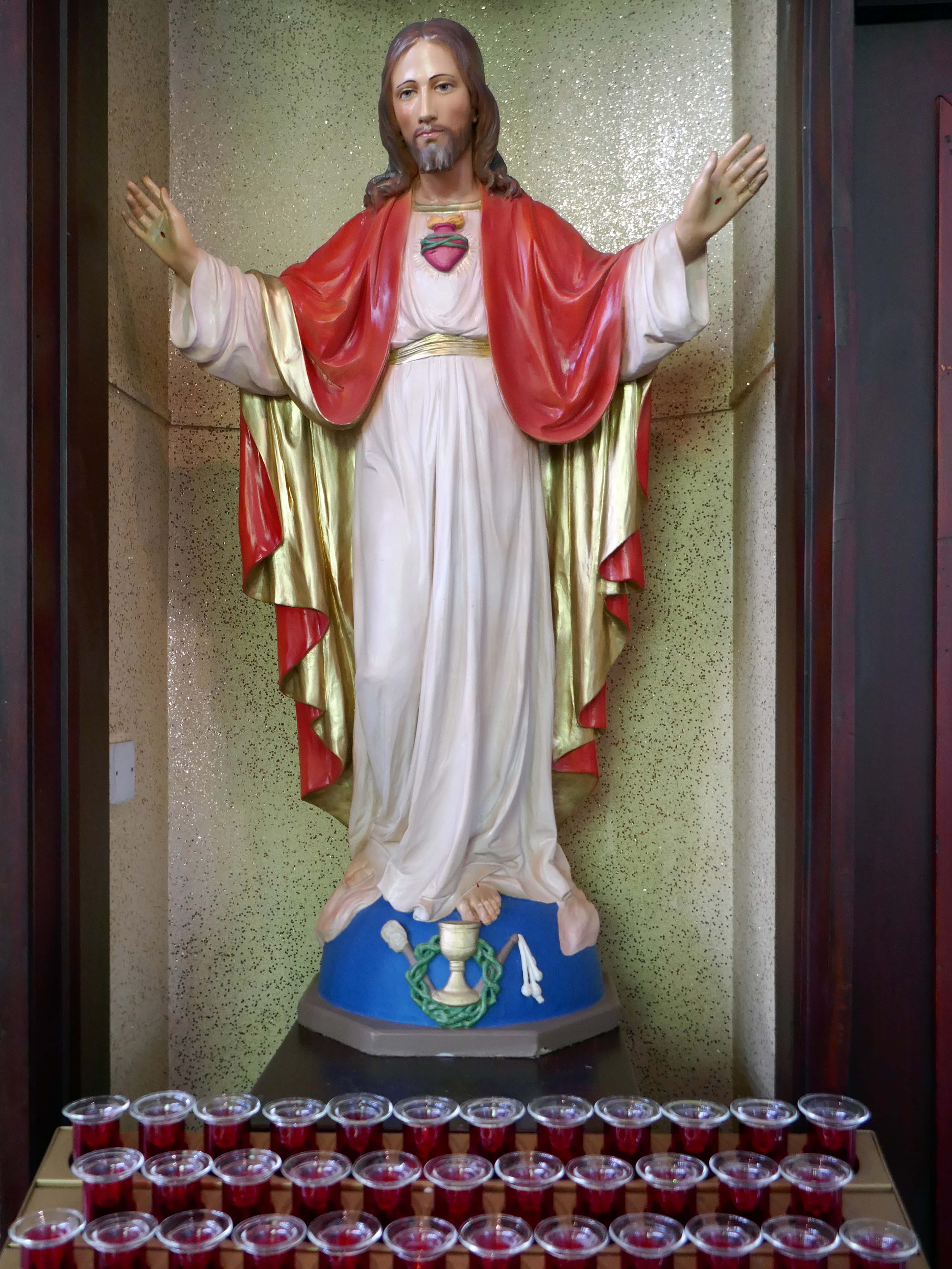
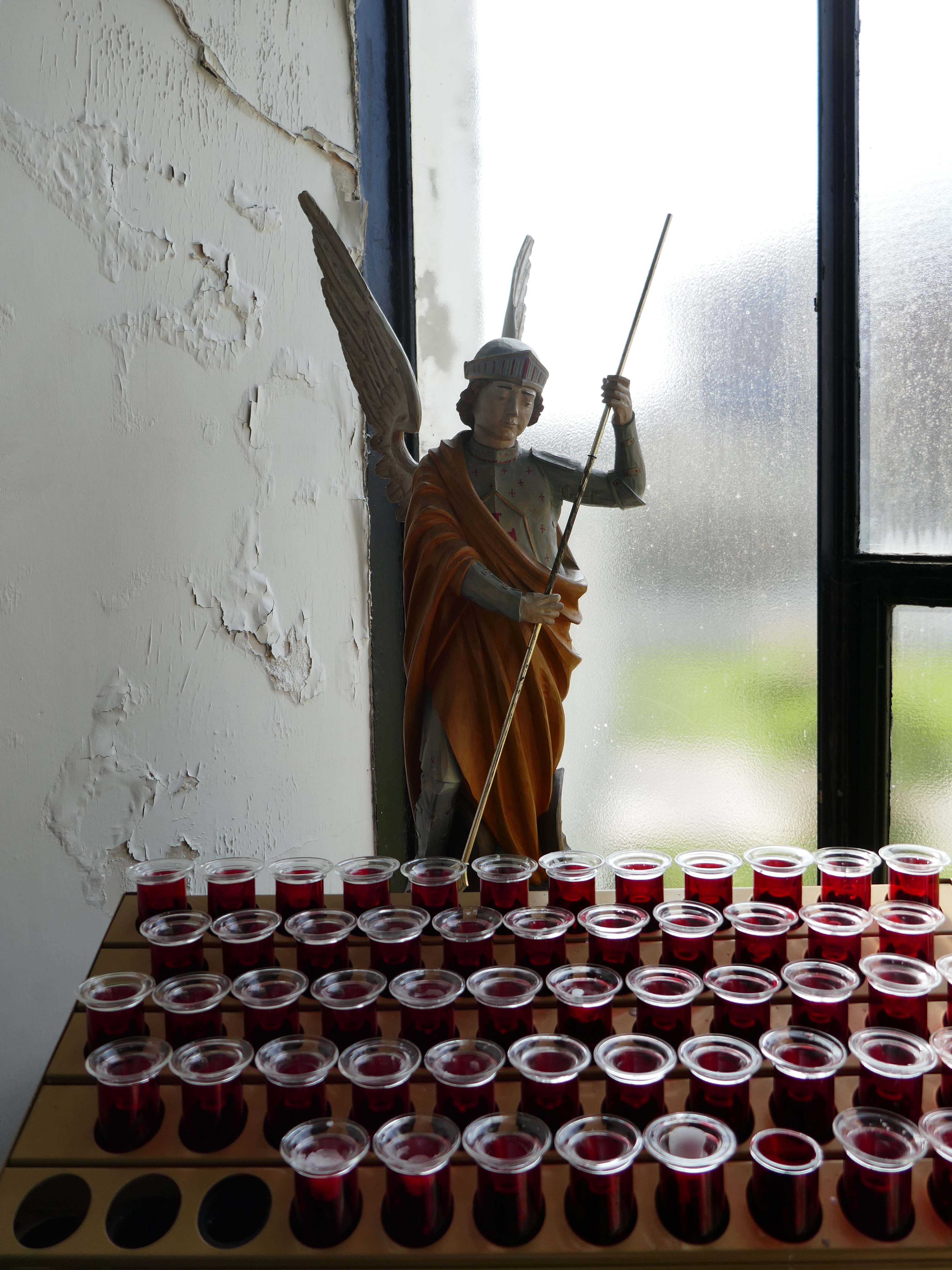
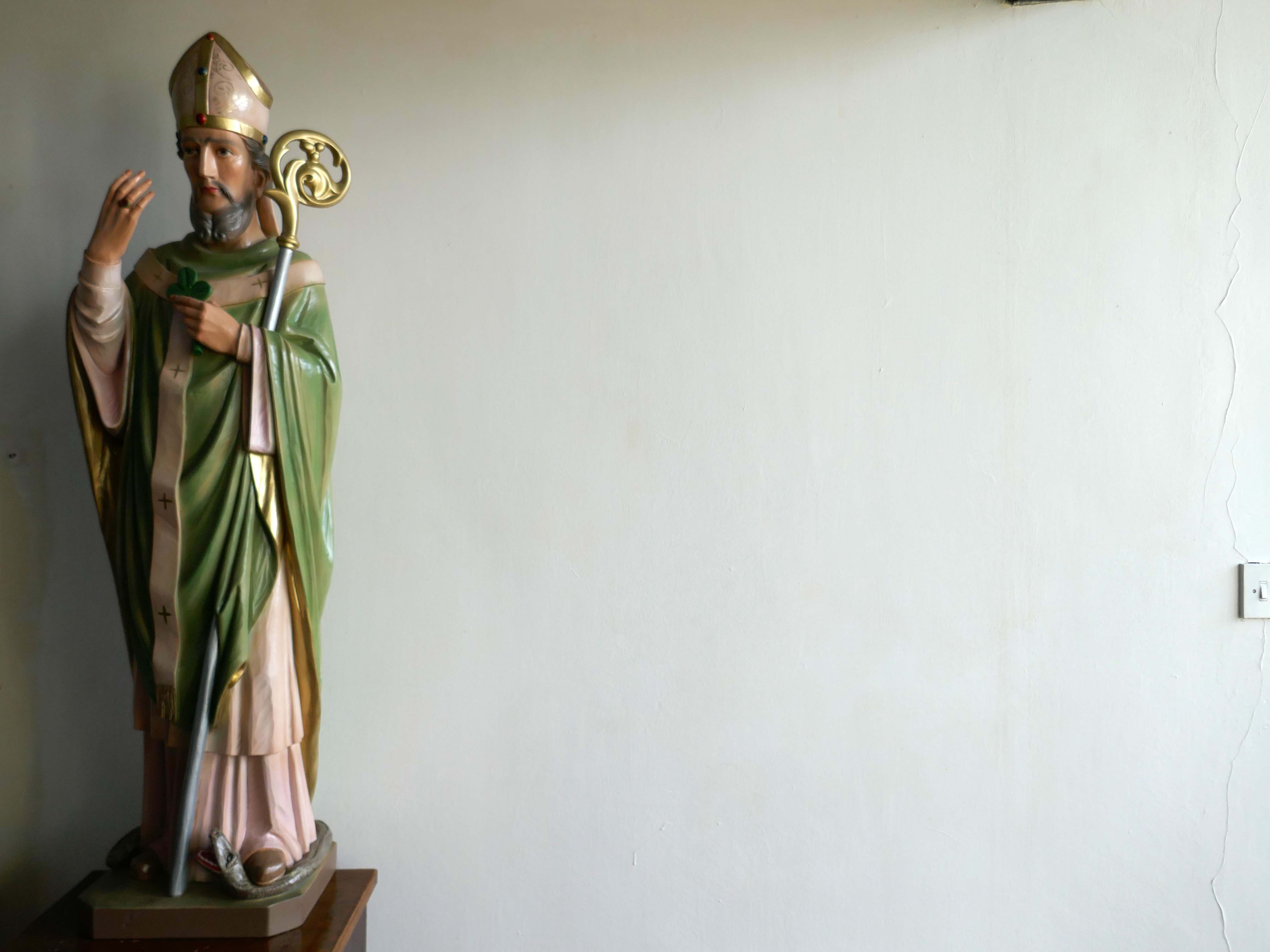
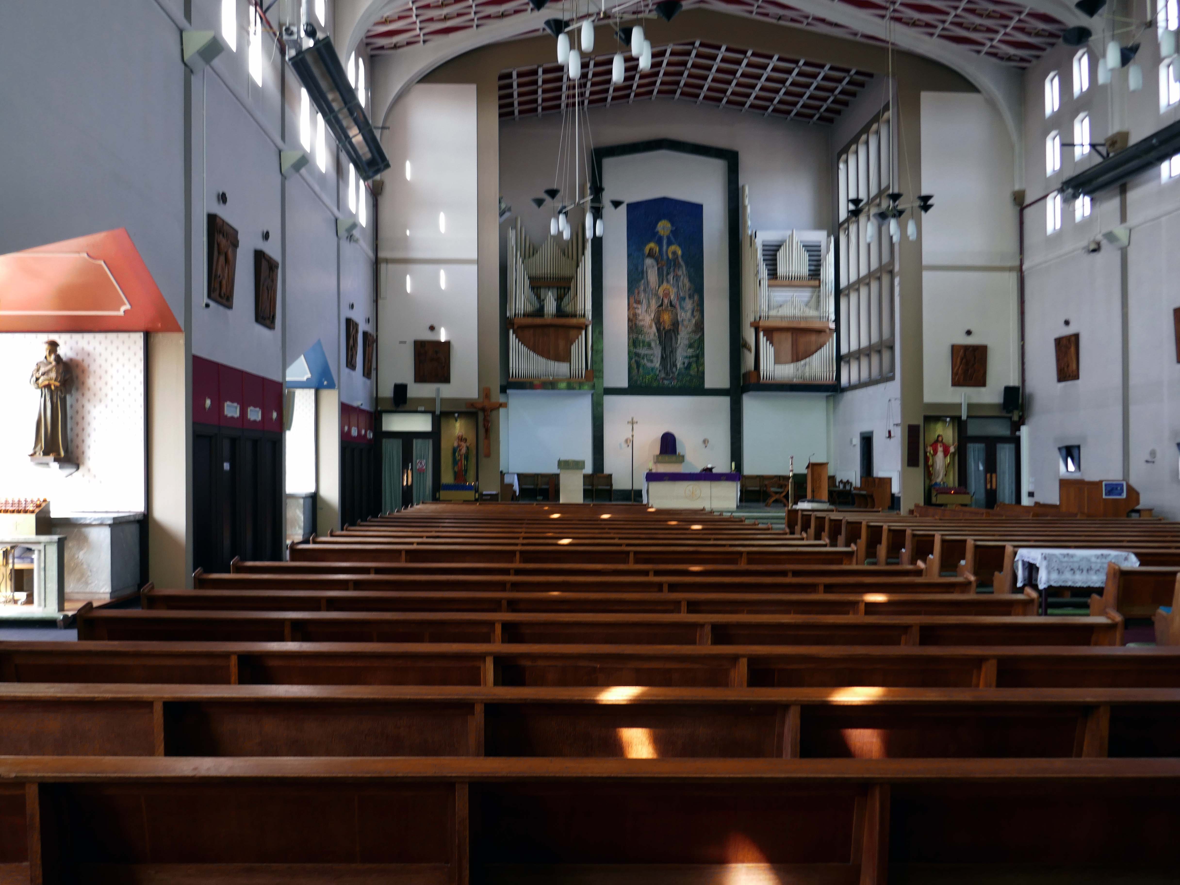
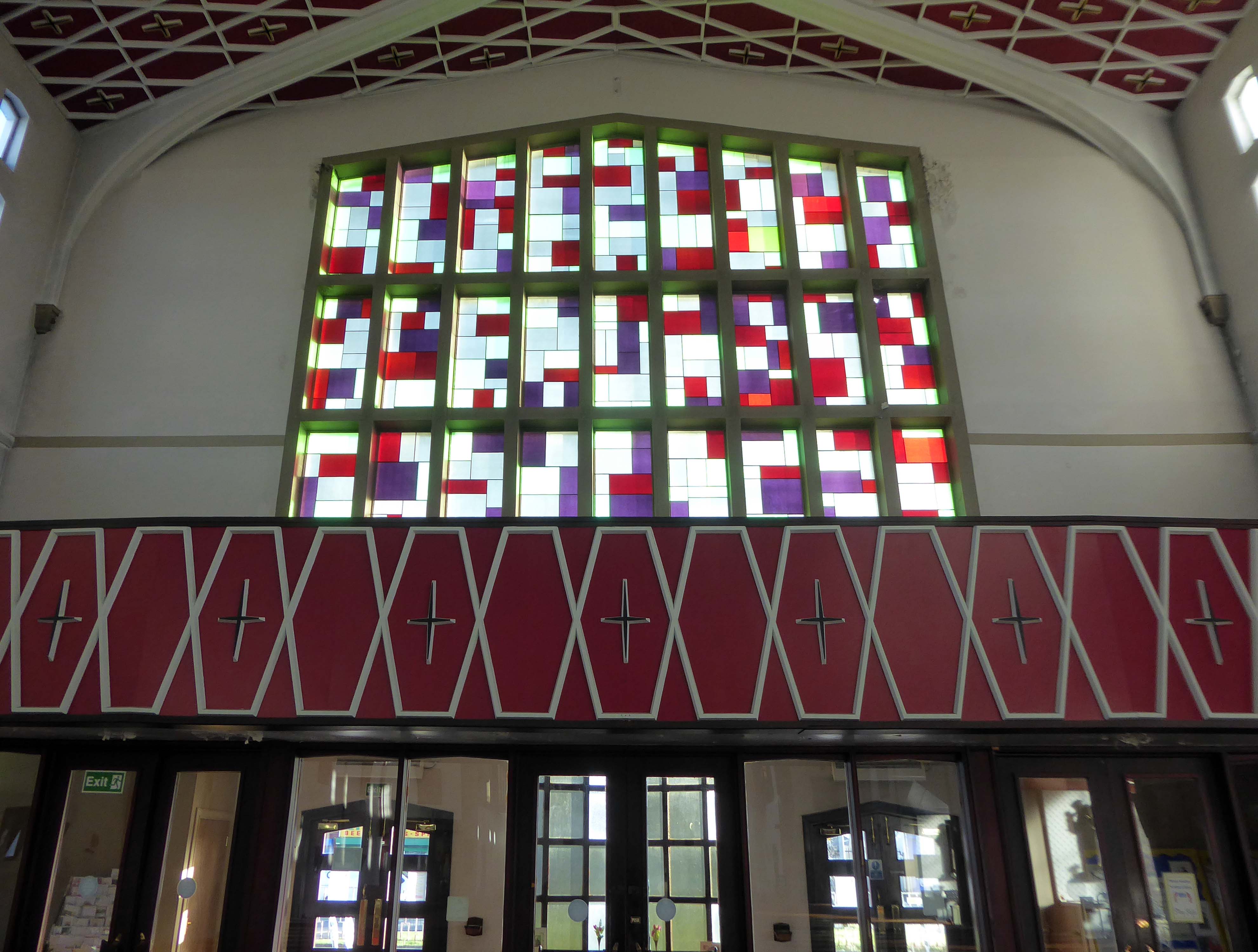
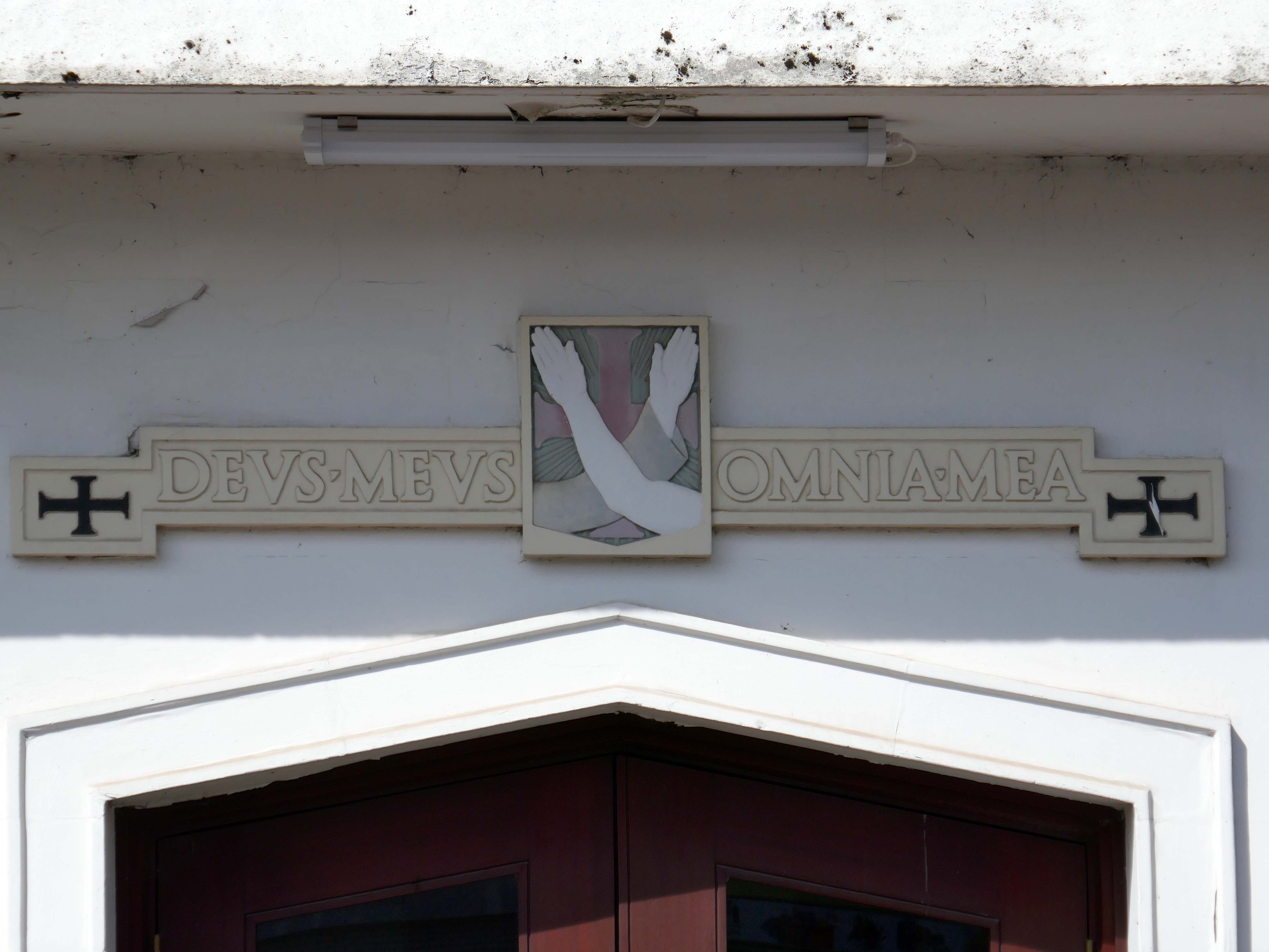
This is the result of my two visits to St Clare’s – an urban church which is kept open each day. I urge you to visit as and when you can, you will be rewarded by an uplifting experience – the most refined, calm and spiritual space.
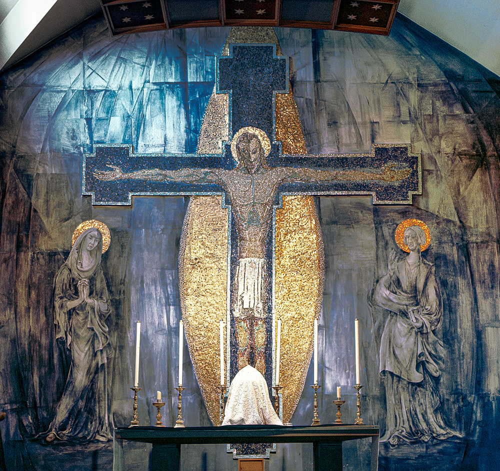
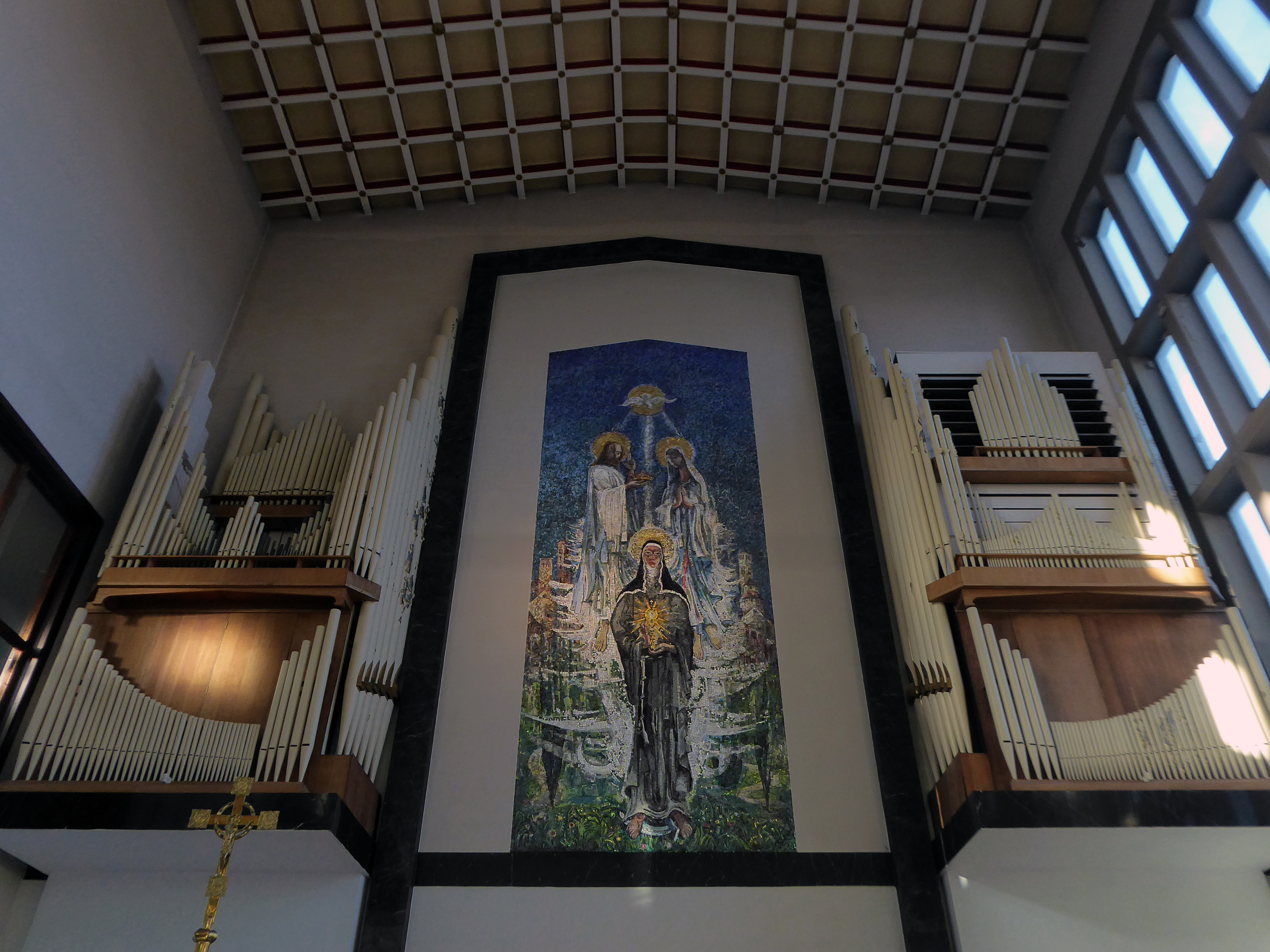
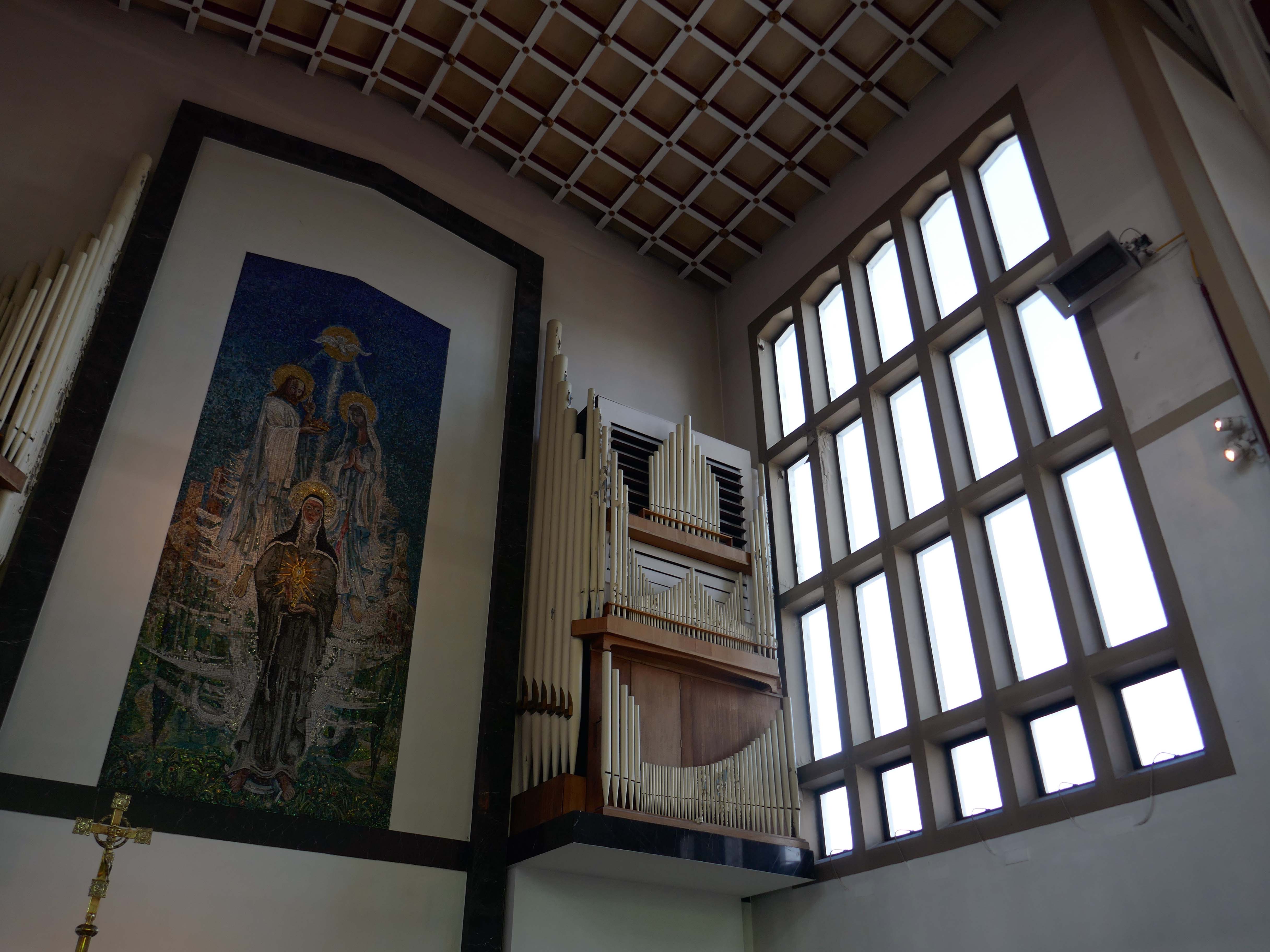
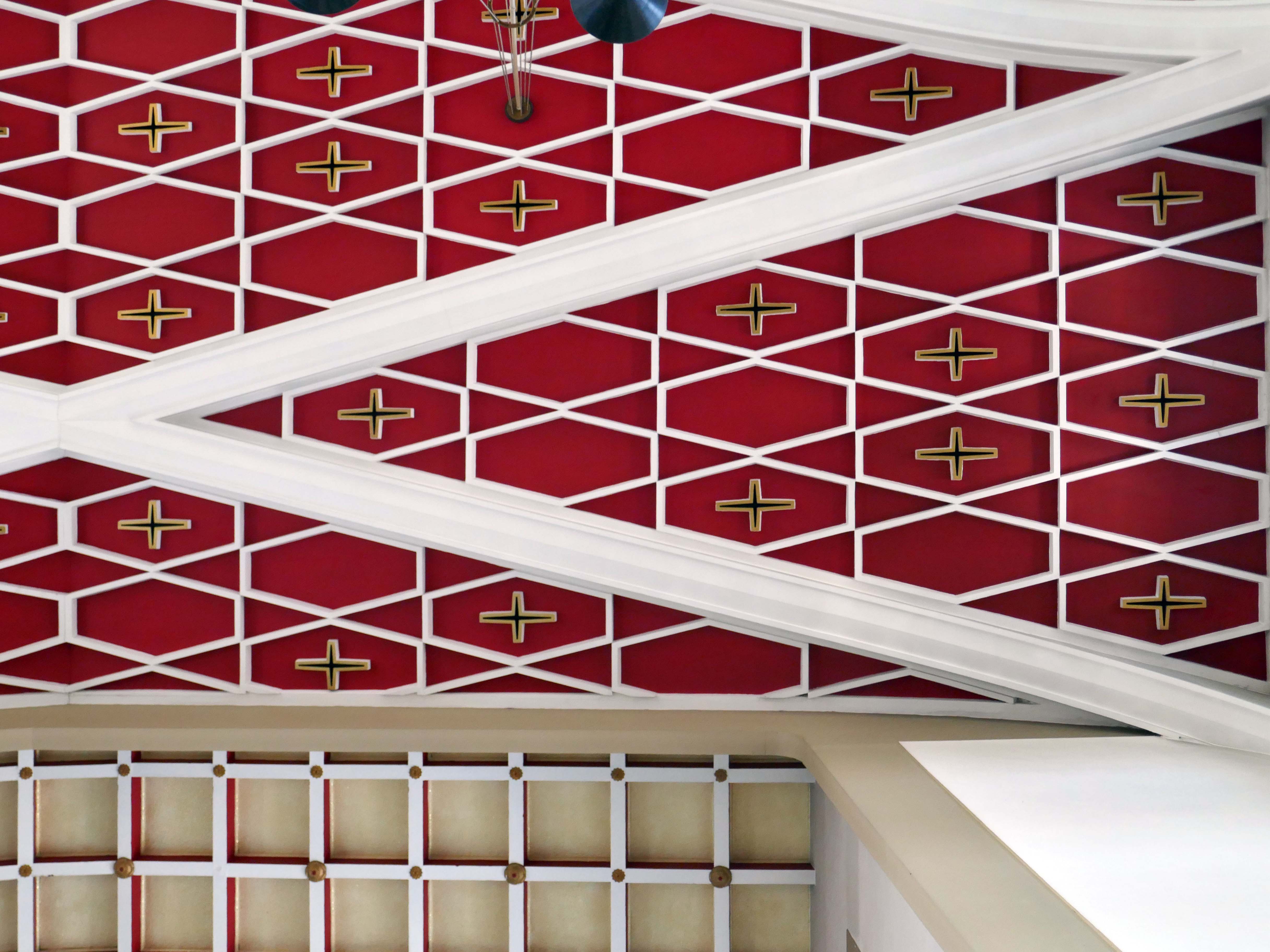
A striking example of post-war church design built for the Franciscans, combining original modern forms and references to historic ecclesiastical architecture. The church predates the Second Vatican Council, and is of traditional basilican plan. Apart from the original sanctuary arrangements, the interior is well preserved, with furnishings of note – the large mosaic over the high altar, depicting St Clare of Assisi raising the Blessed Sacrament by Georg Mayer-Marton, stained glassbyJoseph Nuttgens, Stations of the Cross by David John.
Mayer Marton was also responsible for the fresco and mosaic mural at the Church of the Holy Rosary, Oldham – which is currently under threat.
There is a large west window grid, continued at the base, where it is angled out, to form a canopy over the entrance. Mosaics in this position have been overpainted or lost.
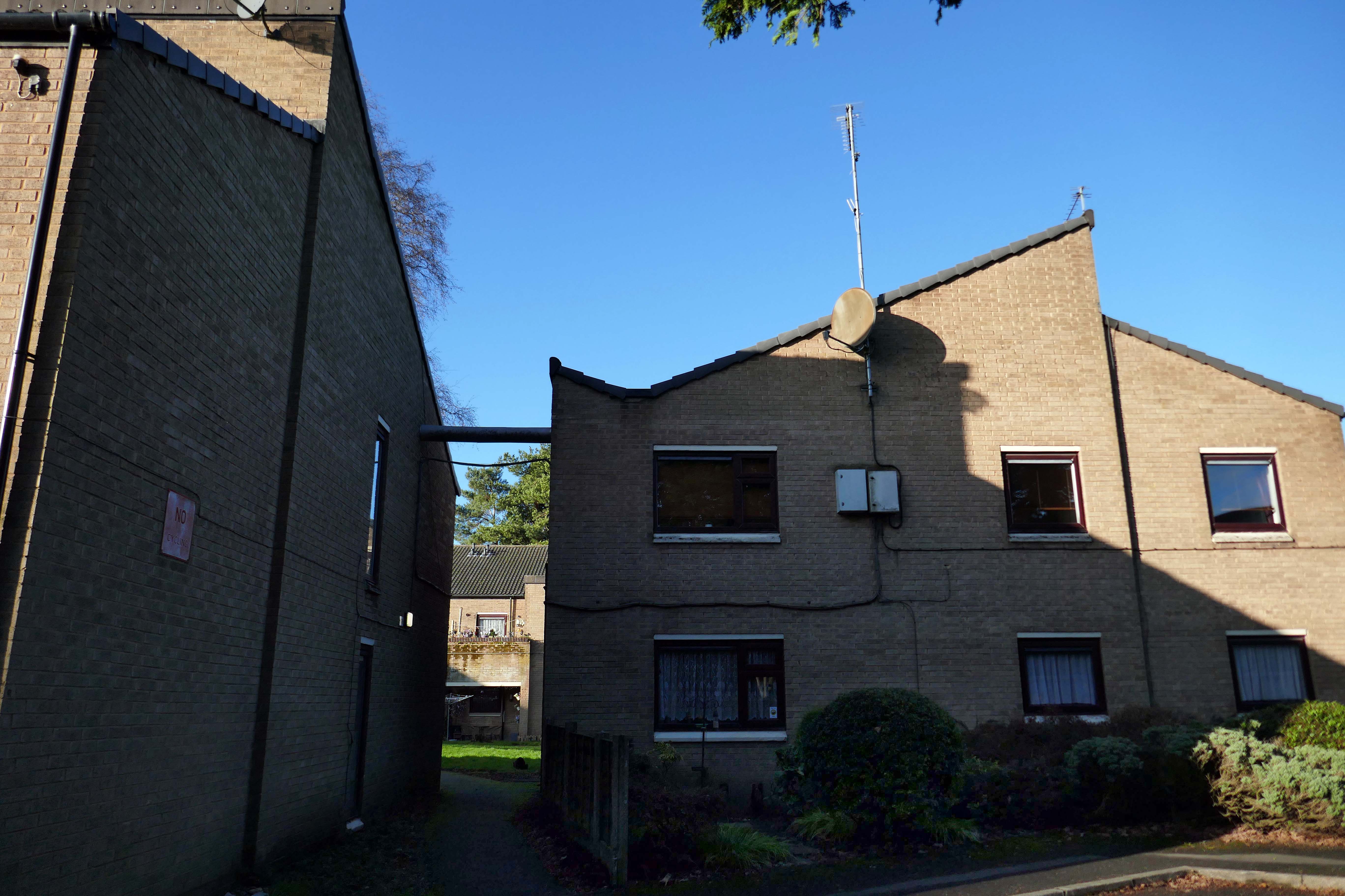
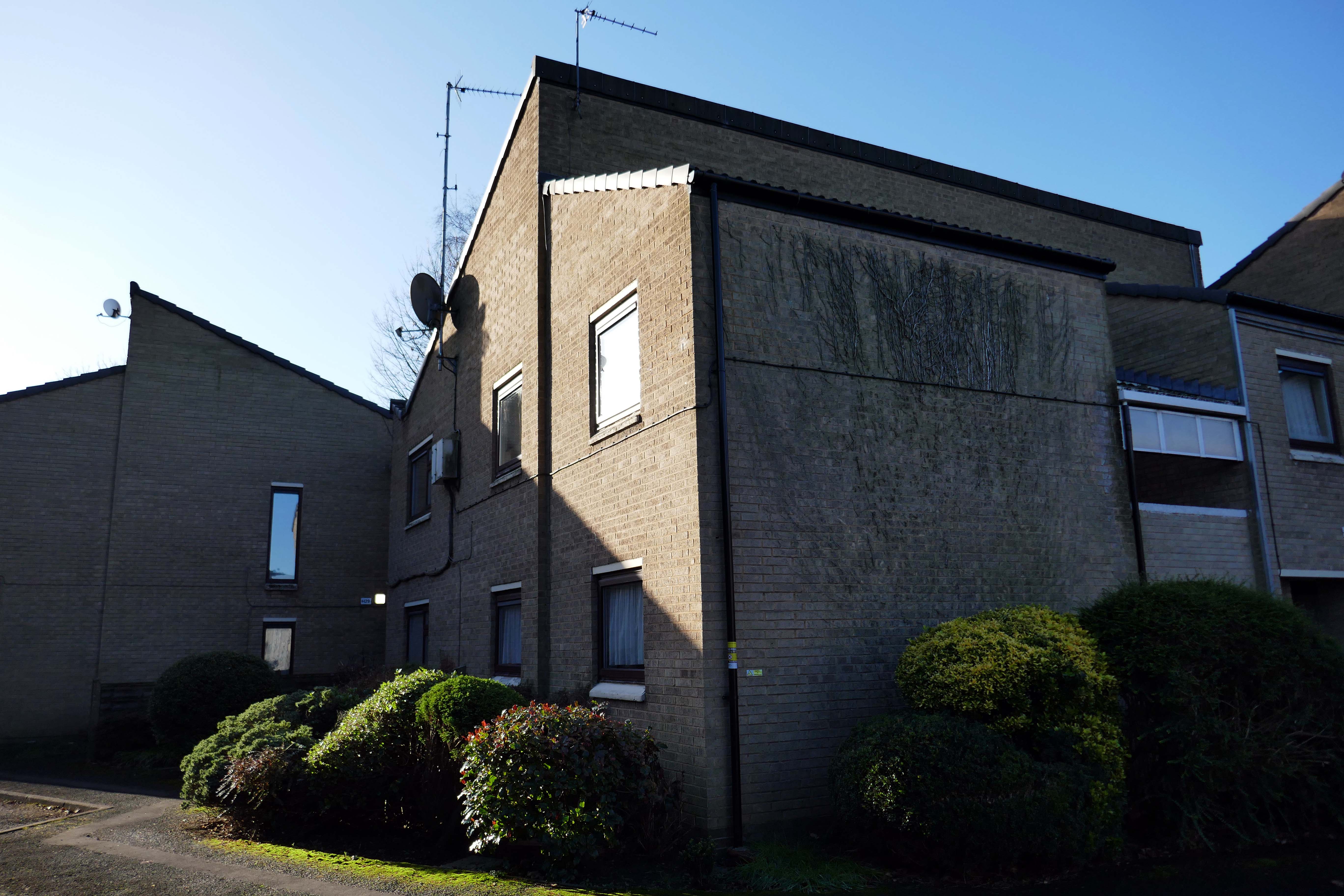
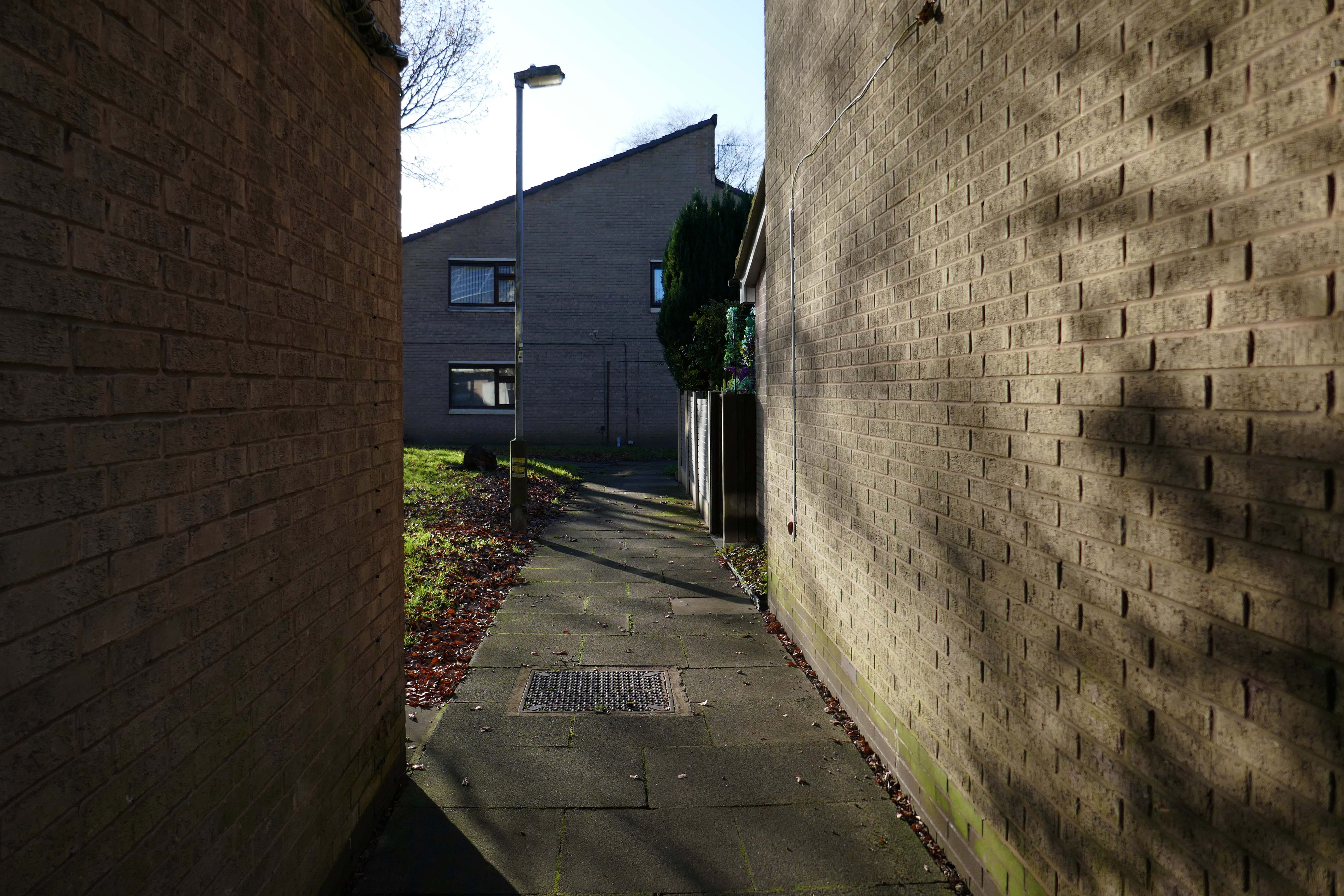
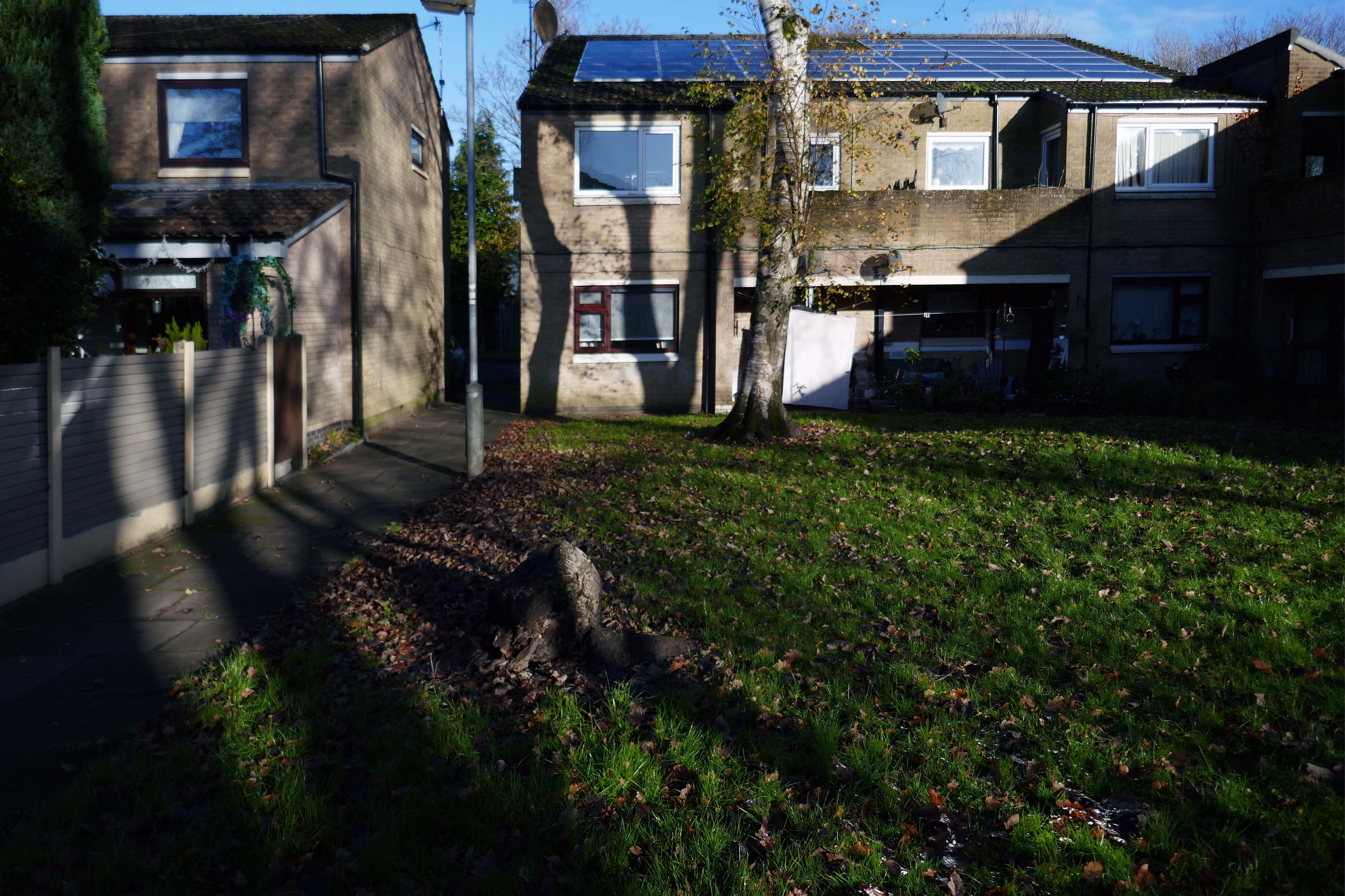
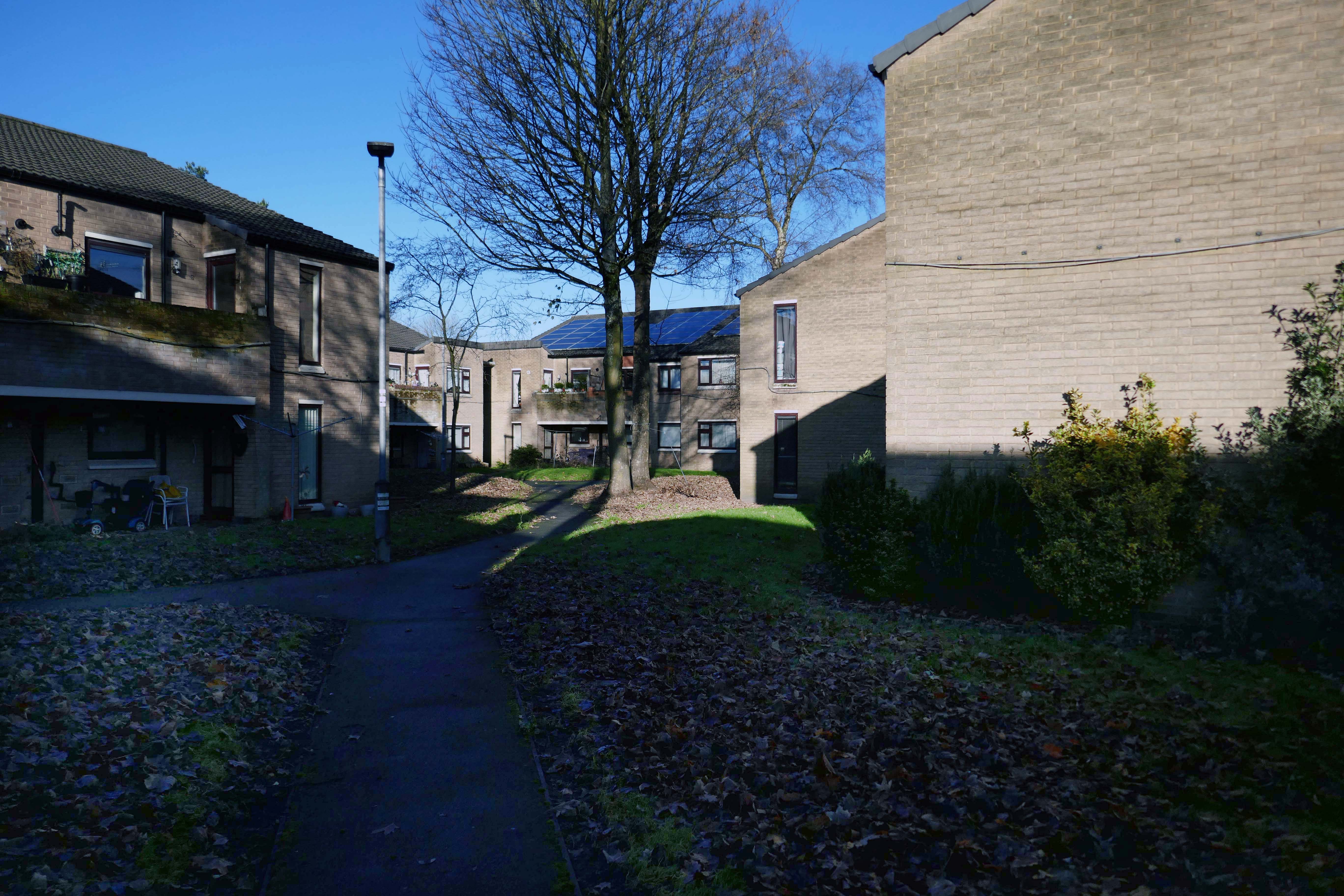
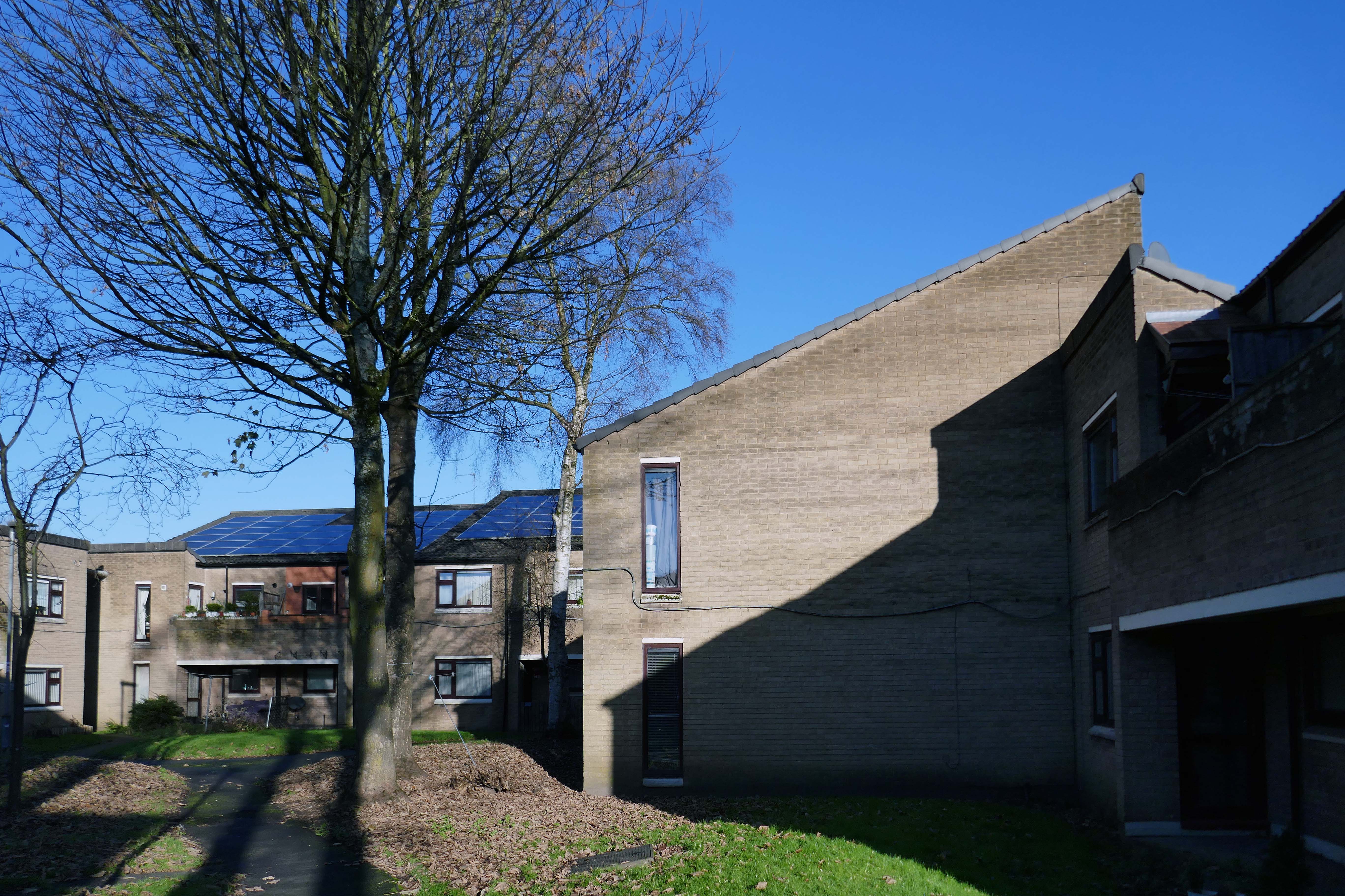
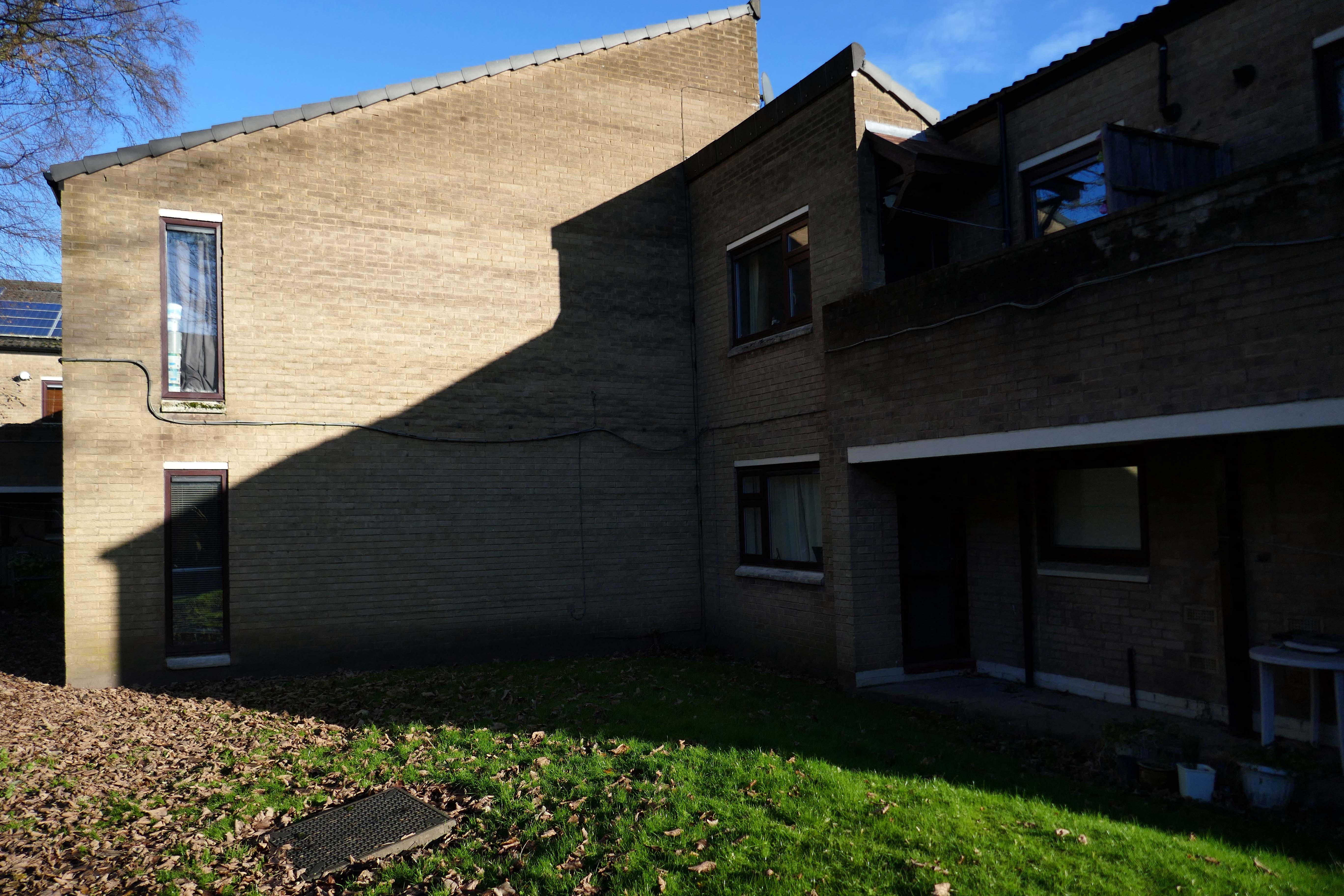
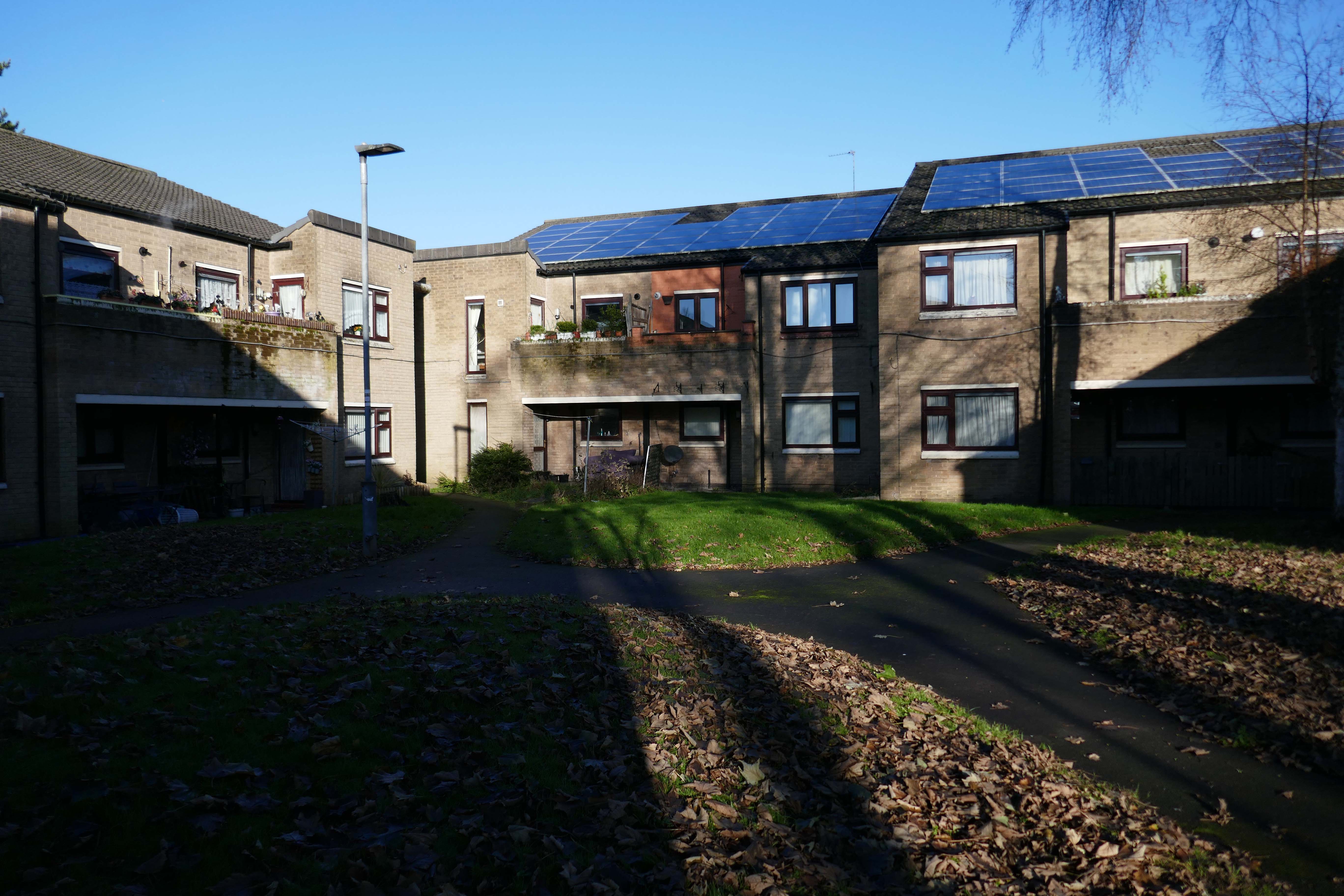
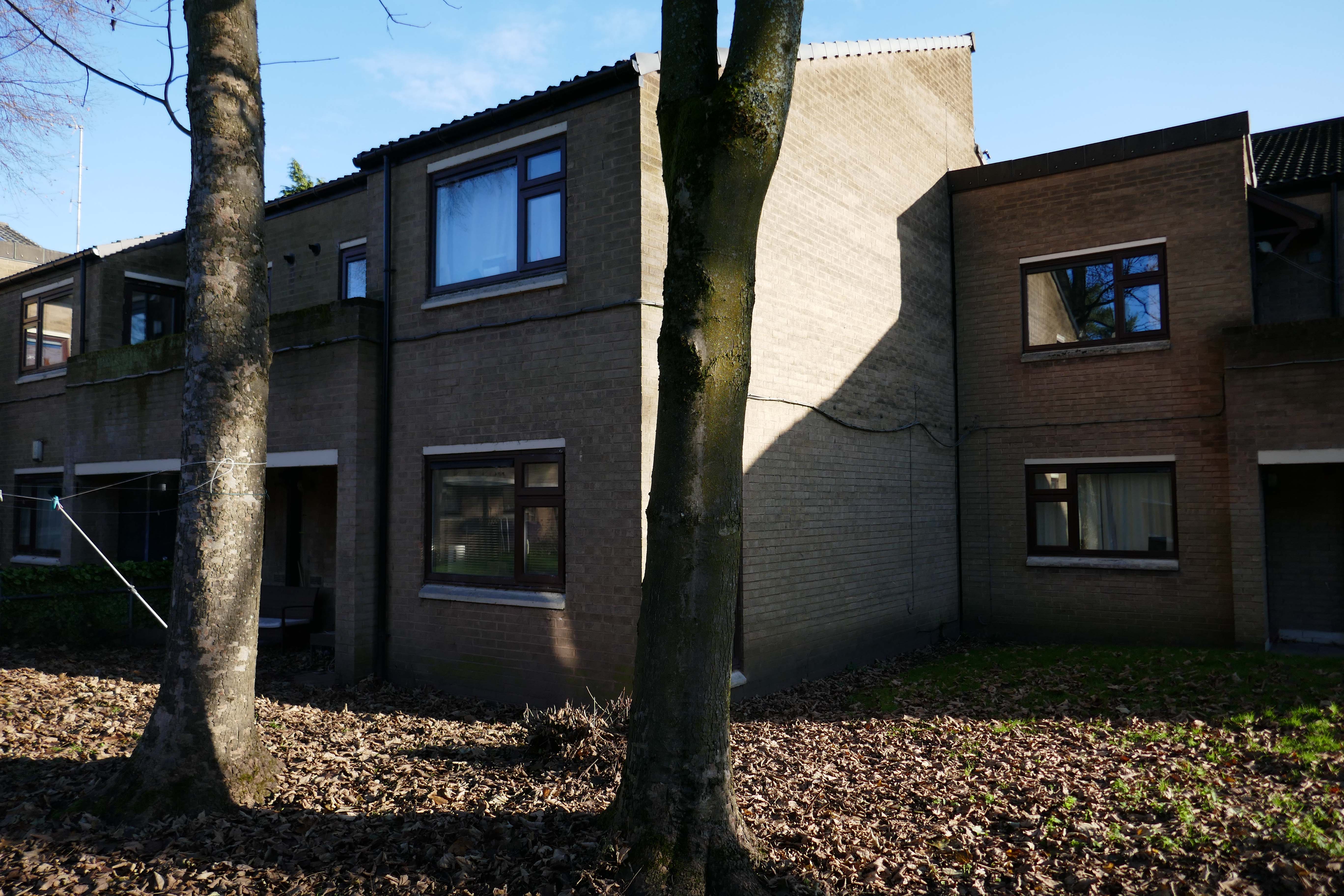
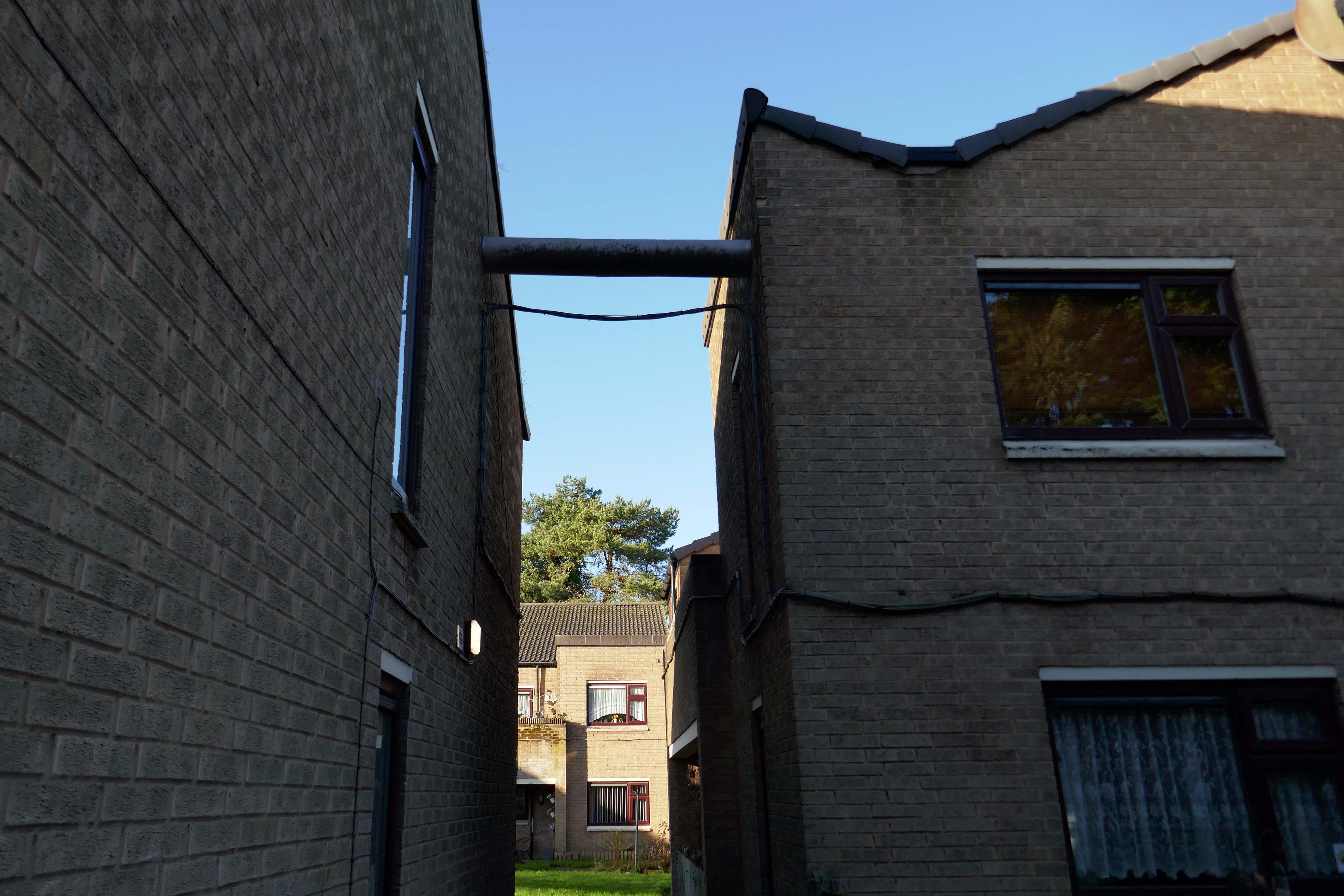
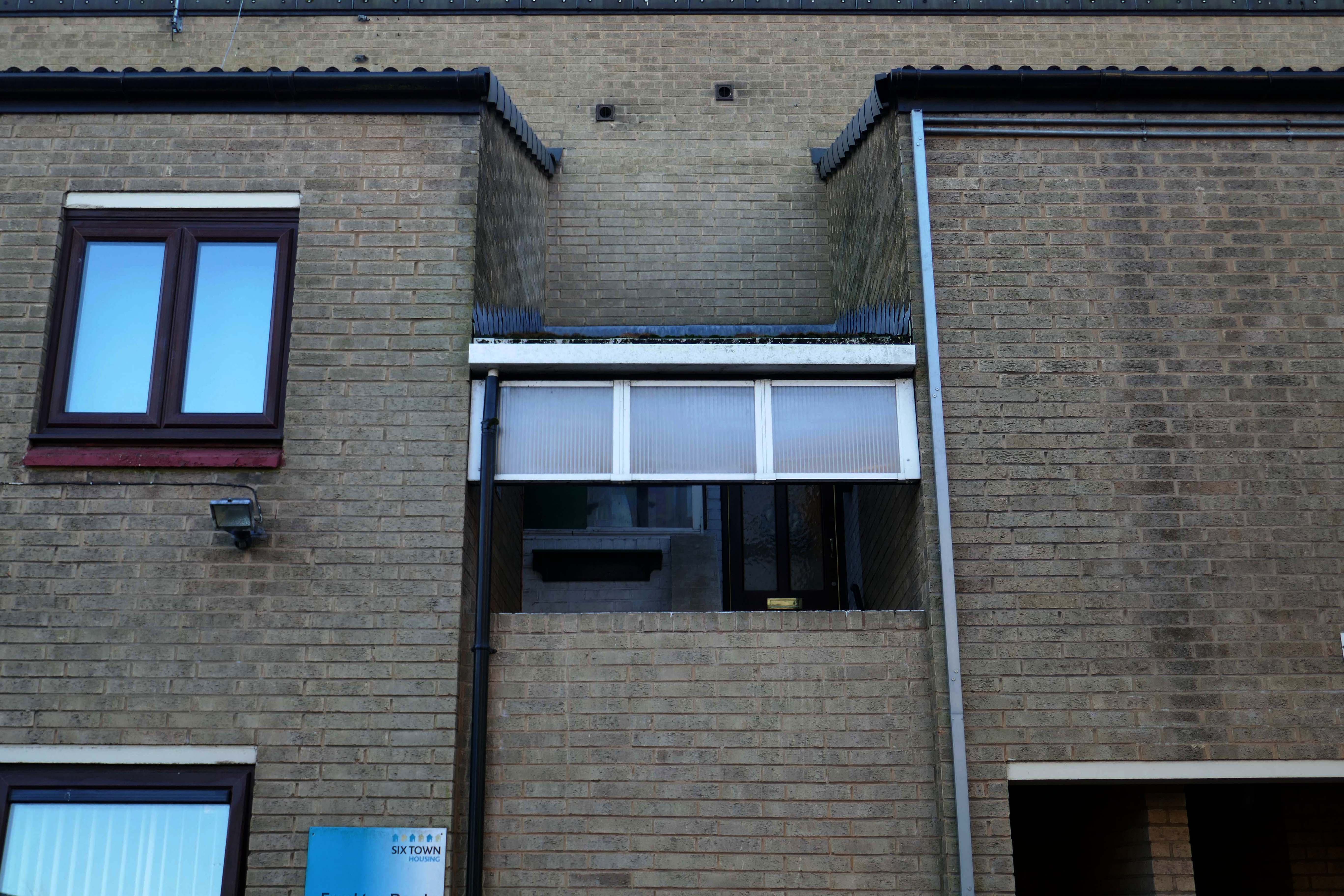
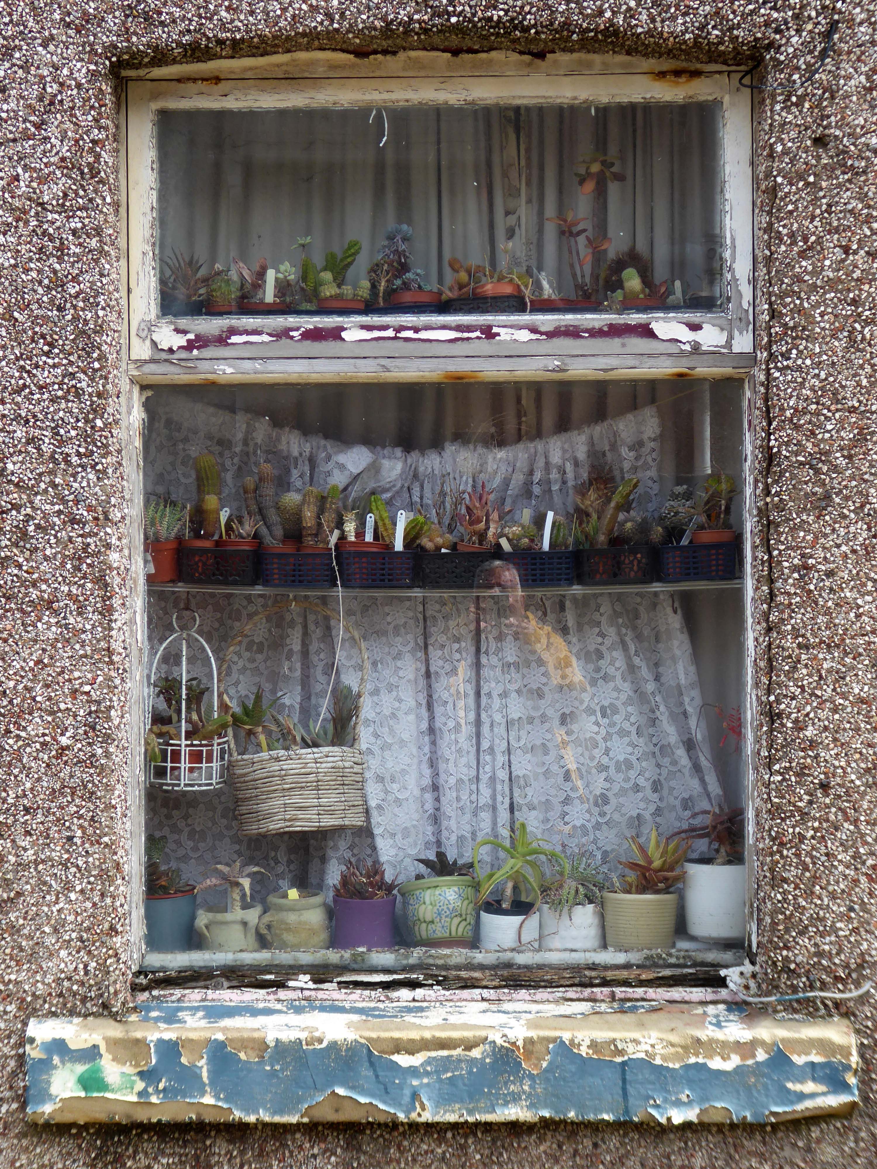
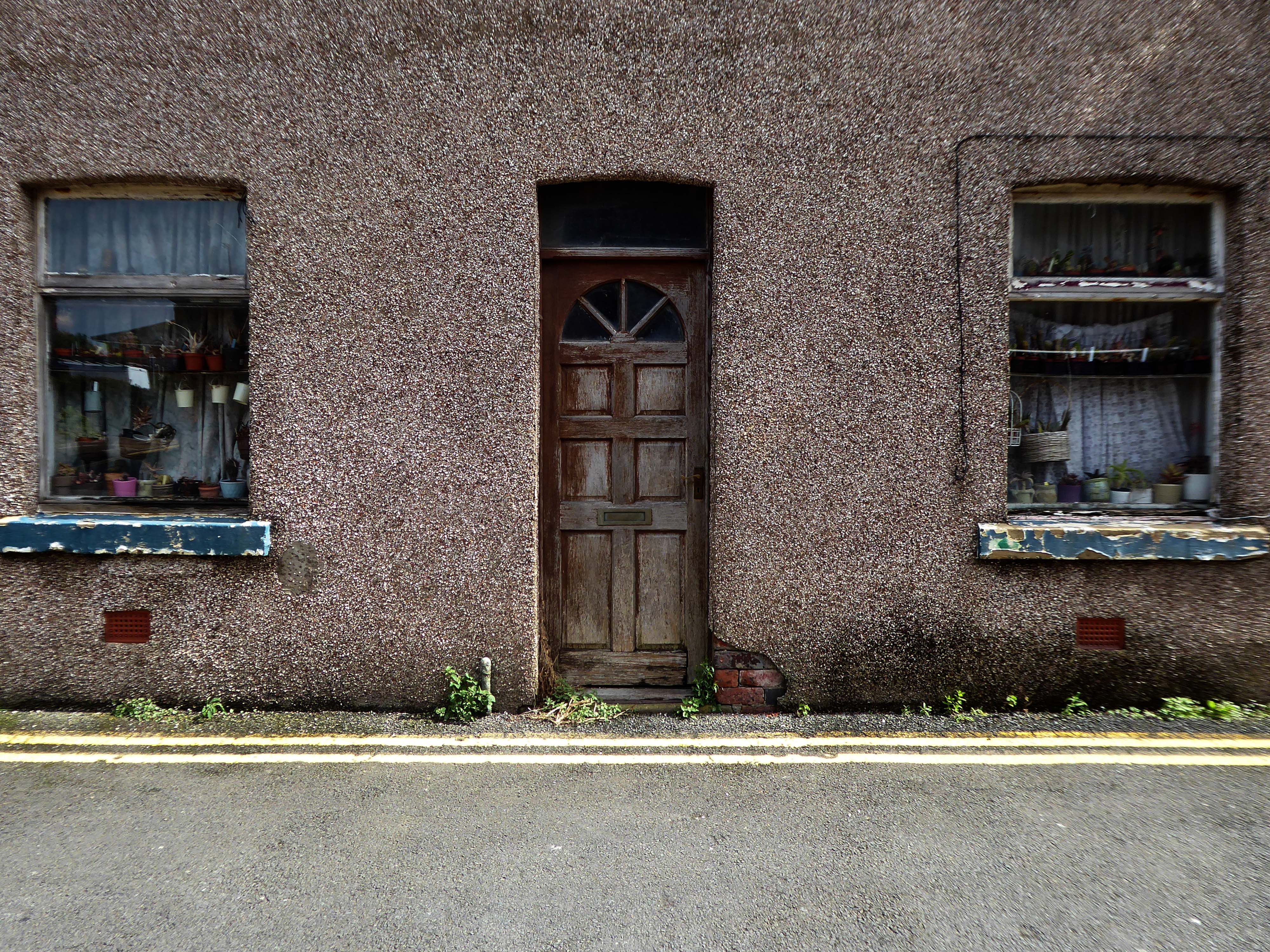
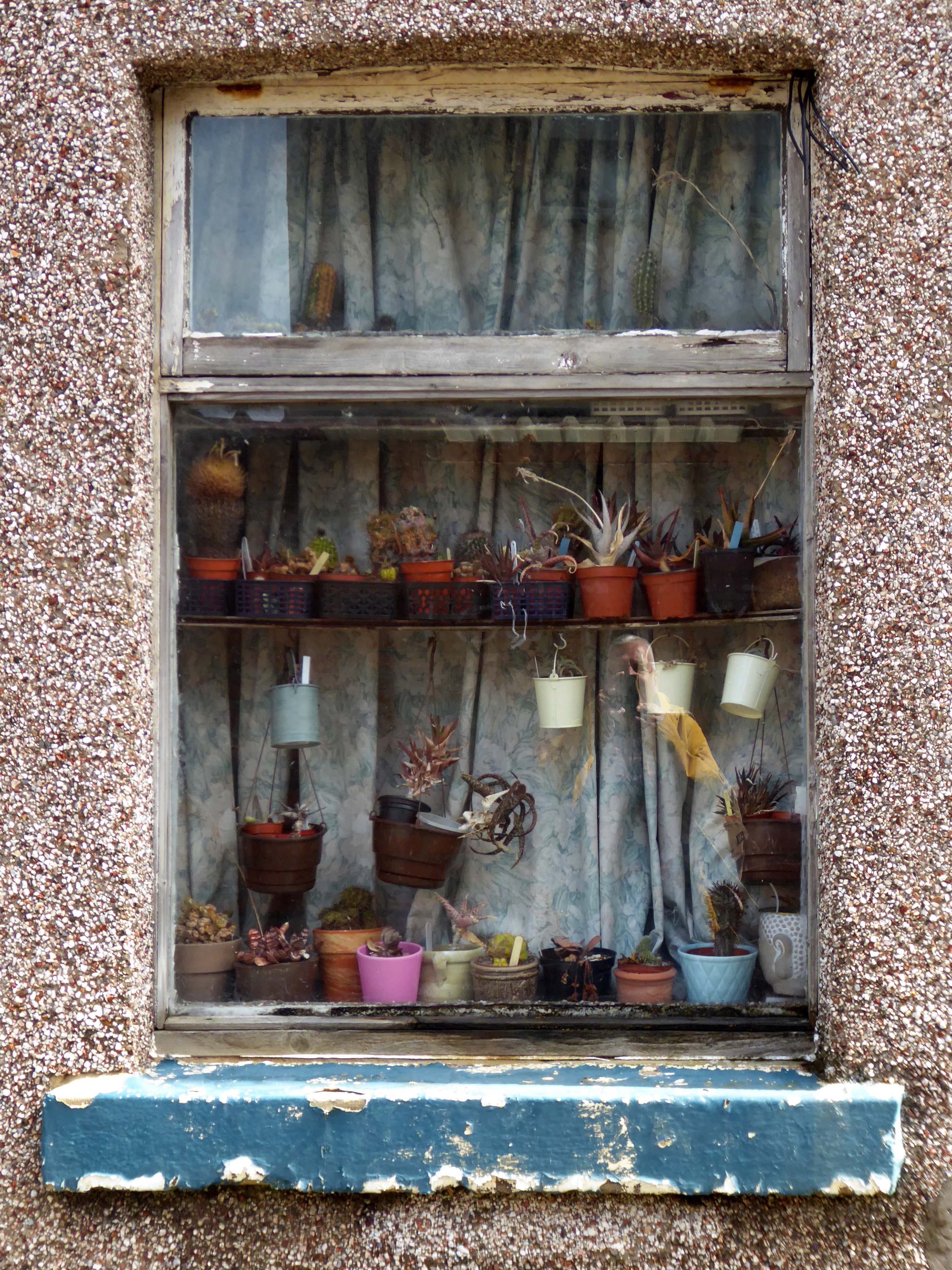
Whilst not seeking sheltered housing for my good self, I am always intrigued by small developments of interesting social housing, grouped around pedestrian walk ways and green space.
The residents with whom I chatted seems content with their homes and the management thereof.
I bade them adieu and went about my way, taking these few snaps.
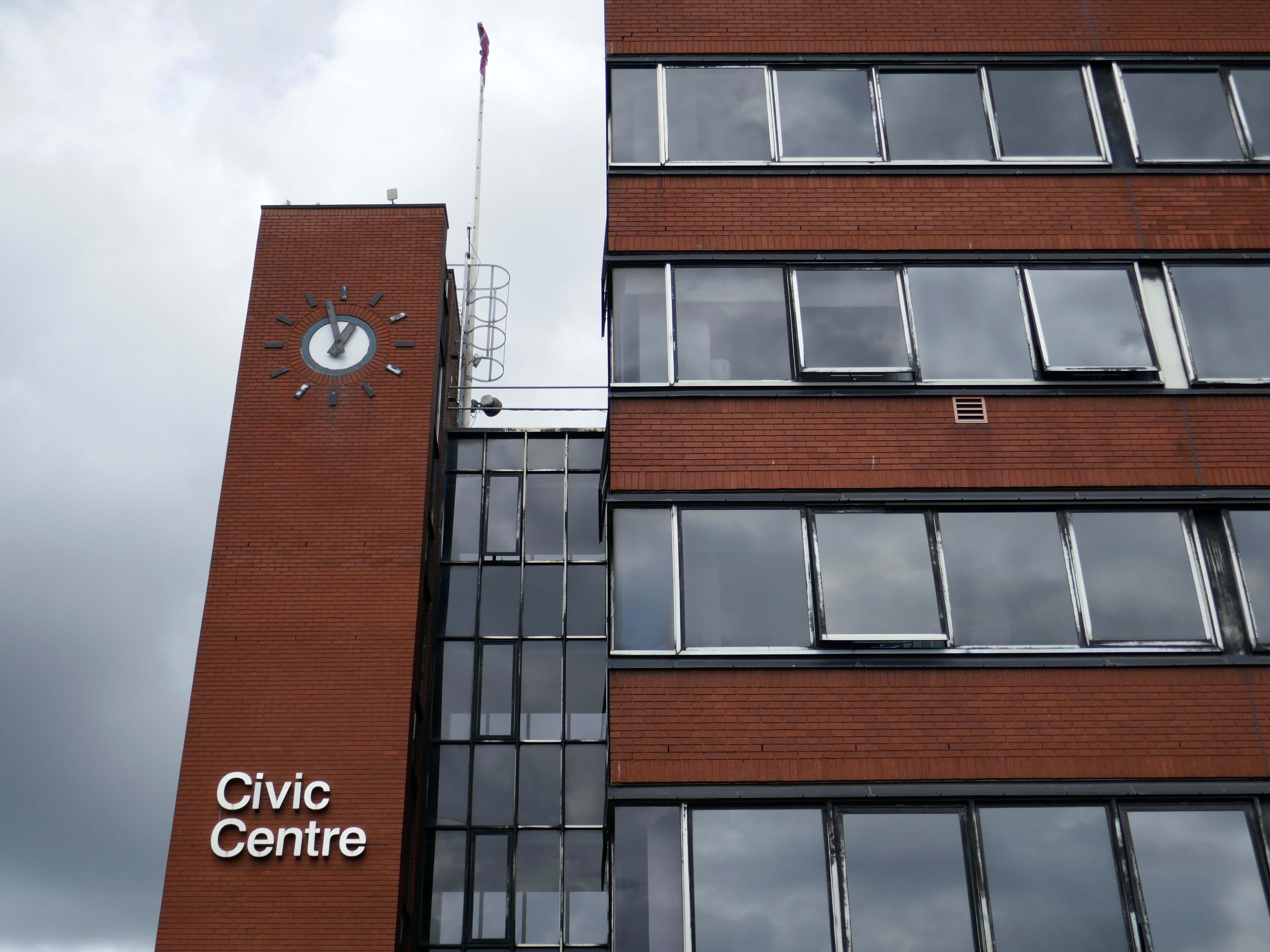
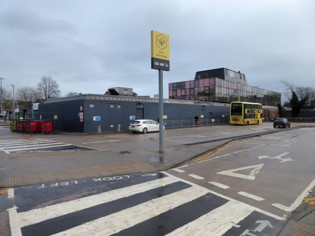
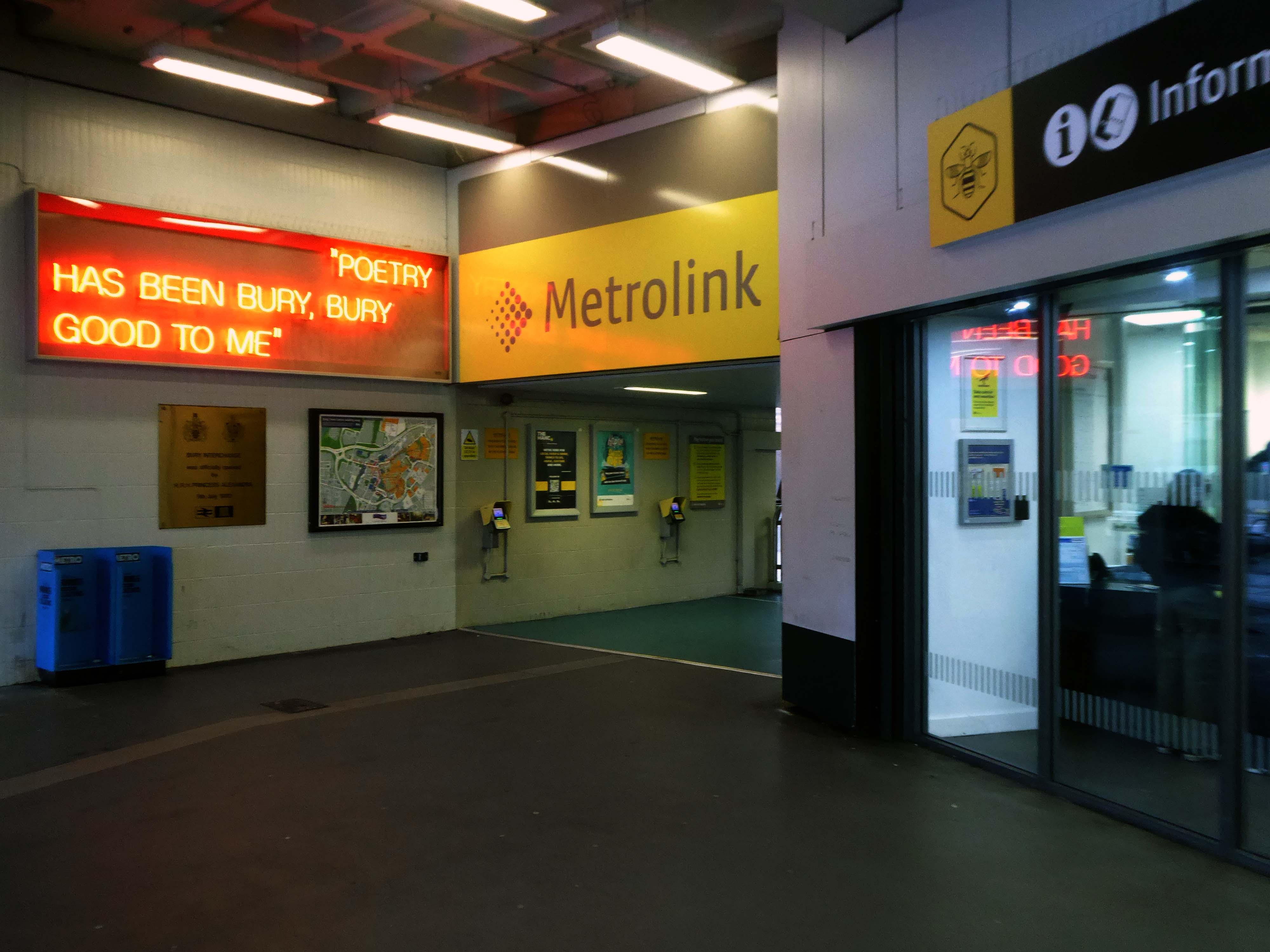
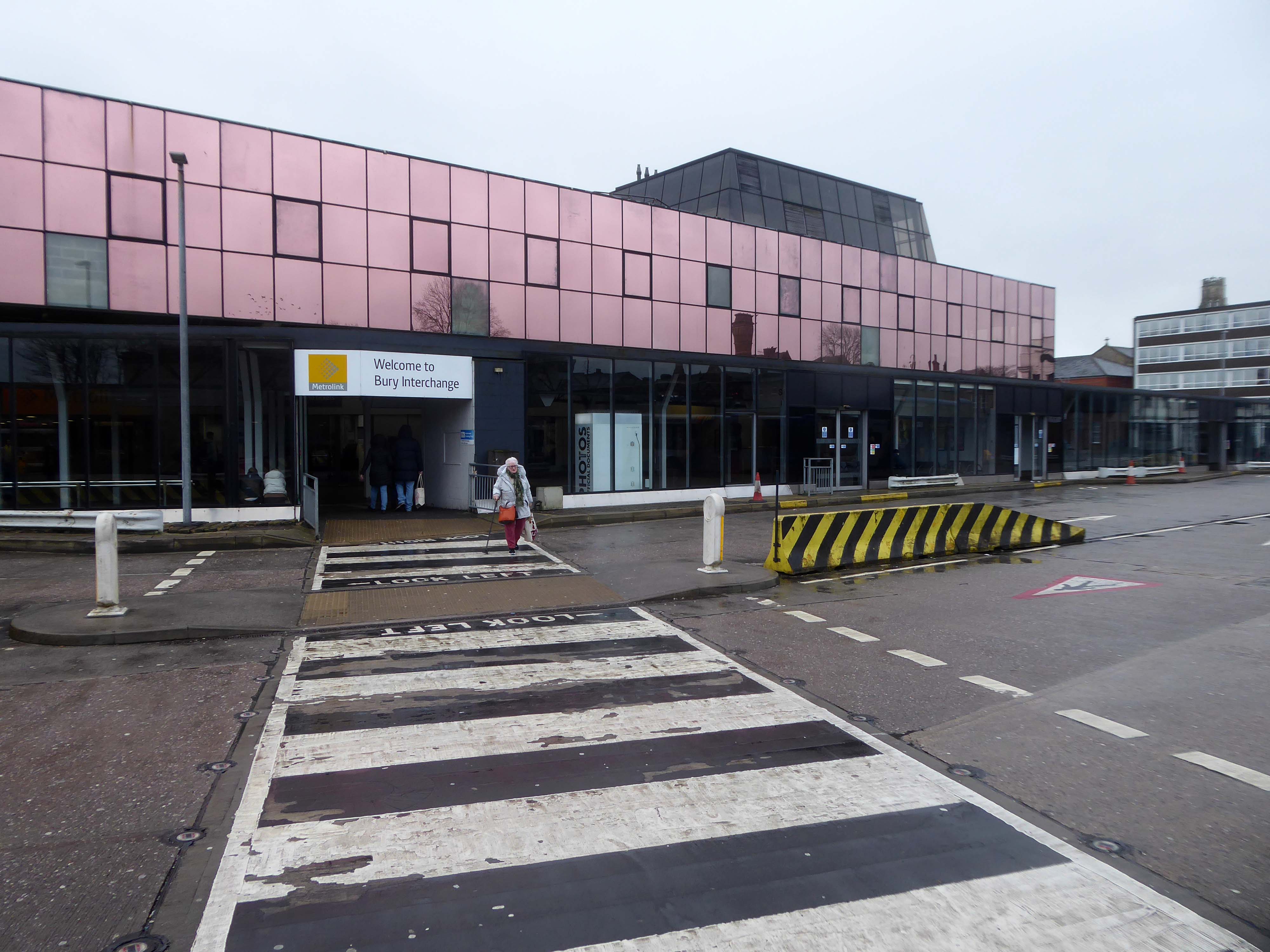
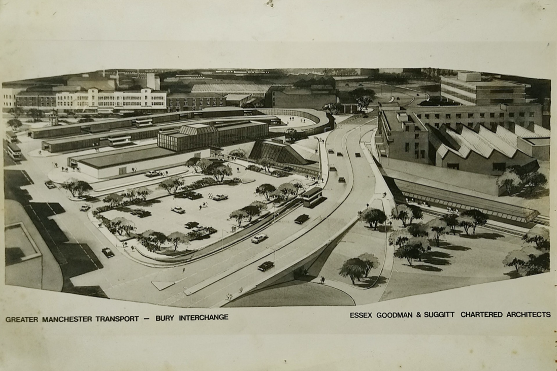
Arriving at and looking around the Interchange – 1980 architects: Essex Goodman & Suggitt
It is the northern terminus of the Manchester Metrolink’s Bury Line, which prior to 1992 was a heavy-rail line.
A new short spur line was constructed to connect the new station. The railway had originally run into Bury Bolton Street which was further away from the town centre, and was closed by British Rail on the same day that Bury Interchange opened.
It also incorporates a bus station.
Bury Interchange replaced the bus termini scattered around Bury town centre, notably around Kay Gardens.
An £80m transformation is coming to the Bury Interchange, which will see step-free access at the Metrolink, a “vertical circulation core” to better connect the Metrolink with the bus facility, and an integrated travel hub with spaces for cycle storage.
The work is much-needed, explained Transport for Greater Manchester’s Alan Lowe, he said that the interchange was built in the 1980s and very much is of its time.
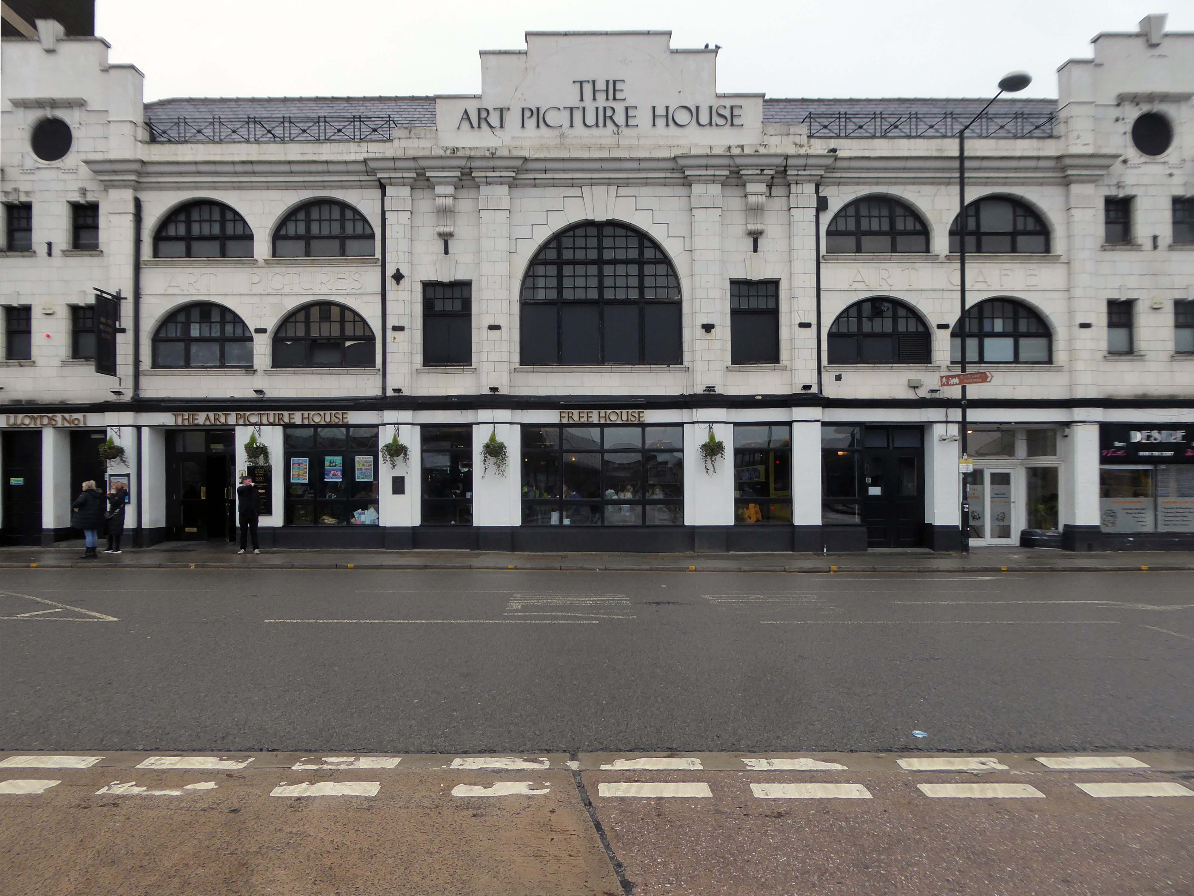
The Art Picture Palace was a 1923 rebuild of the earlier Art Picture Hall both designed by architect Albert Winstanley. The Art Picture Palace was opened on 26th January 1923. A remarkably complete survivor of a 1920’s cine-variety house executed in an elaborate style.
Films ceased in February 1965 and it became a bingo club. Later converted into a billiard hall until 19th May 1991 when it became a bingo club again, it later became a Chicago Rock Cafe.
Cinema Treasures
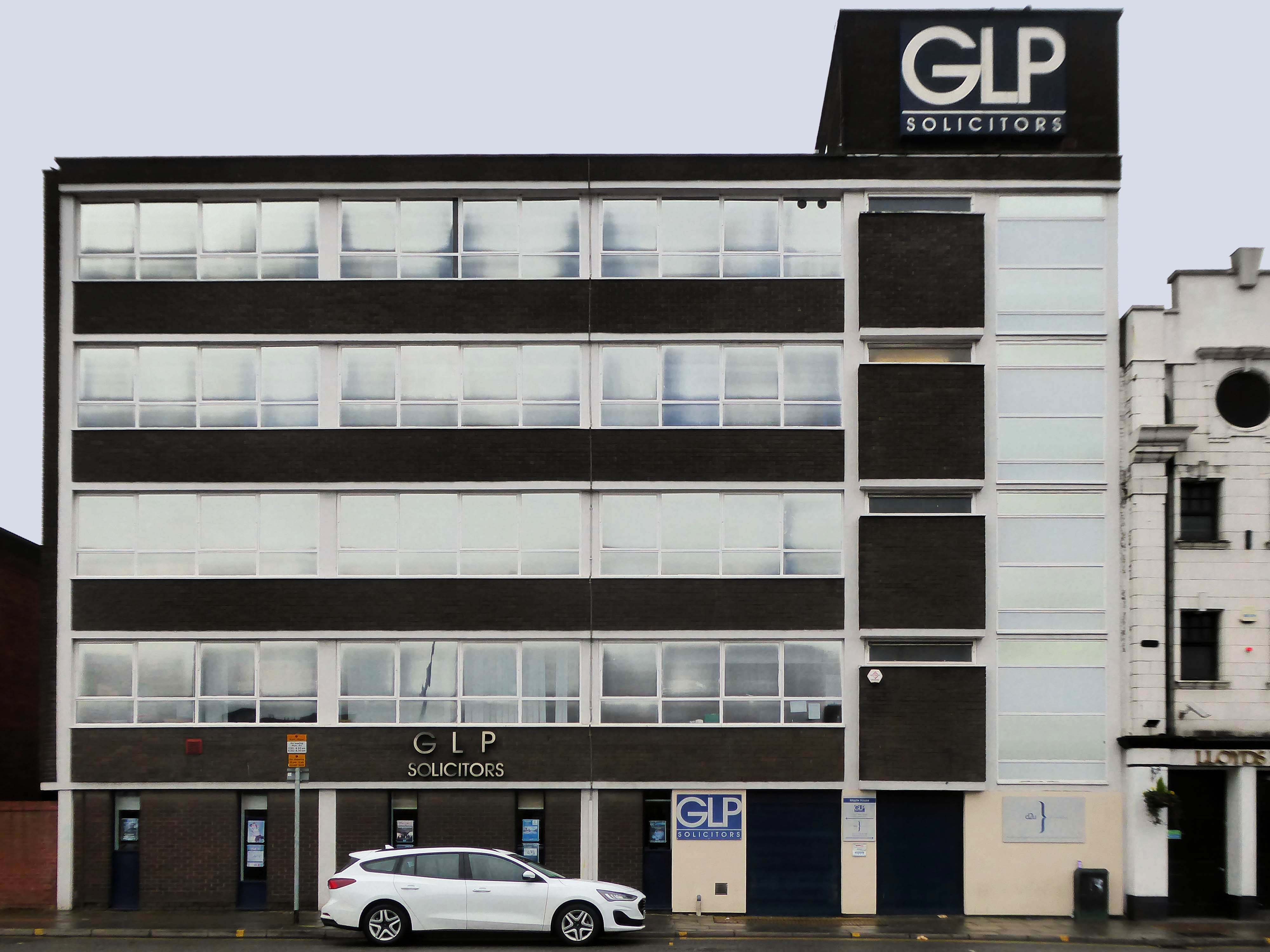
Next door a typical steel glass and brick banded office block Maple House.
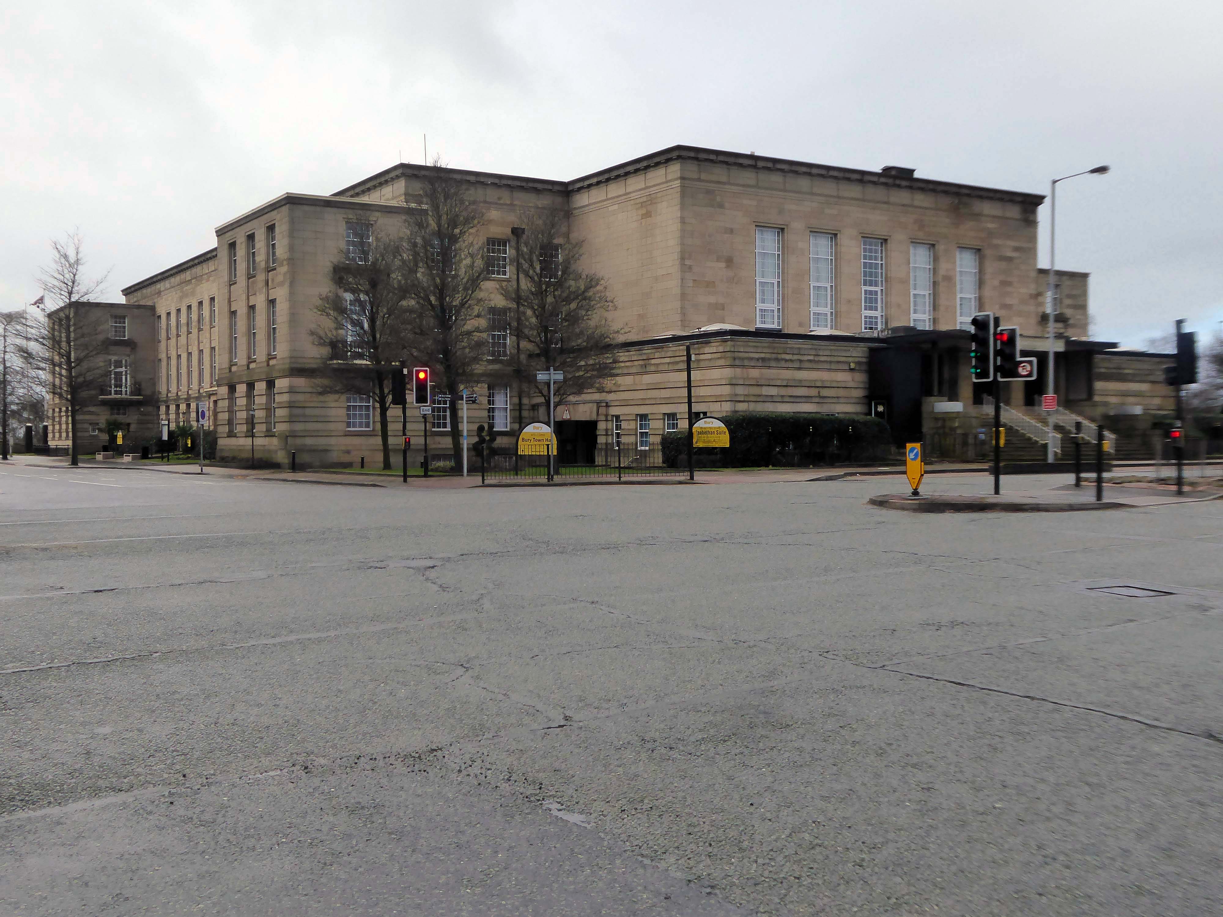
Around the corner and over the road to the Town Hall 1939-40 architects: Reginald Edmonds of Jackson & Edmonds then 1947-54.
Large and Dull – Niklaus Pevsner.
Back through the Interchange to the former Cooperative Store of the 1930’s.
The Portland Stone towers still visible – the elevation largely retro-clad in glass.
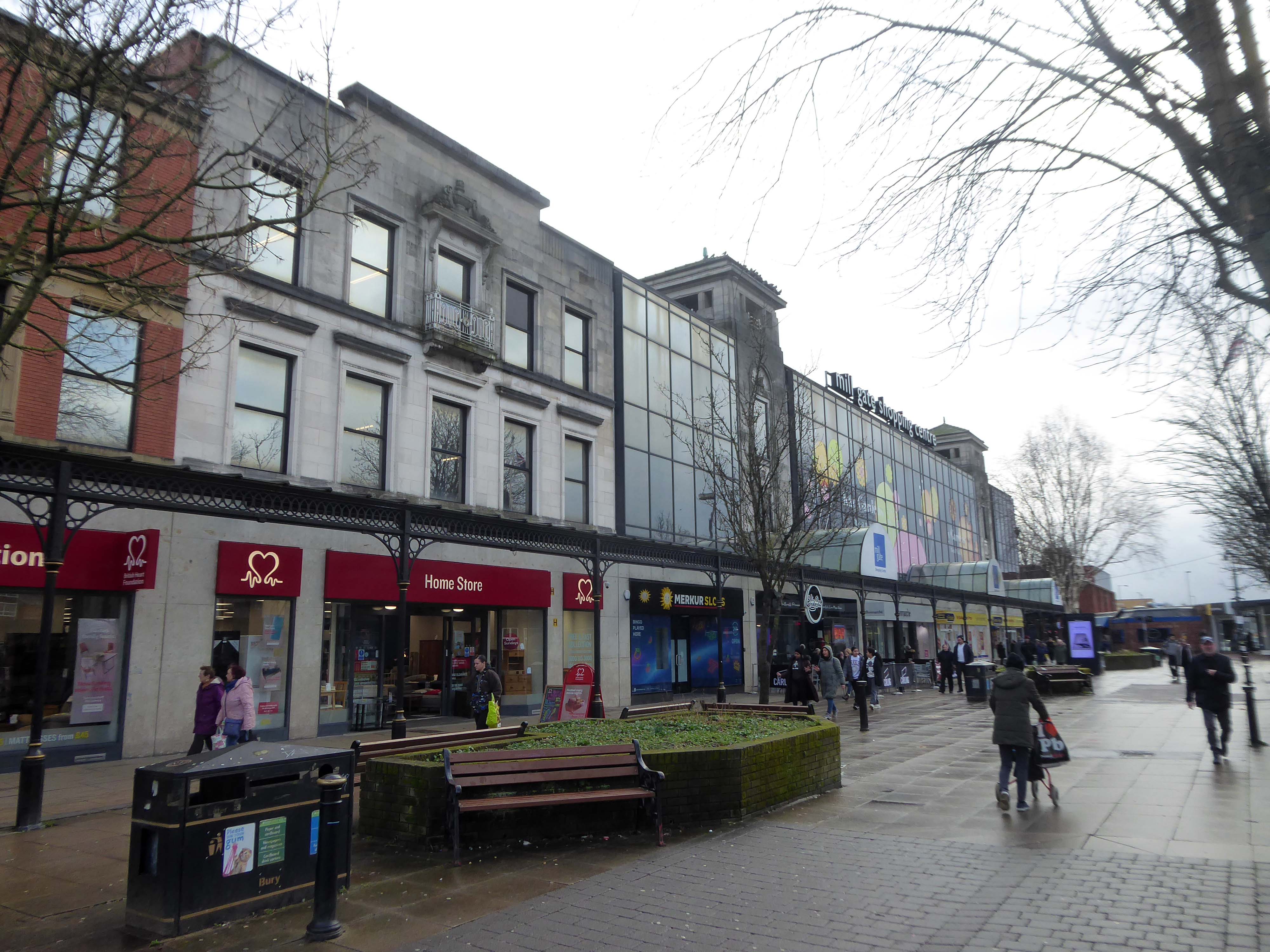
Passing through the Millgate Shopping Centre of the 1980’s.
Unambitious but successful, the floors cheerfully tiled – Niklaus Pevsner.
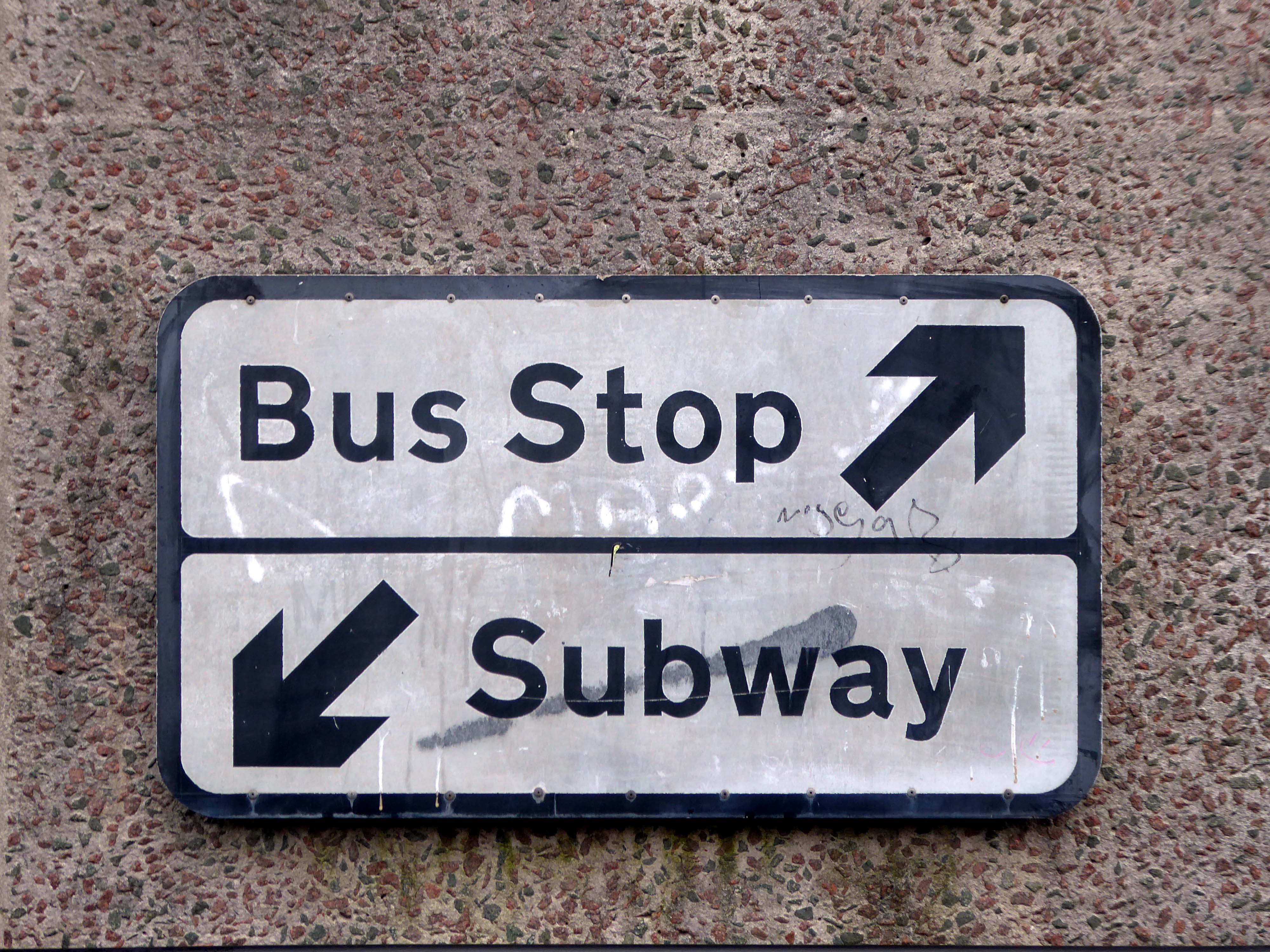
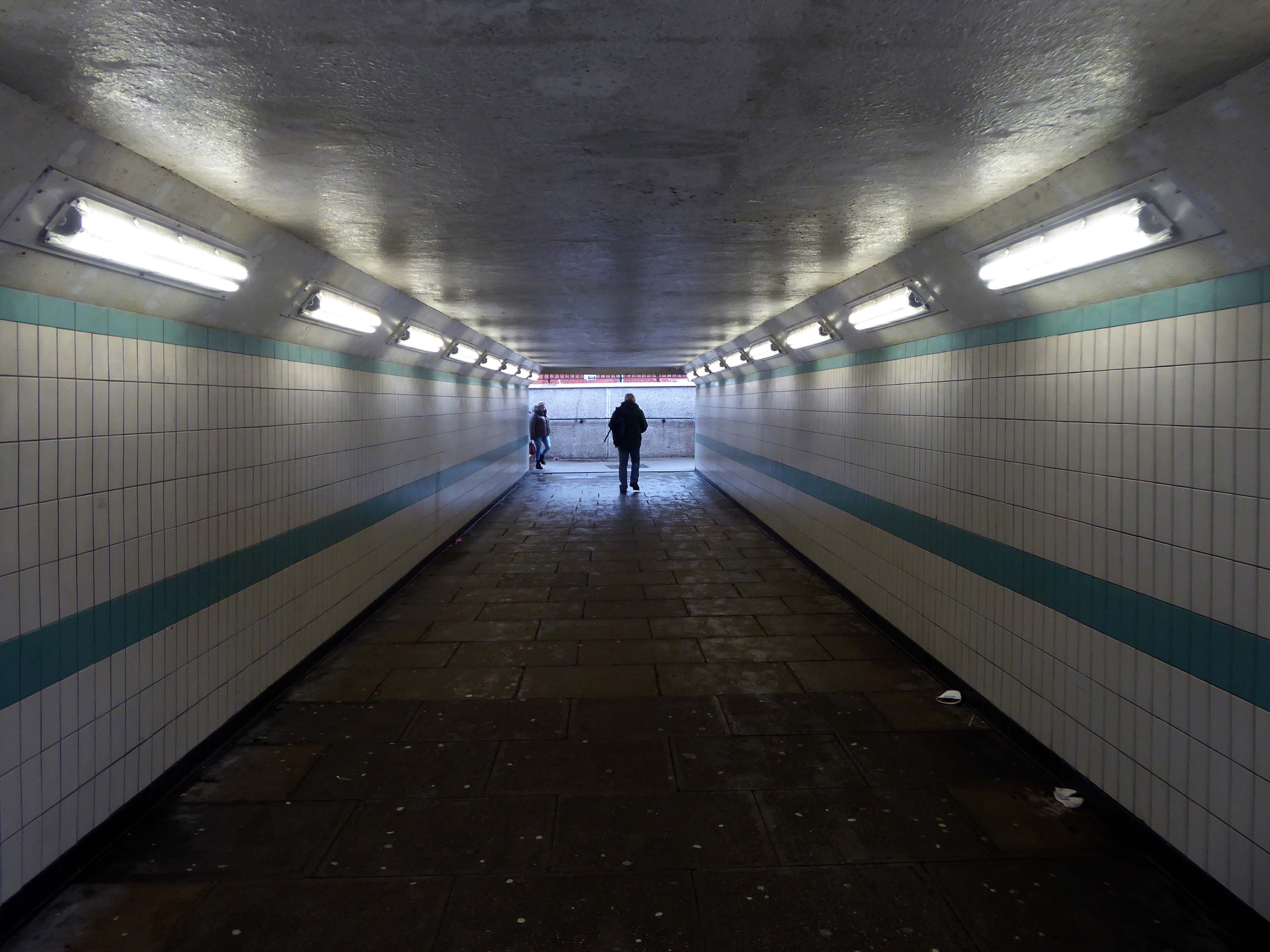
Down in the subway at midday.
The better to get a view of the Market Hall 1971 – architects: Harry S Fairhurst.
The Indoor Market Hall is currently closed due to the discovery of Reinforced Autoclaved Aerated Concrete – within the building structure. RAAC is a lightweight type of building material that was used between the 1950s and 1990s.
Back under the road – where we find a delightful Telephone Exchange.
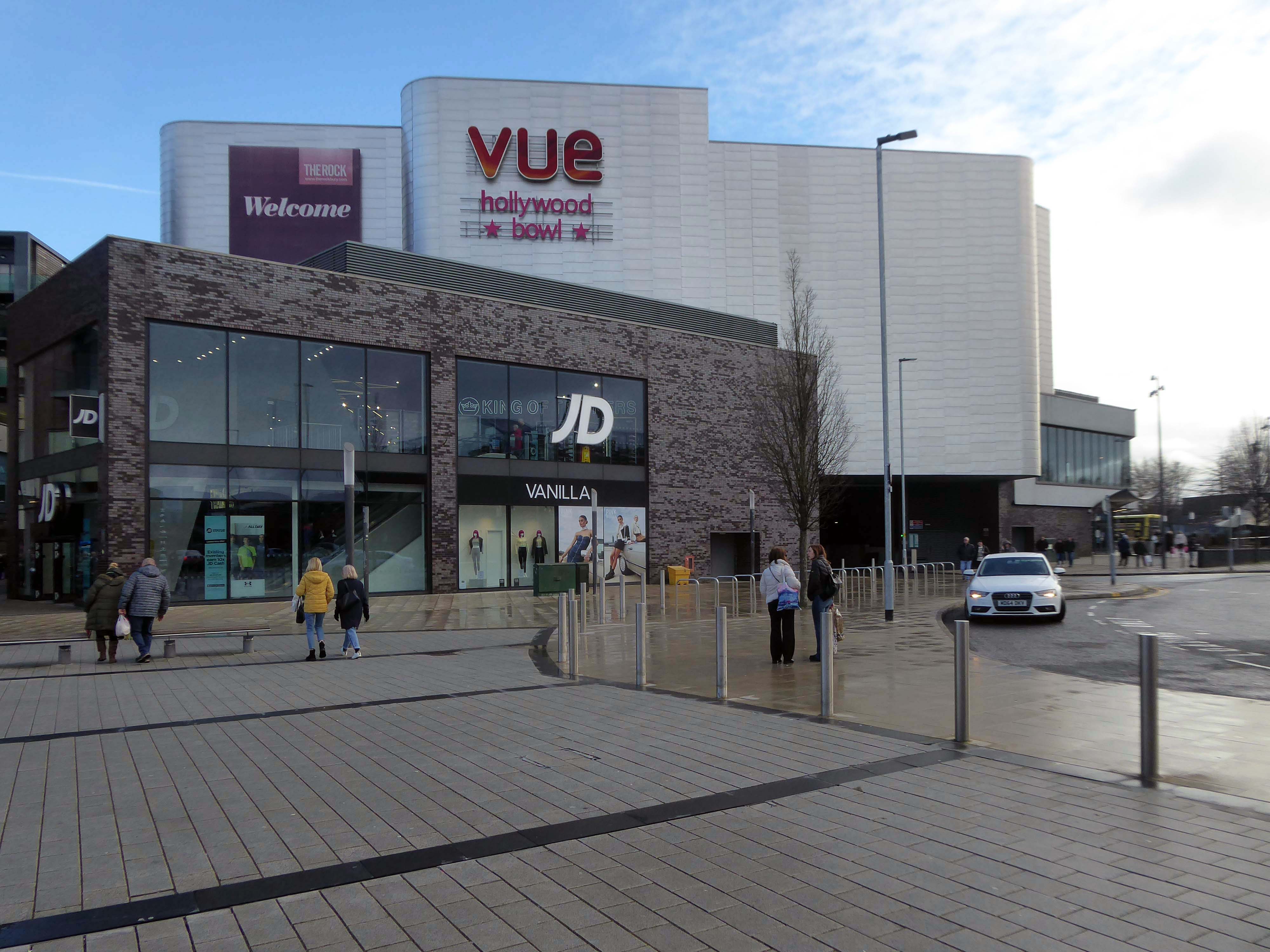
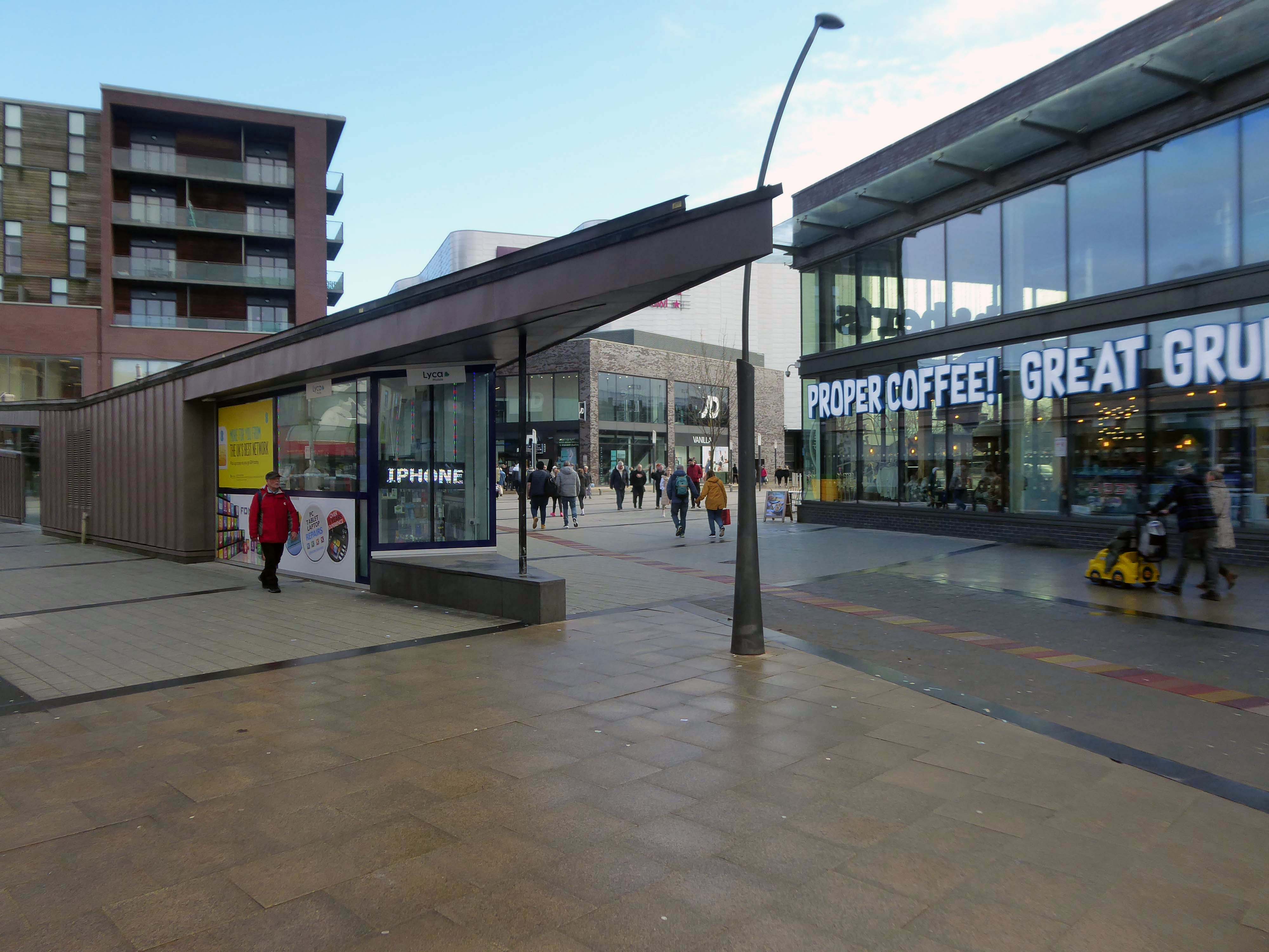
The Rock is a vibrant retail and leisure centre which is home to a range of high street fashion brands, independent retailers, tantalising eateries and fantastic entertainment – it’s the perfect place to visit any day of the week.
It is the work of architects BDP – completed in 2010 at a cost of £350 million.
Our masterplan for The Rock took into account the historical street pattern and public realm context to give the scheme its own identity, and make visual connections to local landmarks.
The retail and leisure scheme brings many exciting brands to Bury for the first time.
New pedestrian streets rejuvenate and improve connections to adjacent areas stitching the town back together.
The development will also contain 408 one and two-bedroom apartments.
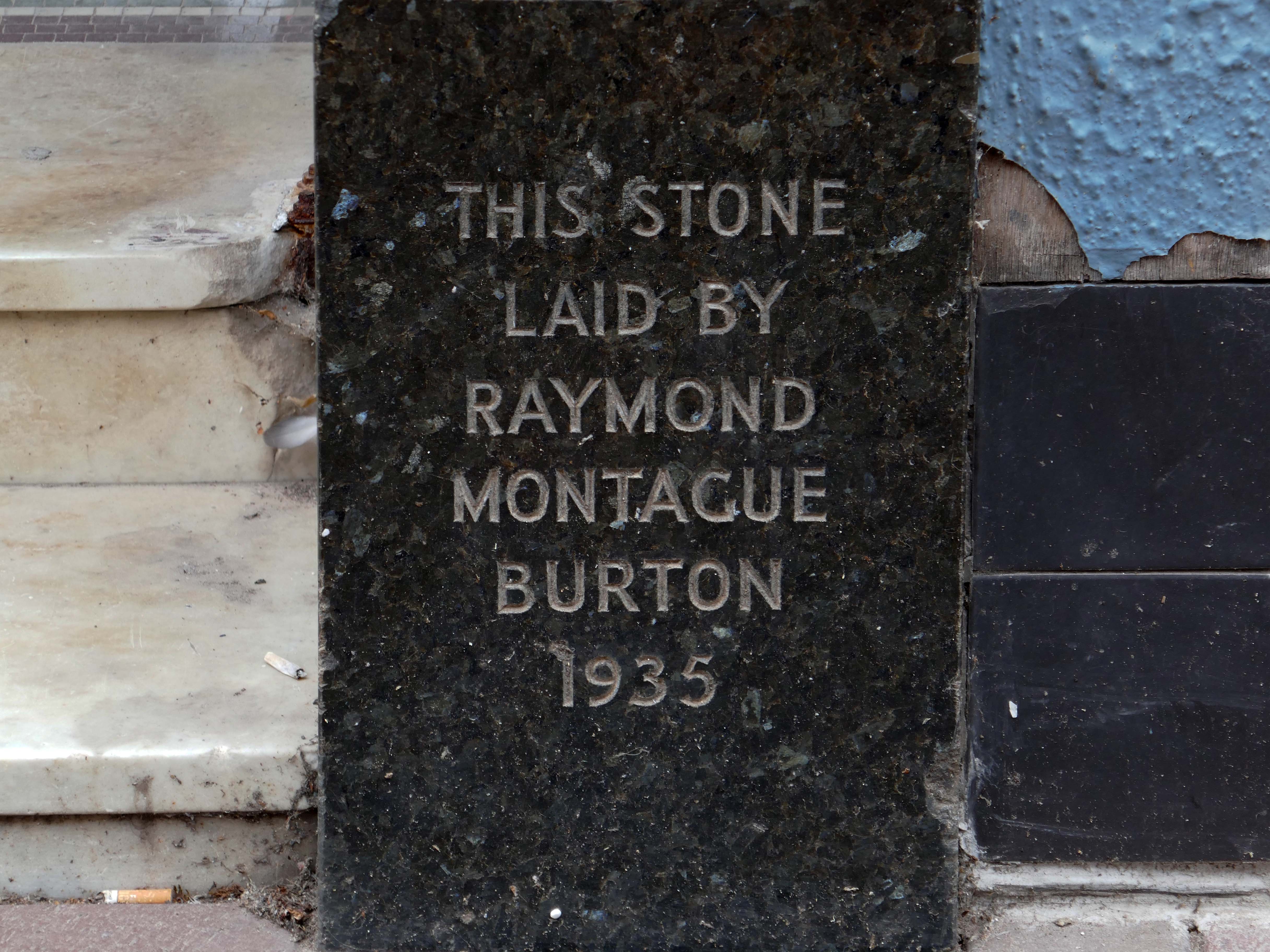
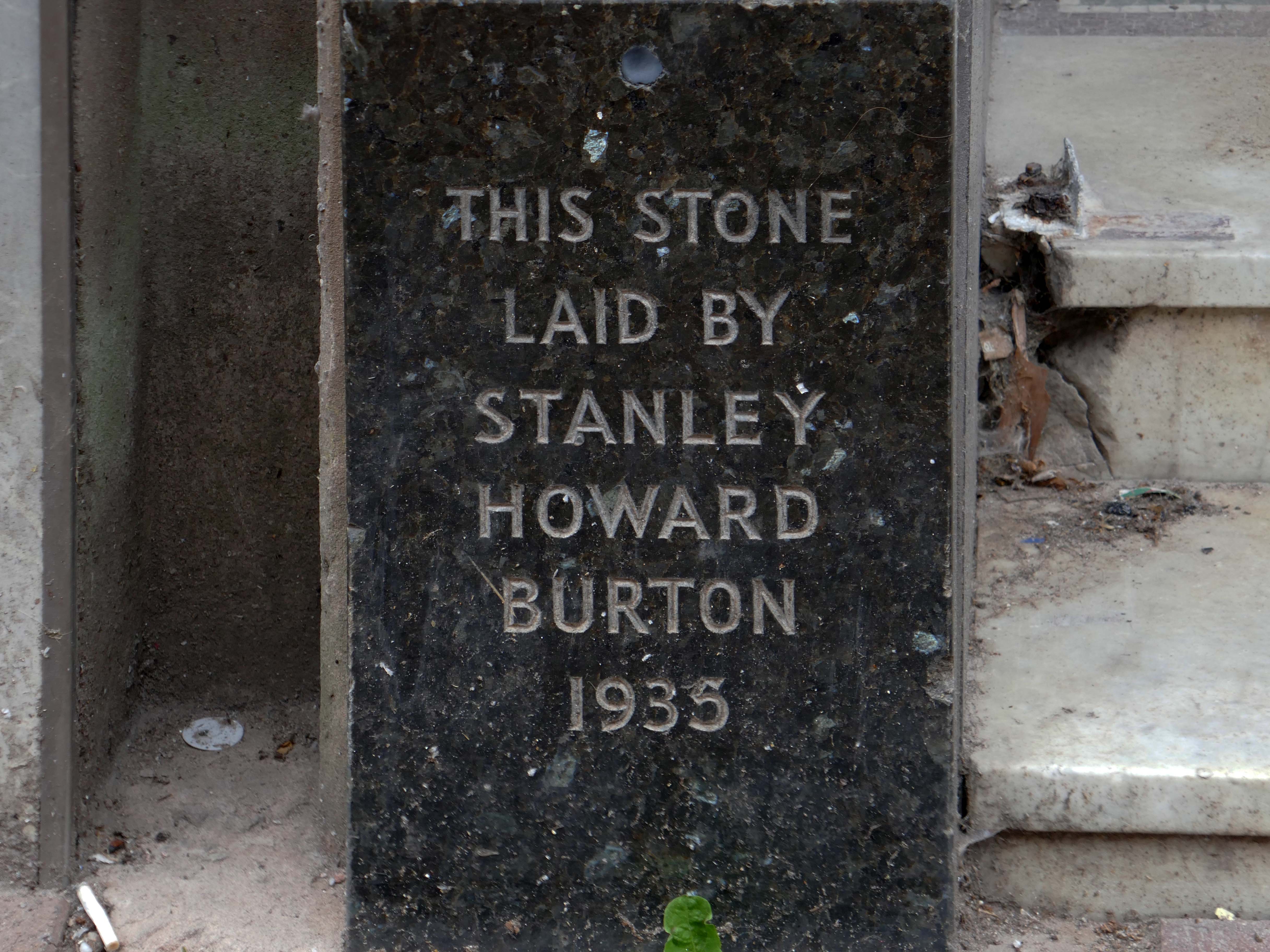
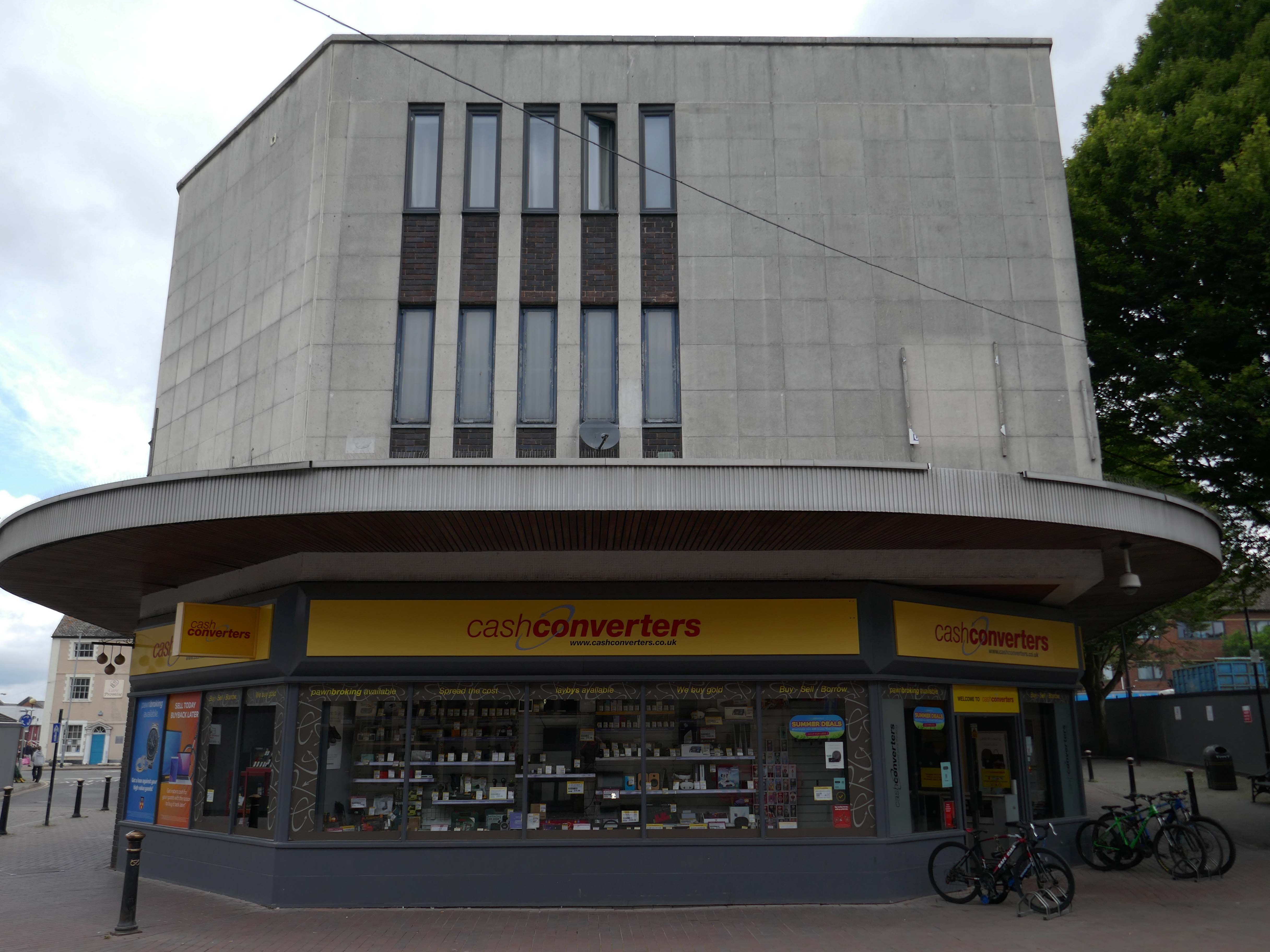
Back to basics at a former Burton’s hiding its faience facade.
Typical inter-war infill on our crazy mixed up mongrel high streets.
Ribblesdale House
Application by Shop and Store Developments Ltd submitted August 1965. Architect on application was Samuel Jackson and Son of Ocean Chambers in Bradford but during the application process this changed to John Brunton & Partners – Brunton was a partner in Jackson’s firm, at the same address. It had a restaurant and shops on the first floor.
The street level buildings were destroyed by fire on 14 May 1947 and were replaced with a new brick and concrete entrance and footbridge in 1952.
British Rail closed the station on 17 March 1980, when it was replaced by a new bus/rail interchange station further east into the town centre. Bury Interchange railway station served up until 1991 before the entire Bury Line was converted to light rail operation. It reopened in 1992 for Metrolink operation.
Bury was once the centre of multiple train links and the lost station of Knowsley Street.
Over the road the former Temperance Billiard Hall 1910 architect Norman Evans.
Planning application January 1965 – work started in June 1965. The architectural firm was Richard Byrom, Hill and partners. Richard Byrom was submitting building applications in the 1930s in Bury and locally.
The rendering on the building is original but the windows have been changed. The Job Centre took over the building in 1993. It is in a conservation area and the Civic Trust had some concerns!
Many thanks to David French for the above information.
Far, far away from the mad, rushing crowd, Please carry me with you. Again I would wander where memories enfold me, There on the beautiful Island of Dreams.
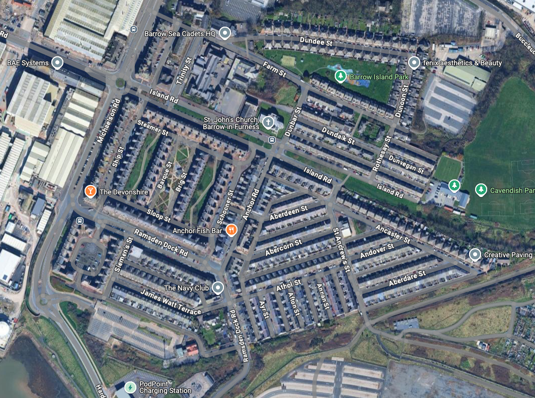
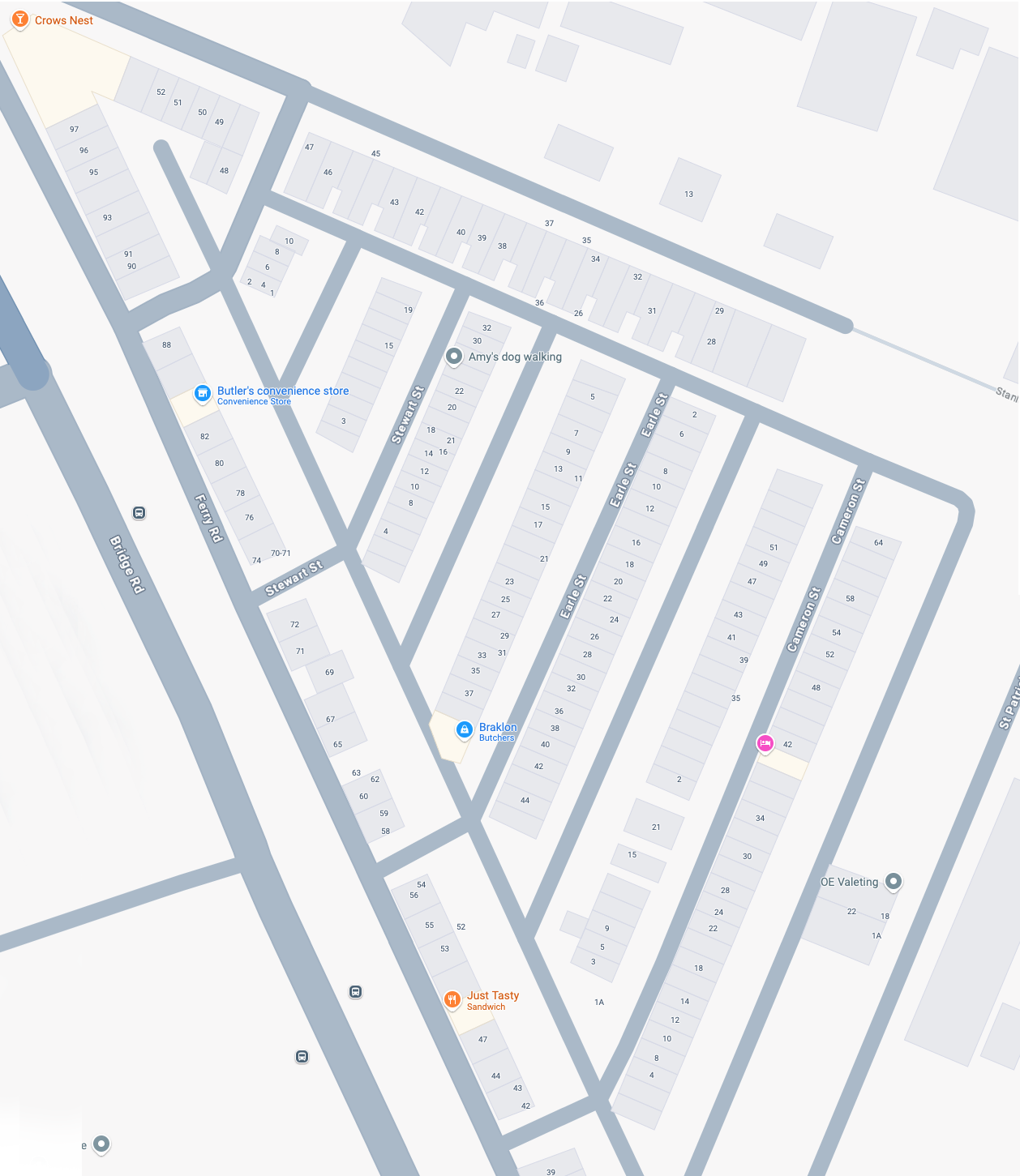
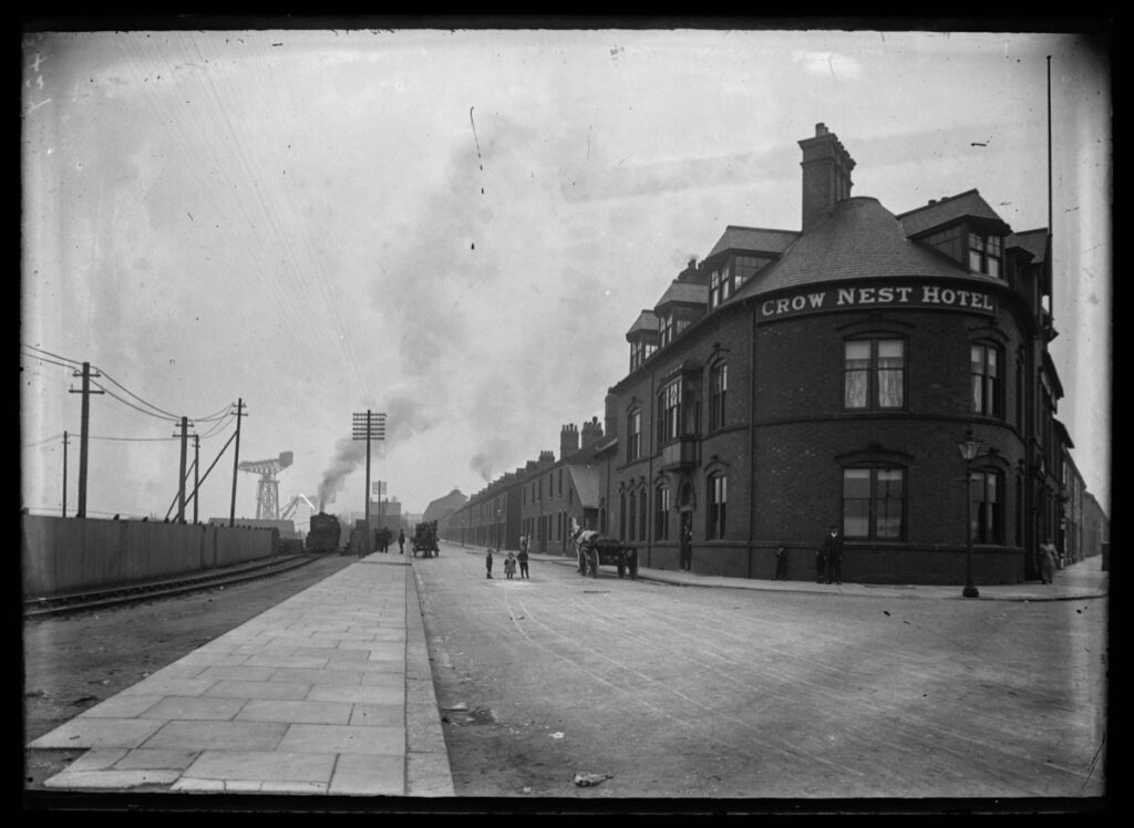
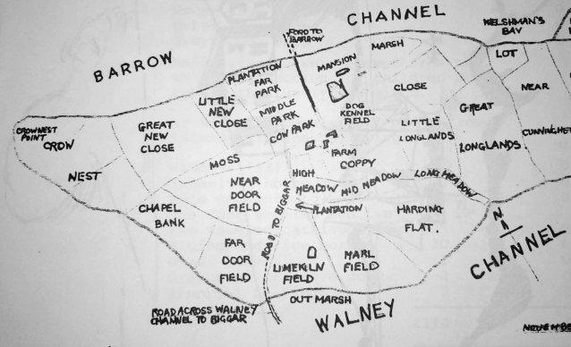
At the northern end of Barrow Island lies the Ferry Road Triangle. Covering an area formerly known by the field names, Crow Nest, Great New Close, Little New Close, Moss, Cow Park and Middle Park; the Ferry Road area has always been known as the Triangle, because the shape of the estate is truly a triangle.
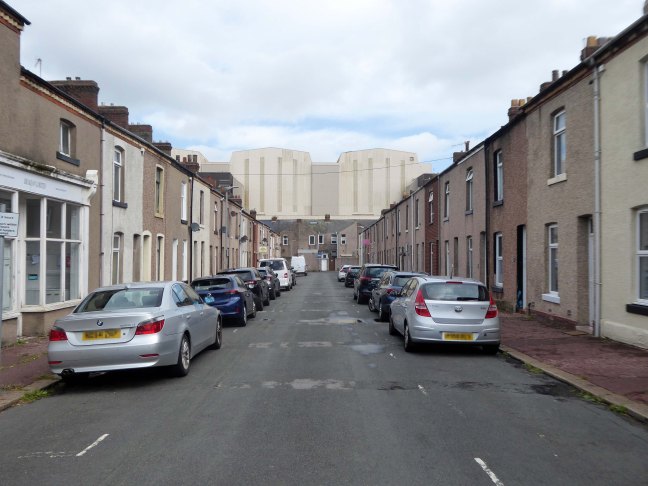
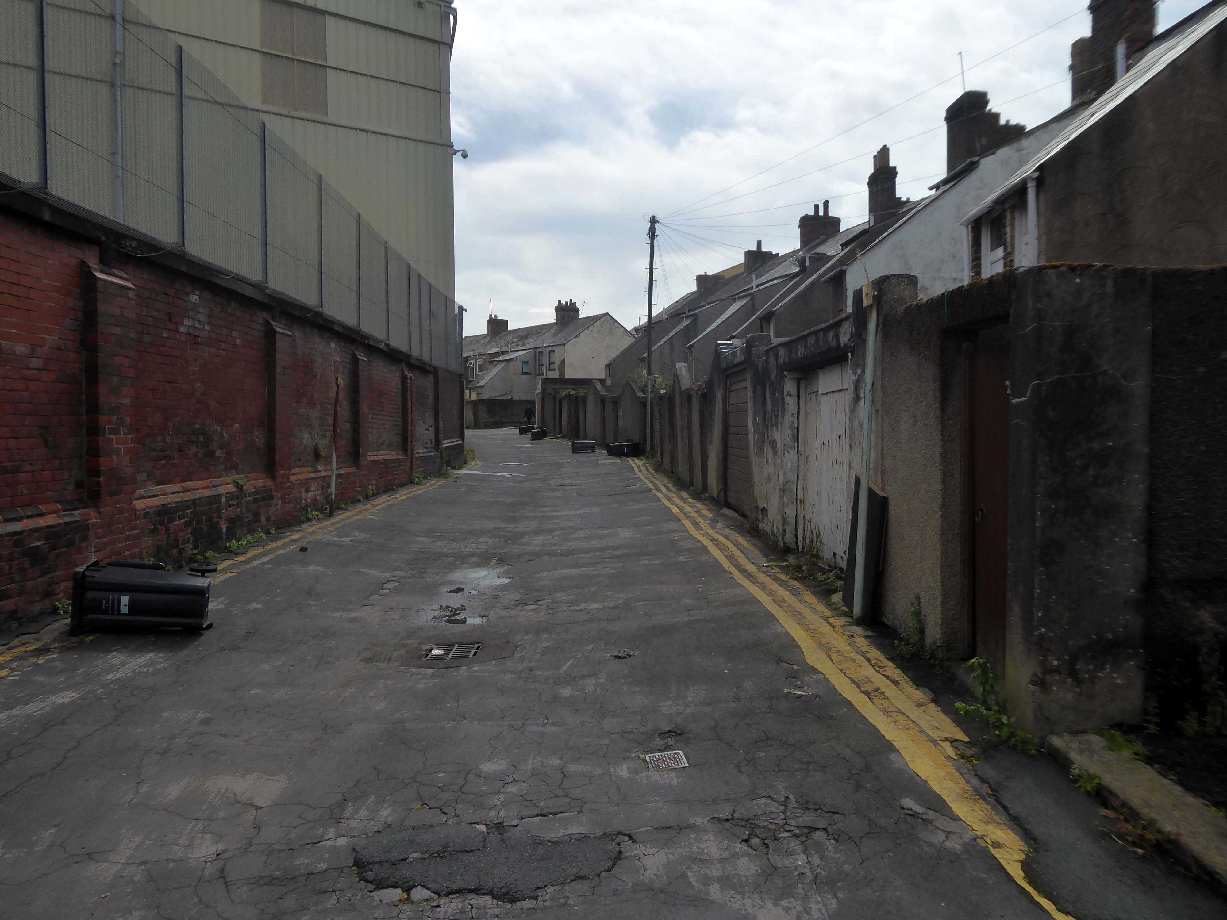
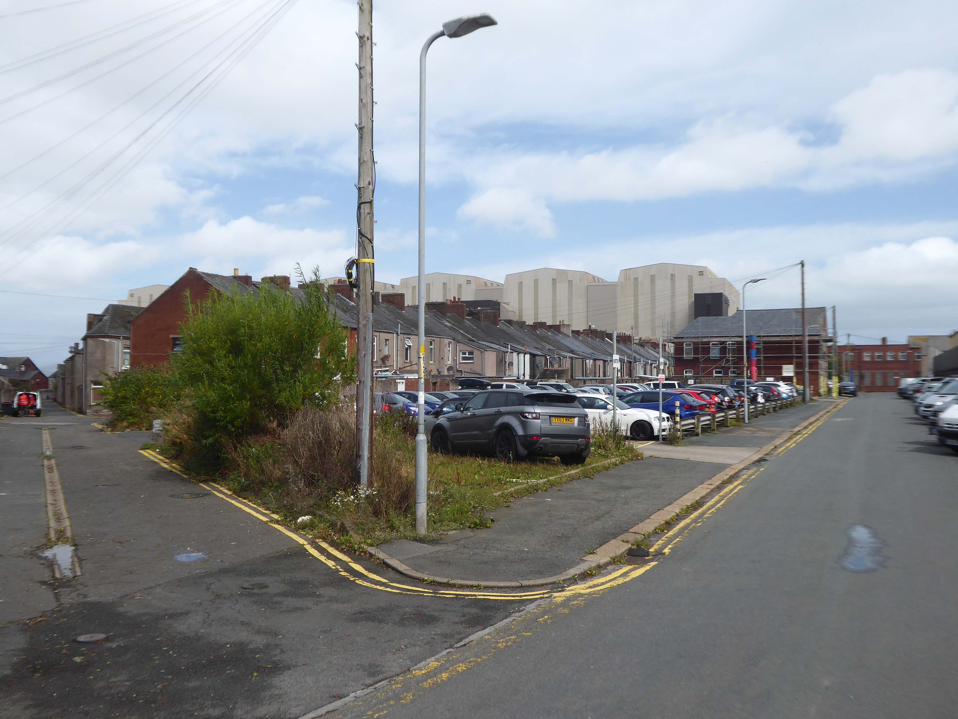
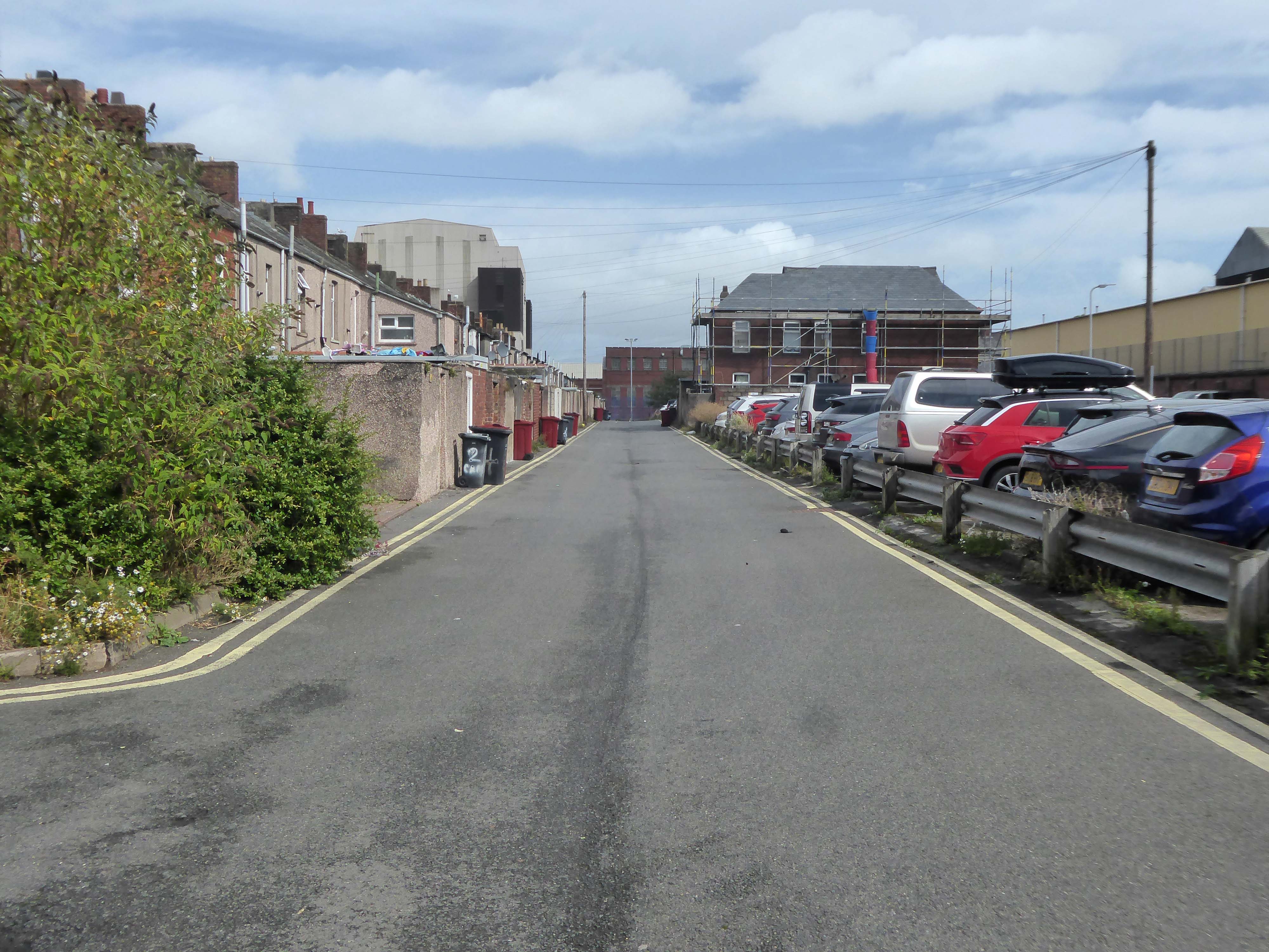
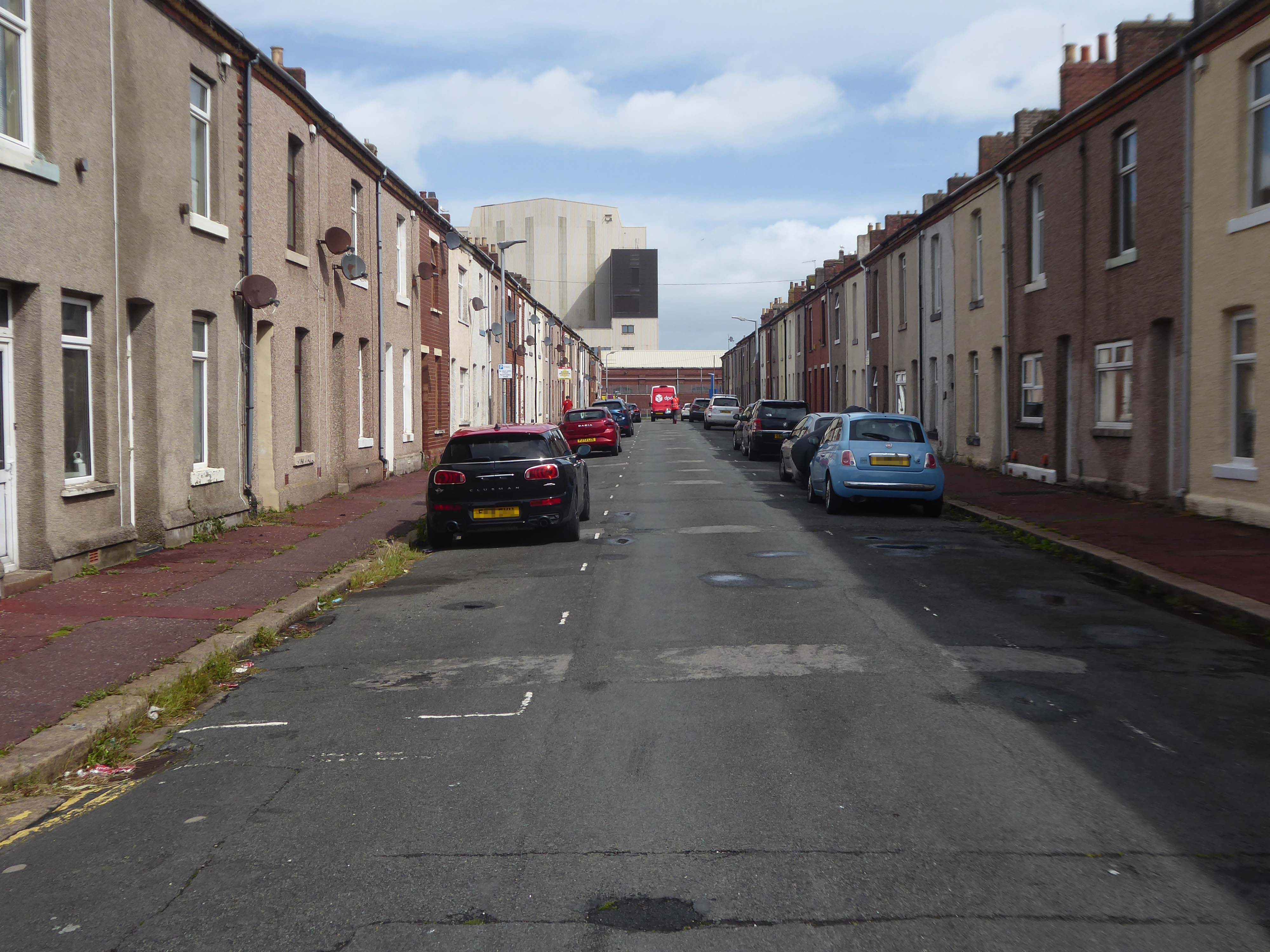
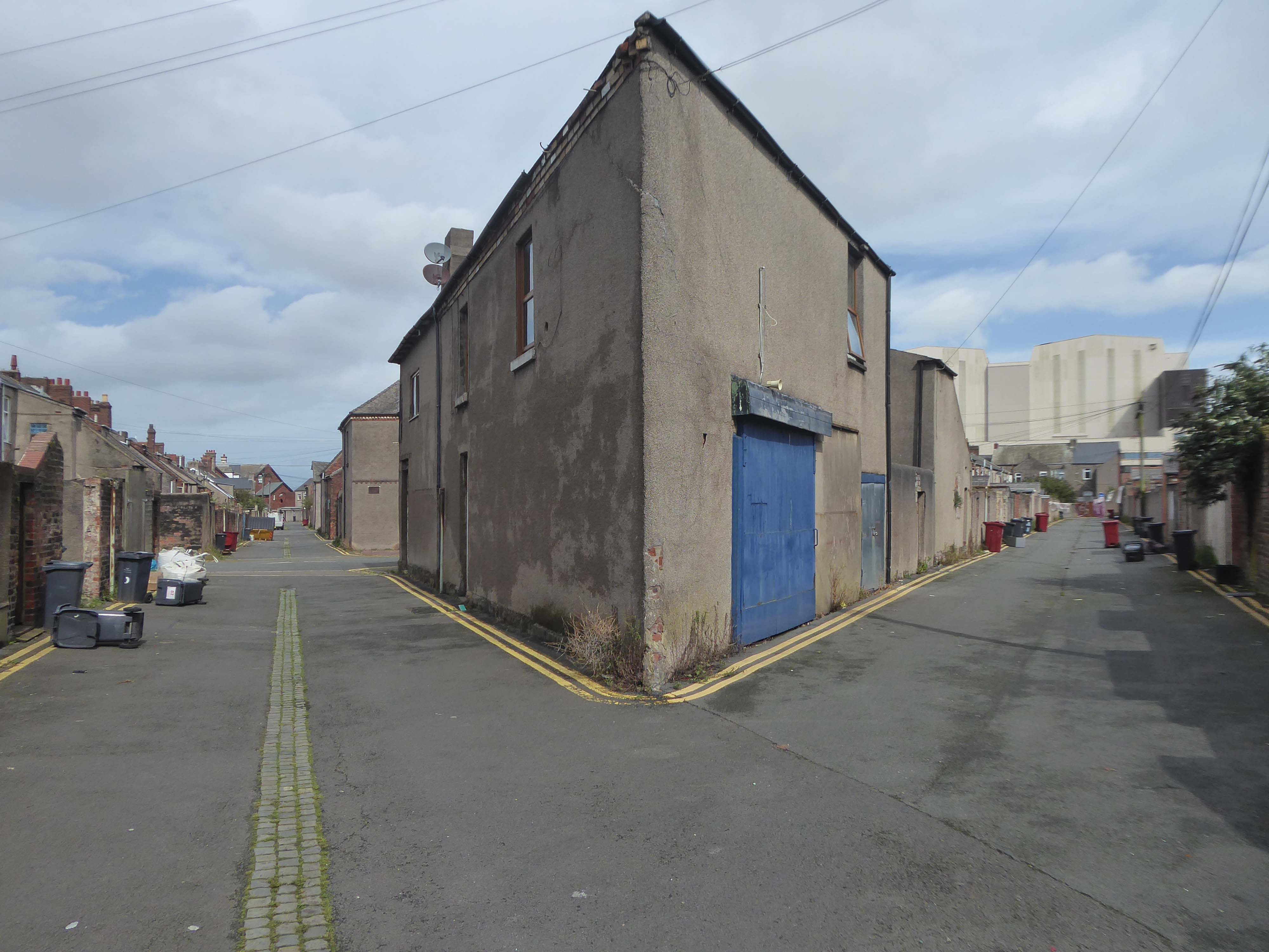
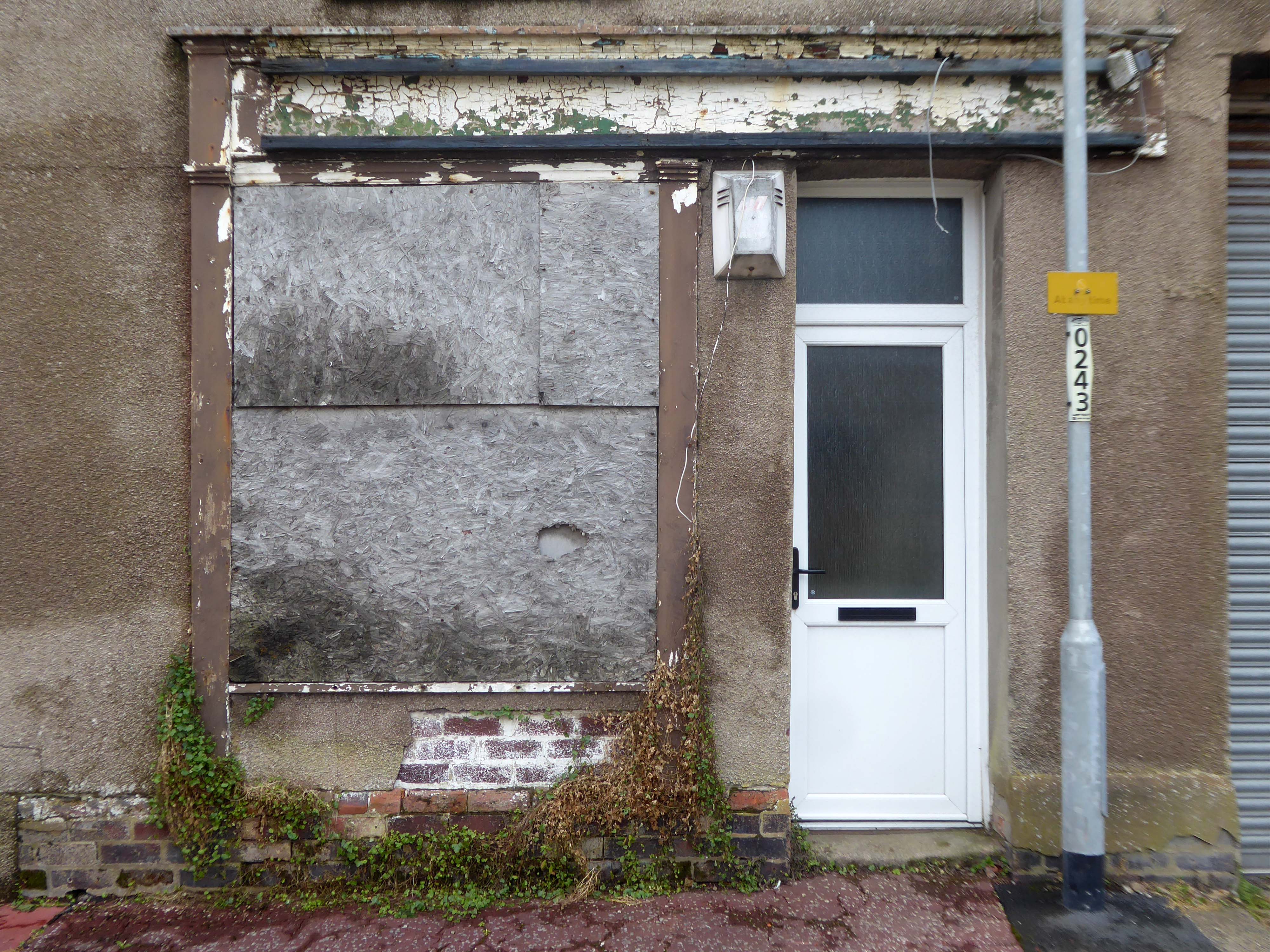
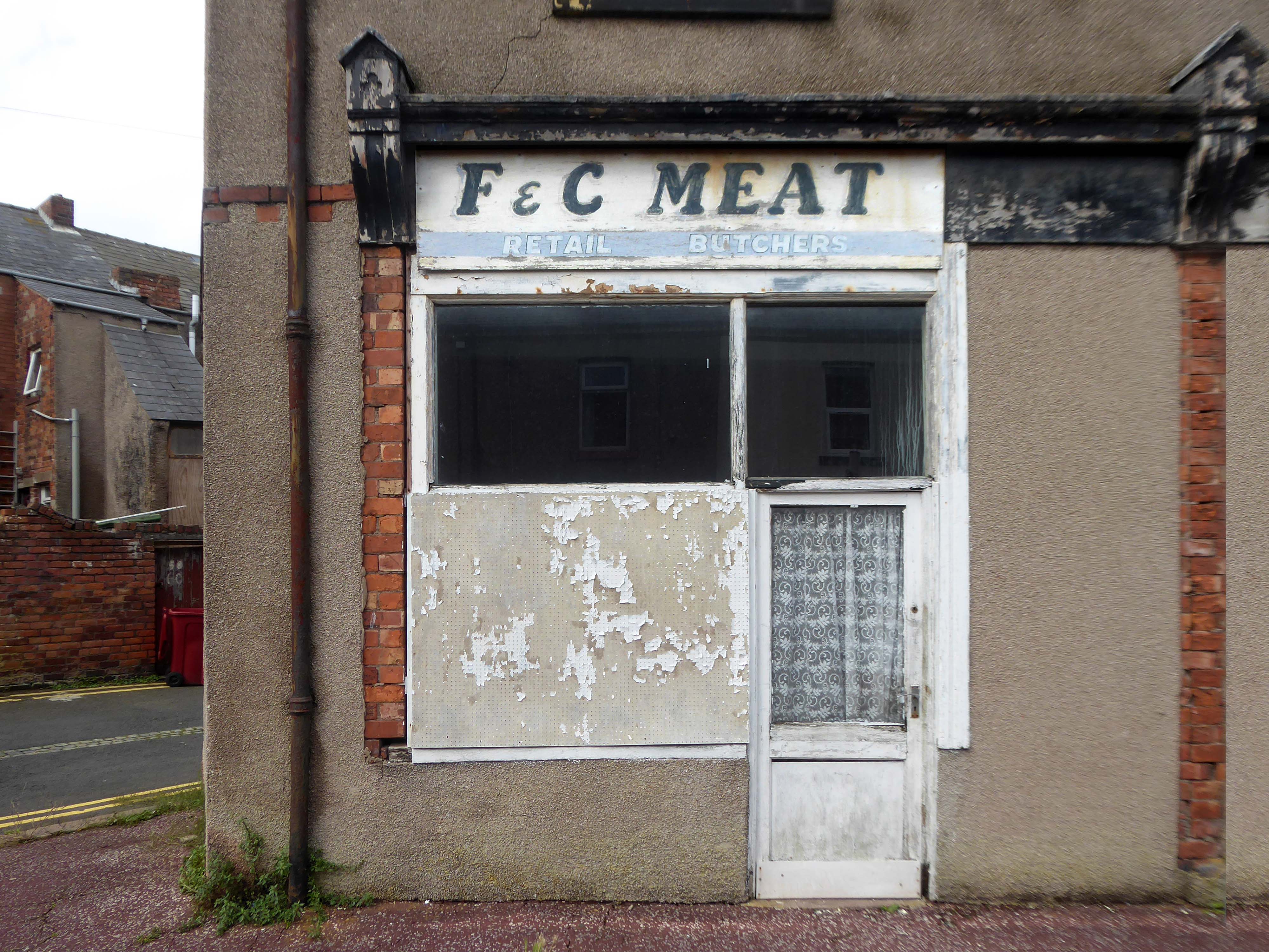
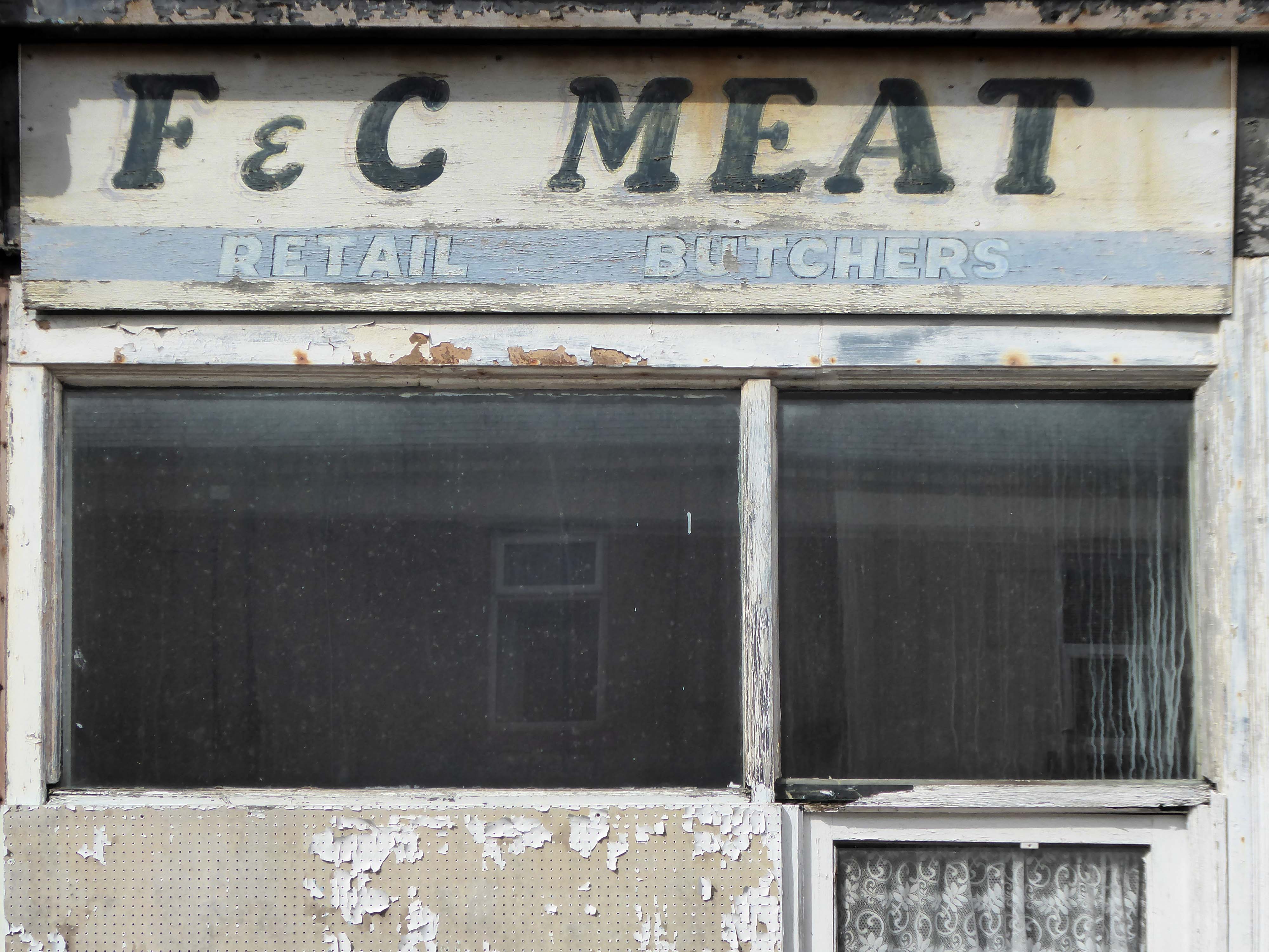
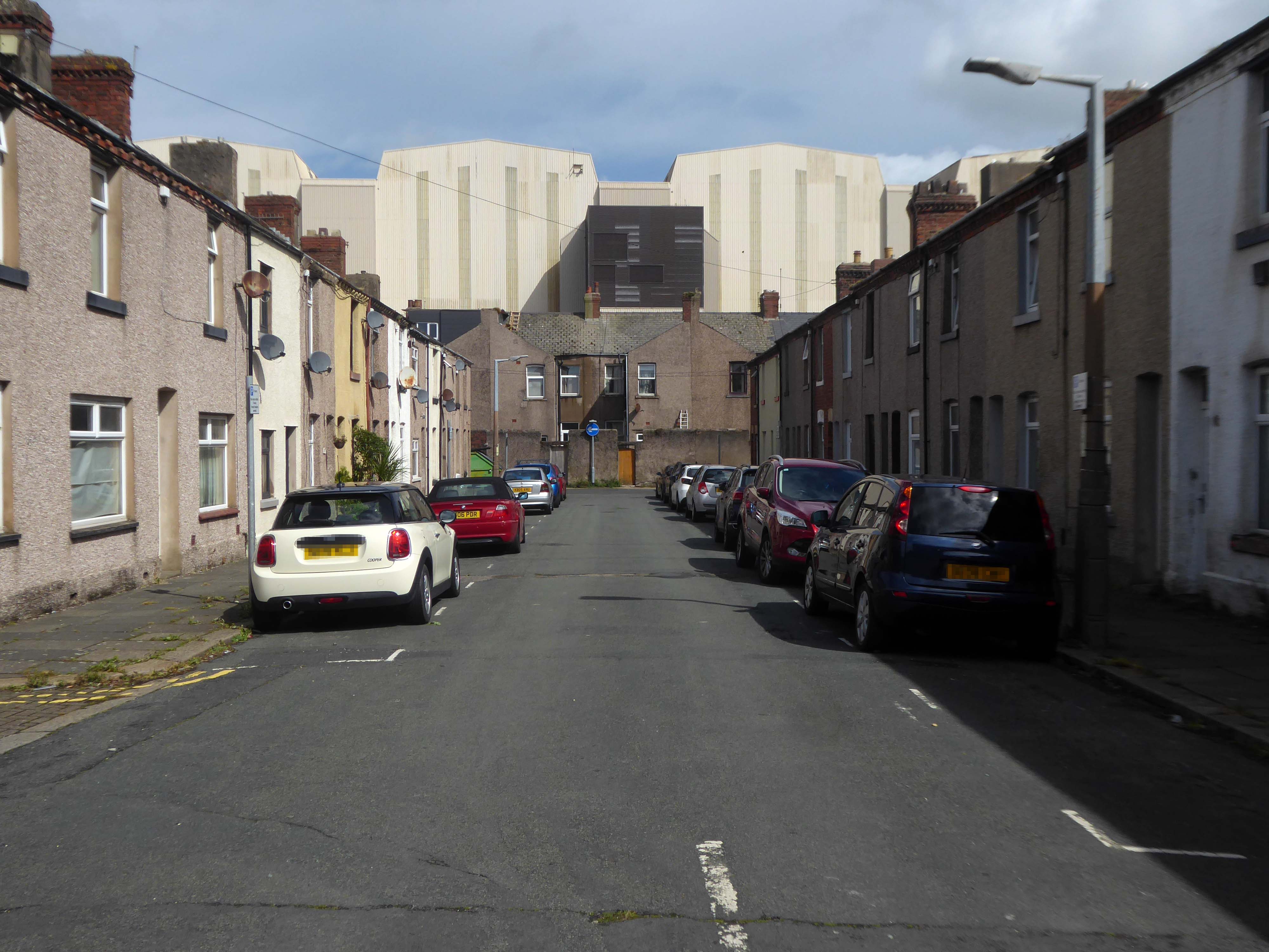
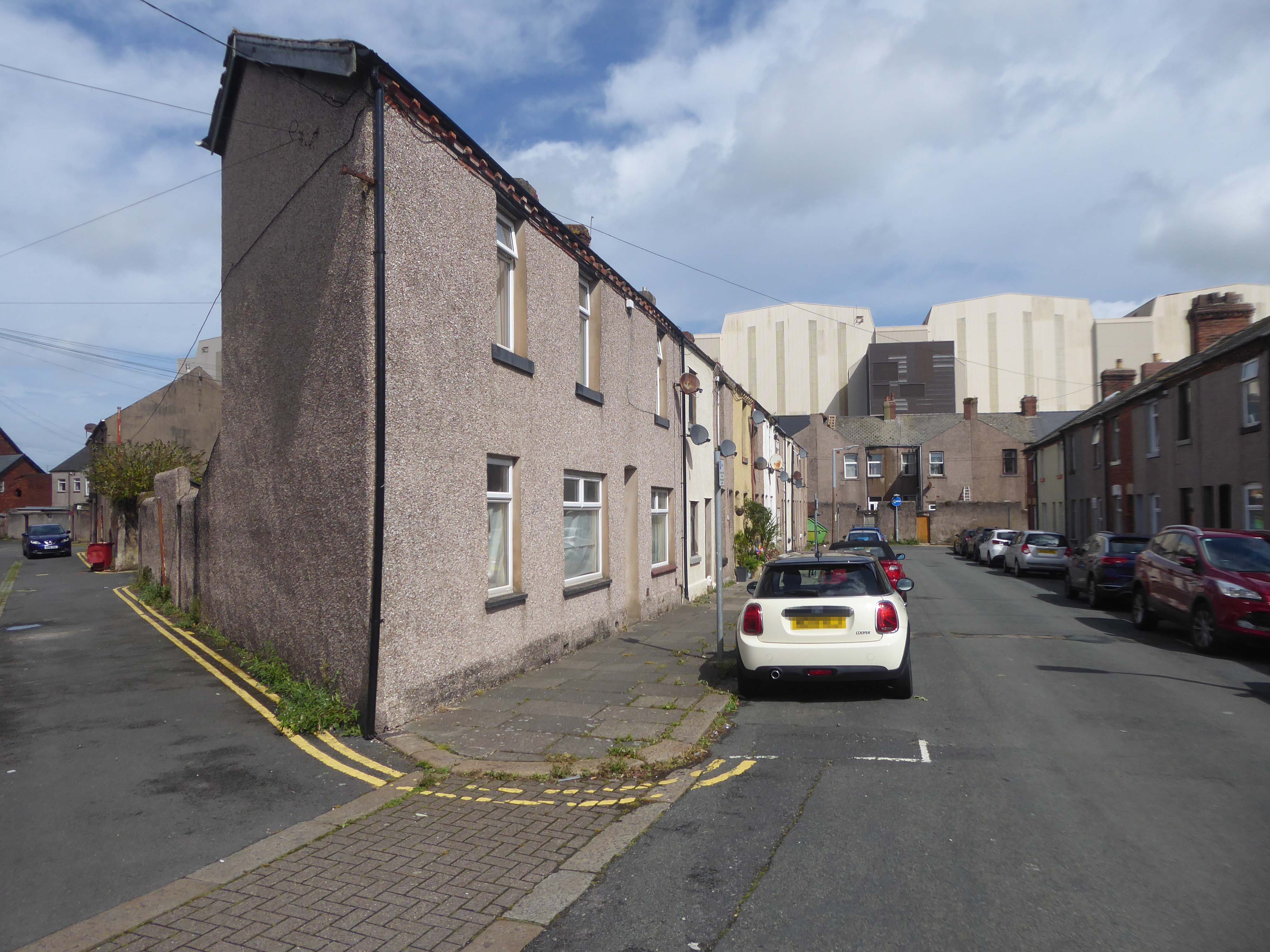
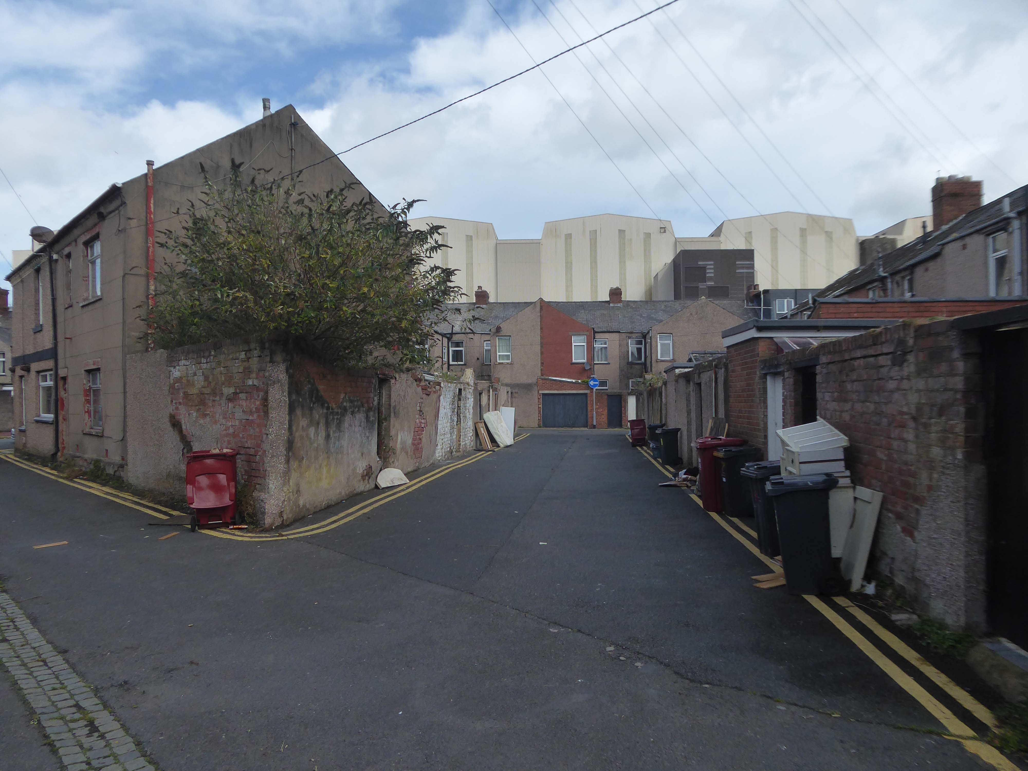
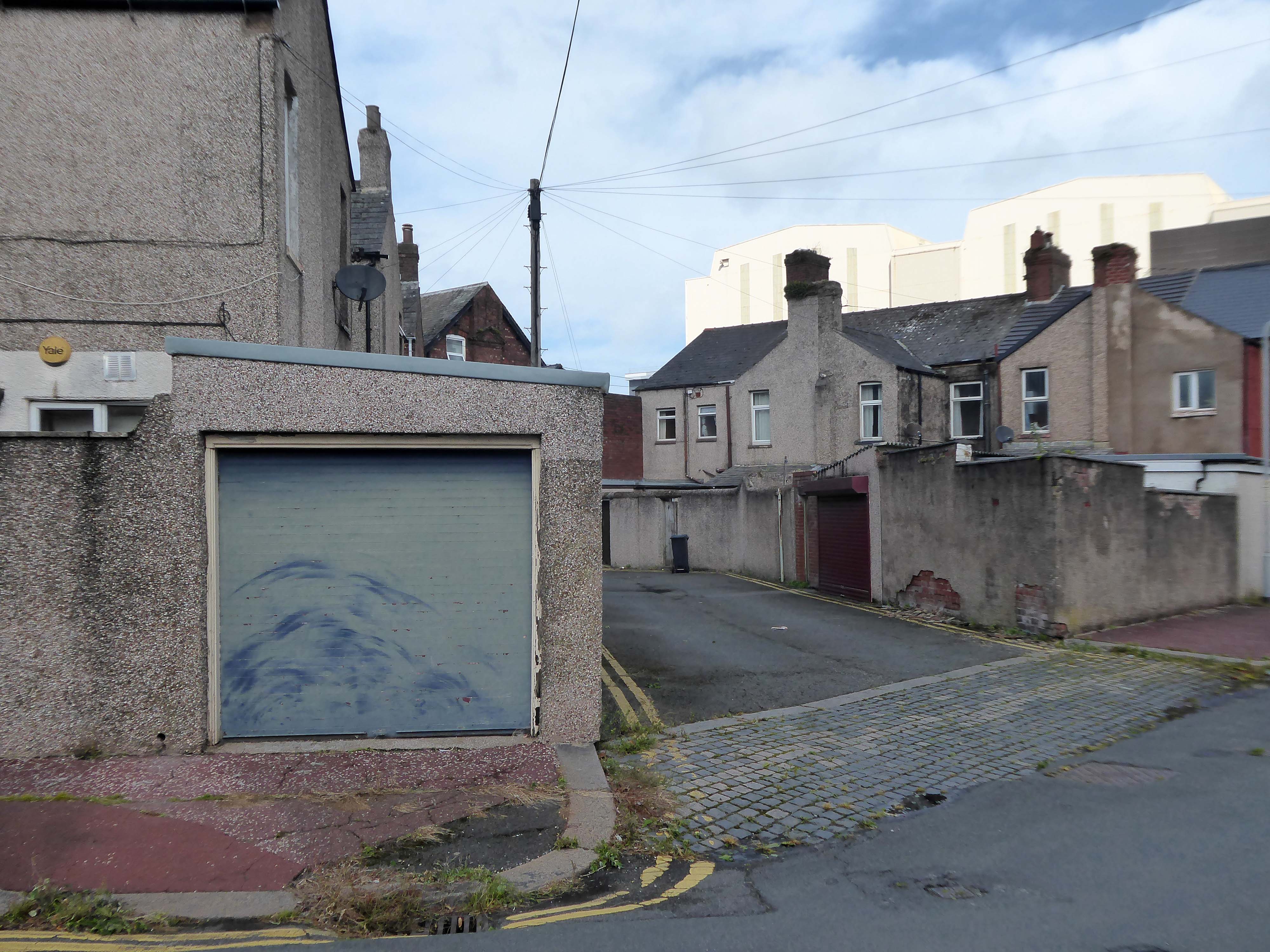
I had arrived in Barrow in Furness and taken to wandering the streets, hastily in search of nothing in particular.
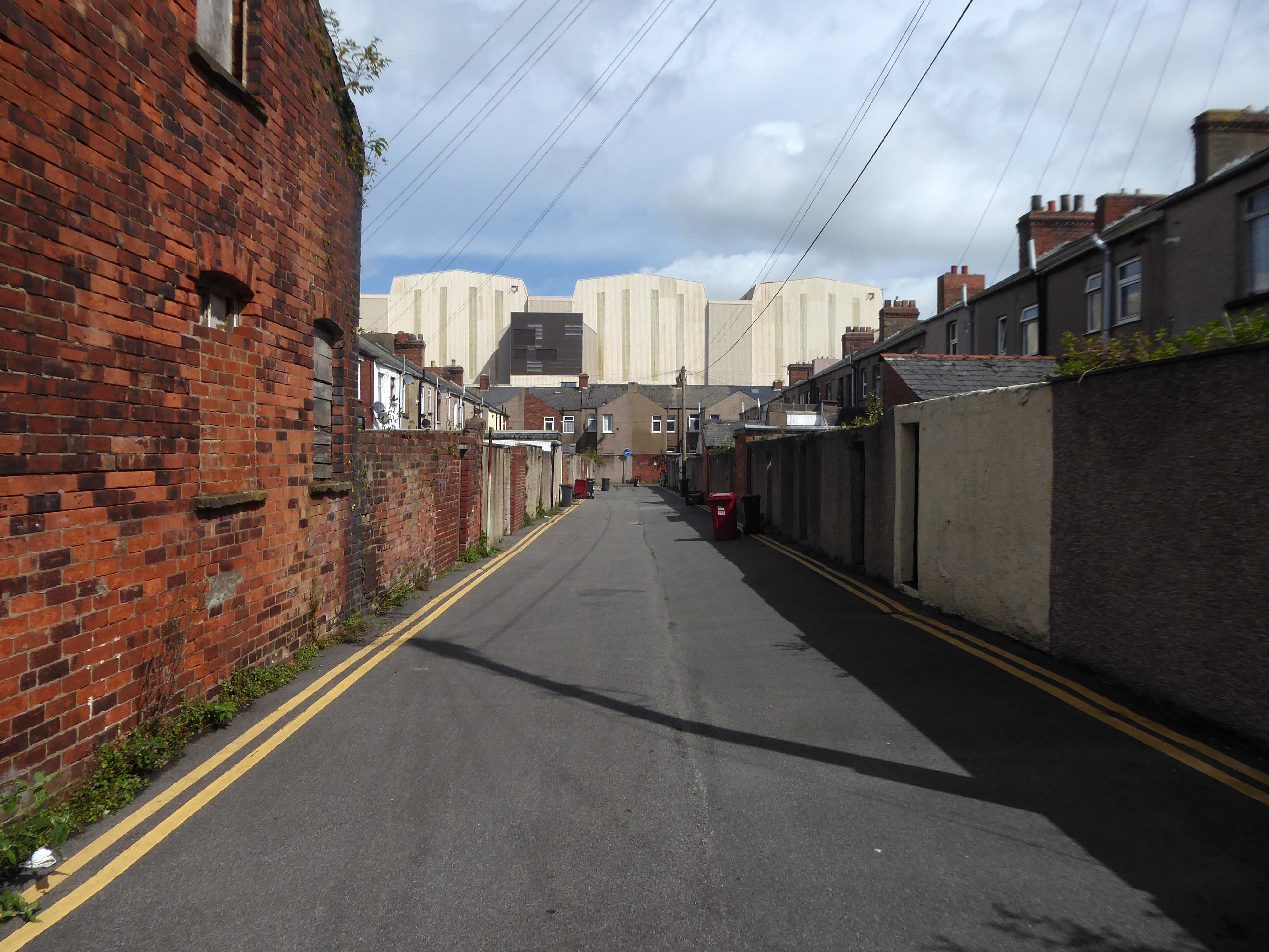
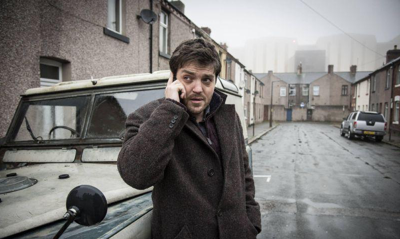
I came upon a neat triangle of terraced housing, which abutted the huge BAE Systems sheds.
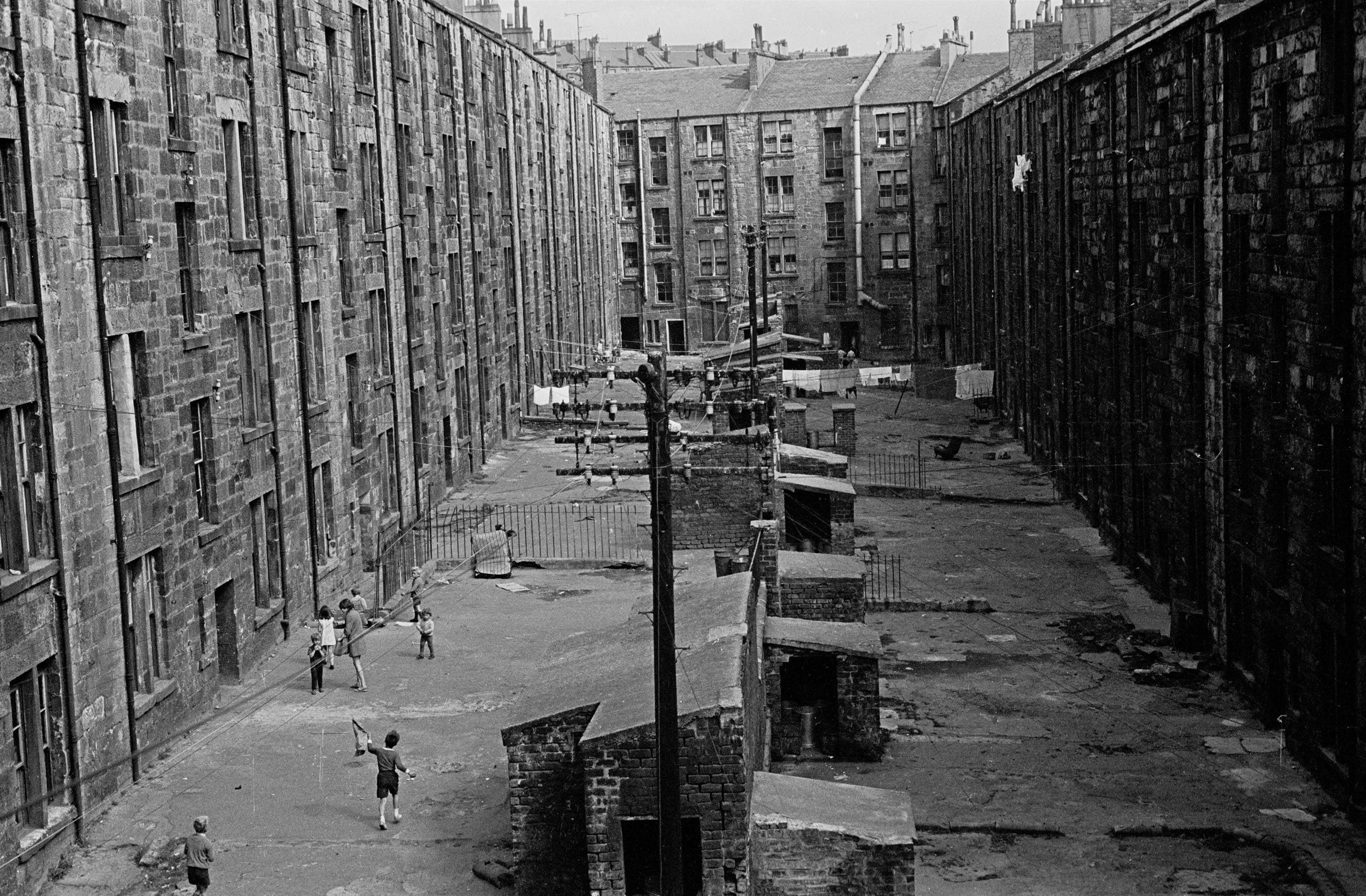
The collision of scale created by the low lying domestic buildings, and the gargantuan industrial nuclear submarine homes, immediately put me in mind of Chris Killip’s photographs.
He had recorded the last days of a dying industry, whilst the BAE contracts represent a long term lifeline to a once dying town.
The Ministry of Defence has awarded £3.95 billion of funding to BAE Systems for the next phase of the UK’s next-generation nuclear-powered attack submarine programme, known as SSN-AUKUS.
The funding follows the AUKUS announcement in March by the leaders of Australia, the UK and the United States. This will eventually see Australia and the UK operate SSN-AUKUS submarines, which will be based on the UK’s next generation design, incorporating technology from all three nations, including cutting-edge US submarine technologies.
Having started early design work in 2021, the £3.95bn funding will cover development work to 2028, enabling BAE Systems to move into the detailed design phase of the programme and begin to procure long-lead items. Manufacture will start towards the end of the decade with the first SSN-AUKUS boat due to be delivered in the late 2030s.
It has been said of Barrow: A rich mineral district was the cause, a railway was the effect, and an important manufacturing town the result.
The dramatic growth of Barrow-in-Furness in the late 19th and early 20th Centuries was fuelled by the ready availability of Furness iron ore. Significant investments were made in developing the town to exploit this resource. The various ironworks, steelworks, foundries, shipyards and docks required a huge influx of population to support them. This in turn led to the rapid building of rows of good quality mass-produced terraced housing for the workers, and substantial sandstone villas for the management.
I stopped to chat with a local lad – I had thought Barrow to be a hard town, he thought not.
There’s not much trouble, though we have hard times – how so?
The Tories – now my kids have all got jobs for the next twenty years.
There were no reported crimes in June 2024
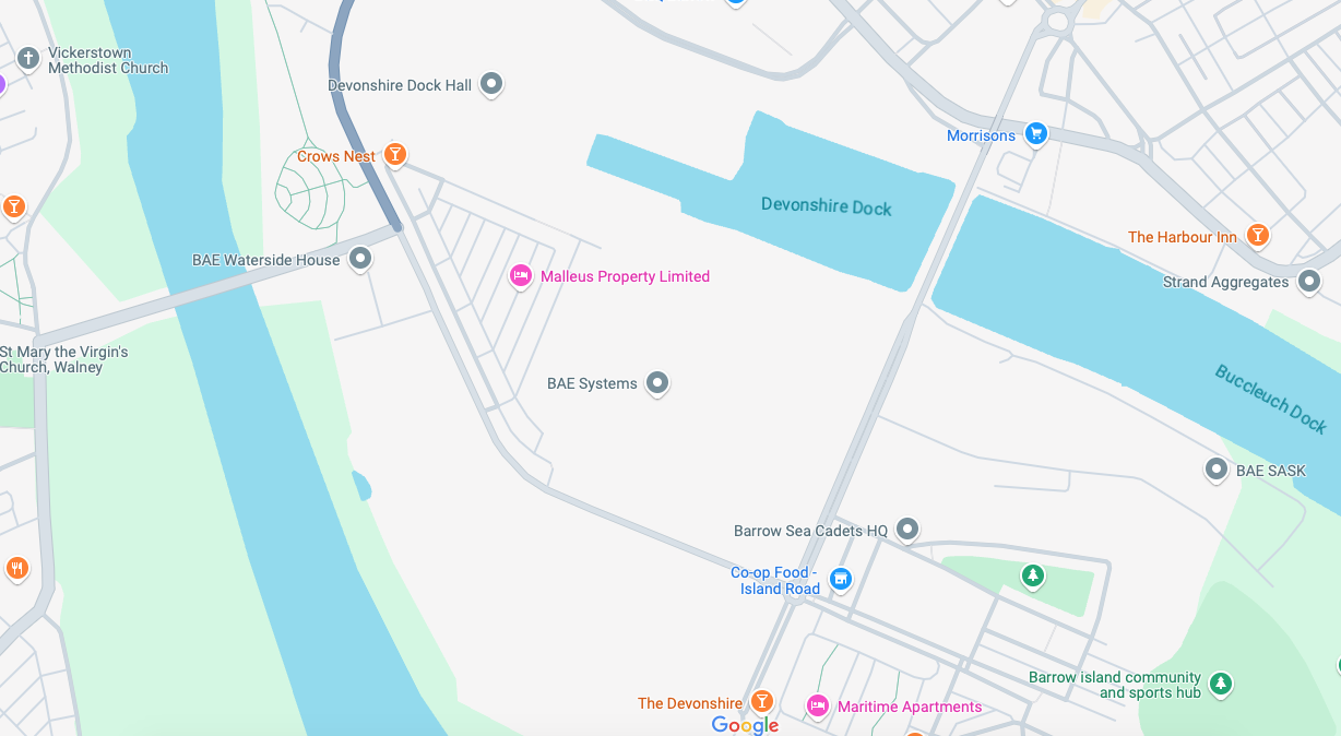
Devonshire Dock Hall is a large indoor shipbuilding and assembly complex that forms part of the BAE Systems shipyard.
Constructed between 1982 and 1986 by Alfred McAlpine plc for Vickers Shipbuilding and Engineering, DDH was built on land that was created by infilling part of Devonshire Dock with 2.4 million tonnes of sand pumped from nearby Roosecote Sands.
Opened in May 1888 it was described by the Barrow News as one of the best-appointed hotels in Barrow. From this start, Walton Lee, elected Town Councillor in 1886 envisaged an estate for the workers literally within spitting distance of their workplace.
A section of Career of Evil was filmed at The Crow’s Nest.
Barrow shipyard’s Devonshire Dock Hall, The Crow’s Nest pub, Barrow Island streets, including Stanley Road and Stewart Street, and Michaelson Road Bridge, all featured in episode one of Career of Evil on Sunday night.
The Ferodo Factory was founded in Caernarfon in 1962, and officially opened by Princess Margaret.
However, the Ferodo Factory faced a significant setback in April 2001, when a lengthy industrial strike by the Transport and General Workers Union members began.
The strike lasted for an astonishing two and a half years.
Following the strike, the Ferodo Factory underwent a change in ownership. Bluefield Caernarfon Ltd acquired the site in 2007/08, with plans for redevelopment and revitalization. However, these plans did not come to fruition, and the factory’s buildings gradually fell into disrepair.
The site was identified as a potential location for a multi-million pound North Wales prison. This development would have created numerous job opportunities and breathed new life into the area.
Plans for this proposed redevelopment where rejected.
An appeal was launched in 2023 to find ex-strikers, in order to invite them to the premiere of a documentary to mark the 20th anniversary of one of Britain’s longest industrial disputes.
The hard-hitting film, Y Lein: Streic Friction Dynamics – The Line: Friction Dynamics Strike, has been made by Dïon Wyn, the grandson of one of the strikers, Raymond Roberts, who was determined the historic injustice should never be forgotten.