The obvious place for the A664 to start is on the A665 Manchester & Salford Inner Relief Route, which at this point is actually two parallel one-way streets. However, many maps show the road continuing a short distance into the city centre to end at traffic lights by the Shudehill Interchange – this is presumably for historic reasons: the road originally continued along the High Street to its terminus on the A6 Market Street.
The road heads northeastwards through the suburbs, the street name Rochdale Road, already emphasising its destination. Initially dual, the road narrows just before crossing the bridge over the railway line east of Victoria station. It continues through Collyhurst and widens again just before crossing the A6010 Intermediate Ring Road, which here is made up of two parallel one-way streets, requiring two separate sets of traffic lights to cross.
Now non-primary – but still dual for a short distance more, the road runs in a more northerly direction through Blackley, where it becomes wooded for a short distance as it passes the Boggart Hole Clough park. Slightly further on the road has been straightened, after which it bears right to widen considerably and cross the A6104 at traffic lights just before M60 J20, which only has west-facing sliproads. The road narrows again on the far side of the motorway and leaves Manchester for Rochdale at the same point.
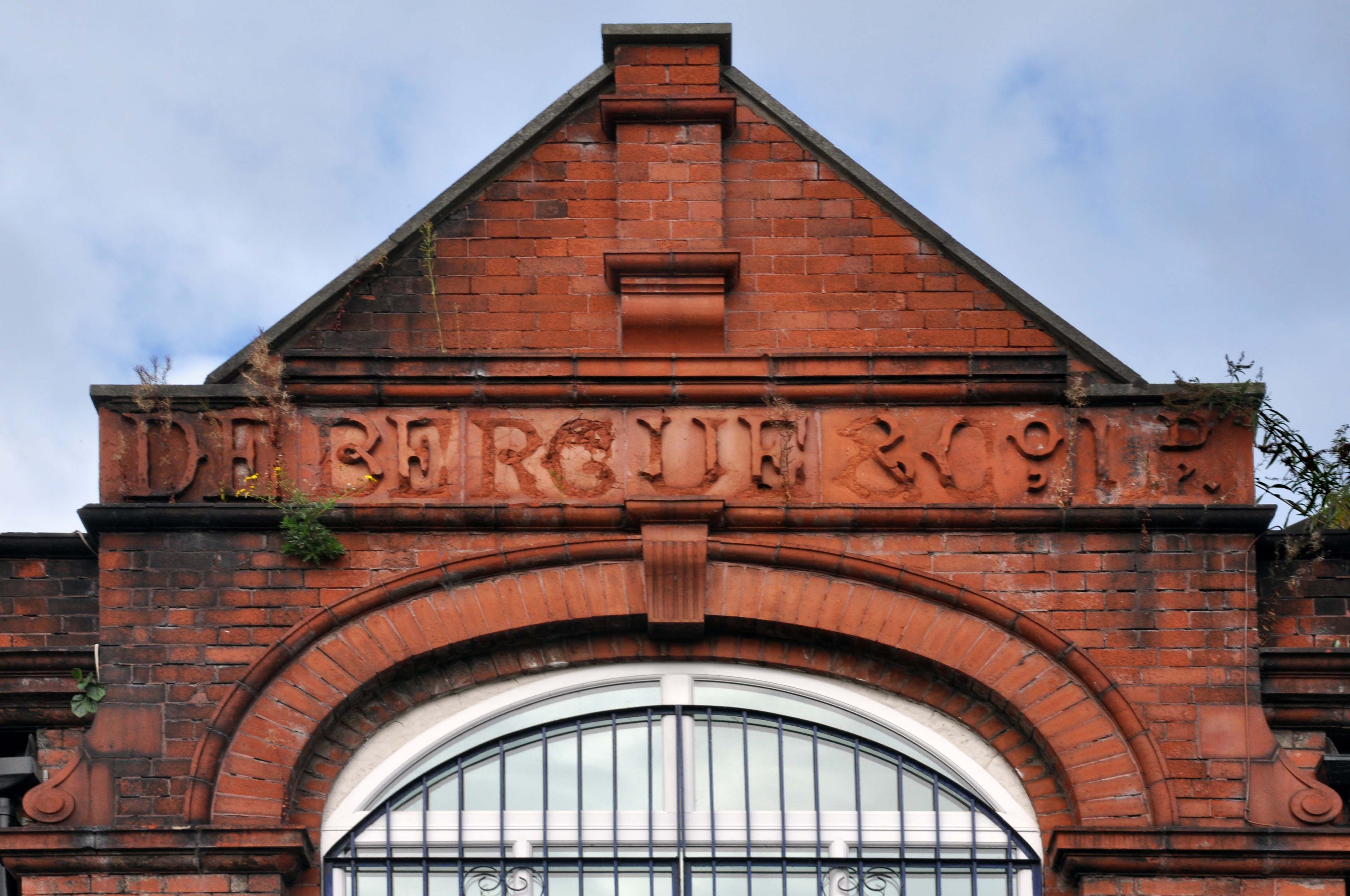
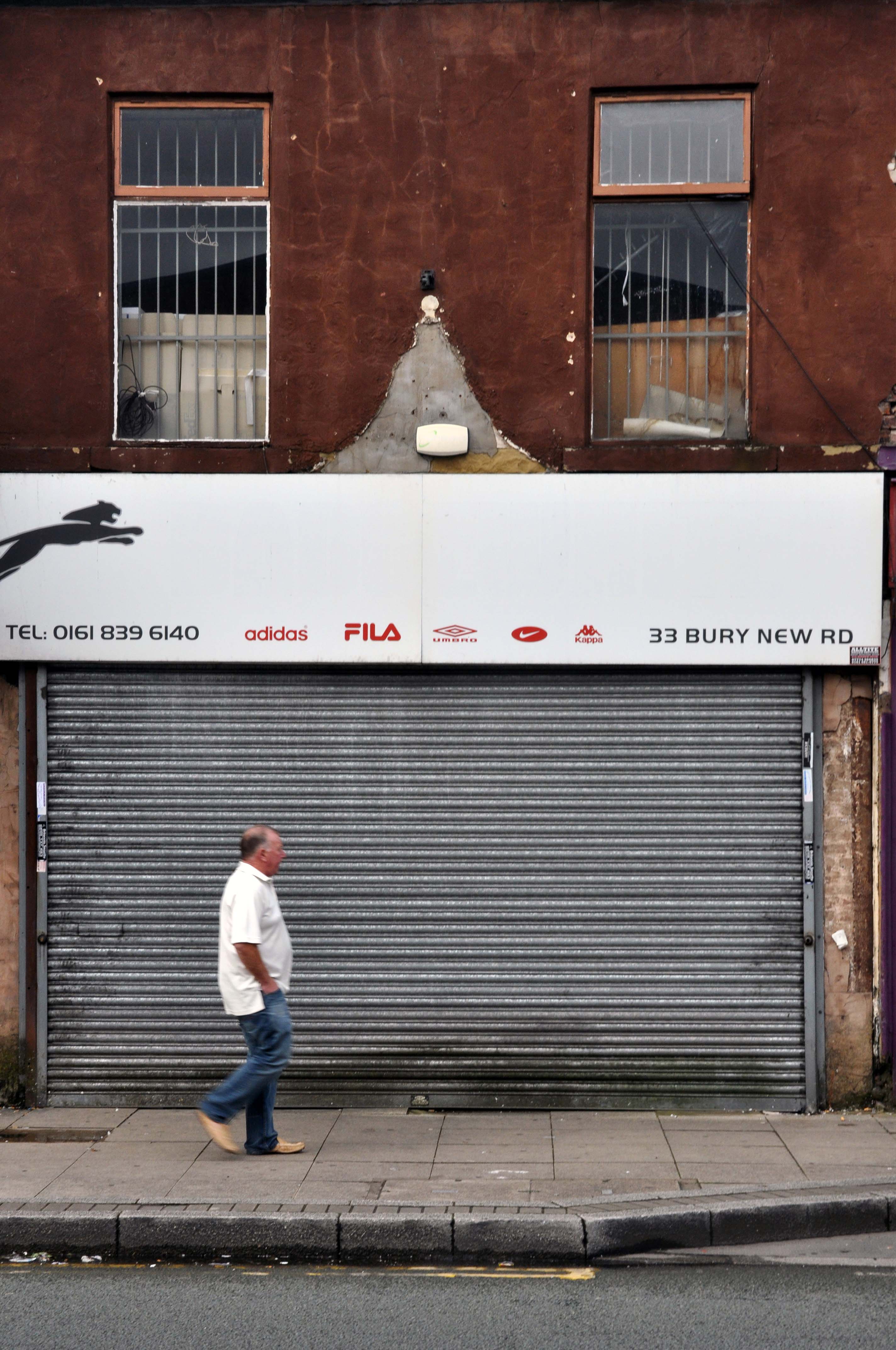
Cheetham Hill Road is part of the designated A665. Cheetham Hill Road starts at the junction of the A6042 Corporation Street and the A665 Miller Street. It crosses the culverted River Irk to the east of Victoria Station. At its junction with New Bridge Street, it turns north-northeast and is straight for 1 km, to the A6010 Queen’s Road . This stretch was called York Street until about 1900. Cheetham Hill Road leads from here to the community of Cheetham Hill, where at Bourget Street and Crescent Road – formerly Sandy Lane, Cheetham Hill Road becomes Bury Old Road.
First crossing the M60 Manchester Outer Ring Road at Junction 7 into Stretford.
The A56 takes the name of Chester Road and continues north-eastwards through Stretford and Hulme into Manchester city centre, where it takes on the name Deansgate, one of Manchester’s main shopping streets and thoroughfares. At the end of Deansgate, the A56 takes on the name of Victoria Street as it passes Manchester Victoria railway station. Since 2012, most of Victoria Street has been pedestrianised with planters, but the road markings still remain underneath.
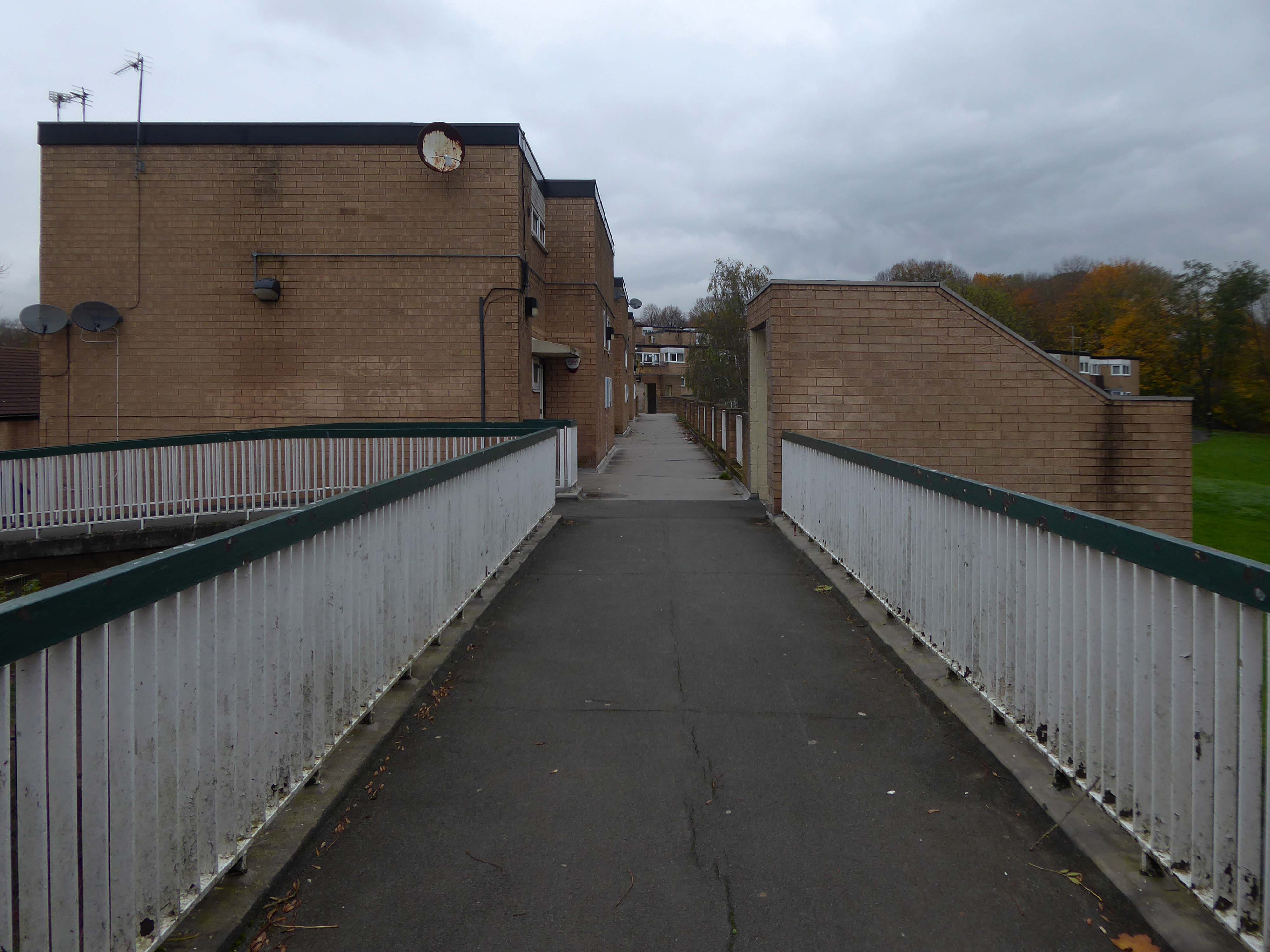
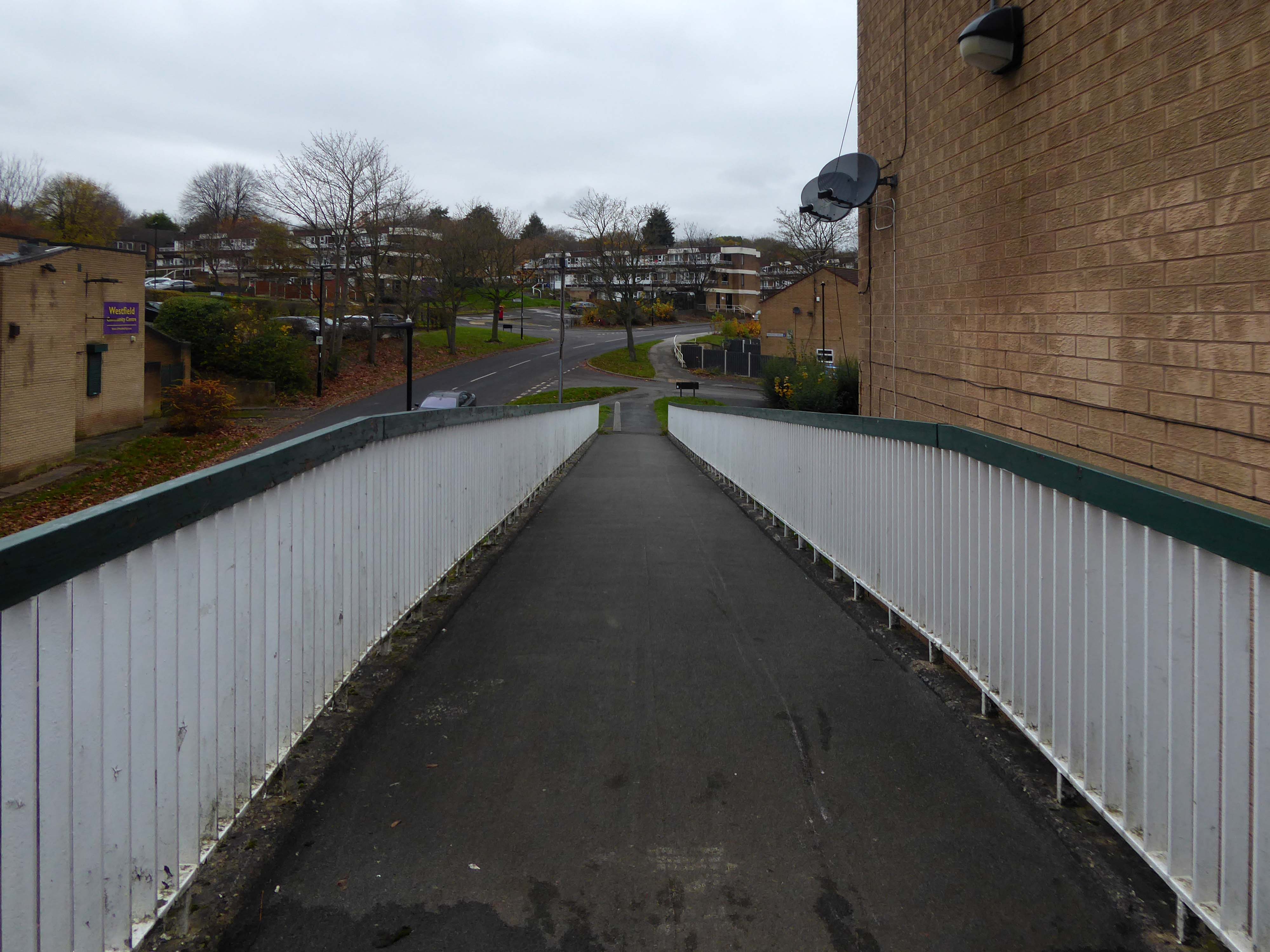
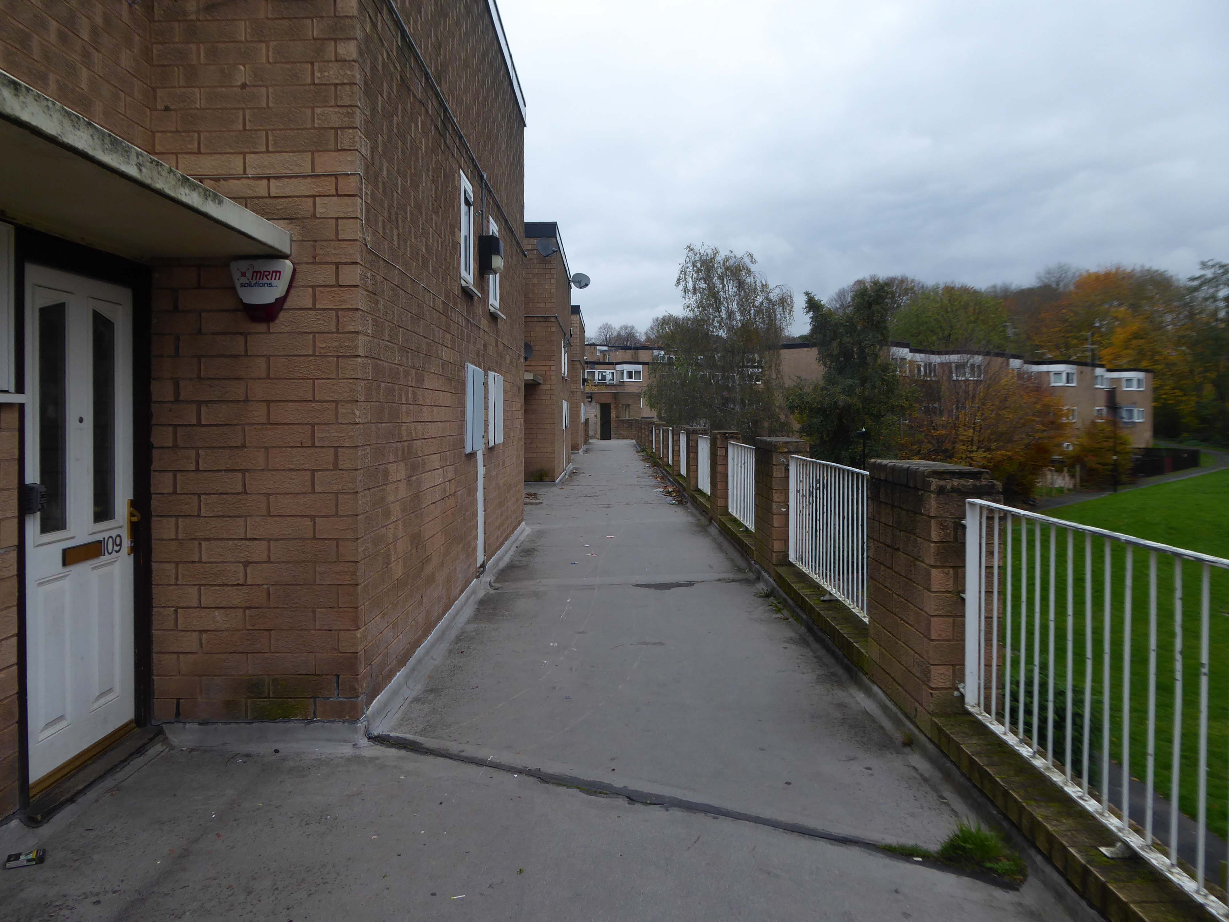
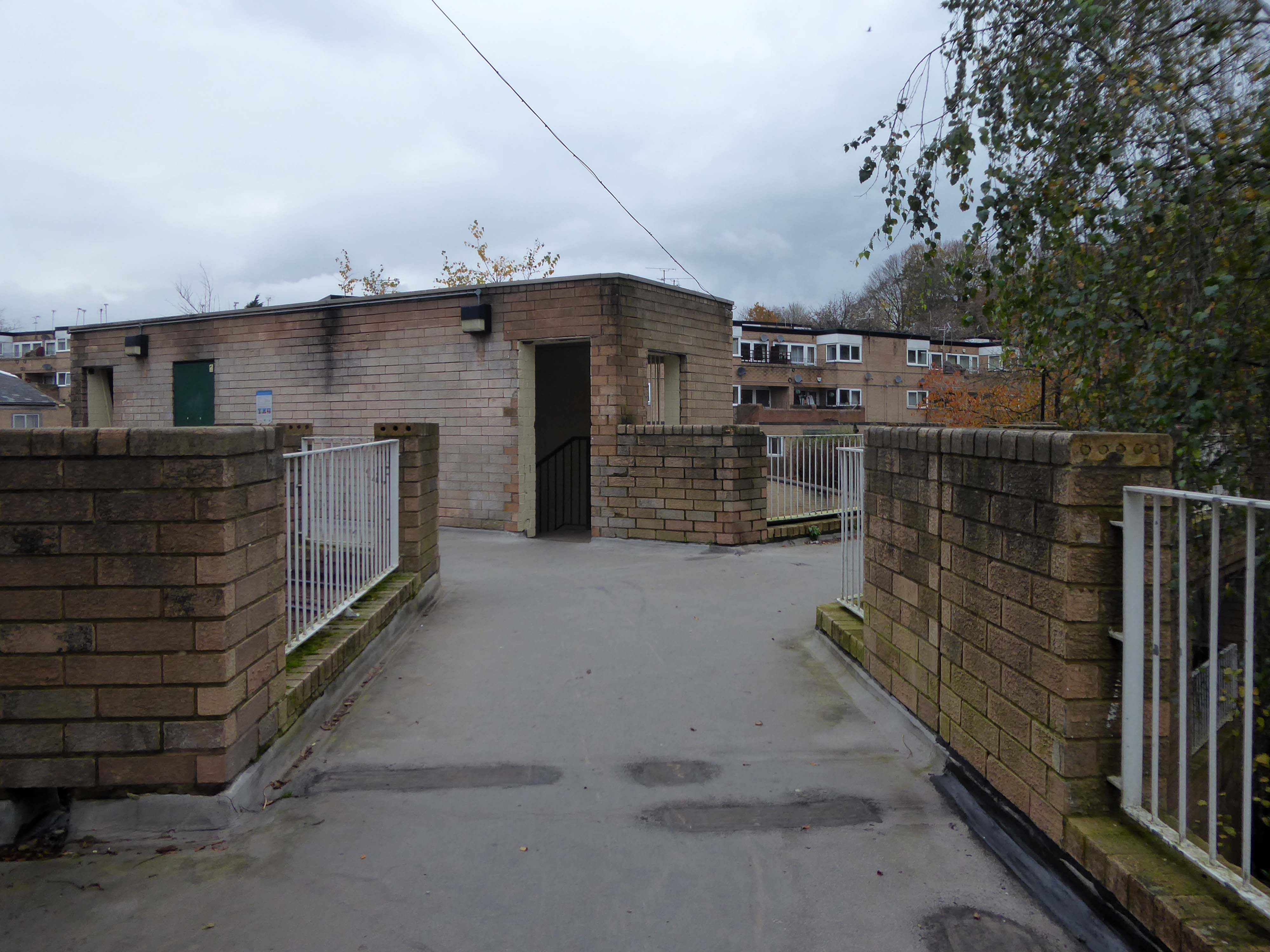
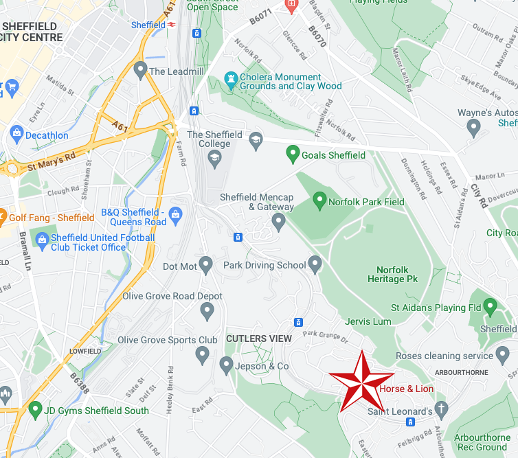
On the day, I was eager to visit the Westfield Estate for the first time.
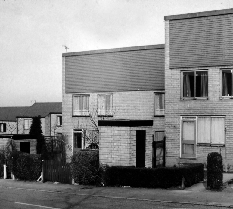
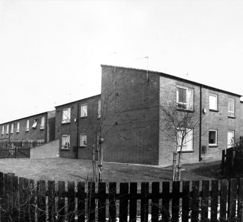
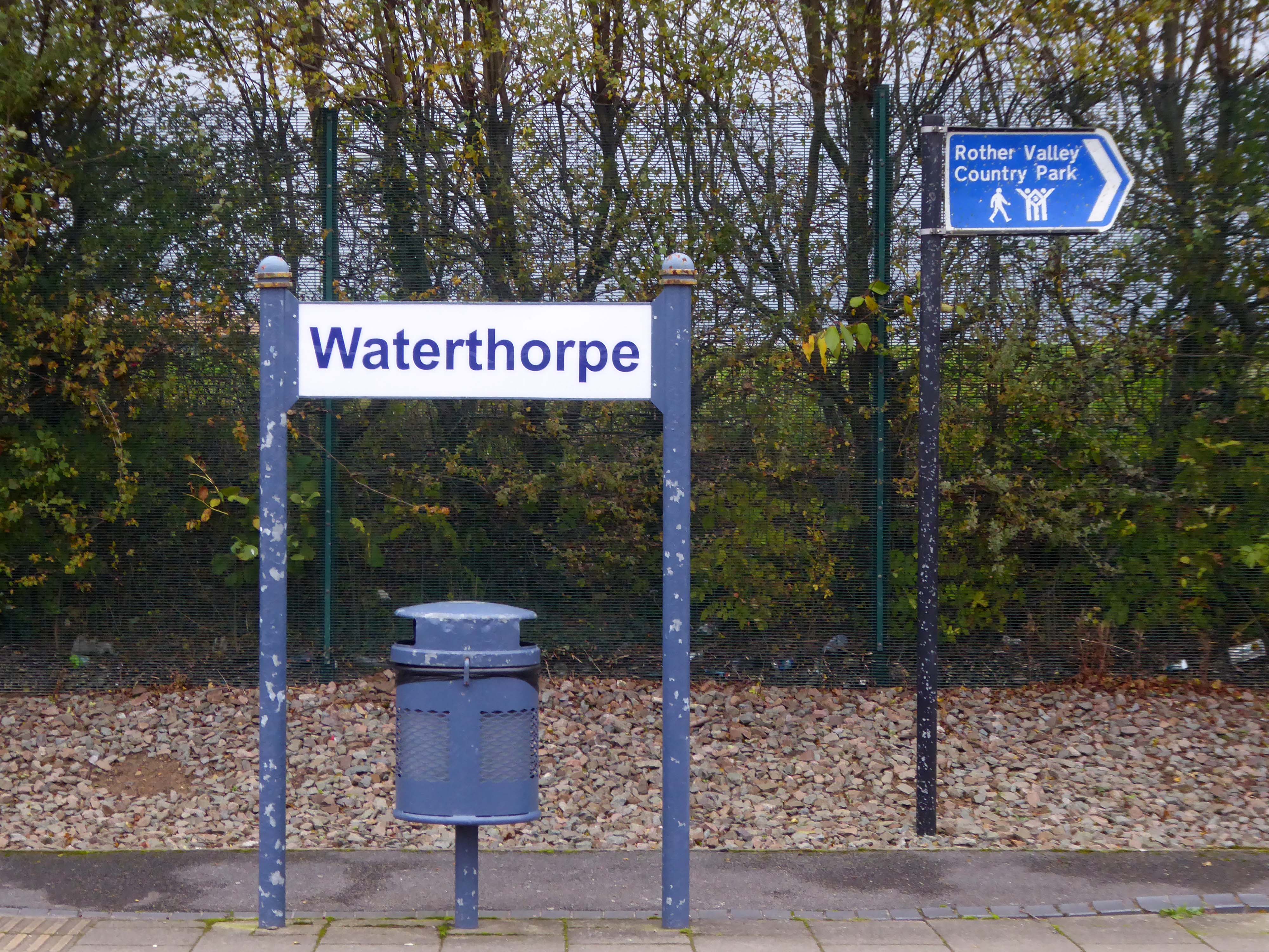
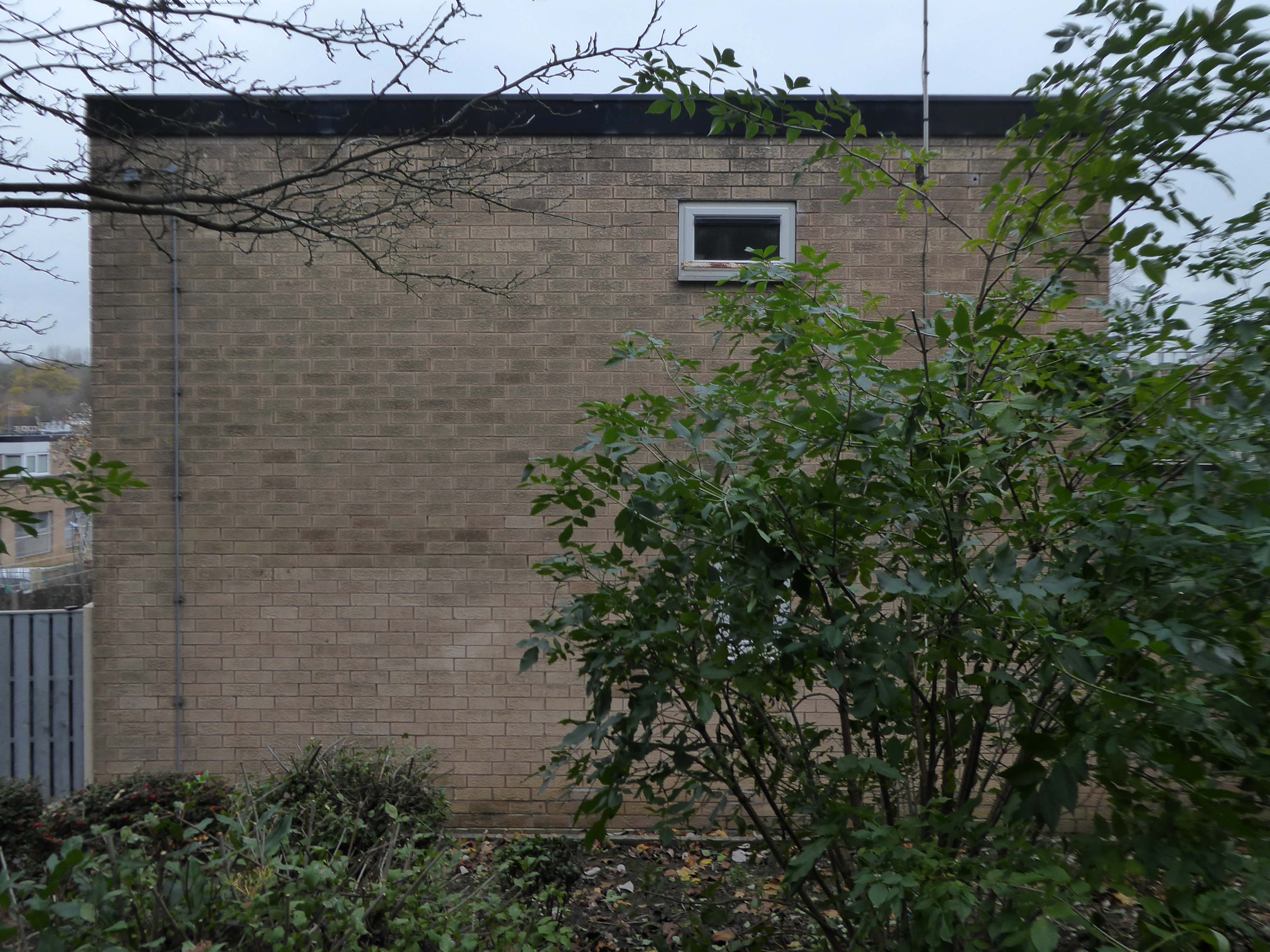
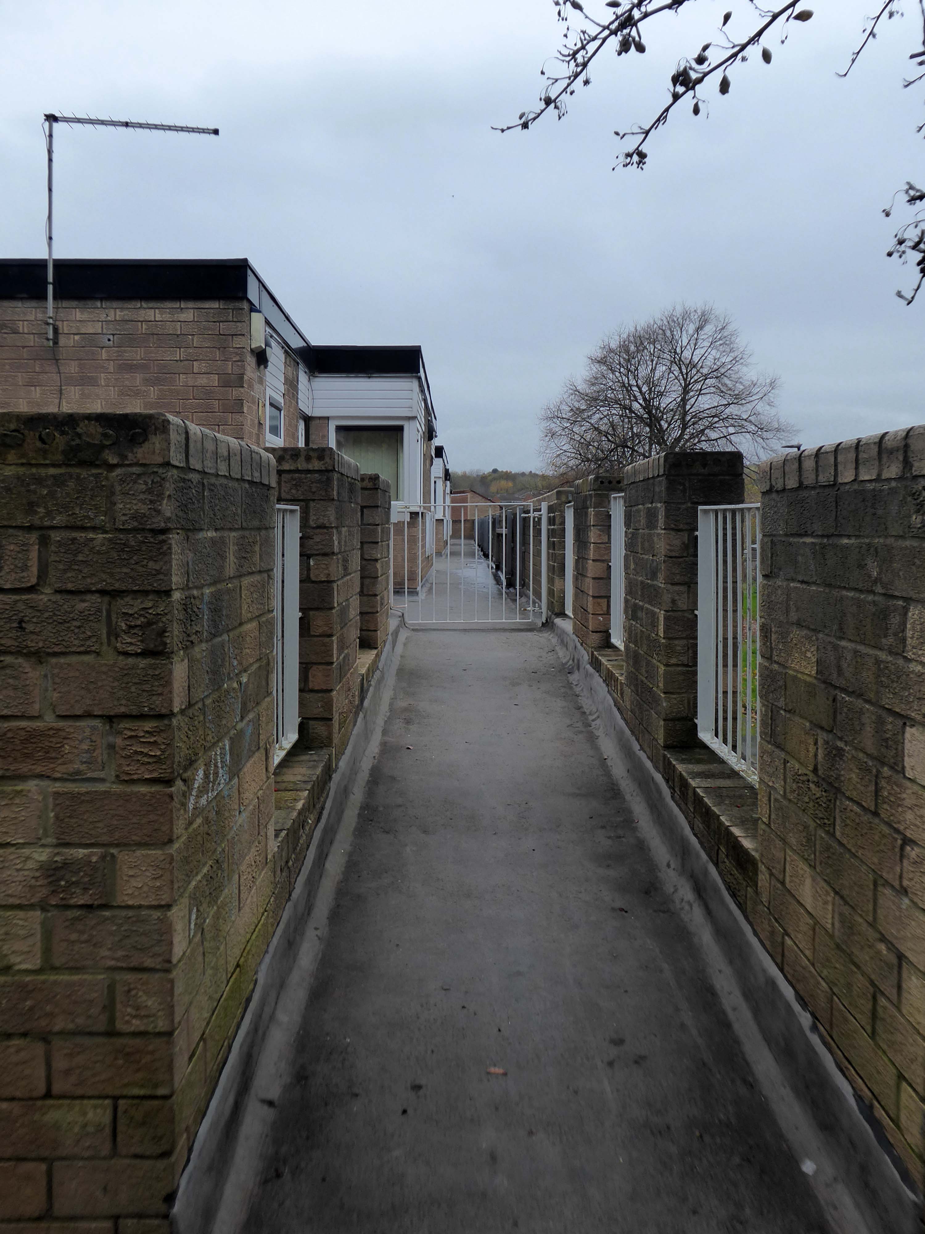
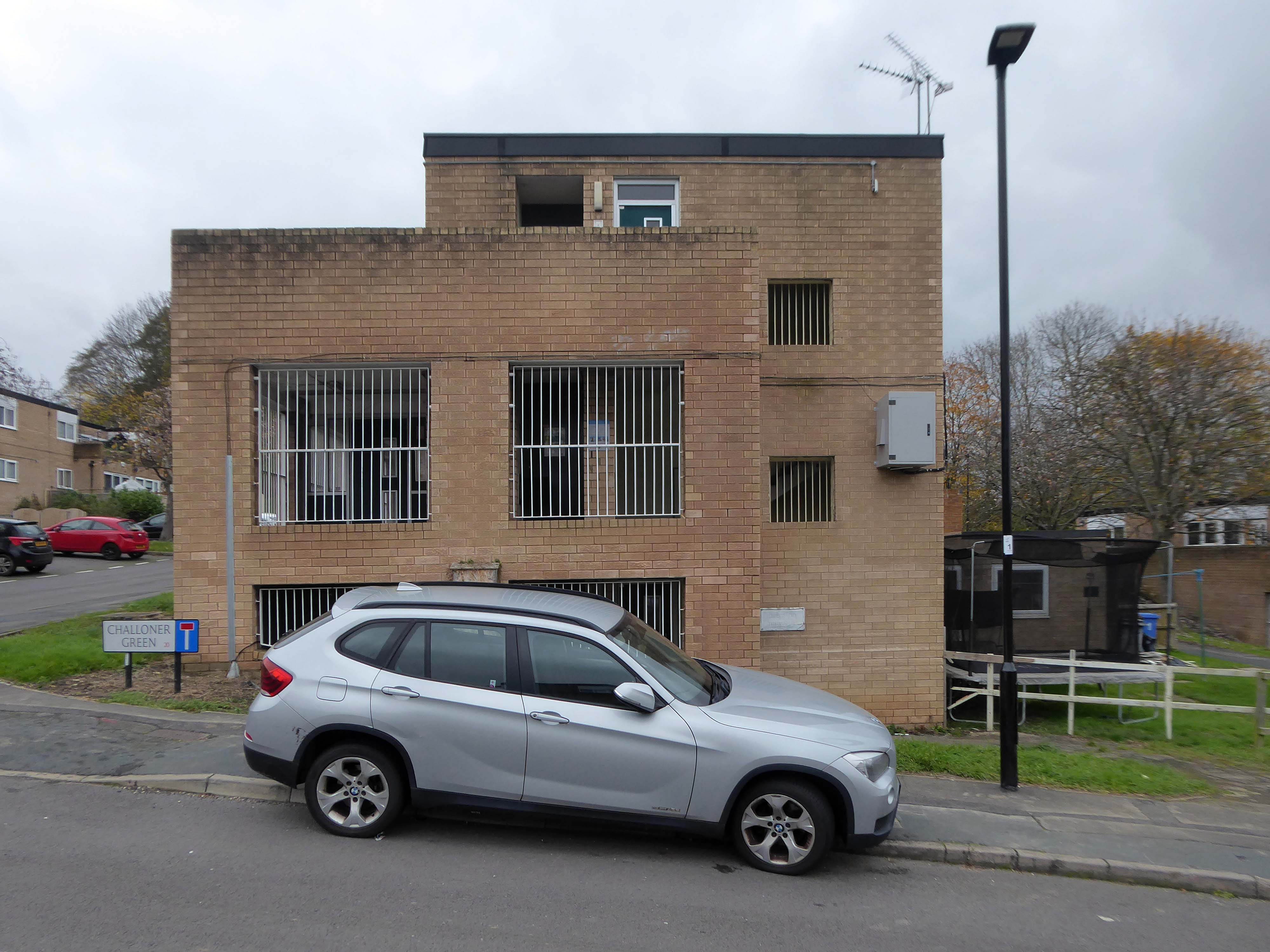
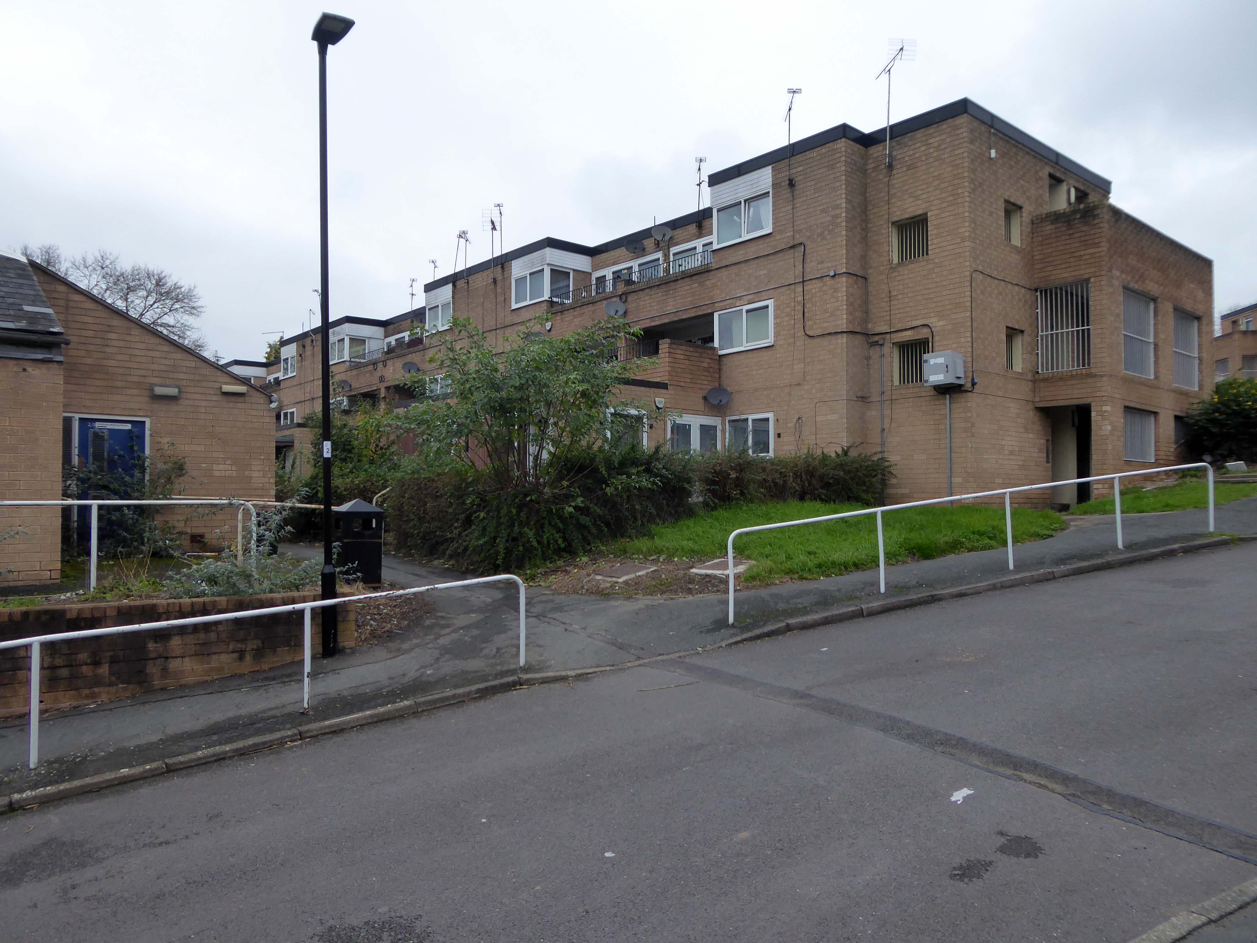
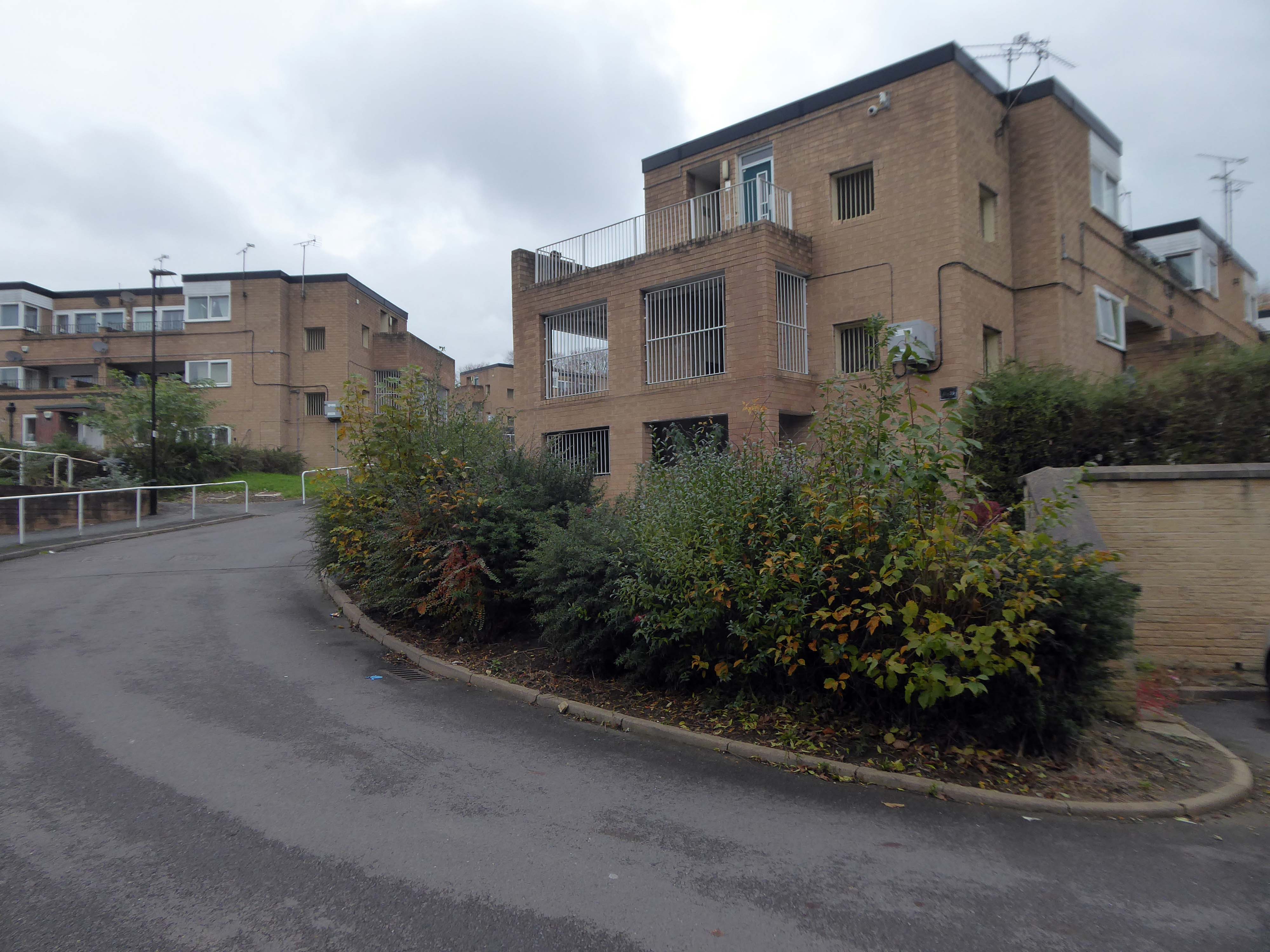
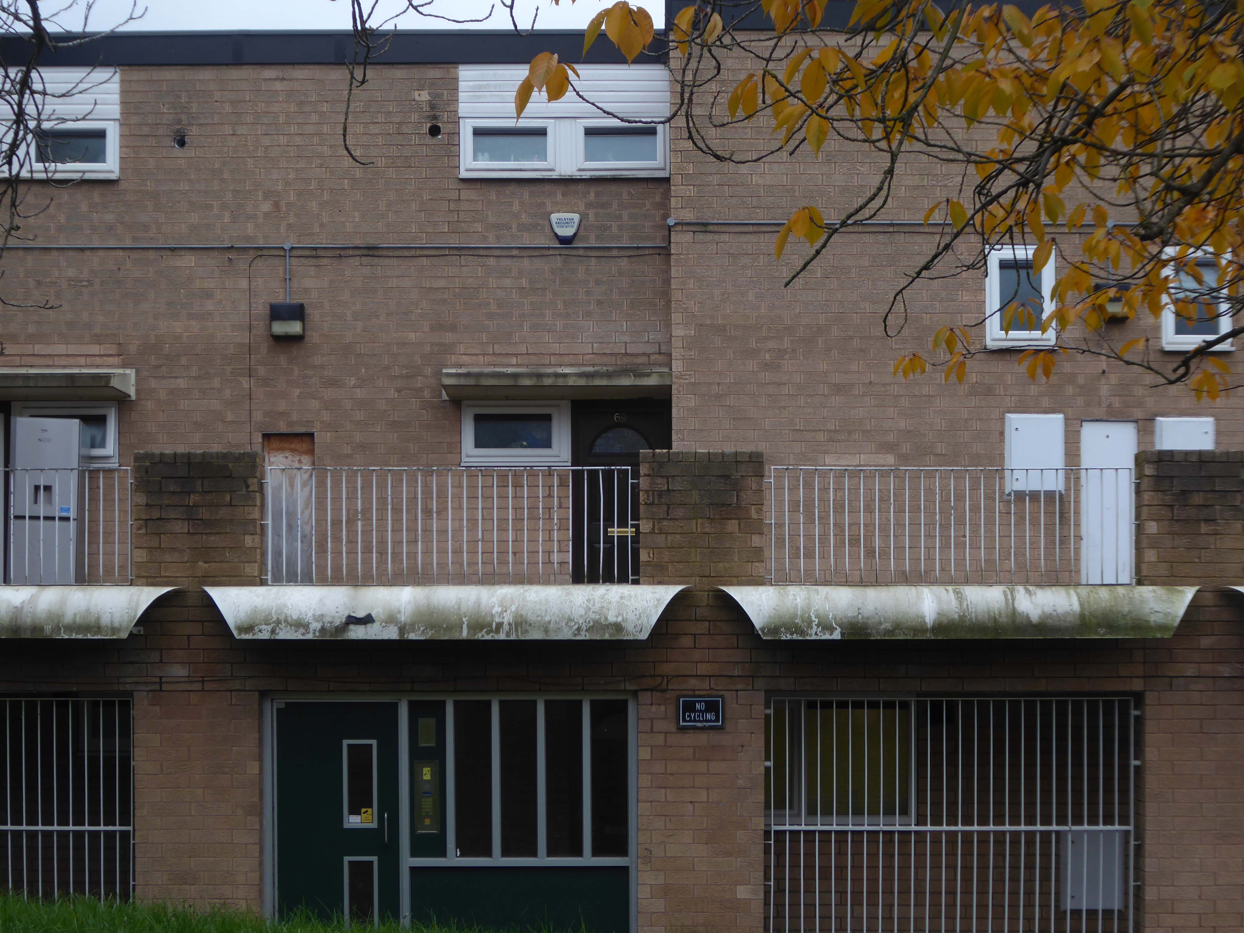
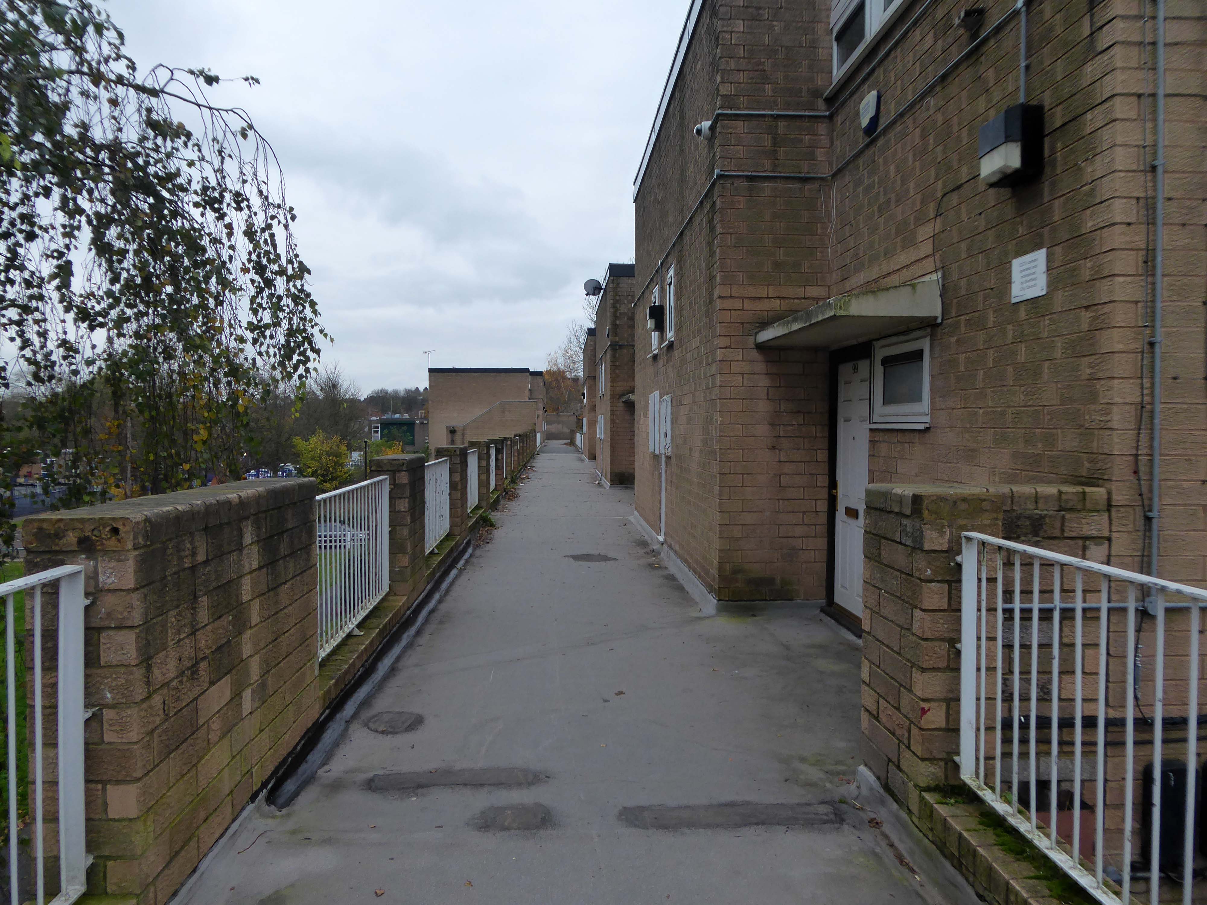
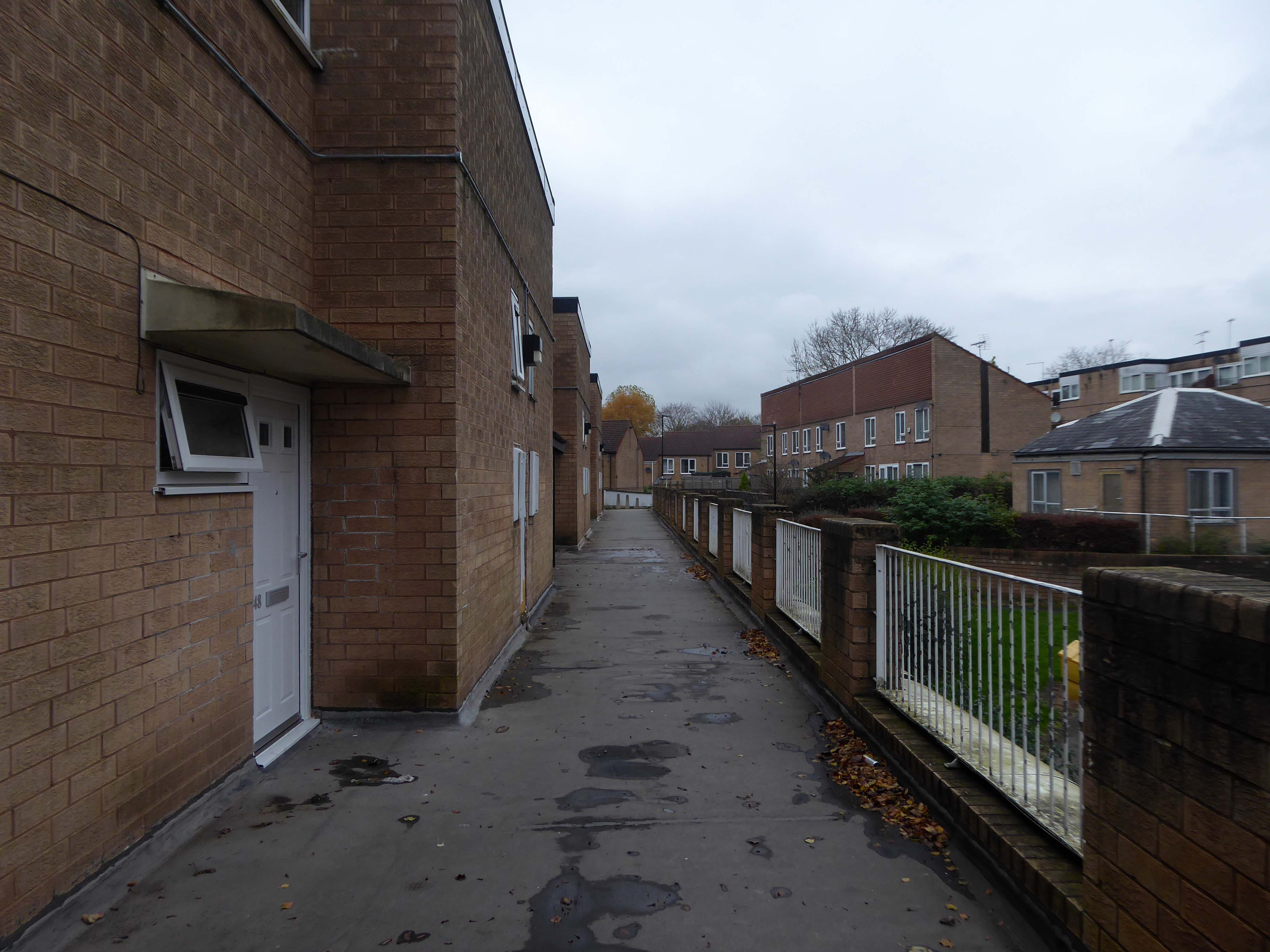
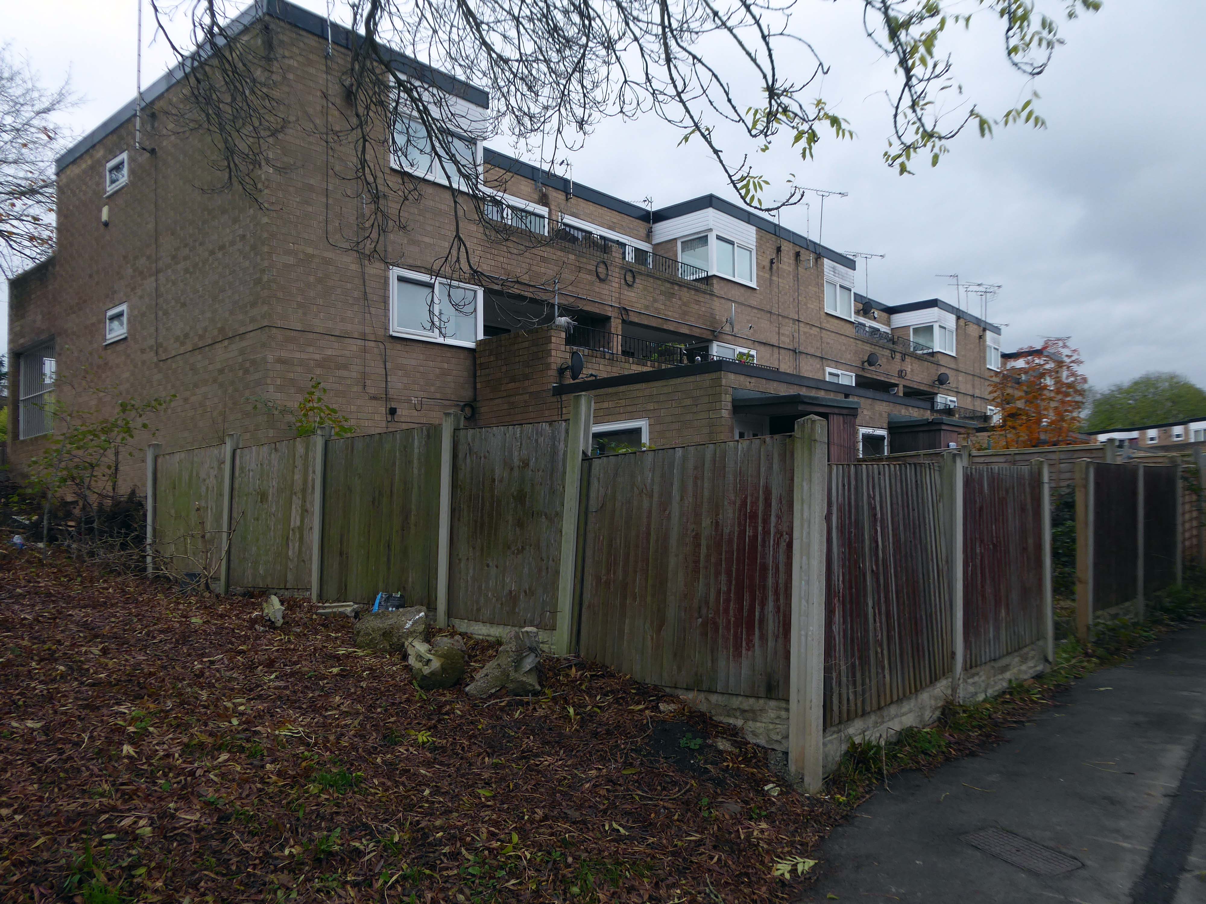
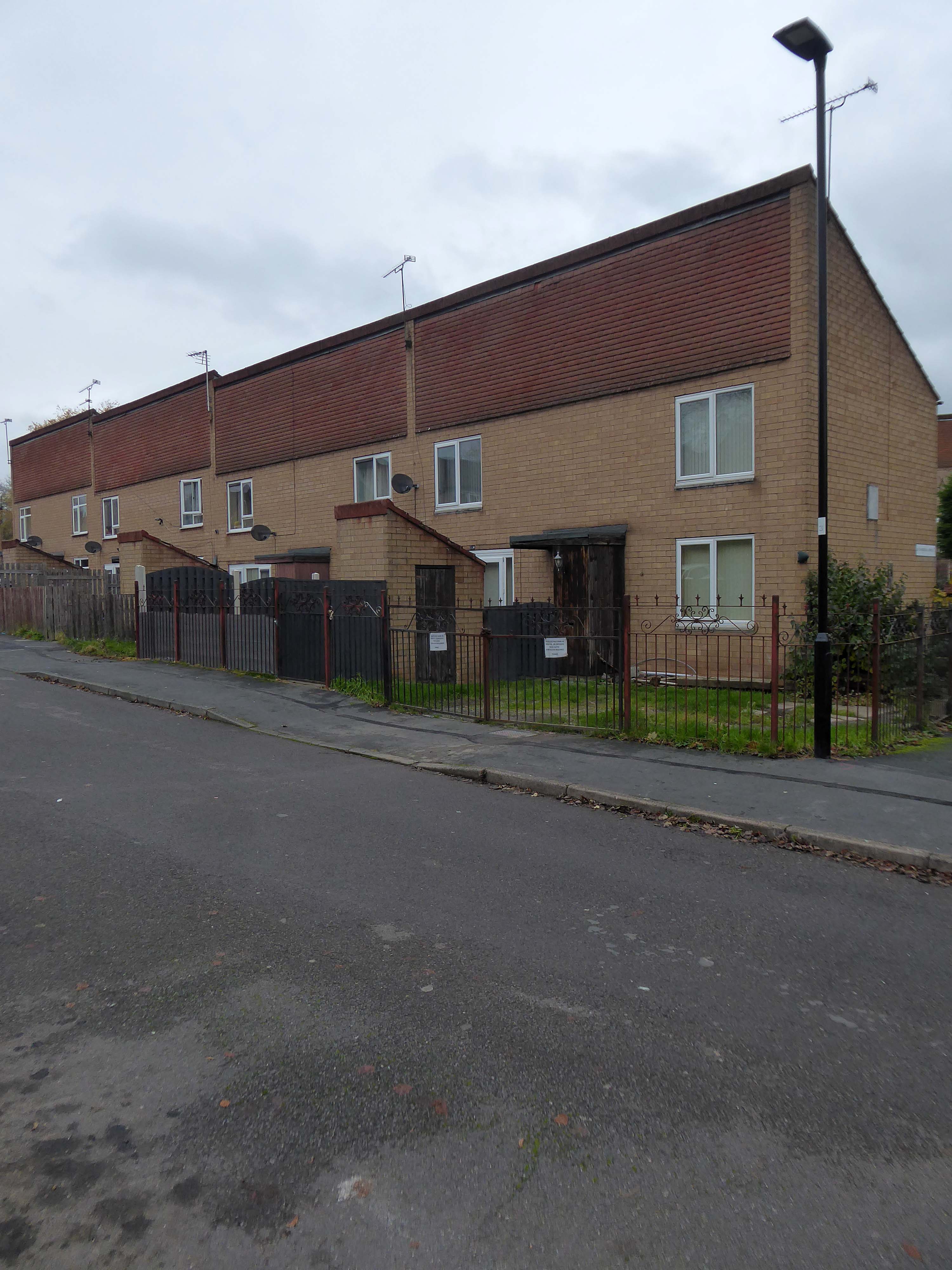
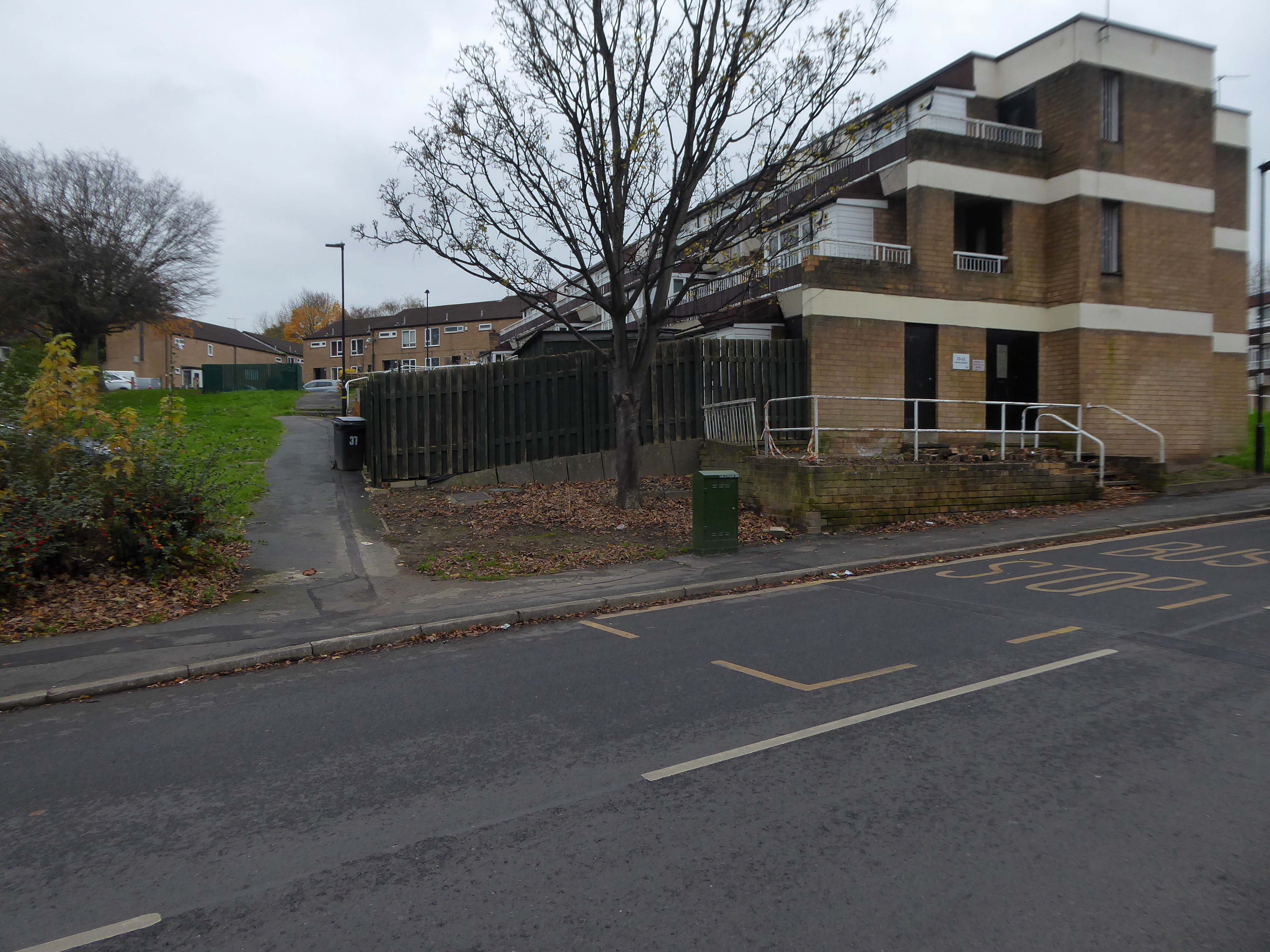
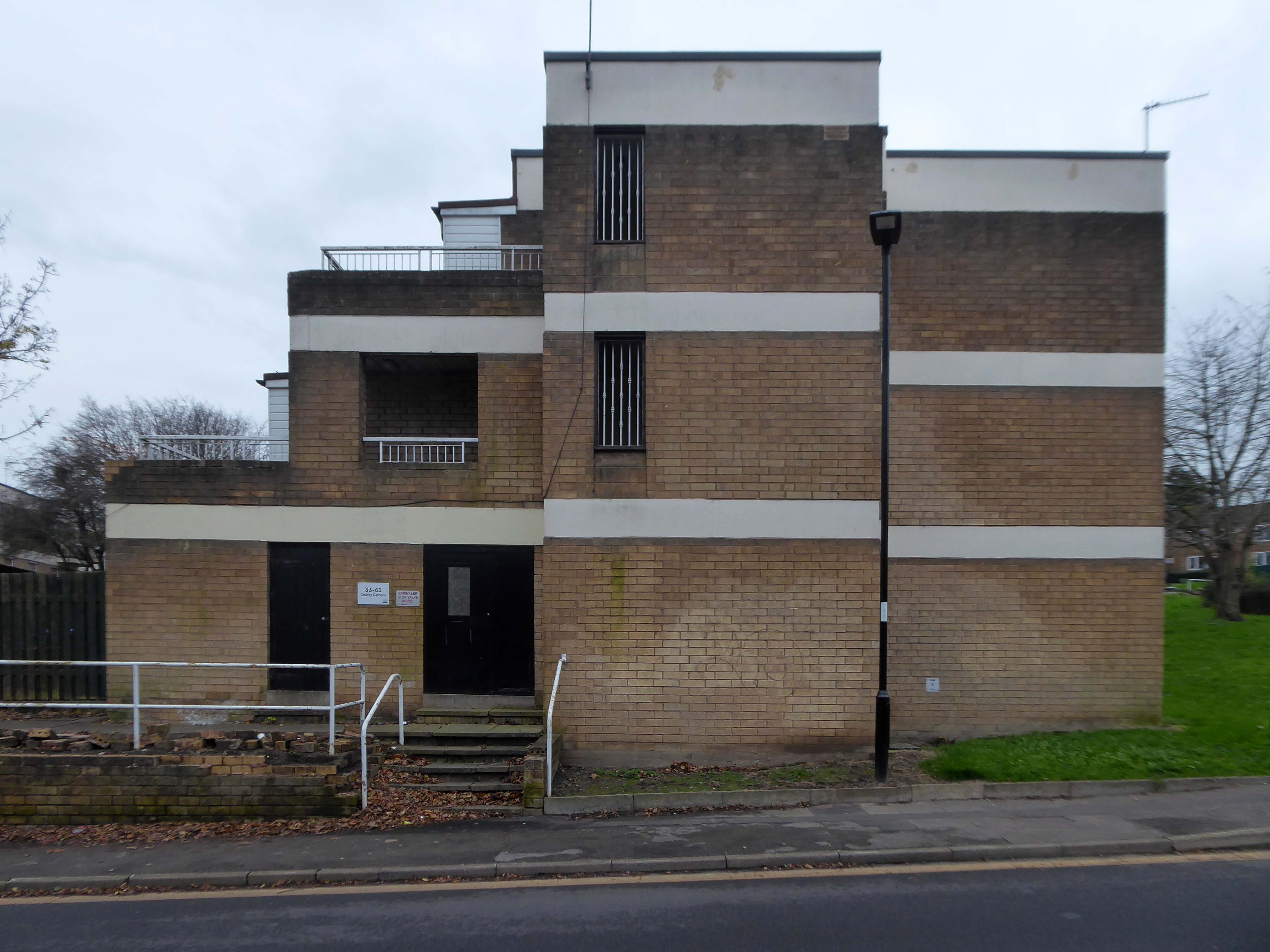
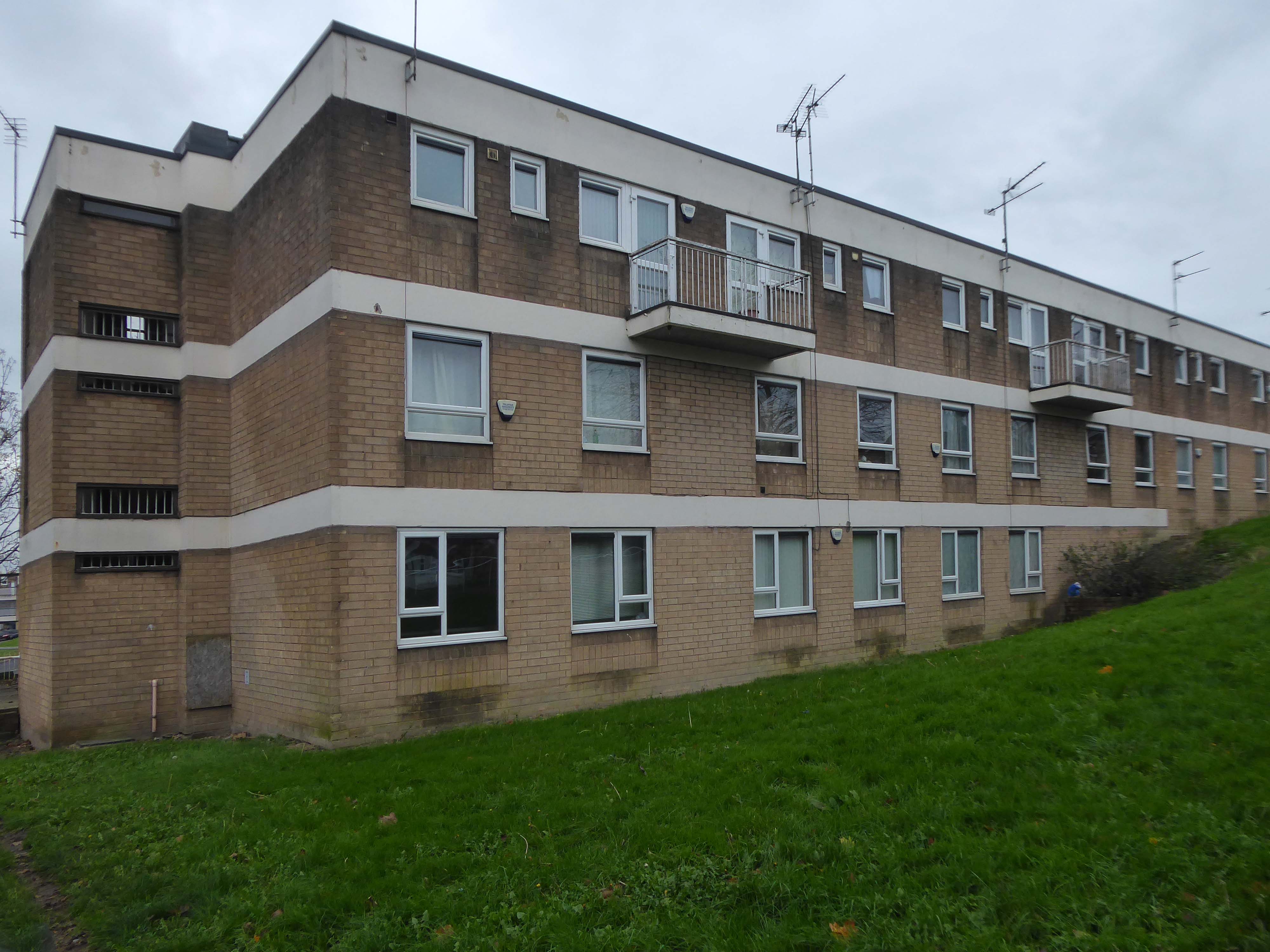
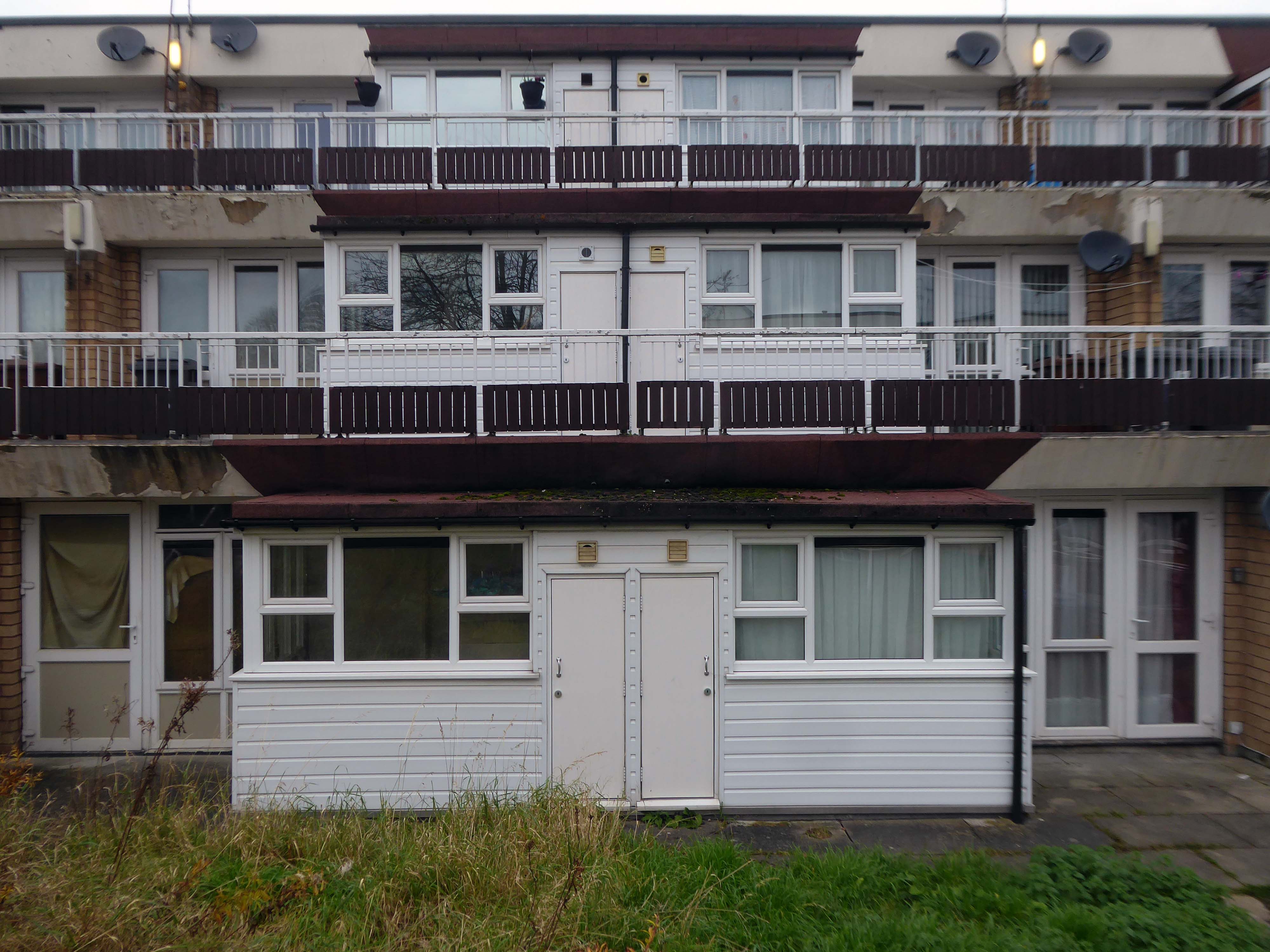
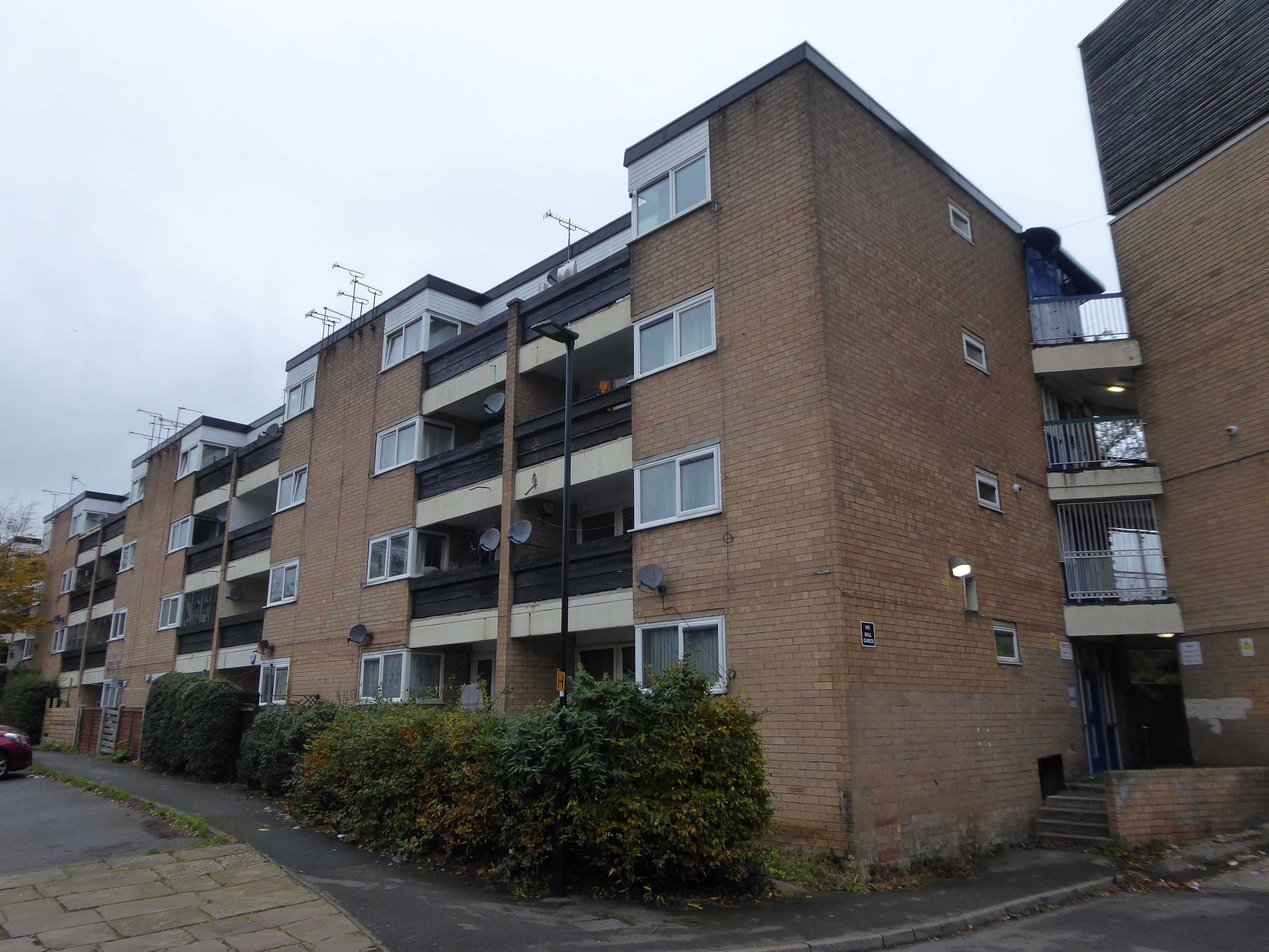
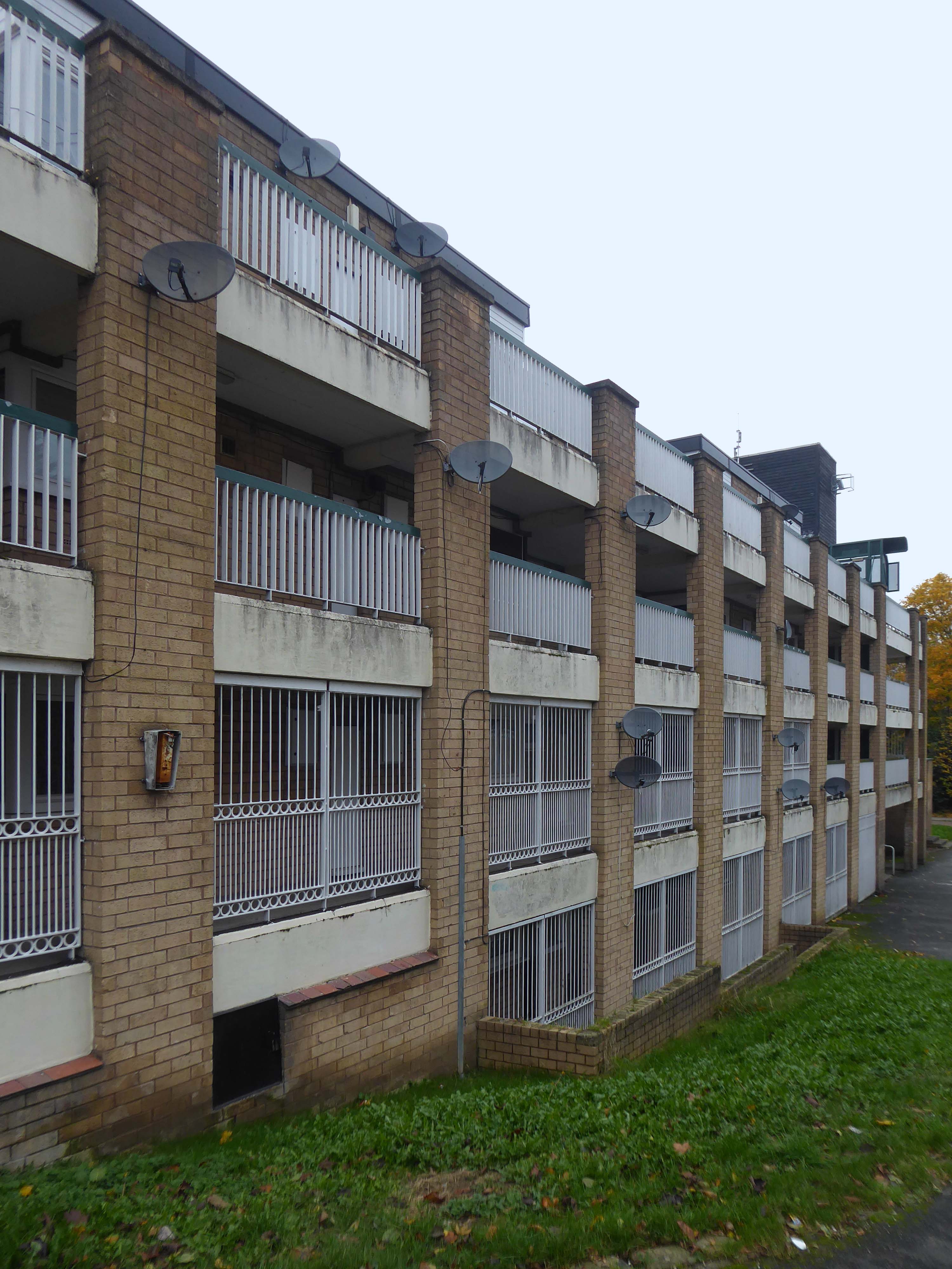
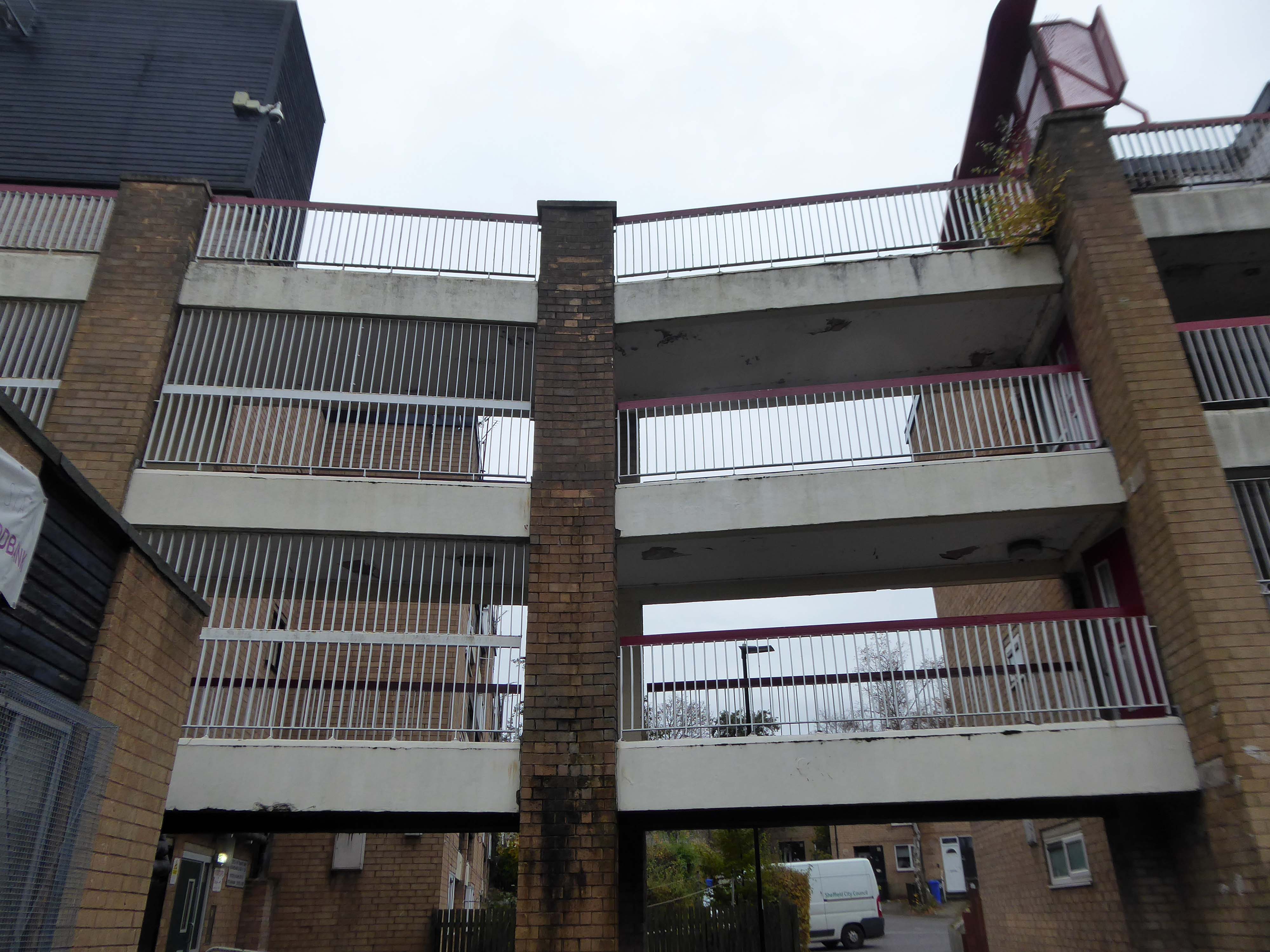
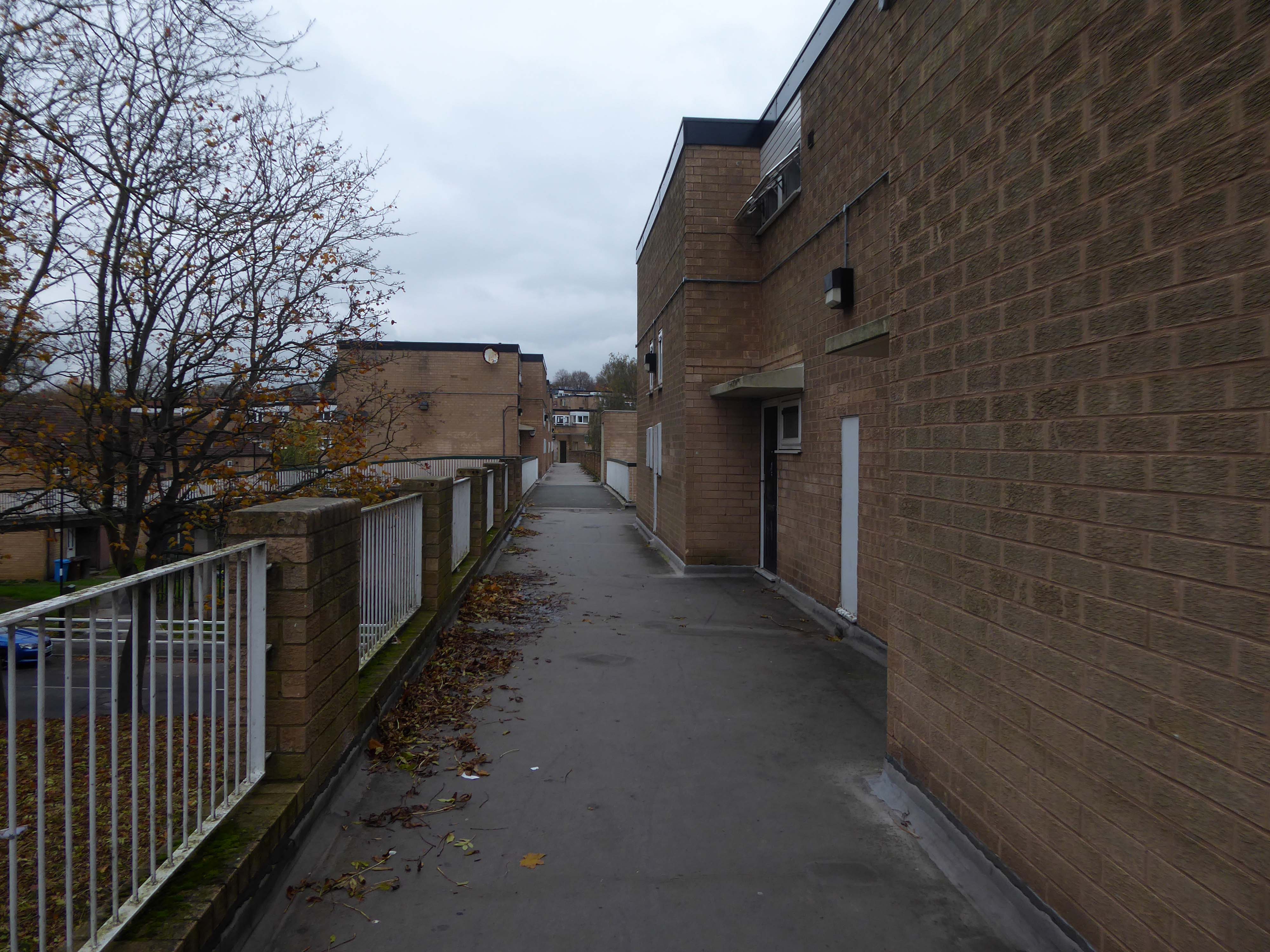
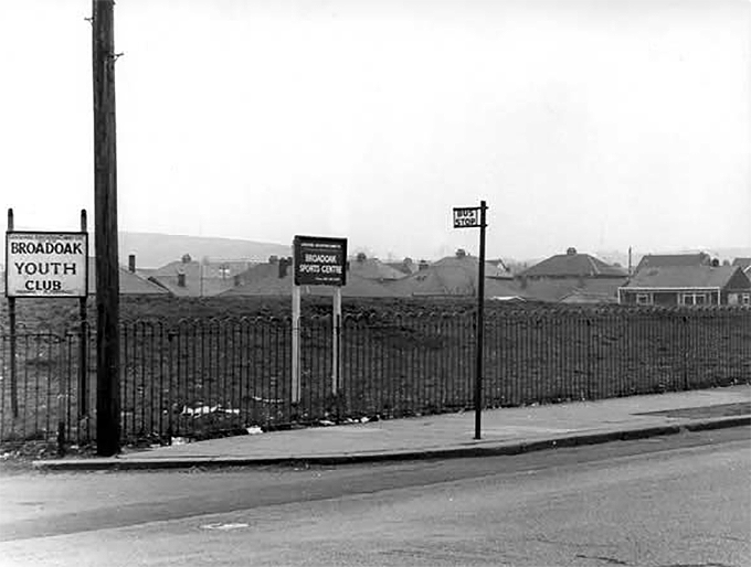
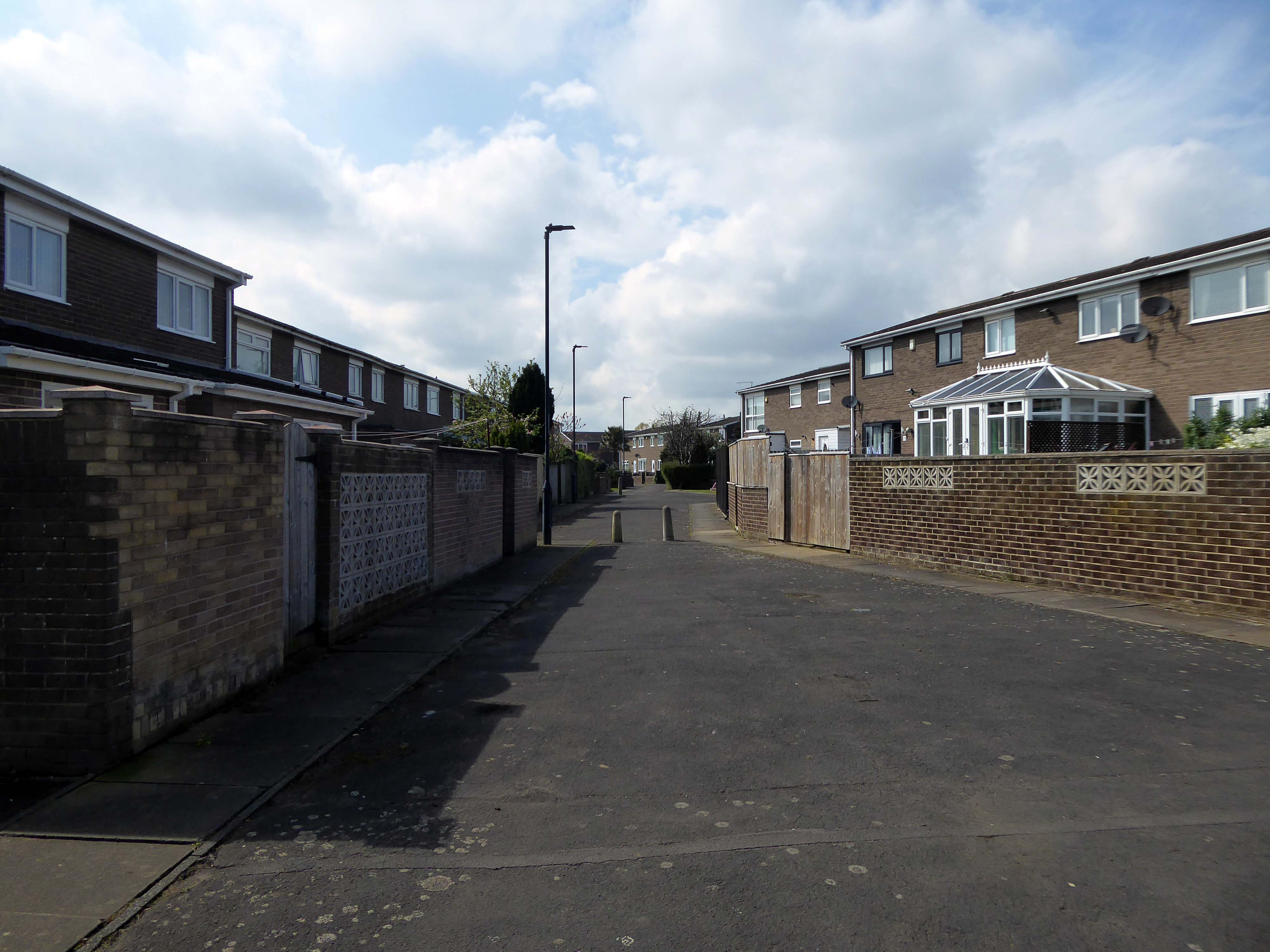
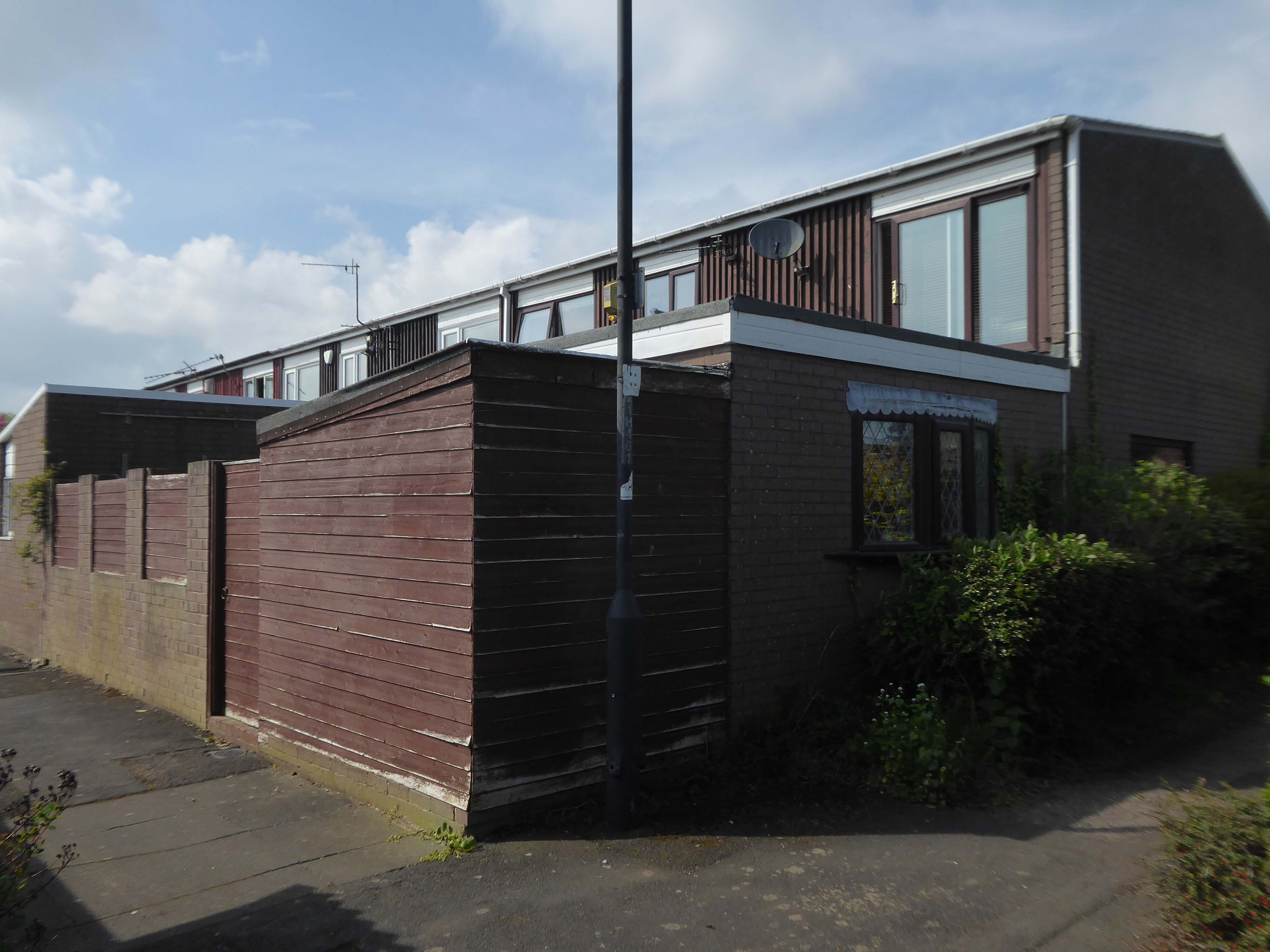
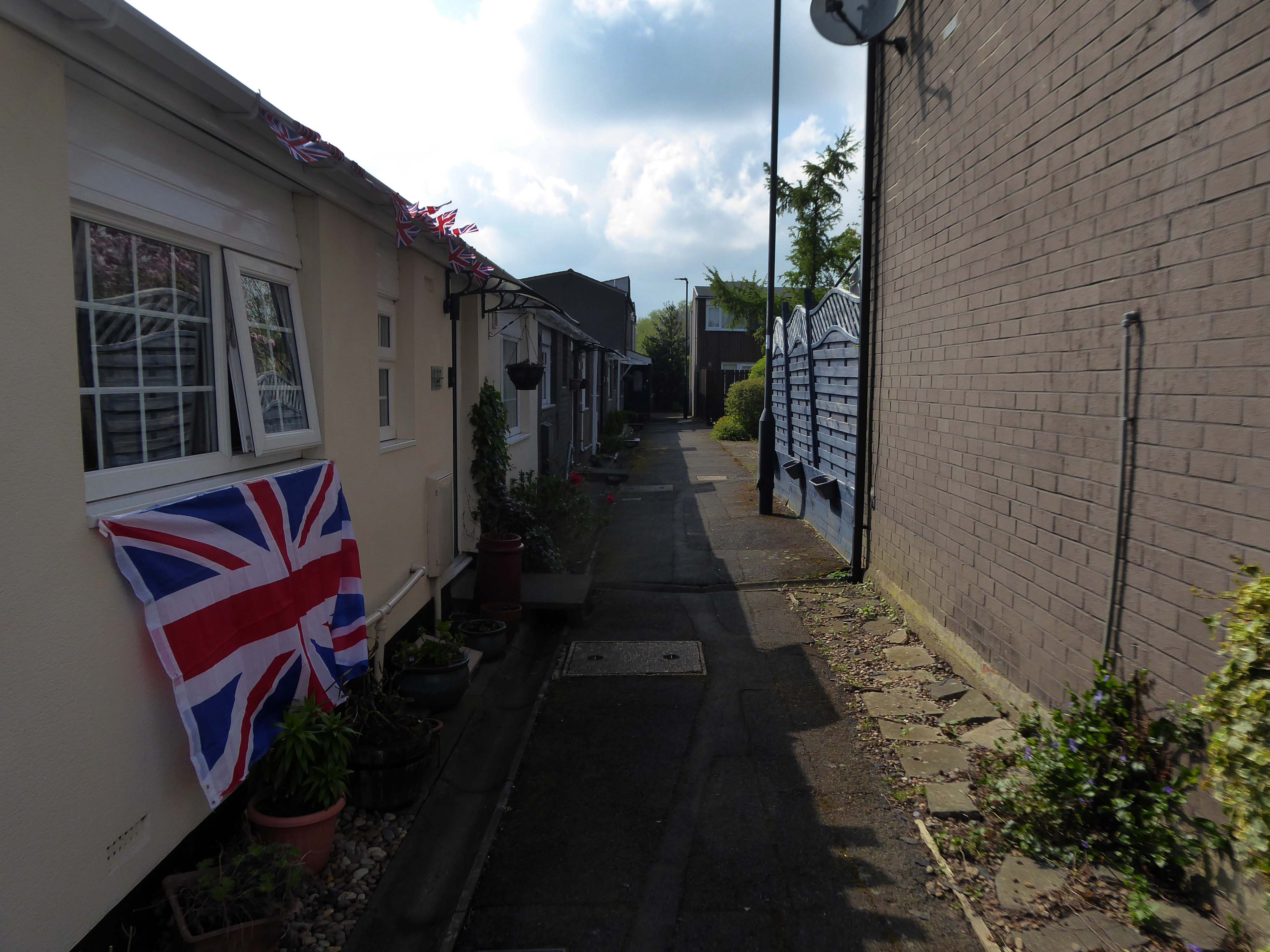
Westfield Estate Mosborough, formerly Waterthorpe Farm Estate, a rural township which was subsumed by Sheffield’s expanding housing schemes.
Mosborough, a vastly expanding village, eight miles North East of Chesterfield and six miles South East of Sheffield.
Waterthorpe Housing Estate near Beighton named after Waterthorpe – formerly Walterthorpe Farm.
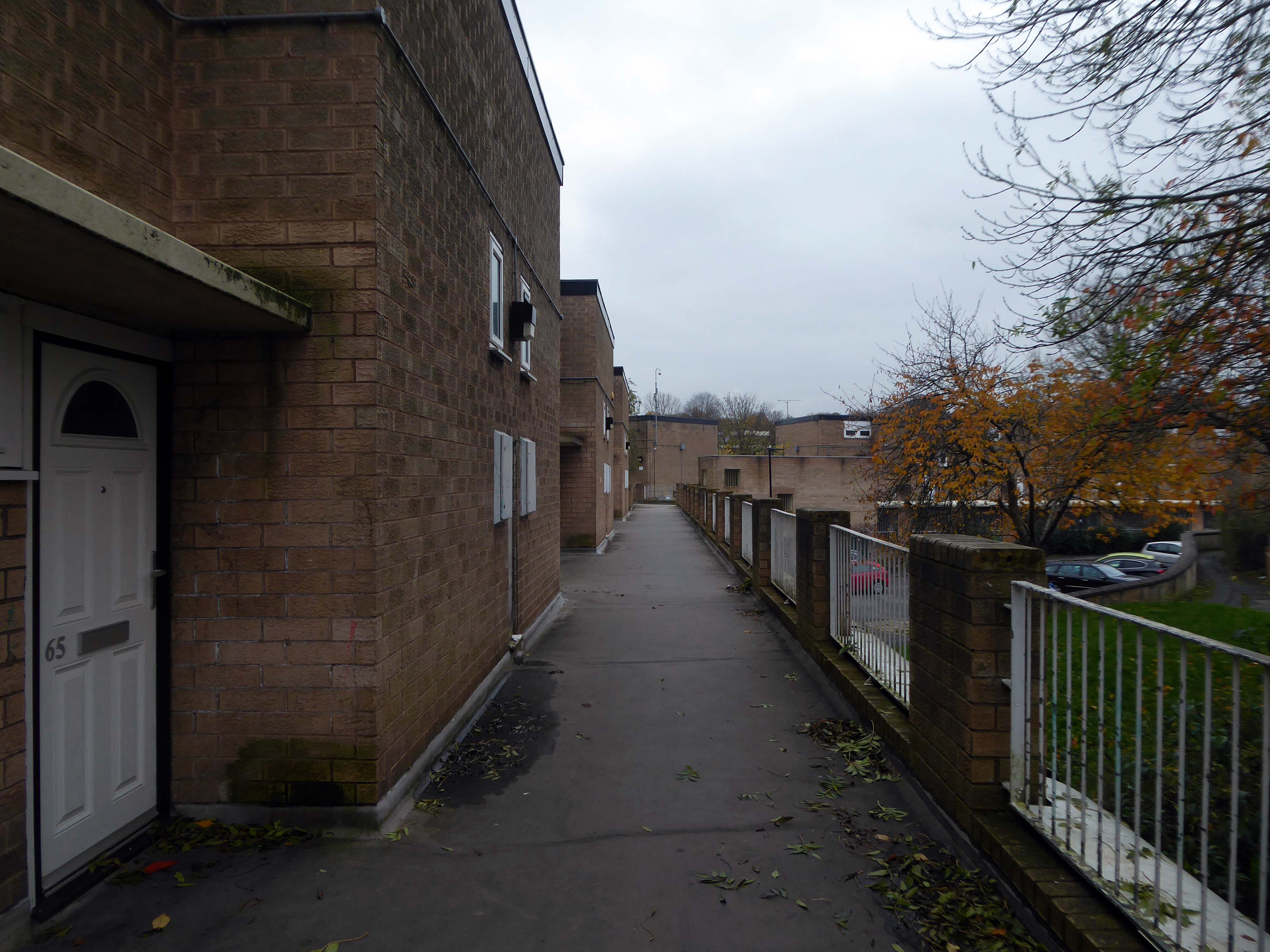
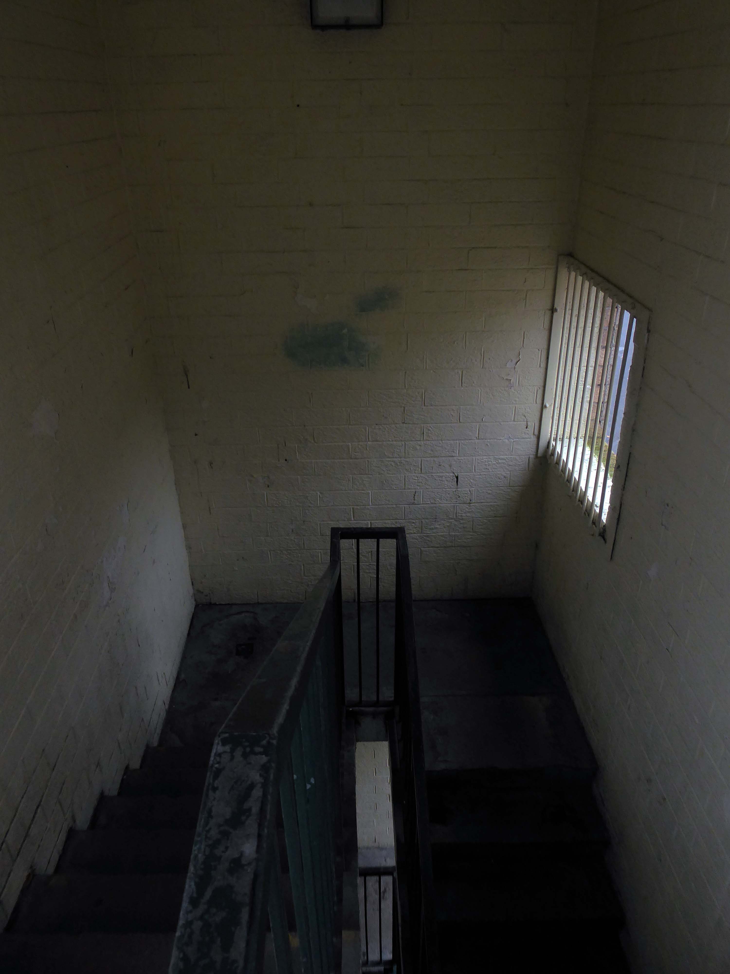
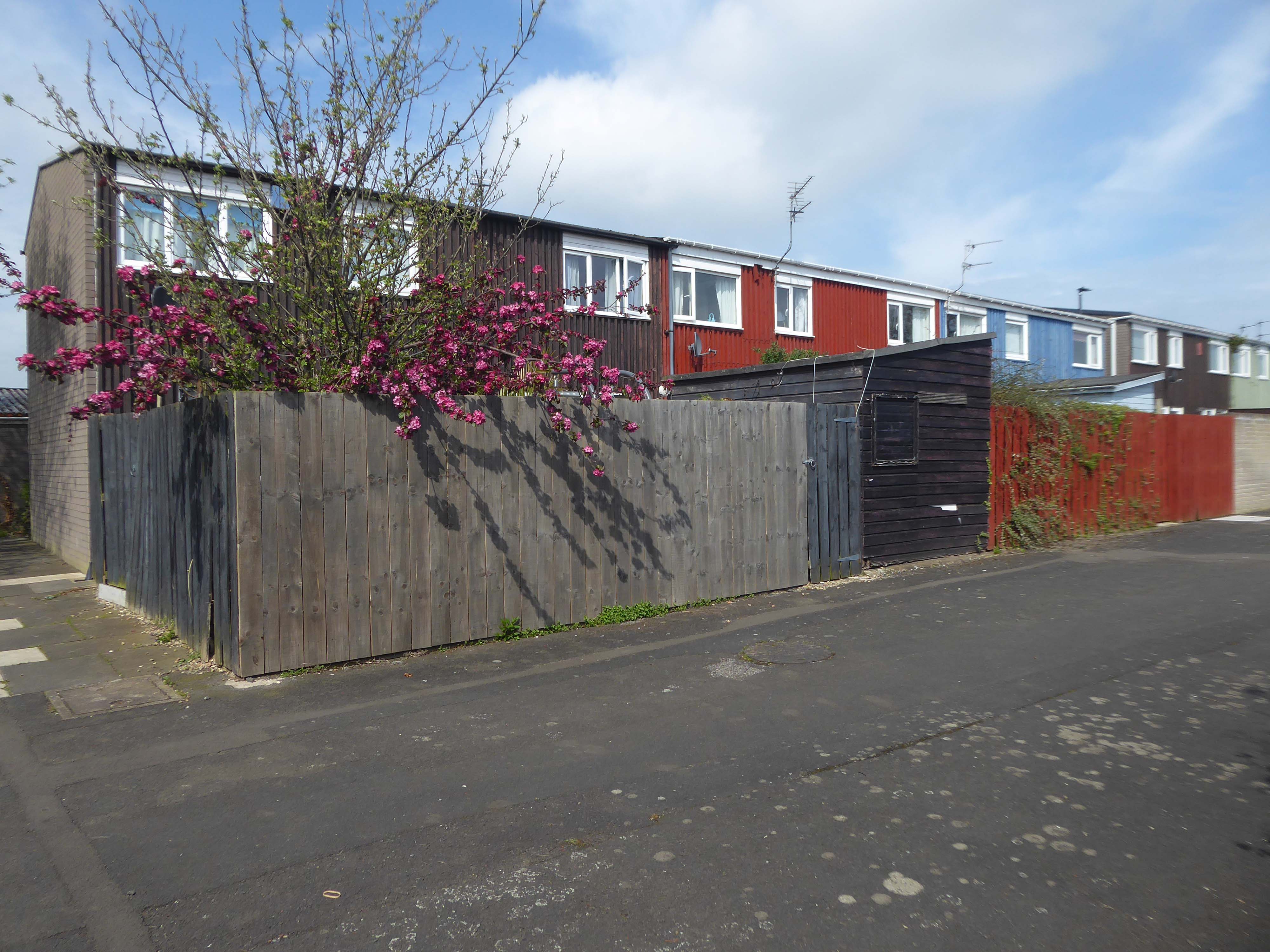
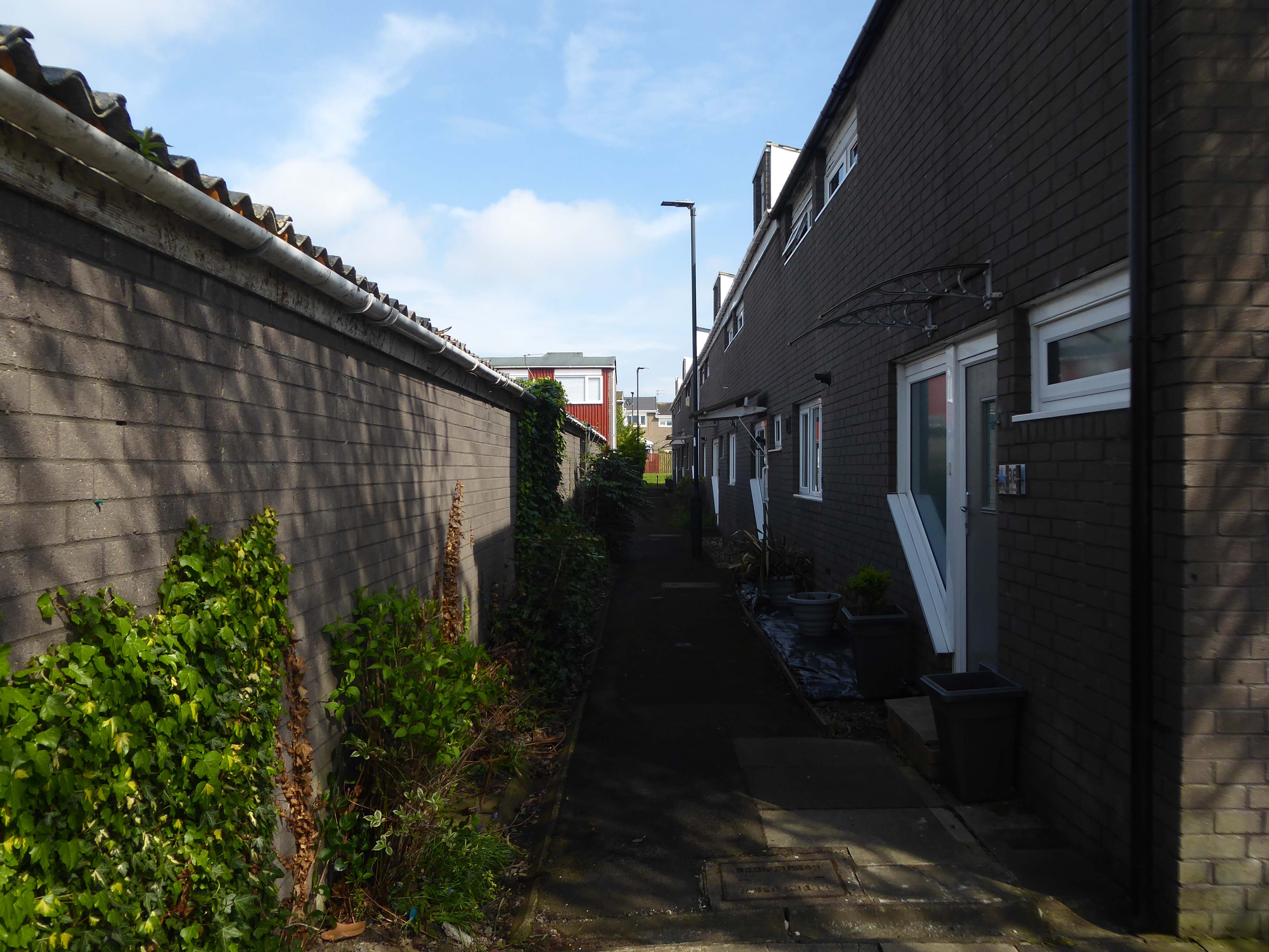
Path which goes behind houses on Short Brook Close 1974
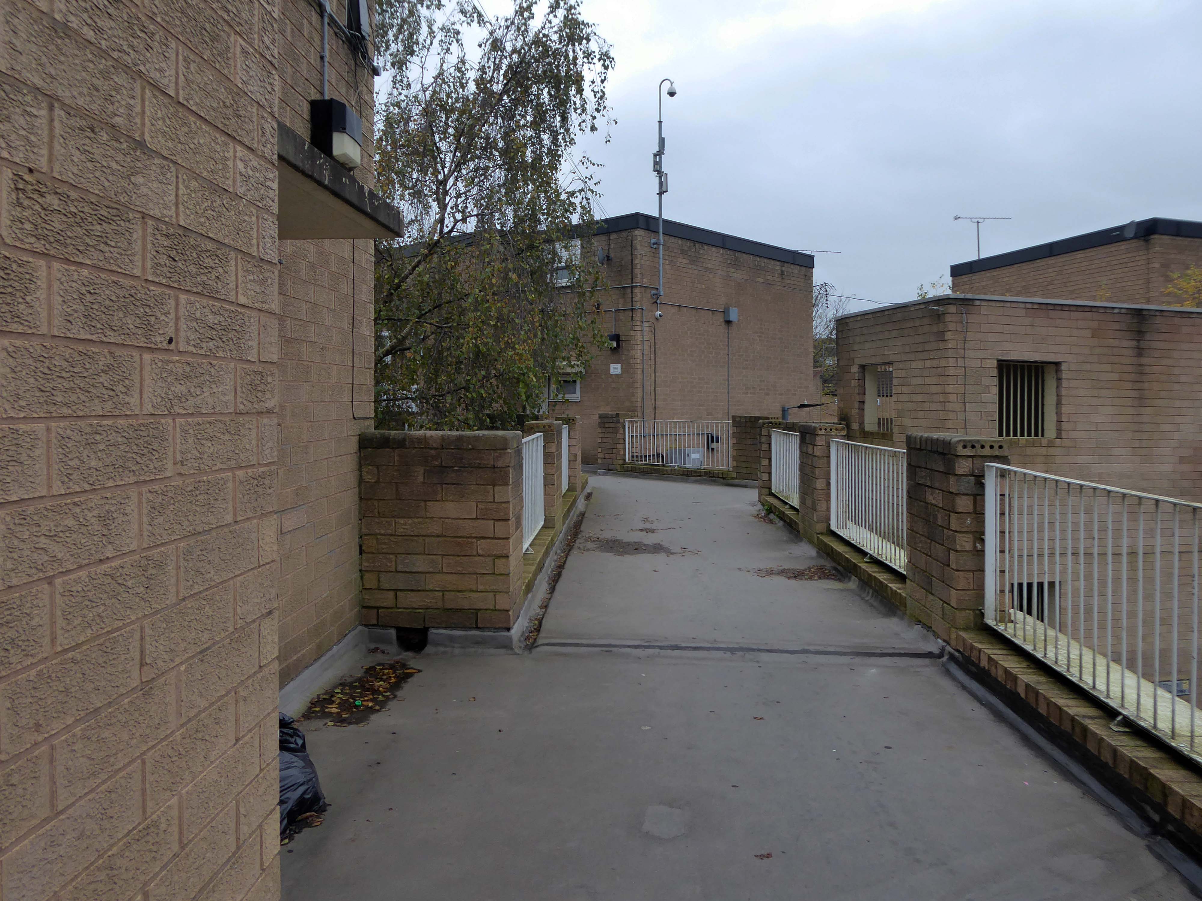
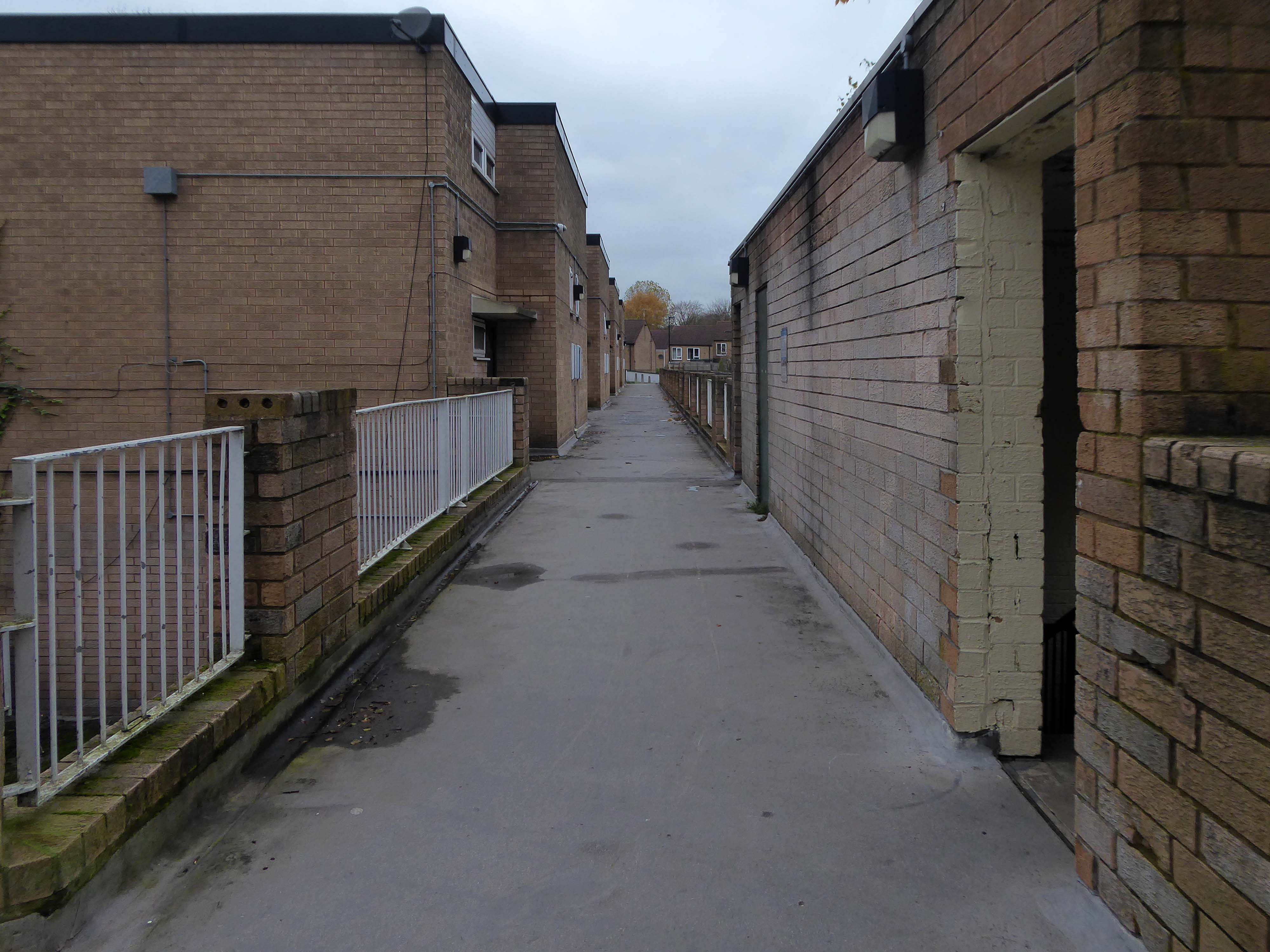
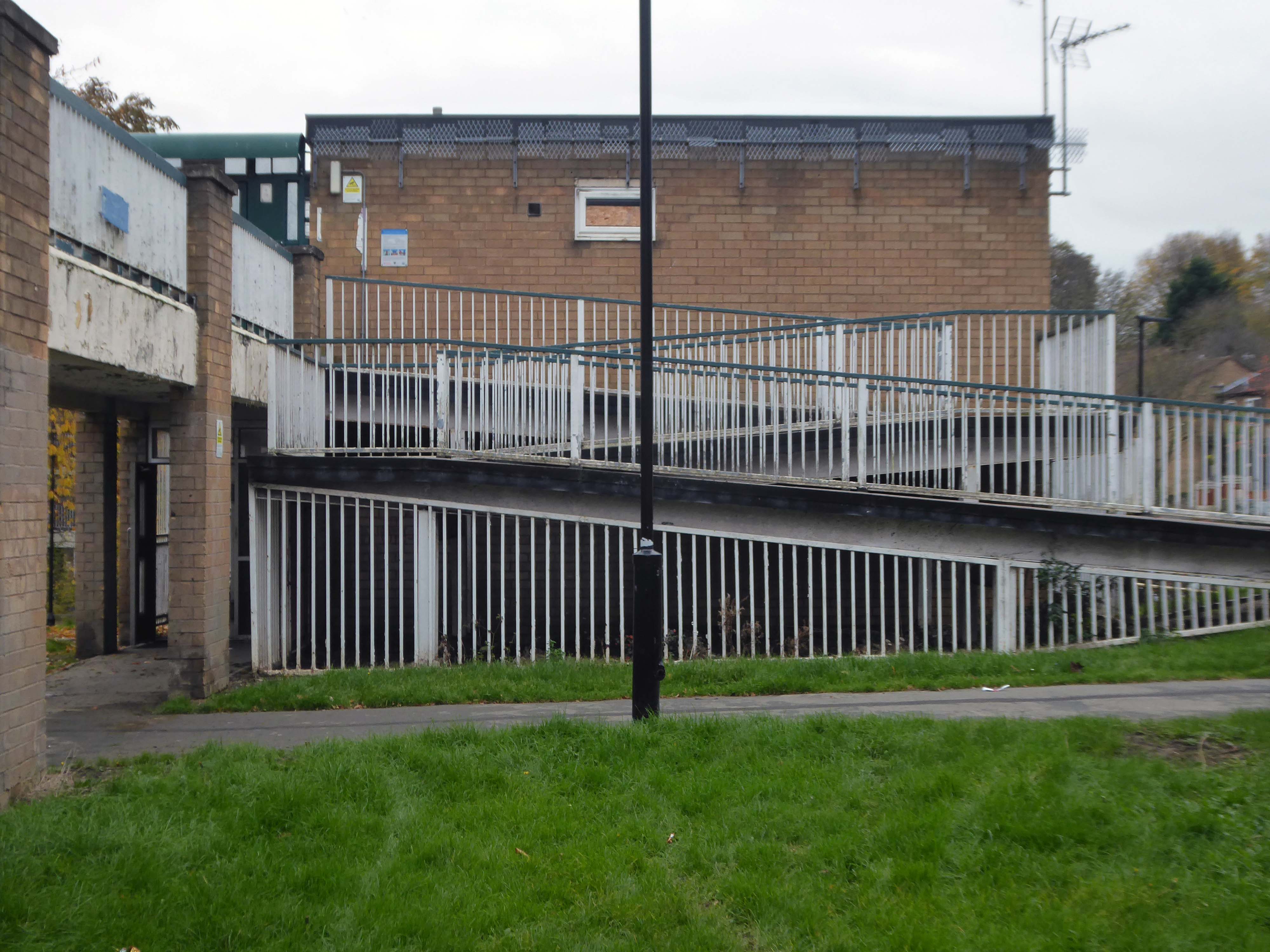
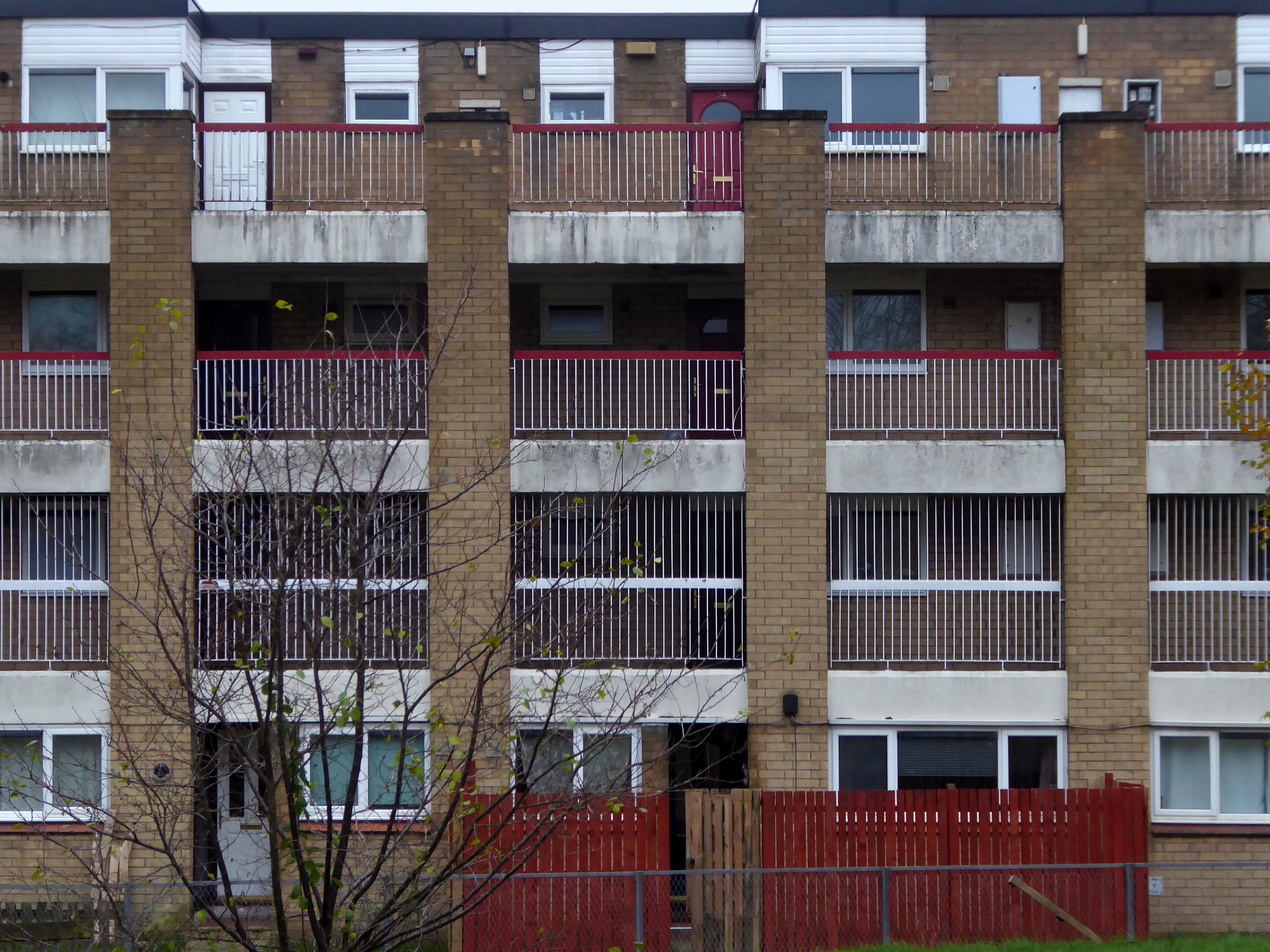
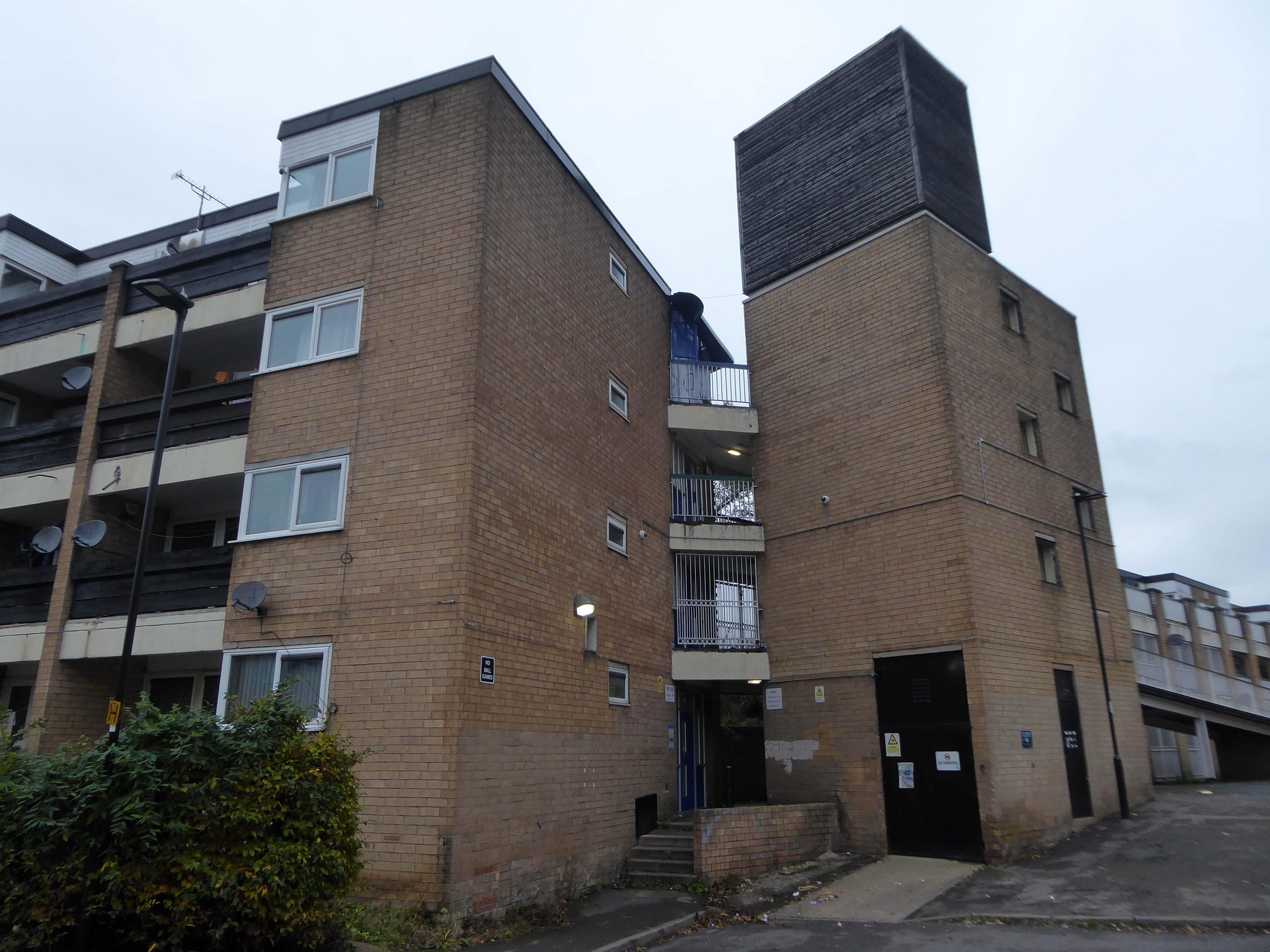
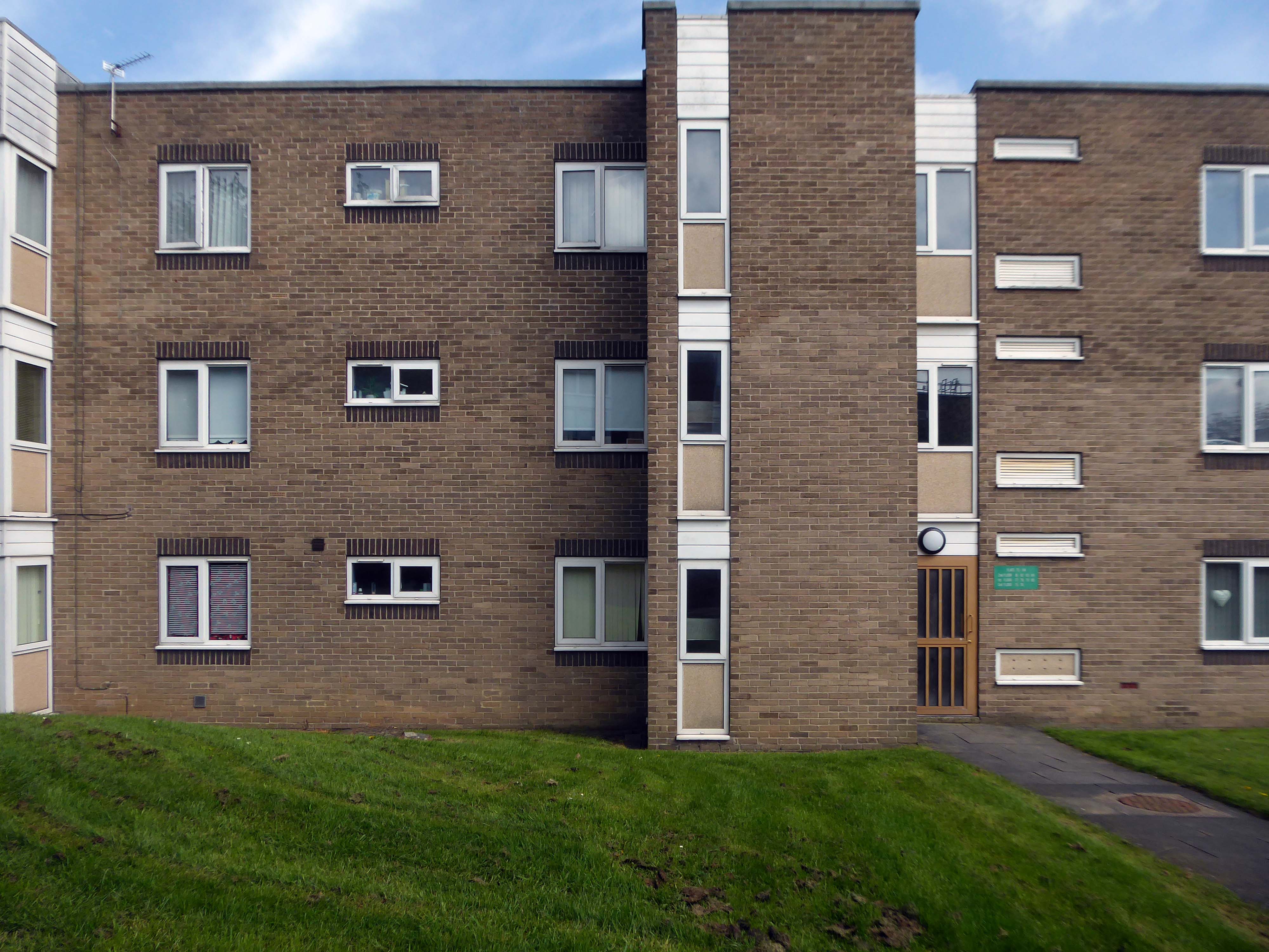
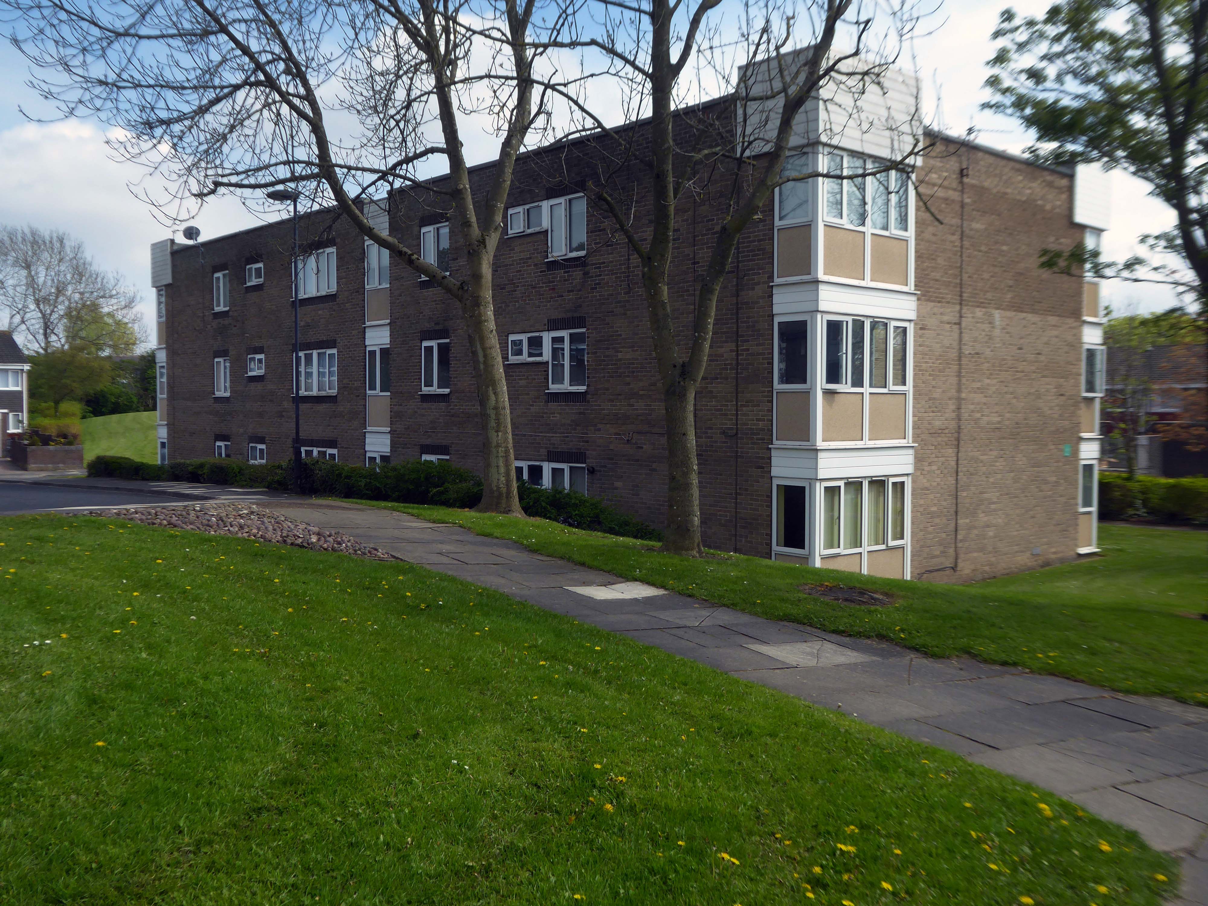
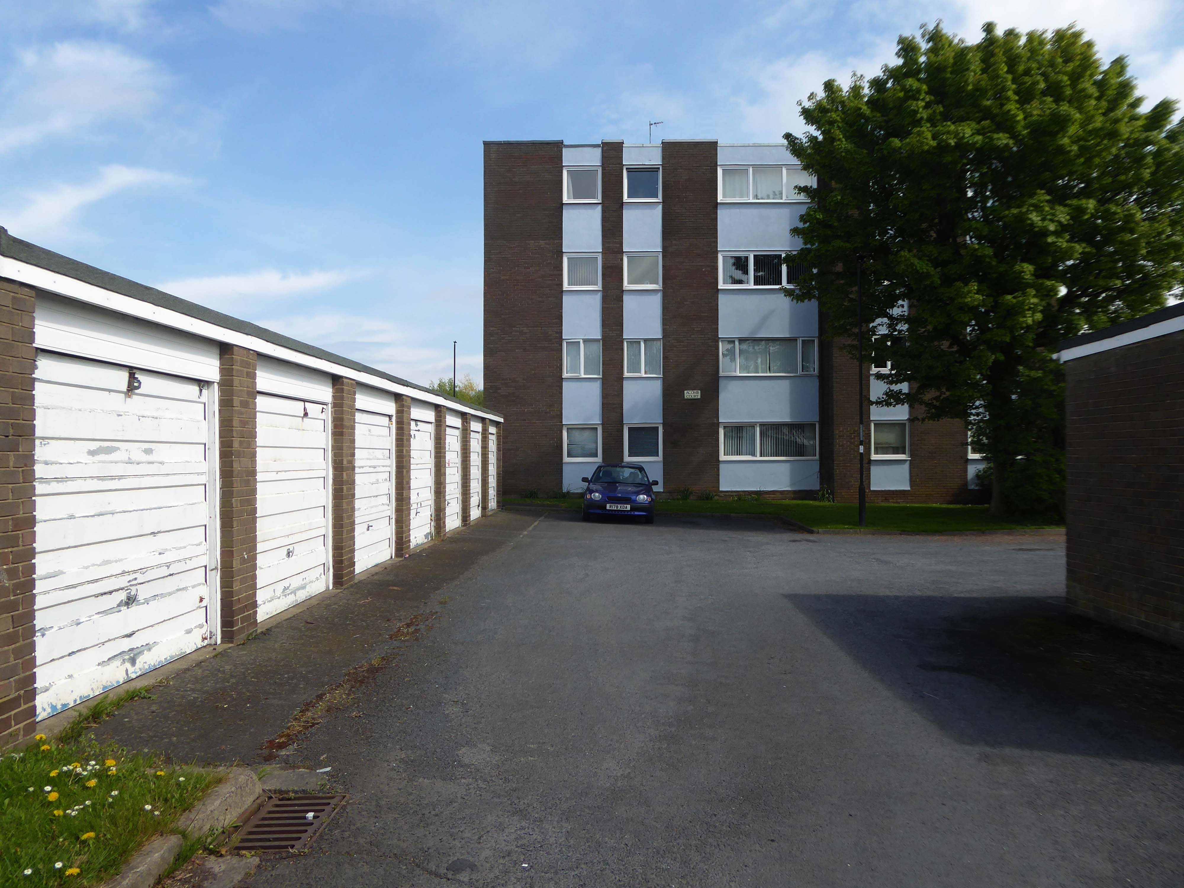
The Waterthorpe and Westfield housing estates were built from mid-1970s and were added to over a number of years. Eventually linking with both the old council estate of Beighton and the new estate of Halfway, the estates house a condensed significant number of almost wholly local authority owned properties following the phasing down and demolition of the original estates around Parson Cross and Shiregreen in the north of the city.
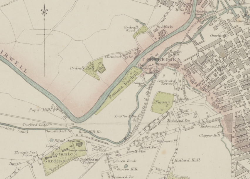
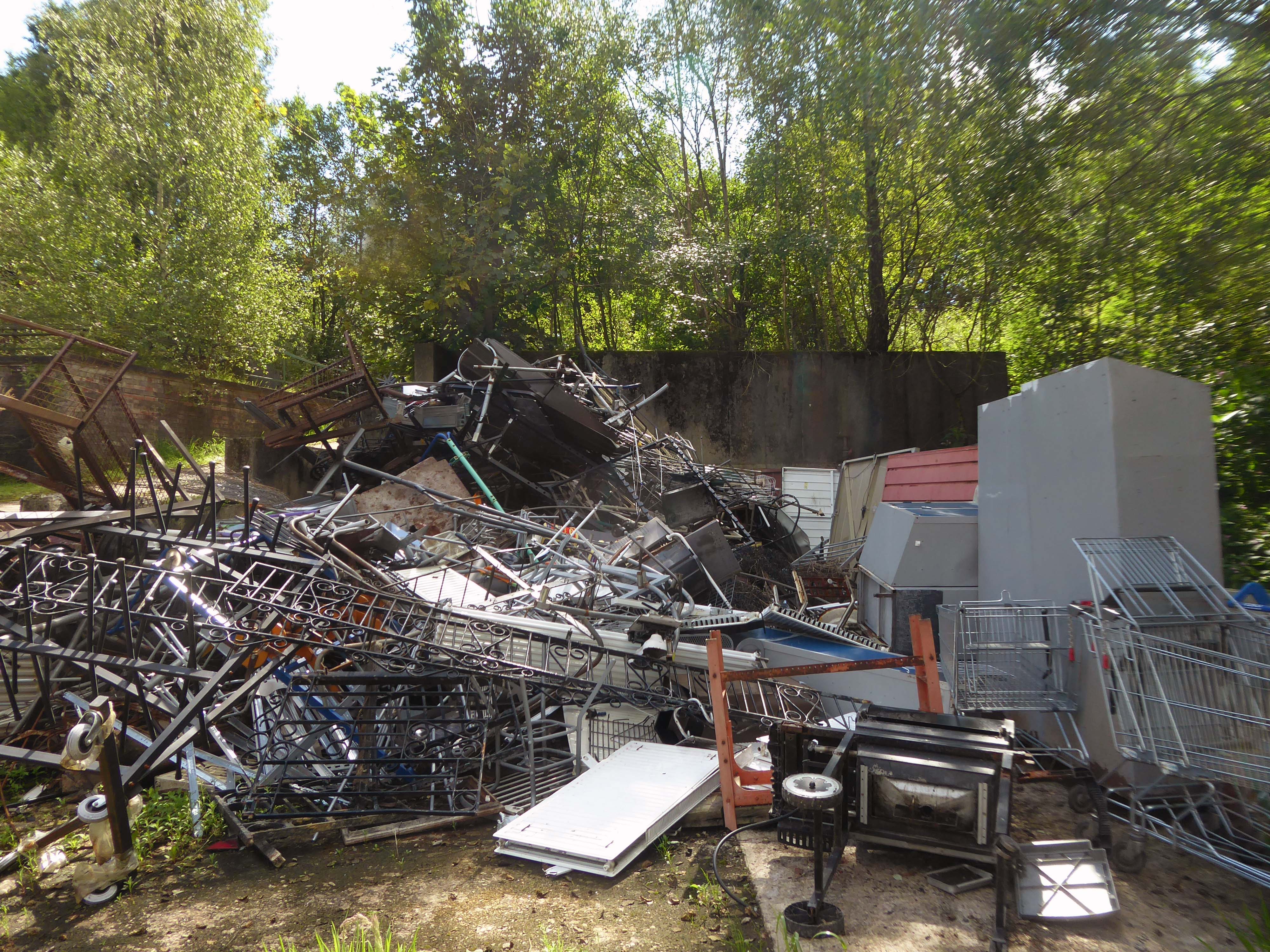
April 2020 a history and appraisal of Pomona Gardens – the undergrowth having recently having had a trim.
What were once opulent Pleasure Gardens now await the Midas touch of Peek Holdings.
What knows what fates awaits you?
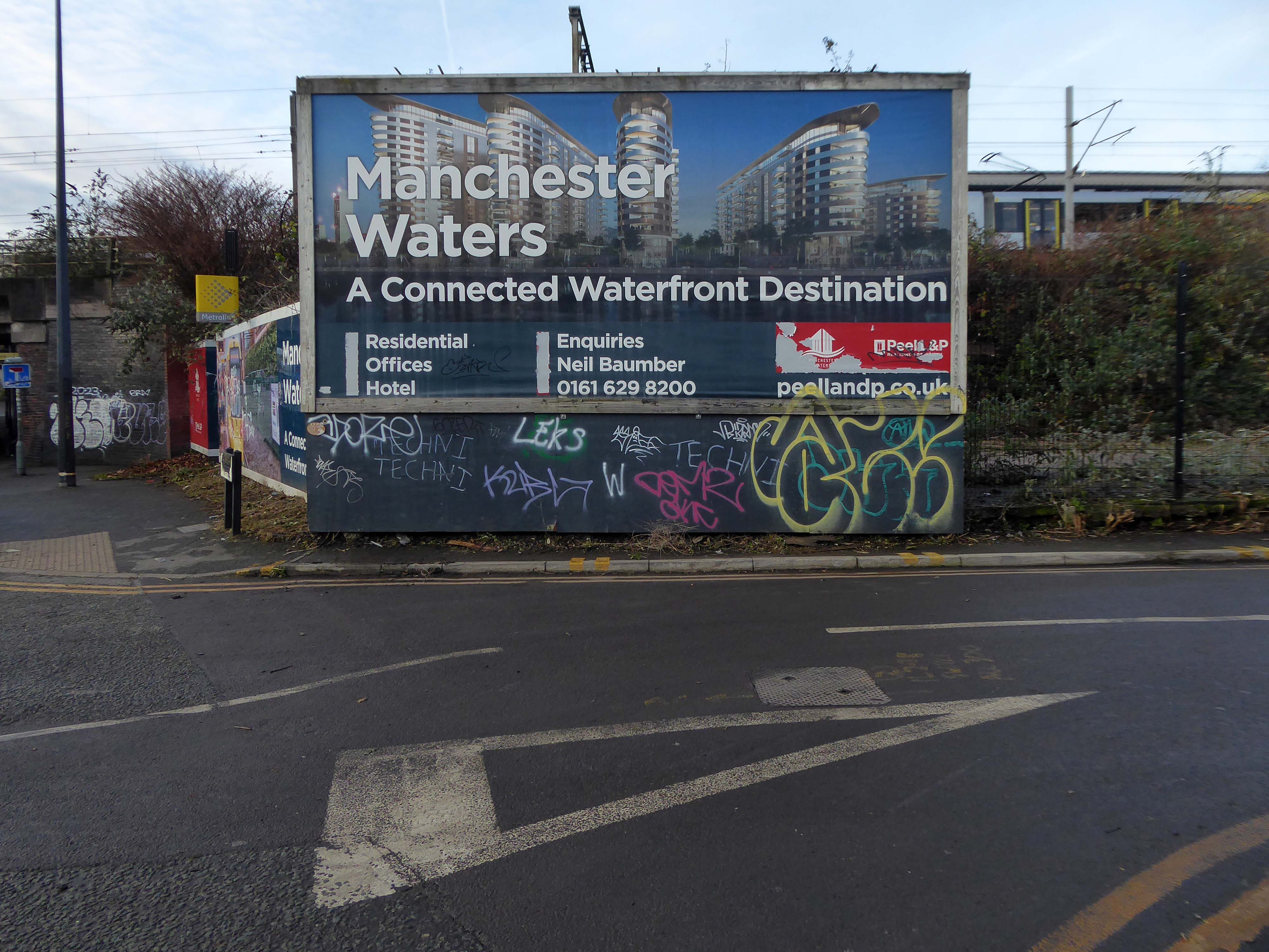
Long-awaited plans to redevelop the 26-acre swathe of land will not come forward until Peel L&P and Trafford Council reach an accord on the level of affordable housing to be provided on a separate project.
In 2021, Peel lodged plans for a 162-apartment build-to-rent scheme on part of Pomona Island.
The project featured no on-site affordable housing provision – although Peel did offer a ‘significant financial contribution’ towards off-site affordable housing – and Trafford Council subsequently recommended the development be refused.
This promoted Peel to withdraw the £35m proposals before they were discussed at committee.
The 2023 iteration of the project, part of the developer’s Manchester Waters masterplan, also features no on-site affordable homes.
However, as part of the proposals, Peel will be making a contribution equivalent to 20% affordable housing within Trafford, the developer said. The earlier iteration proposed 5%.
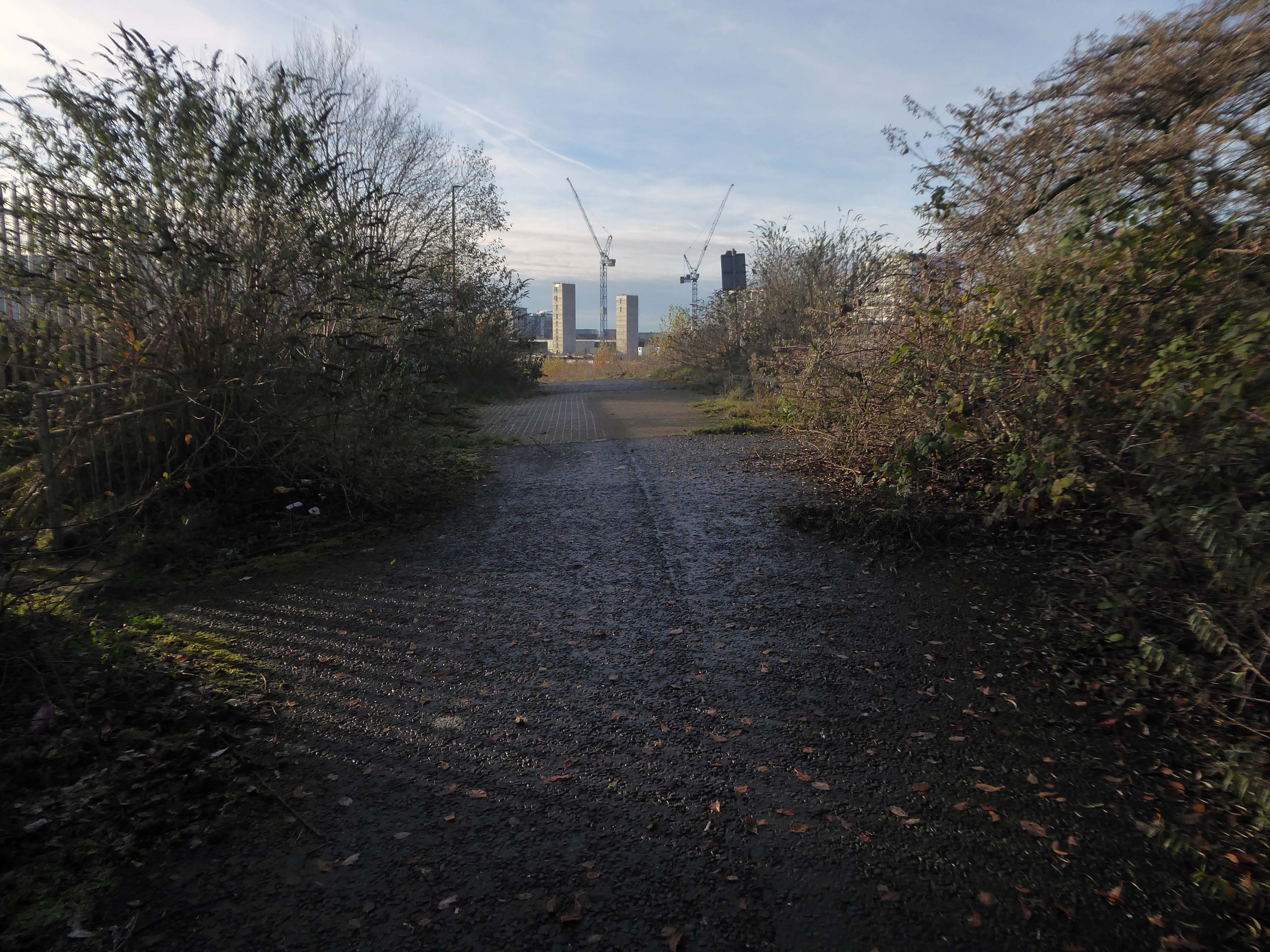
The proposed nature reserve seem like a distant dream
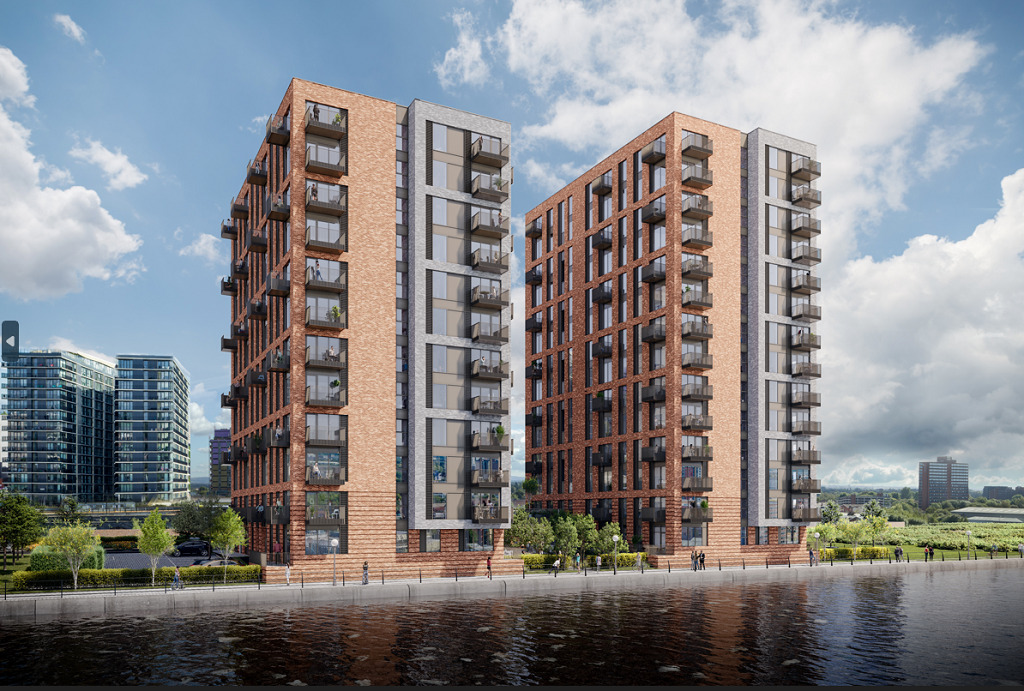
Despite suggestions that Pomona could become the Eden Project of the north, 3,000 homes are planned for the site by owners Peel L&P and the first development, Pomona Wharf, is already complete.
This green space could have been a globally significant urban park, and a powerful statement of Manchester’s commitment to fighting climate change and protecting green spaces.
Unfortunately, the city chose more apartments and financial growth over the natural world and not for the first time – Luke Blazejewski.
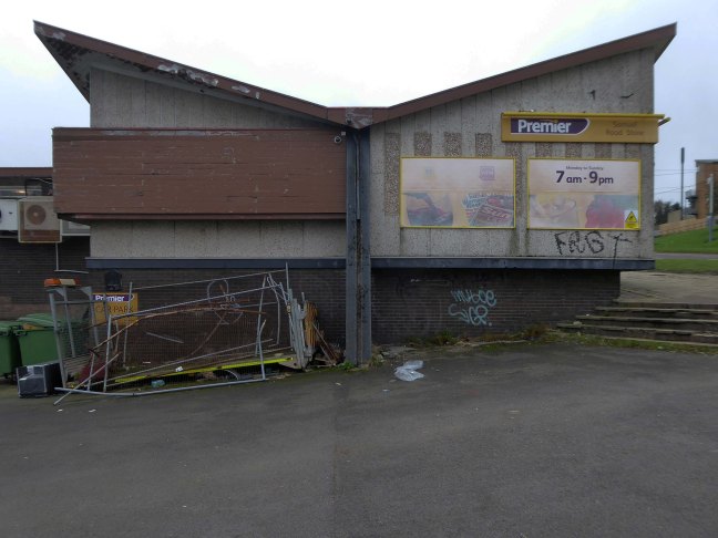
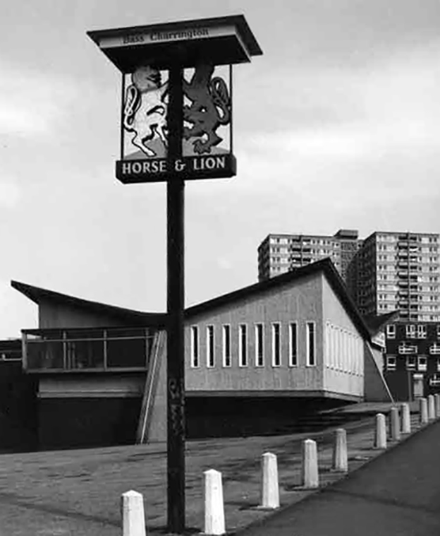
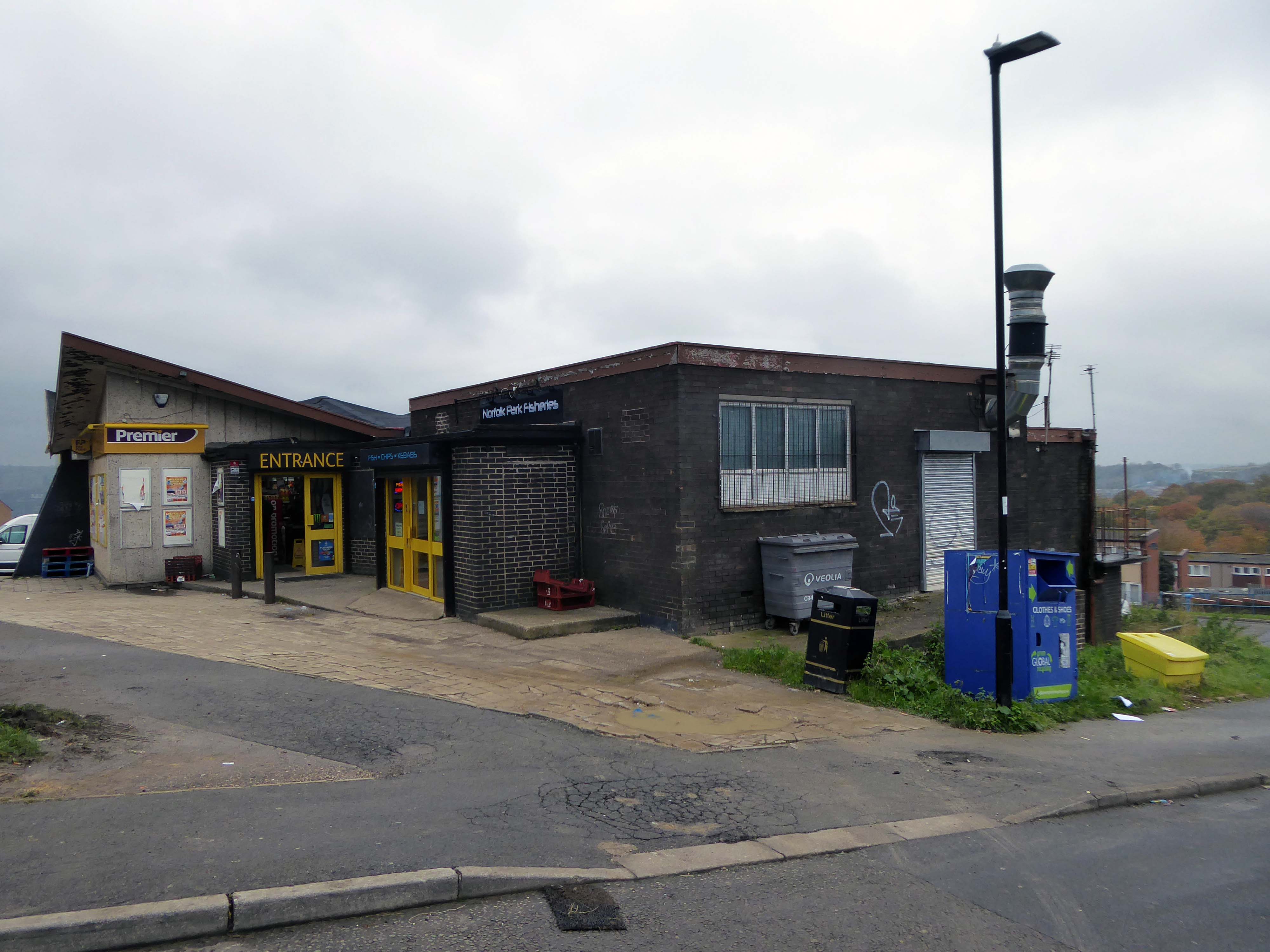
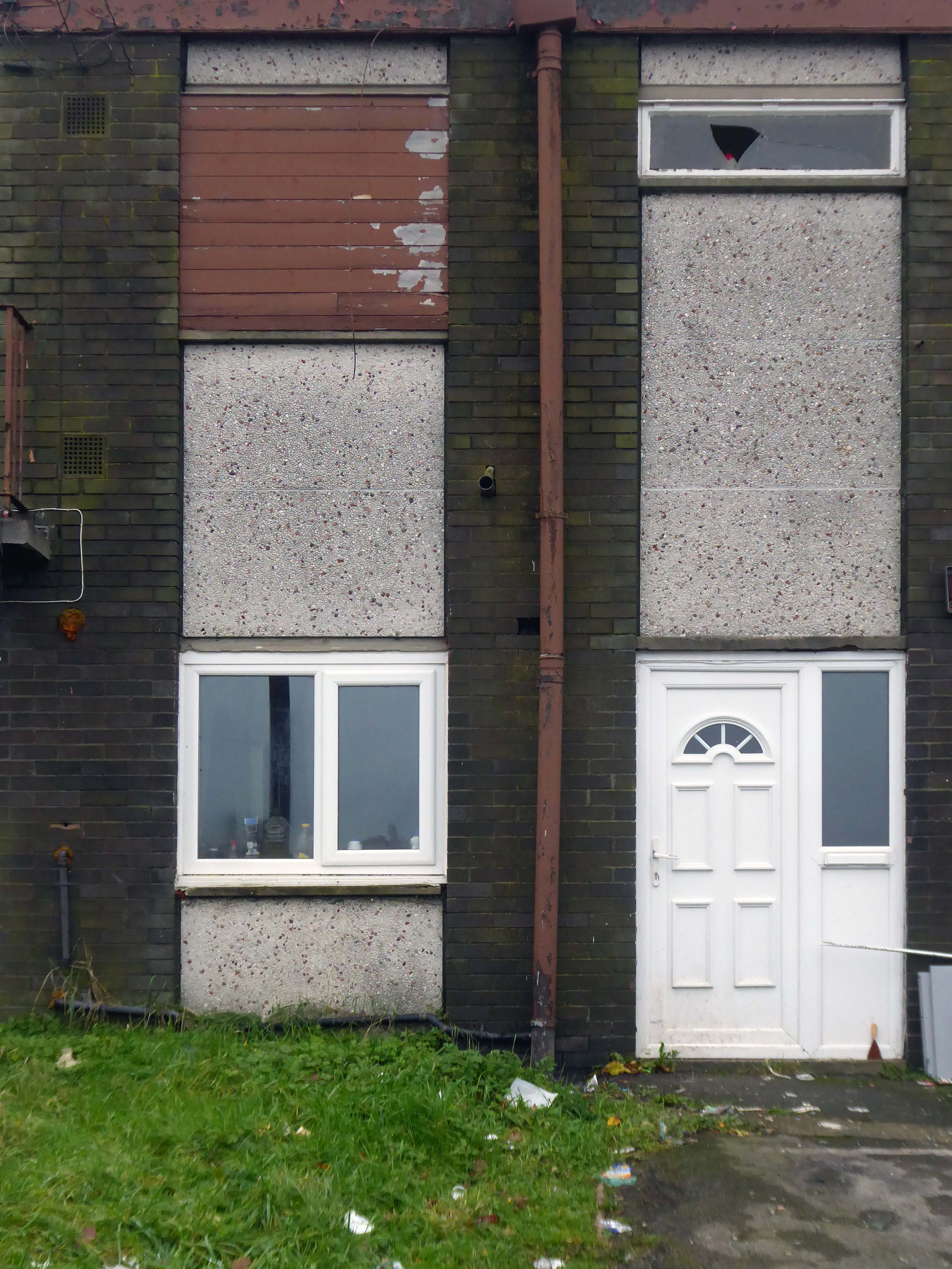
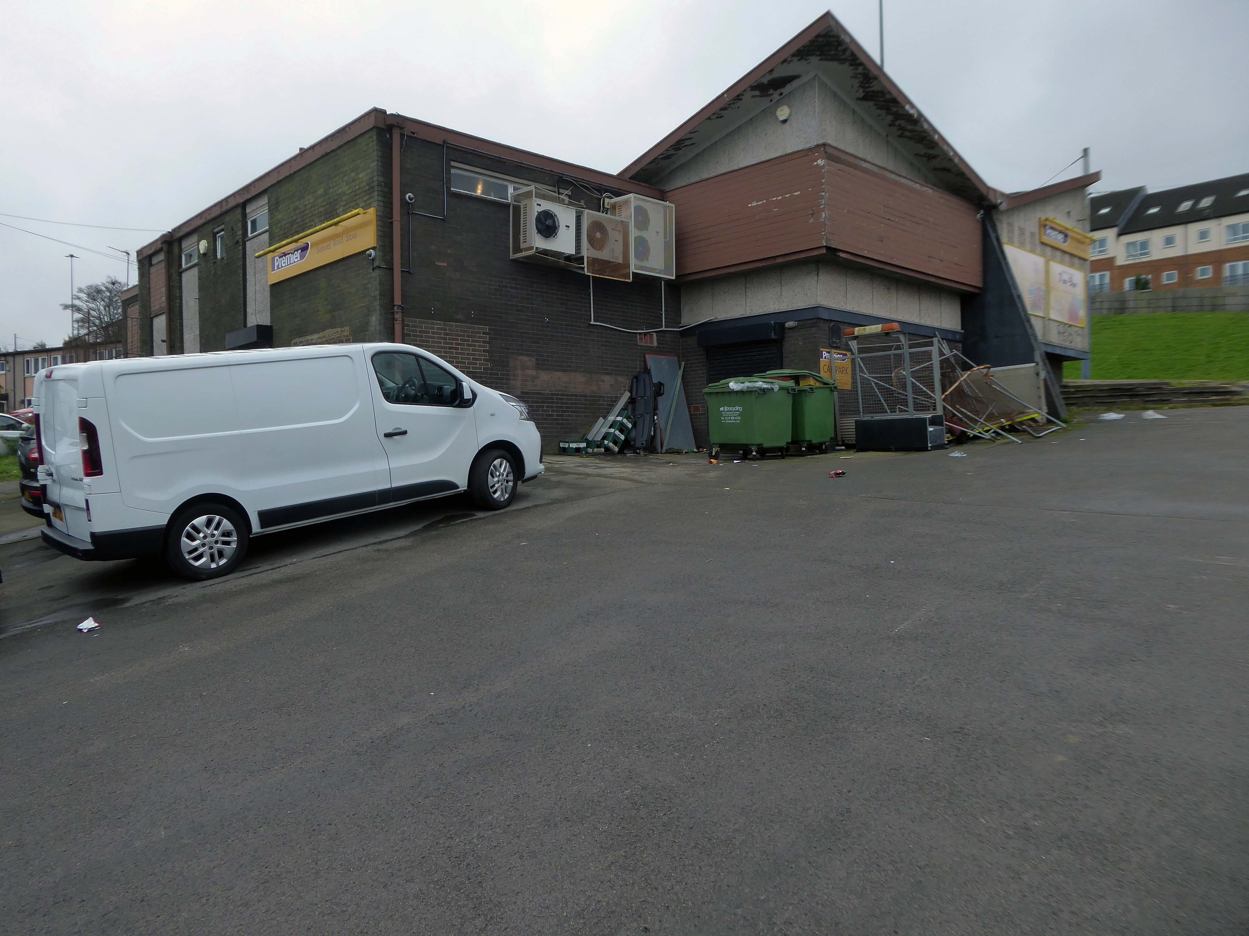
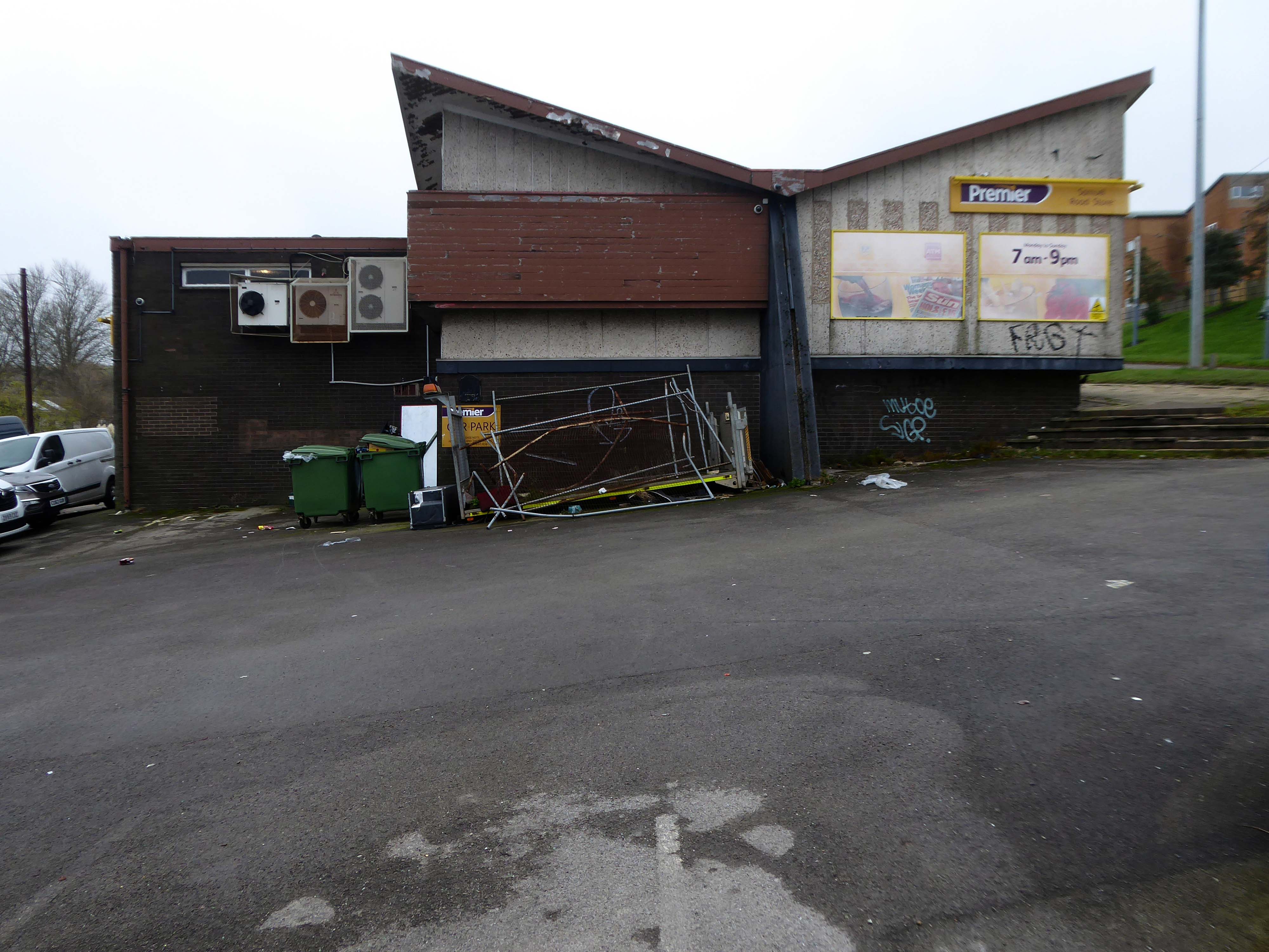
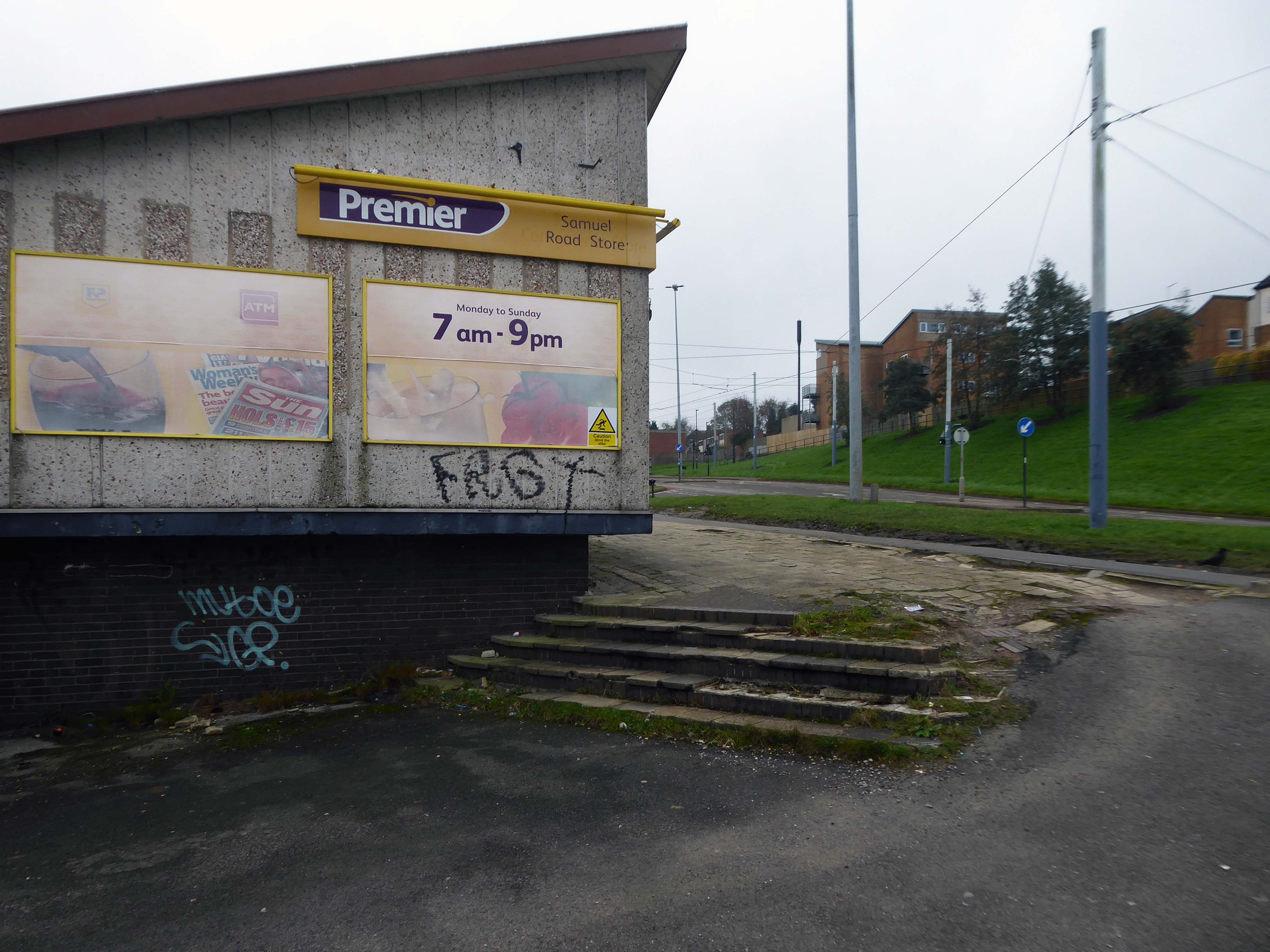
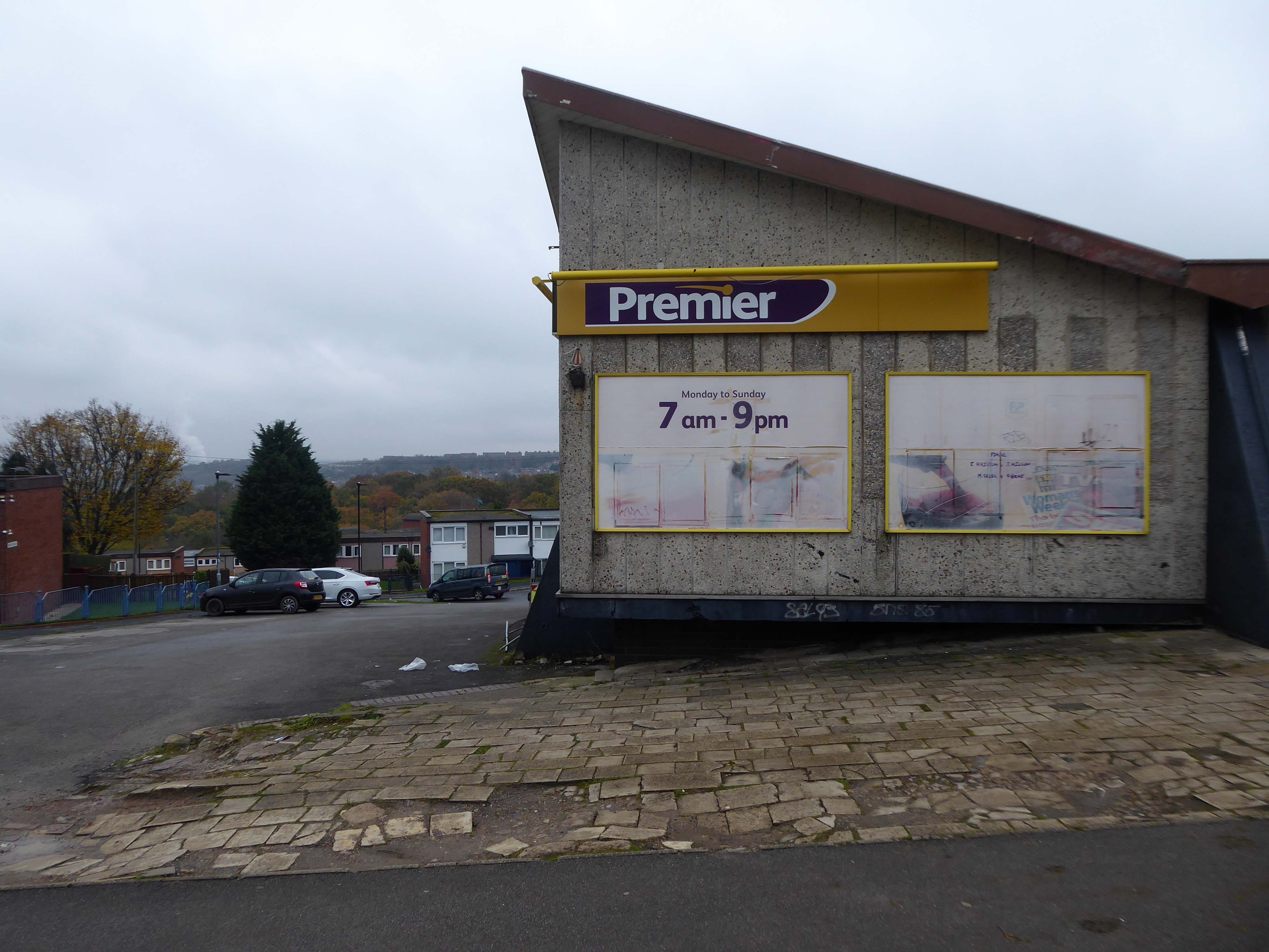
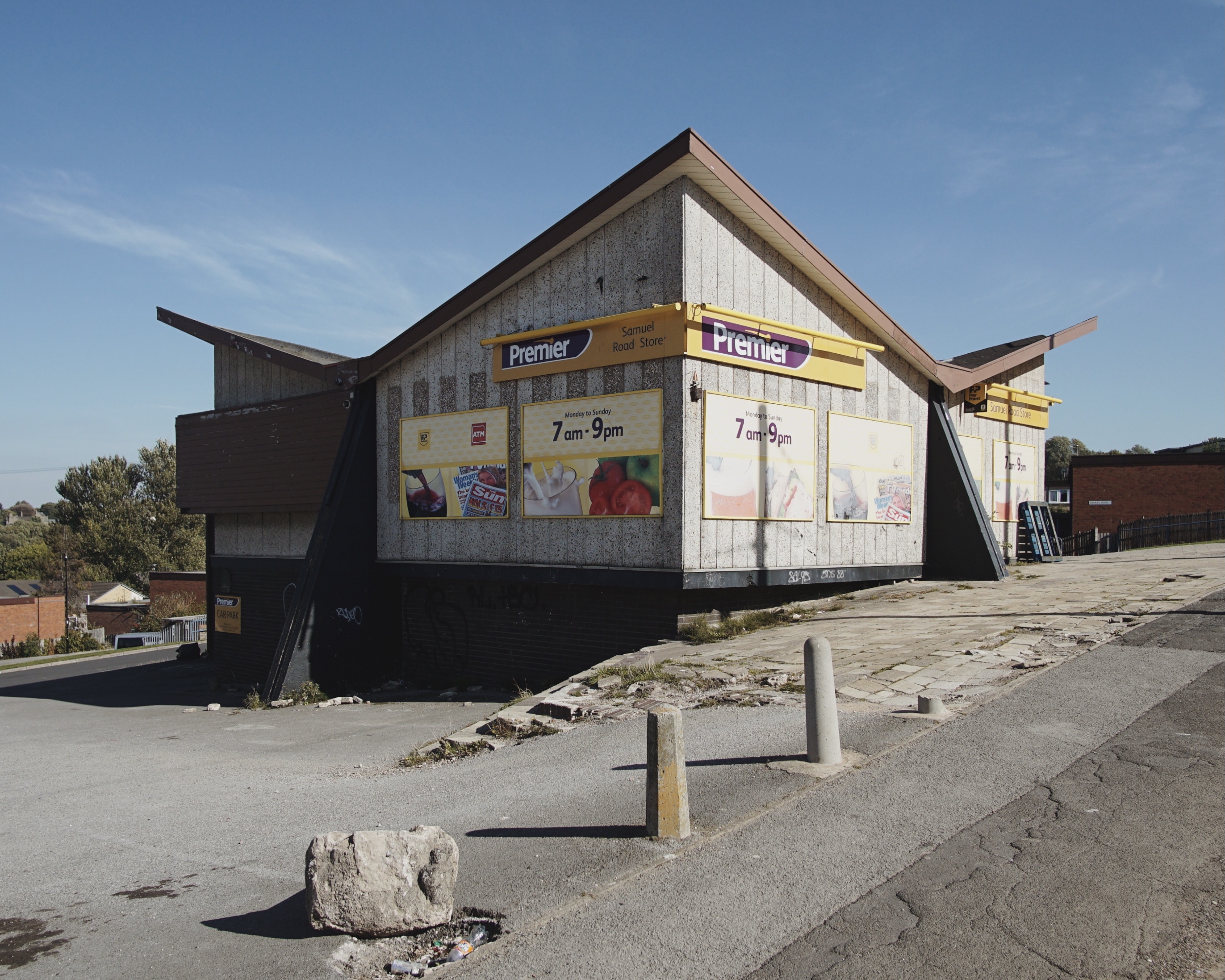
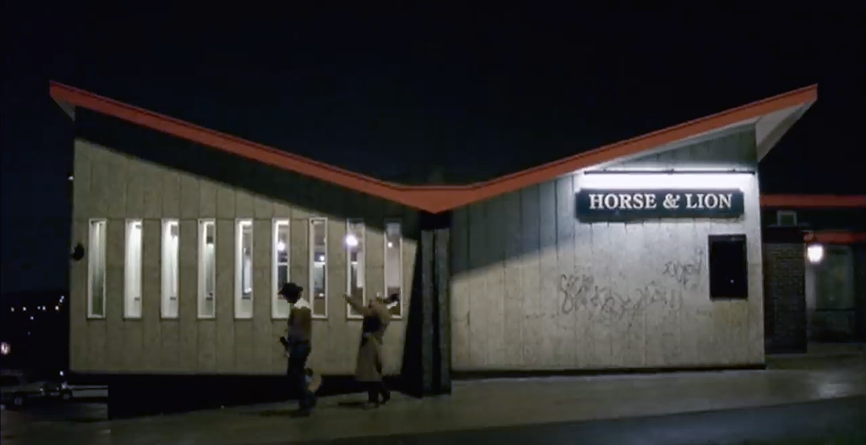
Oh how I loved this place my family drunk in here for years and years, I remember waiting outside on a weekend with a packet of crisps and a glass of coke, waiting for them to come out. I think it was the first place I had my first legal drink, loved the place hate to go past now and see it as a Premier. Anyone seen Dave and Ann lately once upon a time landlord and landlady, does anyone know how they are doing?
Sunday afternoons karaoke and everyone sat outside in the summer – oh the memories.
I used to Drink in there around 1975/76, it was OK in those days, a local wrestler used to drink in there, his name was Alan Kilby, I saw him fight on TV a few times.
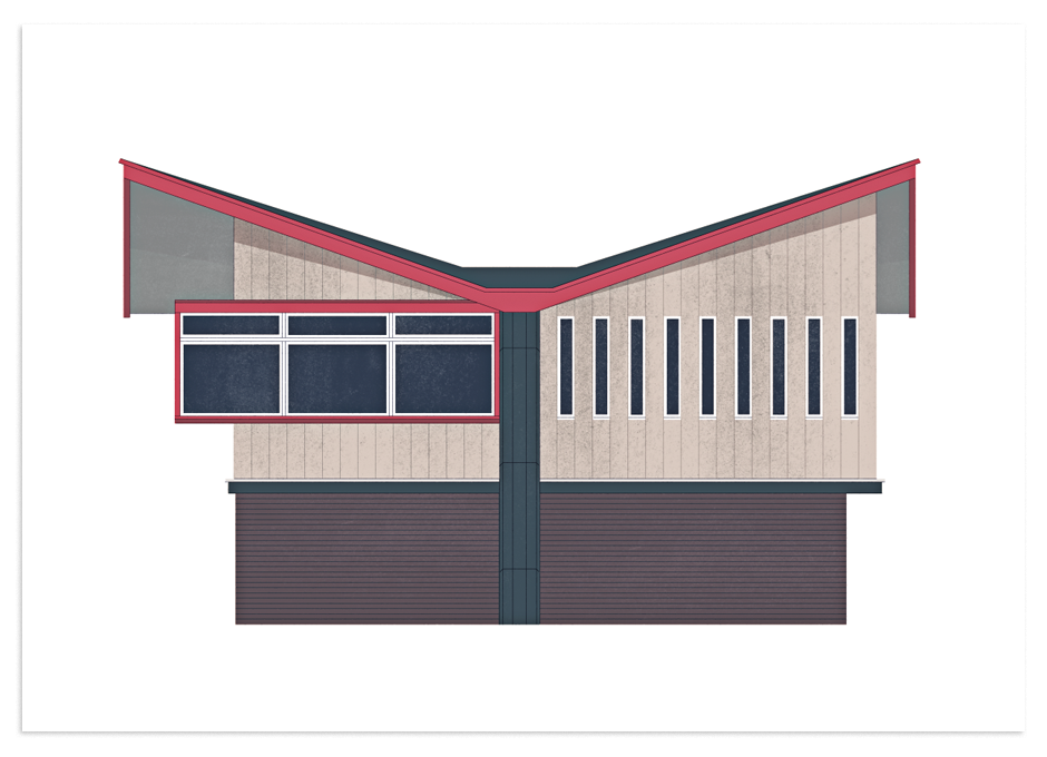
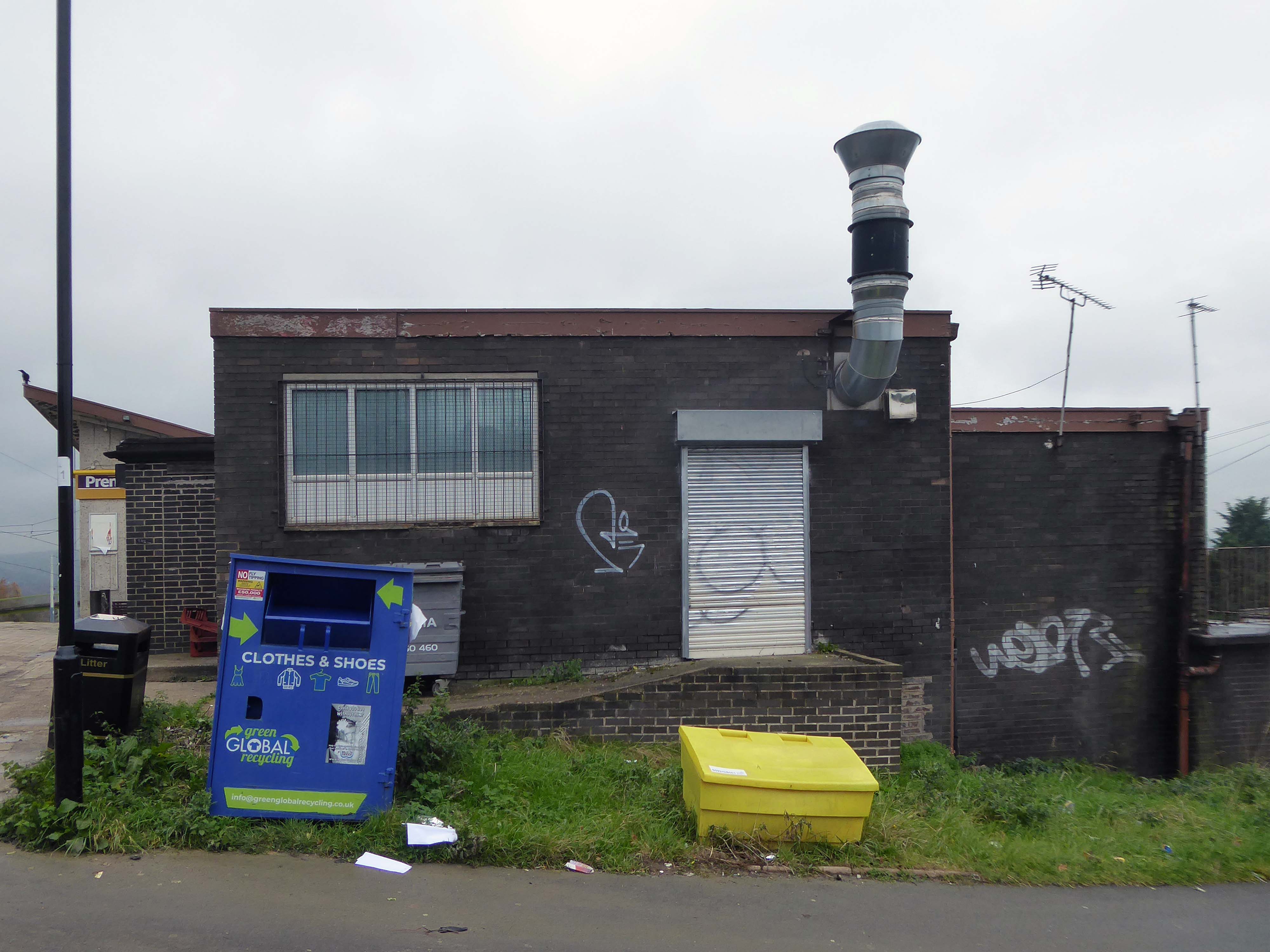
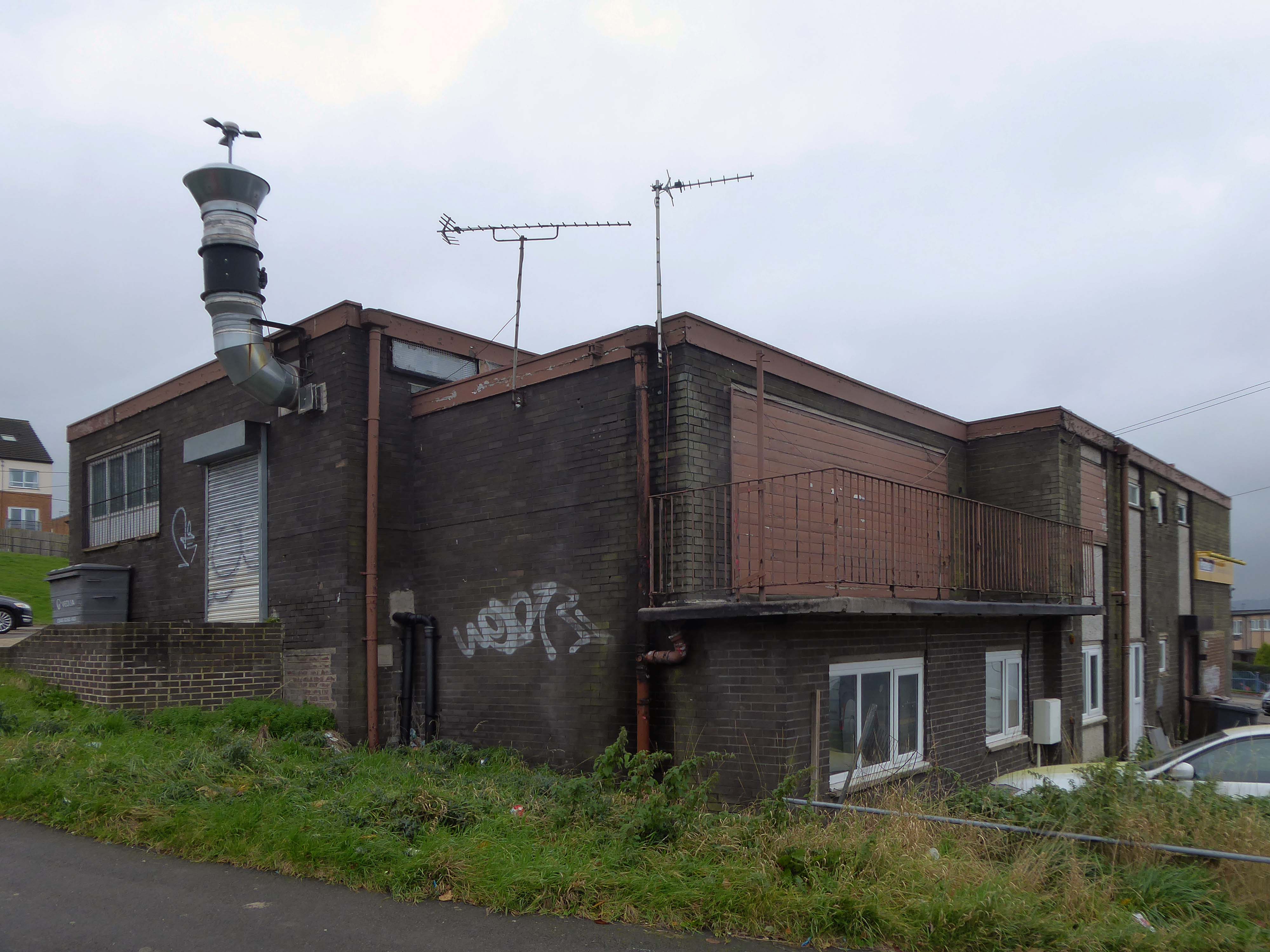
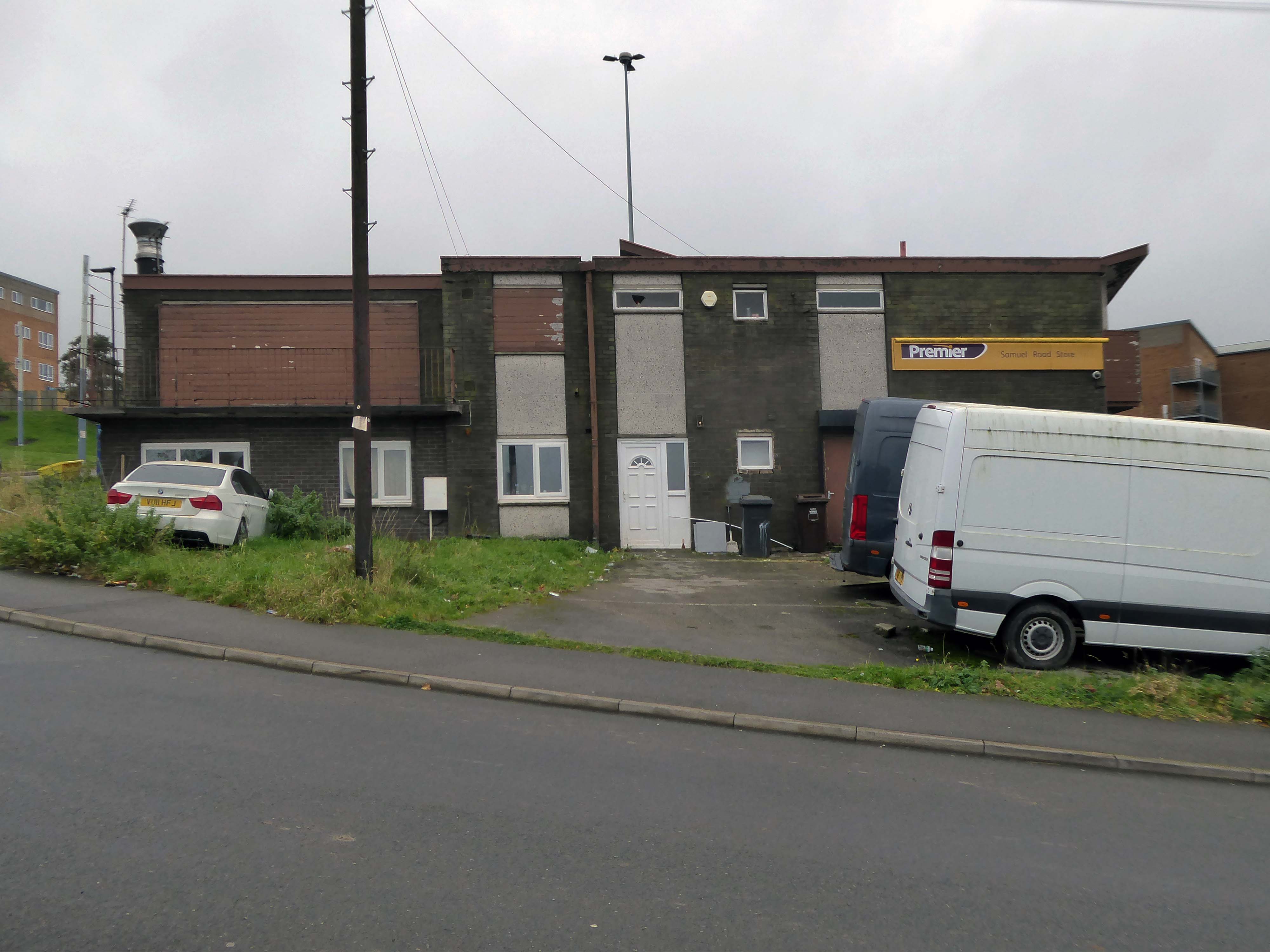
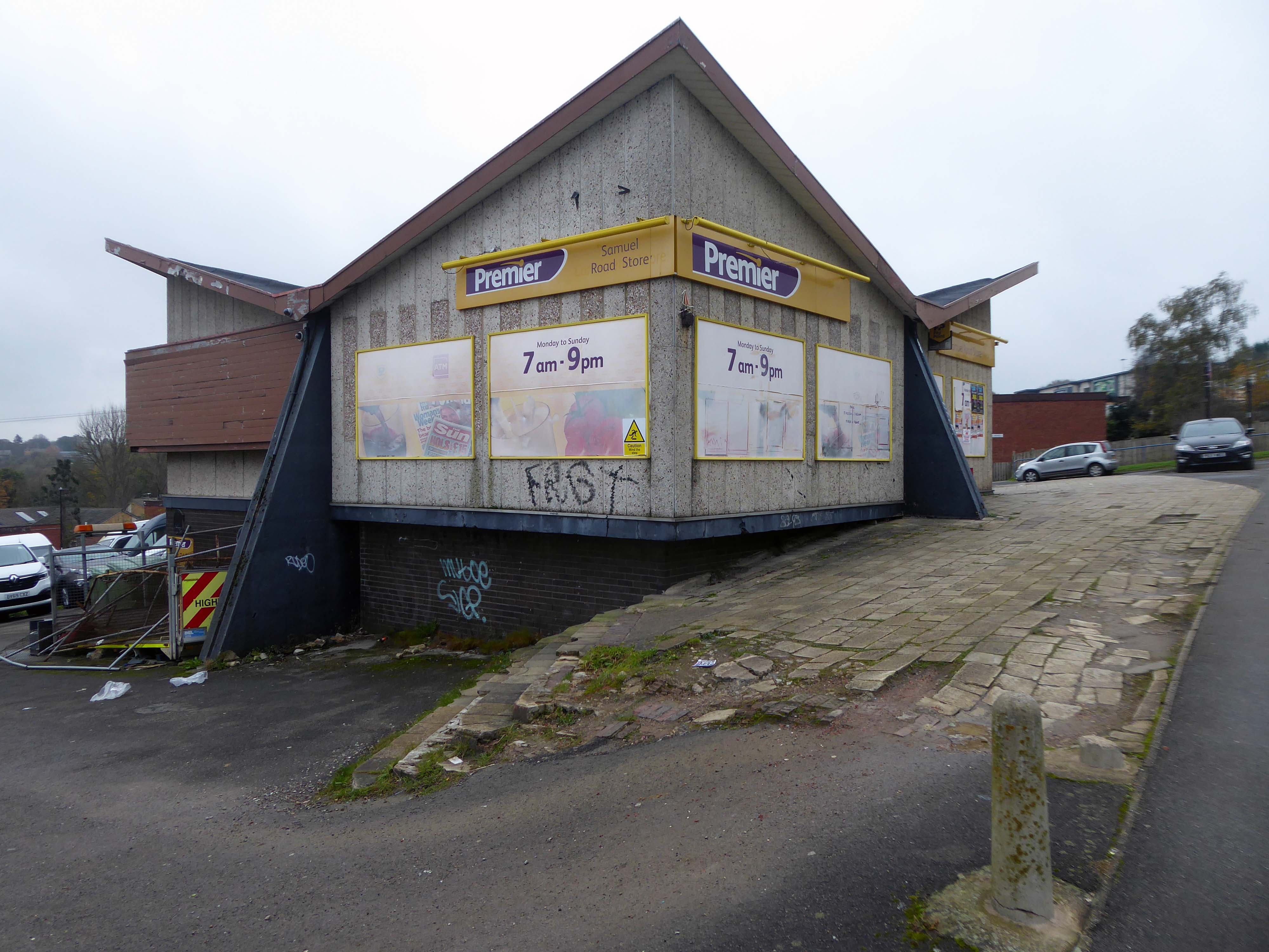
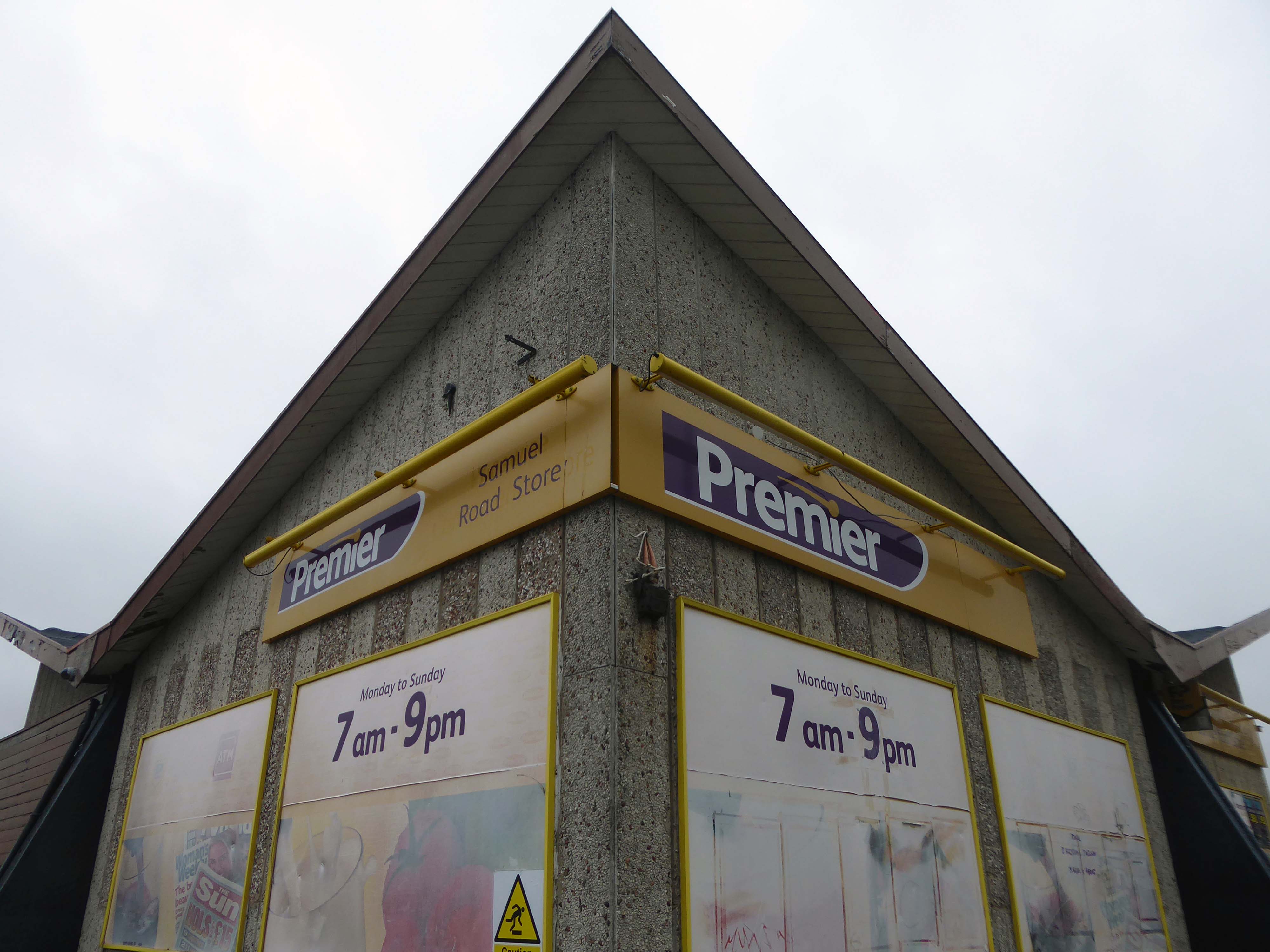
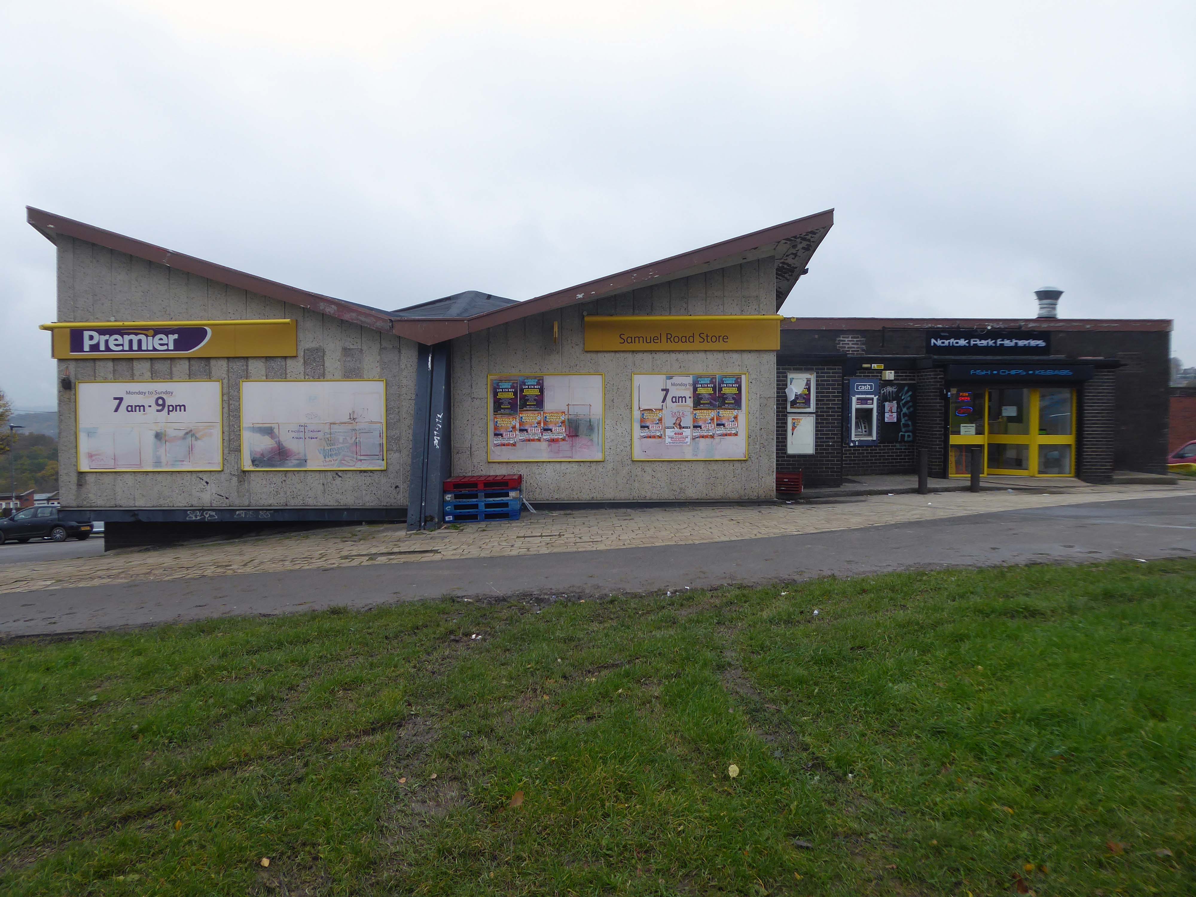
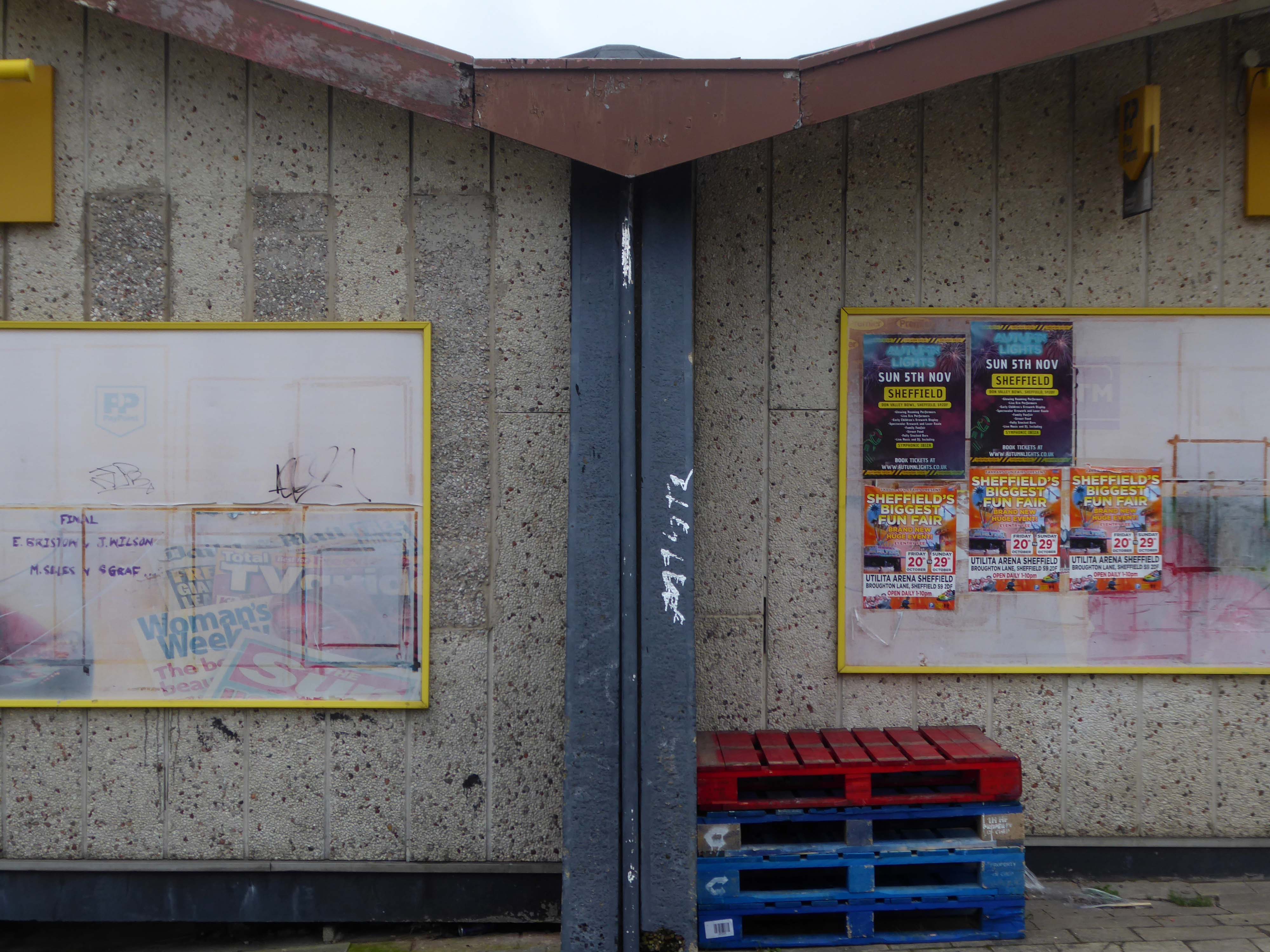
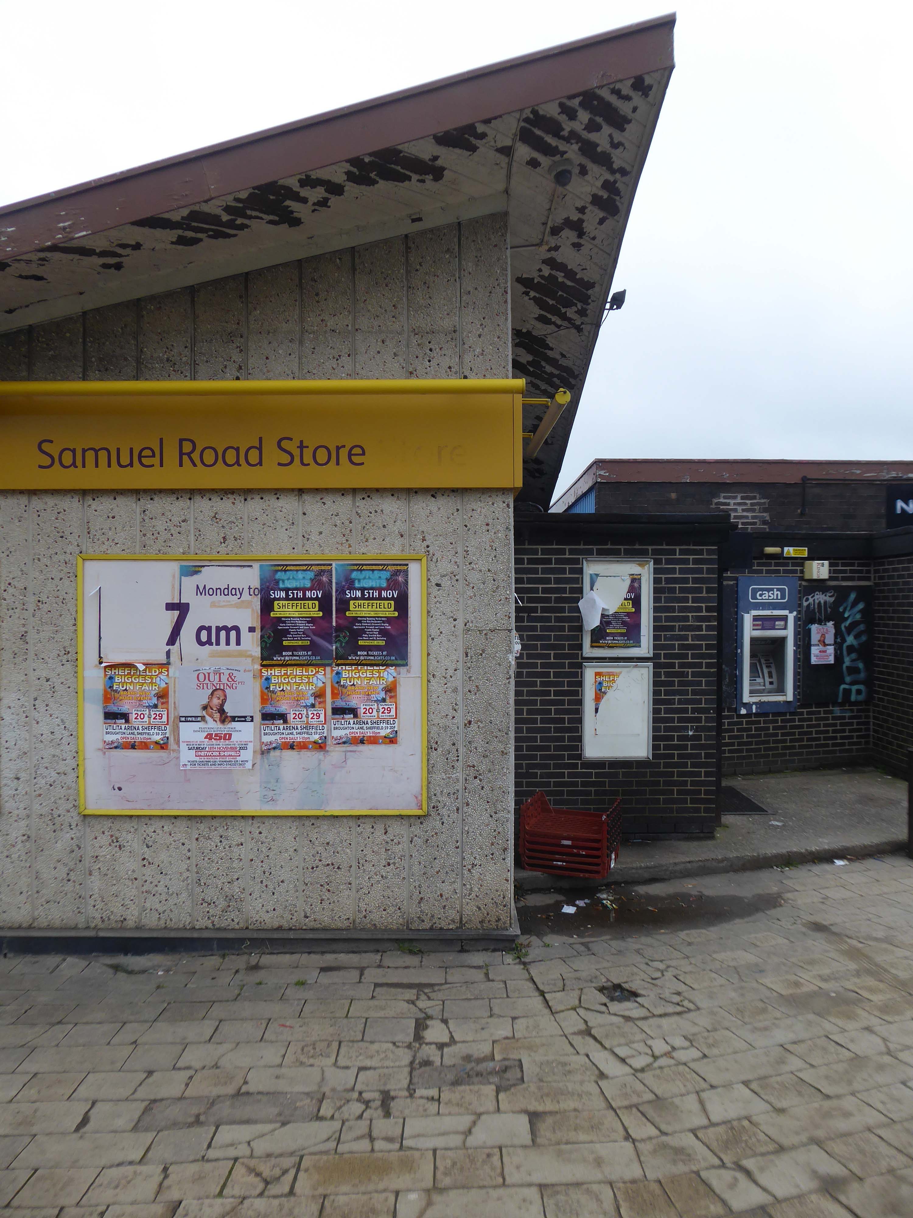
The former pub’s striking roof is still striking – sadly the last orders bell stopped striking long, long ago.
The shop was busy and the chips from the chippy were just the job on a cold damp November day.
Changes in the demographics of the area, social trends and the general economic malaise, have ensured that many estate pubs are no longer able to thrive and prosper.
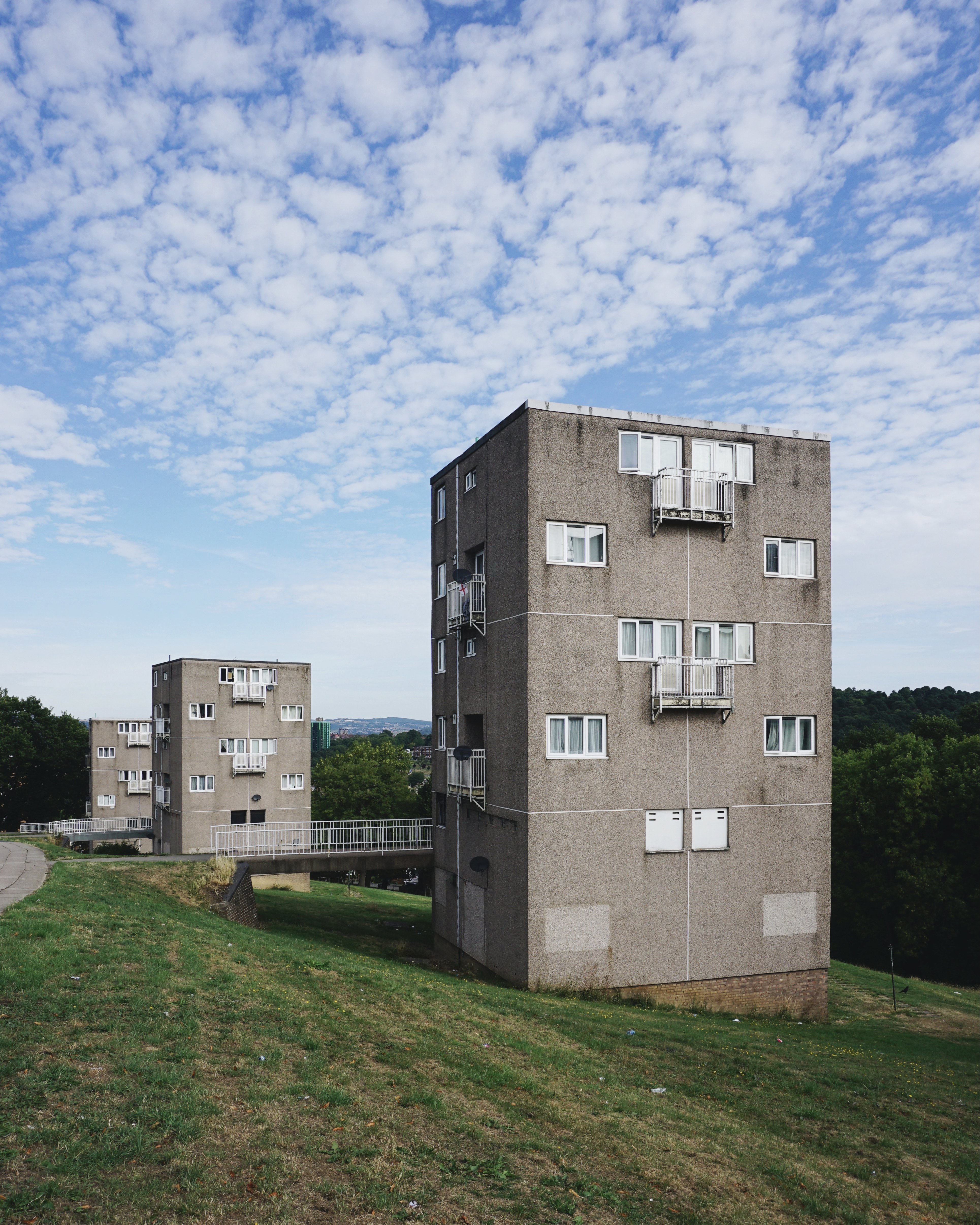
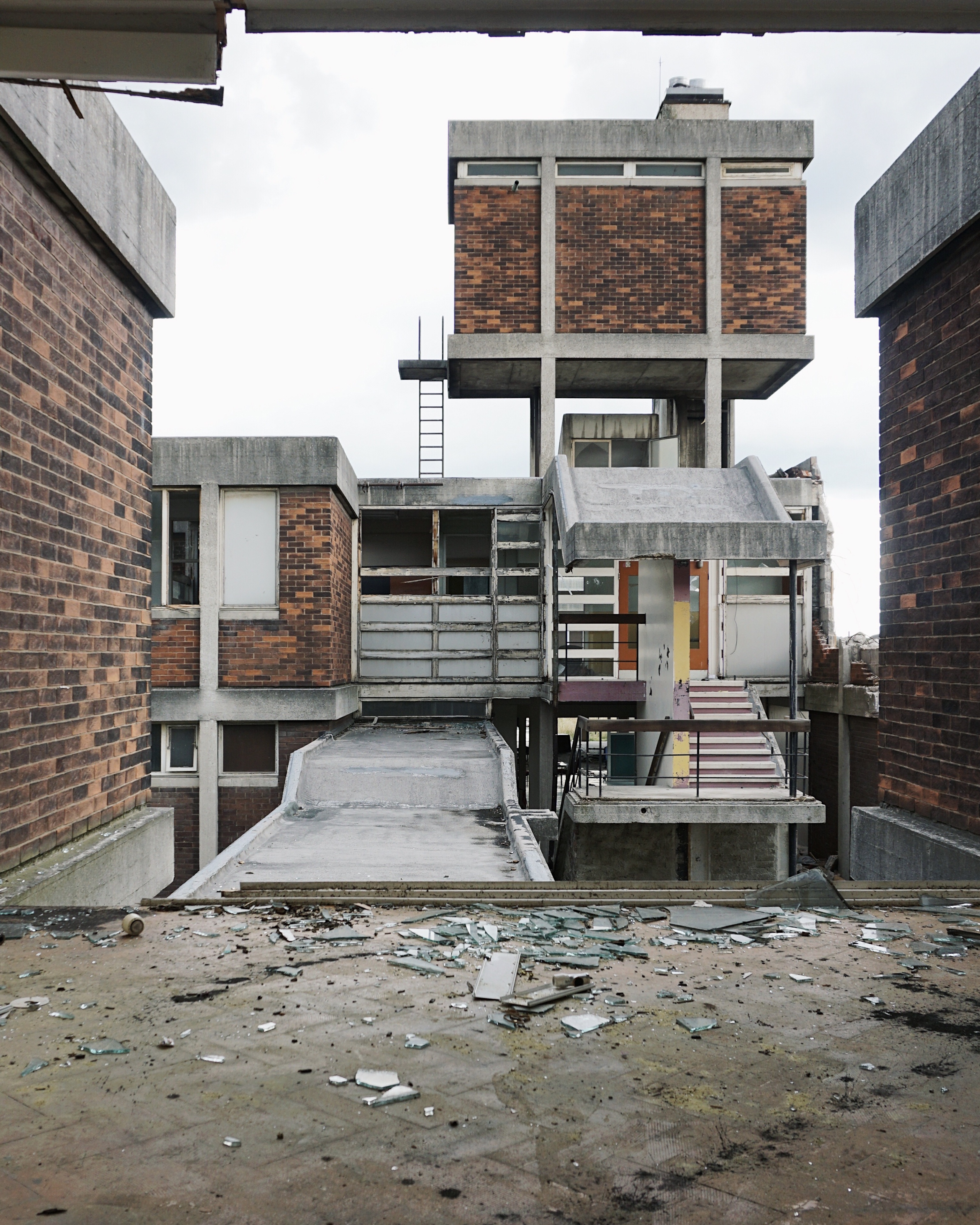
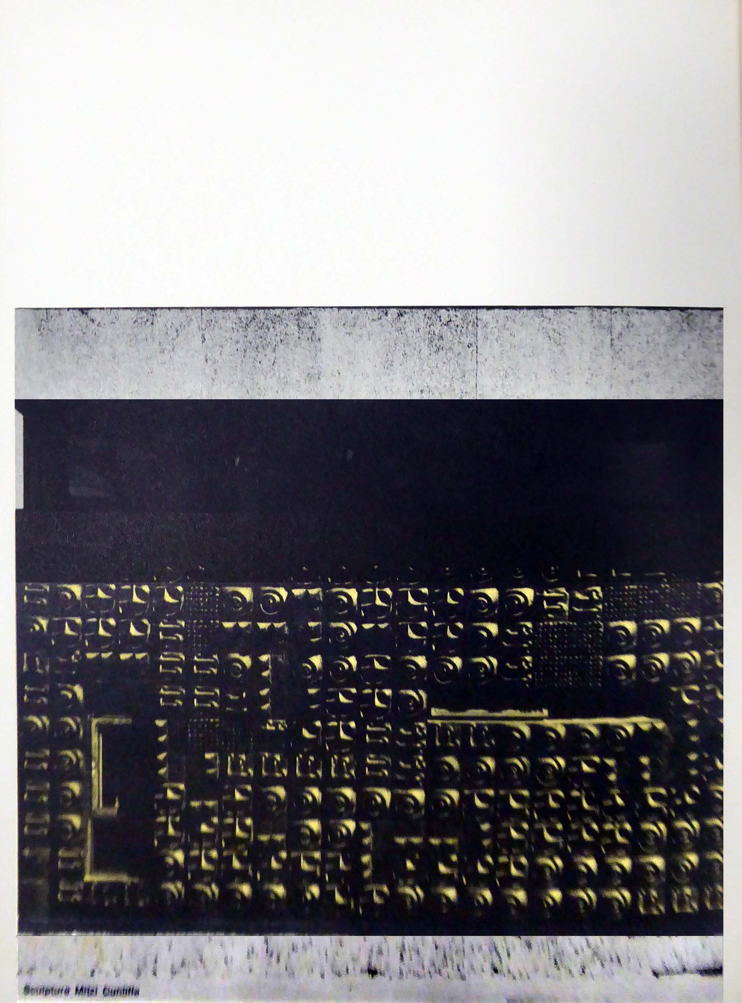
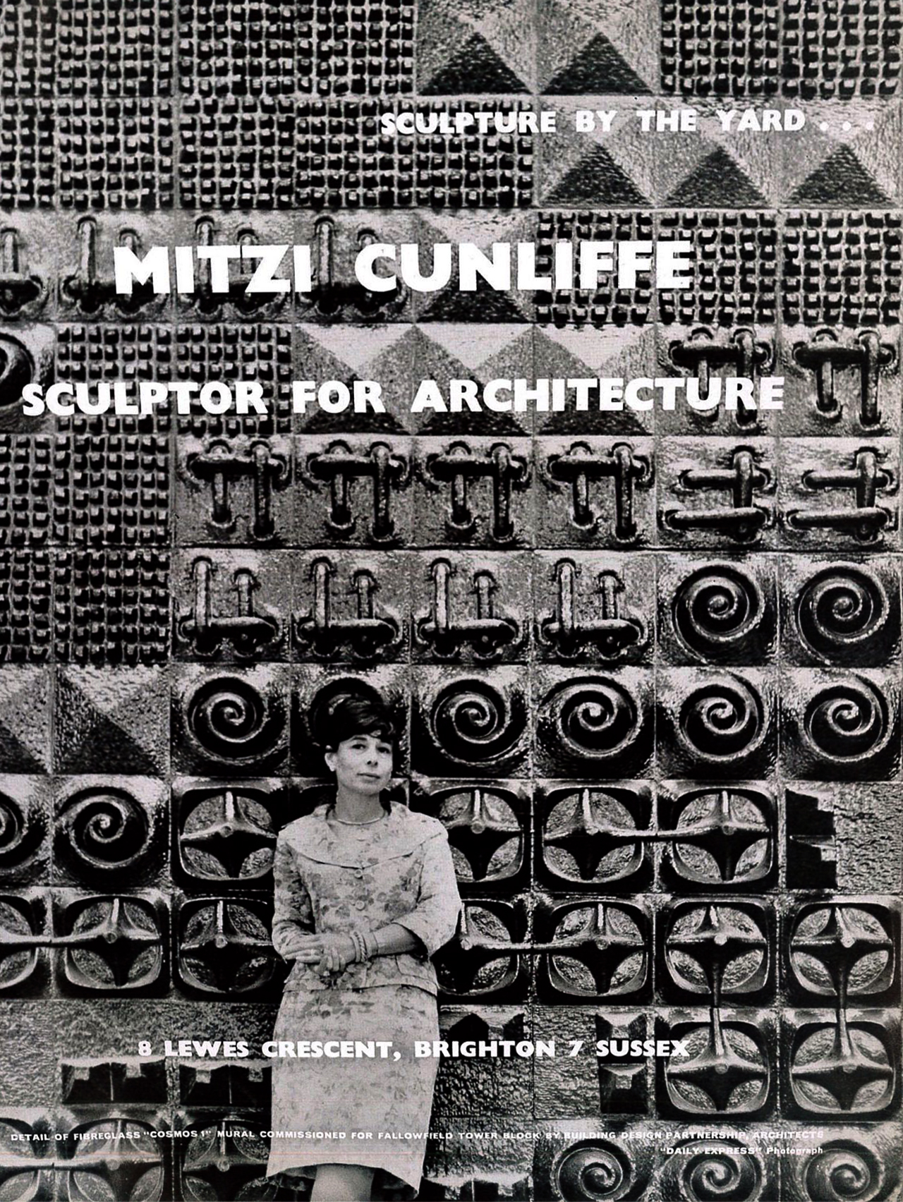
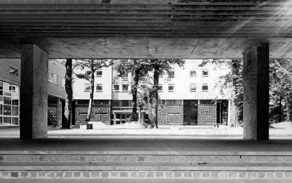
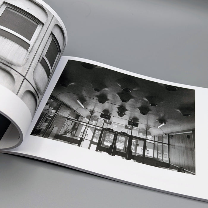
Illustrating a wide range of building types in and around Sheffield sheltering beneath the broad umbrella of Modernism.
By way of context the photographs are all Topographic in nature – in which a landscape subject is photographed, devoid of people, framed orthogonally and lacking artifice or effect.
Practiced most famously by the 1970s New Topographics photographers, including Robert Adams, Lewis Baltz, Nicholas Nixon, and Bernd and Hilla Becher.
A shocking paroxysm of a building, an explosion in reinforced concrete, a bunker built with an aesthete’s attention to detail, a building which is genuinely Brutalist in both senses of the term.
With a hyper parabolic roof a doubly-curved surface that resembles the shape of a saddle, that is, it has a convex form along one axis, and a concave form on along the other.
Featured in the video for the Arctic Monkeys’ 2006 number one hit – When the Sun Goes Down at 1.21.
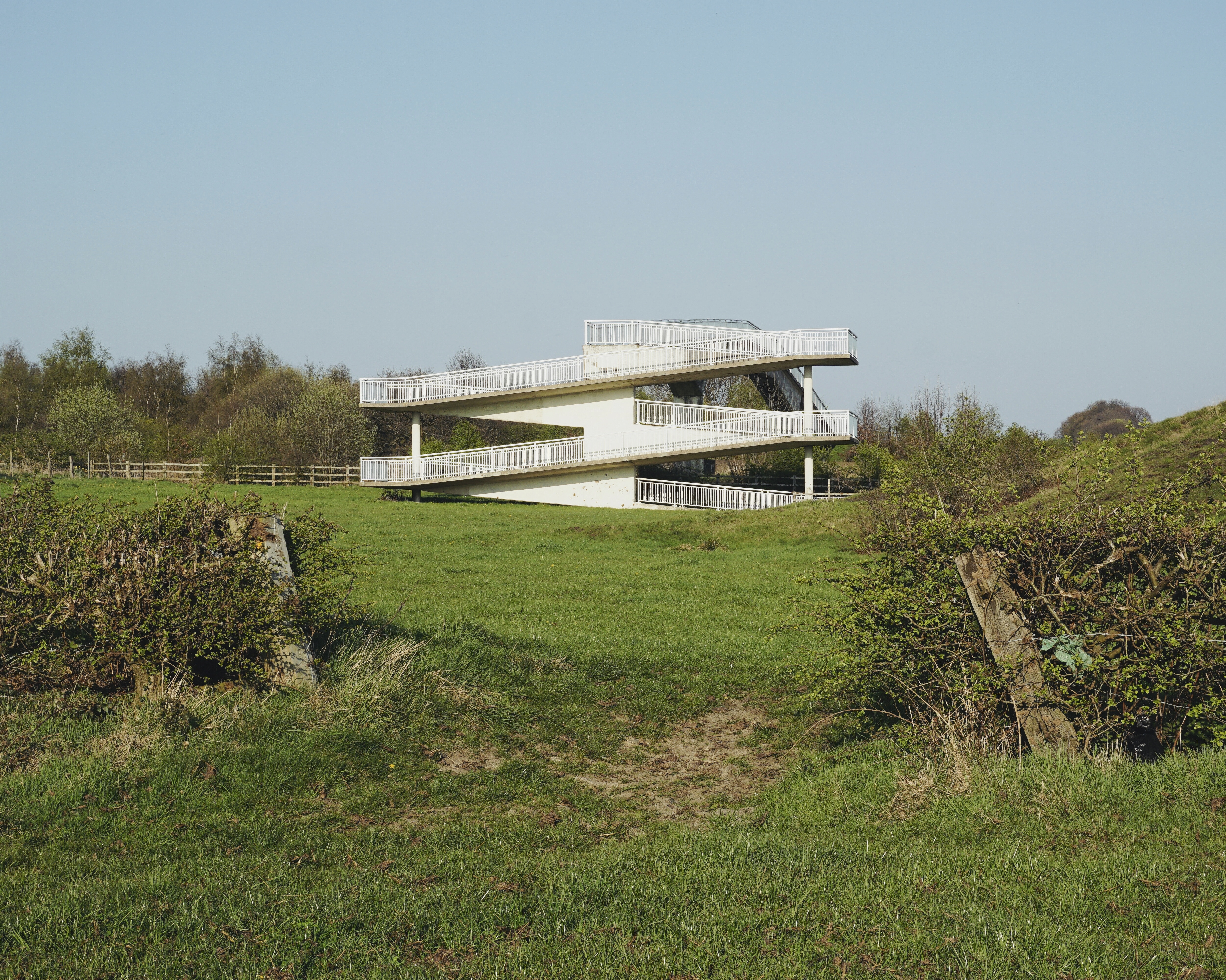
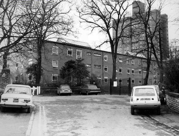
5 Park Hill – 1957 and 1961 Jack Lynn and Ivor Smith under the supervision of JL Womersley,
Grace Owen Nursery – with two Wicksteed climbing frames
The Play Ground should not be put in a corner behind railings, but in a conspicuous and beautiful part of a Park, free to all, where people can enjoy the play and charming scenery at the same time; where mothers can sit, while they are looking on and caring for their children.
The Sheffield Blitz in December 1940 killed almost 700 and damaged some 82,000 homes, over half the city’s housing stock. As the city looked to rebuilding, its 1952 Development Plan estimated the need to replace 20,000 unfit homes and build a further 15,000 to cater for the natural increase of population.
Supreme, but often overlooked, achievement … is the Gleadless Valley Estate which combined urban housing types and the natural landscape so effectively that it still looks stunning, especially on a bright winter’s day.
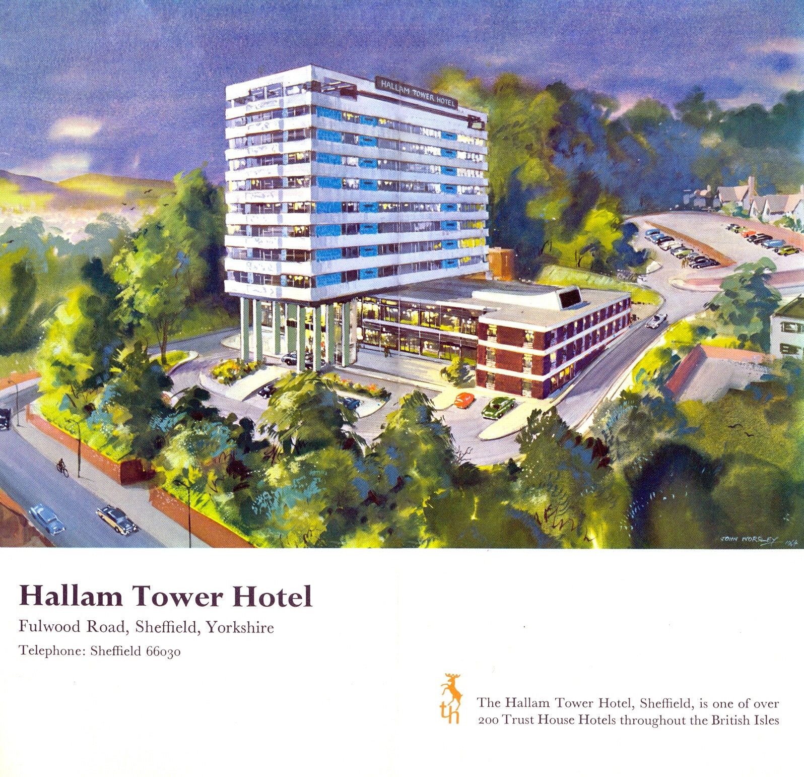
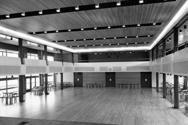
7 Hallam Tower Hotel 1965 Nelson Foley of Trust House Architectural Department
It opened officially on 24th March 1965 and was the first luxury hotel to be built in the north of England since the Second World War. The exterior was designed to complement Sheffield’s post-war modernist developments; the interior by Colefax and Fowler of Mayfair offered warm, gay colours to contrast with the black and grey tones of the city.
The plant started its first full year of production in 1929
The plant was located at Hope, because it is at the edge of where carboniferous limestone of the Monsal Dale Group, meets Edale Shale, the two main components of finished cement.
Since 1951, when the Peak District National Park was created, most of the outbound traffic from the plant has been exported by rail.
Colleagues in the team included Bill Varley, Ron Bridle, Sri Sriskandan and FA Joe Sims. The team was responsible for the introduction of a great deal of new computing technology into bridge design, as well as for some of the most imaginative bridge engineering going on anywhere in the country. Their design efforts were supported by close involvement in research and testing work, for example, on half-joints and concrete hinges. All the above named engineers went on to considerable seniority, some in the Department of Transport, and Sims and Bridle in particular have published various papers and contributed to books on the history of Britain’s motorway development.
I have to admit that I’m fascinated by the manicured homes of this long sweep of road reaching from the base of the Little Orme.
It was fascination, I know And it might have ended right then, at the start Just a passing glance, just a brief romance And I might have gone on my way, empty hearted
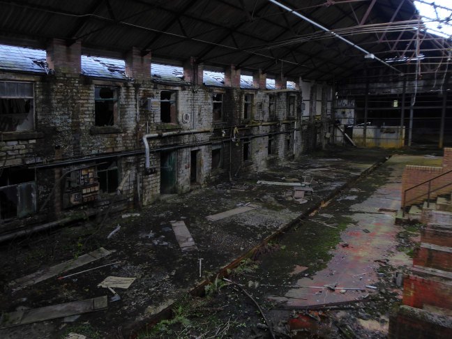
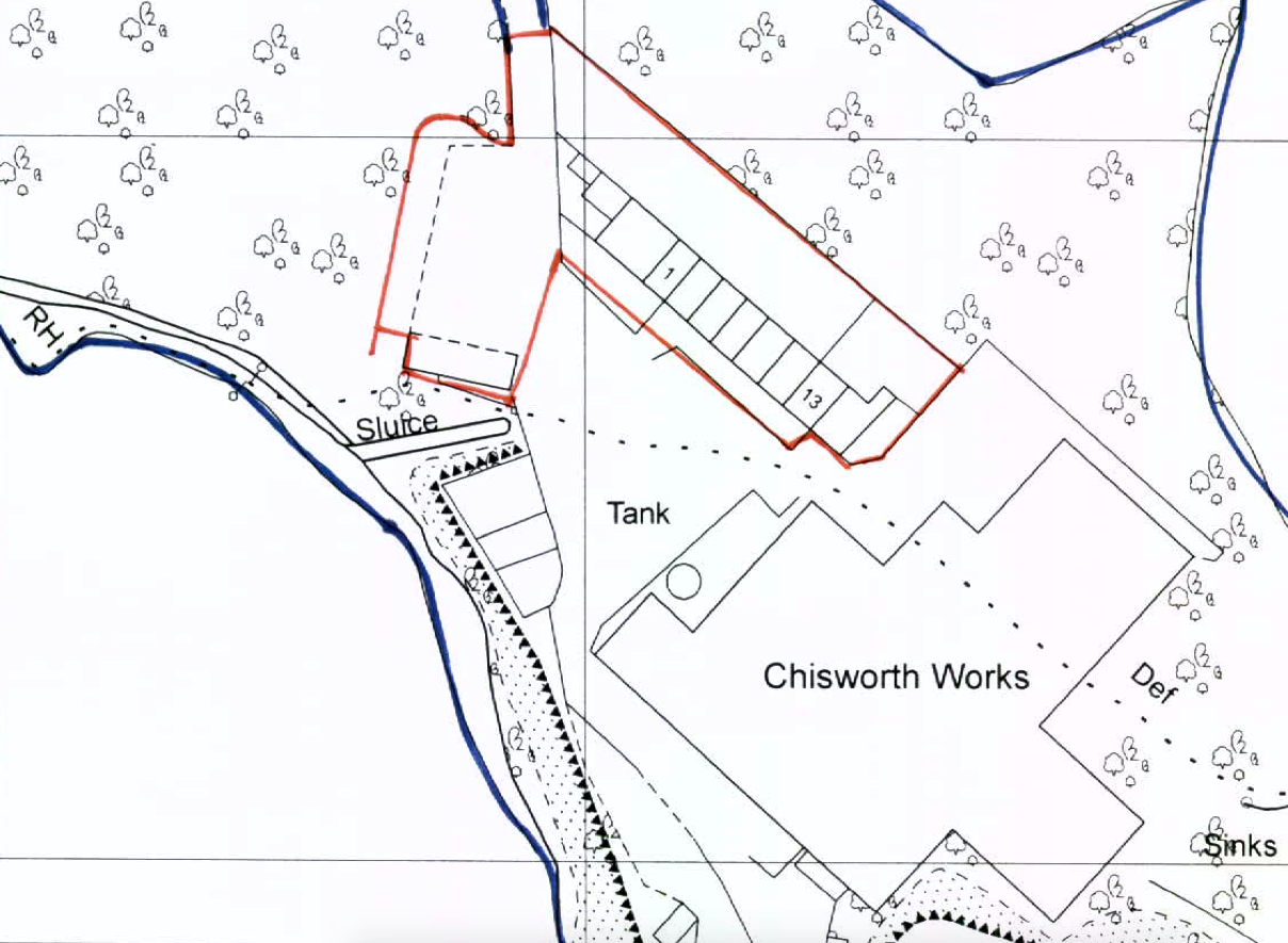
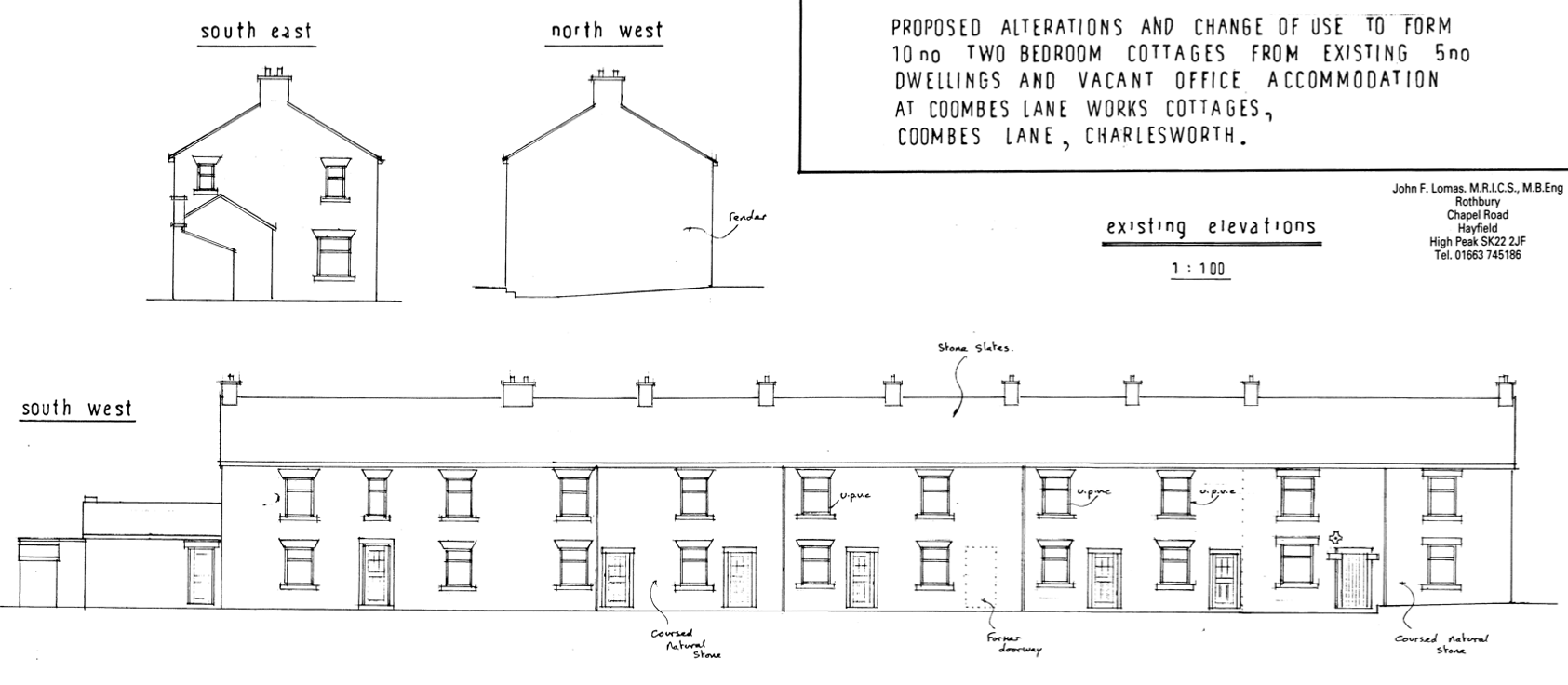
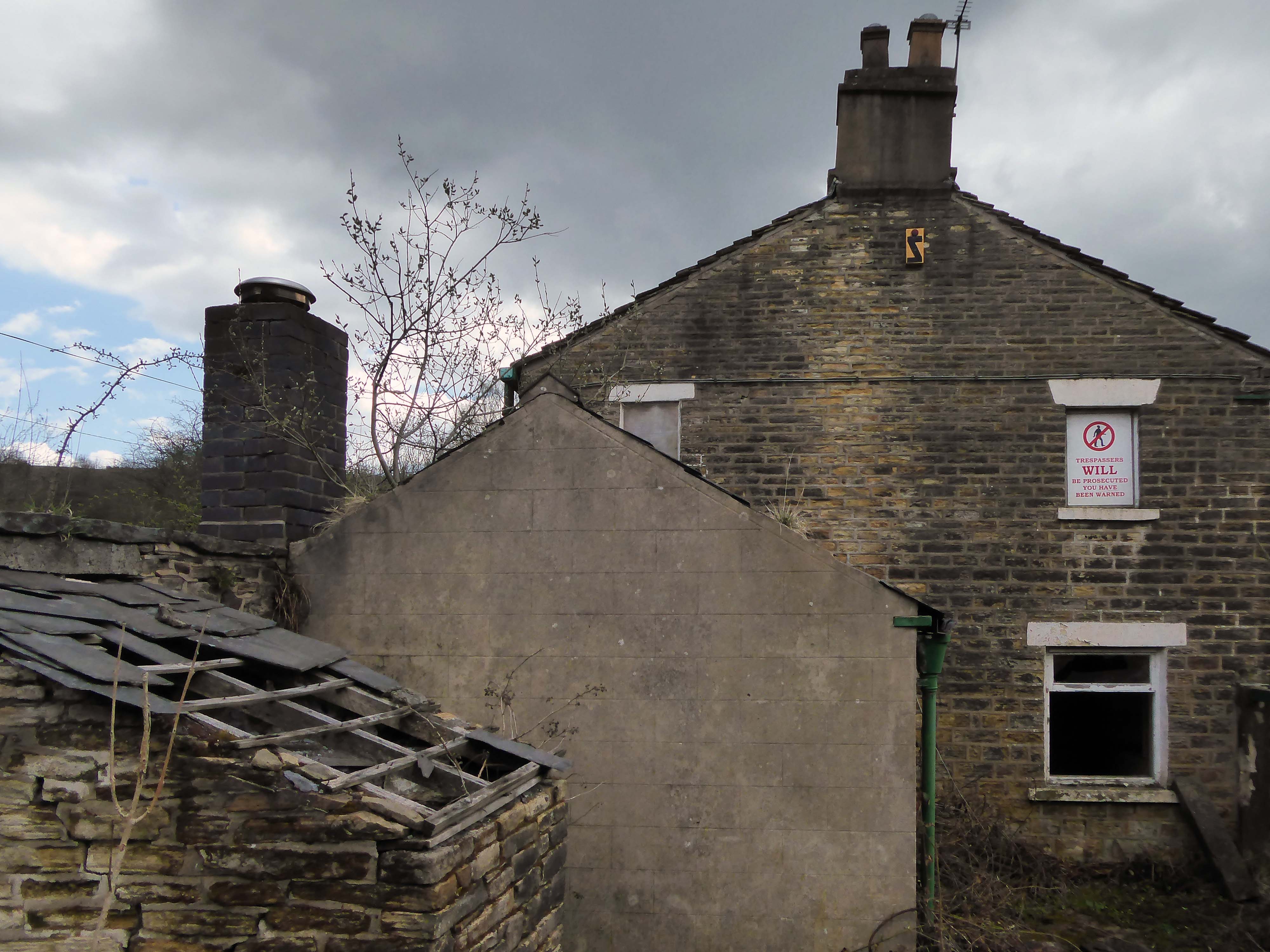
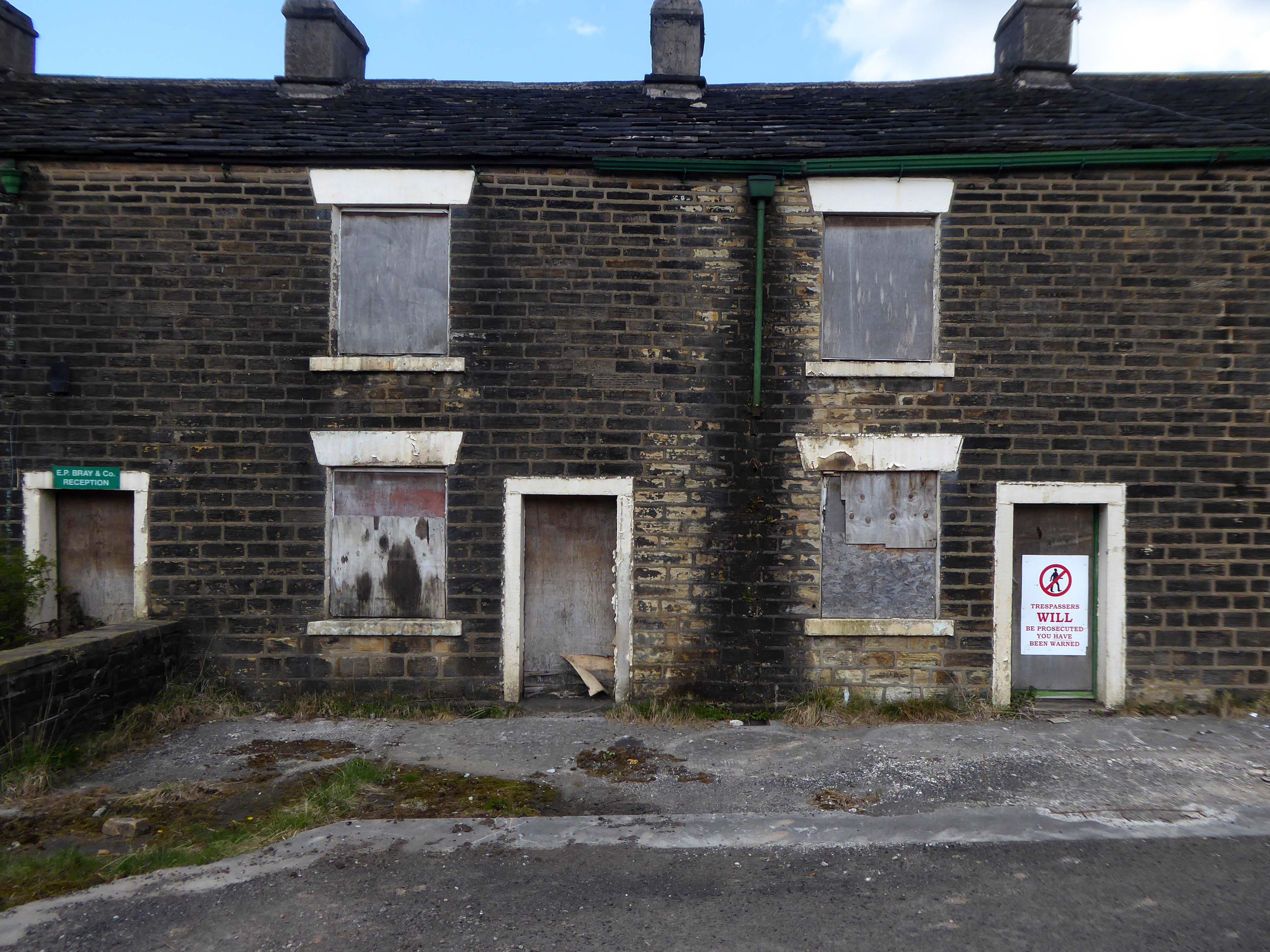
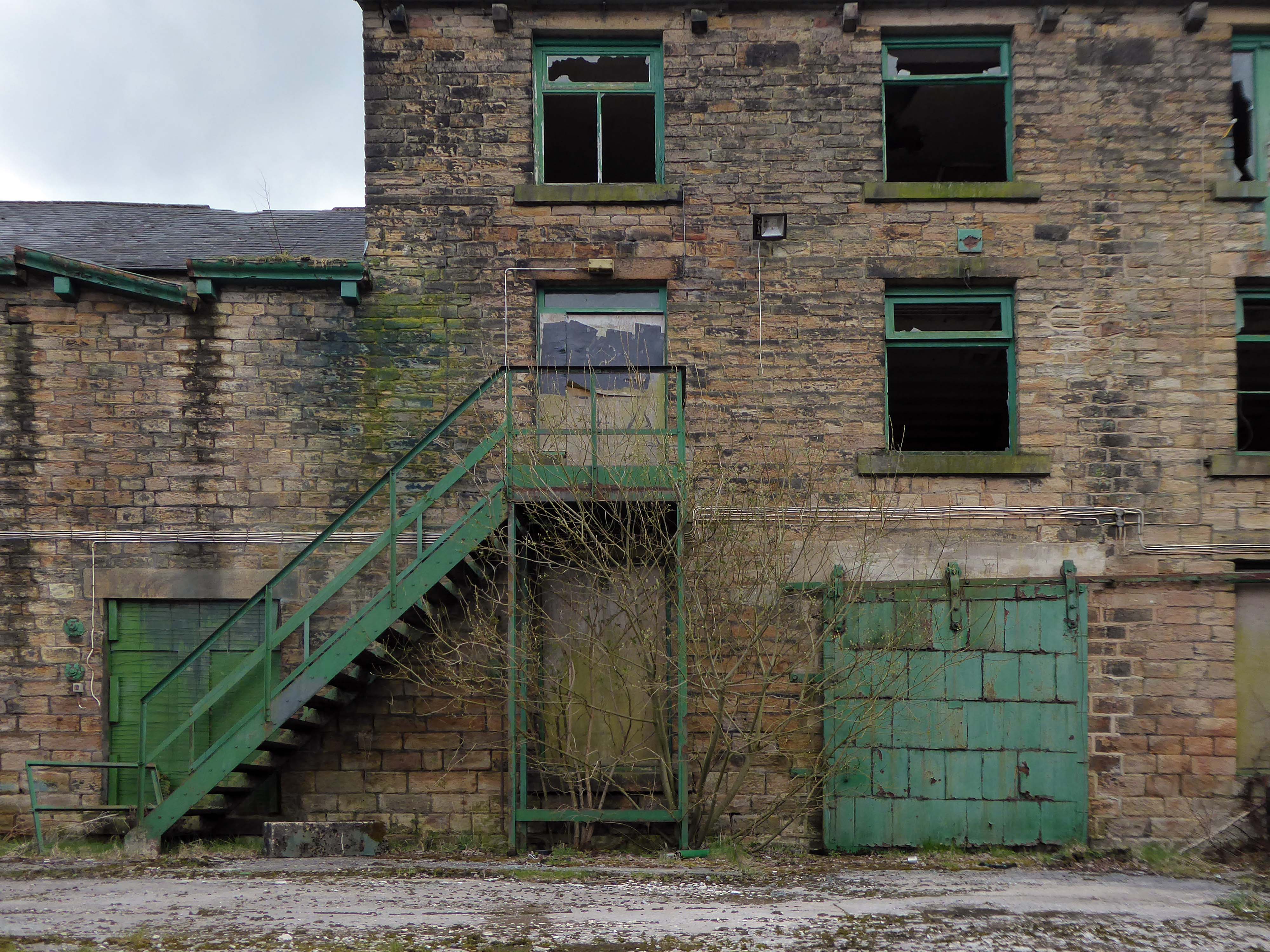
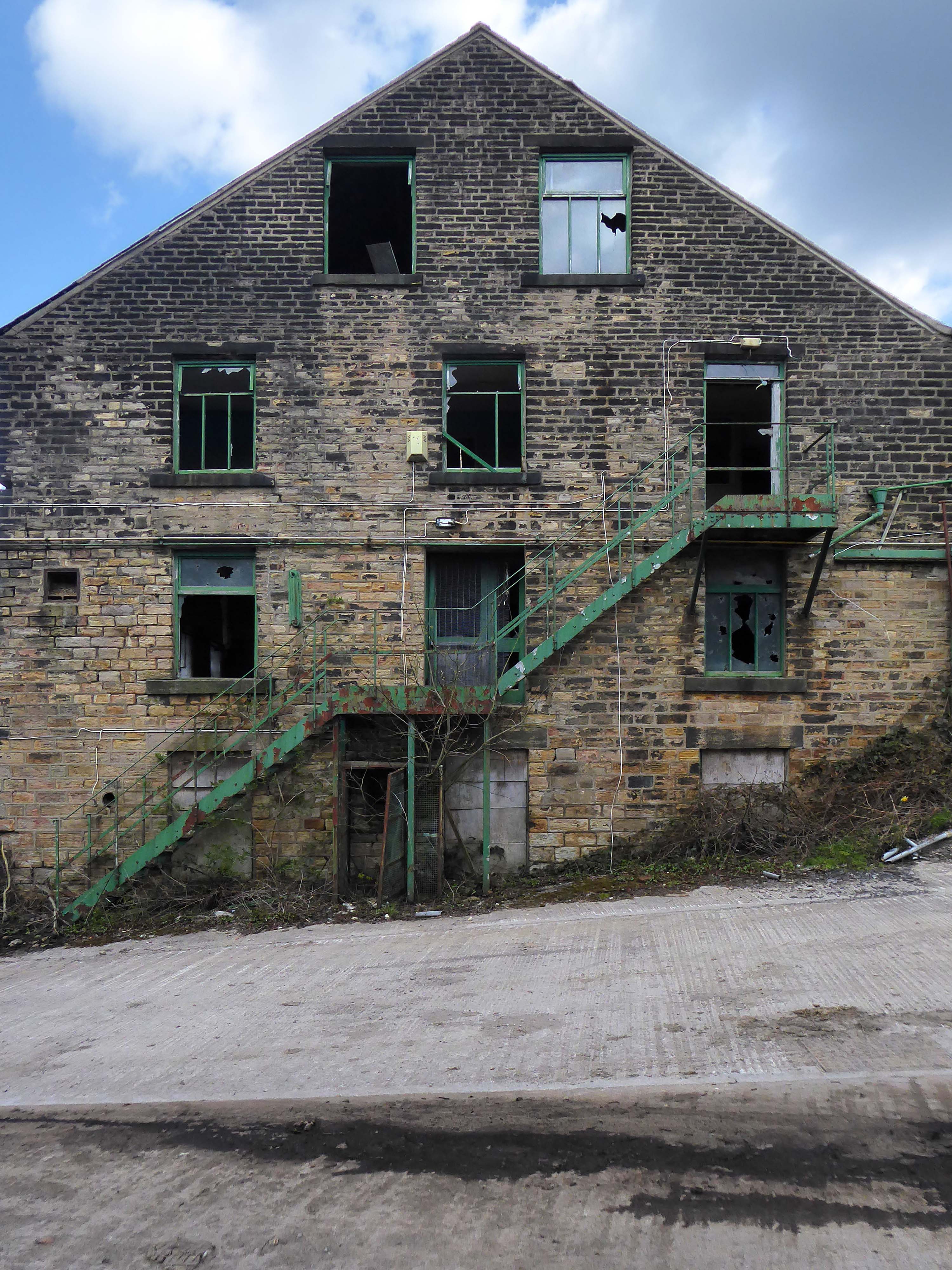
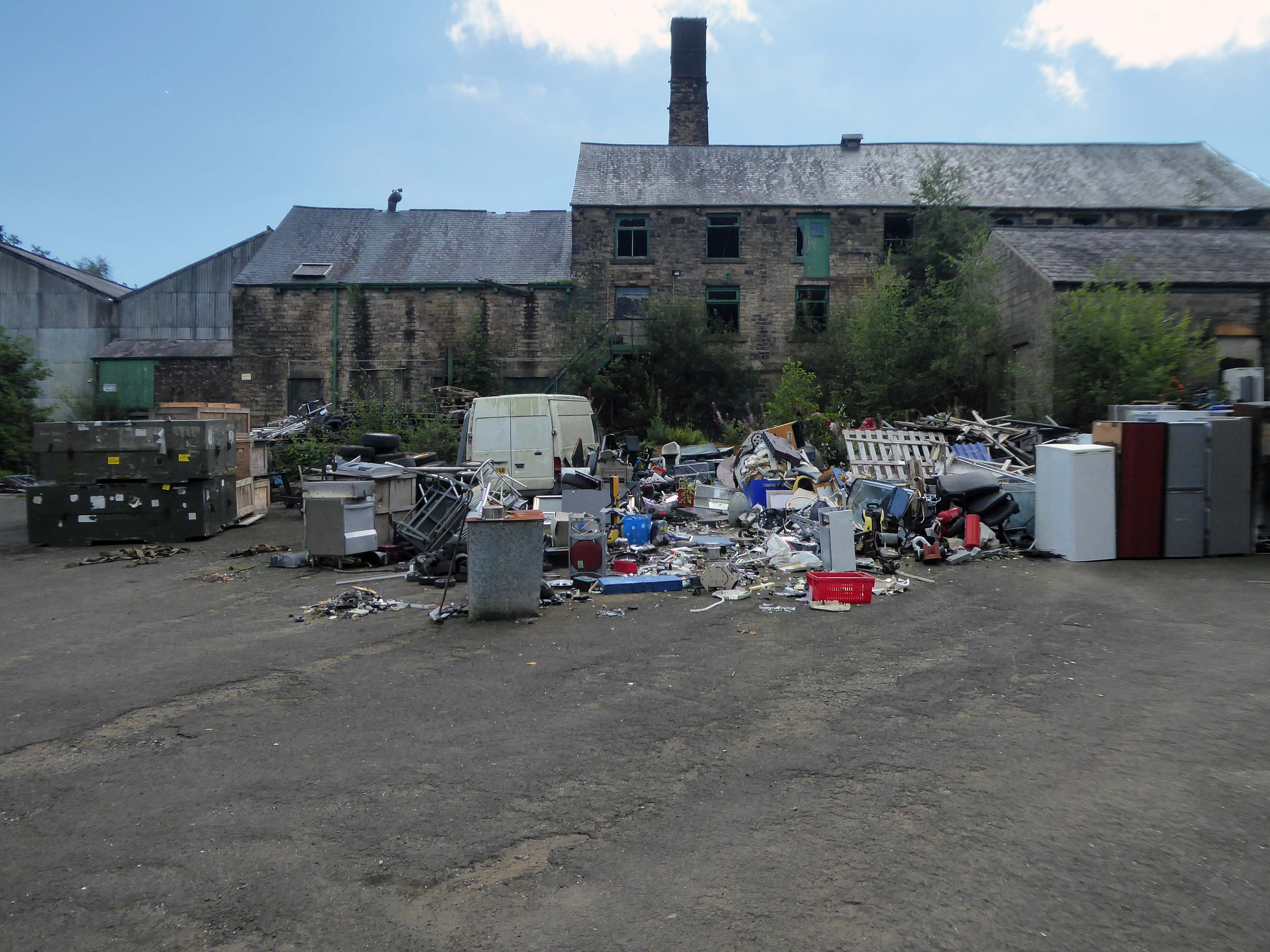
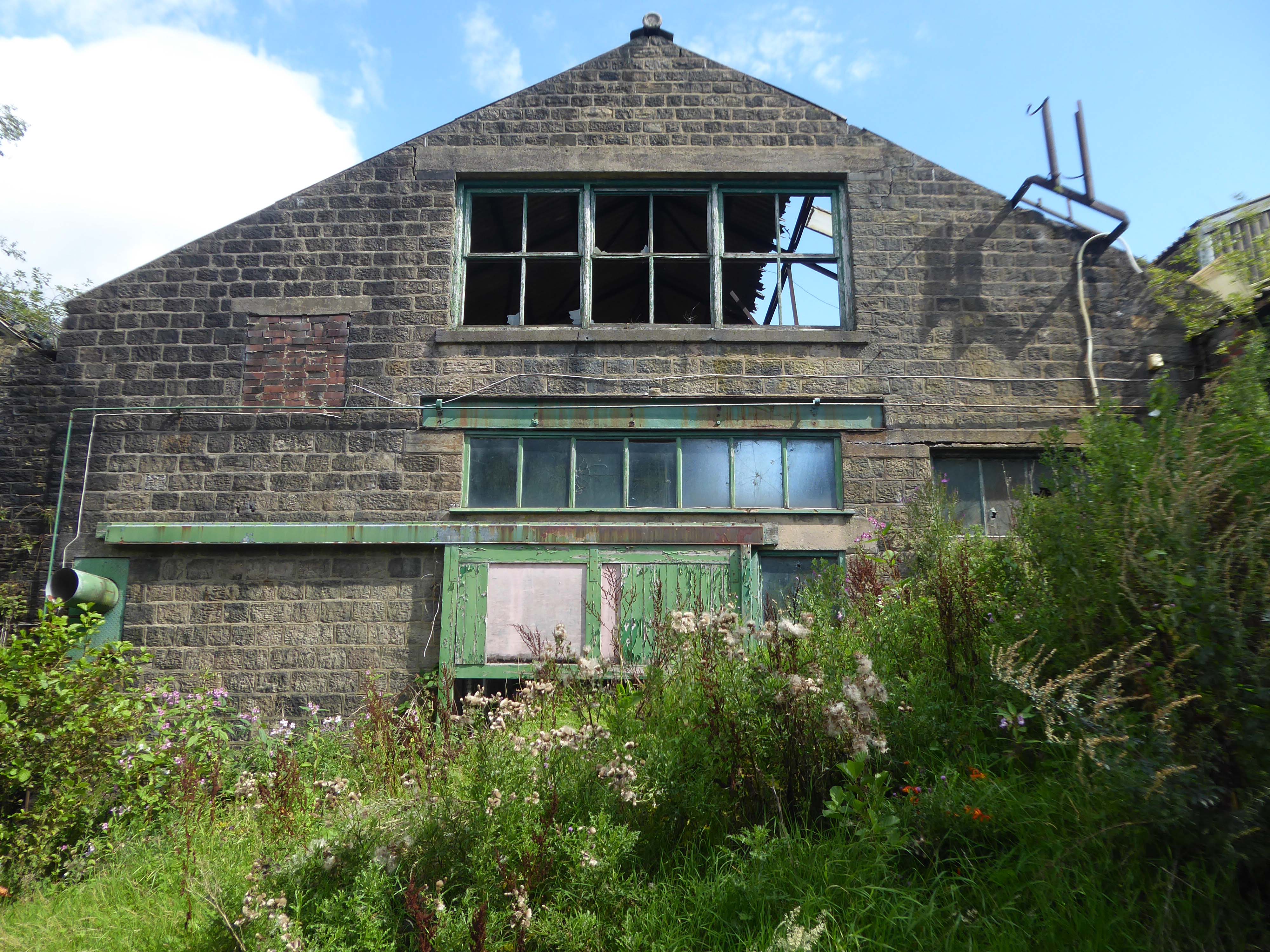
Chisworth Works Coombes Lane Holehouse Charlesworth and Chisworth SK13 5DQ
Built at the end of the 18th or in the early 19th centuries; Chisworth Works was as a cotton band manufactory. During these times, the site was called Higher Mill.
It was referred to as Higher Mill, as there was a lower works, Mouse Mill in Holehouse, owned by the Booth family.
It has been a longstanding, low-lying object of interest to those intrepid Urban Explorers.
A planning application of 2009 was submitted for redevelopment of the terraced cottages.
Proposed alterations and change of use to form ten two bedroom cottages from existing five dwellings and vacant office accommodation.
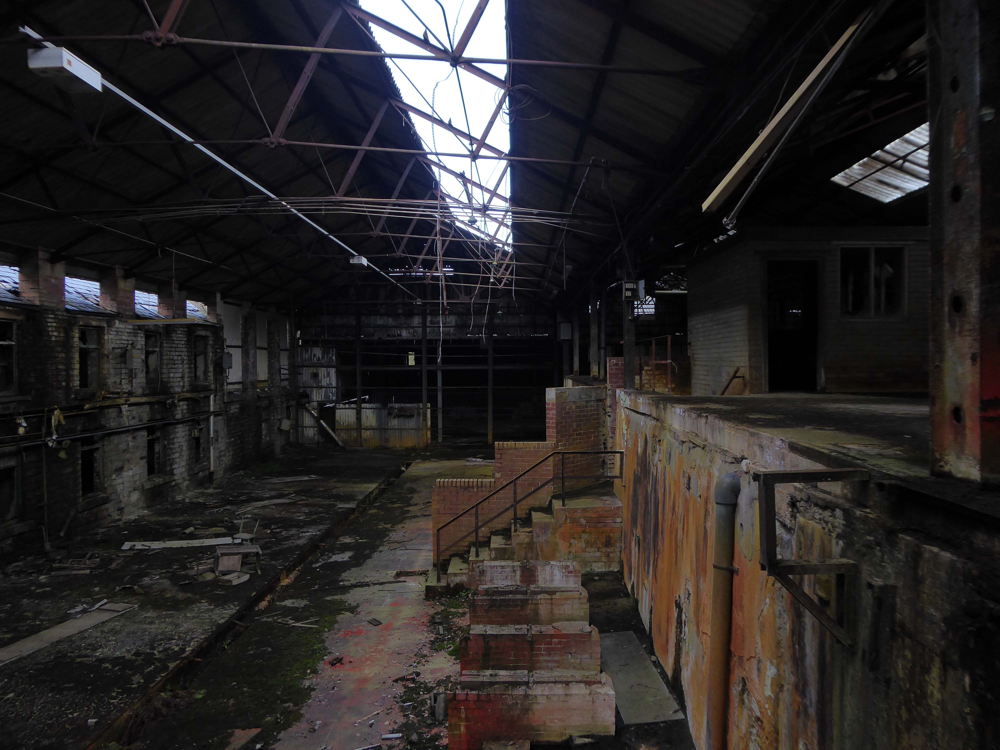
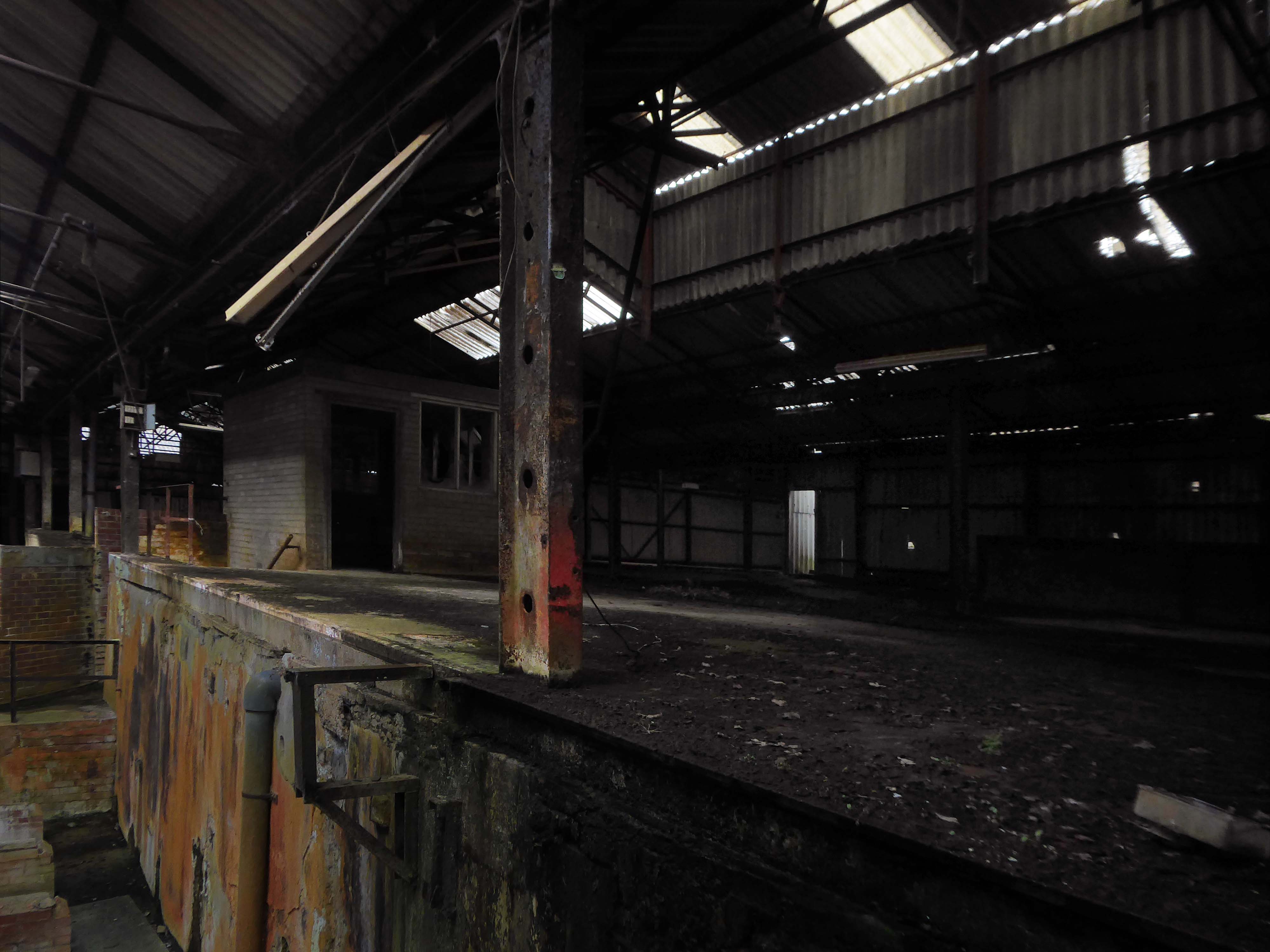
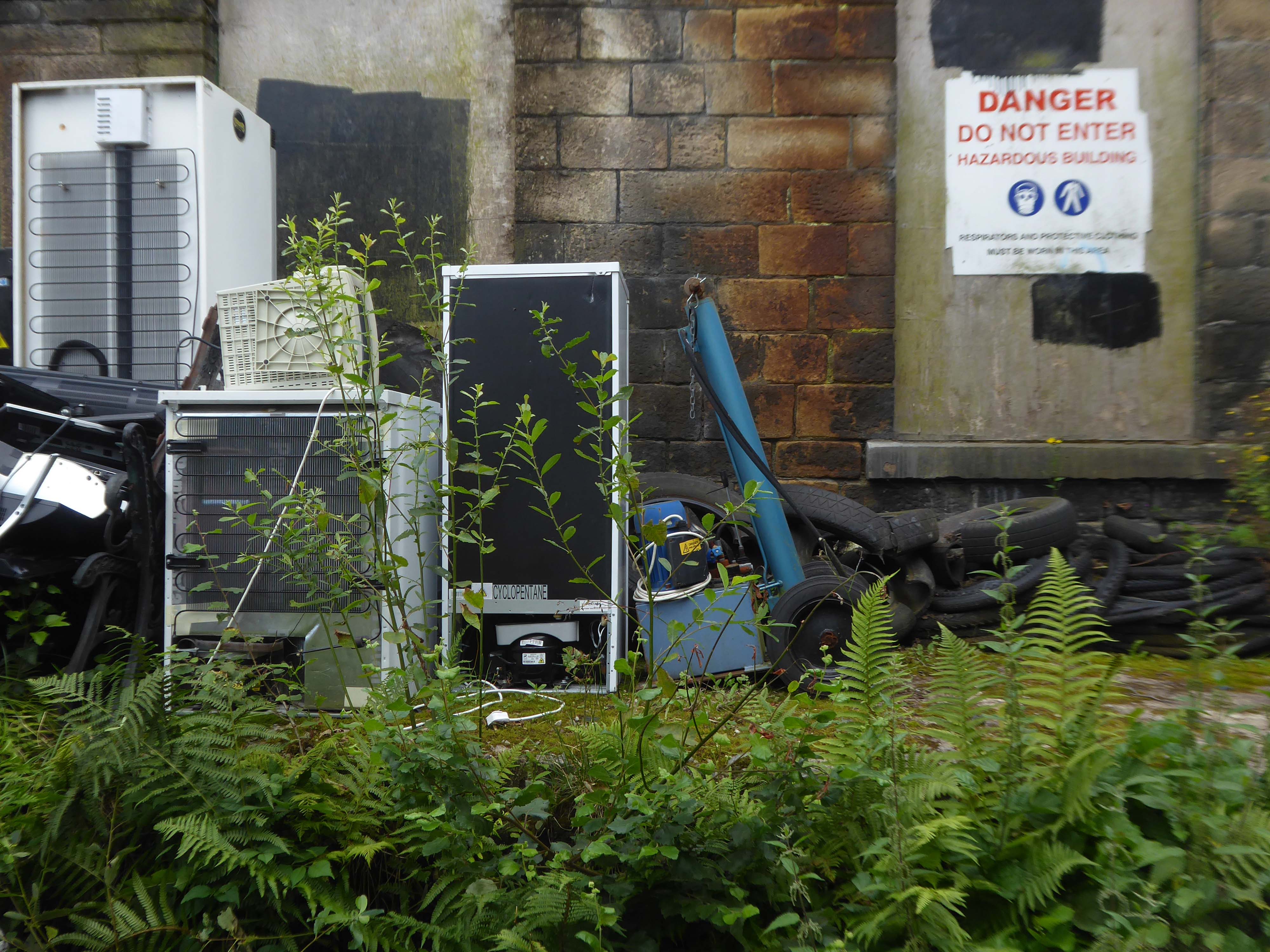
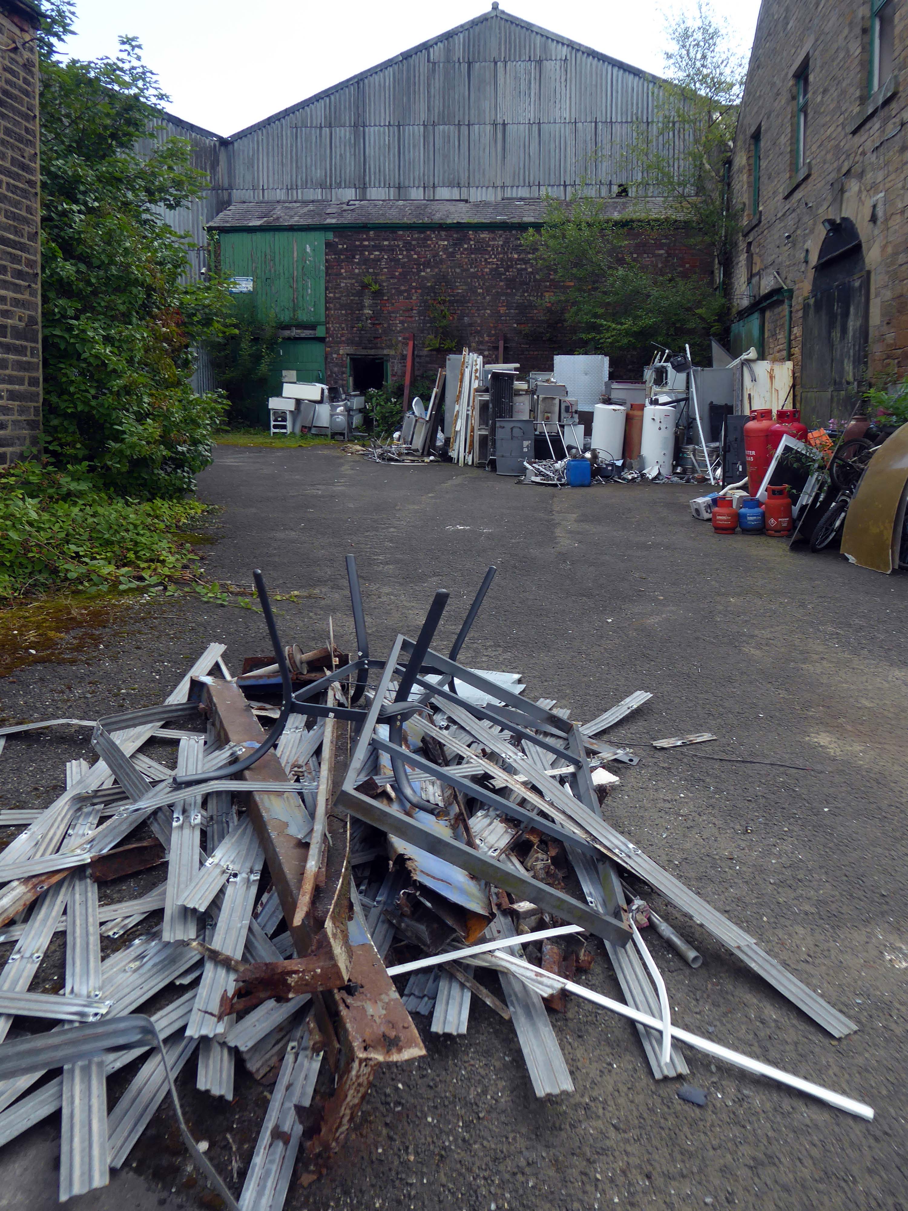
This was the state of play in April 2021 – the interior photographs were taken through an open aperture.
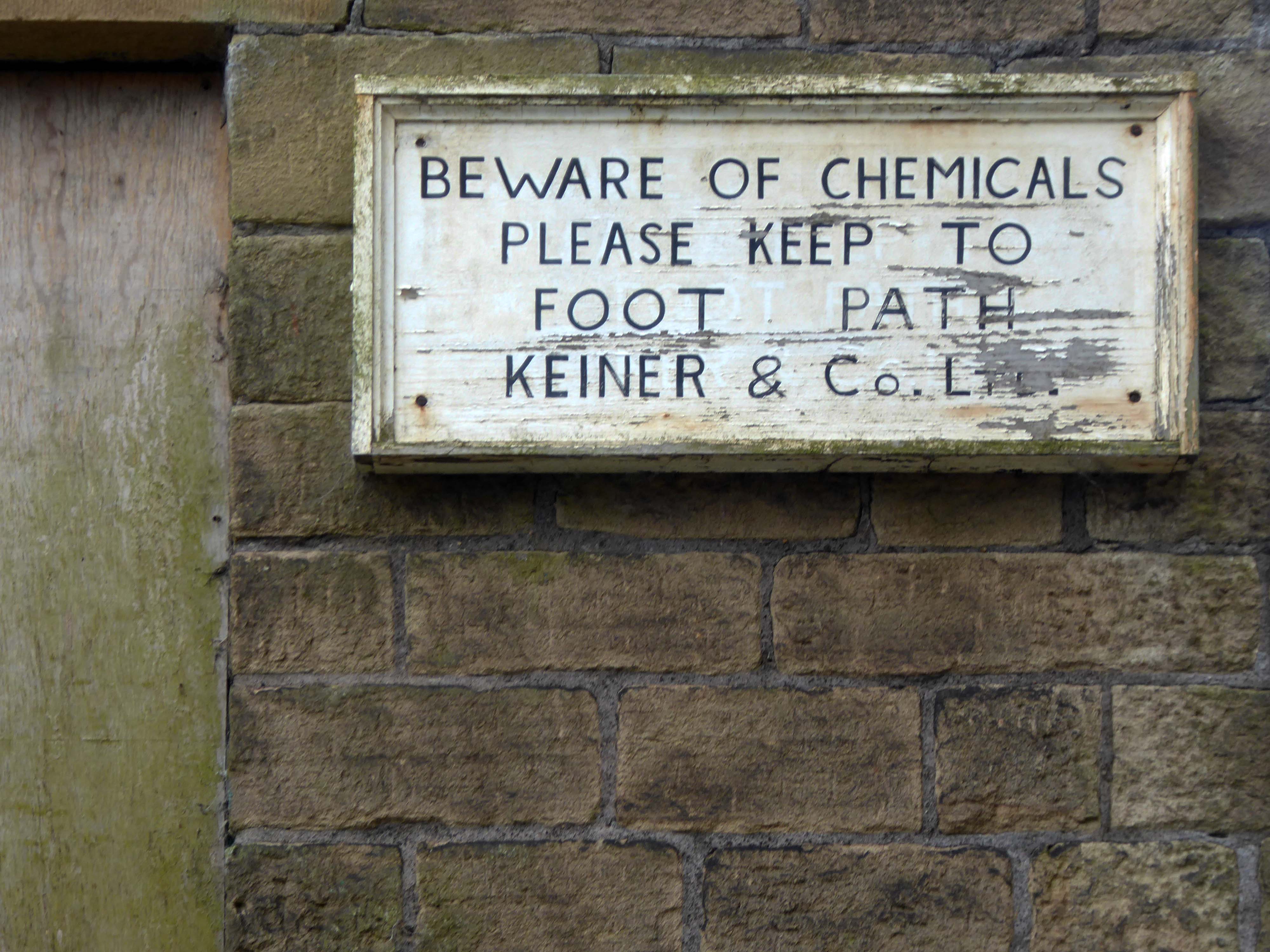
Lead Chromatecan affect you when inhaled or swallowed. Contact can irritate and burn the skin and eyes. Prolonged skin contact may cause blisters and deep ulcers.
Inhaling Lead Chromatecan irritate the nose, throat and lungs.Exposure can cause headache, irritability, and muscle and joint pain. Repeated exposure can cause Lead poisoningwith metallic taste, colic and muscle cramps.
Inhaling Lead Chromatecan cause a sore and/or a hole in the septum.
Lead Chromatemay cause a skin allergy.
Lead Chromatemay damage the nervous system. Exposure may cause kidney and brain damage, and anemia.
The building was subsequently owned by EP Bray.
Wherever the choice has had to be made between the man of reason and the madman, the world has unhesitatingly followed the madman.
For over two hundred years the site has been a place of toil, dangerous toil taking its toll.
The valleys which inevitably fed the Mersey, were home to the origins of the Industrial Revolution – people and water powered.
This is a toxic landscape, nestled in the heart of ancient post-glacial earth movements:
Geomorphological investigations of two landslide areas on the Cown Edge escarpment showed that slope failure was primarily the result of local stratigraphic and lithological conditions and not of past climatic vicissitudes or changes in the form of the relief. Failure on each occasion took place by shearing along the same line of weakness: shales either within a calcareous shale band or in close proximity to it became decomposed and unable to bear the weight of the slope forming material above it. Each displacement resulted in a bank slip failure and the formation of a block glide landslide. The morphology indicates that slip movements has occurred several times and the periods when these took place have been determined using palynological methods. These results indicate that the Cown Edge landslides date from a post-glacial period.
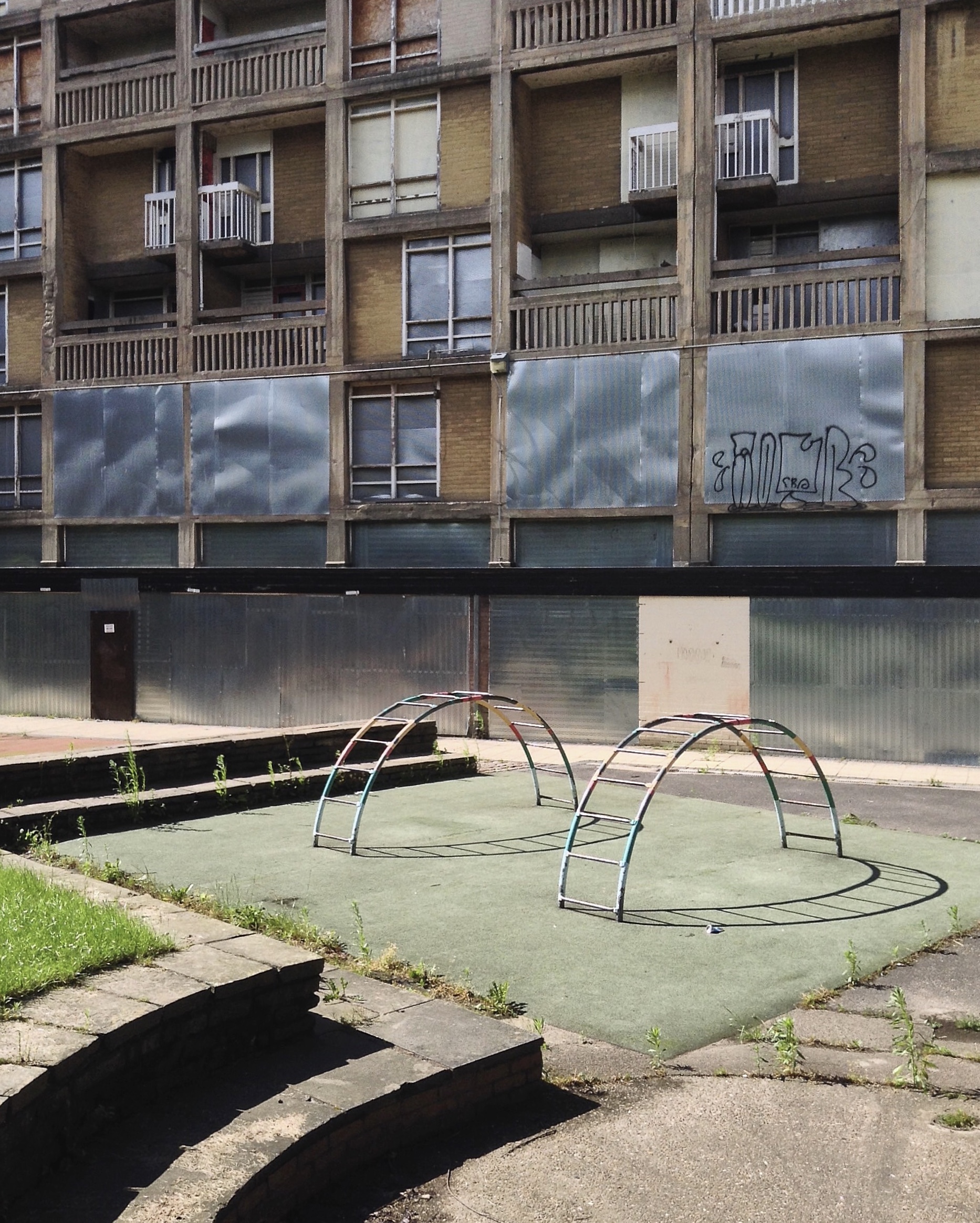
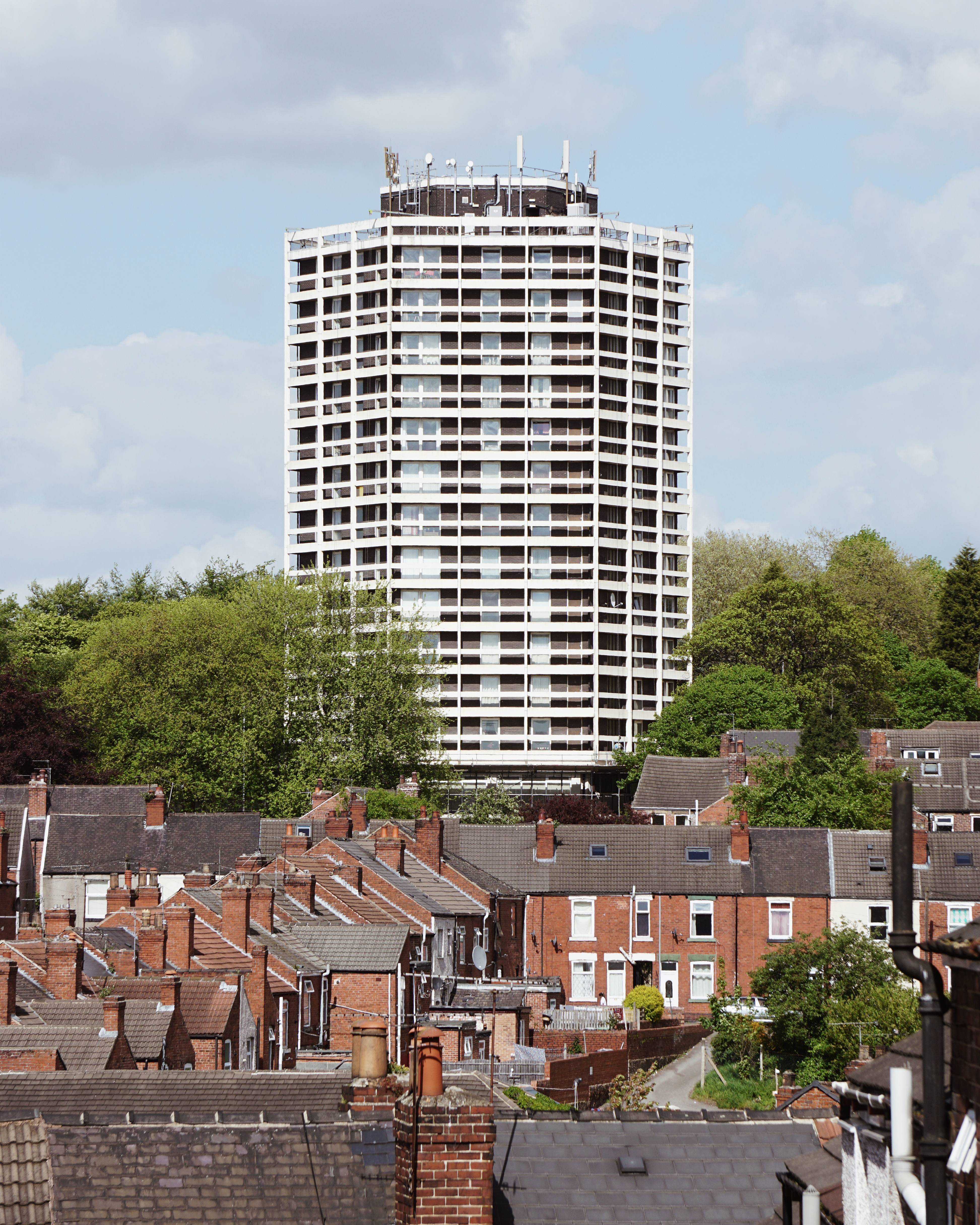
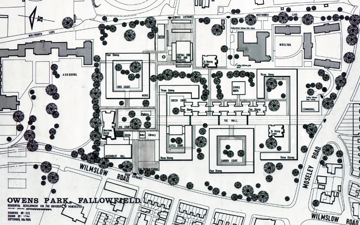
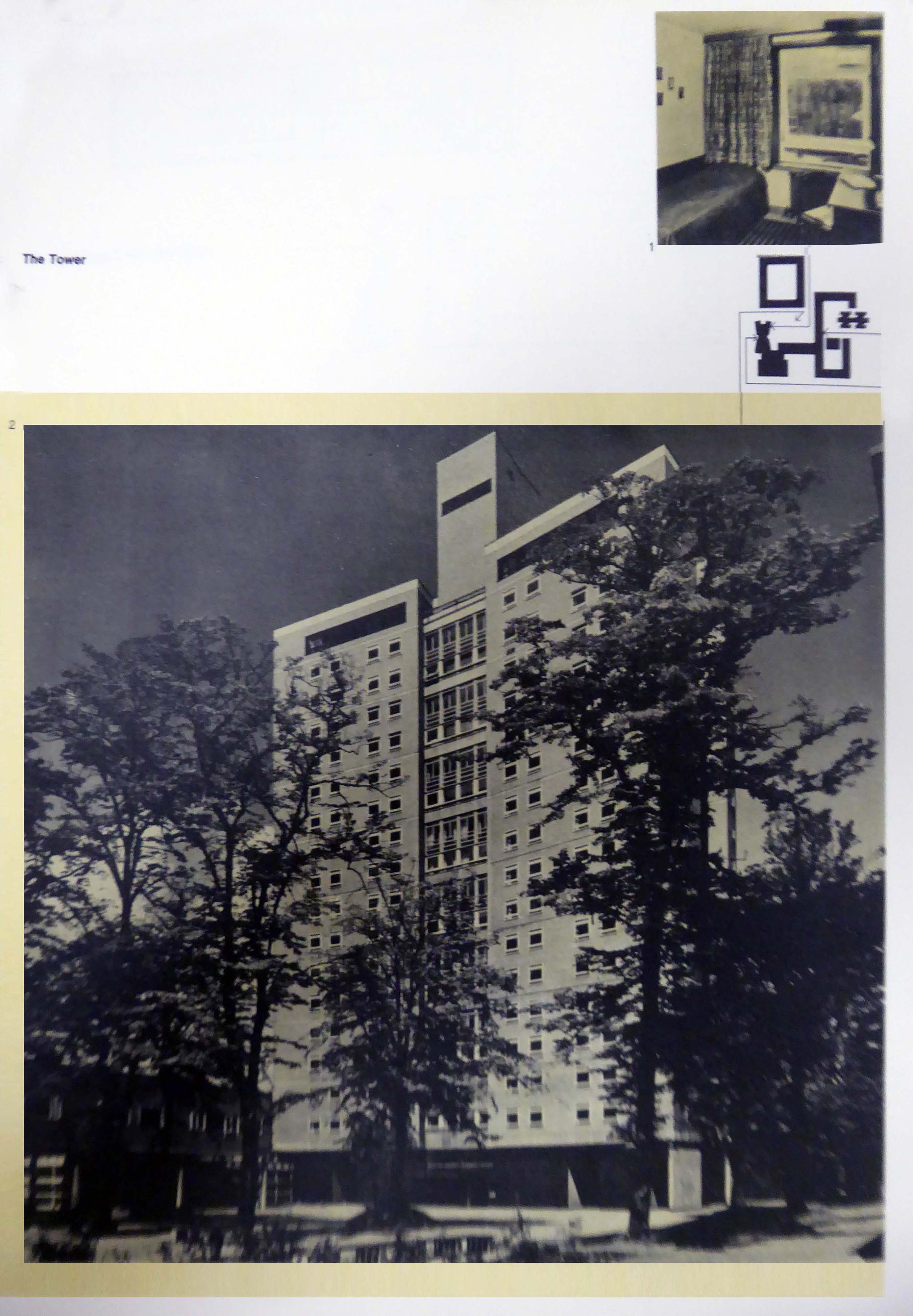
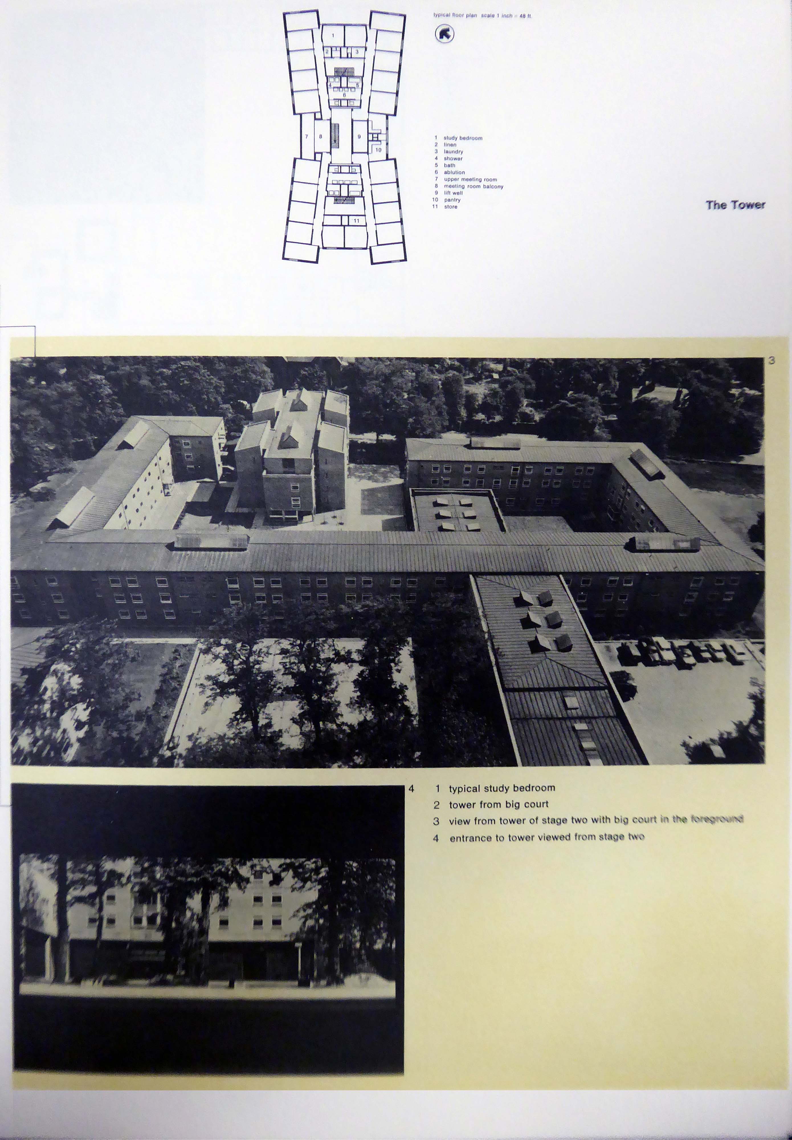
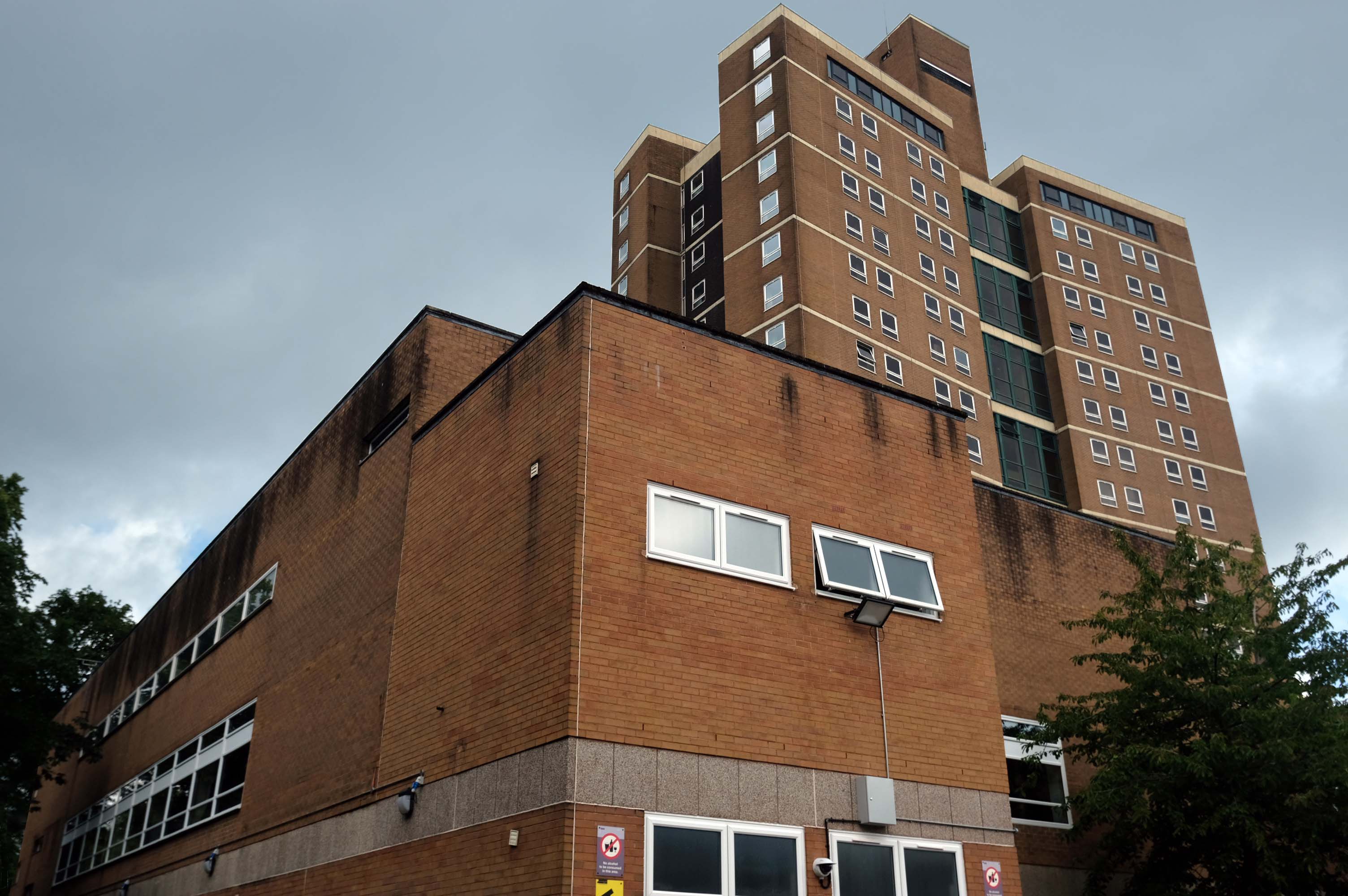
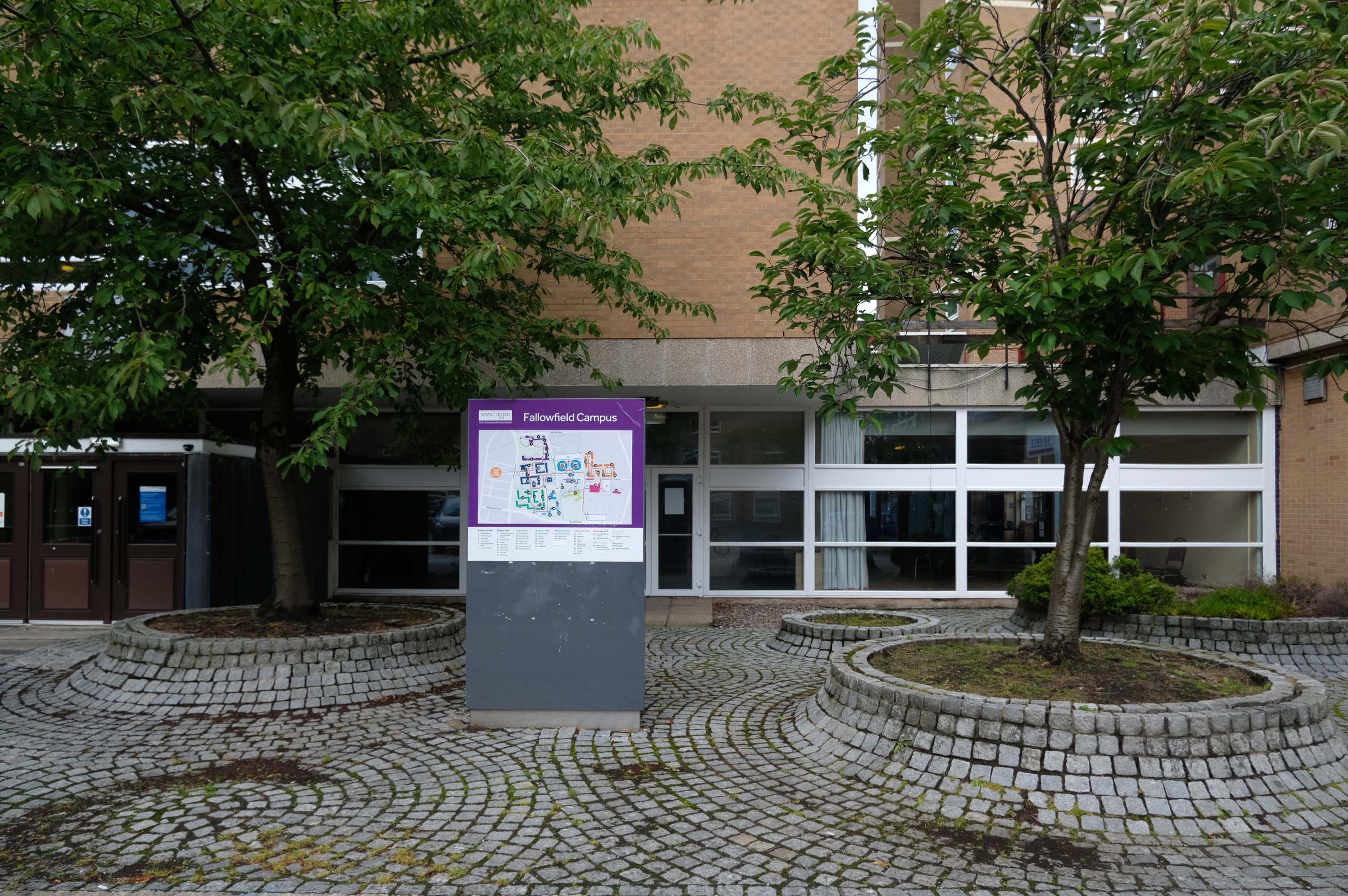
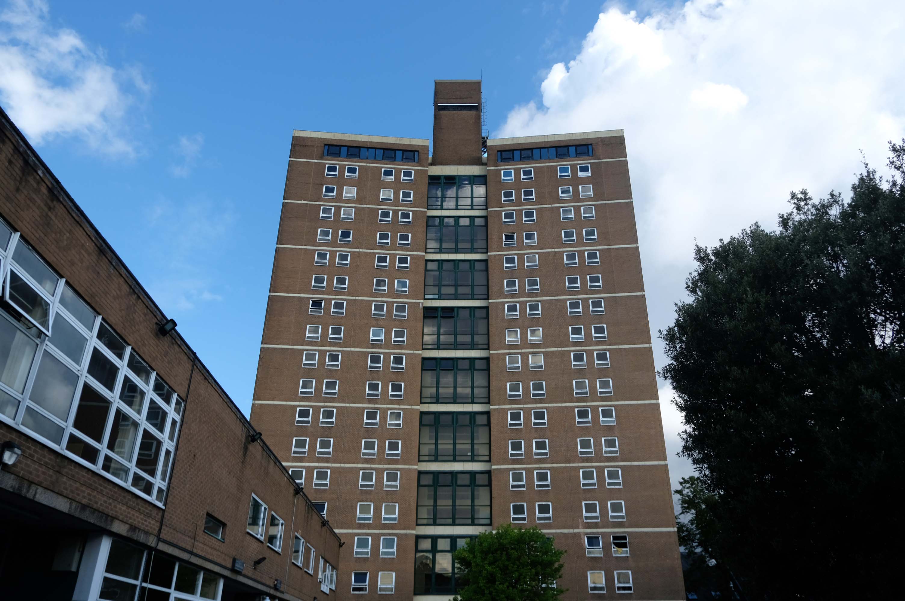
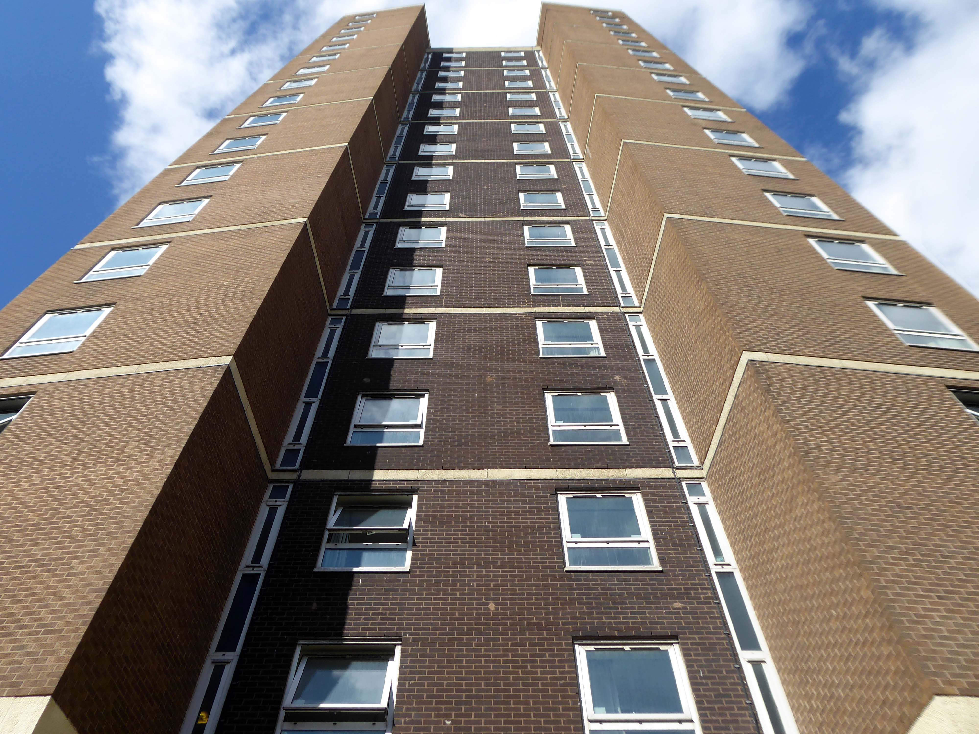
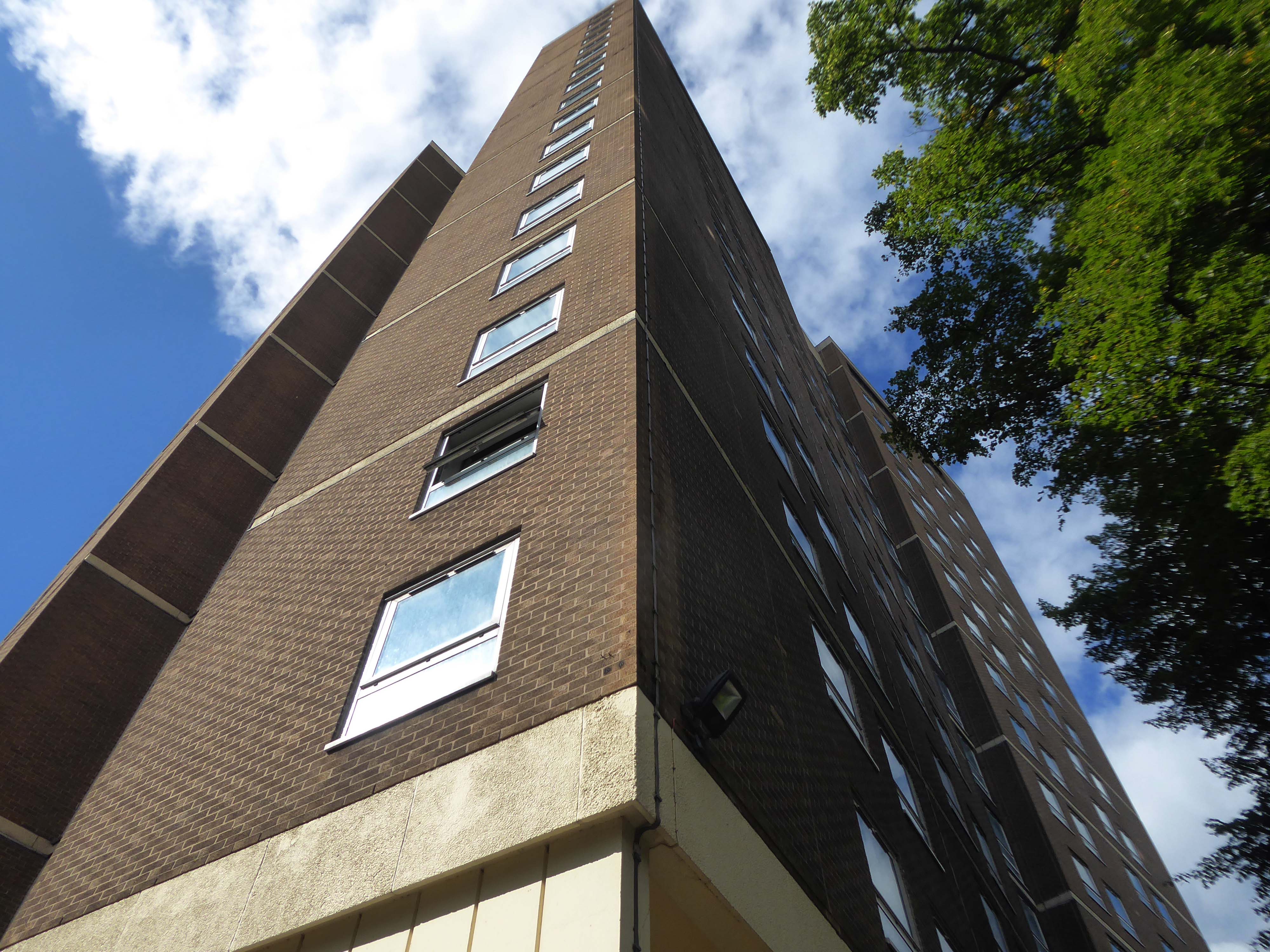
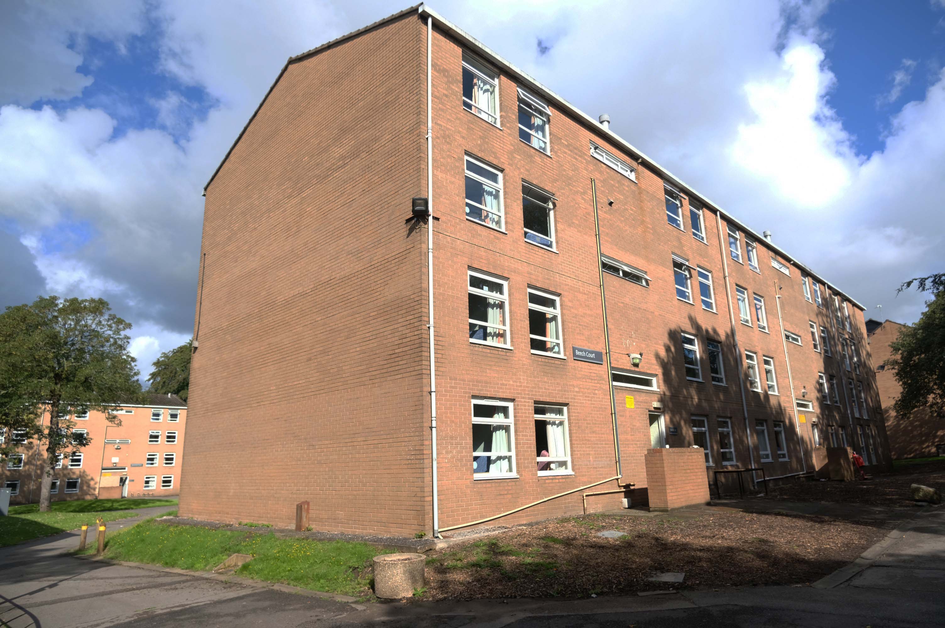
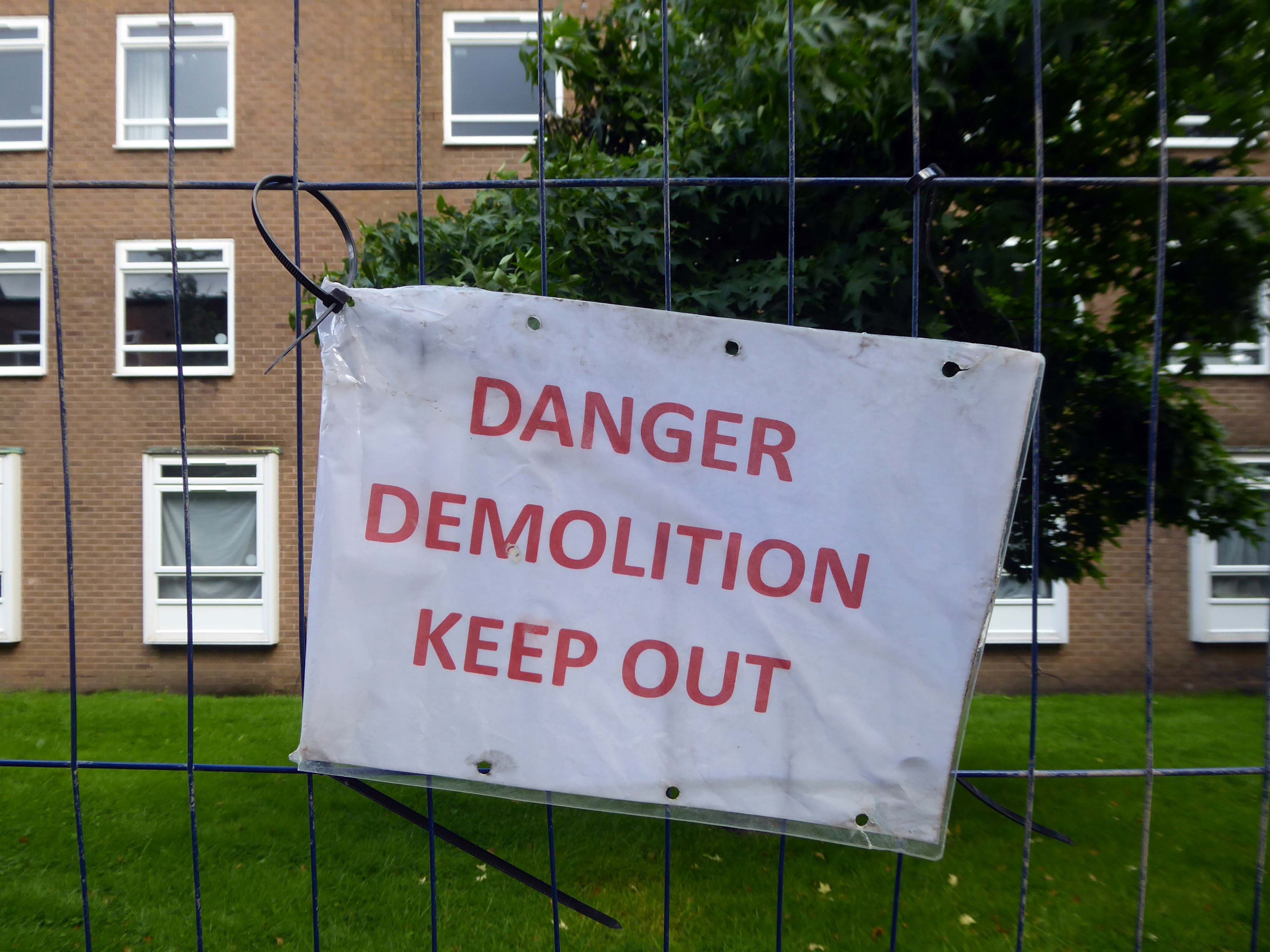
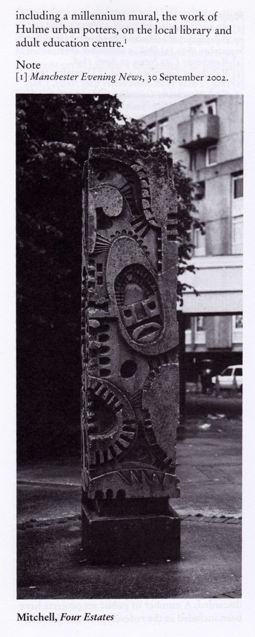
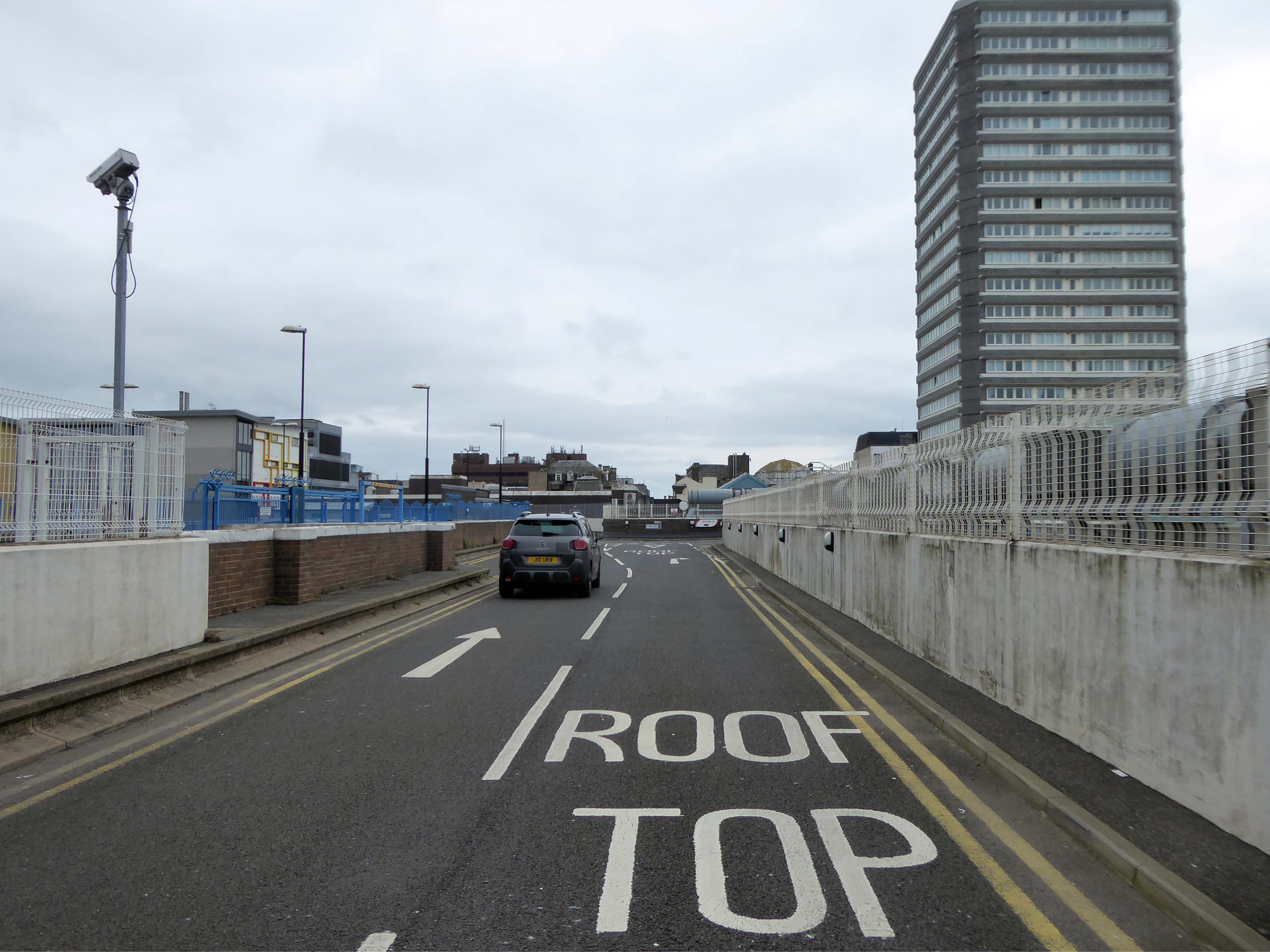
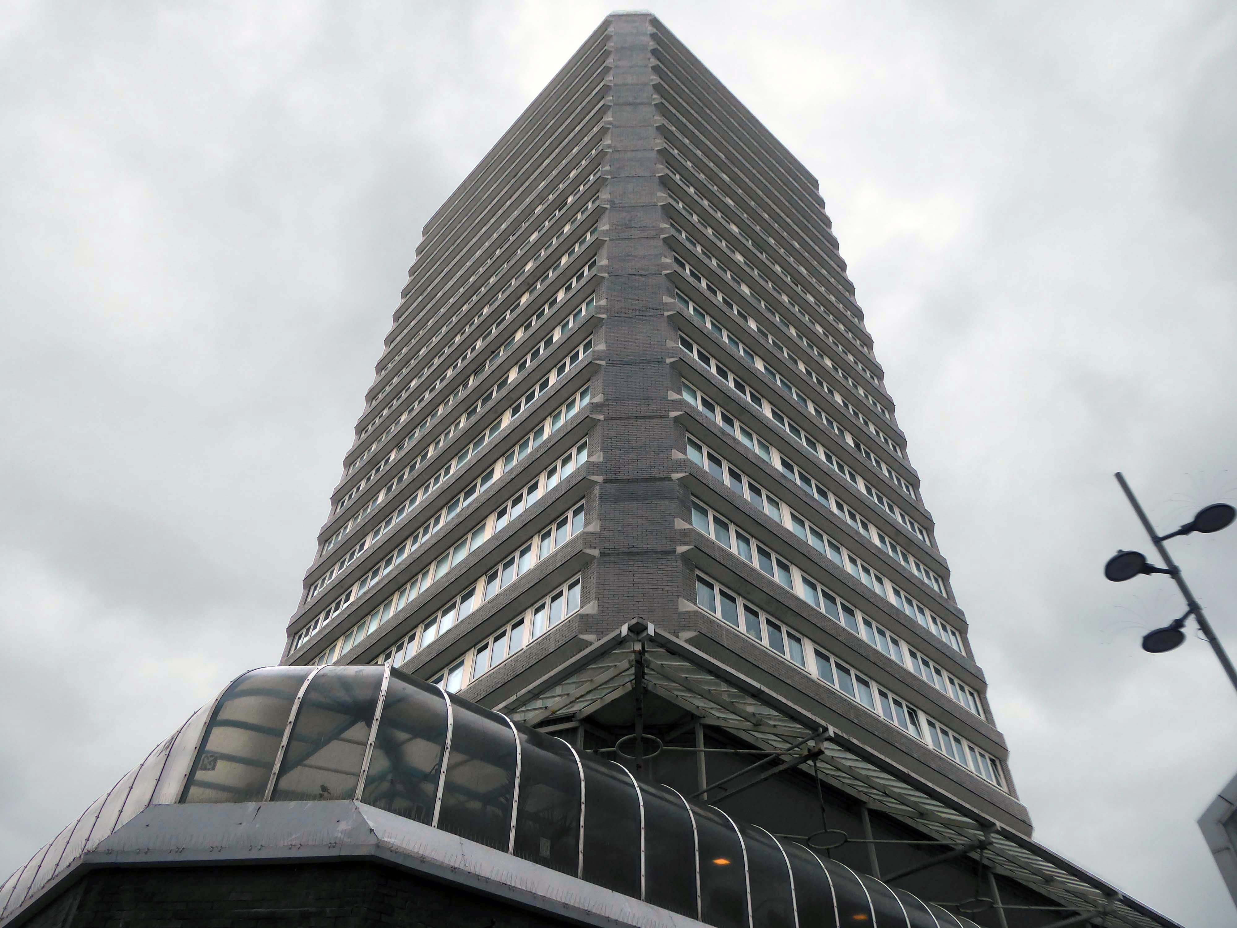
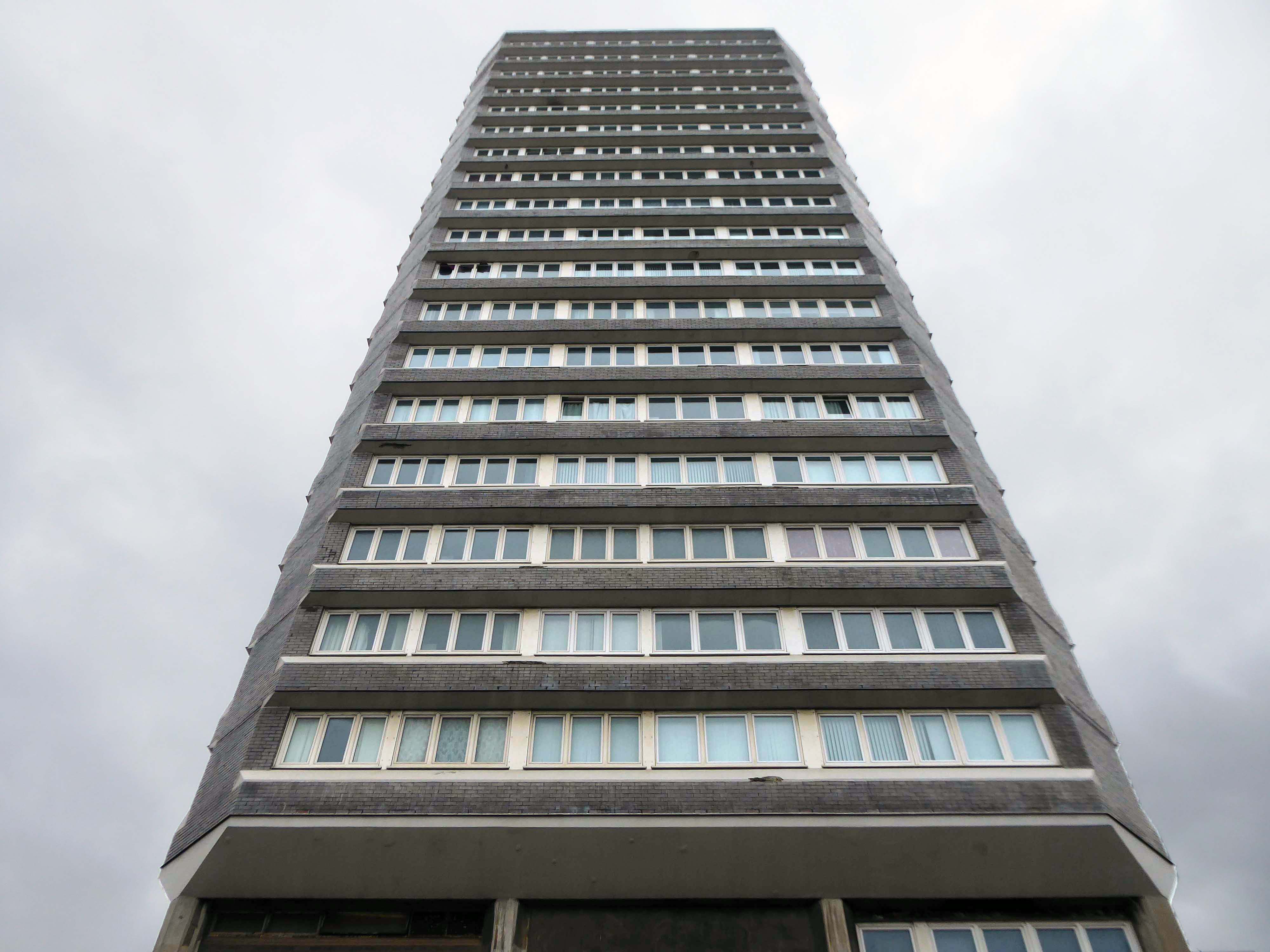
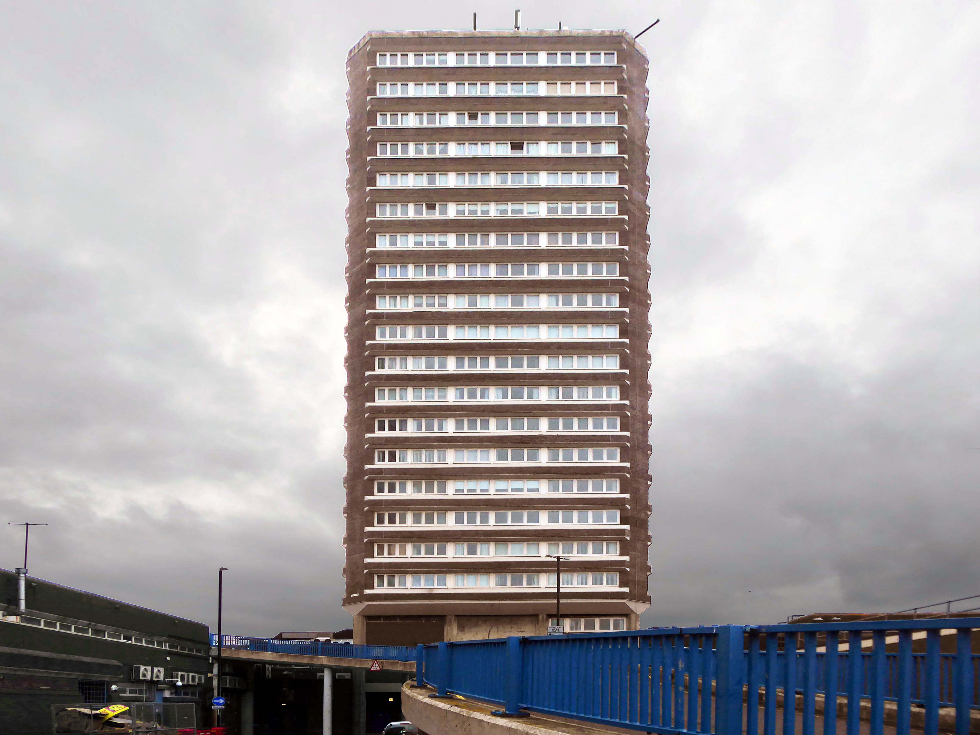
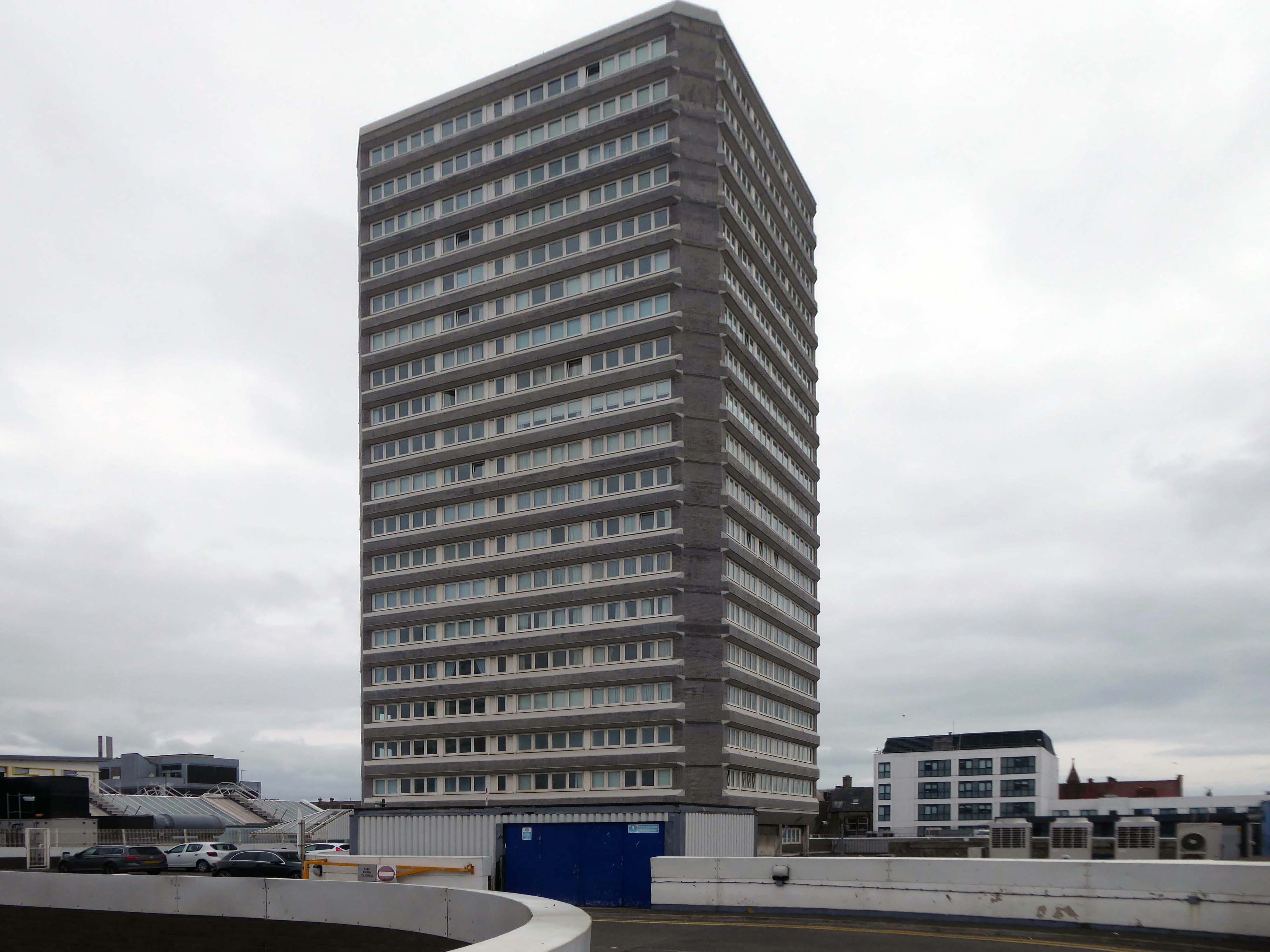
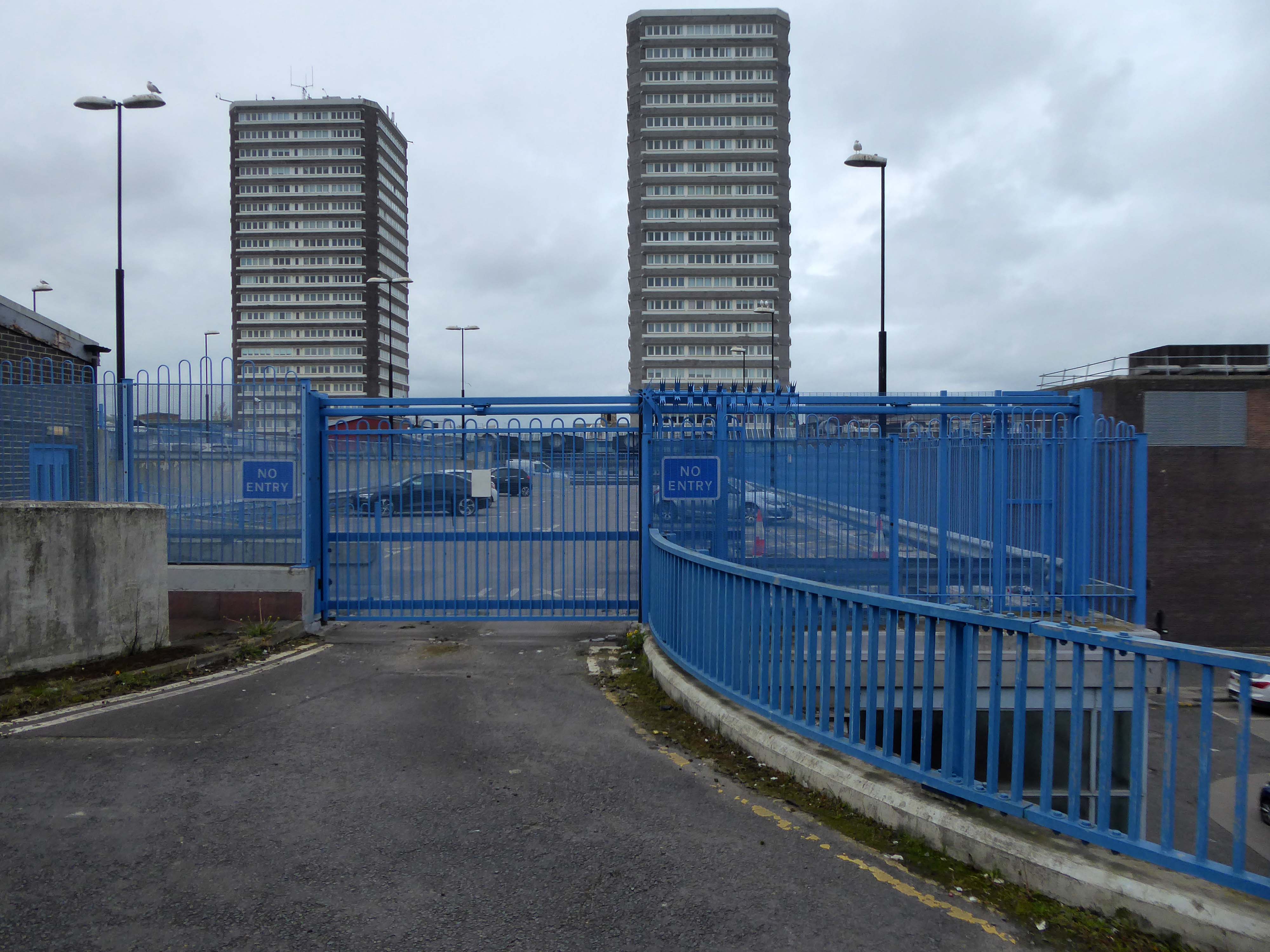
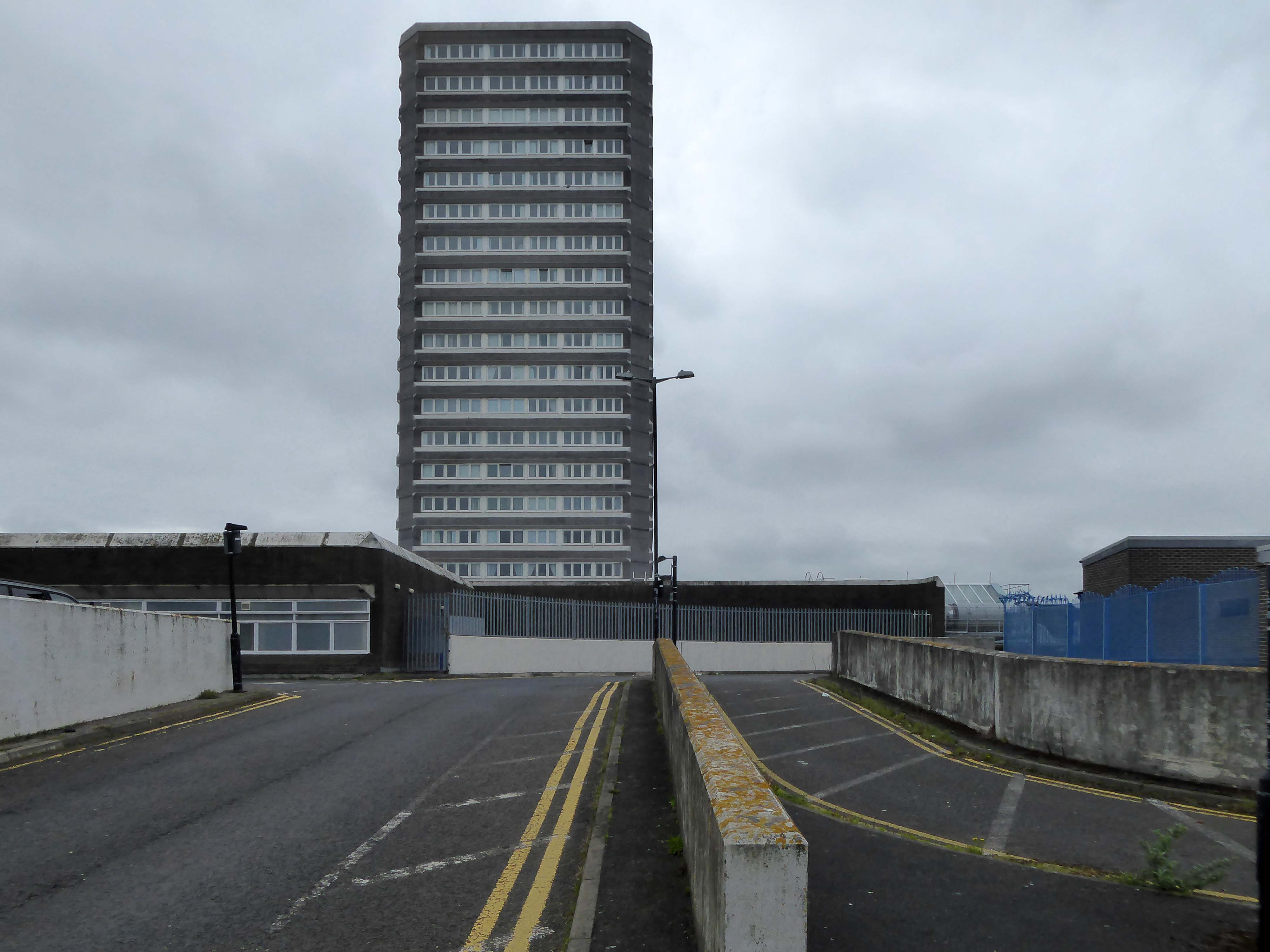
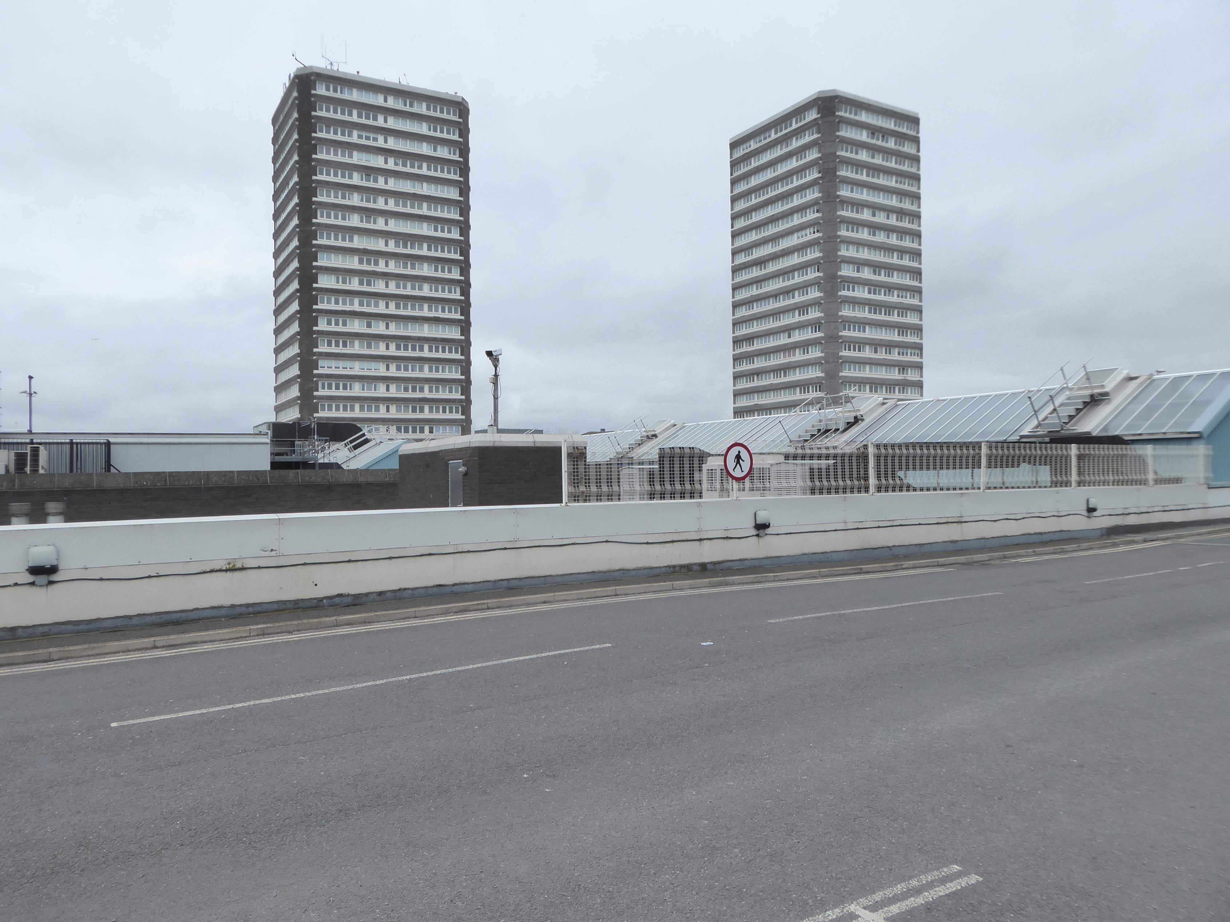
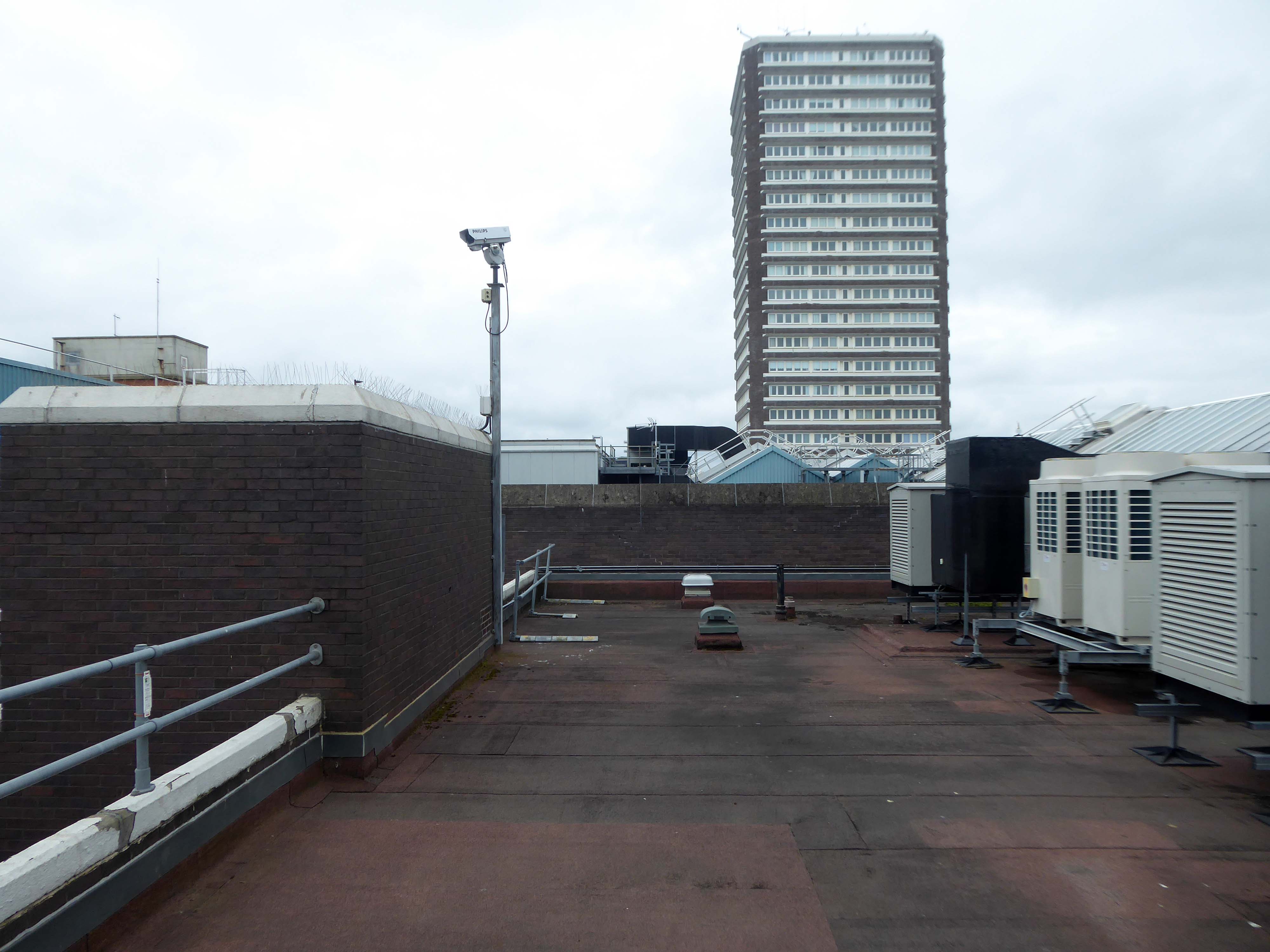
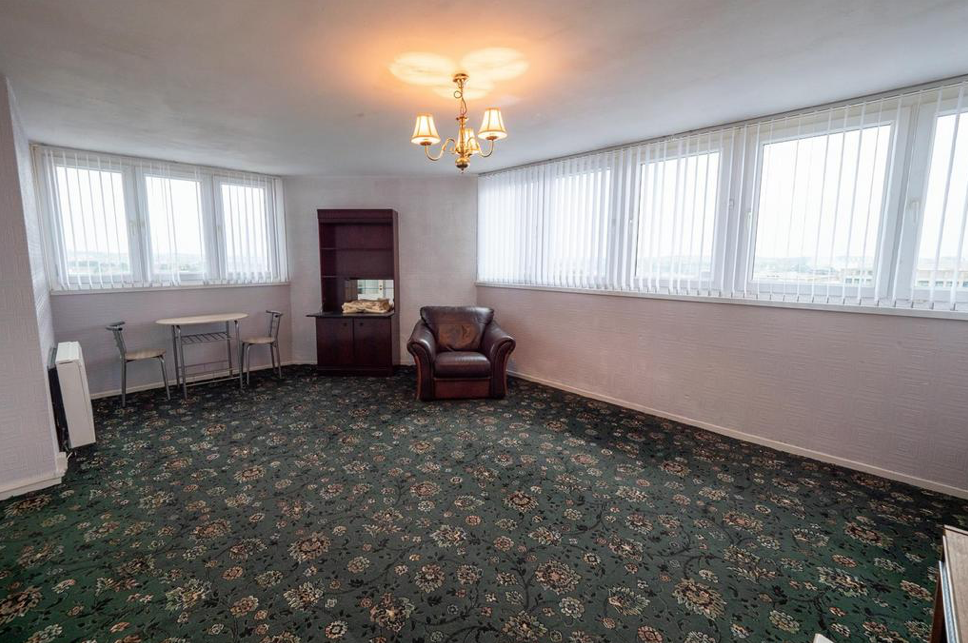
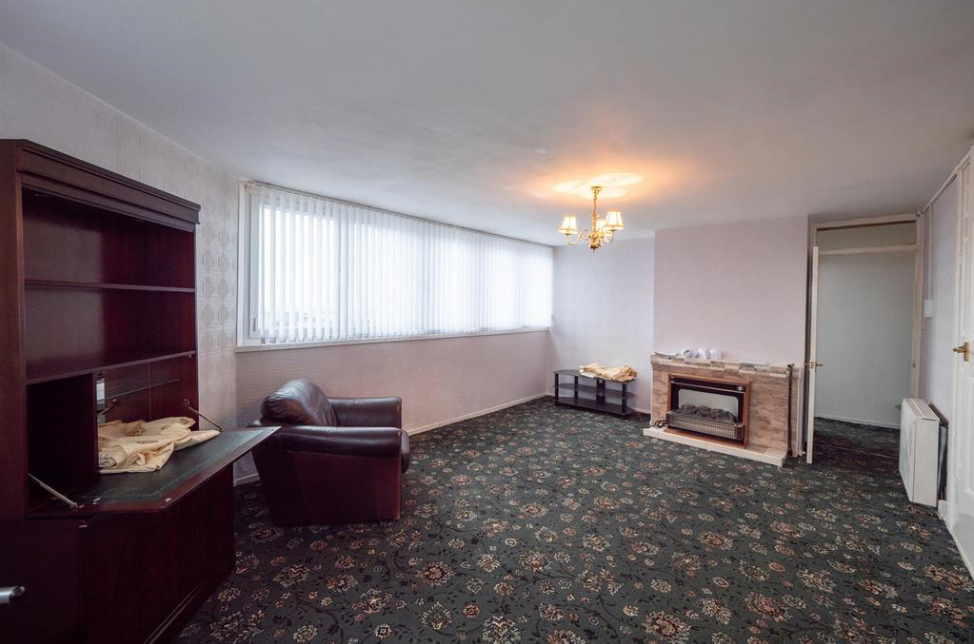
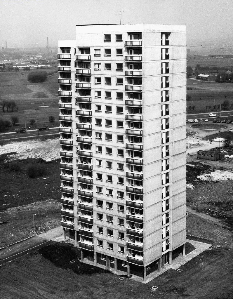
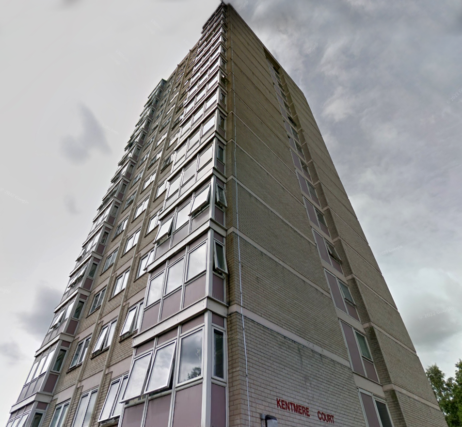
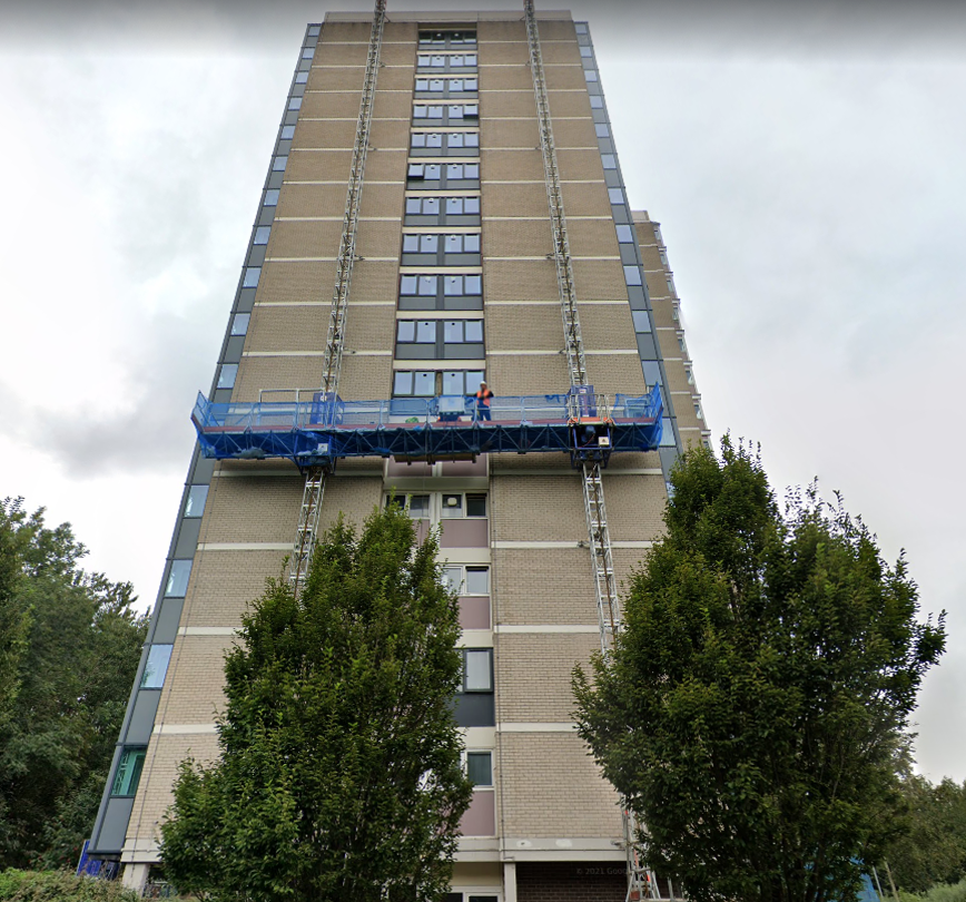
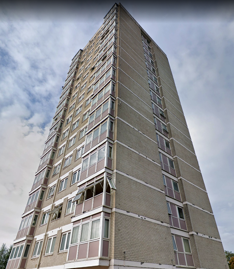
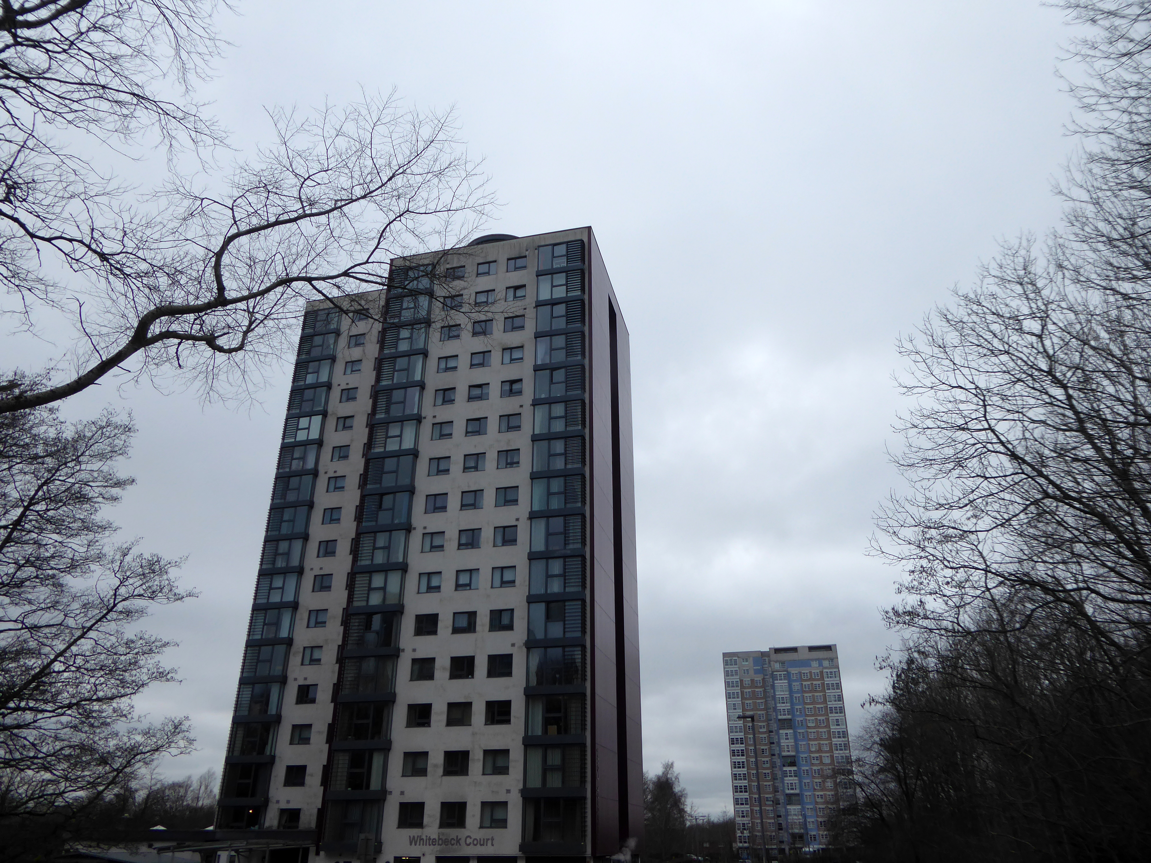
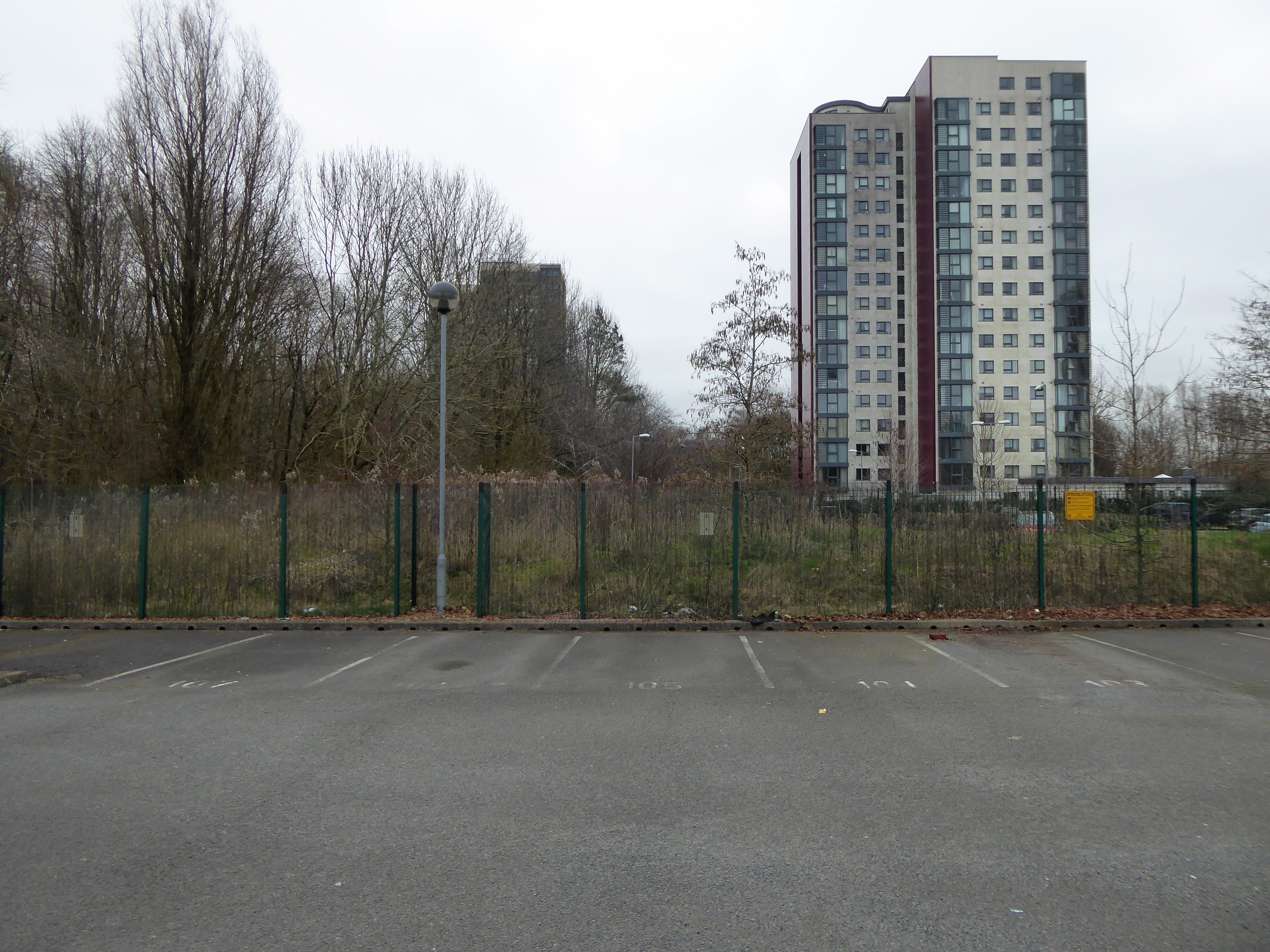
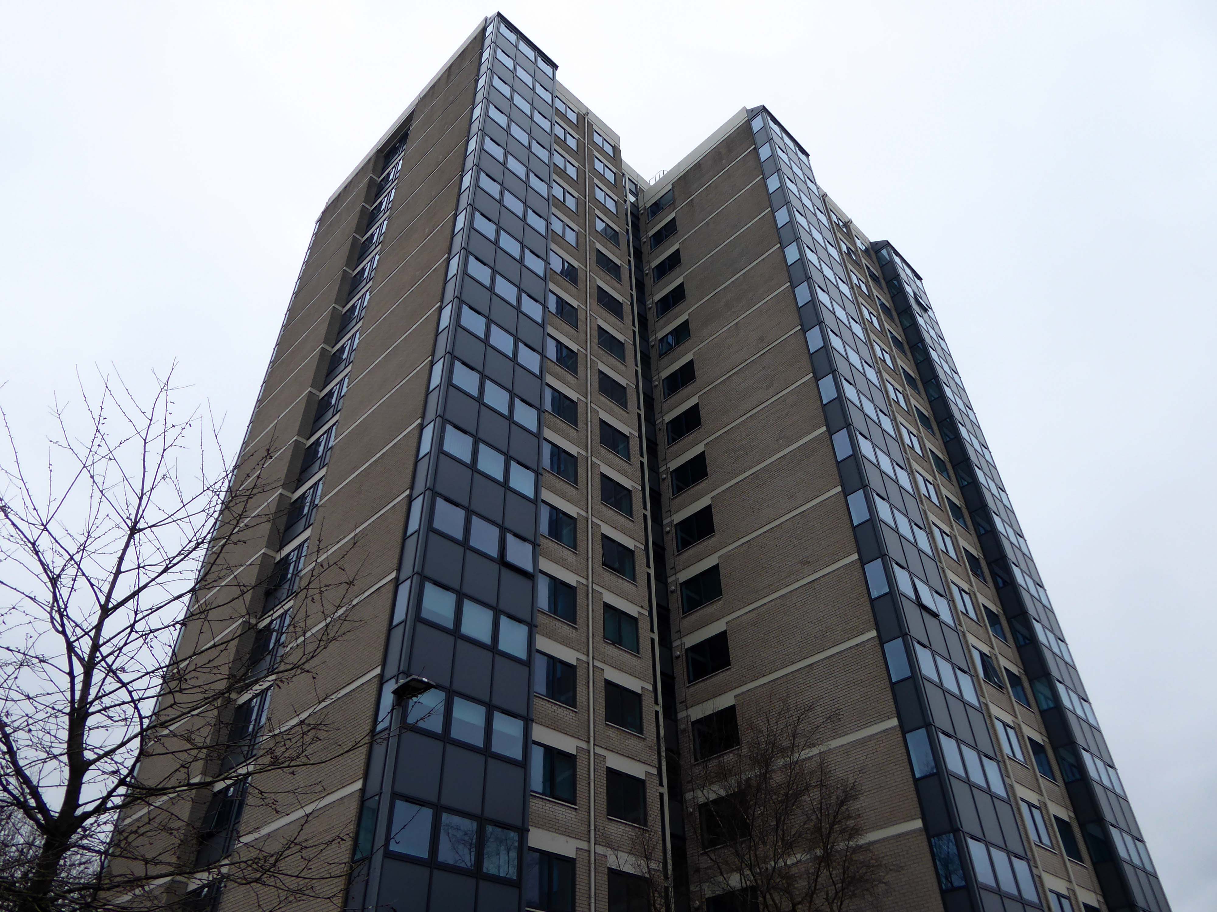
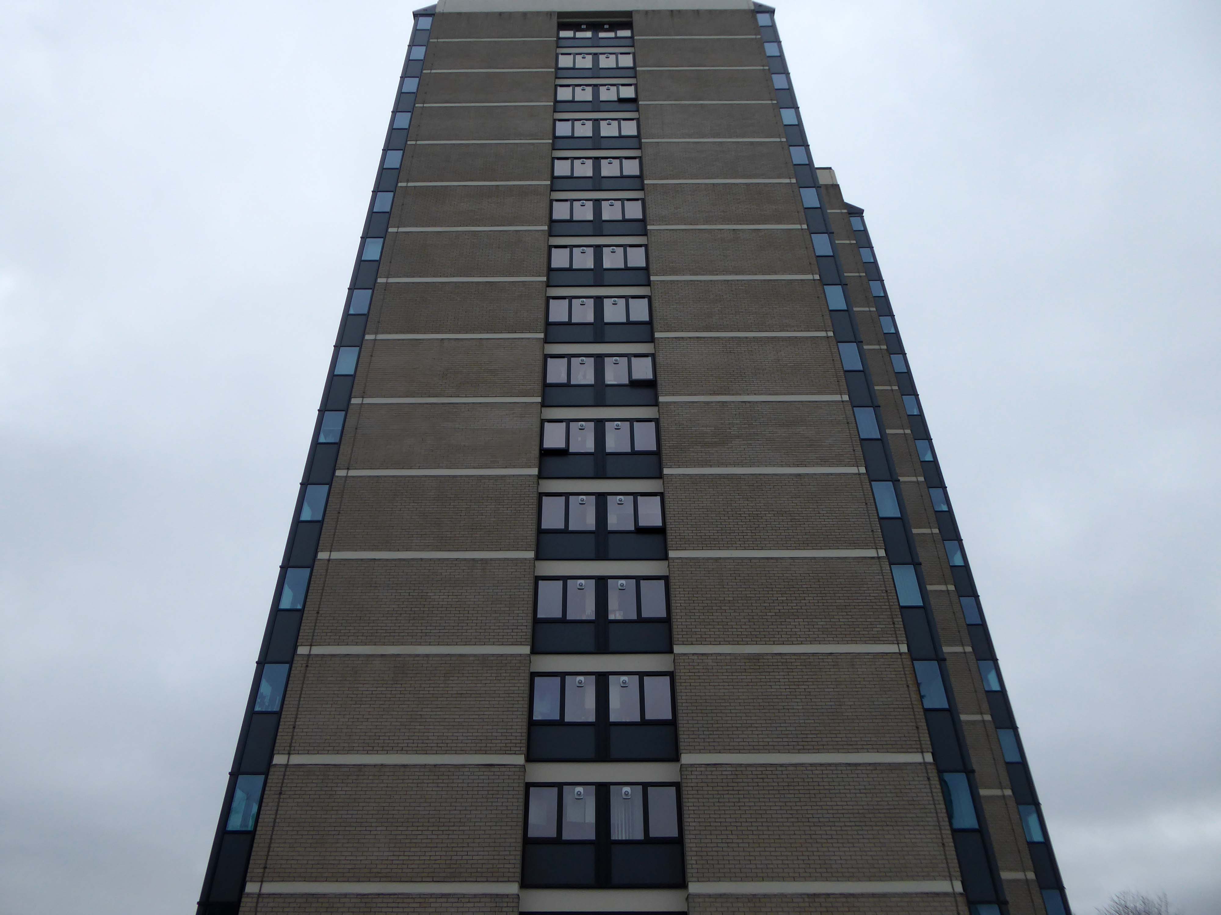
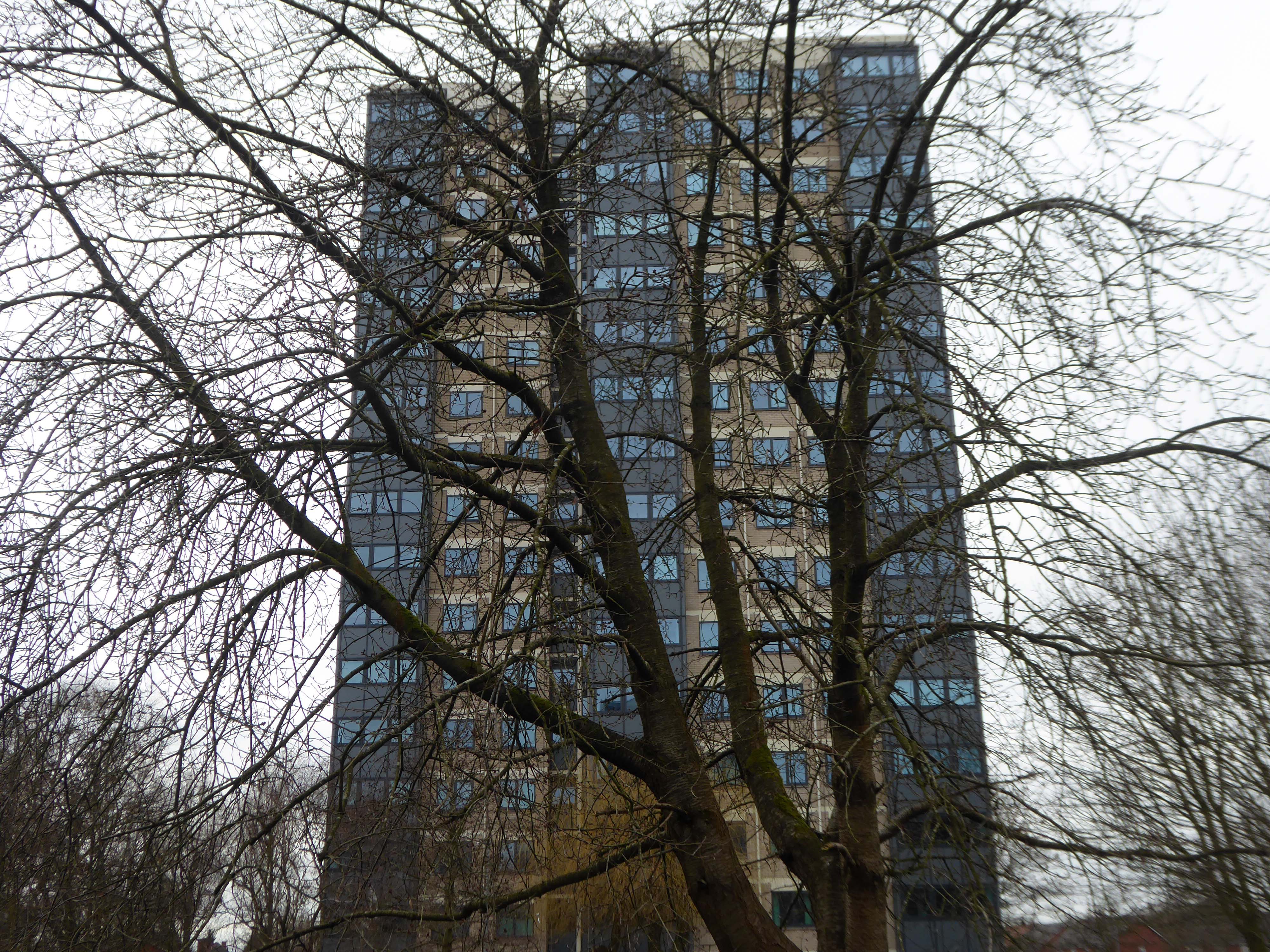
Plans are in place for redevelopment of the site and the demolition of the tower block and adjacent housing.
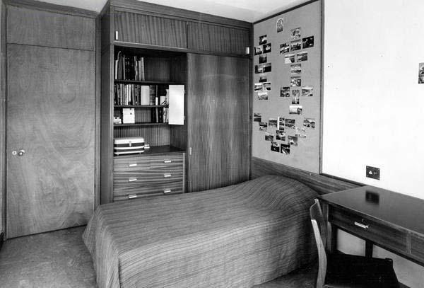
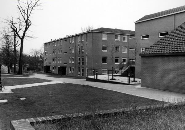
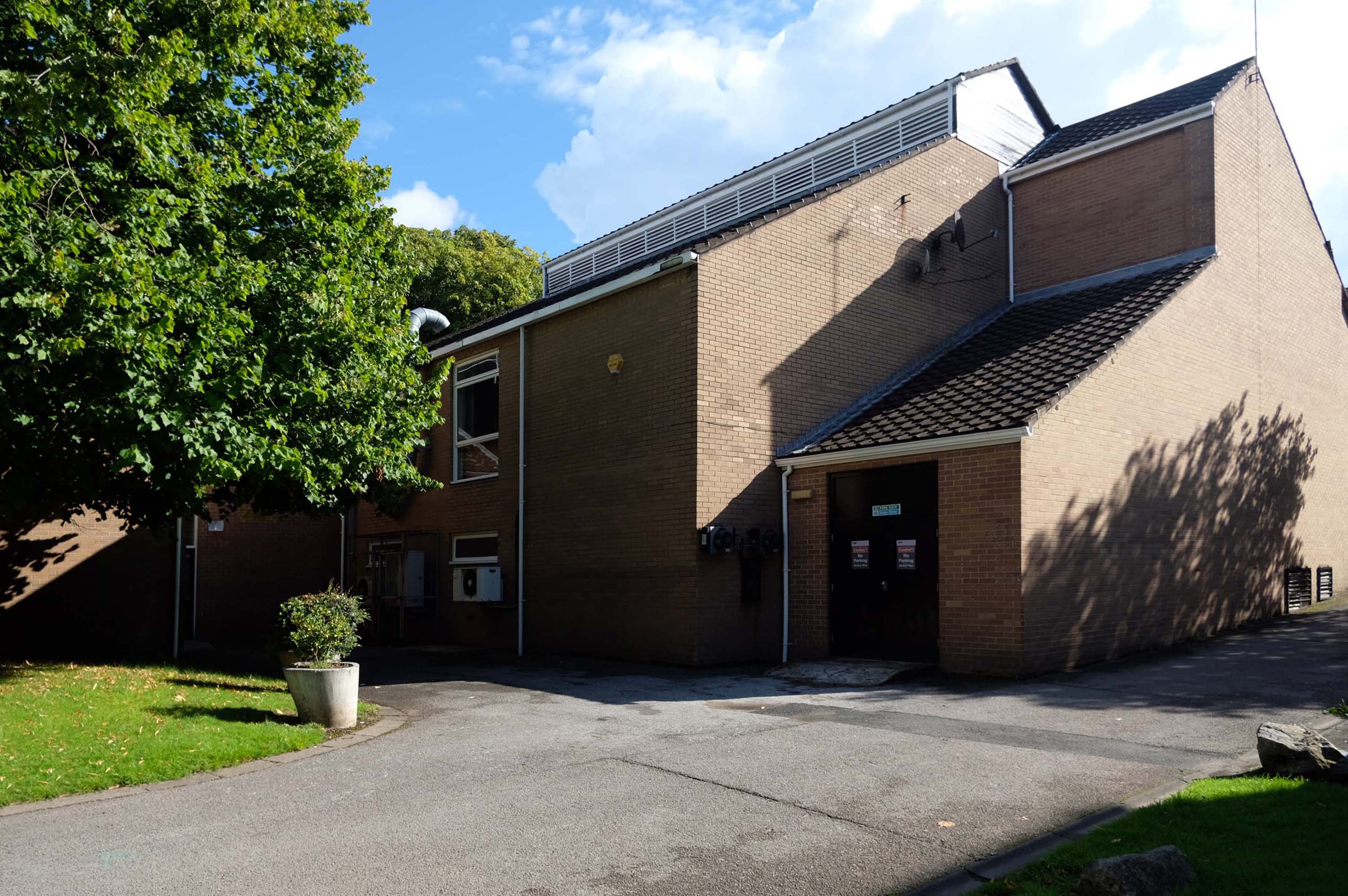
The scheme, designed by Sheppard Robson, would see 3,300 new bedspaces brought forward, taking the total number of units at the complex to 5,400, a net increase of 950. This is an increase of around 1,000 new units compared to the previous iteration of the project, approved in 2015.
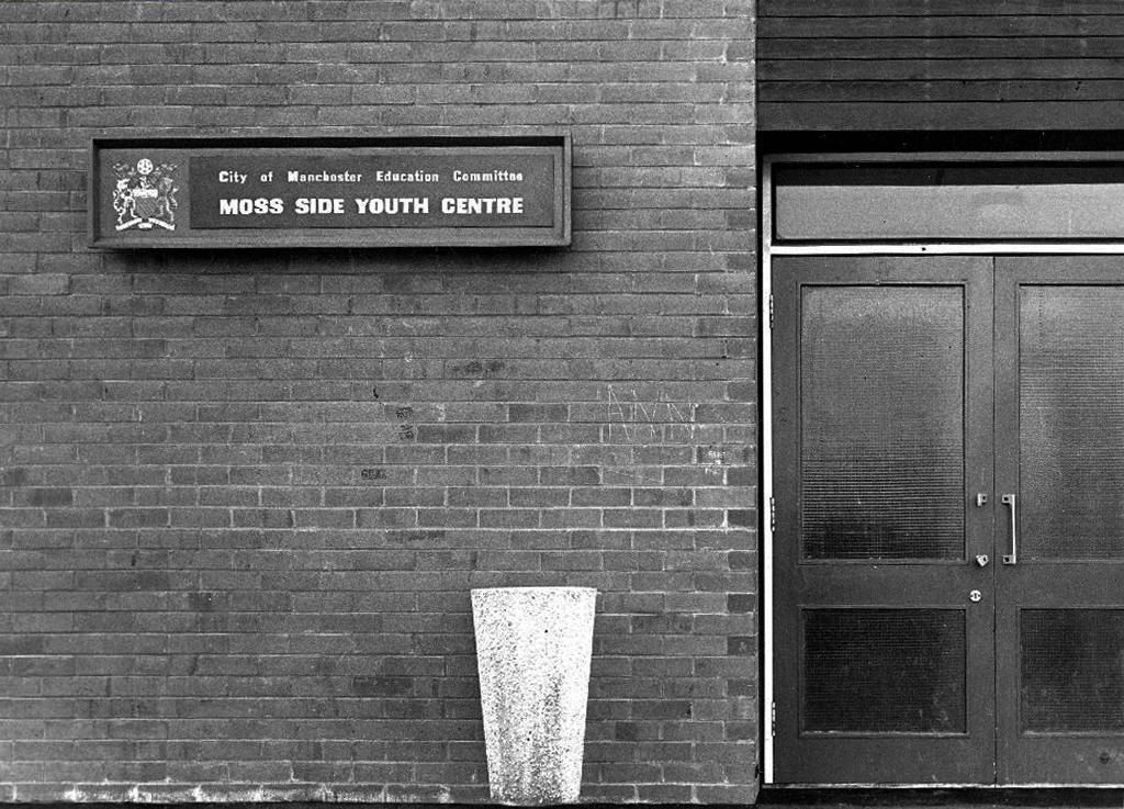
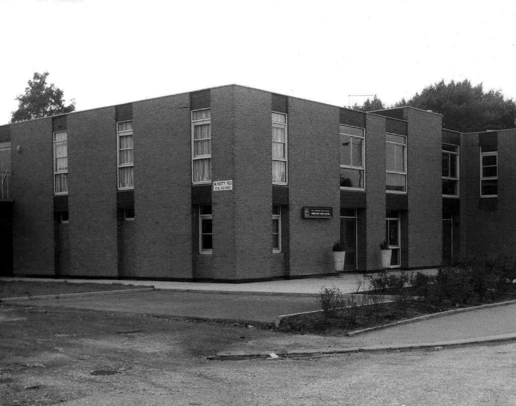
The history of youth work goes back to the birth of the Industrial Revolution in the 18th century, which was the first time that young men left their own homes and cottage–industries to migrate to the big towns. The result of this migration was an emergent youth culture in urban areas, which was responded to by the efforts of local people.
Work with young women however was seen as less important, because young women’s needs at this time were seen as being centred on homemaking, which were already, supposedly, provided for in the home.
By 1959 widespread moral panic in the press about teenage delinquency led the British government to look into a national response to catering for the needs of young people. In 1960 a government report known as The Albemarle Report was released, which outlined the need for local government agencies to take on responsibility for providing extracurricular activities for young people. Out of this the statutory sector of the youth service was born. For the first time youth centres and fully paid full-time youth workers made an appearance across the whole of Britain.
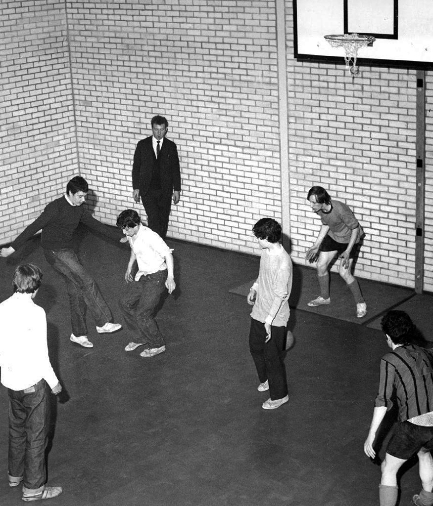
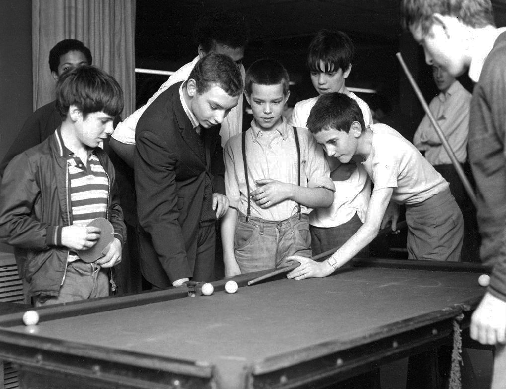
Which is where I enter this short history, attending the Broadoak Youth Club in Ashton, during the late 60s early 70s. These were days of ping pong, snooker, spinning 45s and drinking pop if you had the coppers.
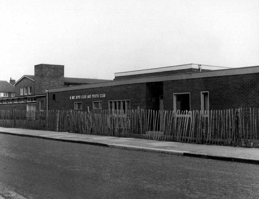
Council run, housed in an architectural style best described as bunker like.
I uncovered a little of Manchester’s youth club history during my travels.
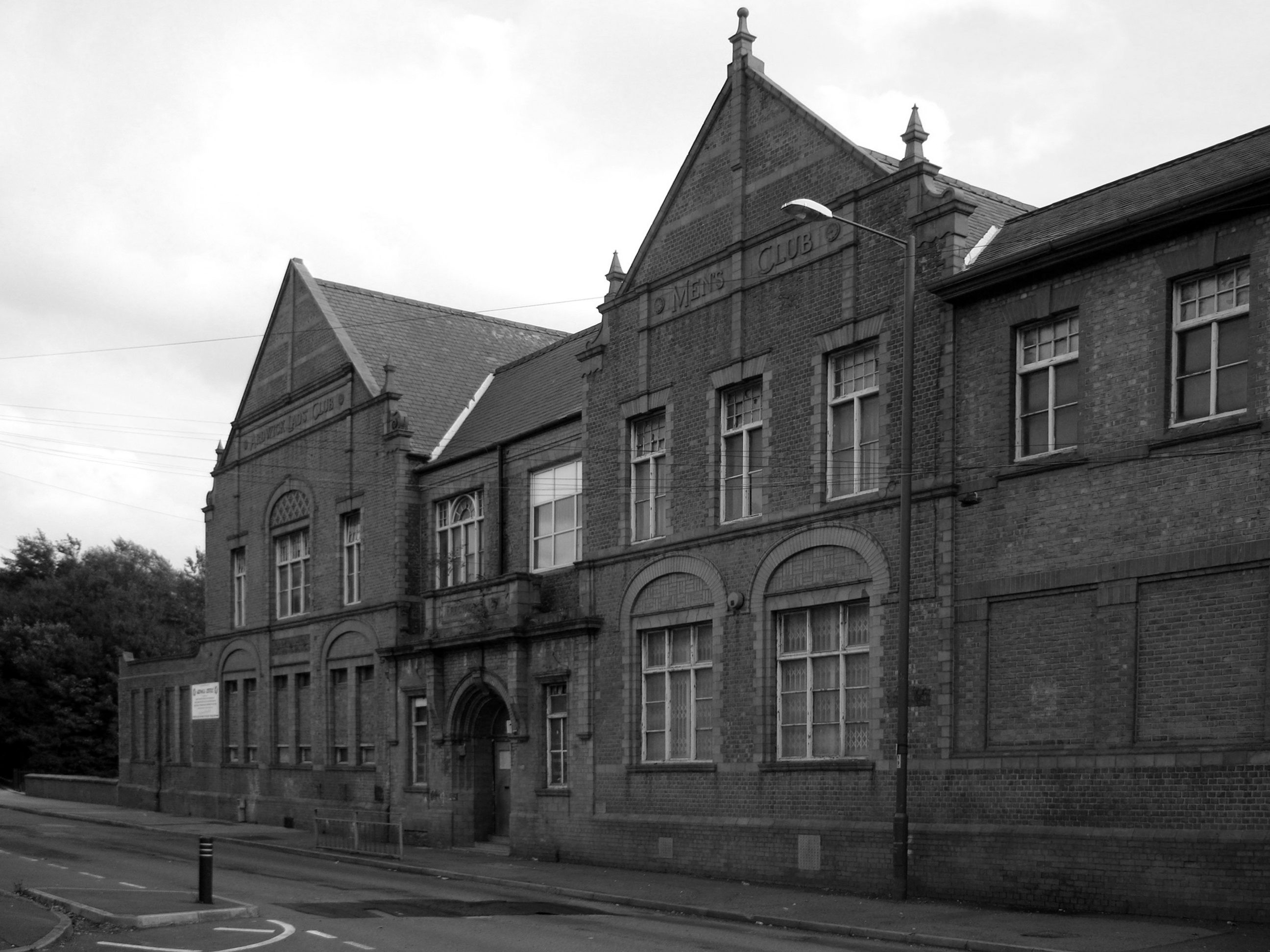
The Ardwick Lads’ and Mens’ Club on Palmerston Street, latterly the Ardwick Youth Centre, opened in 1897 and is believed to be Britain’s oldest purpose-built youth club still in use and was until earlier in 2012. Designed by architects W & G Higginbottom, the club, when opened, featured a large gymnasium with viewing gallery – where the 1933 All England Amateur Gymnastics Championships were held – three fives courts, a billiard room and two skittle alleys – later converted to shooting galleries. Boxing, cycling, cricket, swimming and badminton were also organised. At its peak between the two world wars, Ardwick was the Manchester area’s largest club, with 2,000 members.
On the 10th September 2012 an application for prior notification of proposed demolition was submitted on behalf of Manchester City Council to Manchester Planning, for the demolition of Ardwick Lads’ Club of 100 Palmerston Street , citing that there was “no use” for the building in respect to its historic place within the community as providing a refuge and sporting provision to the young of Ancoats.
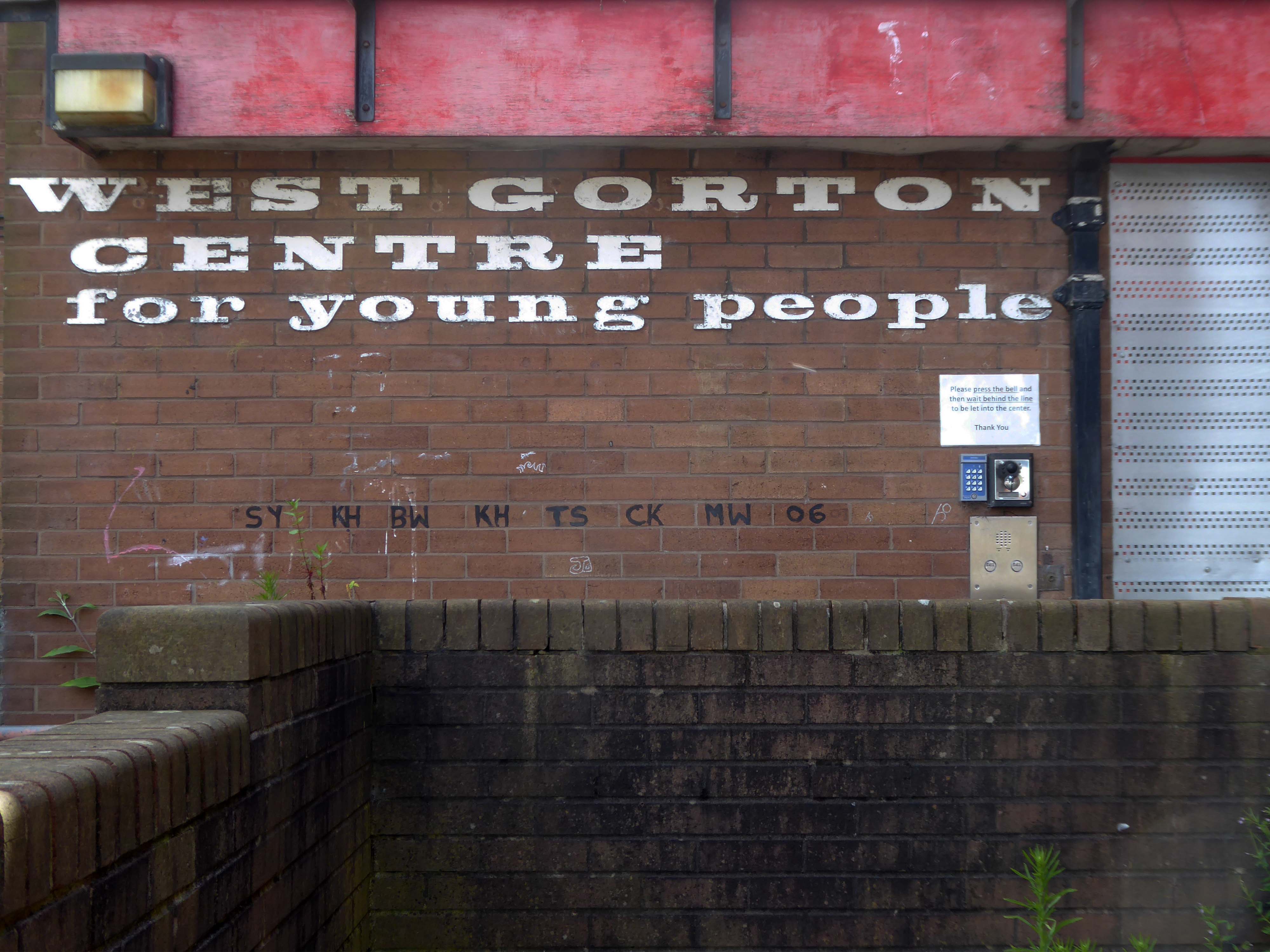
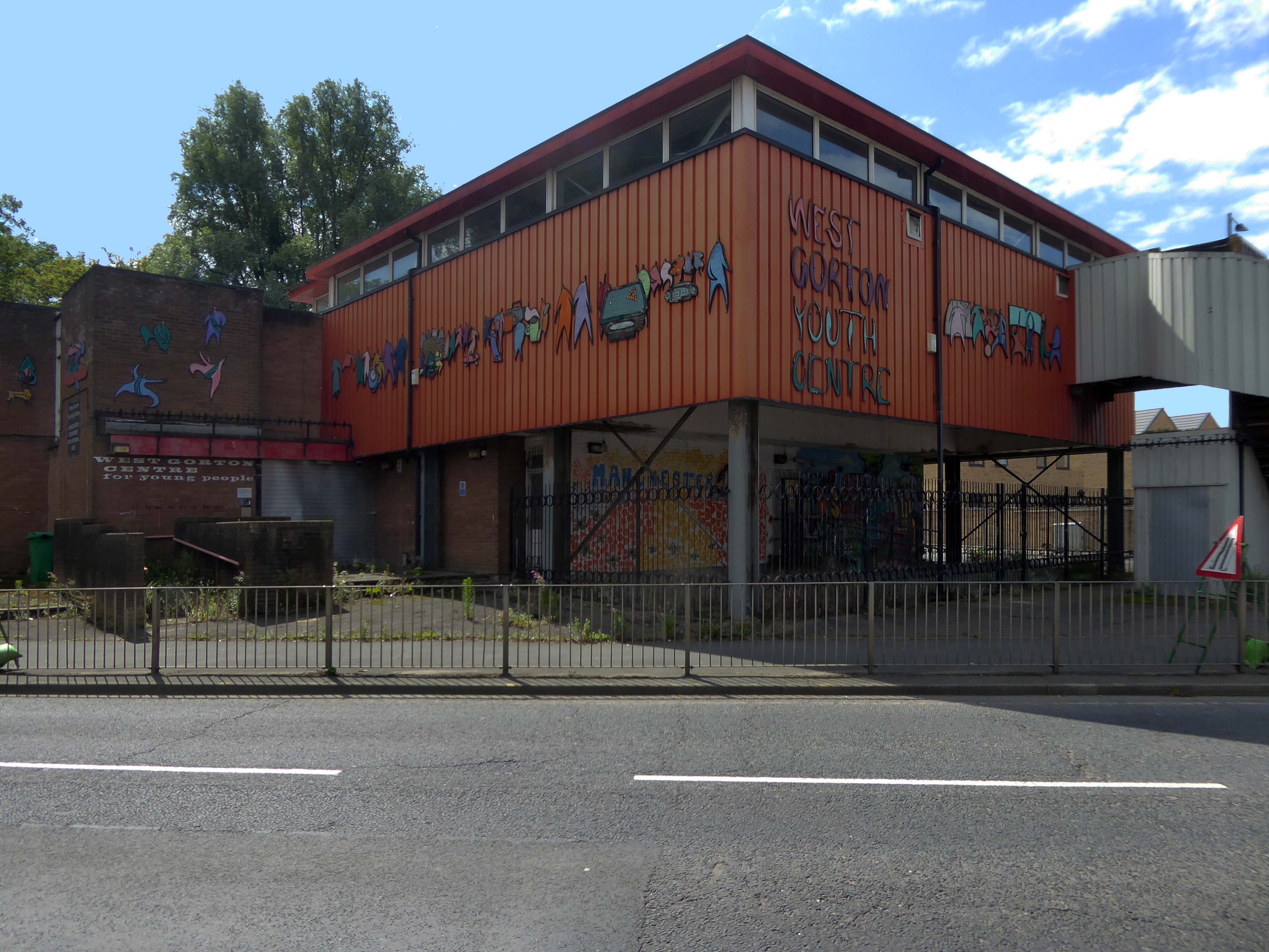
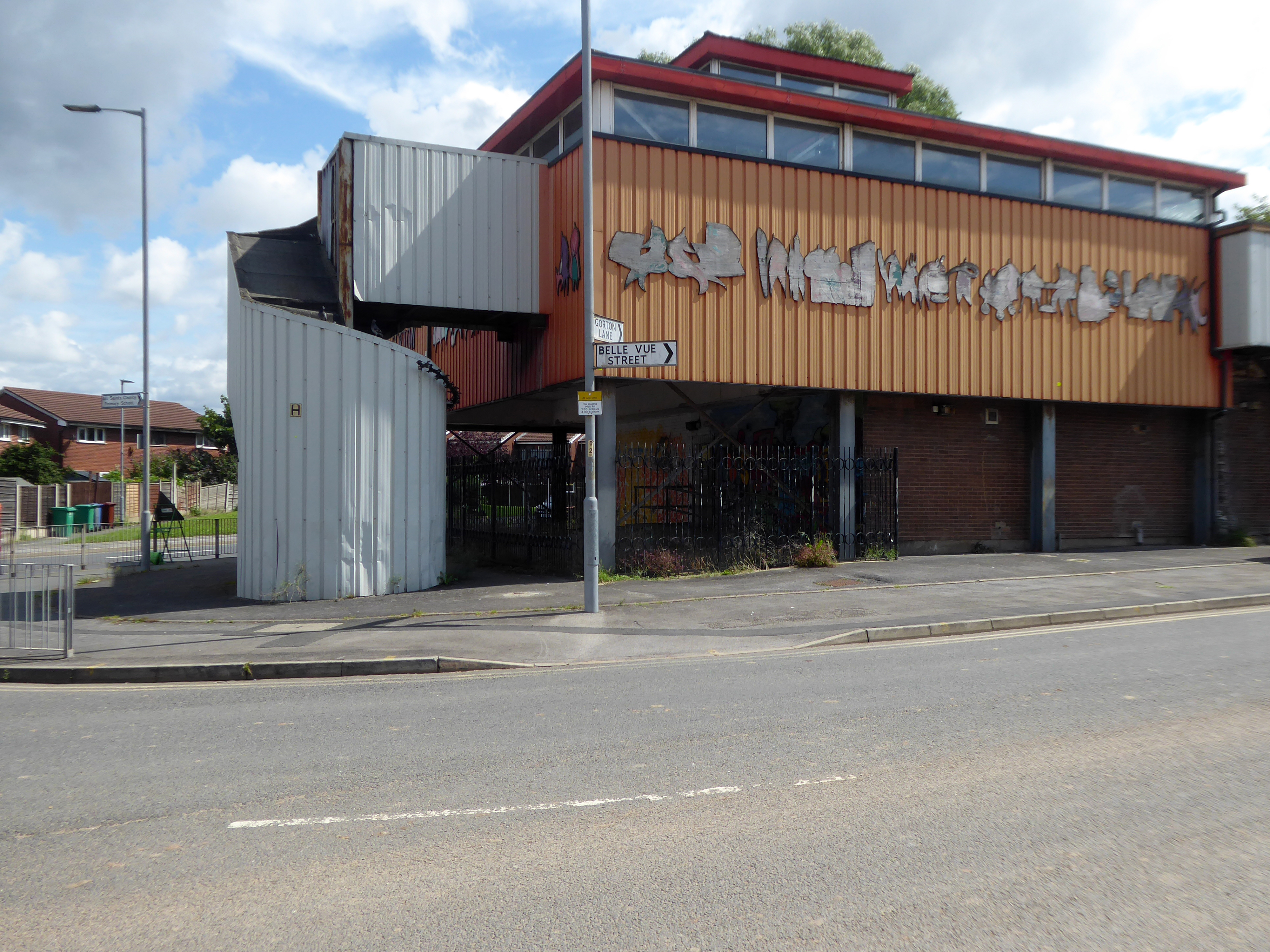
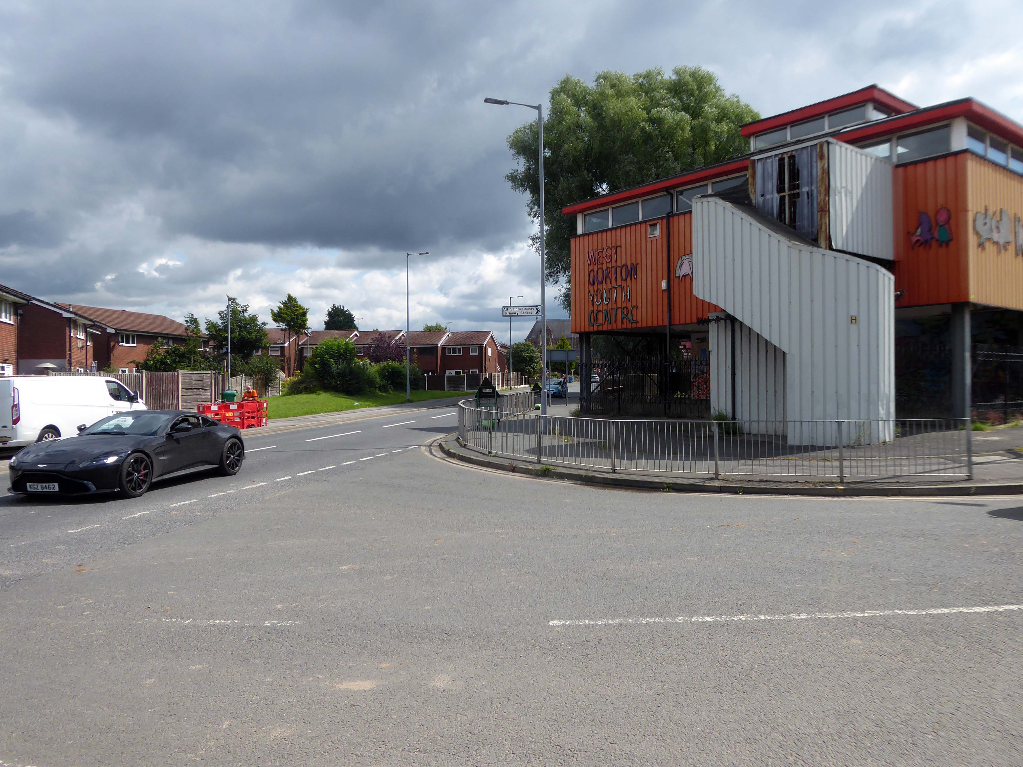
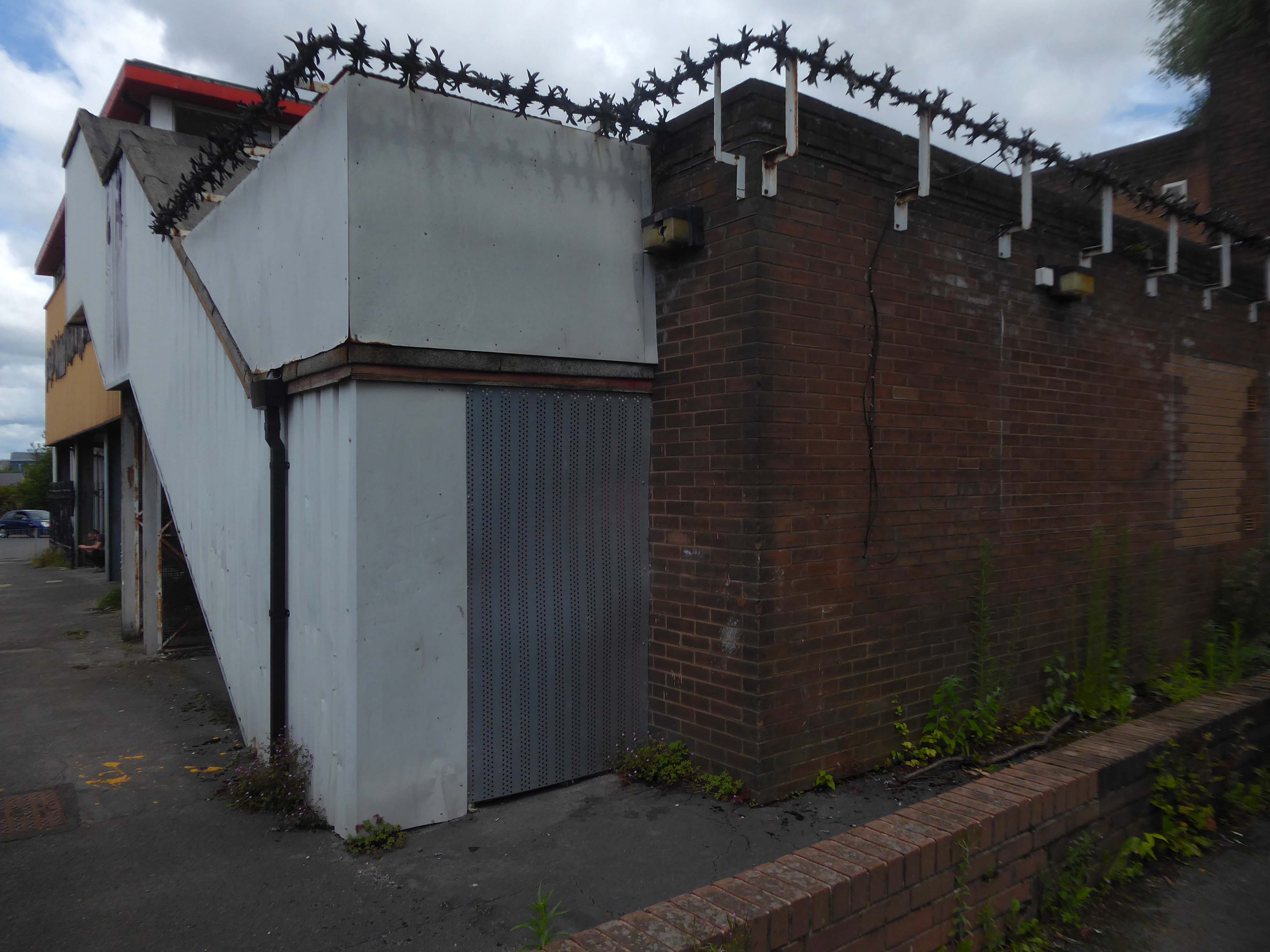
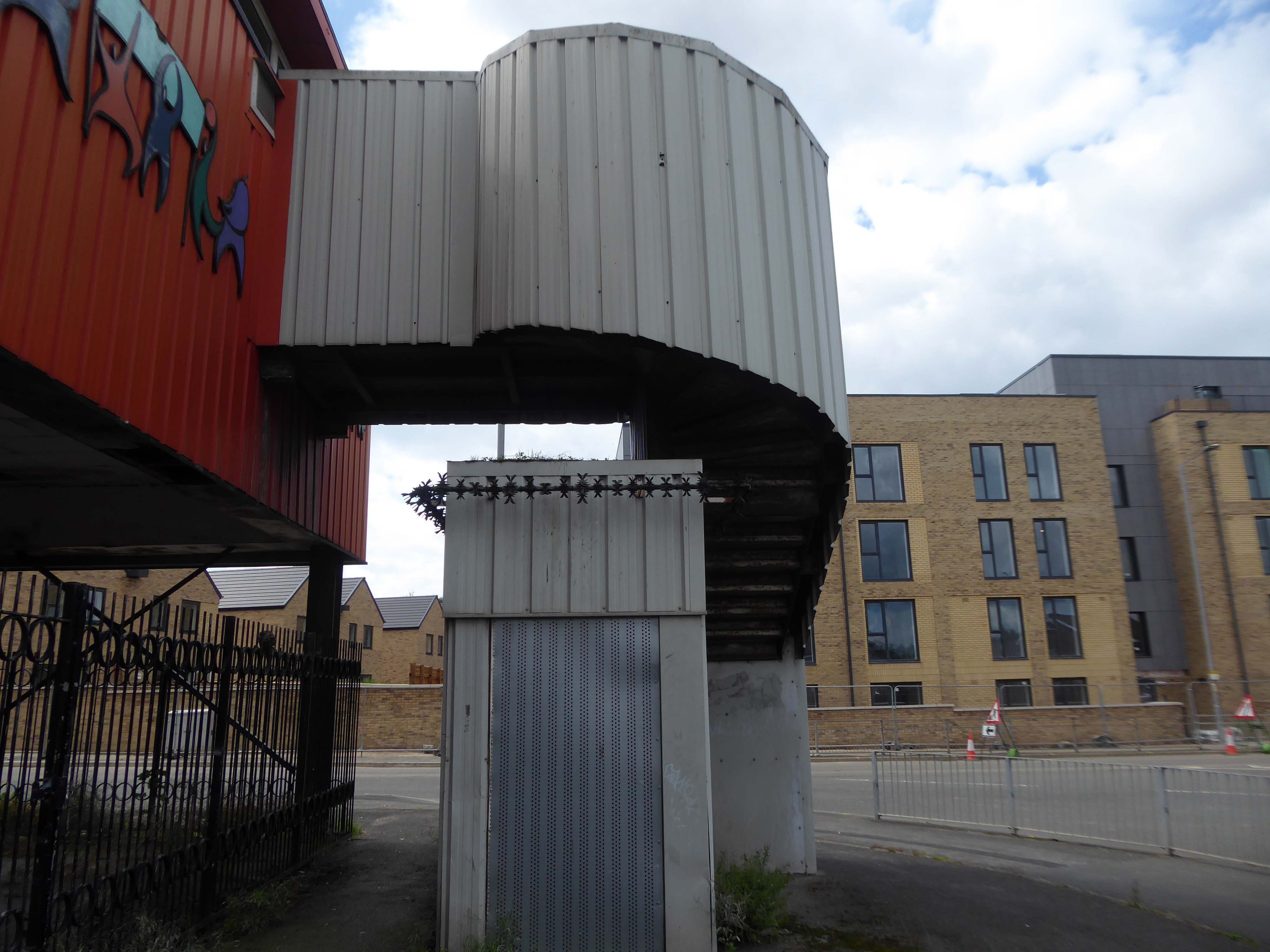
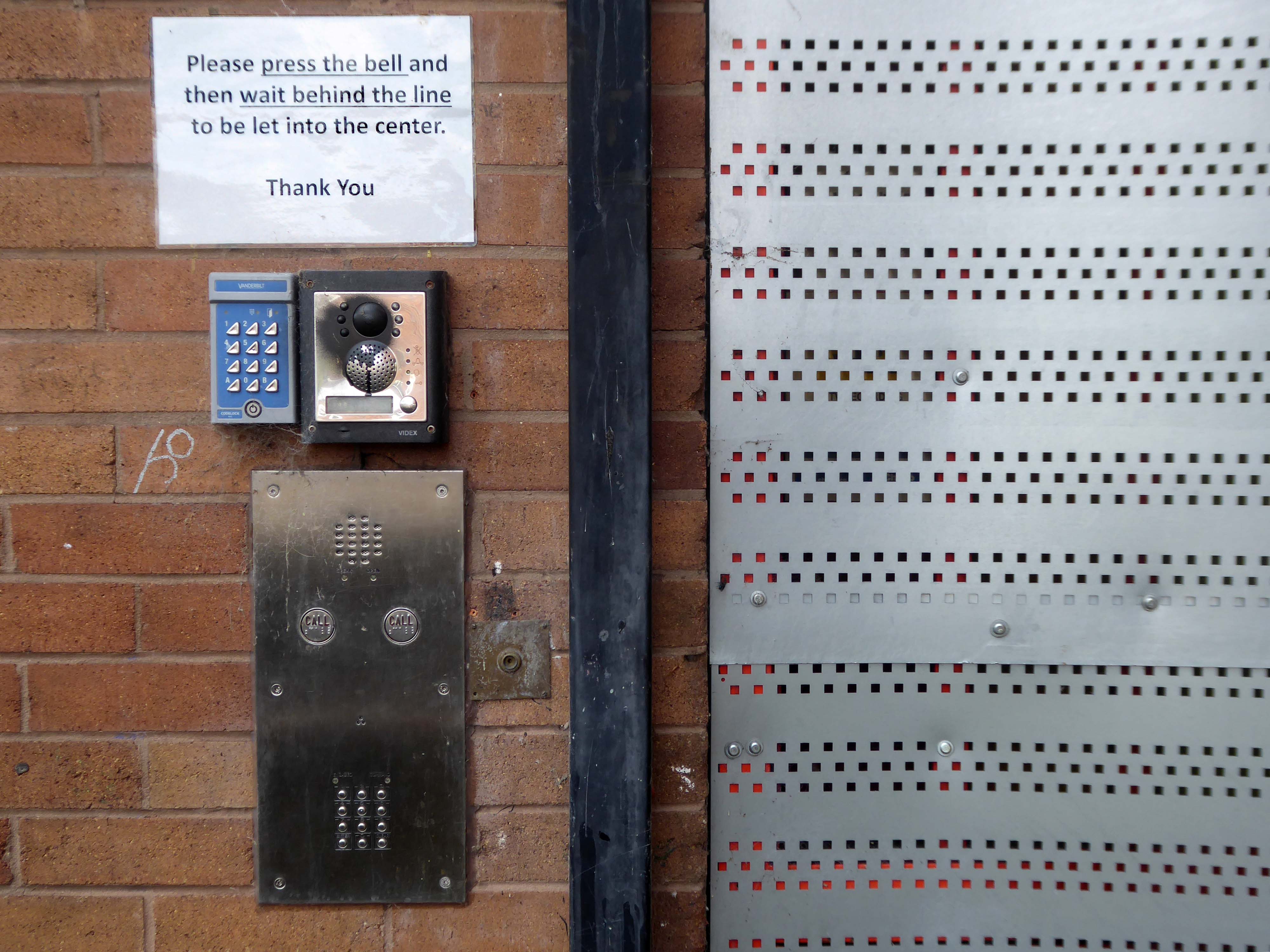
Whilst cycling through Gorton, I passed the now defunct West Gorton Youth Centre.
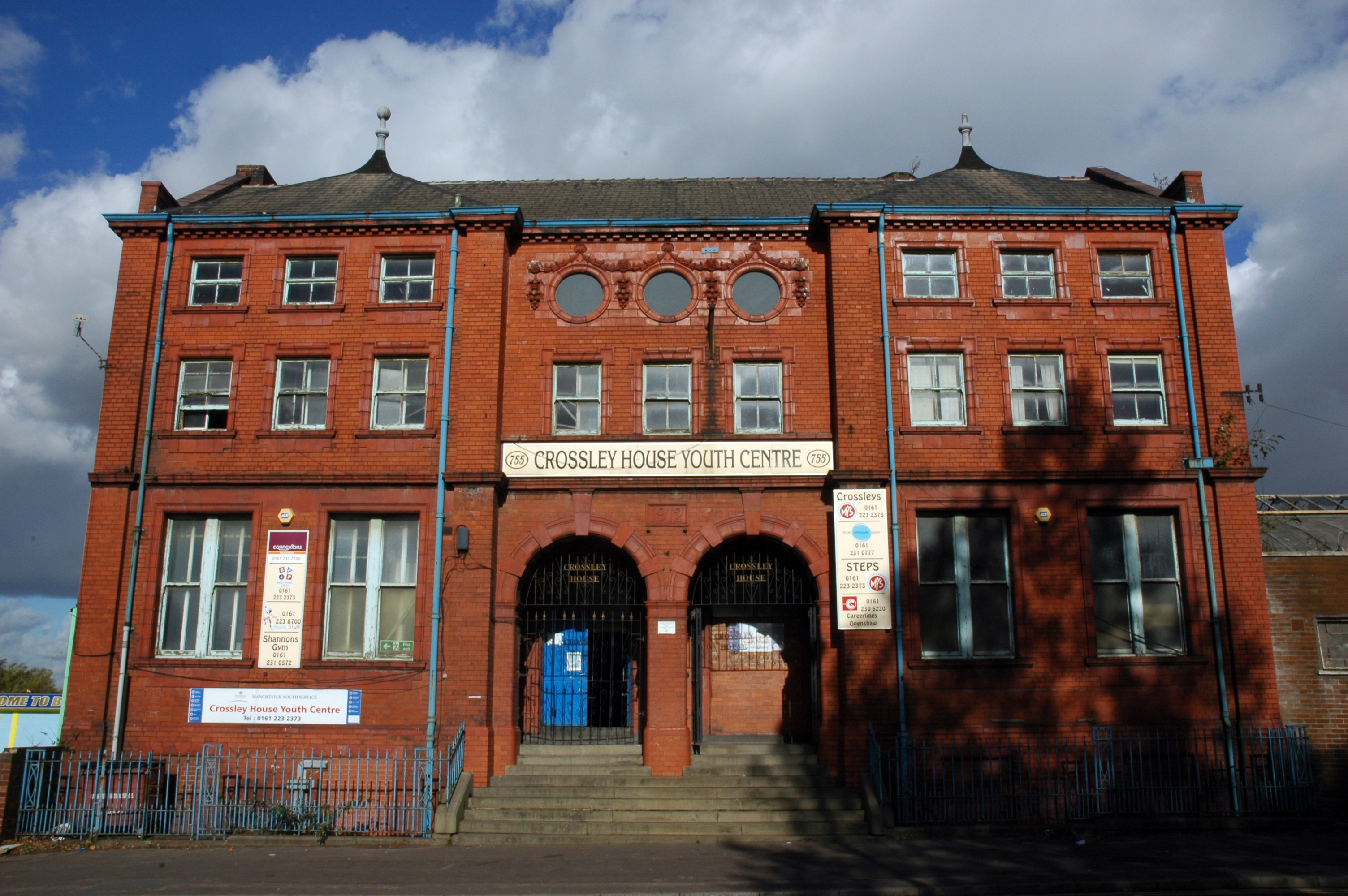
Intrigued I started to dig a little deeper, I remembered playing five-a-side at Crossley House in Openshaw.
Openshaw Lad’s Club was founded in November 1888 by William John Crossley. It was previously known as the Gorton and Openshaw Working Lad’s Club and the Crossley Lad’s Club. The Crossley family financed the club up to 1941 and they built the club premises, Crossley House to commemorate Sir William Crossley after his death in 1911. The building was opened on 1 September 1913. In July 1941 the premises were handed over to the National Association of Boy’s Clubs and a management committee was formed to administer the club
Simon Inglis gives the architect as John Broadbent; Buildings of England names the architect as James Barritt Broadbent.
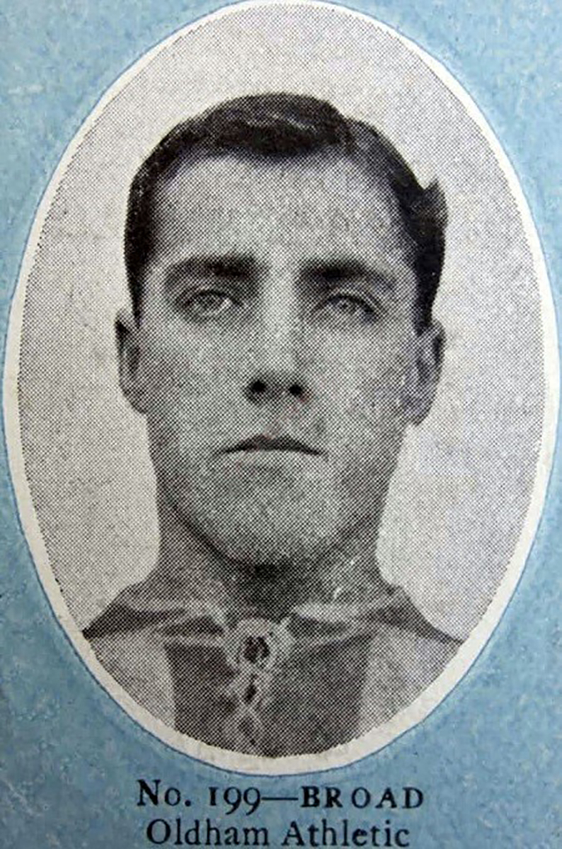
Stalybridge born outside right Tommy Broad started with Redgate Albion in 1902 spending time at Manchester City without making their first eleven before playing for Denton Wanderers in 1903 and Openshaw Lads Club in 1904 from where he joined Second Division West Bromwich Albion in September 1905 making his Football League debut at Wolverhampton Wanderers that September. After a single goal in 15 appearances he moved to Chesterfield Town in the February 1908 scoring 5 goals in 50 appearances for The Spireites over the next two seasons at Saltergate, where he was an ever present in 1908-09.
He moved to Second Division Oldham Athletic in May 1909 and they were promoted as Second Division runners-up in his first season when he missed only one game, scoring a career best 7 goals in the campaign, and in three seasons at Boundary Park he scored 9 goals in 104 appearances. He then played for Bristol City between the summer of 1912 and the suspension of peacetime football due to the onset of the First World War in 1915, where he missed only one match in his first two seasons, scoring 8 times in 111 appearances at Ashton Gate.
During the First World War he served in the Armed Forces and after its resolution he joined First Division Manchester City in the summer of 1919, making 44 appearances in two years at Hyde Road, and helping The Citizens to finish runners up in the League Championship in 1920-21, which he followed with a move to Stoke in the summer of 1921 where Broad along with his younger brother Jimmy helped The Potters to promotion in 1921-22, finishing as Second Division runners-up, although this was followed by relegation the following season.
After three years in The Potteries, where Broad scored 4 times in 89 first team appearances, he moved to the South Coast to join Southampton. Broad still holds the distinction of being the oldest player ever signed by The Saints, being just three weeks short of his 37th birthday. At The Dell, he was used as cover for Bill Henderson and only had a run of three games in October, followed by six more appearances in April. In September 1925, Broad moved to Weymouth of the Western League, before playing out his career with Rhyl.
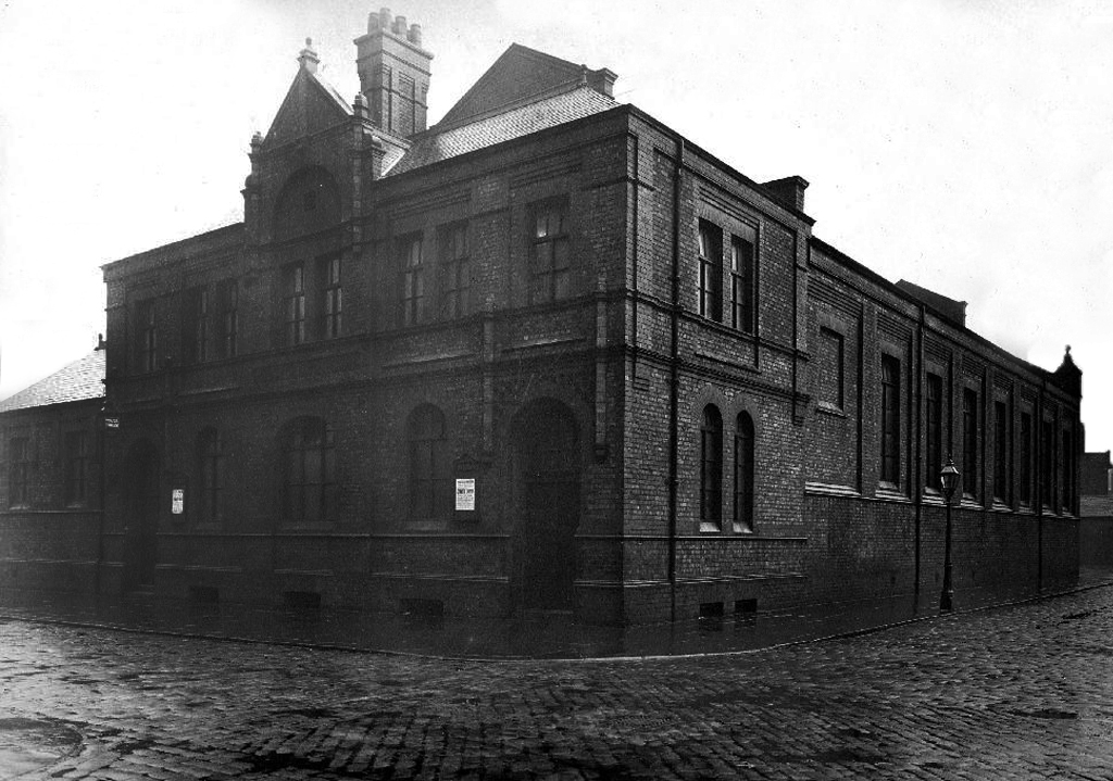
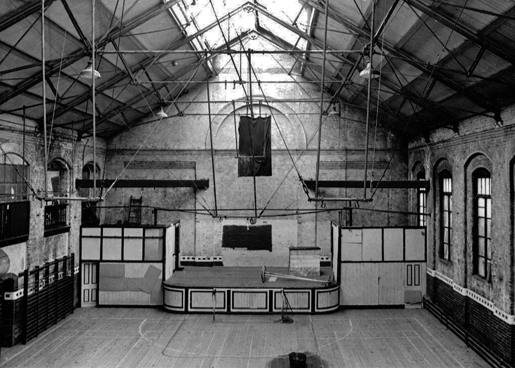
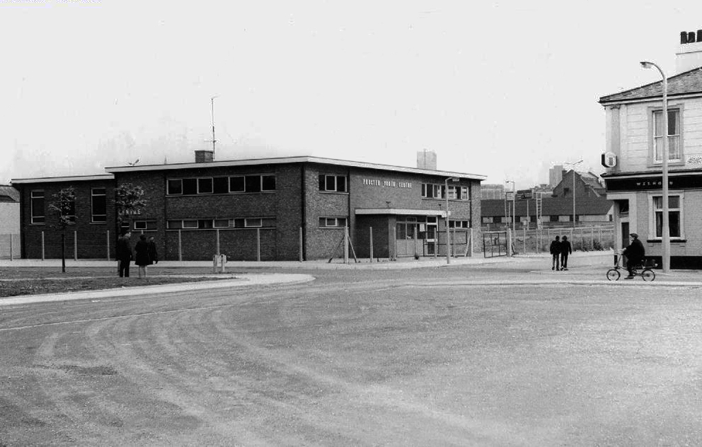
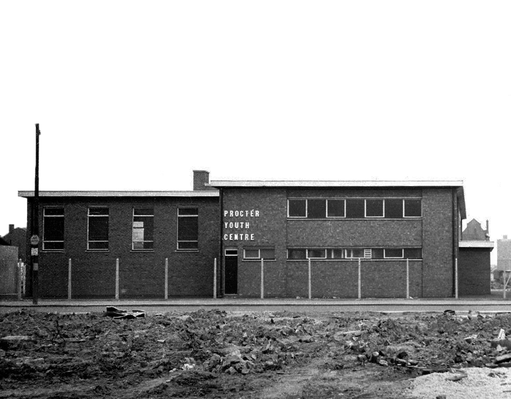
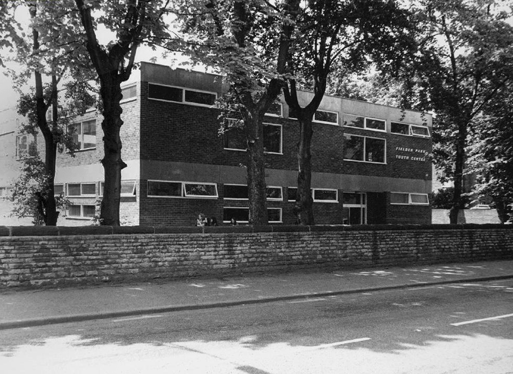
Procter Youth Centre a victim of city’s spending cuts
Procter Youth Centre 1966-2011. Despite being in singularly ugly building, it was very popular, providing a wide range of activities such as pool, football and martial arts, to name but a few. In 2009 the premises were refurbished with £668,000 being spent on a weights room, dance studio, recording studio. Then two years later Manchester City Council did the logical thing – closed it! Some of the eight staff offered to take a pay cut but to no avail. There were plans to use the building as a pupil referral unit. Today the building stands in the middle of wasteland that is the process of redevelopment.
Ancoats Youth Club had sadly ceased being a place for the community to come together and use the facilities a number of years before it became a bed shop before it was finally demolished in 2011, with yet another community resource gone forever.
Bringing us back to Gorton – the unoccupied and demolition ready Youth Centre.
Surrounded by new-build and no stranger to a passing Bentley.
Where the state has created a vacuum the charitable sector steps in.
Designed by Seven Architecture, the Manchester Youth Zone East will be the second of its type in Greater Manchester, following the Factory Youth Zone in Harpurhey.
Following years of slow decline the area is on the up.
Linden Homes’ new build properties on Belle Vue Street, Gorton have now completely sold out, with the first of the 14 homes ready for homeowners to move into this month.
The properties are part of the £9m Grace Gardens development, which is situated in a prime location in an up-and-coming part of Greater Manchester.
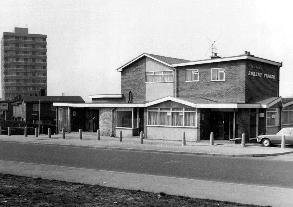
April 2023 and the shops and homes are being prepared for demolition.
The company responsible for the demolition also dropped the Robert Tinker, on nearby Dalton Street.
While it is not yet clear exactly what will replace the shopping parade, work has already started nearby on other projects within the scheme. The first phase of development in Collyhurst will see 274 new homes built in the area.
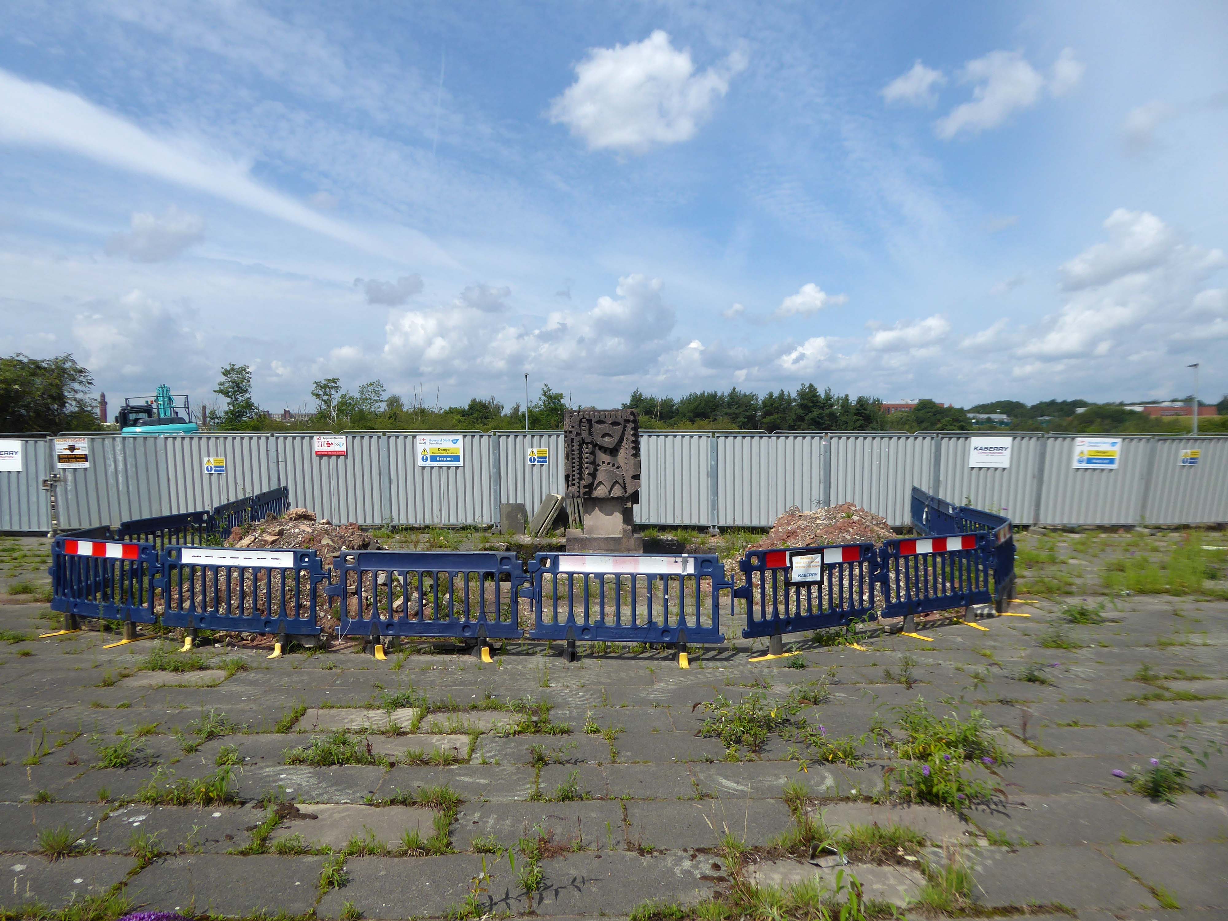
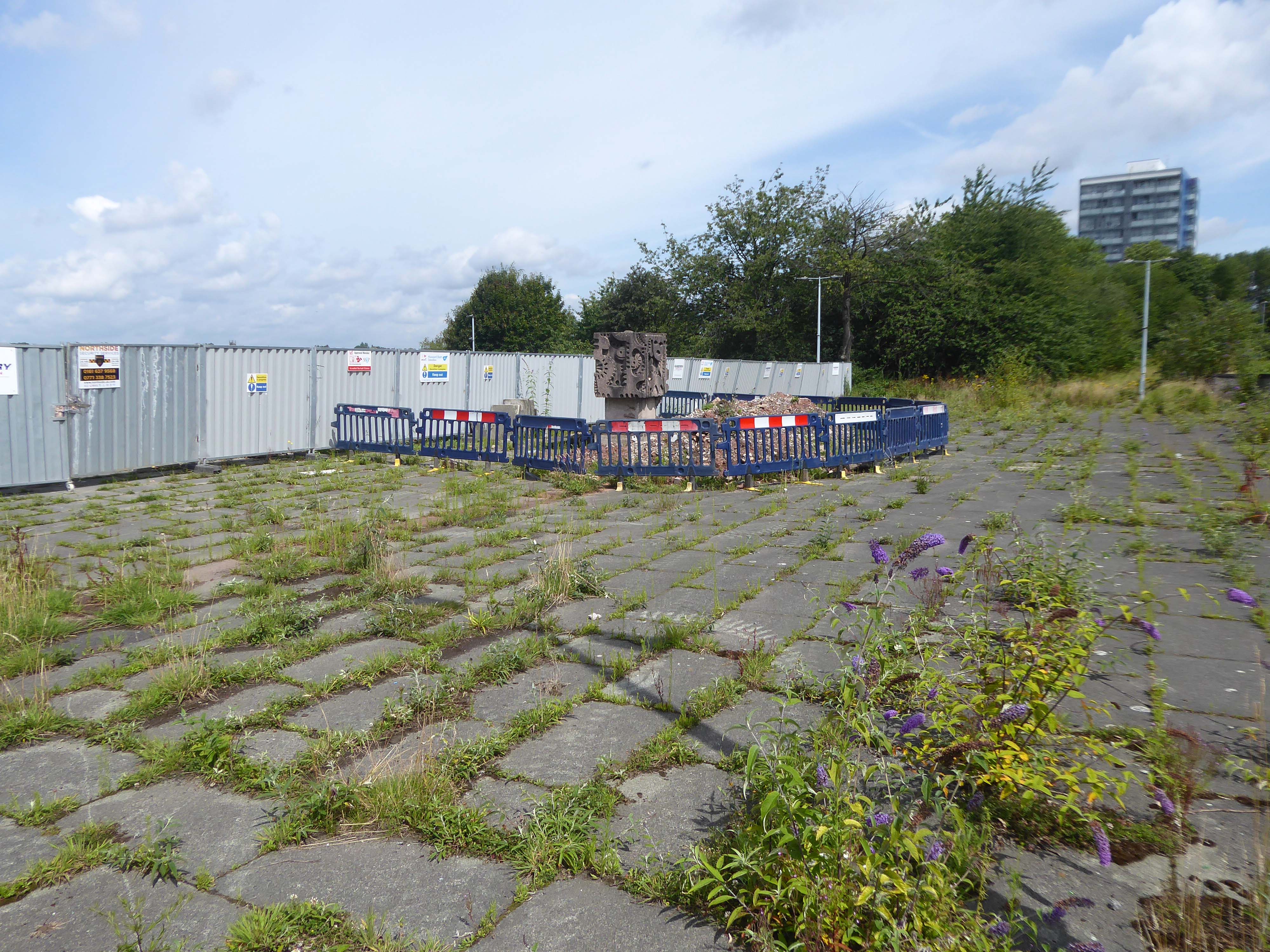
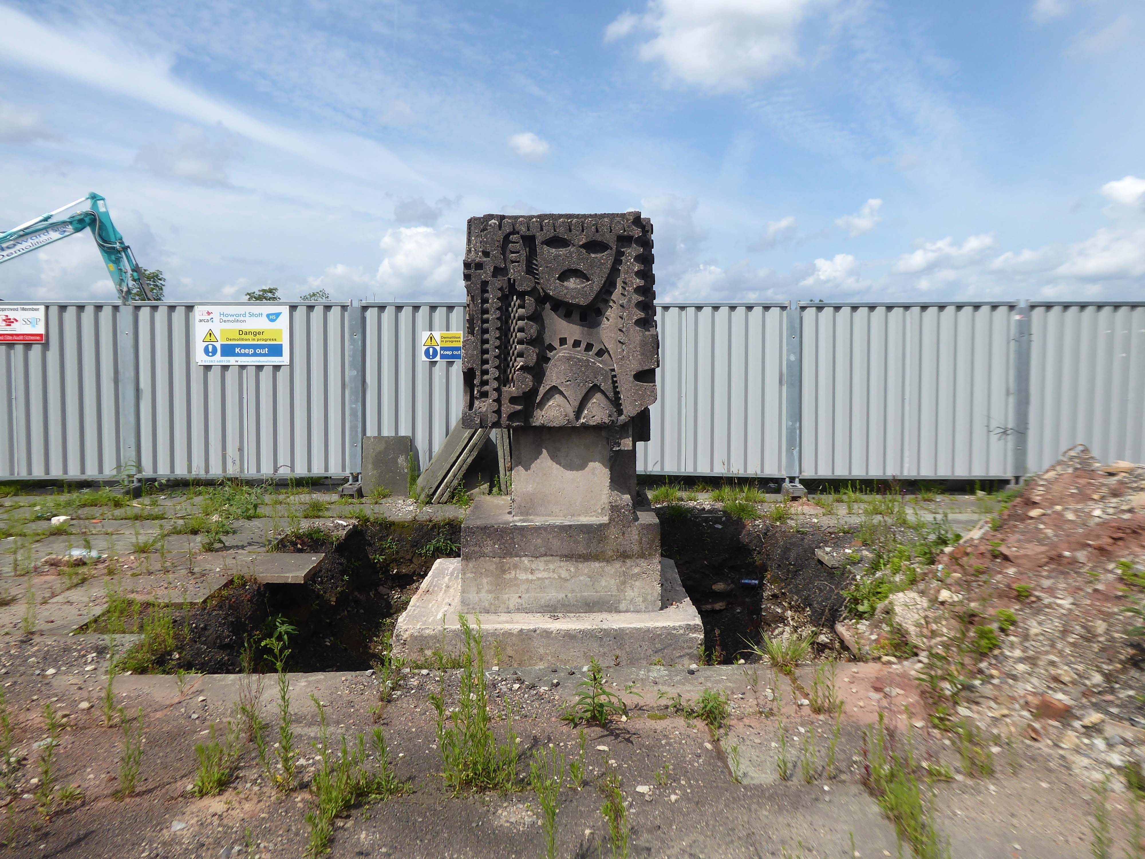
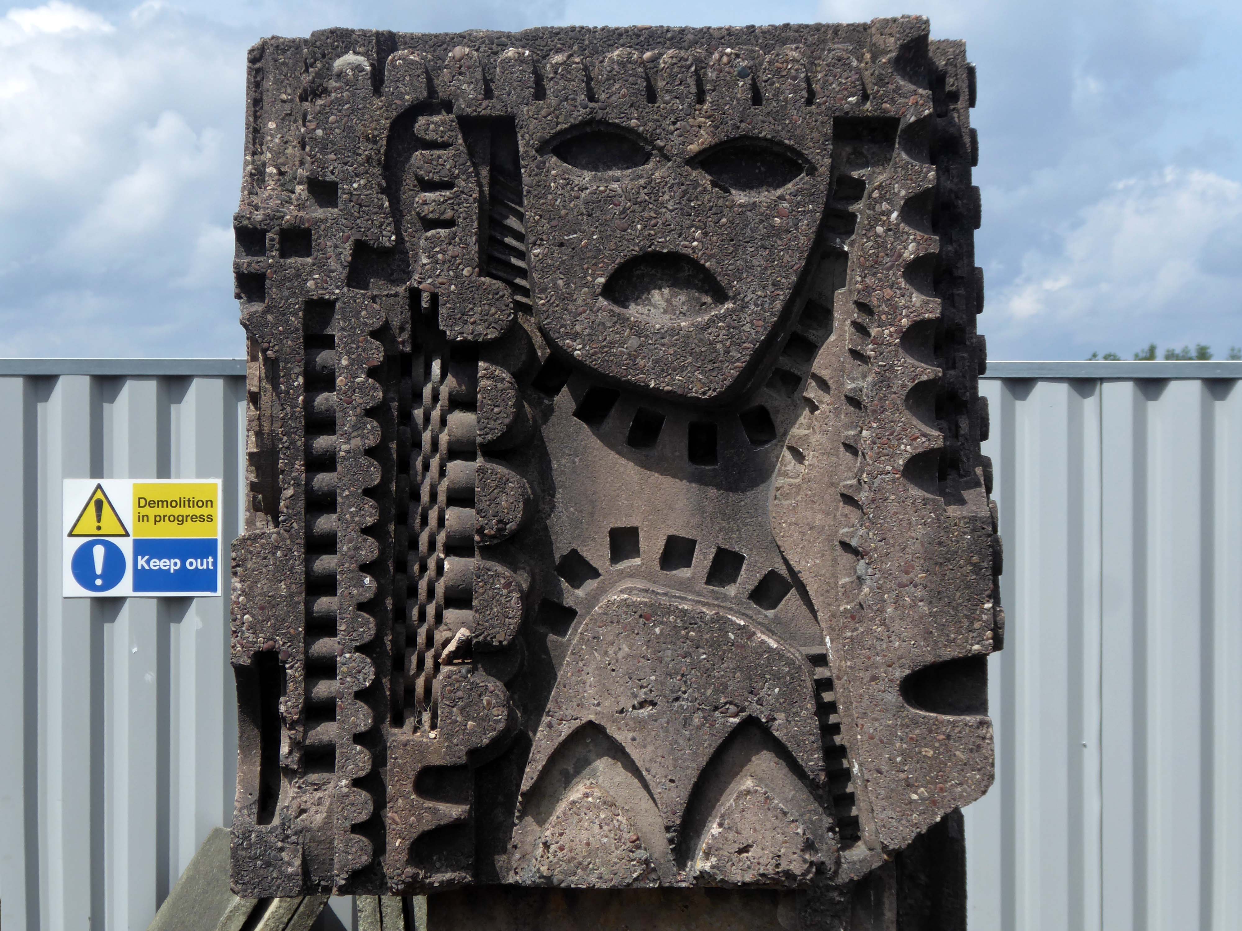
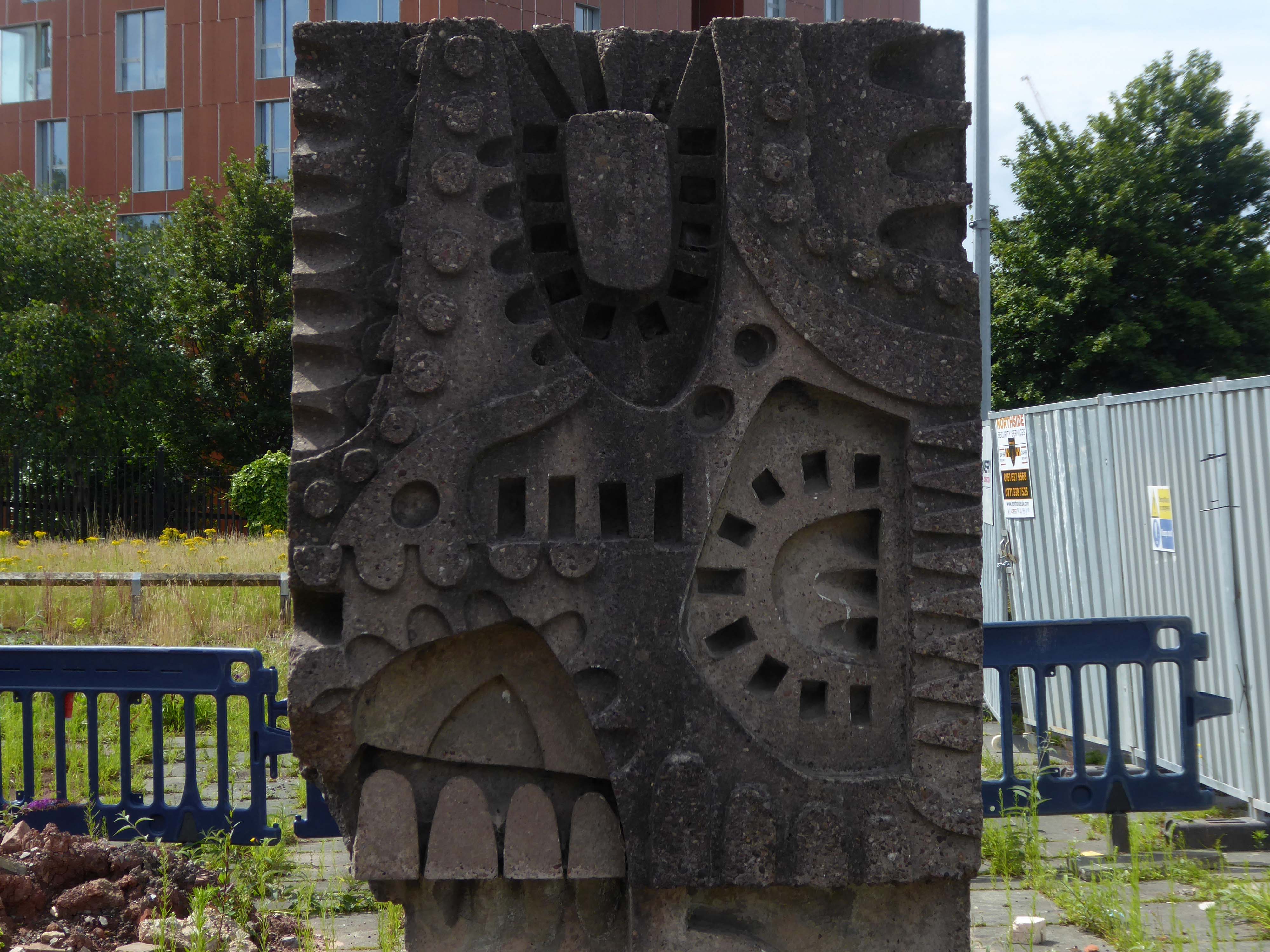
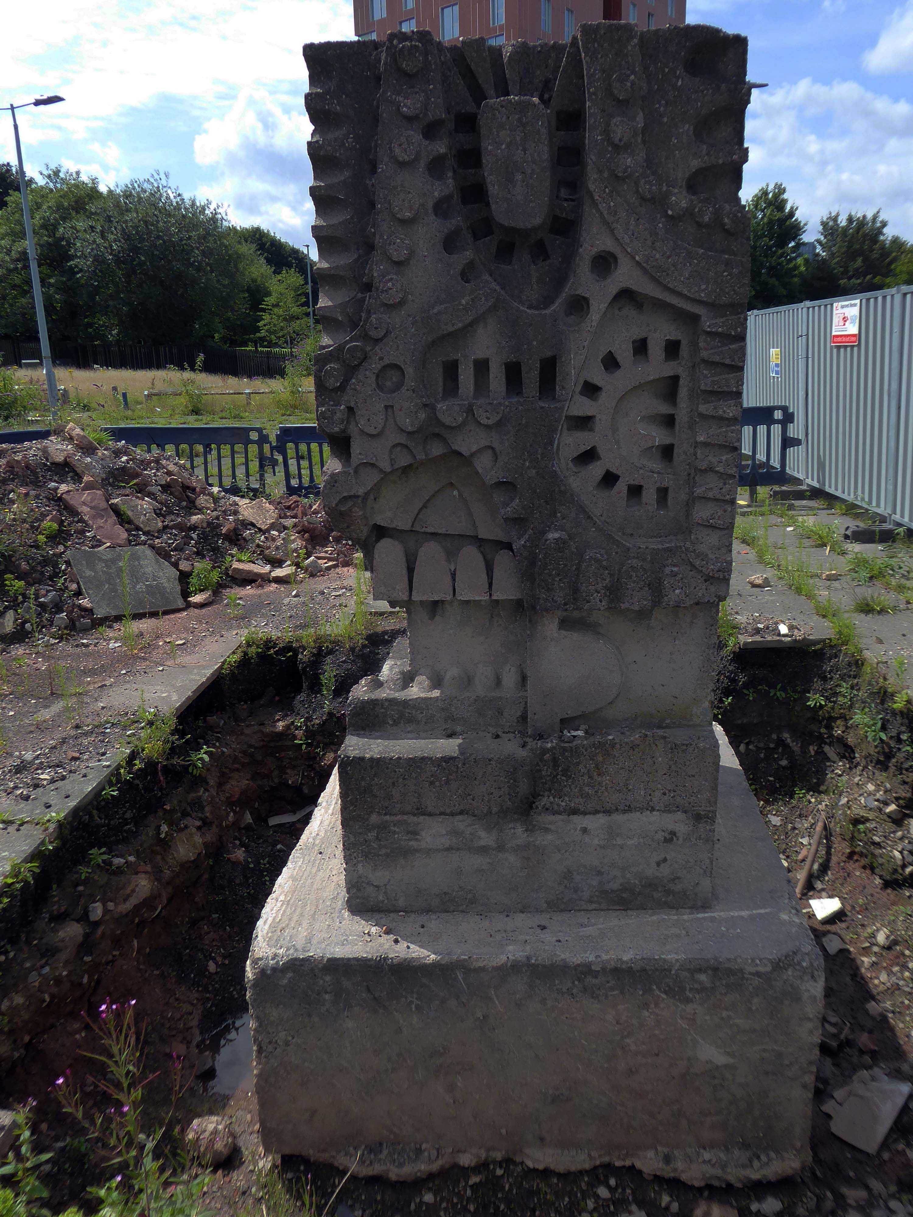
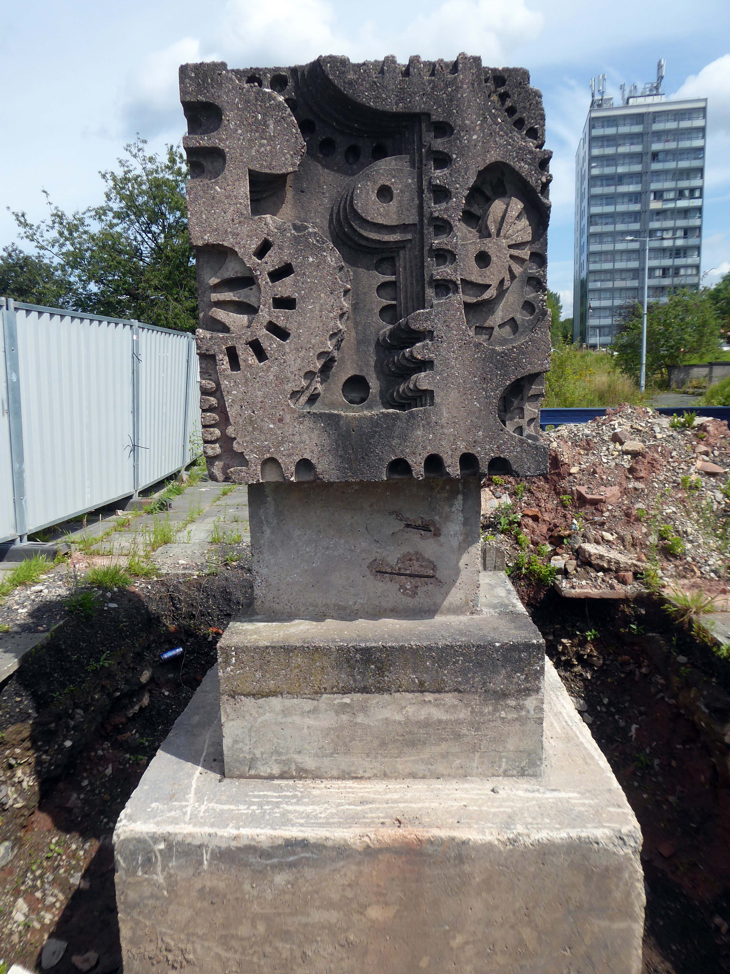
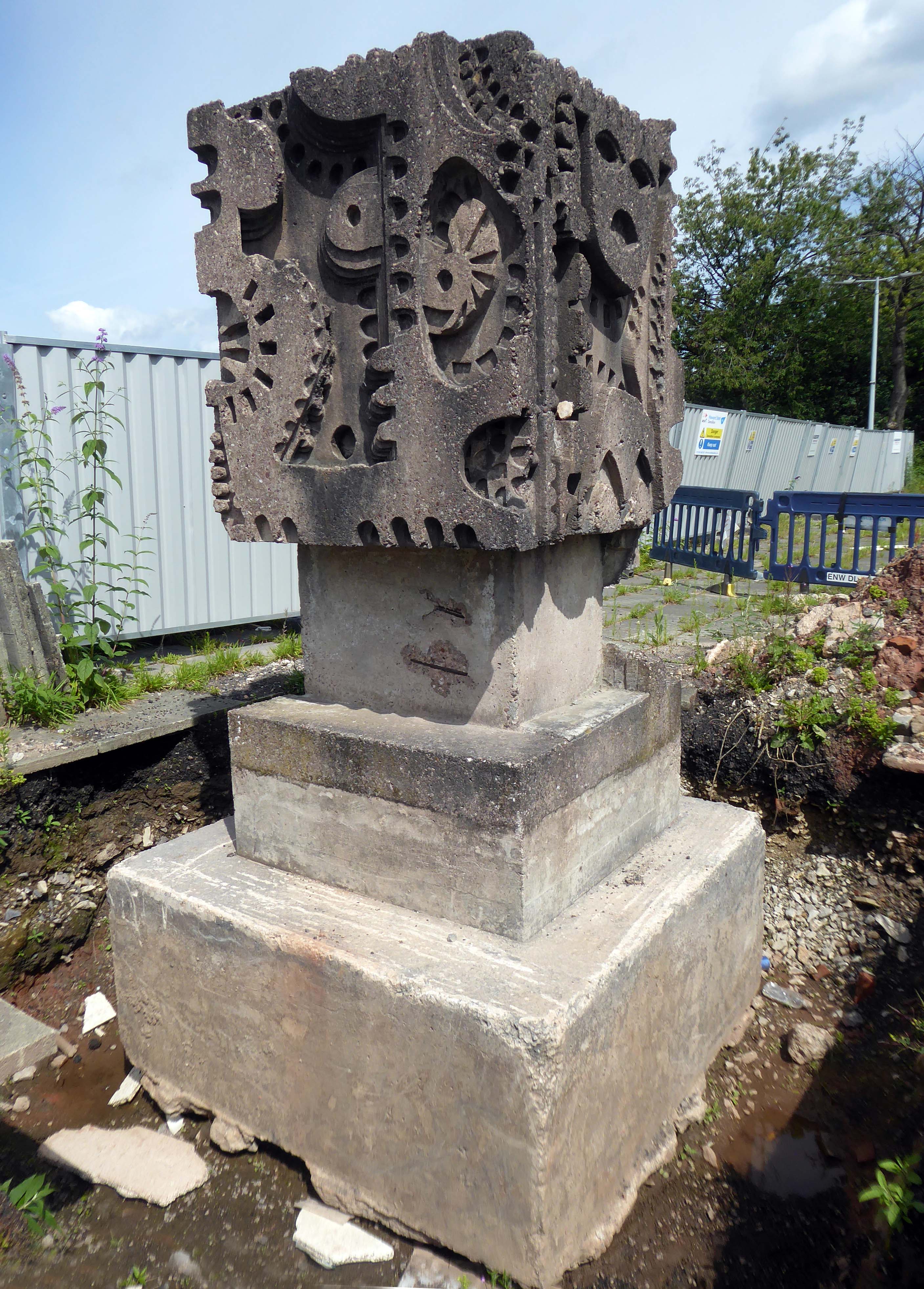
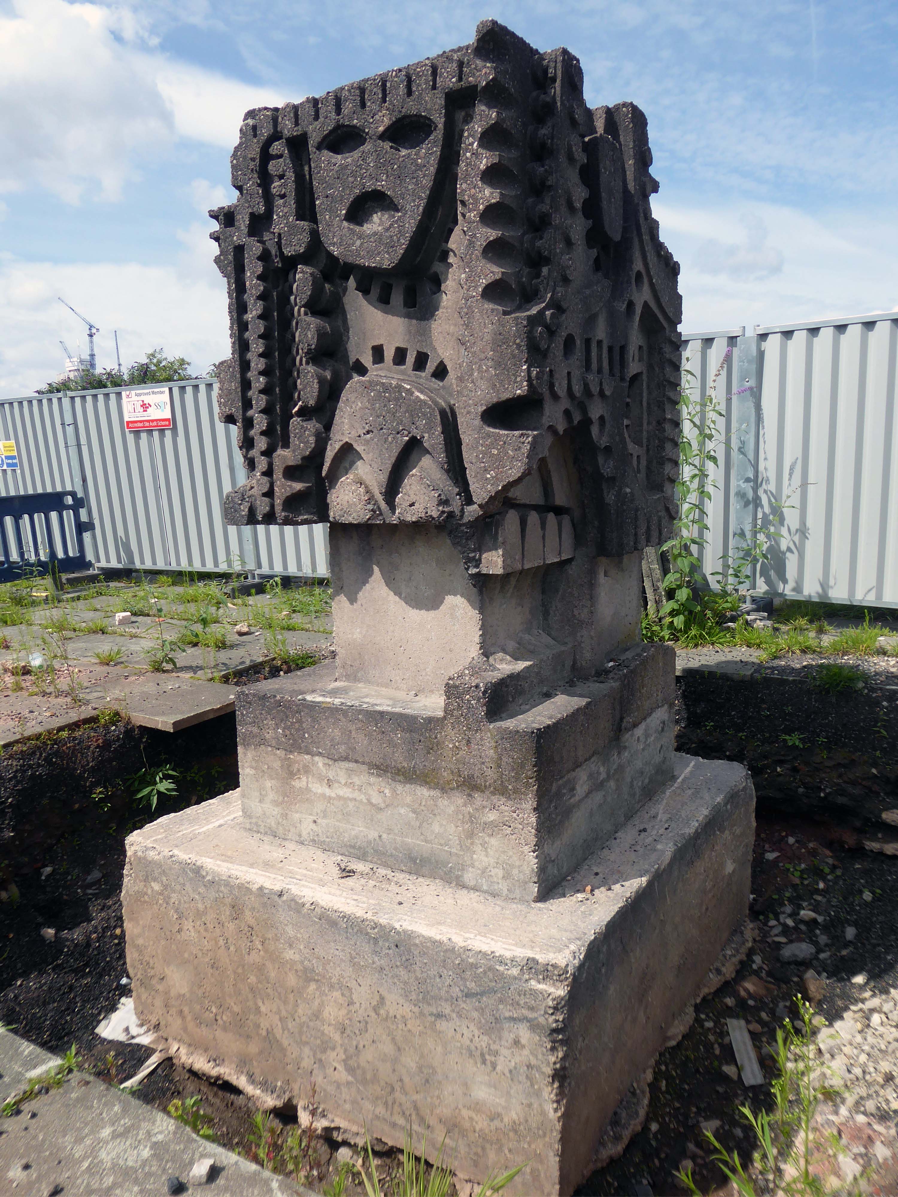
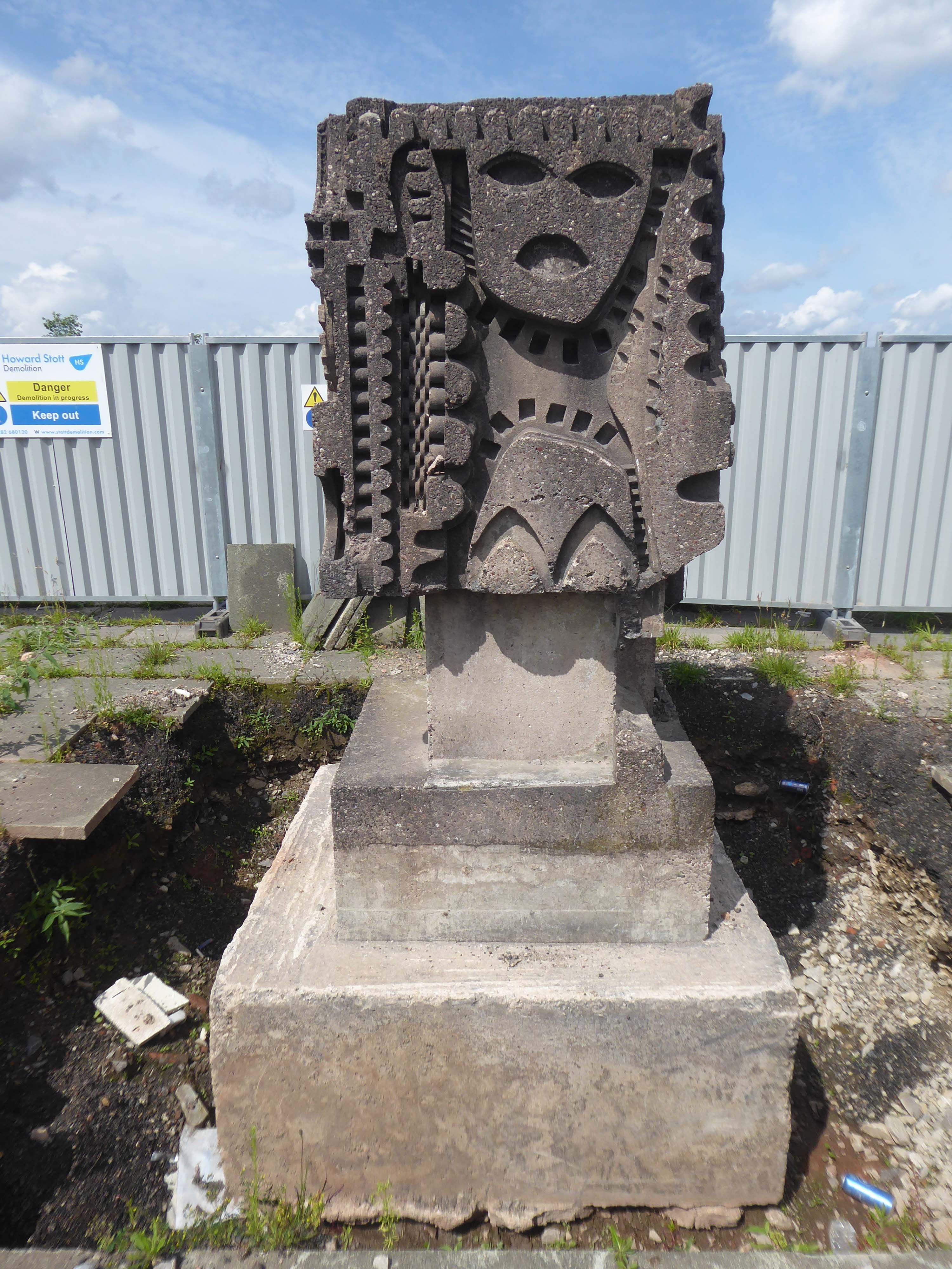
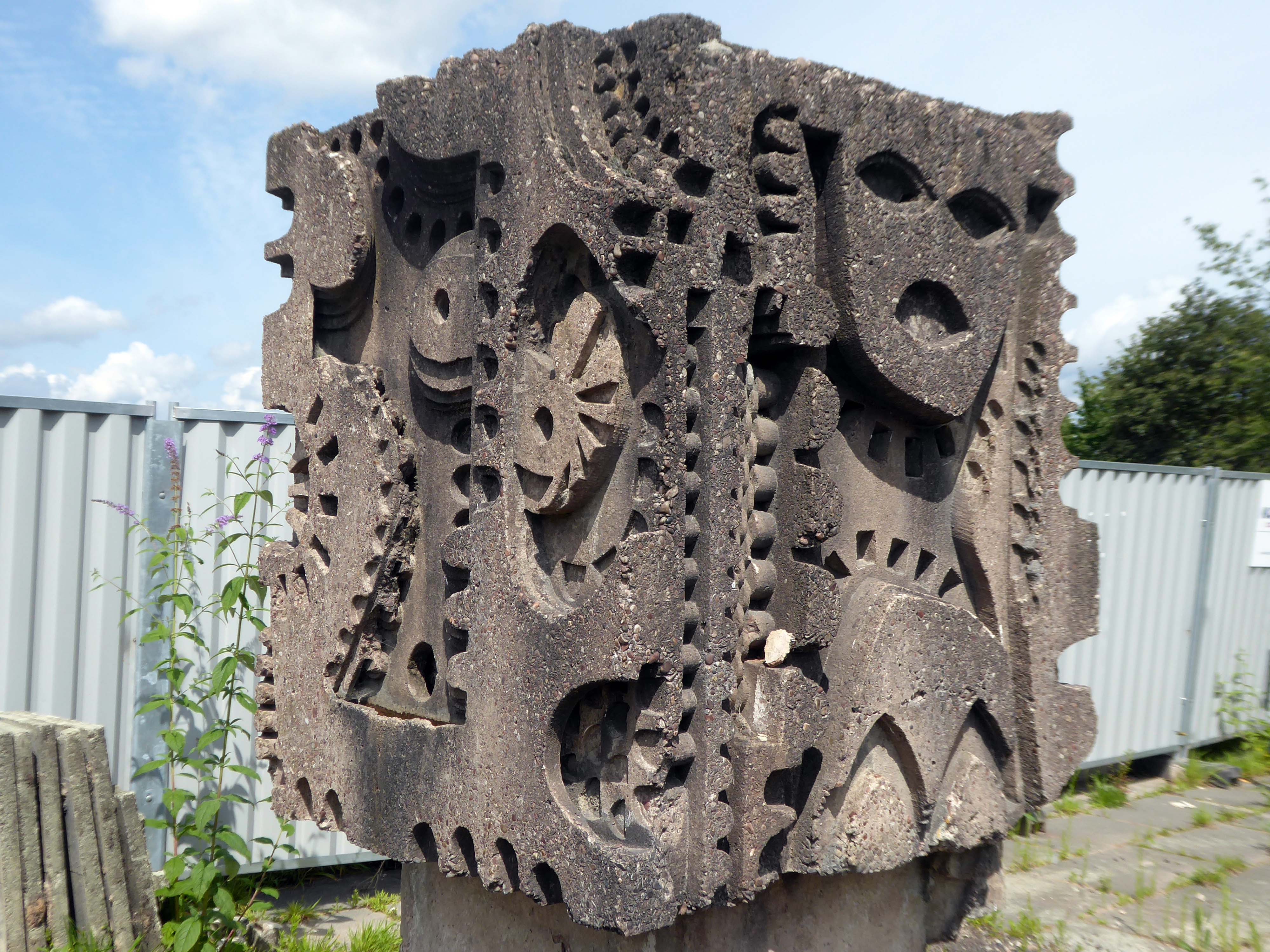
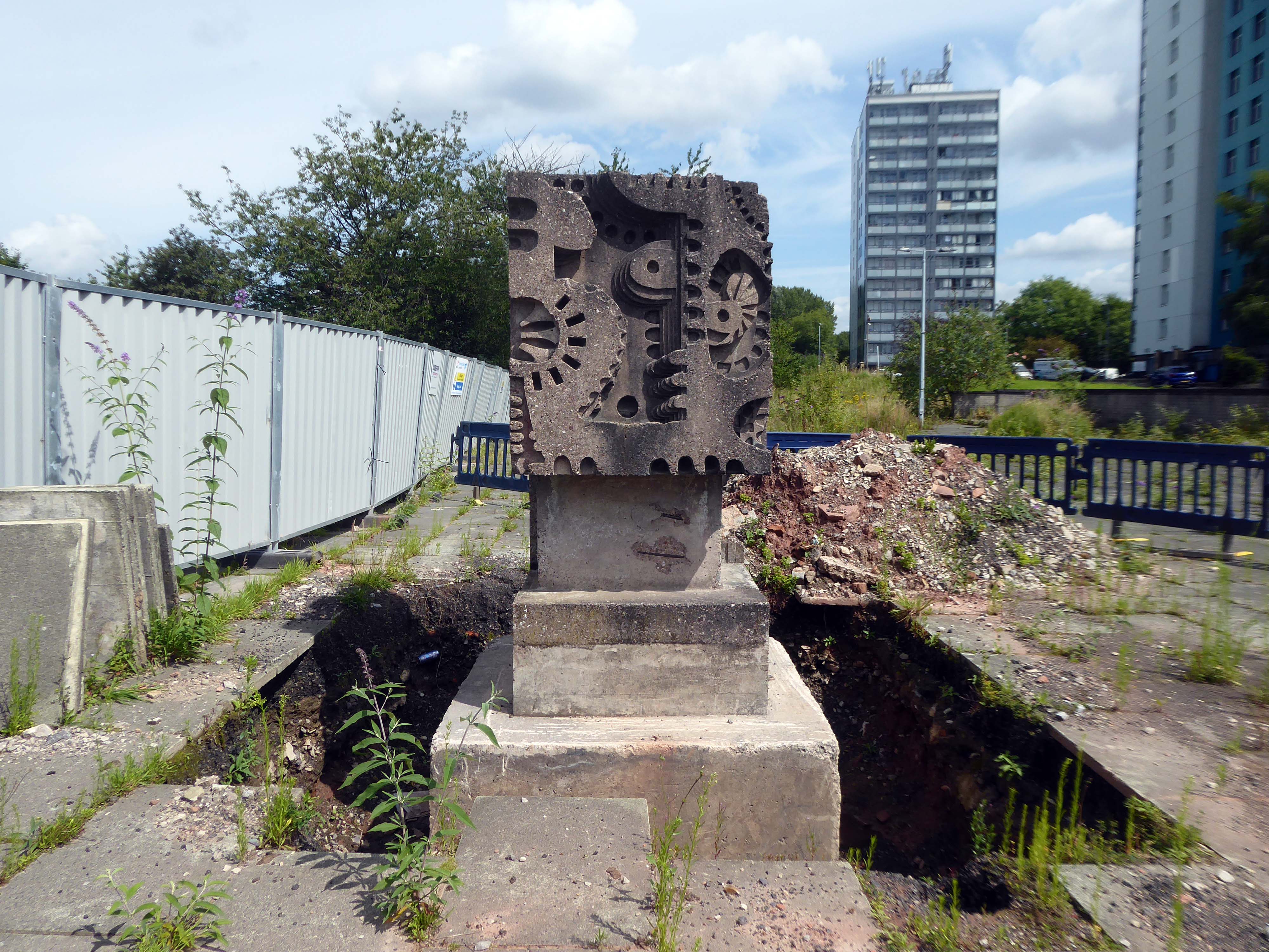
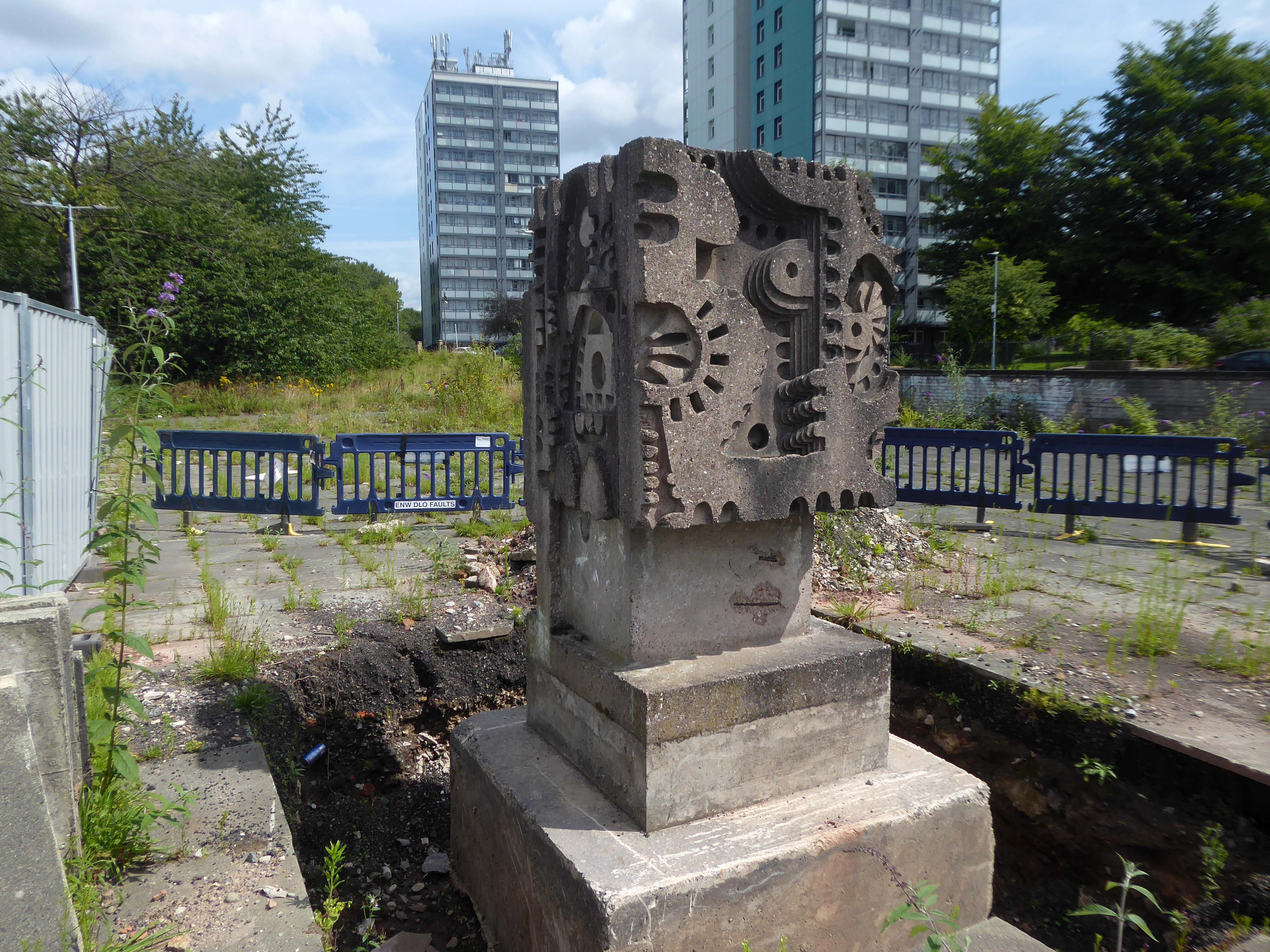
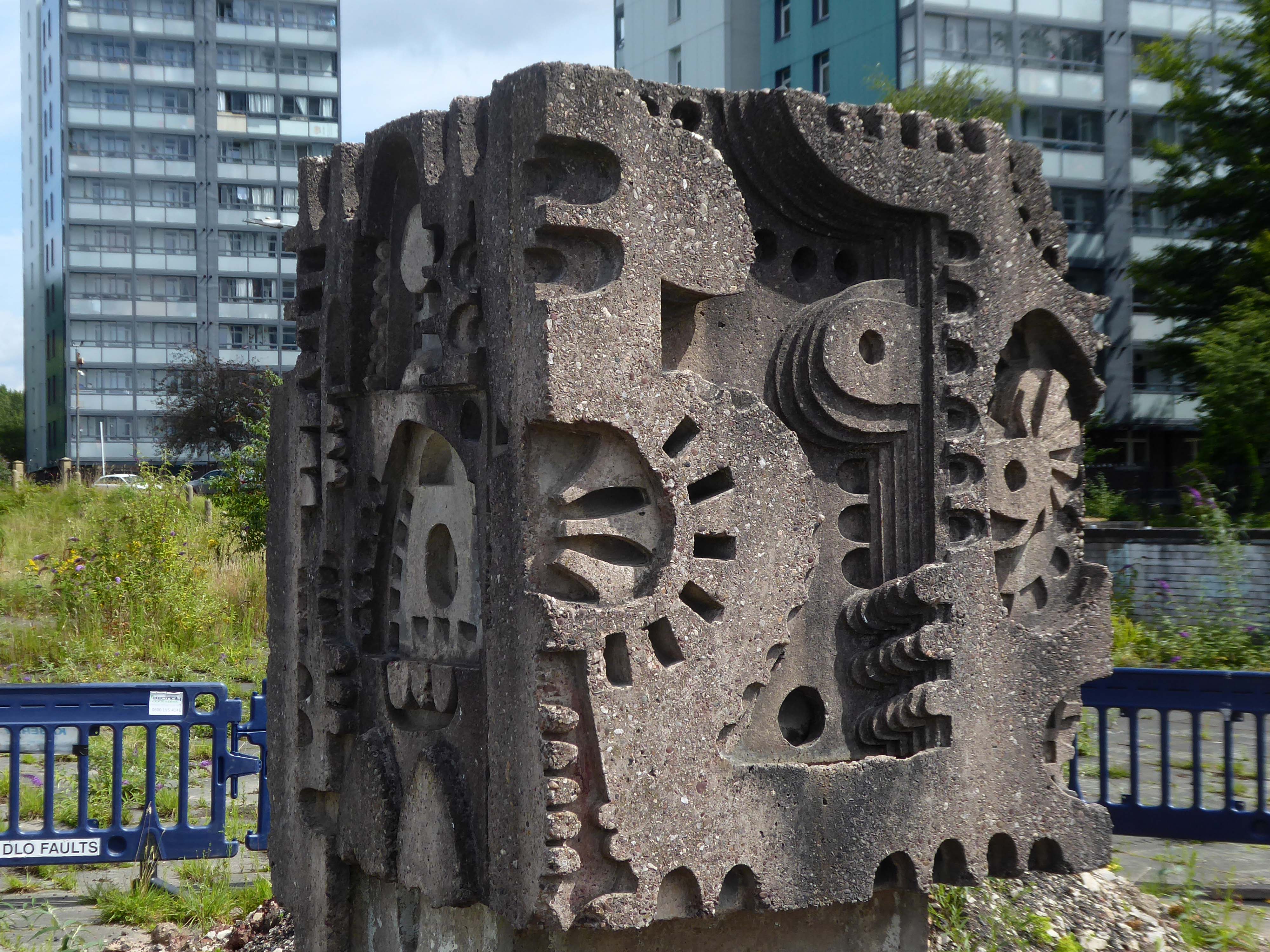
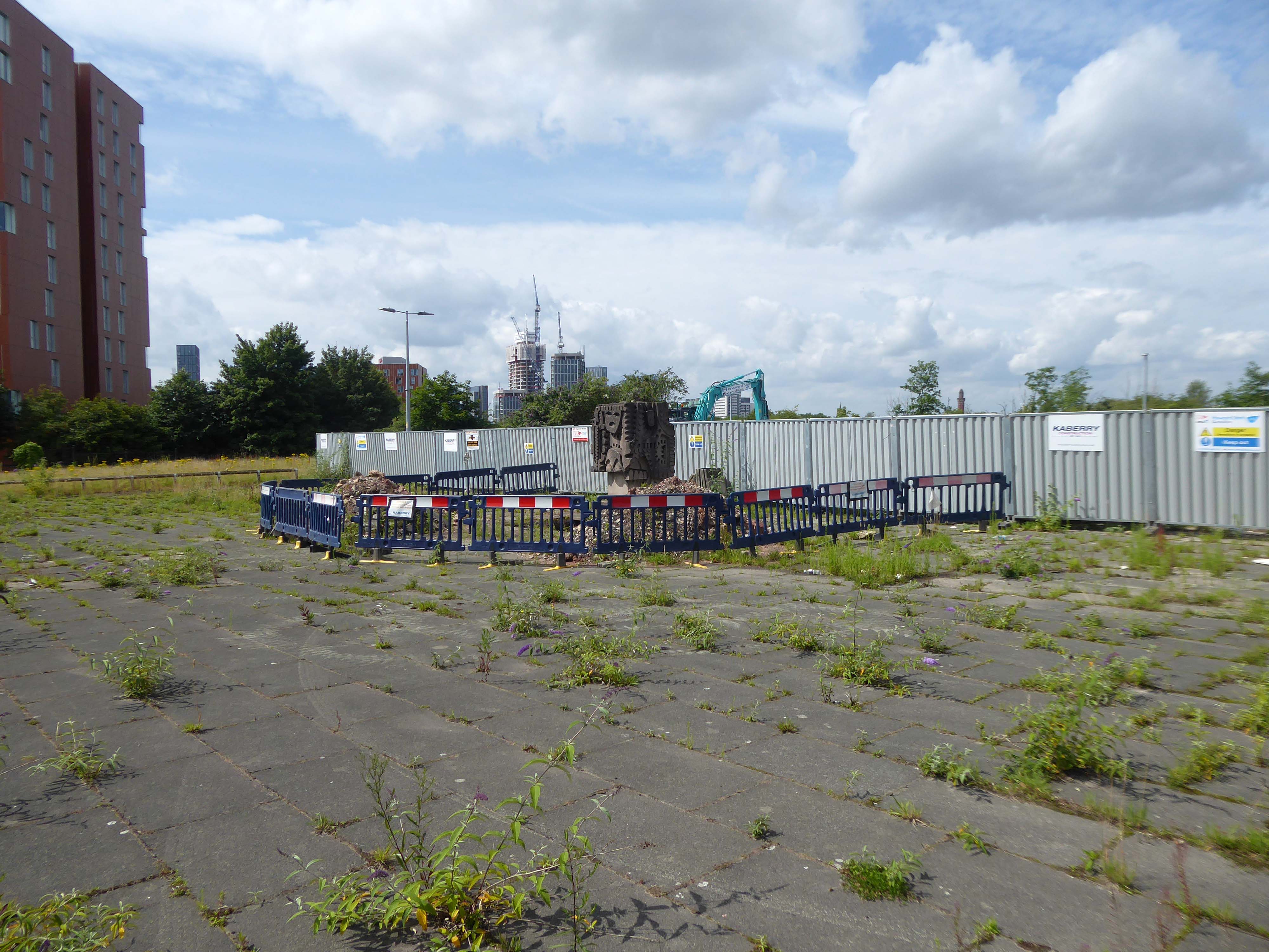
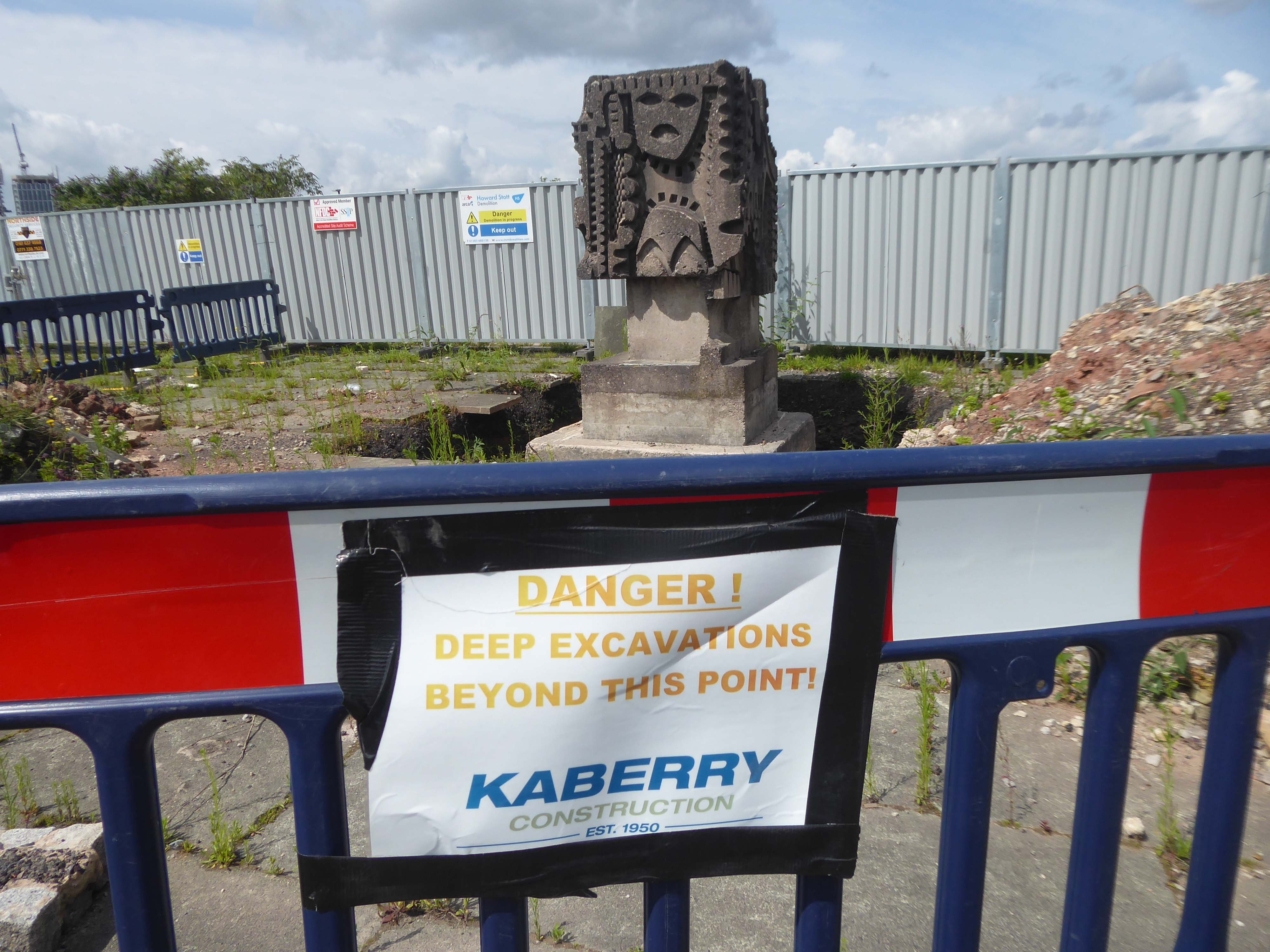
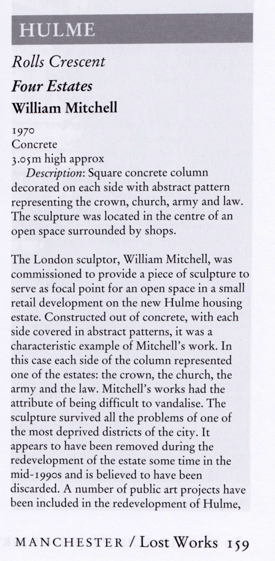
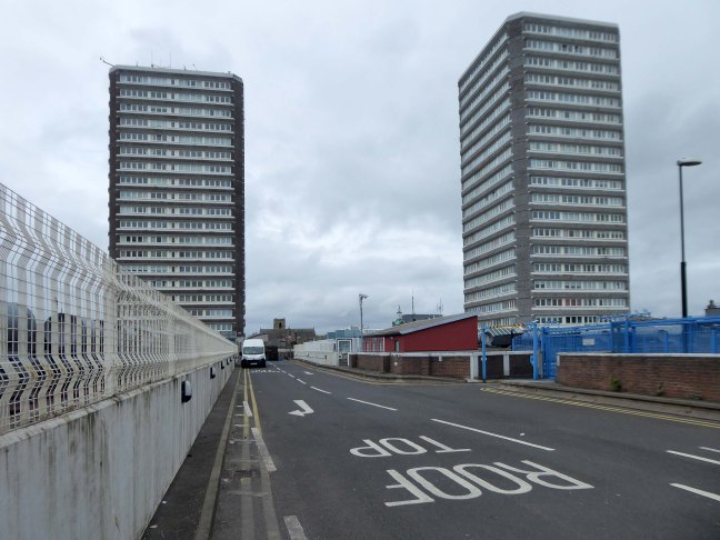
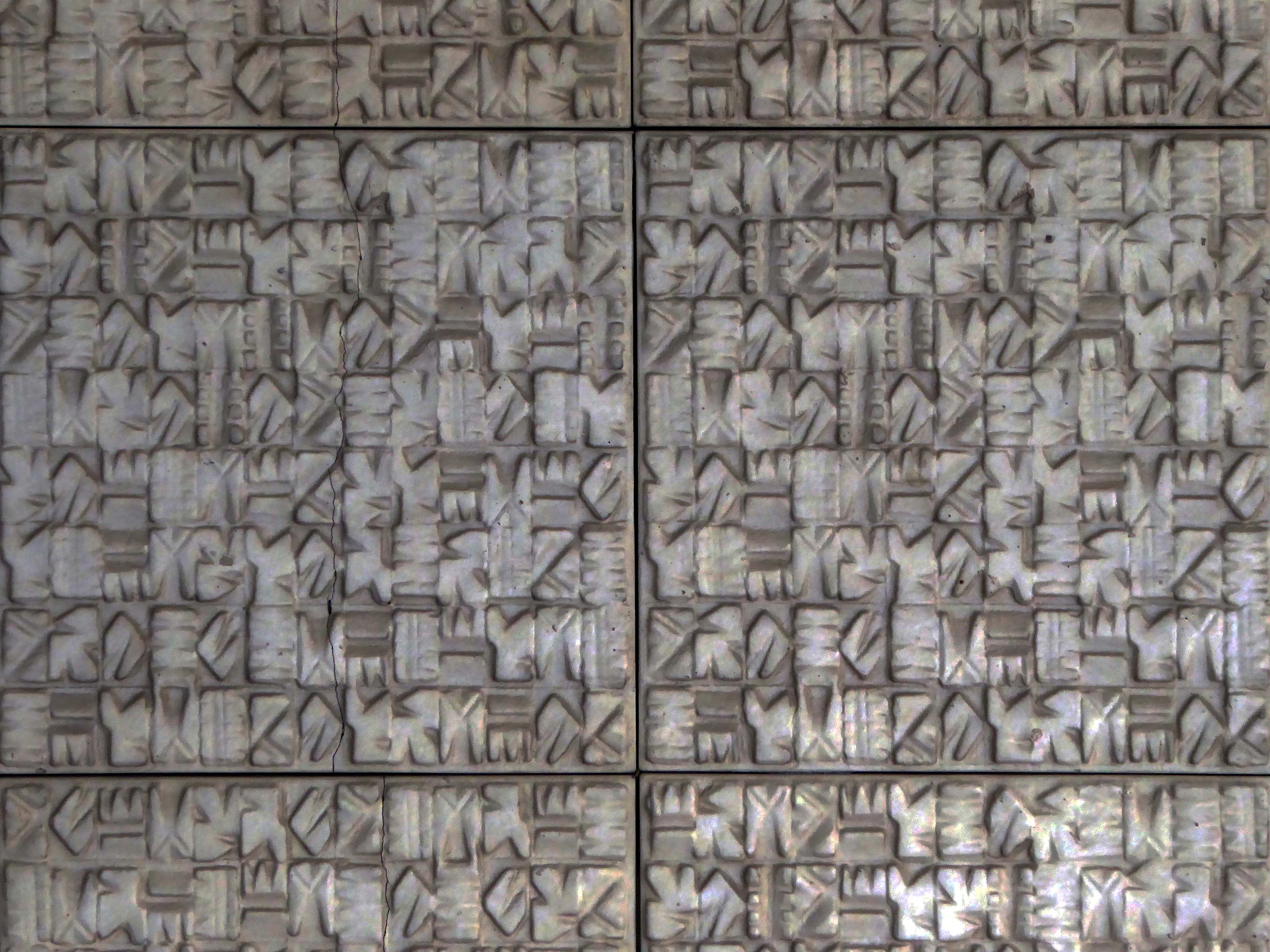
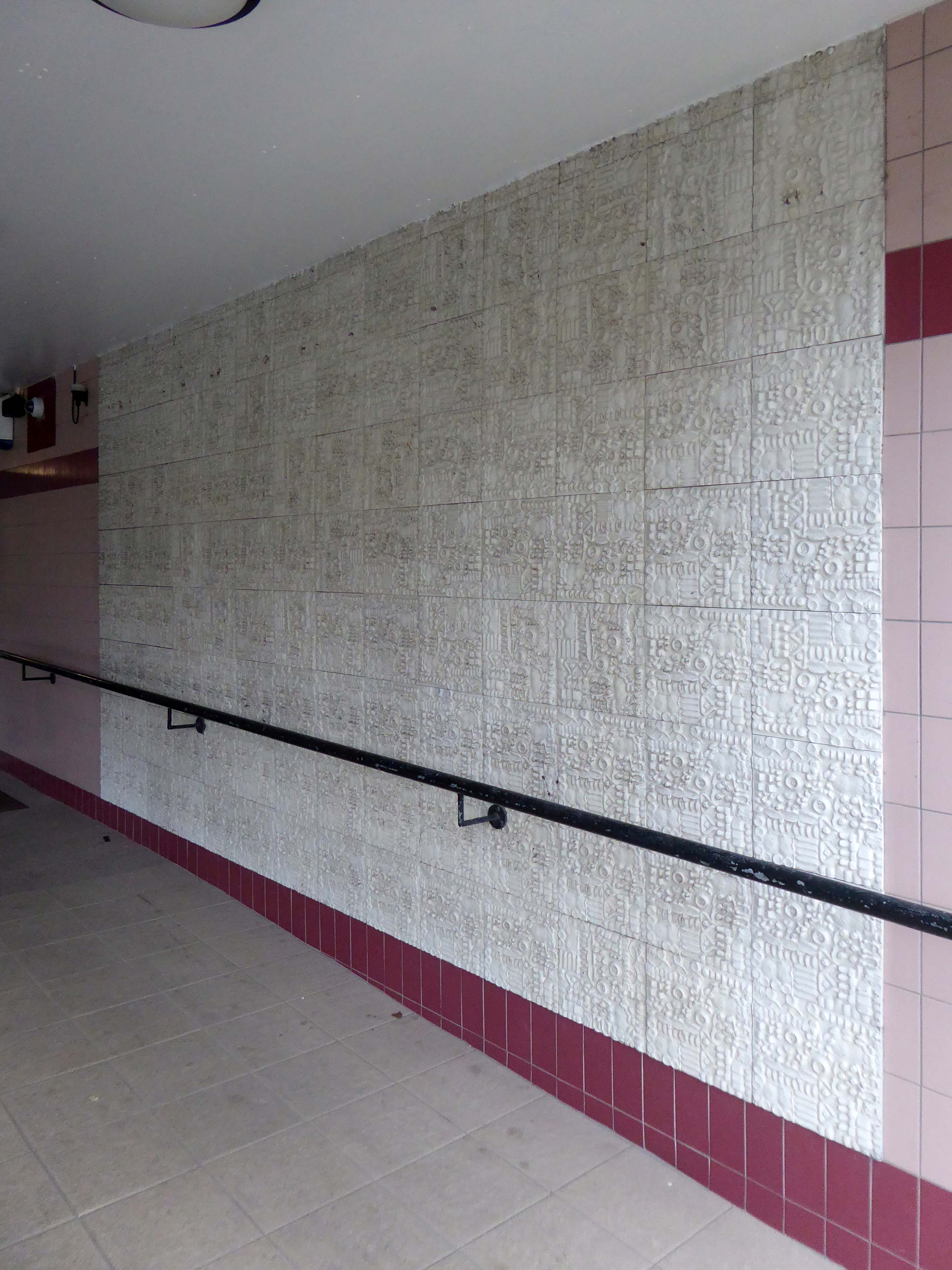
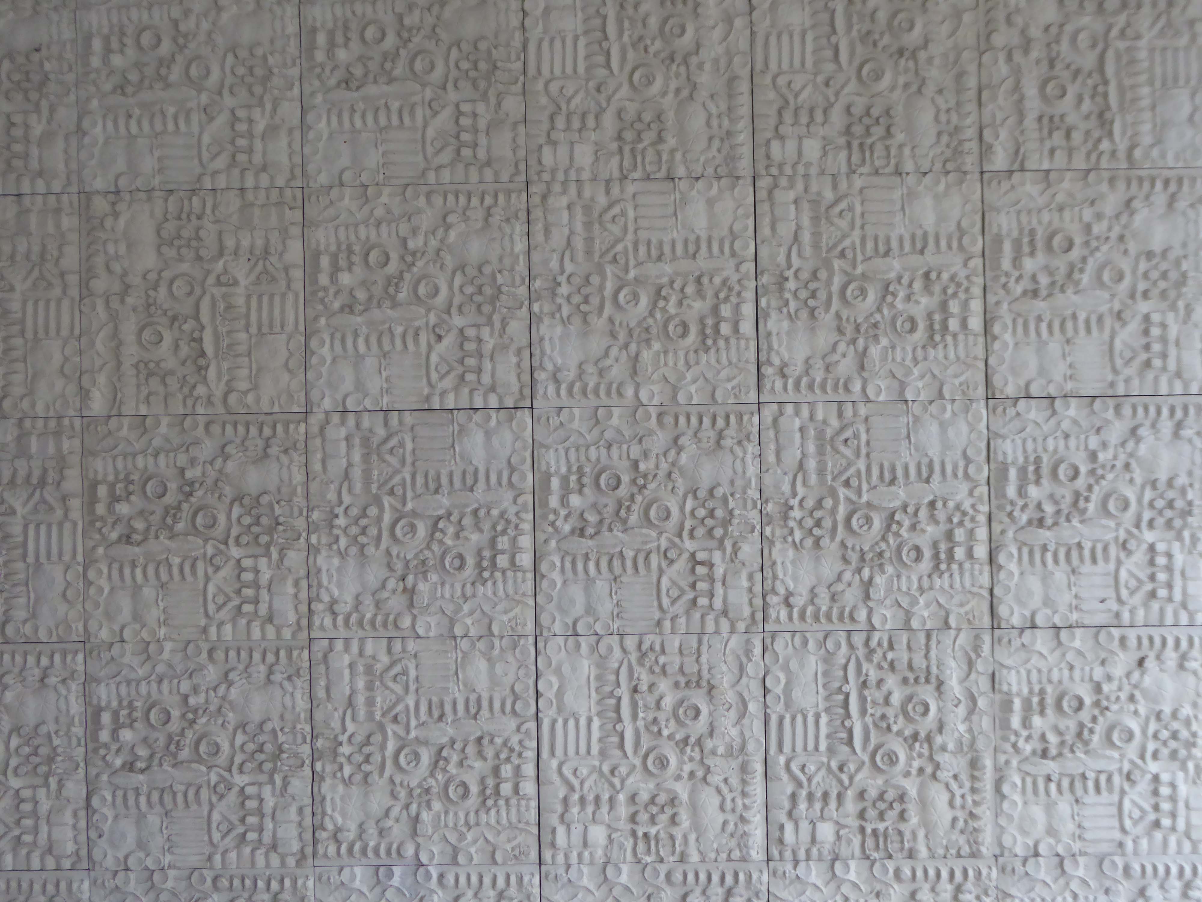
The council has pledged to reinstate the William Mitchell totem nearby.
However the weight of the concrete sculpture and its base have presented unforeseen challenges.
Siting a crane above the Victorian rail tunnel is an issue, as is the cost, a quote for £100,000 was deemed excessive. So stasis is the order the day – the immovable object awaits an unstoppable force.
The sculpture is one of four around Manchester – the Hulme exemplar is long gone.
Hyde Road was a football stadium in West Gorton, Manchester, England.
It was home to Manchester City FC and their predecessors, from its construction in 1887 until 1923, when the club moved to Maine Road.
Billy Gillespie on the ball.
Before its use as a football ground, the site was an area of waste ground, and in its early days the ground had only rudimentary facilities. The first stand was built in 1888, but the ground had no changing facilities until 1896; players had to change in a nearby public house, the Hyde Road Hotel.
As a Chester’s house, a condition of the club’s official link to the pub was that supporters and club officials and players would sup Chesters ales, and in return Stephen Chesters Thompson of the brewery helped finance stadium improvements.
The move of MCFC to Maine Road in 1923 following a fire at the Hyde Road ground, didn’t adversely affect the Hyde Road Hotel and it continued to serve the West Gorton community and the once-bustling Hyde Road thoroughfare.
As late as the 1980s, renamed the City Gates, it was a popular watering hole before the match for supporters travelling in from East Manchester. It was kitted out in all sorts of MCFC memorabilia and was run by George Heslop, City legend of the 1960s, after he’d had the Royal George in town.
Sadly, as the community around it was decimated, the pub struggled and its last hurrah was as the City Gates theme pub. The business failed in 1989 and the pub sat empty and rotting for twelve years until it was demolished, despite a half-hearted fans campaign to save it. Two keystones from the Hyde Road Hotel reside in the MCFC memorial garden and are all that remain of this significant Manchester pub.
By 1904 the ground had developed into a 40,000-capacity venue, hosting an FA Cup semi-final between Newcastle United and Sheffield Wednesday the following year.
The stands and terraces were arranged in a haphazard manner due to space constraints, and by 1920 the club had outgrown the cramped venue. A decision to seek an alternative venue was hastened in November 1920, when the Main Stand was destroyed by fire. Manchester City moved to the 80,000-capacity Maine Road in 1923, and Hyde Road was demolished shortly afterward. One structure from the ground is still in use in the 21st century, a section of roofing which was sold for use at The Shay, a stadium in Halifax.
Maine Road – which in turn closed on May 11th 2003, City losing 1-0 to Southampton
City are now at home at the Etihad – formerly the Commonwealth Games Stadium.
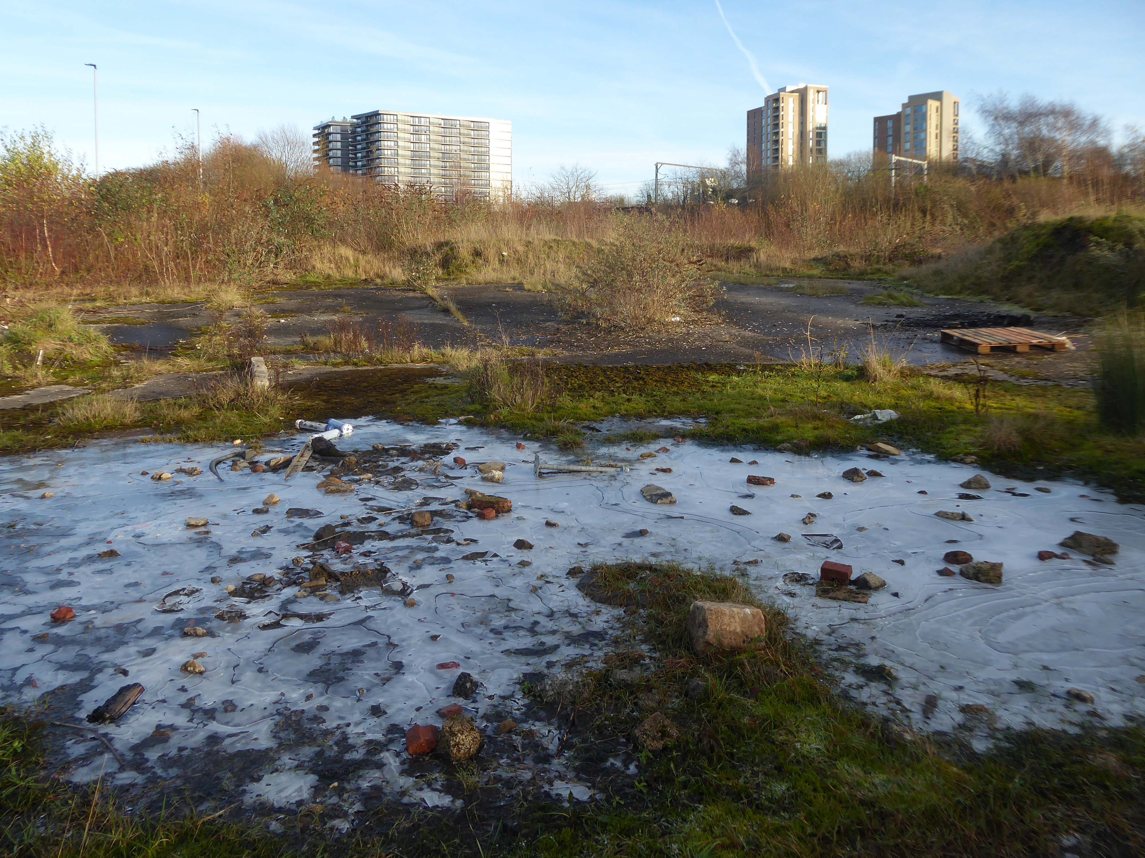
I had always known the area as the Olympic Freight Depot – seen from the passing train.
I cycled by the other day and the containers are long gone – the site is being cleansed to a depth of two metres.
Loitering by the gates, I asked if I may take some snaps .
Please y’self – so I did.
So what’s next on the cards, for this little corner of local history – set twixt Bennett Street and Hyde Road?
New homes is on the cards – and on the hoardings.
Plans have been revealed for a 337-home development on the Olympic Freight depot in West Gorton.
Brought forward by Sheffield-based Ascena Developments, the planning application to Manchester City Council outlines proposals for 191 houses and 146 apartments, split across two blocks.
Alongside the homes, the development would include a 3,000 sq ft circular community centre and café, shop, and a unit which is earmarked for a chip shop.
Kellen Homes has been granted planning consent to redevelop the thirteen-acre Olympic Freight depot on Bennett Street in Manchester into 272 homes.
The developer, owned by Renaker founder Daren Whitaker, lodged plans for the West Gorton scheme last year following the withdrawal of an earlier and larger scheme drawn up by Sheffield-based Ascena Developments.
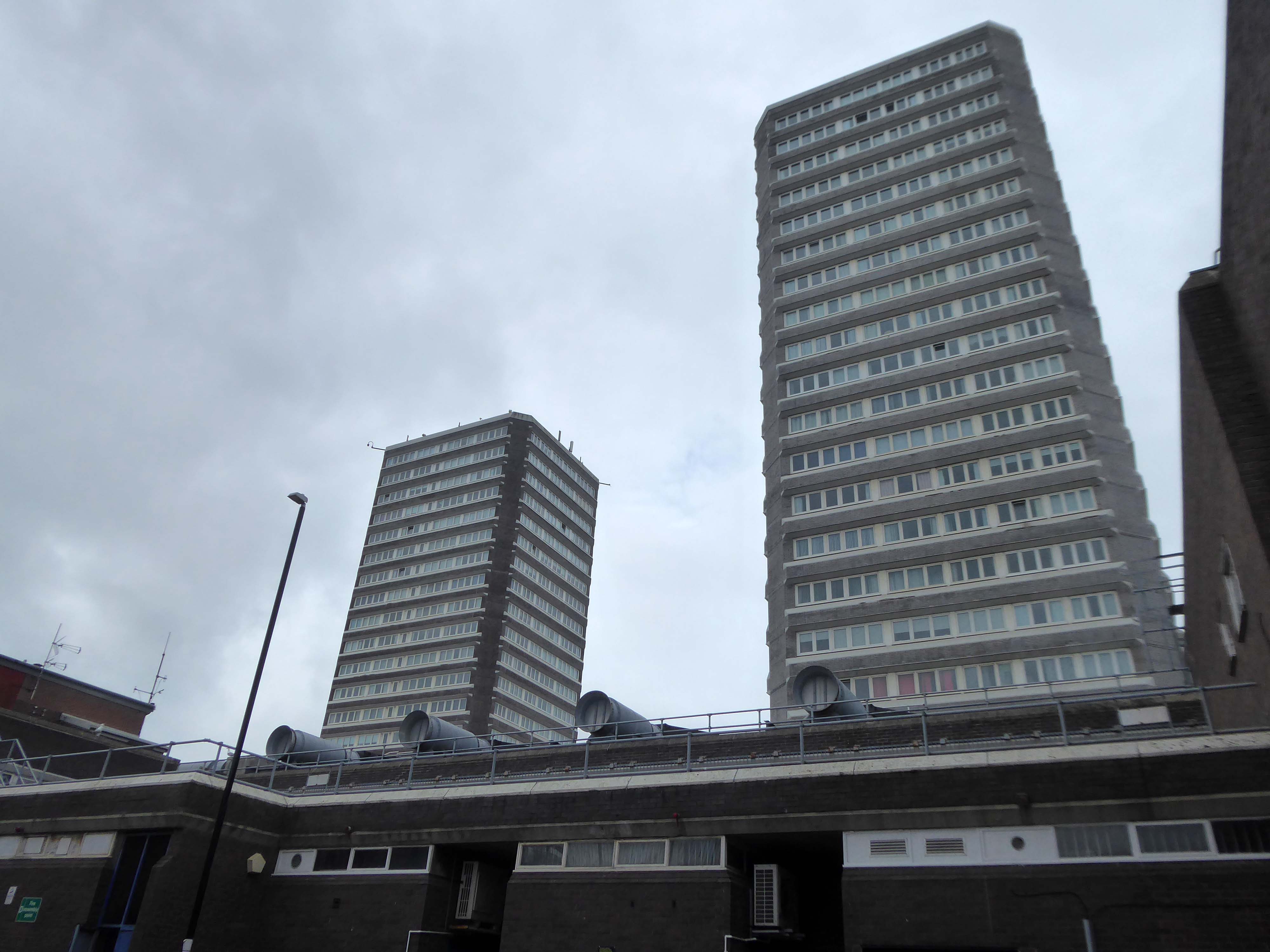
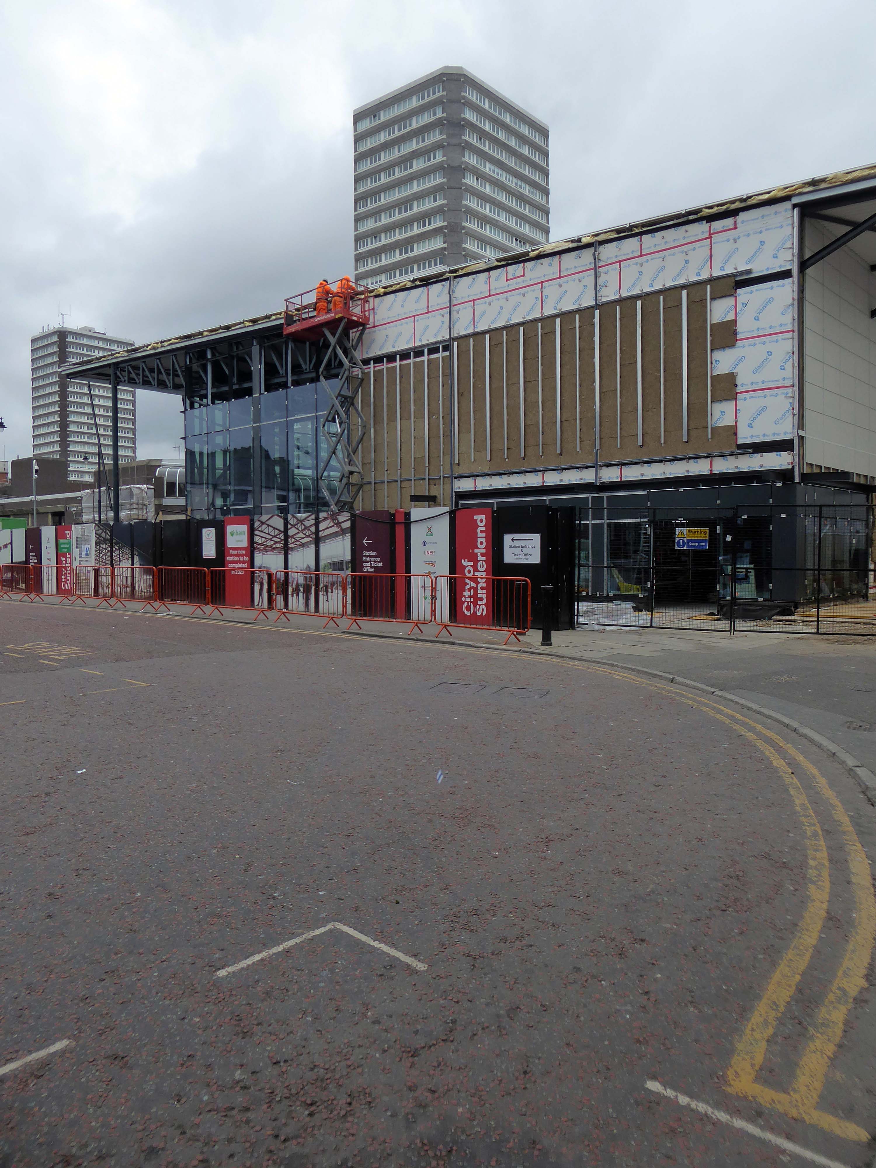
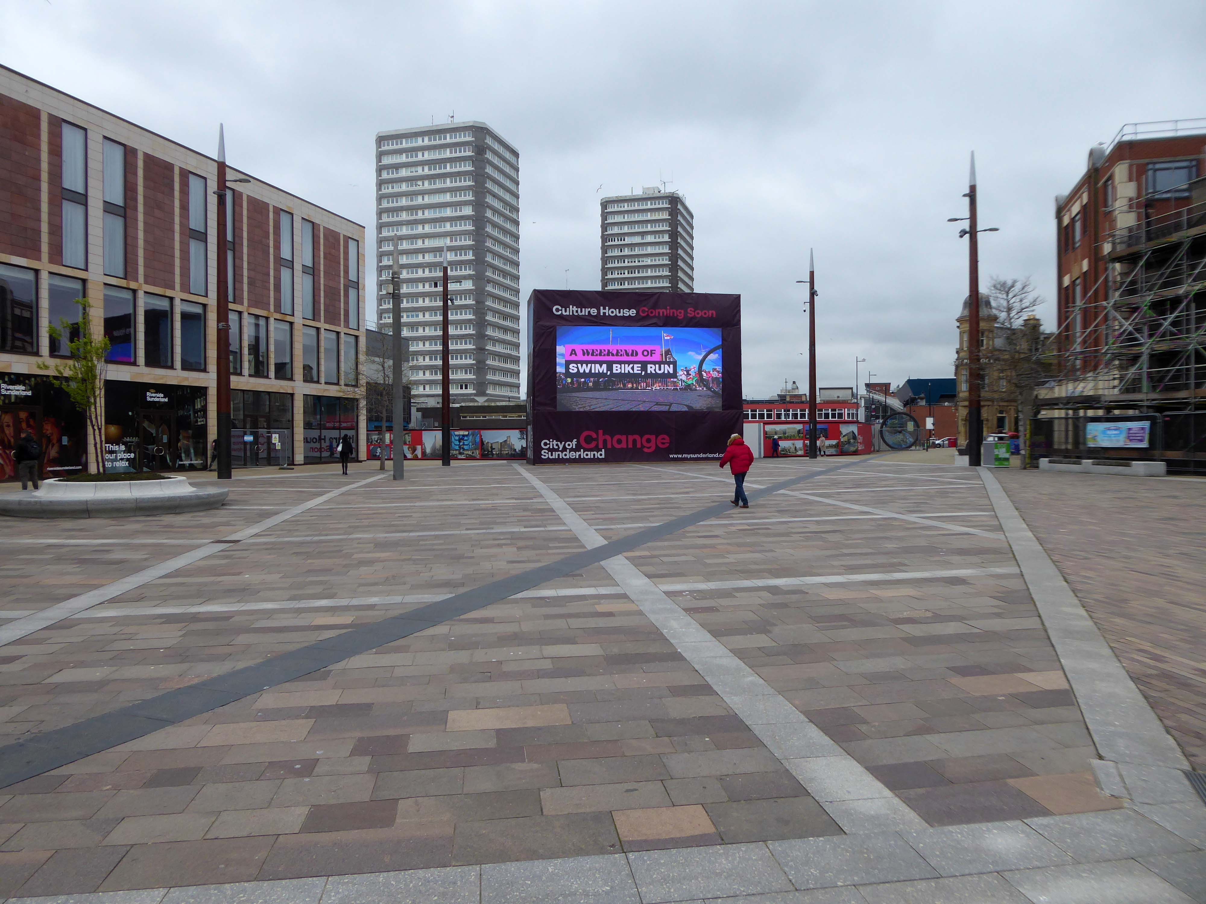
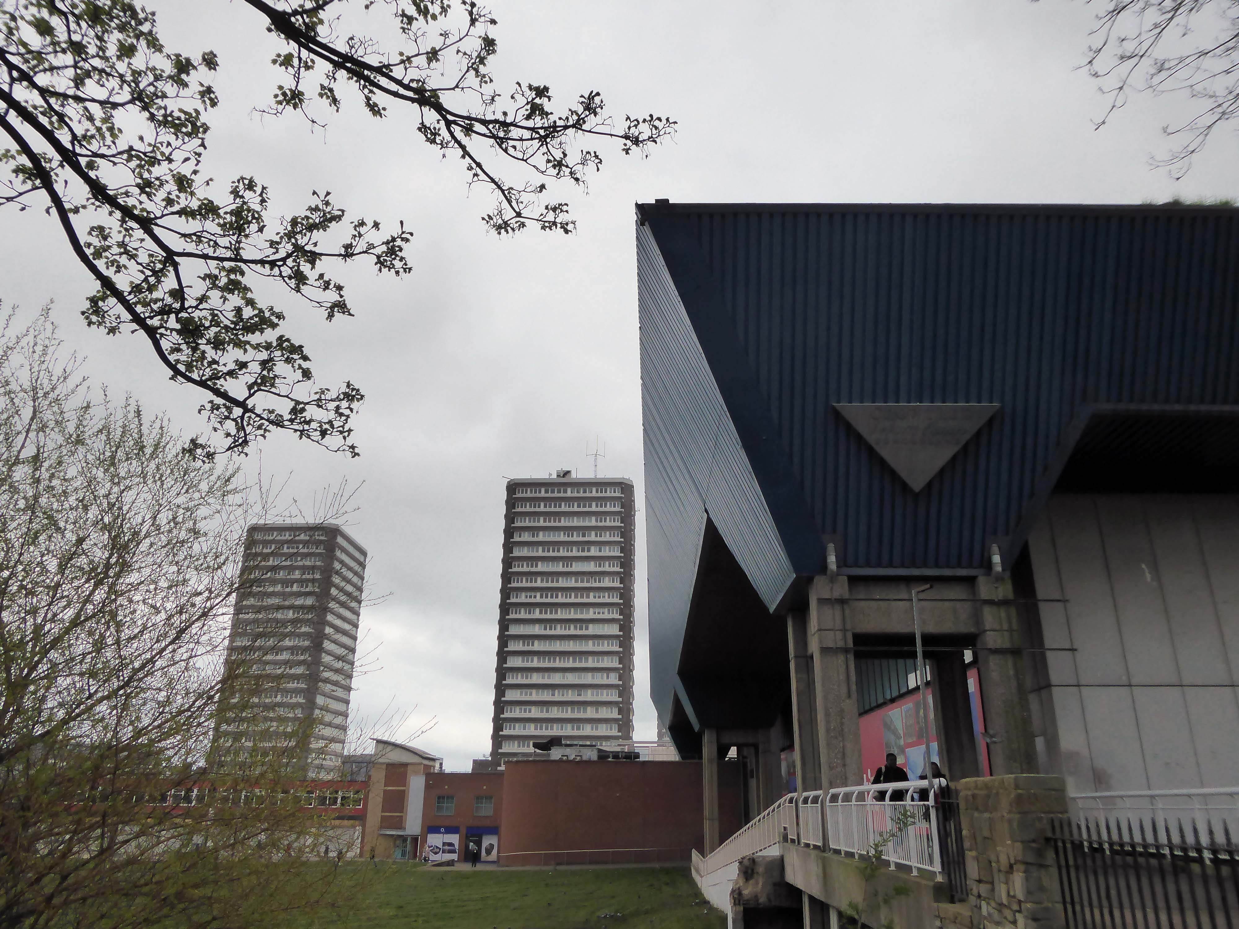
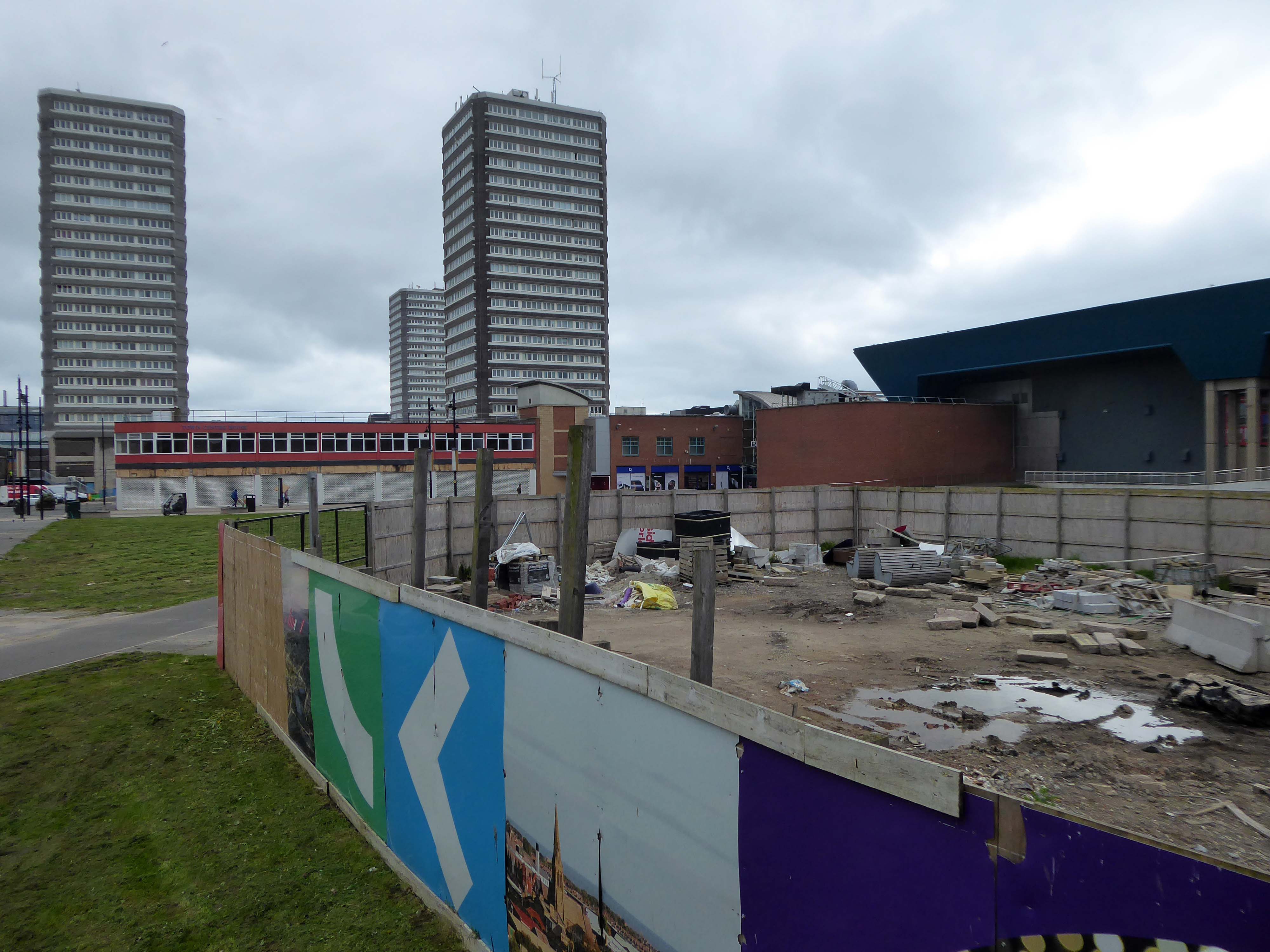
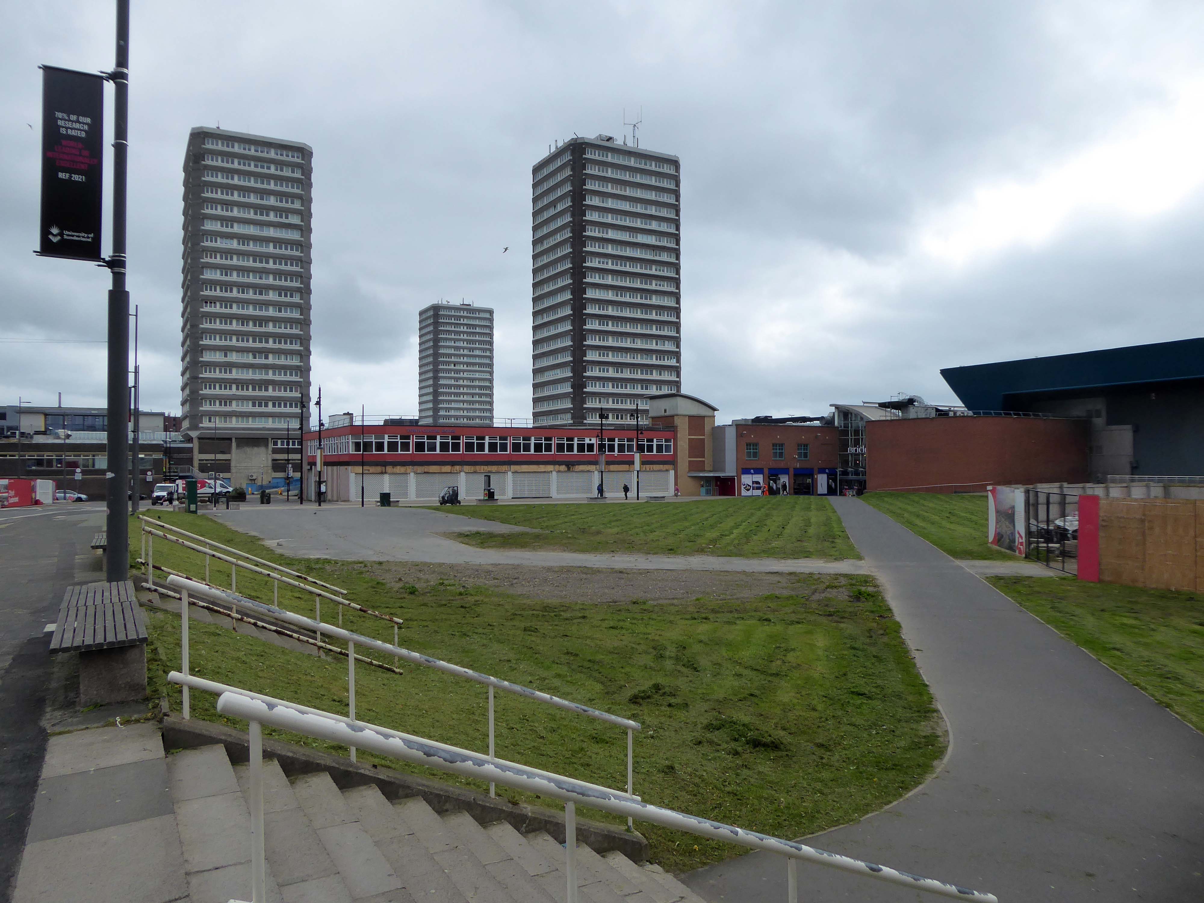
Three nineteen-storey point blocks built as public housing as part of the redevelopment of Sunderland town centre. The blocks contain 270 dwellings in total. Construction was approved by committee in 1967.
The blocks were constructed by Sunderland County Borough Council.
The developers of the Town Central Area were Town and City Properties Ltd. It is believed that they contributed £38,600 to the development of the blocks.
Ian Frazer and Associates were the architects for the sub-structural works only.
Llewelyn, Davies, Weeks and Partners were the structural and mechanical engineers in addition to being the architects for the tower blocks.
Gilbert-Ash Northern Ltd.’s tender for the contract was £959,258 – construction began in March 1967.
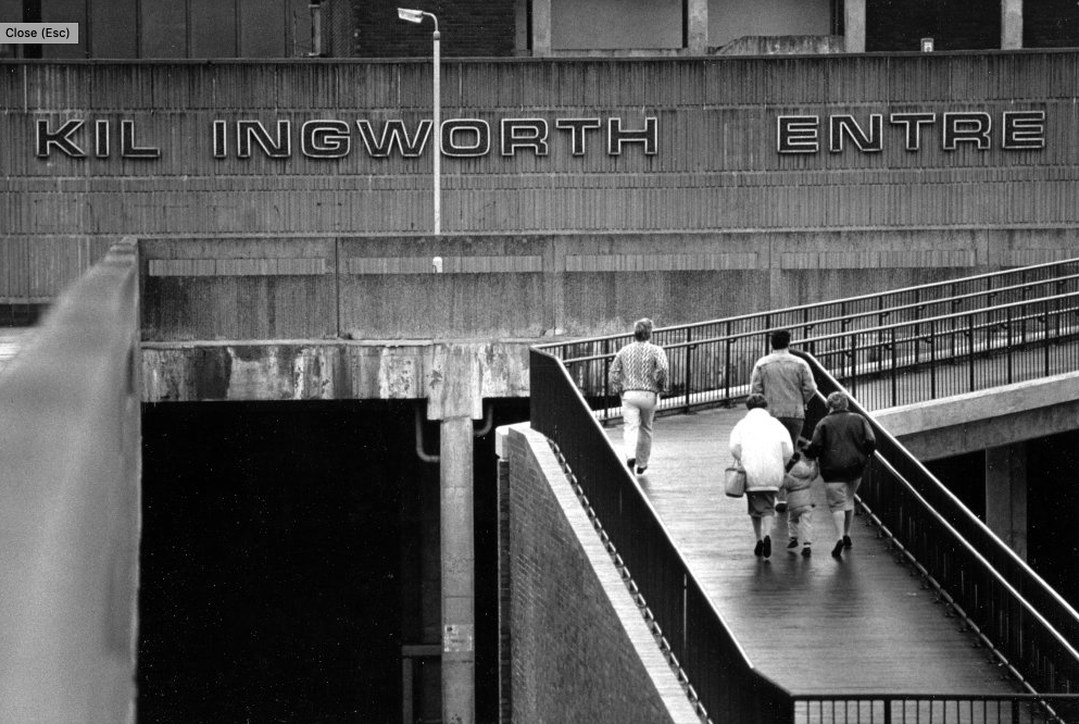
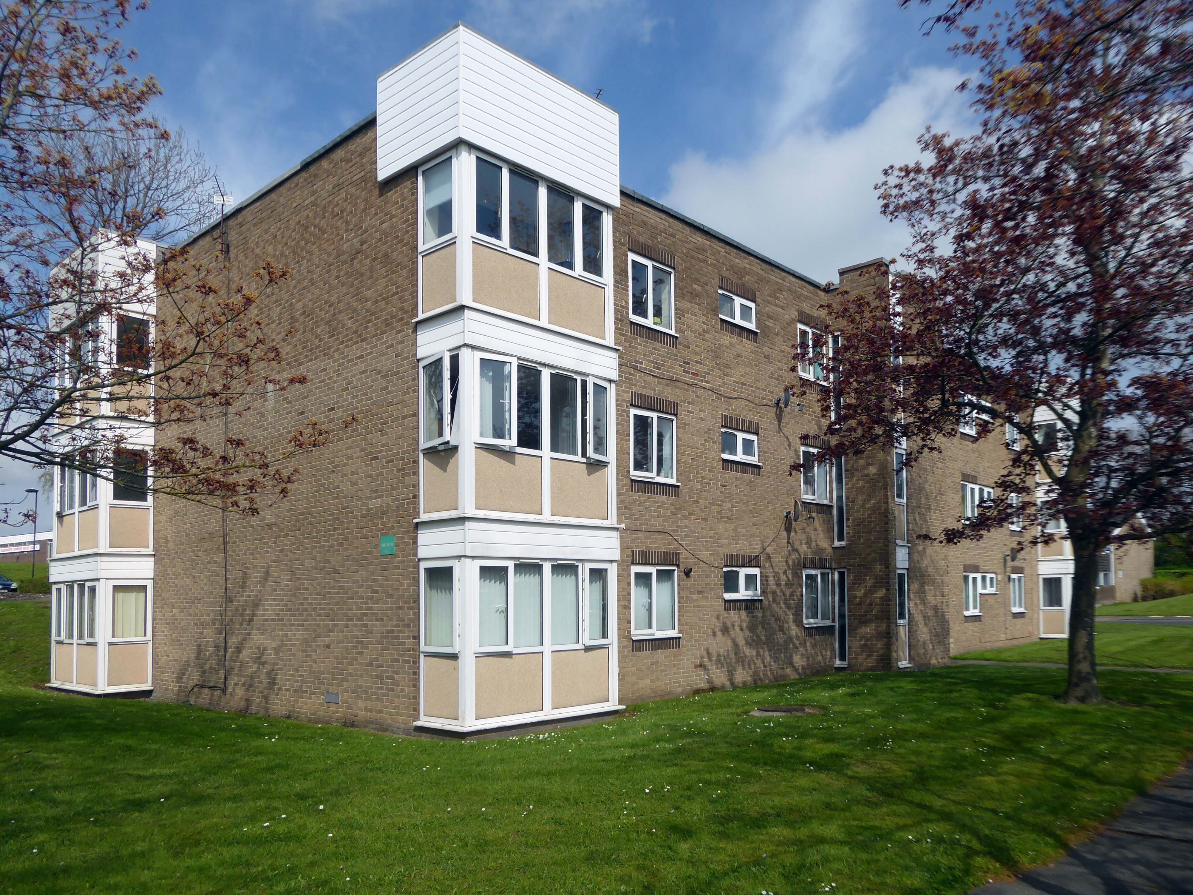
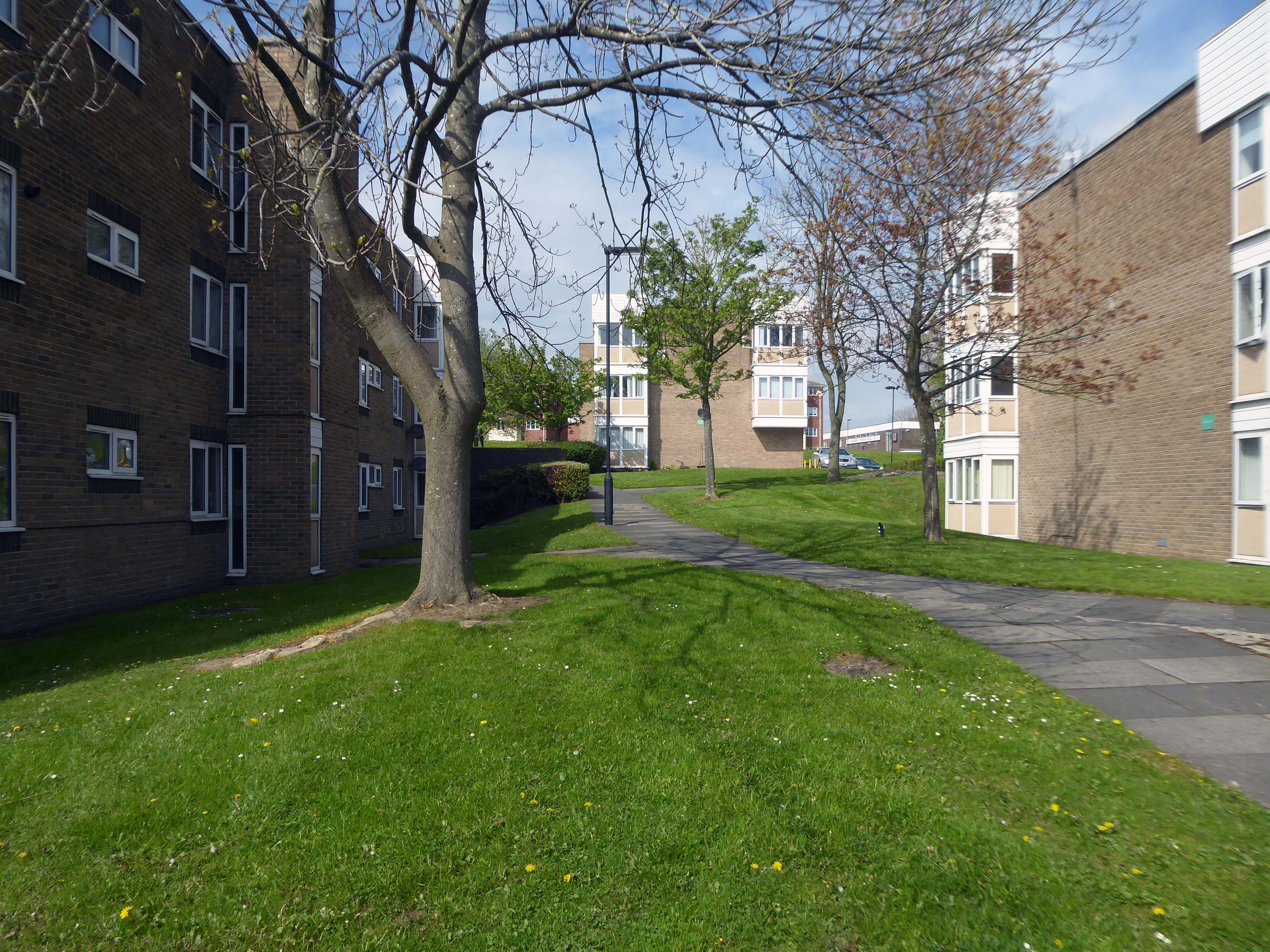
Construction of Killingworth, a new town, began in 1963. Intended for 20,000 people, it was a former mining community, formed on seven hundred and sixty acres of derelict colliery land near Killingworth Village. The building of Killingworth Township was undertaken by Northumberland County Council and was not formally a New Town sponsored by the Government.
Unlike that town, Killingworth’s planners adopted a radical approach to town centre design, resulting in relatively high-rise buildings in an avant-garde and brutalist style that won awards for architecture, dynamic industry and attractive environment.
This new town centre consisted of pre-cast concrete houses, with millions of small crustacean shells unusually embedded into their external walls, five to ten storey flats, offices, industrial units and service buildings, which often consisted of artistic non-functional characteristics, shops and residential multi-storey car parks, interconnected by ramps and walkways. These made up a deck system of access to shopping and other facilities, employing the Swedish Skarne method of construction.
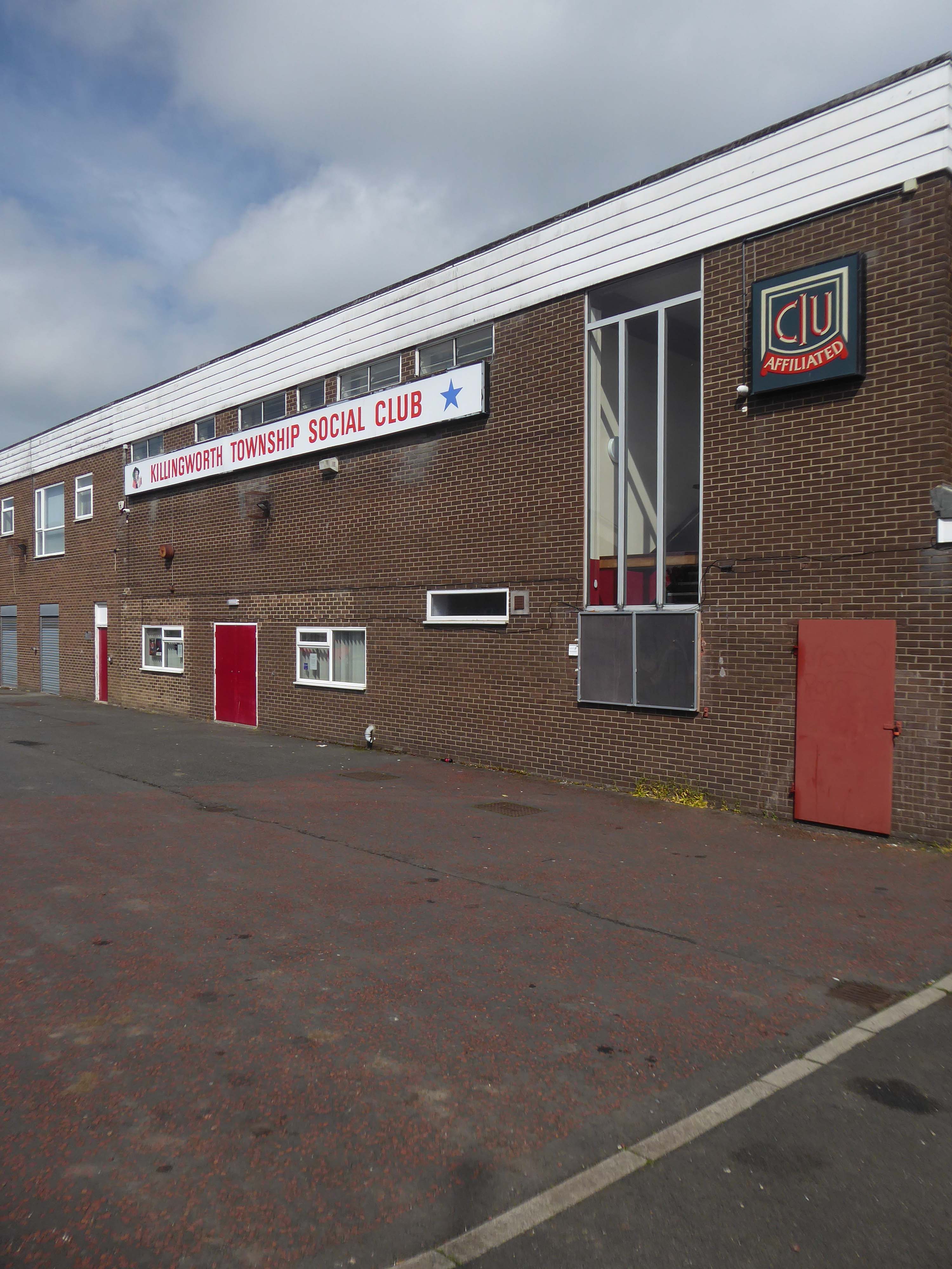
Originally named Killingworth Township, the latter part was quickly dropped through lack of colloquial use.
Killingworth is referred to as Killy by many residents of the town and surrounding areas.
Around 1964, during the reclamation of the derelict pit sites, a fifteen acre lake south of the town centre was created; spoil heaps were levelled, seeded and planted with semi-mature trees.
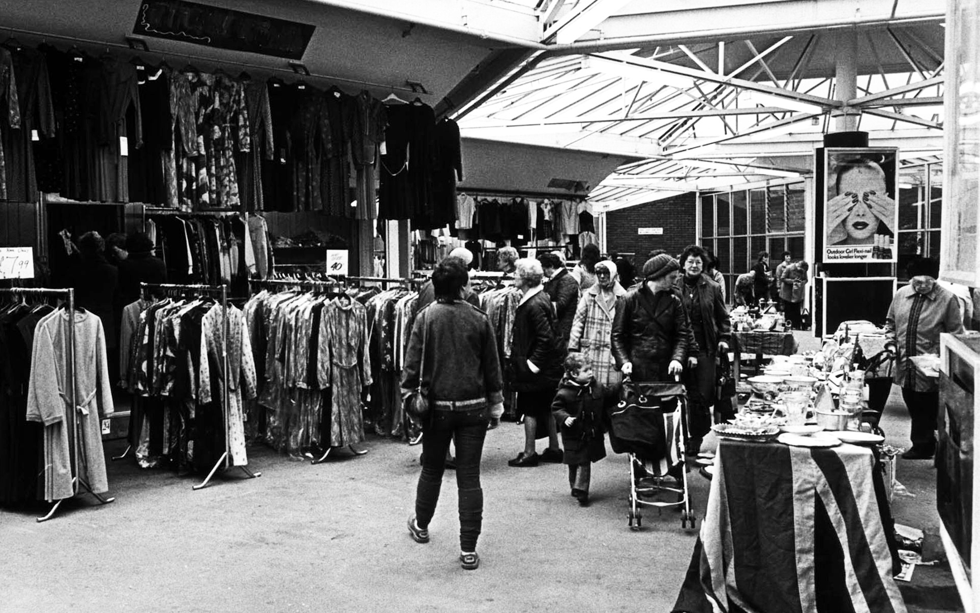
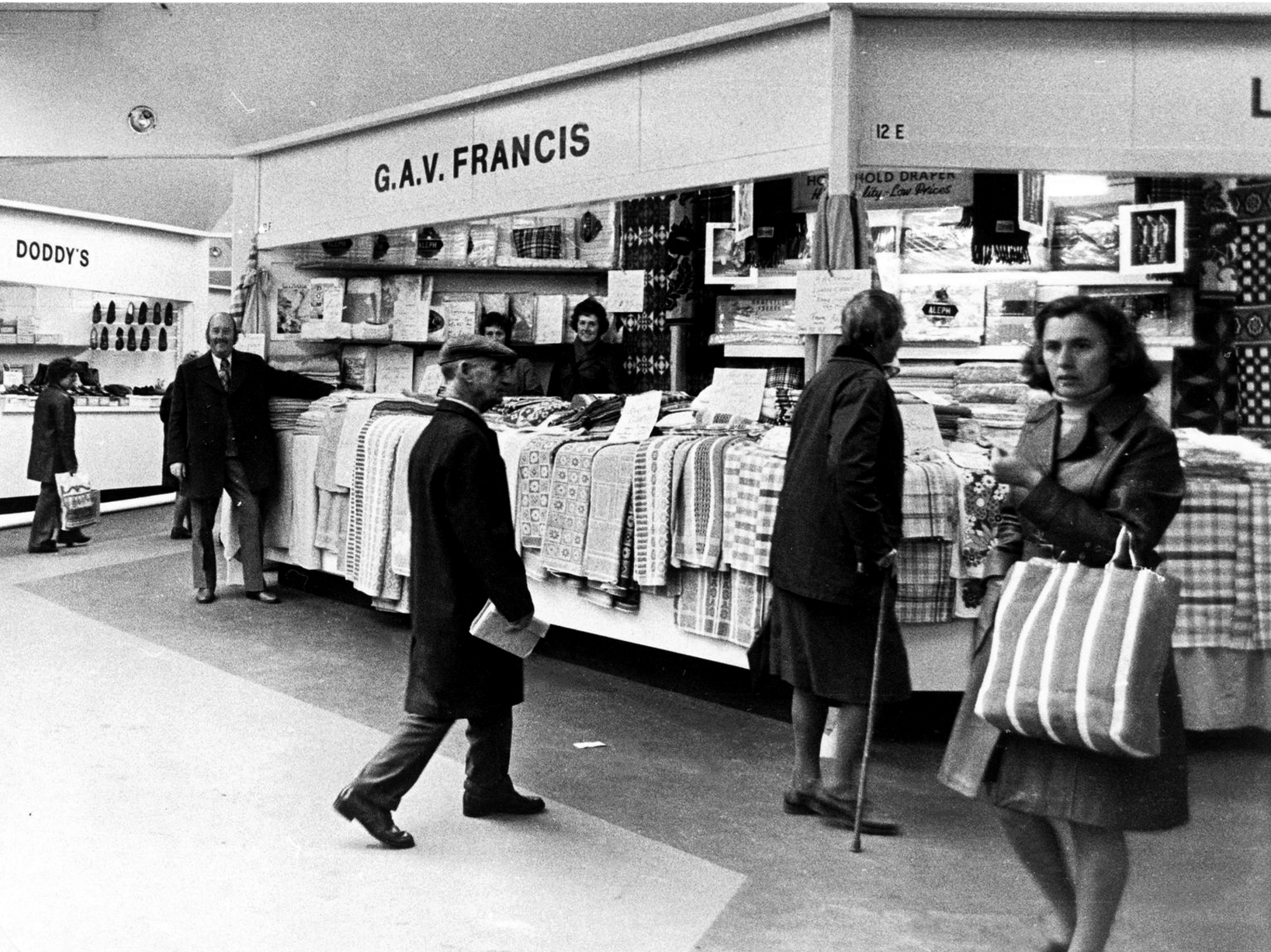
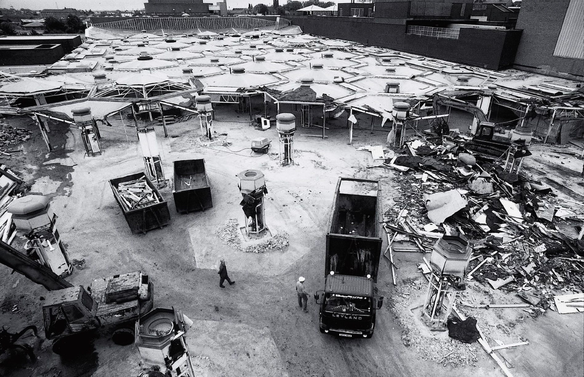
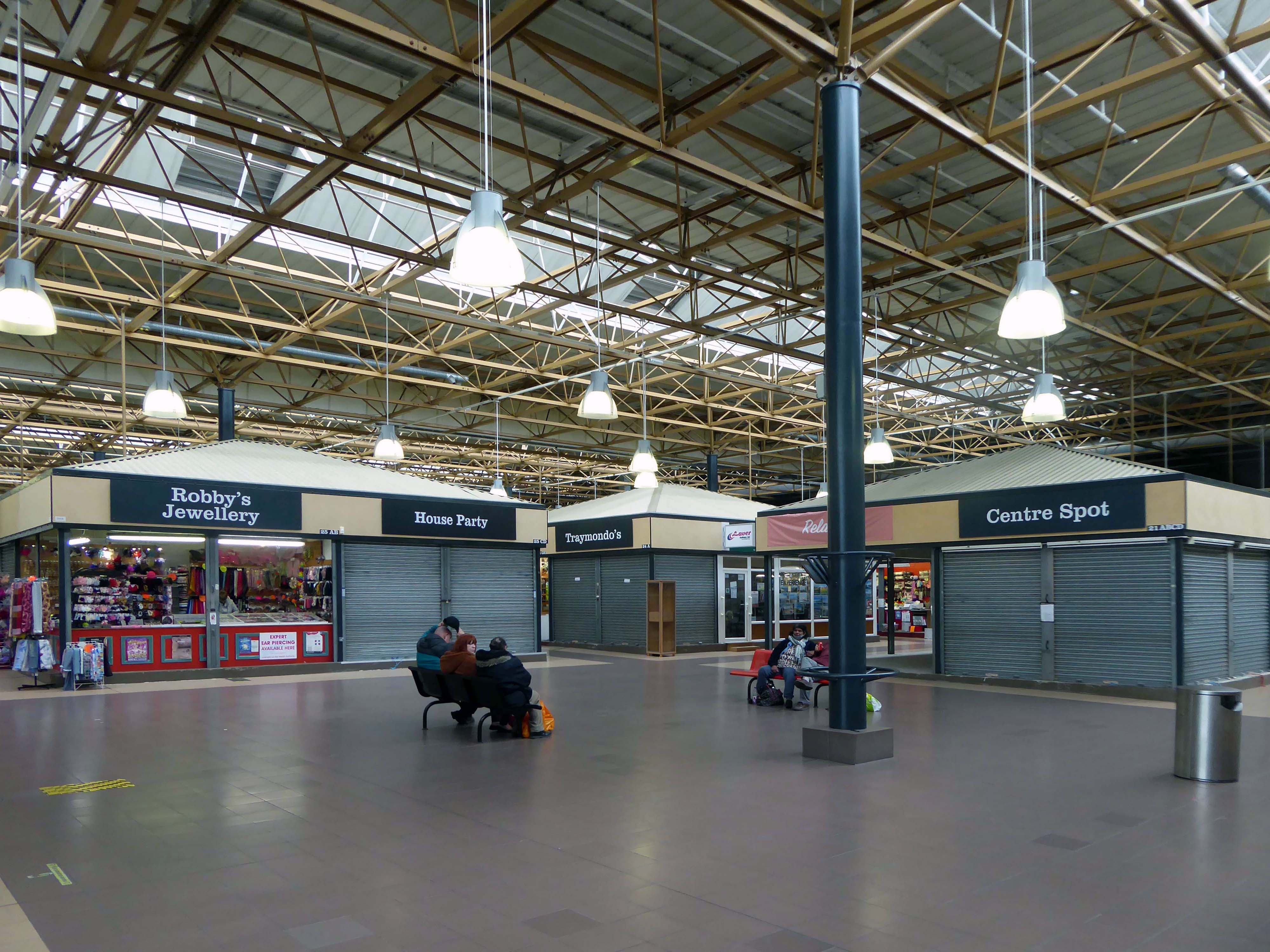
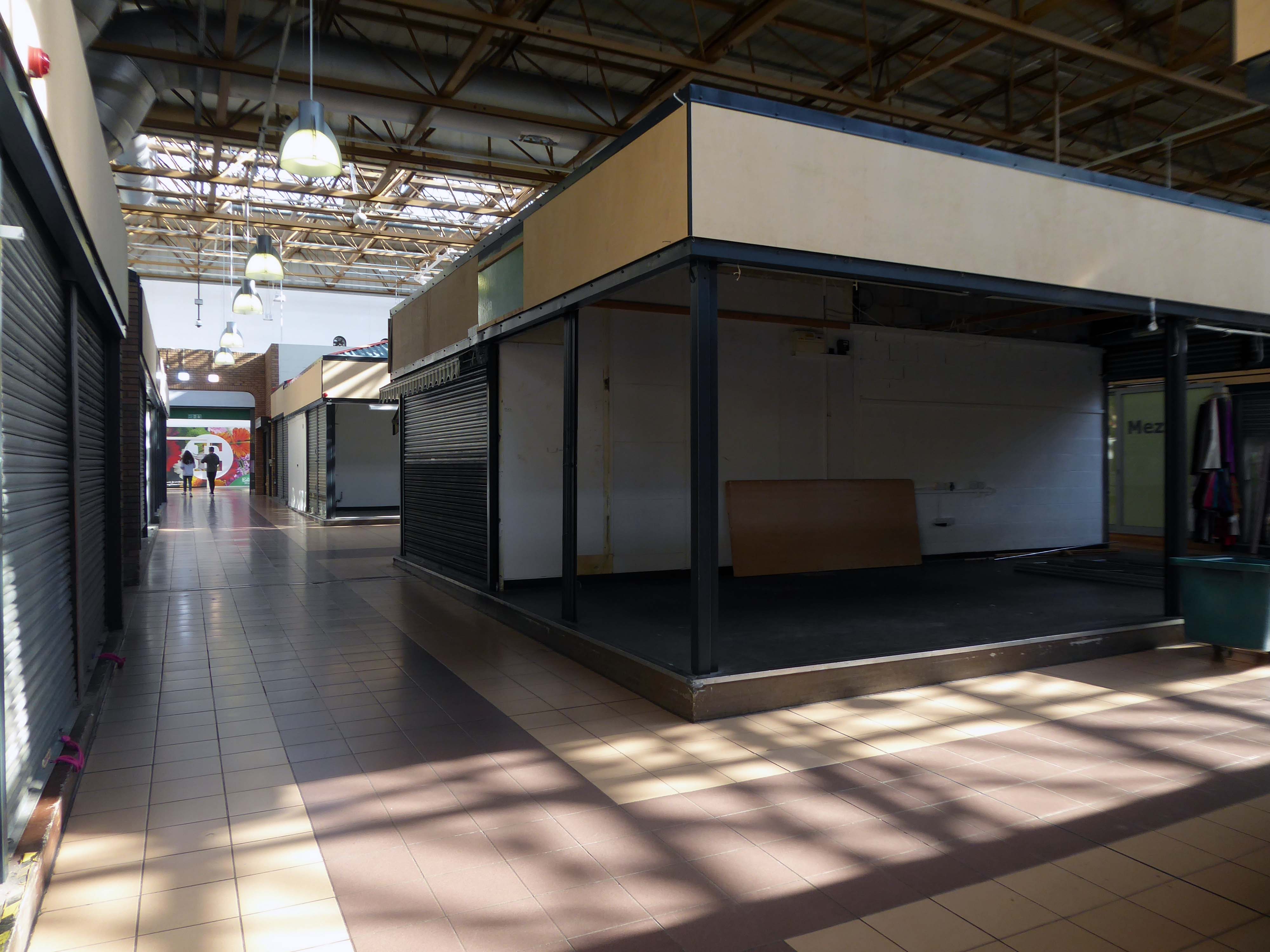
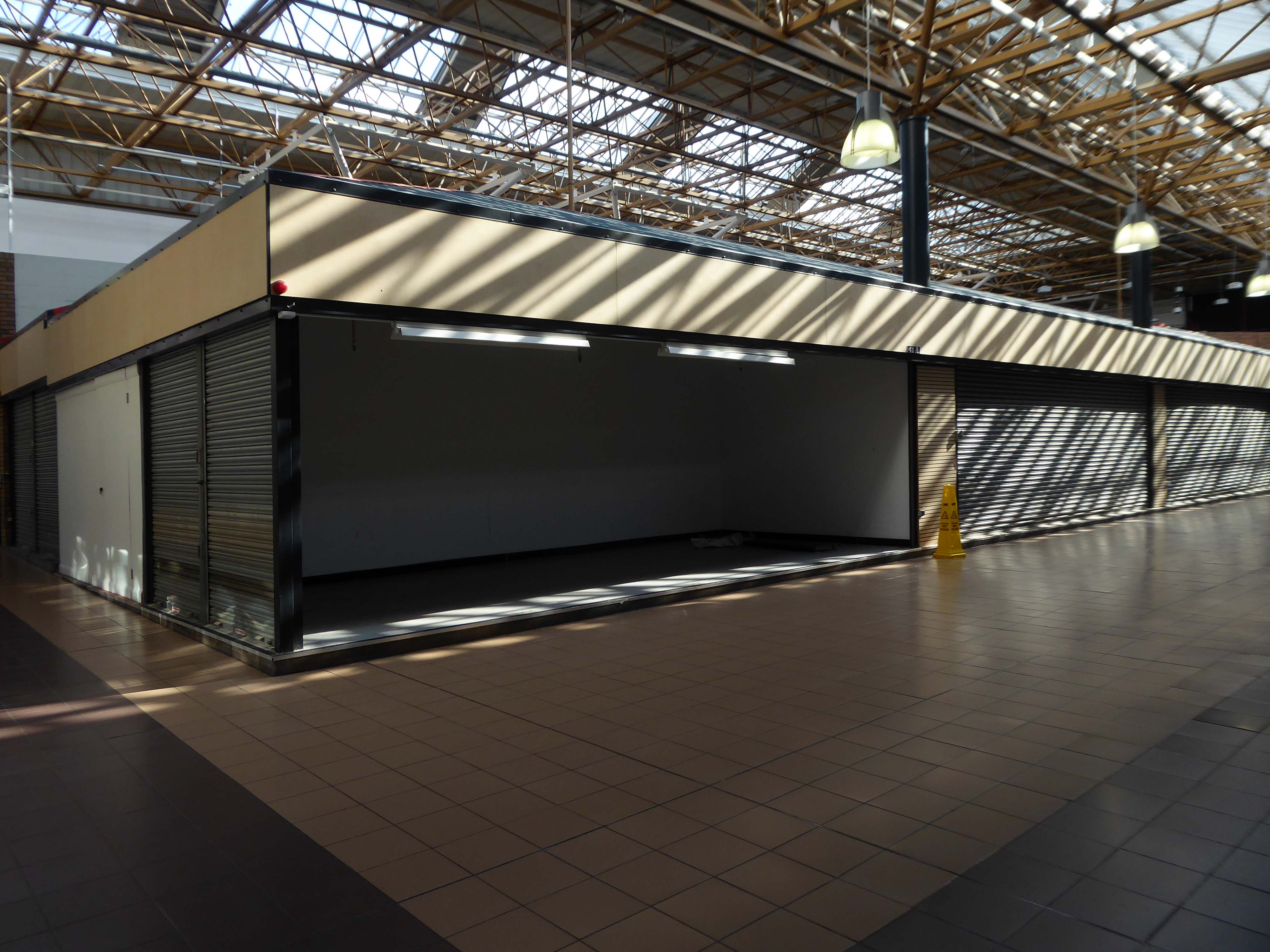
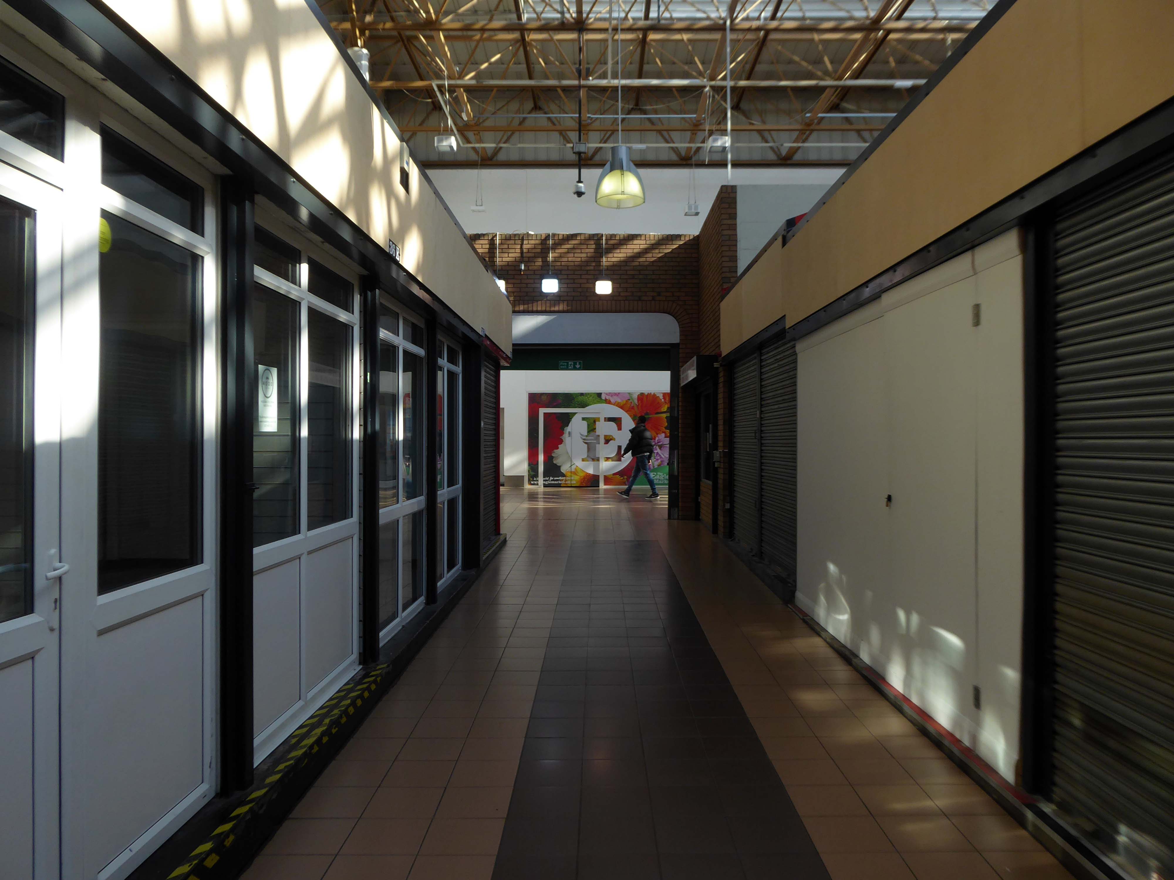
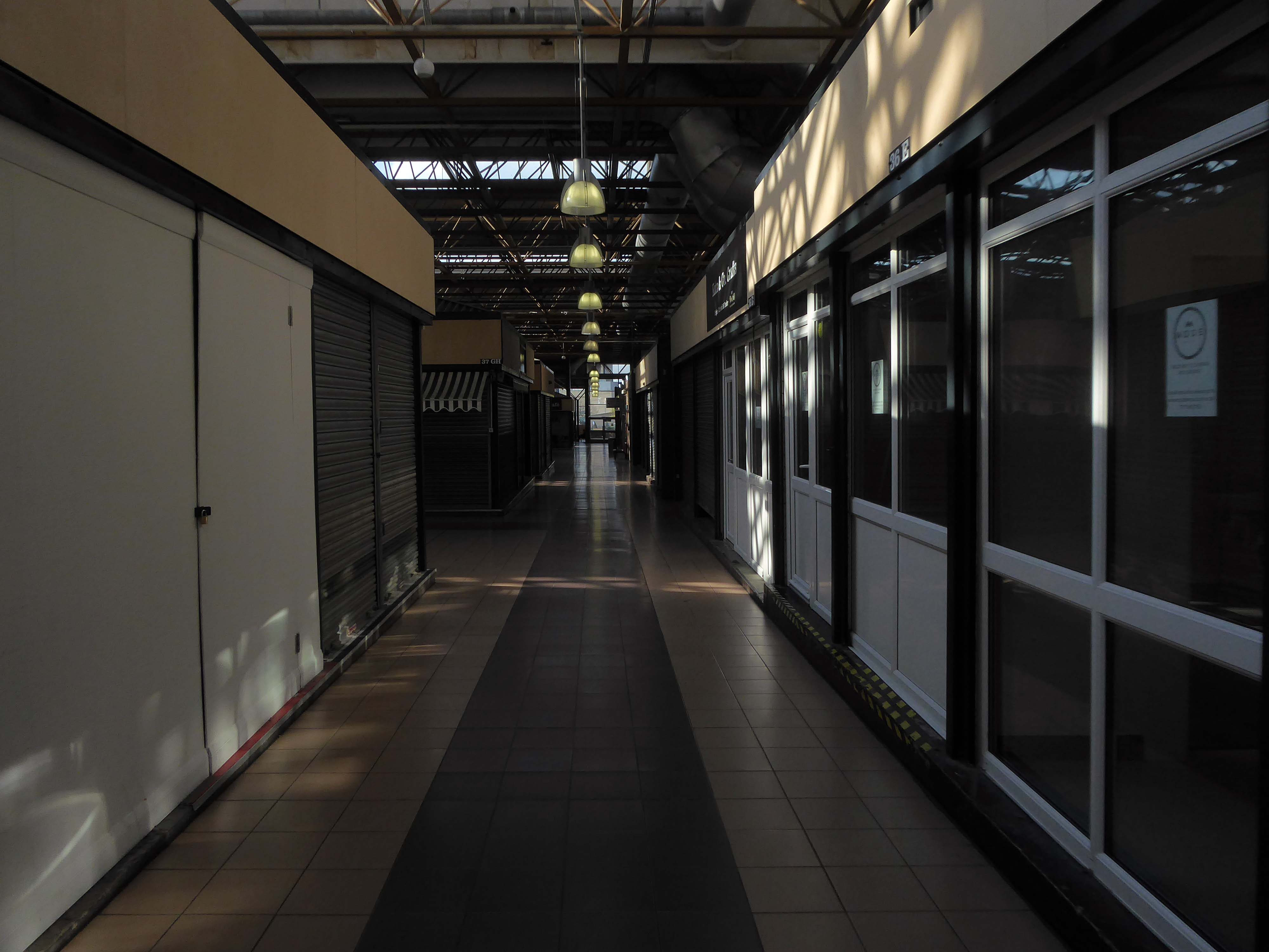
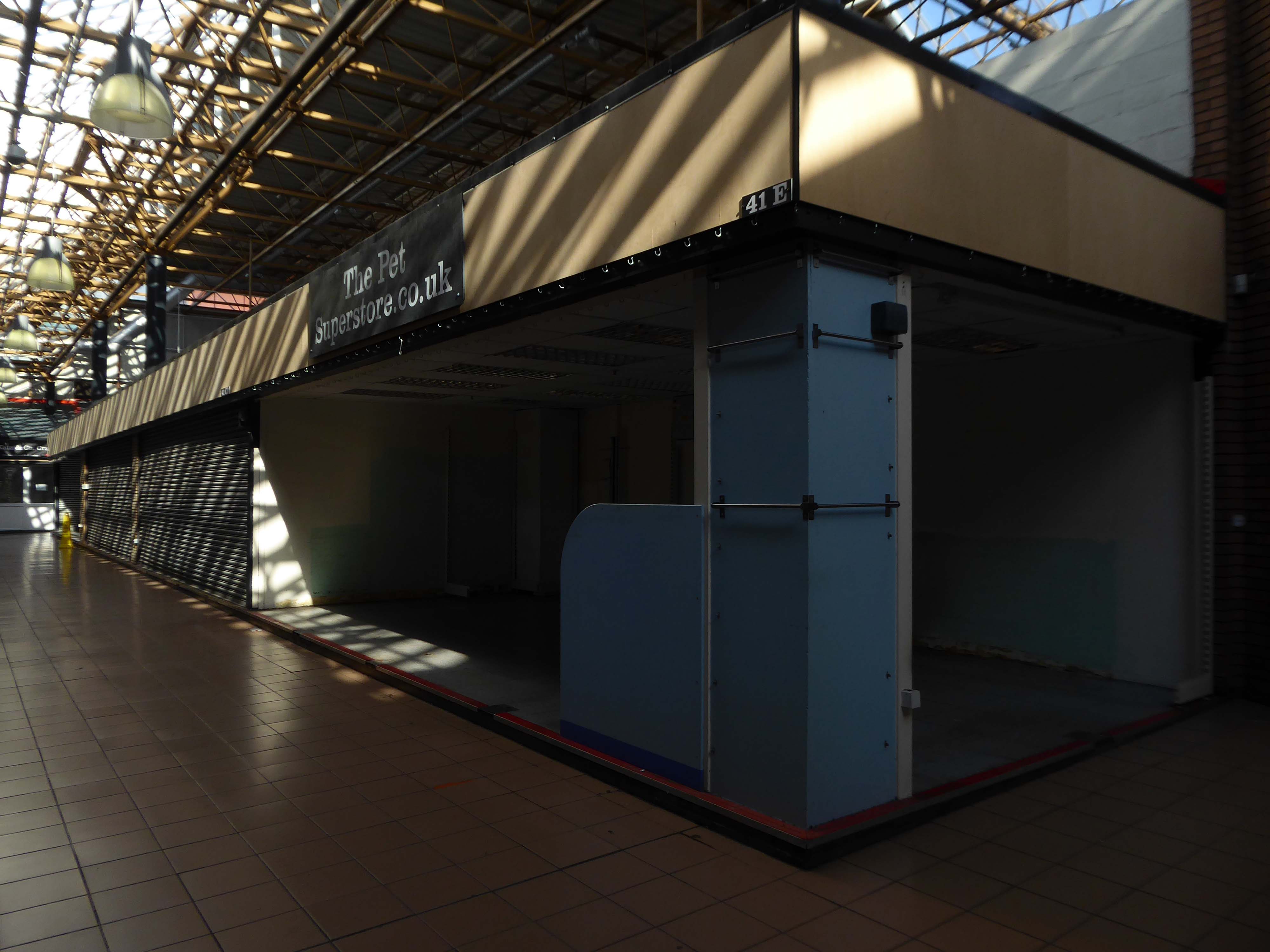
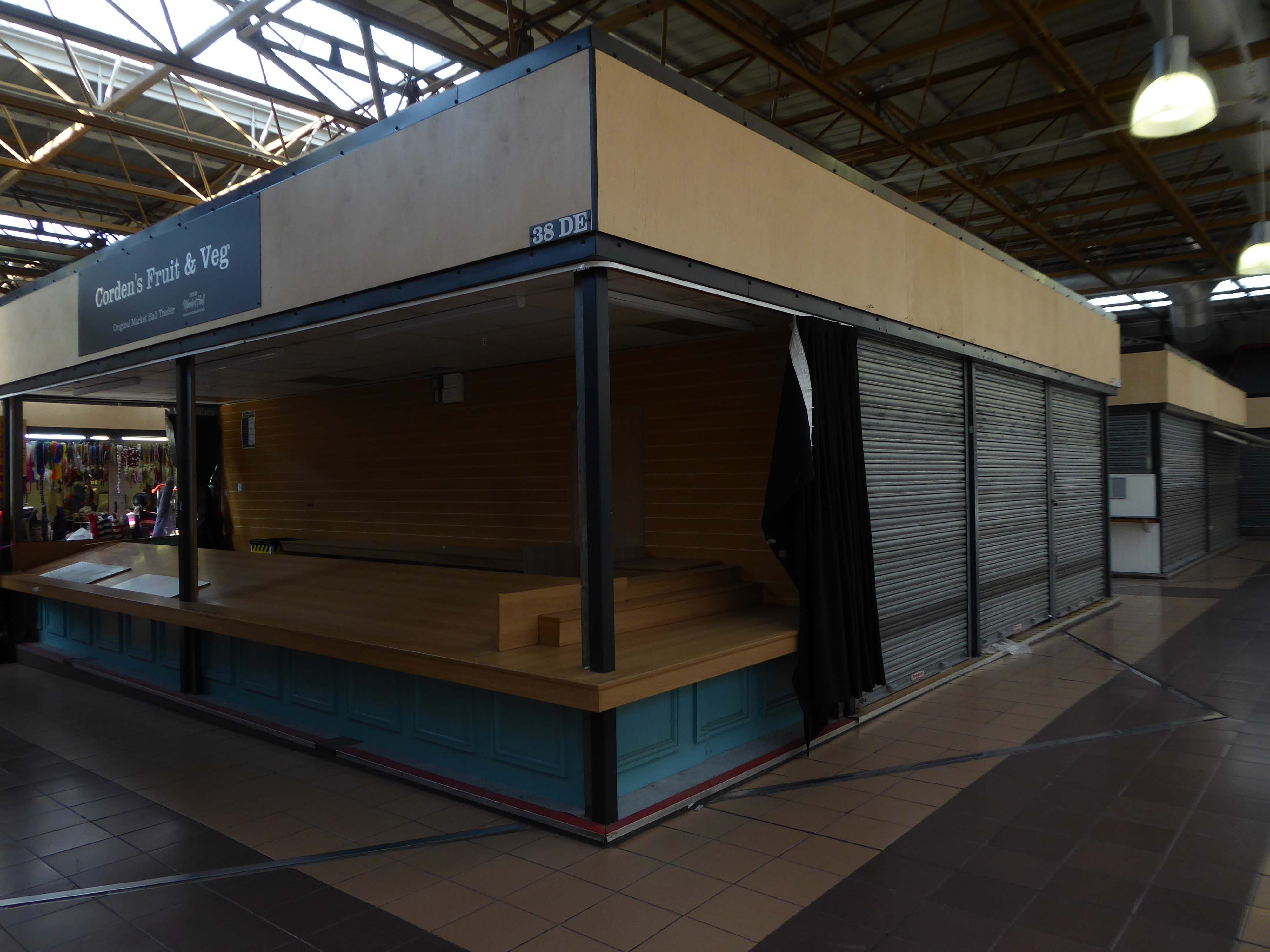
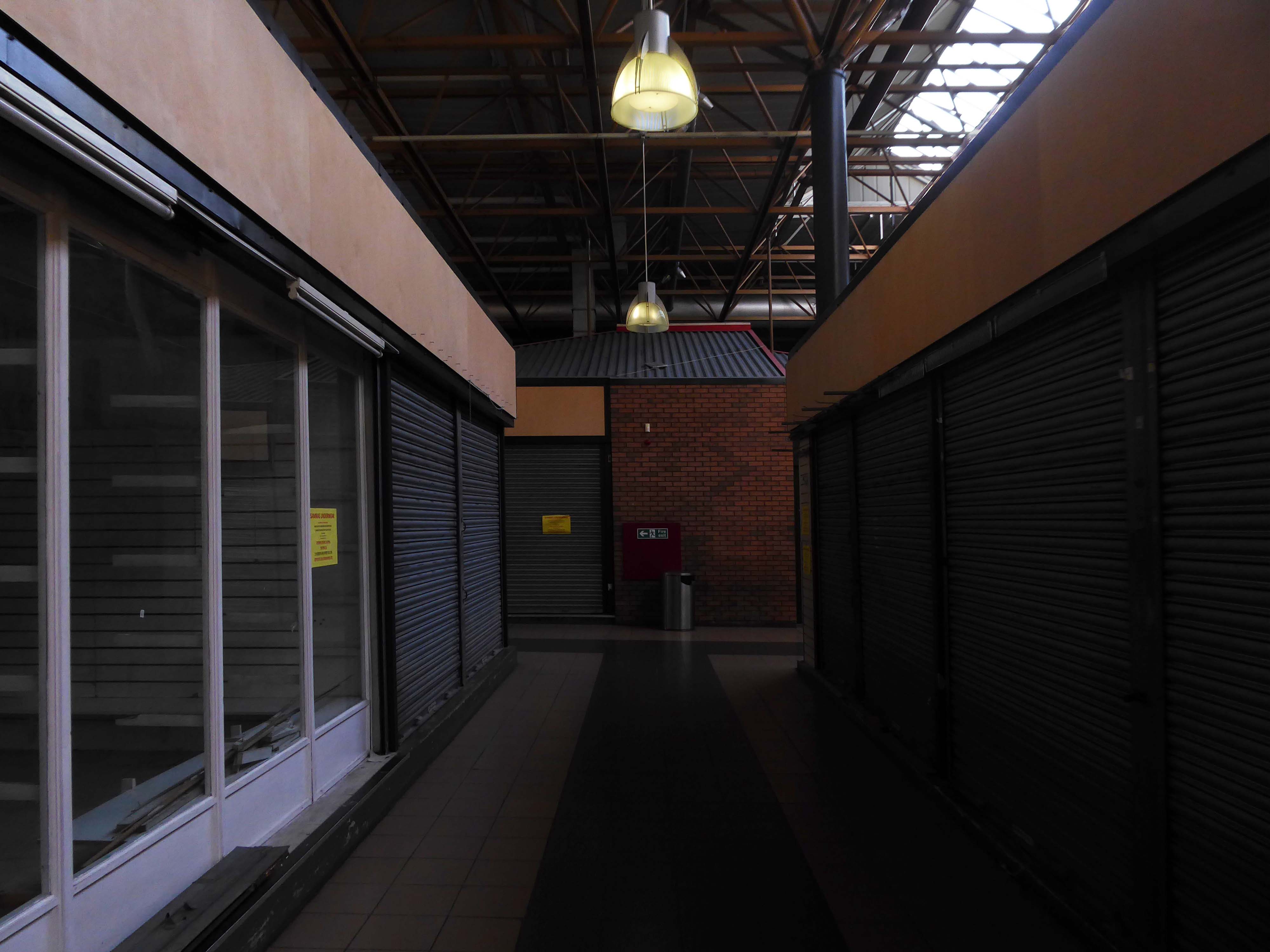
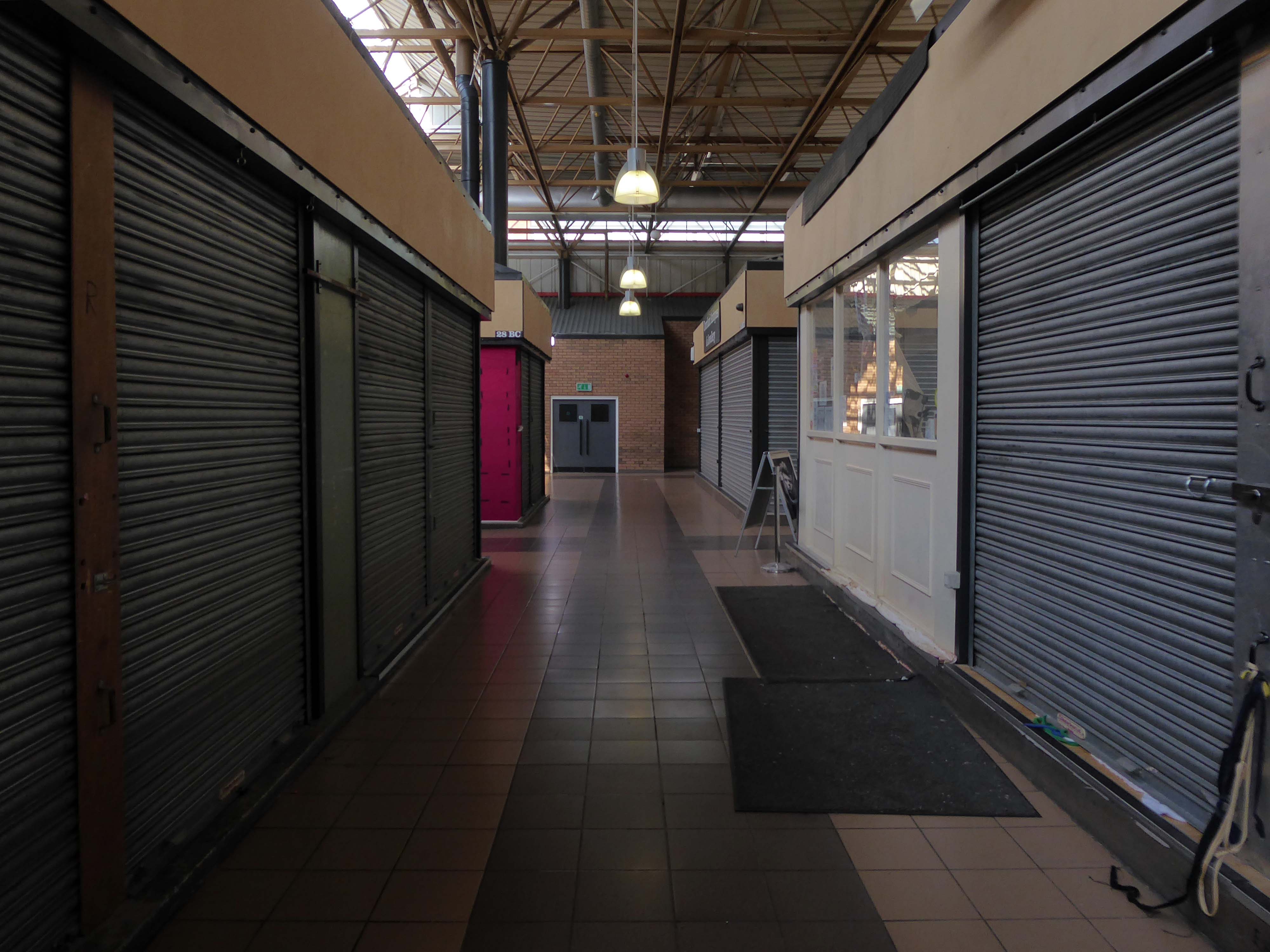
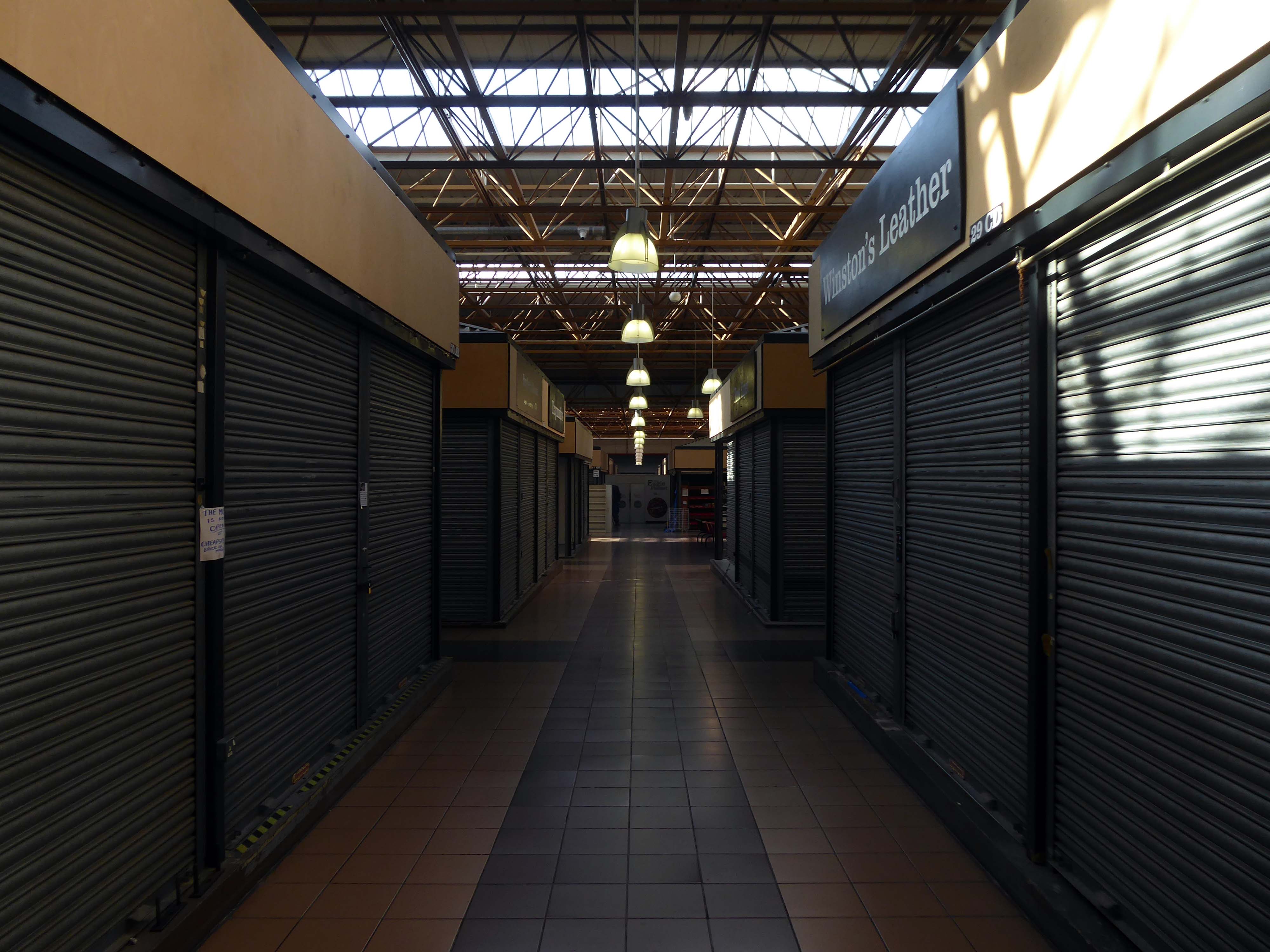
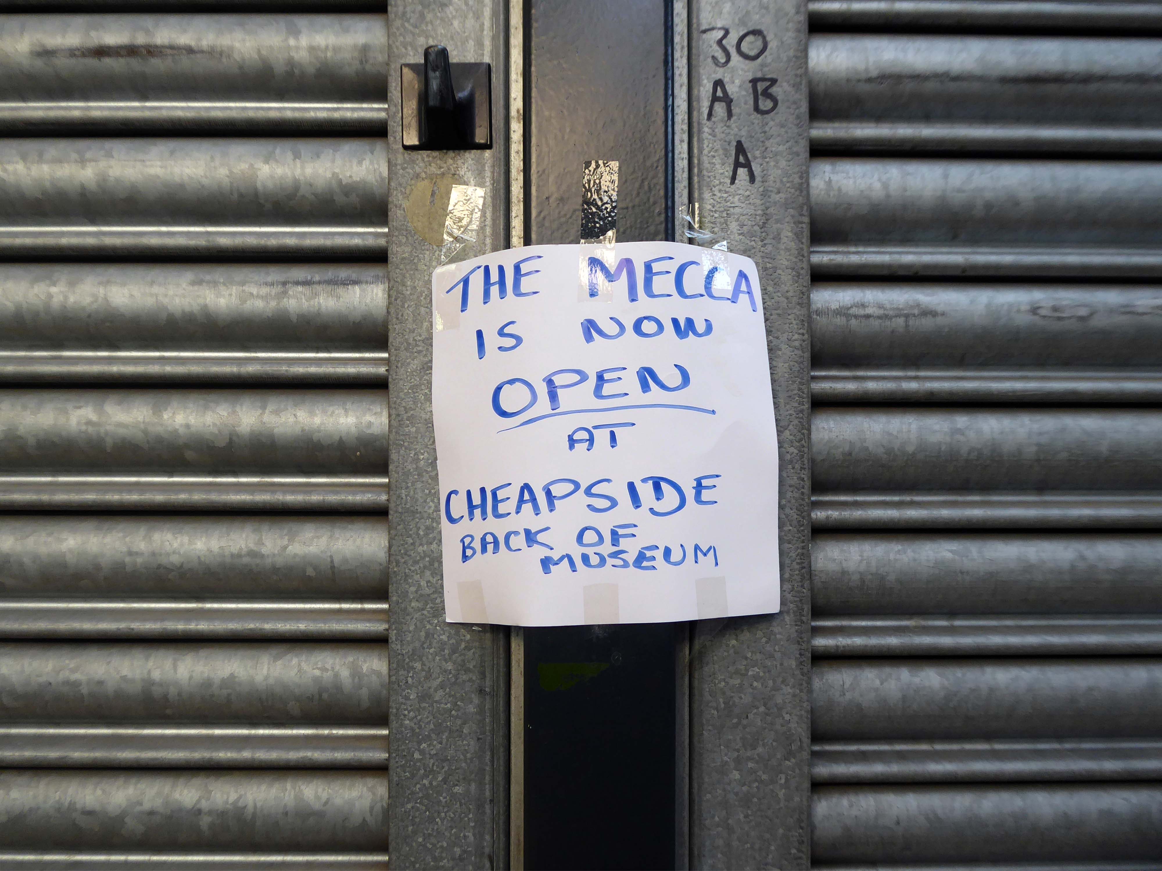
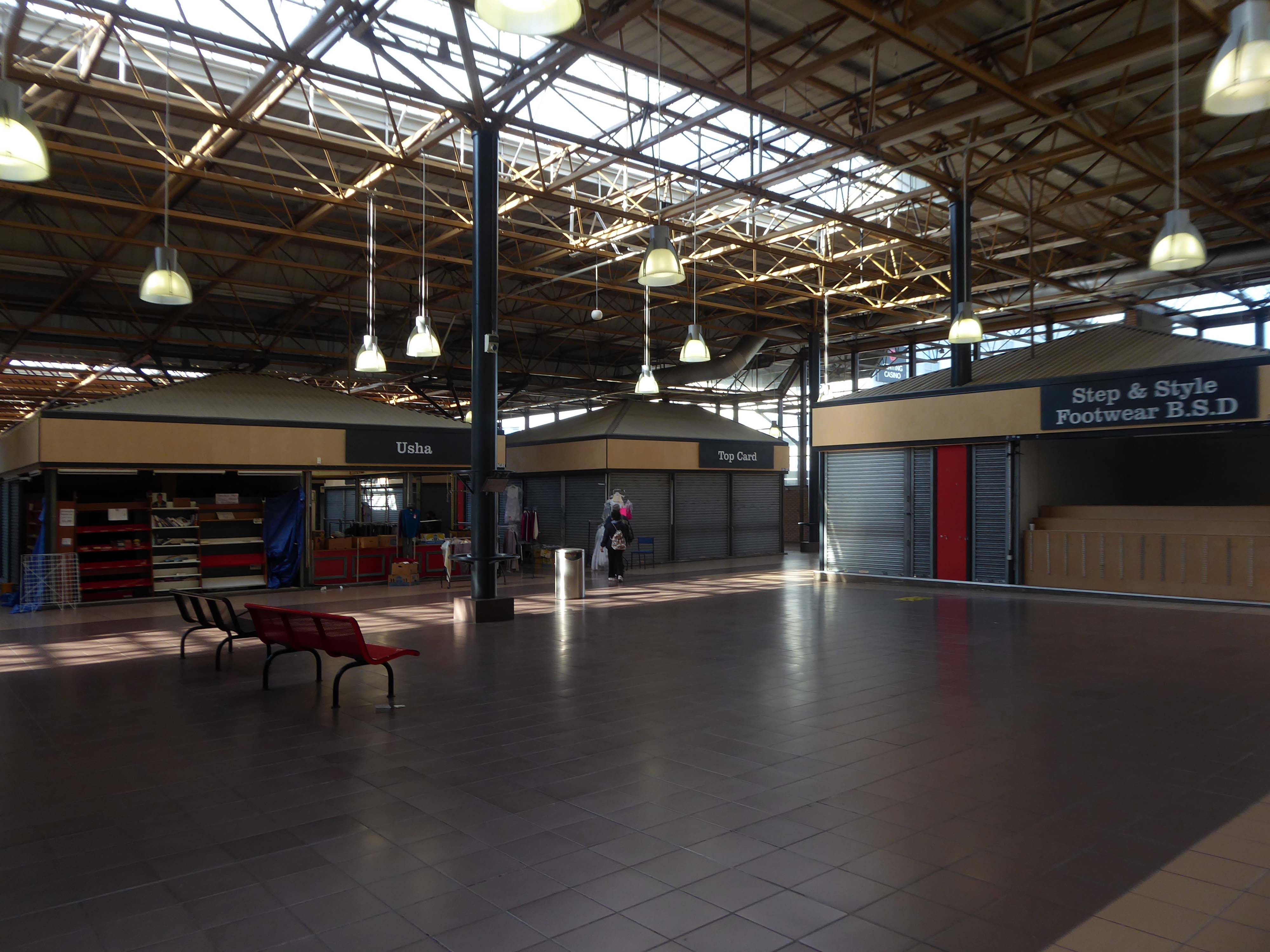
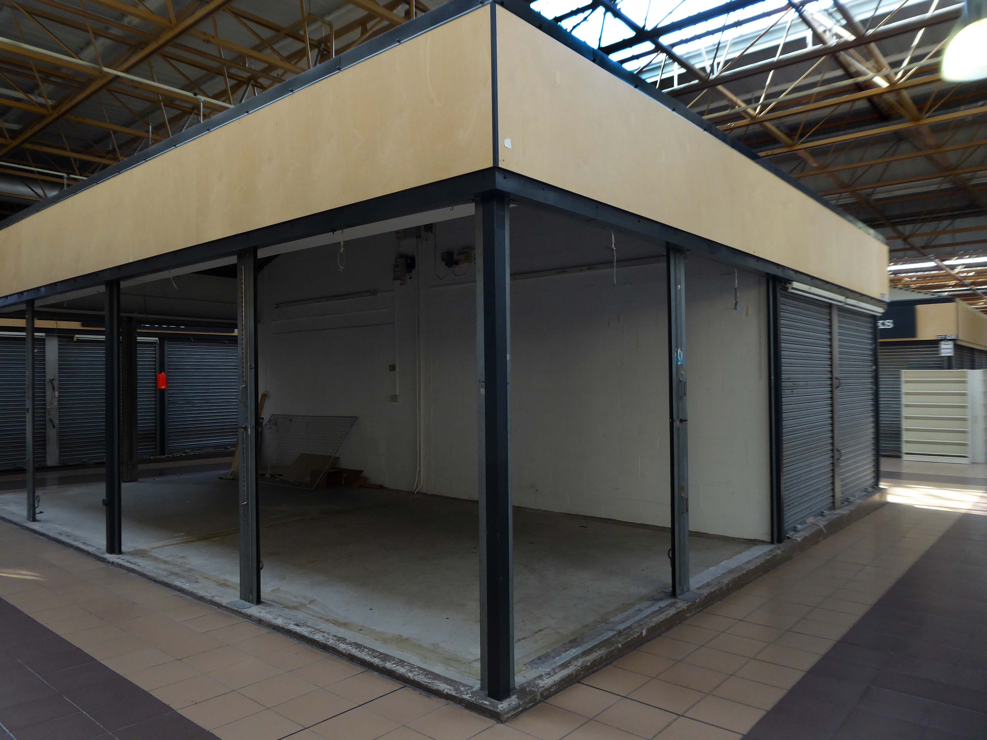
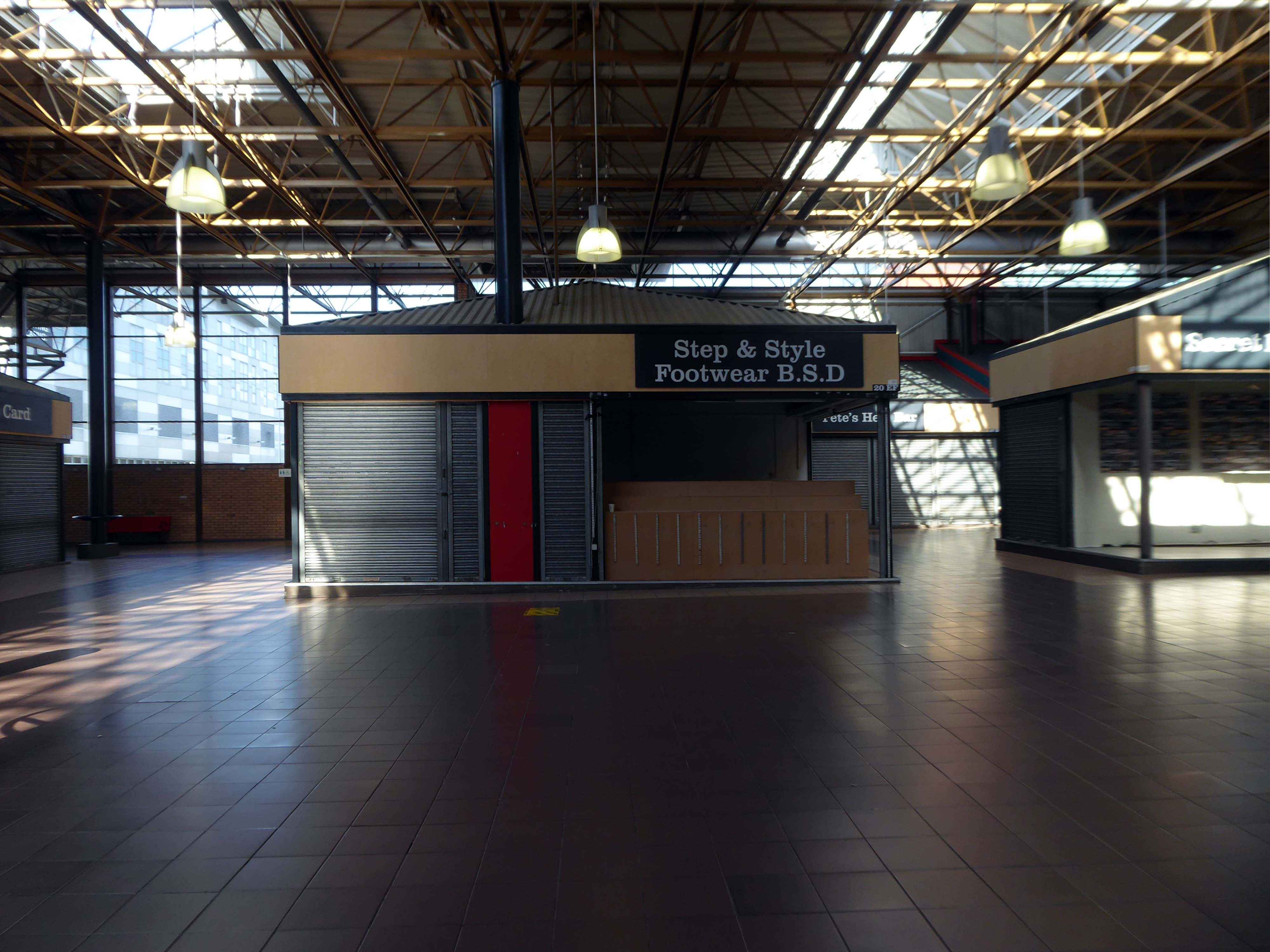
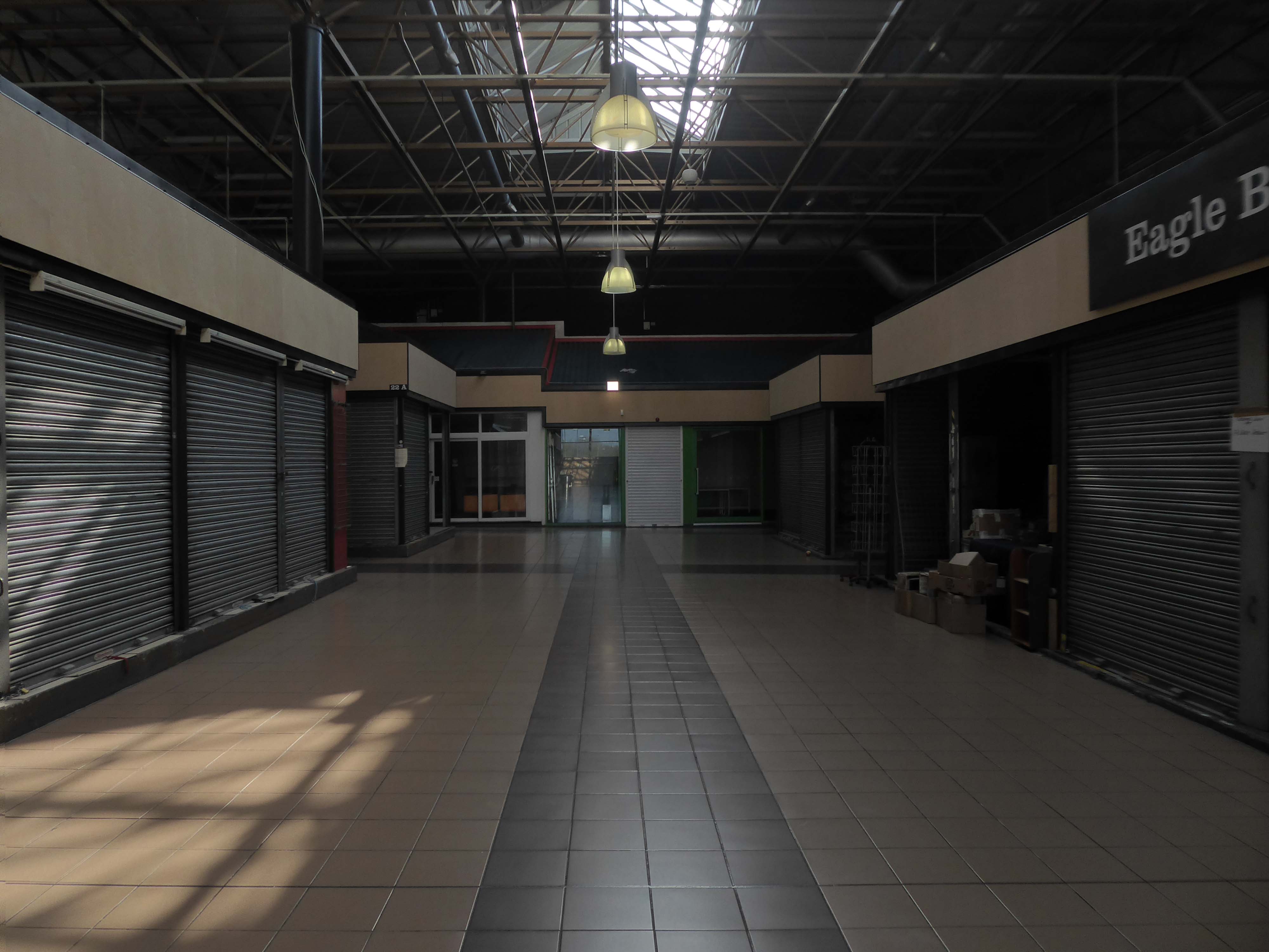
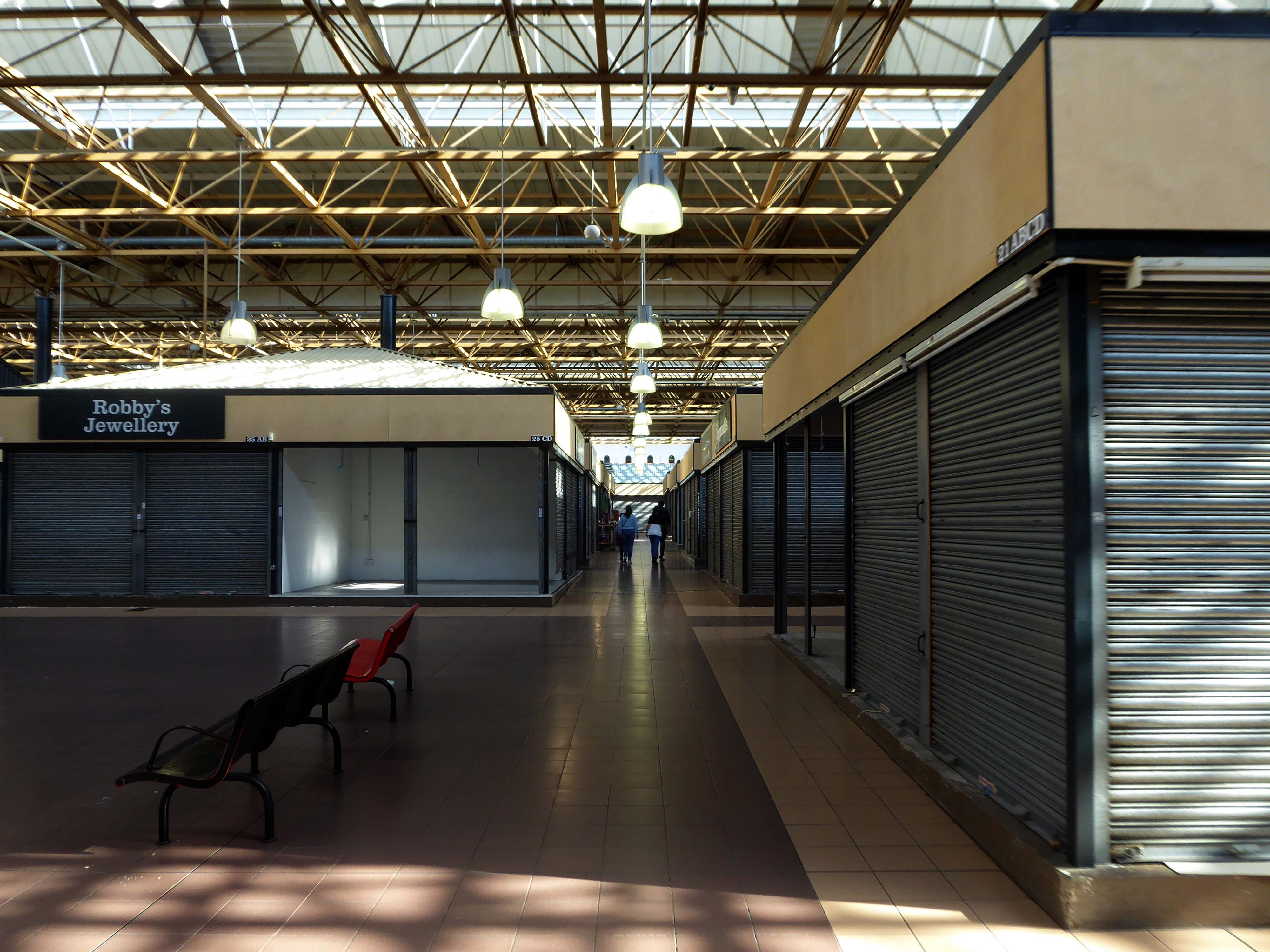
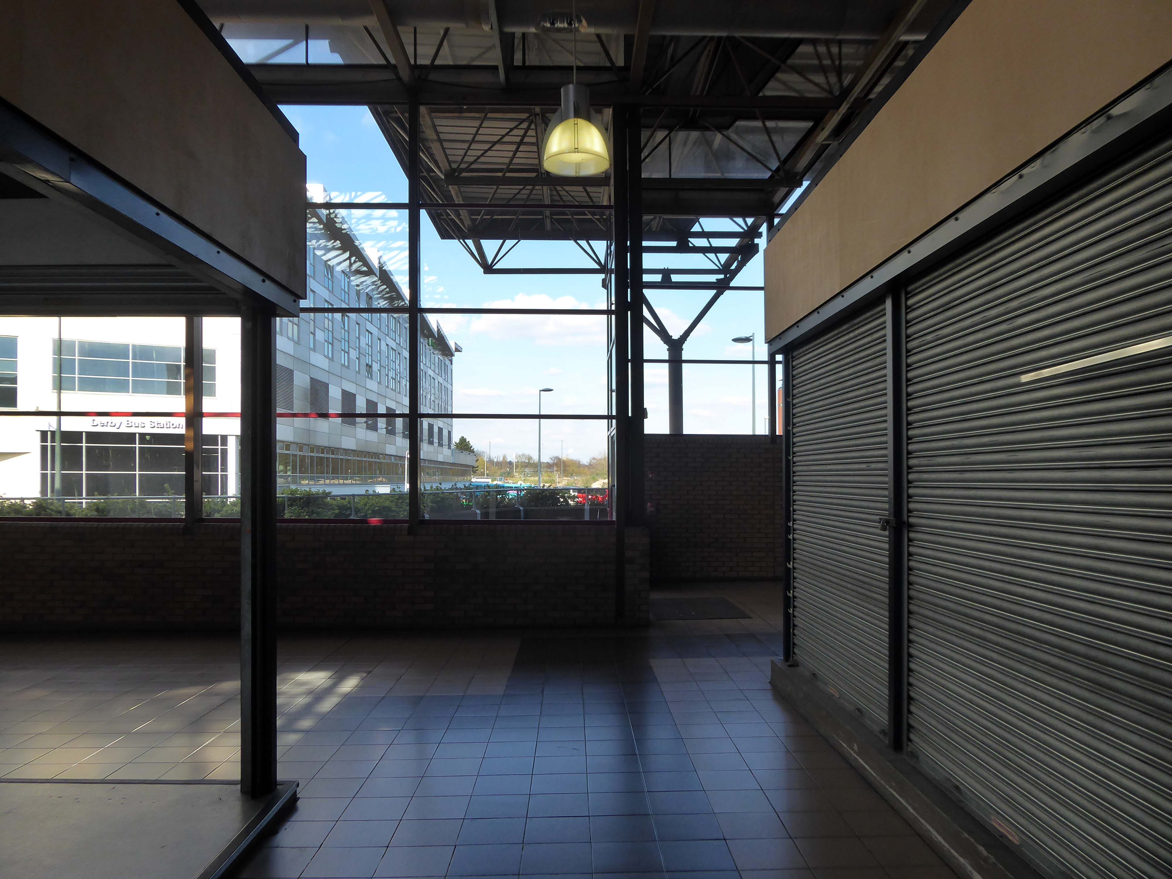
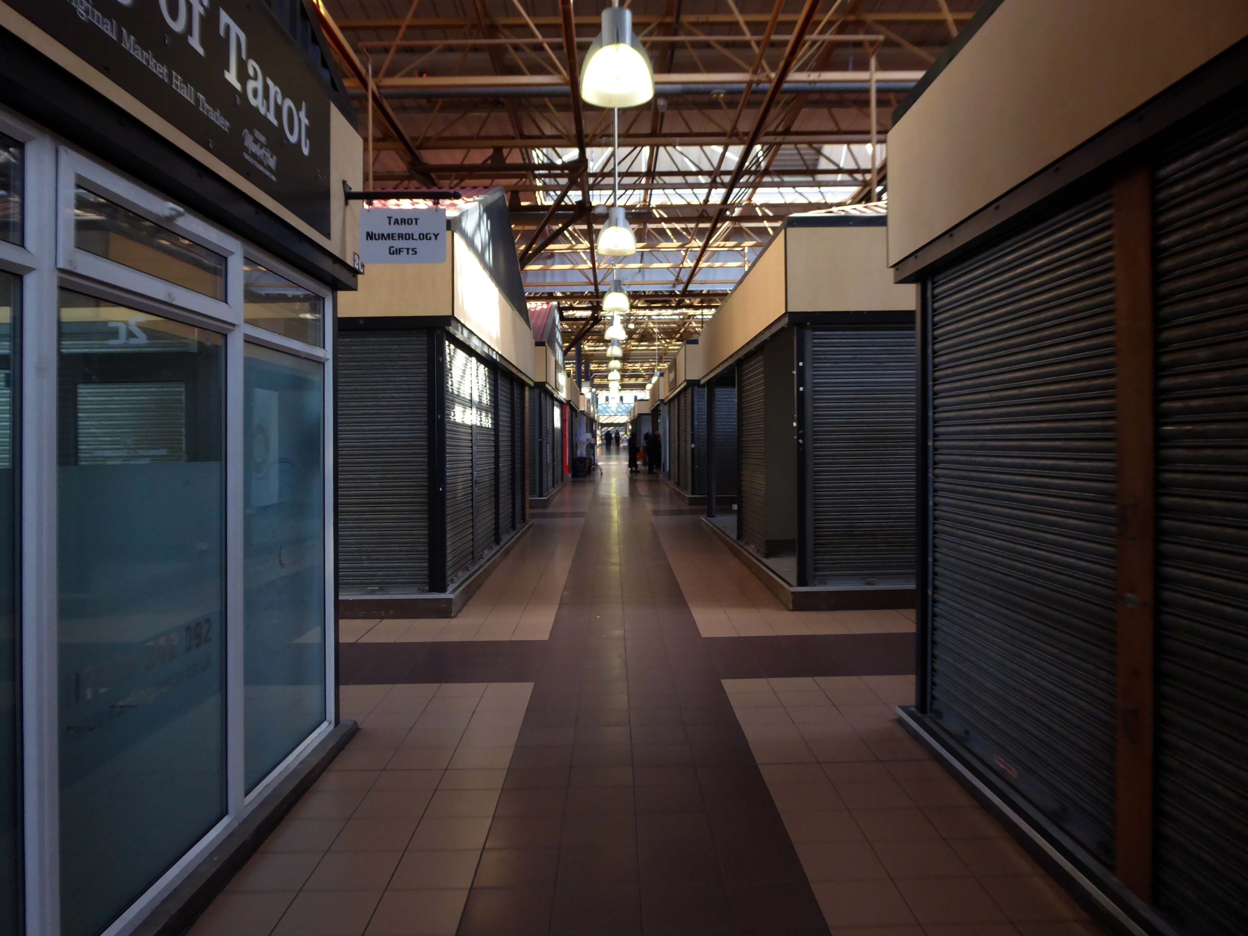
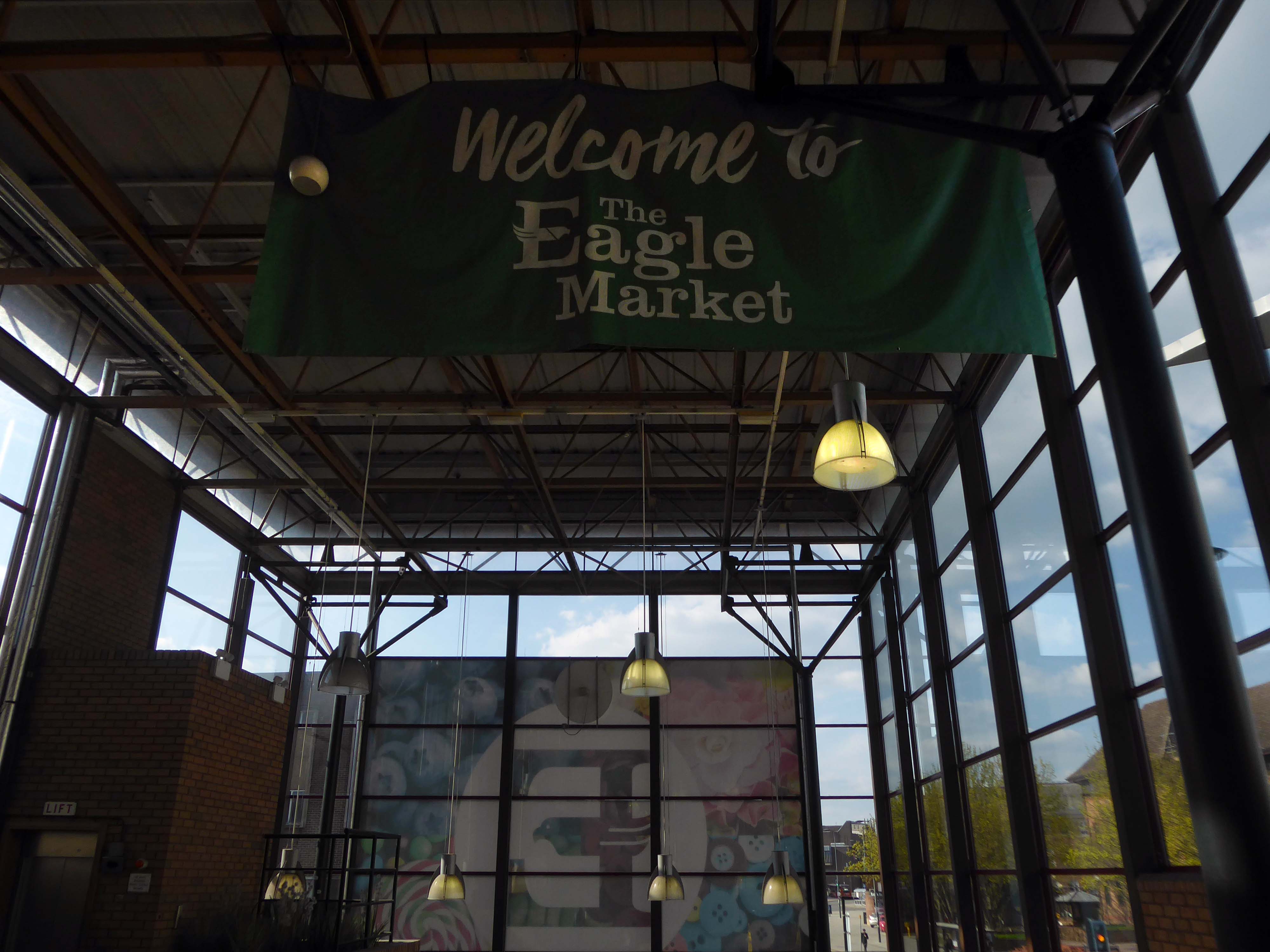
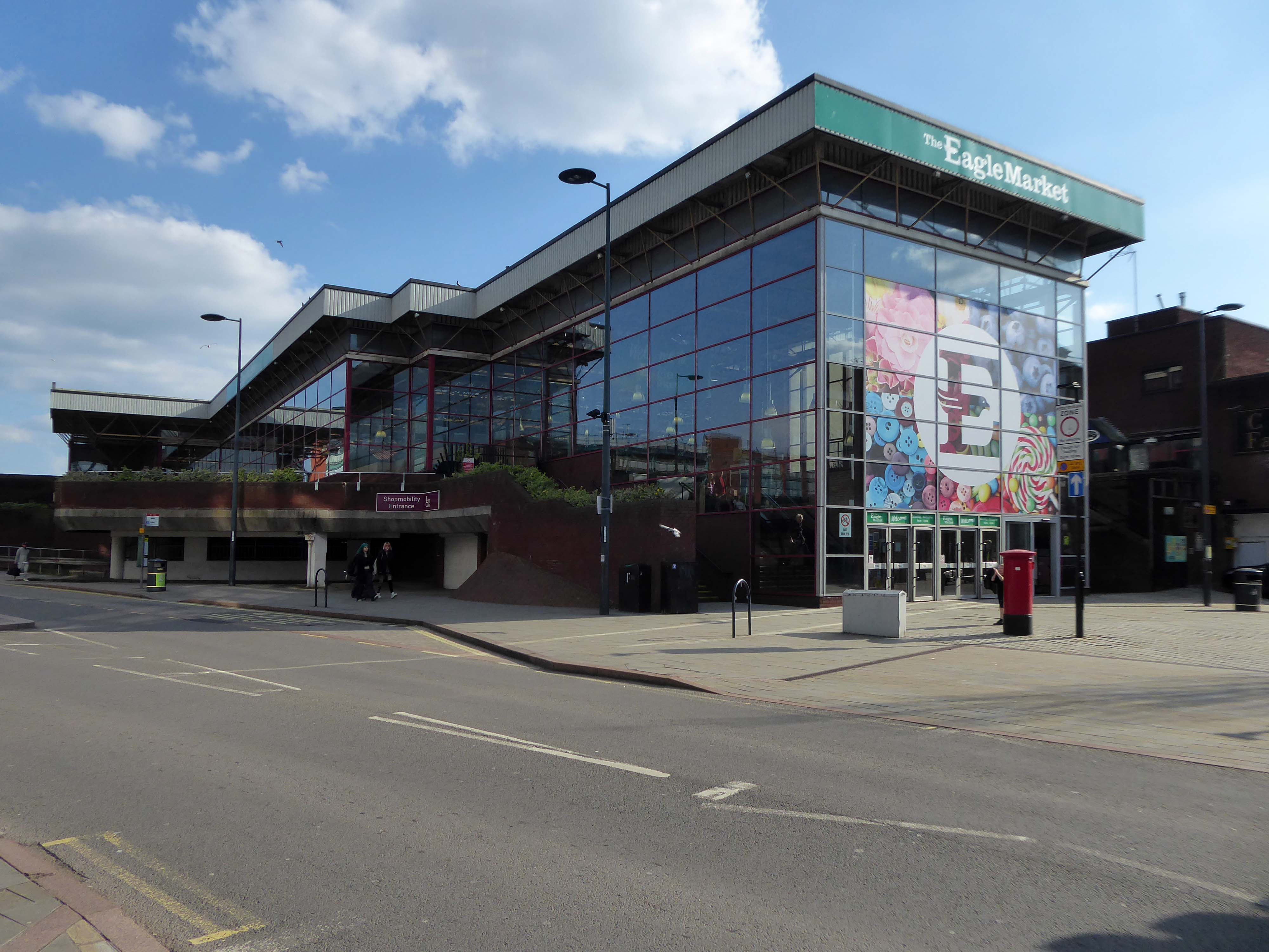
Derby’s Eagle Market, which has been open for nearly 50 years, is set to close for good in around six months from now. The indoor market is expected to shut down in March, traders were told in a memo late last month.
The long-standing city centre market has undergone major changes since opening in 1975. Over the past 46 years, dozens of traders have come and gone, from fruit and veg sellers to fine clothes retailers, pottery makers.
The nut stall that is greatly missed by nut fans.
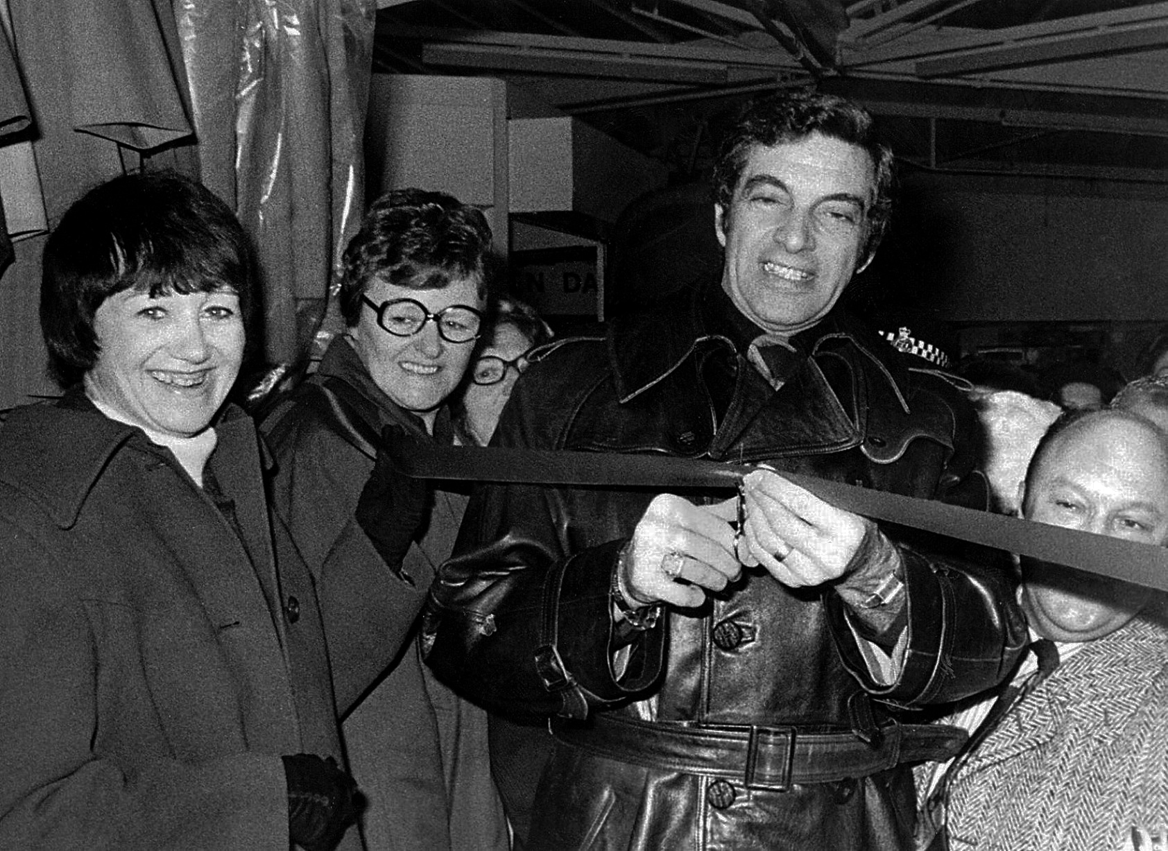
Singer Frankie Vaughan opens Jack’s Rainwear at the market in 1976.
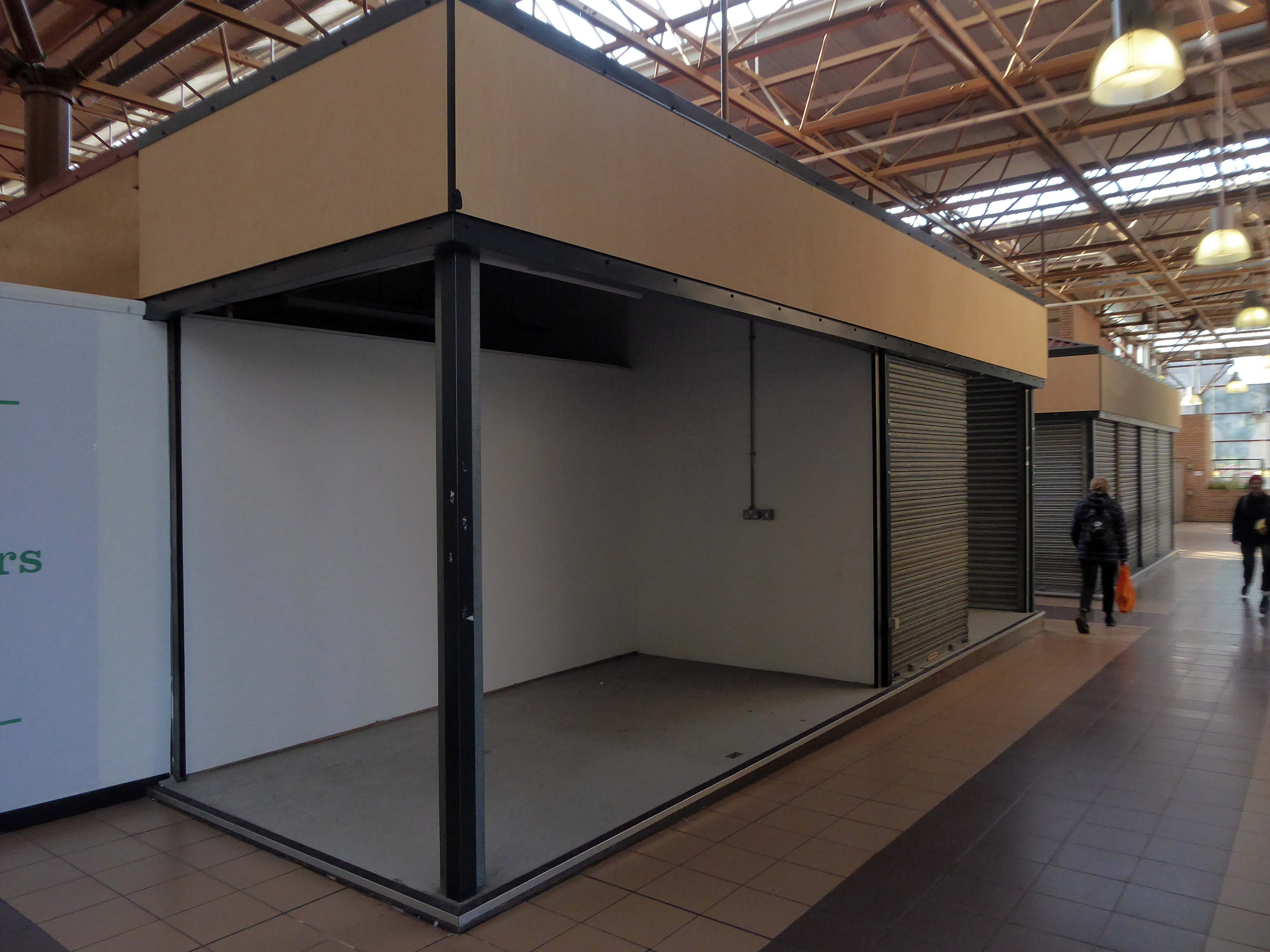
When it first opened, the venue was a maze of hexagonal stalls, which gave it a futuristic look, but it was a confusing layout and it was difficult to navigate and find the stall you wanted. The hexagons came down in 1990 in favour of a more traditional, open layout which made the market easier to escape in the event of a fire.
The Modernist modular structure replaced by a higher High-Tech roofing solution.
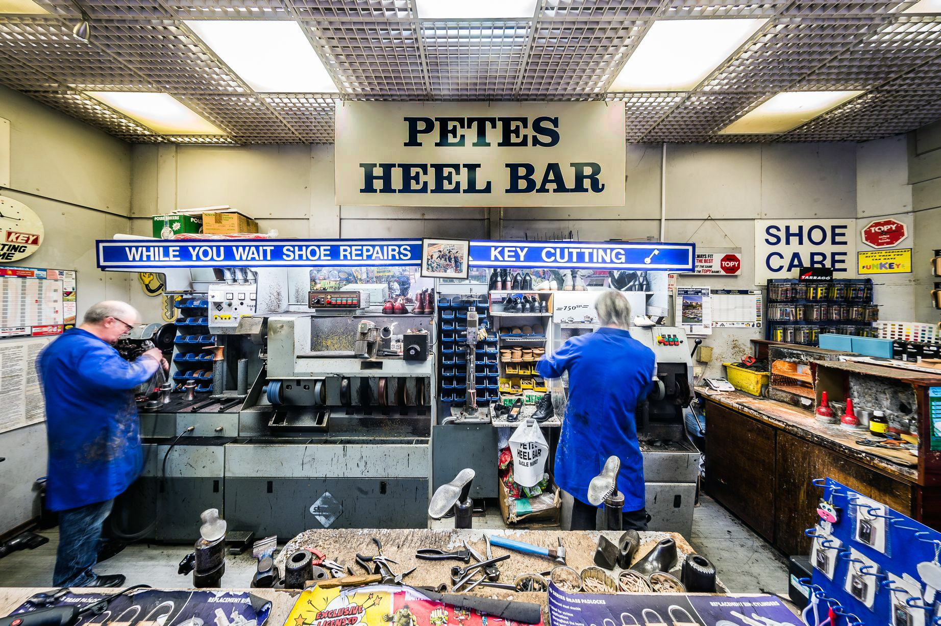
Petes Heel bar will be missed, along with his missing apostrophe.
The redevelopment masterplan includes new homes and commercial uses with new public spaces and walkable streets that will integrate the site with the rest of the City Centre and improve new connections to the river. There is scope to introduce some tall buildings to make better use of the site with new food and beverage, leisure and other activity at ground floor level. The proposals will contribute towards the Council’s vision in a way that responds positively to the site context including surrounding character areas.
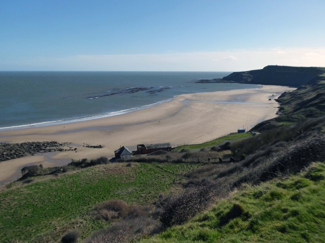
The soft clays of the cliffs are subject to constant erosion.
In 2008 fresh landslips have occurred around Cayton Bay. The bungalows built on the old holiday camp at Osgodby Point have started to suffer serious erosion. The cliffs around the Cornelian and Cayton areas are just made of soil. So erosion is to be expected. It may taken time. But there is not much which can be done to prevent the seas moving in.
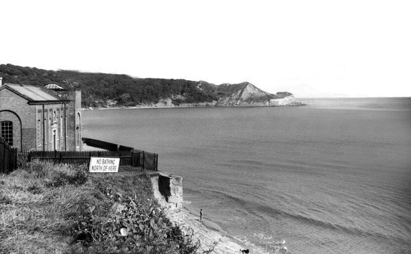
The Pumping Station was partially demolished in 1956.
Several well worn layers of geological time have been hanging around for a while now.
Whilst the long-gone critters are but fossilised versions of their former selves.
The rocks found at Cayton Bay are Jurassic aged from the Callovian stage. At the north end of Cayton Bay, the Cornbrash Formation can be seen, comprised of red-brown, sandy, nodular, bioturbated limestone with oysters and other bivalves.The Cornbrash lies beneath the start of the Cayton Clay Formation. Walking south towards Tenant’s Cliffs, Lower Calcareous Grit is brought to beach level, followed by a calcareous limestone. At the waterworks, low tides reveals a section in the Middle and Upper Jurassic rocks.
On scouring tides, argillaceous limestone and calcareous sandstone can be seen layered along the Upper Leaf of the Hambleton Oolite, which is seen excellently in the low cliff on the southern side of the Brigg. The tough, impure limestone contains well-preserved bivalves and ammonites. The sequence is shown in the diagram but faulting has caused unconformities.
During scouring, Oxford Clay can be seen along the foreshore south of the argillaceous limestone. Walking further south, Red Cliff is reached, where rocks of the Osgodby Formation slope above the Oxford Clay.
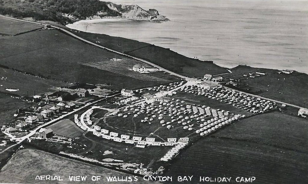
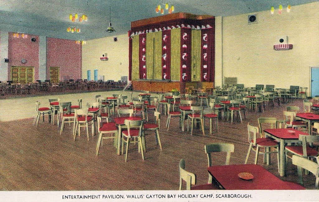
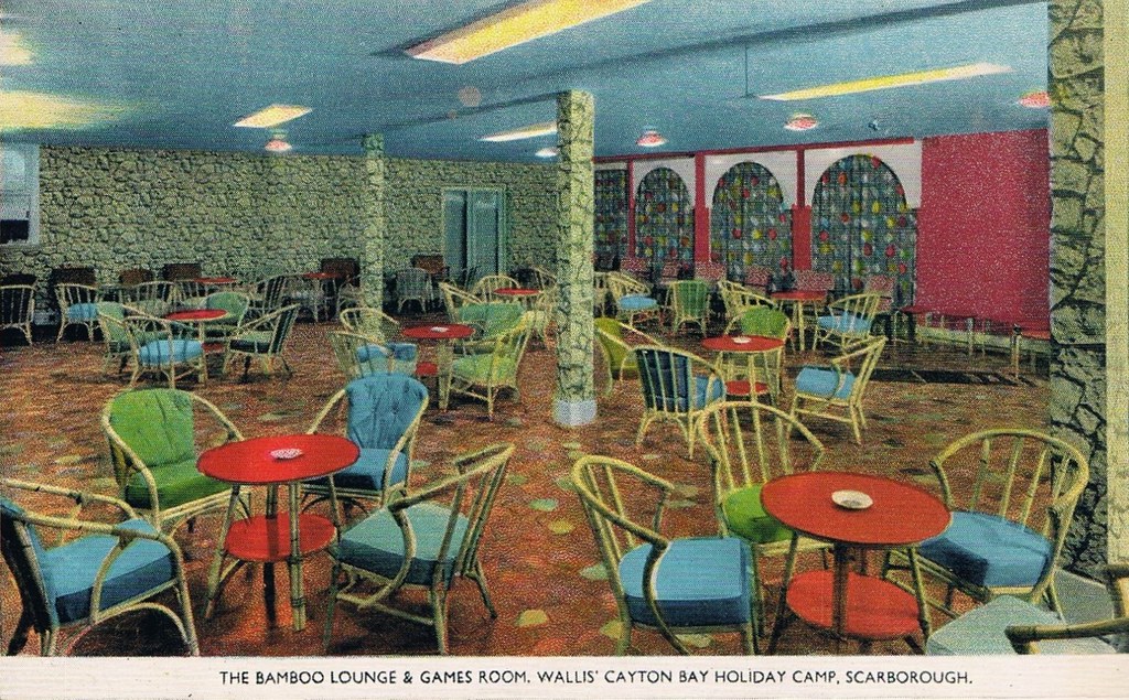
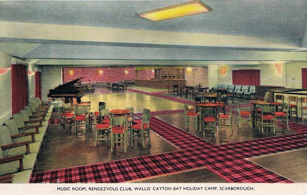
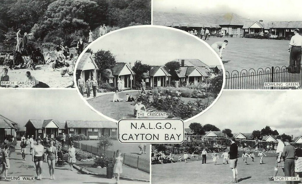
Originally the first Trade Union holiday camp in the North of England, owned by NALGO it opened its doors in 1933. It had 124 wooden bungalows, accommodating 252 visitors. A dining hall with waiter service, a rest room along with recreation rooms for playing cards, billiards, a theatre for indoor shows and dancing was also provided. The new centre also provided Tennis courts, Bowling greens along with a children’s play area. The visitors could walk to the beach where there was a sun terrace and beach house which also had a small shop.
Click here to see photos of the NALGO camp from the 1930s.
One of the earliest visitors were the family of poet Philip Larkin and during the Second World War it became a home for evacuated children from Middlesbrough.
The NALGO camp closed in 1974 and was later sold.
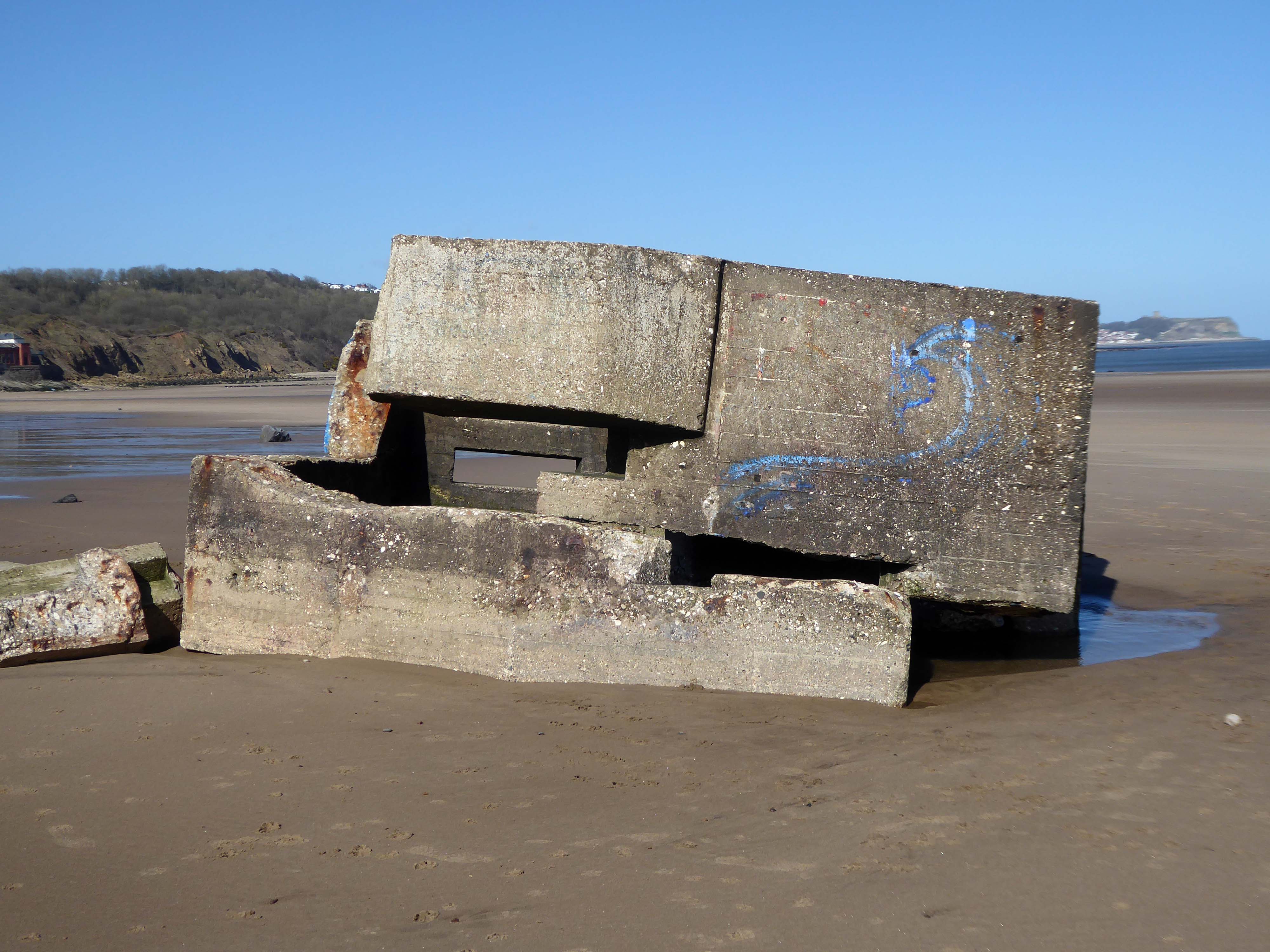
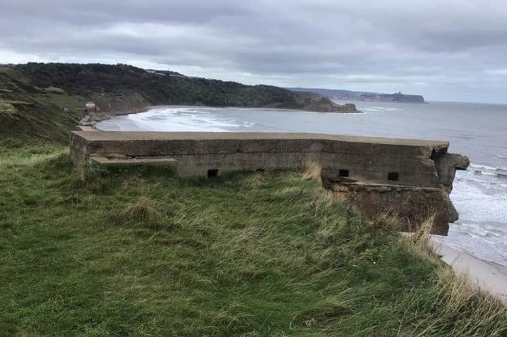
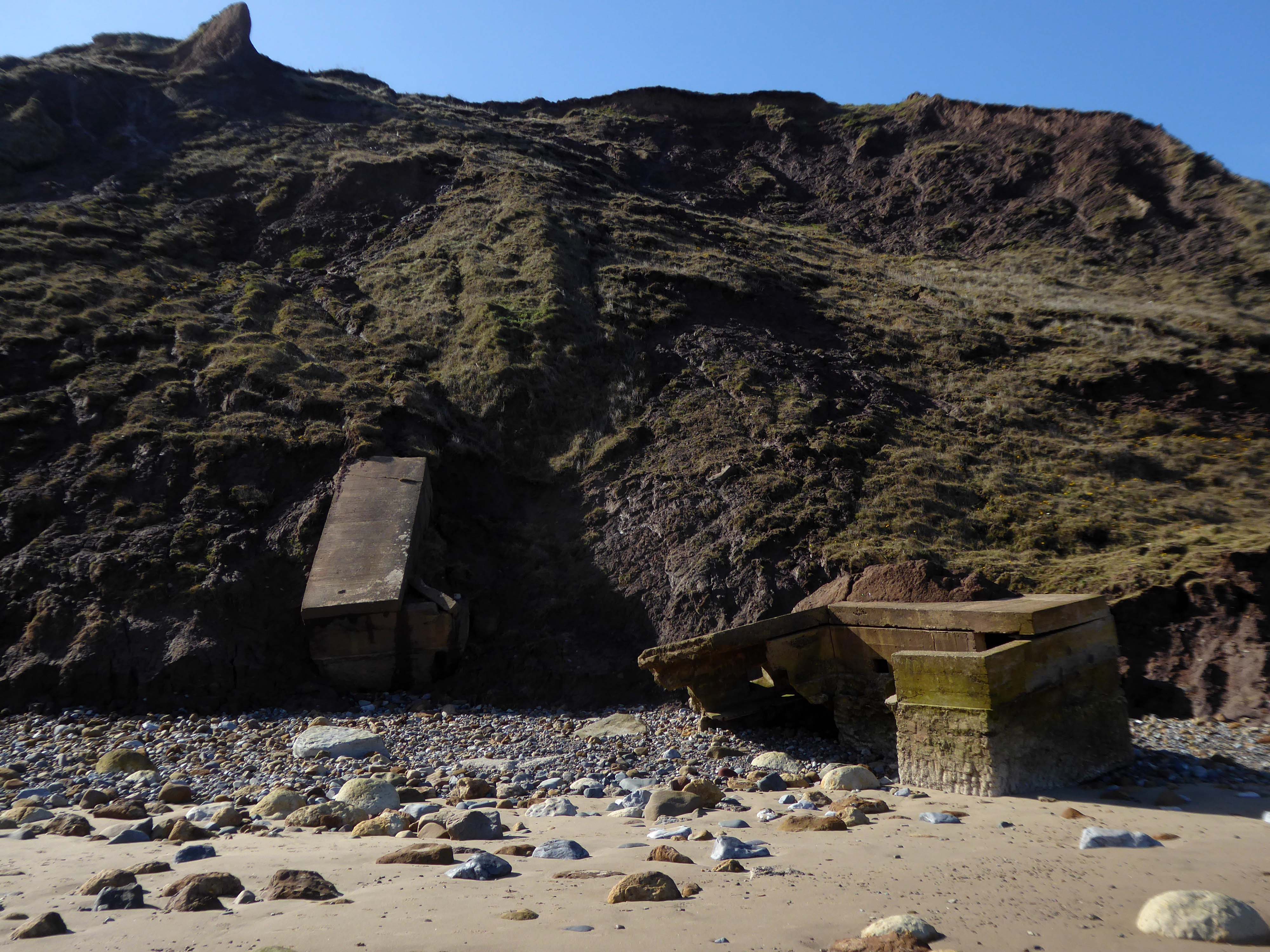
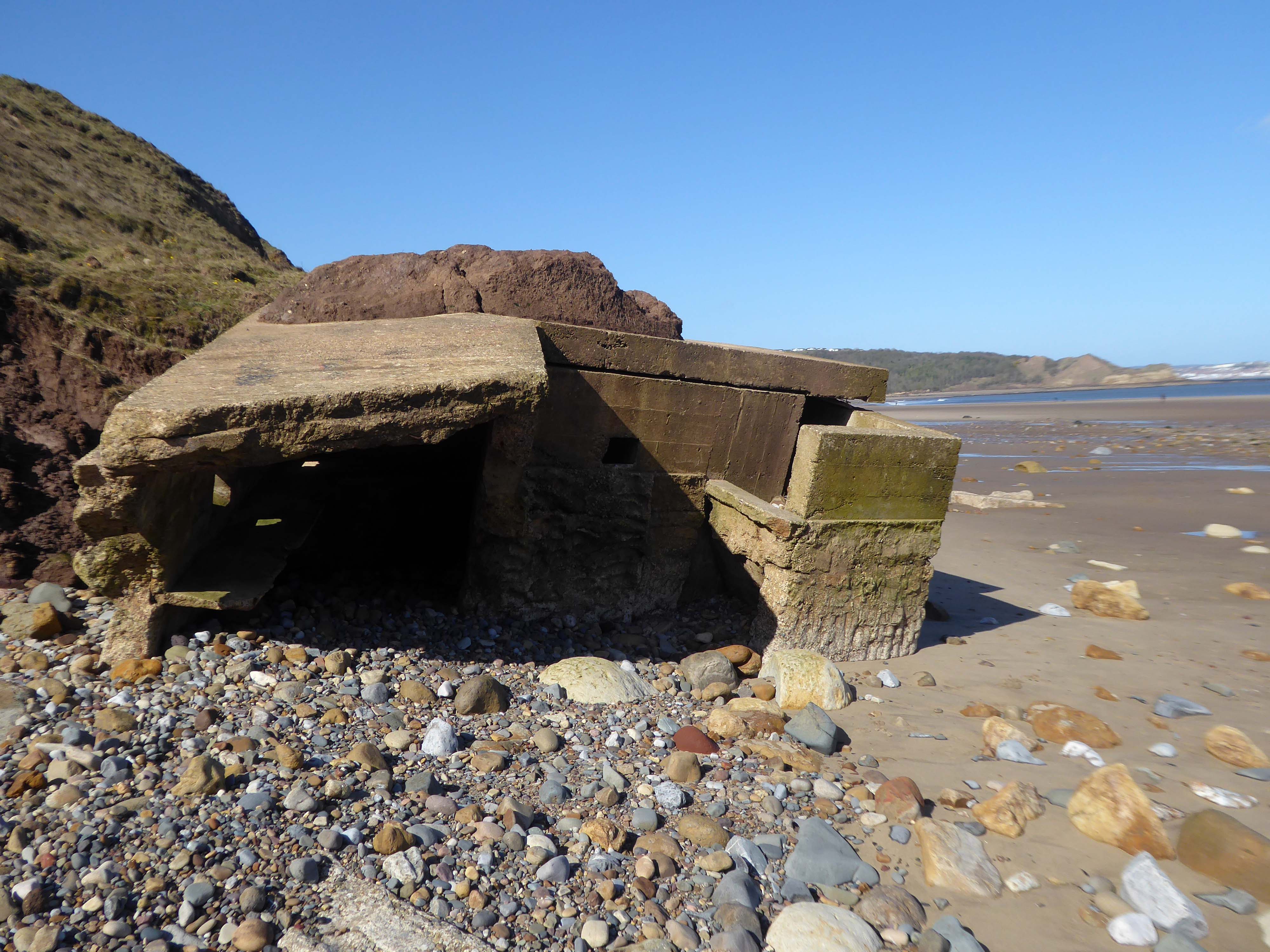
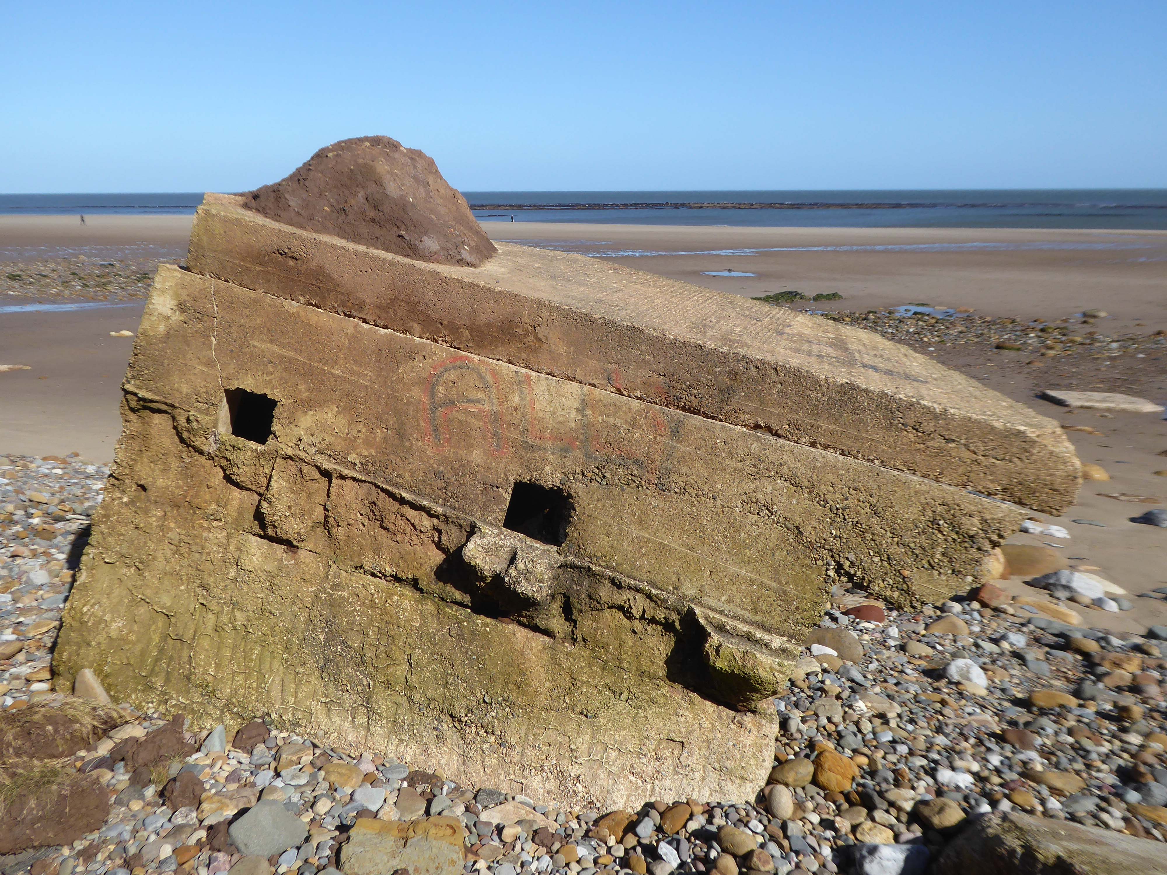
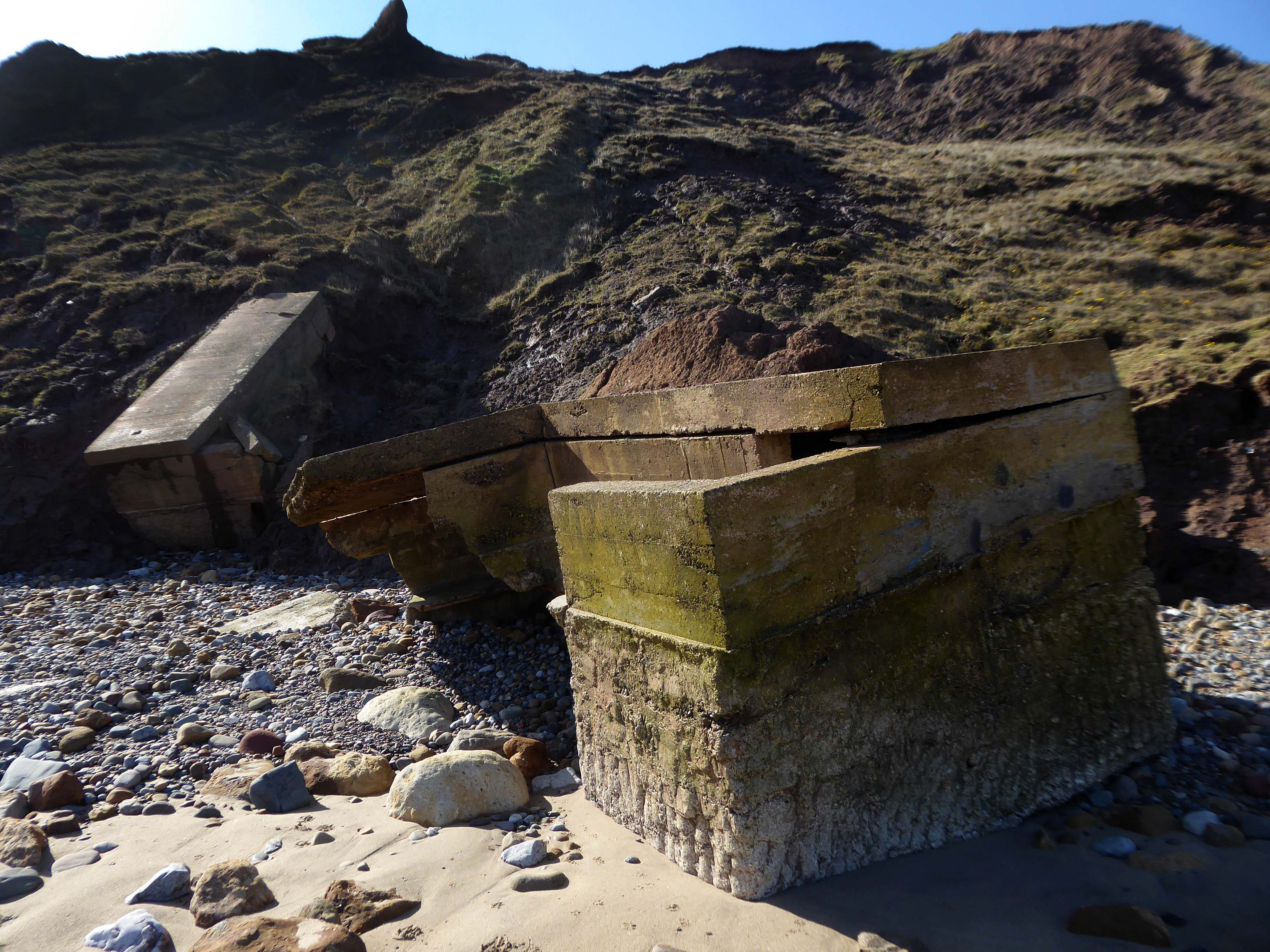
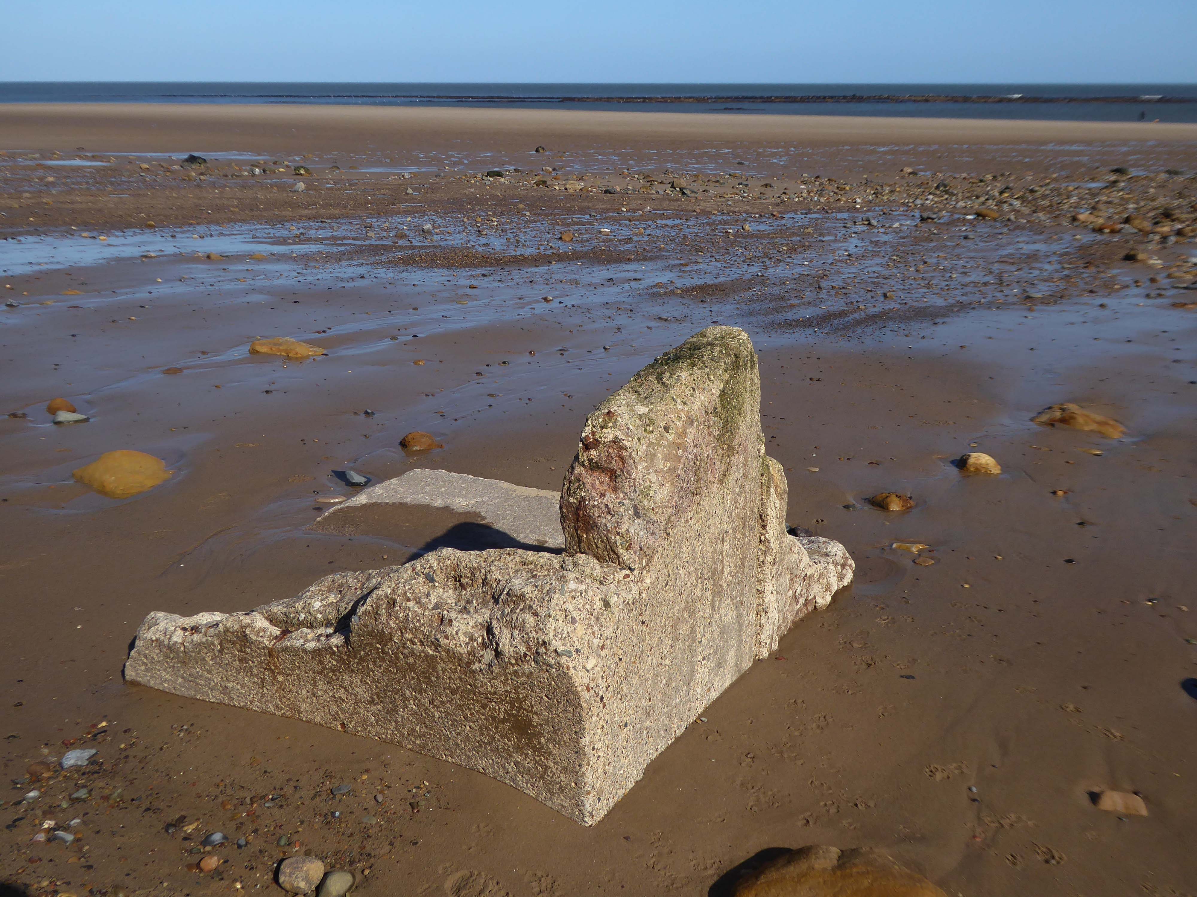
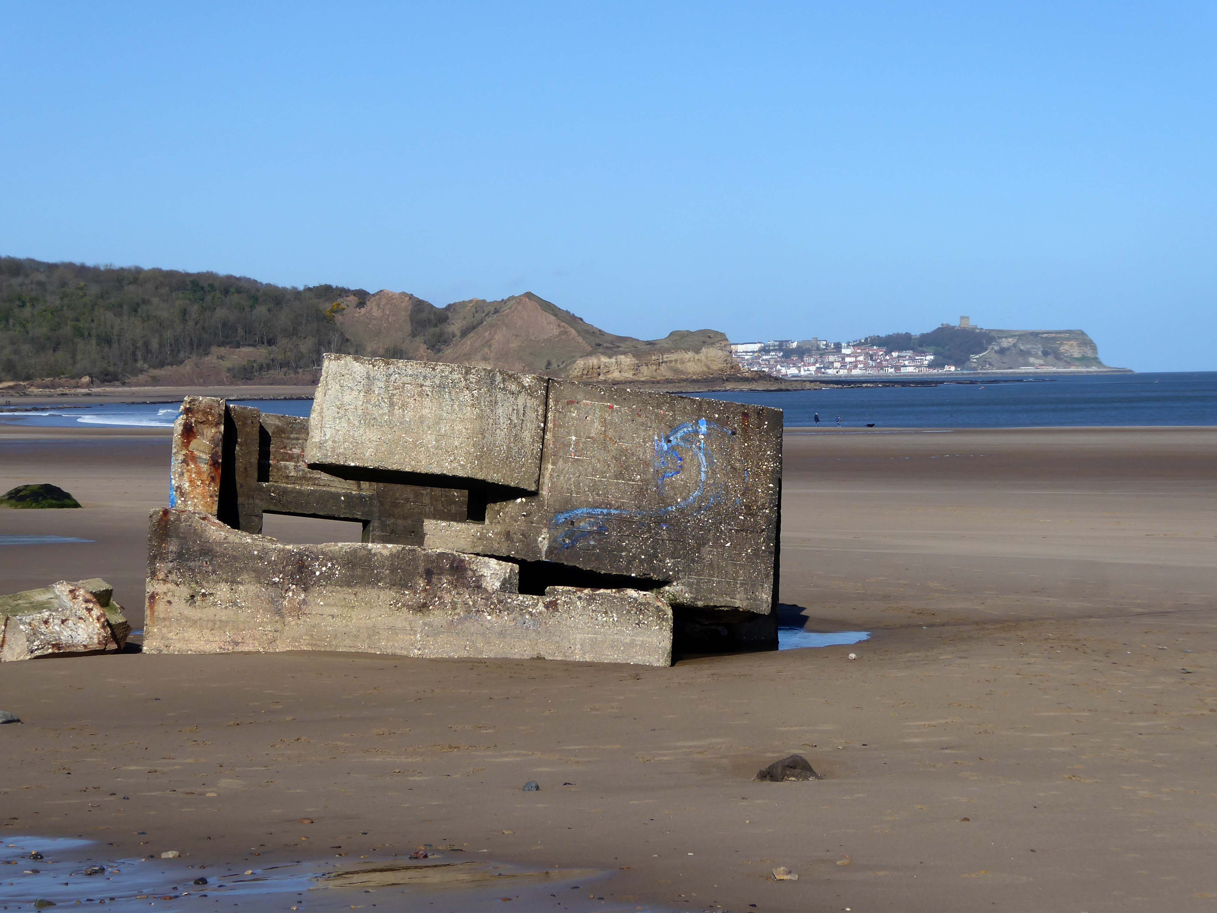
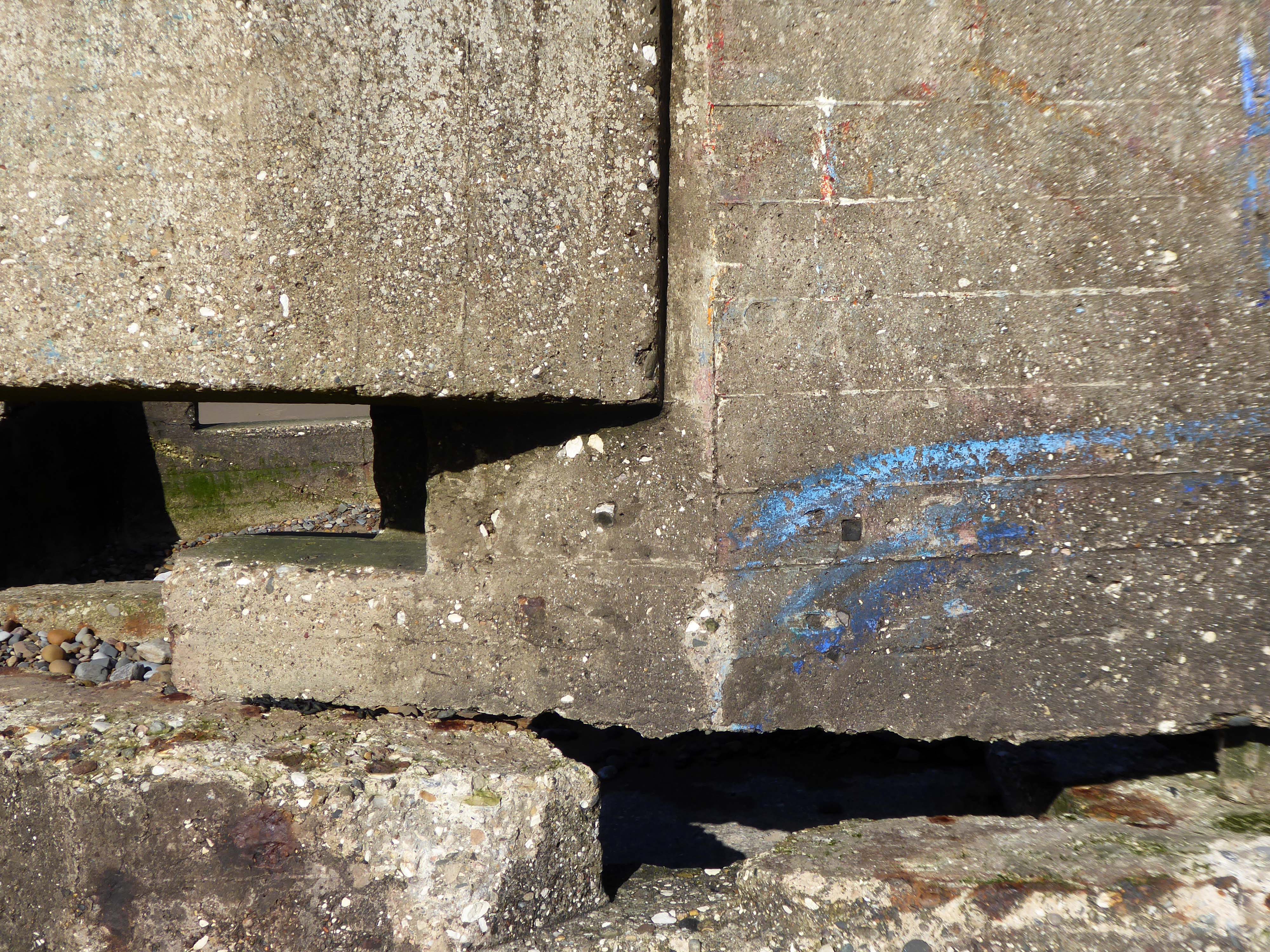
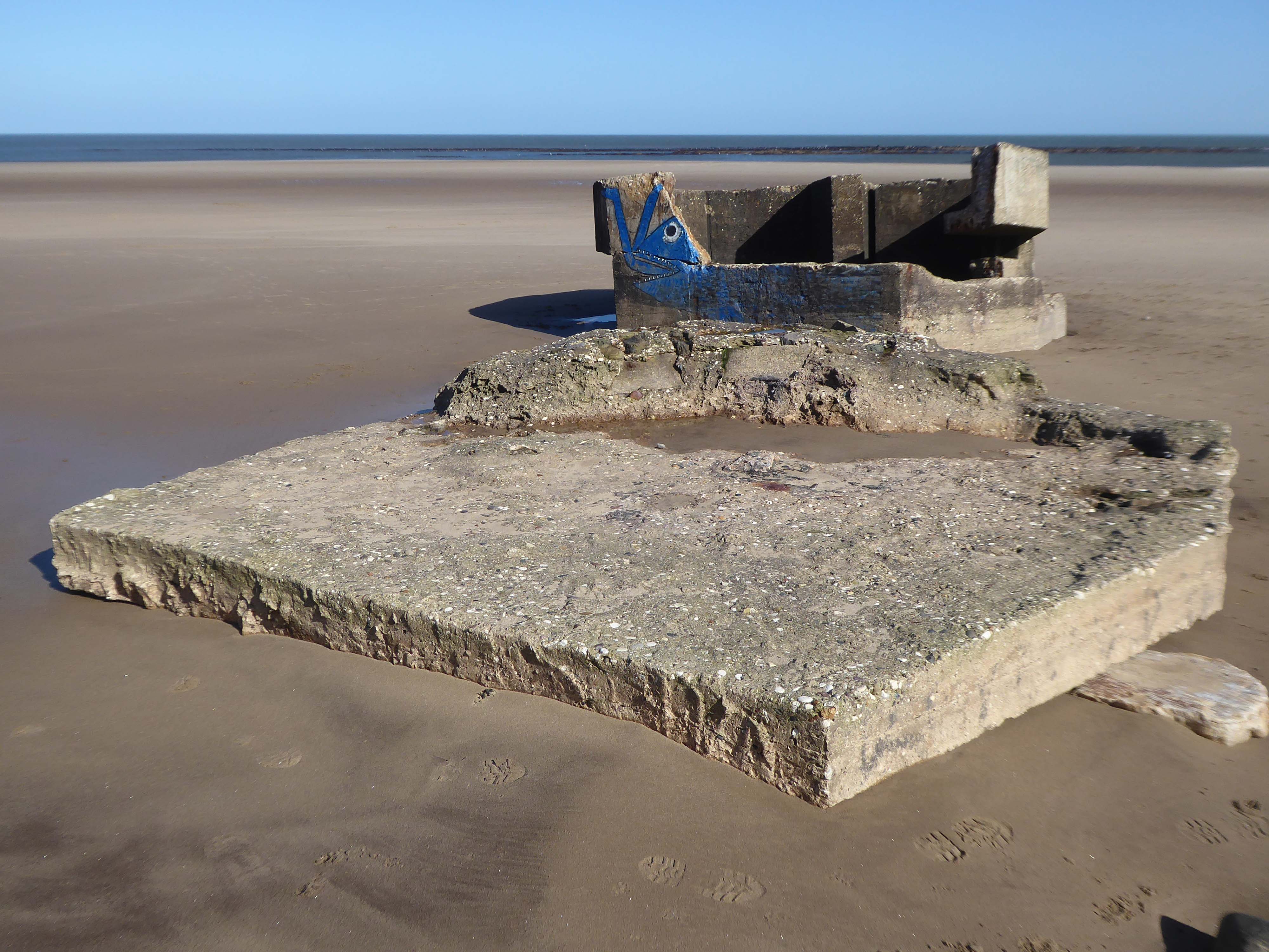
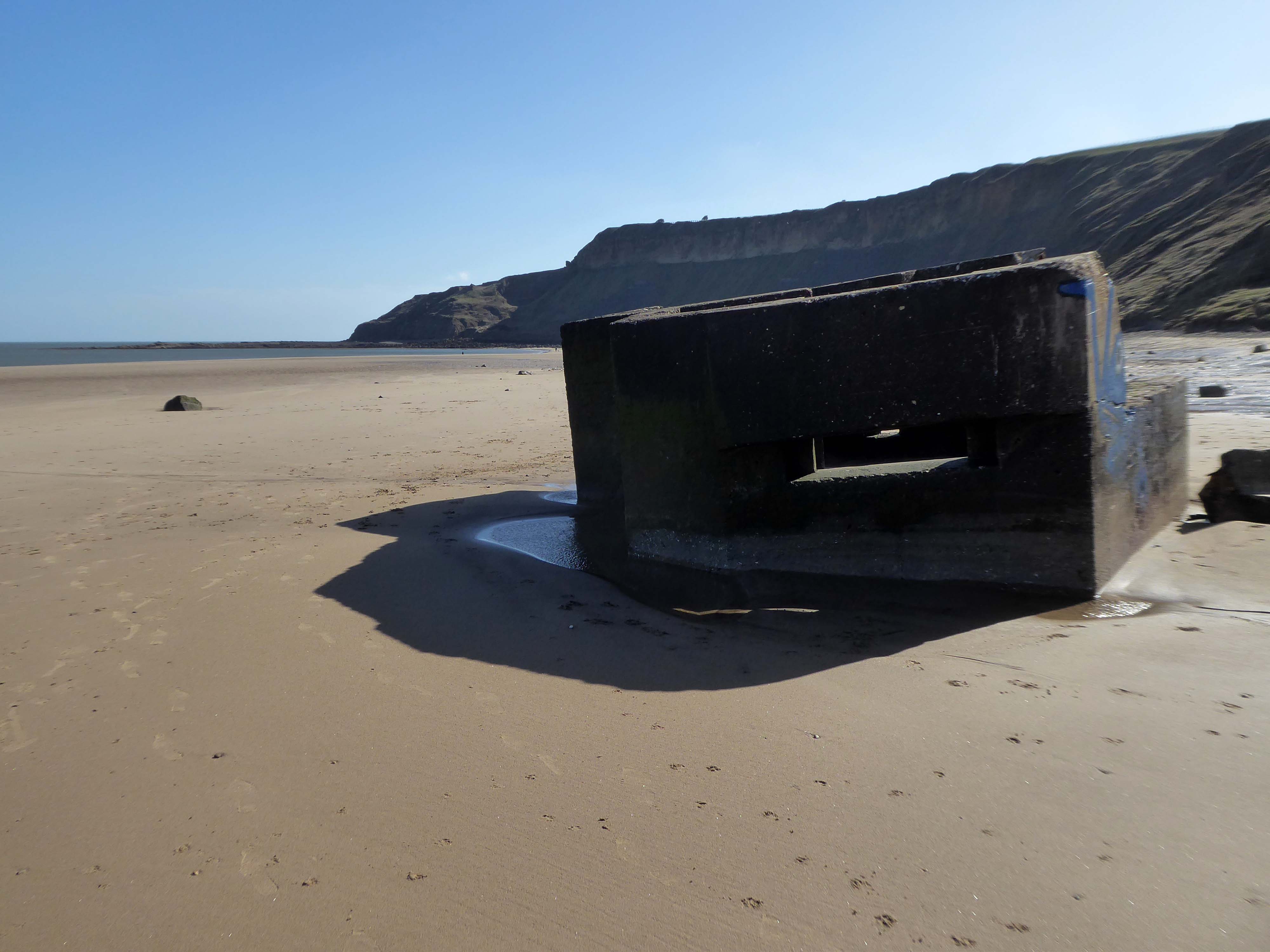
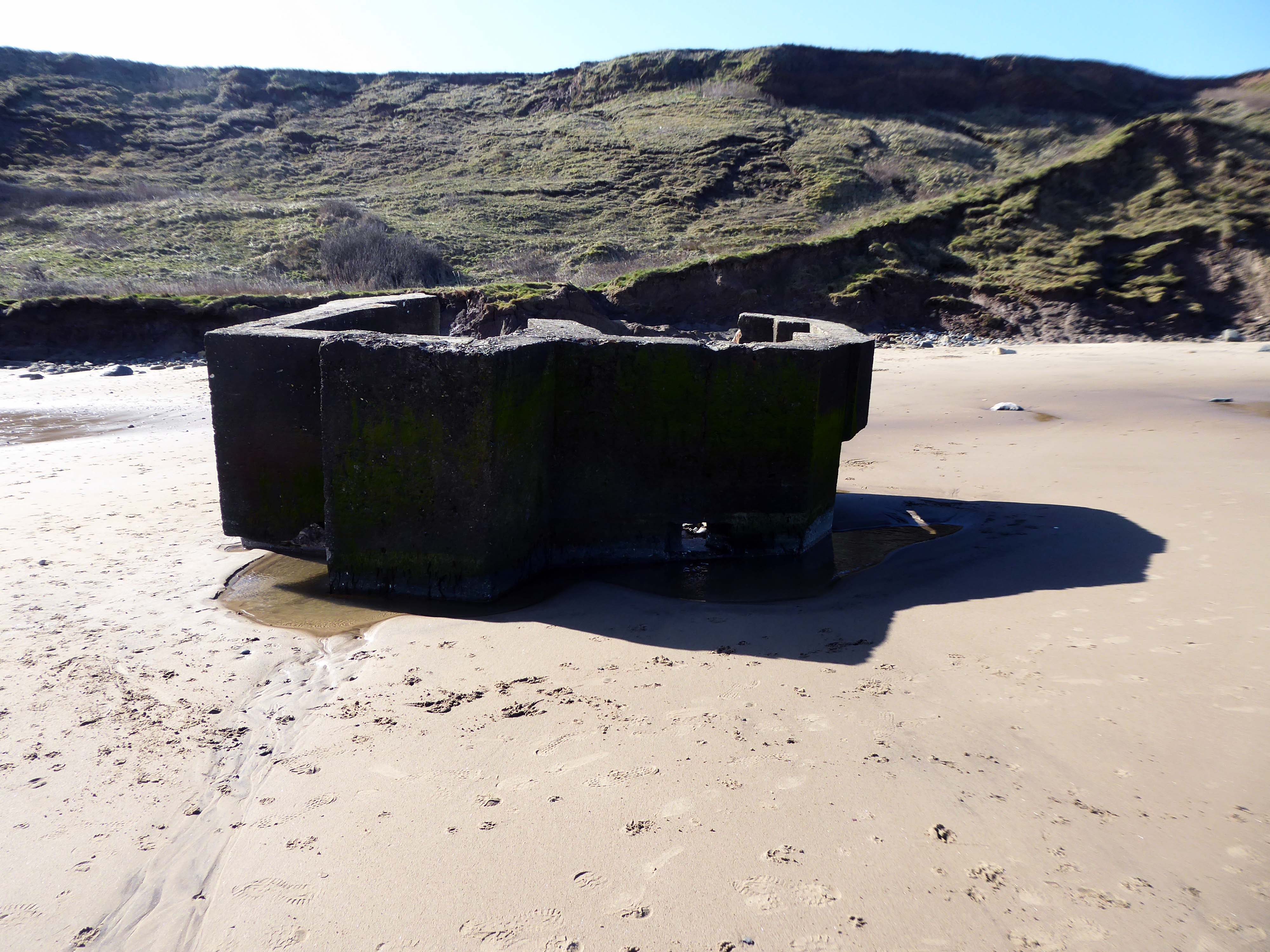
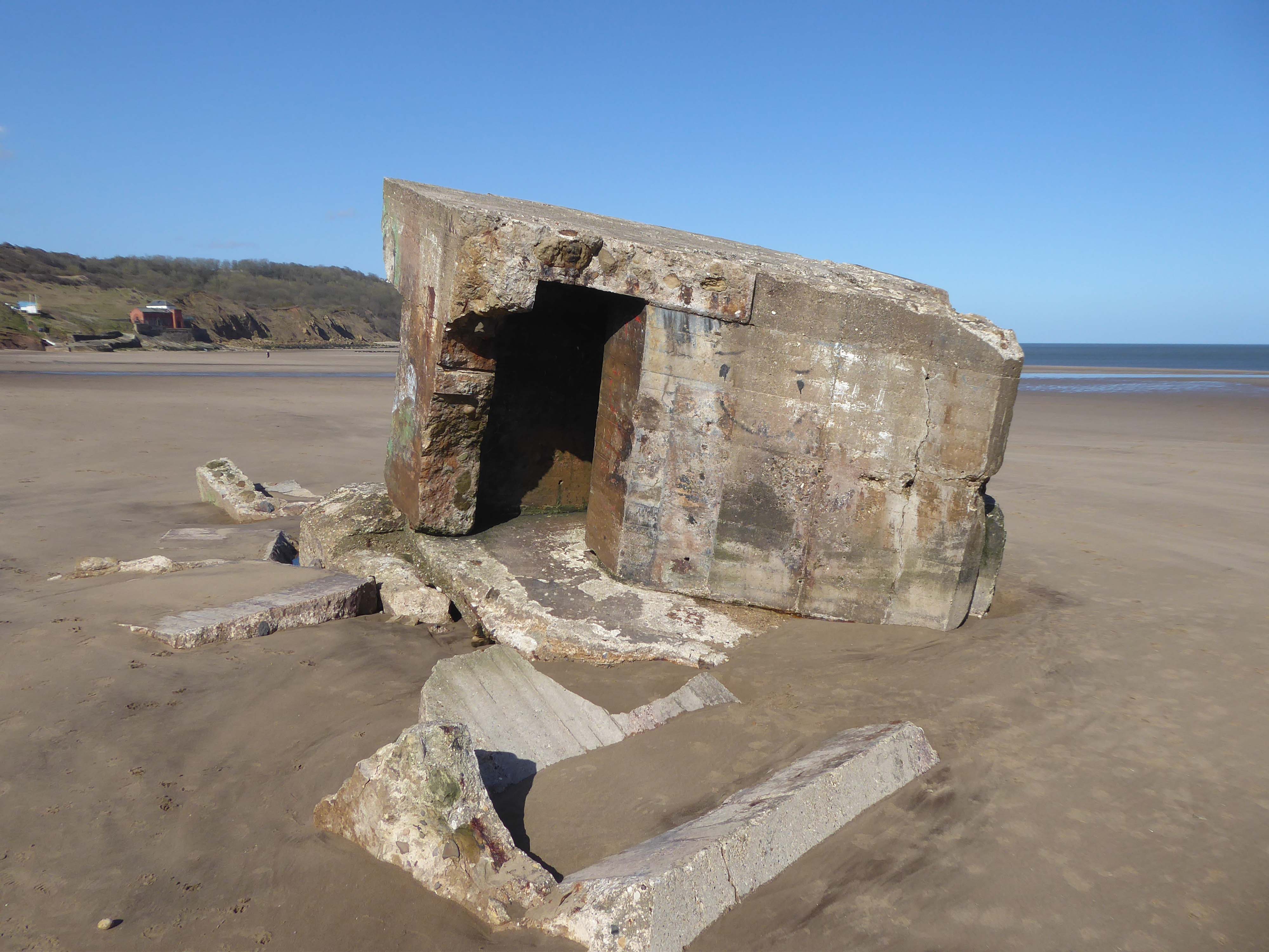
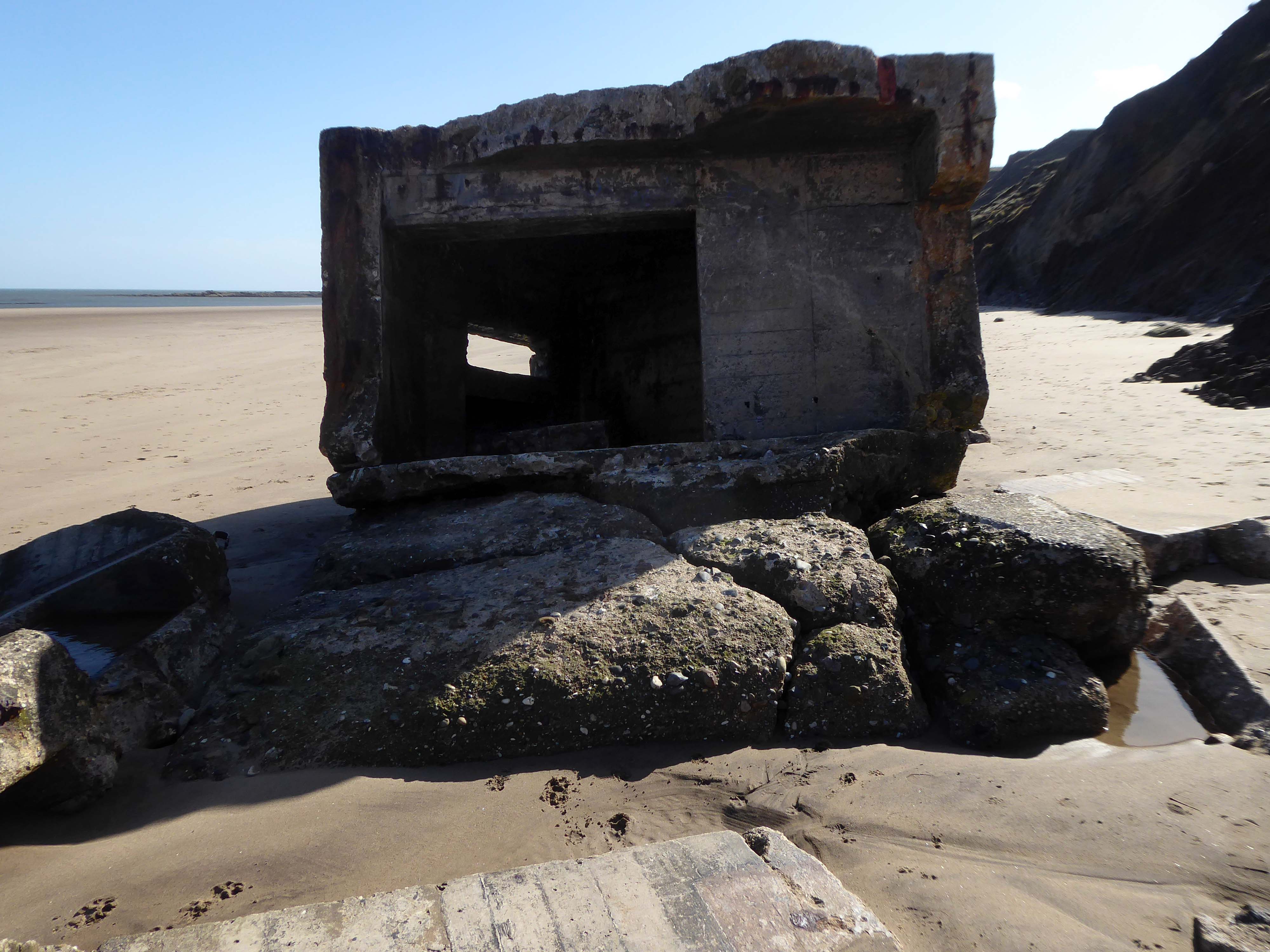
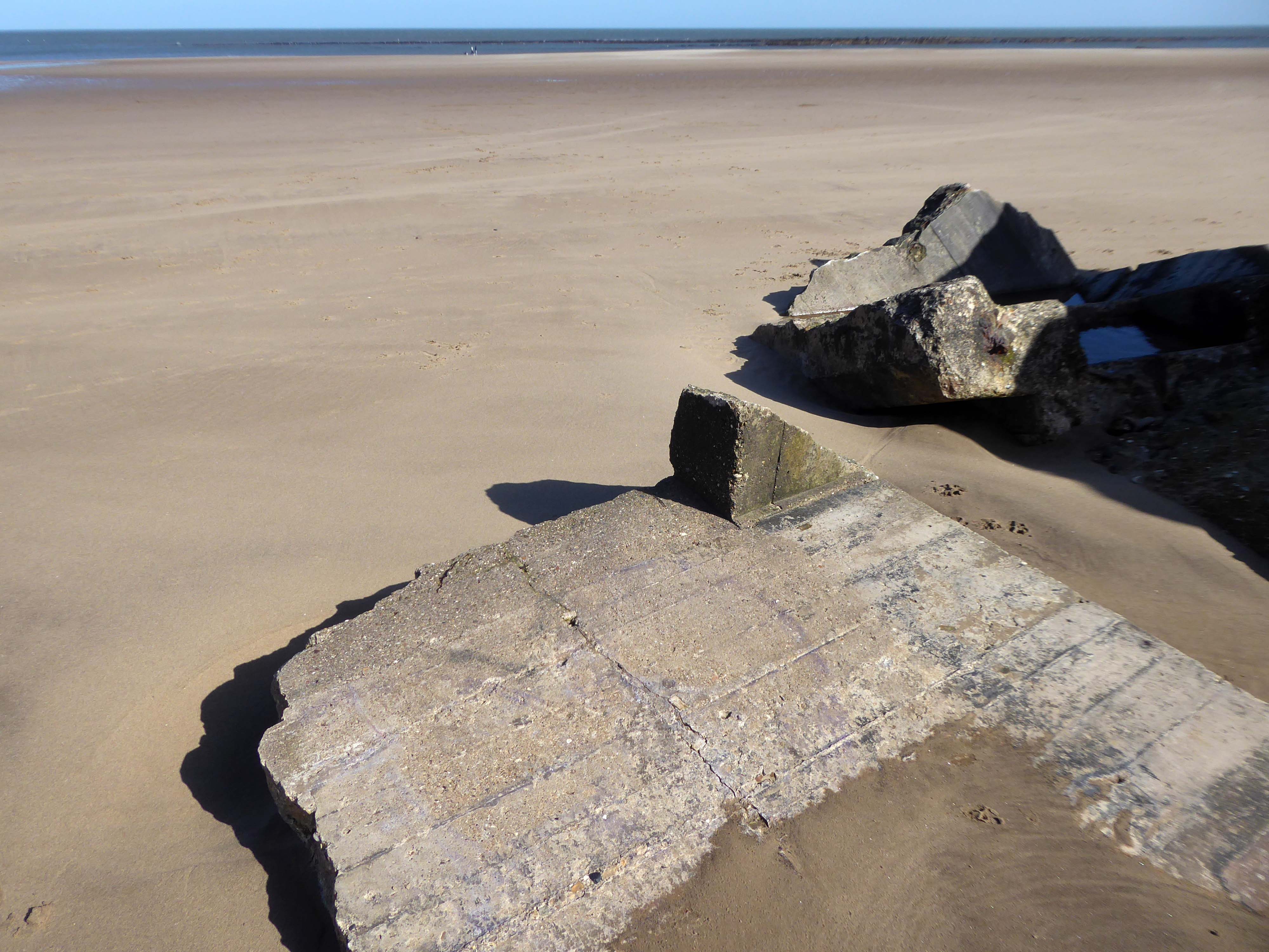
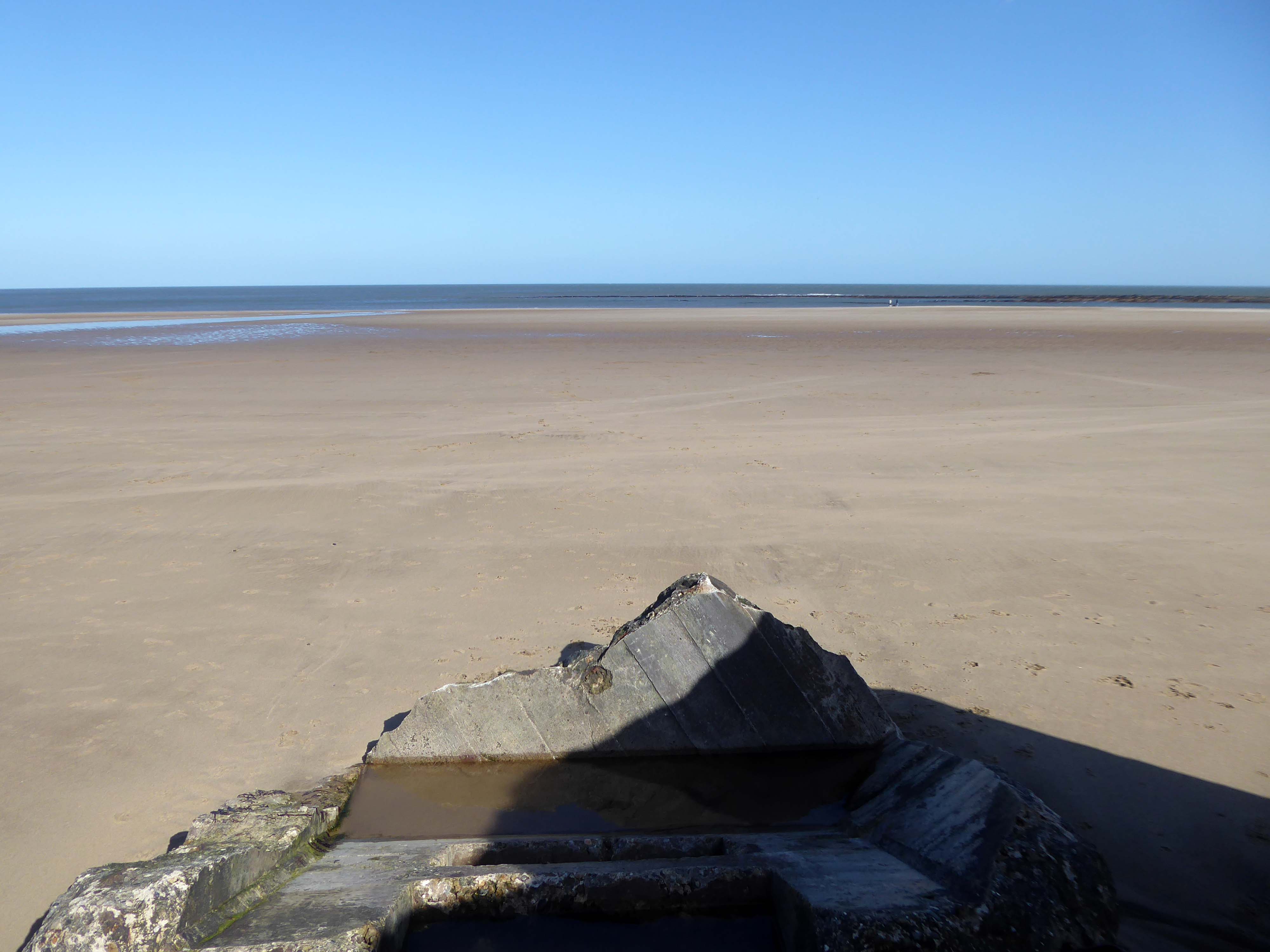
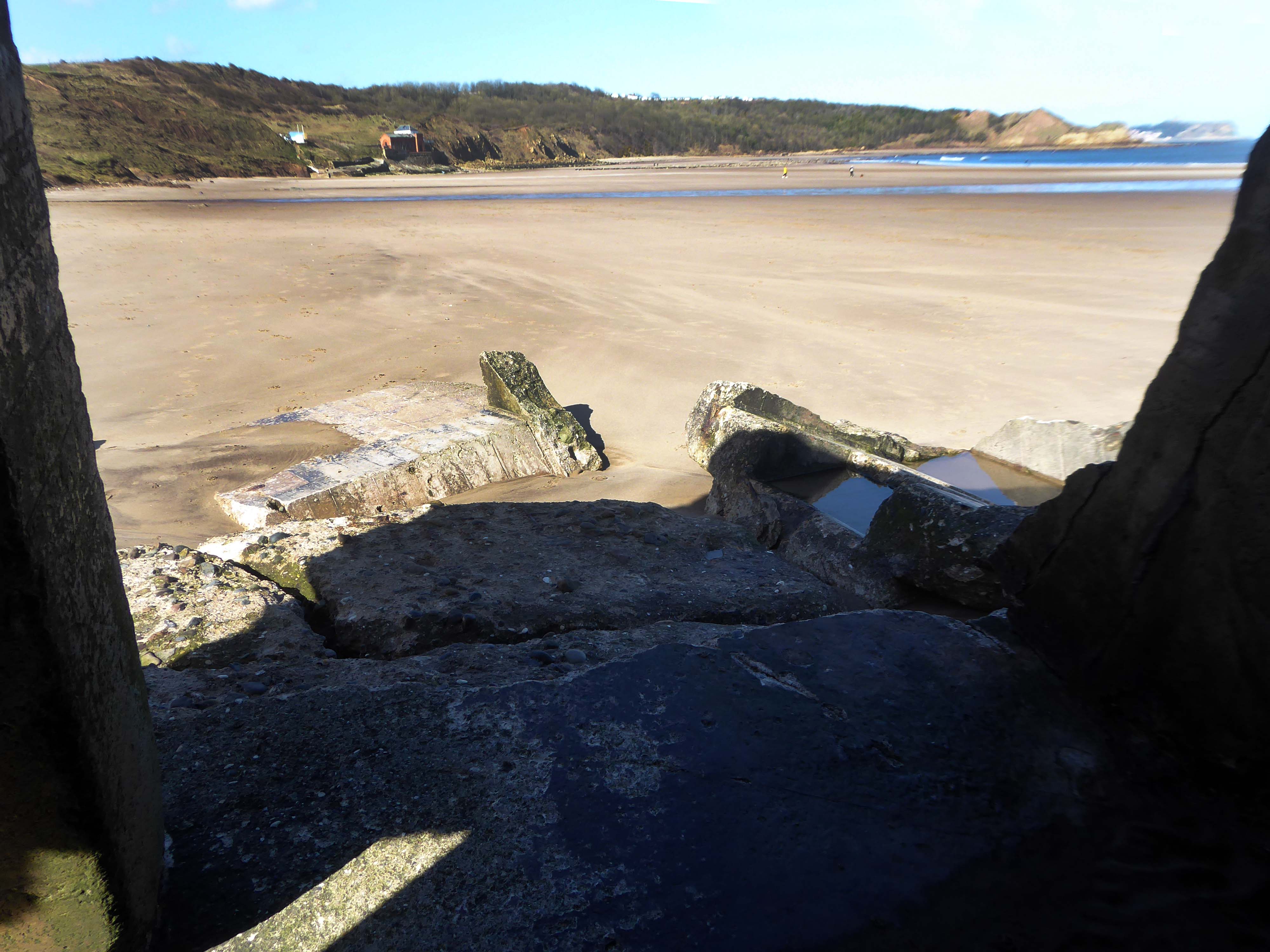
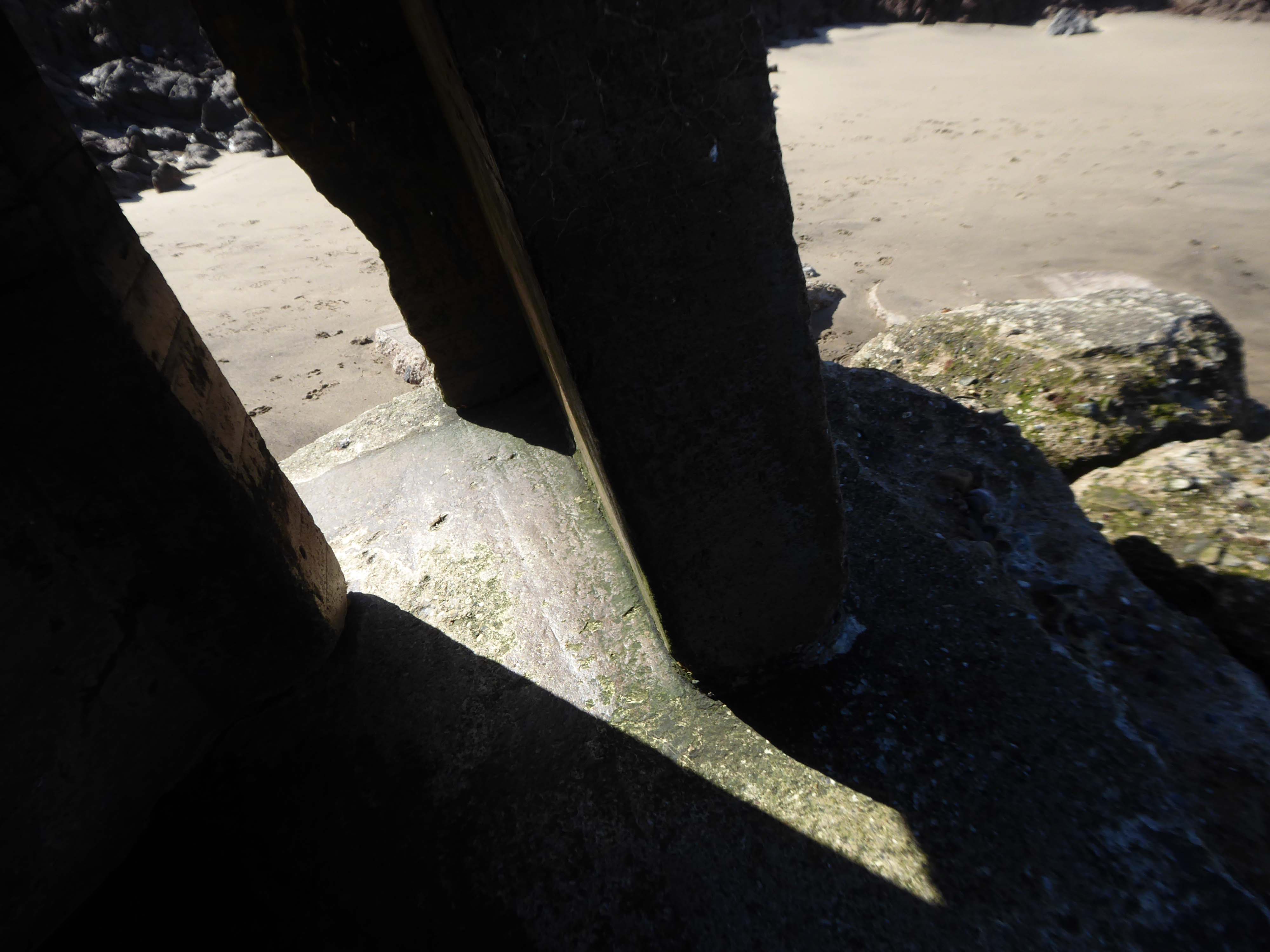
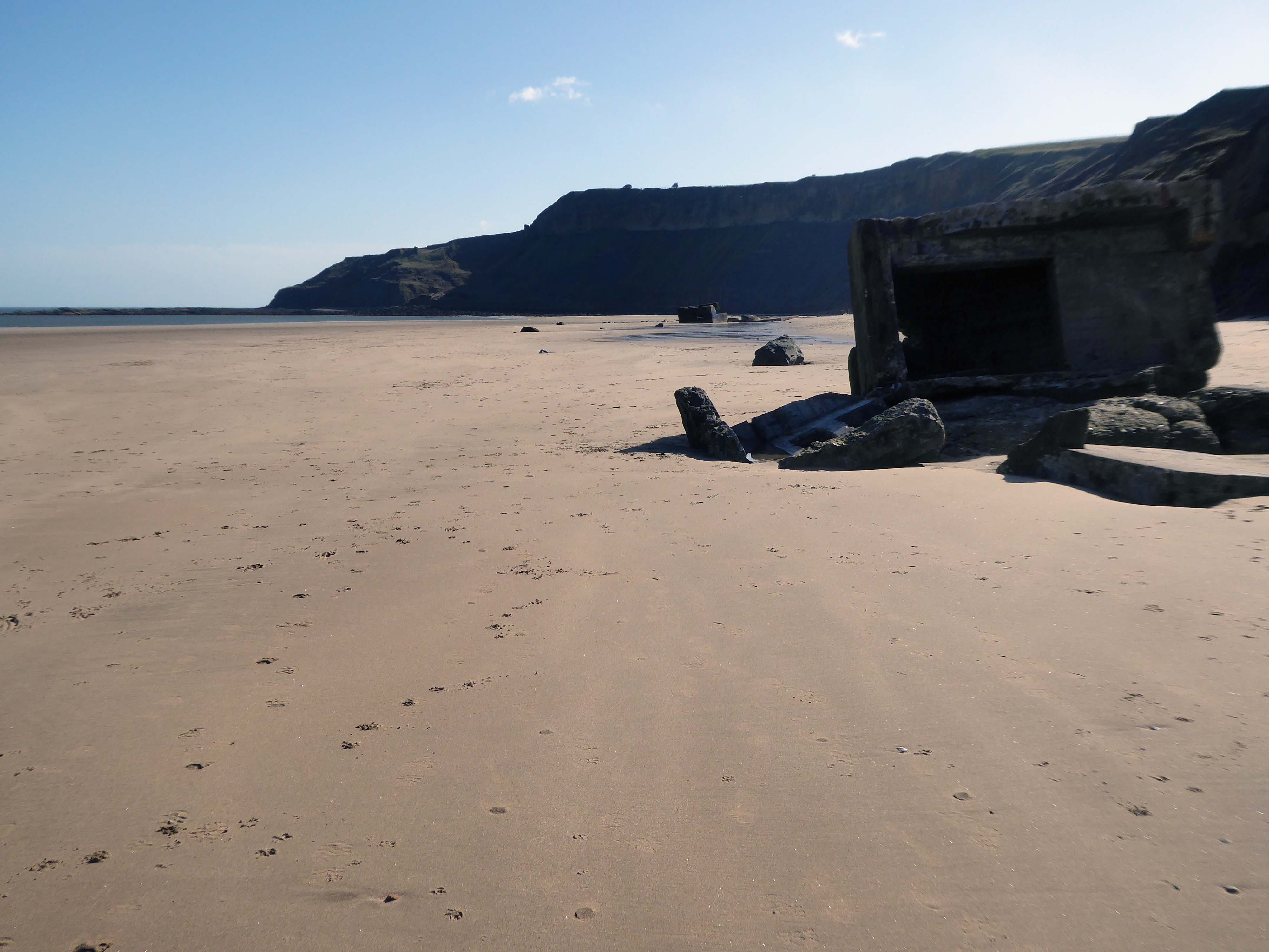
The wide sandy bay was an ideal location for WW2 pillboxes and gun emplacements – anticipating a possible North Sea invasion.
They too are built quite literally on shifting sands.
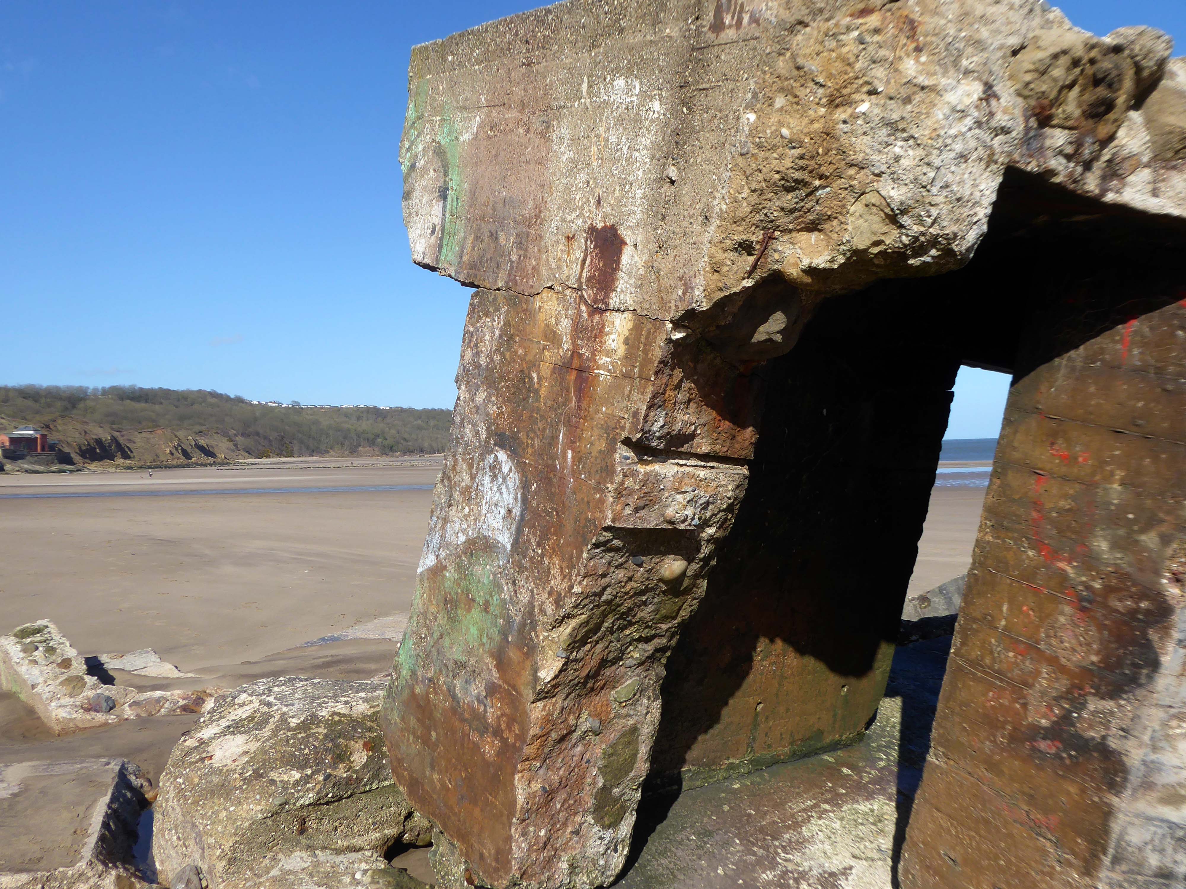
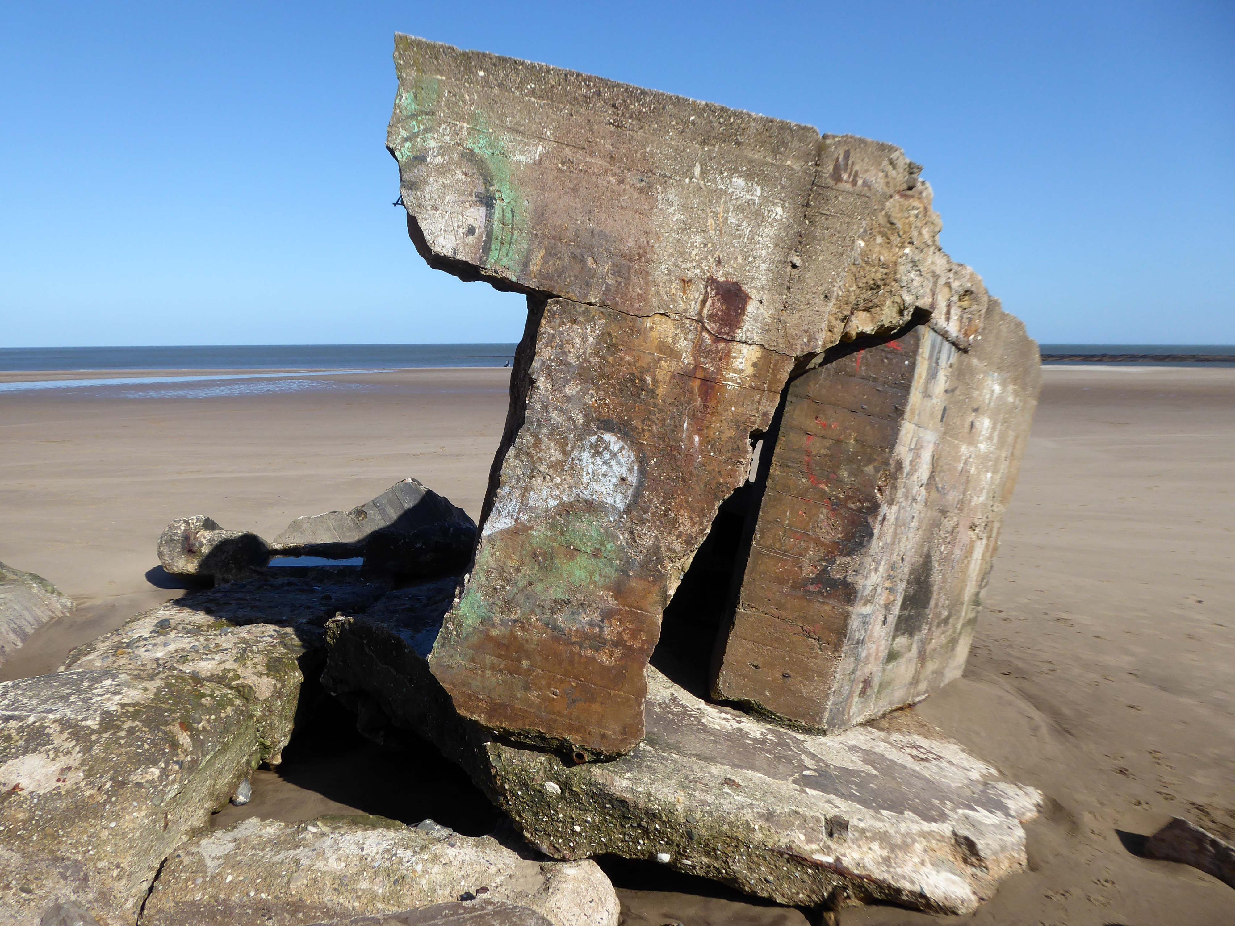
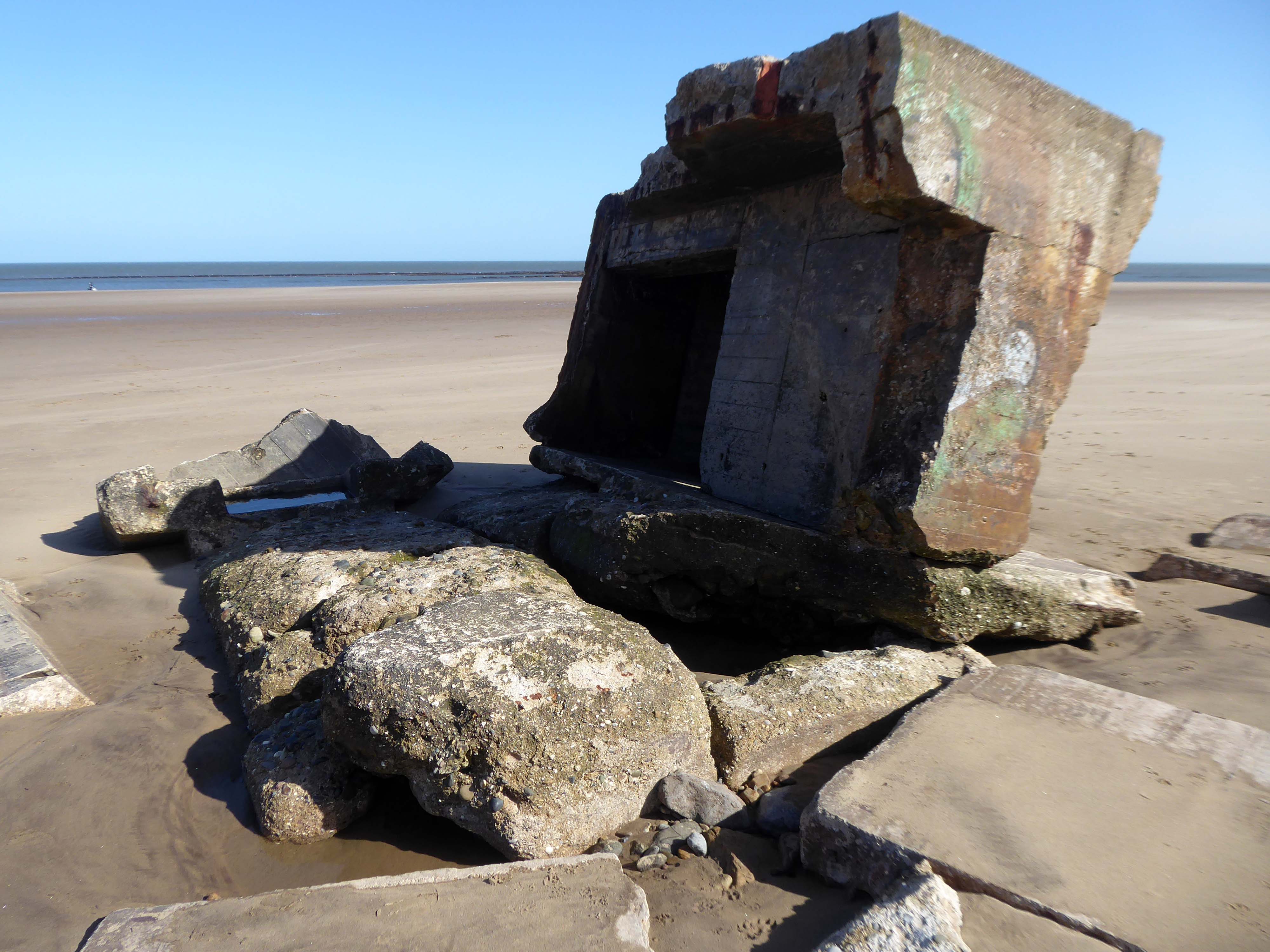
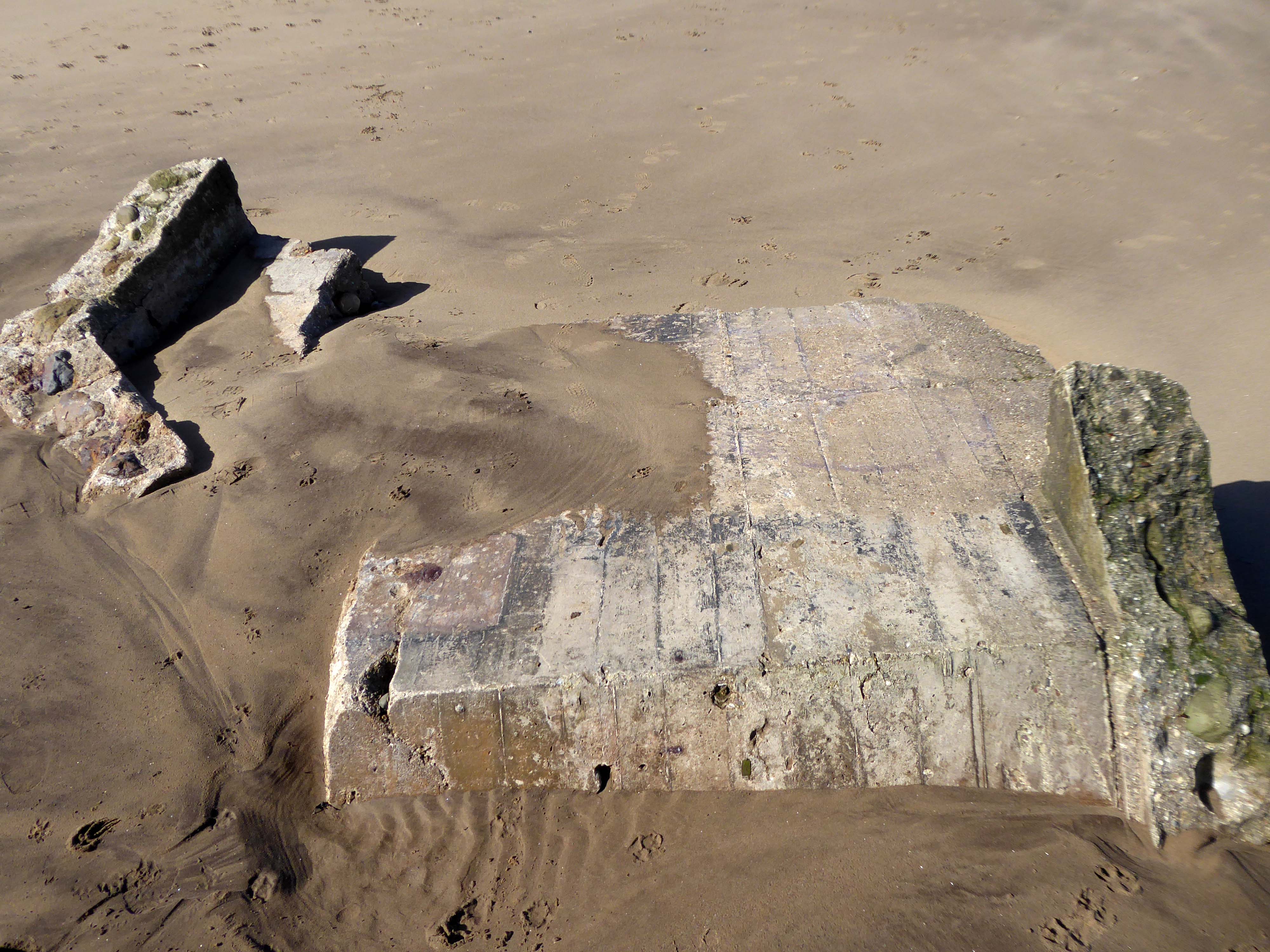
The pillbox – one of many built along the coast to defend against an invasion during World War II – had started to break down, leaving one large piece of stone in a precarious position.
Rob Shaw, of Ganton, noticed the large slab was propped up dangerously against another piece of stone last September.
He said he reported his concerns to Scarborough Borough Council then, but that nothing was done until last month.
The dad-of-two said before the work:
I used to work in construction and I would have been fired if I had left a lump of concrete like that, it could weigh four or five tonnes.
It just needs lying flat on the sand so it can’t fall on anyone.
A spokesperson for Scarborough Borough Council said the council had assessed the pillbox and arrangements had been made for the problem section to be removed.
The Scarborough News
This unstable cliff-top structure was allegedly hastened bay-wards by the Council.
Claims that we pushed the pillbox off the cliff are untrue – our colleagues have many amazing talents but pushing huge concrete structures is not one of them. The structure people can see at the base of the cliff is the other section of the pillbox that has been on the beach for many years.
Having taken a particular interest in this particular piece of public art for some time – I need to go and take a little look.
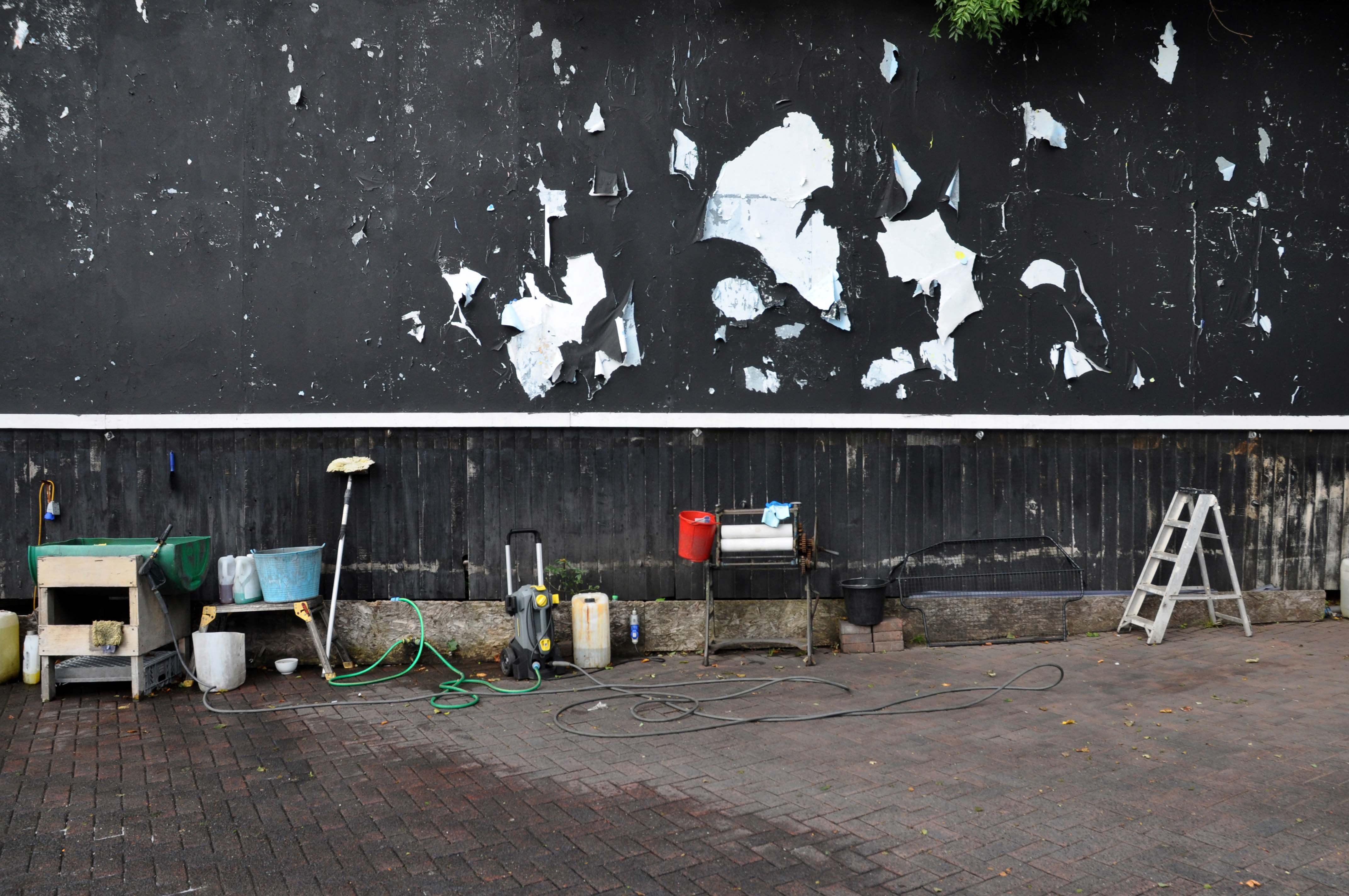
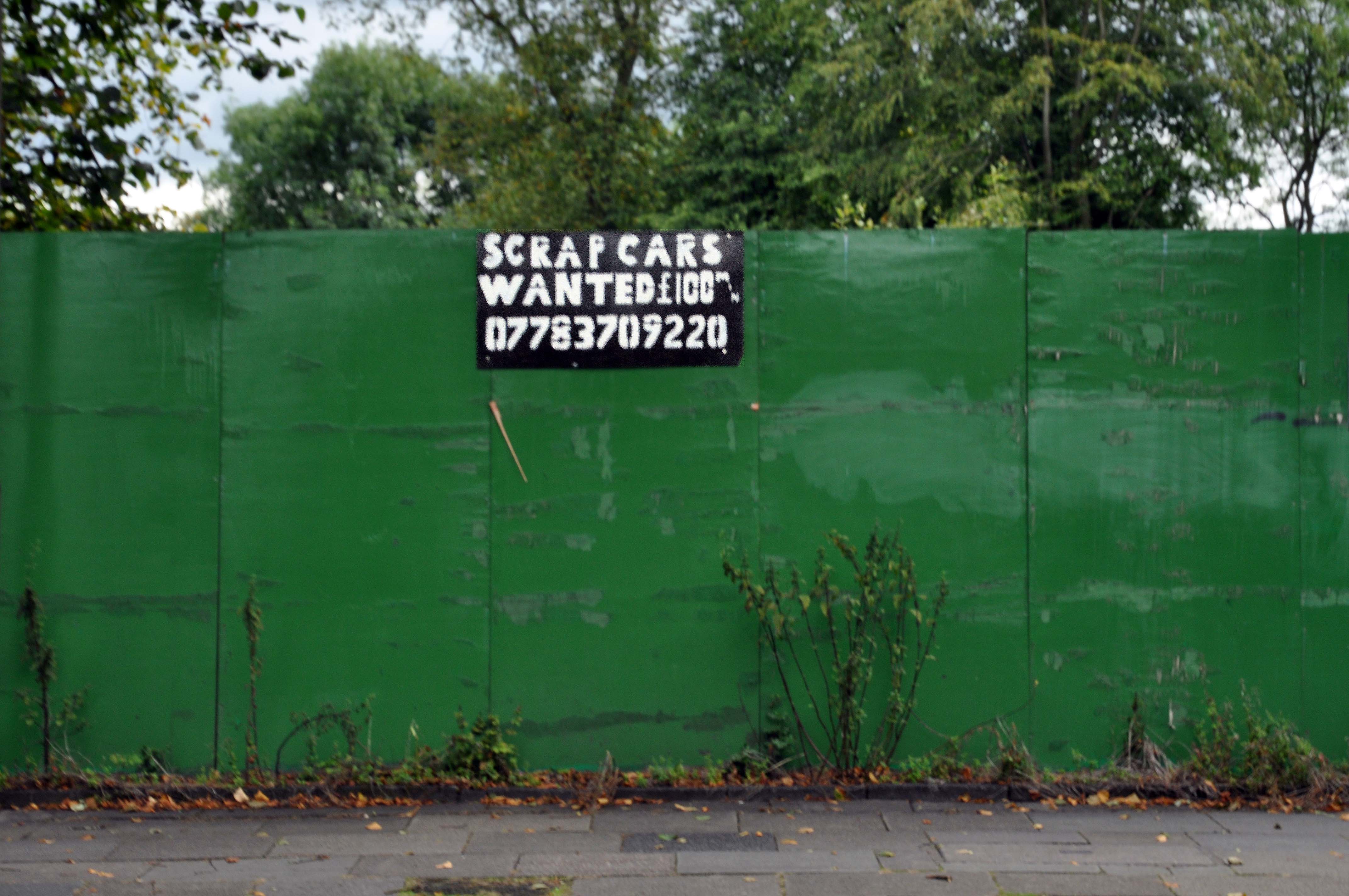
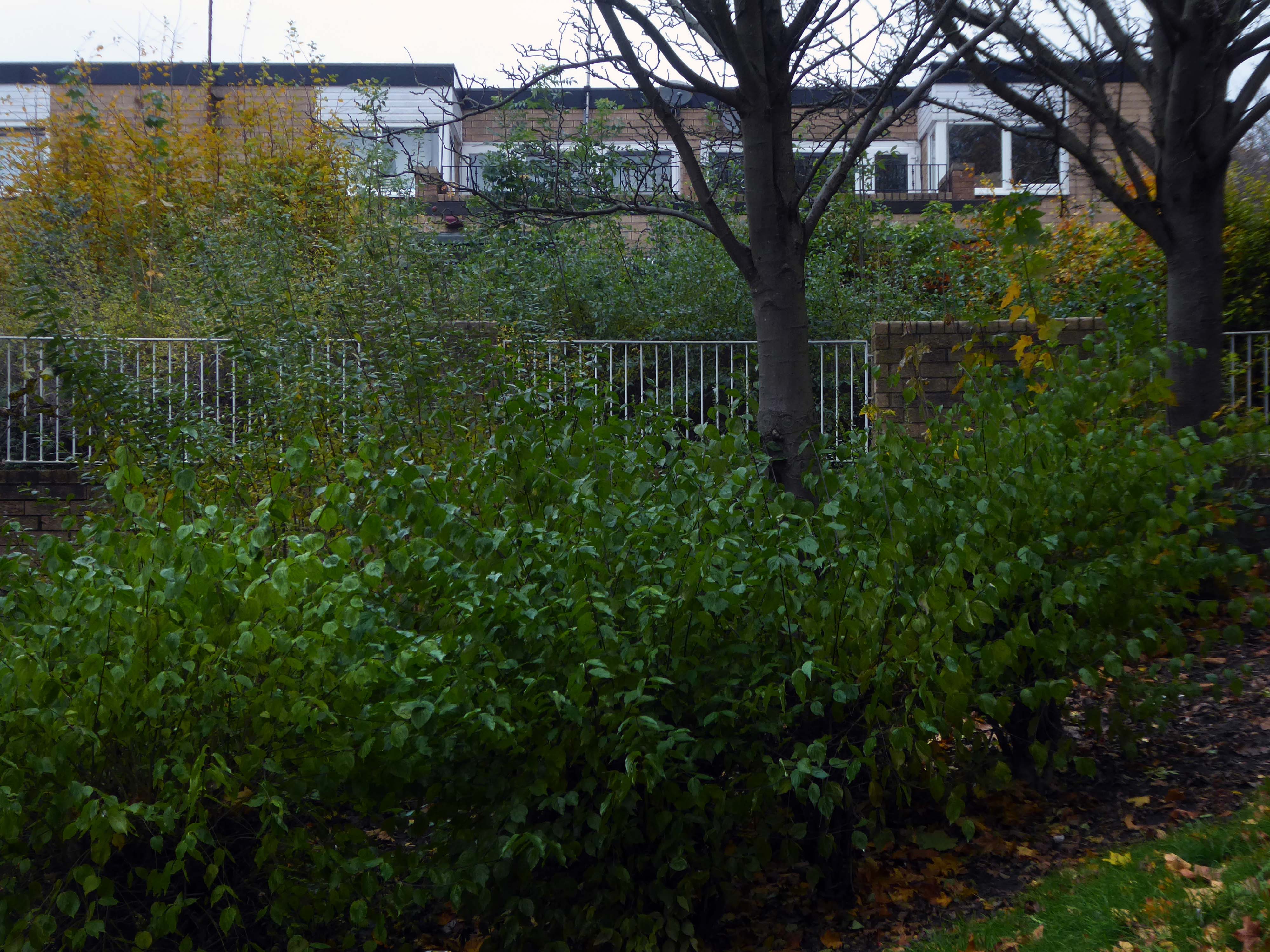
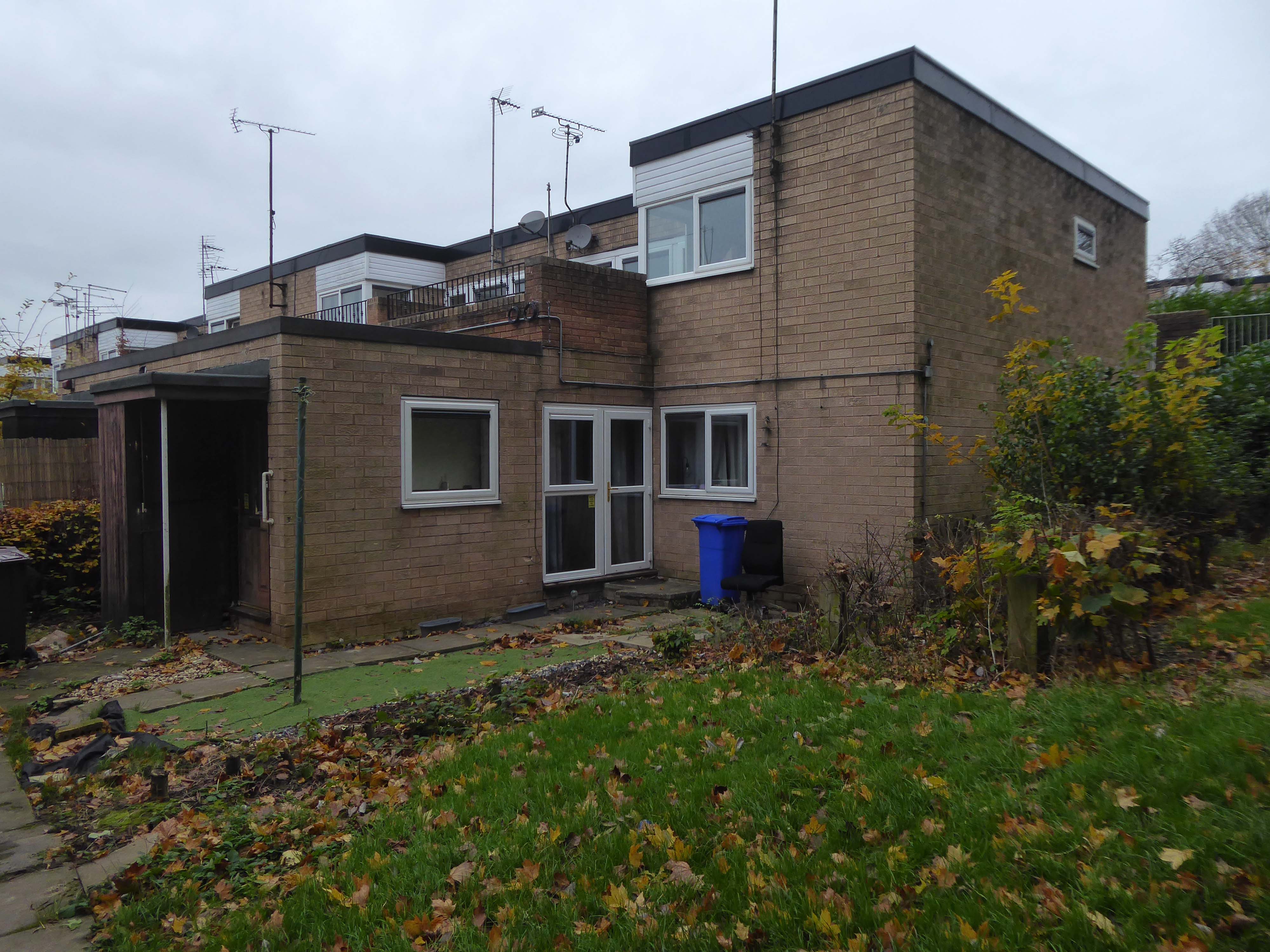
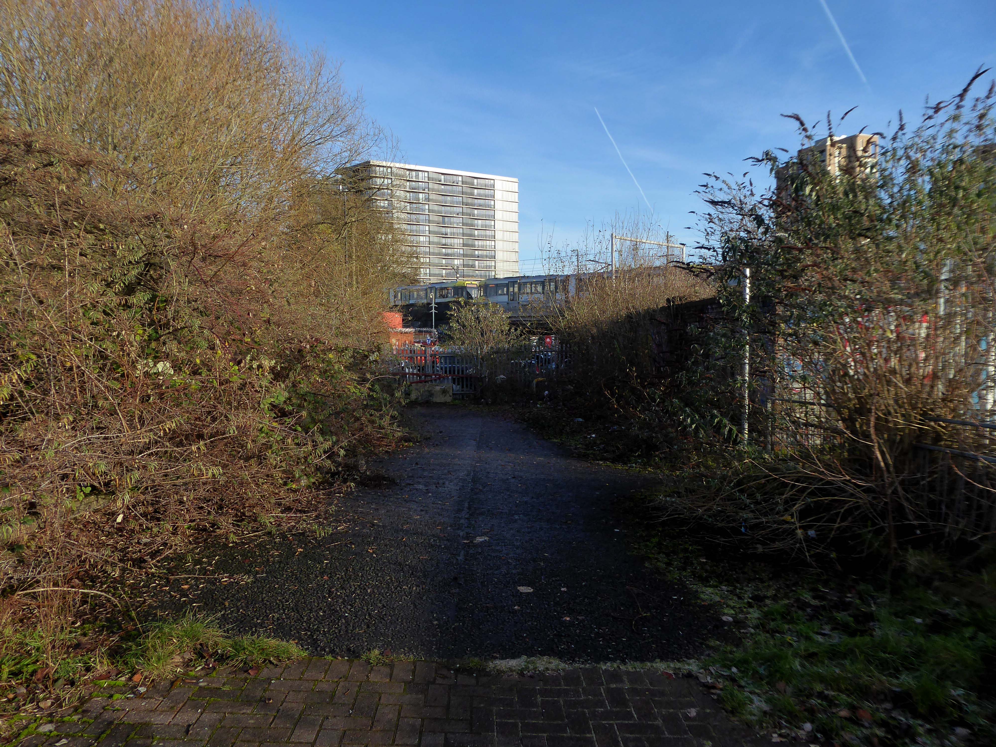
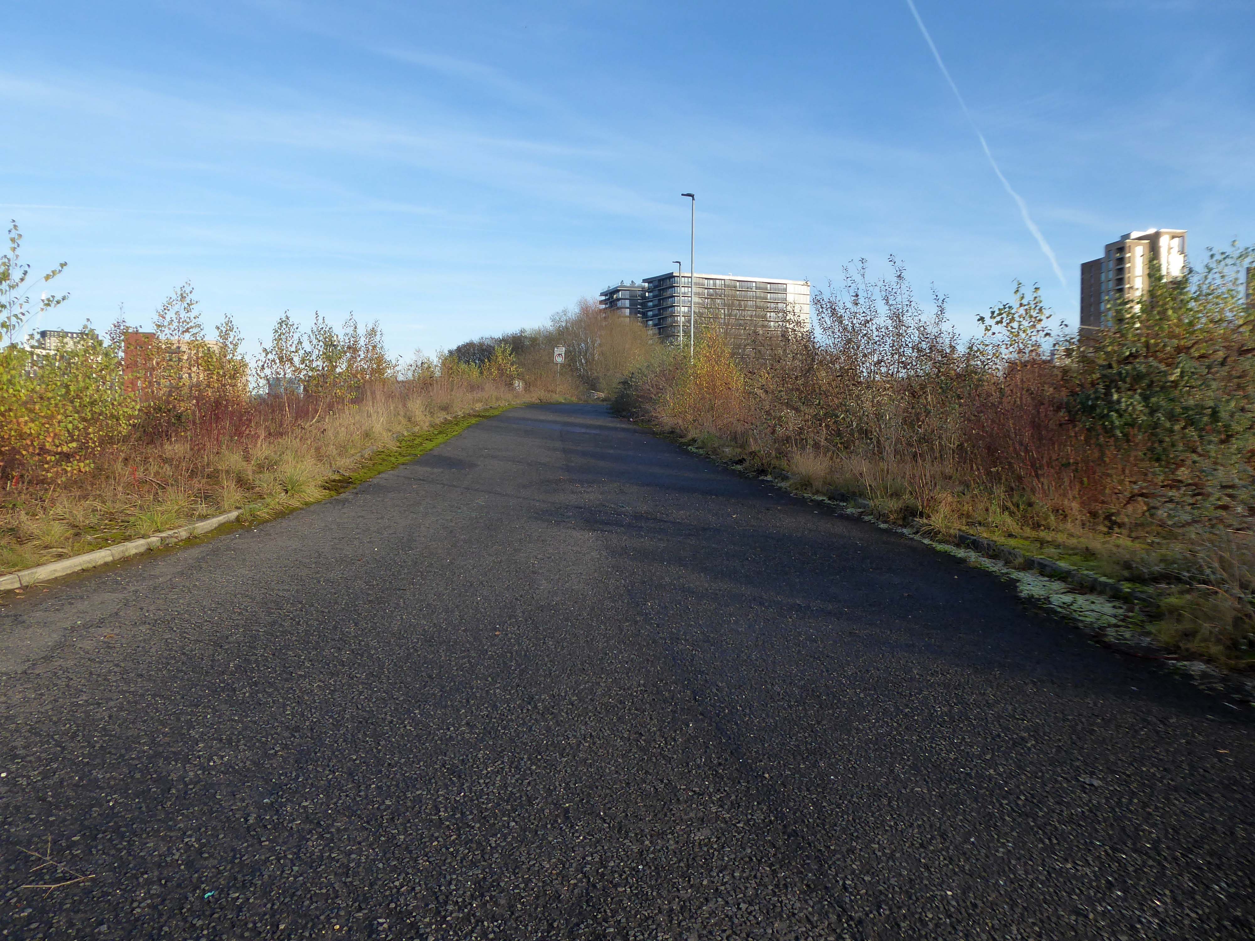
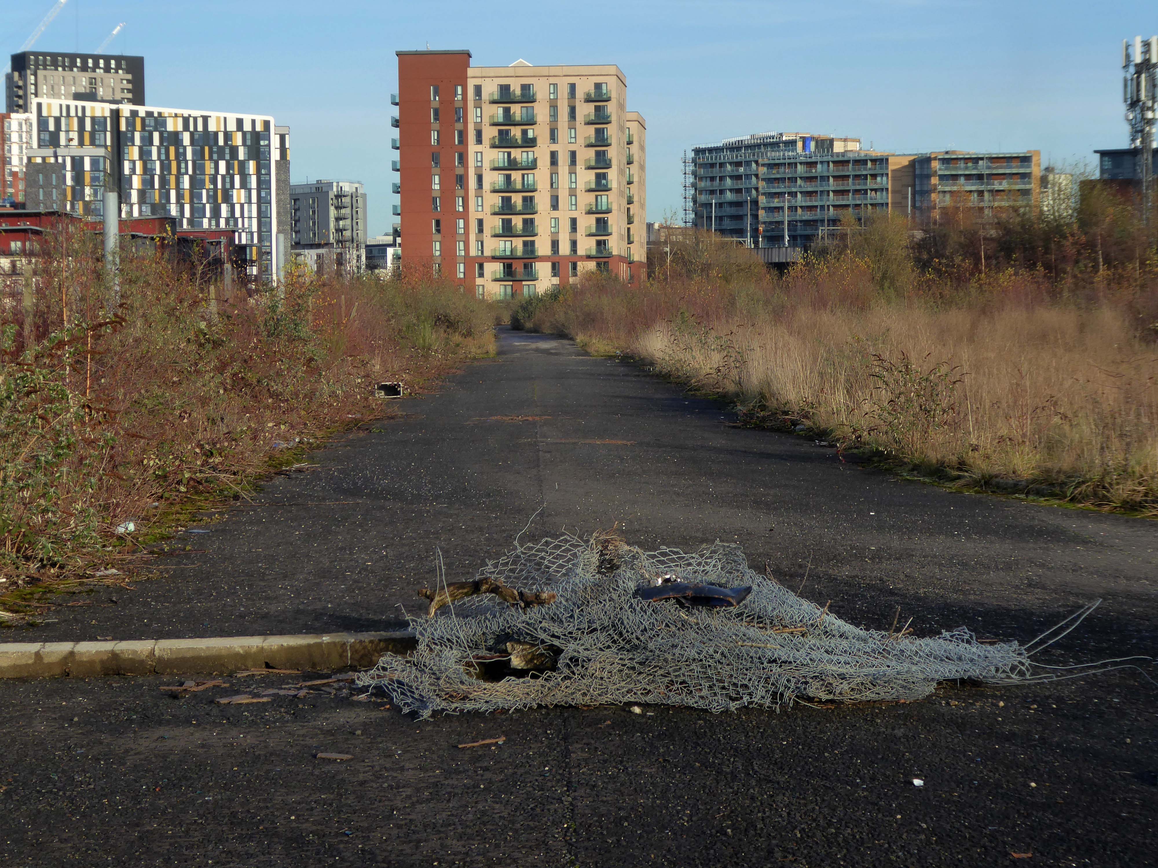
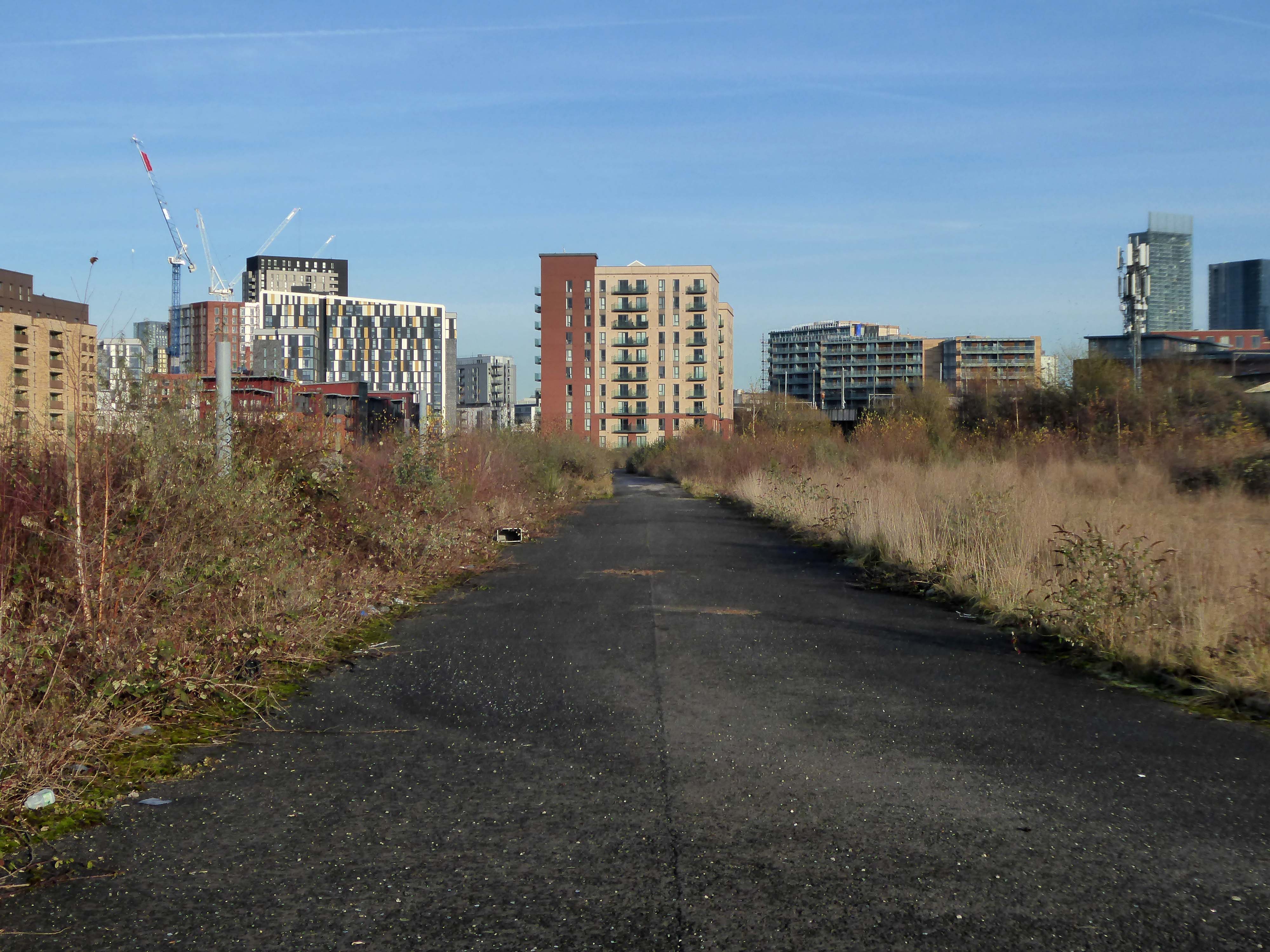
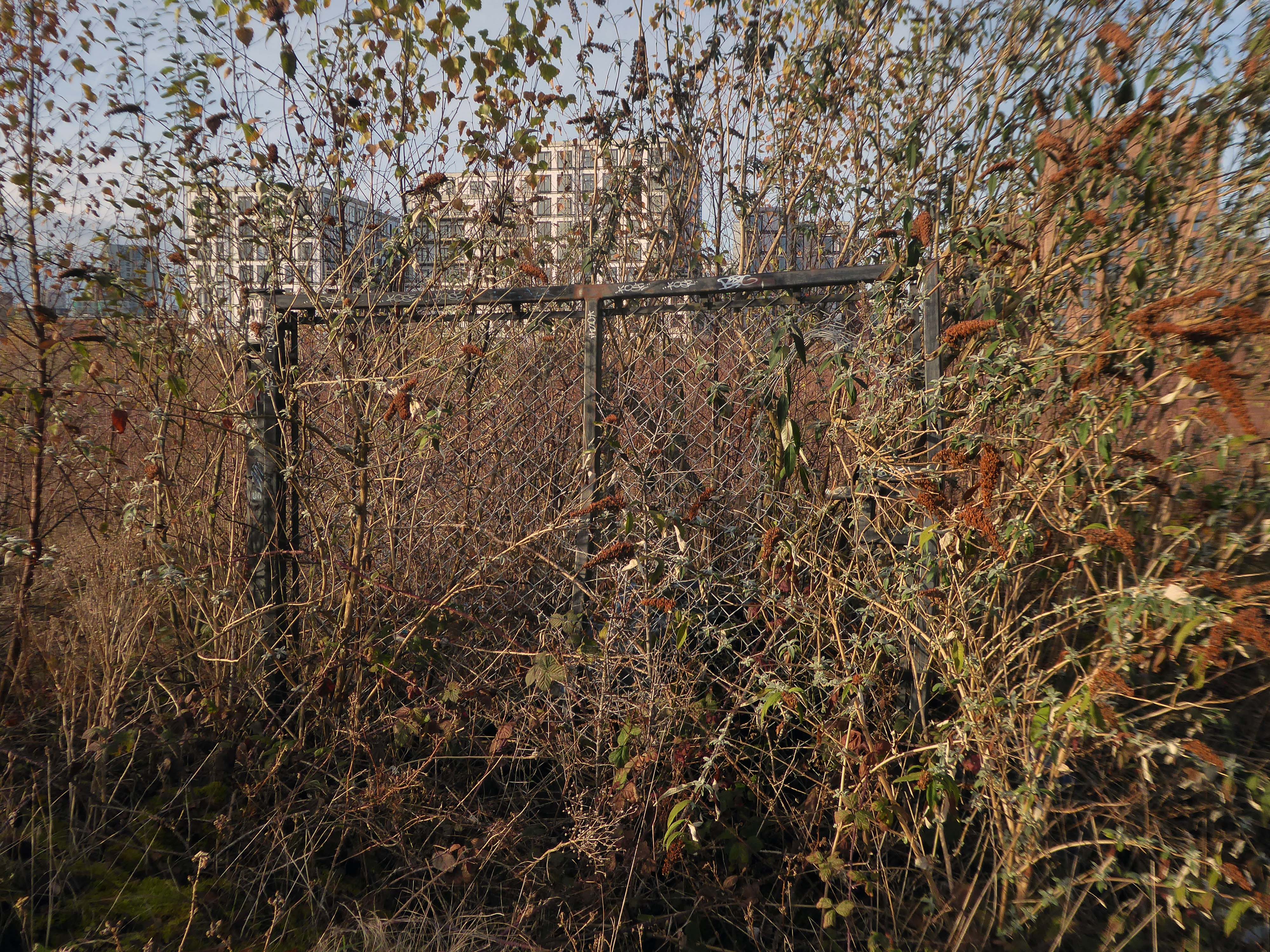
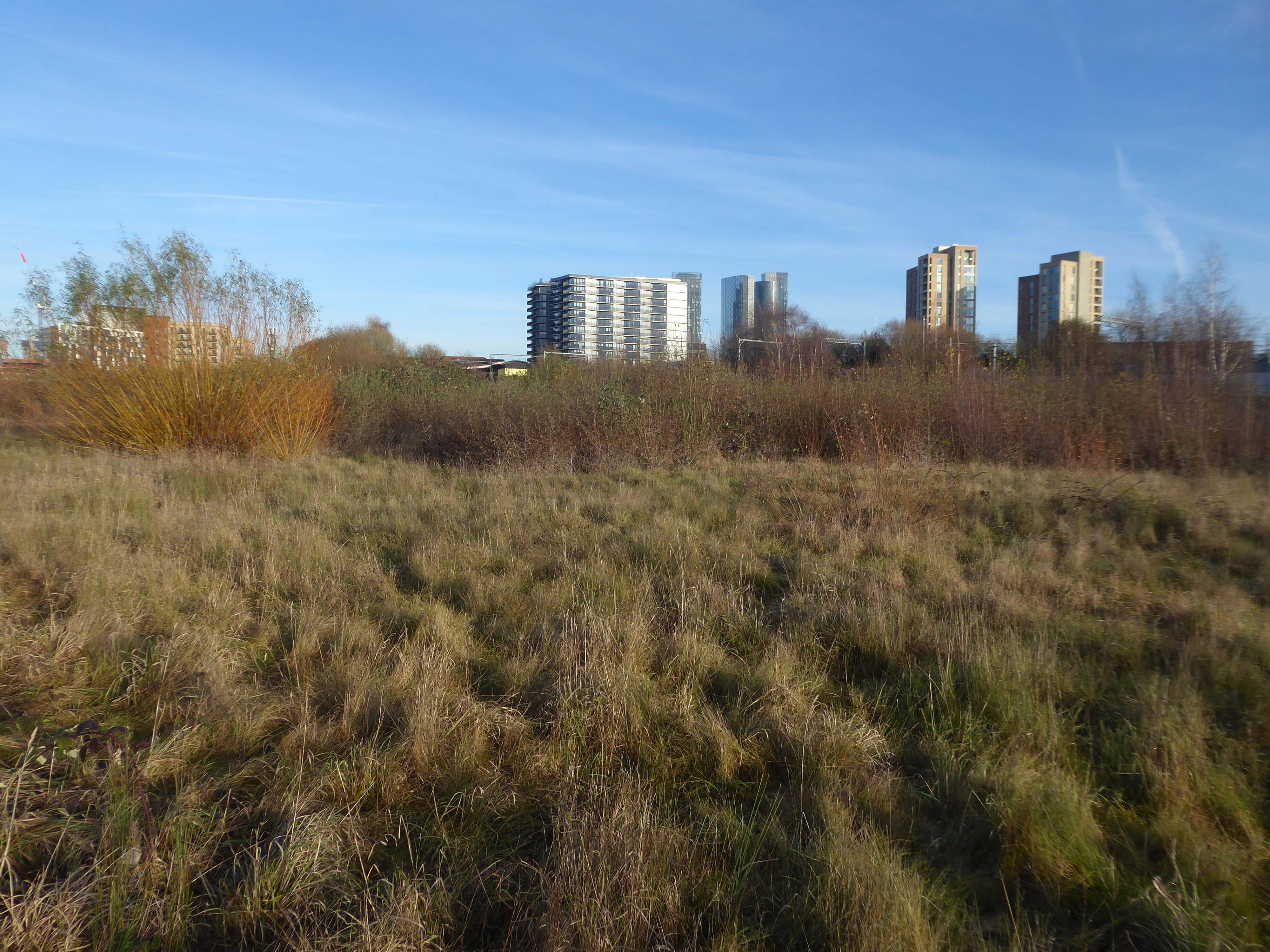
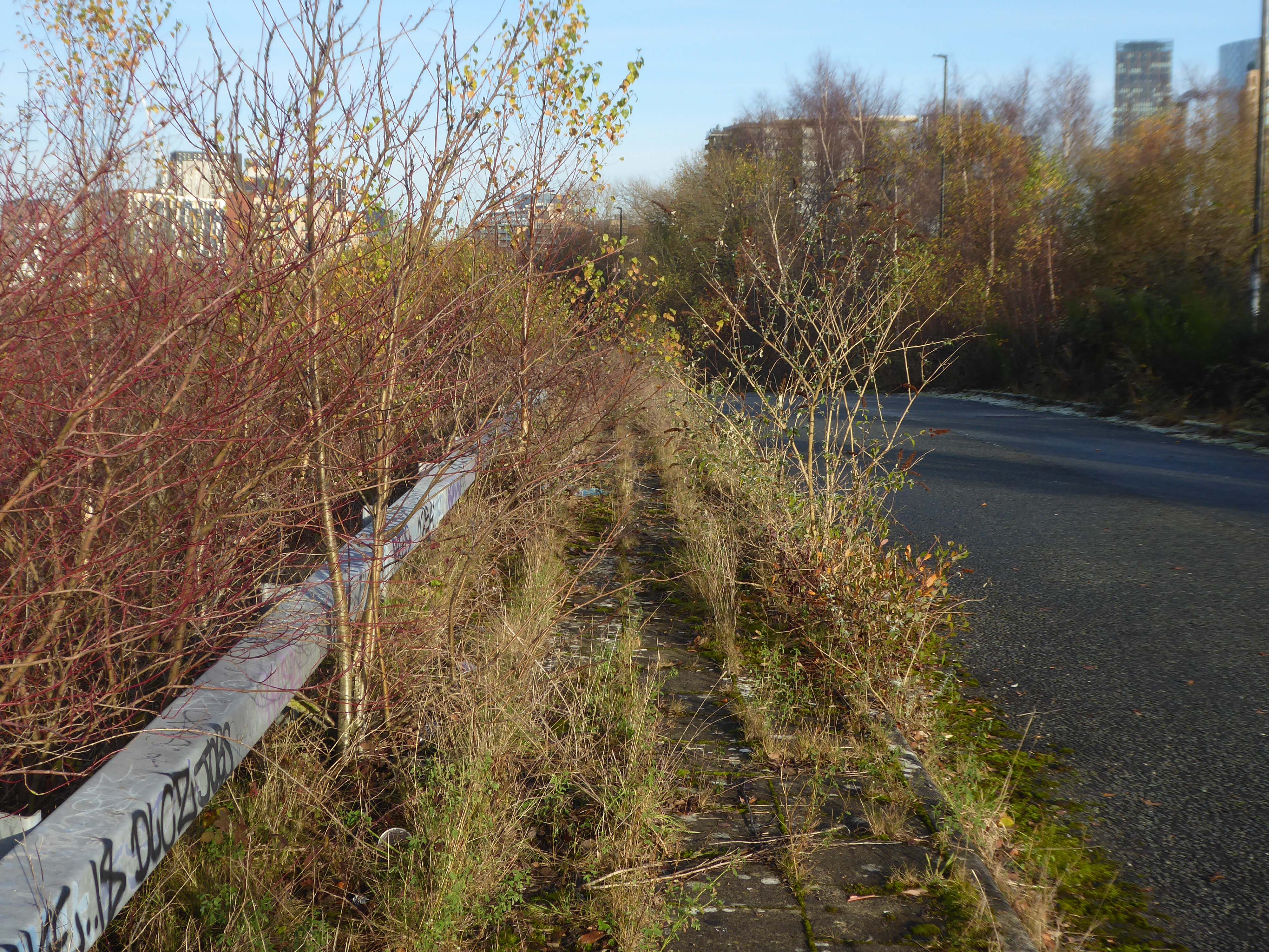
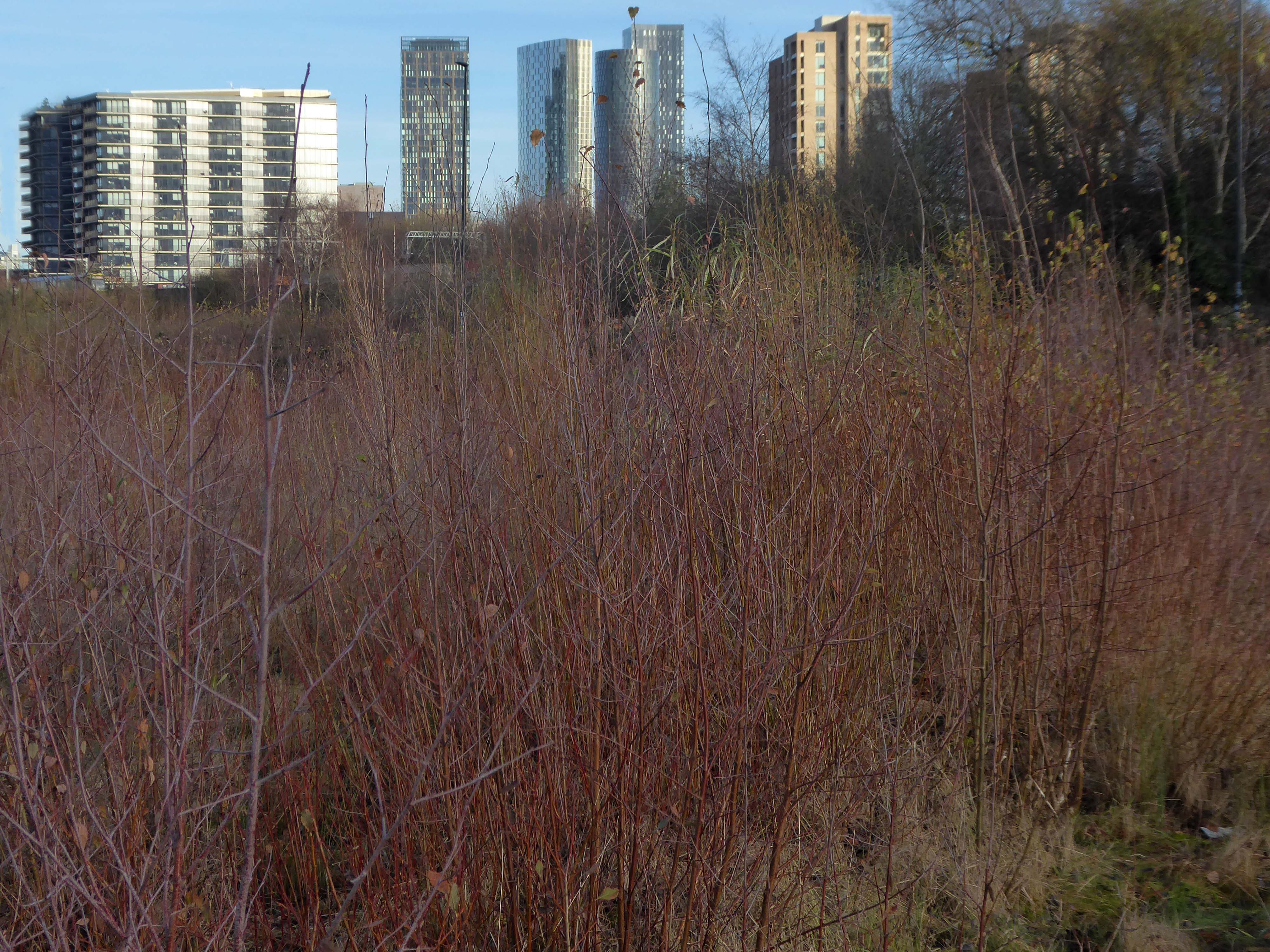
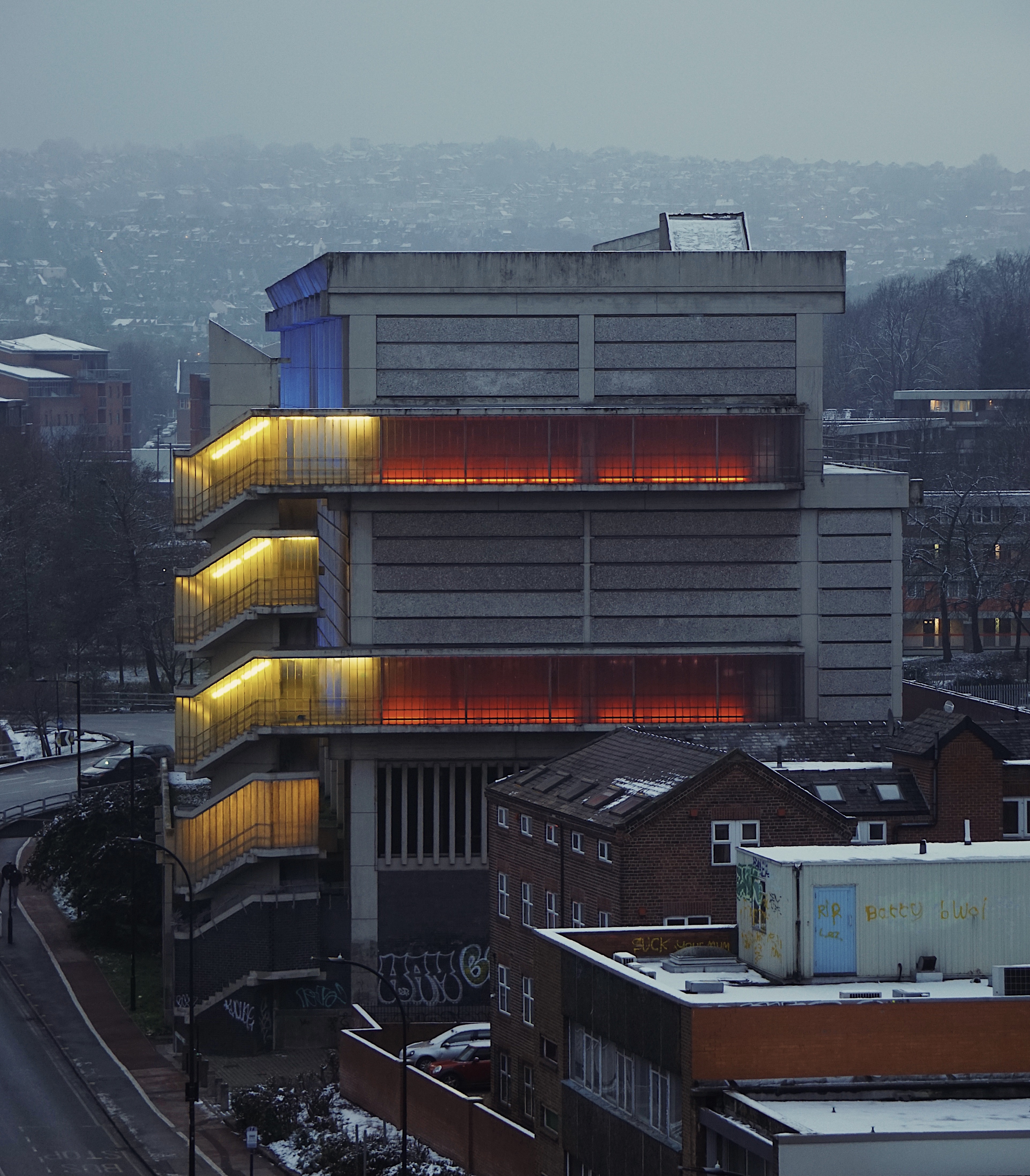
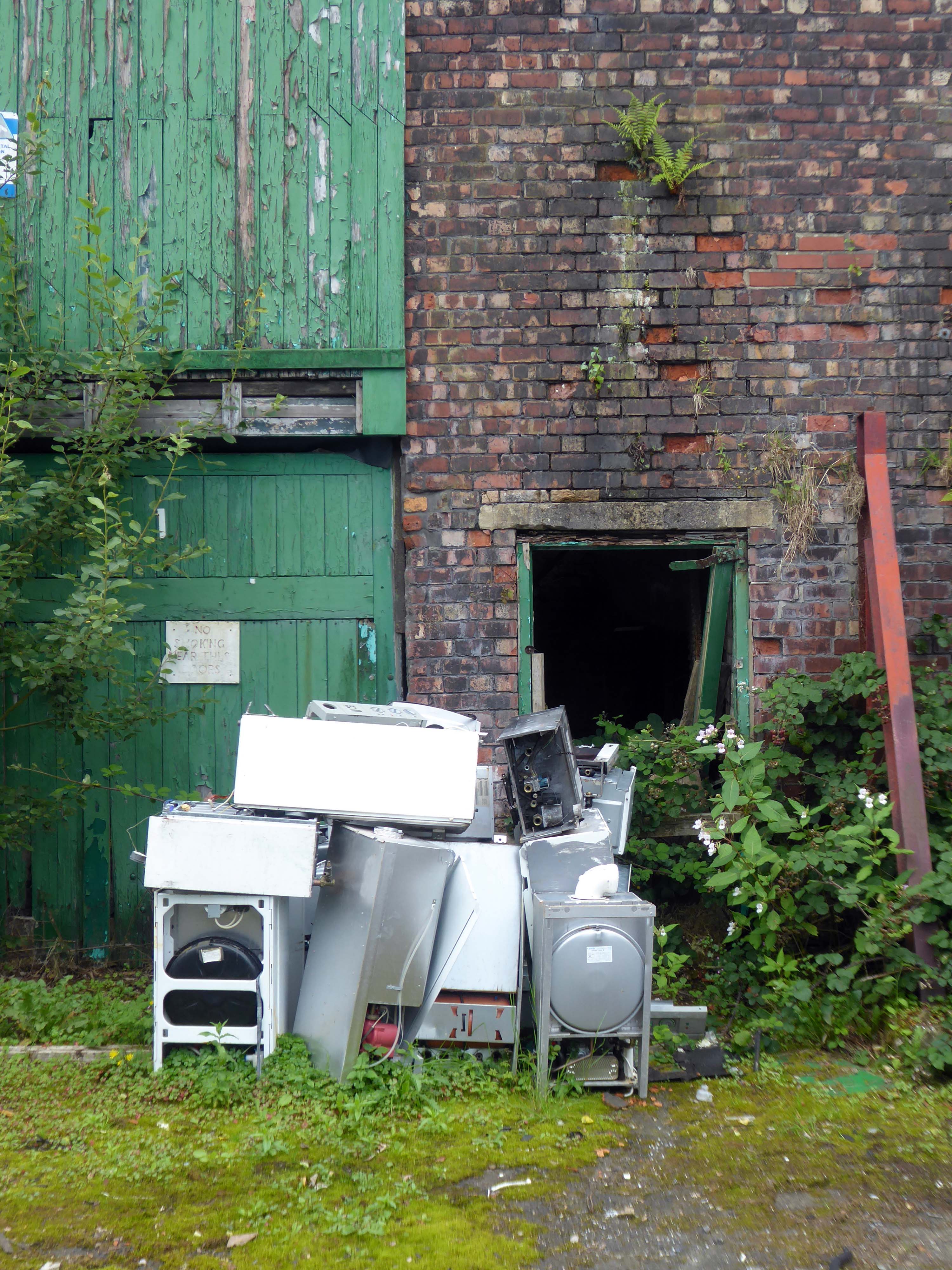
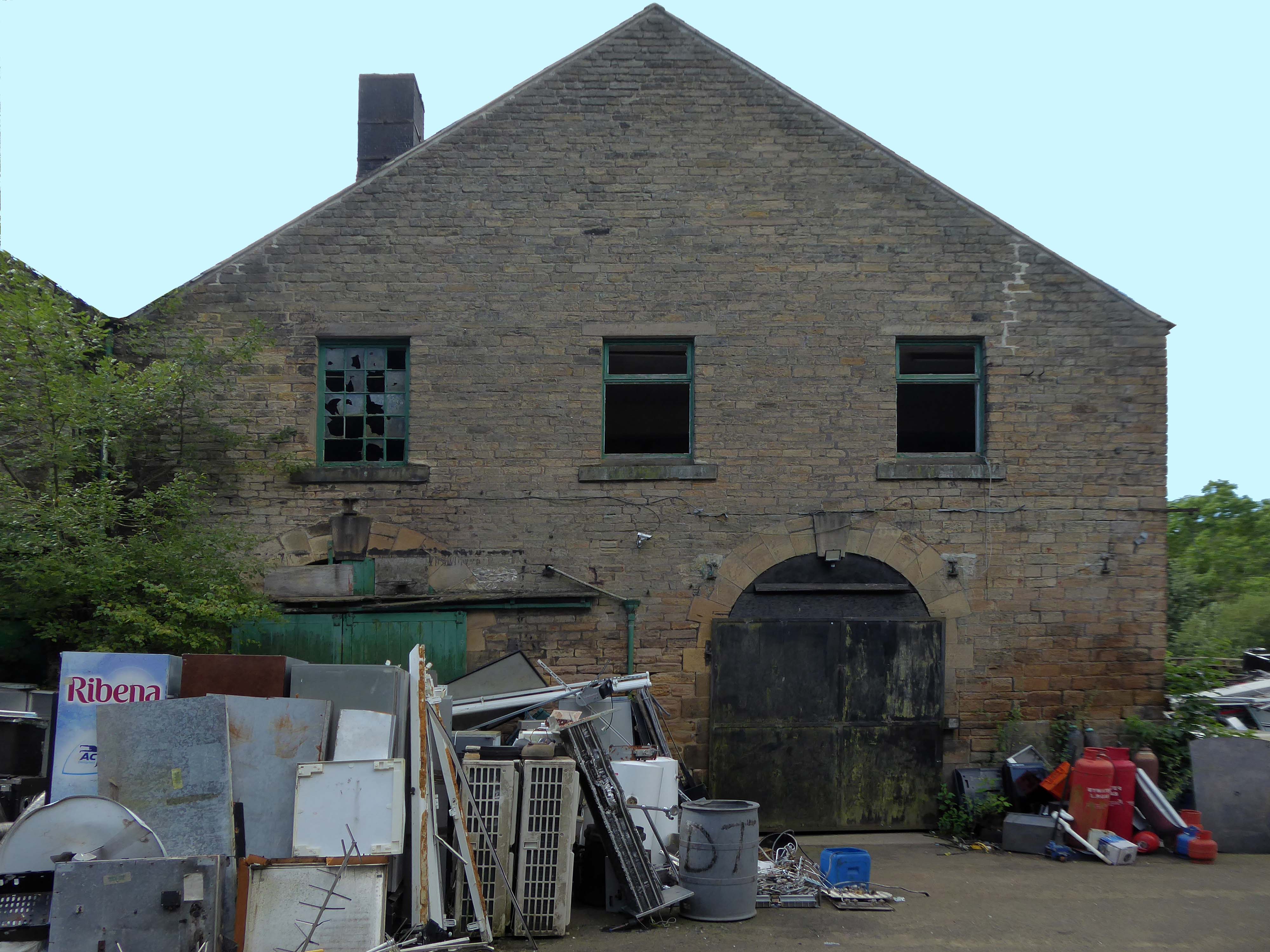
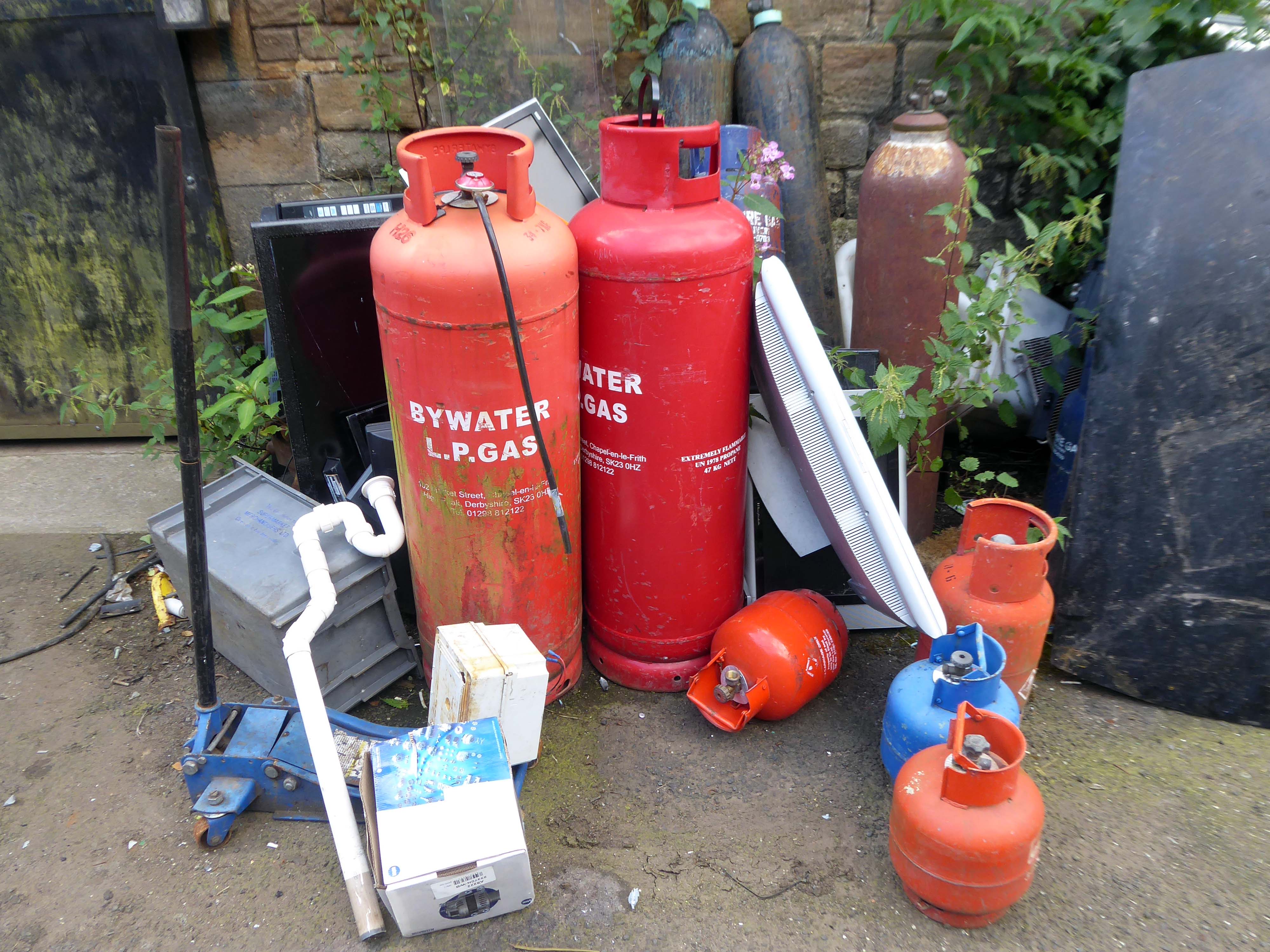
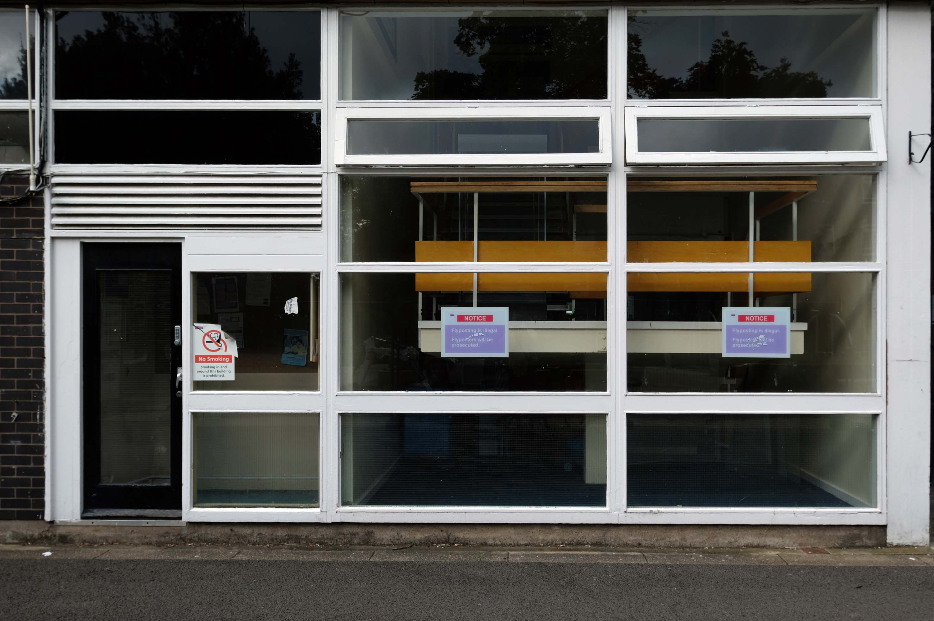
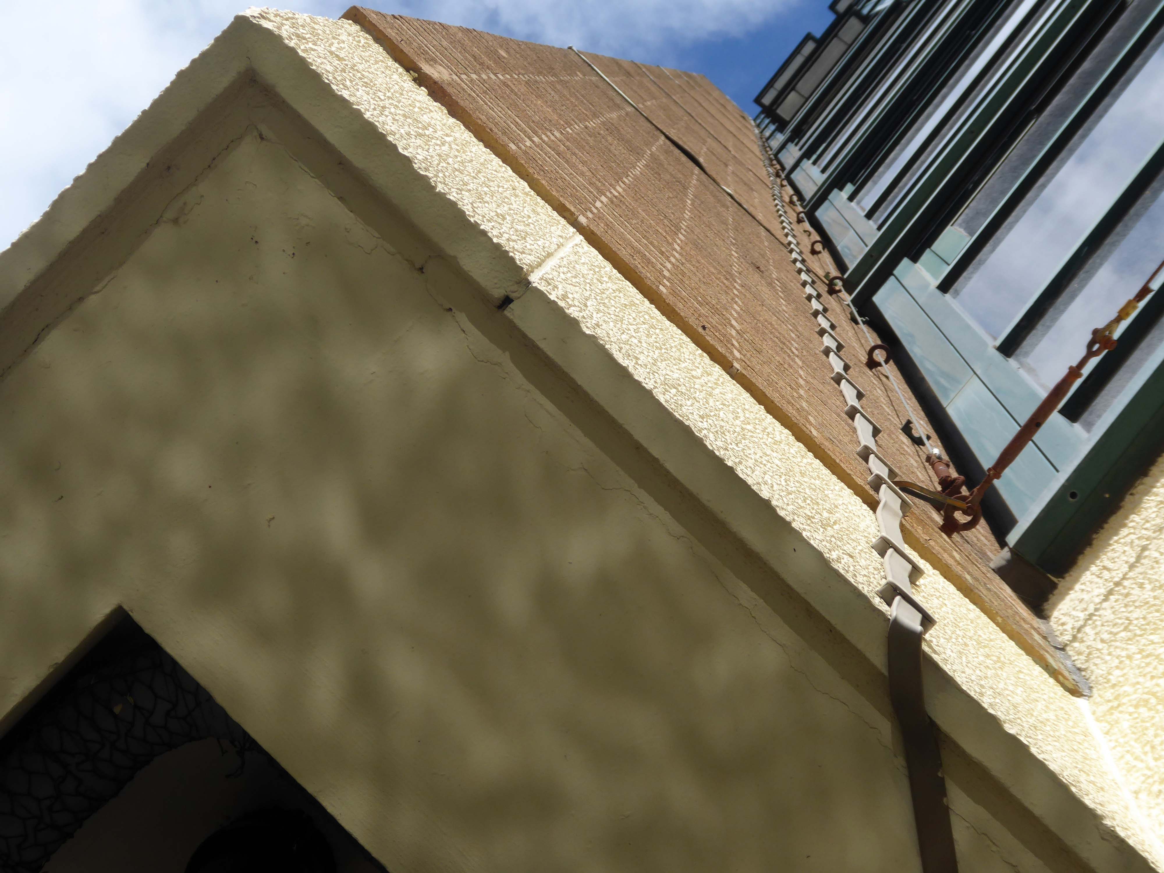
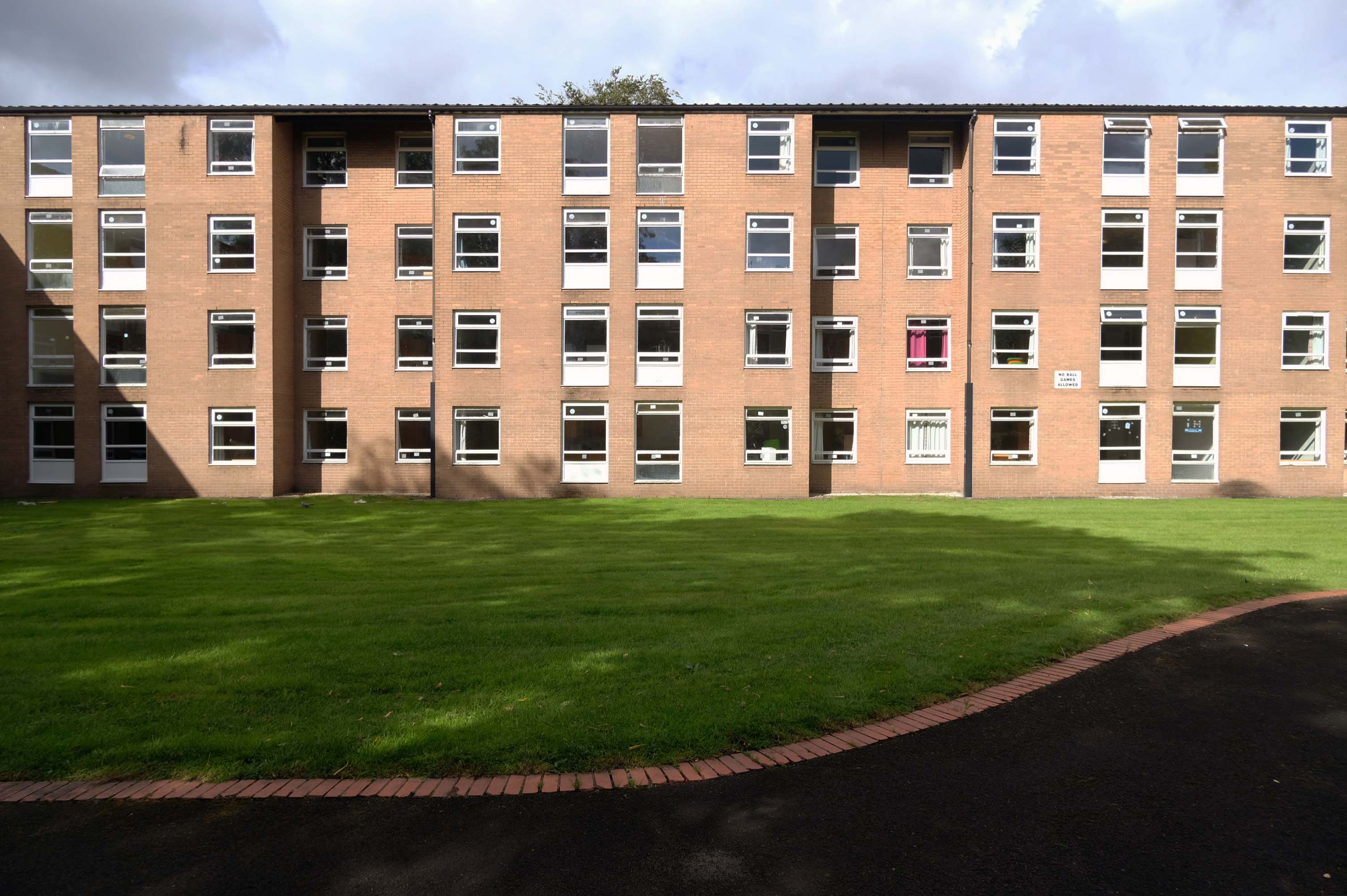
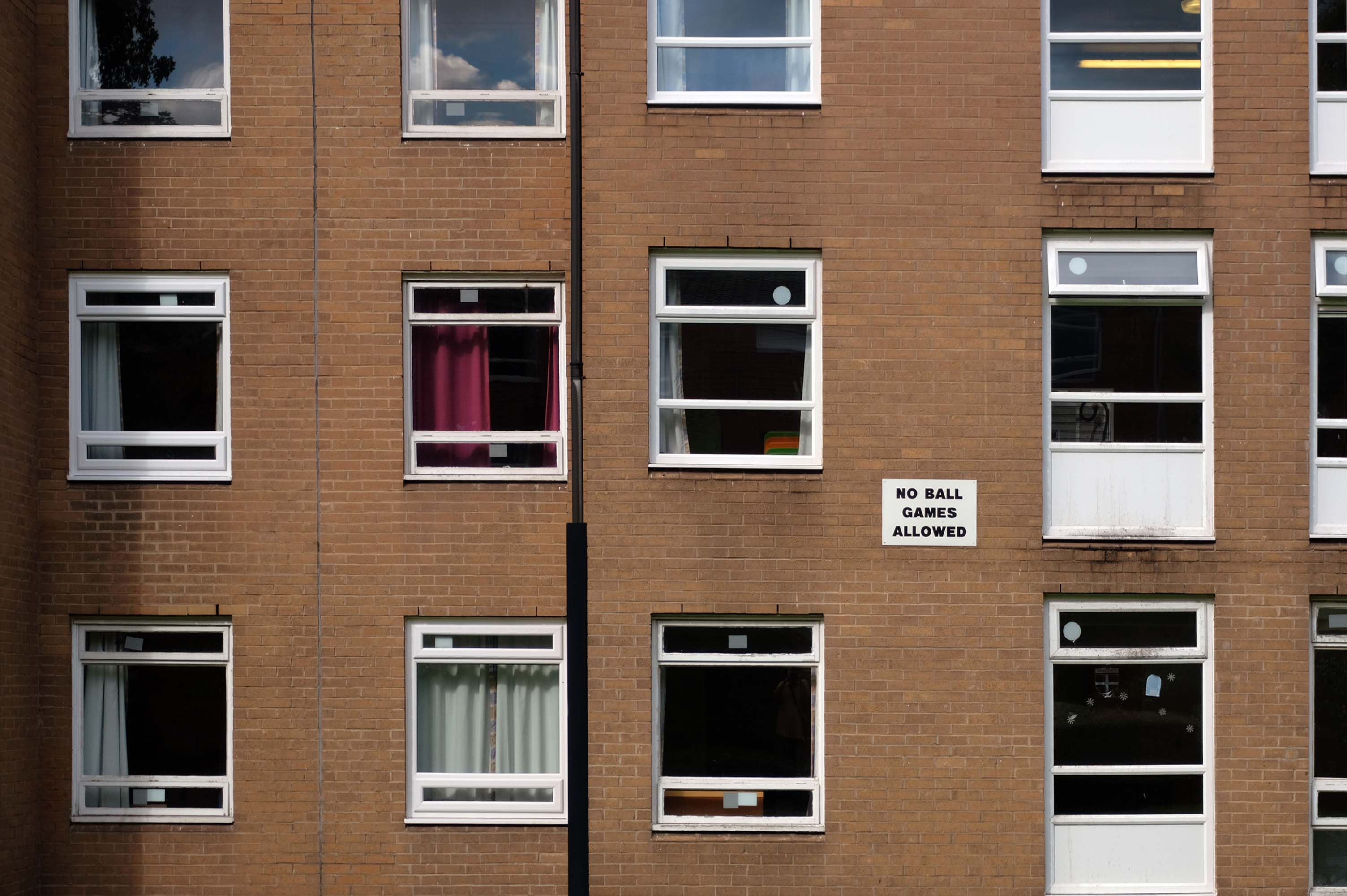
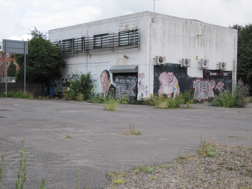
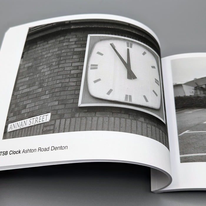
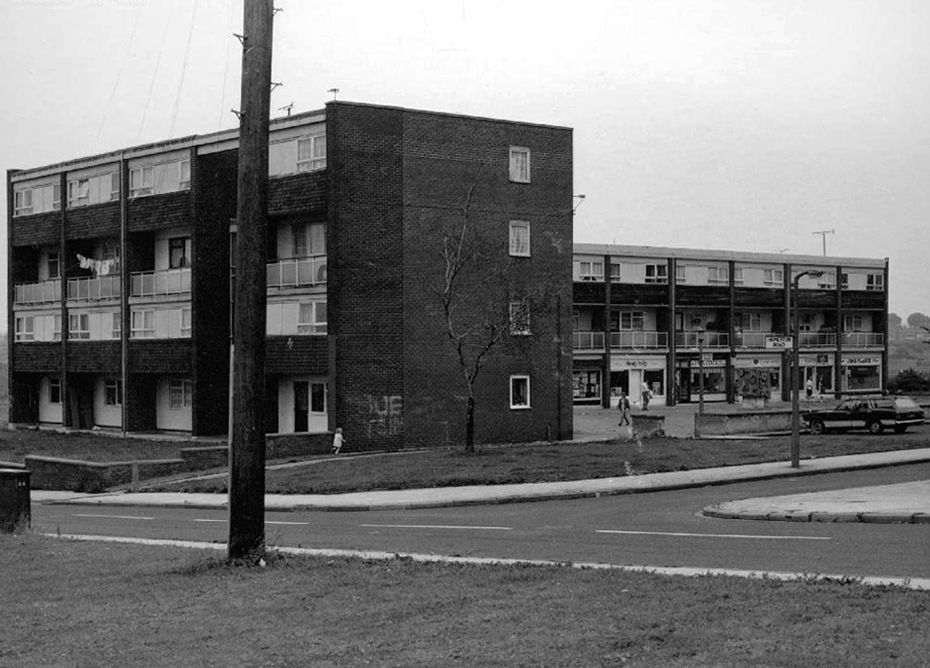
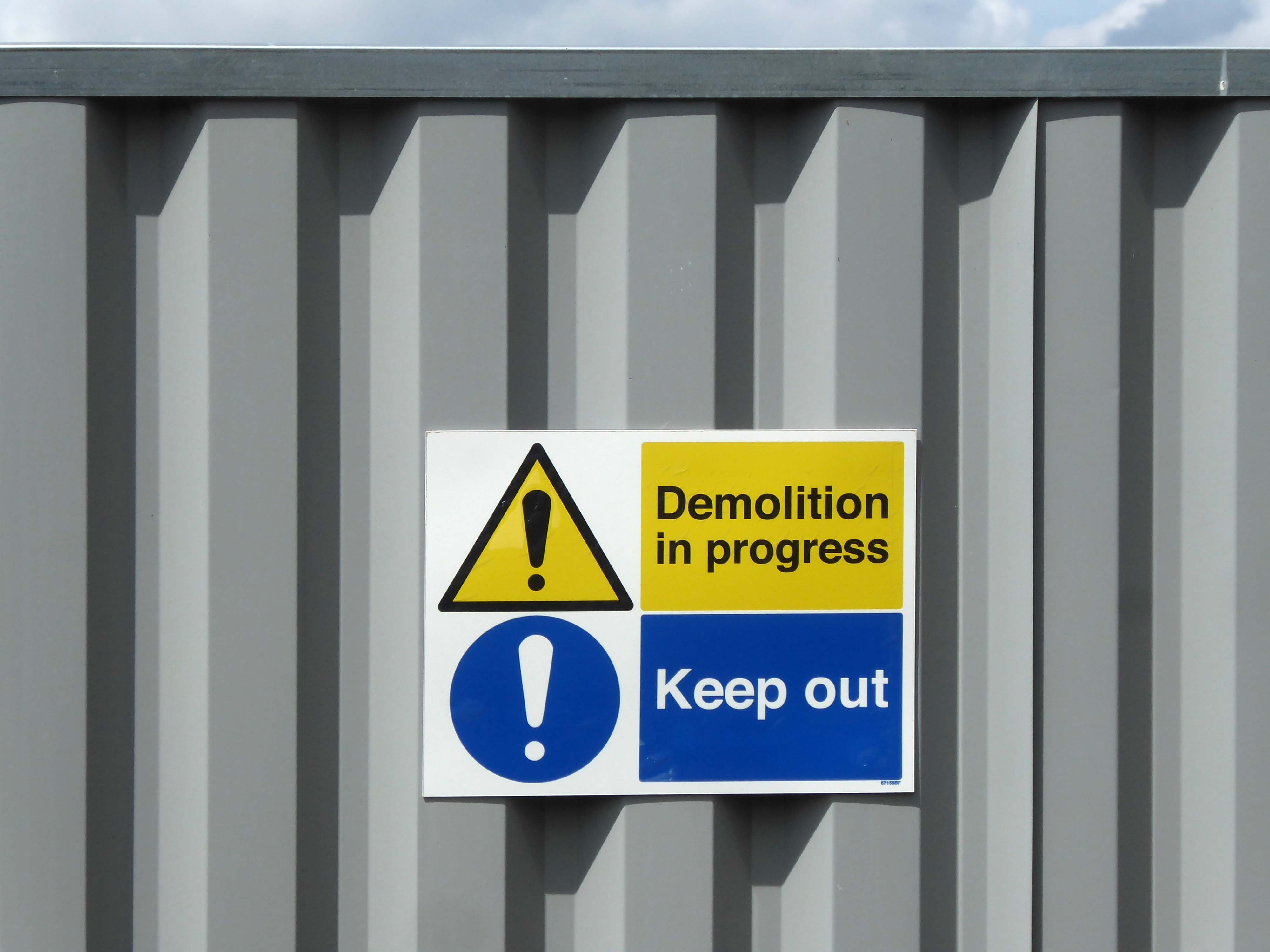
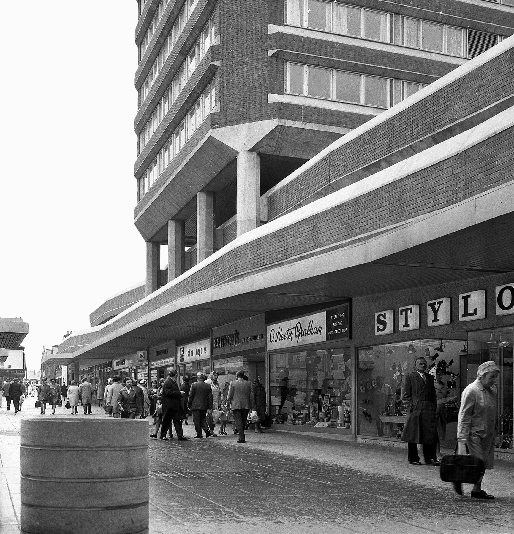
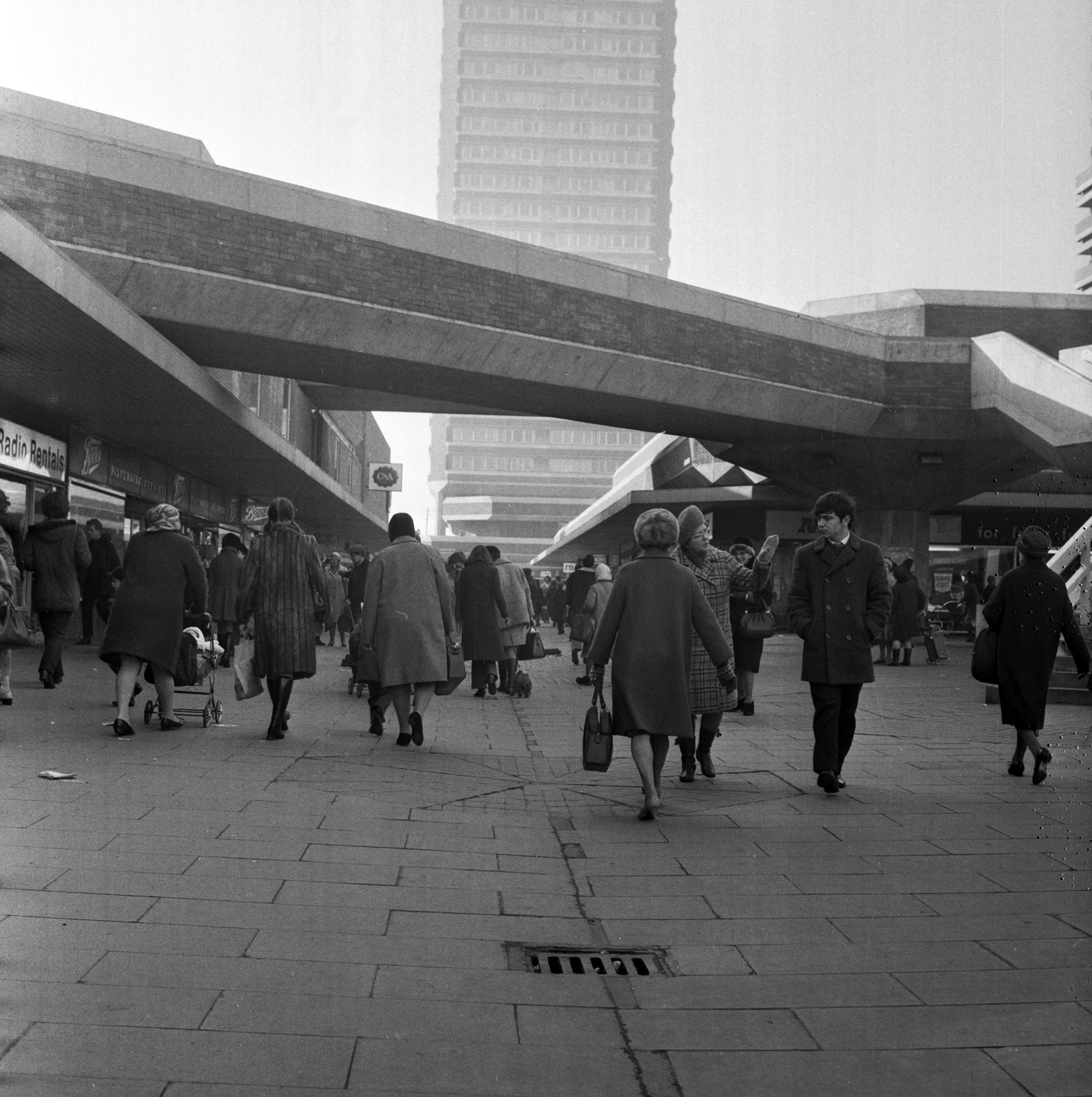
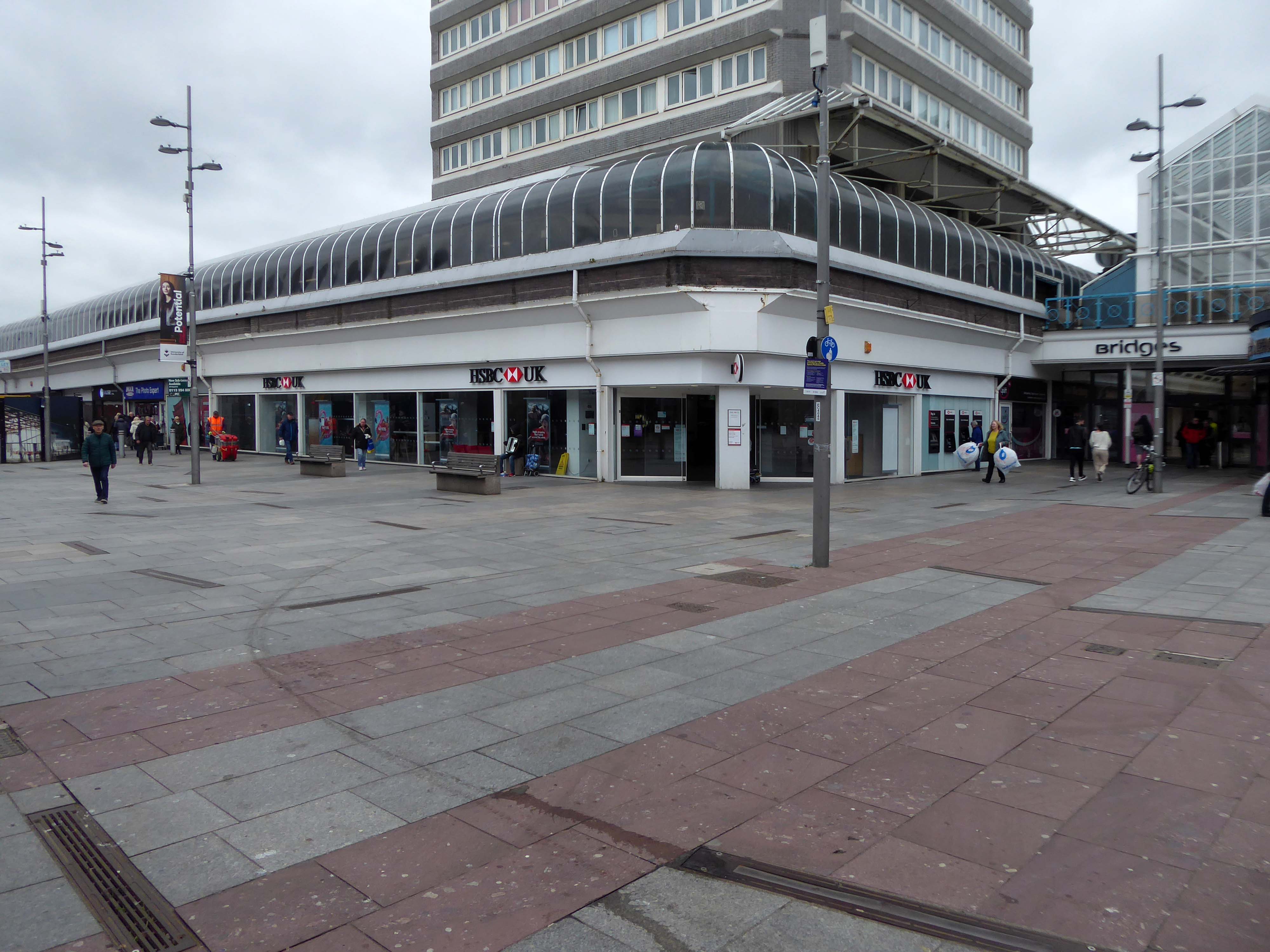
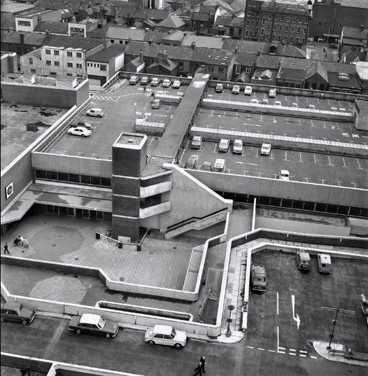
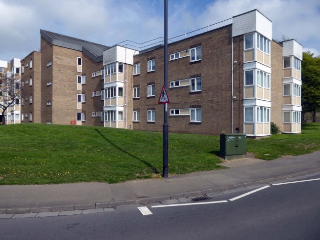
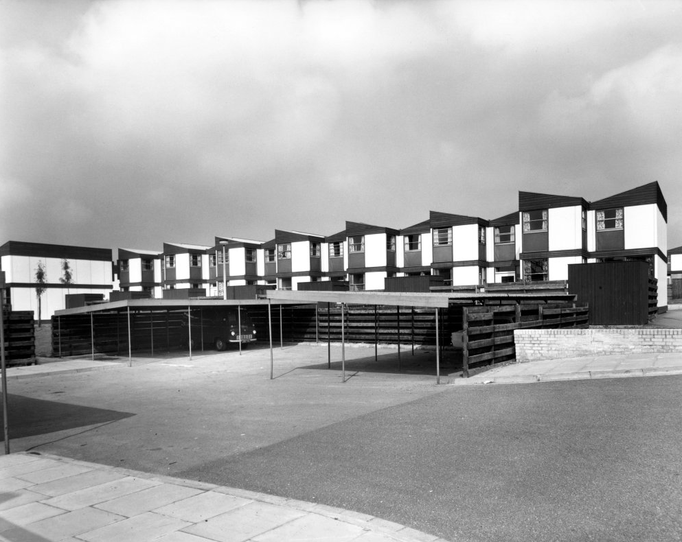
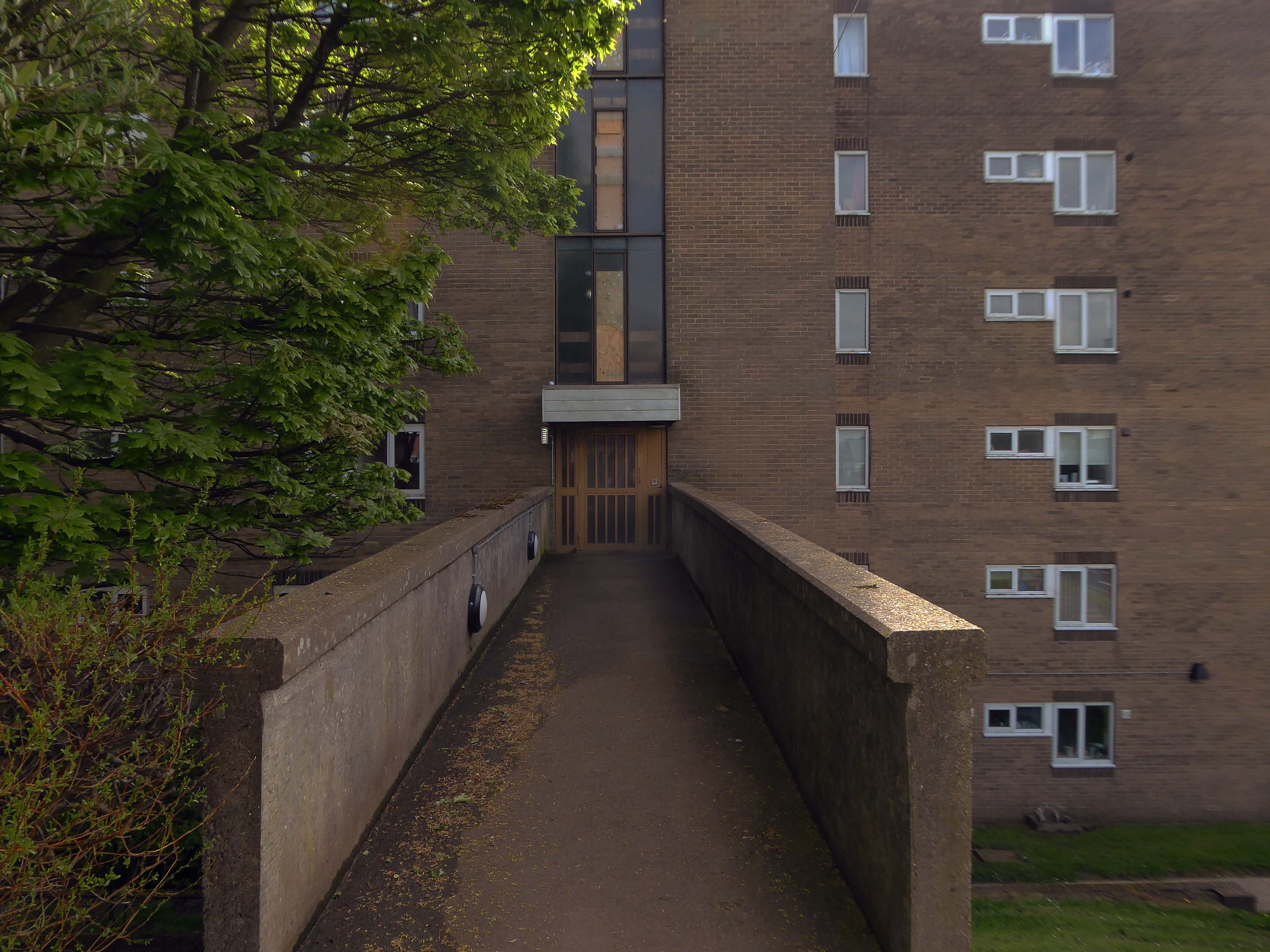
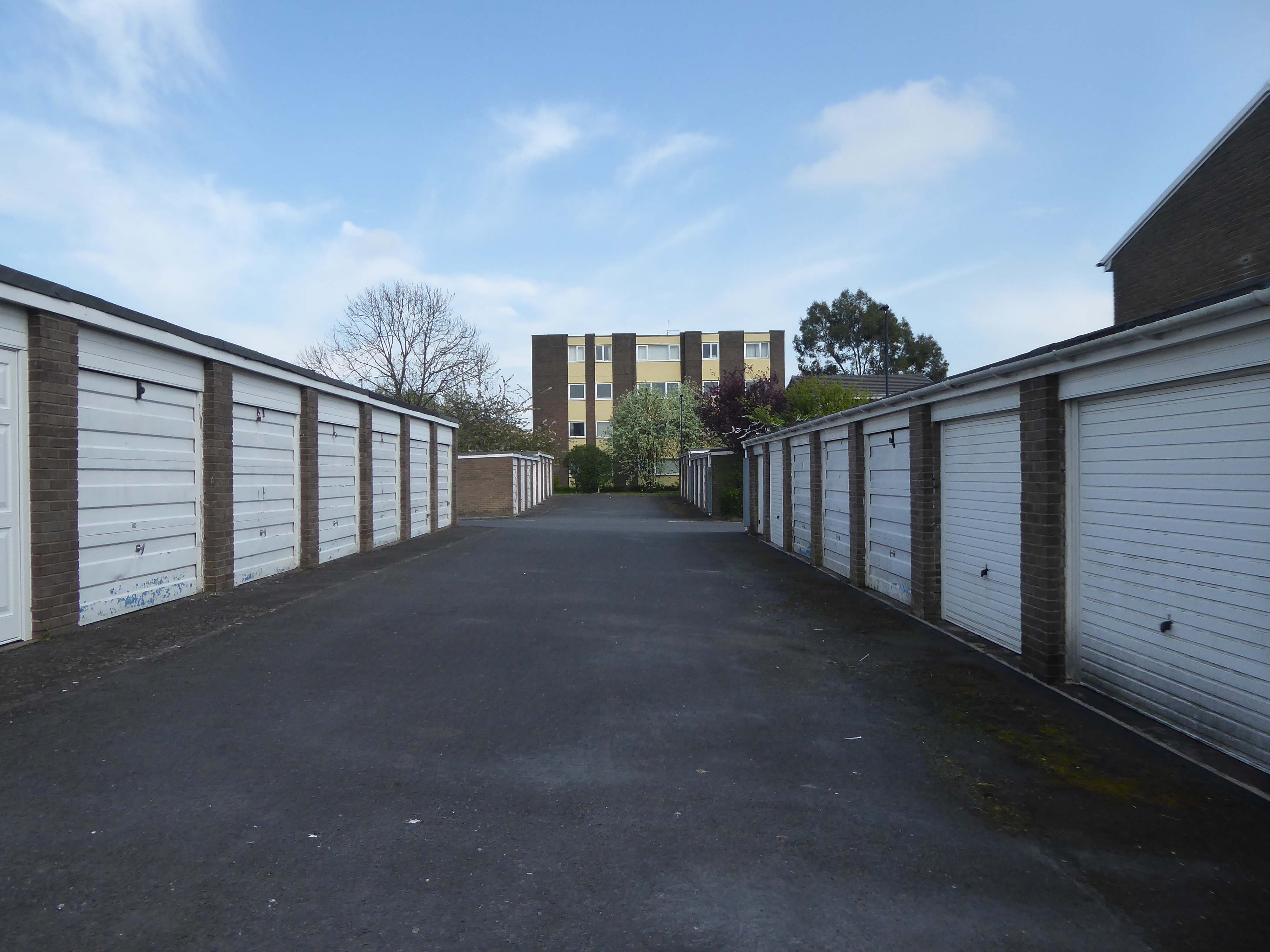
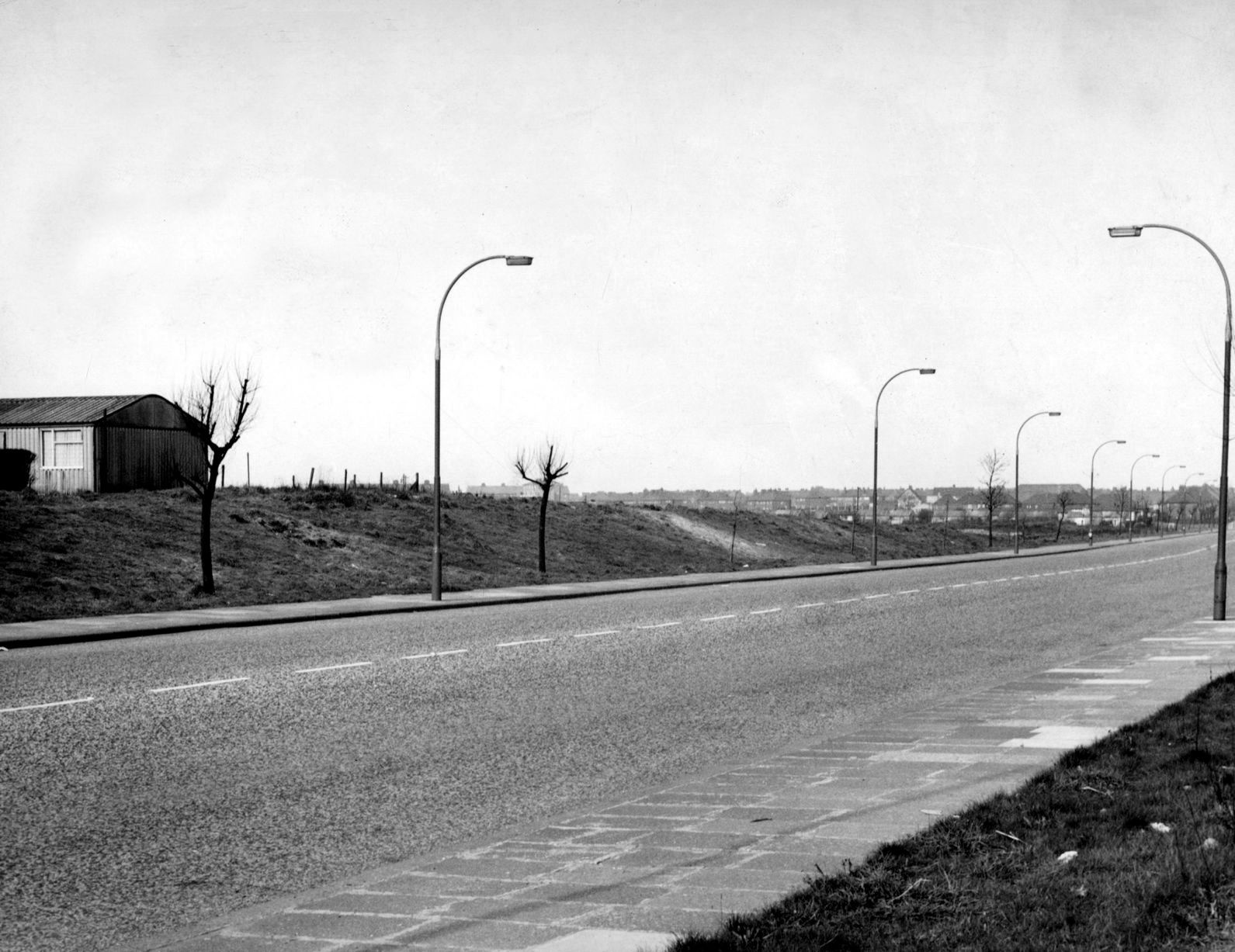
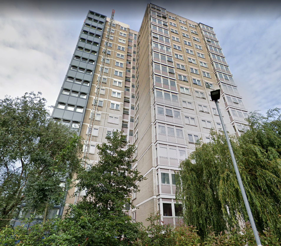
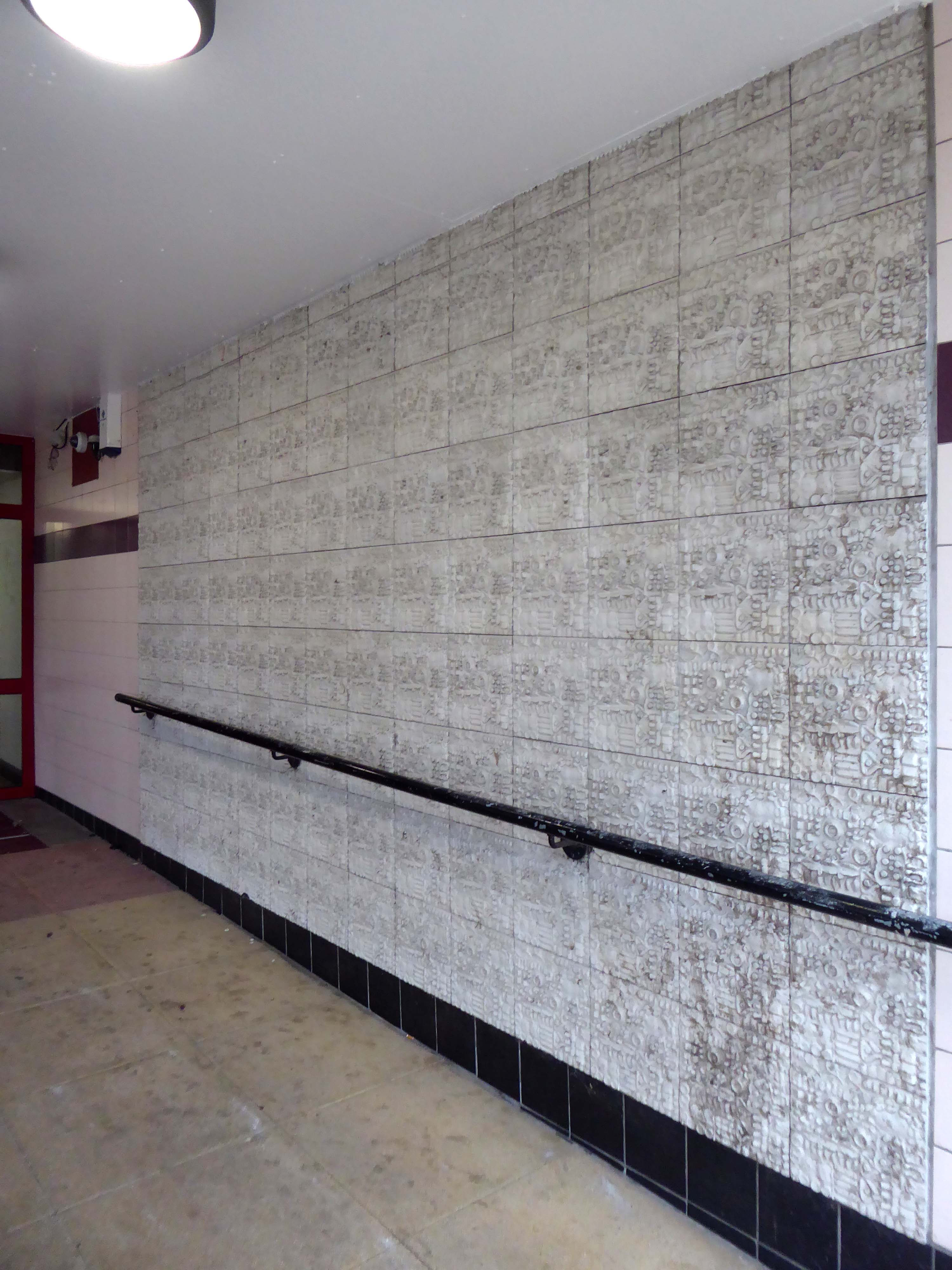
But what will we see along the way, as we hasten along Rochdale Road?
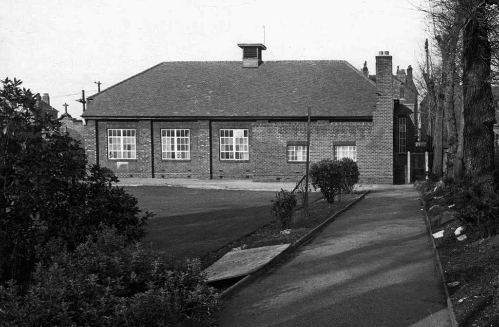
Which once looked like this, way back when in 1904.
Though some things inevitably come and go, as some things are prone to do.
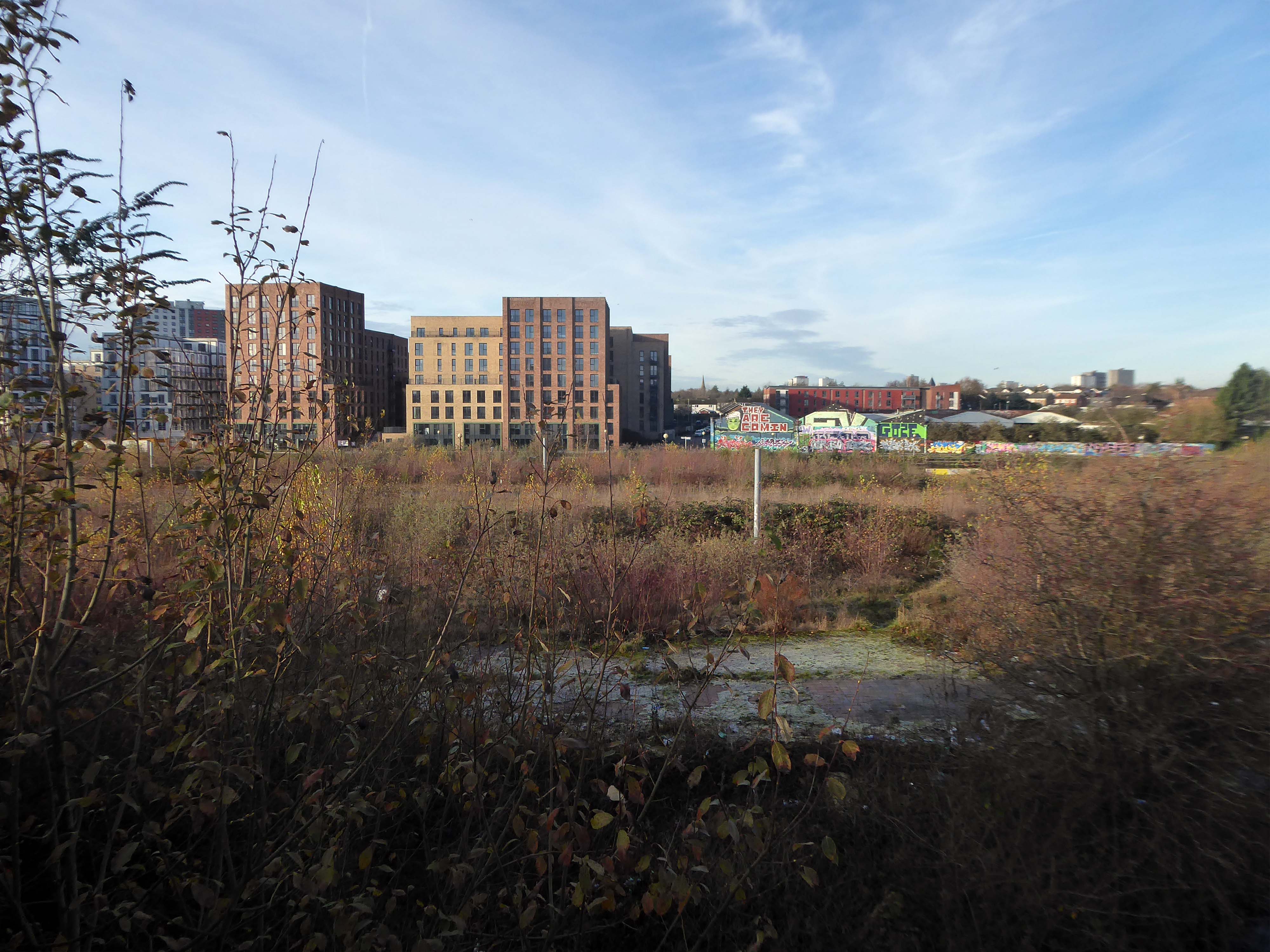
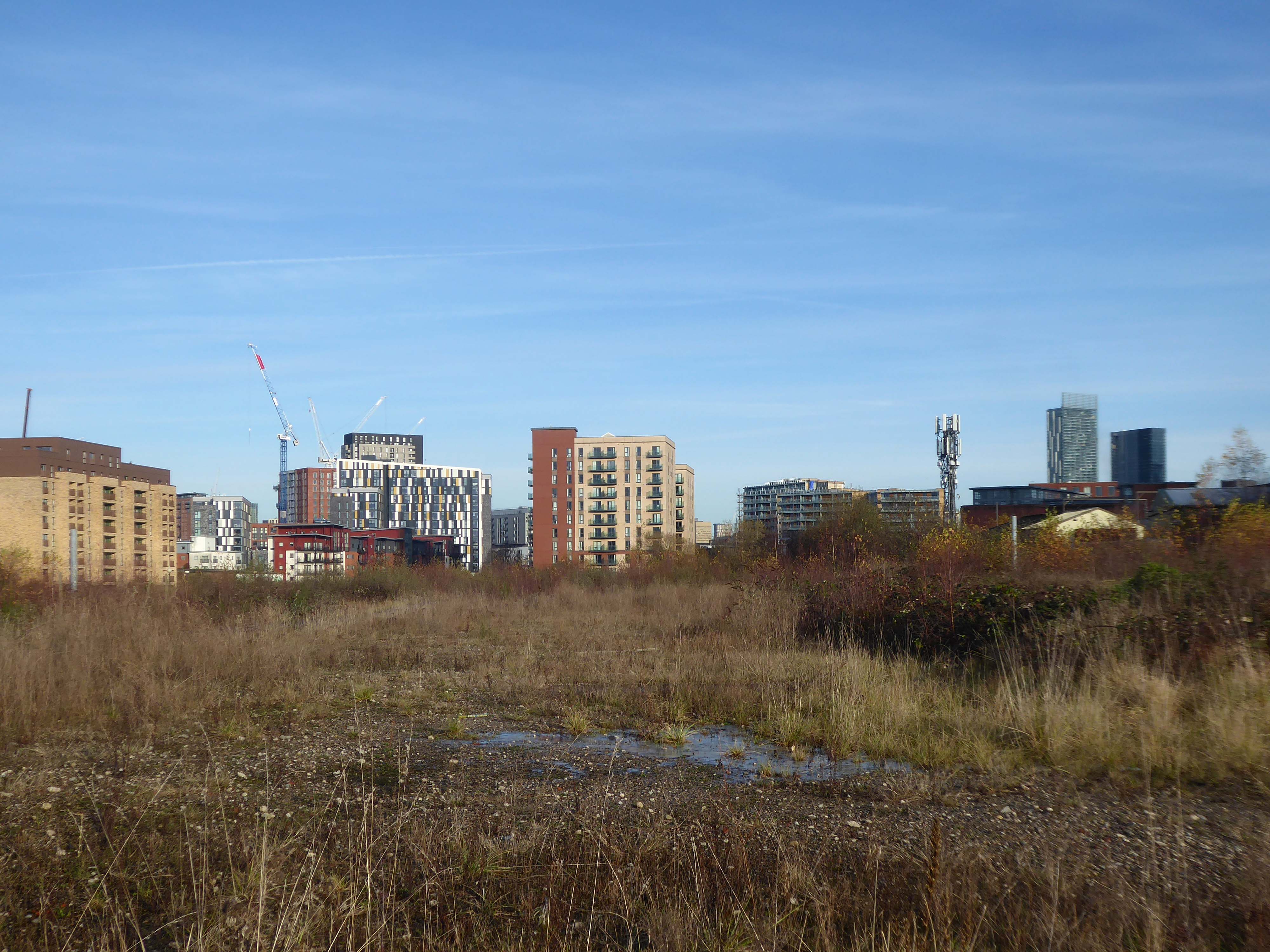
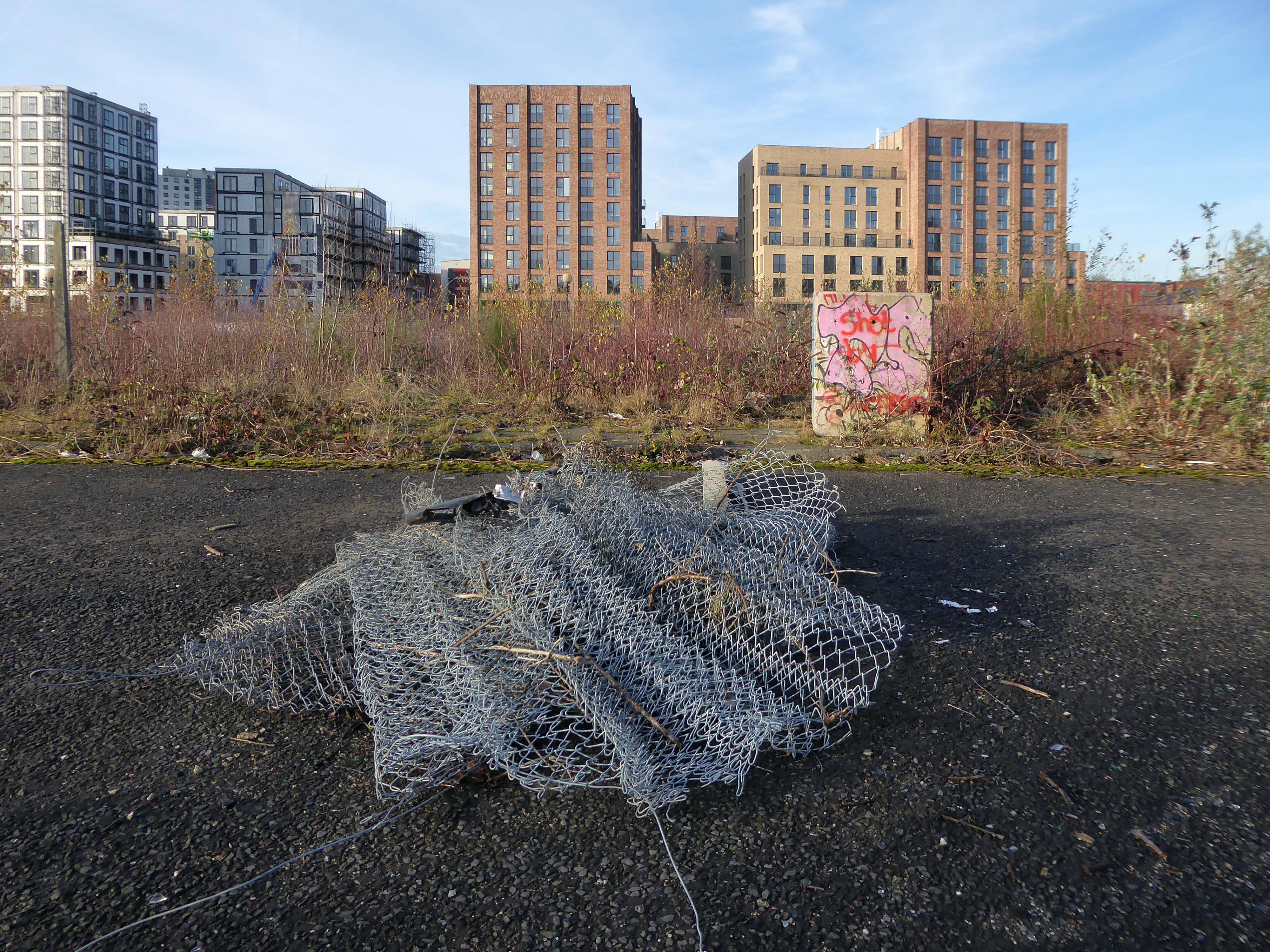
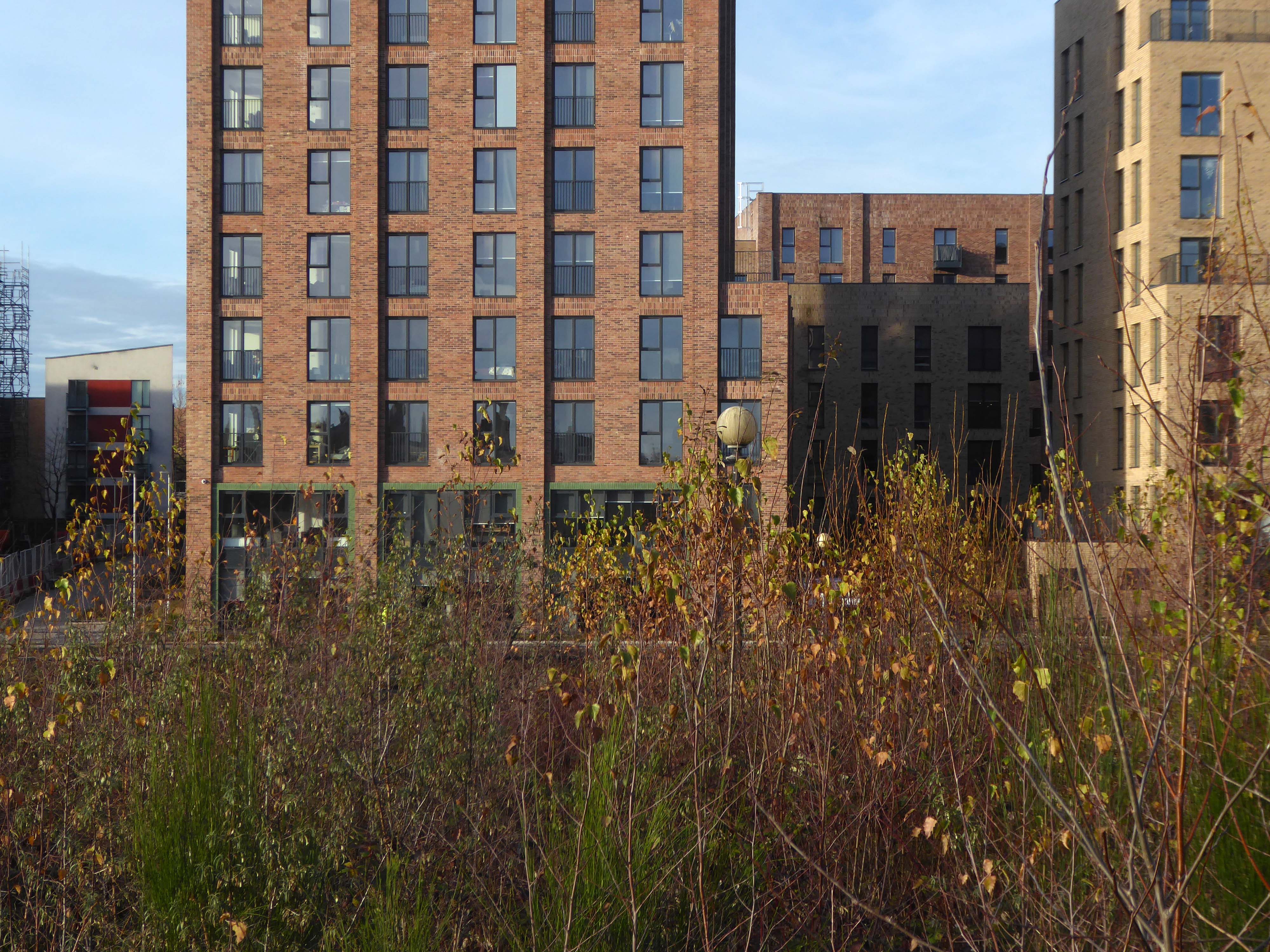
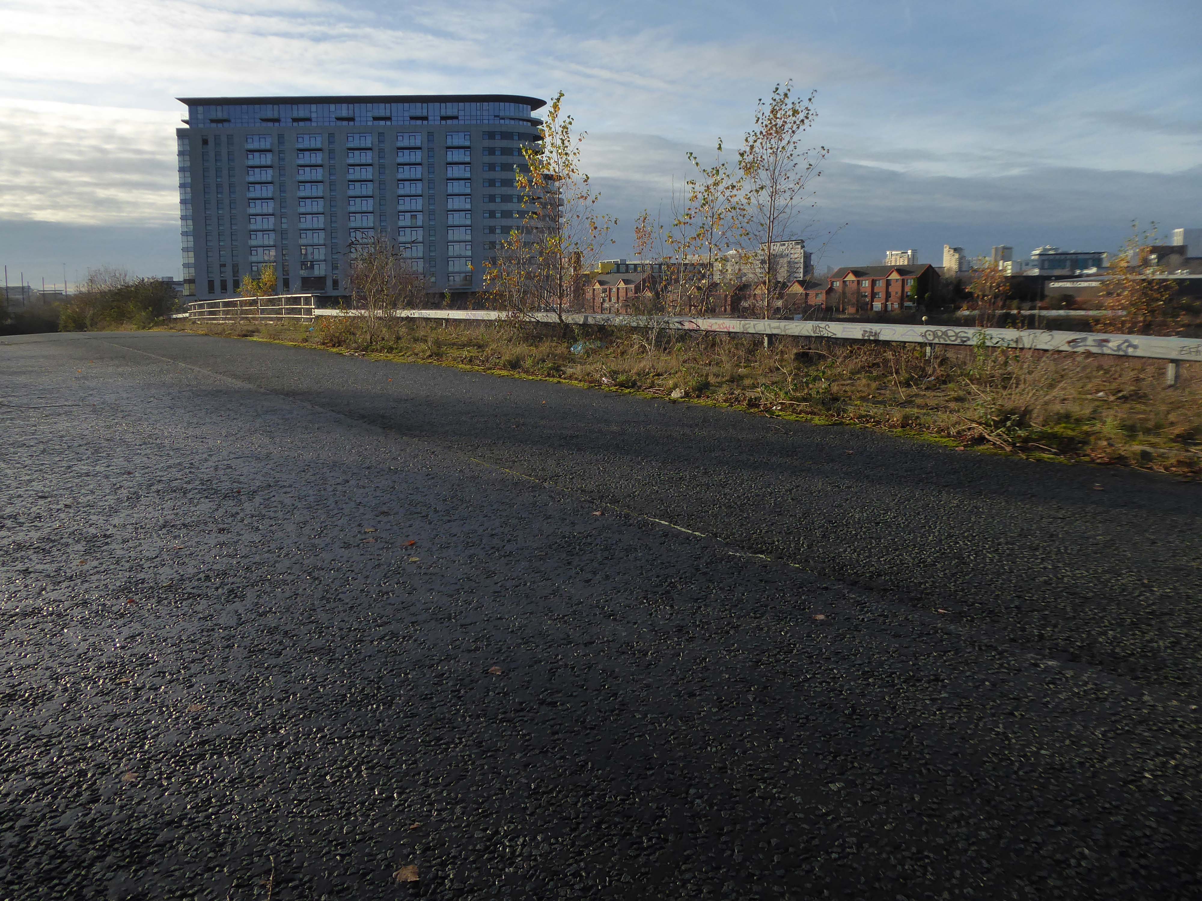
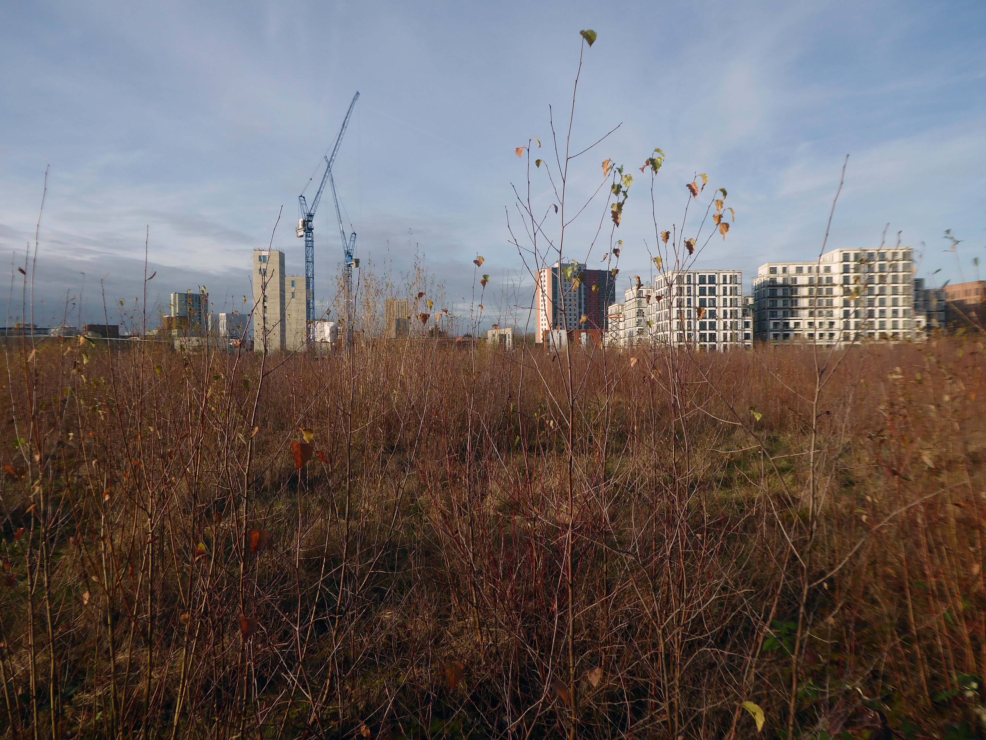
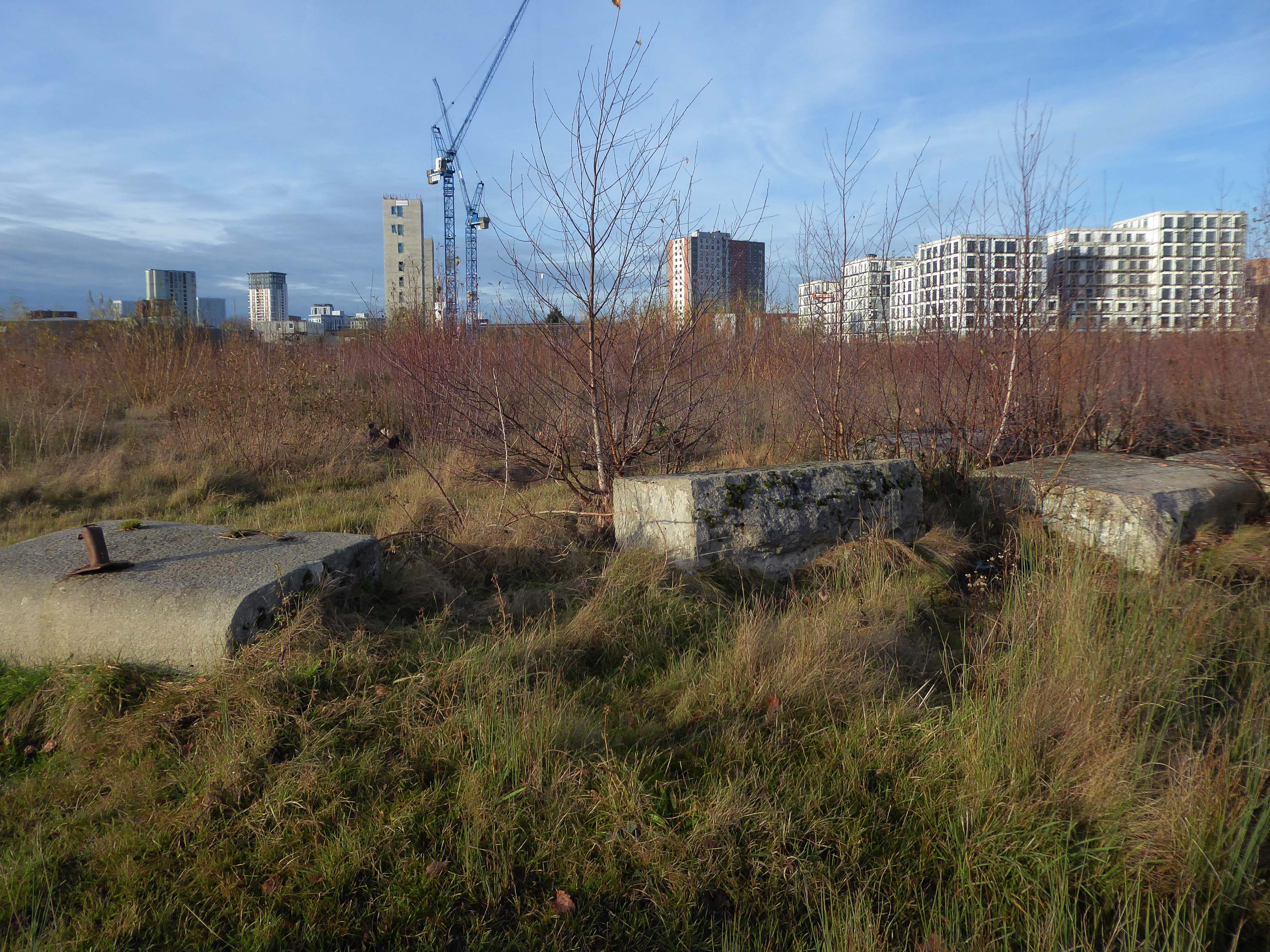
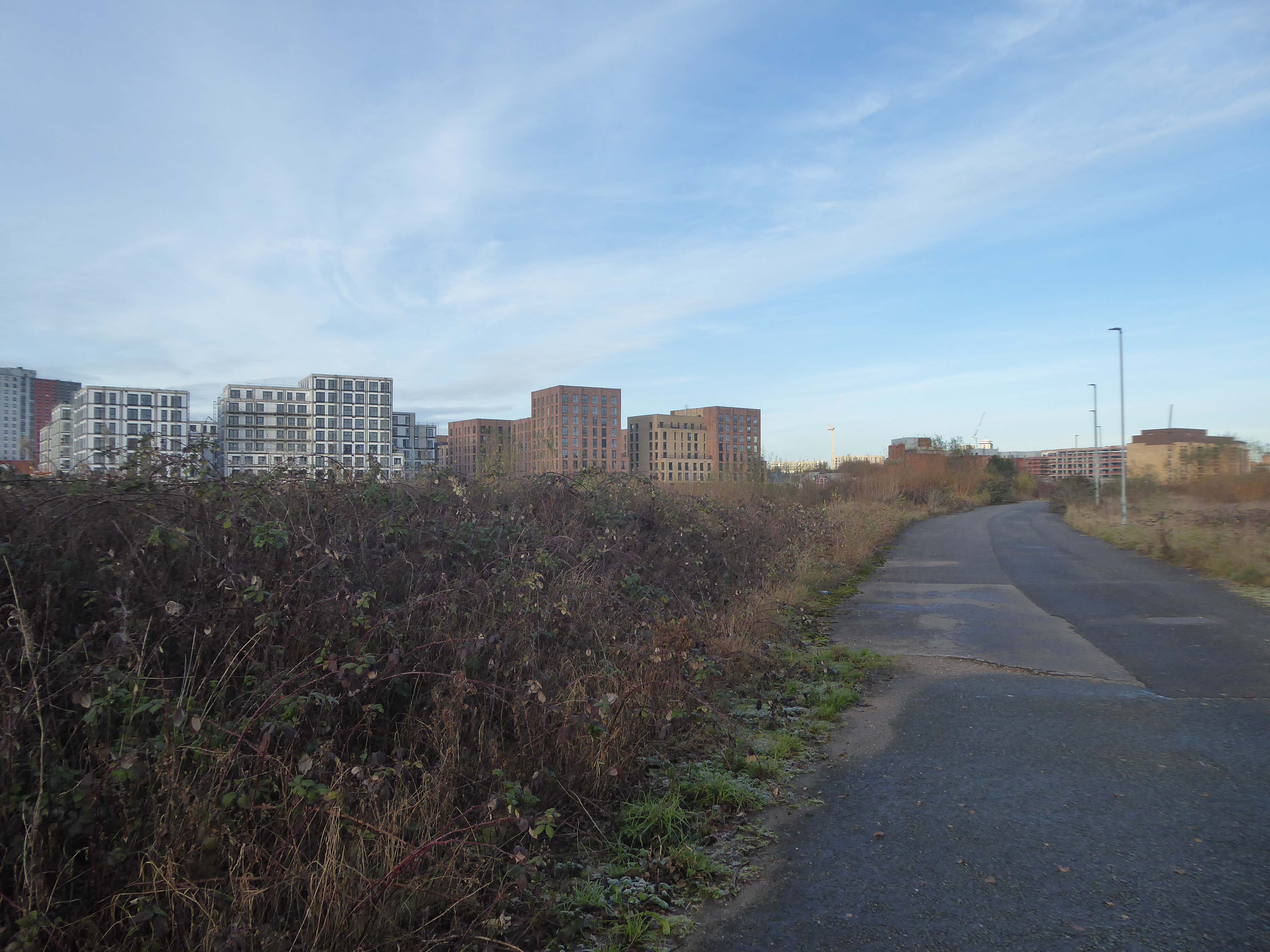
The city is undergoing yet another reinvention as Manchester becomes – an attractive place to invest and do business.
See, I am doing a new thing!
Now it springs up; do you not perceive it?
I am making a way in the wilderness and streams in the wasteland.
Isaiah 43:19
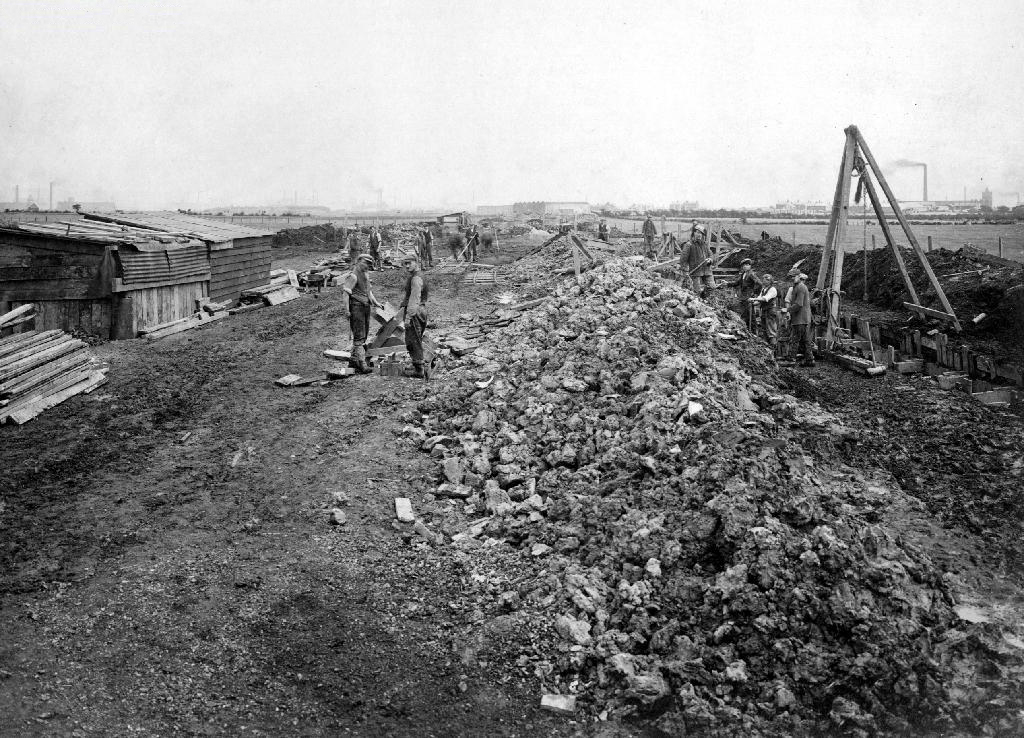
Once there was a gas works here – adjoining Gould Street, seen here in 1958.
The Gould Street Gas Works was a gas manufacturing plant located in Manchester, England. Originally built in 1824, the plant was operated by the Manchester Corporation Gas Department and was in operation from 1833 to 1969. It was named after the street on which it was located, which was named after John Gould, who was a prominent Manchester businessman in the 19th century.
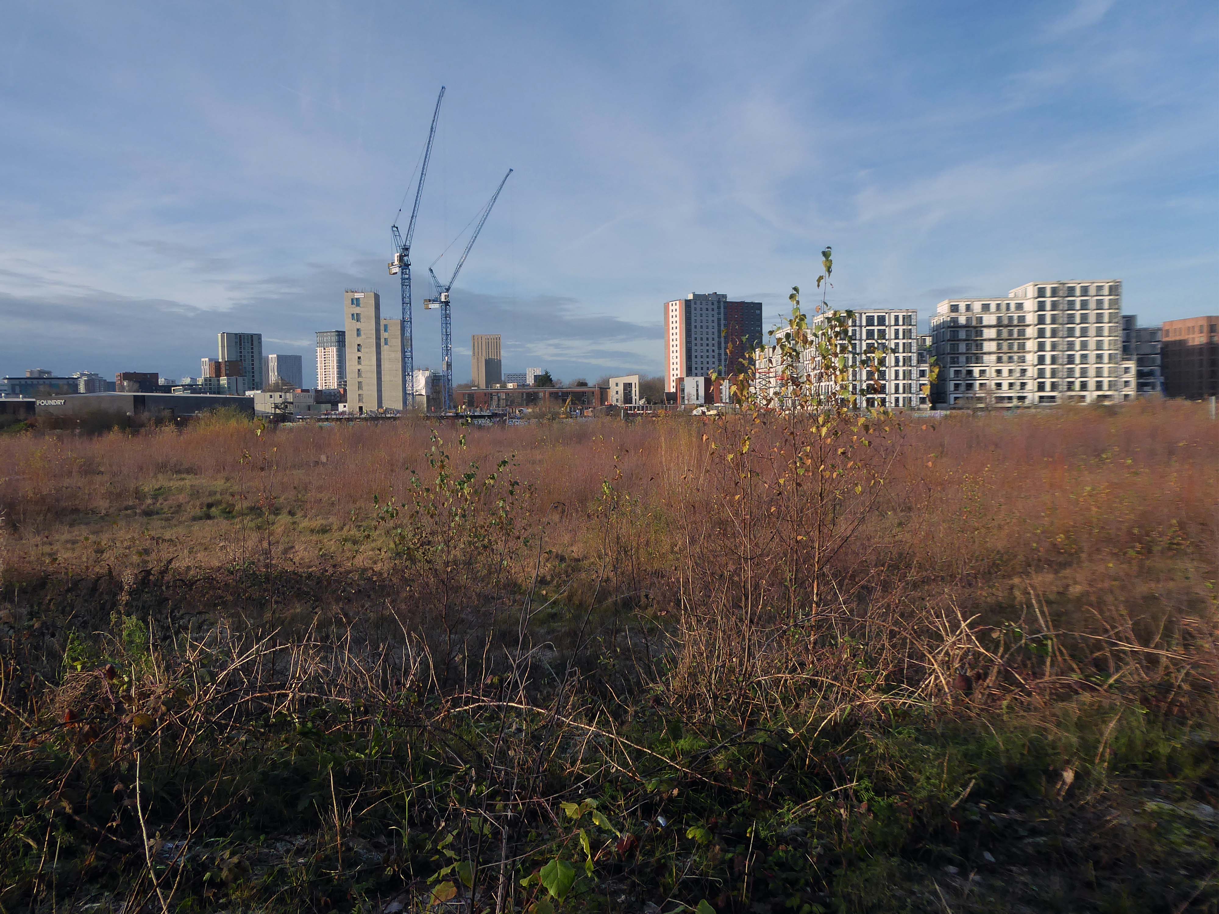
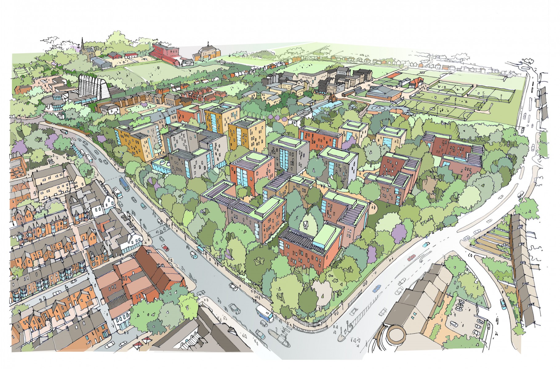
The Gasworks New Town neighbourhood is one of seven envisioned by the £4bn Victoria North masterplan. It will feature nine buildings ranging from 8 to 34 storeys. The 6.6-acre site has most recently been home to a car park but the green development will overwhelmingly prioritise walking and cycling over driving. It will result in tens of millions of pounds being pumped into the city’s economy over the lifetime of the development.
Plans for a trailblazing city centre regeneration scheme that will create more than 1200 homes has been approved by Manchester City Council.
A total of 85 of the 1200, will be affordable homes available through Shared Ownership.
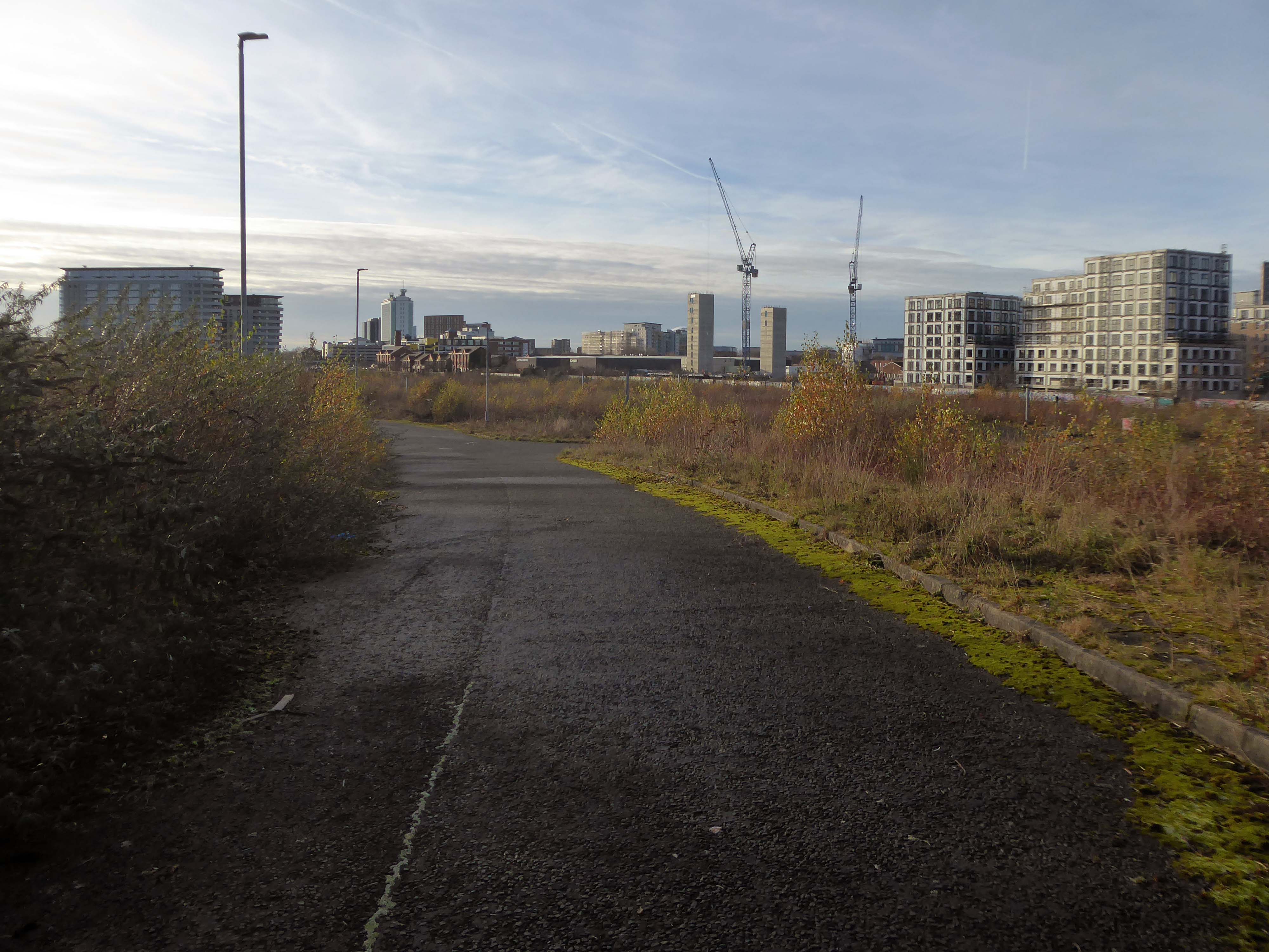
Though as of March 31st 2023 ground is yet to be broken, no signs of the:
New centre of gravity for central Manchester that will create thousands of jobs and inject tens of millions of pounds into the city’s economy.
So you zig-zag wanderers, make the most of these wide open expanses of affordable car parking, while you can.
The future may yet be here today – or the next.
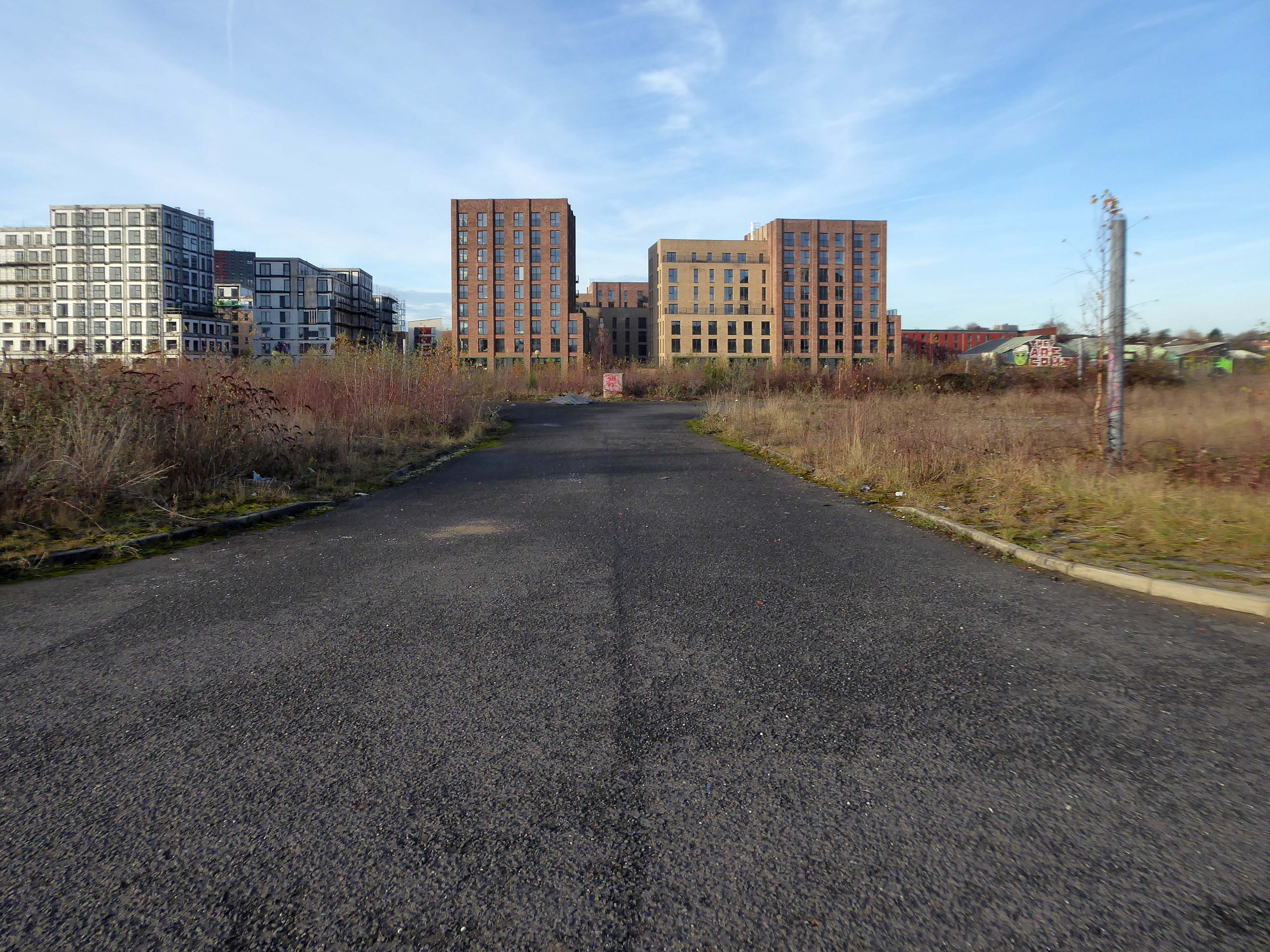
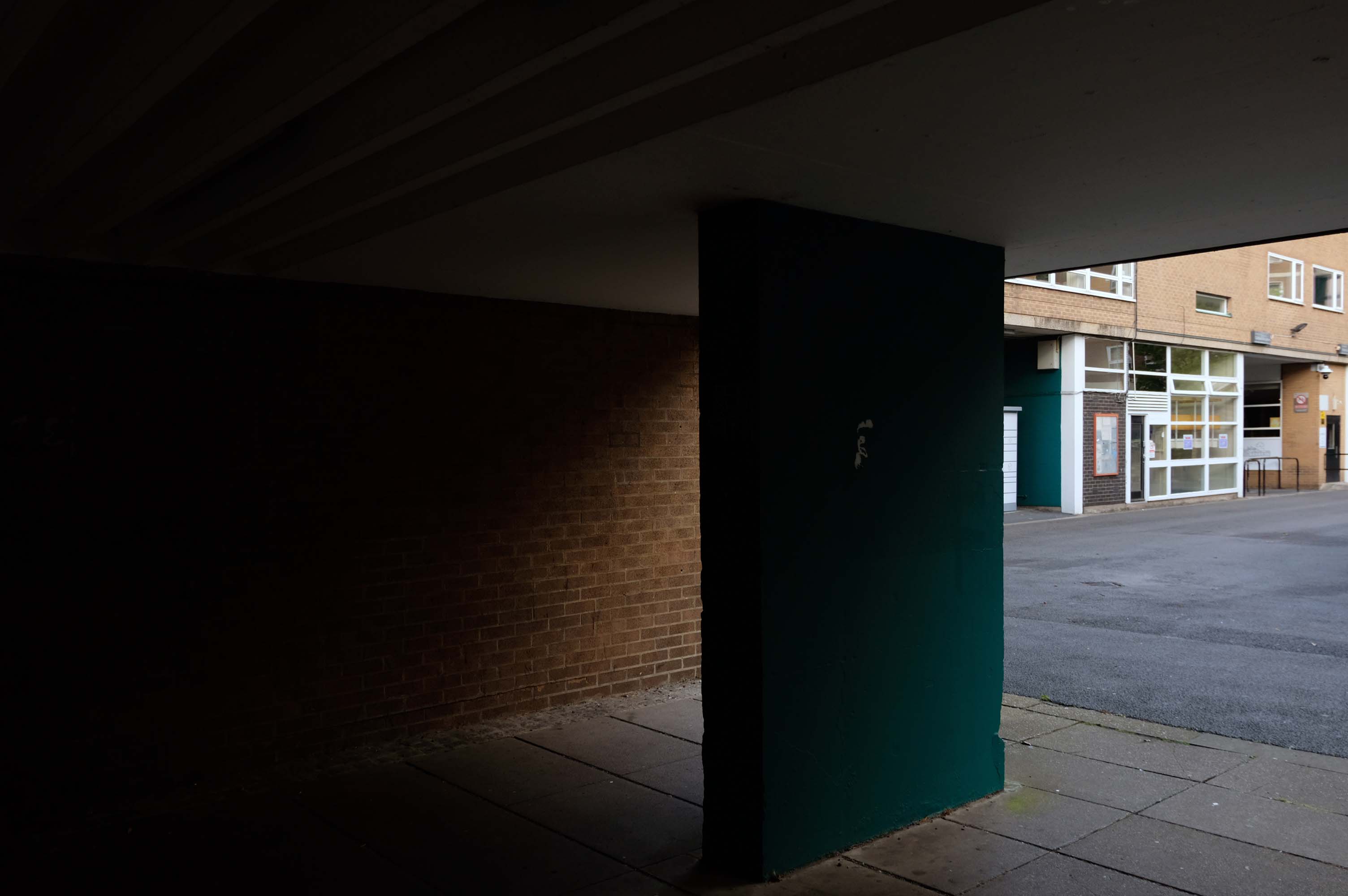
Let’s duck under the railway, through this sad damp pedestrian tunnel – the domain of the cash strapped daytime drinker, transient tagger and disaffected leaflet distributor.
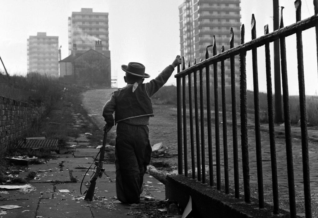
Next thing you know you have emerged into the daylight on Dalton Street – we have been here before seeking the Collyhurst Cowboy.
Photograph: Dennis Hussey
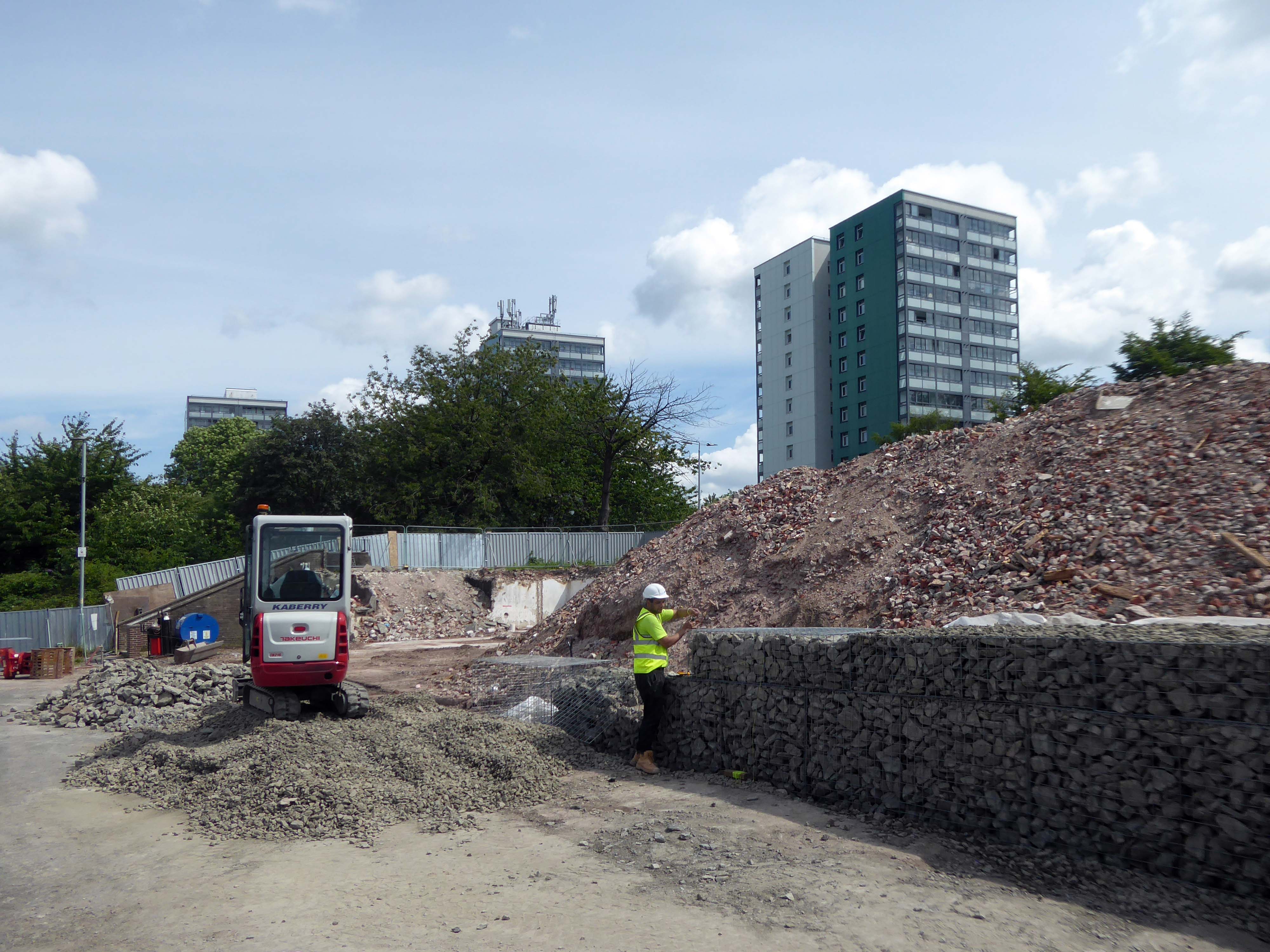
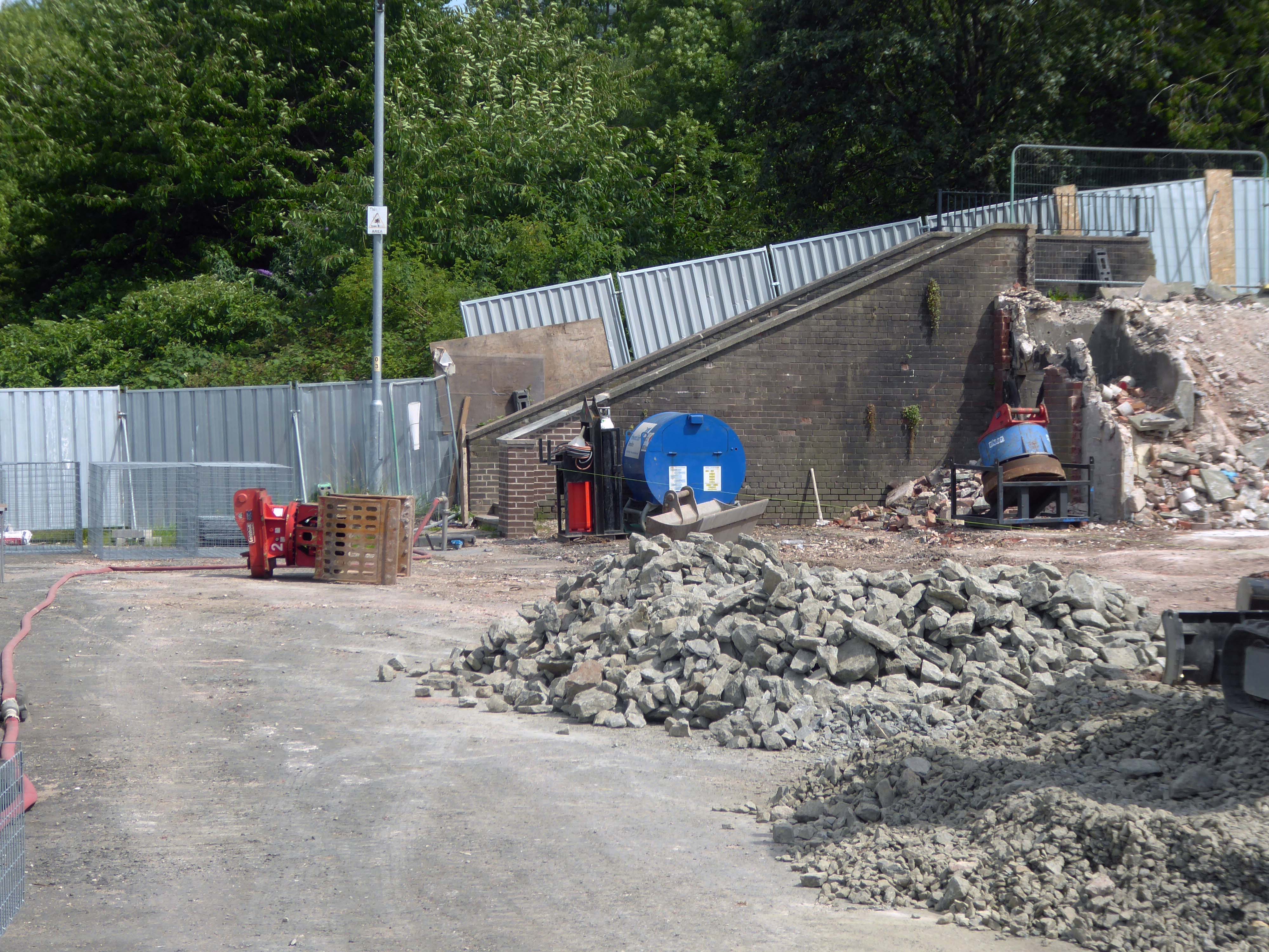
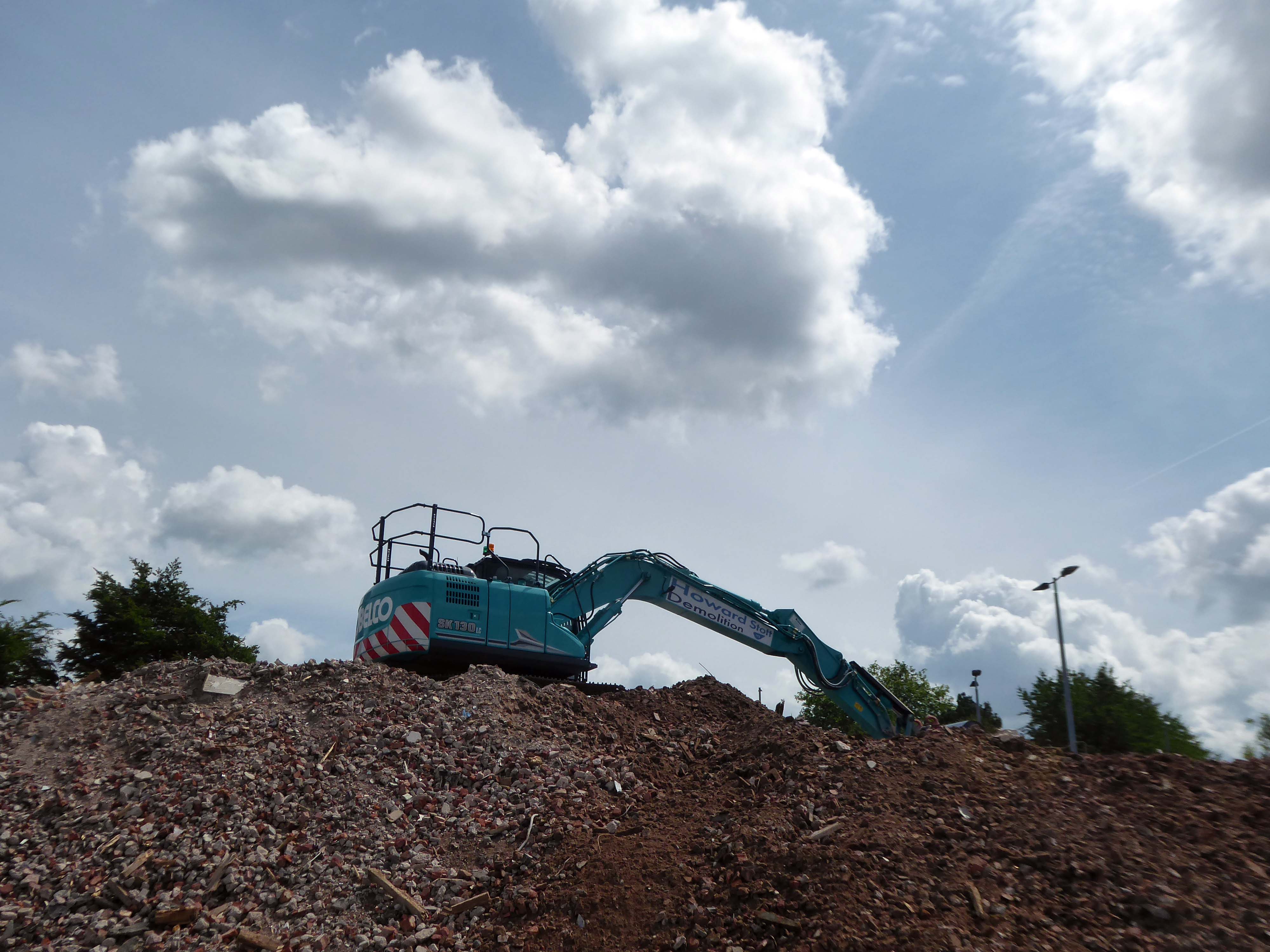
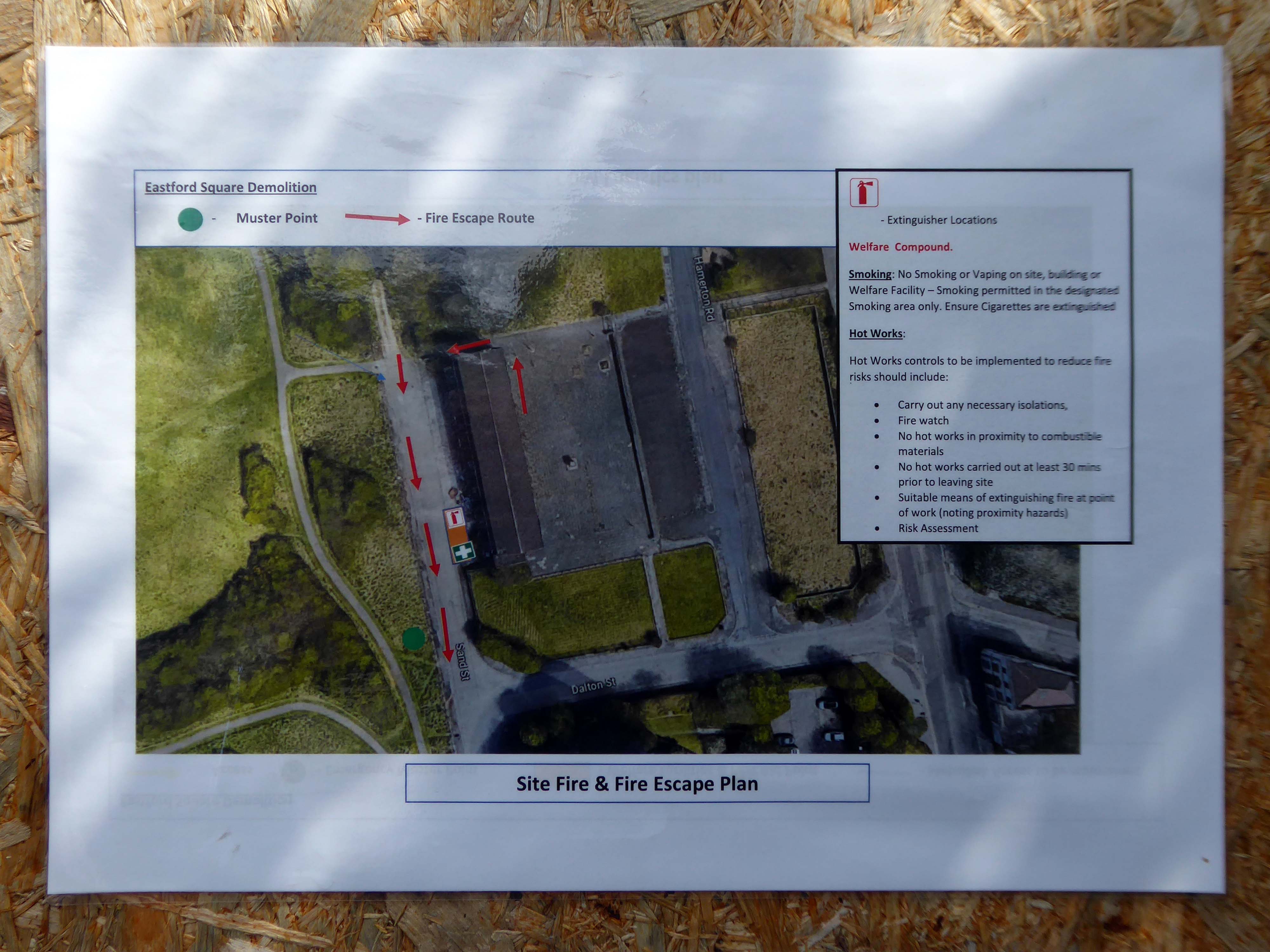
Onwards to Eastford Square.
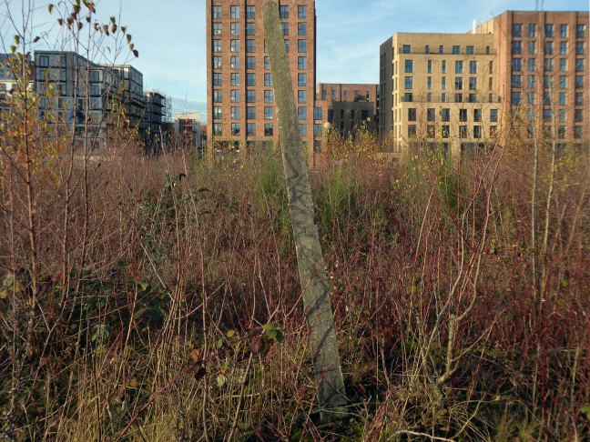
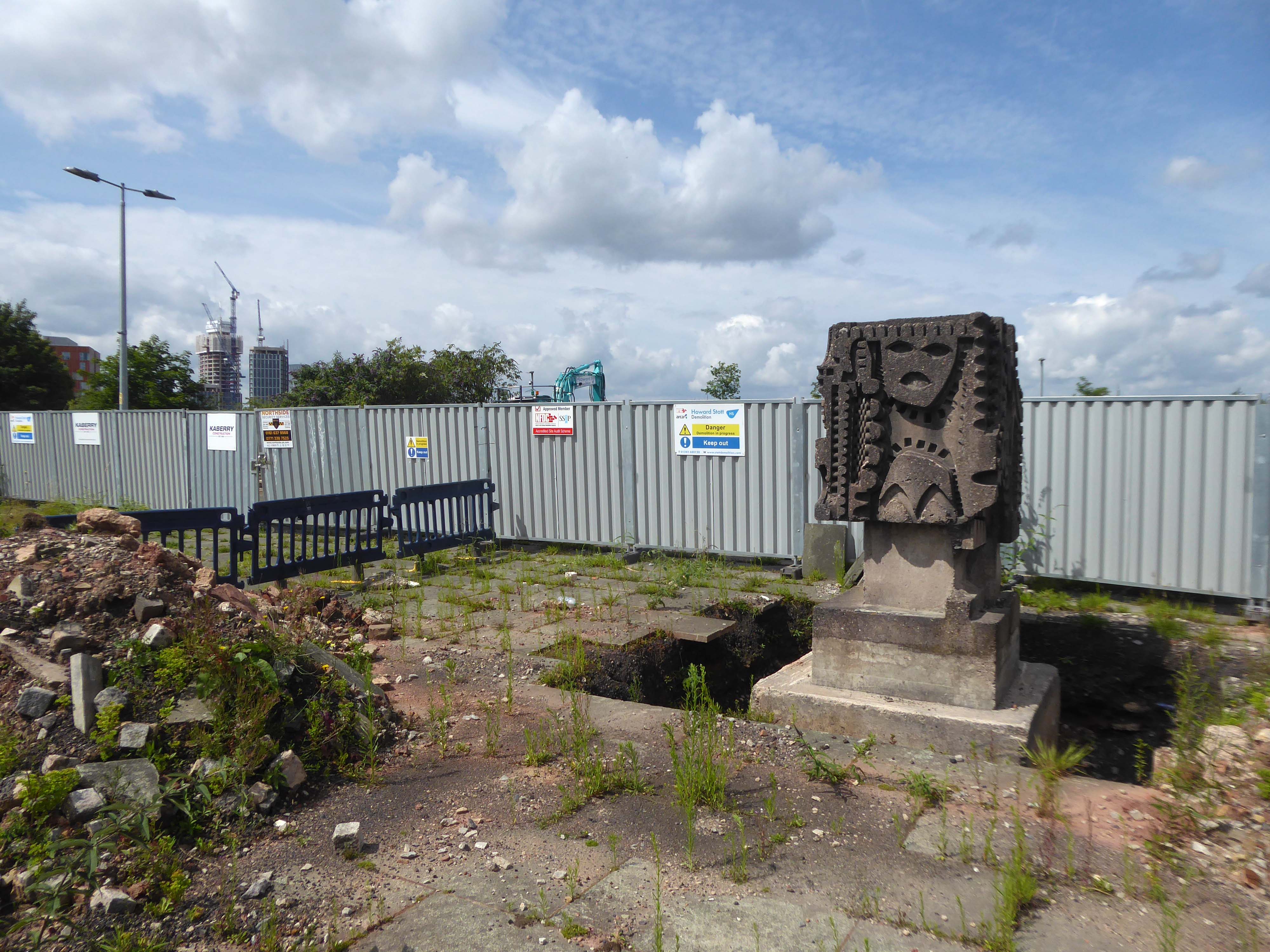
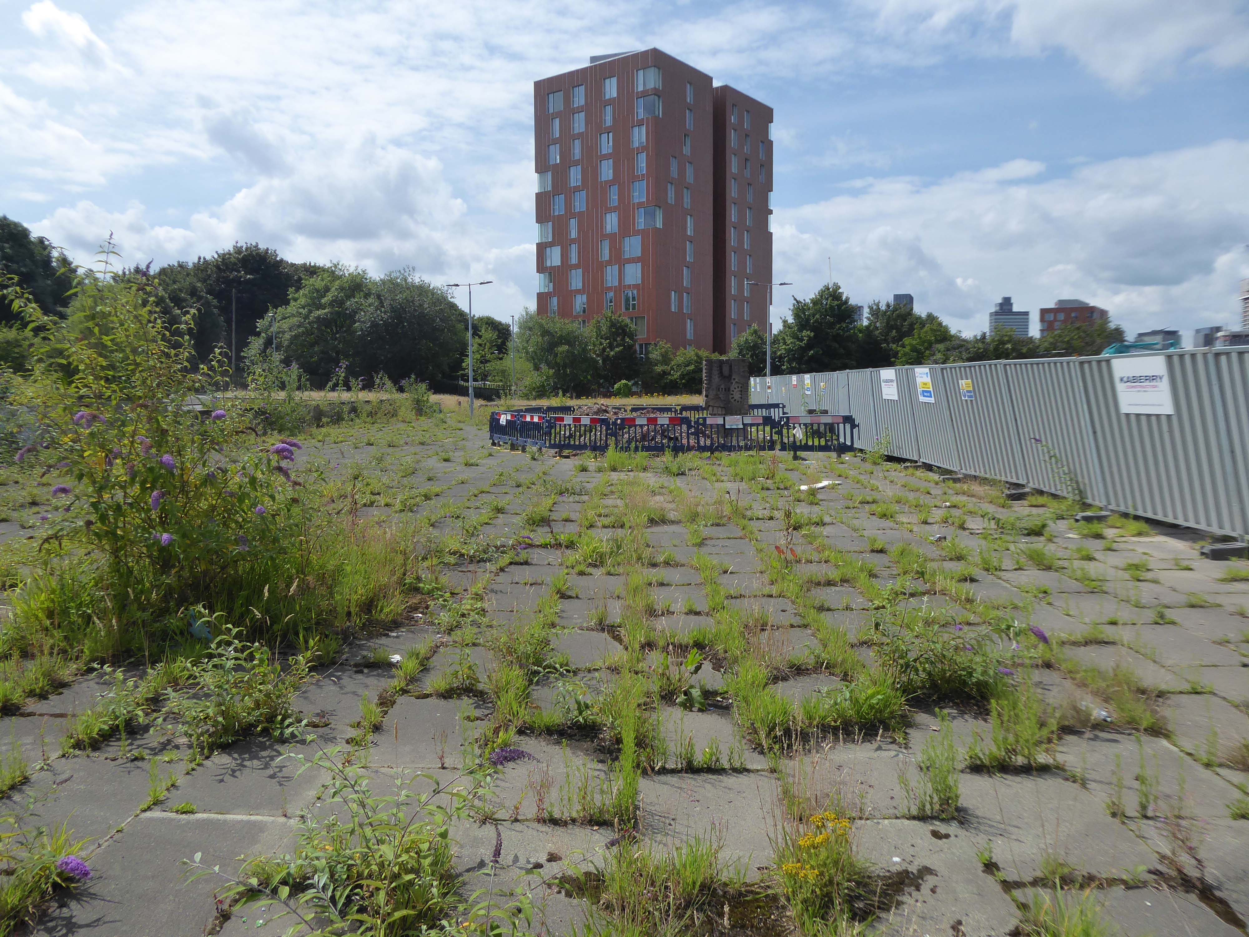
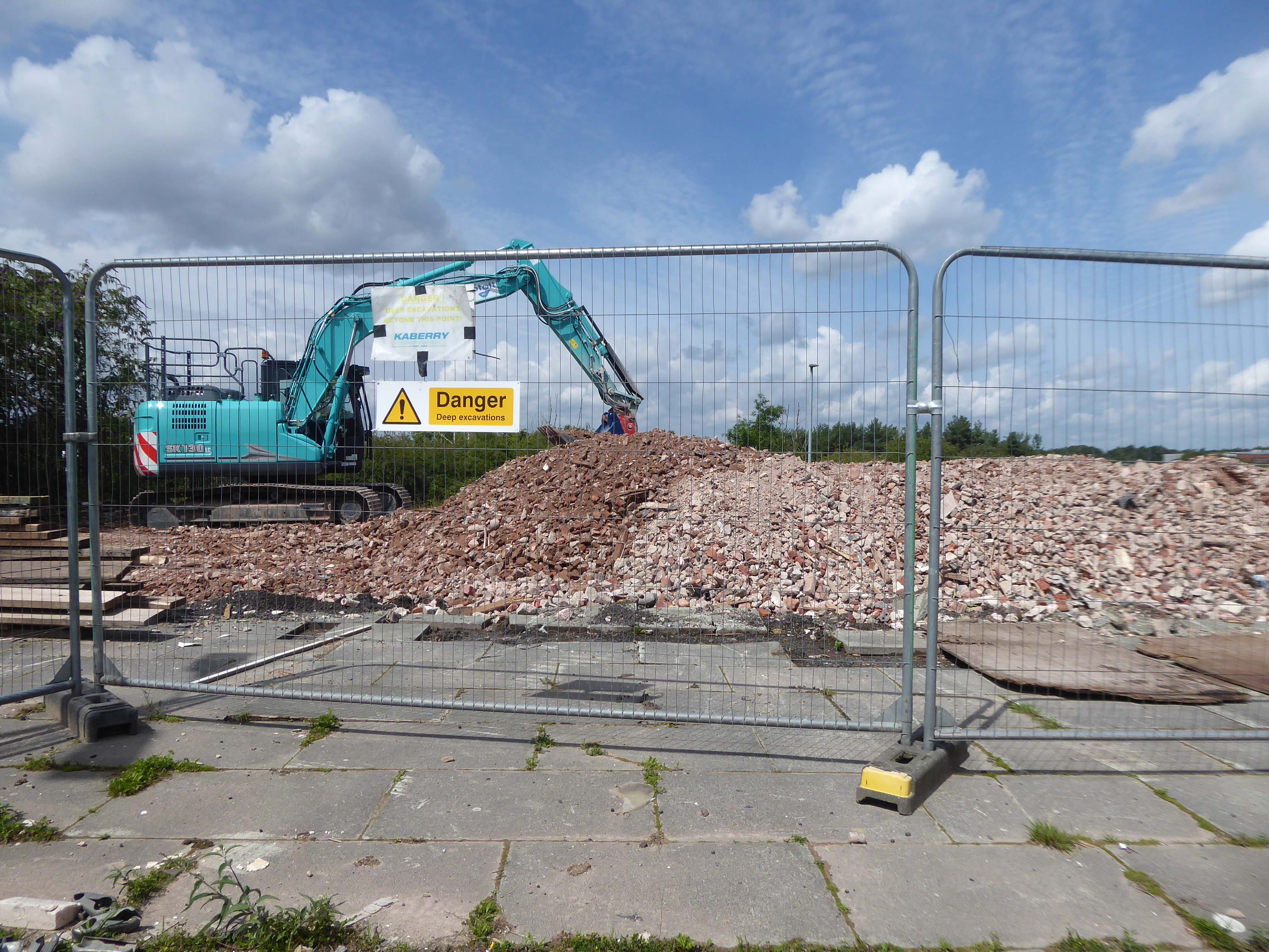
The shops and maisonettes are due to be demolished any day now – no longer to gaze open-eyed upon the former quarry of Sandhills.
Around the front the diggers have been a digging – digging up around the base of the totem.
The work is to be re-sited by the nearby tower blocks.
The end is nigh.
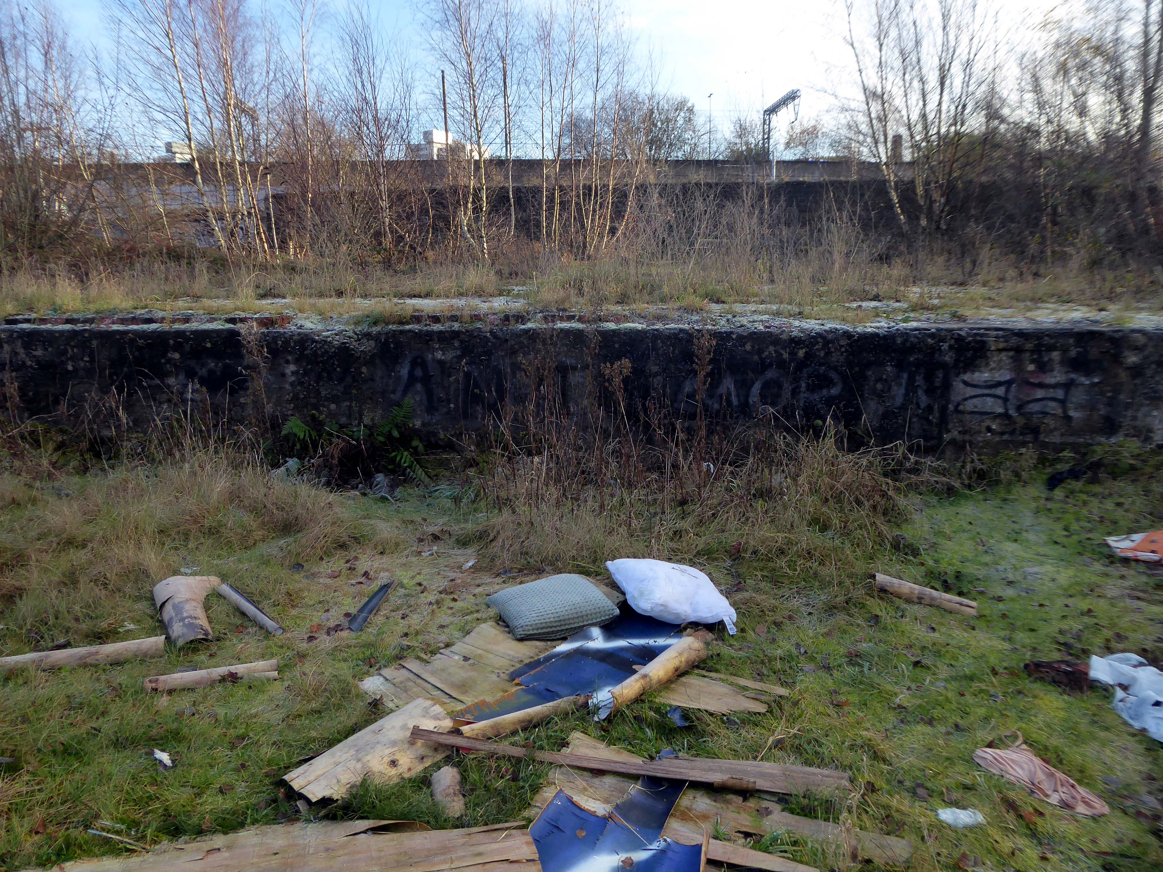
Heading now for Collyhurst Road and the Irk Valley – seen here in 1960.
Looking back on the Square and the Dalton Street flats – Humphries, Dalton, Roach, Vauxhall and Moss Brook Courts under construction.
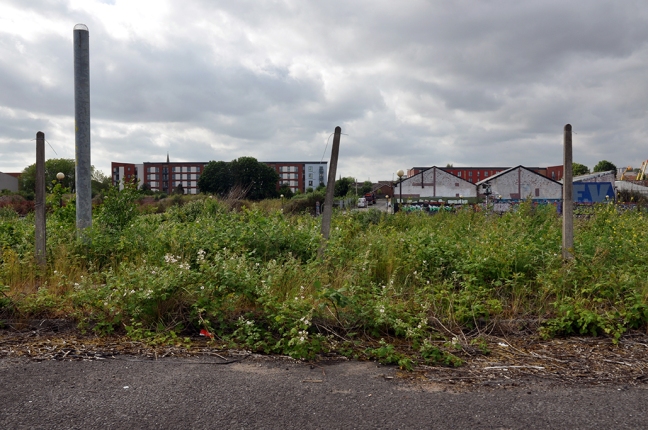
Vauxhall Street now but a shadow of its former self – the last traces of industry long gone.
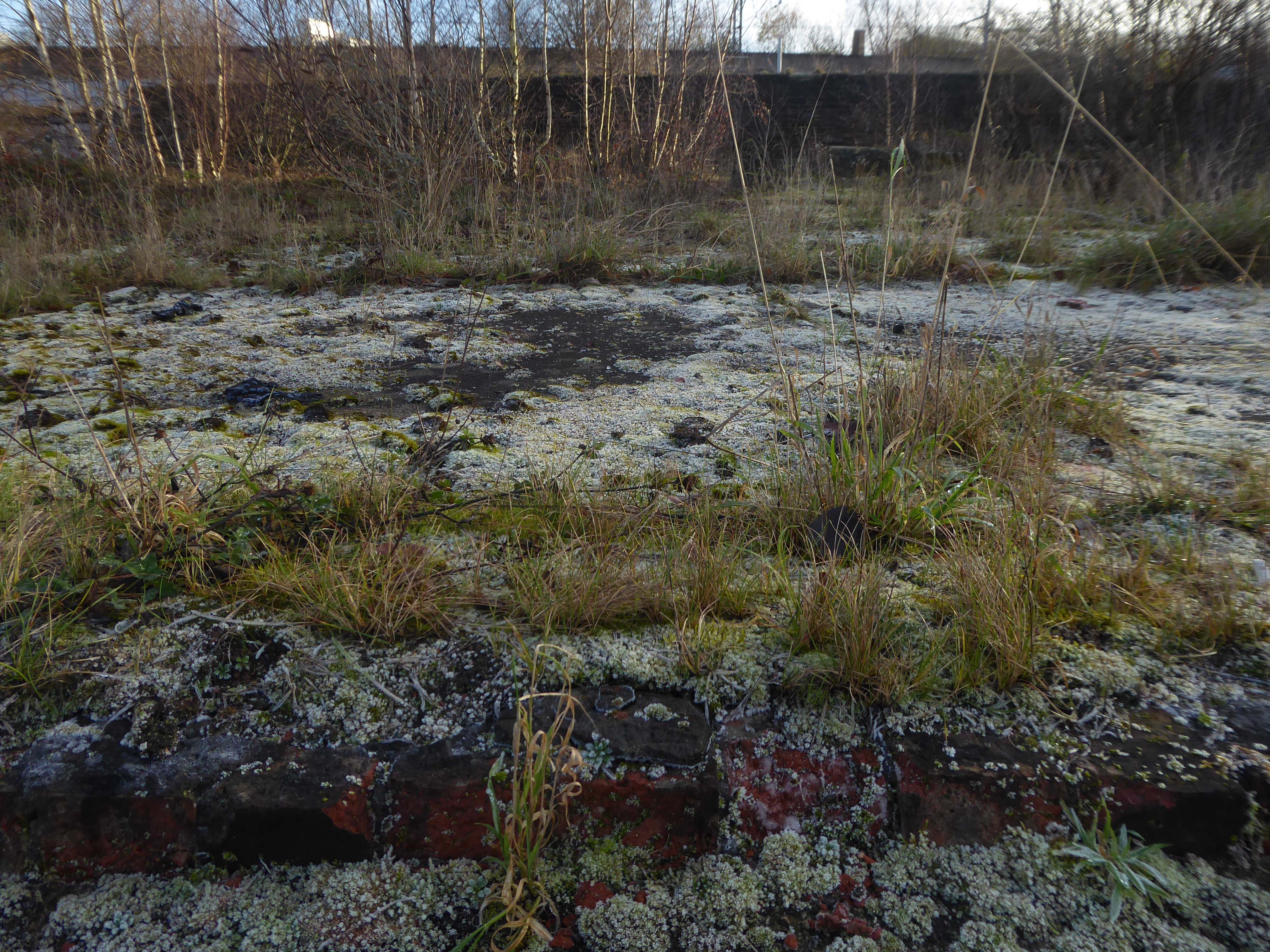
Reclaimed over time by trees and dense underbrush.
Crossing Collyhurst Road and up and over the railway via Barney’s Steps also known as the Lowry Steps.
LS Lowry
By the late 1950’s the whole of this area which we called Barney’s Tip became a refuse tip for Manchester City Council.
The area is in the process of being reconfigured as a delightful country park.
The investment will also help develop an initial phase of the planned City River Park incorporating St Catherine’s Wood as part of a network of public open space, including improvements along the River Irk and works to improve flood resilience, unlocking the potential of the Irk Valley that will characterise the wider Northern Gateway project.
The first phase of the City River Park will begin work to transform former railway architecture to develop the new Viaduct Linear Park north of Victoria Train Station, new stepped public realm space – Red Bank Terraces, along with new green space by the River Irk and the key improvements to St Catherine’s Wood.
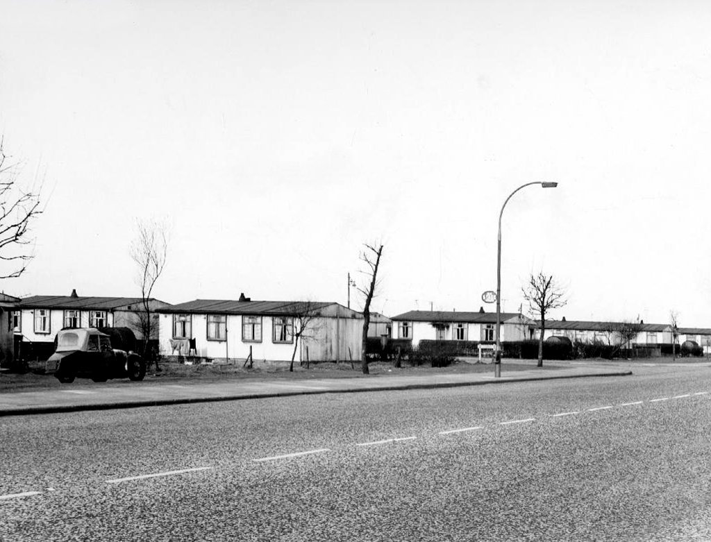
Collingham Street is lined with trucks, trailers, stalls and mobile homes.
But there’s nothing temporary about this Cheetham Hill neighbourhood; most residents have lived here for years and many plan to spend the rest of their lives here.
Founded more than forty years ago, it was created by the Showman’s Guild of Great Britain – and it’s reserved exclusively for fairground workers both retired and current.
Built on Queens Road tip, a former rubbish dump, and rented out by Manchester Council, many of the 52 homes belong to older retired showmen or families for whom an itinerant lifestyle has become more challenging.
It’s a close-knit community with a unique shared history.
Though not without its own particular issues it would seem, according to the MEN.
The licensing out of hours team has received noise complaints relating to the premises which was found to be open beyond permitted hours when visited. Officers also identified breaches of the Health Act during inspections in which people were seen smoking shisha pipes in an enclosed extension at the back.
We will leave the Flamingo be and head back into town – but not without giving a nod to this confusing collision between this self-made scrapyard-man chic gate and the ever changing skyline of overheated urban regeneration.
The new creation has come: The old has gone, the new is here!
Manchester City Council agreed to use the Phoenixmodel for their prefab estates.
A total of 43,206 Phoenix prefabs were built across the country, each one designed by the John Laing Group.
The Phoenix, designed by Laing and built by themselves as well as partners McAlpine and Henry Boot, looked much like an AIROH with a central front door. It was a two-bedroom in-situ preform design with steel frame, asbestos clad walls and an innovative roof of tubular steel poles with steel panels attached. Like all designs, it came pre-painted in magnolia, with green highlights on frames and skirting.
Phoenix prefabs cost £1,200 each constructed onsite, while the specially insulated version designed for use on the Isle of Lewis in the Hebrides cost £2,000.


