Return To Palmerston Street – Beswick

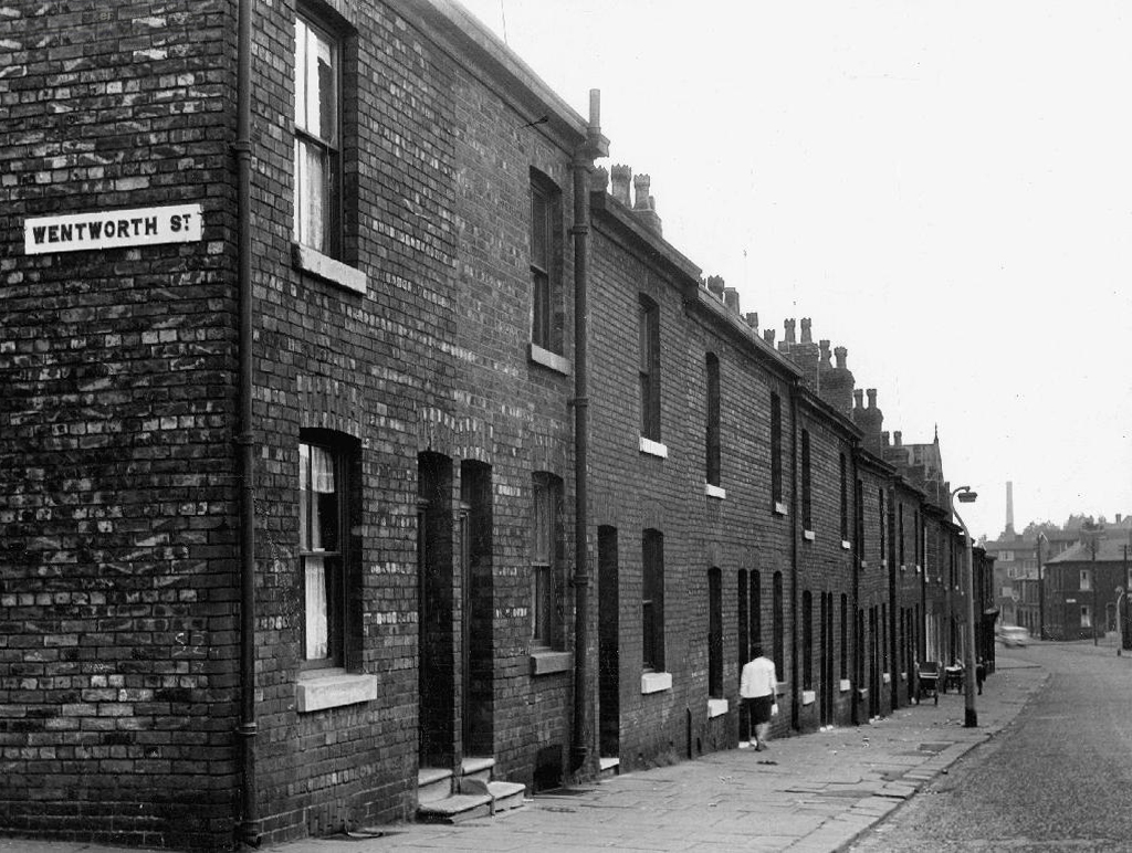
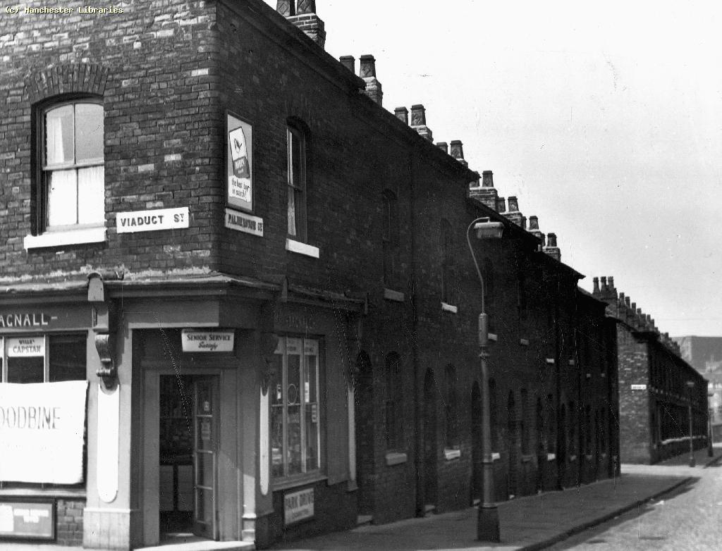
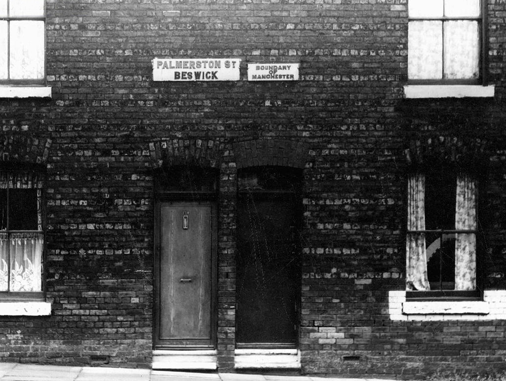
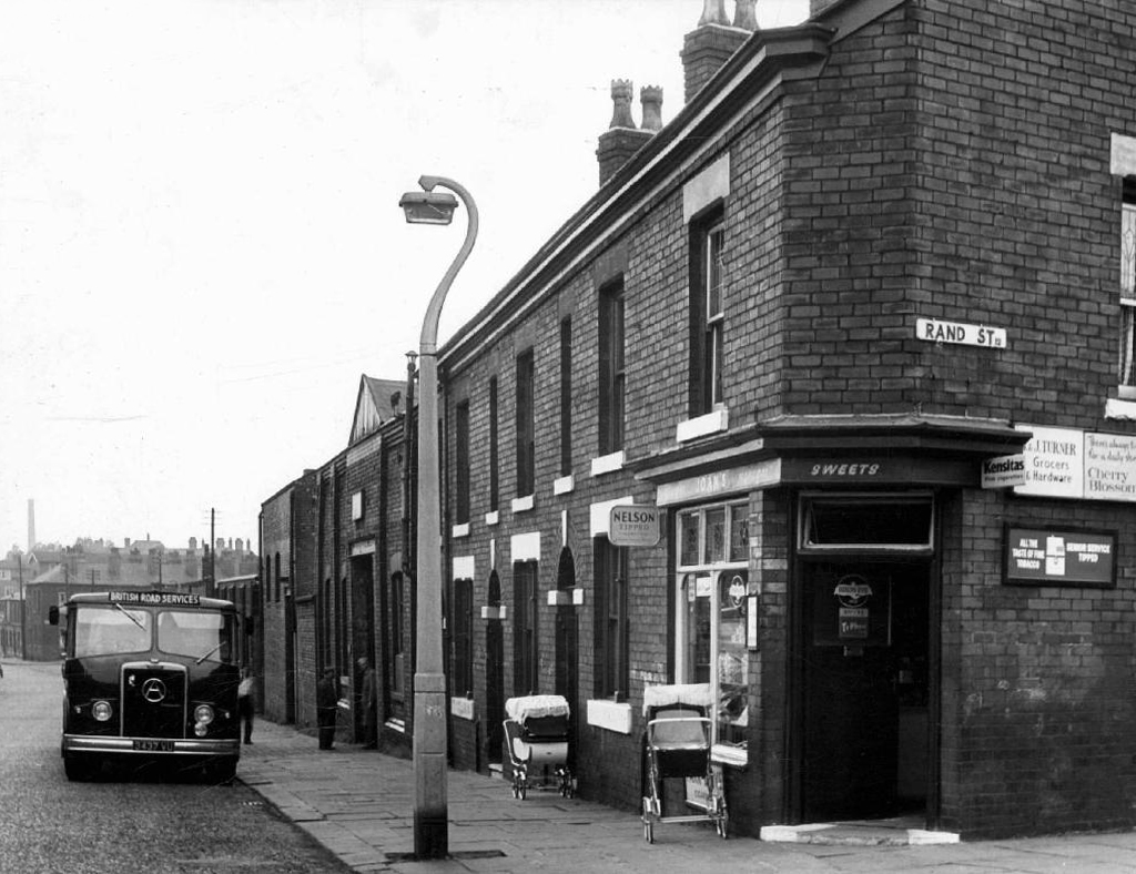
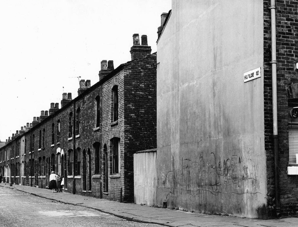
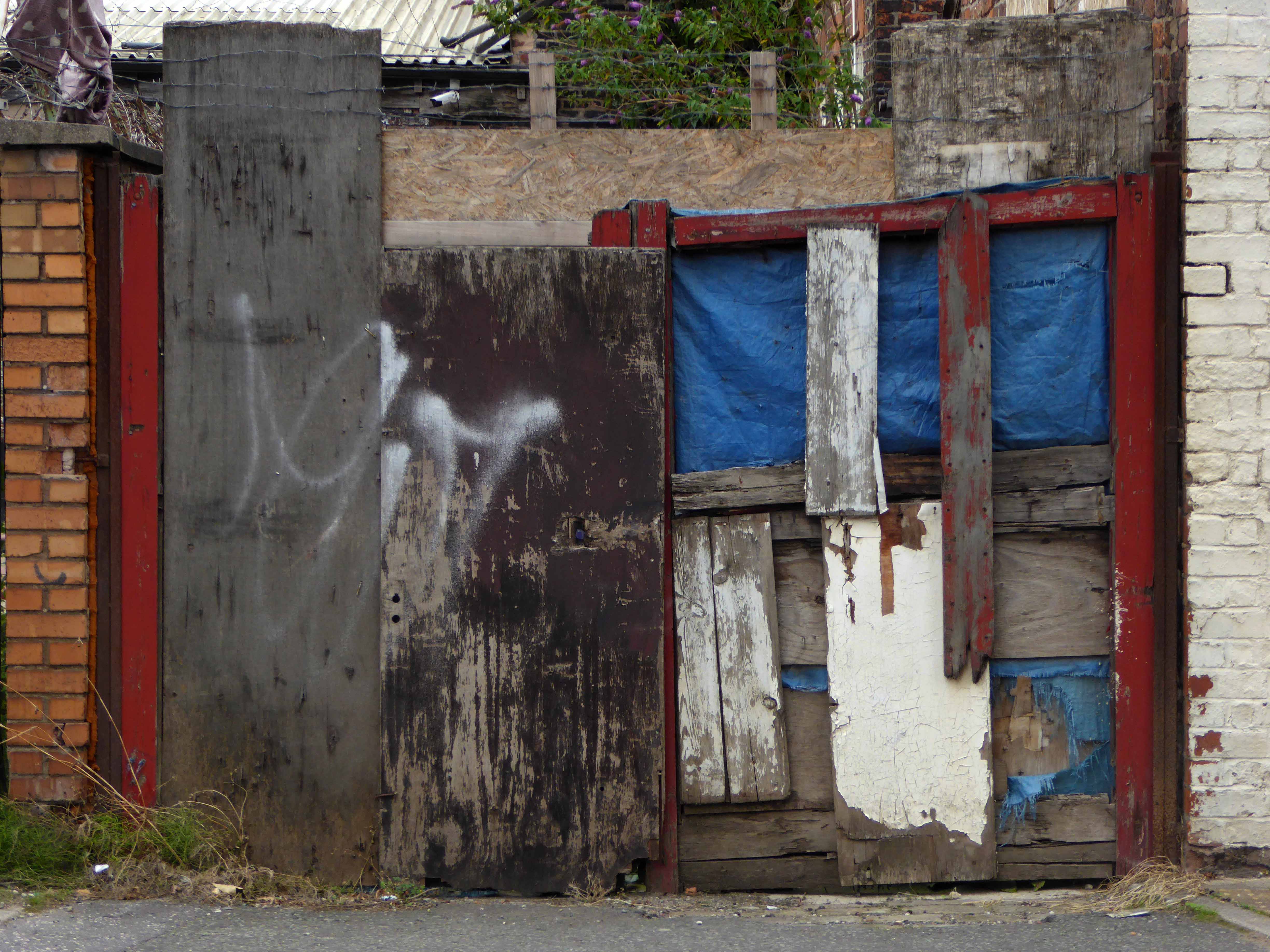
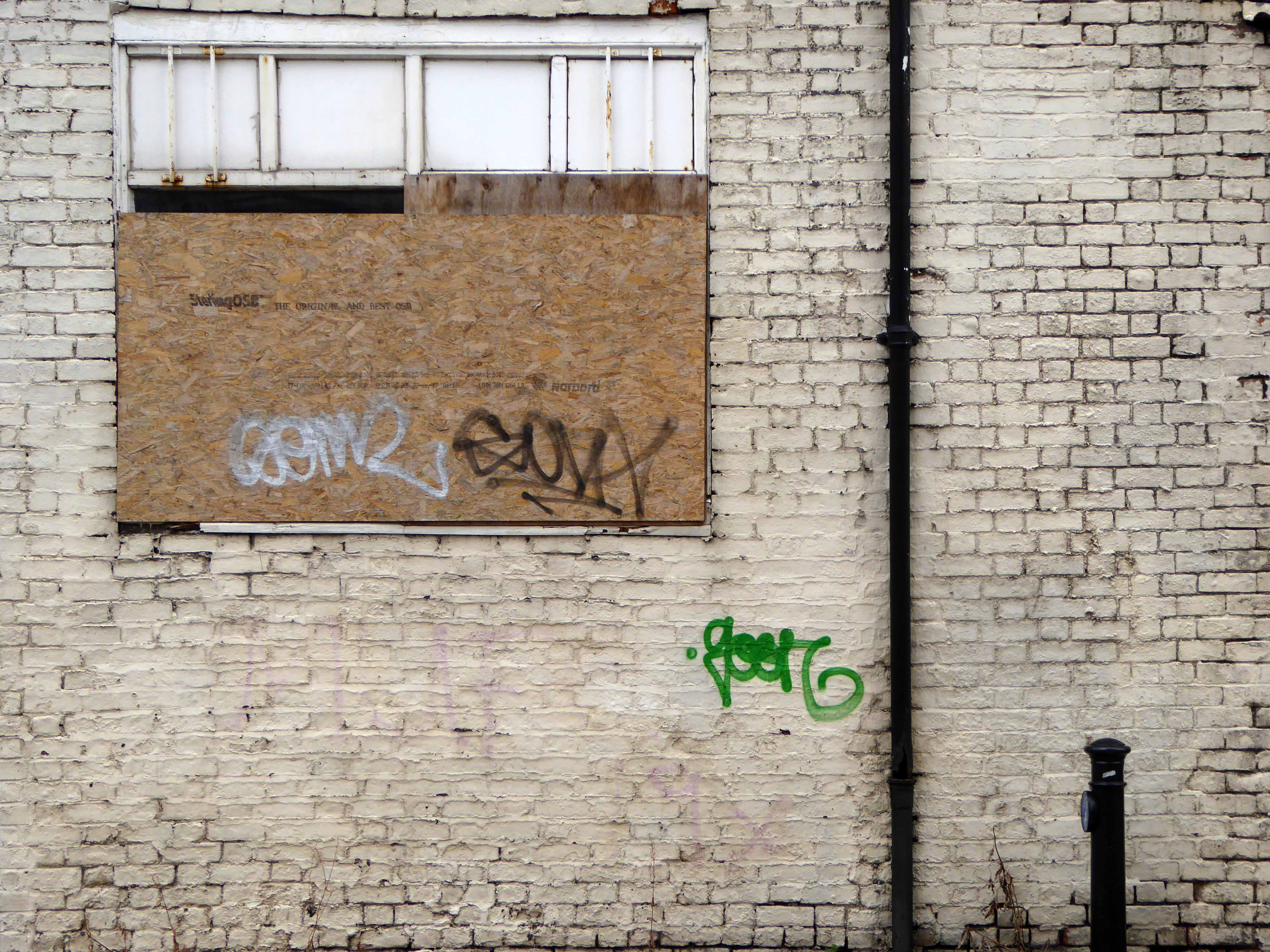
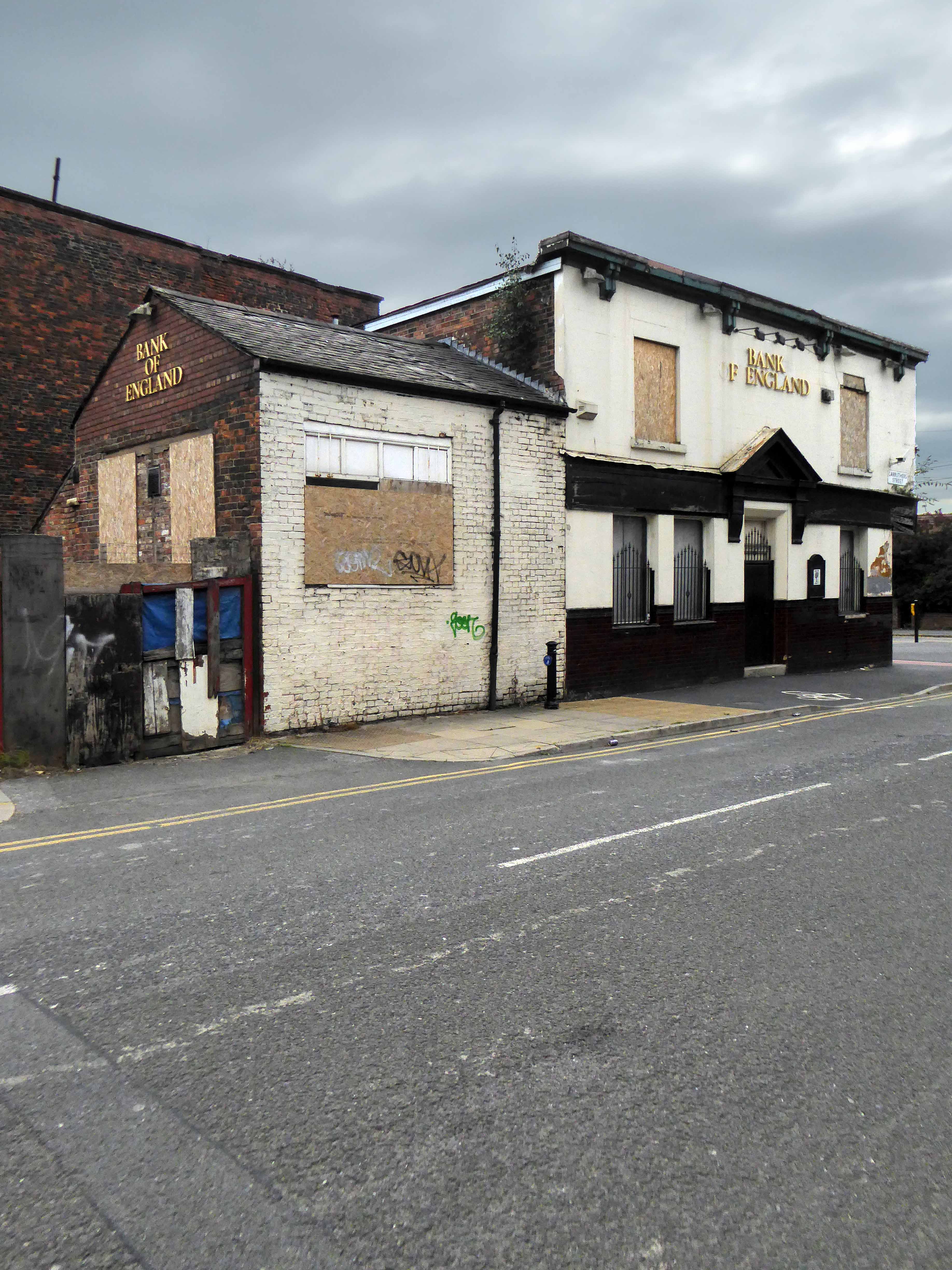
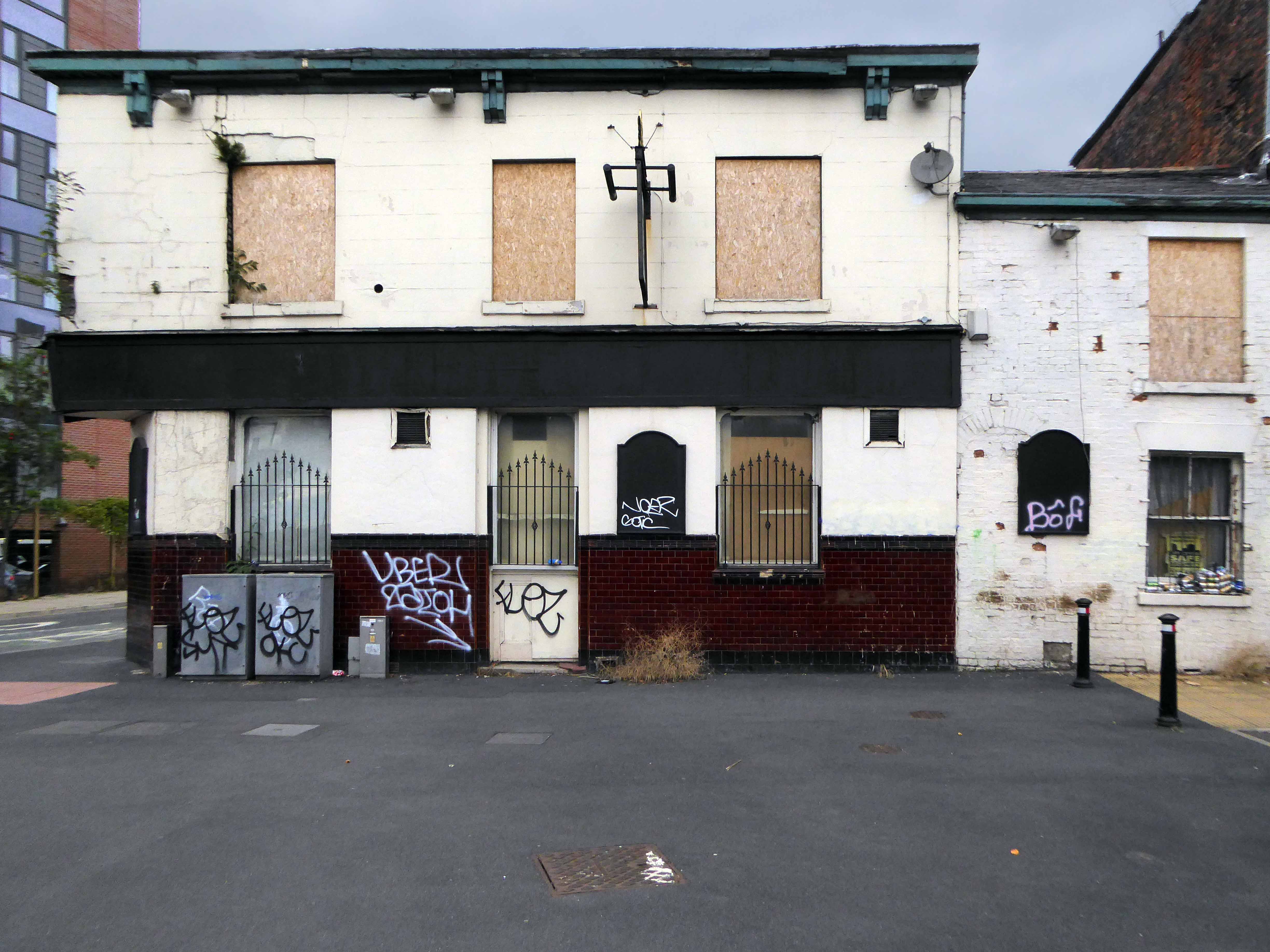
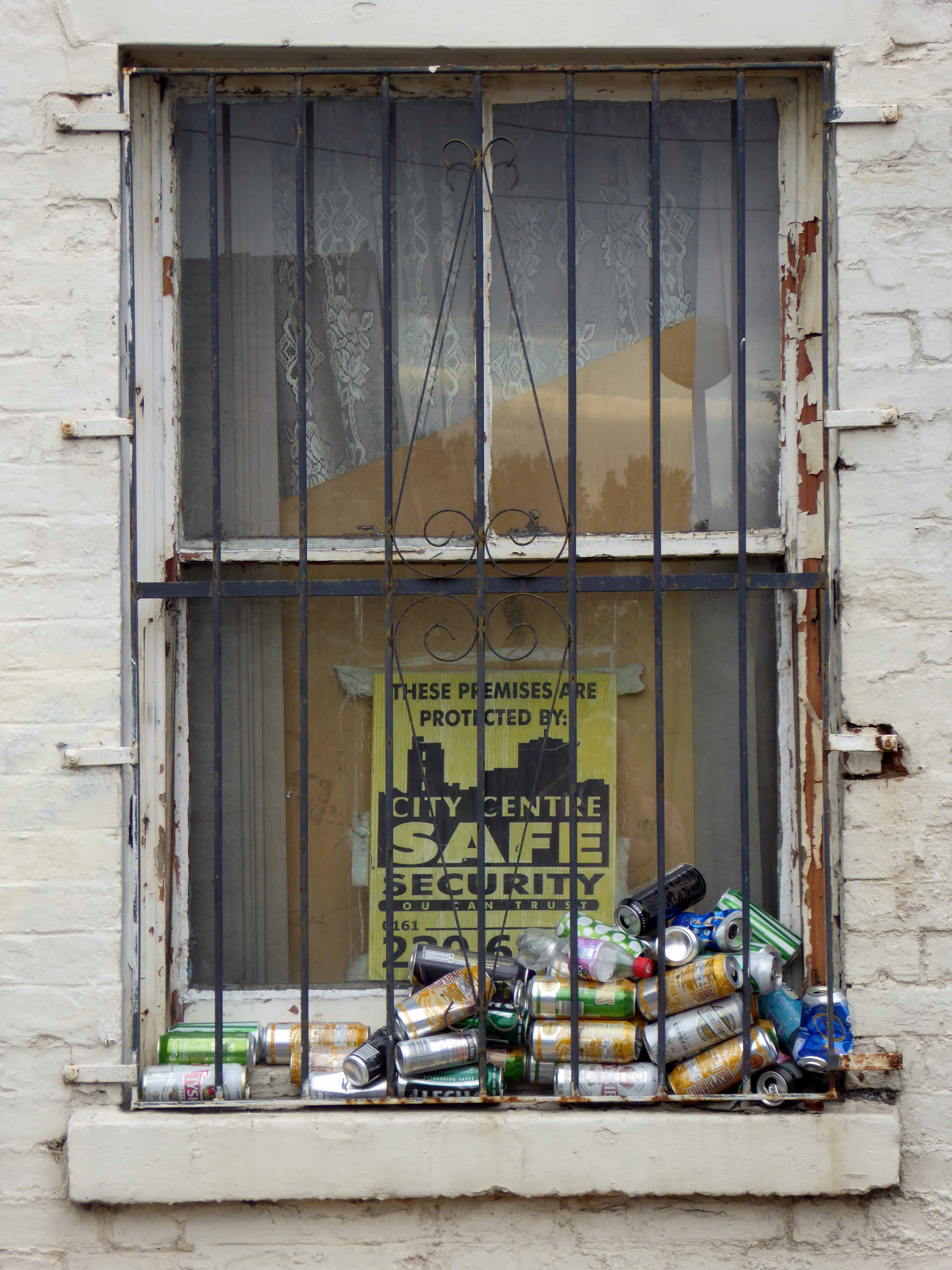
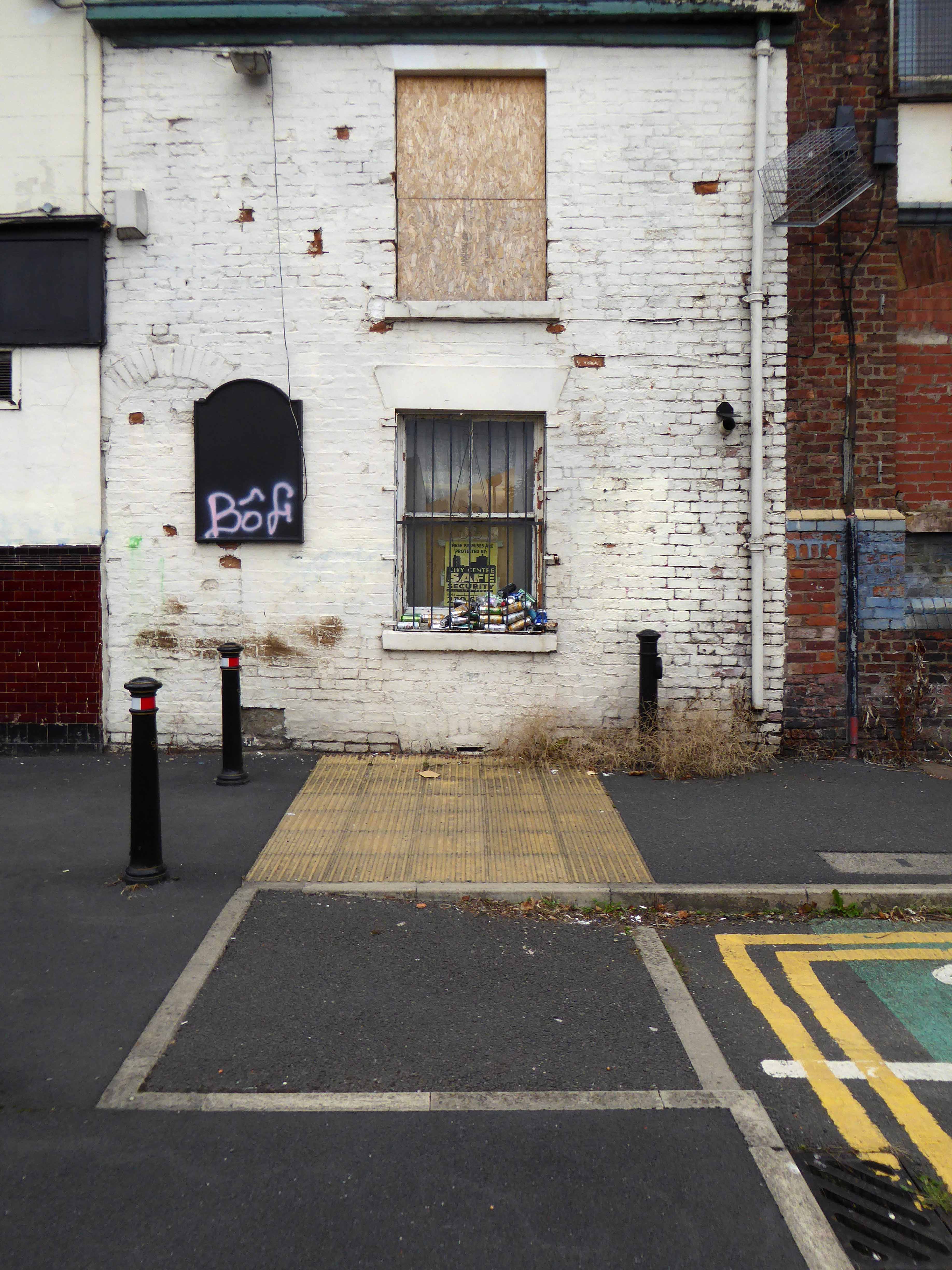
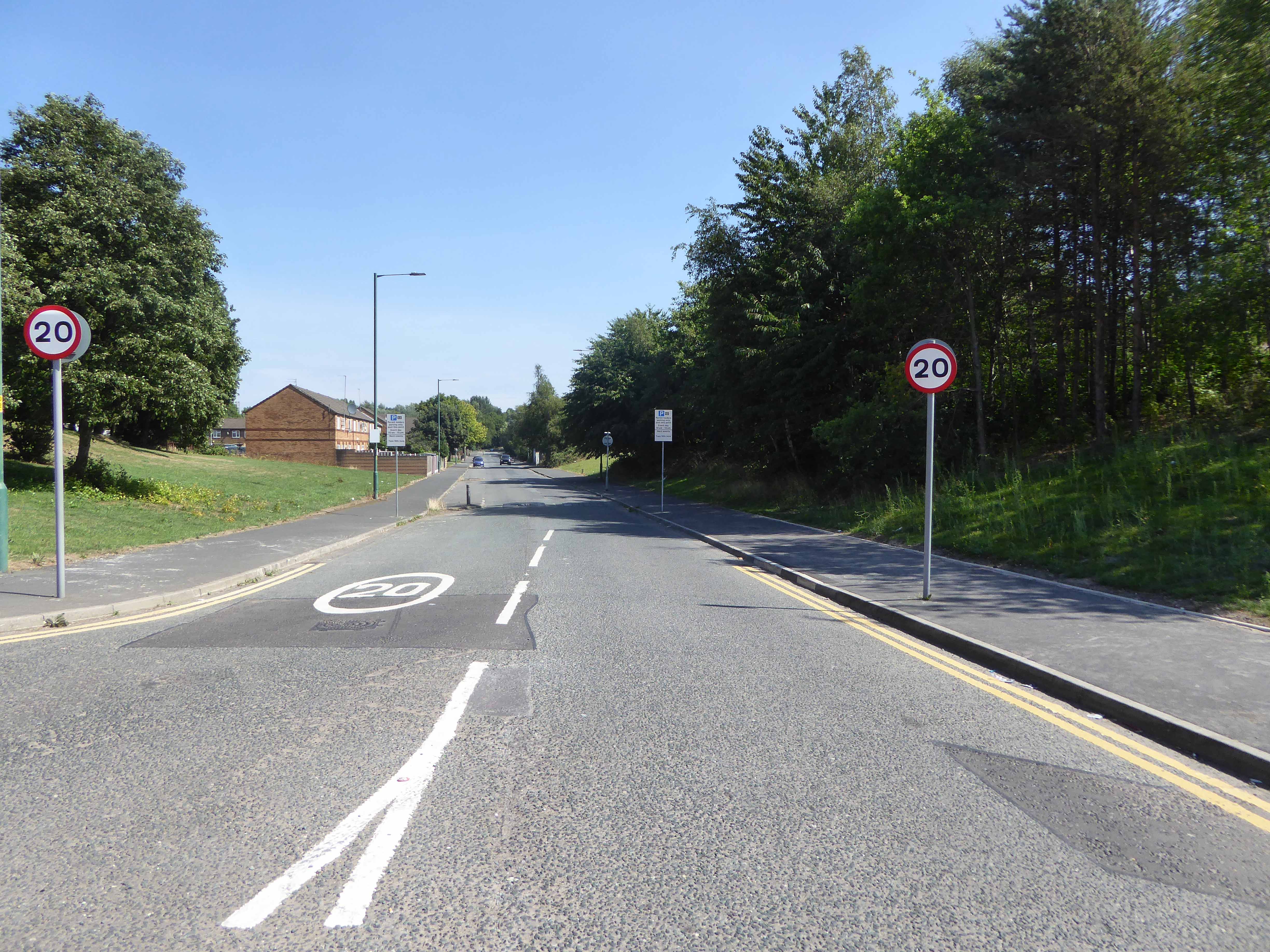
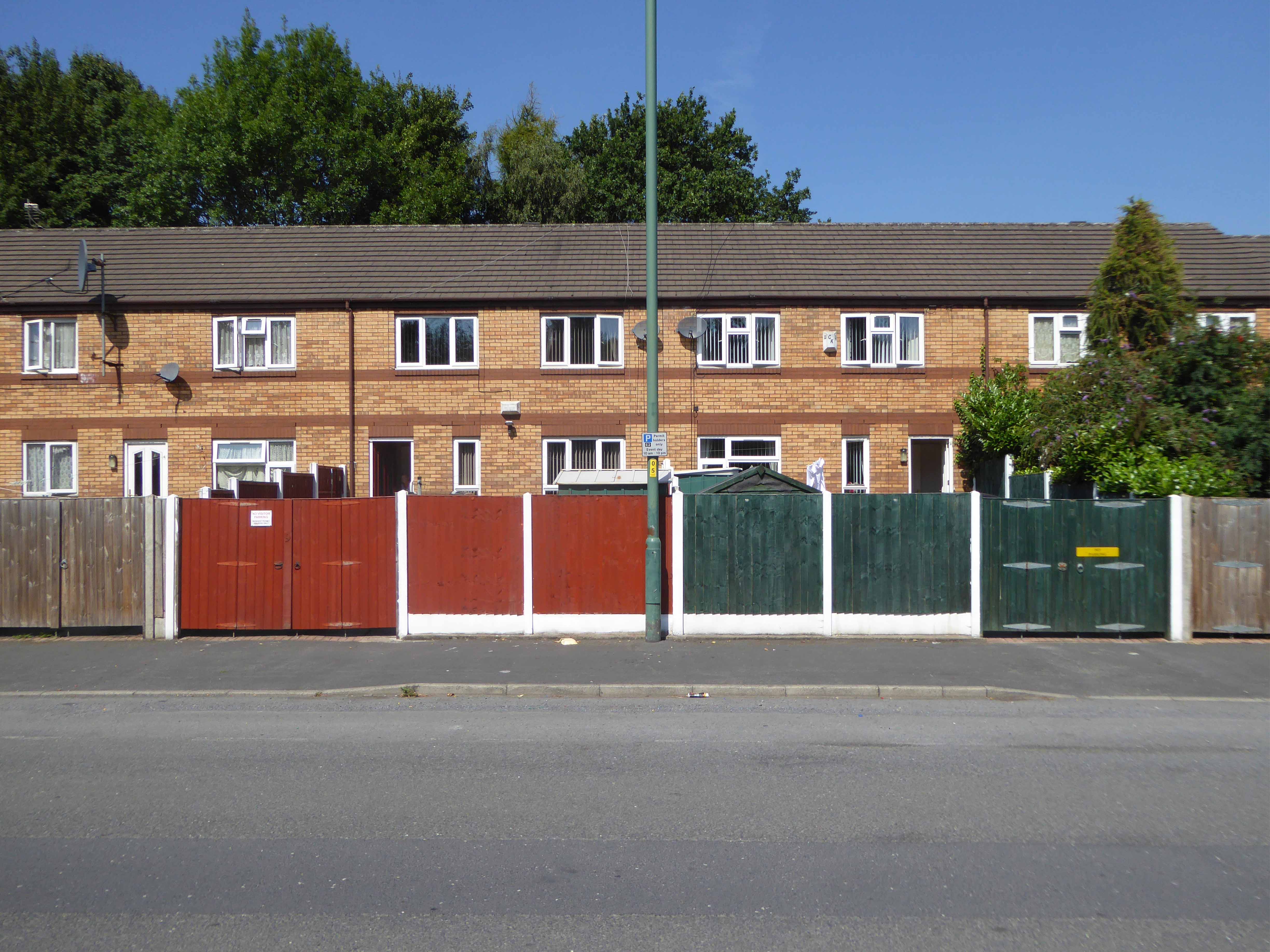
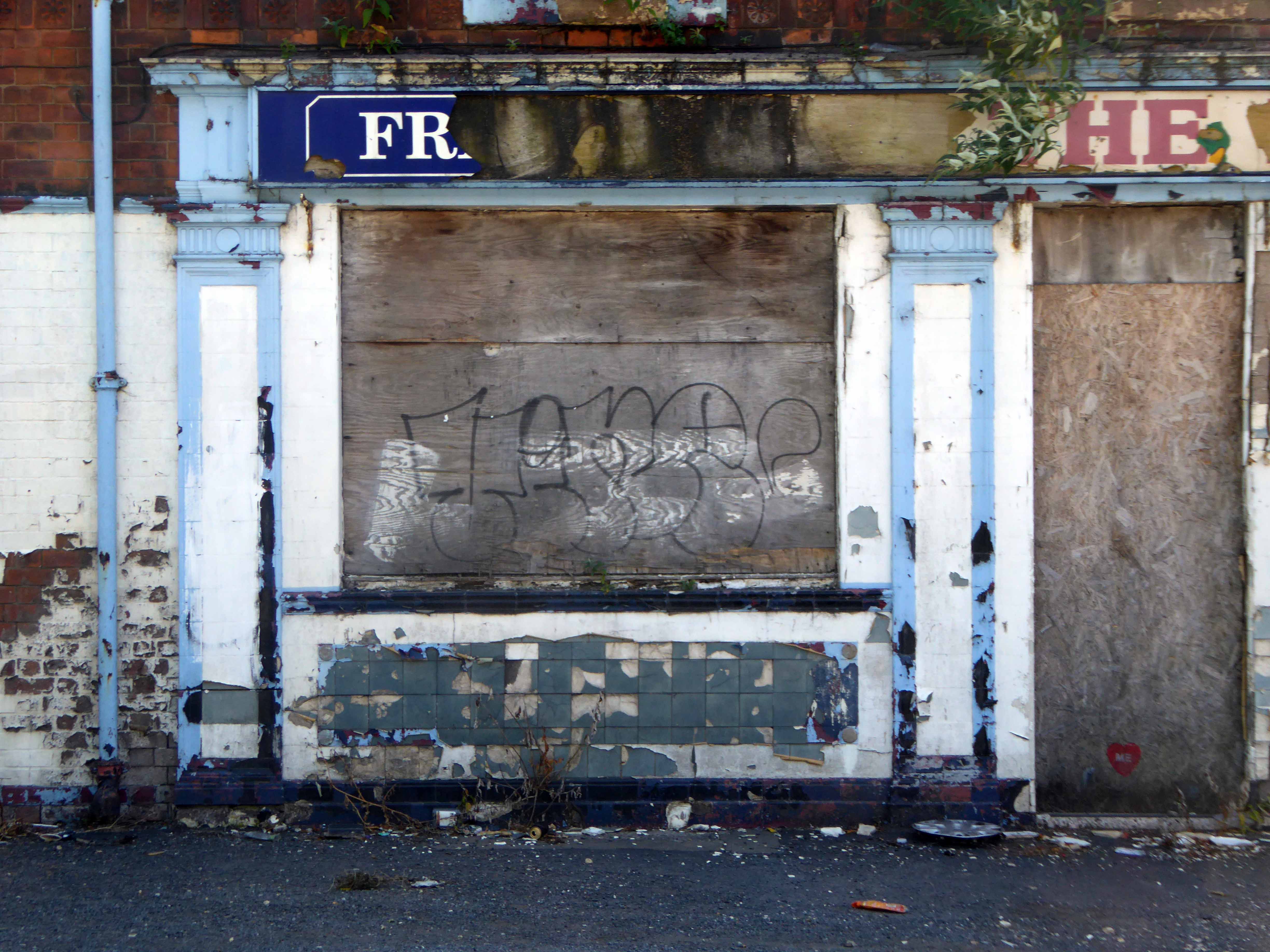
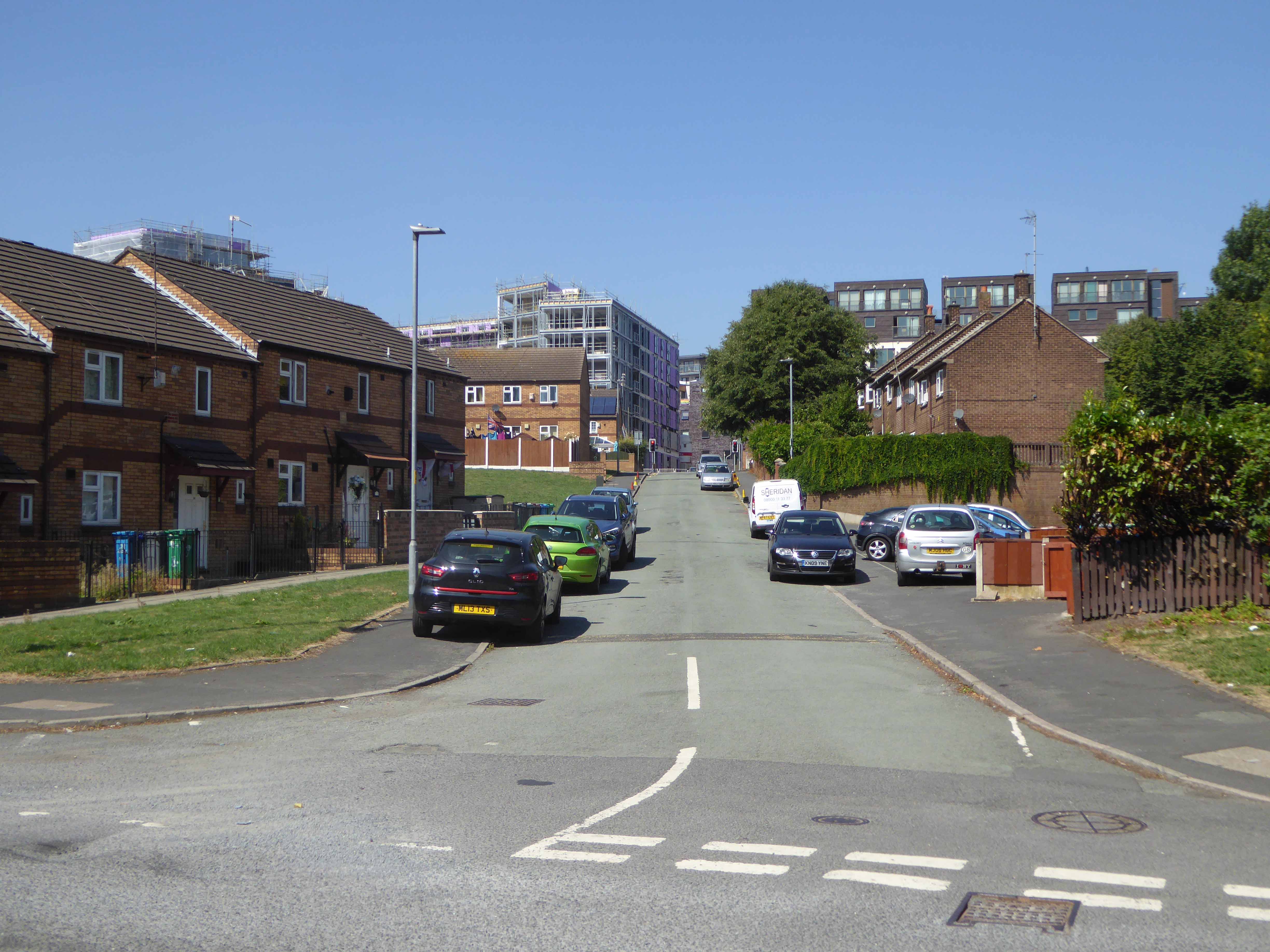
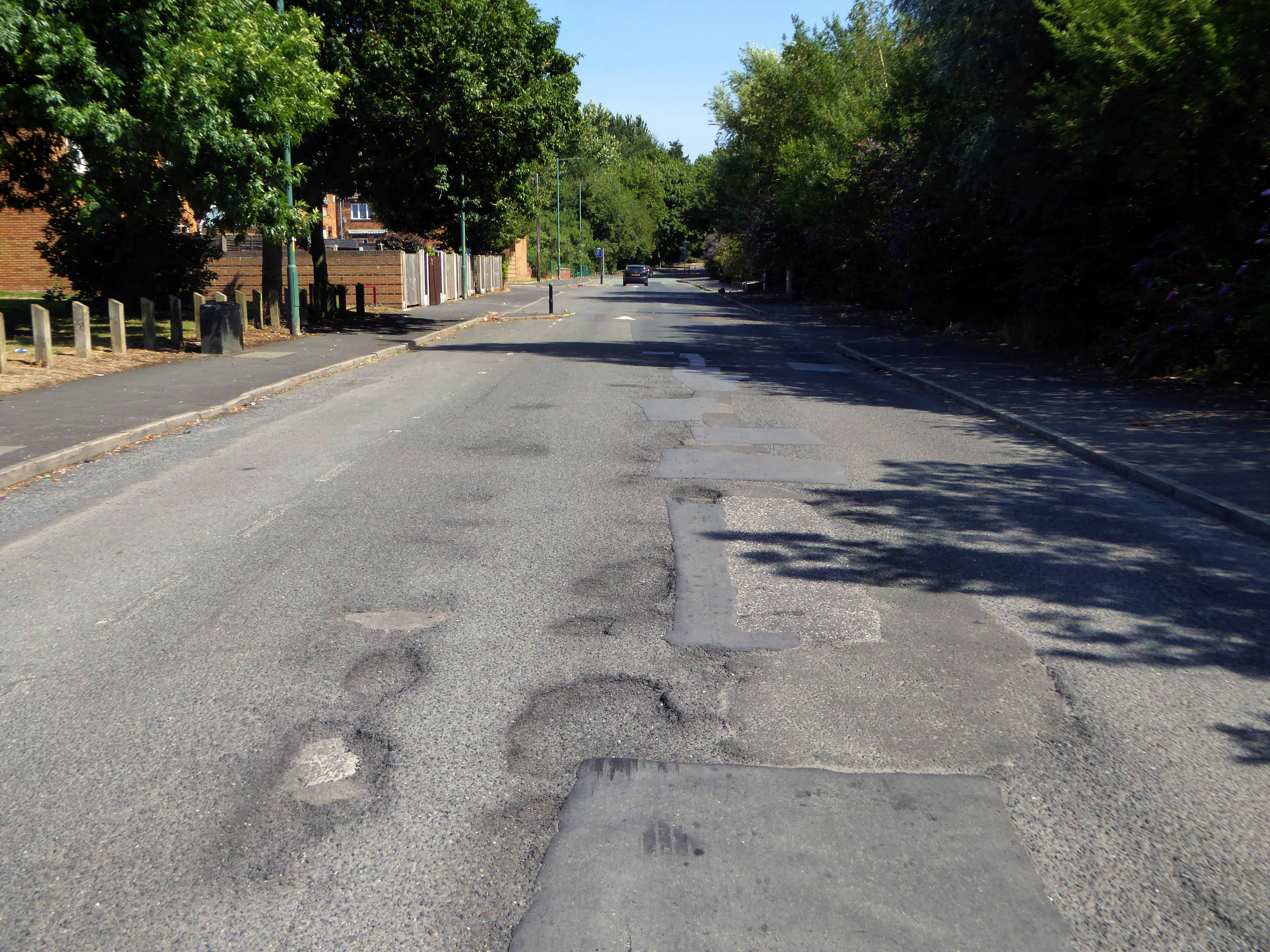
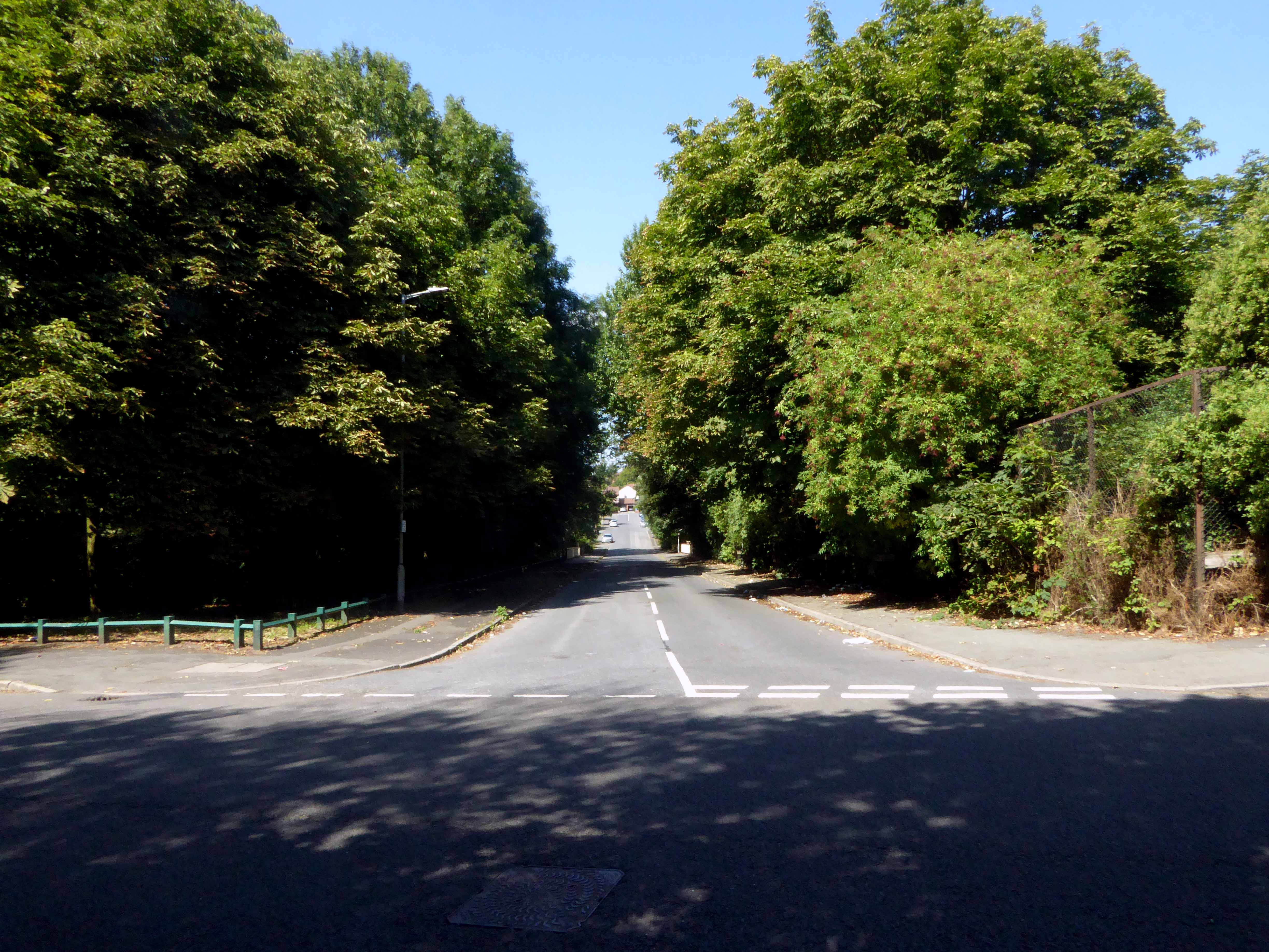
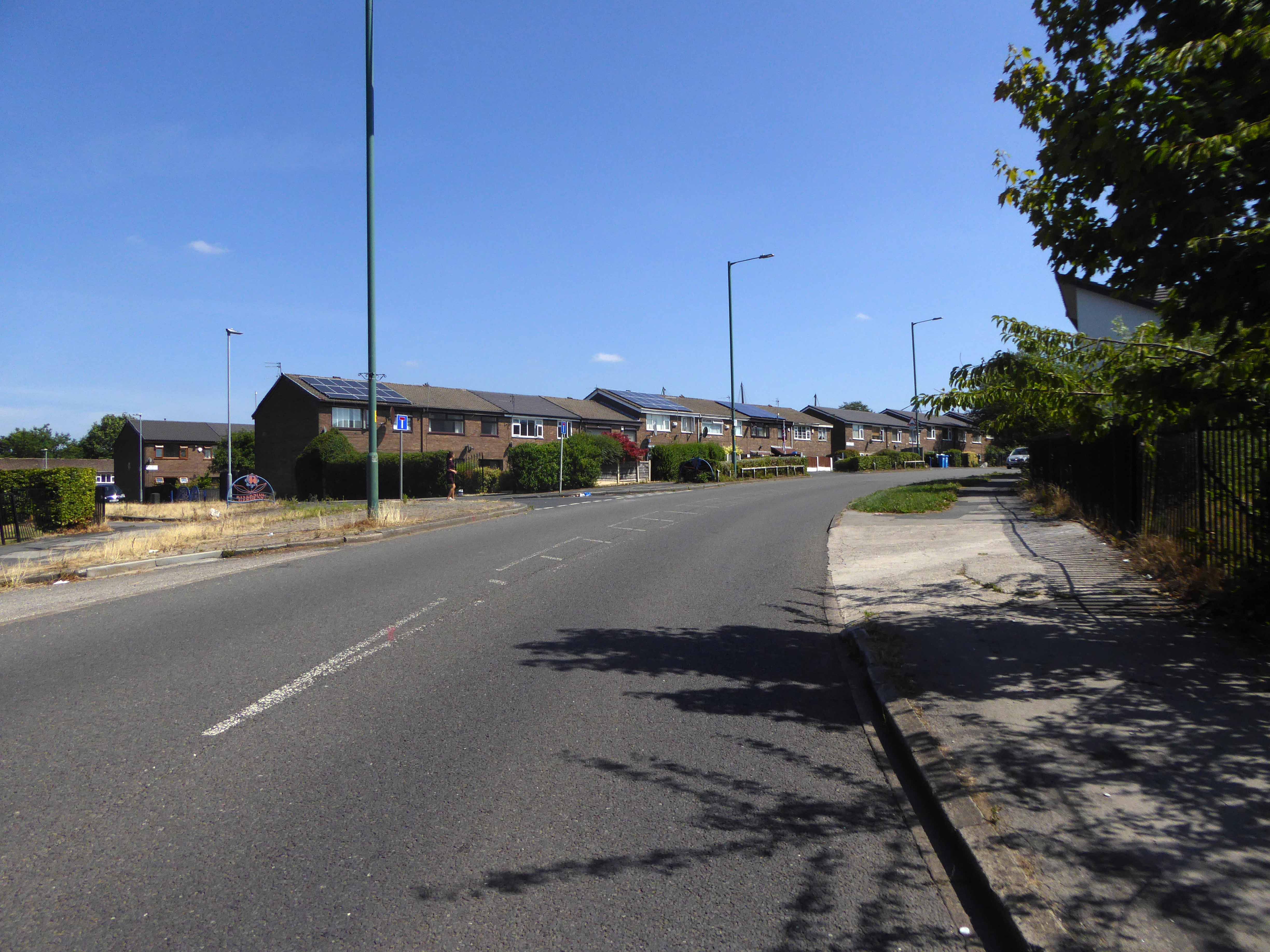
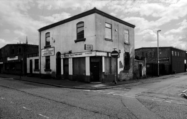
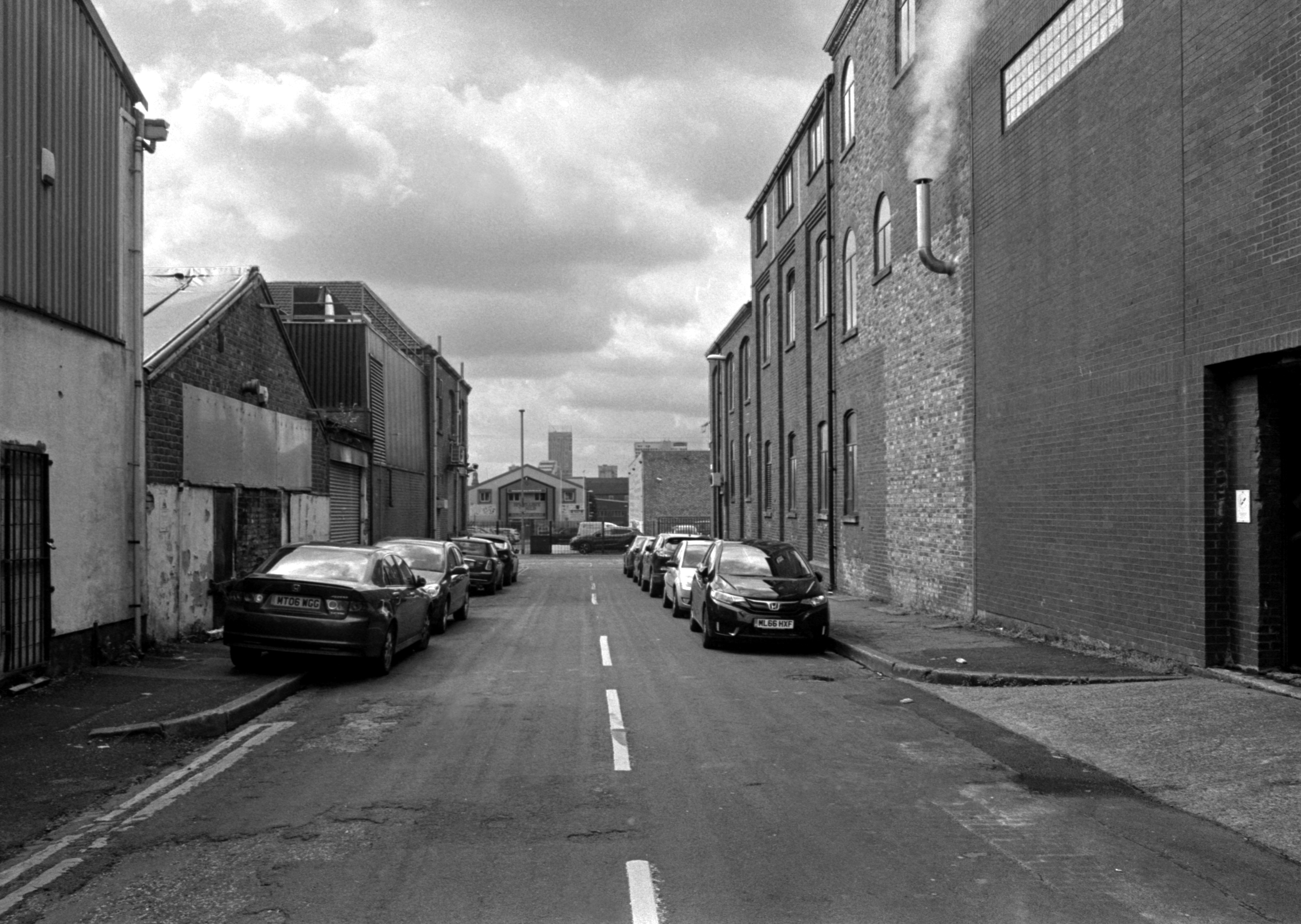
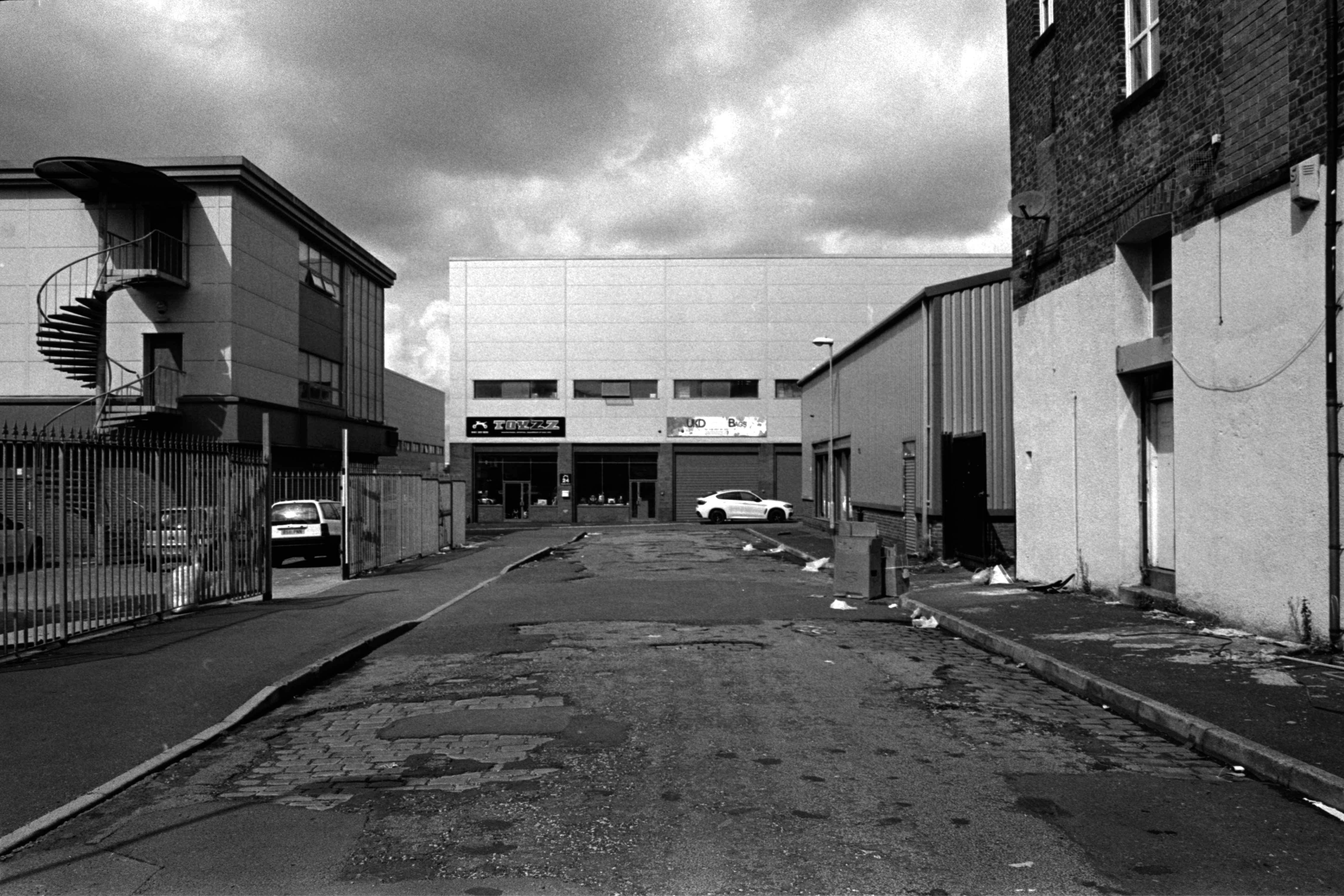
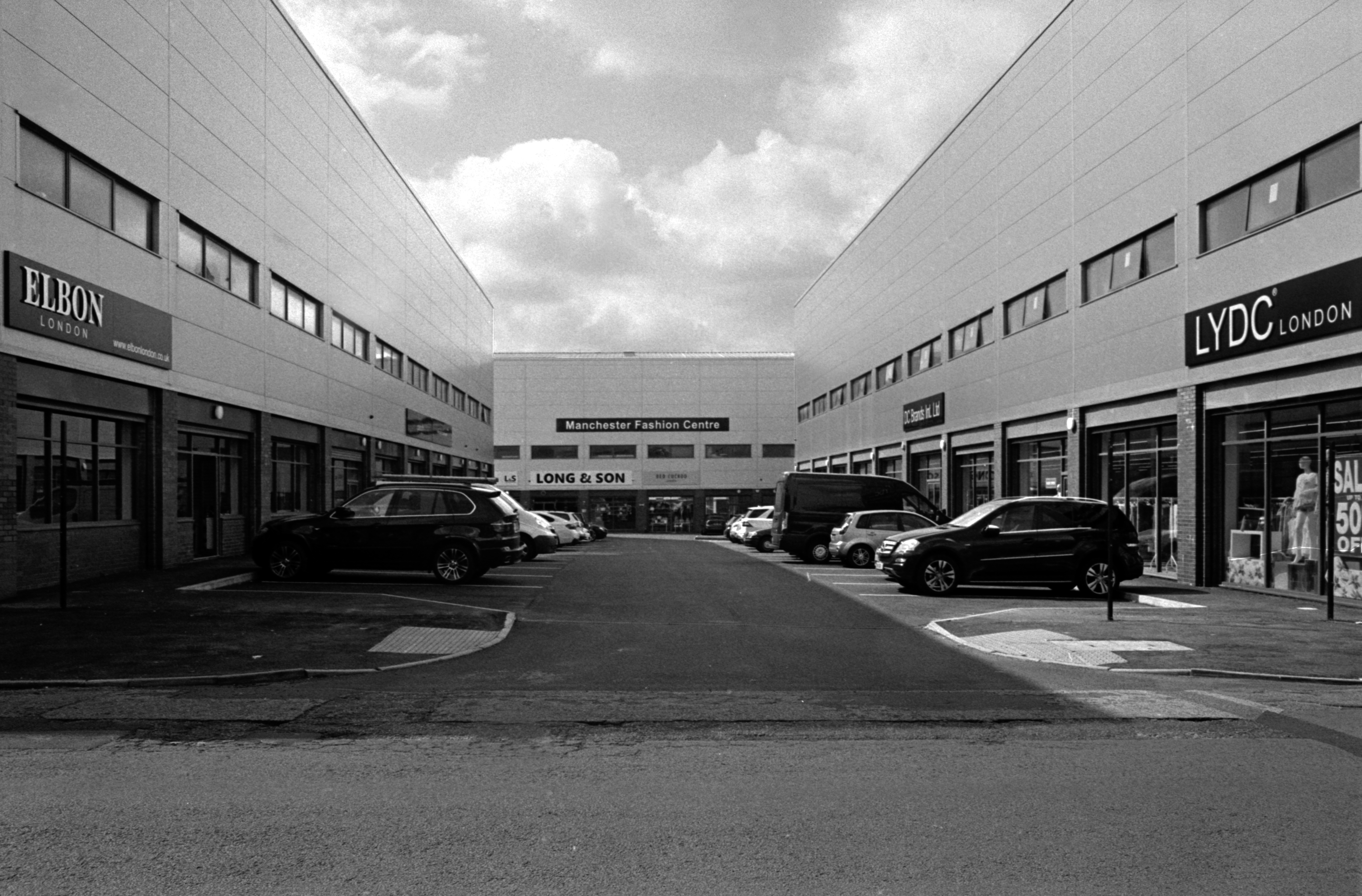
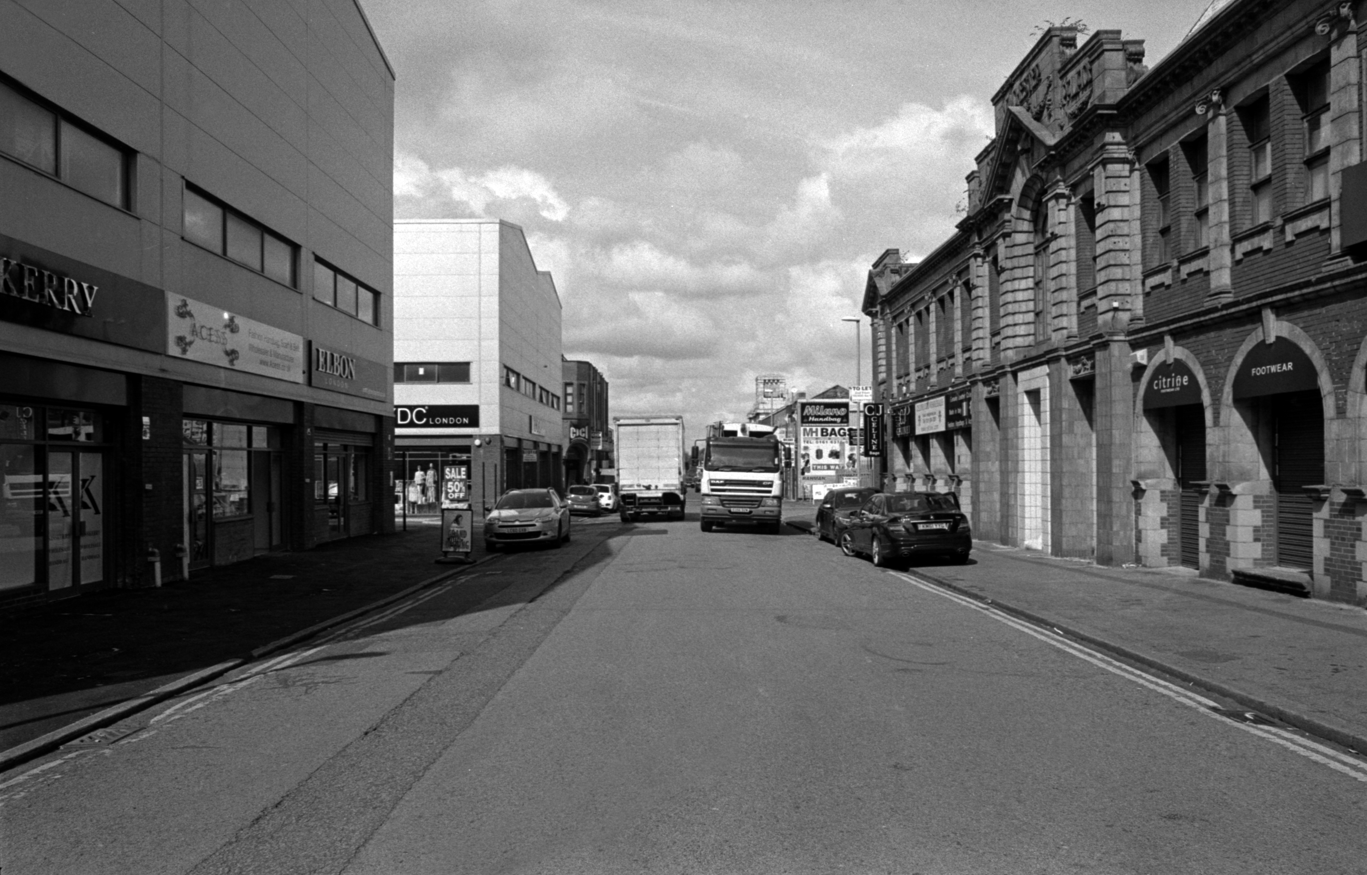
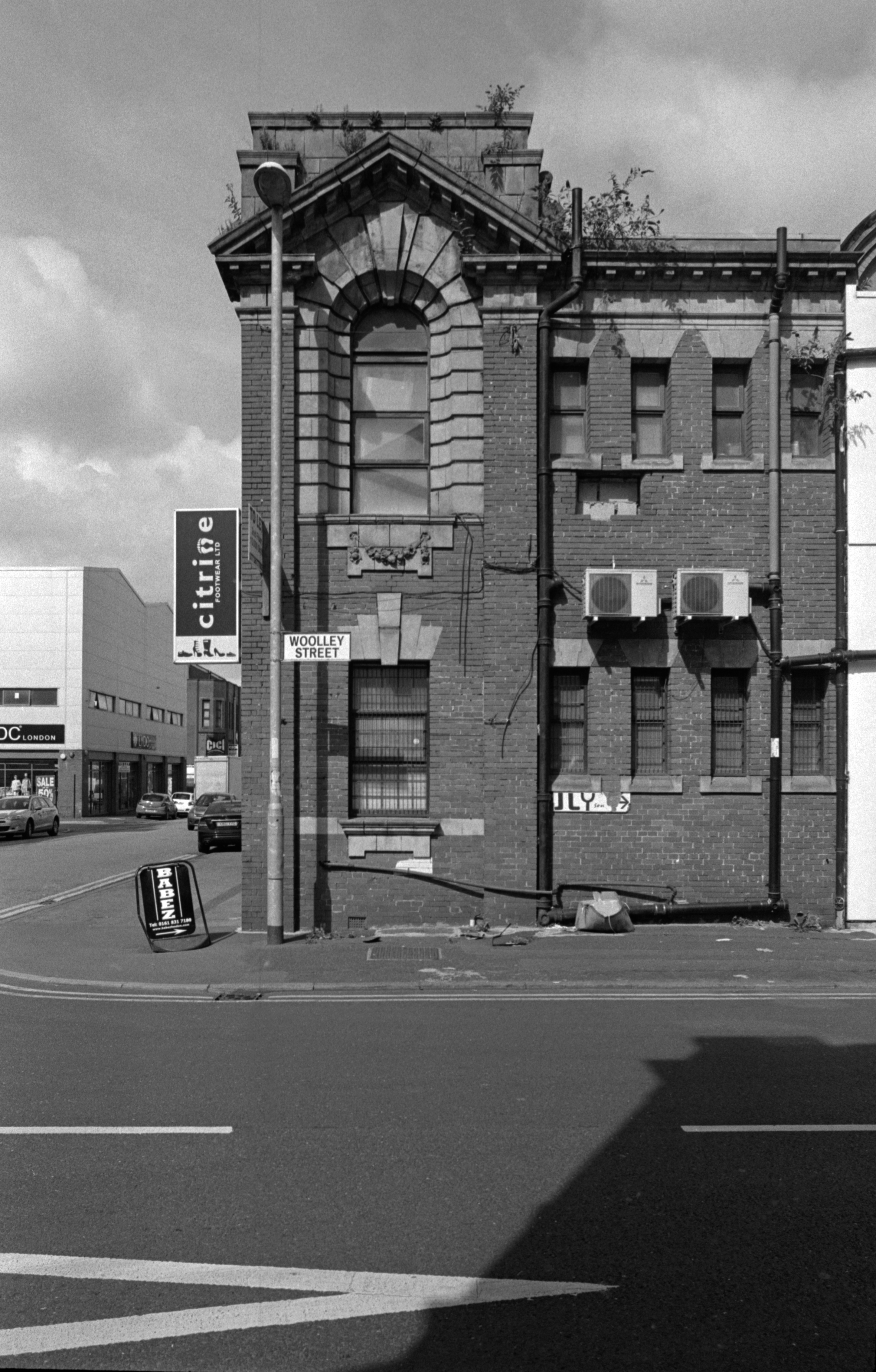
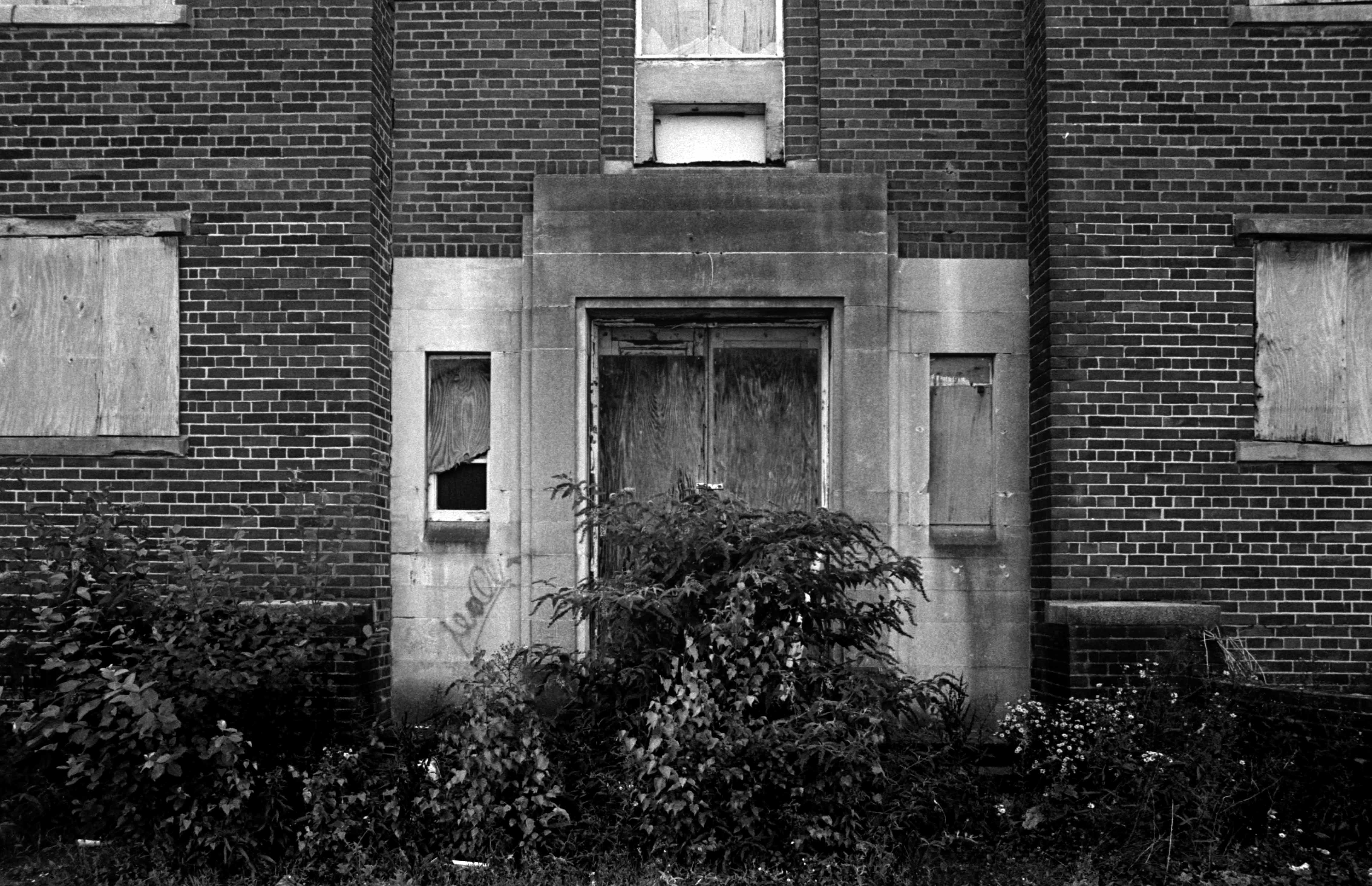
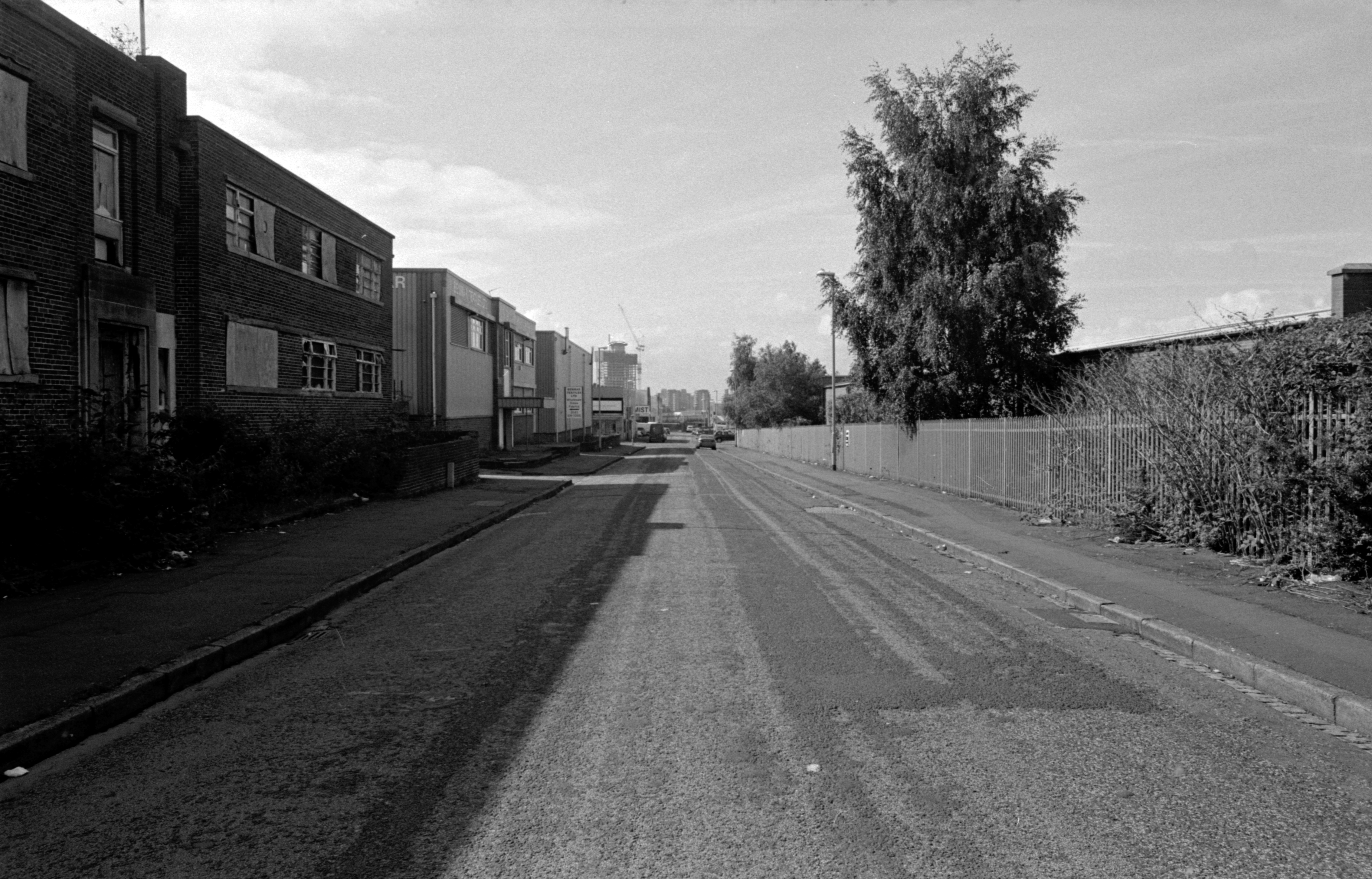
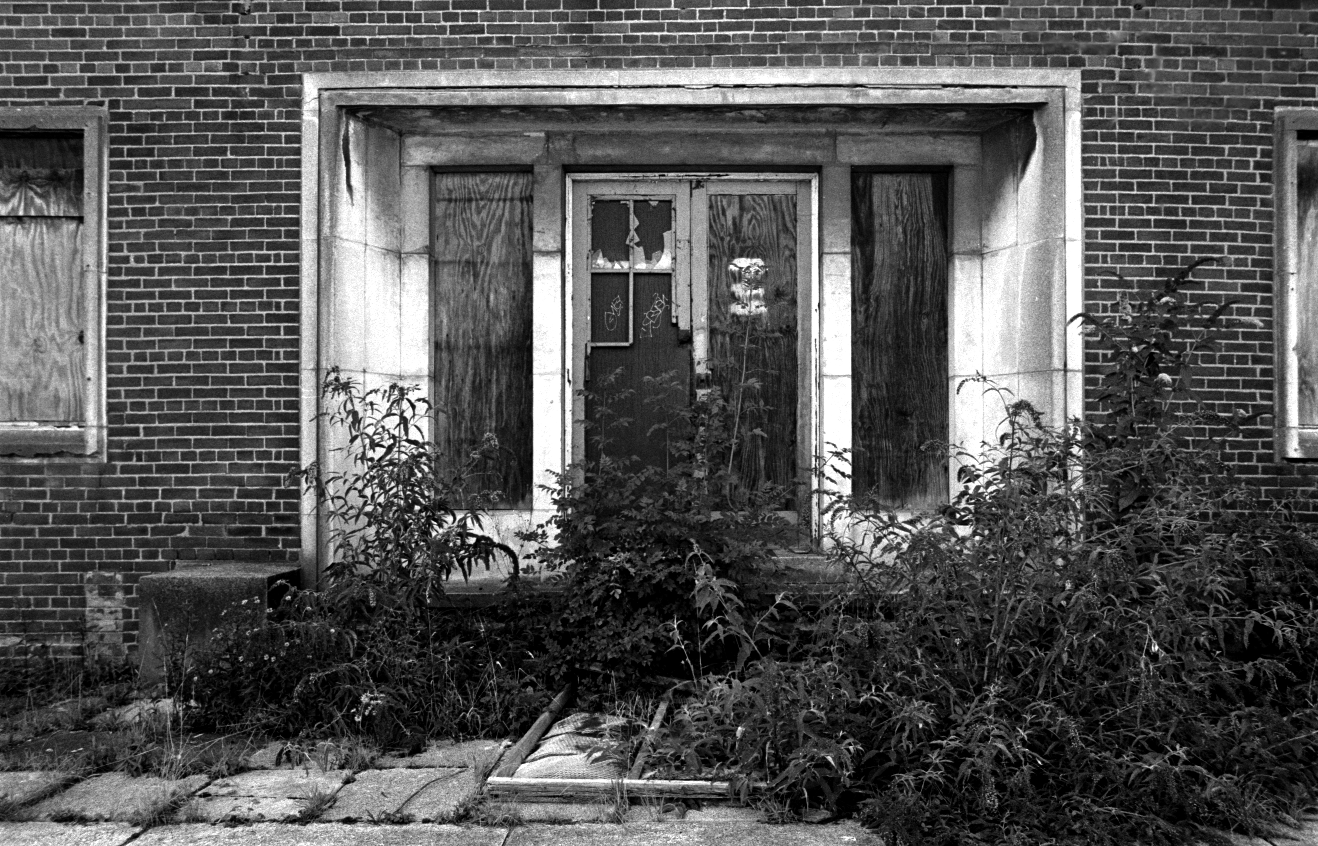
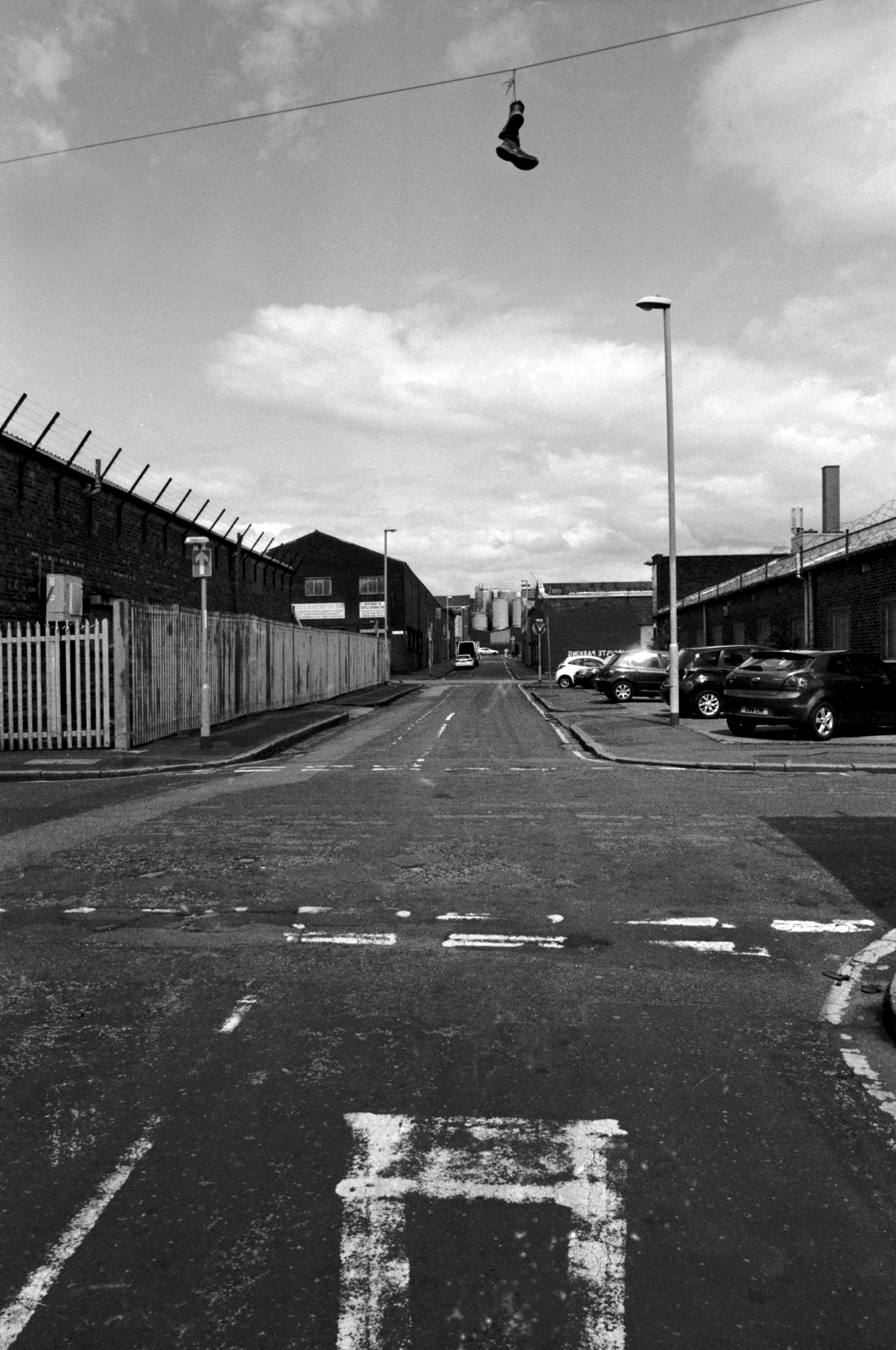
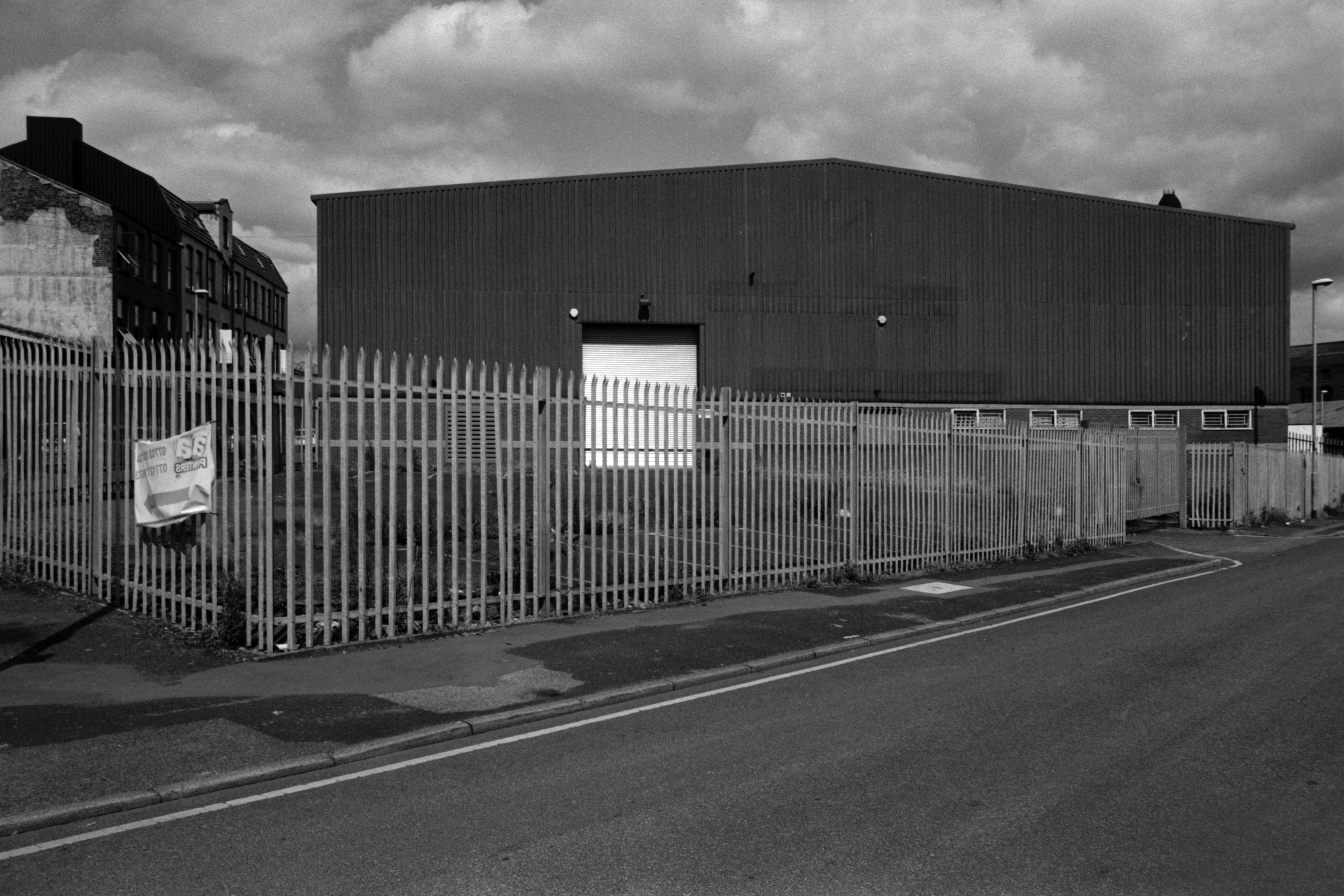
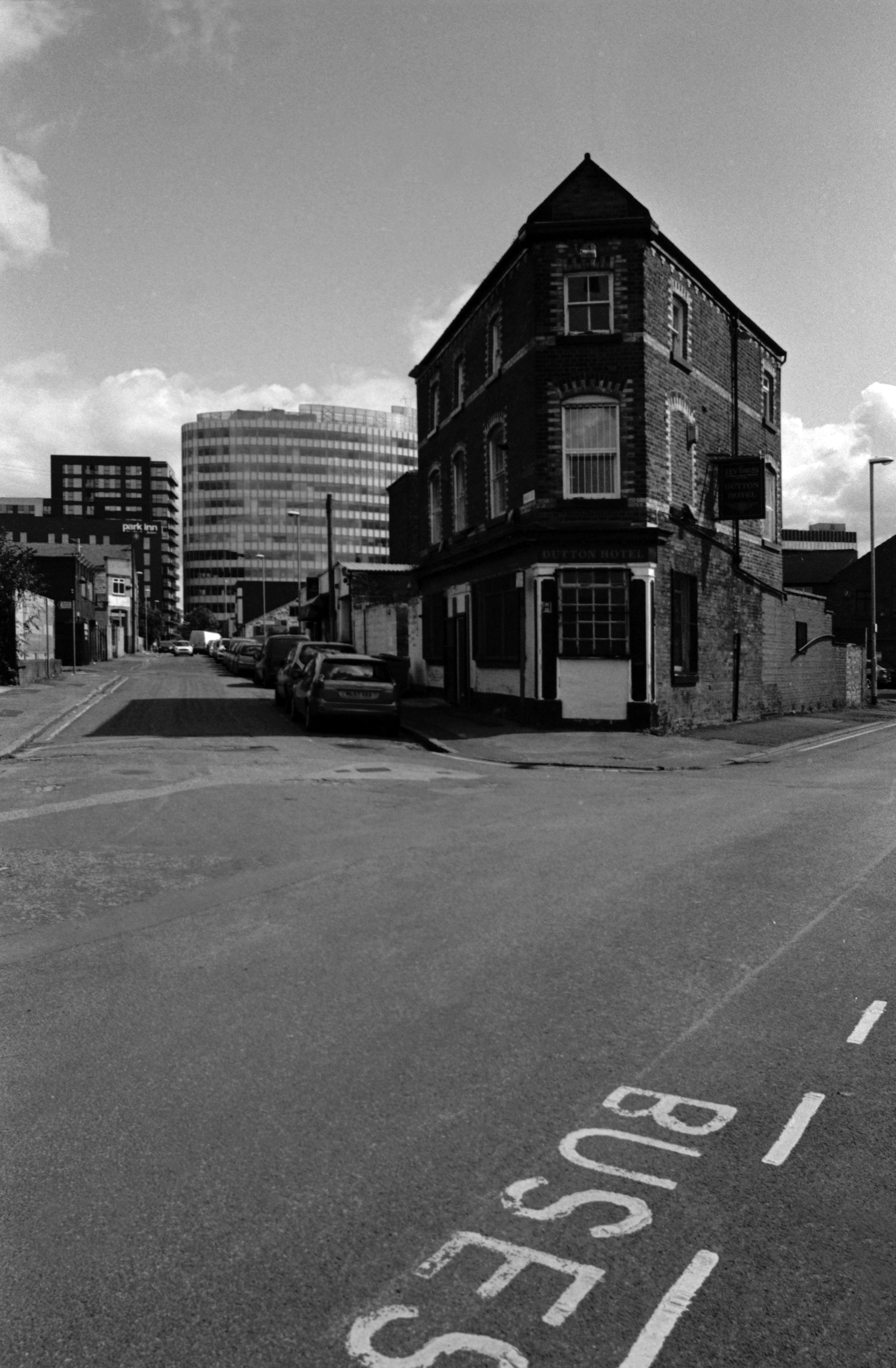
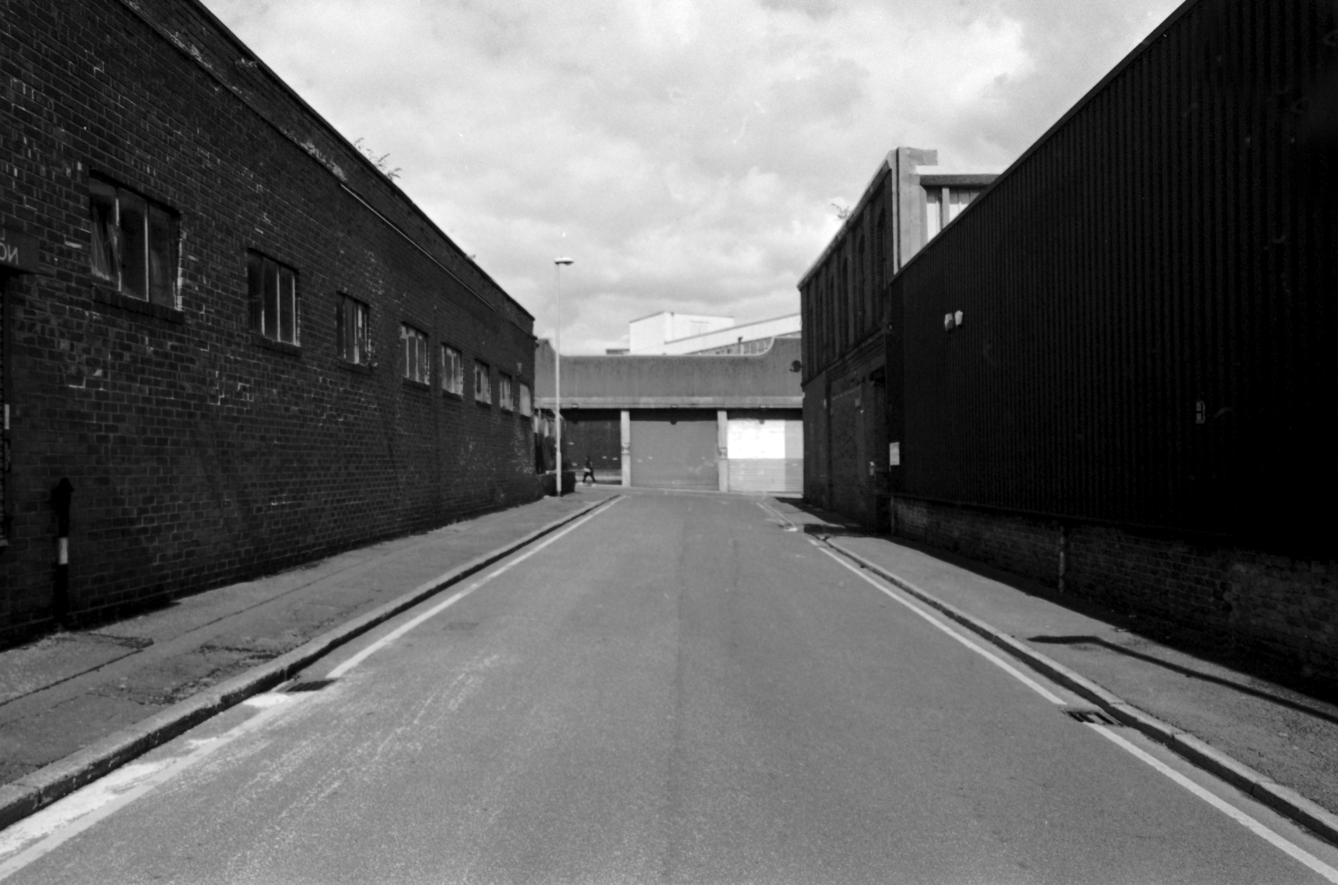
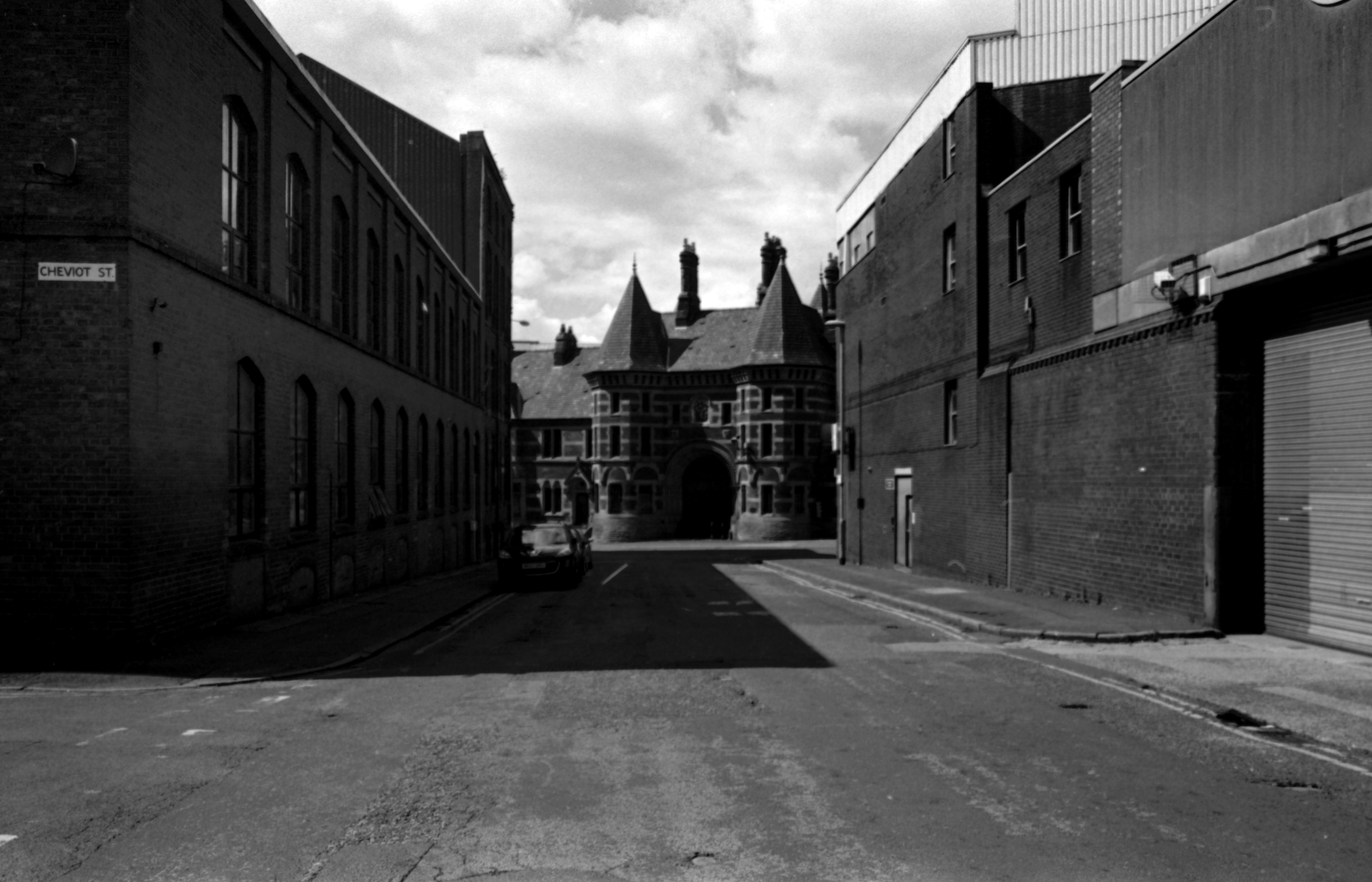
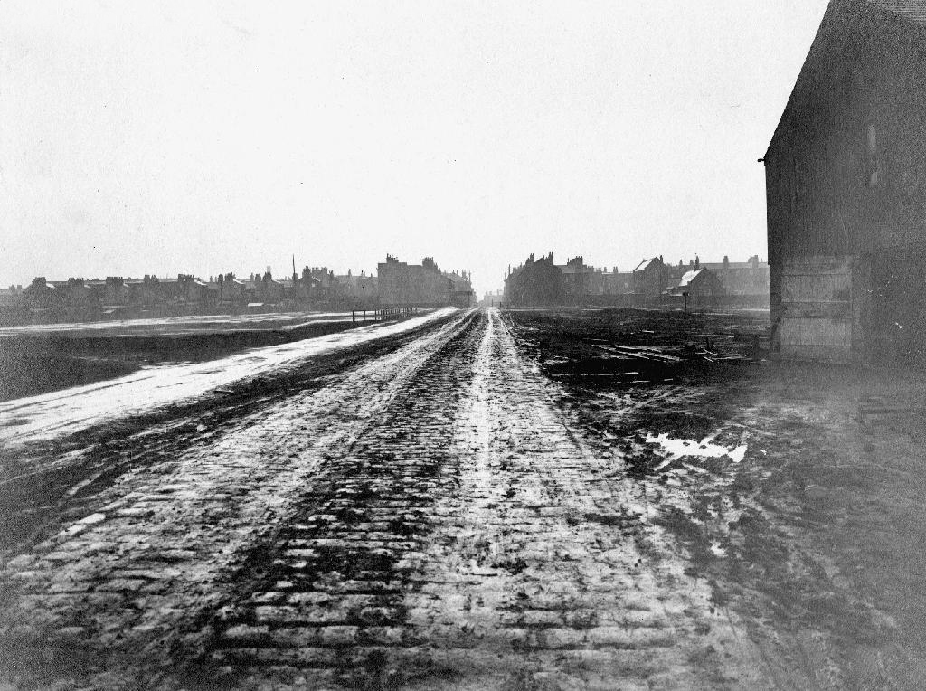
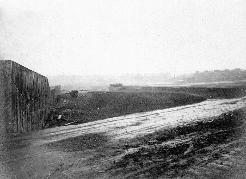
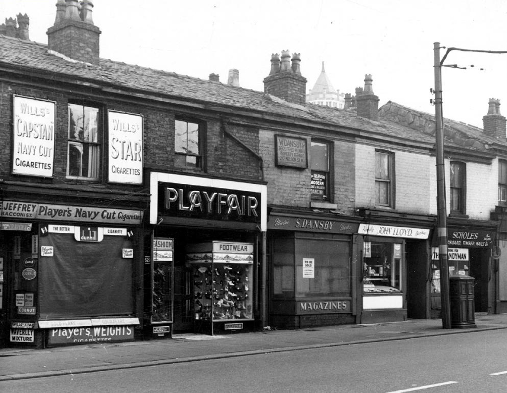
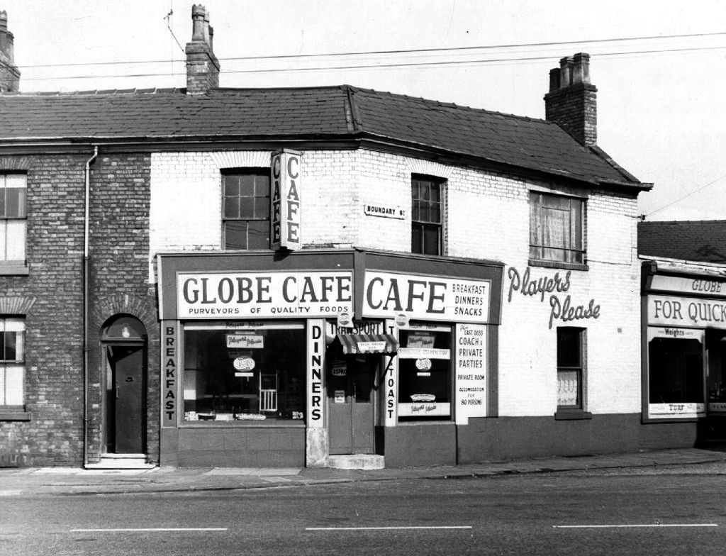
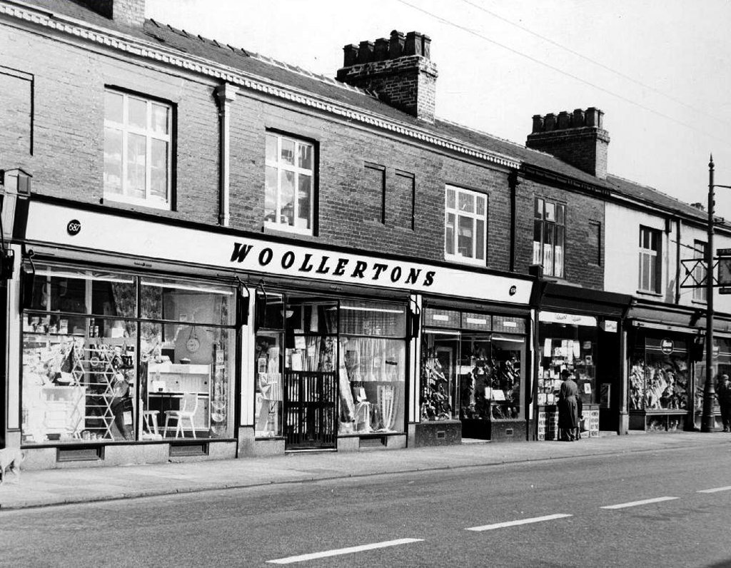
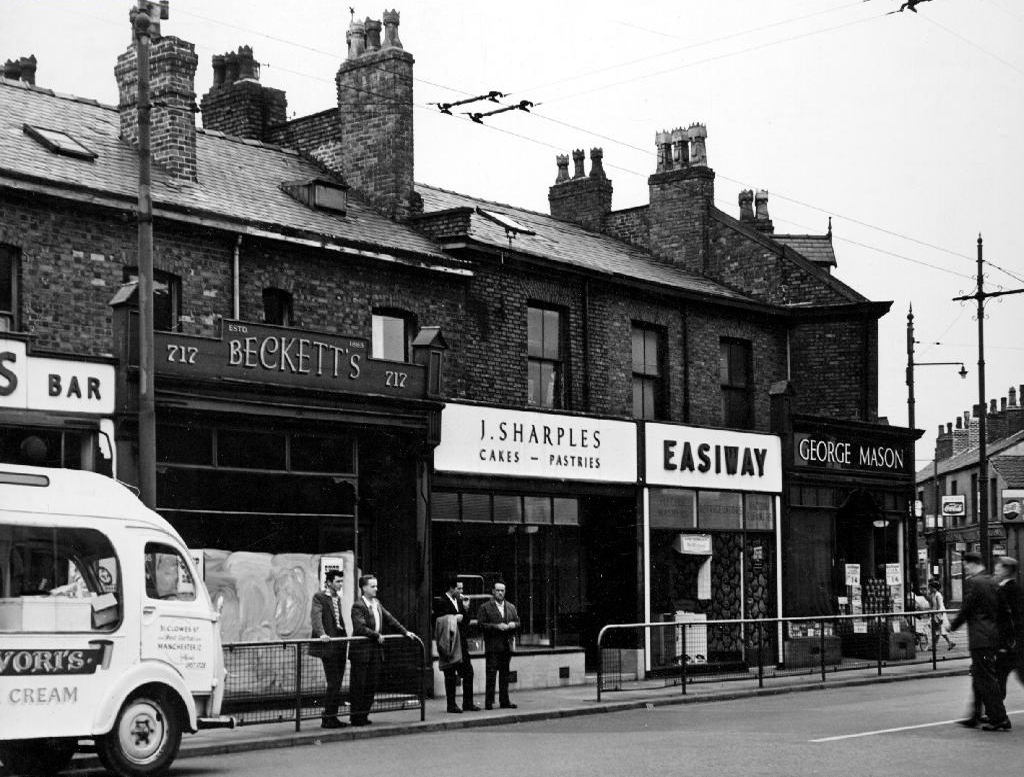
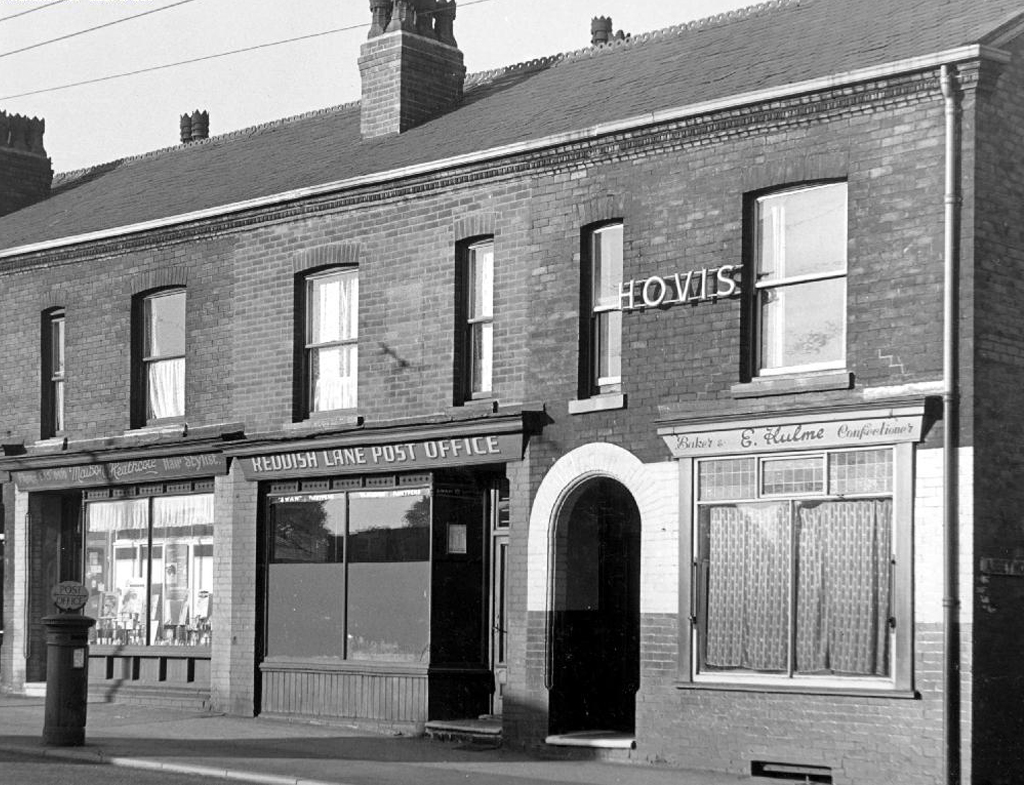
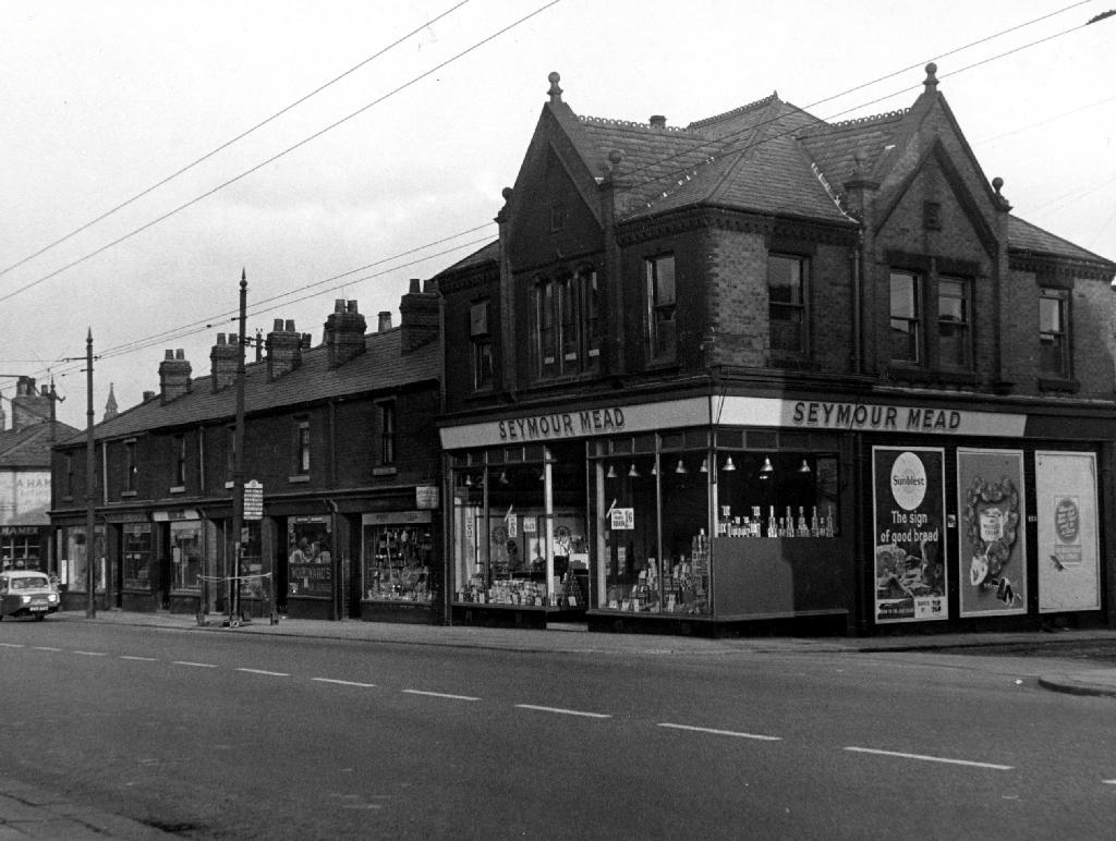
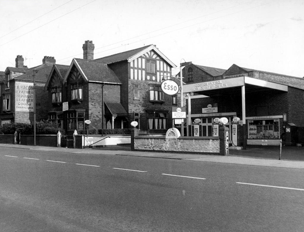
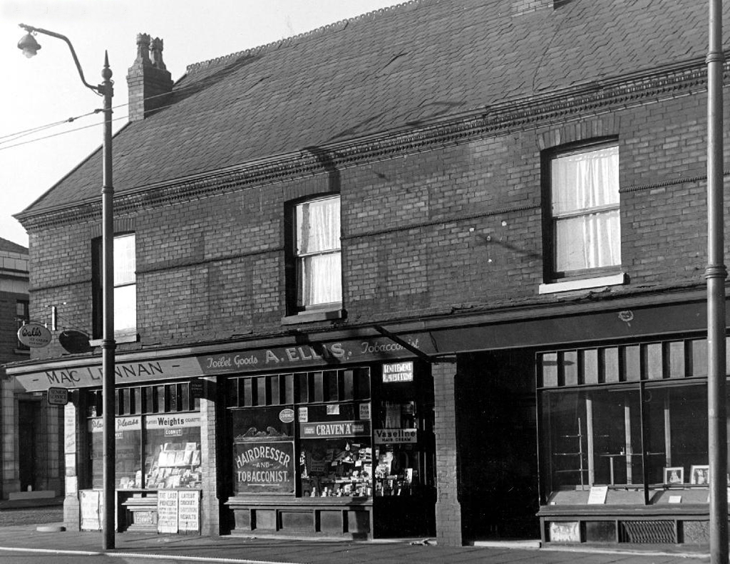
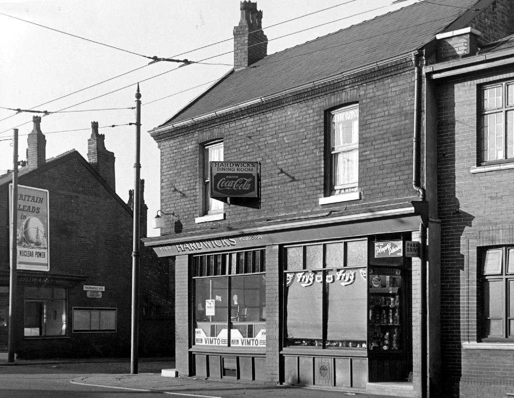
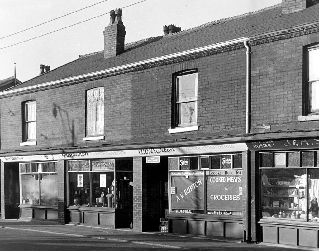
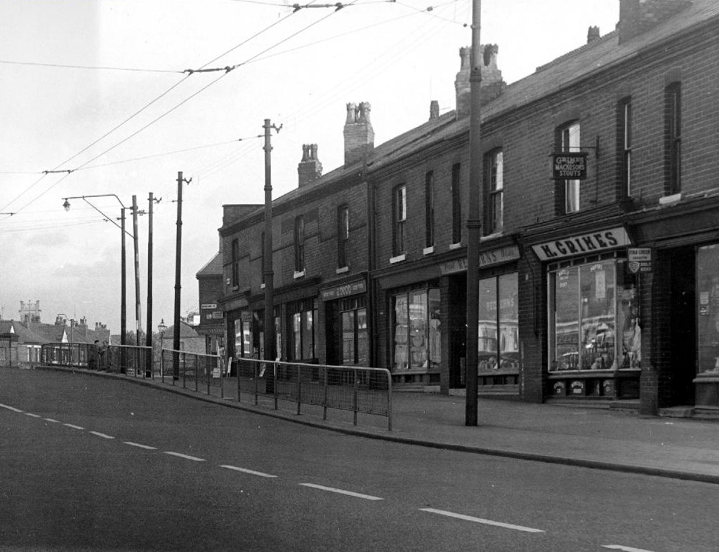
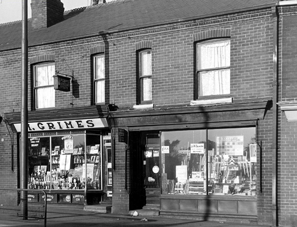
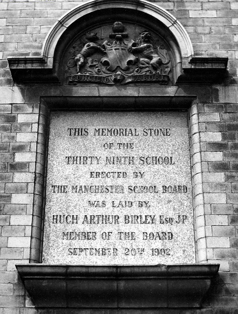
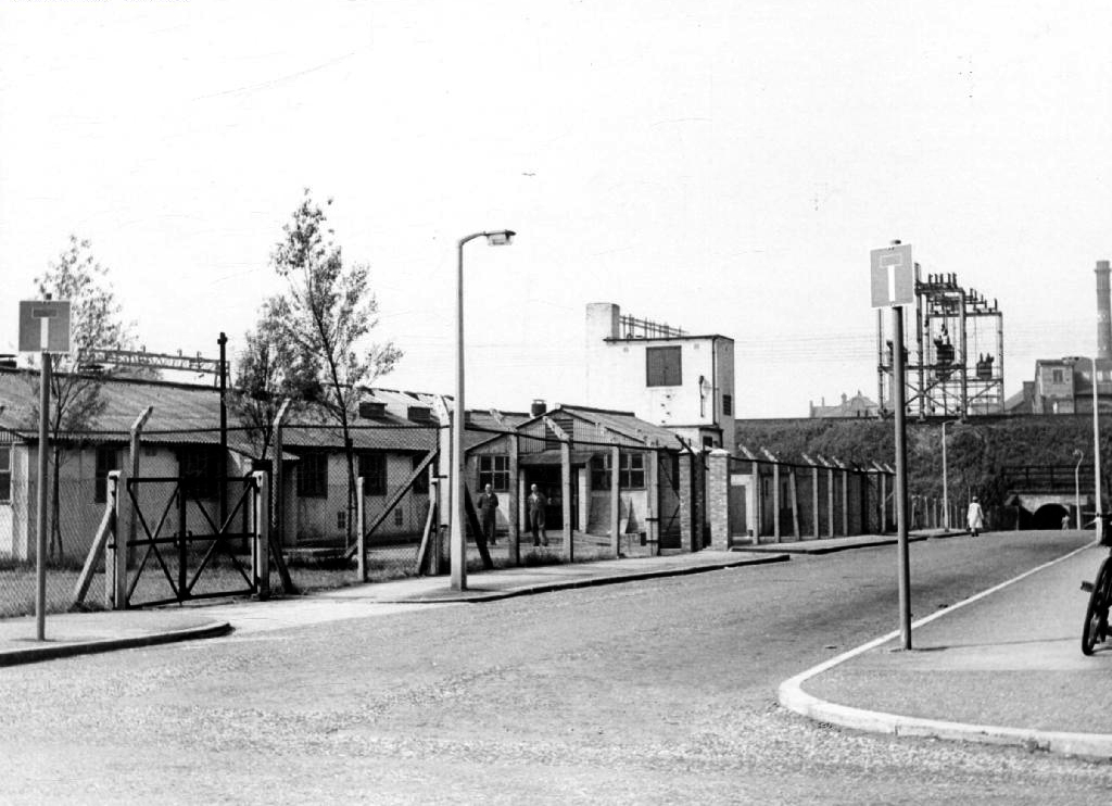
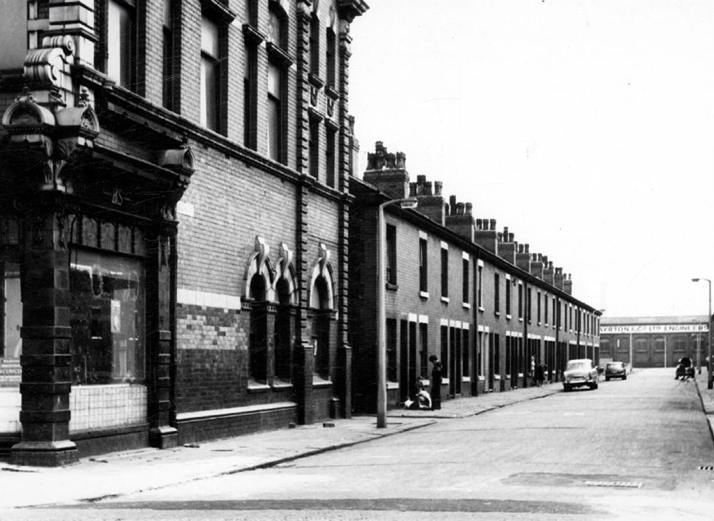
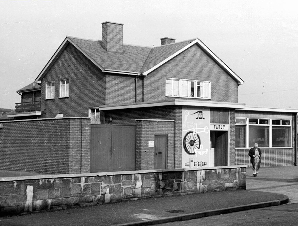
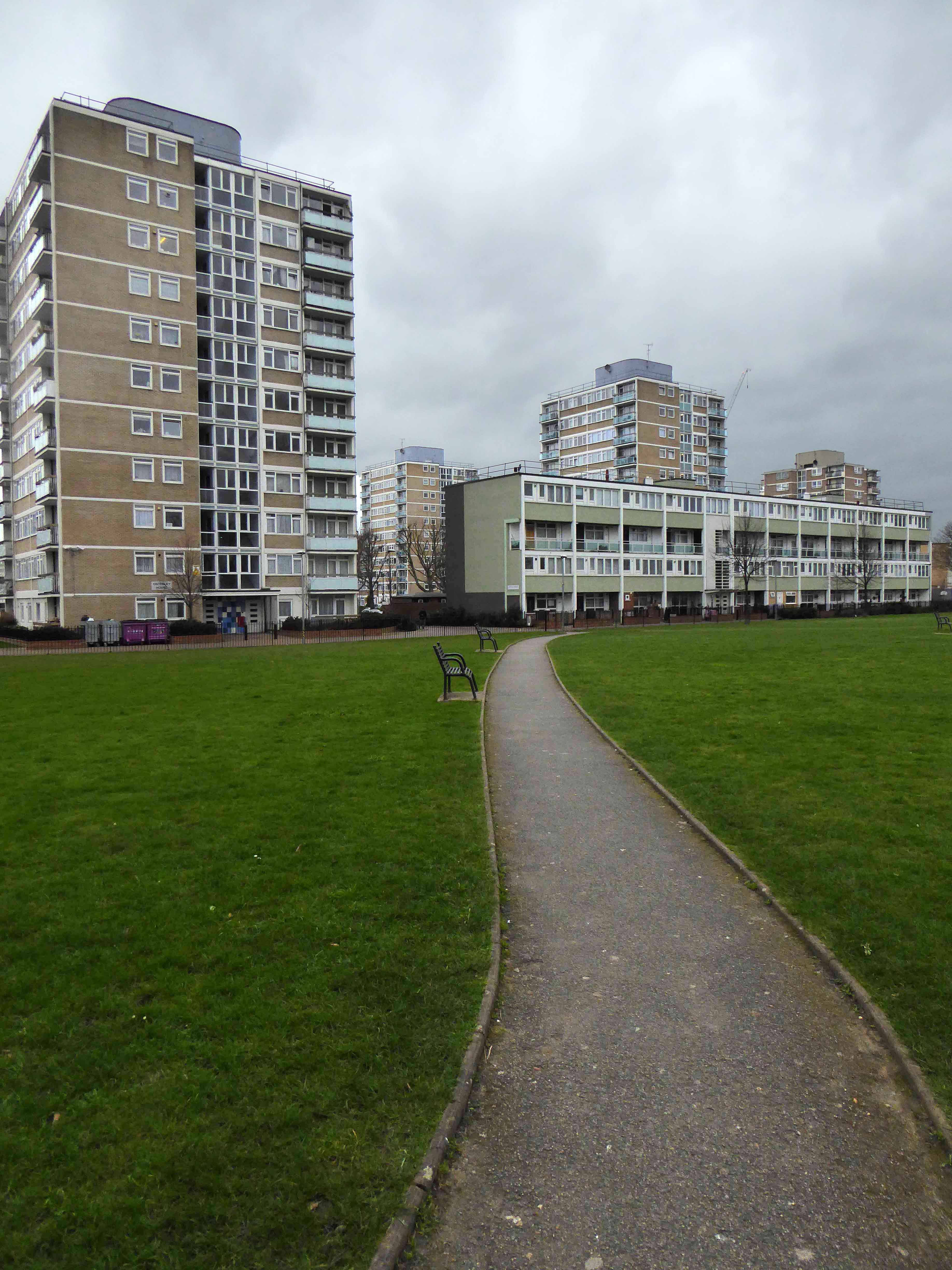
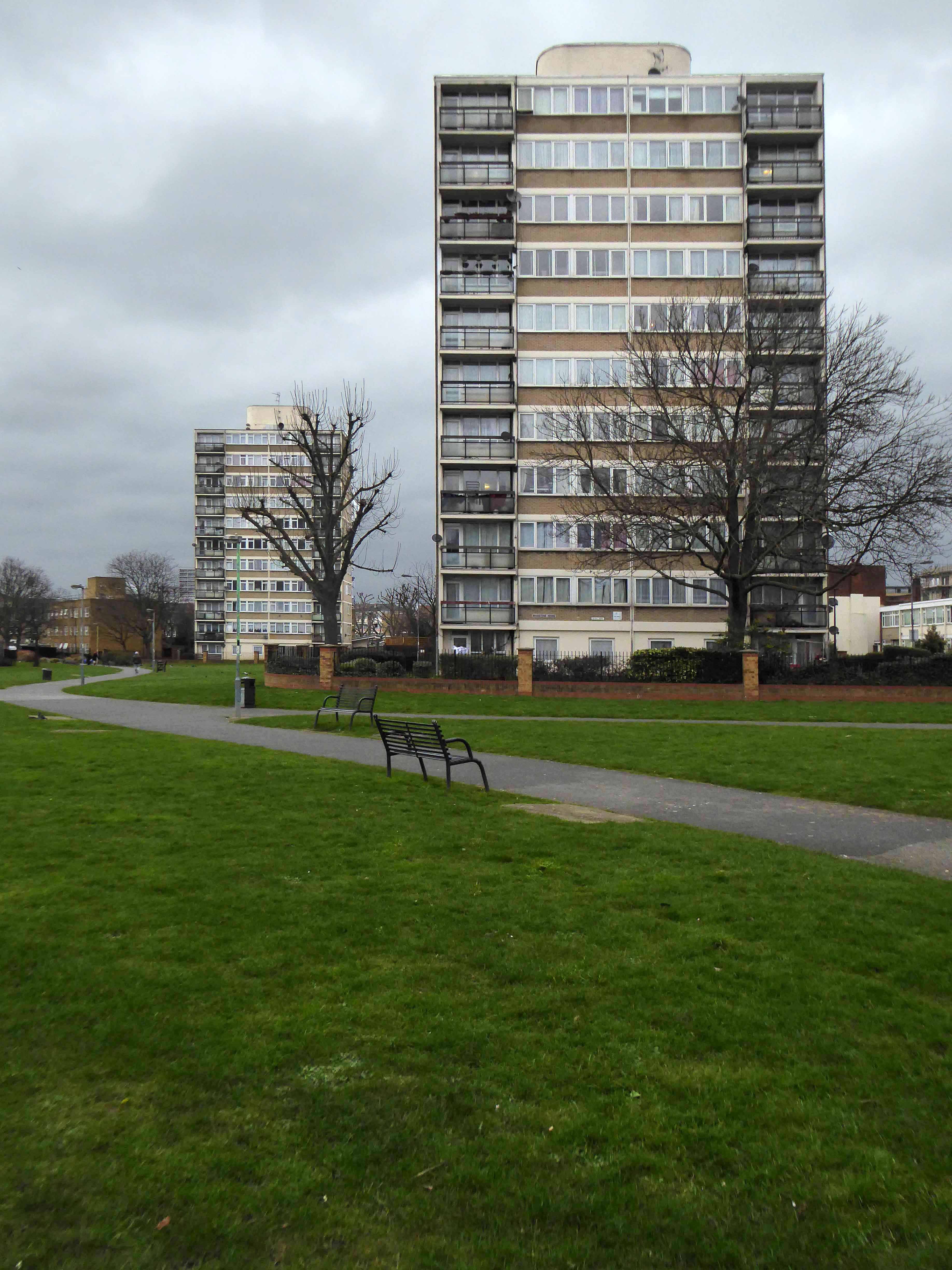
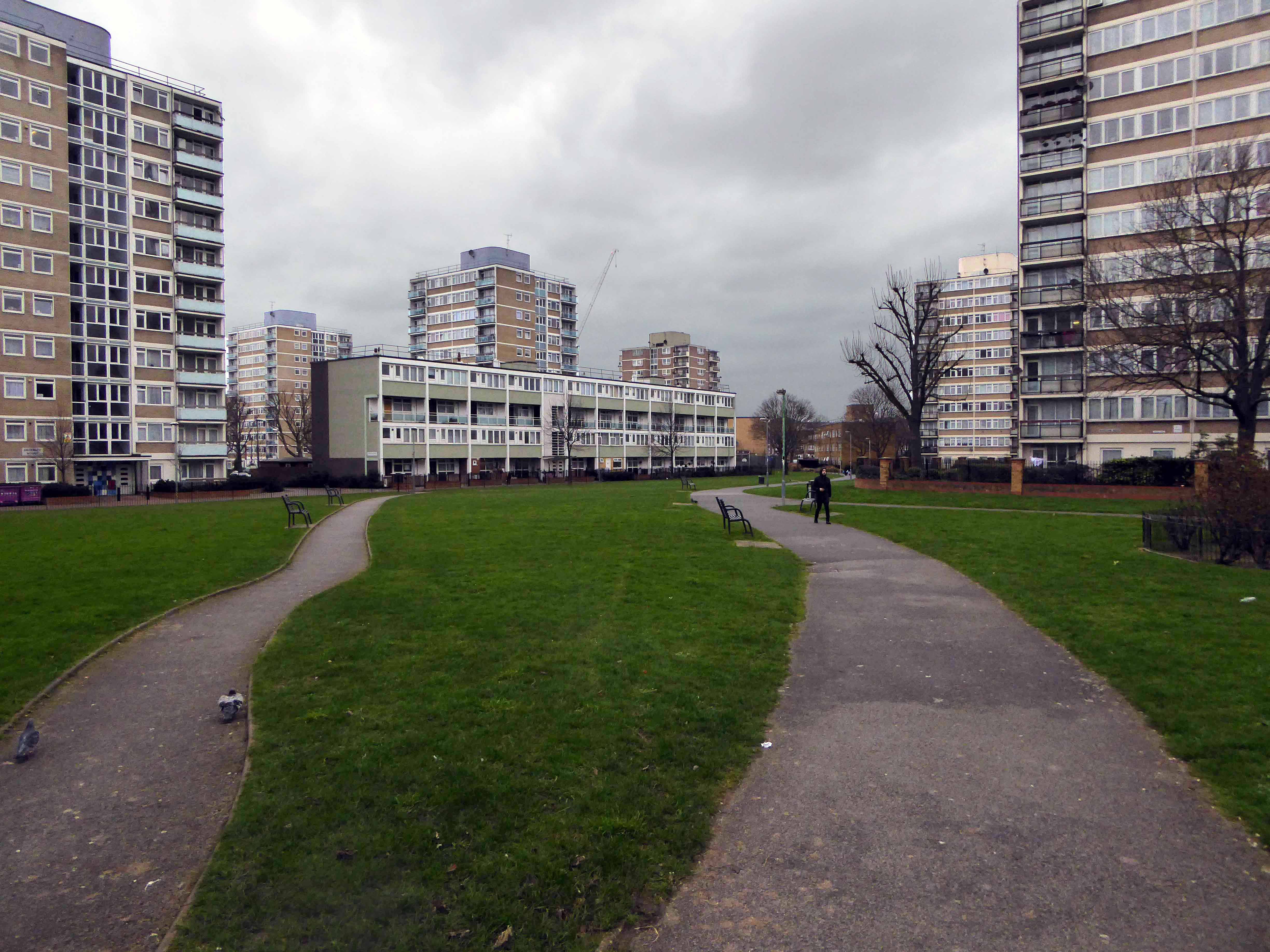
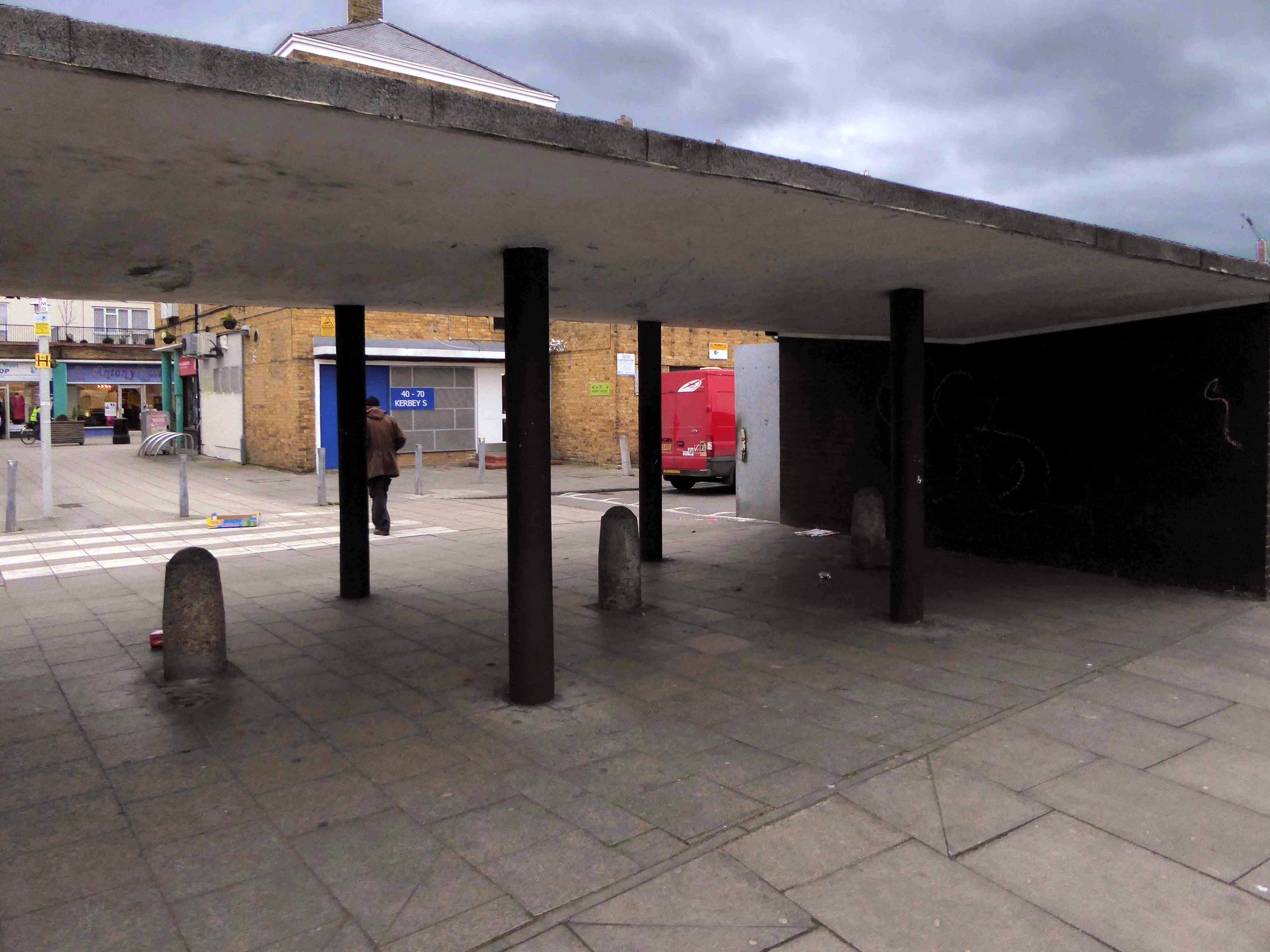
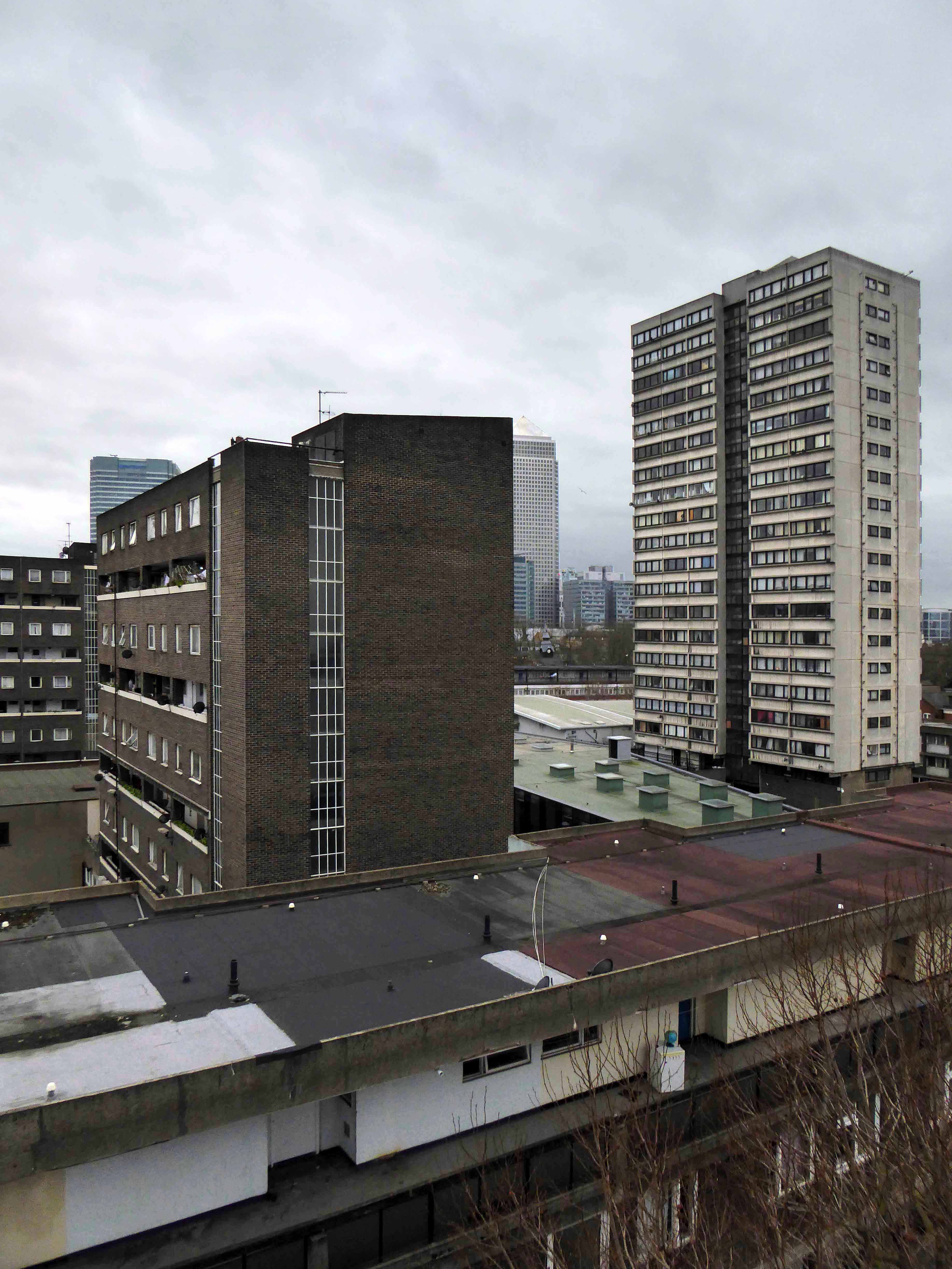
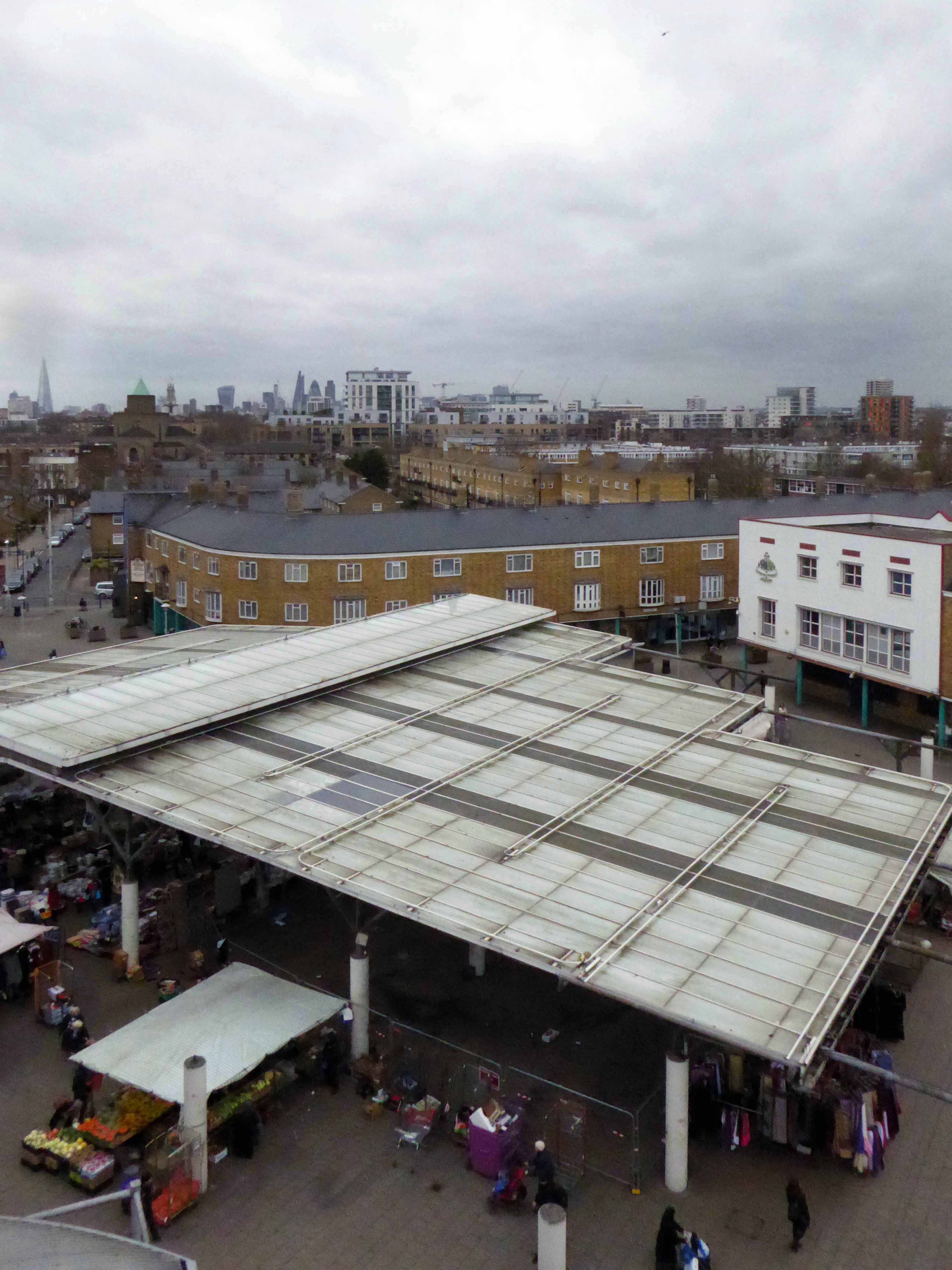
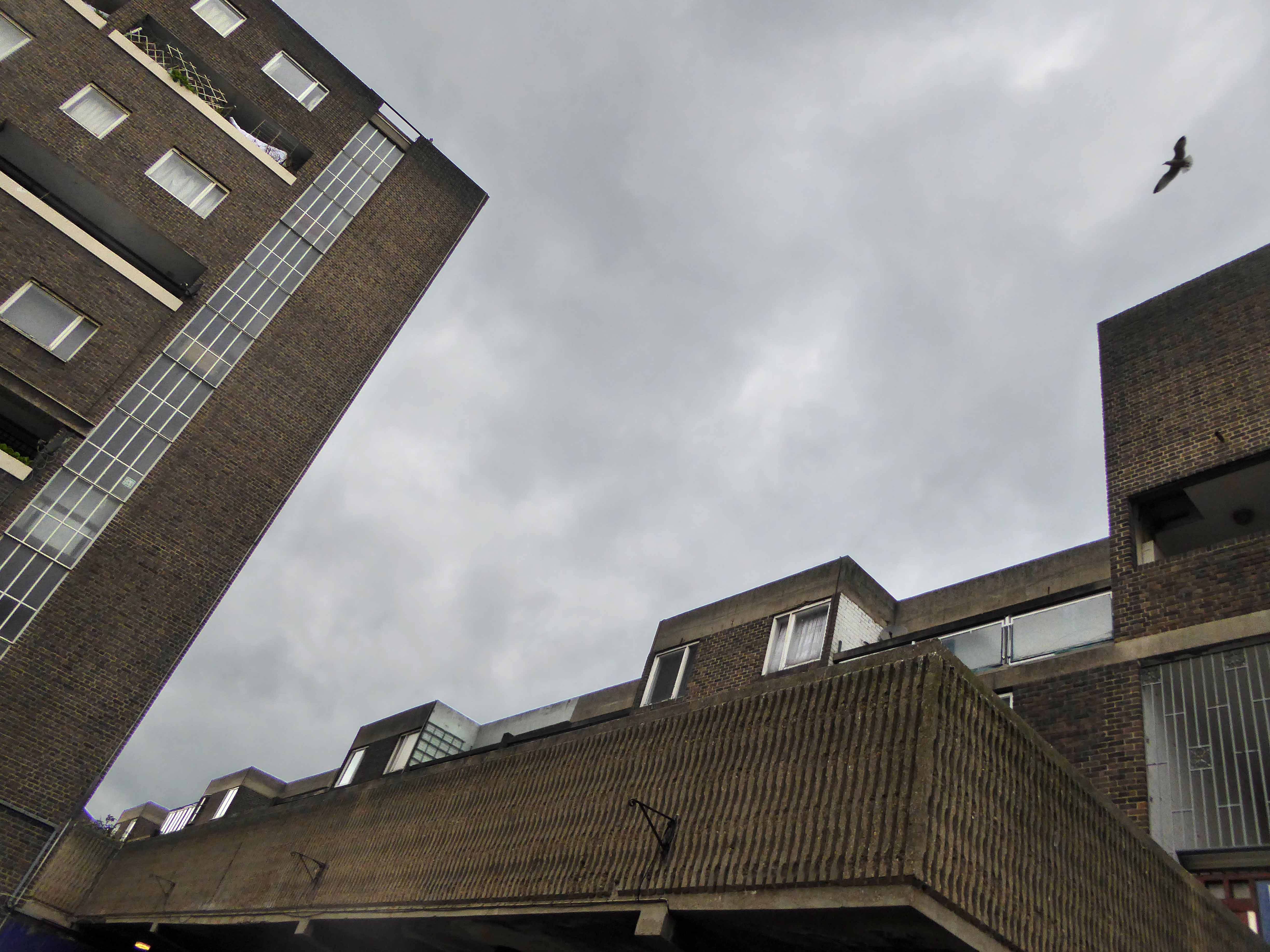
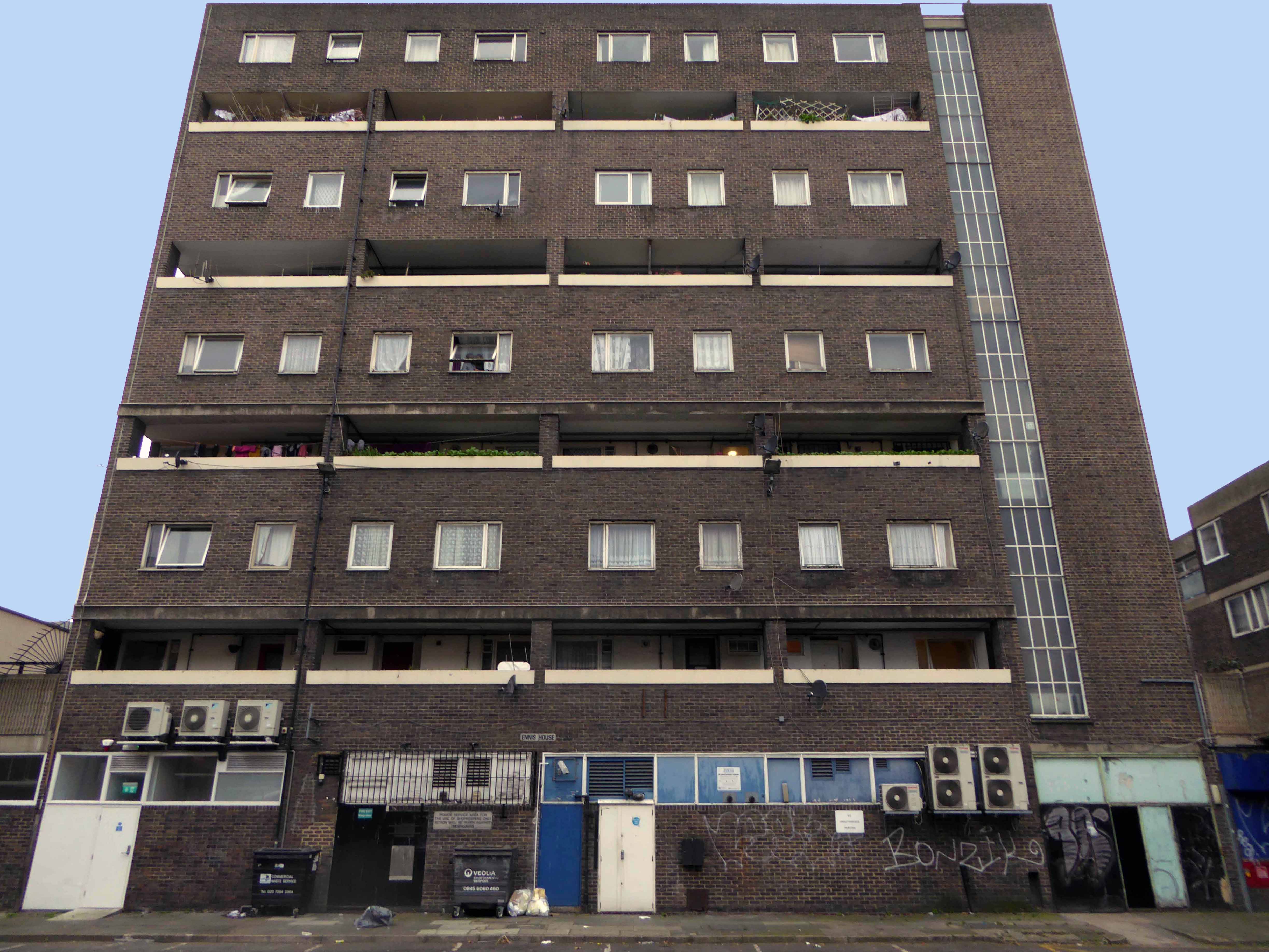
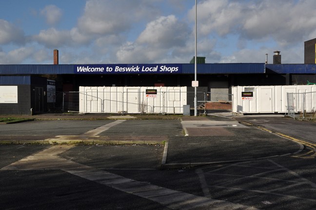
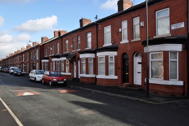
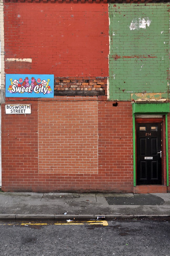
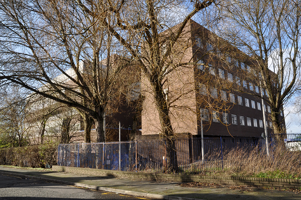
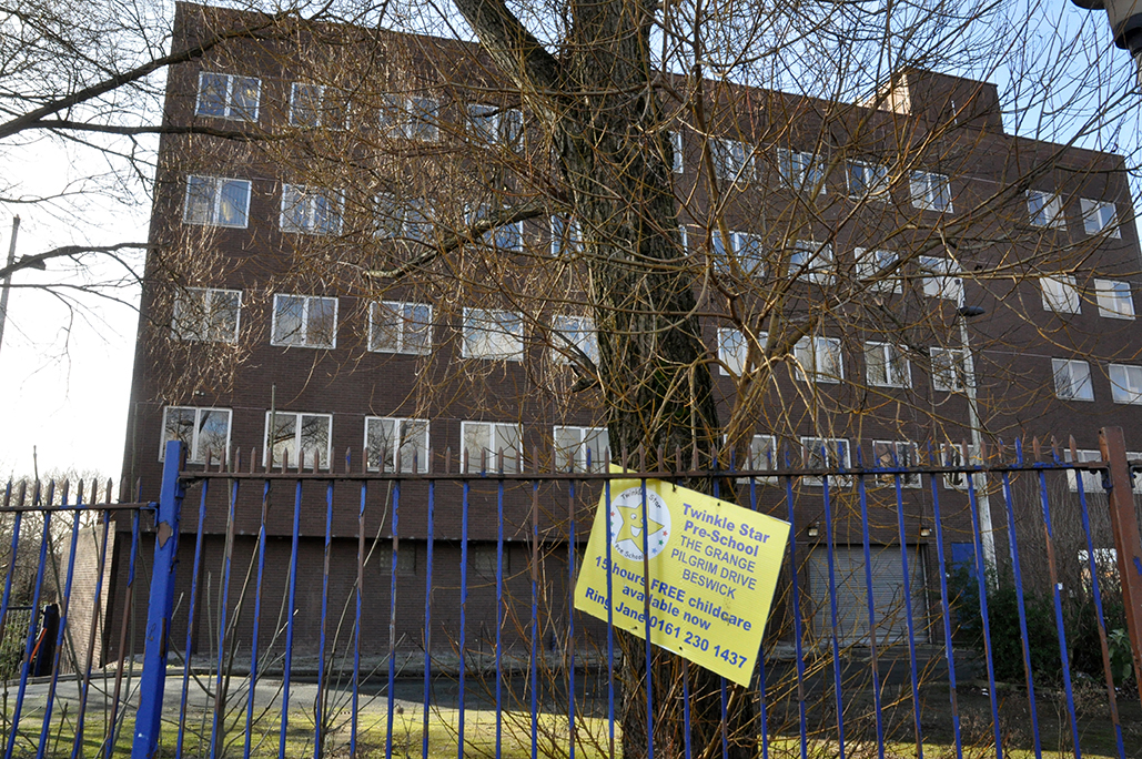
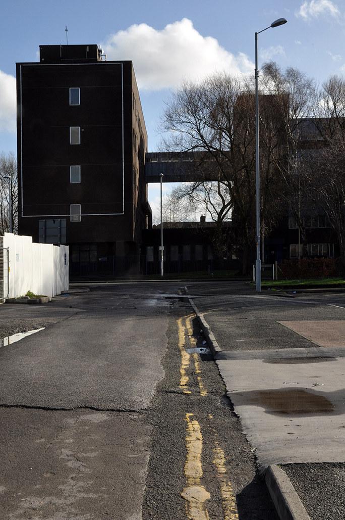
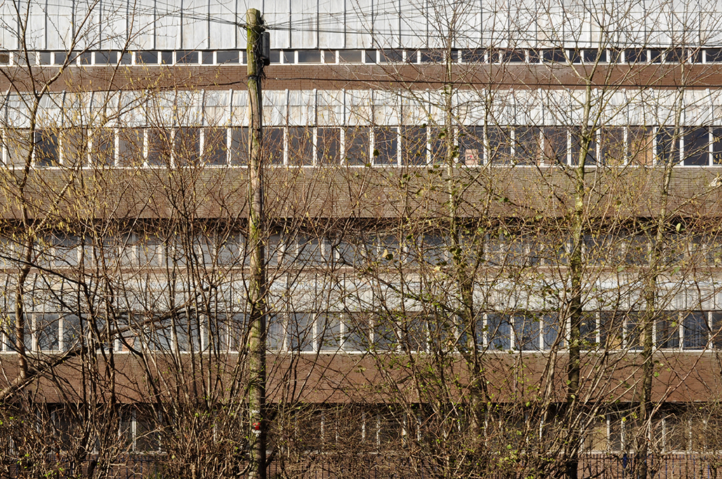
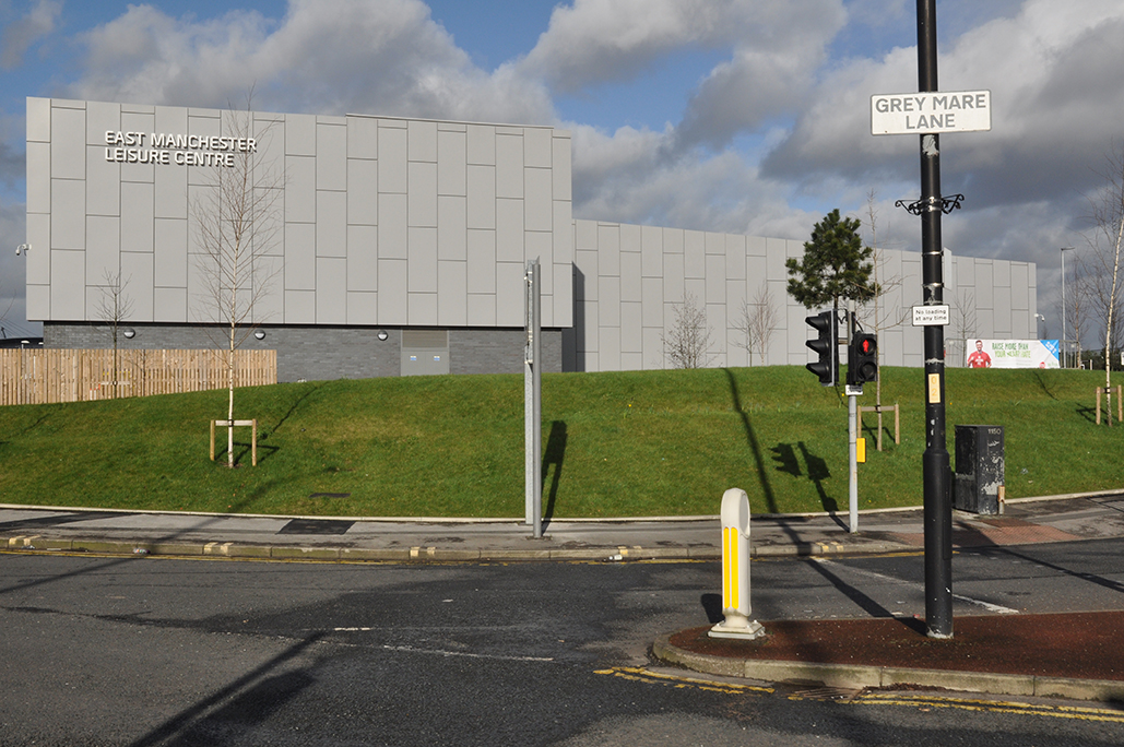
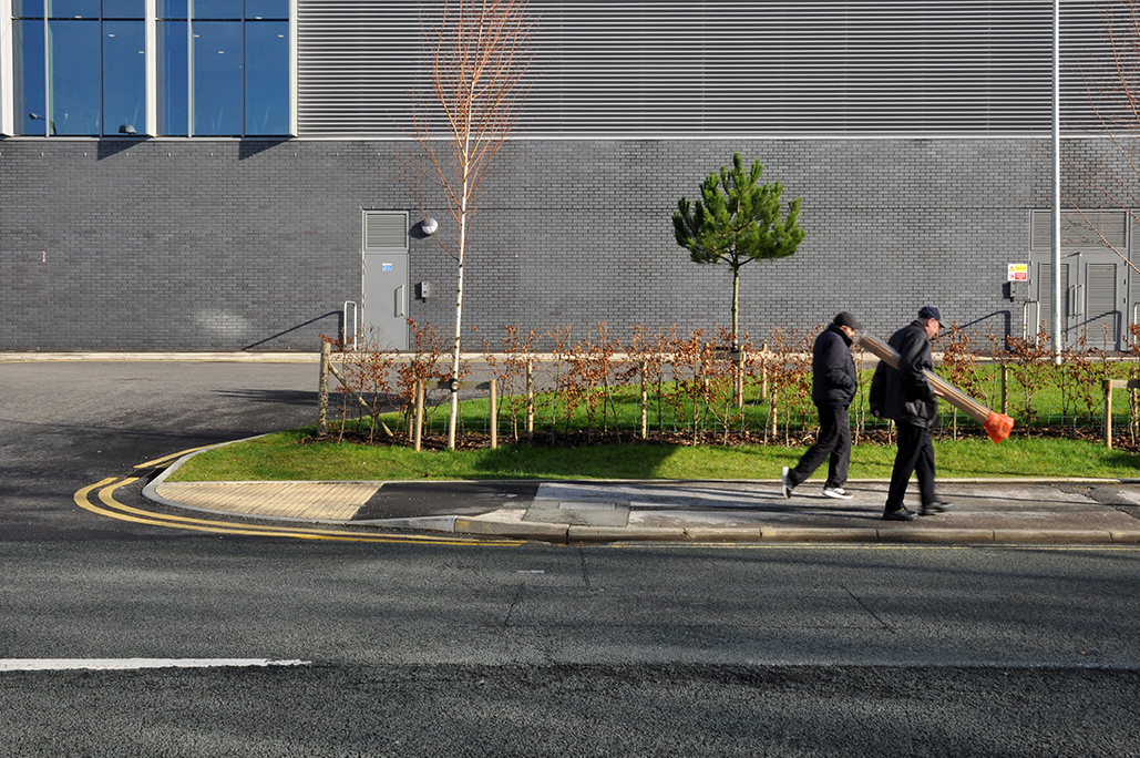
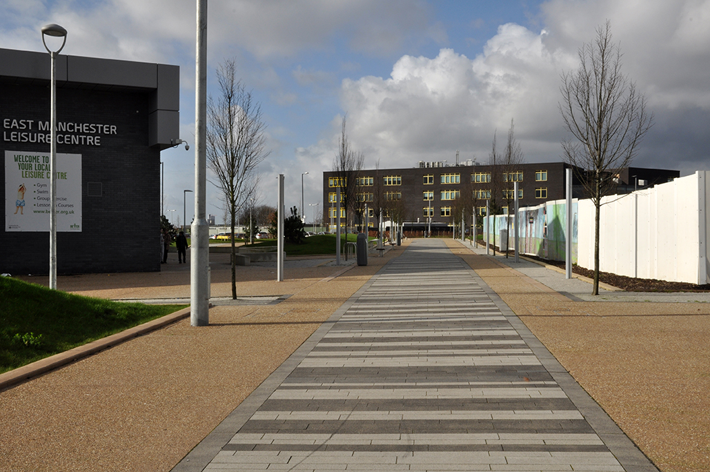
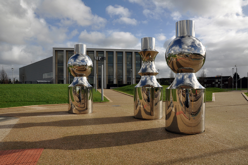
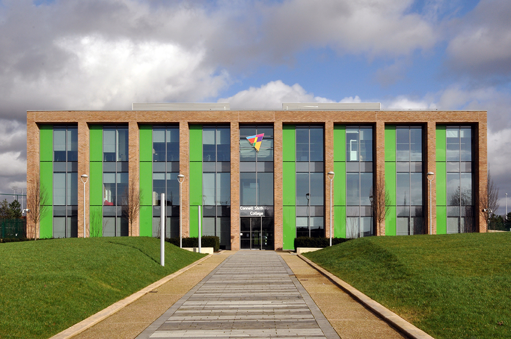
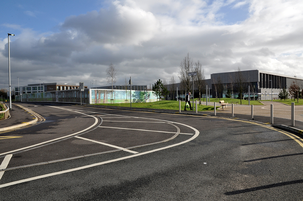
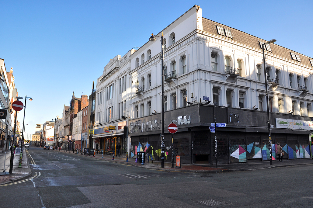
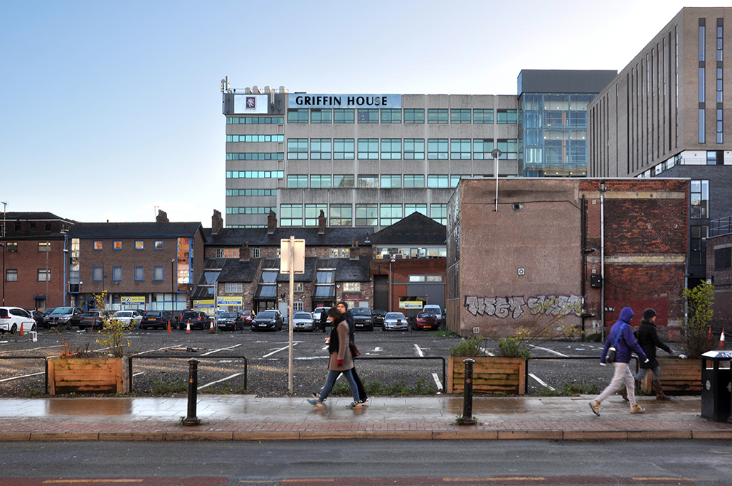
Having traced a lengthy history of the shortish Palmerston Street – I returned to take a snapshot of the current state of affairs.

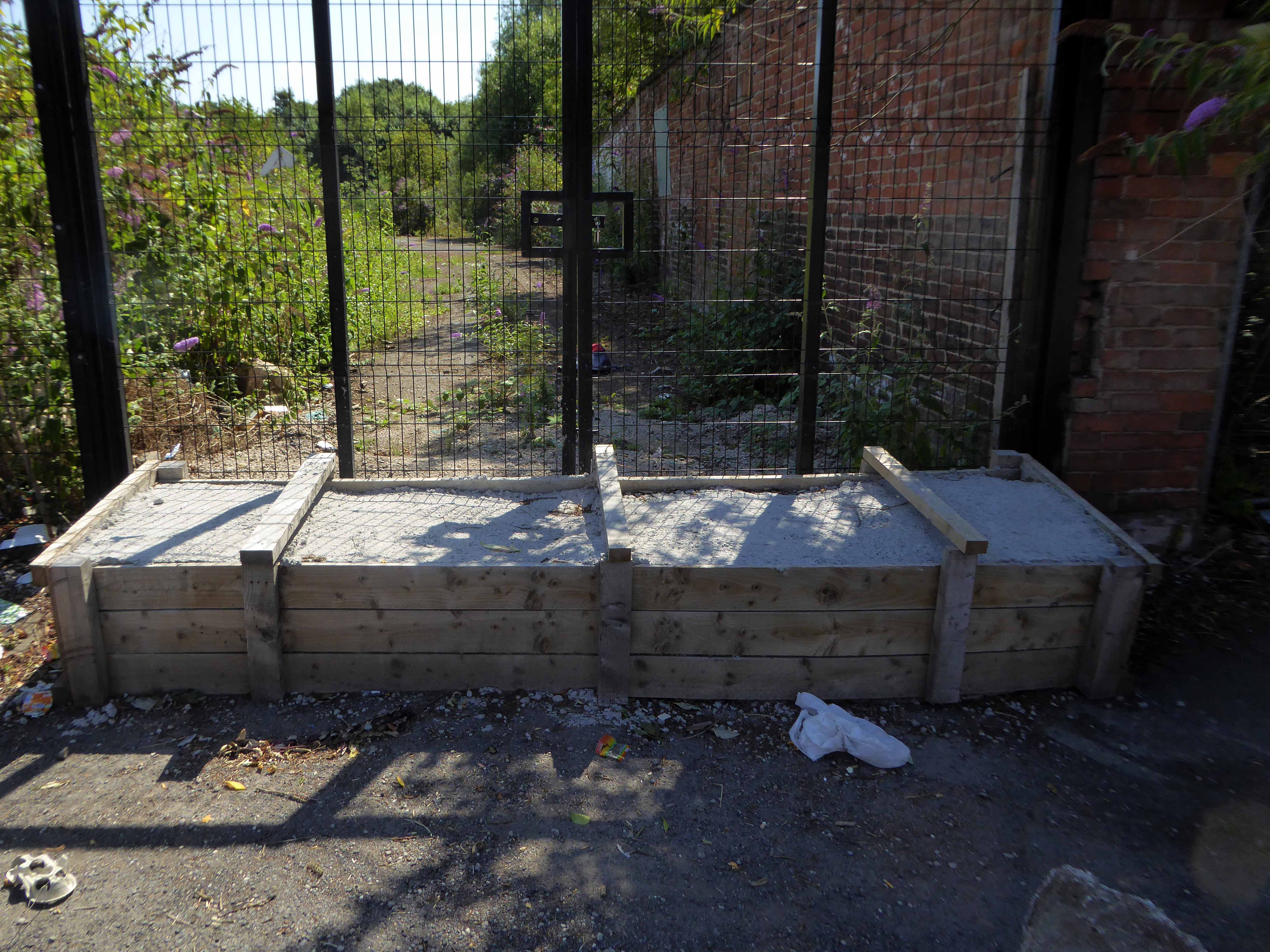
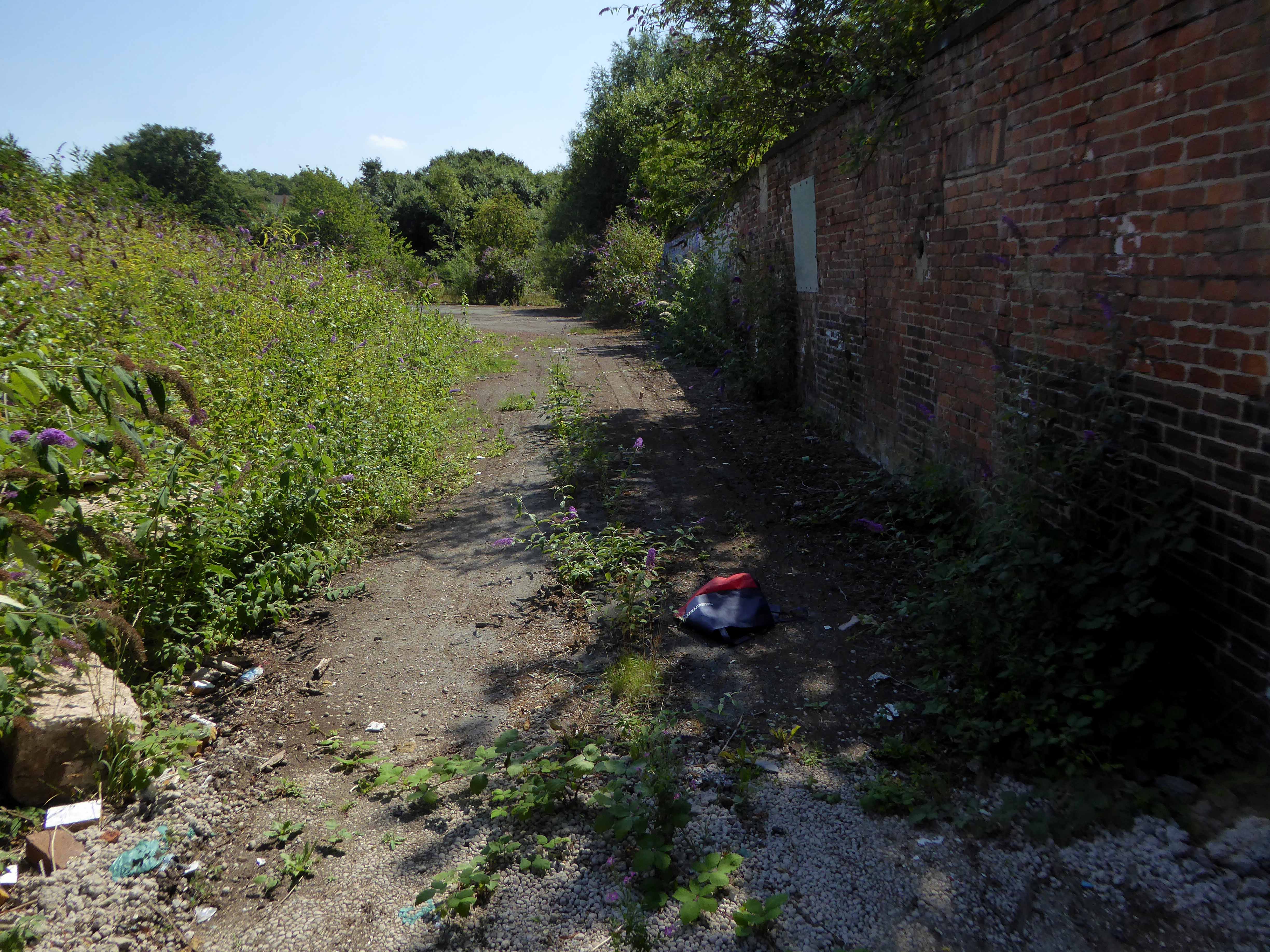
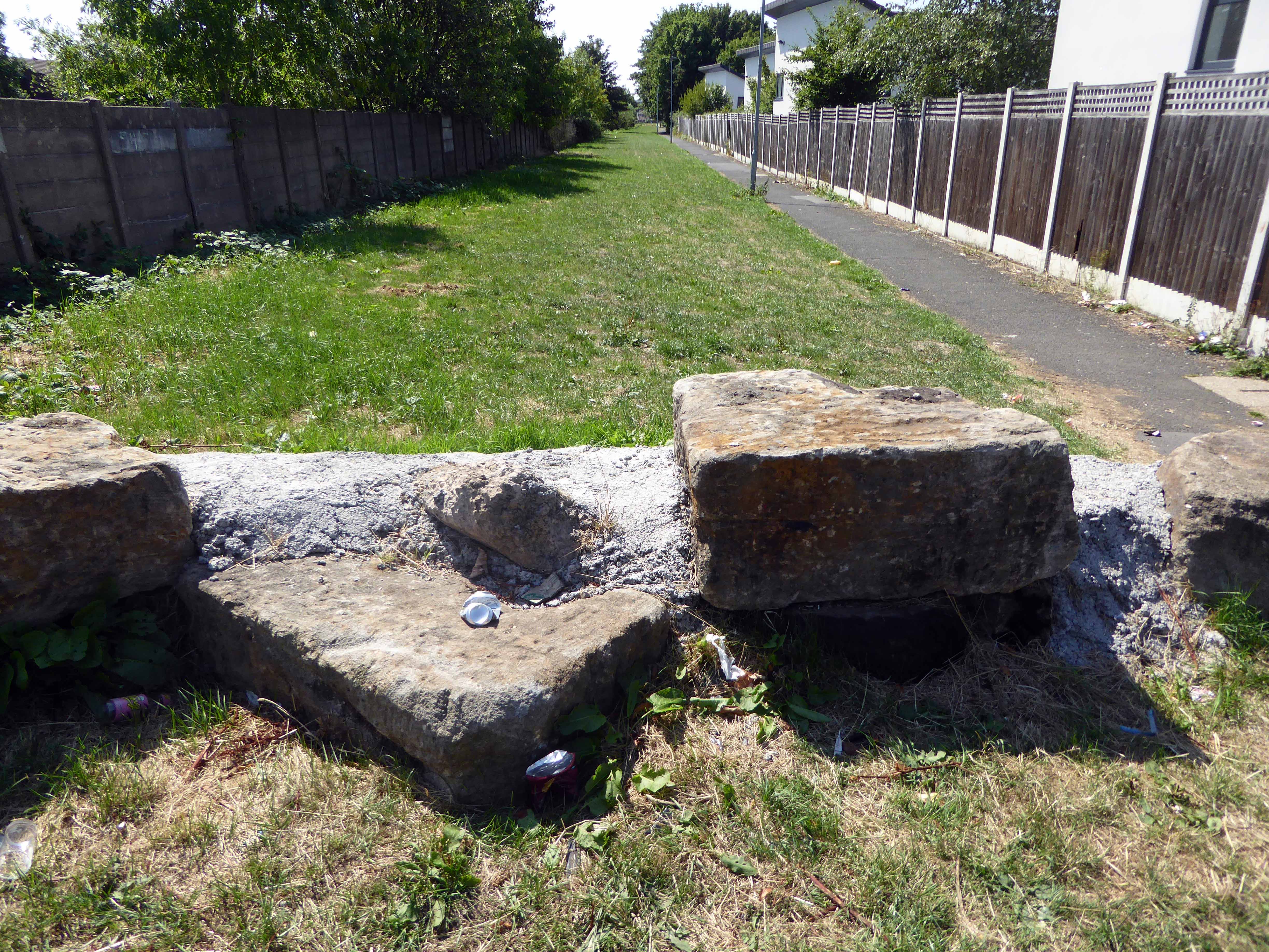
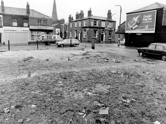
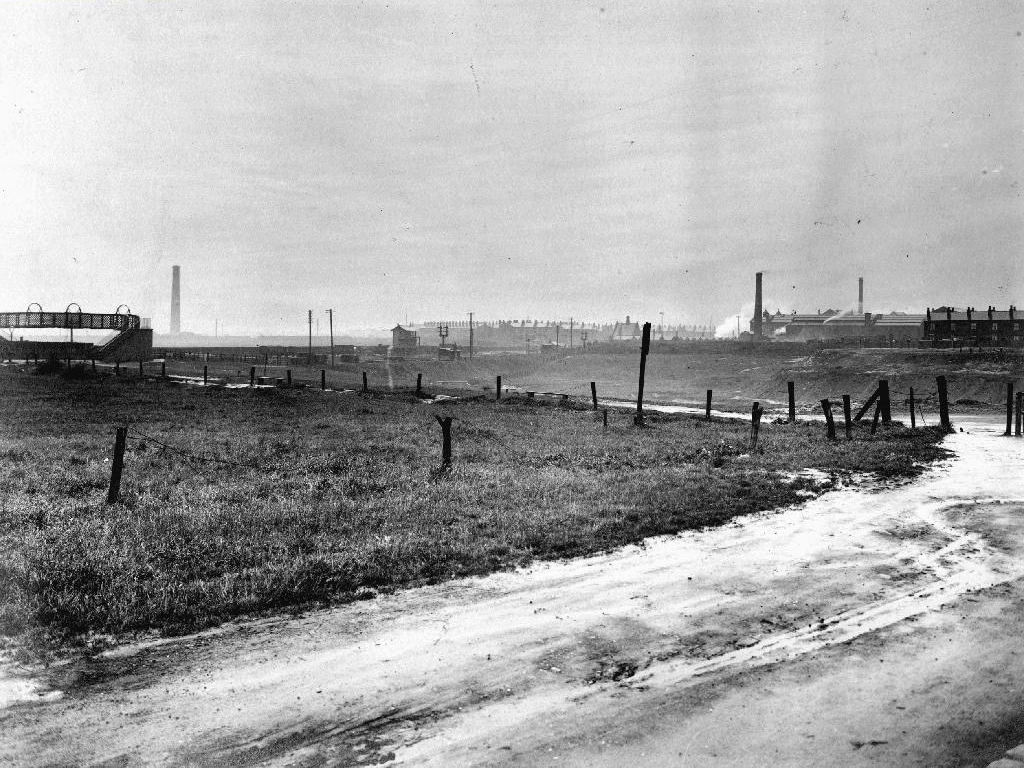
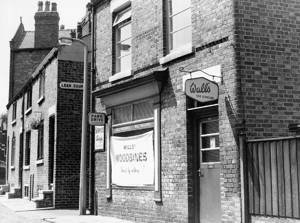
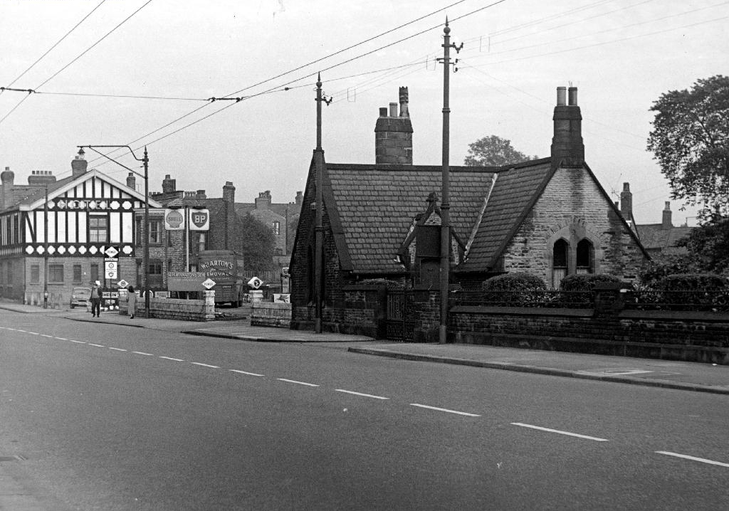
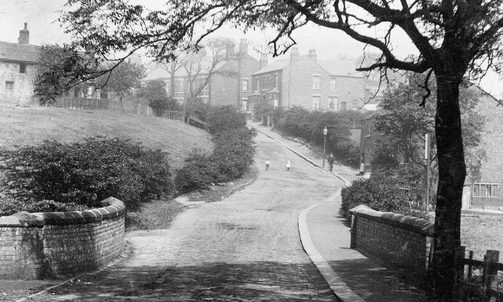
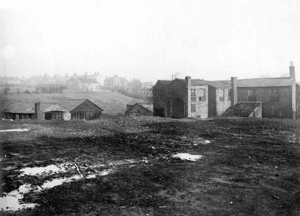
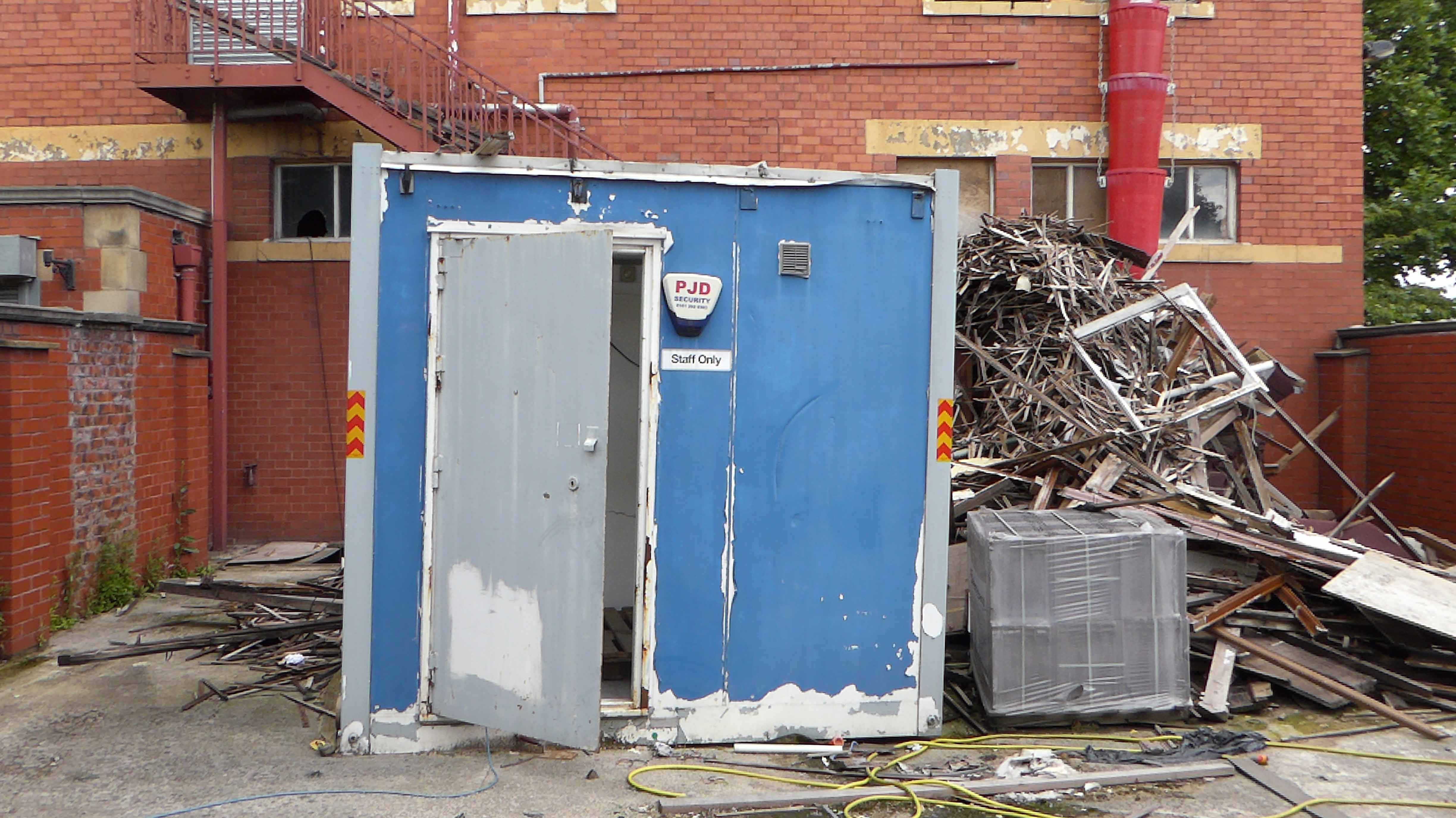
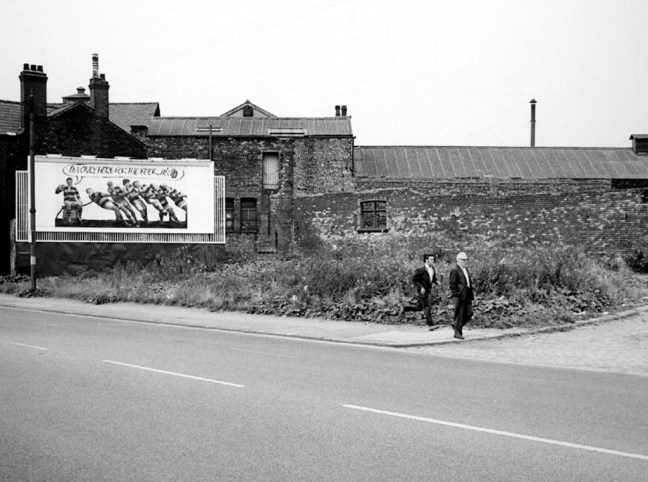
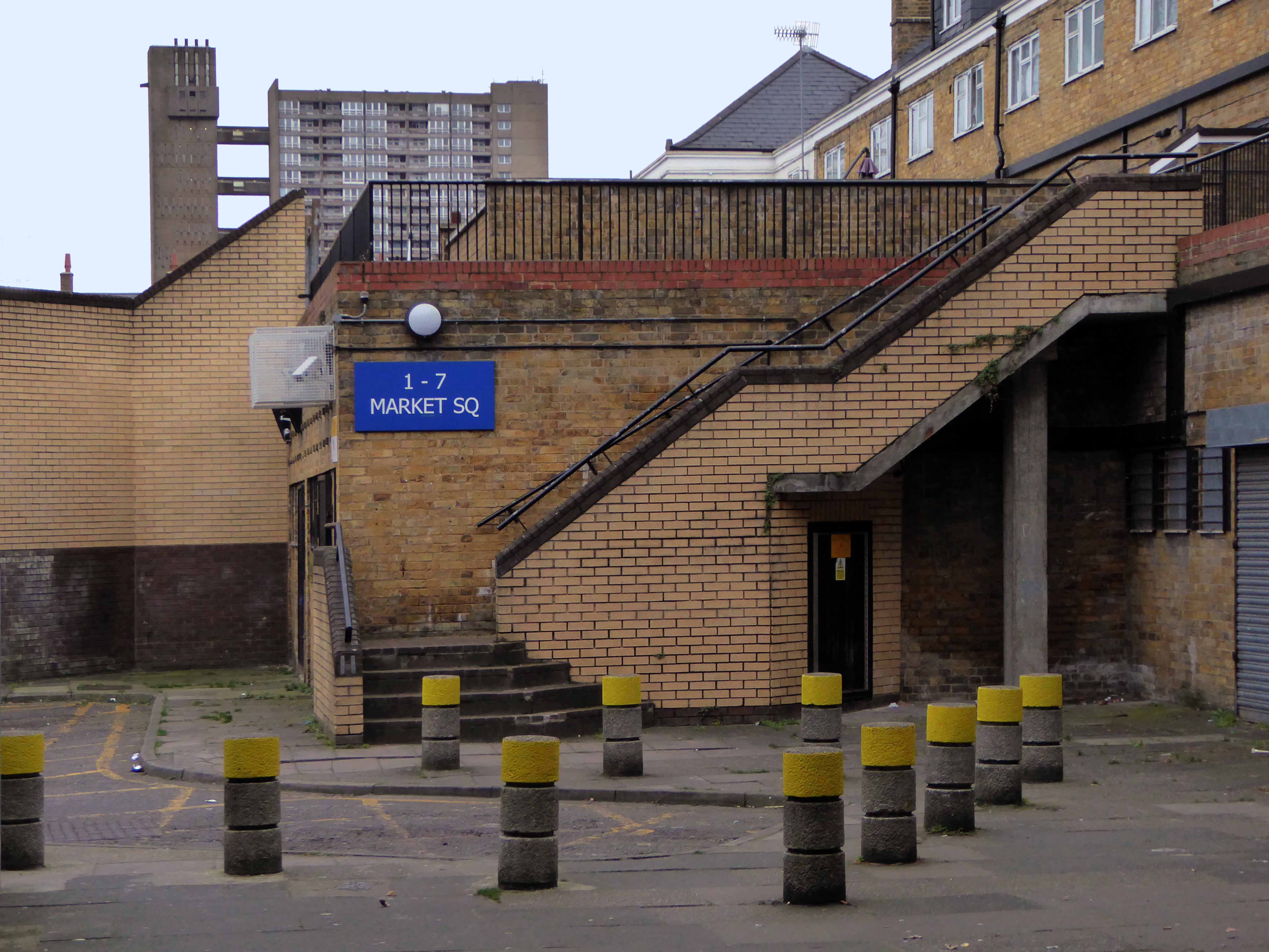
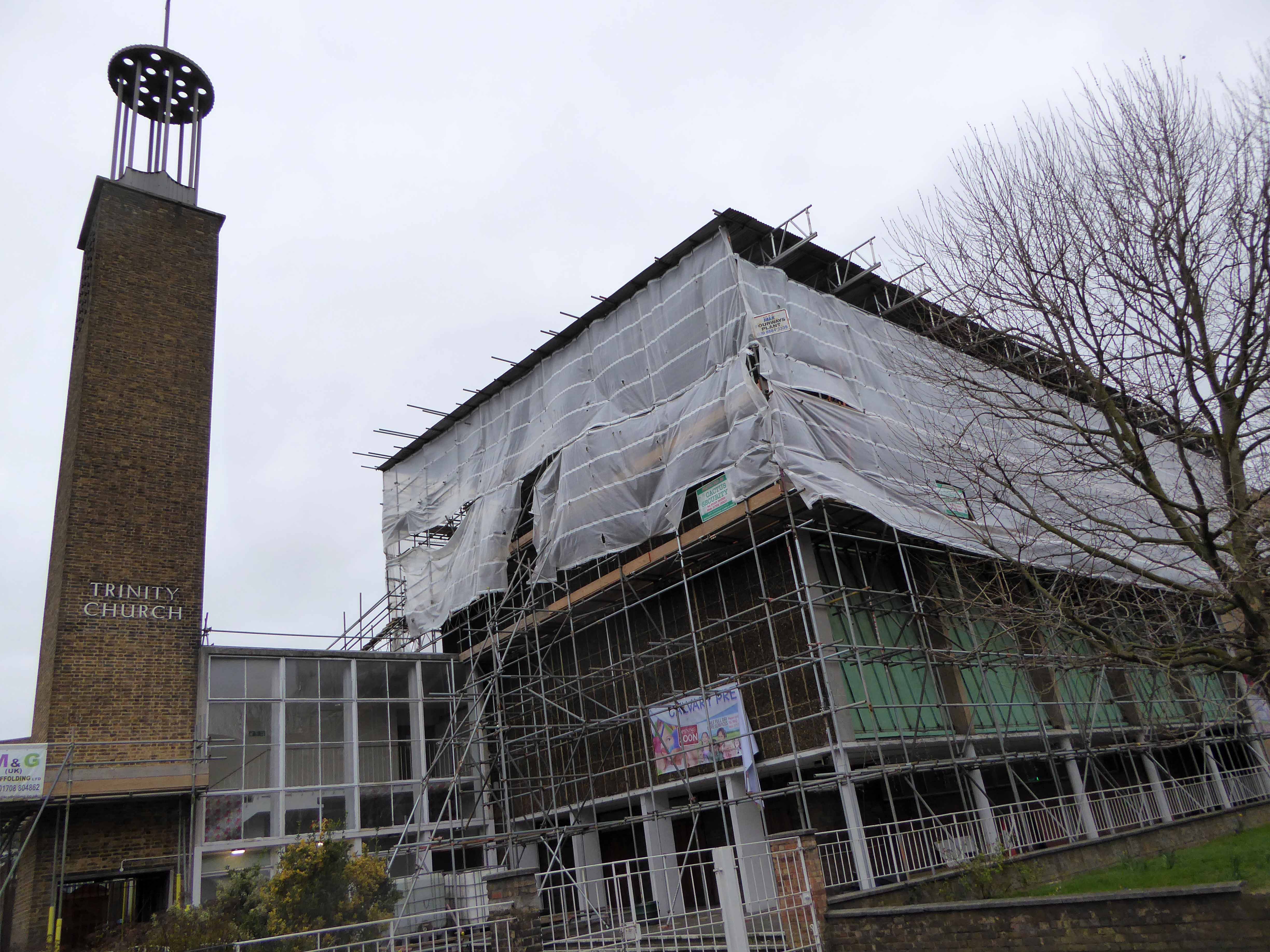
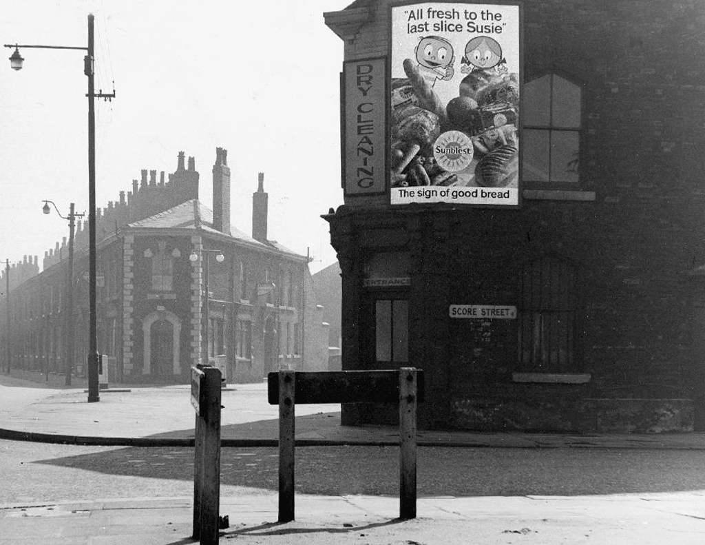
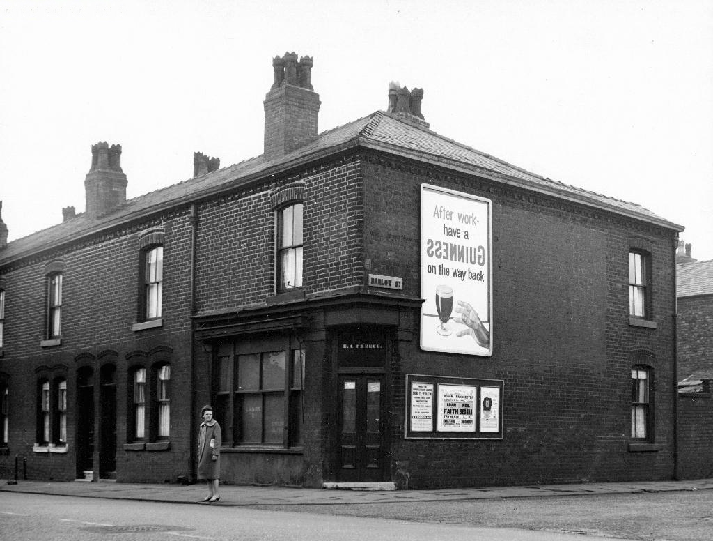
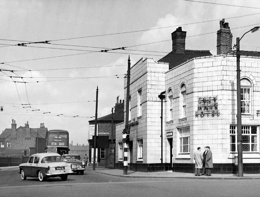
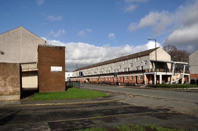
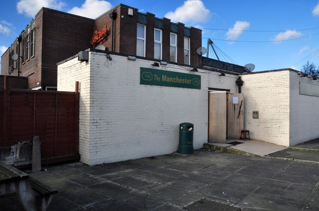
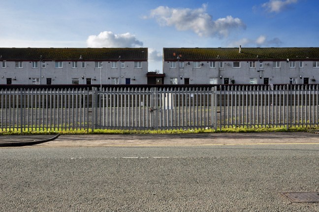
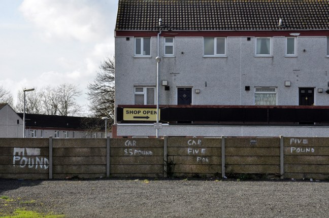
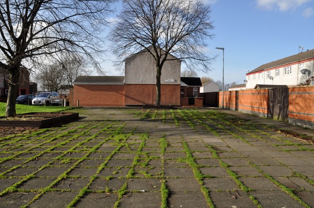
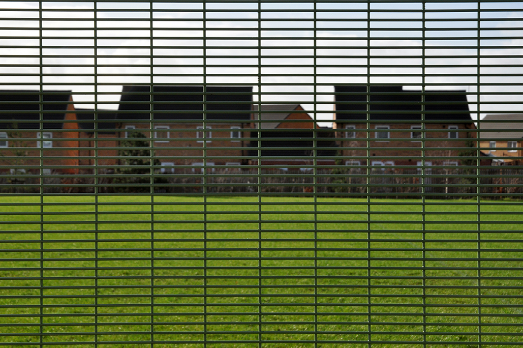
So much has gone an Art Museum, Lads Club, churches, homes, schools, industry and pubs – much of this now indistinct scrubland, fenced and walled, neither use nor ornament, save as an unofficial wildlife garden for feather, fowl and flower.

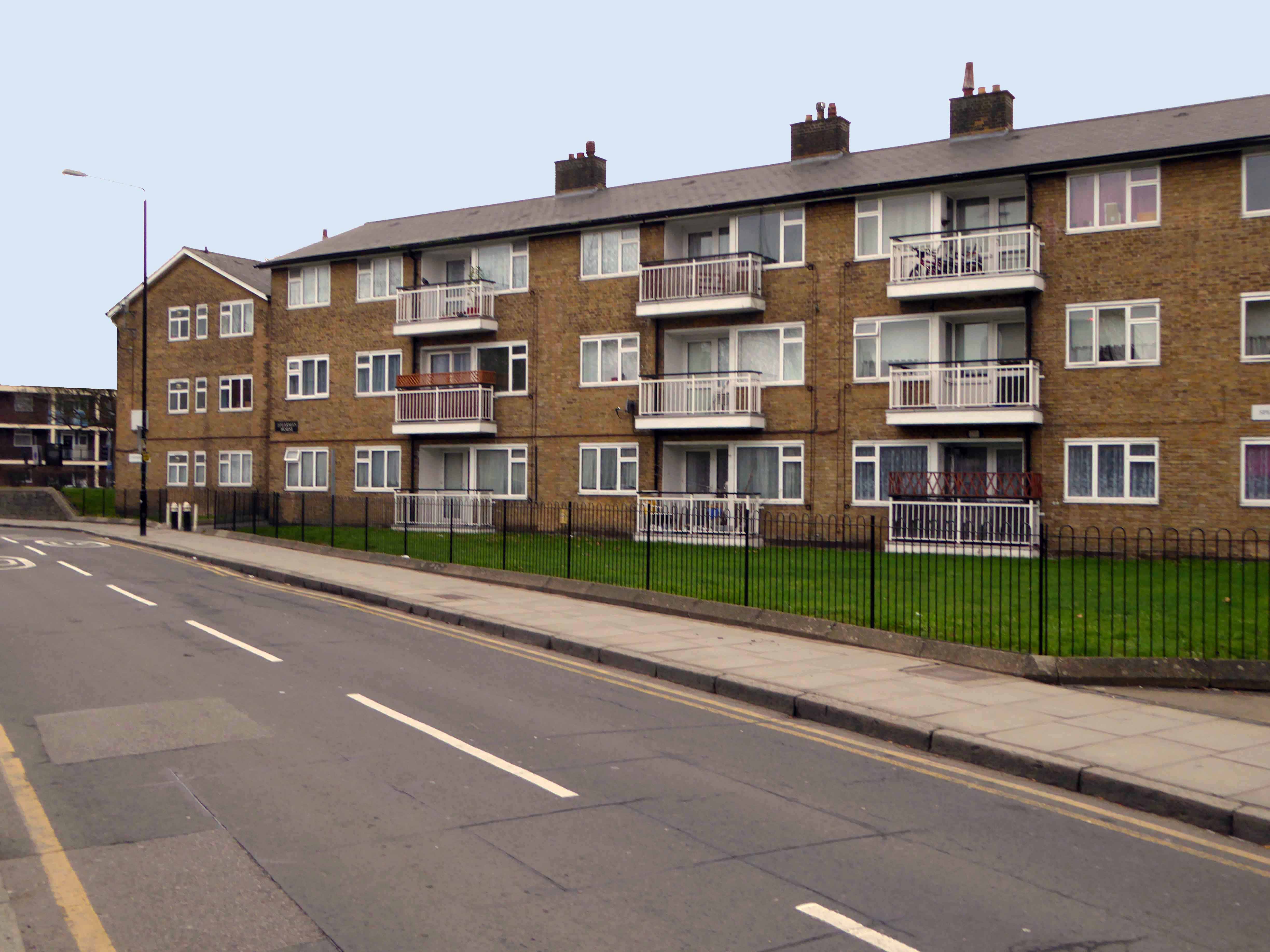
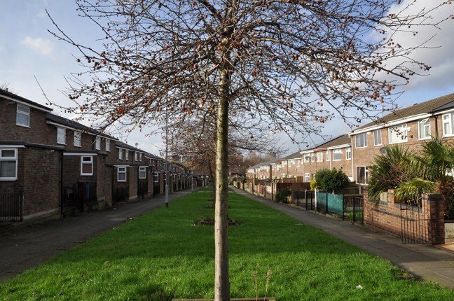
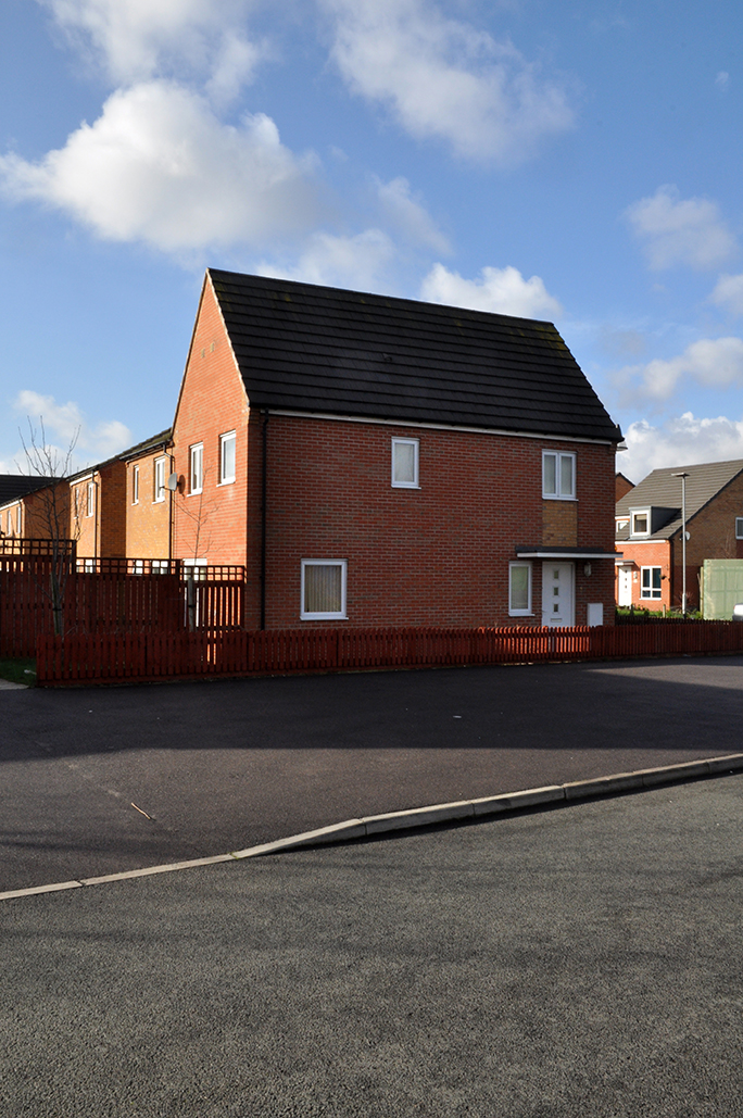
There  are small groups of more recent housing developments with the promise of more on the way, though this as ever is contentious – the story of conflicted interests betwixt and between developer, local authority and the would be affordable homes and their occupants.

The council says – Manchester’s Affordable Housing Programme will ensure more than 2,200 homes by March 2021 through a £250m programme funded through a variety of sources including Homes England grant funding, Council borrowing and land or property sales and Registered Providers. The Council is also backing the programme through the release of suitable council-owned land.

Which seems barely adequate to meet the needs of those on lower incomes.

The Guardian says – Of the 61 big residential developments granted planning permission by Manchester city council’s planning committee in 2016 and 2017, not one of the 14,667 planned flats or houses met the government’s definition of affordable, being neither for social rent nor offered at 80% of the market rate.

Manchester has changed, constantly changed – often overlooking the needs of its citizens to the north and east of the city. The areas crippled by recession, deindustrialisation and demolition have yet to see the benefits of the city’s recent regeneration.

What was once a community overflowing with rough and tumble, hustle and bustle, now seems to have become a contested area for match day parking and non-existent urban renewal.

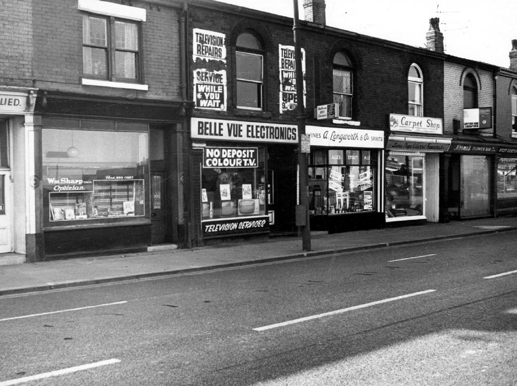
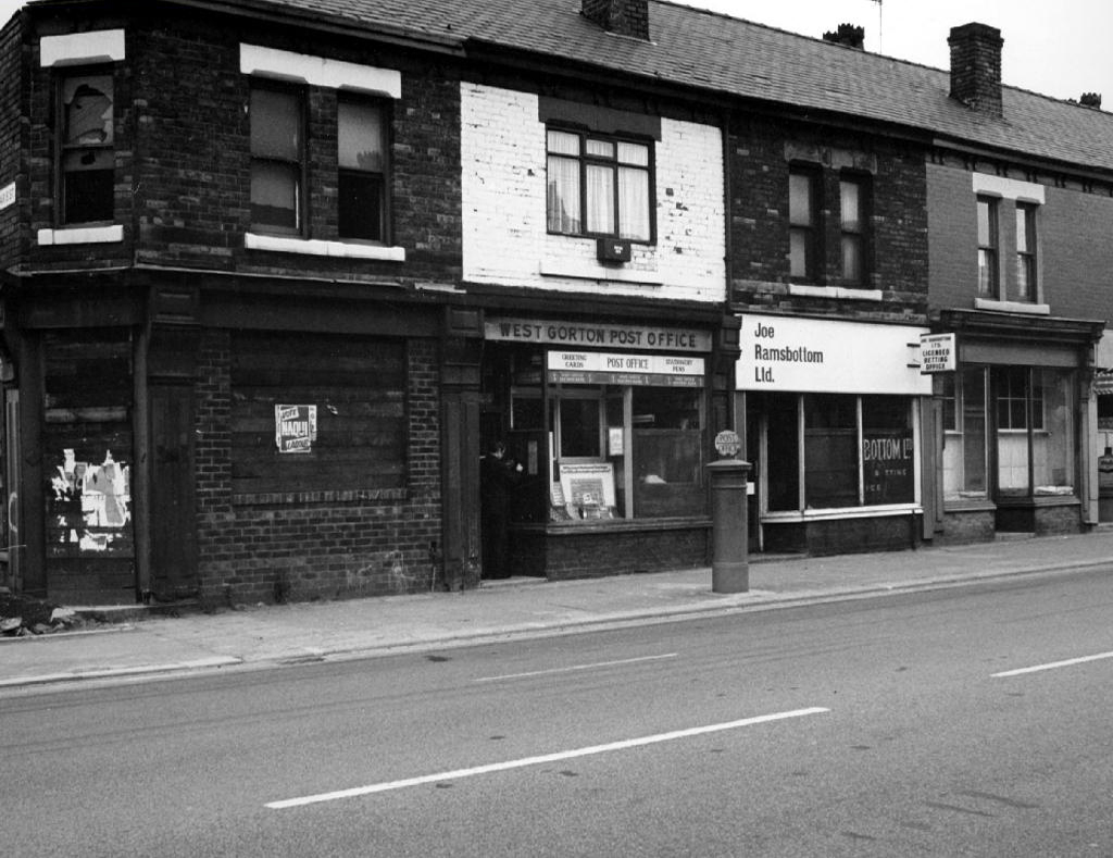
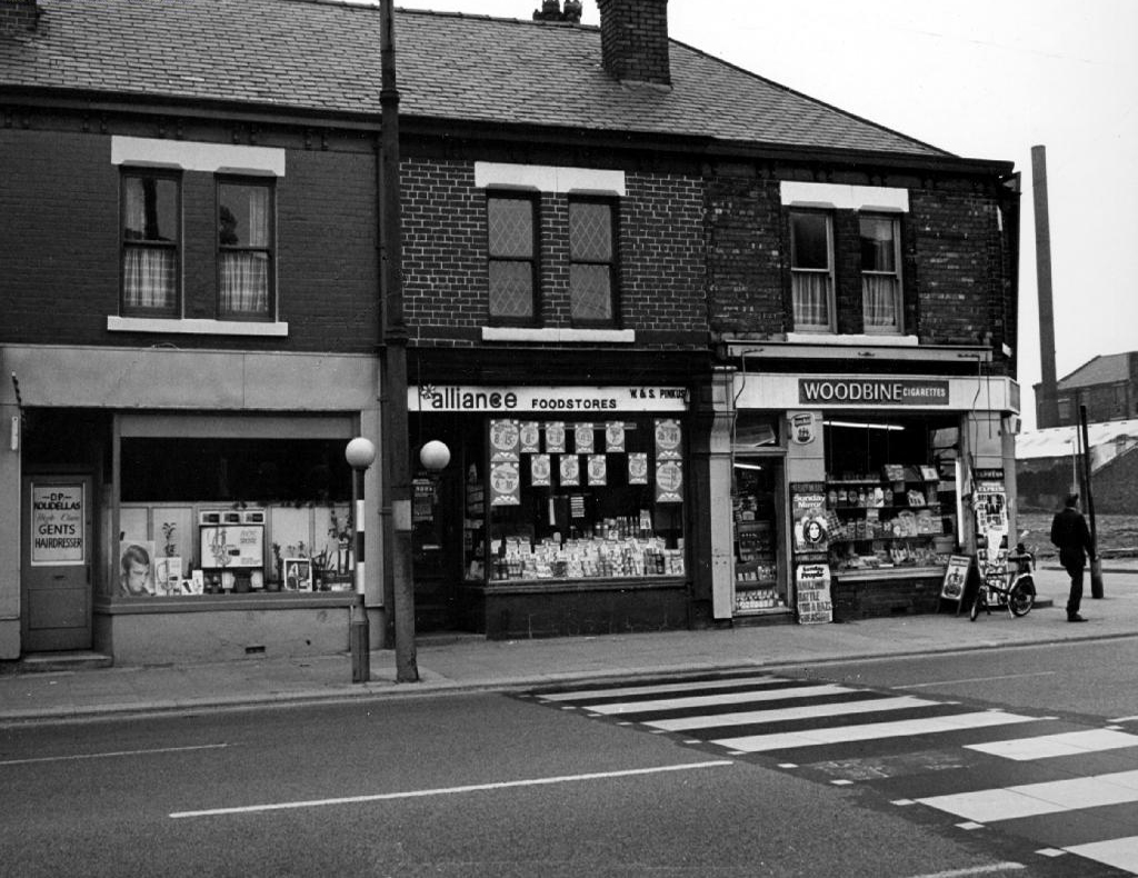
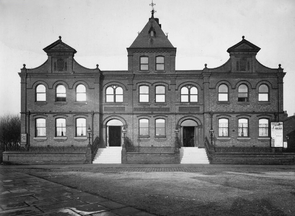
Let’s take a look down Palmerston Street.

P1280052

P1280053

P1280060


P1280063

P1280064

P1280082

P1280093

P1280096

P1280097

P1280098


P1280103

P1280104

P1280106

P1280108

P1280110

P1280112

P1280114

P1280115

P1280118

P1280119

P1280121

P1280123

P1280127

Palmerston Street – Beswick Manchester

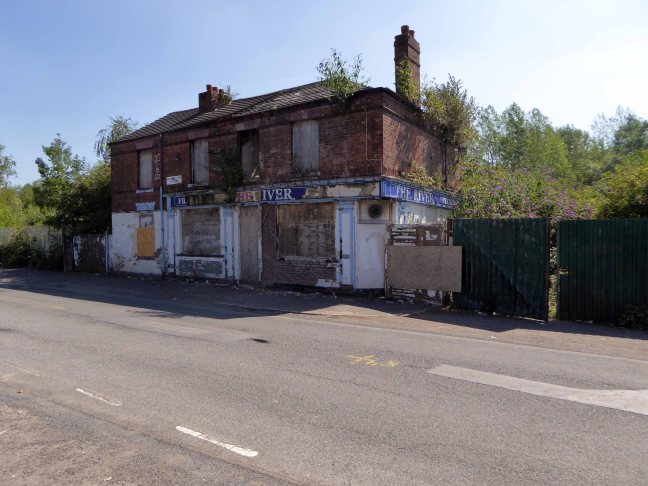
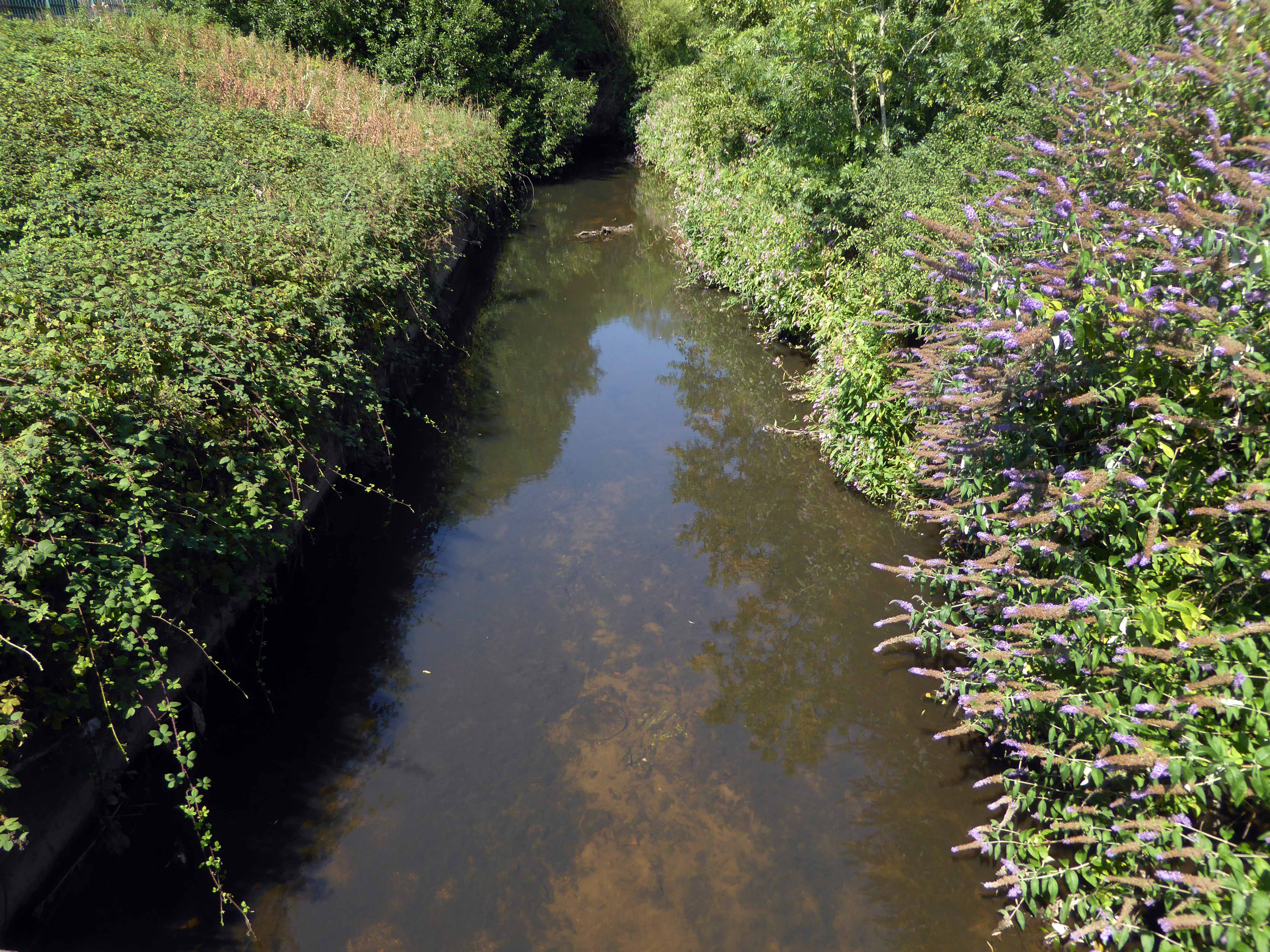
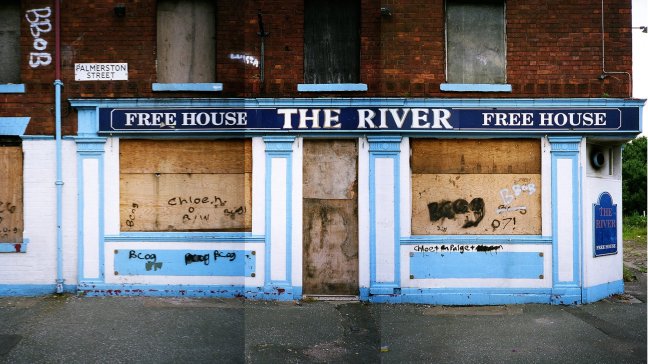
To begin at the beginning – some years ago I traced the route of the River Medlock, I chanced upon a forlorn pub called The River, all alone, desolate and boarded up, presiding over an area that I assumed, would once have supplied ample trade to a busy boozer.

I returned last week in search of some rhyme or reason, for such a seemingly sad and untimely decline.

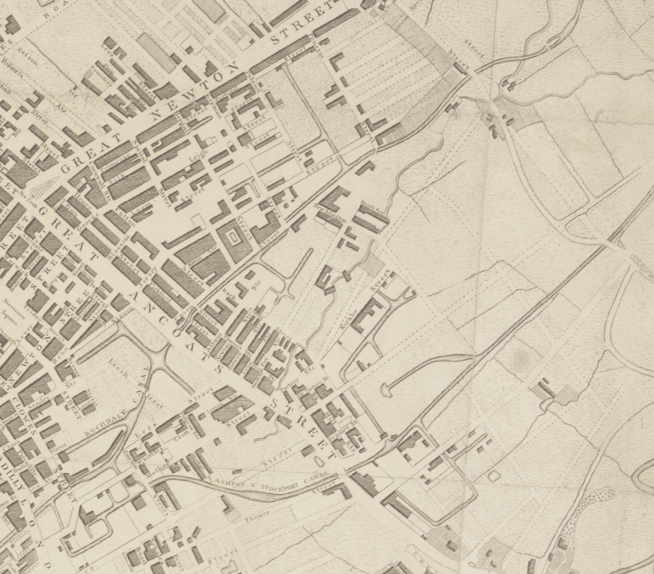
So here we are back at in Manchester 1813, the seeds of the Industrial Revolution sewn in adjacent Ancoats, the fields of Beswick still sewn with seeds, the trace of Palmerston Street nought but a rural track.
Screen Shot 2018-08-07 at 15.25.02

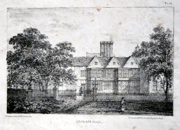
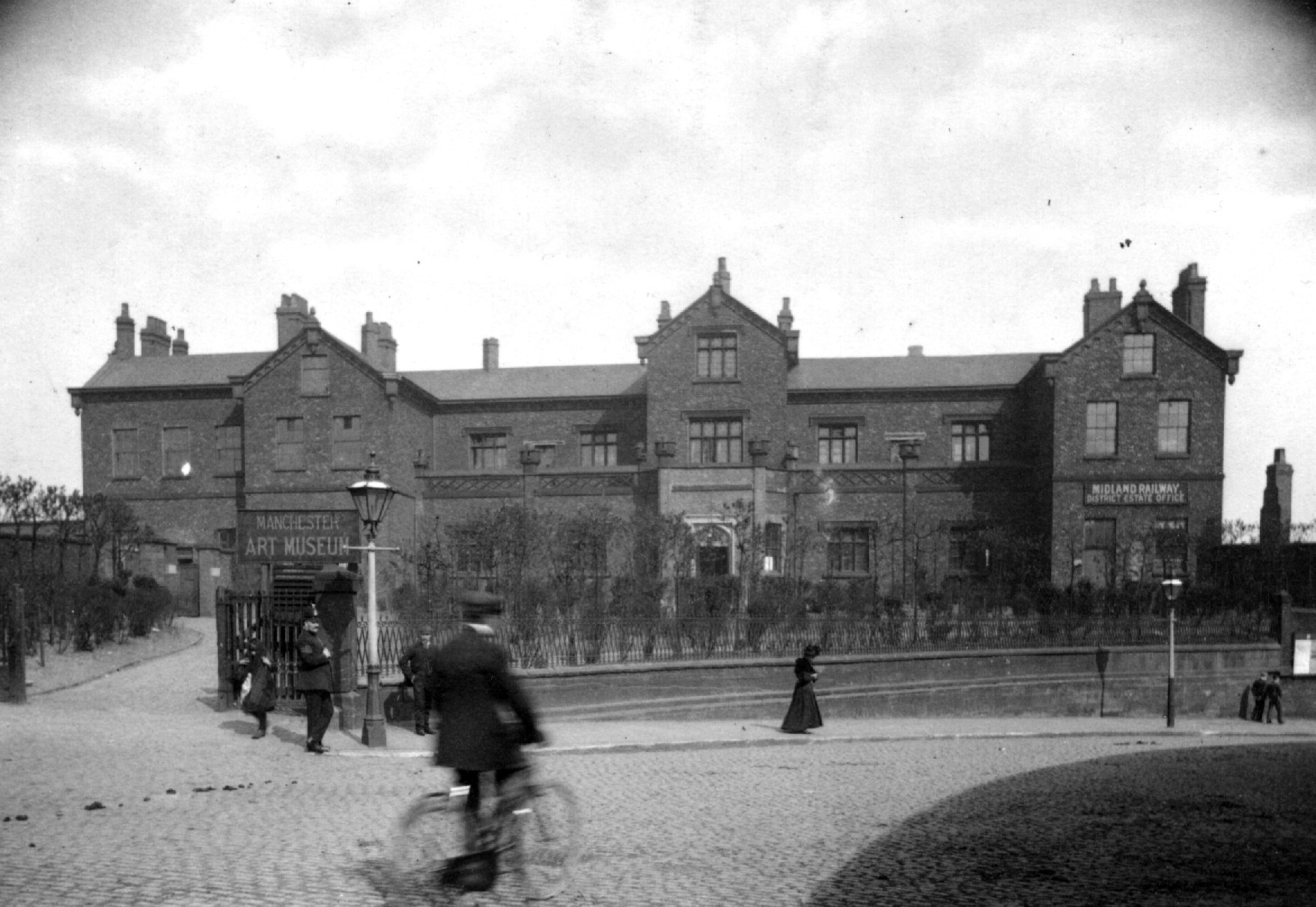
Sited on land between Great Ancoats Street and Every Street was Ancoats Hall, a post-medieval country house built in 1609 by Oswald Mosley, a member of the family who were Lords of the Manor of Manchester. The old timber-framed hall, built in the early 17th century, and demolished in the 1820s was replaced replaced by a brick building in the early neo-Gothic style.
1-P1100618

This would become the Manchester Art Museum, and here the worst excesses Victorian Capitalism were moderated by philanthropy and social reform.

When the Art Museum opened, its rooms, variously dedicated to painting, sculpture, architecture and domestic arts, together attempted to provide a chronological narrative of art, with detailed notes, labels and accompanying pamphlets and, not infrequently, personal guidance, all underlining a sense of historical development.
m08910-ancoats-old-hall-manchester-archives-photo-by-anderton

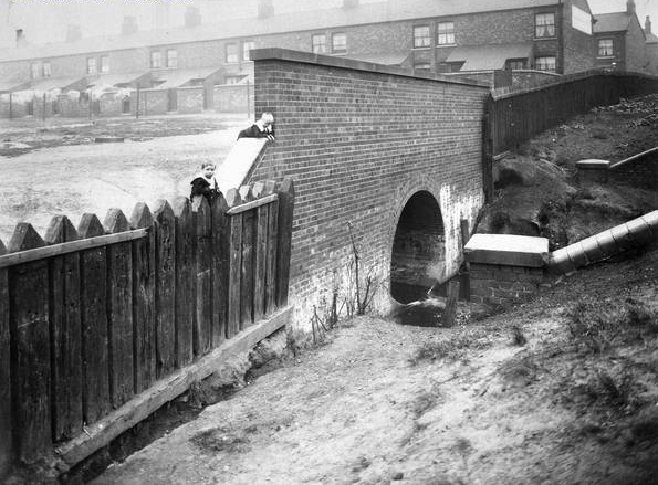
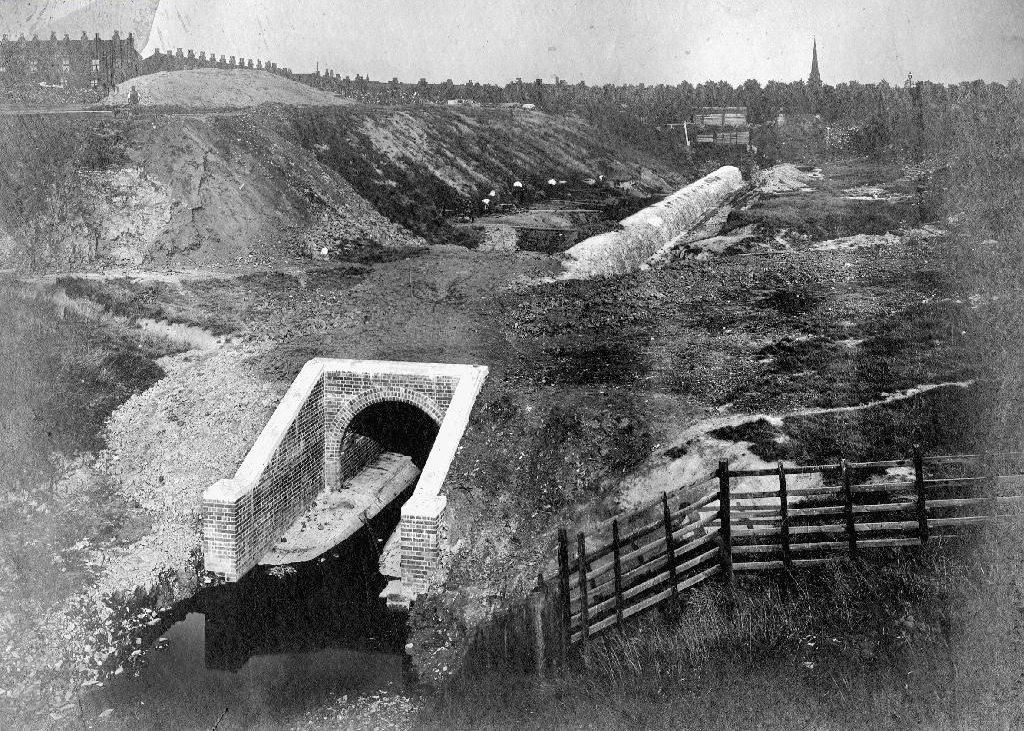
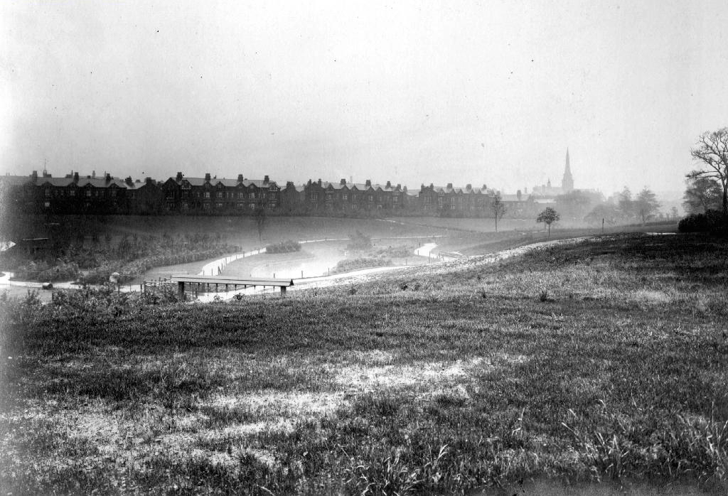
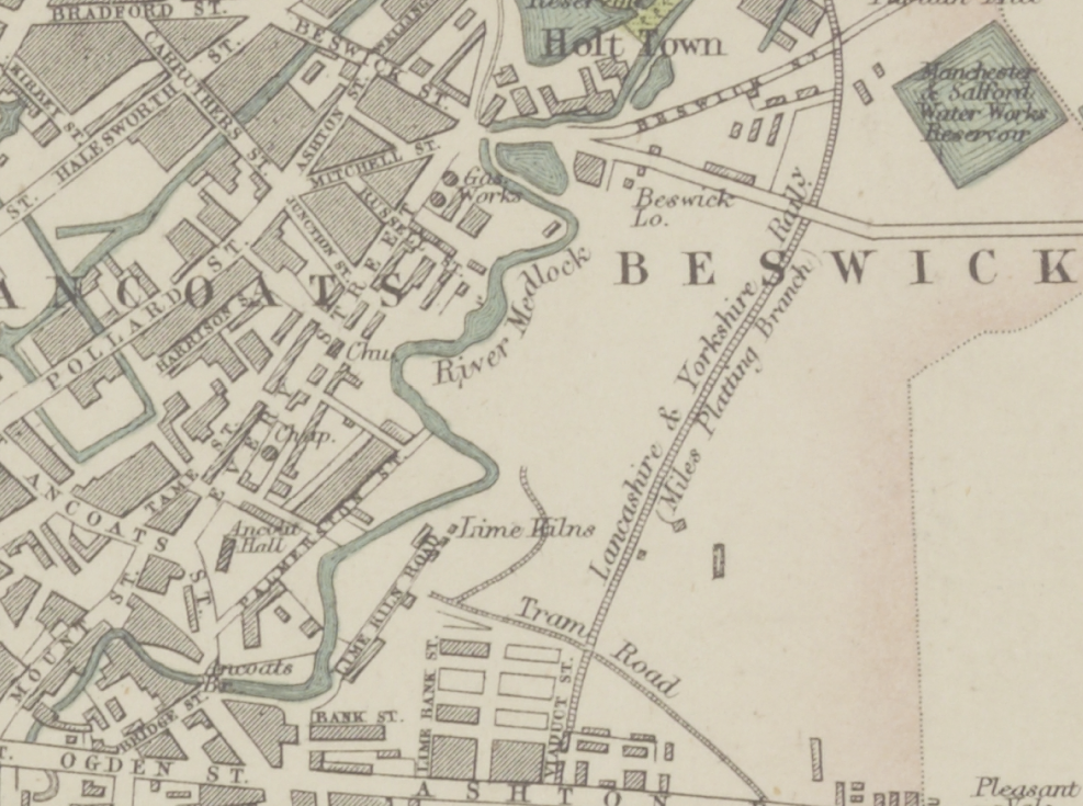
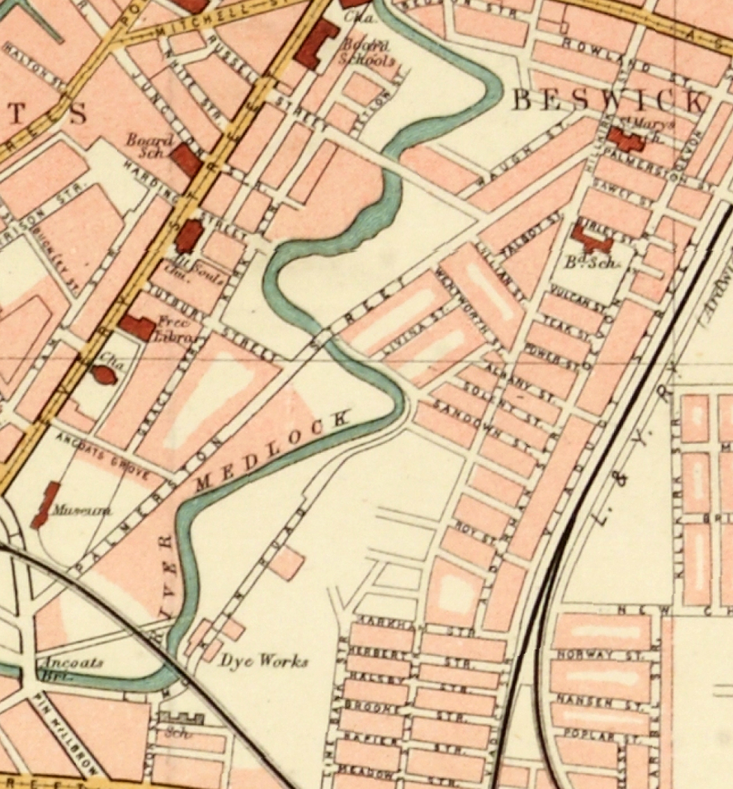
Housing and industry in the area begins to expand, railways, tramways, homes and roads are clearly defined around the winds of the river.
1870

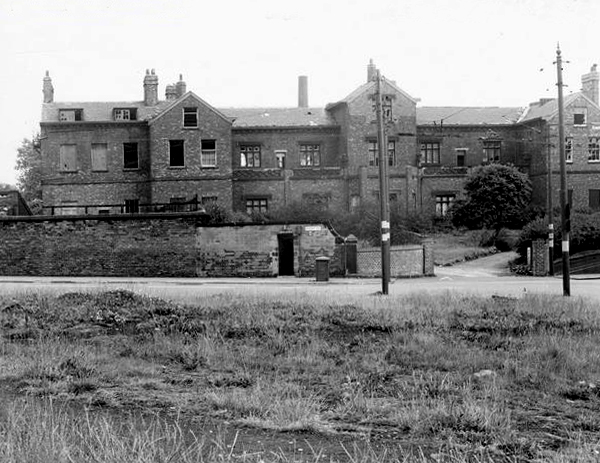
In 1918 the museum was taken over by the city, it closed in 1953 and its contents were absorbed into the collection of Manchester City Art Gallery, as the State increasingly took responsibility for the cultural well being of the common folk.
ancoatshall-1964

The building was finally demolished in the 1960’s – just as the area, by now a dense warren of back to back terraces, was to see further change.
map

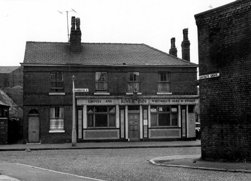
Along the way was the the River Inn, seen here with a fine Groves and Whitnall’s faience tiled frontage.
webmedia-4.php

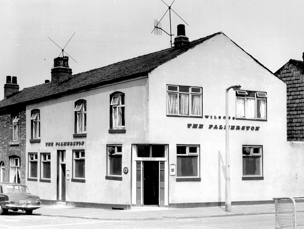
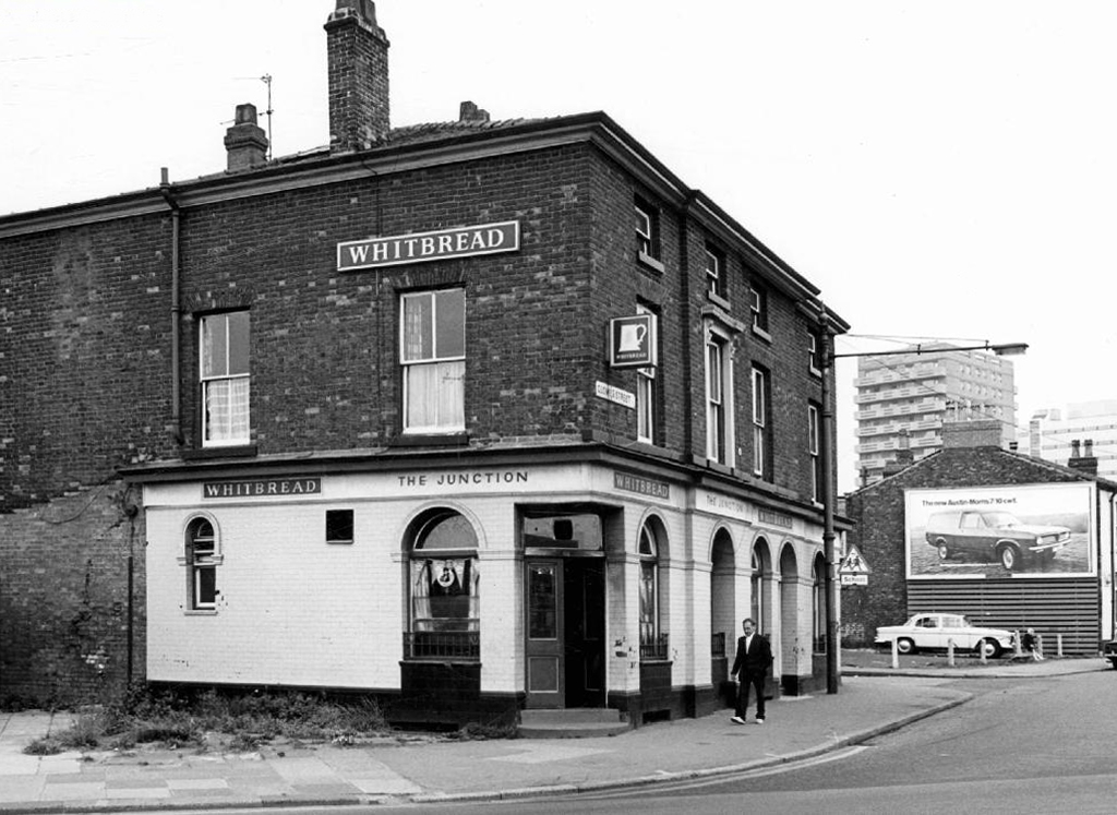
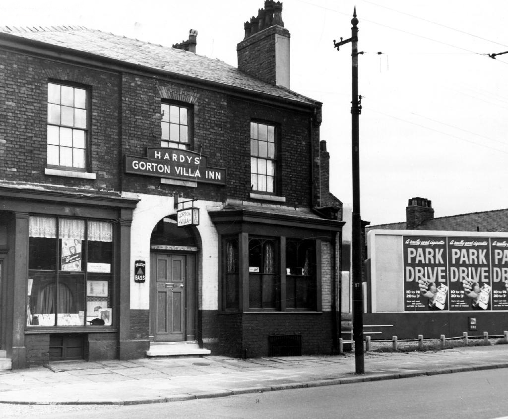
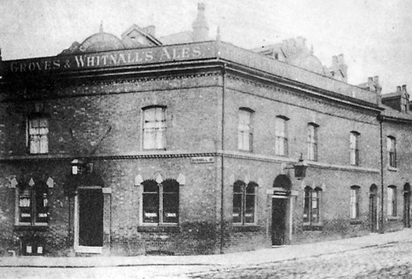
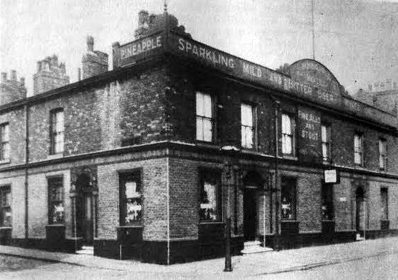
The street also offered rest, relaxation and refreshment through the Church, Pineapple and Palmerston pubs, as recored here on the Pubs of Manchester blog.
Church Palmerston

Pineapple Palmerston St

webmedia.php copy

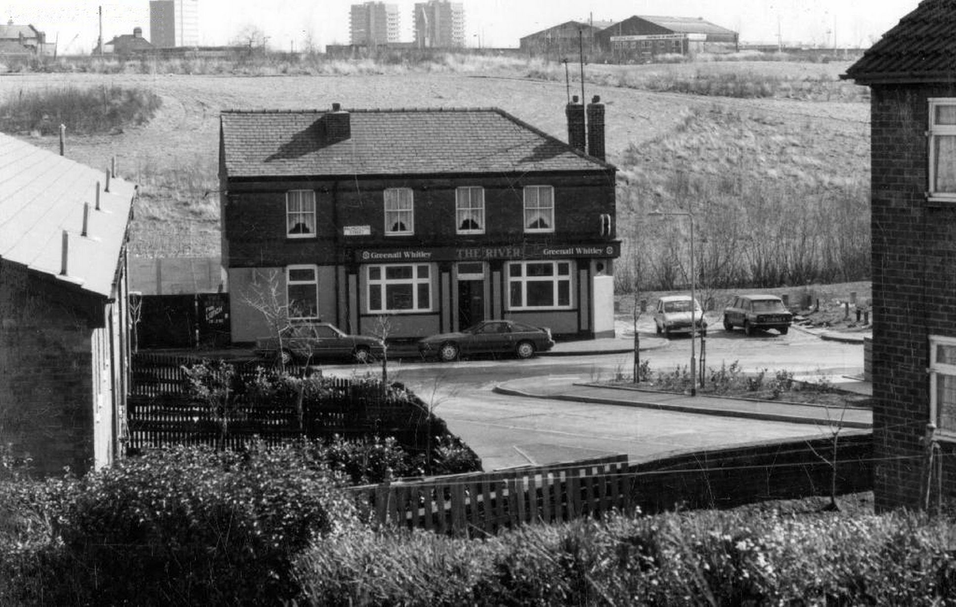
The River seen here in the 1970’s struggled on until 2007.
webmedia-2

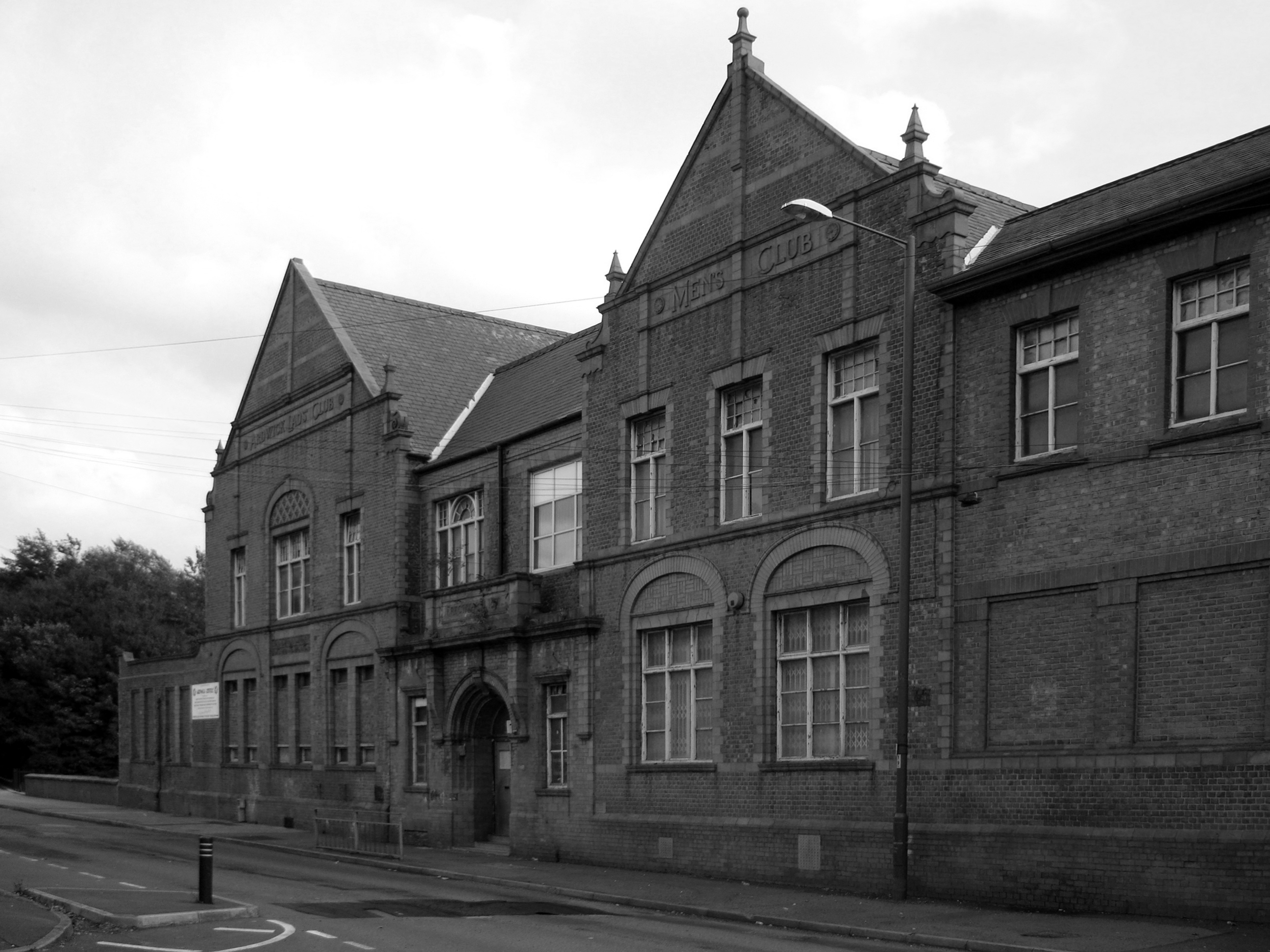
Further along we find the Ardwick Lads Club, further evidence of the forces of social reform, that sadly failed to survive the forces of the free market and the consequent Tory cuts in public spending and wilful Council land-banking.

The Ardwick Lads’ and Mens’ Club, now the Ardwick Youth Centre, opened in 1897 and is believed to be Britain’s oldest purpose-built youth club still in use [and was until earlier in 2012]. Designed by architects W & G Higginbottom, the club, when opened, featured a large gymnasium with viewing gallery – where the 1933 All England Amateur Gymnastics Championships were held – three fives courts, a billiard room and two skittle alleys (later converted to shooting galleries). Boxing, cycling, cricket, swimming and badminton were also organised. At its peak between the two world wars, Ardwick was the Manchester area’s largest club, with 2,000 members.
44551888

On the 10th September 2012 an application for prior notification of proposed demolition was submitted on behalf of Manchester City Council to Manchester Planning, for the demolition of Ardwick Lads’ Club  of 100 Palmerston Street , citing that there was “no use” for the building in respect to its historic place within the community as providing a refuge and sporting provision to the young of Ancoats.

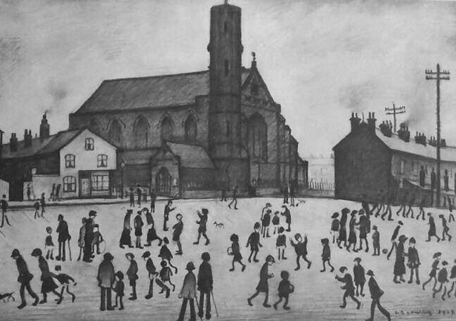
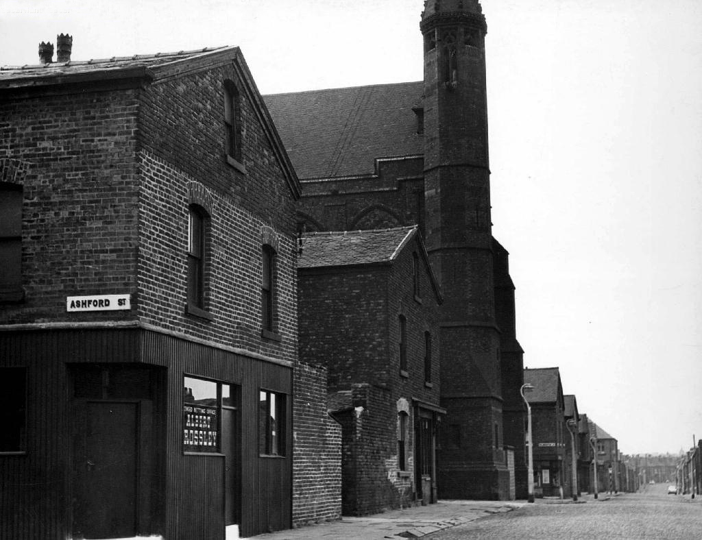
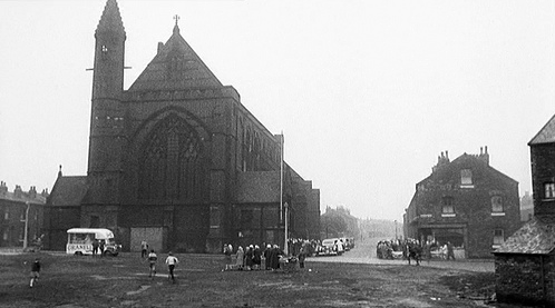
At the top turn of the street stood St Mary’s – the so called Lowry church.
marys

Screen Shot 2018-08-03 at 14.43.17

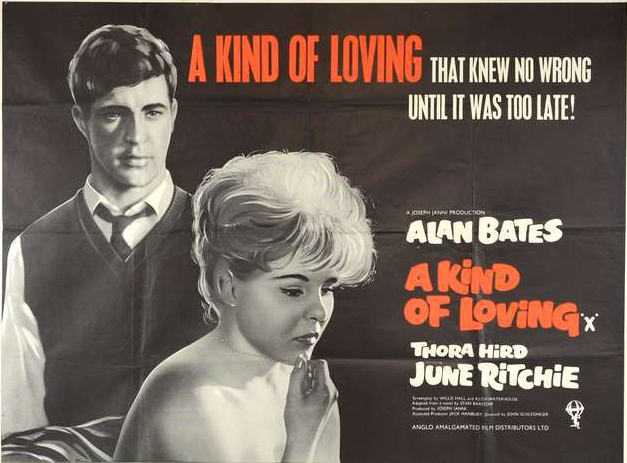
Used as a location for the film adaptation of Stan Barstow’s A Kind Of Loving
st mary's

nr003658-54_1

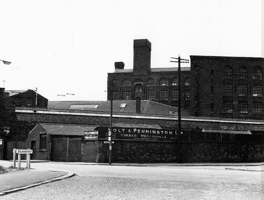
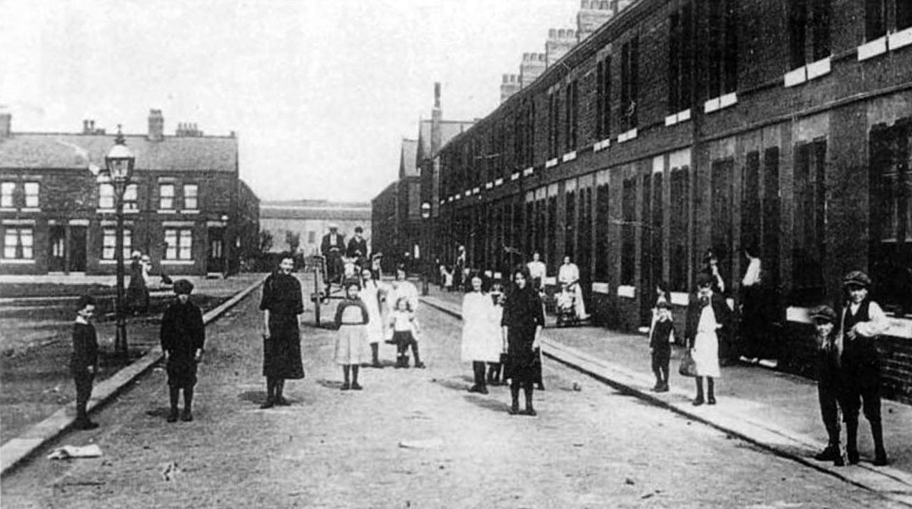
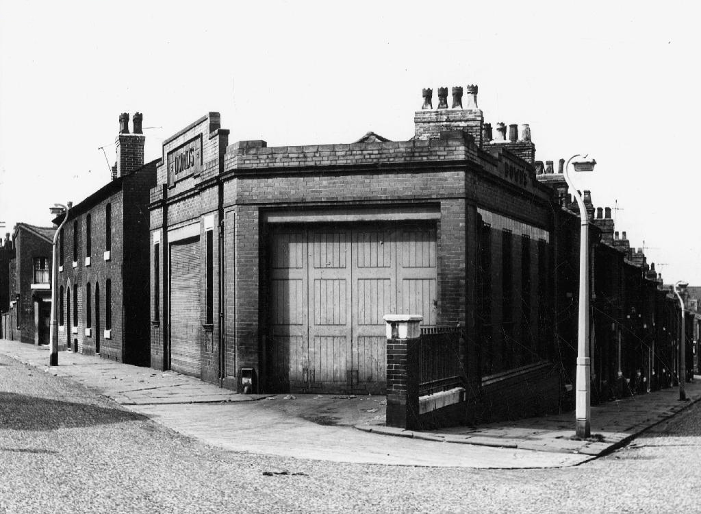
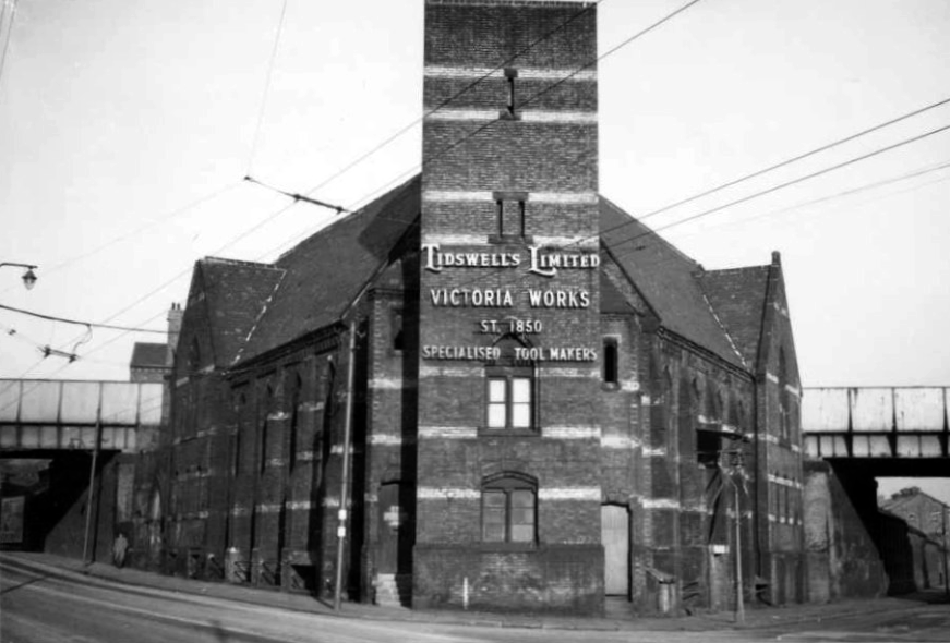
The homes and industry attendant schools and pubs were soon to become history, all that you see here is more or less gone. Slum clearance, the post-war will to move communities away from the dense factory smoke, poor housing stock and towards a bright shiny future elsewhere.

Whole histories have subsequently been subsumed beneath the encroachment of buddleia, bramble, birch and willow.
hillkirk

Screen Shot 2018-08-03 at 14.44.39

webmedia-3.php

webmedia-1.php

webmedia-2.php

webmedia-6.php

webmedia-7.php

webmedia.php

The land now stands largely unused and overgrown, awaiting who knows what, but that’s another tale for another day.

Archive images from the Manchester Local Image Collection.



Castle Street – Edgeley #1


adswood2-generalarea.jpg

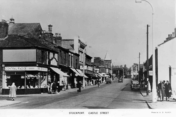
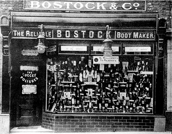
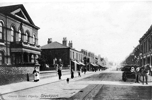
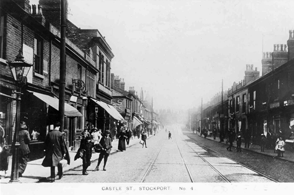
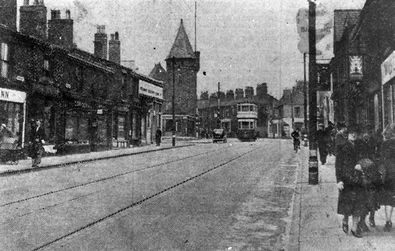
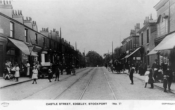
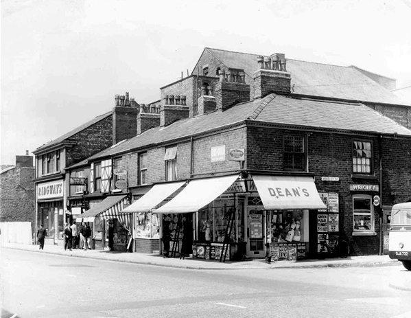
I have shuffled and shopped up and down Castle Street for some forty years or so – things have come and things have gone – and continue to do so. High streets have always been subject to so many external forces, they reshape and reform, in rhythm with the times and tides of history.

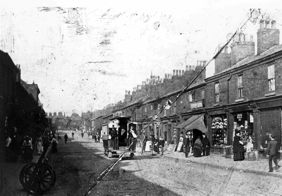
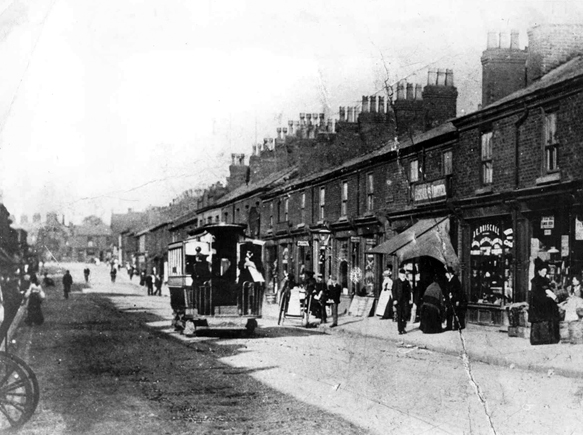
Horse drawn carriages and trams are long gone, along with the double-decker bus, people powered people rule in a pedestrianised precinct, charity begins at Barnardo’s, the Co-op has been and gone and returned, just up the way.

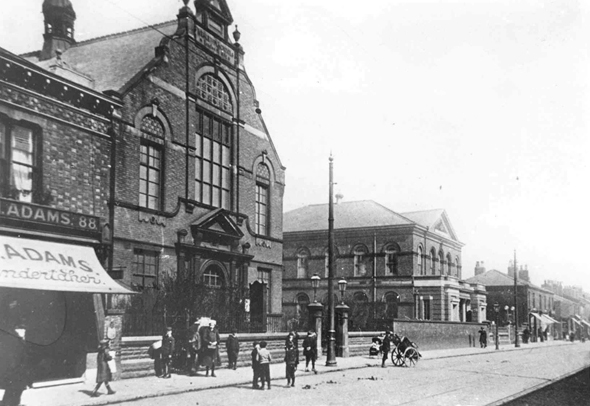
Two whole chapels, pubs and cinemas seem to have just disappeared.

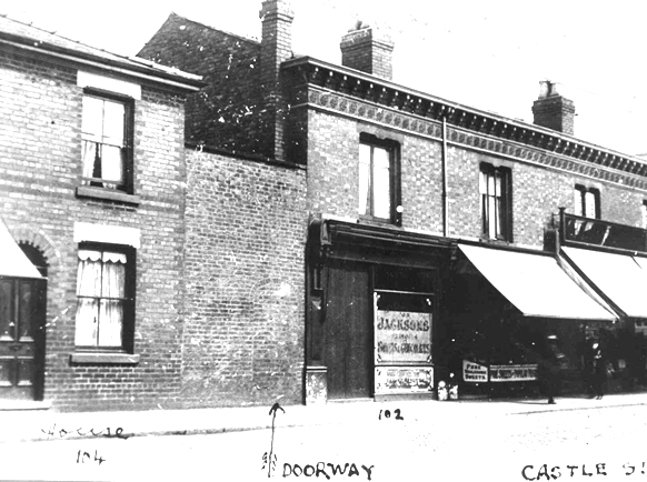
So let’s take a short trip through time and space along a short strip of Stockport’s past.

Get your boots on.

Pictures from Stockport Image Archive

1908

28729

1902

24436

1917a

1950

36876

1890

1917

1962.jpg

1958

1958a

1951

1 6 69

07b

69

69a

69b

74

93c

1969

1981

93

1983

07 a

93a

84

34929235_10216853242823182_2882427370675896320_n

07 copy

C_71_article_1073950_image_list_image_list_item_0_image

Screen Shot 2018-06-13 at 19.59.23

07

Taylor Street Gorton – The Pineapple

Screen Shot 2018-06-11 at 17.33.47

To begin at the beginning or thereabouts, Taylor Street was at the heart of Gorton to the east of Manchester city centre.

webmedia-1.php

webmedia-2.php

webmedia-3.php

webmedia-6.php

webmedia-7.php

webmedia-8.php

webmedia-9.php

webmedia-10.php

webmedia.php

A typical street of tightly packed brick terraces, dotted with shops, pubs, people and industry. I worked there as van lad for Mother’s Pride bread back in the 70s and saw those shops, pubs, people and industry slowly disappear.

Beyer Peacock whose immense shed dominated the northern end of the street, simply ceased to be, as steam gave way to diesel.

As full employment gave way to a date with the dole.

Adsega opening on nearby Cross Street heralded the arrival of the super fast, self-service supermarket, and sounded the death knell of the cosy corner cupboard.

398912_3820026268527_1203084936_n

The local pub was The Bessemer – its name forging an unbreakable link with the surrounding steel industry, that eventually broke.

webmedia-5.php

To the left of the pub is the Bishop Greer High School construction site  – the first of the new build that would later dominate the area, along with wide open spaces where shops, pubs, people and industry once were.

12932970_10154152981641600_8757469207112330278_n

webmedia.php copy

webmedia-1.php copy

When the school eventually shut its doors, it became an annex of Openshaw Technical College, and I found myself working there in the 80s at the East Manchester Centre, until its eventual closure.

It’s now sheltered accommodation for the lost and lonely:

Located in a quiet suburb of Manchester with excellent links to the city centre, Gorton Parks has an exceptional range of facilities spread out across five separate houses, each offering a different care option. Melland House offers dementia residential care, Abbey Hey provides nursing dementia care, Debdale is the house for intermediate nursing care and Sunny Brow offers general nursing care.

We sought solace in The Pineapple.

Screen Shot 2018-06-11 at 17.33.25

The streets were trimmed and slimmed, much of the past a mere ghostly presence, almost imprinted on the present.

A brave new world of brand new modern housing, with an Estate Pub to match.

The_Pineapple,_Gorton

A busy bustling boozer – lots of live and local action for the lively locals, latterly seeing out time as a house of House – a real bangin’ Bashment, bass-man bargain basement.

Until time is finally called – no more four to the floor, last one out shut the door.

1512347_516327525148853_492482006_n

Nothing lasts forever and a sign of the times is an upended pub sign, lying dormant in the dust.

The Chunky no longer a great big hunk o’funk.

10 Gorton pineapple pub

The big screen TV forever failing to deliver all the action, live or otherwise.

P1050836

p1050838.jpg

Latterly transformed into Dribble Drabble.

DSC_0074

And so the beat goes on as successive waves of success and recession, boom and bust free-market economics, wash over the nation and its long suffering folk.

Its enough to drive you to drink.

The George Hotel – Stockport

Screen Shot 2018-06-02 at 13.57.42

15 Wellington Road North Stockport SK4 1AF.

Time changes everything except something within us which is always surprised by change.

A delightful interwar pub on the corner of Heaton Lane and Wellington Road North, I moved to Stockport some forty years ago and was mightily impressed by the restrained exterior Deco design, wrought and hewn from soft pale sandstone. Equally impressive was the wood panelled, open, spacious interior space.

The George was always something of an anomaly, being the only Greater Manchester pub owned by Higson’s Brewery, our almost next door Liverpool neighbour.

P1200475 copy

Higsons_72

Higsons was founded in 1780 – 1974 saw the brewery merge with James Mellor & Sons. In 1978, Higsons acquired the Bent’s Brewery, which was based next to its North Street head office. Boddingtons of Manchester acquired Higsons in 1985 but decided to abandon brewing in 1989 to focus on its pubs.

They have/had fine former offices on Dale Street

venues_7

Boddingtons’ brewing arm was sold to Whitbread in 1990 which then subsequently closed the Higsons Stanhope brewery and then reopened by new owners as the Cains Brewery in 1991. Higsons beer was brewed in Sheffield and Durham for a few years after closure before being discontinued. The beer brand was revived in the current century and reborn in 2017, now served in the swish Baltic Triangle based Higson’s Tap & Still with an interior order that leaps backwards head first, into an imagined future of raw brick, reclaimed wood and industrial flourishes.

DcL2r33W0AARIGU

The George prospered – a town centre pub surrounded by workers in search of a wet and shoppers shirking their retail duties in favour of draught bitter or Cherry B.

1960

Its interior however did not fair so well, ripped out in the 80s – remade remodelled, in the deeply unattractive, anti-vernacular, sub-disco style de jour.

Renamed The Manhattan, riding the fun-pub wave, closed reopened as The George – there followed thirty year of uncertainty, struggling to find an identity throughout a time of ever-changing moods.

Screen Shot 2018-06-02 at 13.53.28

It became a daytime haunt of the hardened, shattered glass, blood on the tracks class of drinker, its reputation in tatters along with yesterday’s fish and chip papers.

The last time I came by you were still open for business.

P1160554

I bided a wee while, without imbibing, all the better to record your disabused Art Deco details.

P1160541

P1160542


P1160544

P1160545

P1160550


P1160552

I came by yesterday and you were all tinned-up with nowhere to go.

Premises To Let as of 13th May 2018 – on the 2nd April 2018 the licence has lapsed, so this will be a further barrier to it re-opening.

And so your faux nowheresville interior will pass into yet another of somebody’s history, along with your fine Deco detail and disco destruction.

This a tale of our age – of monopoly capitalism, stay at home Bargain Booze tipplers, demographic shifts, de-populated town centres, fashion fads and cheap cladding.

Time changes everything except something within us which is never surprised by change.

P1250771


P1250776

P1250778

P1250781

P1250783

P1250785

P1250786

P1250789

P1250794

P1250796


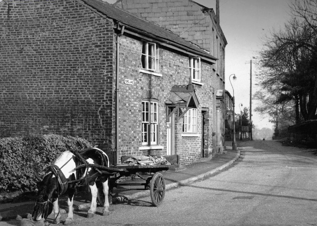
Ford Lane – Northenden

And so our journey continues, leaving behind the semi-detached haven of East Didsbury.

Once again graciously greeting Mr Henry Simon and his wondrous footbridge across the Mersey – the greenest of structures on the greyest of days.

No more fords and/or ferries, say goodbye to wet feet.

webmedia-12.php

We are down by the river, a place of pleasure and practical workaday goings on – on our way to Northenden.

Northenden was mentioned as Norwordine in the Domesday Book of 1086; its name came from Anglo-Saxon Norþ-worþign – north enclosure. It was then a small farming community with a manor house and woodland.

Northenden is on a major crossing place of the Mersey on the salt road from Cheshire to Manchester. The ford was an important way into and out of and into Manchester, in 1745 Bonnie Prince Charlie’s army built a troop-bridge out of big poplar tree trunks where the B5095 now crosses the Mersey, south of Didsbury, in his abortive attempt to seize the crown of England.

The Northenden ford was unusual because its northern and southern ends were not opposite each other, but people using the ford had to wade about 500 feet along the riverbed. The Simon’s Bridge was built at the ford in 1901 to help access to Poor’s Field, and the rent from this field was used by the church to buy blankets and clothes for the needy.

webmedia-9.php

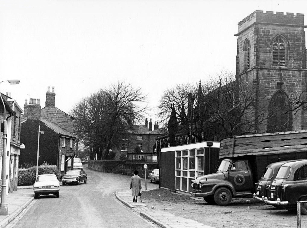
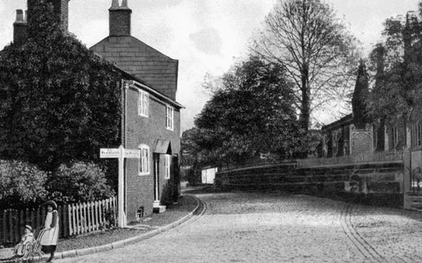
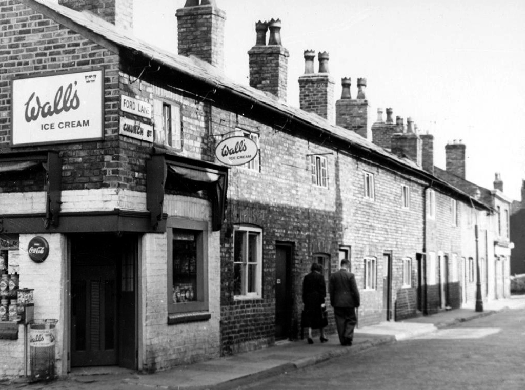
Little is known of Northenden’s Saxon origins other than that it was one of the few disembarkation points on the Mersey flood plain between Stockport and Stretford. A church was recorded here in the Domesday book of 1086. The village has grown in importance since 1641, when a ferry boat for crossing the River Mersey was installed. In 1642 a ford was also constructed, hence the names Boat Lane and Ford Lane. There was a water mill and, it is rumoured, a public house. The plan form of the village was established with properties being built along the two lanes, which intersected near the church.

webmedia-8.php

Little change occurred for the next two centuries until, by the mid 19th century, market gardens in and around the village supplied food for the rapidly expanding population of Manchester. The only routes to the City were via the ferry boat or the ford until, in 1862, Palatine Road was opened and provided a bridge crossing. Northenden was still a rural village and, towards the turn of the century, good quality semi-detached houses were built for clerks and managers who were able to commute to Manchester on the horse-drawn bus and the tram.

In the 1940s the new suburb of Wythenshawe was largely completed, and by then Northenden’s rural character had gone. Palatine Road was developed for shopping and other commercial uses, and slum clearance removed many of the village’s early cottages around the church.

The water mill, which had provided a flour-milling service for a wide area, survived until the 1950s. It was situated on the banks of the Mersey where the weir, to create the change in water level and power the machinery, is still in existence.

Northenden Conservation Area

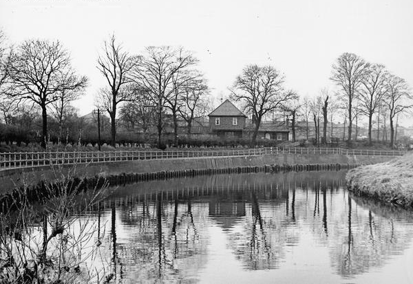
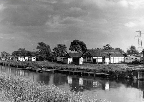
Ford Lane affords a rural route twixt suburban settlements, tree lined and river-run.

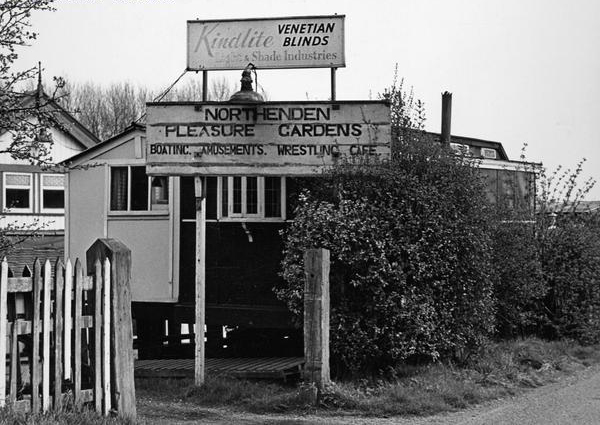
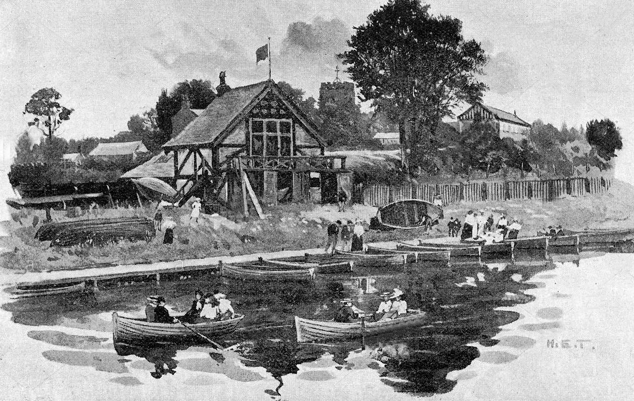
Once the province of pleasure gardens, cruisers, boaters.

And wrestlers.

webmedia-10.php

webmedia-7.php

manchester-northenden-1901-old-antique-vintage-print-picture-MHNWCF

The lane is home to several listed buildings – the most prominent being St Wilfrids – the oldest part of the church is the tower, the rest having been rebuilt in 1873–76 by J. S. Crowther. The new part of the church is built in sandstone from Alderley Edge, with slate roofs, and is in Perpendicular style.

church

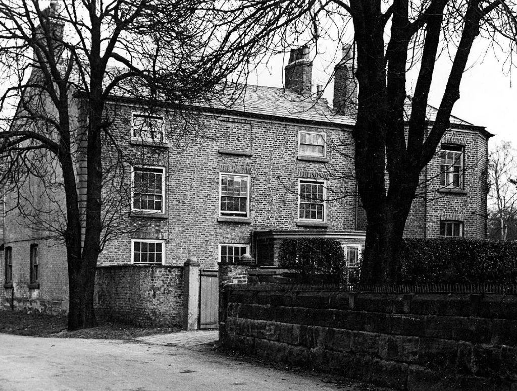
The Old Rectory and Northern House both mid to late 18th century, form a group of notable homes clustered around St Wilfrids.

webmedia-5.php

webmedia-6.php

webmedia-2.php

webmedia-13-php.jpeg

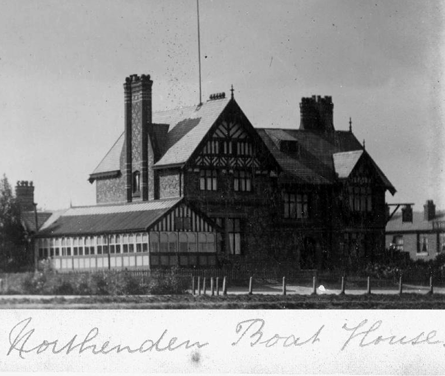
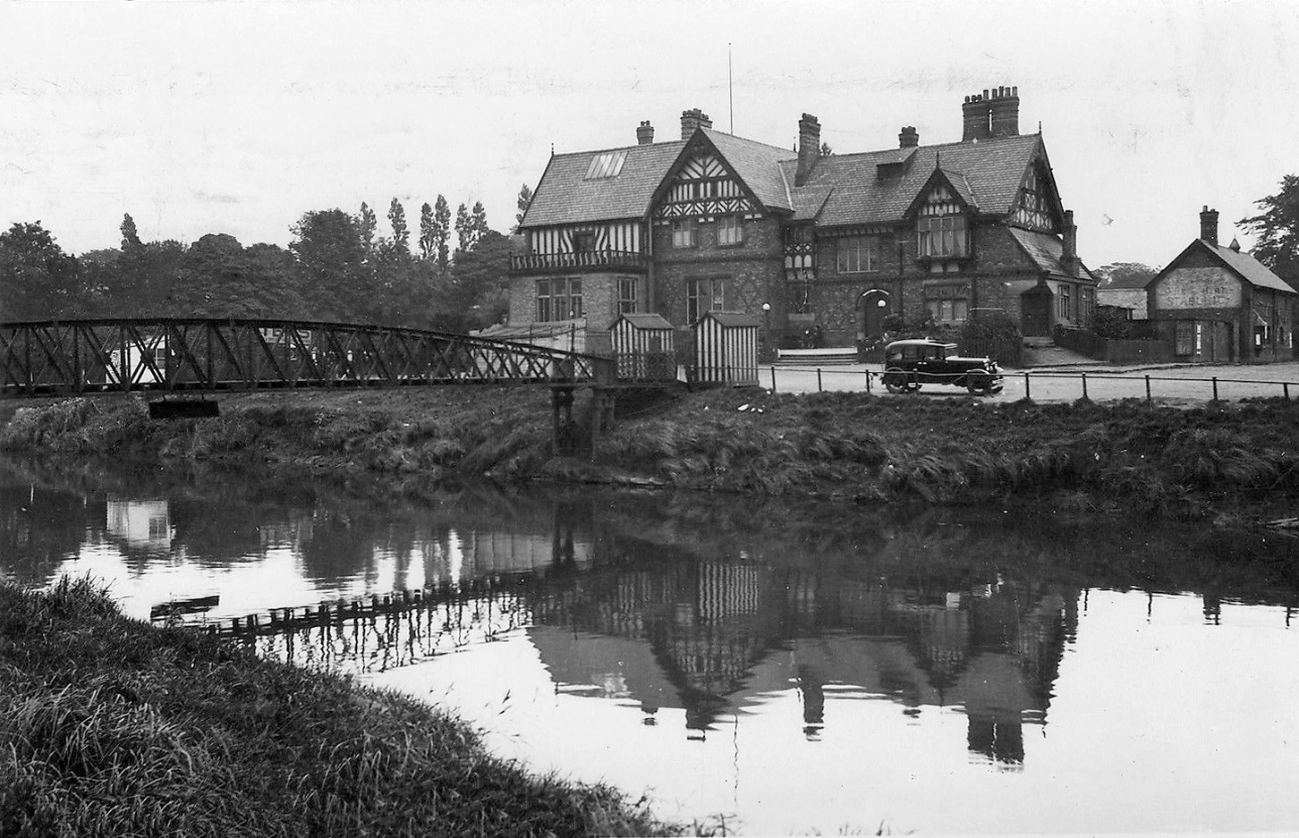
Also in close proximity were a number of public houses – most notably The Tatton Arms.

Built in 1873 by the Tatton family and originally known as The Boat House.

webmedia.php copy

webmedia-2.php copy

s-l1600

Closed in 2007 and still standing, still awaiting proposed redevelopment into an apartment complex.

1908

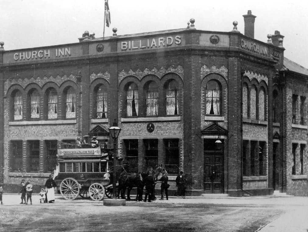
The Church Inn built in 1897 closed in 2006 – burnt out left for dead eventually refurbished into flats.

Spread Eagle Royle

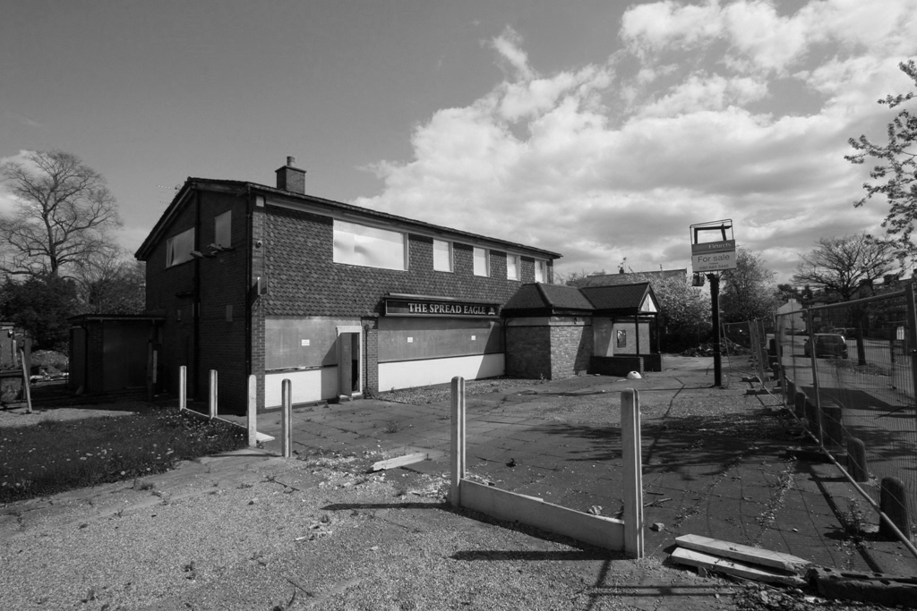
The Spread Eagle built to replace an old pub of the same name, the Spread Eagle was the second estate-style boozer on Royle Green Road, and it outlasted the Jolly Carter by almost a decade – long gone, following a shooting in 2008, the site now developed as housing.

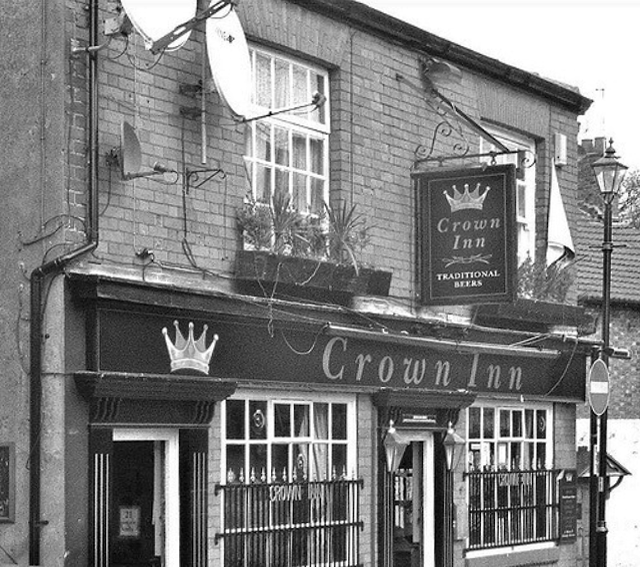
Happily The Crown is still standing and still serving – cyclists and walkers welcome!

Screen Shot 2018-05-29 at 08.12.25

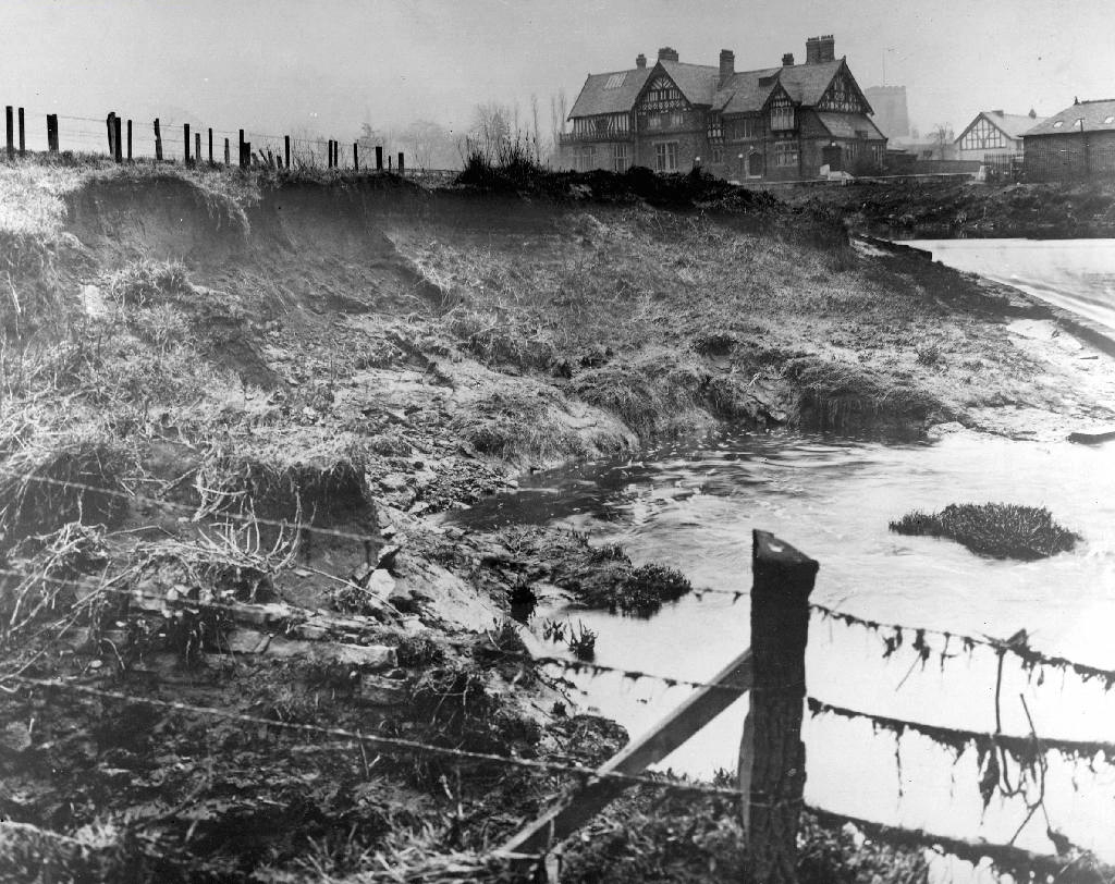
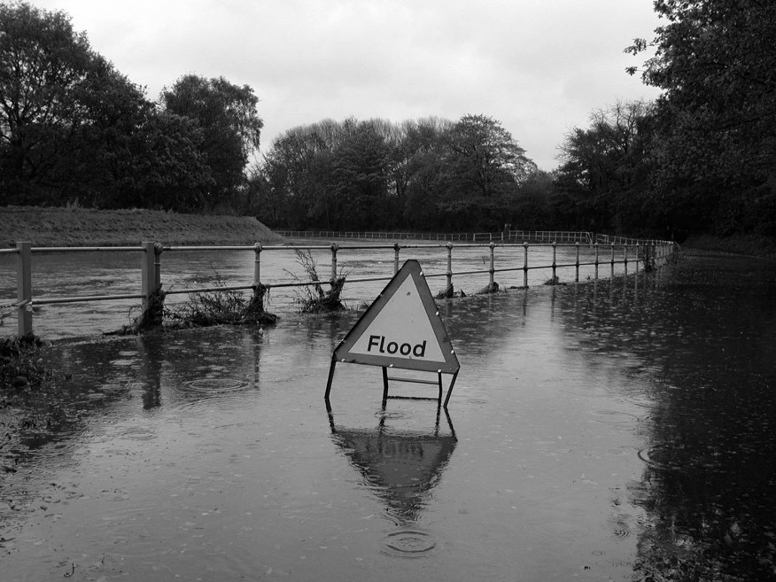
This was once my way to work, Stockport to Northenden each and every day, the river on occasion liable to flood  – foolishly I cycled the Mersey in Spate, against the current clinging to the handrail, up to my axles in the raging torrent.

ManMerseyFlood0Y06

I lived to tell the tale.

Photographs from the Manchester Local Image Collection


Strangeways #3 – Black and White World

I’ve been here for the last fifteen years on and off, snapping away, capturing something of the area’s ever changing moods, the old, the new, the borrowed and the blue.

Wading through the archives, or searching for the remains of modernity.

On this occasion I have chosen to work on black and white film – the medium conveying something timeless, at a time when things are forever changing.

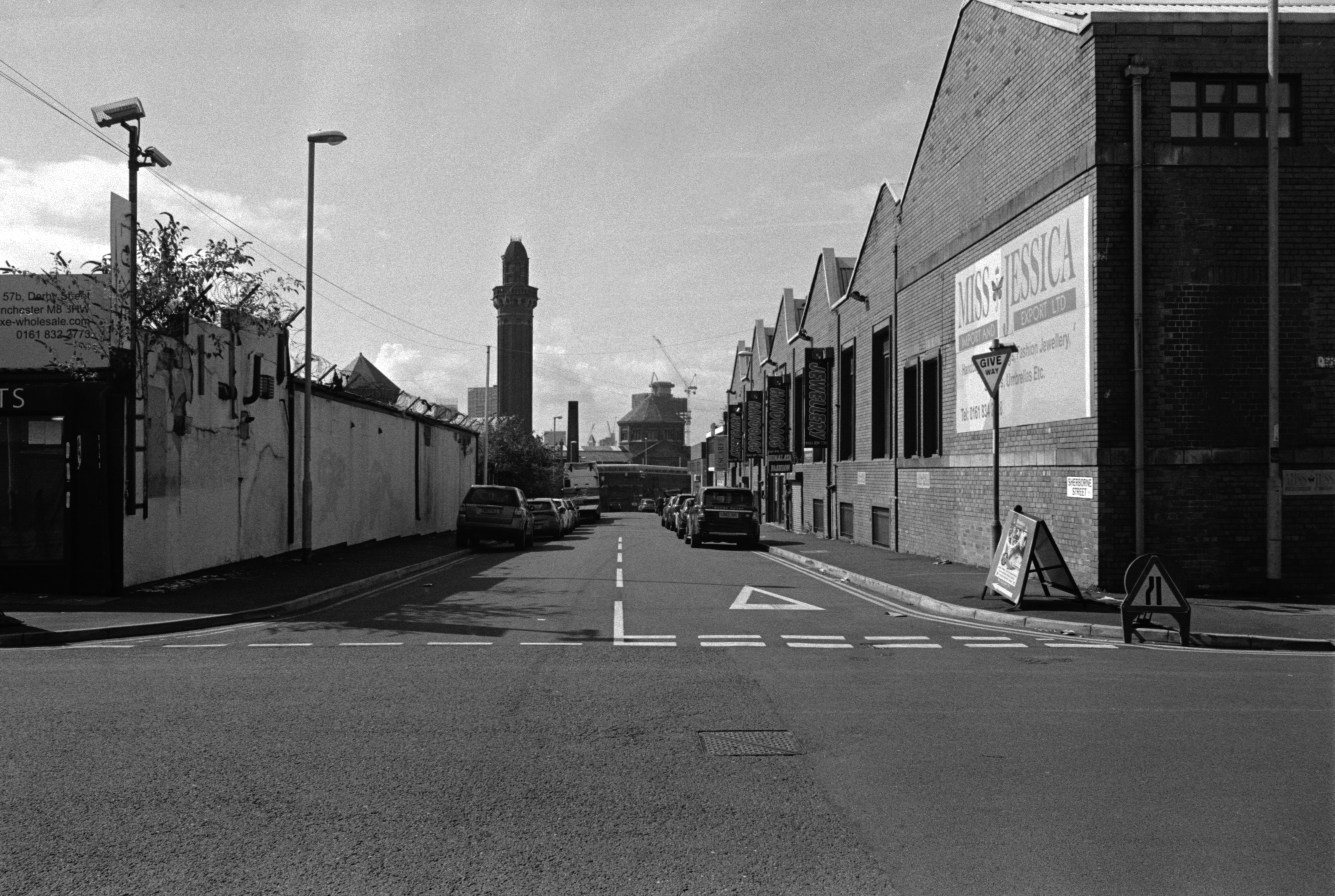
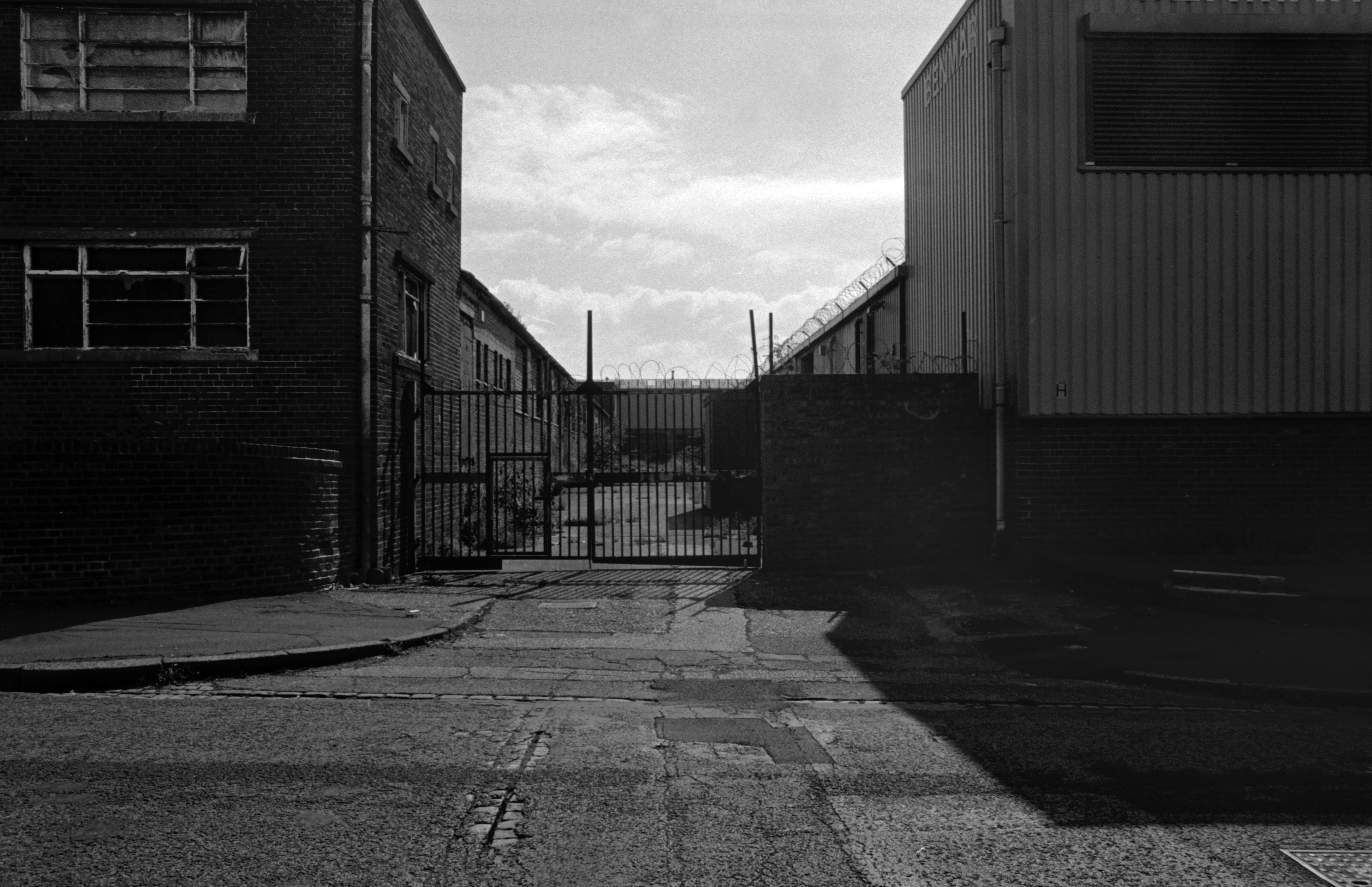
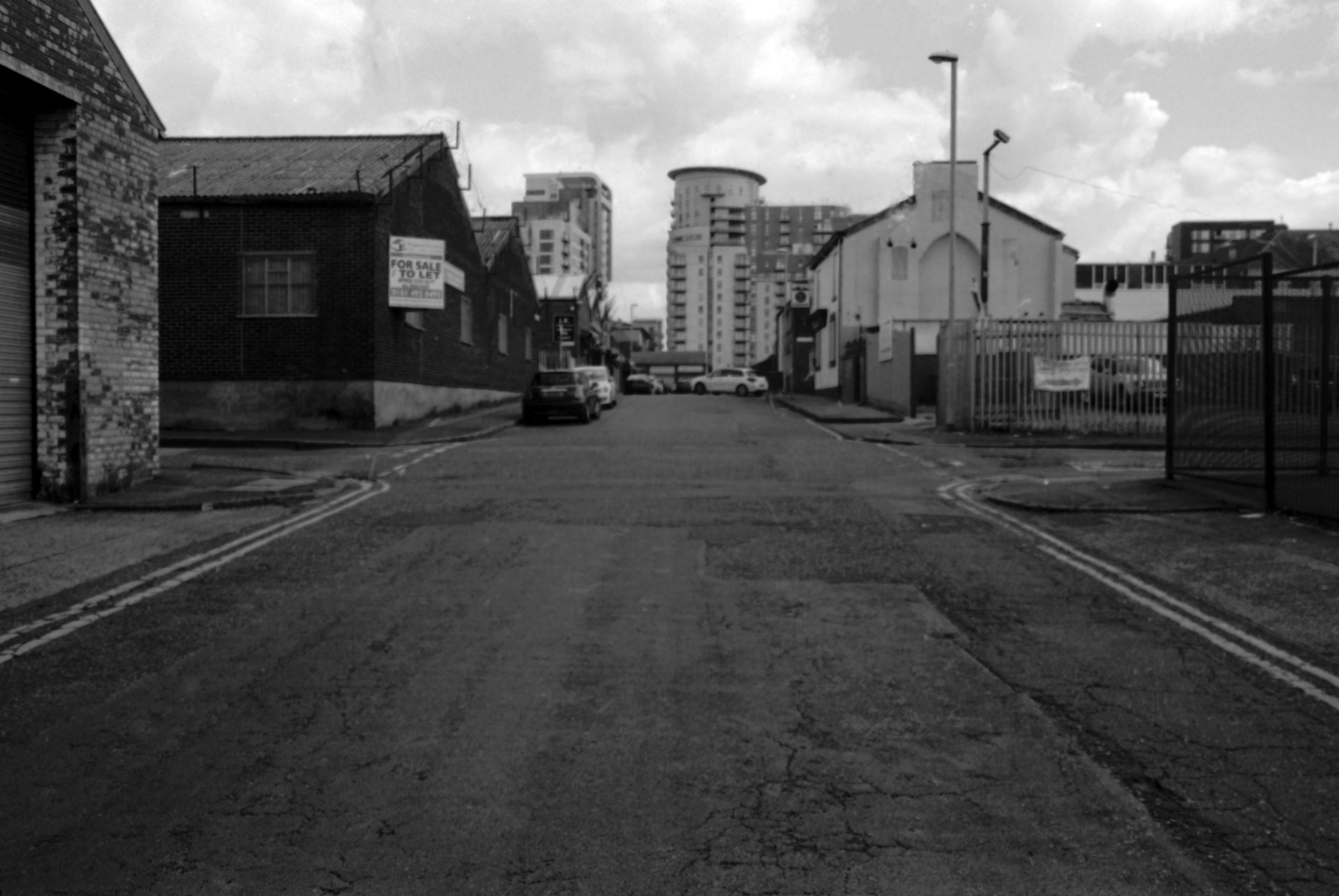
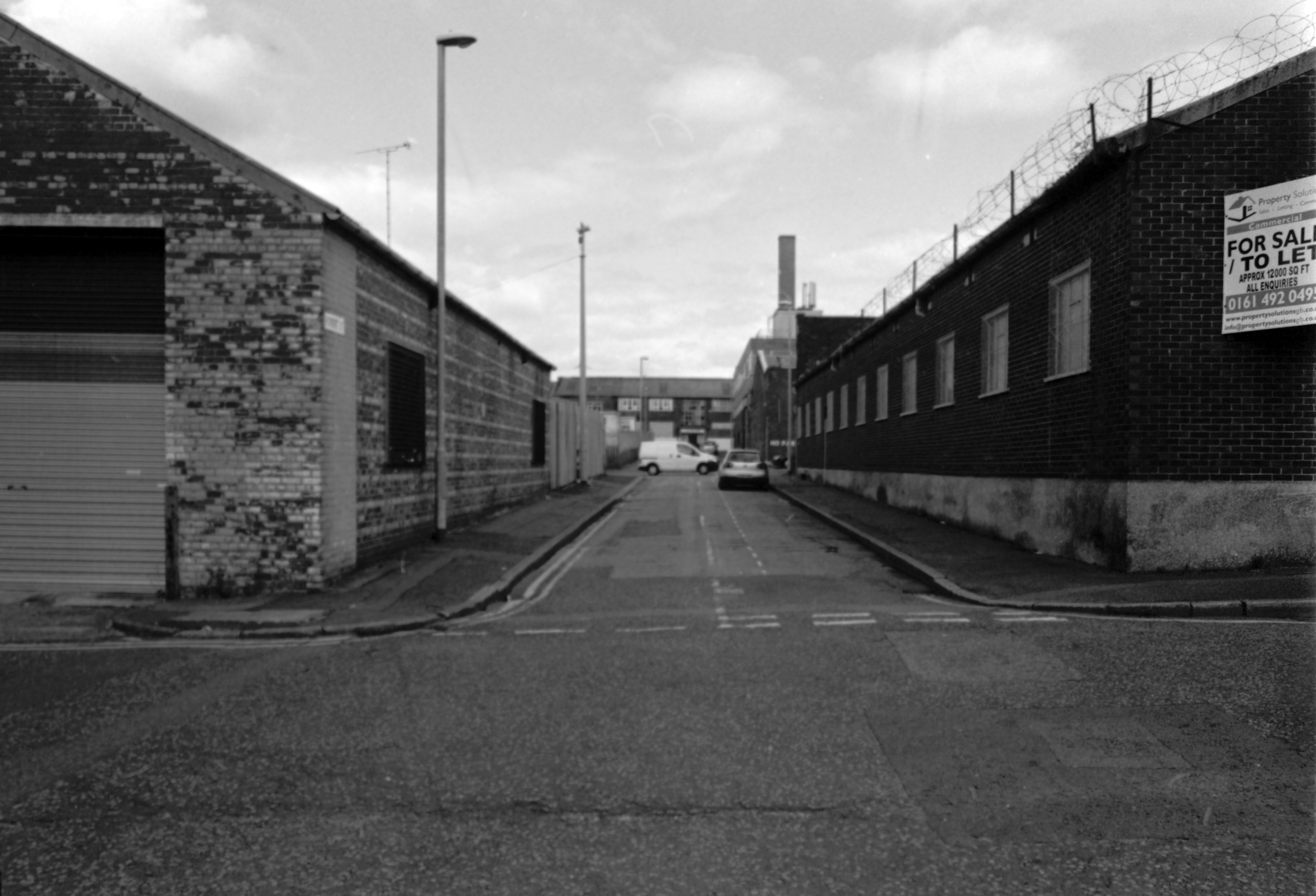
Let’s take a contradictory look and walk around those familiar, unfamiliar streets of Strangeways – where colourfully clad industrial barn, collides with blackened brick and stone behemoth.

Scan 2

Scan 3

Scan 4

Scan 5

Scan 6

Scan 7

Scan 10

Scan 11

Scan 12

Scan 13

Scan 14

Scan 15

Scan 17

Scan 8

Scan 18

Scan 20

Scan 21

Scan 22

Scan 23

Scan 24

Scan 25

Strangeways Manchester #1

Strangeways?

– How strange.

The Strangeways family themselves are certainly recorded in antiquity at the site, although the name appears differently over time; Strongways in 1306, Strangewayes in 1349 and Strangwishe in 1473. In the late 1500s in records at Manchester Cathedral the surname is spelt Strangwaies.

My thanks to Thomas McGrath for his – Long Lost Histories: Strangeways Hall, Manchester

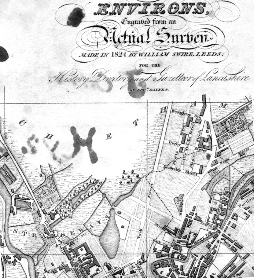
Before panopticon prisons entered the public imagination, and incarceration was the order of the day for the disorderly, it was all fields around here – with the odd house or baronial hall.

Screen Shot 2018-02-04 at 15.08.30

Swire’s map of 1824

Strange days, over time the prison is built, the assizes appears and disappears and tight groups of tired houses cluster around the incipient industry. The fiefdom’s of old become tie and tithe to successions of industrial plutocrats.

webmedia.php copy

webmedia.php

Broughton Street 1910Photograph J Jackson

Screen Shot 2018-02-04 at 15.10.54

Kelly’s map of 1920

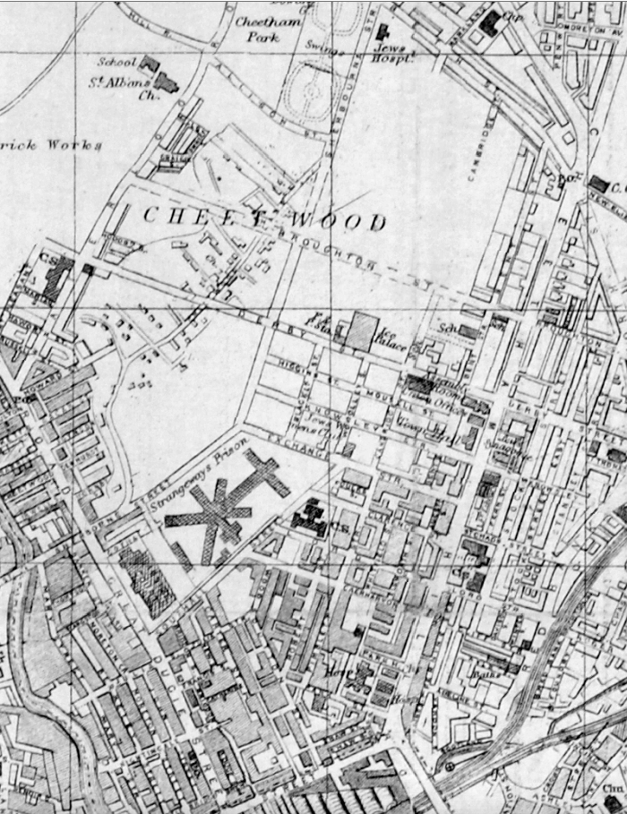
The area becomes the centre of the city’s rag trade, a large Jewish Community, the largest outside of London, grows up around Strangeways, Cheetwood and Cheetham Hill – houses, mills, wholesale, retail, warehouse, ice palace, beer-house, brewery. The area is home to several of Joe Sunlight’s inter-war industrial developments – his Jewish family were named Schimschlavitch, his father a cotton merchant. The family emigrated to England in 1890 and settled in Manchester.

So much for Joe Soap – the area was also the location for local lads, Karl Marx, and Marks & Spencer.

v0_medium

Derby Street 1901 – 1924

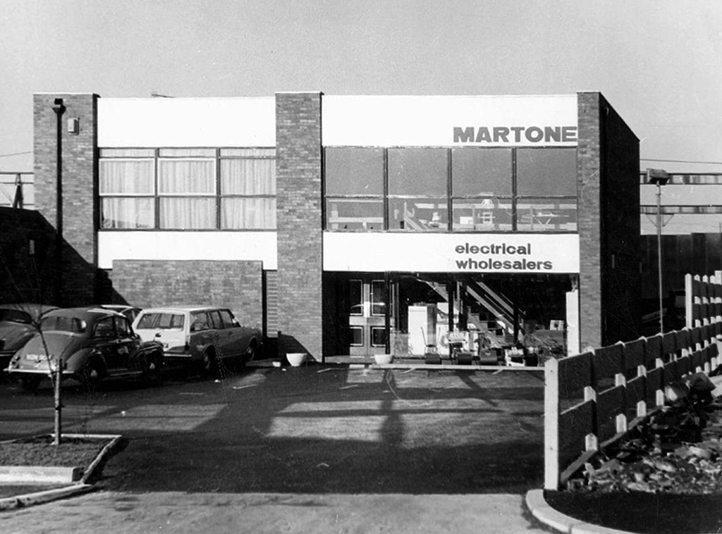
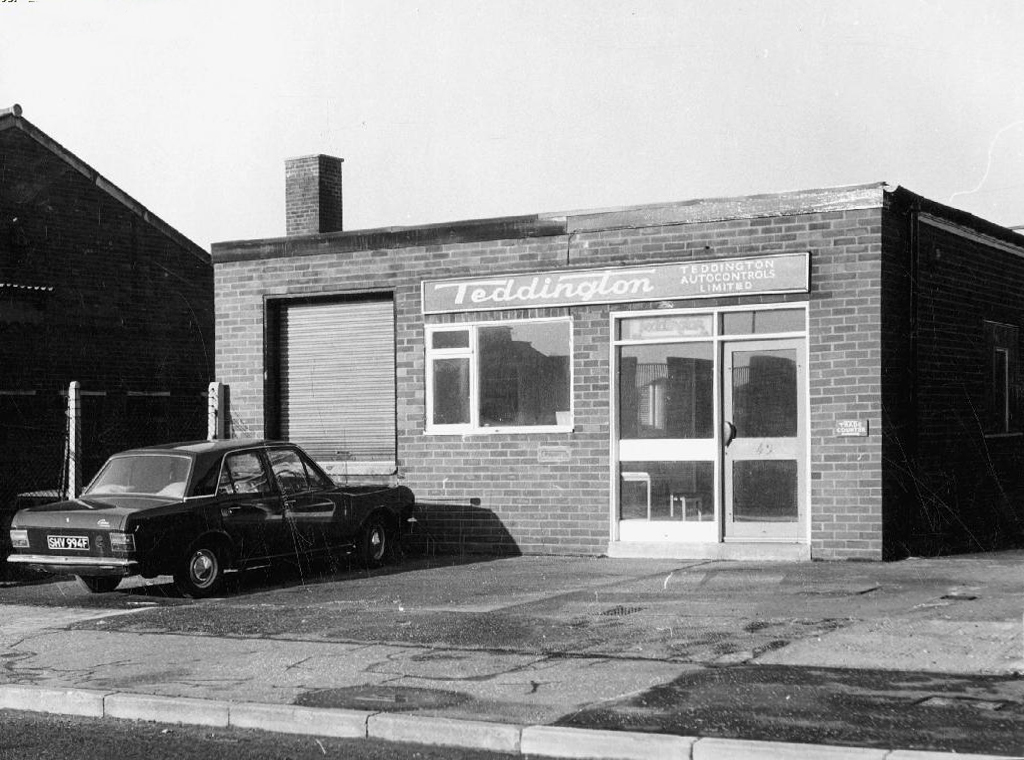
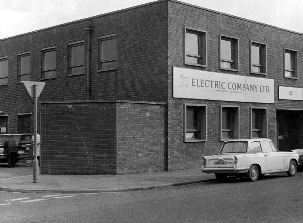
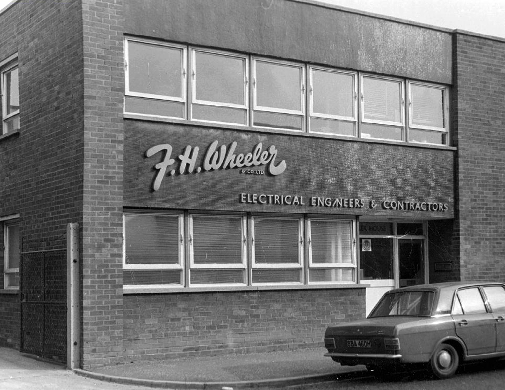
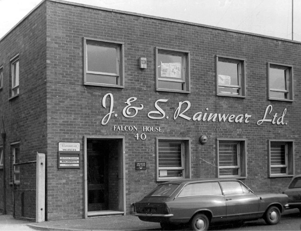
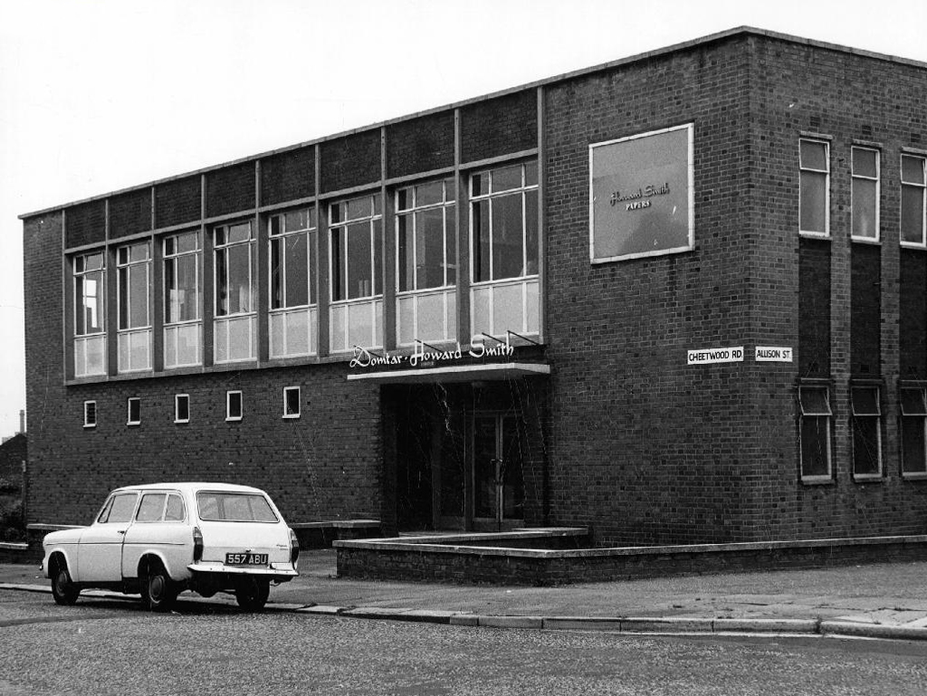
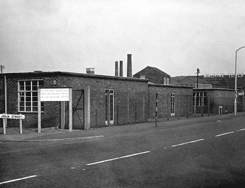
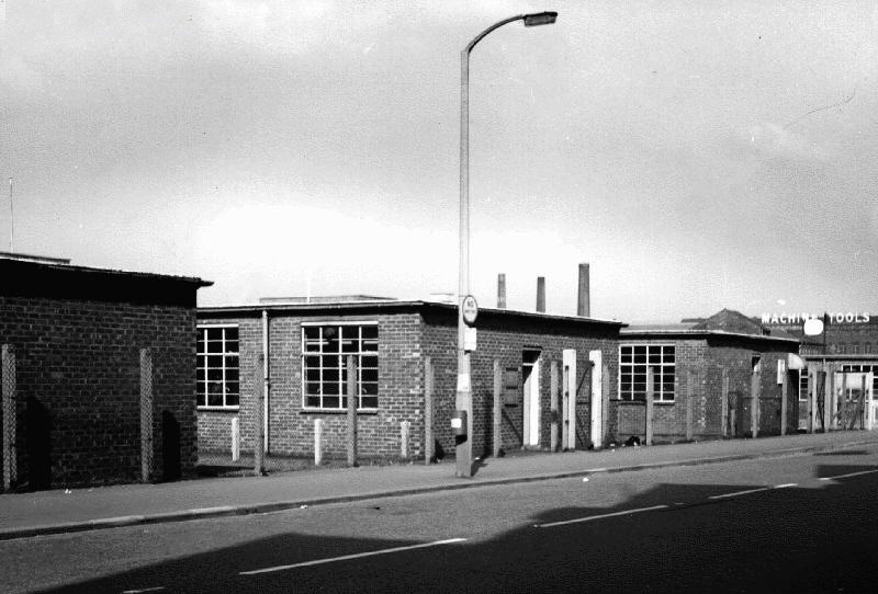
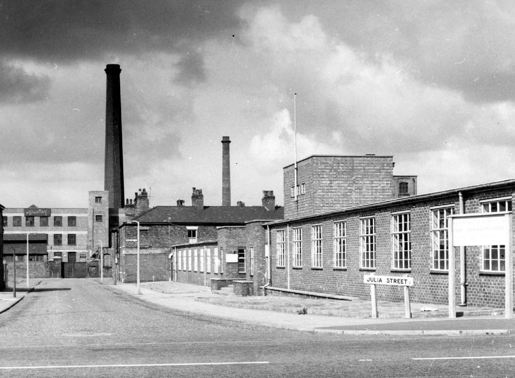
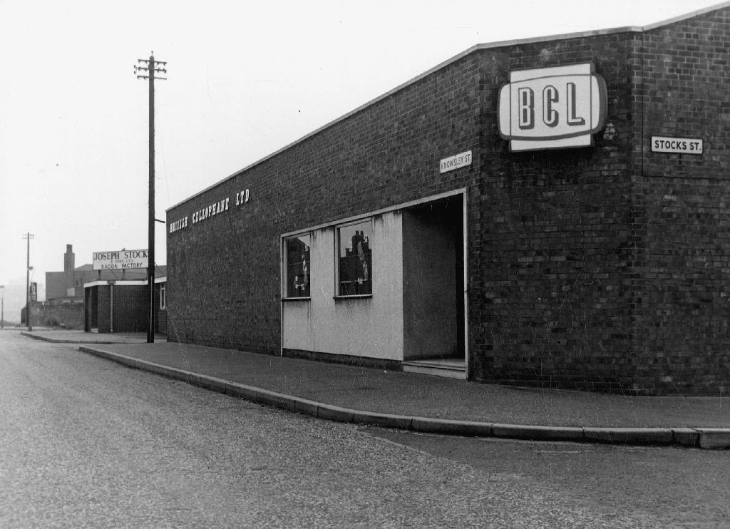
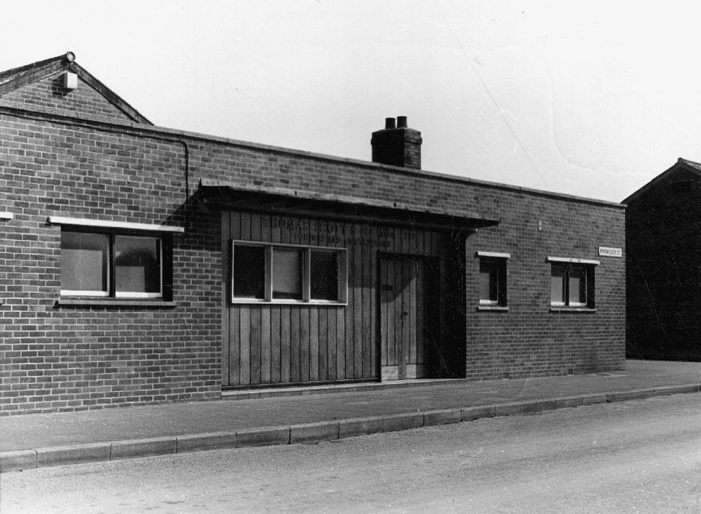
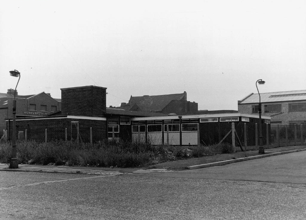
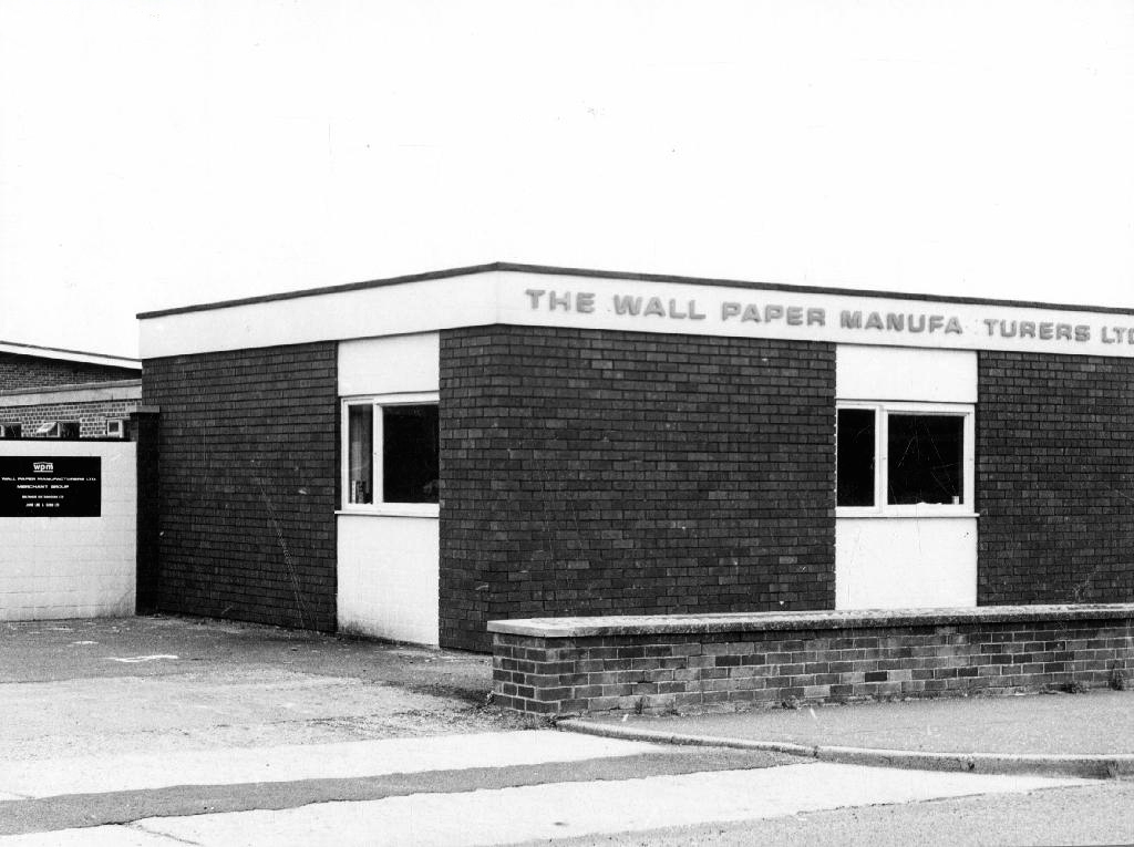
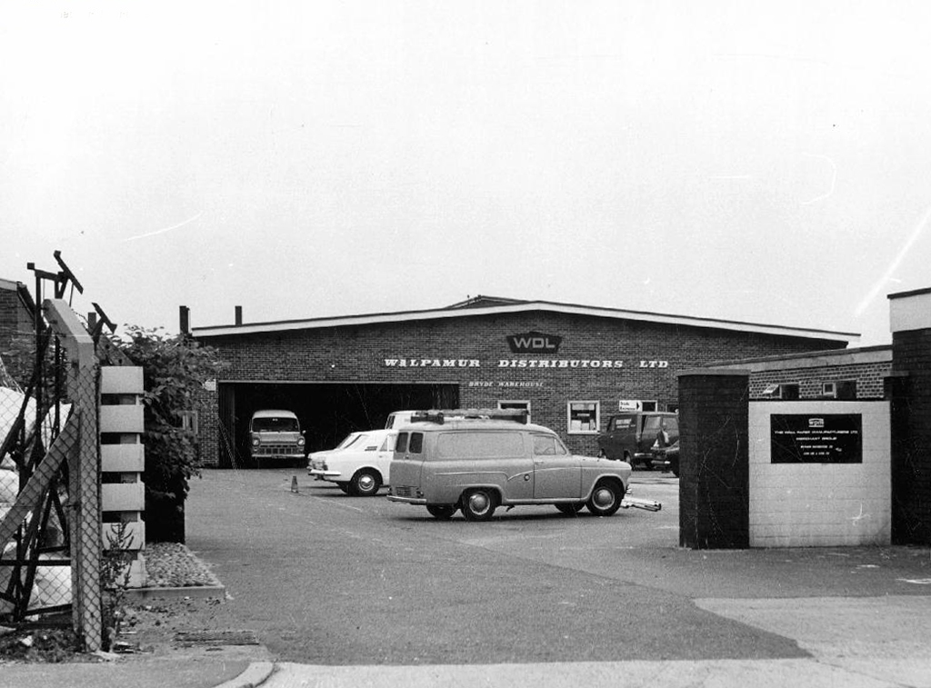
Further developments took place with the building of the Cheetwood Industrial Estate – a postwar group of flat-rooved, blocky brick and concrete utilitarian units.

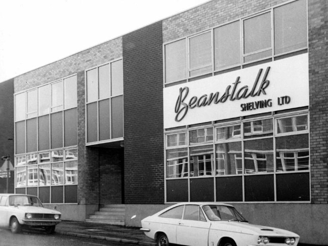
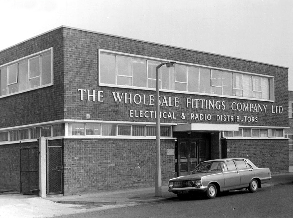
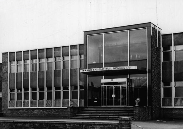
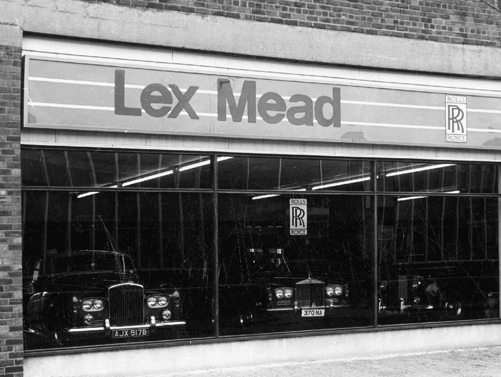
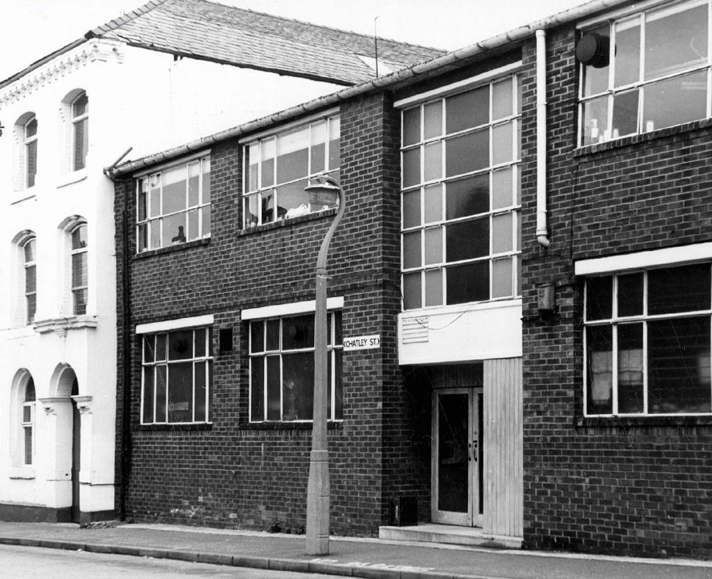
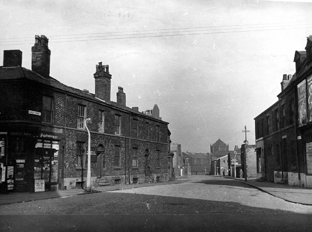
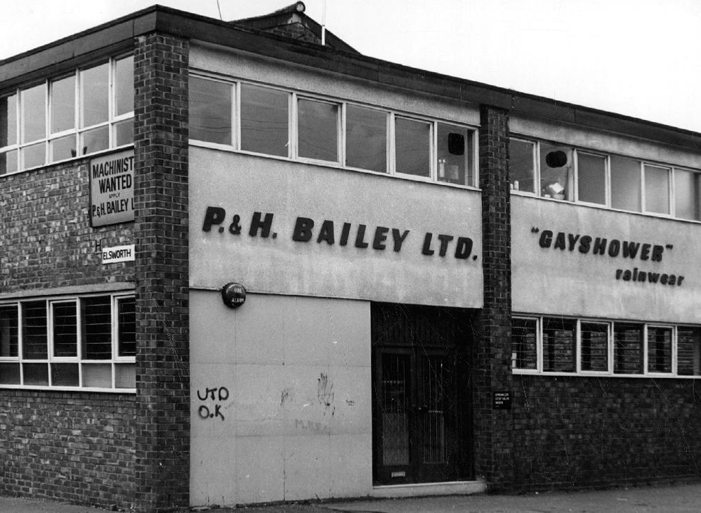
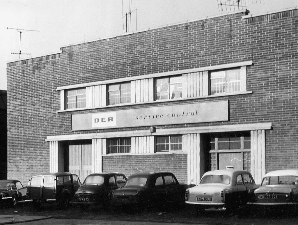
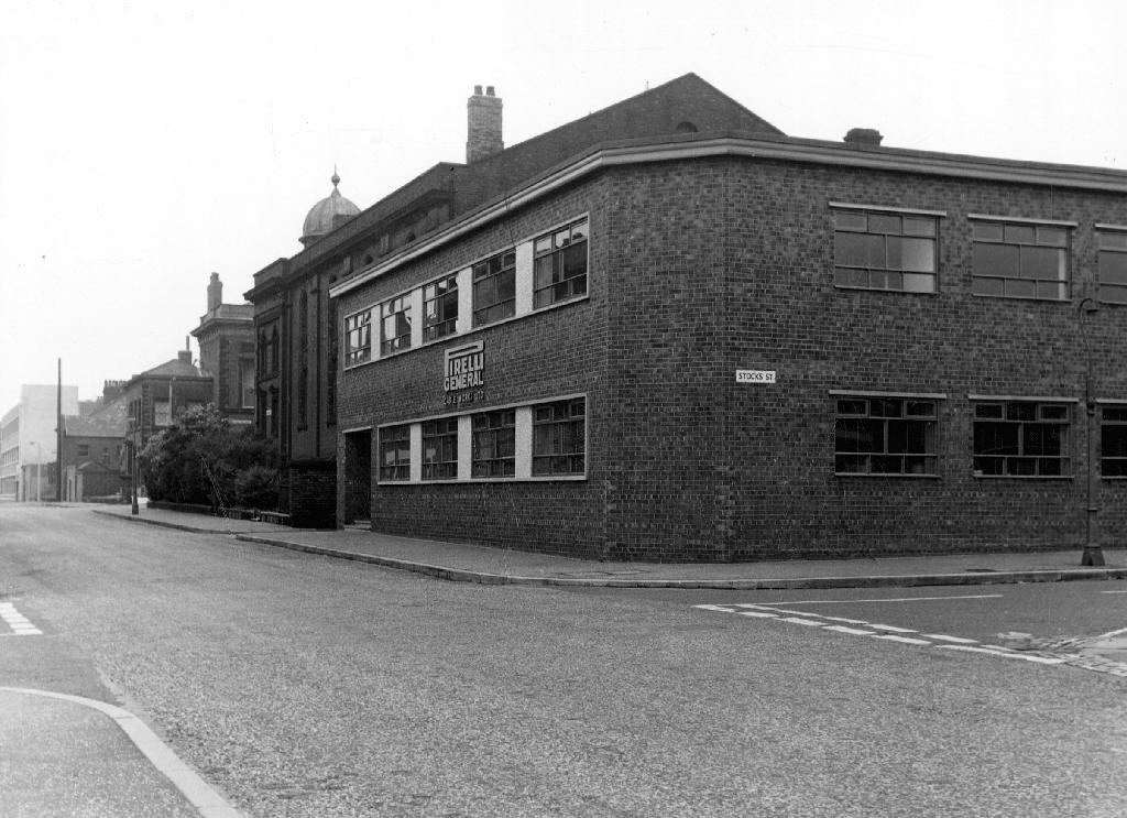
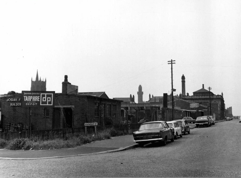
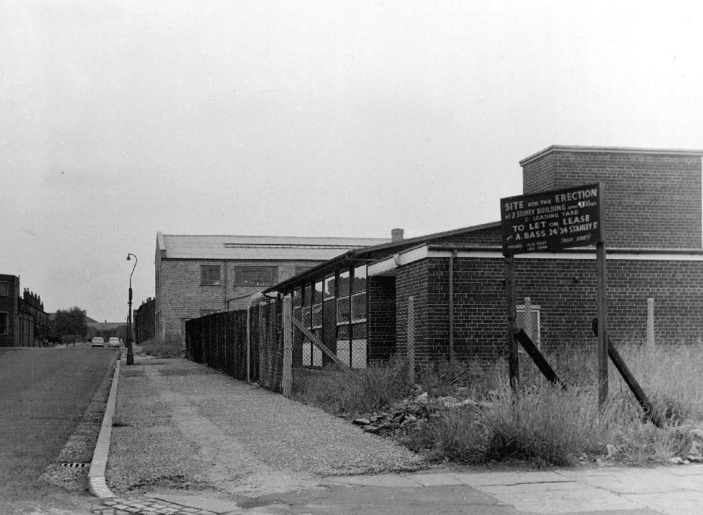
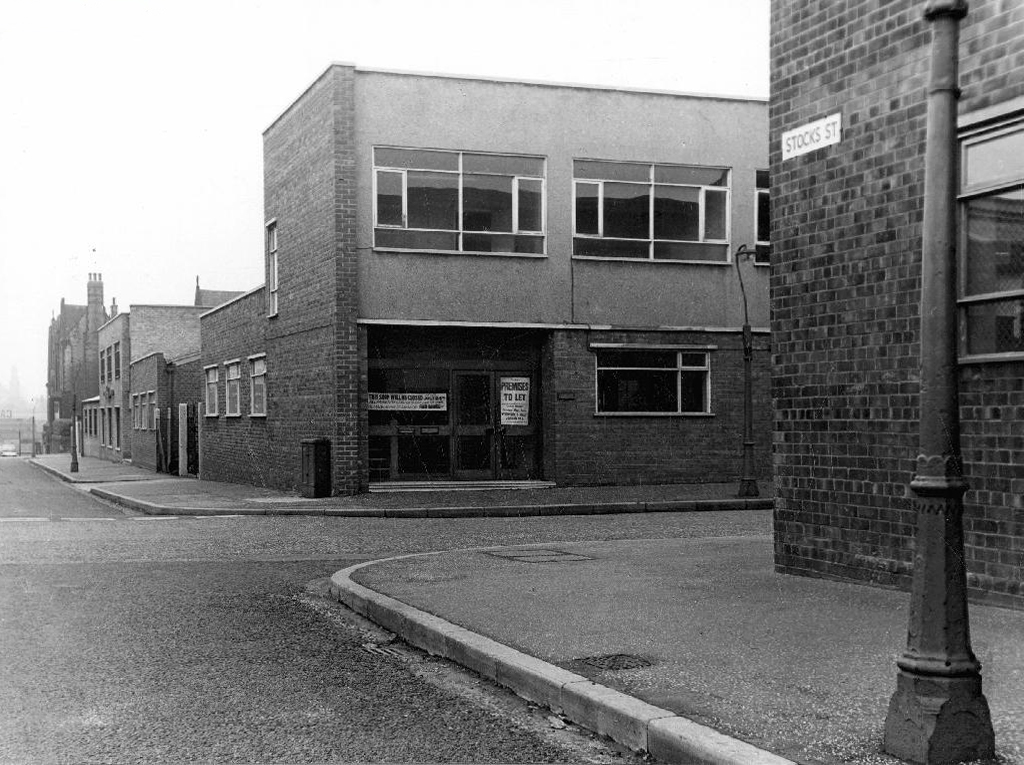
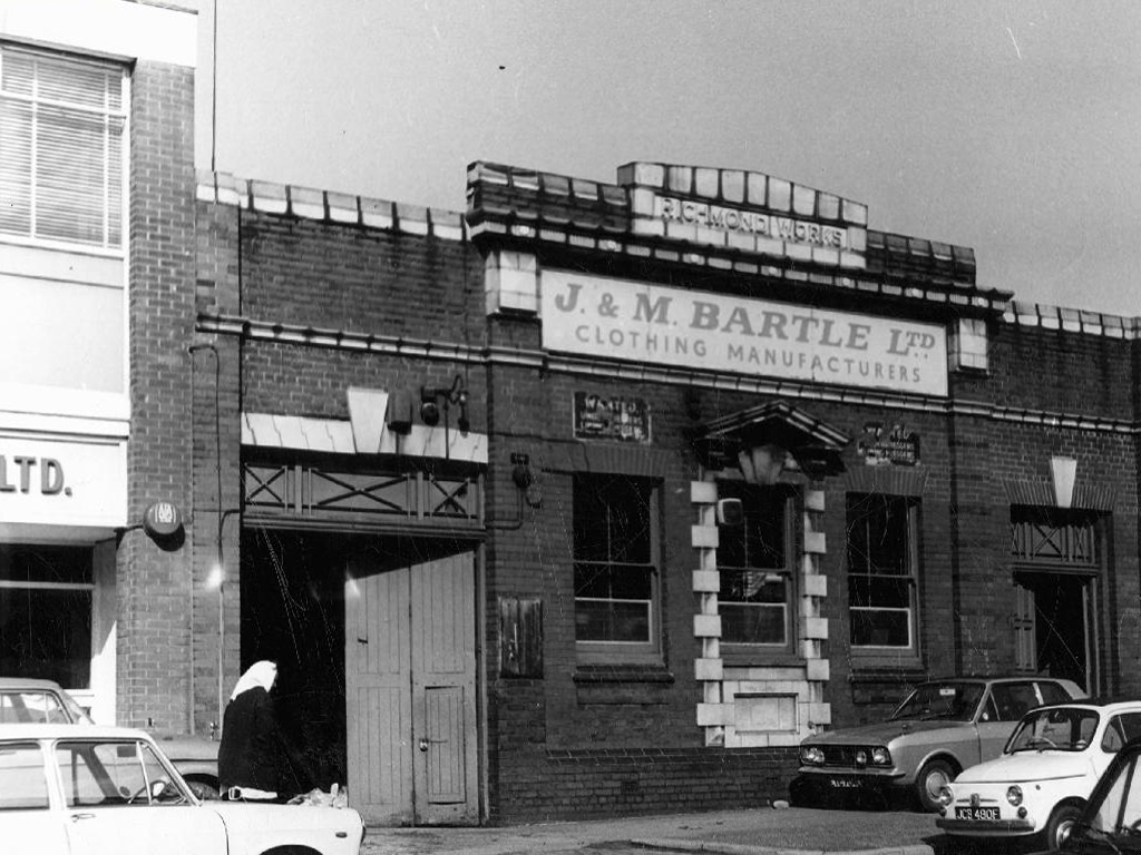
So let’s take a look at the ever so strange streets of Strangeways, in that period of change during the latter part of the Twentieth Century, when manufacturing, retail, repair and distribution were almost, just about to disappear in a puff of globalisation, economic depression and Thatcherism. Where Jack and Jill the lads and lasses, traded, ducked, dived, wheeler dealed from Cortinas, Transits and low milage, one owner, luxuriously leather-seated and walnut-dashed Jags. A vanishing or vanished world, where however briefly – Manchester went architecturally mod.

webmedia-1.php

webmedia-7.php

webmedia.php

Bent Street

webmedia-4.php

webmedia-6.php

webmedia-7.php

webmedia-9.php

webmedia-13.php

Broughton Street

webmedia-1.php

webmedia.php

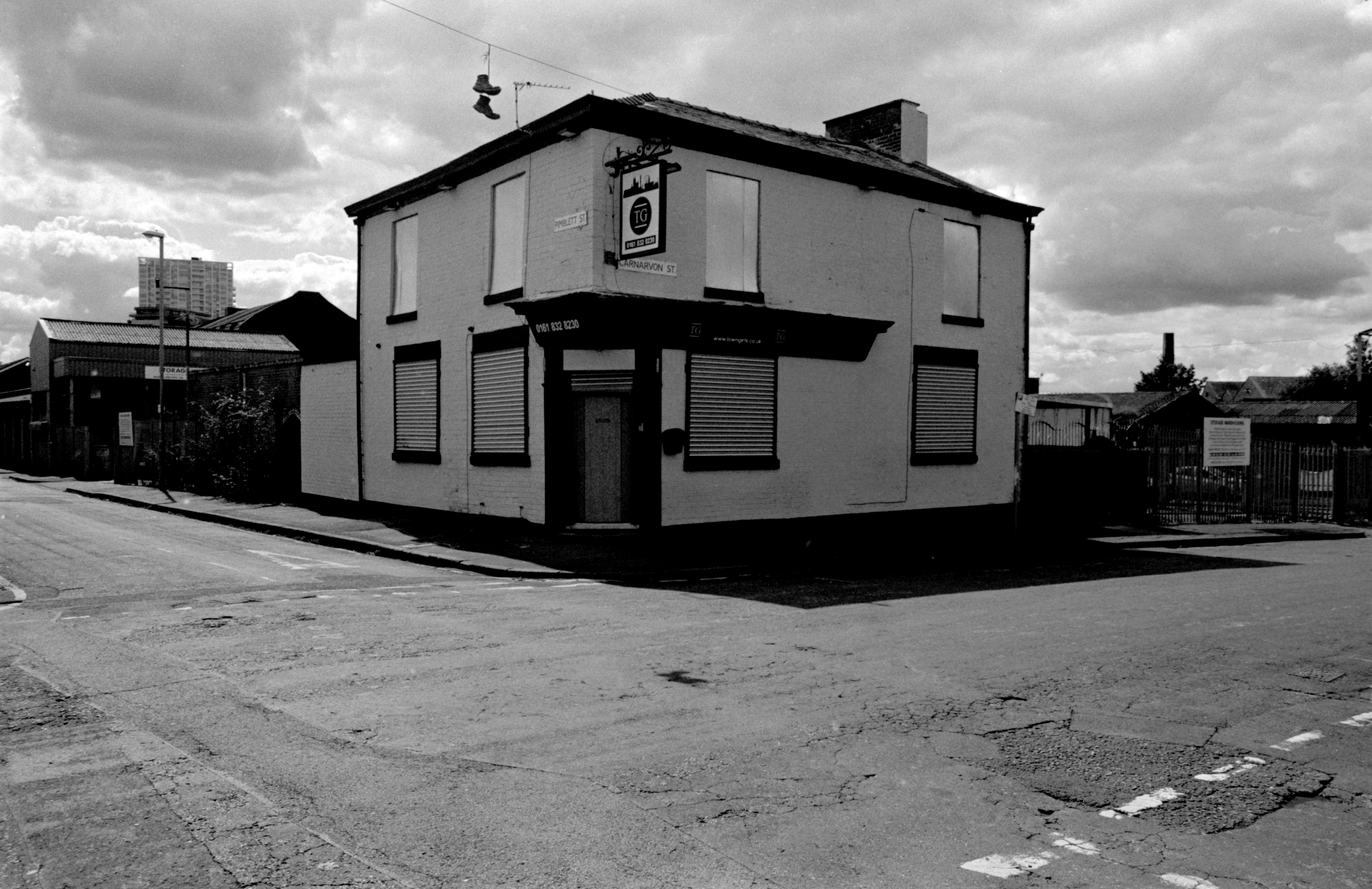
Carnarvon Street

webmedia-1.php

webmedia-2.php

webmedia.php

Chatley Street

webmedia-5.php

webmedia-9.php

webmedia-10.php

webmedia-4.php

Cheetwood Street

webmedia-3.php

webmedia-5.php

webmedia-8.php

webmedia-9.php copy

webmedia-11.php

webmedia-12.php

webmedia-18.php

Derby Street

webmedia-1.php

webmedia-2.php

webmedia.php

Julia Street

webmedia-1.php

webmedia-2.php

webmedia-3.php

webmedia-5.php

webmedia-6.php

webmedia-8.php

webmedia.php

Knowsely Street

webmedia.php

webmedia-8.php

webmedia-5.php

webmedia-3.php

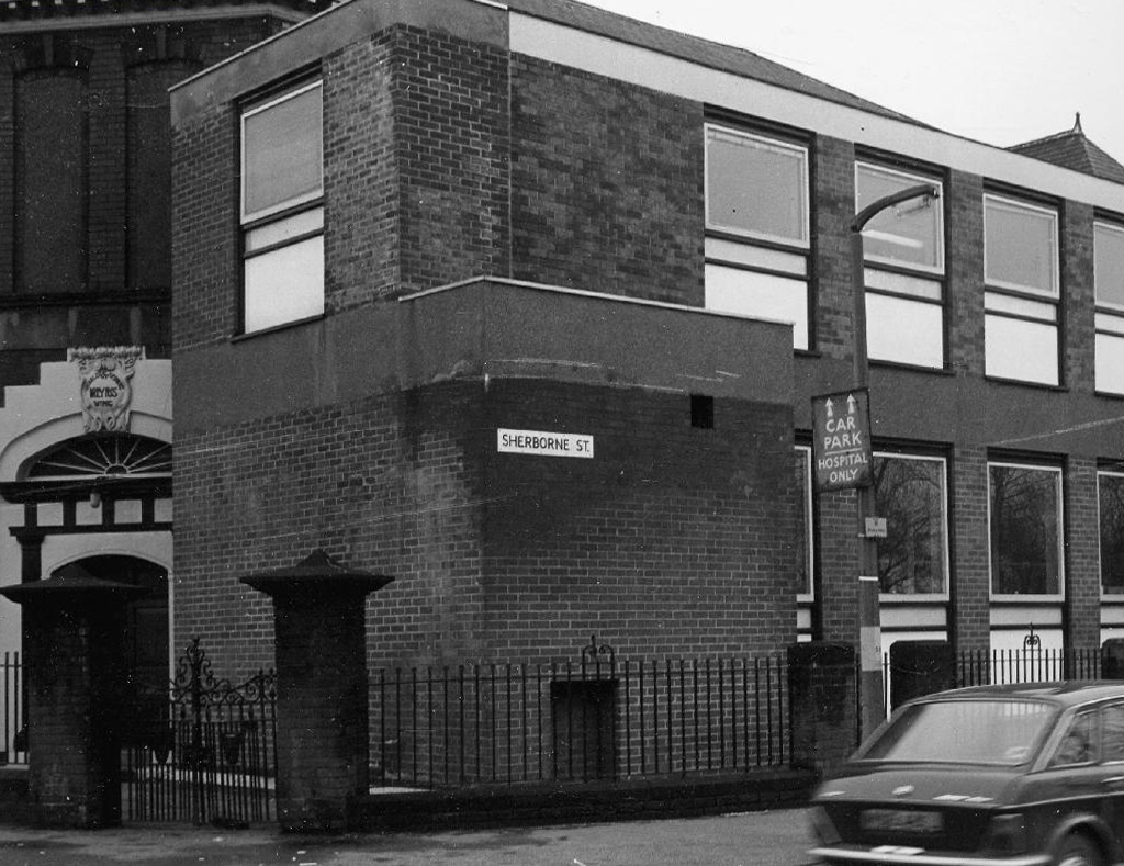
Sherbourne Street

webmedia.php

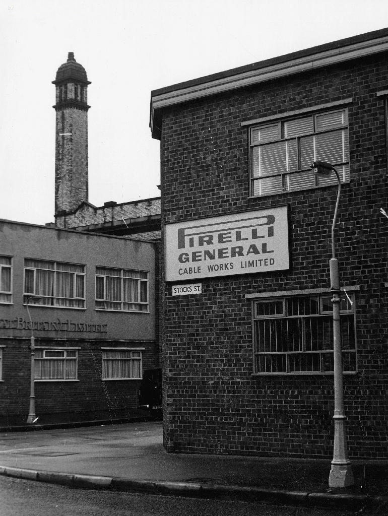
Stocks Street

All archival photographs from the Manchester Local Images Collection


Hyde Road – Manchester

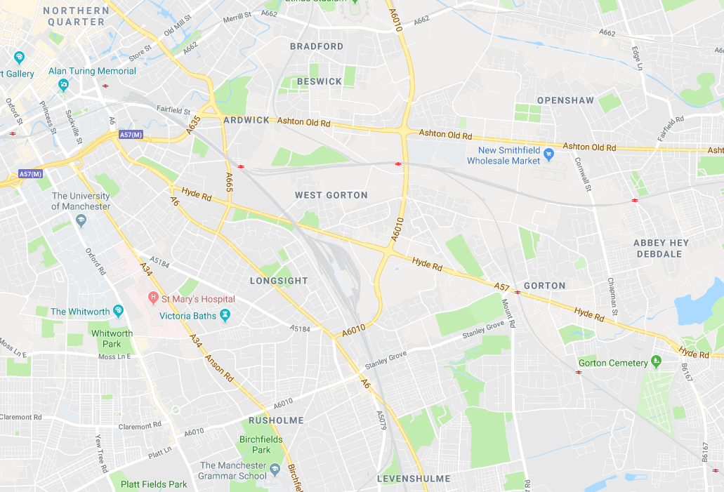
From Ardwick Green in the west to Abbey Hey in the east – runs Hyde Road Manchester.

Screen Shot 2018-01-23 at 14.35.48

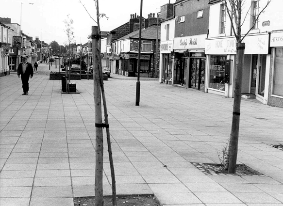
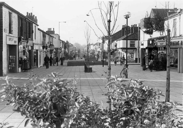
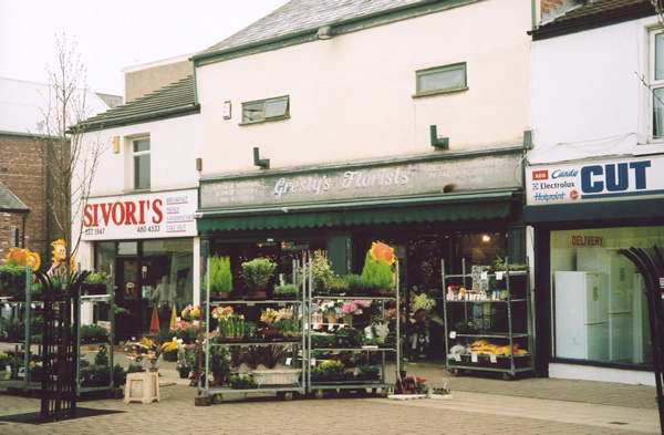
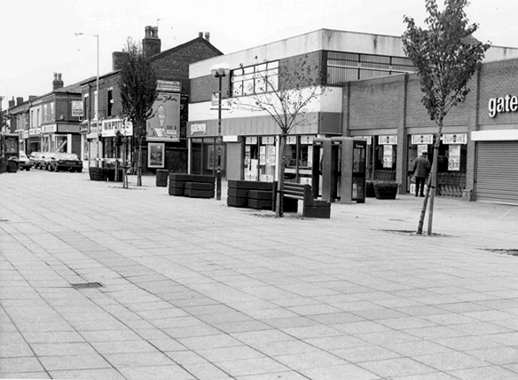
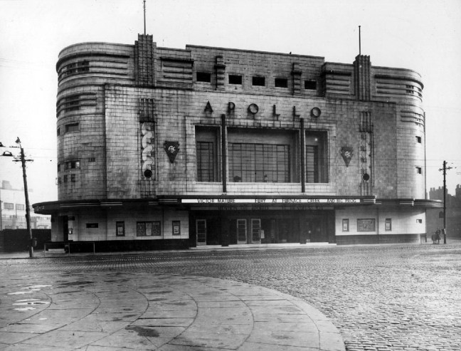
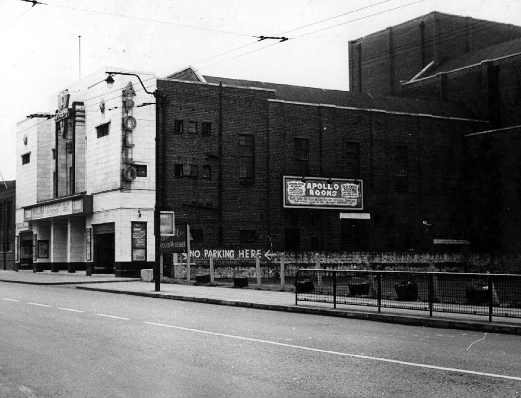
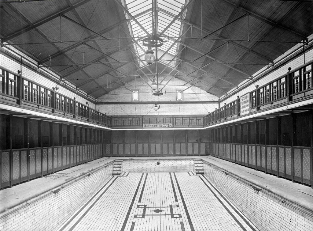
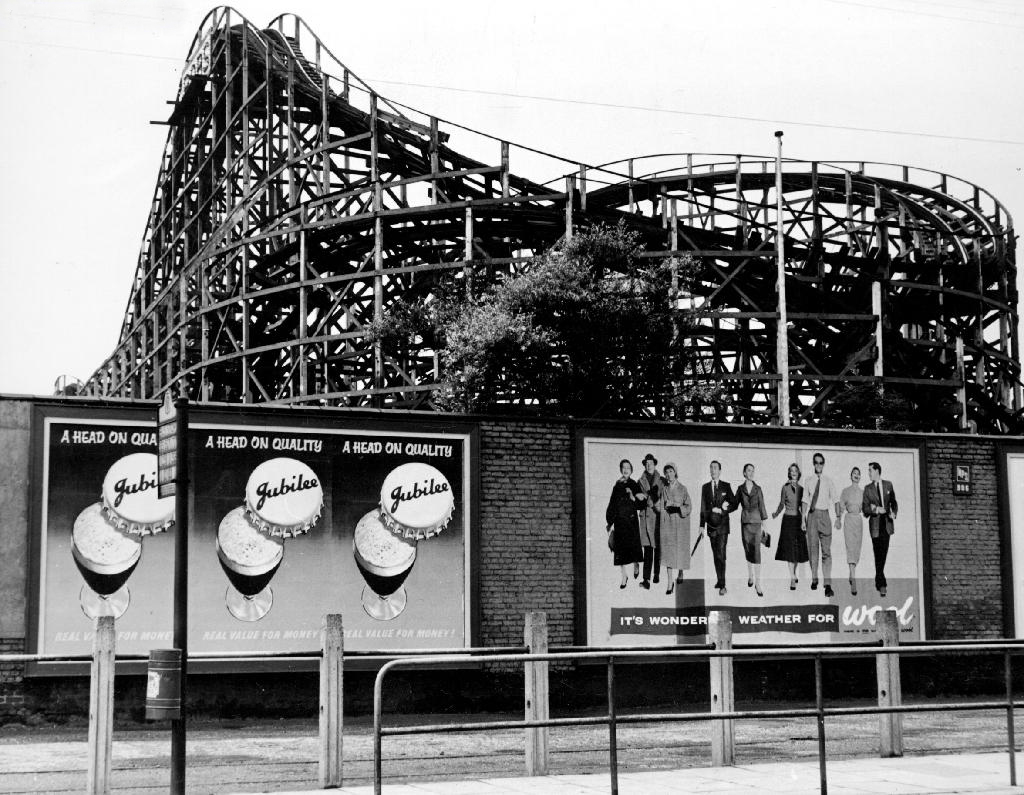
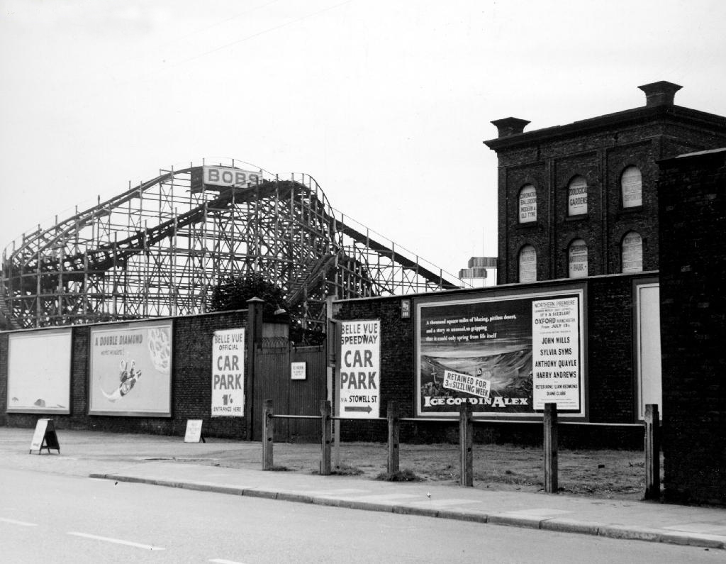
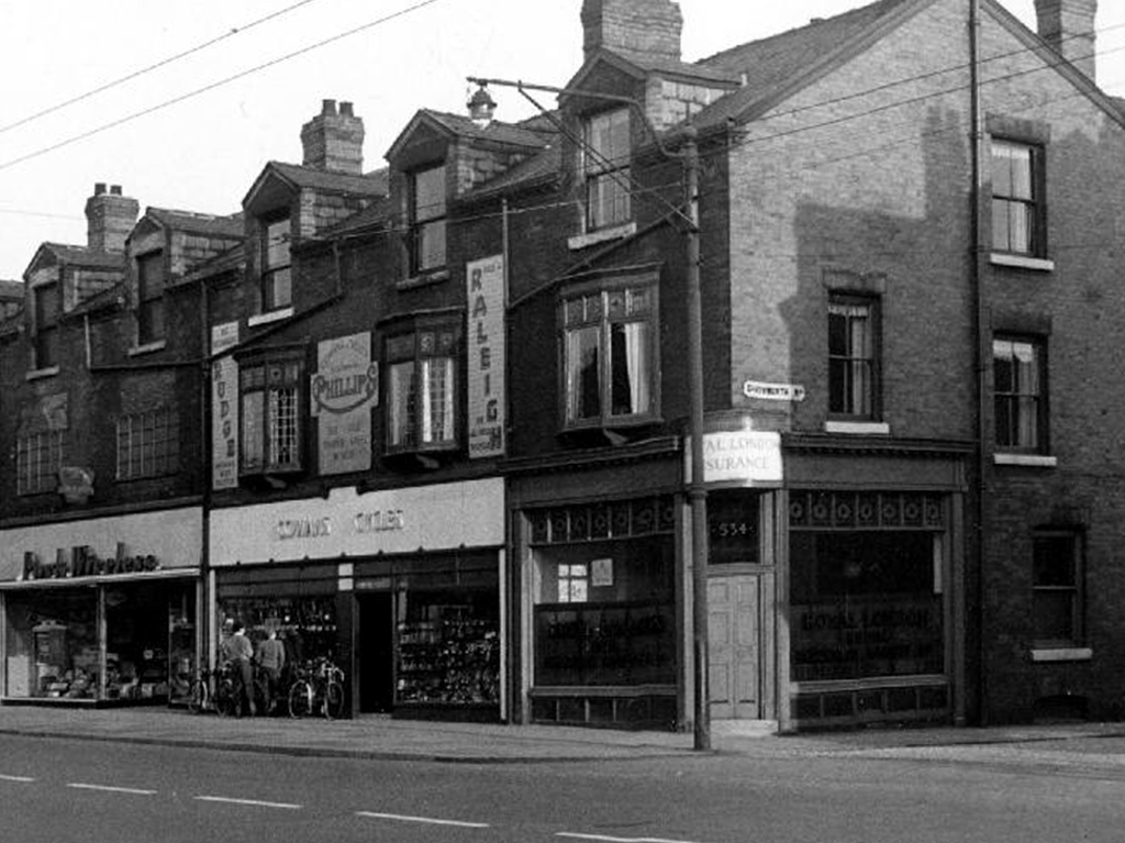
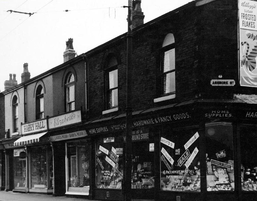
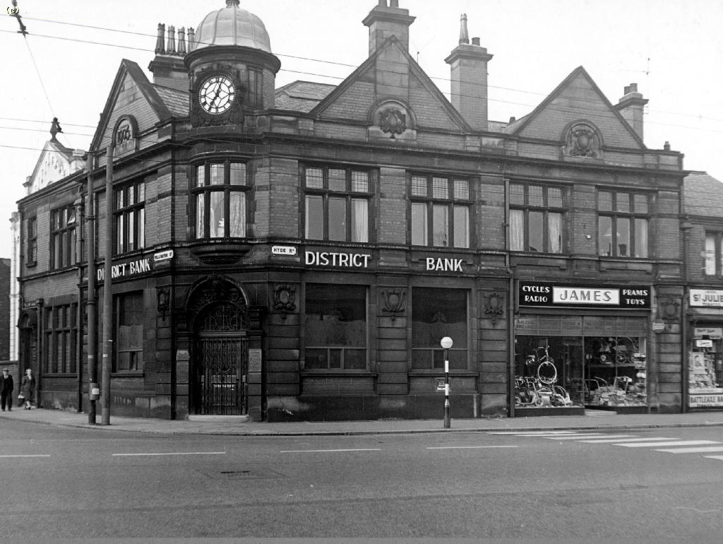
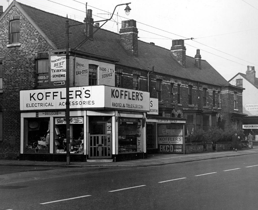
It’s a a road I have travelled from my early teens onwards, visiting friends, family, speedway, school sports days, fun and frolics at Belle Vue, tea and toast in Sivori’s, bike parts from Cowans. Working at the former Bishop Greer School, drinking in it’s many pubs, going to the flicks at the Apollo.

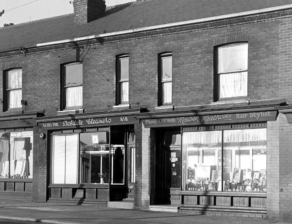
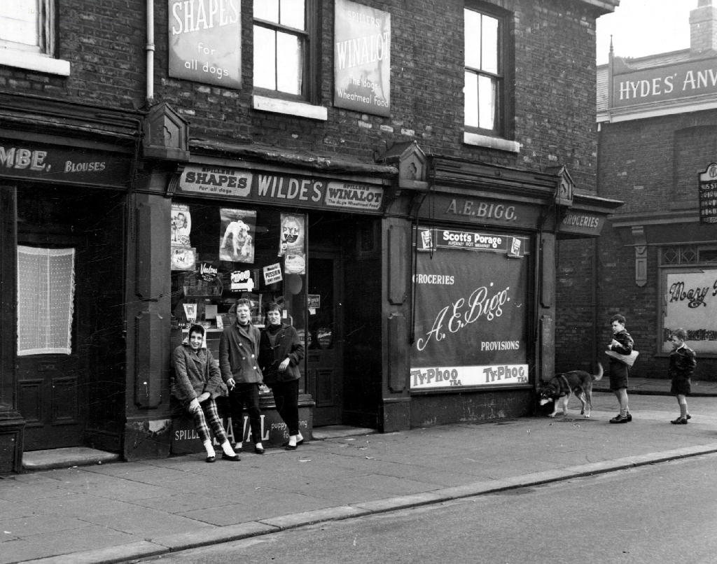
It was an area thick with the hustle and bustle of folks going about their business – working, shopping, boozing, waltzing in the Elizabethan, or the waltzers, bobbing up and down on the Bobs. A self contained community, just about prosperous enough in times of full employment –  take just one more walk with me.

webmedia-1.php

ss55

80

82

85

107

110

404 410

471 477

479 483

baths

swim

bobby

bobs

cowans

harry hall

meth

ns 26

NS5

NS6

NS10ns29

olympia

post

seymour

ss10

ss45

ss47

ss51


ss56

ss58

ss59

station

webmedia.php

woolworths

All photographs from the Manchester Local Image Collection

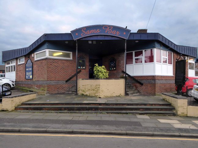
Sam’s Bar – Wigan

Screen Shot 2018-01-15 at 14.12.16

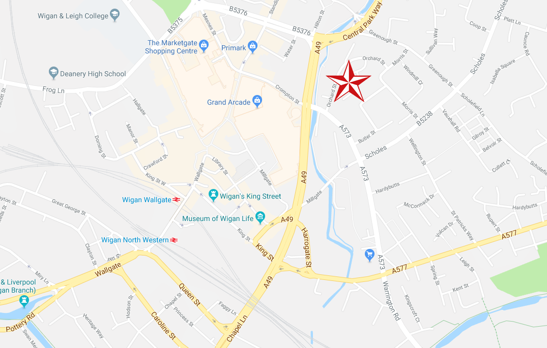
Sam’s Bar – Orchard St, Wigan WN1 3SW.

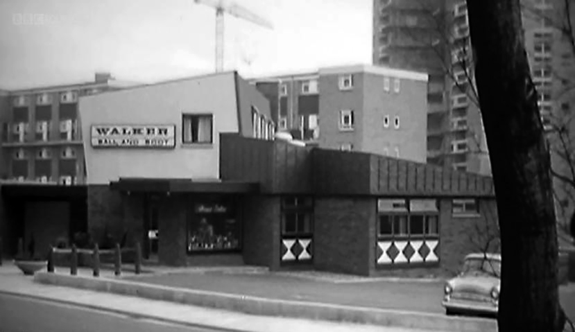
Once there was The Ball and Boot – oval or round, no dubbin required.

A Tetley Walker pub on the edge of the then new Scholes Estate – seen here in 1987.

Screen Shot 2018-01-15 at 14.18.18

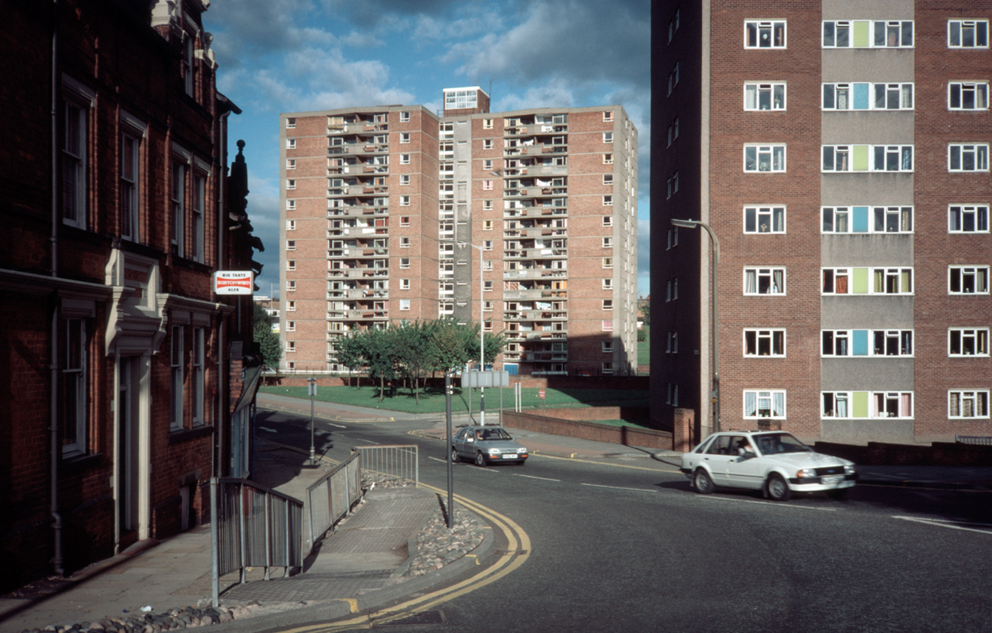
Photograph Tower Block

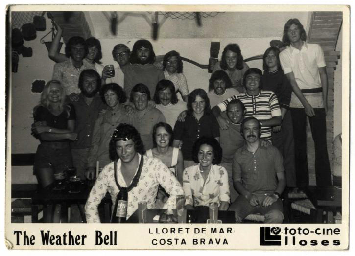
This is the one and only photograph of its former black and white self.

zv7qdp2s

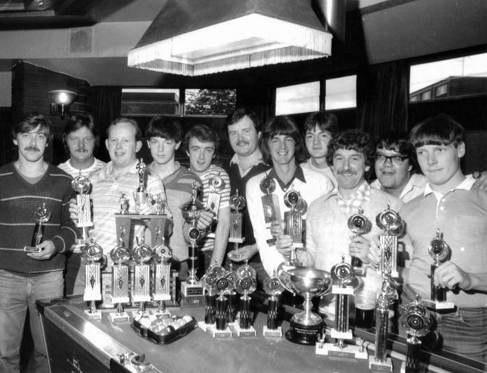
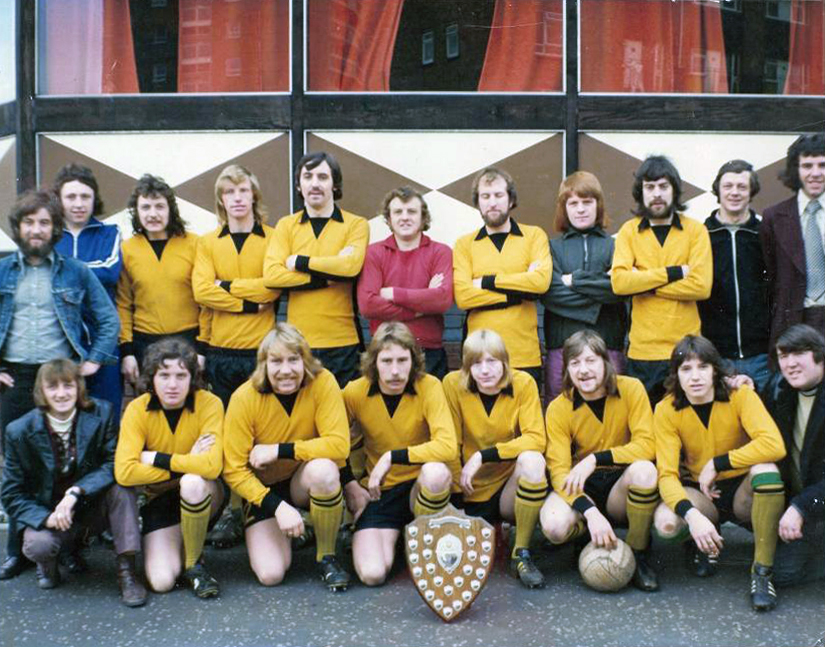
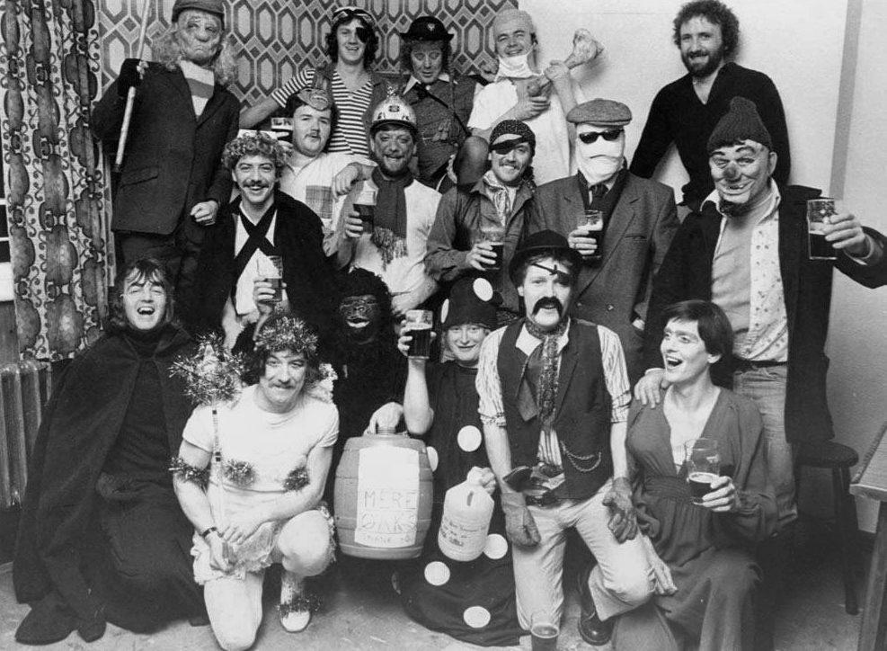
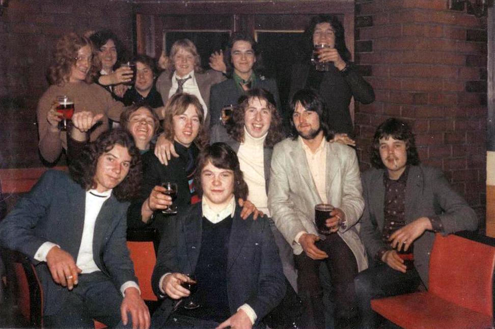
Though an internet search revealed a rich heritage of pool, football, fancy dress and trips to Lloret De Mar, for the lads and lasses of Lower Scholes.

o1e83y61

obiabruu

g7z7ihyd

umvkgs1y

awqzc8a8

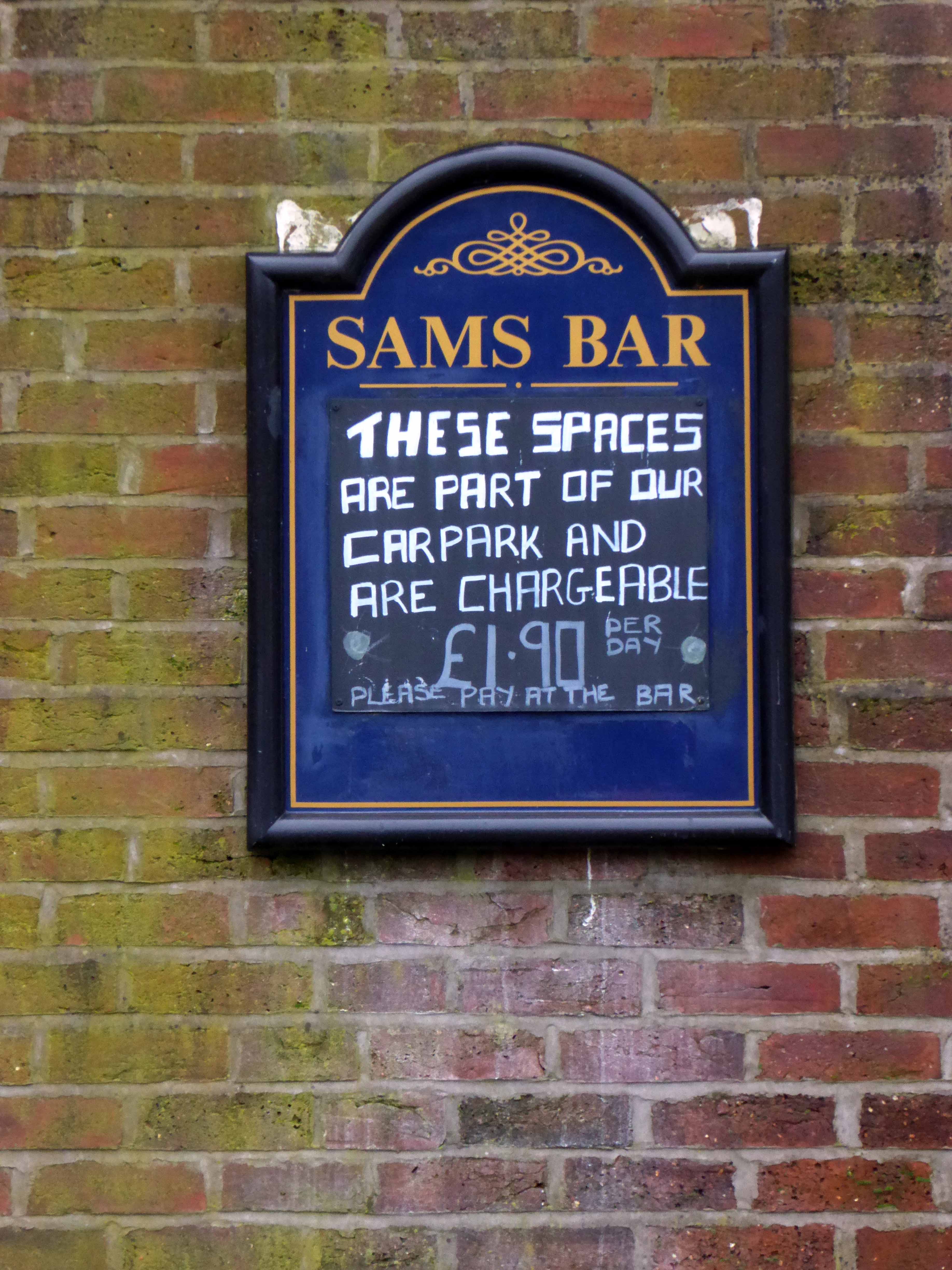
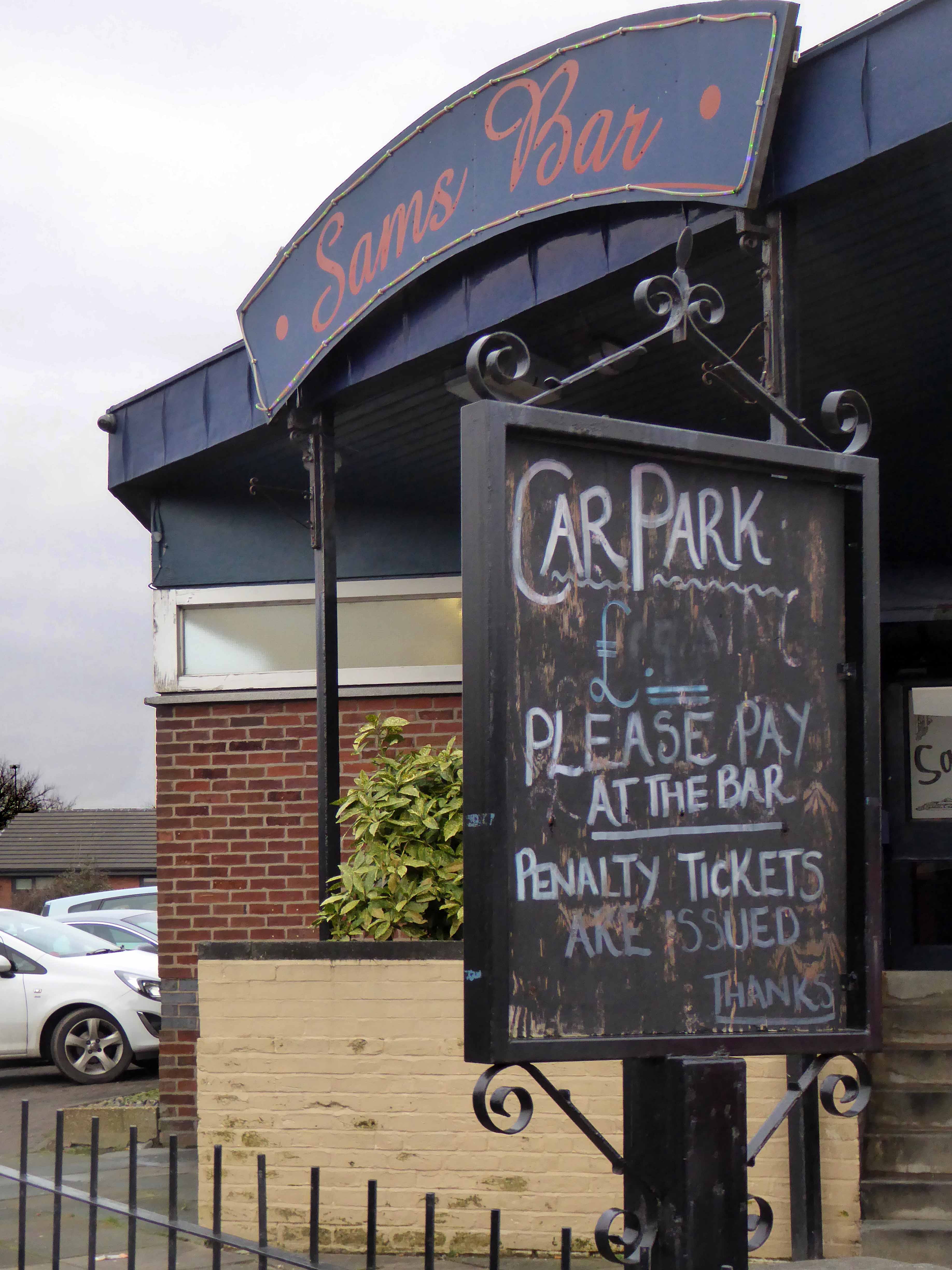
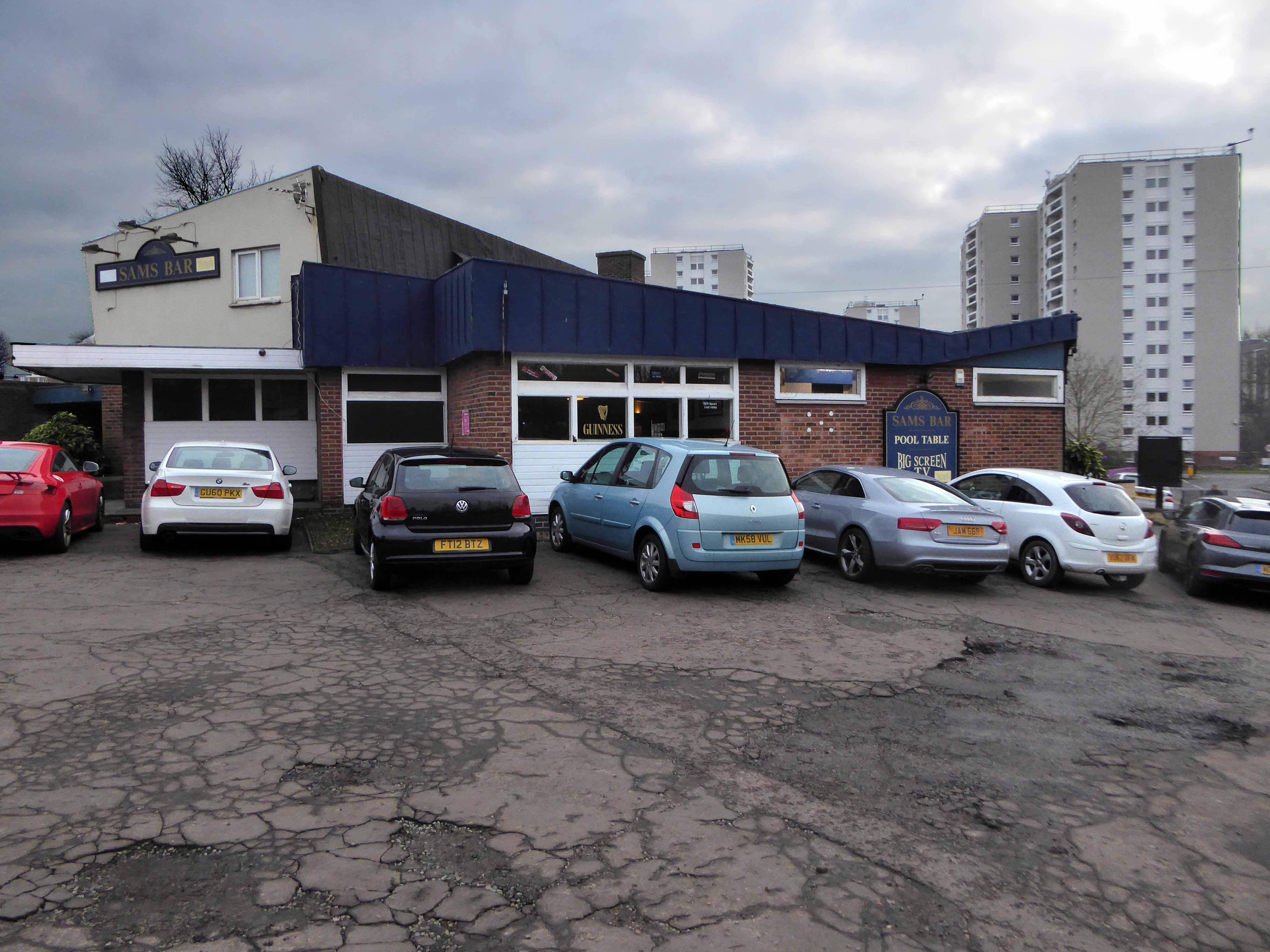
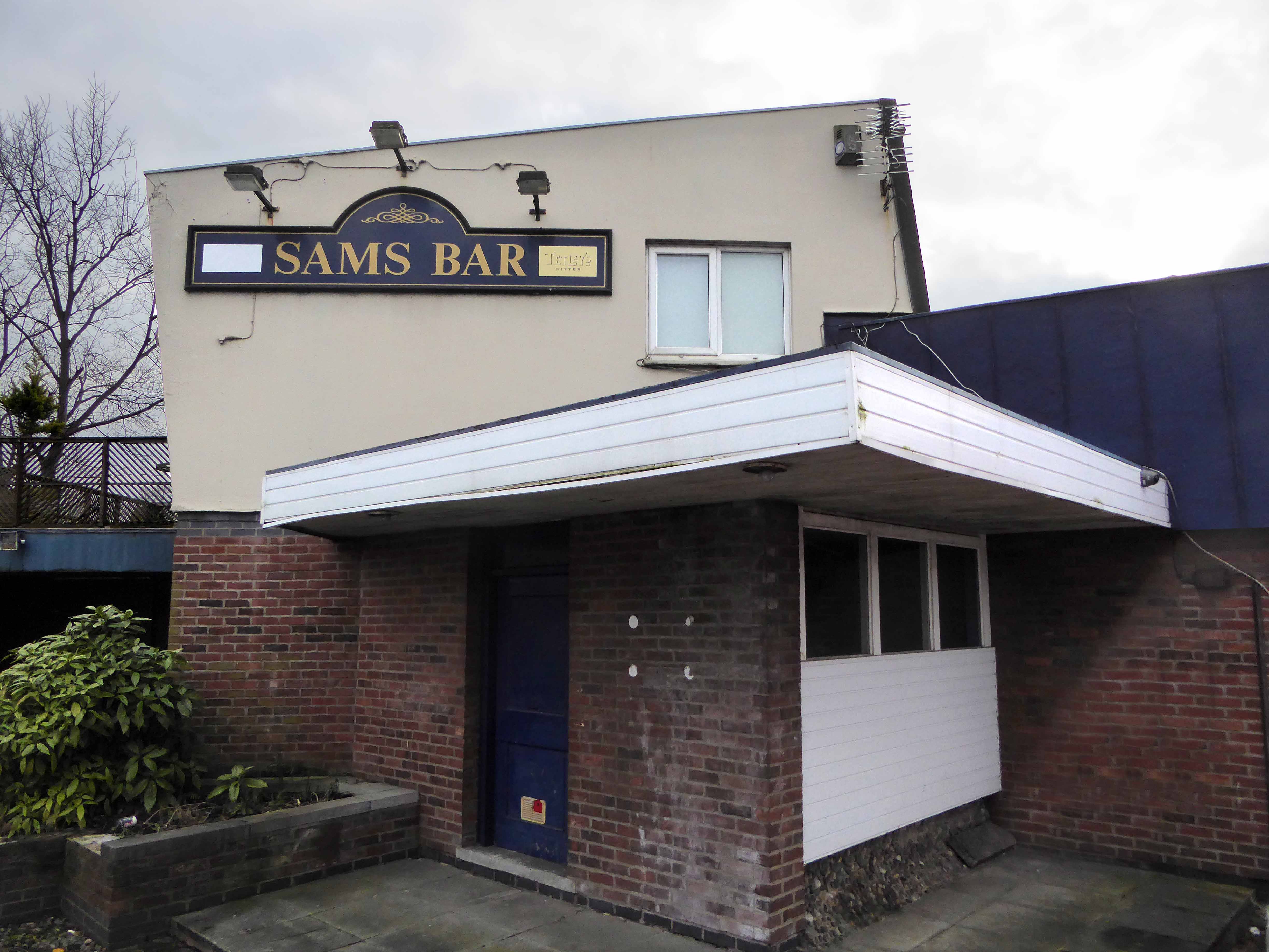
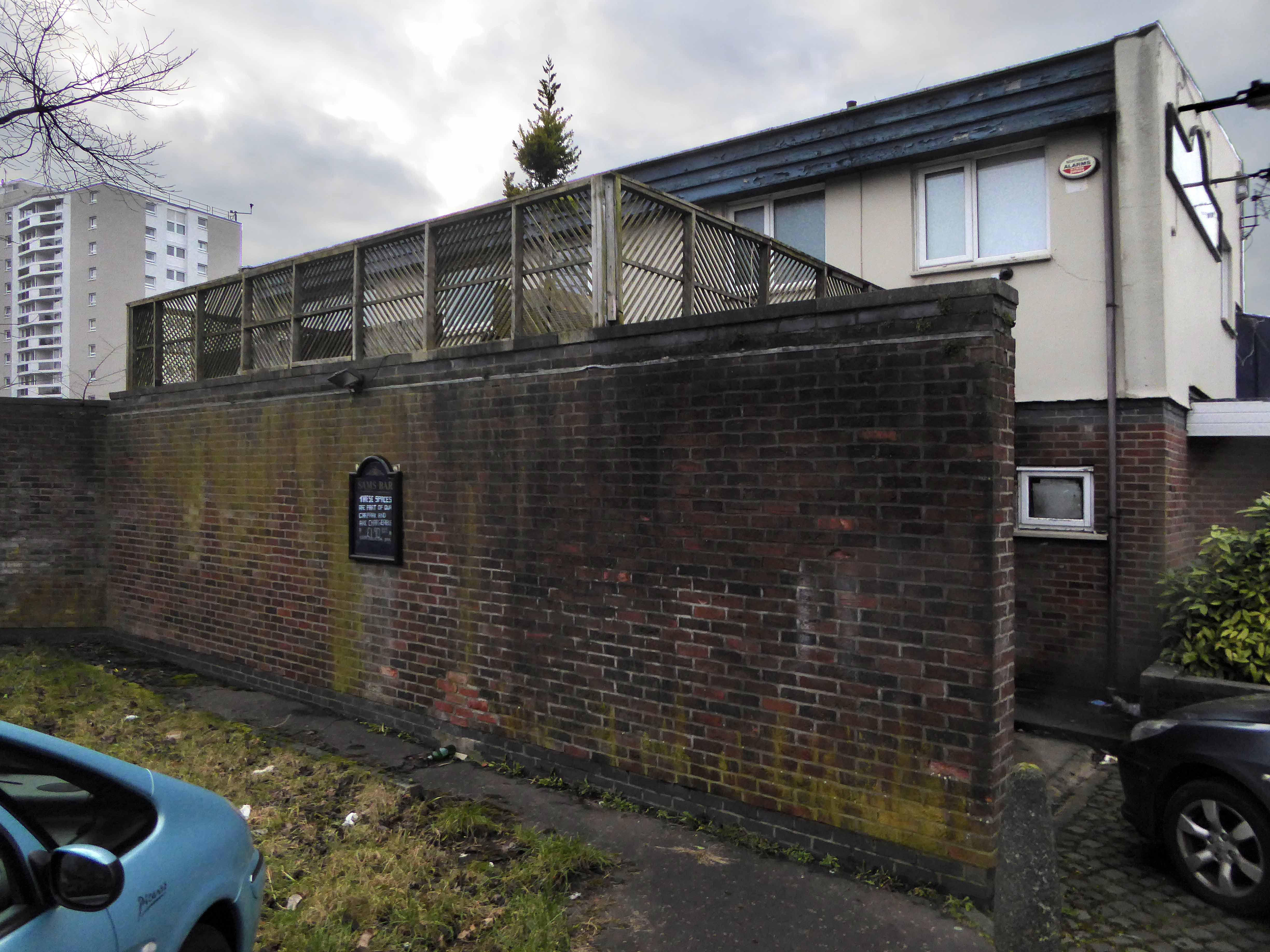
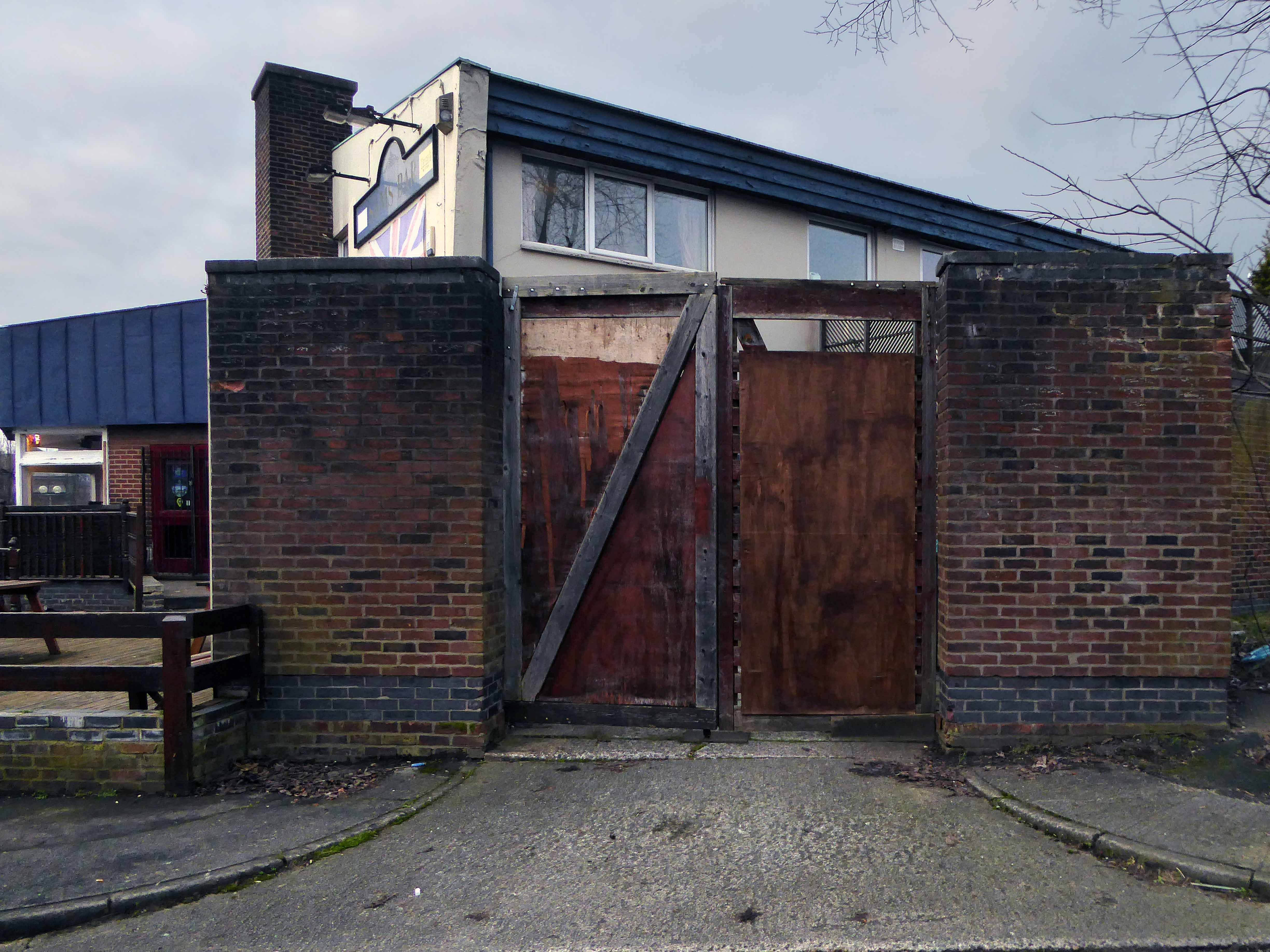
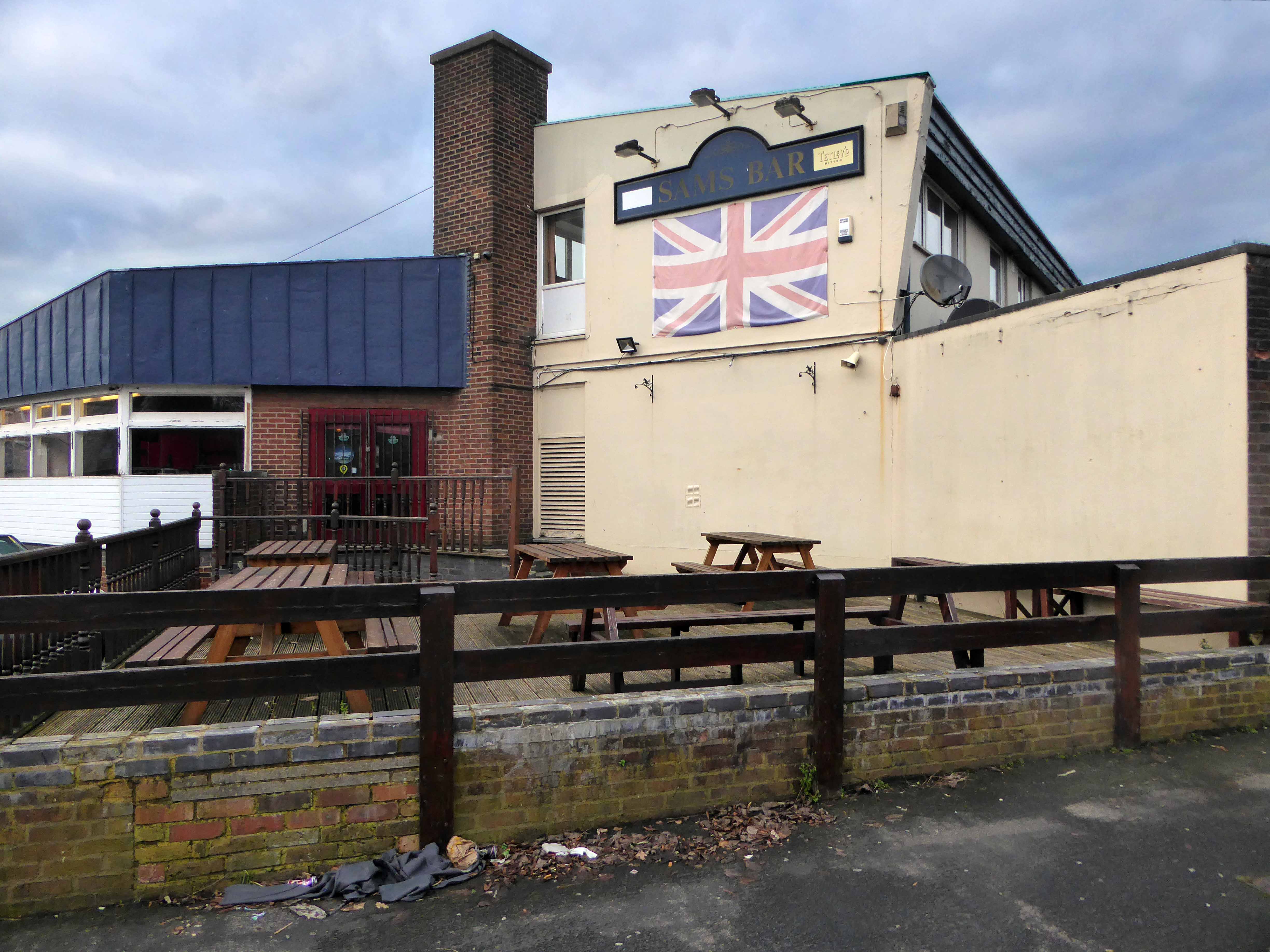
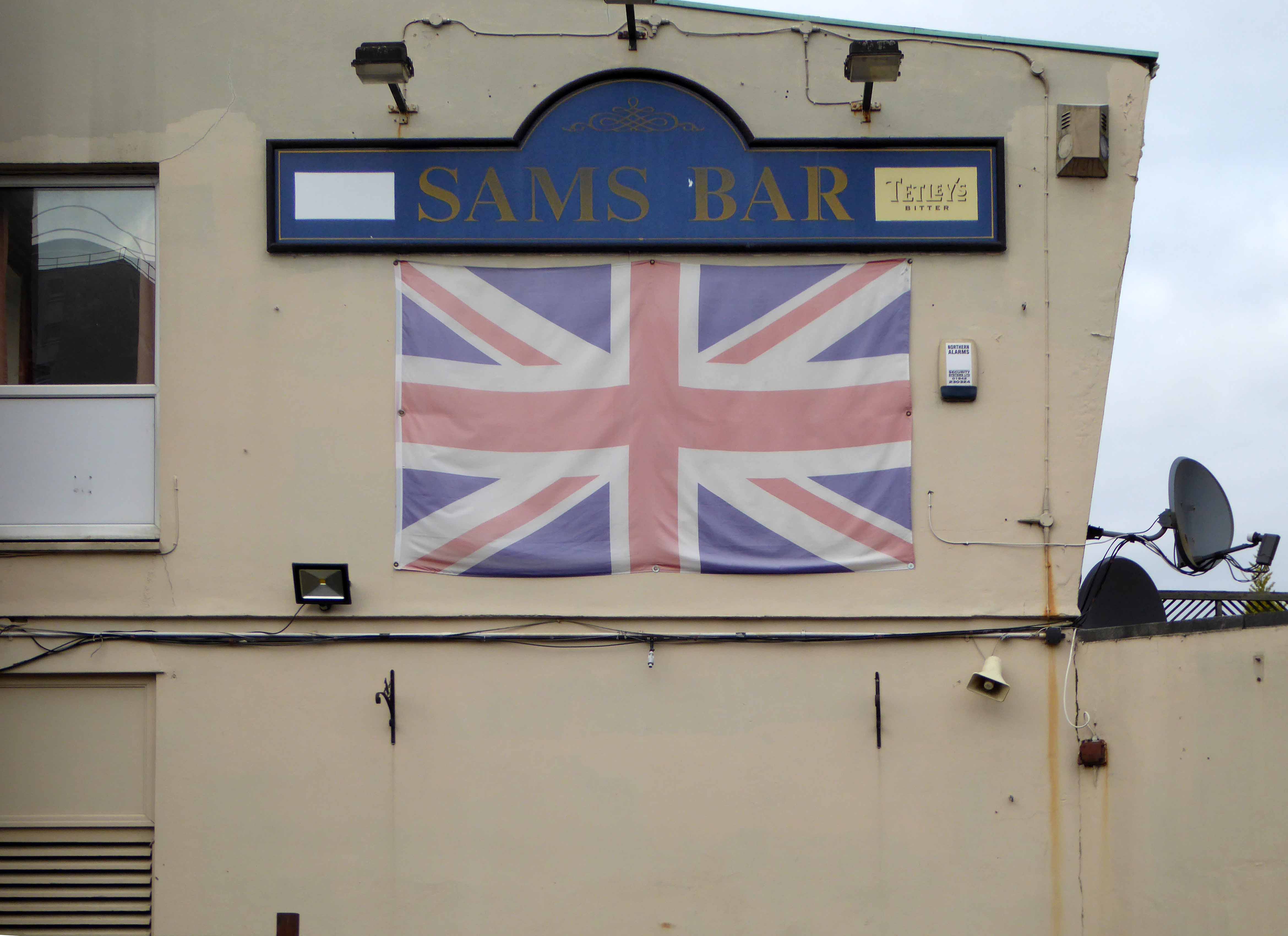
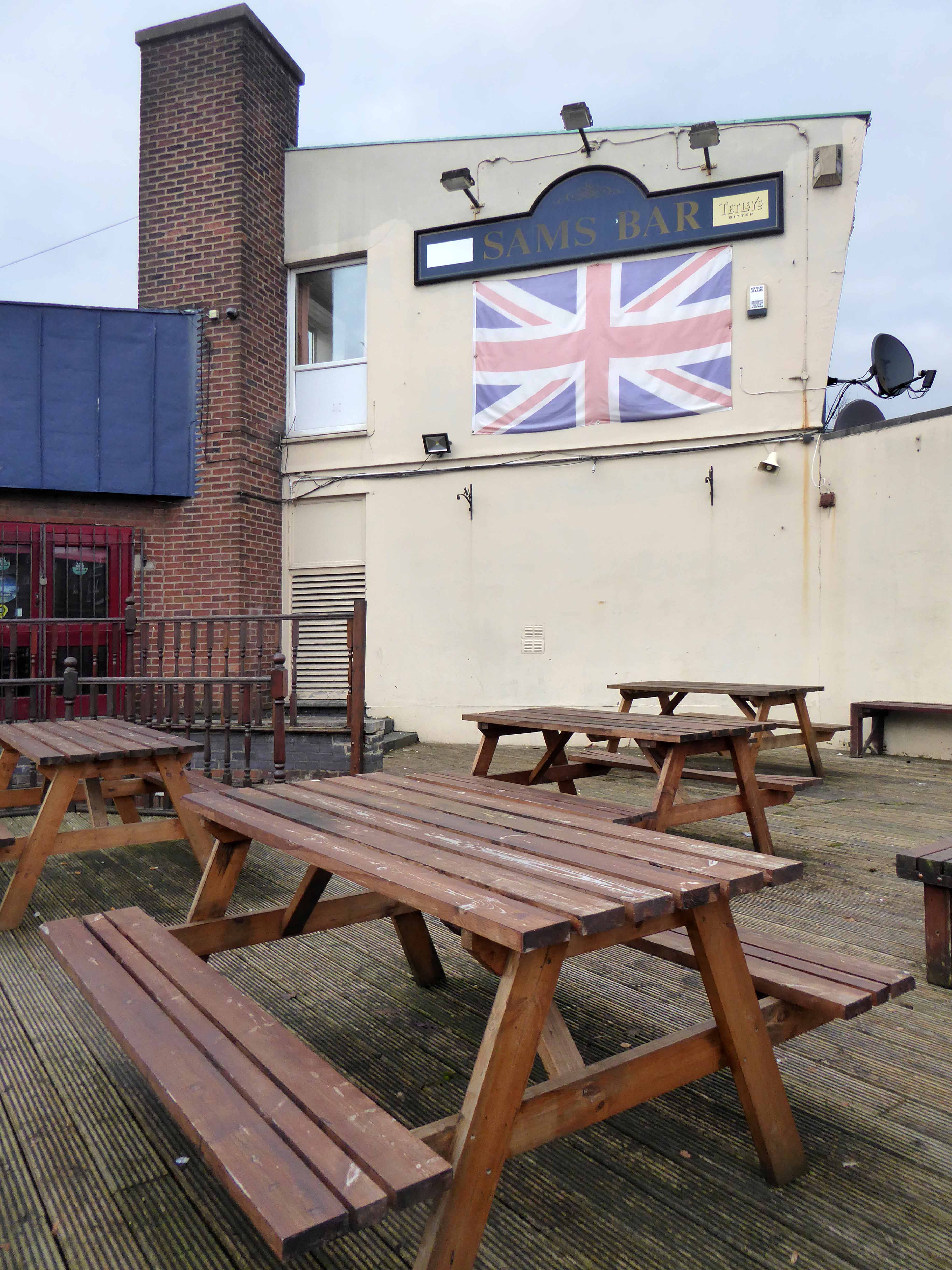
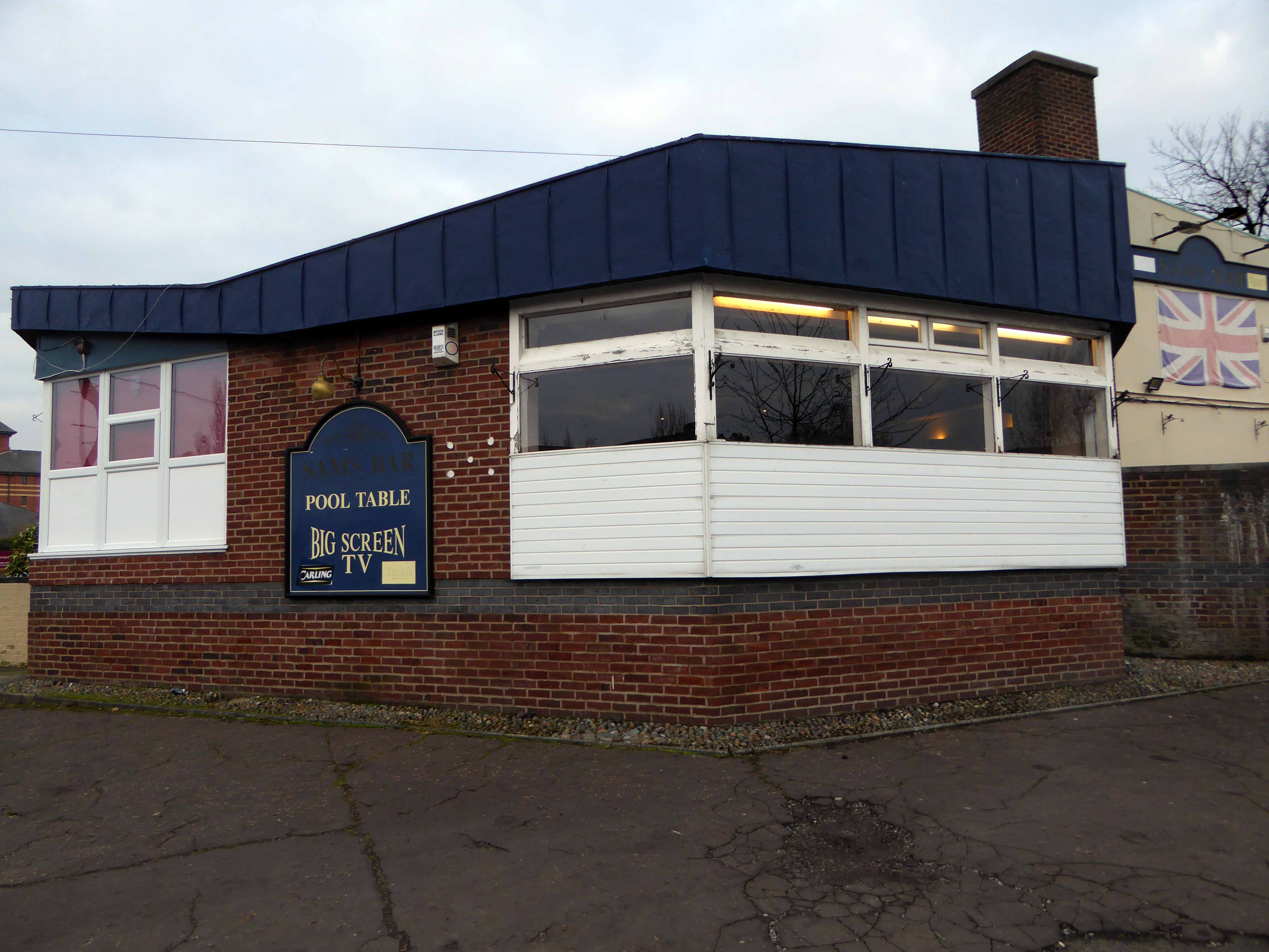
The pub now named Sam’s Bar, has retained its jolly jumble of modernist volumes and angles – though having lost the harlequin panels and off licence. Mid-morning the lights were on and the pub was surrounded by cars taking advantage of the £1.90 a day parking.

P1220736

The online reviews seem to divide opinion as to the quality of the current provision.

This pub is not a nice place to visit. If your not a regular you get leered at all night, the people and staff are absolutly terrible. You will wait at the bar all night waiting to get served, whilst all the regulars get their drinks. Then and only then will you get yours. You will see a fight at least once a night. Karaoke is only for those of us who are blessed with the ability to sing – they wont let you up again if not. This pub needs knocking down it’s a menace to society, out of 10 a big fat 0.

Solid, dependable and well-run. Friendly bar staff and regulars, local and national newspapers, rugby league memorabilia, jukebox, pool table, and very fair prices. Has been my local for years, ever since I got tired of the landlord turnover at the Cherries. I’ve never seen anyone refused a go at karaoke, including me, and I can’t sing, and rarely pick a song anyone likes. So you carry on spouting tripe, and I’ll carry on drinking at Sam’s Bar Scholes.

Beer in the evening.

You’ll have to swing by and judge for y’self – my own karaoke tune of choice as ever:

In The Ghetto.


P1220729

P1220731

P1220733

P1220735

P1220738

P1220740

P1220741

P1220742

P1220744

Gore Brook – A History

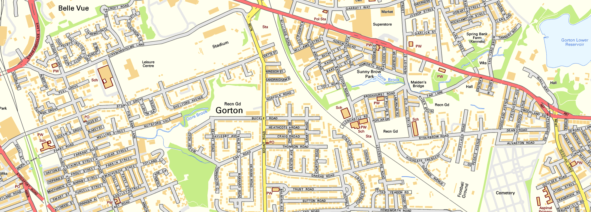
To begin at the beginning, well actually to begin in the middle and walk to the current beginning. The Gore Brook flows from the Lower Gorton Reservoir and from there onwards to meet the Chorlton Brook in the west, though I should imagine that prior to the construction of the waterworks, it was fed by more distant moorland waters.

gore map

Manchester being on the eastern edge of the Lancashire Plain and the western edge of the Pennines is riddled with rivers, rivers which now wriggle in an under and overground web, across heavily developed urban areas. Following the Industrial Revolution former meadow, common and farmland was overwritten by factories, housing and roads, the rural character of the rivers and brooks soon becoming darkened and polluted by the surrounding industries.

I was lead here by my search for a lost pub The Garratt on Pink Bank Lane, then drawn in further by this site The Red Path of Longsight.

The Red Path is a pedestrian link between Pink Bank Lane and the Gorton boundary at Buckley Road. It roughly follows the course of Gore Brook. The original footpath, running from Buckley Road to the bank of the brook, was made using black cinders. It was probably made in the 1940s to provide access to the allotments located on either side. In the early 1950s , a concrete bridge was laid across Gore Brook and the footpath extended to Pink Bank Lane. This section used red bricks in it’s construction, probably supplied by Jacksons brickworks . Crushed bricks were then used as a topping to make the path smoother and fill in any cracks. The thoroughfare soon became known as the Red Path.

So wide eyed and mapless I bowled up at Brook Terrace, just off Stockport Road Longsight, in search of The Gore and its source.

stockport rd 1911

stockport road

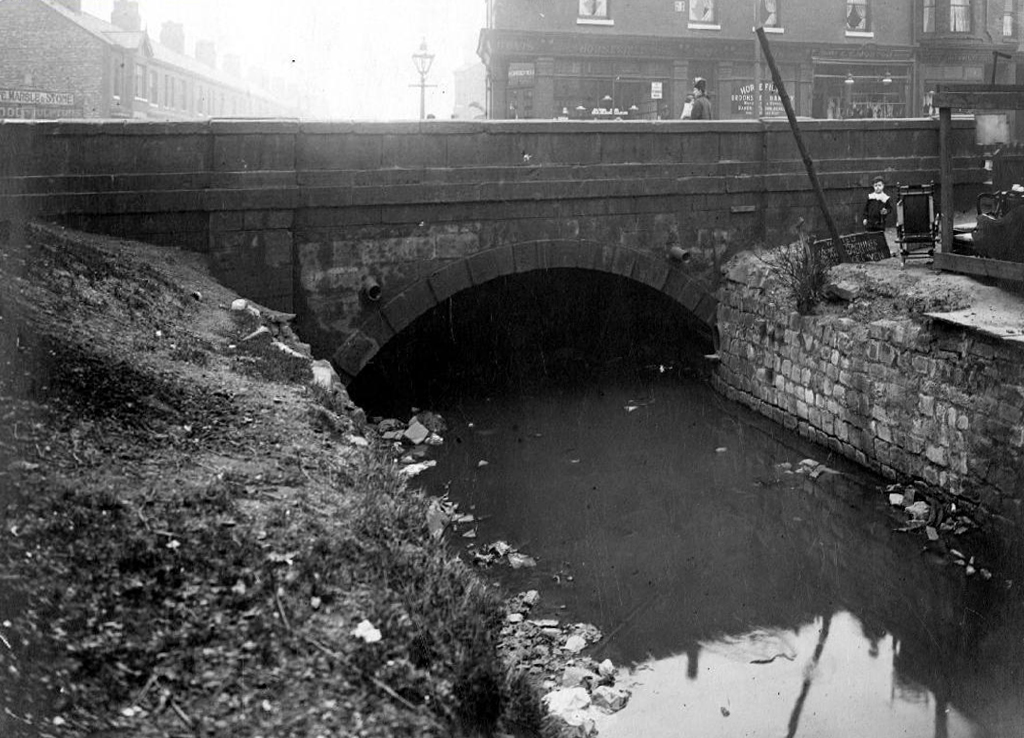
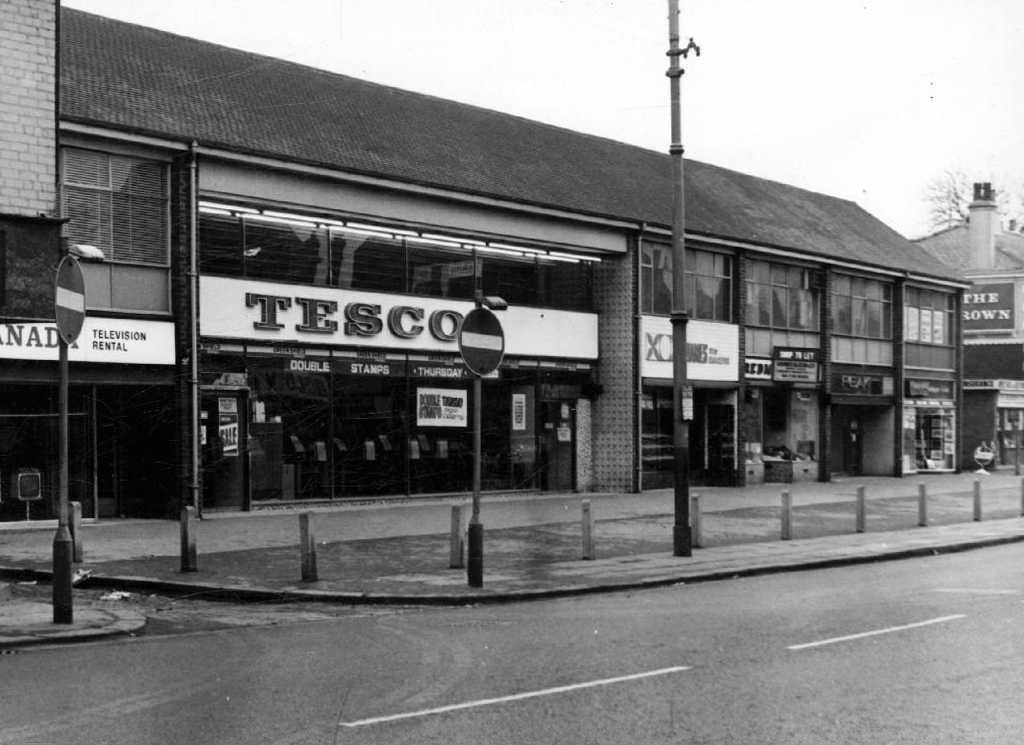
In the early 1900’s the river was still open and bridged, here at Stockport Road, later culverted and covered – anticipating the arrival of Tesco’s and Granada TV Rentals.

beneath

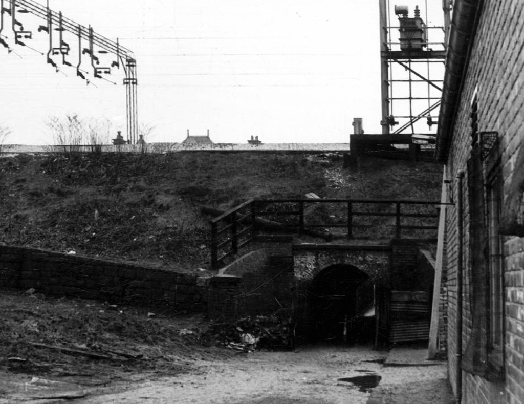
From there we pass under the railway along Brook Terrace and into Parry Road.

brook

The underpass is still there and very much in use, as is Stanley Grove School – the Manchester Central Schools’ Kitchens are long gone, along with the food filled, insulated aluminium cases, that fed the hungry mouths of many, with semolina, pink custard, meat pies and lumpy mash.

parry 64

kitchens 1965

Onwards to Elgar Street and still no sign of the river, hidden beneath our feet, the corner of Northmoor Road, can be seen on the corner, no longer distributing dividends, but now providing social housing.

elgar

We arrive at Pink Bank Lane, a rich mix of terraced homes, flats and factories – and the long lost Garratt, and the long lost Gore.

garratt

pink bank 64

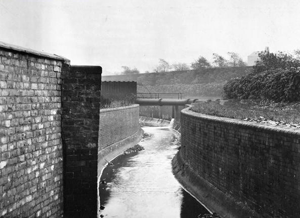
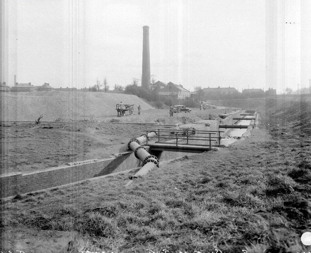
Though the lazy, lazy river has been confined in a brick lined wind, to meet the ever pressing needs of the Gorton Sewage Works.

sewage 1910

sewage works 38

The river then hugs the edge of Annie Lea Playing fields on Buckley Road, until it disappears again as it meets Mount Road, the playing fields are still open ground – the Manchester Cleansing Department, seen on the left – is no more.

annie lea

Here on Knutsford Road we see the construction of the tunnels and culverts, the footbridge to the left spanning the railway, is still there.

knutsfrod 1907

1907

knutt 1911

1911

knut 1914

1914

Finally we see The Gore reemerging clear, clean, wide, proud and resplendent in Sunny Brow Park, where it is still maintained as a decorative, duck-filled lake.

sunny 1907

1907

sunny1910

1910

sunny 1964

1964

Briefly underground again and into the back of Far Lane, skirting the Brookfield Church graveyard.

far 1920

1920

far 1937

1937

fa 64

1964

Then tunnelling under Hyde Road at the back of the church lodge, appearing once again alongside Tan Yard Brow.

webmedia-1.php

ty 1904

1904

tan yard 1922

1922

tan yard brow 1964

1964

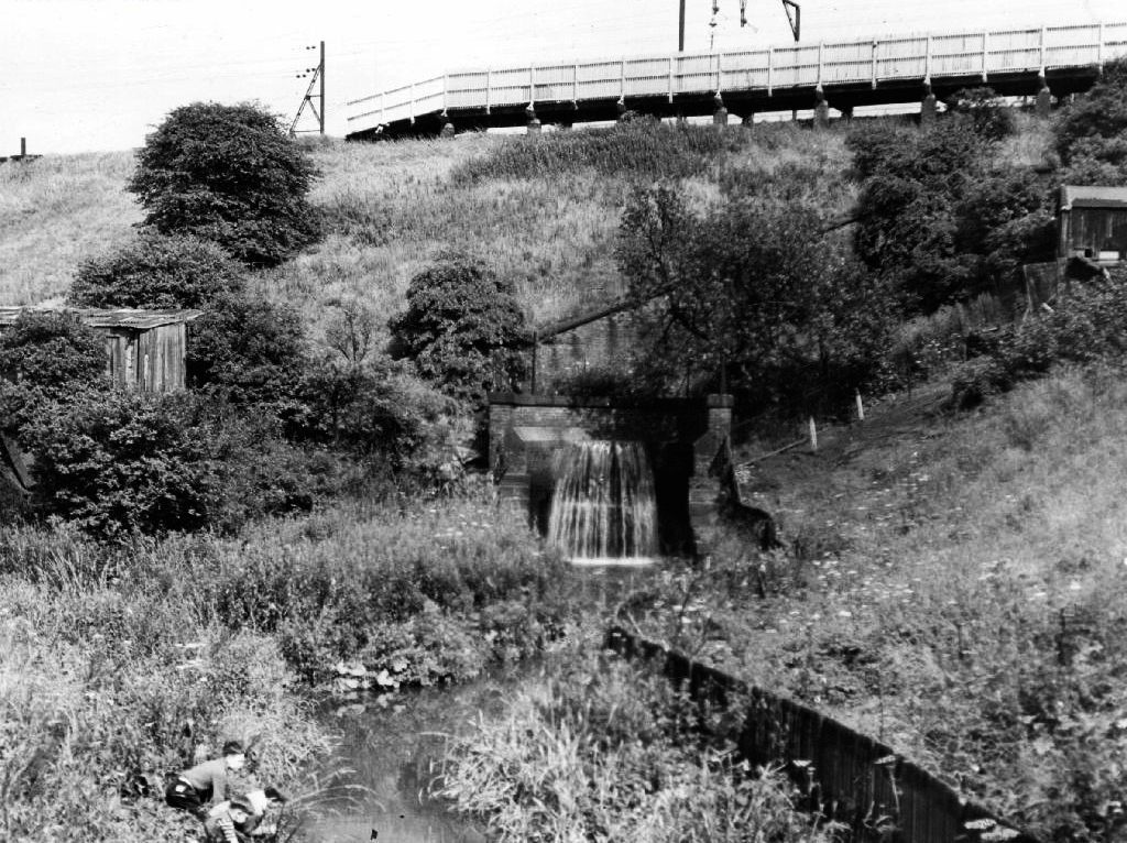
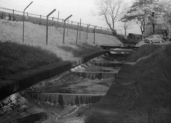
The manmade waterfall continues to cascade, the Fairfield to Old Trafford railway is now the Fallowfield Loop, Manchester Cycleway, young lads no longer mess about in wellies and torn Tek Sac jeans on the bank, the Tannery no longer tans.

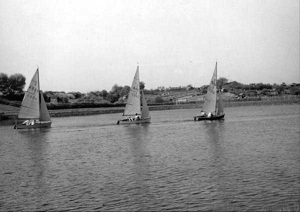
Then we end our journey by the broad expanse of the Lower Gorton Reservoir, implausibly dotted with jolly yachts, and home to a now absent stepped outflow stream. Look up to the east, and there you’ll see the moors, you could go further.

deb 66

deb

All archive photographs from Manchester Local Image Collection.
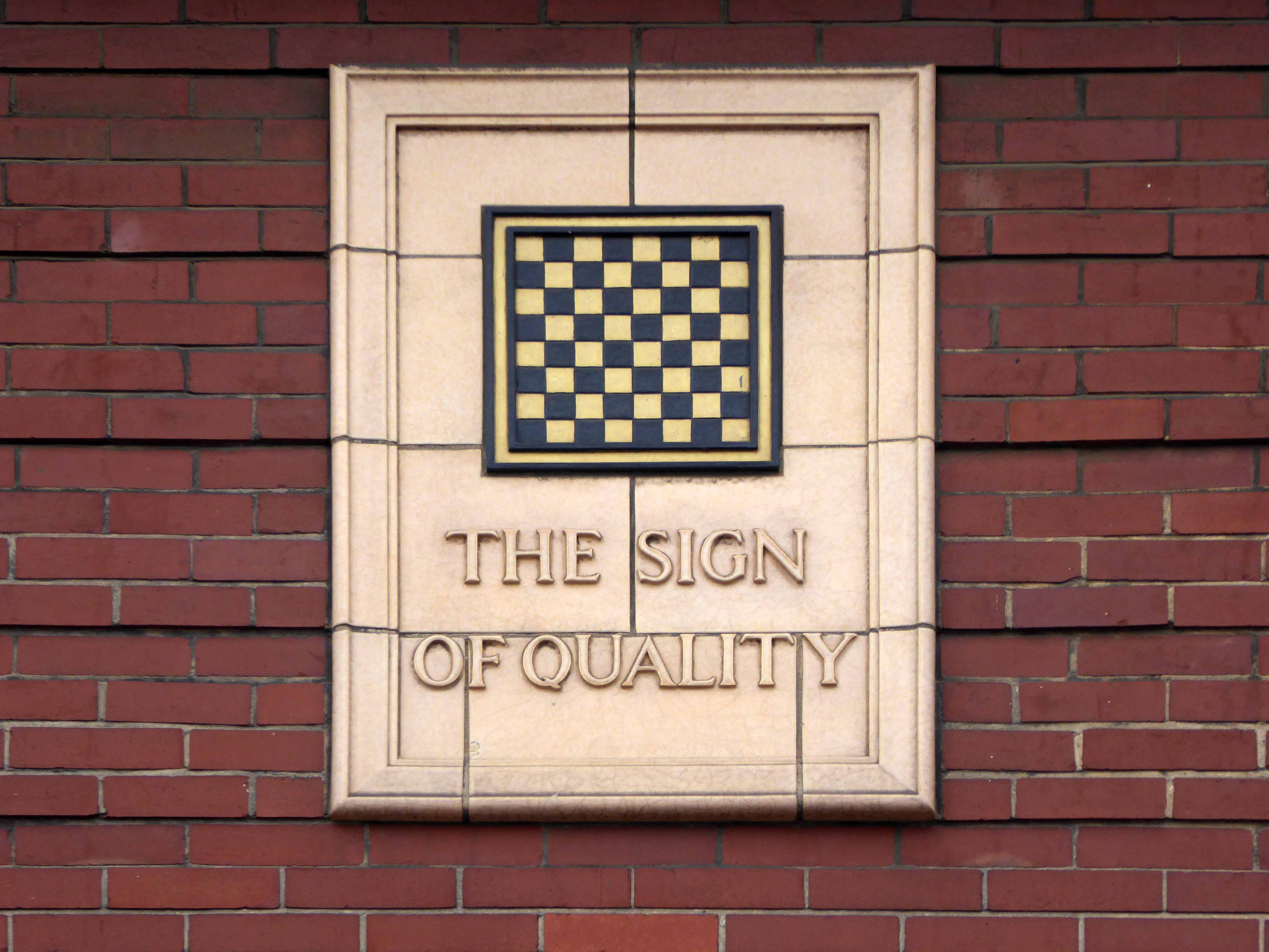


Trafford Park Hotel

It takes a whole corporation to raise a village:

The first American company to arrive was Westinghouse Electric, in 1899, and purchased 130 acres on two sites. Building work started in 1900, and the factory began production of turbines and electric generators in 1902. By the following year, British Westinghouse was employing about half of the 12,000 workers in Trafford Park. Its main machine shop was 899 feet long and 440 feet wide; for almost 100 years Westinghouse’s Trafford Park works was the most important engineering facility in Britain.

In addition to the factory Westinghouse built a village for his workers on the American style grid system of avenues and streets.  The community had shops, eating rooms, a dance hall, schools, a church, and a cinema.

Eleventh_avenue_trafford_park_1910

And where there is people there is almost inevitably pubs, as sure as night shifts follow day shifts.

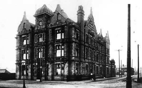
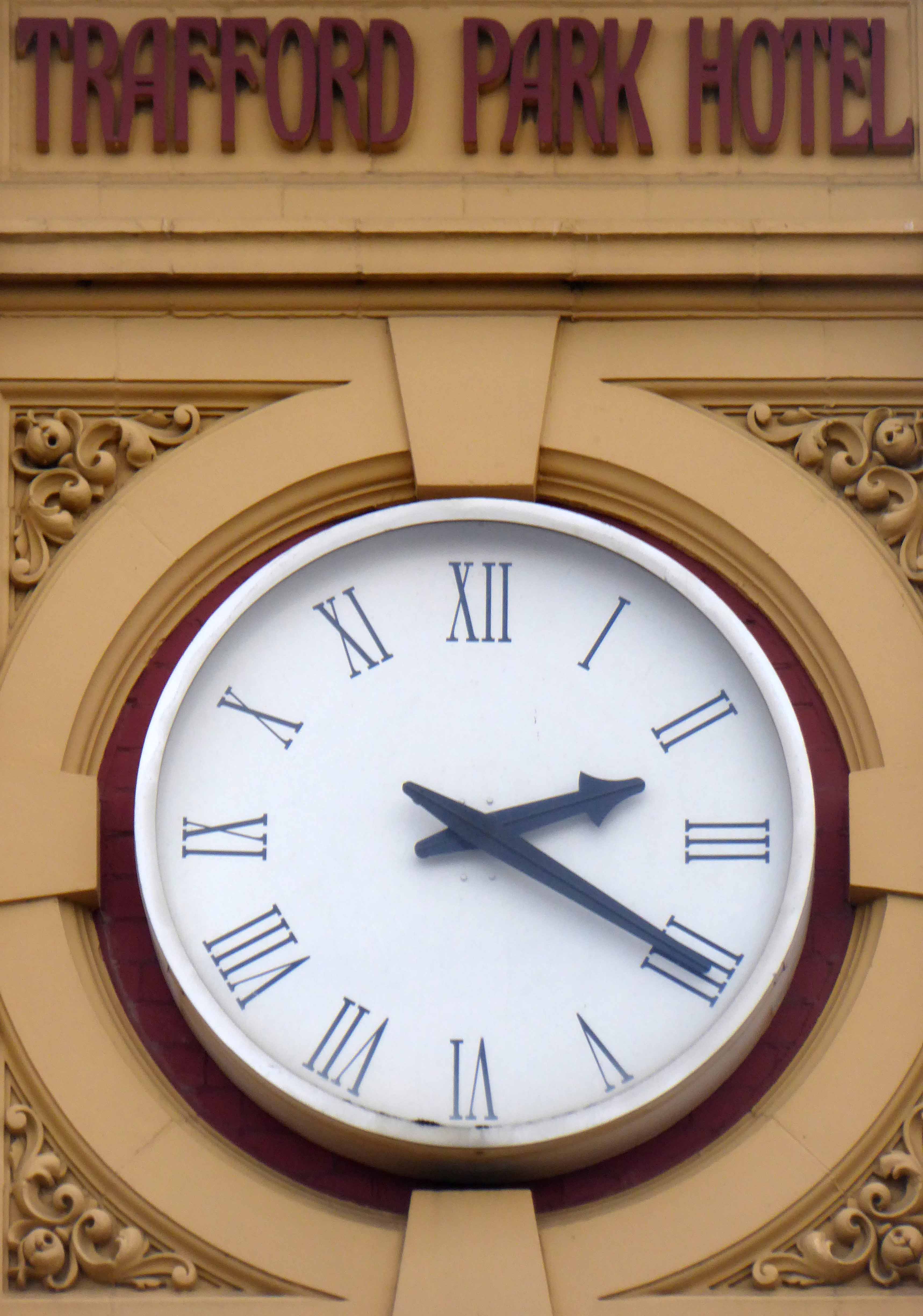
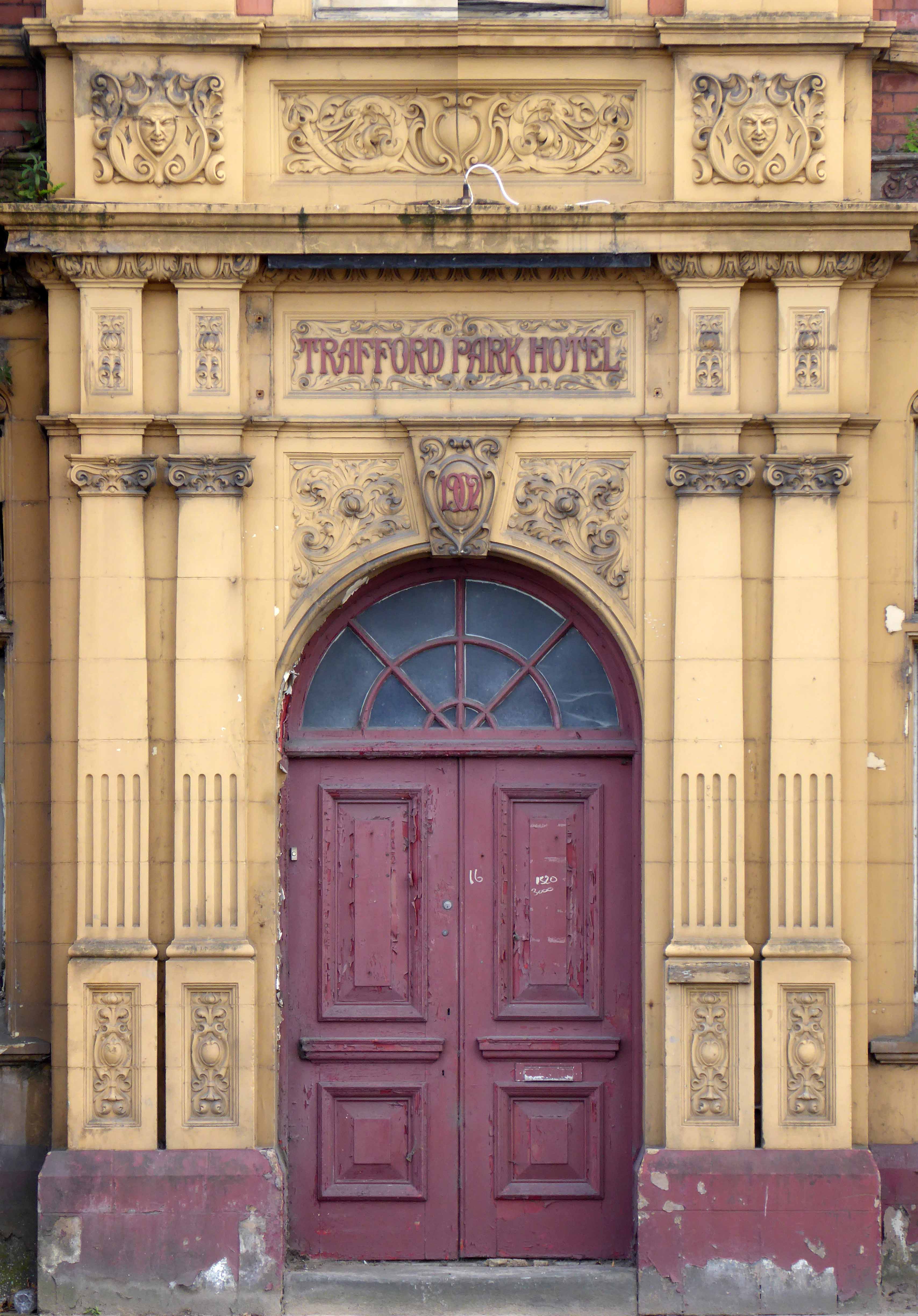
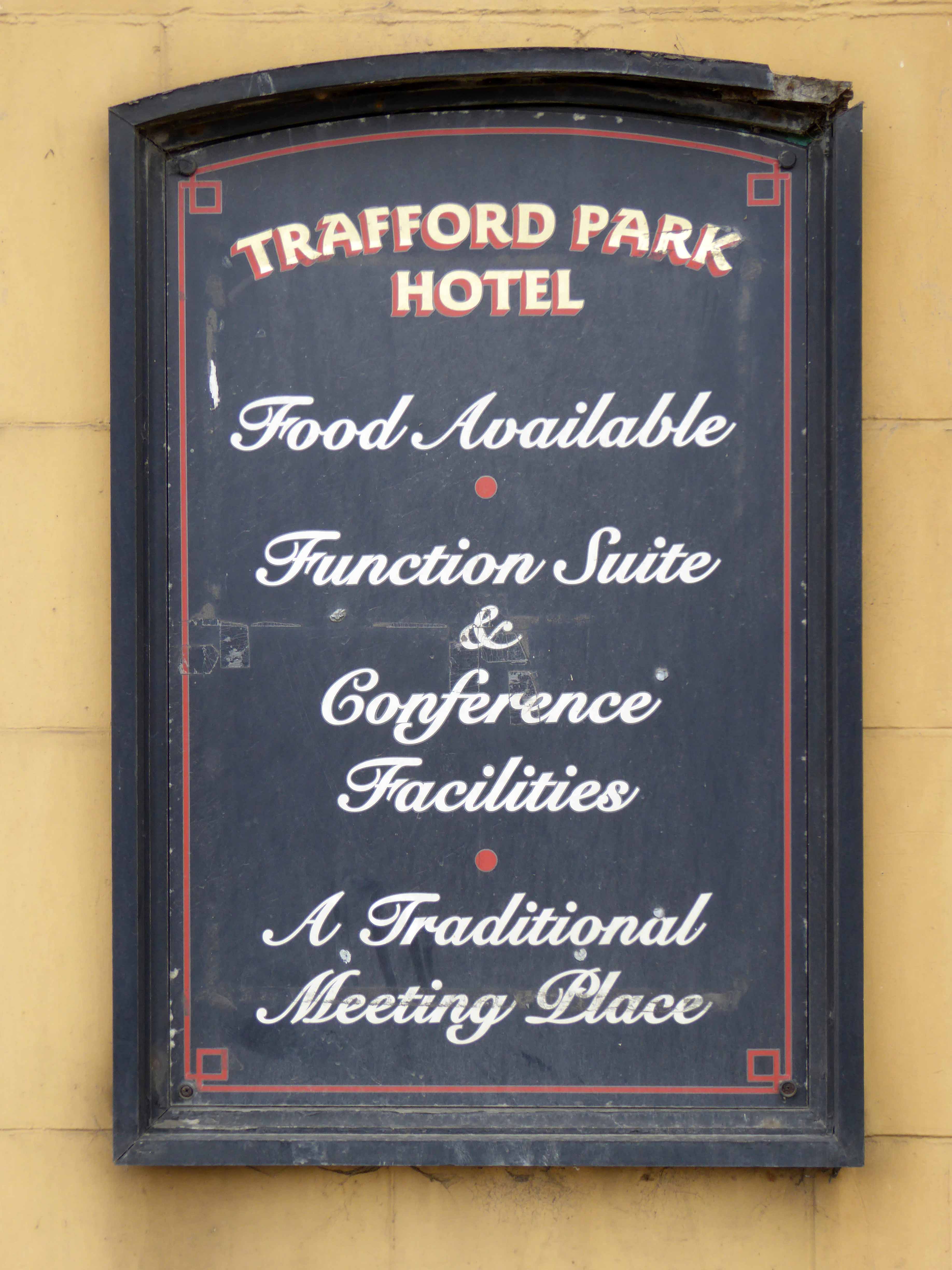
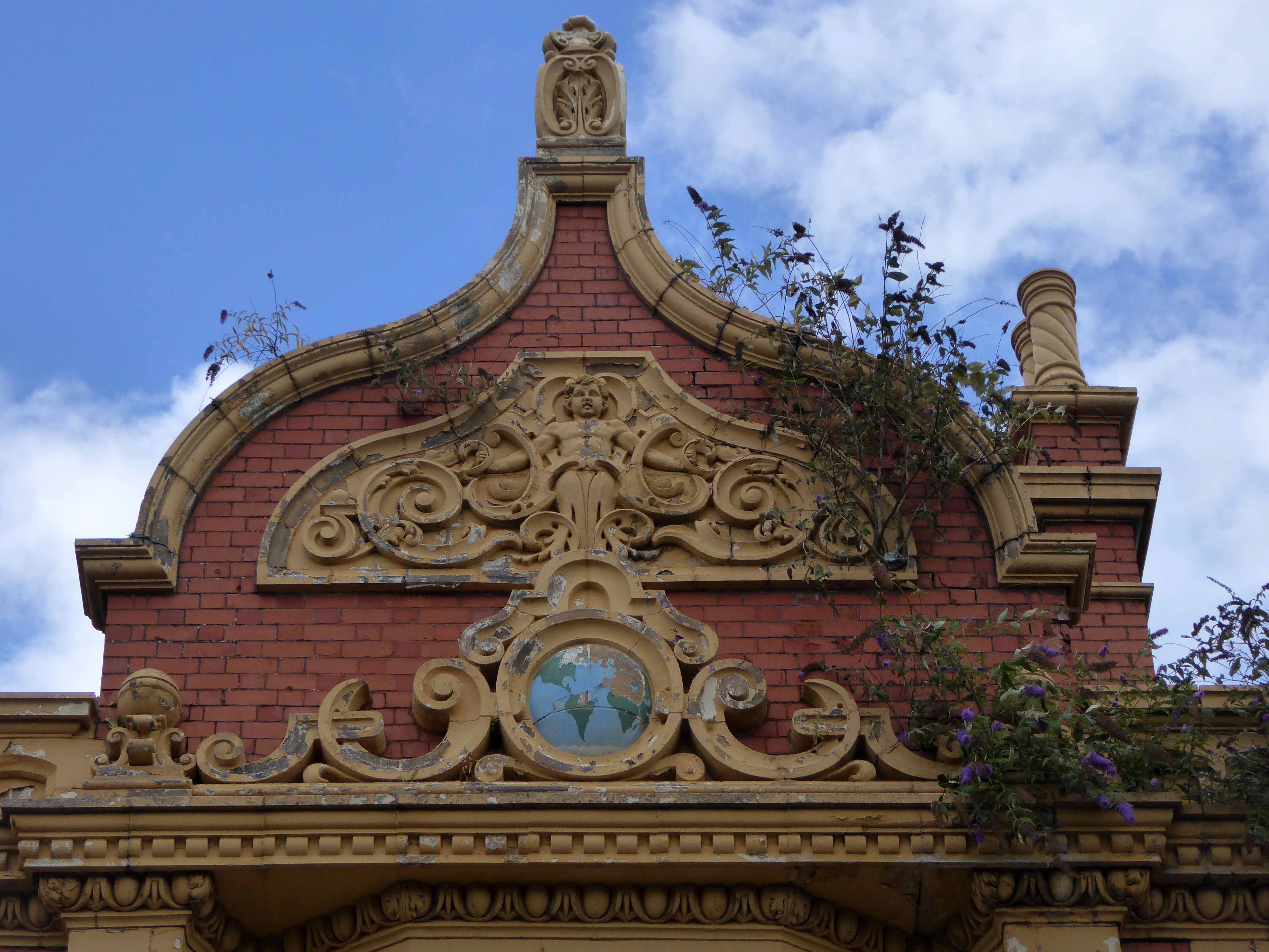
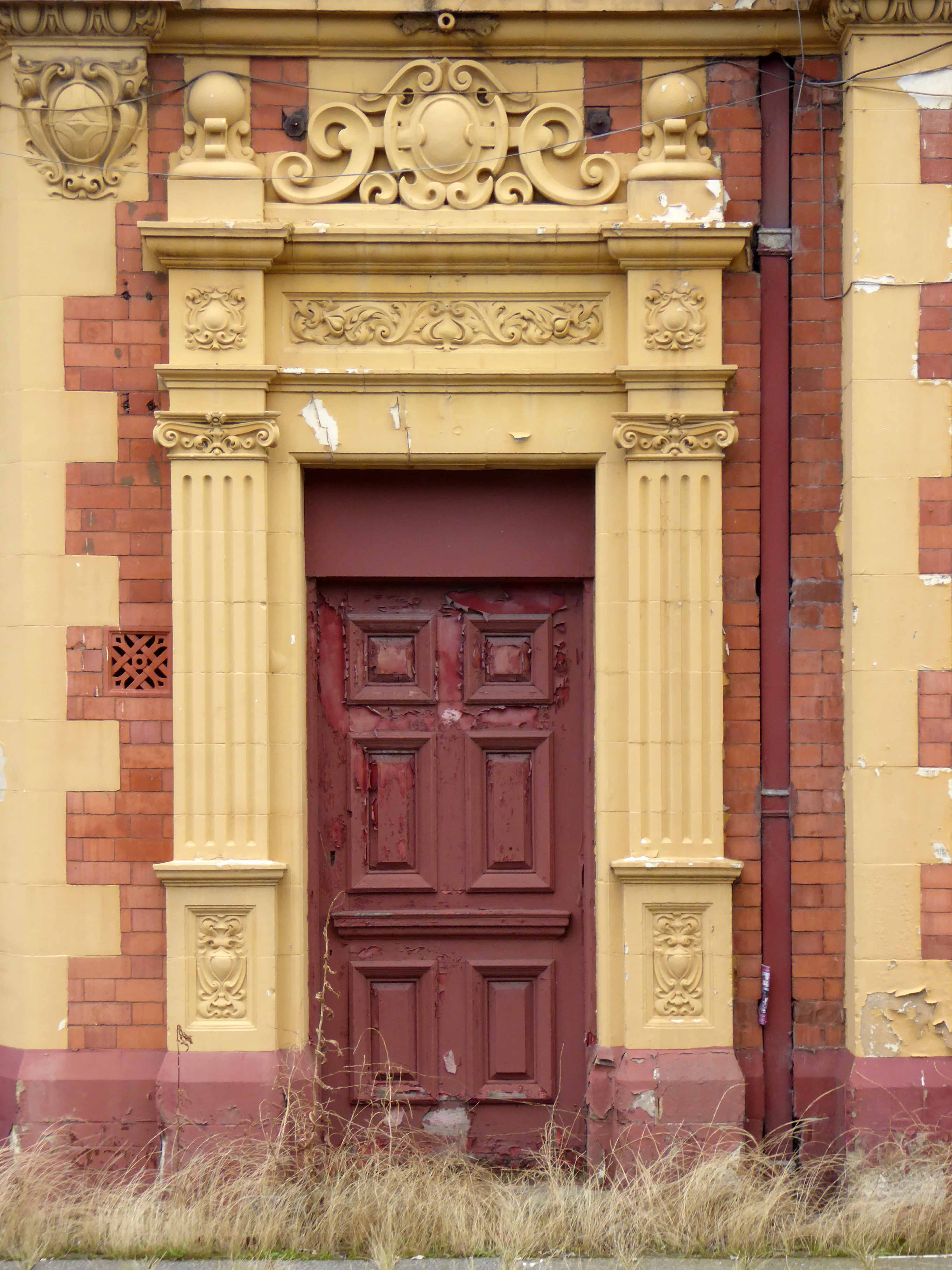
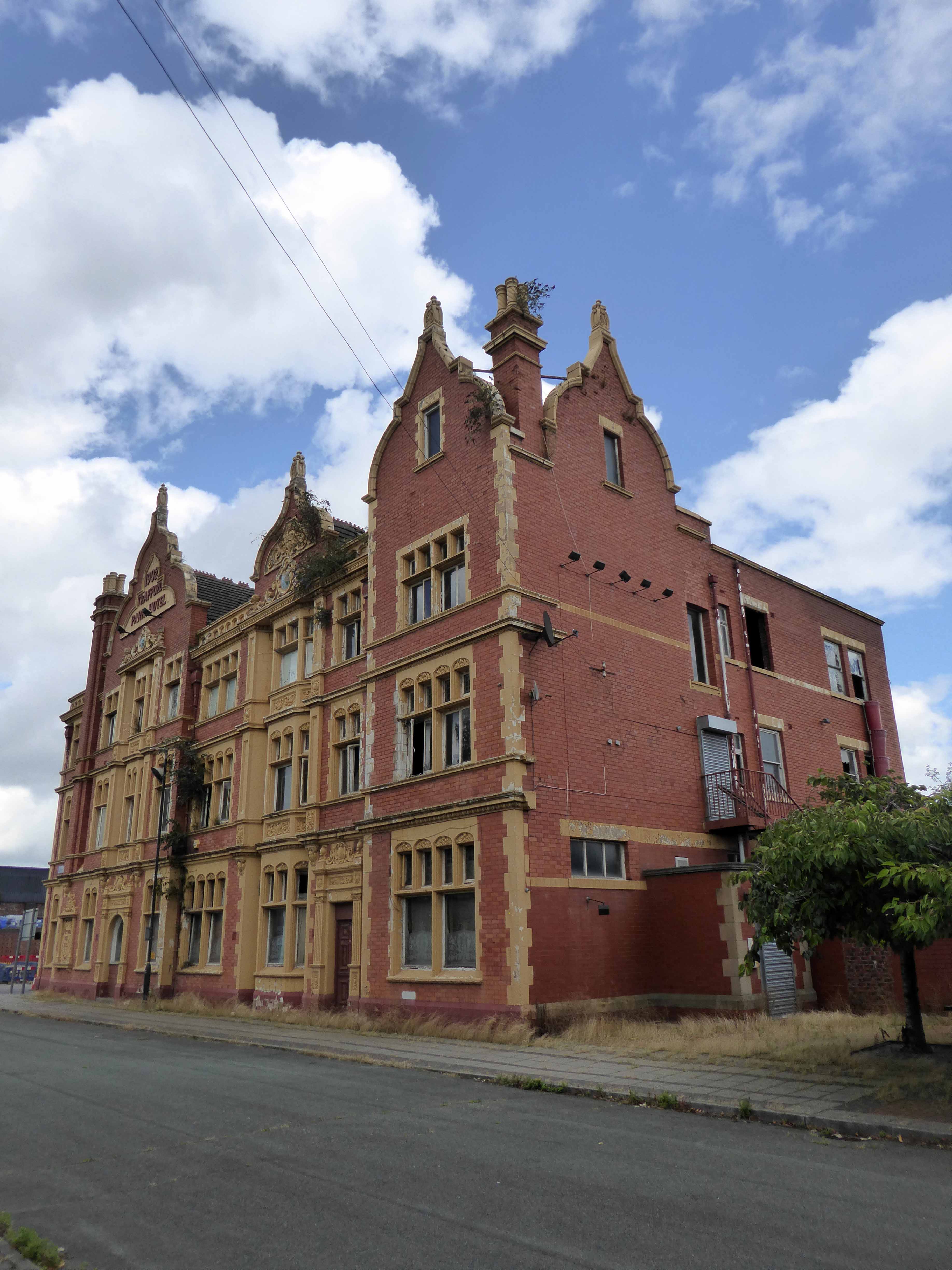
Trafford Park Hotel

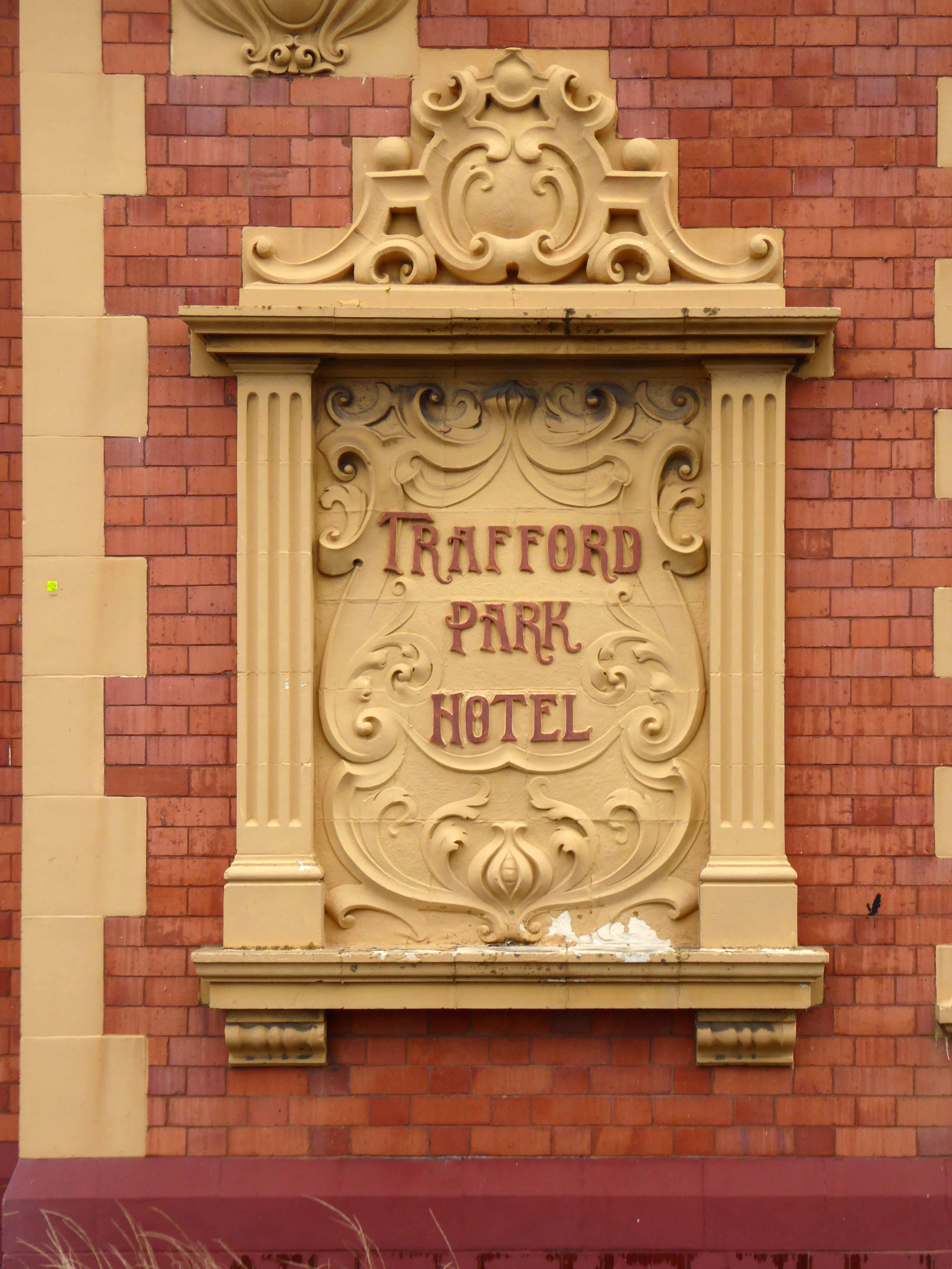
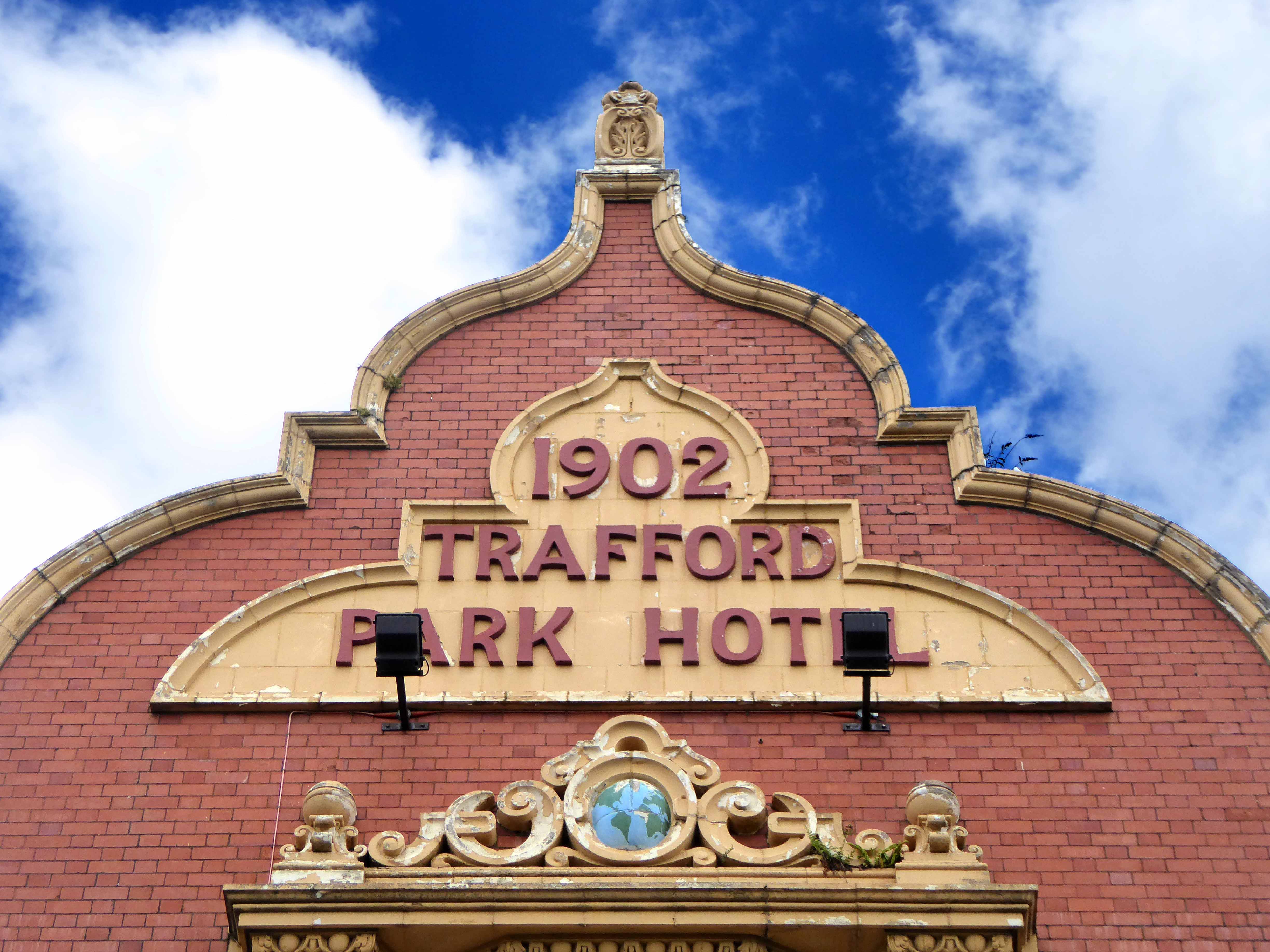
Built in 1902 to keep the Trafford Park industrial dust down, quenching the thirst of the workers employed in the world’s first and largest industrial estate – get in and get outside a pint or two.

Speed headlong through the years and by 1984, a mix of industrial and economic decline and the general move away from the urban mix of housing and factories, the end is in sight for most of the Village’s homes.

Untitled-3

Photograph Nigel Richards

Move a little further along the line and by 2009 and the pub is closed, temporarily home first to a marijuana farm, and subsequently squatters.

Paul, 46, originally from Chew Moor, Bolton, was left homeless in May when his house was repossessed after he lost his job as a mechanical engineer. He found The Freedom Project through its Facebook group and was invited to move in to the Trafford Park Hotel. He said: “The group is apolitical – it’s about freedom of expression, activity and thought.” Enterprise Inns have taken members of The Freedom Project to Salford County Court where a judge gave the brewery an order for possession of the building. 

Enterprise Inns declined to comment.

It takes a whole judicial system and corporate clout to deny a man home.

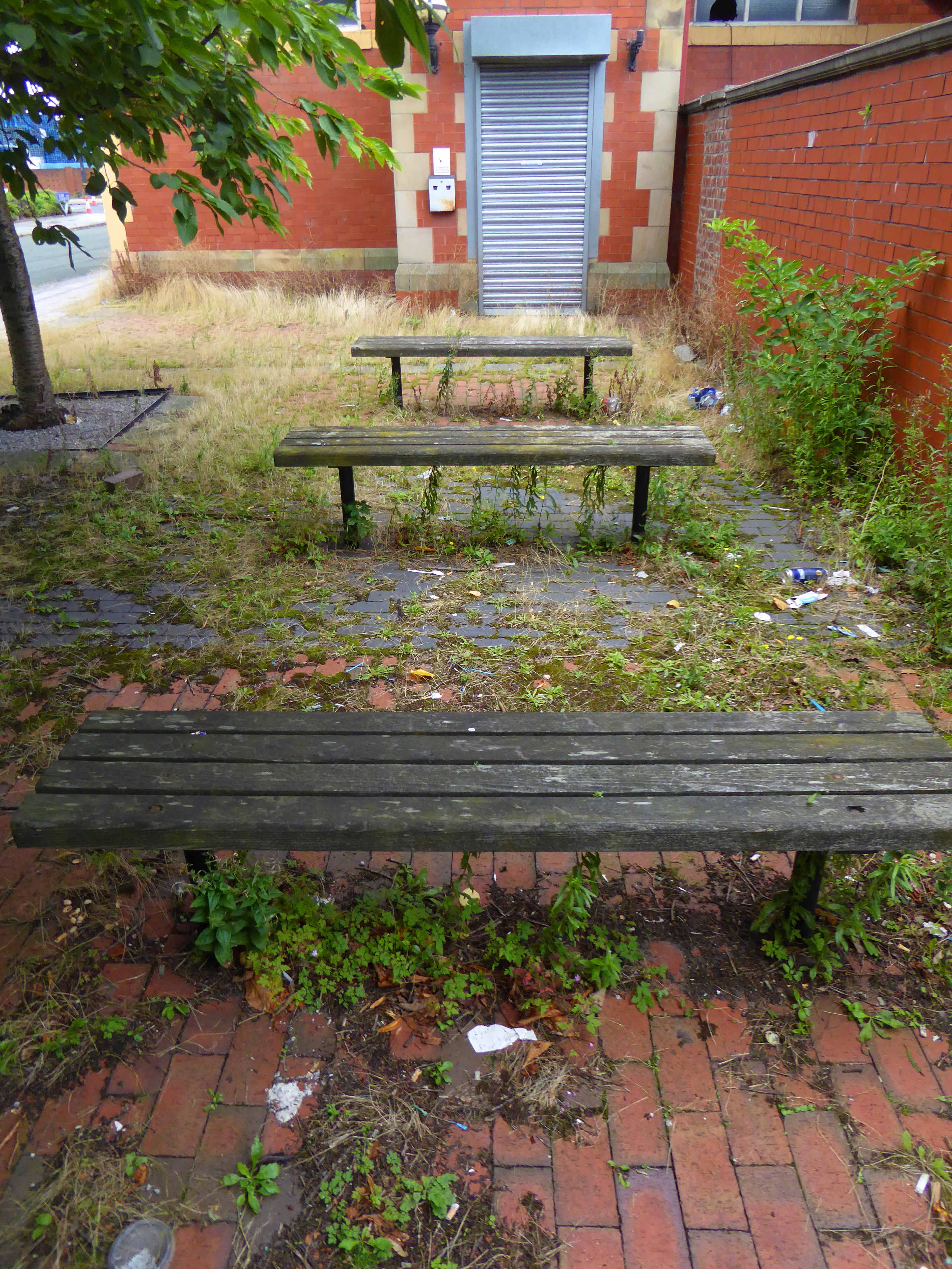
In February 2017 pub was sold for £900,000, though on the day of my August visit there were few signs of the planned conversion to flats or hotel.

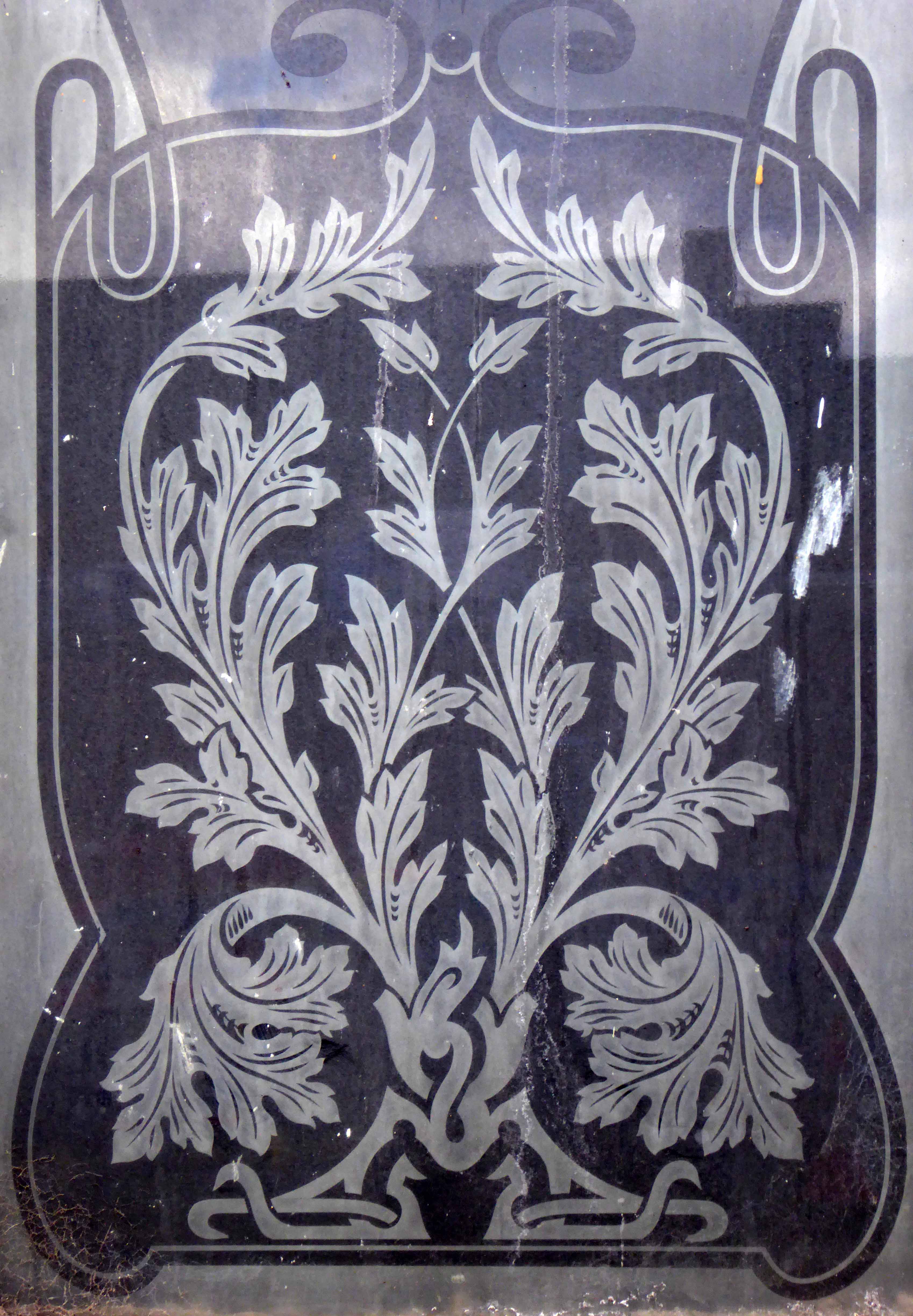
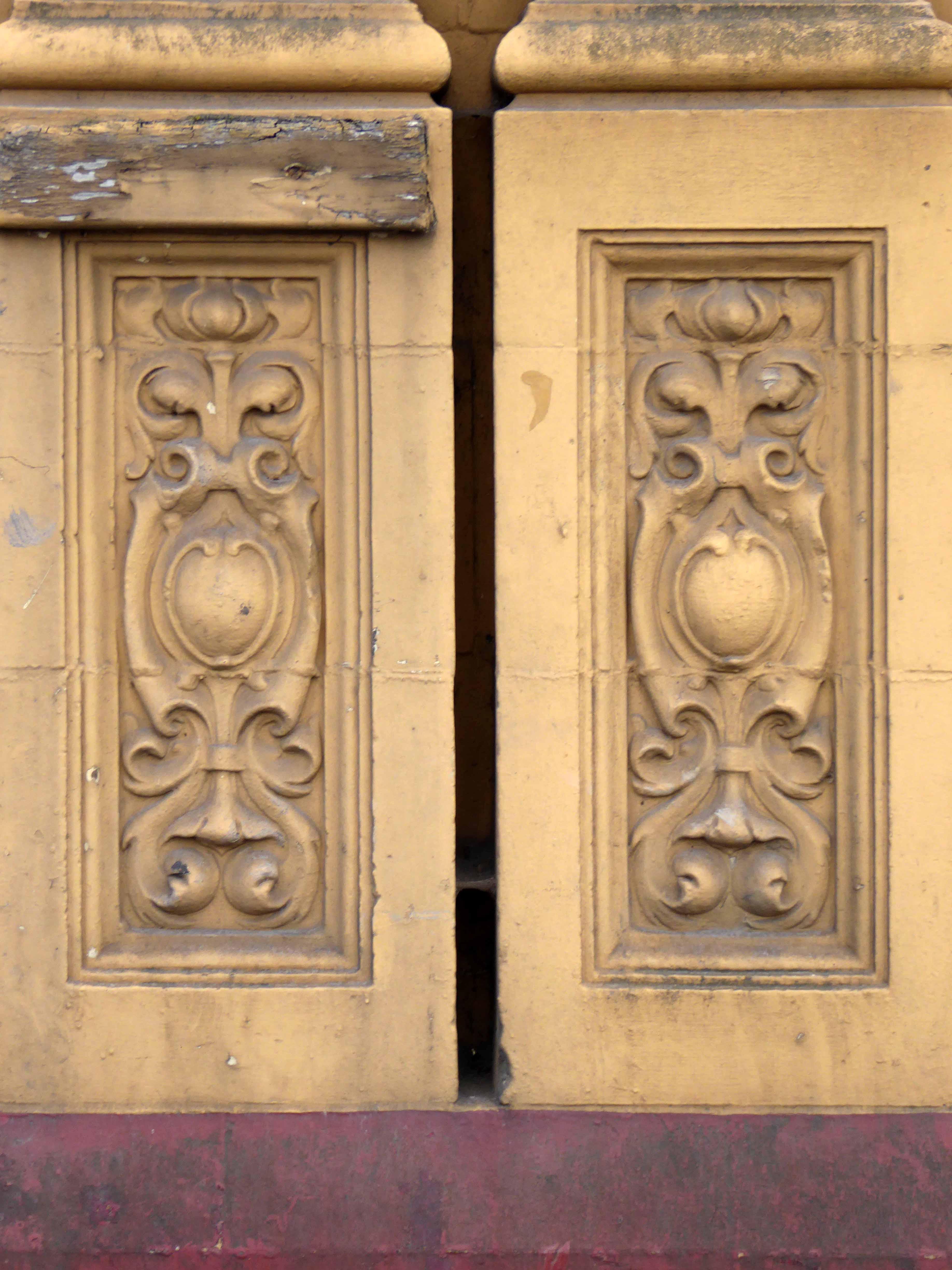
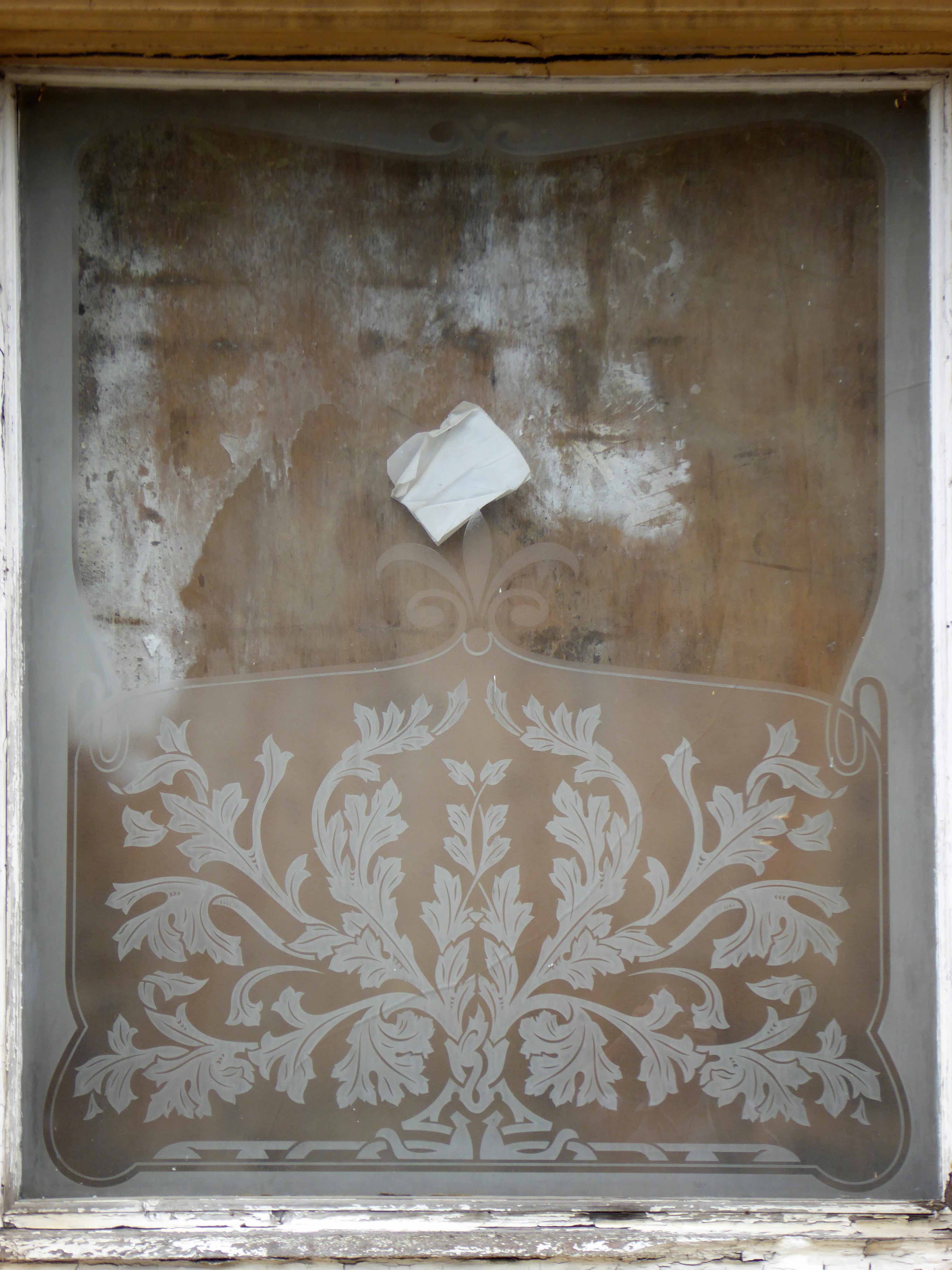
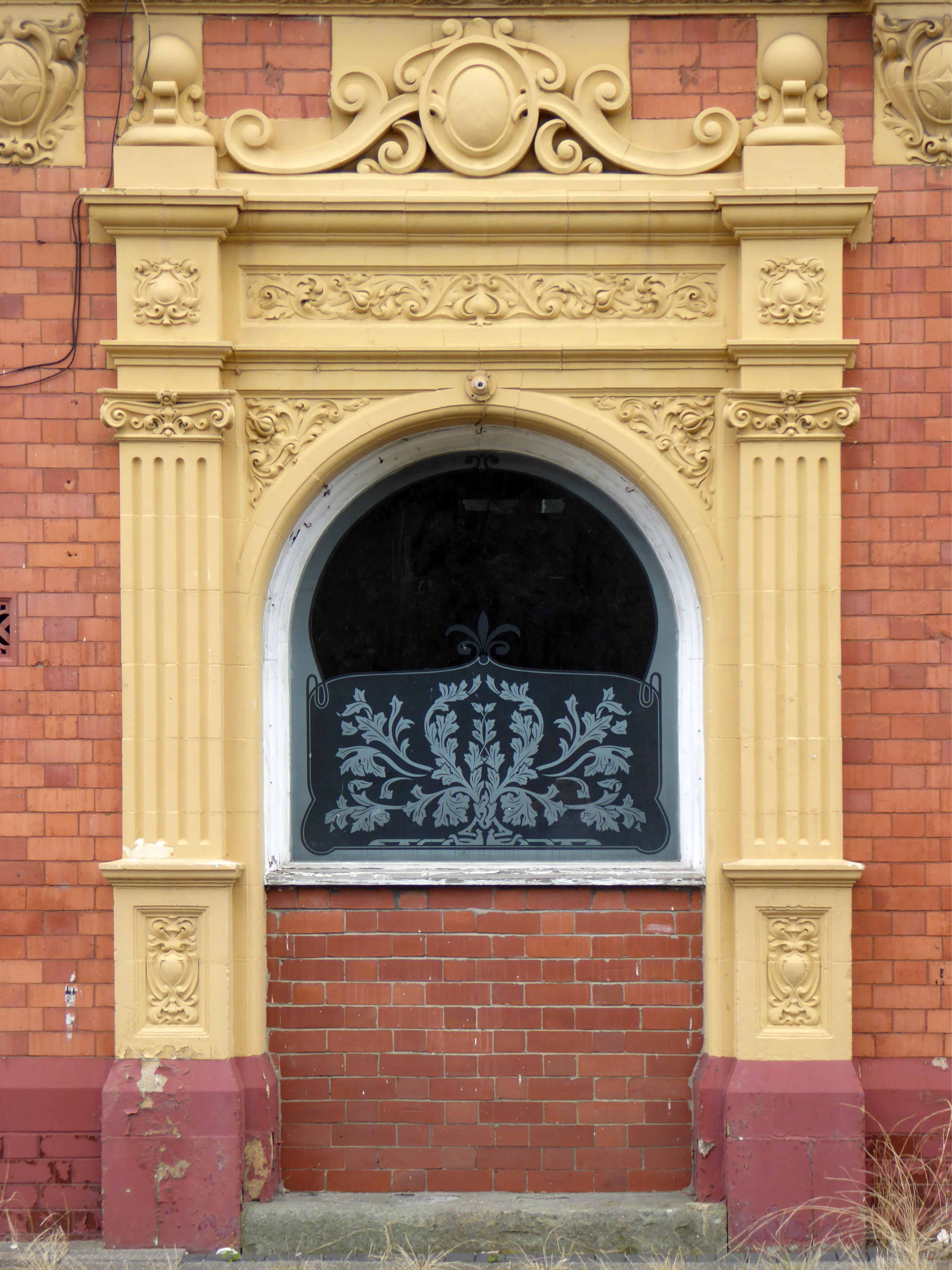
One day time will be called on time itself, in the meantime take a walk down the Avenue and feast your eyes on a Grade II  listed terracotta and brick behemoth.

P1180834

P1180832

P1180836

P1180837

P1180838

P1180839

P1180840

P1180841

P1180842

P1180843

P1180844

P1180845

P1180847

P1180848

P1180849


P1180860

P1180861

P1180862

P1180852

Hyde Road Pubs – Gorton Manchester

For almost fifty years I’ve cycled, walked and taken the bus up and down Hyde Road.

To work or to take snaps.

Or take a drink.

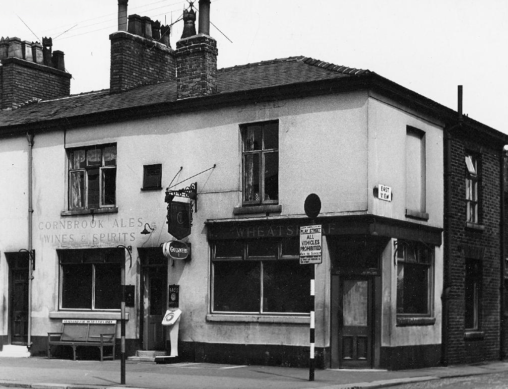
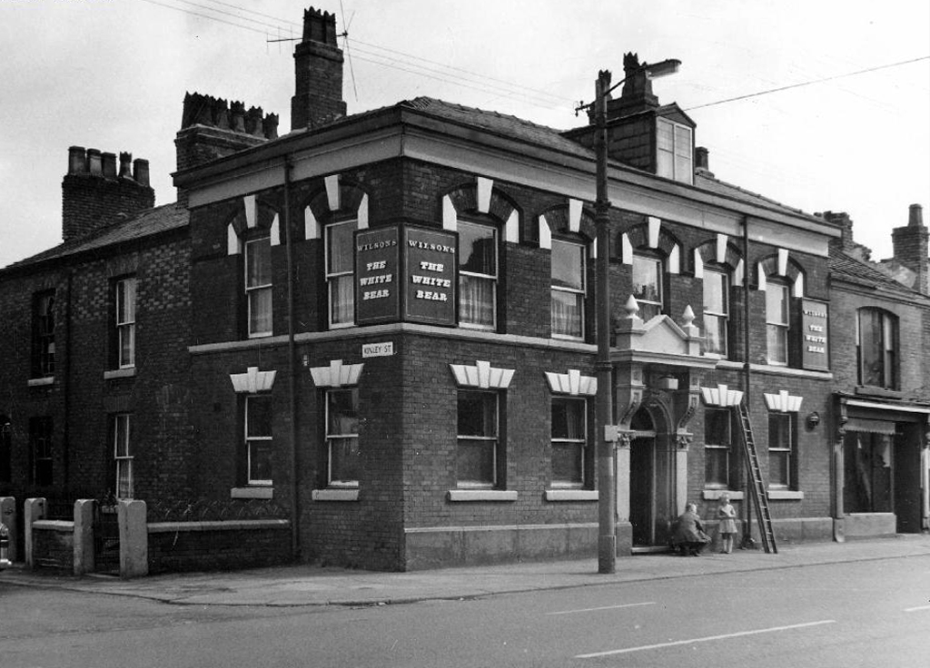
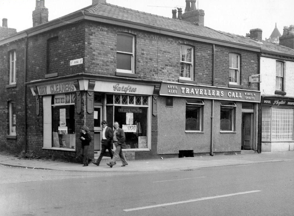
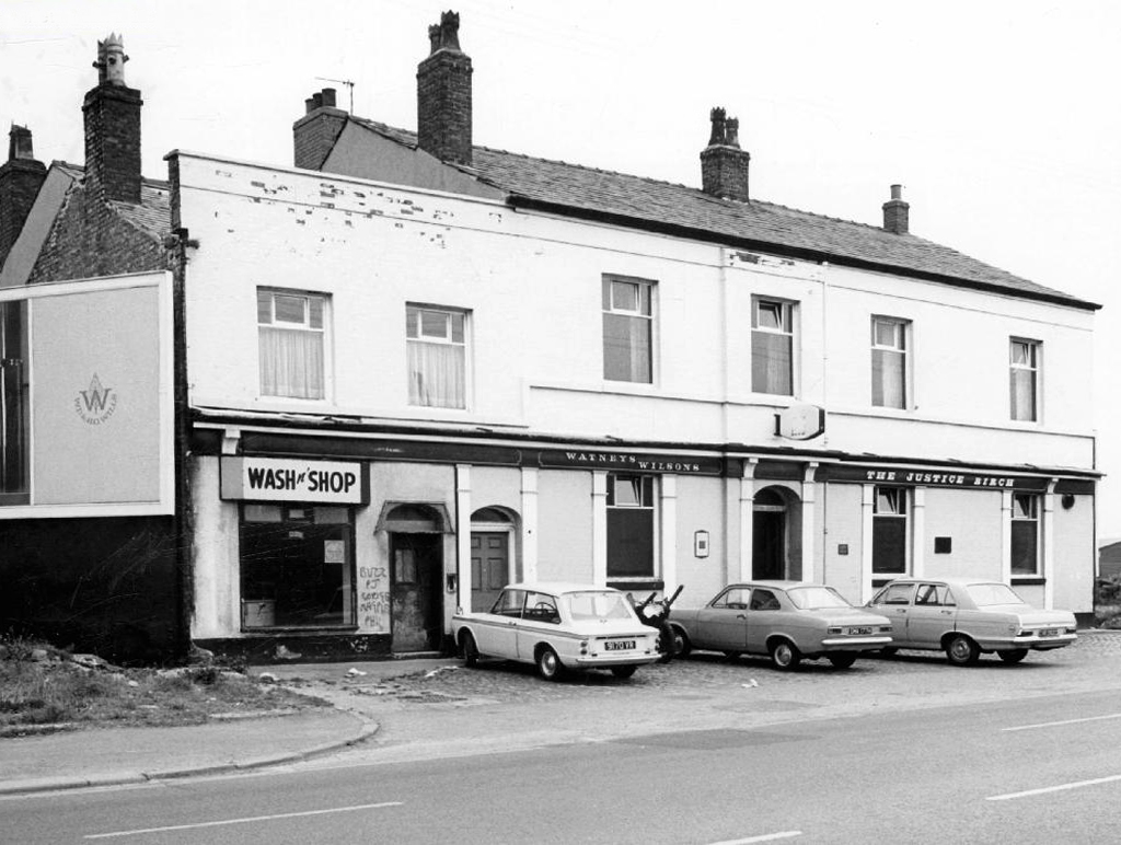
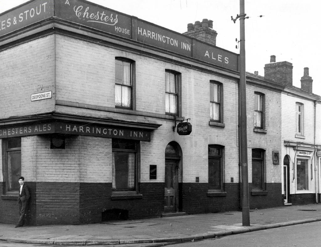
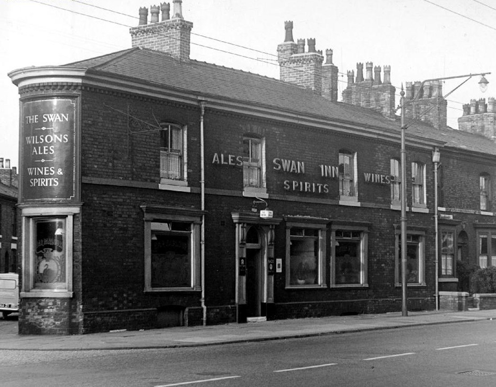
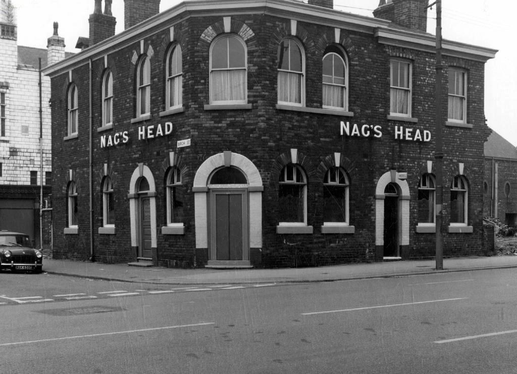
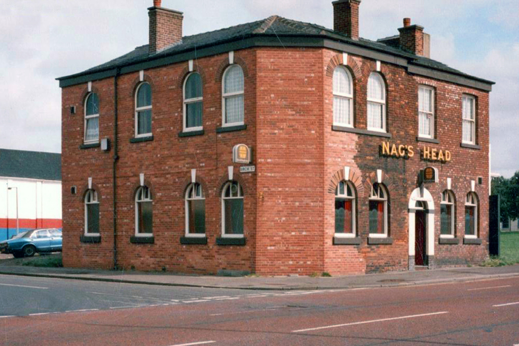
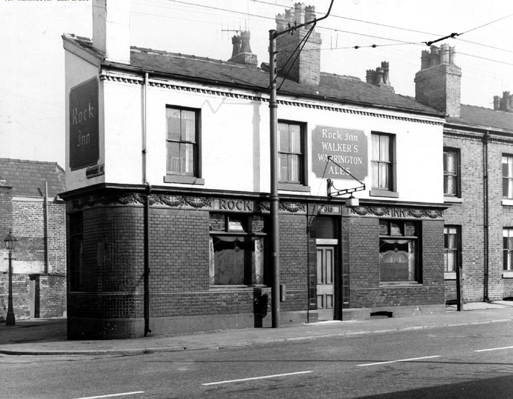
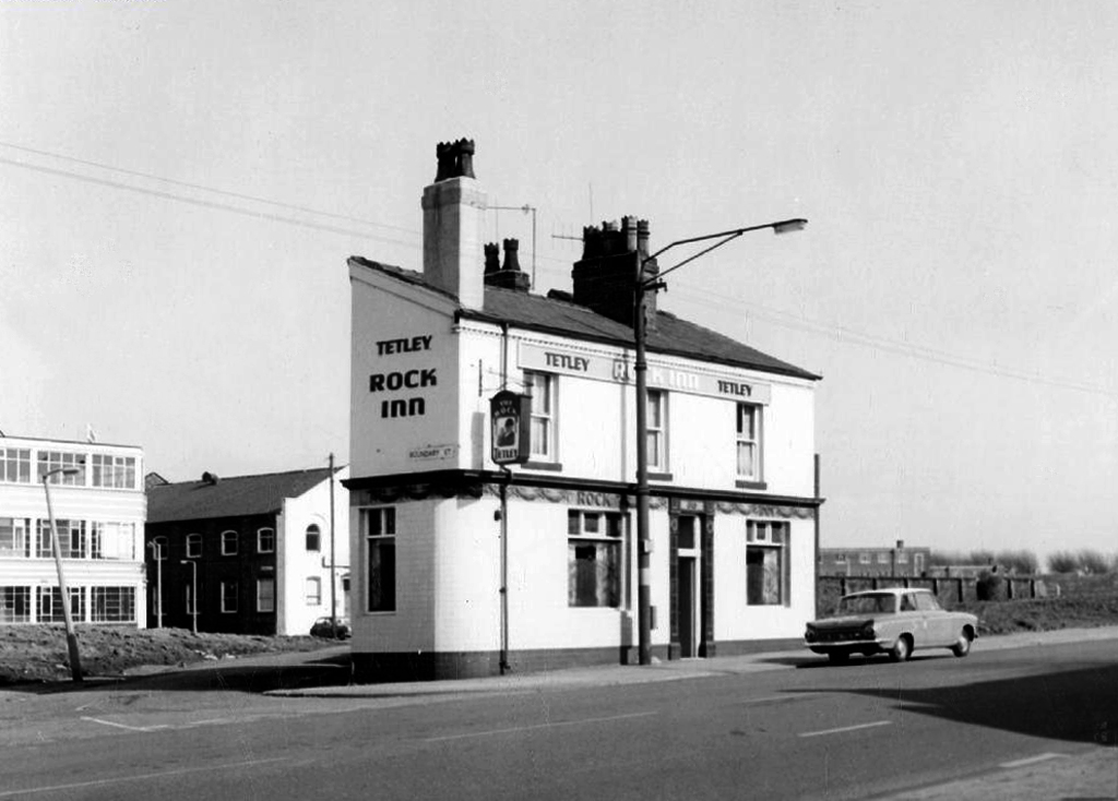
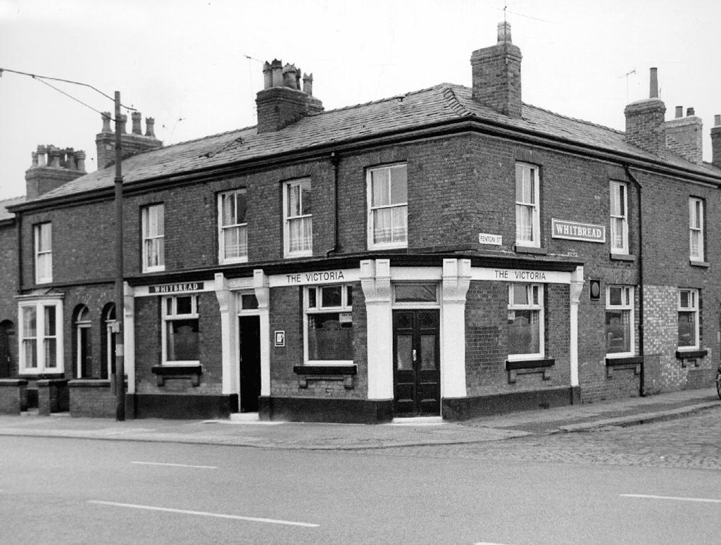
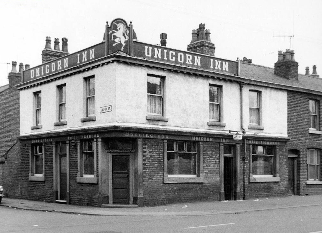
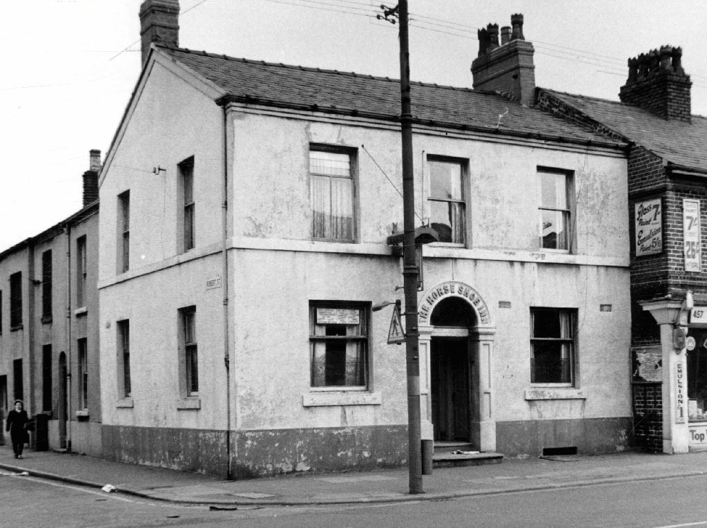
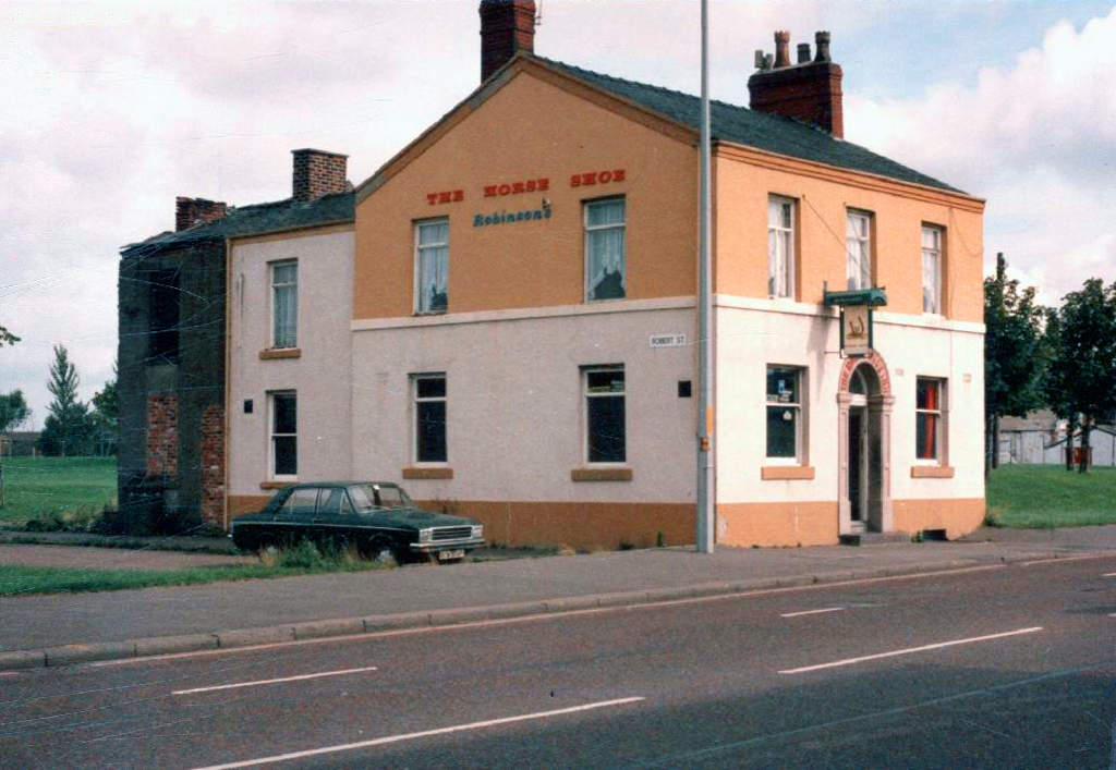
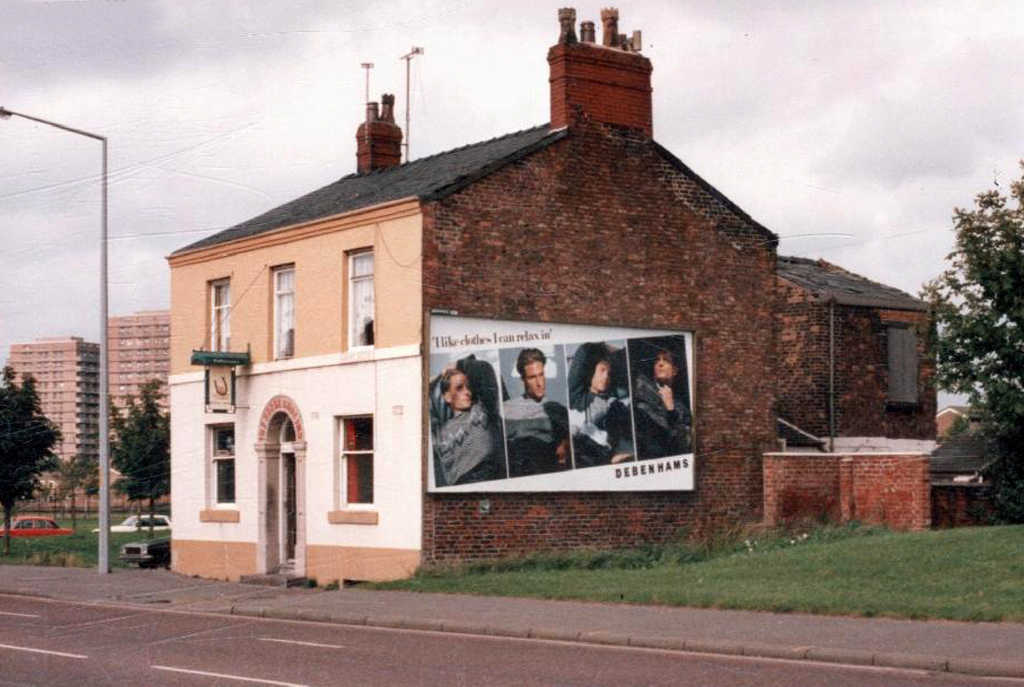
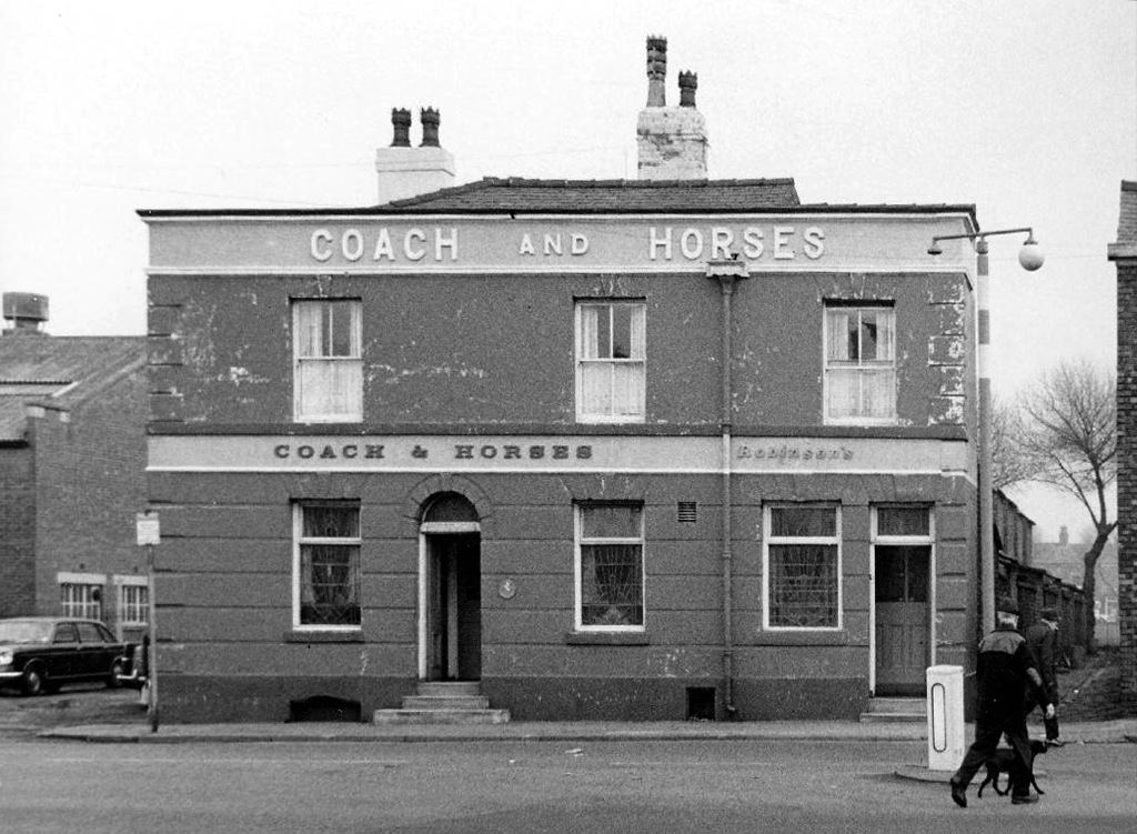
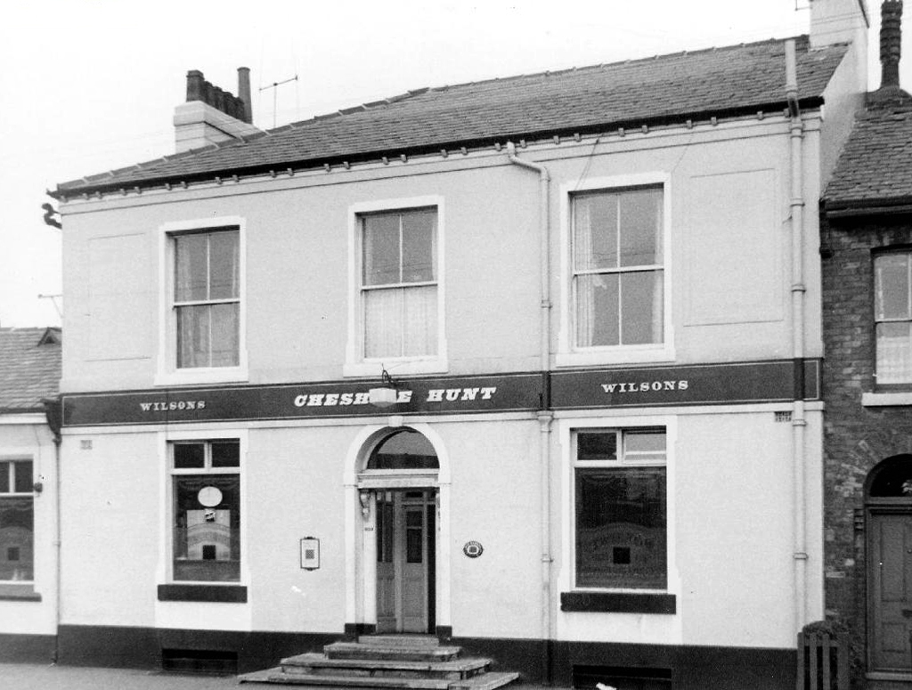
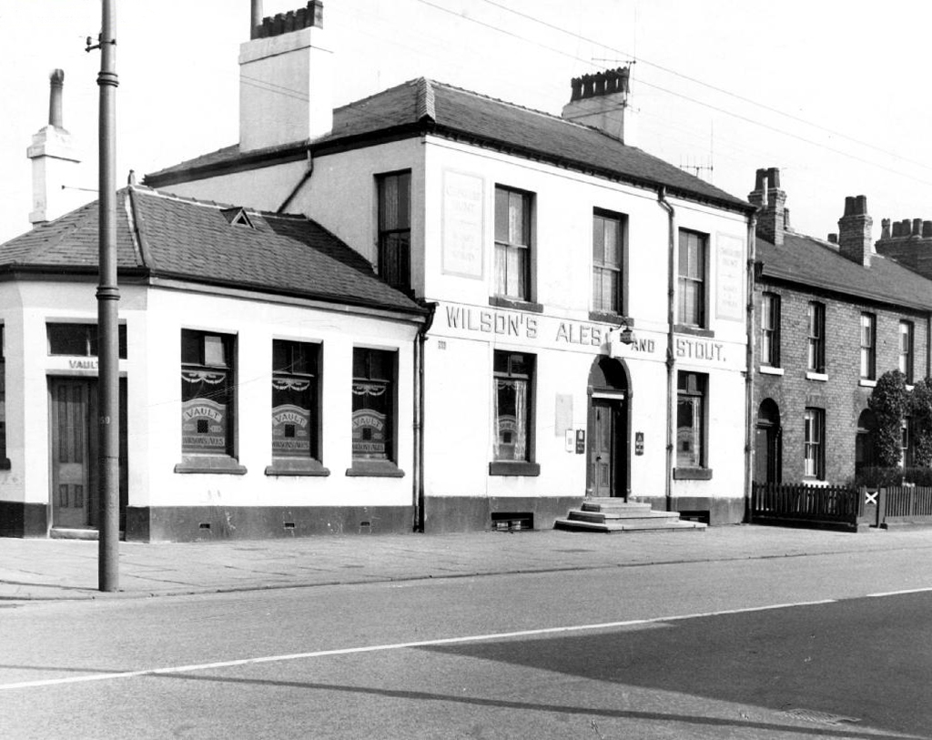
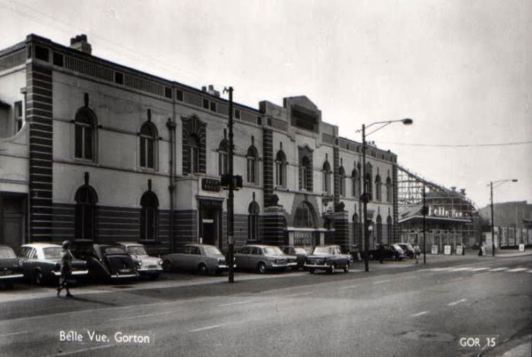
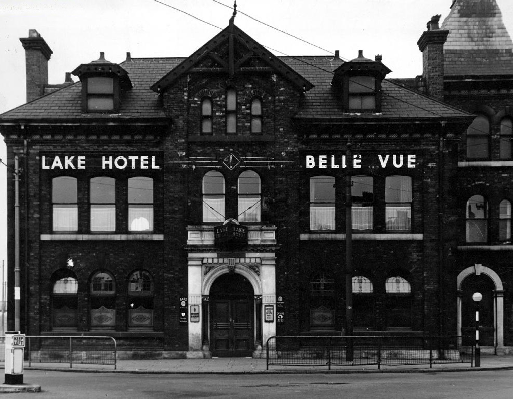
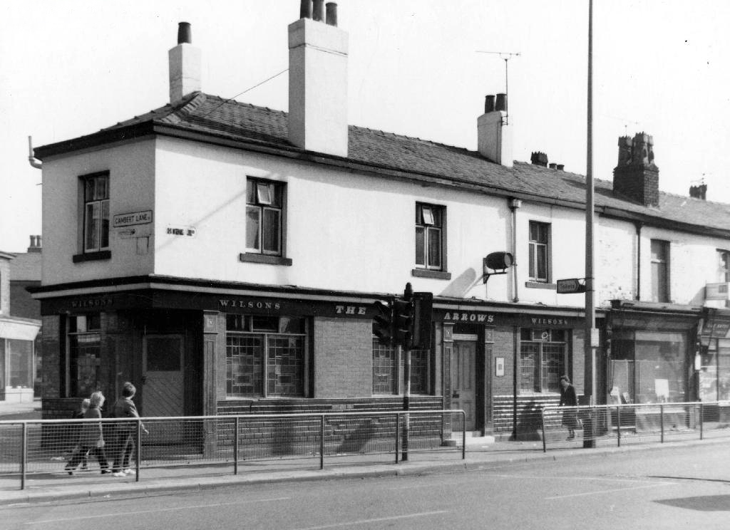
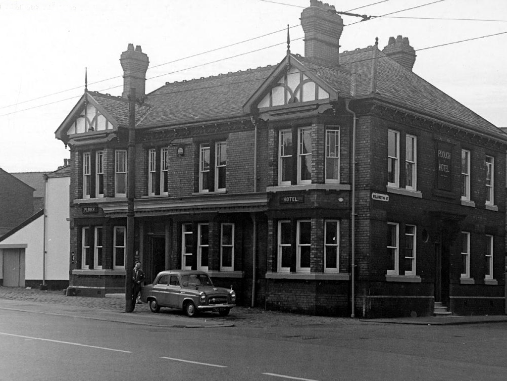
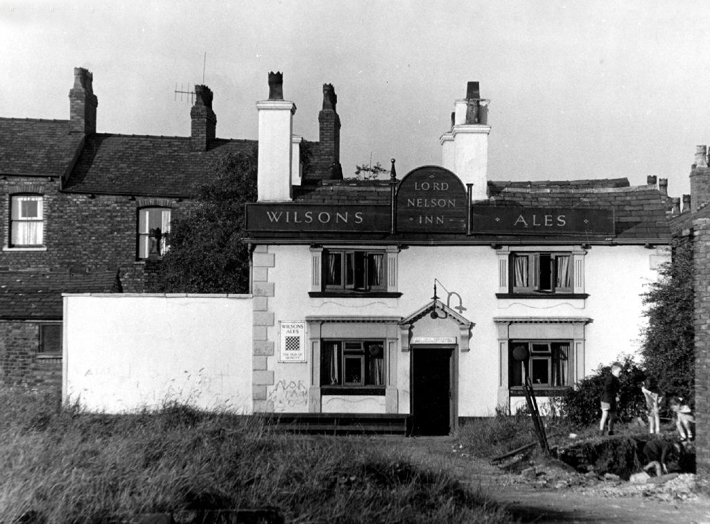
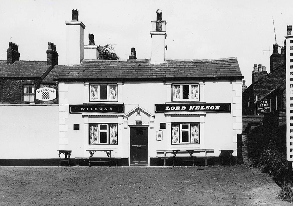
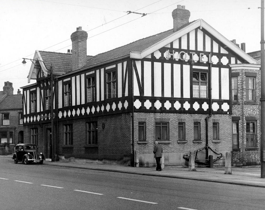
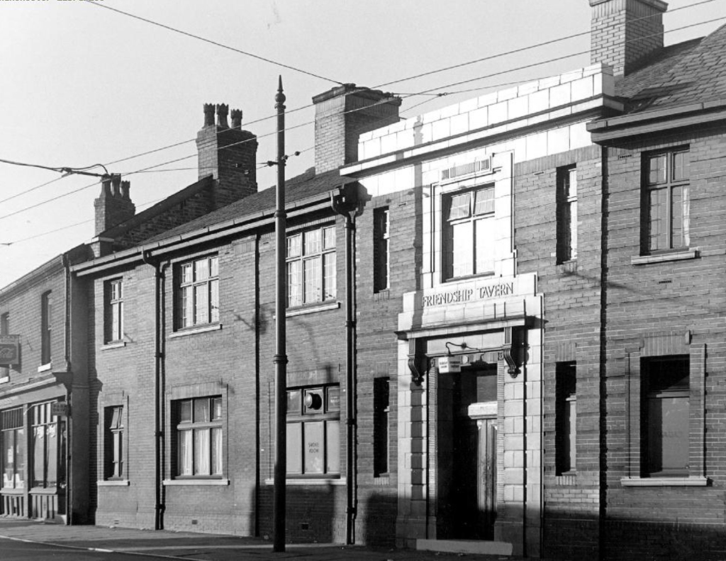
The first proper pub crawl I ever went on was up and down here, and these photographs which were taken from the Local Image Archive, represent a world now largely long gone. Of those places pictured only the Travellers, Wagon and Horses, Plough, Nelson and Friendship survive. What was a busy thoroughfare alive with masses of working people and lively boozers is now a shadow of its former self. Many of the breweries are also no more – Wilsons and Boddington’s, once employing hundreds of people and supplying hundreds of pubs, have all but vanished, you may catch a glimpse of a stray sign or two dotted around town.

If there are any pubs missing apologies, but following the expert advice of Kenneth Allen I think I have all of the Gorton boozers.

Take one last walk, raise a glass – cheers!

webmedia.php

junction

webmedia-9.php

wheat

white bear

travellers72

birch

webmedia-6.php

swan

nags

nags bod.jpeg

rocka

rock copy

vic

unicorn

horse

horse shoe

shoe

webmedia.php

hunt

cheshire hunt

Palm Court Belle Vue

lake

webmedia-5.php

webmedia-1.php

plough

nelson copy

nelsona

hotel.jpeg

friend

Lansbury Estate – London

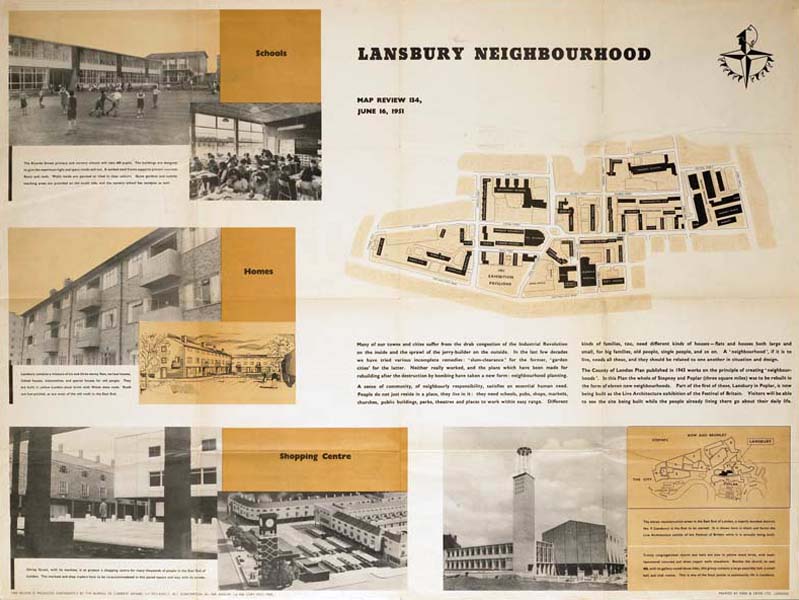
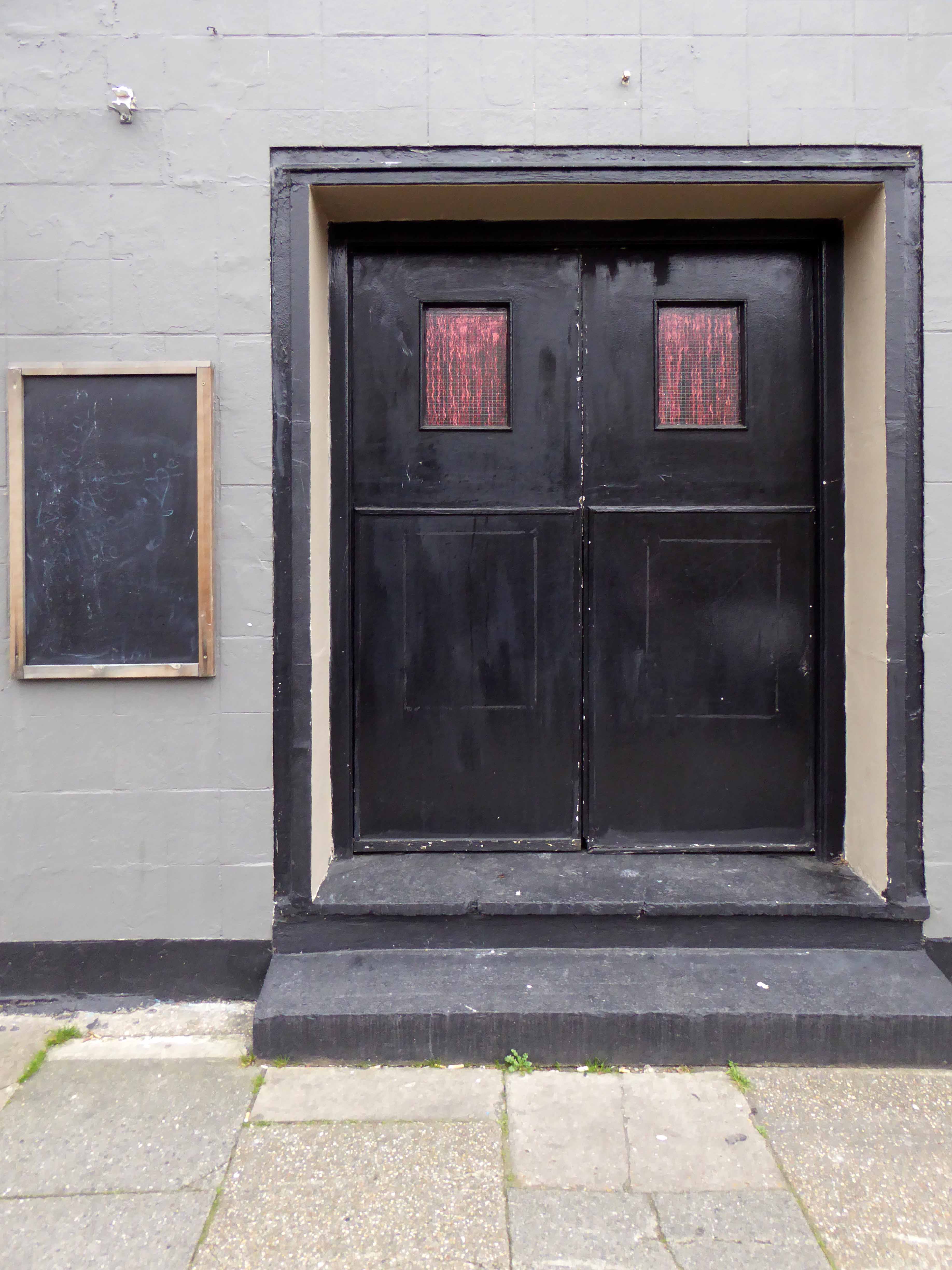
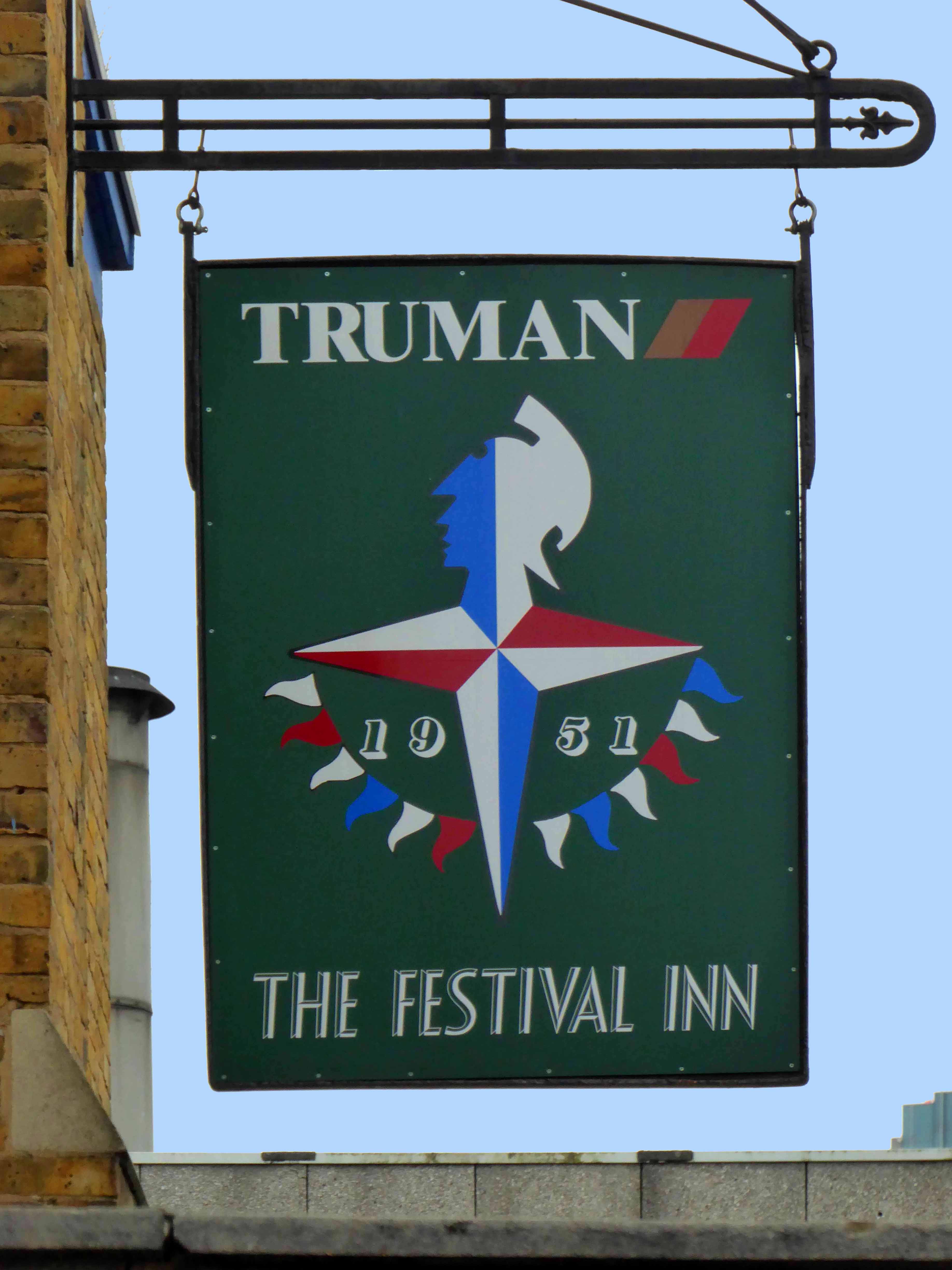
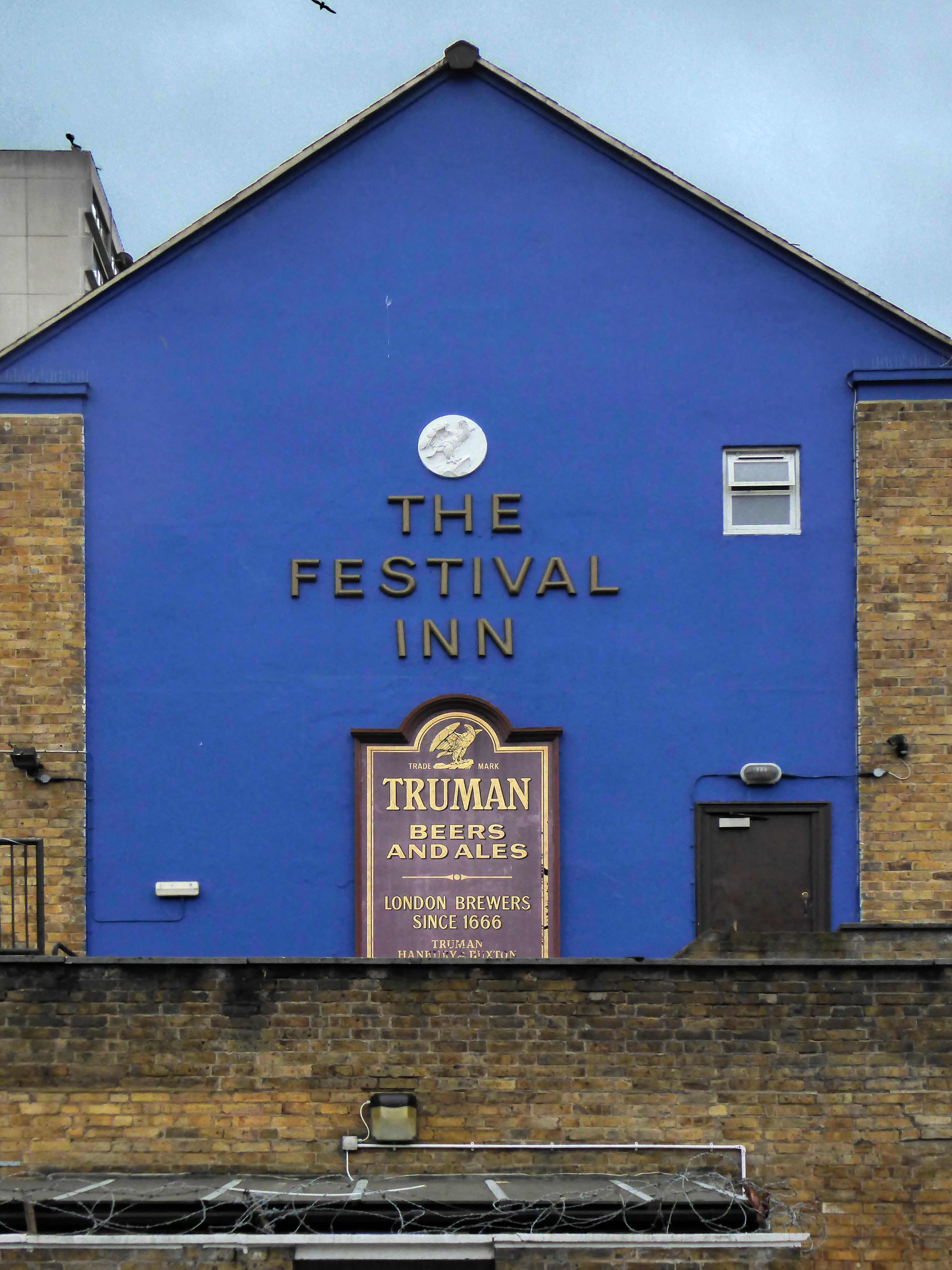
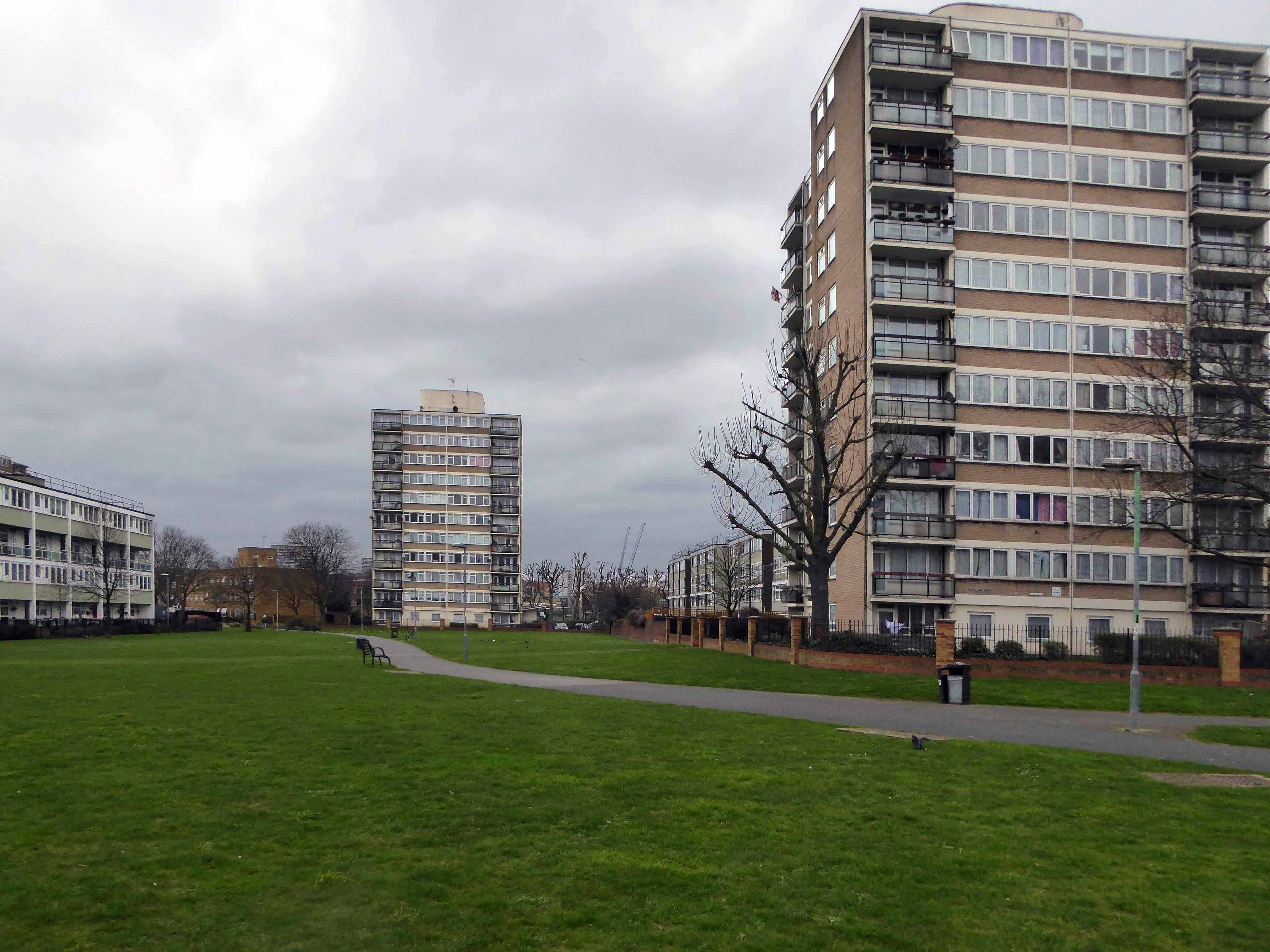
The Lansbury Estate, to the north of East India Dock Road, is the most important, largest and best-known council estate in Poplar. It demonstrates the different trends in post-war council house design and layout. The interest of the estate lies as much, if not more, in the story of its planning and construction, as in what was actually built. This is especially true of its first phase, which formed the basis of the Live Architecture Exhibition in the 1951 Festival of Britain.

lansbury-neighbourhood-map-1951


Originally outlined in the 1943 plan for London, replacing the bomb damaged homes of displaced dockers, the estate has weathered well enough, though changes in demographics, the ever greater engulfing tide of gentrification and the containerisation of all ports, brings a fresh set of challenges and changes.

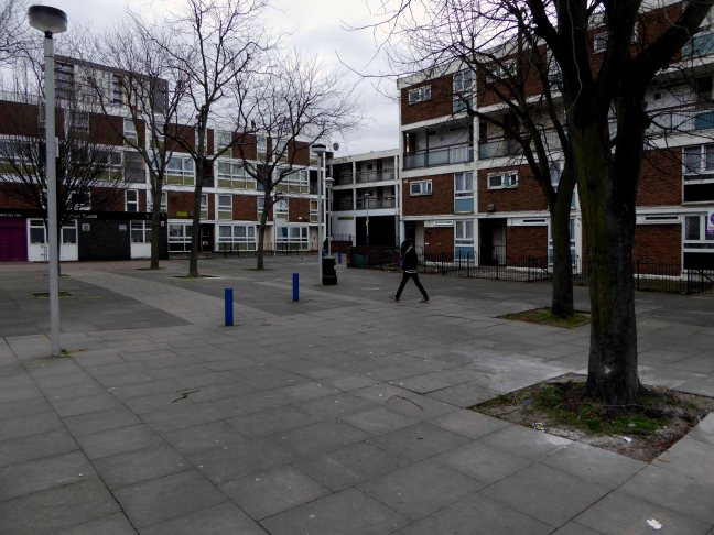
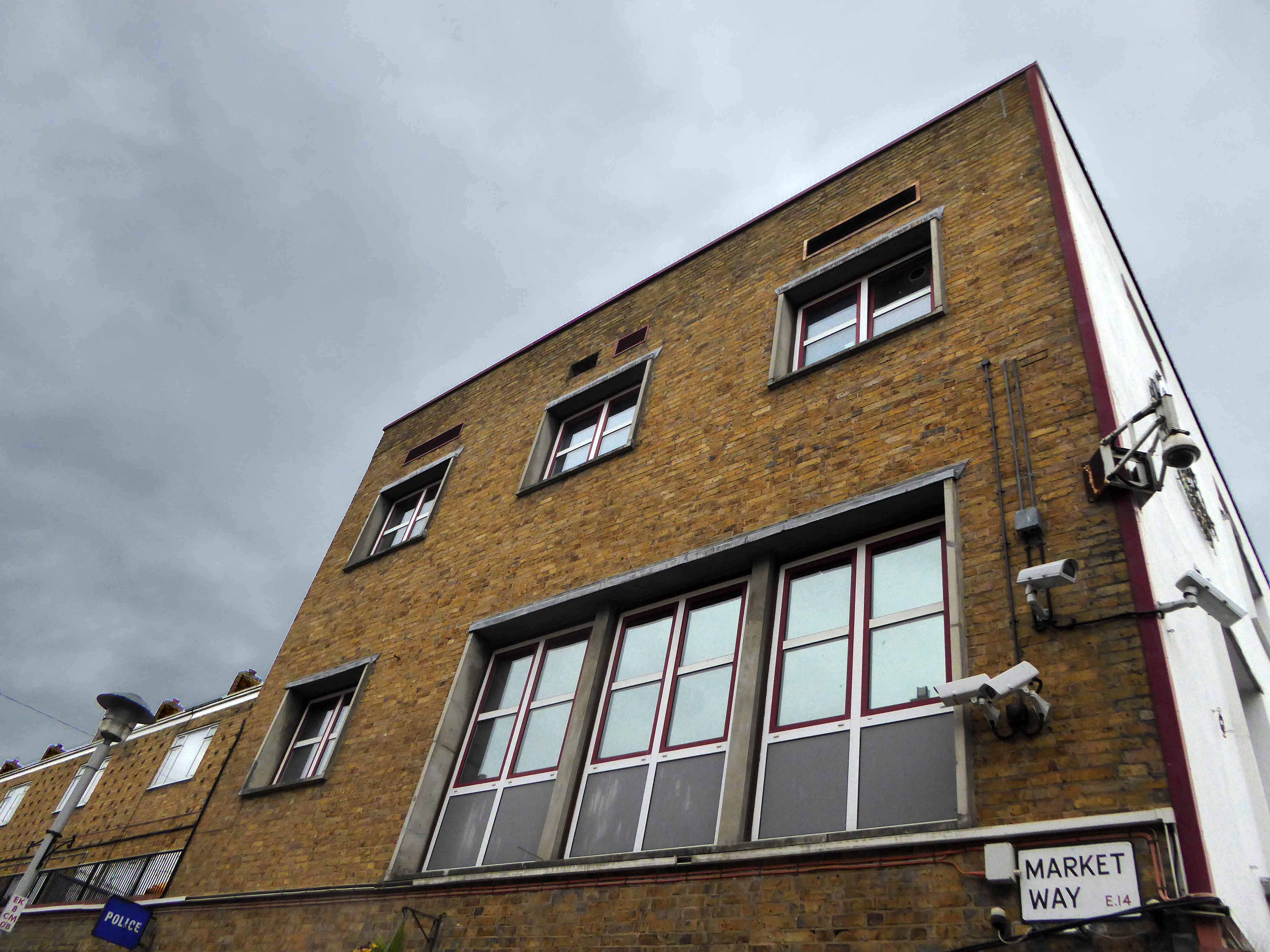
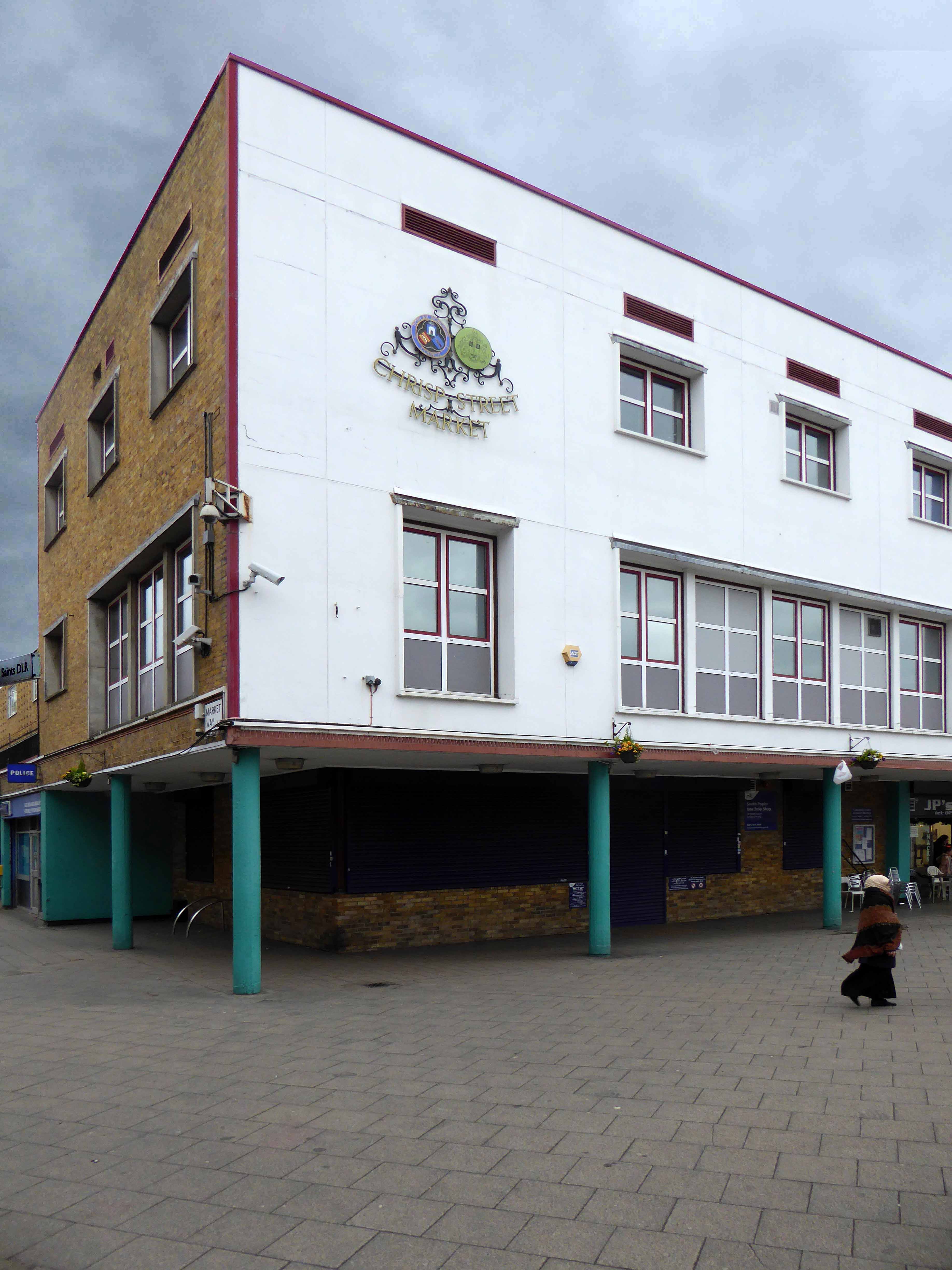
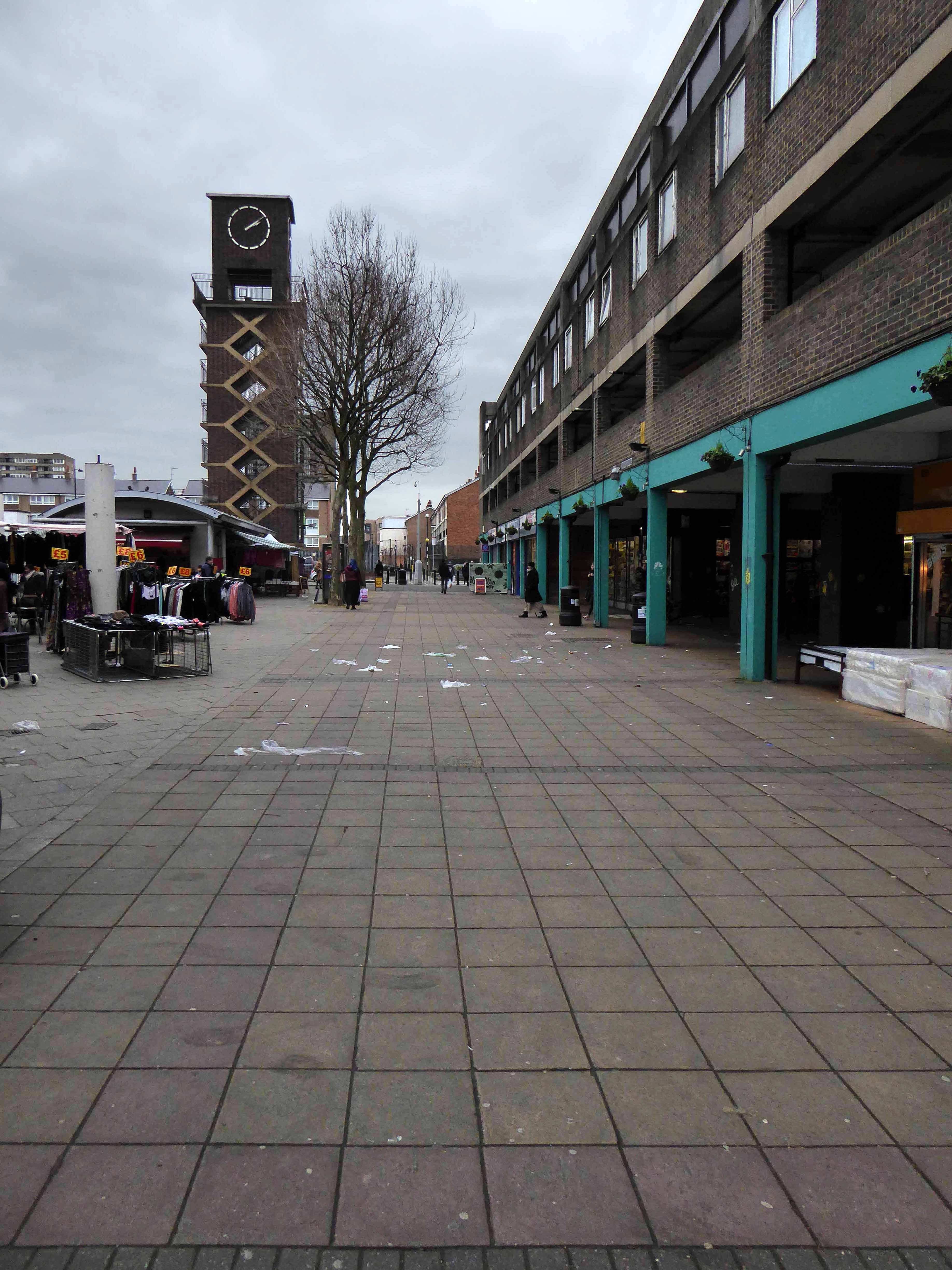
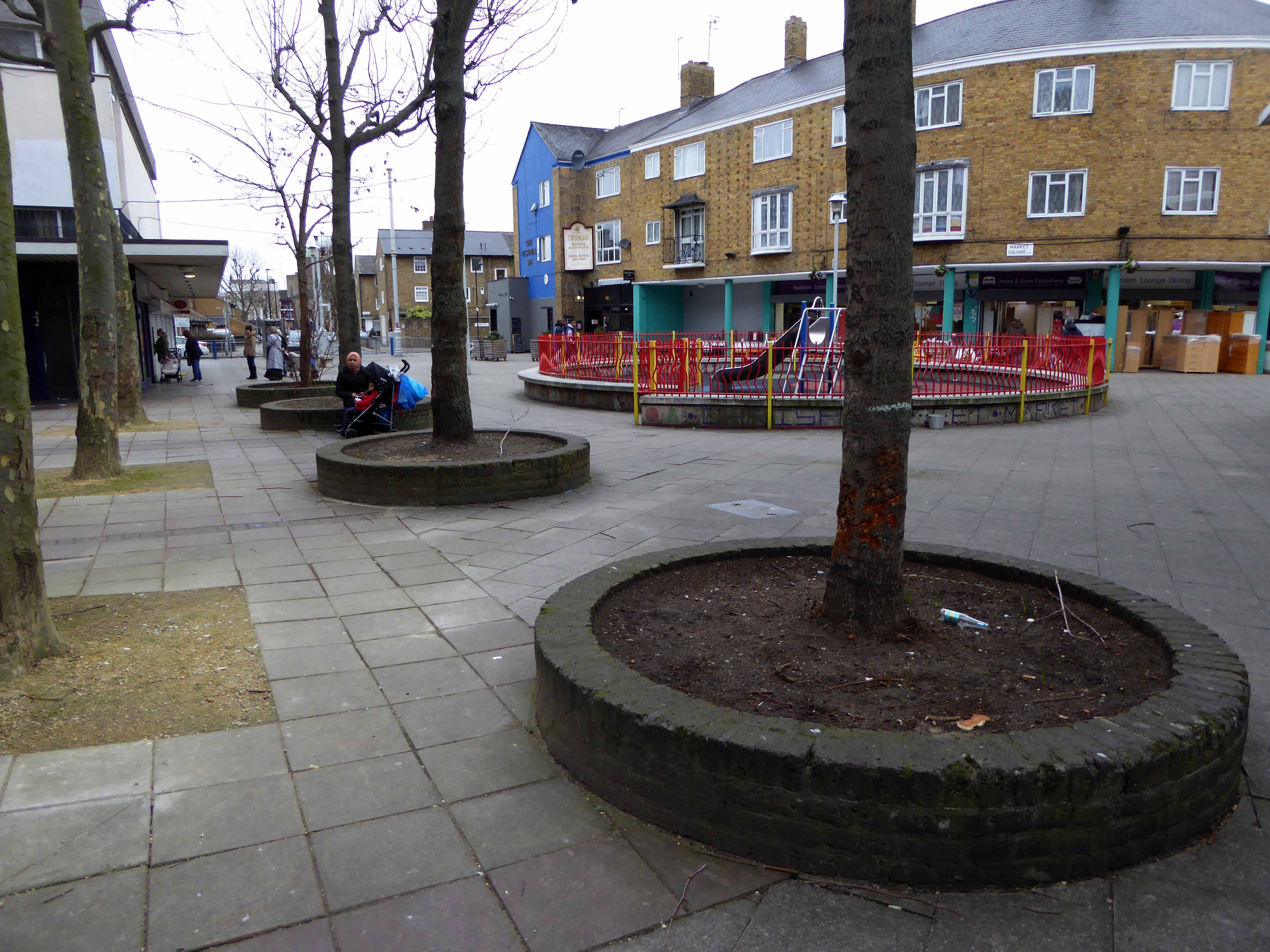
Go east – I visited the V&A Micro Museum, which has become a focus for residents’ and visitors’  memories and projections of a certain uncertain past and future. Arriving by the Docklands Light Railway, I was immediately drawn towards my destination, by the prominent Lansbury Tower, its clock patiently ticking away the time to and from 1951. Welcomed by staff and fellow travellers at the Chrisp Street Market site we began our tour at the heart of the Festival area – further details of which can be found here at Municipal Dreams.

A mix of market, shops, Festival pub, warm cream London brick terraces and low rise, later tower blocks, schools, churches and open grassed communal areas. On a cold and getting colder late winter’s day, a smattering of residents went purposefully about their business.

Life goes on.

Next time everything’s going to be different.

P1130822 copy

P1130821 copy

P1130820 copy

P1130819 copy

P1130818 copy

P1130817 copy

P1130815 copy


P1130812 copy

P1130811 copy

P1130810 copy

P1130809 copy

P1130807 copy

P1130806 copy

P1130805 copy

P1130803 copy

P1130800 copy

P1130796 copy

P1130794 copy

P1130793 copy

P1130788 copy

P1130786 copy

P1130785 copy

P1130784 copy

P1130783 copy

P1130781 copy

P1130769 copy

P1130767 copy

P1130754 copy

P1130753 copy

P1130751 copy


Coventry – Precinct

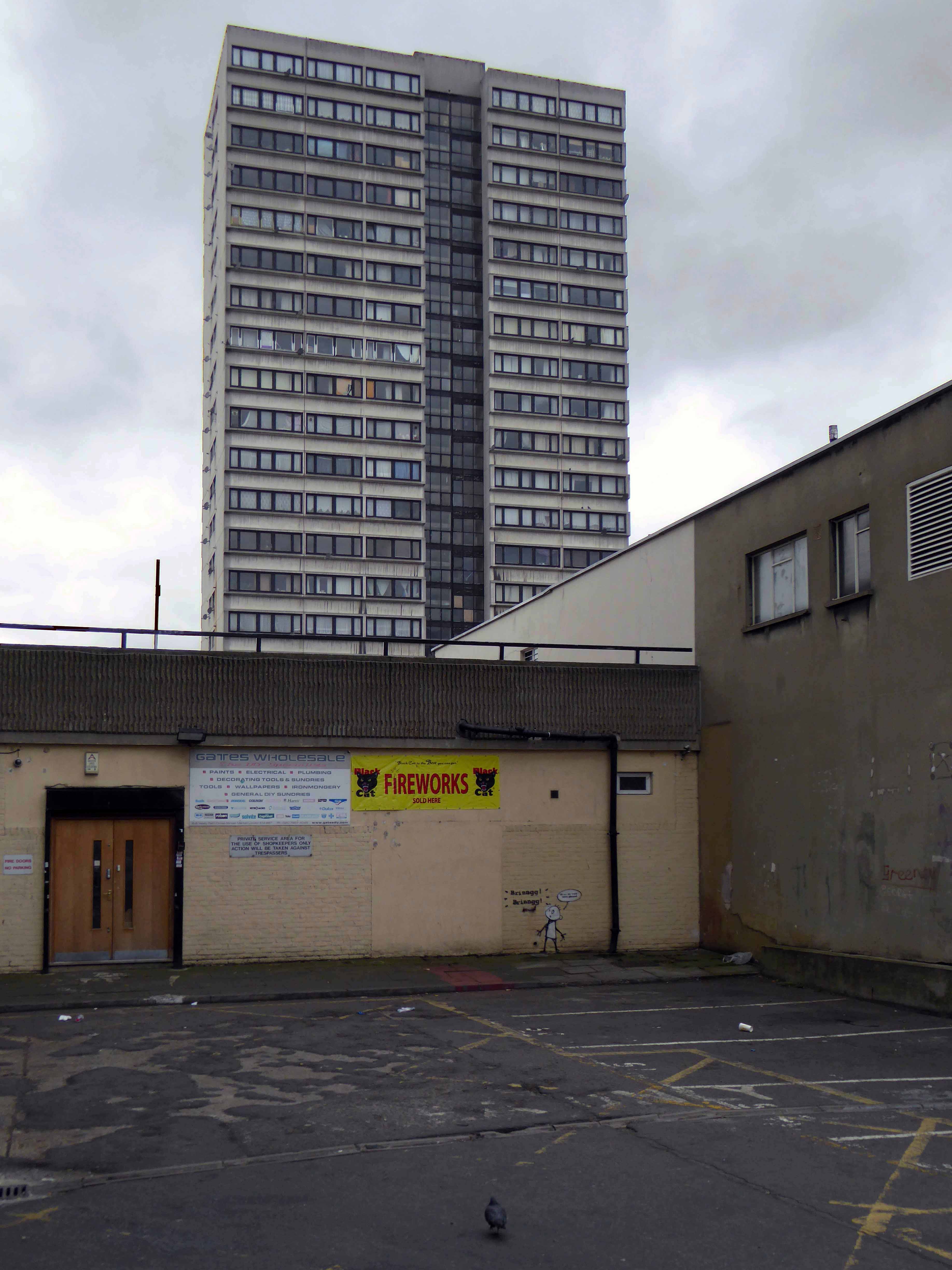
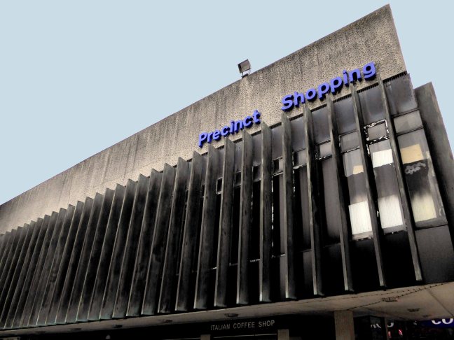
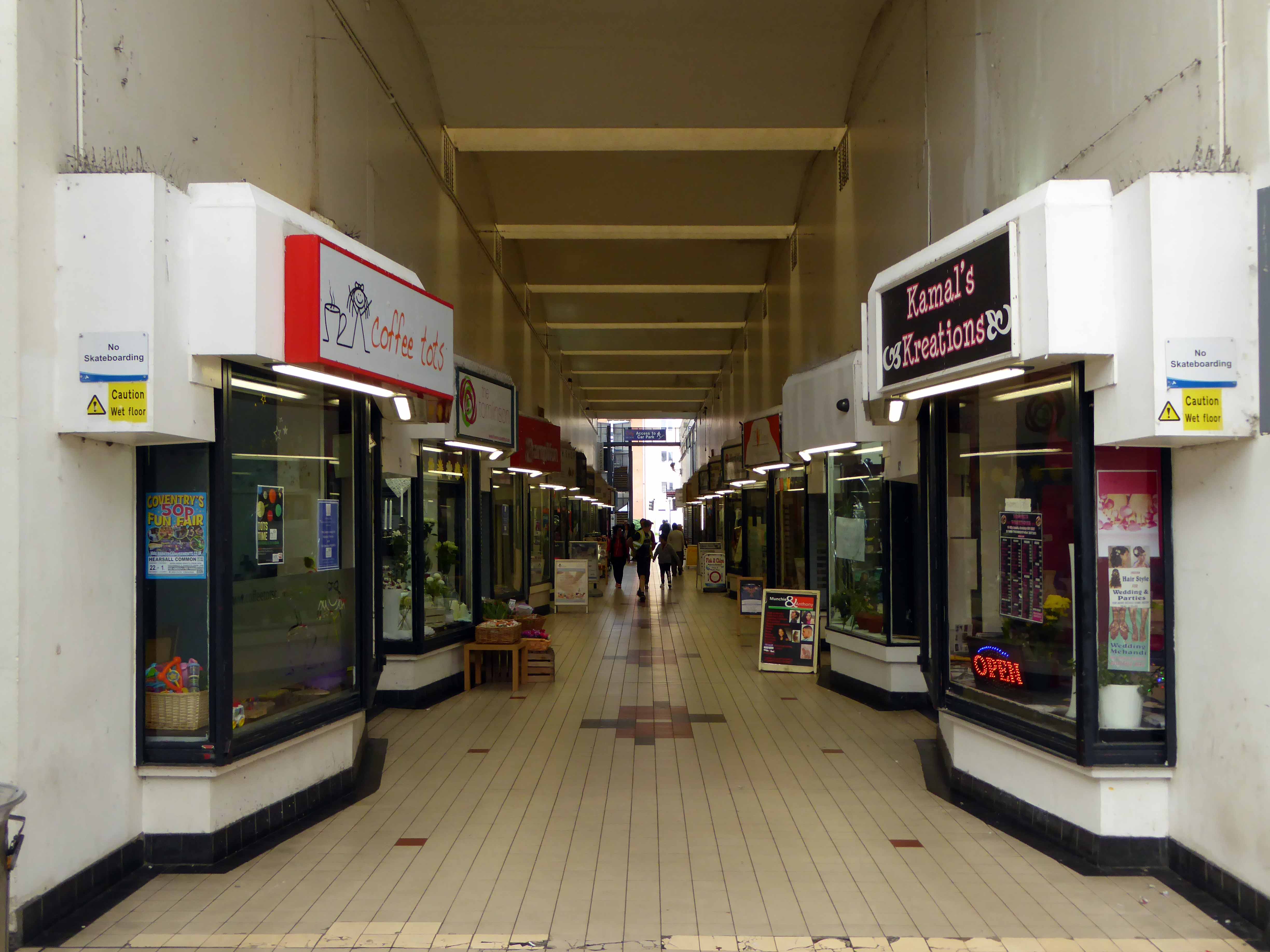
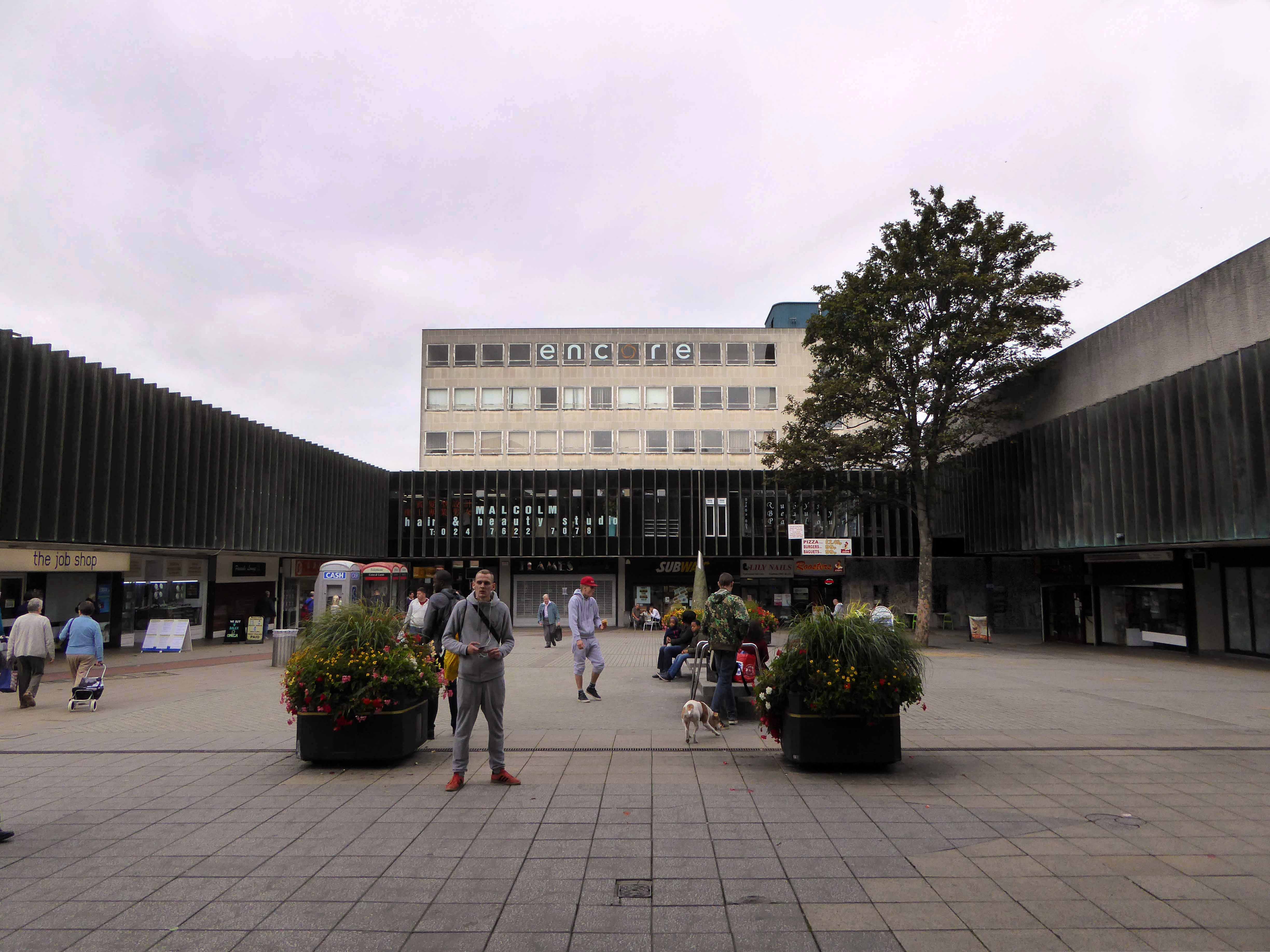
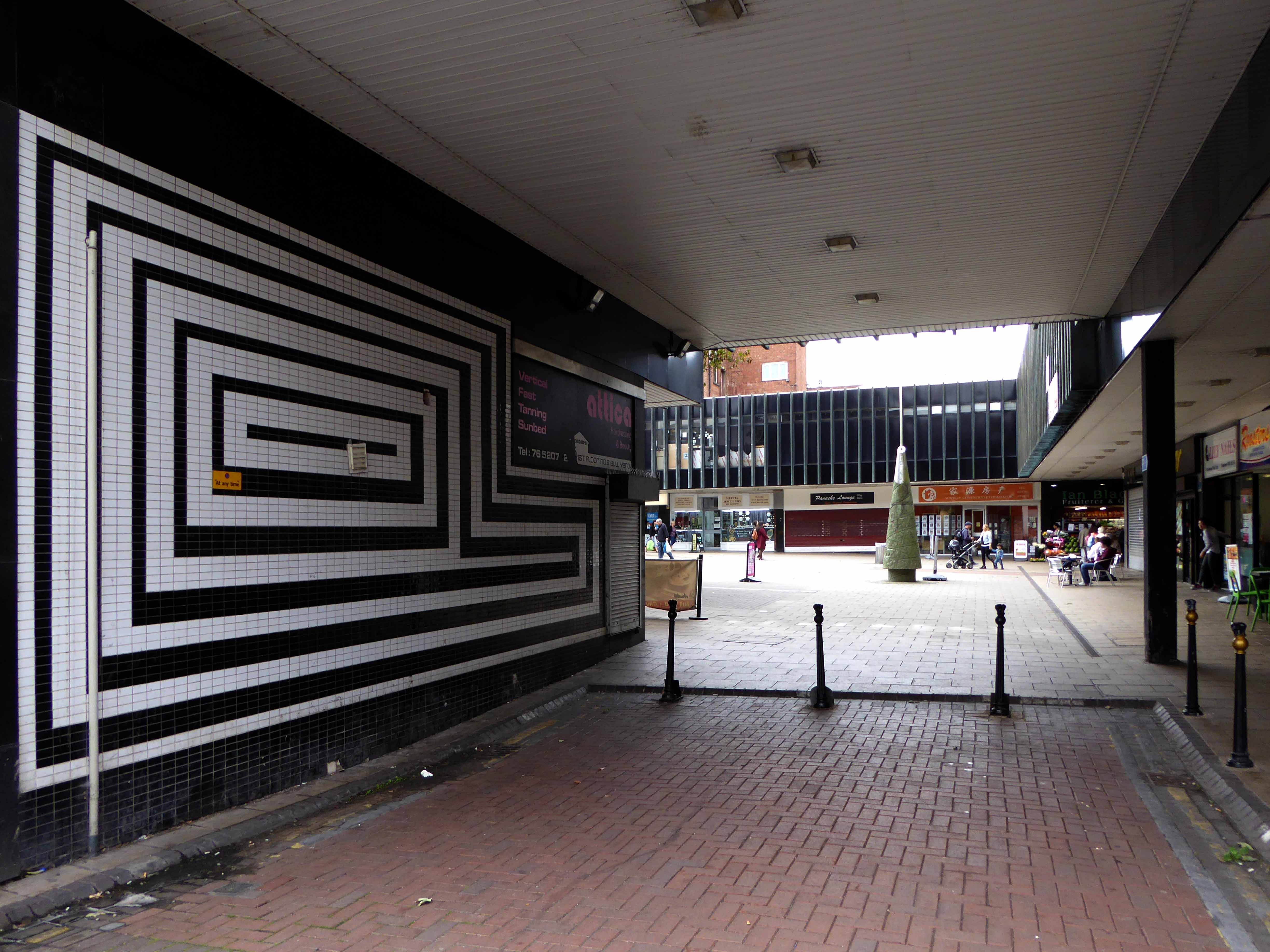
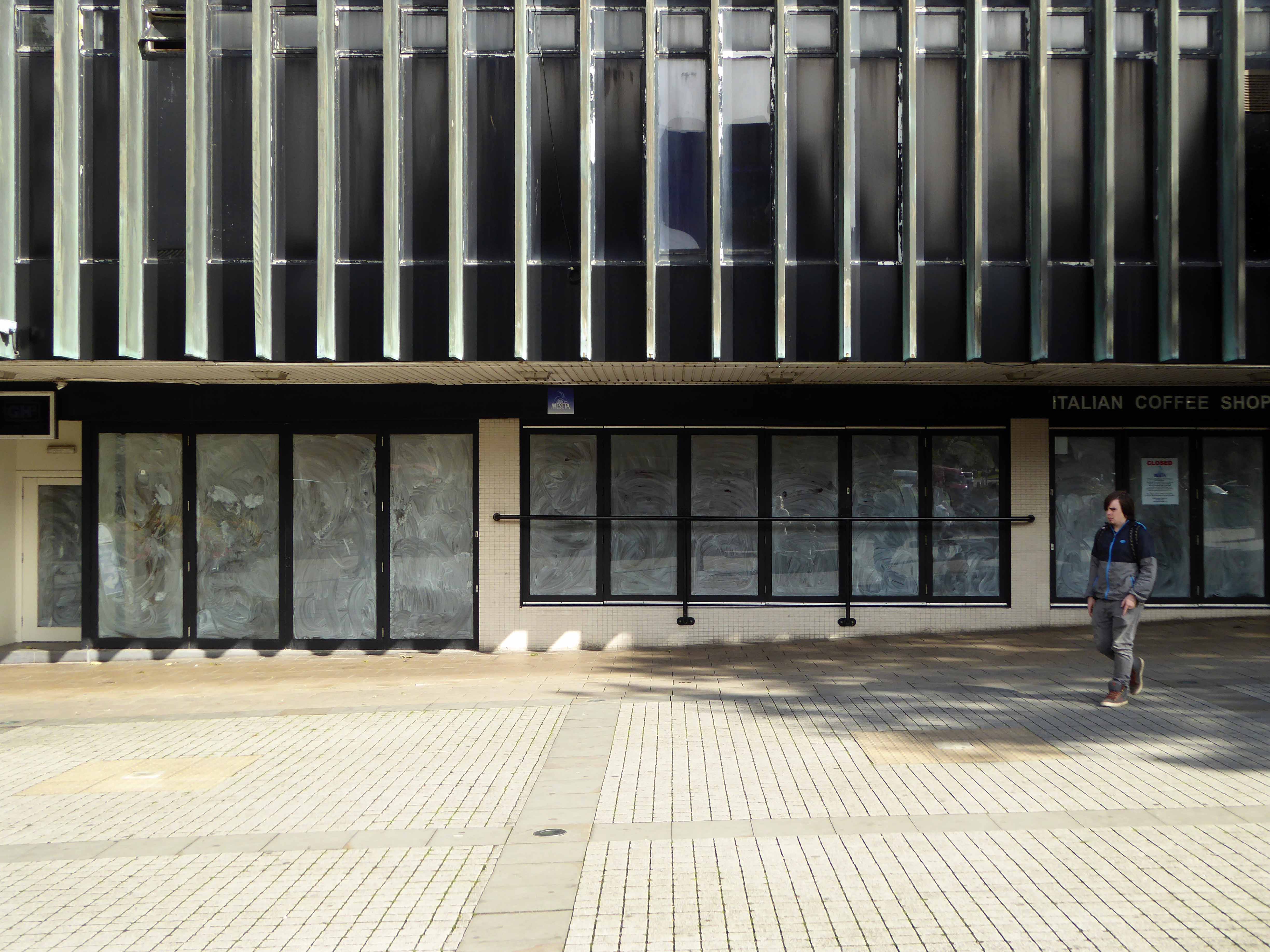
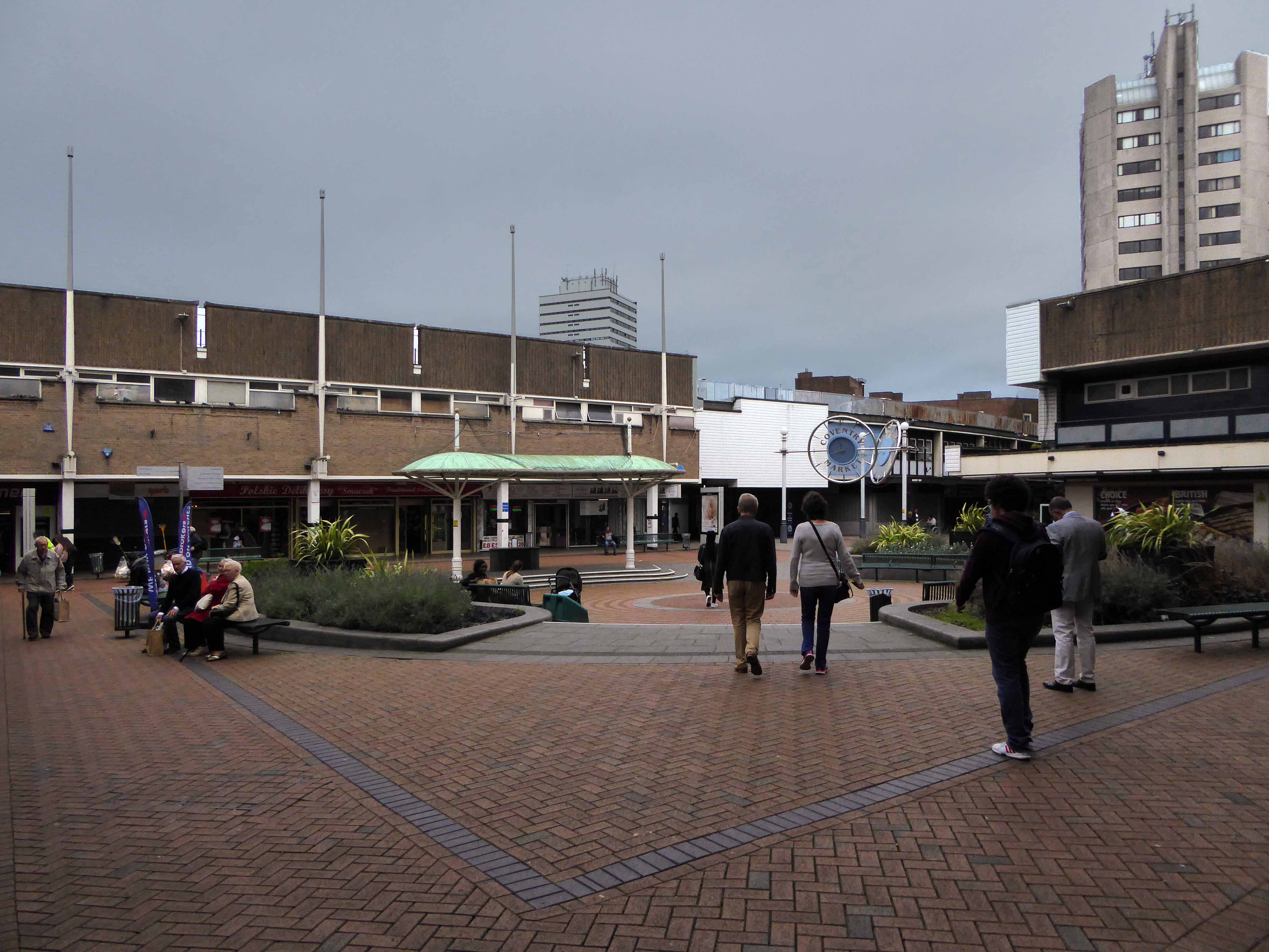
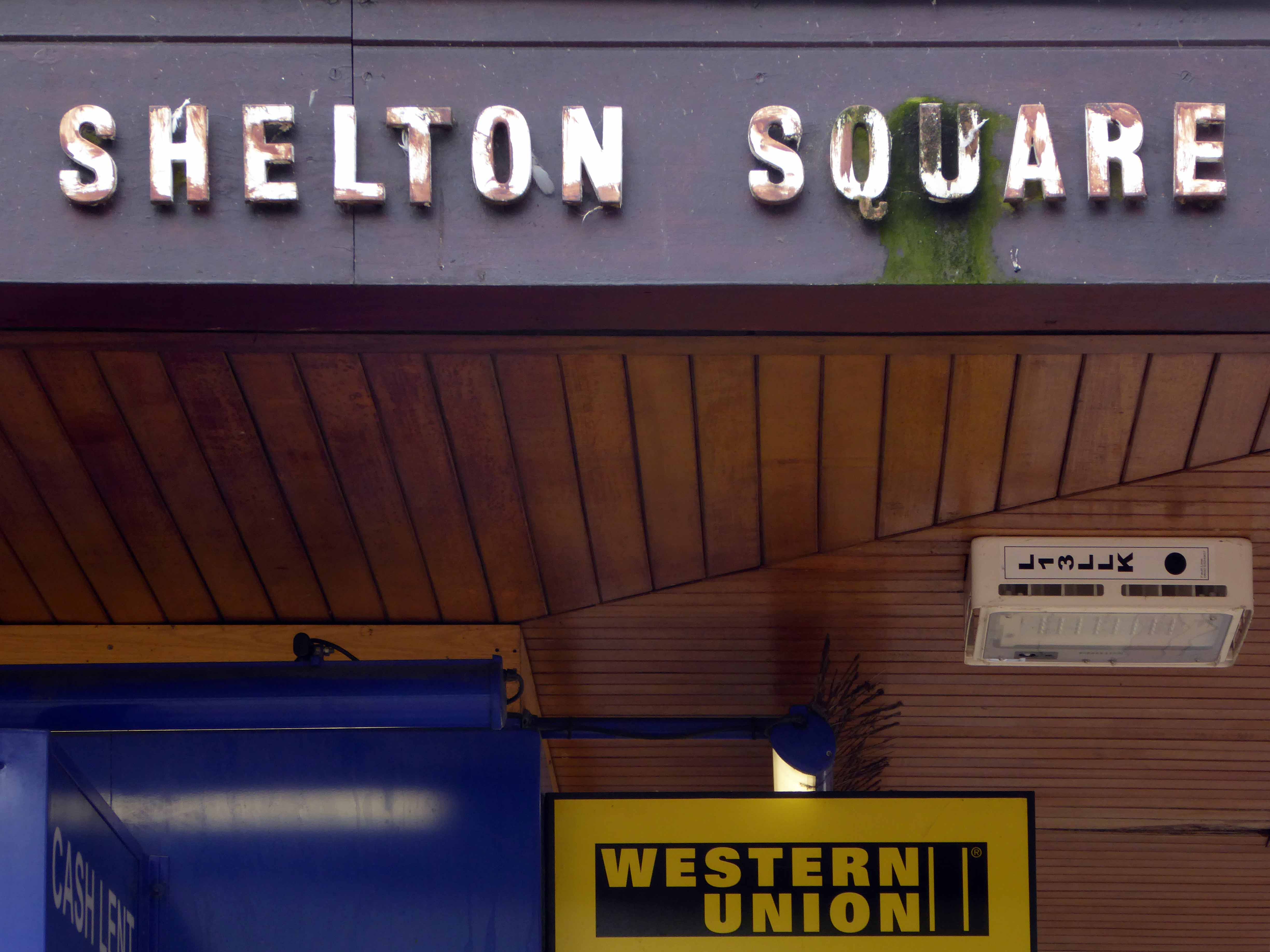
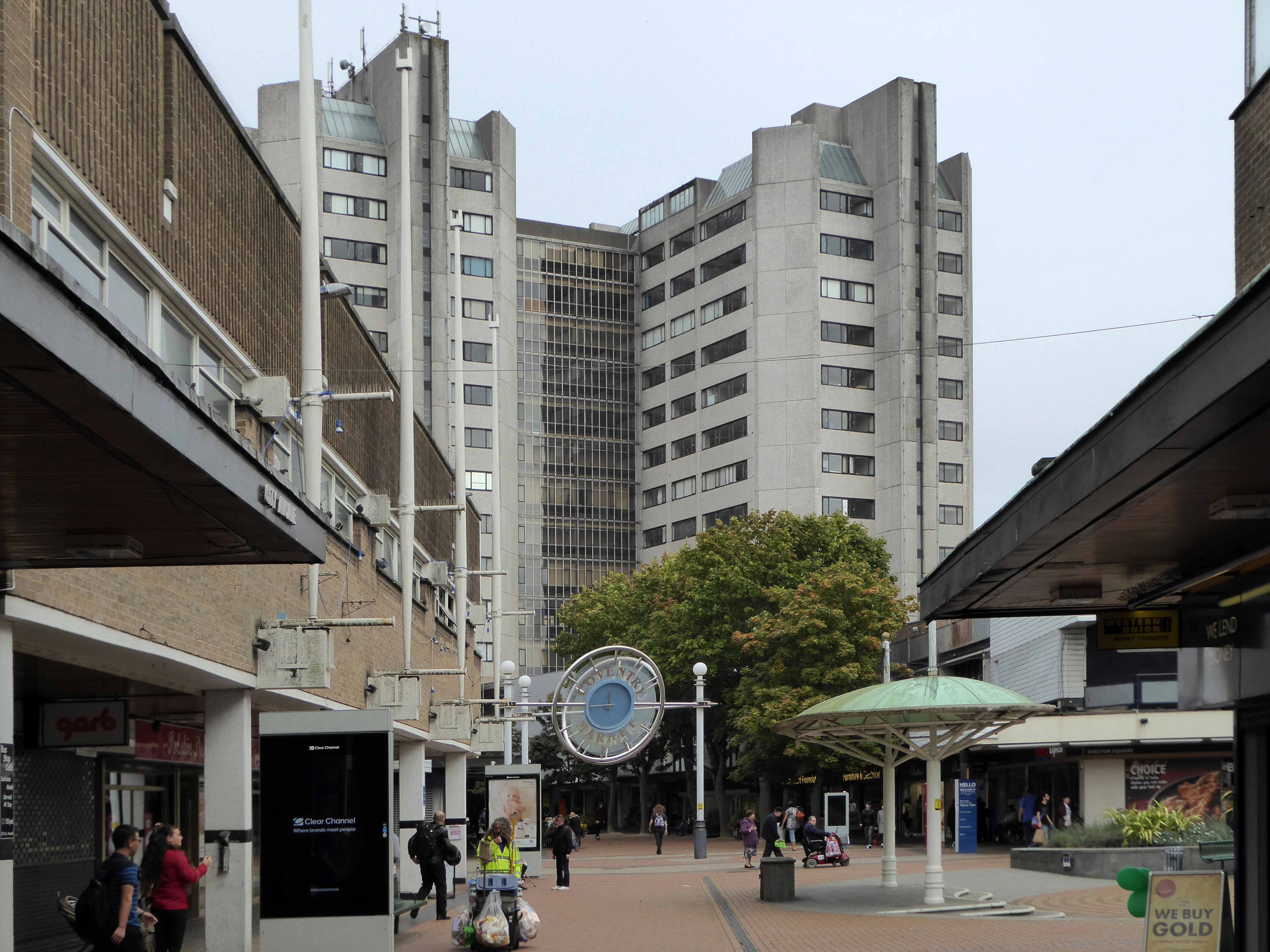
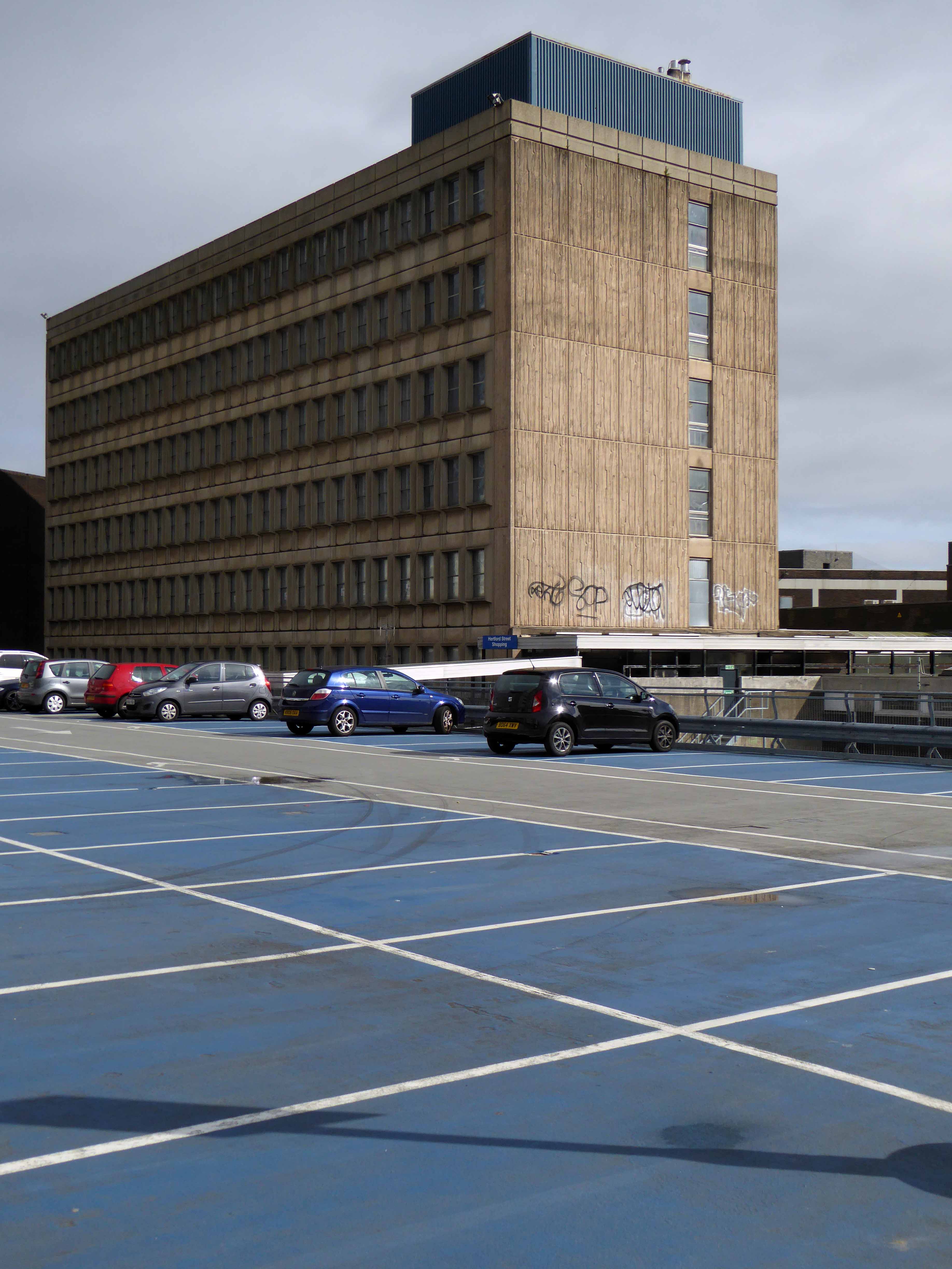
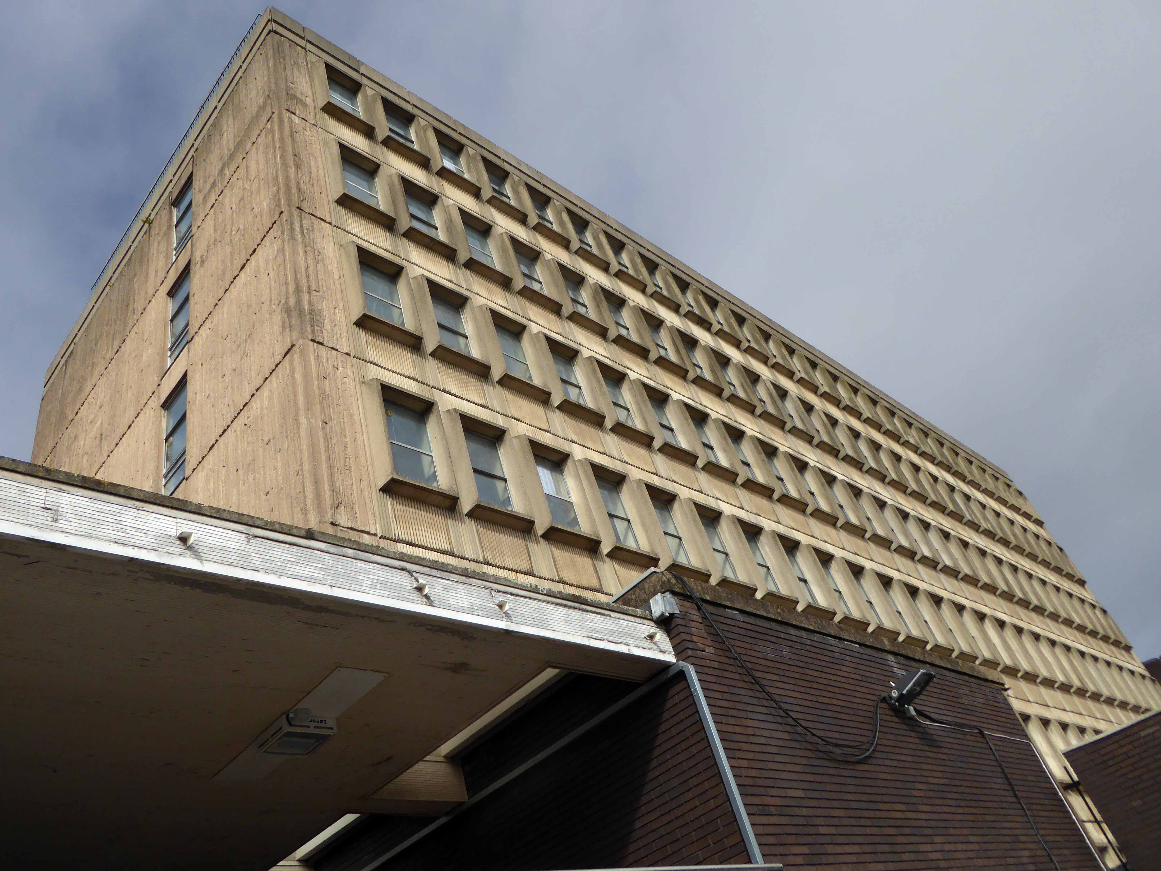
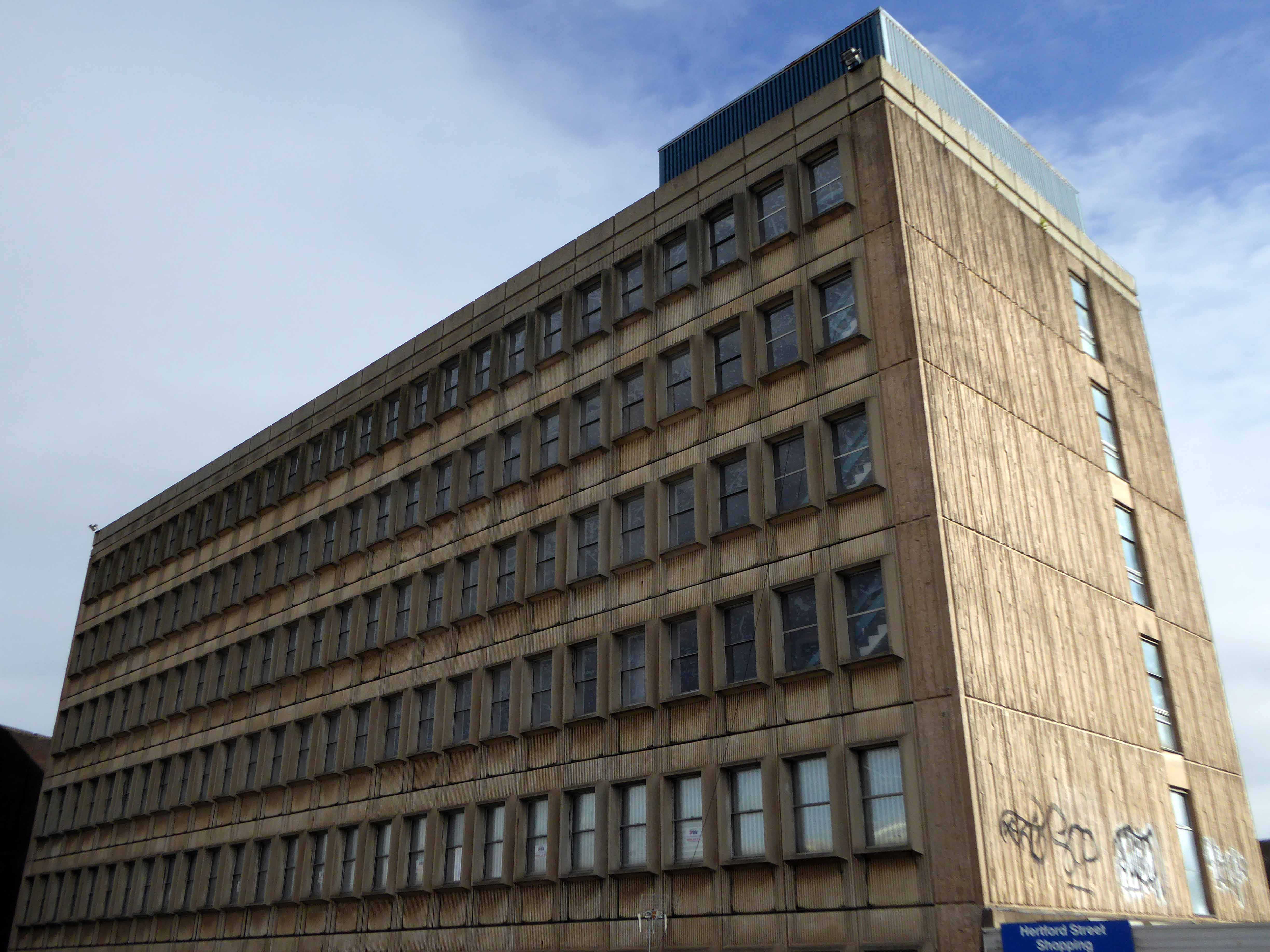
Coventry city centre is a city centre, comprised of several interlocking post- war facets, realised over a thirty year period. This later addition The Bull Yard, the work of Arthur Ling and Terence Gregory, city architects and planning officers 1963-69.

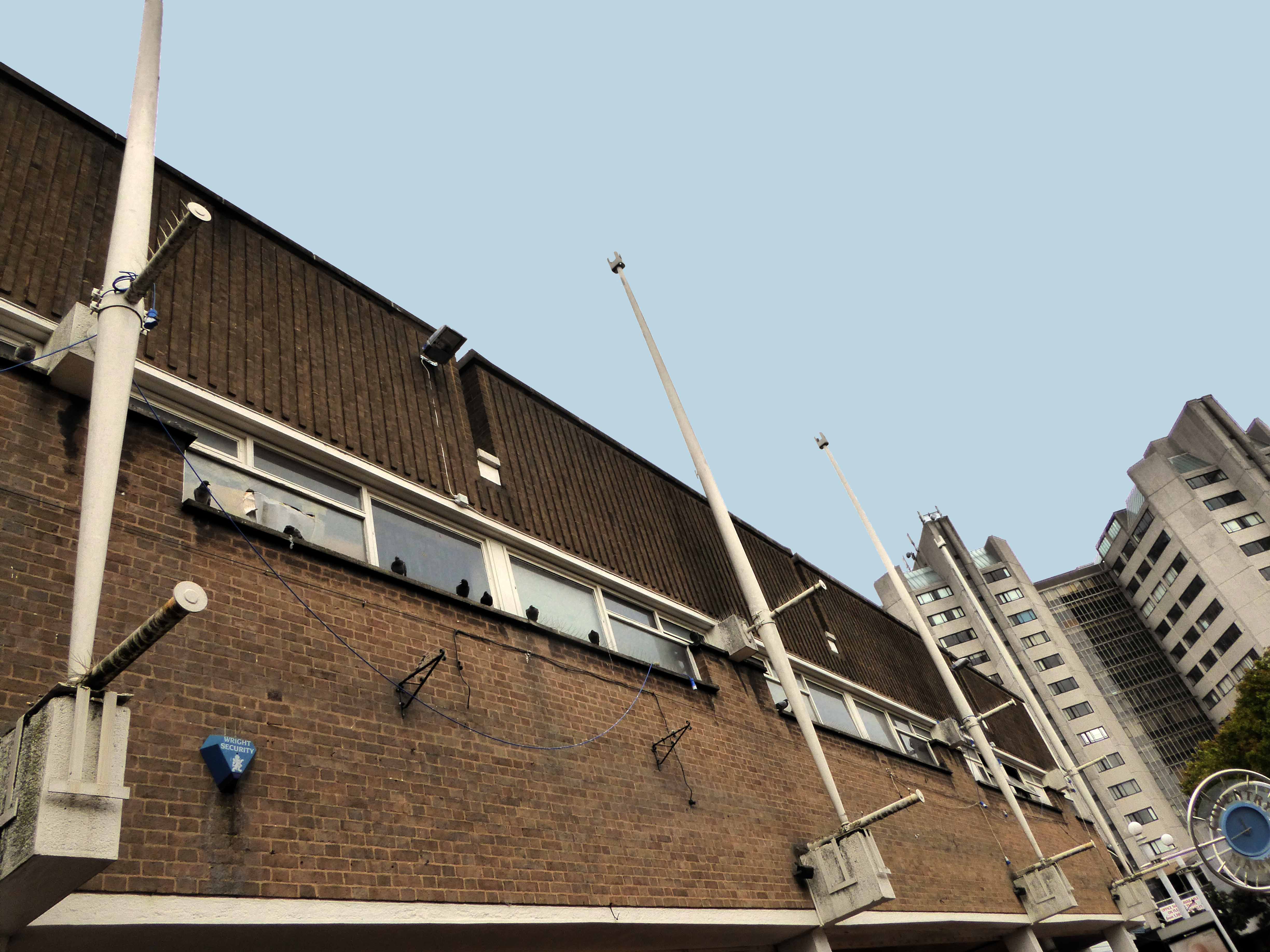
It incorporates pedestrian walkways, retail, civic and car parking facilities with a crowded unease and grace. Much of the original detail survives, though not unusually, some more recent additions detract from the integrity of the scheme.

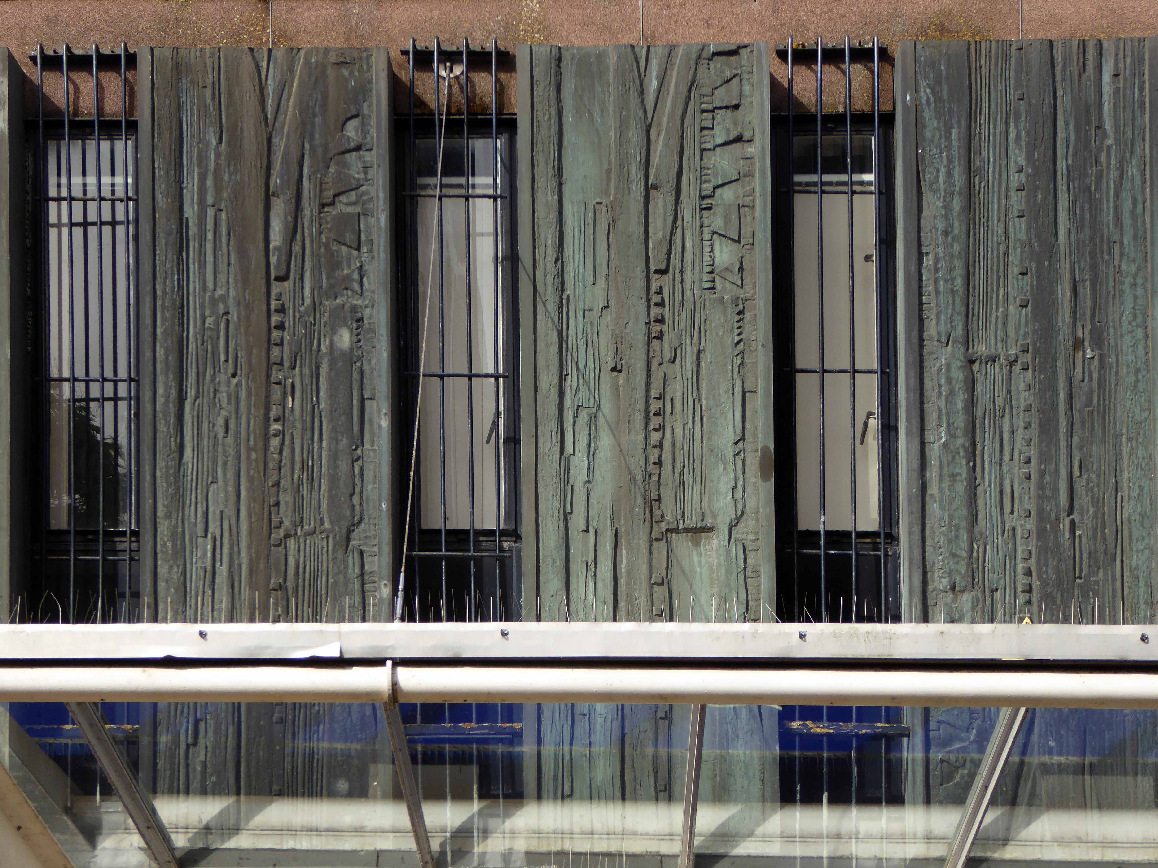
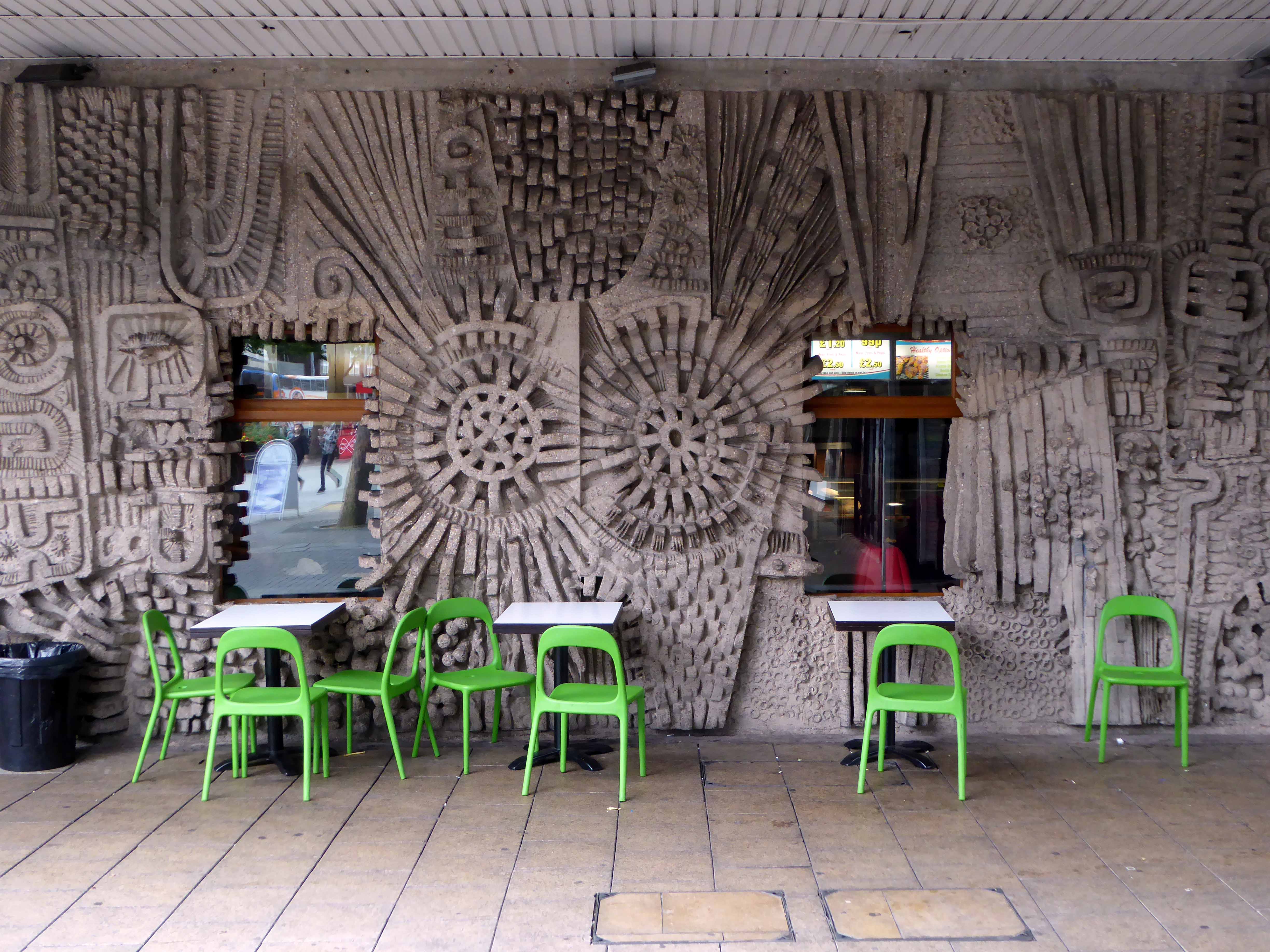
The site is graced by two major works by William Mitchell – the concrete facade and interior of the former Three Tuns public house.

fudge9

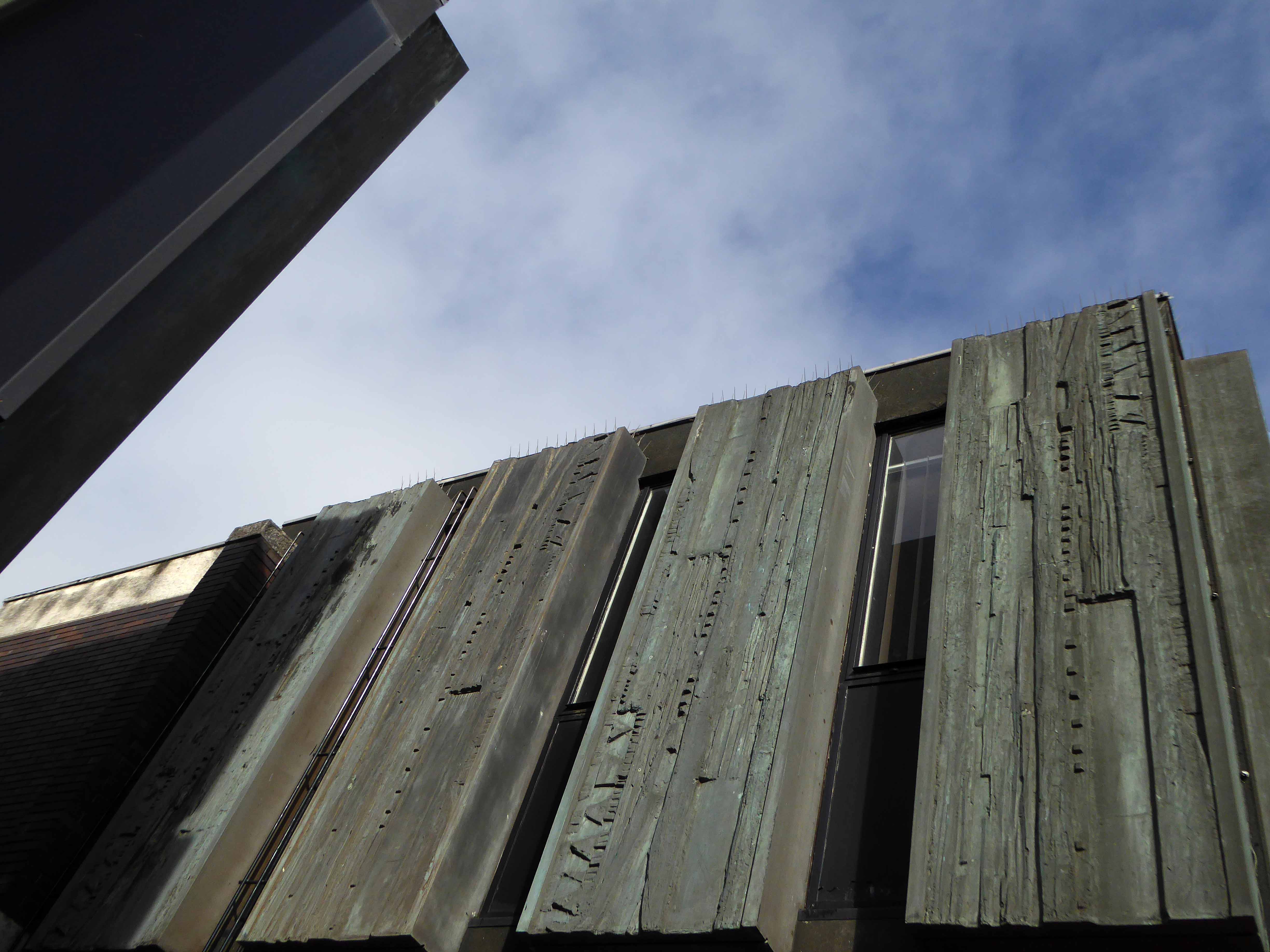
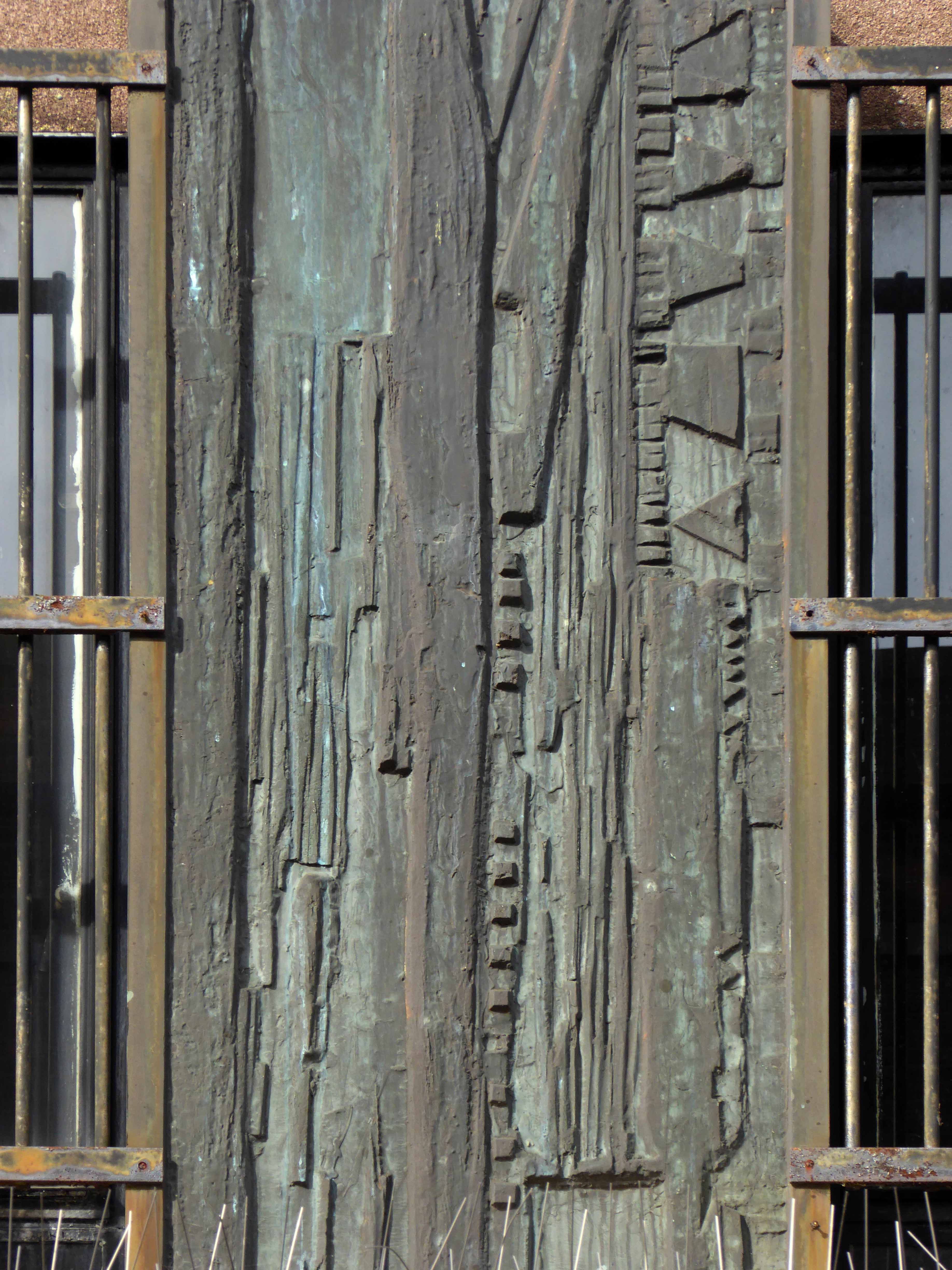
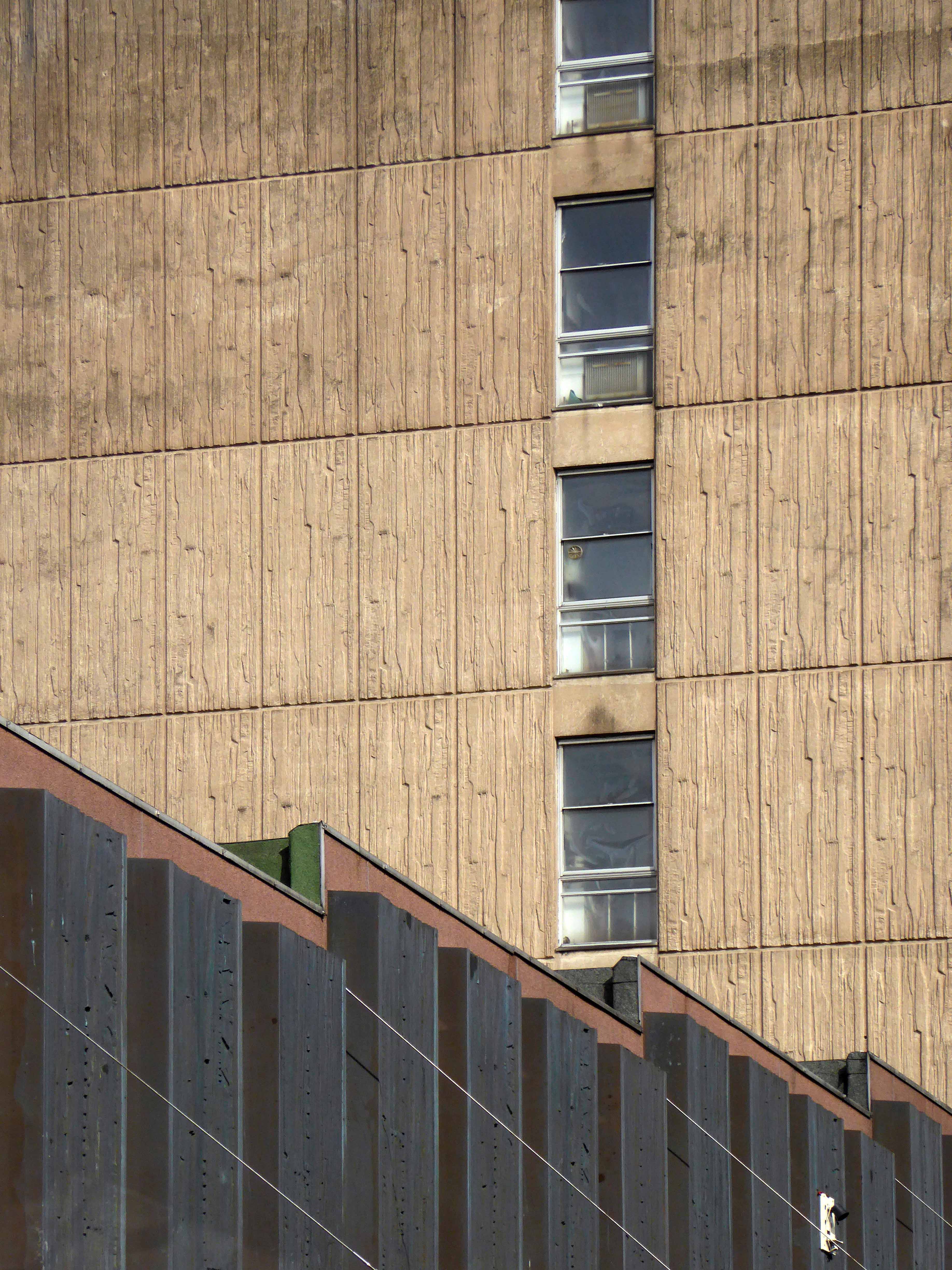
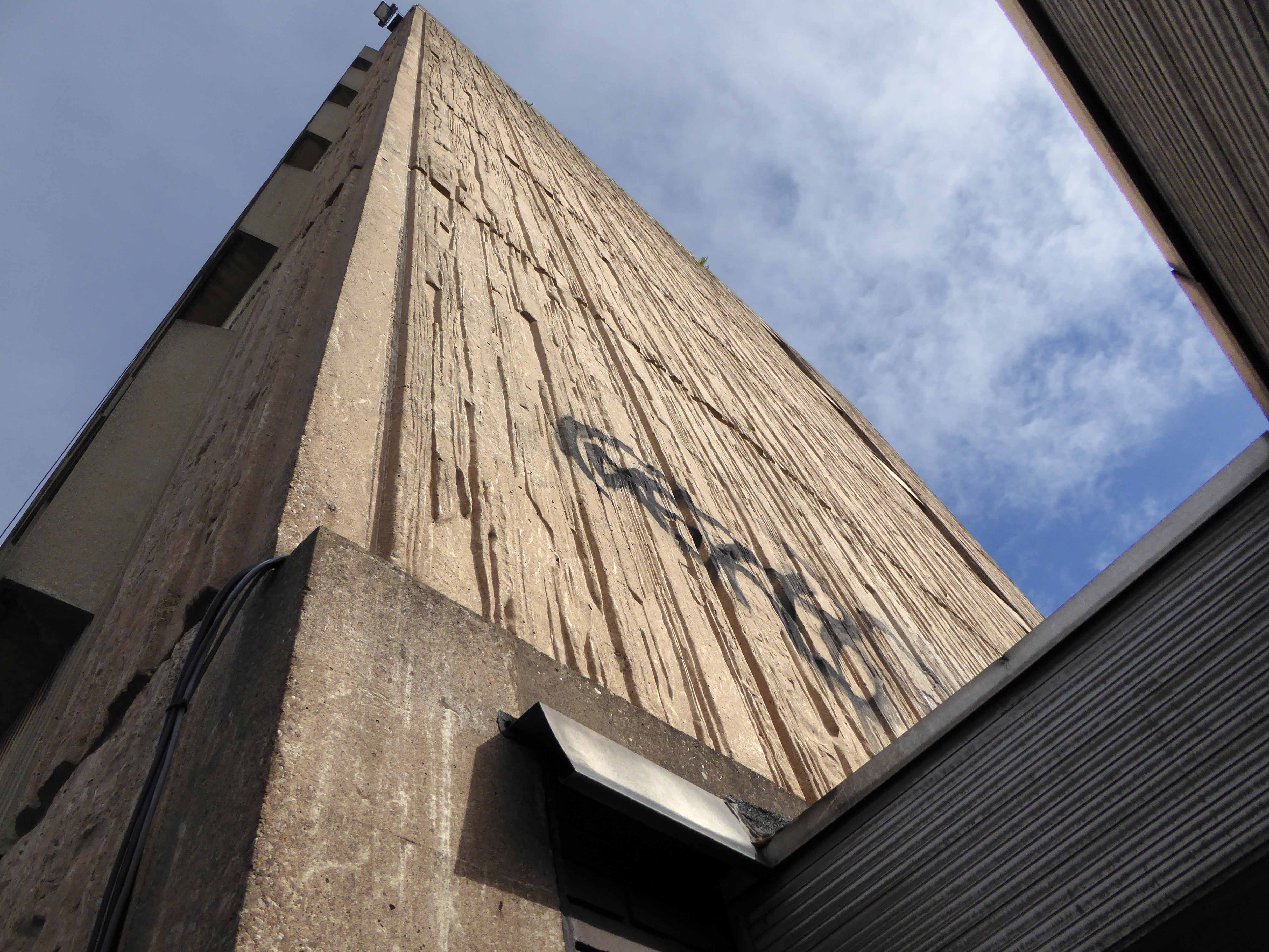
And the sculpted panels on Hertford Street.

p1090773

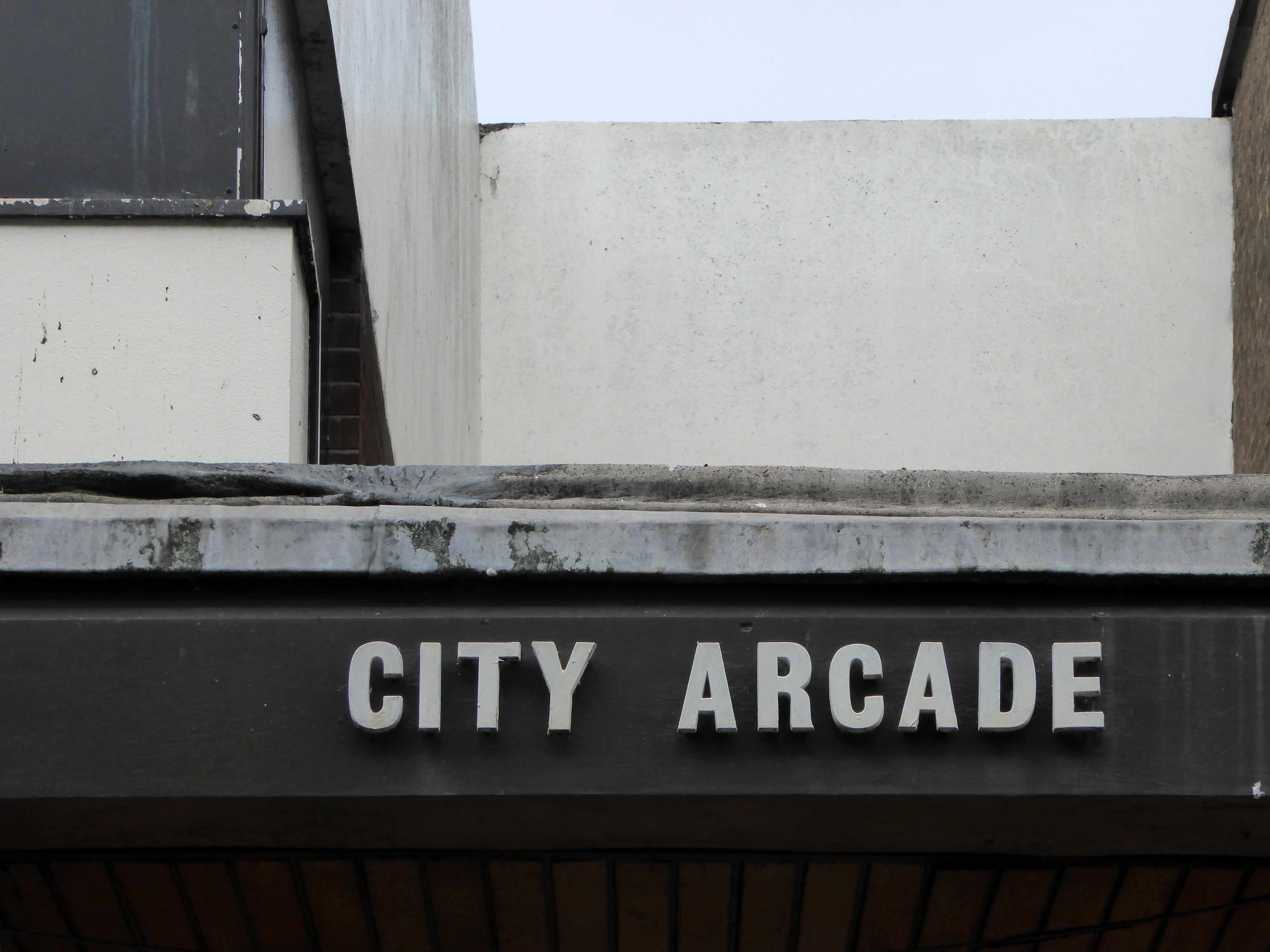
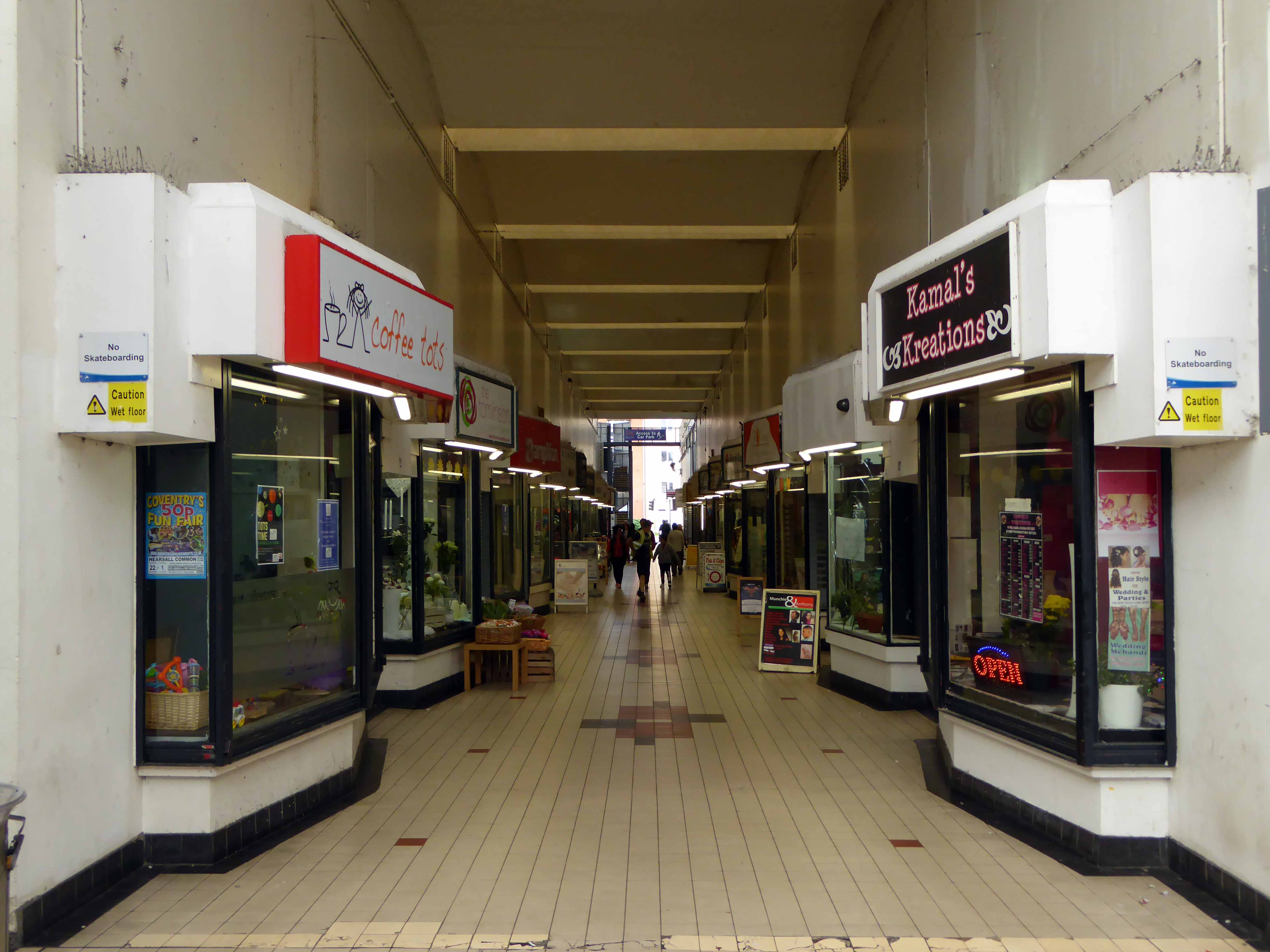
So we are left with a series of spaces that now seem slightly adrift, particularly the City Arcade, as both the earlier and more recent developments in the city compete for clients and customers.

p1090707

To explore is to discover a work continually in progress, or regression, as the forces of heritage, commercial development, and civic planning pull each other this way and that.

There is an initiative for redevelopment for the area yet to find a satisfactory resolution.
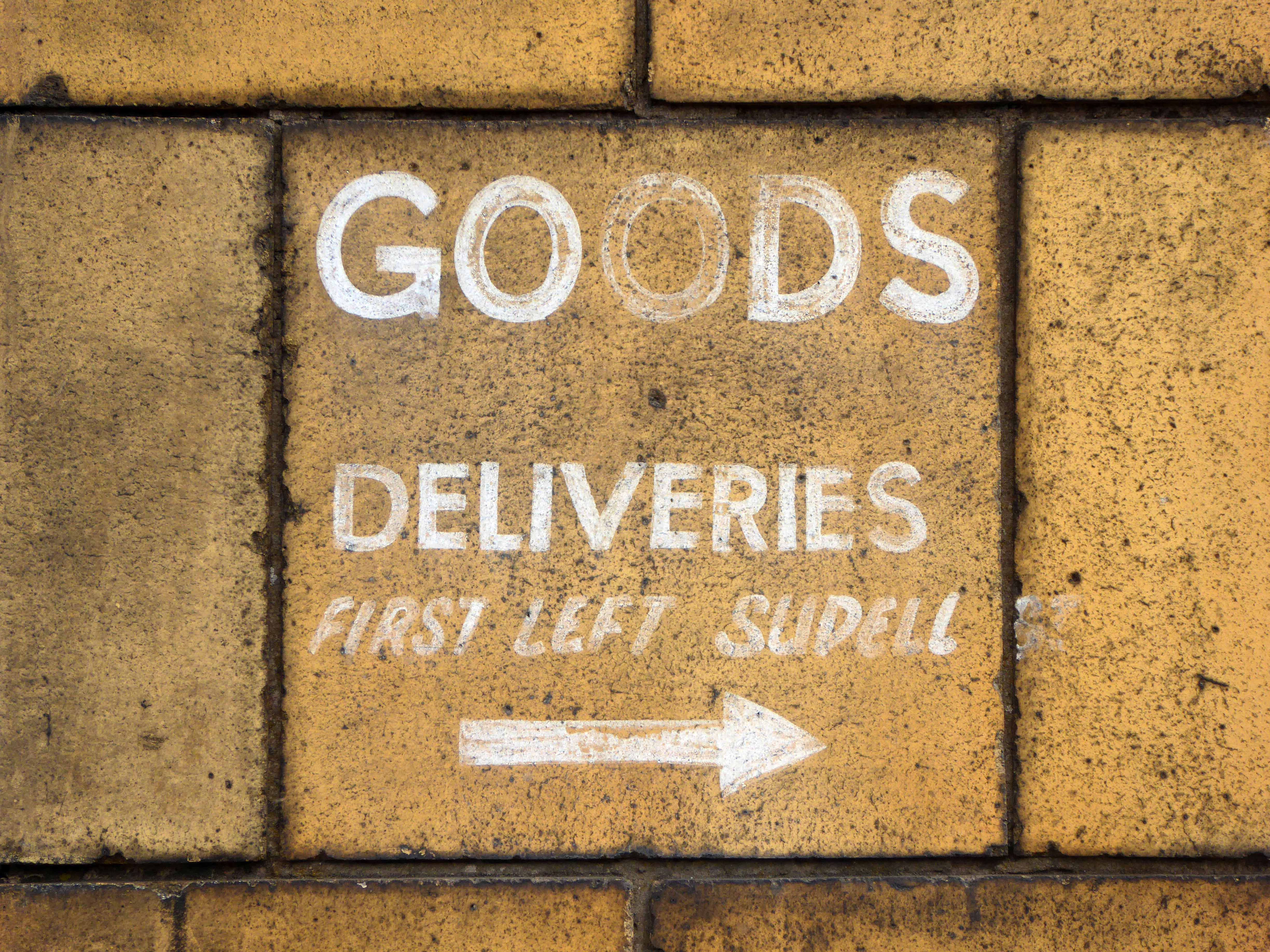
Take a look.

p1090676
p1090681
p1090687

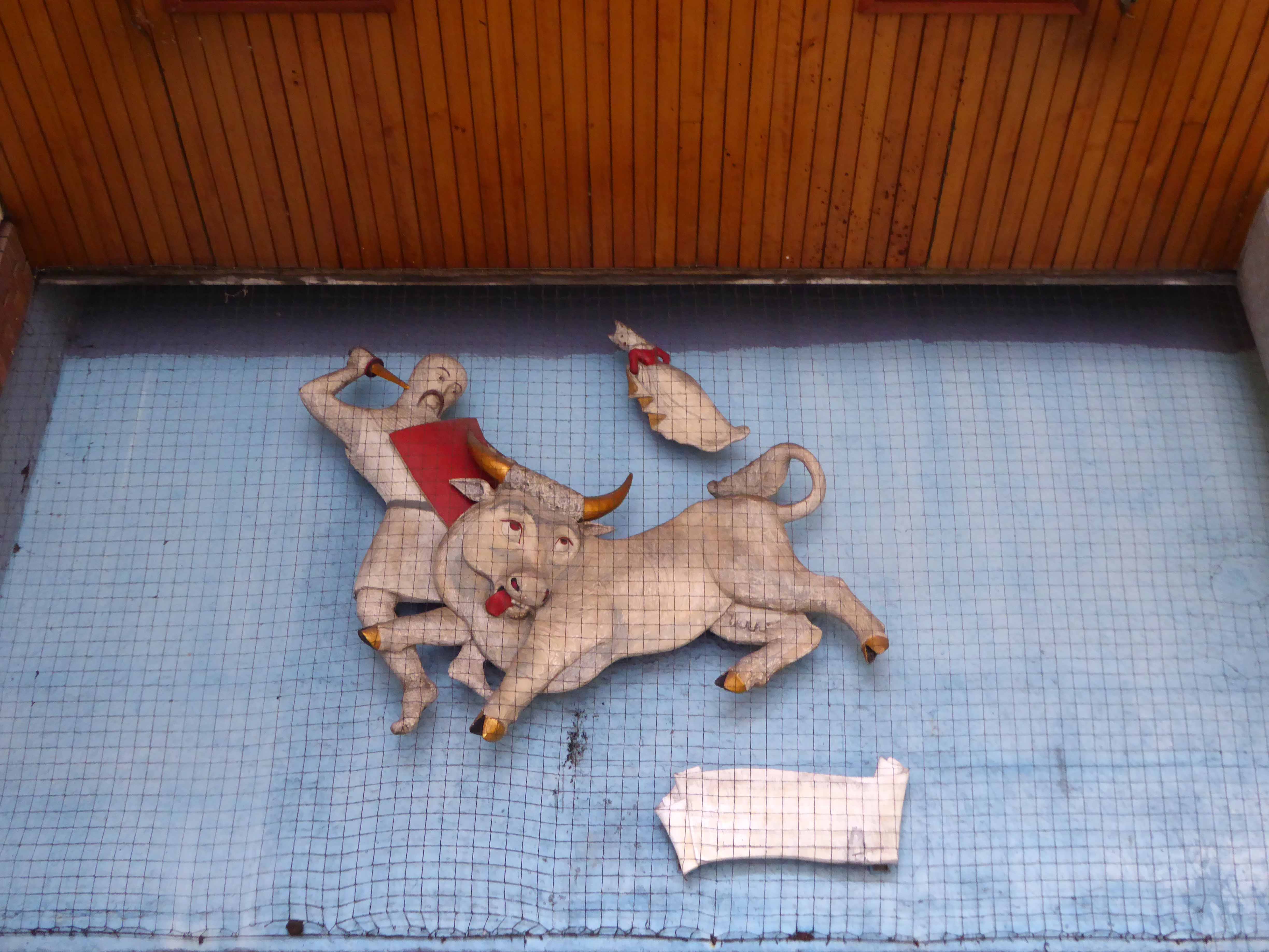
Up on high we find Sir Guy and the Dun Cow by Alma Ramsey 1952.

p1090699
p1090770
p1090700
p1090703
p1090705
p1090701

Coventry Point architects: John Madin Design Group 1969/75

p1090706
p1090707

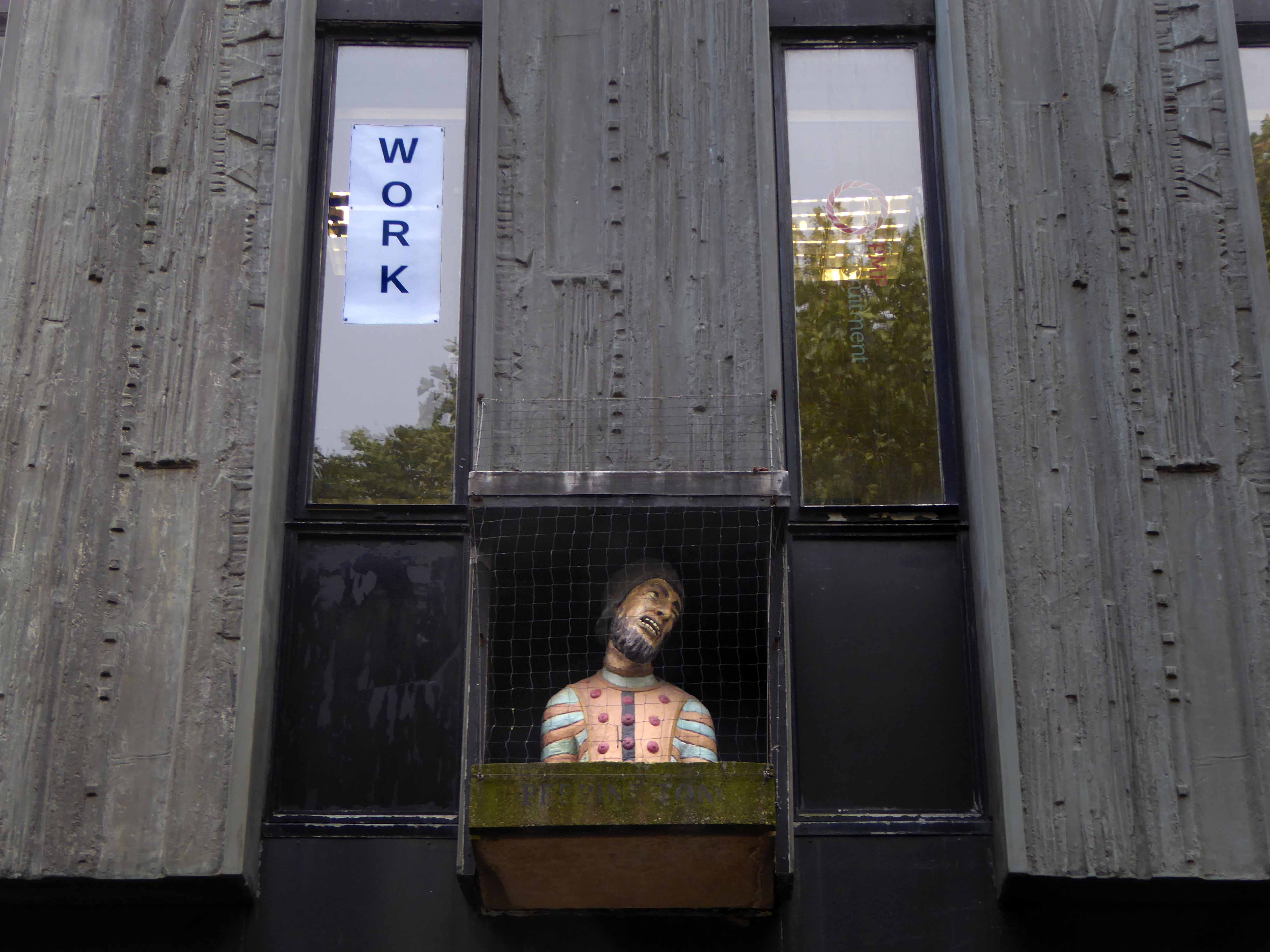
The Peeping Tom head and shoulders sculpture is currently located in Hertford Street, mounted high up over the entrance to the covered walkway. It was originally a public house sign. It is not known who made it. It was displayed sitting in the top corner window of the Peeping Tom Public house which was on the corner of Hertford Street and Bull Yard, not far from where it is now. It was moved when the road was being redeveloped in the late 1960’s and early 70’s.

Coventry Society

p1090793
p1090771
p1090776
p1090775
p1090789
p1090779
p1090790
p1090791

Back to Beswicks

You’re never more than a thousand yards from a main road, six feet from a rat, or a quarter of a mile from Beswick, one of many Beswicks.

DSC_0175

Beswick was once a bustling mixed industrial and residential area of east Manchester, alive with back to back terraced housing, pubs, clubs, shops and people.

Sixties slum clearance swept away most of its past when Fort Beswick was built.

webmedia-3.php

Remember the Alamo?

Forget Fort Beswick.

It’s gone – wind the Bobbin up.

The Bobbin copy

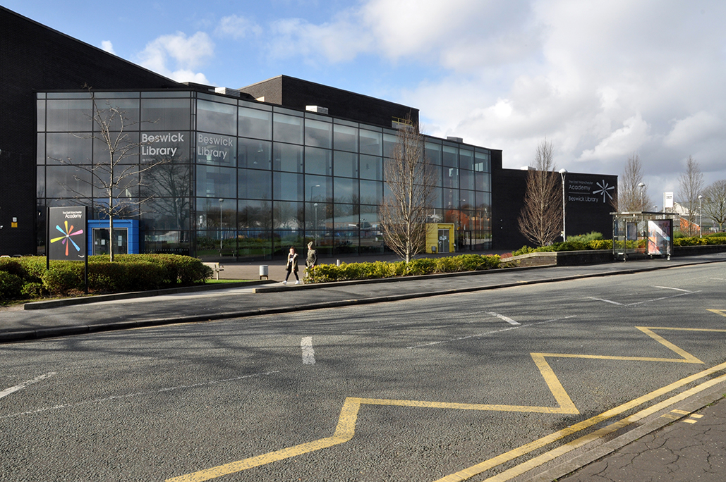
Turn it into a Library

Beswick Library

Wind the library up

DSC_0227

Build another

grey-mare-lane-police-station

Call the Police!

But the Police Station has closed now, and moved further on.

0_GMPDHQ_1920x1080

http://www.manchestereveningnews.co.uk/news/greater-manchester-news/greater-manchester-police-rake-17m-6273100

There are traces of the past that remain, homes and pubs that have survived the revival.

Where is Beswick now?

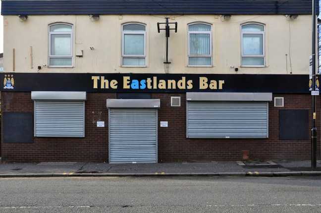
On the edges of the Eastland’s dream, on the outside of everything.

Sheik Mansour ensures the construction of a brand new shiny world.

The private provision of an almost public space.


Everyone knows this is nowhere.

But Beswick?

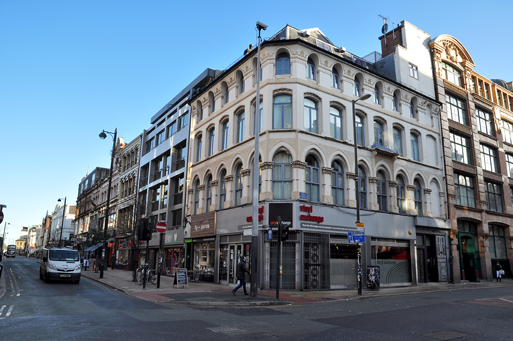
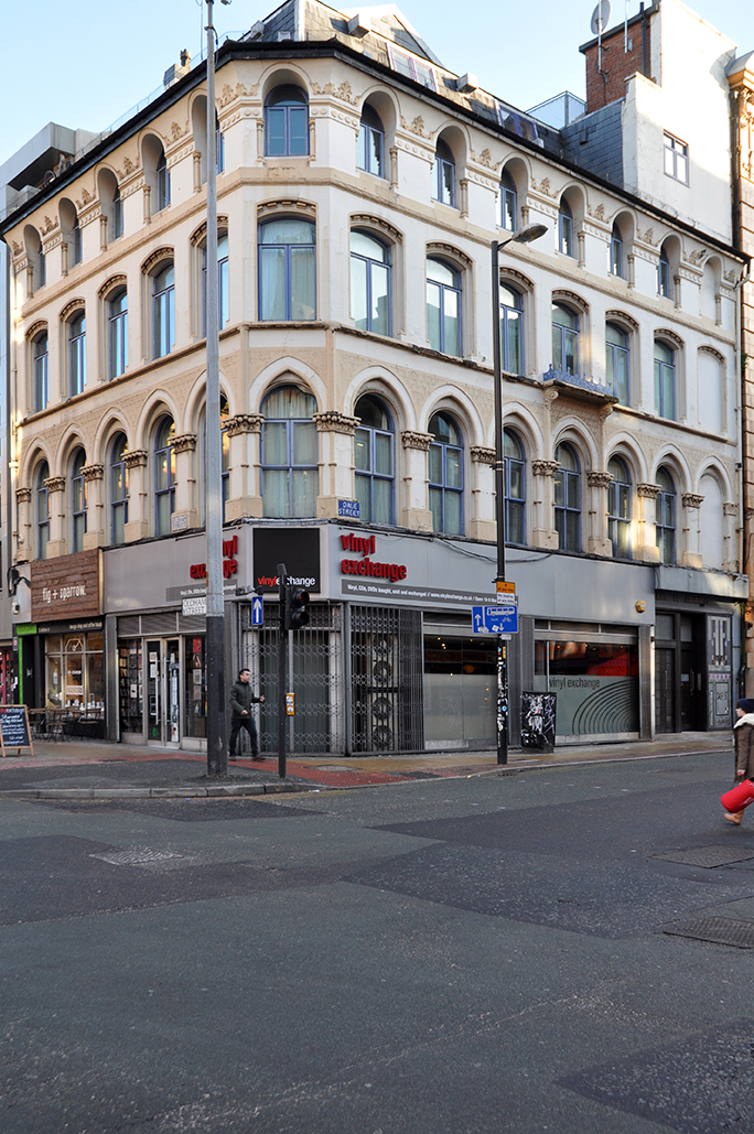
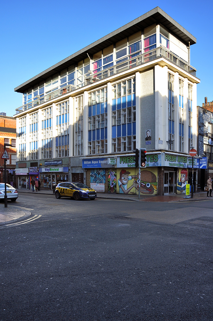
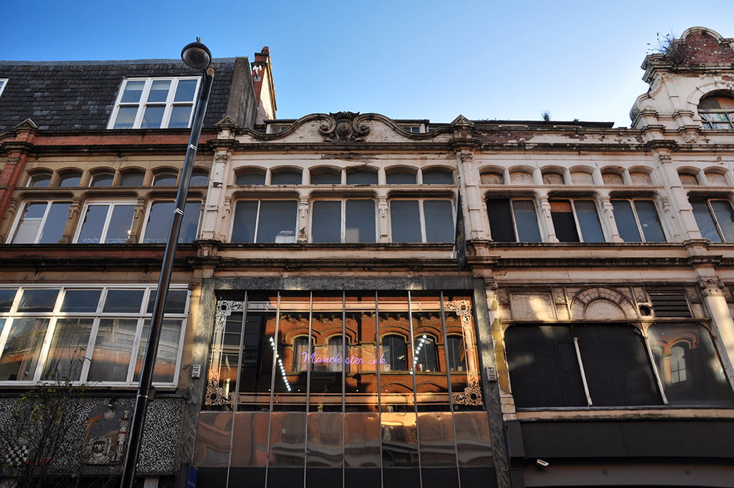
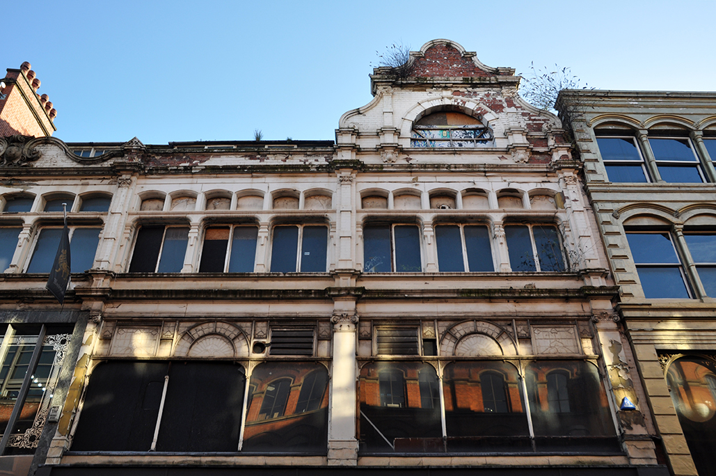
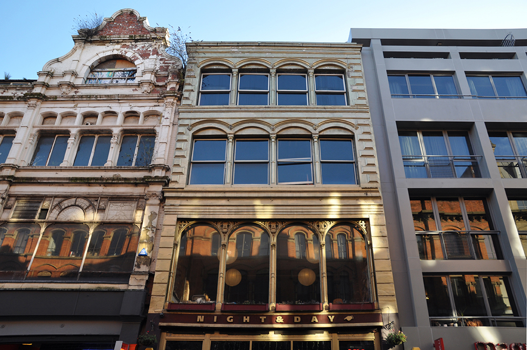
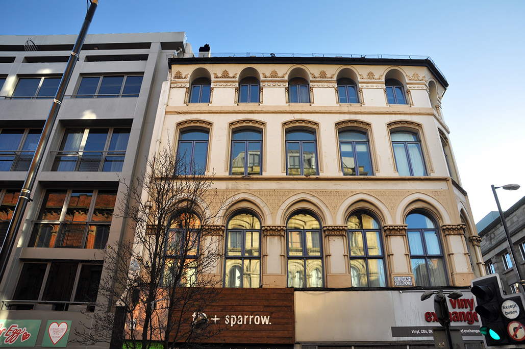
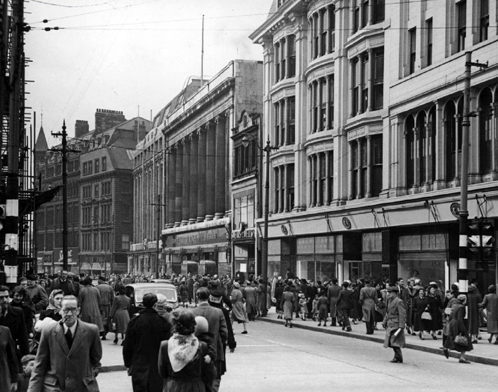
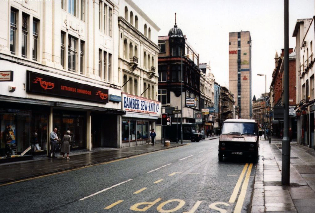
Oldham Street – Manchester 2016

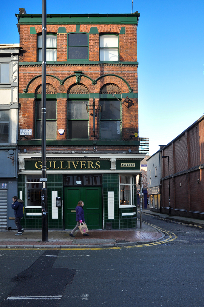
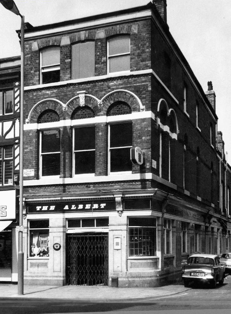
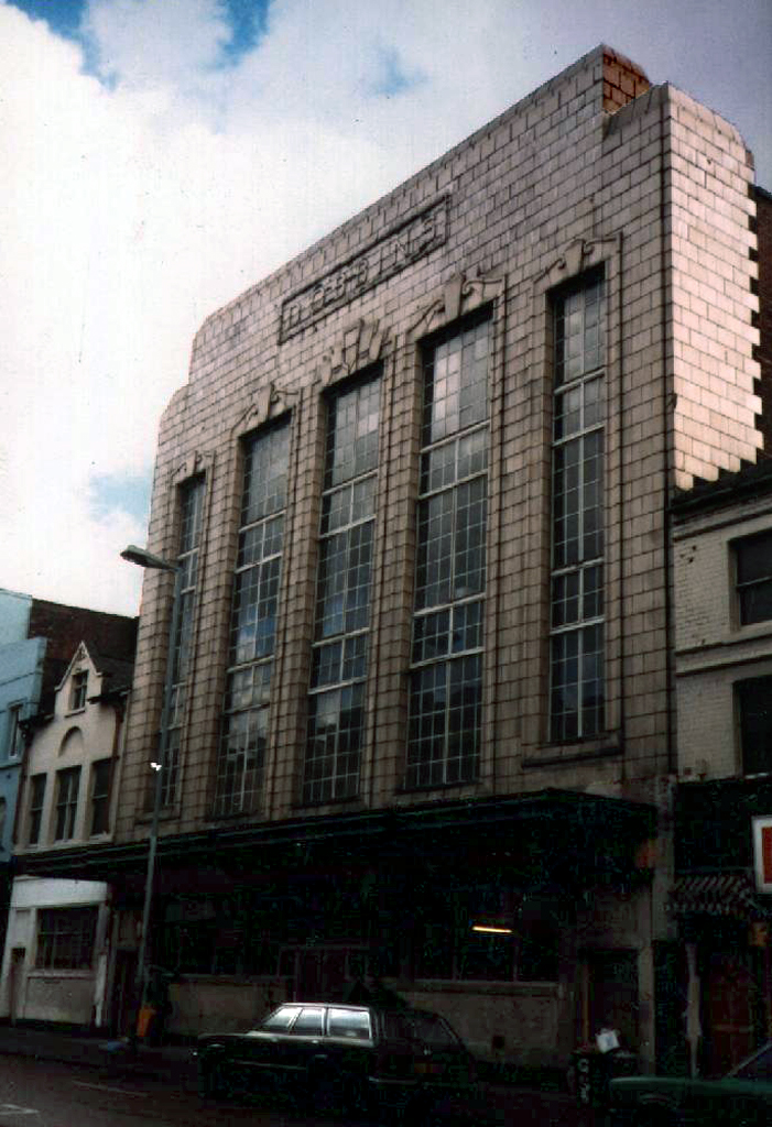
Following my previous post of archival images of Oldham Street, I took a walk along its length a week ago, to record what remained of the post war past.

Gone again the blackened façades, exuberant and differentiated signage.

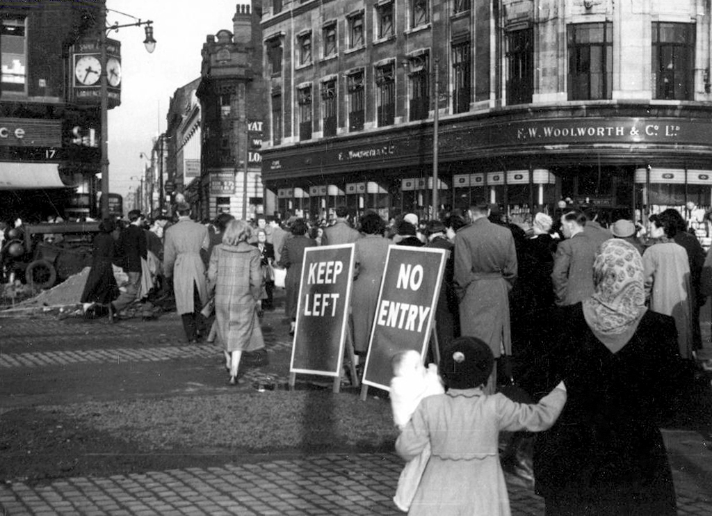
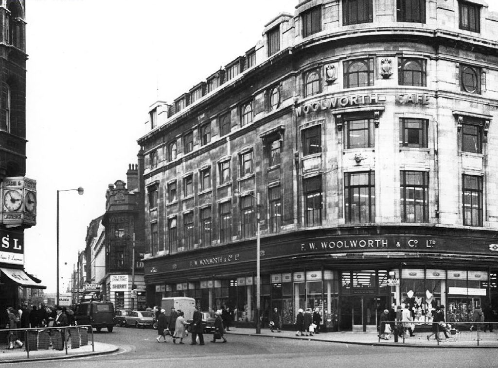
Woolworth’s burnt out long ago, never to return, exit also C&A, don’t forget your coat and hat.

Affleck’s – same name different place.

Yates’s three down none to go, the last all-in is all out.

Three pubs prevail, some serving craft ale to the not so crafty.

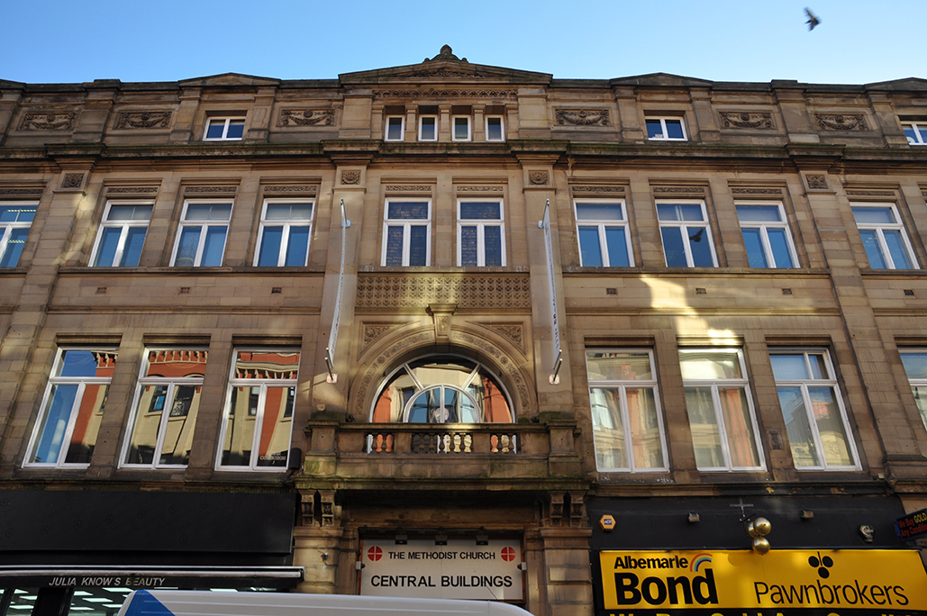
Methodist Main Hall is mainly well-used and well, loved.

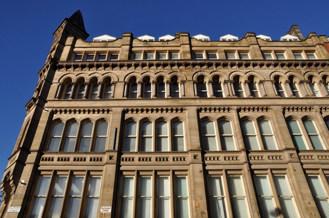
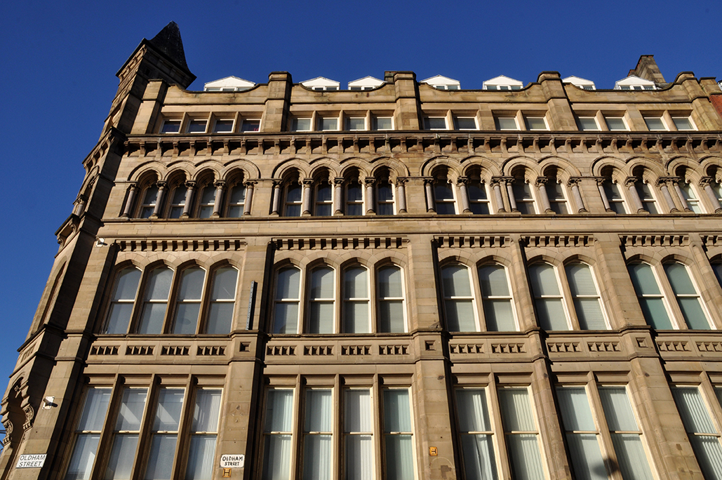
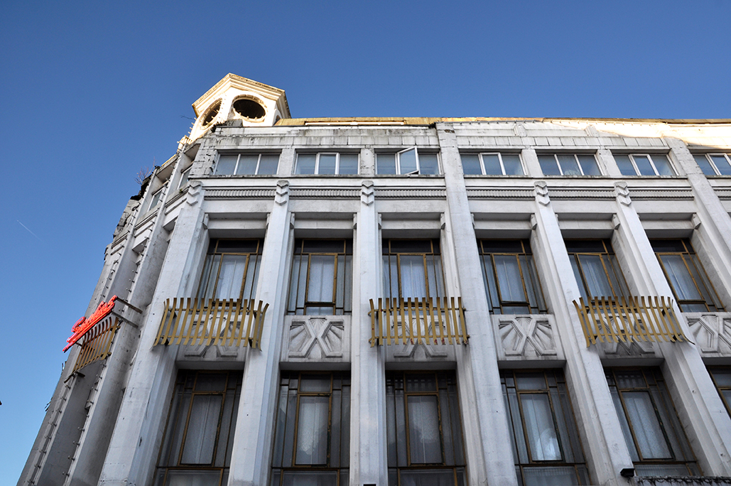
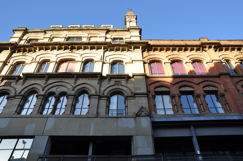
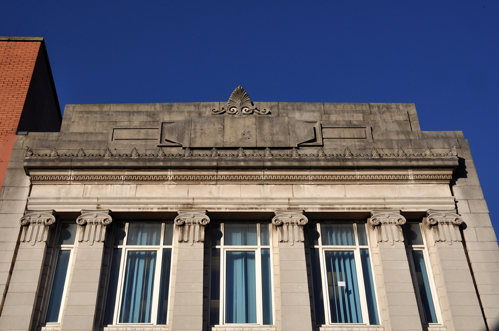
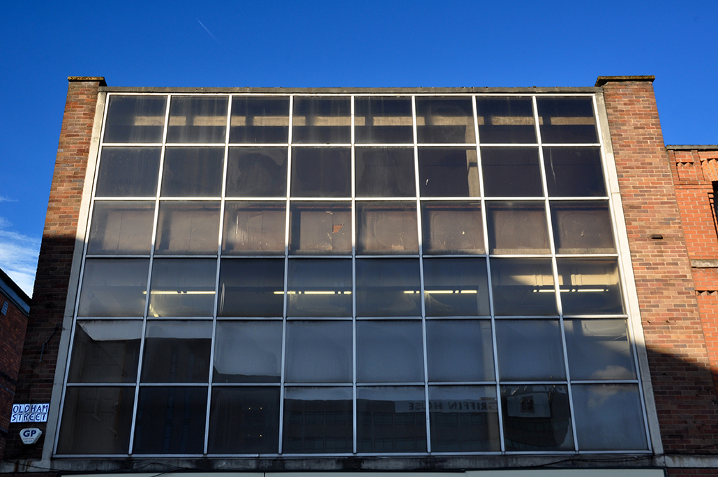
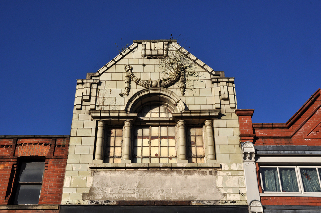
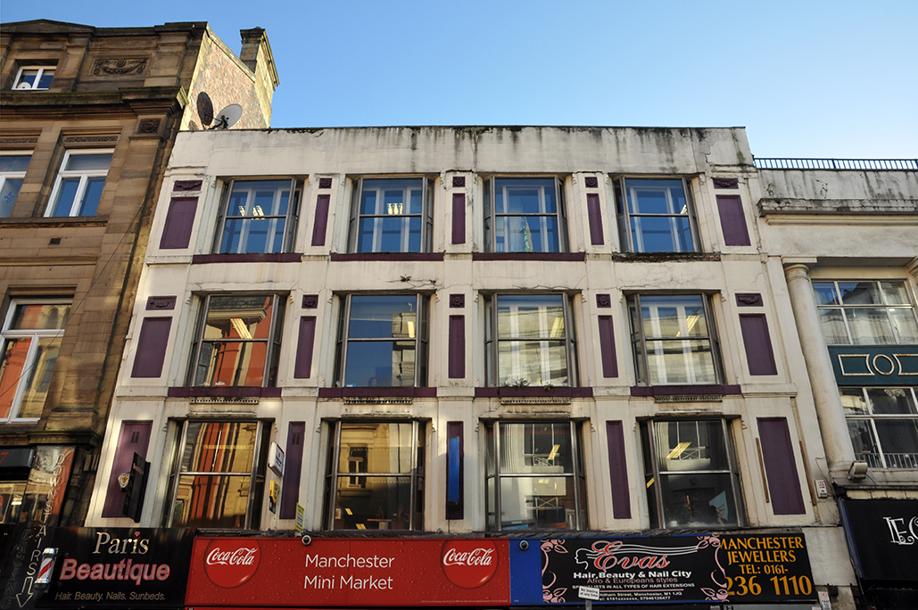
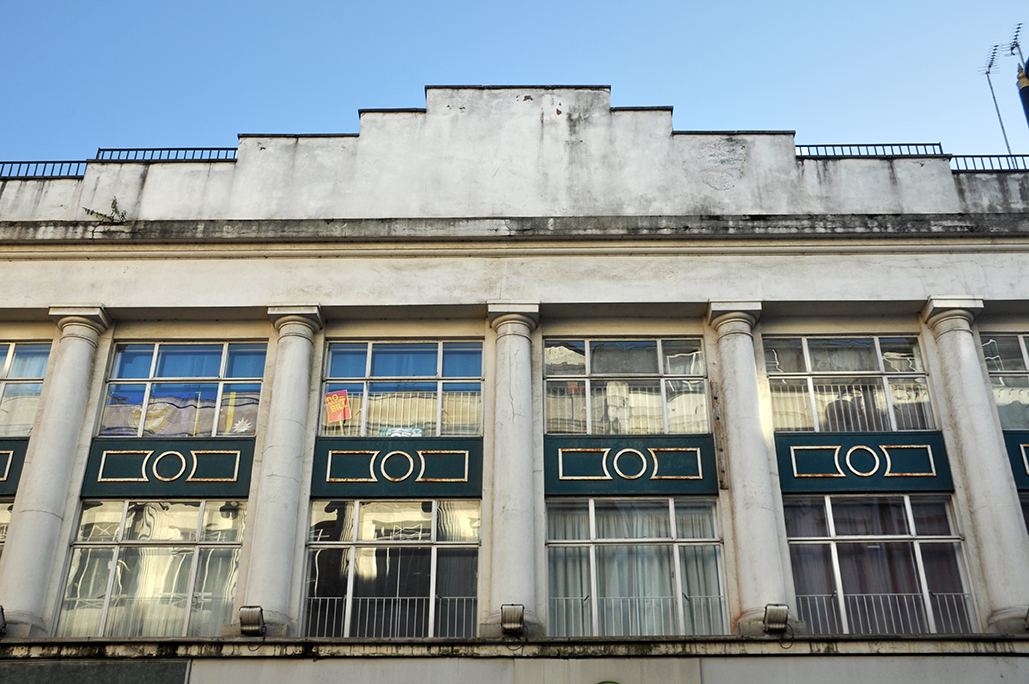
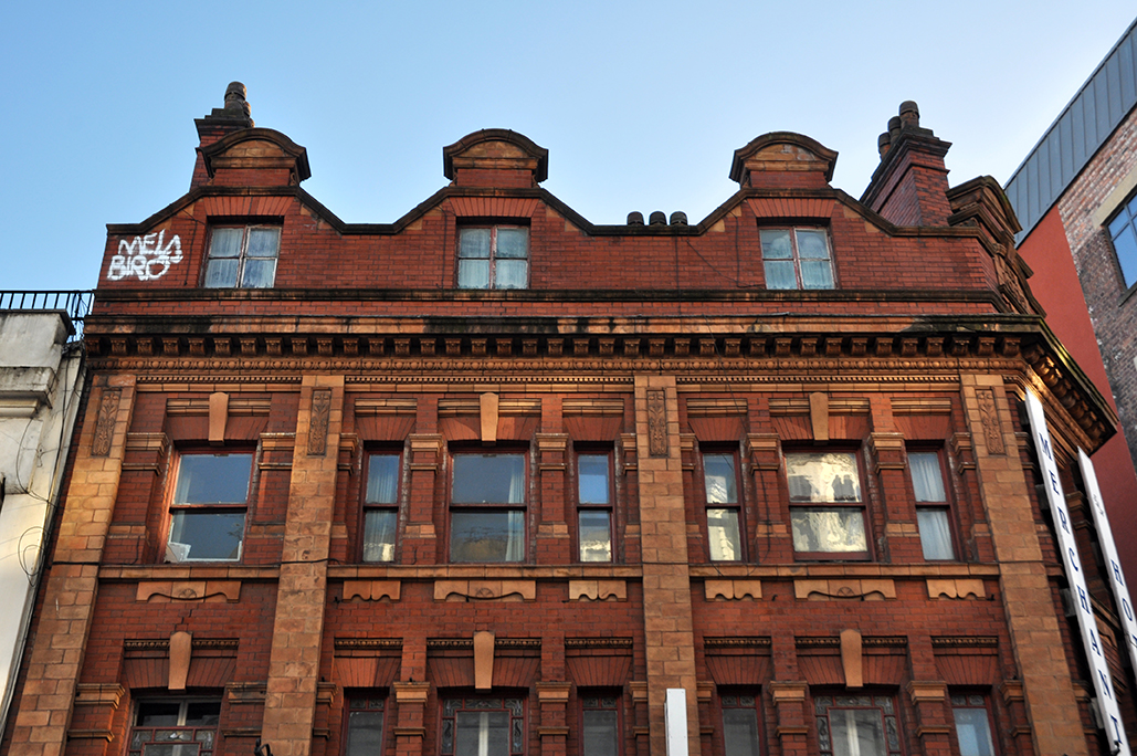
In low Winter light the upper floors dance in shadow and sun-glow, against a brighter than bright blue sky.

A crazy range of saw-toothed roof tops colliding.

Oldham Street survives.


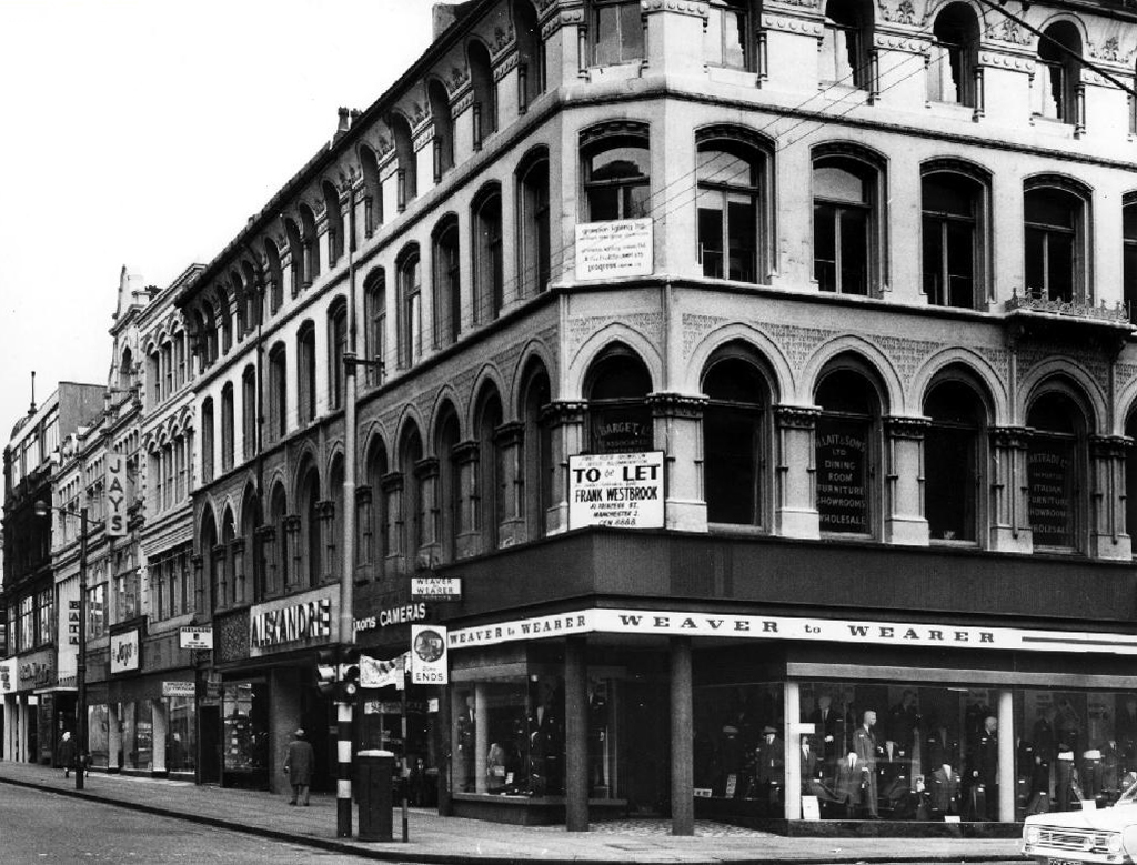
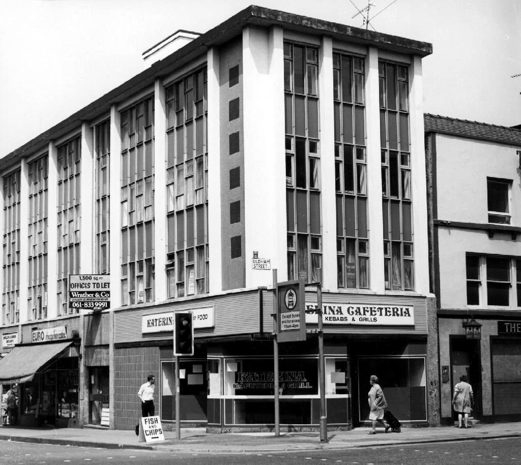
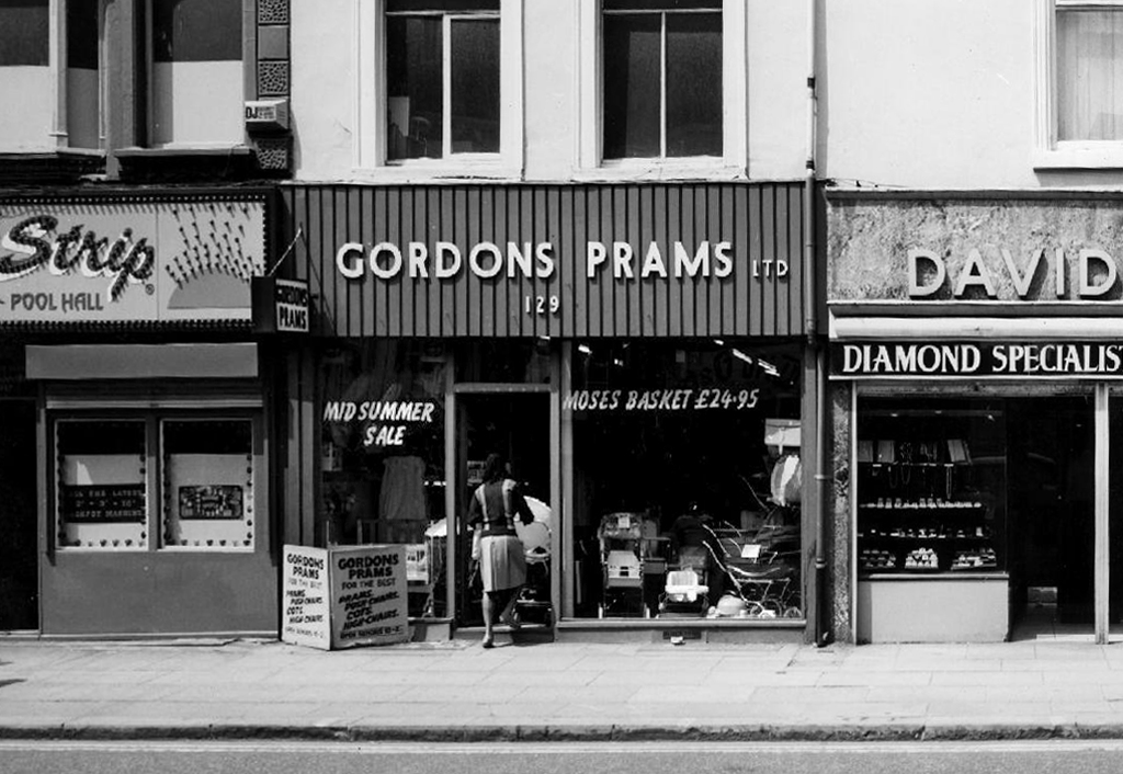
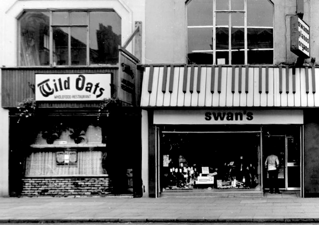
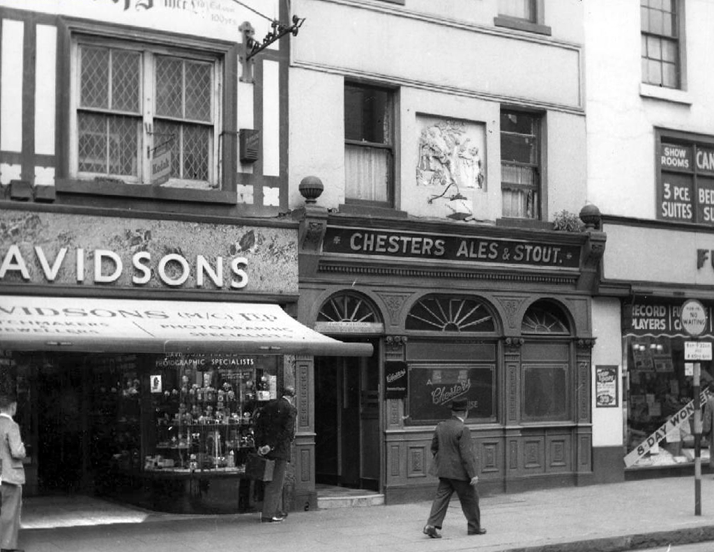
Oldham Street – Manchester

In the early 18th century, Oldham Street was apparently:

“An ill-kept muddy lane, held in place on one of its sides by wild hedgerows”.

In 1772, a privately owned track which is now known as Oldham Street was given to the public. The road took its name from Adam Oldham rather than from the place name. He was an acquaintance of John Wesley, the founder of Methodism, which could account for the Oldham street location of the Methodist Chapel, opened by Wesley in 1781. Central Hall replaced the Chapel in 1885.

The area around Oldham Street became more affluent, with warehouses and shops, many of whose merchants lived within their shop premises. This is described by Isabella Varley, Mrs. Linnaeus Banks, a resident of Oldham Street, in her book The Manchester Man.

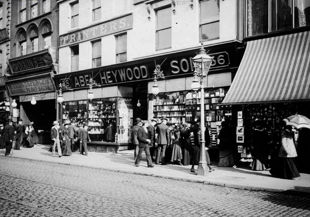
One Oldham Street shopowner mentioned by a number of writers is Abel Heywood, who spearheaded the mass distribution of books, supplying the whole country not only with penny novels, but also with educational books and political pamphlets. Heywood went on to become Mayor of Manchester.

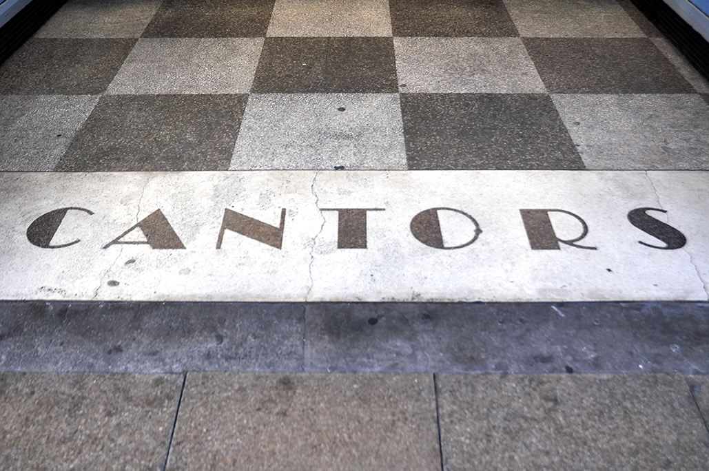
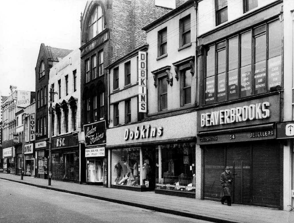
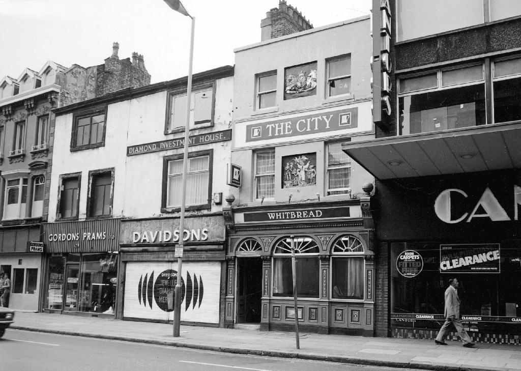
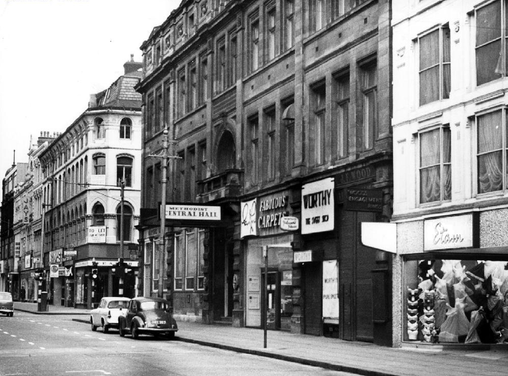
The general well to do, mix of hustle and bustle, pubs, warehousing, grand stores, smaller specialist shops and services continued into the 1970’s. Woolworths, C&A, Affleck and Browns, Cantors, Dobbins attracted a steady flow of happy shoppers, I loved the mongrel nature of the mixed use architecture.

The focus if the city centre then slipped away to the newly built Arndale and pedestrianised Market Street.

Oldham Street awaited a new sense of place and purpose.

With thanks to http://www.manchester.gov.uk/info/448/archives_and_local_history/326/historical_photographs_of_manchester


24

webmedia-8.php

22

18

image011

21

webmedia-5.php

webmedia.php

13

20

webmedia-12.php

16

17

webmedia-4.php

14

webmedia-2.php

webmedia-7.php

19

15

webmedia-9.php

webmedia-3.php

webmedia-6.php

webmedia-11.php

webmedia-10.php


The Whetstone – Sheffield

Confusion

Fusion

Confusion

Imagine

A single storey brick built street corner boozer, it’s not so hard to do.

It’s Sheffield let’s call it the Whetstone, how appropriate.

Bored?

How about the Moorfoot Tavern?

Sounds classy, that’ll do.

Well it did until it didn’t, somehow it migrates south, then west.

Paris Texas – how about Rome Mexico Yorkshire?

El Paso it is then –


Stoke on Trent – The Glebe

Hard by Stoke Minster stands the only pub in the area I care to visit, tucked in a cosy corner by the Civic Centre, five minutes from the station, barely time to work up a thirst.

Carefully and skilfully refurbished, exquisite original semi circles of stained and painted glass depicting the months of the year – though there is no February, the lower panes a recent addition.
A tiled floor and broad stripped floorboards beneath your feet.

Sympathetically furnished, plainly, simply appropriate to a pub with pride.
In being a pub.

We and the afternoon sun, spill lazily in, in time for a pint.

It’s delicious so we have another

And another.

http://www.joulesbrewery.co.uk/pubs/pub_details.php?id=9