Rainbow Bridge A55 North Wales

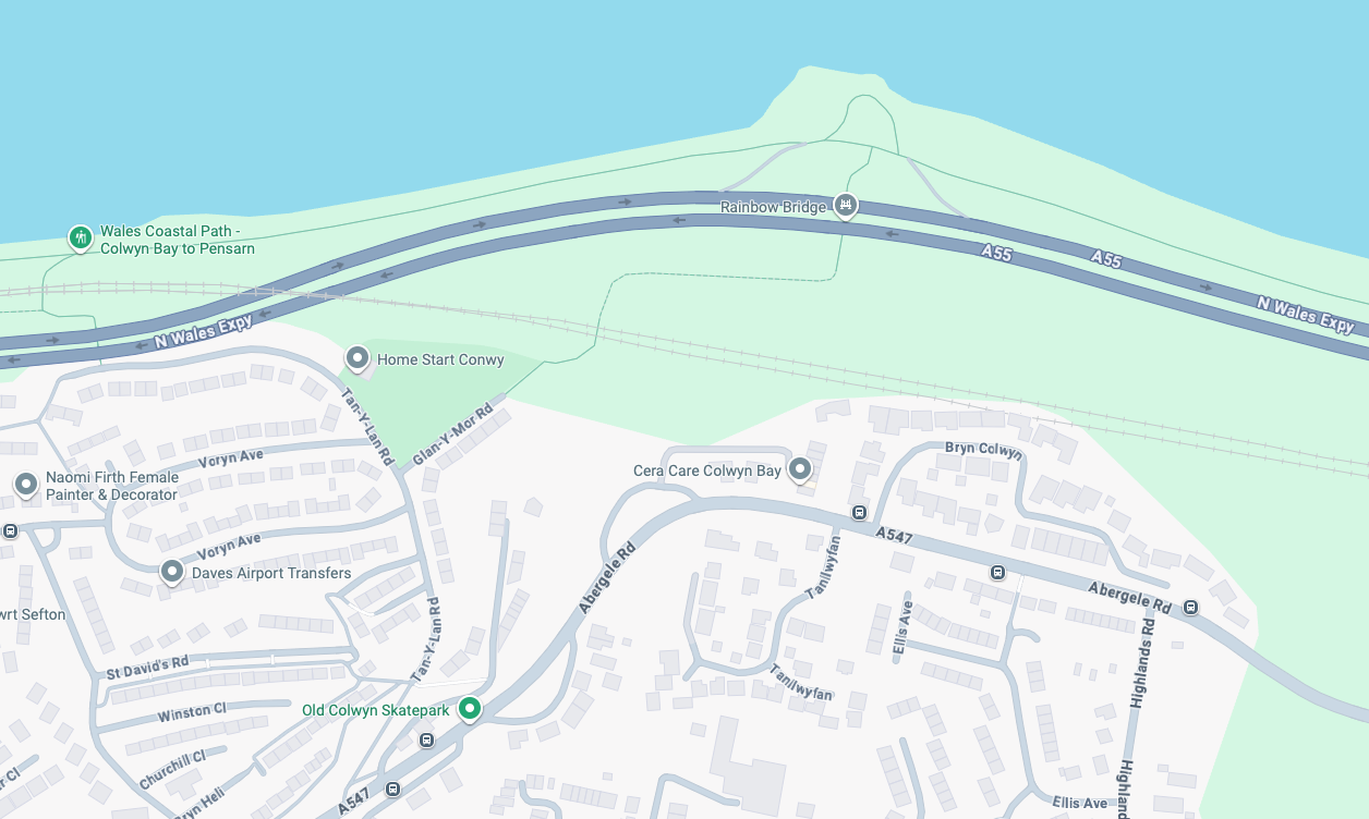
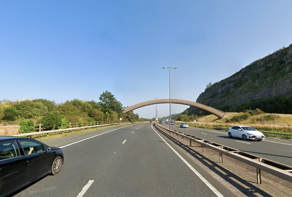
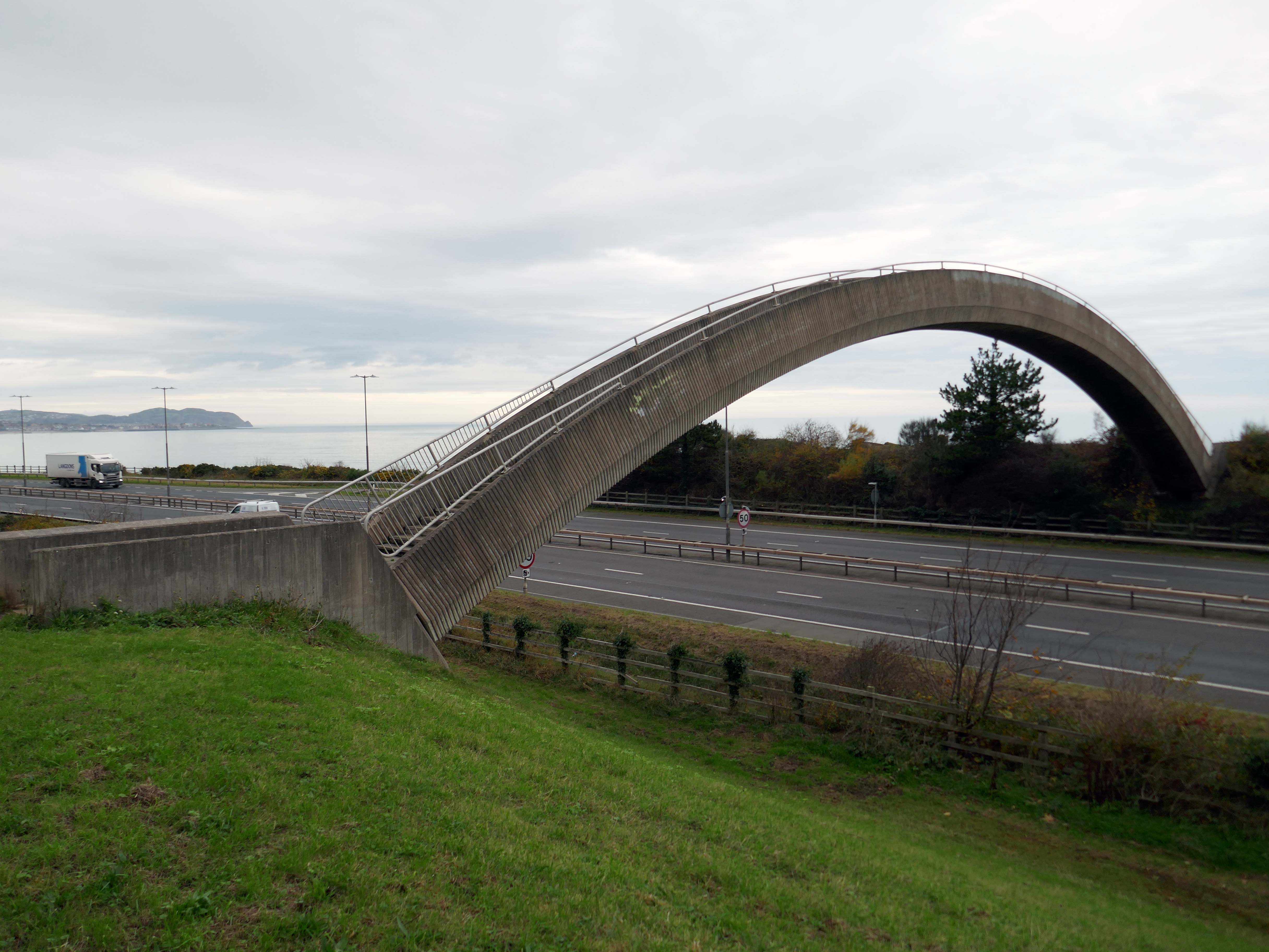
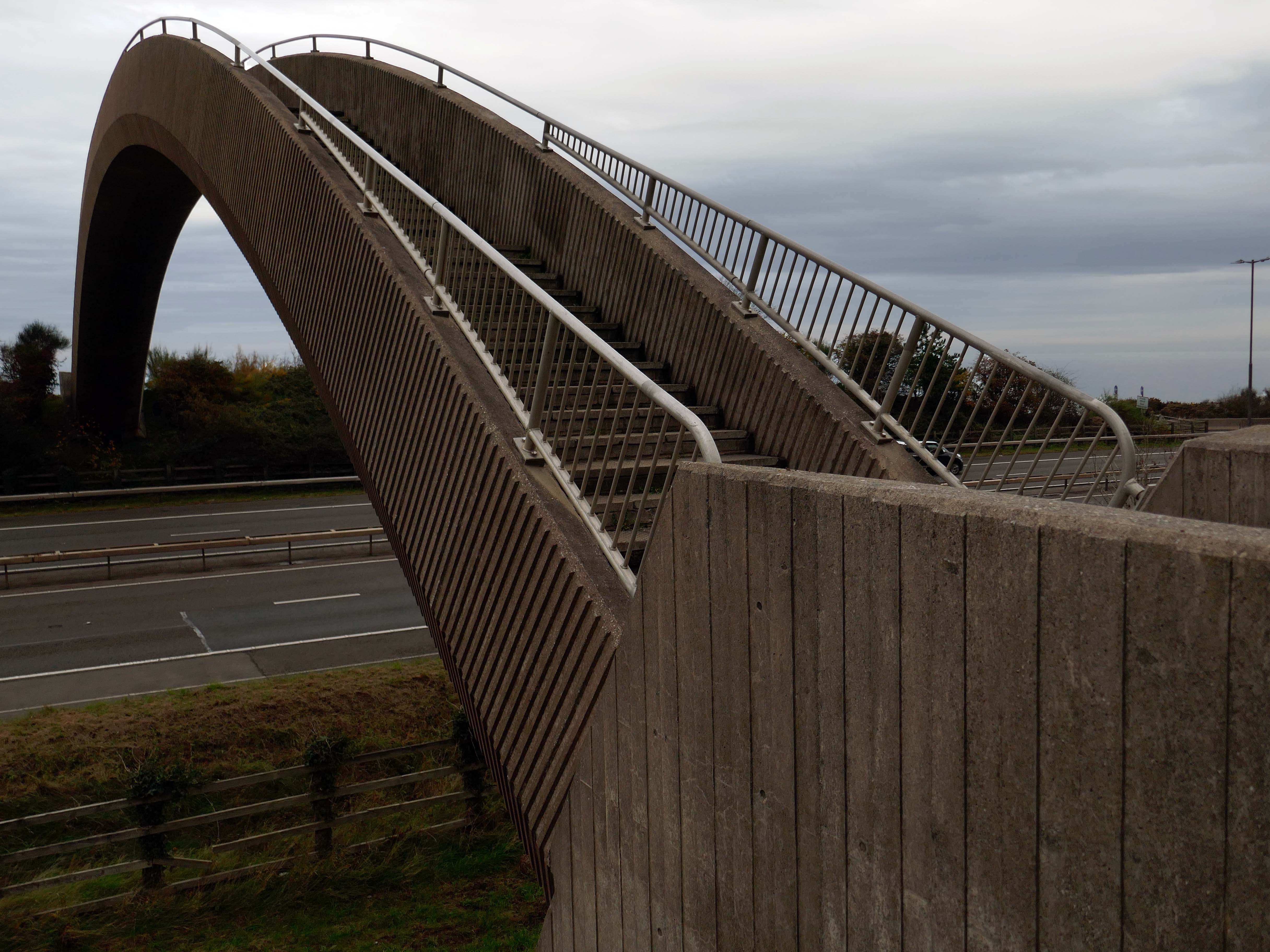
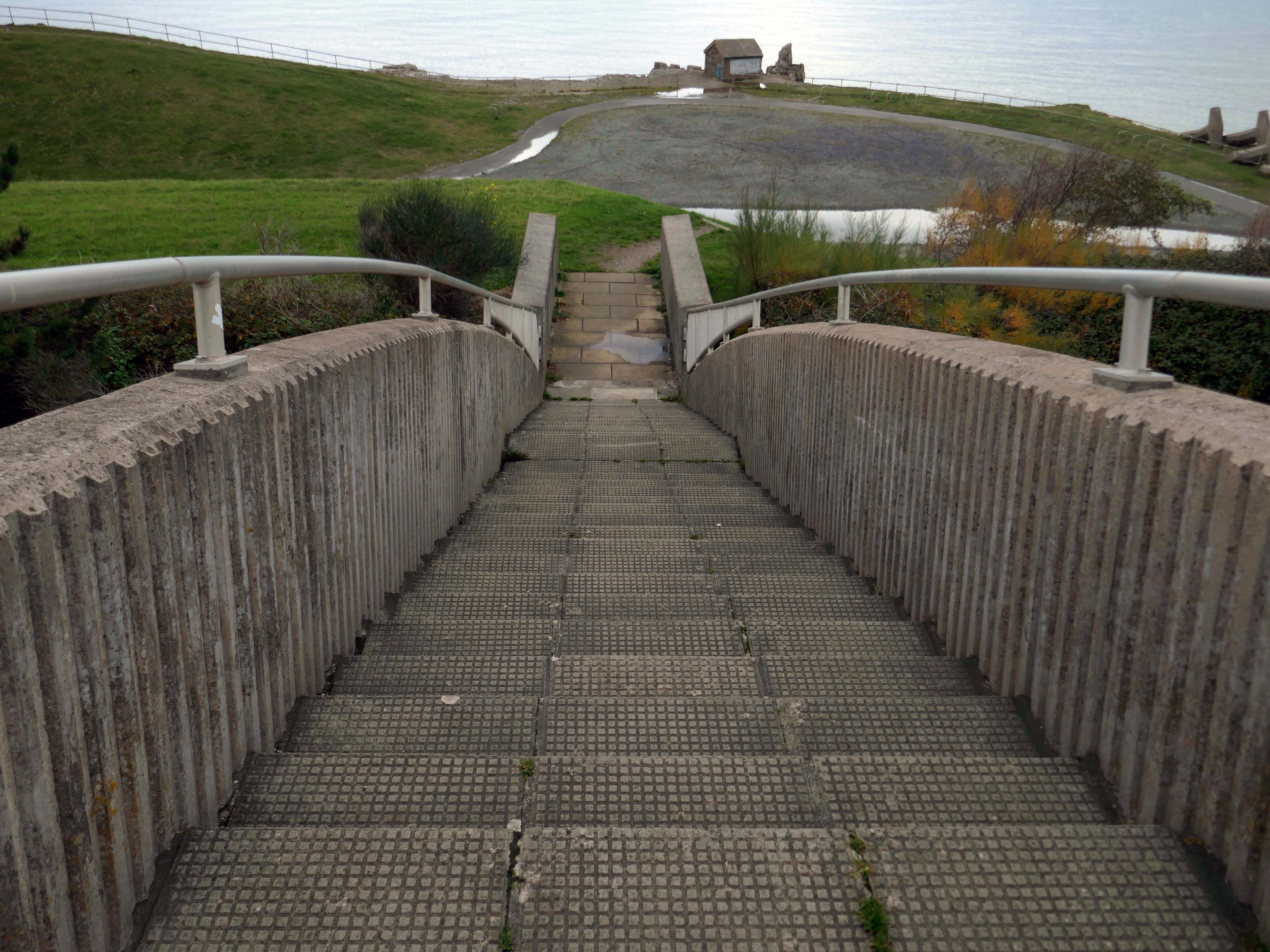
The iconic Rainbow Bridge on the A55 has been lit up to say thank you to NHS, social care staff and other key workers.

This well-known landmark lived up to its name on Tuesday night when it was bathed in rainbow colours alongside a thank you message projected onto the nearby cliffside. 

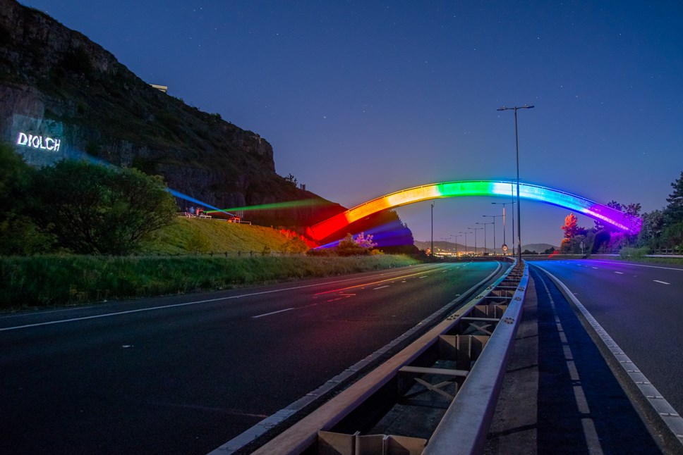
This one-off tribute to staff from the health and care sectors and other key workers who are working tirelessly during the Covid-19 pandemic, was arranged by the North and Mid Wales Trunk Road Agent.

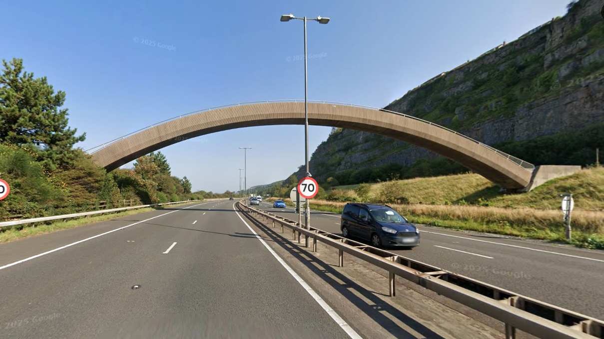
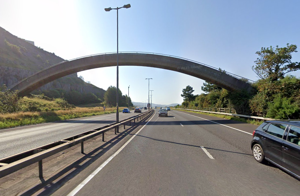
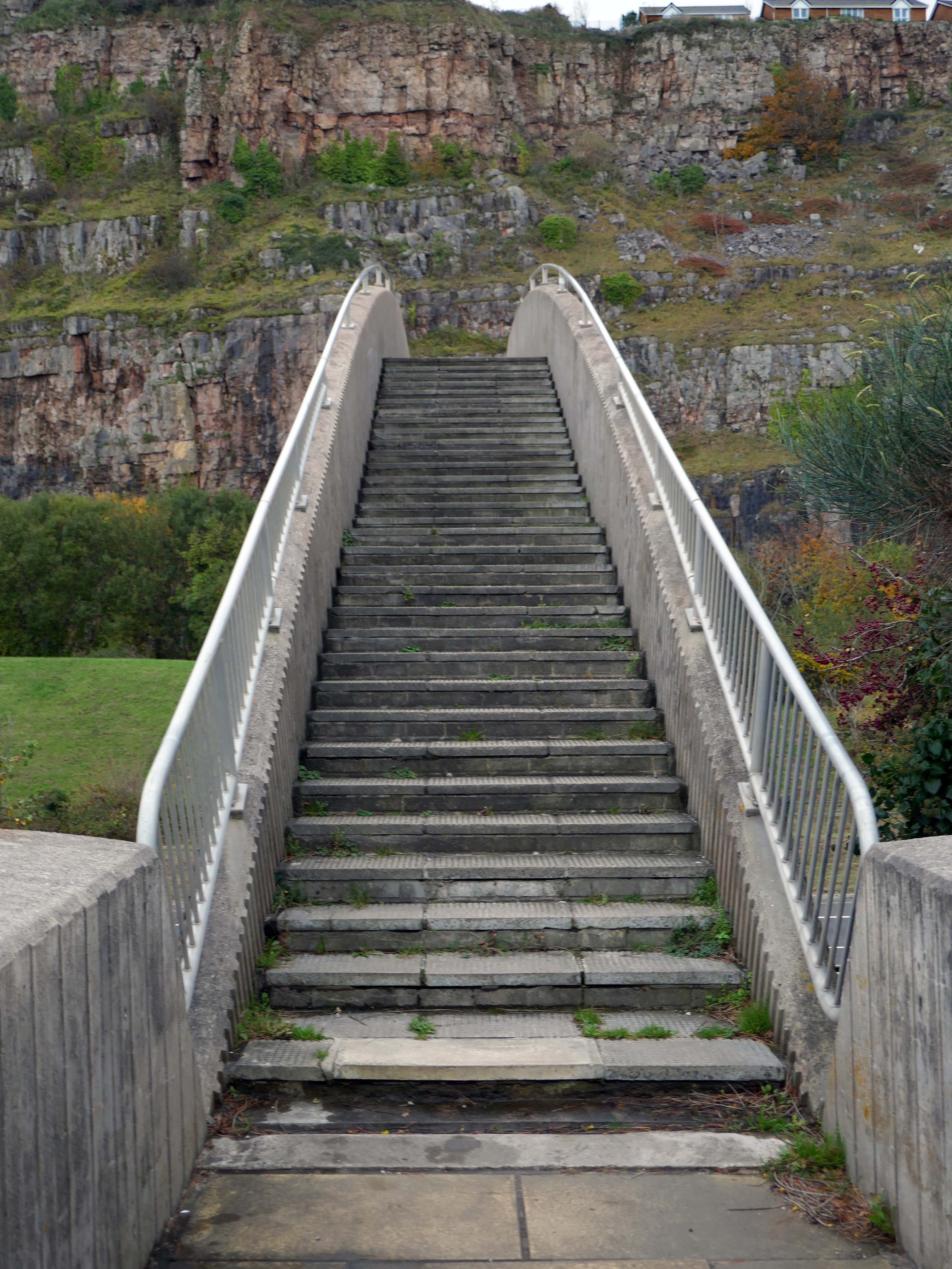
The walkway over the A55, colloquially known as Rainbow Bridge, is situated on the strategic road network which NMWTRA is responsible for maintaining and managing on behalf of the Welsh Government.

Gov. Wales

The A55 partly follows the alignment of the Roman road from Chester to Caernarfon, particularly from Junction 31 to 30 and Junction 13 to 12. Between Chester and Holywell the alignment of this road is uncertain and between St. Asaph and Abergwyngregyn, the Roman road followed an inland route, via Canovium Roman Fort at Caerhun, avoiding the difficulties of the crossing of the Conwy estuary and the cliffs at Penmaenbach and Pen-y-Clip.

On 1 April 1937, the route, as it was then, was classed to form the Chester–Bangor trunk road. By 2015, the Welsh Governmentwas also classifying part of the road as part of the London–Holyhead trunk road.

Wikipedia

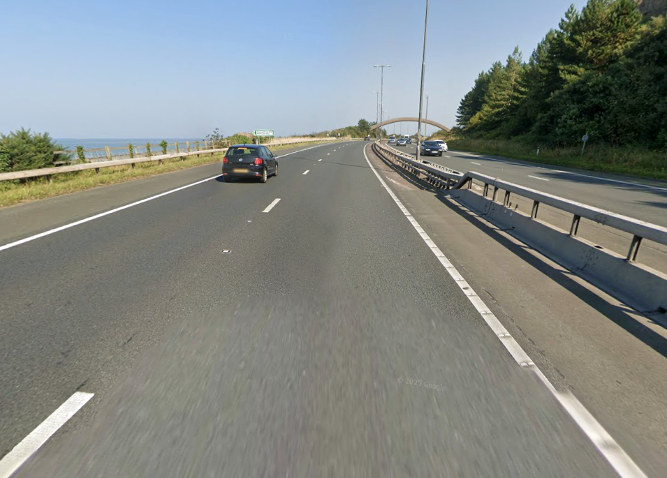
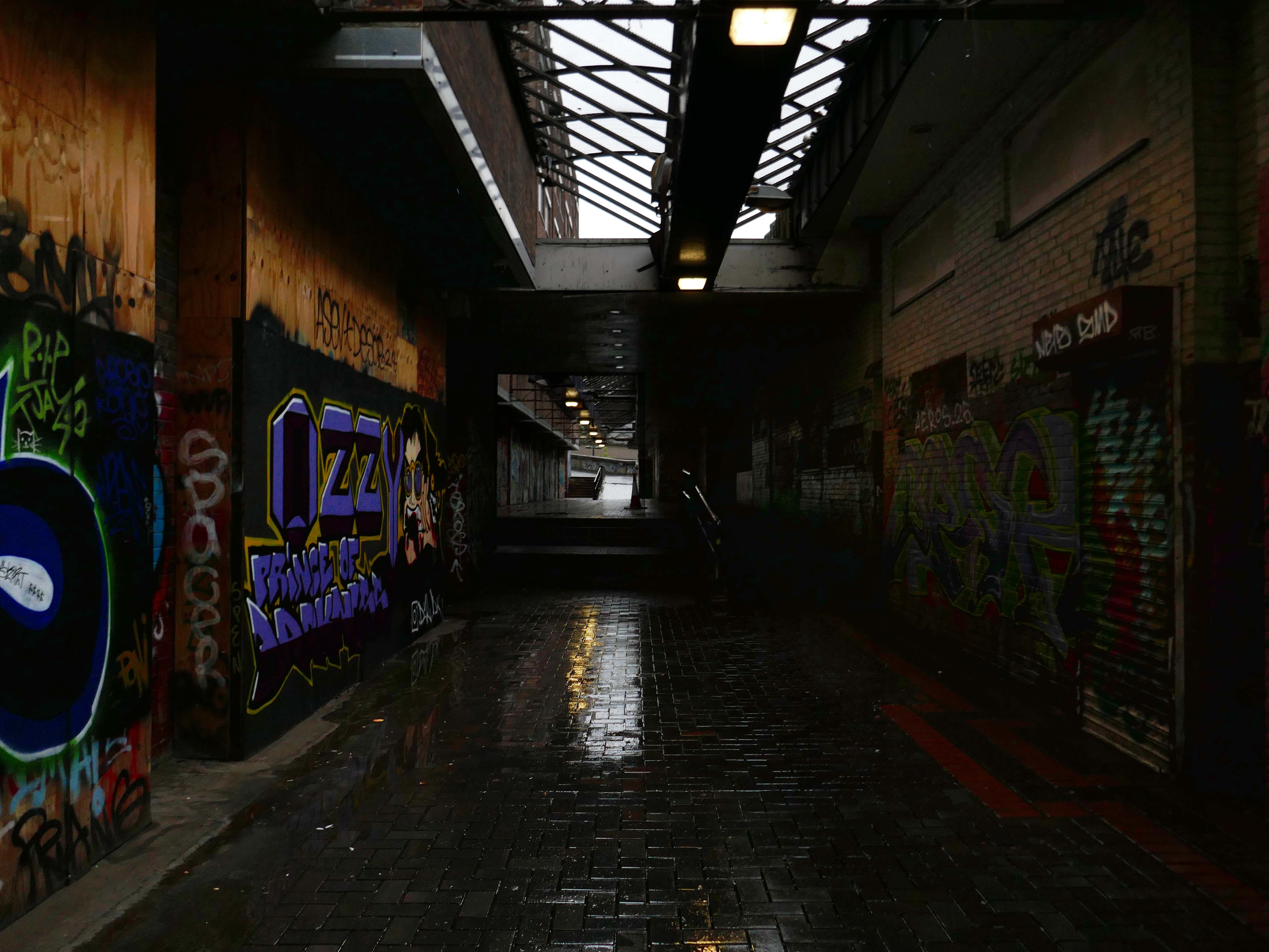
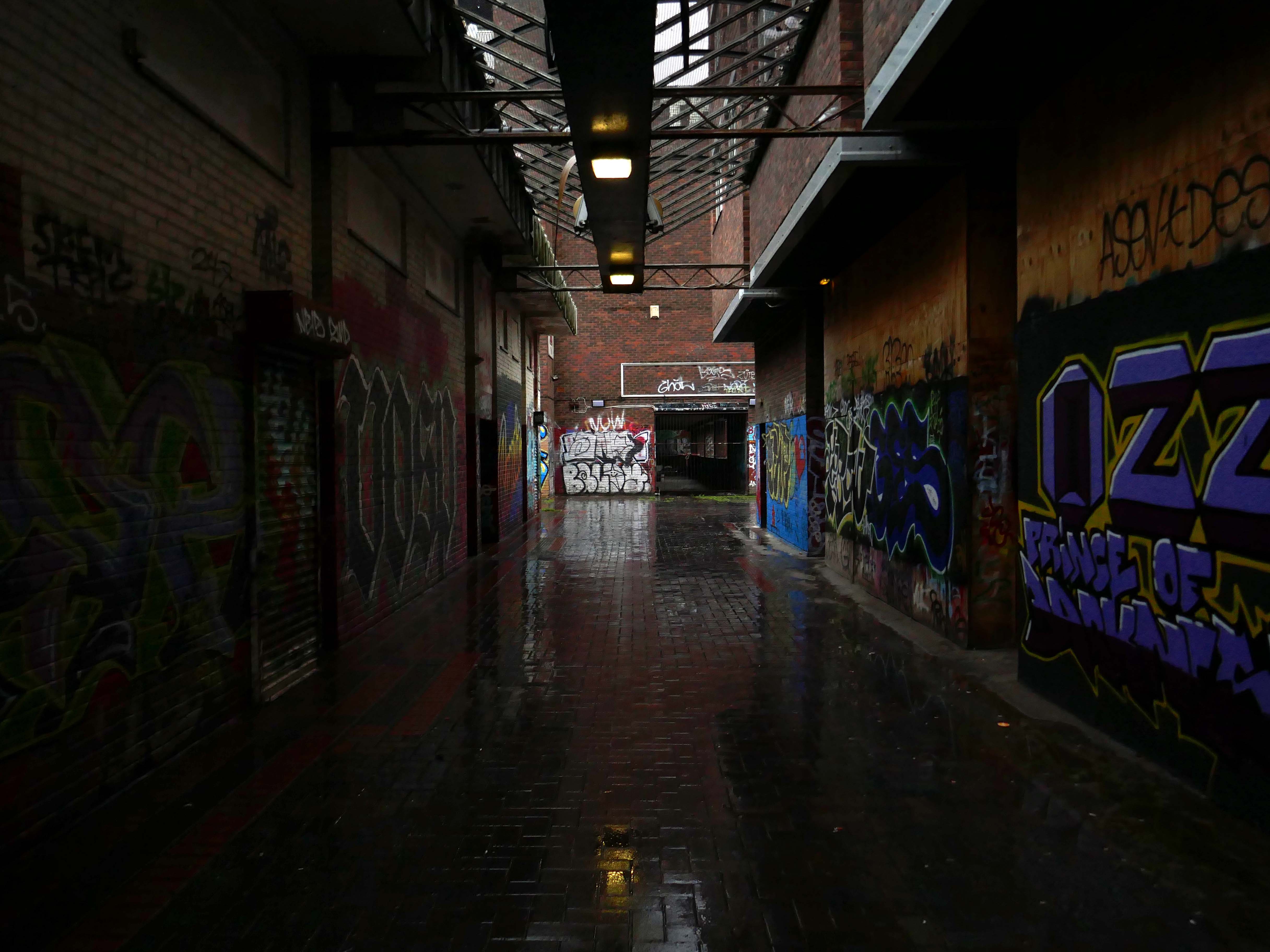
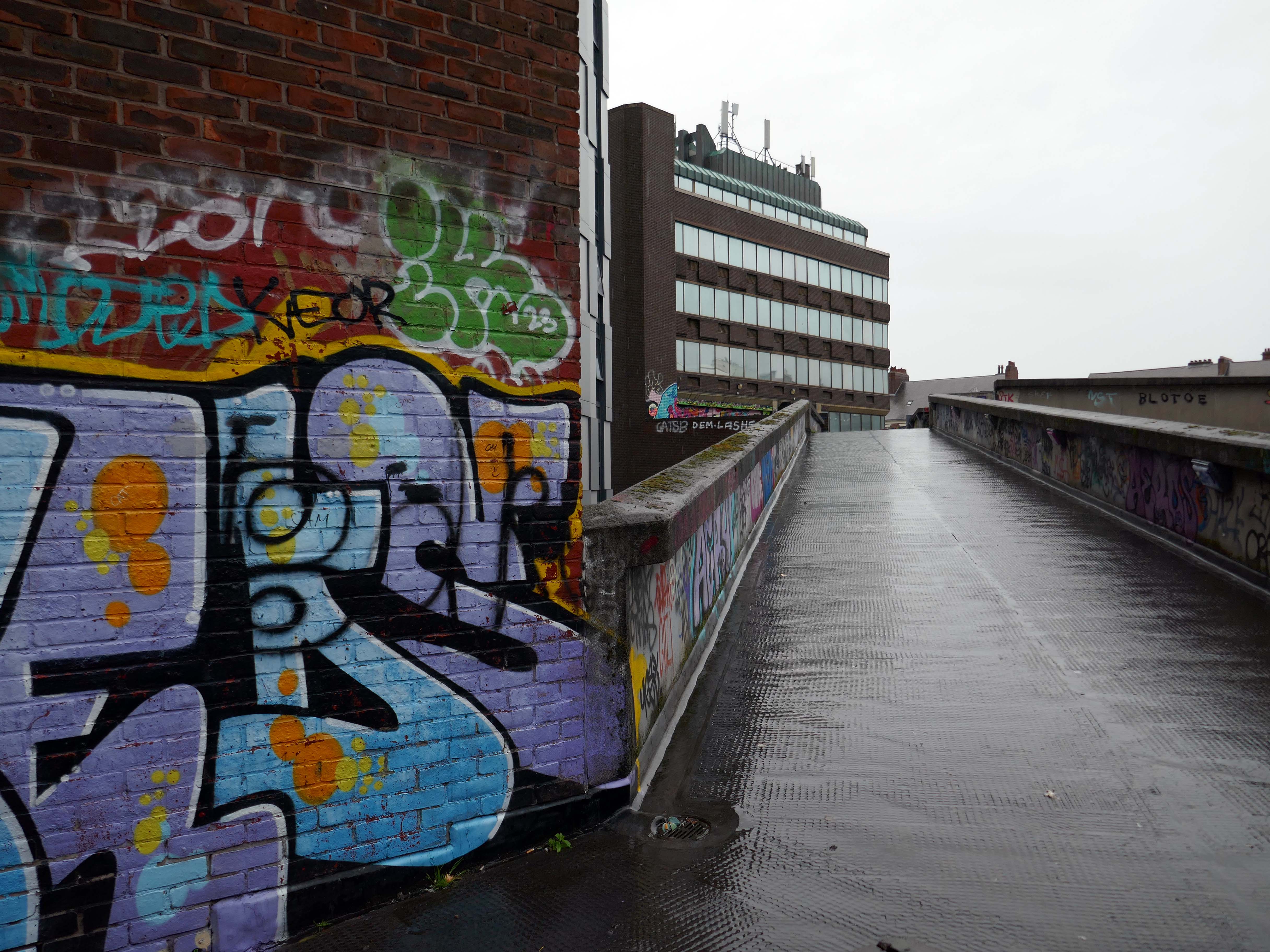
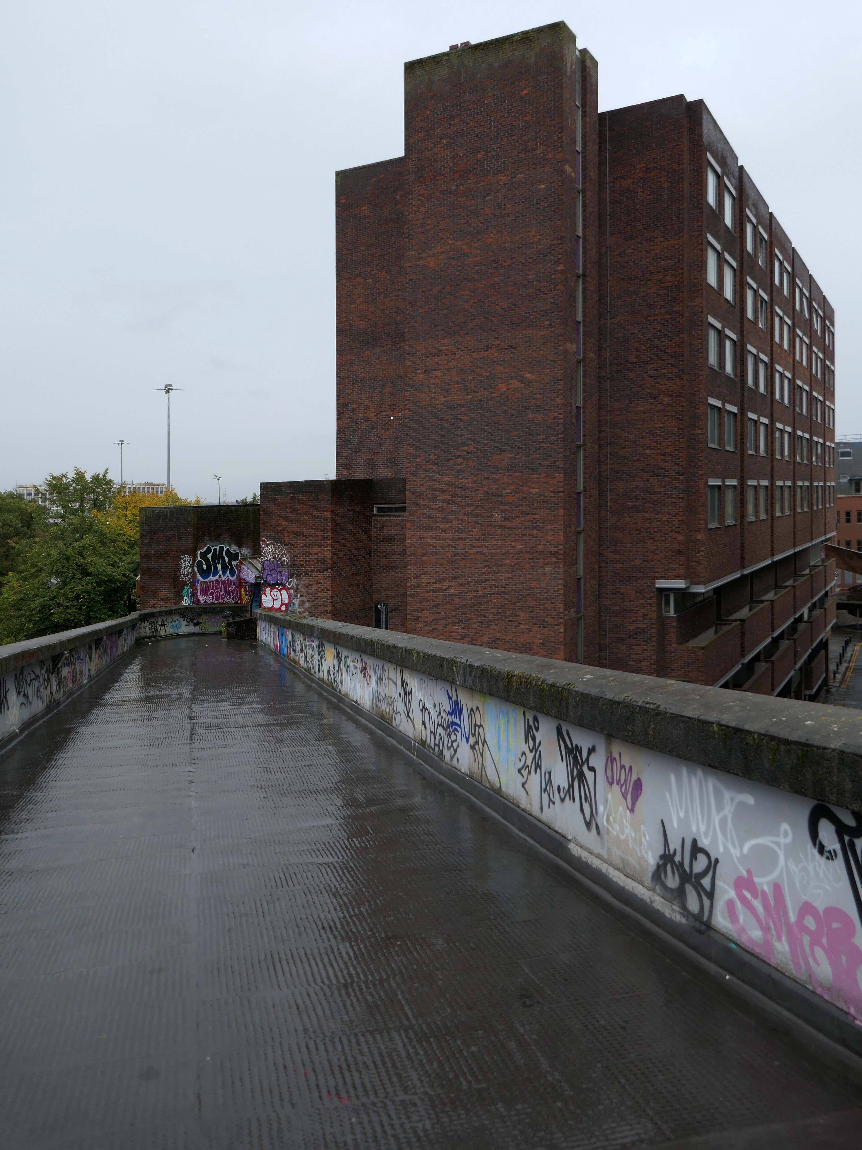
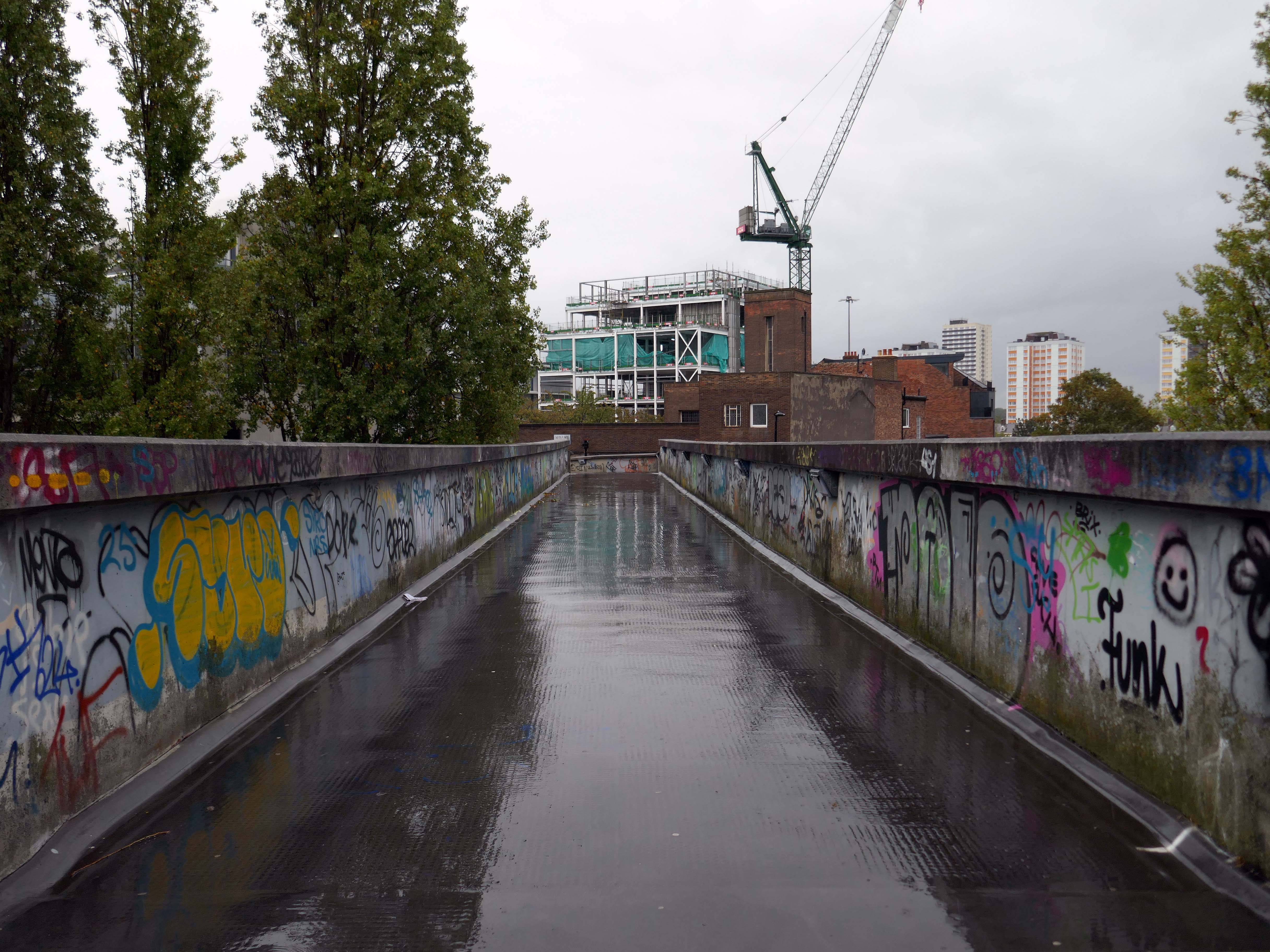
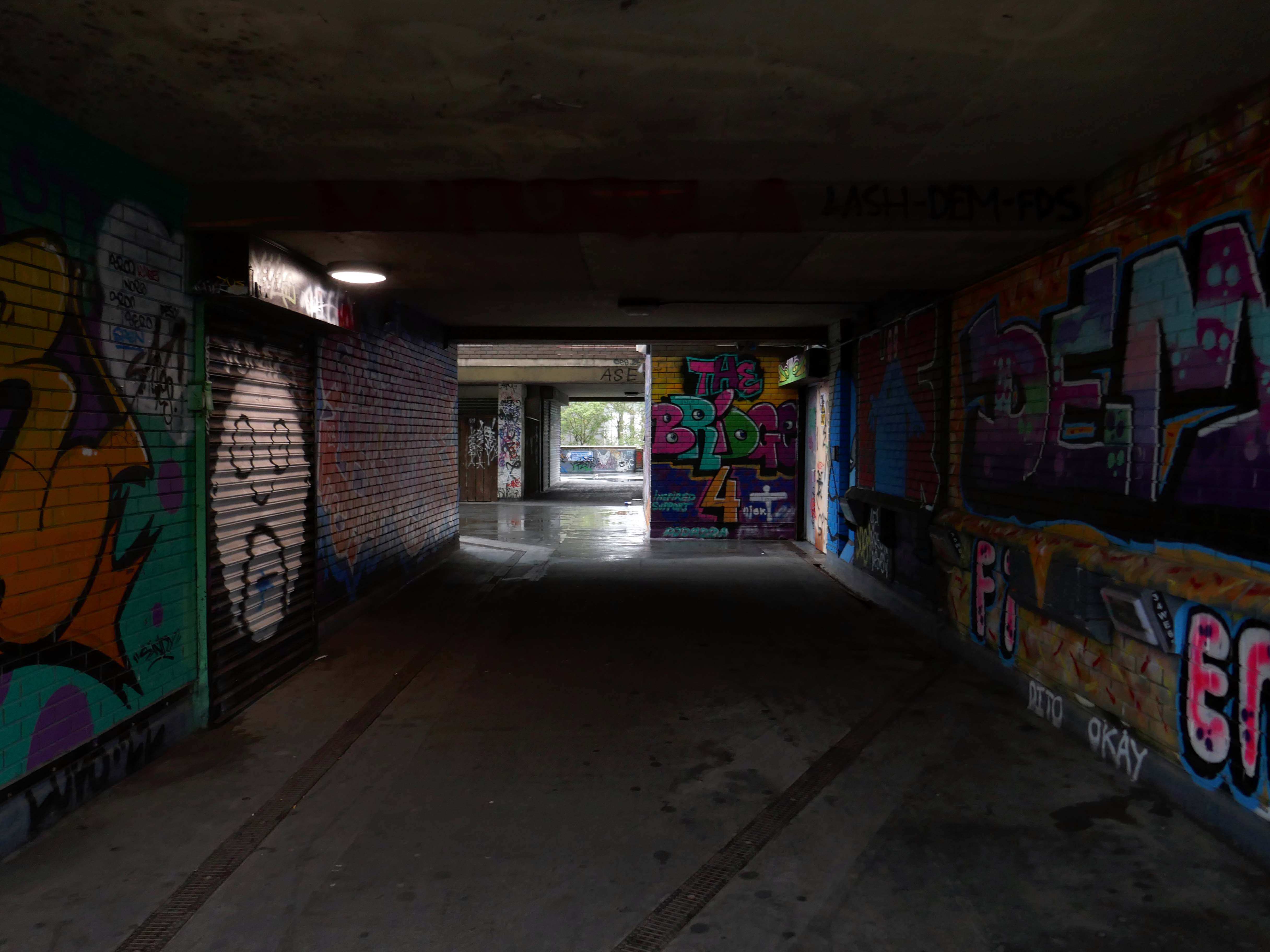
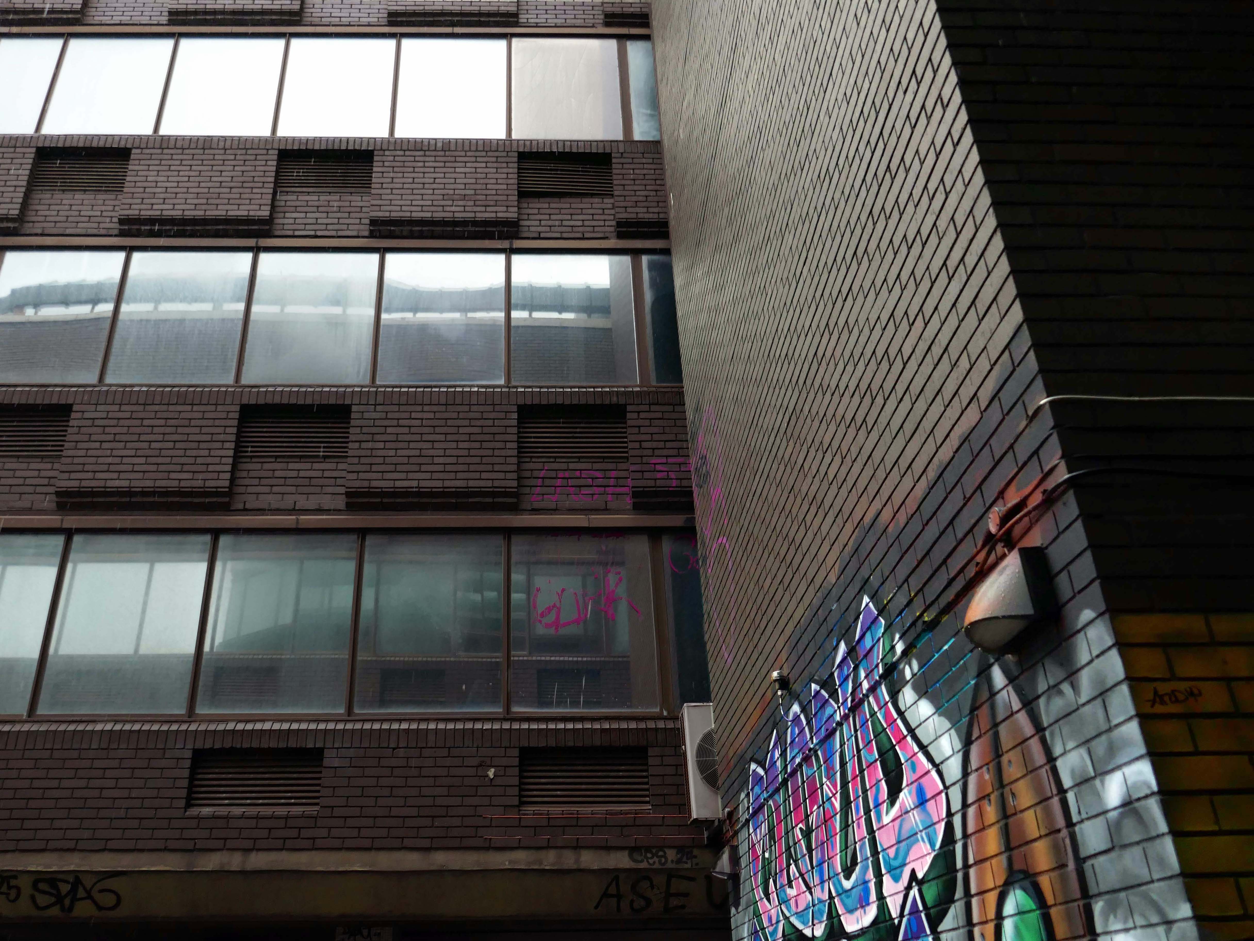
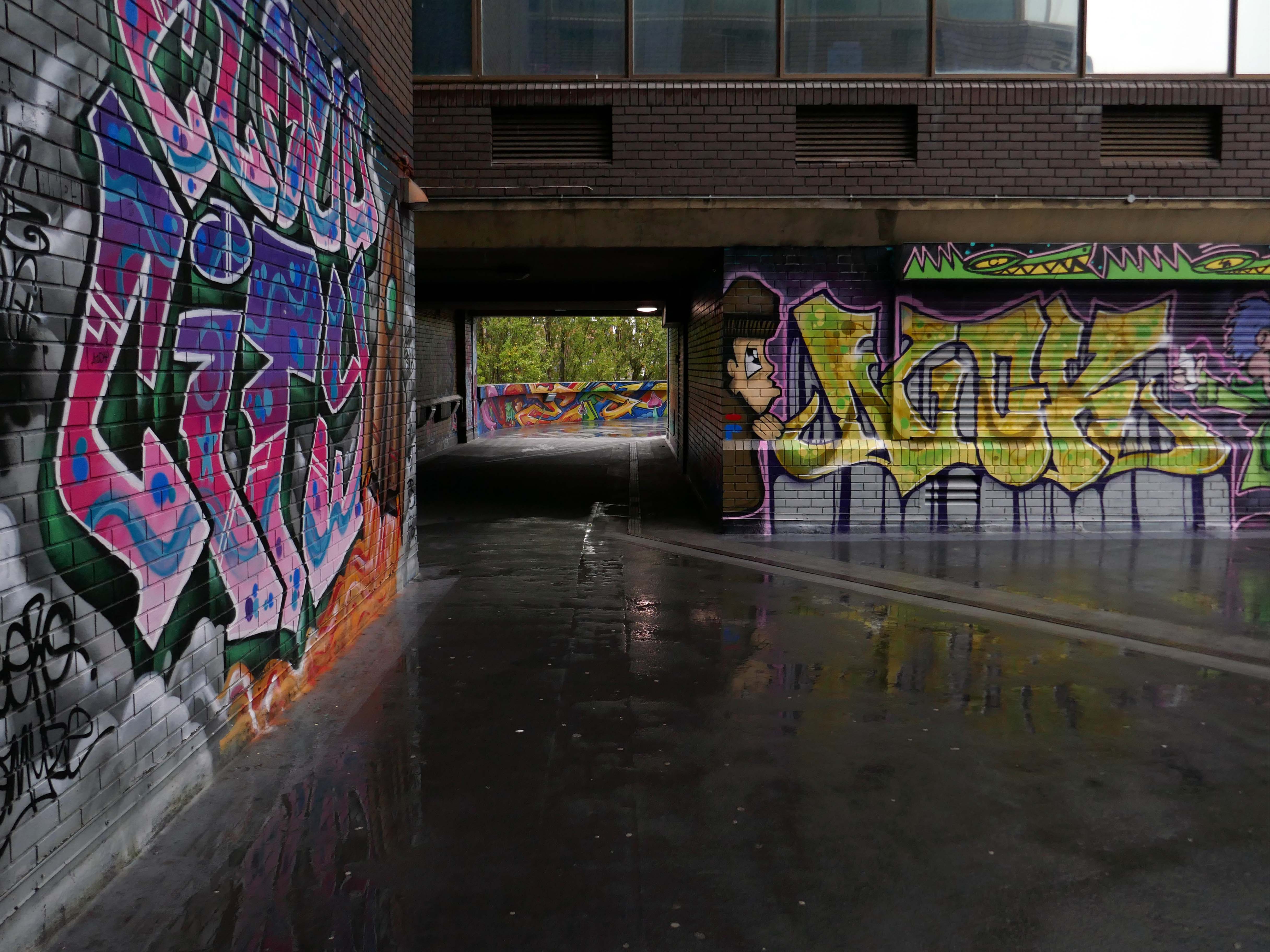
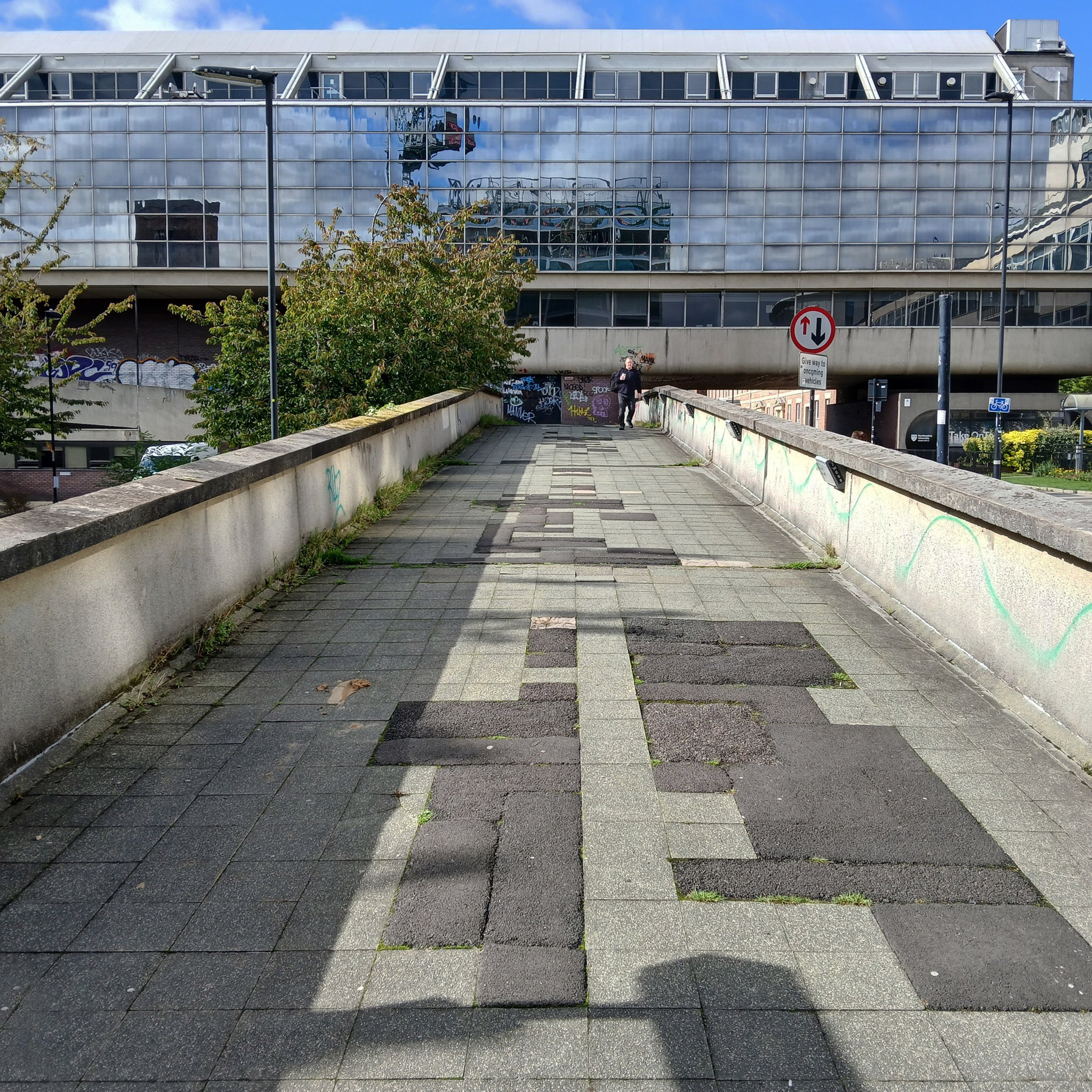
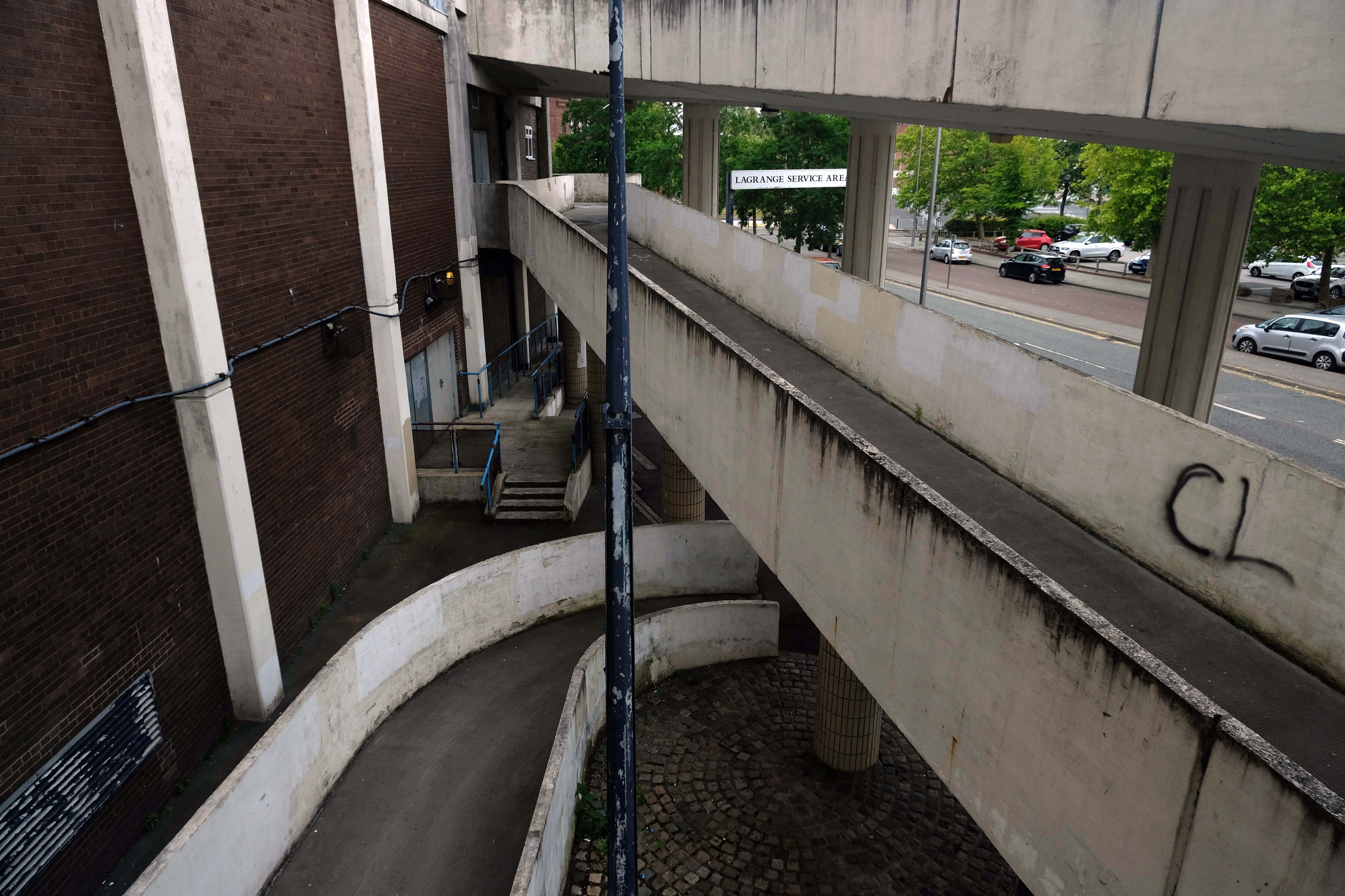
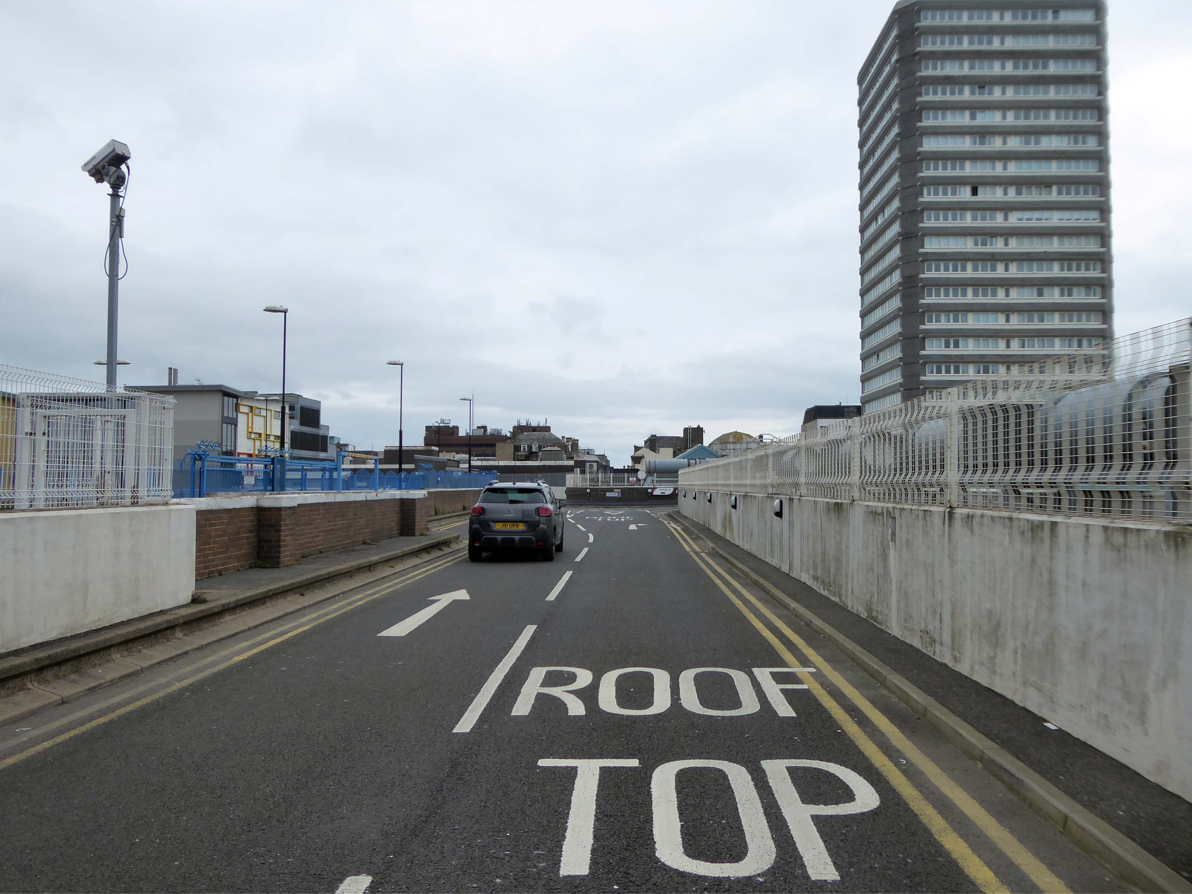
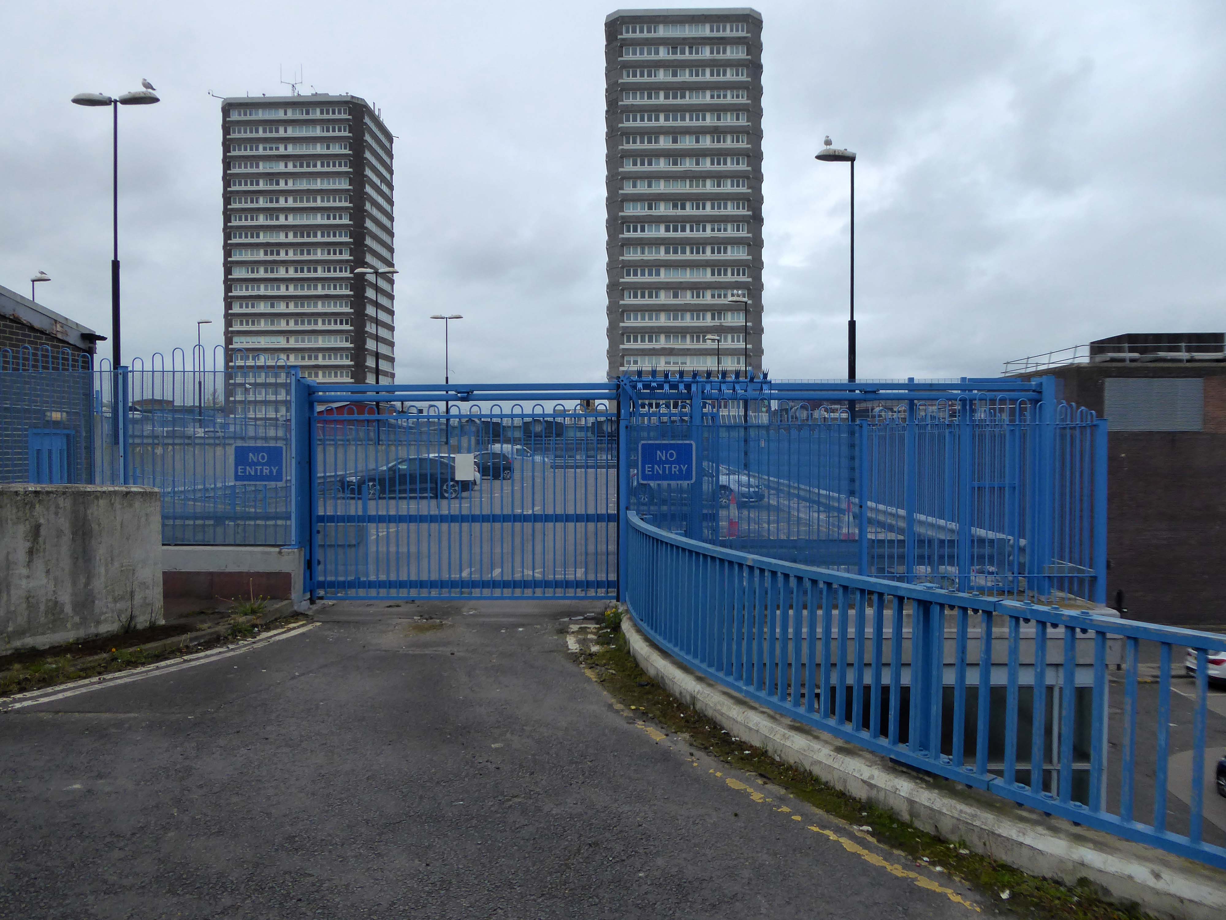
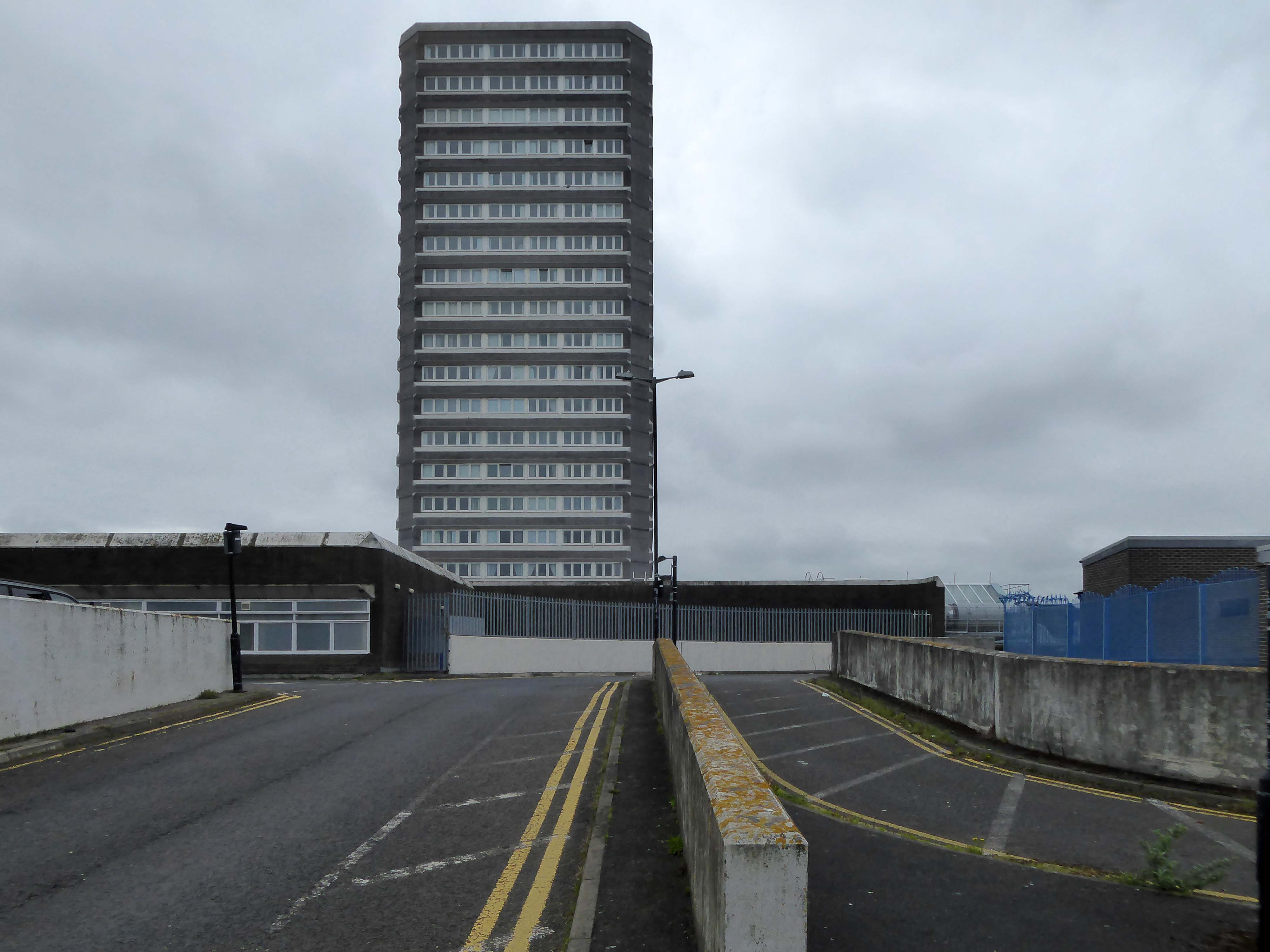
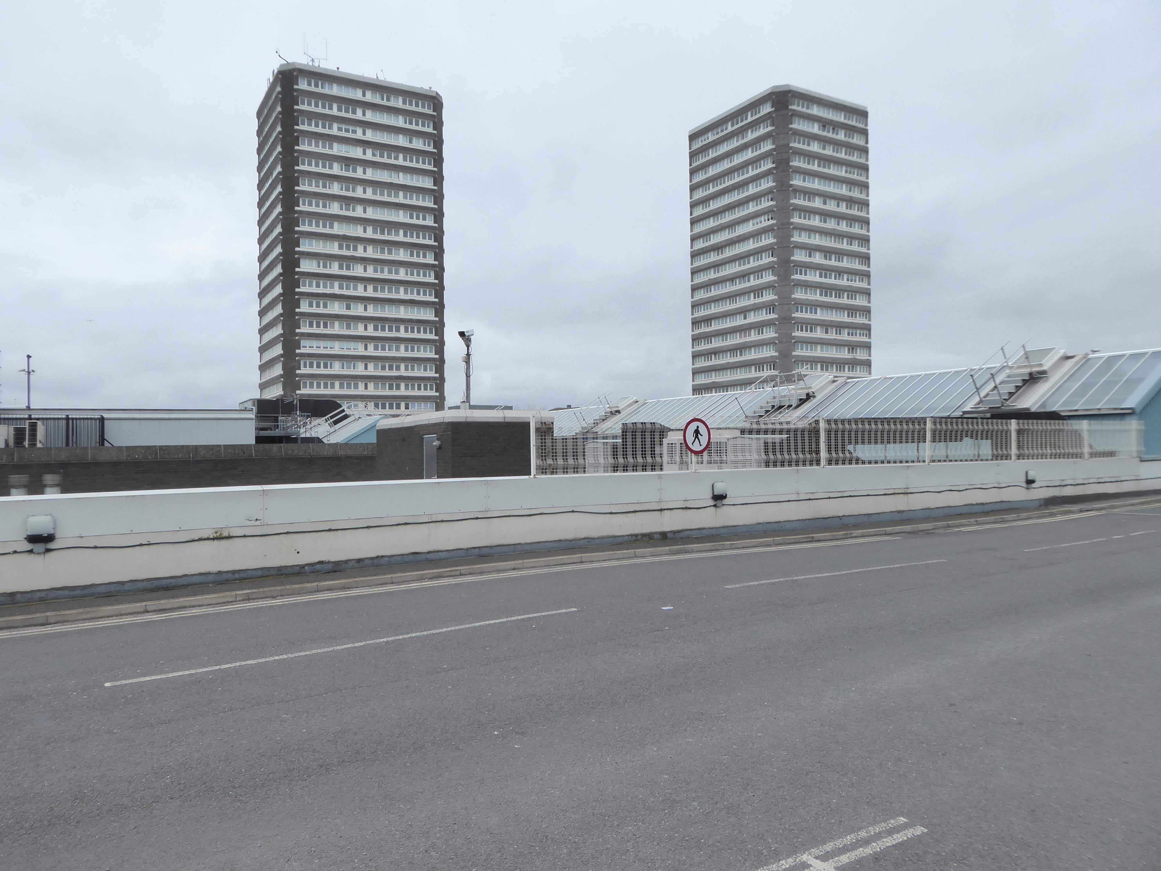
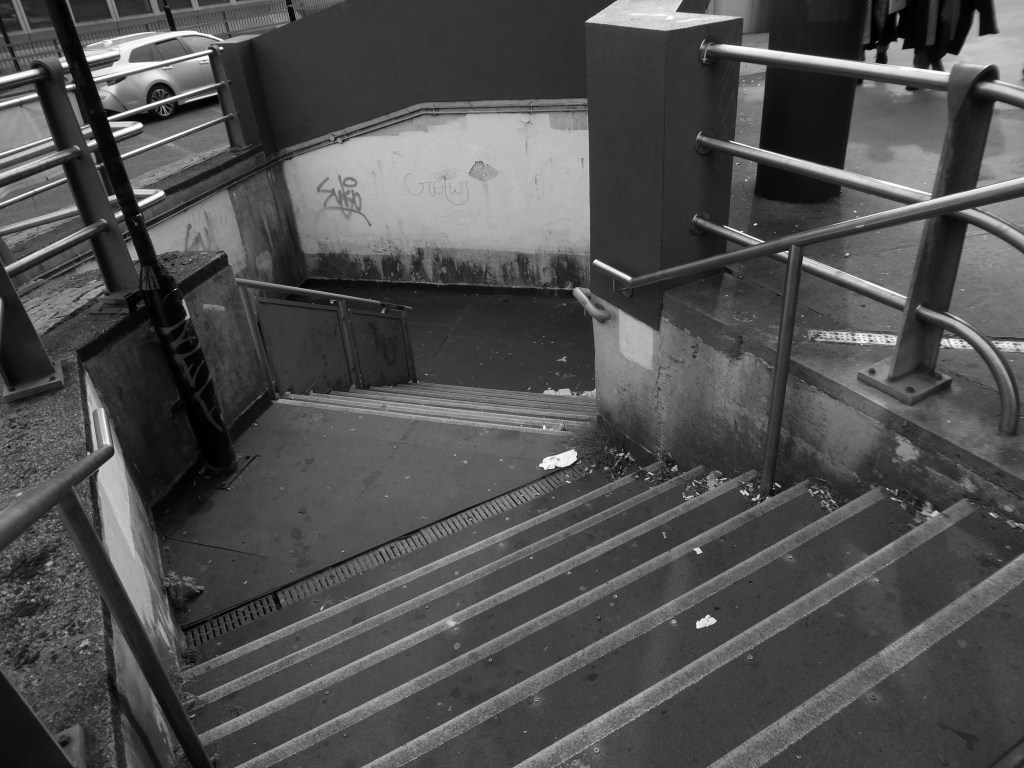
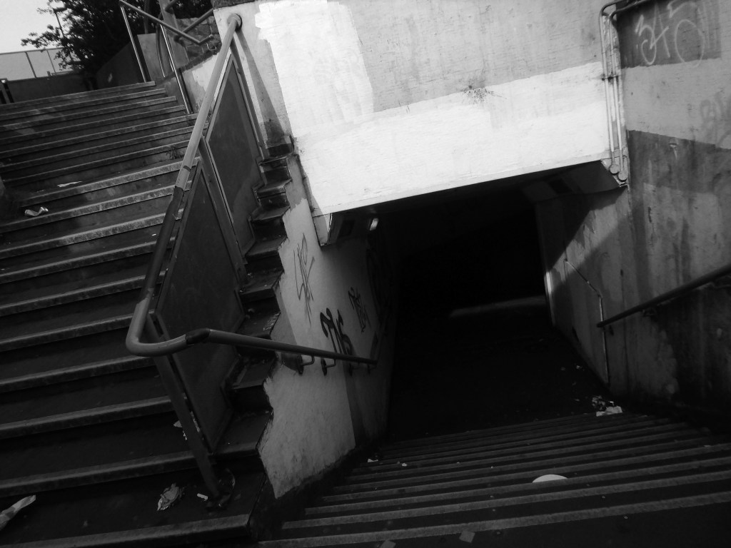
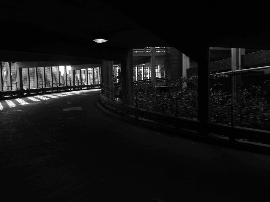
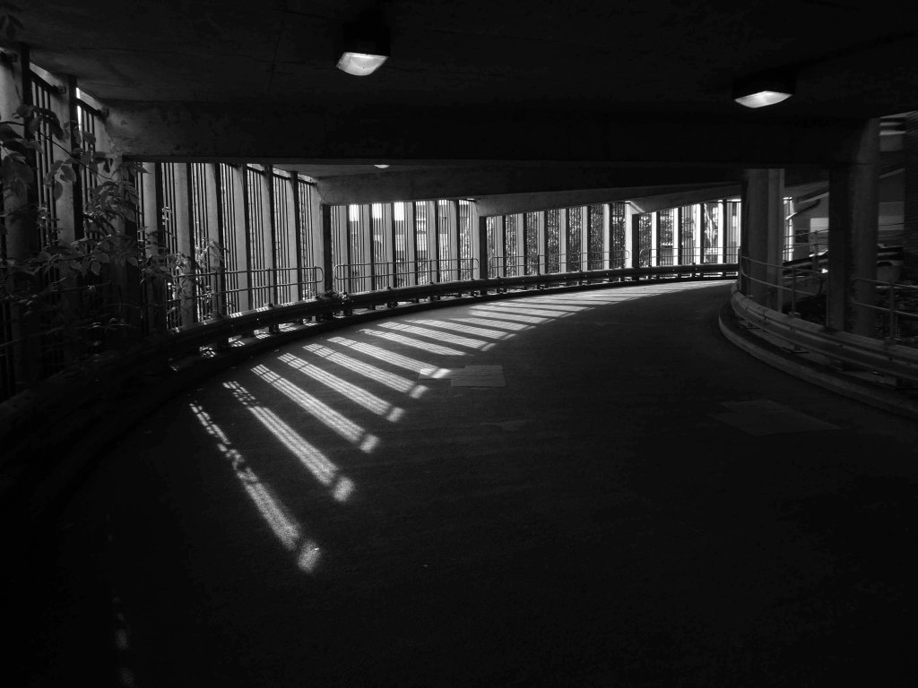
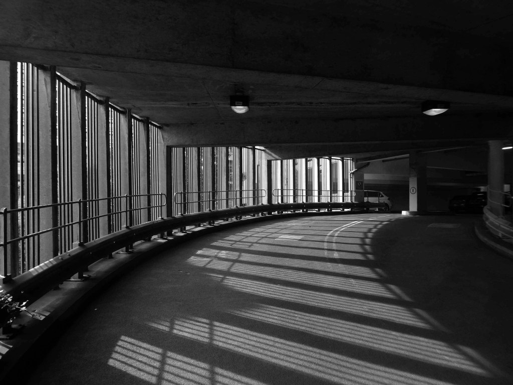
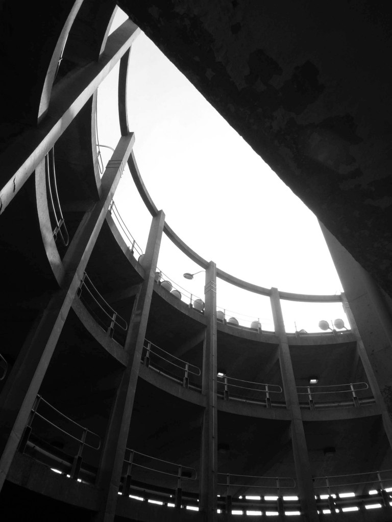
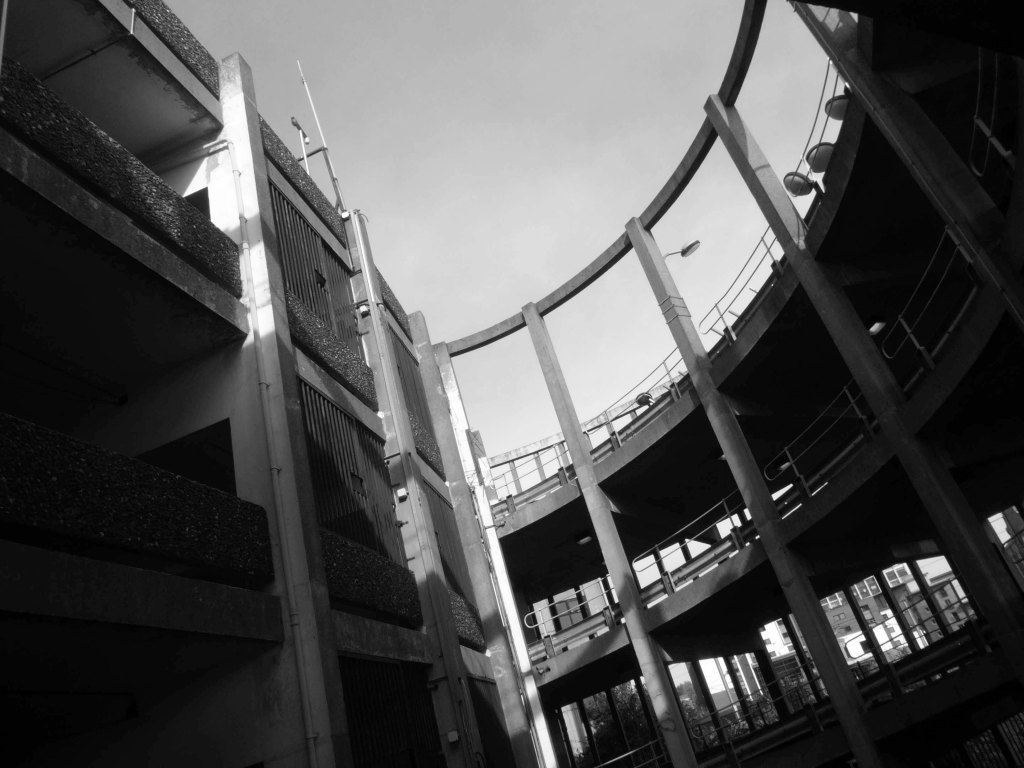
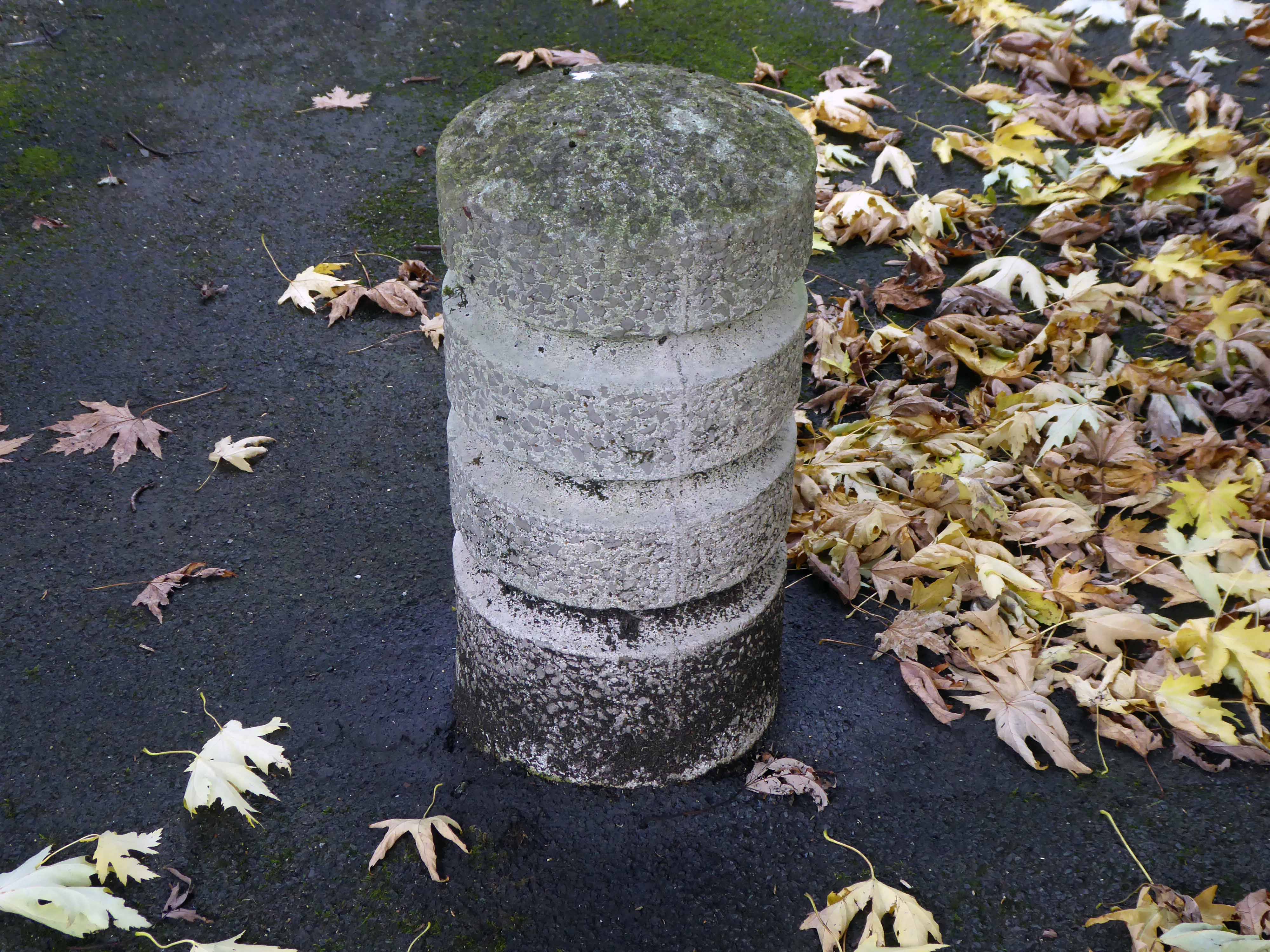
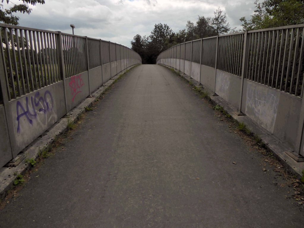
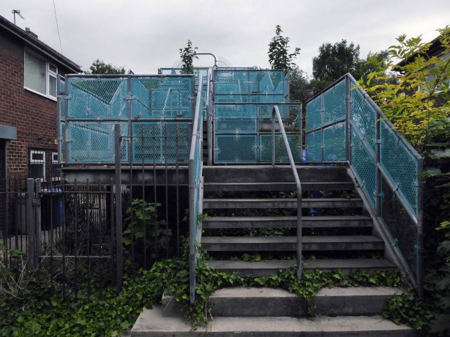
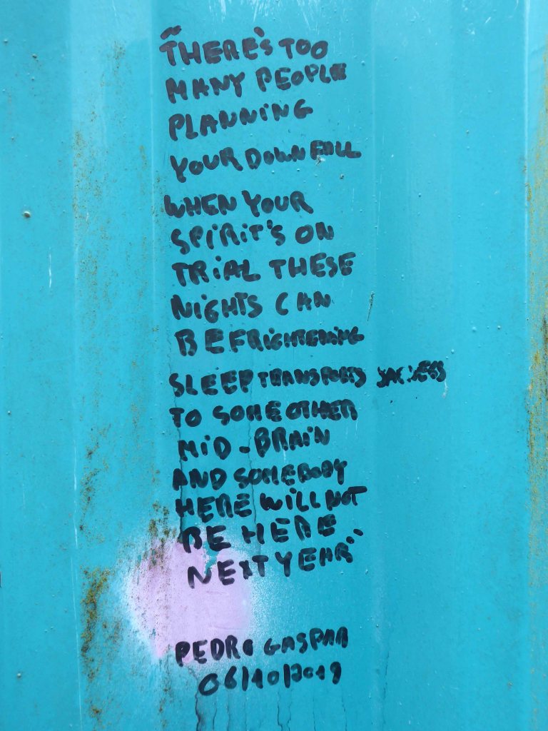
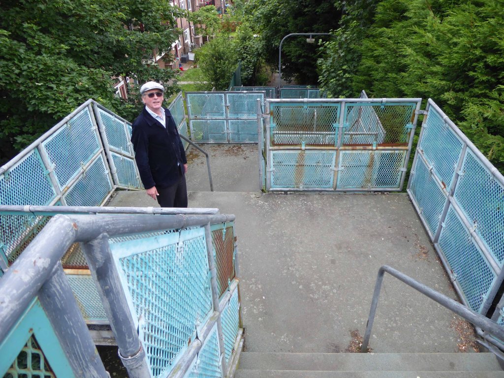
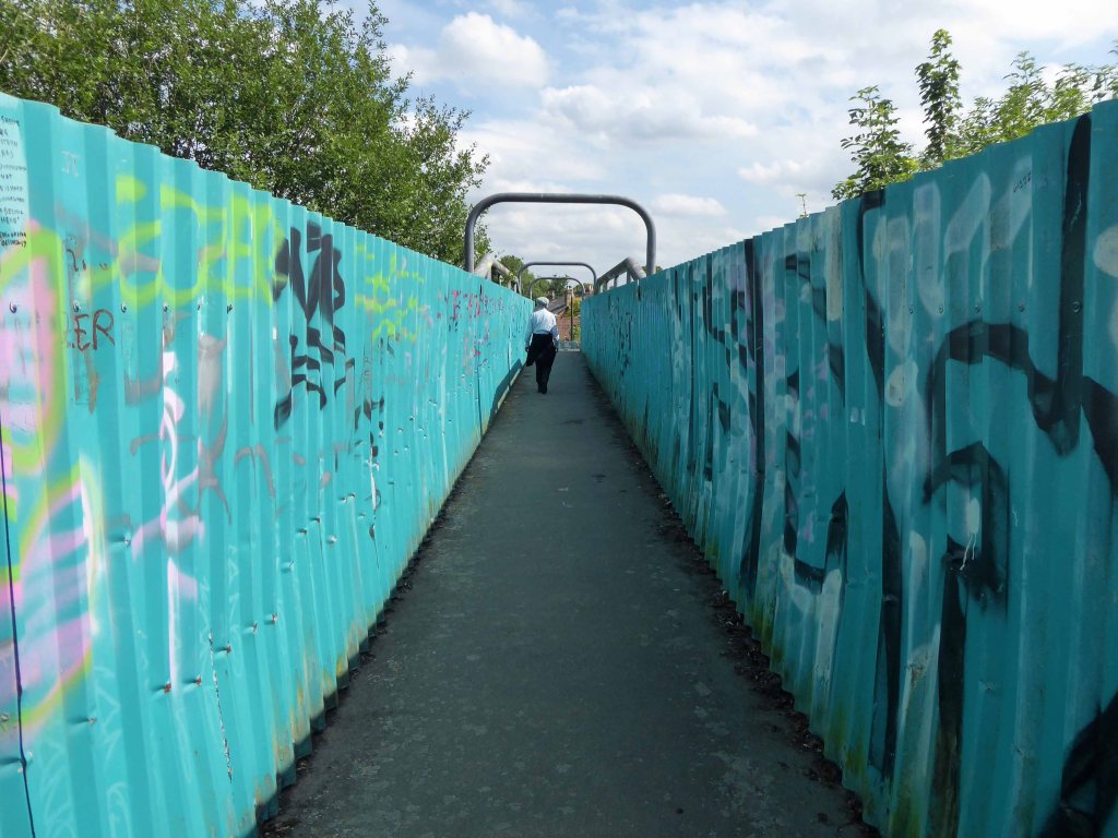
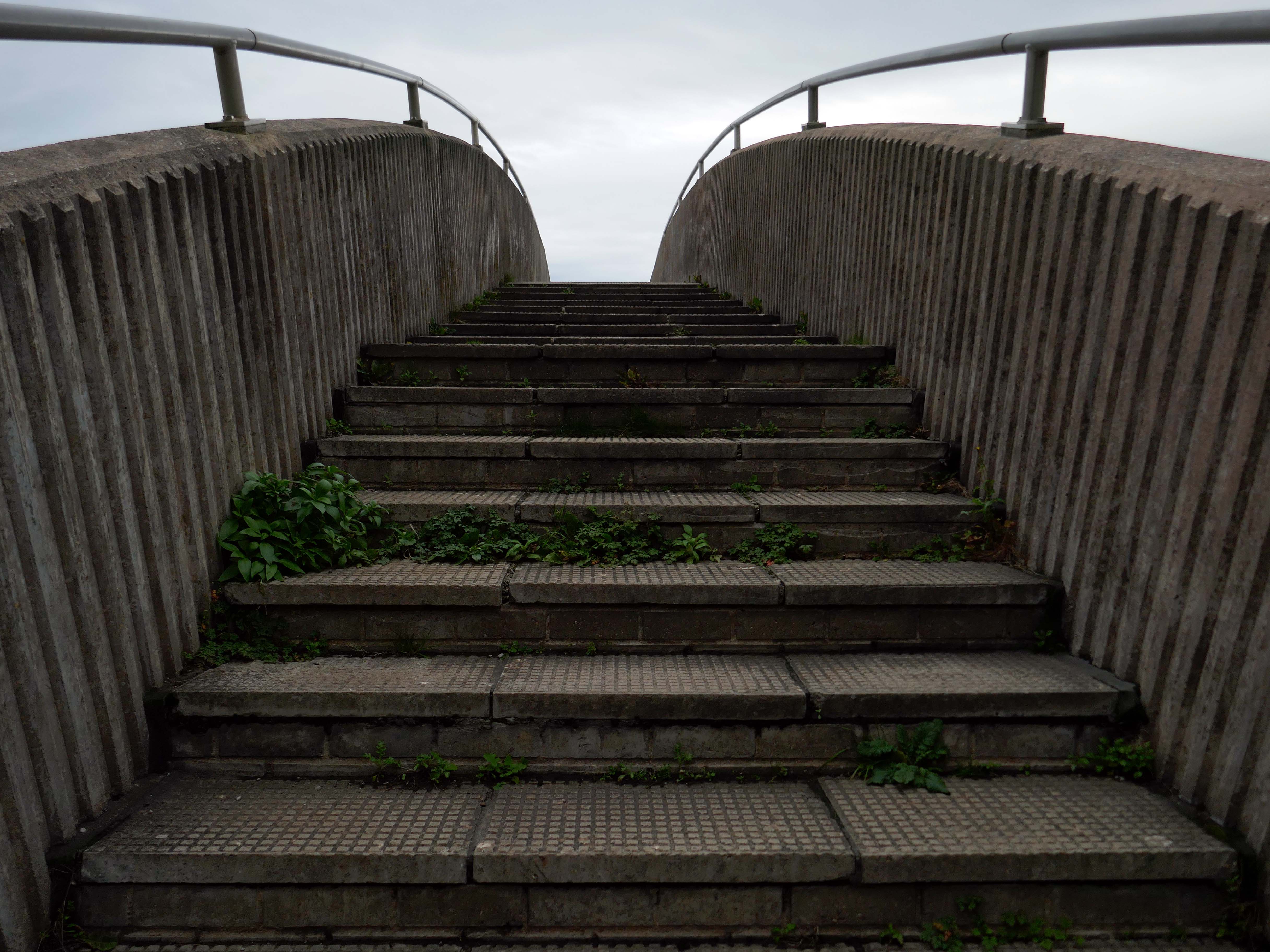
So much for modern motoring – I was walking from Rhyl to Colwyn Bay, so decided to walk back and forth across the bridge, before going along my merry way.

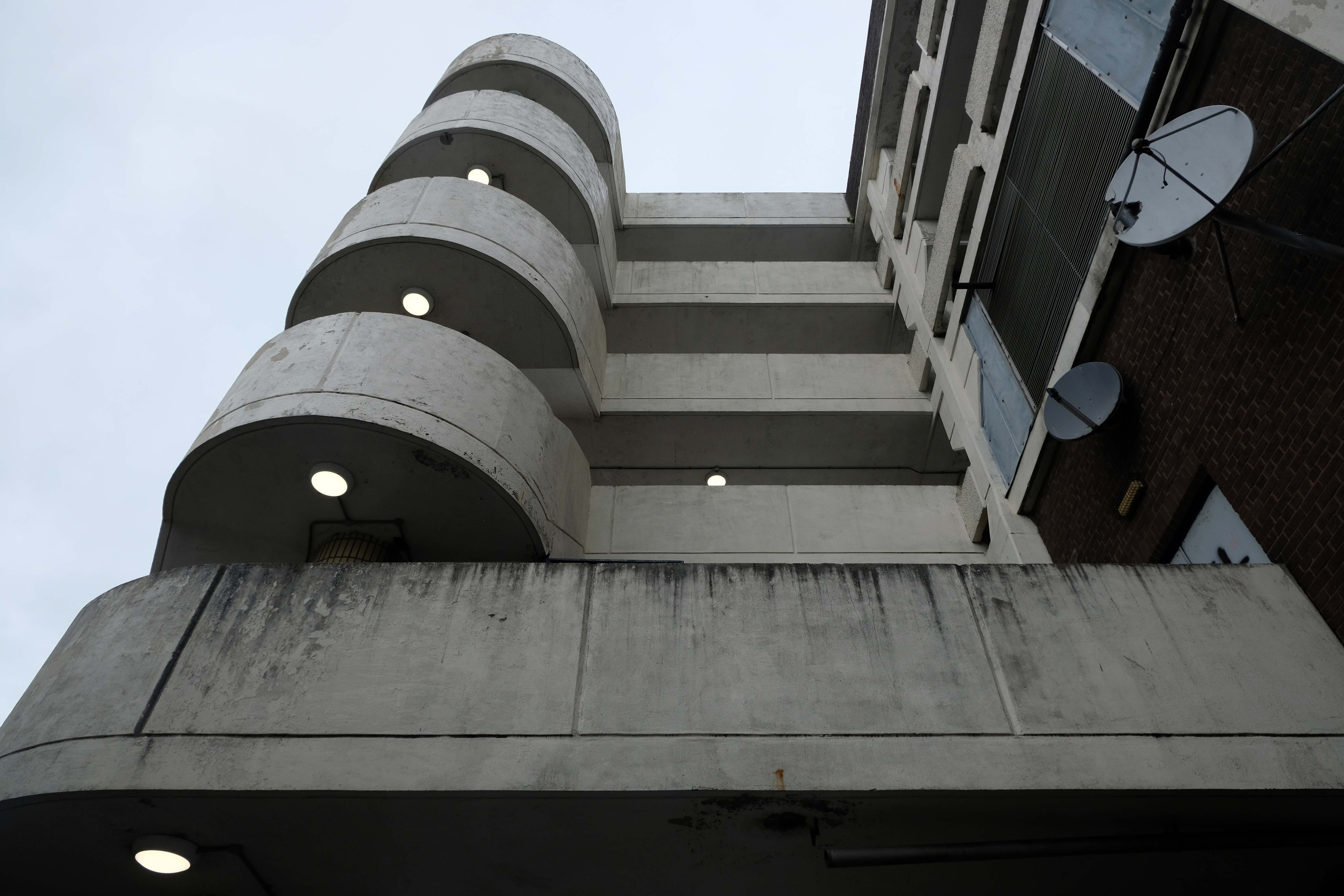
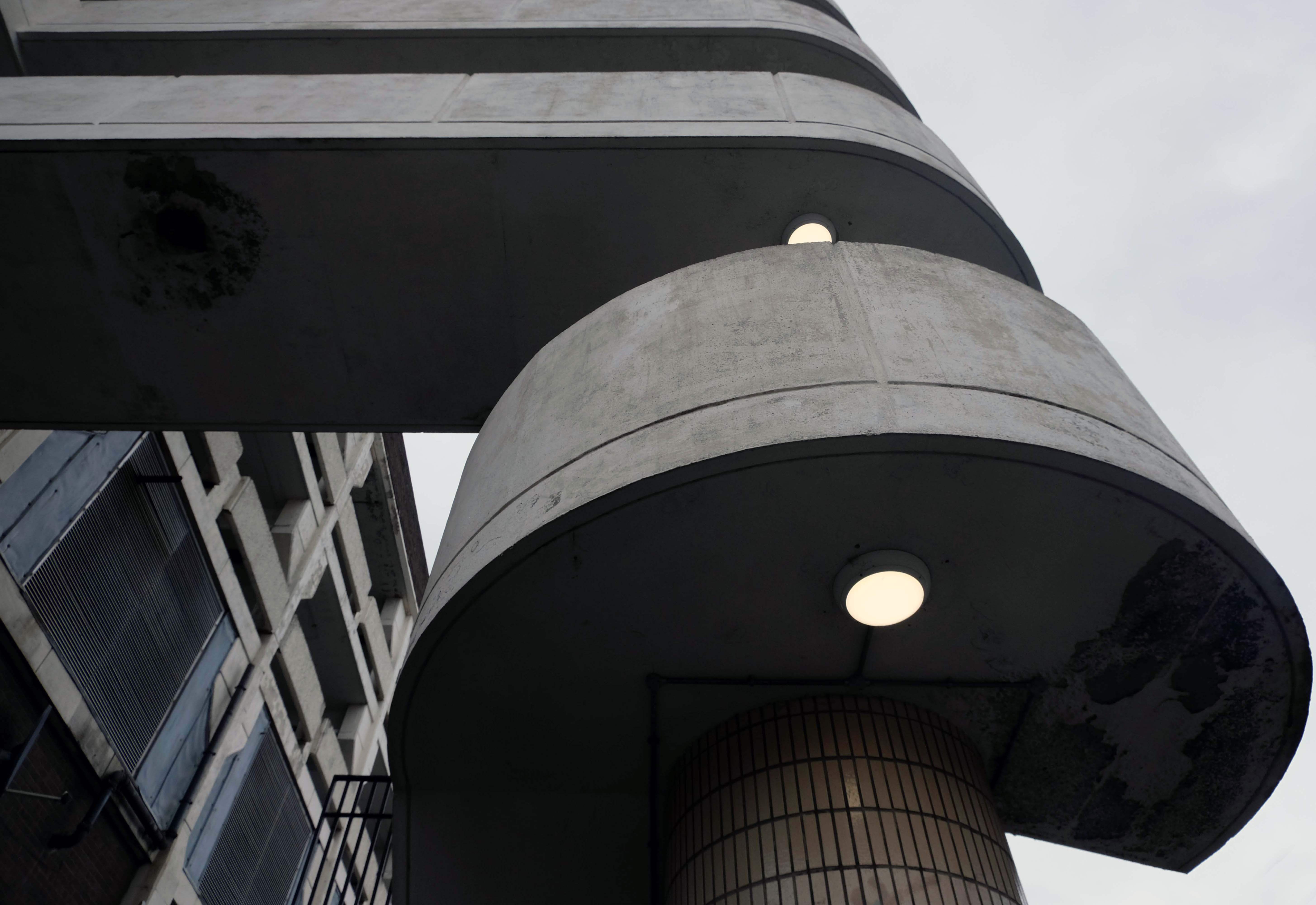
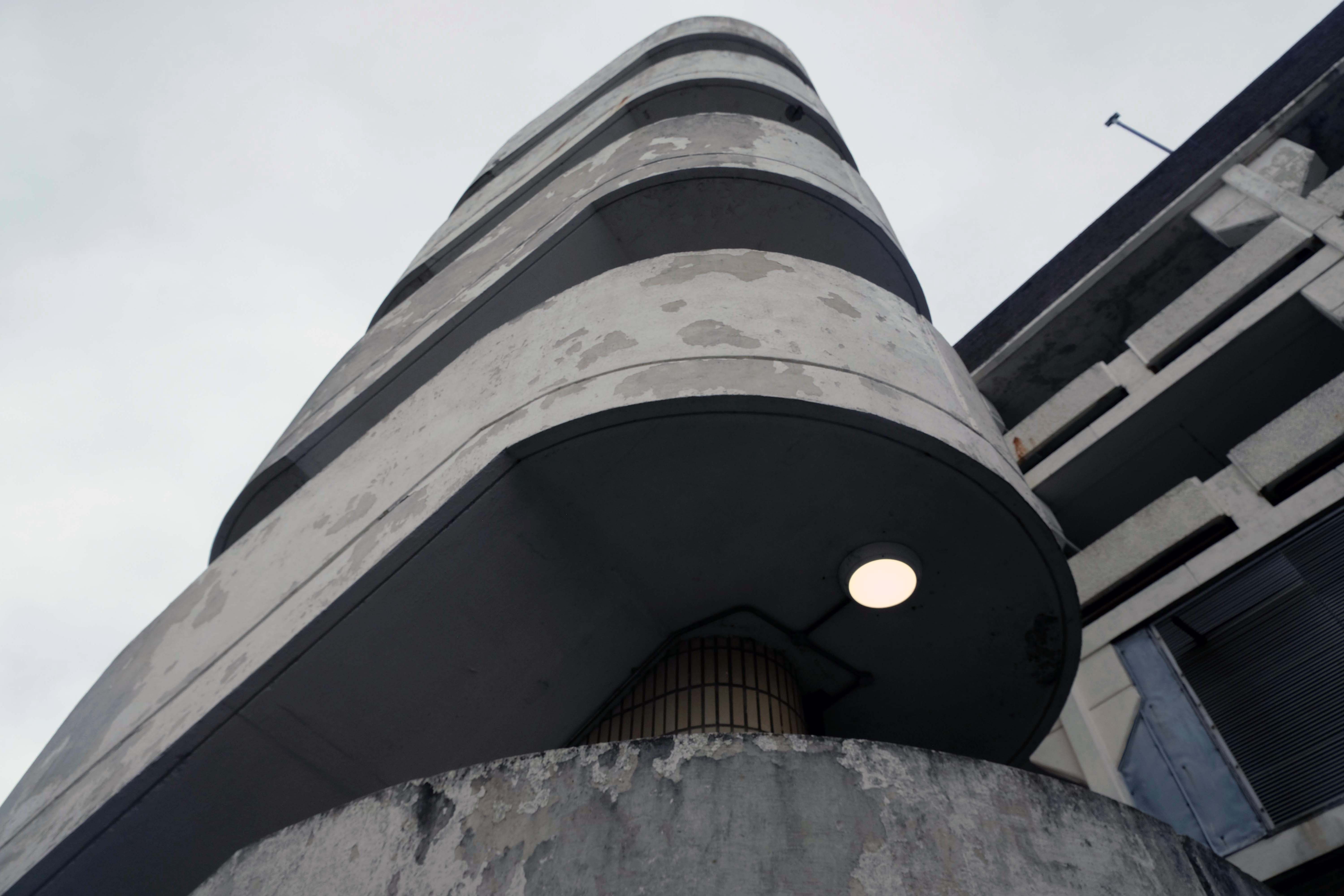
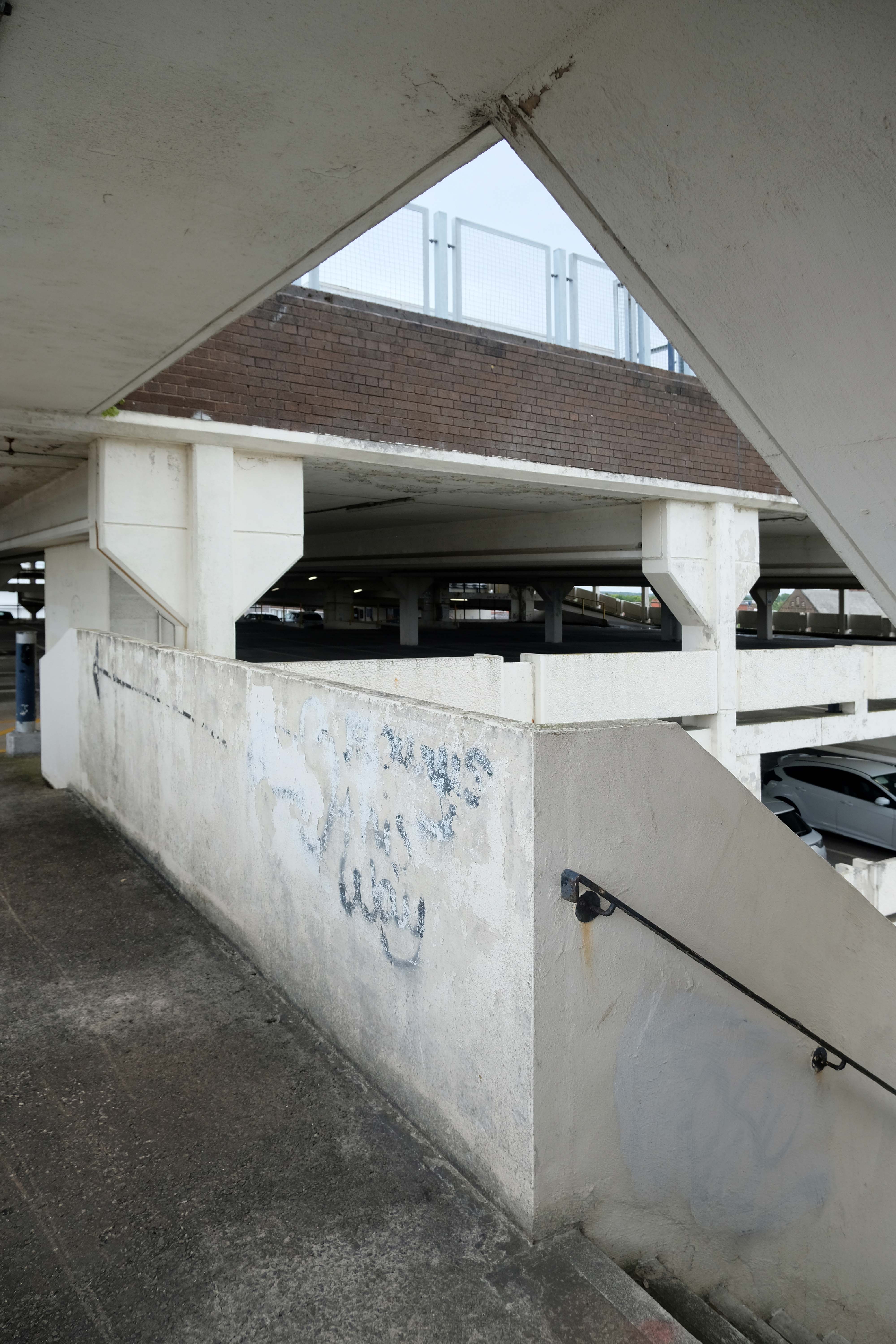
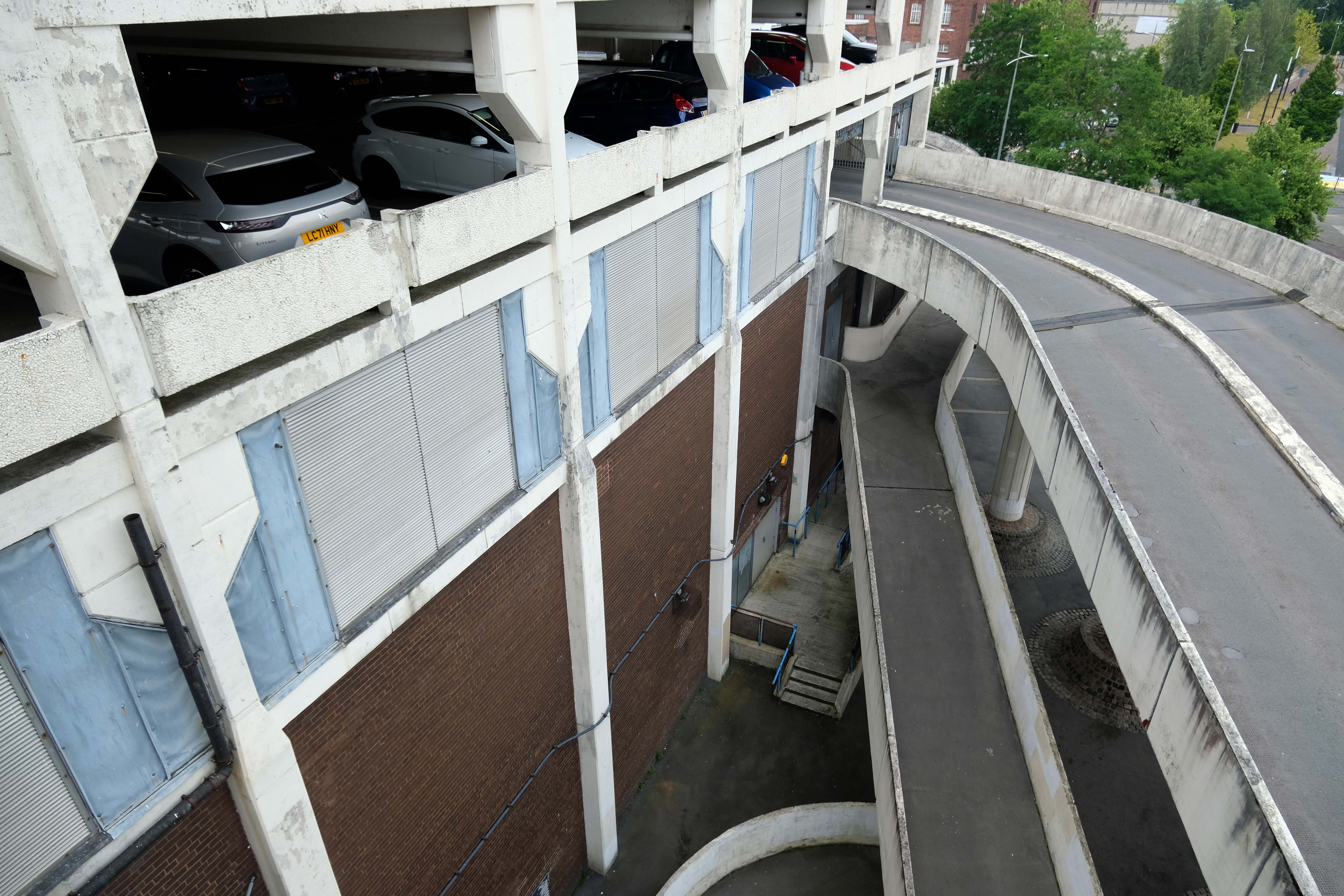
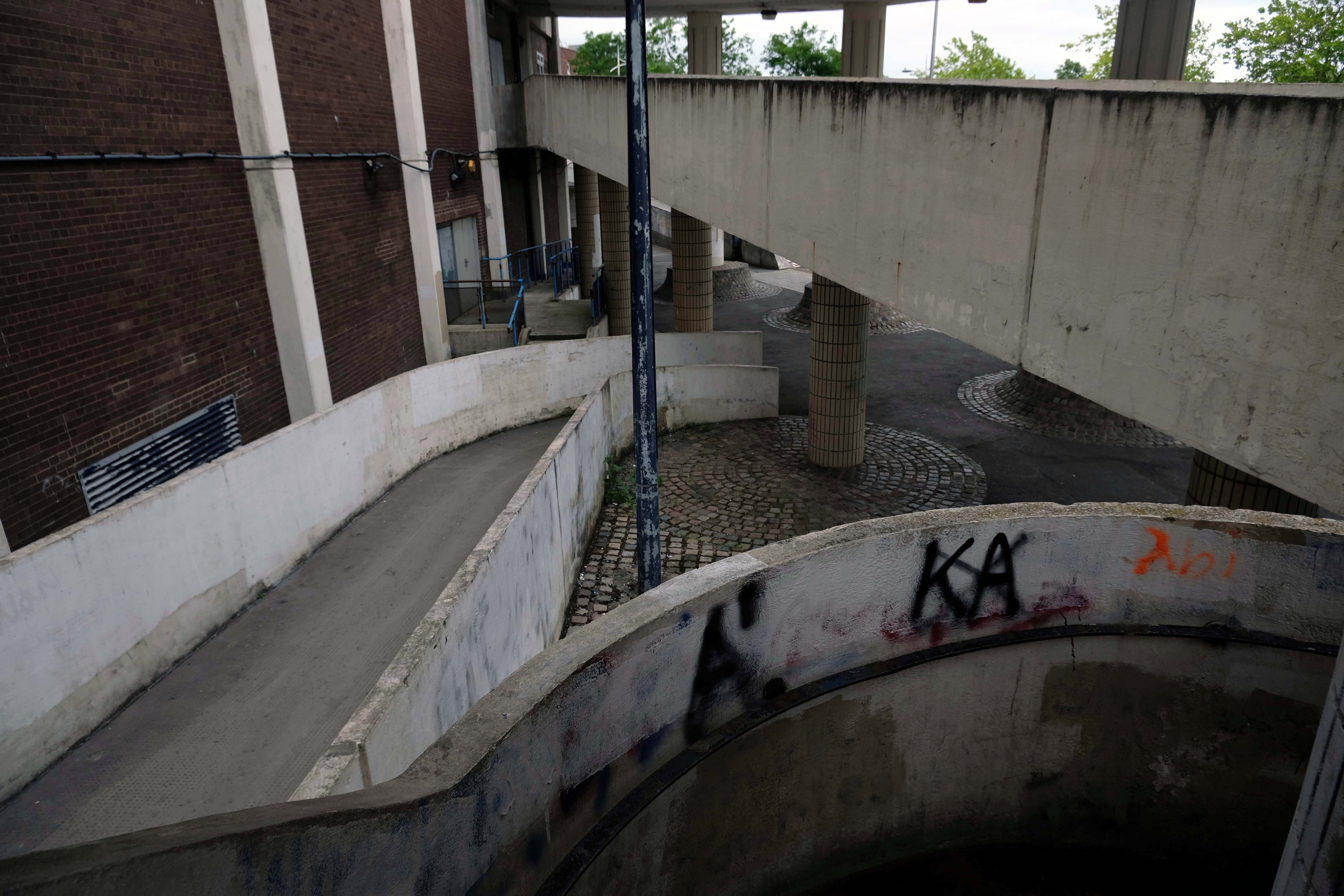
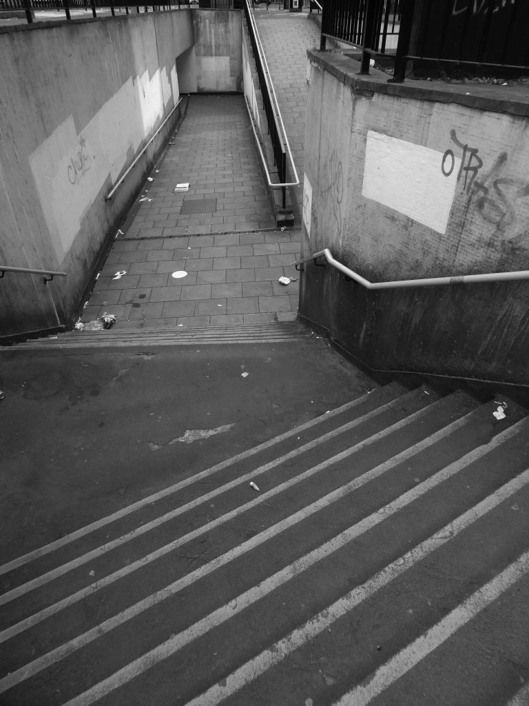
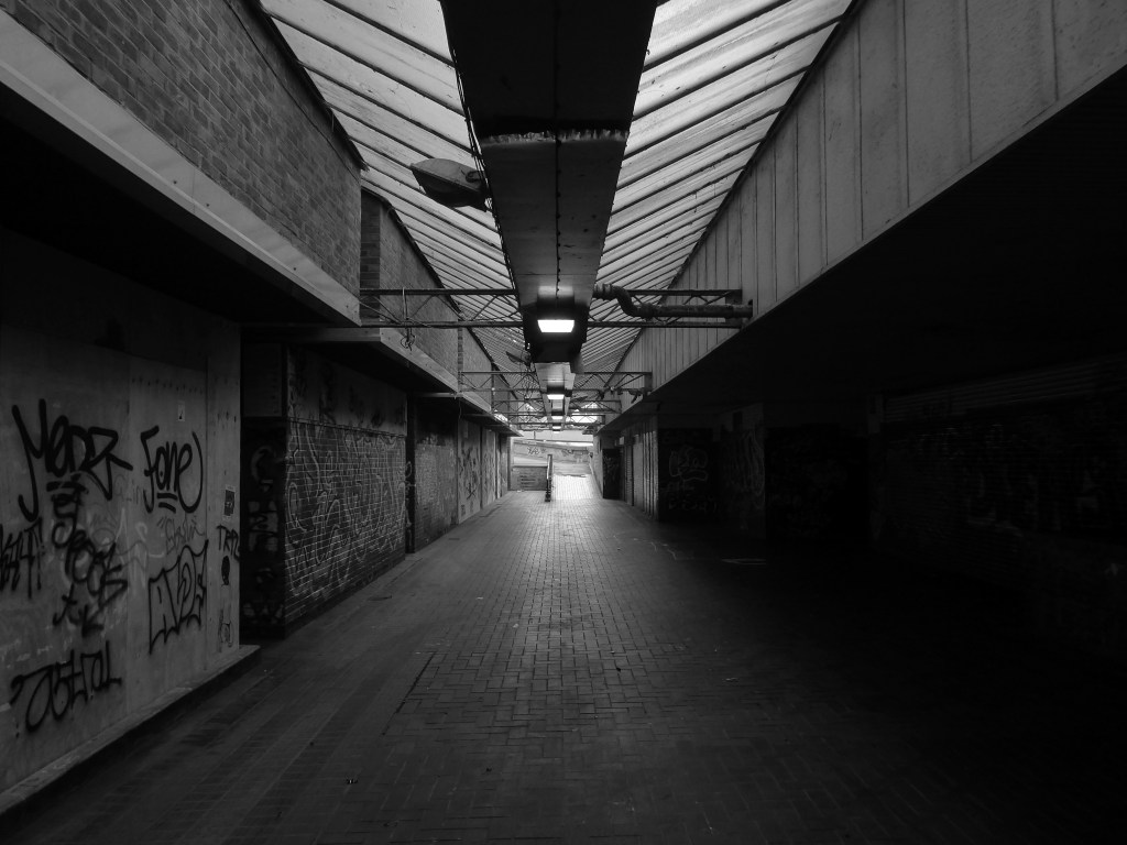
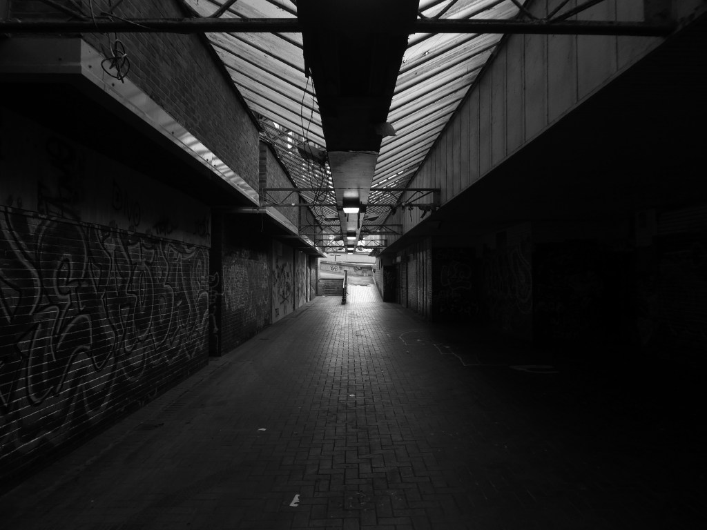
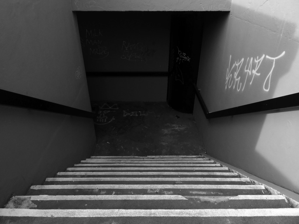
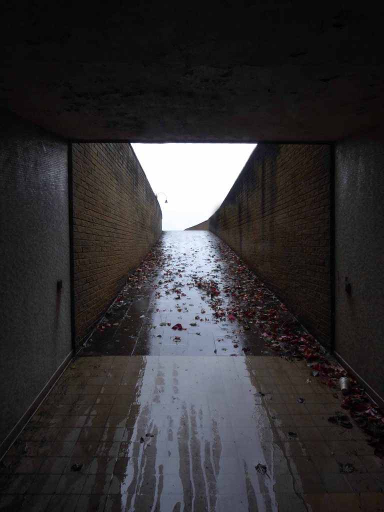
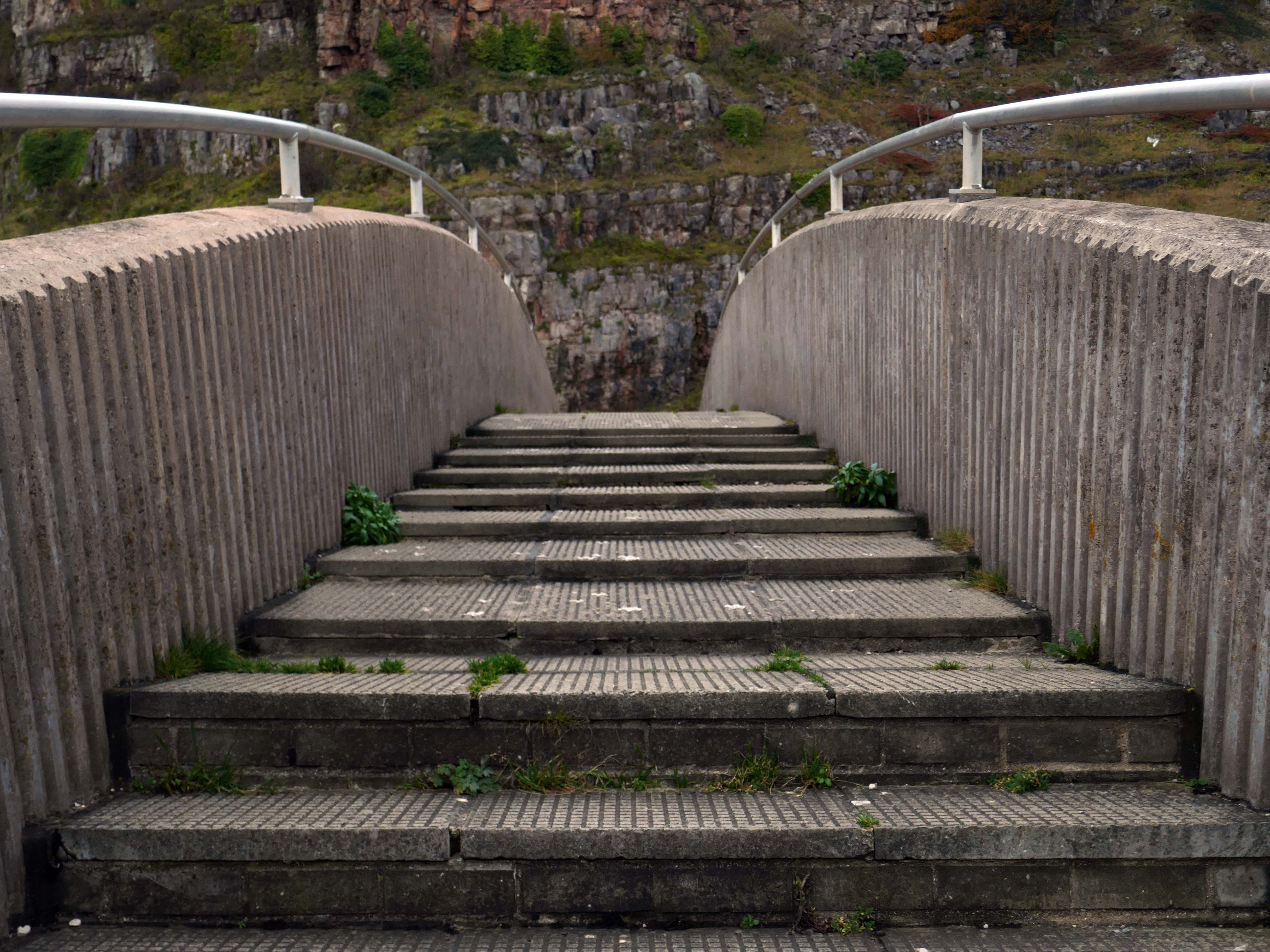
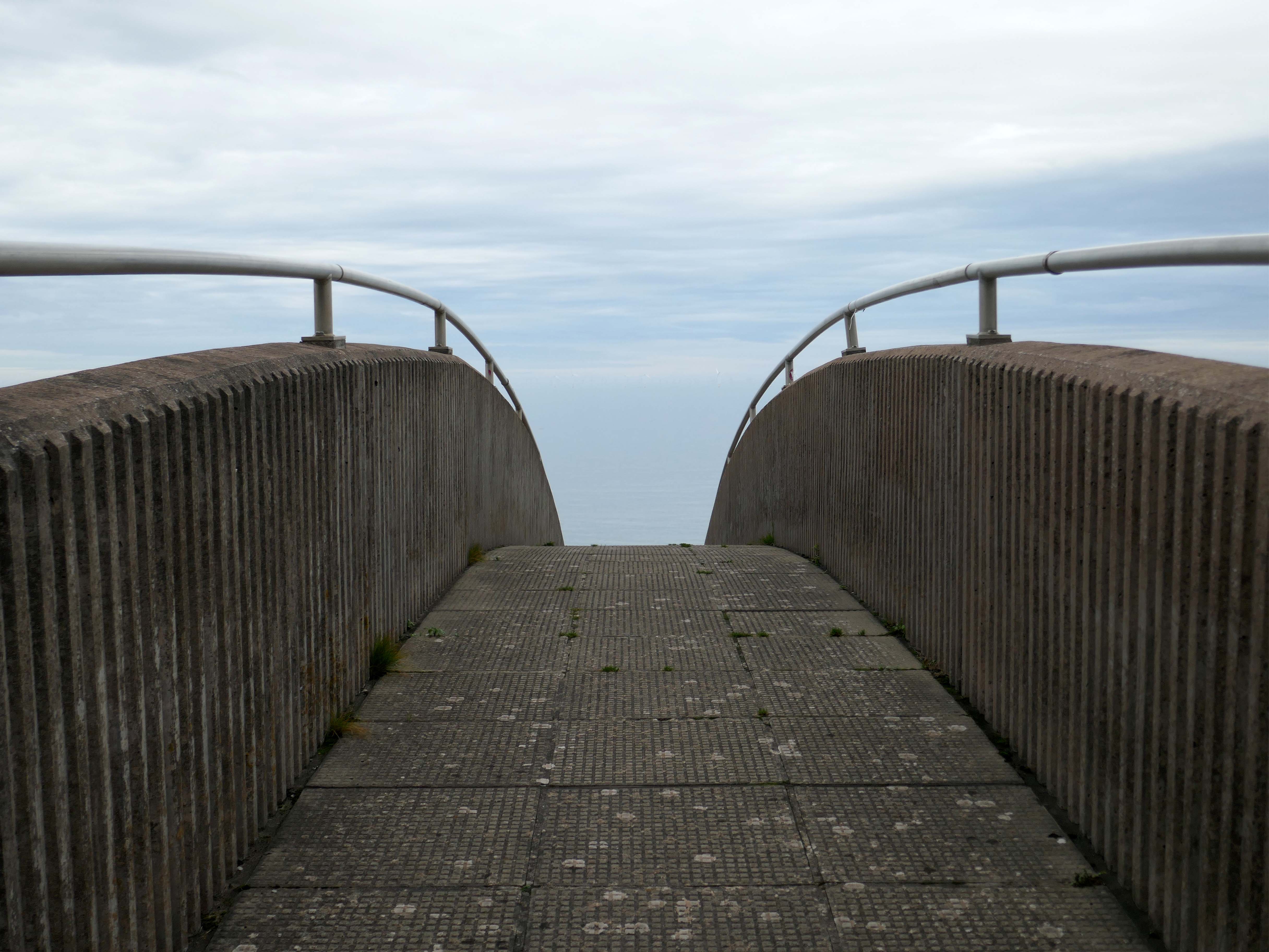
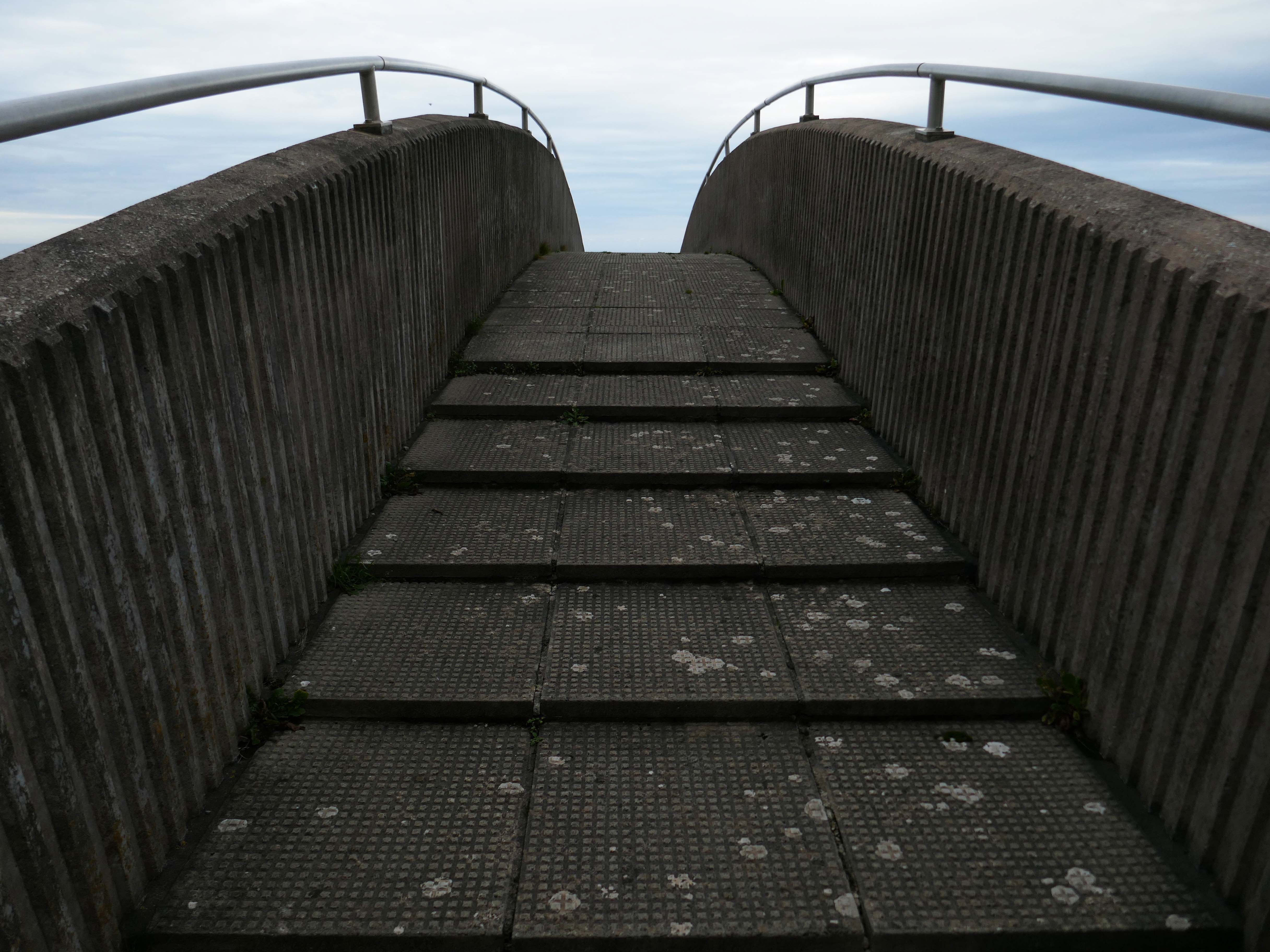
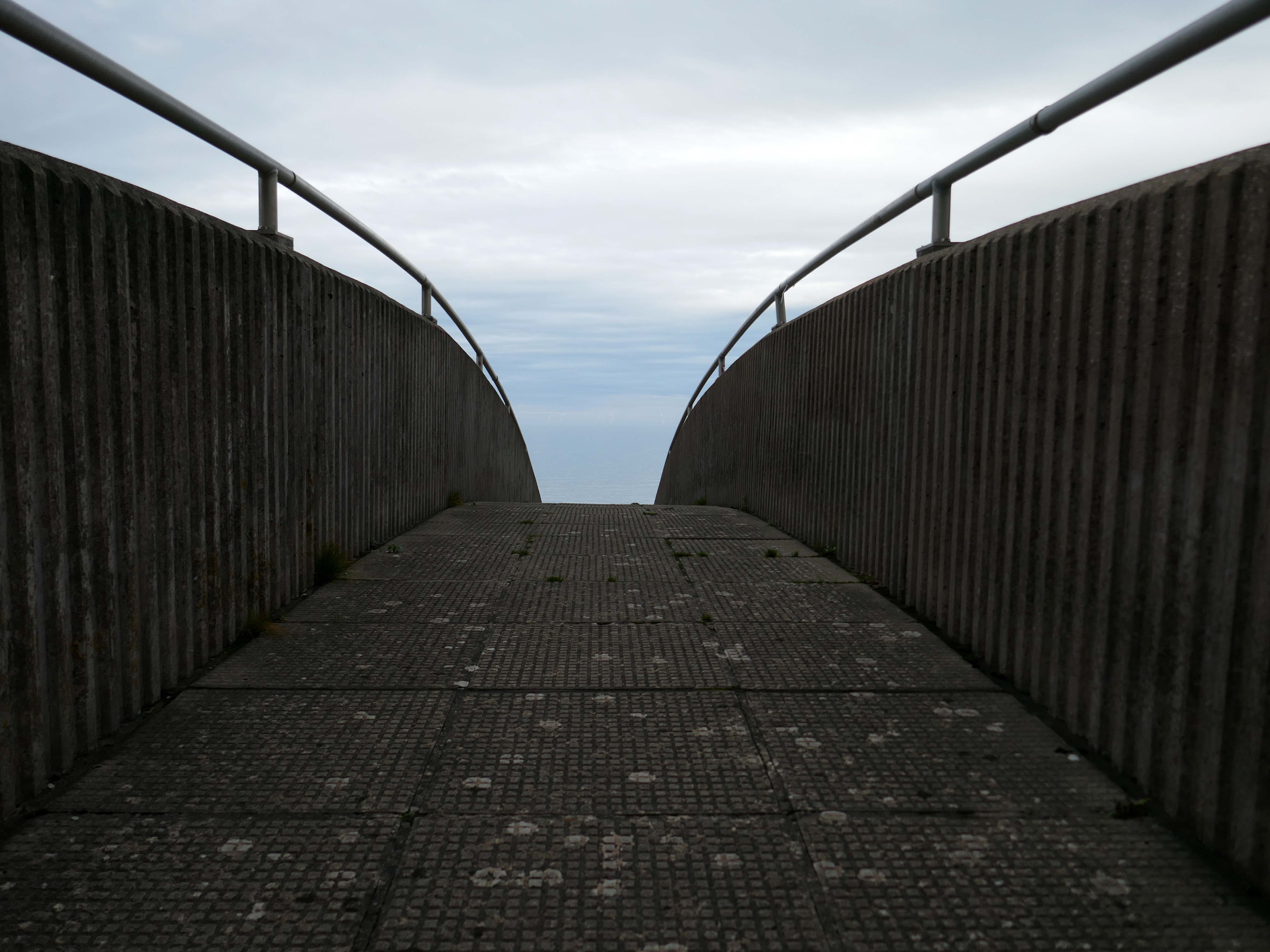
Steep and stepped, it certainly would not be described as accessible.

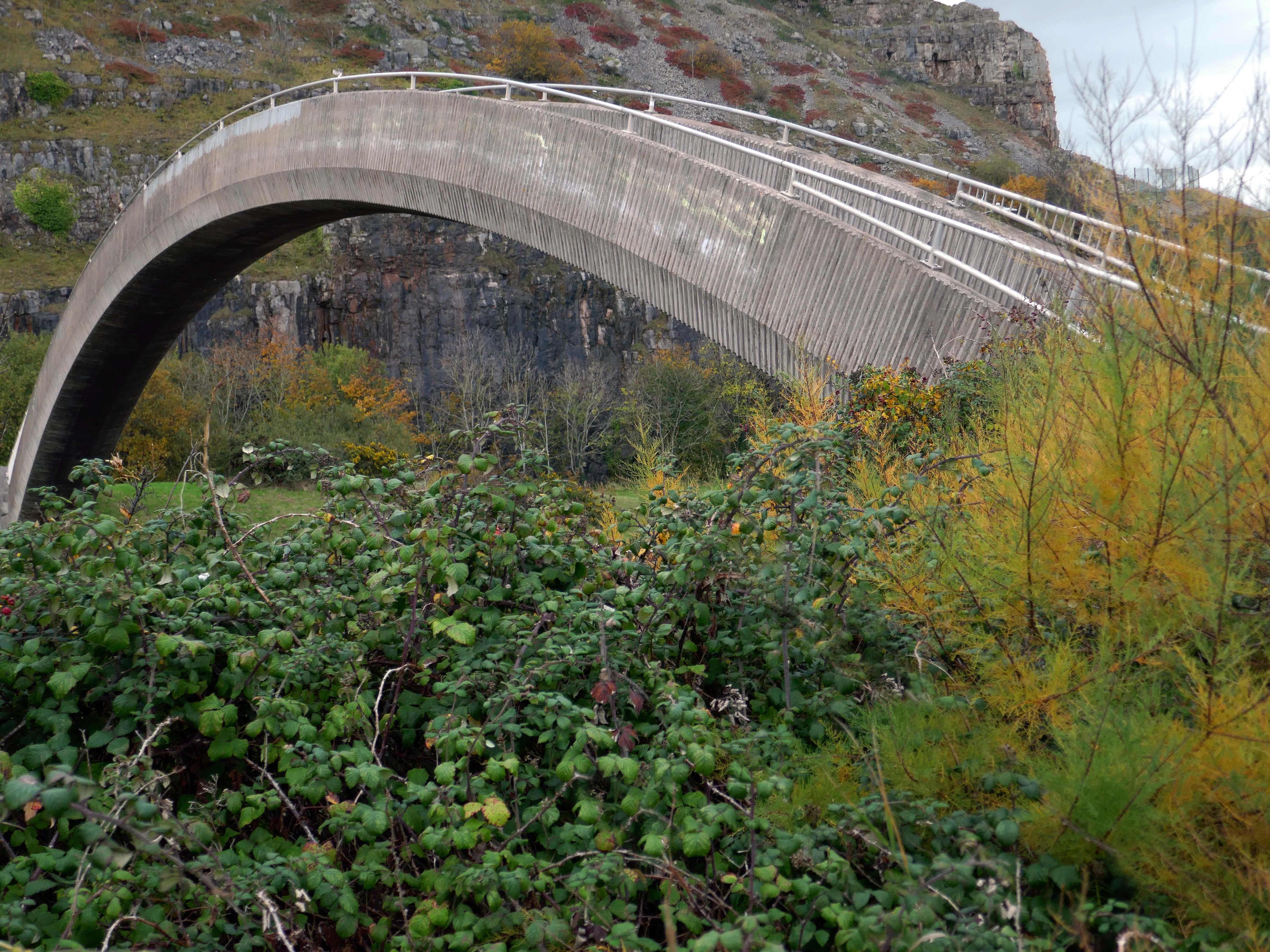
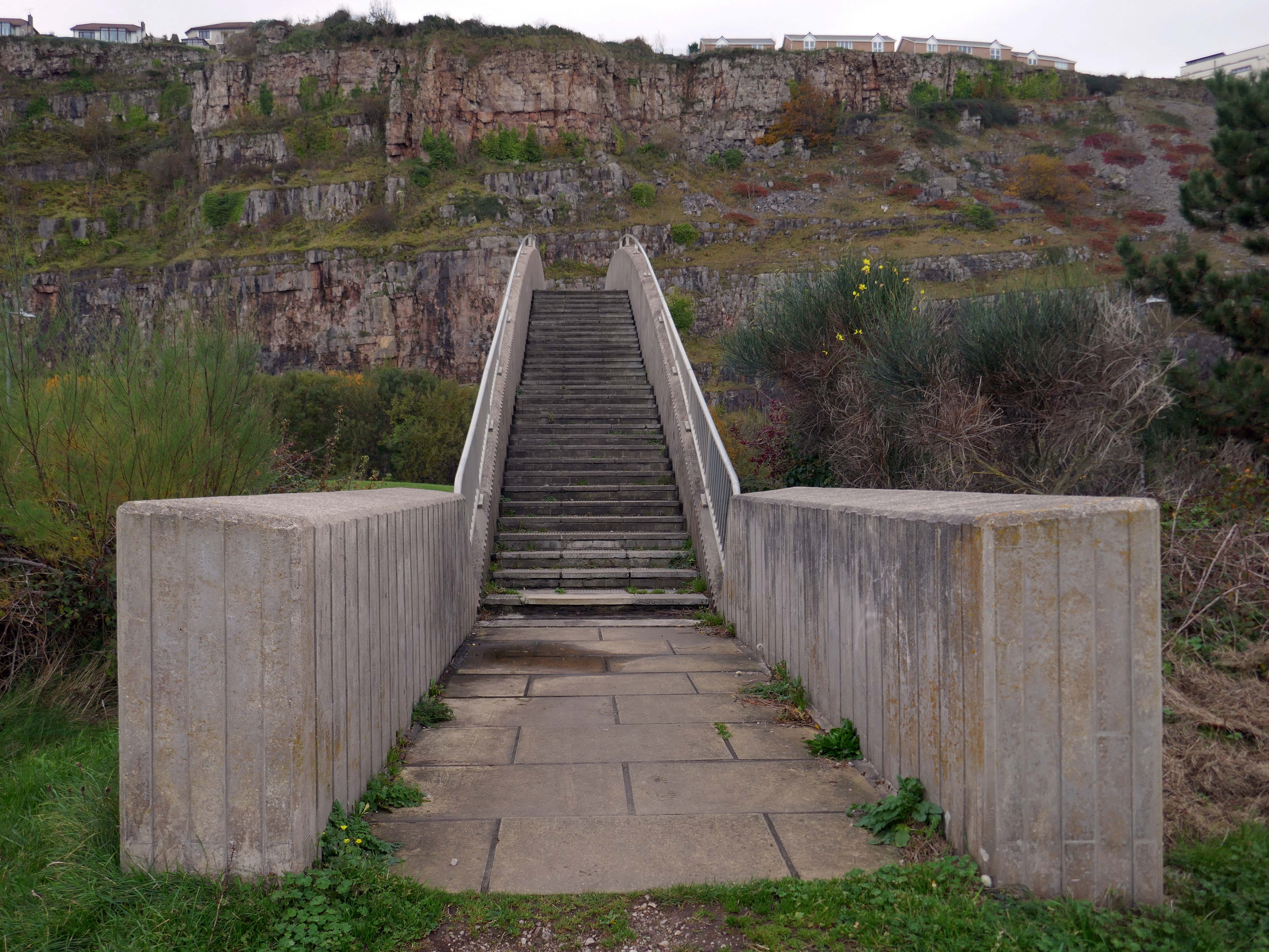
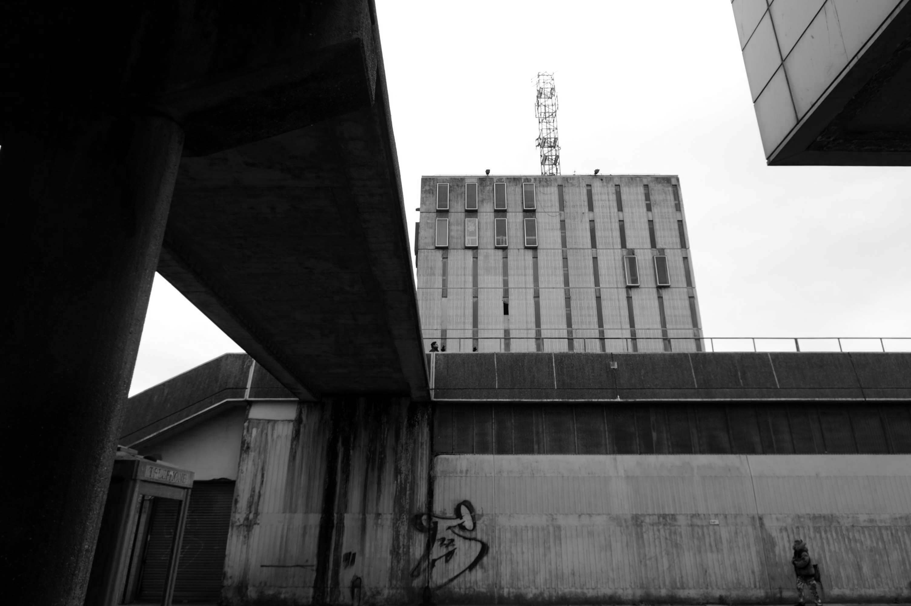
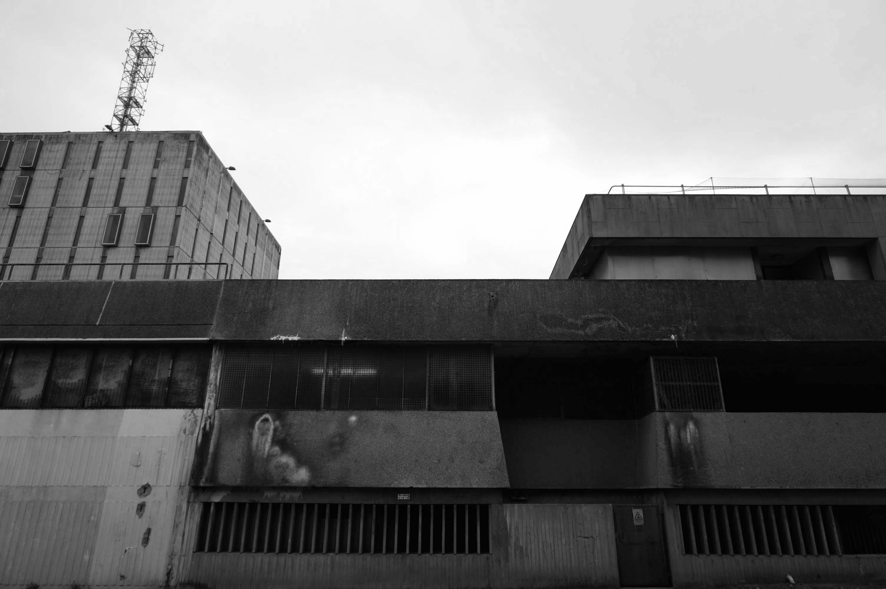
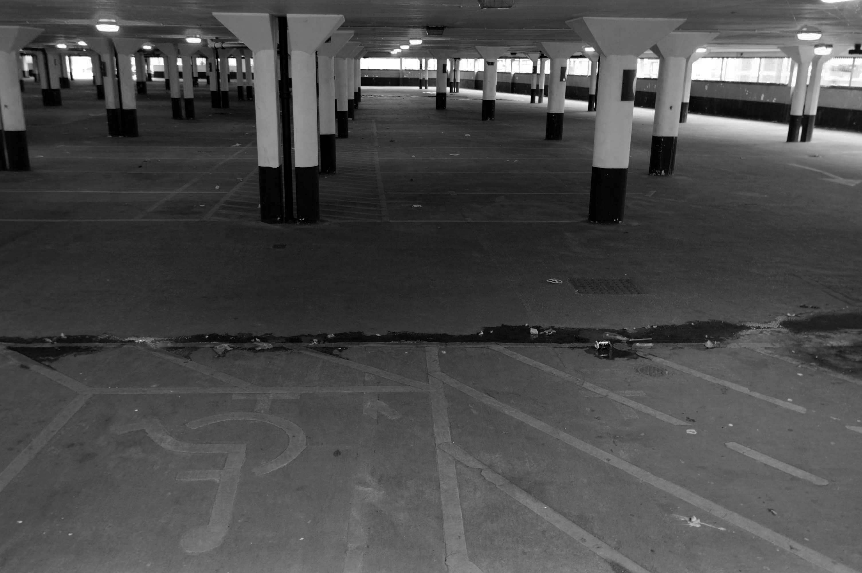
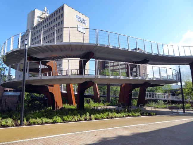
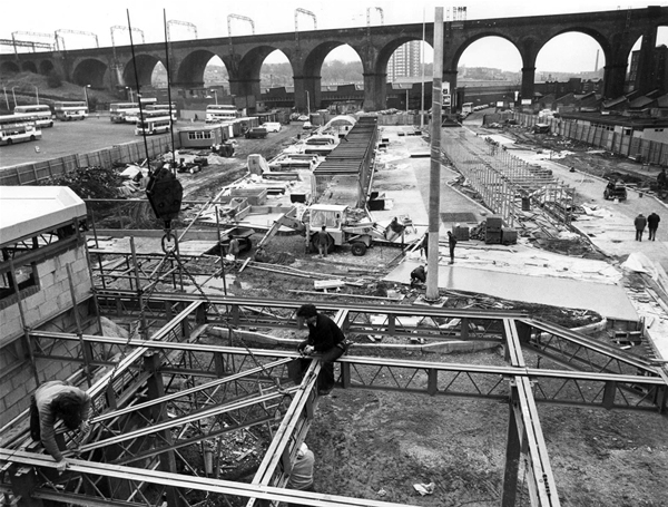
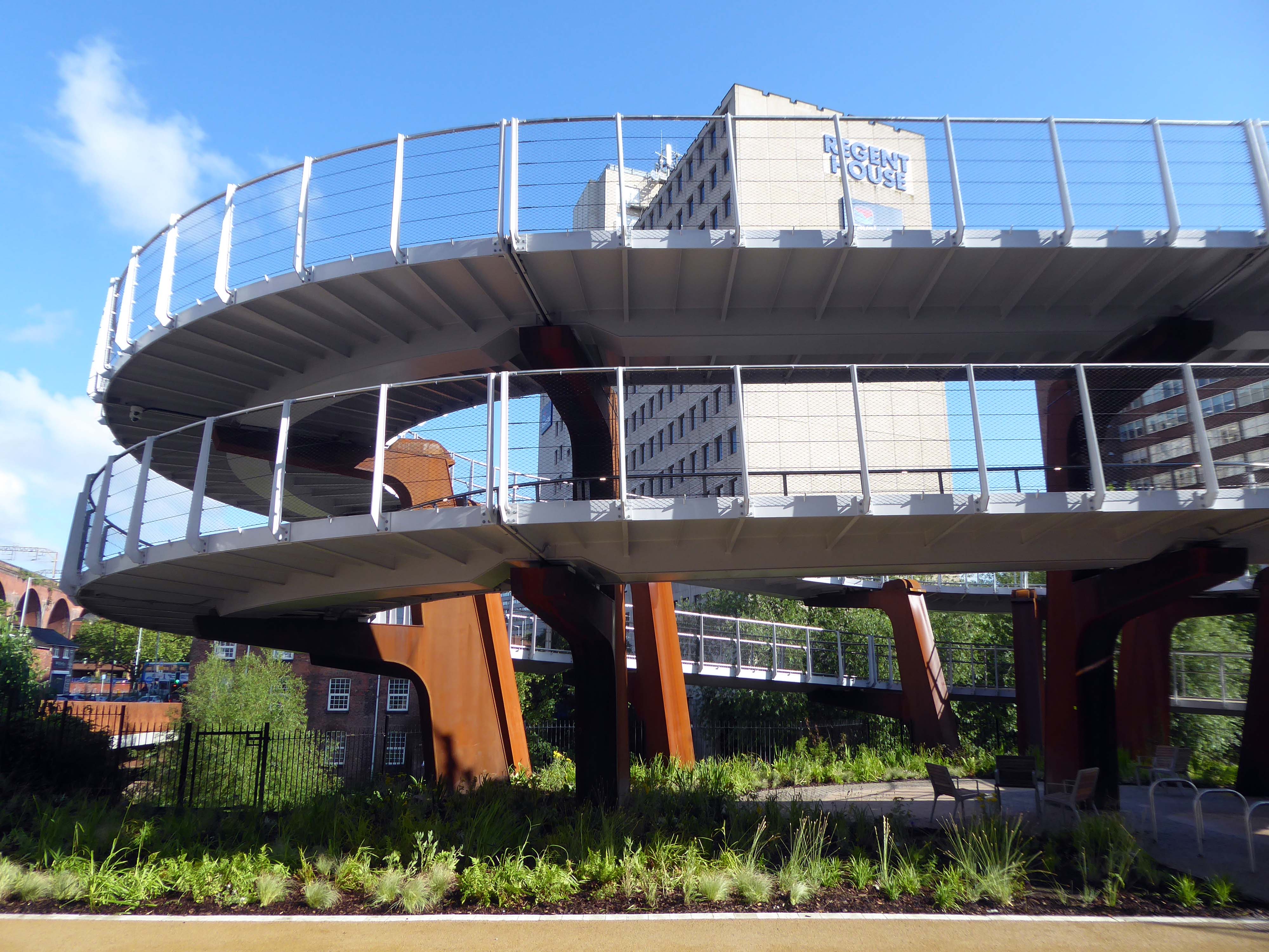
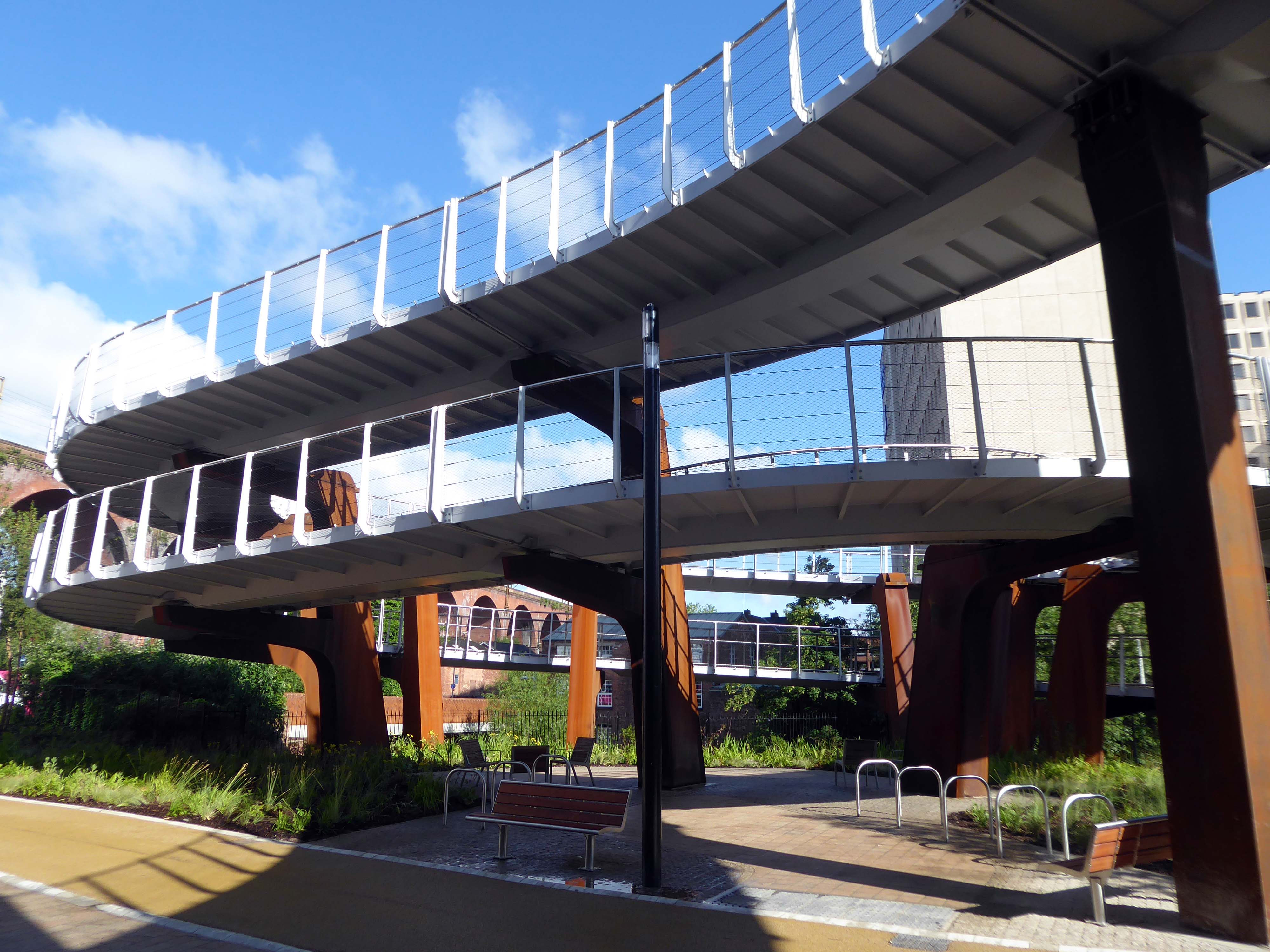
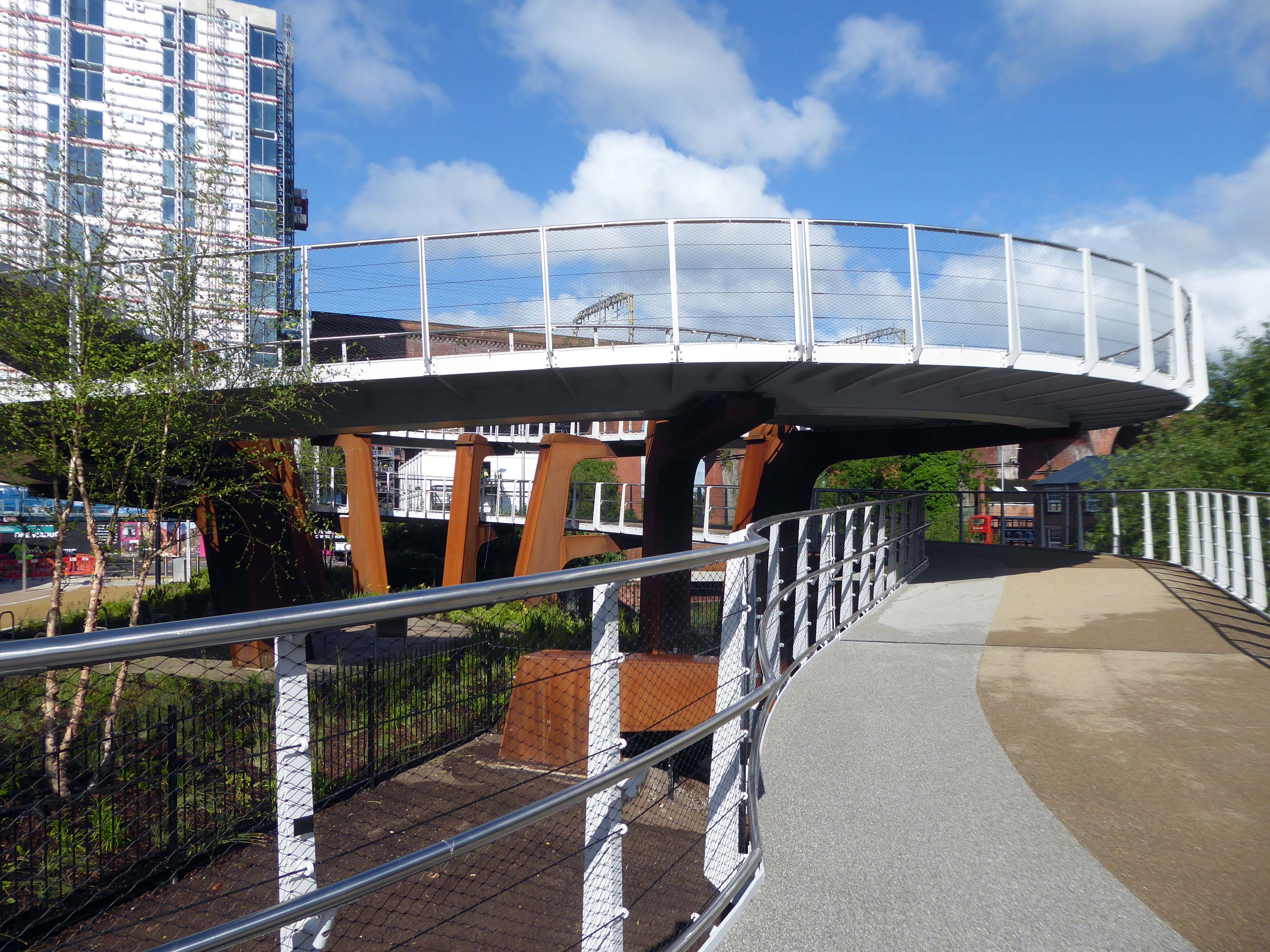
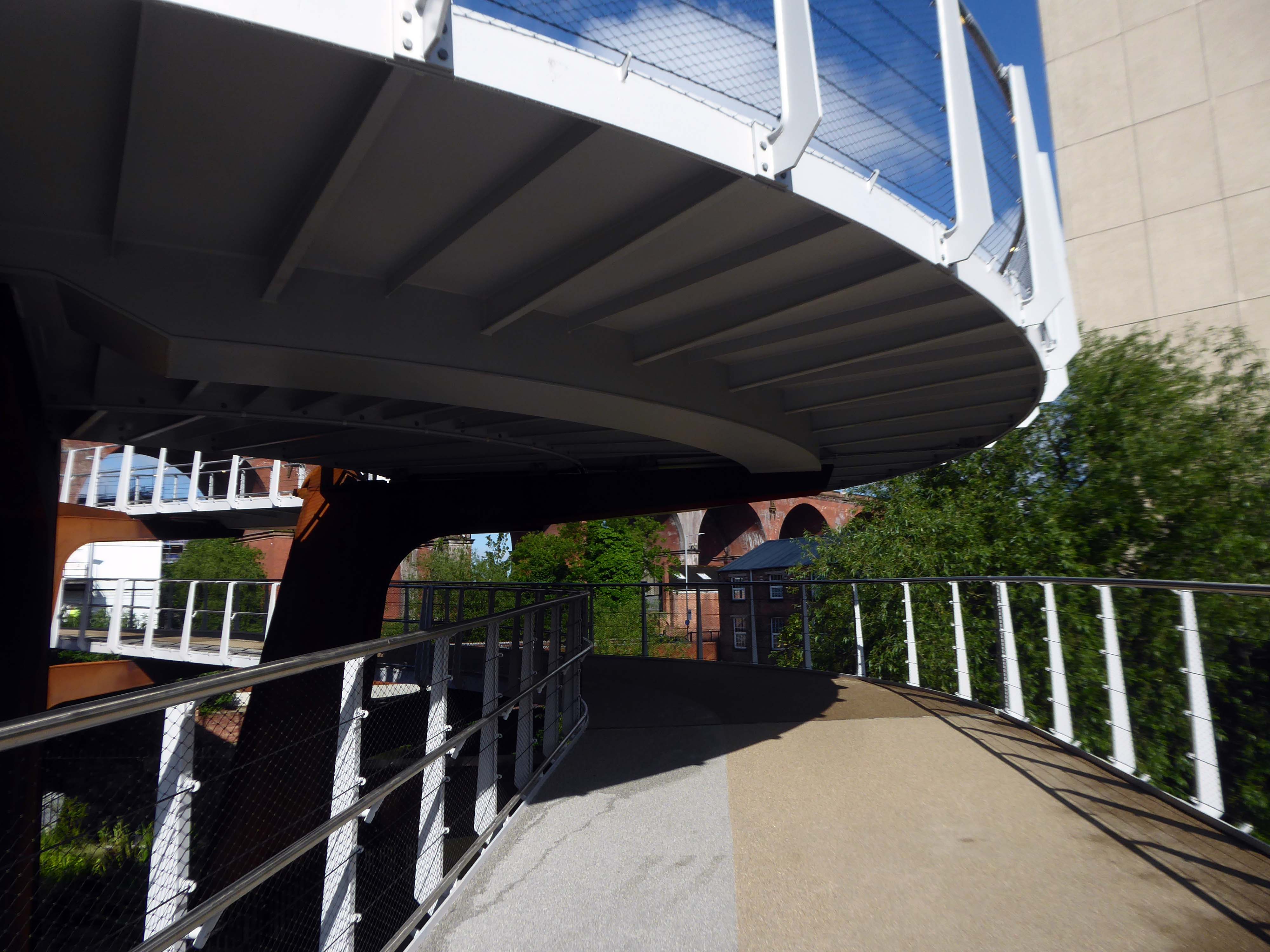
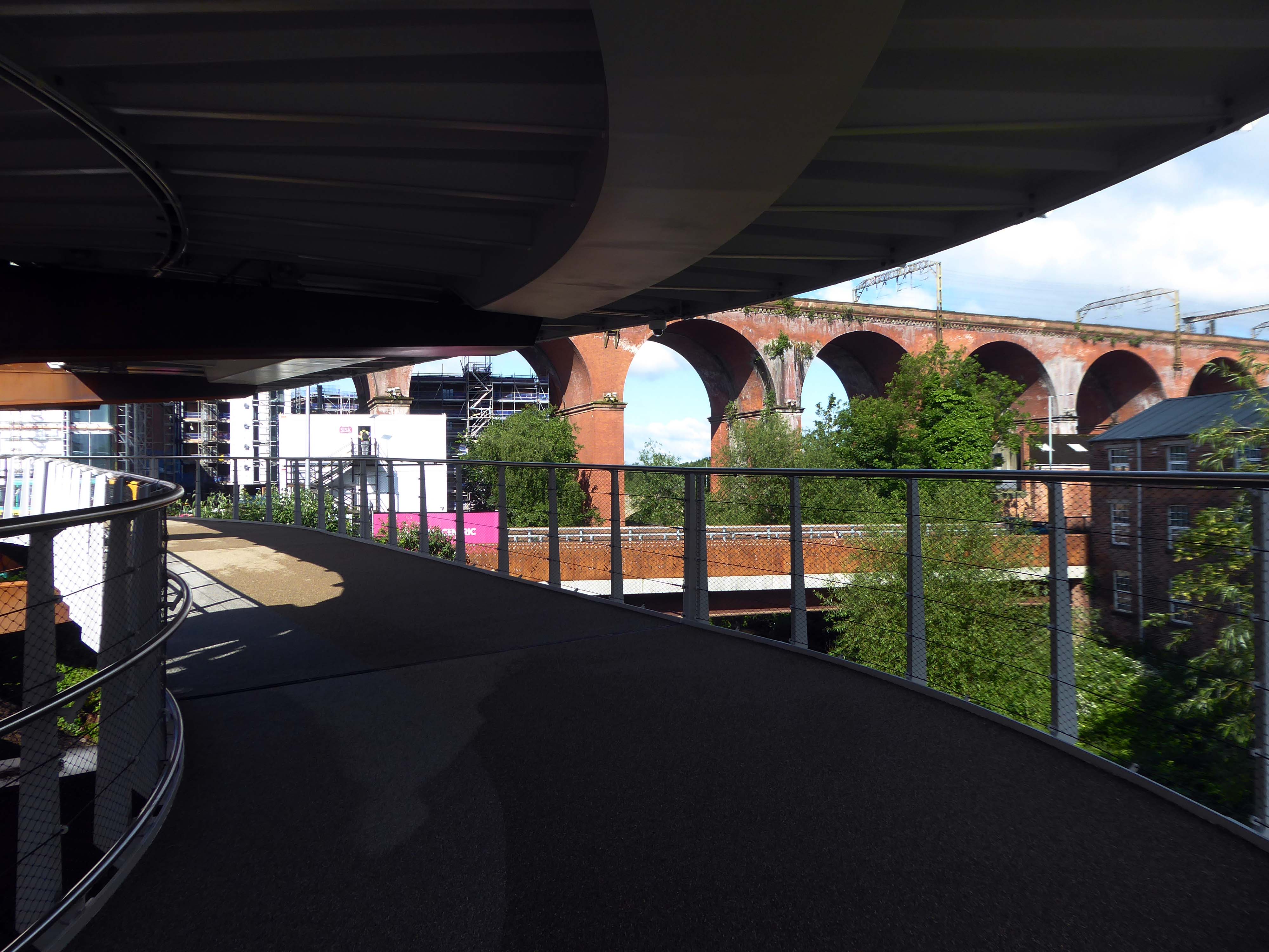
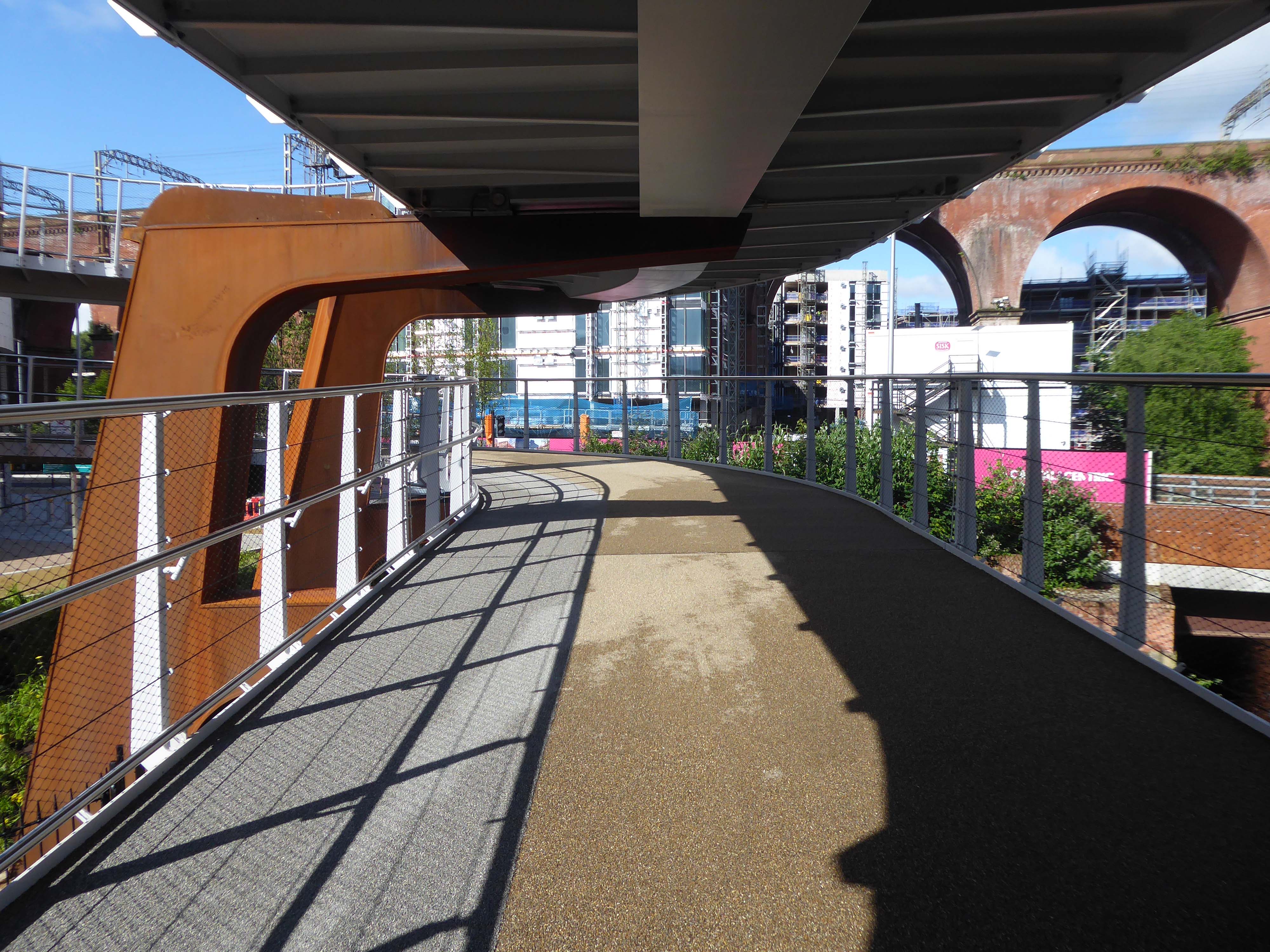
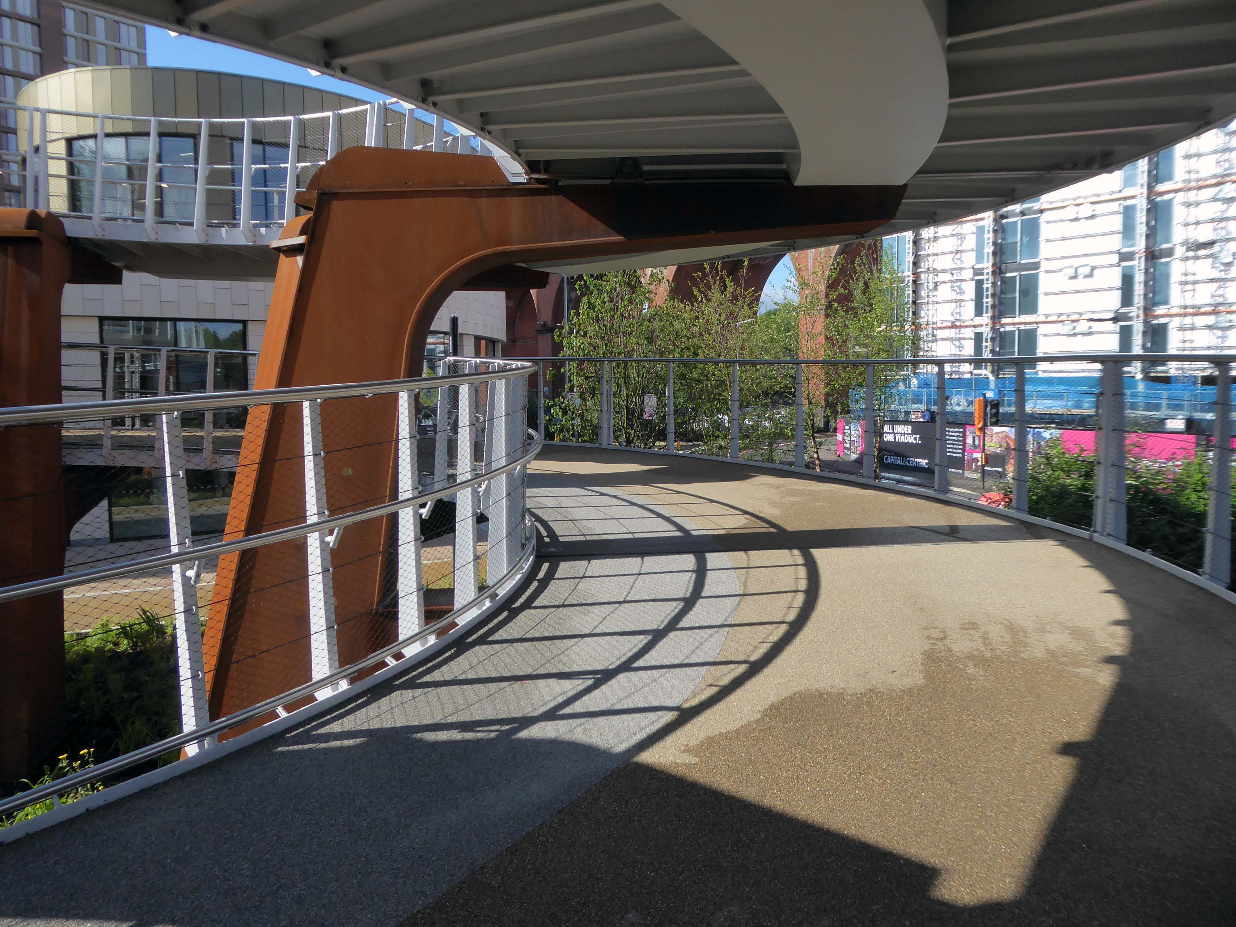
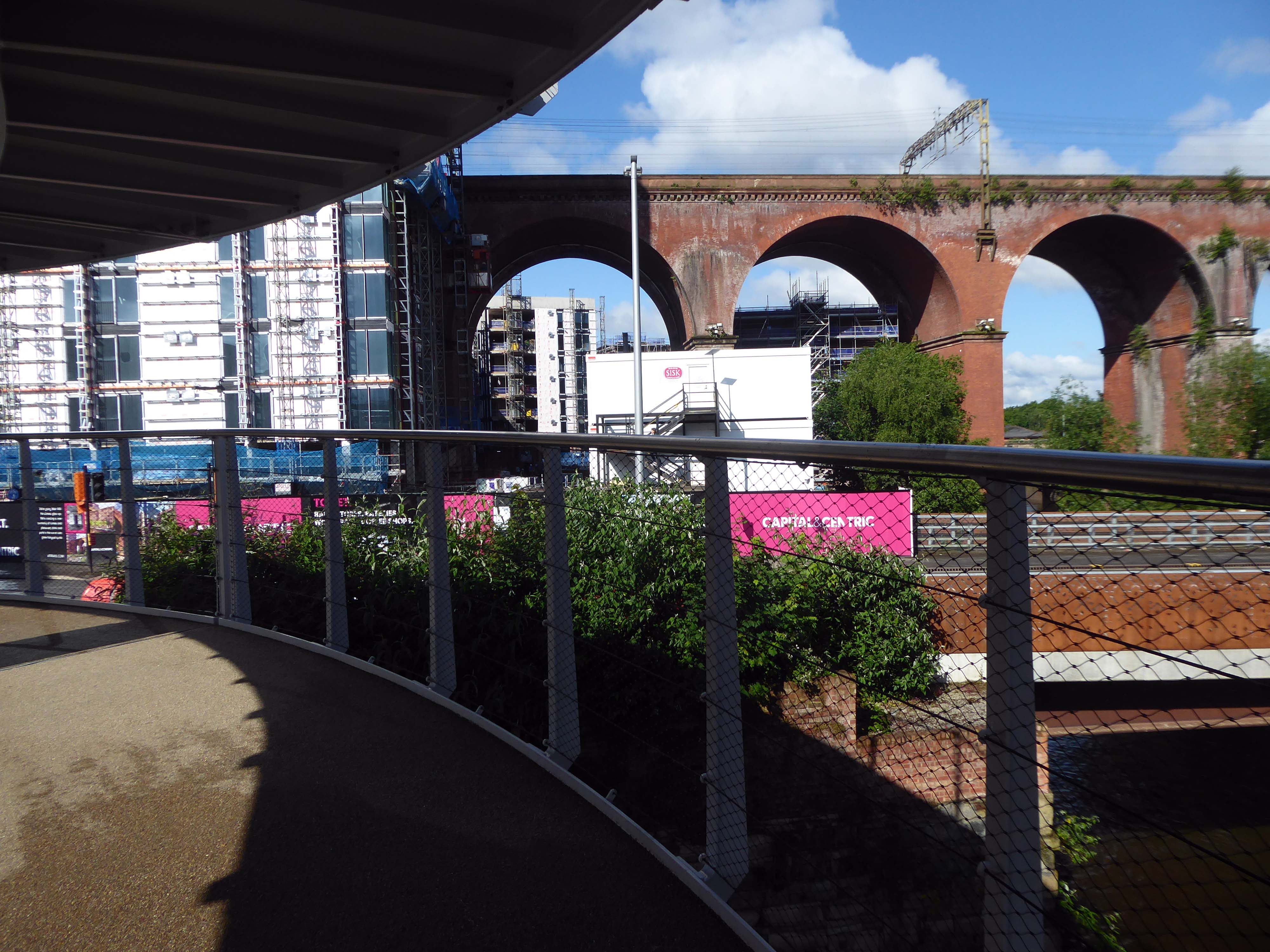
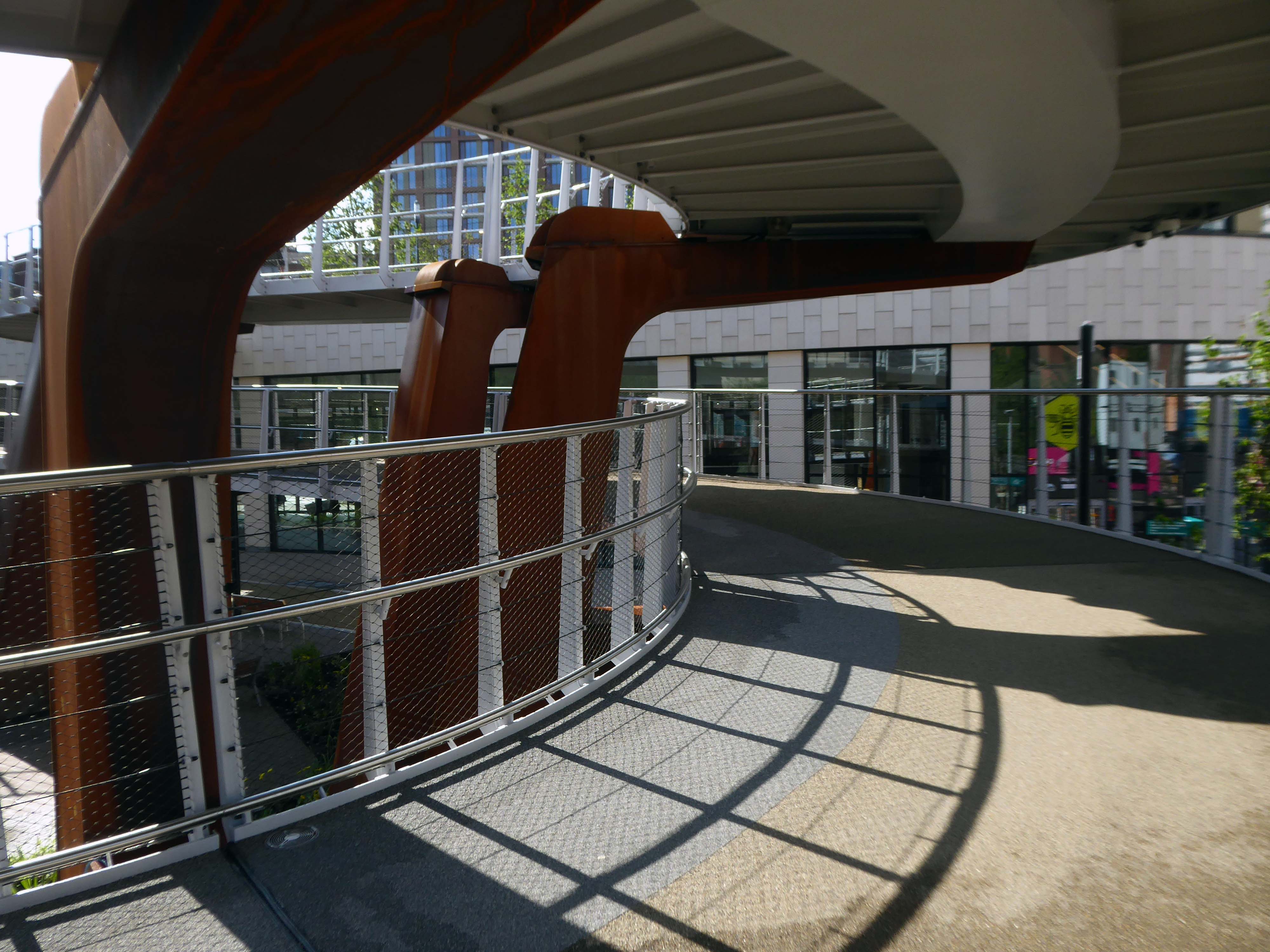
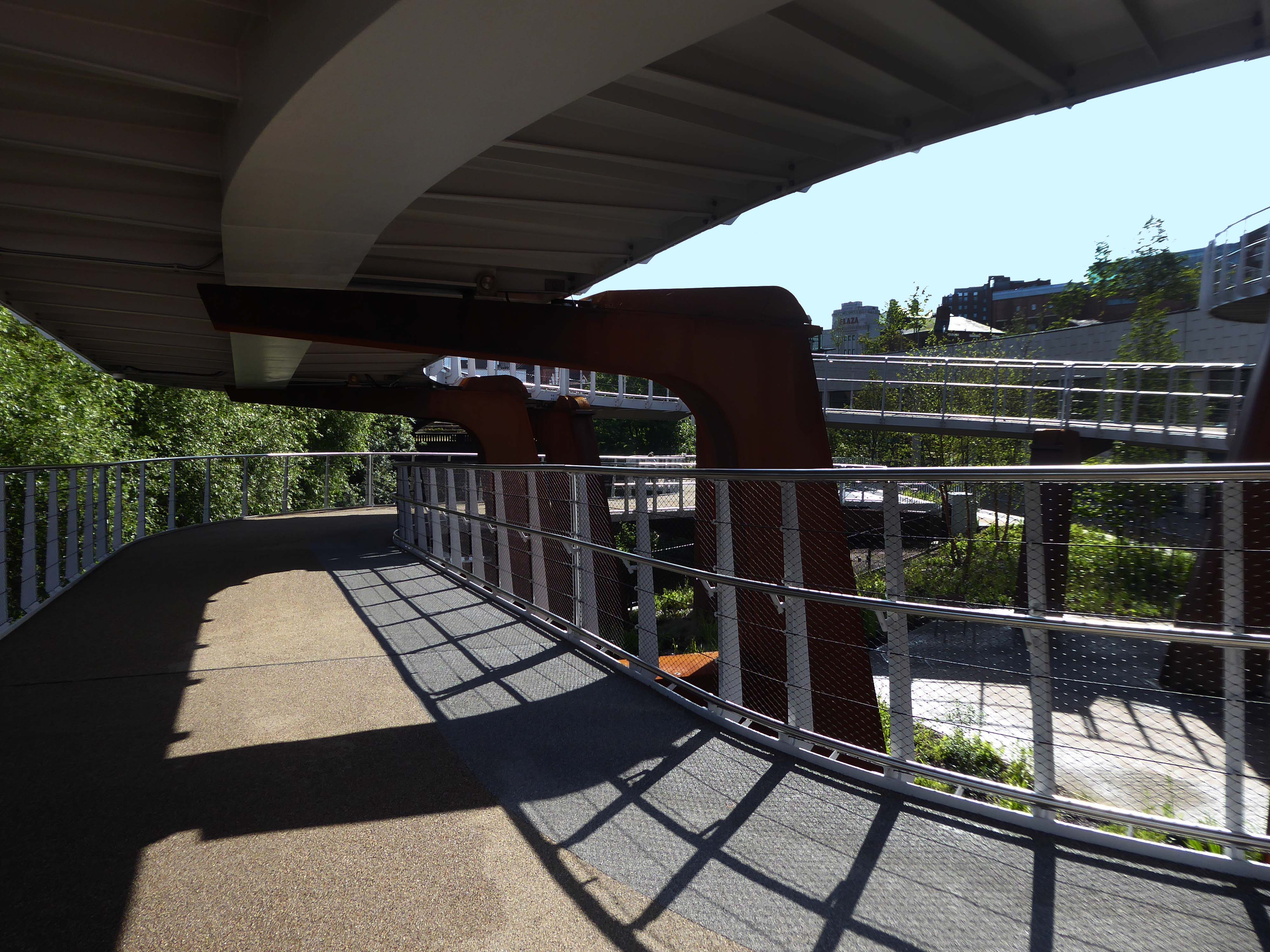
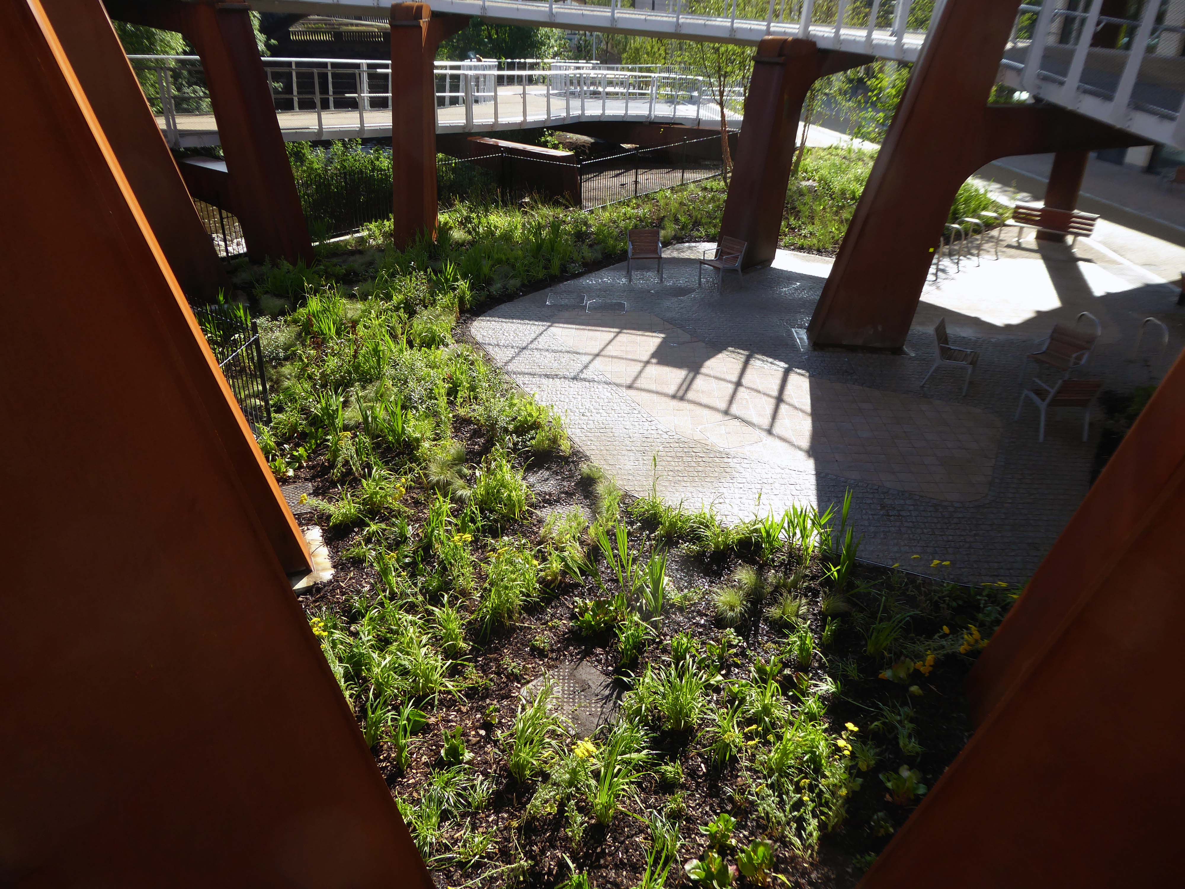
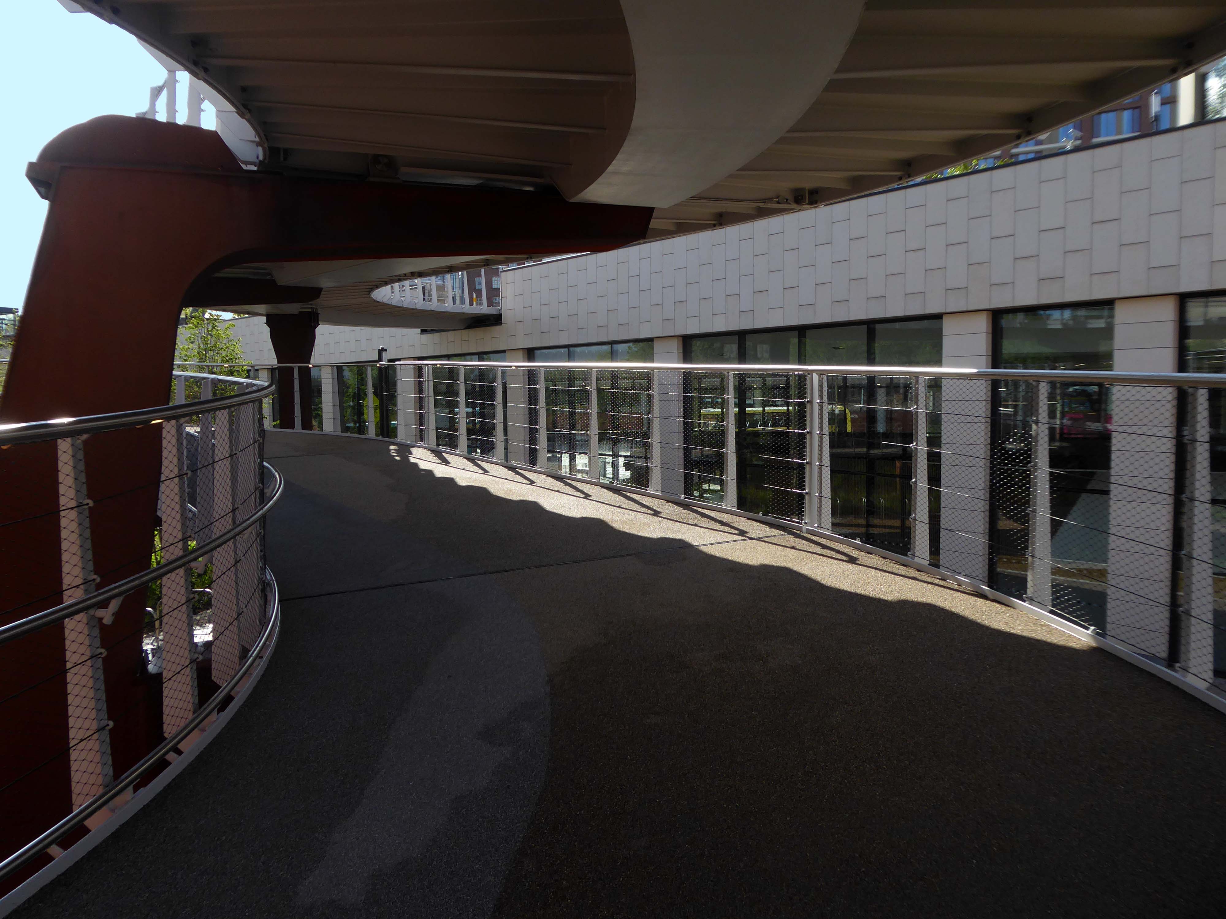
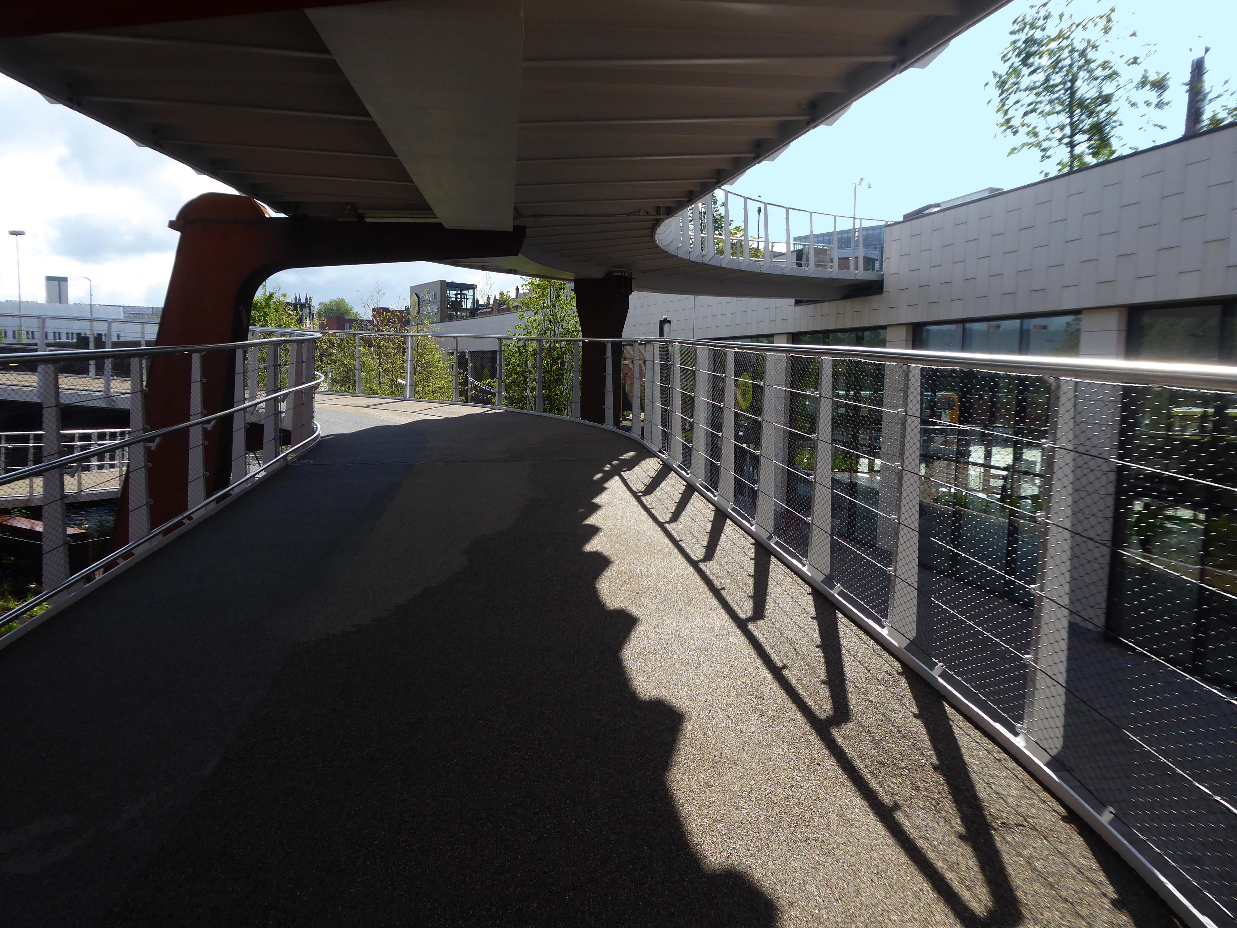
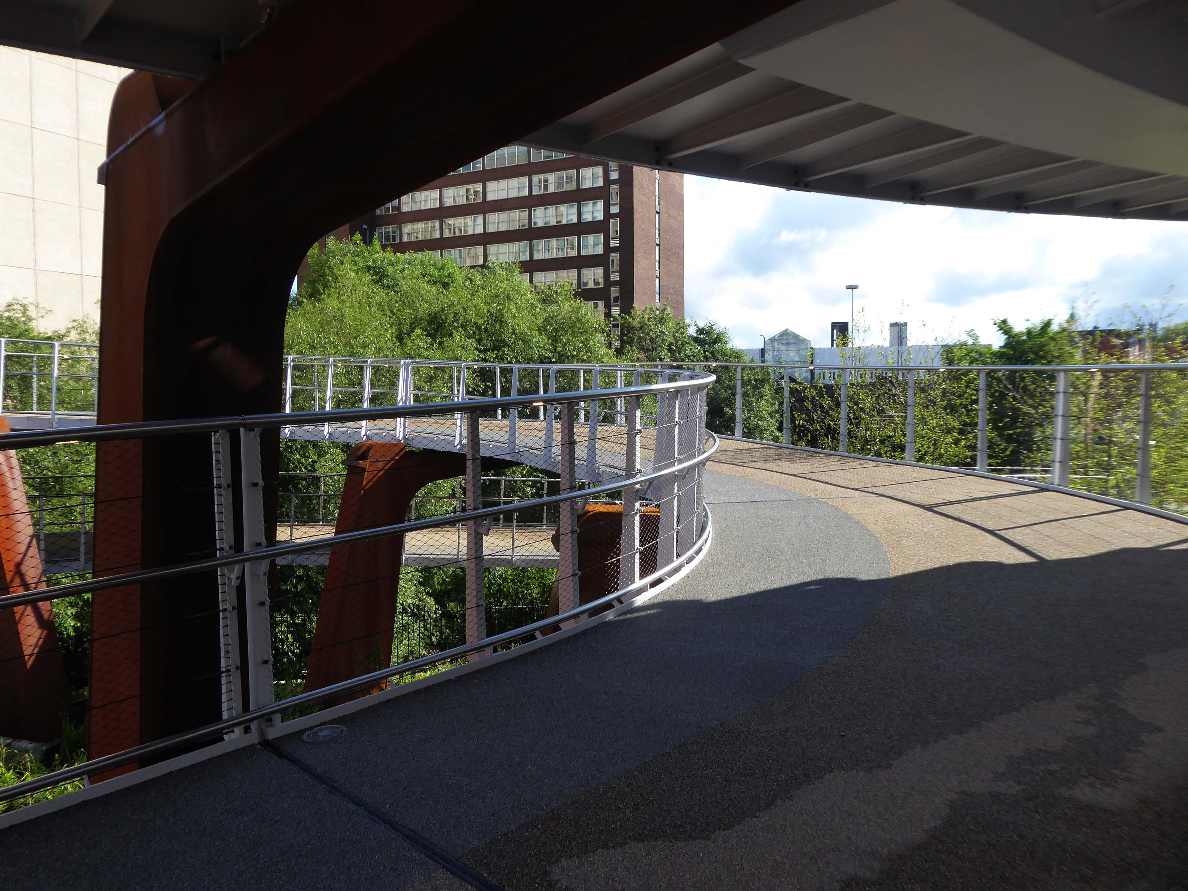
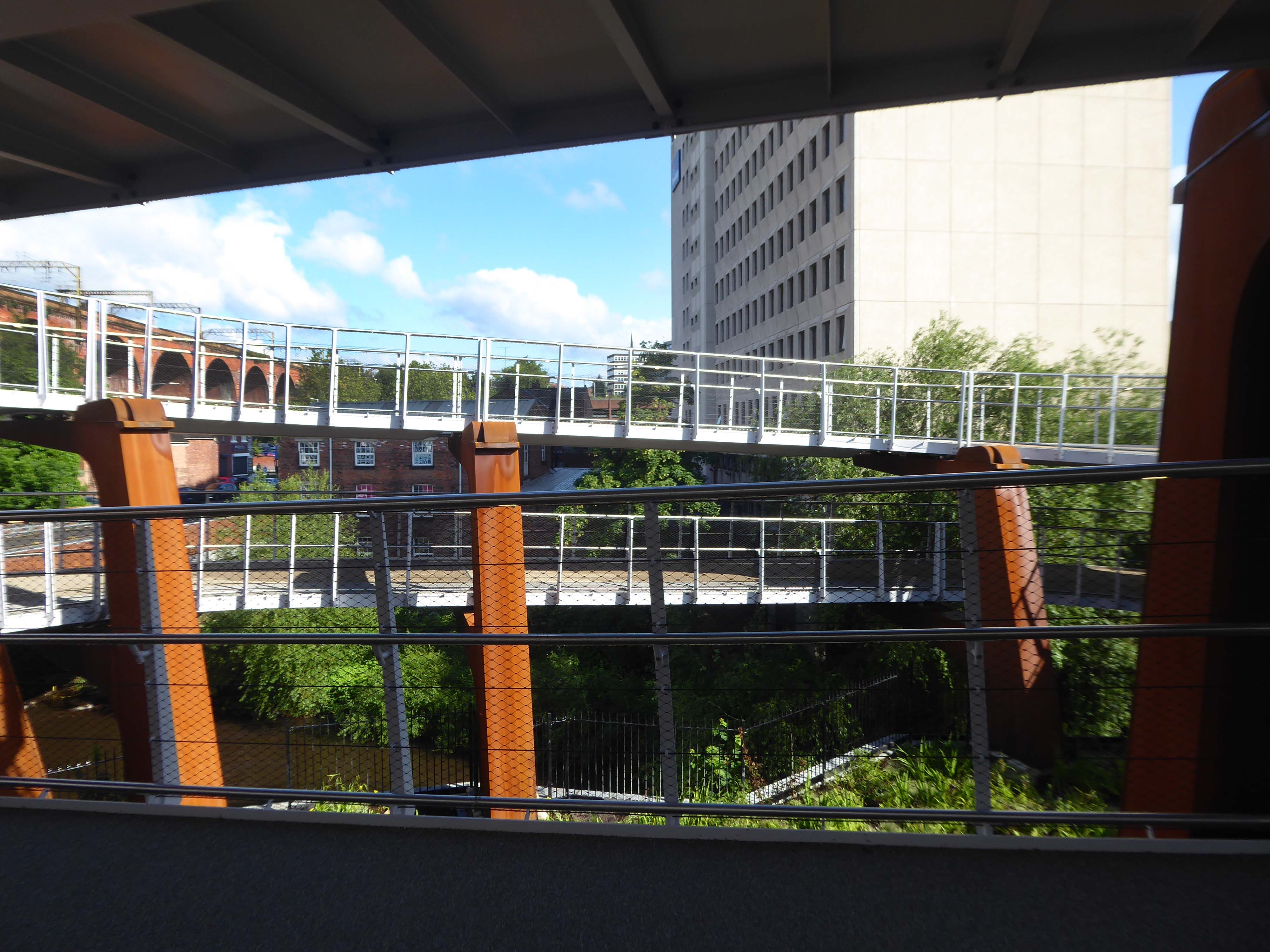
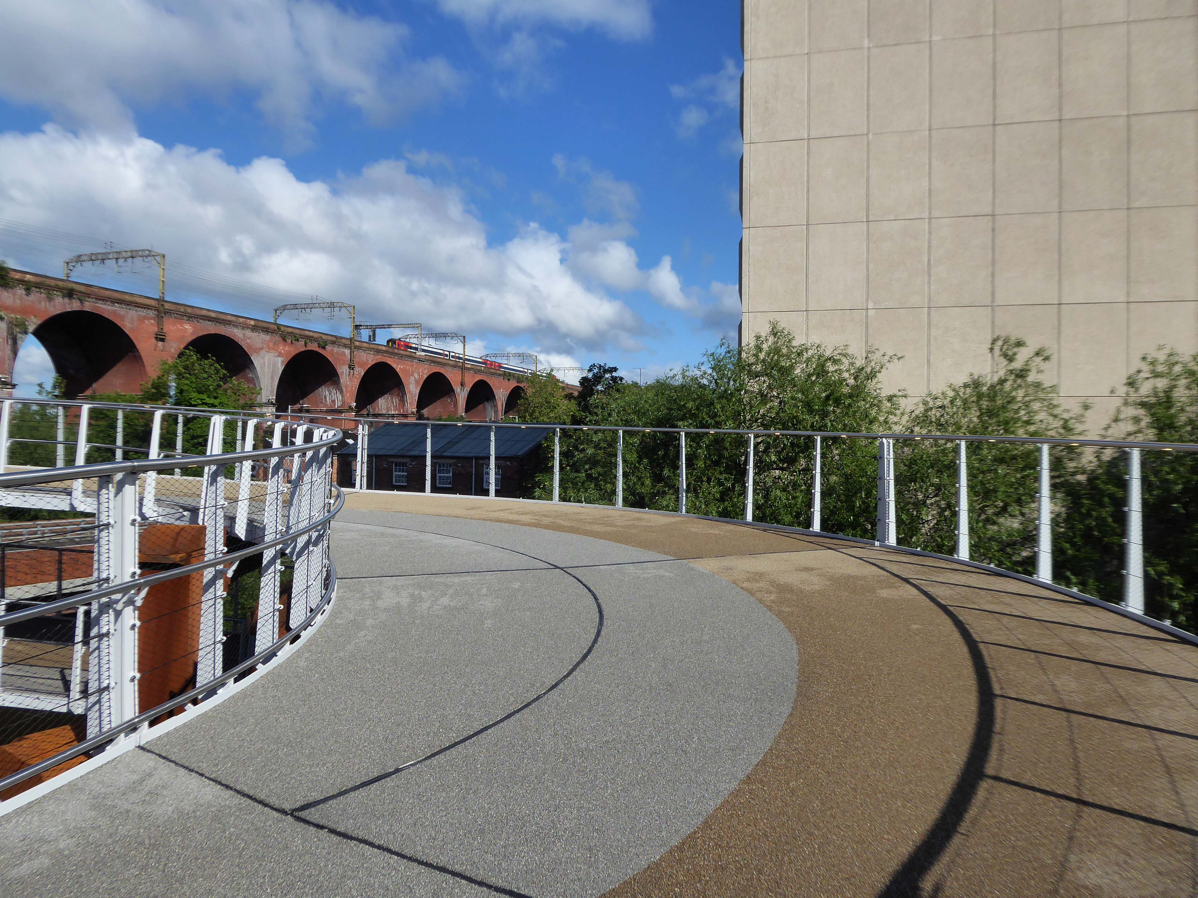
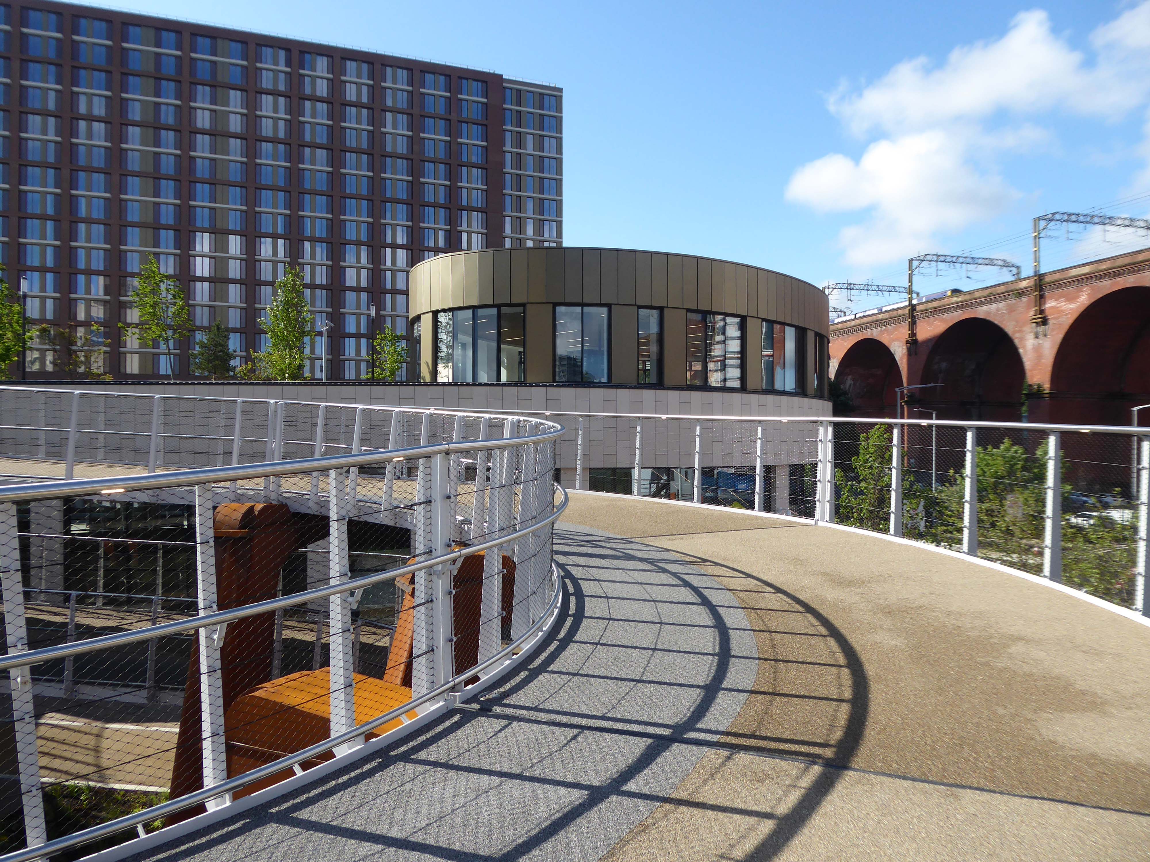
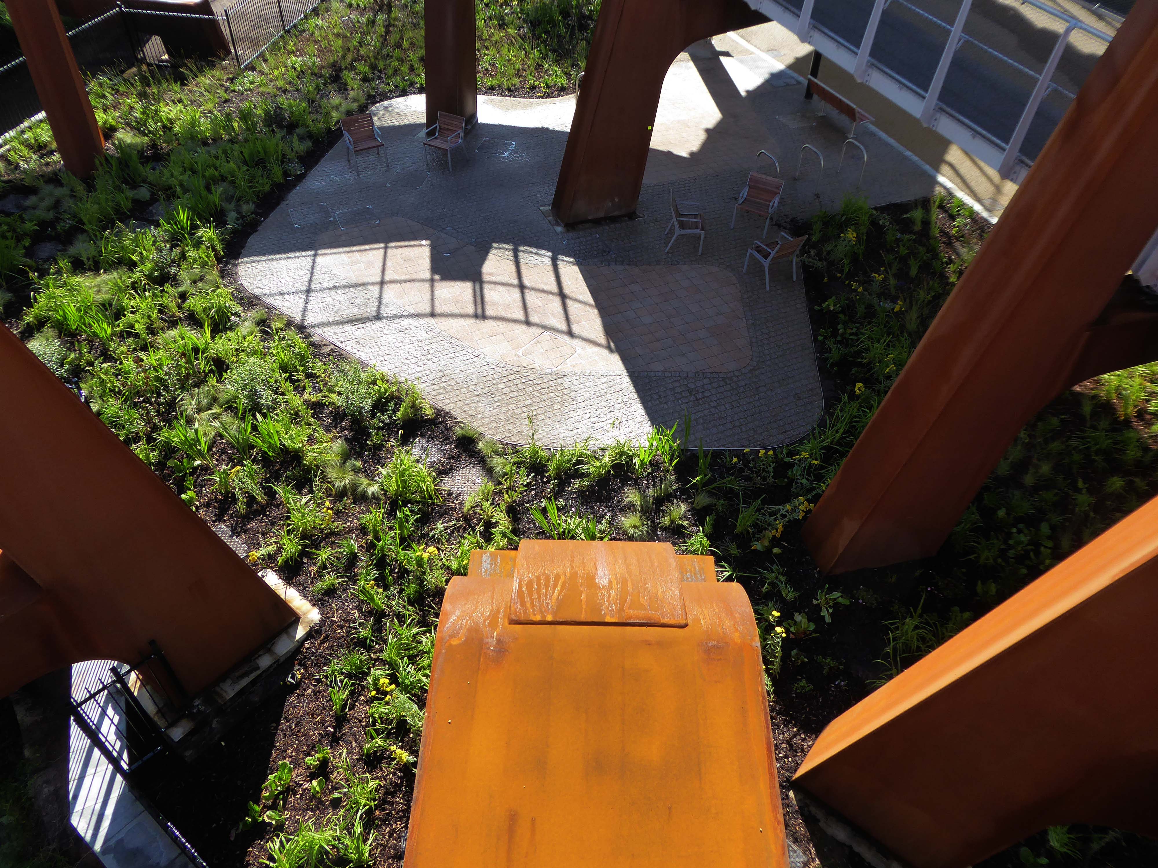
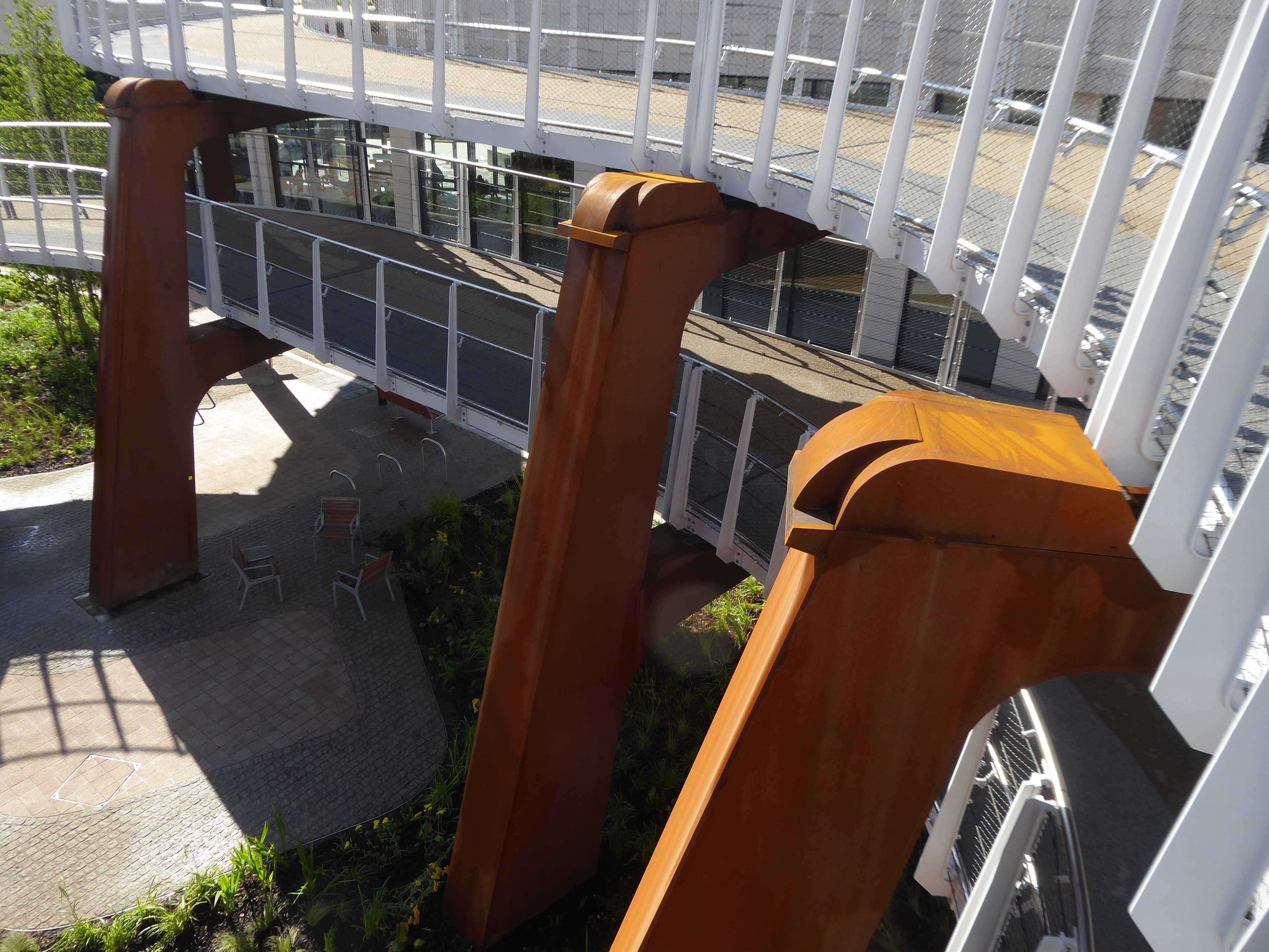
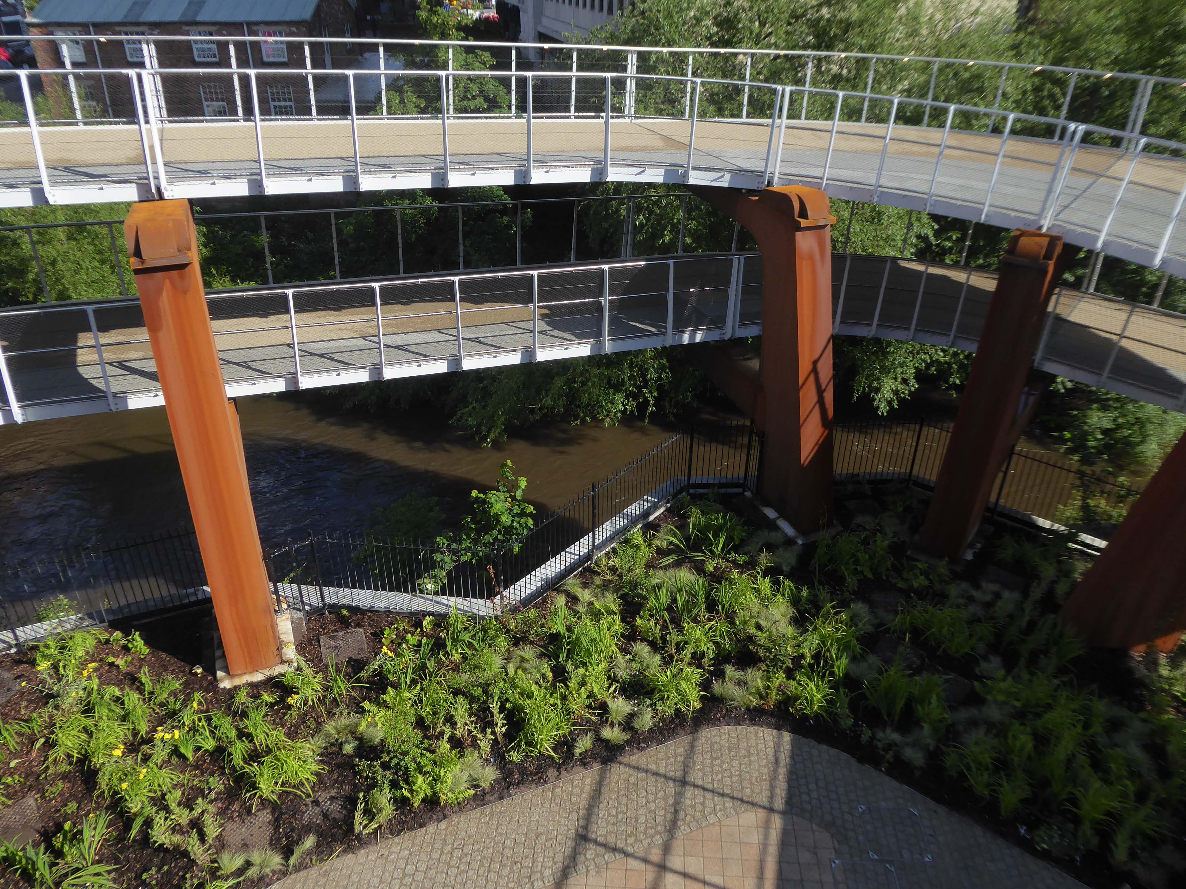
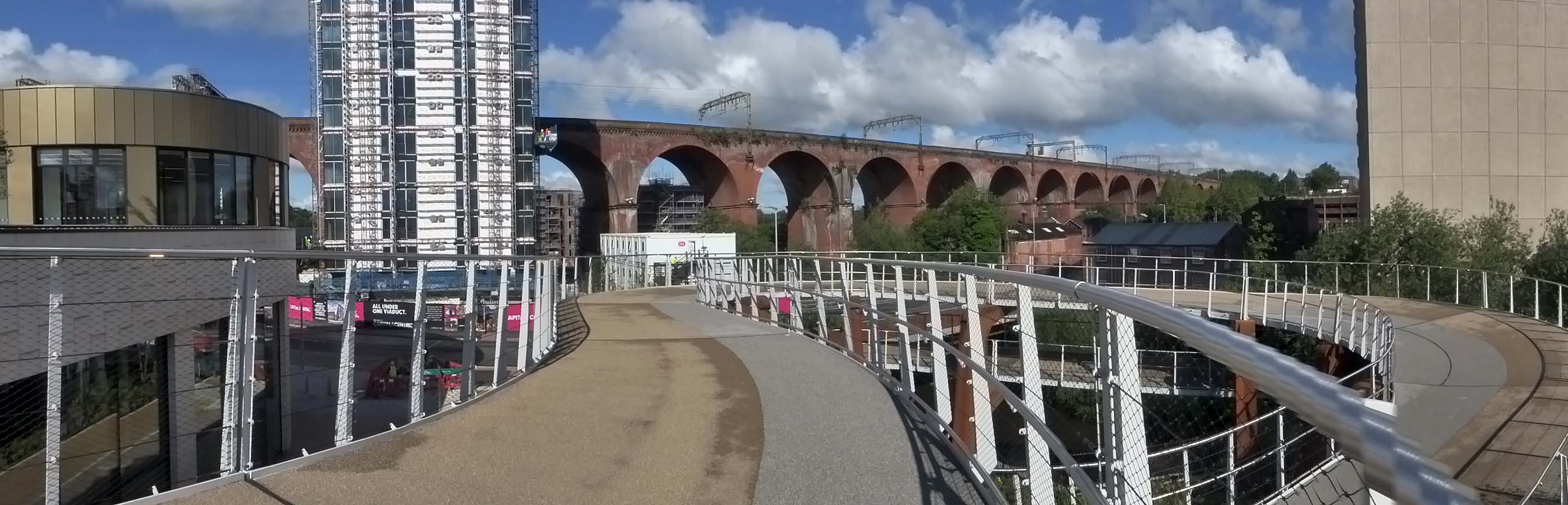
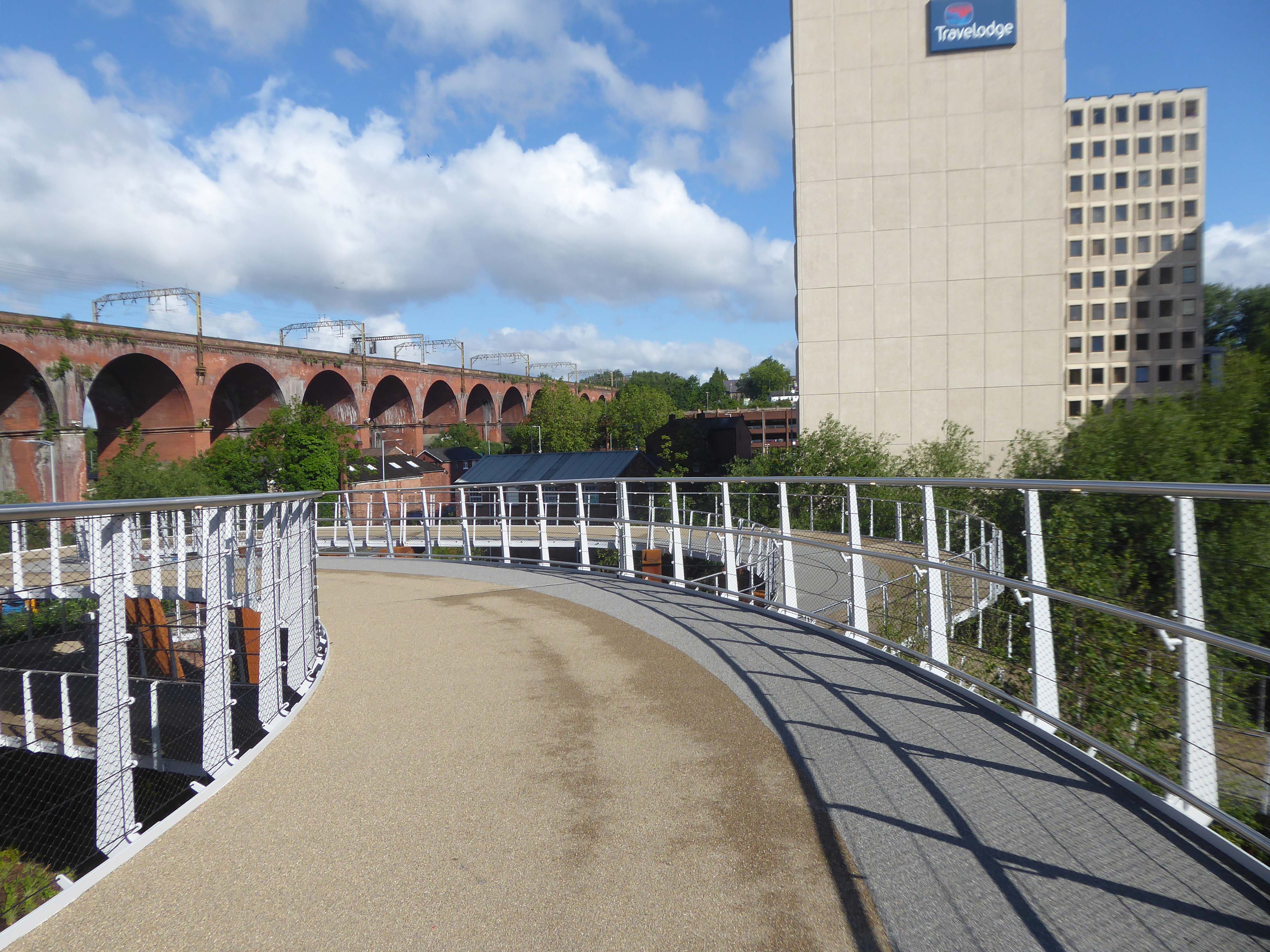
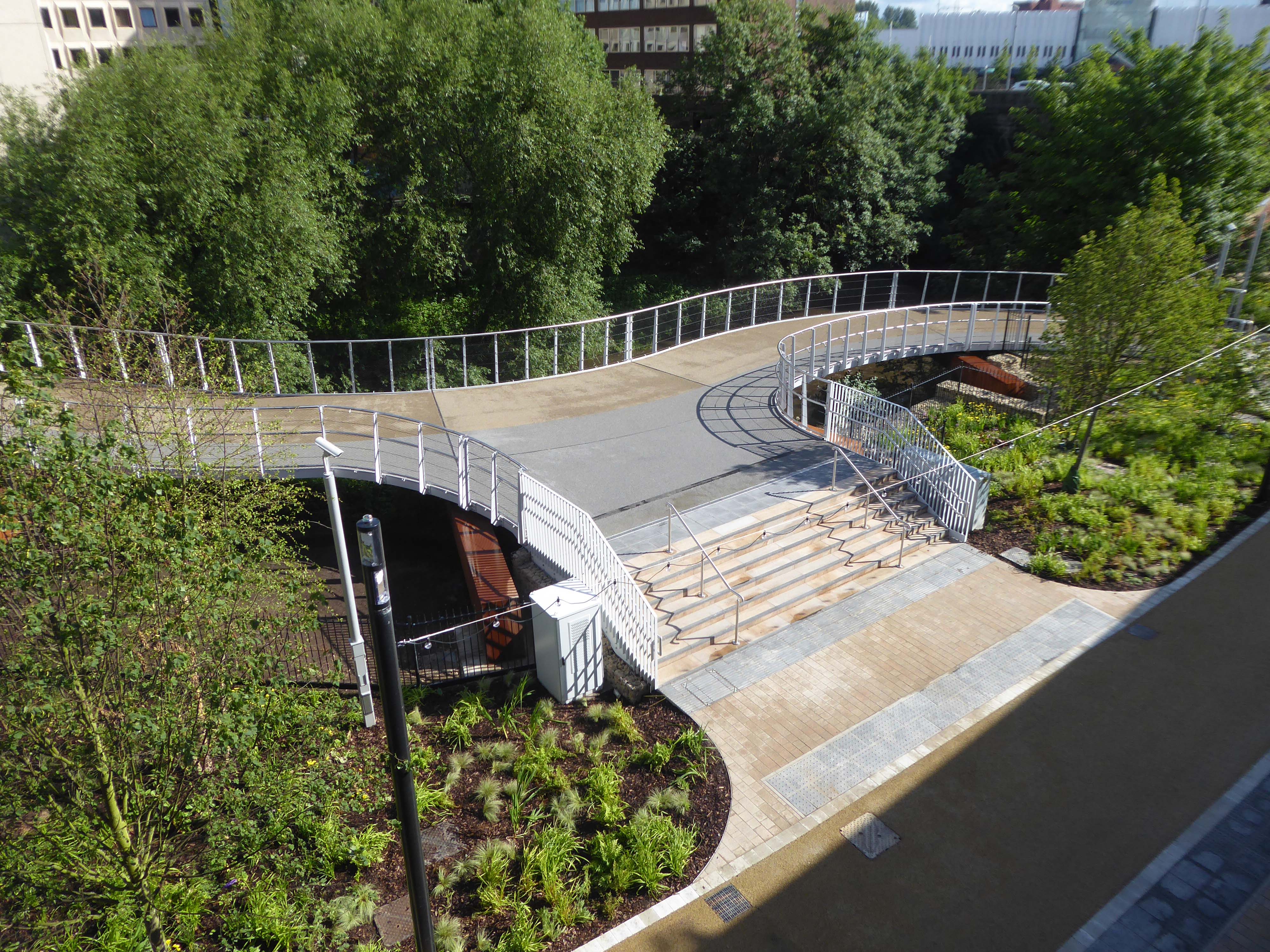
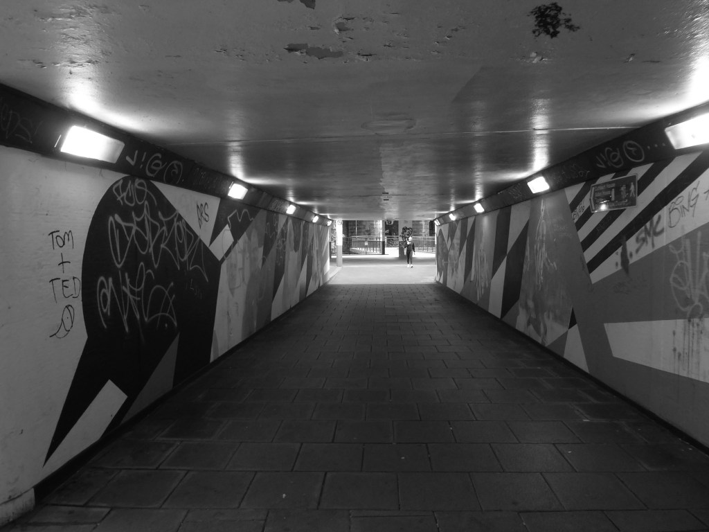
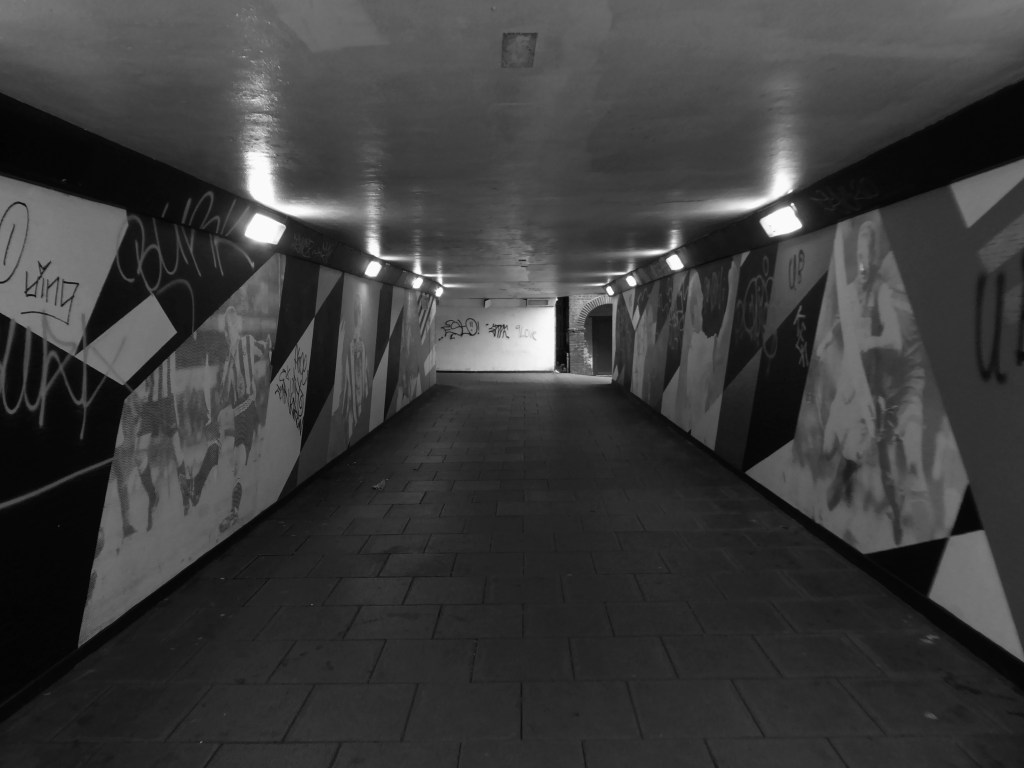
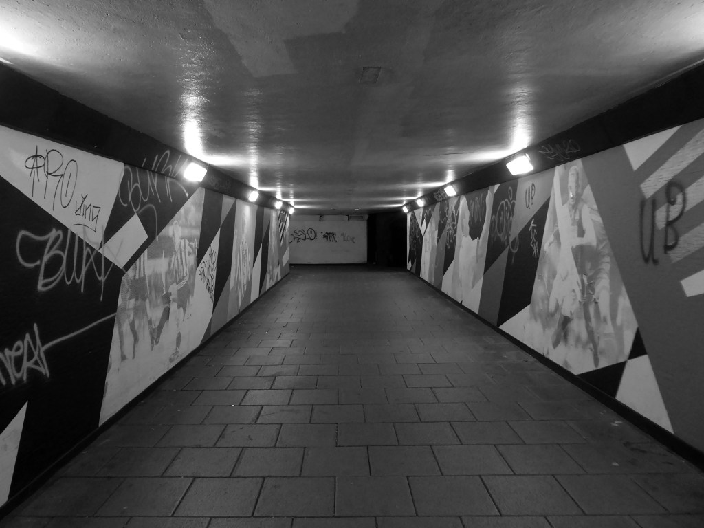
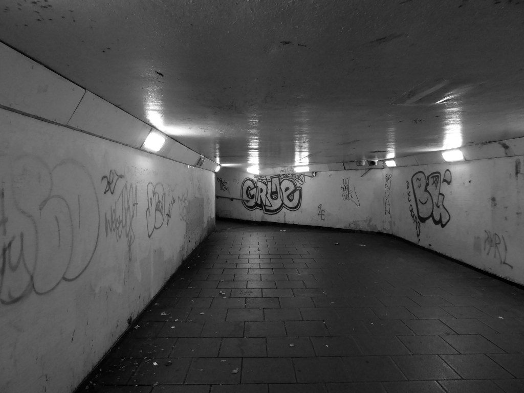
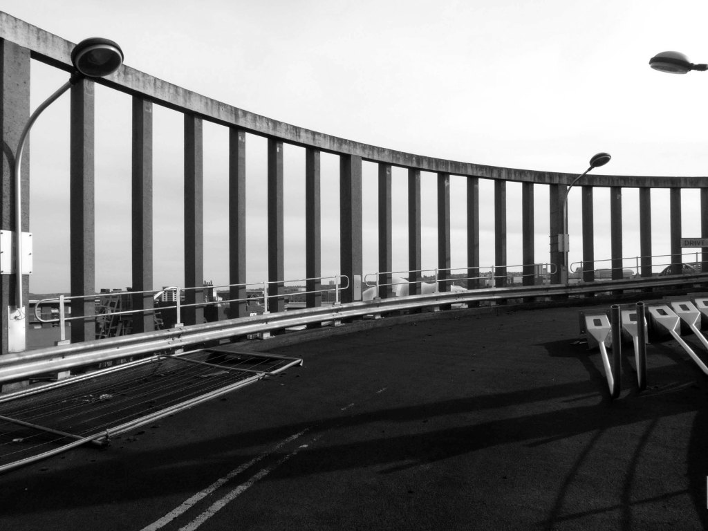
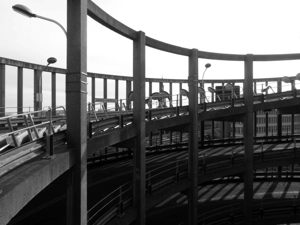
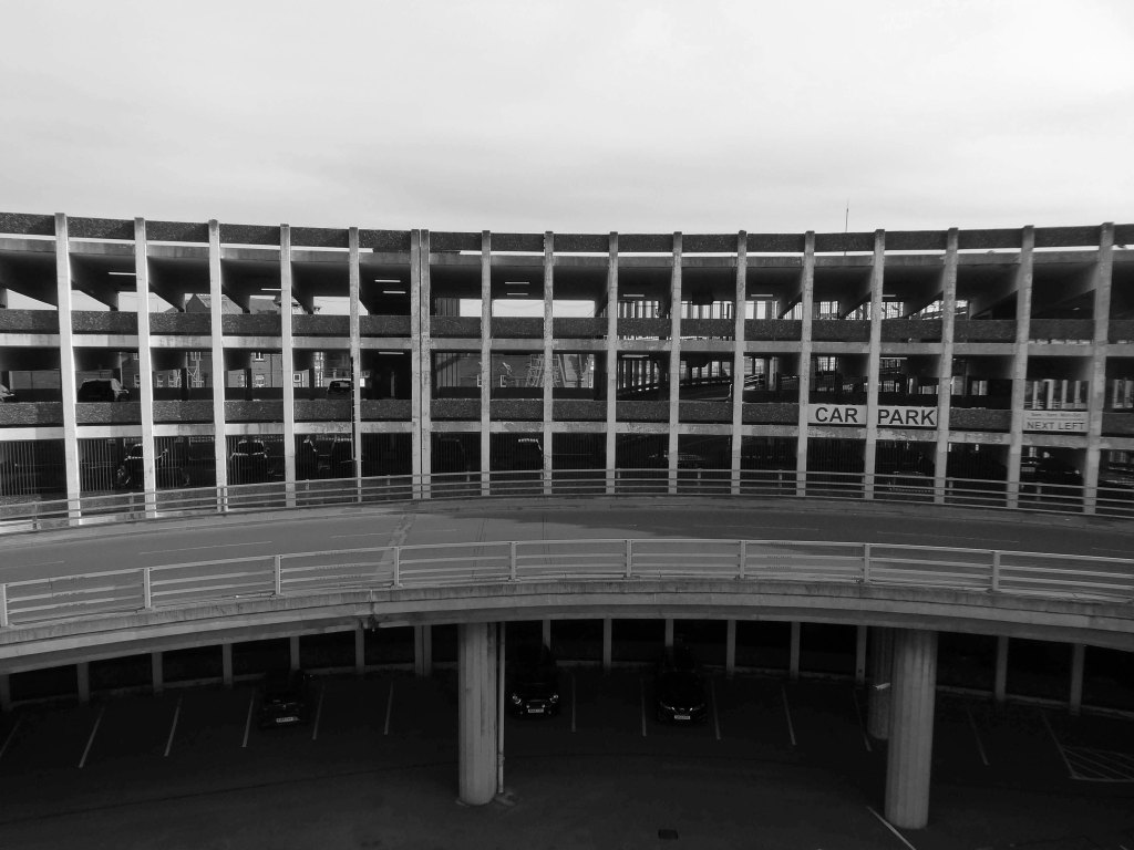
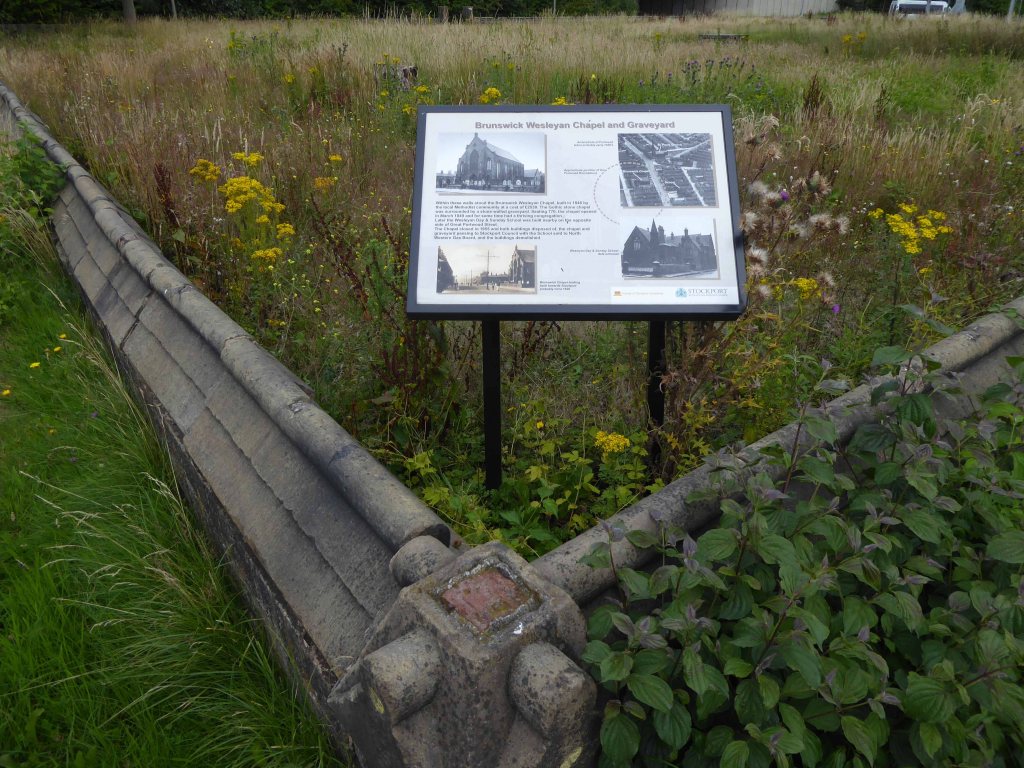
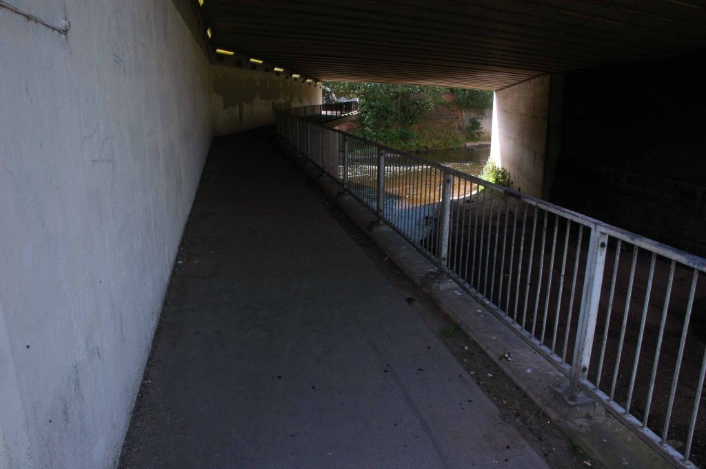
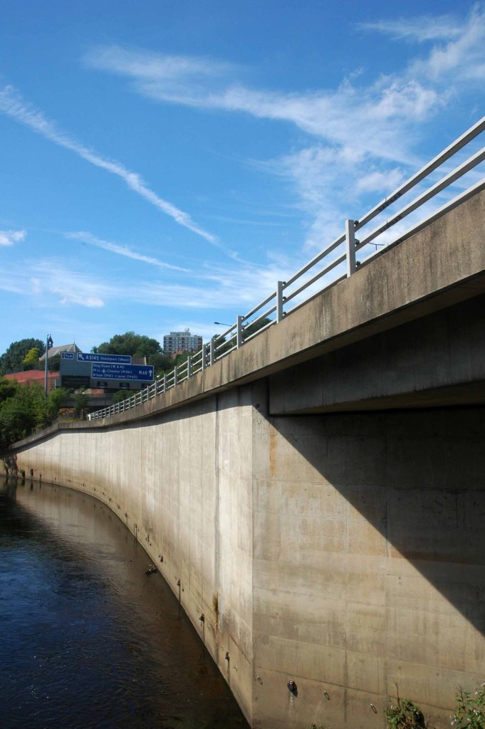
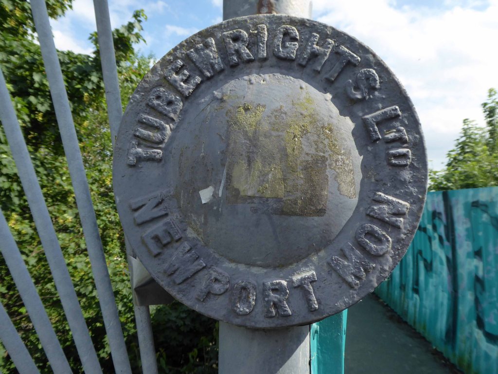
Other Concrete Footbridges are available – here in Durham and closer to home in Stockport.

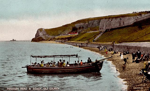
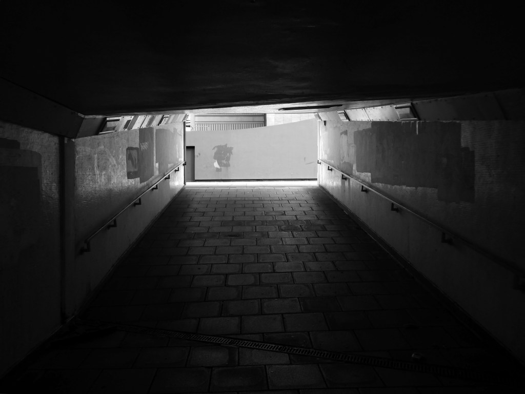
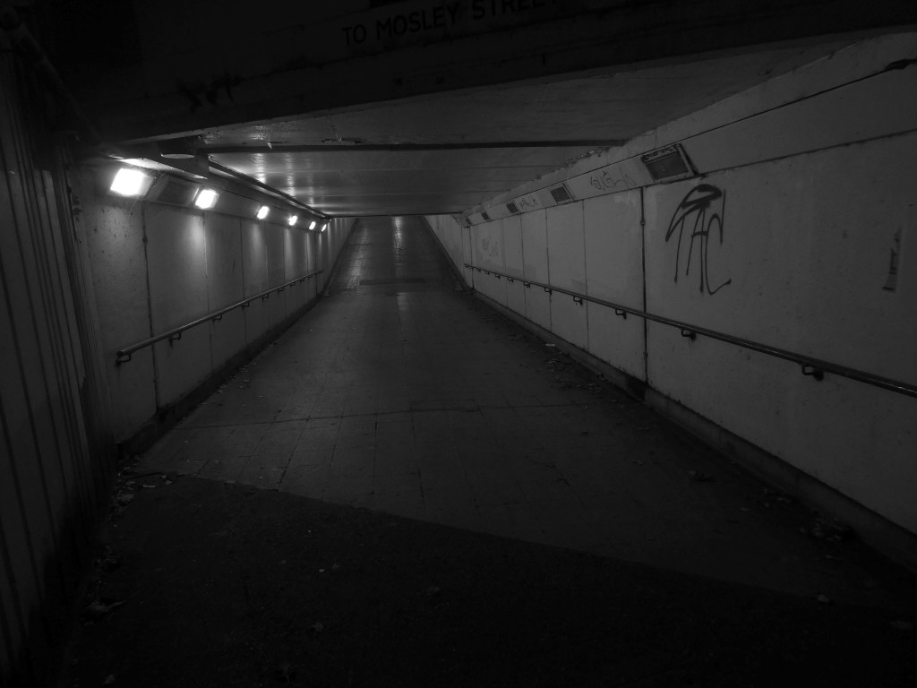
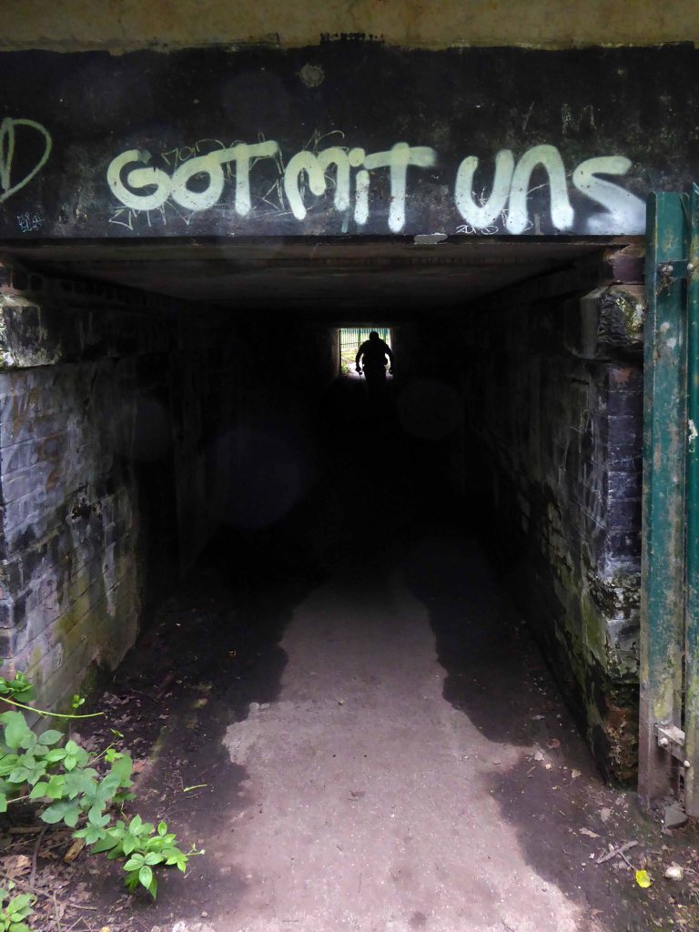
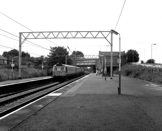
Old Colwyn just short of the original Colwyn Bay station. In 1929 a pleasure boat is about to depart. Penmaen Head is still in one piece with its quarry jetty. The path can be seen leading directly from the beach to the platform and to the underpass which is still in use today.

NWRail

Newcastle Walkways

These are the streets in the sky passing between the Central Motorway, Saville Place and Oxford Street.

Streets constrained by infrastructure, a University and doomed leisure provision.

Welcome to Newbridge Hotel Newcastle upon Tyne – a charming oasis located in the heart of the vibrant city, just a short stroll from the renowned Theatre Royal and beautiful St James’ Park. Whether you’re visiting for business or leisure, the location ensures that you have easy access to the best of Newcastle, including fantastic shopping at Eldon Square and local attractions like the Metro Radio Arena.

Discover the essence of Newcastle from Newbridge Hotel, where every stay becomes a unique experience tailored to your needs.

Two sets of protestors gathered outside the New Bridge Hotel in Newcastle, as “Newcastle Welcomes Refugees” stood up to “Send Them Back” protesters who want an end to migrants being housed in the hotel.

Northern Echo

I have been here before and posted upon the subject of Newcastle Underpasses.

This is an inland island of anonymity, home to pigeons, shake can shakers and the terminally curious.

It always rains on Saturdays.

Happily, the sun always shines on Sunday.

Hidden within and upon the walls of the walkways are these two cast concrete panels – the work of guerrilla artist Euan Lynn.

North east property group Gainford has unveiled its revised plan for a £170m residential and hotel project to transform Newcastle’s skyline.

It plans to redevelop a former Premier Inn site on New Bridge Street, with a 29-storey tower of 185 flats, alongside a separate 150-bedroom hotel, and bars, restaurants, and leisure space.

Construction Enquirer

Welcombe Walk – Whitefield

Welcombe Walk Whitefield Manchester M45 7FA

Not lost, just looking elsewhere, whilst walking between tram stops.

Charged with mapping the Modernism at each of the stops twixt Victoria and Bury.

I unavoidably took the wrong turn, it’s so easily done. Fortuitously I took a turn off Bury New Road and found myself on Welcombe Walk.

Welcombe Walk is made up of nineteen one/two-bedroom flats, built in 1978 and run by Six Town Housing.

Visit the Bury Council website for information on supported living:

https://www.bury.gov.uk/index.aspx?articleid=10717

Whilst not seeking sheltered housing for my good self, I am always intrigued by small developments of interesting social housing, grouped around pedestrian walk ways and green space.

The residents with whom I chatted seems content with their homes and the management thereof.

I bade them adieu and went about my way, taking these few snaps.


Bonny Street Police Station – Blackpool 2024

The concrete and the clay beneath my feet
Begins to crumble
But love will never die

Doomed to face the demolition crew – the anti-social intrusions and falling masonry have enforced a fence, an impenetrable fence.

My requests for unforced entry were politely rebuffed by the hi-vis vest security guards.

A former police station could finally be demolished this autumn after closing six years ago when officers moved to new headquarters.

Blackpool Magistrates’ Court, which is part of the same complex, will also be bulldozed after crumbling concrete was discovered in the building in January. 

In recent months, the empty Bonny Street police station has become a target for anti-social behaviour.

Clearance of the site will pave the way for investment in leisure facilities including hotels and indoor theme parks by developer Nikal.

BBC

So this is the last time around the concrete block for me – memories are made of this, my previous visit in 2022.

Yet the future still seems slightly uncertain.

It is unclear at this stage how the vision for the development has changed in the three-plus years since the outline plans were approved.

Place North West

For those of you watching in colour – this is in black and white.

May be the last time, I don’t know
Lord, I don’t know

Ramp – Stockport Interchange

I have written several time about the former bus station.

It’s now all grown up into a fully fledged transport interchange – with its very own pedestrian and cycling ramp.

The 189-metre ramp provides a seamless and accessible route to navigate the level change from the rooftop park to the river Mersey frontage, leading to the Trans Pennine Trail route.

Forming part of the Stockport Interchange Mixed Use development scheme, and which also includes a new cycle and pedestrian link from Stockport rail station to the new park, as well as connecting the new facility to the wider Bee Network cycling and walking infrastructure, which is designed to encourage more people to make journeys on foot or by bike.

One Stockport

Architect: The Harris Partnership
Steelwork Contractor: SH Structures
Main Contractor: Willmot Dixon
Structural Engineer: OPS Structures Ltd

Here is a time-lapse video of the whole construction site.

As a pedestrian, cyclist, train and bus user I wholeheartedly approve of the whole shebang.

Let’s take a walk up the ramp together.

Westfield Estate – Sheffield

I was asked to give a talk for Photo North in response to Sean Madner’s photographs.

Speaking on behalf of the Sheffield Modernists.

On the day, I was eager to visit the Westfield Estate for the first time.

Westfield Estate Mosborough, formerly Waterthorpe Farm Estate, a rural township which was subsumed by Sheffield’s expanding housing schemes.

Mosborough, a vastly expanding village, eight miles North East of Chesterfield and six miles South East of Sheffield.

Waterthorpe Housing Estate near Beighton named after Waterthorpe – formerly Walterthorpe Farm.

Path which goes behind houses on Short Brook Close 1974

The Waterthorpe and Westfield housing estates were built from mid-1970s and were added to over a number of years. Eventually linking with both the old council estate of Beighton and the new estate of Halfway, the estates house a condensed significant number of almost wholly local authority owned properties following the phasing down and demolition of the original estates around Parson Cross and Shiregreen in the north of the city.

Wikipedia

Eastcroft Glen 1986

May Tree Lane

Archive photographs – Picture Sheffield

So I jumped the tram from Sheffield Station to Halfway alighting at Waterthorpe.

A long rambling ride, rolling in and out of rolling hills.

I headed over the footbridge and into the heart of the estate.

Kendals Car Park – Manchester

Kendals Car Park – M3 2WY

Kendals is of course long gone – absorbed by House of Fraser.

The store had previously been known during its operation as Kendal Milne, Kendal Milne & Co, Kendal Milne & Faulkner, Harrods or Watts.

The store was designed by Harrods’ in-house architect Louis David Blanc, with input from a local architect John S Beaumont, in 1938 and completed in 1939 – it is a Grade II listed building.

Great location but narrow roadway between floors. Pay in advance so you need to know how long you’re staying for.

£20.40 for four hours is expensive but you are minutes from Deansgate shops.

Only given one star because there wasn’t an option for zero.

Not secure, car broken into theft of personal effects, pedestrian gate was un locked, no CCTV that I could see anywhere. Cost me over £25 to park for six hrs and lost over £200 of personal effects, complained to council, no response. Wouldn’t park here ever again.

Get there whilst ye may.

The pedestrian in a car park presses on!

Manchester City Council is set to hand over a multi-storey car park and close a row of shops, including a Greggs and a barbers, in the hope of driving huge development in Deansgate. The multi-storey car park on King Street West, behind the iconic Kendals building, is set to be demolished if plans are passed by the council’s executive committee, with proposals to turn it into an office block.

The demolition of this car park and ground floor retailers would facilitate the redevelopment of the site, according to a report by the council’s strategic director, and will pave the way for the refurbishment of the adjacent grade II listed Kendals building, which currently has House of Fraser occupying it. Engagement with the retailers has been ongoing for some time, according to this report, with guidance being offered to them as to their next steps.

Plans were approved last year to transform the Kendals building into ‘high end’ offices with the car park to be turned into a 14-storey office block, along with improvements to the public realm. For this to go ahead the council will need to surrender the lease of the car park building, according to the report.

MEN

Tontine Car Park – St Helens

Exchange St Saint Helens WA10 1NU

Tontine car park, the 255-space multi-storey car park in Exchange Street, St Helens, has been closed since February this year for a revamp.

This has seen a new lighting system, new signage and re-lined parking spaces installed throughout following an investment by St Helens Borough Council.

In a statement, the local authority said:

Old and failing pay on foot equipment has also been replaced with brand new pay and display machines which take cash.

St Helens Star 2020

Well that there Bauhaus has a whole heap to answer for – with its curves and its concrete.

Influencing the sweeps and swoops of the car ramps and pedestrian walkways.

Central Area Flats – Sunderland

Three nineteen-storey point blocks built as public housing as part of the redevelopment of Sunderland town centre. The blocks contain 270 dwellings in total. Construction was approved by committee in 1967.

The blocks were constructed by Sunderland County Borough Council.

The developers of the Town Central Area were Town and City Properties Ltd. It is believed that they contributed £38,600 to the development of the blocks.

Ian Frazer and Associates were the architects for the sub-structural works only.

Llewelyn, Davies, Weeks and Partners were the structural and mechanical engineers in addition to being the architects for the tower blocks.

Gilbert-Ash Northern Ltd.’s tender for the contract was £959,258 – construction began in March 1967.

Heritage Gateway

Astral House, Solar House and Planet House.

Welcome to Marineville – anything can happen in the next half hour.

In actuality the blocks sit upon a shopping centre – recently redeveloped as The Bridges.

And we are not in Marineville.

Though once upon a time it looked like this – a brave new shopping world, well worth producing a postcard for.

Photos: Sunderland Echo

Photo: Tom McKitterick

Thanks to Sunderland Antiquarian Society for the links.

This is the current state of affairs.

Though there are still some remnants of the original development.

The whole shebang is topped off with a roof top car park.

So in the absence of anything else happening in the next half hour, I took a look around.

A one bedroomed flat on the eleventh floor will cost you £45,000

Poet’s Estate – Gateshead

I’d seen these homes from the train.

So I walked from Newcastle to take a look.

They turn their backs on Sunderland Road and the Tyne.

A tight cluster of terraced apartments, set in a grassy rolling terrain, linked by paths and short underpasses.

A modern mediaeval, mildly fortified village, rendered in pale brick and white render.

Keats, Kipling, Blake, Byron and Shelley enclosed.

Take a look around #40

Underpasses – Newcastle upon Tyne

I’m often to be found underground – in Scarborough, Rotherham, Stockport, and Milton Keynes.

Here I am in this instance on Tyneside exploring the labyrinthine netherworlds.

Manors Car Park – Newcastle upon Tyne

Brims and Co. Limited

Manors Car Park’s distinctive form derives from the constraints of the train line to east which collided with the new Central East Motorway A167 M which dips beneath, shaping the car park between these constraints. The curvature of the concrete decks sweeps uniformally across the site, interrupted only by the circulation ramp. The car park was the first multi-story car park in Newcastle and marked the beginnings of Wilfred Burns car-centric plans for the modernisation of the city through the Central East Motorway Plan – 1963.

Burns plan aimed to increase the economic growth of the city through greater convenience for an emerging car owning populace and even went as far as to incentivised cars travel by offering limited free parking in the city centre.

Manors car park connected and accompanied by an equally dramatic and elongated pedestrian footbridge from Manors Train Station – today Manors Metro, touching the car park for access before swooping under Swan House on Pilgrim Street Roundabout. The bridge takes what feels like the longest imaginable route over the motorway, allowing pedestrians to bypass Northumberland high street and take in the theatrics of the swooping concrete forms and motorway traffic.

Something Concrete +Modern

Newcastle Libraries

In the early 1960s, under the leadership of T Dan Smith and his chief planning officer Wilf Burns, Newcastle city council undertook a comprehensive re-planning of the city centre that, had it been carried out to its full extent, would have led to the construction of underground motorways and a series of raised pedestrian decks running along Northumberland Street in the main shopping zone. The plan was that the new city would encircle the historical core, which would be preserved; meanwhile vast swathes of Georgian housing to the east would be razed. There were also plans for high-rise towers in the centre, only one of which was built.

The Guardian

This tendency in town planning was due in part to the publication of H. Alker Tripp’s book of 1942.

Along with Traffic in Towns an influential report and popular book on urban and transport planning policy published 25 November 1963 for the UK Ministry of Transport by a team headed by the architect, civil engineer and planner Colin Buchanan. The report warned of the potential damage caused by the motor car, while offering ways to mitigate it. It gave planners a set of policy blueprints to deal with its effects on the urban environment, including traffic containment and segregation, which could be balanced against urban redevelopment, new corridor and distribution roads and precincts.

These policies shaped the development of the urban landscape in the UK and some other countries for two or three decades. Unusually for a technical policy report, it was so much in demand that Penguin abridged it and republished it as a book in 1964.

Wikipedia

In a one man war against the segregation of traffic and pedestrian I often walk car parks, ramps and all.

Stockport Asda, Piccadilly Manchester, Merseyway, Heaton Lane, Hull, Red Rock, Grimsby, and Margate.

As a non-driving militant pedestrian I assert my right to go wherever I wish to – within reason.

Okay let’s go.

Billingham

Whilst cycling twixt Redcar and Newcastle one sunny Monday morn, I espied a tower on the distant horizon.

I pedalled hurriedly along and this is what I found.

Dawson House aka Kingsway.

A fifteen-storey circular tower block of 60 one-bedroom flats and 29 two-bedroom flats, making 89 dwellings in total. The block was built as public housing at the western fringe of the Town Centre development that began in 1952. Approved in 1973, the block is of triangular concrete-beam construction.

The architects were Elder Lester Associates.

The block was built by Teeside County Borough Council.

Stanley Miller Ltd.’s tender for the contract was £778,850.

The tower block was opened on 3rd April 1975 by the Mayor of Stockton Borough Council, John Dyson.

The block is described as ‘gimmicky circular tower block’ in The Buildings of England: County Durham by N. Pevsner.

Historic England

Across the way the cosmically named Astronaut pub known locally as the Aggy.

Though all it seems, is not well in outer space:

Locals say punters are creating a giant toilet next to a Billingham pub – and performing sex acts.

I wouldn’t disregard what they say, and I can’t say that didn’t happen, said boss Jordan Mulloy.

I know urinating goes on from time to time but people do it outside every pub – anyone I catch doing it will be barred.

Teeside News

The pub stands at the outer edge of the West Precinct.

The precinct sits beneath the Civic Offices.

And has a ramp leading to the roof top parking.

Next door the earlier Queensway Centre.

The Family unveiled by HRM Queen Elizabeth II in 1967 the country’s first pedestrianised precinct.

Edward Bainbridge Copnall 

In November 2013, a time capsule was buried in front of The Family, under a stone with the inscription Forever Forward 30 11 2013.

The capsule is not to be unearthed until the year 2078.

Twenty million pound bid to take back control of the centre of Billingham.

The council says: Proposals include addressing the physical condition of Billingham town centre in support the Council’s ambition to take back control of the centre. Redevelopment would solve the challenges of changing retail trends that are contributing towards excess retail space and high vacancy rates.

This includes exploring options for mixed-use redevelopment and high-quality public spaces that improve accessibility within the town centre and a modern retail offering.

Hartlepool Mail.

Missing in action – La Ronde aka Eleanor Rigby’s.

Built in 1968 by local architects Elder Lester and Partners as part of the expansive plans for the town centre along with the Forum, La Ronde nightclub was to form part of the expansive plans for Billingham focused on the pursuit of increased leisure time.

La Ronde’s distinct cylindrical form comes from the car park access ramp that winds around the stair core to the upper floors of the club. The elevated drum-like form inset with cross latticed concrete webs was cast entirely in-situ.

In 2006, the council demolished La Ronde and Forum House at the cost of £500,000 to make way for a supermarket.

The Forum

In 1960, Billingham Urban District Council, began one of the most ambitious new leisure centres in Europe. The Forum was funded by the district’s new-found wealth – a product of the local petrochemical industry.  It was designed by local architects Elder Lester and Partners and brought together a variety of recreational activities including an ice rink, swimming pool, sports centre, theatre, and bar all under one roof. The Forum opened in July 1967 to great enthusiasm.  Weekly attendance over the first six months was between 20 000 and 30 000 people, far exceeding all expectations.

The inclusion of the theatre alongside the sports facilities broke new ground in recreational planning and in the shift from sport to the broader notion of ‘leisure’, the Forum predated architectural thinking of the time by nearly a decade.  The building’s form is derived from the functions within, expressed in a variety of bulbous elements.  The most distinctive is the canopy of the ice rink roof which is hung using steel cables running the length of the roof and cross-braced to achieve a clear 73m span.

Something Concrete and Modern

Wythenshawe Civic Centre

A social history of Wythenshawe and its Civic Centre can be found here at Archives +.

A general history of the garden city’s development can be found here at Municipal Dreams.

Lest we forget, the story begins with a level of overcrowding and human misery that is – thankfully – almost unimaginable in Britain today. In 1935, Manchester’s Medical Officer of Health condemned 30,000 (of a total of 80,000) inner-city homes as unfit for human habitation; 7000 families were living in single rooms.

The estate was always considered to be, in some sense, the realisation of an ambitious vision.

The world of the future – a world where men and women workers shall be decently housed and served, where the health and safety of little children are of paramount importance, and where work and leisure may be enjoyed to the full.

Cooperative Women’s Guild

Work began in the interwar years, and continued following the hiatus of 1939-45. The shopping centre named the Civic Centre was open in 1963, the actual Civic Centre containing a swimming pool, theatre, public hall and library in 1971.

A triumph for Municipal Modernism conceived by the City Architects and realised by Direct Works. This post war development owed more to the spirit of Festival of Britain optimism, new construction methods and materials, rather than the grandiose functionalist classicism of the original scheme.

The Co-operative Superstore was a key element in the provision of provisions.

Along with Fine Fare and Mercury Market.

Cantors

Shaw’s

Fred Dawes Whitworth Park Gas Showrooms

New Day furnishing the local HQ was at Hilton House Stockport

The flats were demolished in 2007

Edwards Court and Birch Tree Court 1987 – Tower Block

First there was a bowling alley.

Which became the Golden Garter

Closed 3rd January 1983

Then there was a theatre The Forum

There still is – The Forum is a bright and modern hub for co-located services used by community and business.

The original Forum opened in 1971. One of Manchester’s largest public buildings, it had a leisure centre, library, theatre, main hall and meeting rooms. By the mid 1990’s it was under used, had deteriorated internally and externally and needed substantial investment.

The new Forum, along with a new police sub-divisional headquarters and improved transport link was designed to help strengthen the town centre, and provide a landmark project to raise Wythenshawe’s profile within Manchester and beyond.

In the 1980’s they put on a superb array of shows including Roll on 4 O’Clock which starred John Jardine, Jack Smethurst and Glynn Owen. Oh What a lovely War; What the Butler Saw and Habeas Corpus by Alan Bennett.  Bury’s own Victoria Wood starred in Talent which she wrote.  Another Manchester icon Frank Foo Foo Lammar, famous as the top drag queen of the North-West  whose club was re-known for its great party nights appeared in The Rocky horror Show.

A land of elegant covered walkways and raised beds.

A land of 24 hour petrol stations and quadruple Green Shield Stamps.

Some where along the way we lost our way – taxi!

Photographs Manchester Local Image Collection

Bollards

As I was out walking on the corner one day, I spied an old bollard in the alley he lay.

To paraphrase popular protest troubadour Bob Dylan.

I was struck by the elegant symmetry and rough patinated grey aggregate.

To look up on the world from a hole in the ground,
To wait for your future like a horse that’s gone lame,
To lie in the gutter and die with no name?

I mused briefly on the very word bollards, suitable perhaps for a provincial wine bar, Regency period drama, or family run drapers – but mostly.

bollard is a sturdy, short, vertical post. The term originally referred to a post on a ship or quay used principally for mooring boats, but is now also used to refer to posts installed to control road traffic and posts designed to prevent ram-raiding and vehicle-ramming attacks.

The term is probably related to bole, meaning a tree trunk.

Wikipedia

Having so mused I began to wander a tight little island of alleys and homes, discovering three of the little fellas, each linked by typology and common ancestry, steadfastly impeding the ingress of the motor car.

Yet also presenting themselves as mini works of utilitarian art – if that’s not a contradiction in terms.

Having returned home I began another short journey into the world of bollards, where do they come from?

Townscape Products

Hostile Vehicle Mitigation

Huge range • Fast delivery • Right on price

PAS 68 approved protection for your people and property combining security, natural materials and style.

My new pals seem to be closely related to the Reigate.

Available in a mind boggling range of finishes.

Bollards can be our friends, an expression of personal freedom and security.

A pensioner says he will go to court if necessary after putting up concrete bollards in a last-ditch attempt to protect his home.

Owen Allan, 74, of Beaufort Gardens, Braintree, claims motorists treat the housing estate like a race track, driving well in excess of the 20mph speed limit, and that the railings in front of his home have regularly been damaged by vehicles leaving the road.

He was worried it would only be a matter of time before a car came careering off Marlborough Road and flying through the wall of his bungalow.

Braintree and Witham Times

Though on occasion may be perceived as an enemy of personal liberty, precipitating a head on collision with the local authority.

A furious family have been stopped from parking on their own driveway after bullyboy council officials installed concrete bollards outside their home.

We’re stuck between the devil and the deep blue sea here what the with yellow lines and the bollards.

Daily Express

I have cause to thank the humble concrete bollard, having suffered an assault on our front wall from a passing pantechnicon, I subsequently petitioned the council, requiring them to erect a substantial bollard barrier.

Which was subsequently hit by a passing pantechnicon.

They are our modernist friends, little gems of public art and should treated with due respect – think on.

You hostile vehicles.

Underpass – Scarborough Again

I’ve been here before on a much sunnier day.

Avoiding heavy showers and even heavier seas, I’m here again.

Three ways in and out of a doughnut on Scarborough’s South Bay.

One way in and out of the North Sea.

The underpass it seems is generally under threat, unsafe, often unloved and underground – often underused.

Once thought to be the answer to the threat posed to the pedestrian, by increased motor traffic, they are now deemed unsafe – poorly lit, badly maintained and scenes of anti-social activity.

Havens for those who are a threat to themselves.

Don’t let that put you off, get down and get with it!

Why not treat yourself to a walk around the South Bay Underground Car Park?

Then get out of it rapido.

Fred Perry Way – Hazel Grove To Woodford

Having started in the middle, let’s fast forward to the end – the beginning will have to wait.

We take up our walk along Fred’s Way once more by Mirrlees Fields.

Following the brook along the narrow shallow valley, betwixt and between houses.

Briefly opening out into green open space.

Crossing the road and entering the detached world of the detached house.

No two the same or your money back!

Diving feet first into Happy Valley, home to the Lady Brook stream.

And quickly out again.

Emerging once again into the space between spaces.

The suburban idyll of the Dairyground Estate home to very few semi-skilled and unskilled manual workers; those on state benefit/unemployed, and lowest grade workers.

But home to an interesting array of Post War housing.

Including examples of the style de jour, à la mode conversions and updates extended and rendered, black, white and grey symbols of success or extensive extended credit facilities.

Though the more traditional fairy tale variant still has a space and place, in the corner of some well behaved cul de sac.

Under the railway – through a low tunnel darkly.

We struck oil, black gold, Texas Tea – Tate Oil.

The area of Little Australia – so called as all the roads are named after towns in Australia, is bordered by the West Coast Main Line to the north, the Bramhall oil terminal to the east, Bramhall village centre to the west and Moorend Golf Club to the south.

We emerged into a warren of obfuscation, dead ends and conflicting signs, having made enquiries of the passing populace, we realigned with the new bypass.

Passing over the conveniently placed footbridge over the bypass and beyond.

Emerging amongst faux beams and real Monkey Puzzles.

It was at this point that, unbeknownst to us, we followed a twisted sign, misdirecting us along an overgrown path – to Handforth.

We failed, in the end we failed to arrive to arrive at the end.

Heading west like headless chickens towards the Turkey Farm.

Making our way mistakenly to Handforth Dean Retail Park – rear of.

Crossing slip roads with no pedestrian access and the forbidden territory of an industrial sized gymnasium car park.

Woodford will just have to wait, another day another dolorous excursion.

We walked wearily back to Stockport.

Fred Perry Way – Stockport To Hazel Grove

Second time around – having once cycled the whole way in 2009.

I’ll do anything twice or more – so here we are again, this time on foot.

Let’s start at the very beginning, a very good place to start – in the middle, the section from the town centre to Hazel Grove.

Maps are available here for free – we declined the offer, deciding to follow signs instead, many of which were missing or rotated, the better to misinform and redirect – such is life.

We are mostly lost most of the time, whether we like it or know it or not.

We begin at the confluence of the rivers Mersey and Goyt – which no longer seems to be a Way way, the signs having been removed, and proceed down Howard Street, which seems to have become a tip.

The first and last refuge for refuse.

Passing by the kingdom of rust – Patti Smith style.

Passing under the town’s complex internal motorway system by underpass.

Where help is always handily at hand.

Whistling past the graveyard – the site of the former Brunswick Chapel where one and hundred and fifty souls lay lying.

Onward down Carrington Road to Fred’s house.

Through Vernon Park to Woodbank Park – with its heroic erratic.

Almost opposite the entrance to the museum, now set in shrubbery, are the foundations, laid in September 1860, of what was to be a forty metre high Observatory Tower. Despite a series of attempts, funds for the tower could not be raised and the ‘Amalgamated Friendly Societies of Stockport’ eventually had to abandon the idea.

Historic England

Out east and passing alongside the running track.

Lush meadows now occupy the former football field, twixt inter-war semis and the woodland beyond.

Out into the savage streets of Offerton where we find a Buick Skylark, incongruously ensconced in a front garden.

The only too human imperative to laugh in the face of naturalism.

We have crossed over Marple Road and are deep in the suburban jungle of mutually exclusive modified bungalows.

Off now into the wide open spaces of the Offerton Estate – the right to buy refuge of the socially mobile, former social housing owning public.

People living on Offerton Estate have been filmed for a programme entitled ‘Mean Streets’ which aims to highlight anti-social behaviour in local communities.

MEN 2007

The next thing we know we’re in a field, a mixed up melange of the urban, suburban and rural, on the fringes of a Sainsbury’s supermarket filling station.

We cross the A6 in Hazel Grove and here for today our journey ends

Ignoring the sign we went in the opposite direction.

As we reach the edge of Mirrlees Fields – the site of the only Fred Perry laurel leaf logo emblazoned way marker.

The Fields are currently designated as a green space and are not available for residential development. But MAN would like to overturn this designation for over one third of the Fields.

MAN Energy Solutions UK is the original equipment manufacturer of Mirrlees Blackstone diesel engines.

Before the Blackstone MAN came in 1842 – the fields were all fields.

To be continued.

Fred Perry Way – 2009

Some time ago in Stockport Fred Perry was born, lived and moved away – in pretty rapid succession. Nevertheless the Borough claims him as their own and to celebrate the fact, they have devised a Way.

Not the way or an away day but a named way, the Fred Perry Way.

Stretching from North Reddish in the north to Woodford in the south – zigging and zagging through and across highways and byways, avenues and alleyways.

Combining rural footpaths, quiet lanes and river valleys with urban landscapes and park lands.

For the long distance walker it may be useful as a link route. The Fred Perry Way provides a link between the Bollin Valley Way, and through that, the North Cheshire Way, and via a short link between Mottram & Woodford, the Tame Valley Way and Etherow Goyt Valley Way at Stockport. A full crossing of historical North Cheshire could be devised, linking Black Hill & Crowden on the Pennine Way with Hilbre Island, utilising also the Wirral Way/Wirral Shore Way.

LDWA

Which seems like a whole heap of Ways.

Anyway this is what I saw way back when, but I’ll be back again in a bit!

The Iron Bridge – Stretford

This is a bridge – an iron bridge, so called, carrying weary walkers from Kings Road to Chester Road and beyond.

Possibly to Stretford Station and even further beyond beyond.

Photo – Dr Neil Clifton

The bridge traverses the former Manchester South Junction and Altrincham Railway, the southern part of the MSJ&AR’s route has been part of the Manchester Metrolink light rail system since 1992.

This may seem sufficient to satiate the local historian’s voracious appetite for facts and general tittle tattle, but wait.

384 King’s Road was once home to pop sensation Steven Patrick Morrissey – seen here imitating himself in Elisabeth Blanchet’s photograph.

More than once this charming lad would have walked the bridge himself – on the way to goodnesses knows where.

In later life he changed his name to The Smiths and wrote a chart topping tune Still Ill name checking the Iron Bridge.

Under the iron bridge we kissed
And although I ended up with sore lips
It just wasn’t like the old days anymore
No, it wasn’t like those days, am I still ill?

The location is now a place of pilgrimage for Morrissey’s deluded fans, who with depressing regularity, adorn the structure with their misquoted quotes.

Sun drenched faux-Californian Mr Morrissey does seem to be still ill in his own unique and unpleasant manner.

Let’s take a look at what he’s been missing.

What indifference does it make?

Self confessed Smiths sceptic Mr Mark Greer – currently incognito.