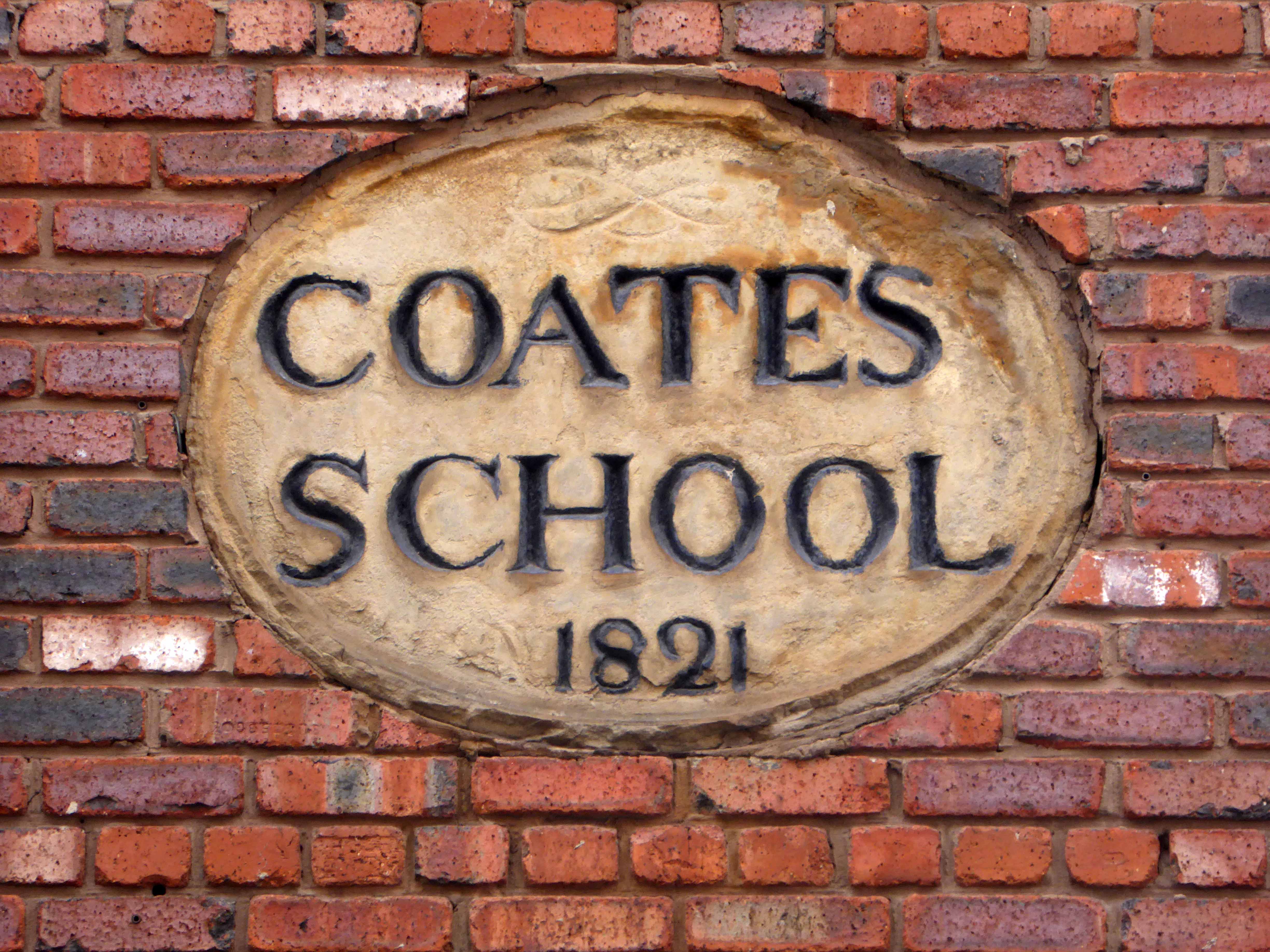
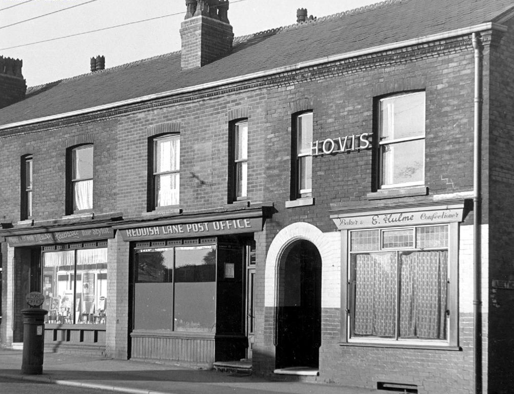
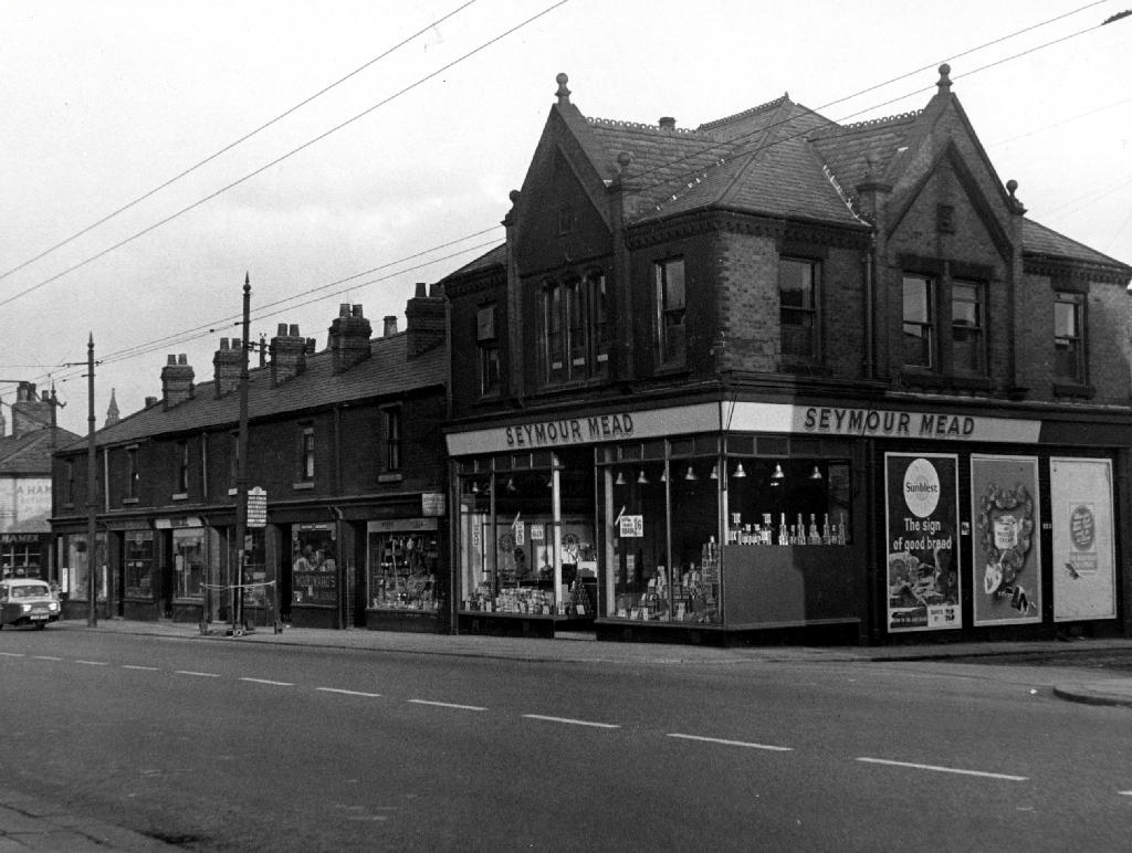
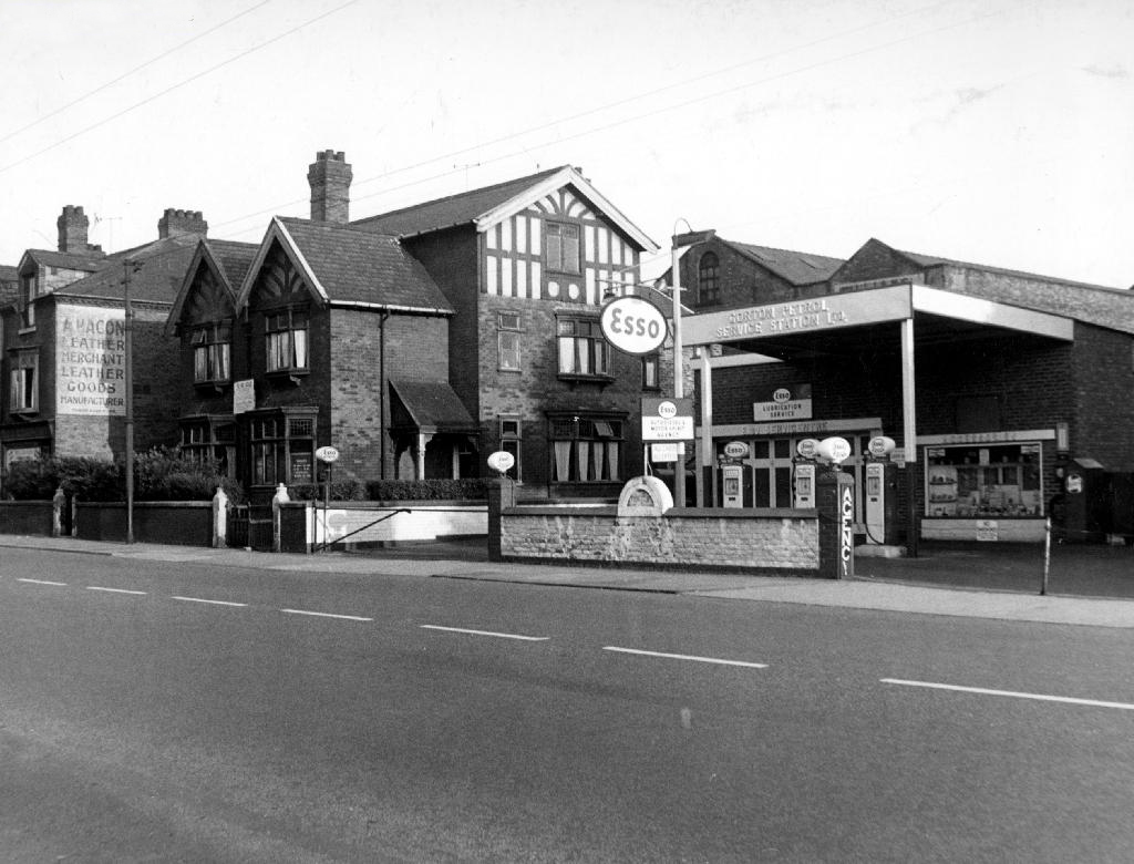
Ardwick Walk Again

1824

1904

2025

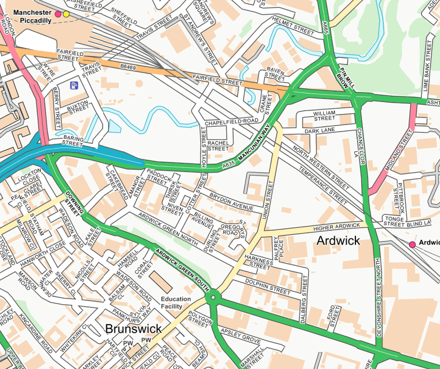
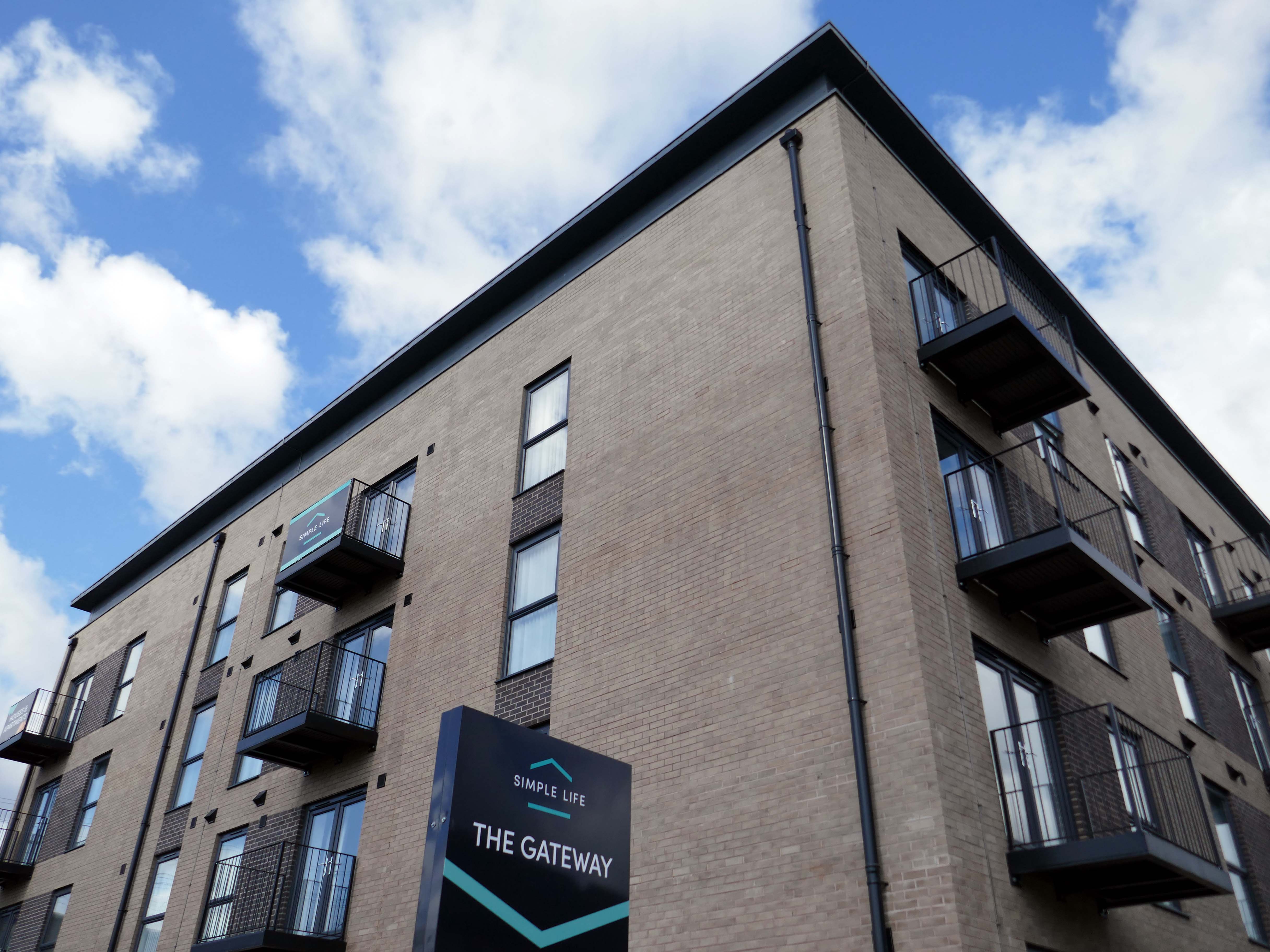
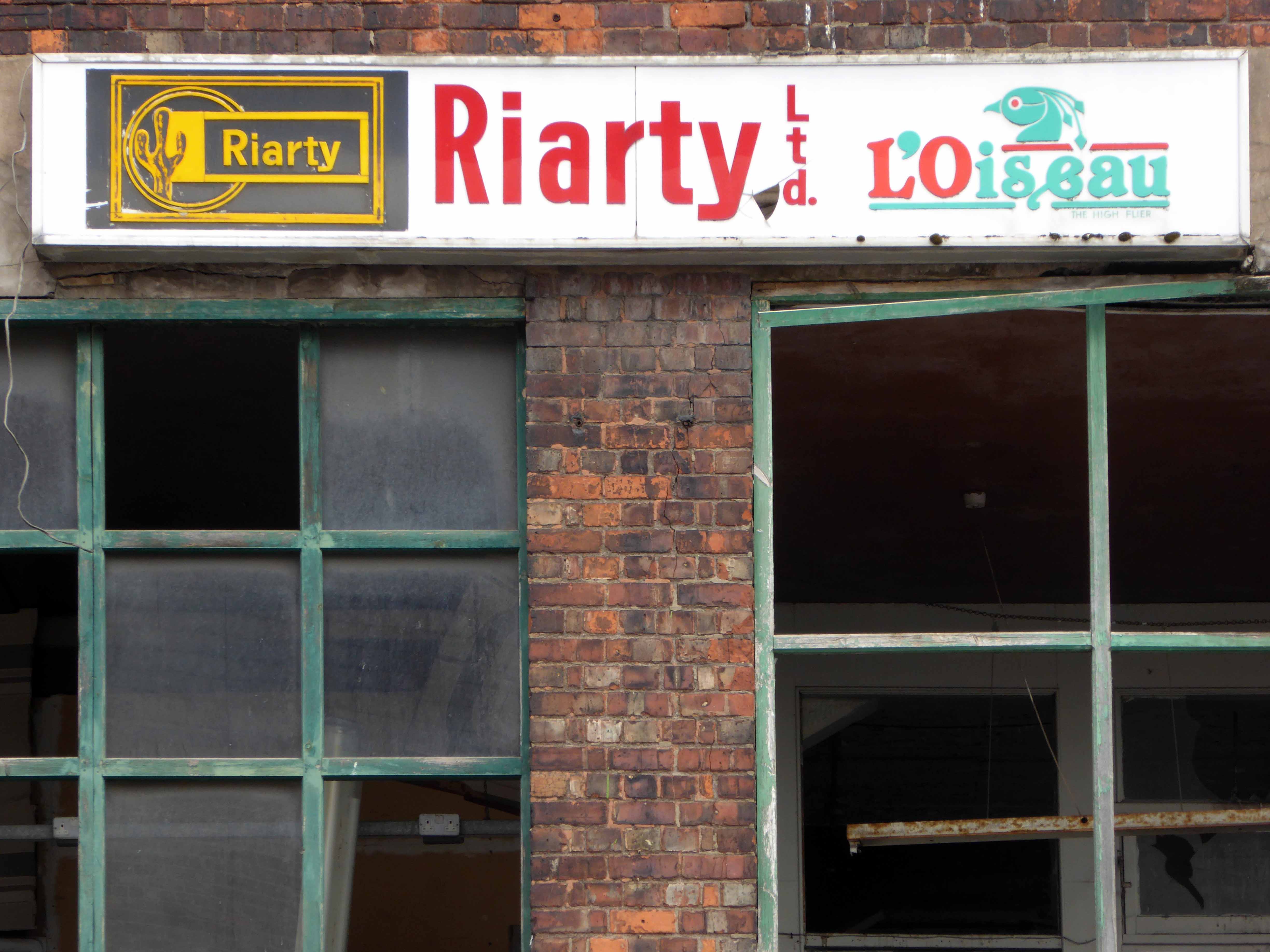
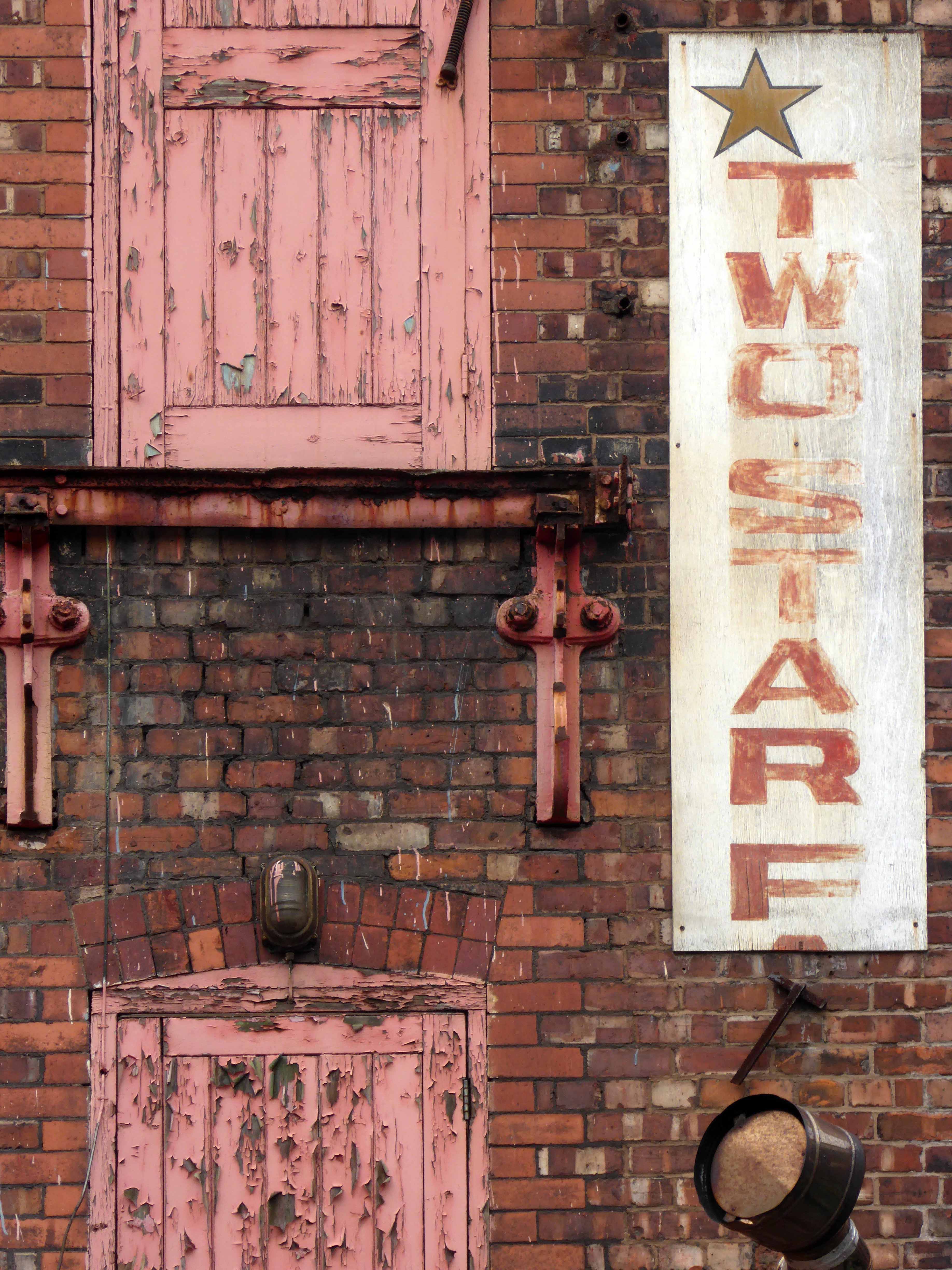
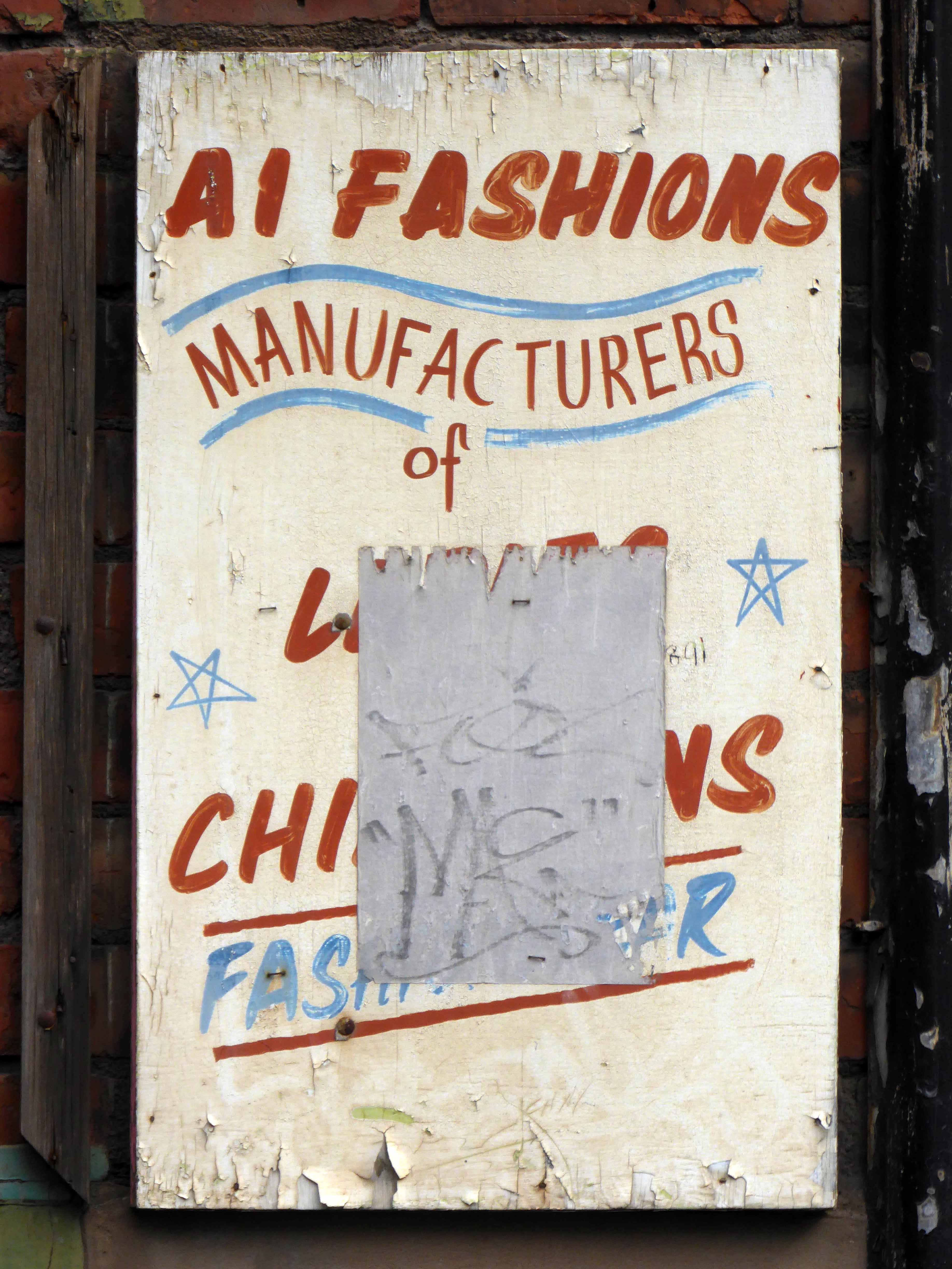
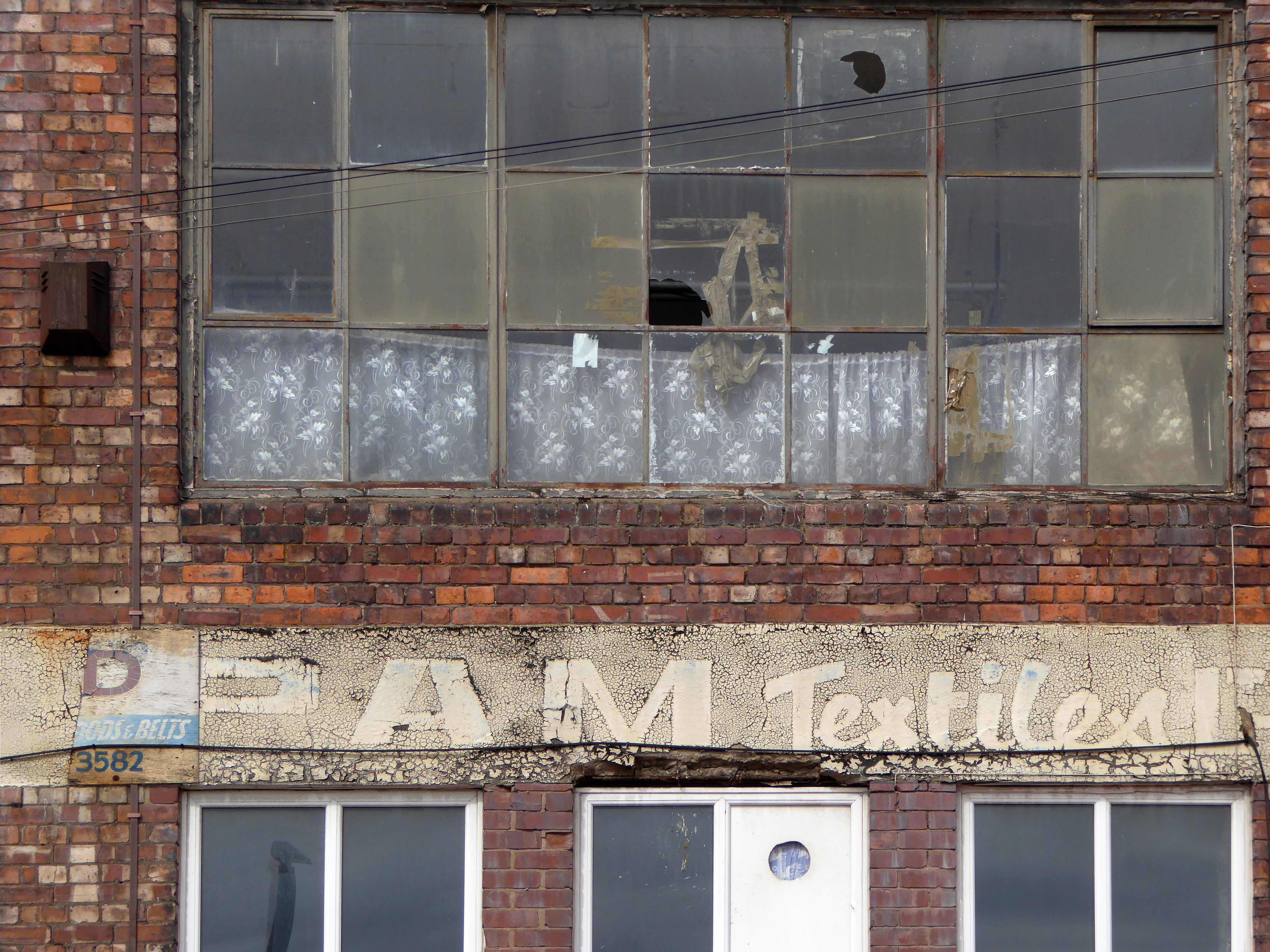
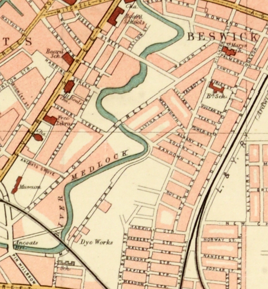
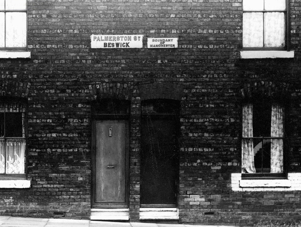
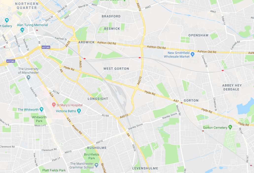
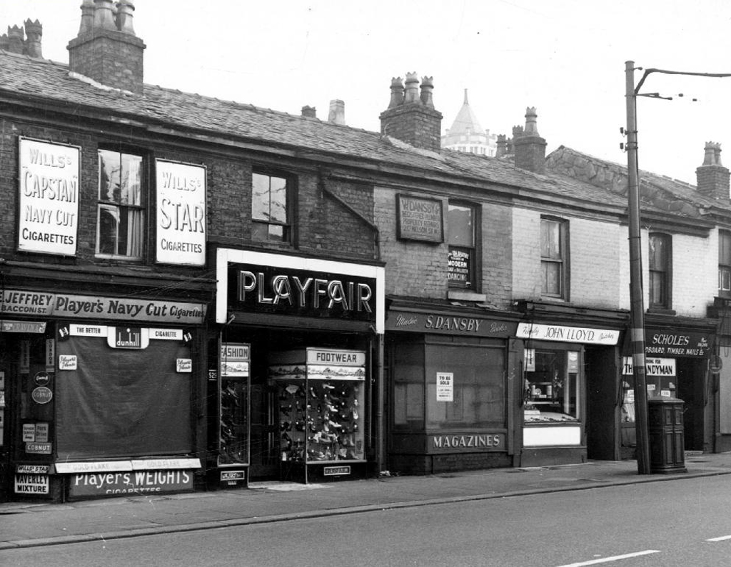
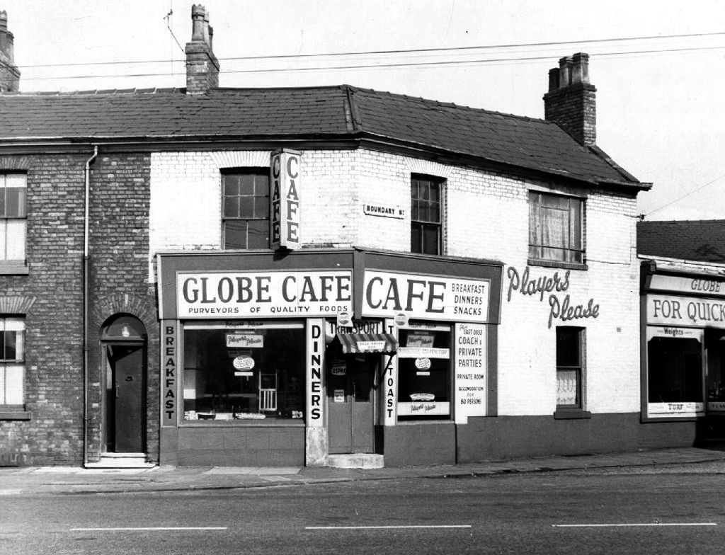
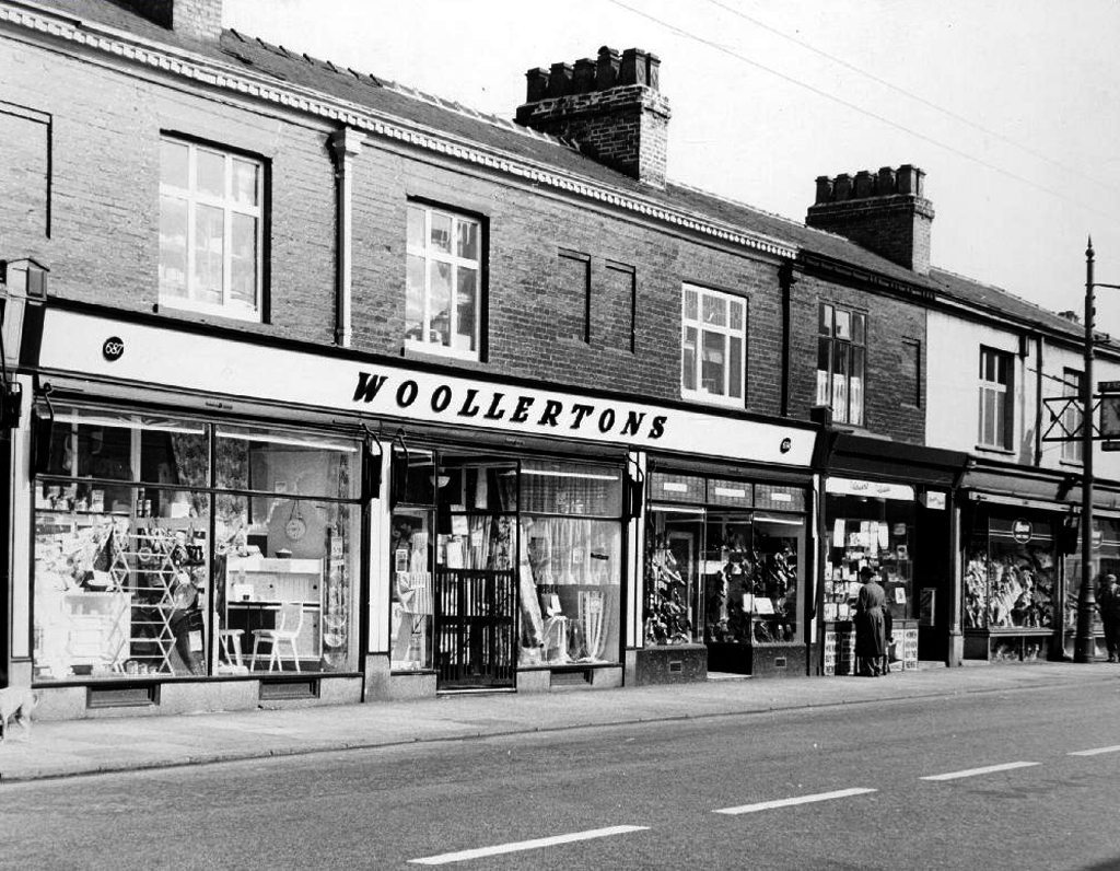
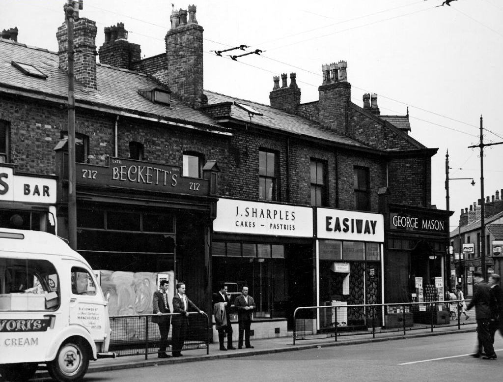
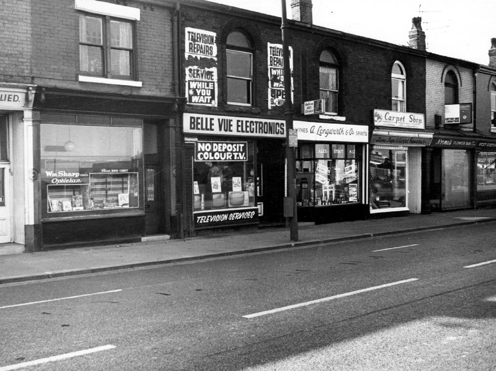
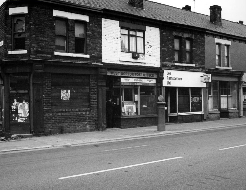
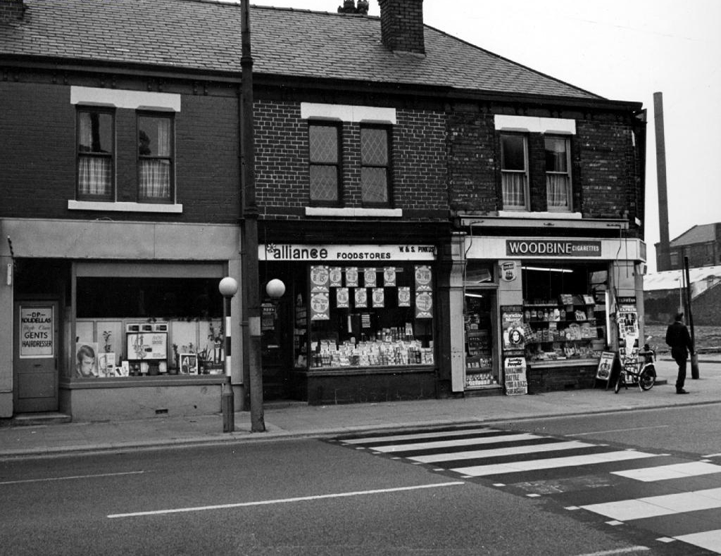
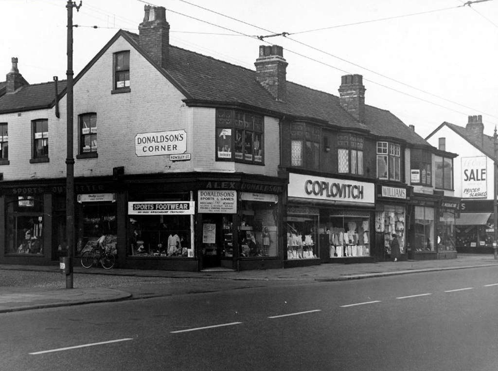
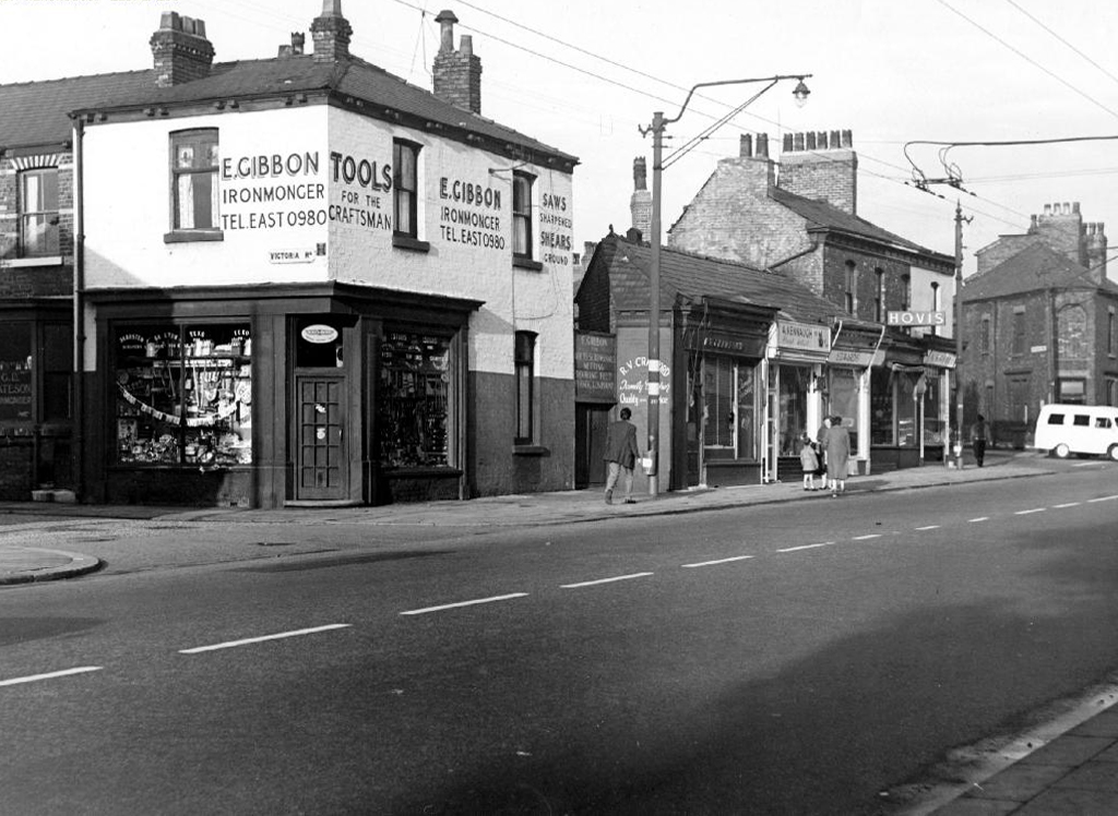
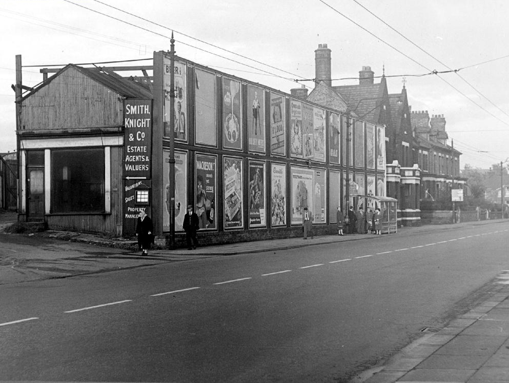
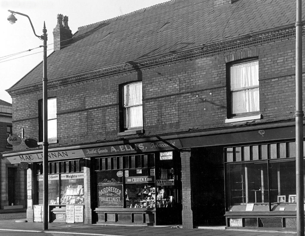
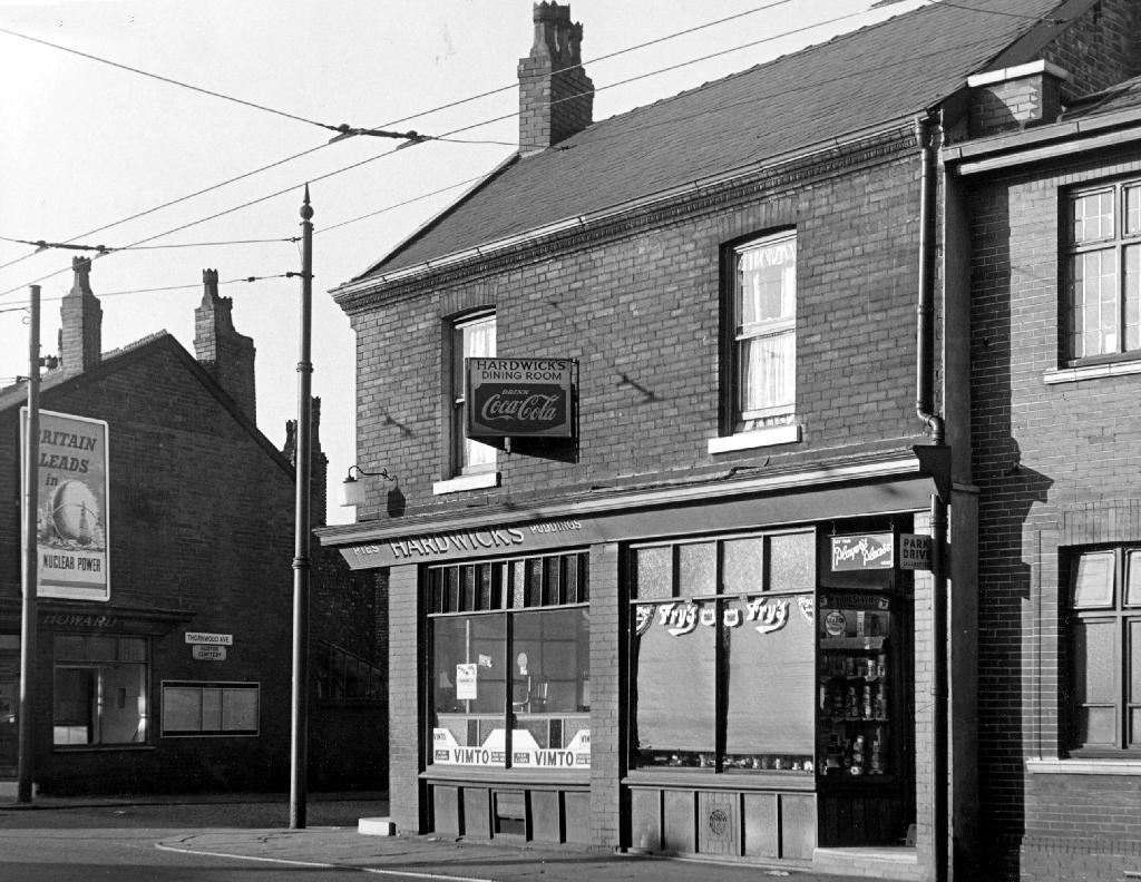
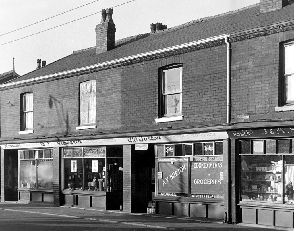
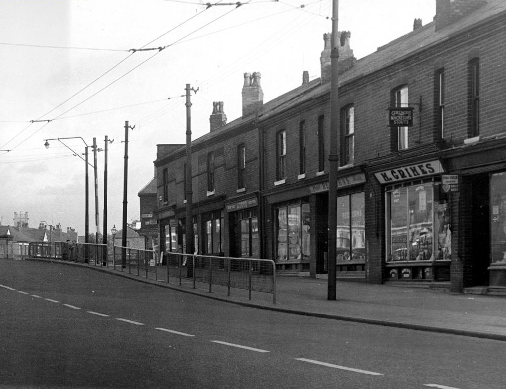
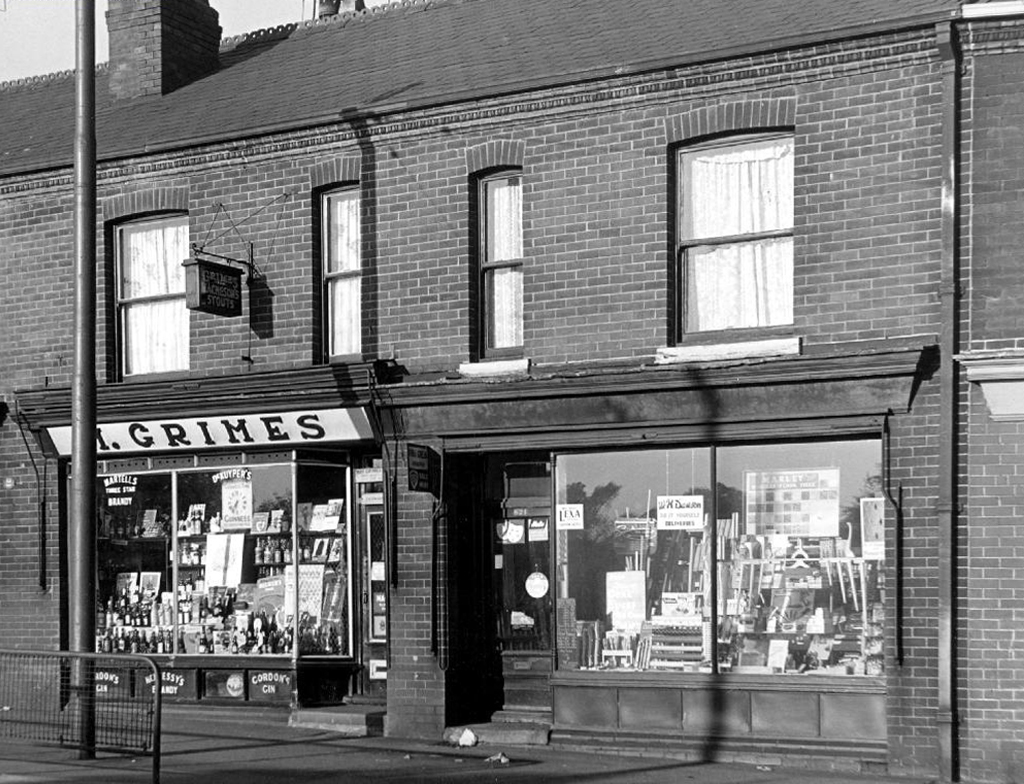
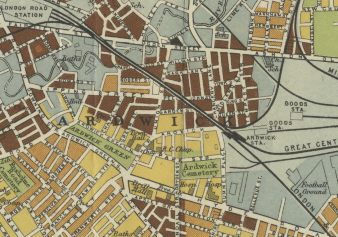
Previously in February 2022 I walked the fair streets of Ardwick.

Three and a bit years on it was time to see what had been coming and going on.

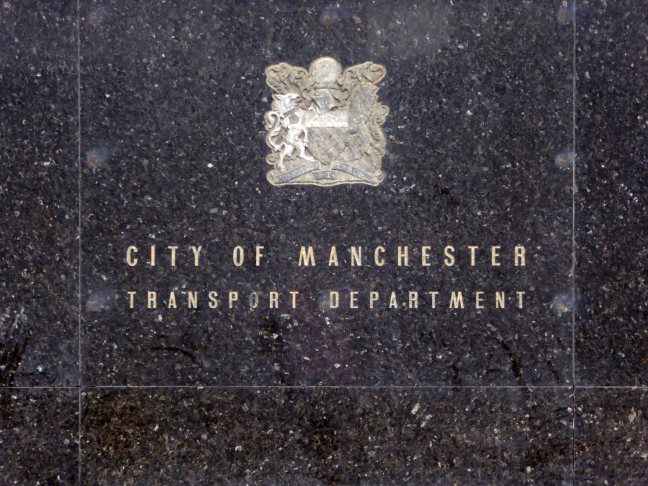
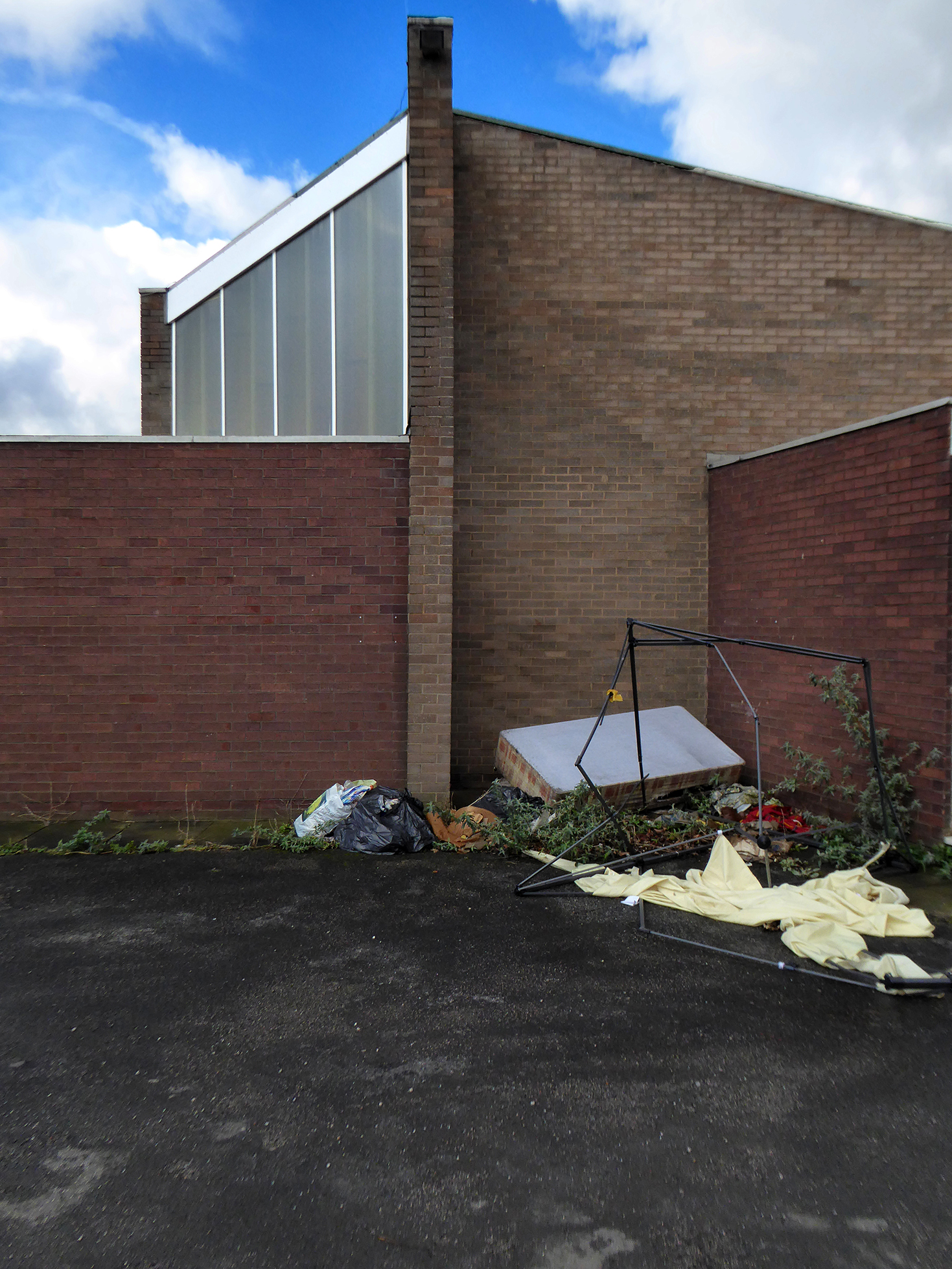
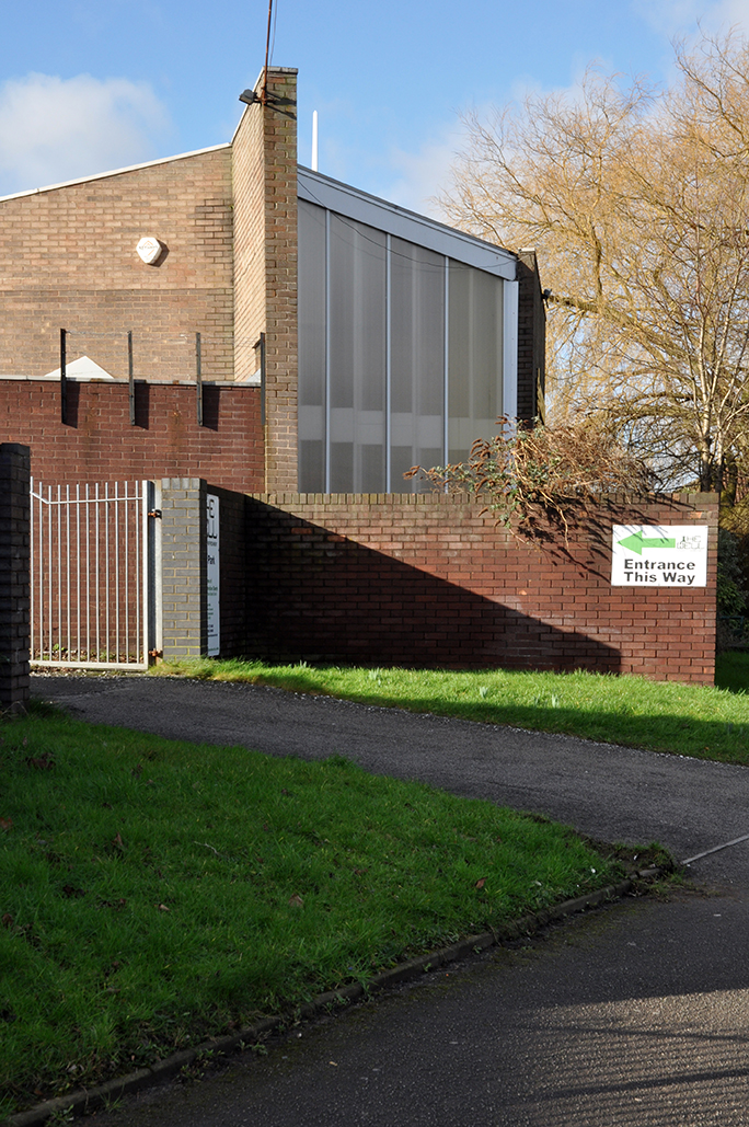
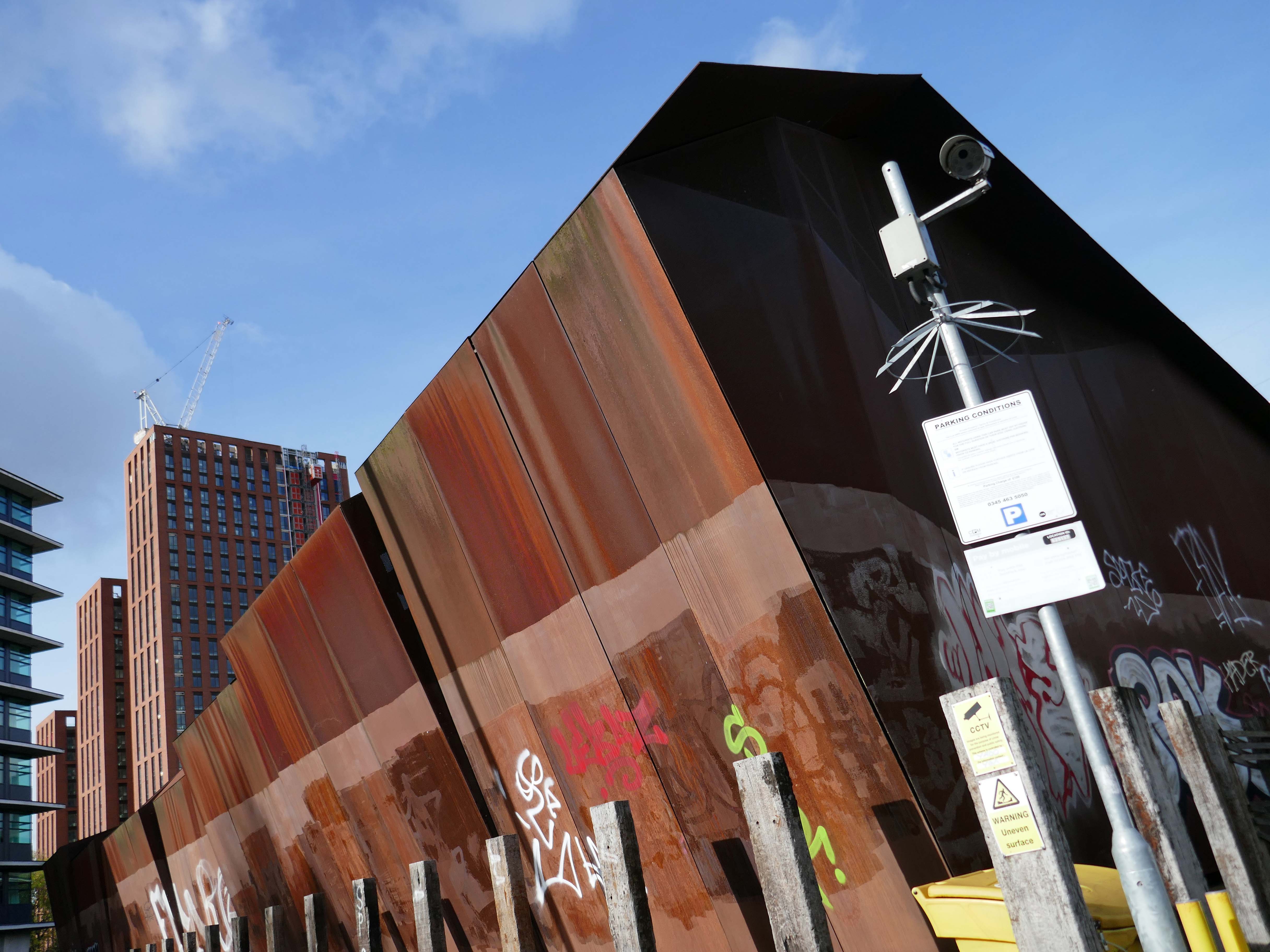
The Central Manchester Primary Substation on Travis Street is still there.

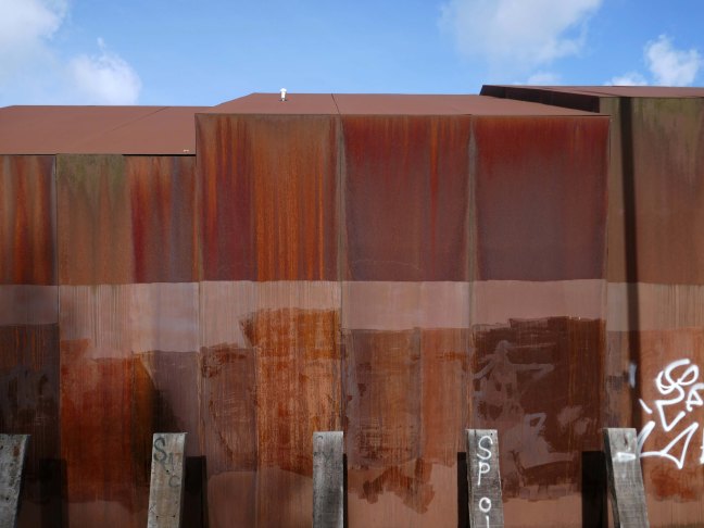
The building was cladded with a COR-TEN® steel envelope, the nature of which was relatively complex.

Corten steel sets itself apart due to the inclusion of unique alloying elements: chromium, nickel, copper and added phosphorous which gives the steel its self-protecting properties.

Architect: Walker Simpson

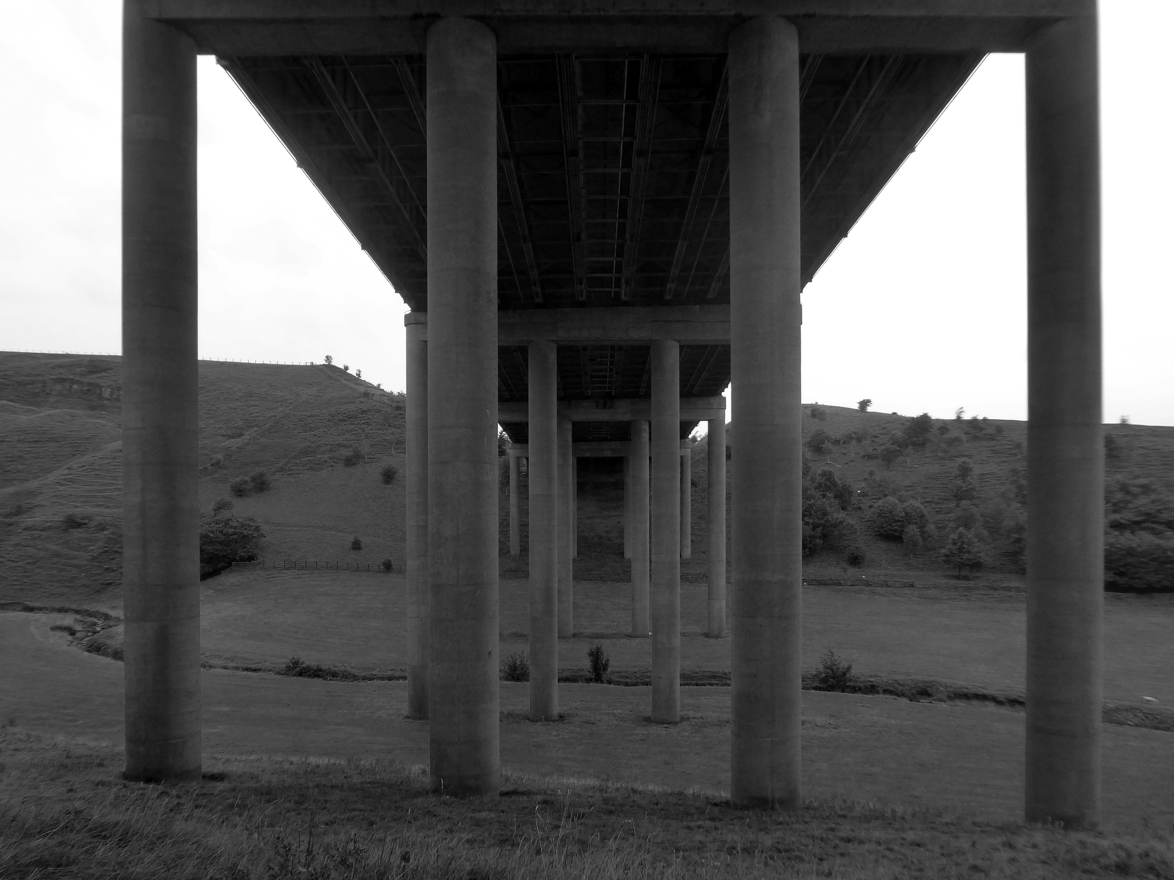
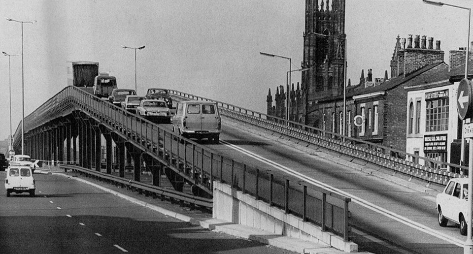
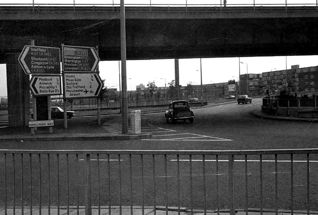
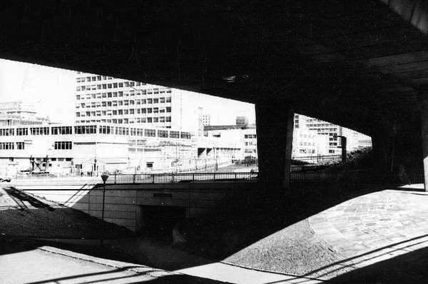
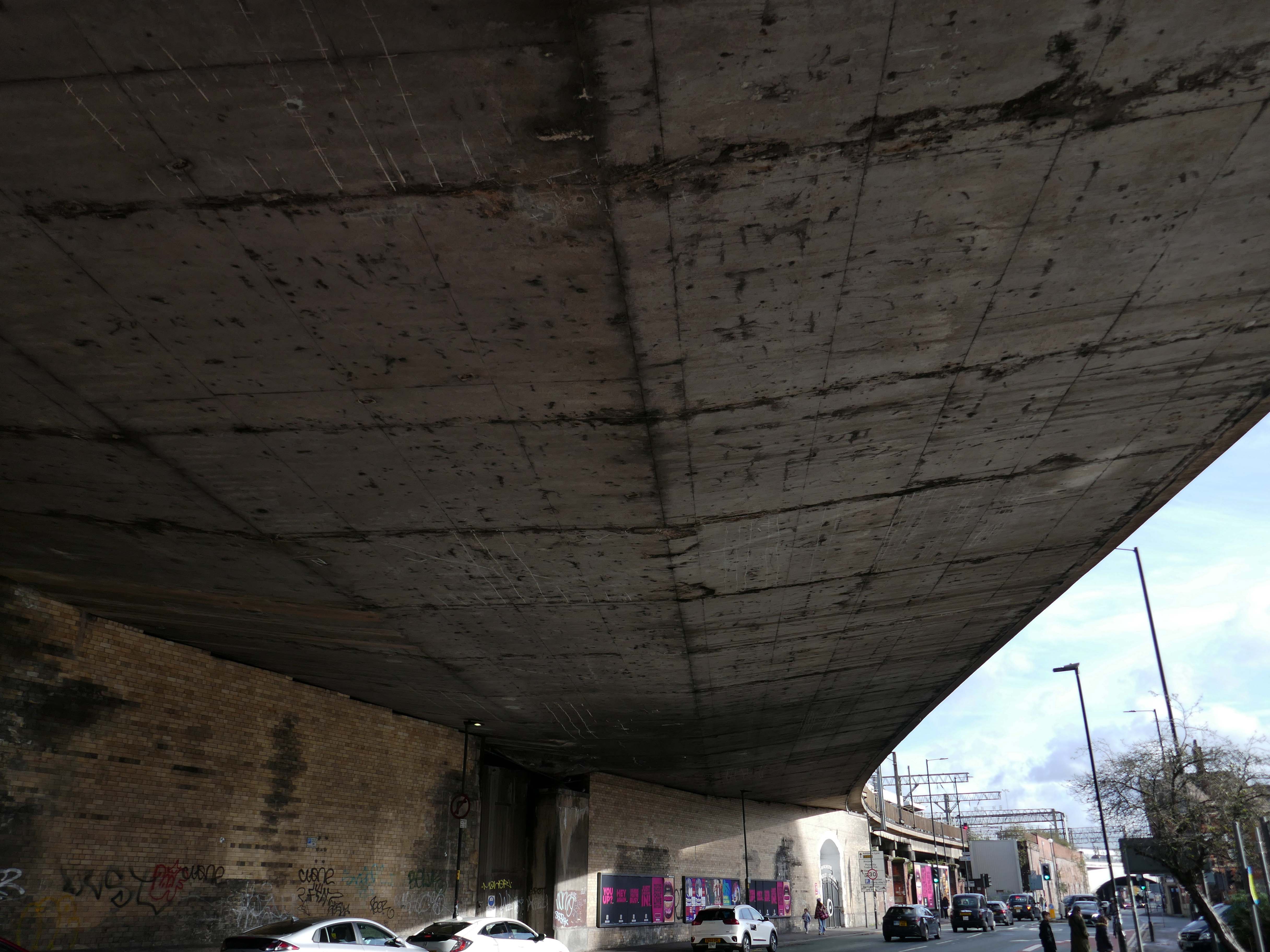
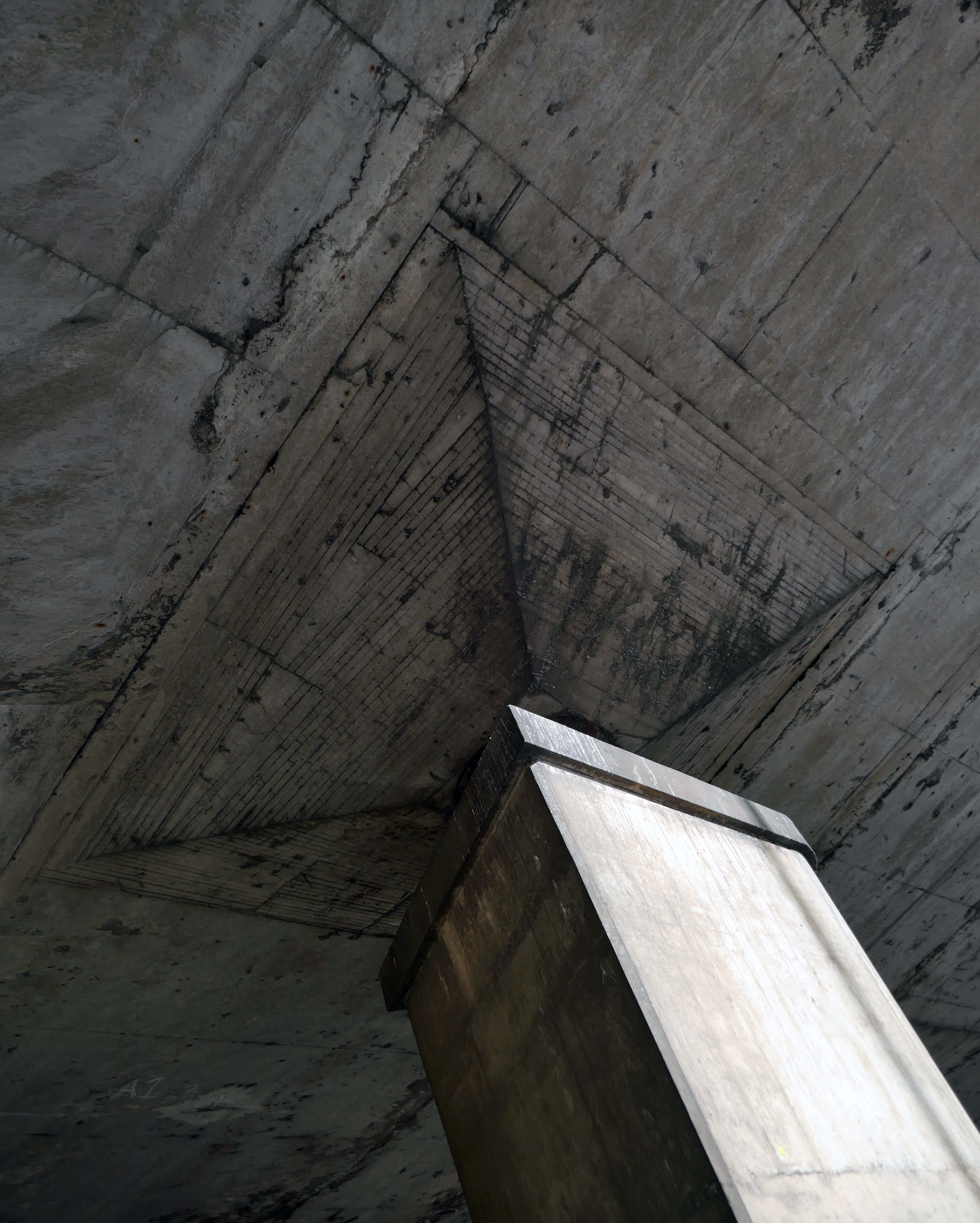
Immediately adjacent are Platforms Thirteen and Fourteen, bridged over the roadway by this vast concrete construction.

Platform 14 is primitive, I understand totally from an infrastructure standpoint because it’s on a bypass line on a bridge, but it gets too overcrowded and is windswept. The rest of the station is ok. Platforms 13/14 have not changed in 40 years, grim.

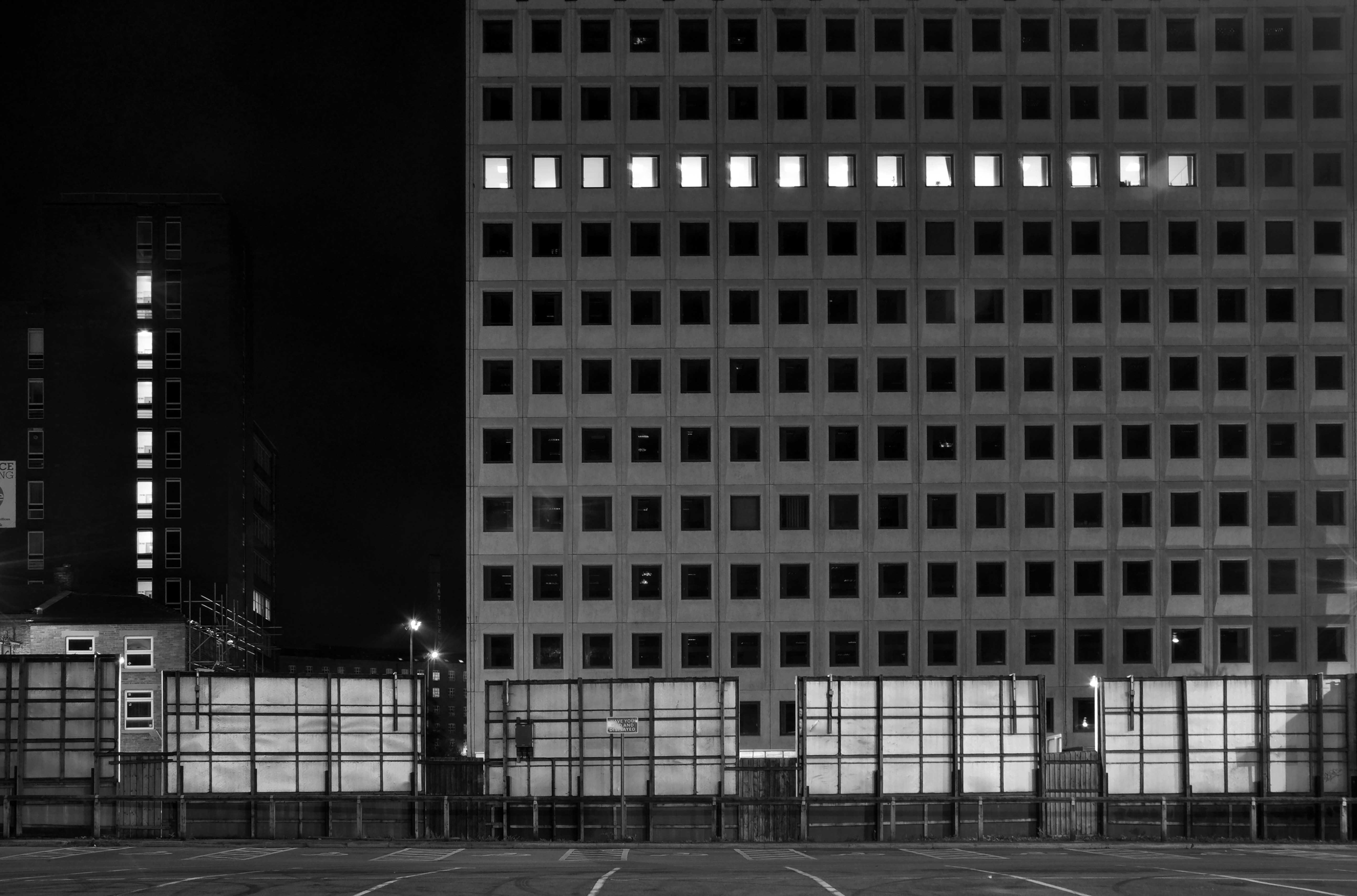
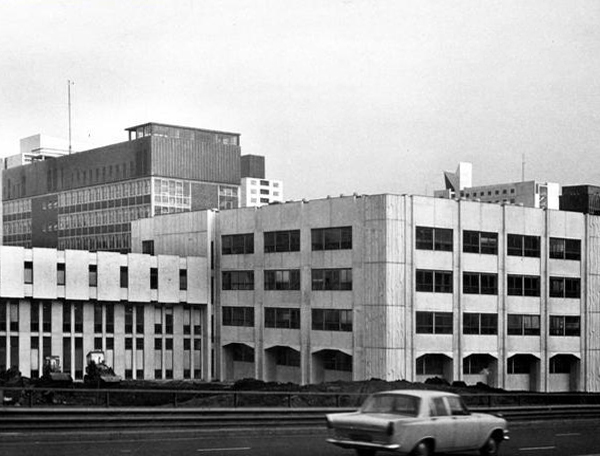
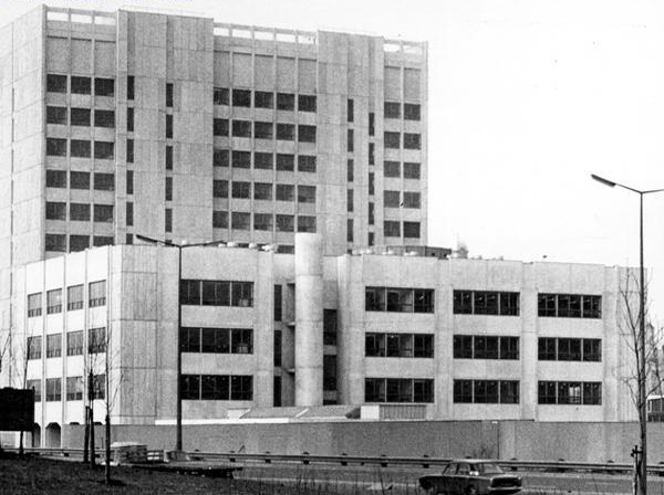
We the pass to the former BT Building – architects JW Hammond 1973.

Originally conceived as a hotel, there were no takers at the time, so it became the BT HQ.

Currently Marriot Hotel Piccadilly

Comprising 338 rooms, Manchester Marriott Hotel Piccadilly is near a shopping district, a 10-minute ride from Etihad Stadium. Offering a location right in the centre of a beautiful neighbourhood, this comfortable hotel boasts a lounge bar along with city views.

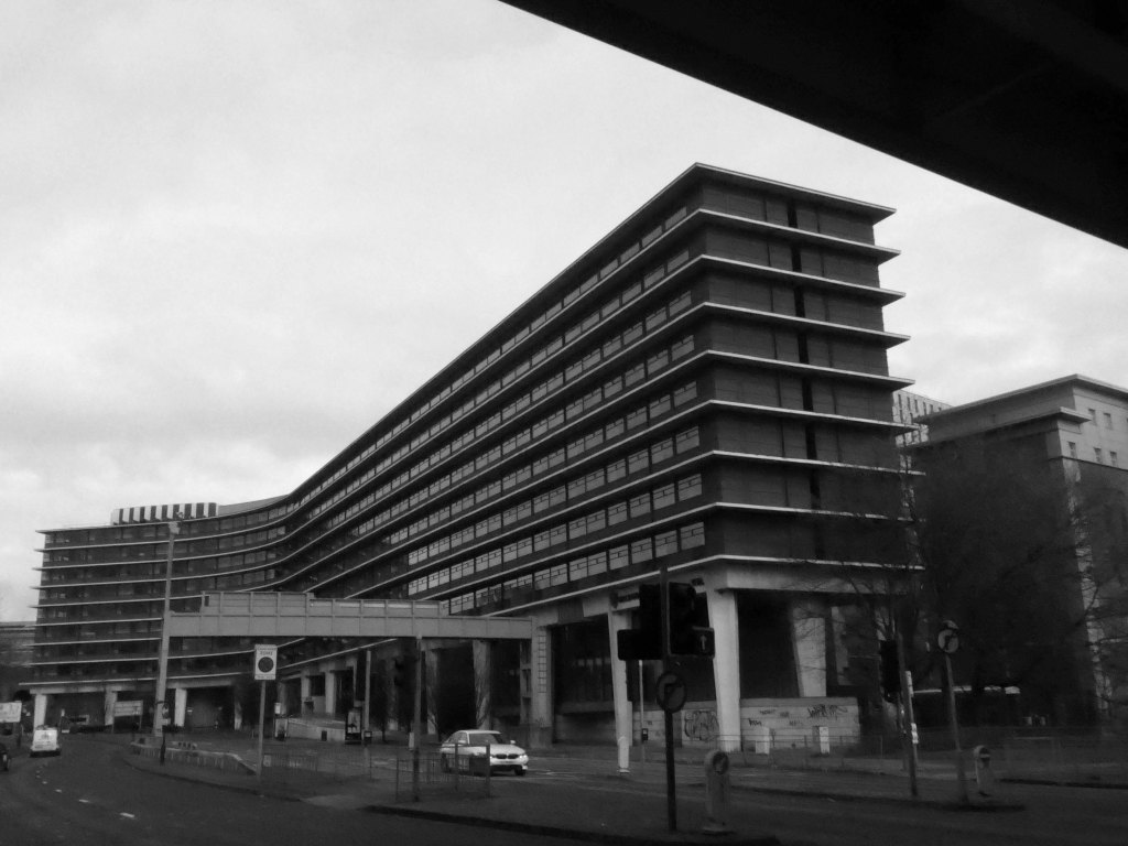
It is supported on the most magnificent piloti.

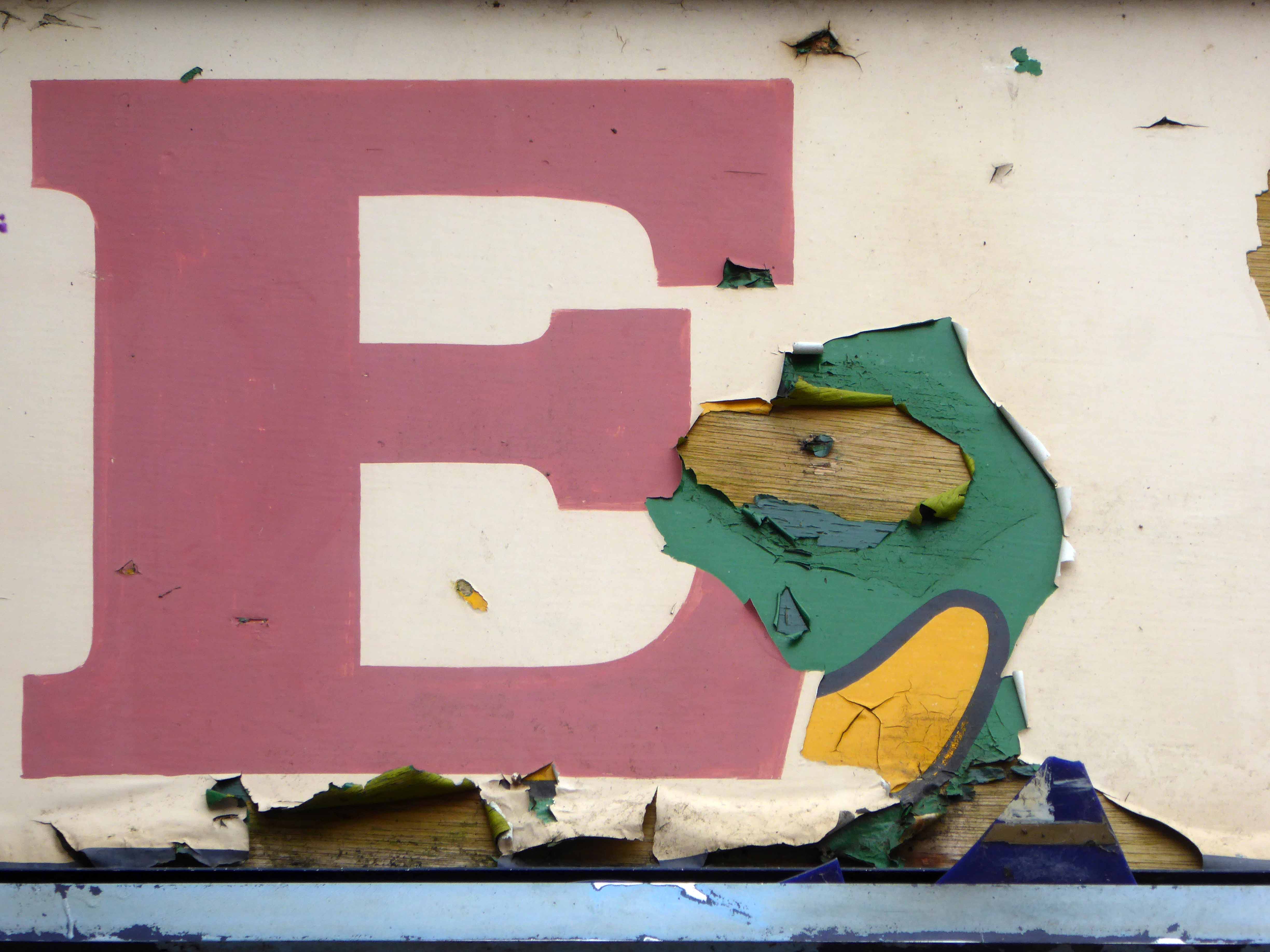
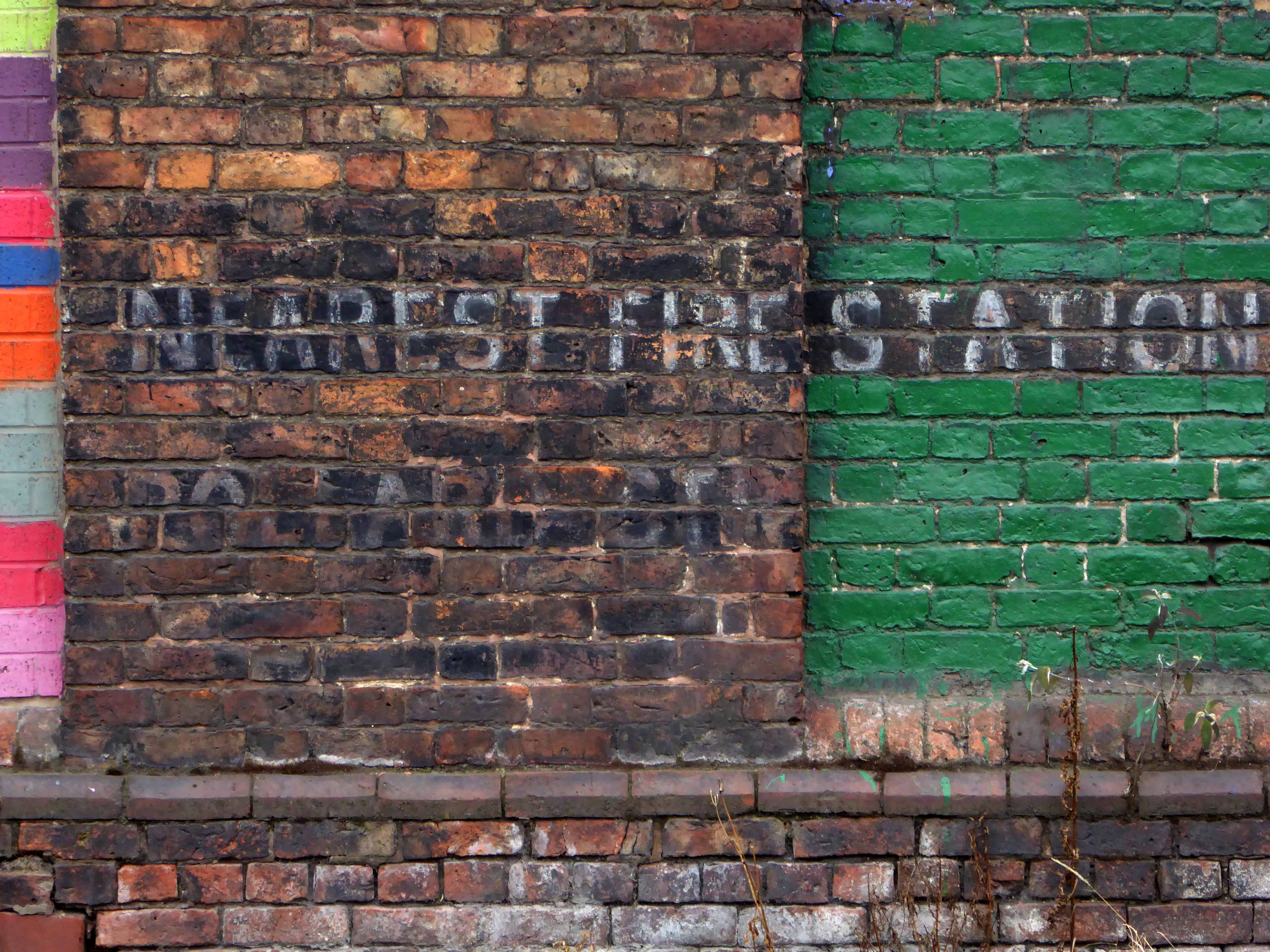
Over the road the Holloway Wall 1968 – Grade II listed but its remodelling is in the air.

The developer’s architects now propose to ‘reimagine’ the artwork and incorporate it into the foyer of the new office building. However, this ‘reimagining’ requires large sections of the artwork to be removed by cutting away and ‘folding’ around 30% of the sculpture.

Modernist

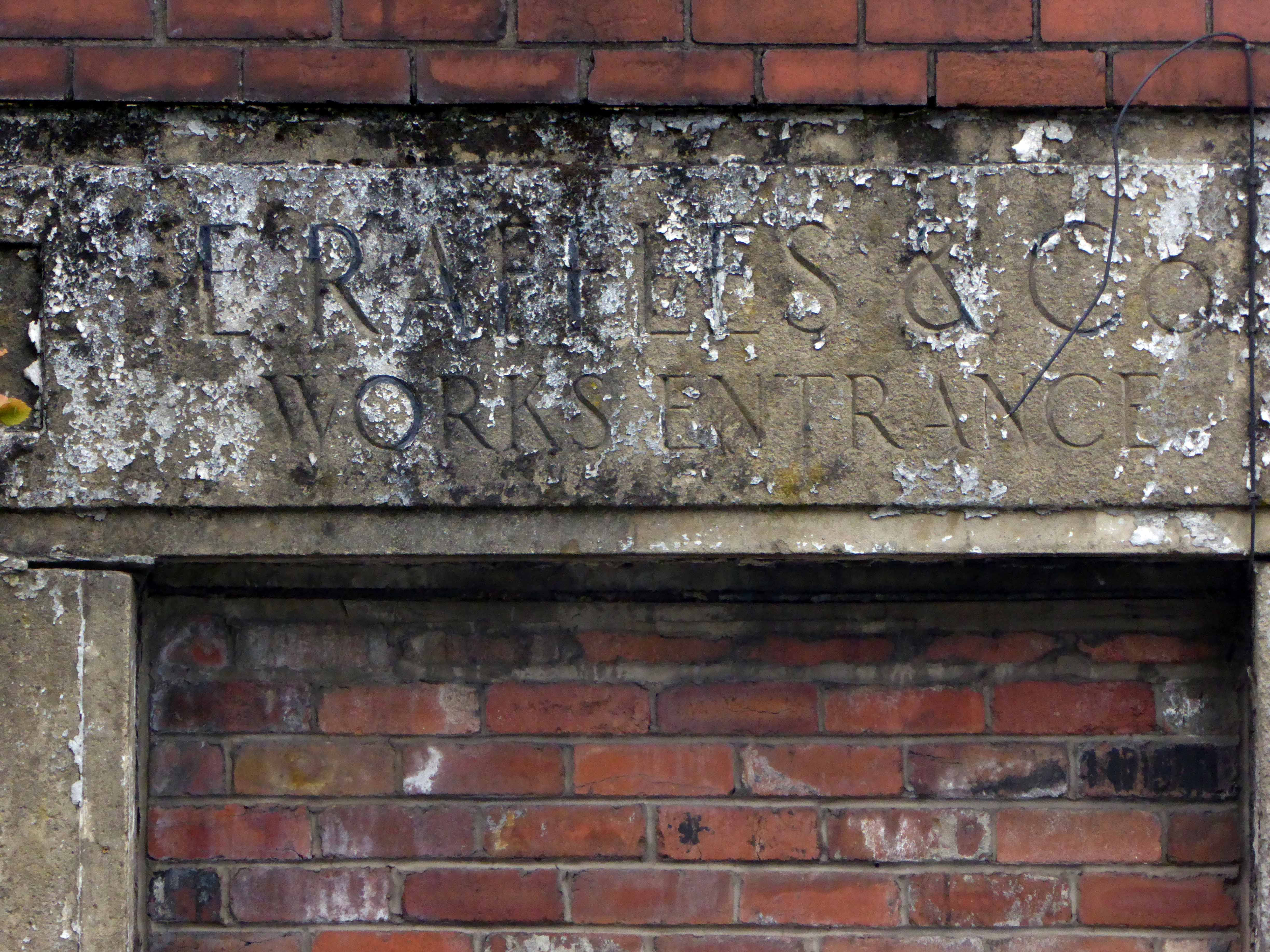
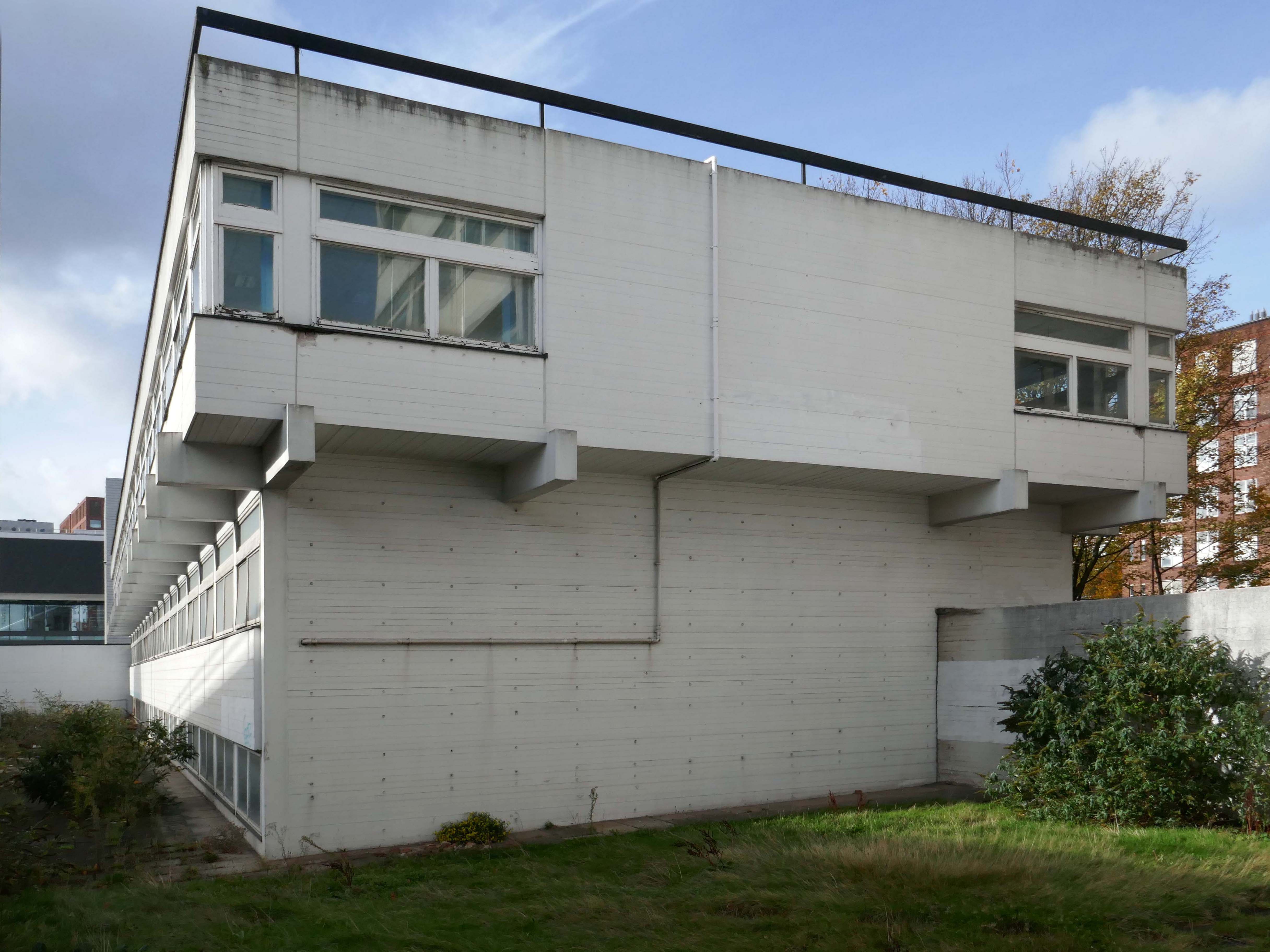
The remainder of the UMIST site is also under threat – only the Renold Building is listed and to be retained intact.

Lecture Theatre, along with the Maths and Sciences Building.

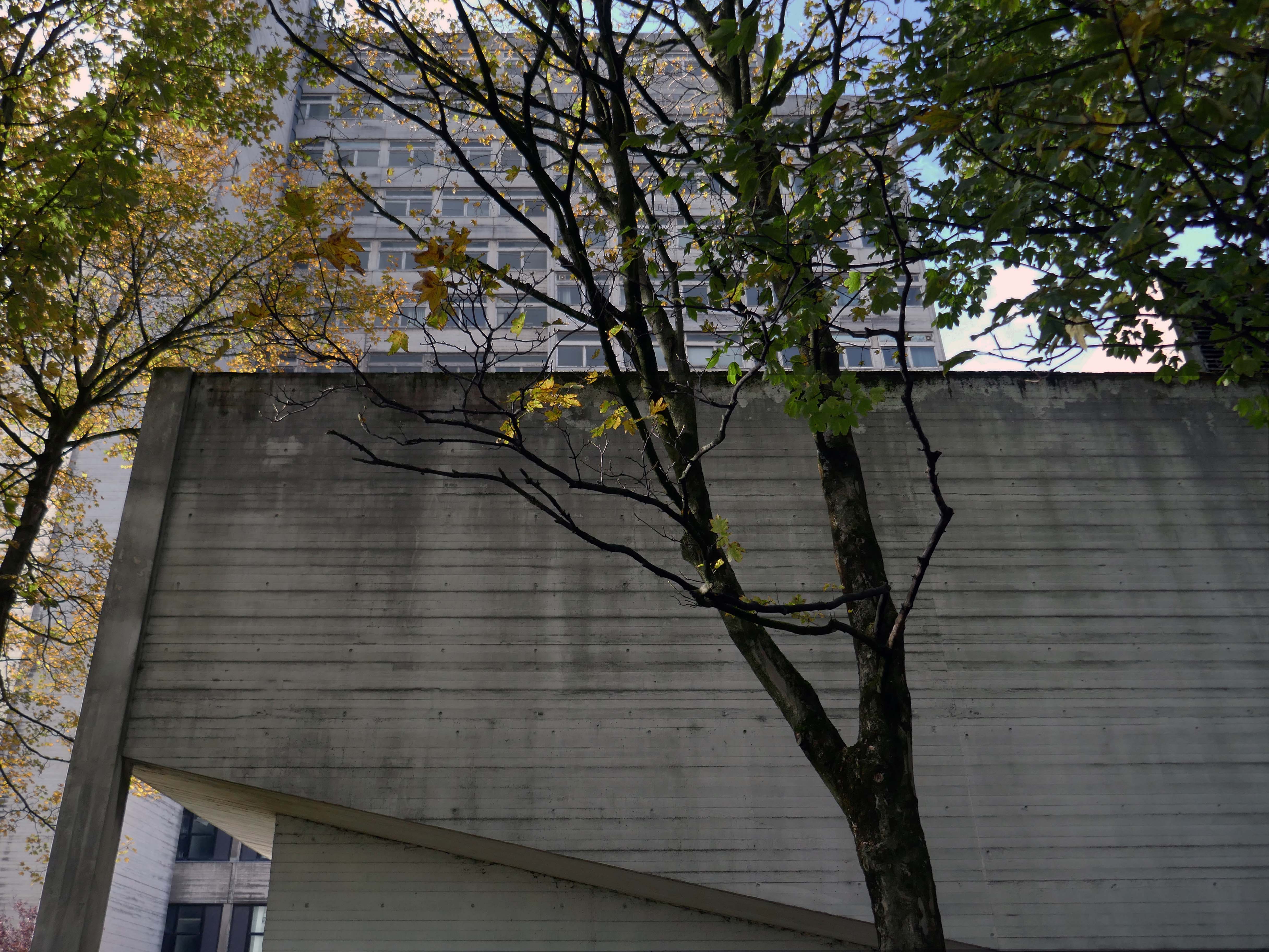
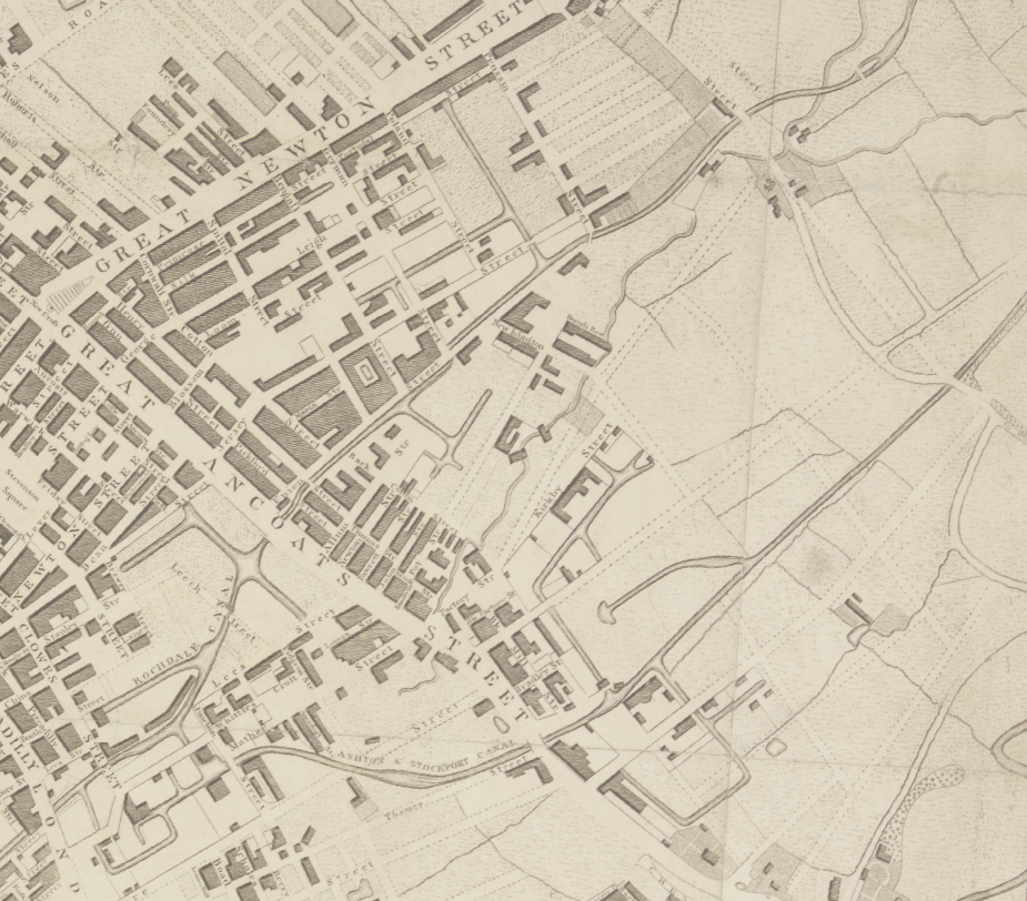
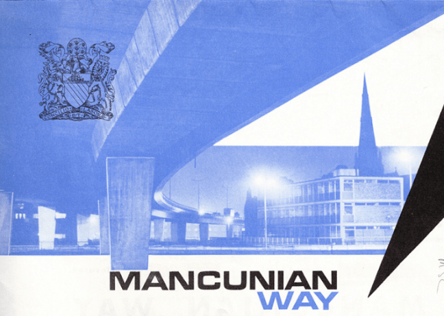
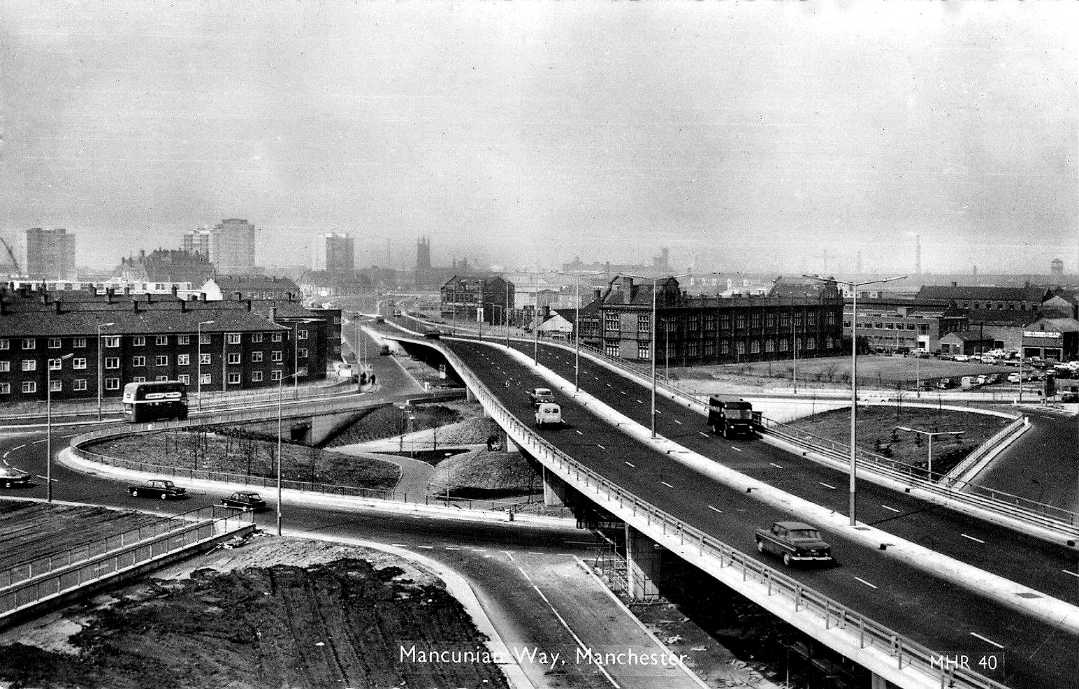
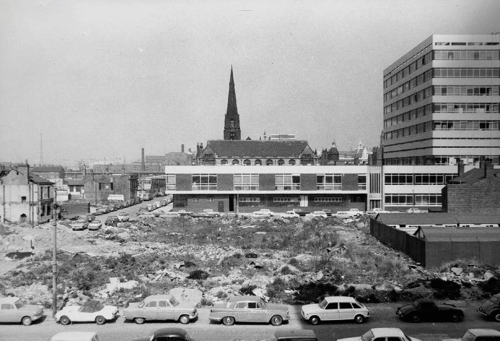
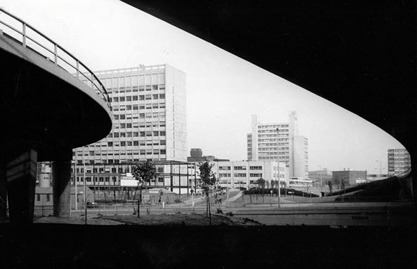
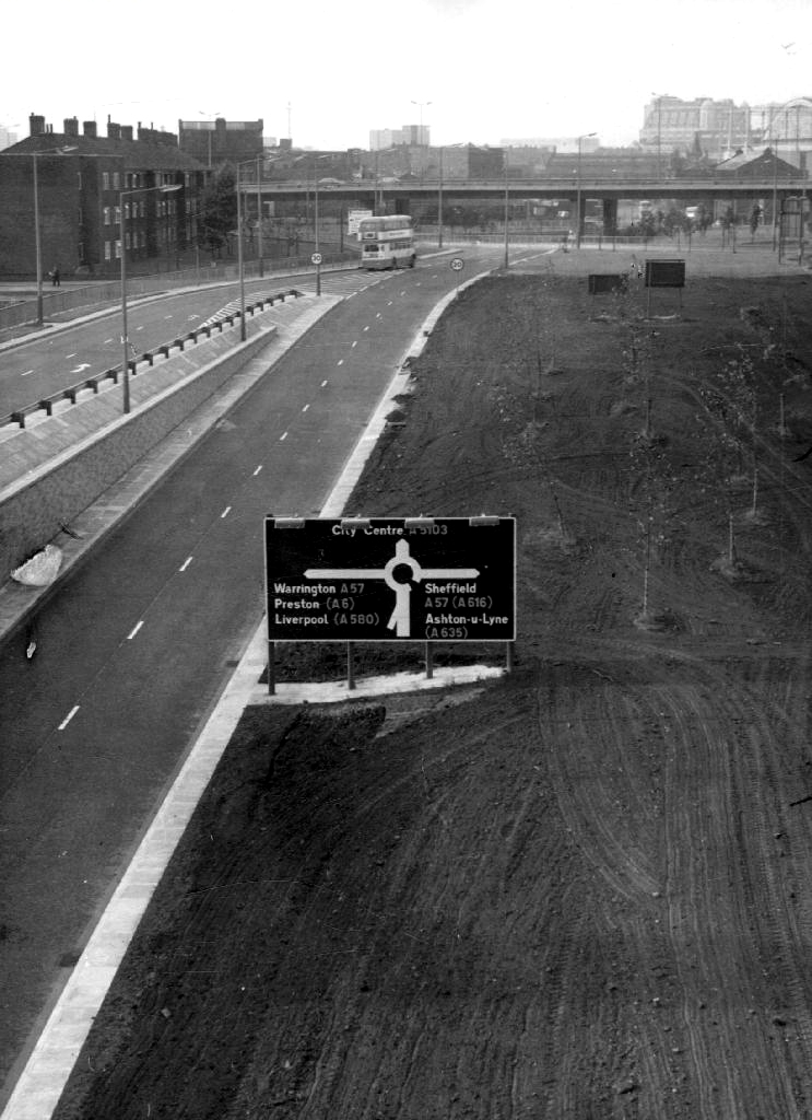
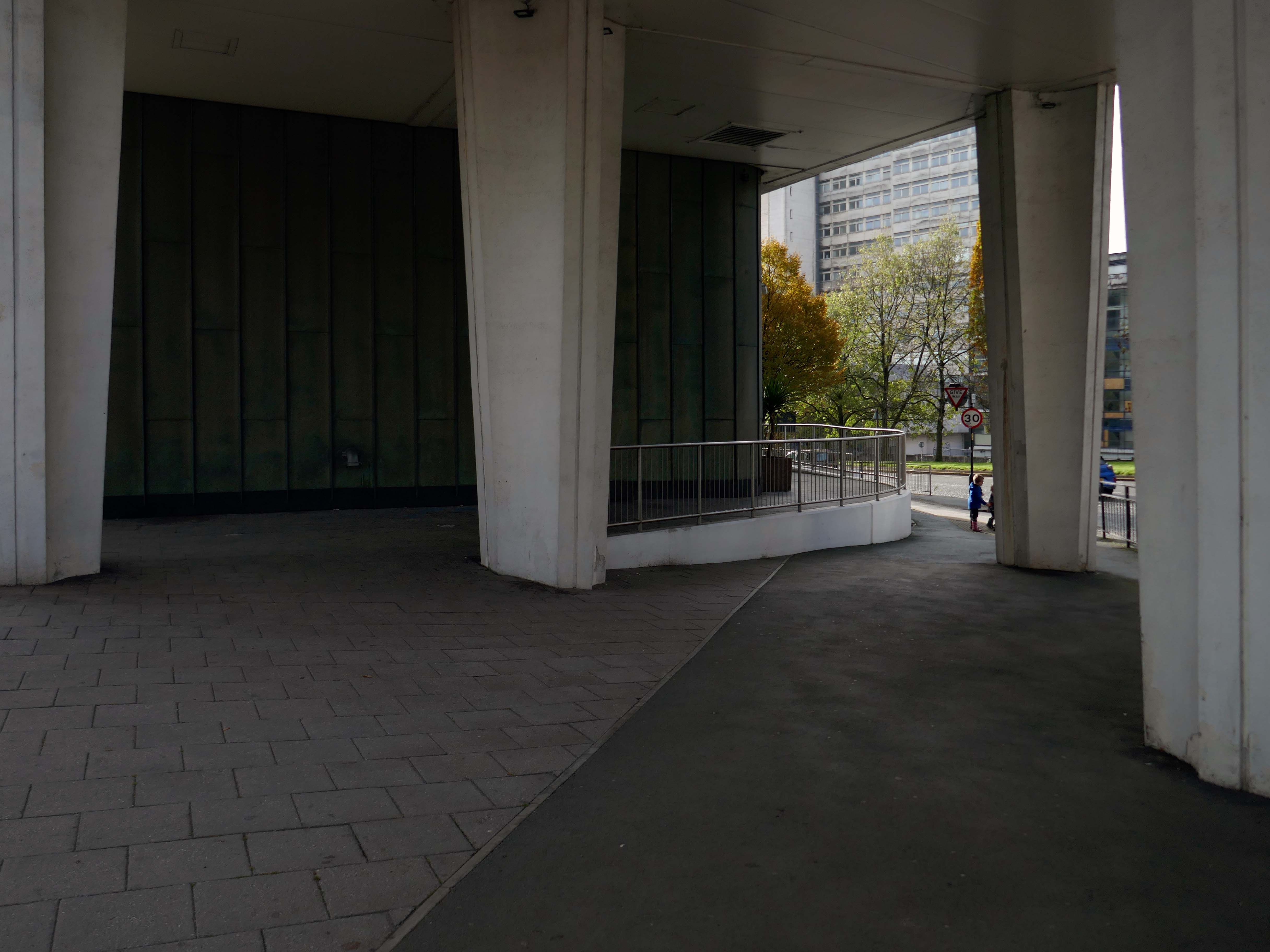
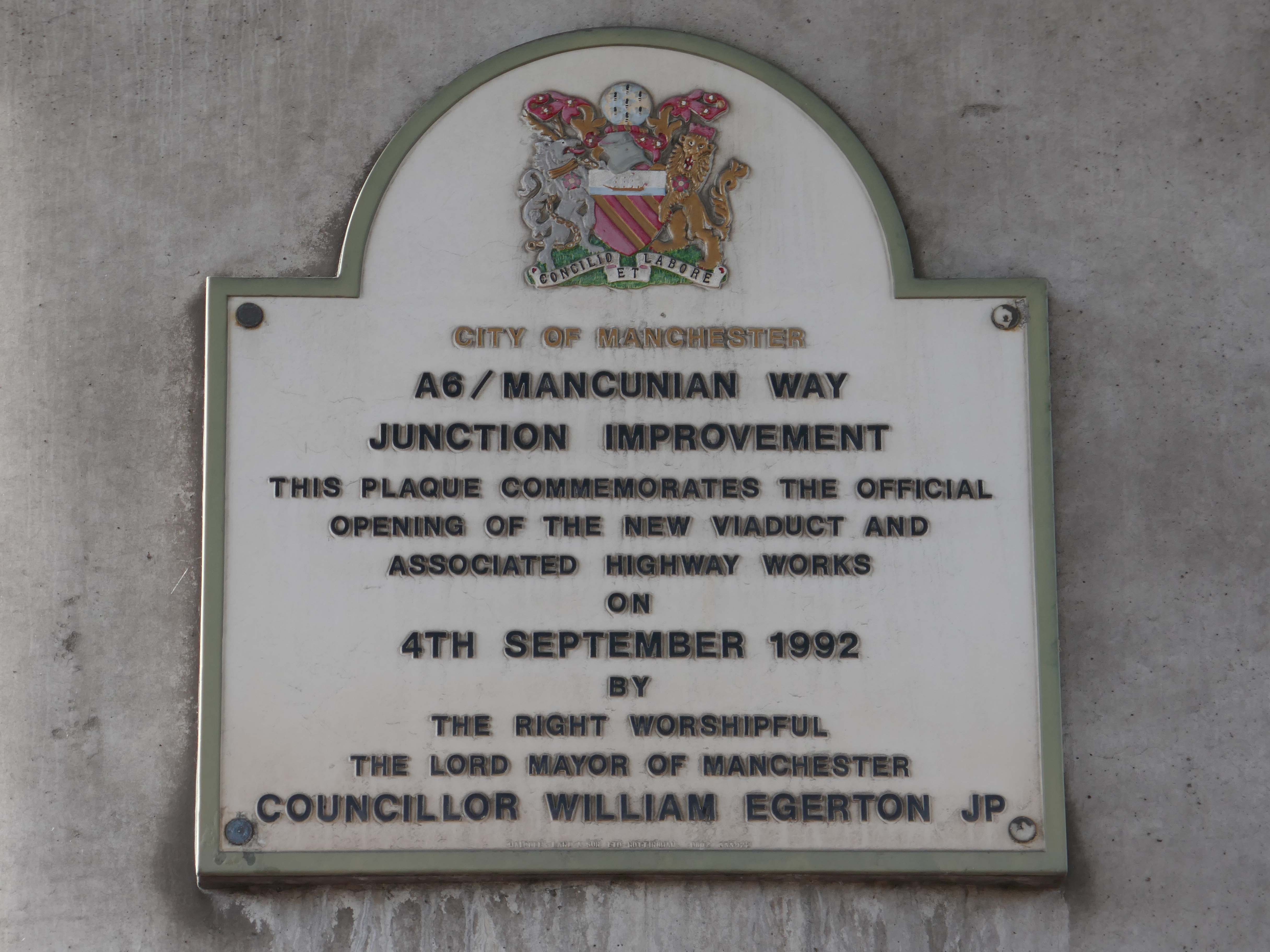
Seen here under construction before the arrival of the Mancunian Way extension.

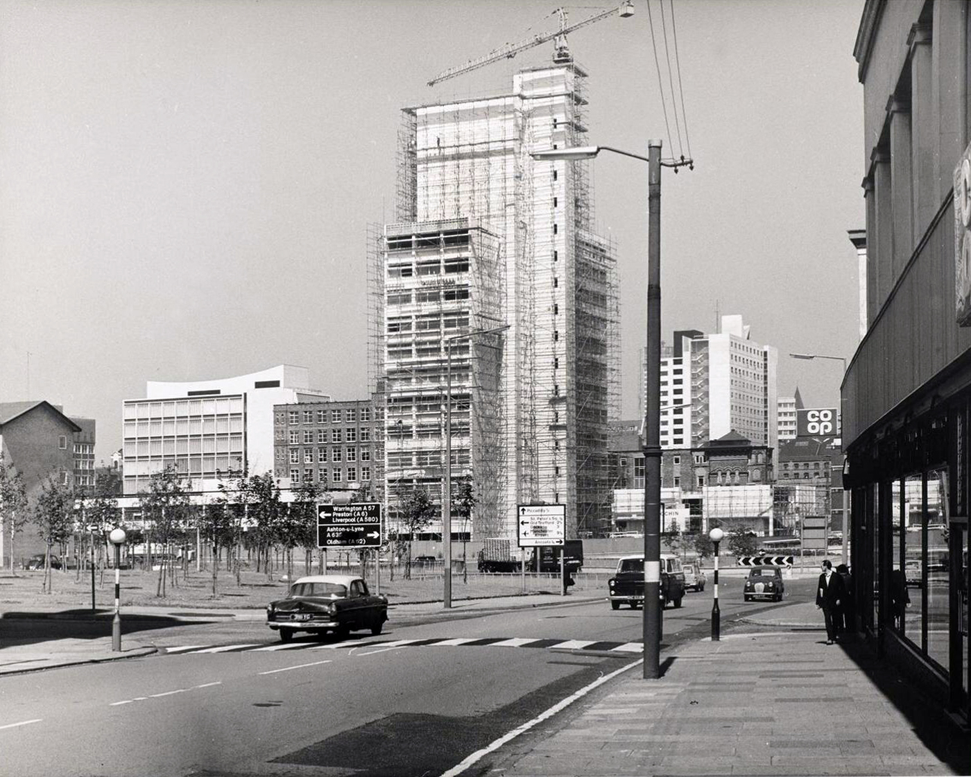
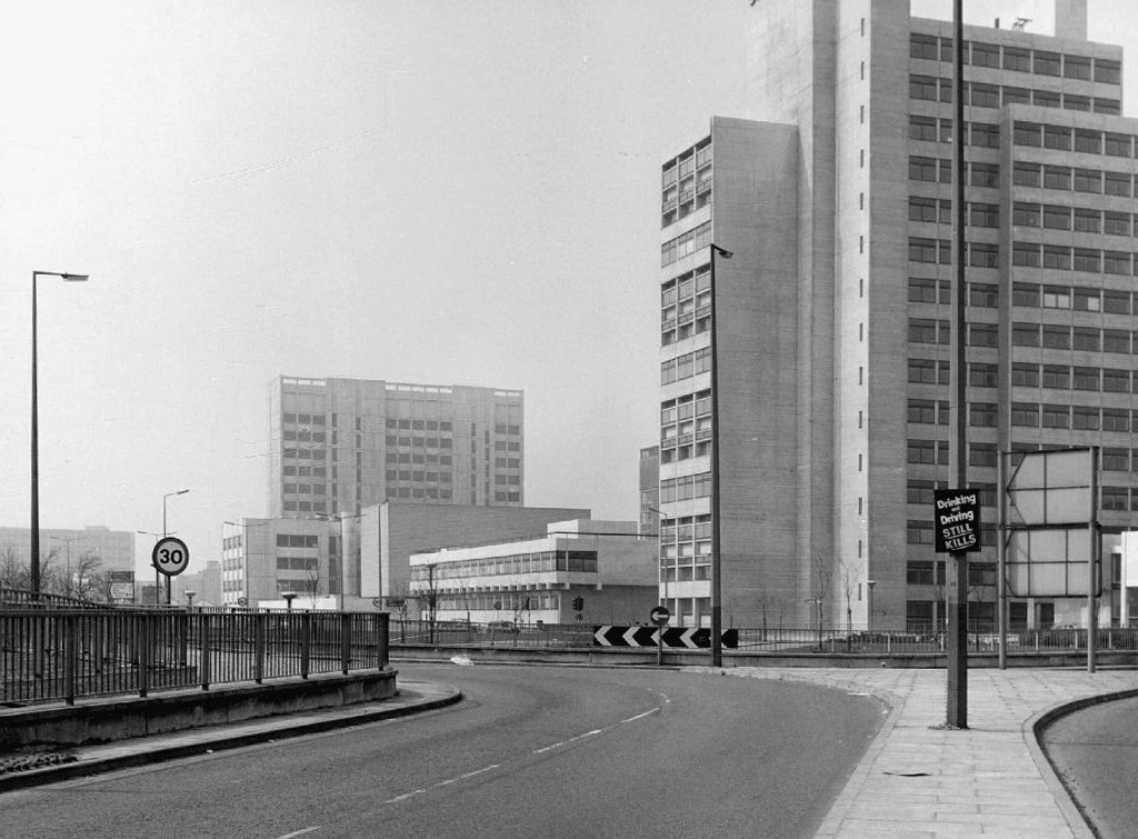
The Mancunian Way extension opened in 1992.

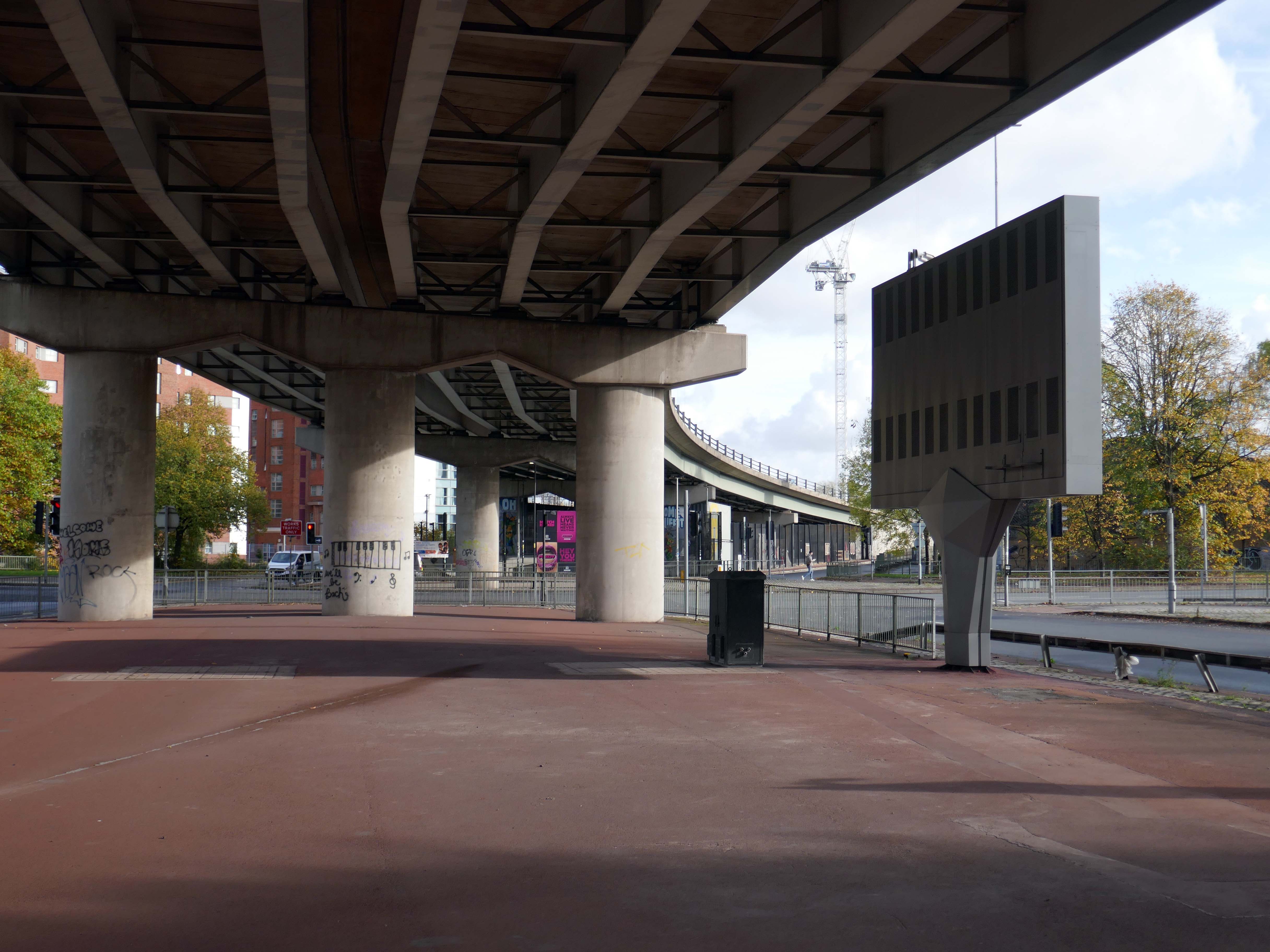
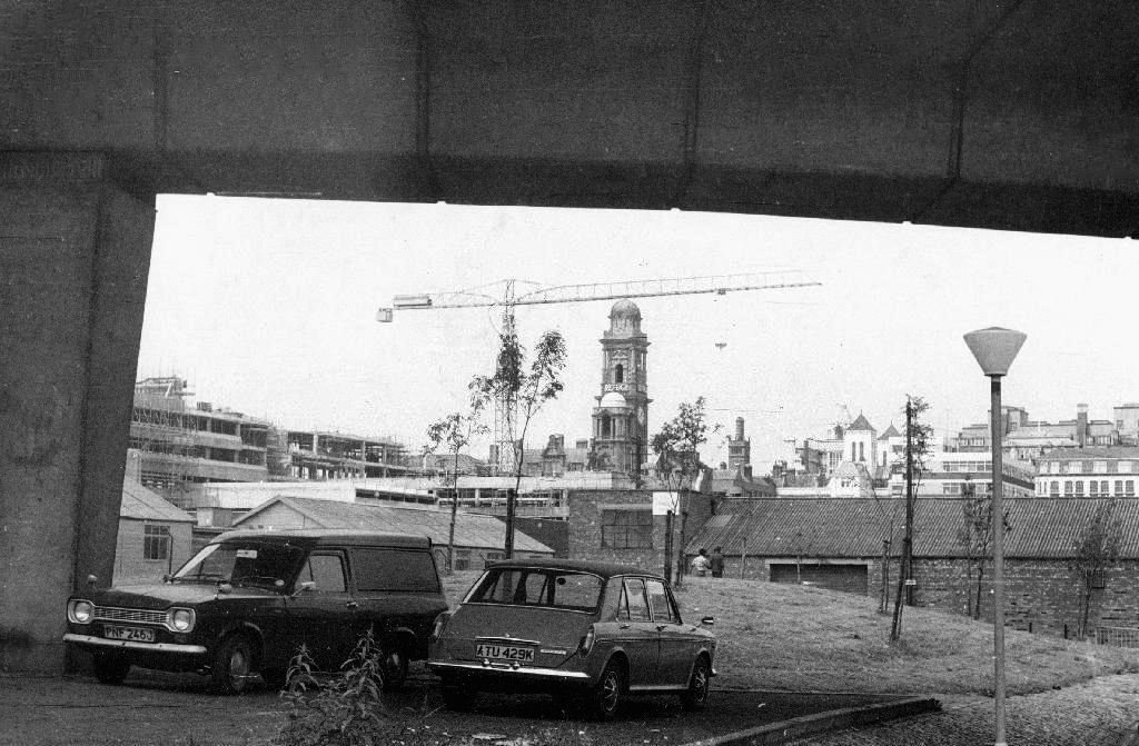
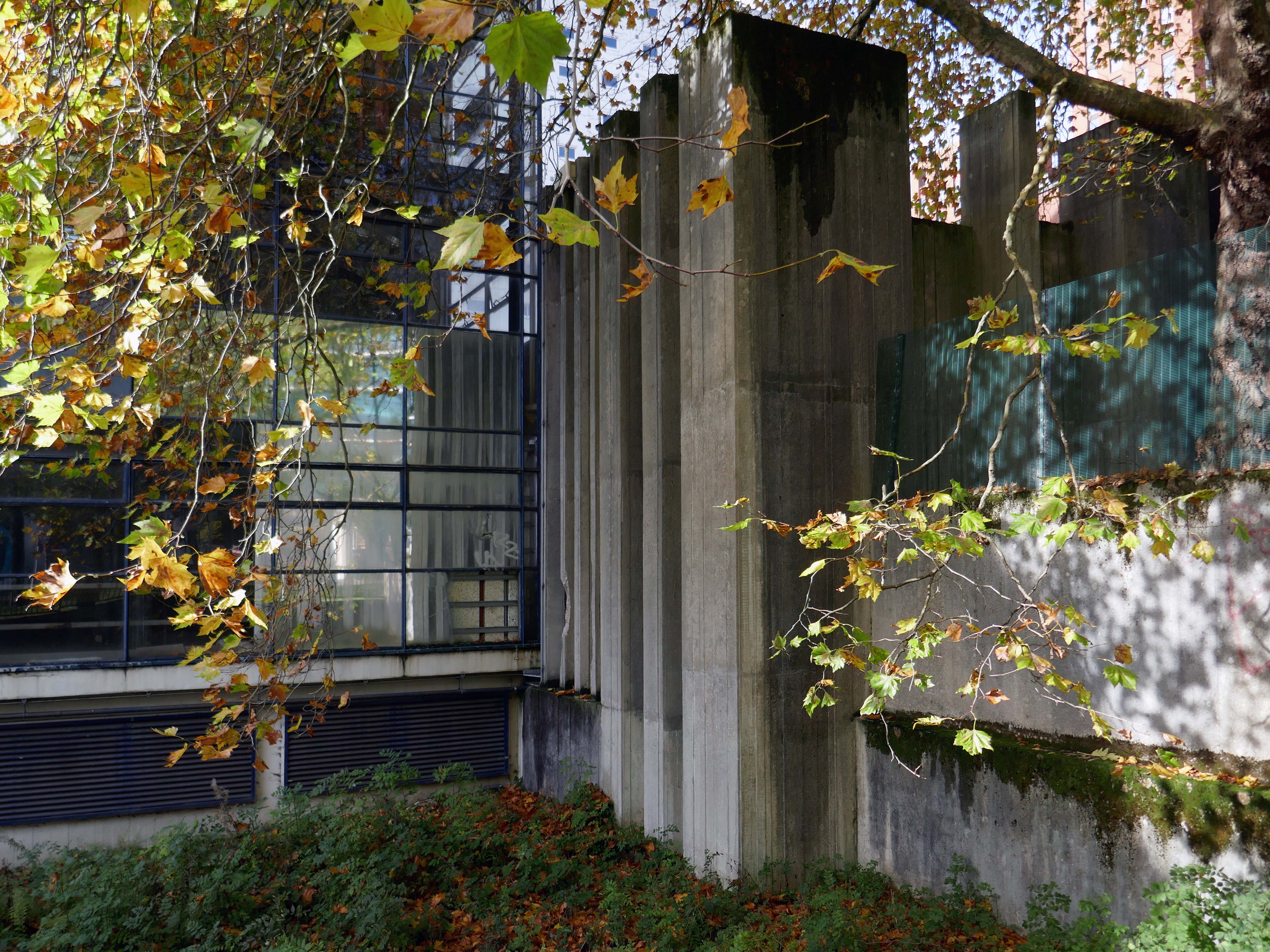
From beneath the roadway we can see the Ferranti Building.

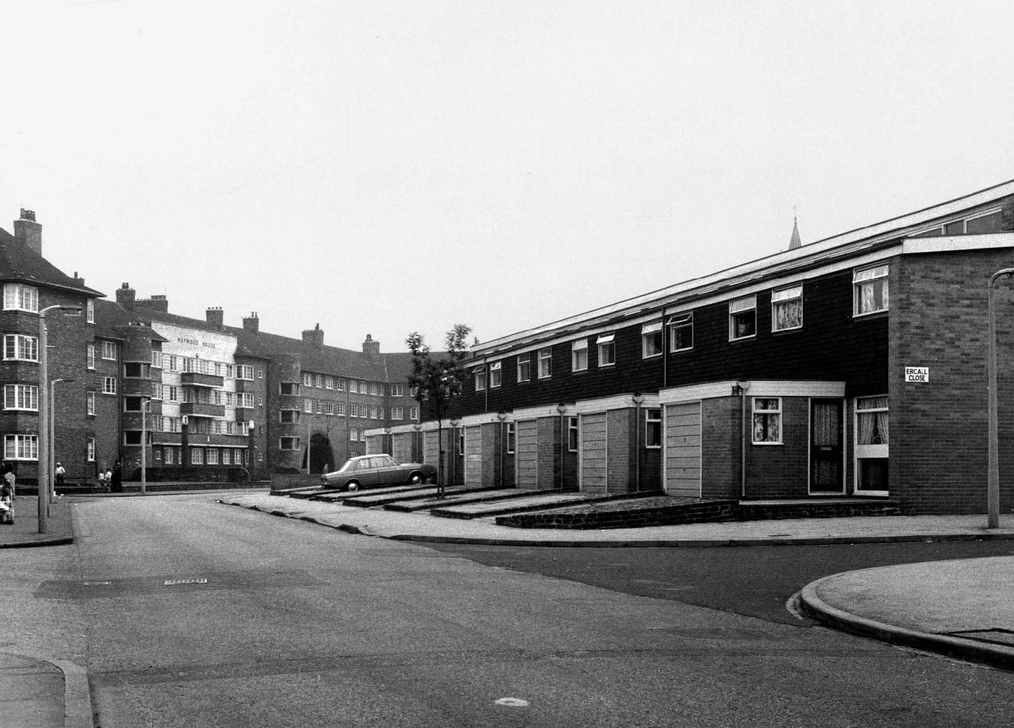
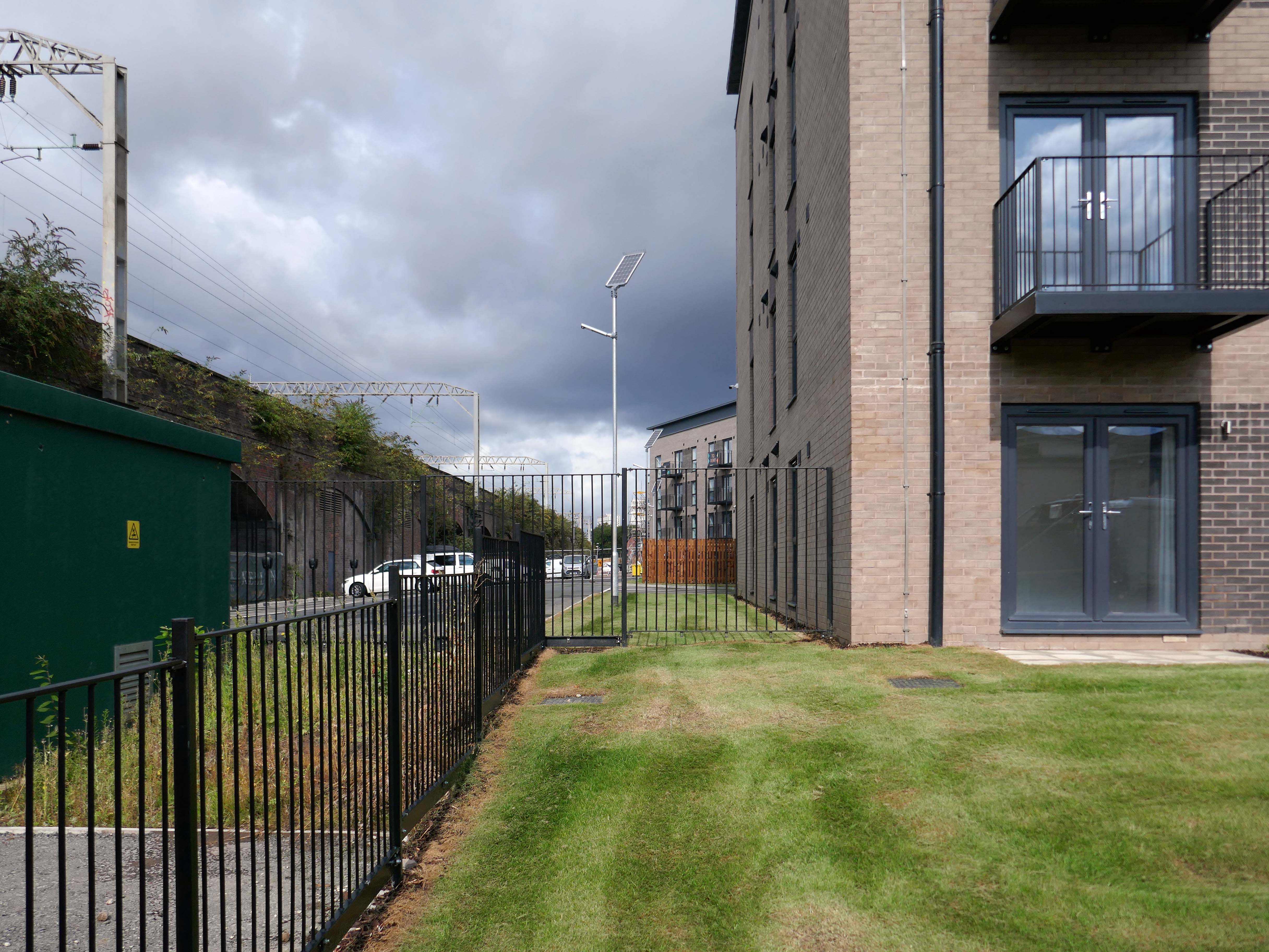
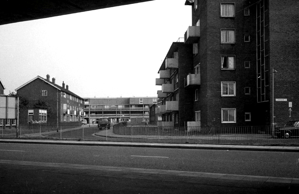
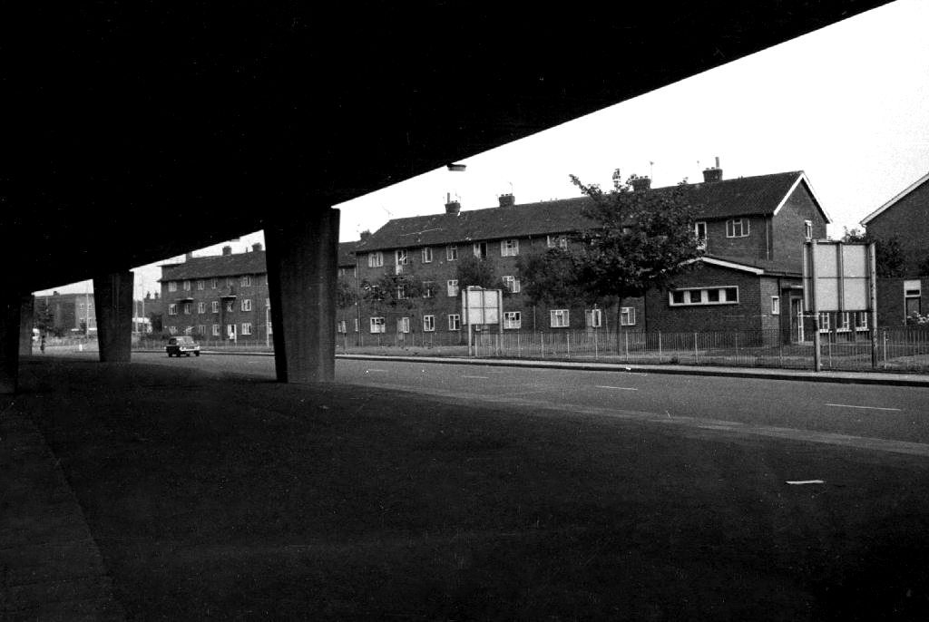
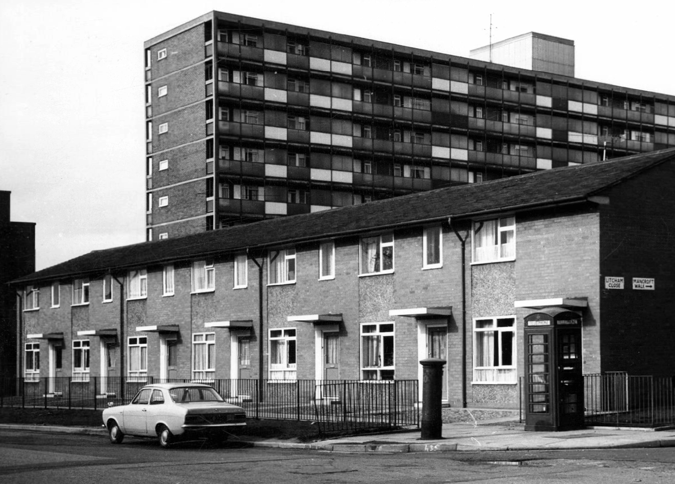
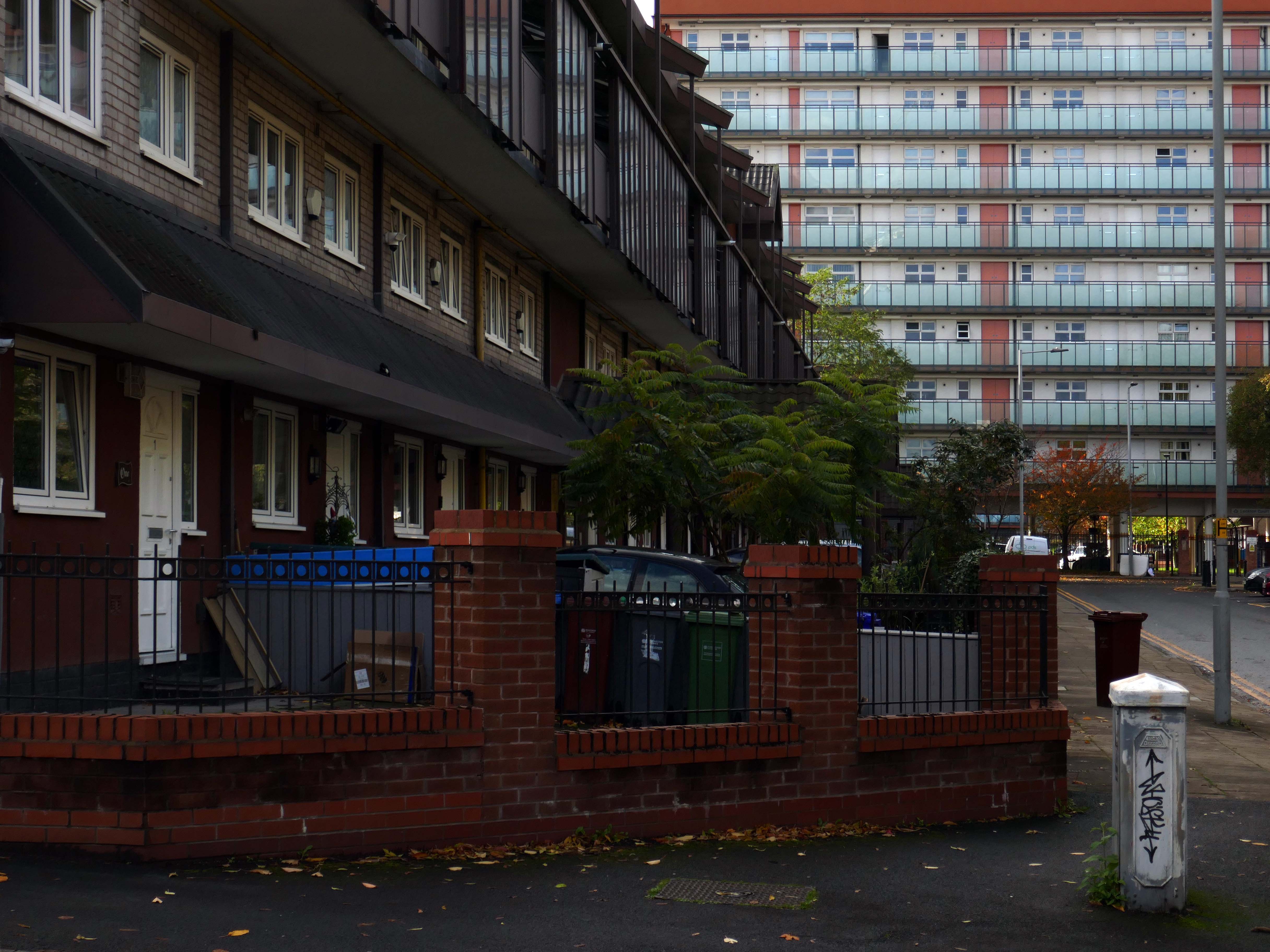
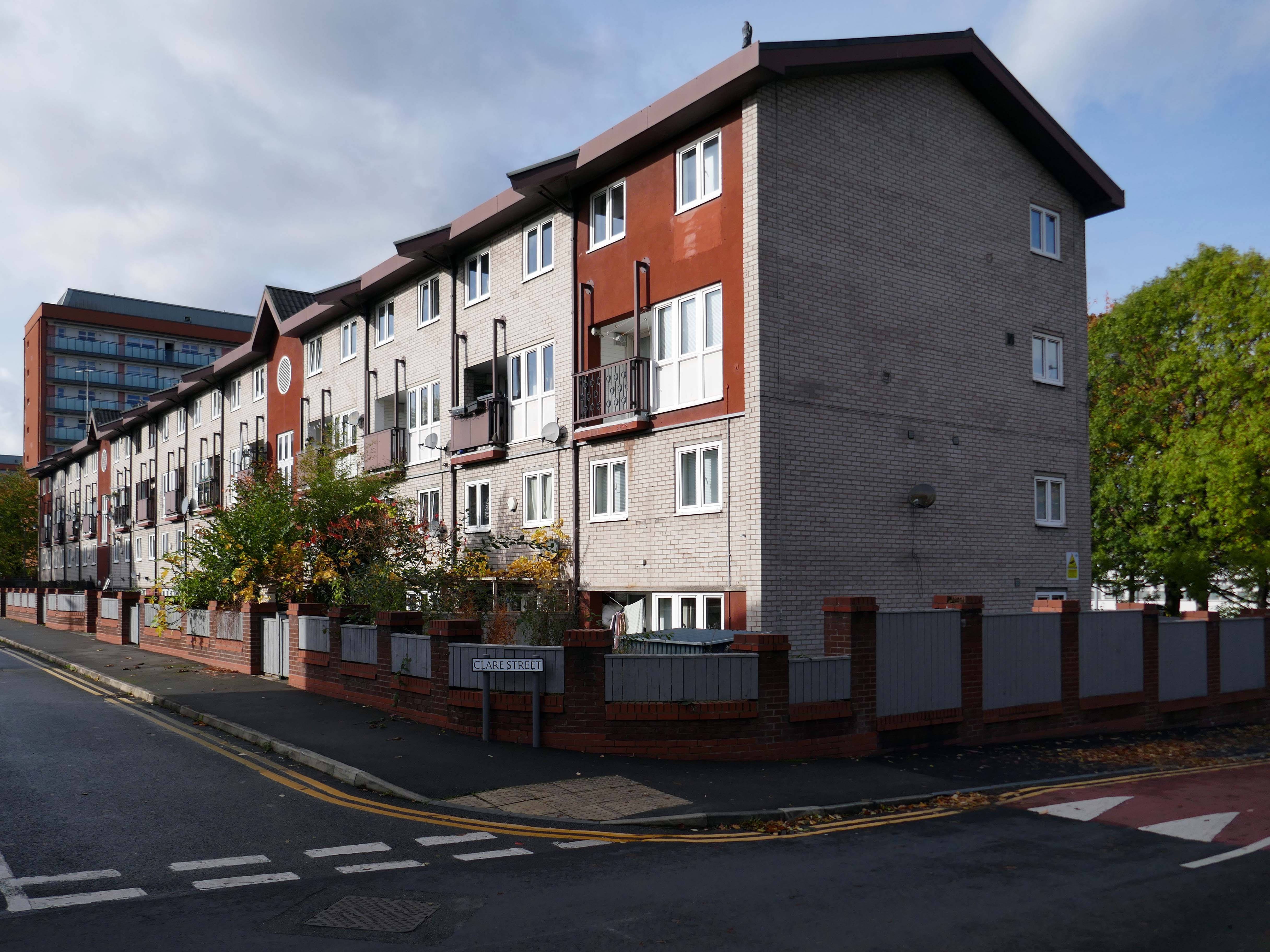
Crossing over to see the Brunswick Estate, built in the Sixties and Seventies and recently refurbished.

S4B is a partnership leading the £106m regeneration of Brunswick, Manchester. The Brunswick Regeneration PFI is a combination of government funding, private investment and expertise that will revitalise Brunswick. Improvements will include council home refurbishments, new homes for sale and to rent and an improved neighbourhood design.

Pro Manchester

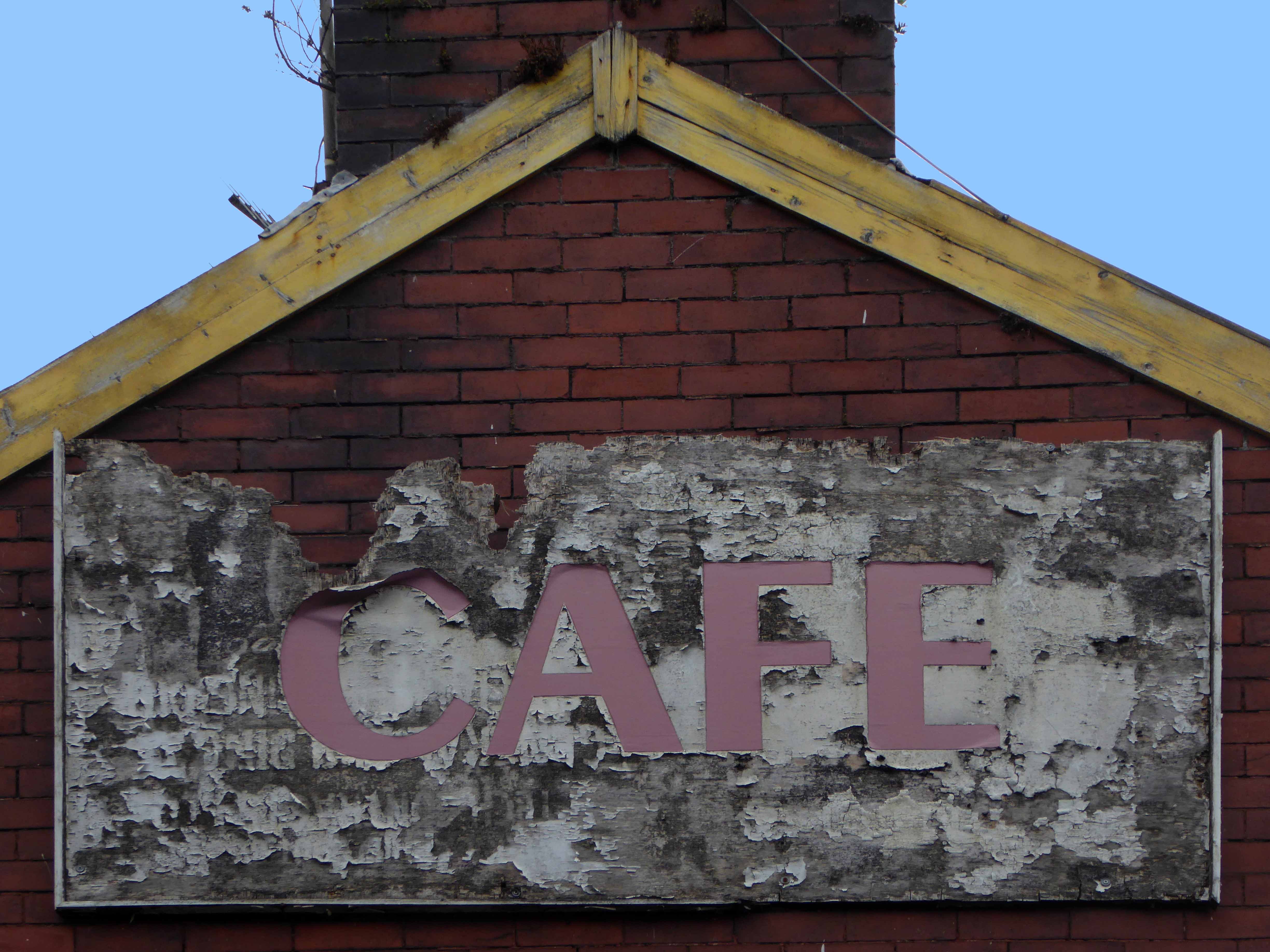
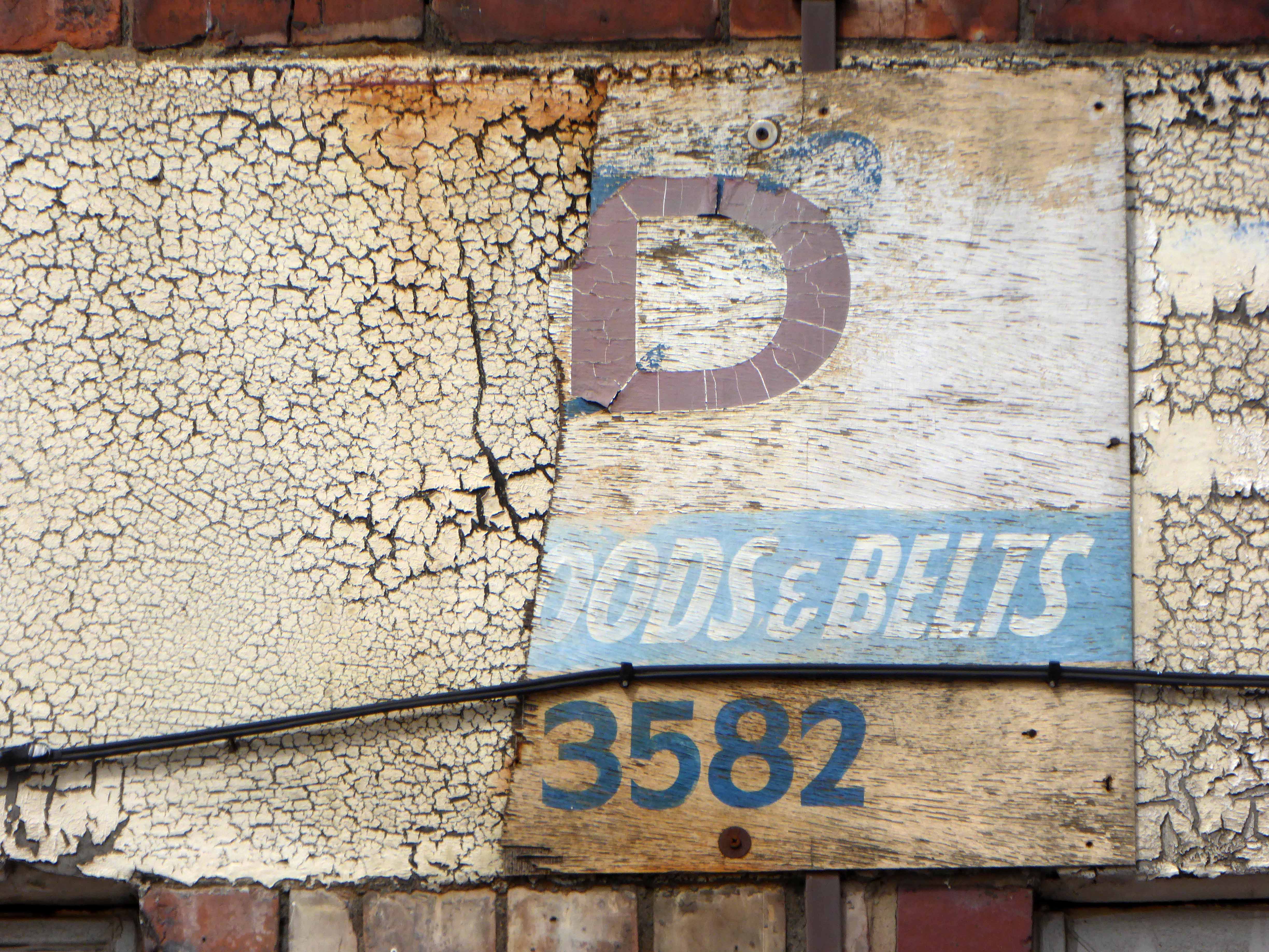
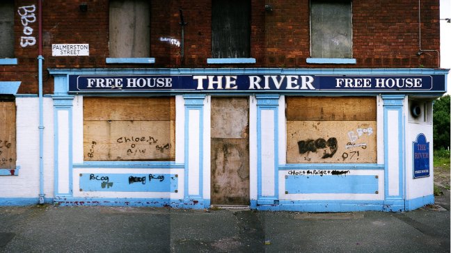
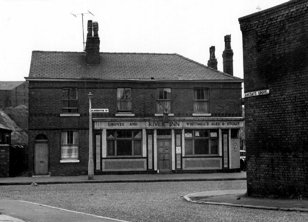
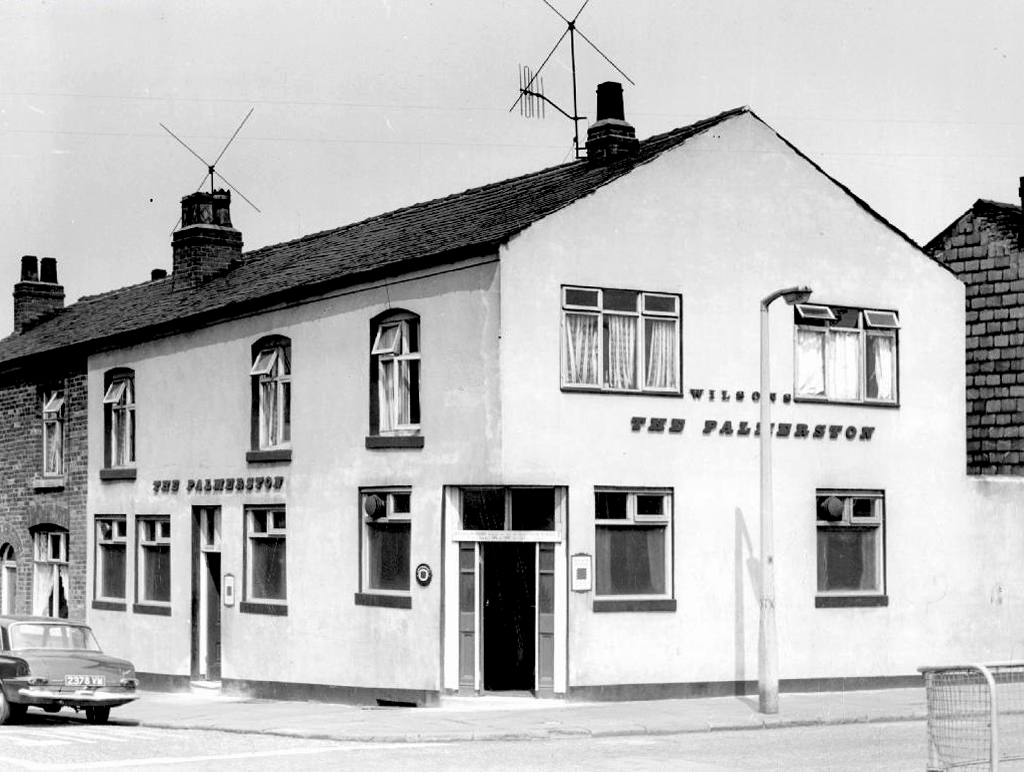
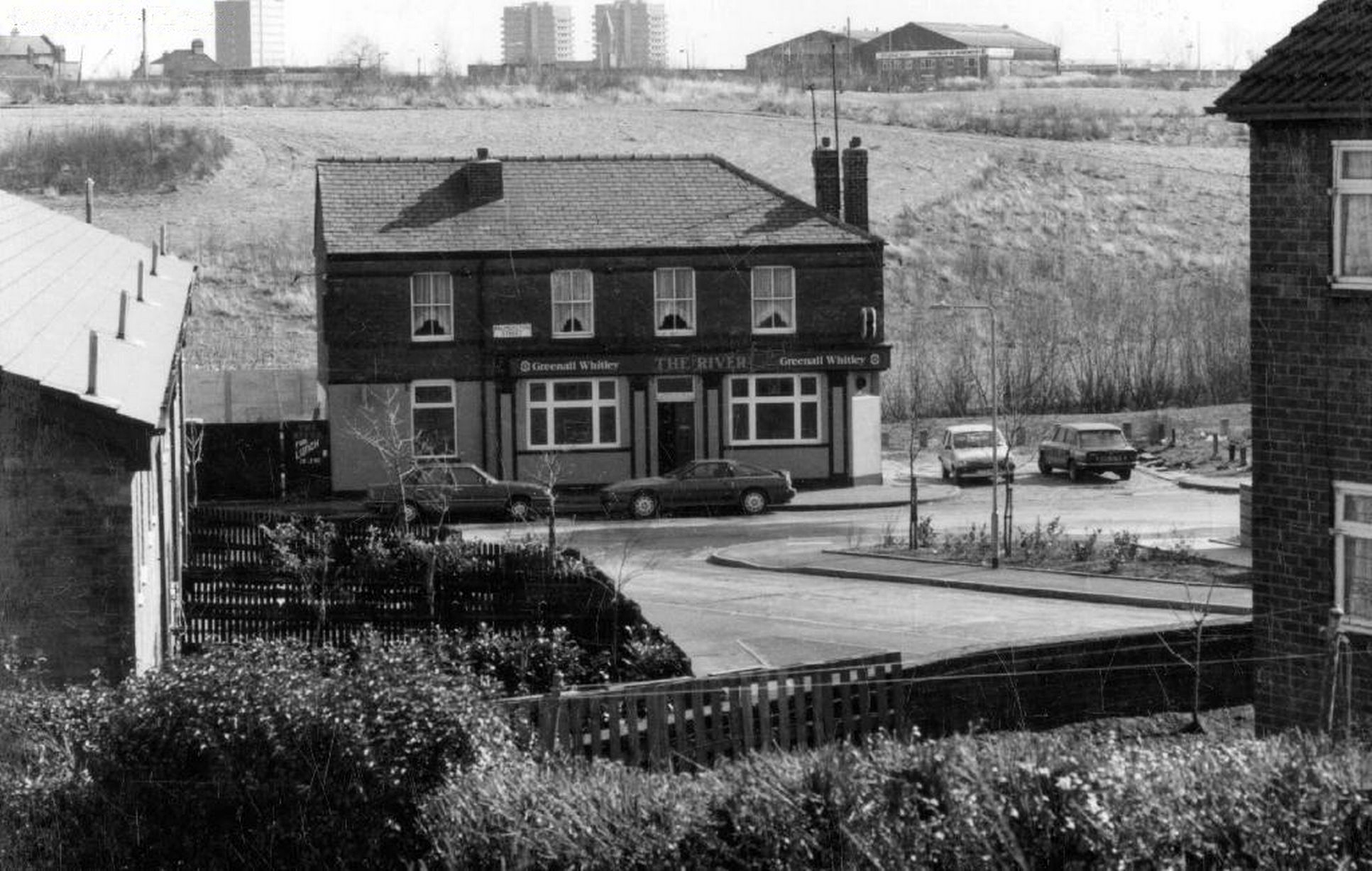
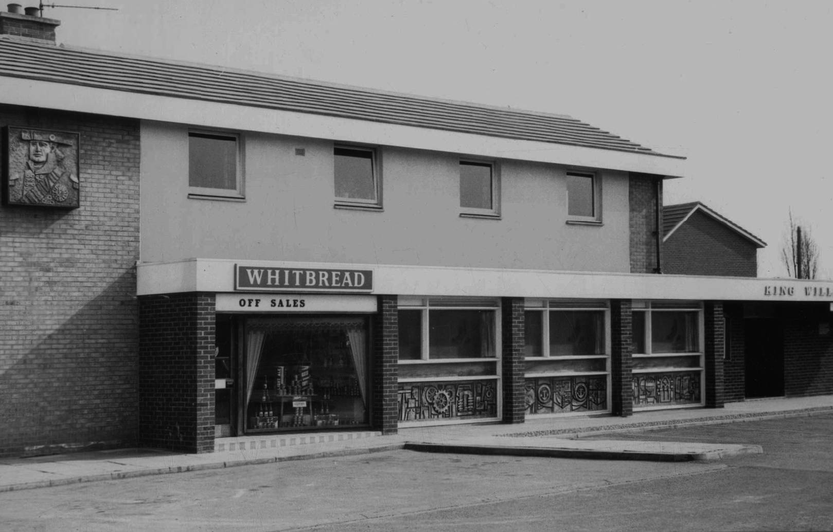
Long gone lost estate pub from the estate – King William IV a former Chesters then Whitbread estate pub was built in 1967. Closed in 1996 when it was converted to residential property. It had a brief spell 1991 to 1995 as brewery premises for the Dobbin’s West Coast Brewery, during this period the interior was stripped out to accommodate the brewery paraphernalia.

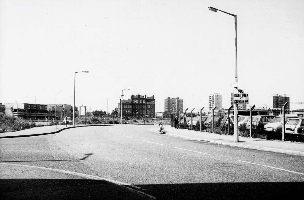
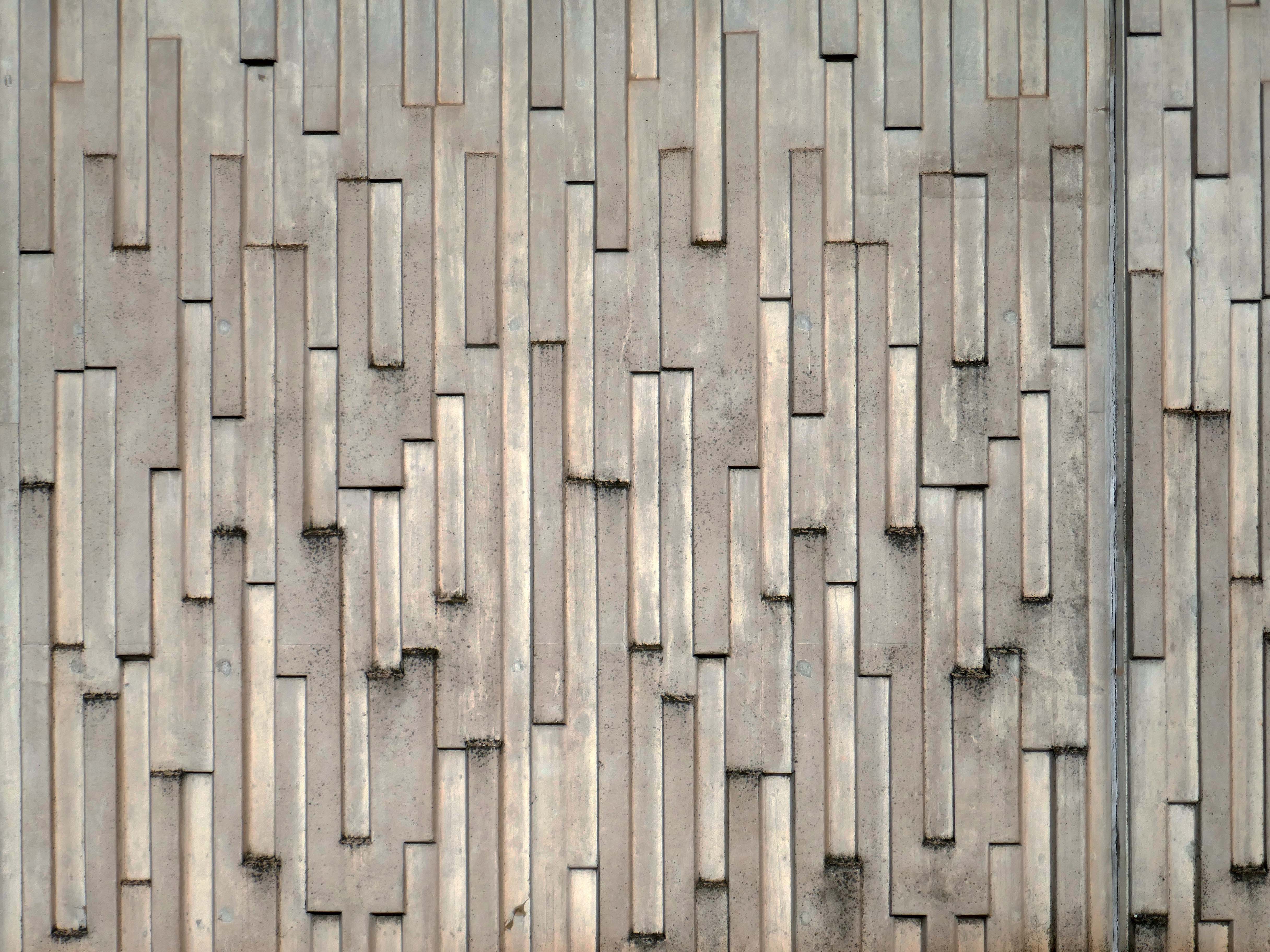
We take a jog around the block to see the concrete relief that clads the road ramp.

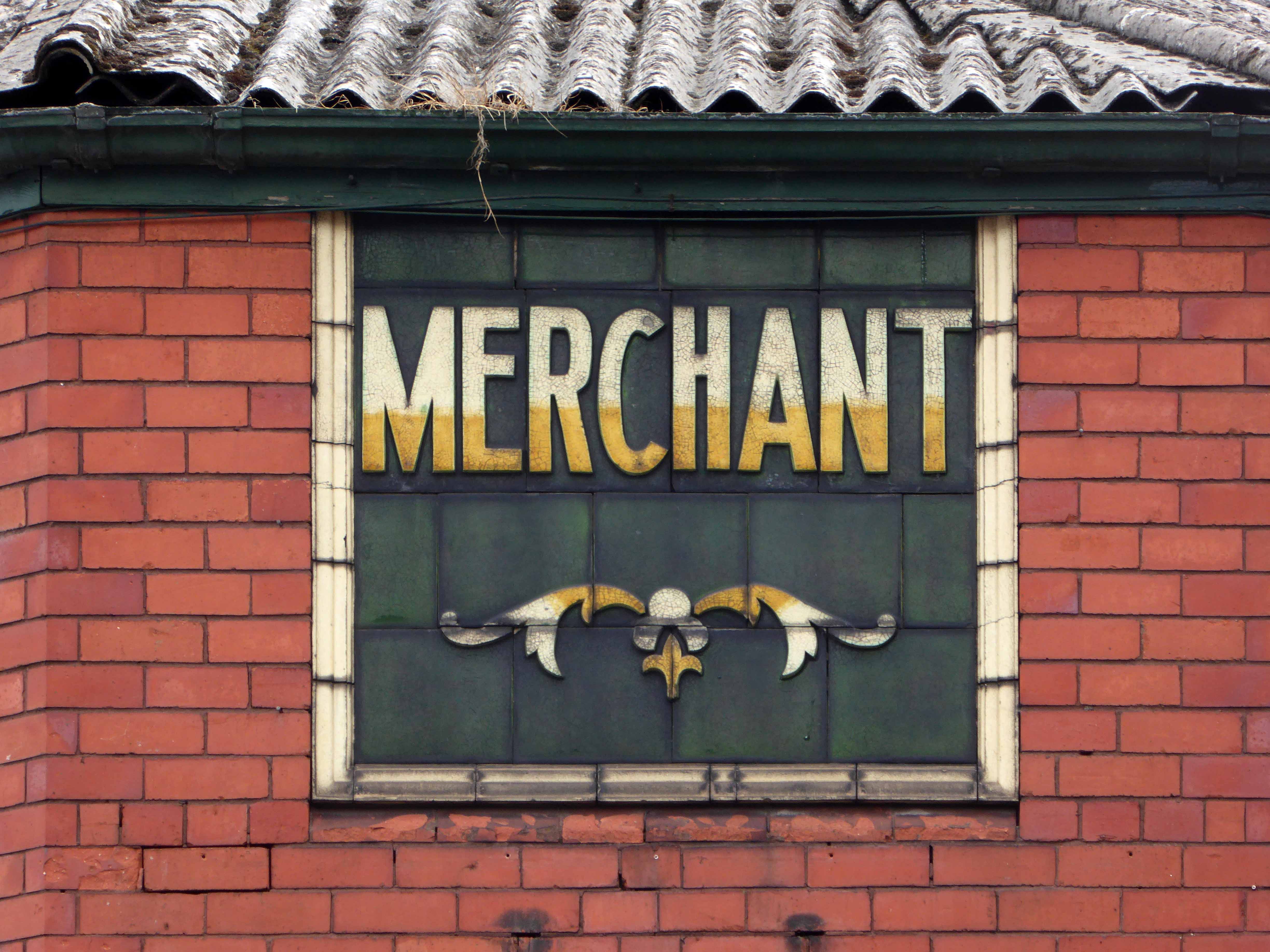
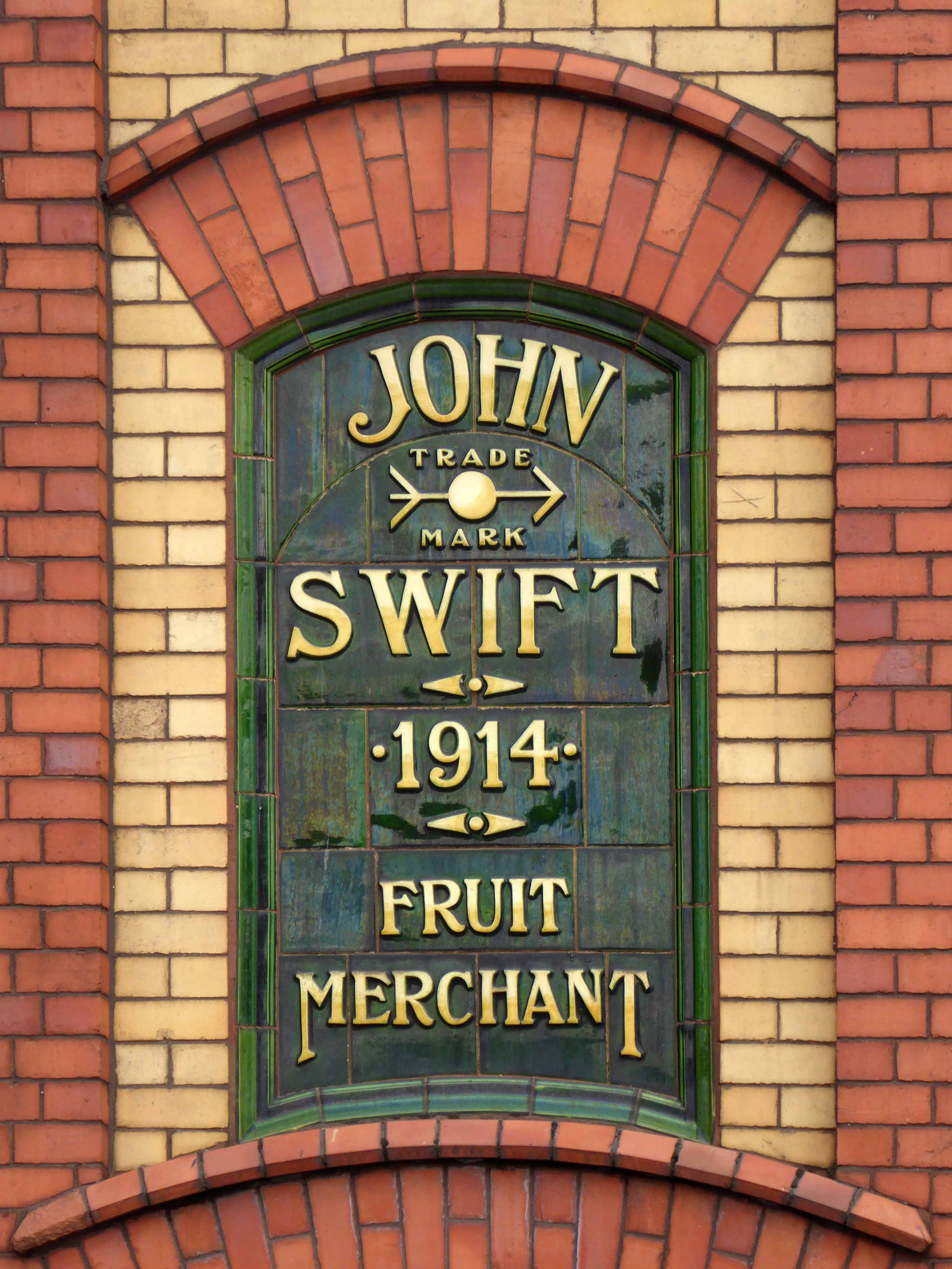
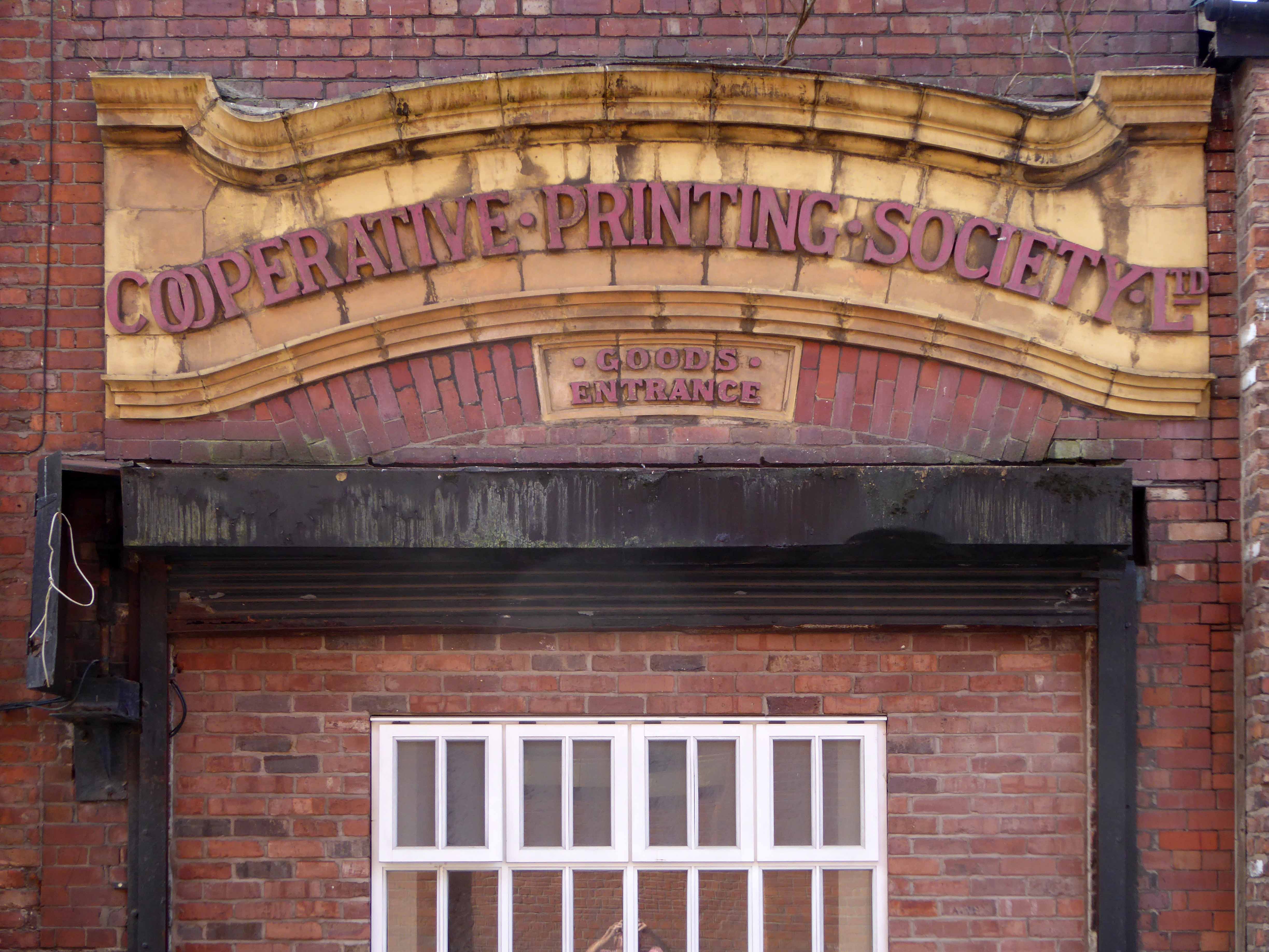
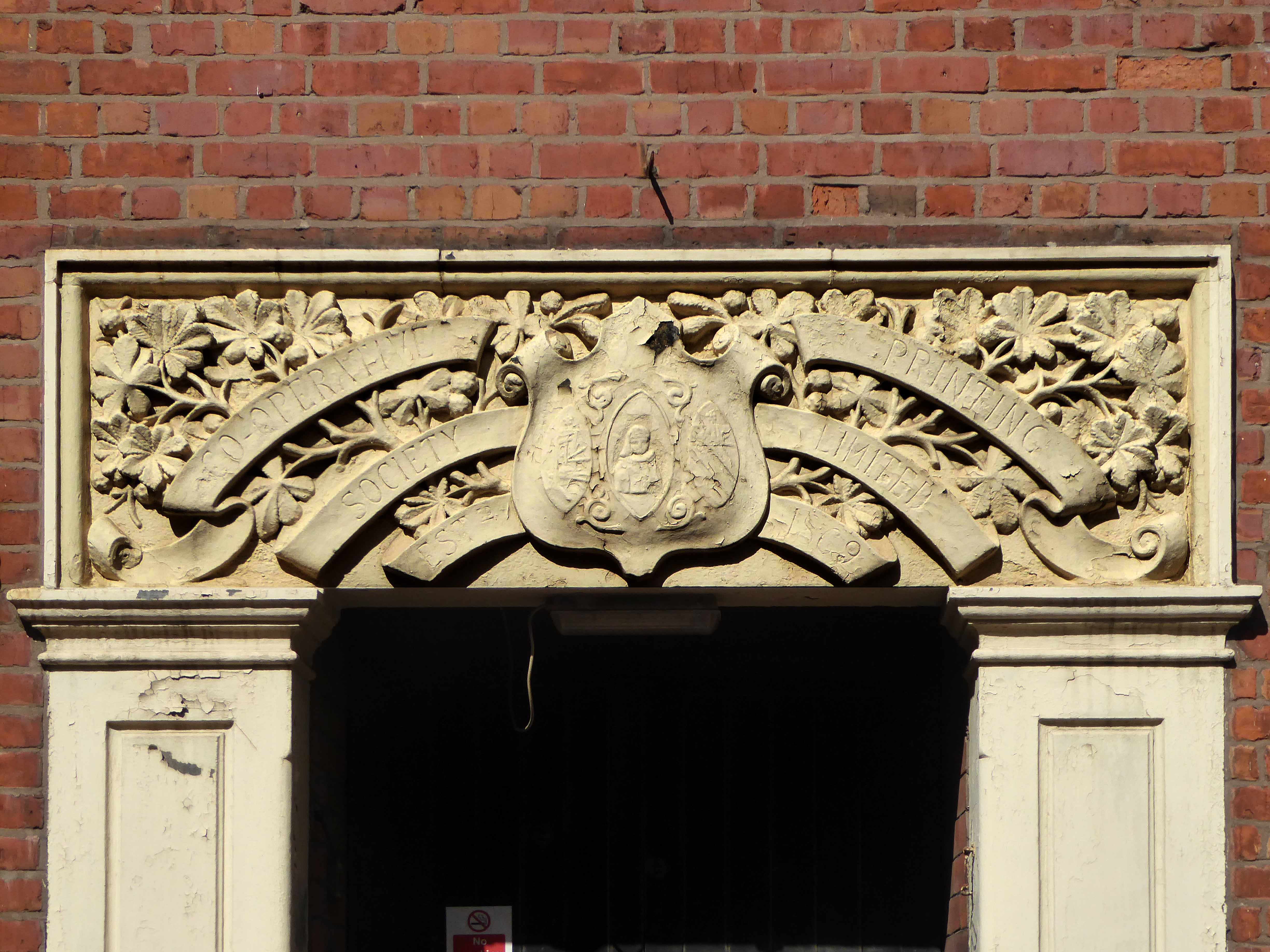
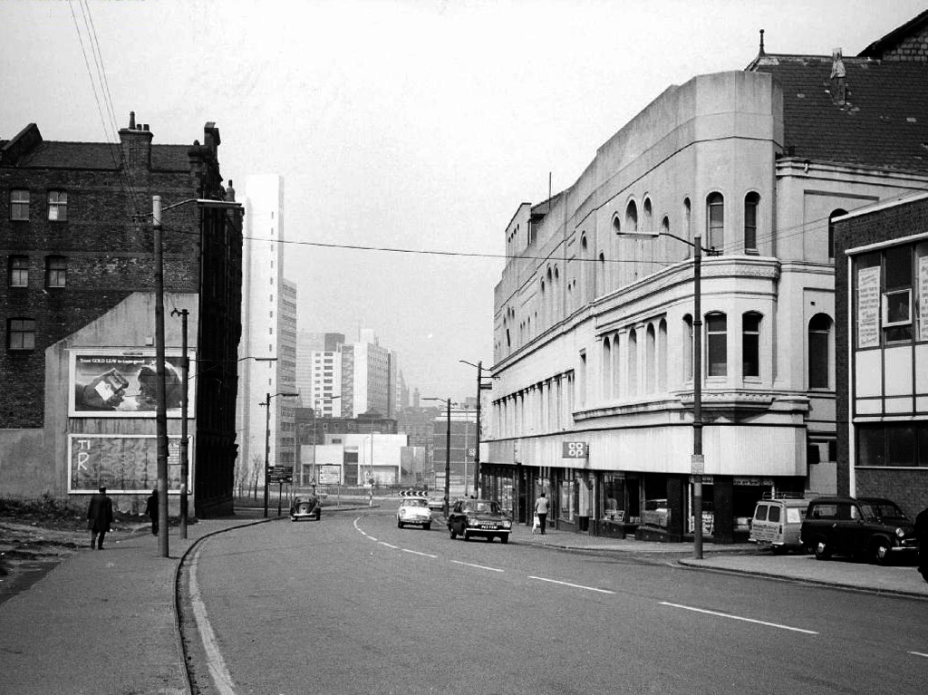
Where there was once a giant Cooperative Store there is now a light industrial and retail estate.

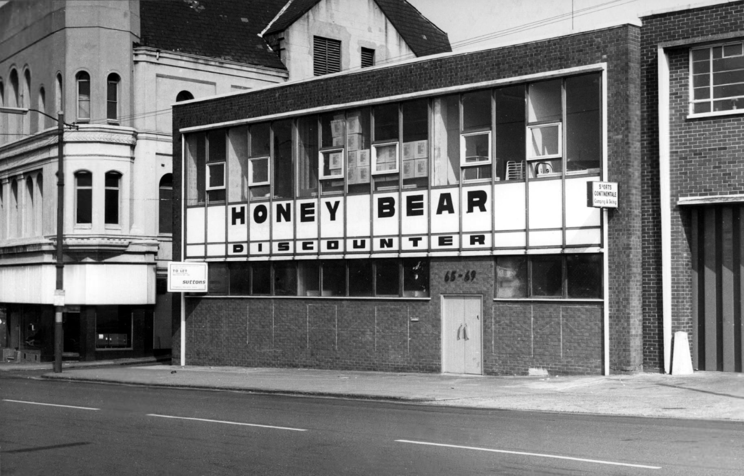
And the Honey Bear Discounter has become Spirit Studios.

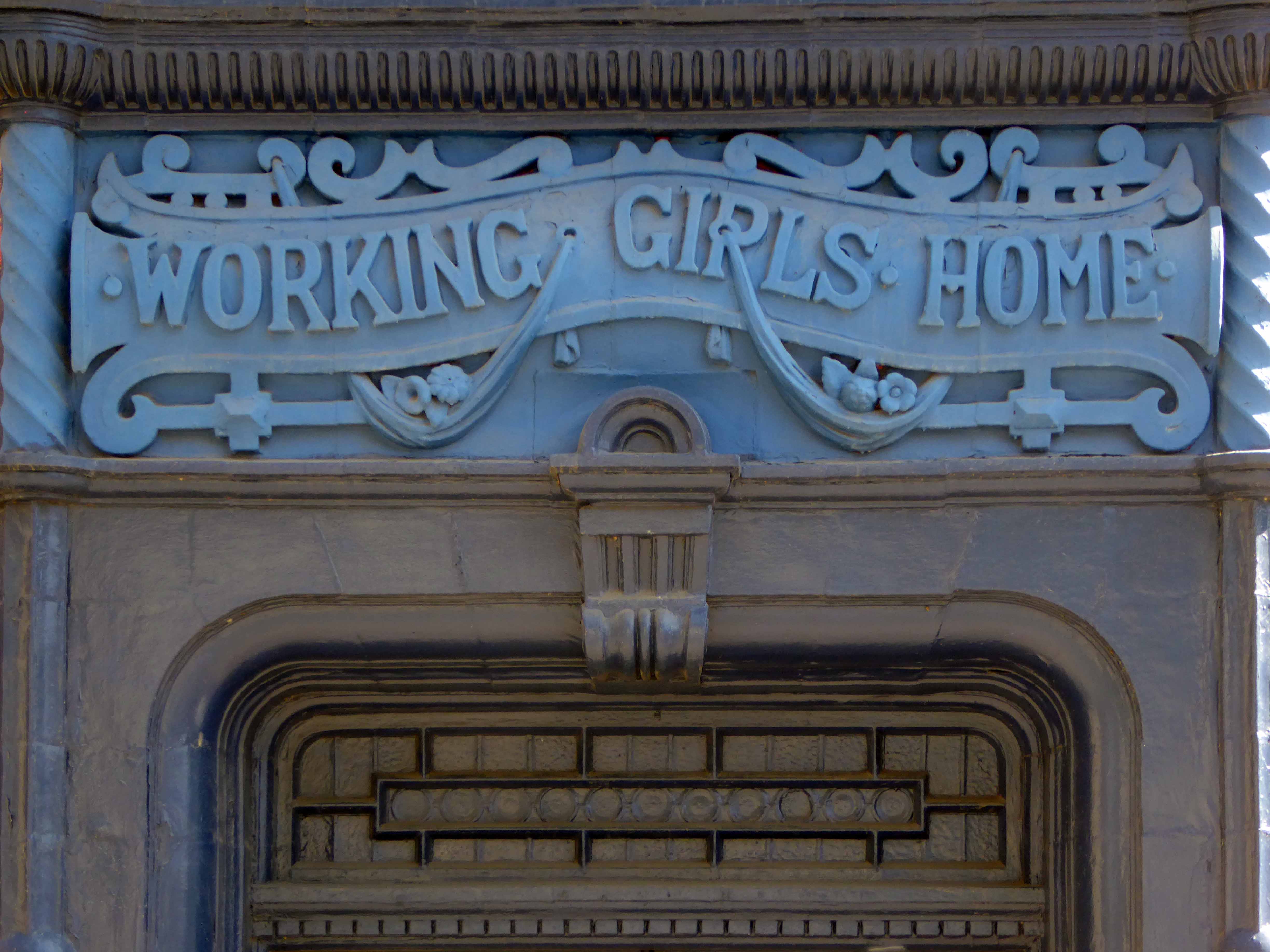
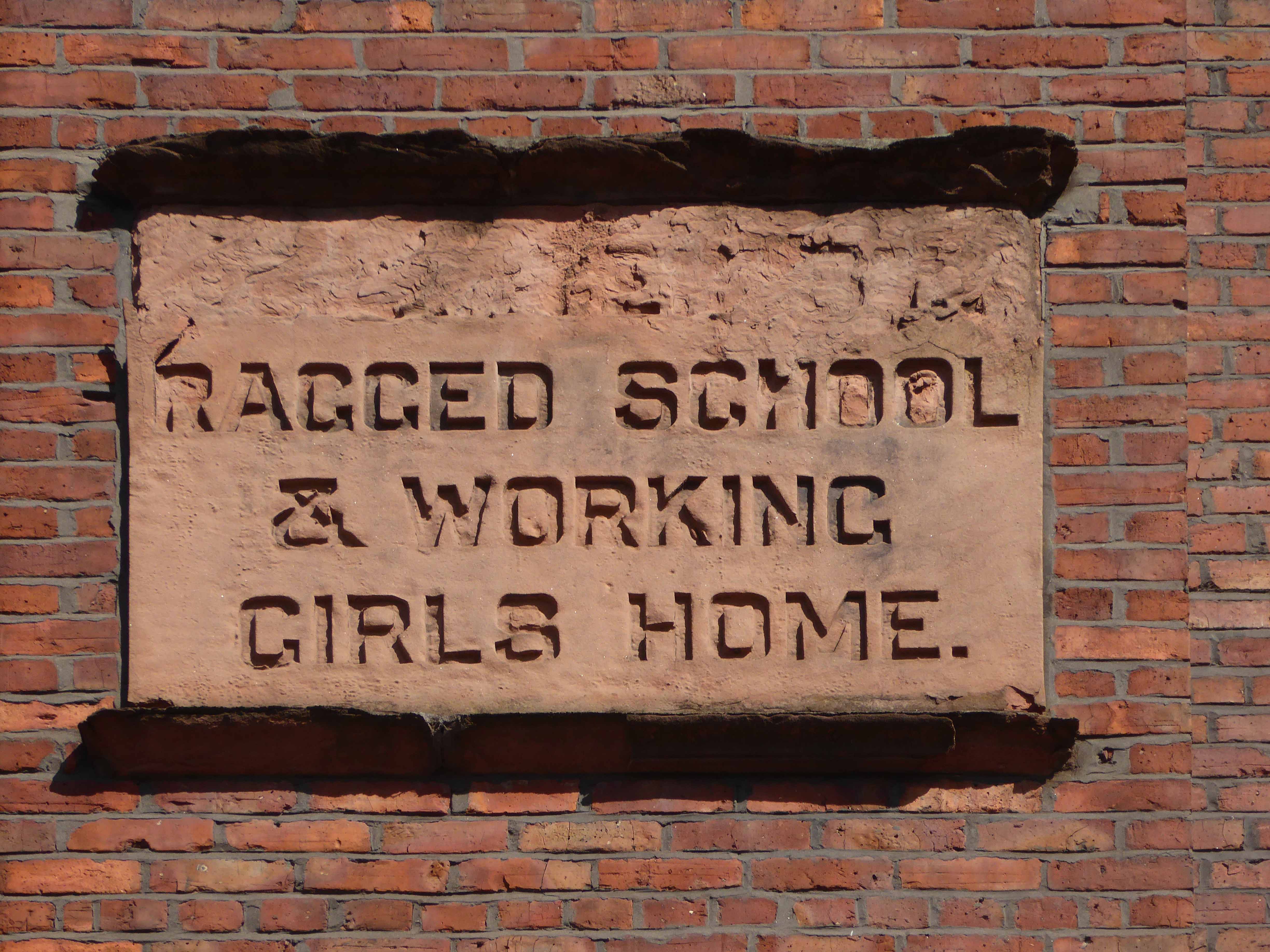
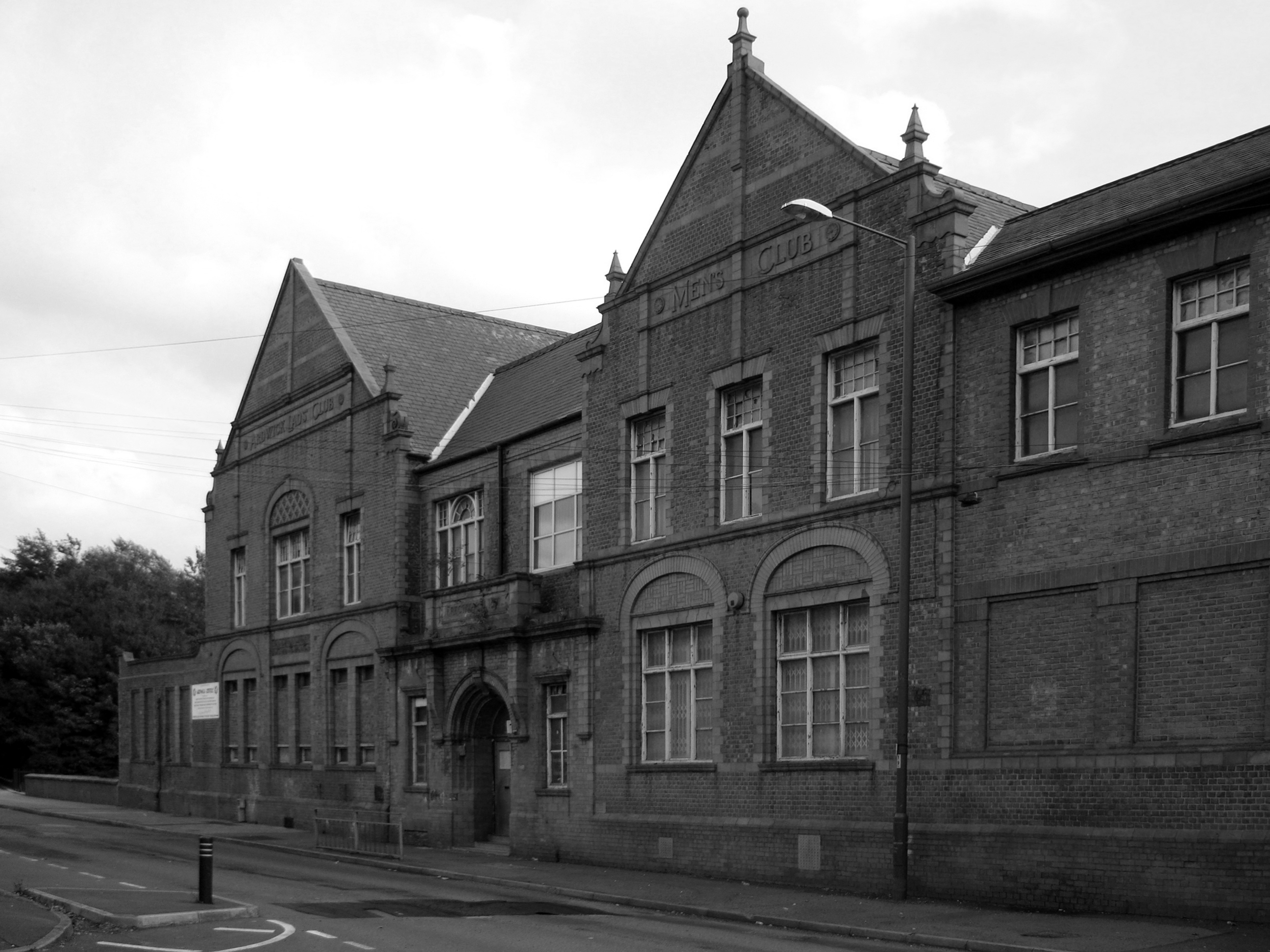
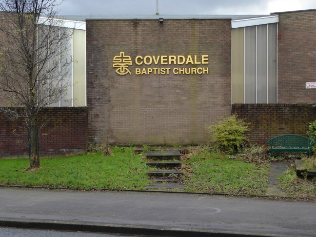
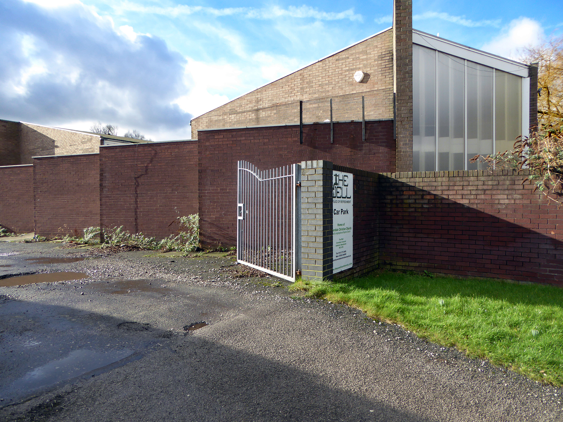
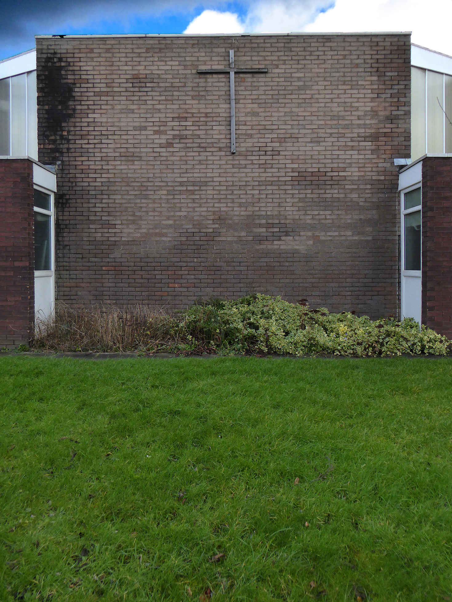
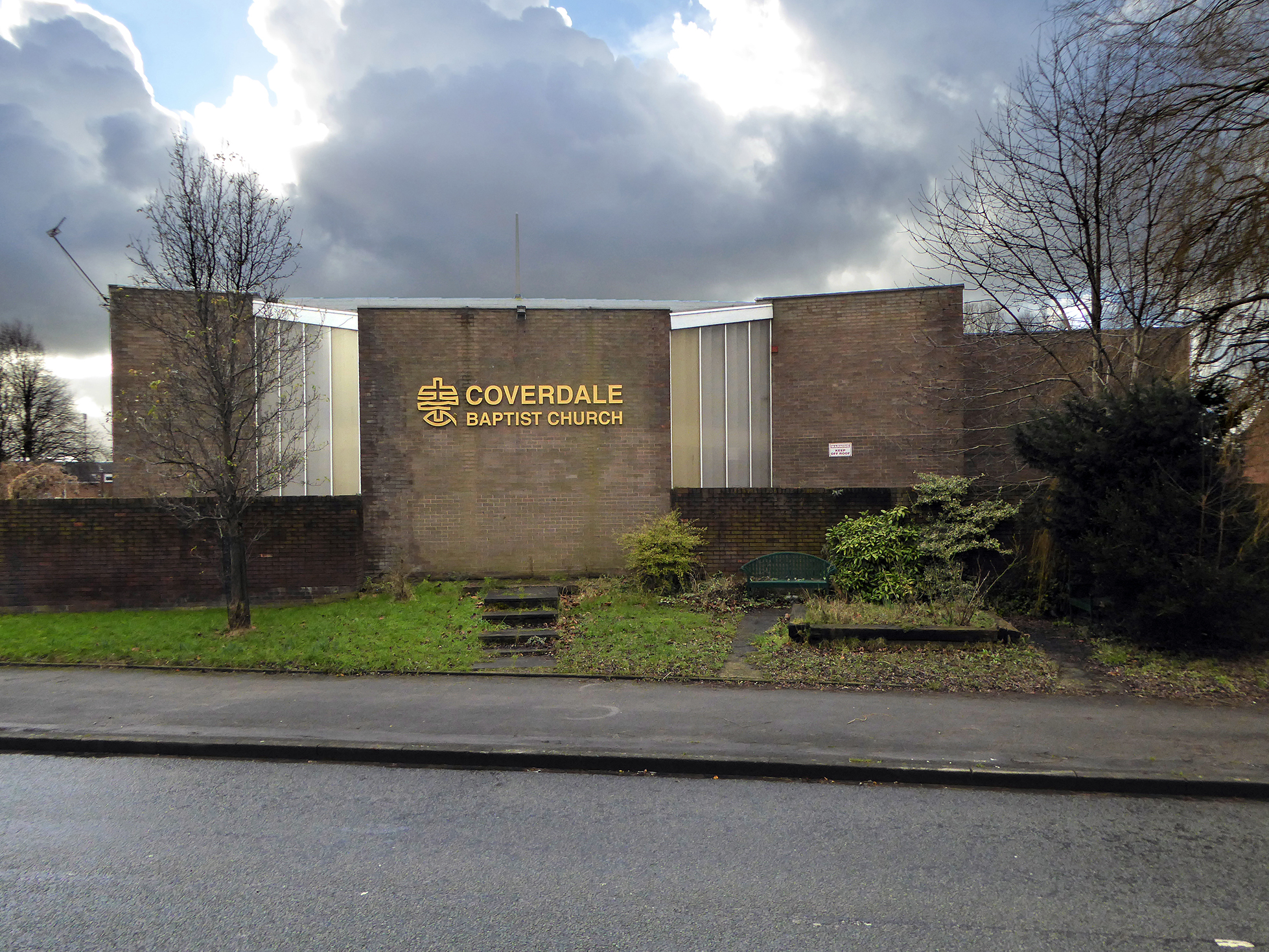
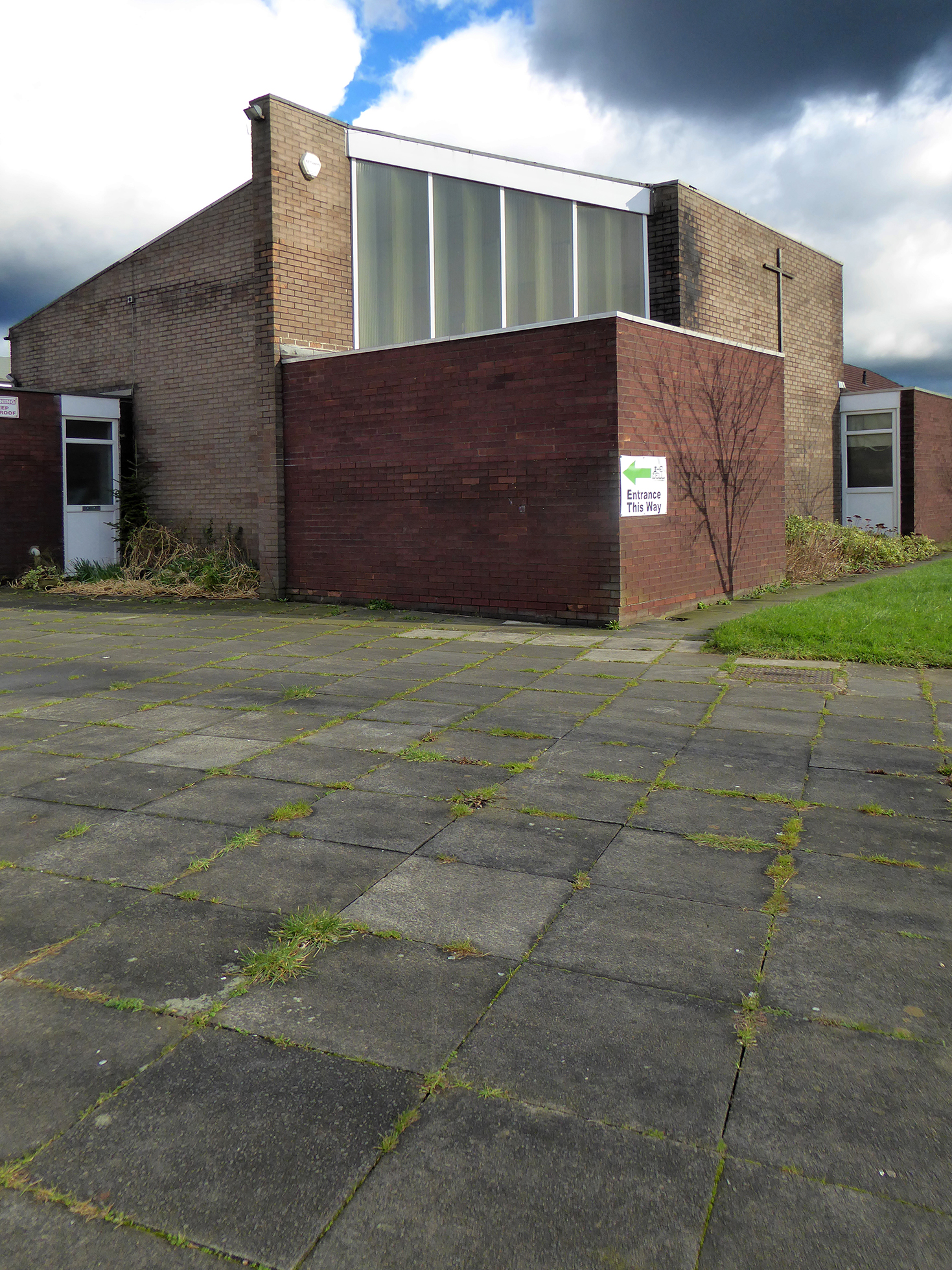
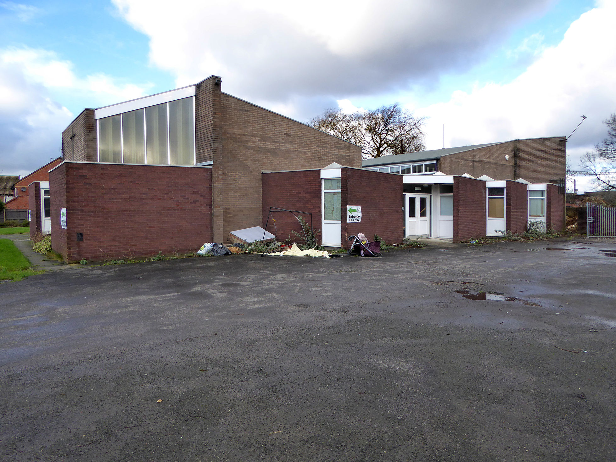
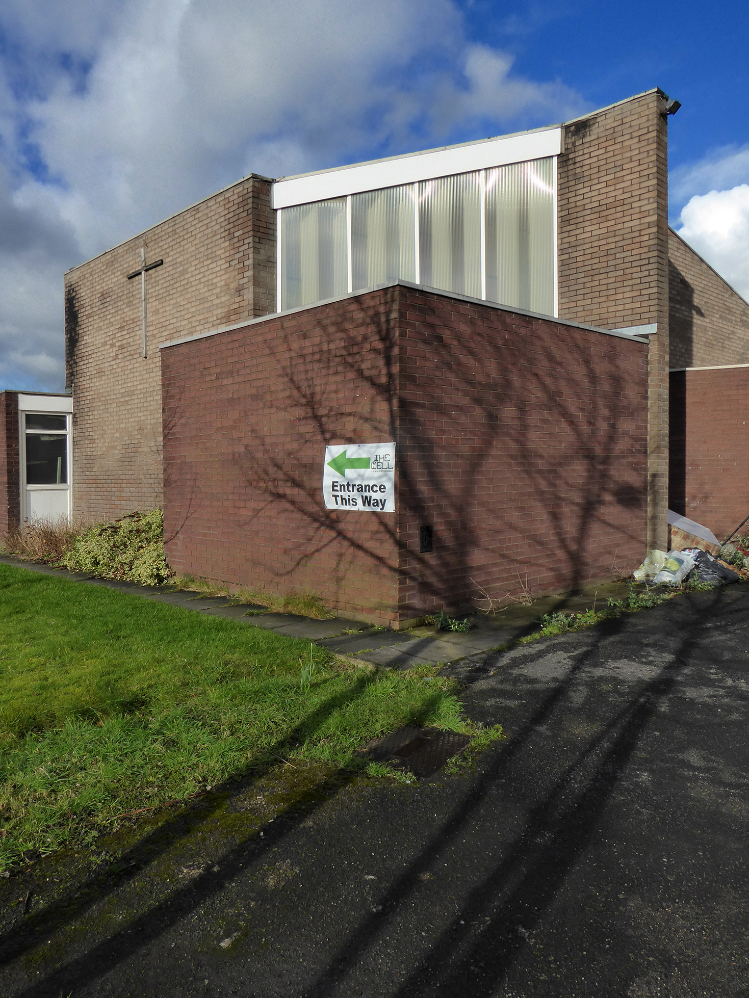
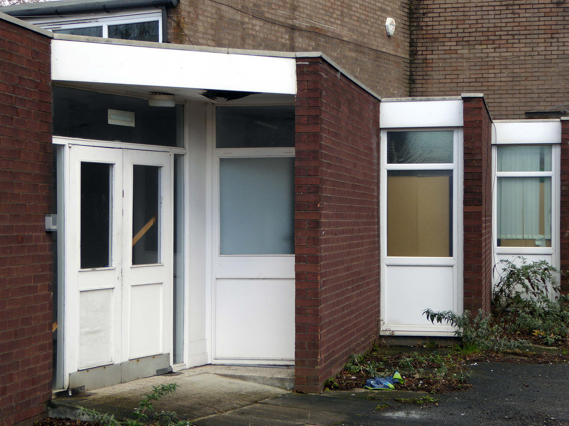
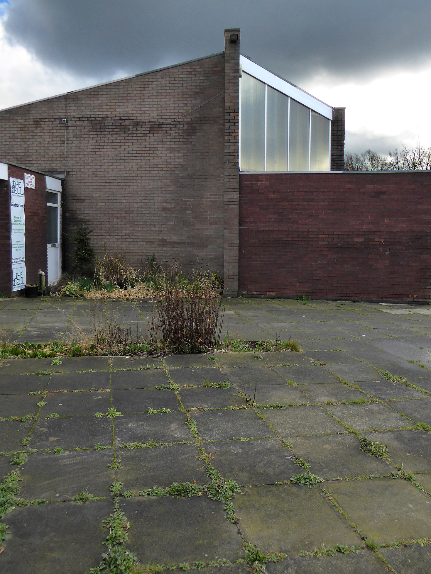
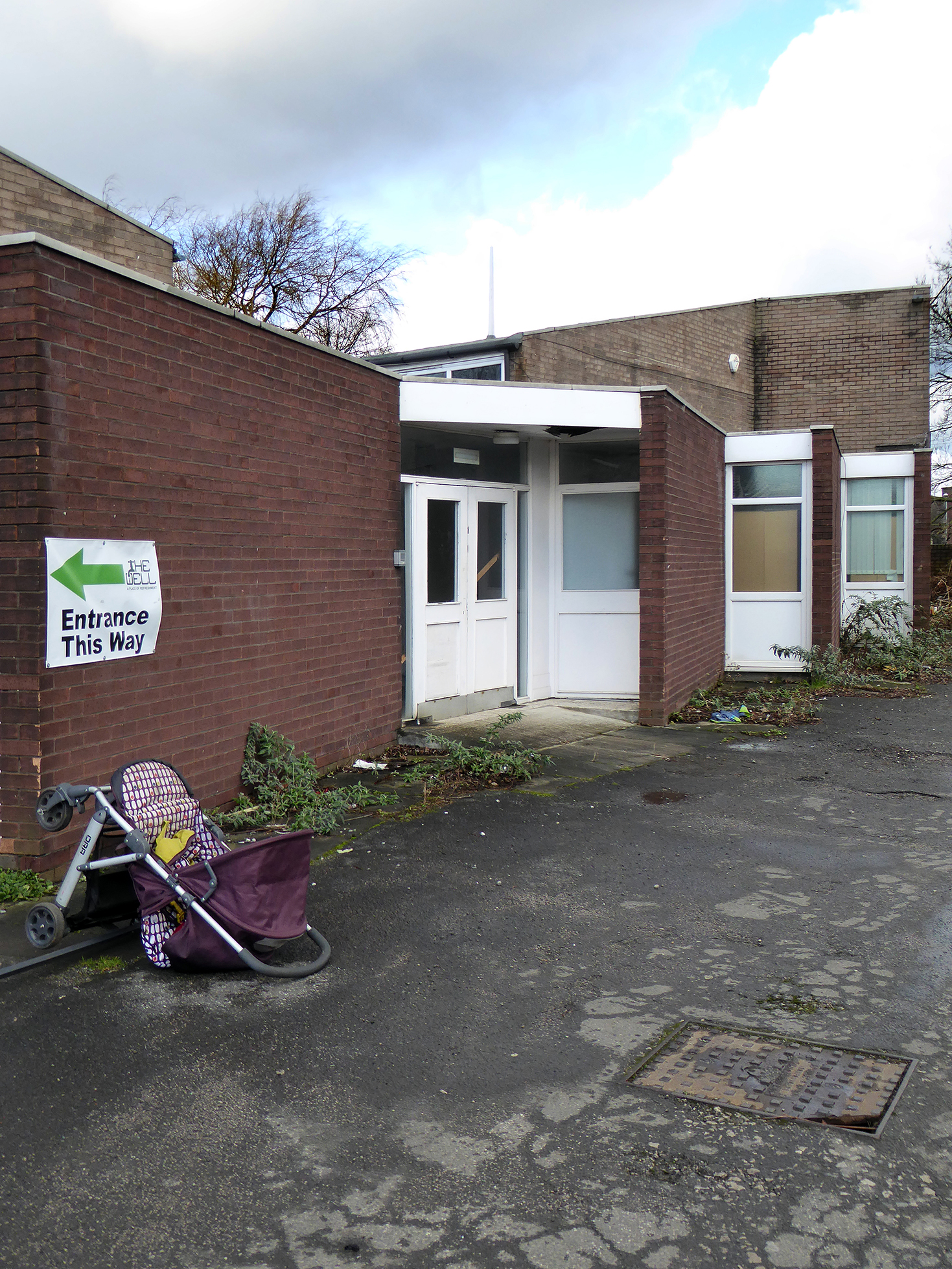
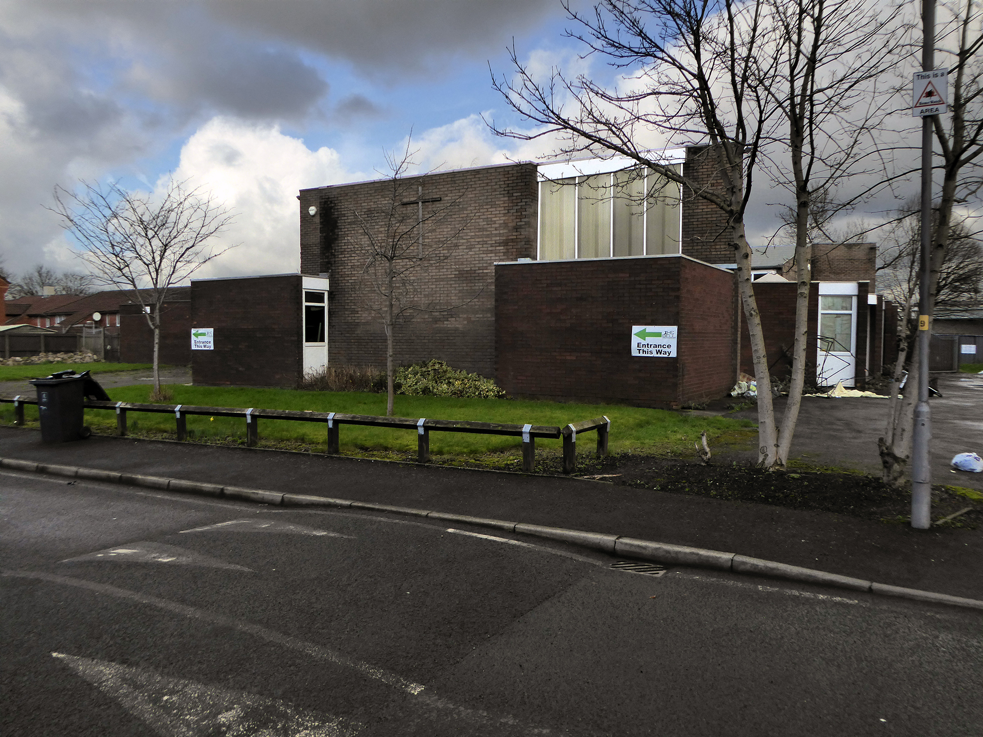
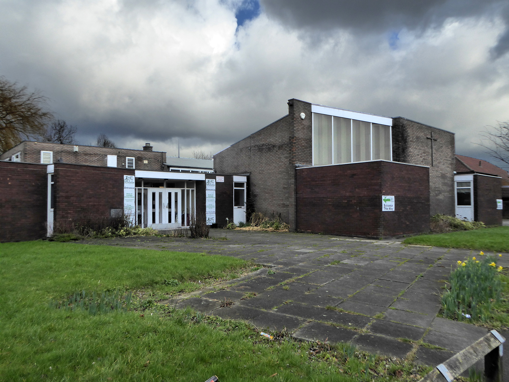
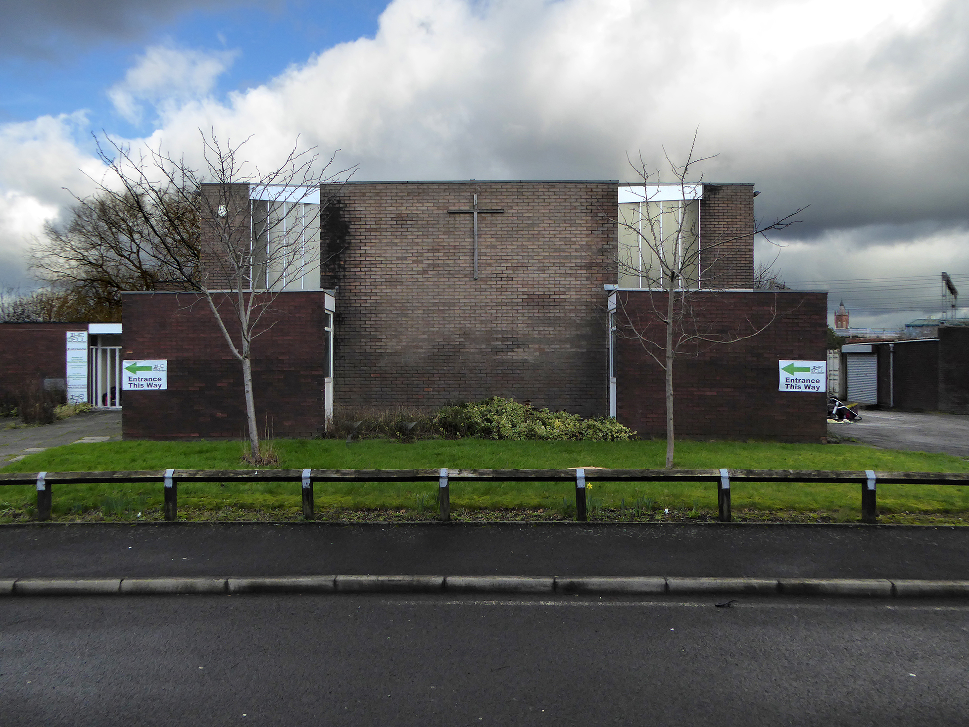
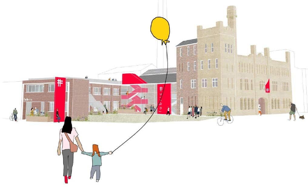
And the Barracks has become the Fabric Church.

The Diocese of Manchester has been working in partnership with the Church Revitalisation Trust to open Fabric Church and refurbish the building, following a successful bid to the Church of England’s Strategic Mission and Ministry Investment Board.

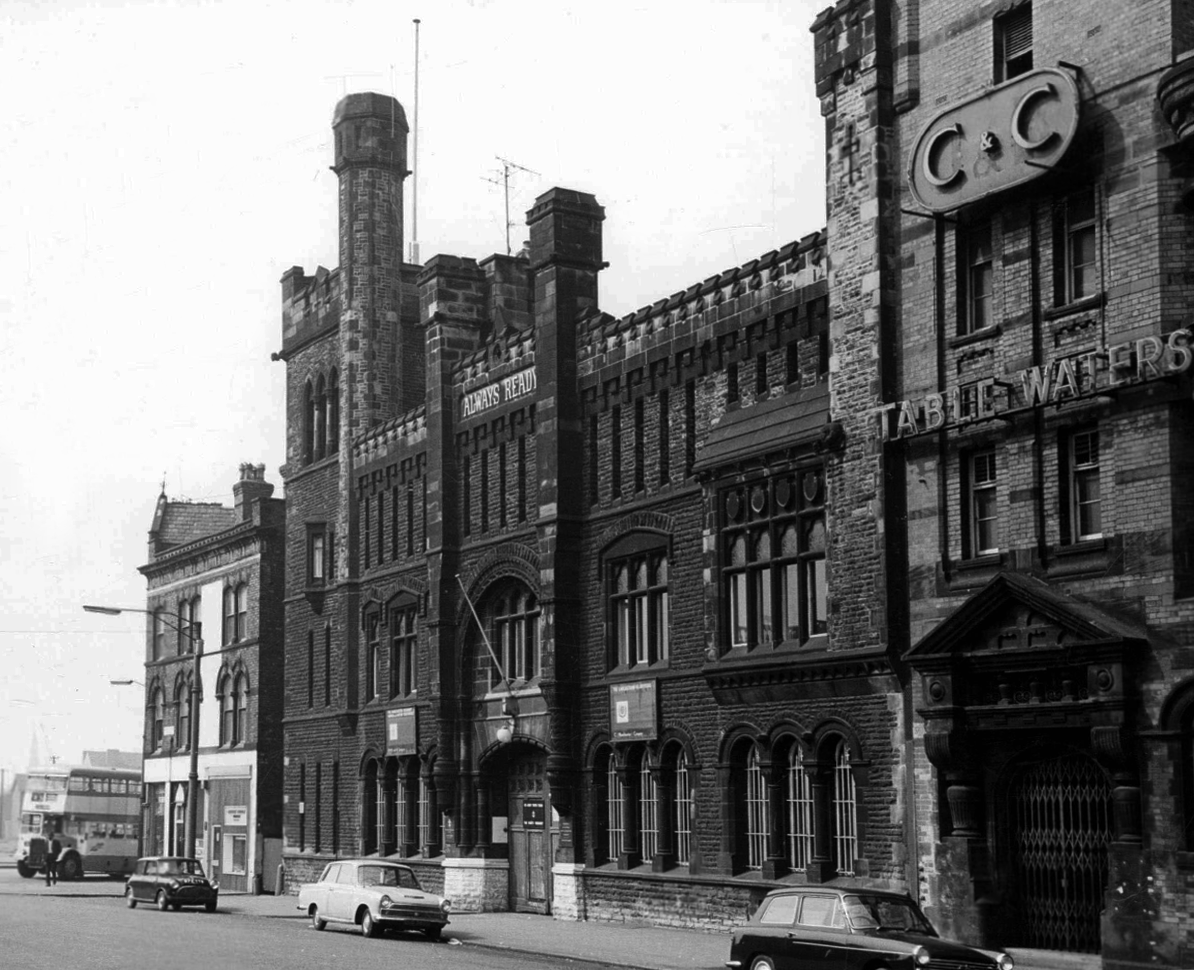
We’re excited to be working alongside Fabric Church on the transformation of the Grade II listed former Ardwick Barracks in Manchester. This ambitious refurbishment project will see the historic site reimagined as a vibrant community hub, featuring a new worship hall, community café, offices, meeting spaces, and more.

Hexaconsulting

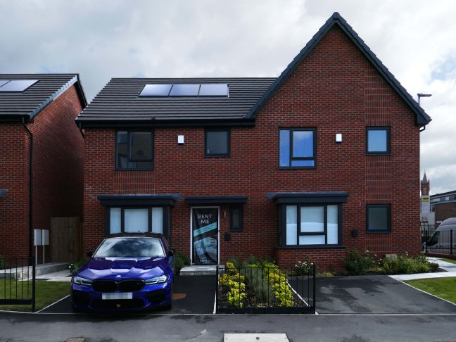
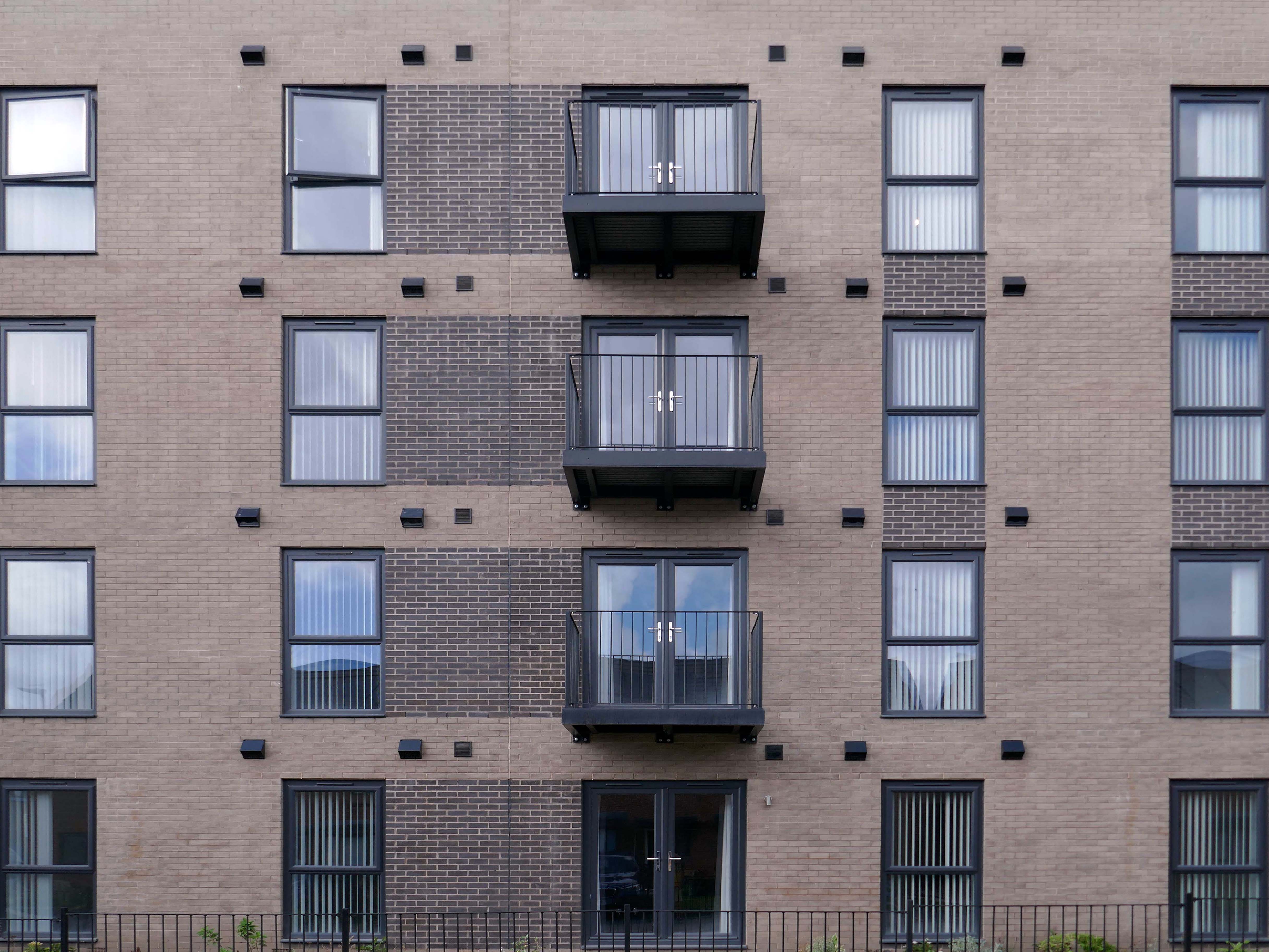
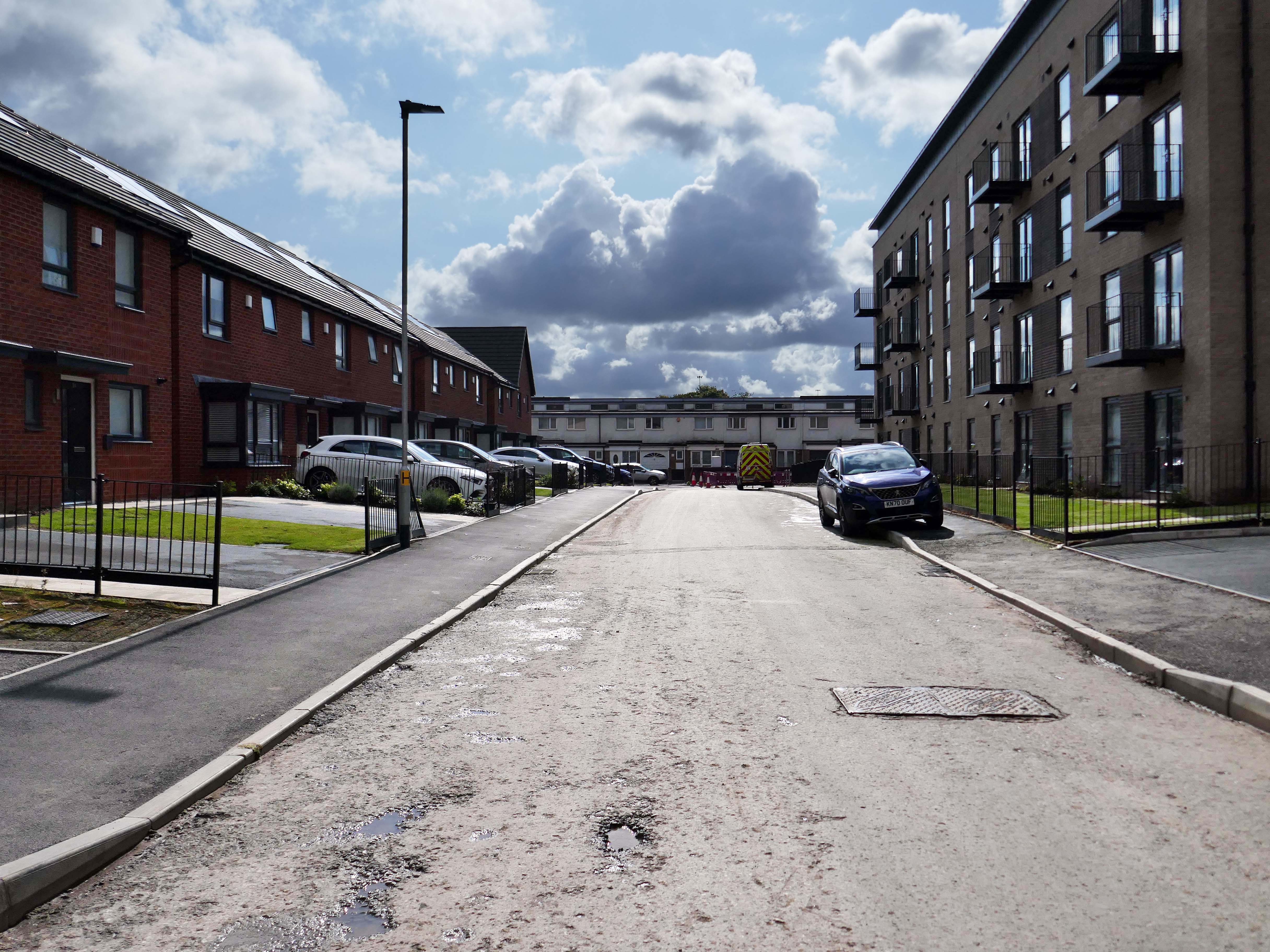
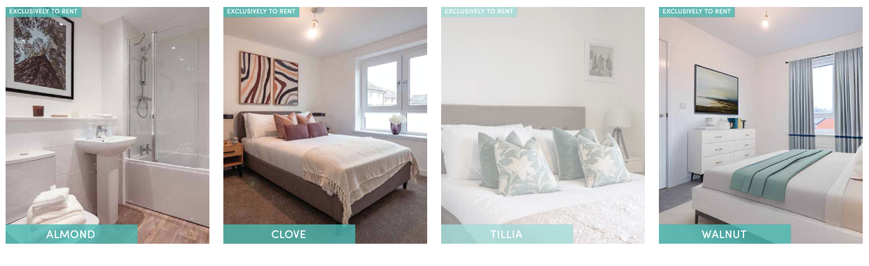
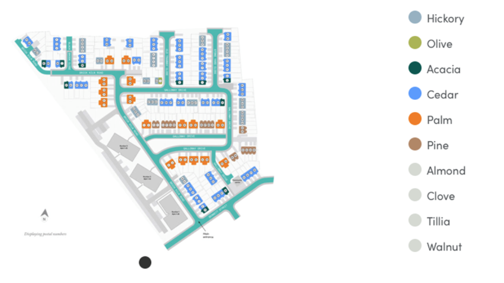
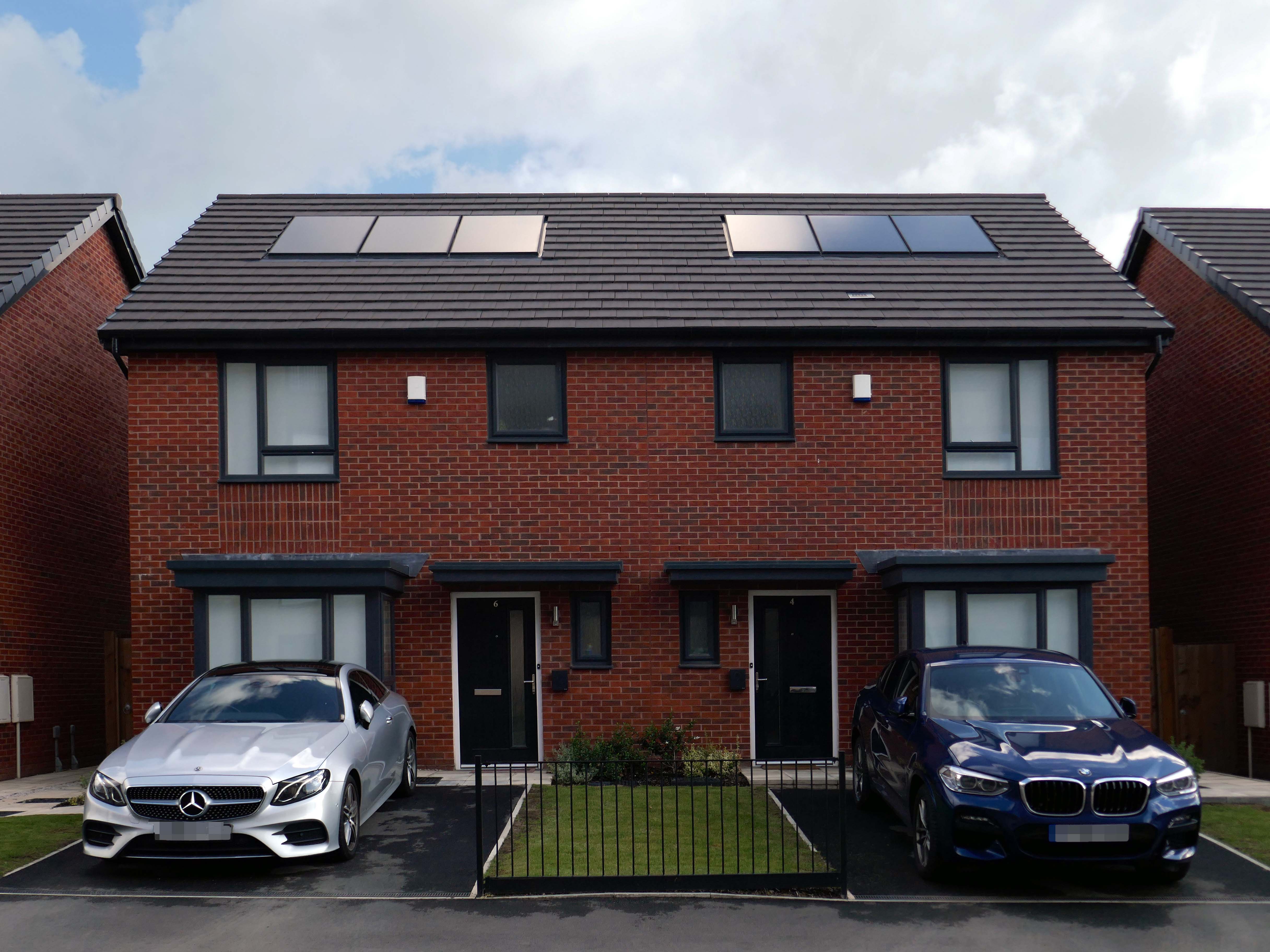
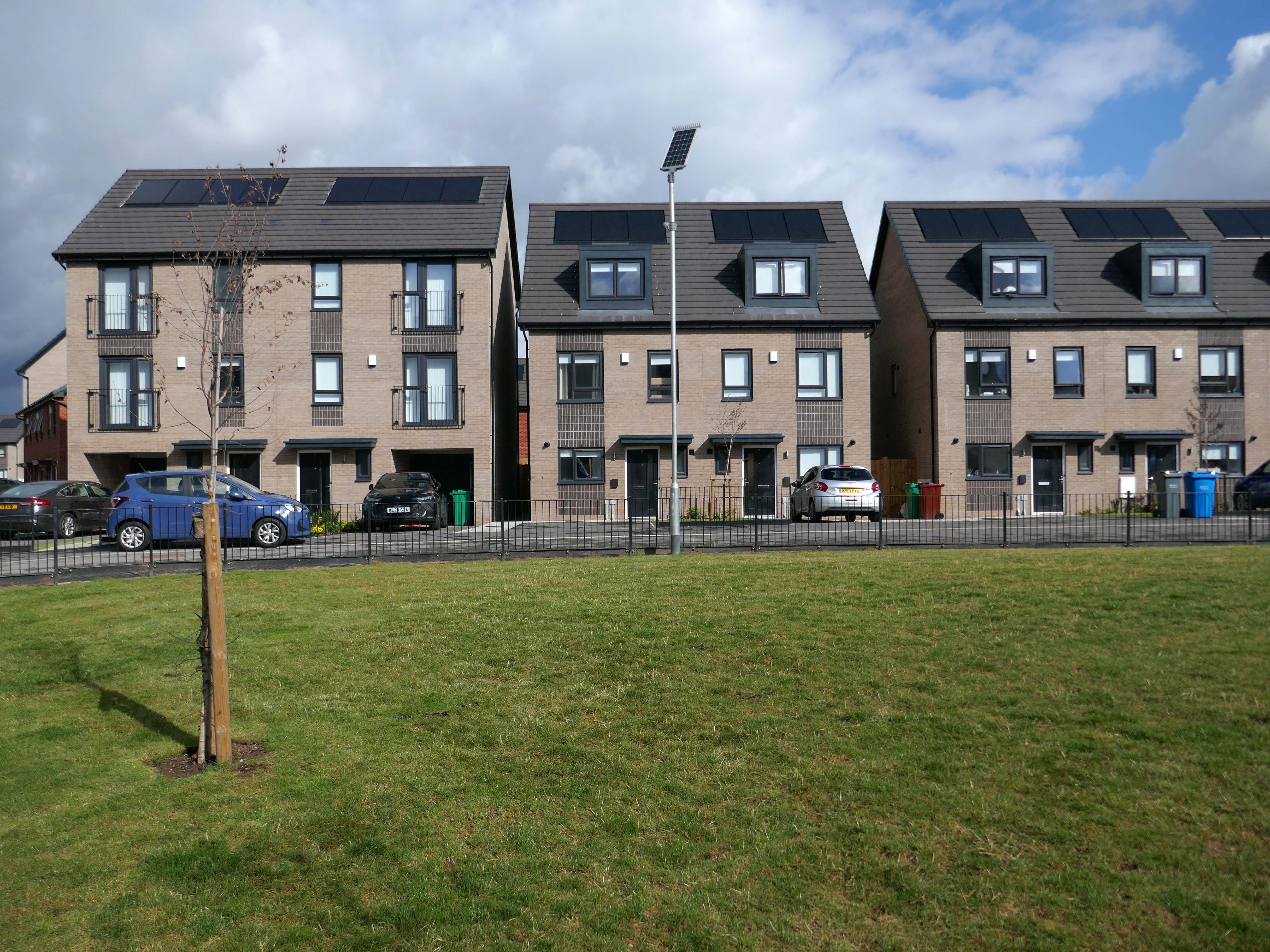
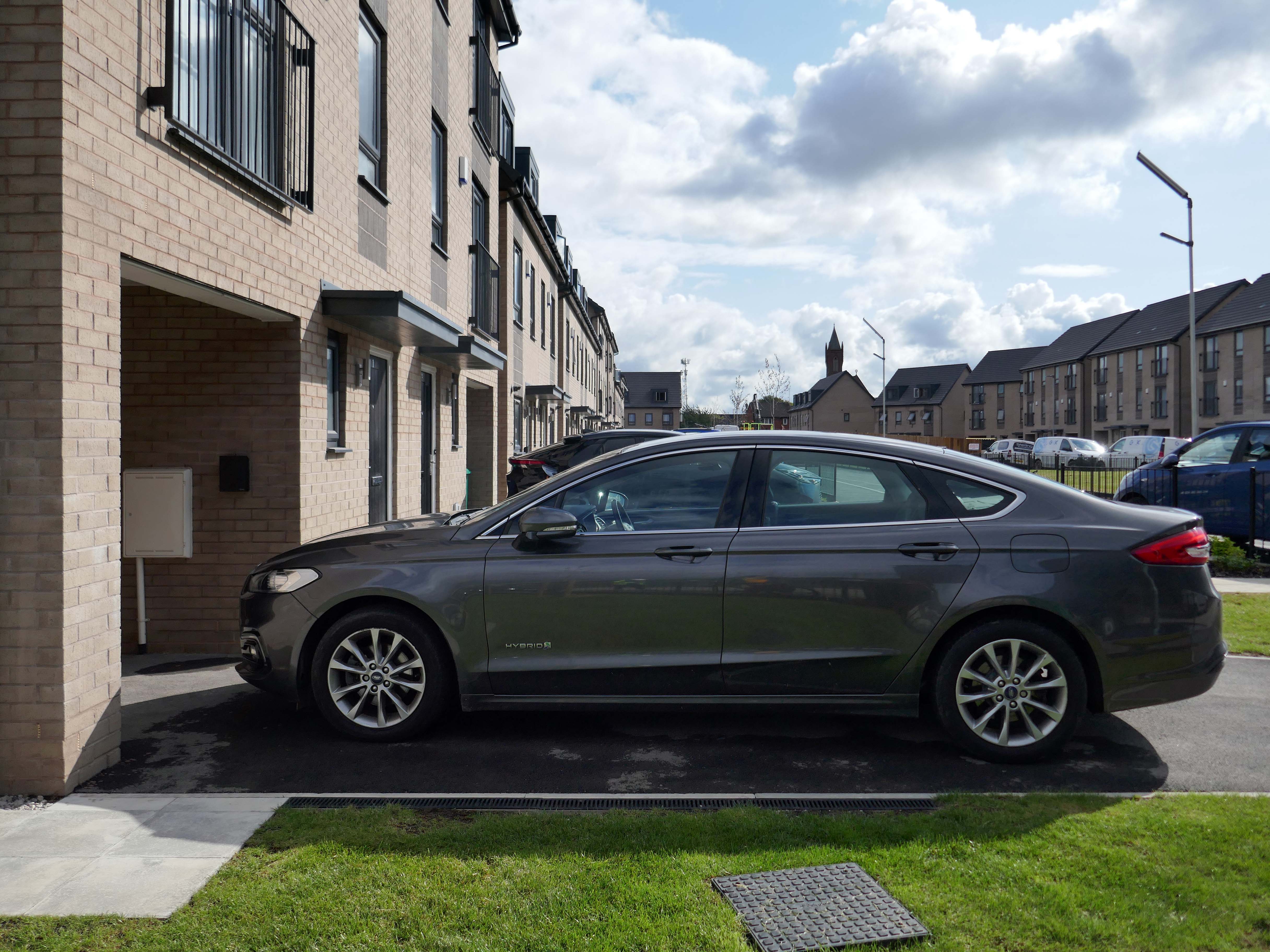
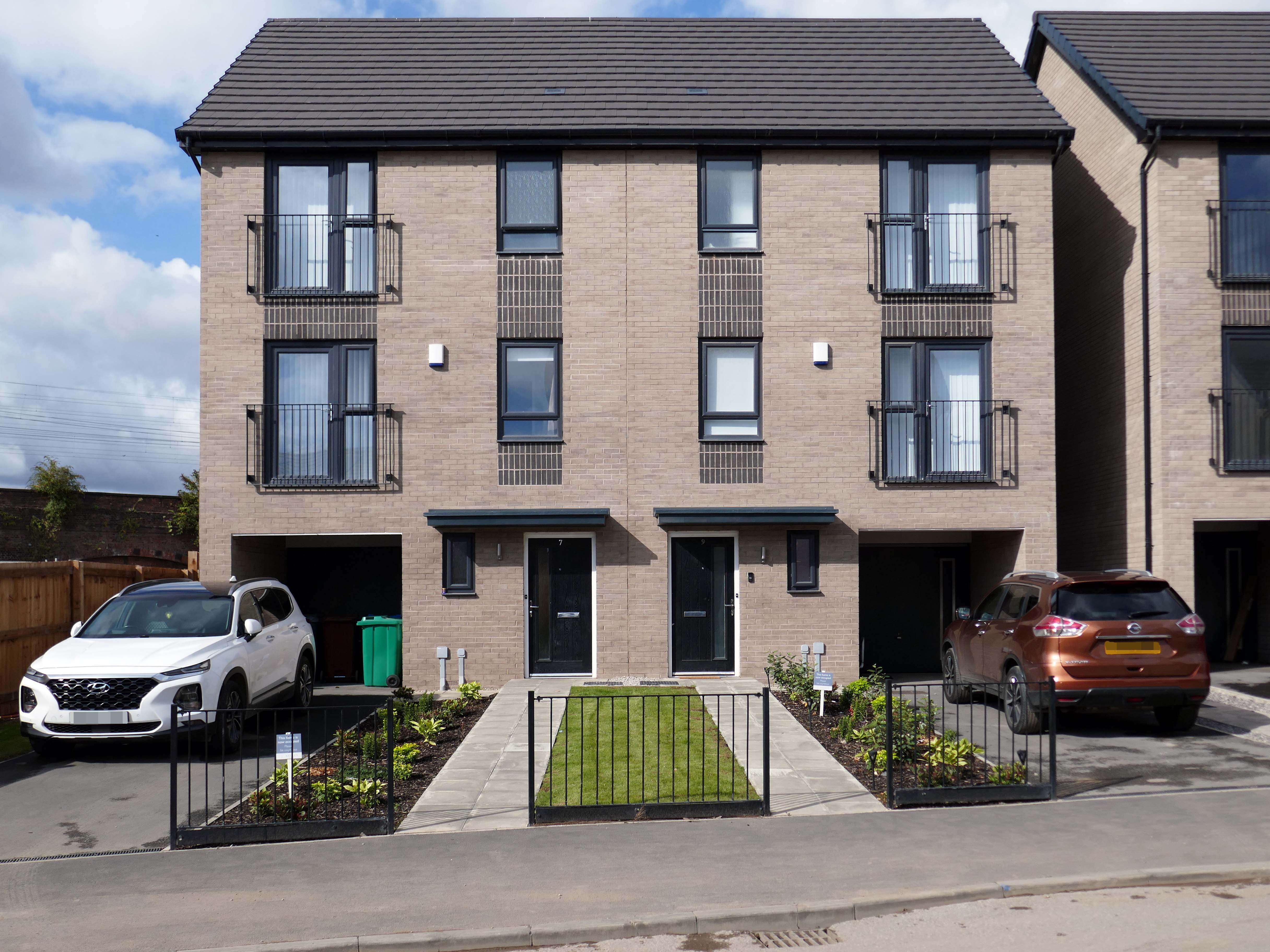
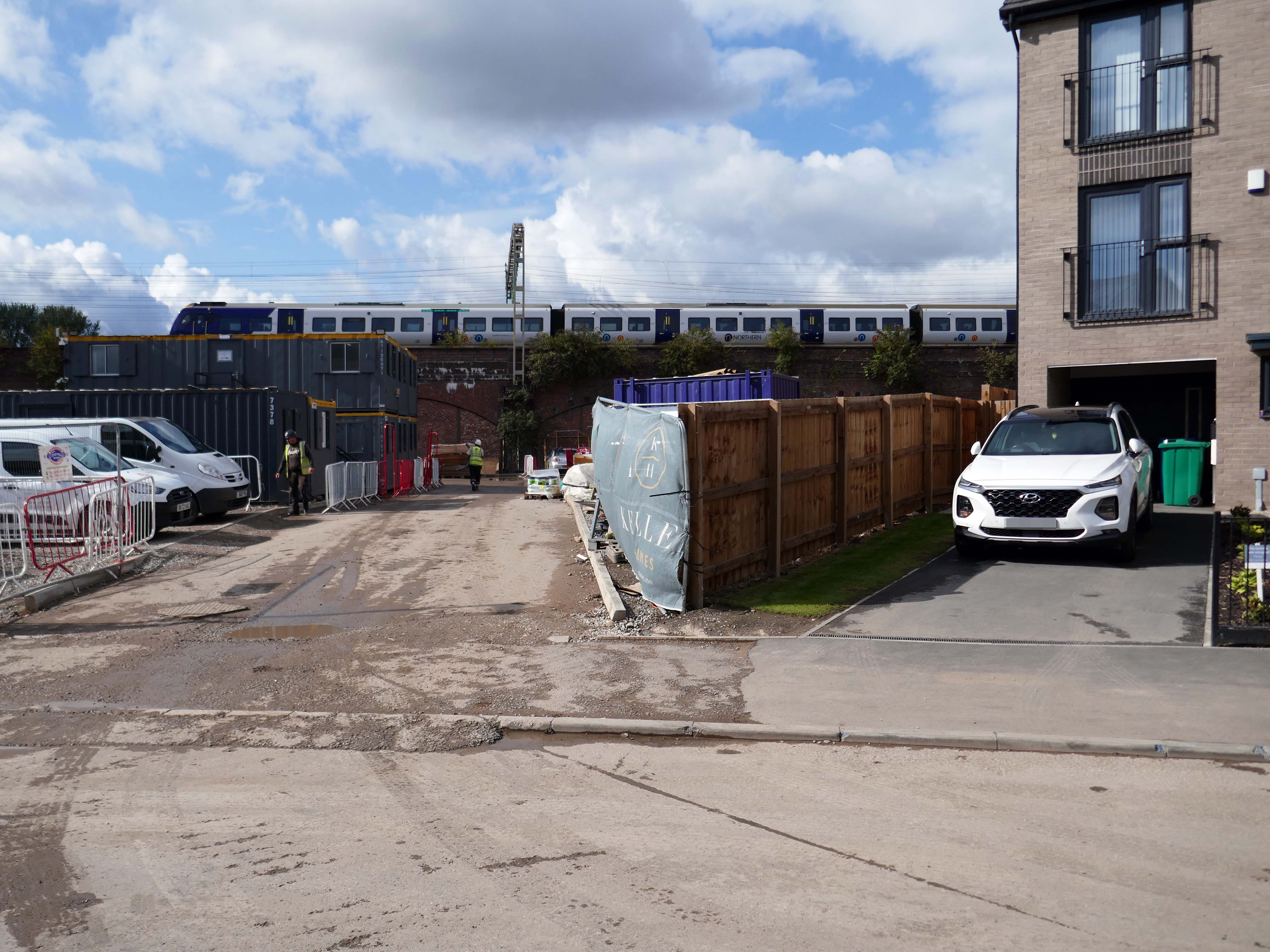
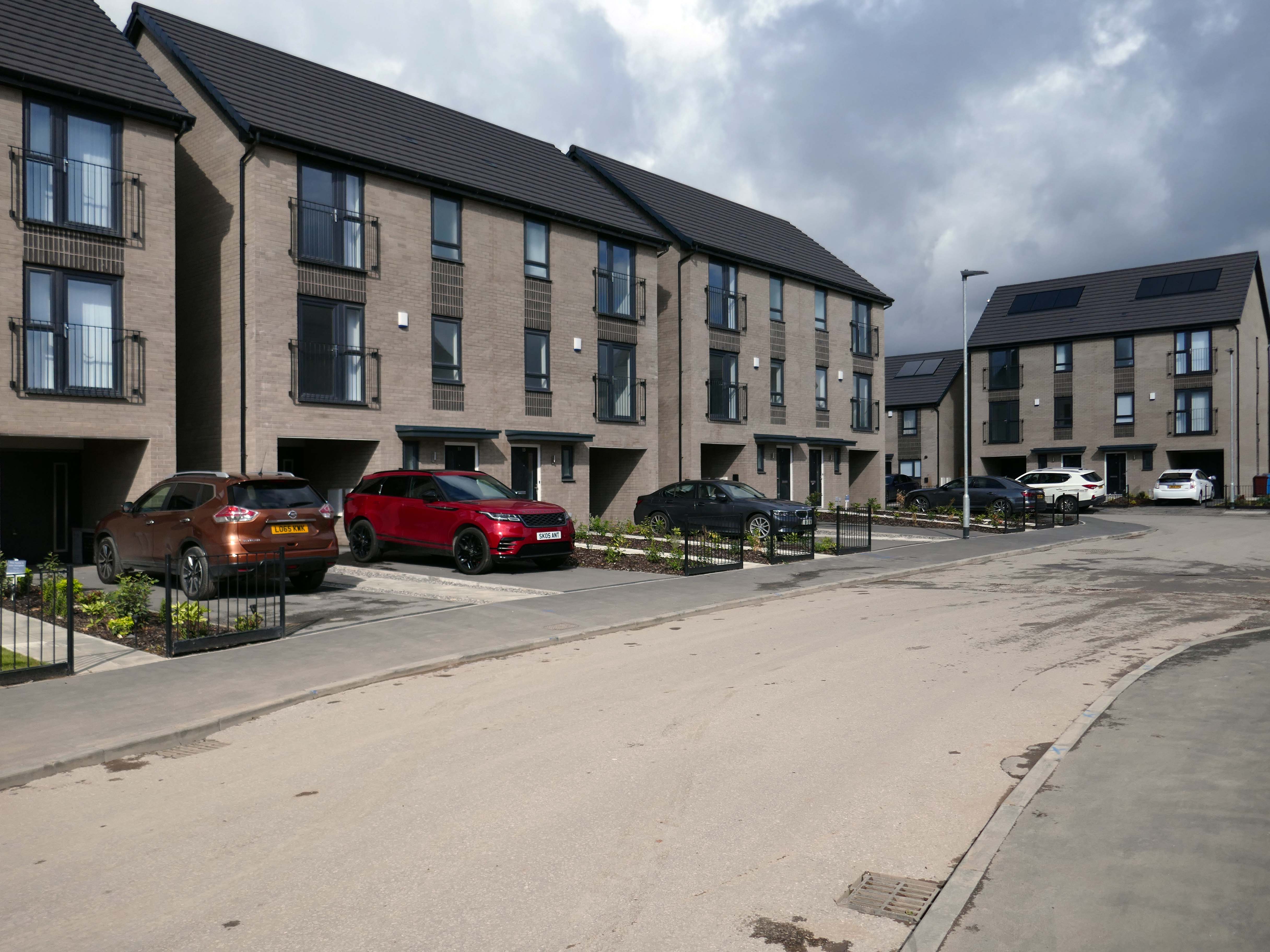
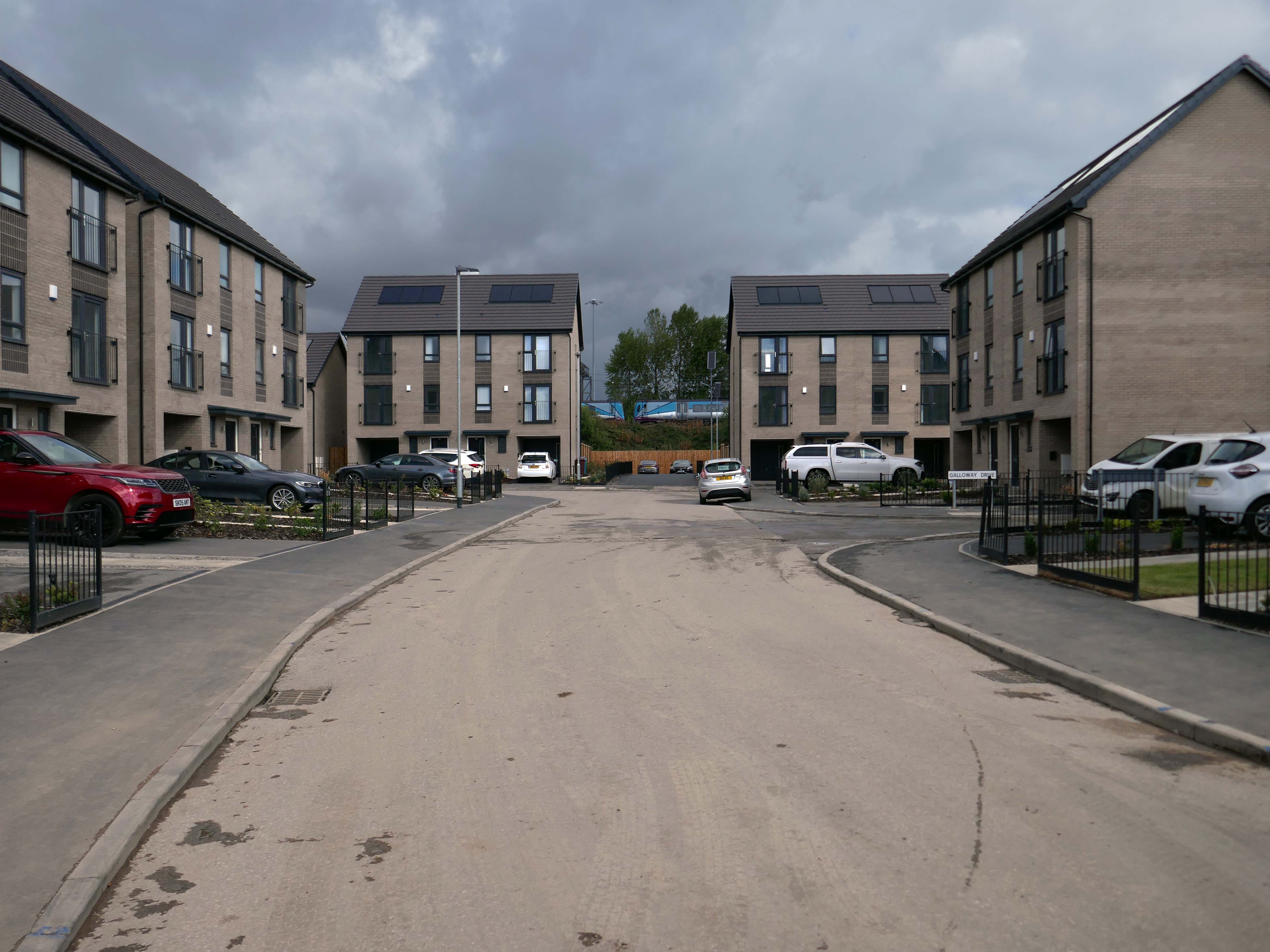
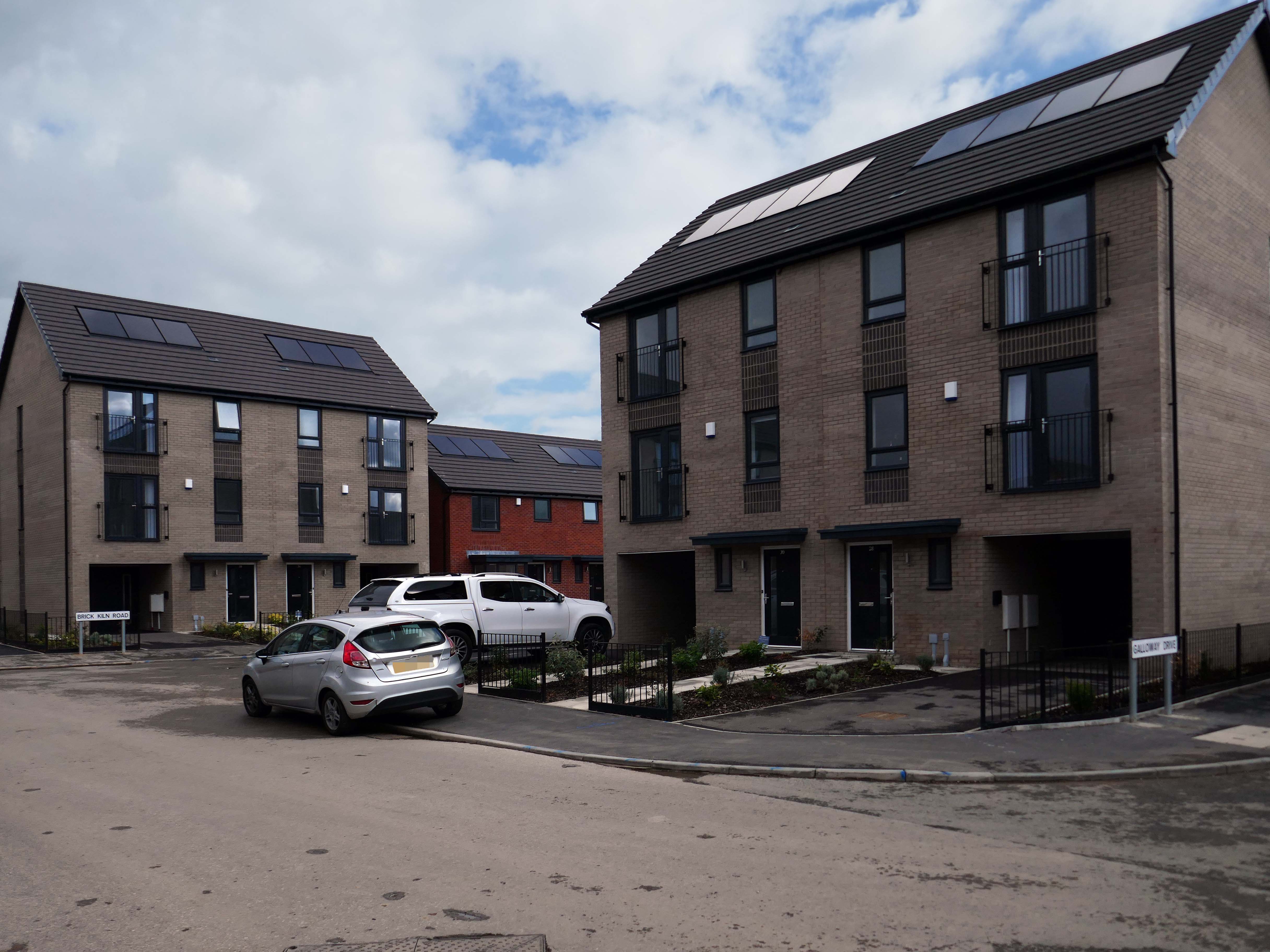
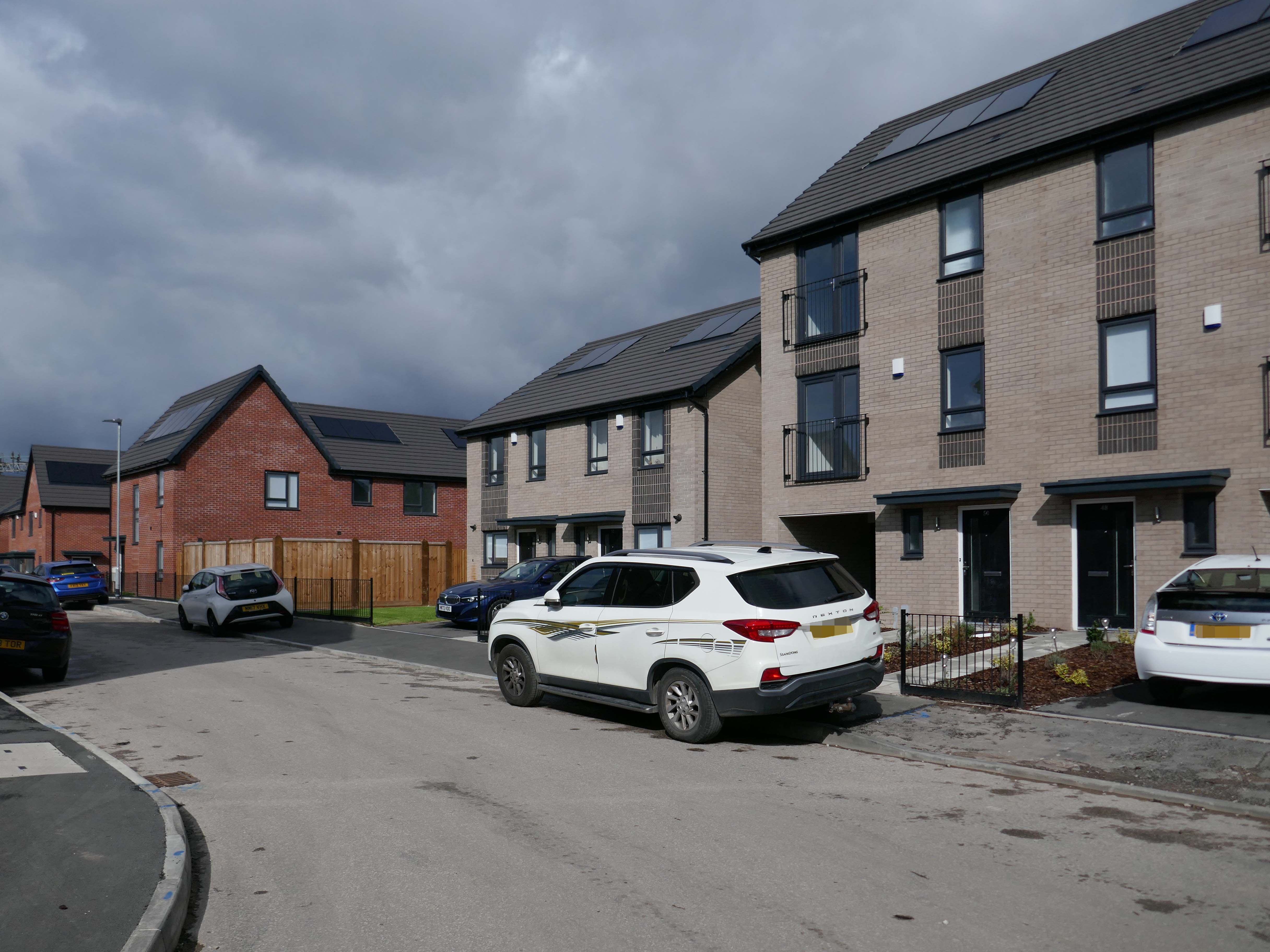
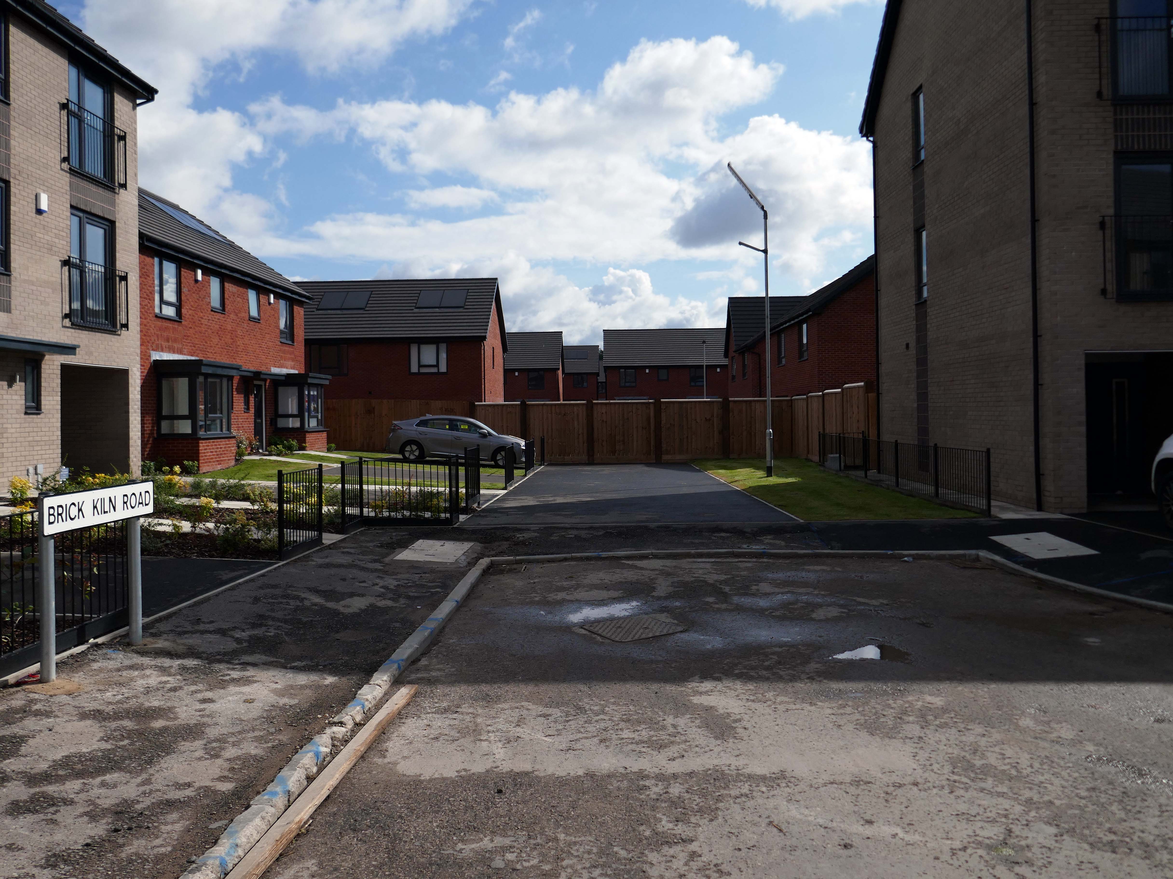
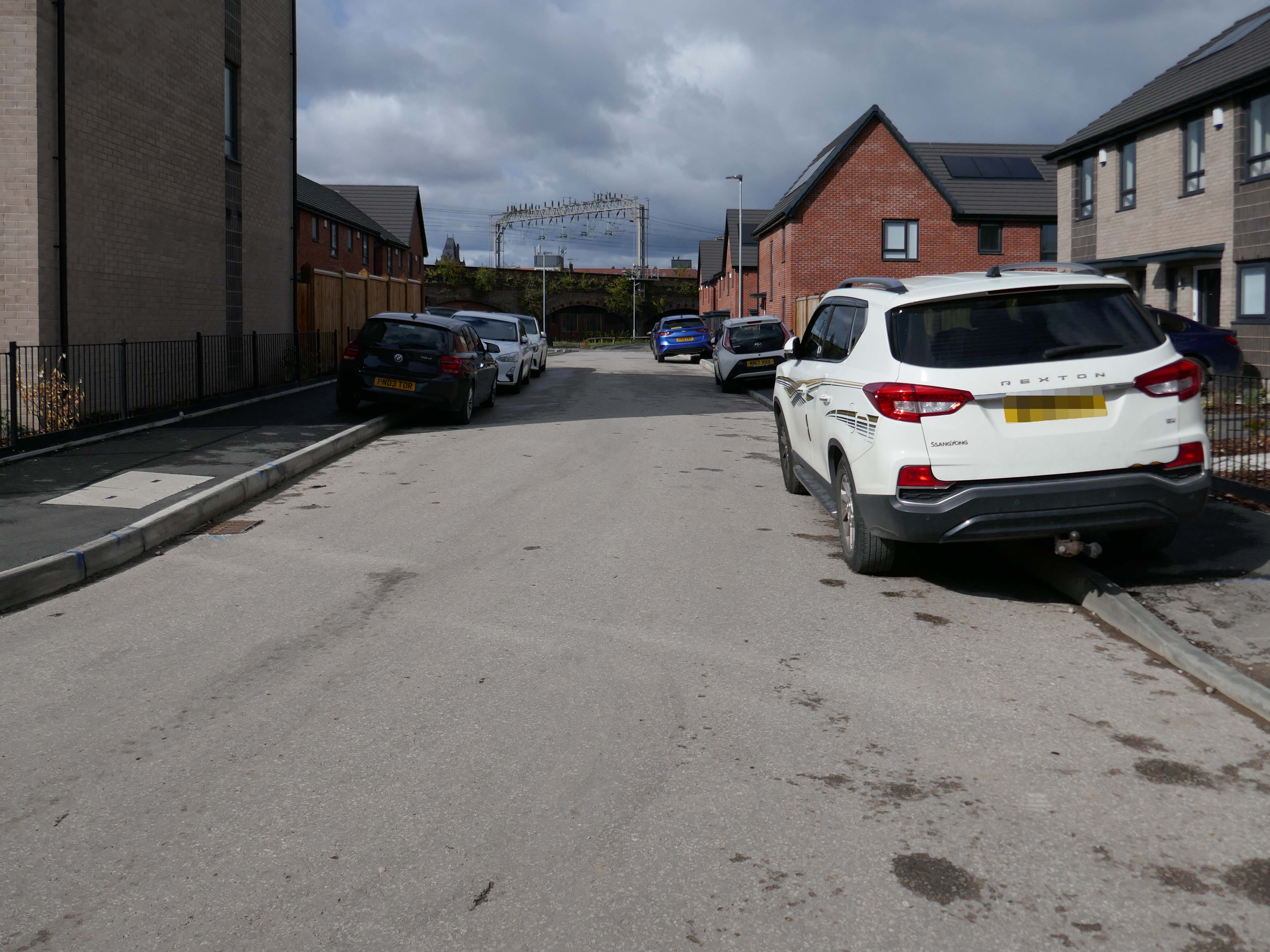
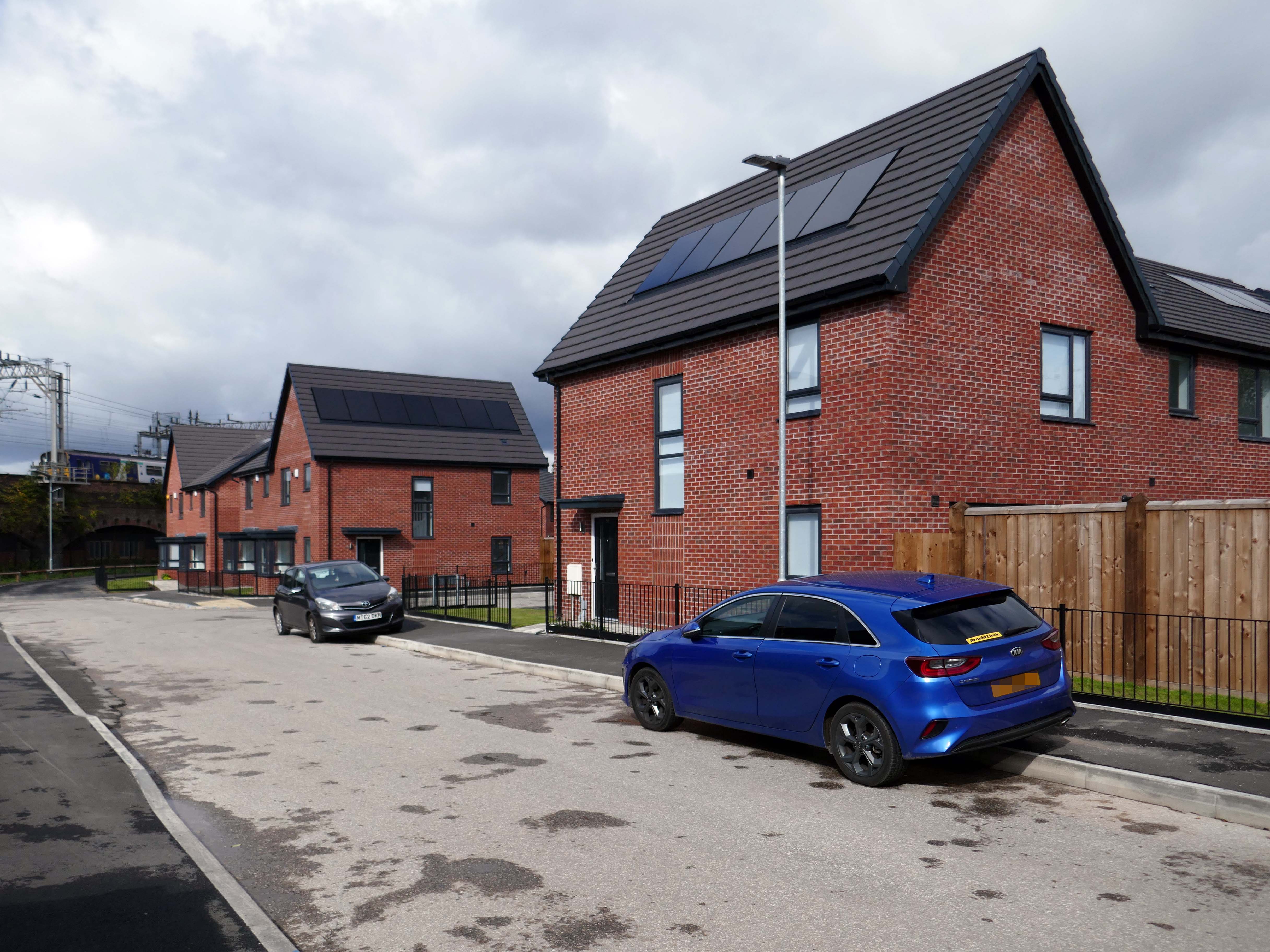
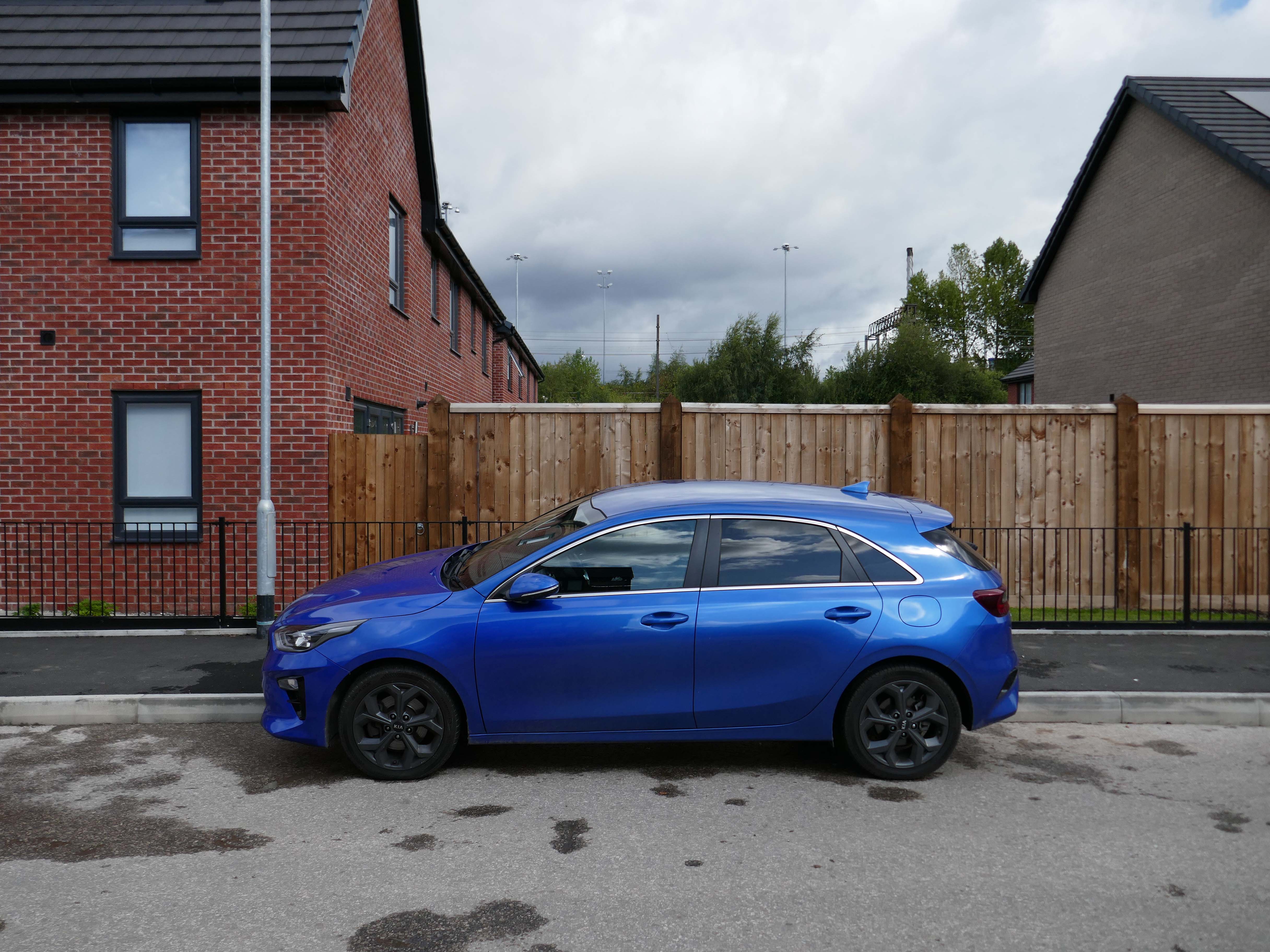
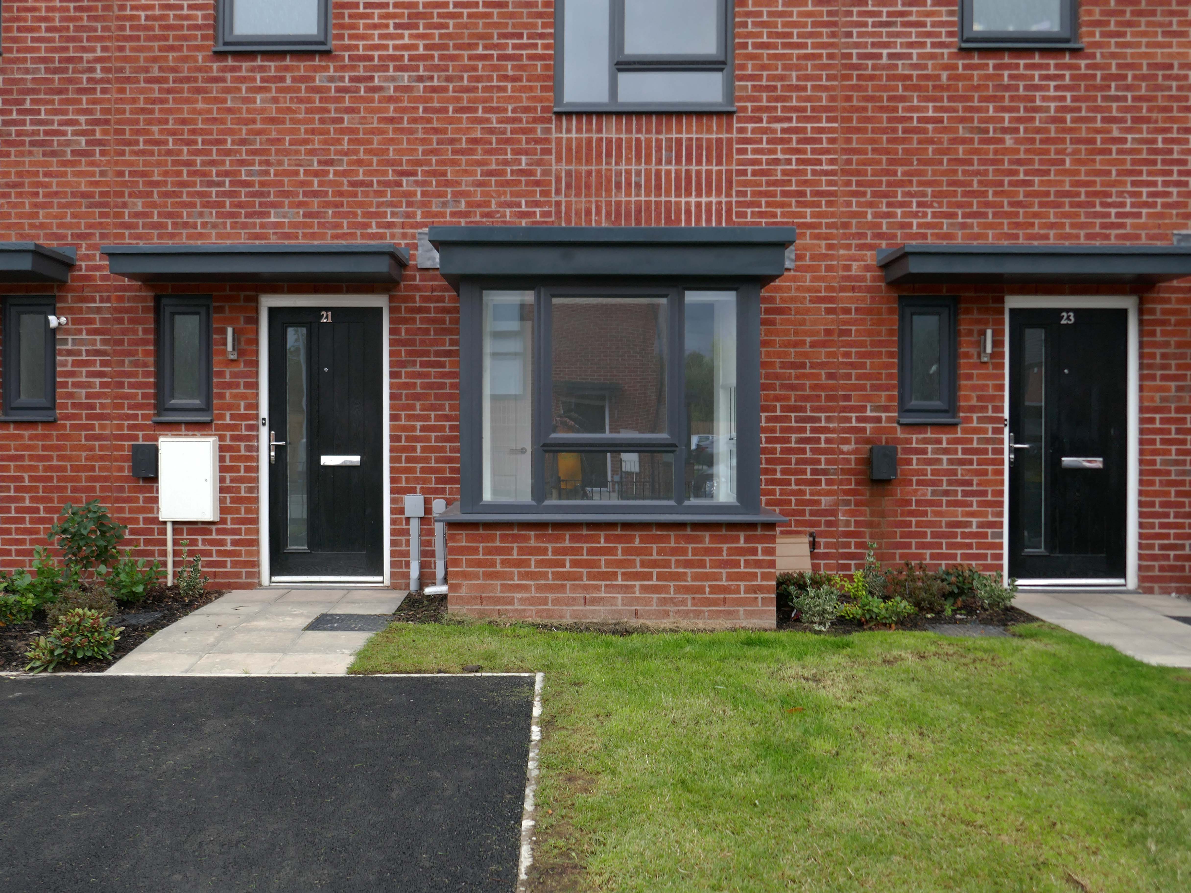
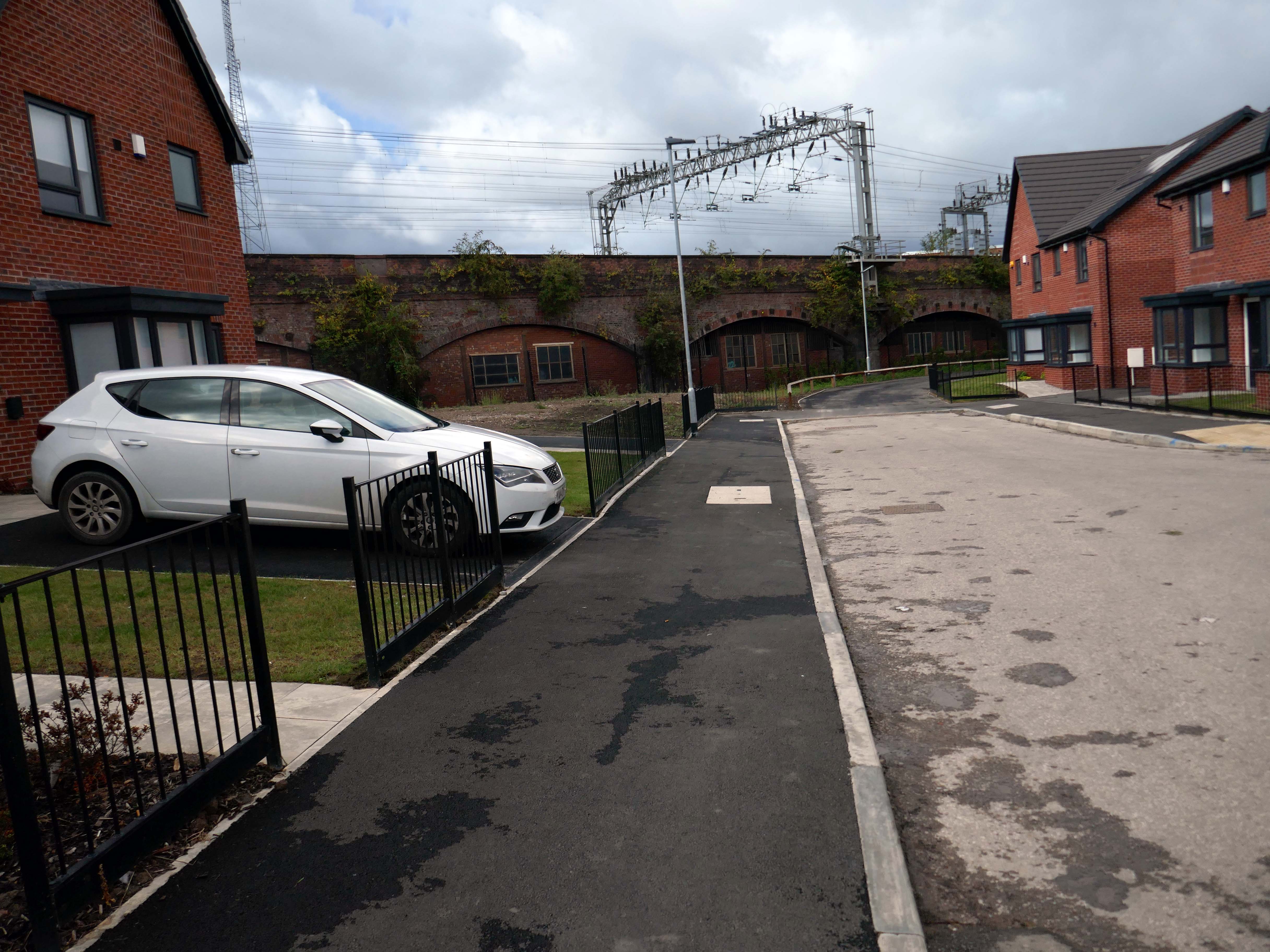
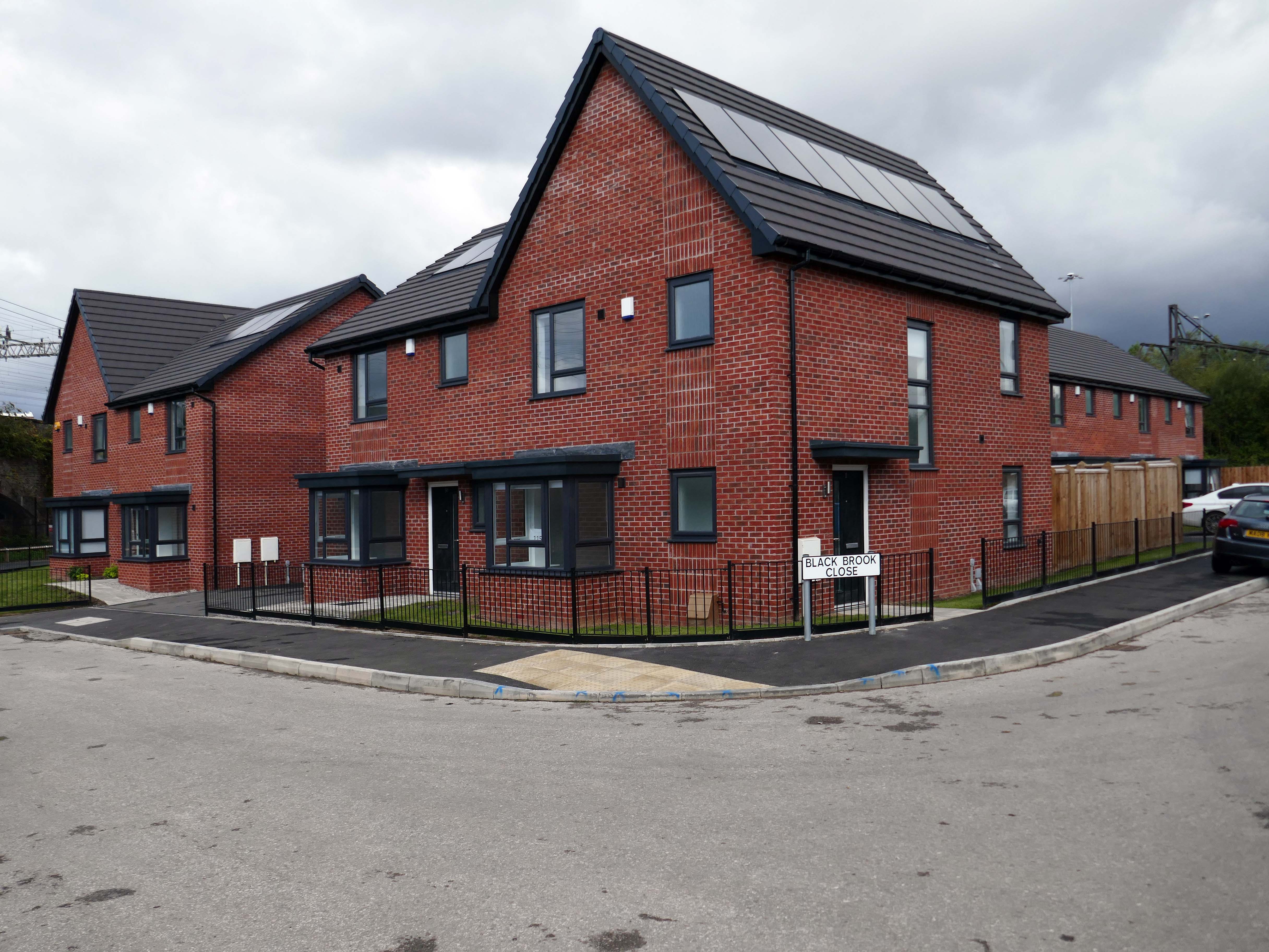
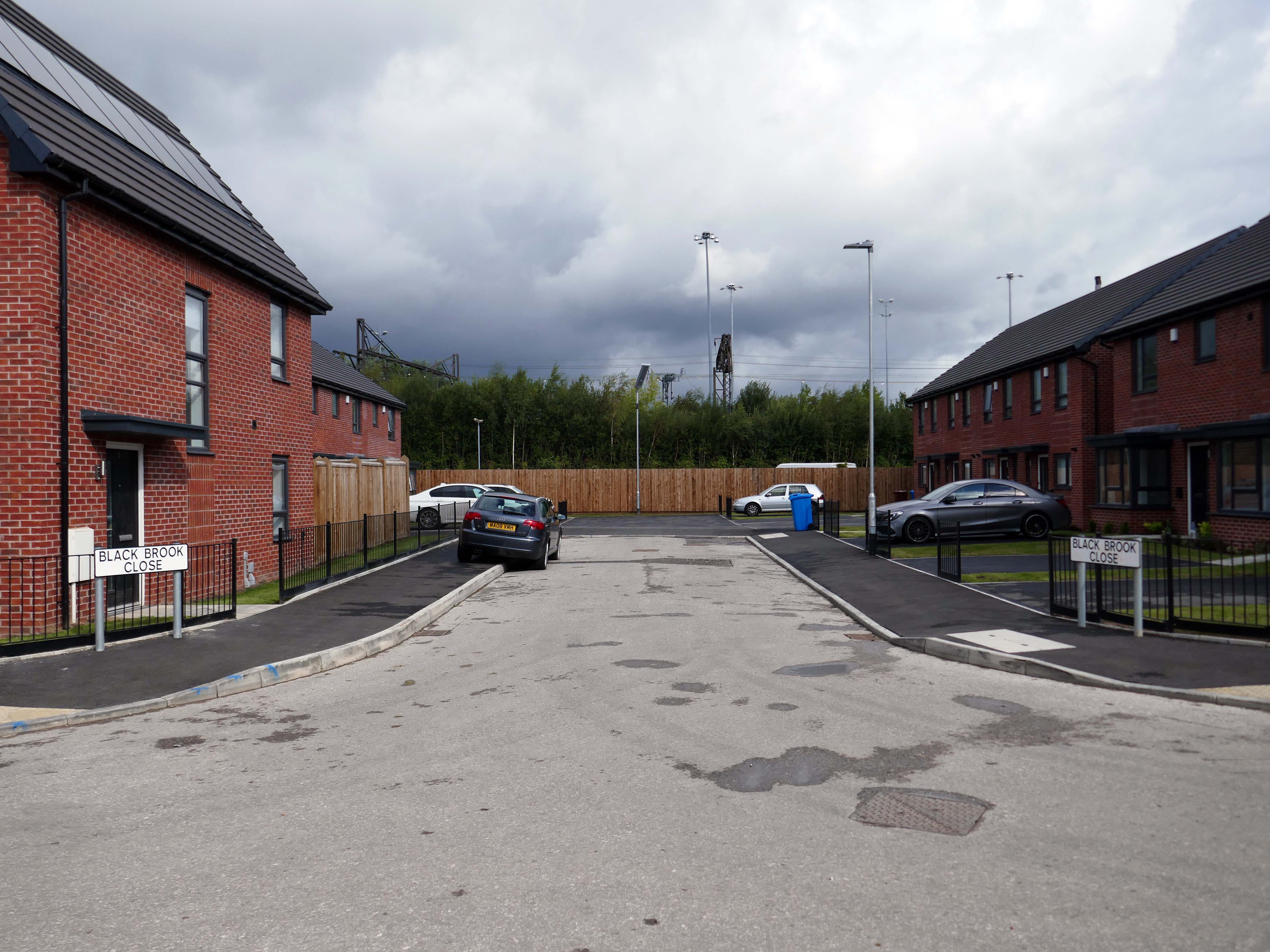
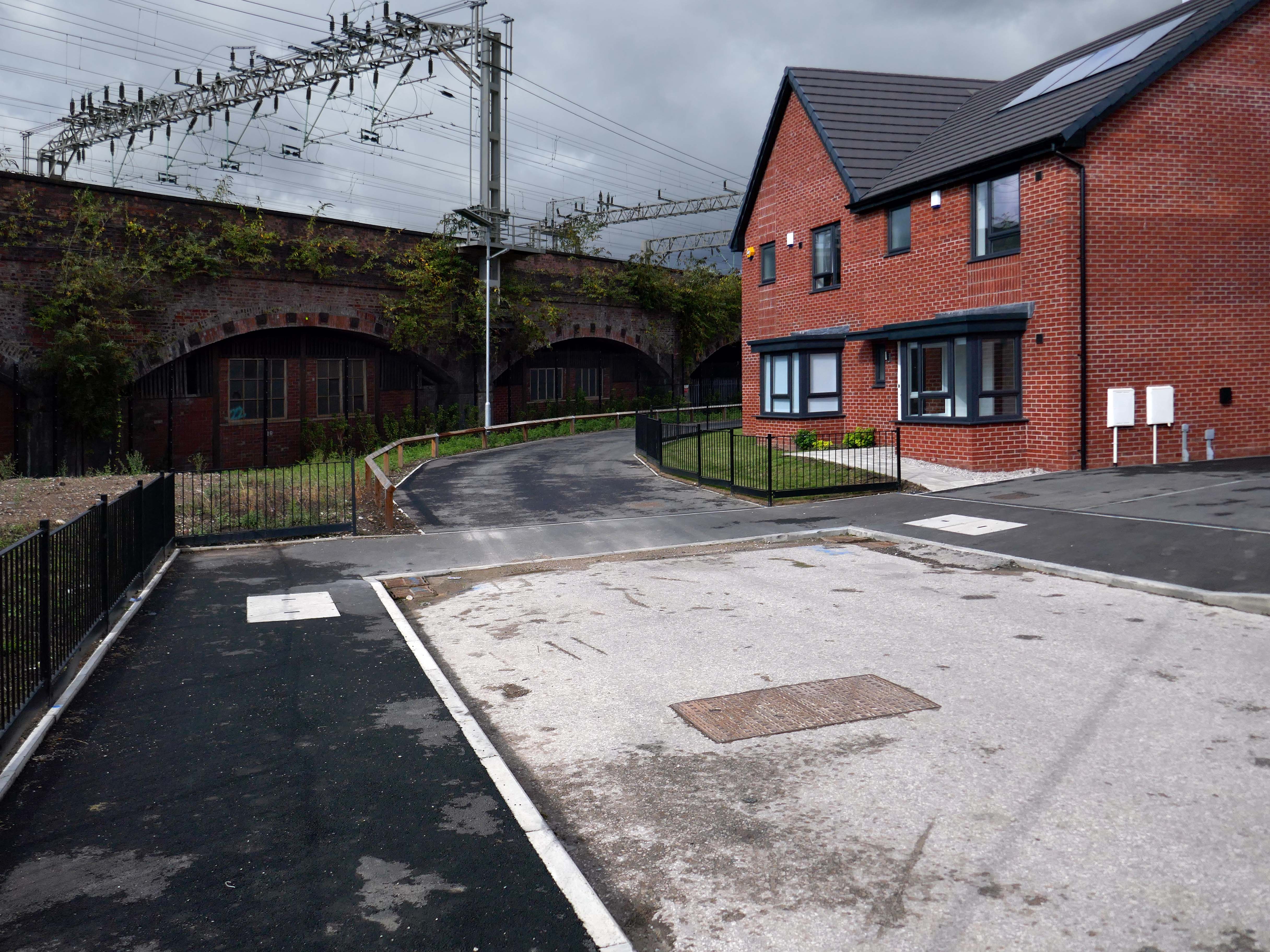
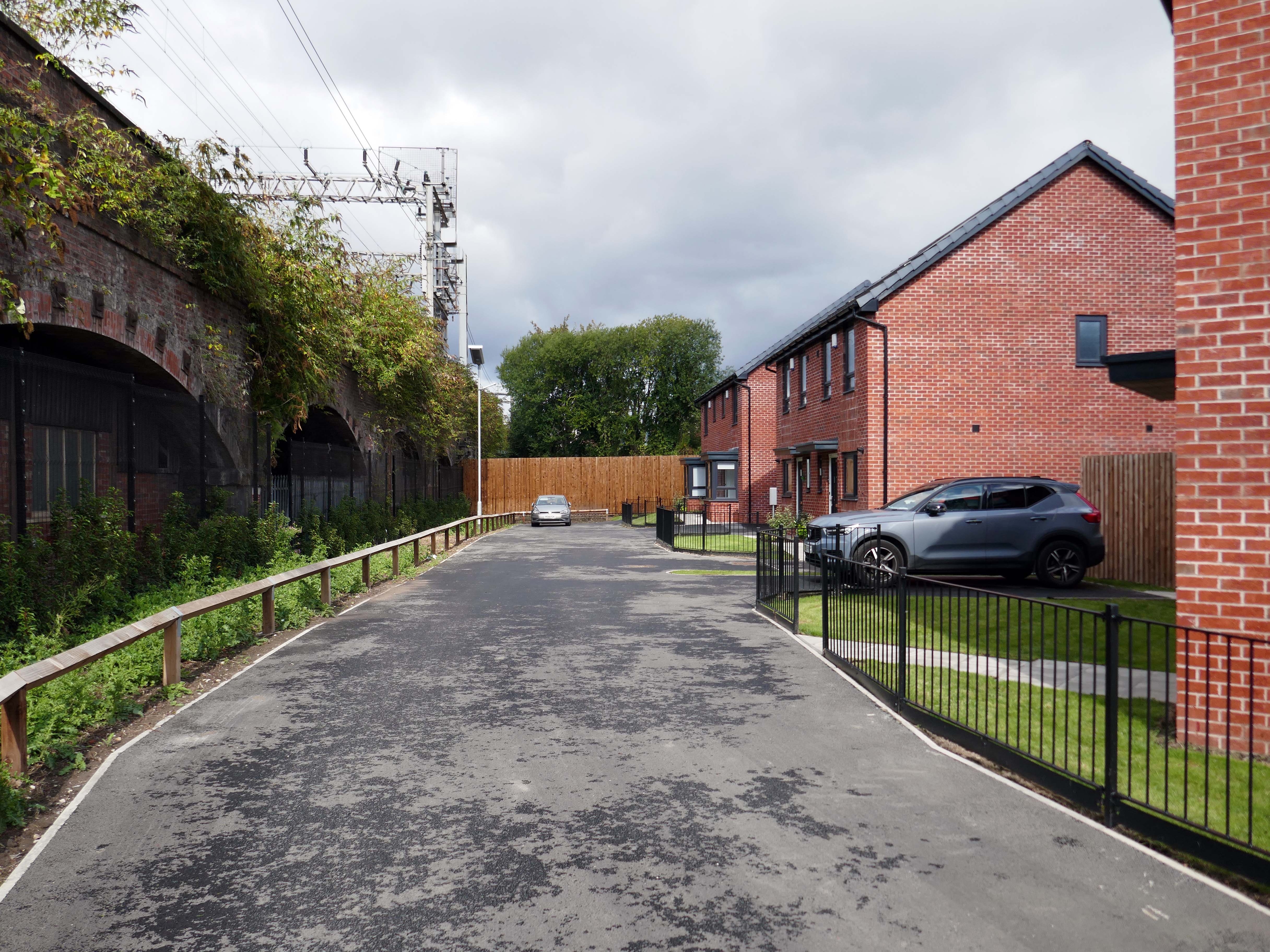
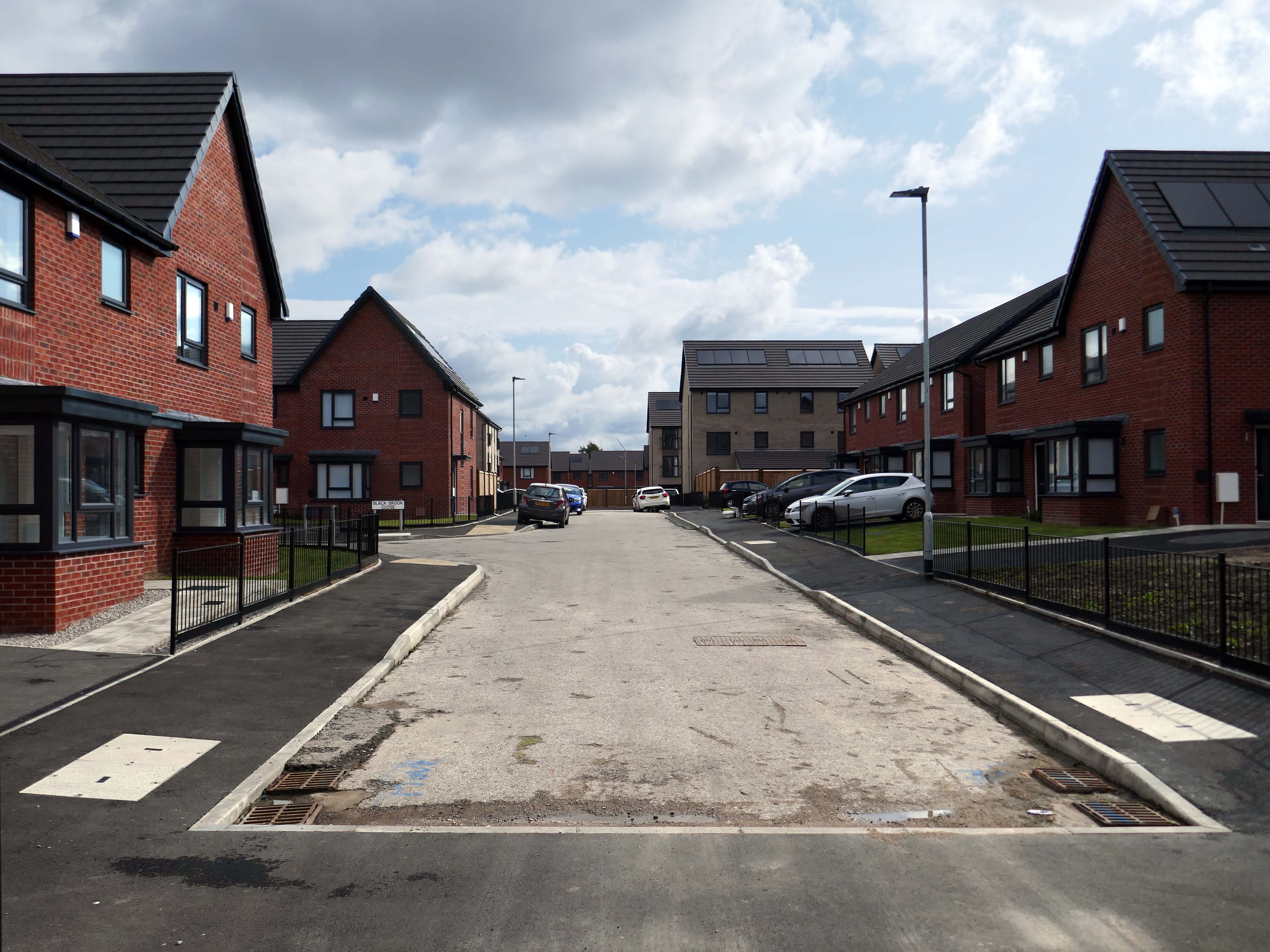
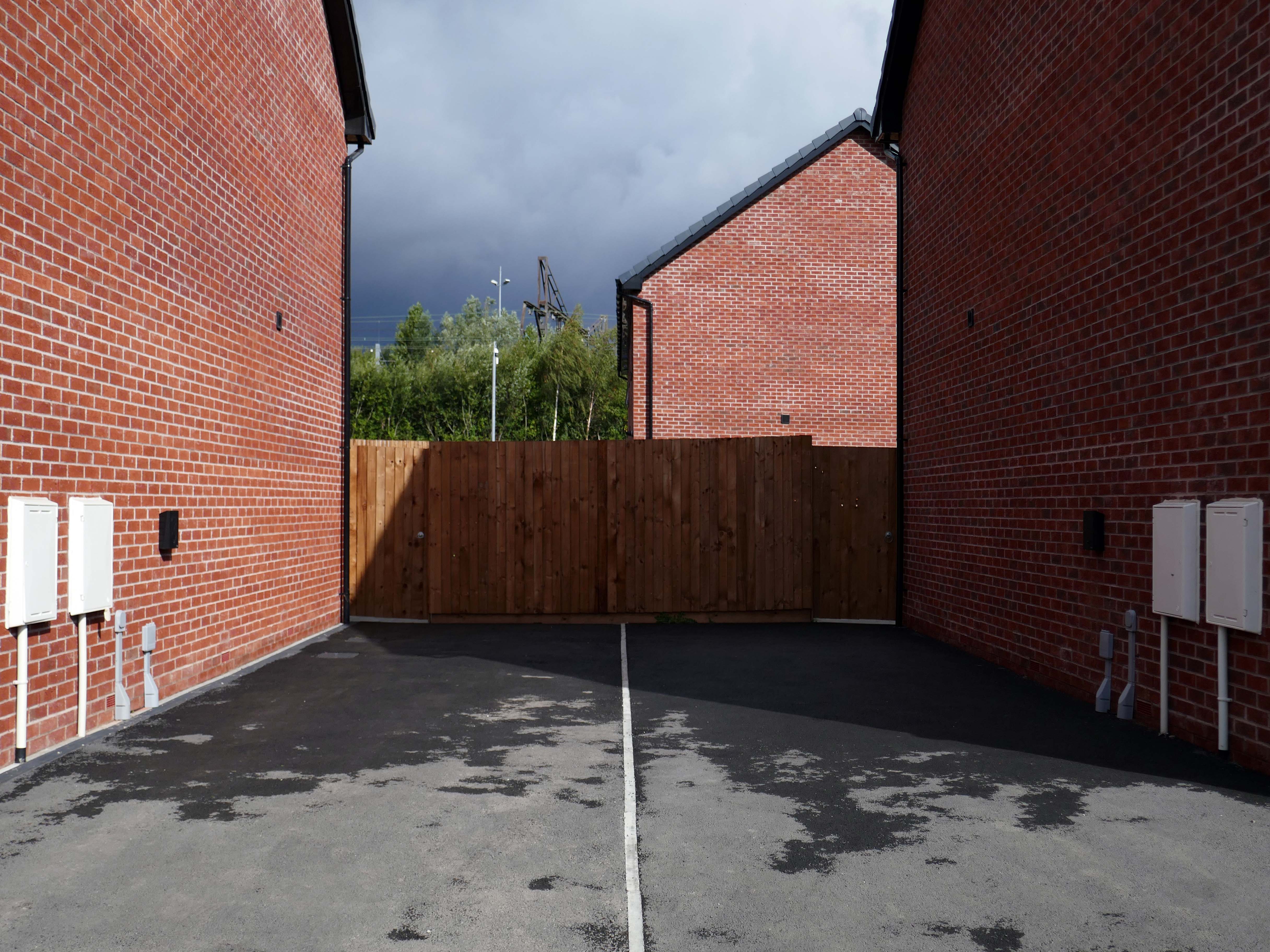
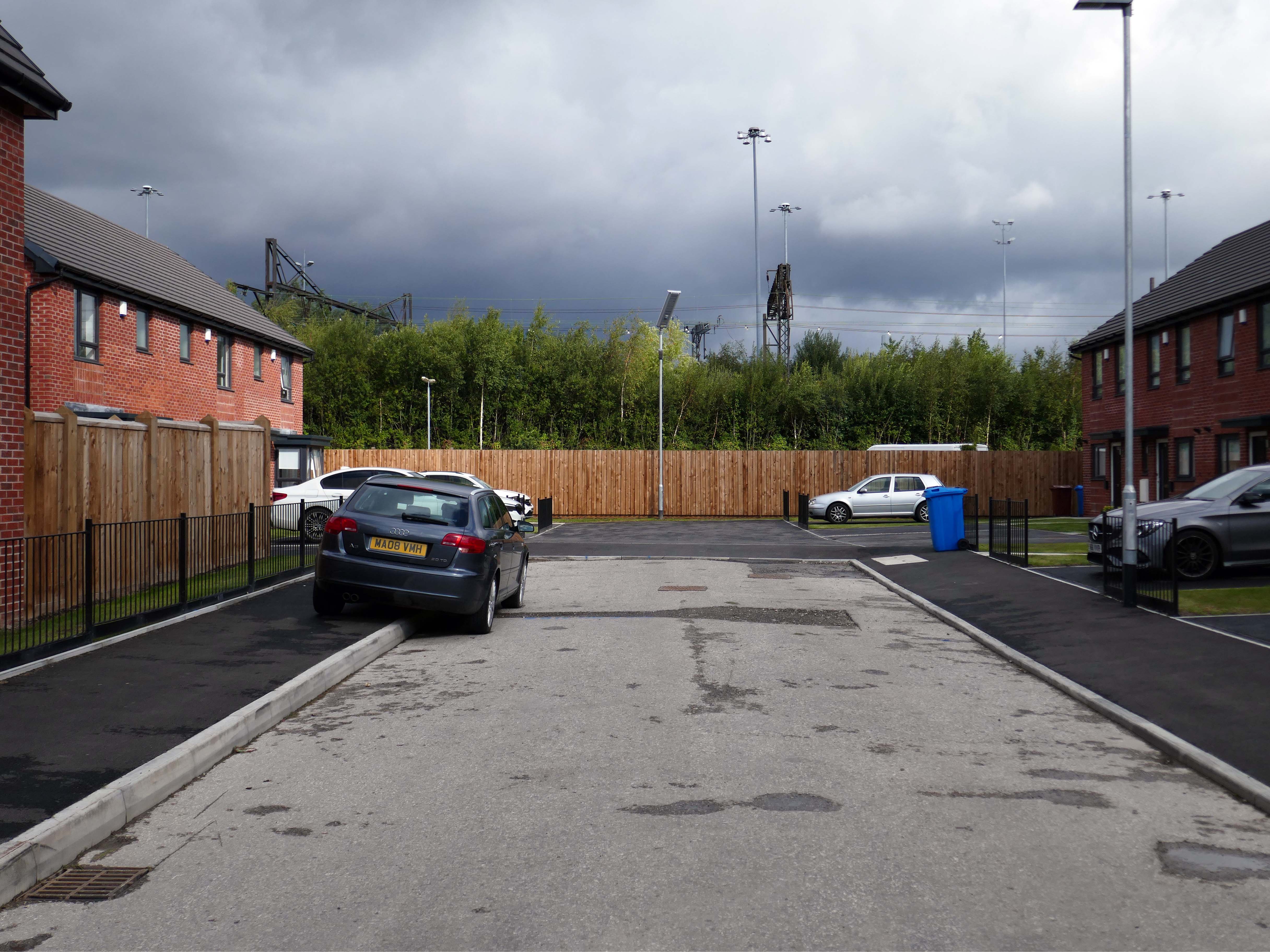
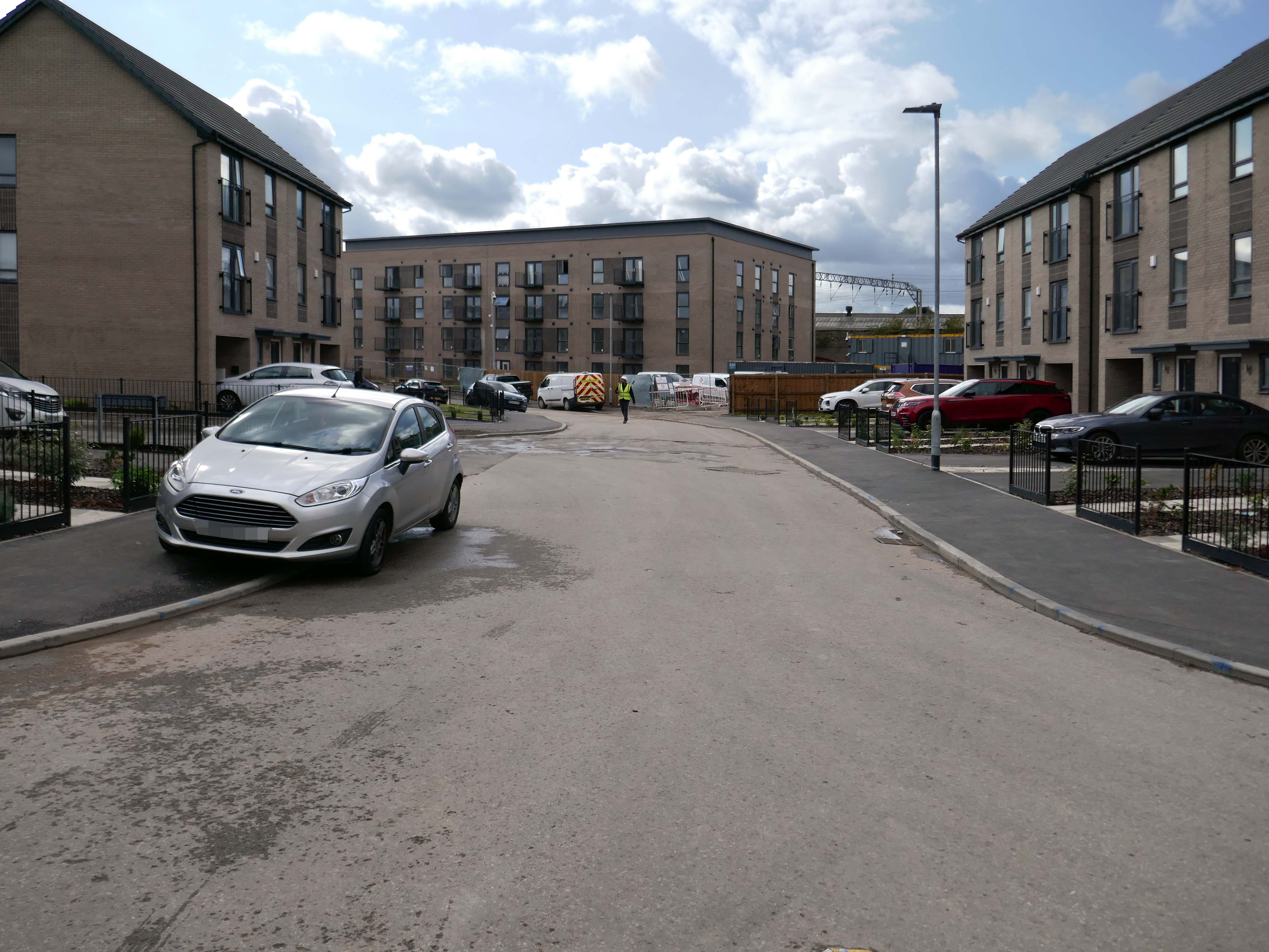
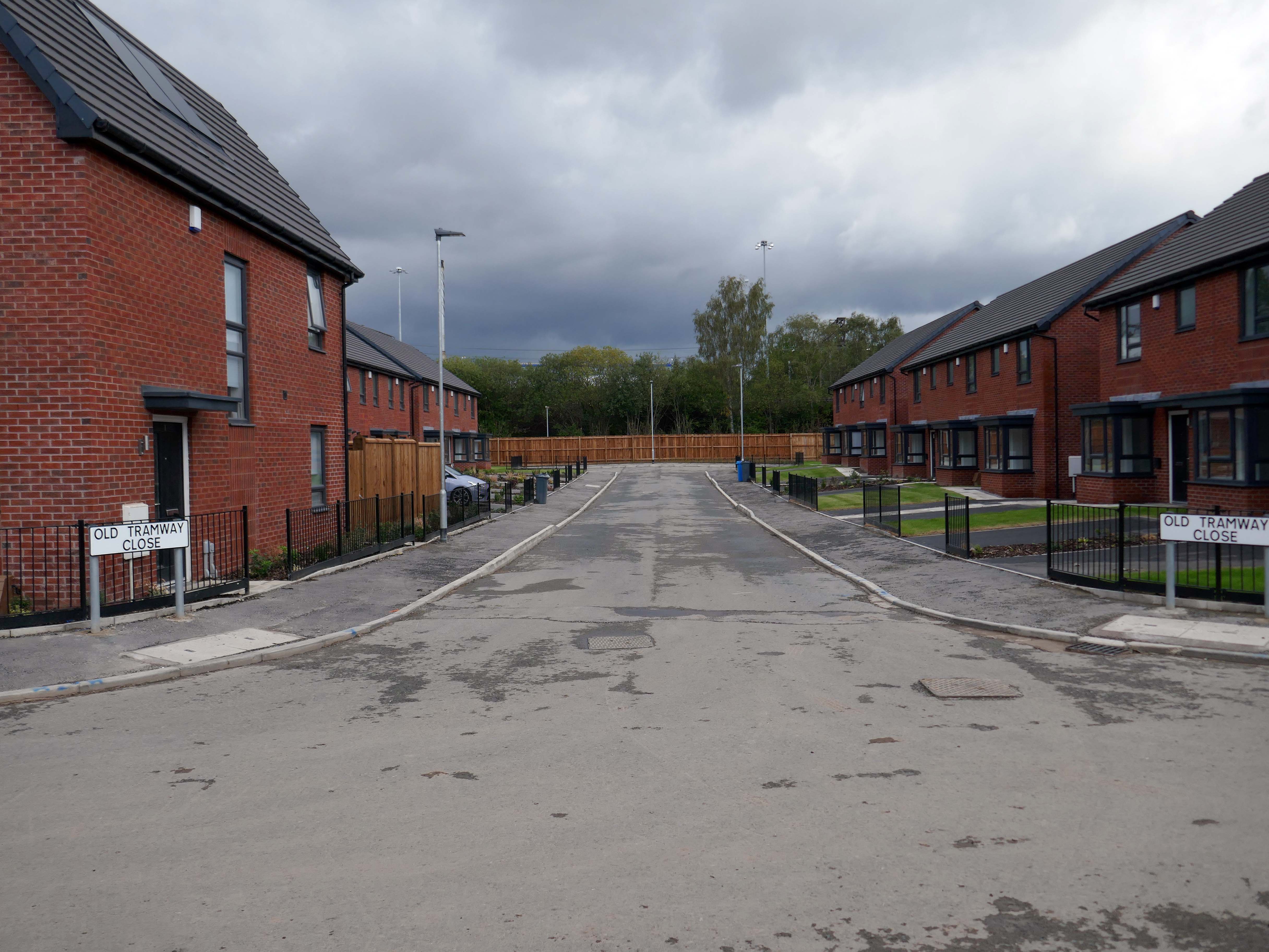
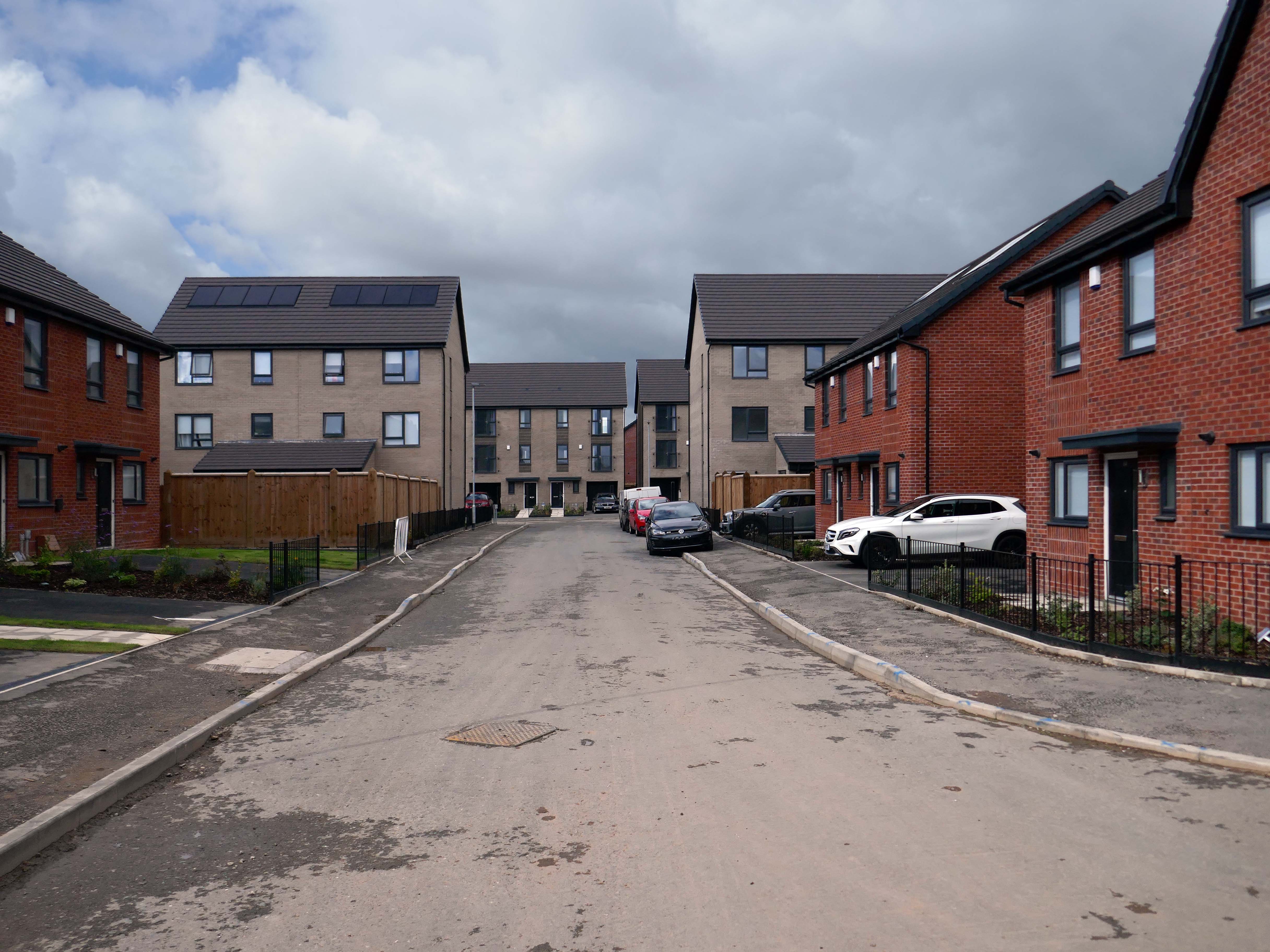
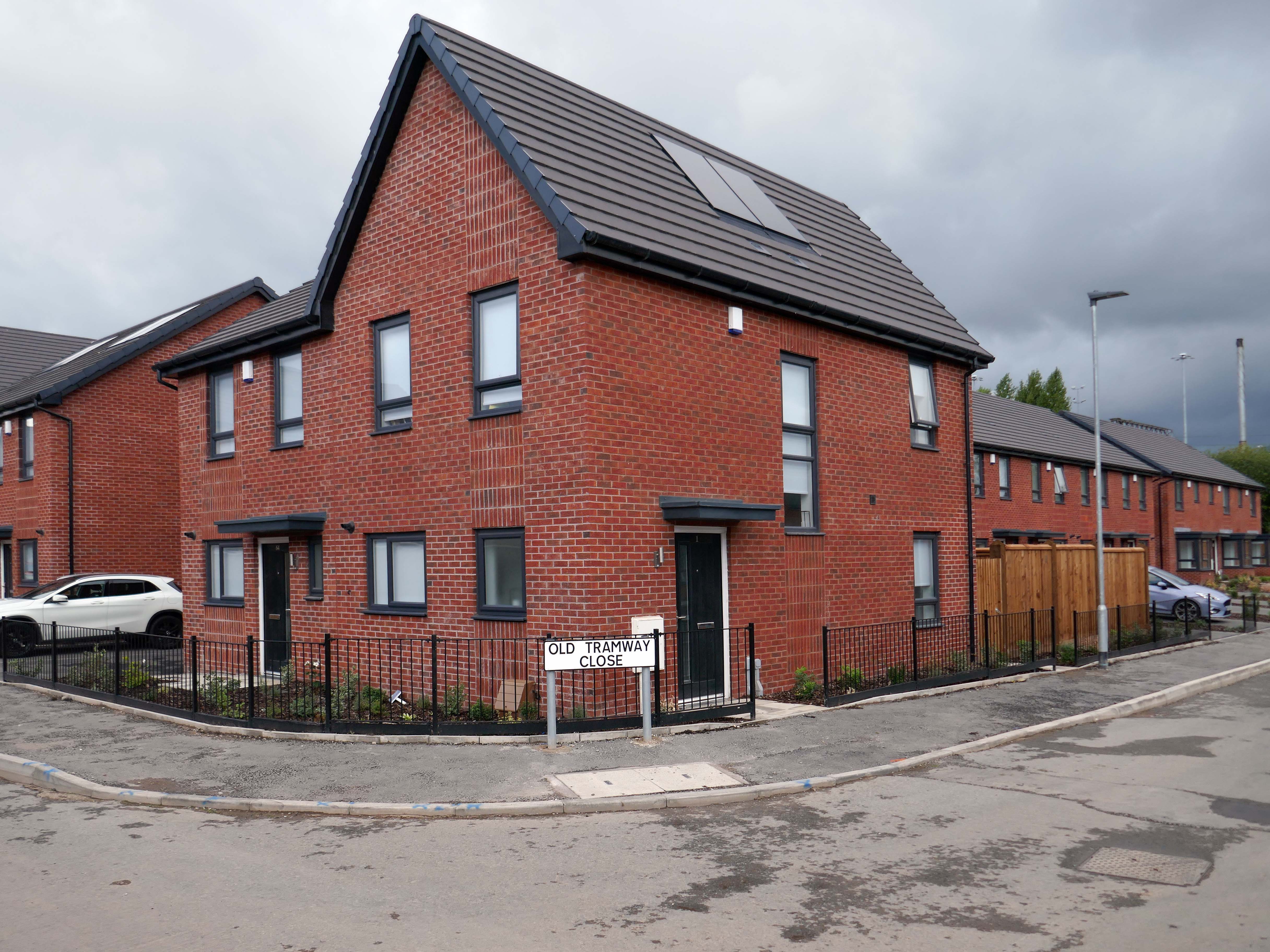
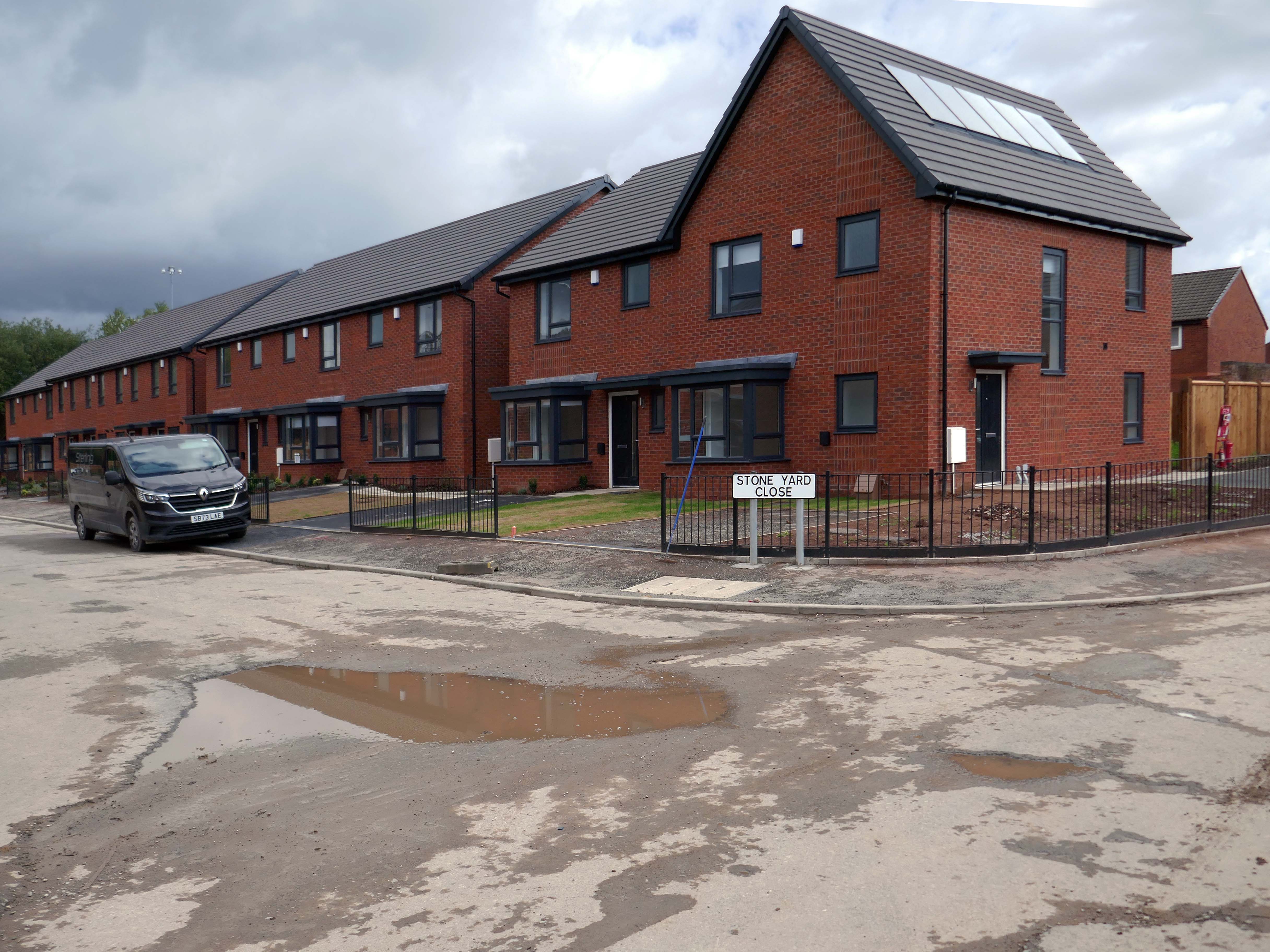
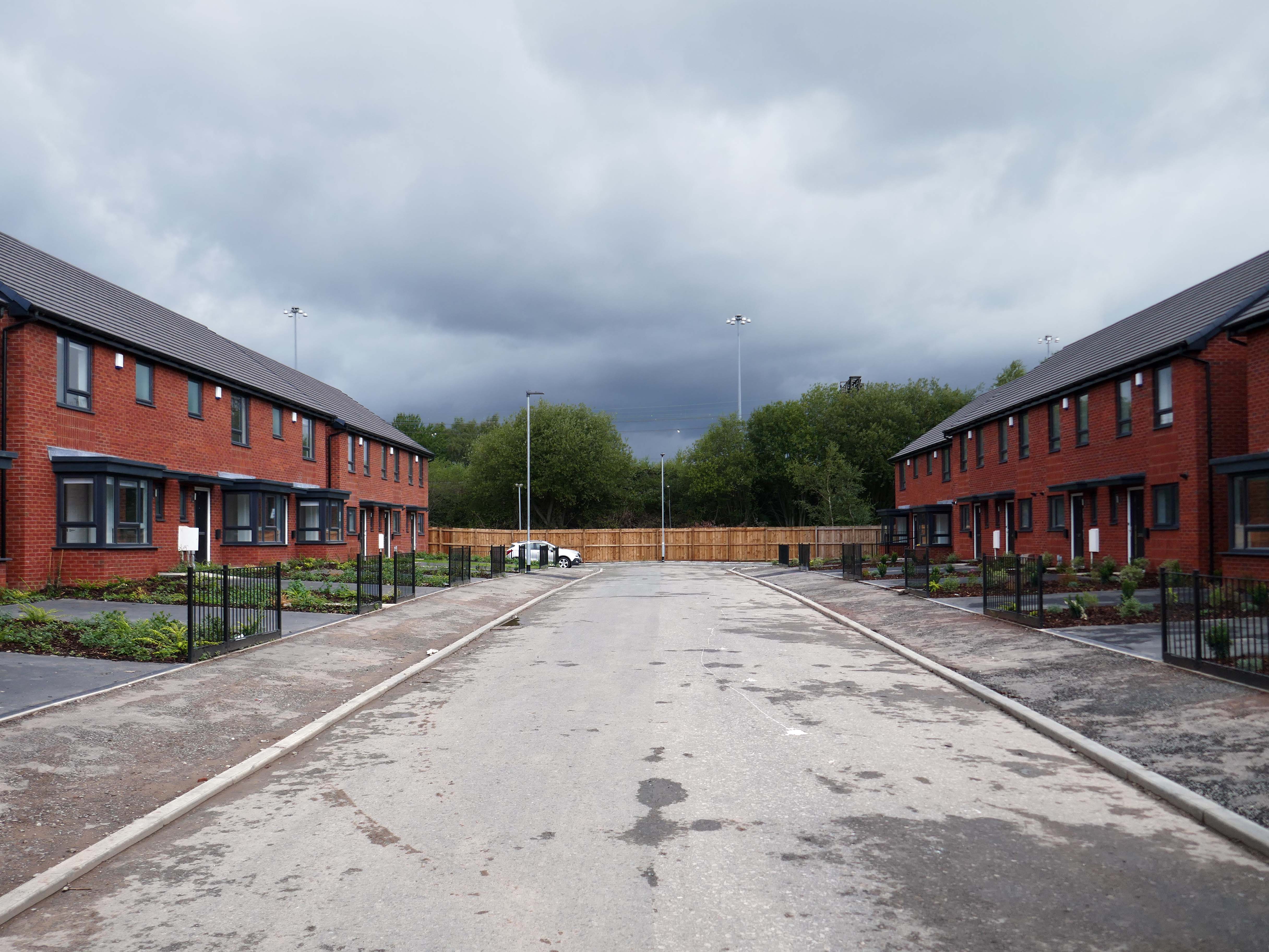
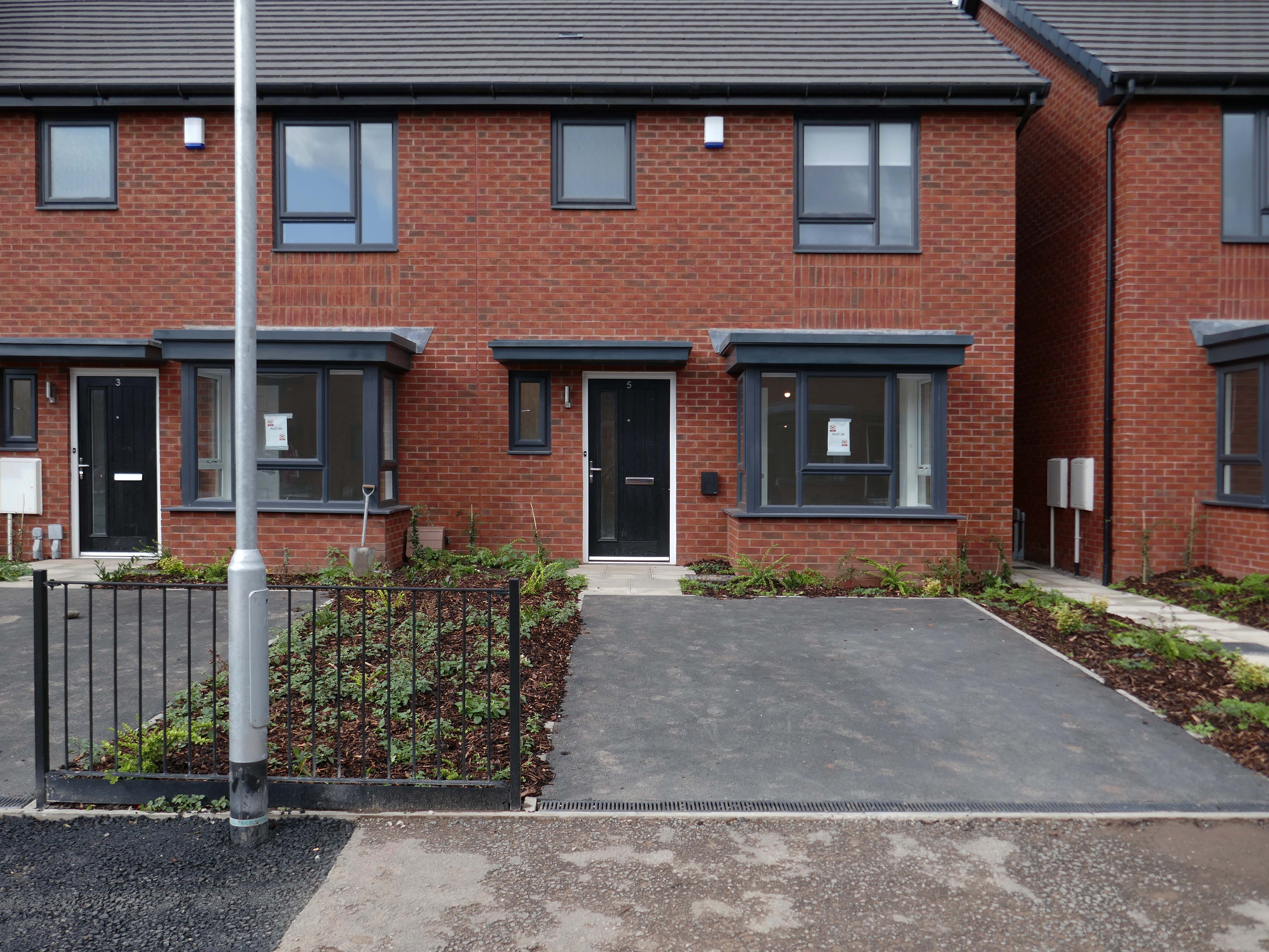
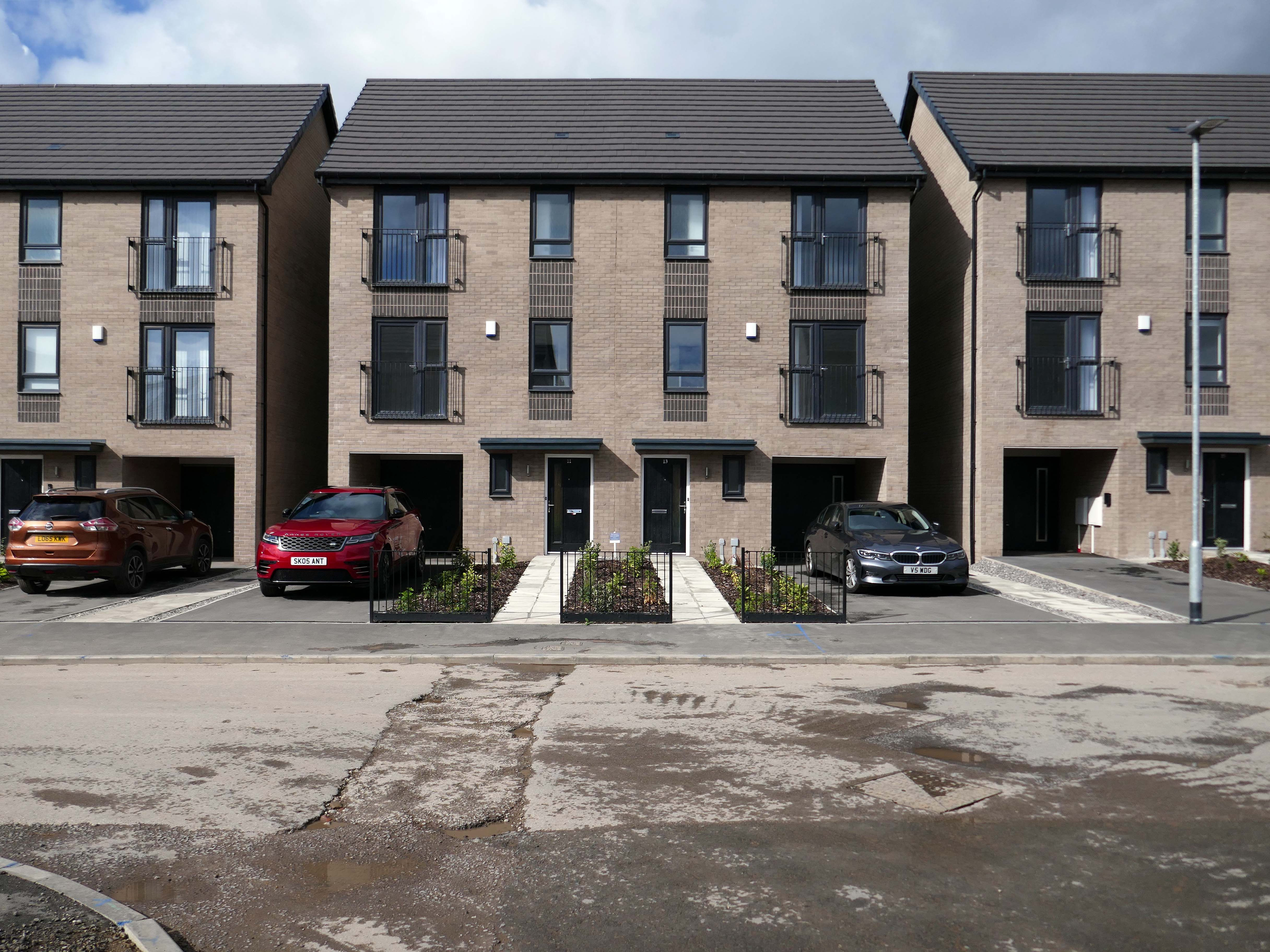
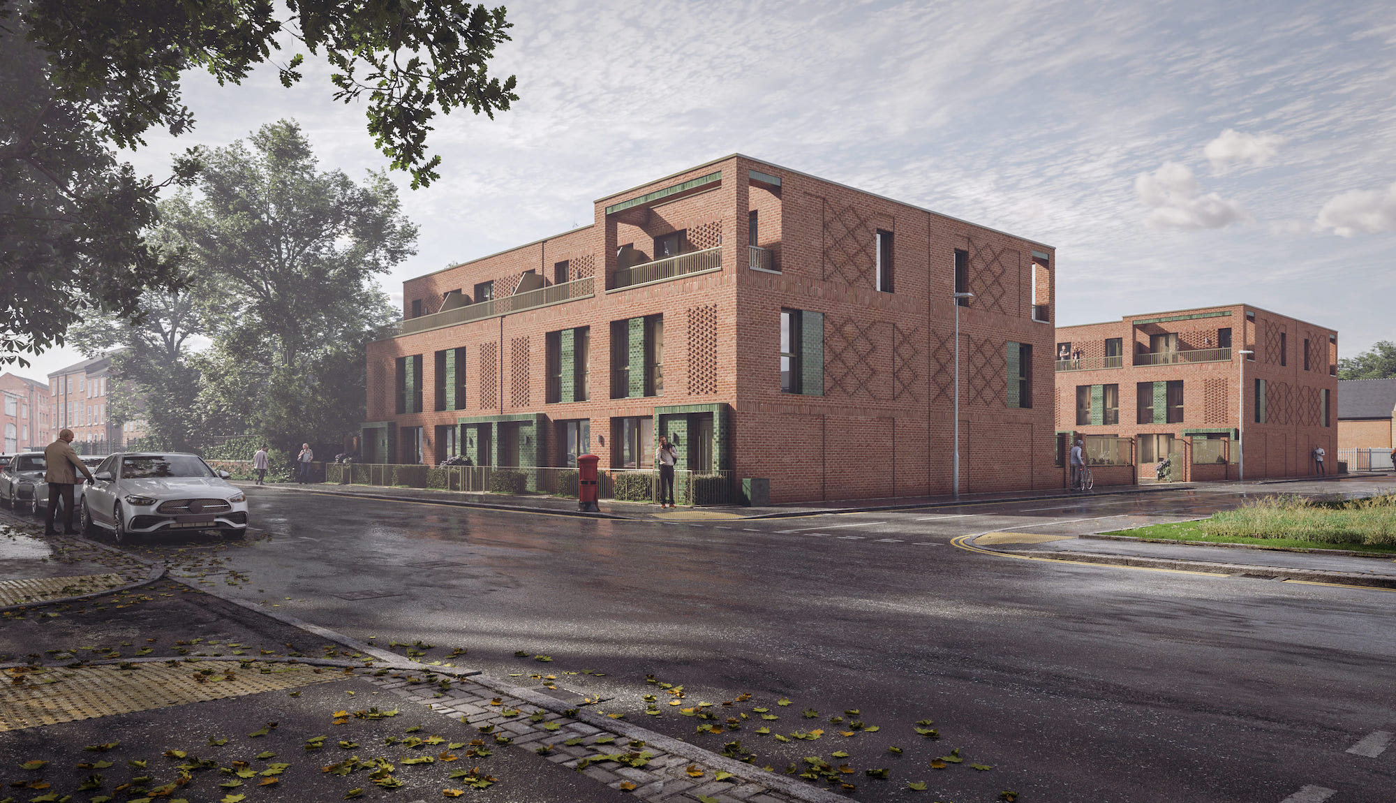
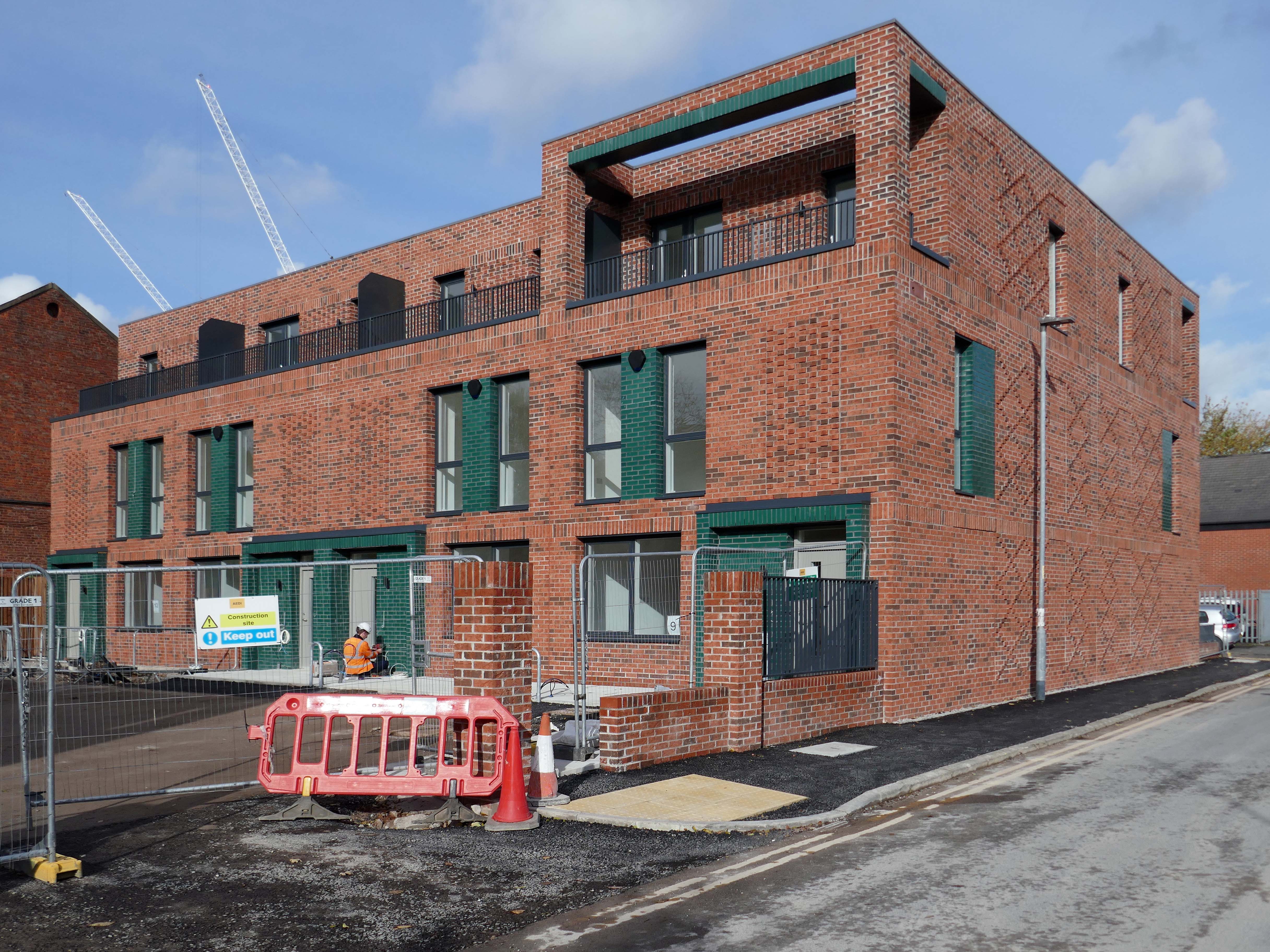
Alongside Ardwick Green Park there are new housing developments nearing completion.

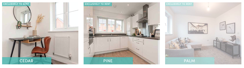
Ardwick Green combines contemporary design with great light infused spaces, offering stylish homes with a modern twist, private parking, outdoor spaces and a welcoming community atmosphere an urban retreat that truly feels like home.

With the city just moments away, living at Ardwick Green will give homeowners easy access to Manchester City Centre and beyond with its vibrant social scene, bustling business landscape and extensive transport network on your doorstep. 

Step Places

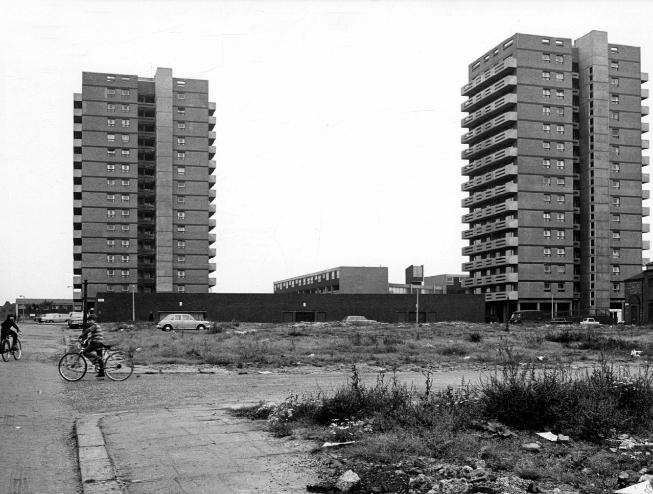
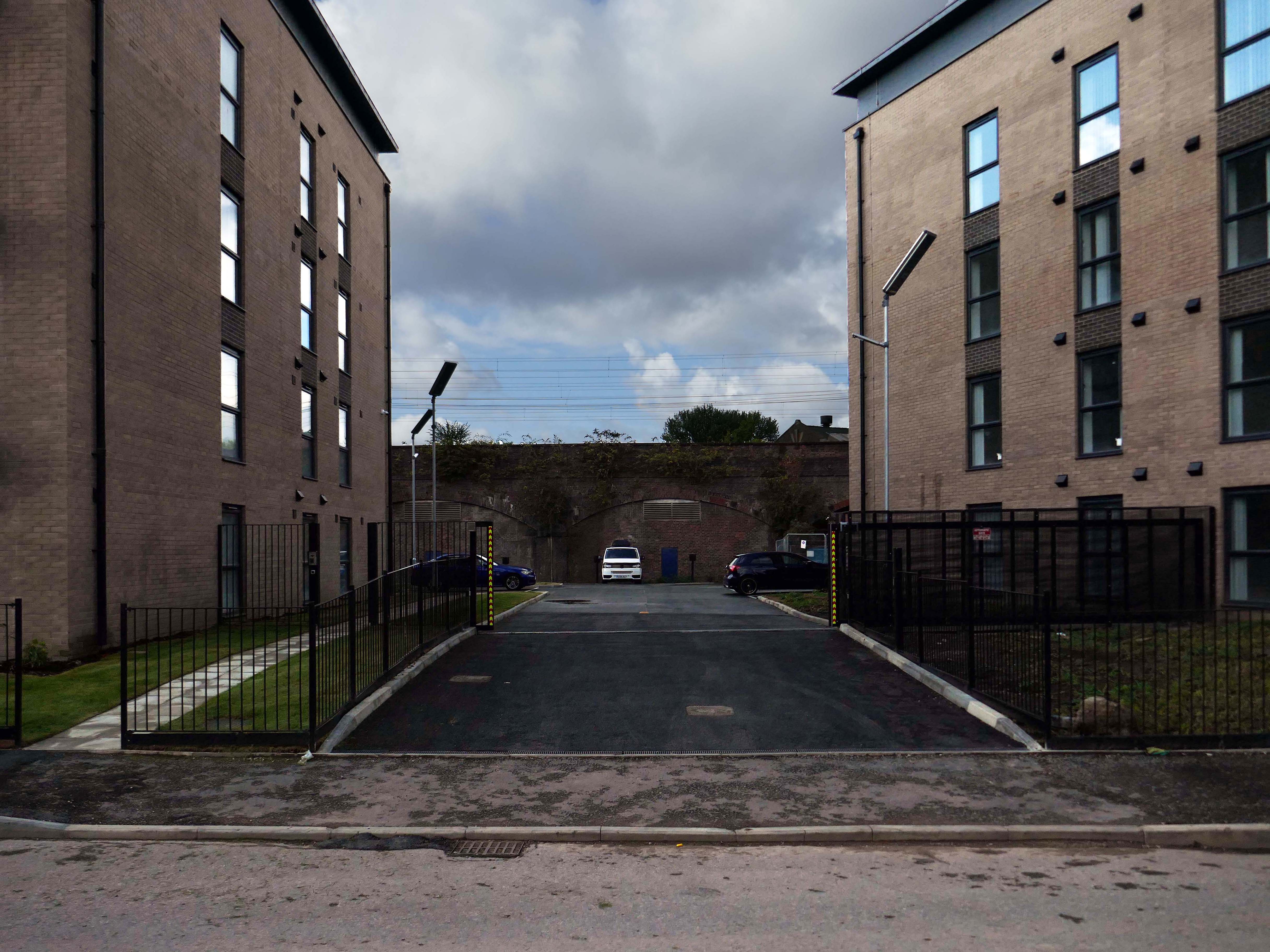
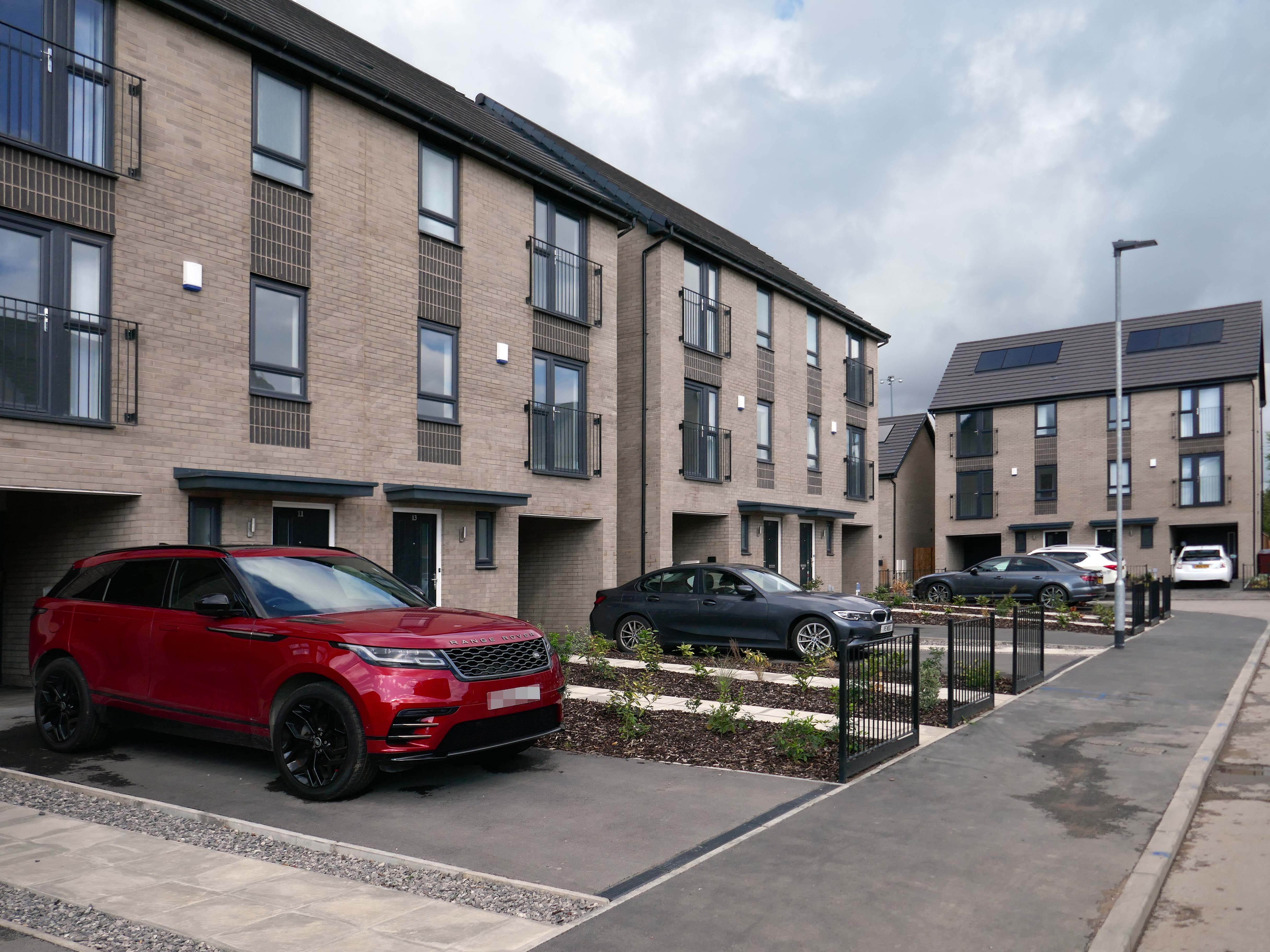
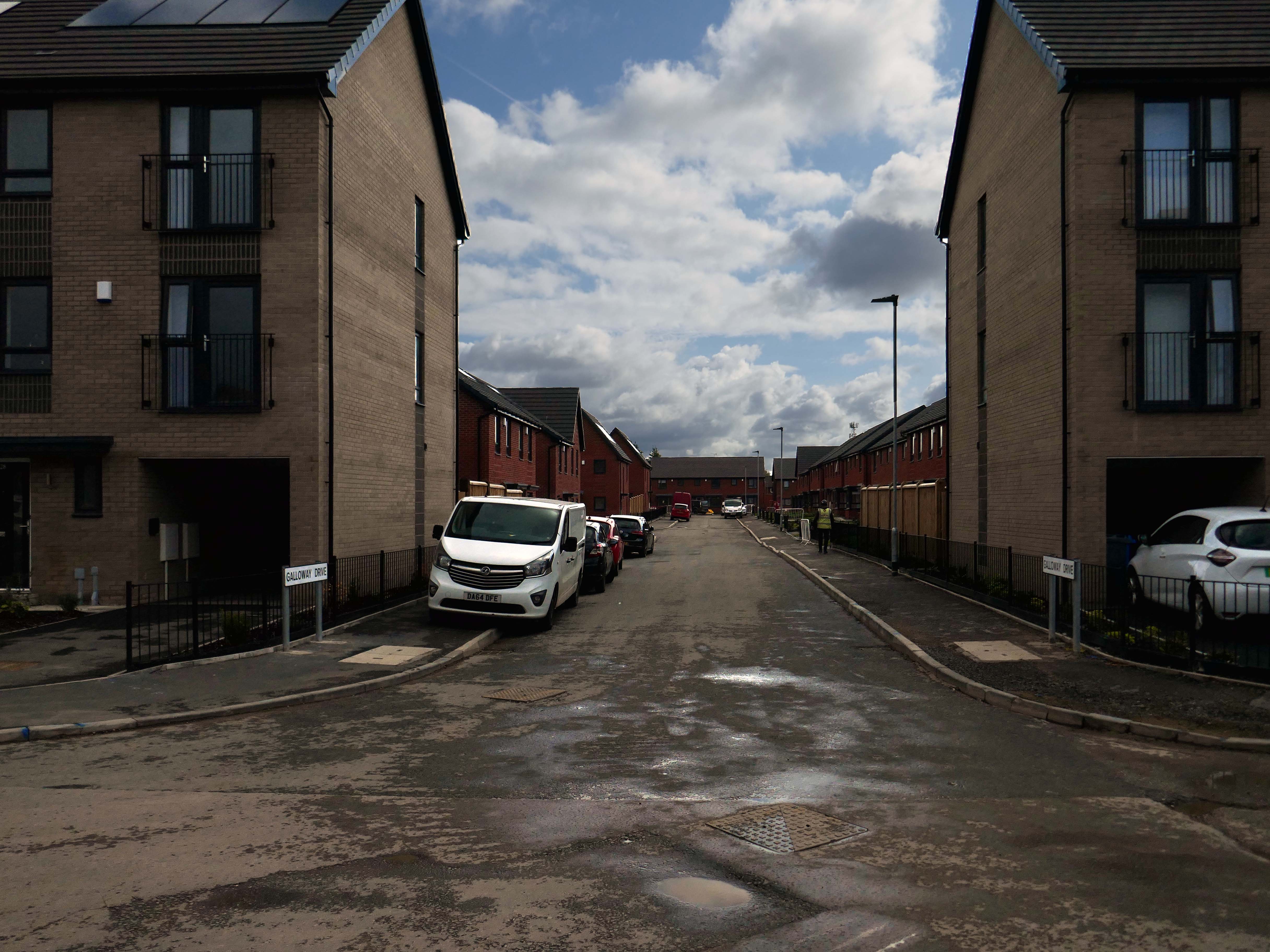
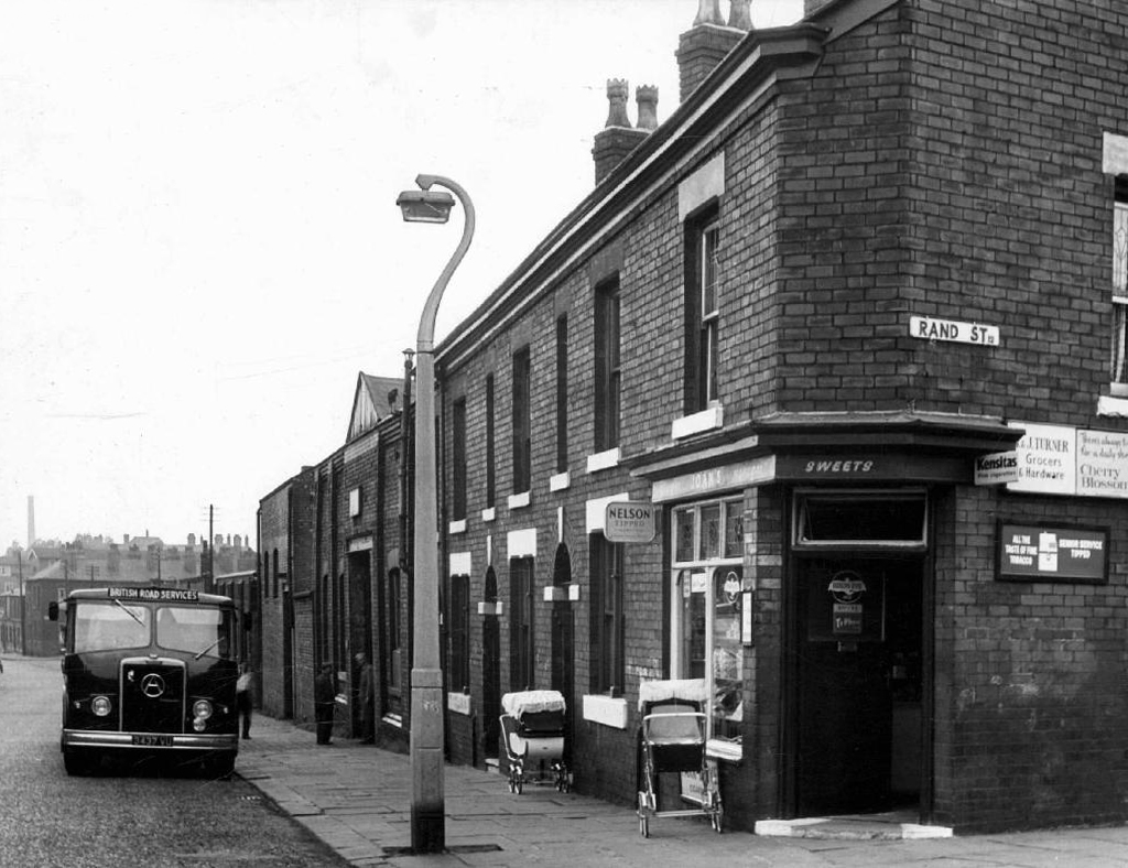
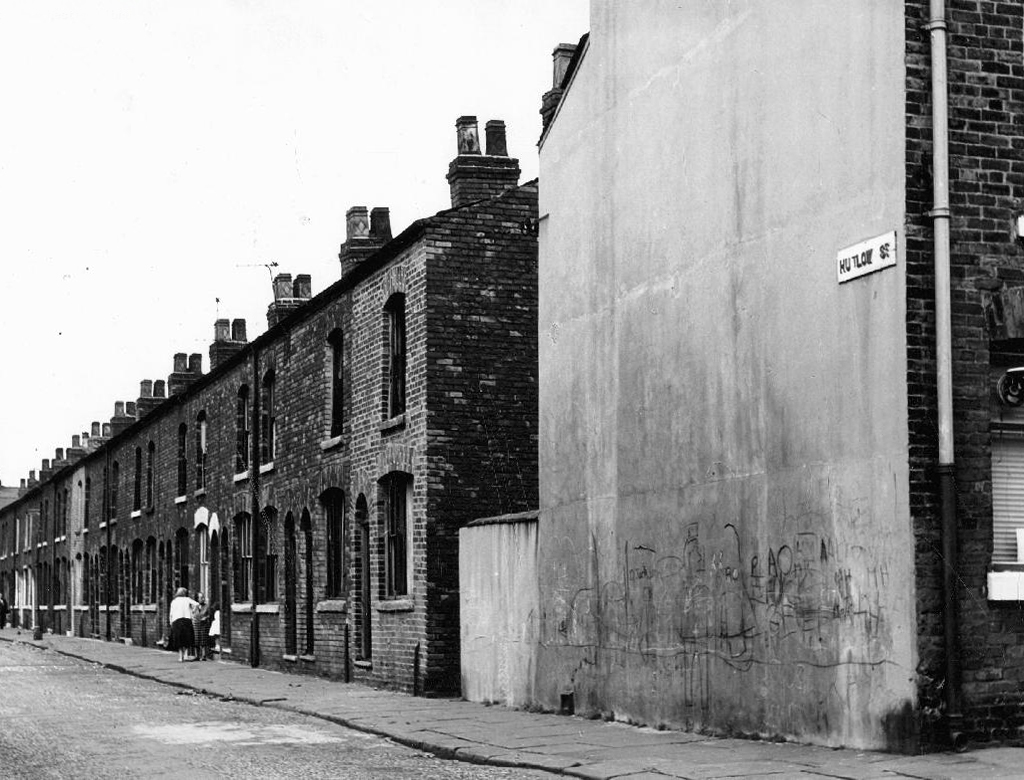
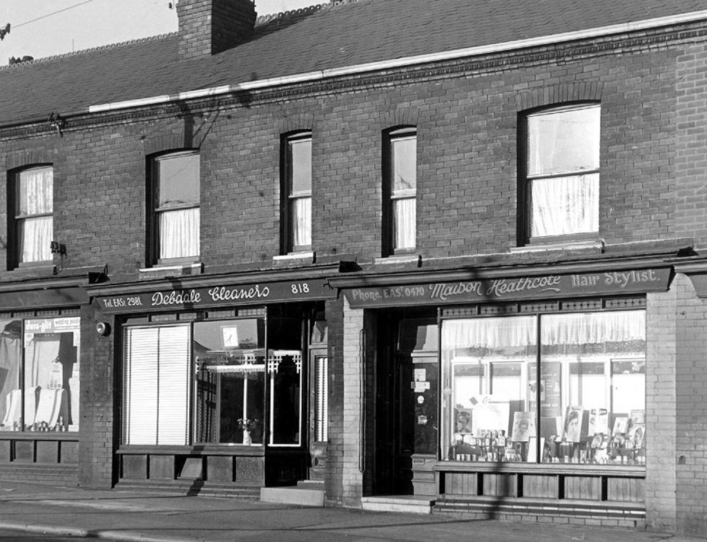
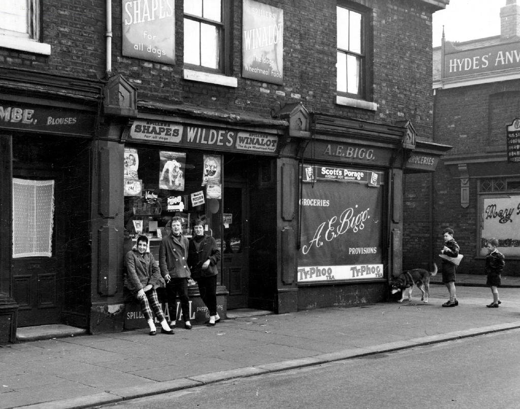
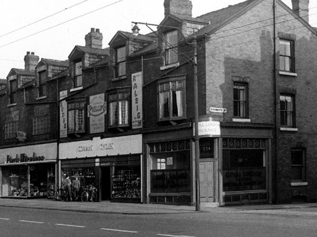
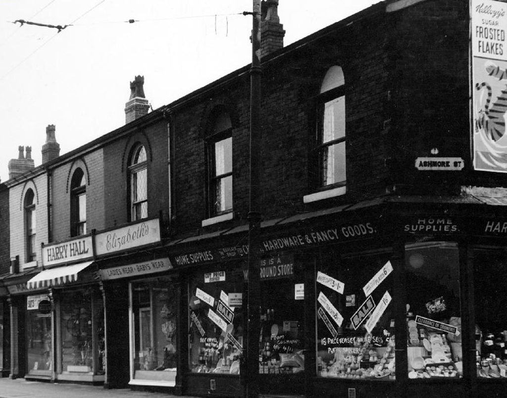
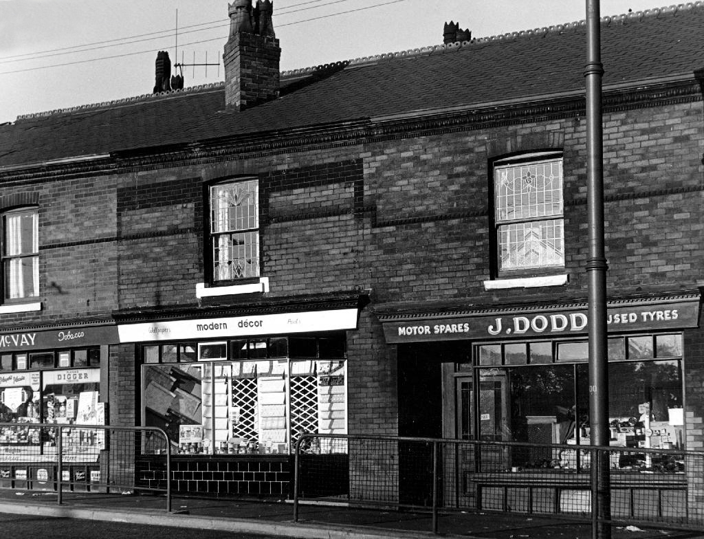
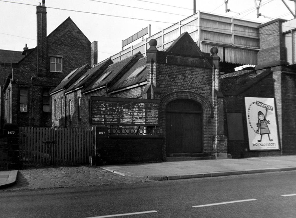
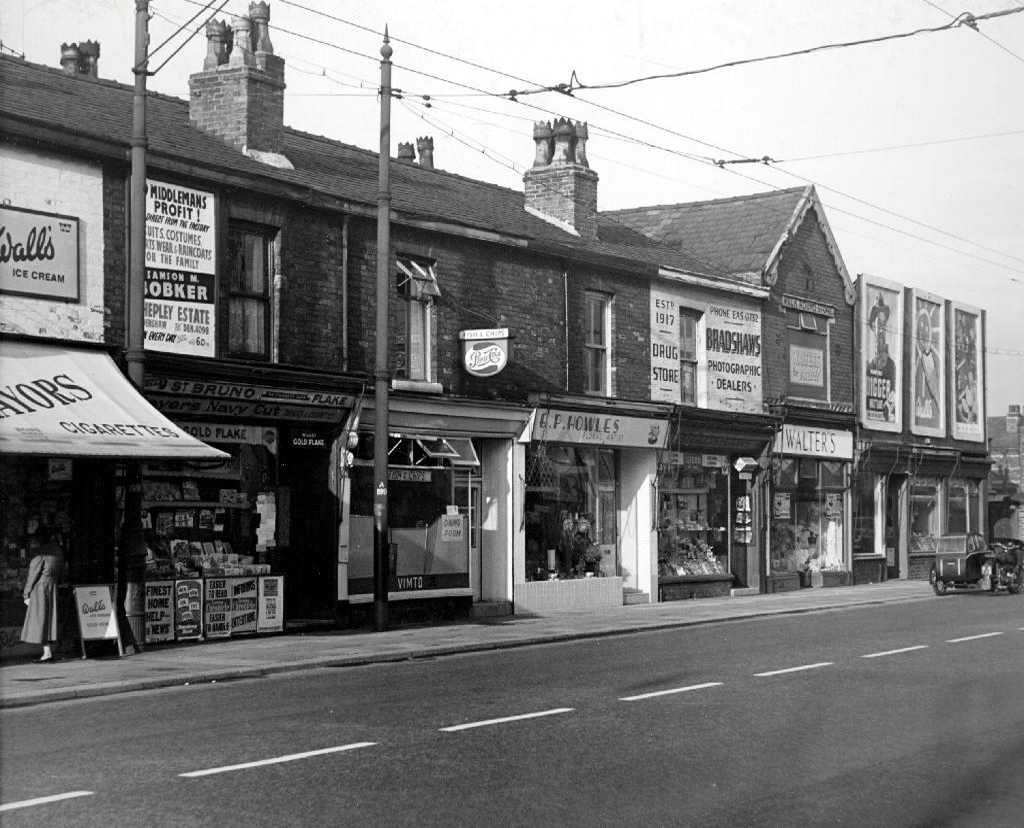
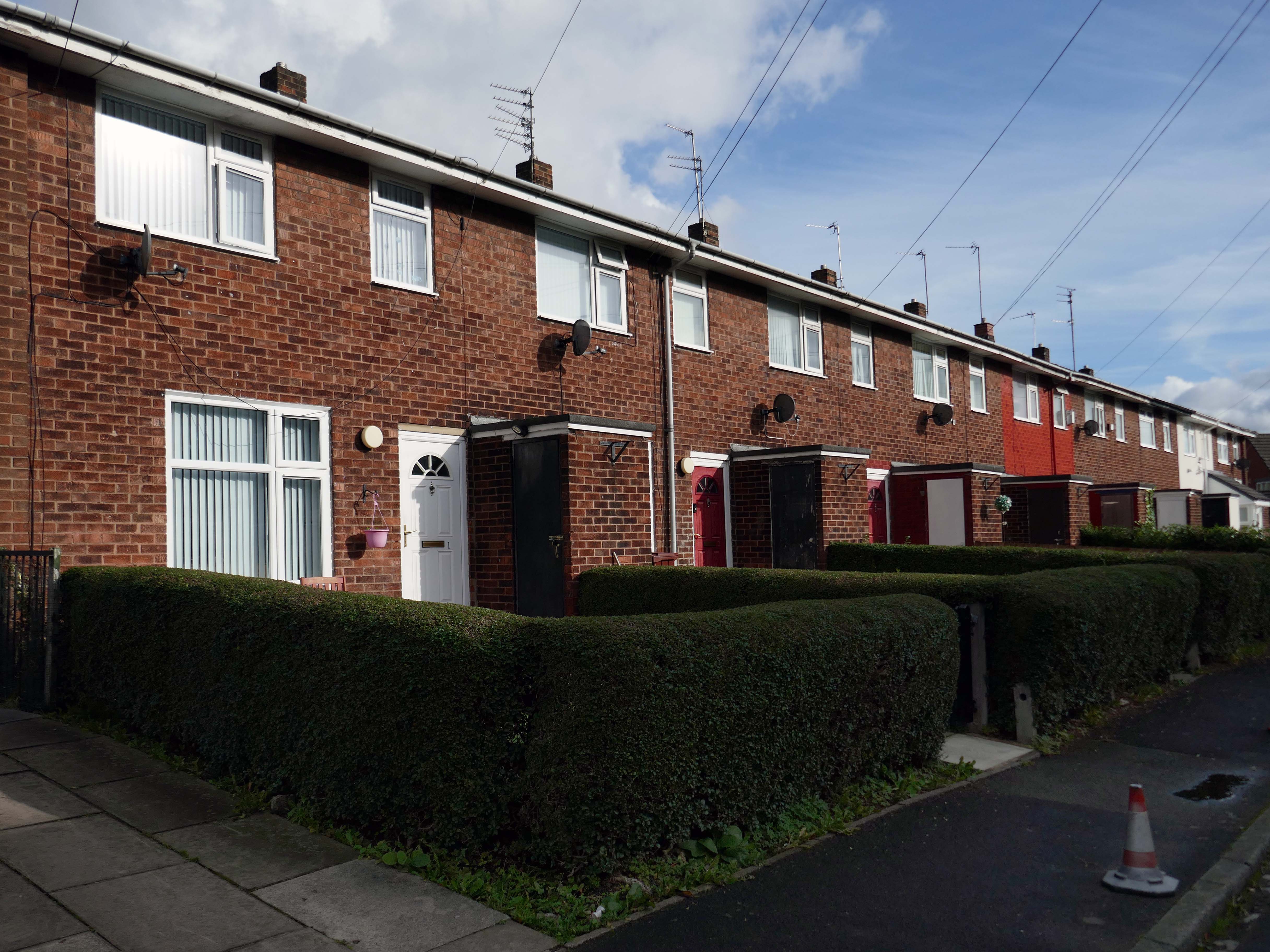
The area is home to a mixed and mongrel bunch of homes.

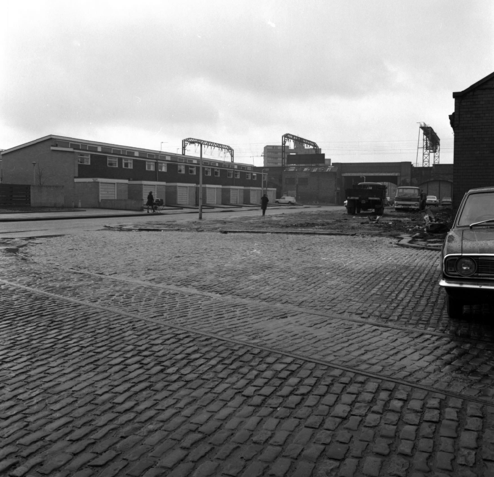
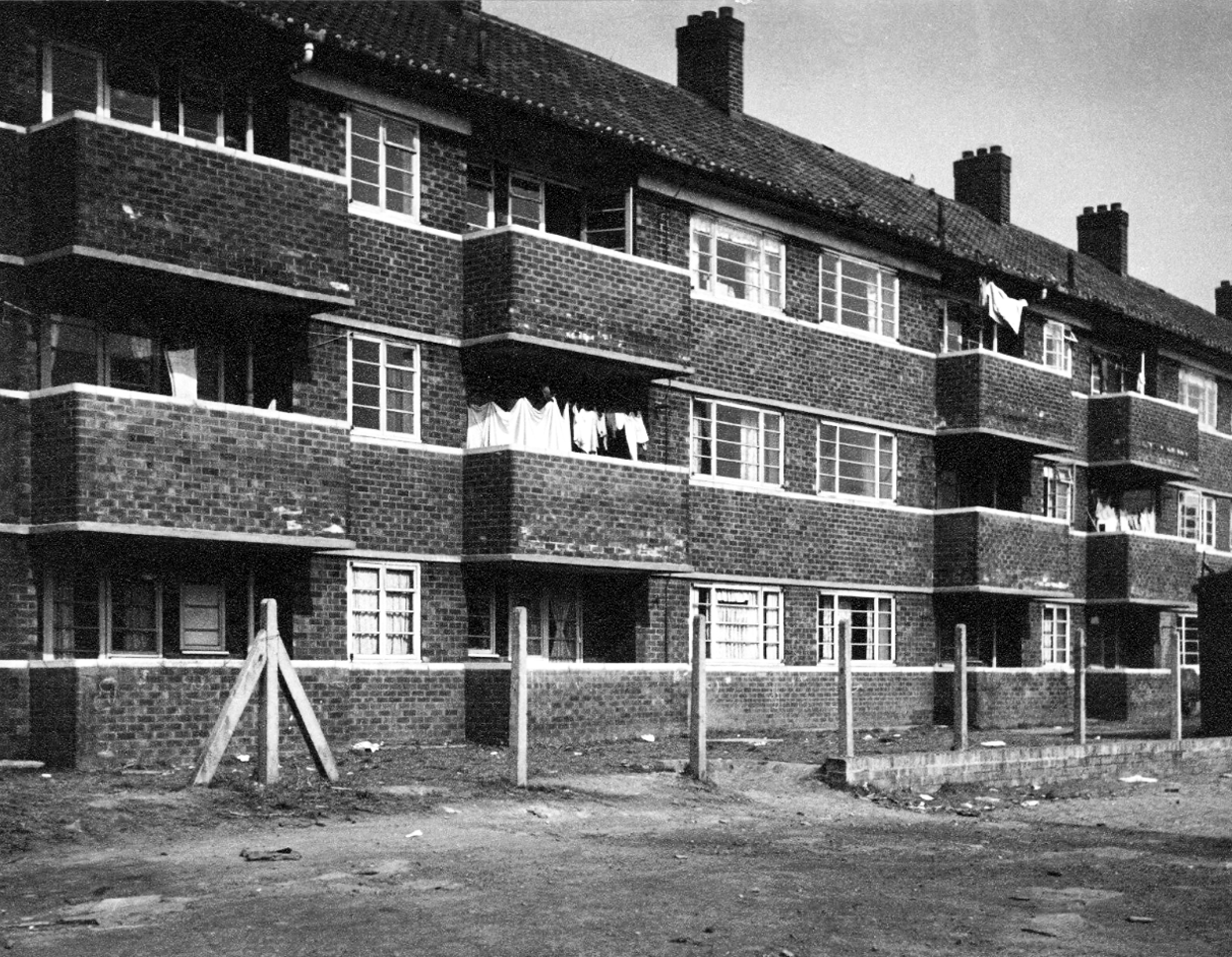
Though these interwar flats, seen here in 1956, are now long gone.

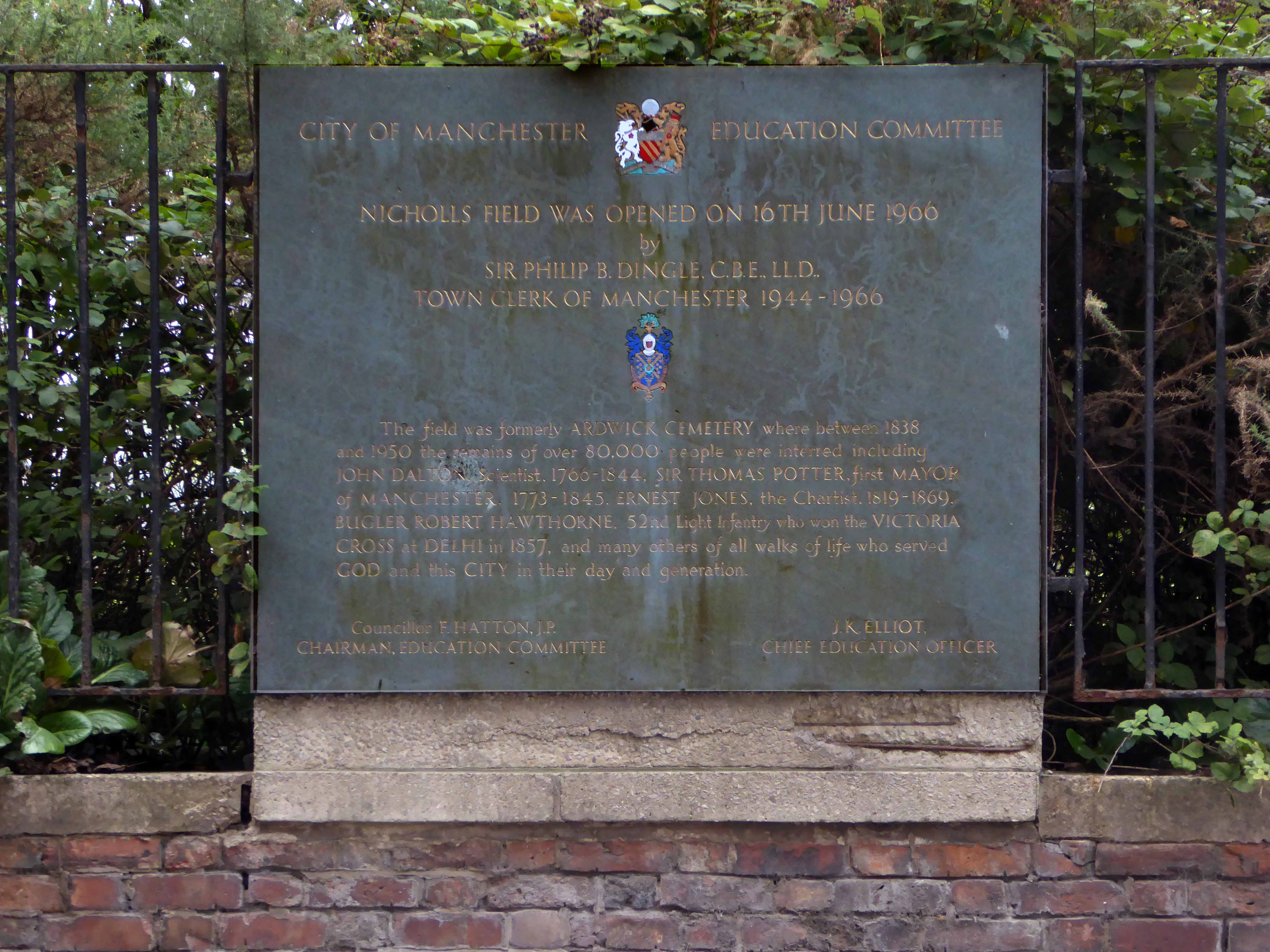
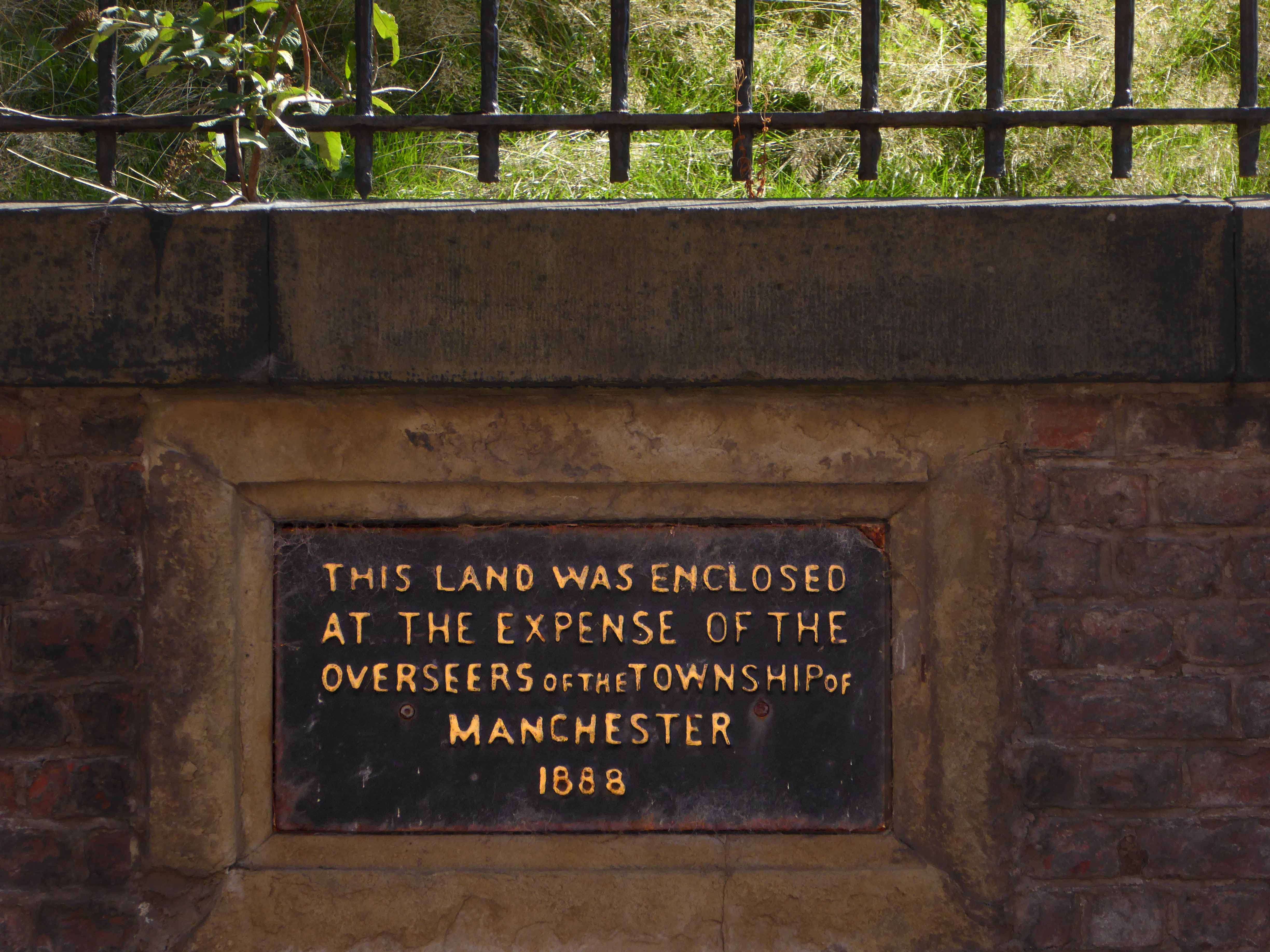
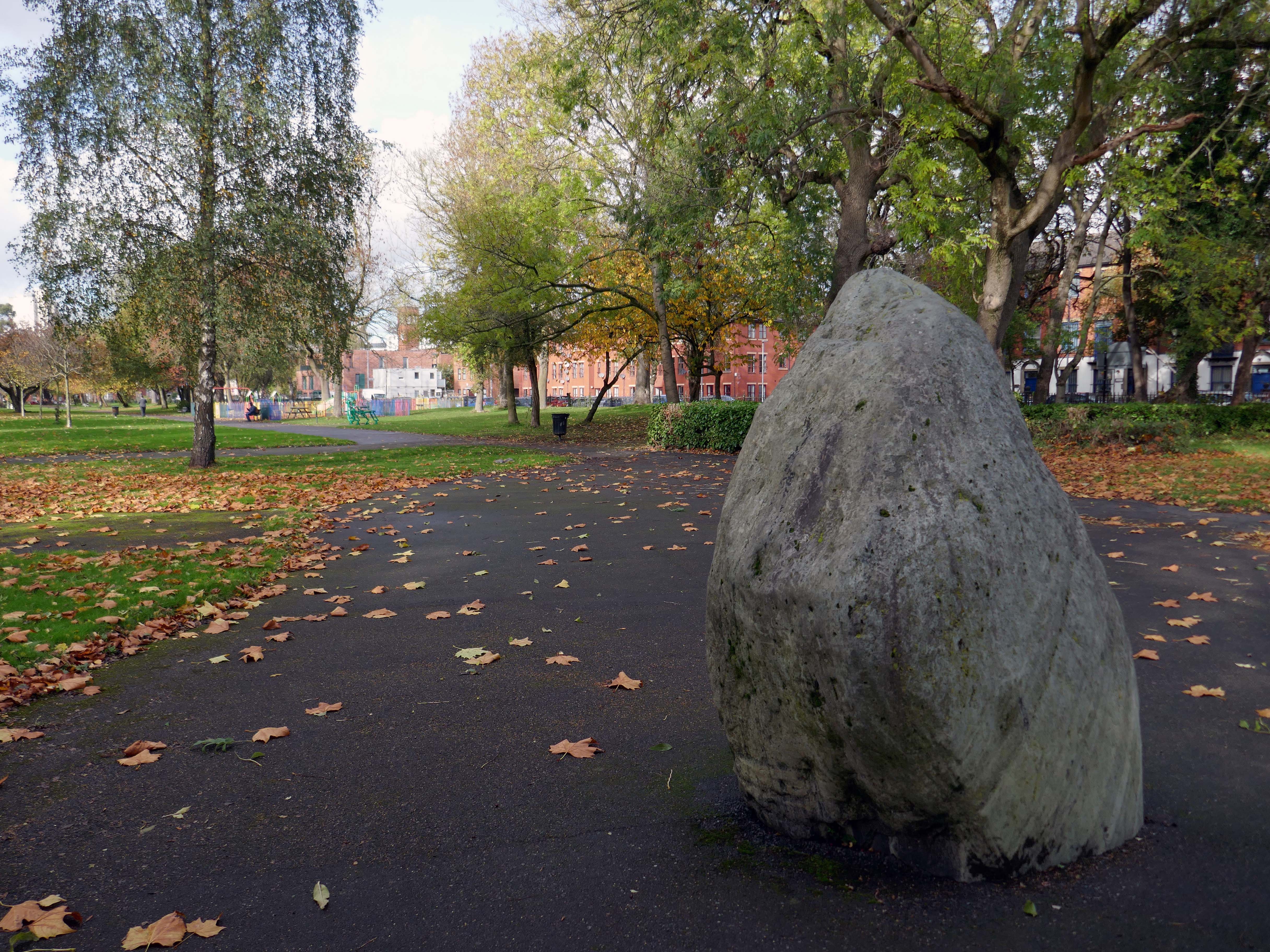
Within the park is a glacial erratic, which arrived following the Last Glacial Period .

Without which much of what we understand as the modern age would possibly not now exist.

It appears to be green slate from the Lake District, the native underlying rock in this part of Manchester is a red sandstone.
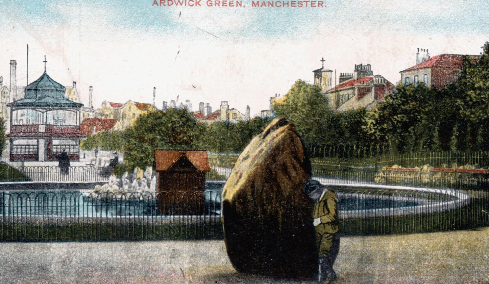
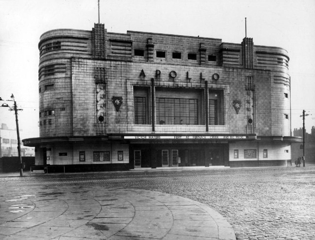
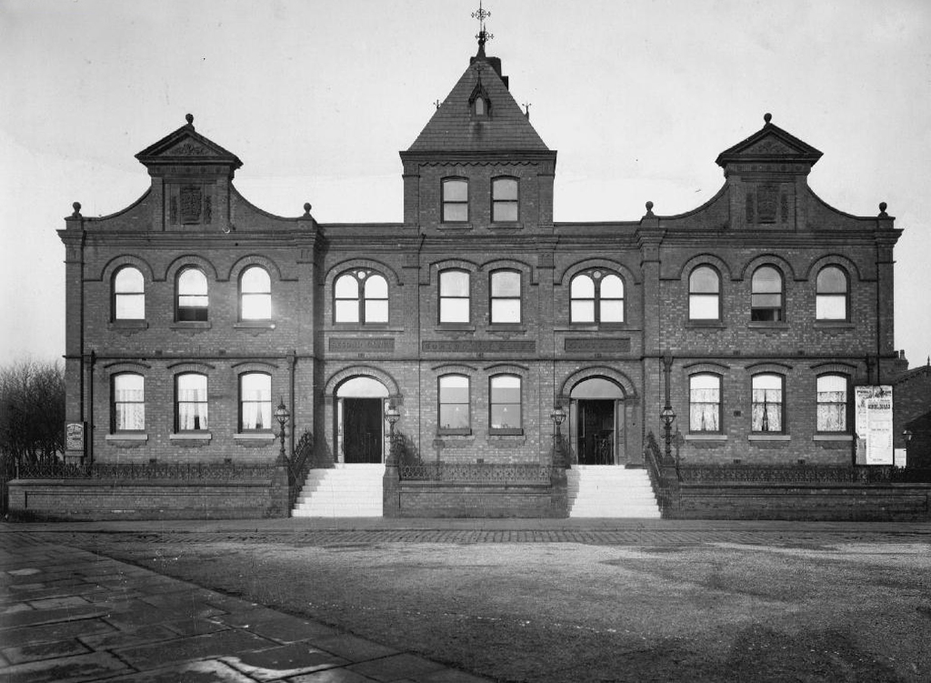
Postcard of 1906

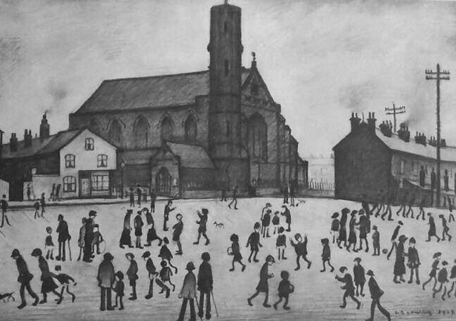
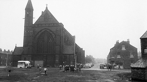
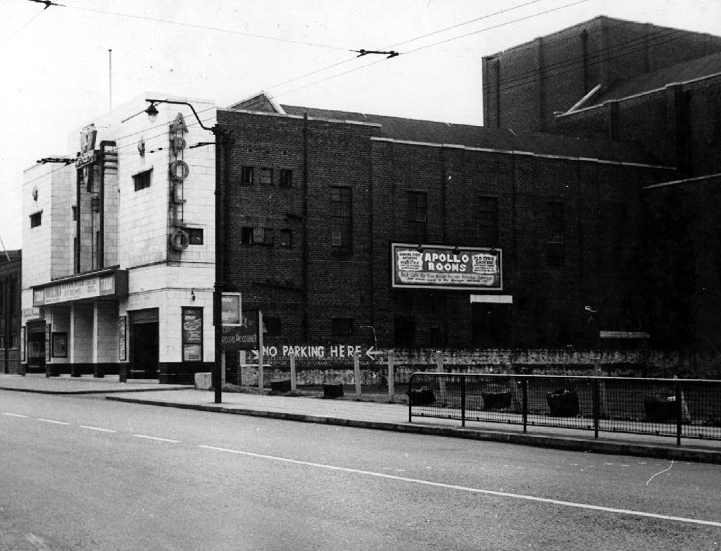
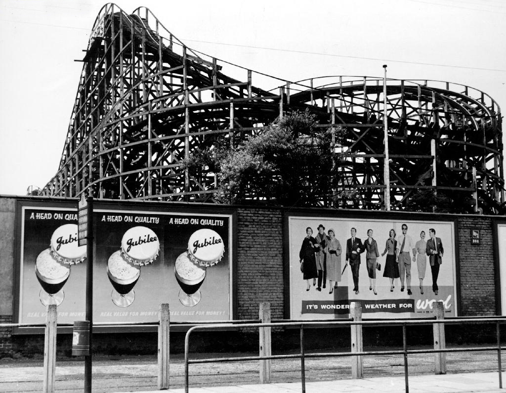
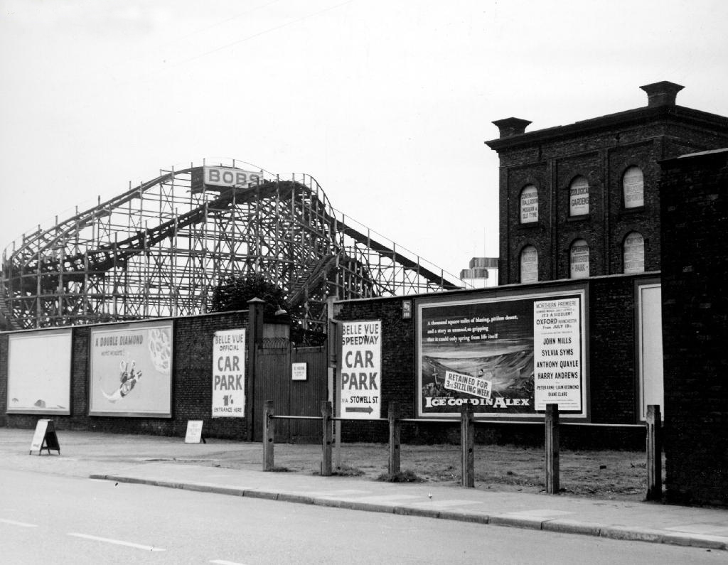
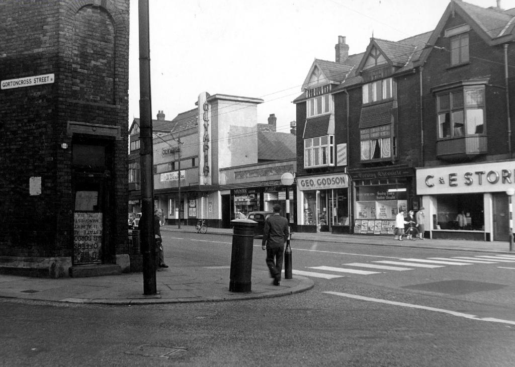
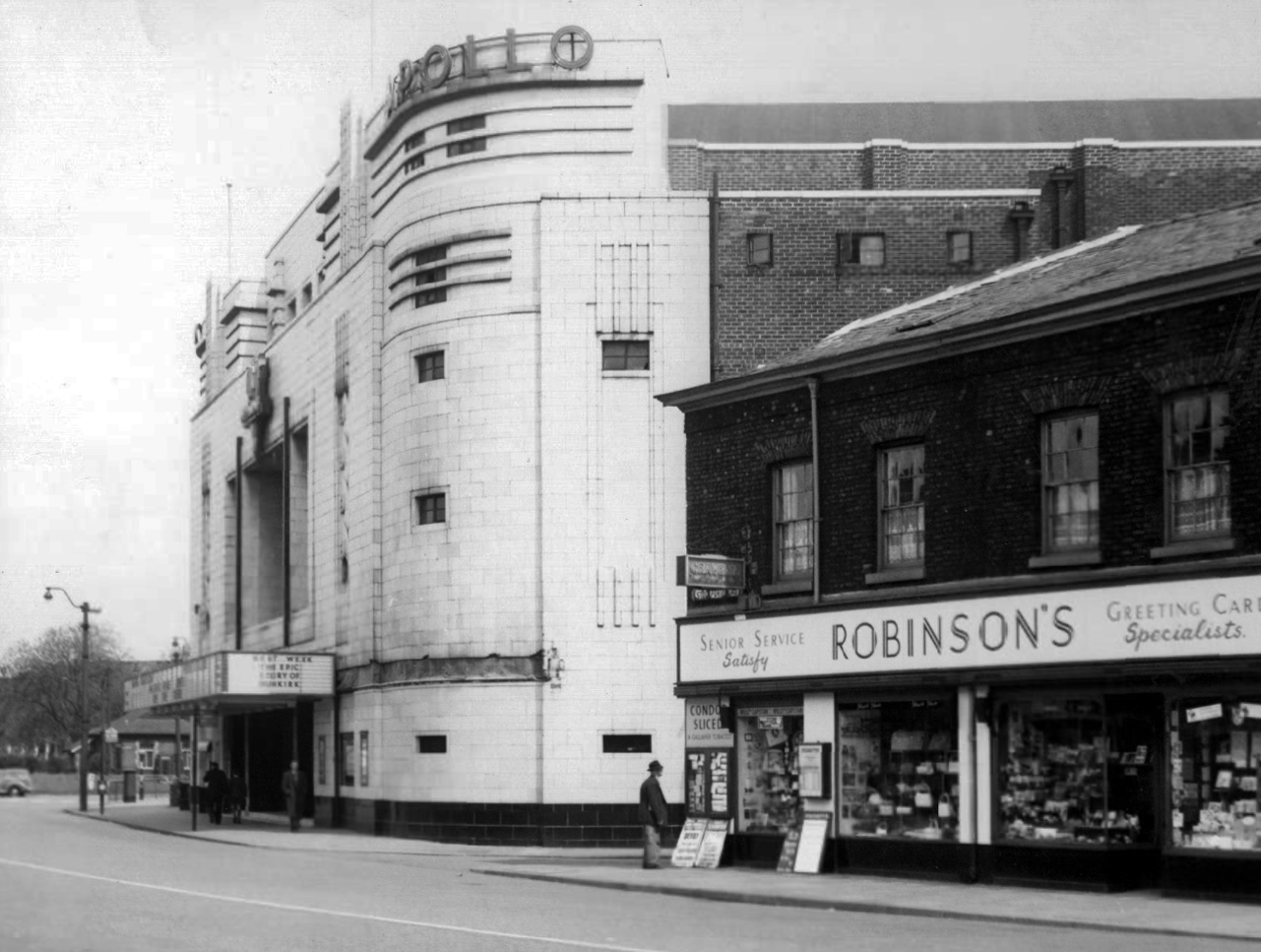
The Apollo of course prevails. – seen here in 1958

Architects: Peter Cummings Alex M Irvine

Opened on 29th August 1938 the interior decorations were carried out by noted interior designers Mollo & Egan with the Holophane lighting designed by R Gillespie Williams.

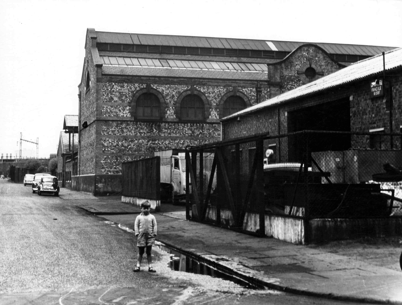
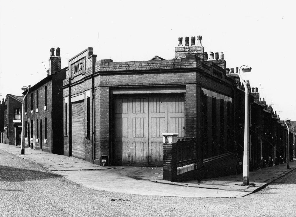
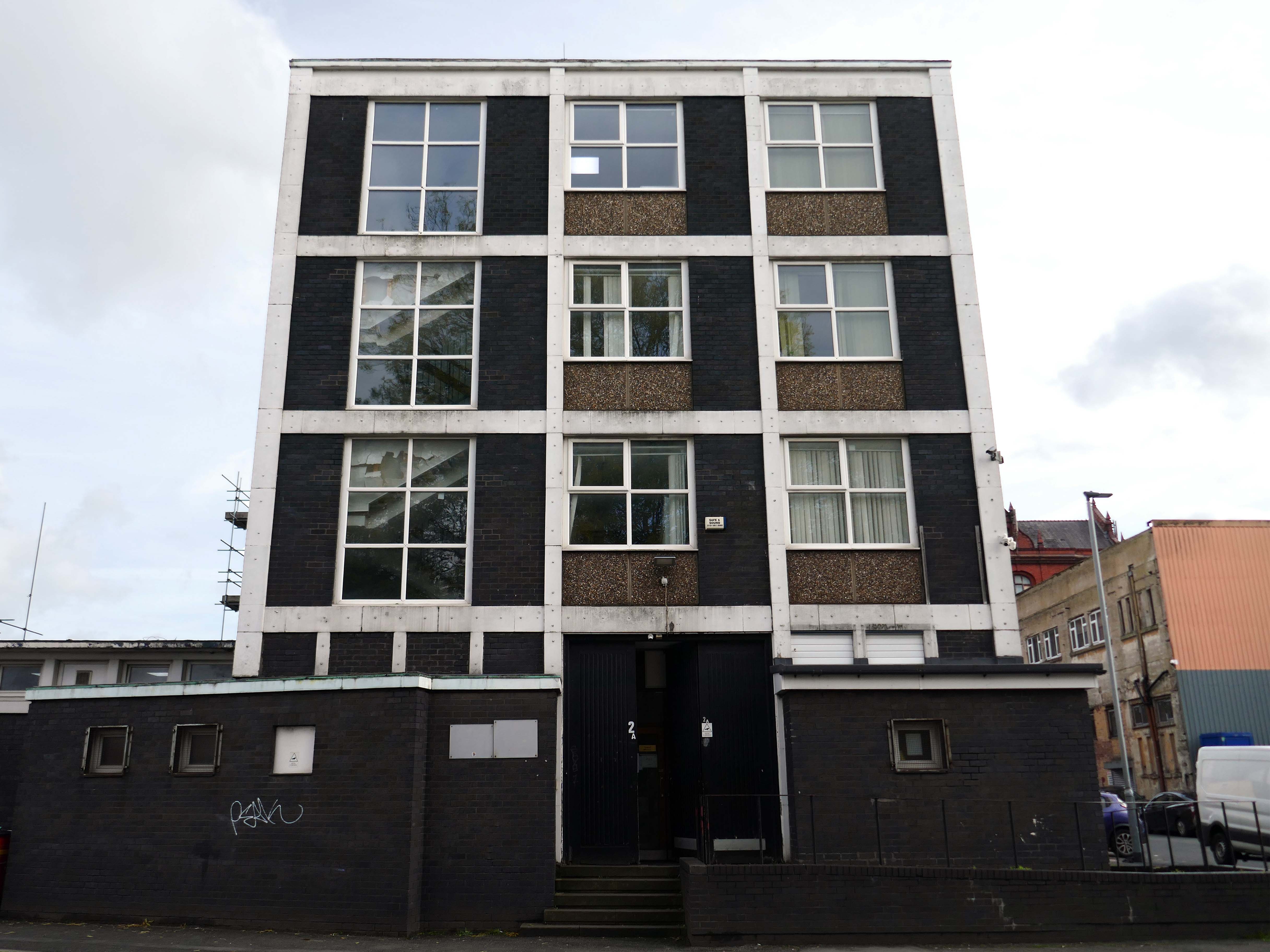
This Sixties municipal building remains a mystery.

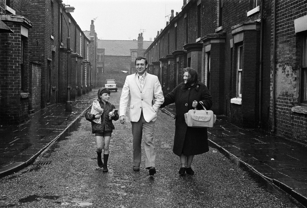
Actor Harry H Corbett visiting his childhood area in 1969, he lived on Earl Street and later in Wythenshawe.

The Gateway Housing Manchester

I have been here before recording the history of Manchester City FC on this site.

A football stadium surrounds by railways, roads, homes and industry.

The area is now much changed, though the railways and roads remain, the homes are in a state of flux.

Local Image Collection: Bennett Street with Heywood House 1972 – photo Anne Jackson.

Local Image Collection: Wenlock Way flats taken from Bennett Street – Photo Ben Garth 1972

Local Image Collection: Matthews Street from Bennett Street 1964 – Photo Thomas Brooks

The Gateway to the Simple Life is here.

Situated in Ardwick, one mile outside of Manchester’s vibrant city centre, The Gateway is a distinctive development offering a collection of homes and apartments to rent.

Enjoy living in the prime location of Manchester’s bustling city centre, where there is a vast range of employment opportunities, cafes, bars and restaurants. All year round, you can benefit from various fun days out with events and activities available on your doorstep.

Right Move

In addition to the apartments there is a mixed development of terraced, detached and semi-detached homes.

We pride ourselves on building places you can call your forever home, knowing it won’t be sold from beneath your feet. We offer renters a whole new experience which brings together the best of both worlds – all the perks of a private rental with the added excitement for customers at the start of a development to choose their own plot and watch it being built.

With home ownership becoming unaffordable for some and an unappealing lifestyle choice for others, we meet the need for a high quality home which still feels secure in the long term.

Lovetorent

Walking – Talking

I began walking when quite young, then like Felix, I kept on walking, walking still.

The photograph was taking during the Whit Walks in 1958 – aged three, I was engaged in religious pilgrimage, as we know there are many reasons for walking, this is but one.

I was fortunate to grow up at a time when youngsters were permitted to roam freely, less traffic, less anxiety, gave me access to a wider axis of exploration.

The photograph would have been taken I assume, by my mam, on the Brownie 127. When aged nine I wandered alone through the local woods and exposed twelve frames of 44mm 127 film, the prints are long gone, yet I remember each of the photographs and locations clearly.

I went to school, then I didn’t, then I went to Art School, eventually becoming a teenage Constructivist, tutored by Jeffrey Steele, a leading light in the British Systems movement.

The rigidity of the grid, symmetry and orthogonal framing have stayed with me.

Then I went to work for a very long time indeed, then all of a sudden I didn’t. Taking early retirement aged 59 some ten years ago, subsequently taking to the roads, streets and hills of Britain in search of nothing in particular.

In recent years there has been a rapid development in the culture of walking, theories, films, guides, songs and literature. I am fully cognisant of such, yet believe at heart that walking can be free of such baggage, we can stride unhindered, atavistic and carefree/less.

Walk tall, walk straight and look the world right in the eye.

Getting lost is about the unfamiliar appearing.

In my own small way, I have become part of that baggage, having been asked to lead a walk around Stockport by the the modernist neé Manchester Modernist Society.

The photograph depicts Alan Boyson’s concrete screen wall, attached to the former Cooperative super store designed by Philip Andrew. The two worked to gather on the Hull Cooperative store, which is adorned by Alan’s huge Three Ships mosaic.

Philip was a childhood friend of Alan Boyson and it was Alan’s father, manager of the Marple Co-operative Society, that recommended Philip for an apprenticeship job in 1951 to the chief architect at the CWS in Manchester HQ.

Ships in the Sky

In preparation for the tour, I visited the town’s Local Heritage Library and read extensively from serendipitous charity shop finds.

The two hour route was designed around an economy of distance and elevation, allowing time for others to take in, what may be for them unfamiliar surroundings. A group of around twenty or so folk became sociable and engaged, with a suitably concise and apposite contribution from myself. There are those who busied themselves taking snaps along the way, chatting amiably or simply gazing in amazement.

The service building above the former Debenham’s store.

Beneath the spiral ramp which leads to the Red Rock car park.

The architects for the scheme were BDP – the building was not well received as it was awarded the Carbuncle of the Year 2018.

Stockport’s Town Hall extension Stopford House.

Famed as an imaginary TV police station, this civic building is a civic building I simply can’t resist. I return on a regular basis to wander and snap. This is an open public space that seems little loved and has few visitors.

From then onwards I have been taking folks on Modernist Mooches on a regular basis, two or so a month, during the less inclement times of year.

At about the same time I was asked to exhibit my photographs in Stockport, I chose to mooch about at night. Walking around an almost deserted town, avoiding the glare of streetlights, there is a mild frisson to be about when nobody else is about. The air feels different, exposures are longer, the almost waking world feels arrested, by the low available light.

Merseyway Shopping Centre designed by Bernard Engle and Partners, opened in 1965.

My local shopping centre and as such part of my weekly walking and shopping life.

NCP Car Park located on Stockport Station approach.

Regent House

Asda superstore

I found a copy of Charlie Meecham’s book Oldham Road in a charity shop.

Inspiring me in 2014, to walk in mostly straight lines, though often as not zig zagging along the main arterial roads of Manchester.

Taking pictures on Sunday mornings, in order to avoid traffic, mildly amused to be ignoring the primary function of the routes.

This is one of the more familiar roads, having walked up and down several times over several years. It was to have been an extension of the Mancunian Way, forming a trans-pennine motorway. Much of the property lining the route was cleared in preparation, it was never built, and for years a strange semi-deserted ambience hung over the A57.

Bus Depot

Railway Bridge

The car showrooms which later became an African Evangalist church.

Having cleared away both Victorian and Sixties housing, new architectural forms arose in West Gorton.

Where there were once dozens of pubs, often there are now none.

The Belle Vue Granada Bowl became a Bingo Hall then became nothing.

The 192 bus runs between Manchester Piccadilly and hazel Grove, I often ride between Stockport and town, and back.

I decided to walk the route, photographing each of the ninety eight bus stops along the way.

Piccadilly Station

UMIST Retaining Wall

Ardwick Post Office

Levenshulme

A book published by the modernist – literally eight launderettes.

Which became the first modernist calendar.

Now, everywhere I go, I see launderettes – so arriving in Hanley with time on my hands, wandering around I found this exemplary example.

Having a blog entitled Manchester Estate Pubs, the national media became interested in my photographs. I had spent quite some time, wandering around in search of this endangered architectural typology.

This was Billy Greens in Collyhurst, named for a local boxer, now demolished.

Which in turn became the second modernist calendar.

Followed the following year by fish and chip shops.

So building a vocabulary for my mooching, discovering yet another chippy, laundry, pub, Burton’s, telephone exchange, glazed stairway or underpass.

These things find you, yearning for some small amount of attention and affection.

The Trawl – my favourite peg board menu, my favourite Bridlington chippy.

We are now coming to the end of the car park year – seen here on the wall of my command centre.

The calendar was an adjunct to a walk – Twelve Car Parks.

Here we all are at Circle SquareFielden Clegg Bradley were concept architects while Leach Rhodes Walker were delivery architects.

In September we walked around Newcastle for a weekend away – taking in Eldon Square, ably guided by local modernist Euan Lynn.

Ending our tour at Manors Car Park.

Following an urban river – the River Irk, an excellent way to devise a linear walk.

The river enclosed in blue engineers brick as it passes under the railway.

A long neglected are is now the scene of mass regeneration – rebranded Victoria North.

The former Traveller’s homes are now rubble.

Rushing miles ahead to Blackley the home of Richard Siefert’s ICI Tower.

And around the corner, these delightful reliefs attached to the Tower Blocks.

I was asked to assist in putting together an exhibition for Collyhurst Voices – walking through the memories of a community under threat.

Walking in the footsteps of Dennis Hussey’s Collyhurst Cowboy – looking toward Dalton Street

Then uphill to Eastford Square and the long lost homes.

Home to William Mitchell’s Totem, the homes long gone and the Council pledged to move the totem too.

The state of play this week, the detritus removed and the base filled in, repaved and safe for a while.

Off now to the Weaver Valley another day another river, passing under Weaver Viaduct

The looking toward Koura Global – leader in the development, manufacture, and supply of fluoro products and technologies, opened a new HFA 152a production facility at their Runcorn site in the UK.

Further rural Modernism as we pass under and traverse the M62, whilst walking around the Piethorn Valley

Then recently visiting several Yorkshire Reservoirs – here we are at Scammonden.

The newest of the Modernist Mooches was to Burnley where we visited the Keirby Hotel.

The former GUS Offices with a mural by Diane and William Morris.

Plus the Charles Anderson concrete relief at the Crow Wood Hotel.

Finally a little light relief – a visit to the Boots factory in Nottingham.

Having innocently board a bus outside the station with a Boots head code , I alighted within the factory gates. Then innocently walking around taking snaps, unheeded until the men in the van stopped me in my tracks.

Who are you, what are you doing?

I am the Modern Moocher going about my business – well it turns out this was not permitted and I was red carded by the earnest security guards and asked to leave forthwith. Suitably rebuked, I politely bade them farewell and headed for the gates.

Manchester Arterial – A6

The A6 is Britain’s fourth longest road. Its route varies greatly from the lower lands of the South East, though the Peak District, right though the heart of Manchester city centre, then onwards towards Preston. It then goes though the historic city of Lancaster before skirting the Eastern fringe of the Lake District before ending in Carlisle, bang on the start of the A7.

Sabre Roads

North from Stockport towards Manchester, the A6 was a wide, four lane road, but still 30 mph, which usually flowed pretty well. According to Mudge, it looks like it has now been massacred by bus lanes and red paint. Shame. We meet the A57 from the east, just south of the city centre, and multiplex until we reach Mancunian Way, the A57 heading off as a short urban motorway, the A6 heading into the city centre via London Road/Piccadily, where it loses its number and vanishes. It would have gone straight down Piccadily/Market Street to meet Deansgate, and then across the River Irwell into Salford, and up Chapel Street, where the number reappears. Market Street has been pedestrianised for years, so the A6 has long ceased to be a through route.

Sabre Roads

In 2014, having taken early retirement from teaching photography, I embarked on a series of walks along the arterial roads of Manchester.

See also Bury New Road and Cheetham Hill Road and Rochdale Road and Oldham Road and Ashton New Road and Ashton Old Road and Hyde Road.

Manchester Arterial – A57

The A57 was nearly a coast to coast route. It passes through three major city centres (Liverpool, Manchester, and Sheffield – with elevated sections in each) and several smaller ones, multiplexes with the A6 and the A1, follows the banks of two canals and negotiates the remotest part of the Peak District. In one city it part of it is a tram route, whilst in another its former route is also a tram route. After all these adventures, it sadly gives up just 40 miles short of the east coast, Lincoln apparently proving too big an obstacle.

The A57 crosses the River Irwell at Regent Bridge before entering its moment of motorway glory as the A57(M) Mancunian Way skirting the south of Manchester’s city centre on an elevated section and crossing the A56 and A34. This includes a half-completed exit that goes the wrong way up Brook Street – a one way street. The original A57 ran further north through the city centre along Liverpool Road (now the A6143) and Whitworth Street – B6469 as far as the A6 London Road which marked the start of a multiplex.

At the end of Mancunian Way, we reach a TOTSO, straight on being the short unsigned A635(M) and thence the A635 – for Saddleworth Moor, Barnsley and Doncaster whilst the A57 turns south, briefly multiplexing with the A6, and then branching off along Hyde Road. This section of road was extensively cleared for the westward extension for the M67, and consequently has seen a lot of redevelopment.

Sabre Roads

In 2014, having taken early retirement from teaching photography, I embarked on a series of walks along the arterial roads of Manchester.

See also Bury New Road and Cheetham Hill Road and Rochdale Road and Oldham Road and Ashton New Road and Ashton Old Road.

Hyde Road Stadium – Manchester

Hyde Road was a football stadium in West Gorton, Manchester, England.

It was home to Manchester City FC and their predecessors, from its construction in 1887 until 1923, when the club moved to Maine Road.

Billy Gillespie on the ball.

Before its use as a football ground, the site was an area of waste ground, and in its early days the ground had only rudimentary facilities. The first stand was built in 1888, but the ground had no changing facilities until 1896; players had to change in a nearby public house, the Hyde Road Hotel.

As a Chester’s house, a condition of the club’s official link to the pub was that supporters and club officials and players would sup Chesters ales, and in return Stephen Chesters Thompson of the brewery helped finance stadium improvements.

The move of MCFC to Maine Road in 1923 following a fire at the Hyde Road ground, didn’t adversely affect the Hyde Road Hotel and it continued to serve the West Gorton community and the once-bustling Hyde Road thoroughfare.  

As late as the 1980s, renamed the City Gates, it was a popular watering hole before the match for supporters travelling in from East Manchester.  It was kitted out in all sorts of MCFC memorabilia and was run by George Heslop, City legend of the 1960s, after he’d had the Royal George in town.

Sadly, as the community around it was decimated, the pub struggled and its last hurrah was as the City Gates theme pub.  The business failed in 1989 and the pub sat empty and rotting for twelve years until it was demolished, despite a half-hearted fans campaign to save it.  Two keystones from the Hyde Road Hotel reside in the MCFC memorial garden and are all that remain of this significant Manchester pub.

Pubs of Manchester

Sadly one of many Hyde Road pubs to bite the dust

By 1904 the ground had developed into a 40,000-capacity venue, hosting an FA Cup semi-final between Newcastle United and Sheffield Wednesday the following year.

The stands and terraces were arranged in a haphazard manner due to space constraints, and by 1920 the club had outgrown the cramped venue. A decision to seek an alternative venue was hastened in November 1920, when the Main Stand was destroyed by fire. Manchester City moved to the 80,000-capacity Maine Road in 1923, and Hyde Road was demolished shortly afterward. One structure from the ground is still in use in the 21st century, a section of roofing which was sold for use at The Shay, a stadium in Halifax.

Maine Road – which in turn closed on May 11th 2003, City losing 1-0 to Southampton

City are now at home at the Etihad – formerly the Commonwealth Games Stadium.

The area was also home to the Galloway Boiler Works – you can see the employees of 1900 here.

The northeastern end of City’s stadium was known as the Galloway End.

Bennett’s Iron Foundry also occupied the site – excavation of which, is currently taking place.

Bilclam furniture now sells for big money.

The foundry employed some of the club’s players, and the Galloway Boiler Works, supplied some of the materials to develop the Hyde Road ground.

Chorlton History

I had always known the area as the Olympic Freight Depot – seen from the passing train.

I cycled by the other day and the containers are long gone – the site is being cleansed to a depth of two metres.

Loitering by the gates, I asked if I may take some snaps .

Please y’self – so I did.

So what’s next on the cards, for this little corner of local history – set twixt Bennett Street and Hyde Road?

New homes is on the cards – and on the hoardings.

Plans have been revealed for a 337-home development on the Olympic Freight depot in West Gorton.

Brought forward by Sheffield-based Ascena Developments, the planning application to Manchester City Council outlines proposals for 191 houses and 146 apartments, split across two blocks.

Alongside the homes, the development would include a 3,000 sq ft circular community centre and café, shop, and a unit which is earmarked for a chip shop.

Place Northwest

However:

Kellen Homes has been granted planning consent to redevelop the thirteen-acre Olympic Freight depot on Bennett Street in Manchester into 272 homes. 

The developer, owned by Renaker founder Daren Whitaker, lodged plans for the West Gorton scheme last year following the withdrawal of an earlier and larger scheme drawn up by Sheffield-based Ascena Developments. 

So no chip shop, I assume?

Place Northwest

The site will require significant remediation, impacting the scheme’s viability, the report states.

As a result, no affordable housing is proposed.  

Thanks.

Type Travel – Manchester

This is a journey through time and space by bicycle, around the rugged, ragged streets of East Manchester.

Undertaken on Sunday September 2nd 2018.

This is type travel – the search for words and their meanings in an ever changing world.

map

Hyde Road

P1280955
P1280956

The Star Inn – former Wilsons pub

Devonshire Street North

P1280961

Former Ardwick Cemetery

P1280962

Great Universal Stores former mail order giant

Palmerston Street

P1280979

The River Inn abandoned pub

Every Street

P1290001

All Souls Church – listed yet unloved

Pollard Street East

P1290008.jpg
Screen Shot 2018-09-04 at 08.37.57

The Bank Of England abandoned pub

P1290020

Ancoats Works former engineering company

Cambrian Street

P1290024.jpg

The Lunchbox Café Holt Town

Upper Helena Street

P1290028

The last remnants of industrial activity

Bradford Road

P1290046

Brunswick Mill

P1290048

The little that remains of Raffles Mill

P1290052

Old Mill Street

P1290054

Ancoats Dispensary loved listed and still awaiting resuscitation

P1290056.jpg

New life New Islington

Redhill Street

P1290057

Former industrial powerhouse currently contemporary living space

Henry Street

P1290063

King George VI and Queen Elizabeth passed by in 1942

Jersey Street

P1290064

Former School the stone plaque applied to a newer building

Gun Street

P1290065

The last of the few Blossom Motors

Addington Street

P1290067
P1290069

Former fruit merchants – refurbished and home to the SLG creative agency

Marshall Street and Goulden Street area

P1290070
P1290071
P1290073
P1290081
P1290086
P1290087

The last remnants of the rag trade

Former bed spring manufacturer – latterly became the County Archive.

Sudell Street

P1290089
P1290090

All that’s left of Alexandra Place

P1290092

Entrance to the former Goods Yard

Back St Georges Road

P1290096

Sharp Street

P1290099
P1290100

Simpson Street

P1290101

Where once the CWS loomed large

Charter Street

P1290102
P1290107

Ragged but right

Aspin Lane

P1290109
P1290117

Angel Meadow 

Corporation Street

P1290118

Palmerston Street – Beswick Manchester

To begin at the beginning – some years ago I traced the route of the River Medlock, I chanced upon a forlorn pub called The River, all alone, desolate and boarded up, presiding over an area that I assumed, would once have supplied ample trade to a busy boozer.

I returned last week in search of some rhyme or reason, for such a seemingly sad and untimely decline.

So here we are back at in Manchester 1813, the seeds of the Industrial Revolution sewn in adjacent Ancoats, the fields of Beswick still sewn with seeds, the trace of Palmerston Street nought but a rural track.

Screen Shot 2018-08-07 at 15.25.02

Sited on land between Great Ancoats Street and Every Street was Ancoats Hall, a post-medieval country house built in 1609 by Oswald Mosley, a member of the family who were Lords of the Manor of Manchester. The old timber-framed hall, built in the early 17th century, and demolished in the 1820s was replaced replaced by a brick building in the early neo-Gothic style.

1-P1100618

This would become the Manchester Art Museum, and here the worst excesses Victorian Capitalism were moderated by philanthropy and social reform.

When the Art Museum opened, its rooms, variously dedicated to painting, sculpture, architecture and domestic arts, together attempted to provide a chronological narrative of art, with detailed notes, labels and accompanying pamphlets and, not infrequently, personal guidance, all underlining a sense of historical development.

m08910-ancoats-old-hall-manchester-archives-photo-by-anderton

Housing and industry in the area begins to expand, railways, tramways, homes and roads are clearly defined around the winds of the river.

1870

In 1918 the museum was taken over by the city, it closed in 1953 and its contents were absorbed into the collection of Manchester City Art Gallery, as the State increasingly took responsibility for the cultural well being of the common folk.

ancoatshall-1964

The building was finally demolished in the 1960’s – just as the area, by now a dense warren of back to back terraces, was to see further change.

map

Along the way was the the River Inn, seen here with a fine Groves and Whitnall’s faience tiled frontage.

webmedia-4.php

The street also offered rest, relaxation and refreshment through the Church, Pineapple and Palmerston pubs, as recored here on the Pubs of Manchester blog.

Church Palmerston

Pineapple Palmerston St

webmedia.php copy

The River seen here in the 1970’s struggled on until 2007.

webmedia-2

Further along we find the Ardwick Lads Club, further evidence of the forces of social reform, that sadly failed to survive the forces of the free market and the consequent Tory cuts in public spending and wilful Council land-banking.

The Ardwick Lads’ and Mens’ Club, now the Ardwick Youth Centre, opened in 1897 and is believed to be Britain’s oldest purpose-built youth club still in use [and was until earlier in 2012]. Designed by architects W & G Higginbottom, the club, when opened, featured a large gymnasium with viewing gallery – where the 1933 All England Amateur Gymnastics Championships were held – three fives courts, a billiard room and two skittle alleys (later converted to shooting galleries). Boxing, cycling, cricket, swimming and badminton were also organised. At its peak between the two world wars, Ardwick was the Manchester area’s largest club, with 2,000 members.

44551888

On the 10th September 2012 an application for prior notification of proposed demolition was submitted on behalf of Manchester City Council to Manchester Planning, for the demolition of Ardwick Lads’ Club  of 100 Palmerston Street , citing that there was “no use” for the building in respect to its historic place within the community as providing a refuge and sporting provision to the young of Ancoats.

At the top turn of the street stood St Mary’s – the so called Lowry church.

marys

Screen Shot 2018-08-03 at 14.43.17

Used as a location for the film adaptation of Stan Barstow’s A Kind Of Loving

st mary's

nr003658-54_1

The homes and industry attendant schools and pubs were soon to become history, all that you see here is more or less gone. Slum clearance, the post-war will to move communities away from the dense factory smoke, poor housing stock and towards a bright shiny future elsewhere.

Whole histories have subsequently been subsumed beneath the encroachment of buddleia, bramble, birch and willow.

hillkirk

Screen Shot 2018-08-03 at 14.44.39

webmedia-3.php

webmedia-1.php

webmedia-2.php

webmedia-6.php

webmedia-7.php

webmedia.php

The land now stands largely unused and overgrown, awaiting who knows what, but that’s another tale for another day.

Archive images from the Manchester Local Image Collection.


Hyde Road – Manchester

From Ardwick Green in the west to Abbey Hey in the east – runs Hyde Road Manchester.

Screen Shot 2018-01-23 at 14.35.48

It’s a a road I have travelled from my early teens onwards, visiting friends, family, speedway, school sports days, fun and frolics at Belle Vue, tea and toast in Sivori’s, bike parts from Cowans. Working at the former Bishop Greer School, drinking in it’s many pubs, going to the flicks at the Apollo.

It was an area thick with the hustle and bustle of folks going about their business – working, shopping, boozing, waltzing in the Elizabethan, or the waltzers, bobbing up and down on the Bobs. A self contained community, just about prosperous enough in times of full employment –  take just one more walk with me.

webmedia-1.php

ss55

80

82

85

107

110

404 410

471 477

479 483

baths

swim

bobby

bobs

cowans

harry hall

meth

ns 26

NS5

NS6

NS10ns29

olympia

post

seymour

ss10

ss45

ss47

ss51


ss56

ss58

ss59

station

webmedia.php

woolworths

All photographs from the Manchester Local Image Collection

The Mancunian Way

The burnt out carcasses of cars are now hastily improvised cloches, following the annual cataclysmic courgette shortage.

Almost everything is made of Graphene, and a robot has taken your job.

The lucky ones are comfortably ensconced in custom built eco-pods, watching implanted Tarkovsky flicks around the clock and eating tasteless gloop.

Or Ultra-HD projections from the past.

Turn on.

Tune in.

Drop off.

Walk the Mancunian way – history buffs and tech heads can take a look here.

Photographs from the Manchester Image Archive

16463426_10212141901922228_700052626864377295_o

tumblr_nm6lpv4wwg1rr41pto1_1280

webmedia-1-php

webmedia-2-php

webmedia-3-php

webmedia-4-php

webmedia-7-php

webmedia-5-php

webmedia-6-php

webmedia-8-php

webmedia-9-php

webmedia-10-php

webmedia-11-php

webmedia-12-php

webmedia-13-php

webmedia-14-php

webmedia-15-php

webmedia-php

Coverdale Baptist Church – Ardwick

DSC_0096 copy

At the eastern end of the broad wide curve of Coverdale Crescent sits a church.

Built in 1970 to accommodate the pious observation of the area’s  residents.

The residents of the so-called Fort Ardwick.

coverdalebaptist2

The Fort is no more, demolished, the newer Coverdale Estate now covers the area.

The church aka The Wellcontinues to function as a focus for community and religious activity.

The exterior now seems just a little careworn, though planting and structural maintenance, manage to keep up a modicum of appearances.