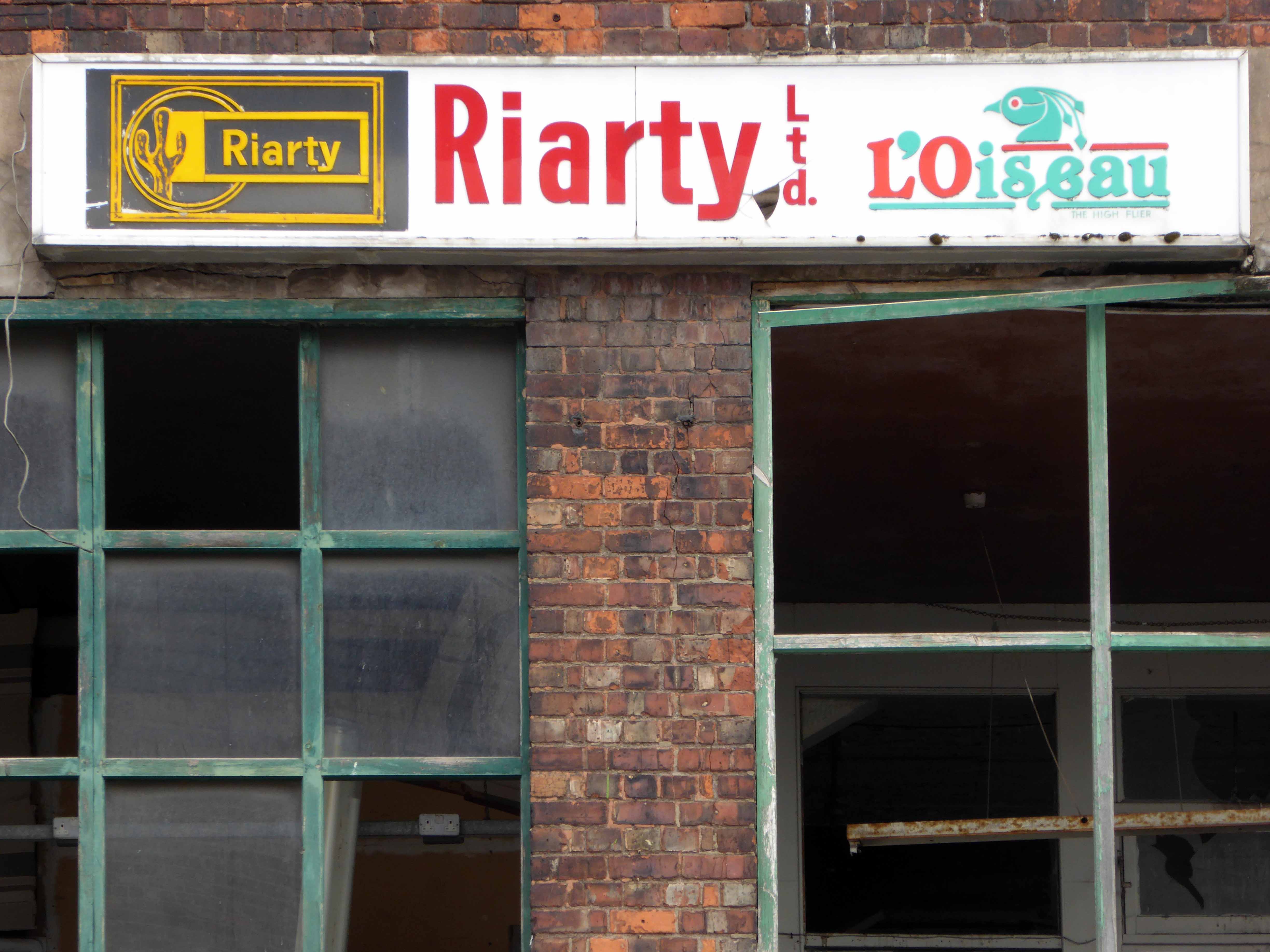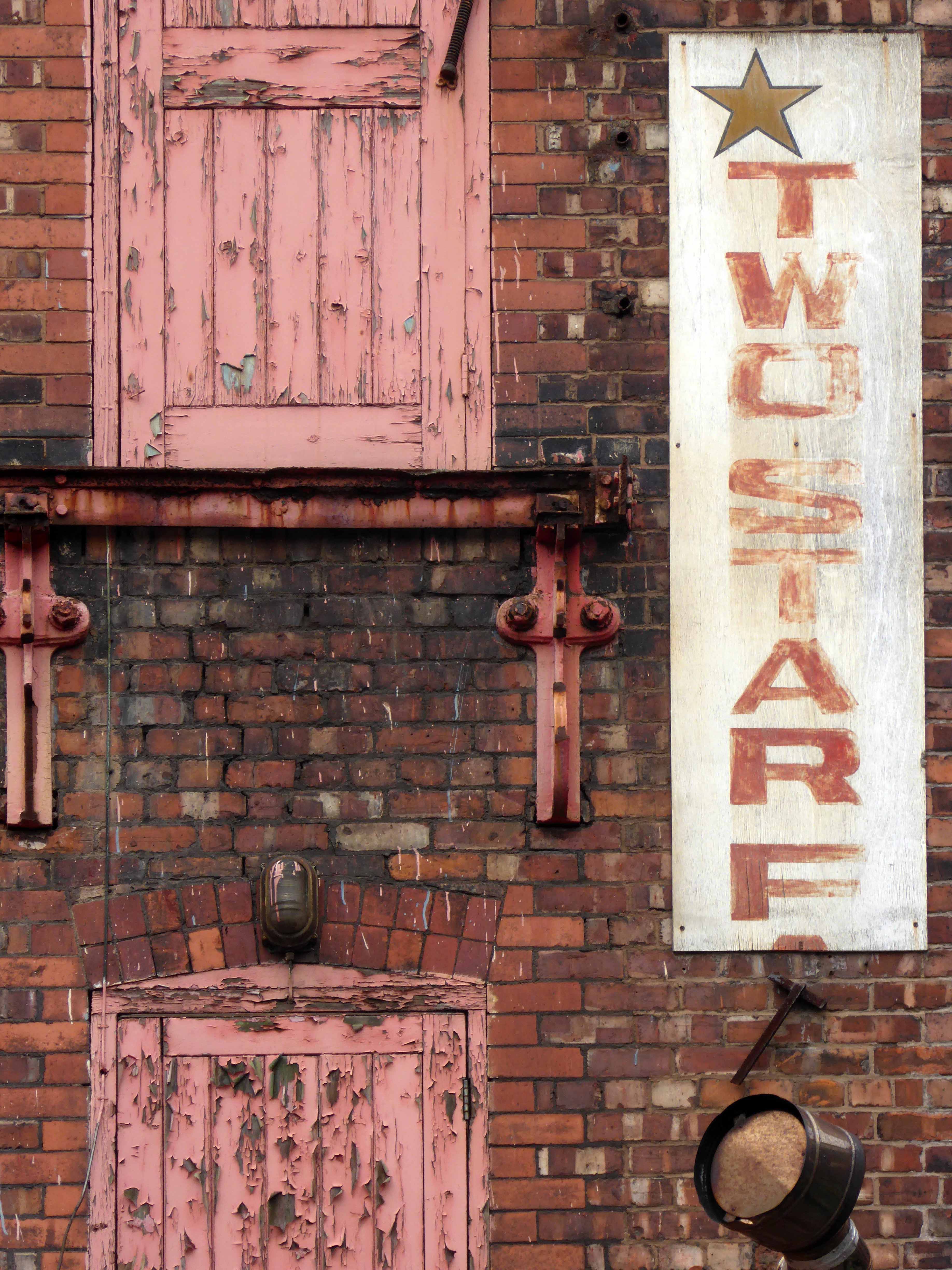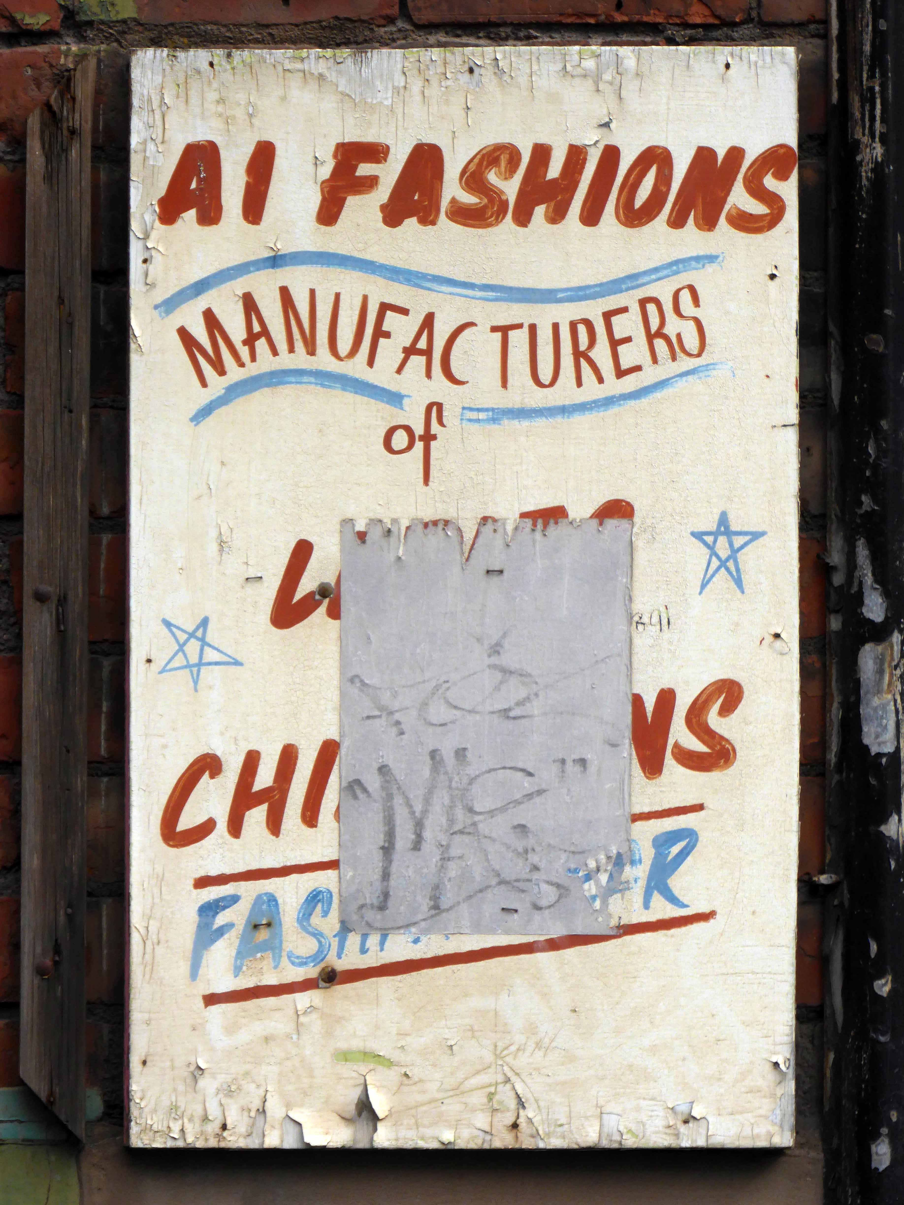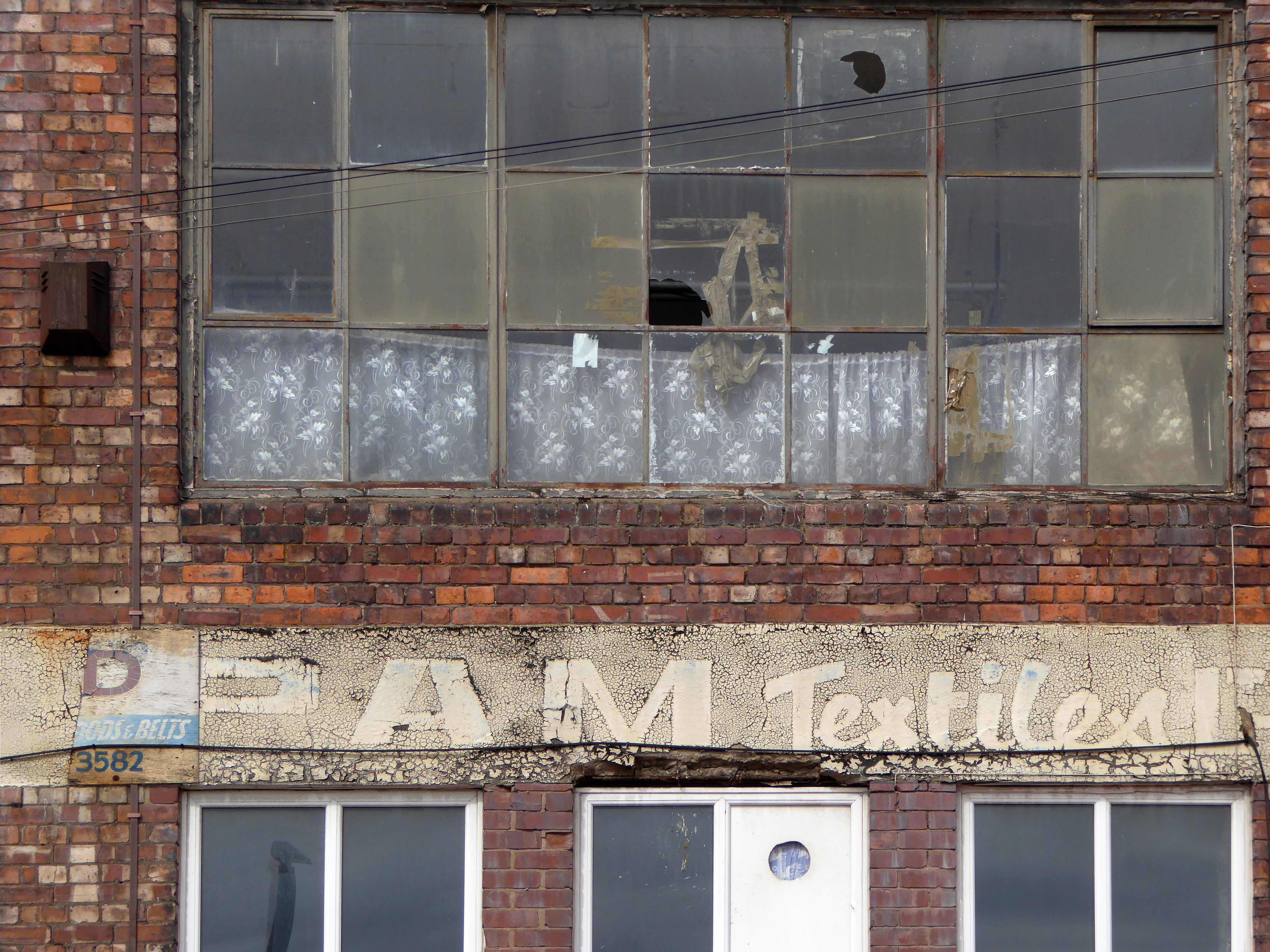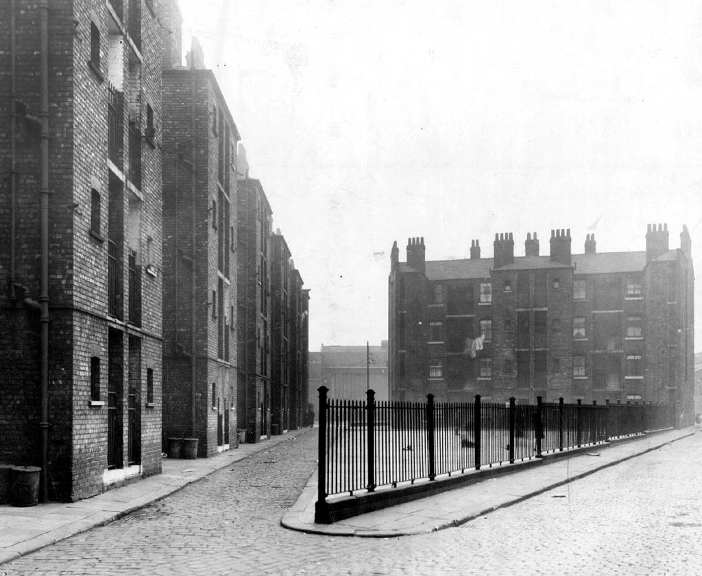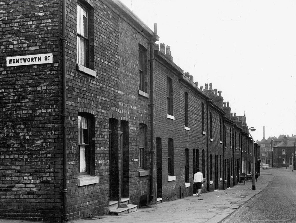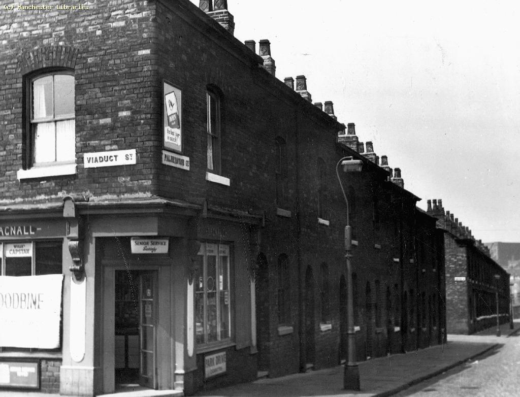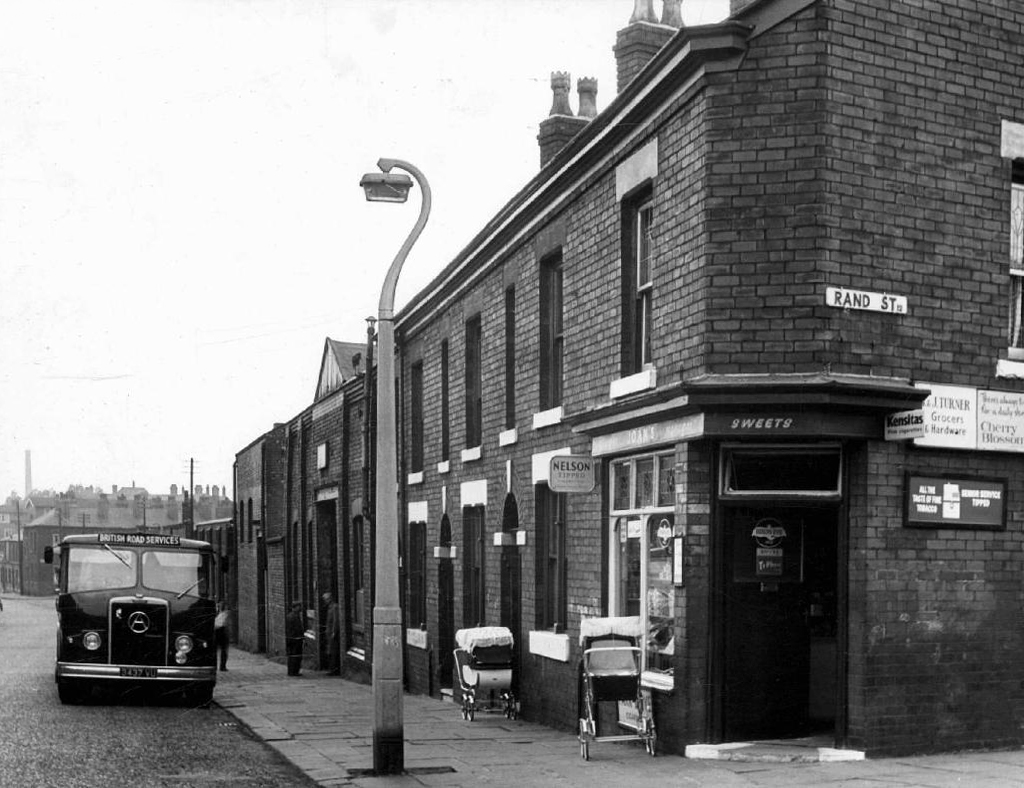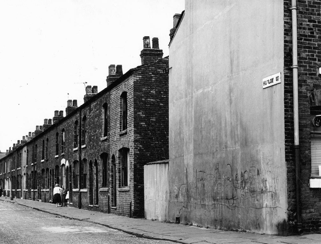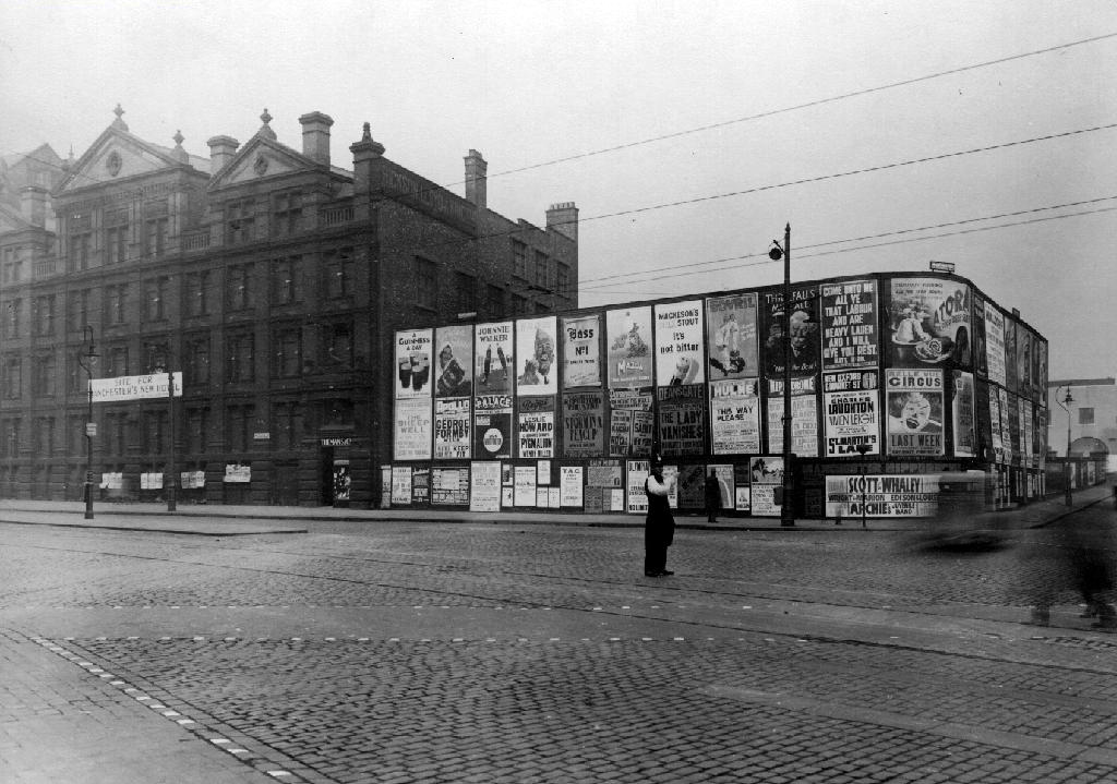
Things, as we know, come and go – by 1807 Thomas Street had arrived.
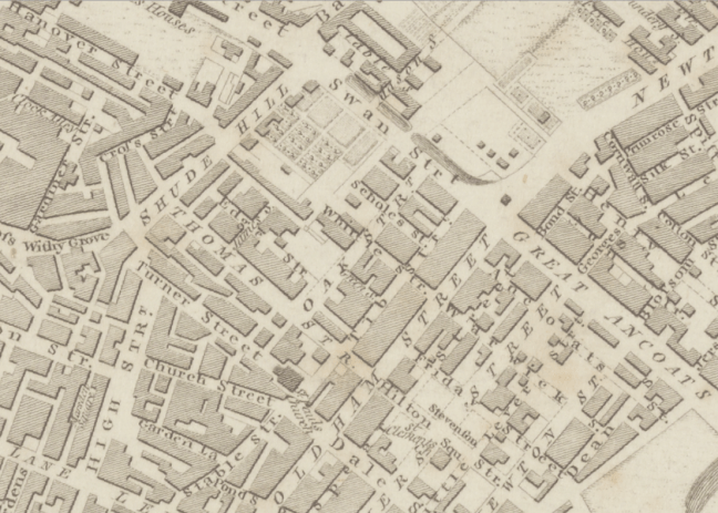
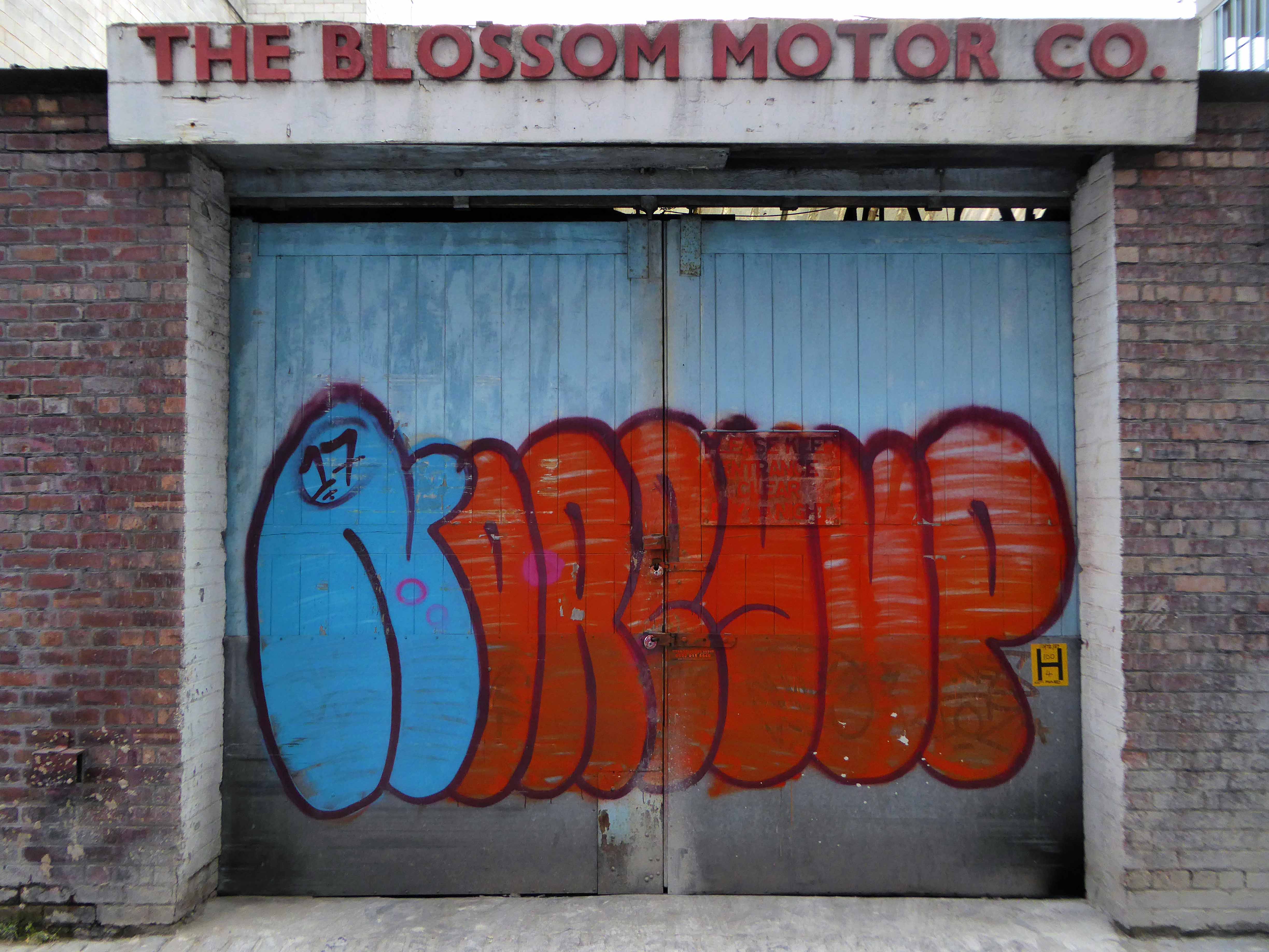
At the heart of the new Manchester – providing dwellings, shops, pubs and manufacturing premises for the masses.
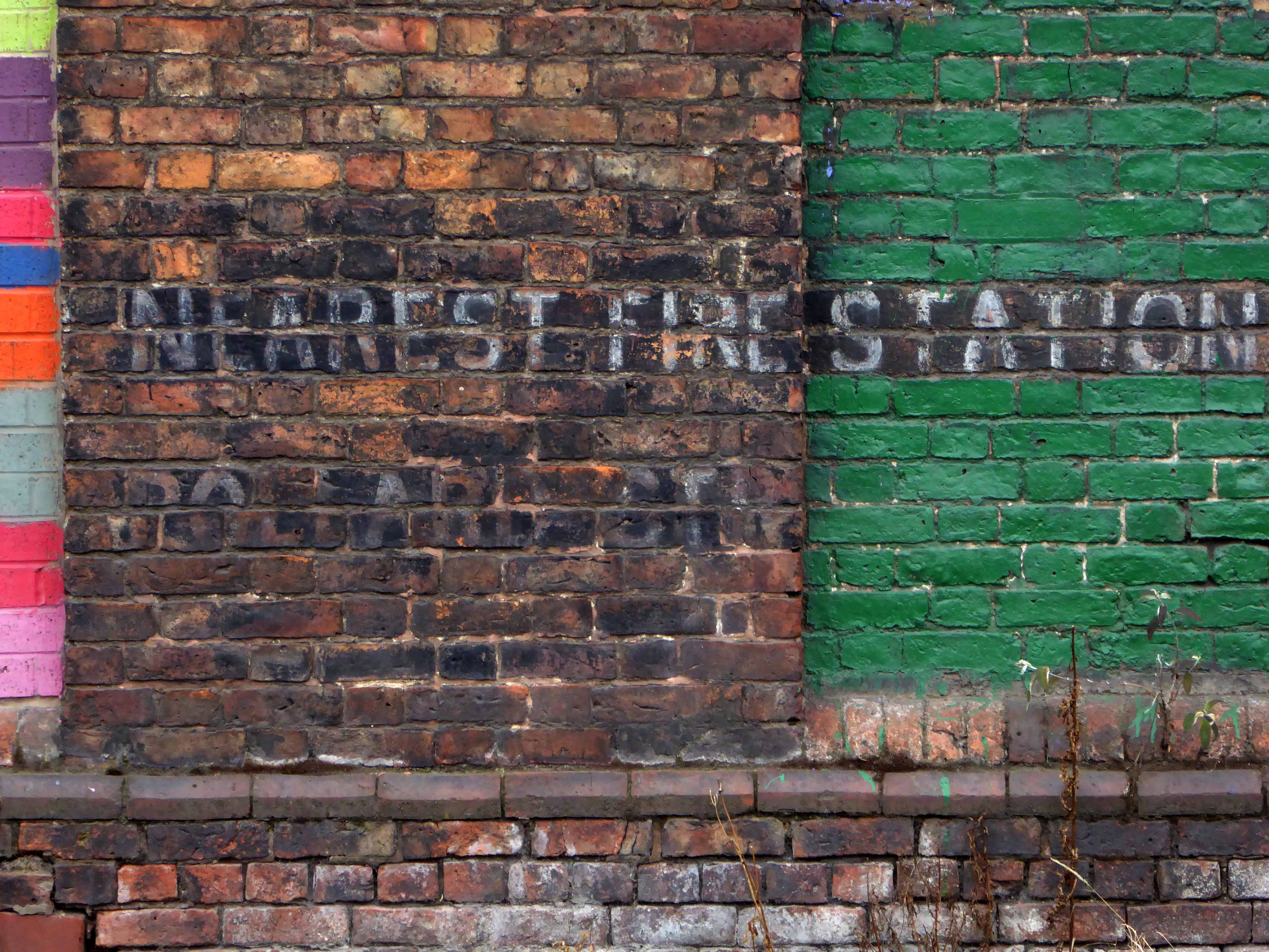
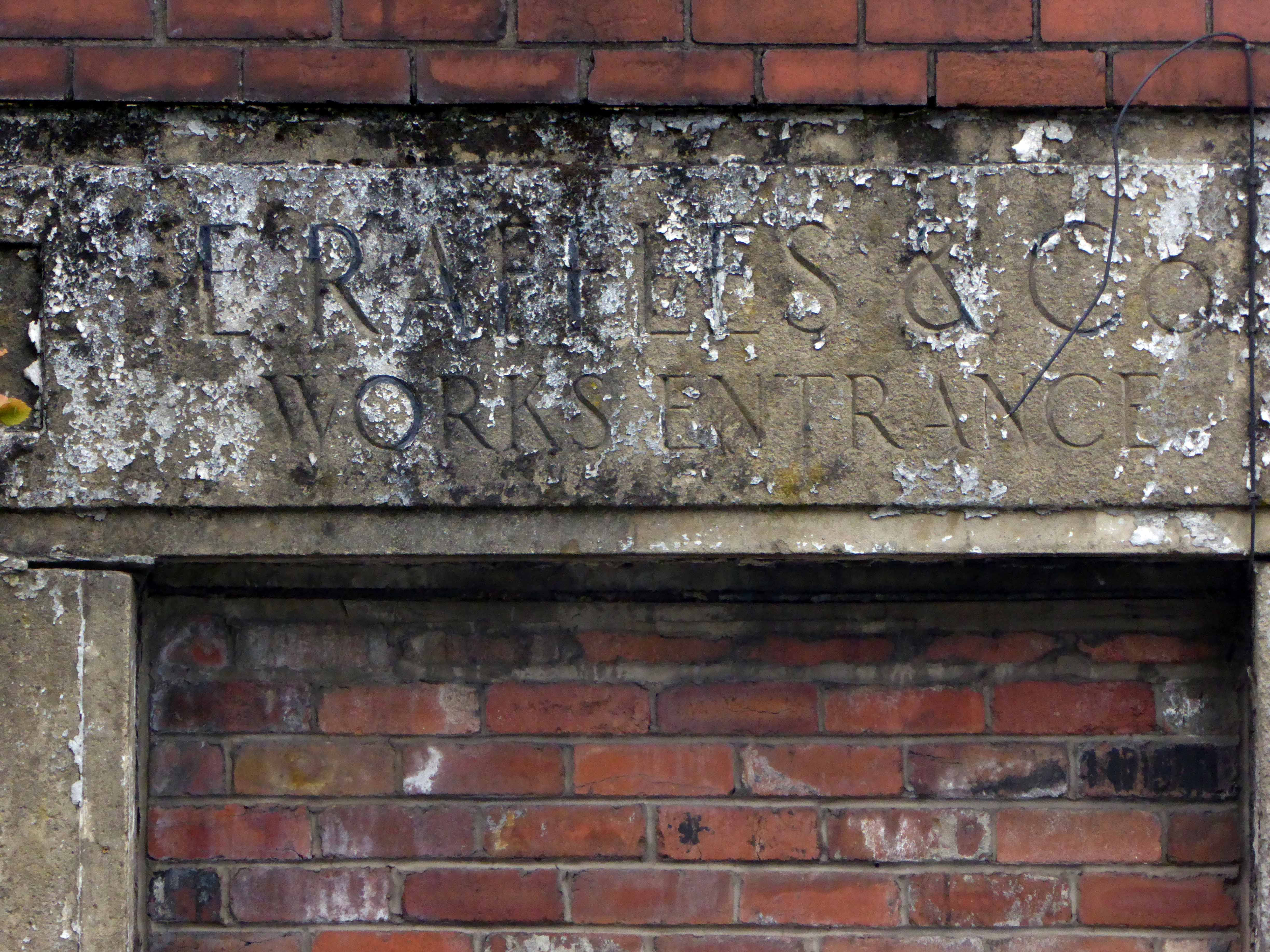
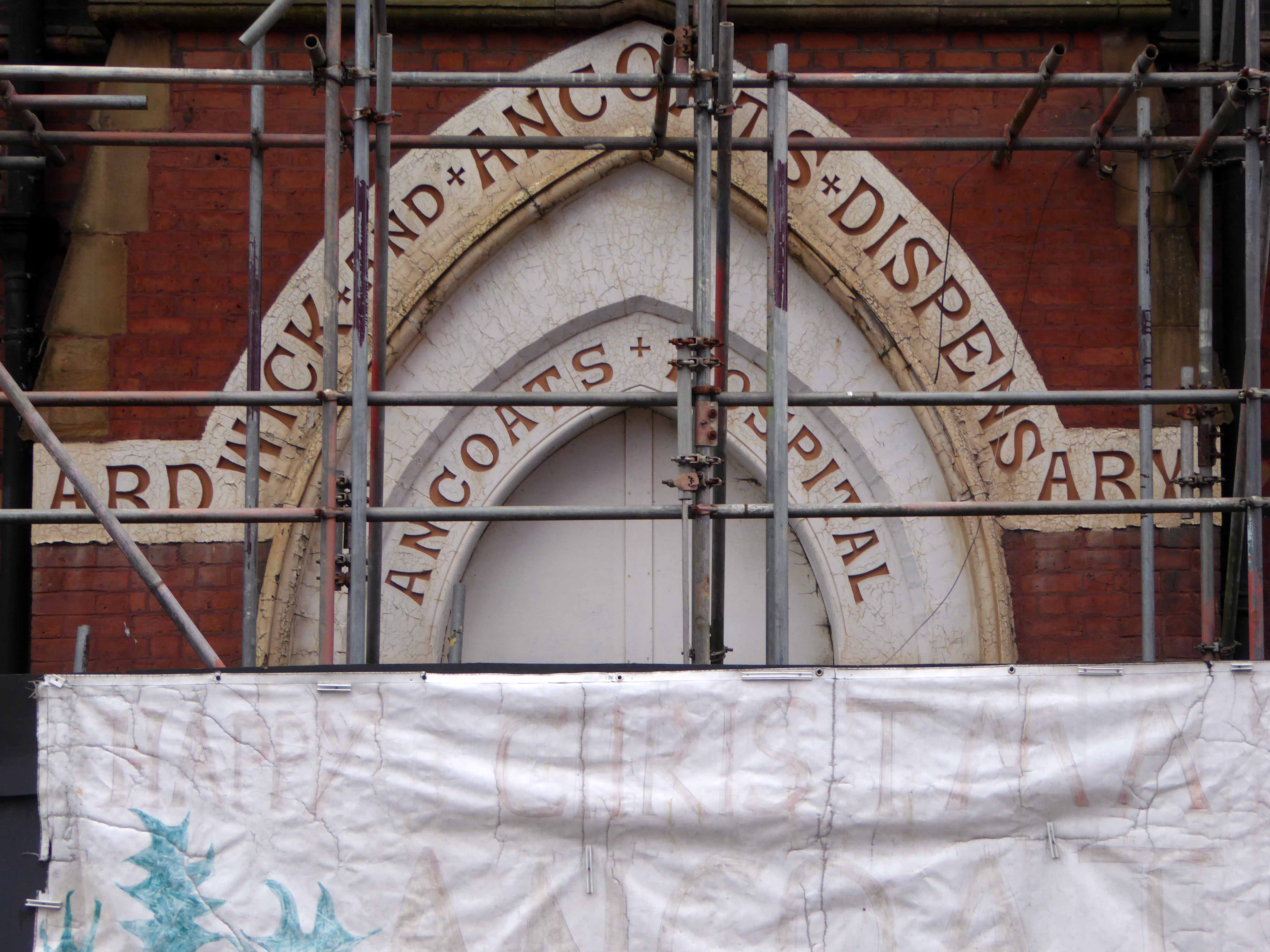
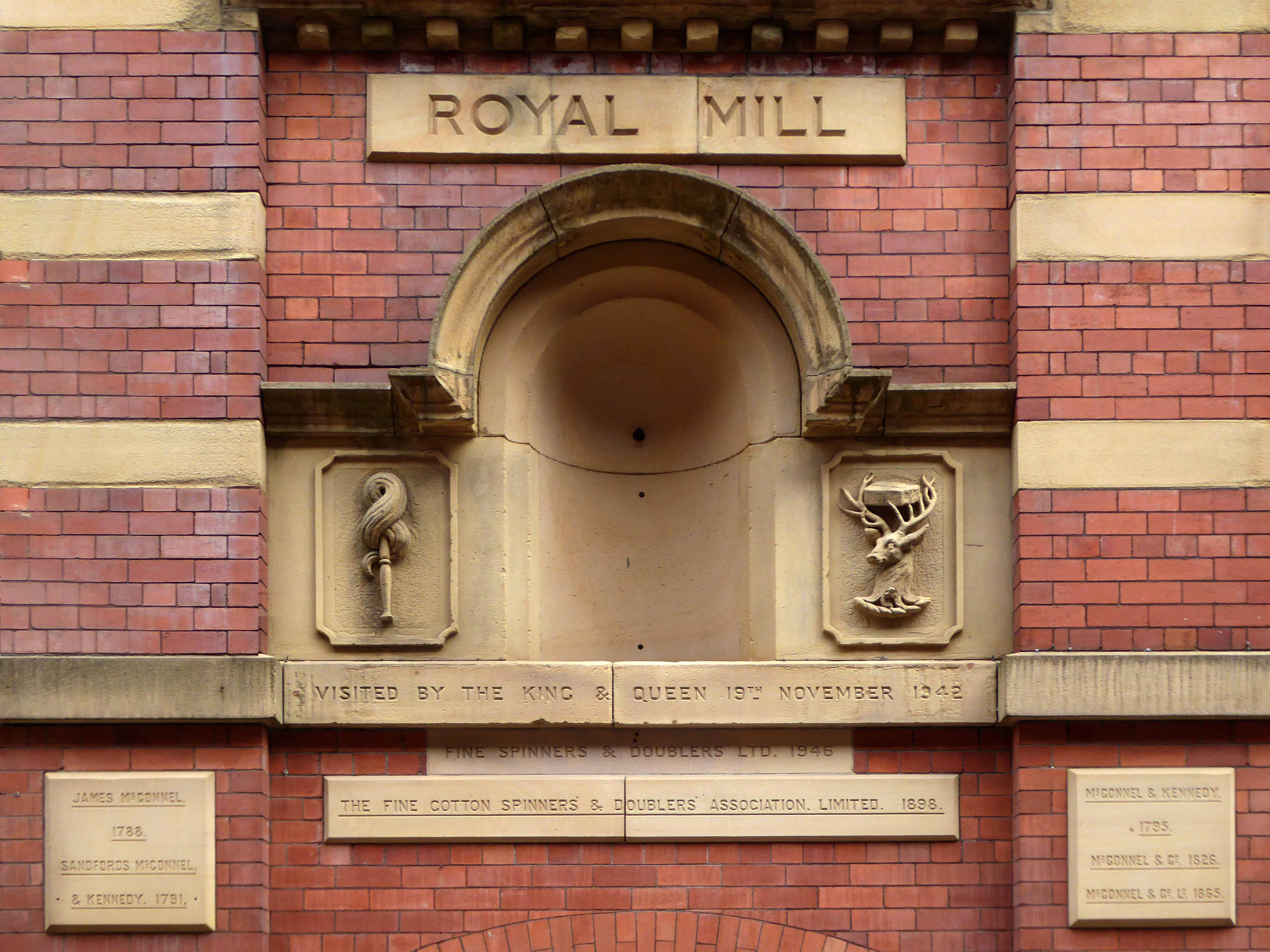
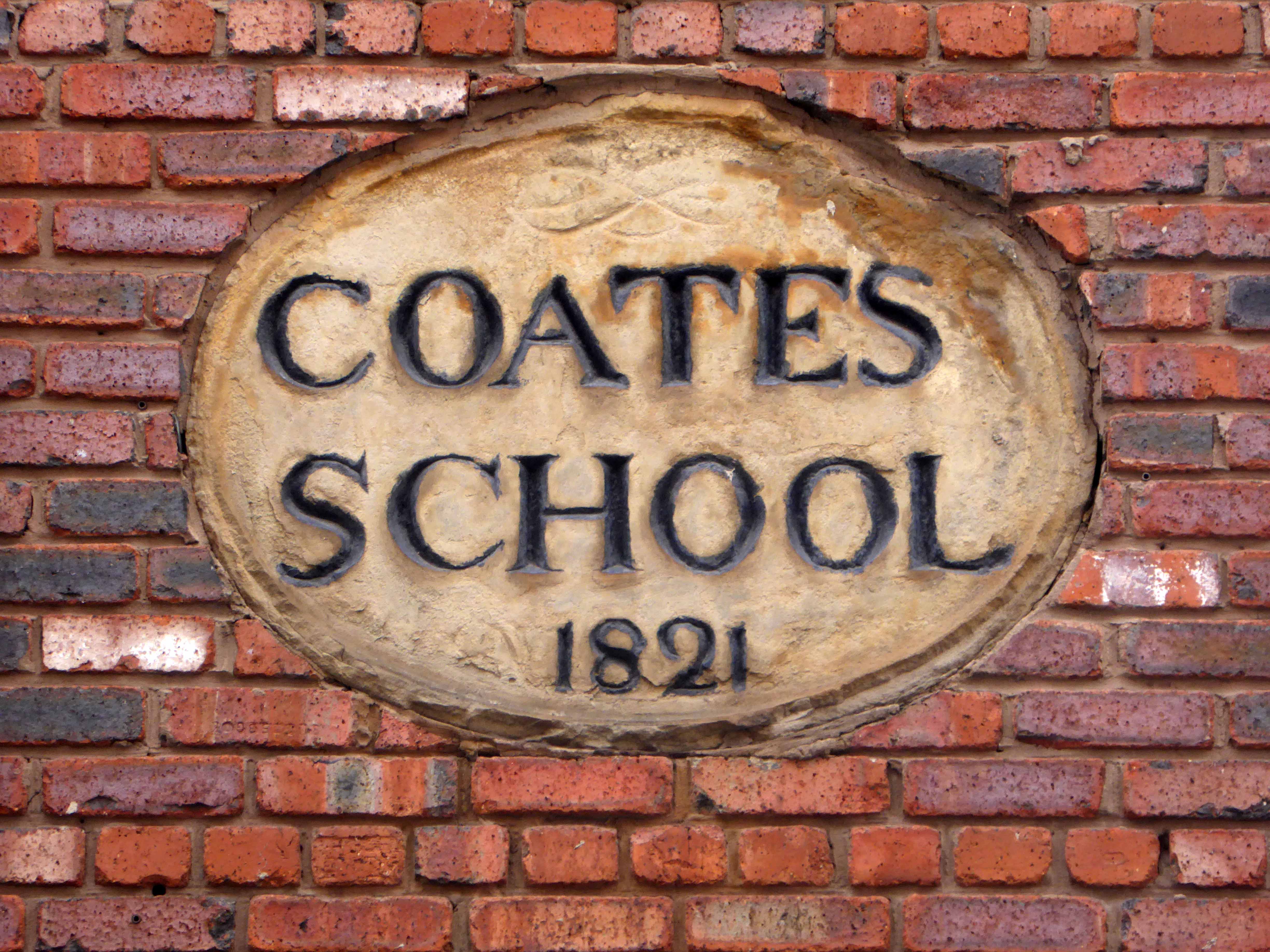
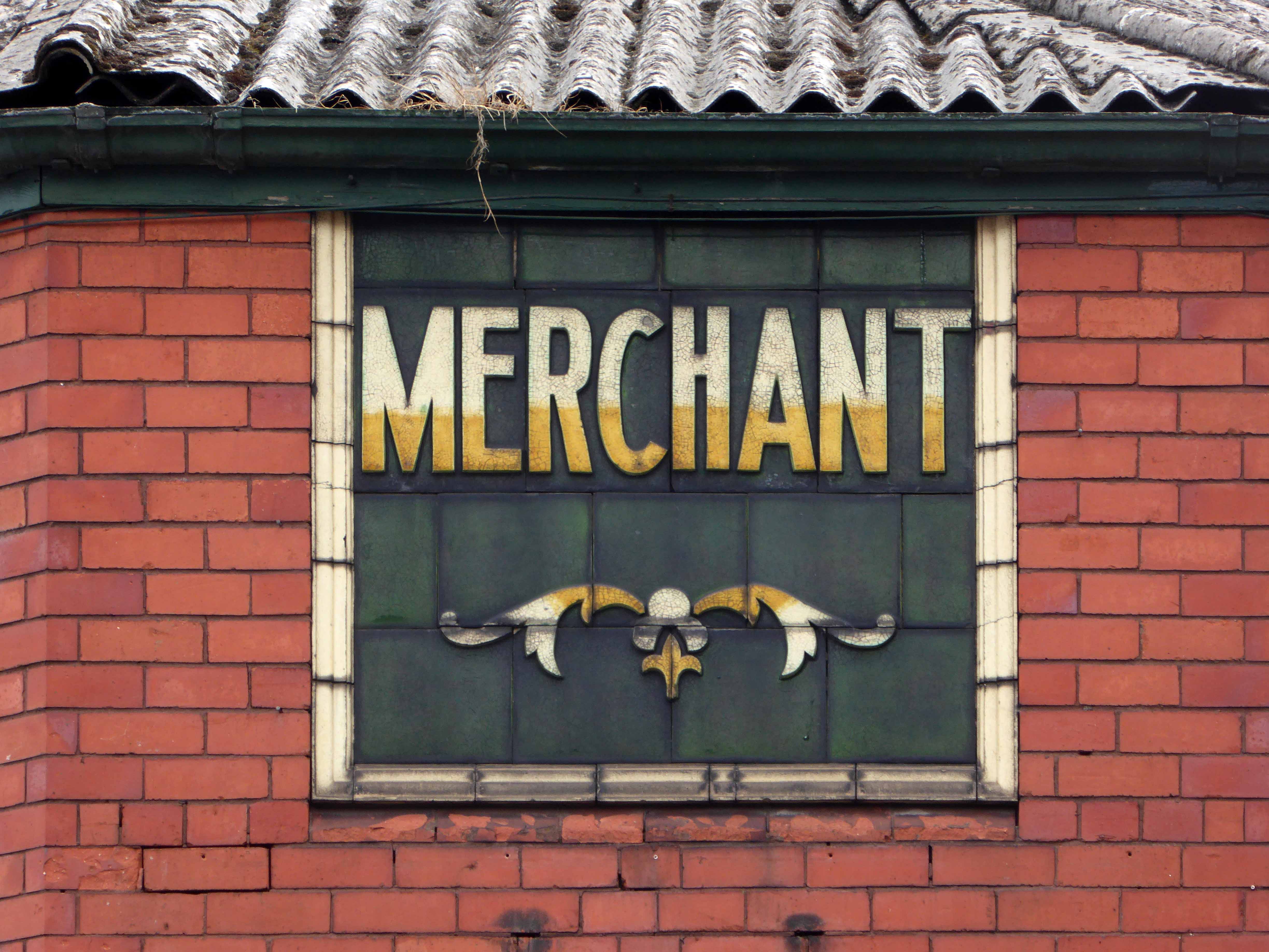
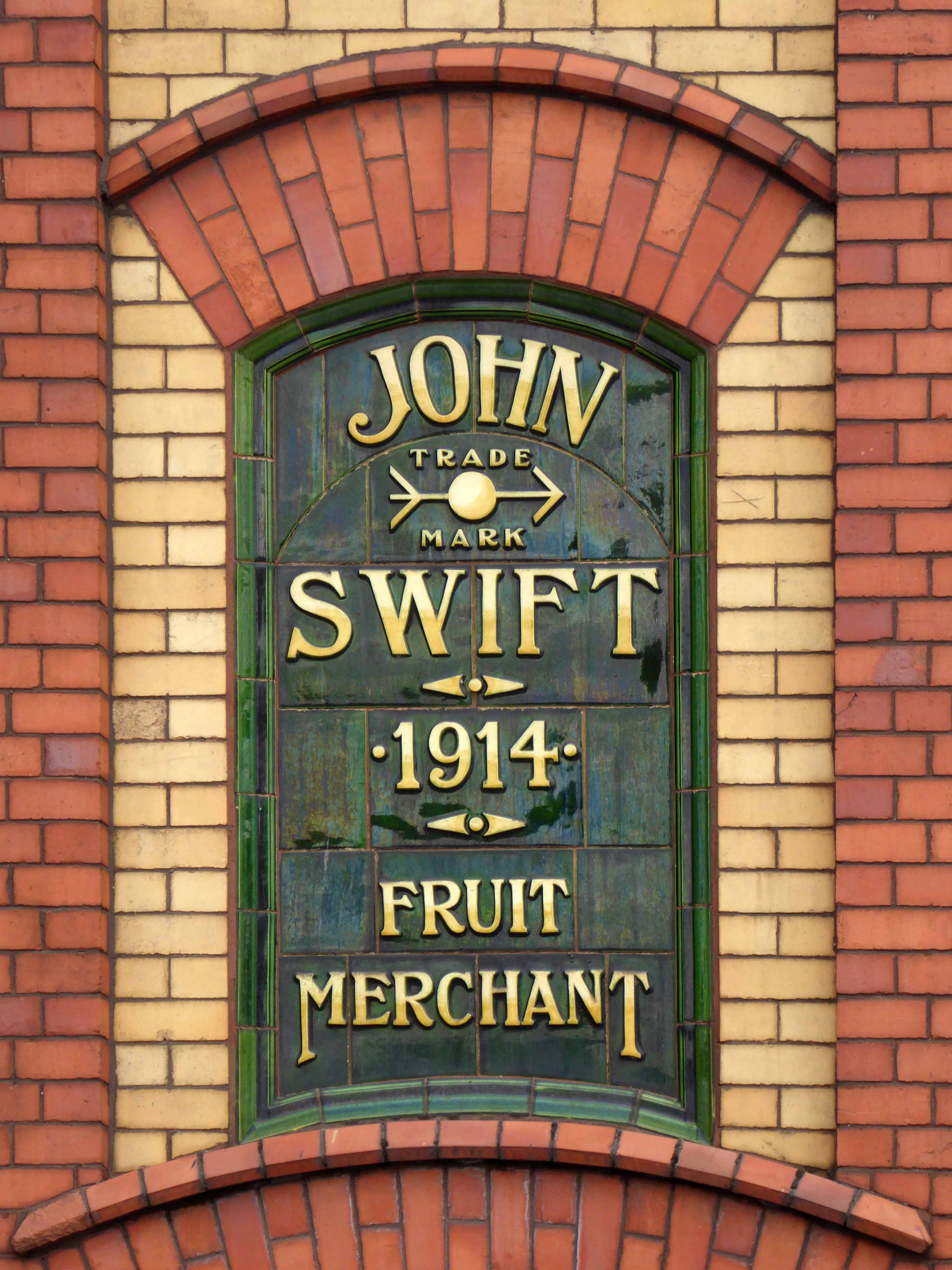
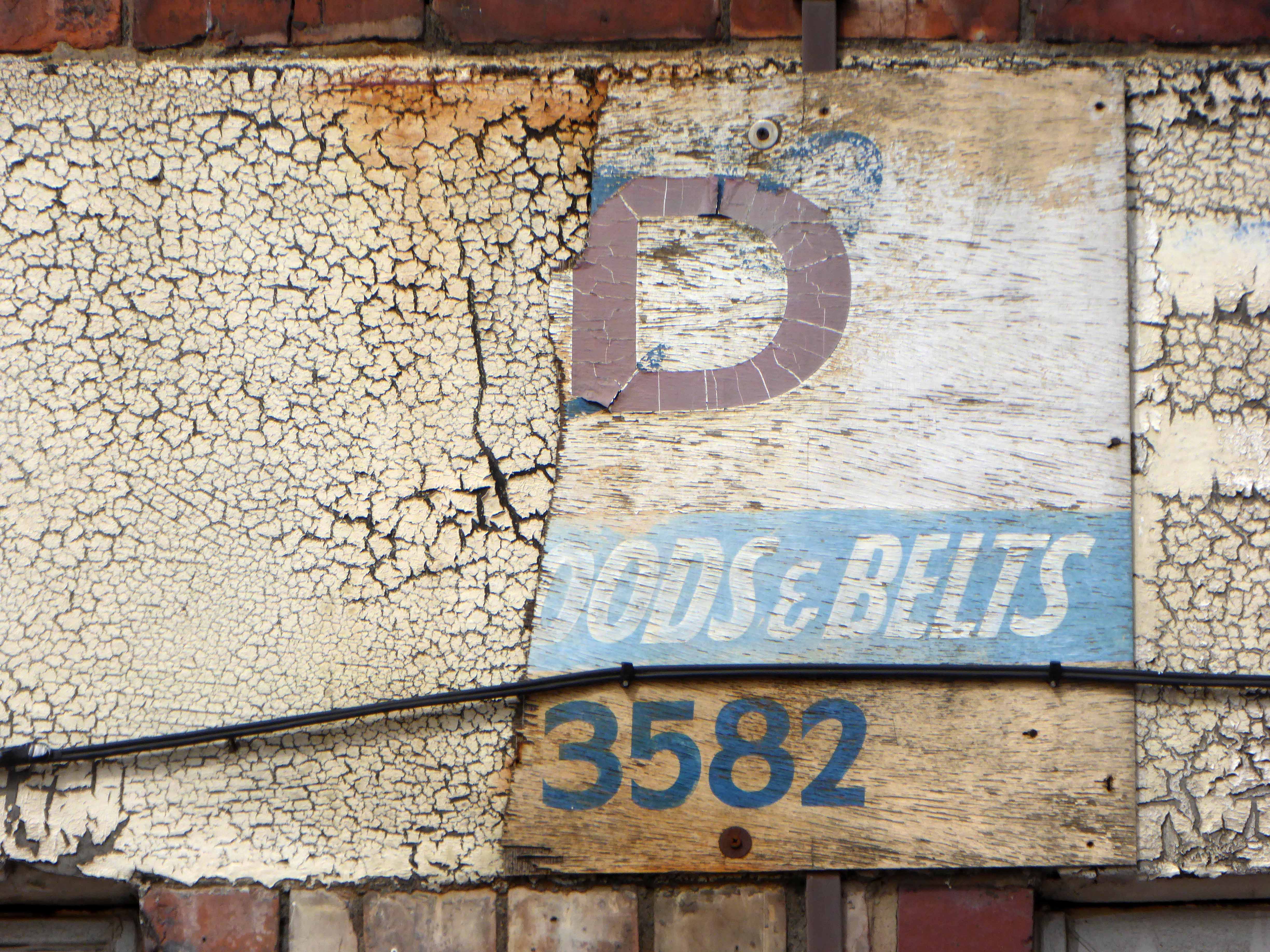
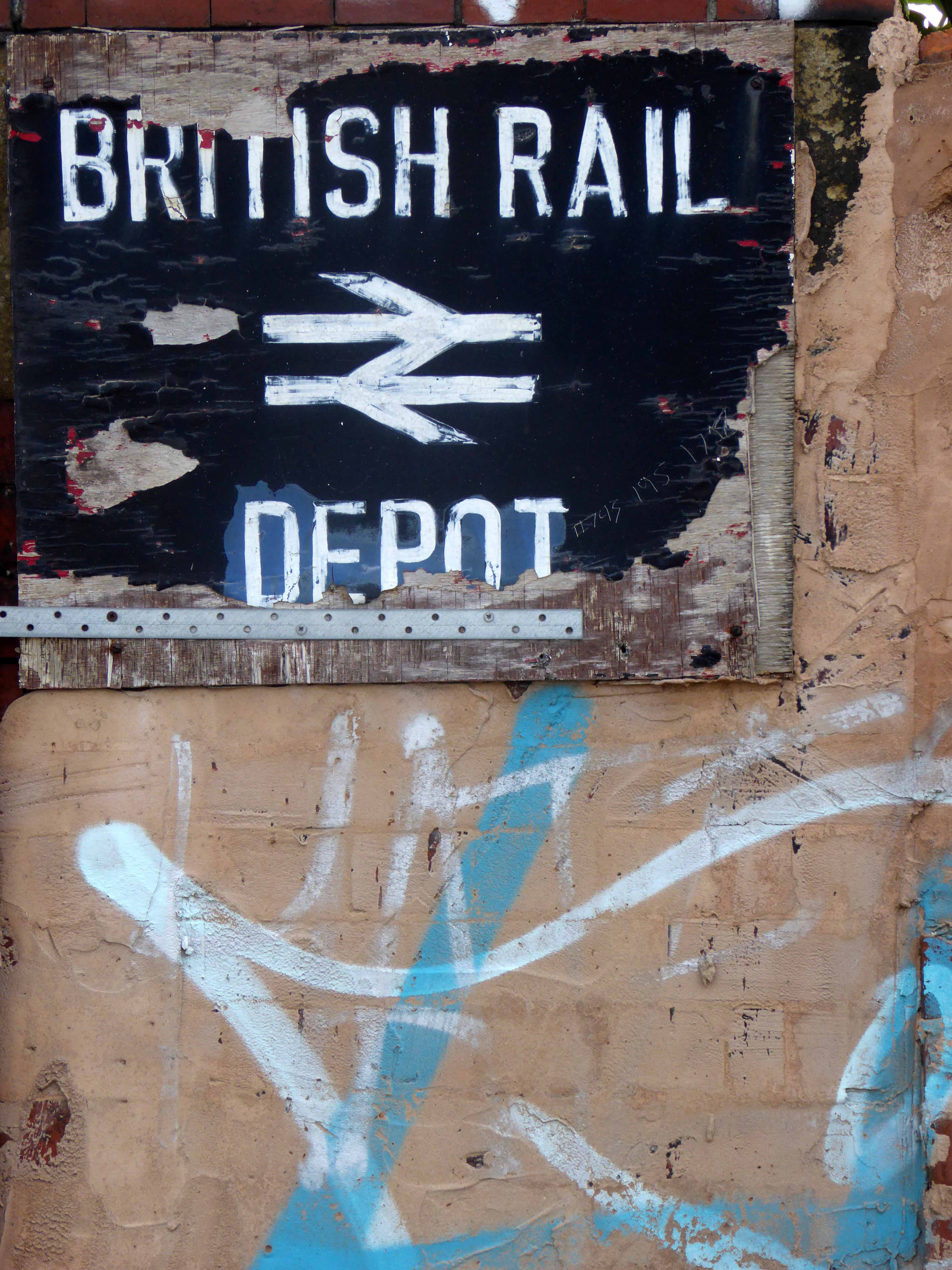
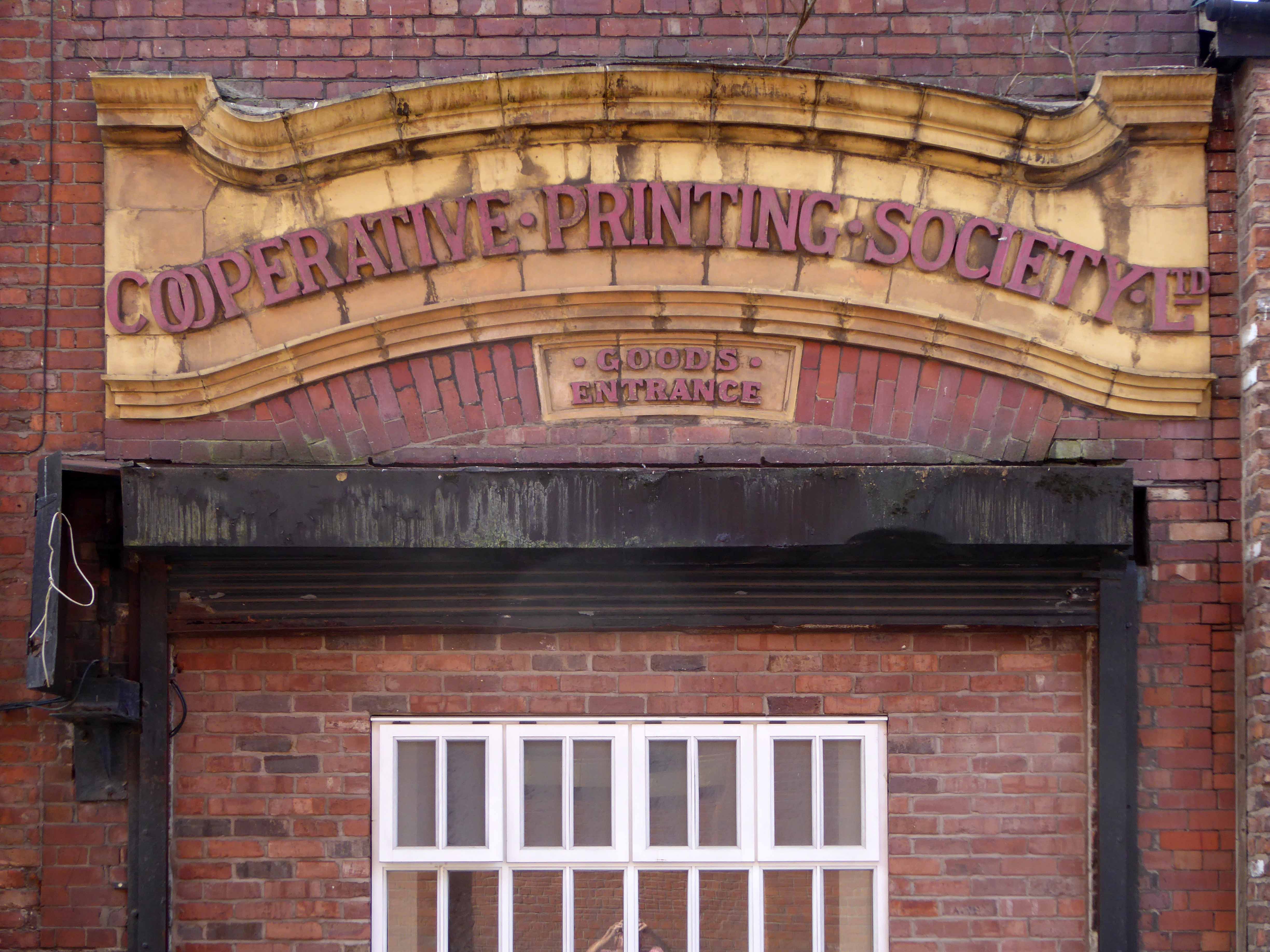
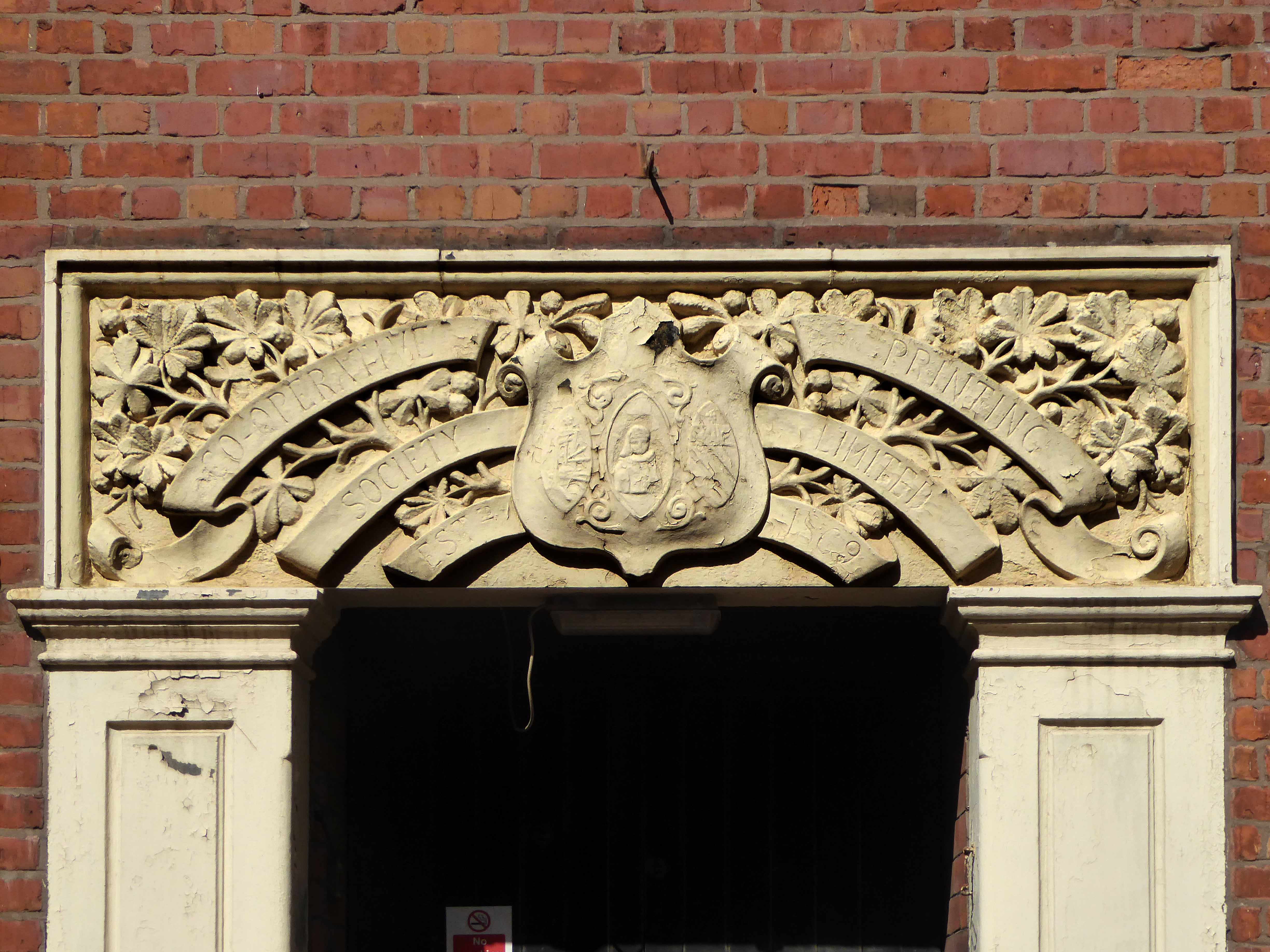
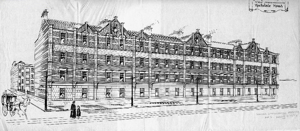
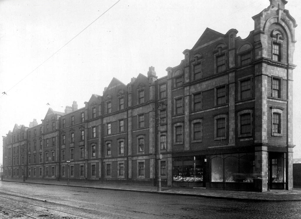
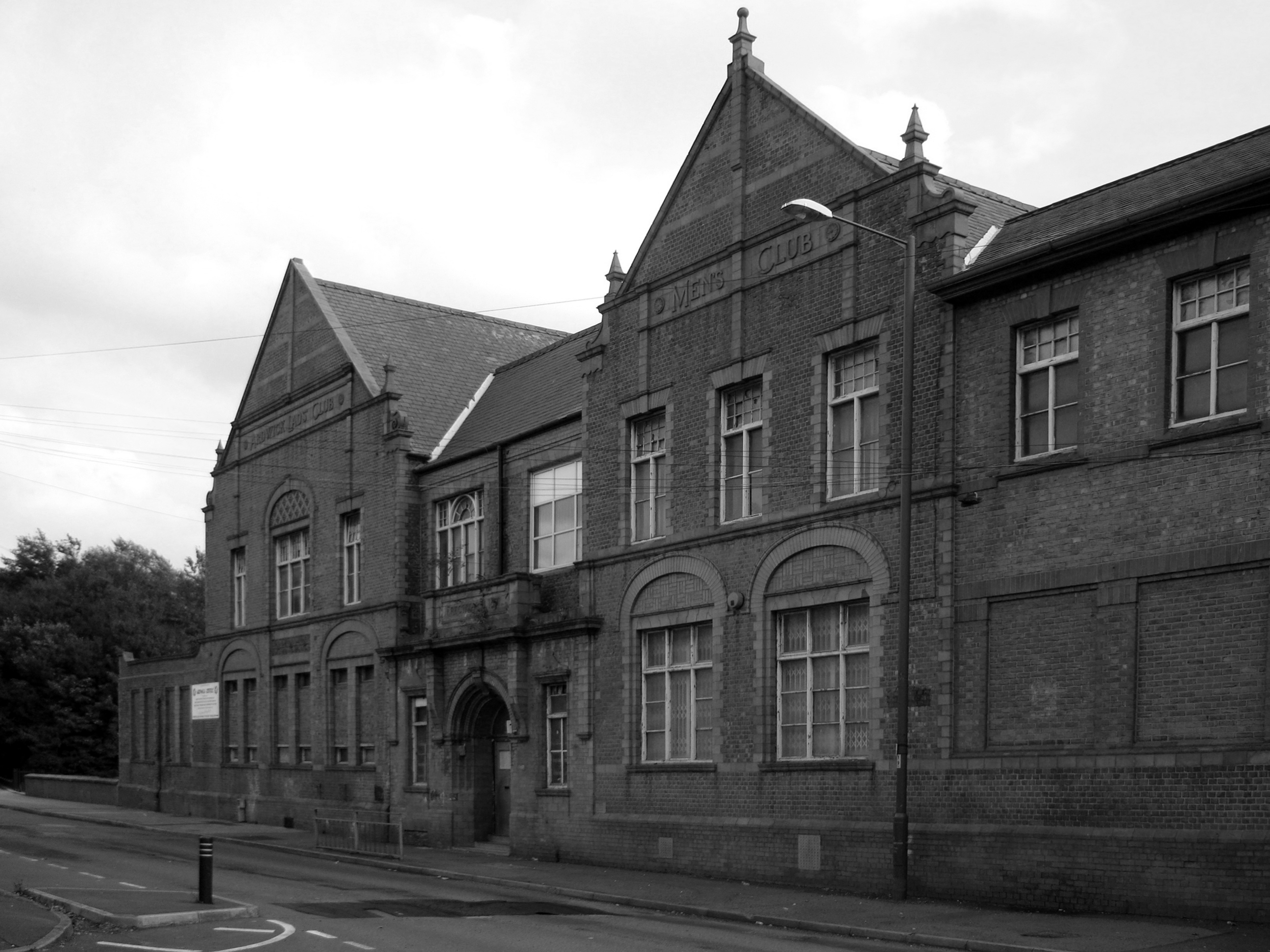
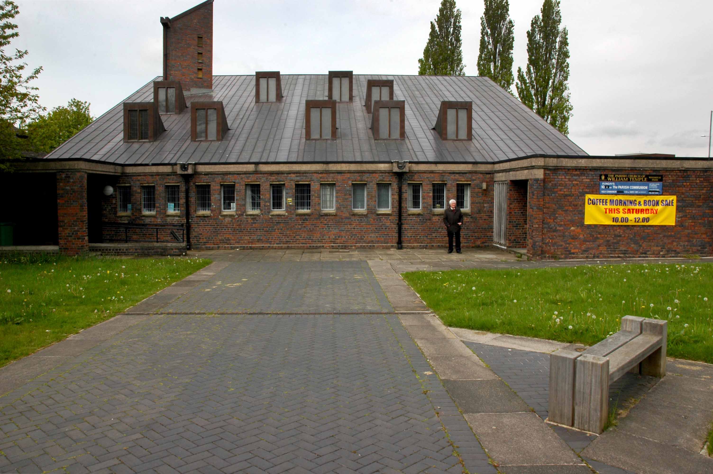
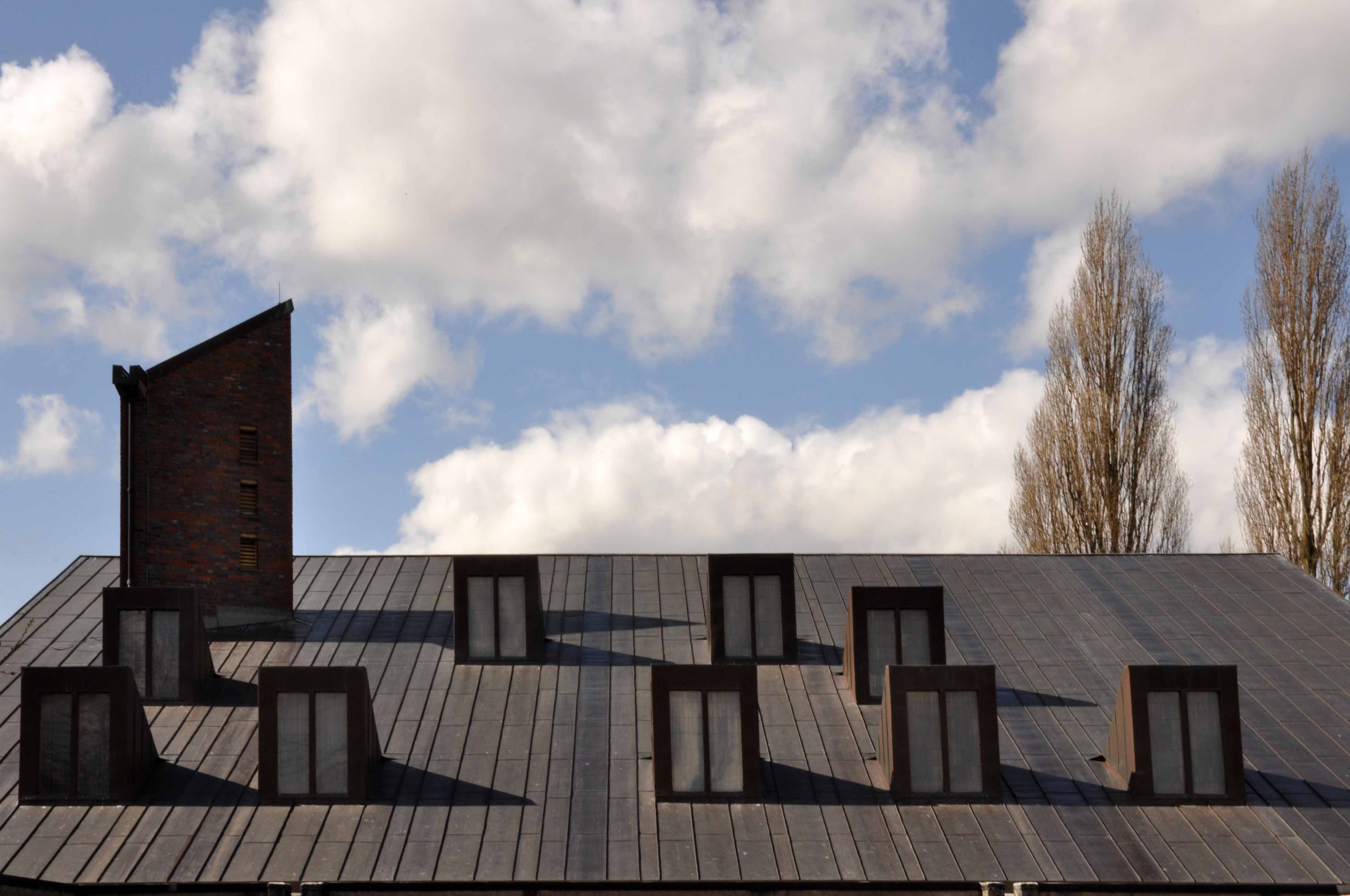
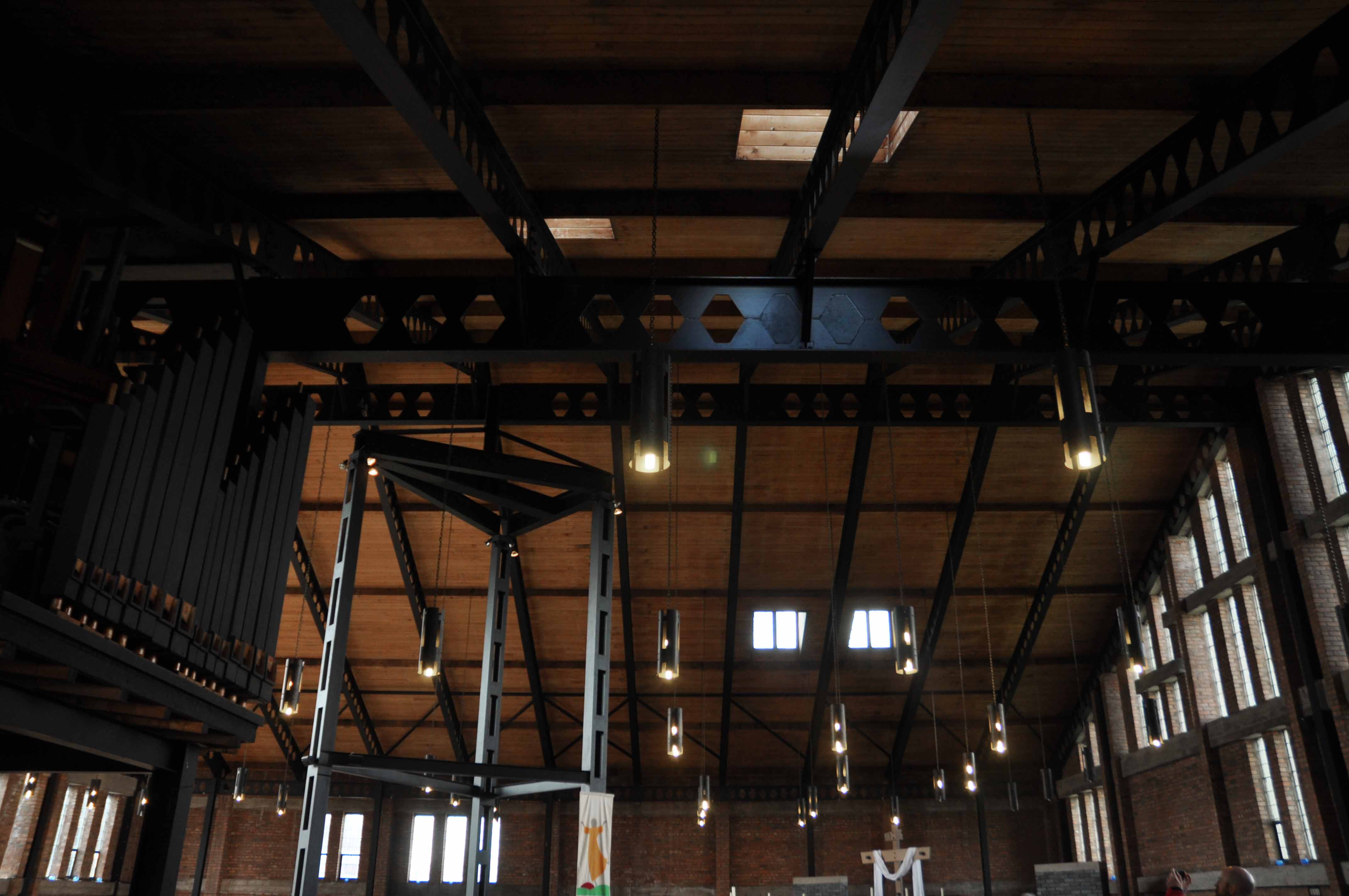
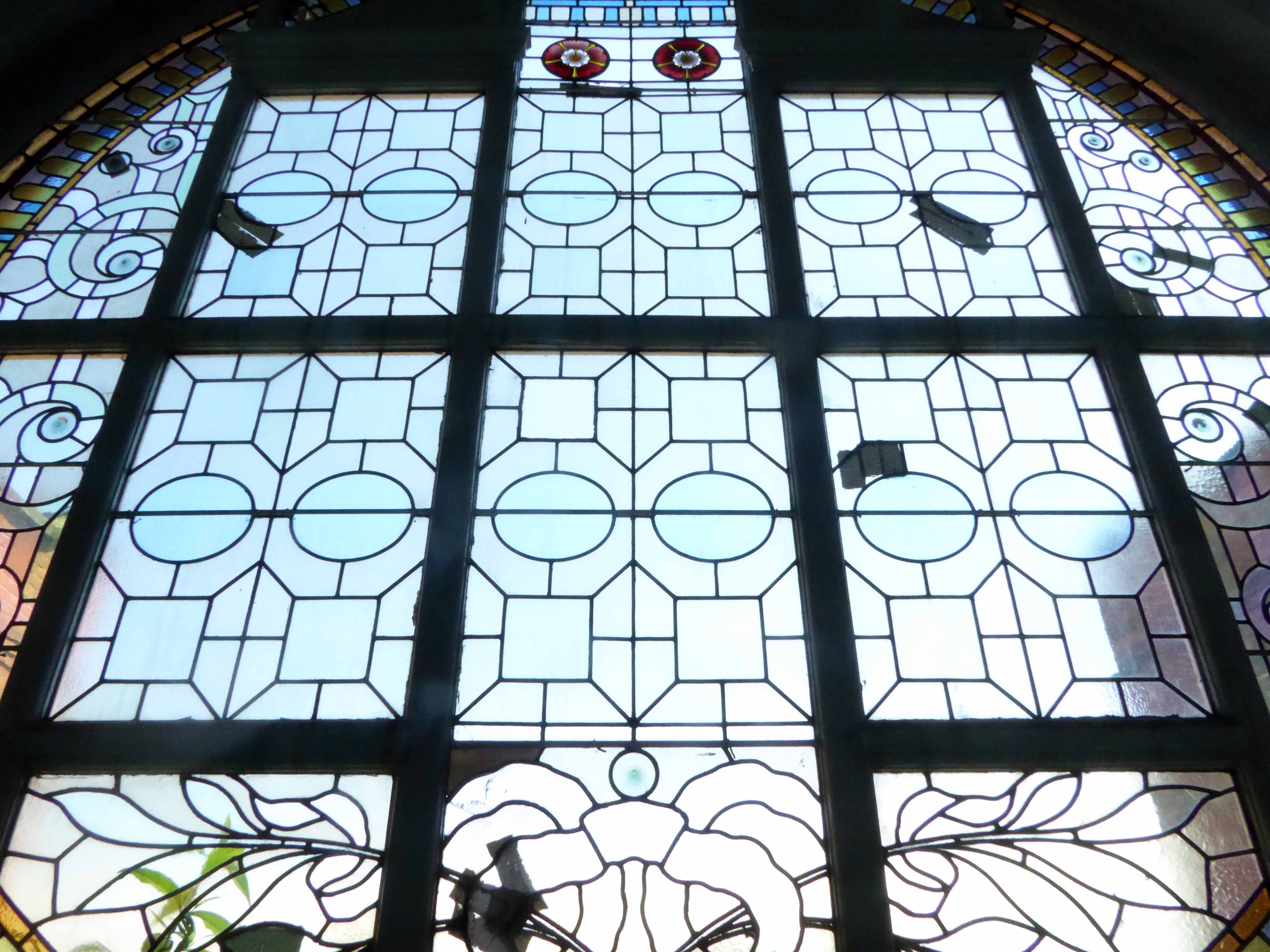
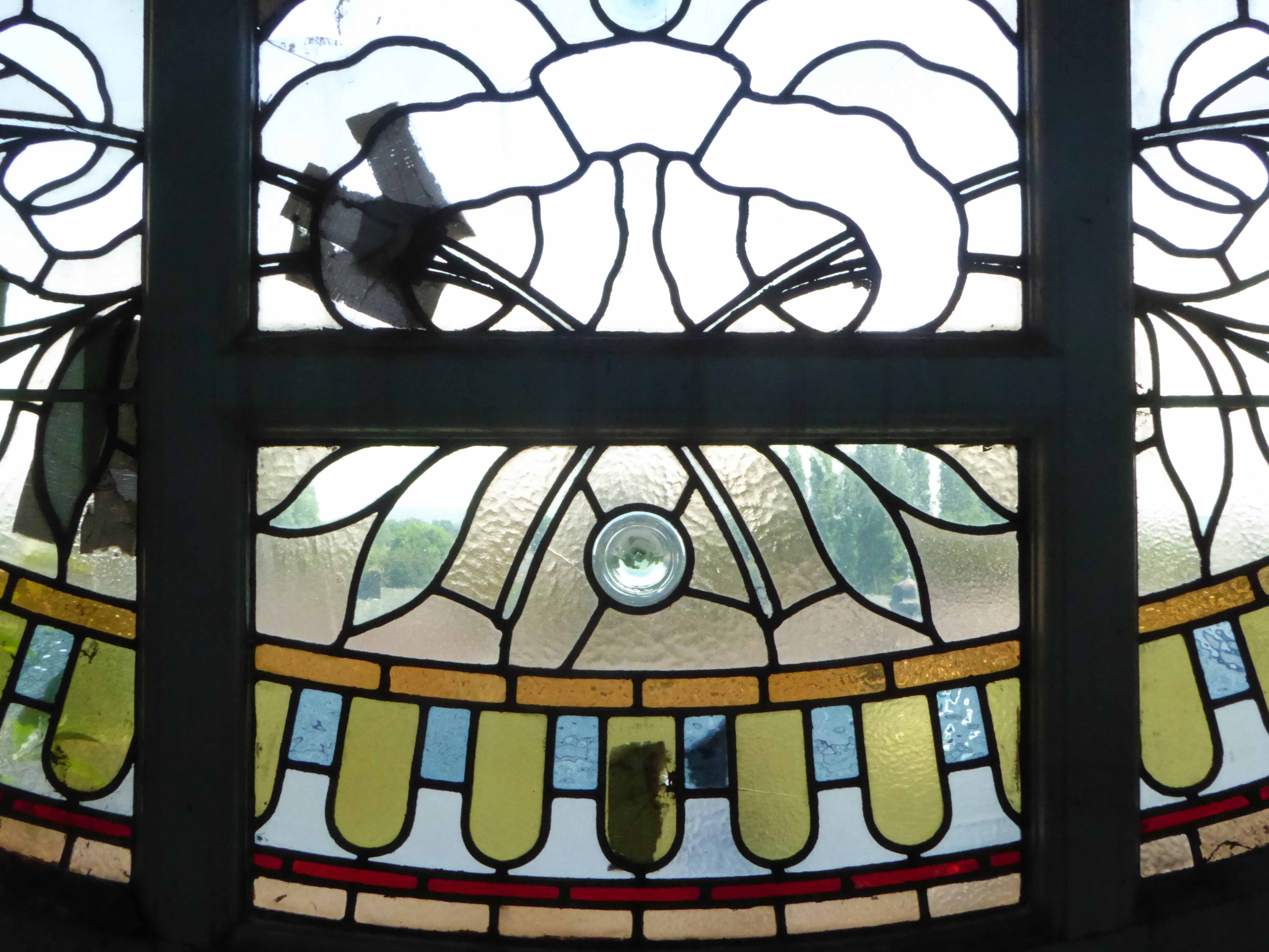
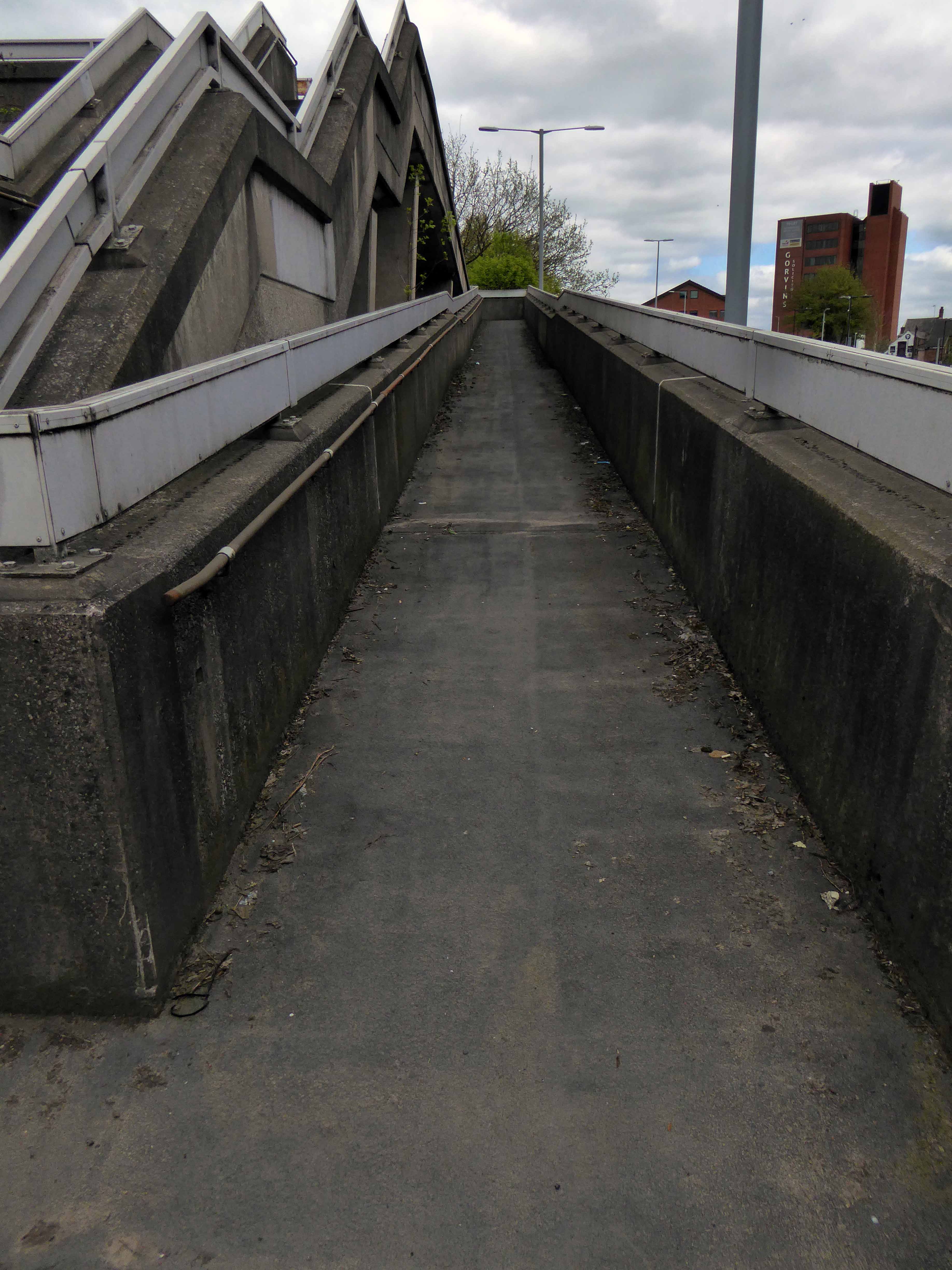
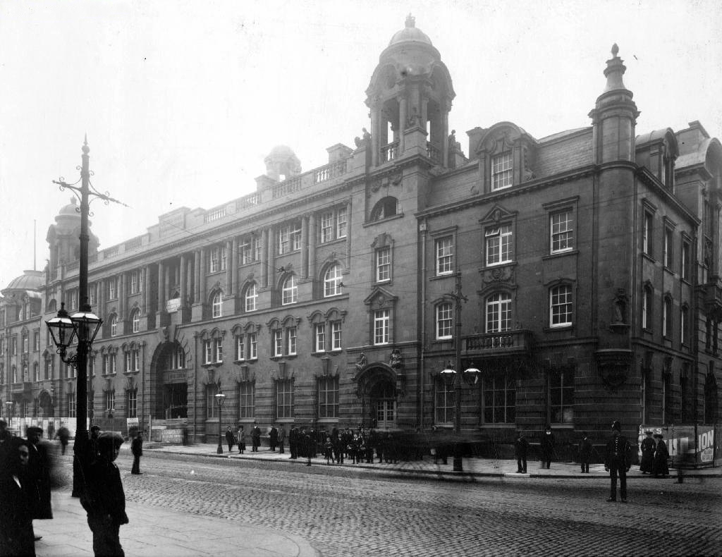
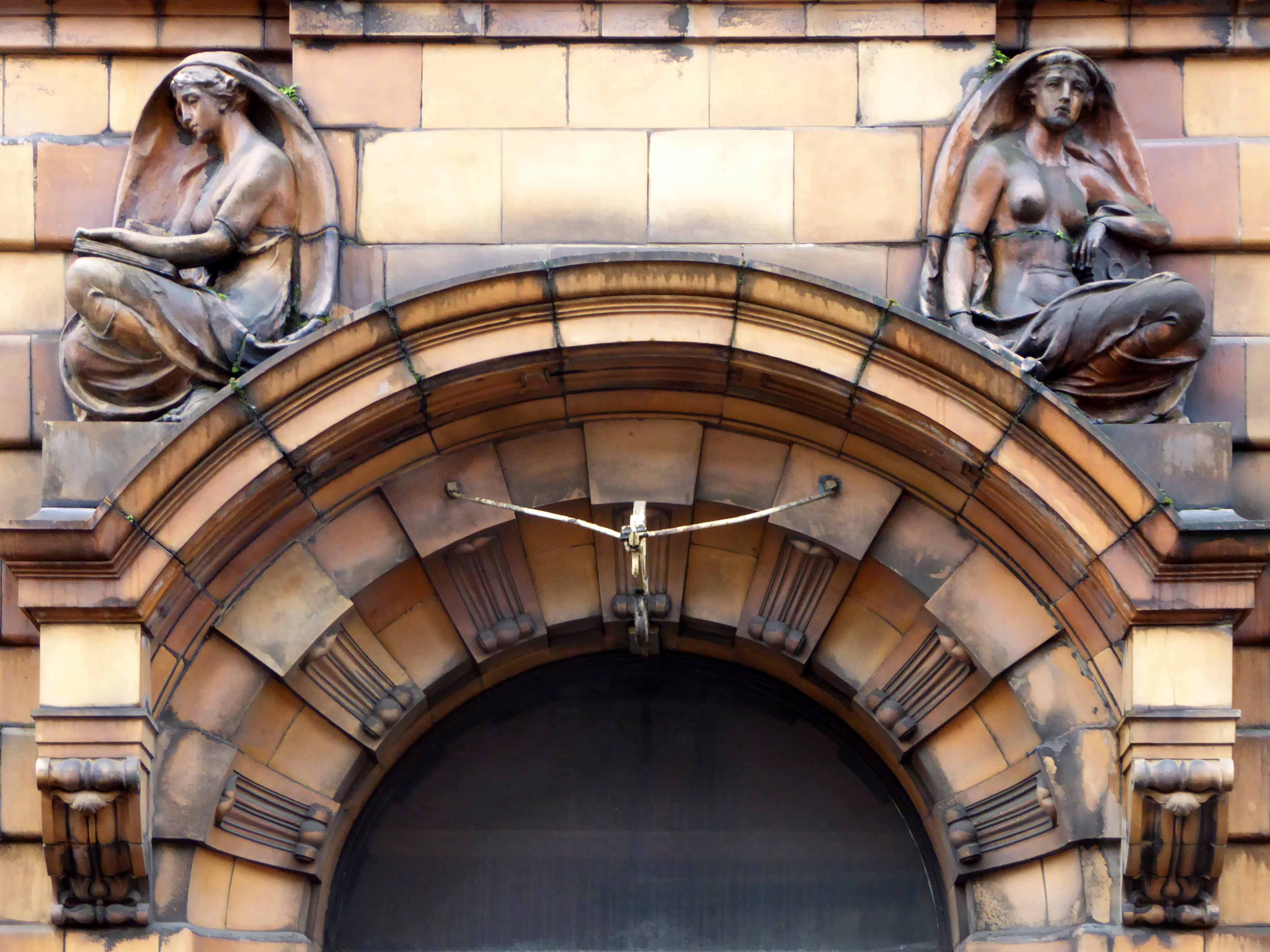
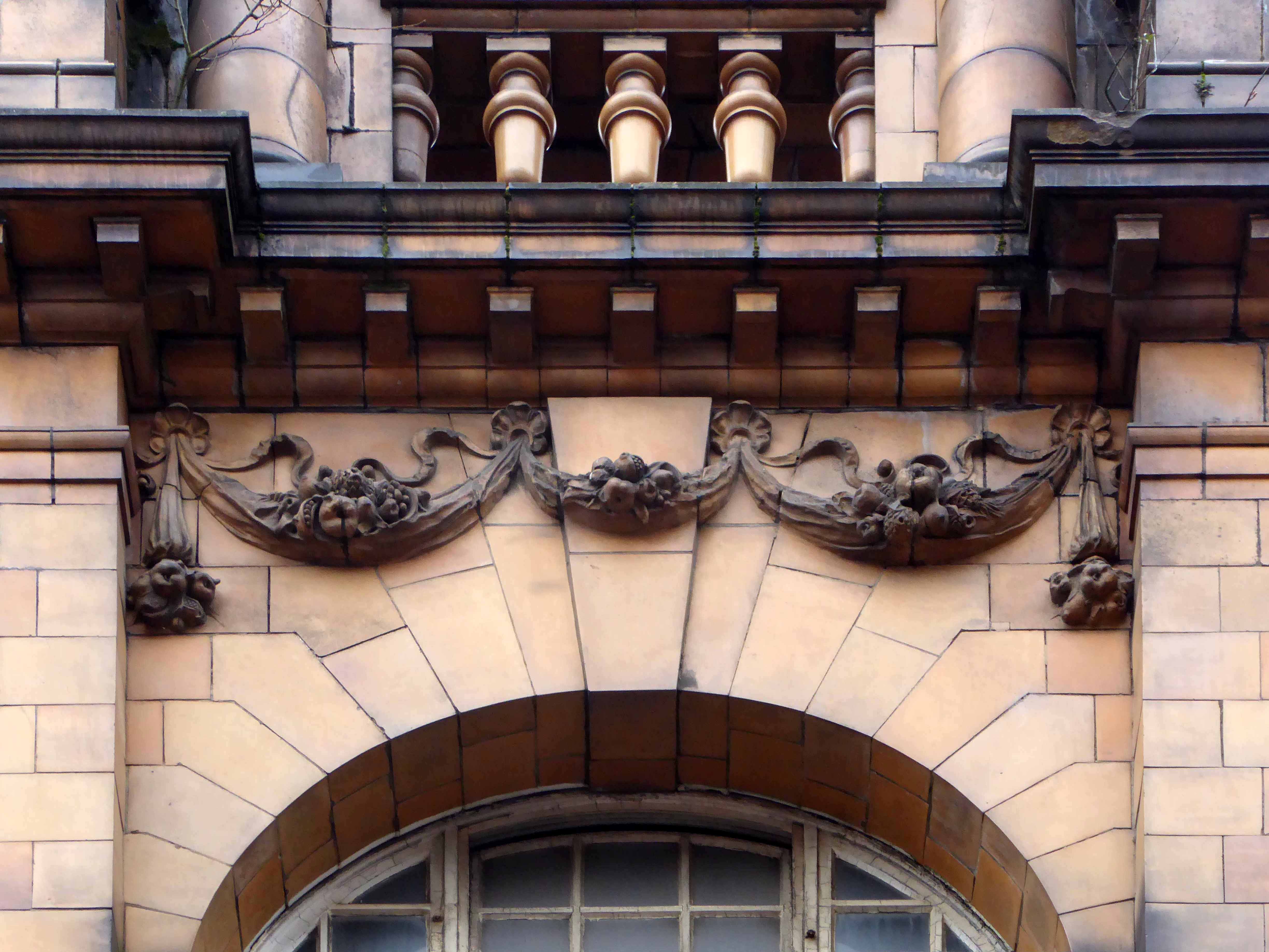
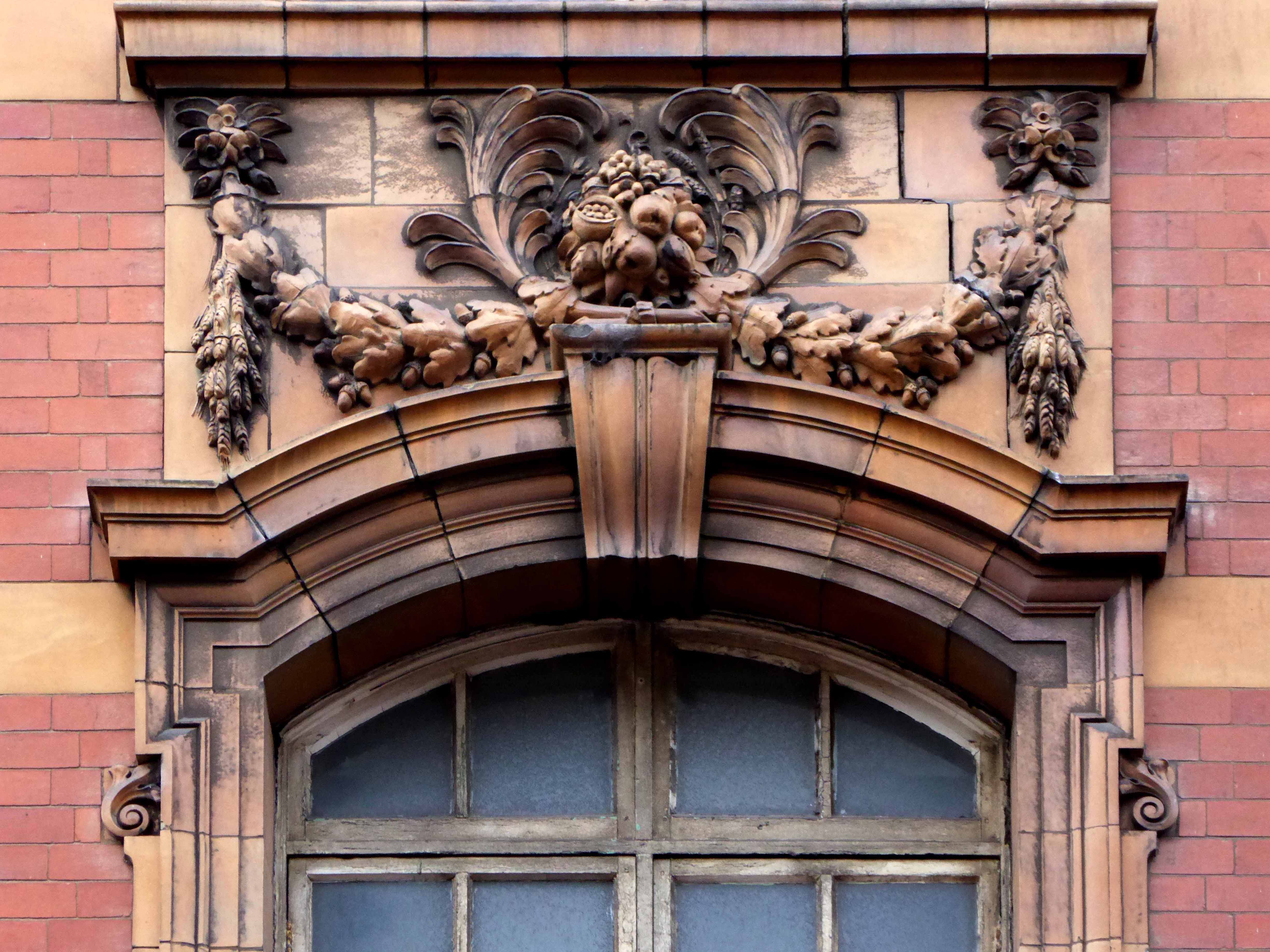
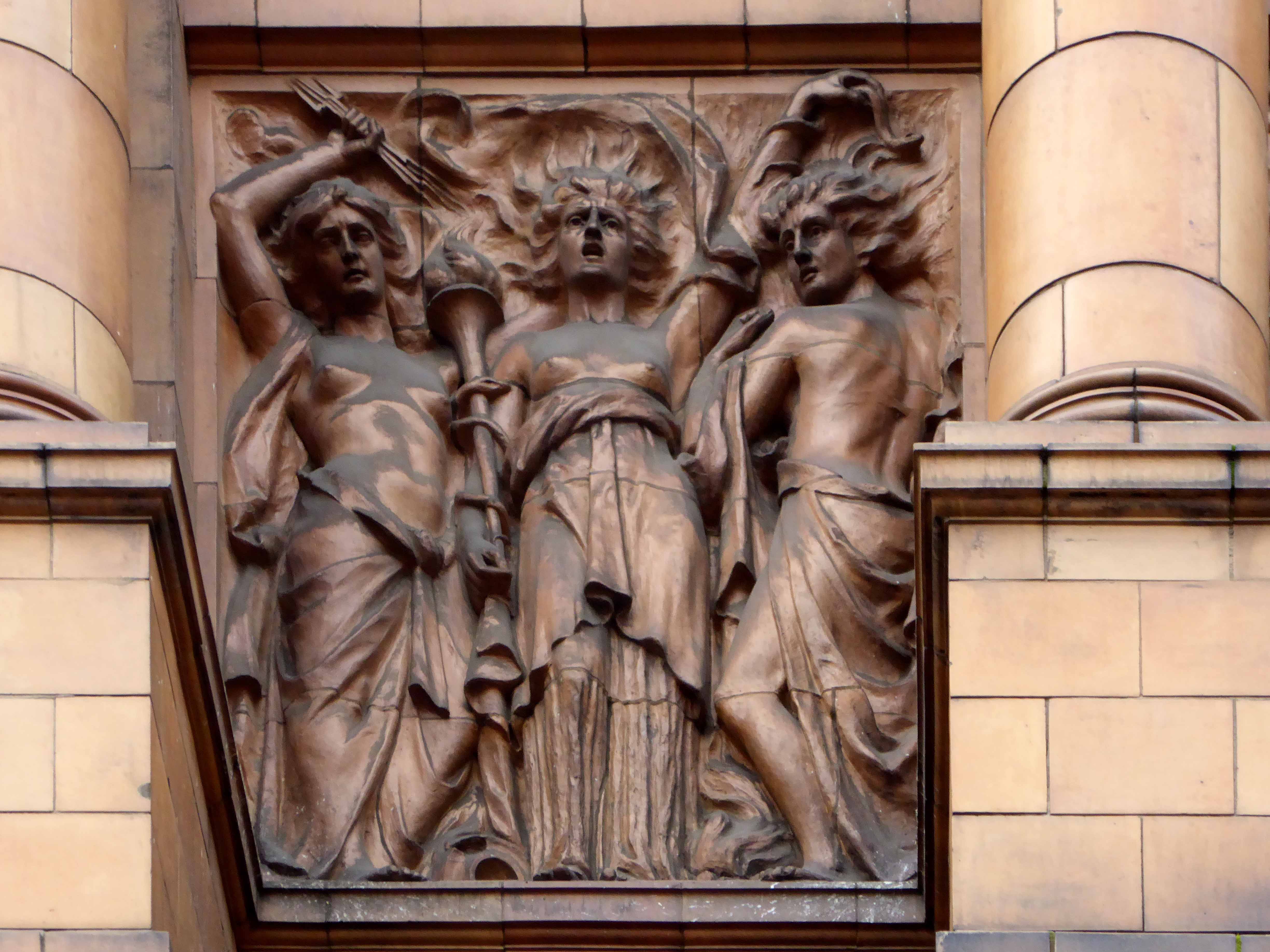
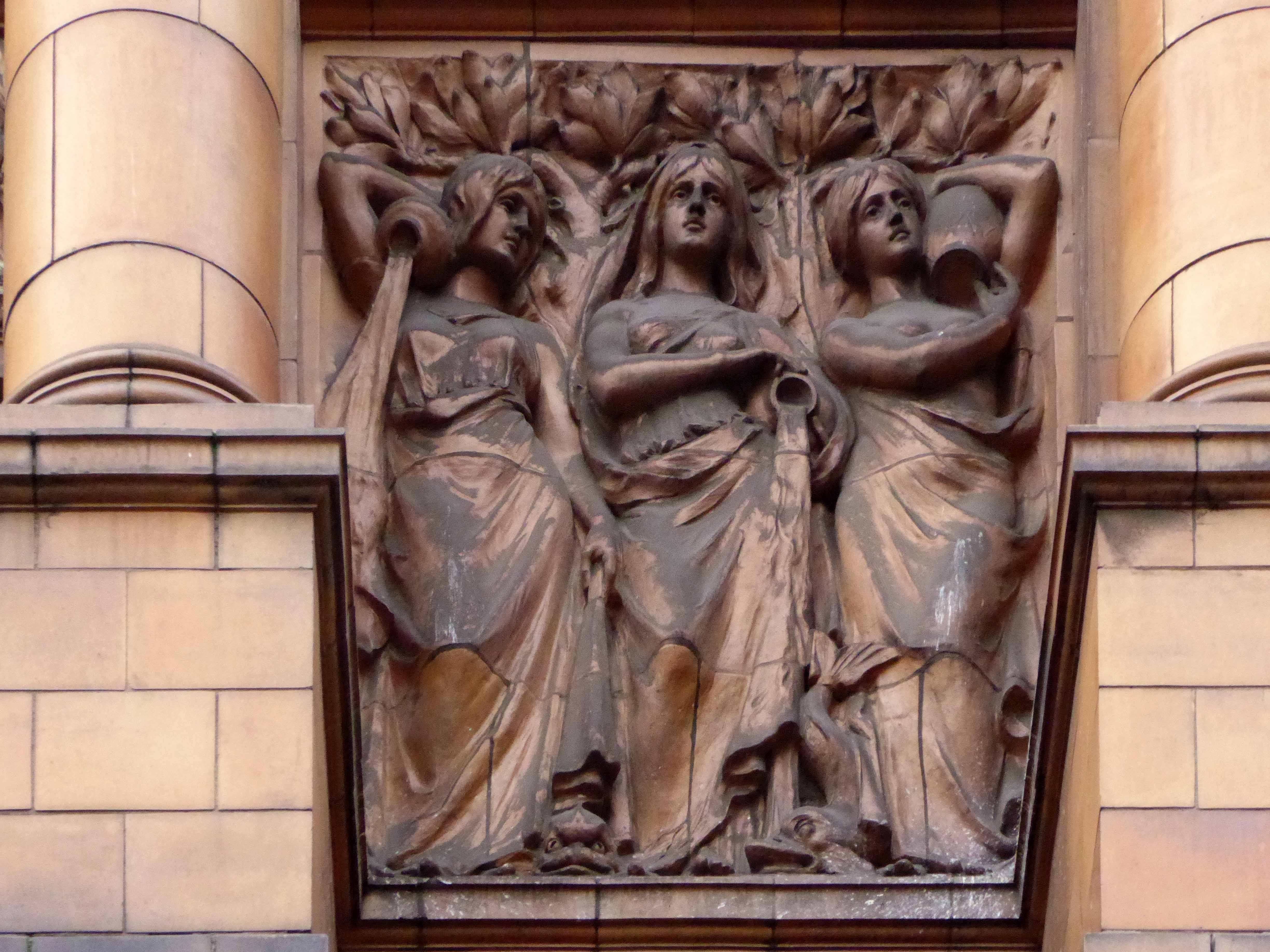
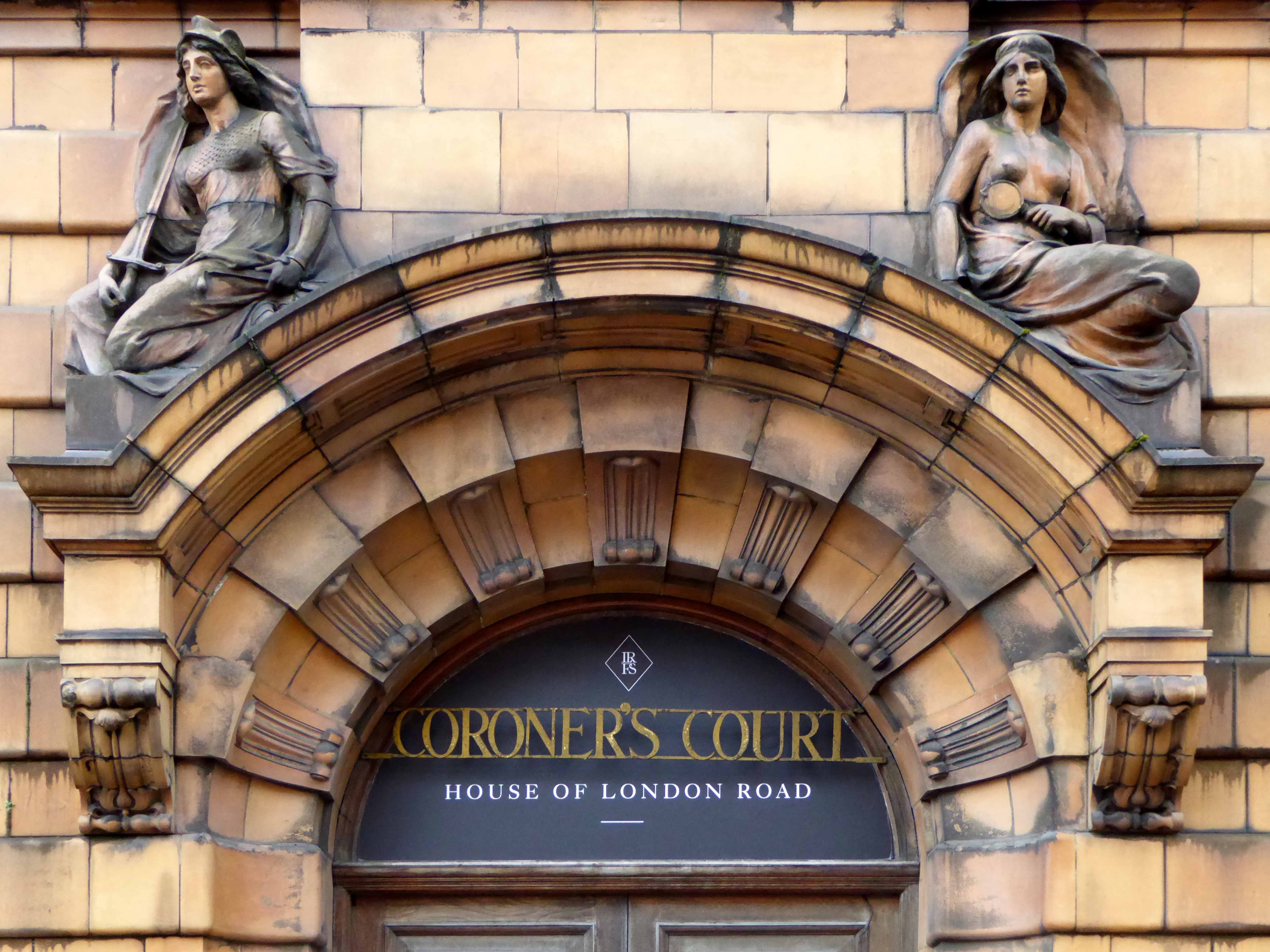
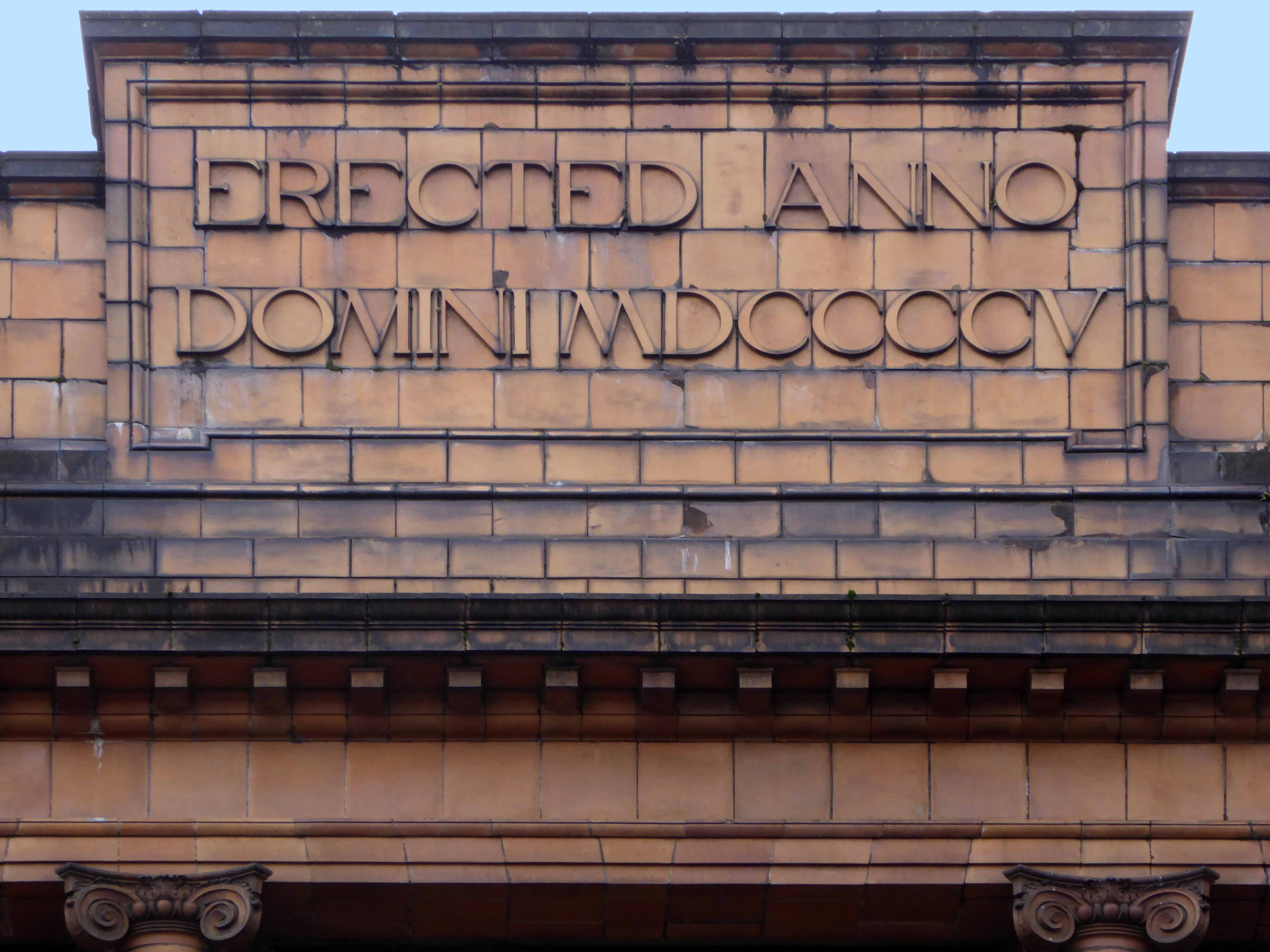
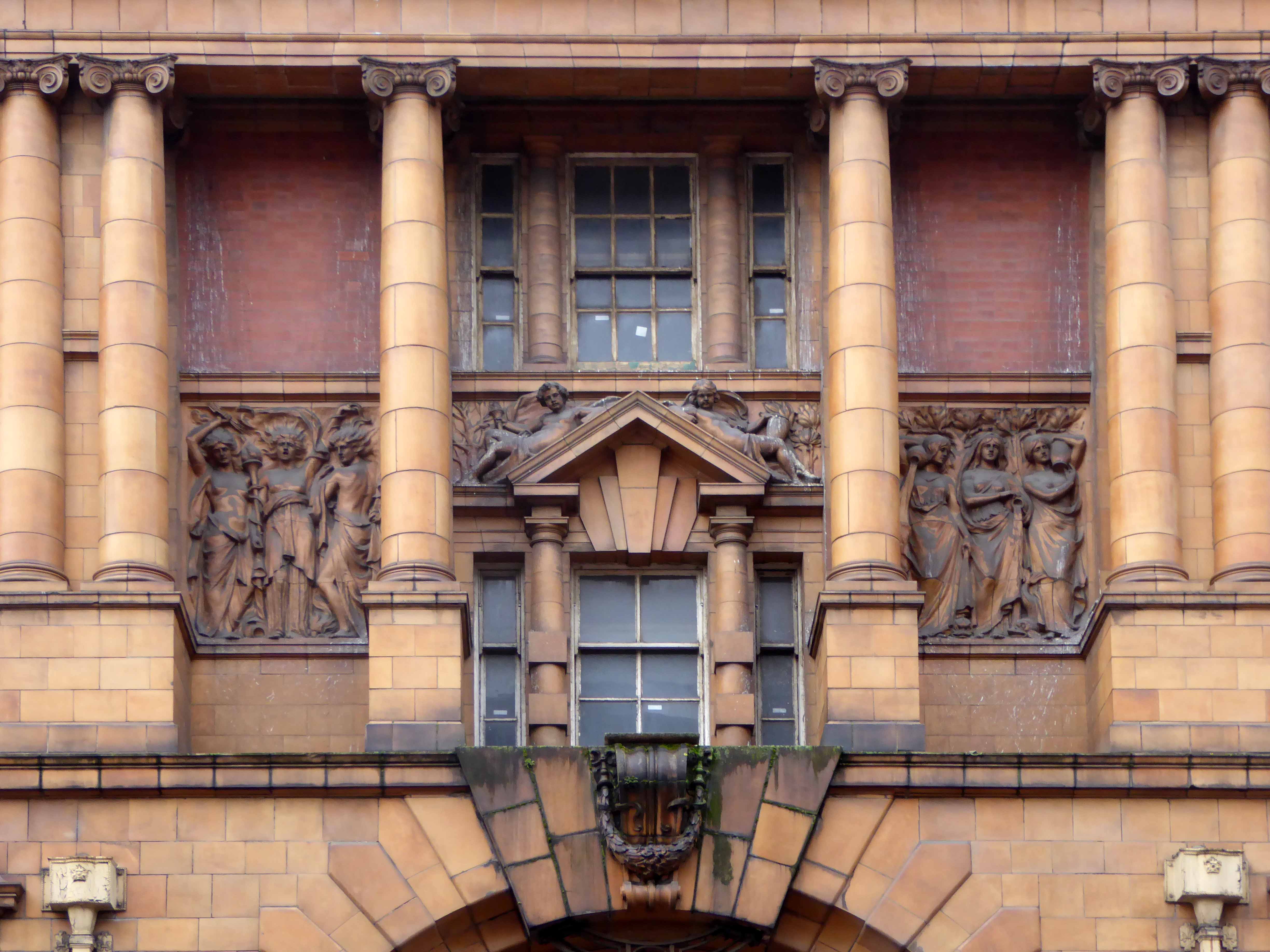
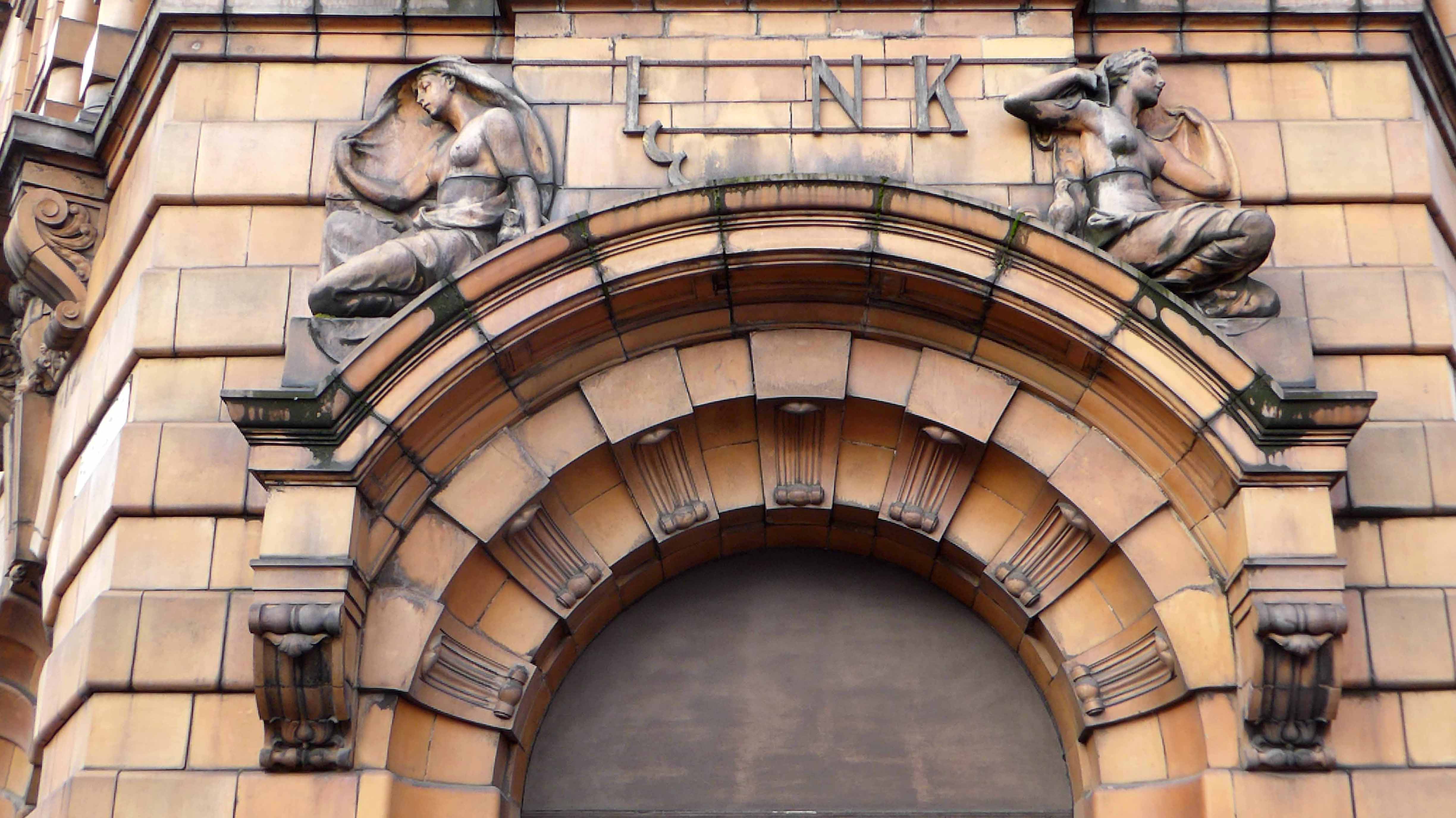
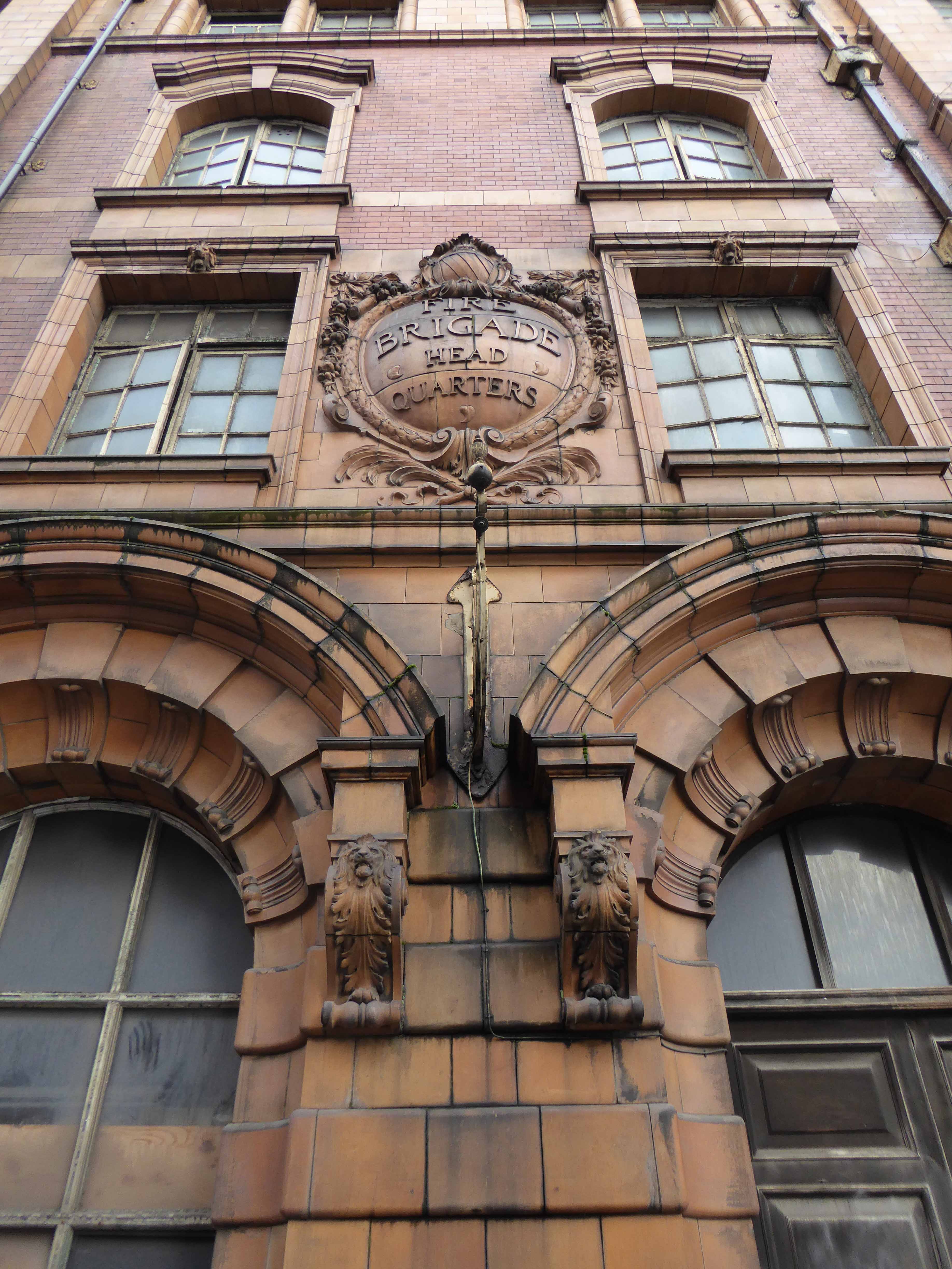
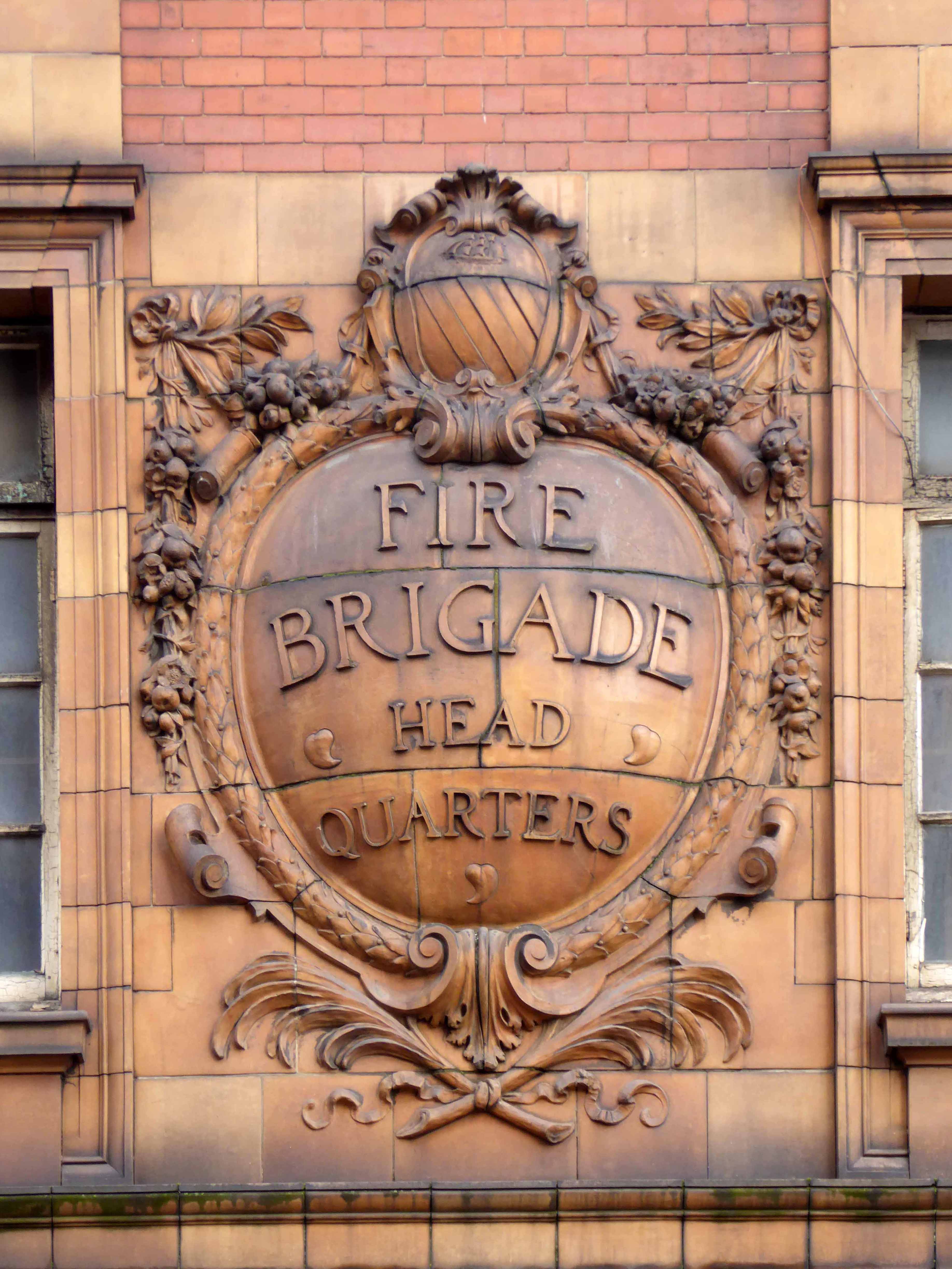
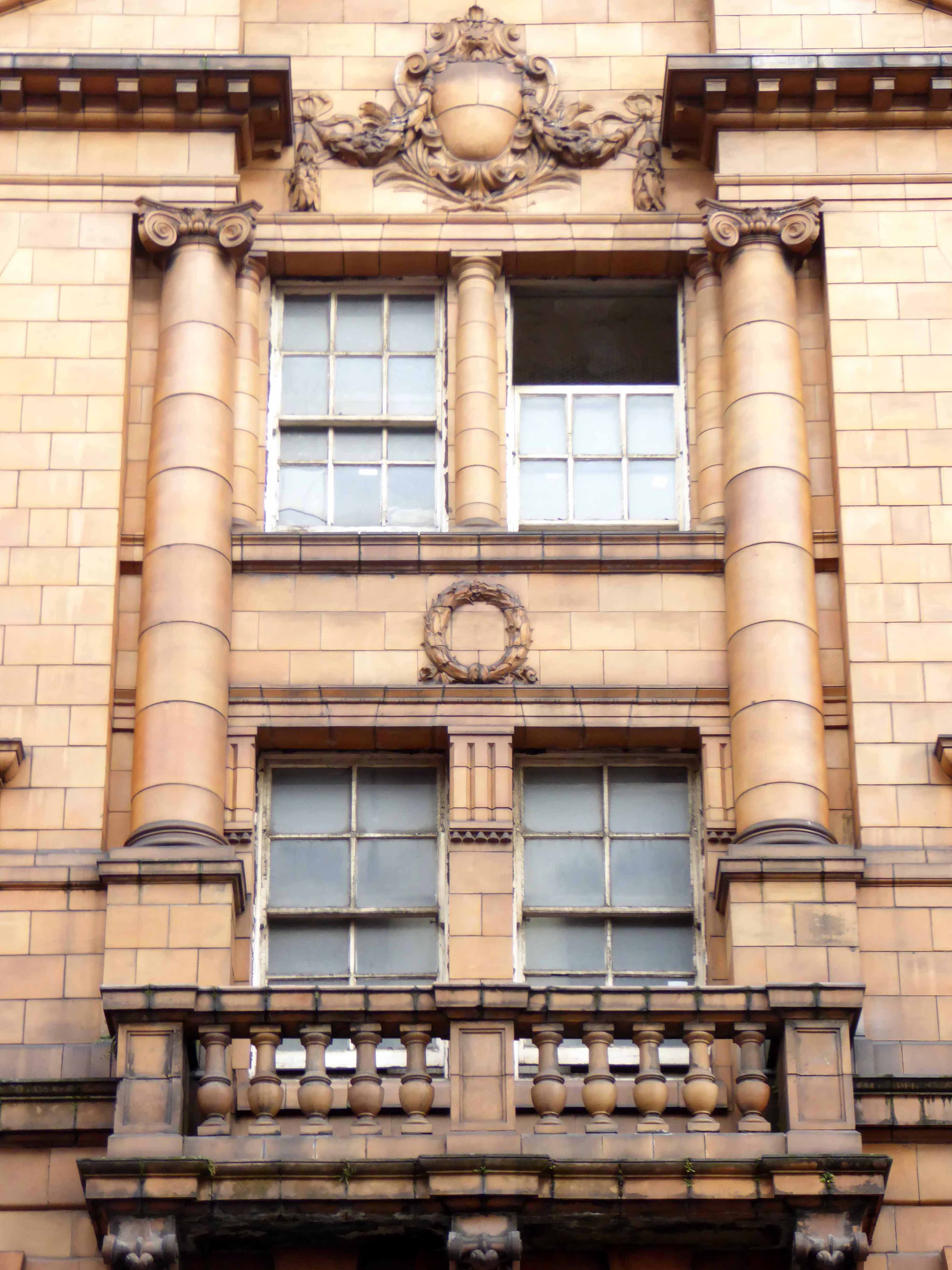
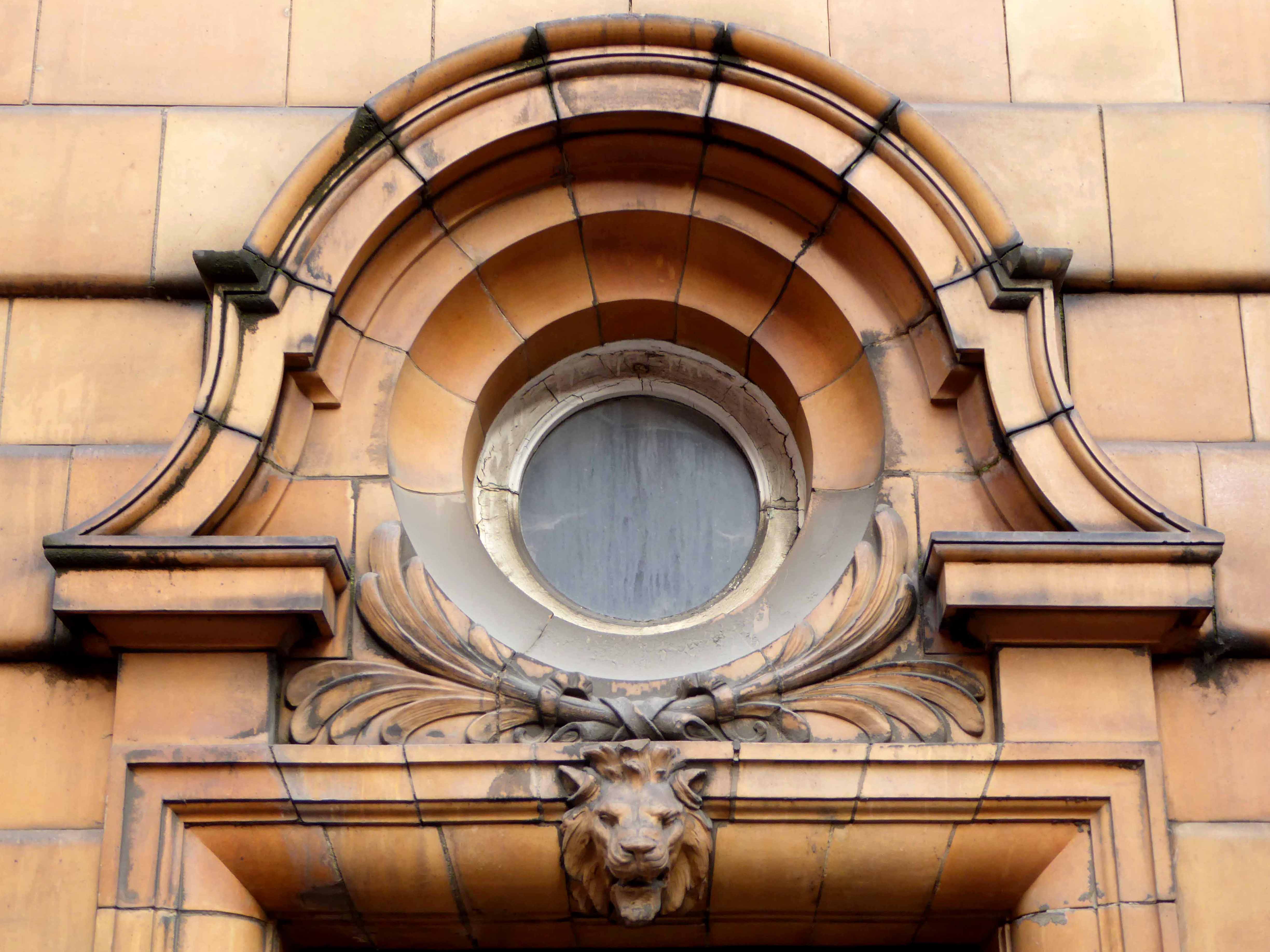
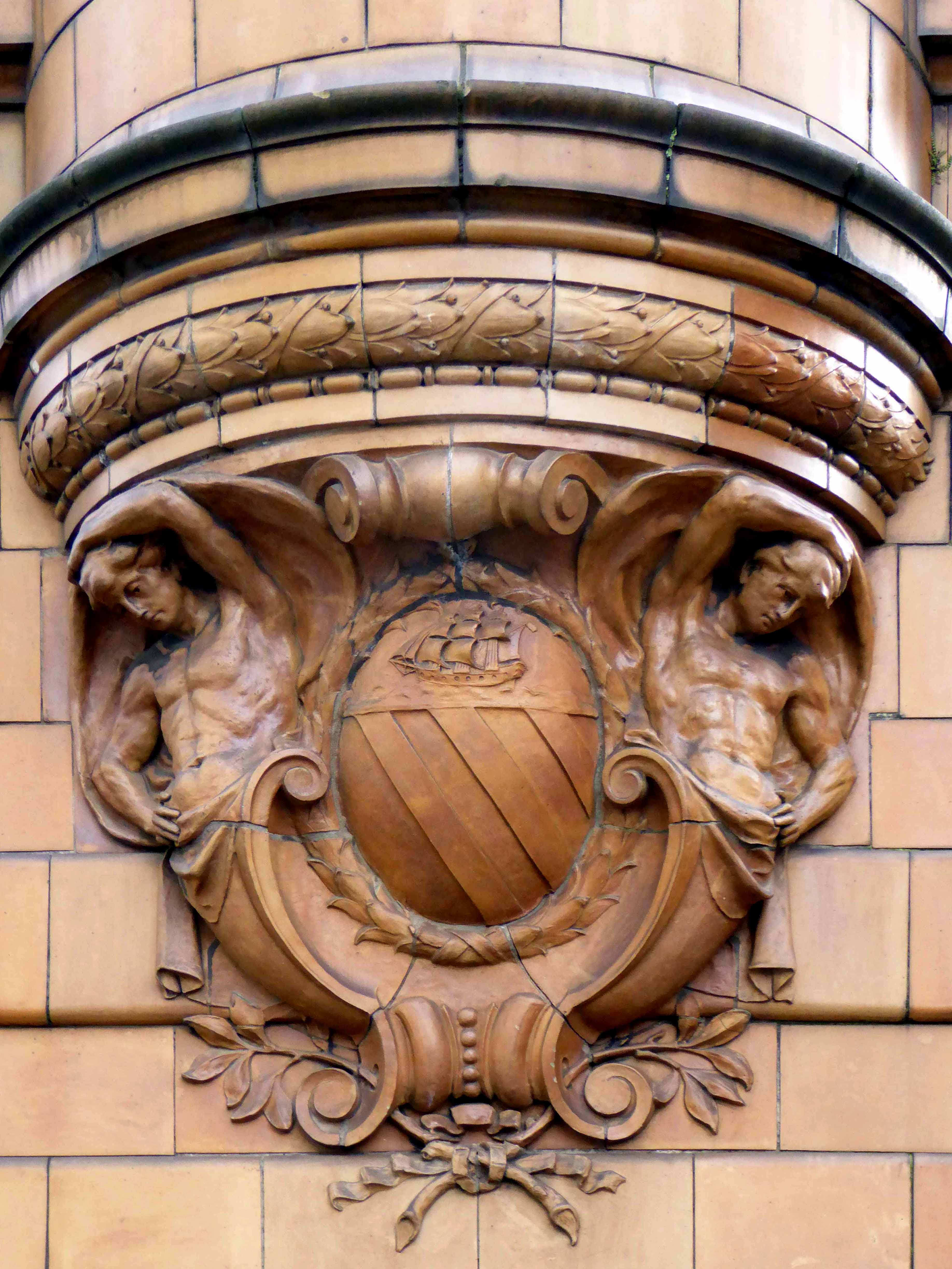
One of the earliest architectural complexes of the Industrial Revolution.
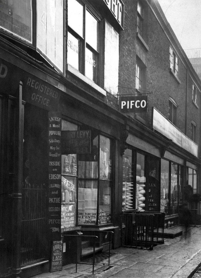
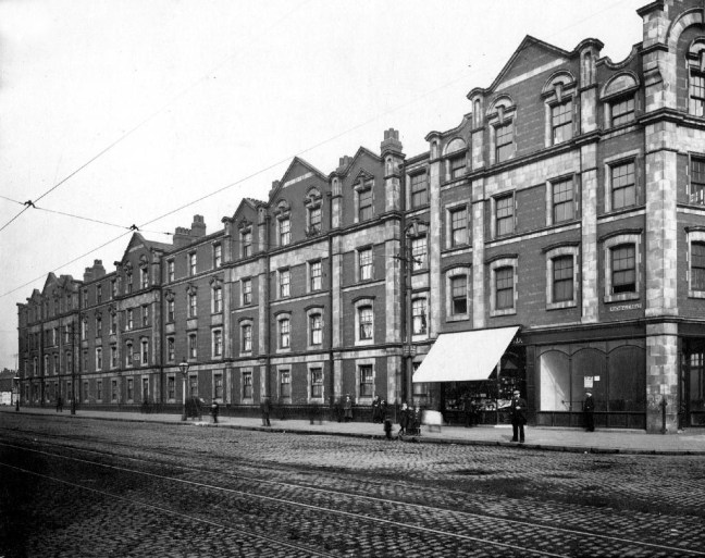
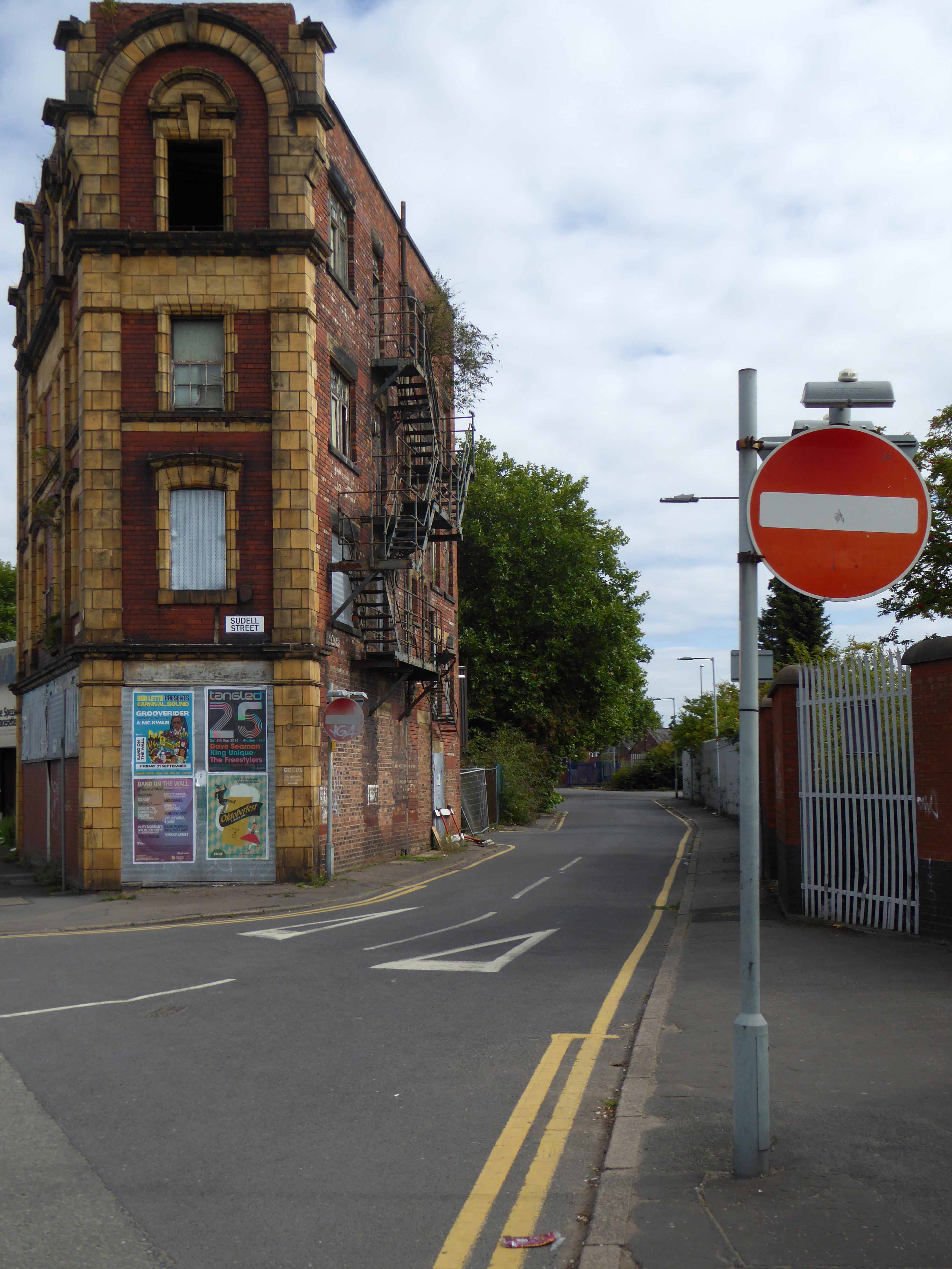
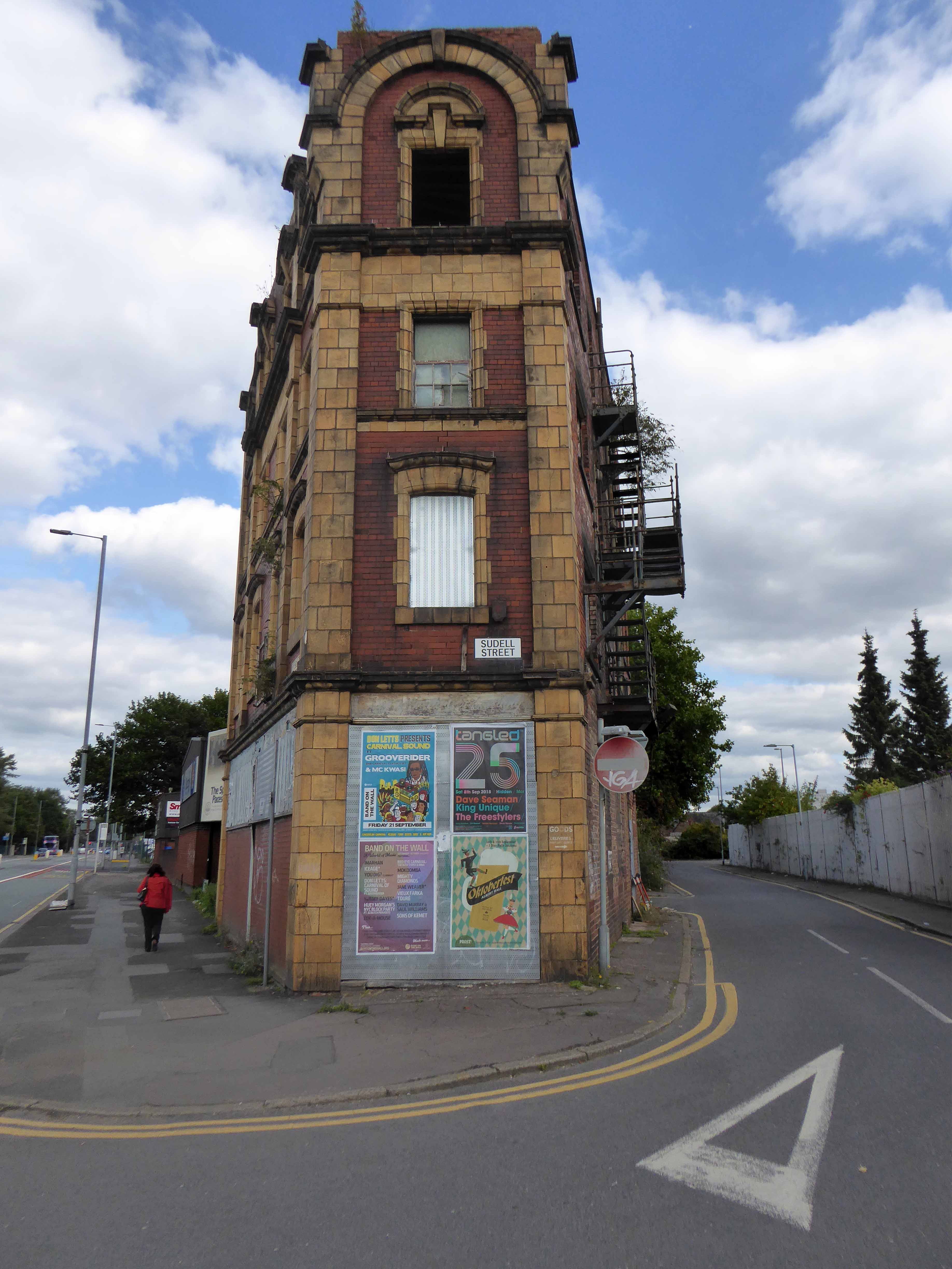
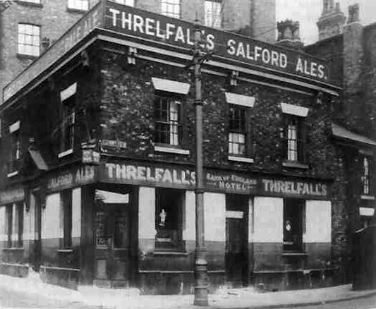
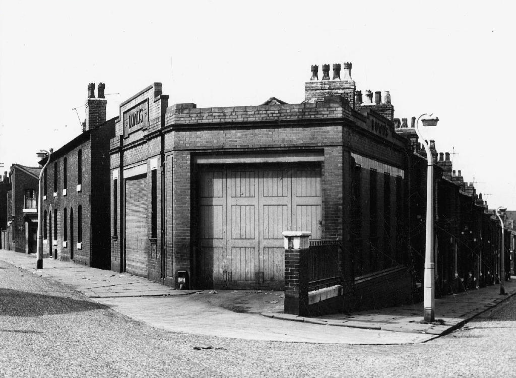
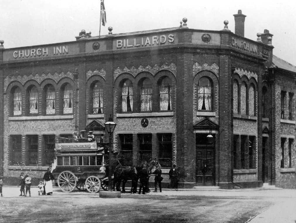
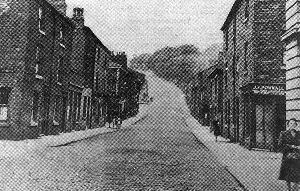
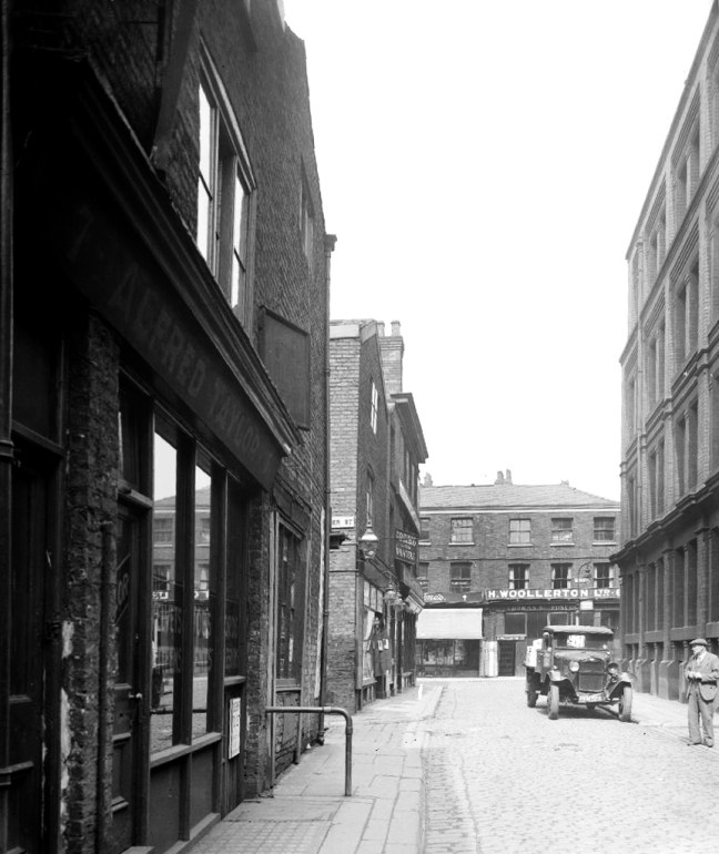
1908

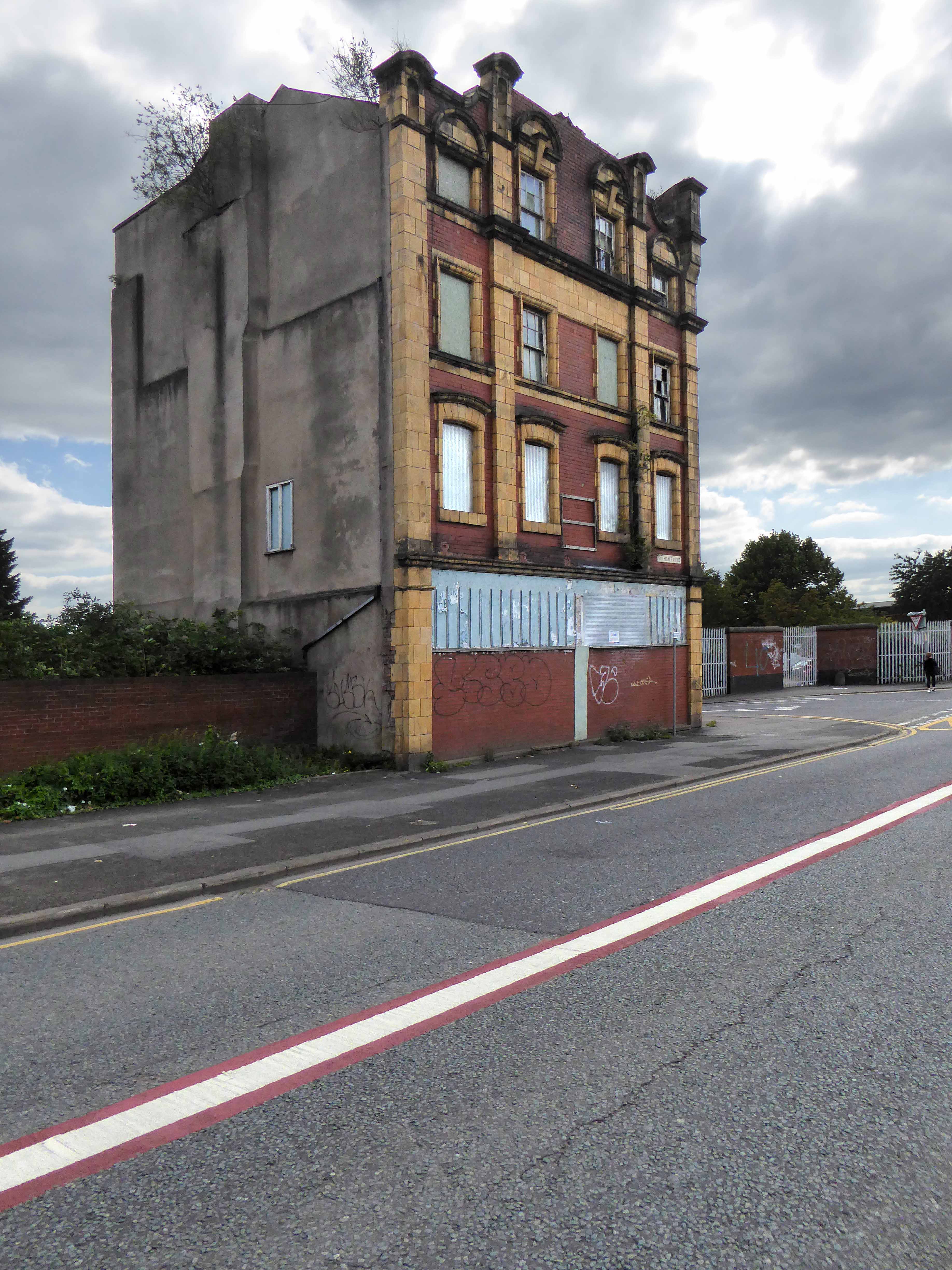
Pifco – Manchester Manufacturing
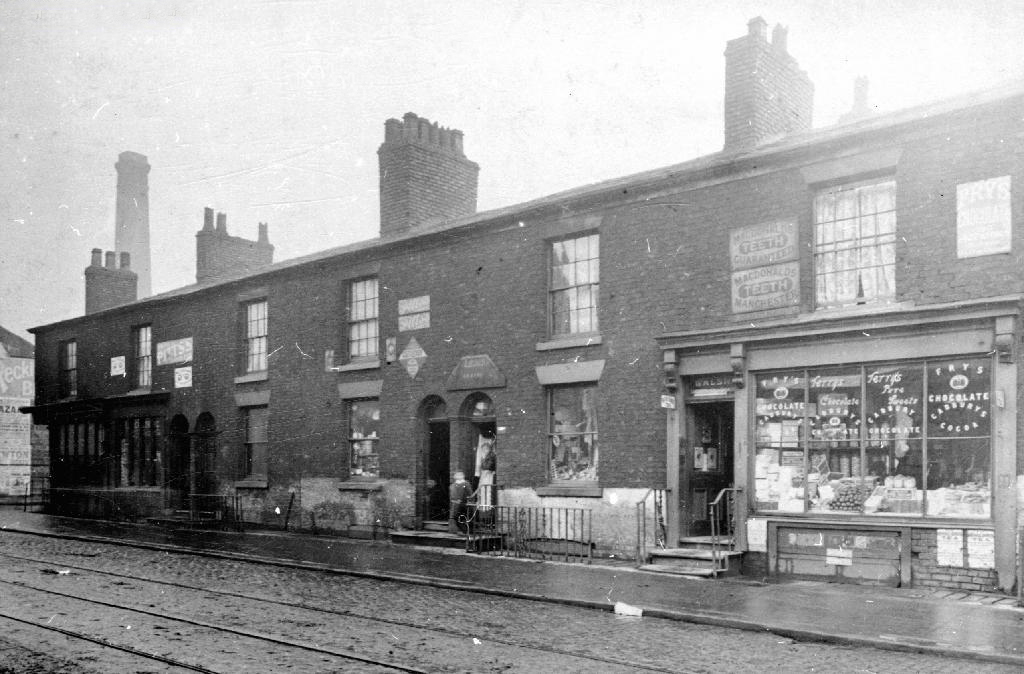
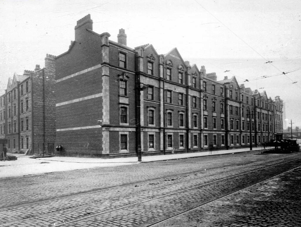
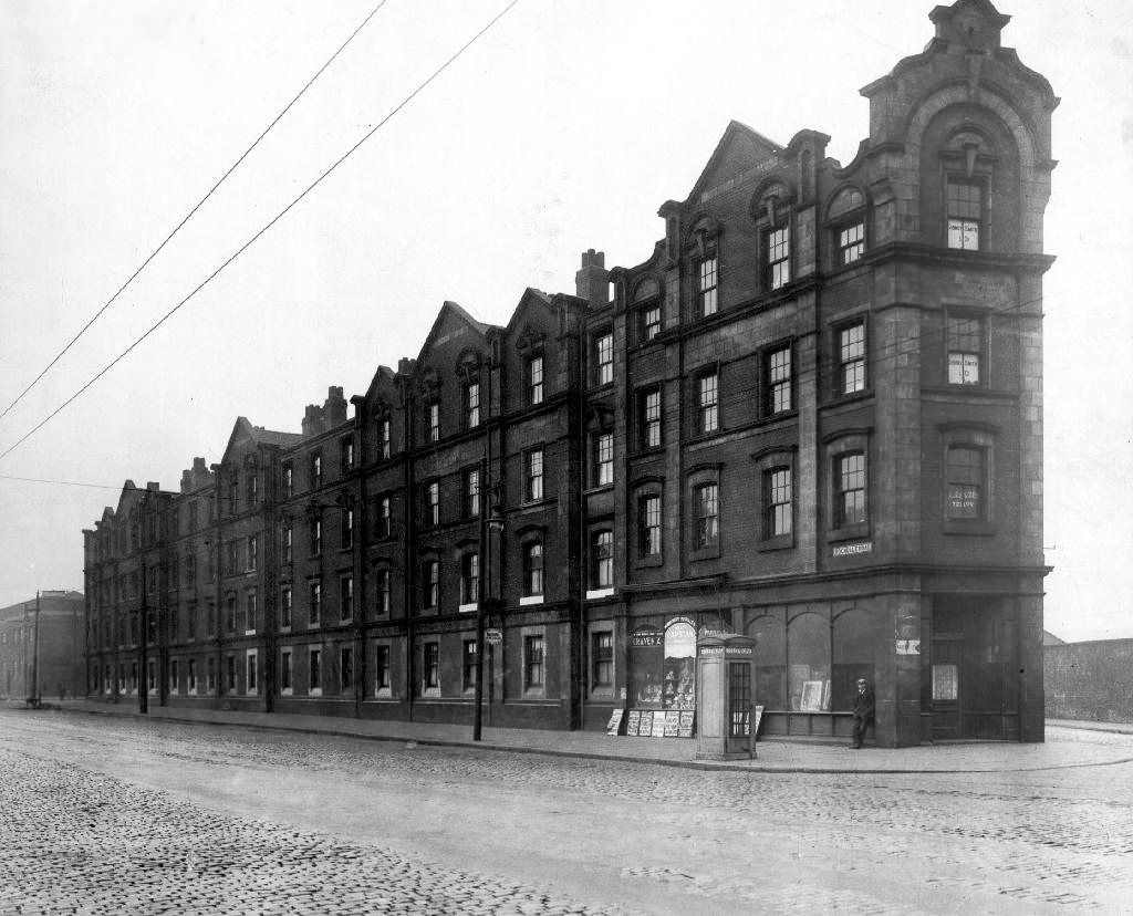
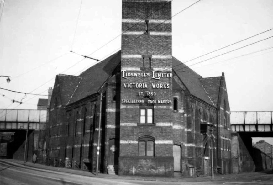
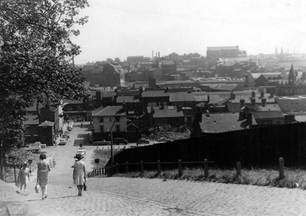
1938
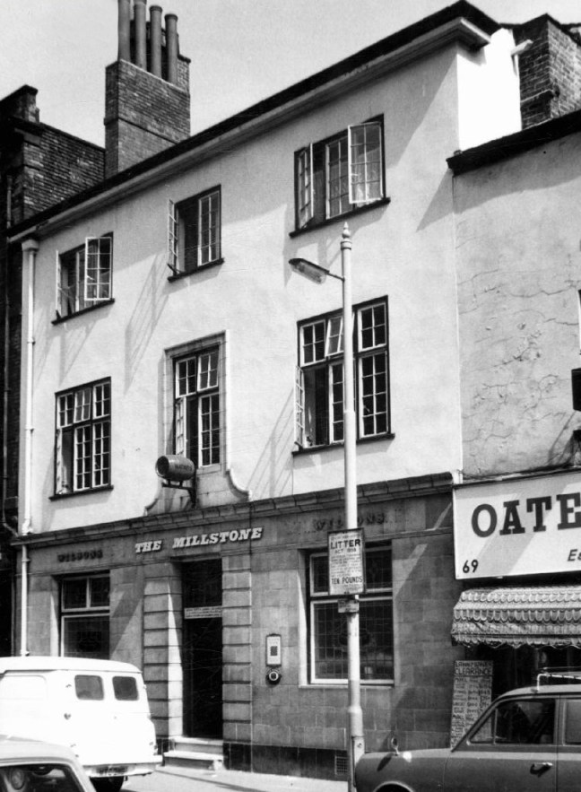
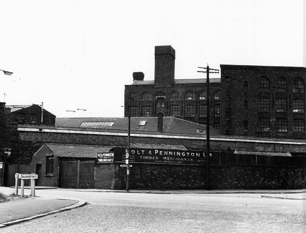
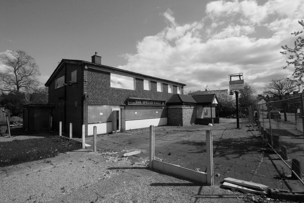
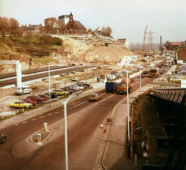
The Millstone 1970
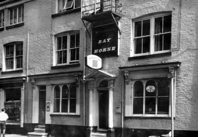
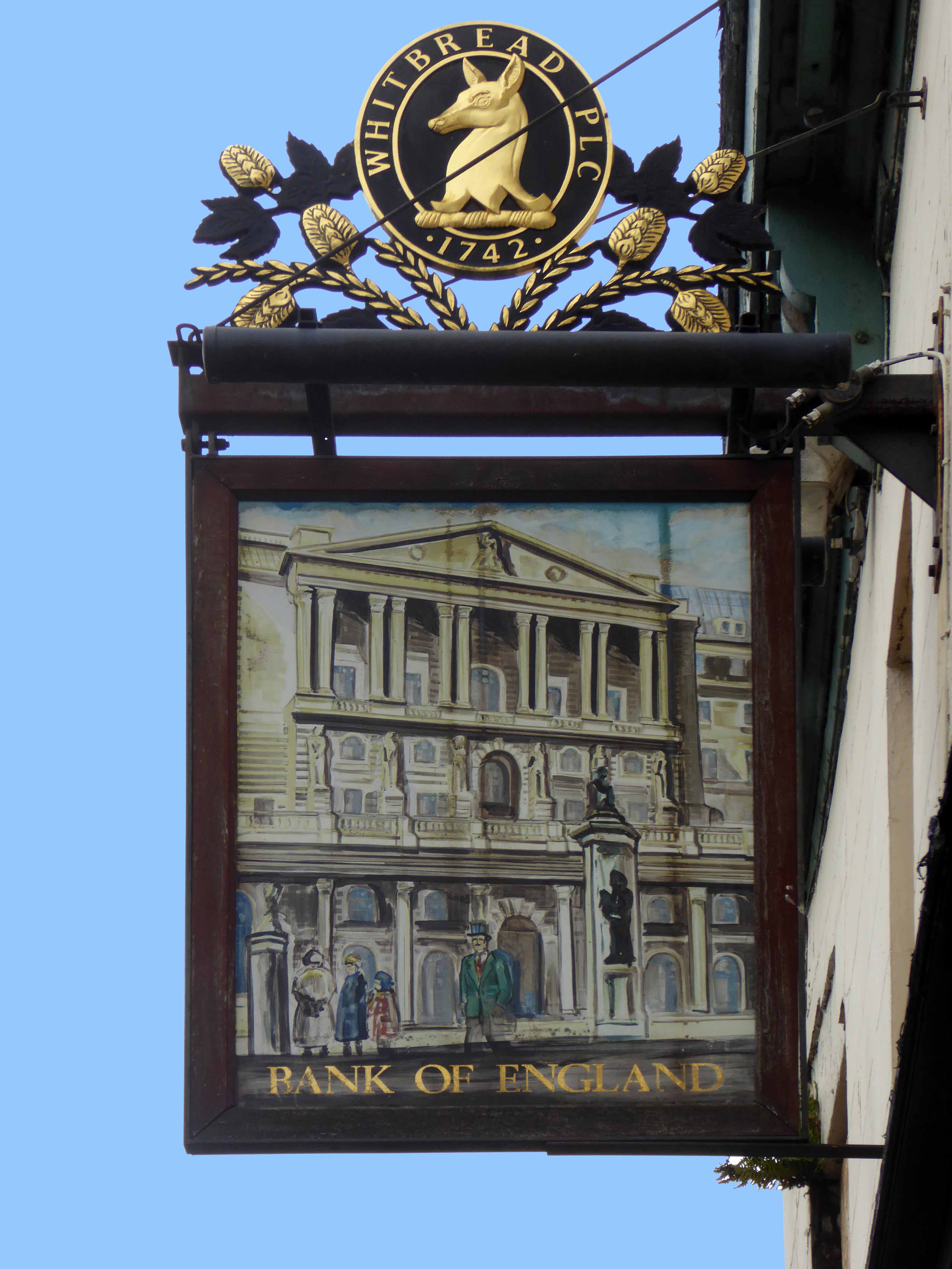
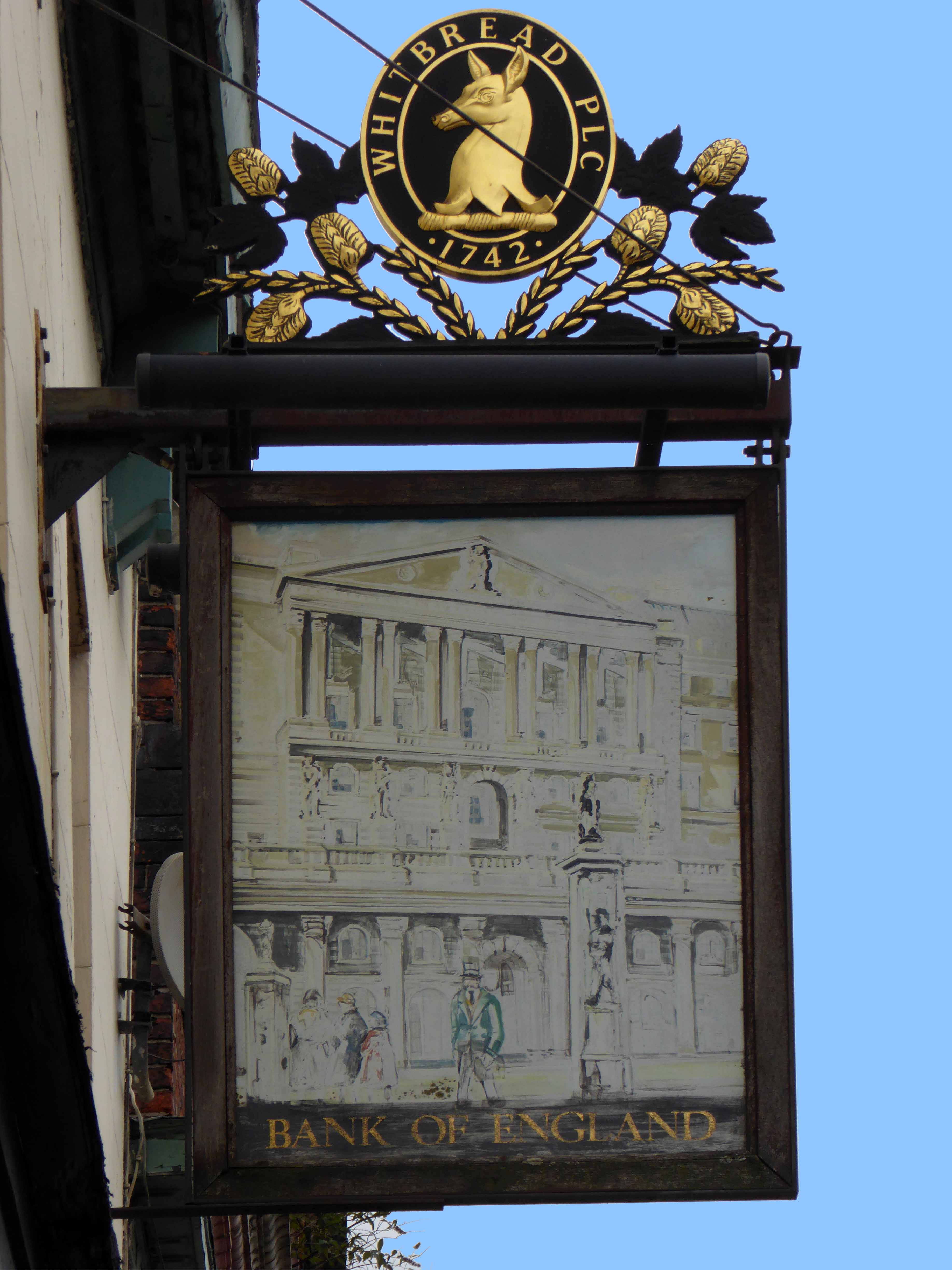
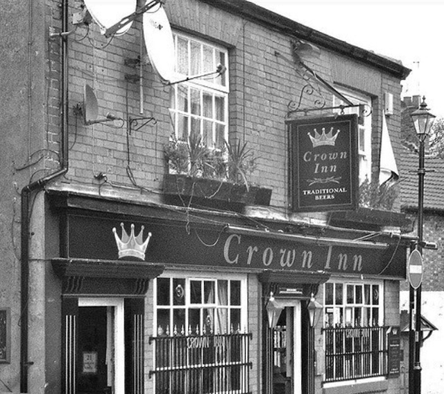
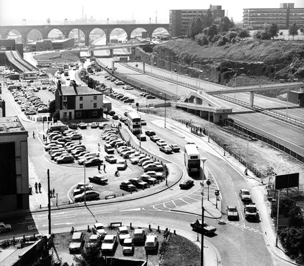
Bay Horse 1970
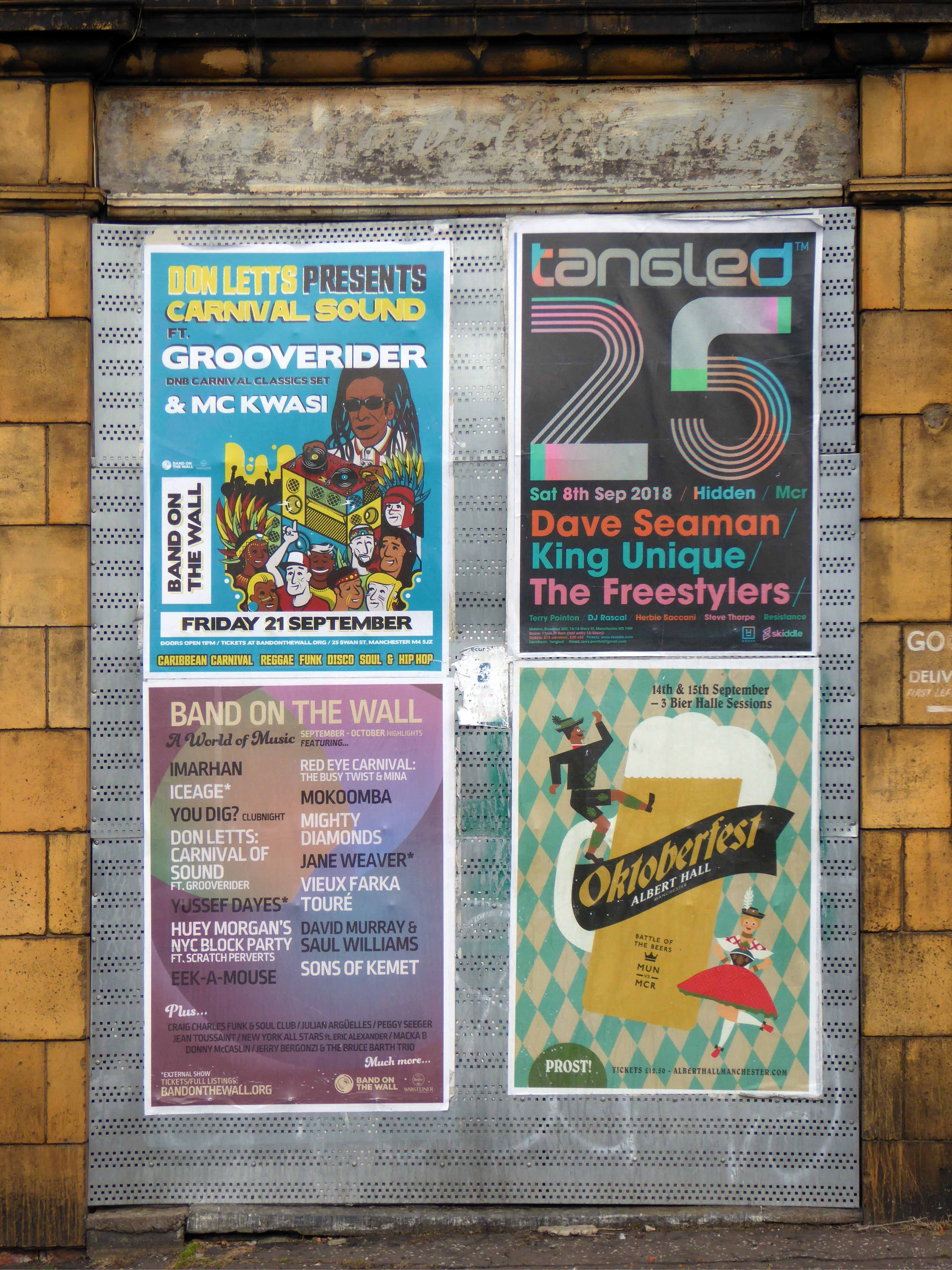
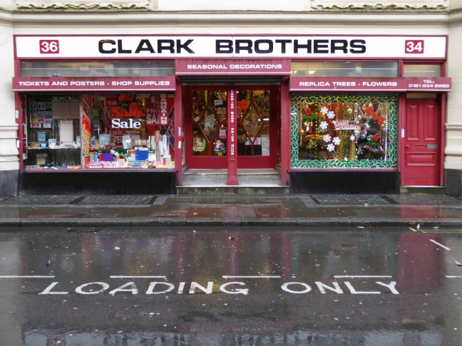
Both pubs have survived and the street is home to several relative newcomers, including the Richard Goodall Gallery and celebrated men’s outfitters Oi Polloi.
Also the location of my most favourite shop in the whole wide world.
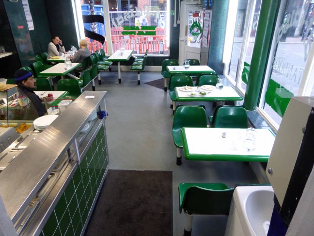
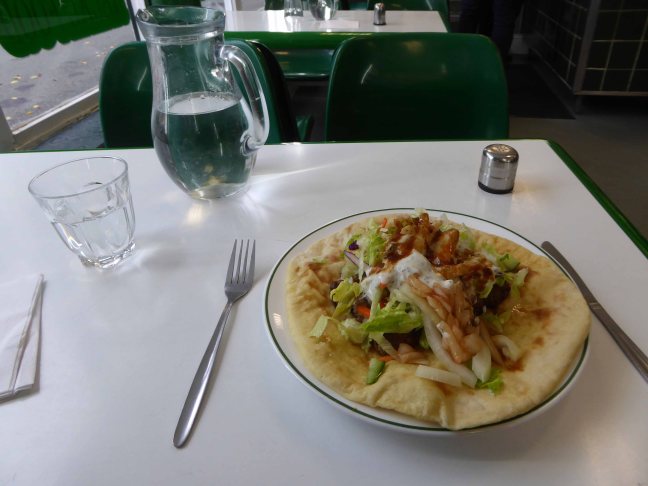
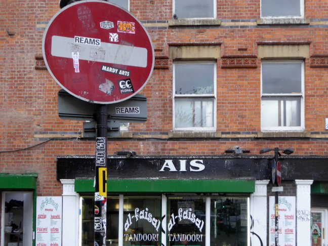
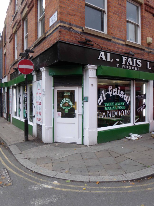
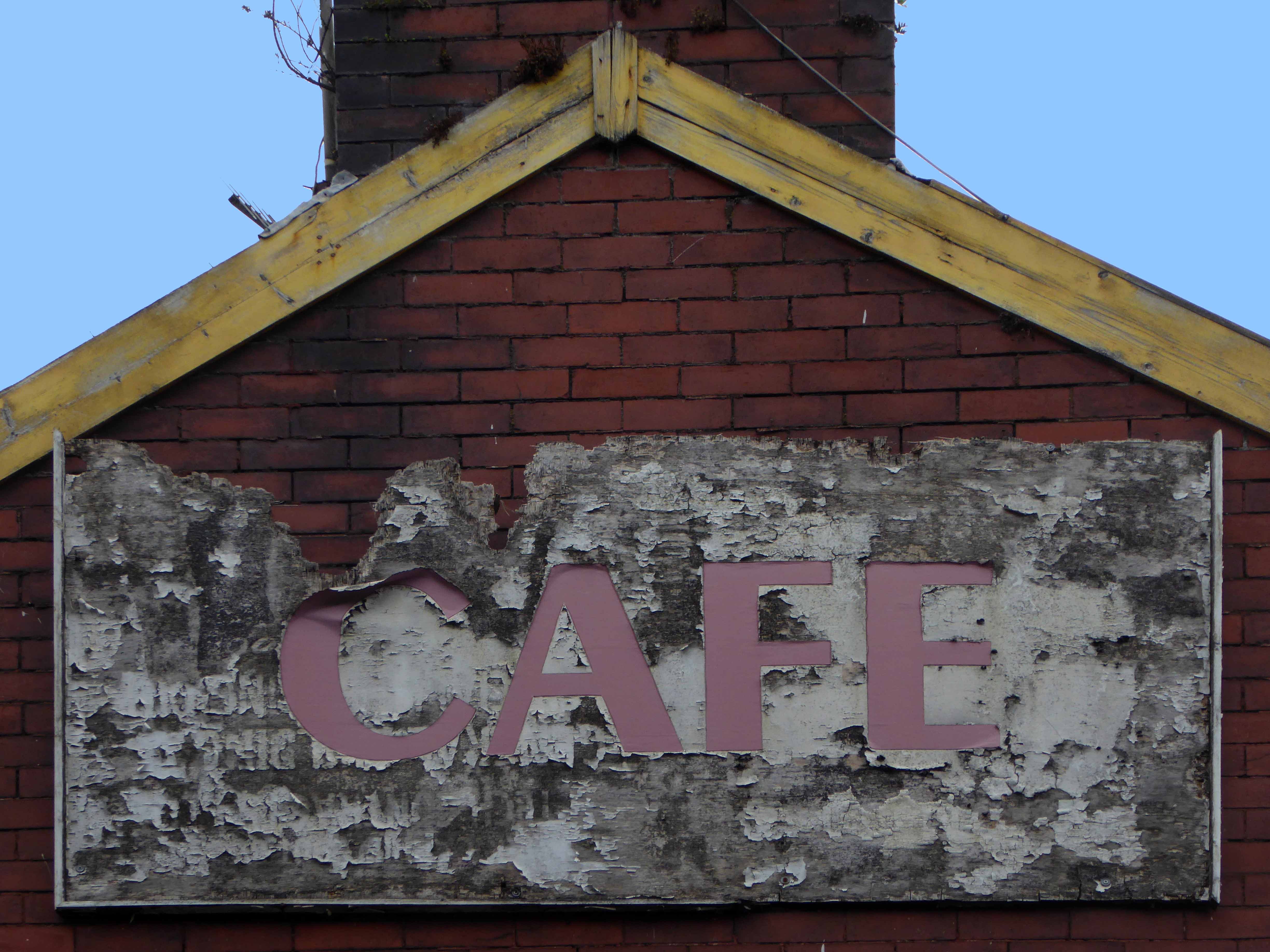
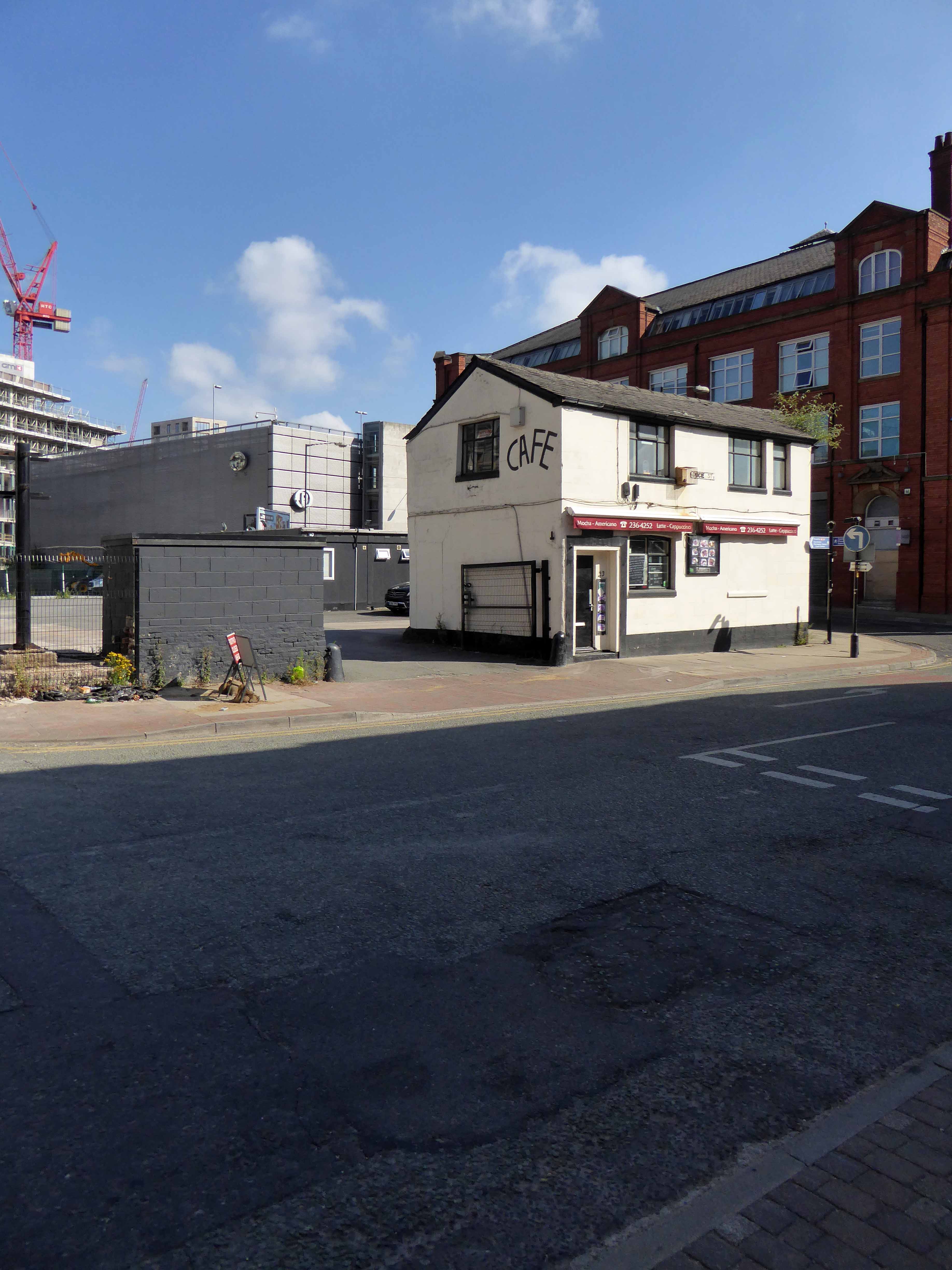
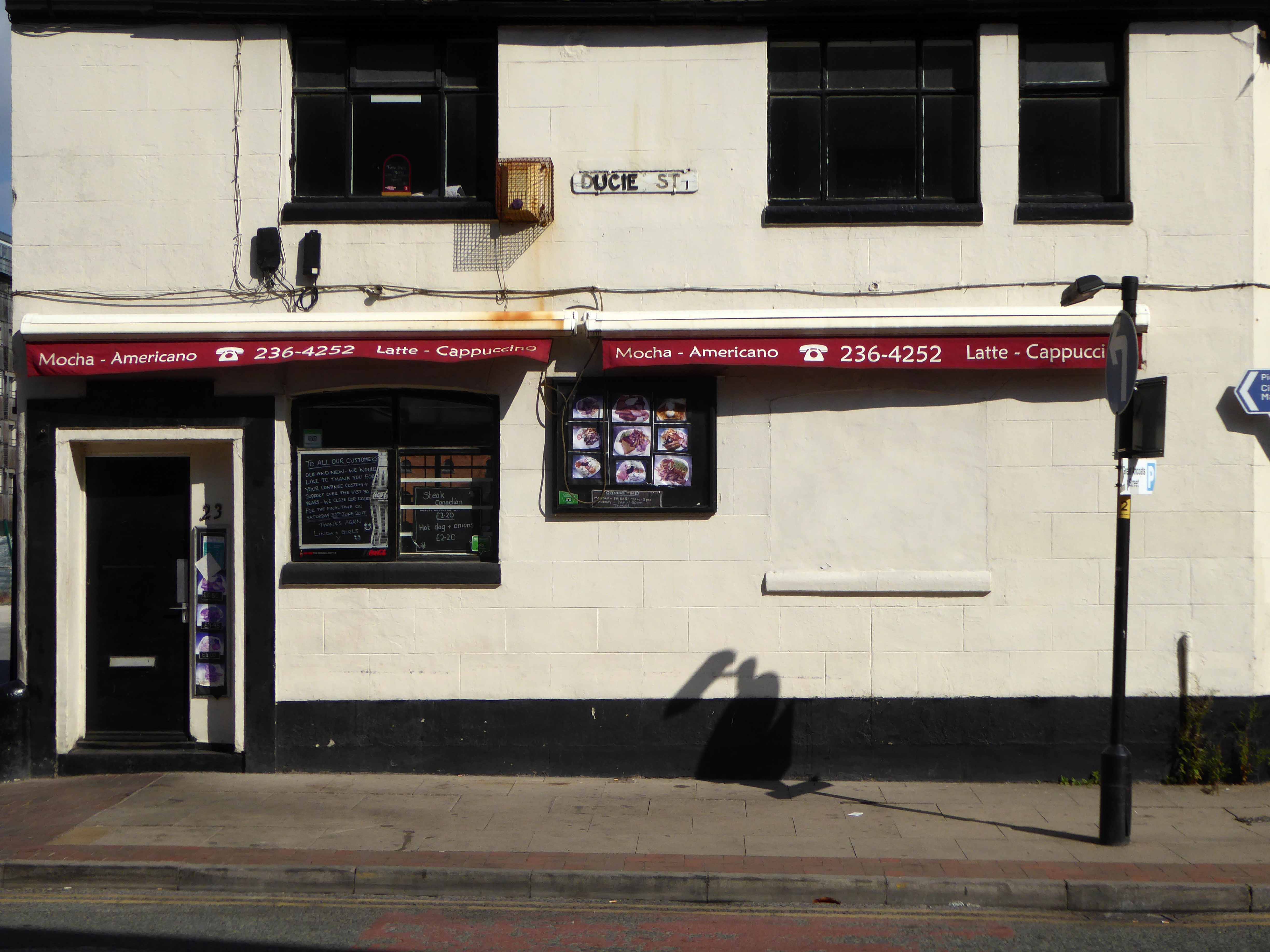
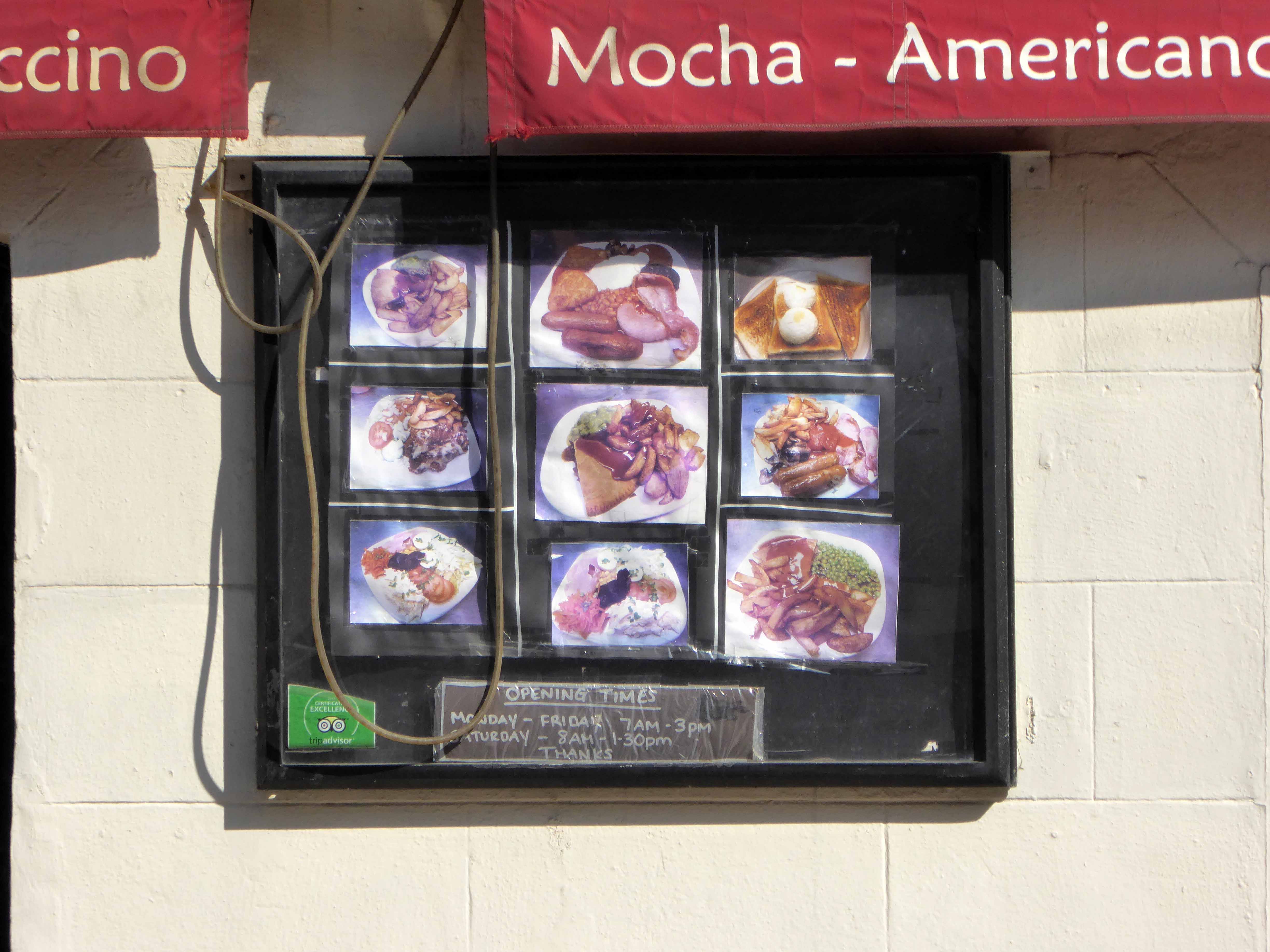
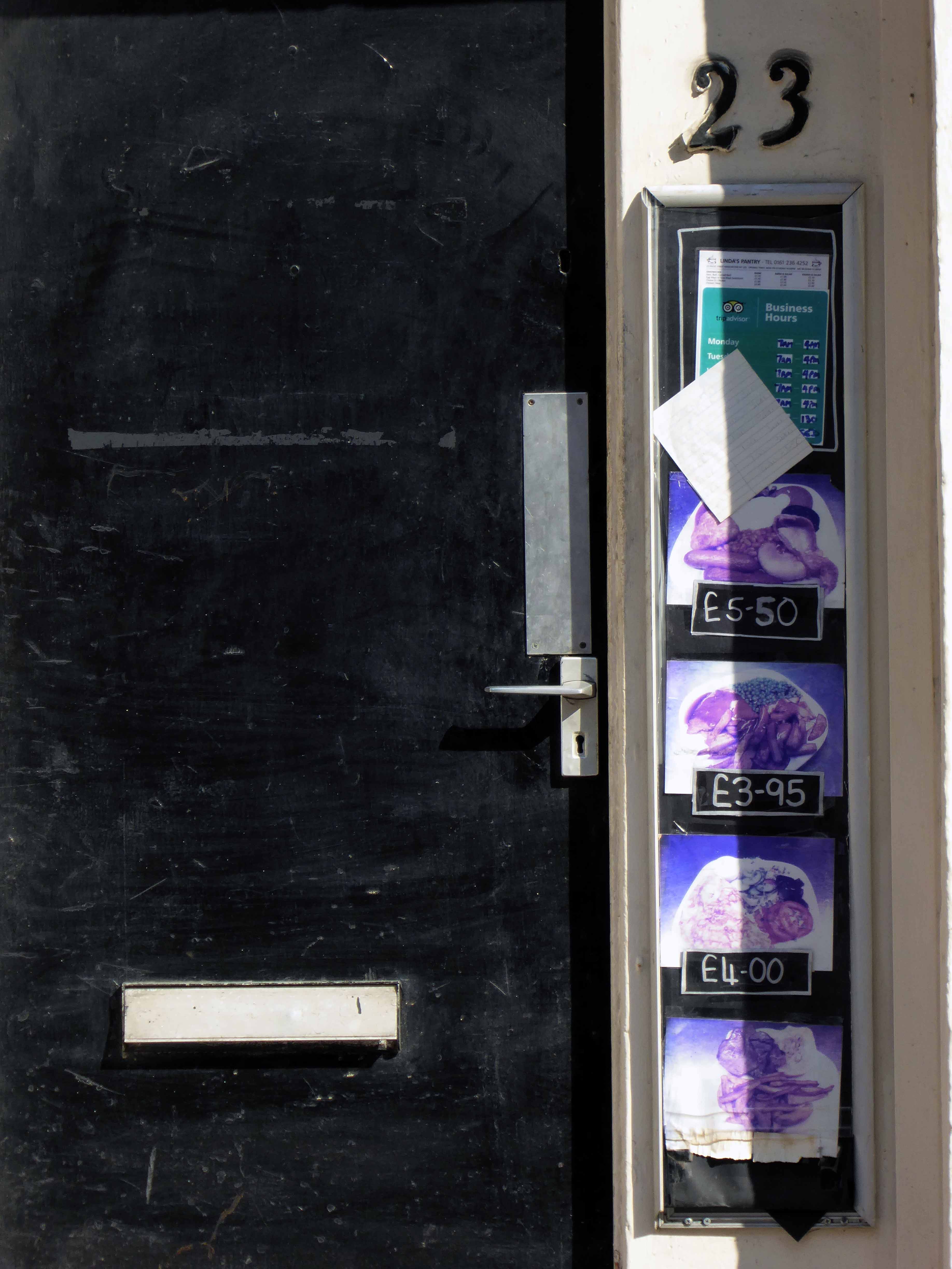
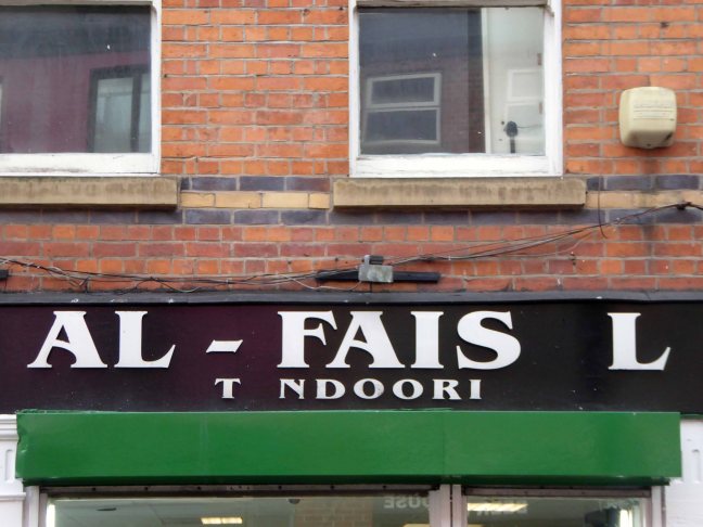
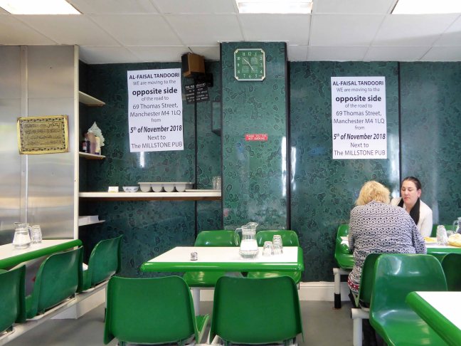
From the 70’s onwards the area had been at the centre of the Asian garment trade – and so it came to pass some 26 years ago the Al Faisal arrived, one of several curry cafés, feeding the faces of the passing parade.
I’ve eaten there for most of that time, fed very well indeed thank you very much, for way less than a king’s ransom.
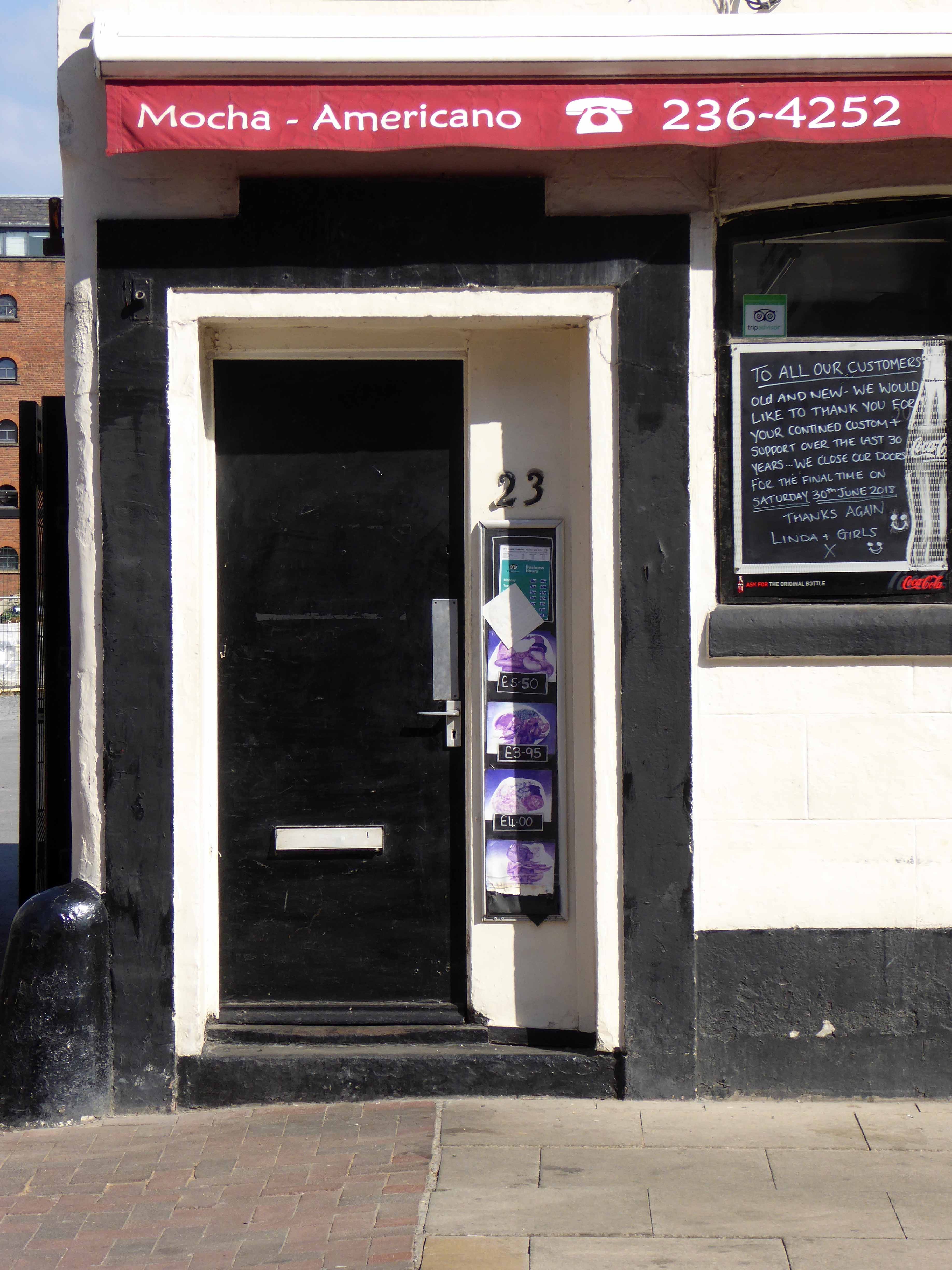
Yesterday I popped in at teatime, for my tea – posters proclaimed an imminent move.
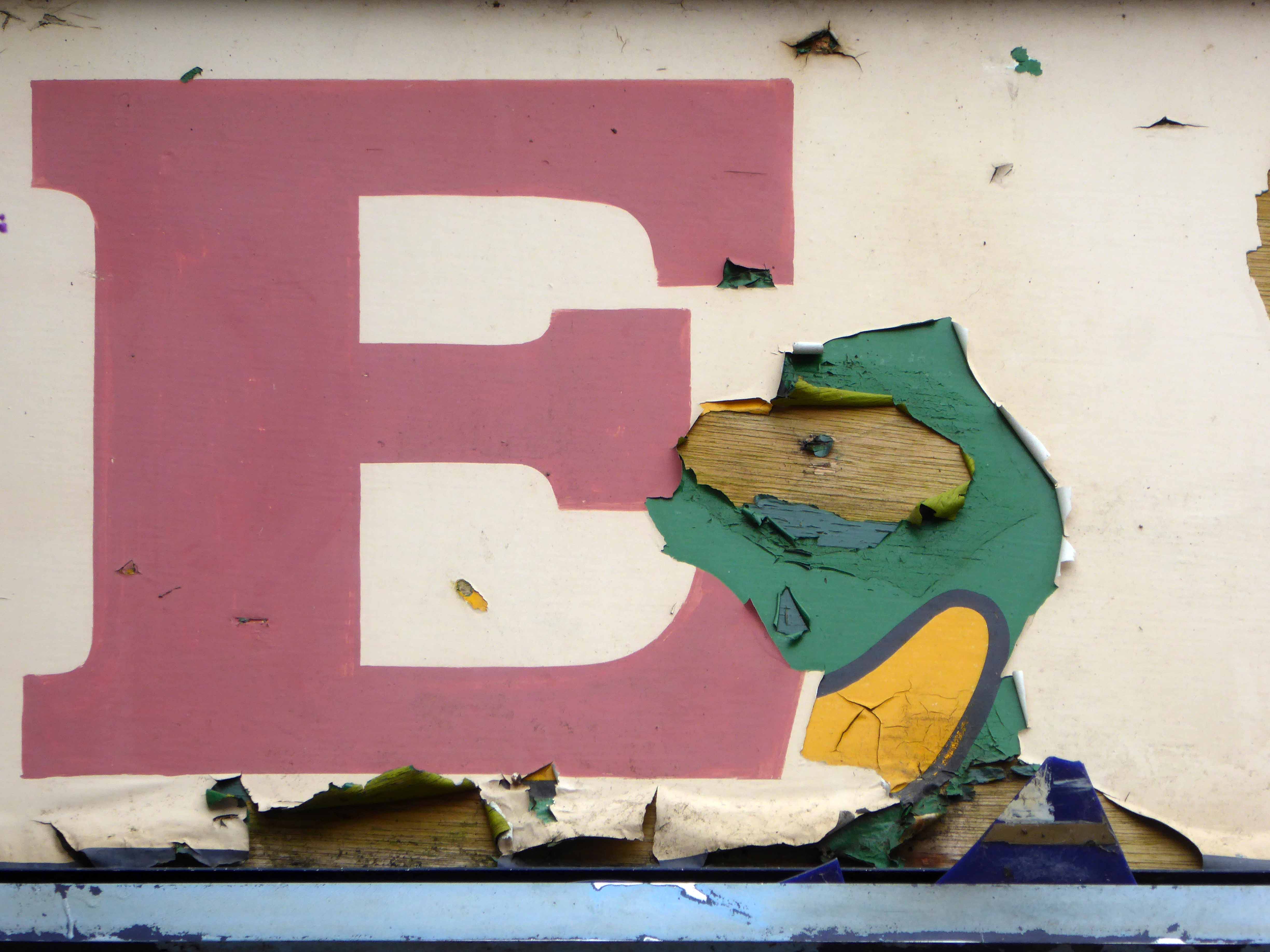
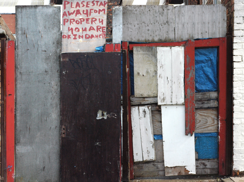
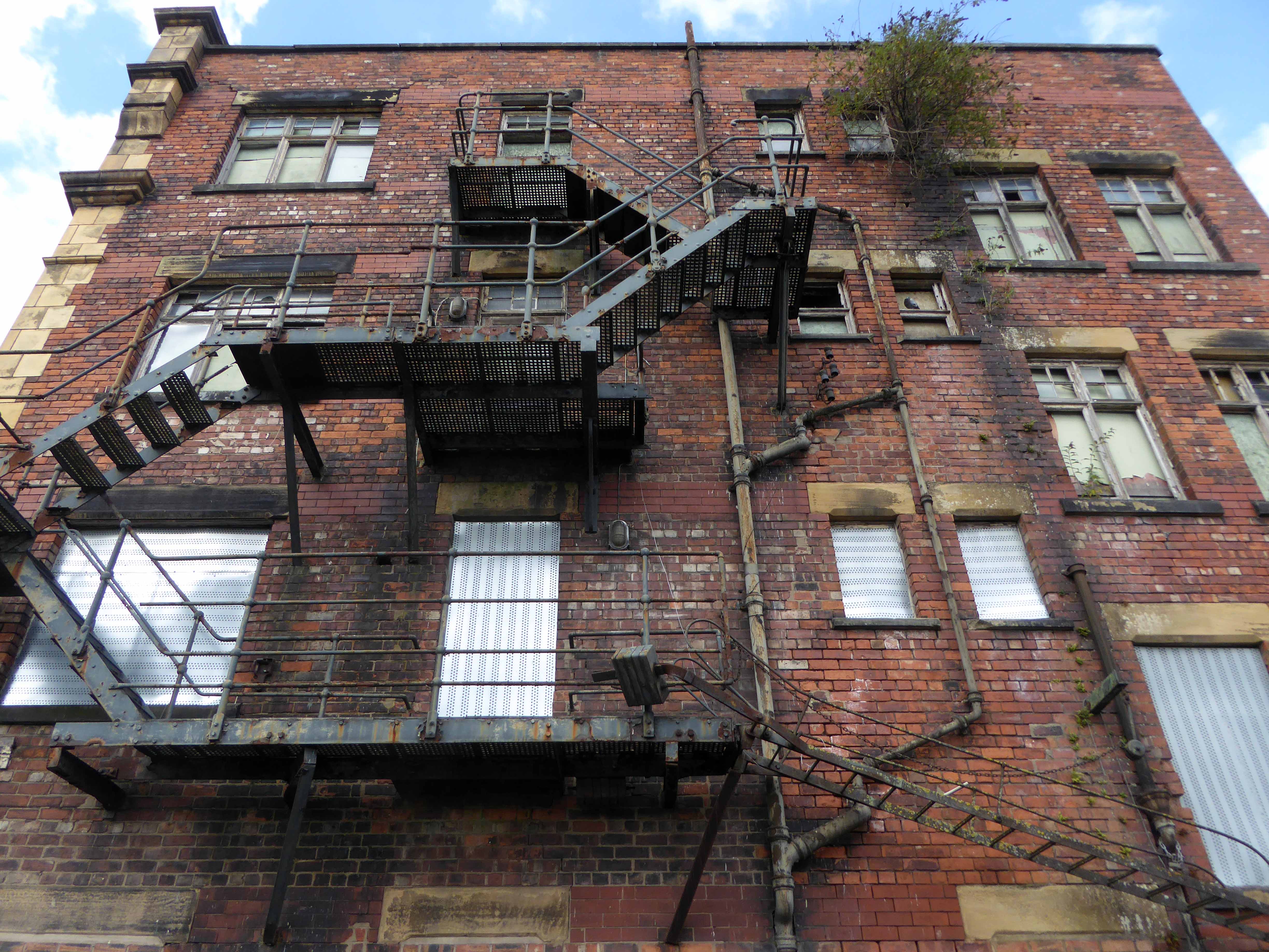
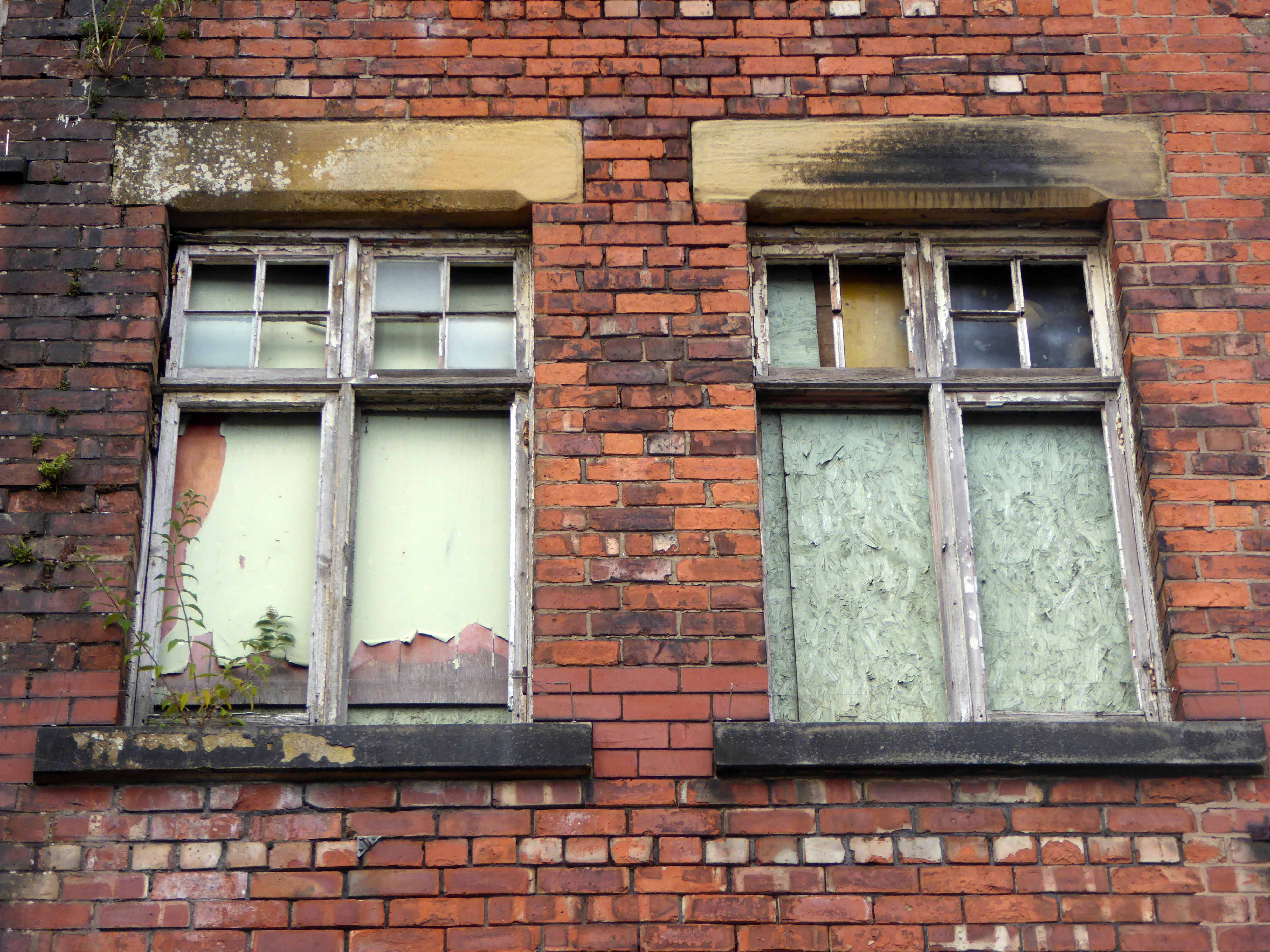
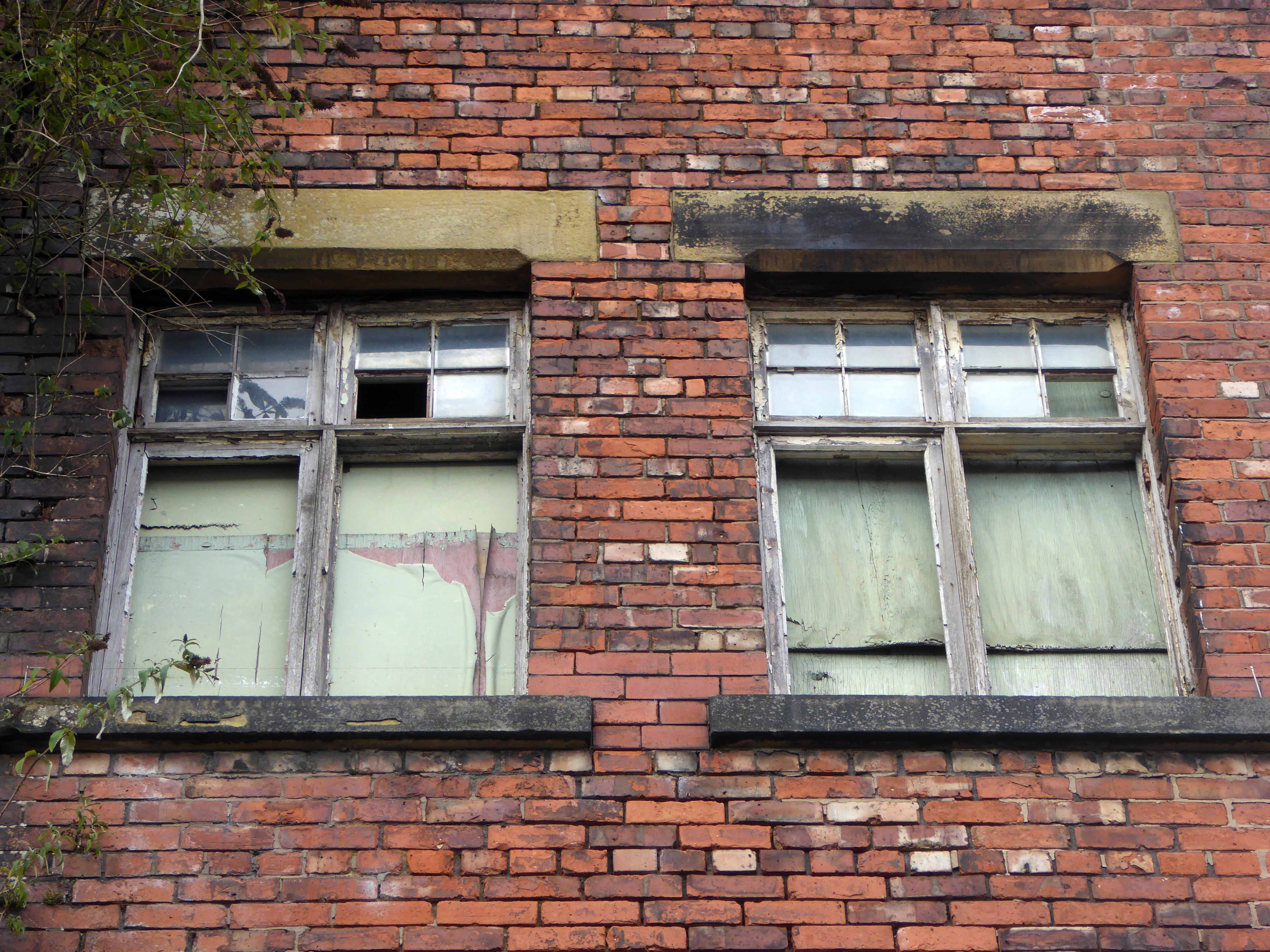
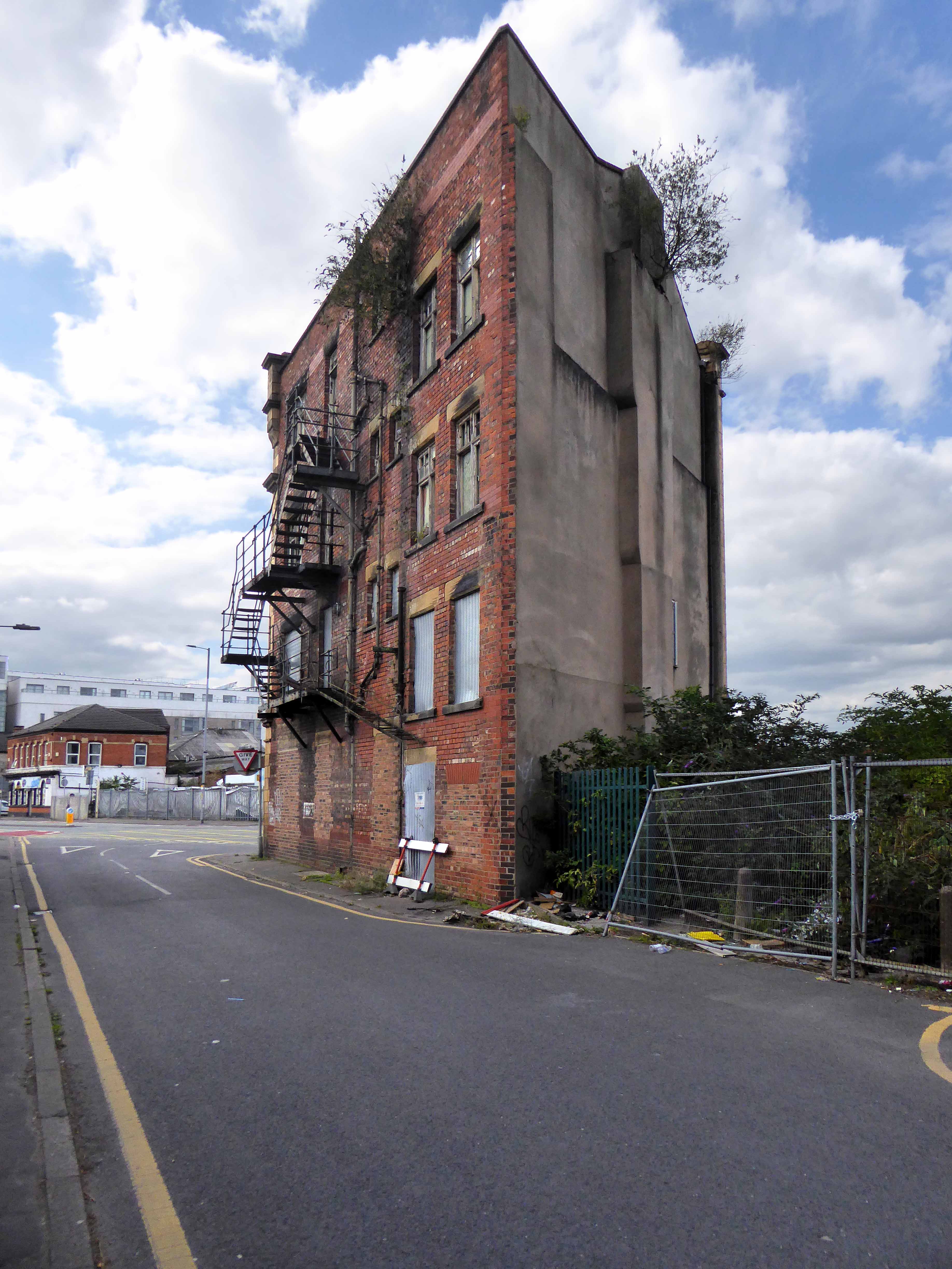
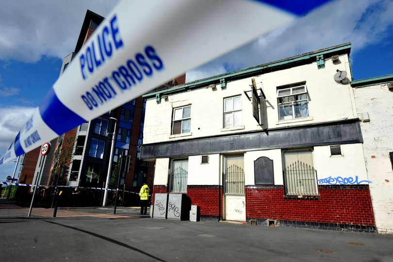
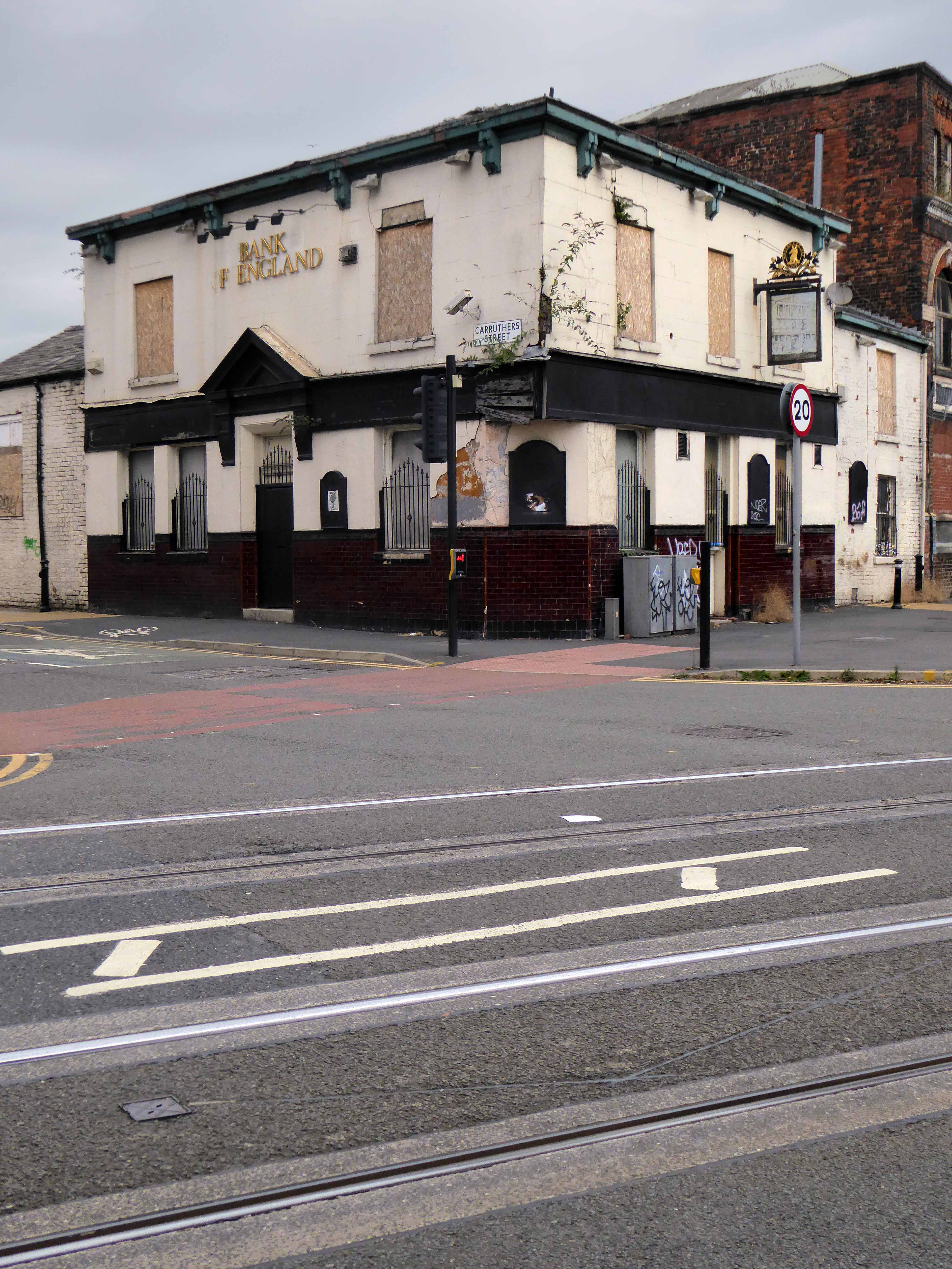
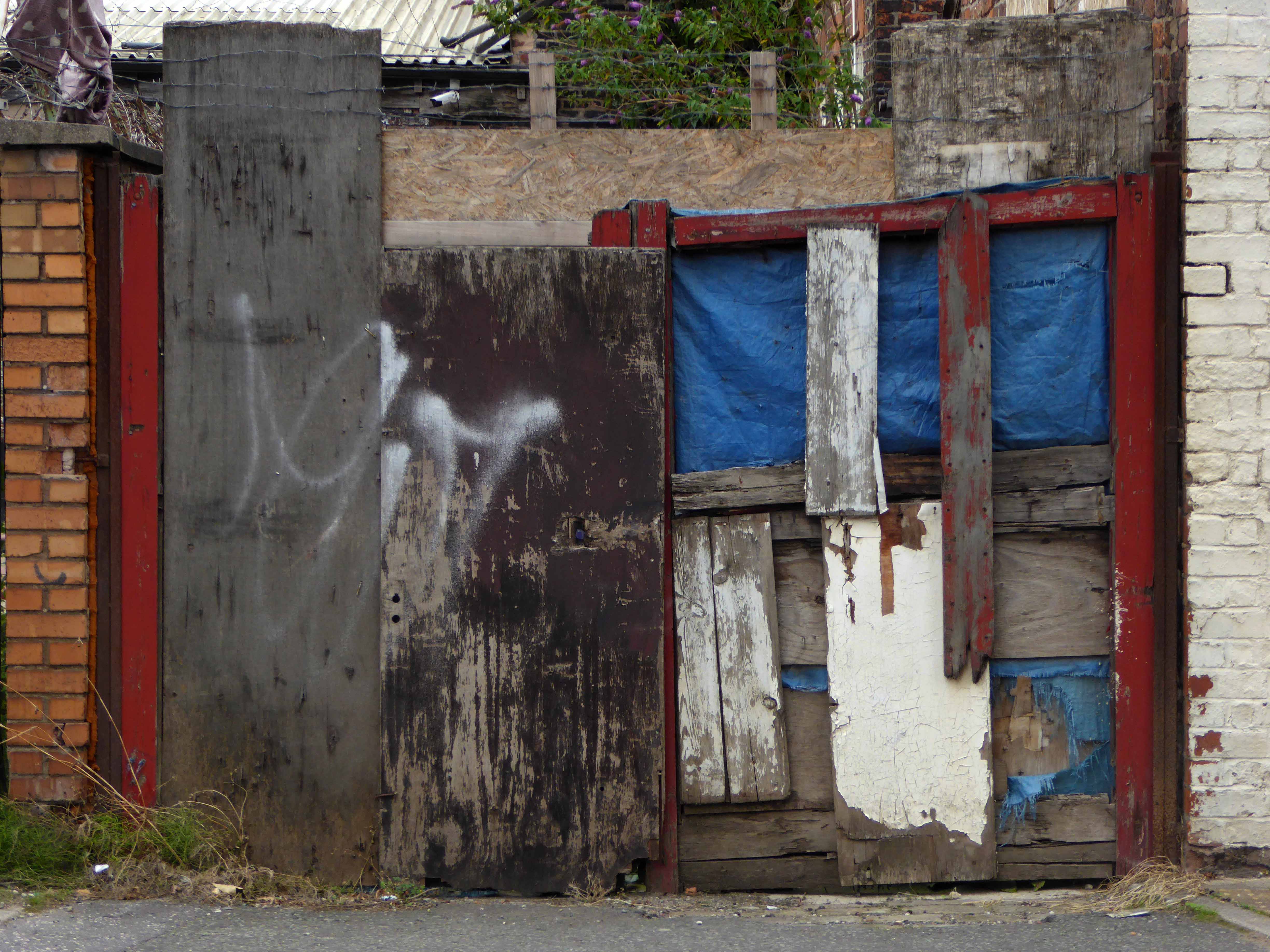
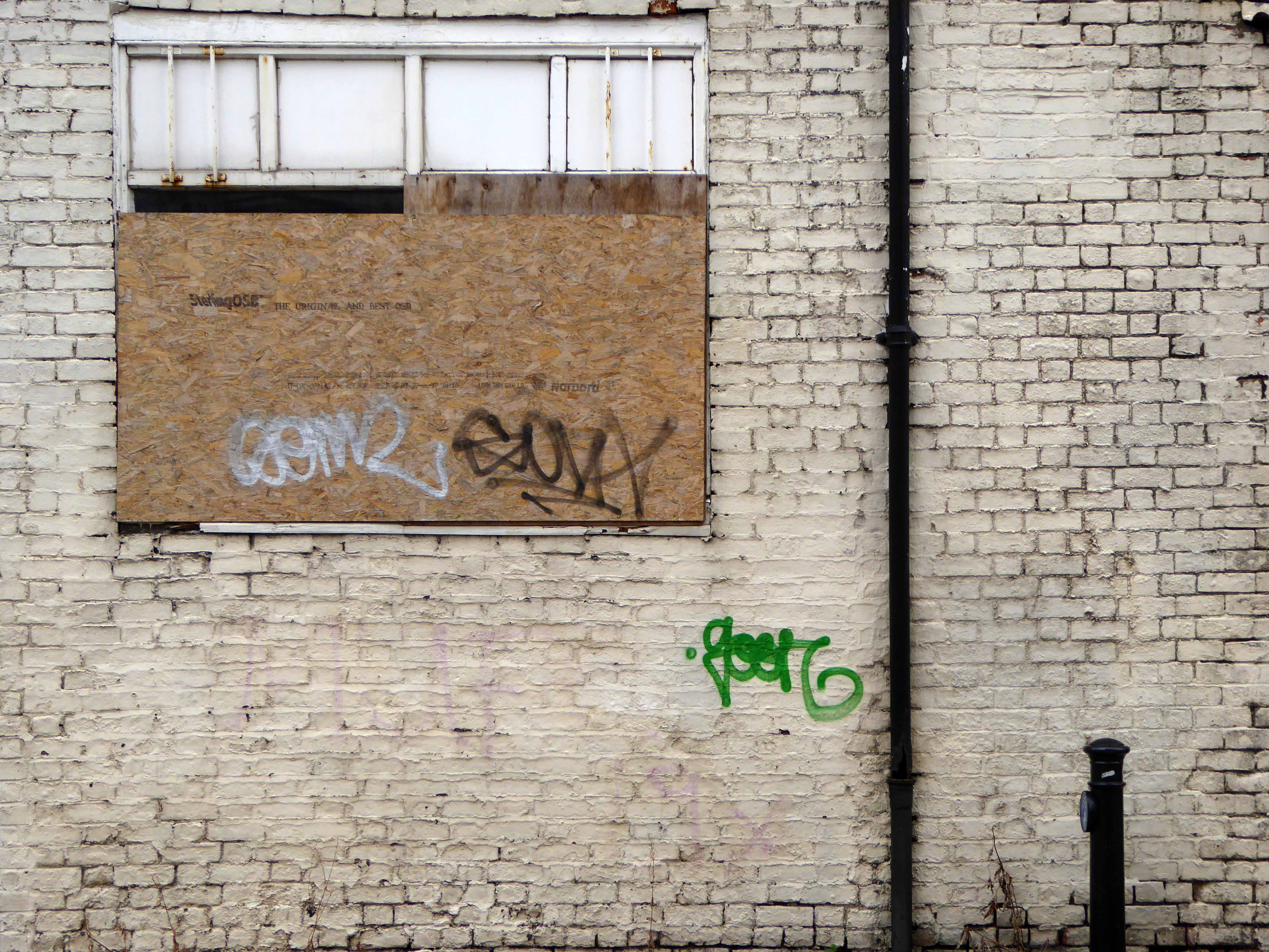
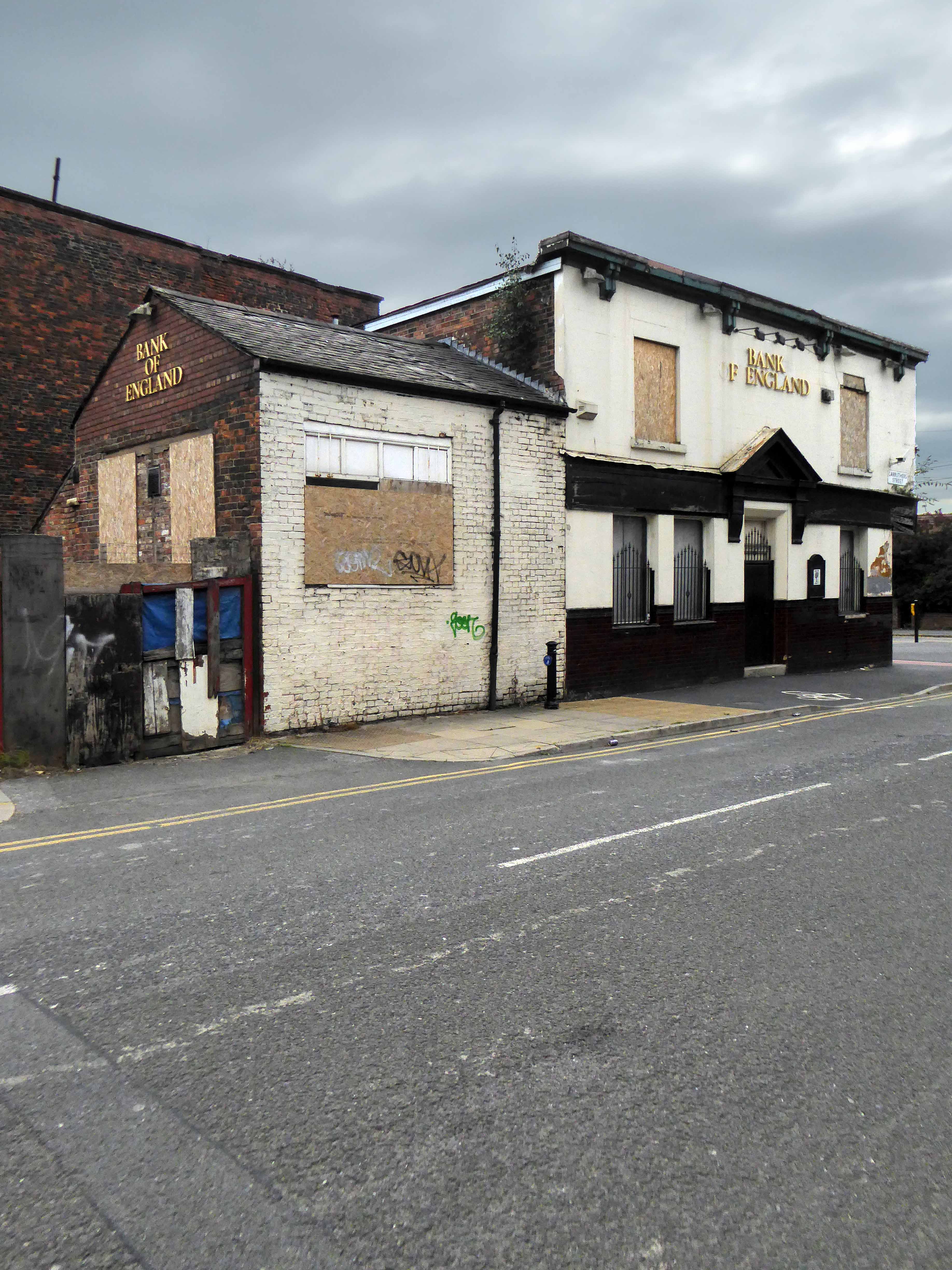
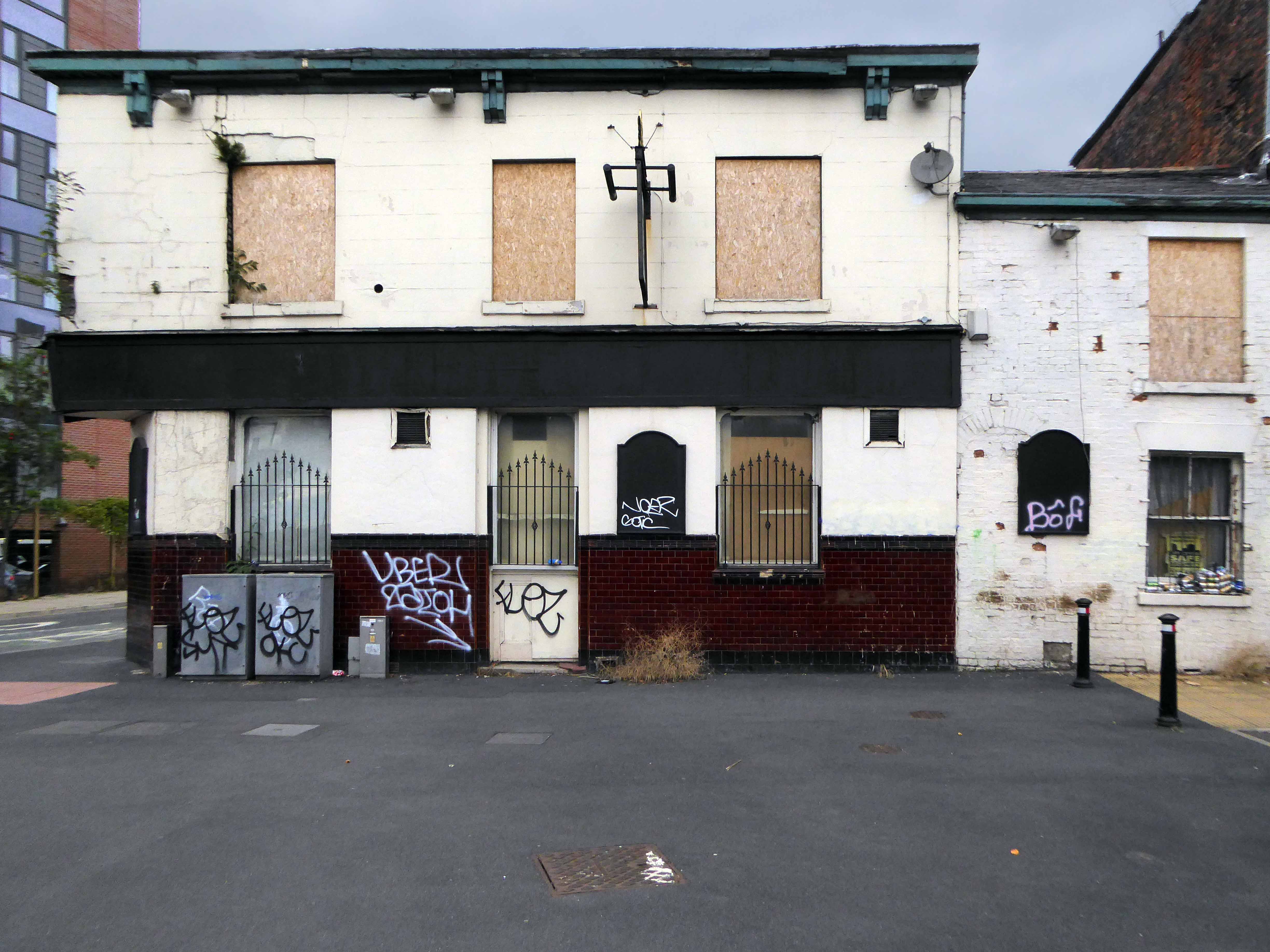
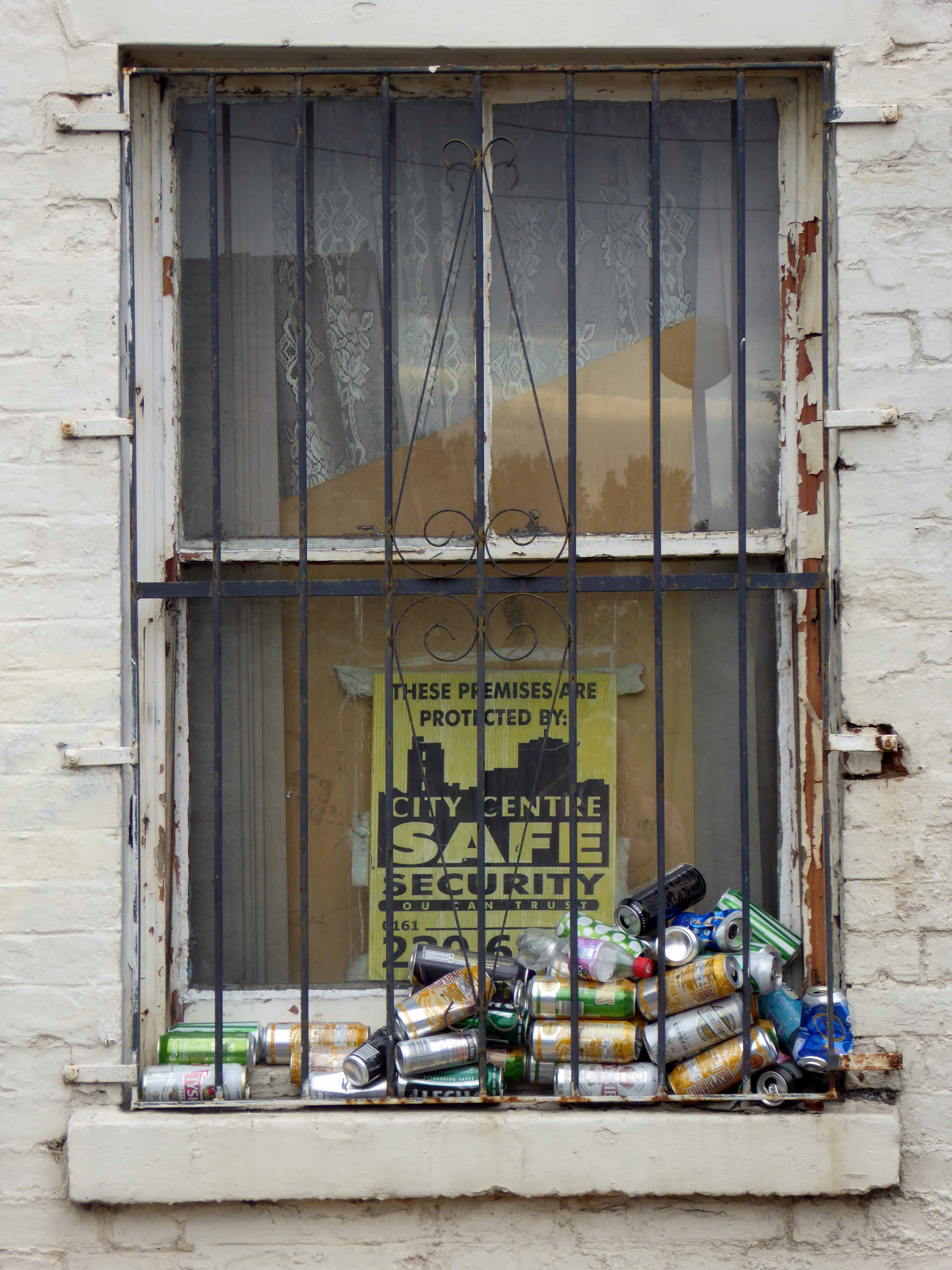
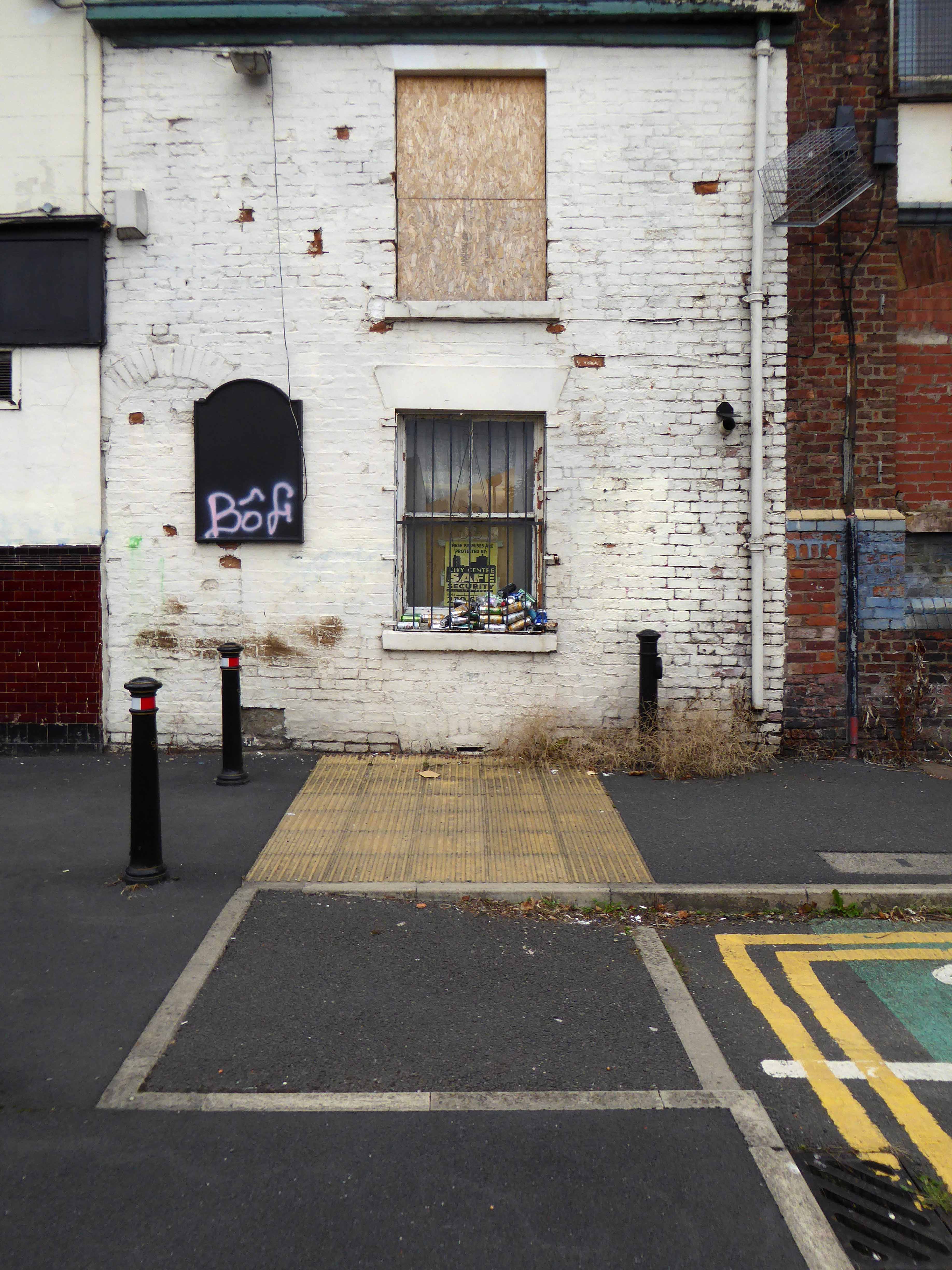
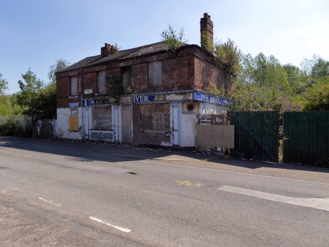
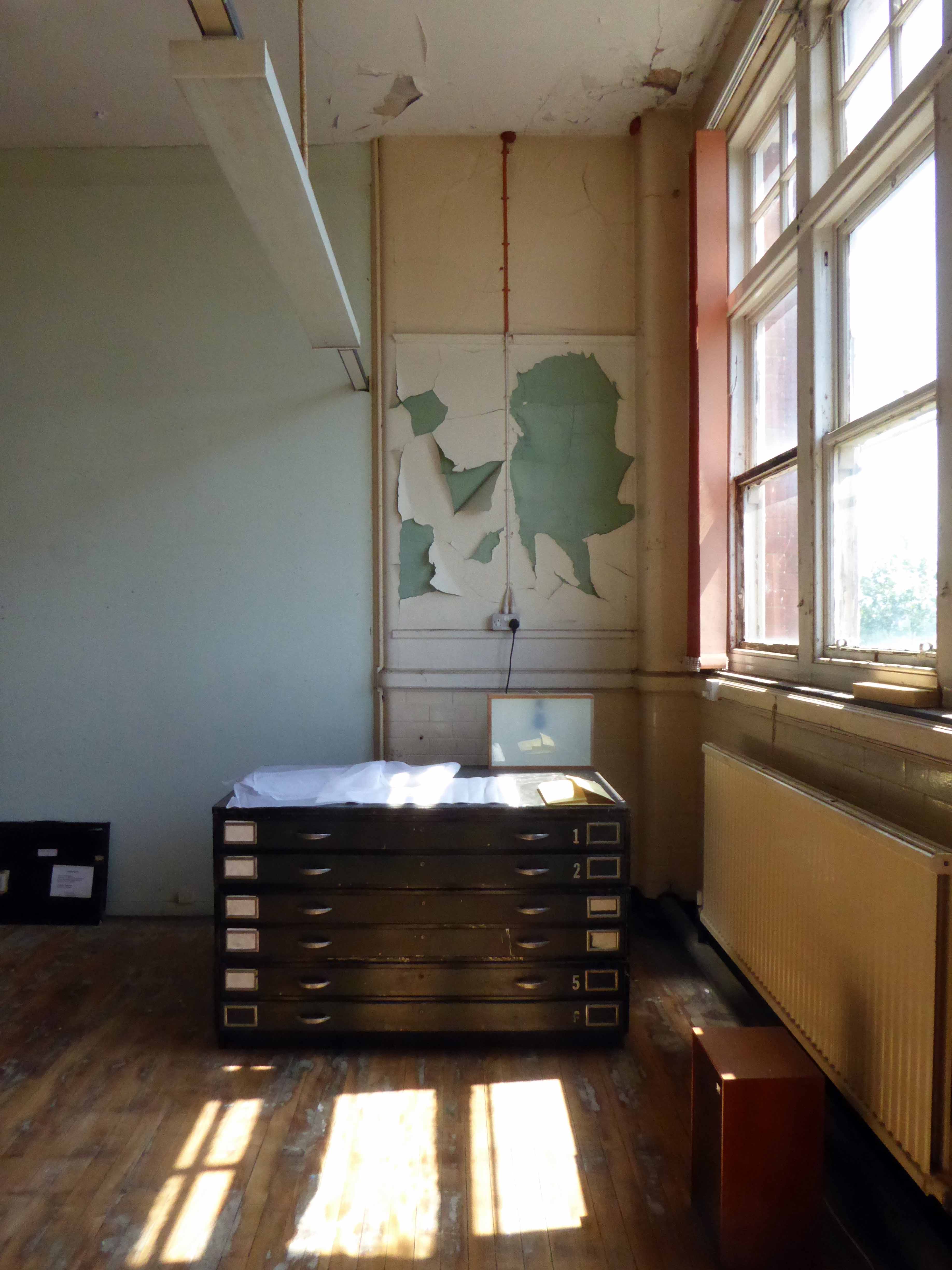
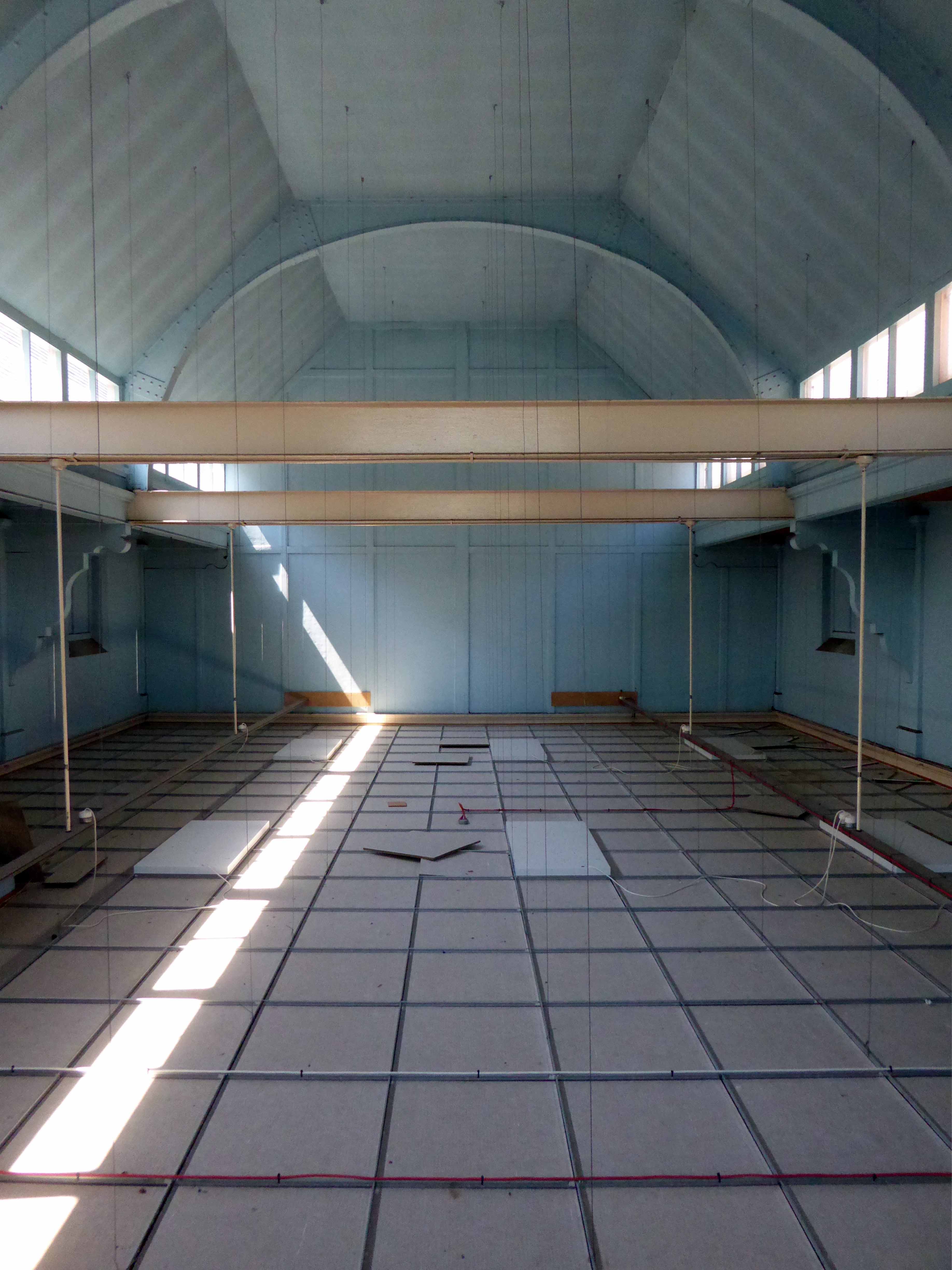
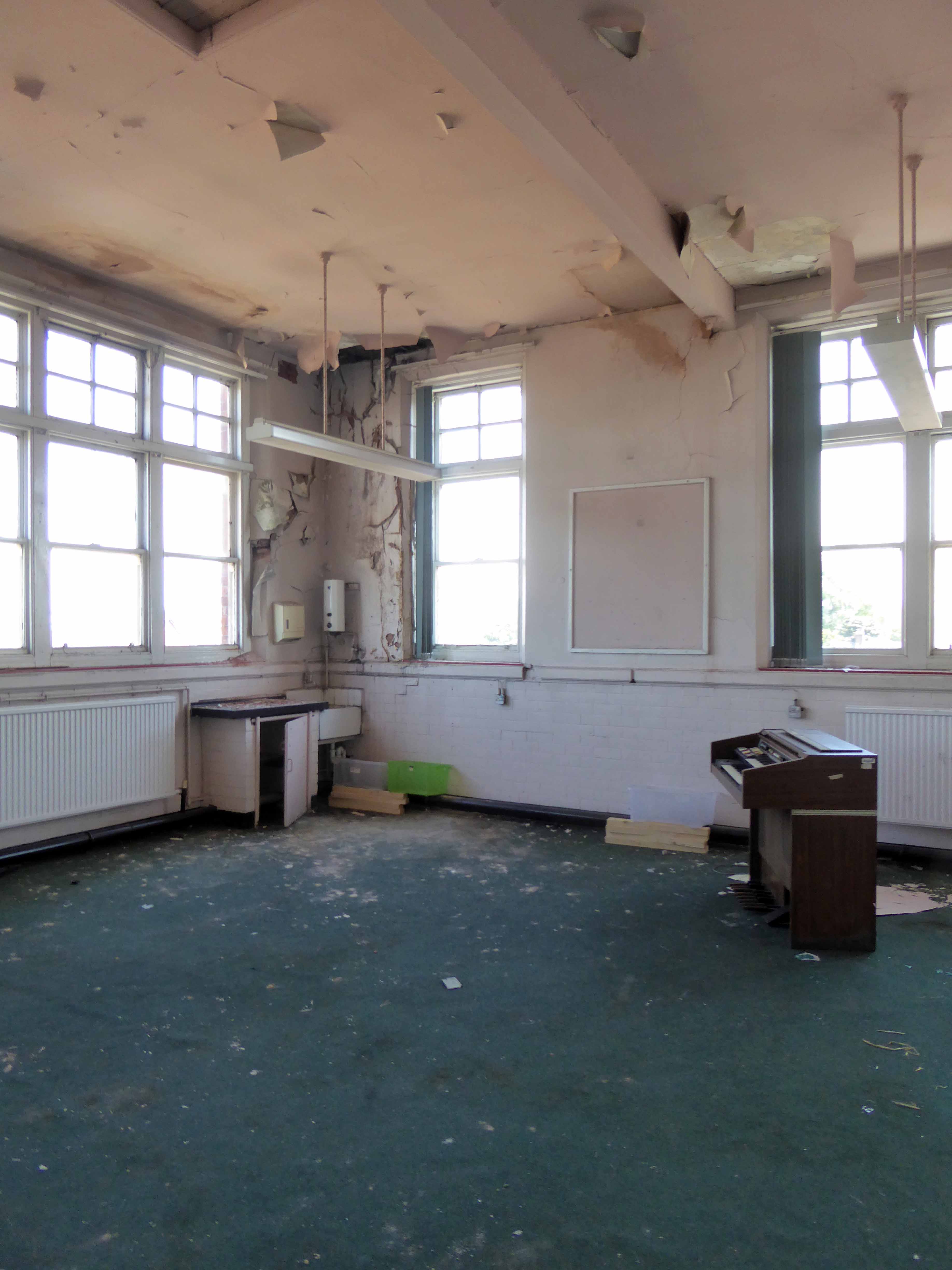
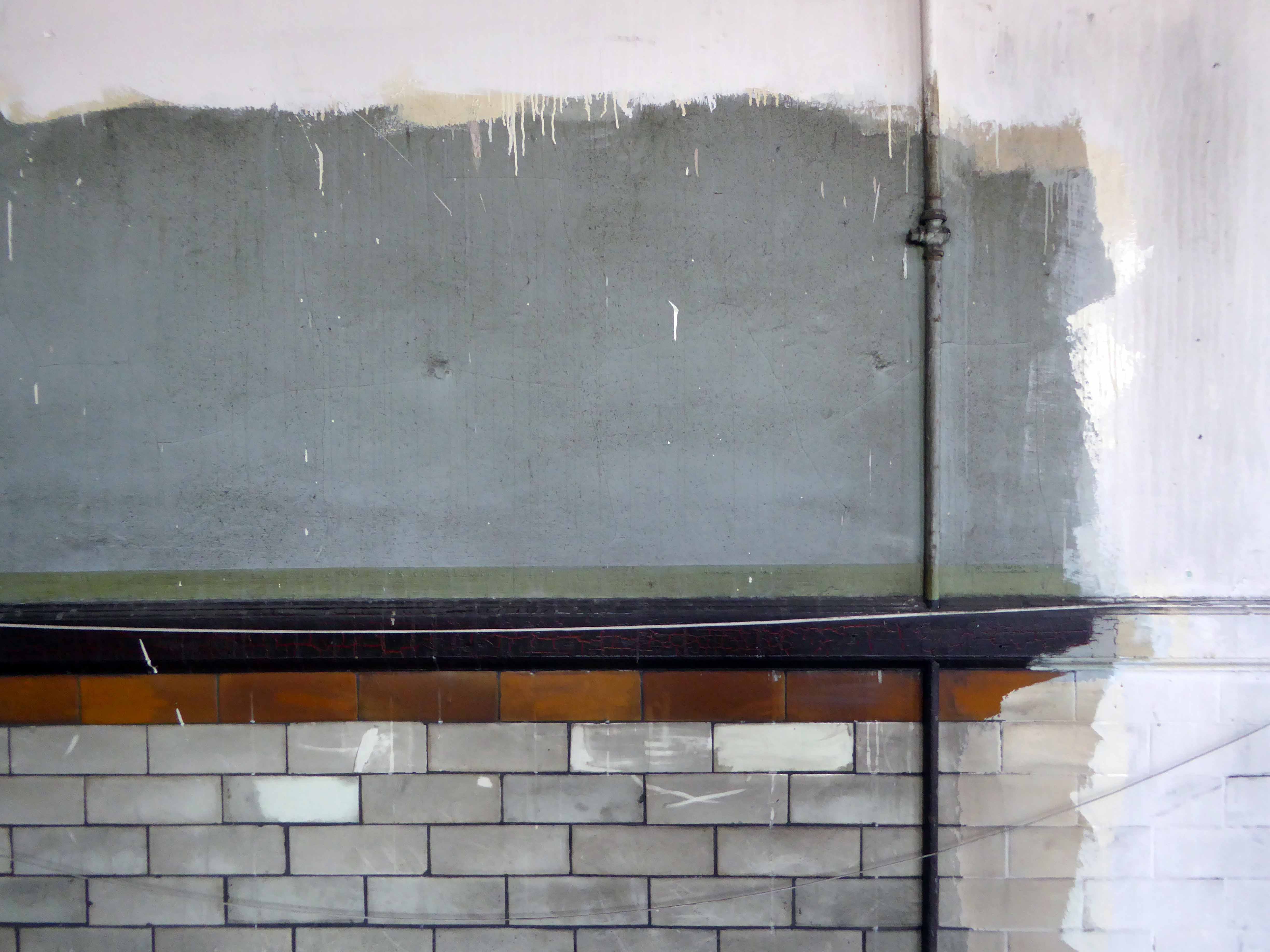
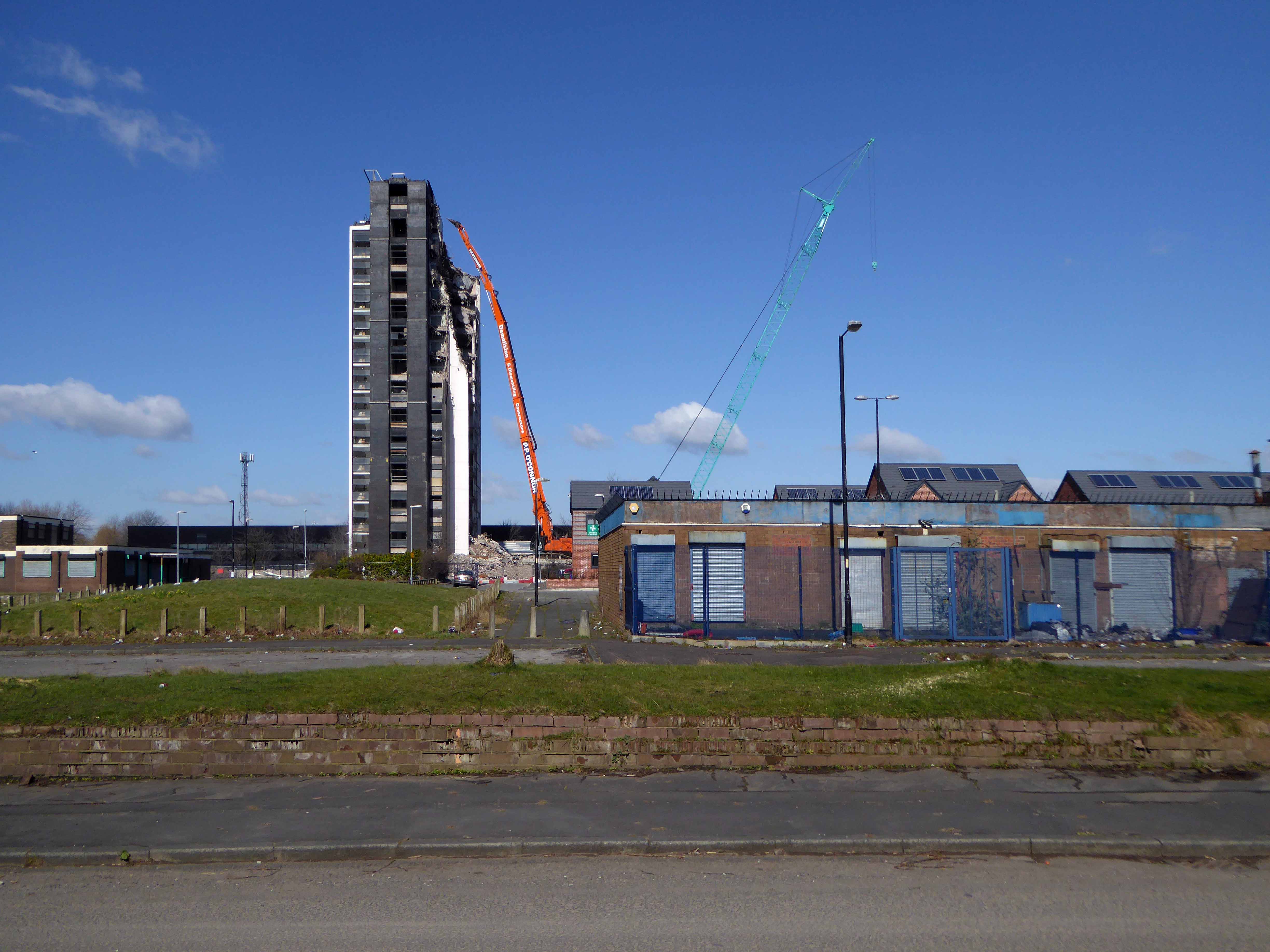
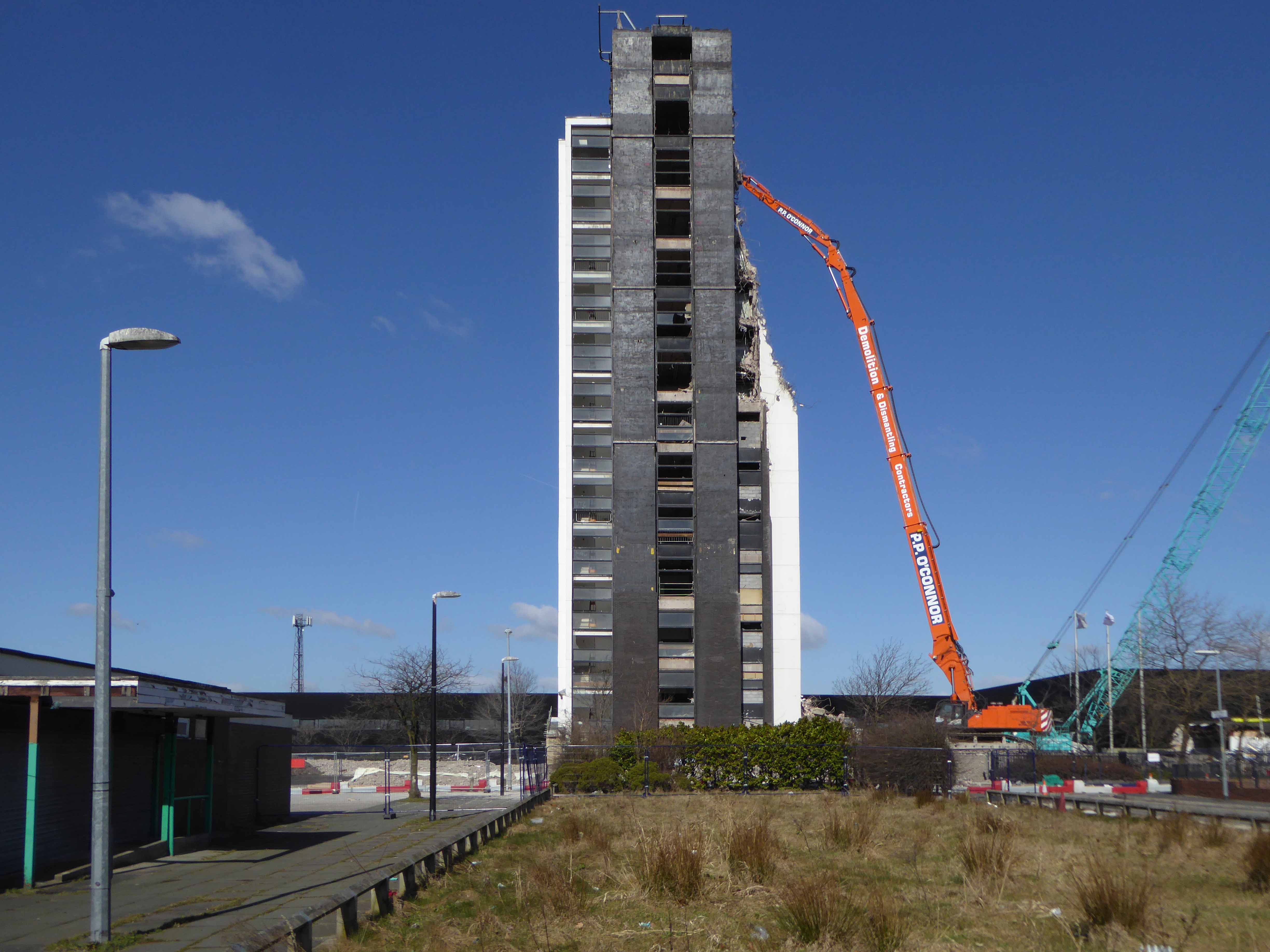
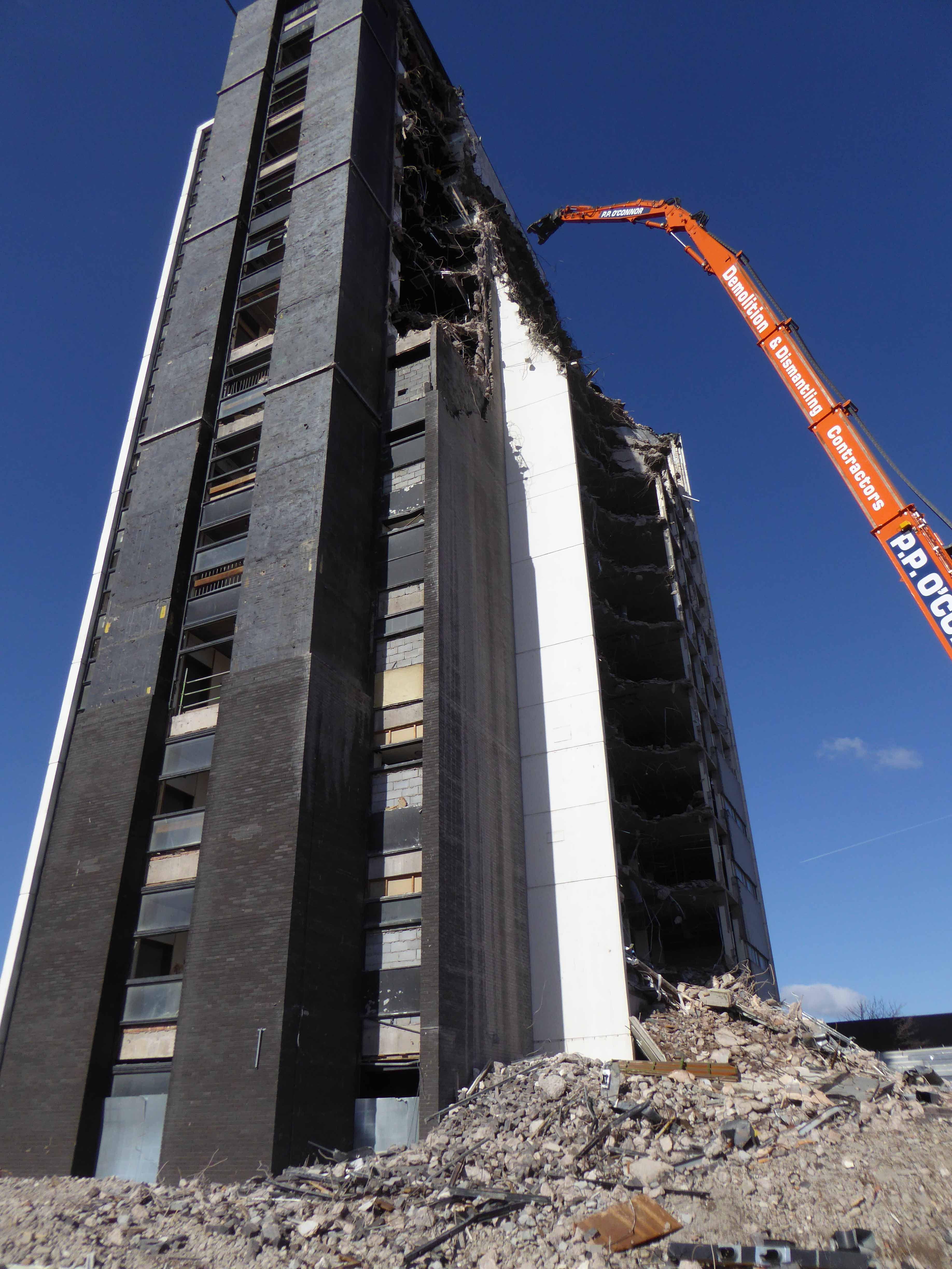
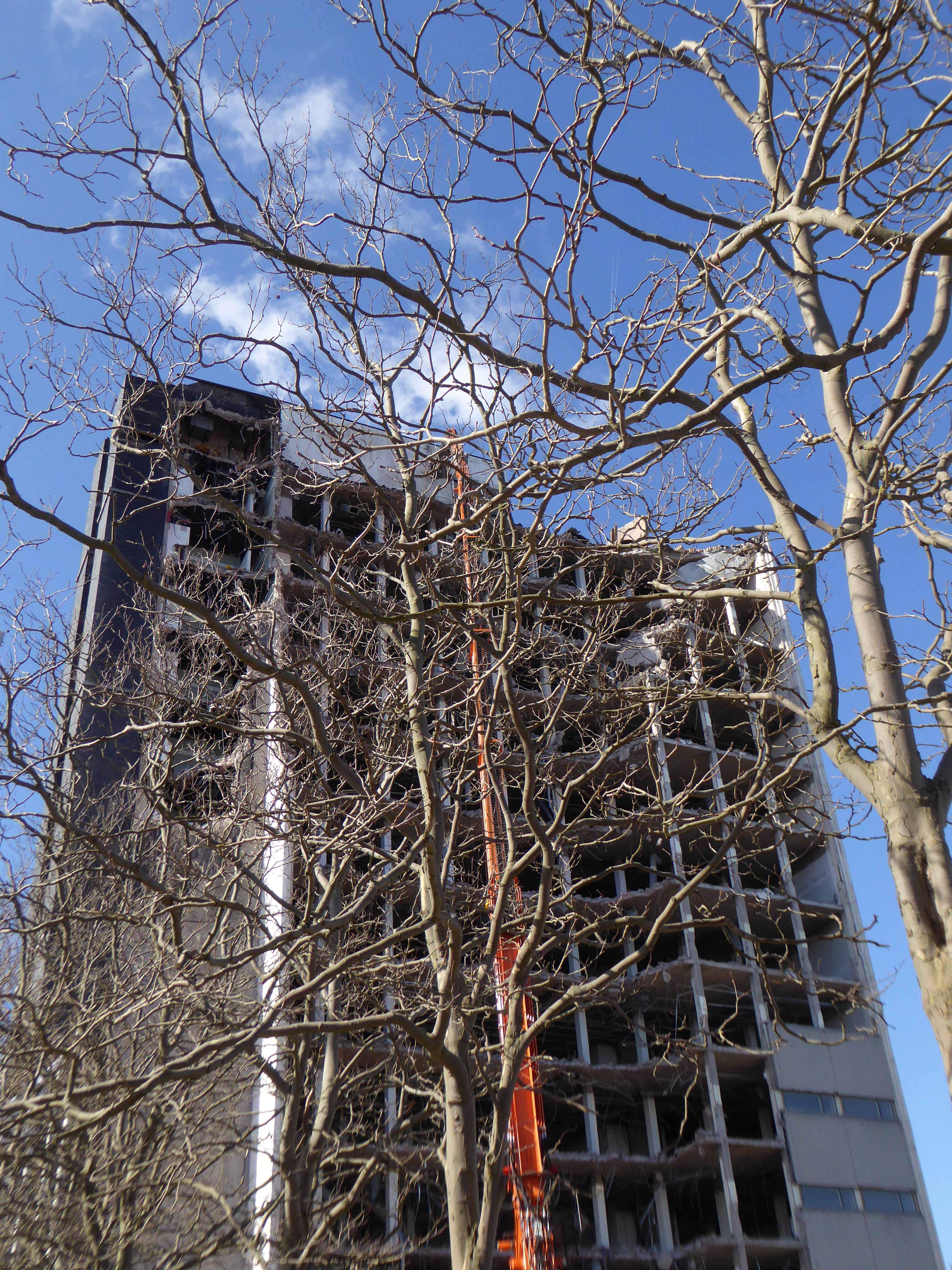
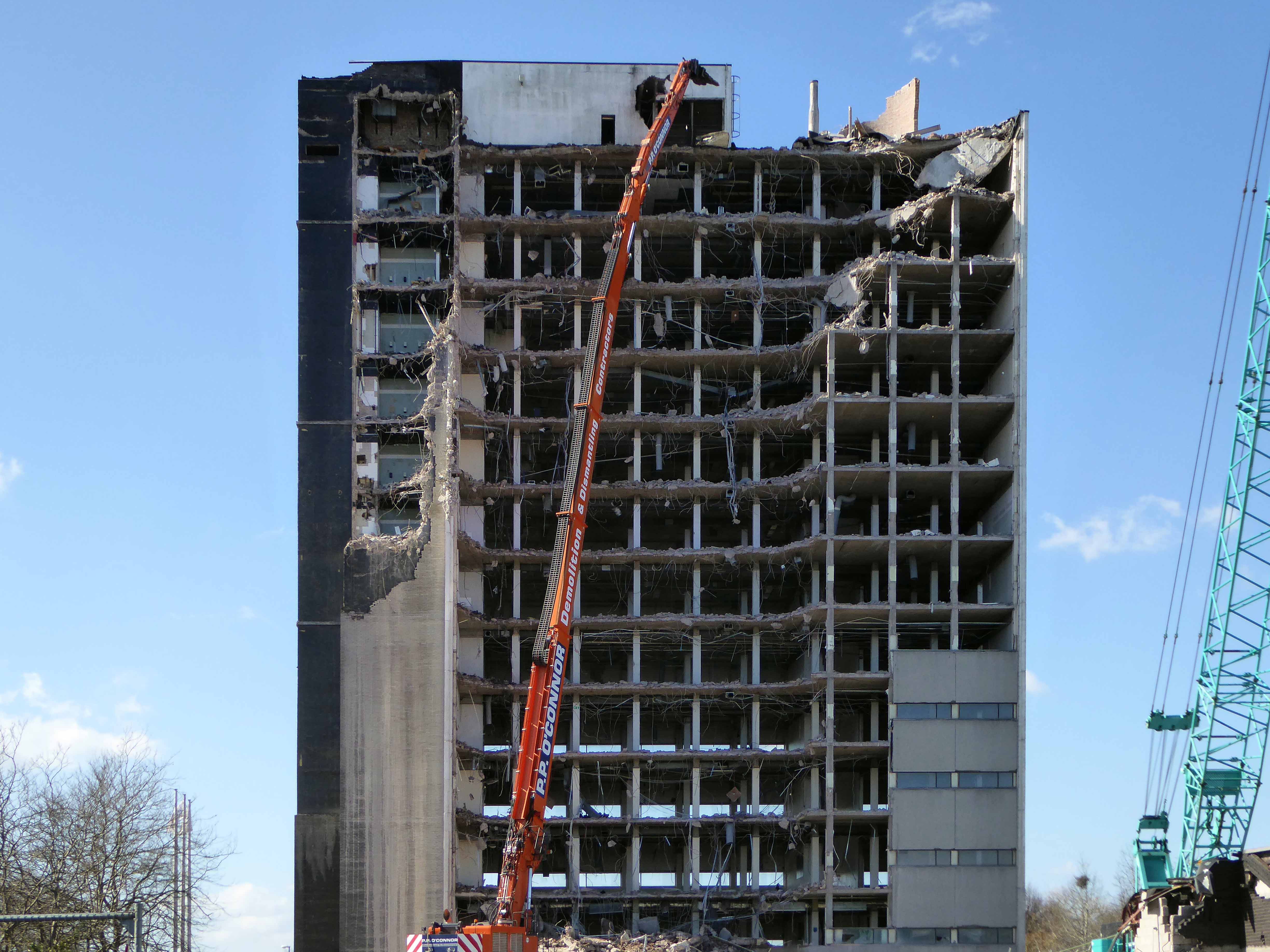
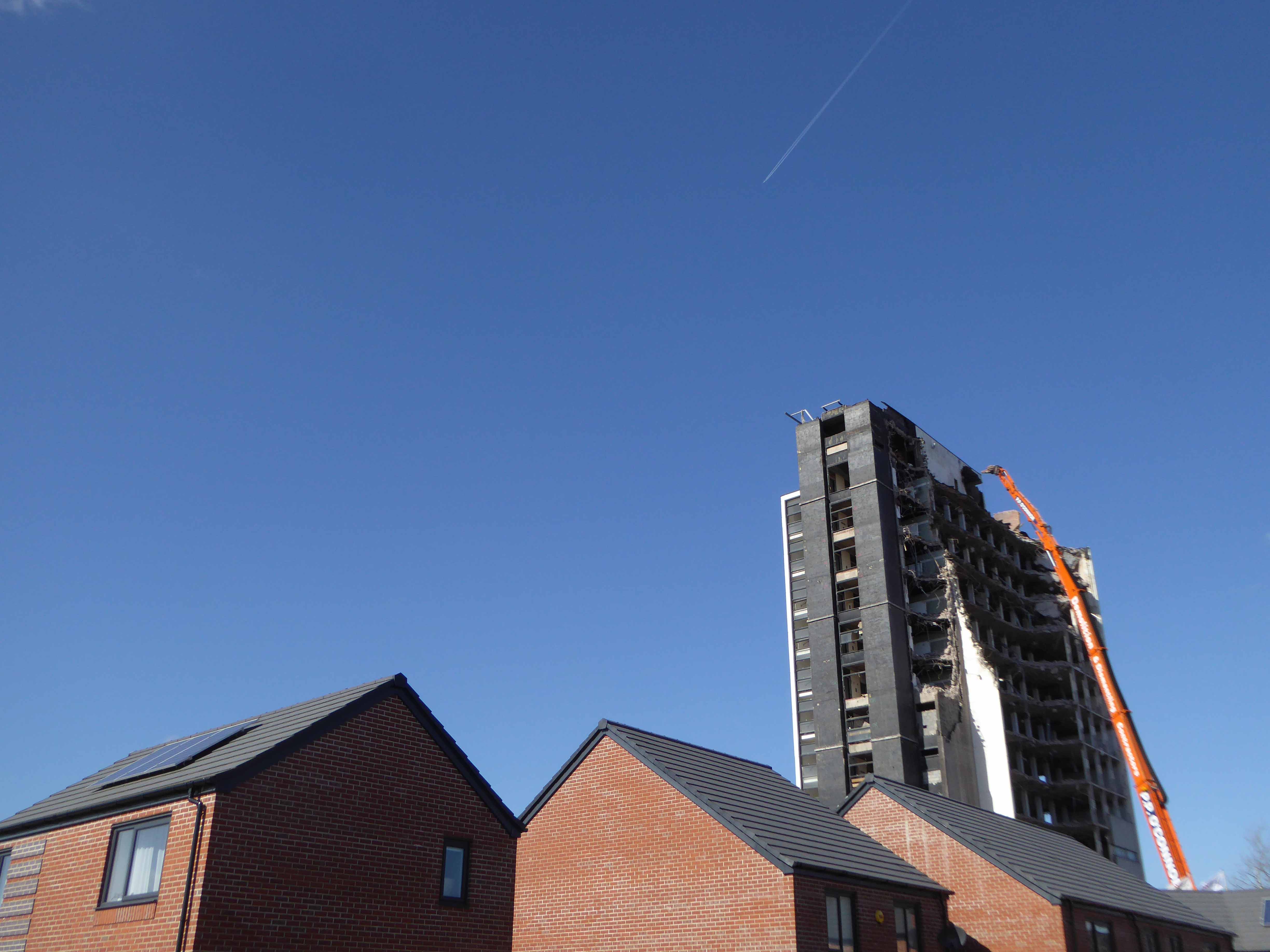
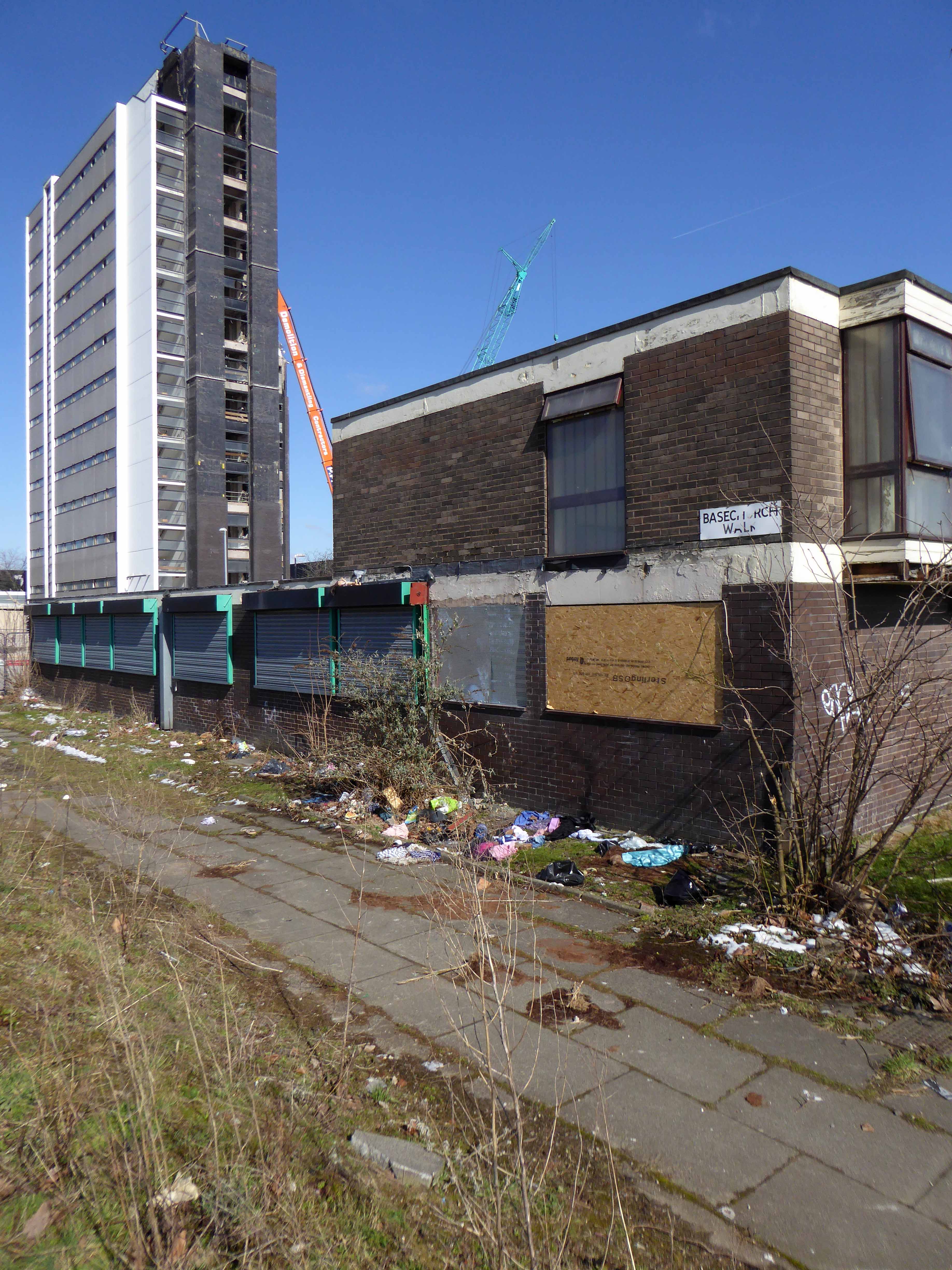
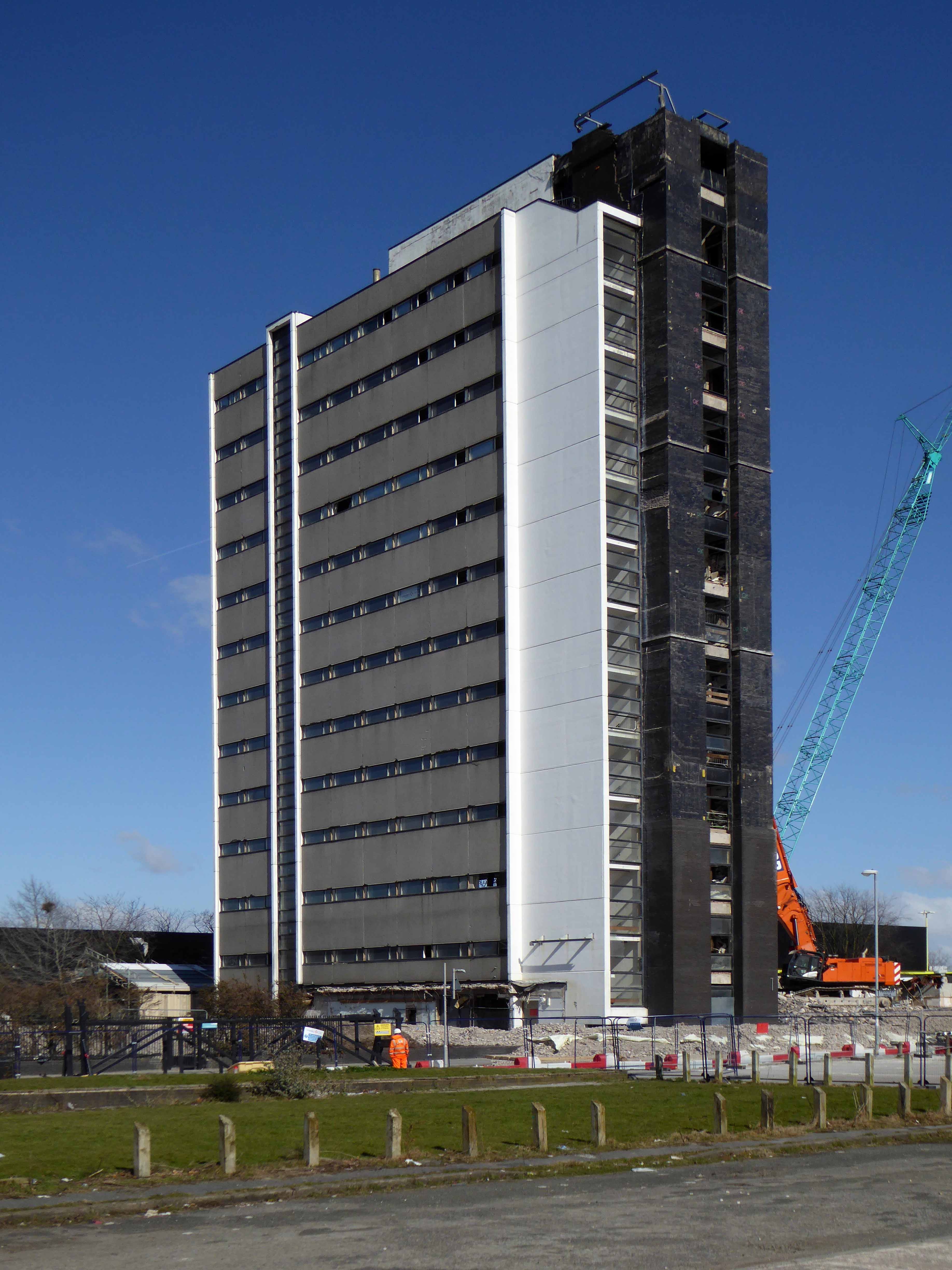
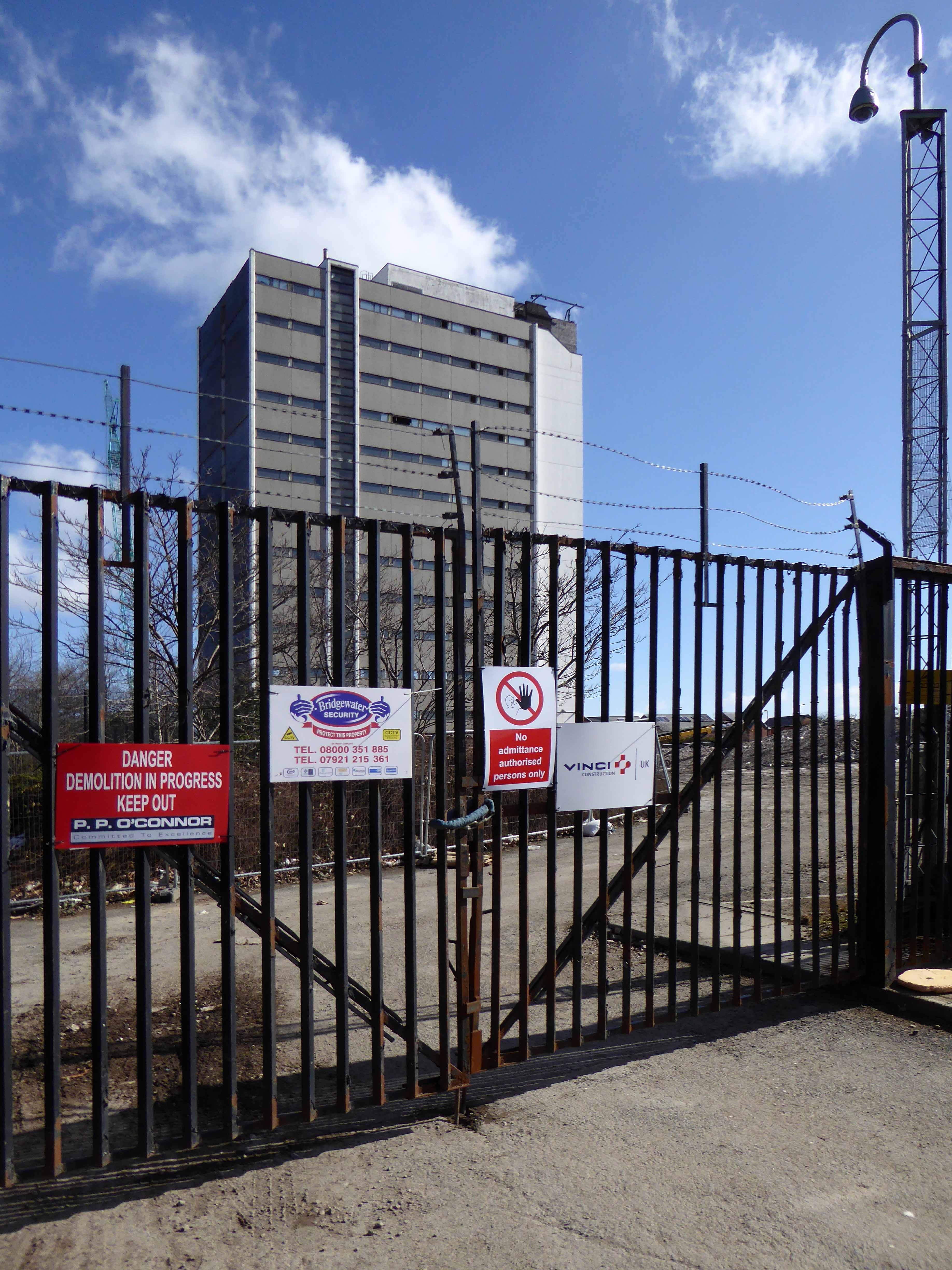
The whole block is to be demolished and a hotel to be built – there is naturally a suspicious resistance to such change, what was a protected area of historical interest, is fast becoming a deregulated playground for the avaricious developer.
A Manchester council spokesman said:
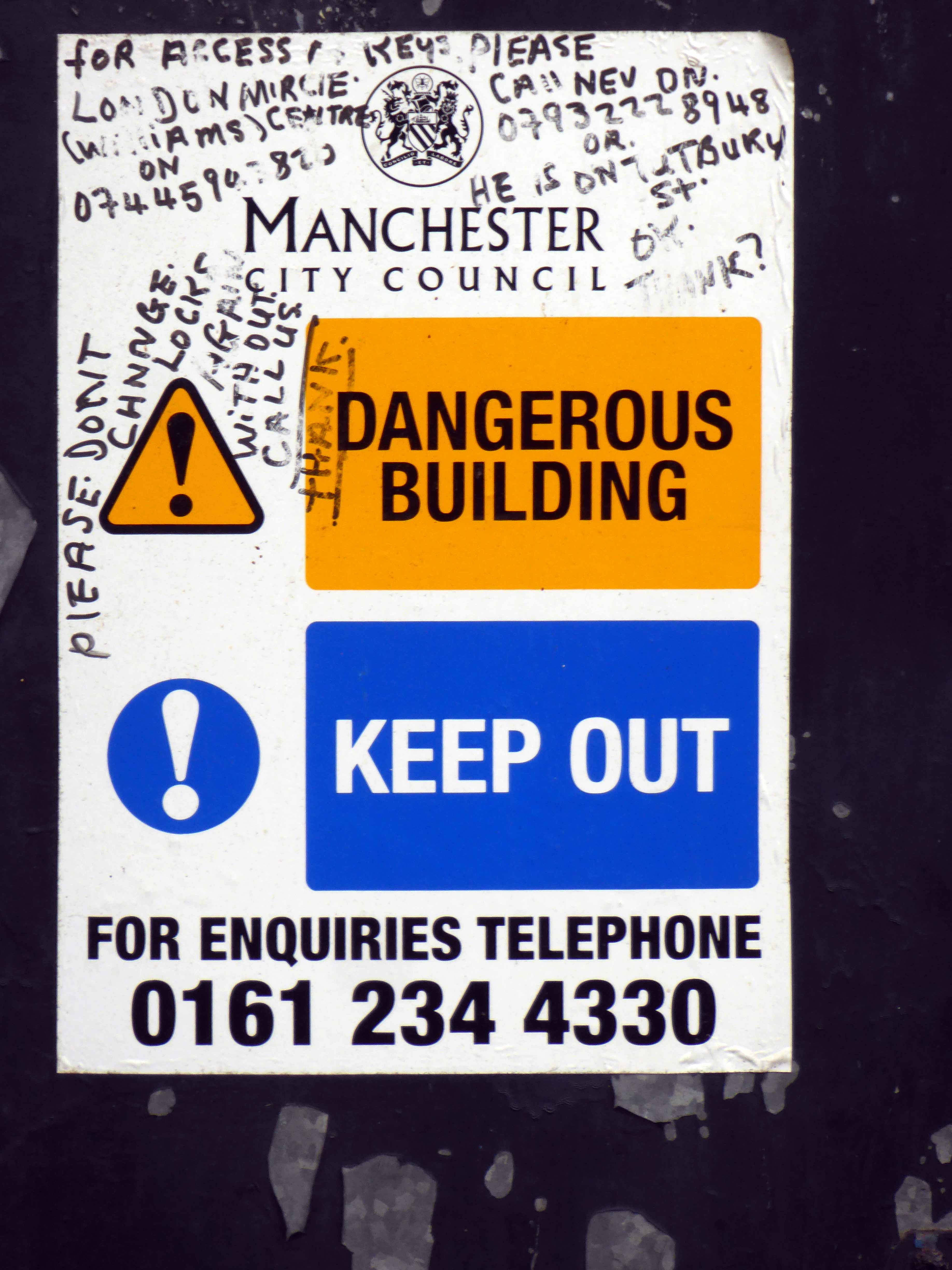
Our building control officers have been engaged with owner of the property on Thomas Street for some time.
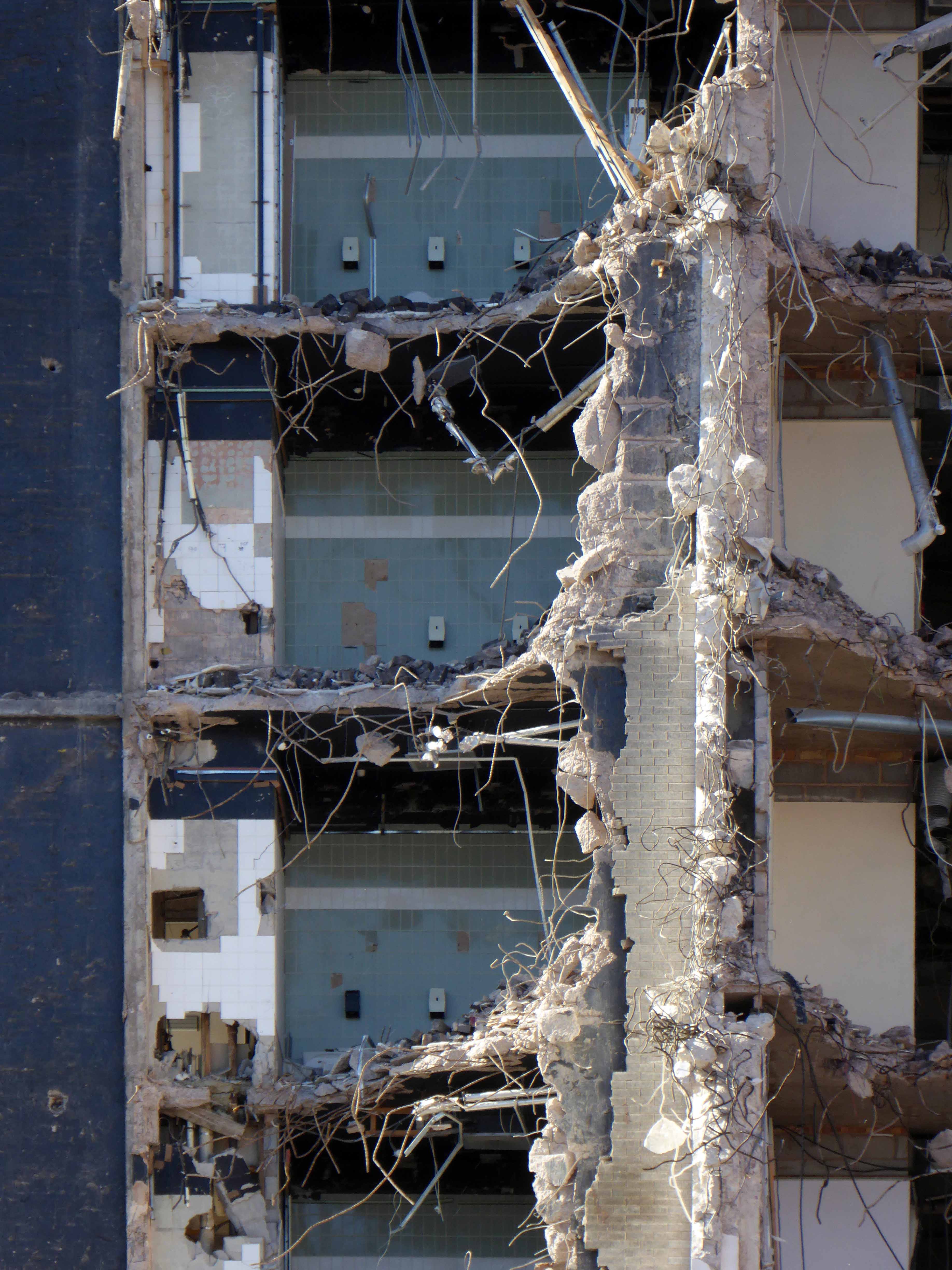
The condition of the building means there is an imminent danger of collapse and a potential threat to pedestrians. Unfortunately, the poor weather has only served to add to our concern over the safety of the building.
A conservation specialist will be on site working closely with the building owner to ensure as much of the fabric of the property can be retained as possible, and only parts that are unsalvageable will be removed to ensure public safety.
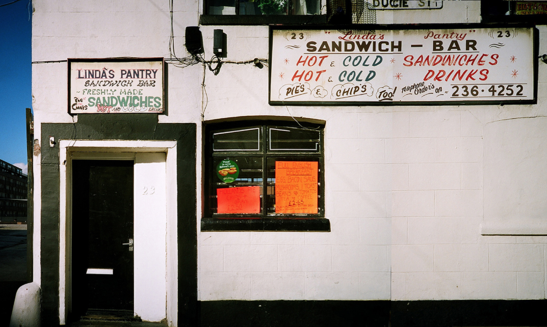
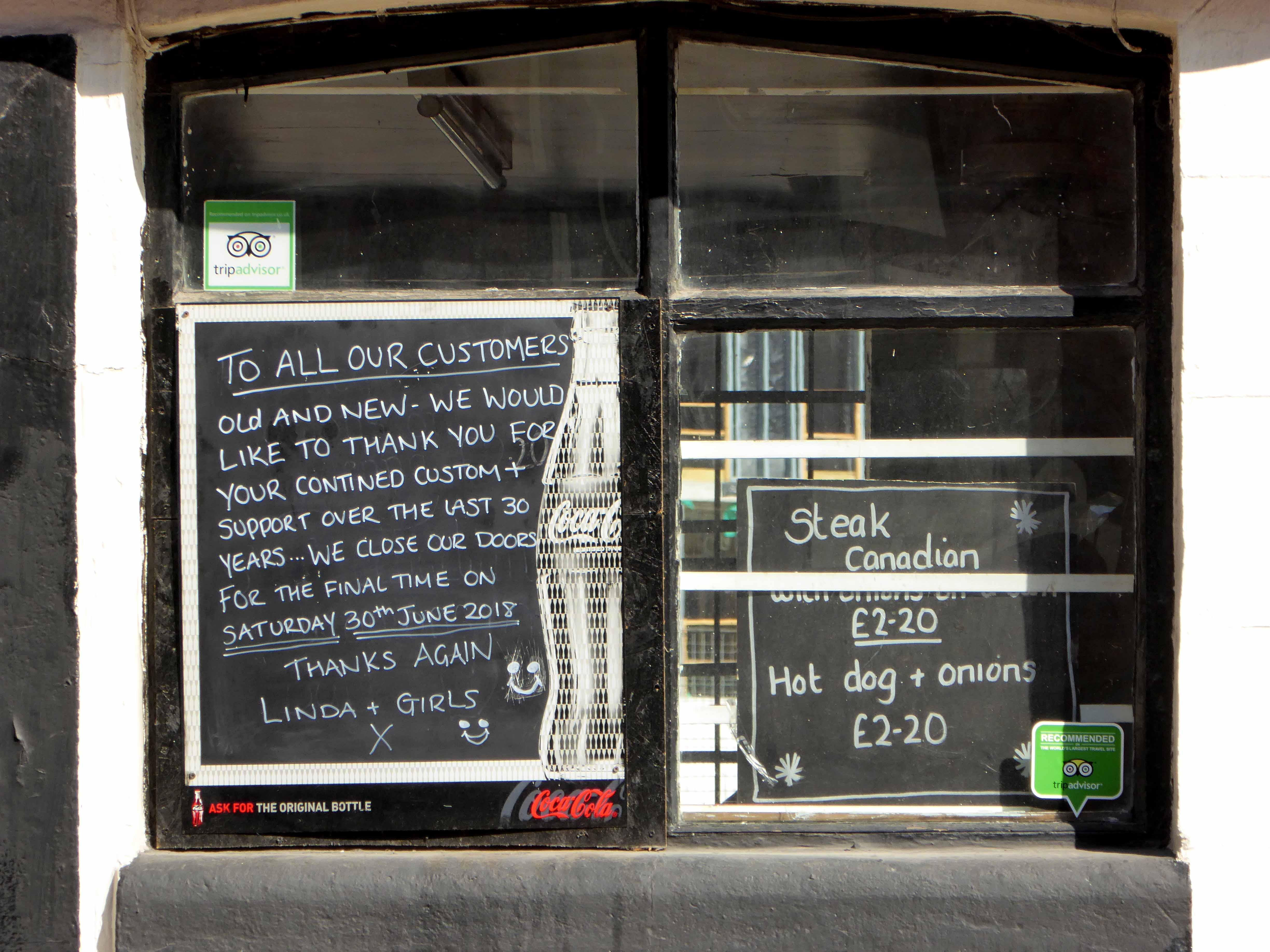
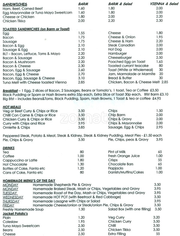
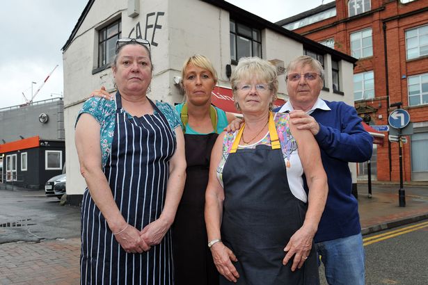
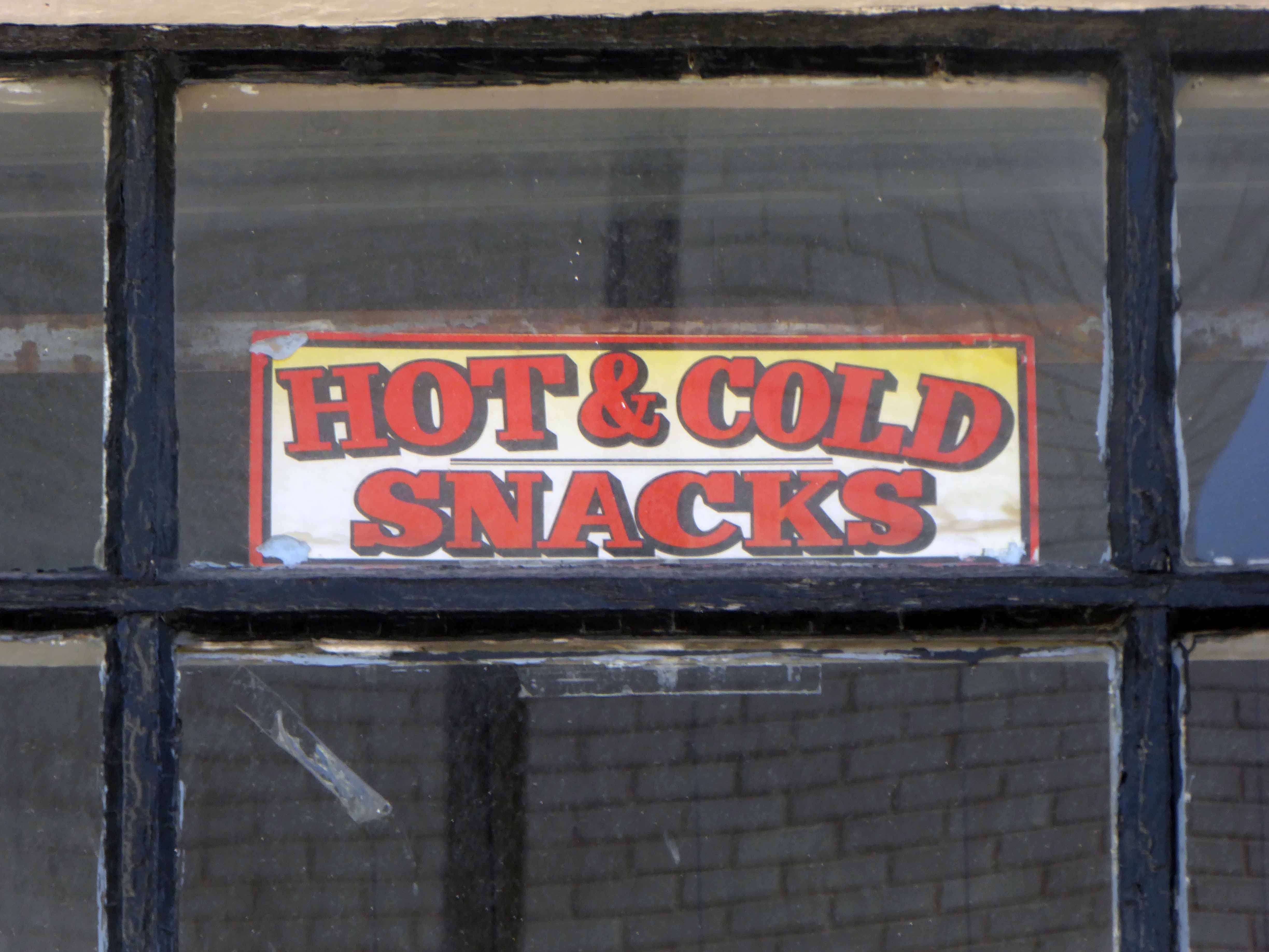
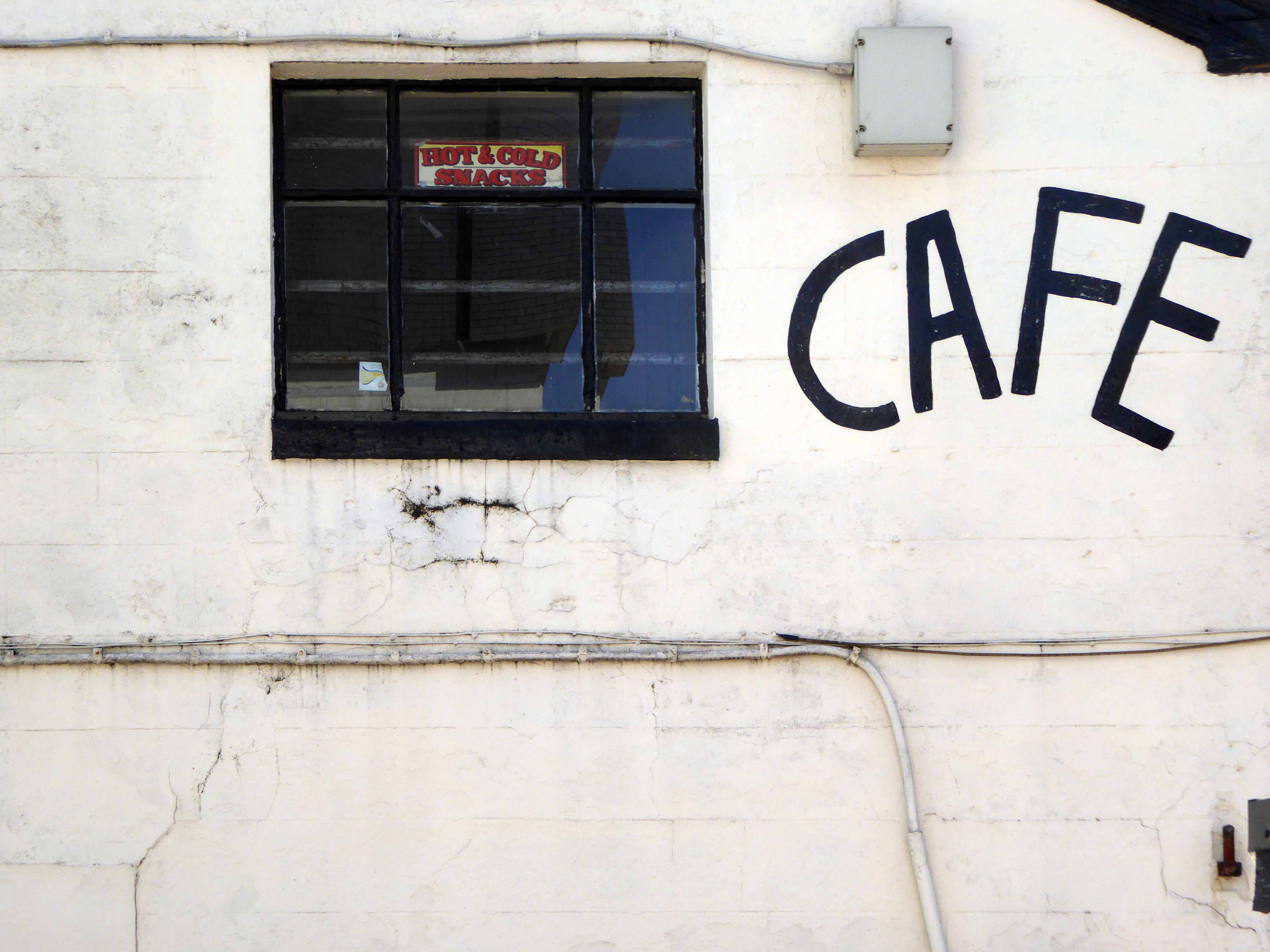
Rumours have also been rife concerning the fate of the nearby This & That – an essential part of the heartbeat of the city – the affordable independent trader.
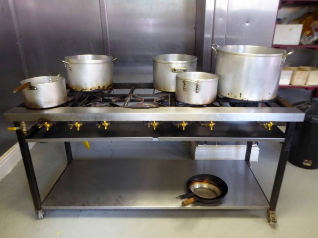
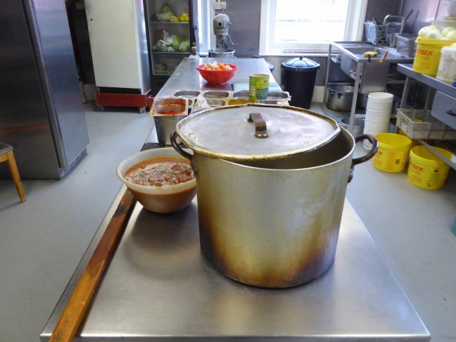
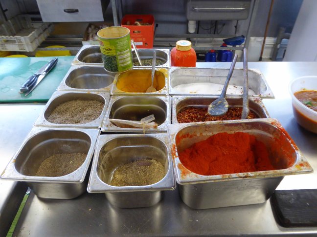
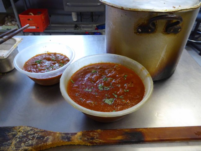
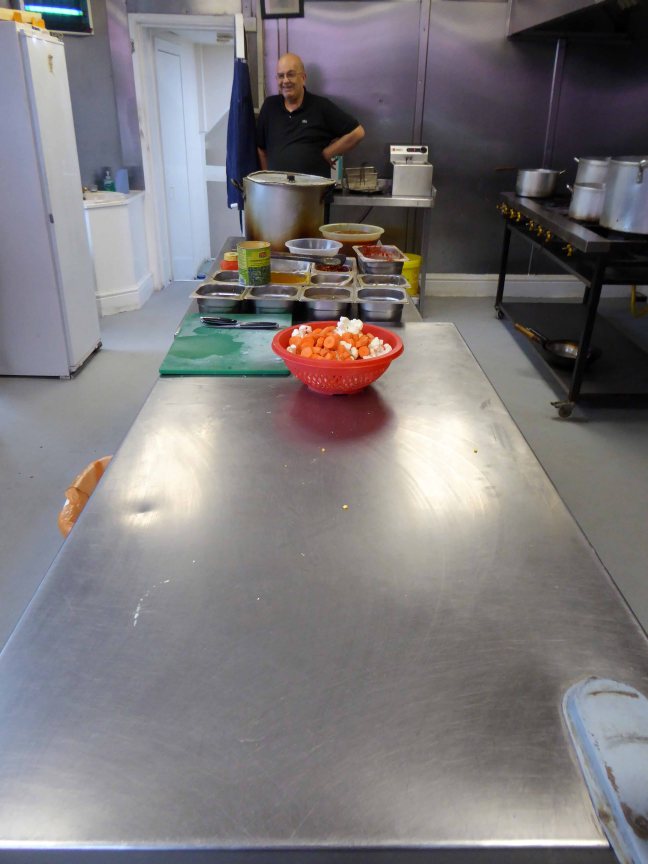
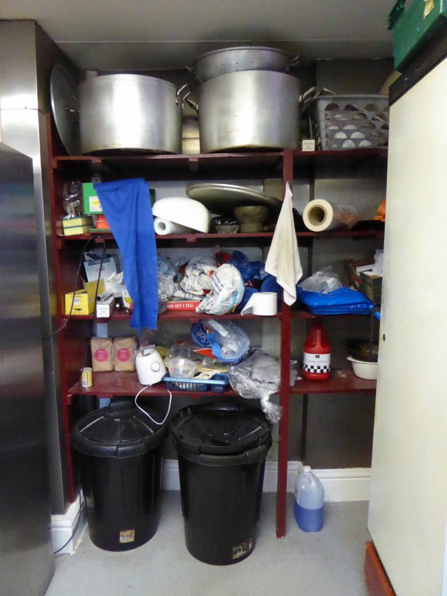
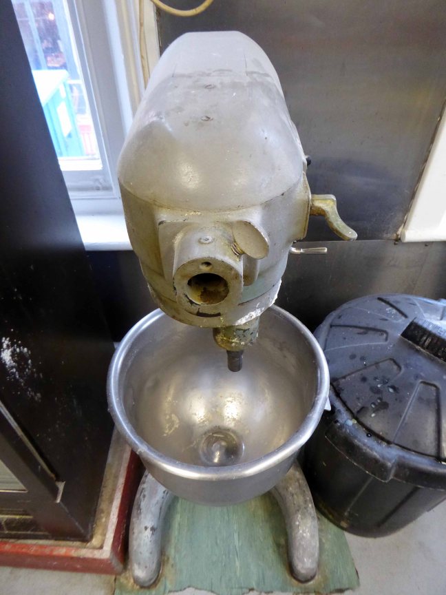
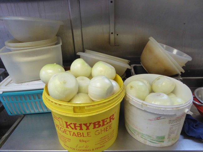
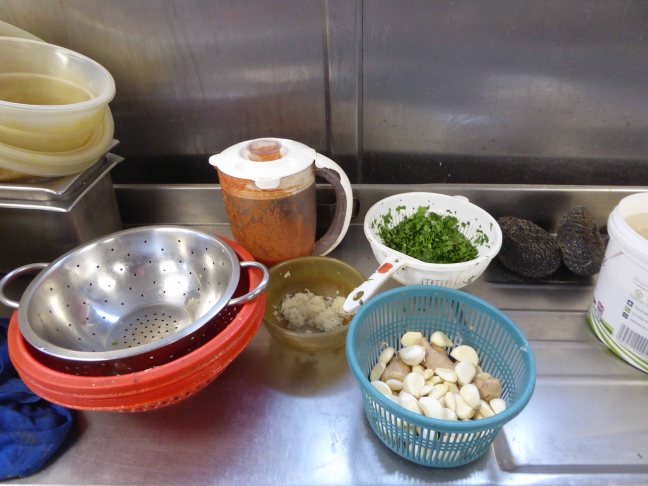
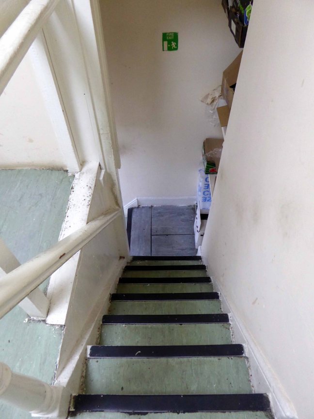
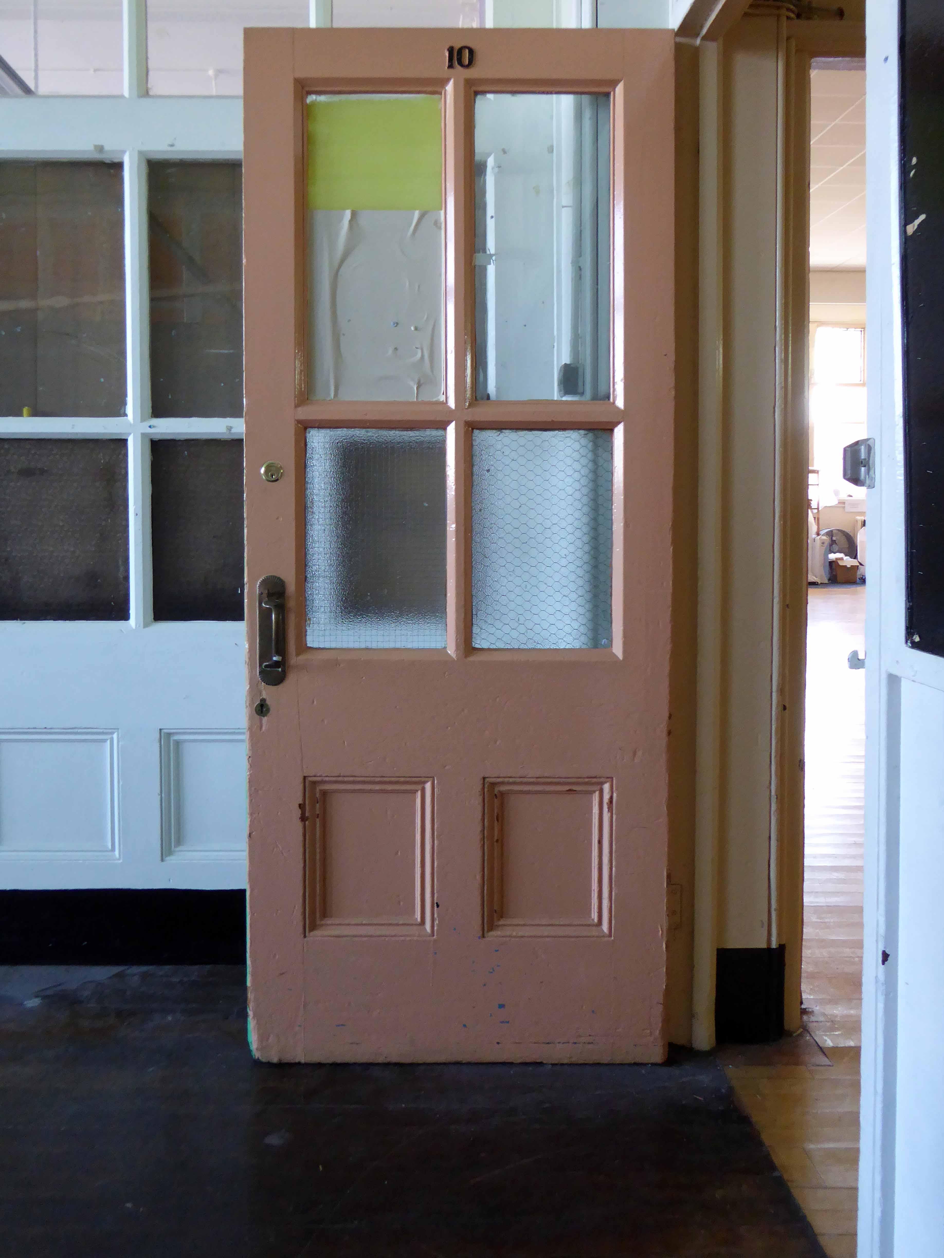
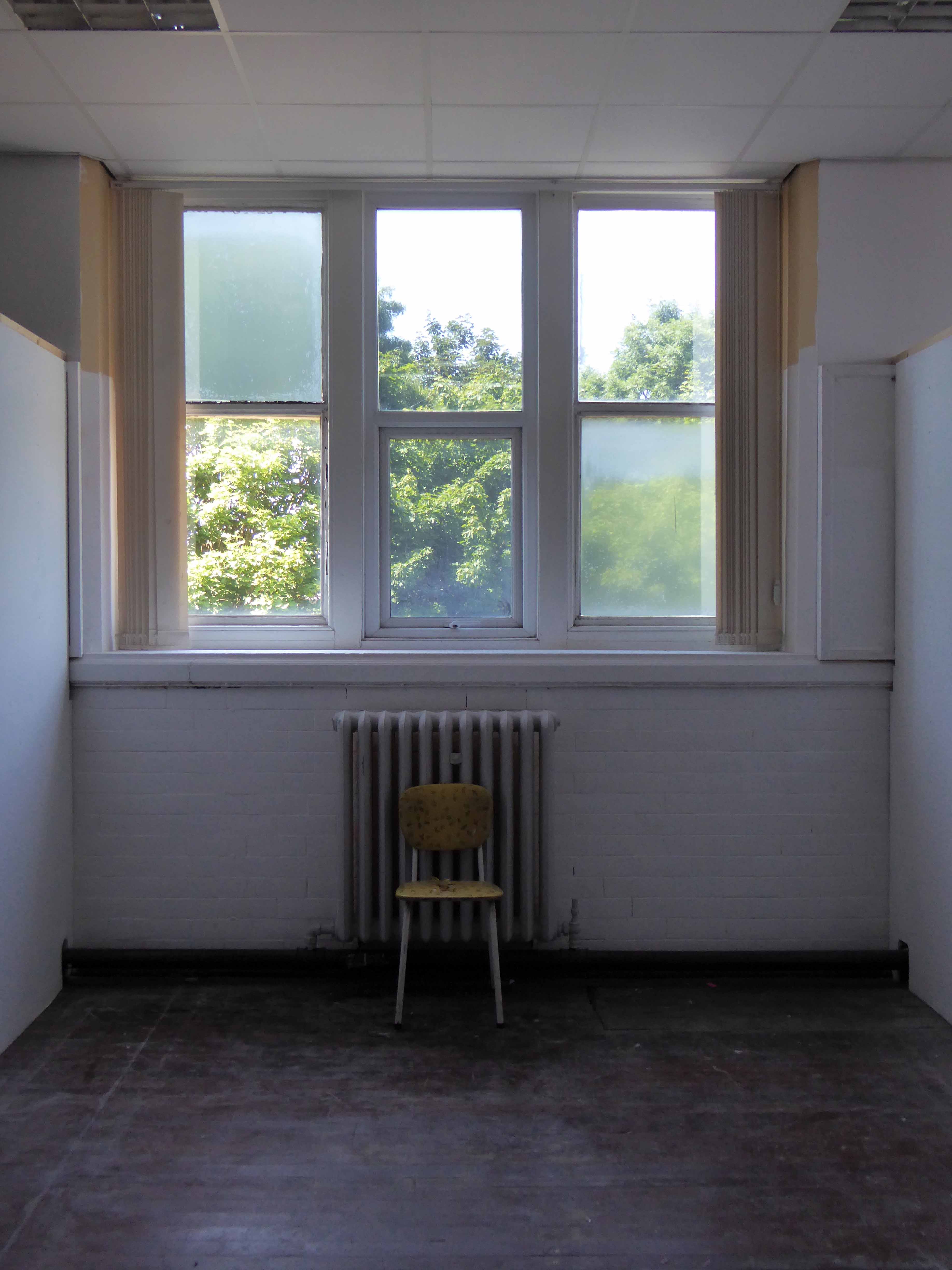
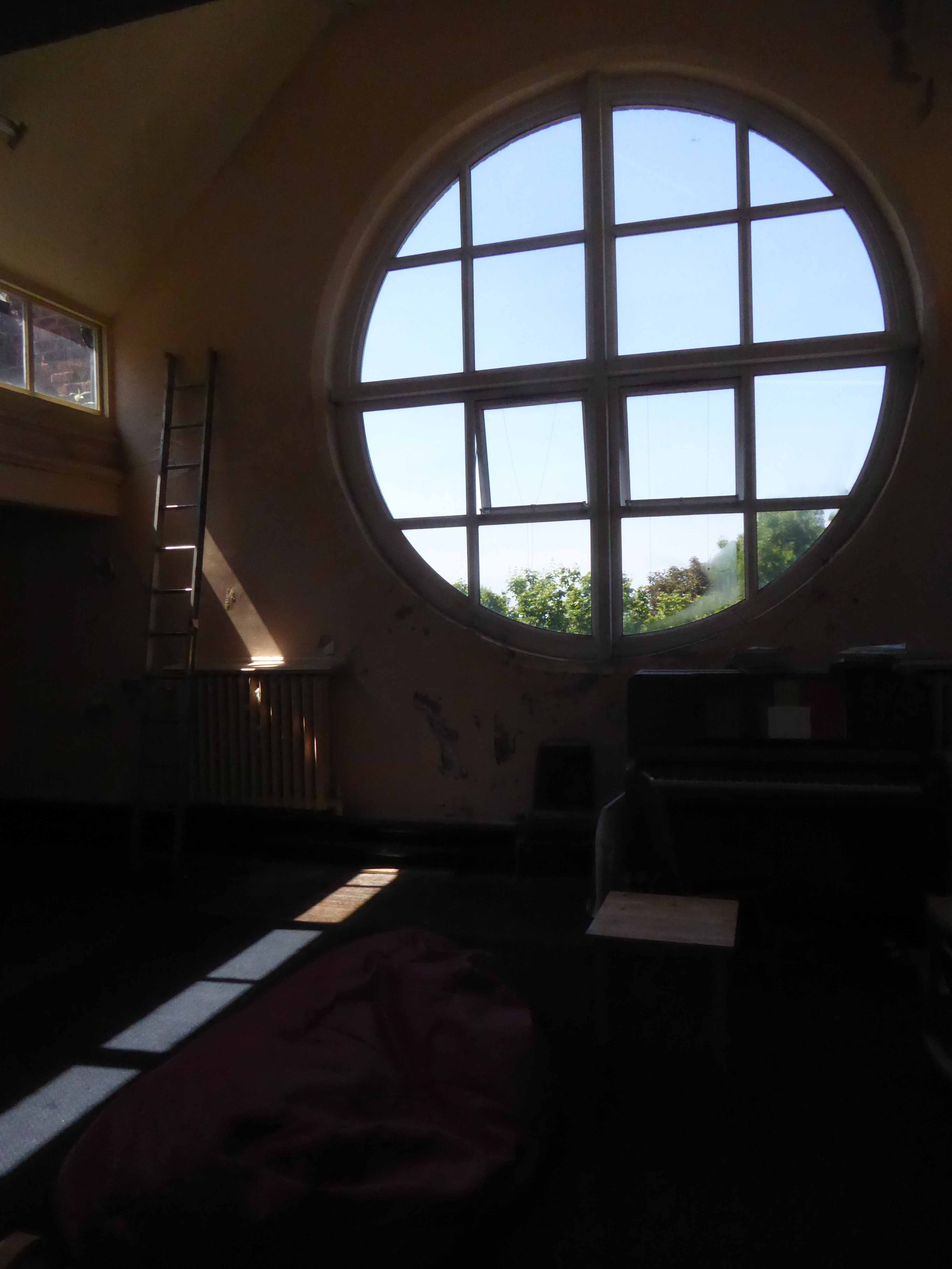
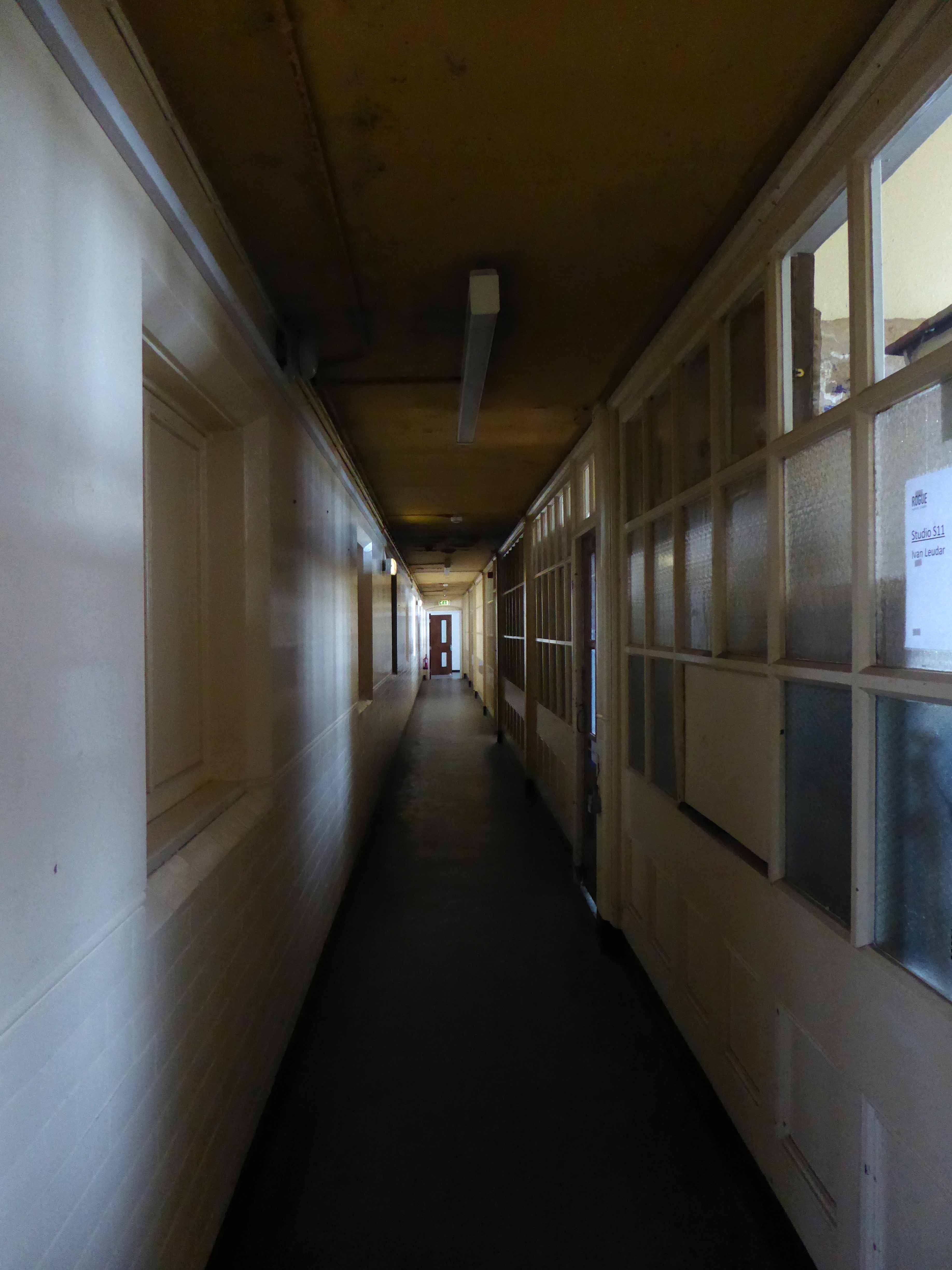
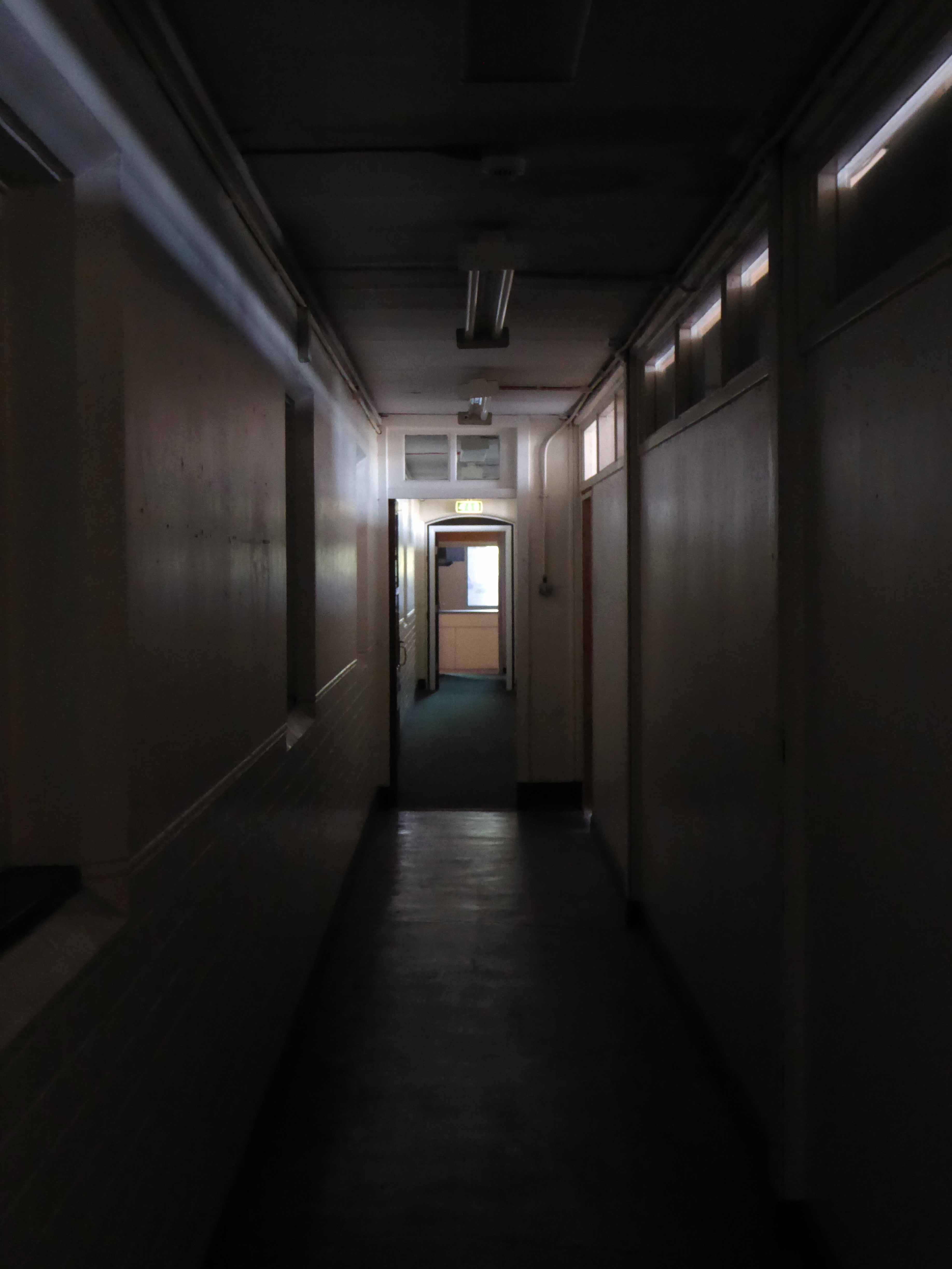
I sat and ate happily, and was privileged to be given a tour of the kitchens by owner Tariq, recording for posterity a site of some culinary and social consequence.
Let’s take a look around and look forward to a meal just across the road real soon.