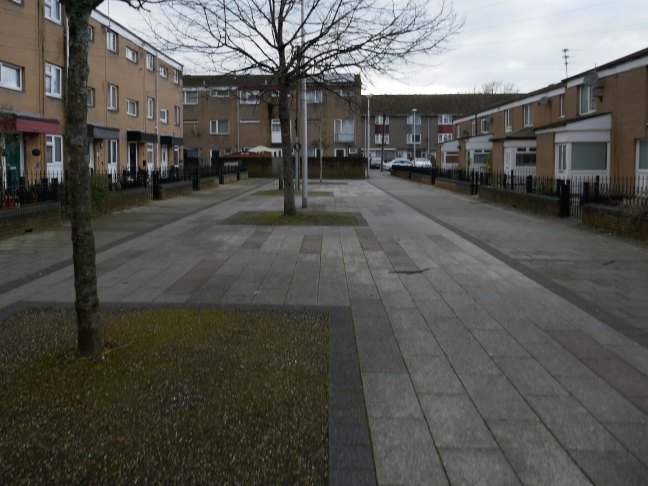
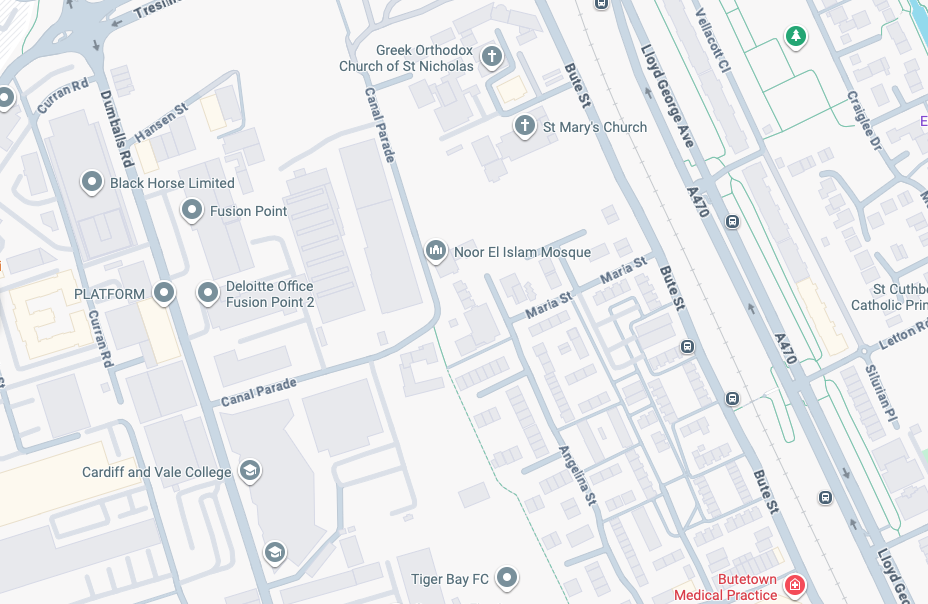
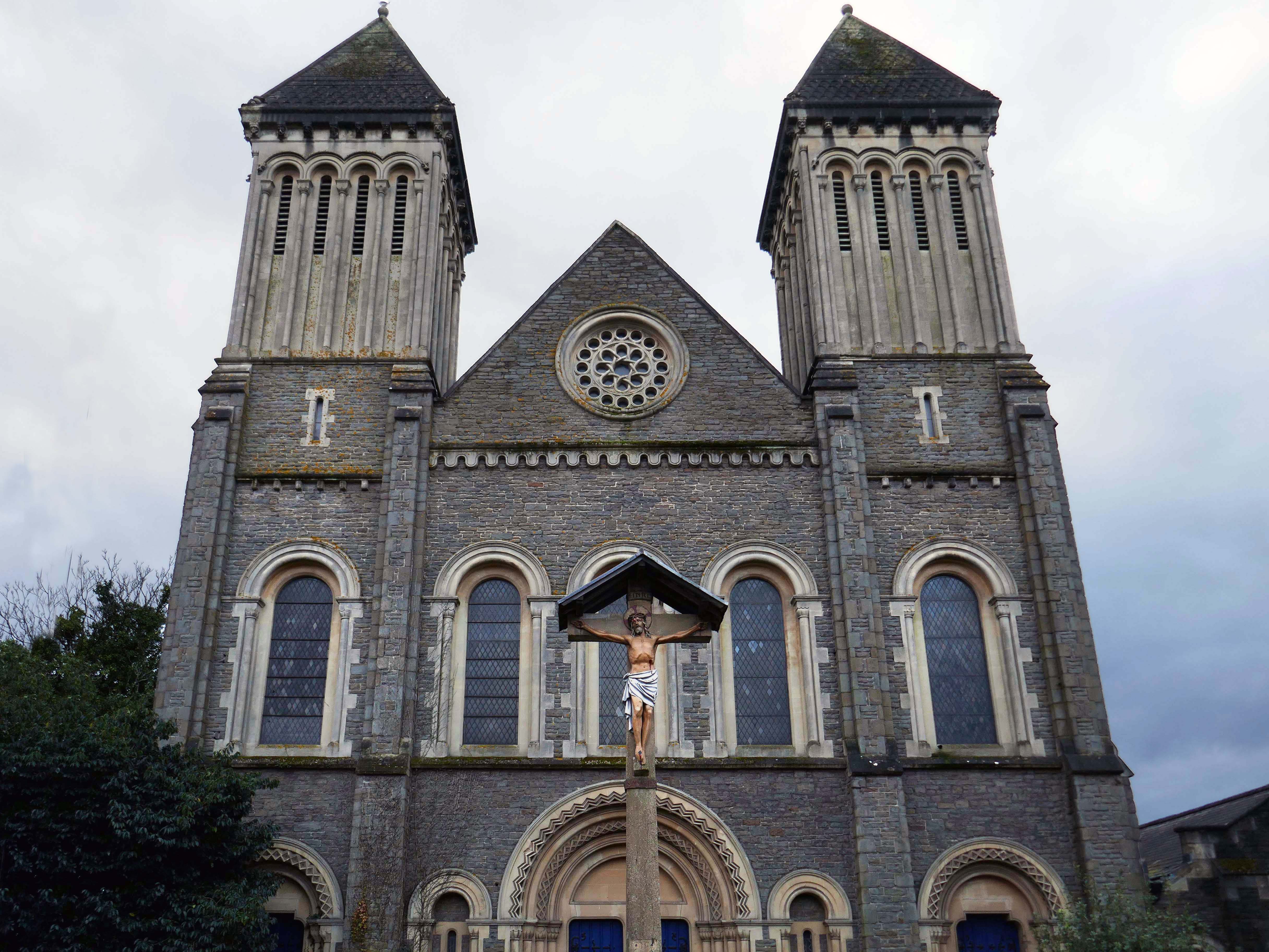
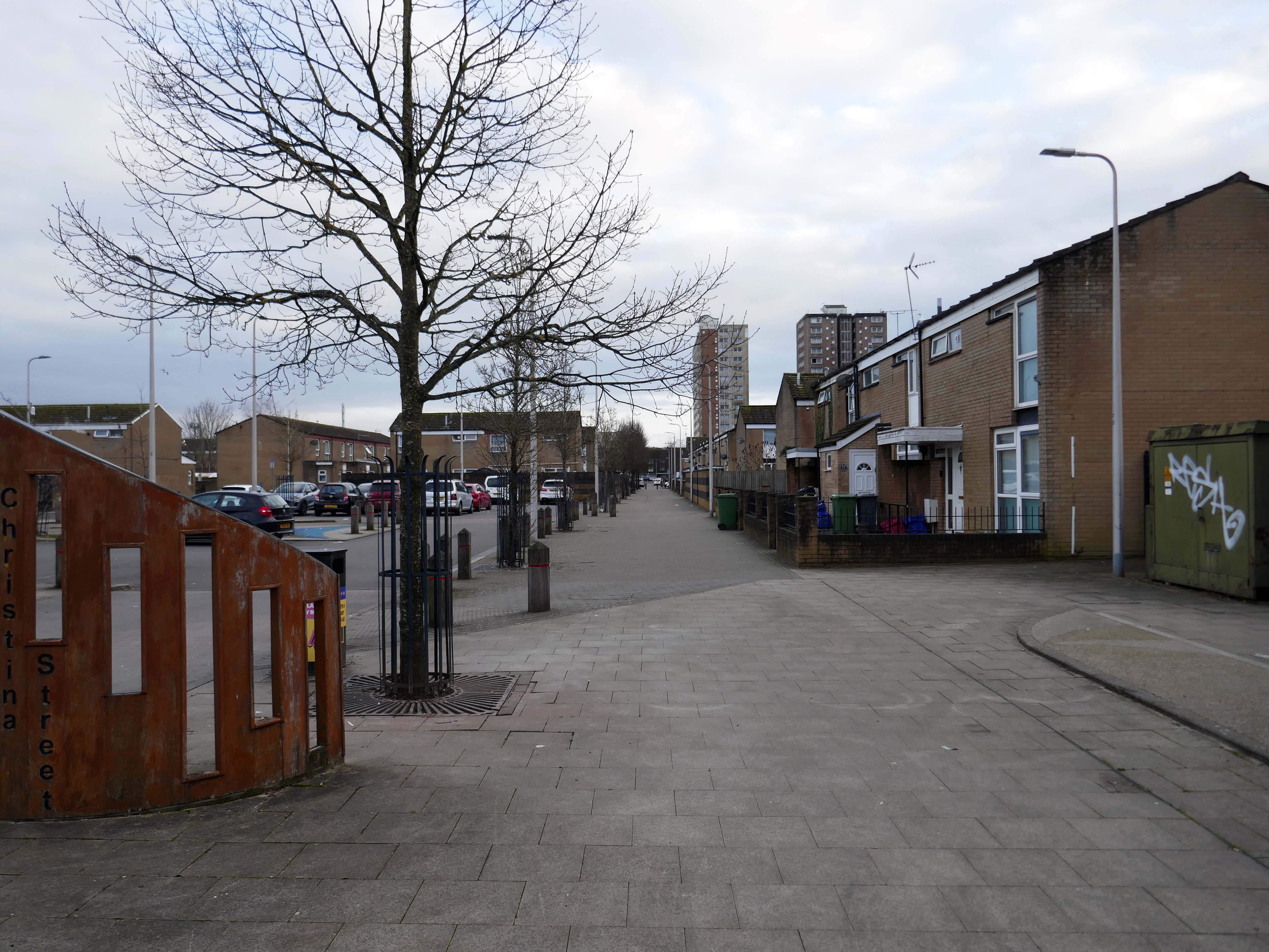
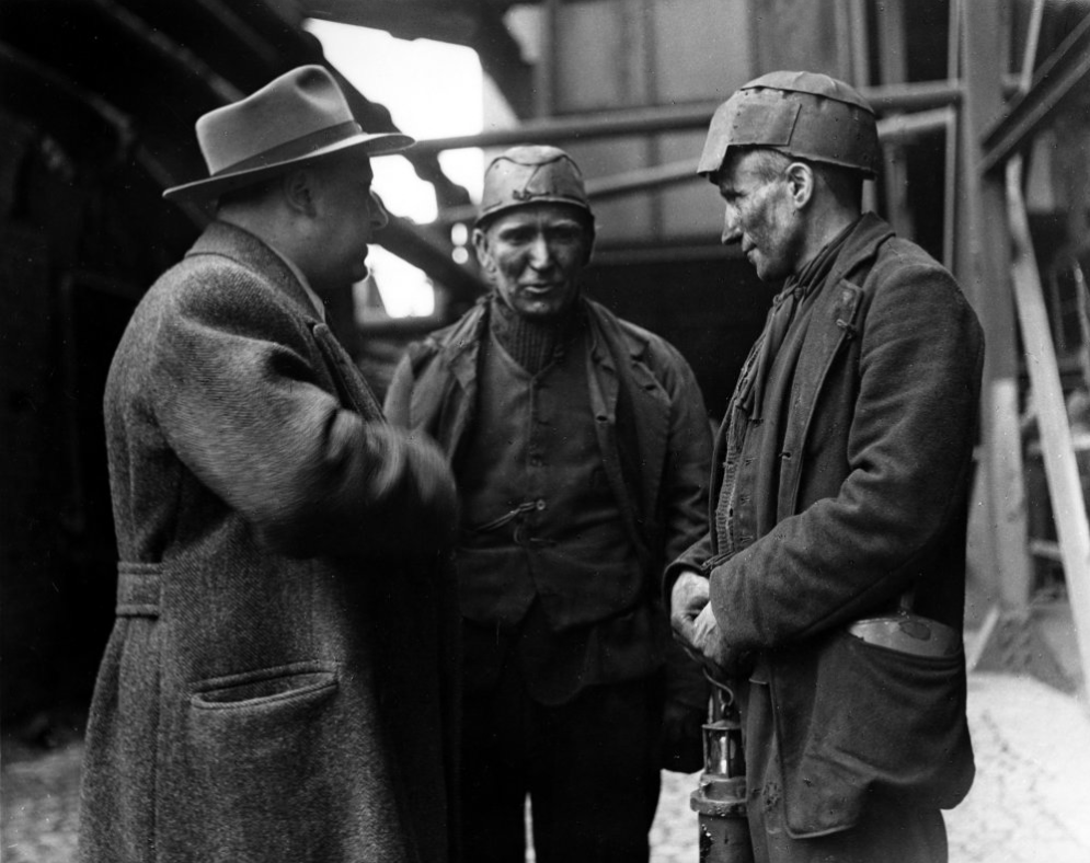
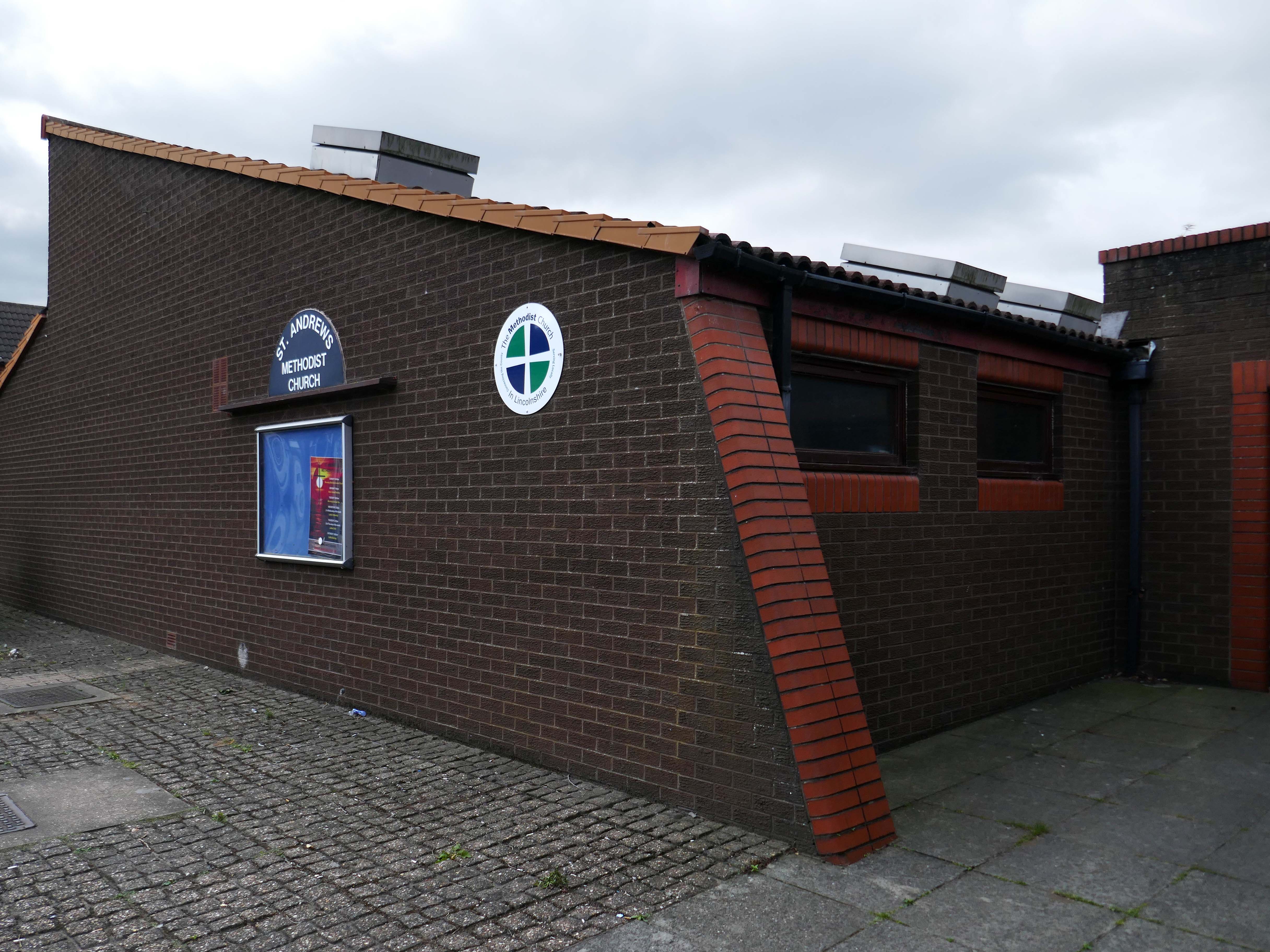
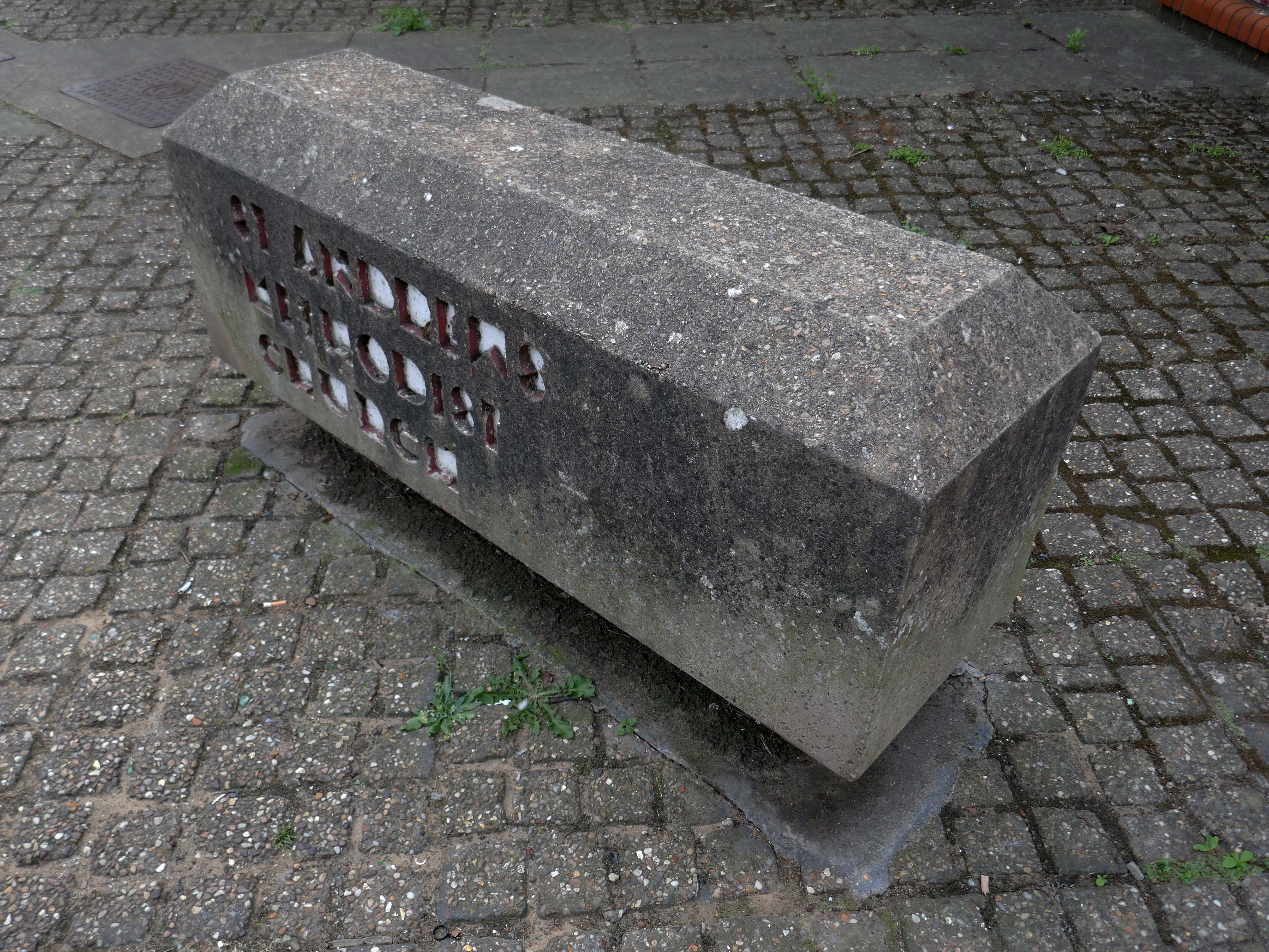
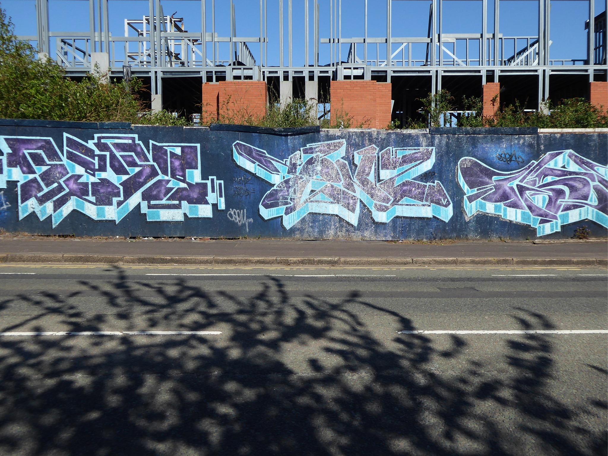
Butetown – or The Docks Tre-biwt is a district and community in the south of the city of Cardiff. It was originally a model housing estate built in the early 19th century by the 2nd Marquess of Bute, for whose title the area was named.
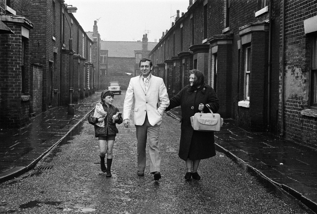
Commonly known as Tiger Bay, this area became one of the UK’s first multiculturalcommunities with people from over fifty countries settled here by the outbreak of the First World War, working in the docks and allied industries. Some of the largest communities included the Somalis, Yemenis and Greeks, whose influence still lives on today.
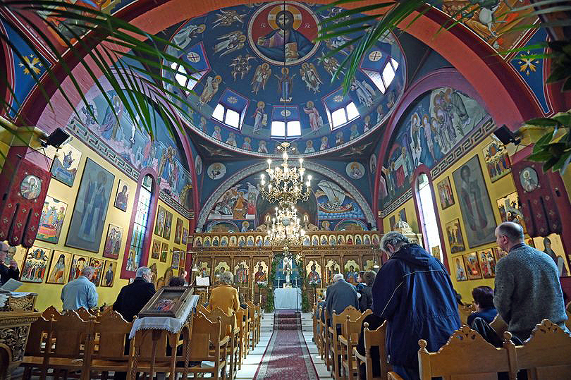
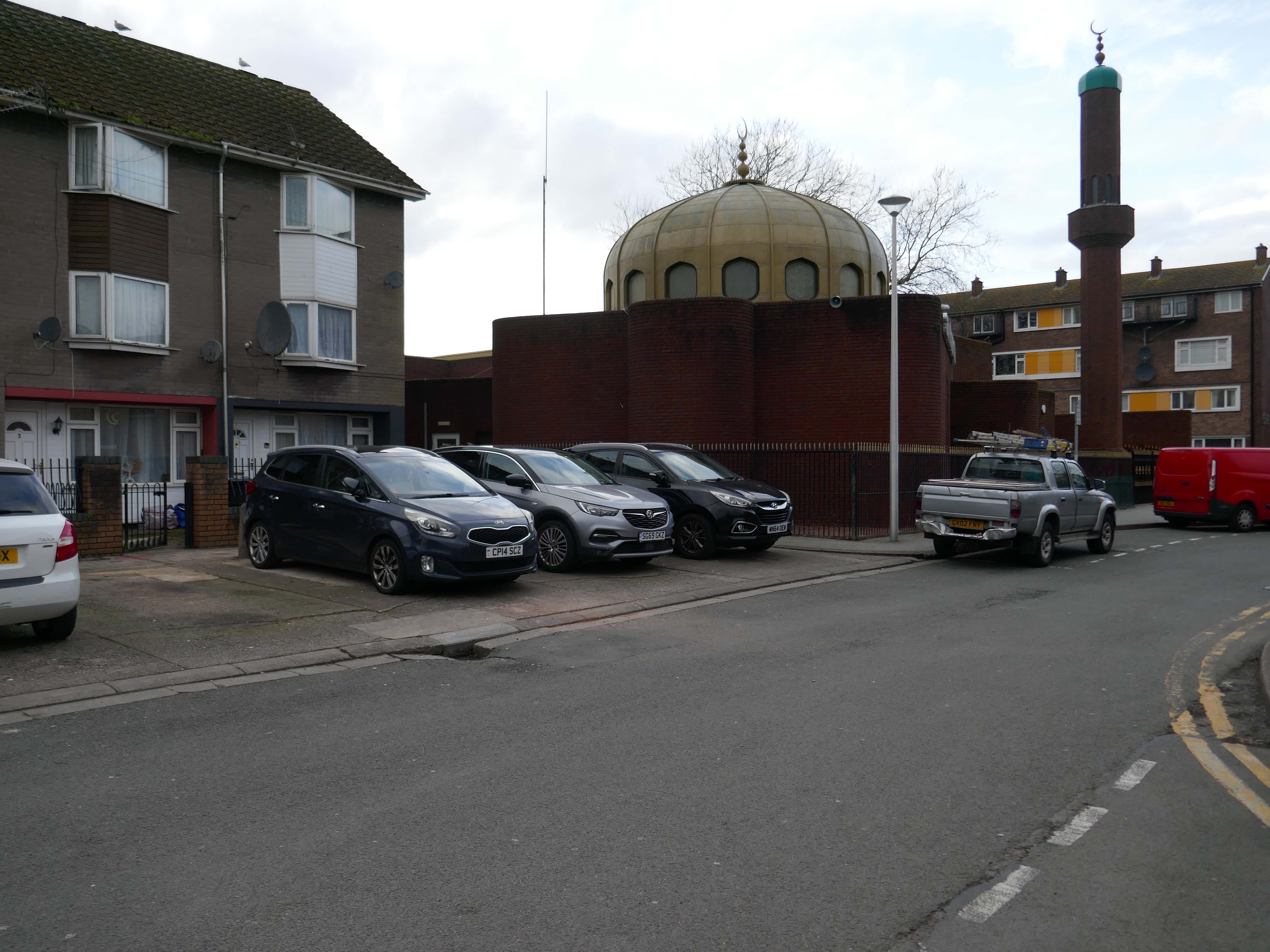
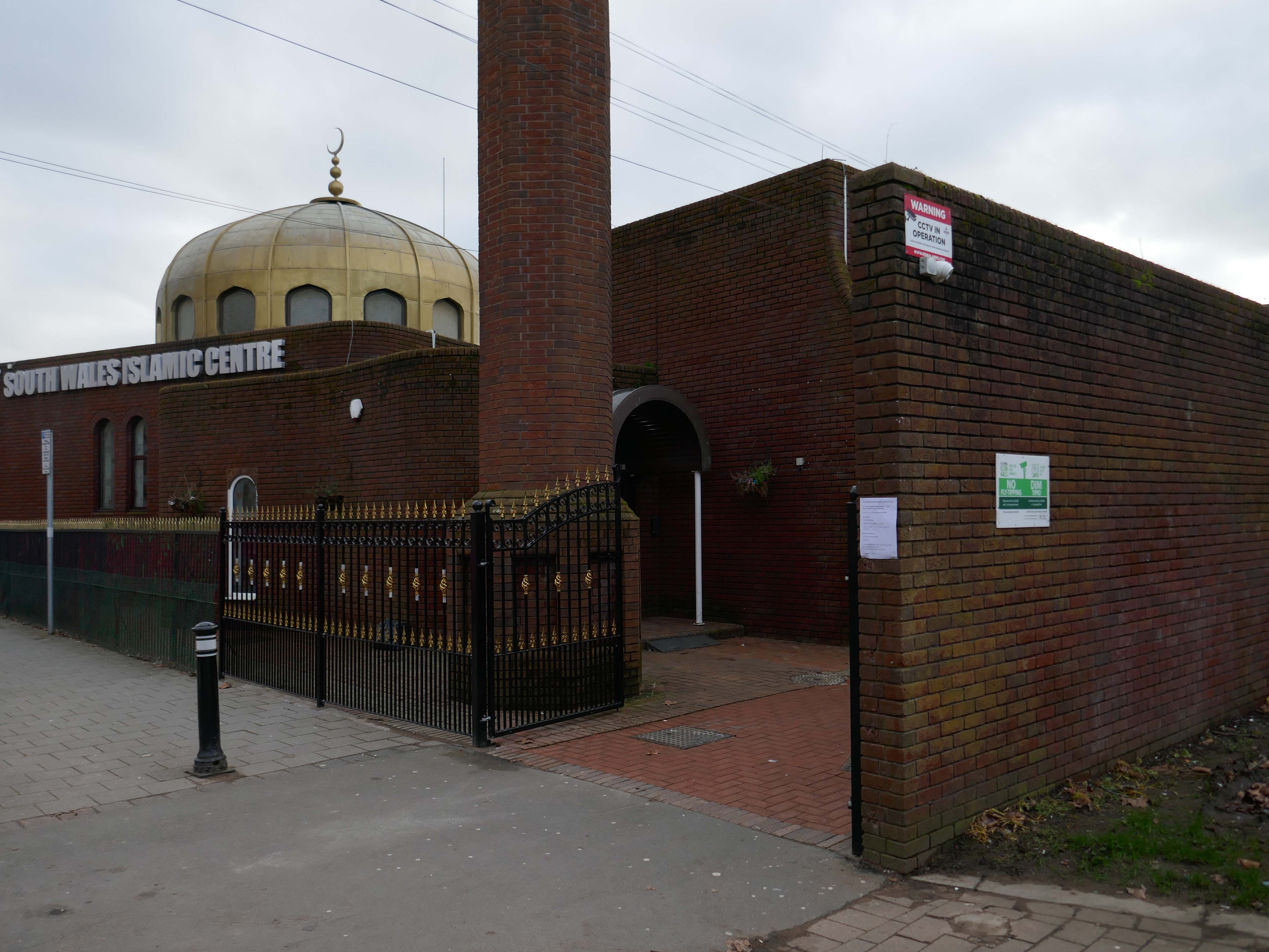
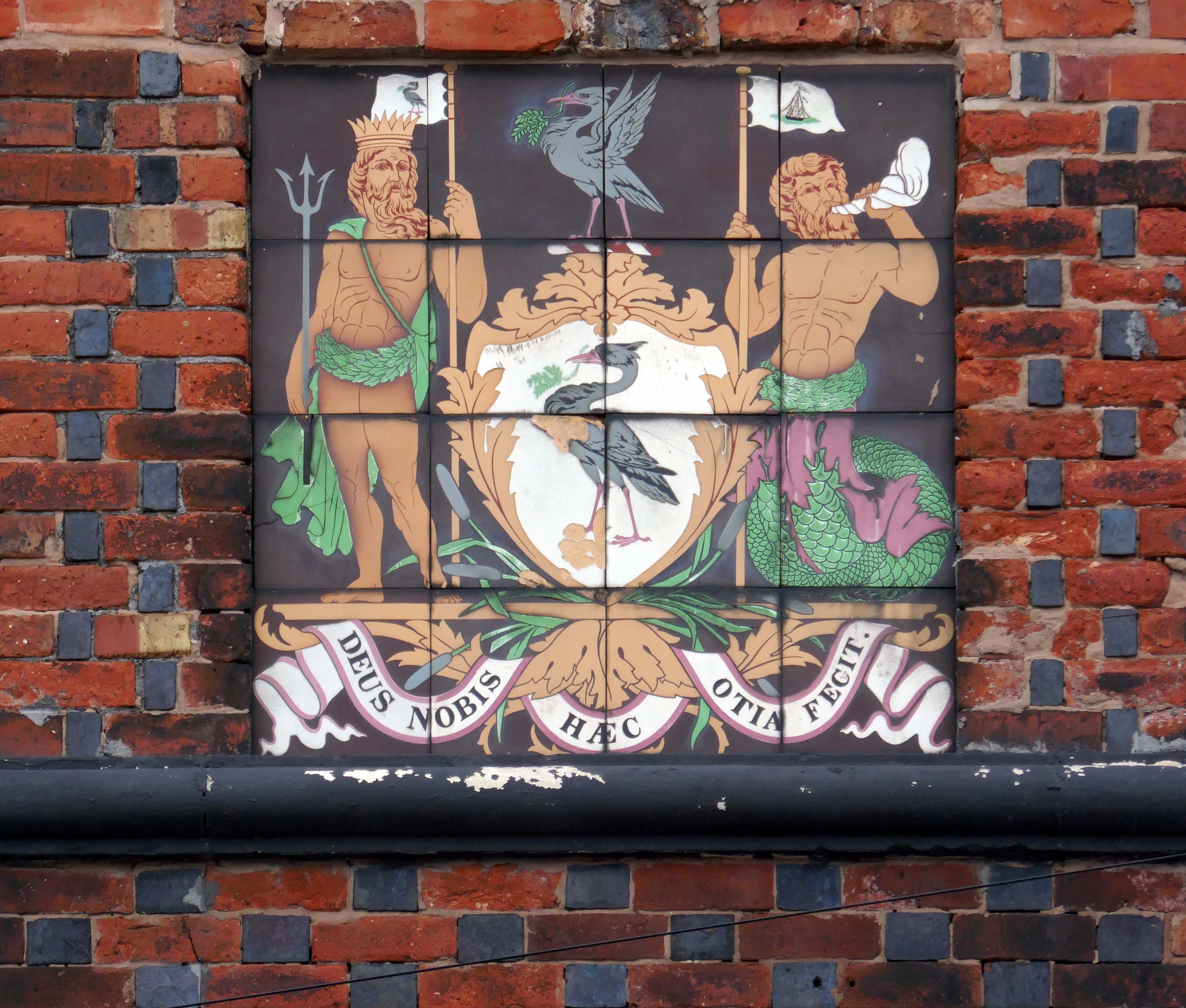
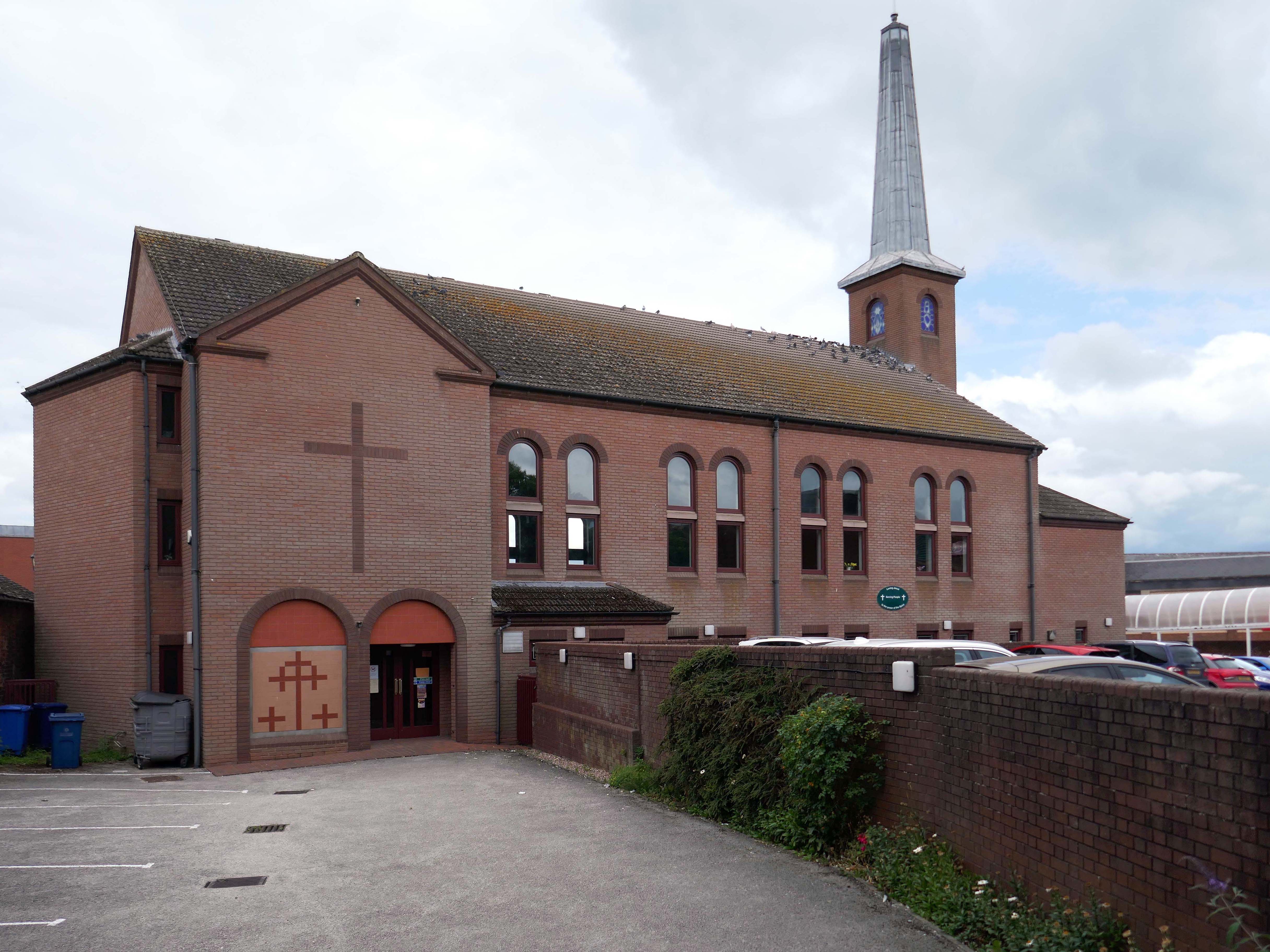
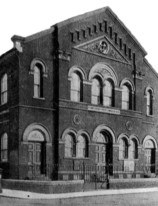
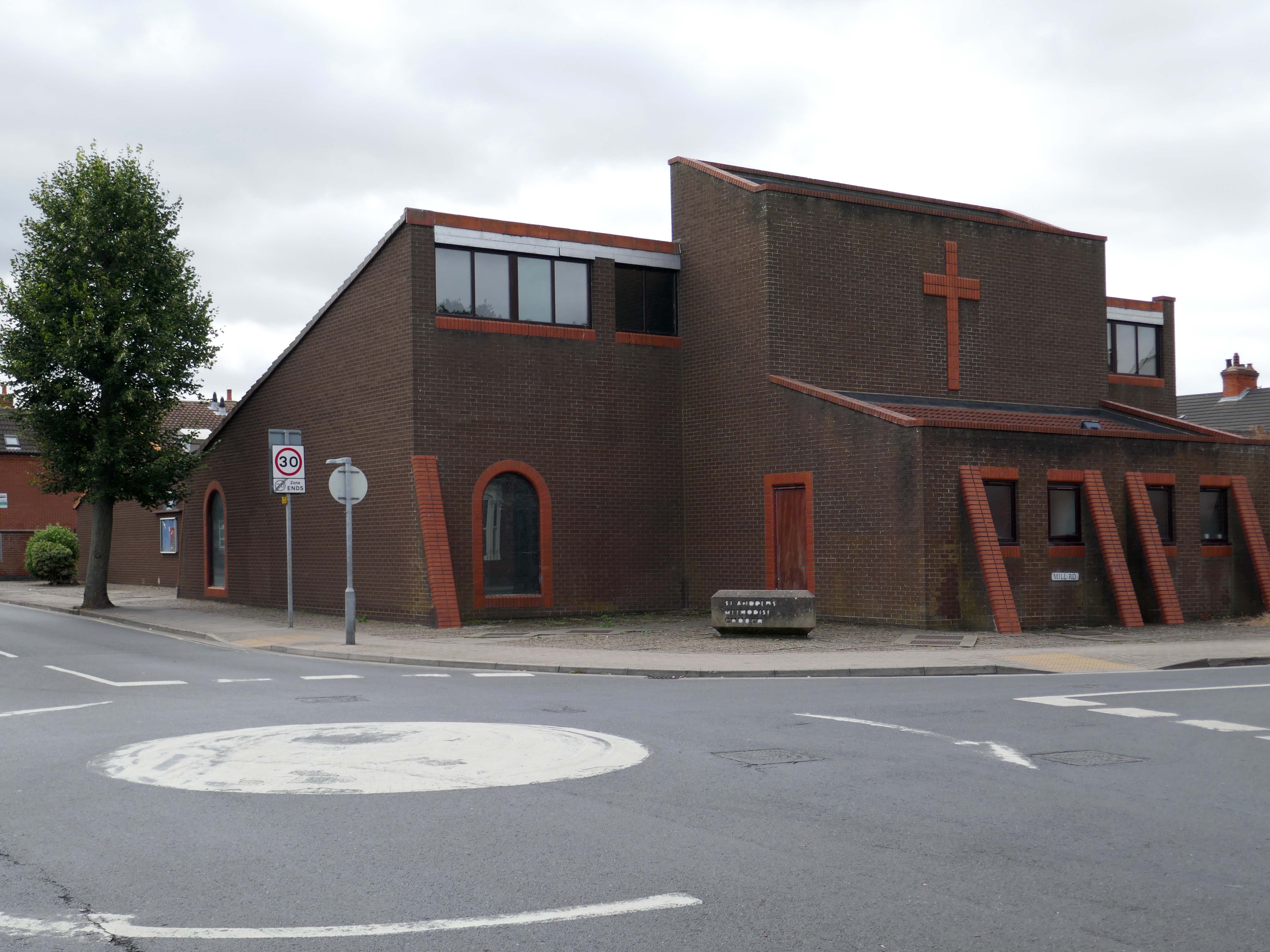
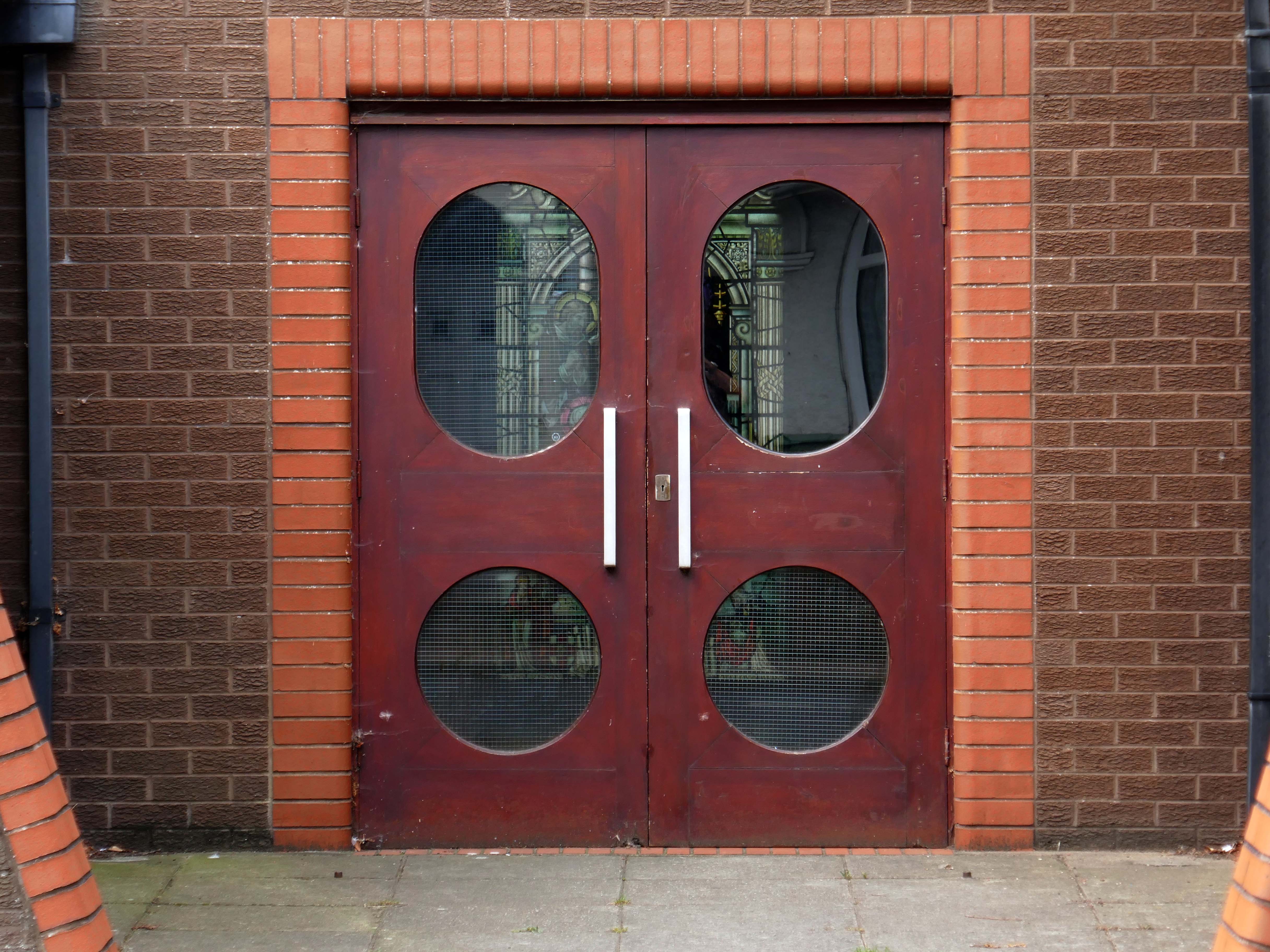
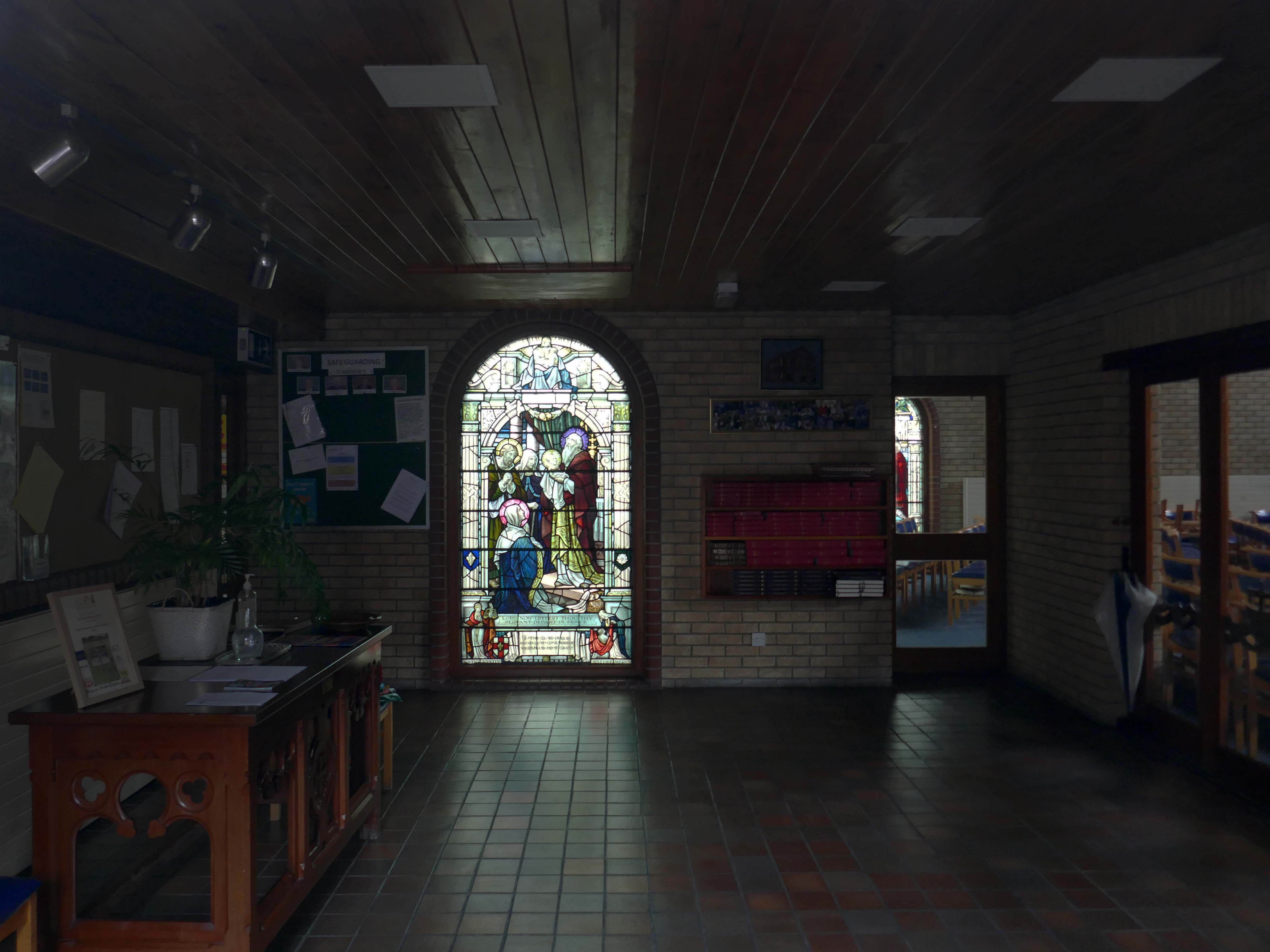
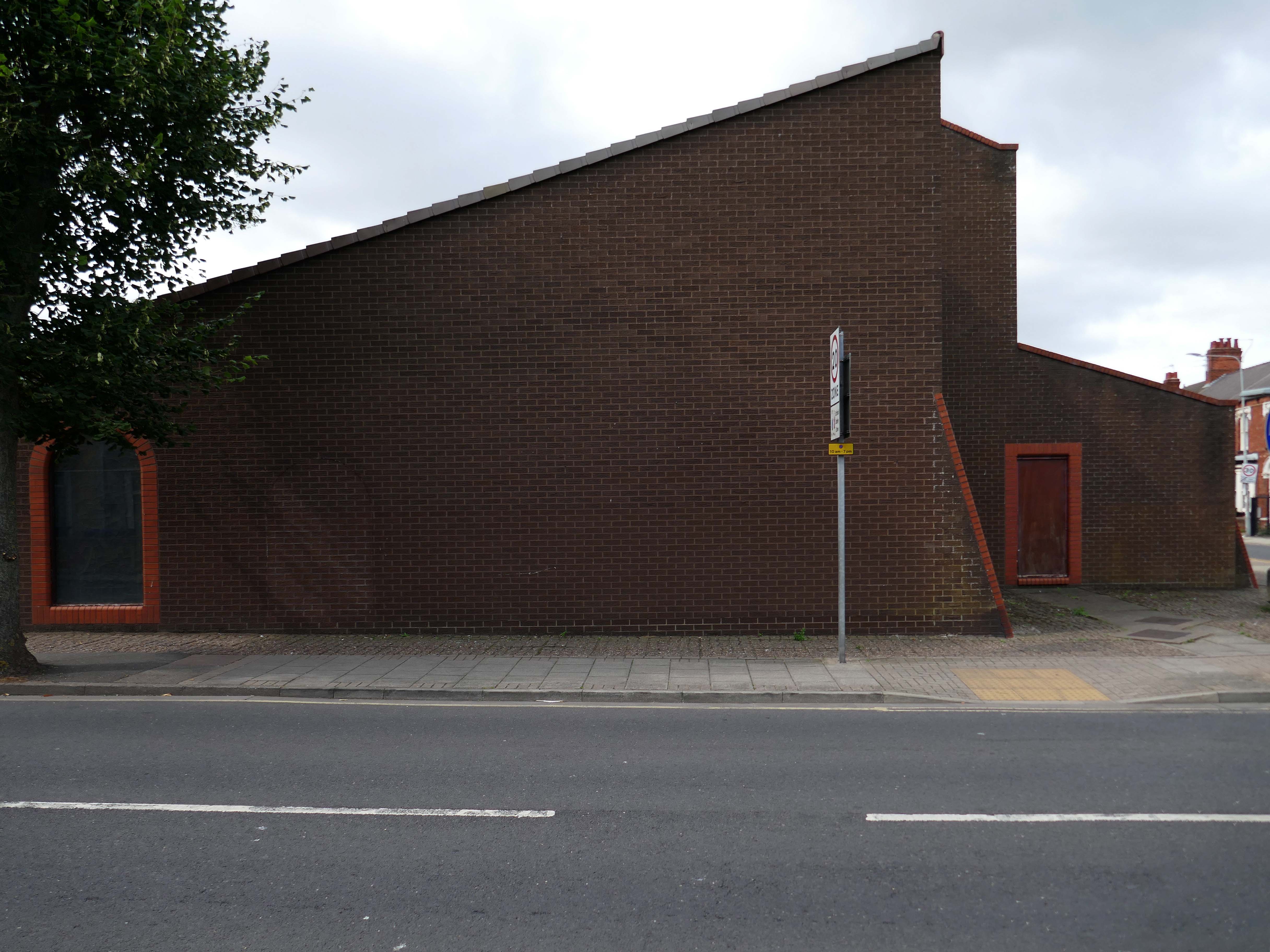
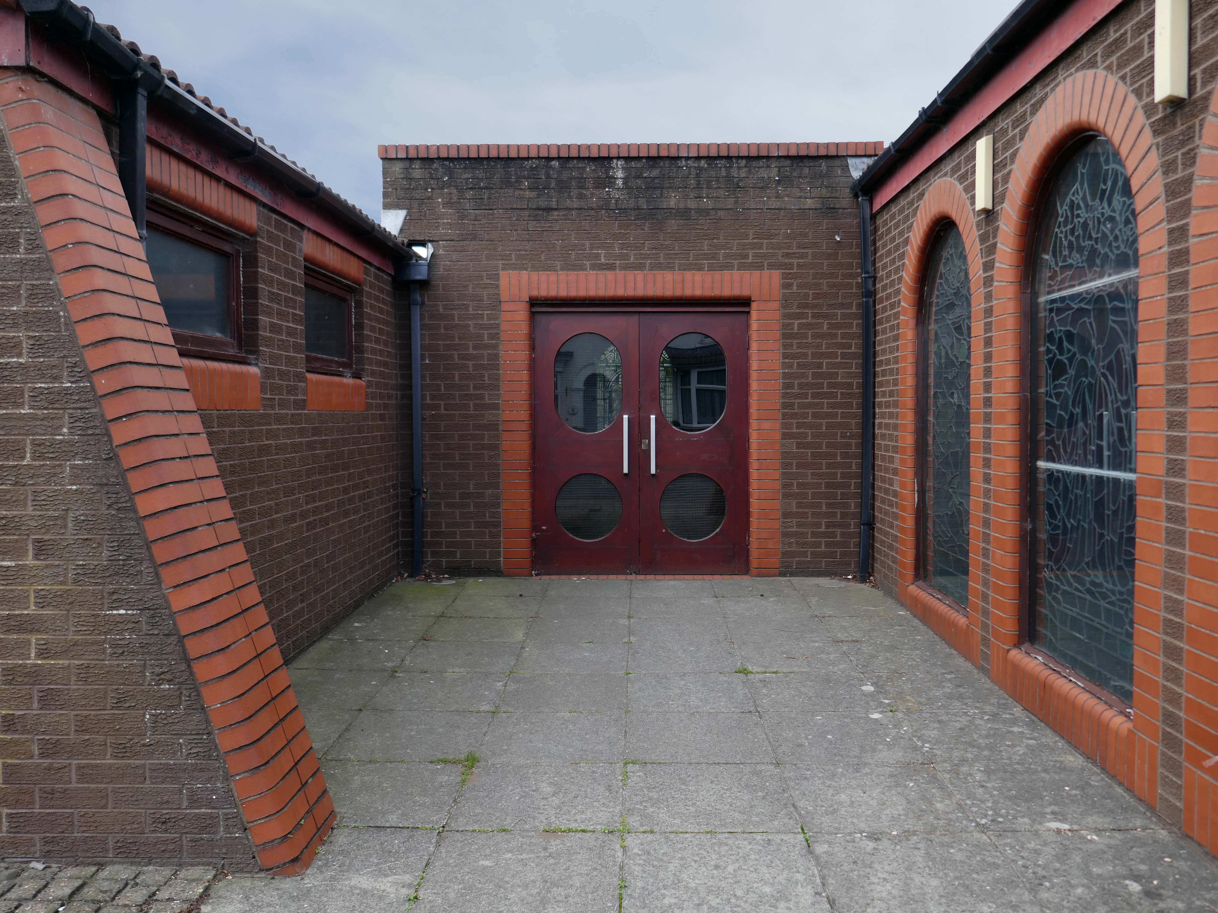
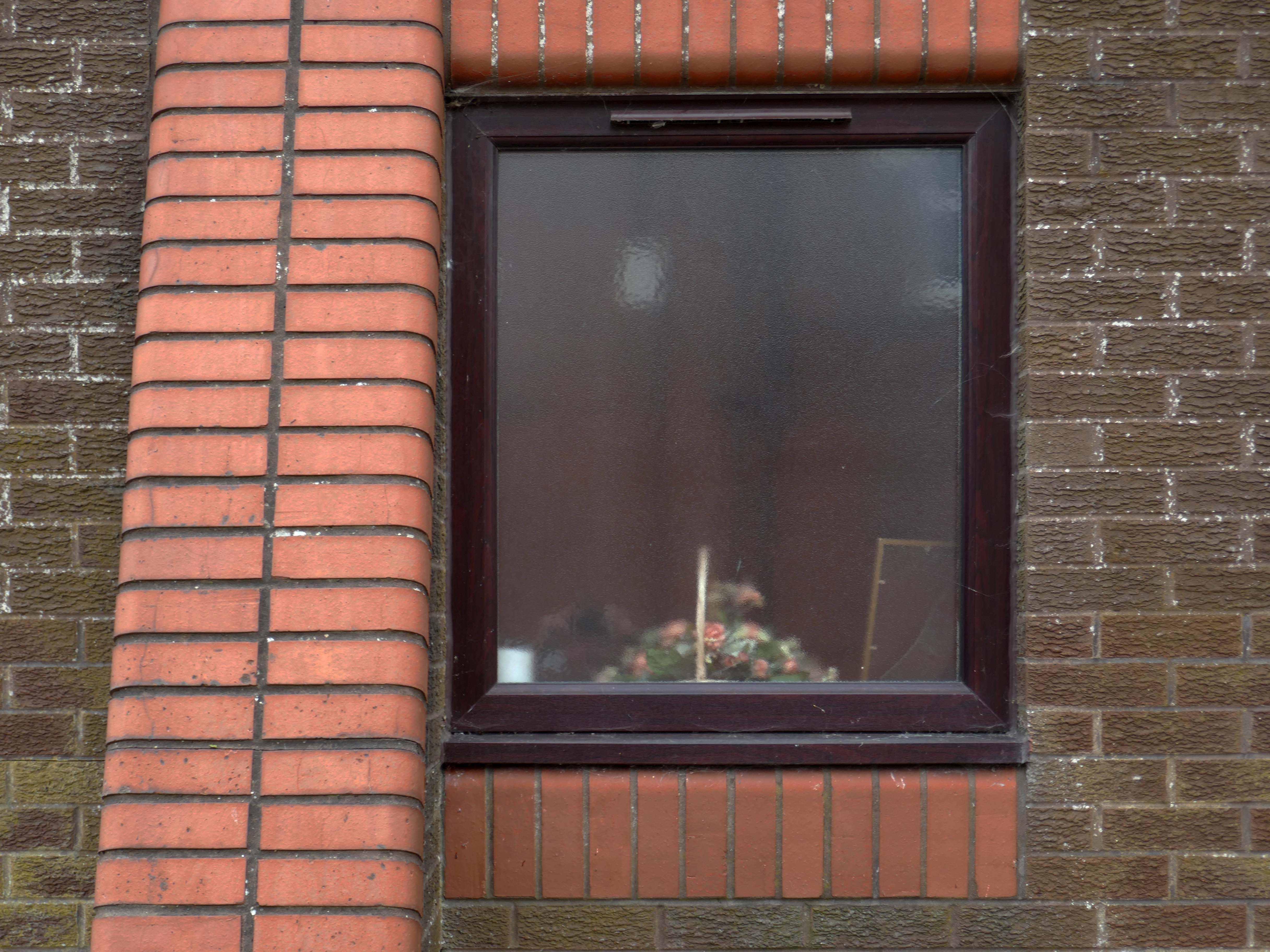
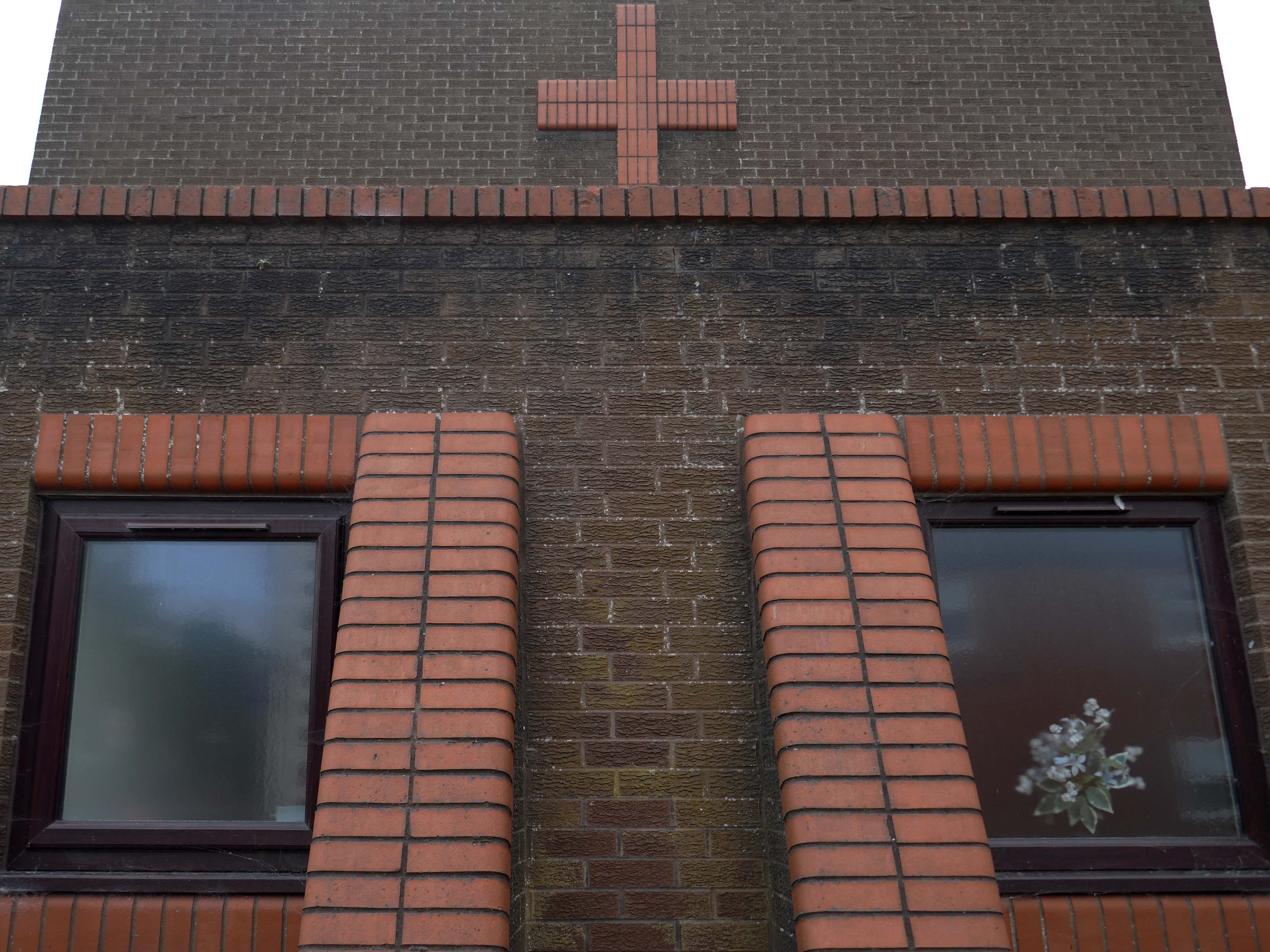
In 1906, work began on the present-day church, which also serves the Russian Orthodox community in south Wales. Designed by local architects, James and Morgan, it is located on a site provided by the 4th Marquess of Bute, to the west of Bute Street. The modestly-sized building is of Byzantine style with a domed nave and an apse at the east end. It retains the original dedication to StNicholas. The interior is very ornate, with a lot of carved woodwork. The dome and upper walls have painted Biblical scenes in vivid colours with gold decoration.
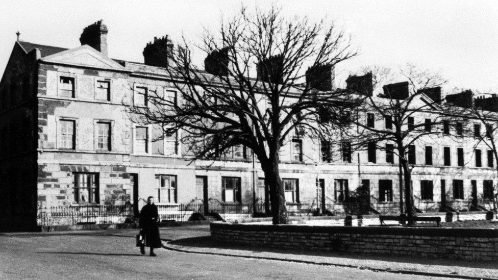
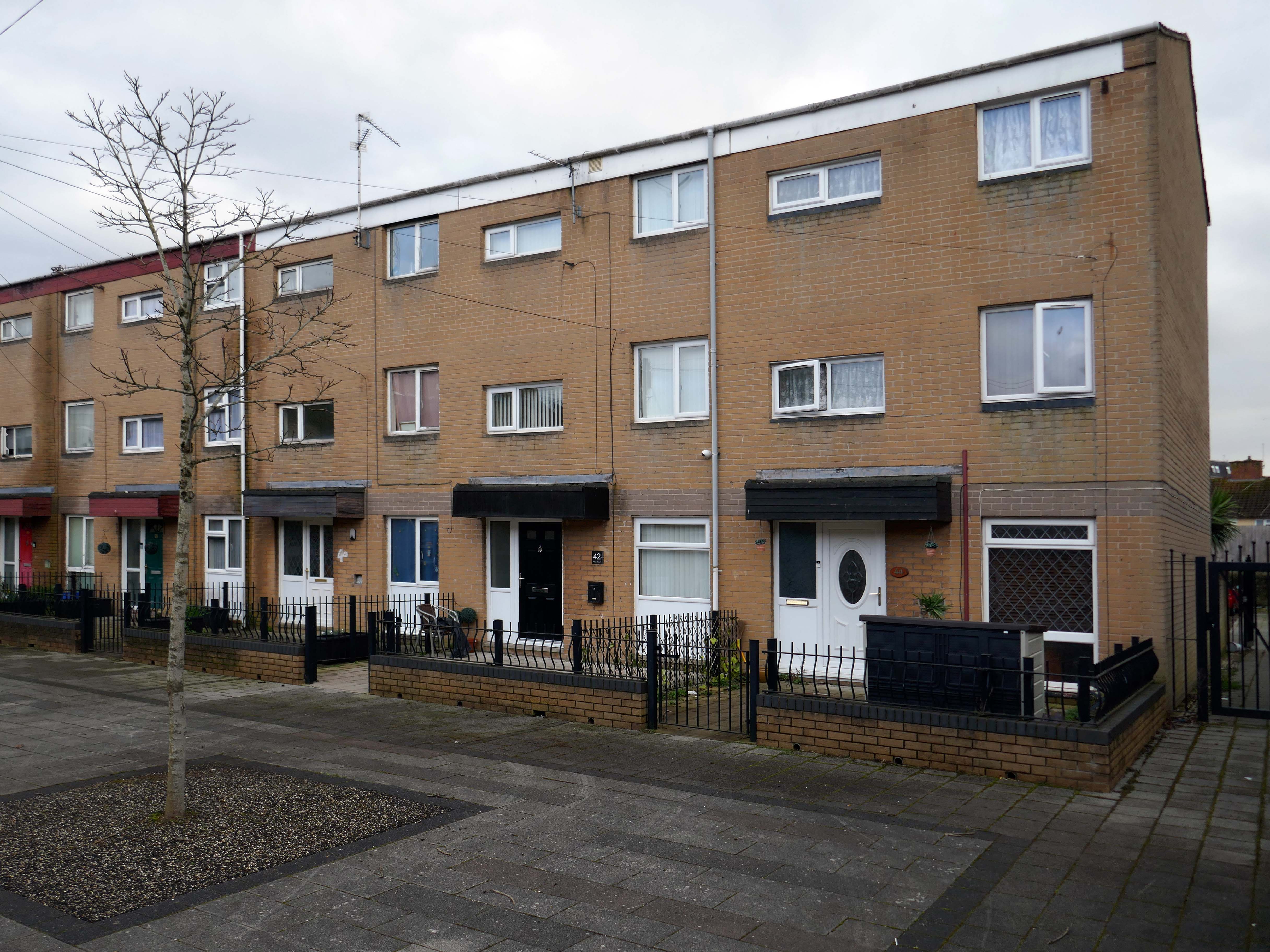
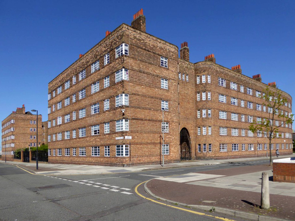
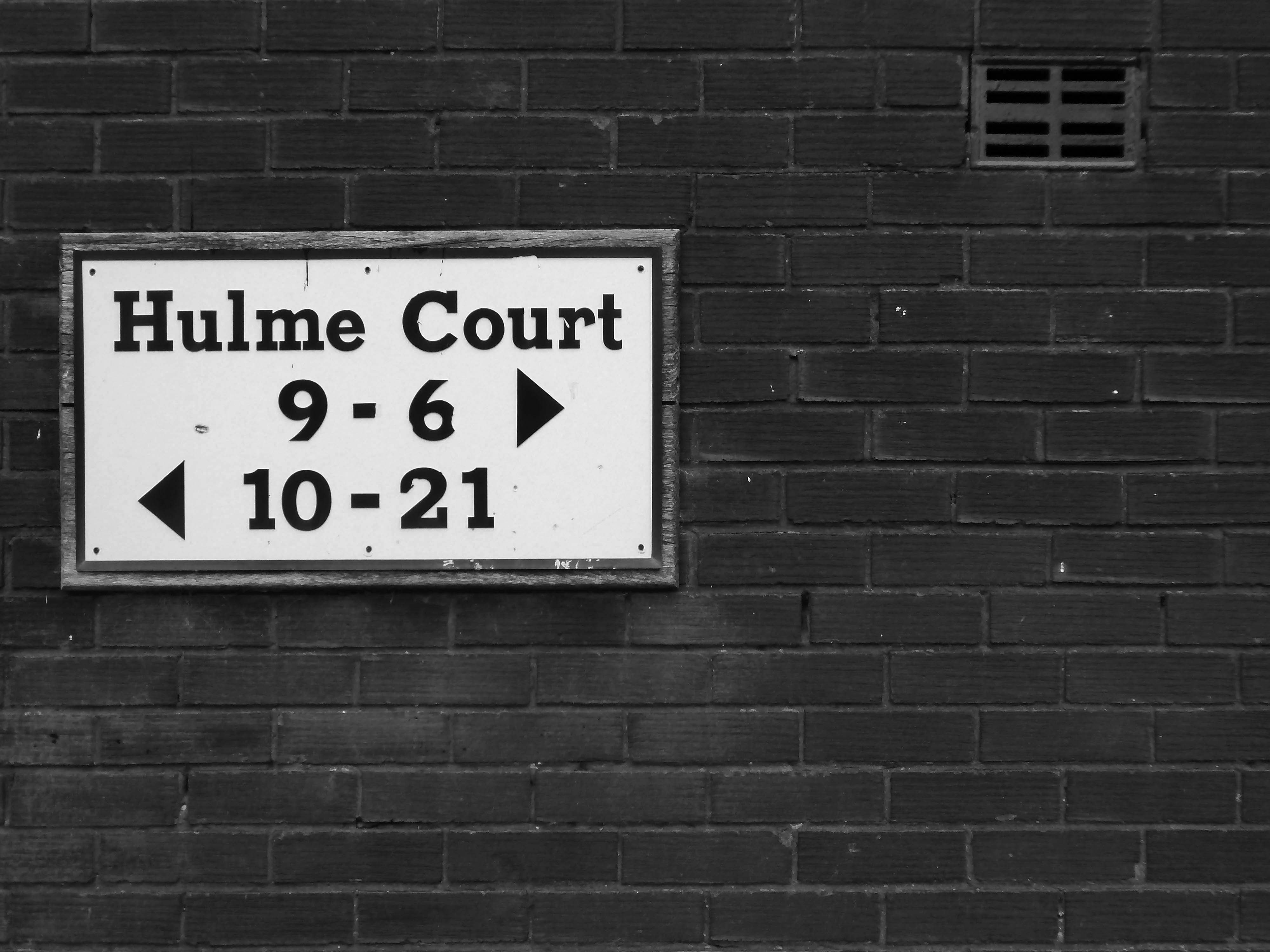
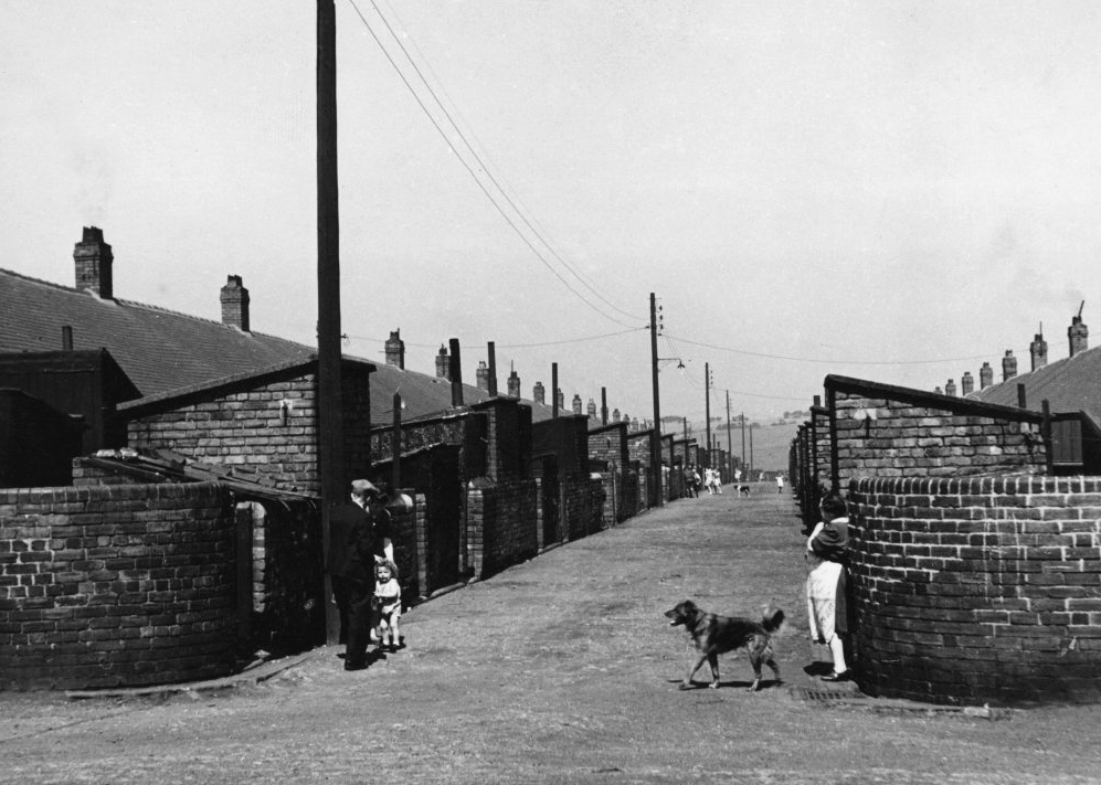
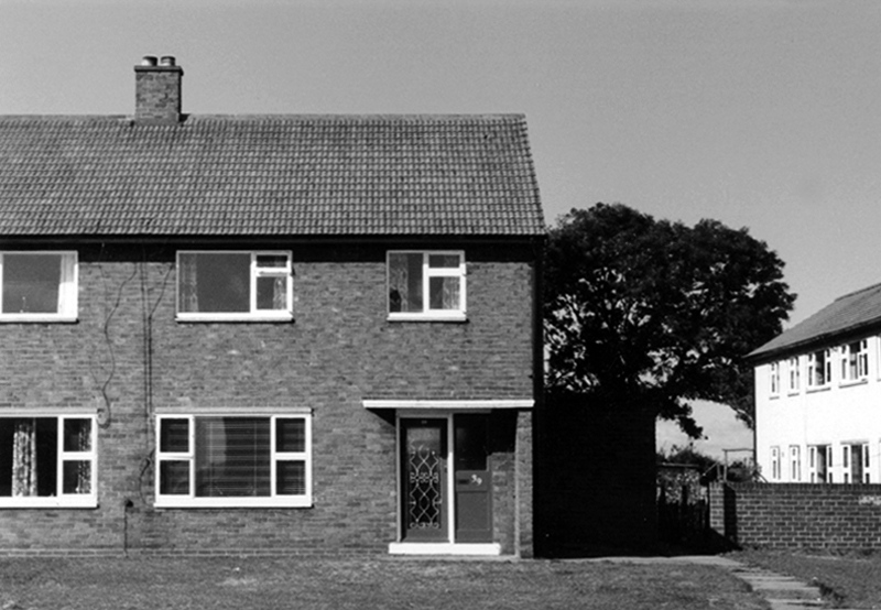
Loudoun Square was originally built in the mid-1850s as upmarket homes for merchants, mariners, ship brokers and the like around a central park.
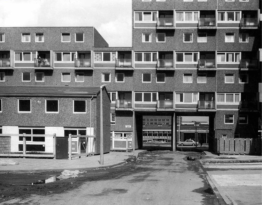
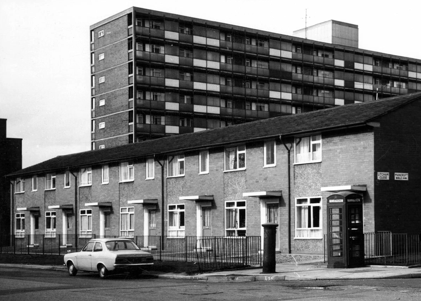
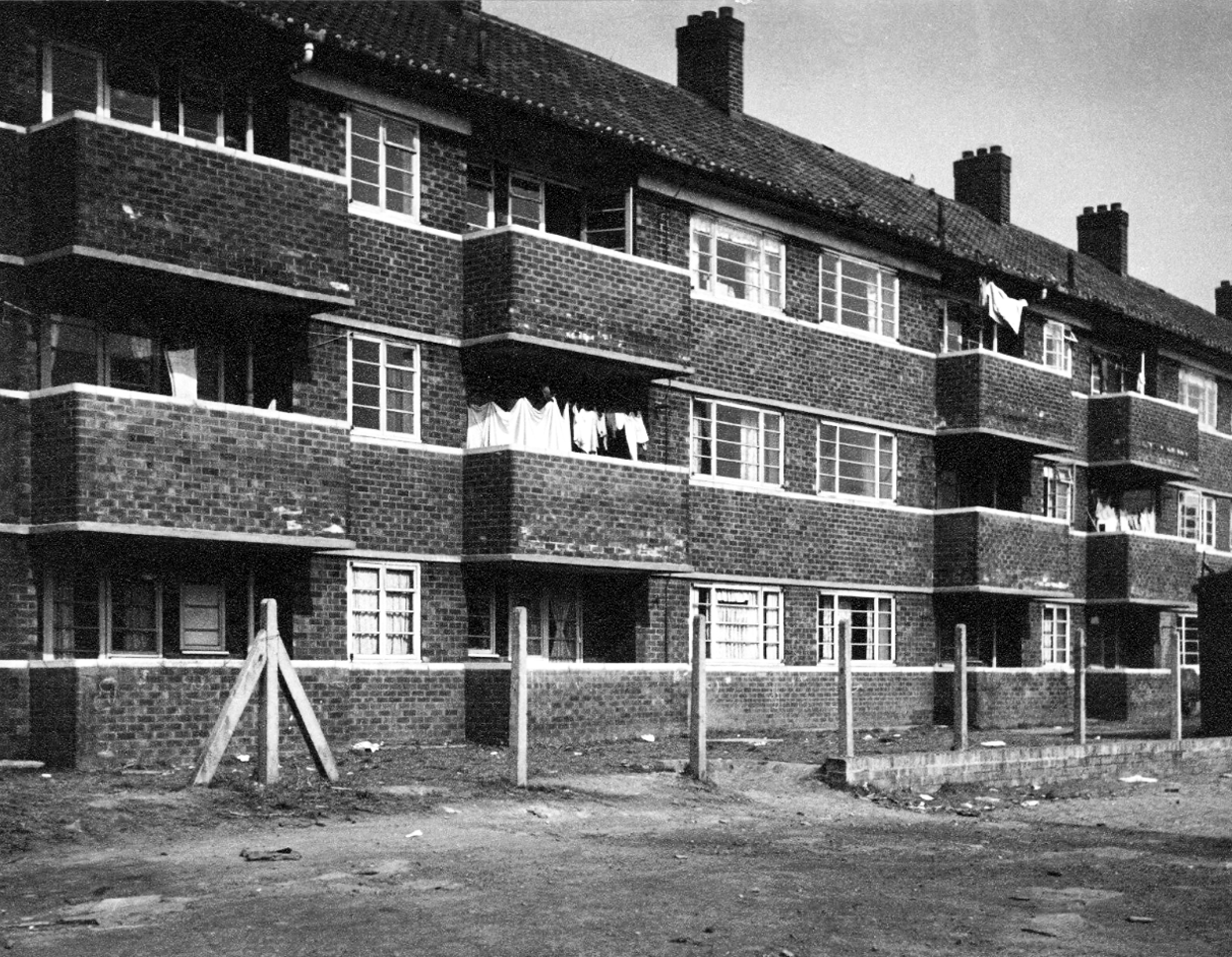
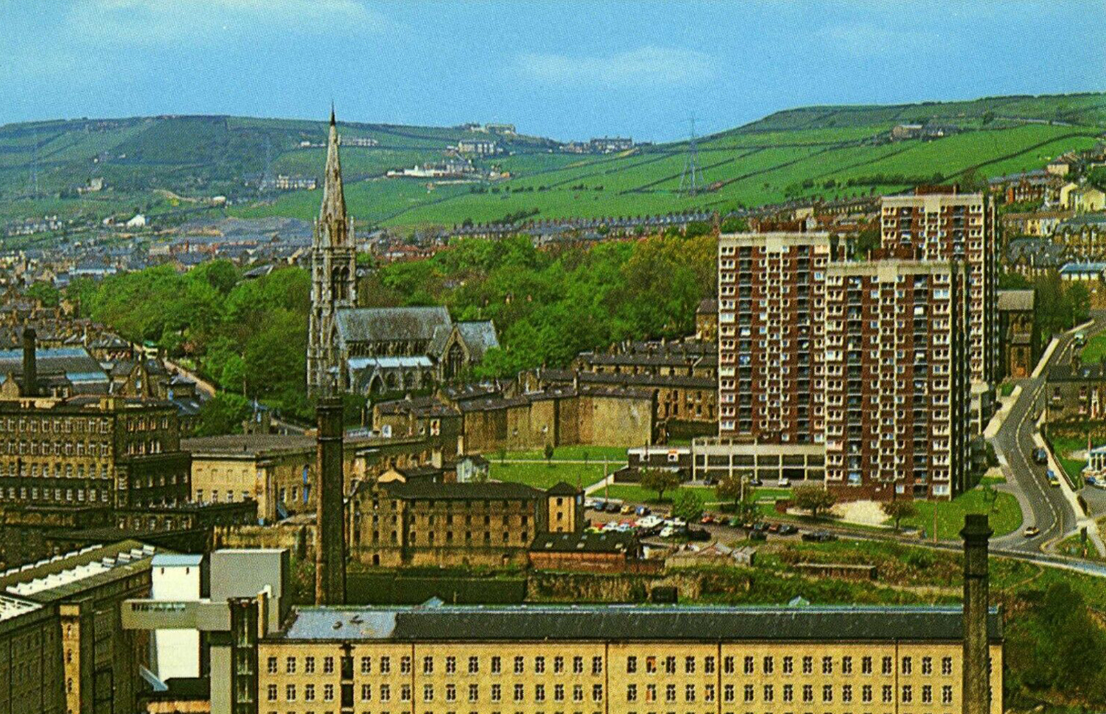
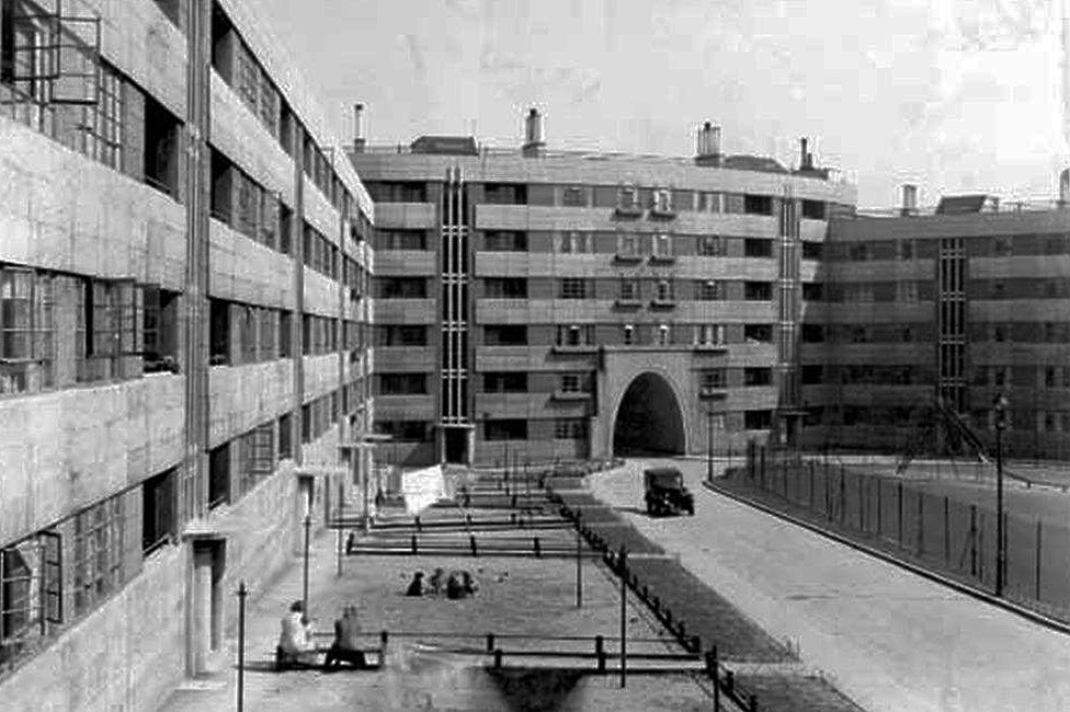
Photo 1962
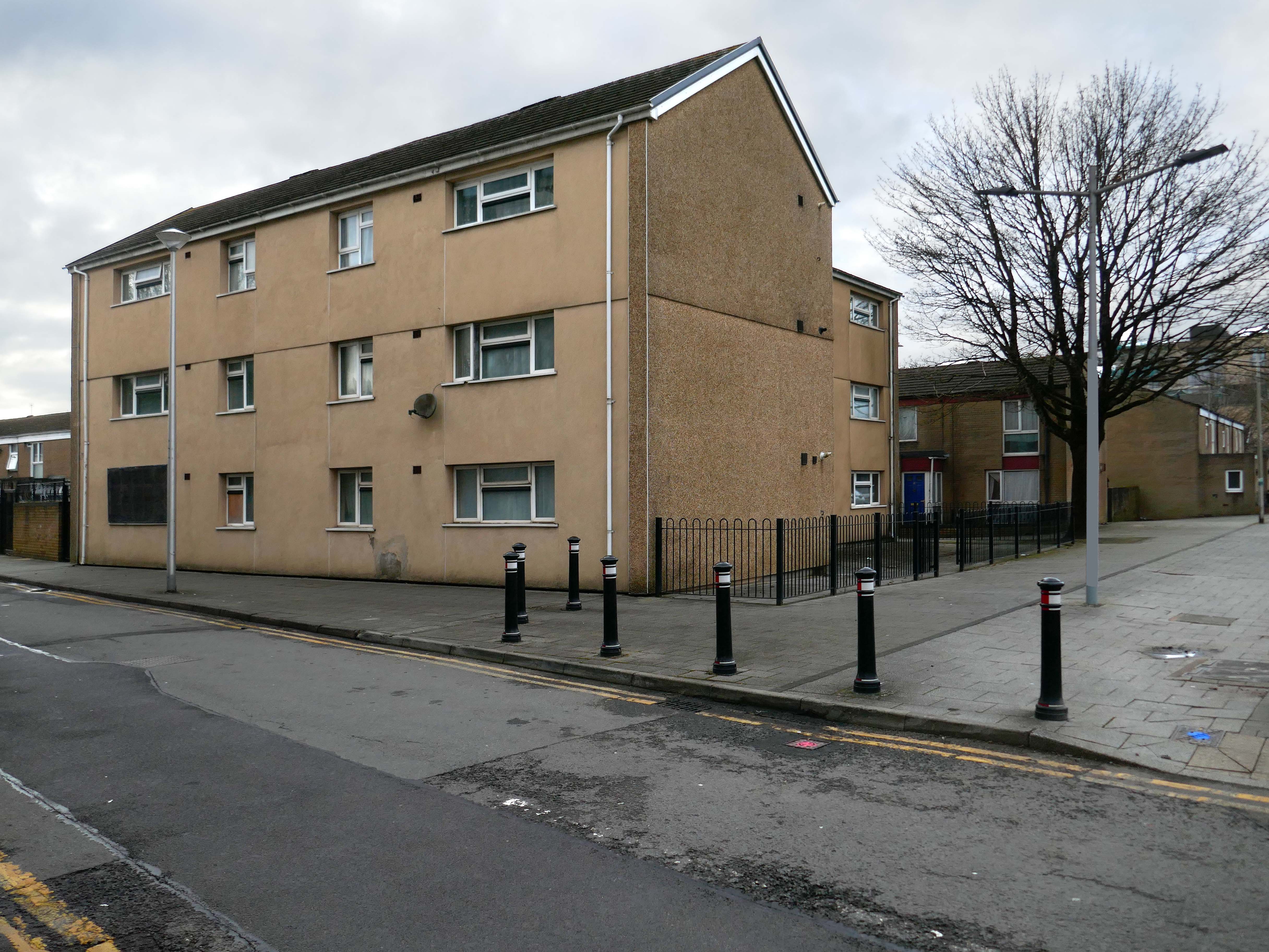
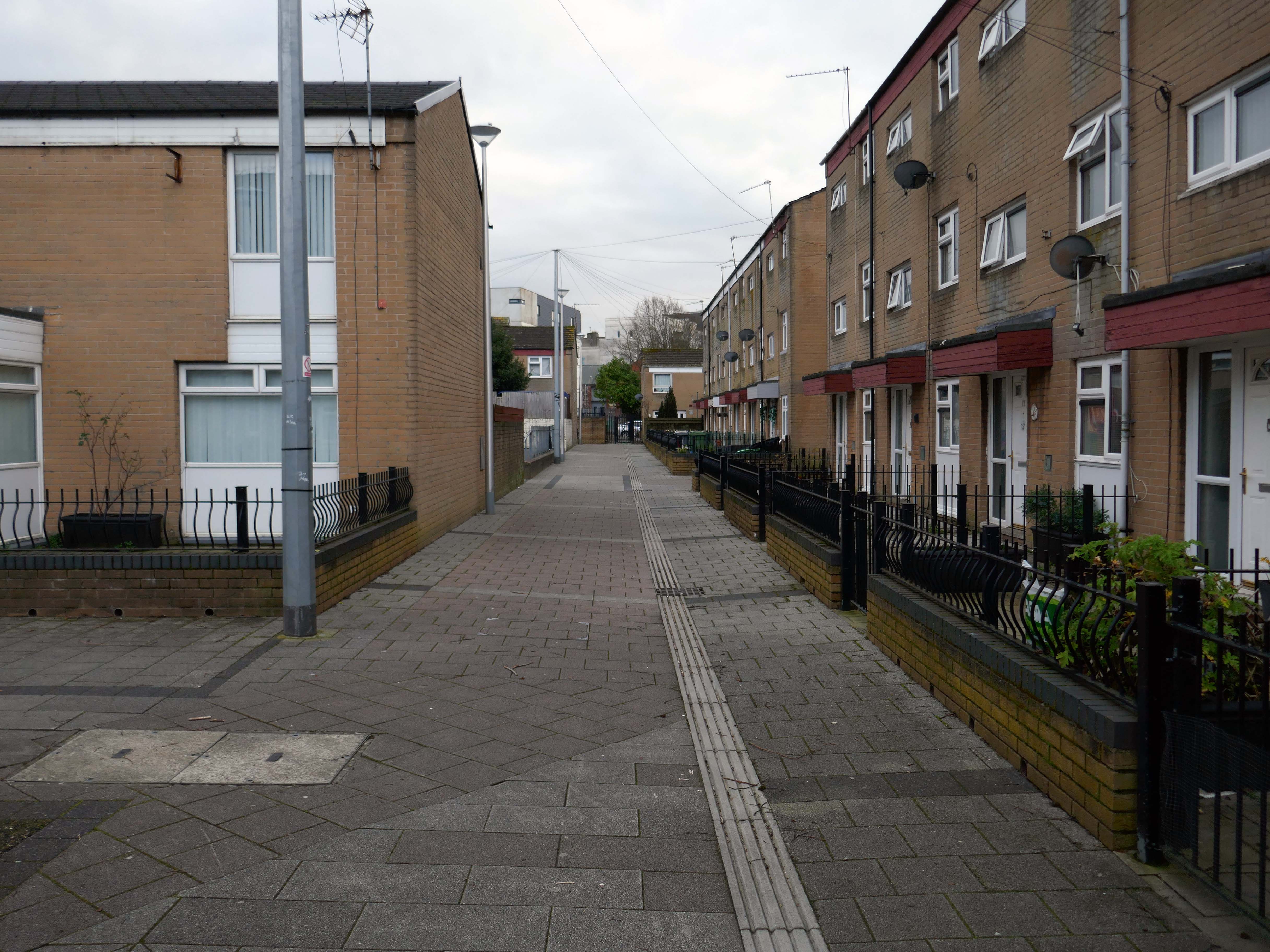
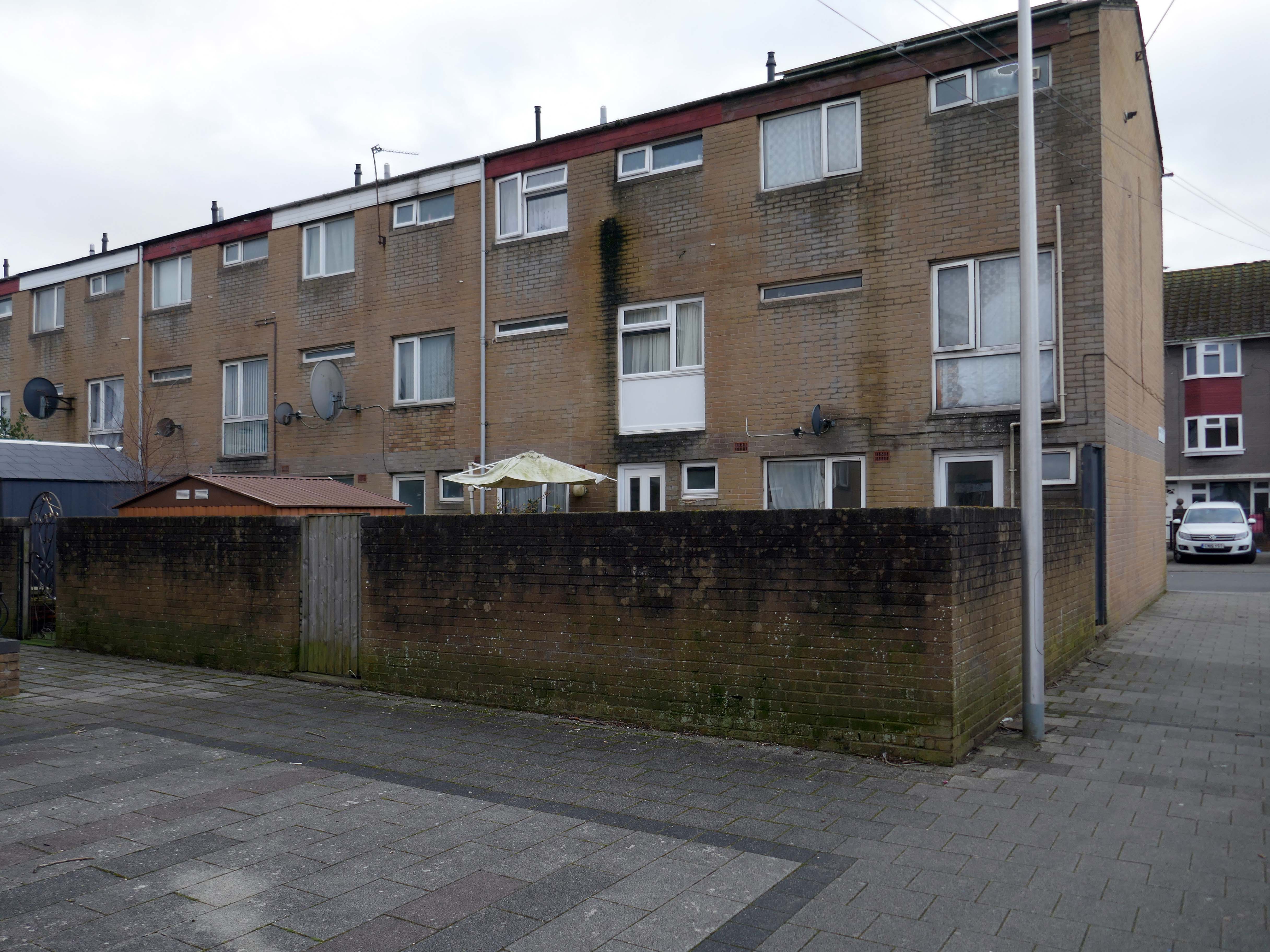
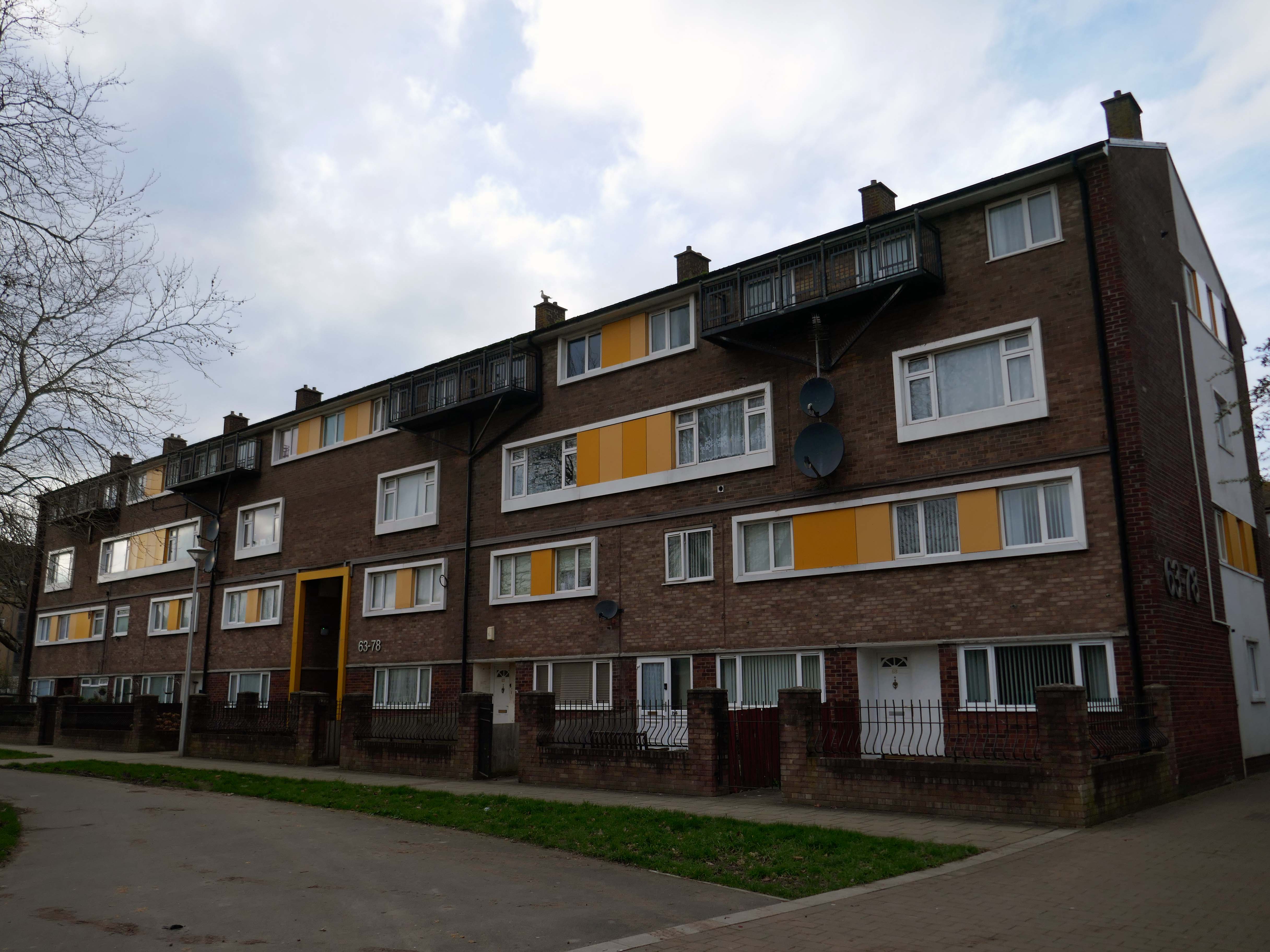
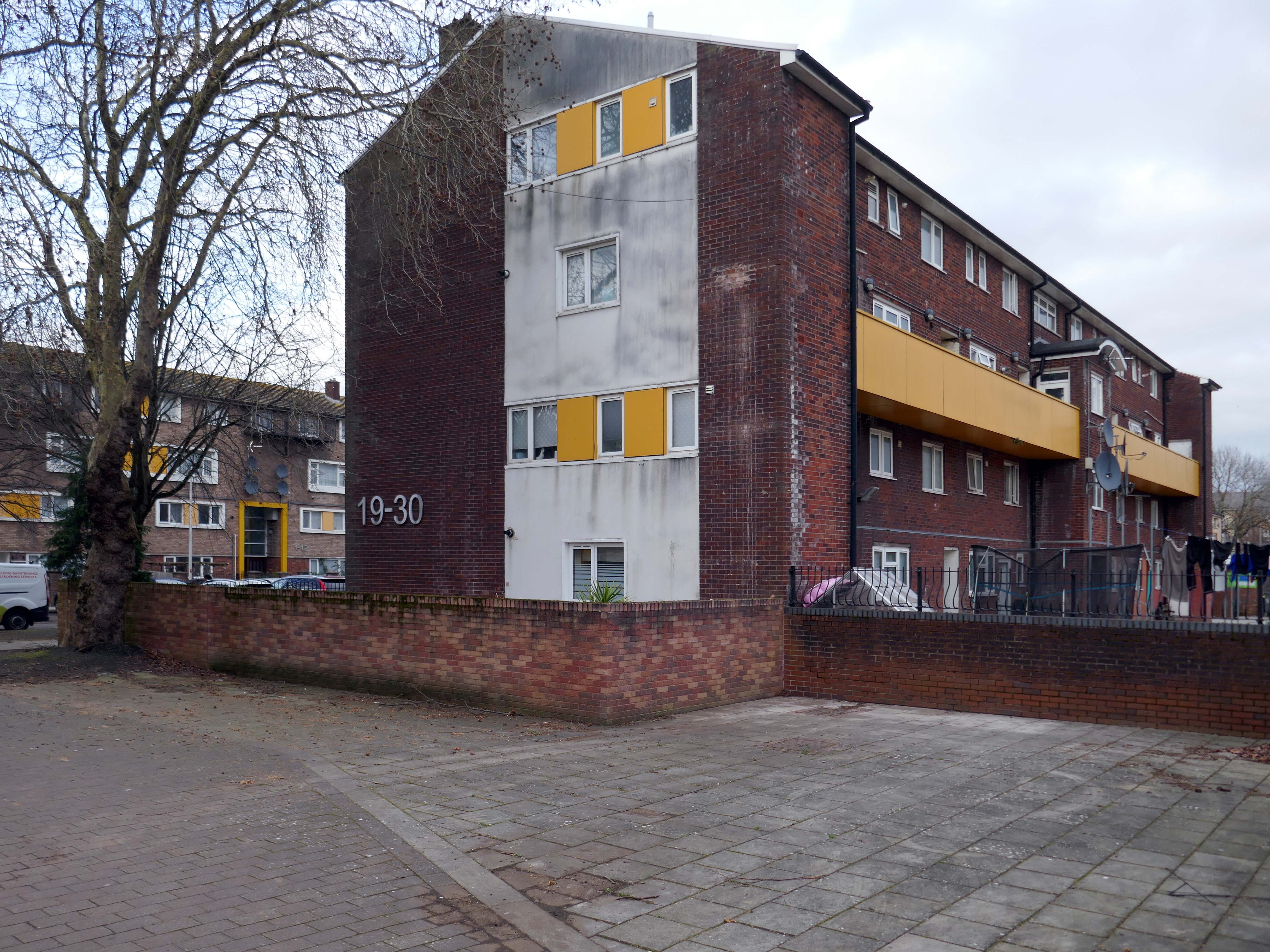
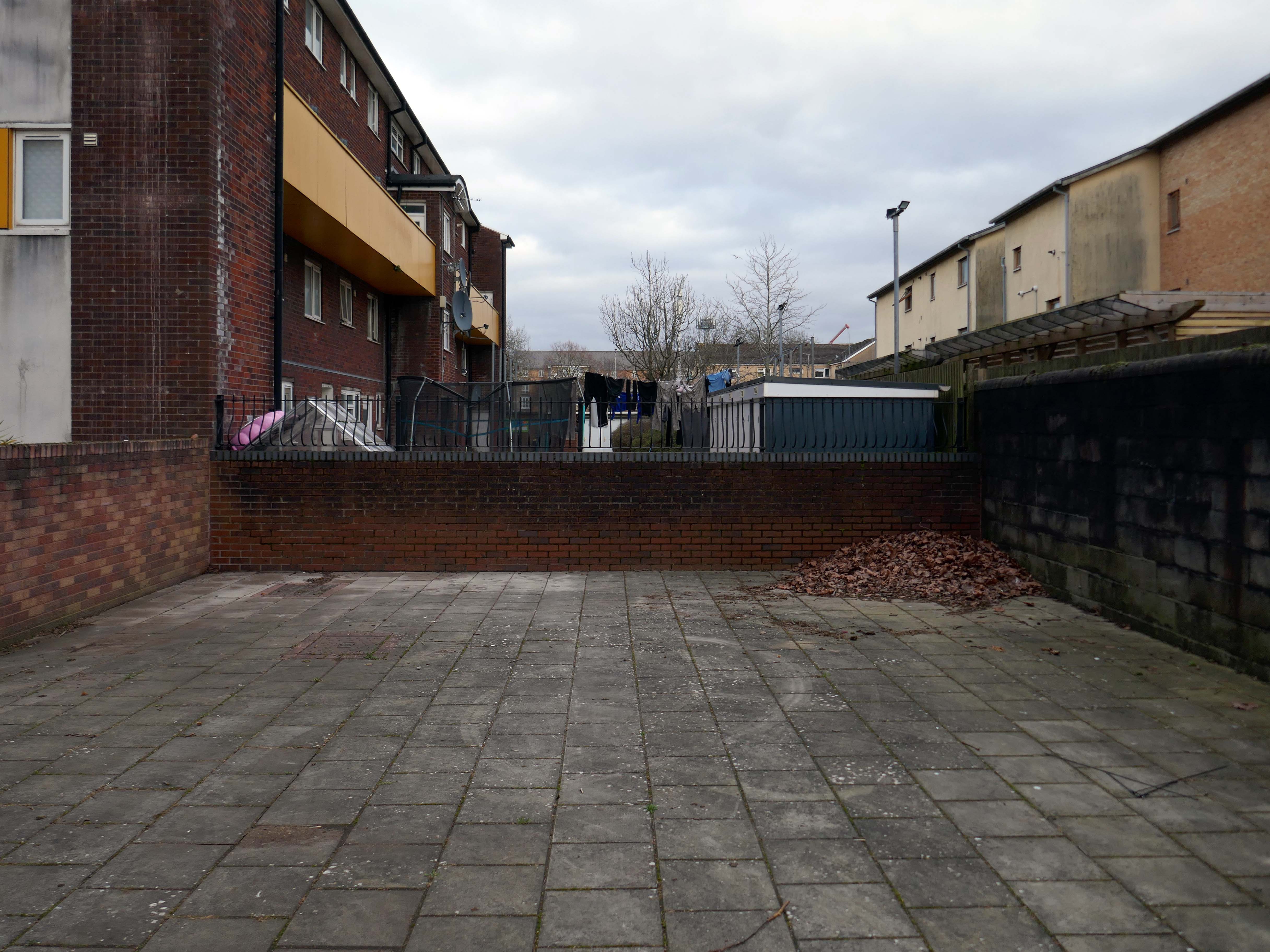
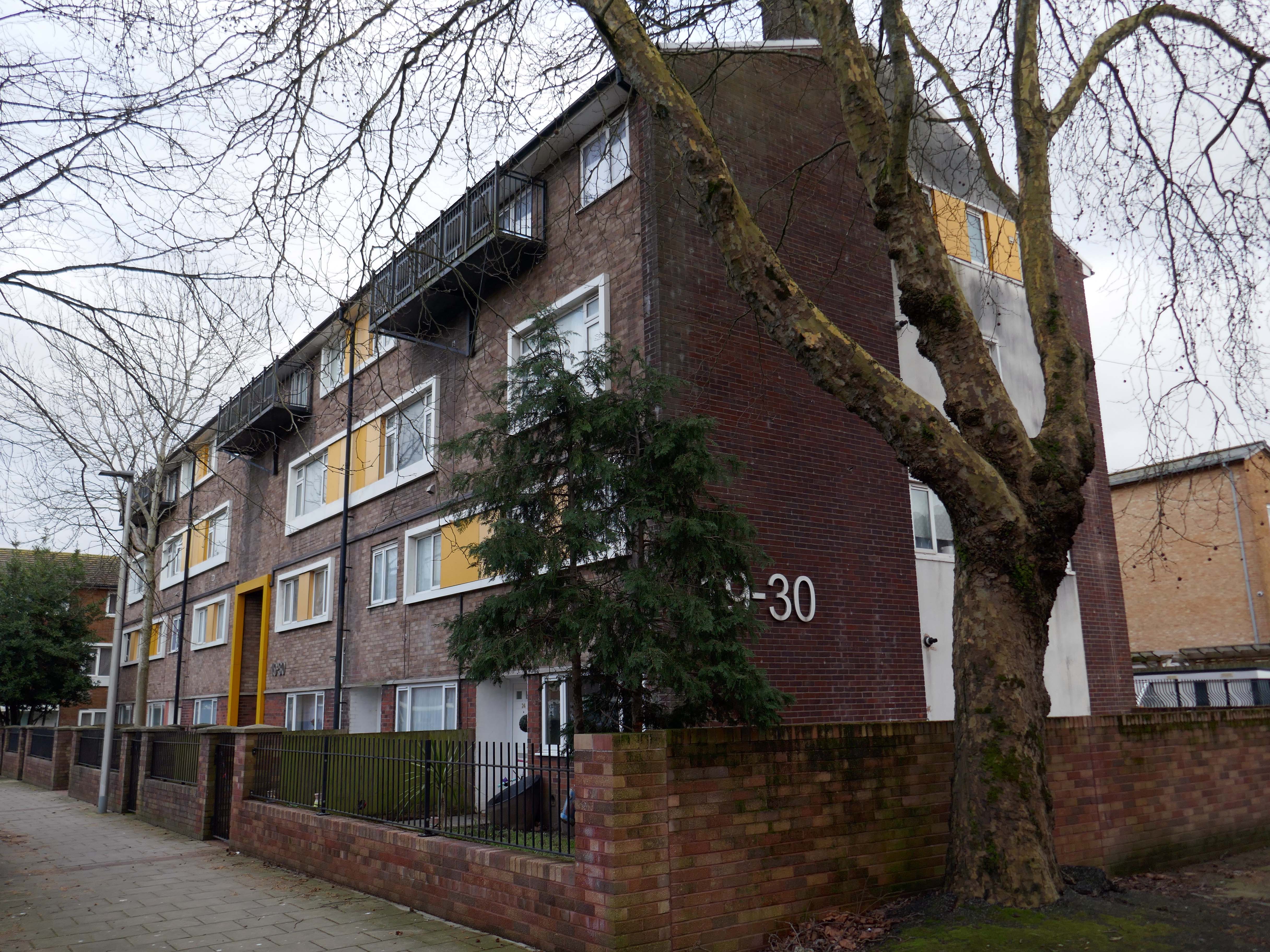
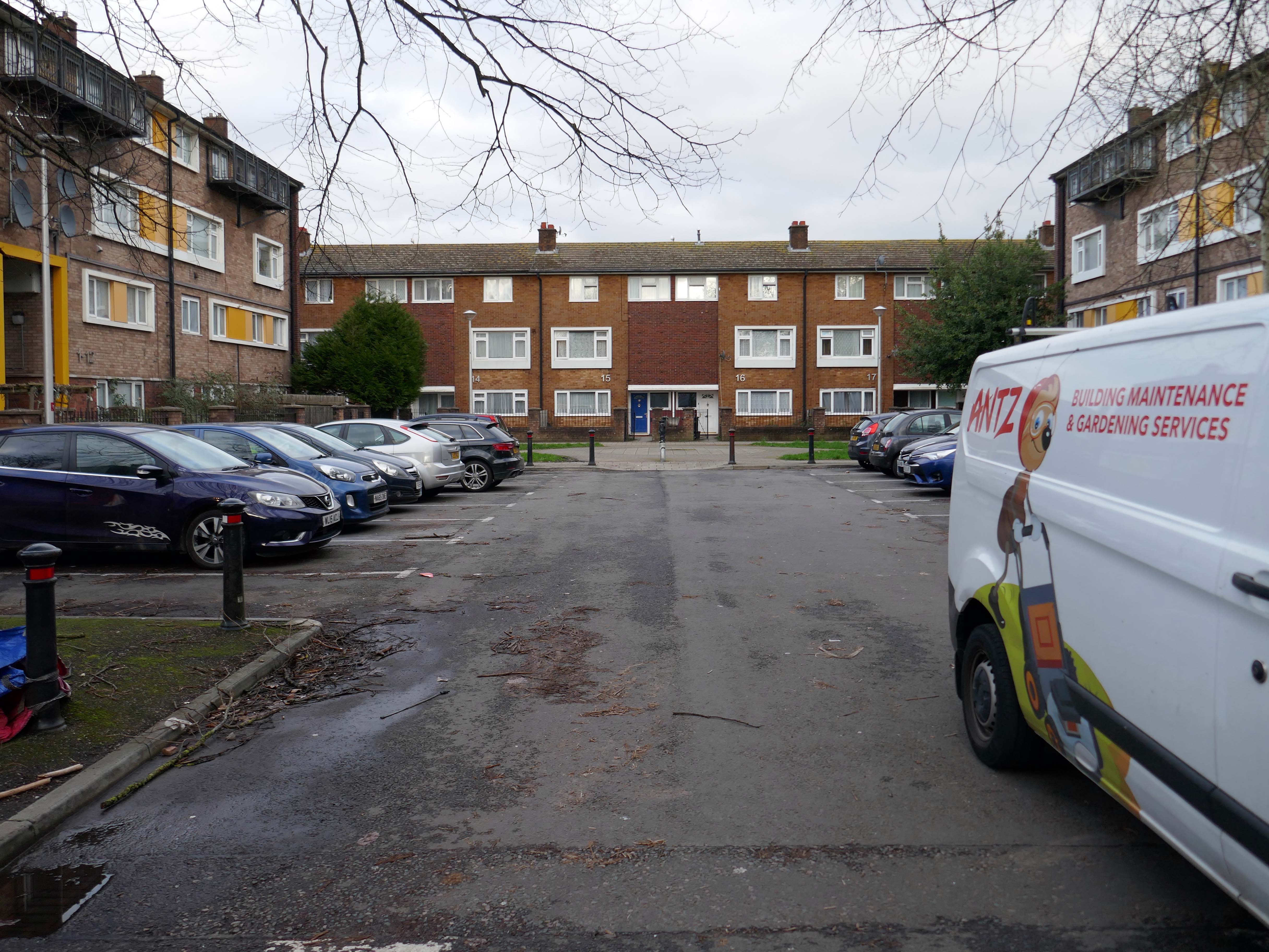
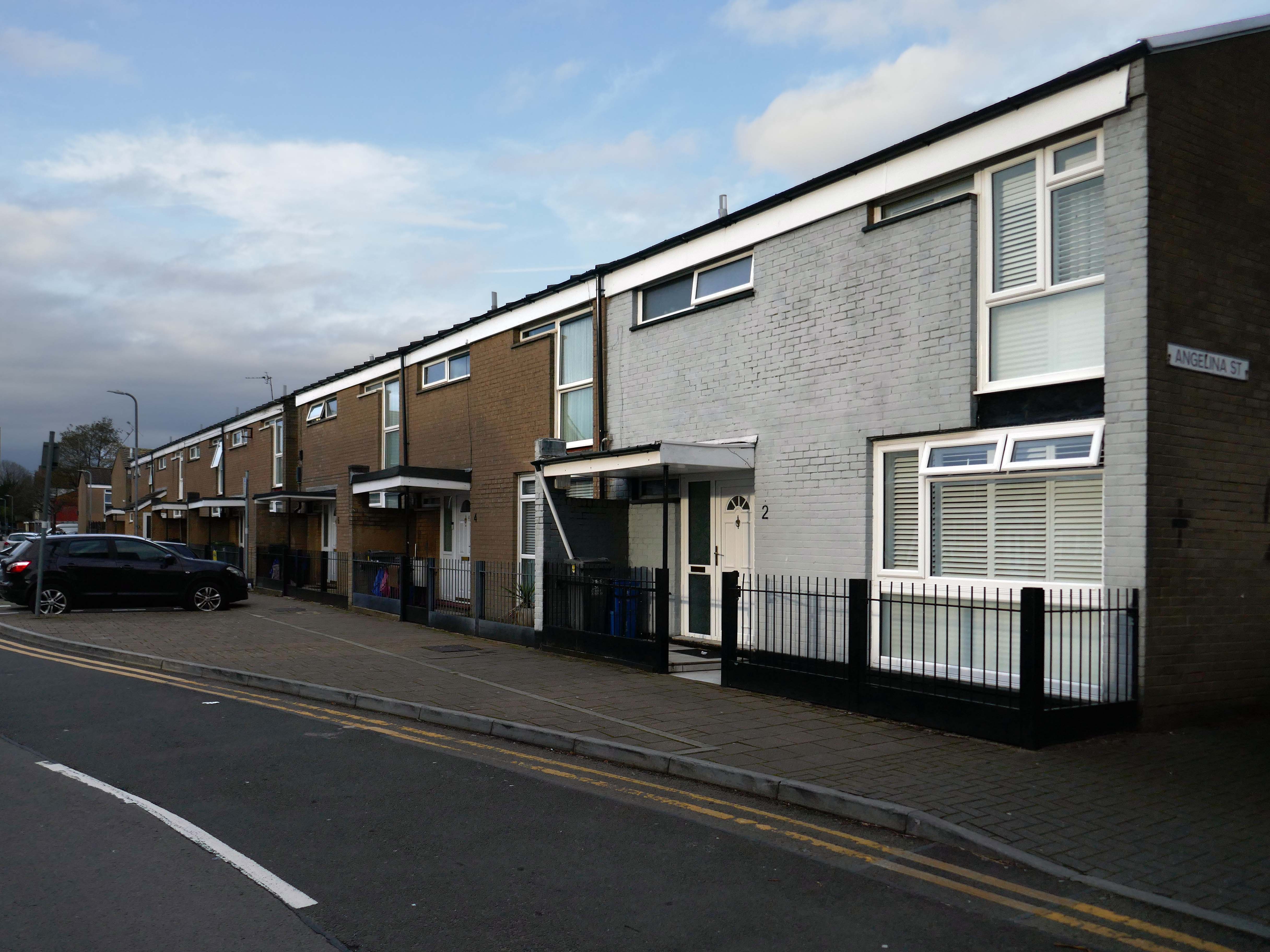
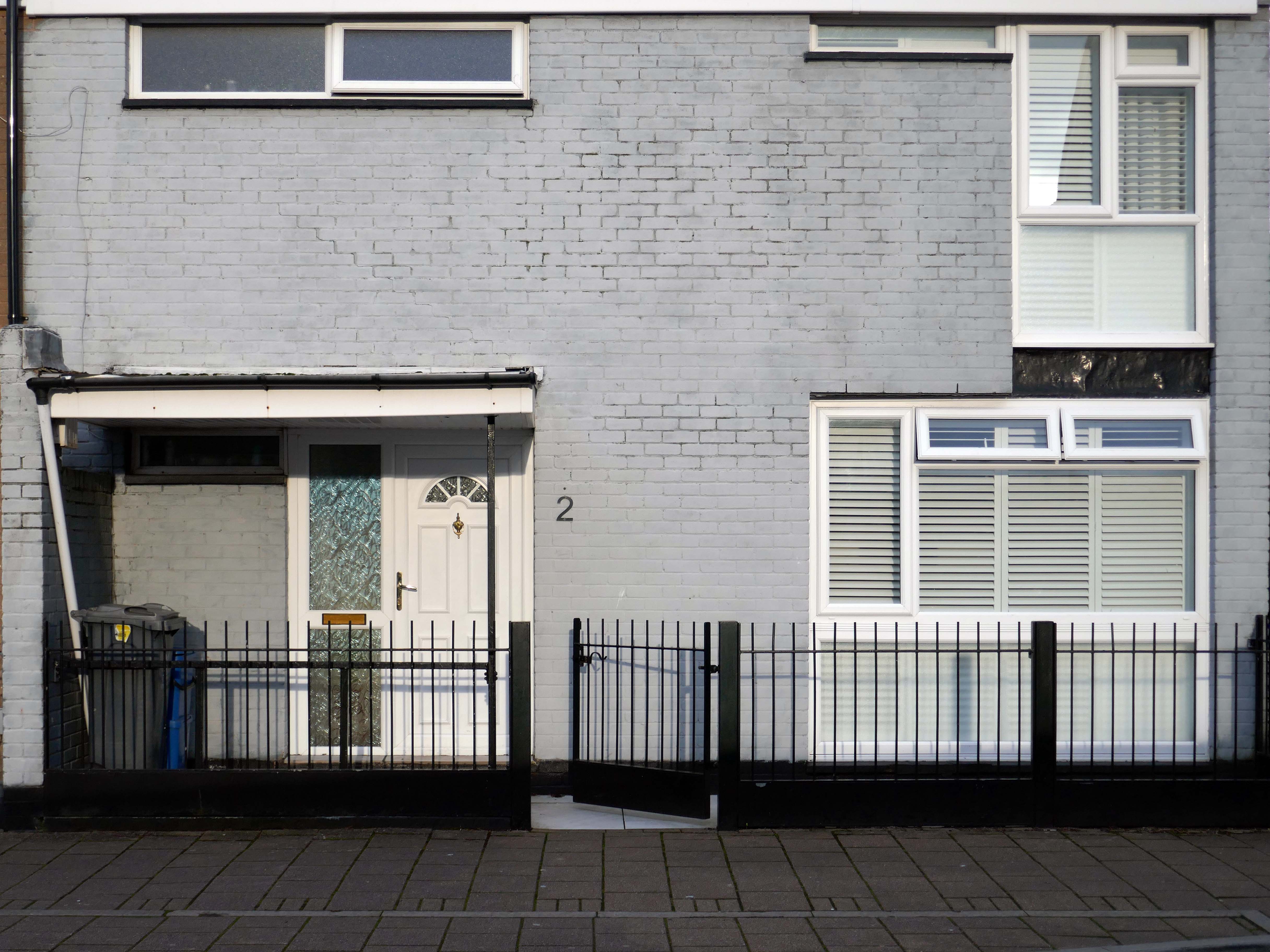
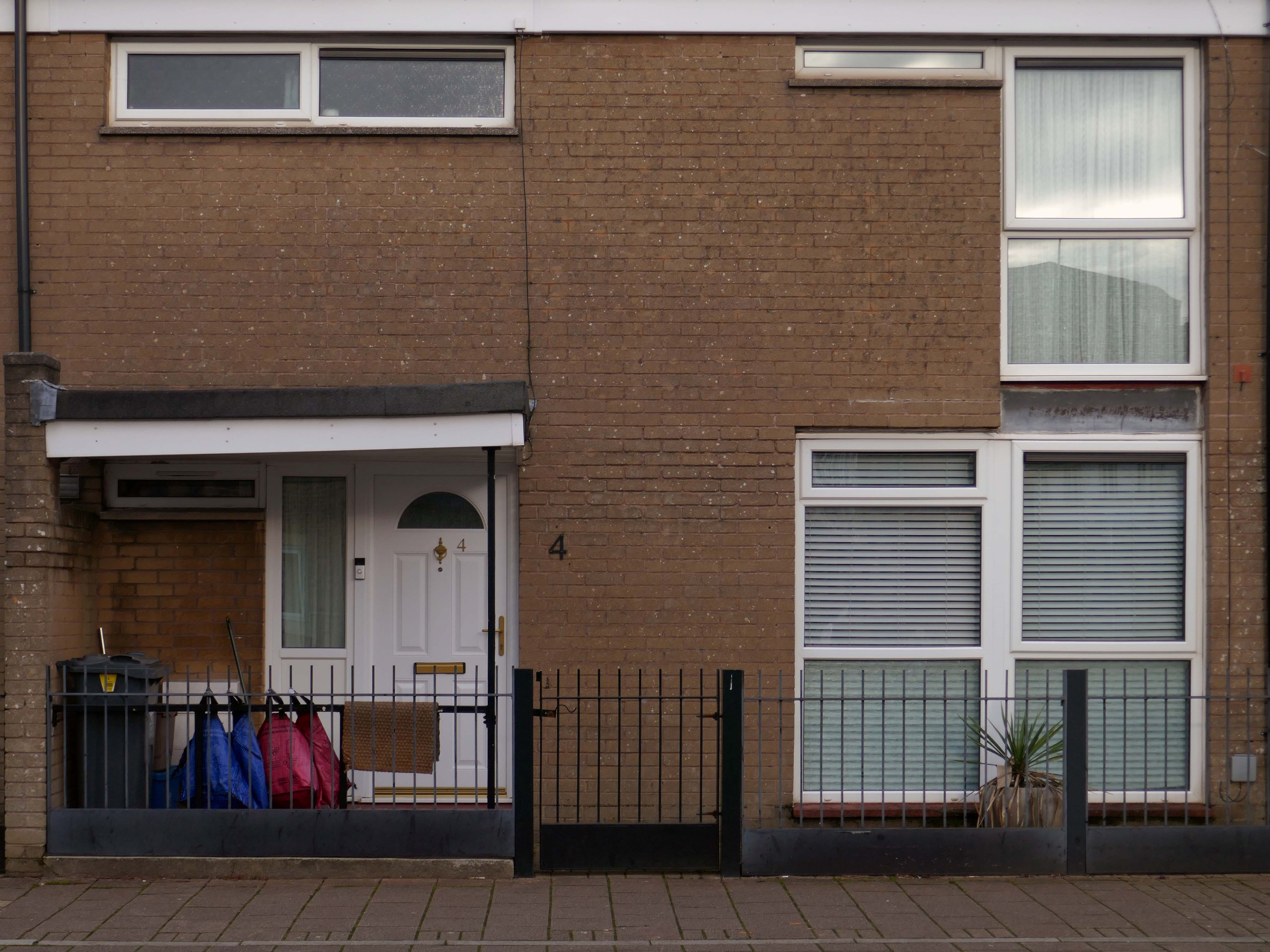
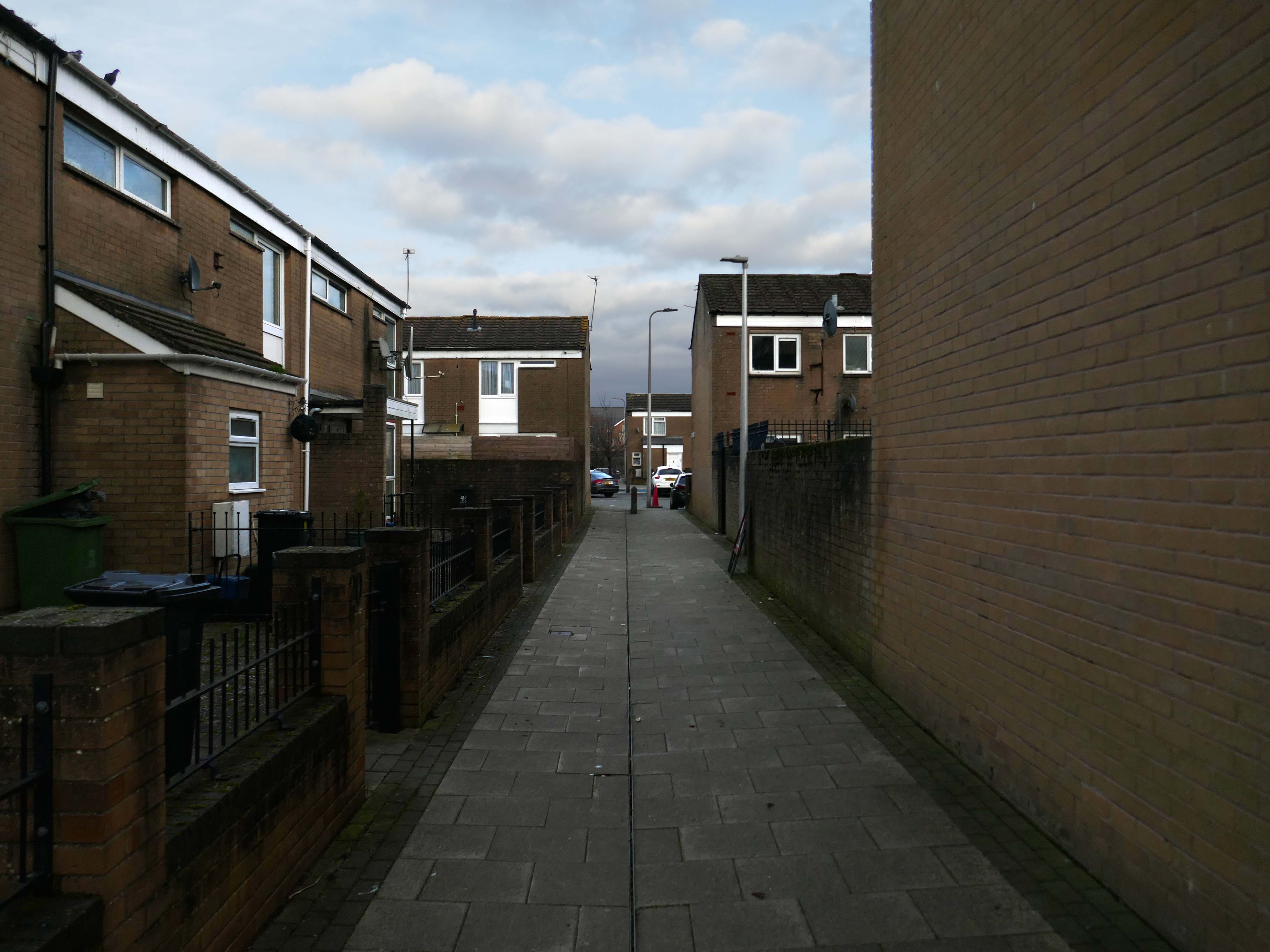
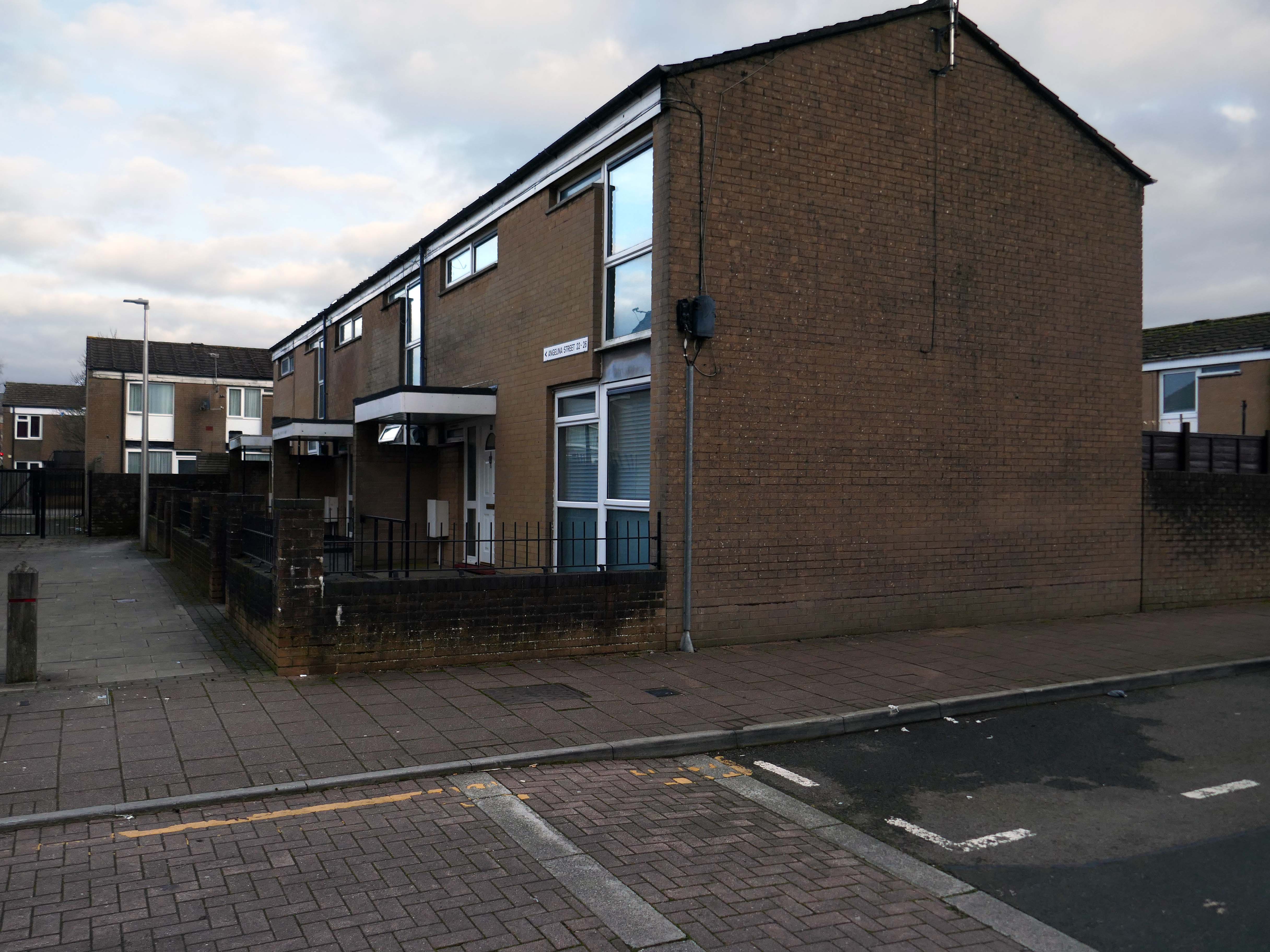
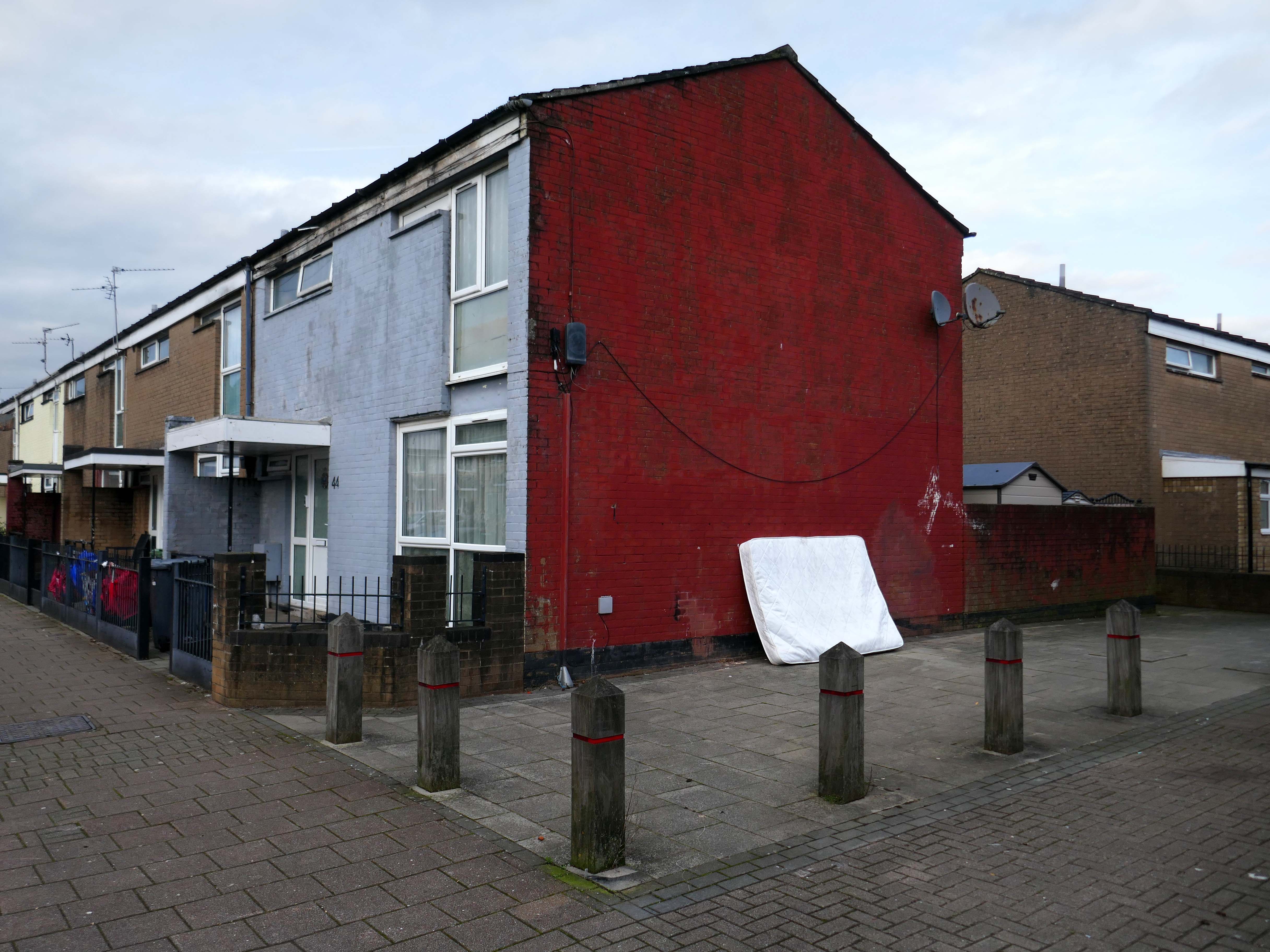
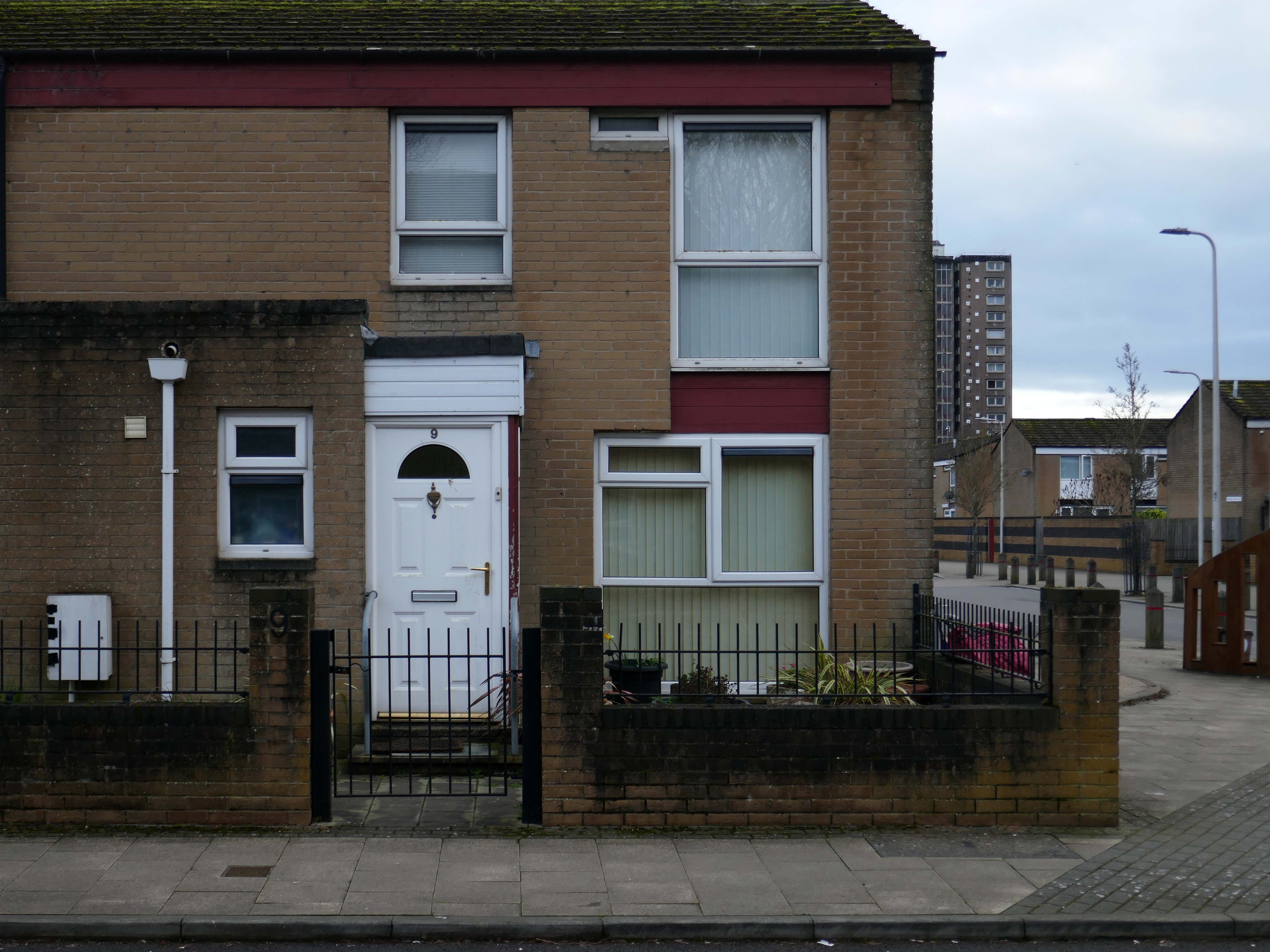
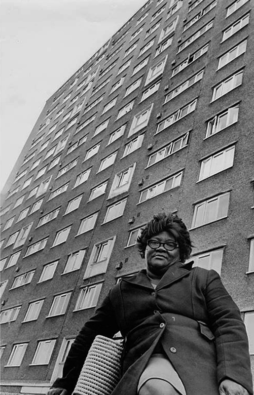
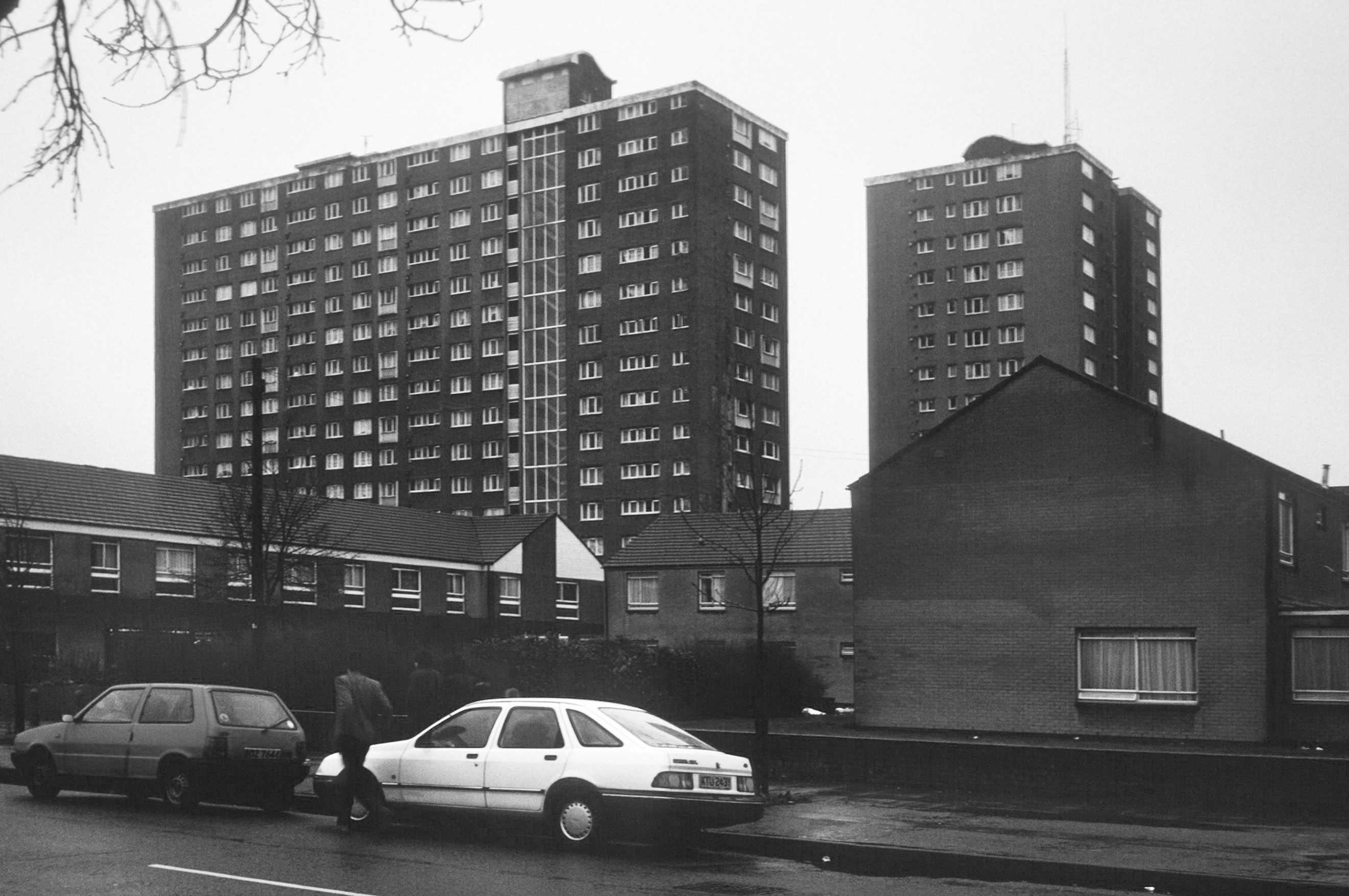
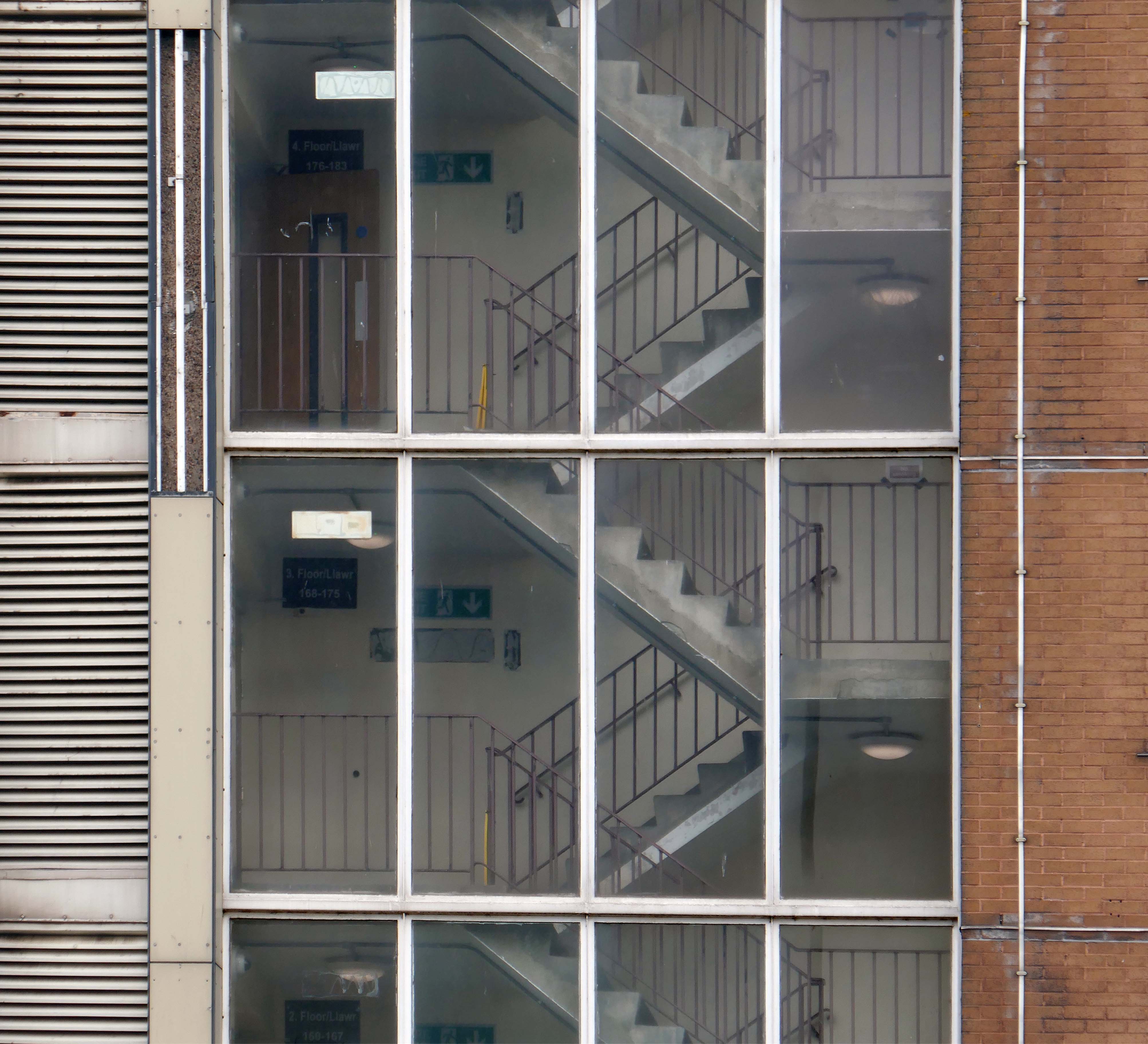
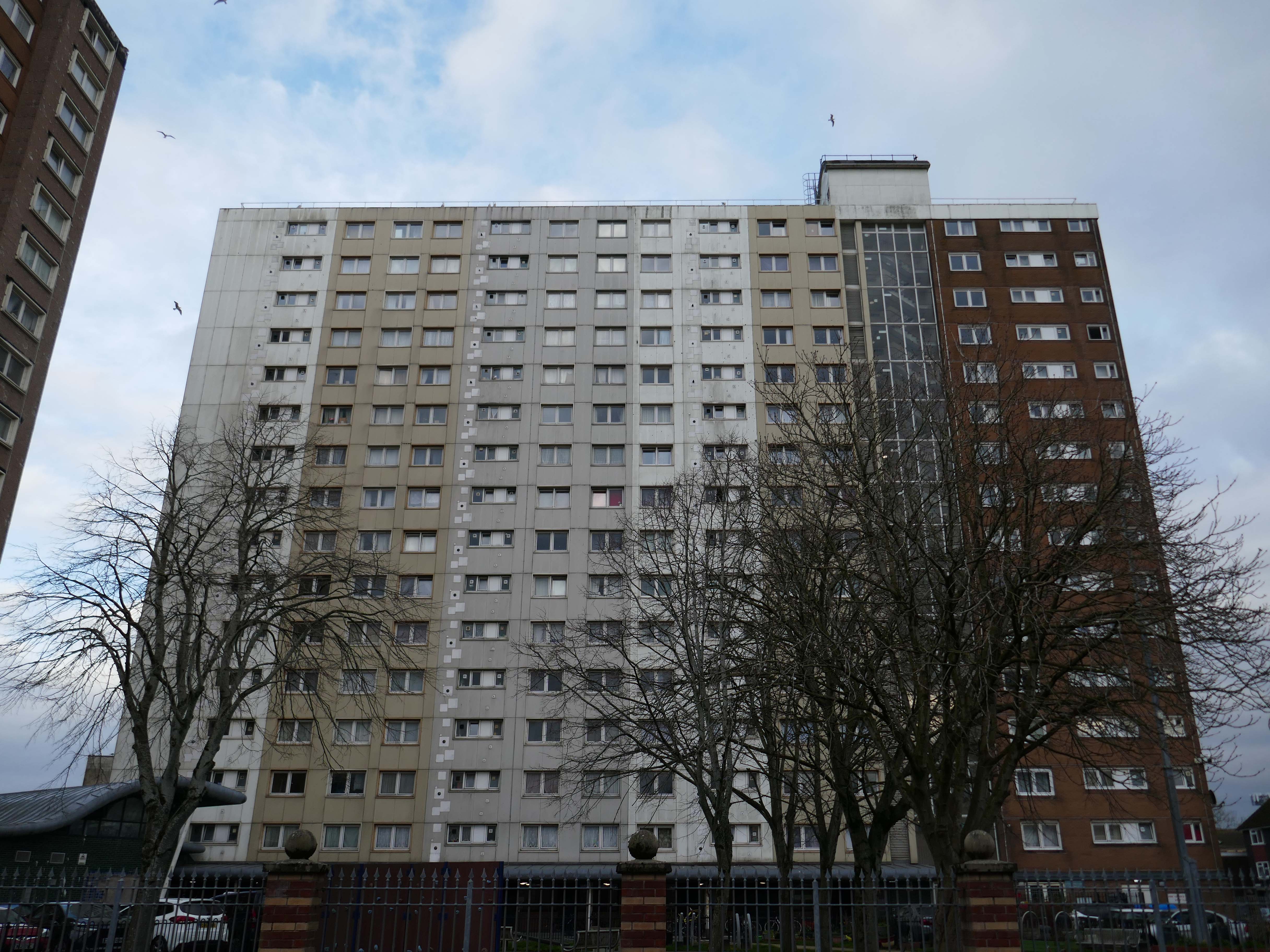
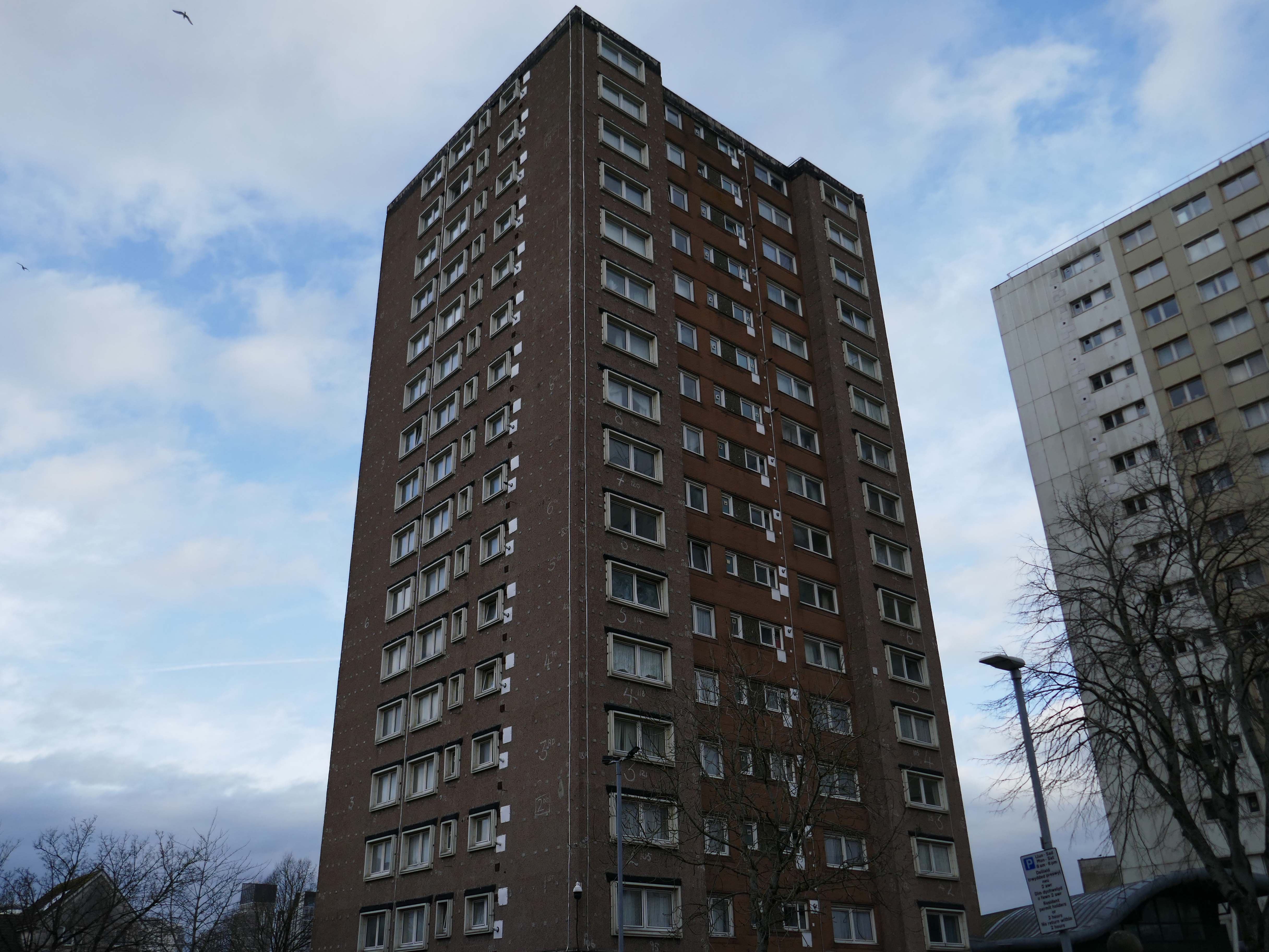
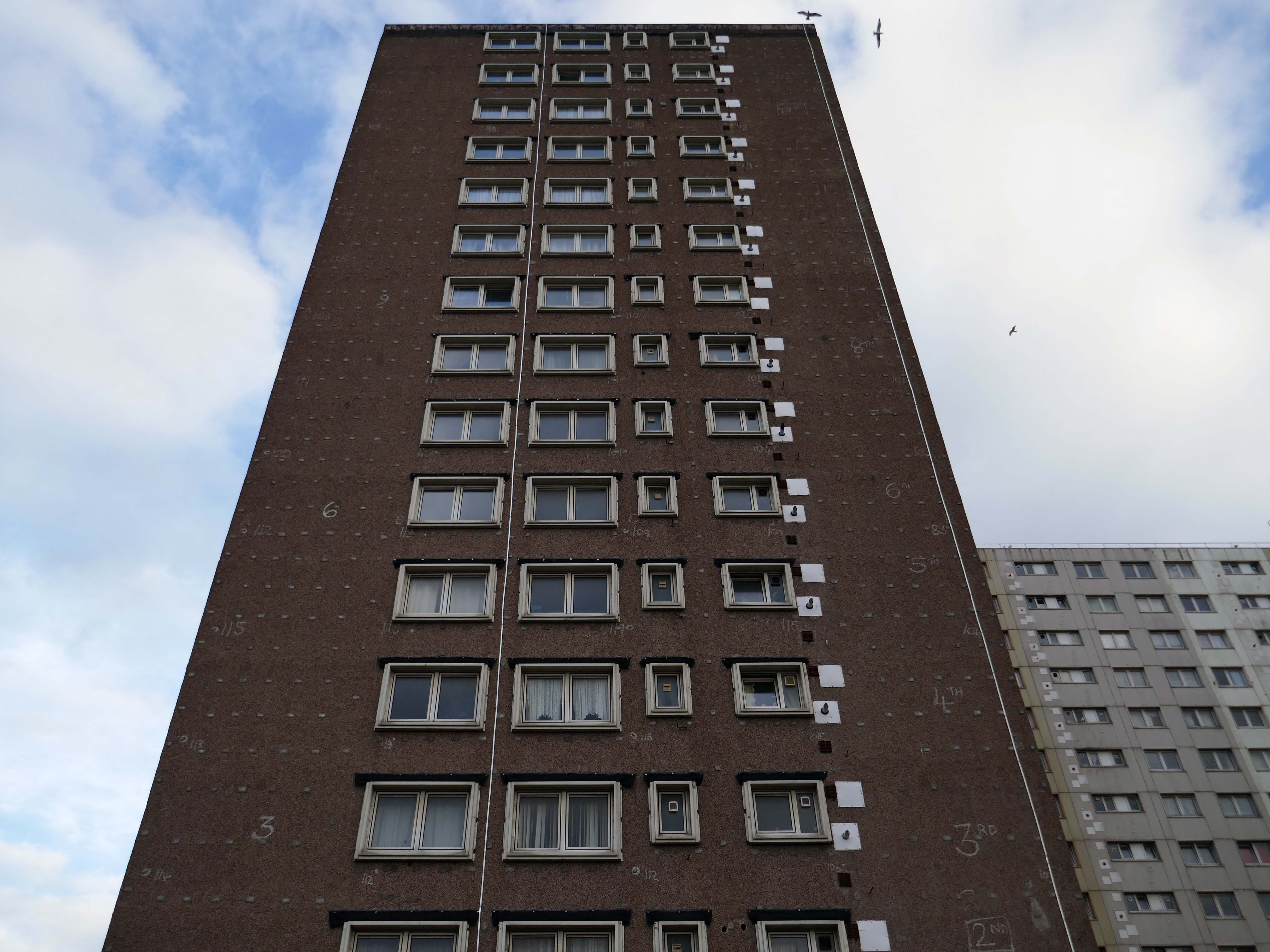
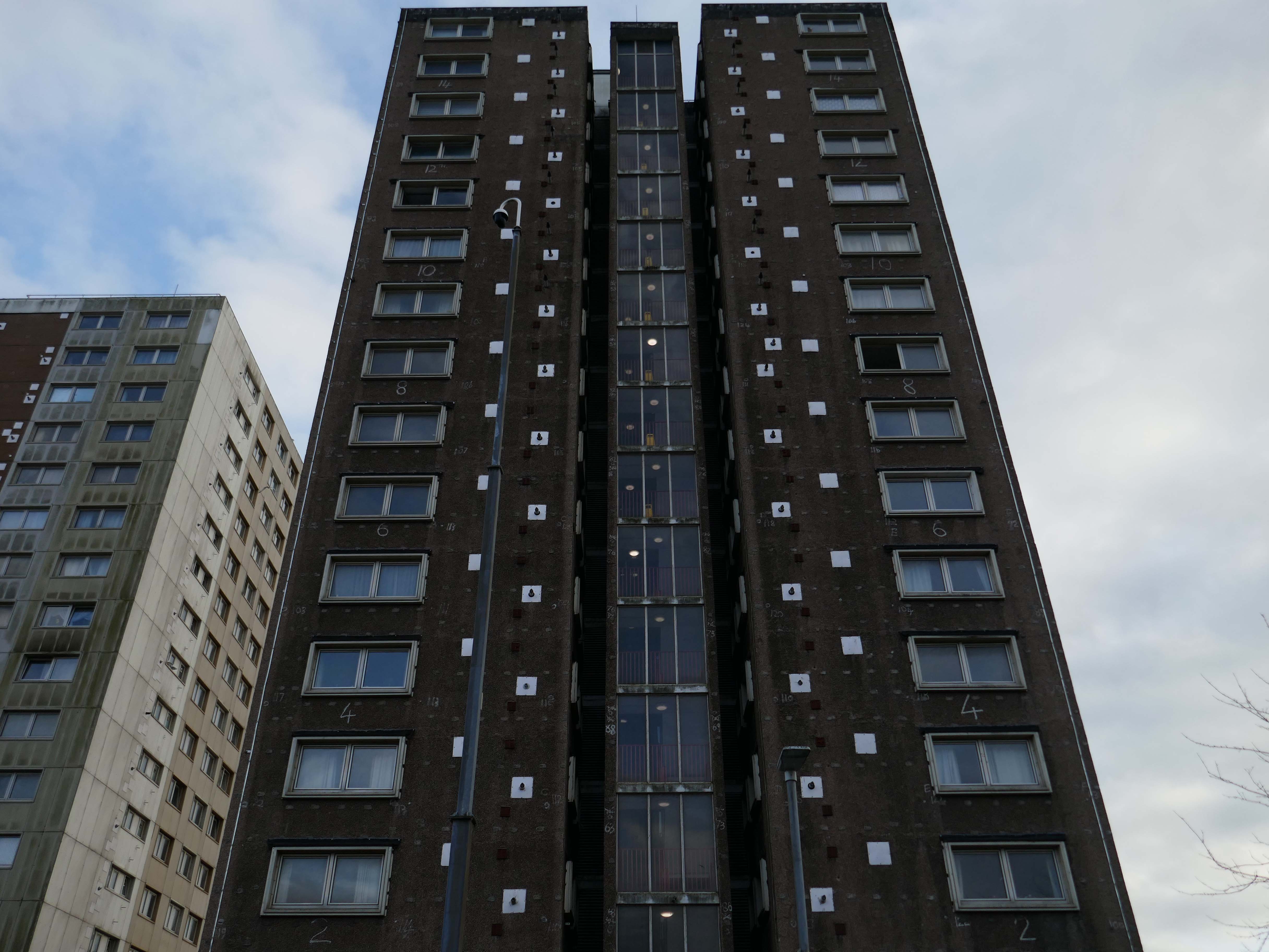
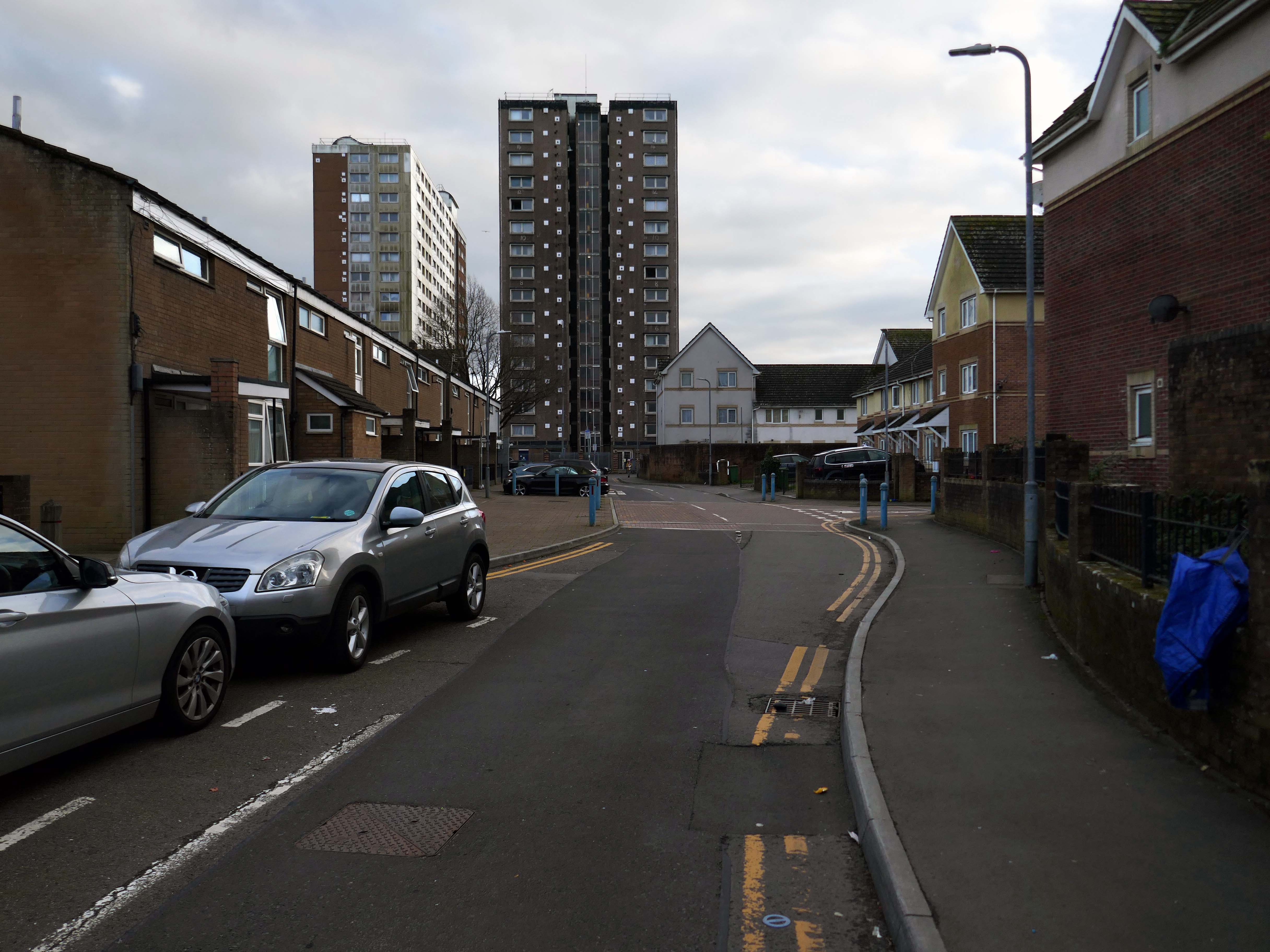
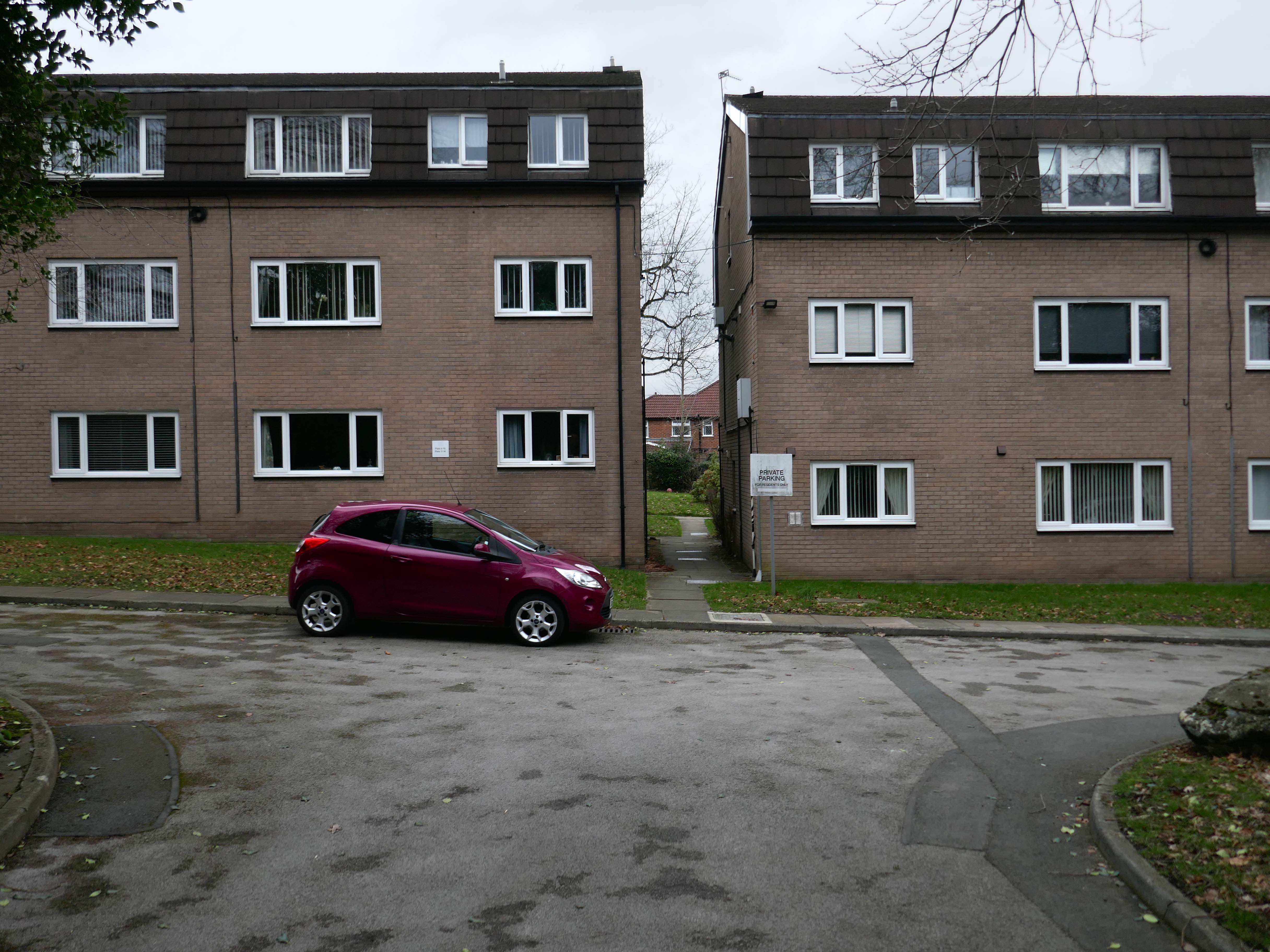
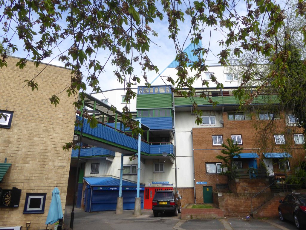
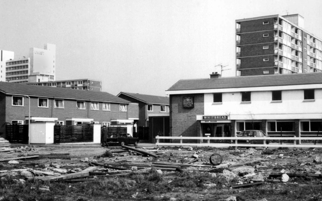
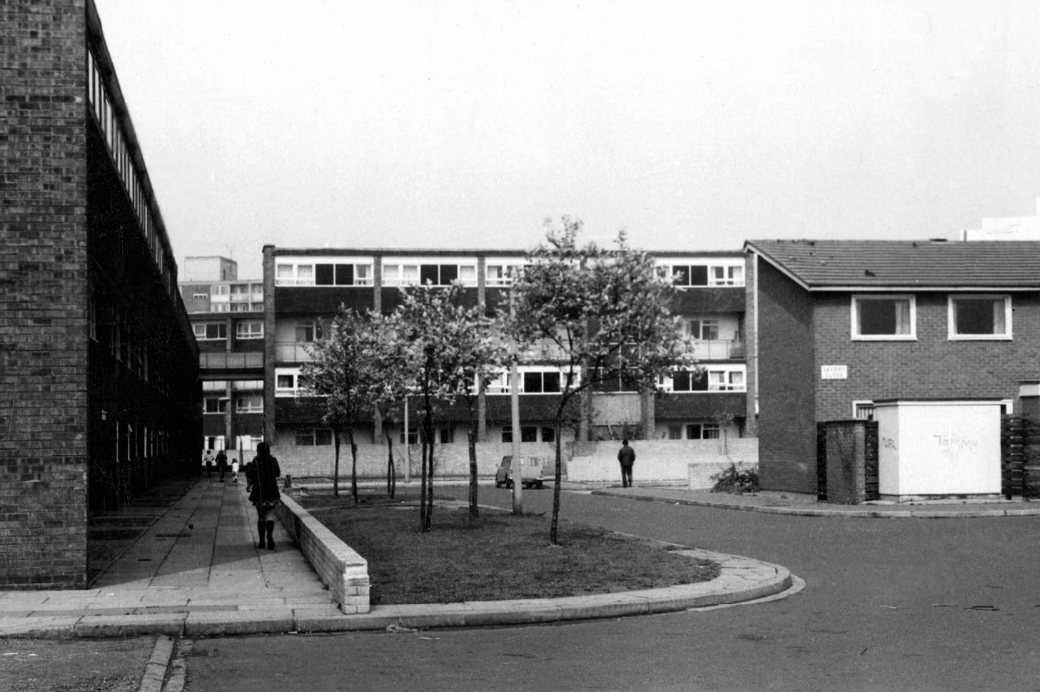
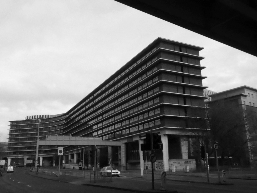
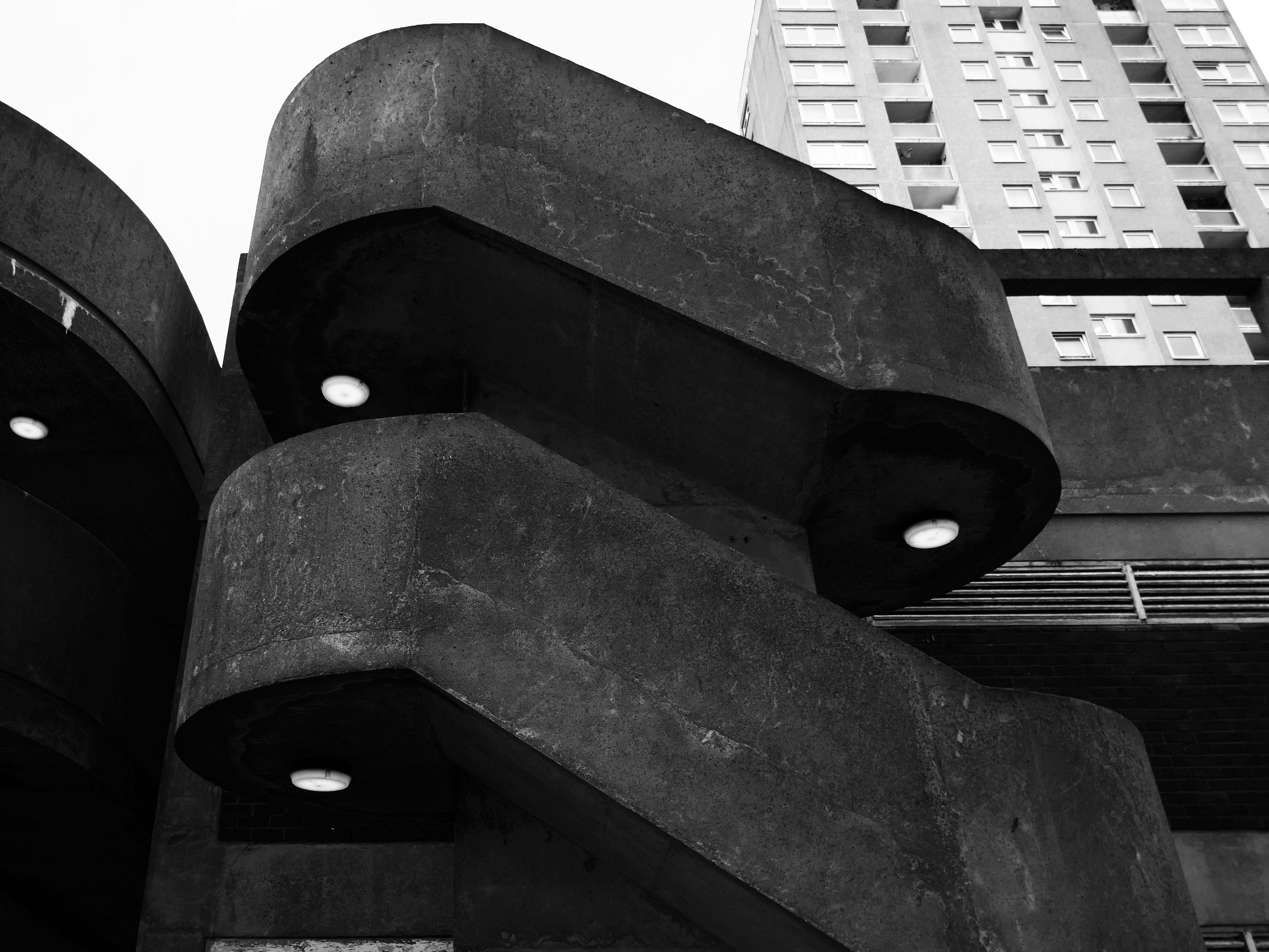
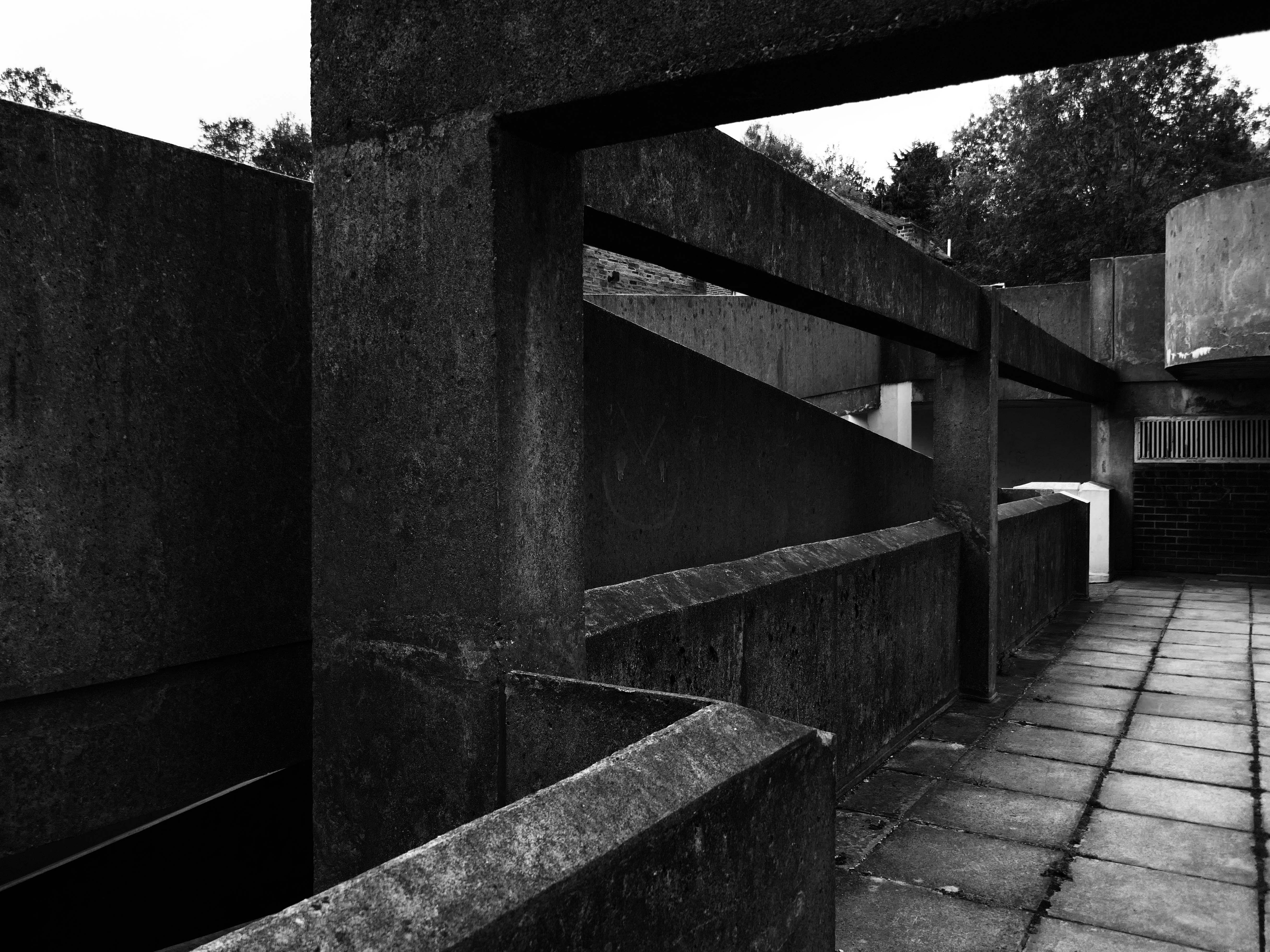
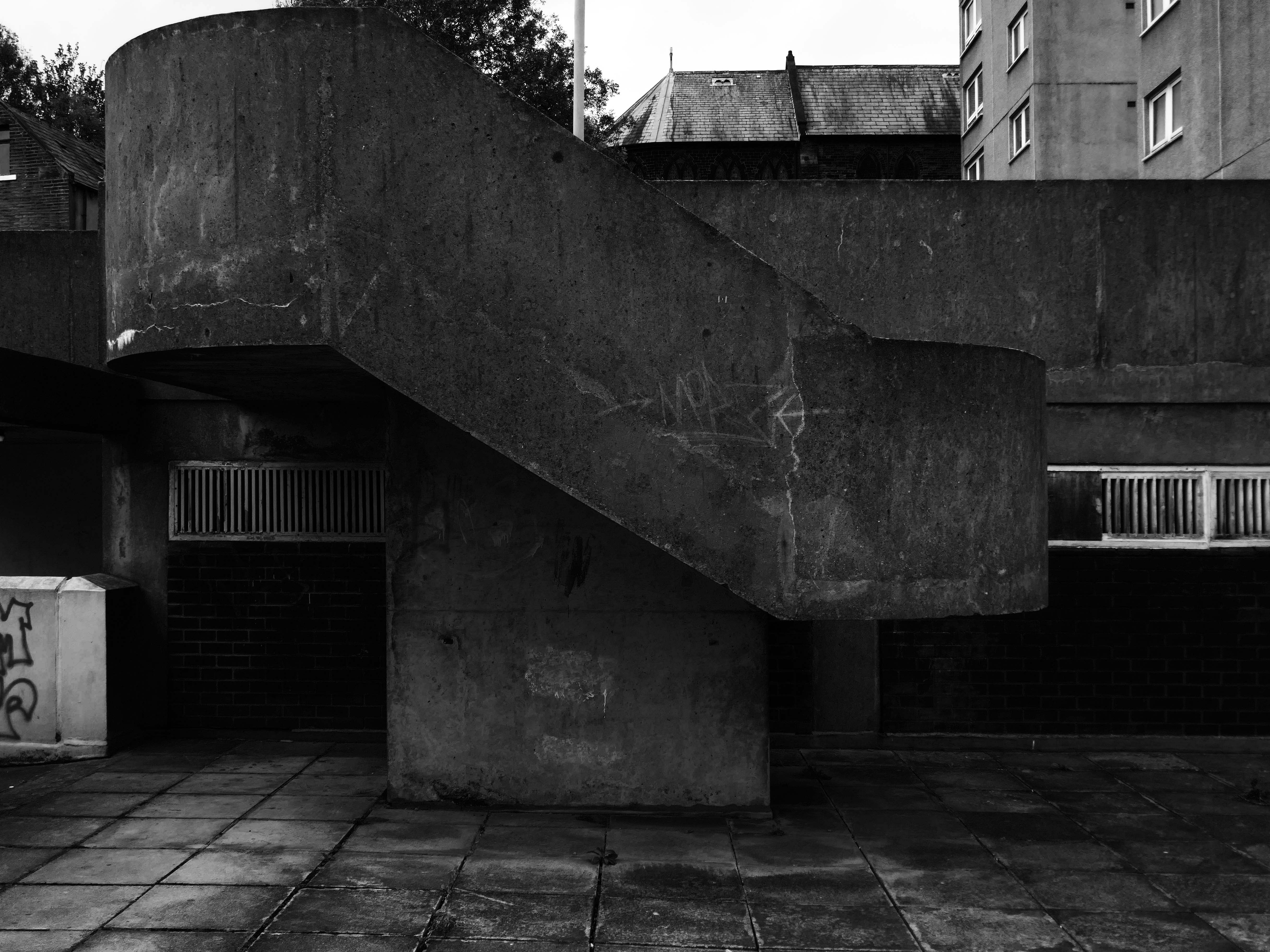
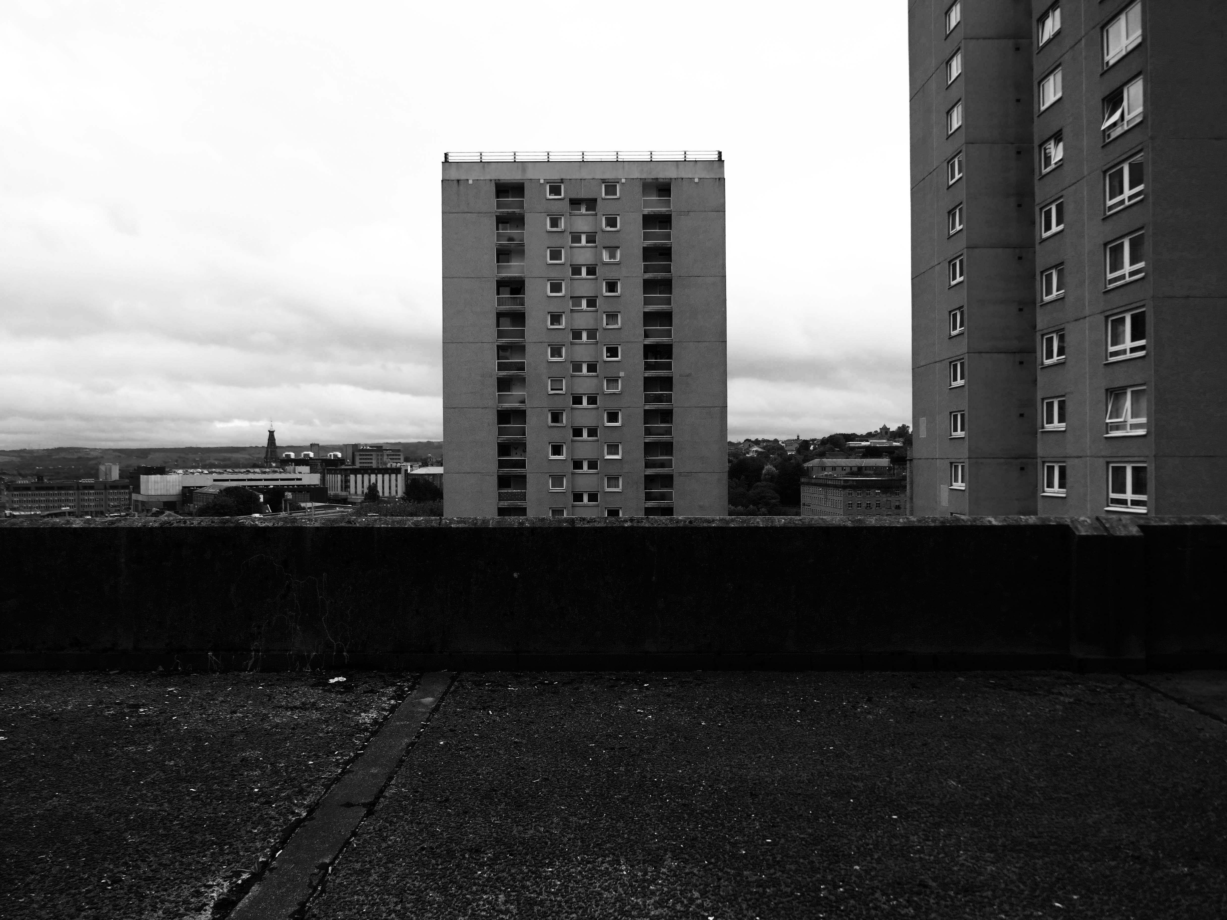
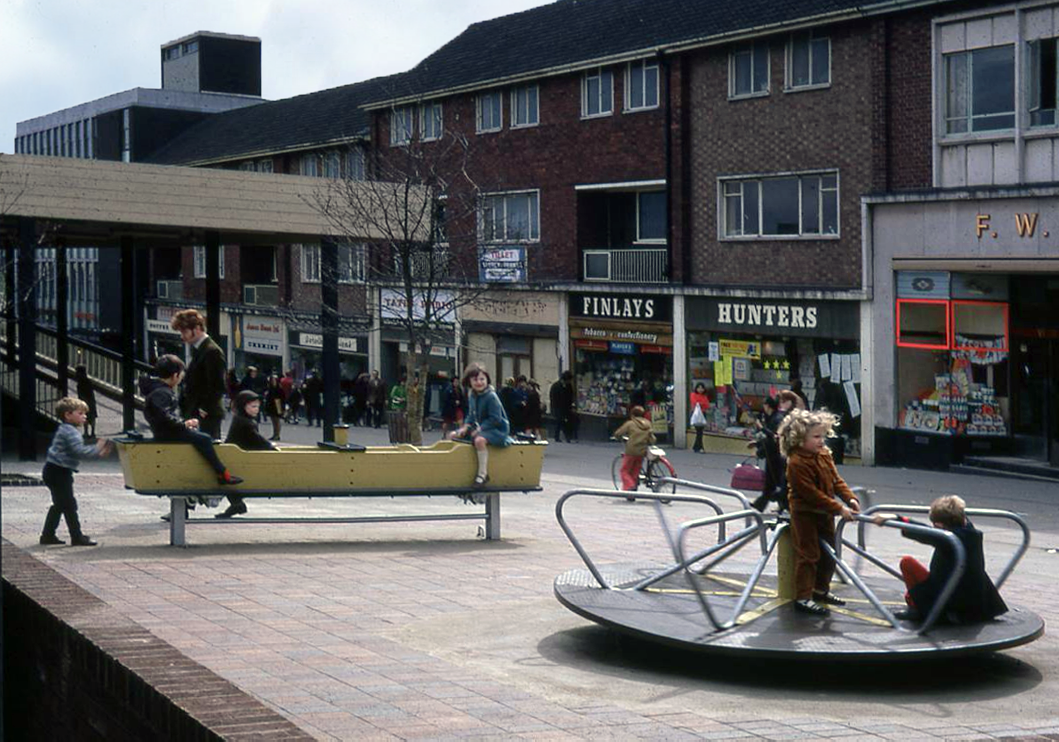
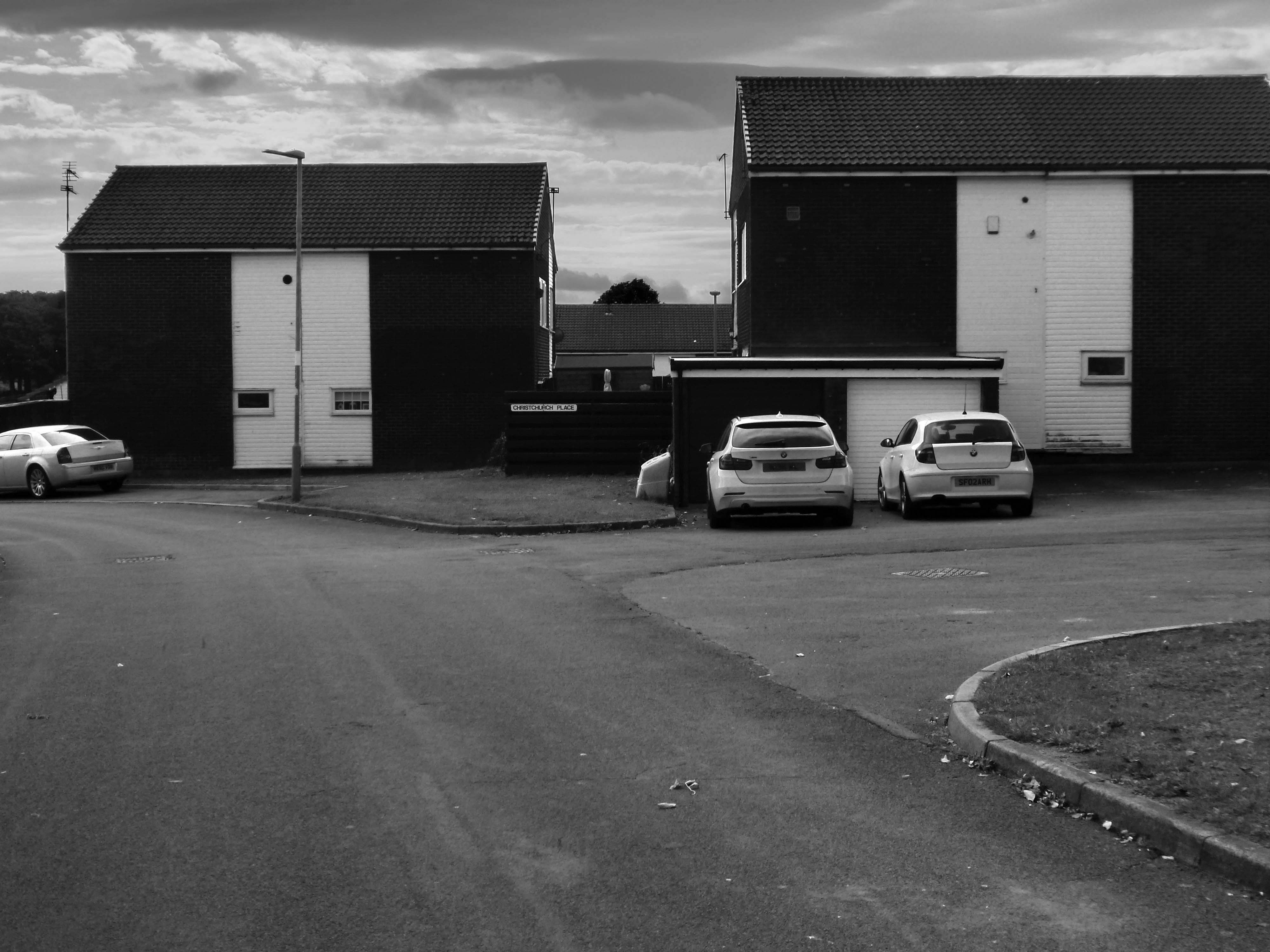
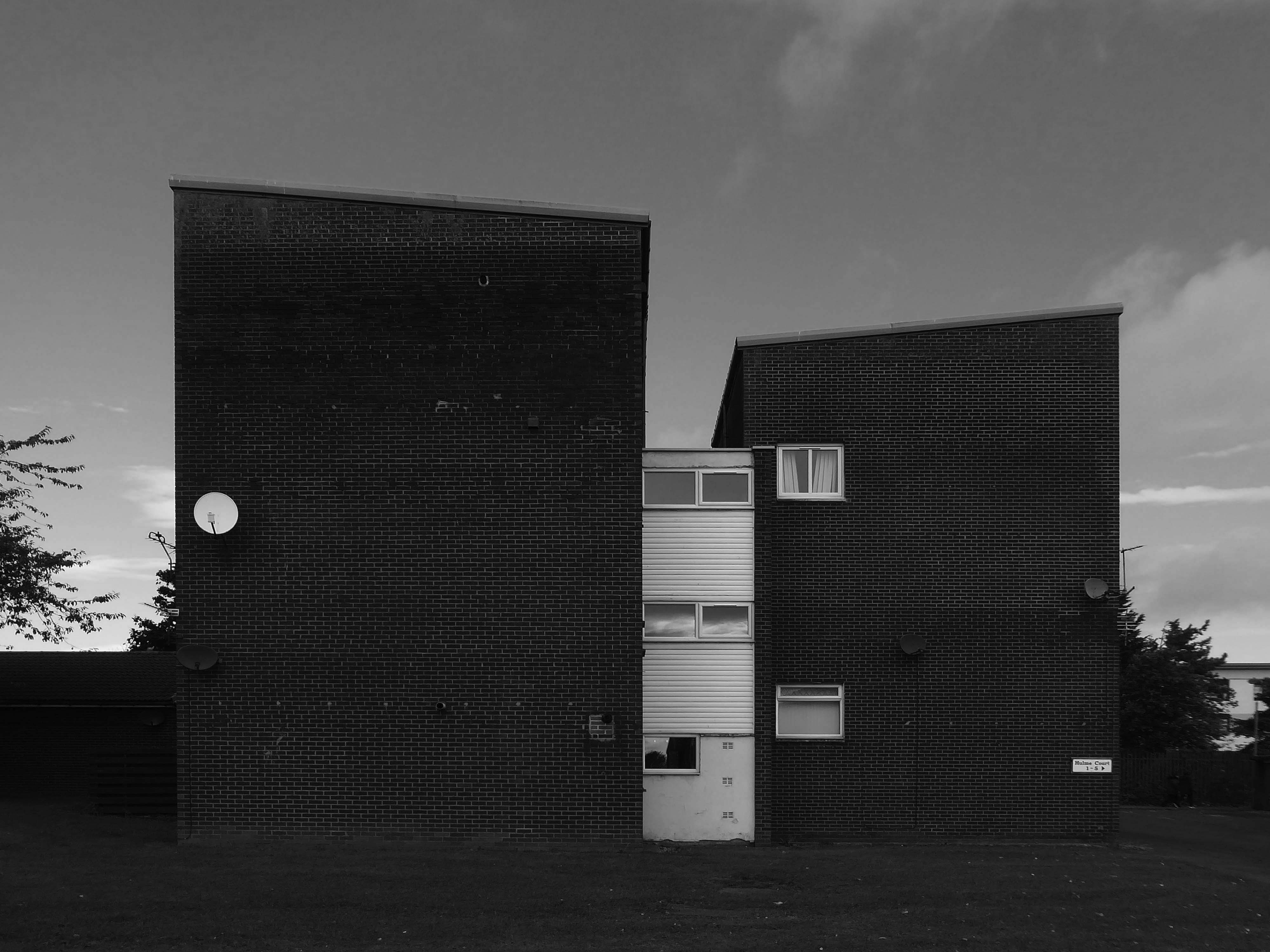
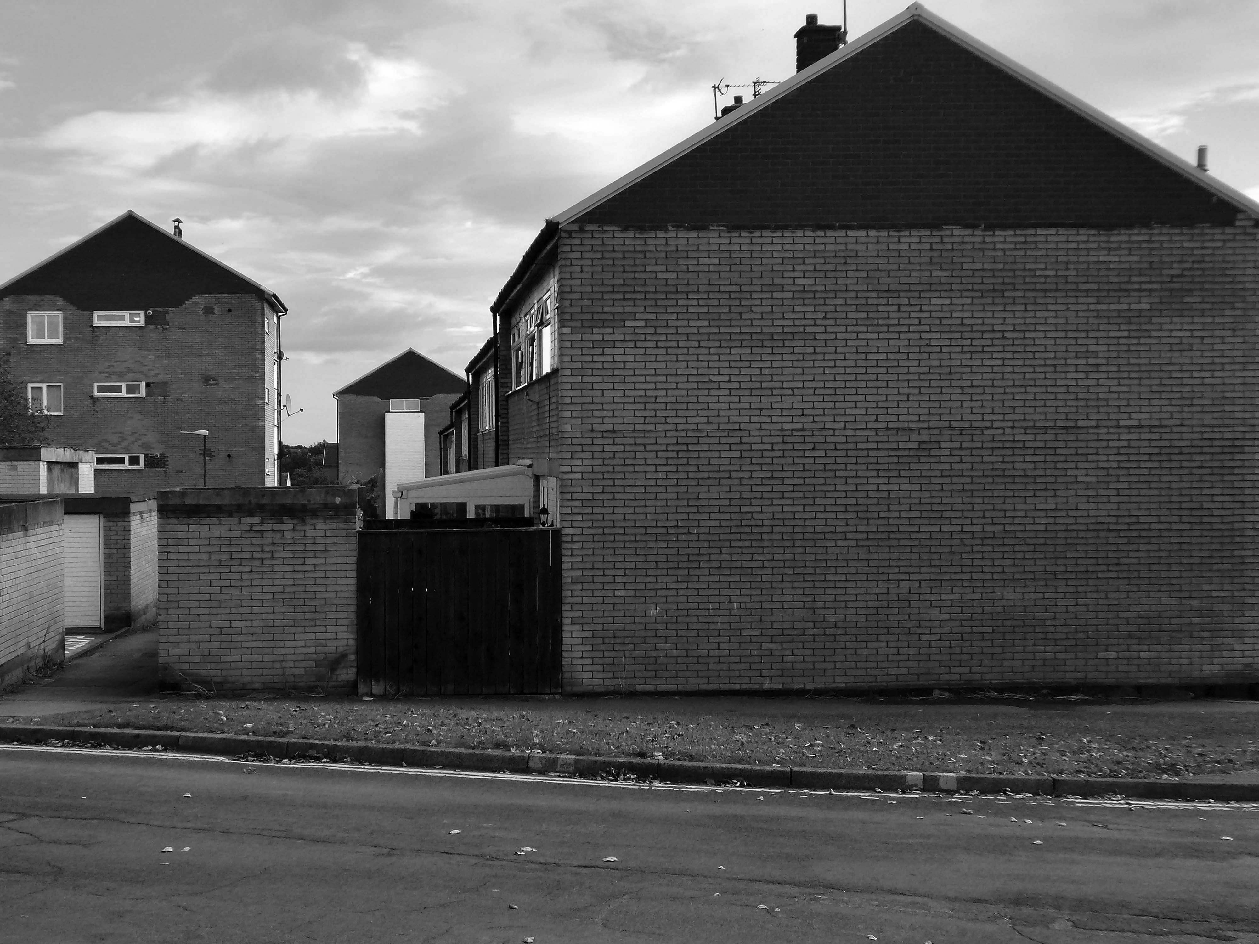
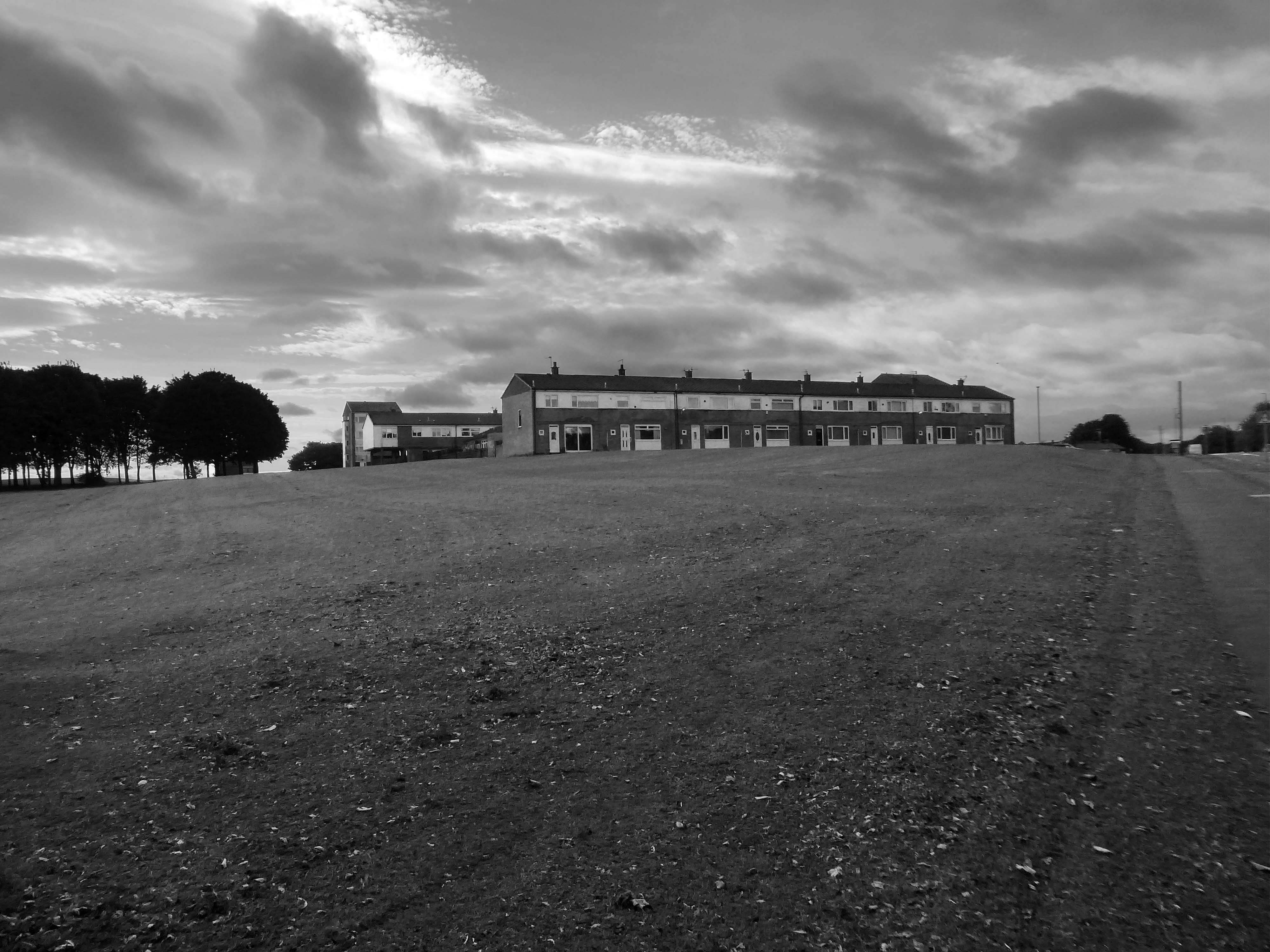
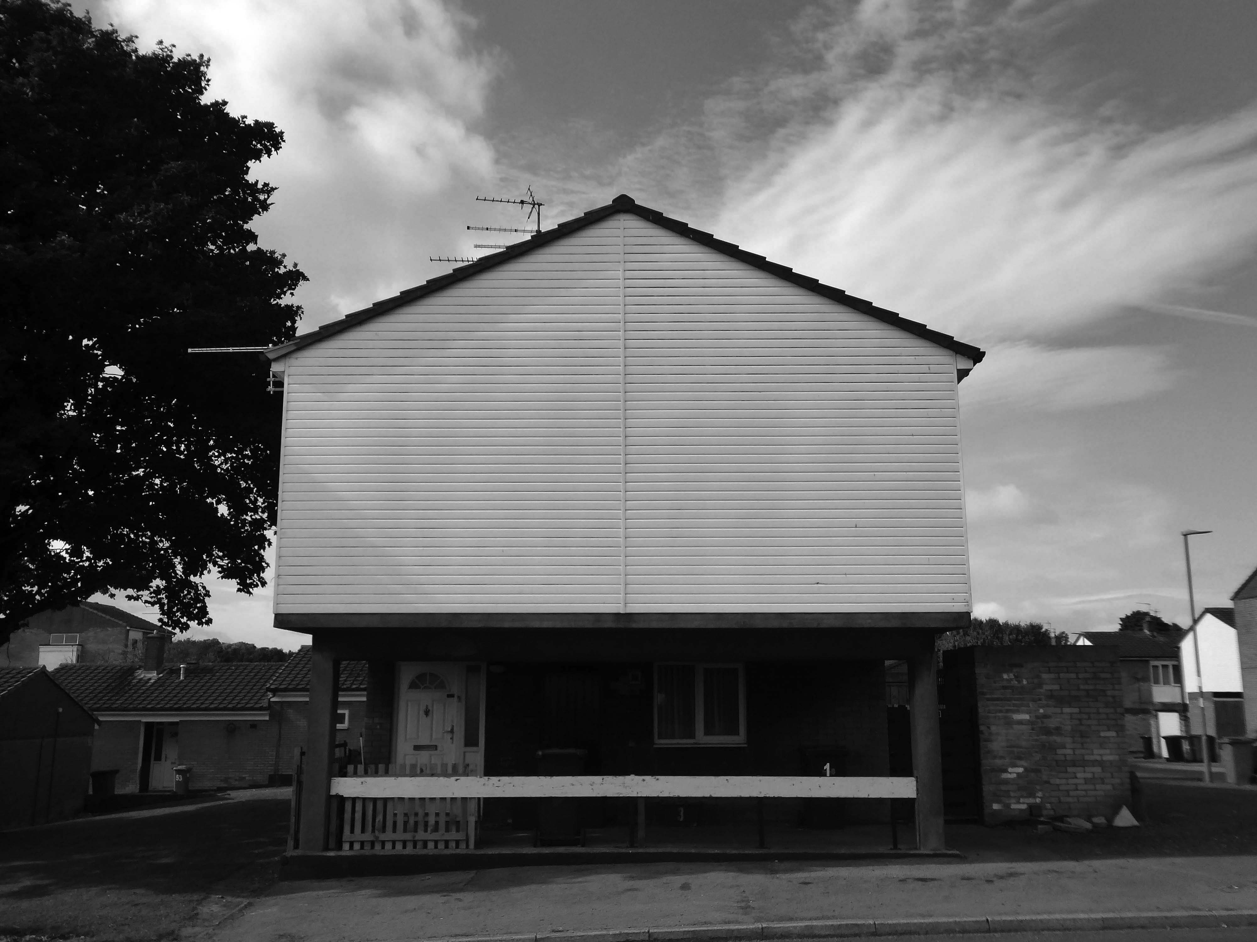
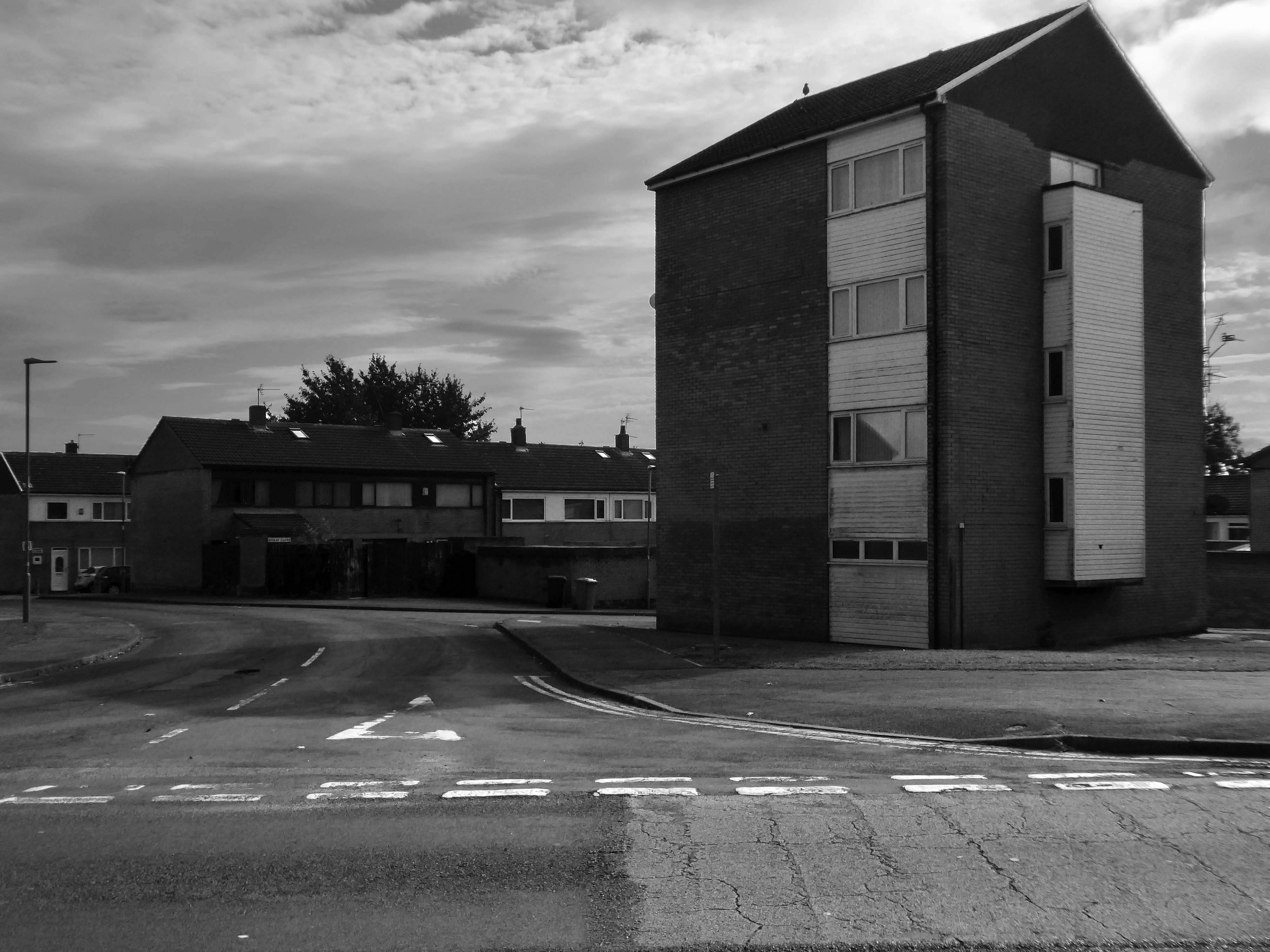
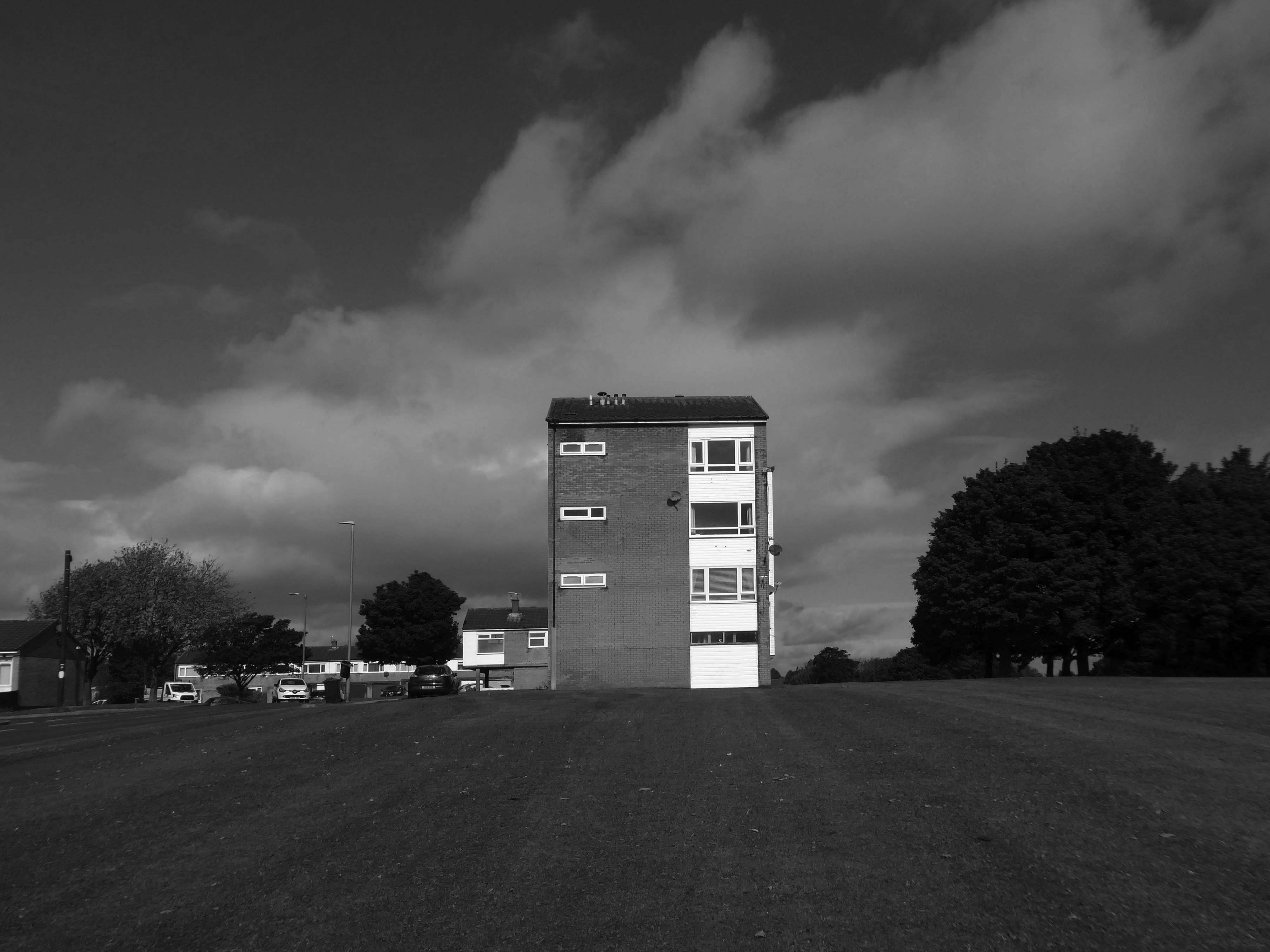
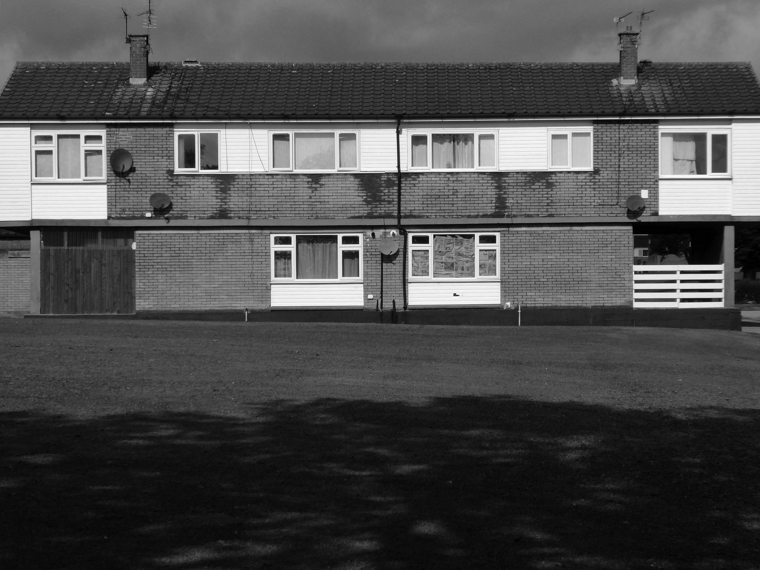
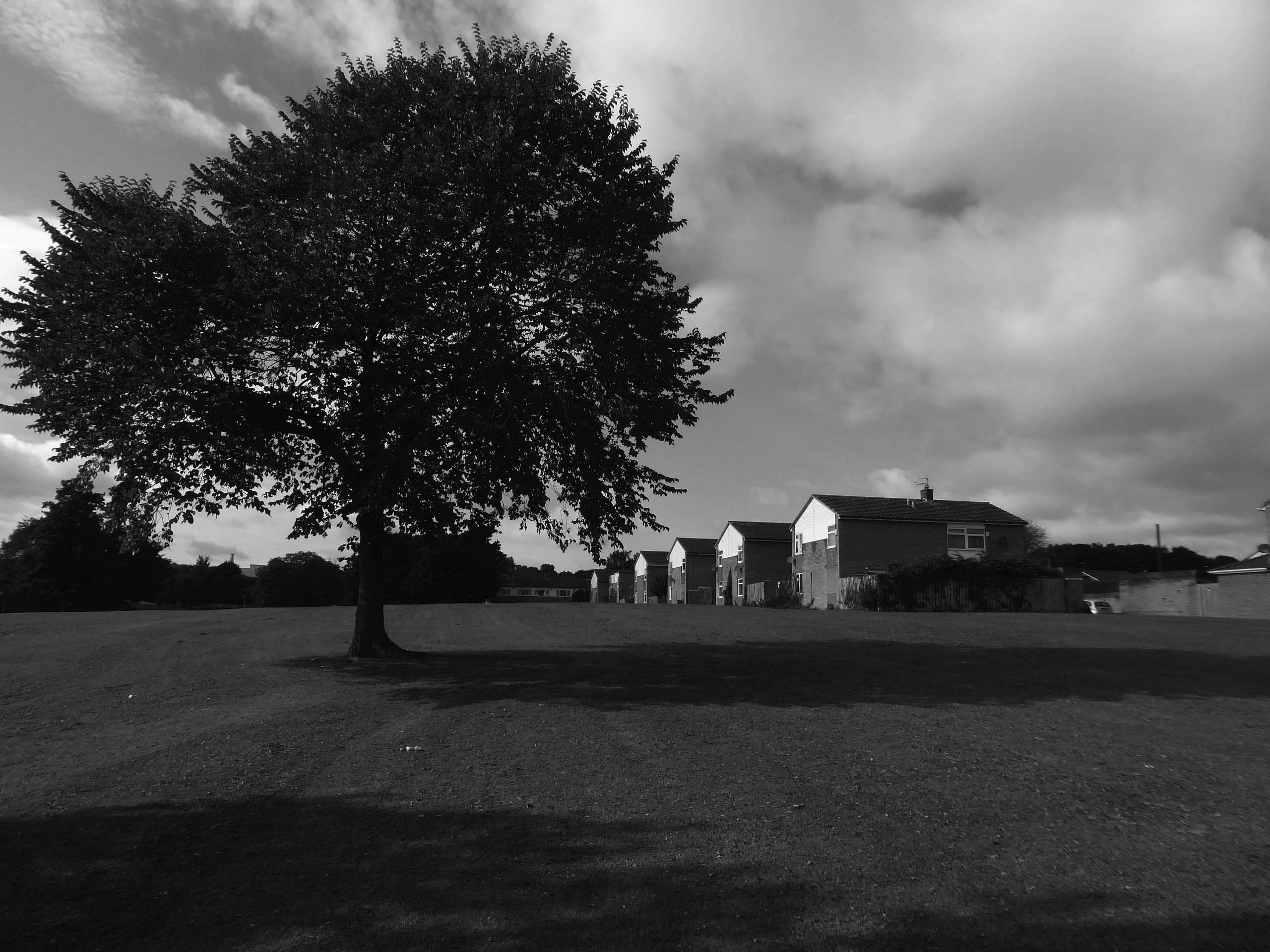
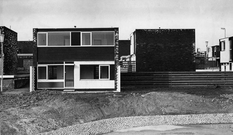
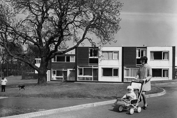
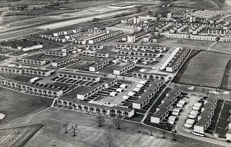
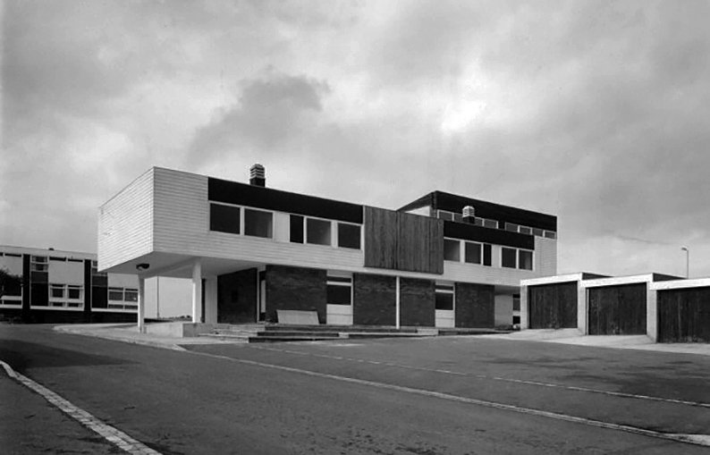
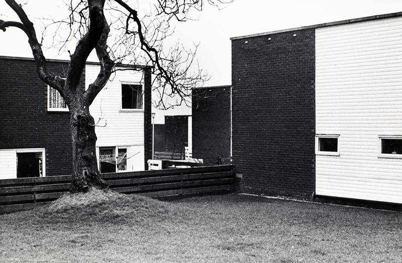
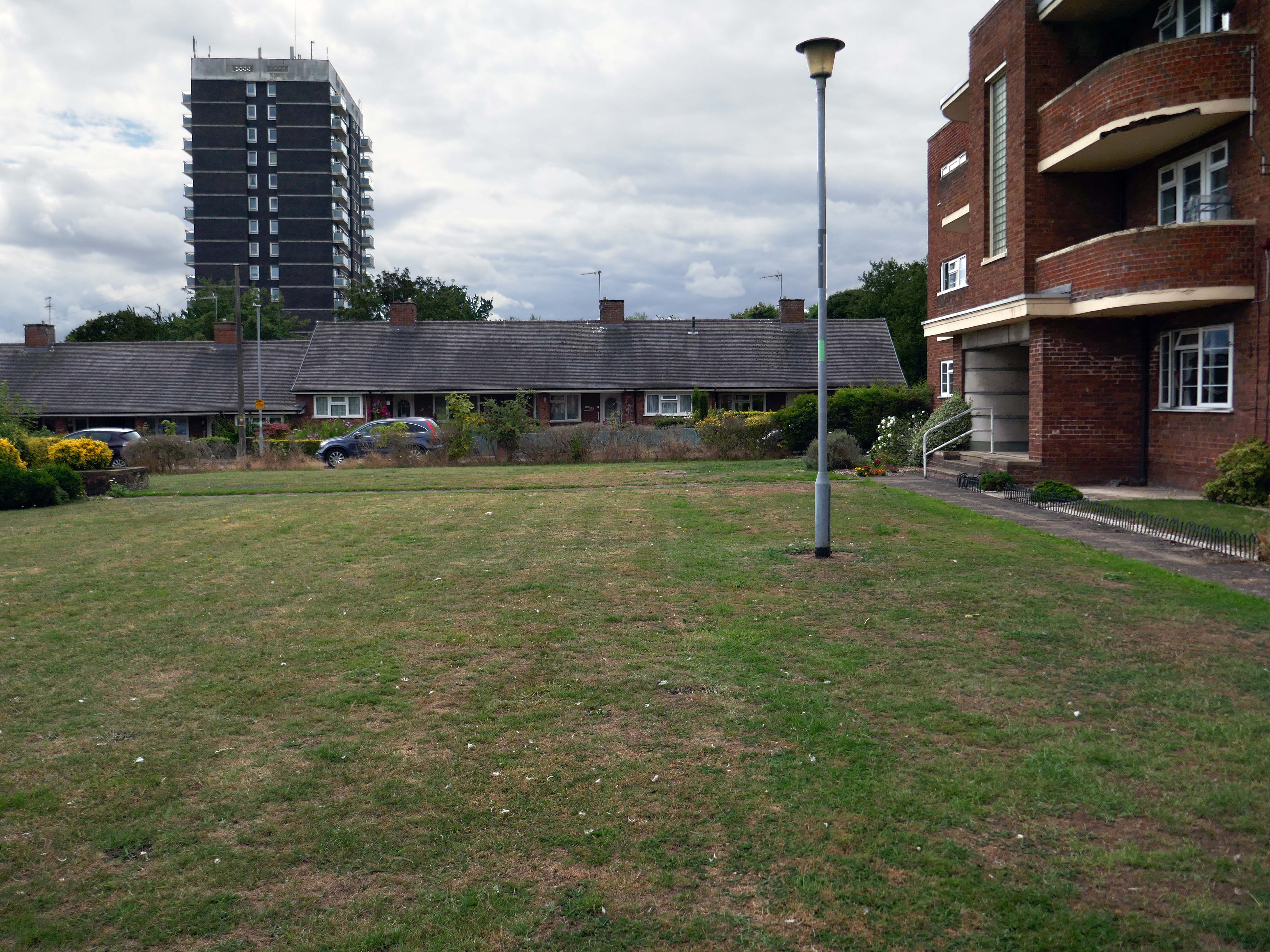
In the 1960s, most of the original housing was demolished including the historic Loudoun Square, the original heart of Butetown. In its place was a typical 1960s housing estate of low-rise courts and alleys, and two high-rise blocks of flats.
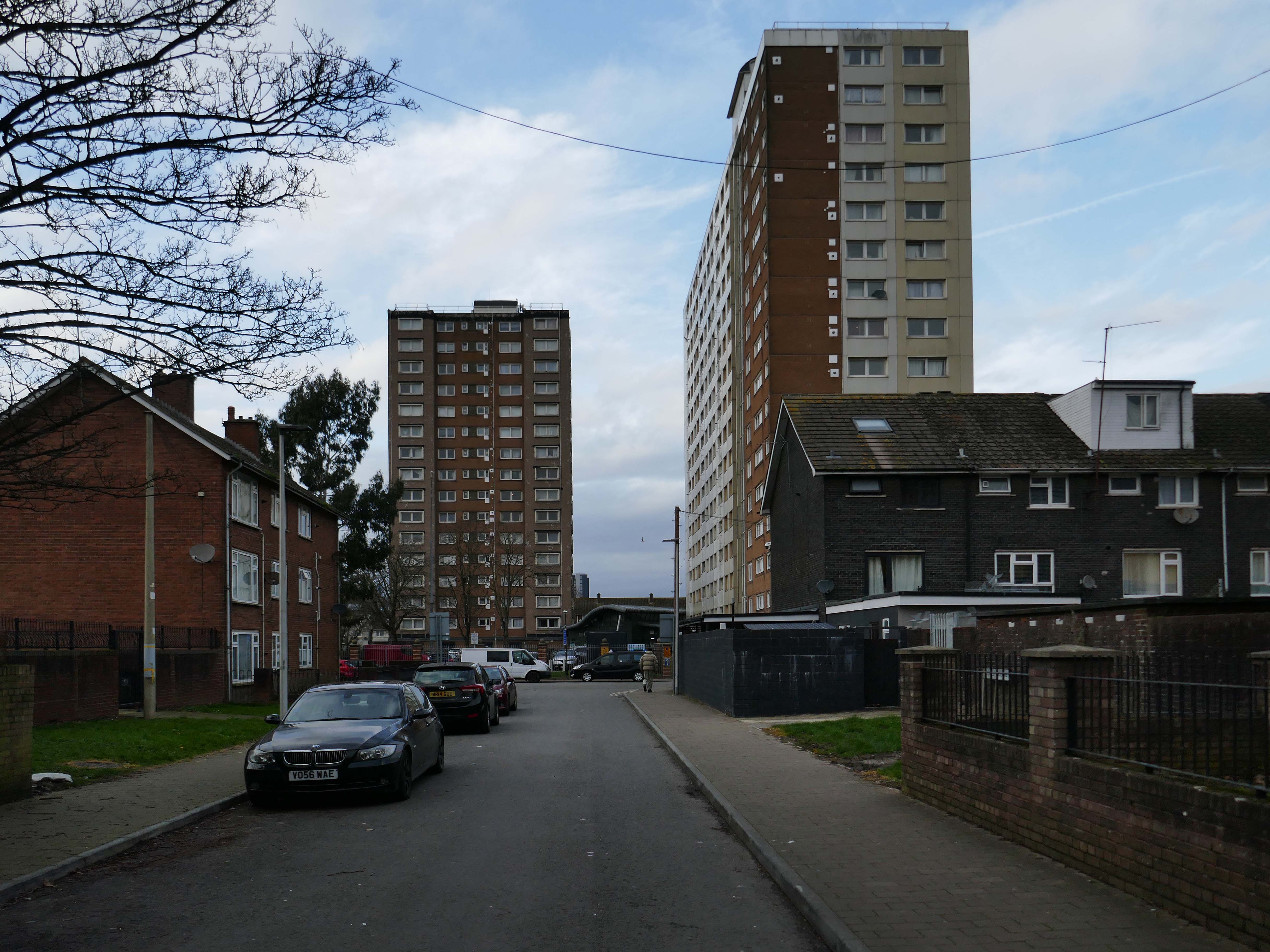
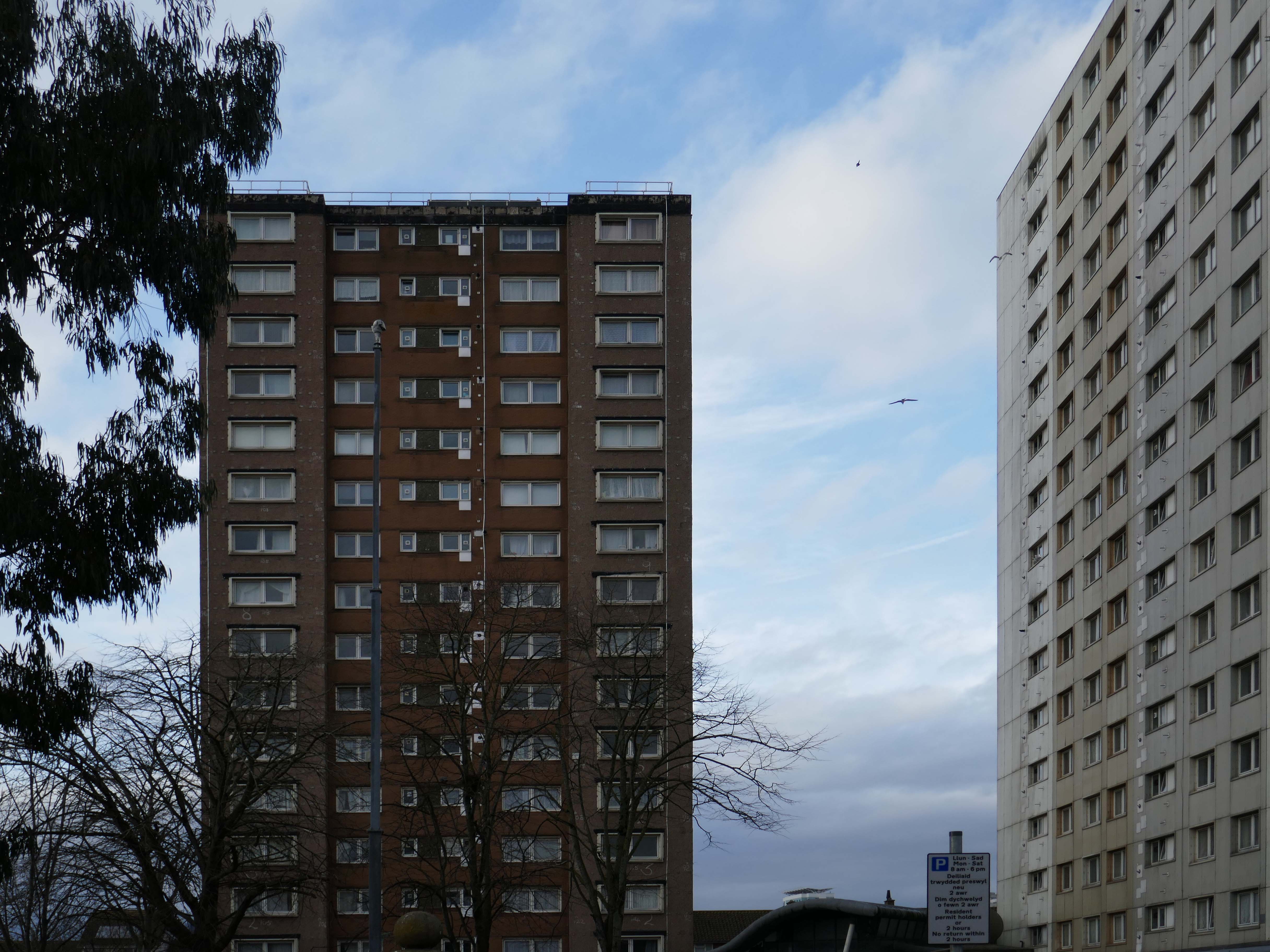
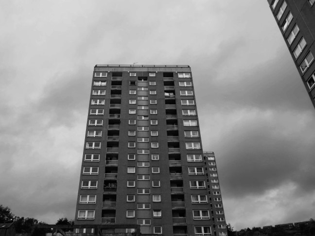
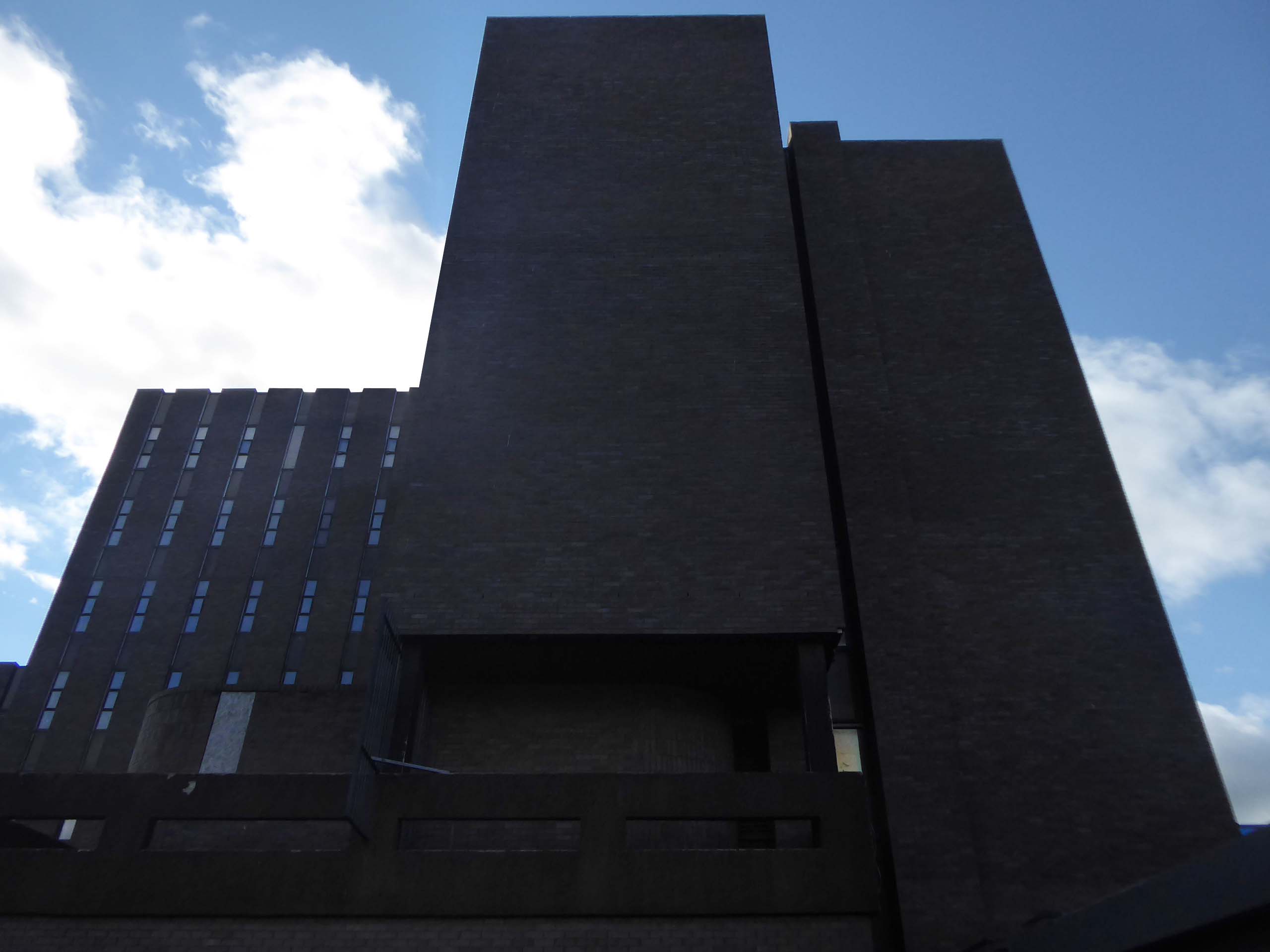
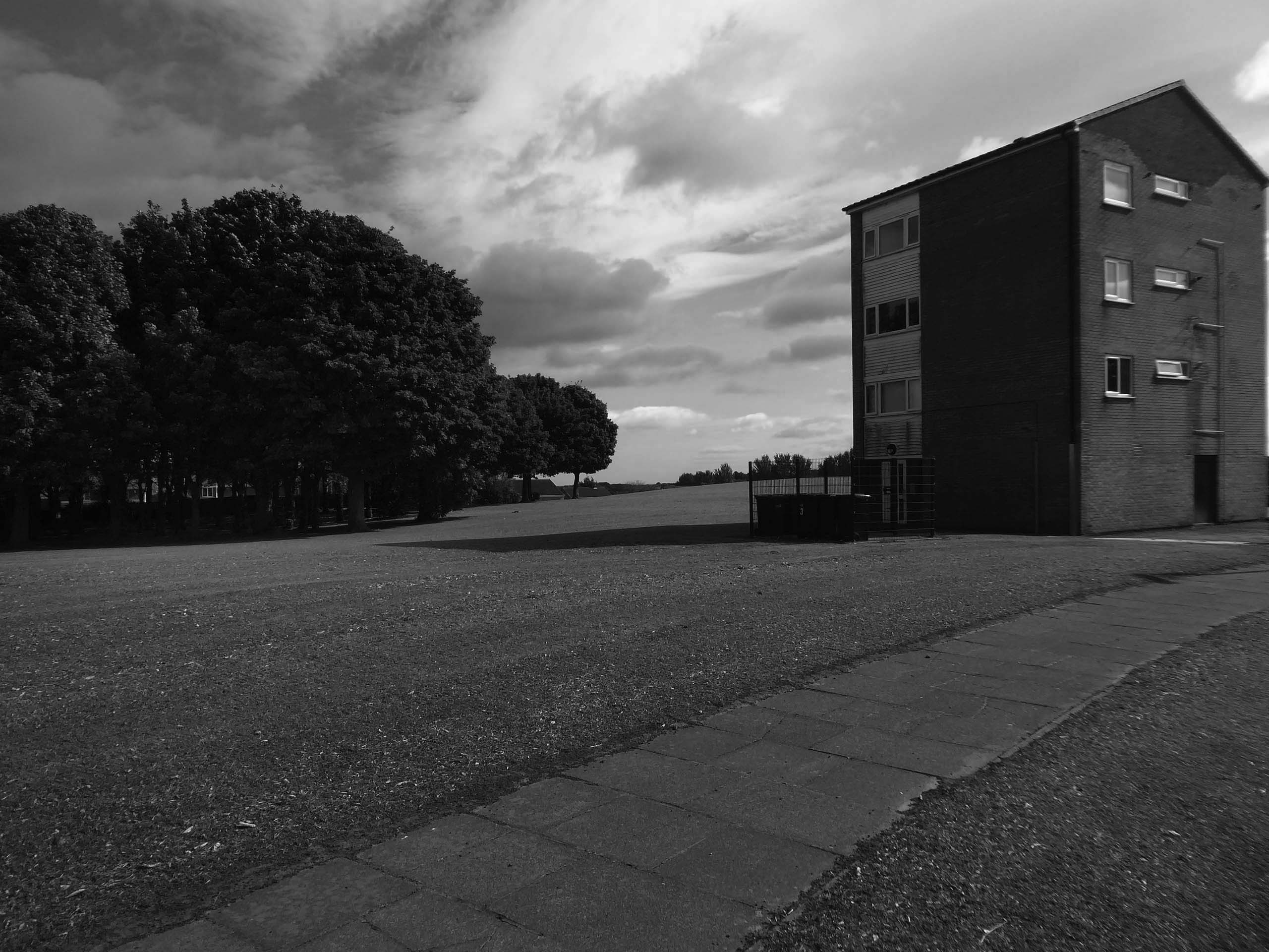
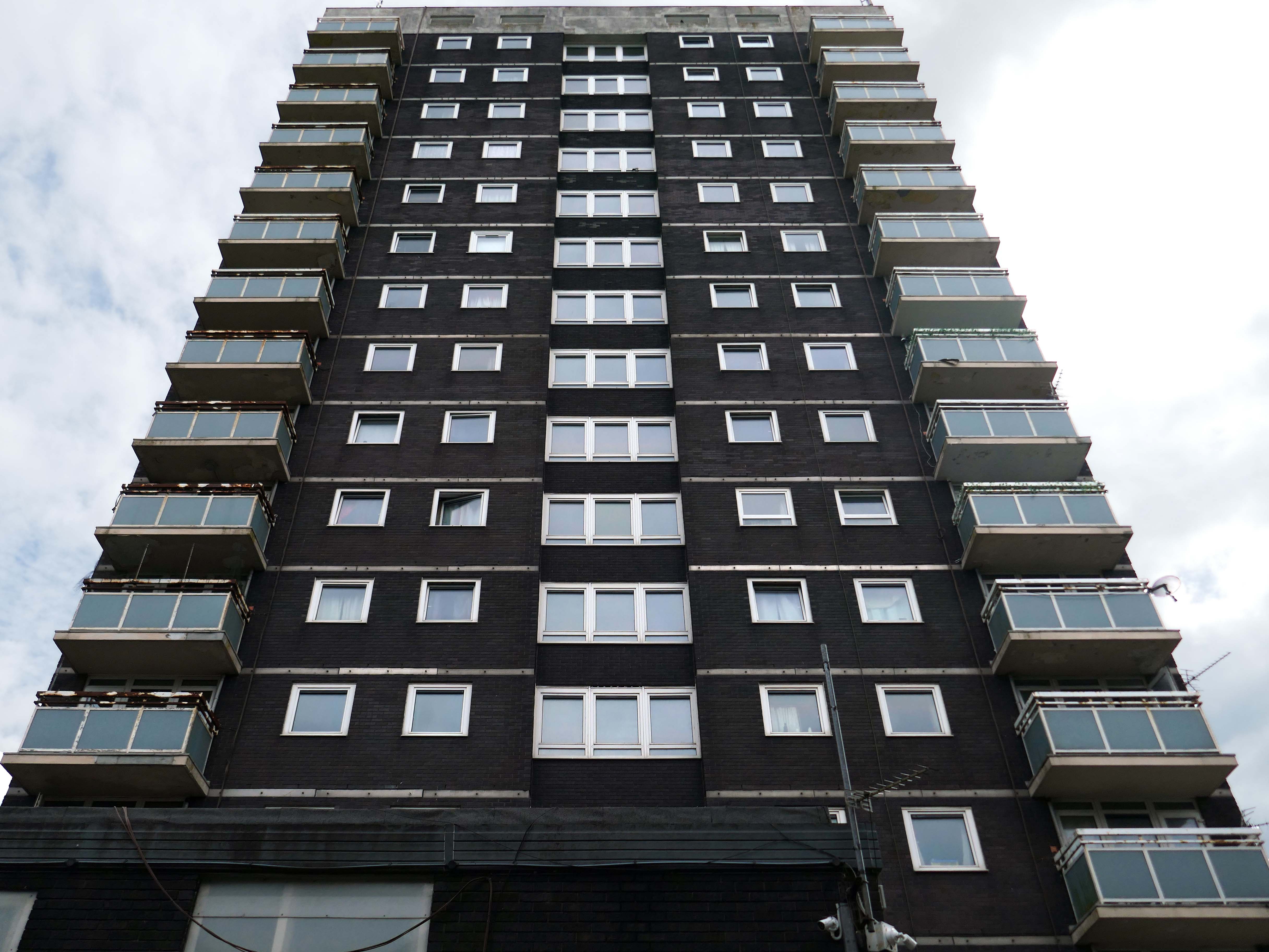
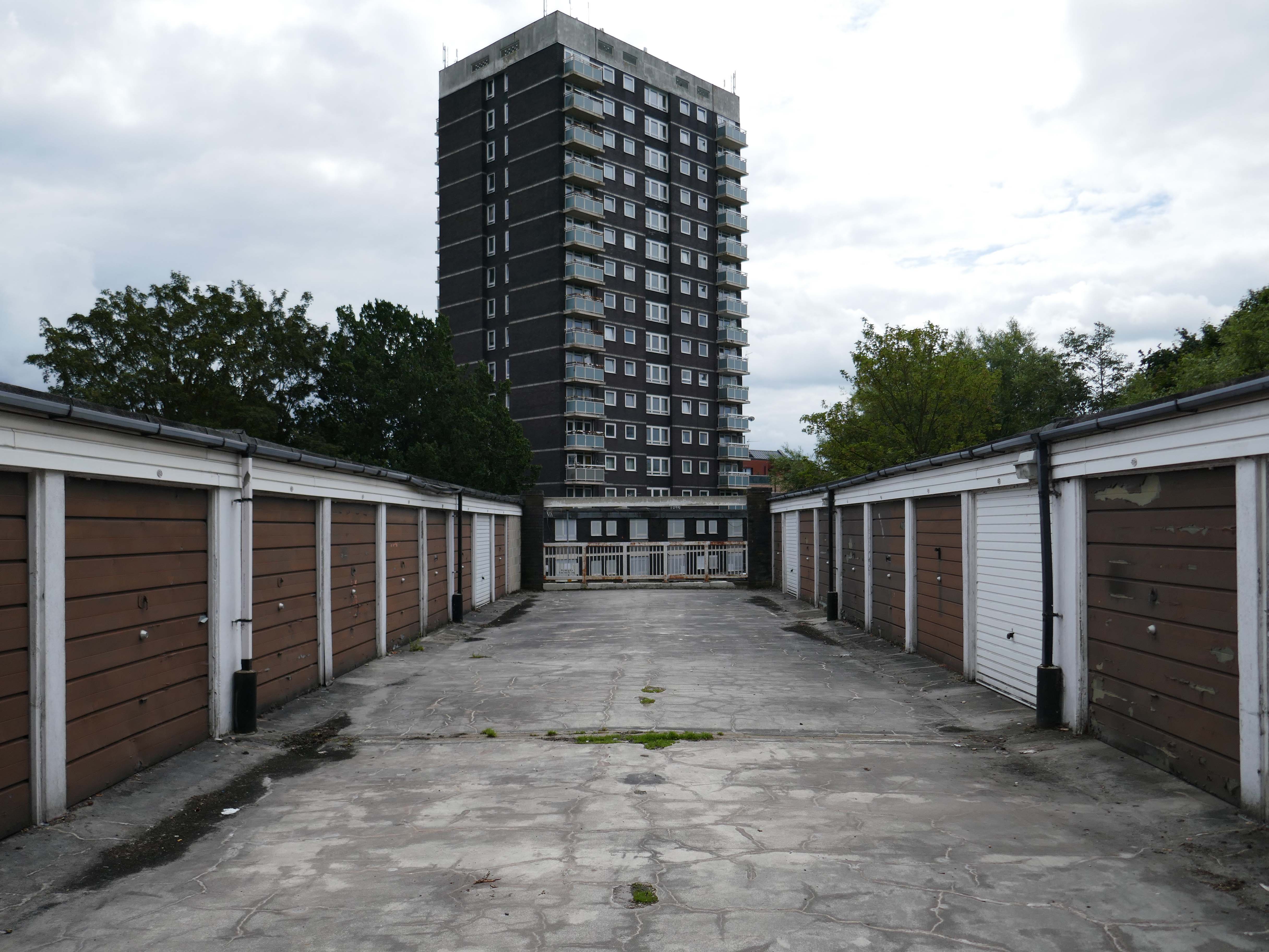
Between 1960 and 1966 two sixteen-storey tower blocks, Loudoun House and Nelson House, were built on the centre of Loudoun Square
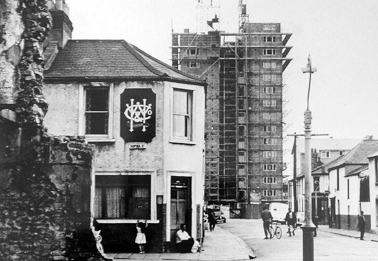
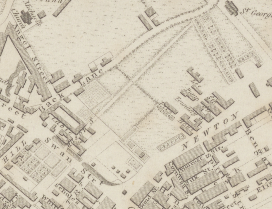
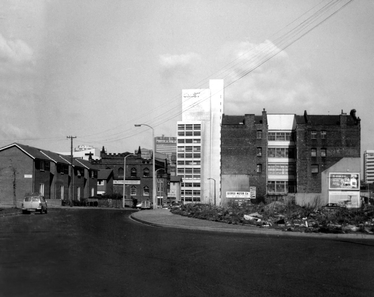
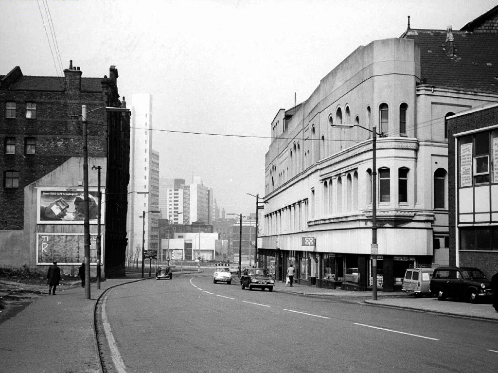
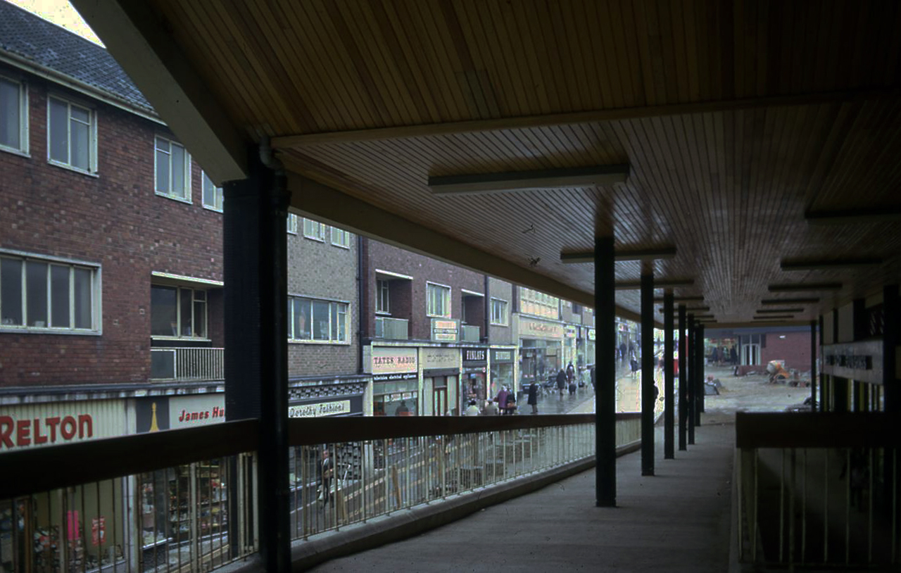
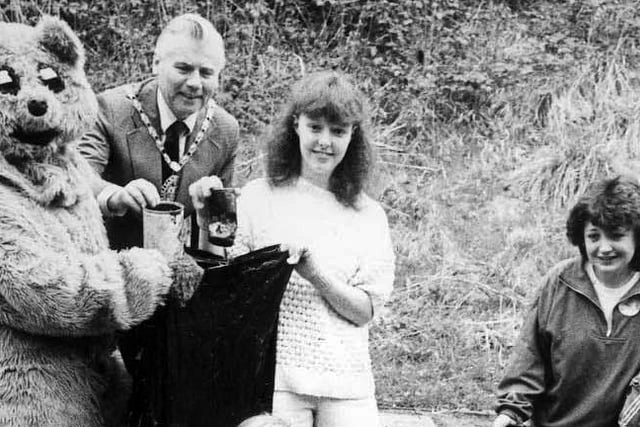
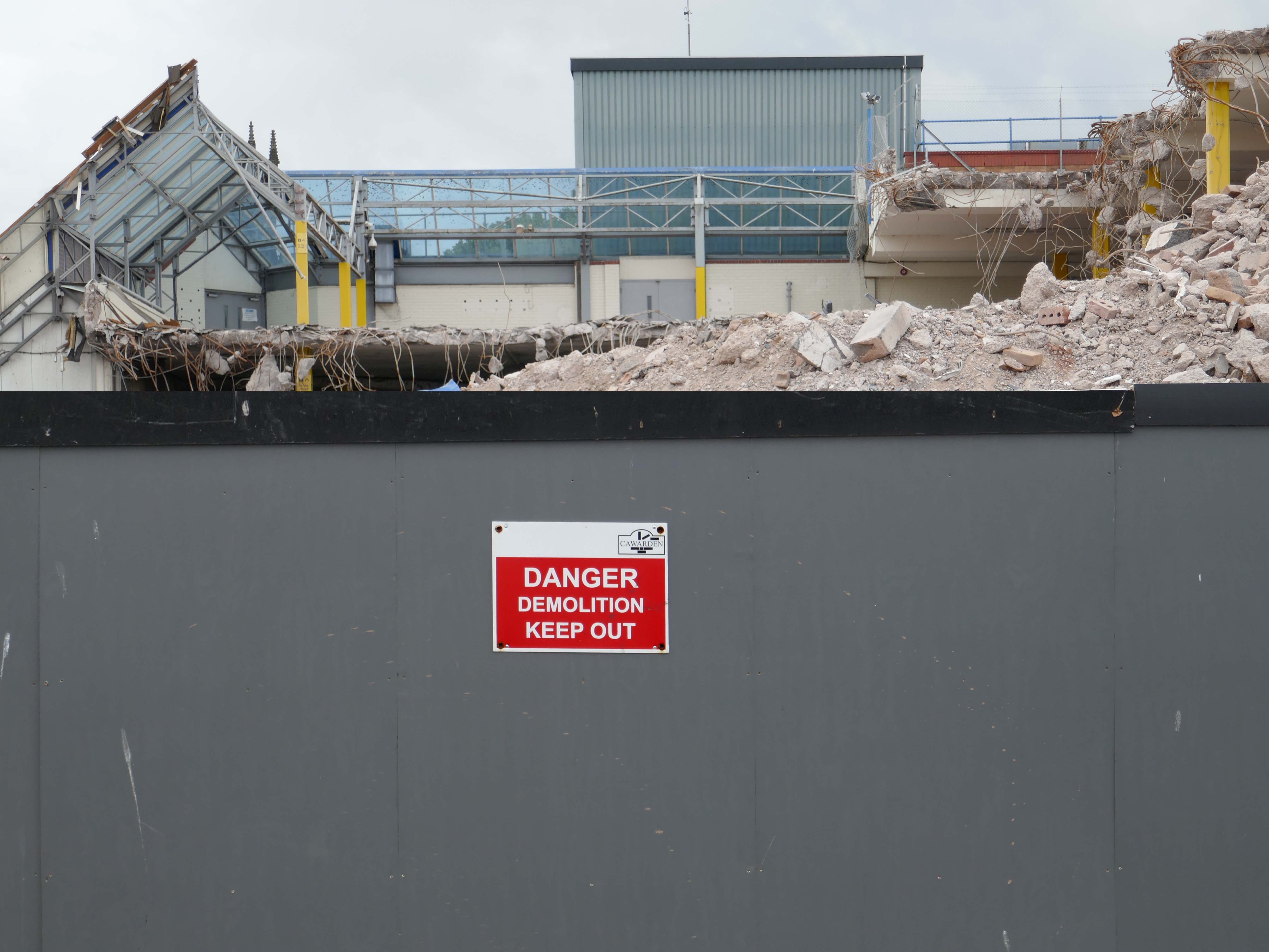
The demolition of the old buildings in Bute Street gets under way in 1963.
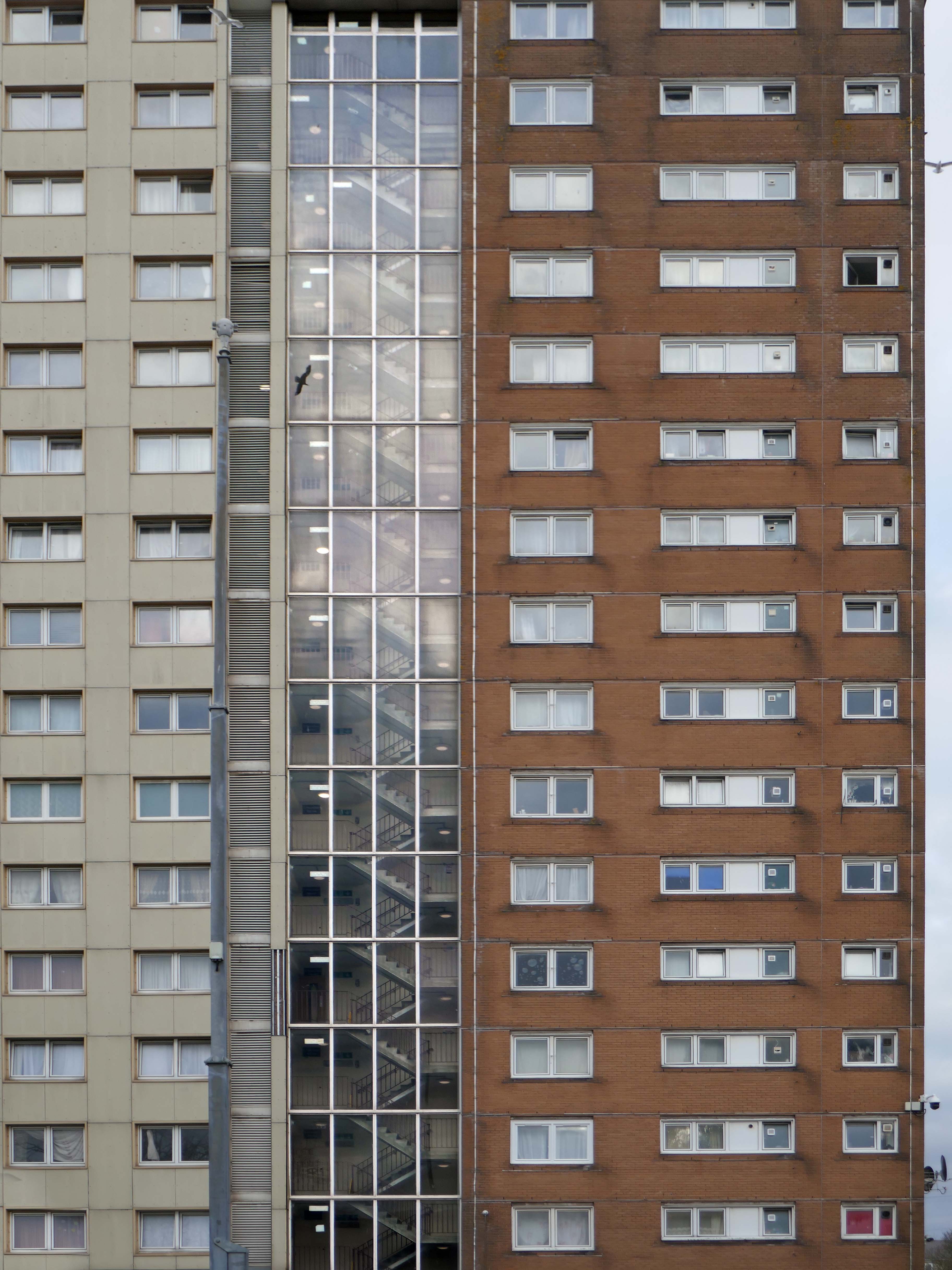
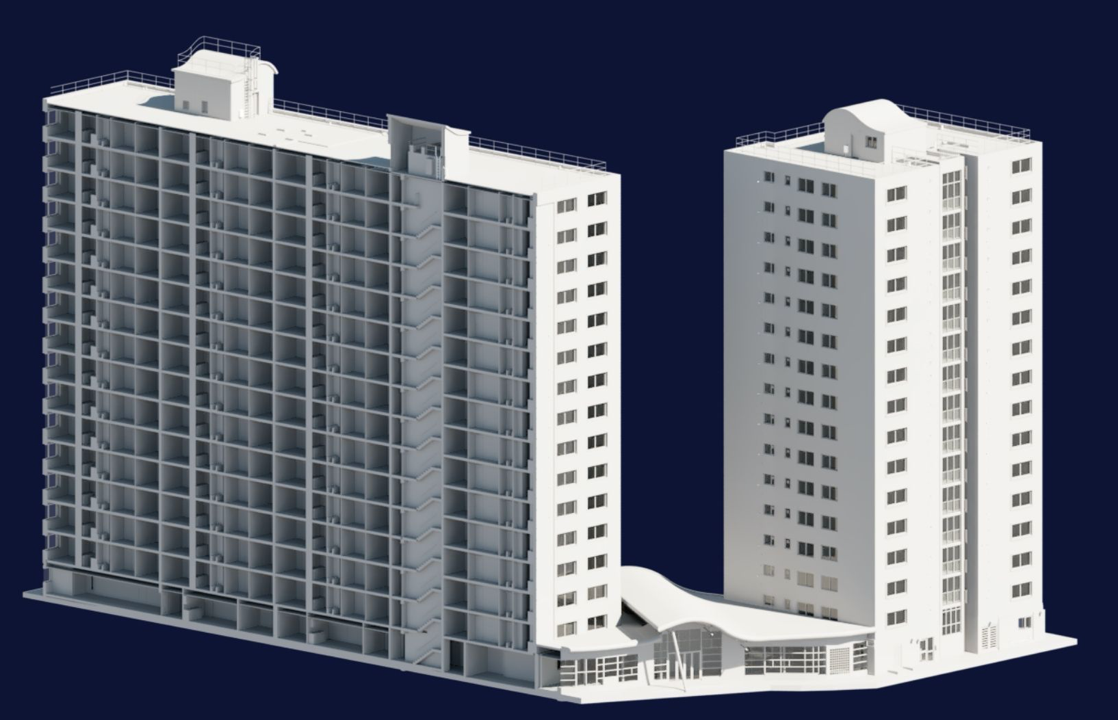
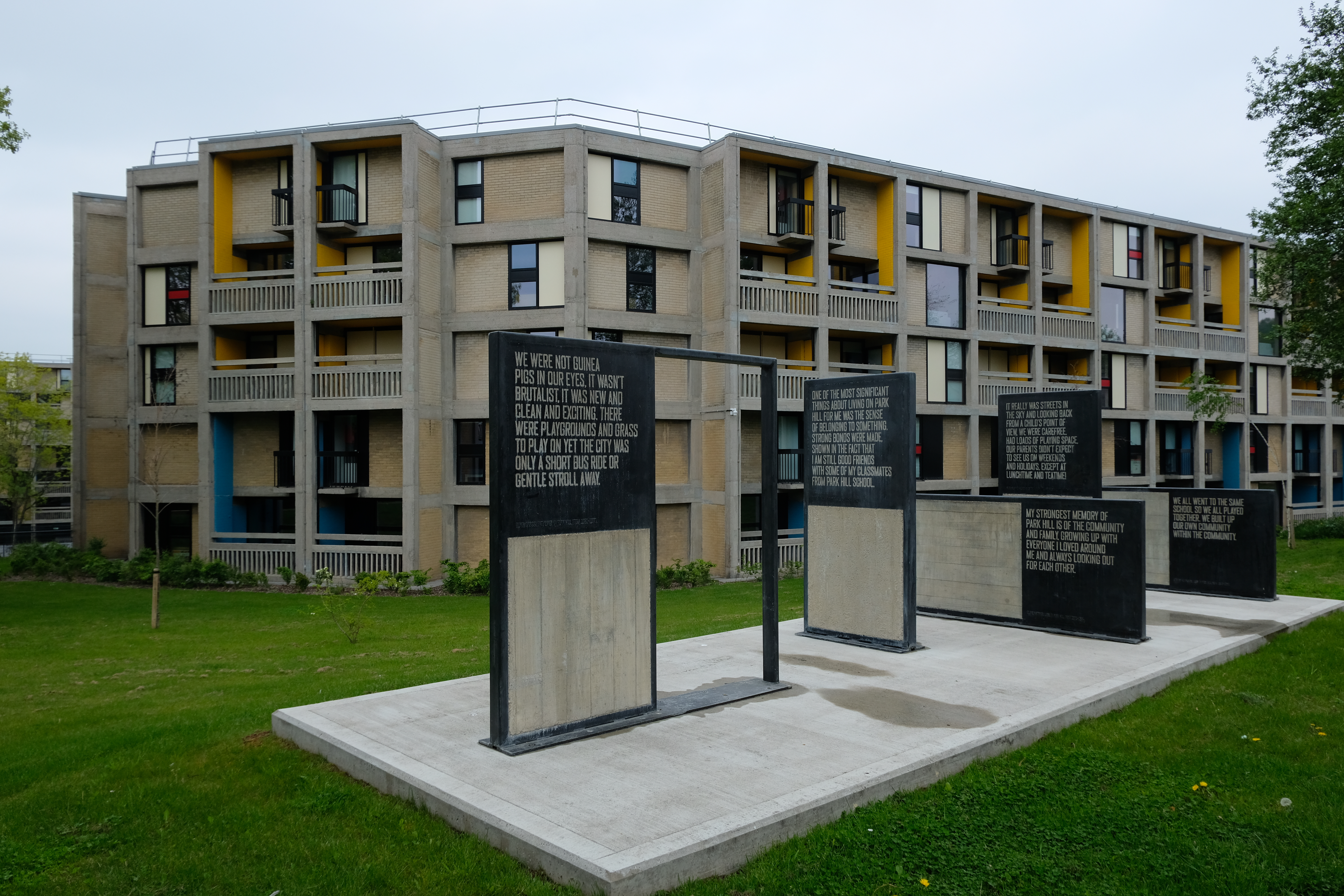
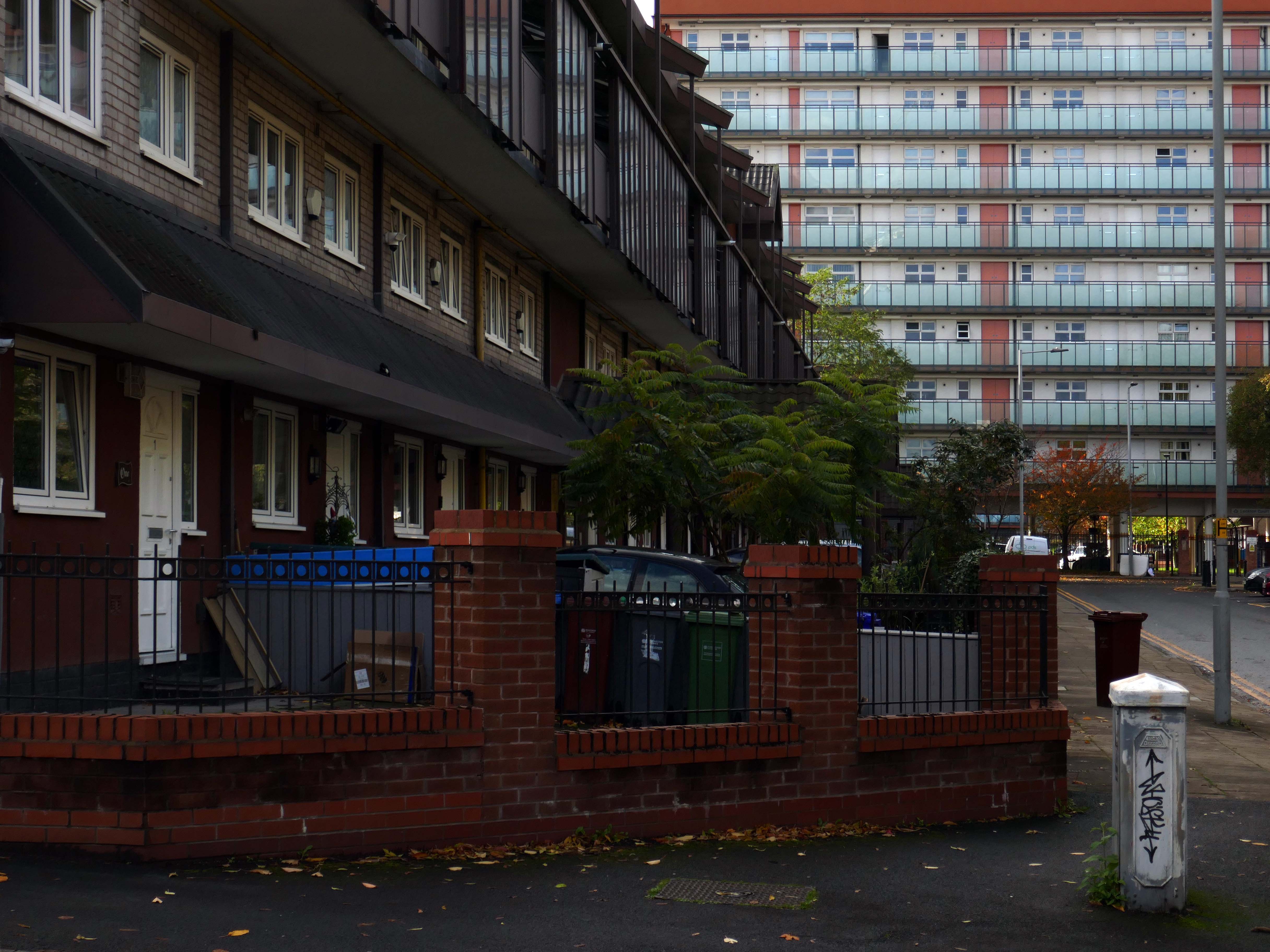
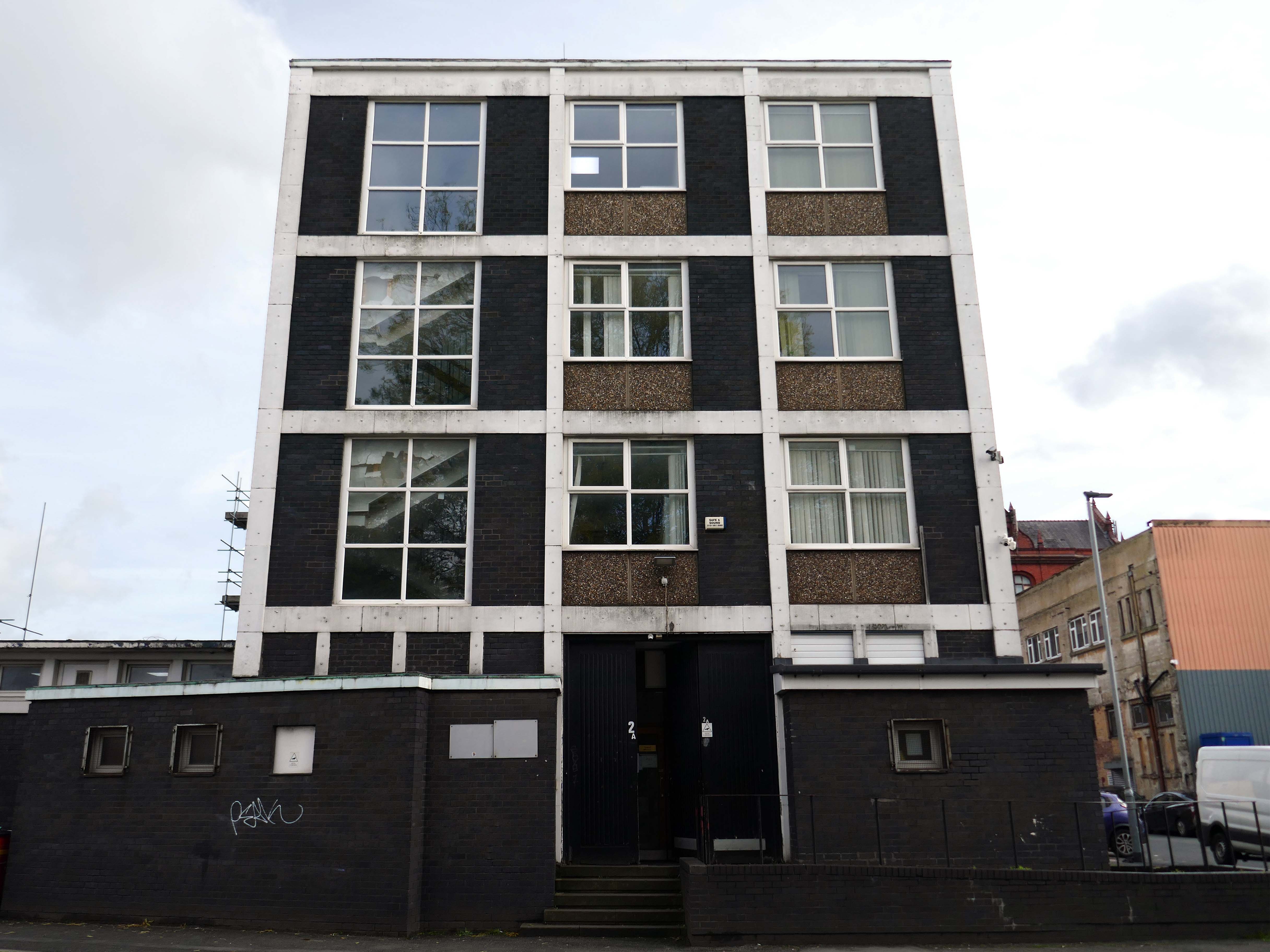
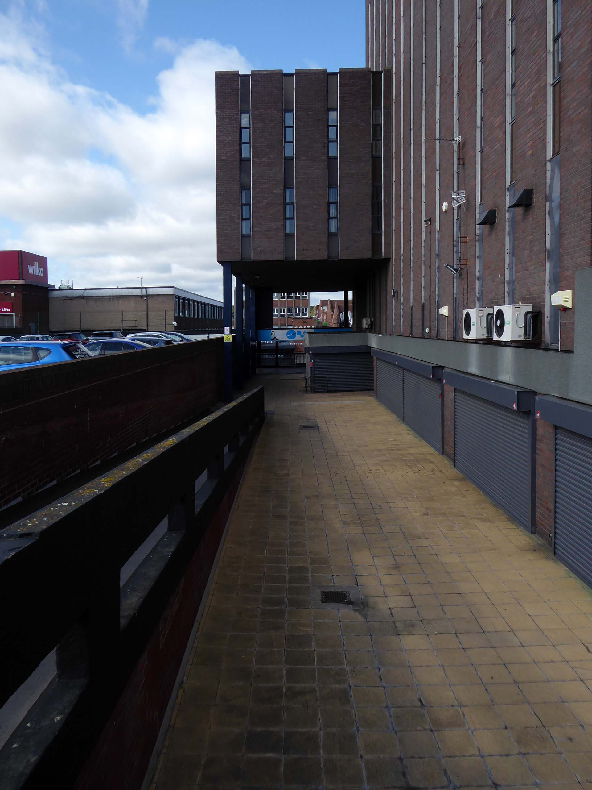
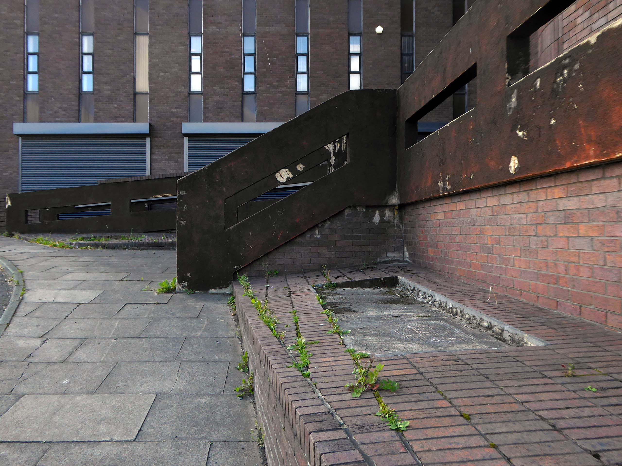
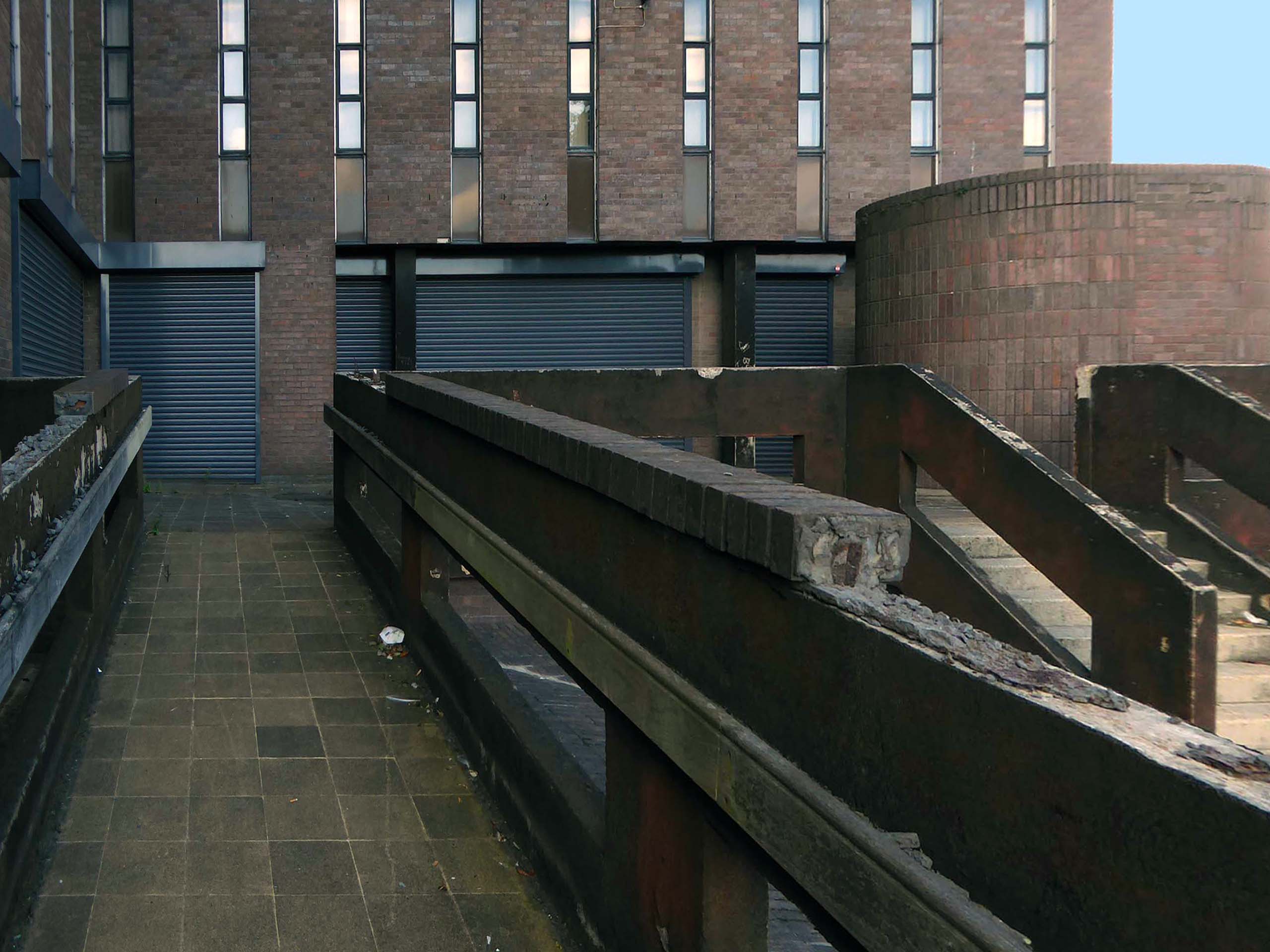
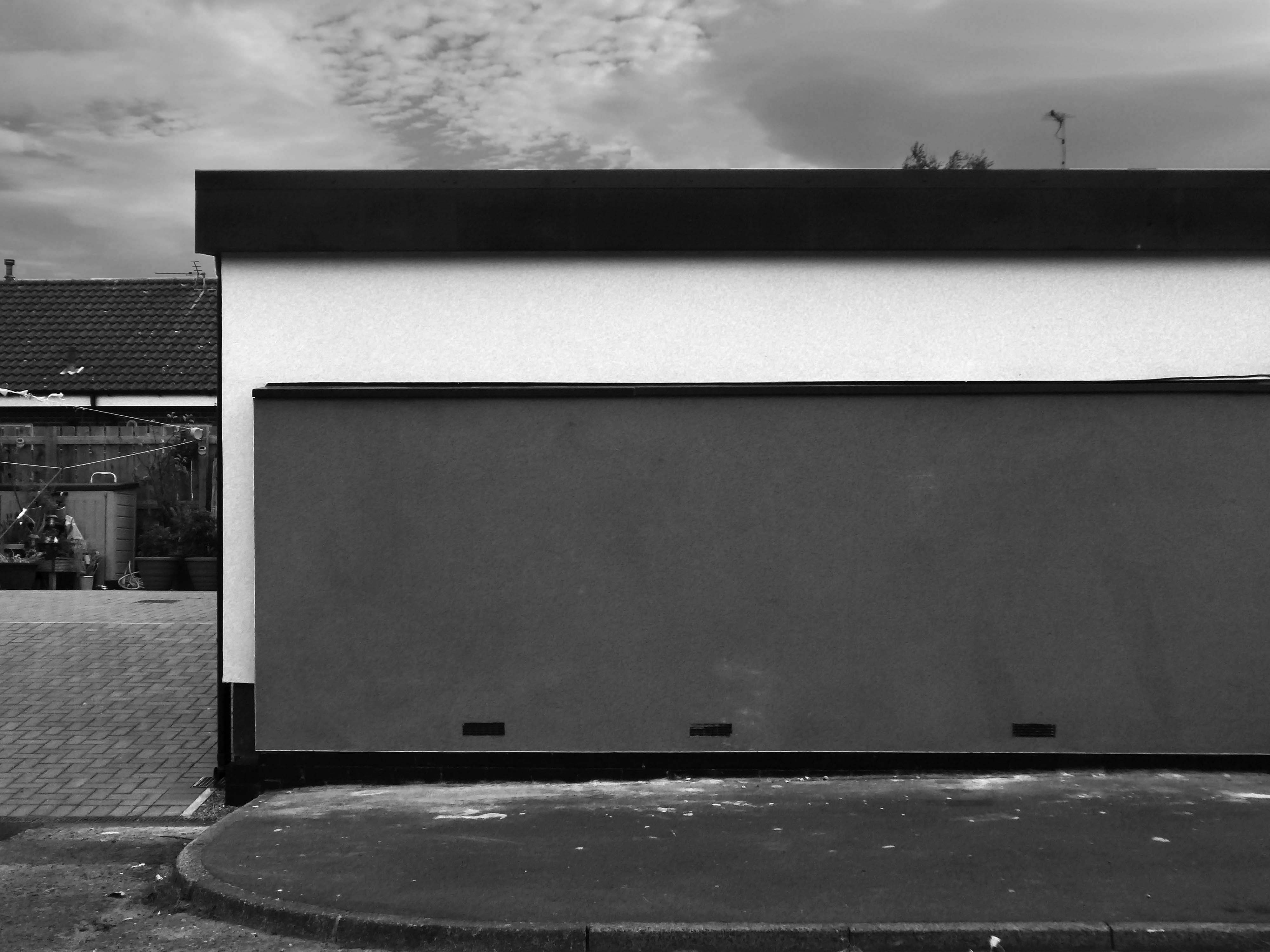
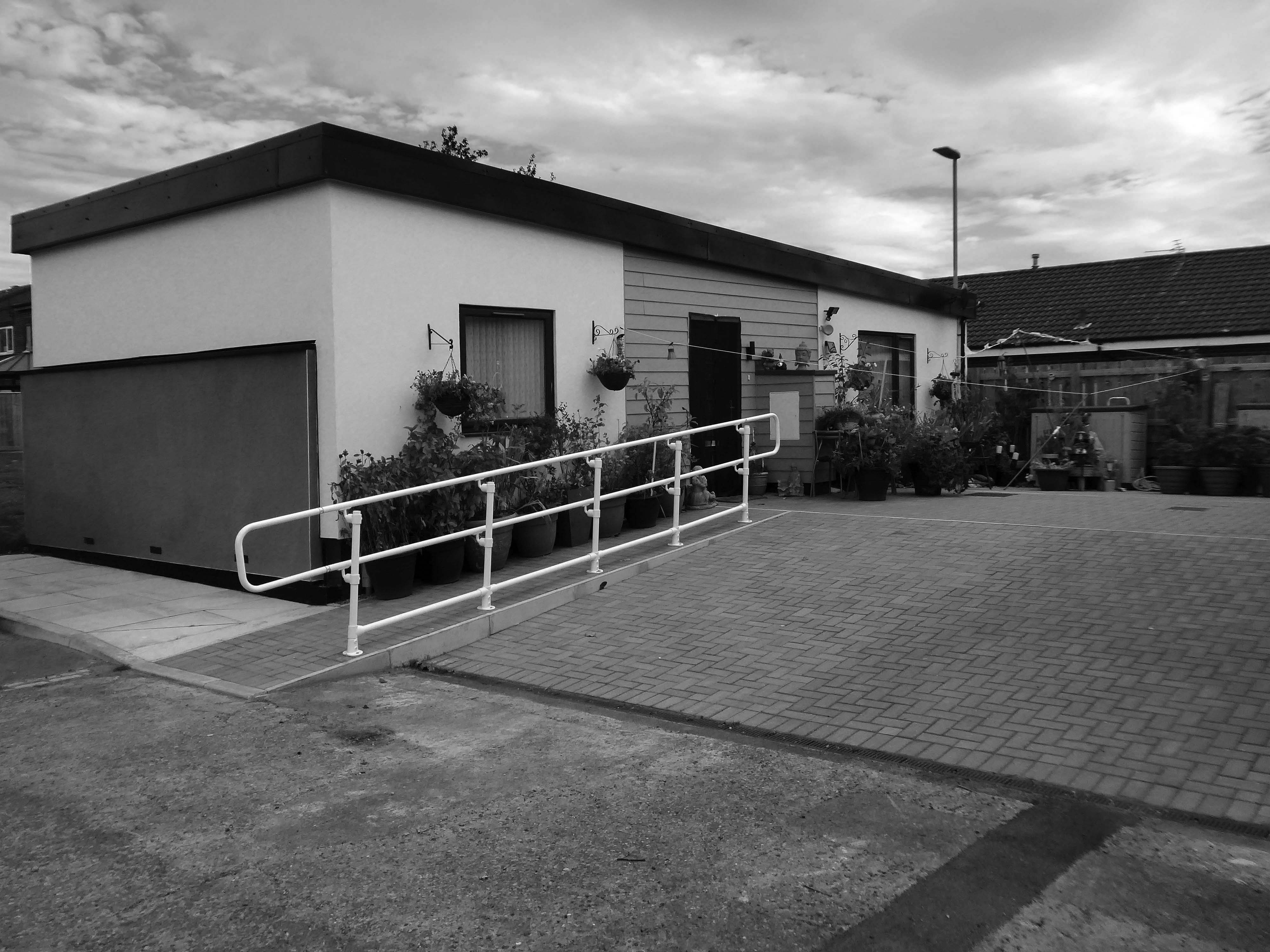
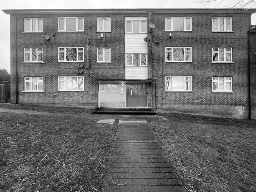
Surveybase have undertaken detailed scanning and modelling prior to the planned post Grenfell re-cladding.
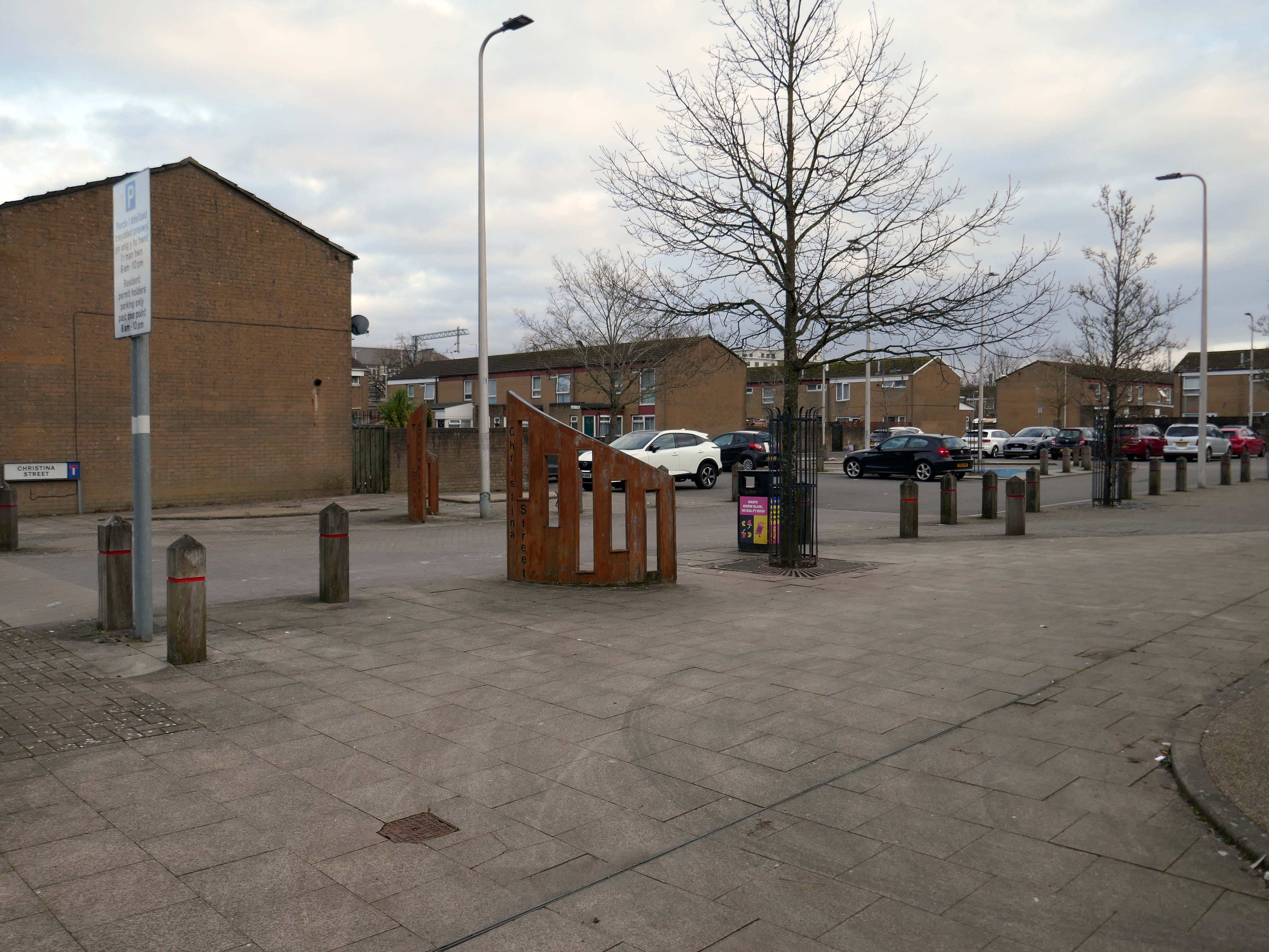
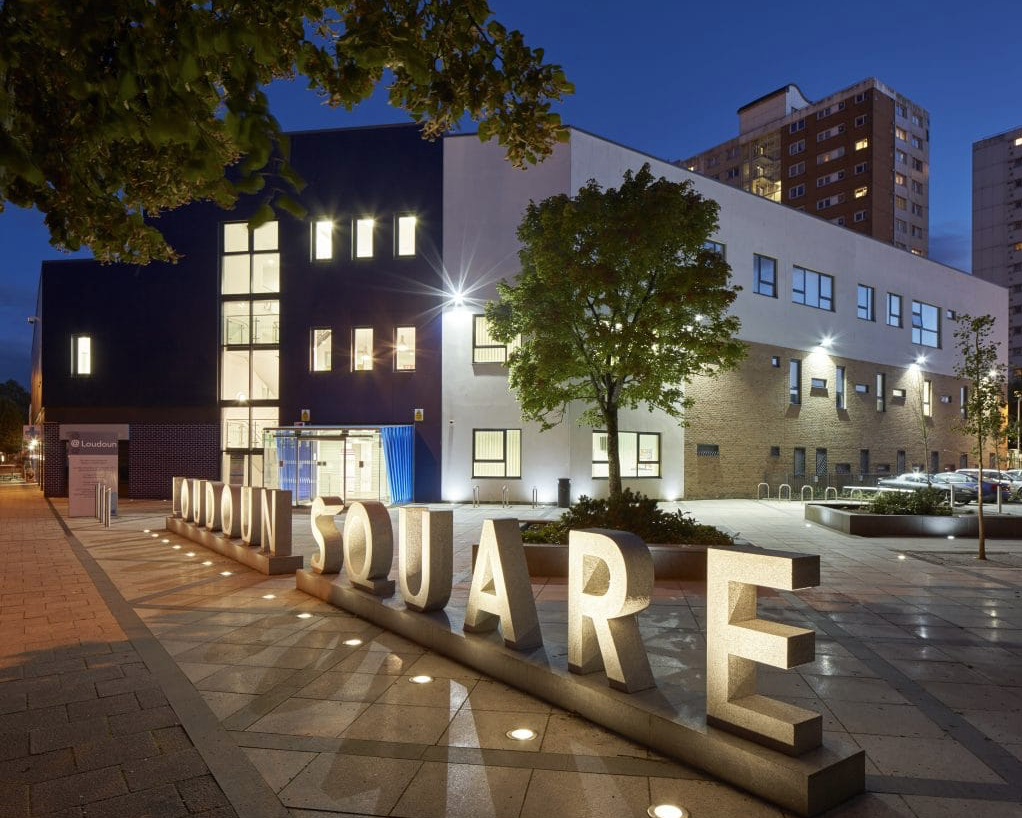
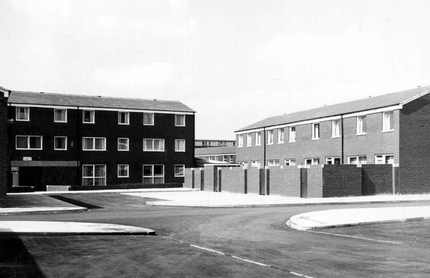
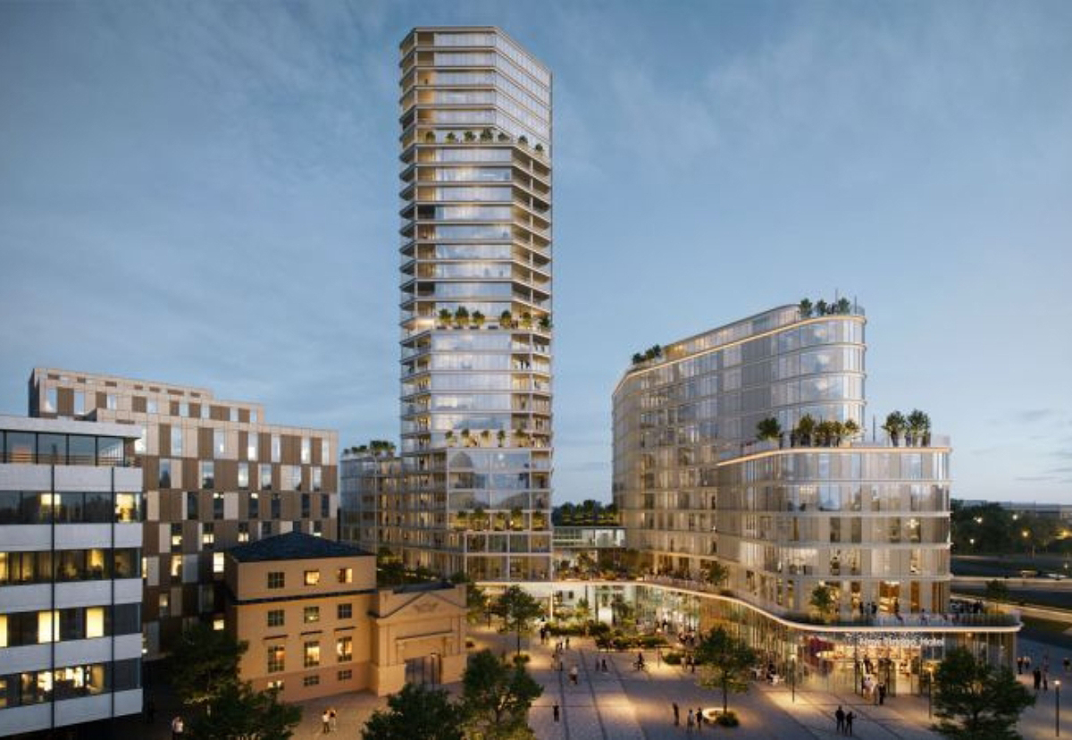
The Loudoun Square regeneration project is a collaboration between Cardiff City Council, Cardiff Community Housing Association, Cardiff Local Health Board and Cardiff and Vale NHS Trust. The site is located between Cardiff City Centre and Cardiff Bay, and was previously occupied by an existing health centre and local shops, together with a vacant area of land.
The area has been regenerated with the creation of new modern facilities to serve the local community and include a new health centre, shops, affordable homes and community facilities.
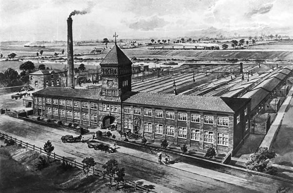
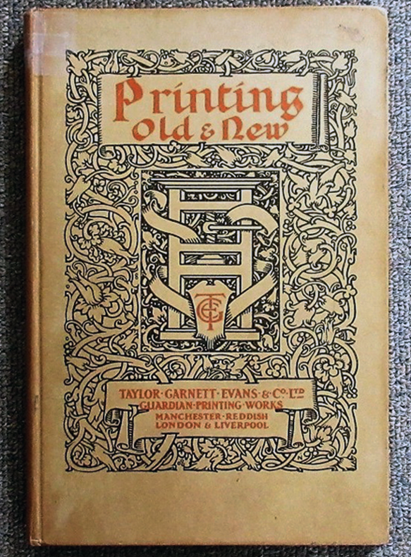
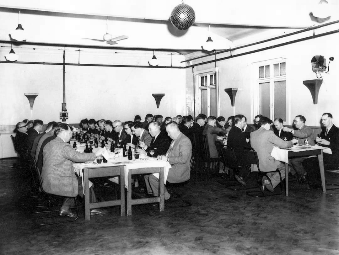
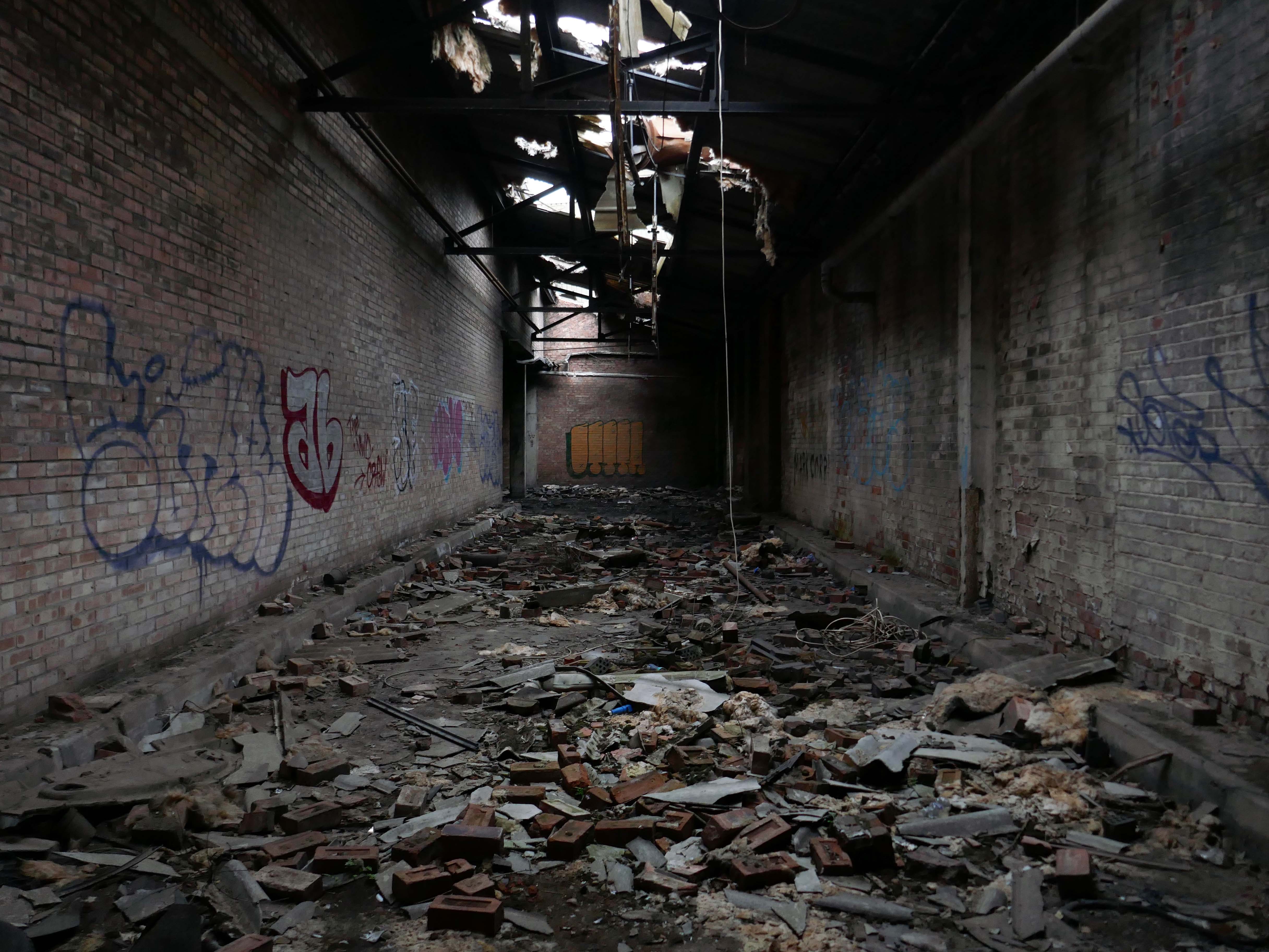
Manchester Guardian Printing Works owned by Taylor Garnett & Evans & Co. Ltd- a view of factory dated 1902.
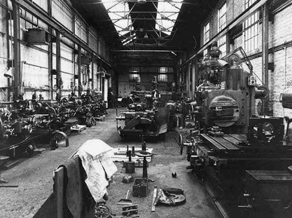
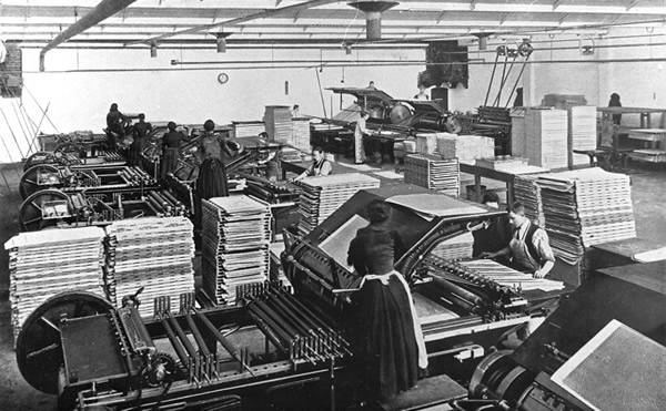
Lithographic Printing Dept 1902.
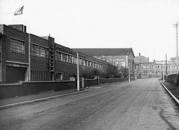
CWS Printing Works – formerly the Guardian Print Works showing a view from the road dated 1972.
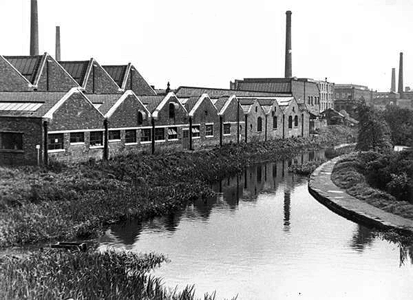
CWS Printing Works showing a rear view with canal in the foreground.
The Stockport Branch Canal was a five mile branch of the Ashton Canal from Clayton to Stockport.
An important cargo was the supply of grain to William Nelstrop & Company’s Albion Corn Mill at Stockport Basin.
In its early days there was passenger carrying on the Ashton Canal and one of the routes was between Manchester and Stockport.
Commercial carrying ceased in the 1930s but it lingered on into the 1950s’ as a barely navigable waterway. At one stage in the 1950s it was dredged but this improvement did not attract any traffic. Stockport Basin was the first section to be filled in but it was not until 1962 that the canal was officially abandoned by the British Transport Commission, who had been responsible for it since 1948.
It took many years to fill in and this was a disagreeable procedure for people living along its length.
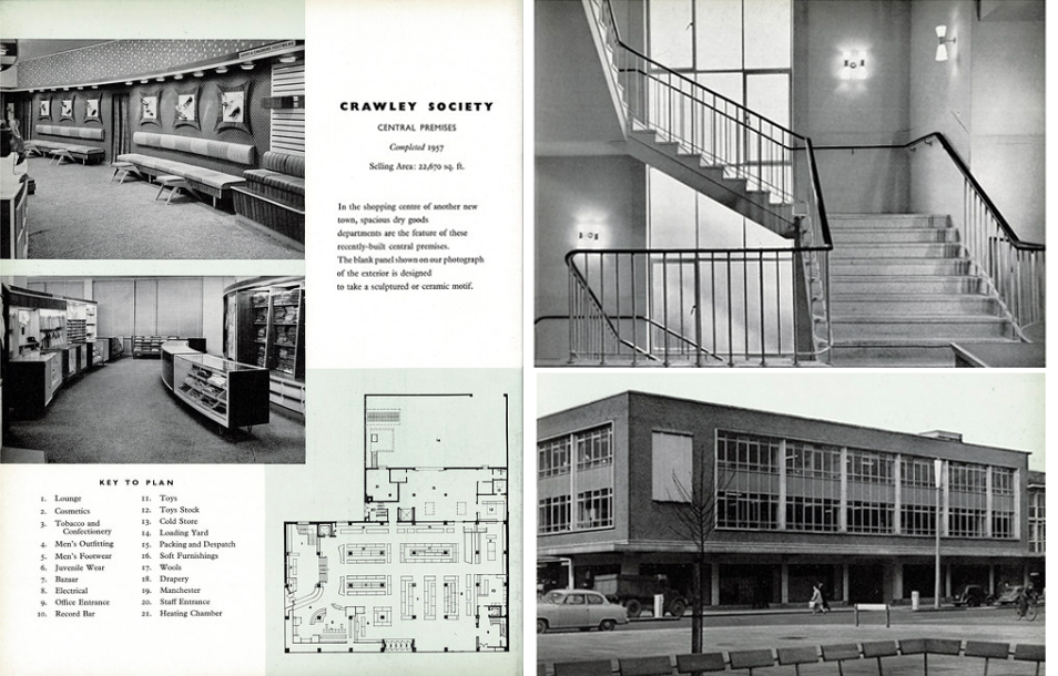
From a very lavish production, printed of course by the CWS’s own Printing Works at Reddish, is a description of the new flagship department store for the Crawley Co-operative Society that was opened in 1959. The elevations and facade are very much of their day, quite ‘Festival of Britain in style, and the store was a prominent feature of the planned New Town’s centre.
The wide variety of printed material which the CWS required, created a need that could not be met locally by a single source, another large print works was required in Longsight.
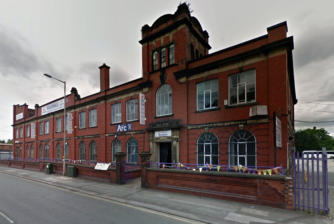
Craven Brothers Works 2008
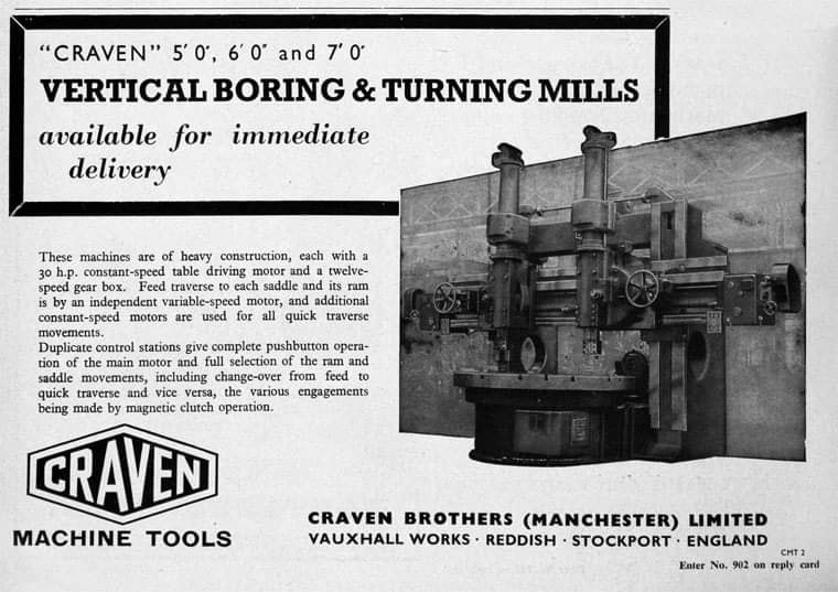
1900 – Further growth prompted the construction of the Vauxhall Works at Reddish, near Stockport. The company kept the works at Osborne Street, Rochdale Road, with about 500 employees, open until 1920. The 1915 O.S. map shows Vauxhall Engineering Works with its south-east corner on Osborne Street, Collyhurst, and bounded on the north by streets of terraced houses and to the south by the L&YR Manchester-Normanton line.
The Developement of Reddish – quite a number of Manchester firms are prospecting the neighbourhood of Reddish, writes a correspondent, while Messrs. Heywood are about to erect electrical engineering works in Sandfold-lane, and Messrs. Rowley and Co, boiler-makers, are fitting works in the neighbourhood. Messrs. Craven Brothers, engineers, of Salford, have purchased 14-acres of land near the Reddish Station, on the estate of Mr. H. P. Greg, on which they intend to erect large engineering works.
The first sod was cut on Thursday afternoon by Mr. William Craven, in the presence of his brother directors in 1900.
ARC began in 1995 at Greek Street, Stockport under the name of MAPS and moved to the Vauxhall Industrial Estate Craven Works building in early 1997. Arts for Recovery in the Community or ‘Arc’ was then launched in 2005. The Arc Centre in its current form, including gallery servung refreshments and public programme has been running since 2016.
Of course, we are sad to say goodbye to the old Craven Brothers factory and the Reddish community as our base. We are so grateful to the local residents and businesses who have supported us for so long. Please, don’t be strangers! We made the building our own over the years and take with us many, many great memories.
Looking to the future at Wellington Mill, we will have exclusive use of several rooms on the floor accessed via the A6 and Hat Works Museum shop. This will include a large art studio, ceramics studio, offices and storage spaces. We will also share the large cafe, events and retail space with the Hat Works museums team and work together to build a bigger audience for both organisations and hopefully a Stockport town centre creative arts hub.
And lo, it came to pass, from the onset of the Industrial Revolution to today, a whole world of work is dismantled. A transport infrastructure is literally filled in, and the former homes of industry demolished.
The CWS is no longer the global behemoth it once was, and print technology has changed beyond recognition.
With it goes a whole series of social relationships and identities bound up in shared occupations.
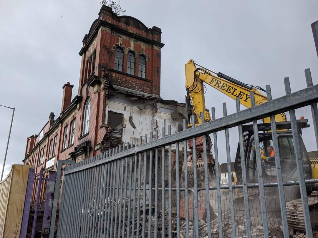
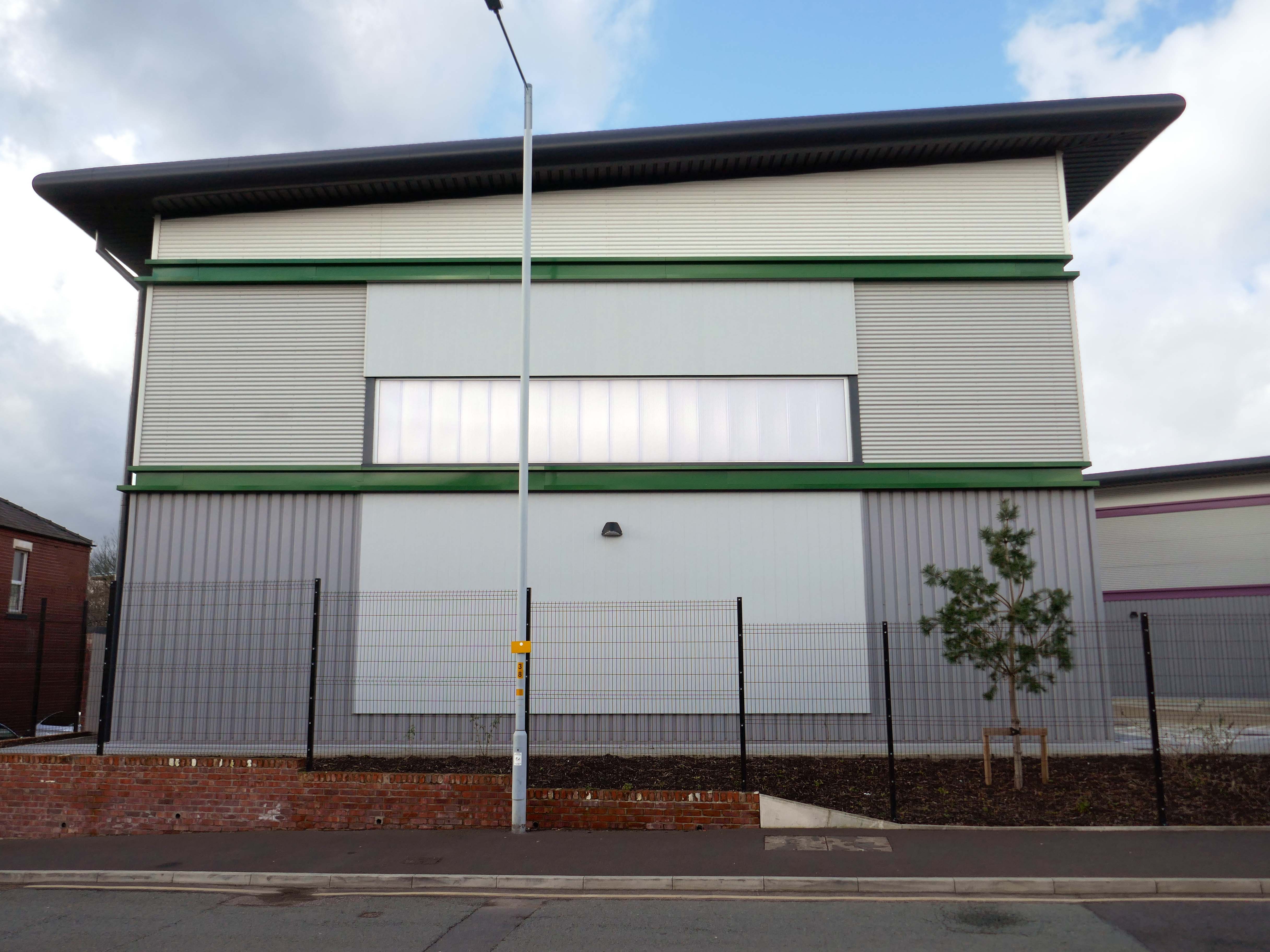
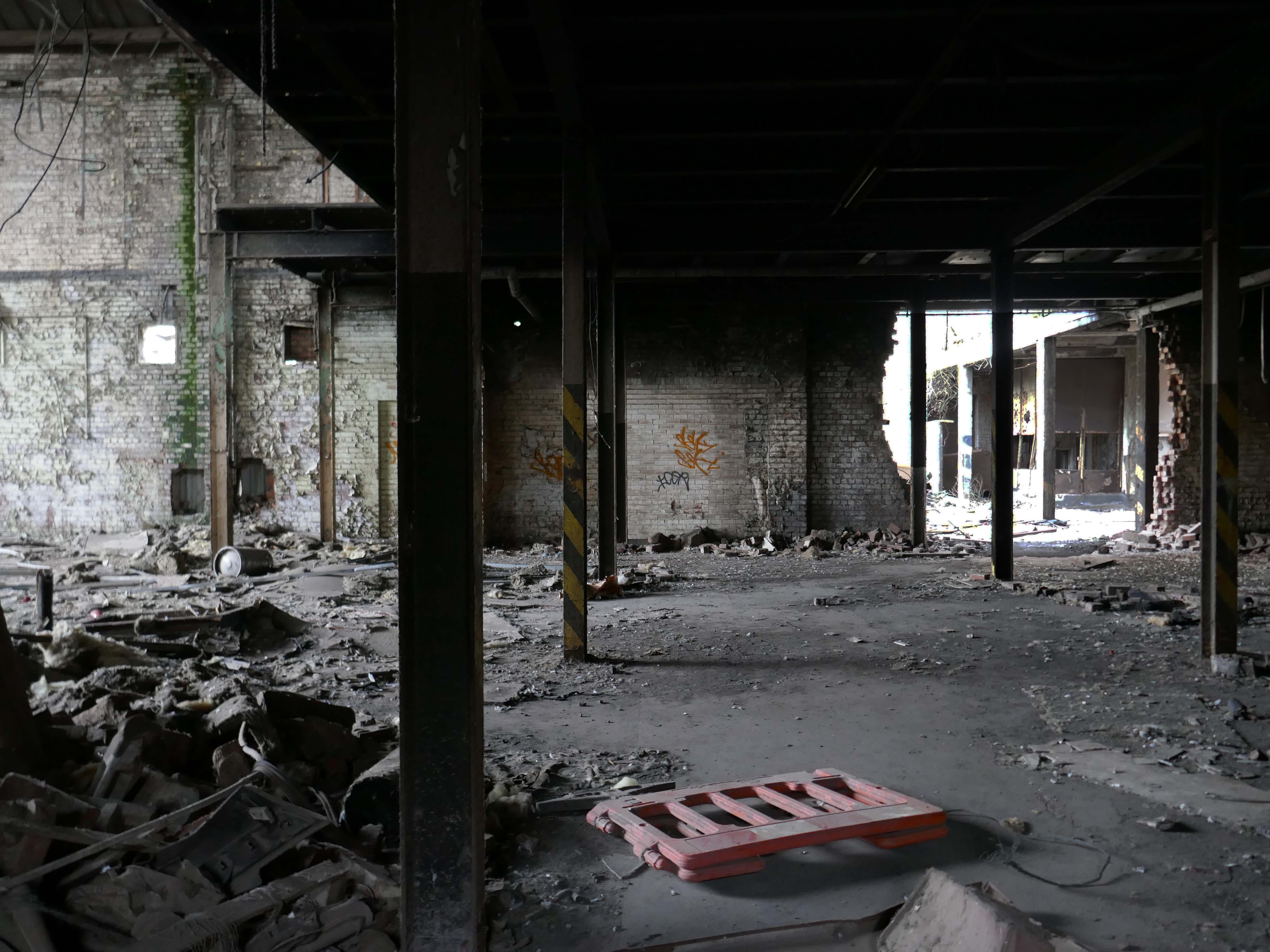
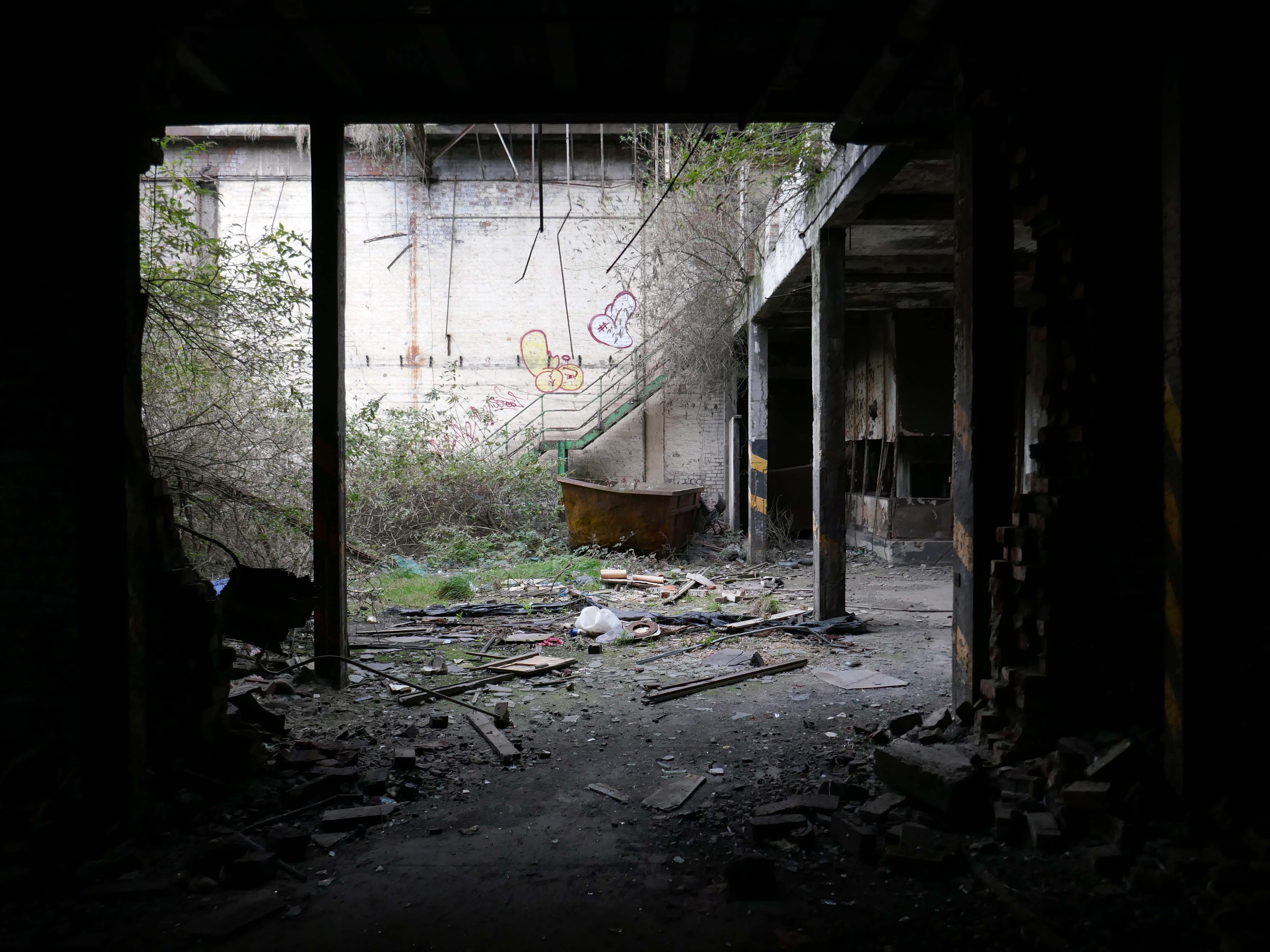
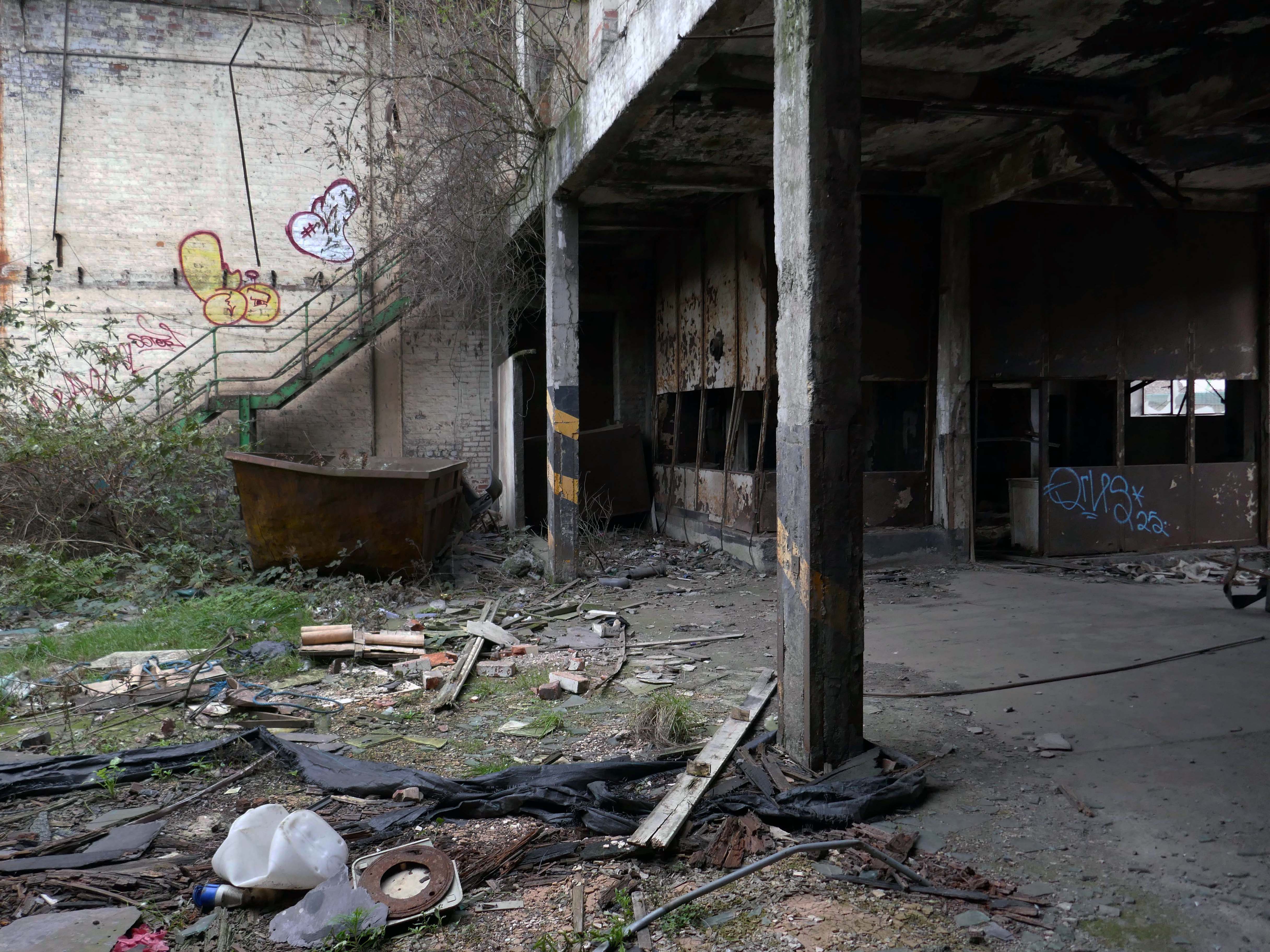
Our excavations at Vauxhall Industrial Estate, undertaken in advance of the redevelopment of the site by RECOM Solutions and Vauxhall Industrial Estate Ltd, revealed a number of features associated with the Craven Brothers’ Works. Two excavation areas were opened, targeted on features shown on historic mapping but no longer surviving: Area 1 in the north, targeting a small chimney and outbuildings adjacent to the machine shops; and Area 2 in the south targeting a chimney and part of the footprint of Building 3. In Area 1, the archaeological remains had been heavily truncated by the installation of chemical vats in the late 20th century after Craven Brothers closed; however, the foundations of the targeted outbuildings and the chimney were uncovered, as well as the remains of a railway track running alongside the machine shops, represented by in situ sleepers.
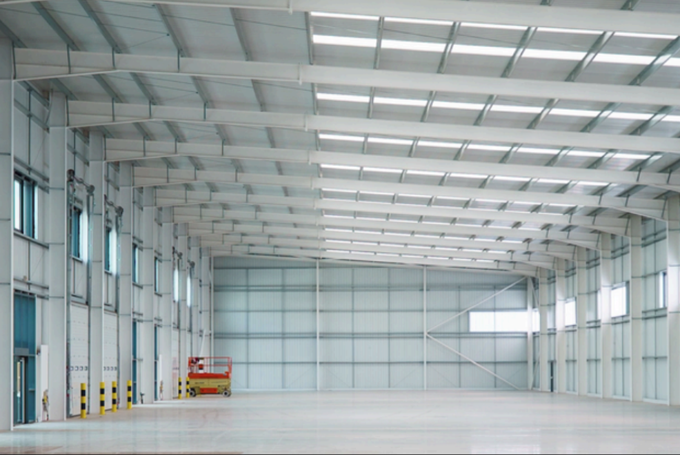
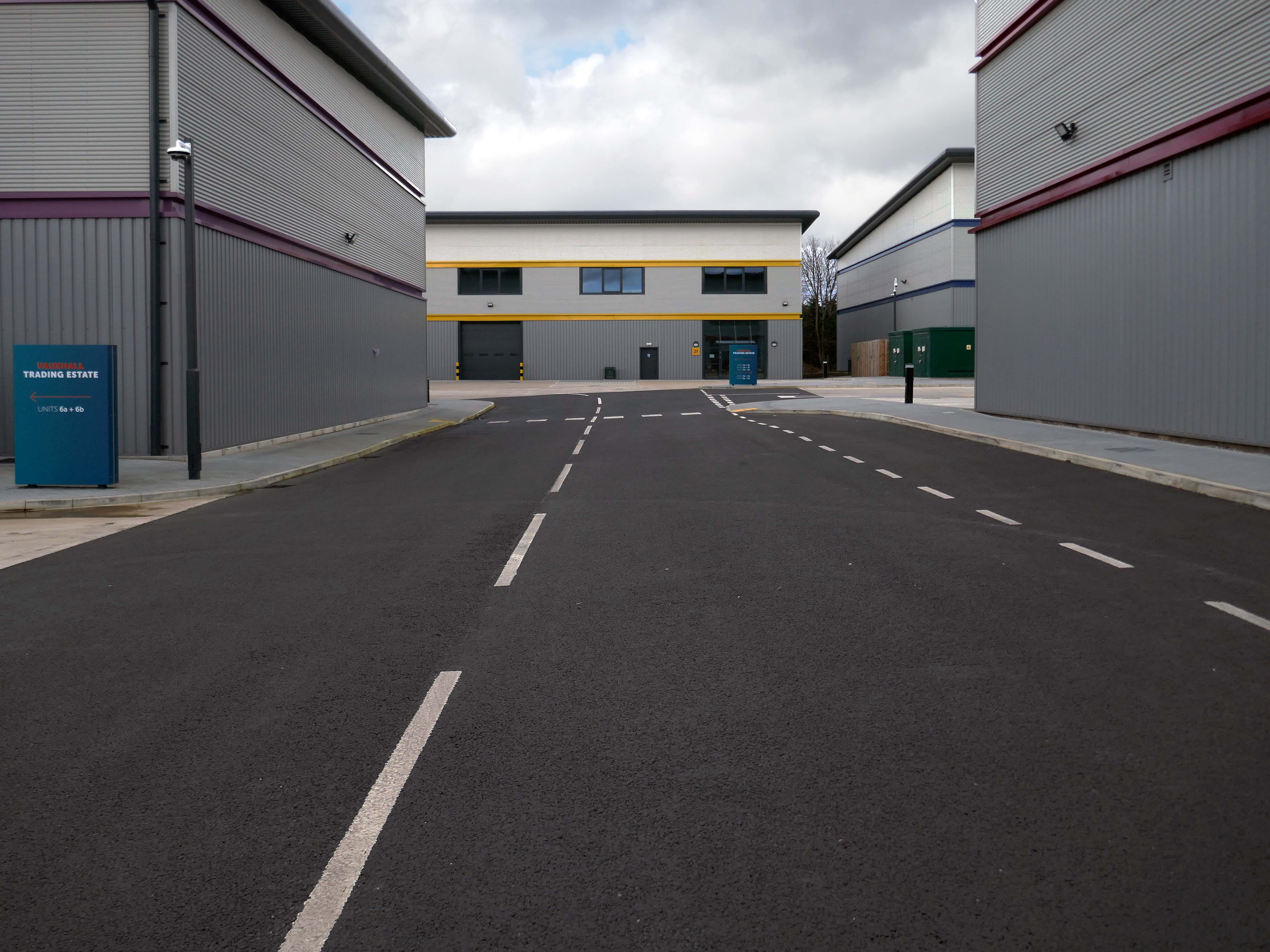
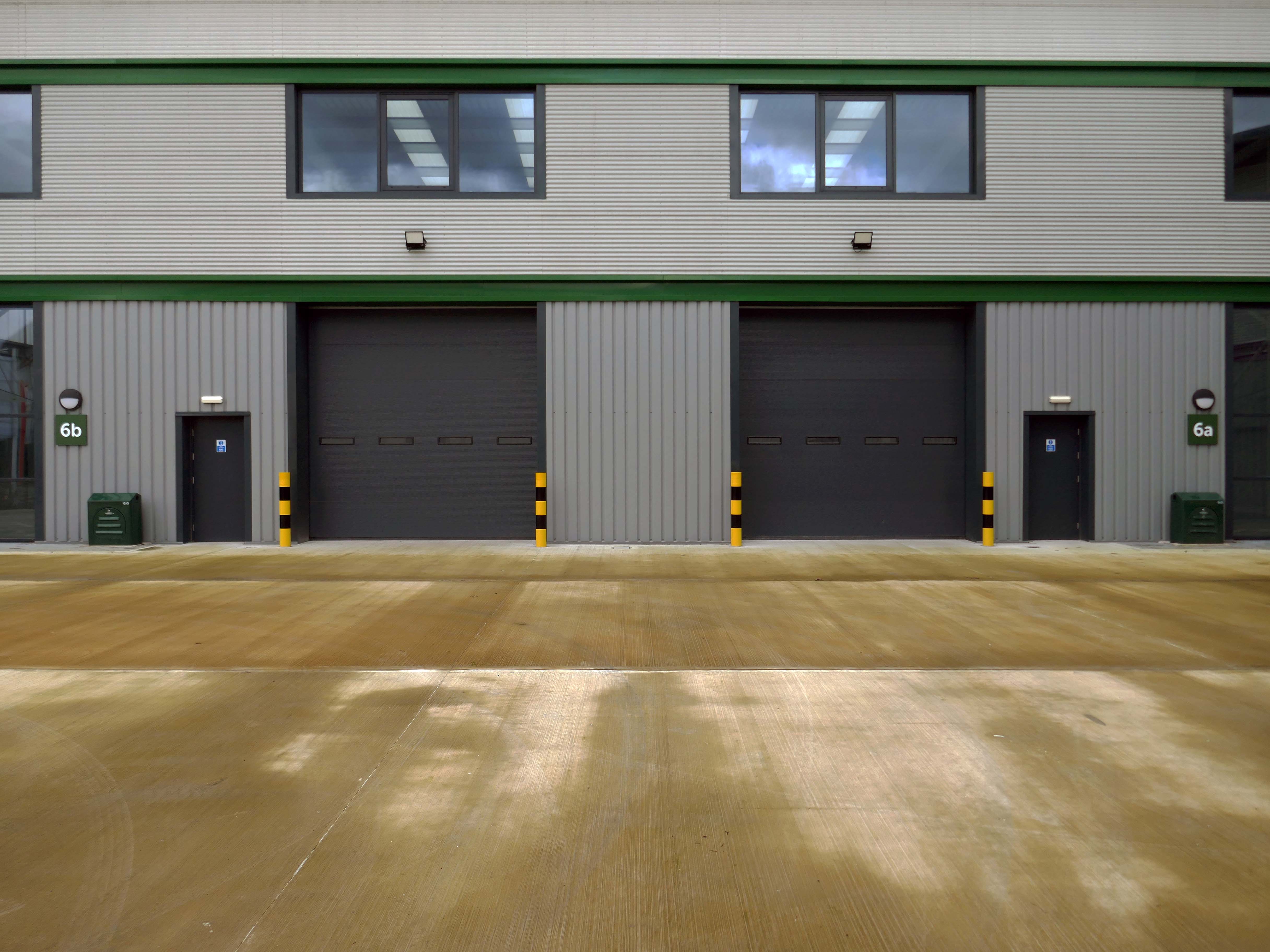
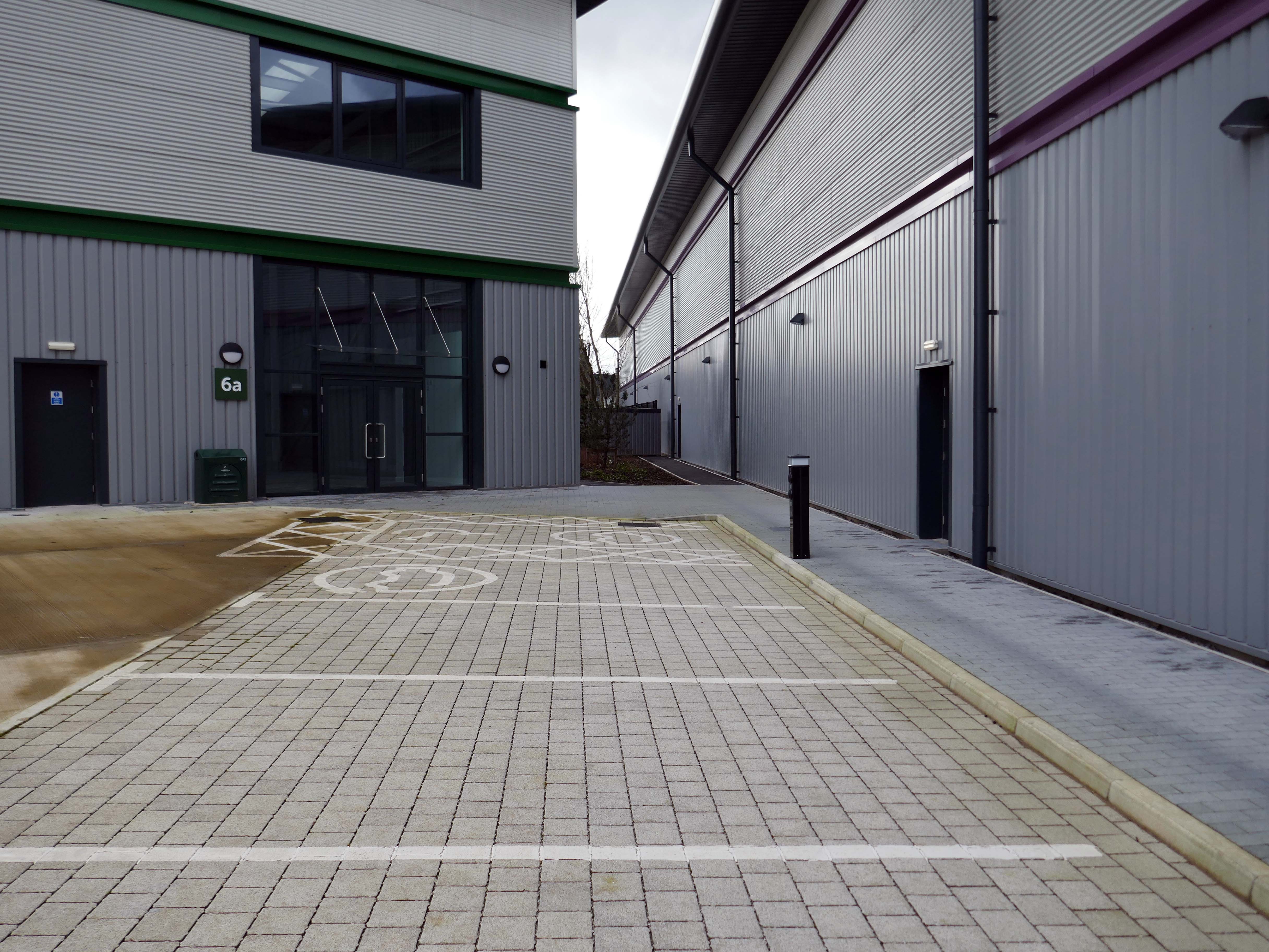
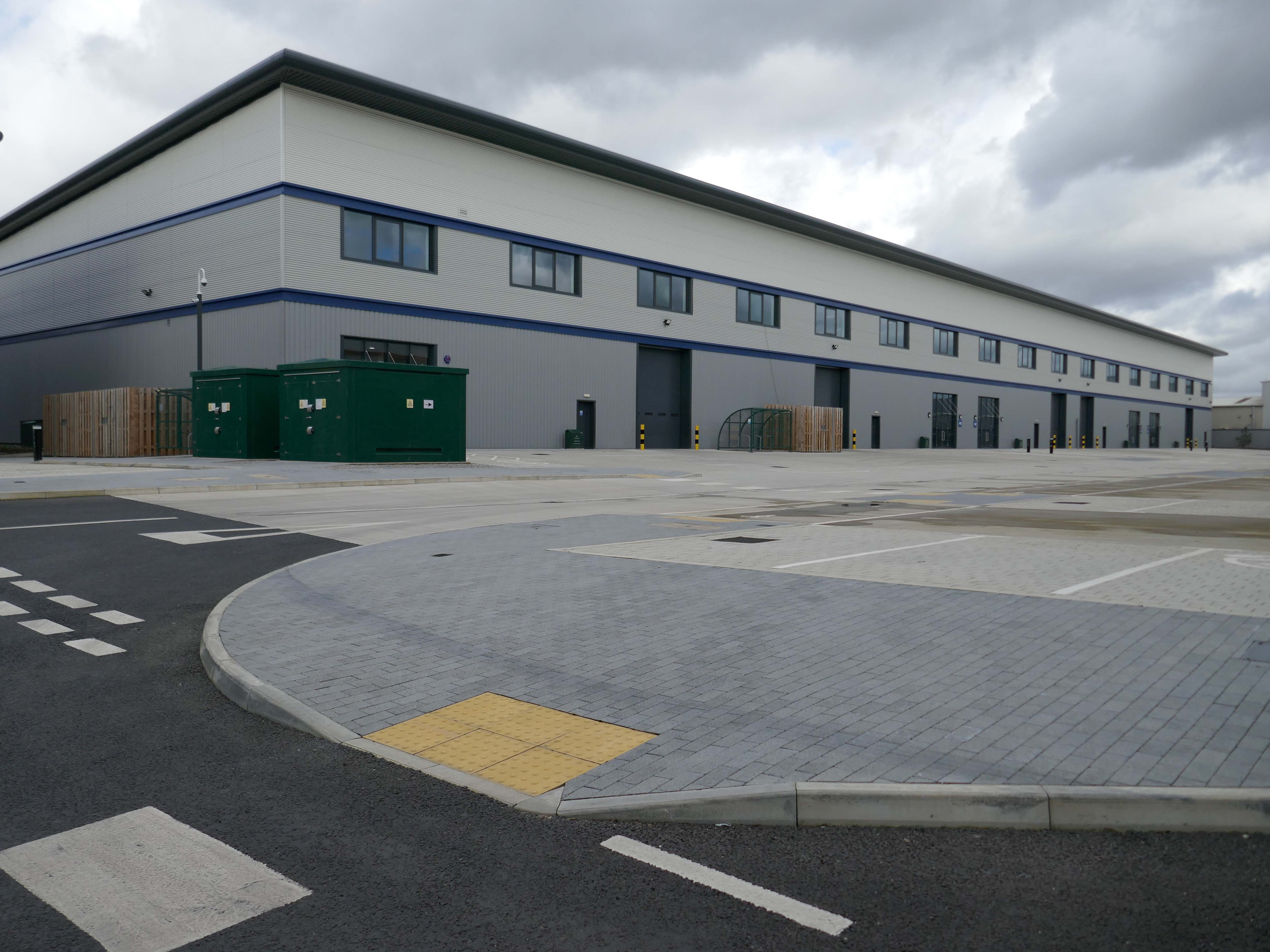
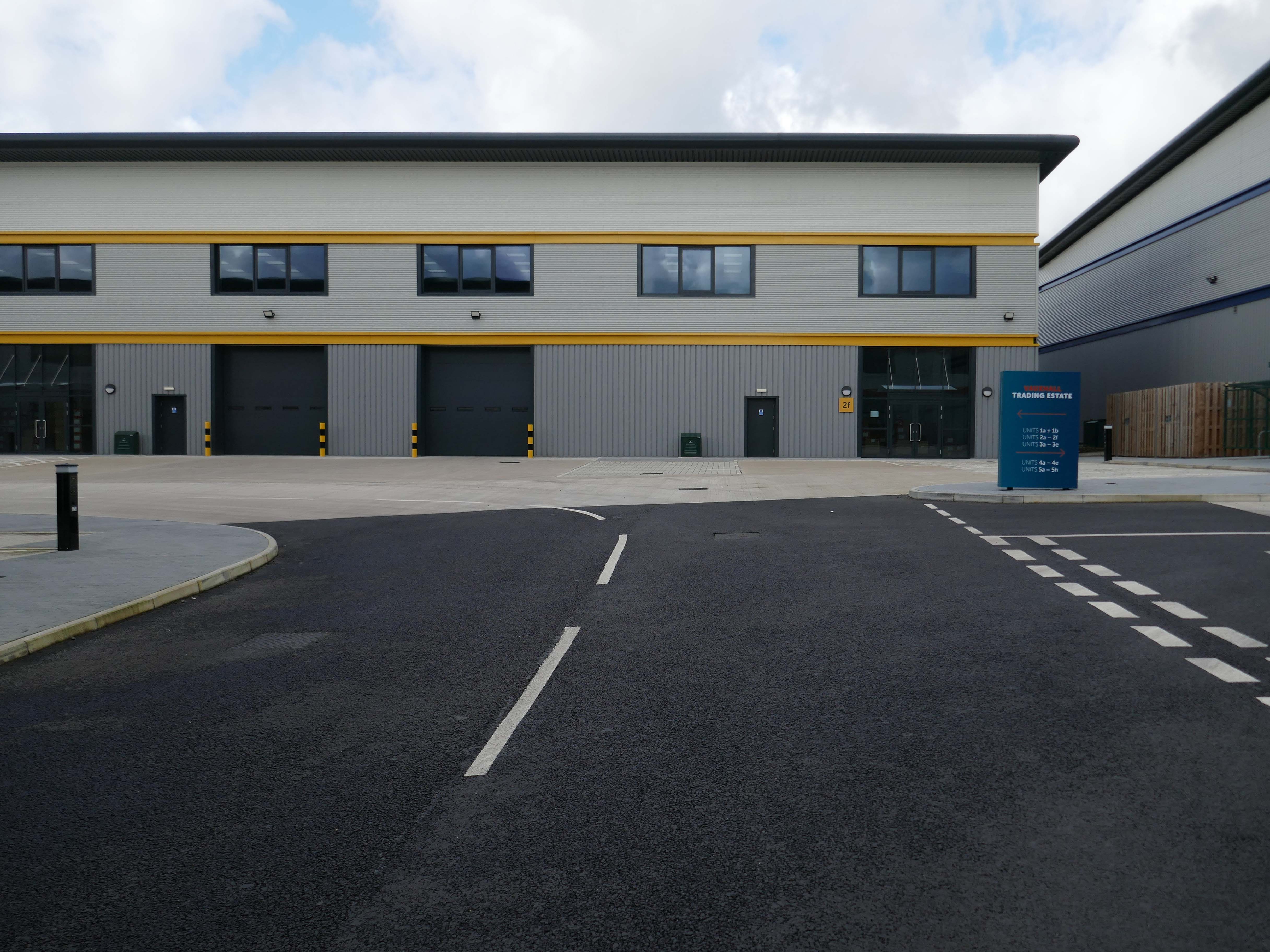
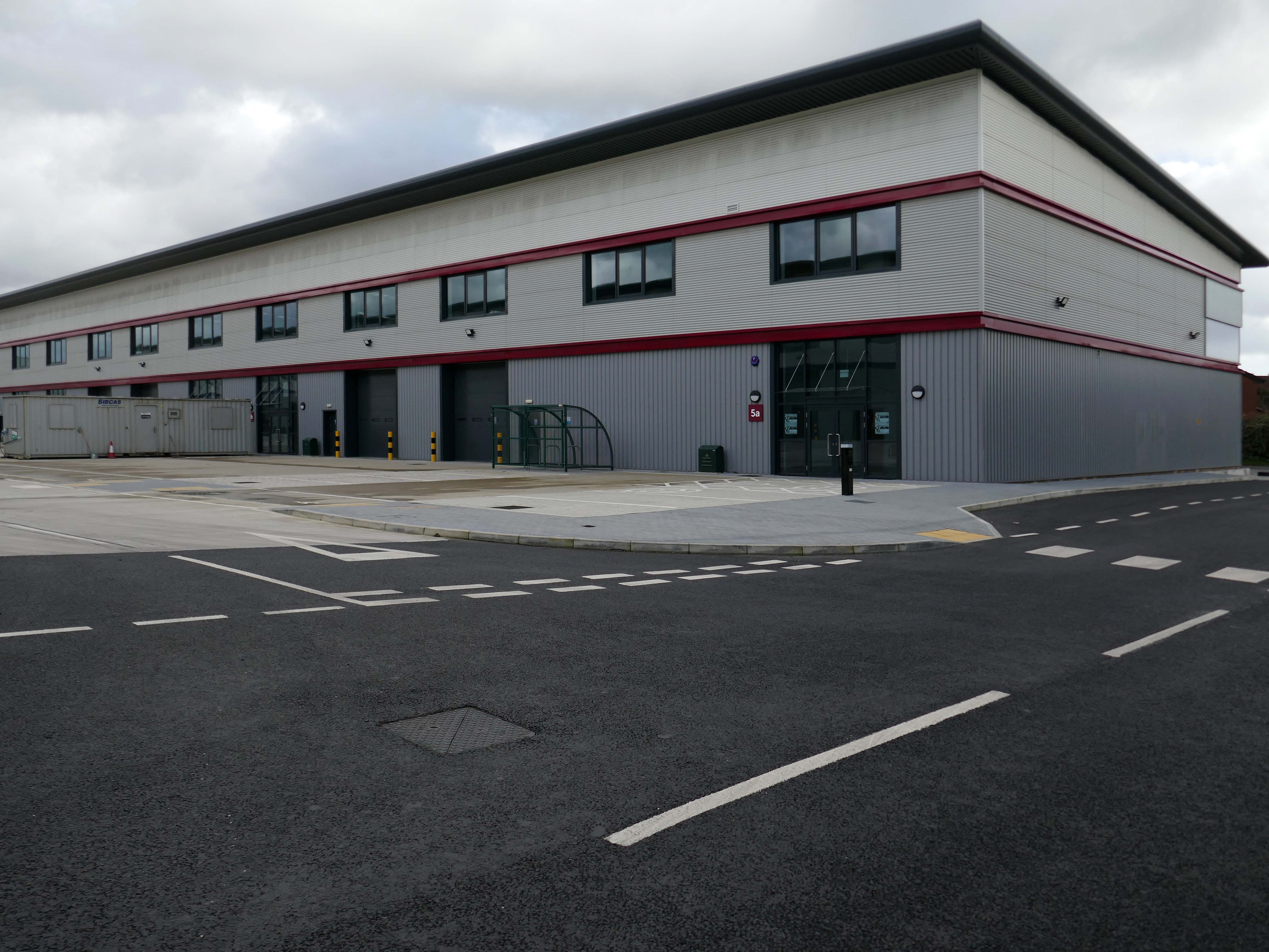
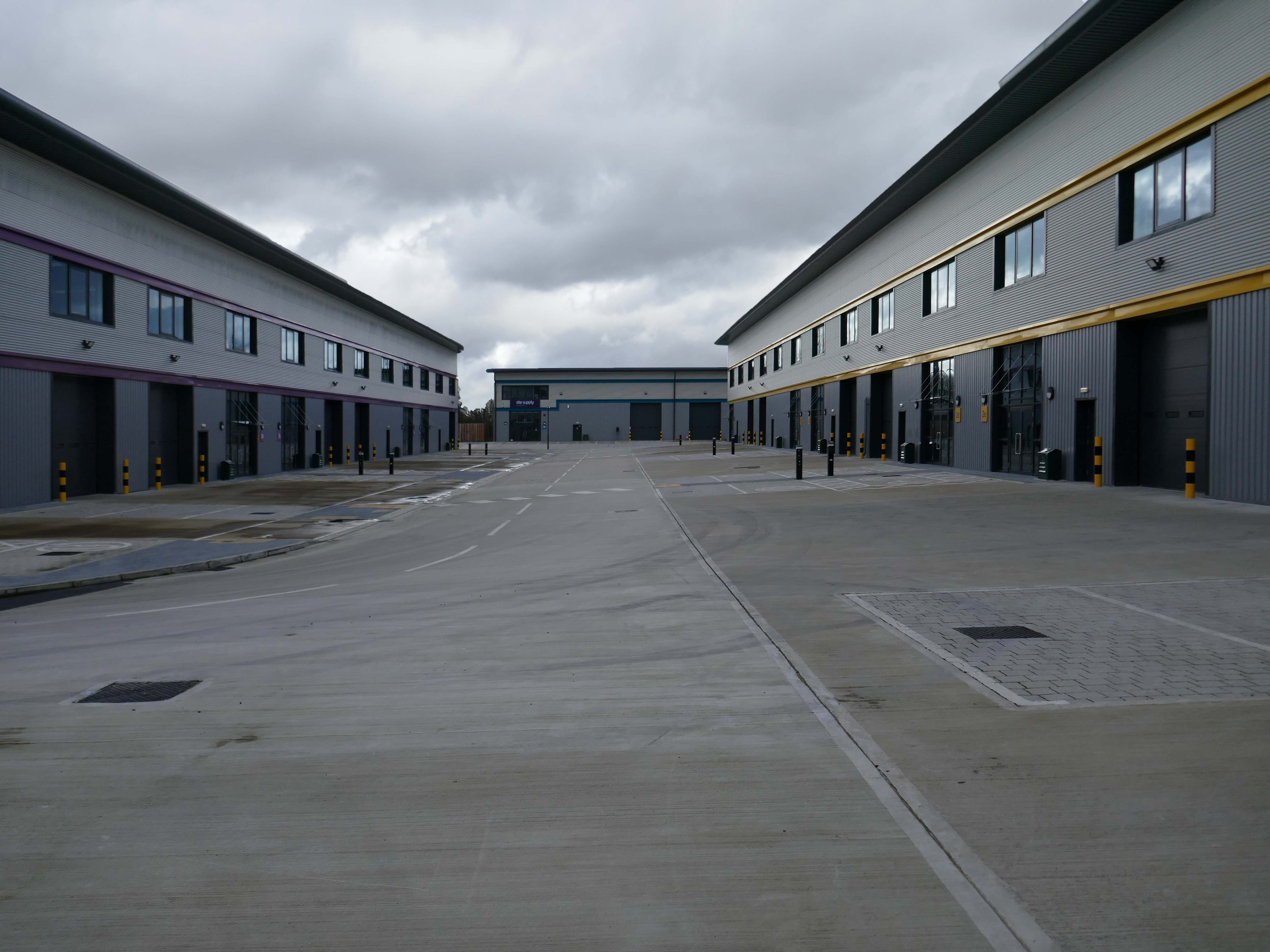
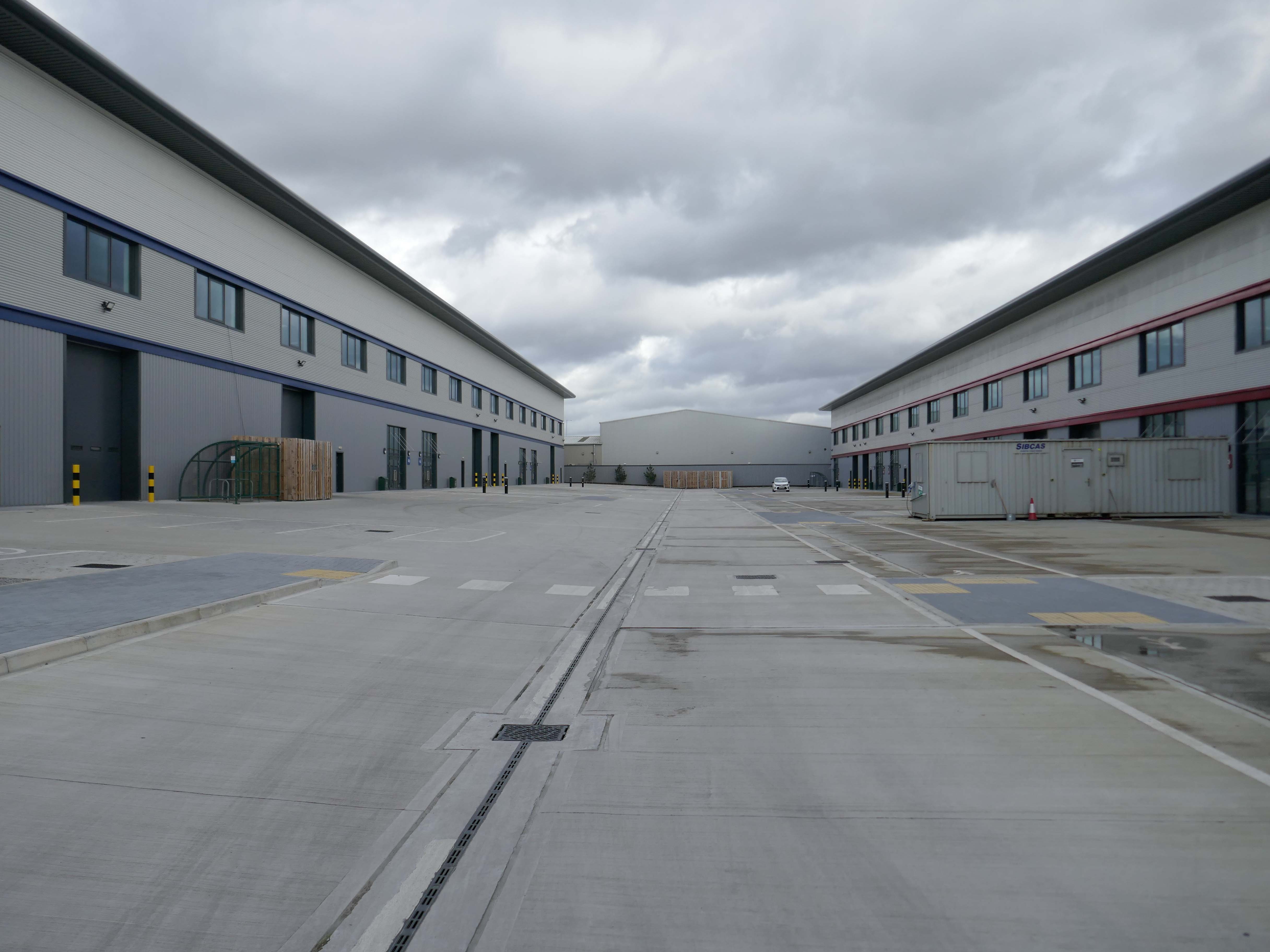
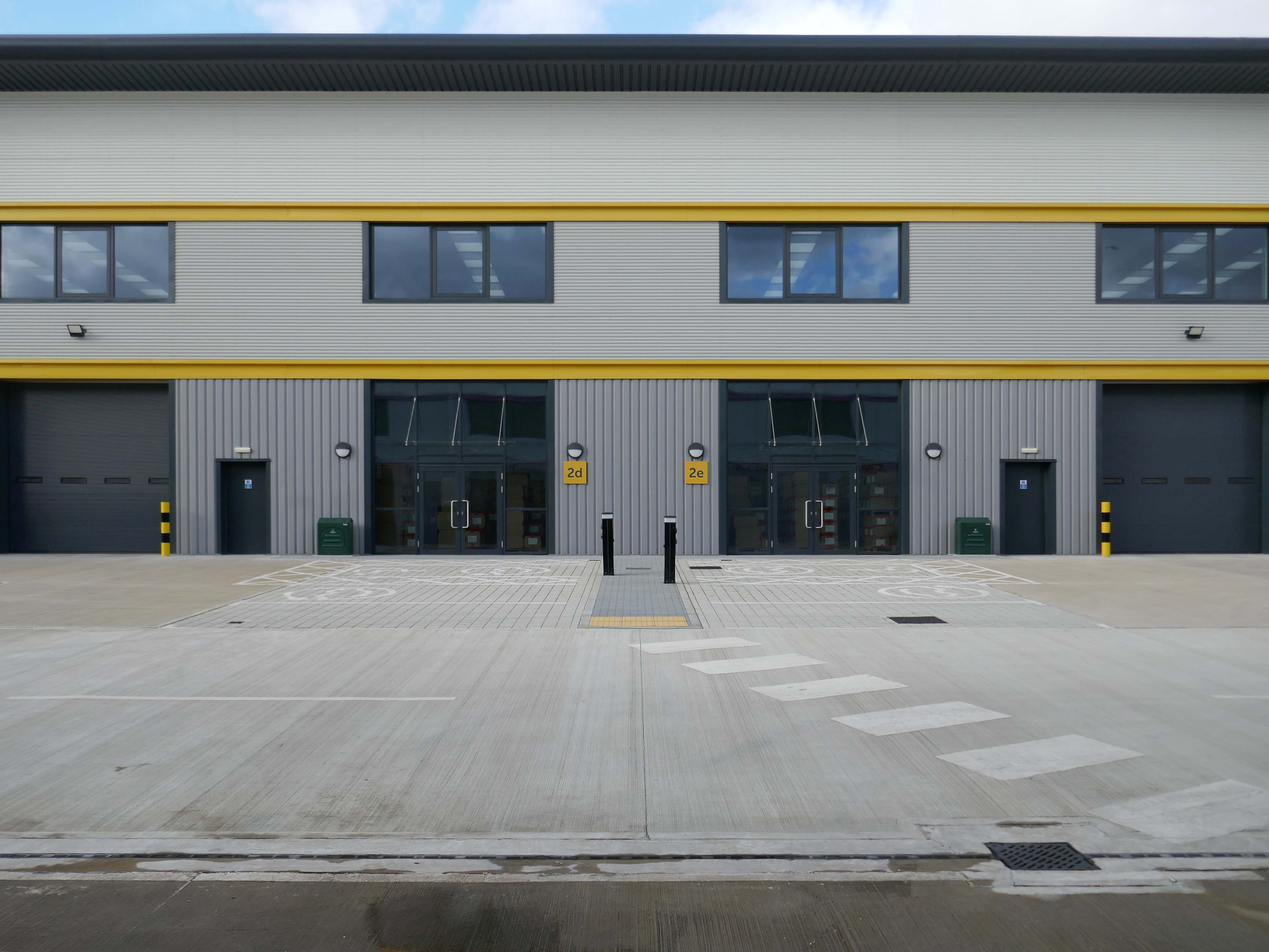
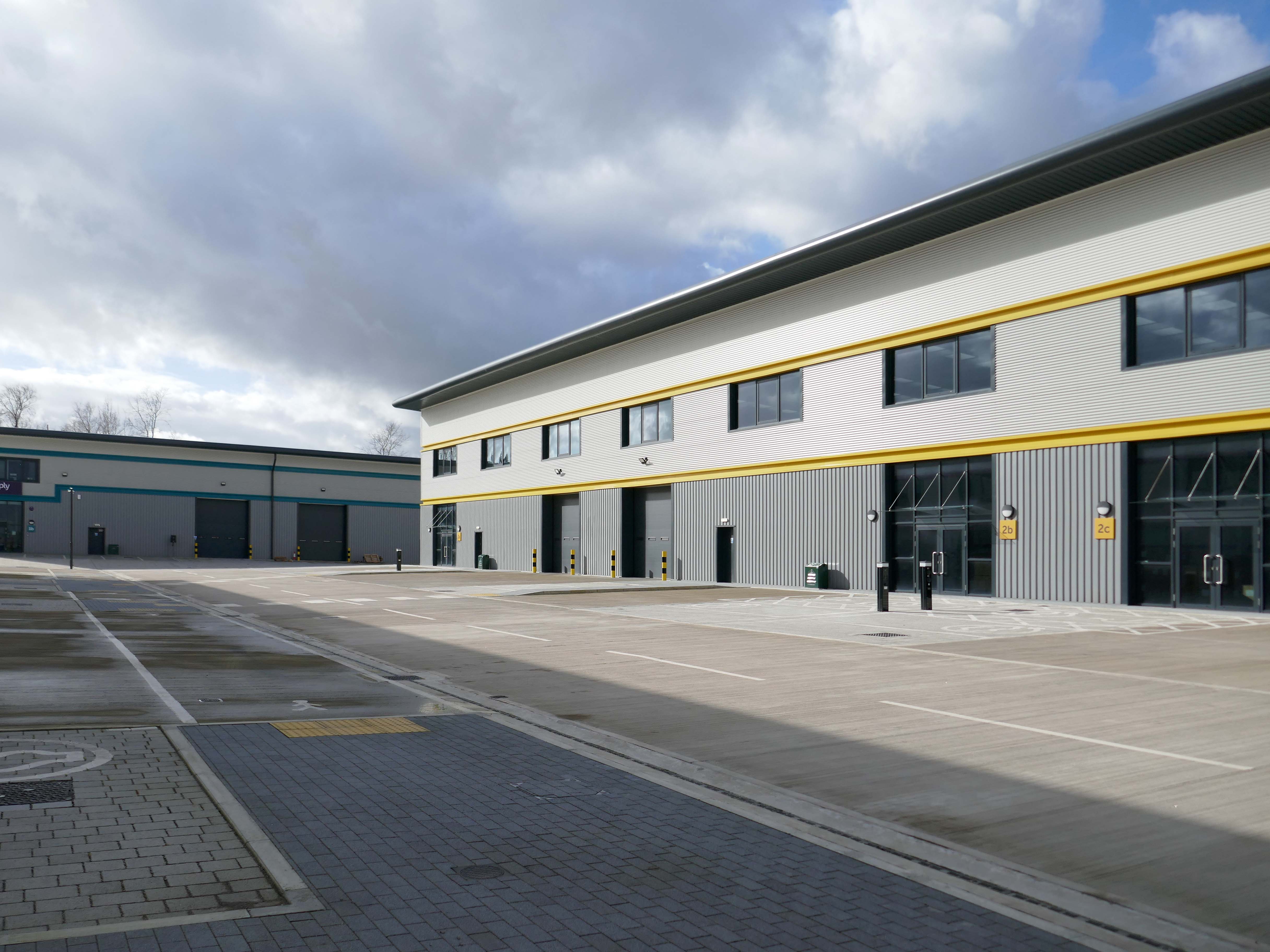
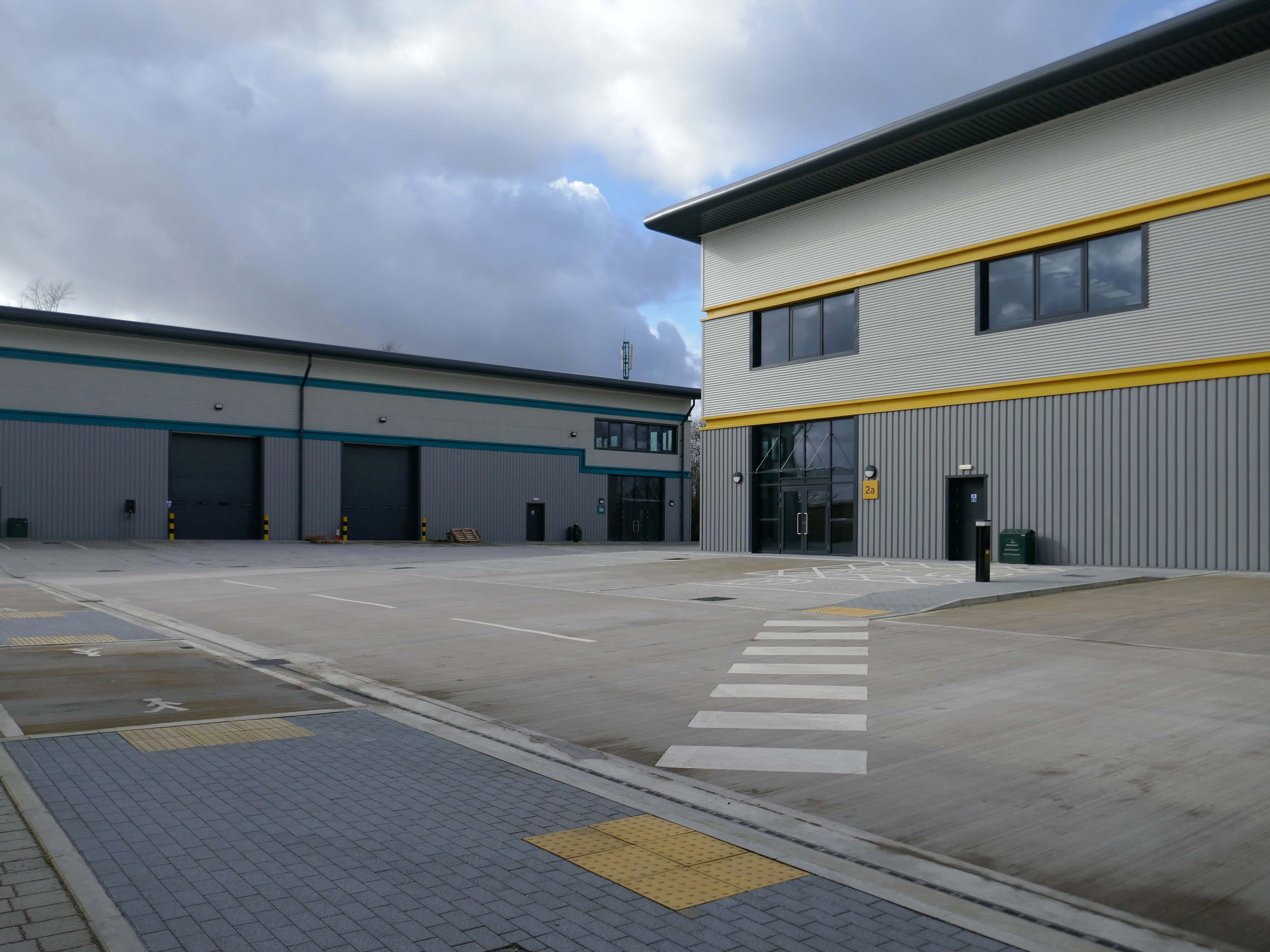
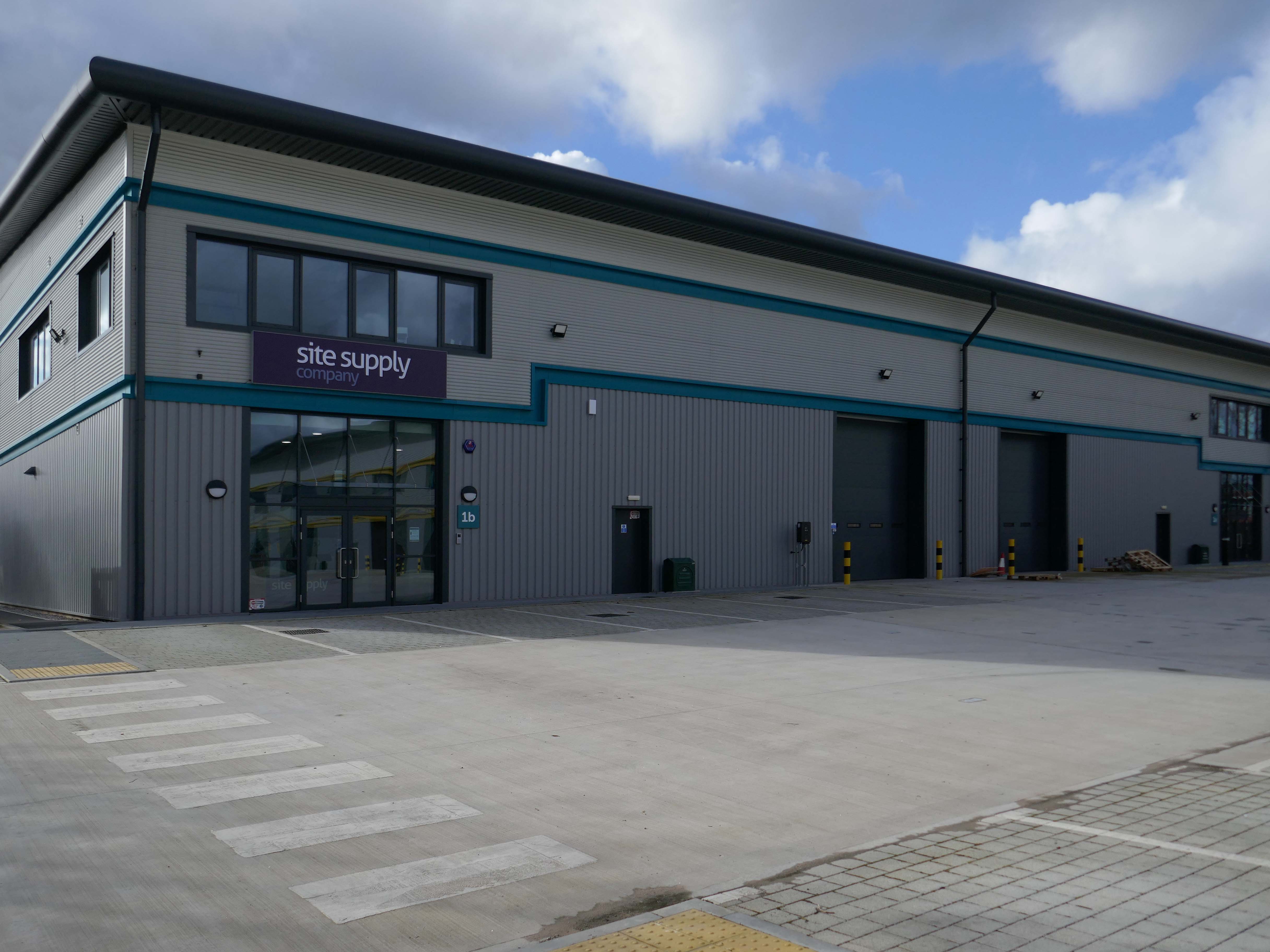
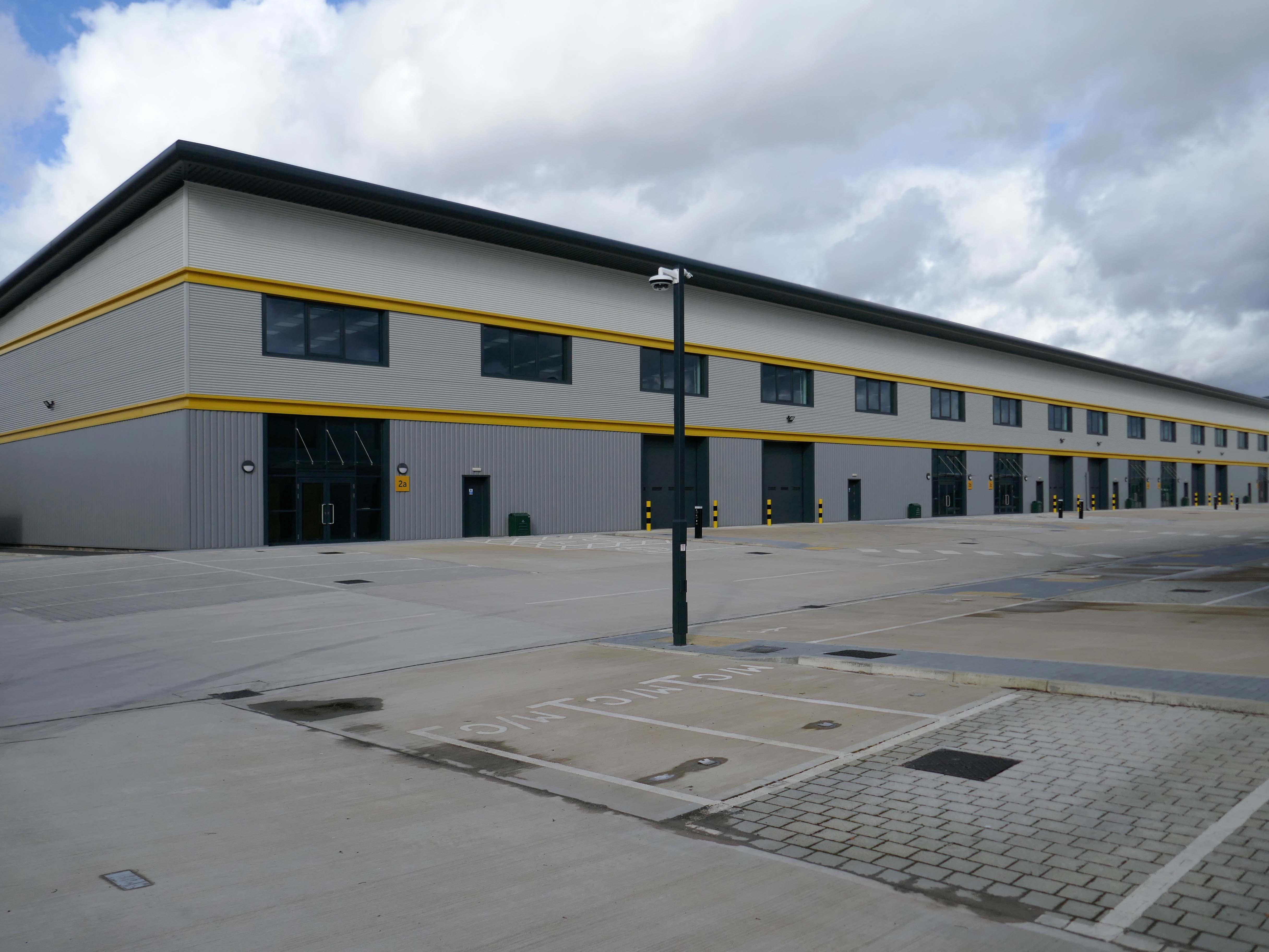
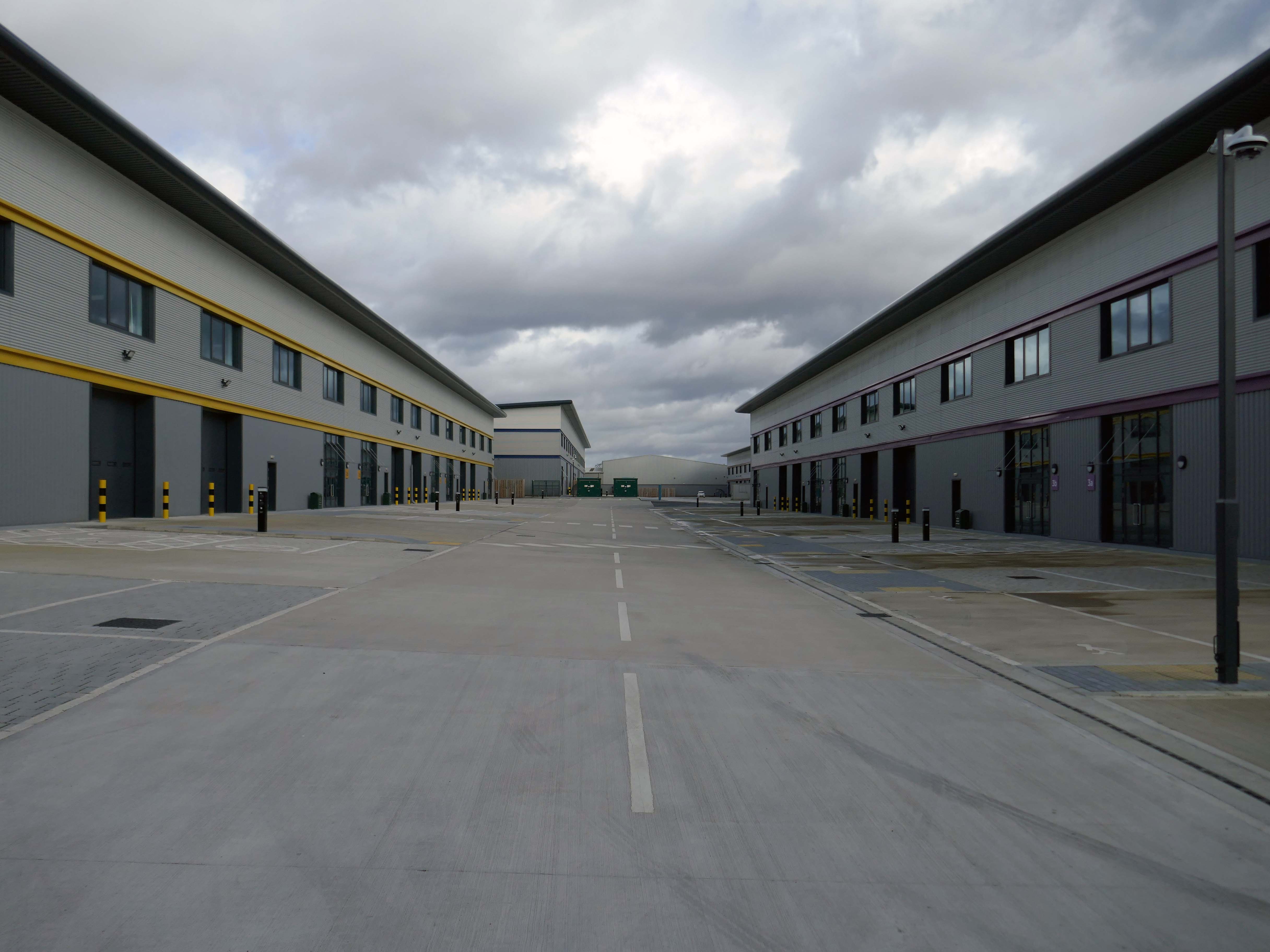
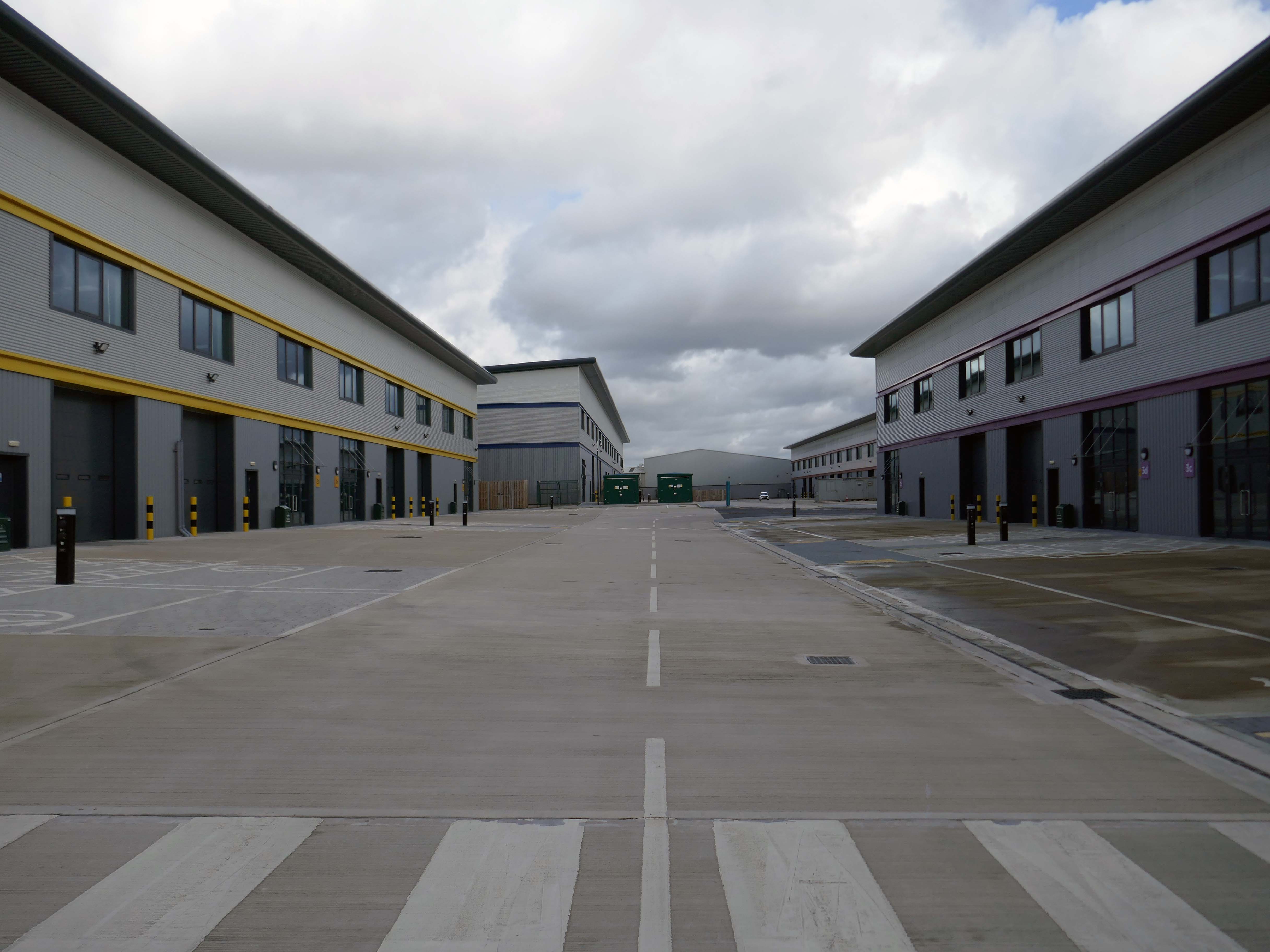
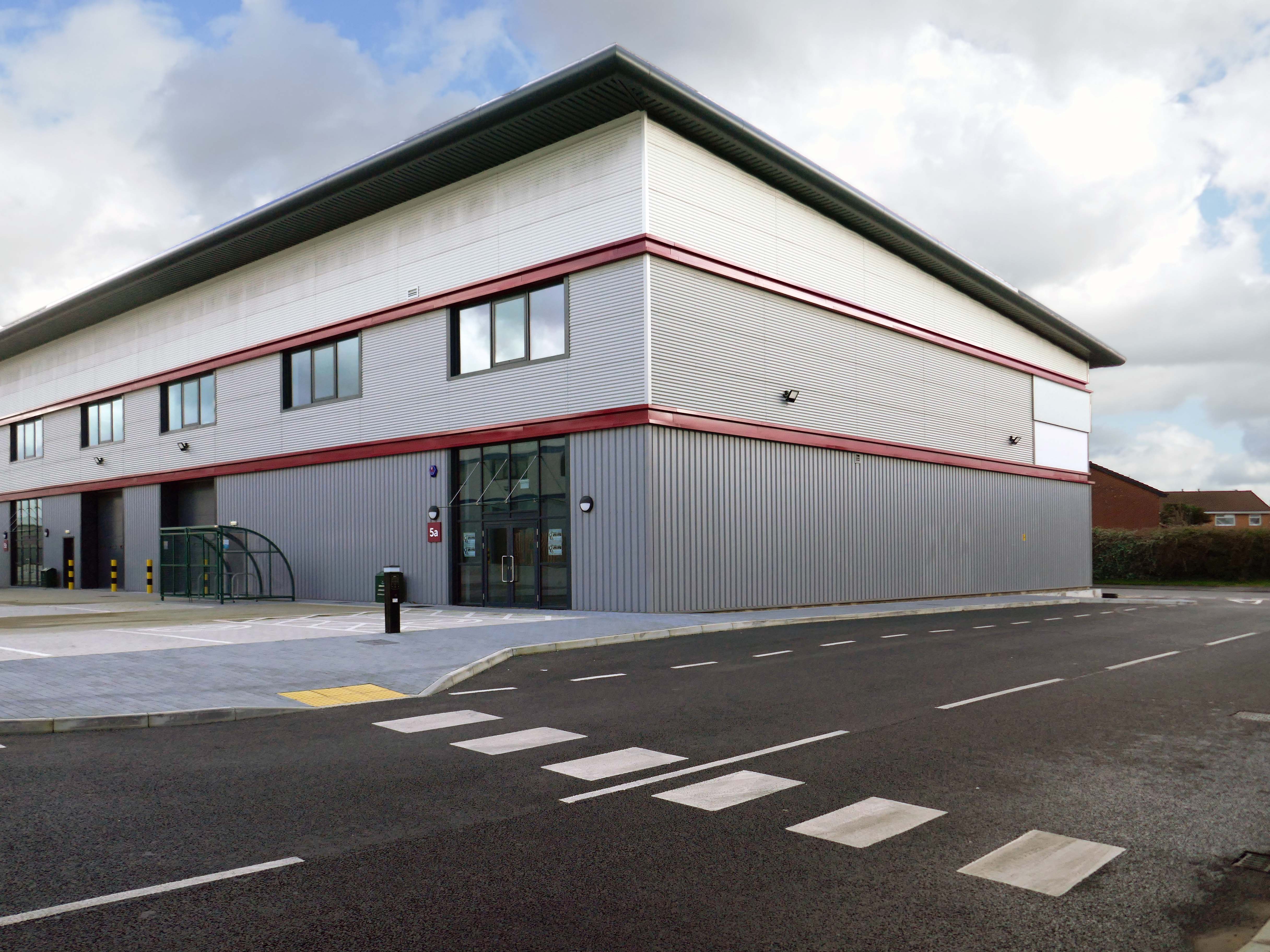
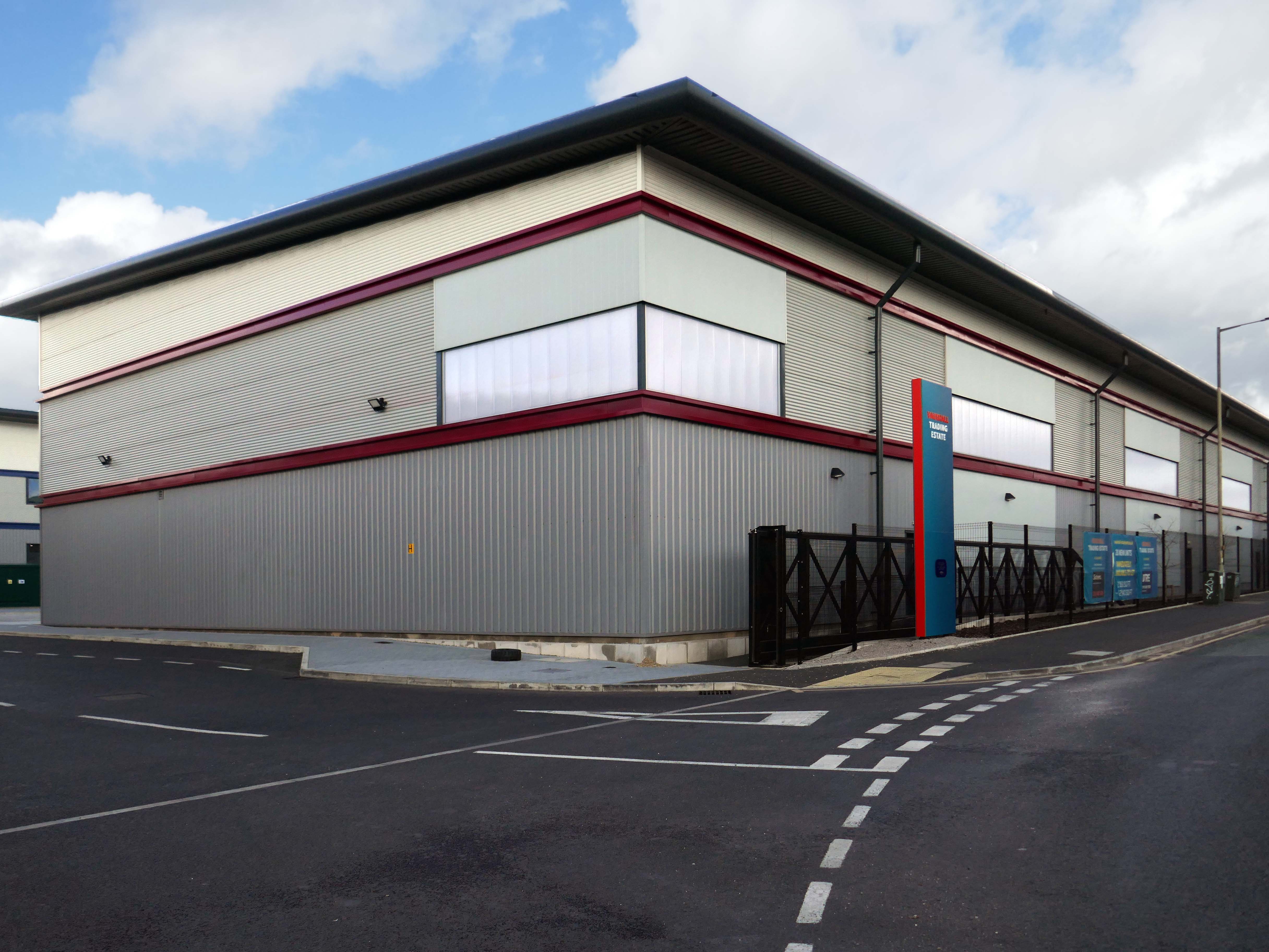
Vauxhall Trading Estate, formerly Vauxhall Industrial Estate, was a collection of dilapidated old industrial buildings, which have been demolished and new modern industrial units provided. RECOM provided project management services to demolish all previous buildings and prepare the site for the main contractor, achieve planning consent, enter a BAPA with Network Rail, tender and appoint the successful main contractor and then provide the Employer’s Agent service throughout the construction phase.
We worked with the design team to produce project specific Employer’s Requirements, ensuring that the client’s brief to provide high quality industrial units was delivered. We ensured the client’s interests were maintained throughout the project, making objective decisions that aligned with the client’s goals. In order to de-risk the project prior to entering into the main contract, we advised the client on what site investigations, enabling works and surveys needed to be undertaken. As the Employer’s Agent, we ensured that the conditions of the contract were adhered to, managing claims from the contractor,ensuring that the client’s position was protected.
Demolition works and embodied carbon created through construction works, is being offset against the sustainable energy created post occupation including: mix of air-source heat pumps and gas-fired radiant tube heating for heating and cooling, and photovoltaic solar panels installed on rooftops to generate green electricity for occupiers.
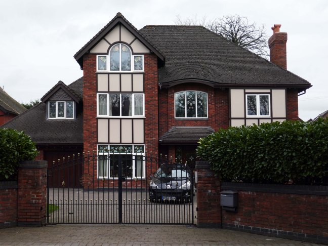
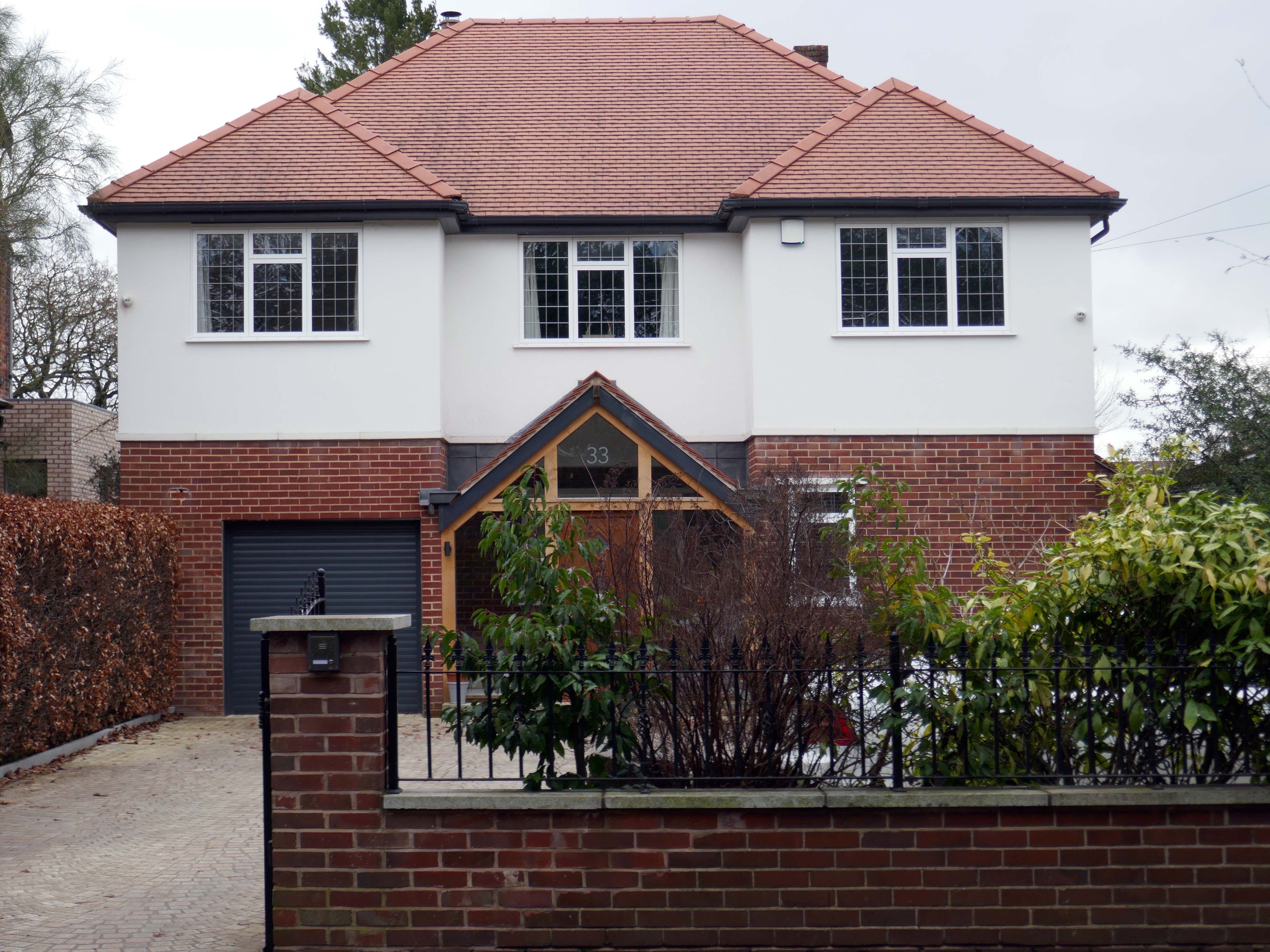
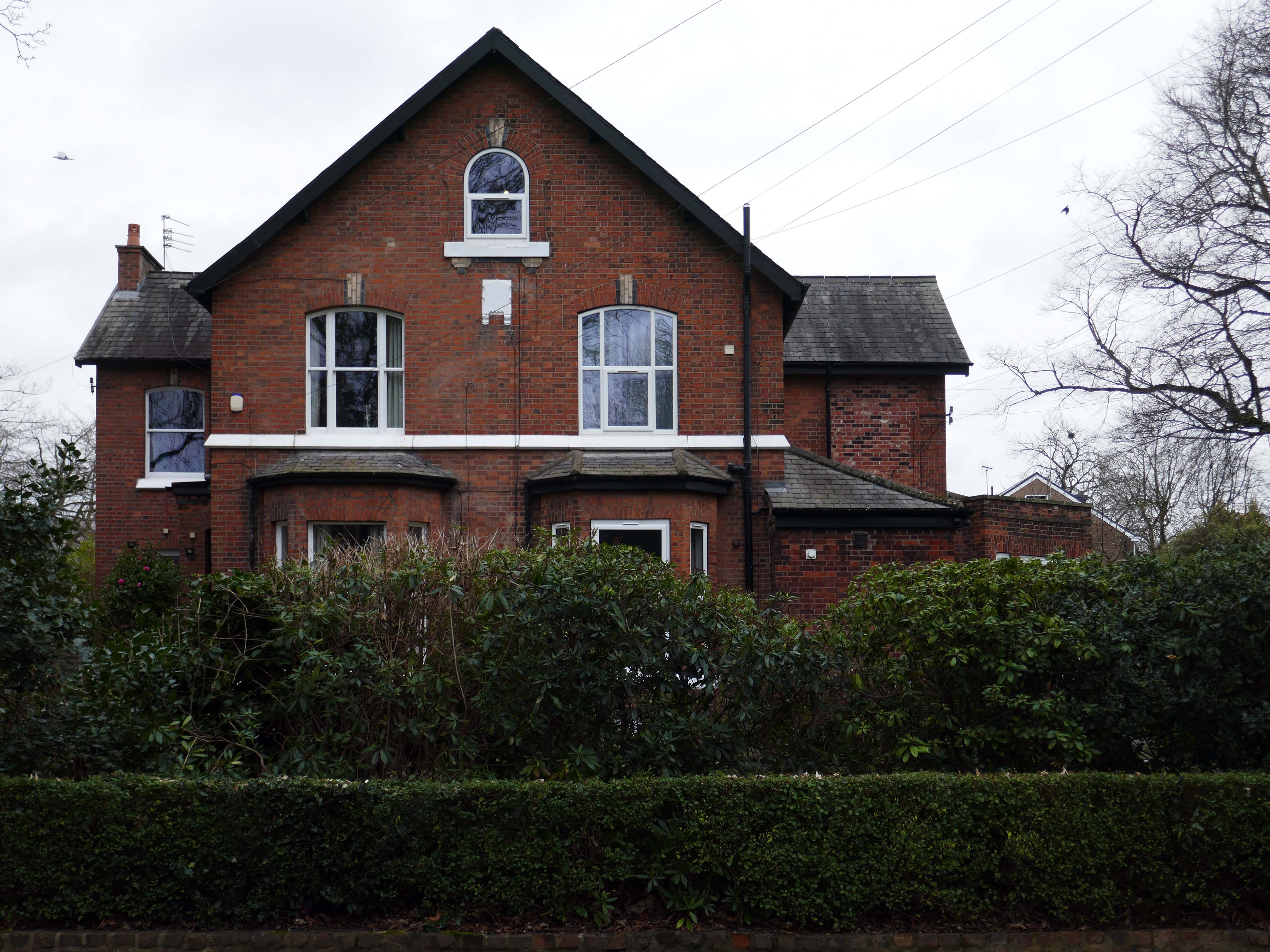
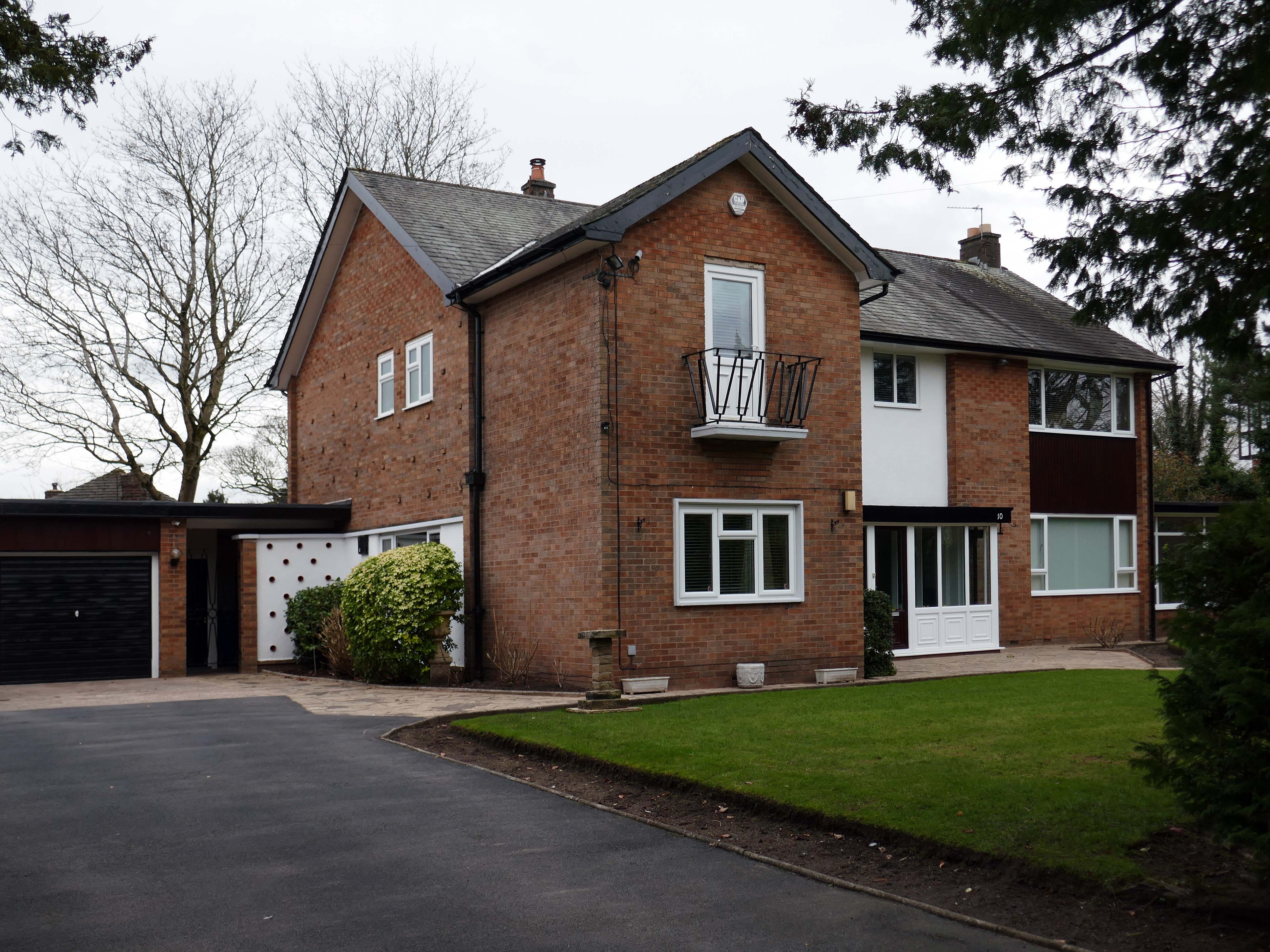
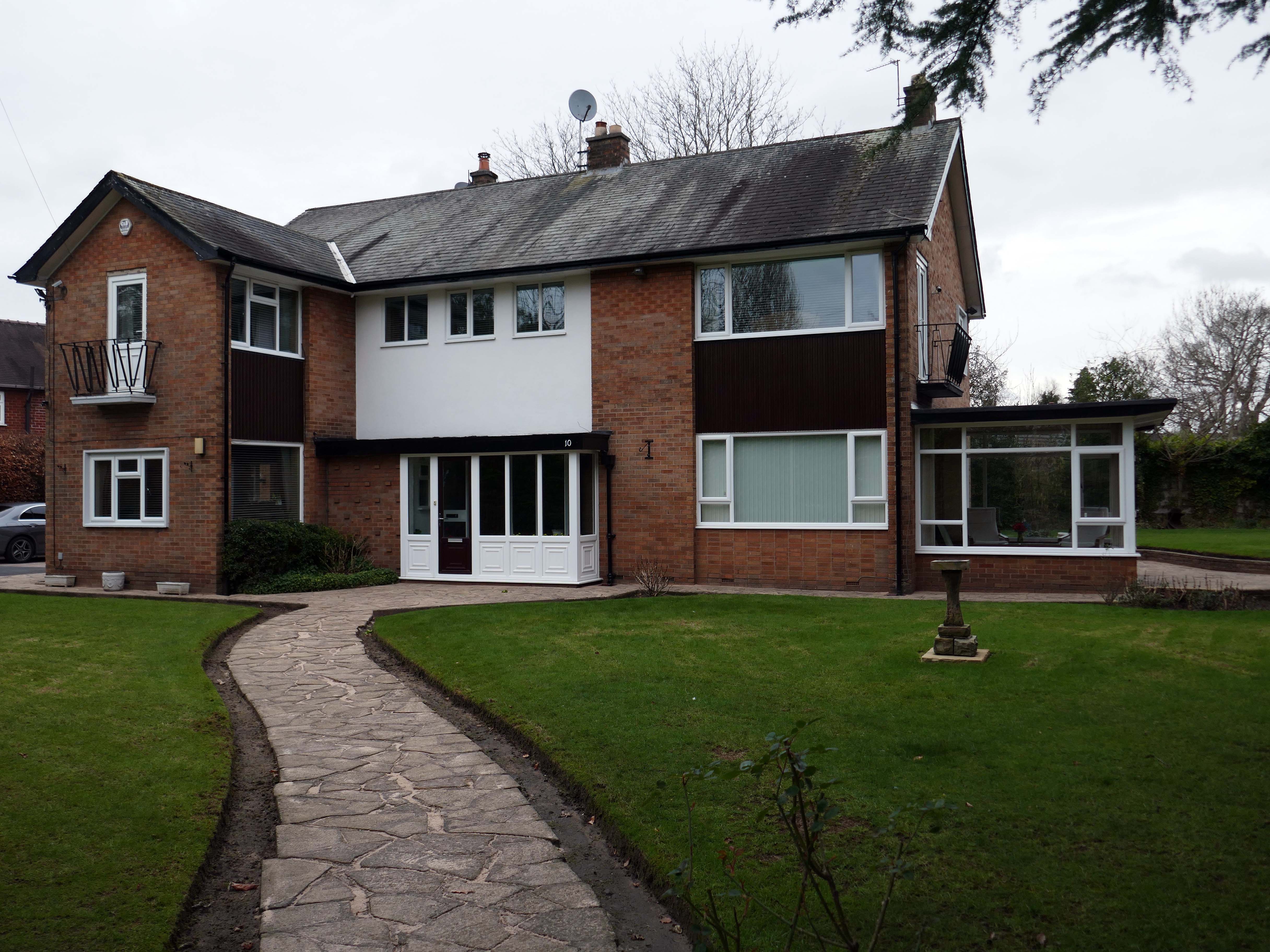
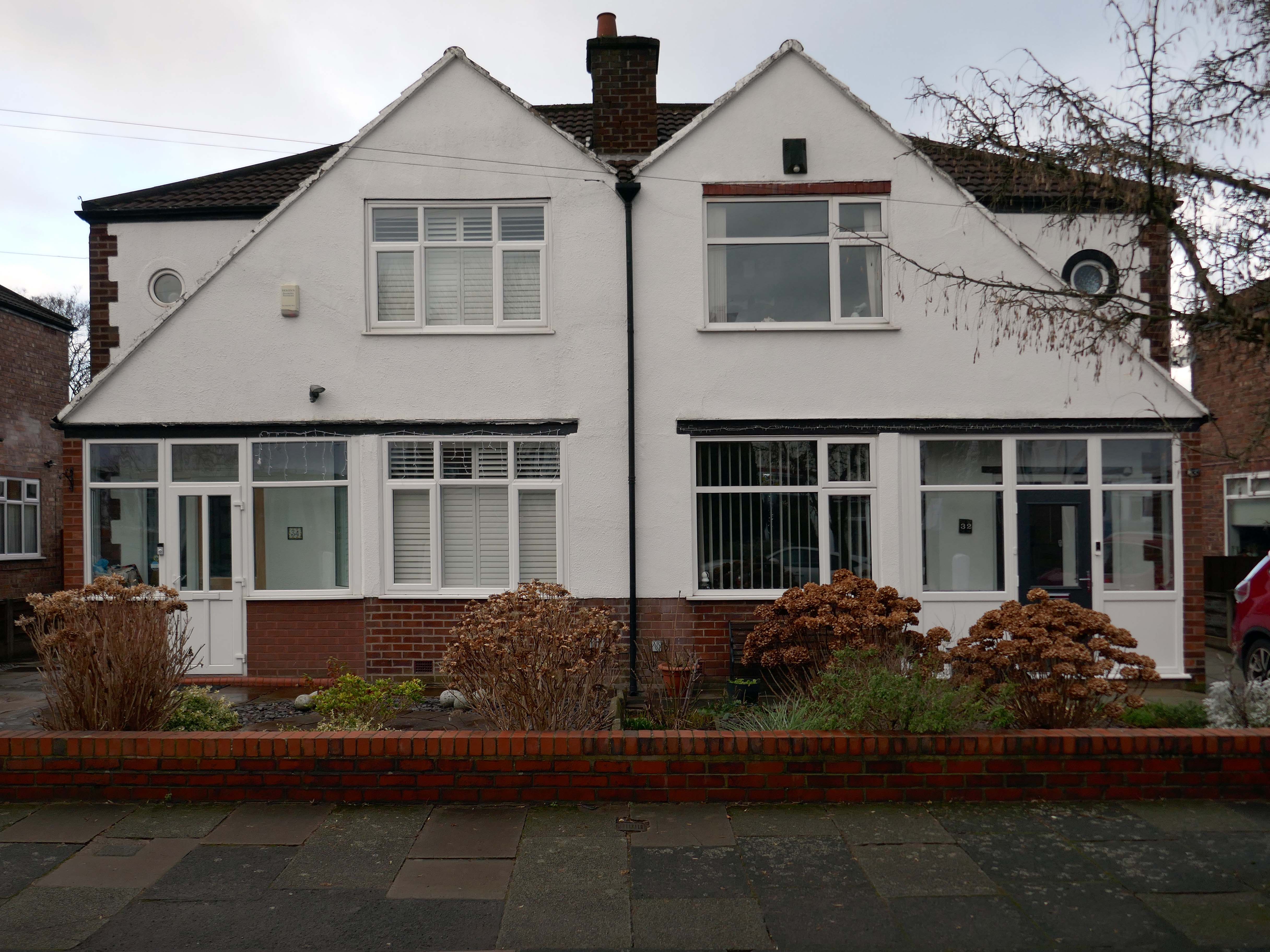
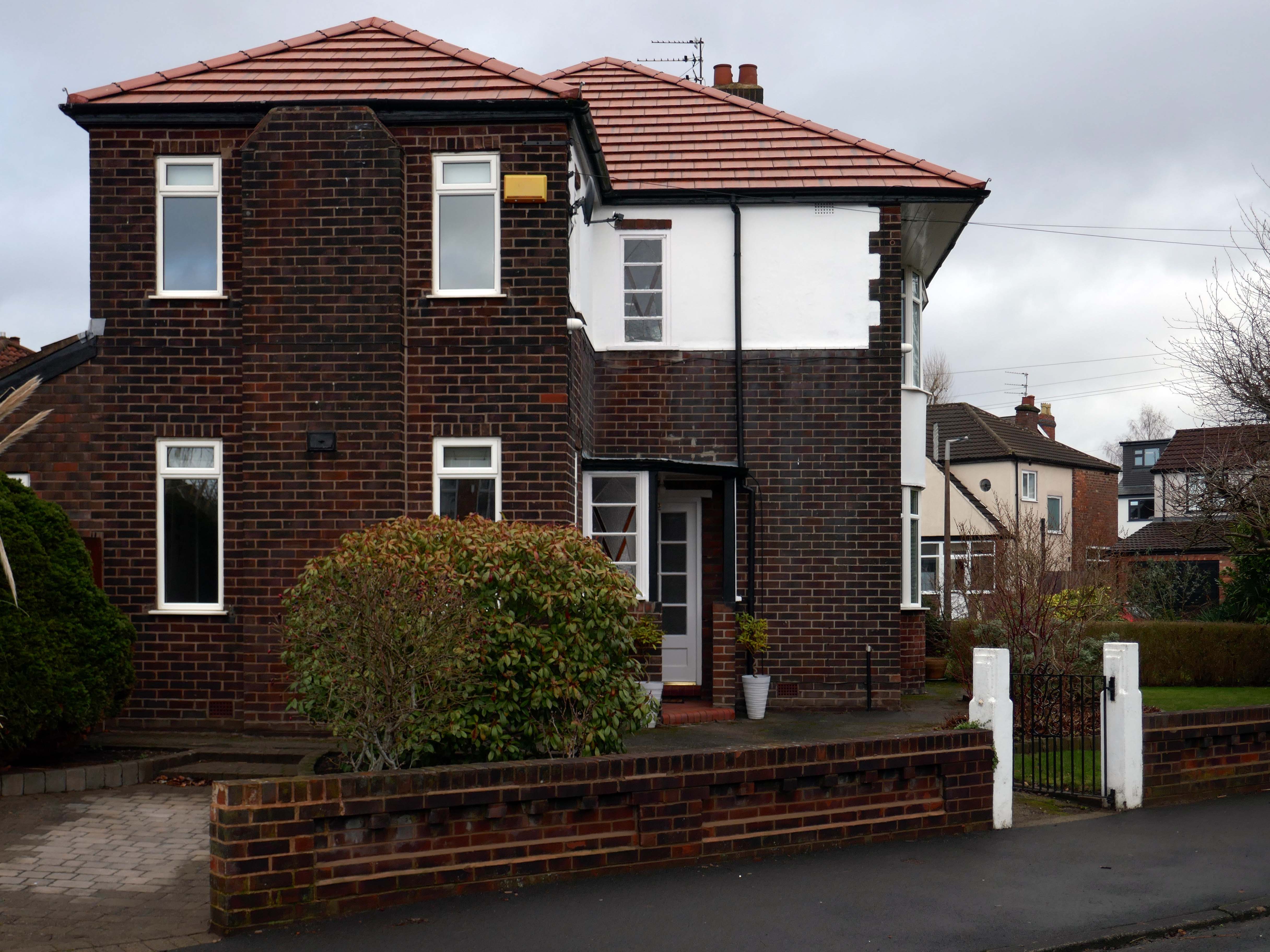
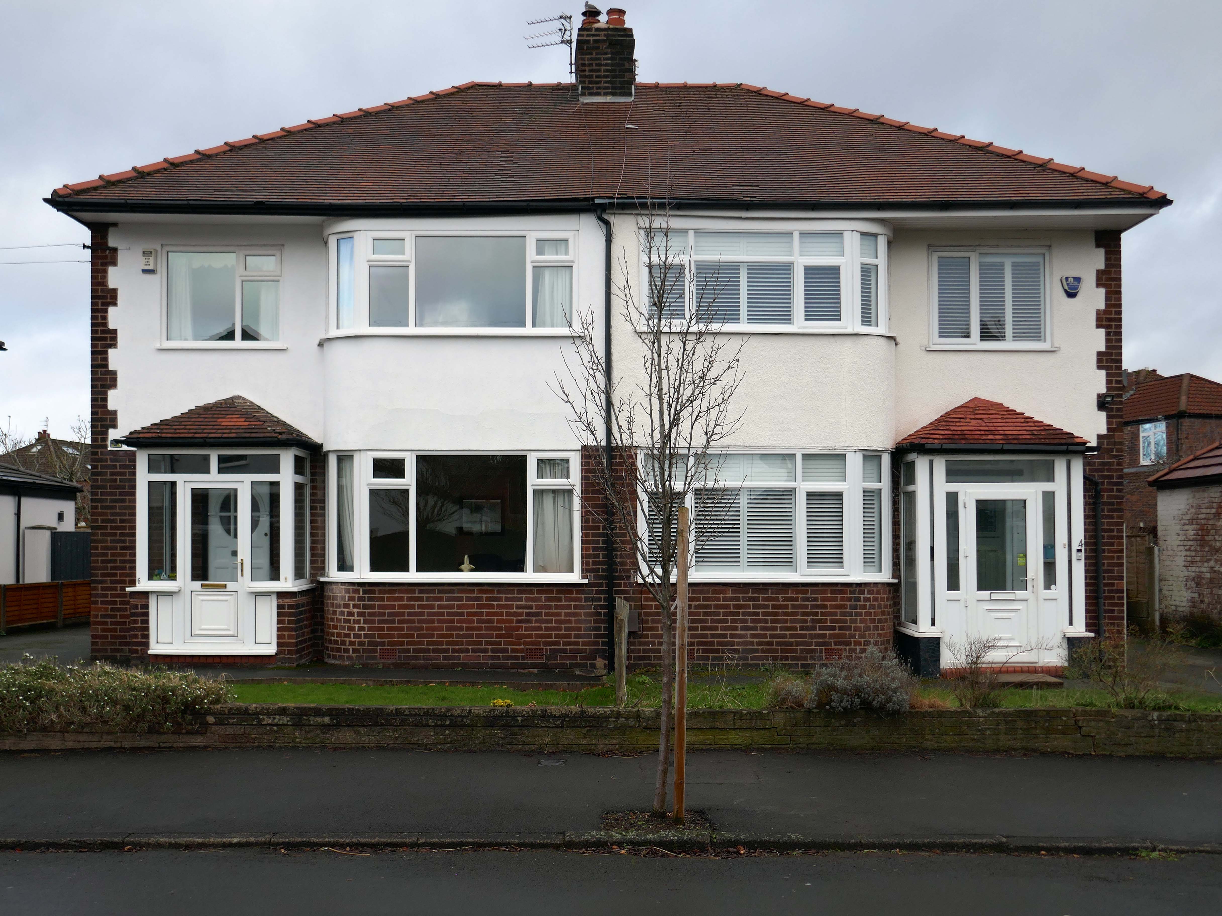
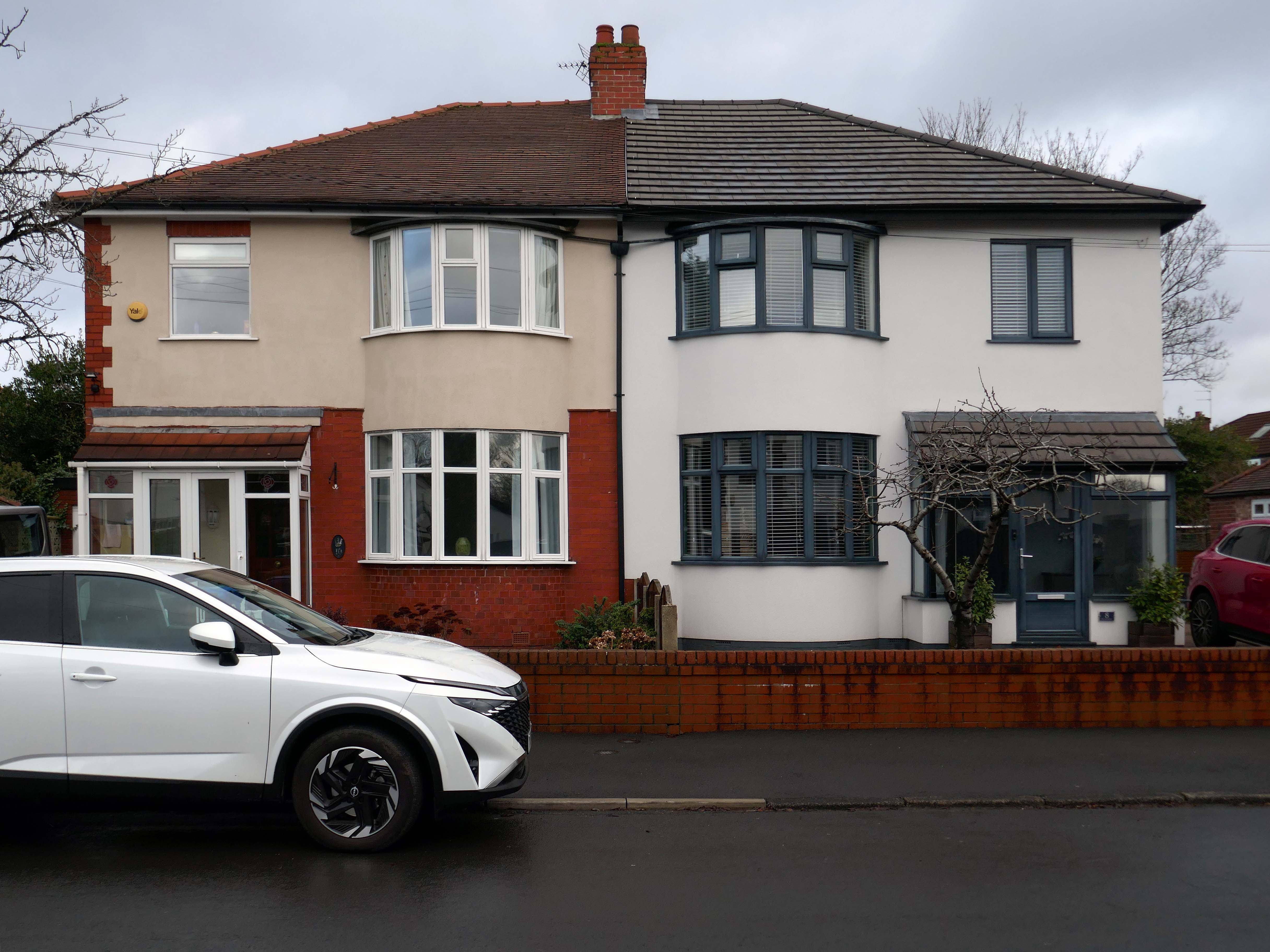
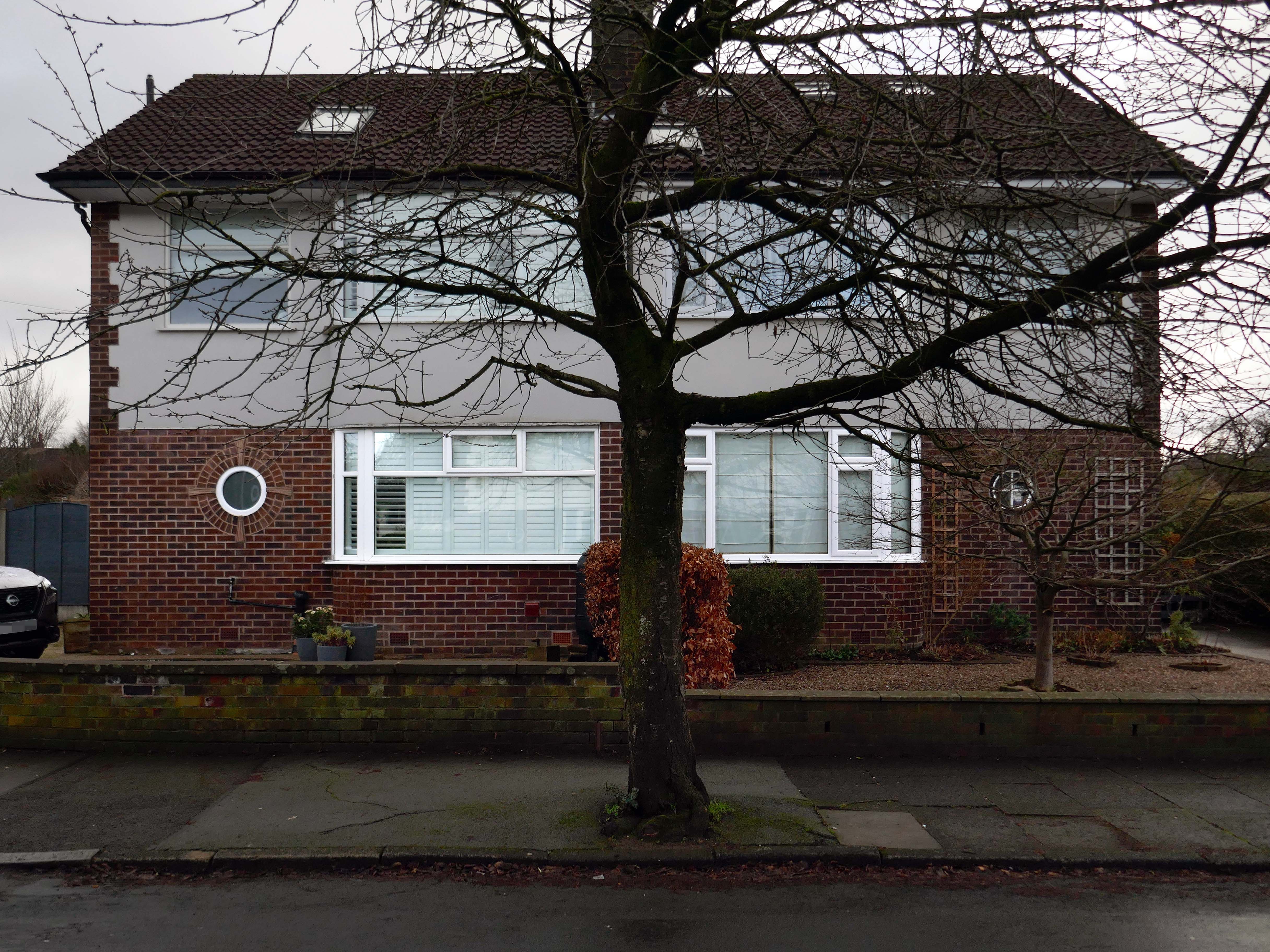
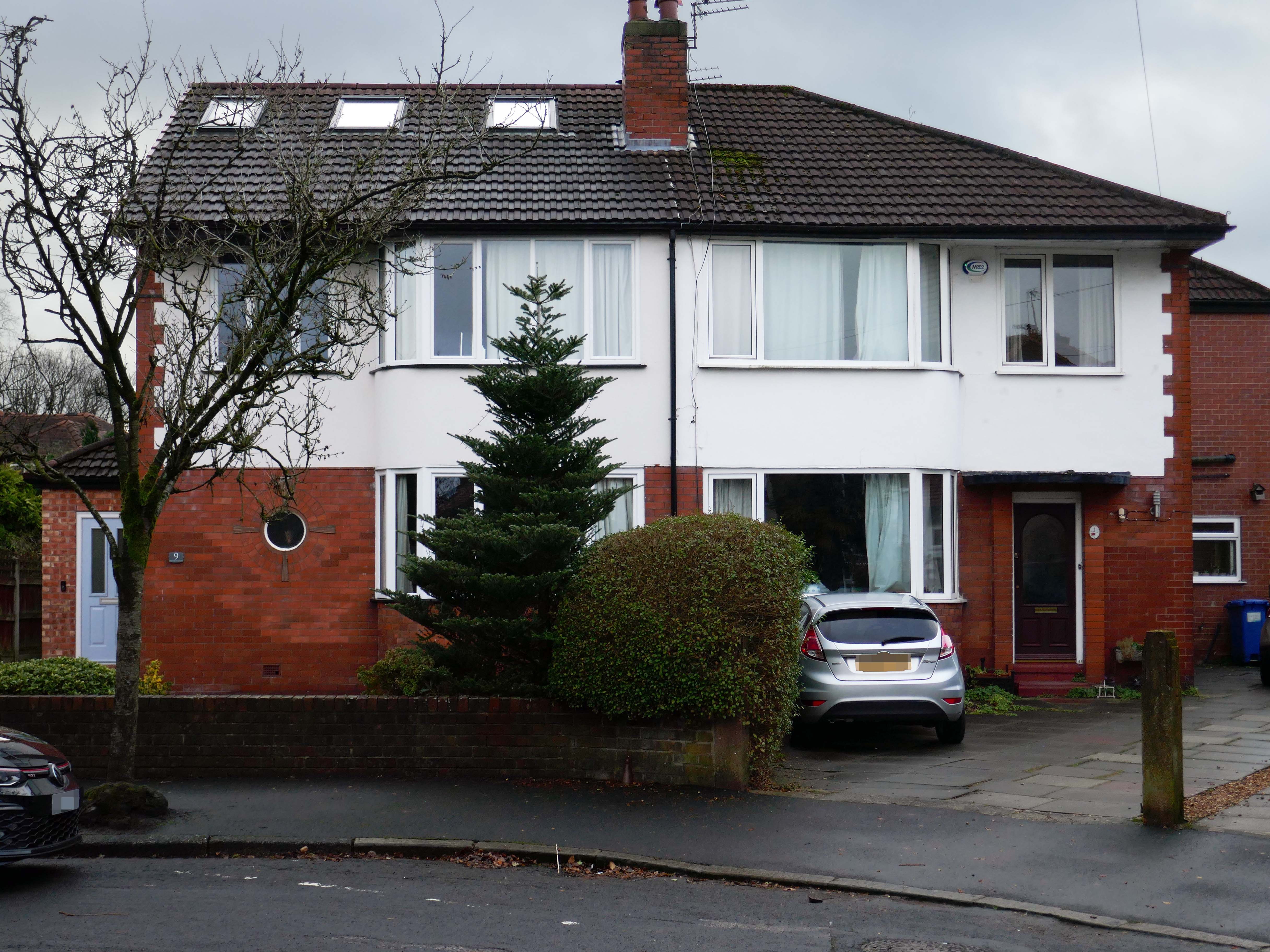
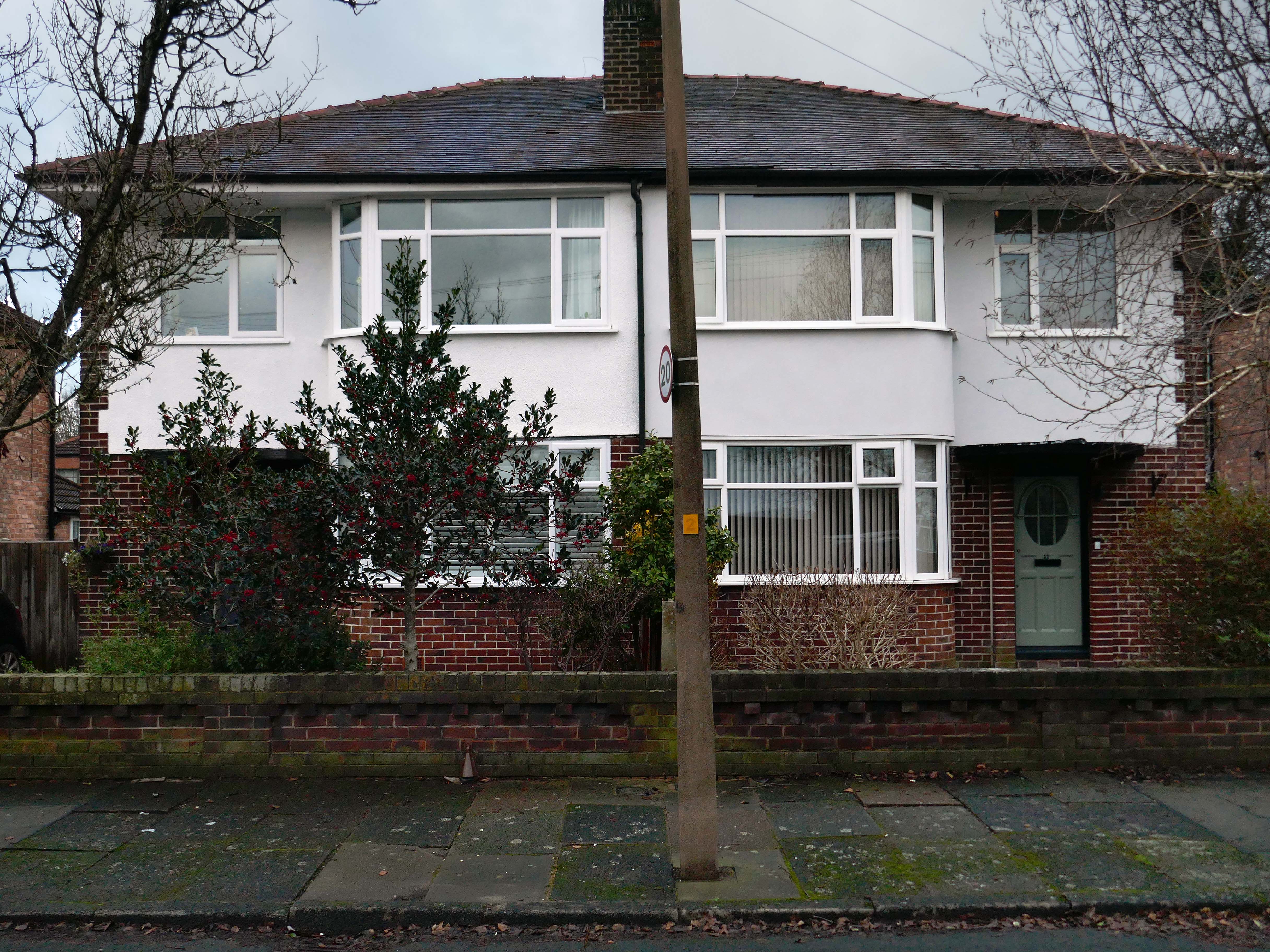
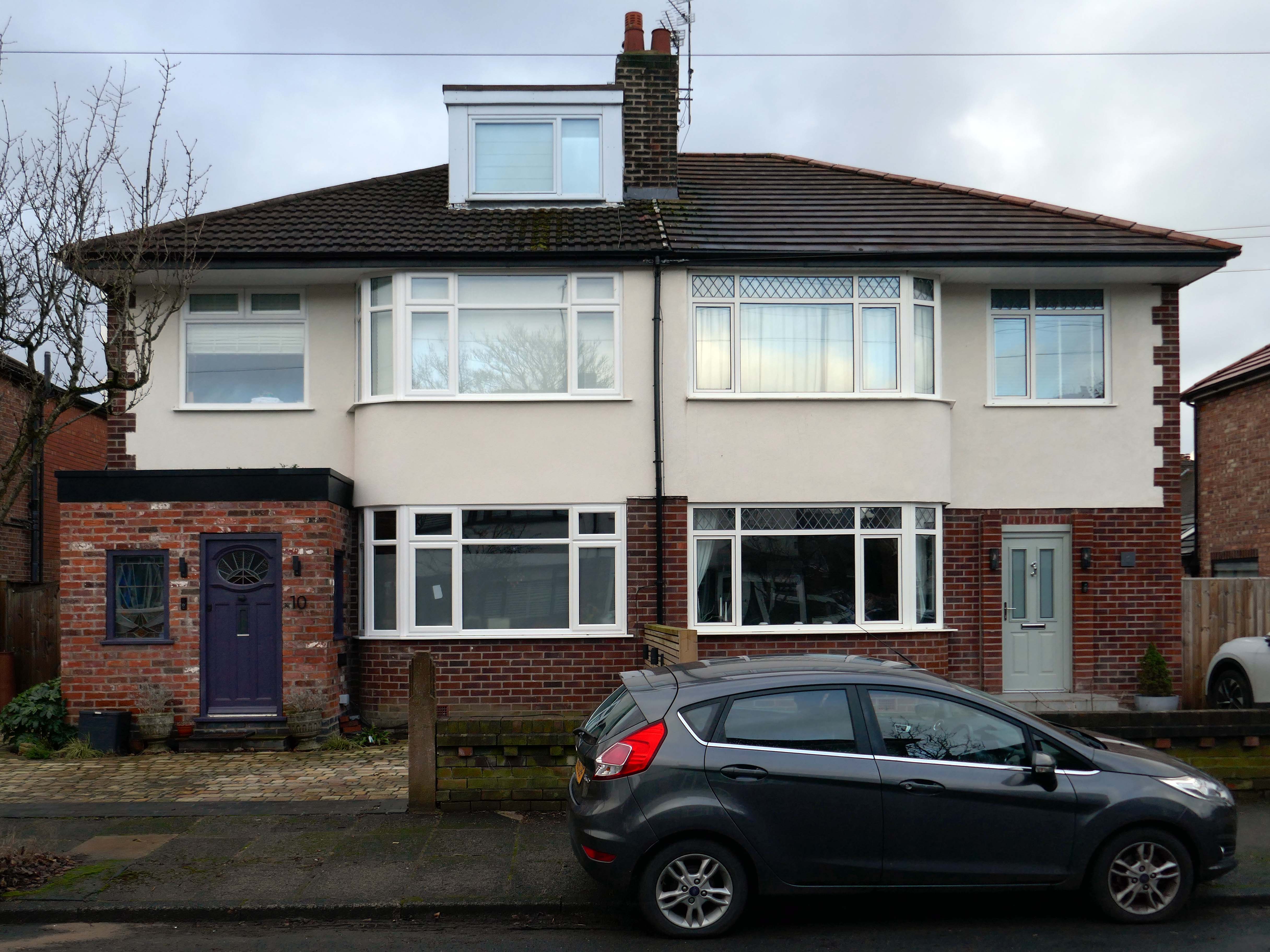
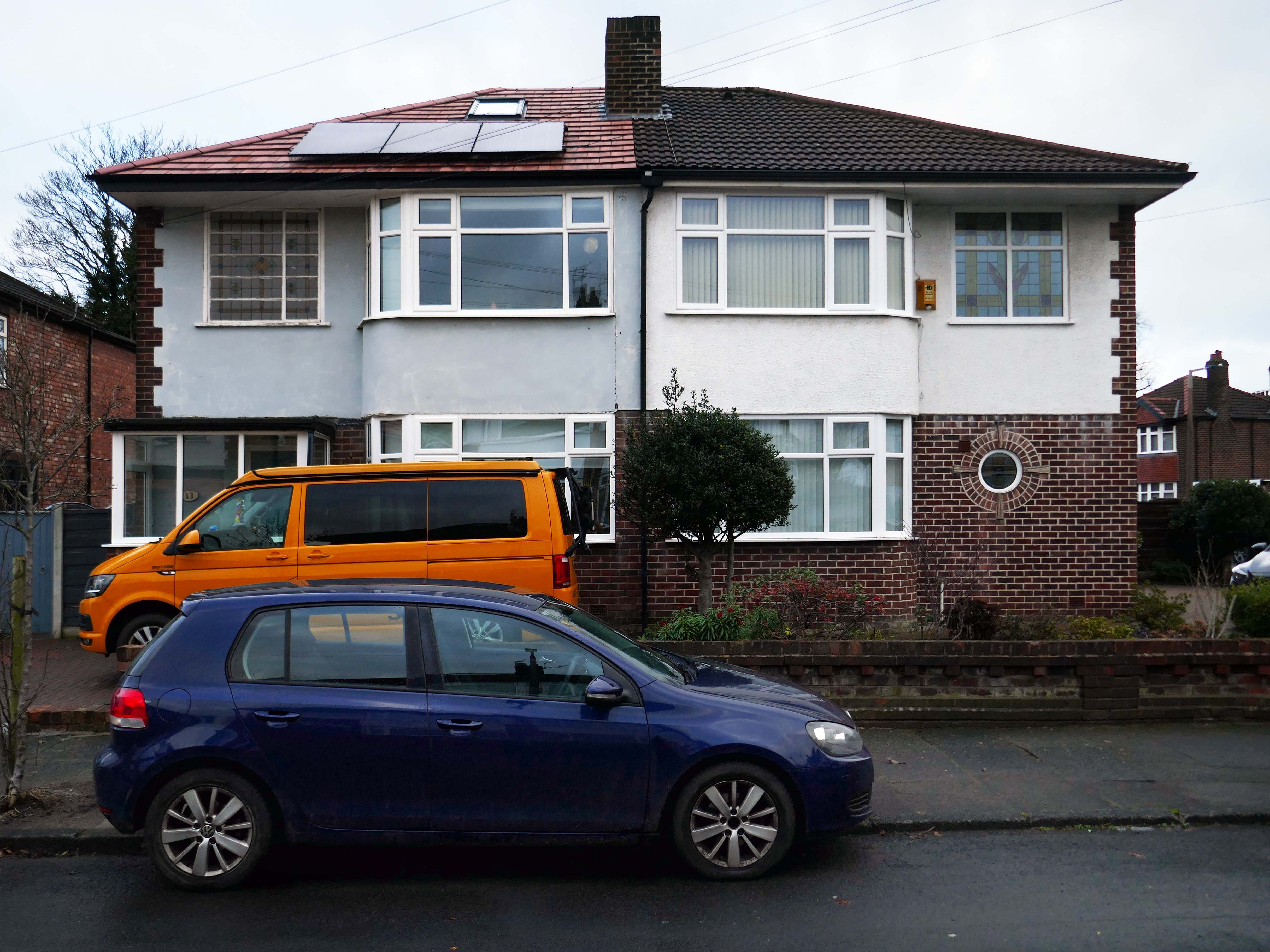
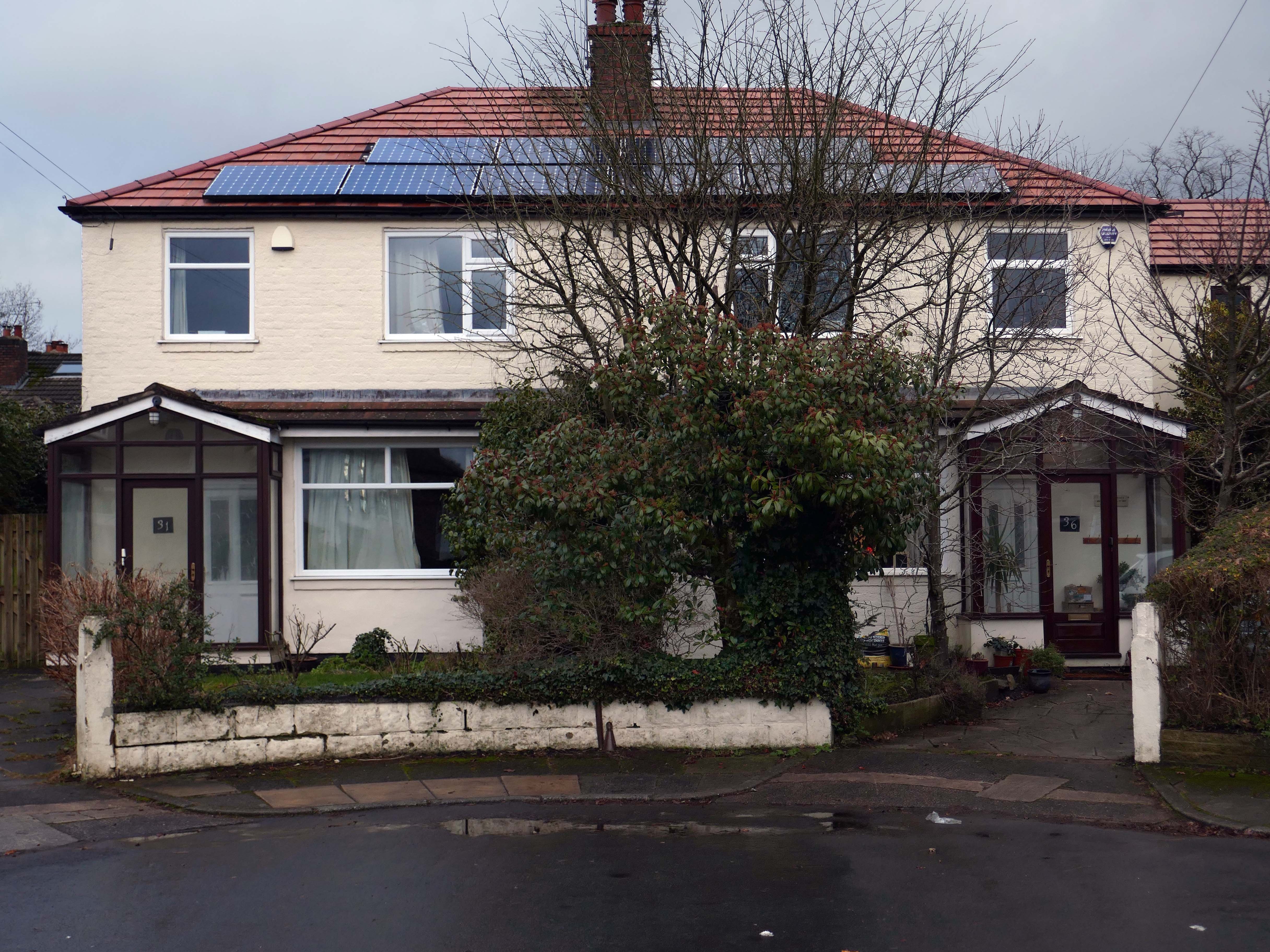
Taking in Mauldeth Road, Pinewood Close and Leegate Gardens
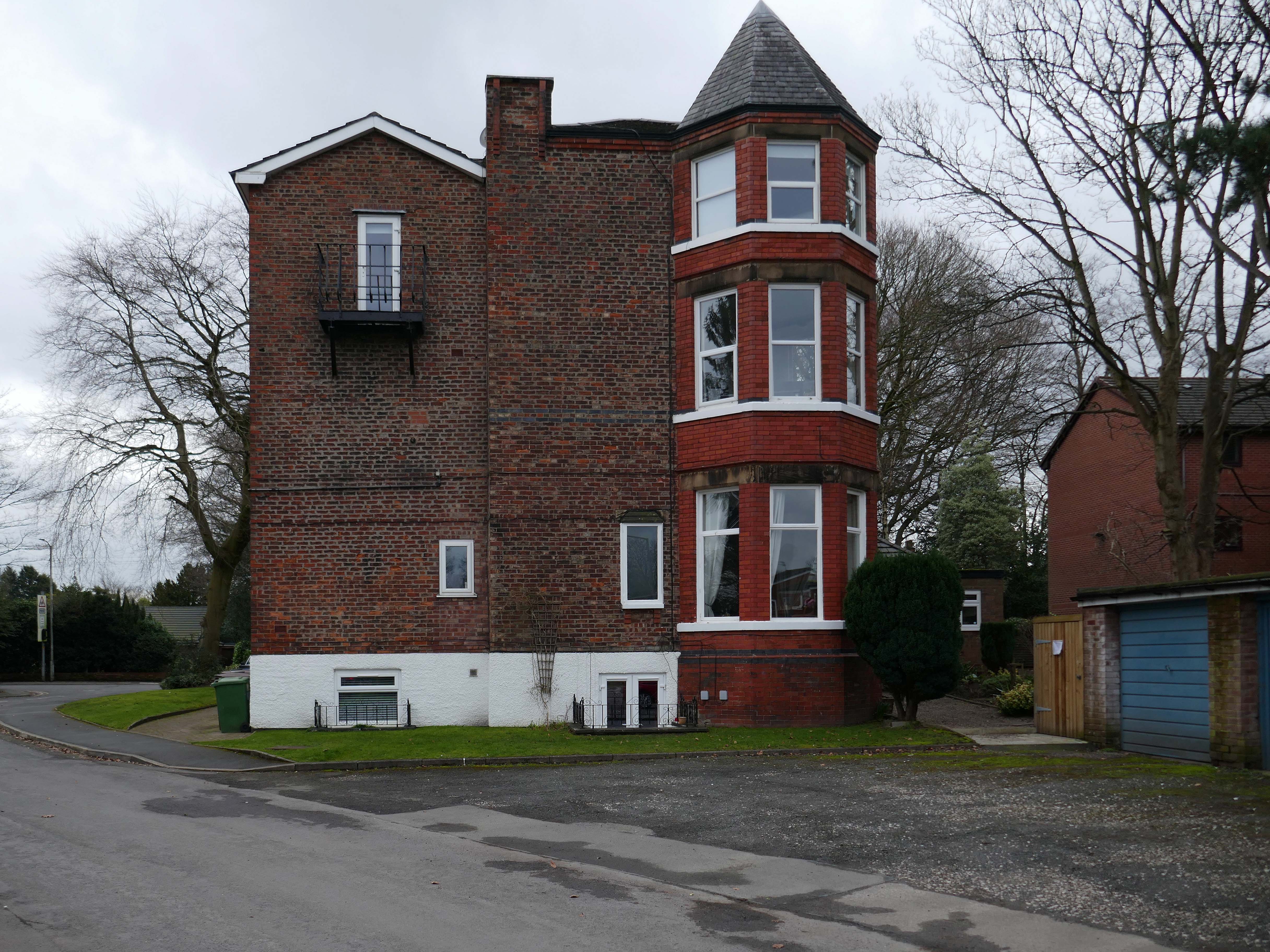
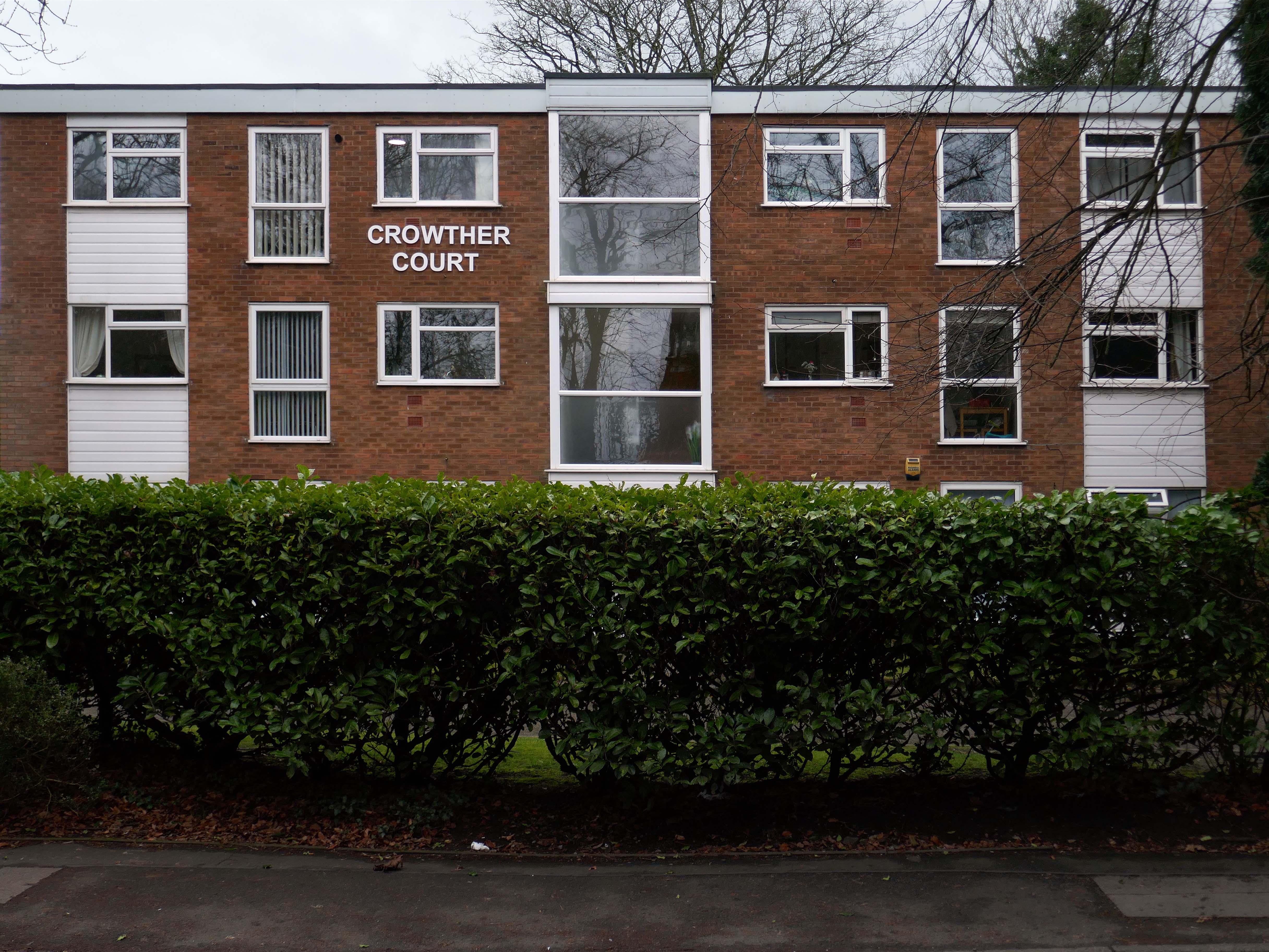
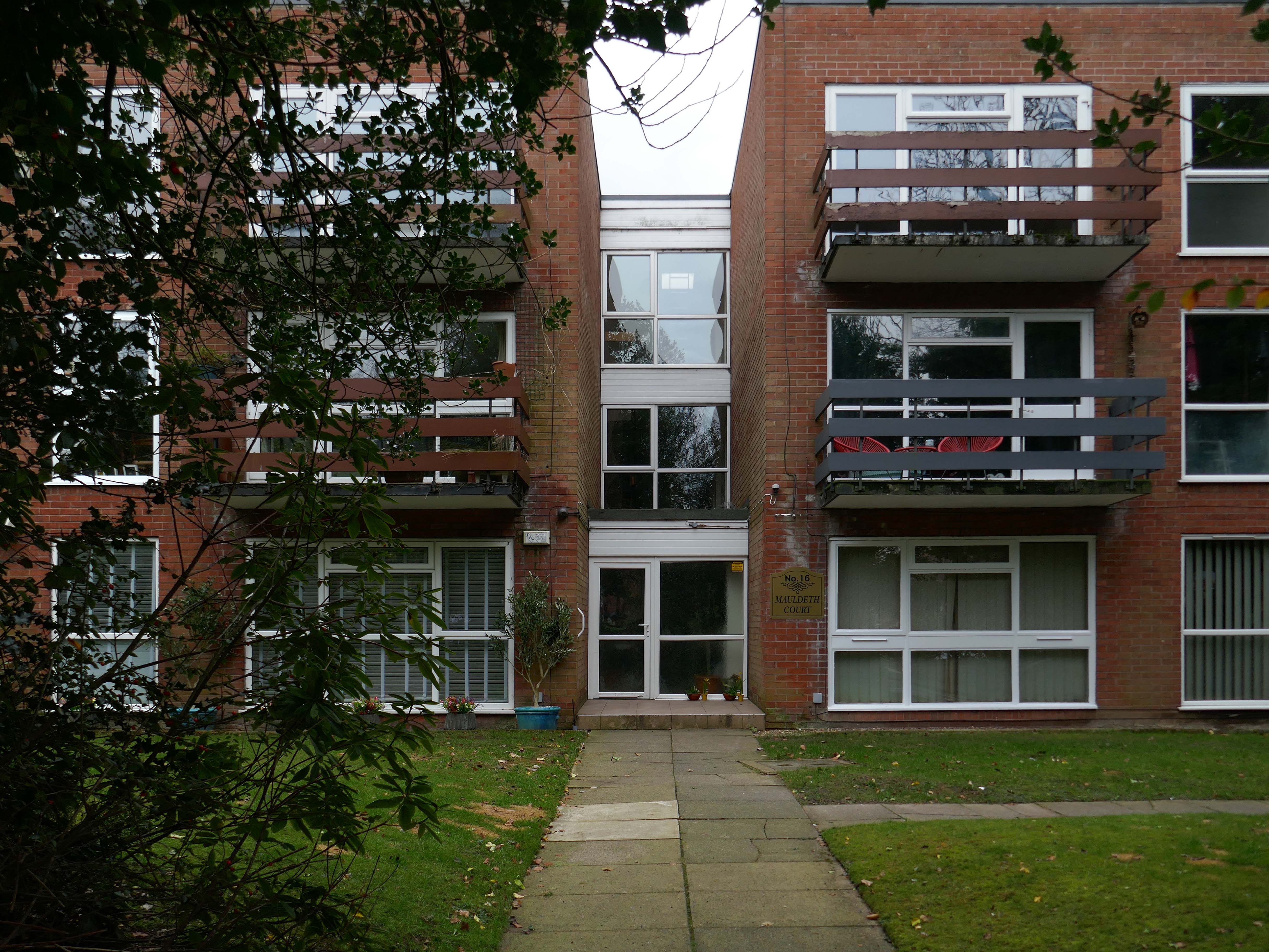
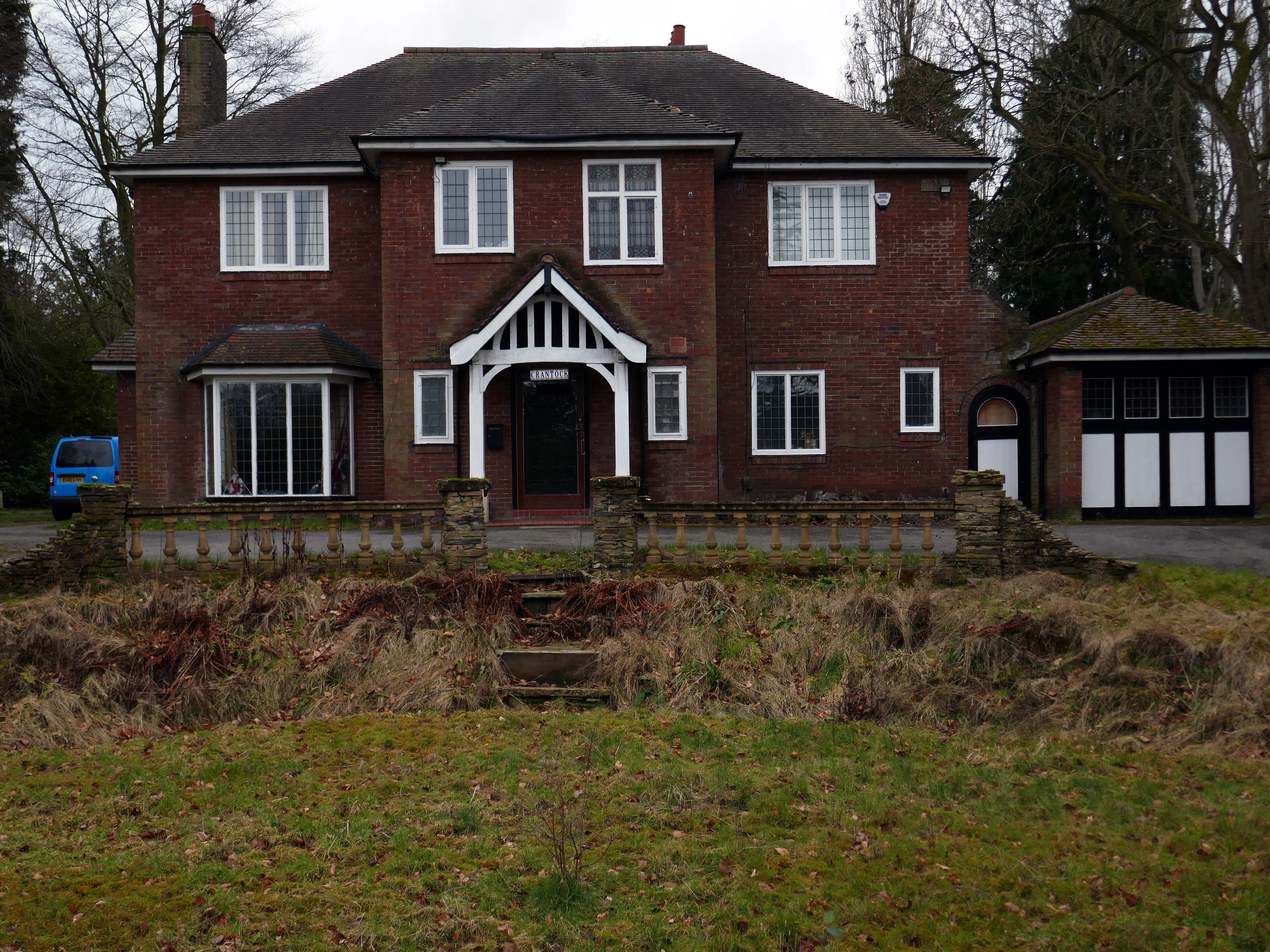
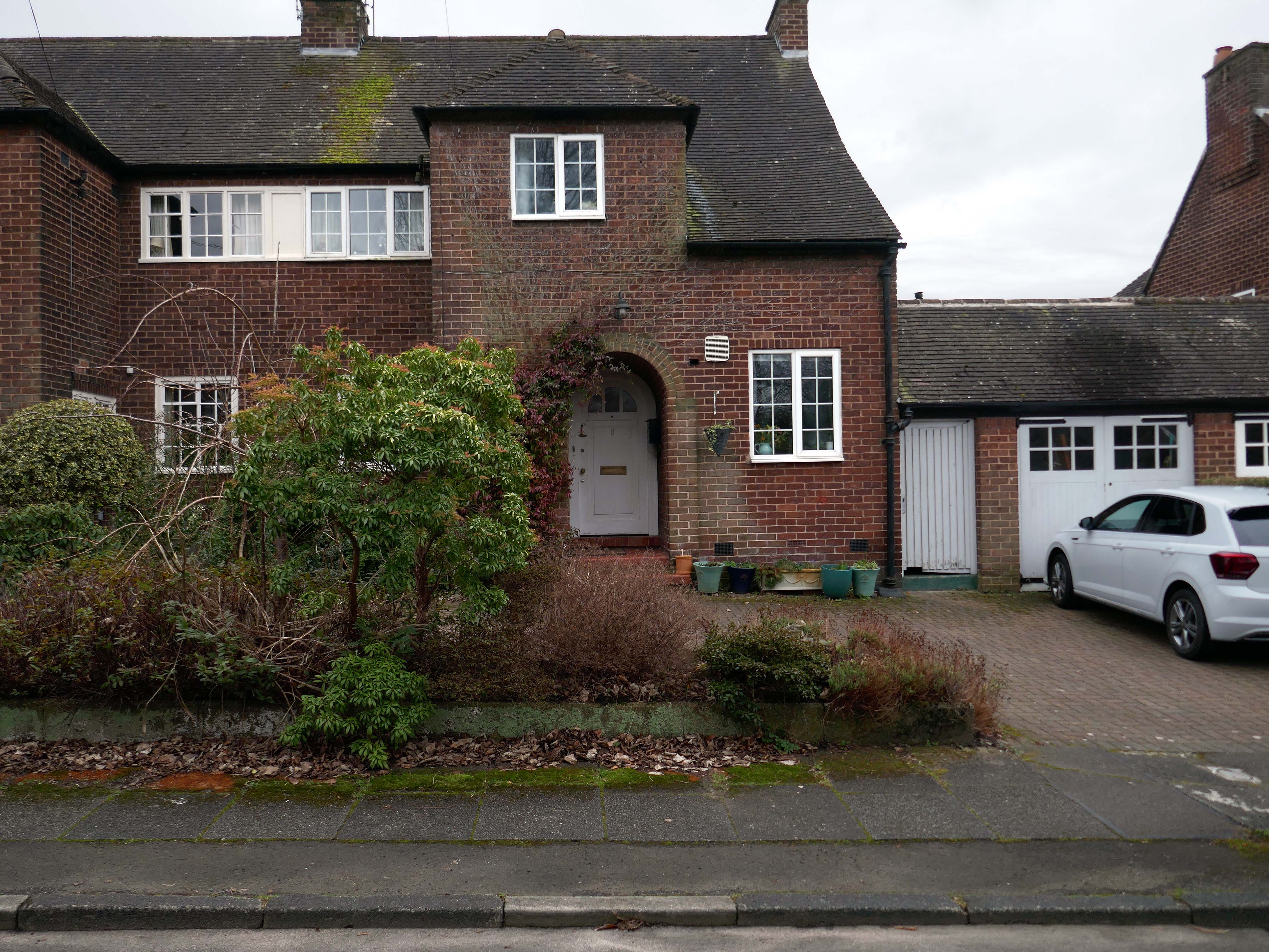
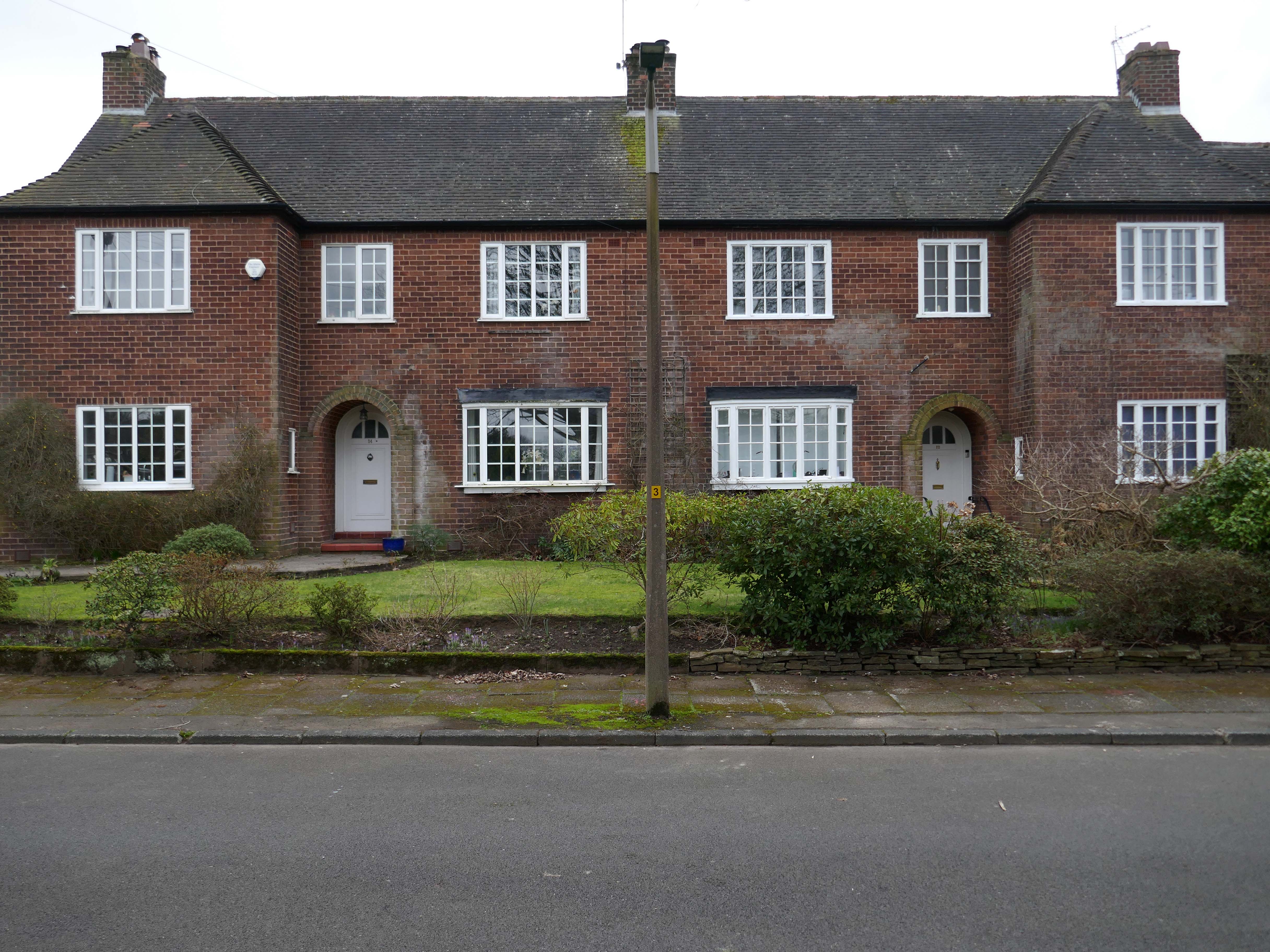
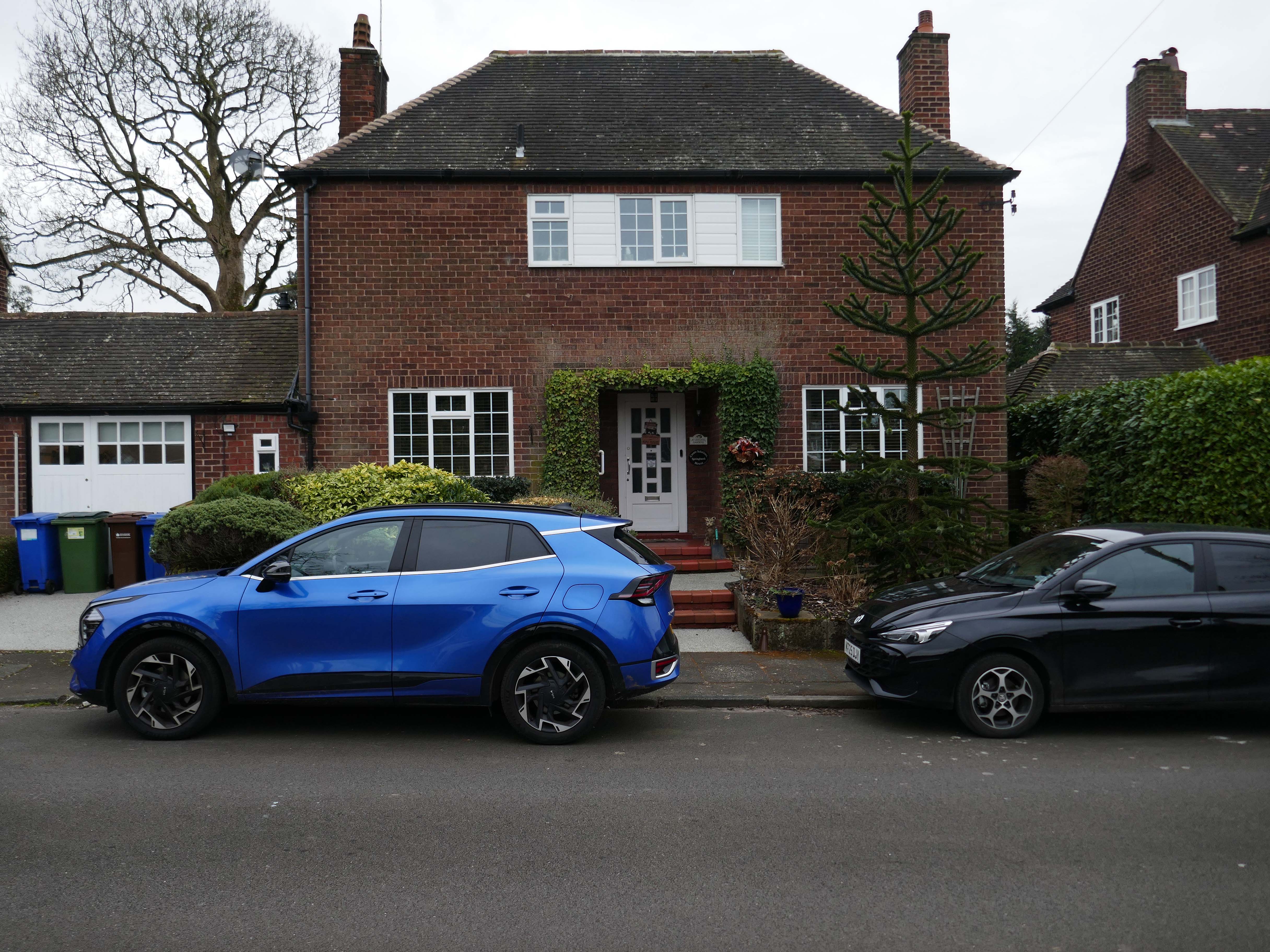
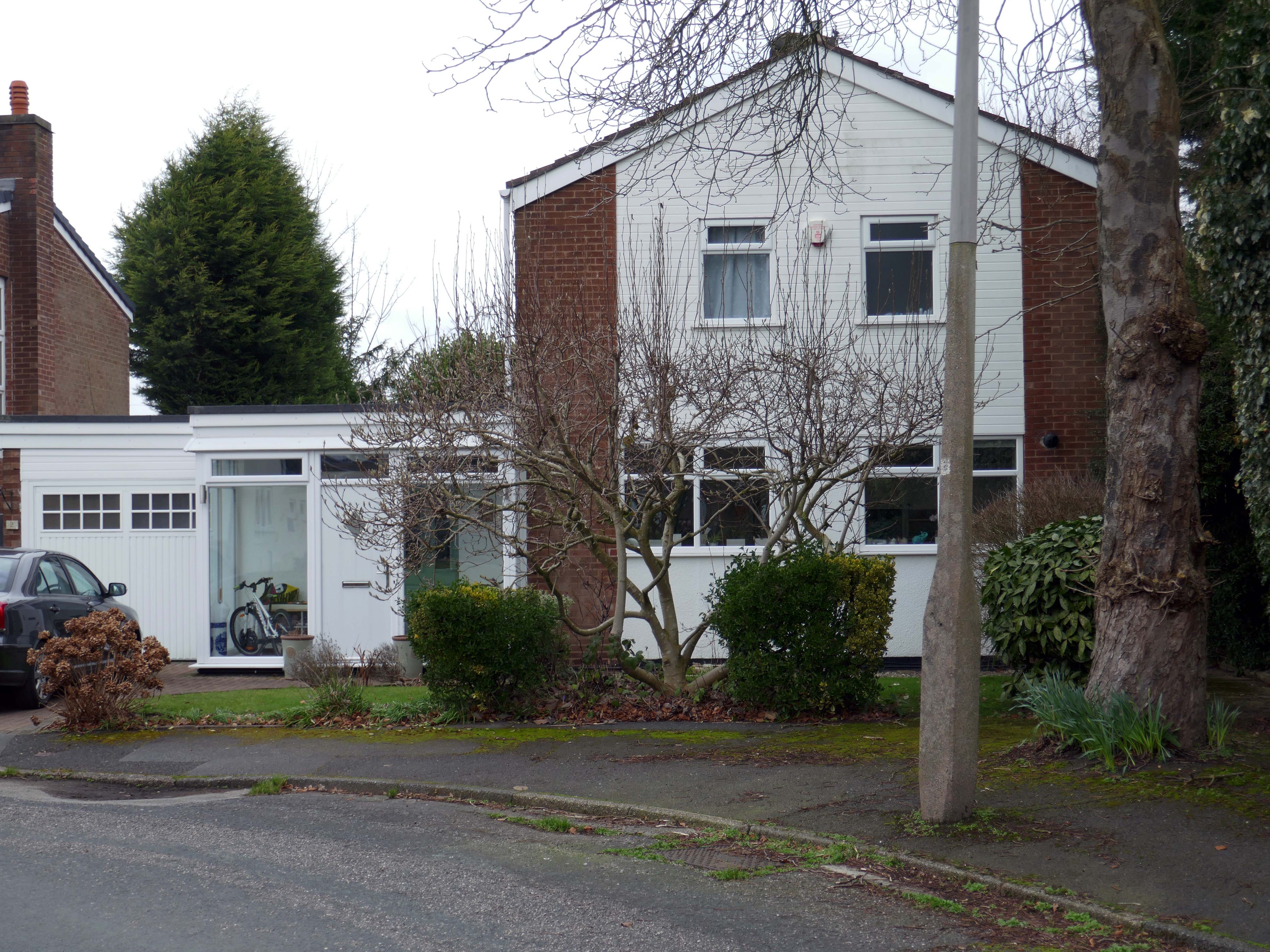
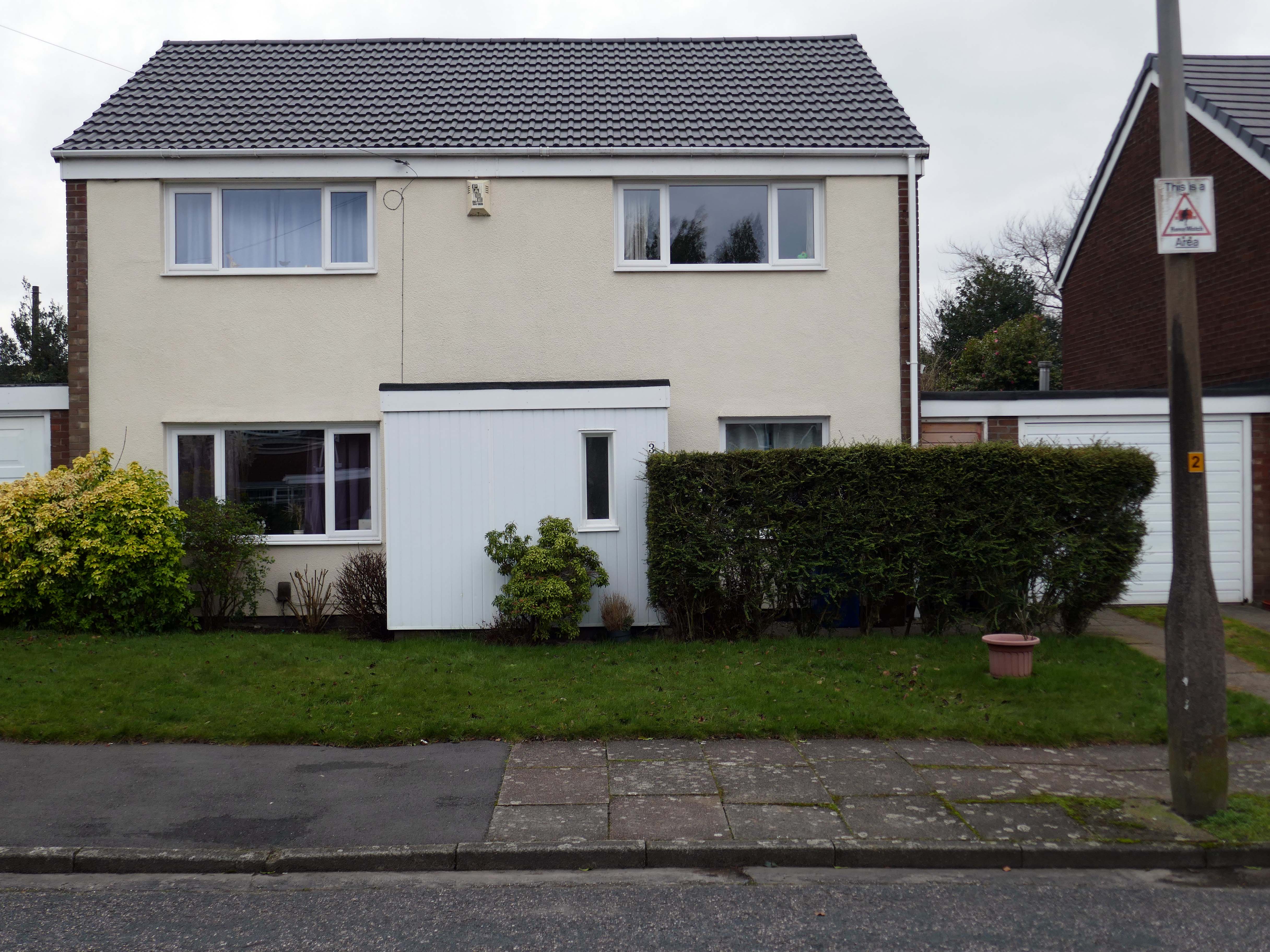
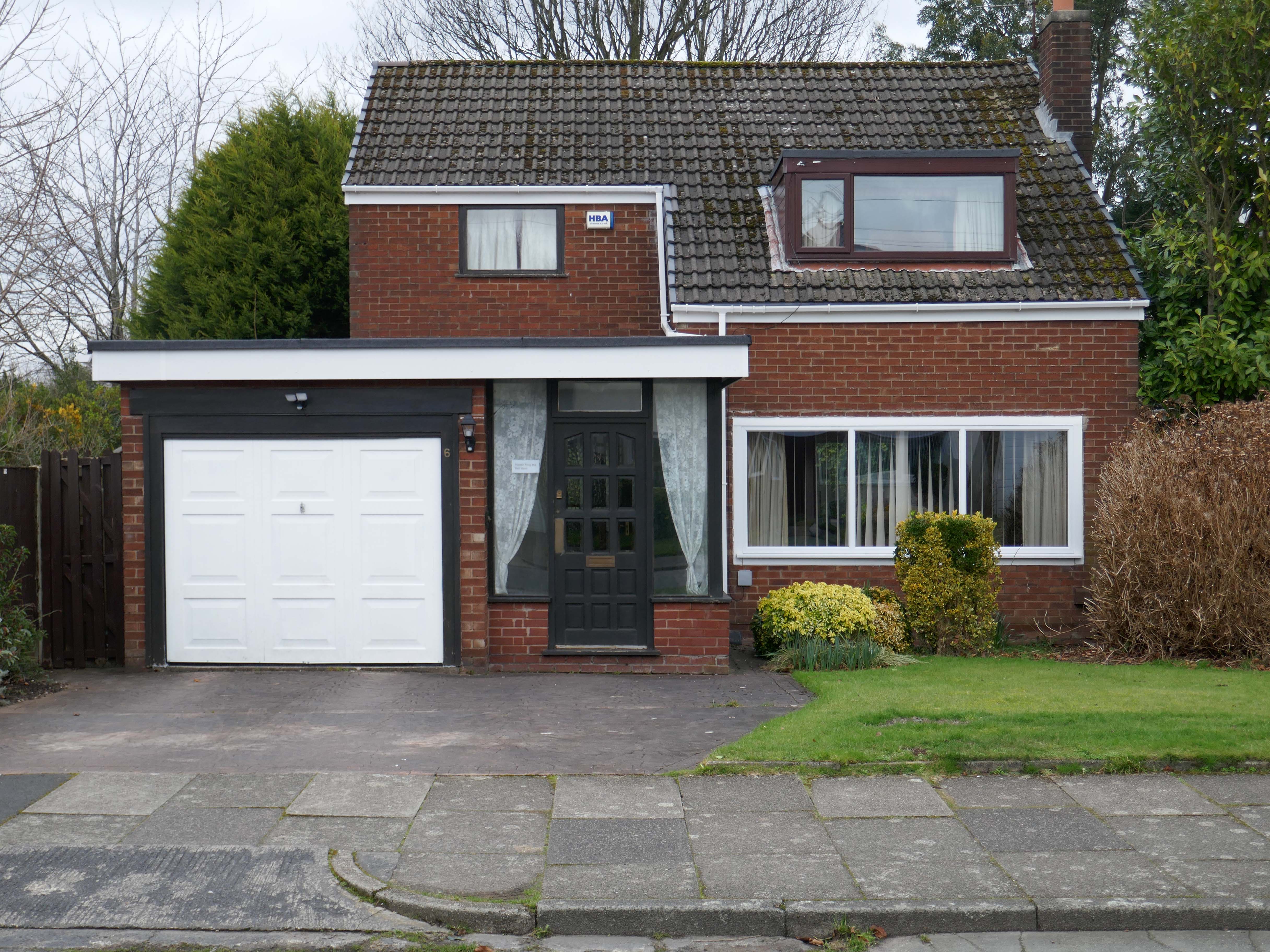
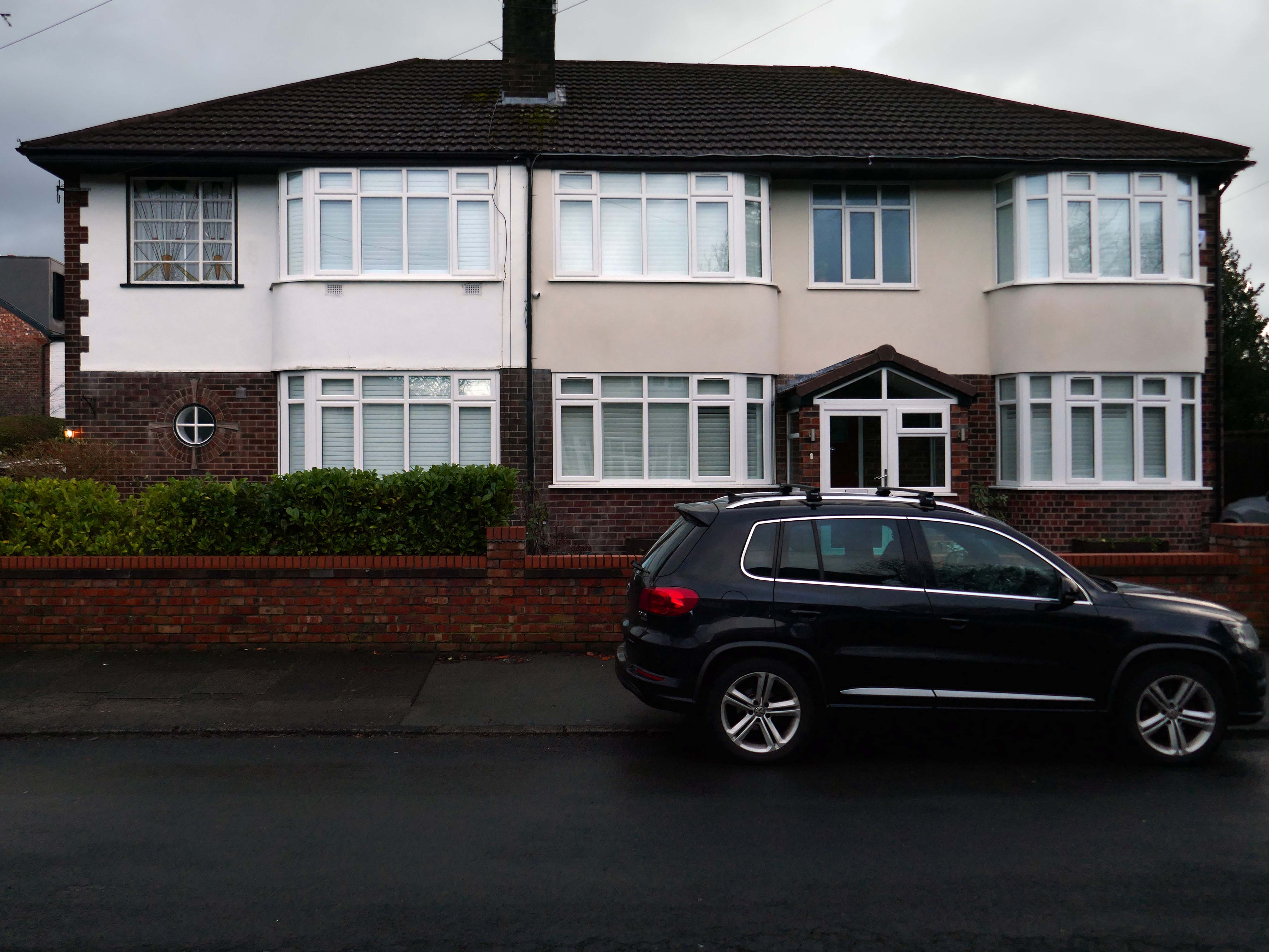
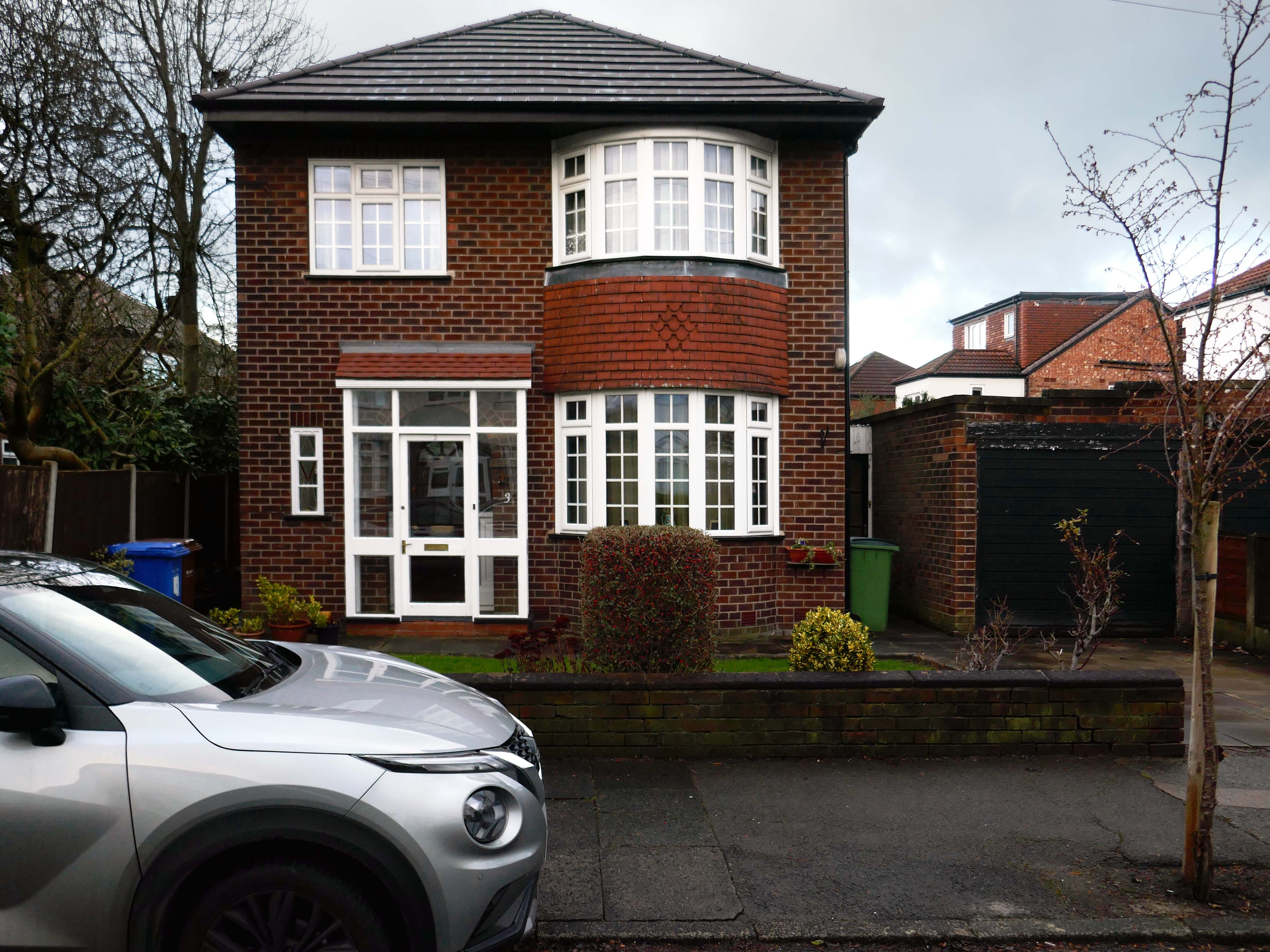
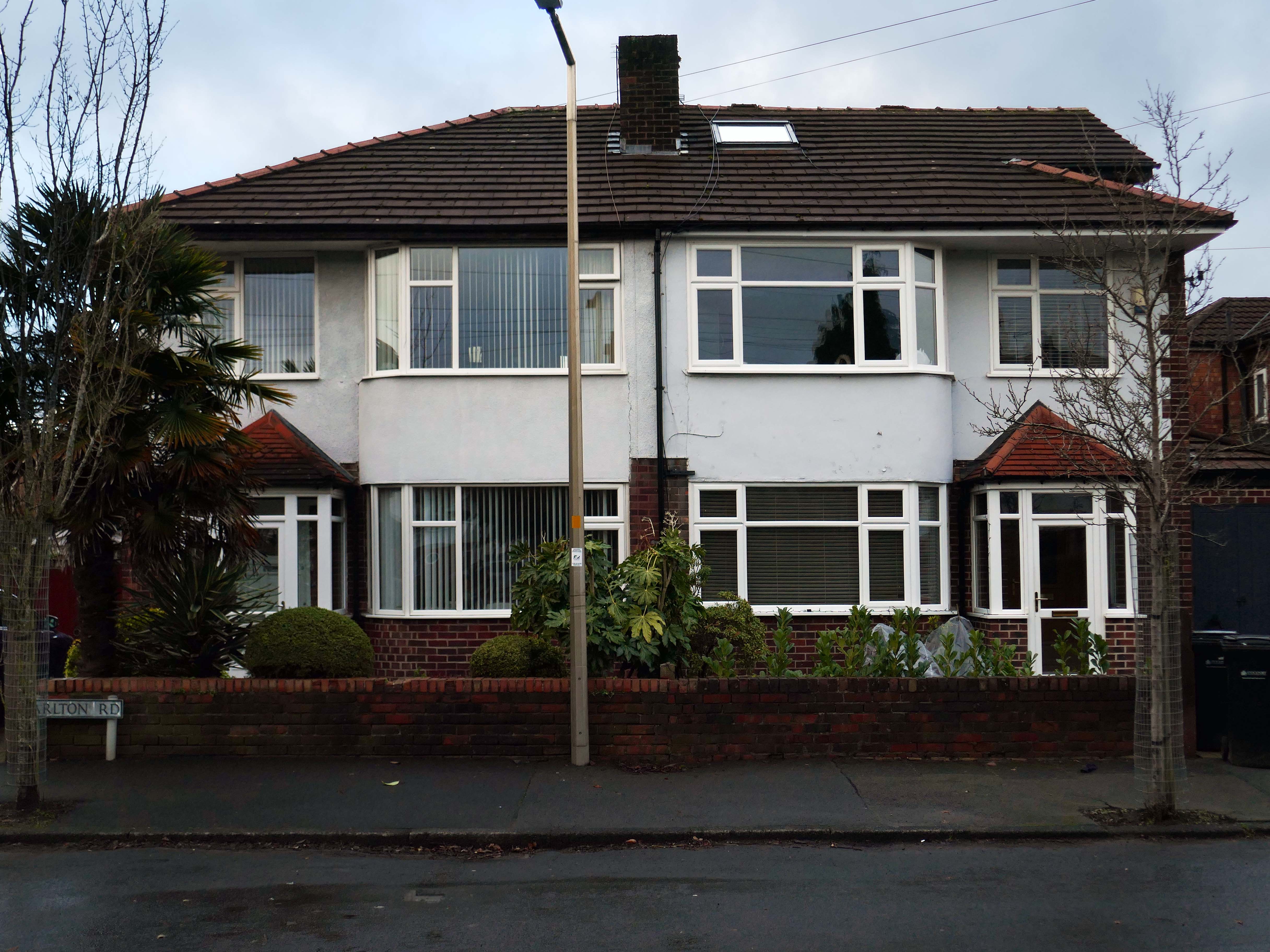
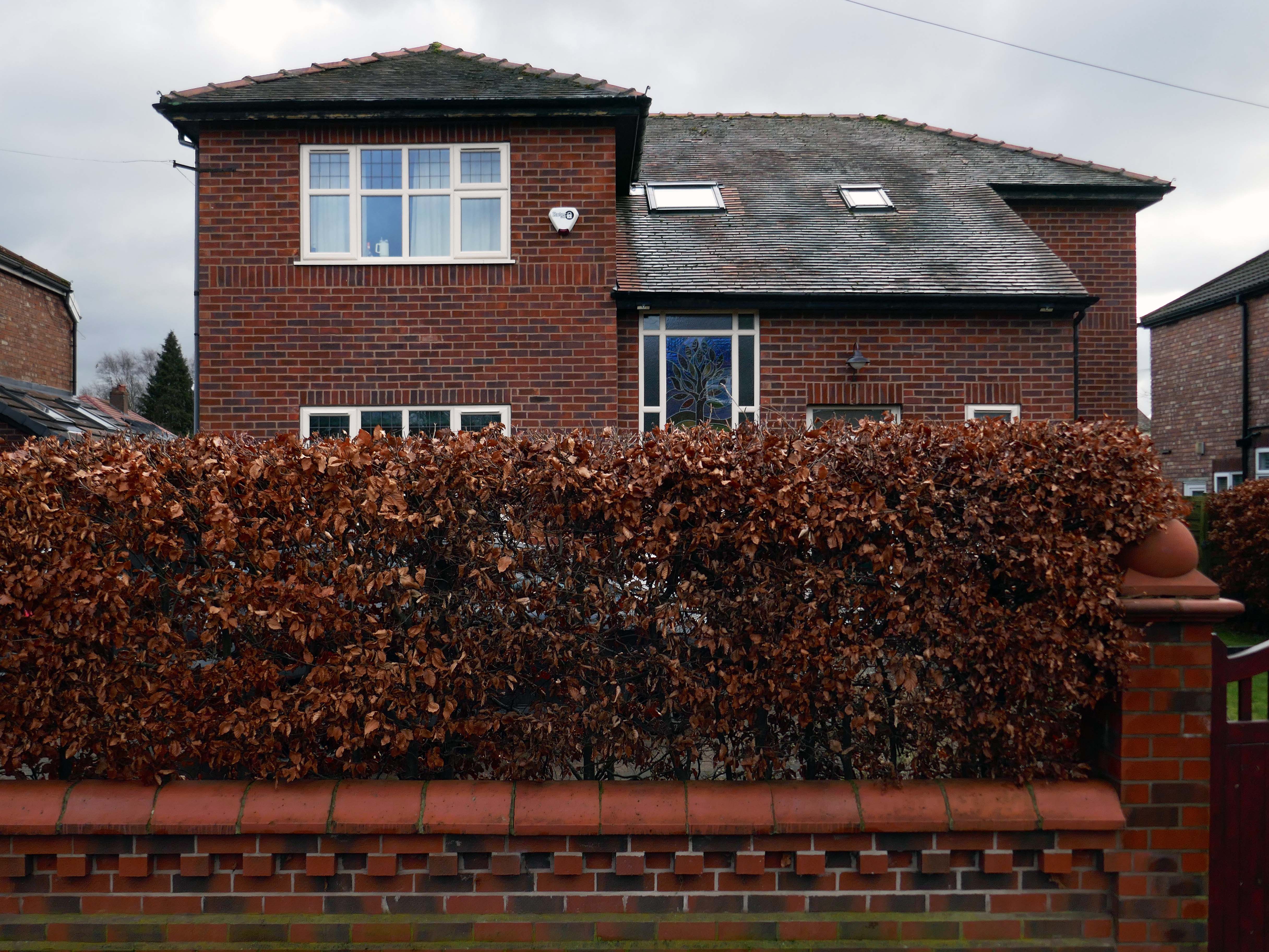
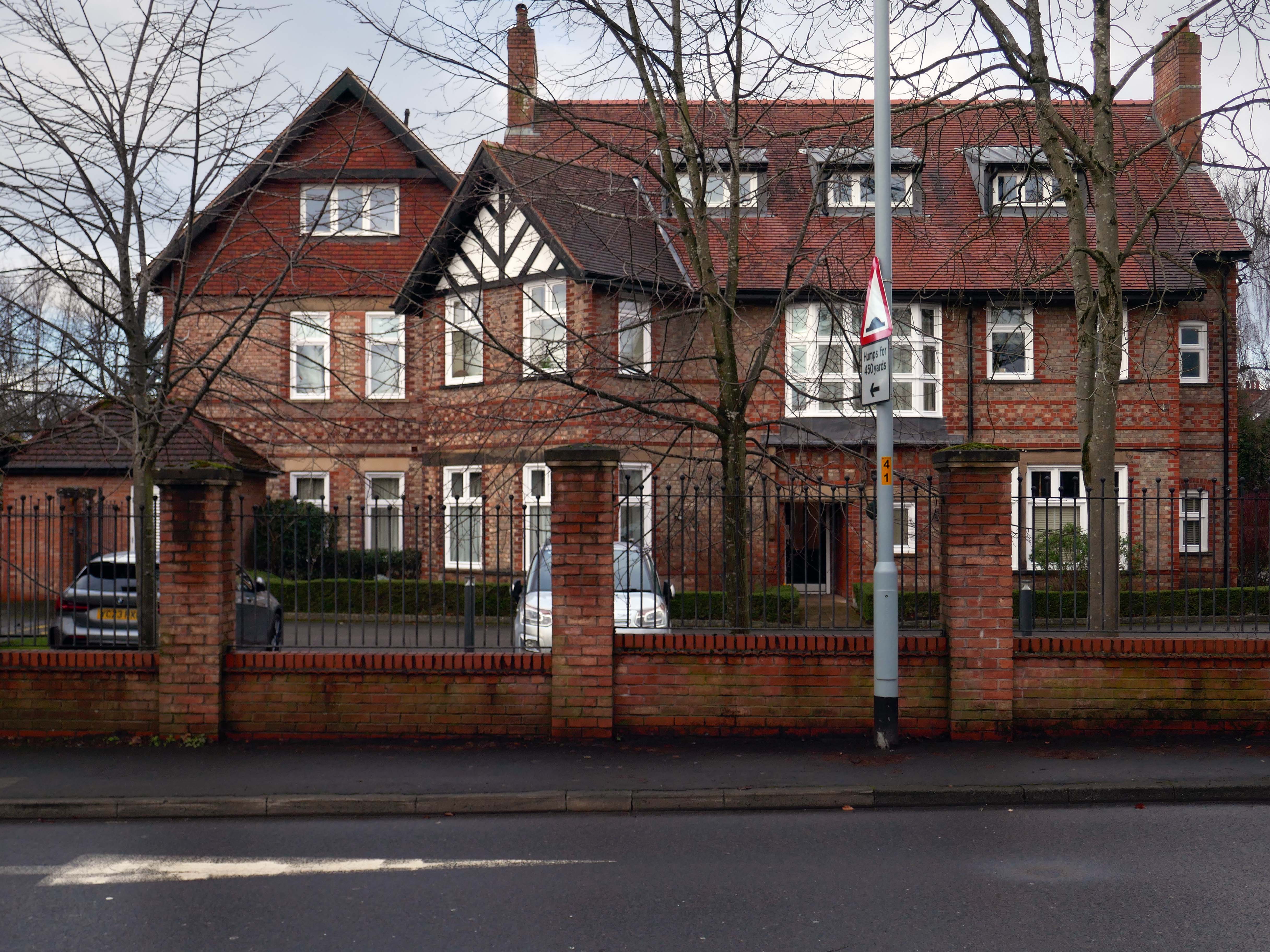
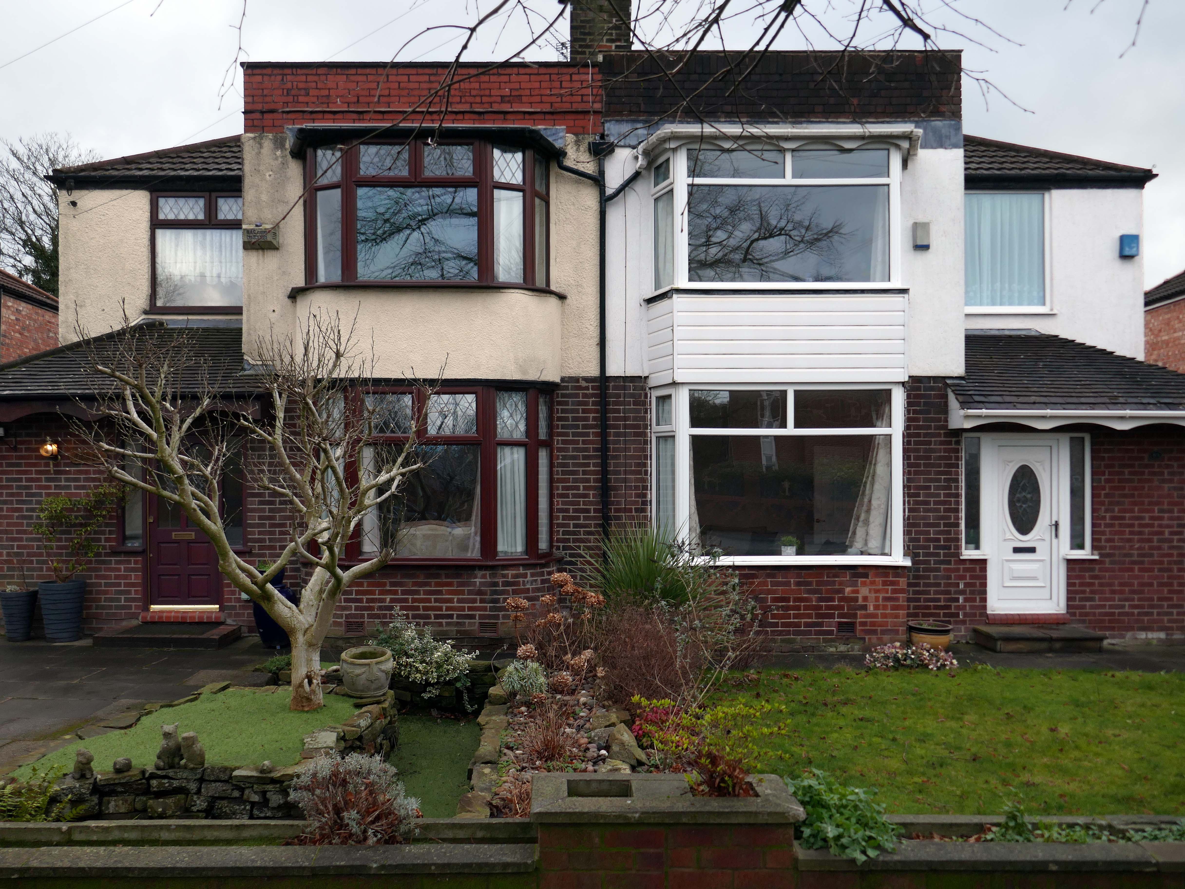
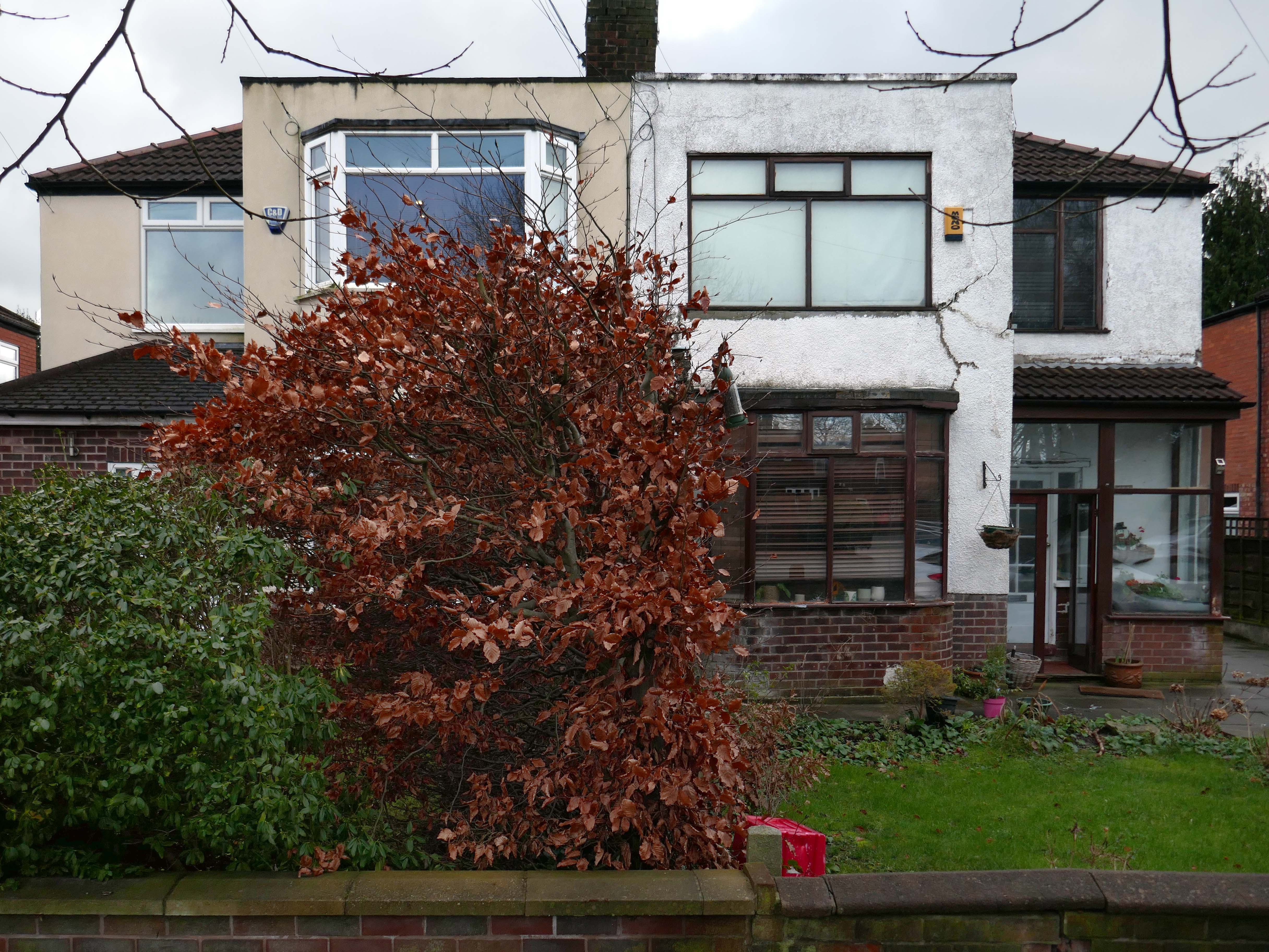
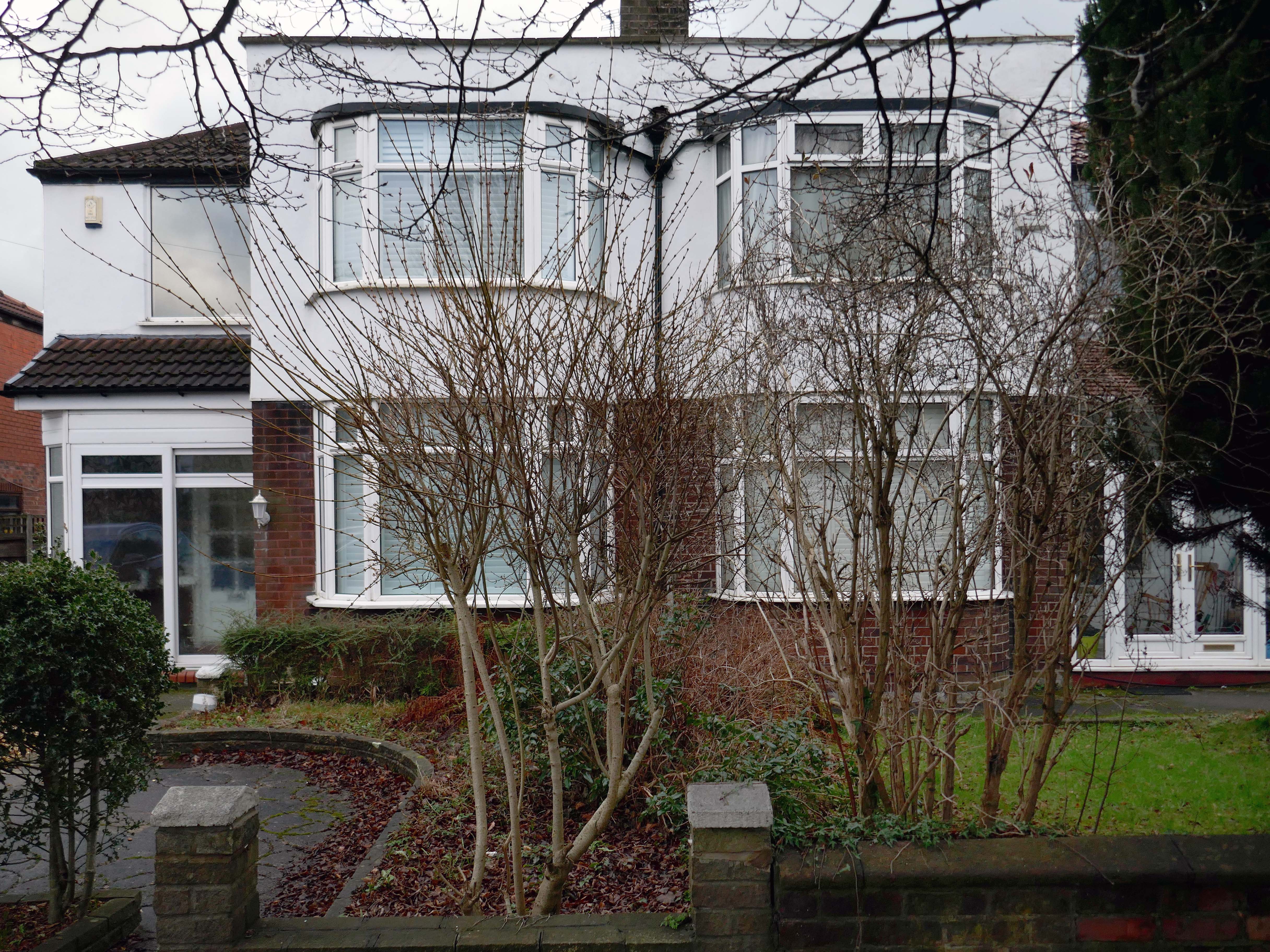
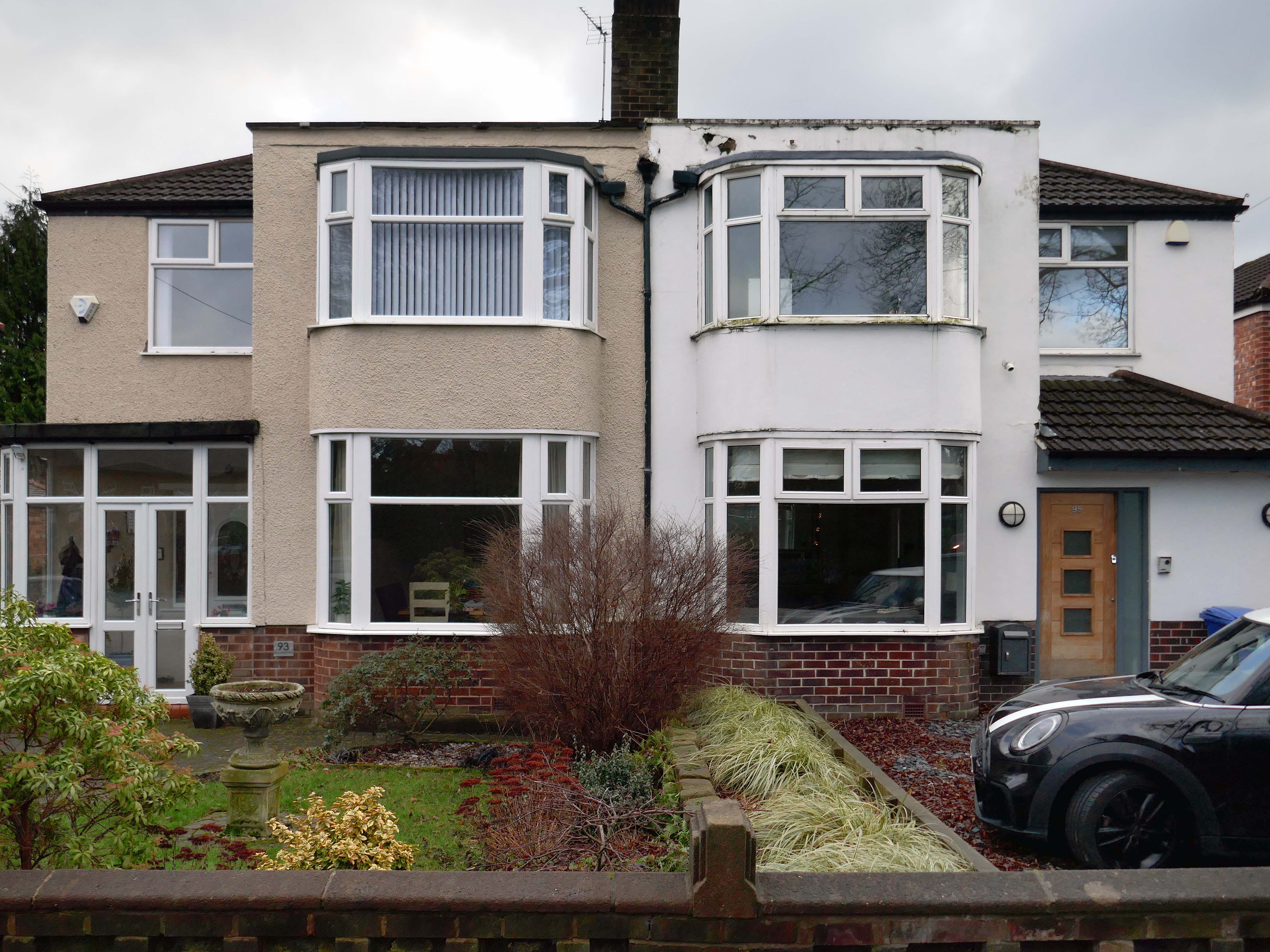
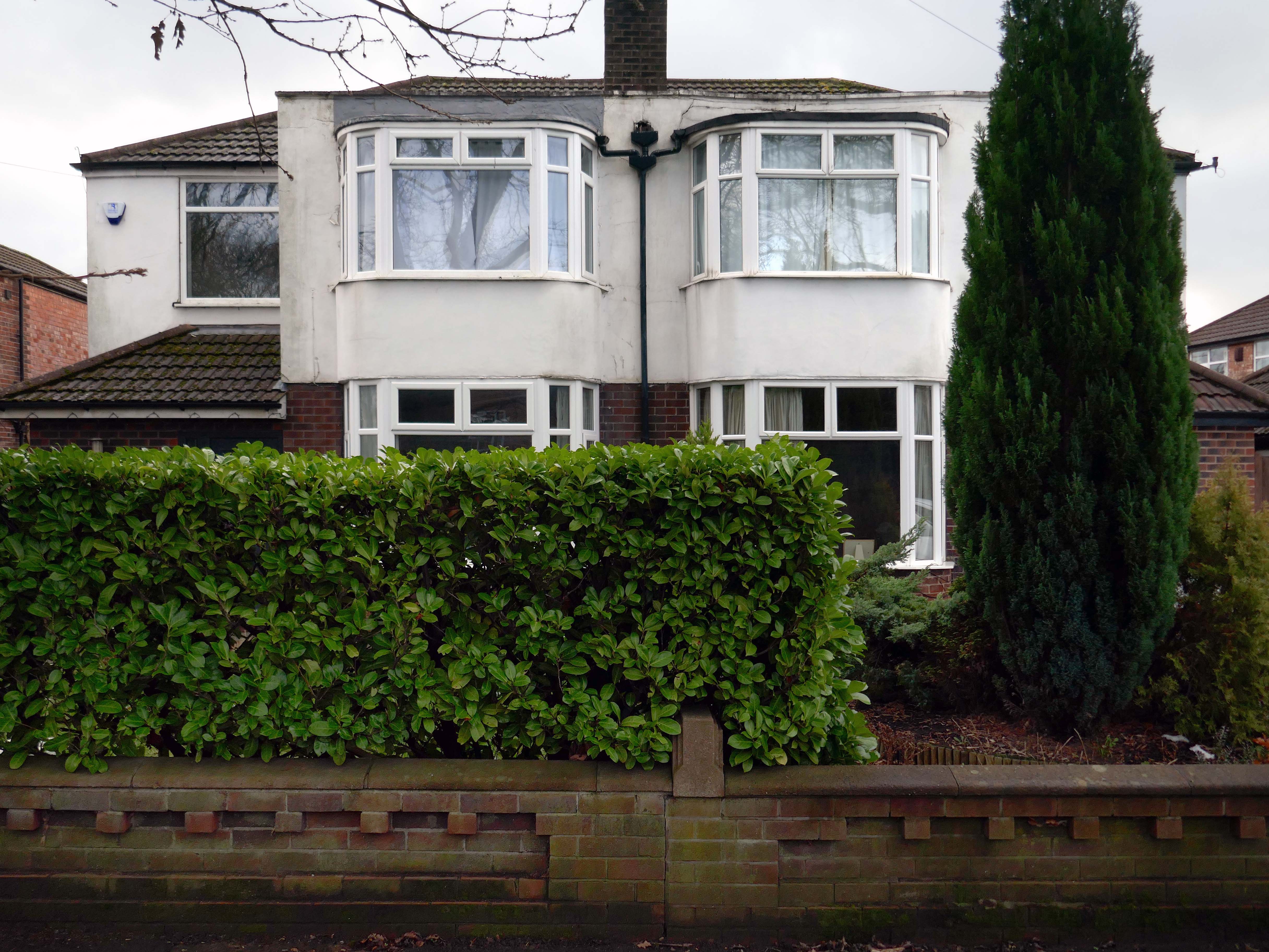
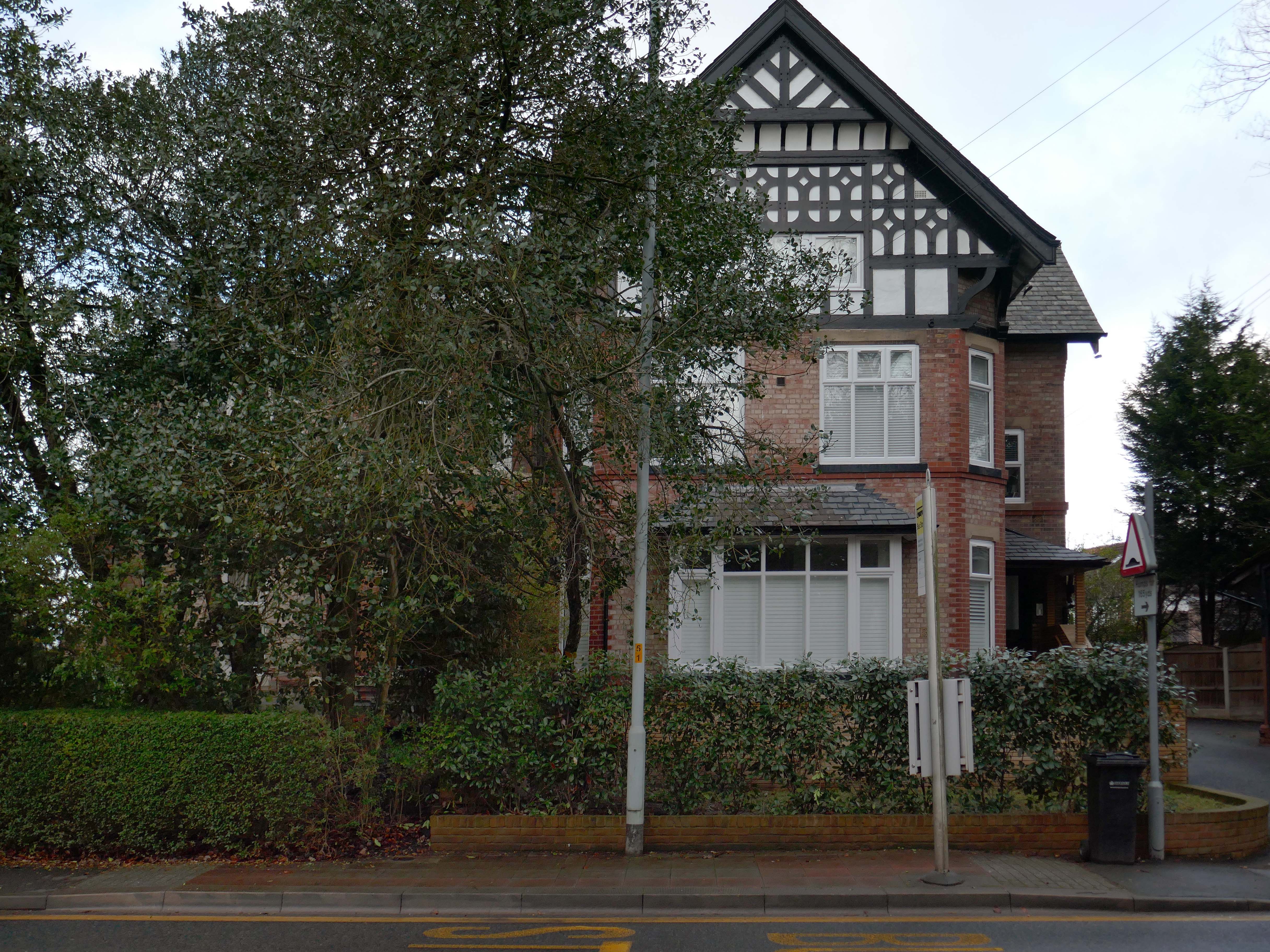
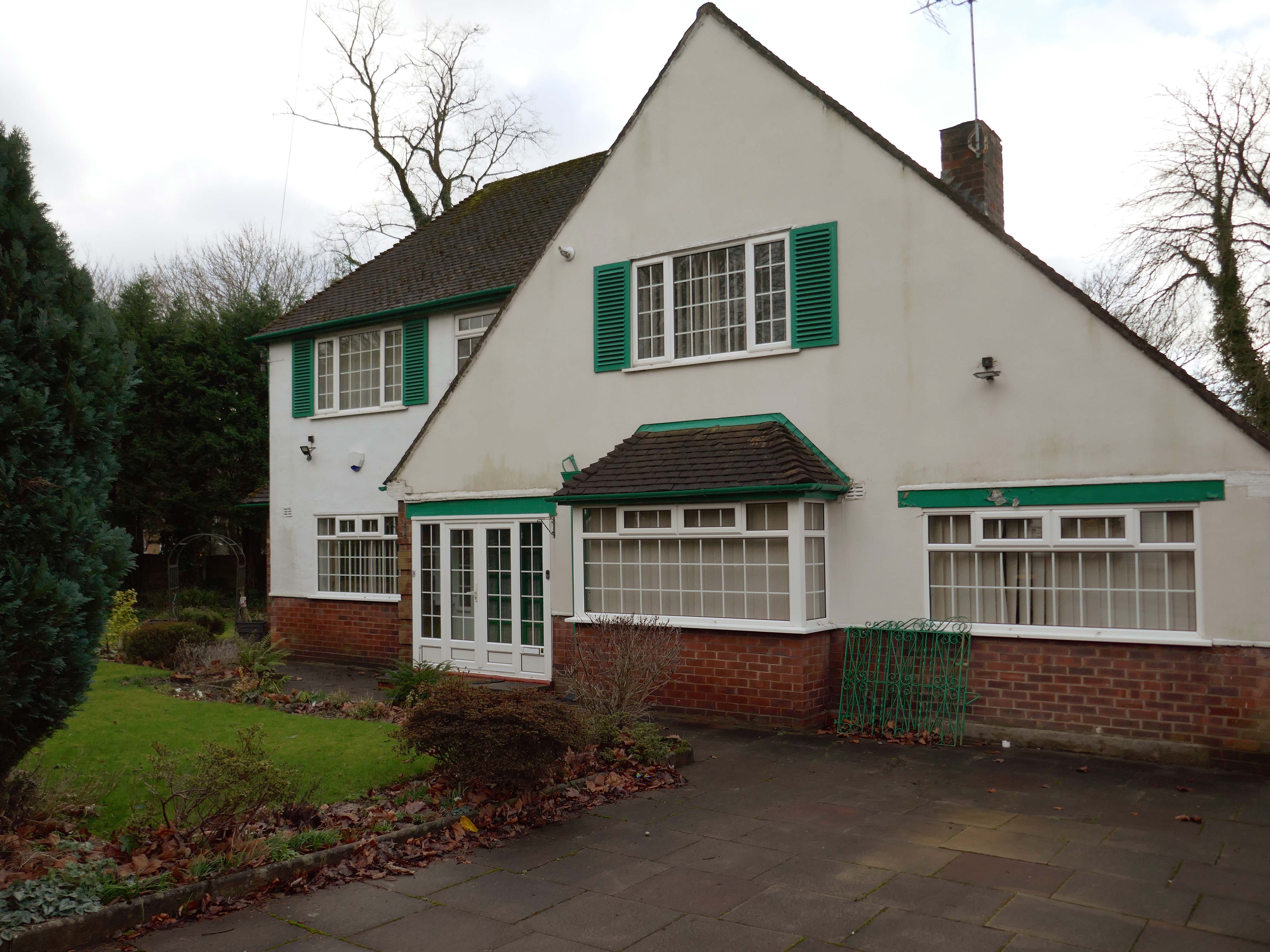
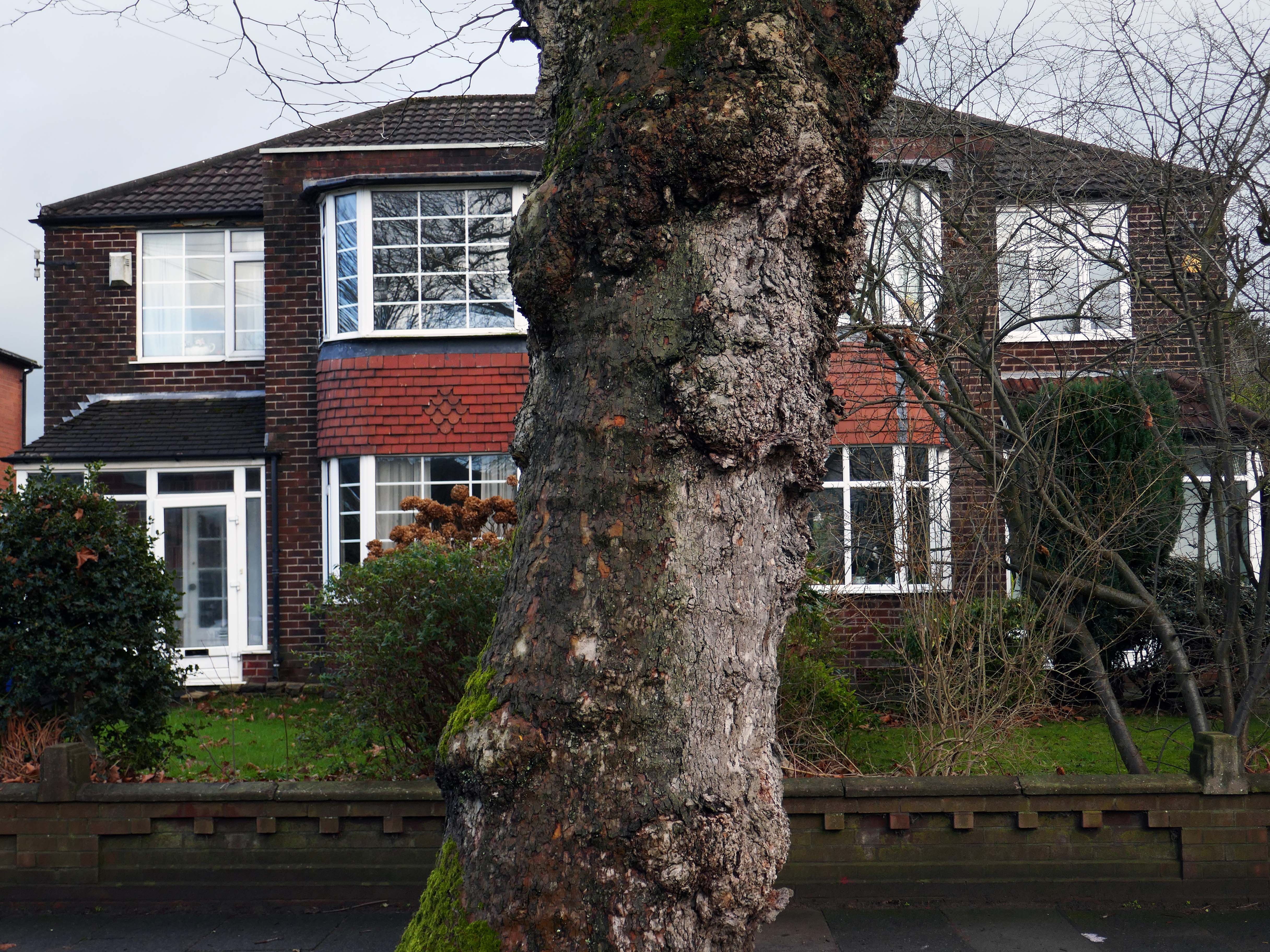
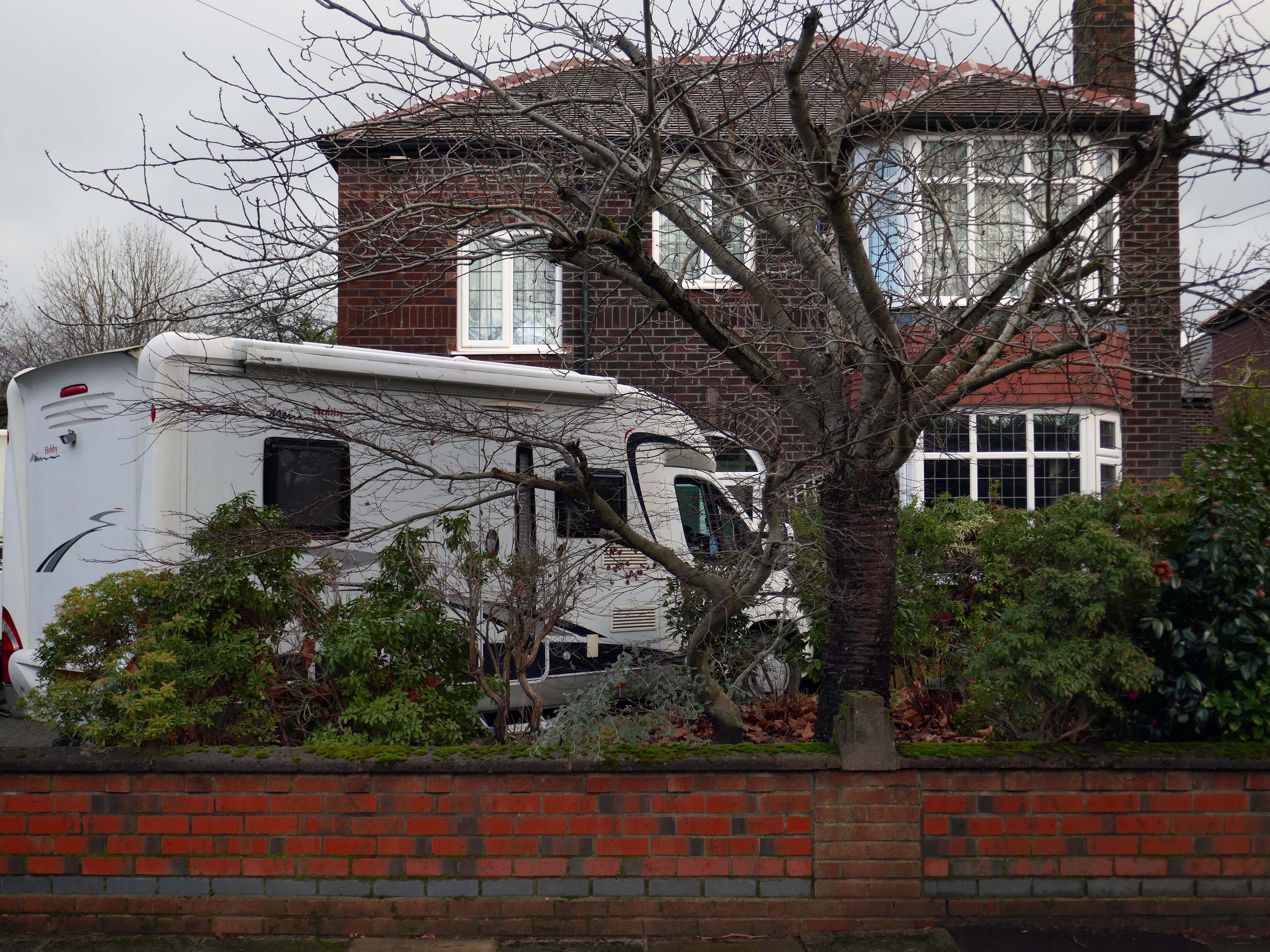
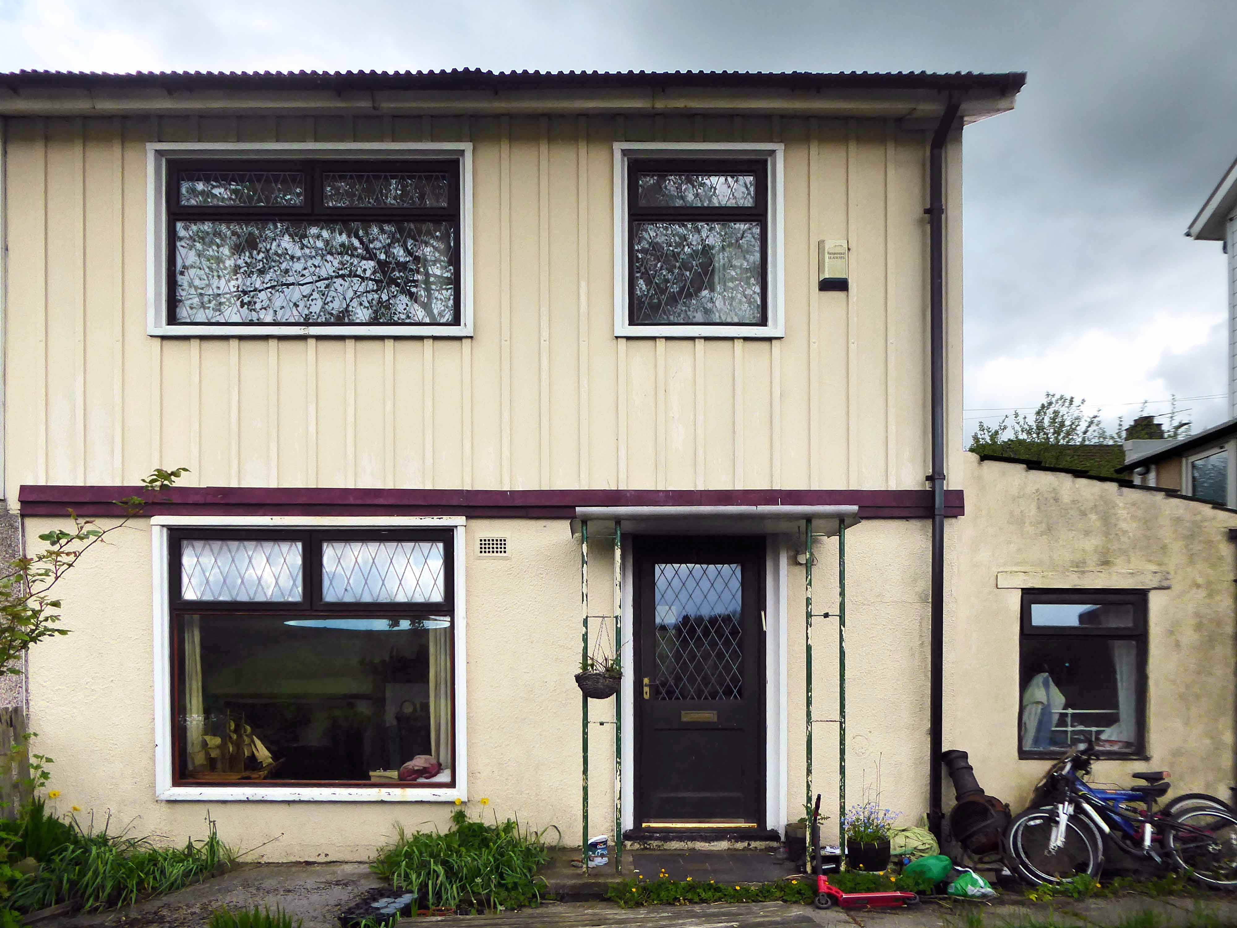
Mauldeth Road is lined with larger houses, Victorian and interwar villas, bijou apartments and the odd Modernist interloper.
Through the avenues and alleyways, home to those ever so tidy inter and postwar enclaves.
Where a mans gotta work out which side he’s on Any way he chooses Chances are he loses No one gets to live too long
Though in my experience the converse is true, this is a mature community gently maturing, on the inside of everything.
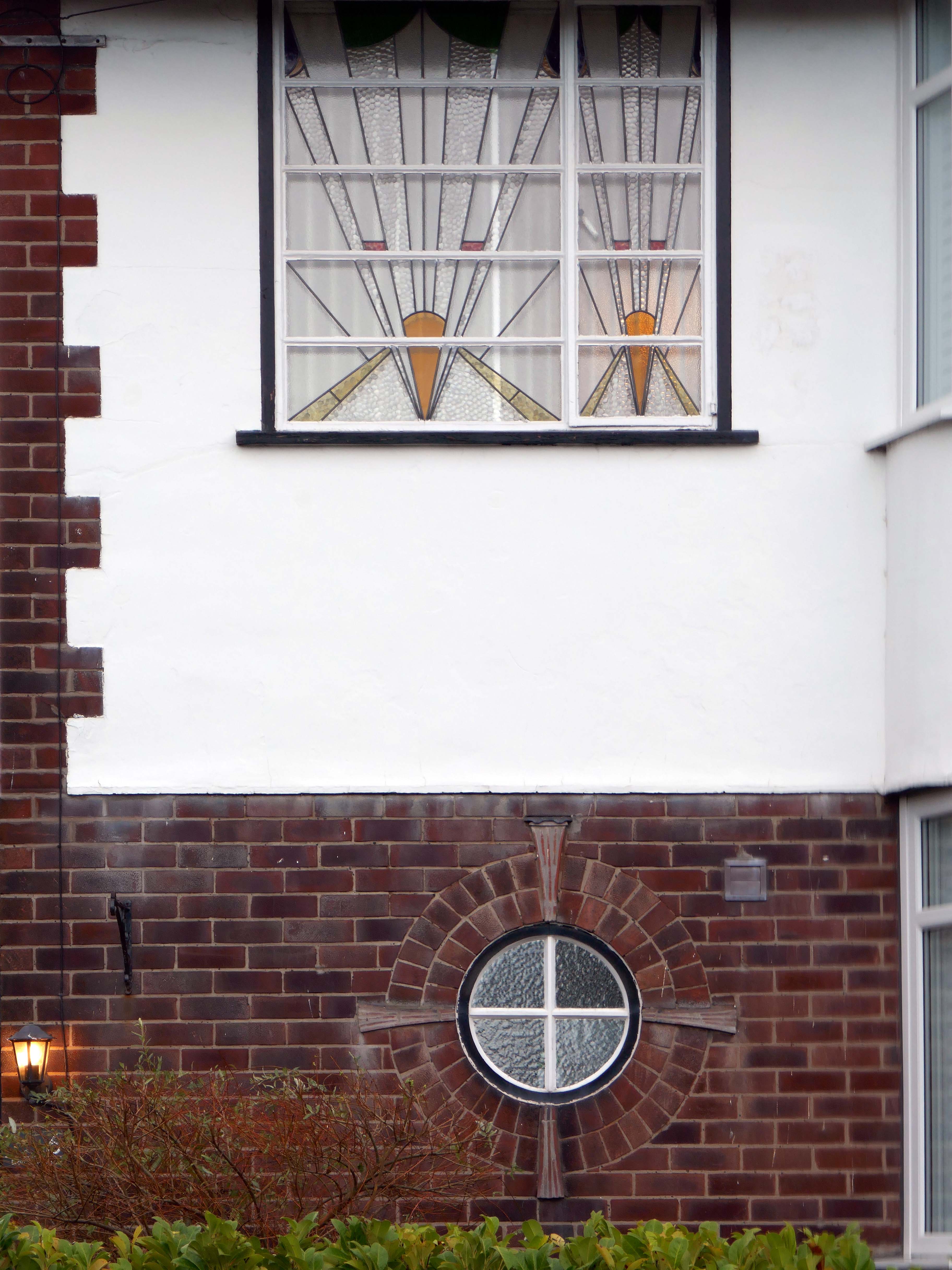
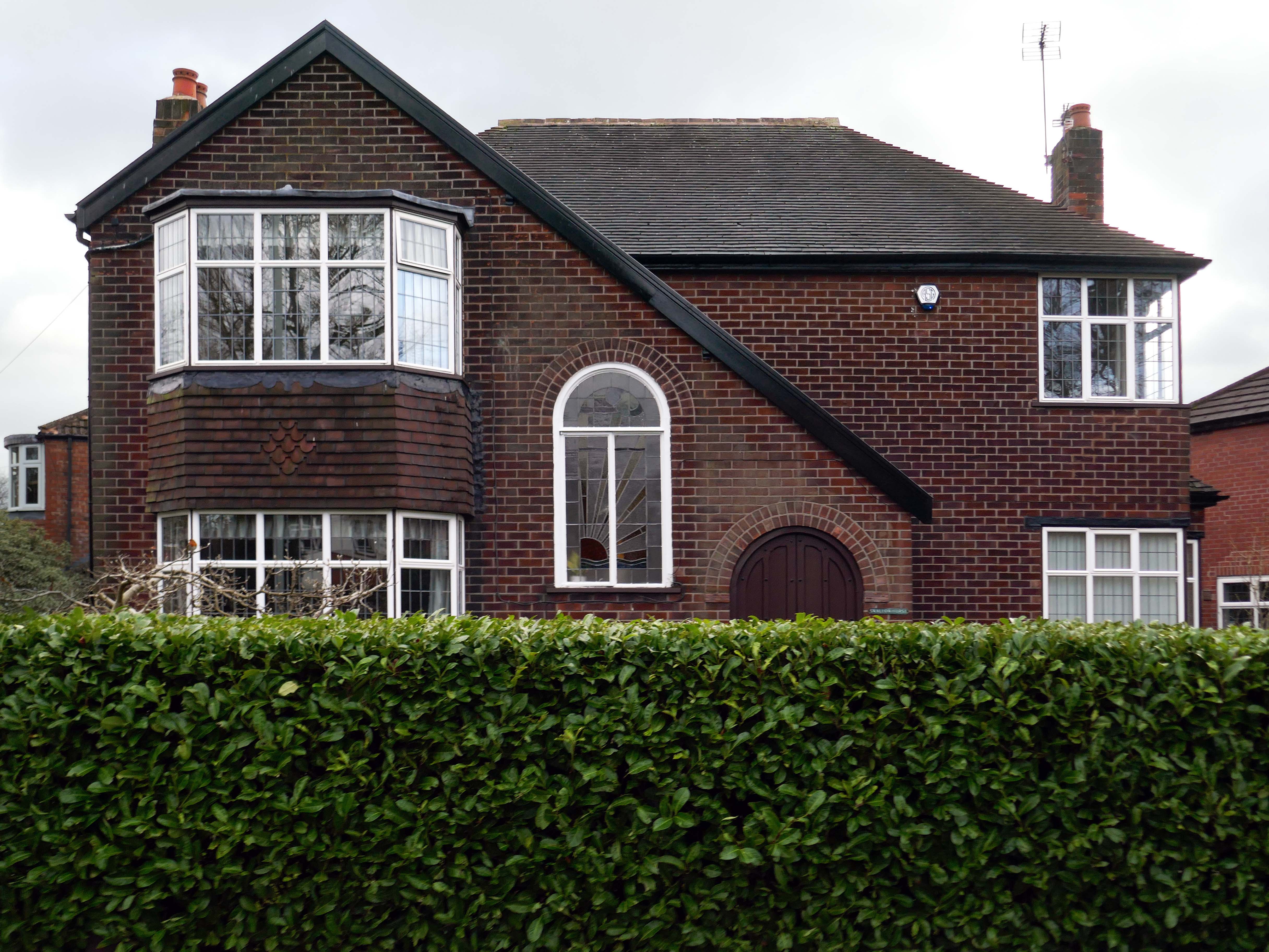
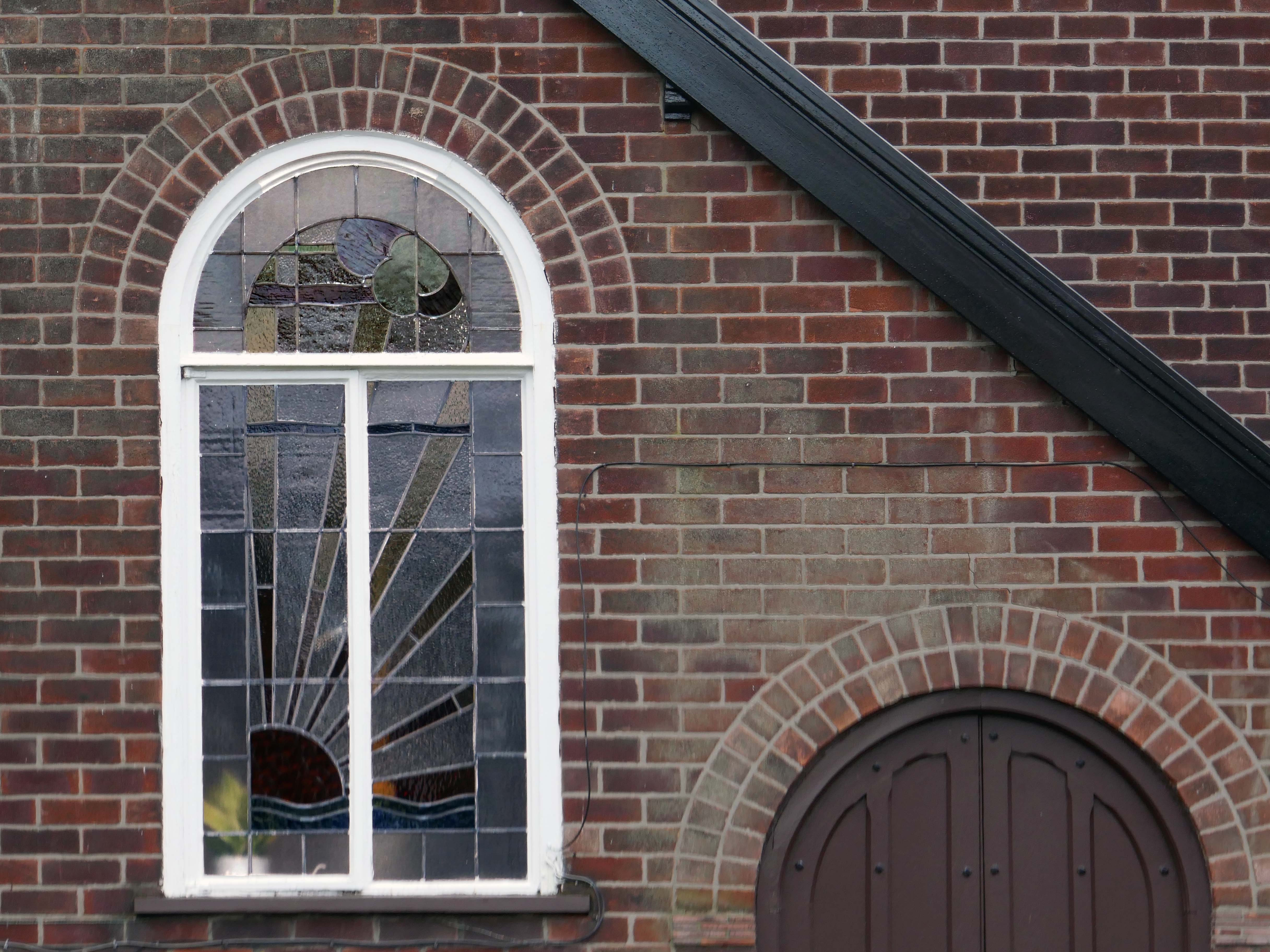
Hiding what may possibly be hidden behind the hedge, though the privacy of privet is in retreat, replaced by bay, birch, holly and the extremely hardy laurel.
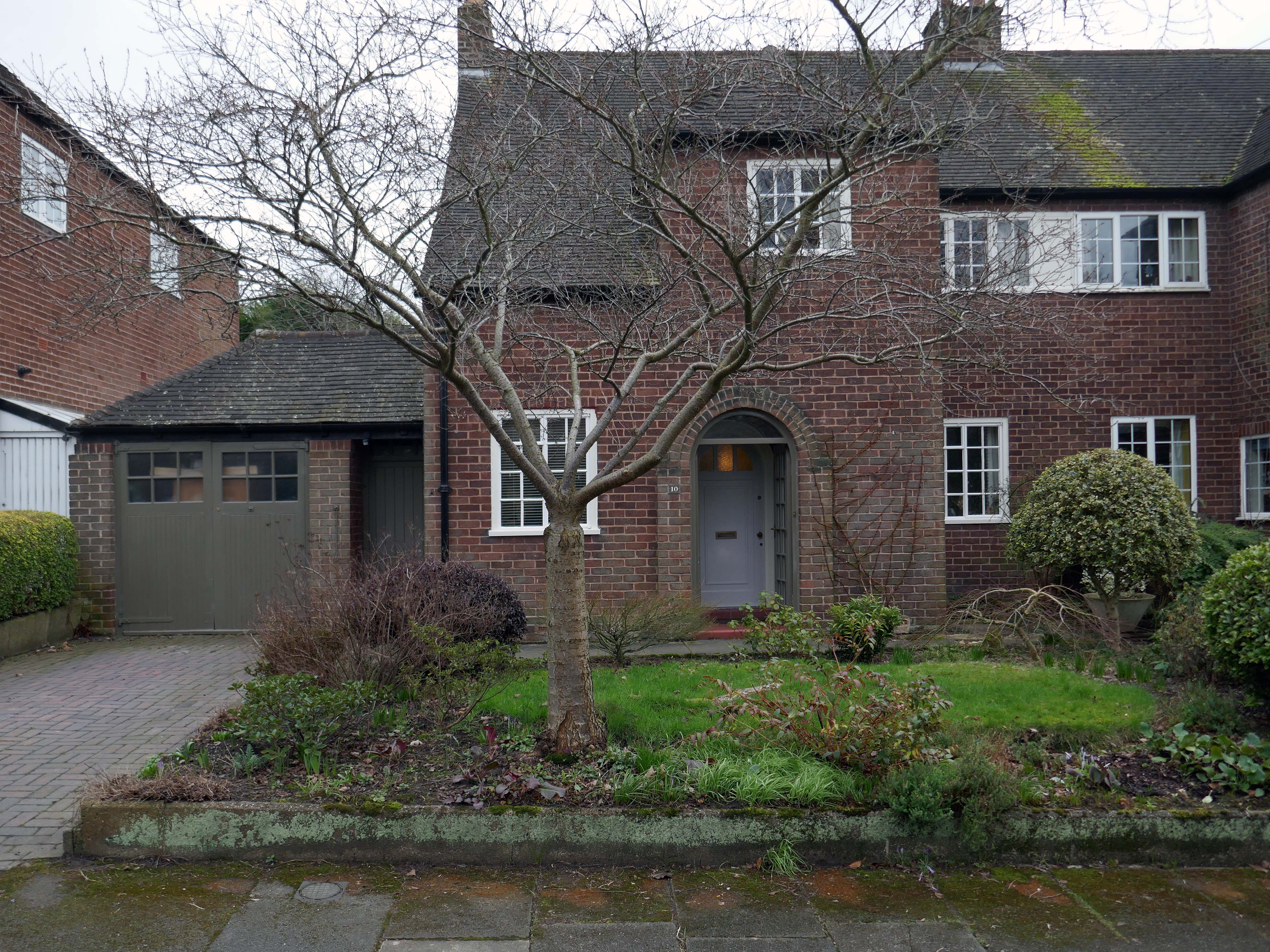
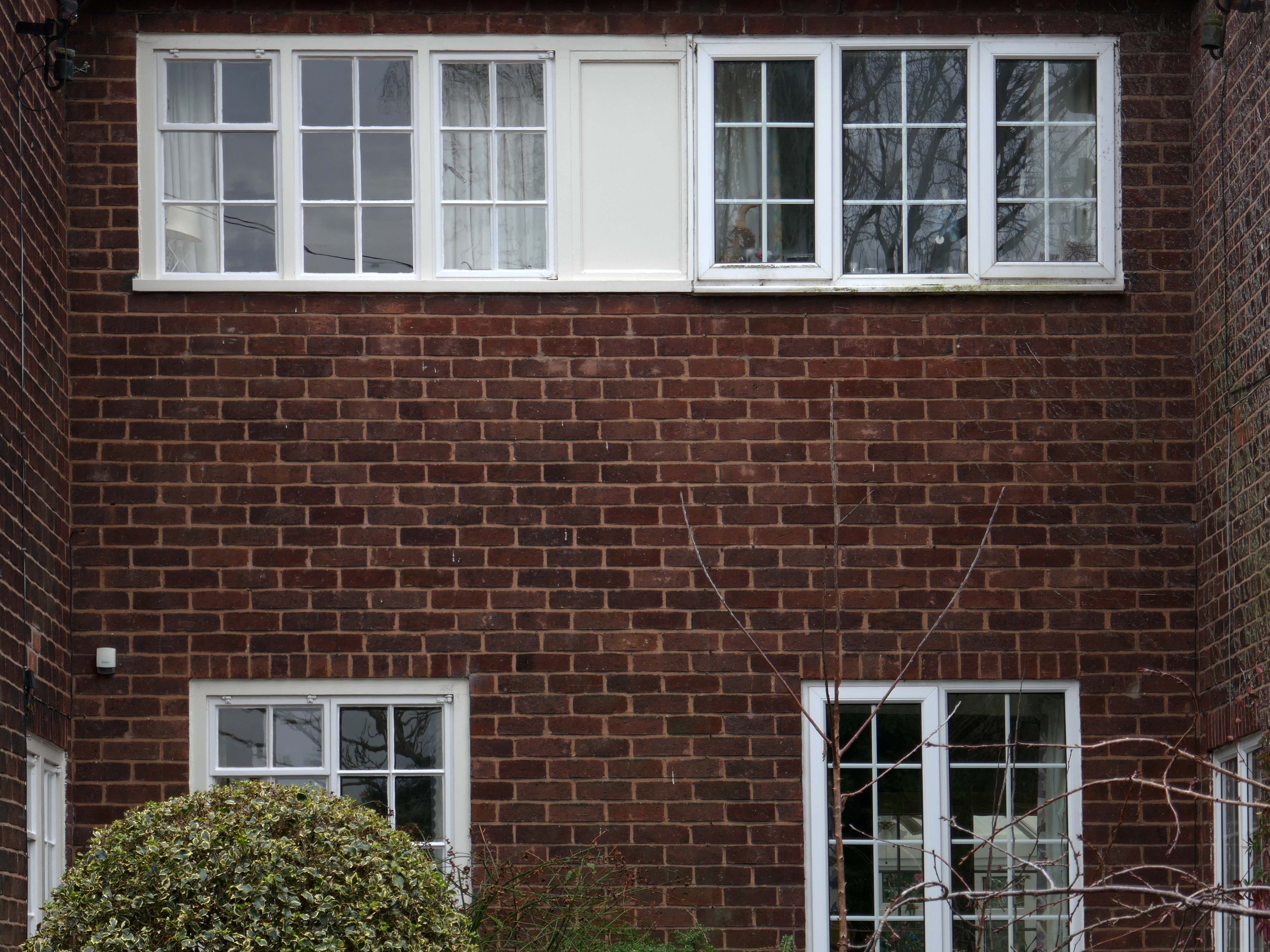
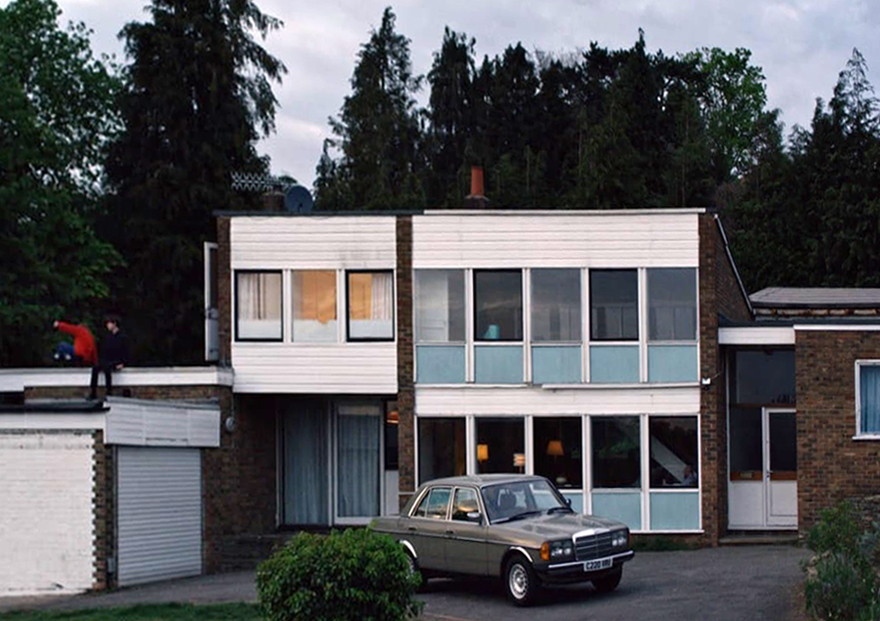
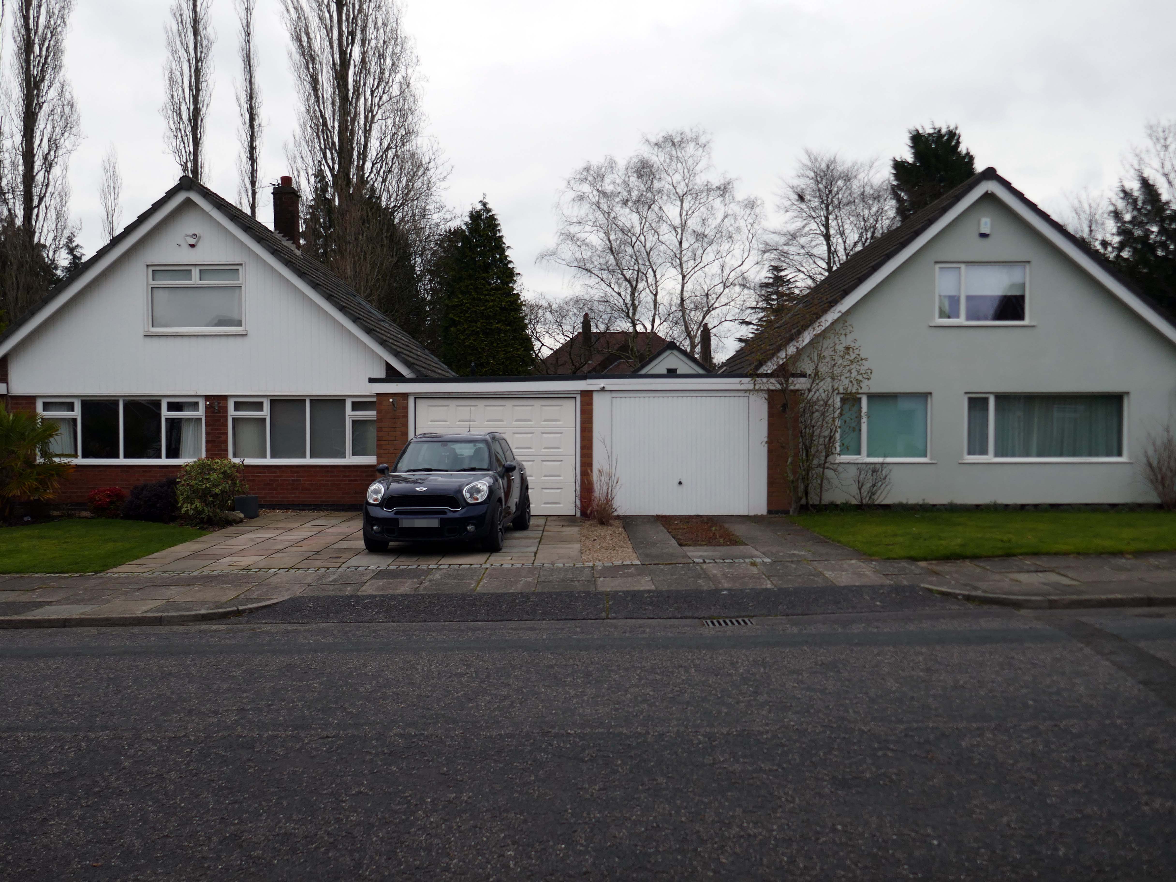
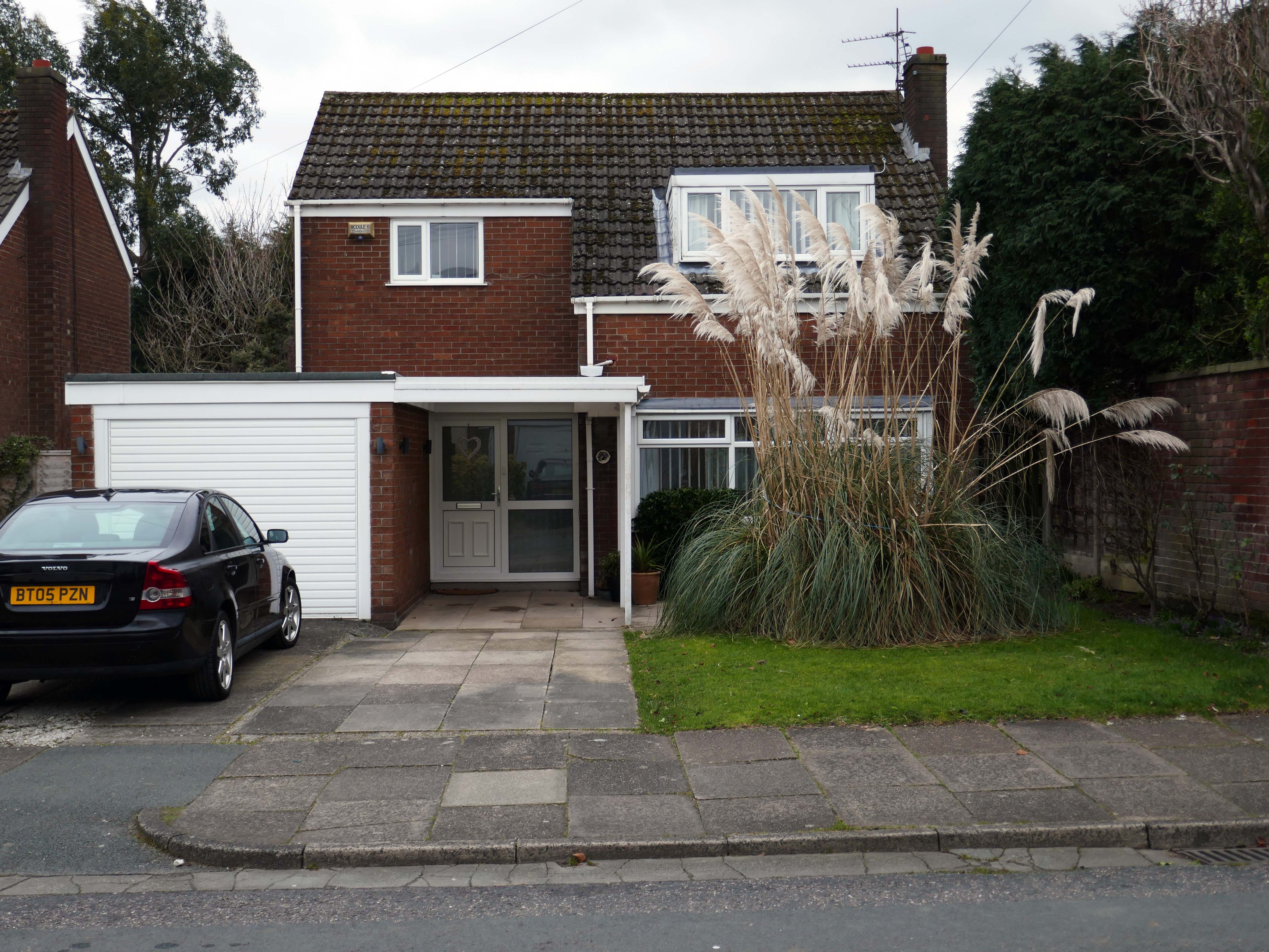
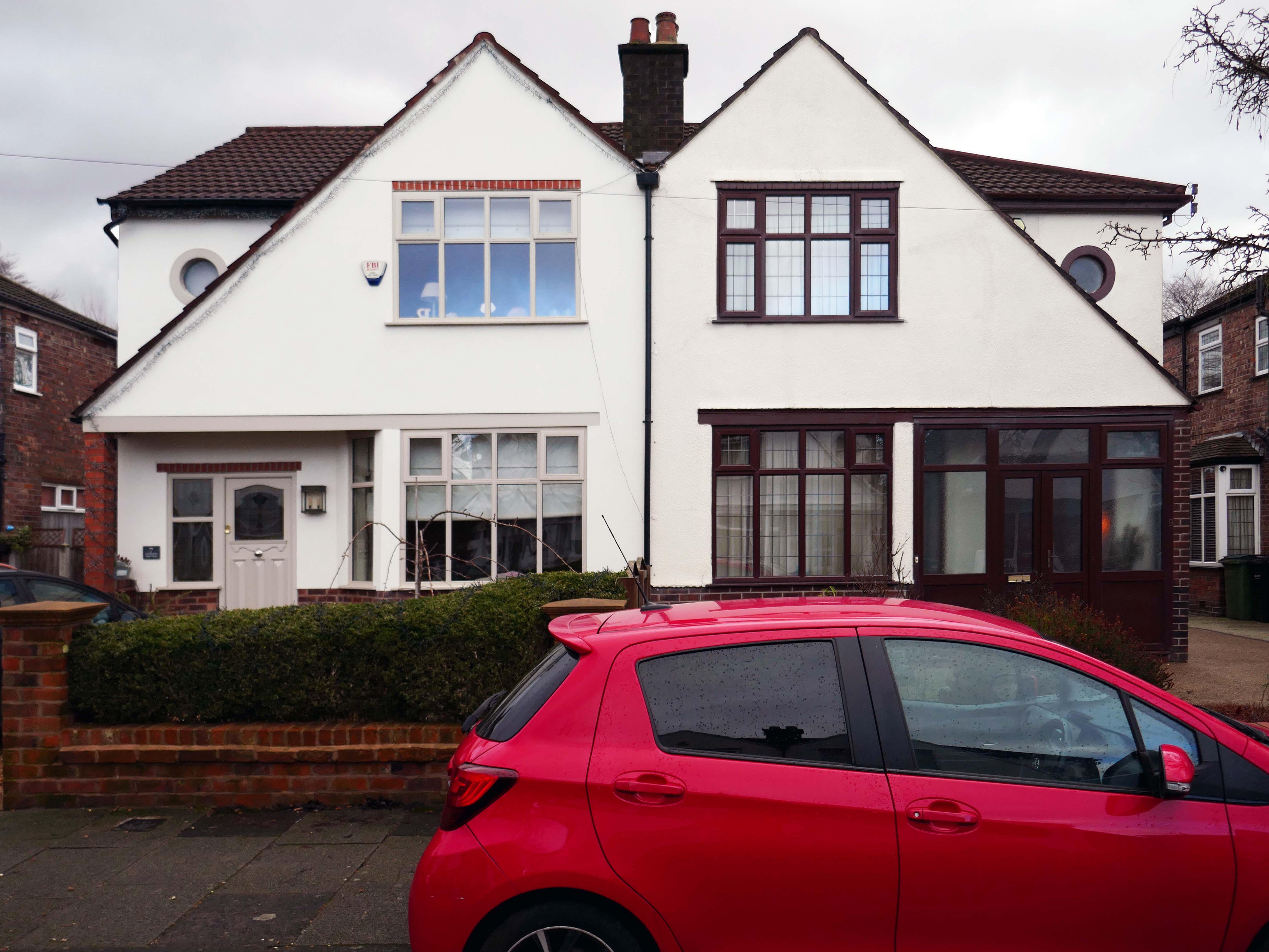
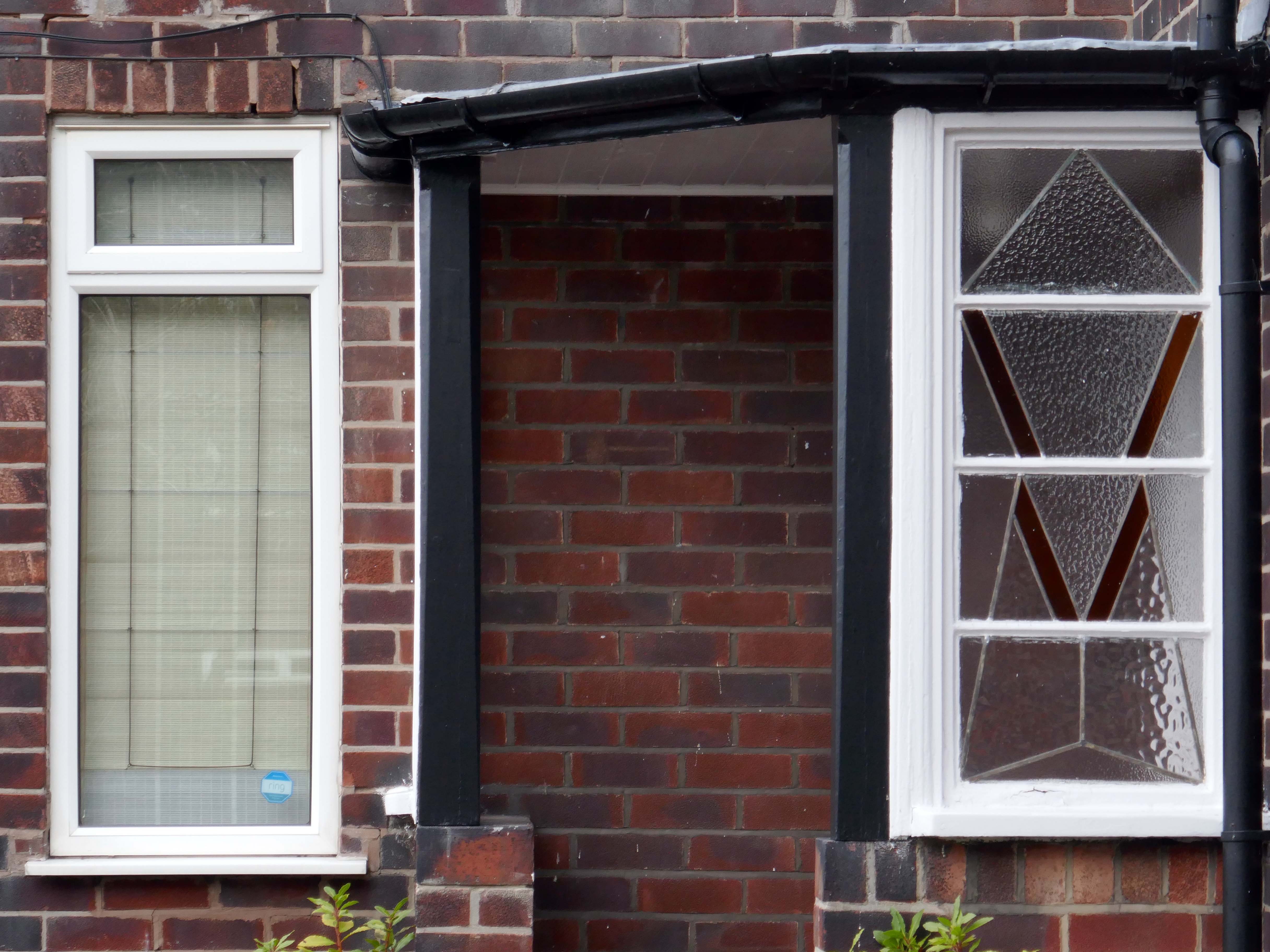
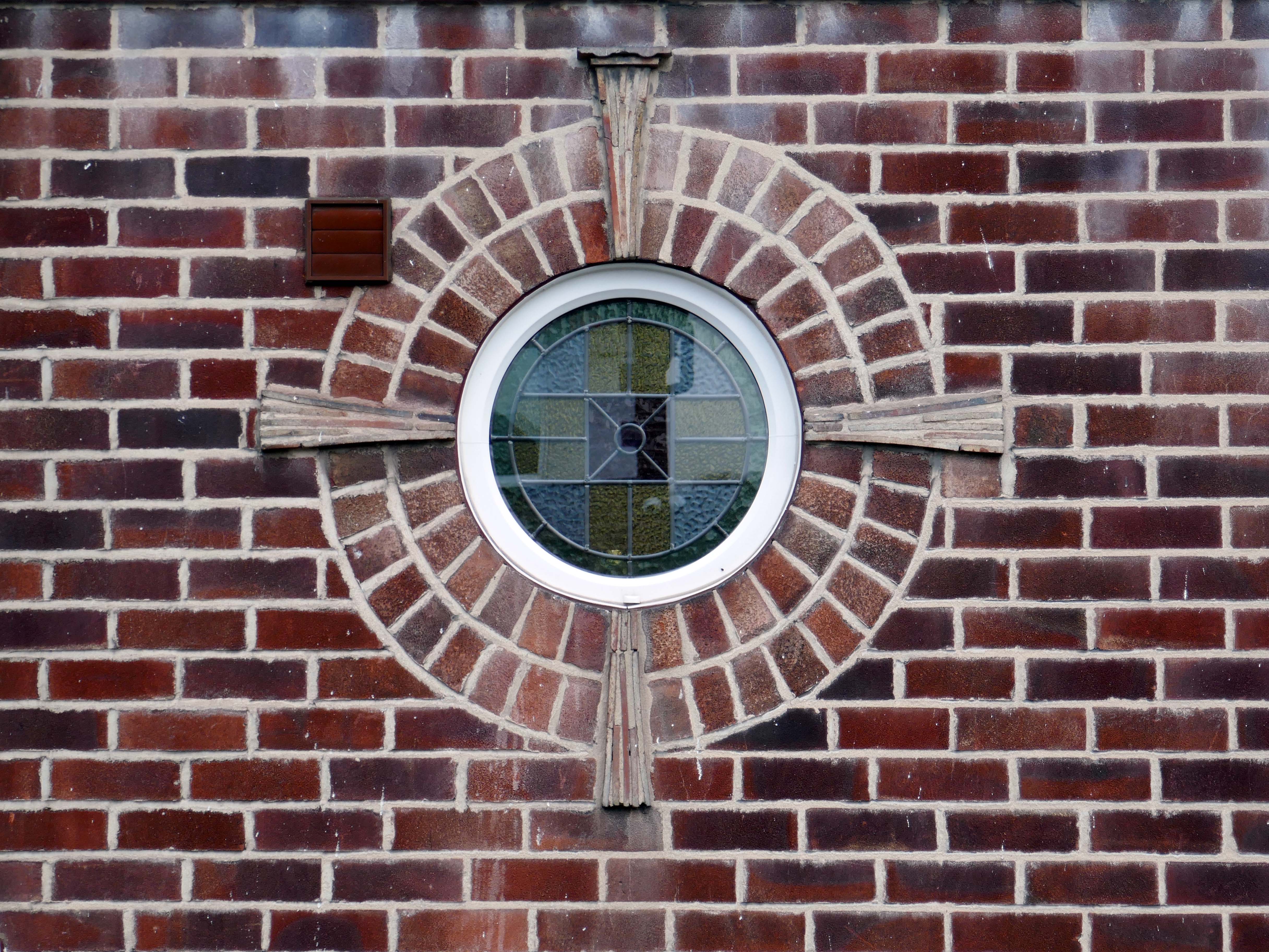
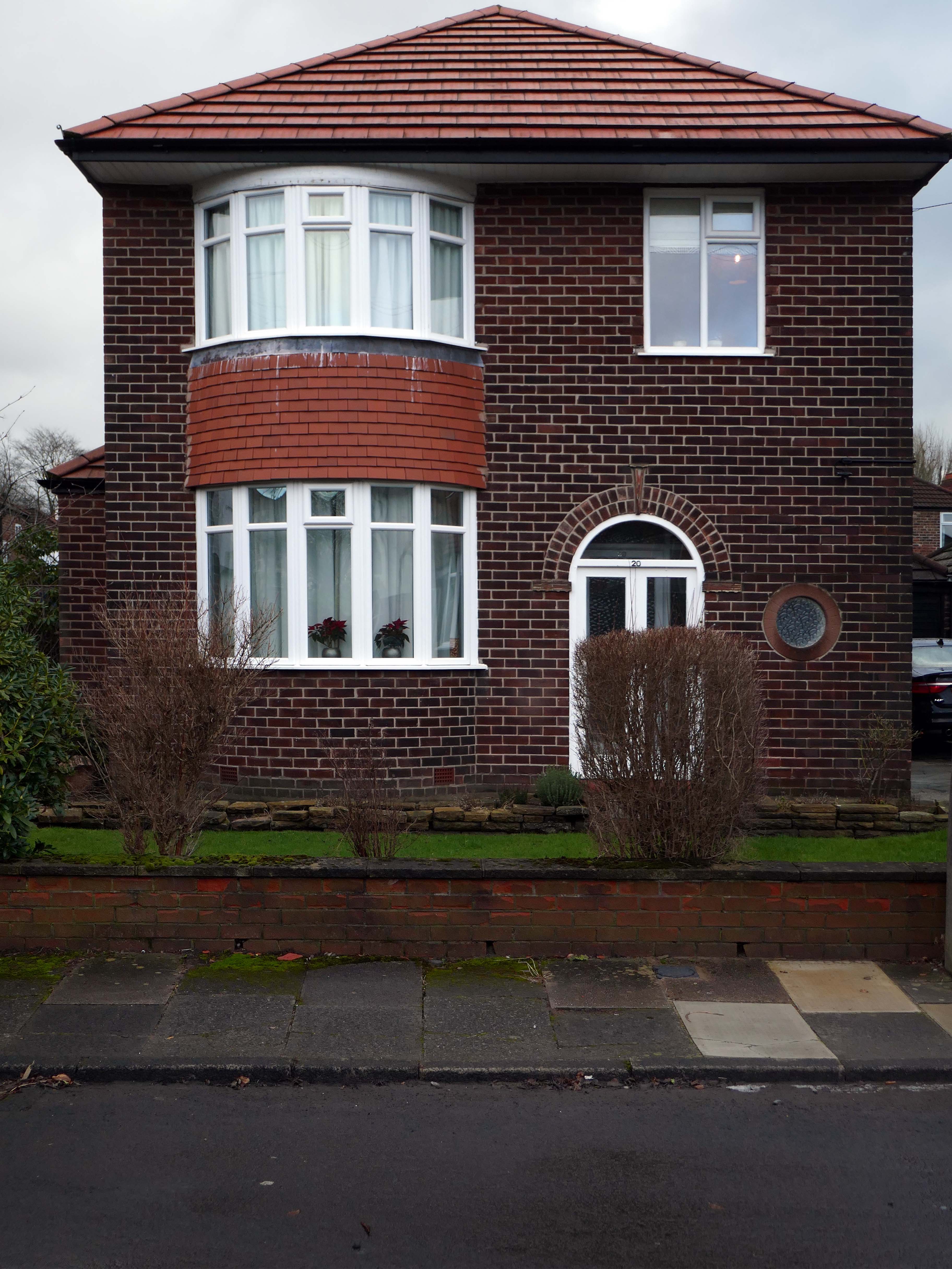
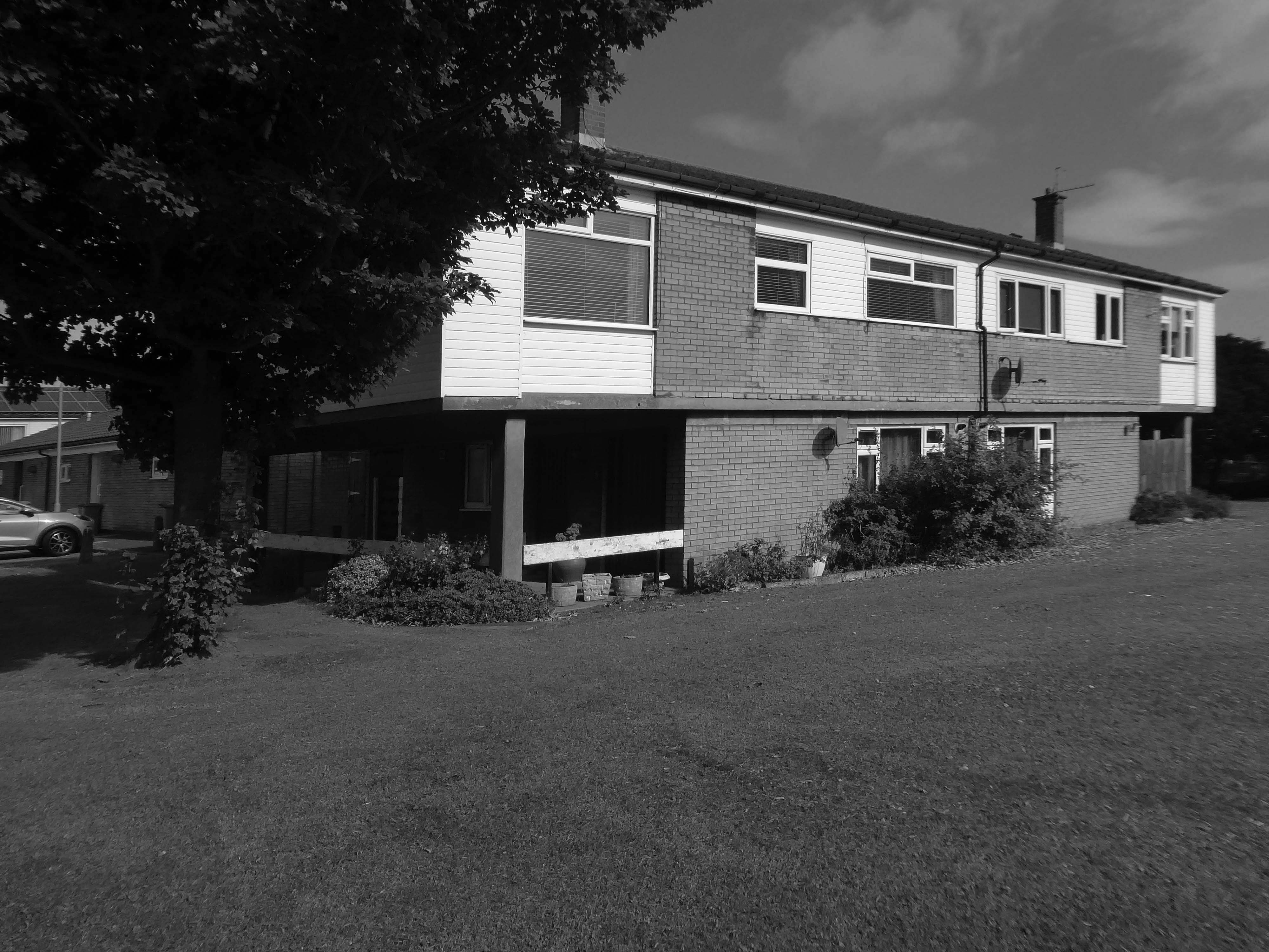
The left hand house has purposefully retained the original Crittall Windows.
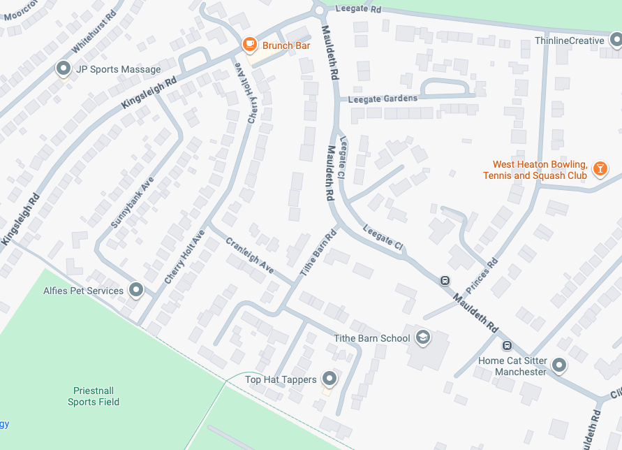
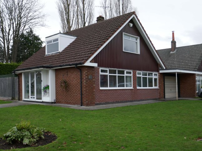
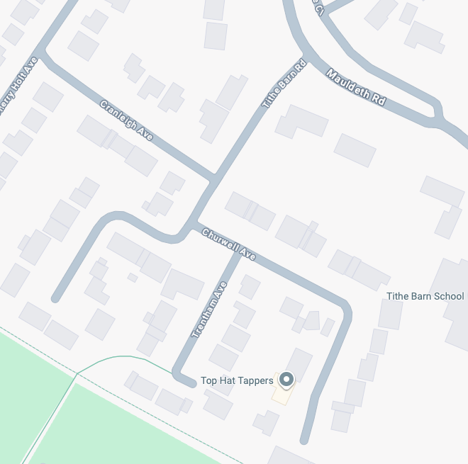
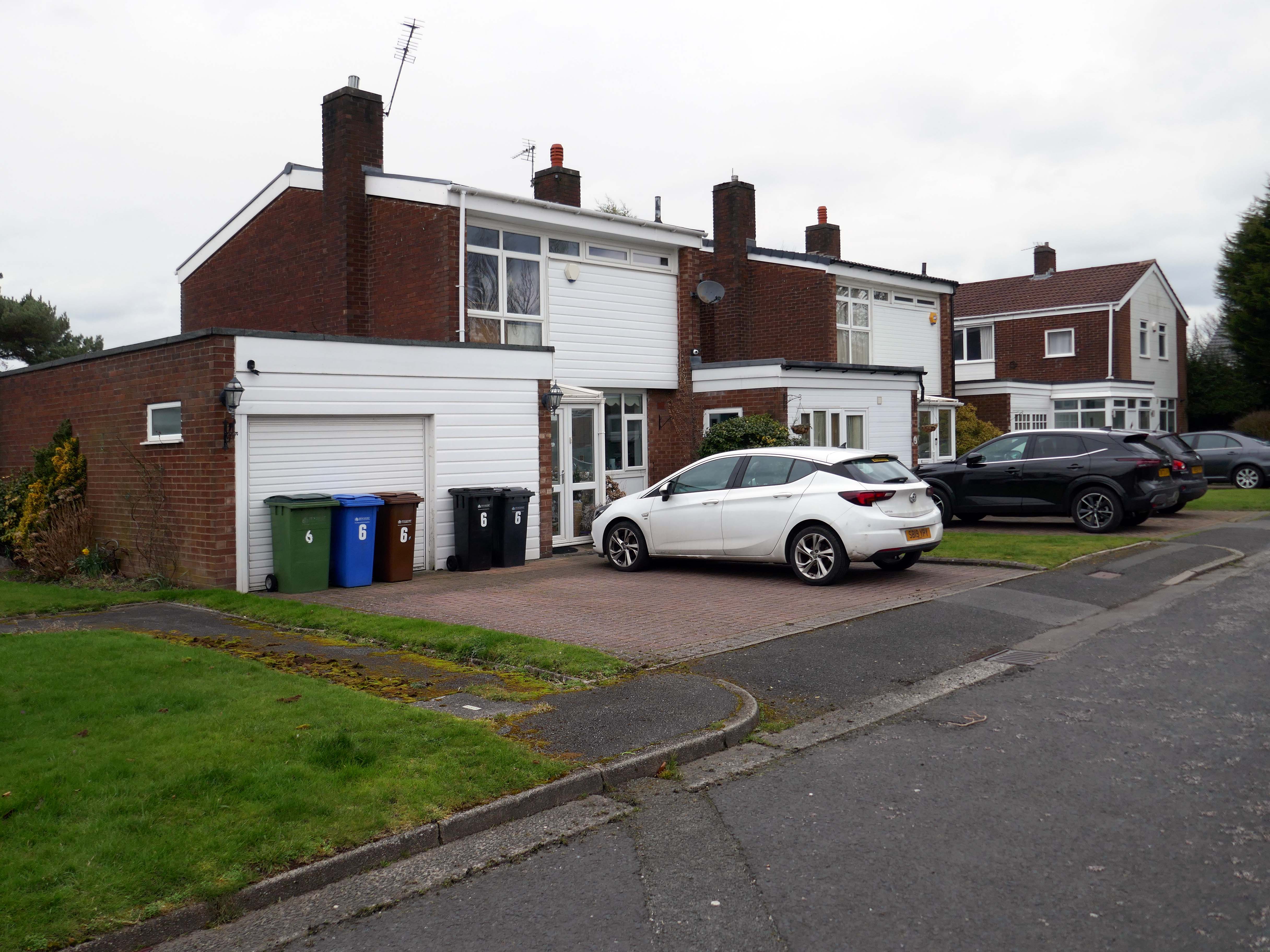
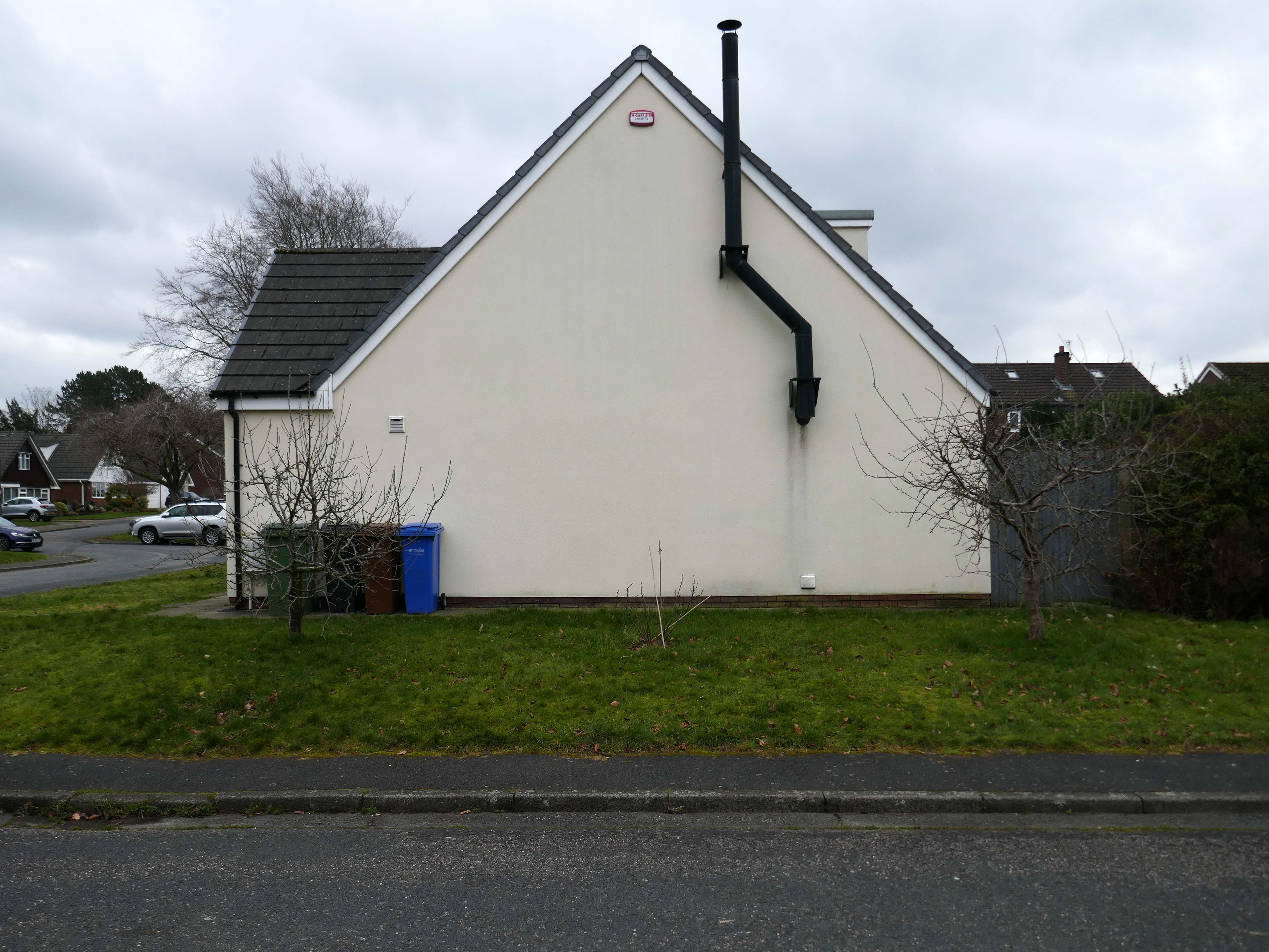
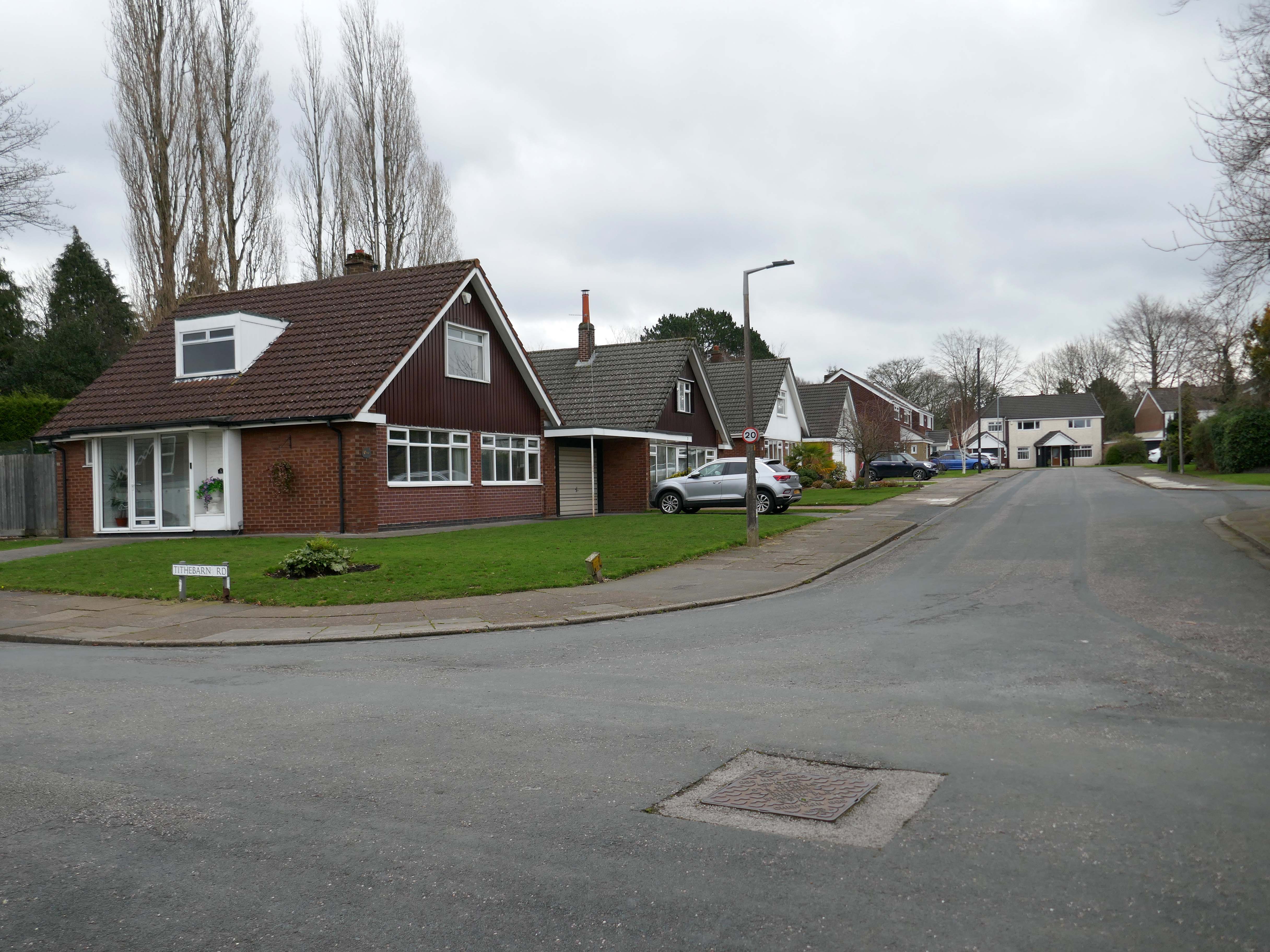
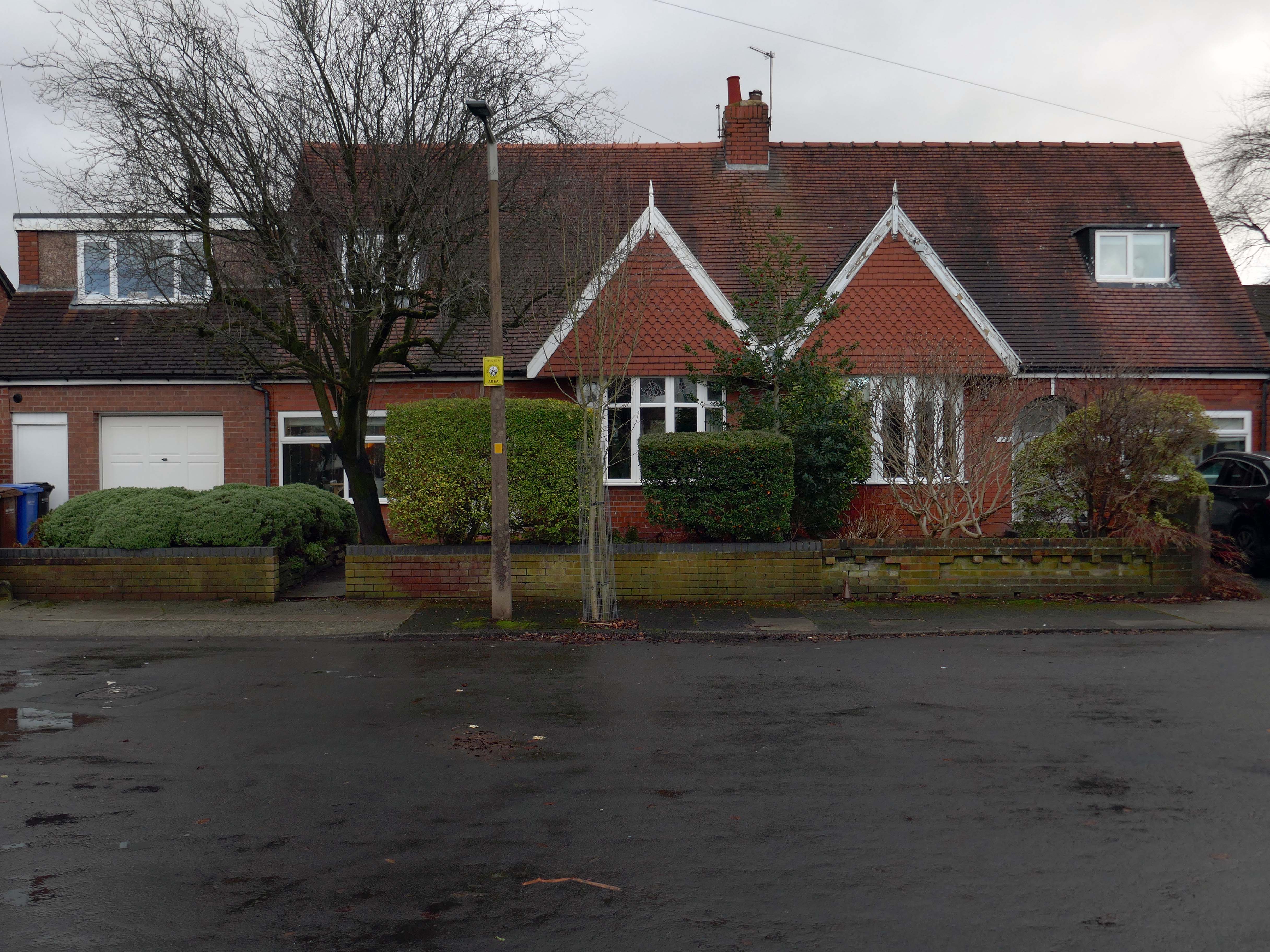
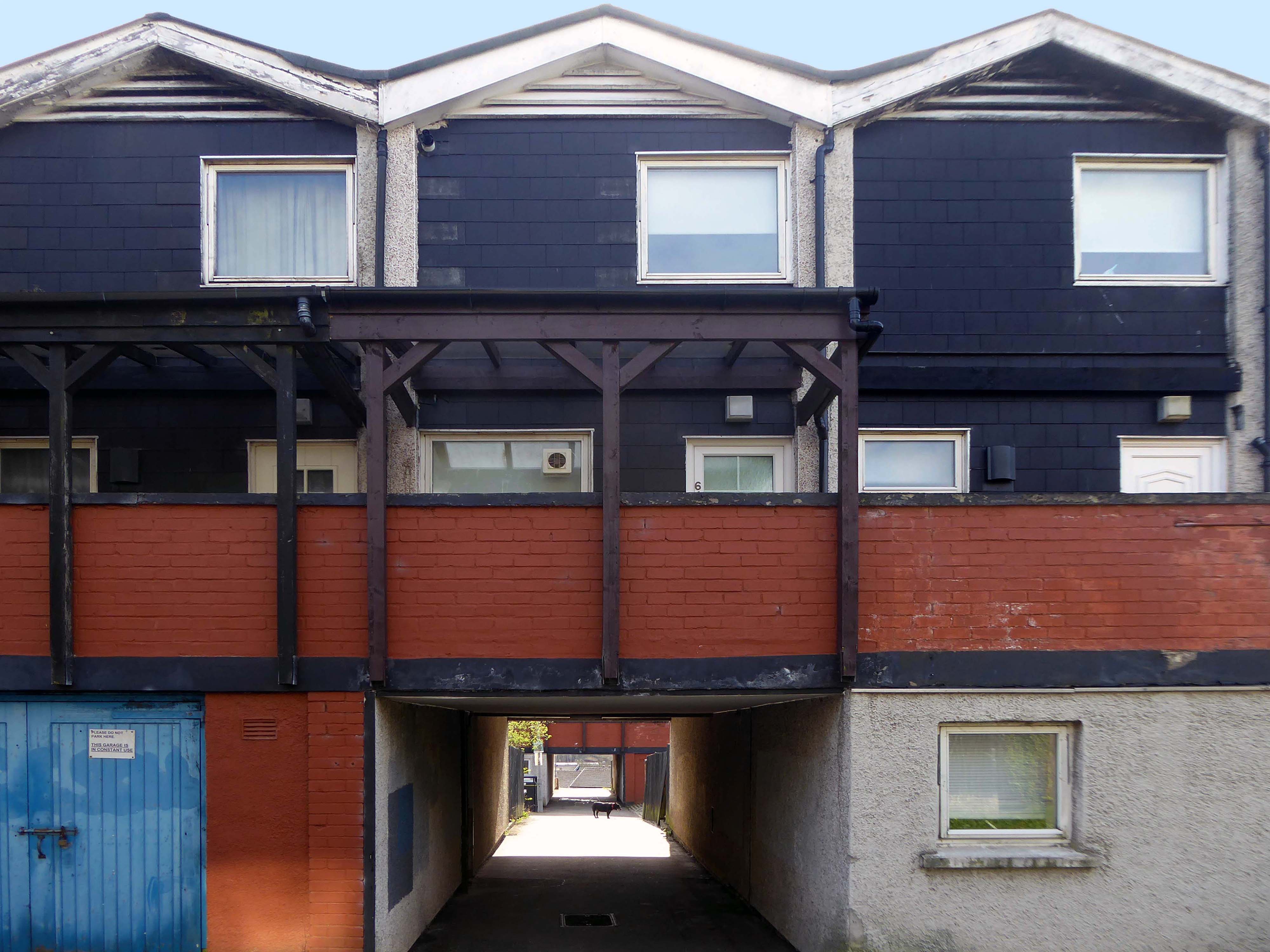
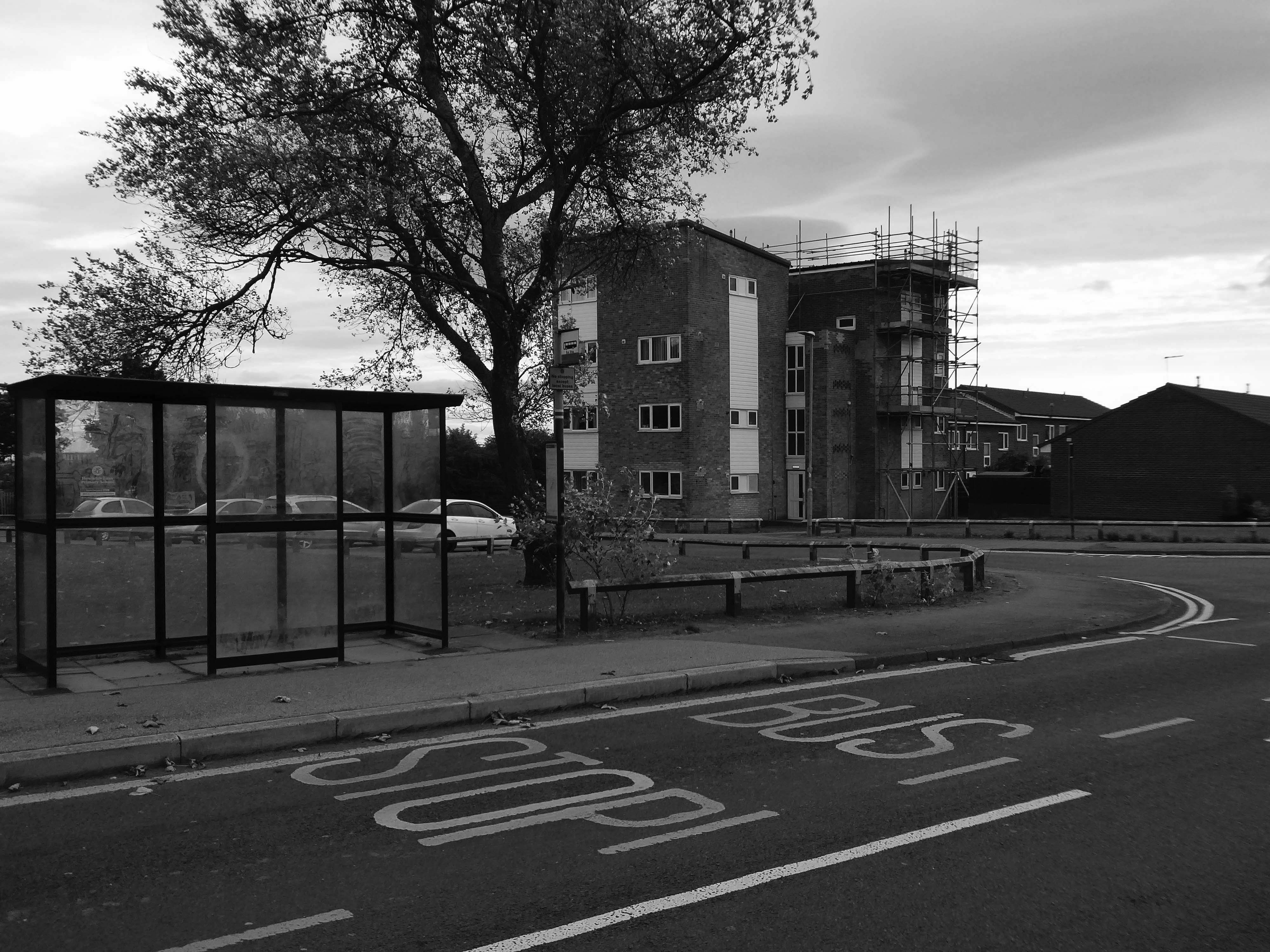
High above the streets of Stockport – zooming in to a cluster of cul de sacs branching out from Tithe Barn Road.
Cul de sac translates as bottom of the bag, the French do not use the term, preferring voie sans issue, literally a dead end.
In the slums of New York City, on the East River just below the Queensboro Bridge, wealthy people live in opulent and luxurious apartments because of the picturesque views of the river, while the destitute and poor live nearby in crowded, cockroach-infested tenements.
I assume that countless civic meetings and Estate Agents’ offices eschew the terminal term – dead end, in favour of the assumed elegance of the cu de sac.
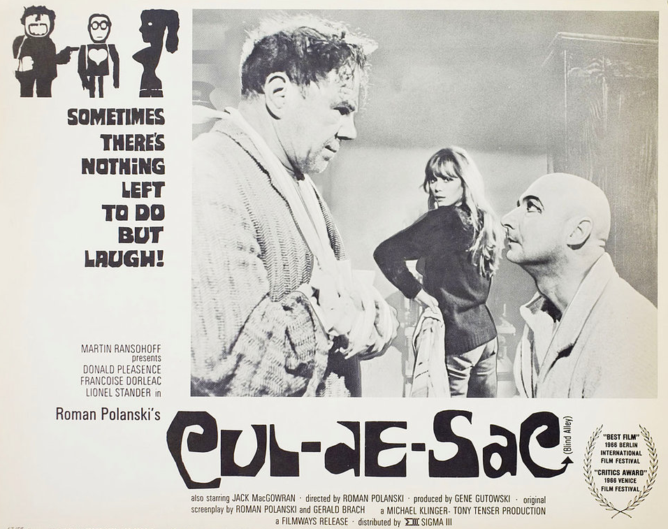
Polanski’s second English-language feature, it follows two injured gangsters who take refuge in the remote island castle of a young British couple in the North of England, spurring a series of mind games and violent altercations.
I was informed by a local resident that the streets and houses had been used by film crews, firstly for ease of access, the location being closed off, and secondly as the period architecture aligns perfectly with the current penchant for mid-century styling.
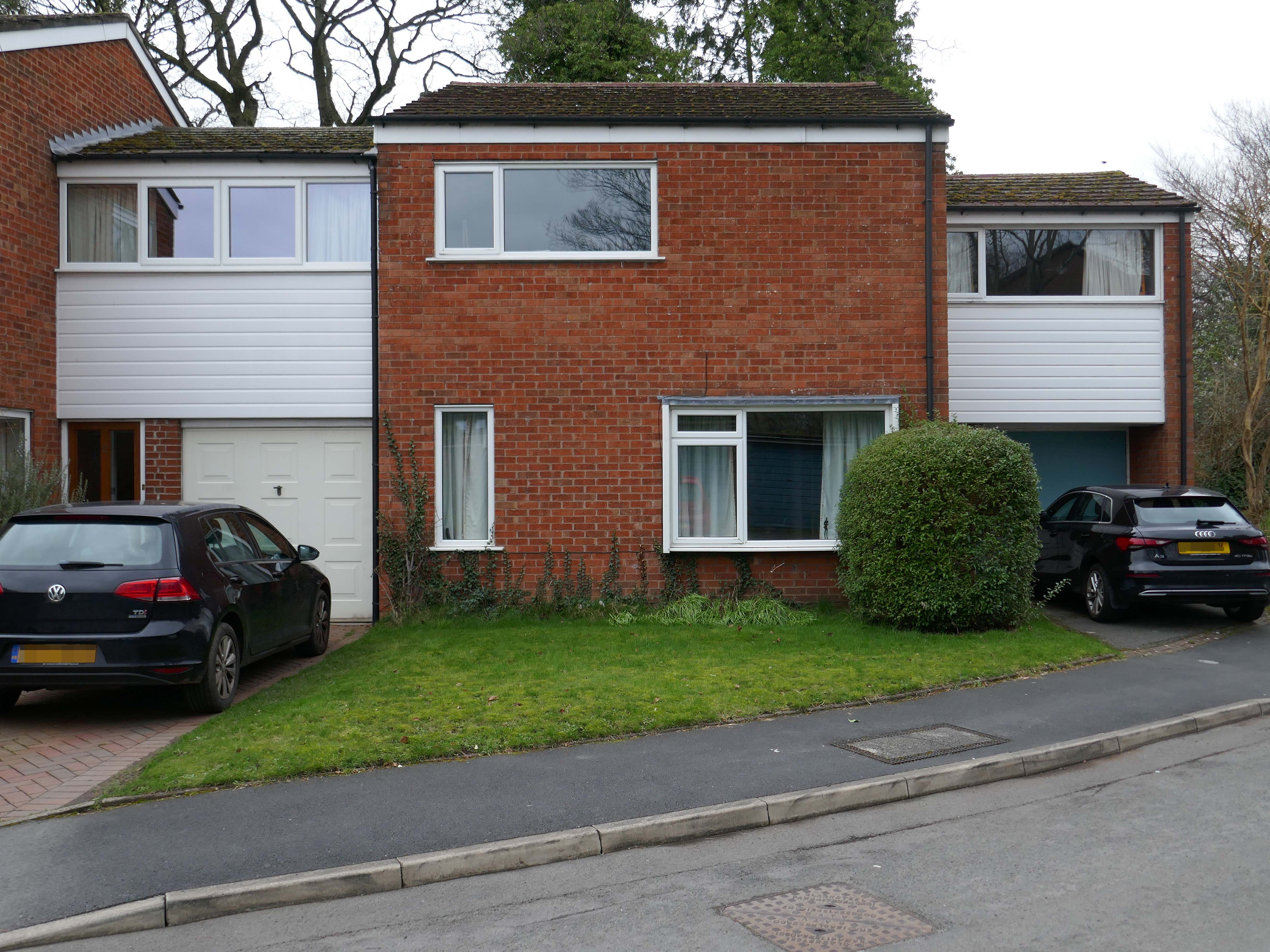
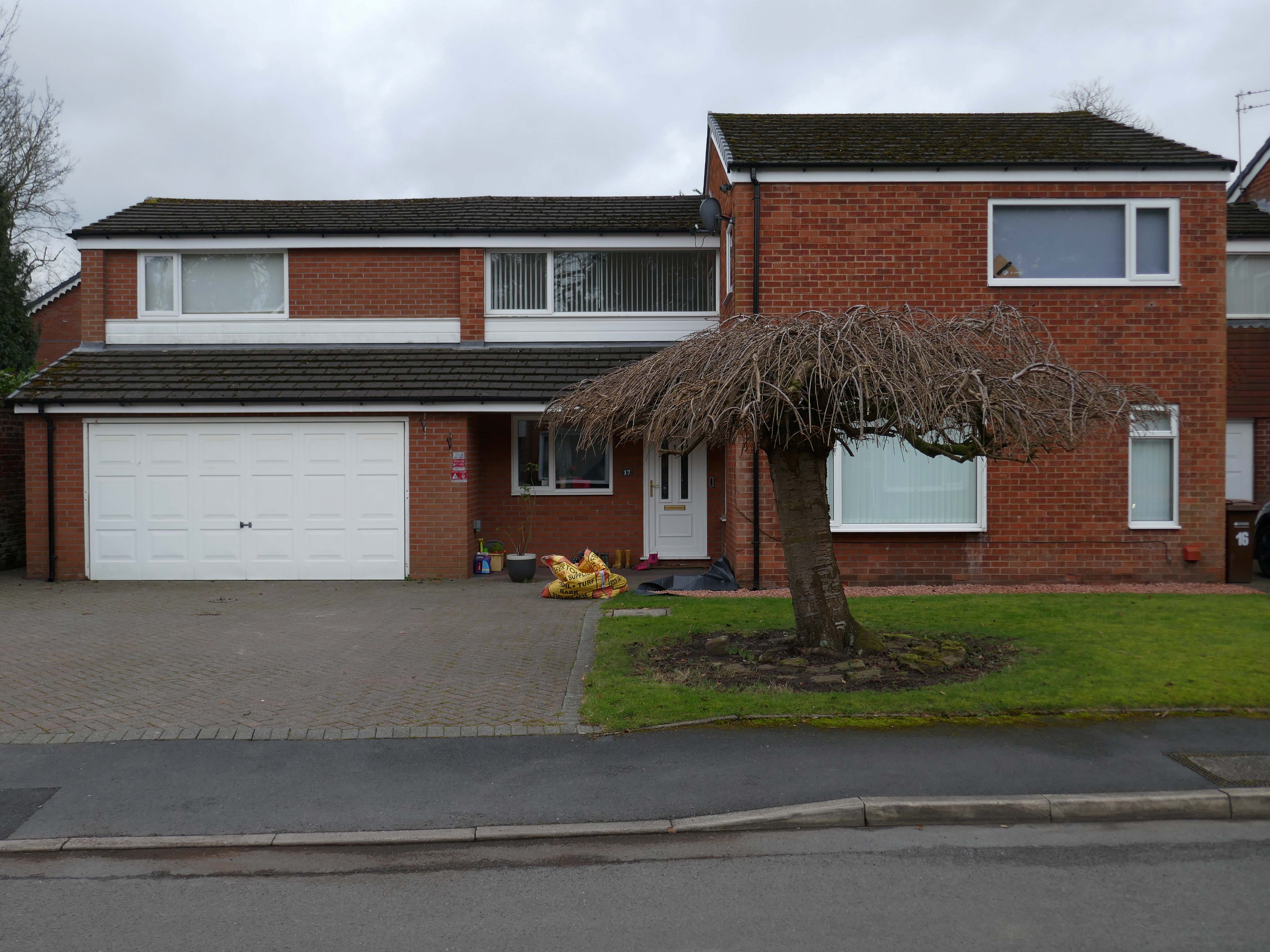
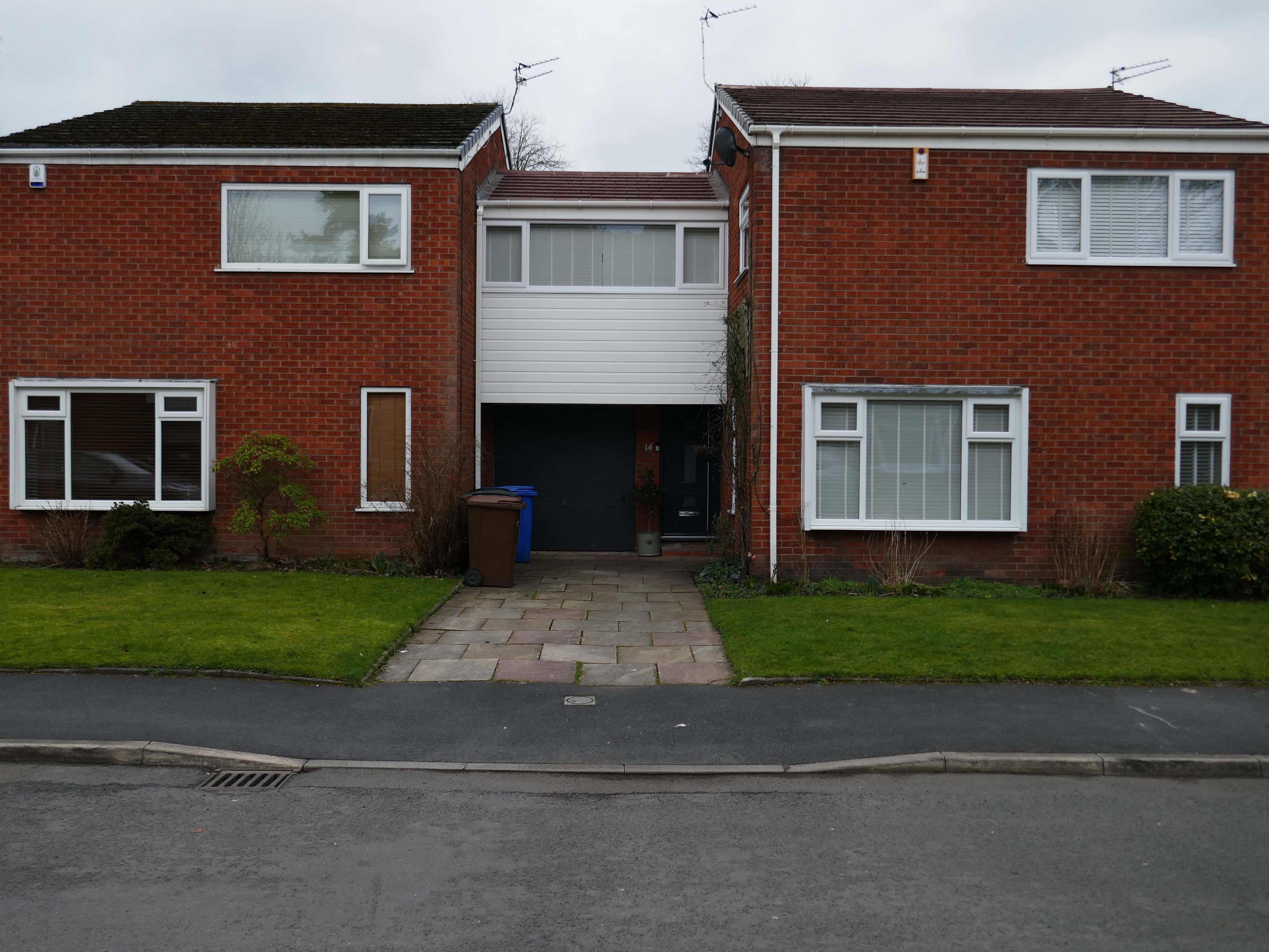
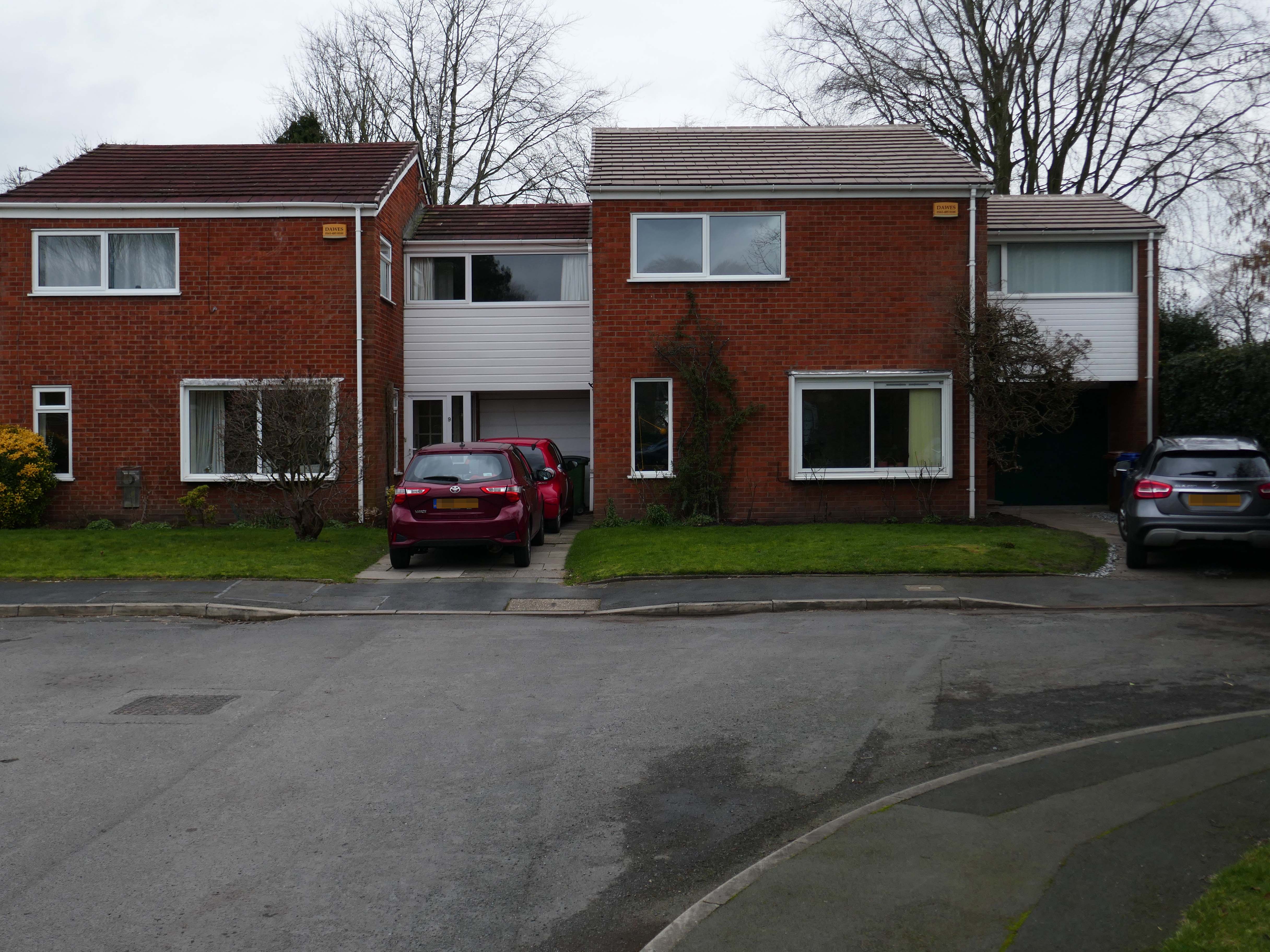
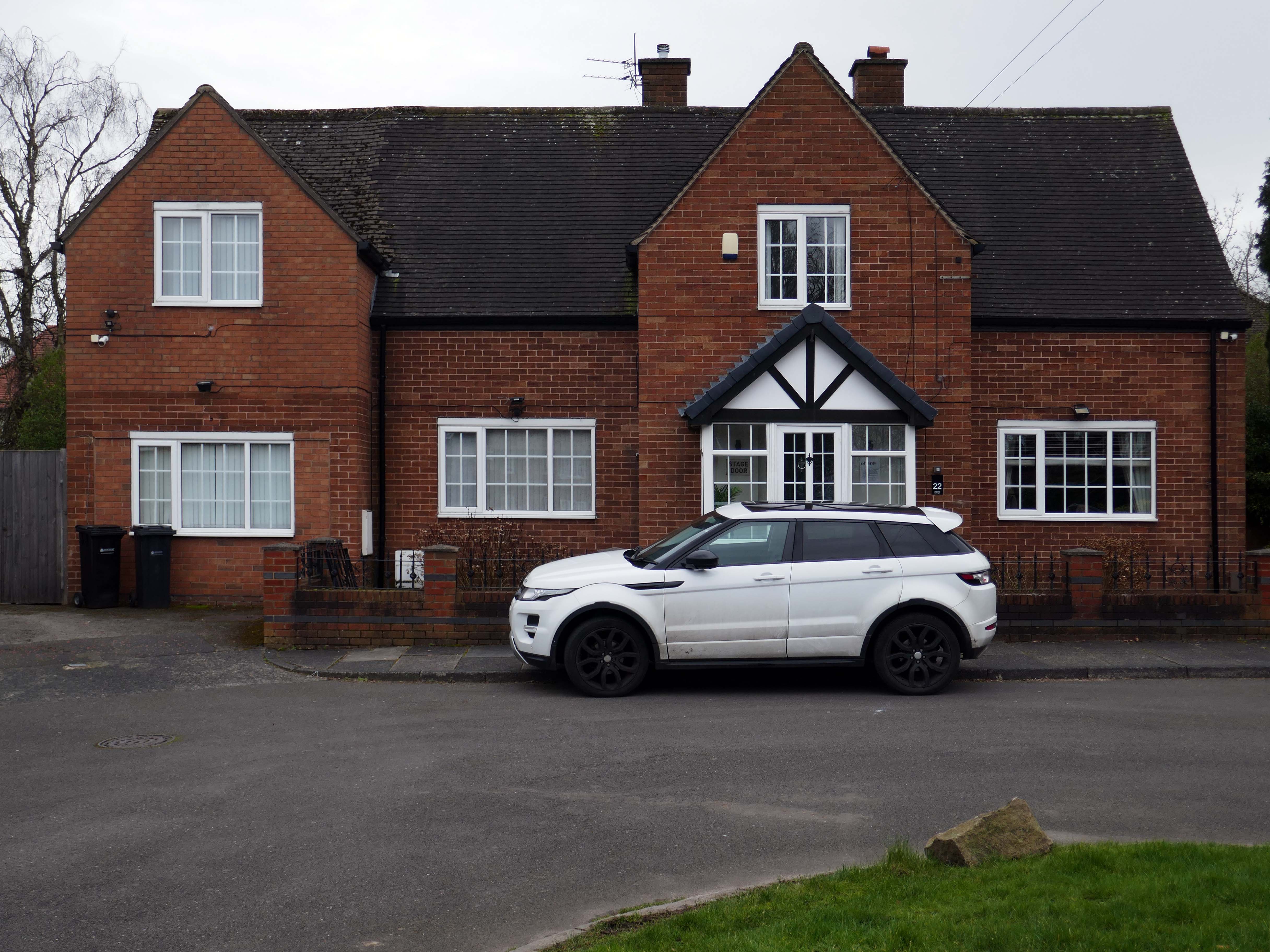
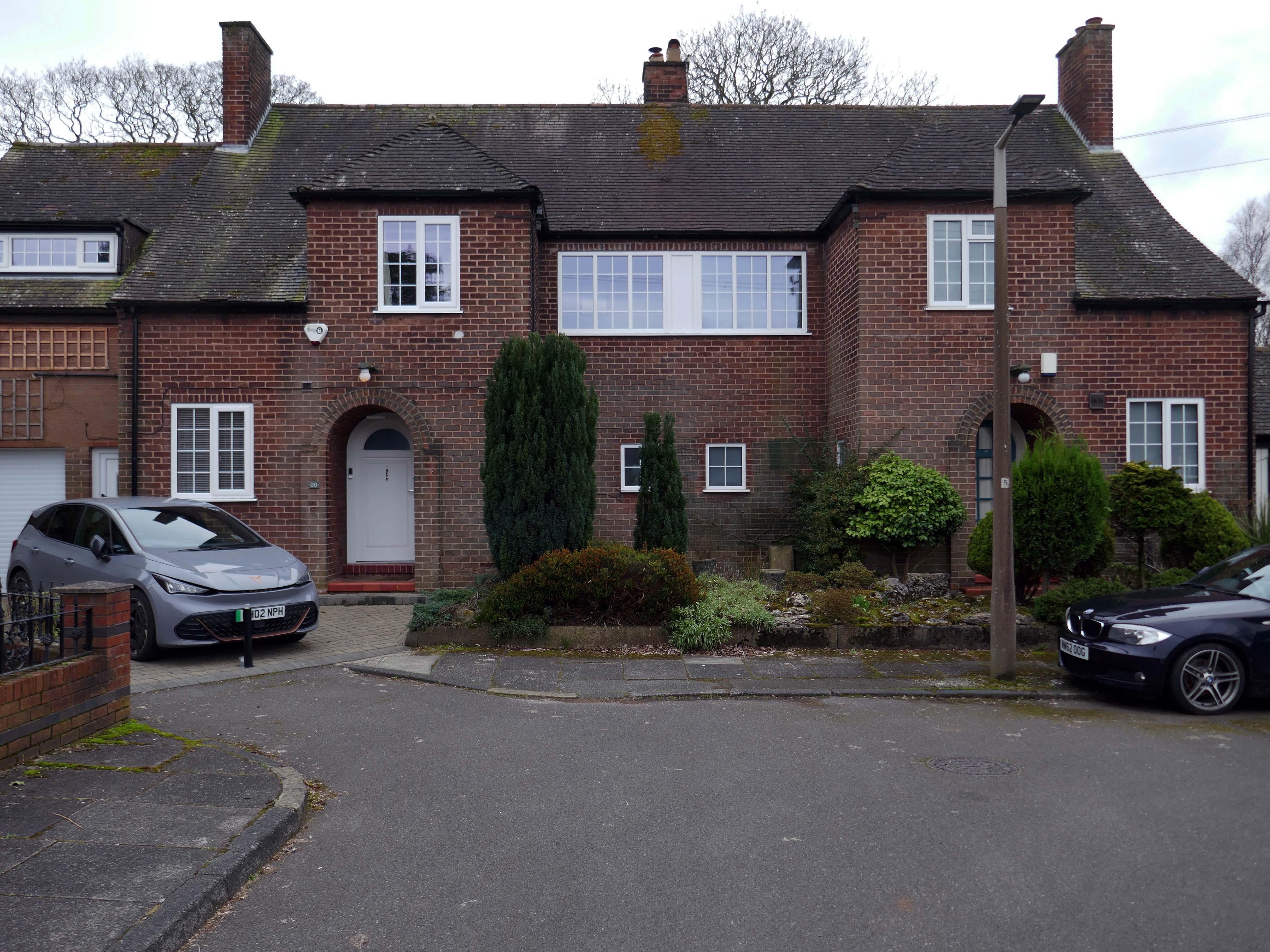
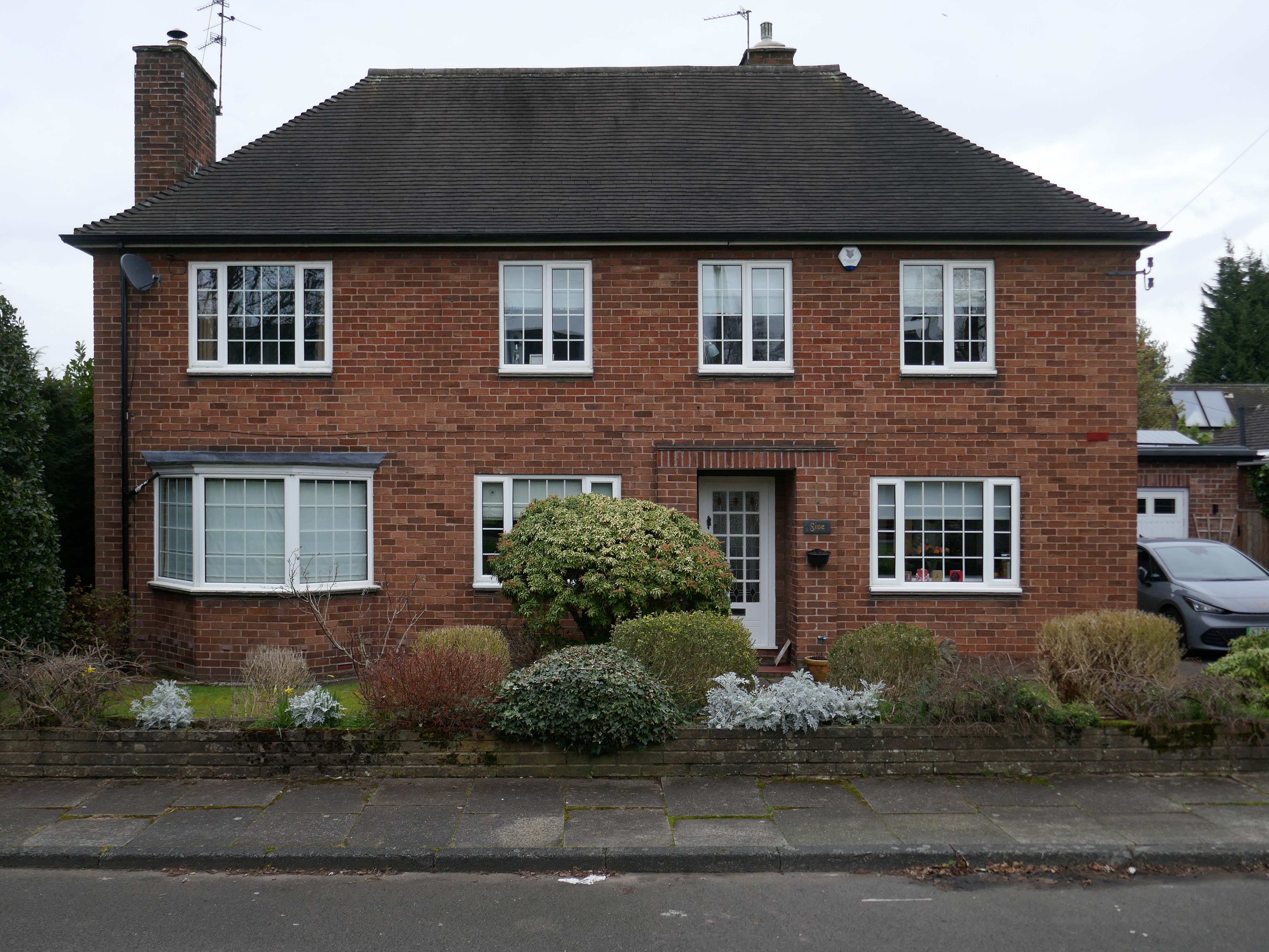
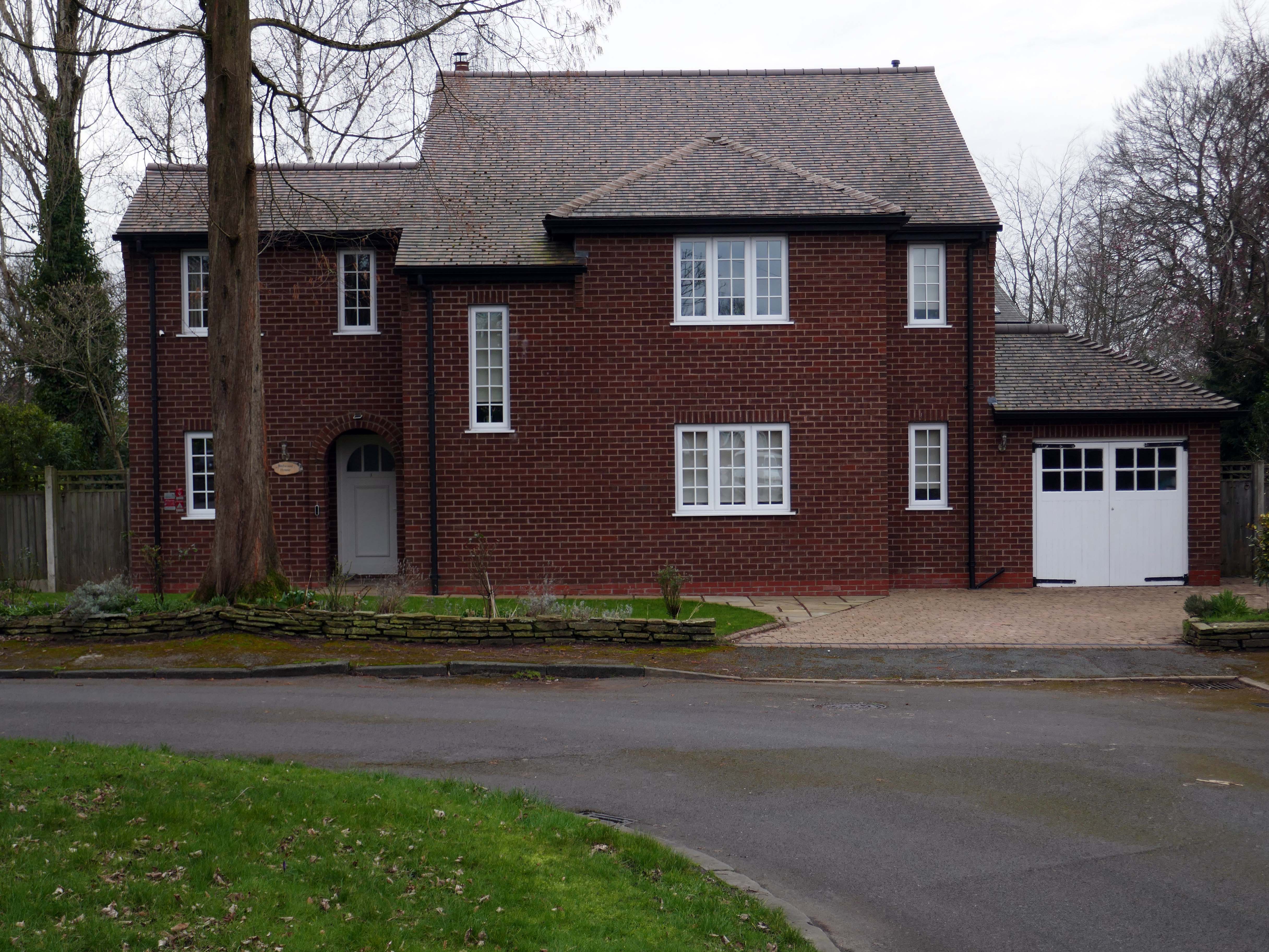
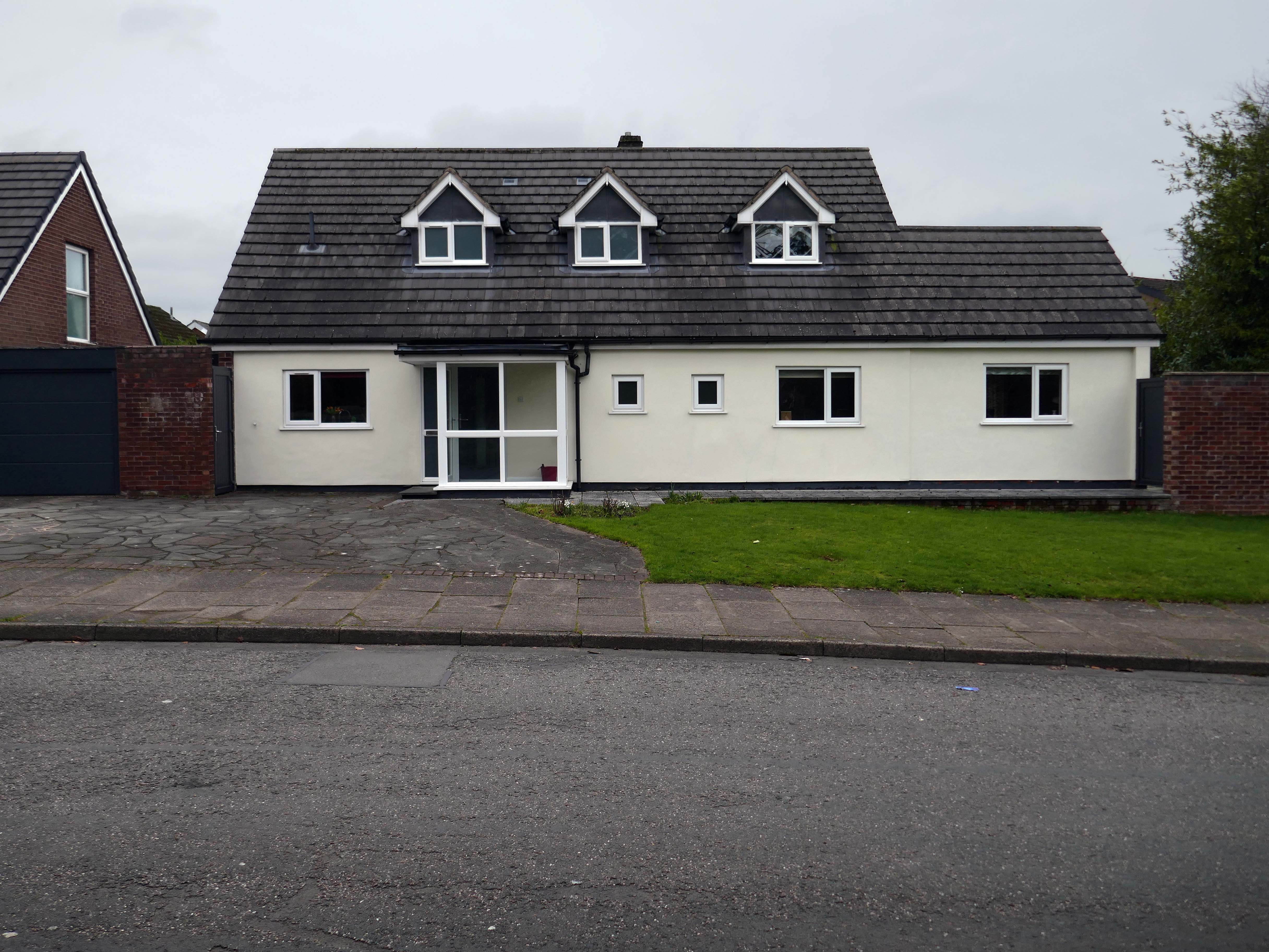
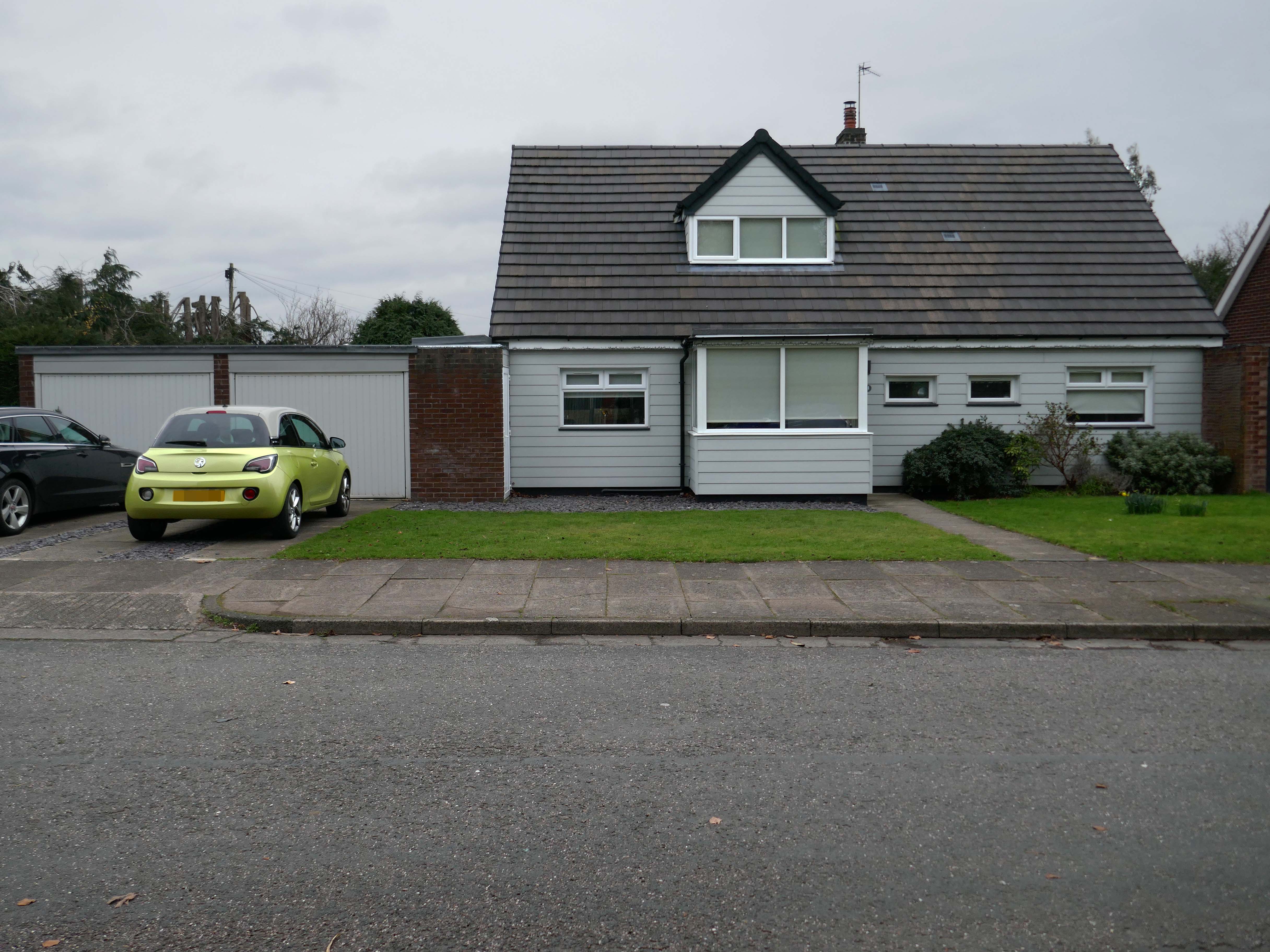
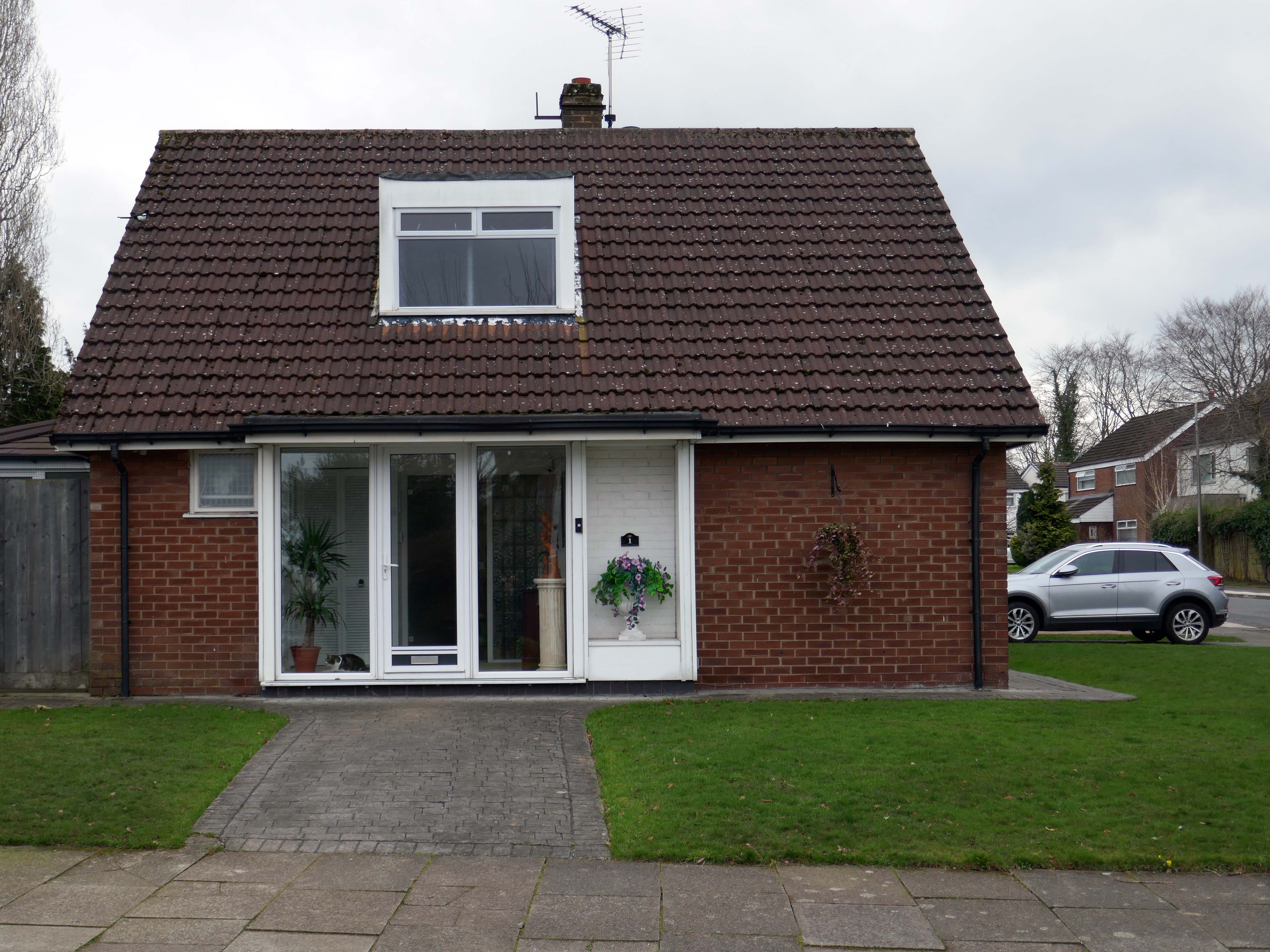
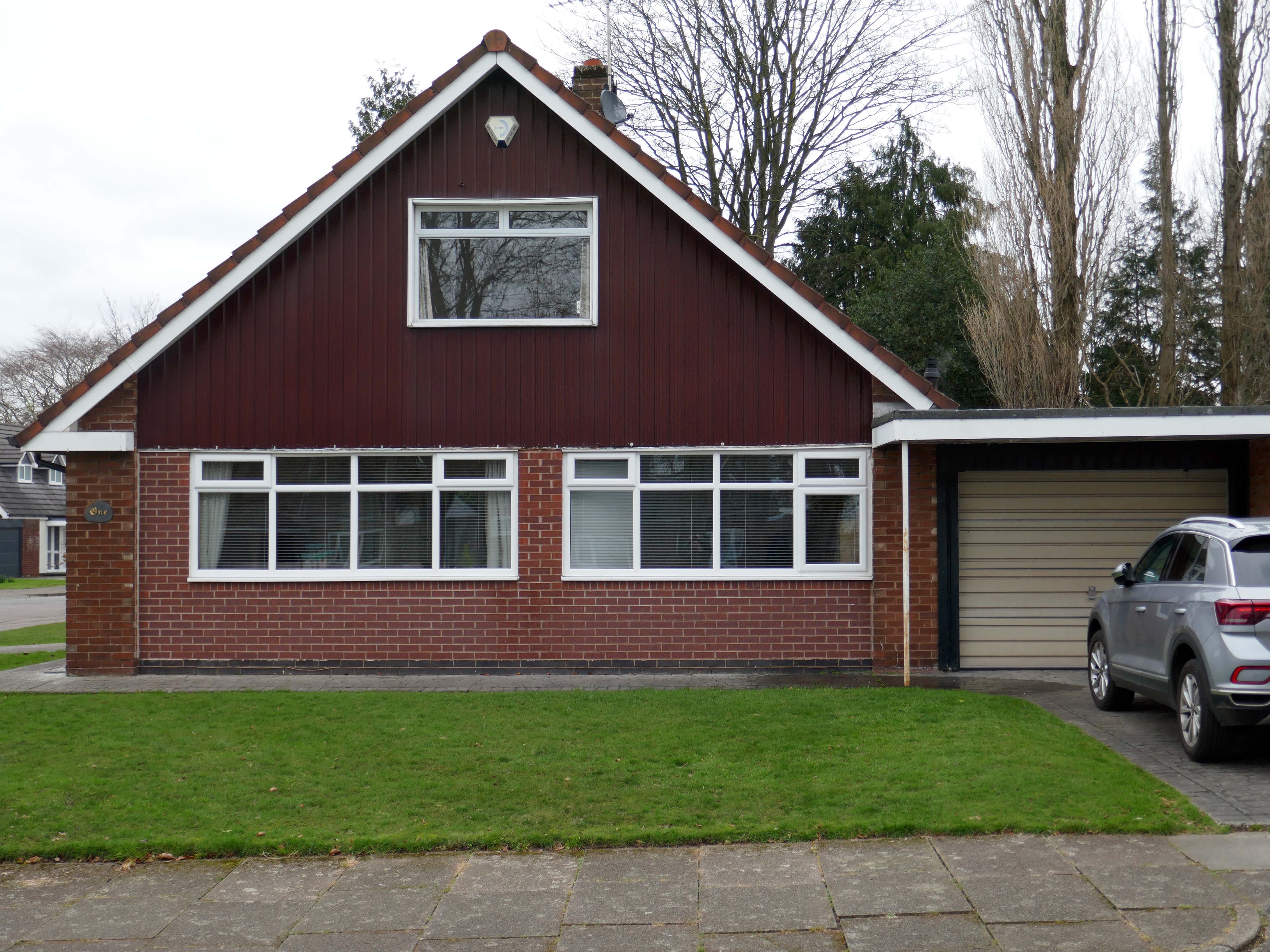
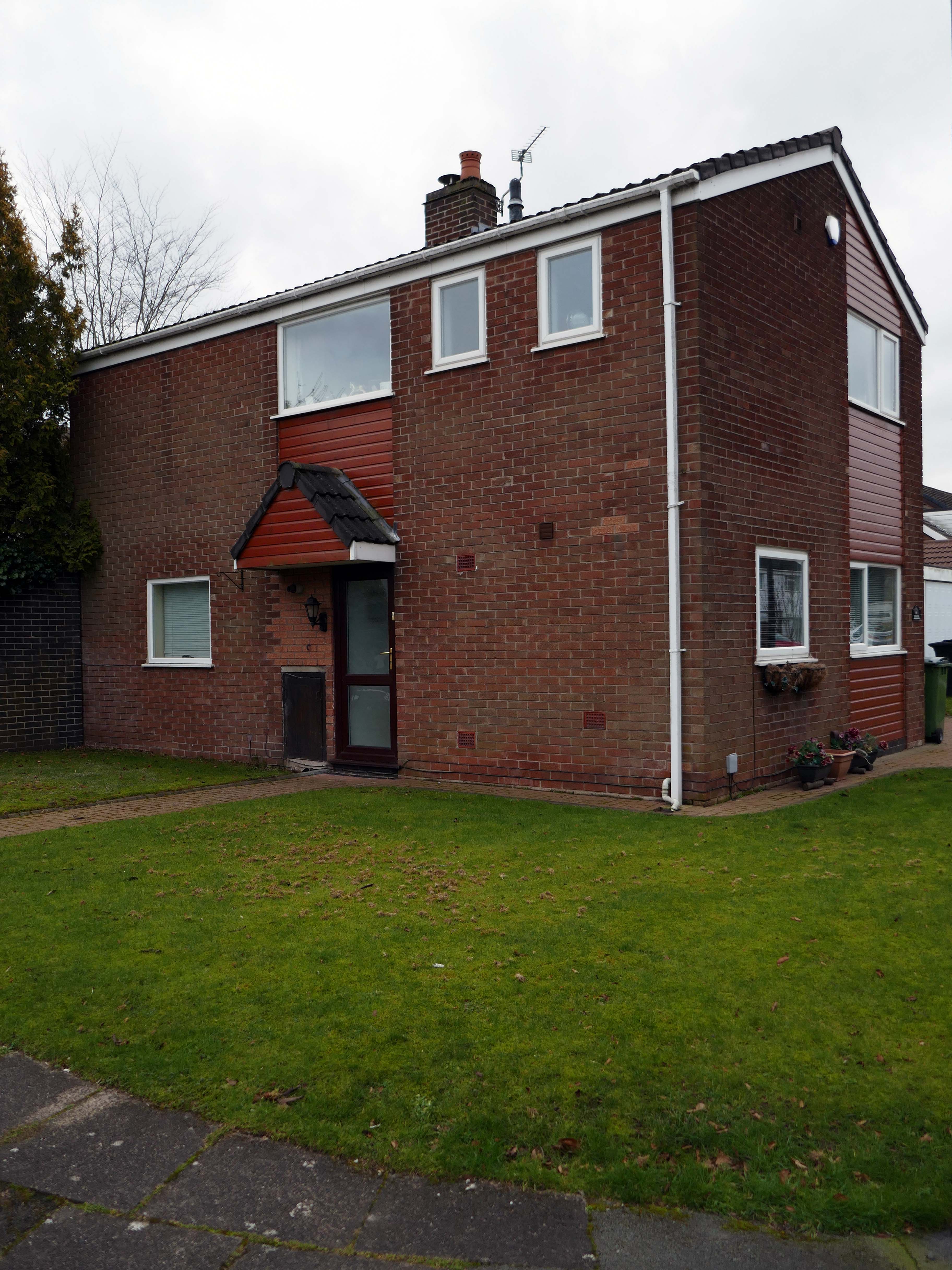
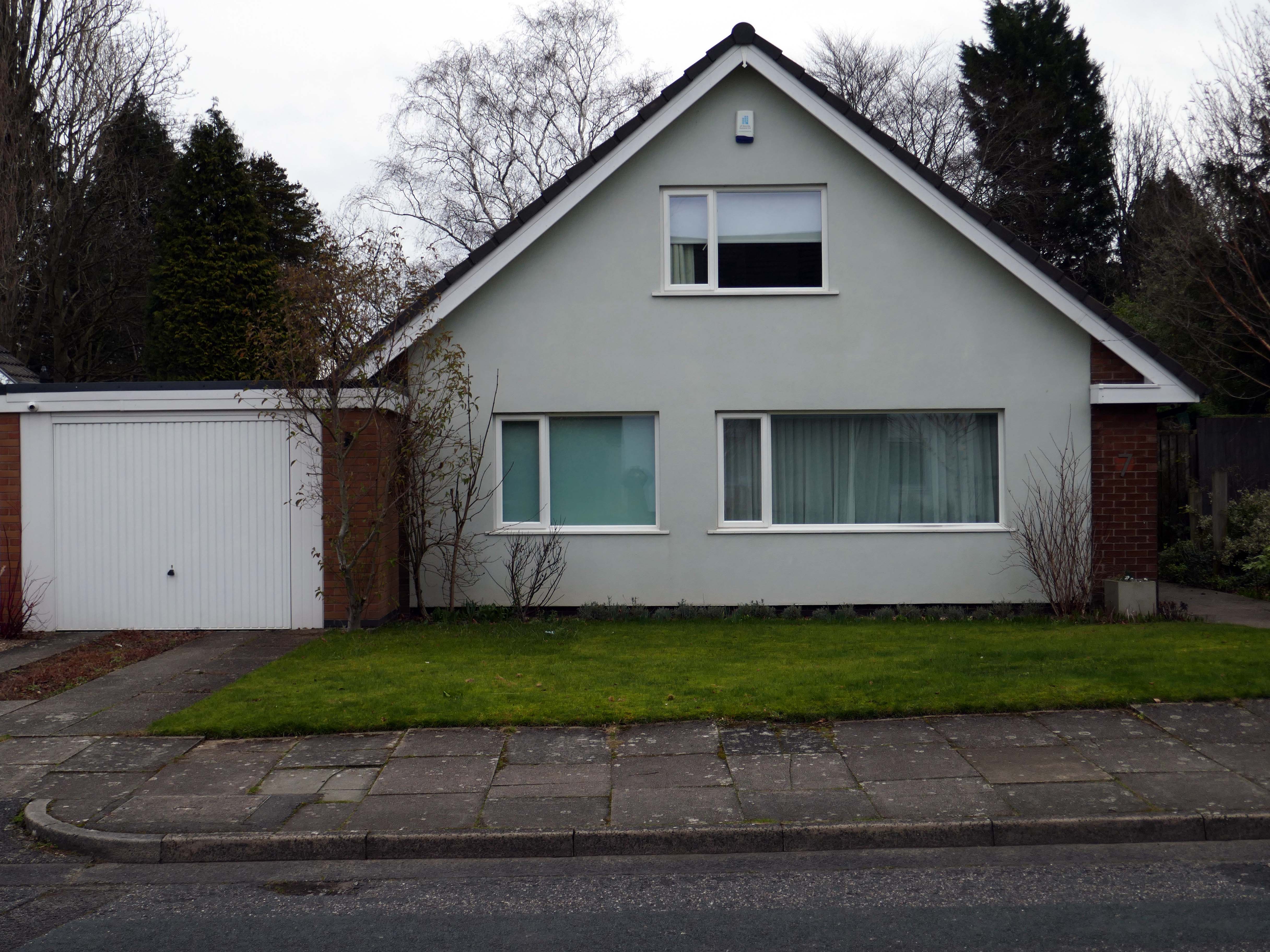
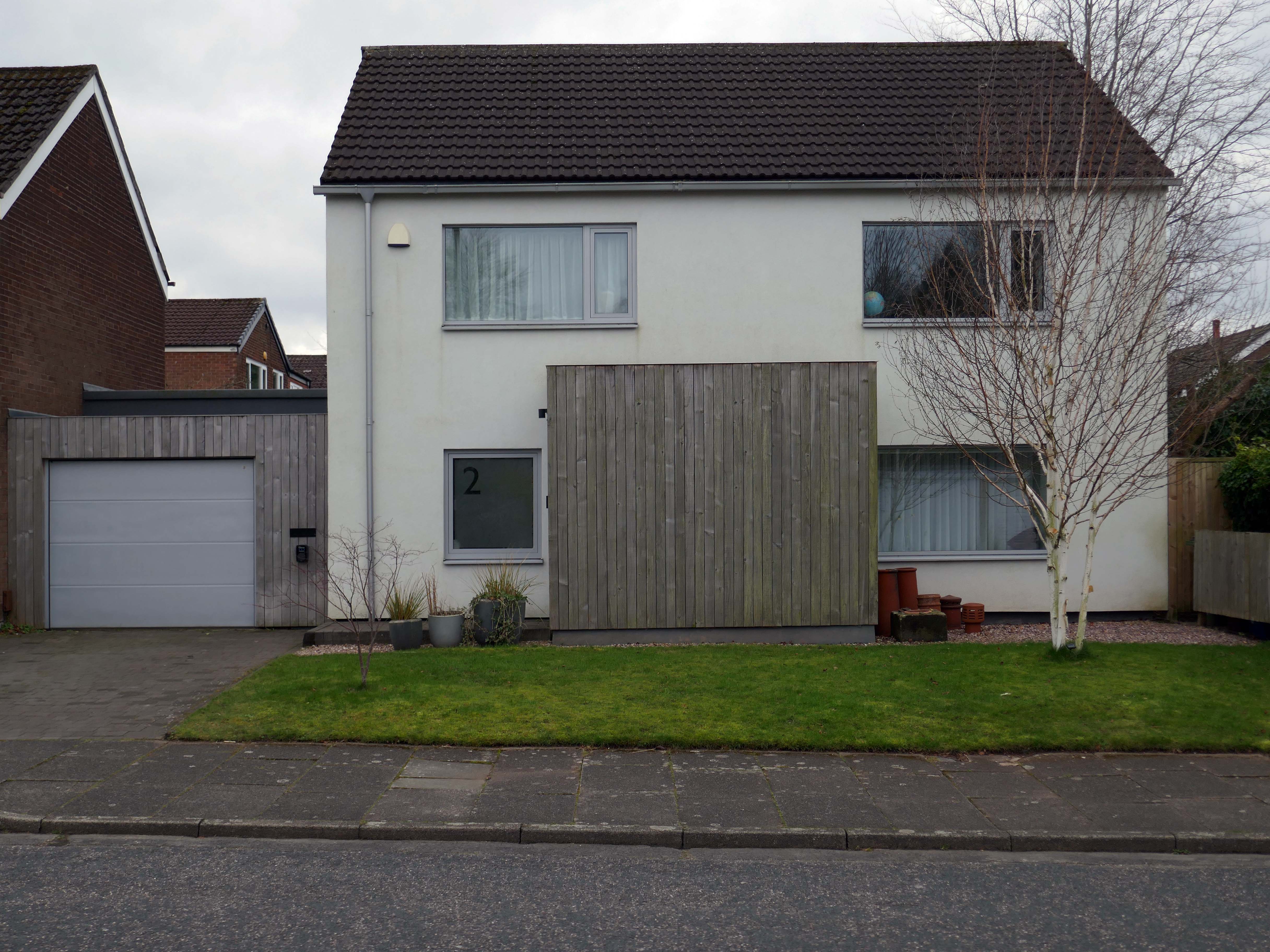
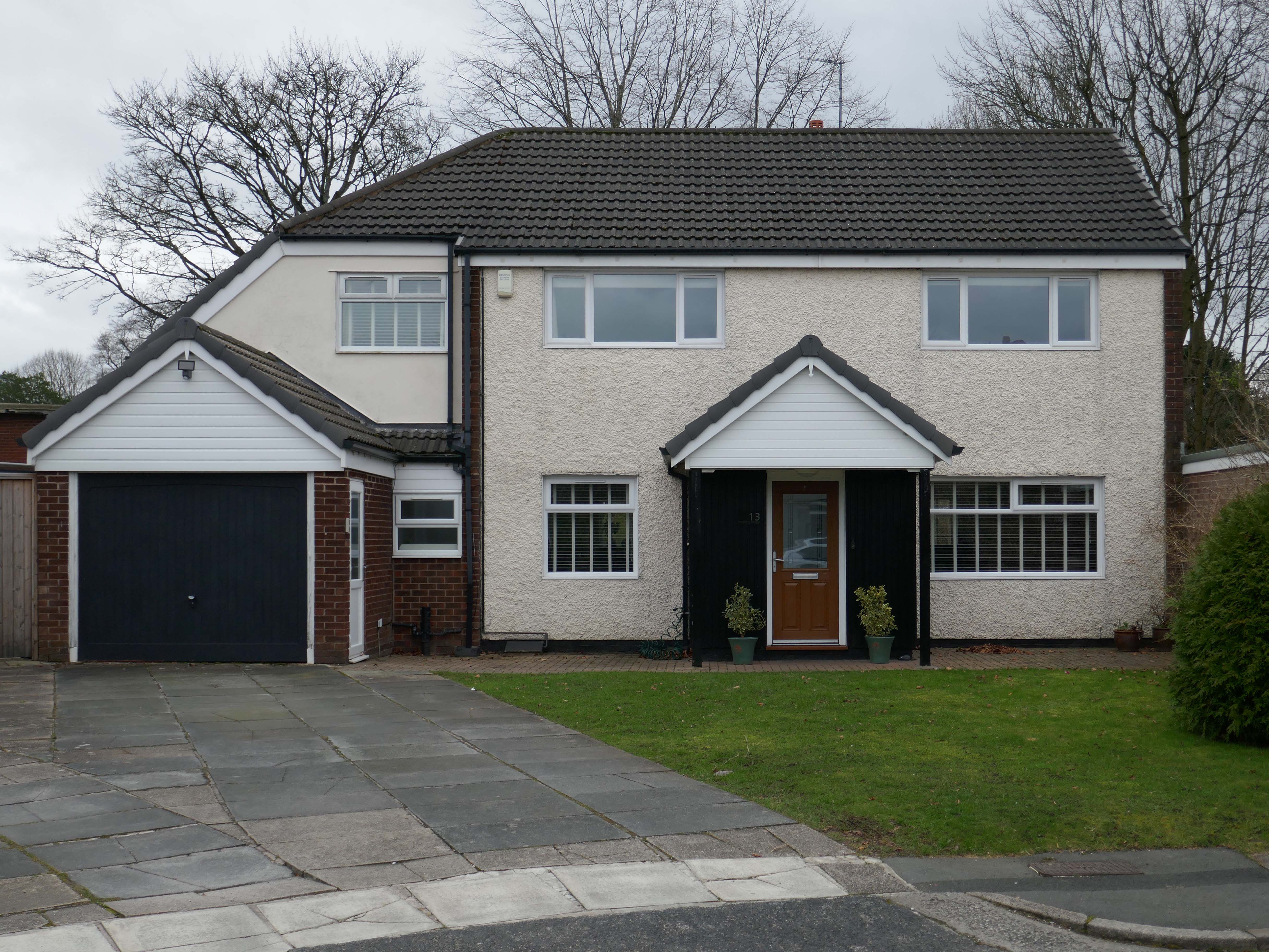
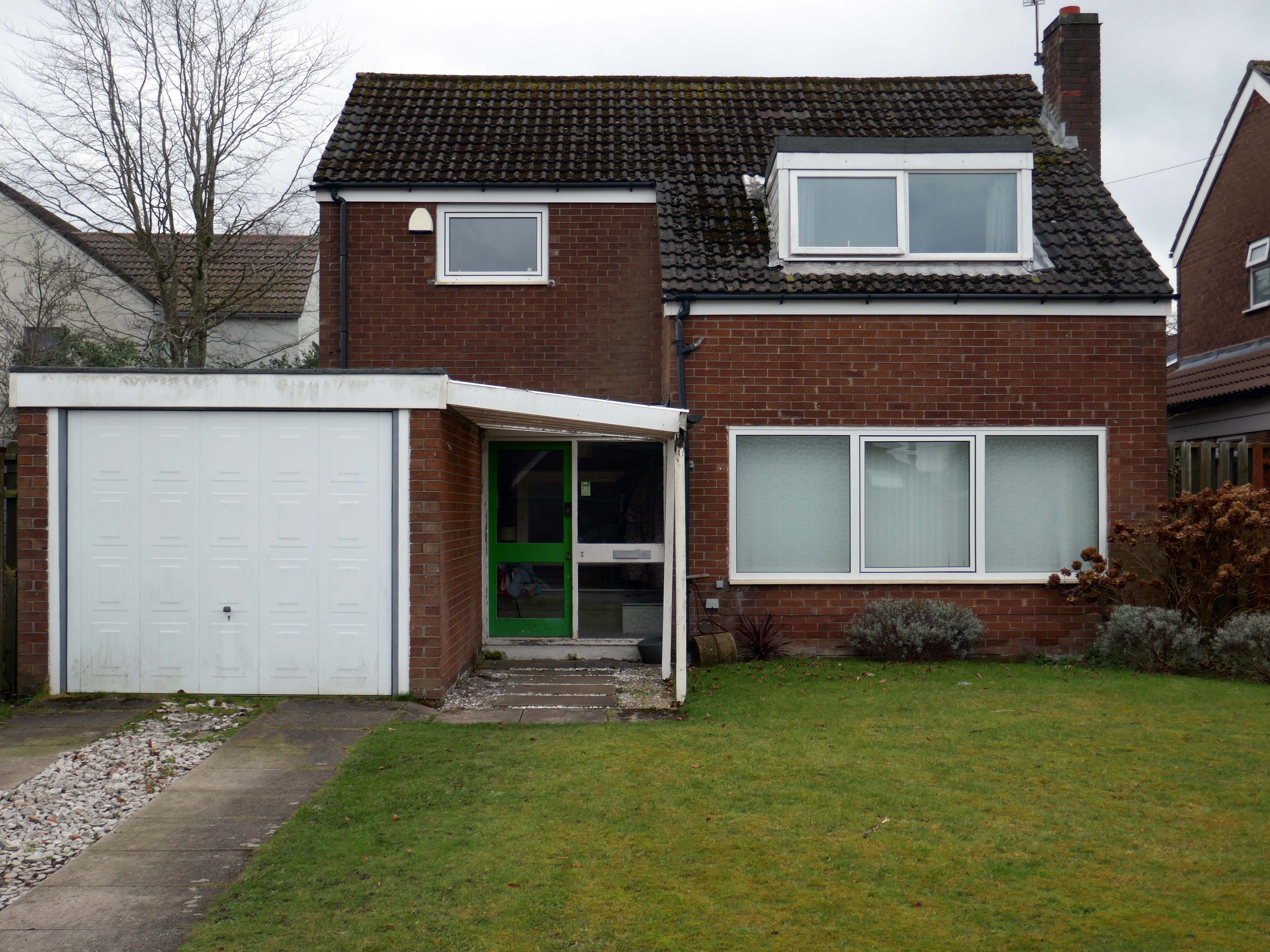
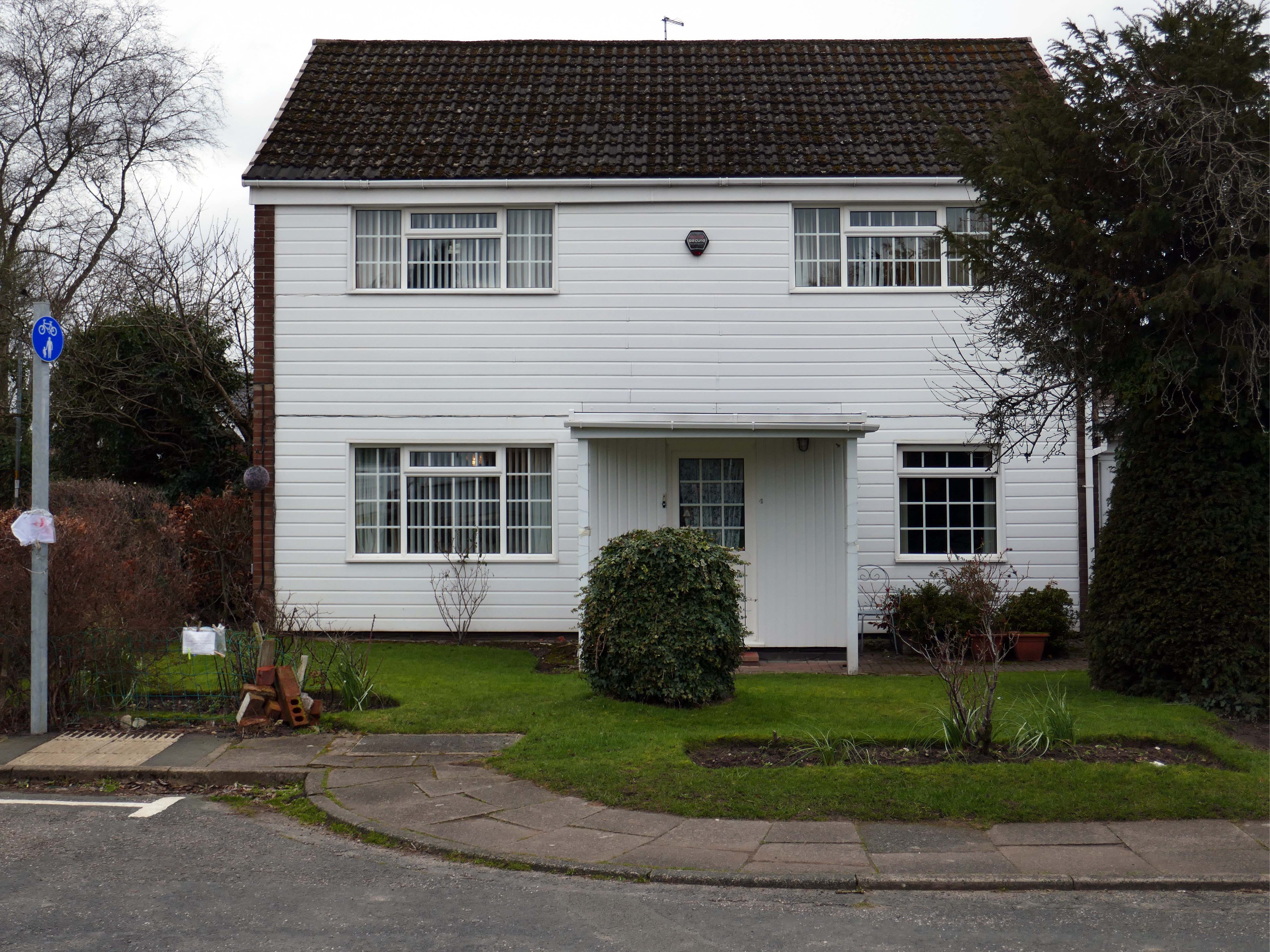
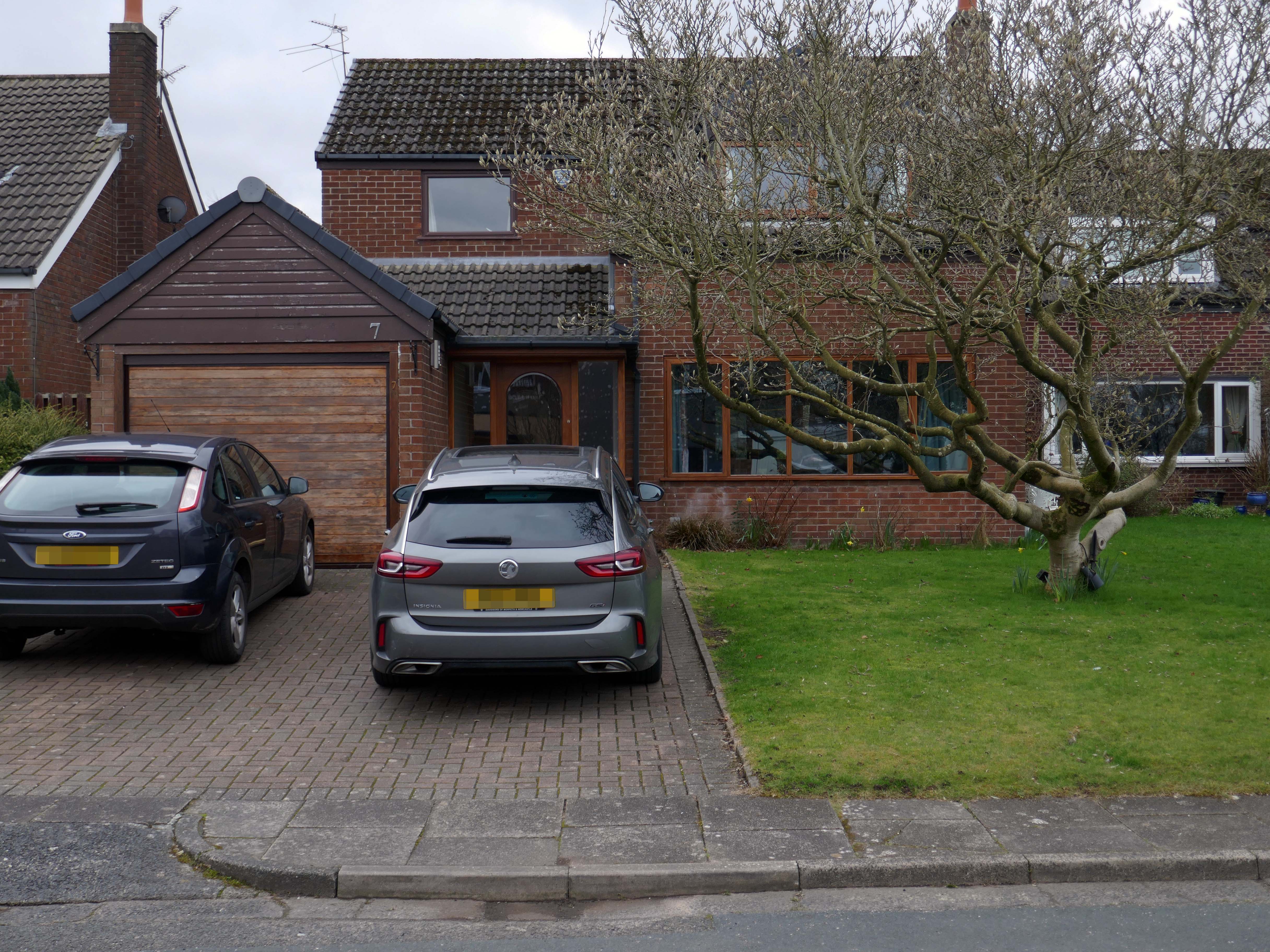
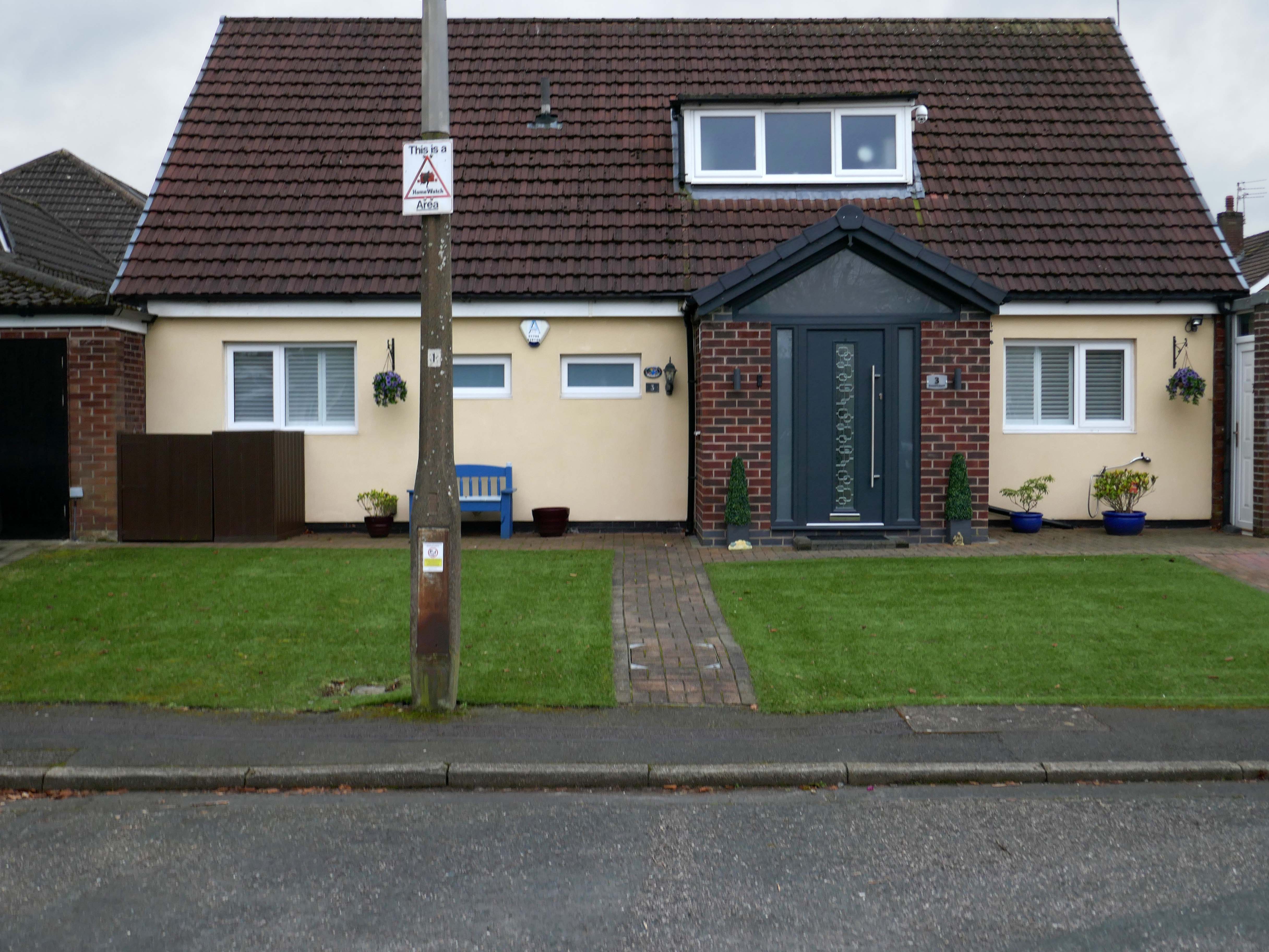
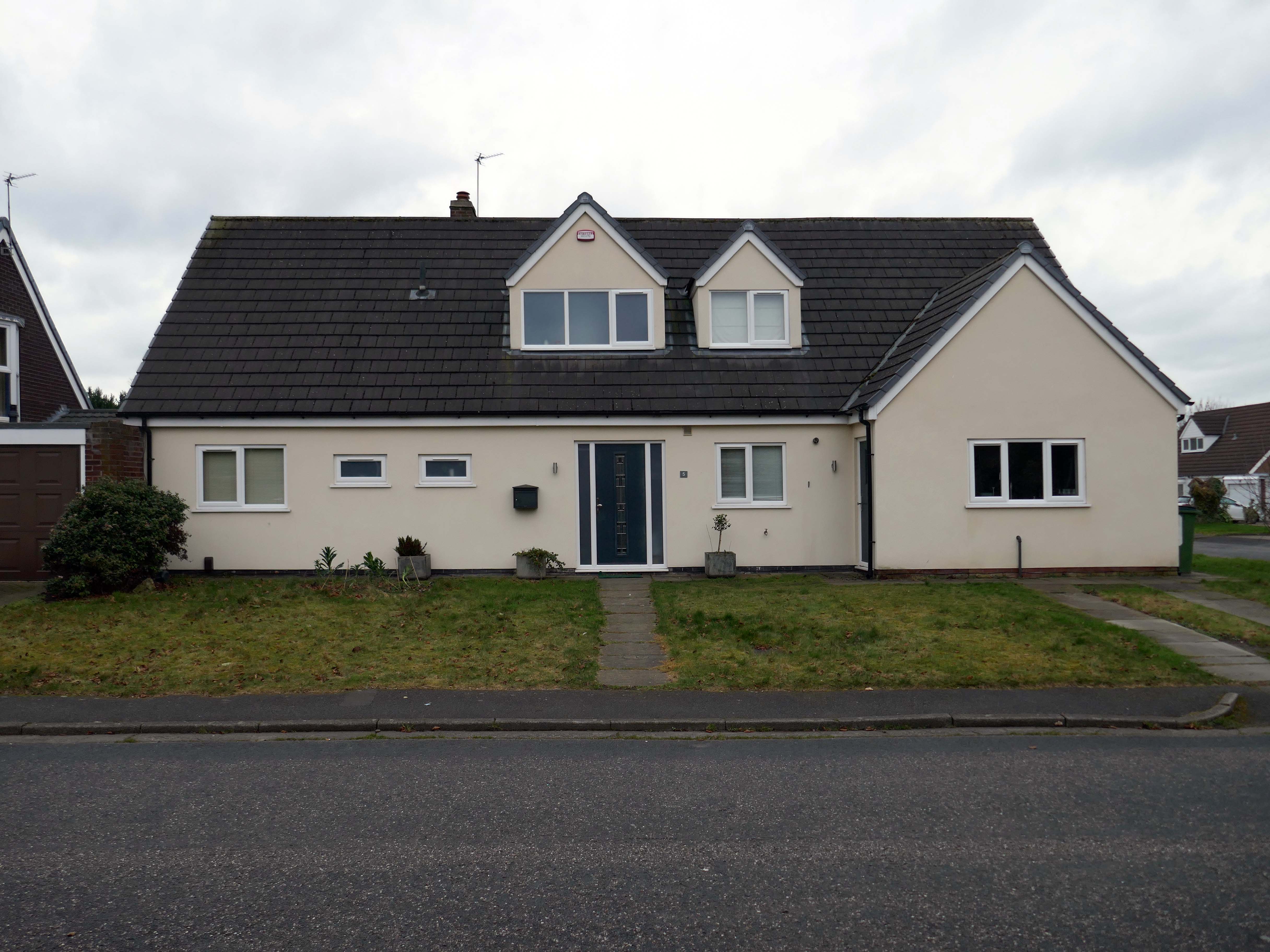
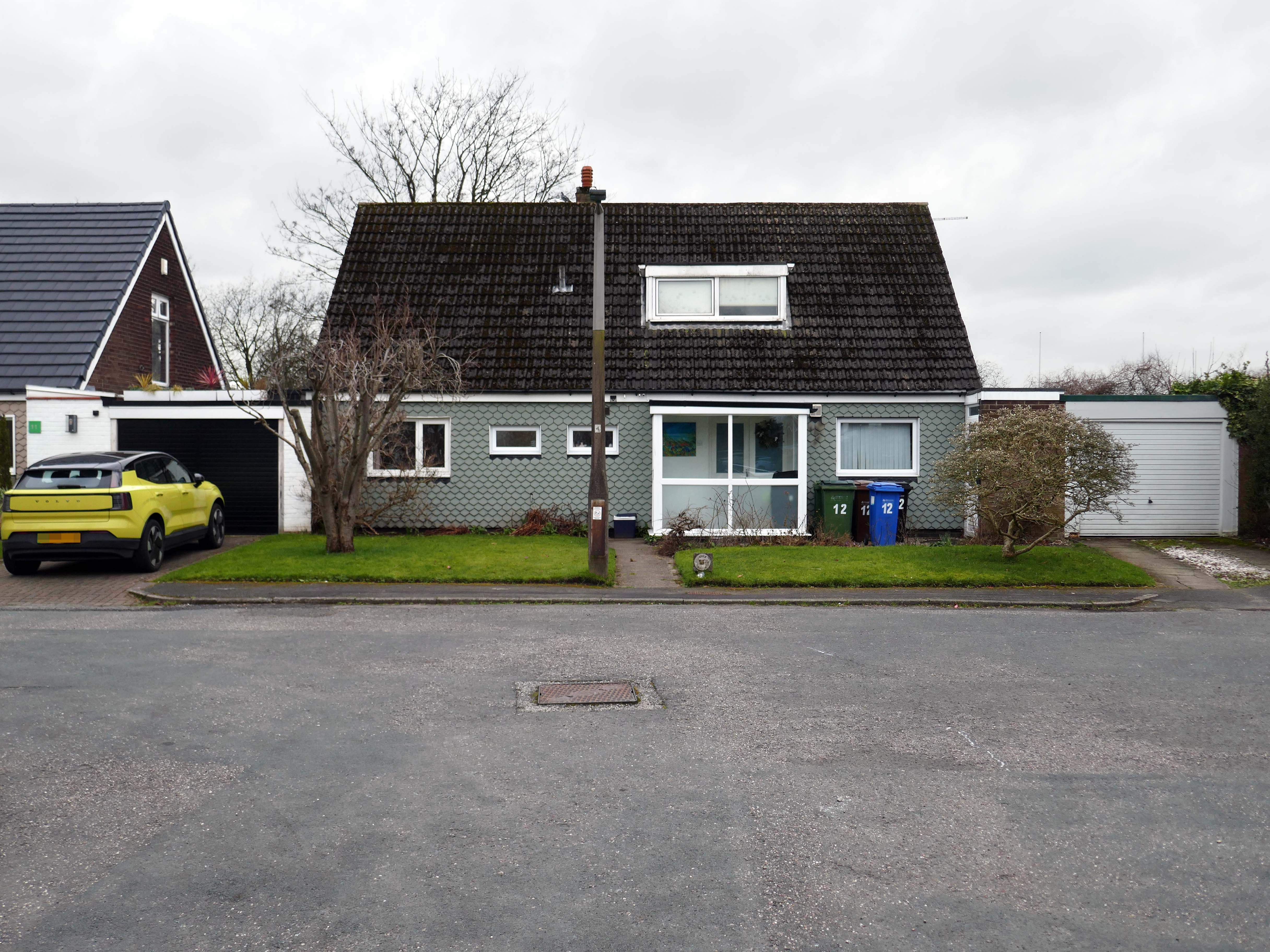
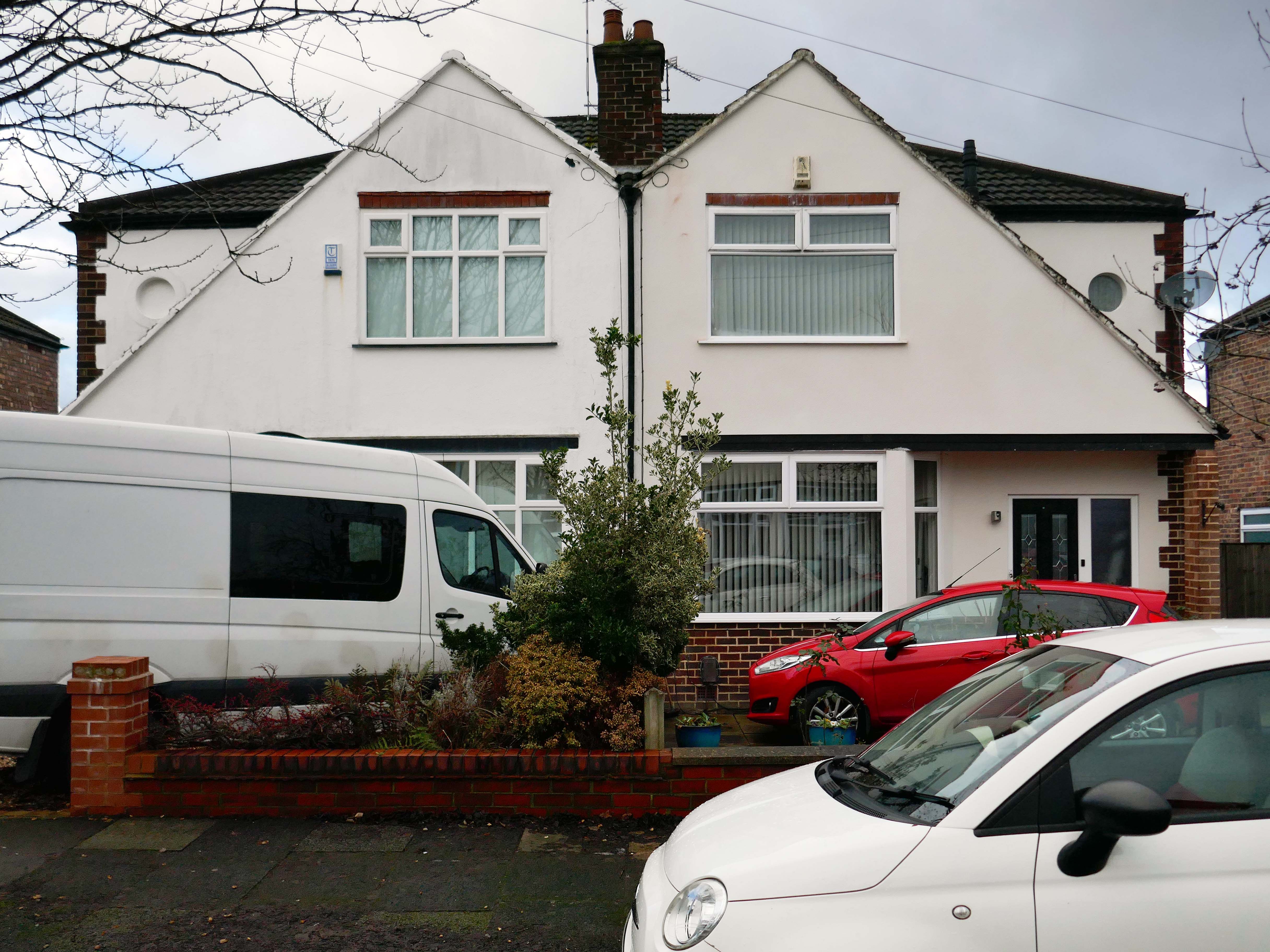
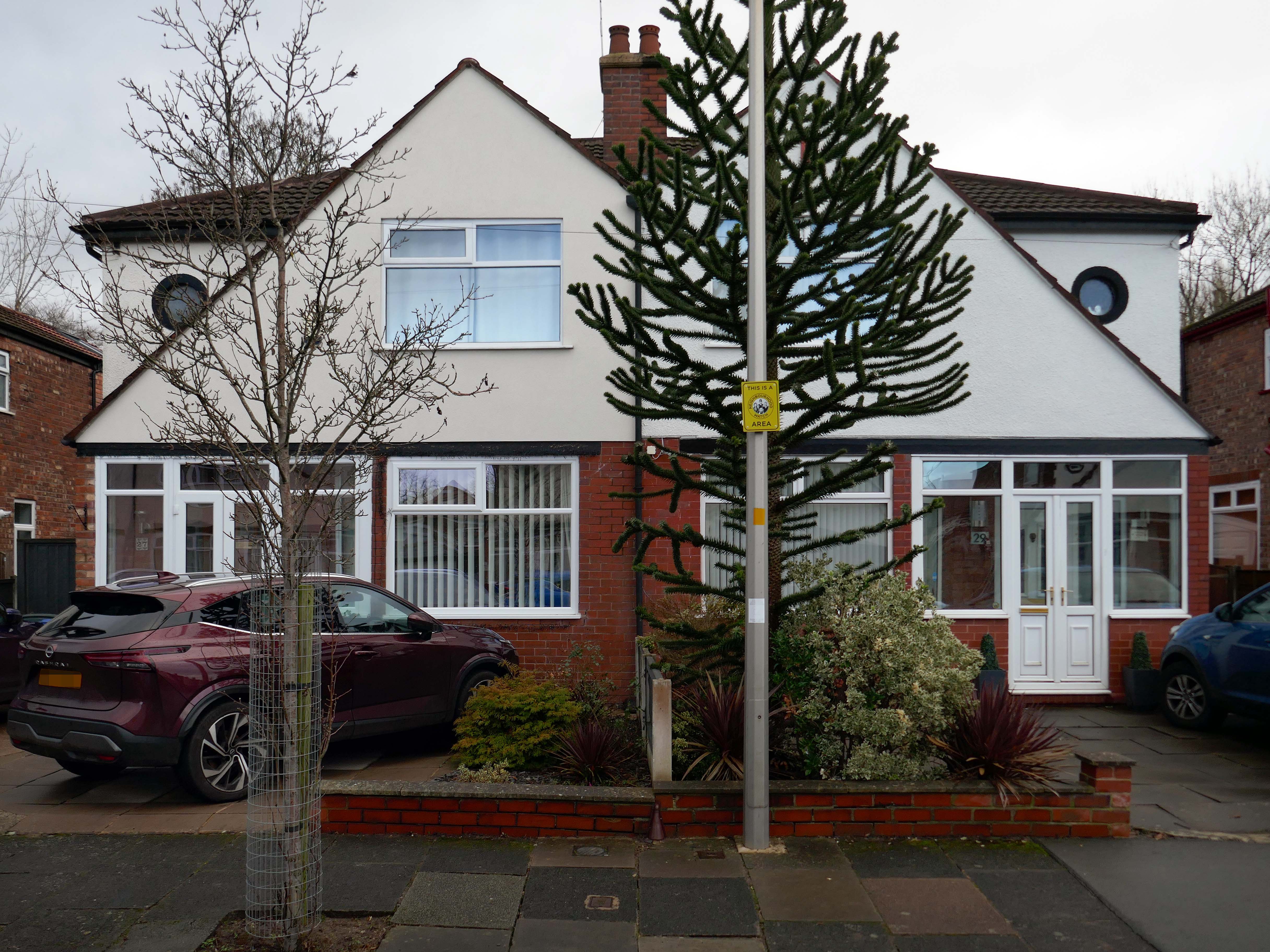
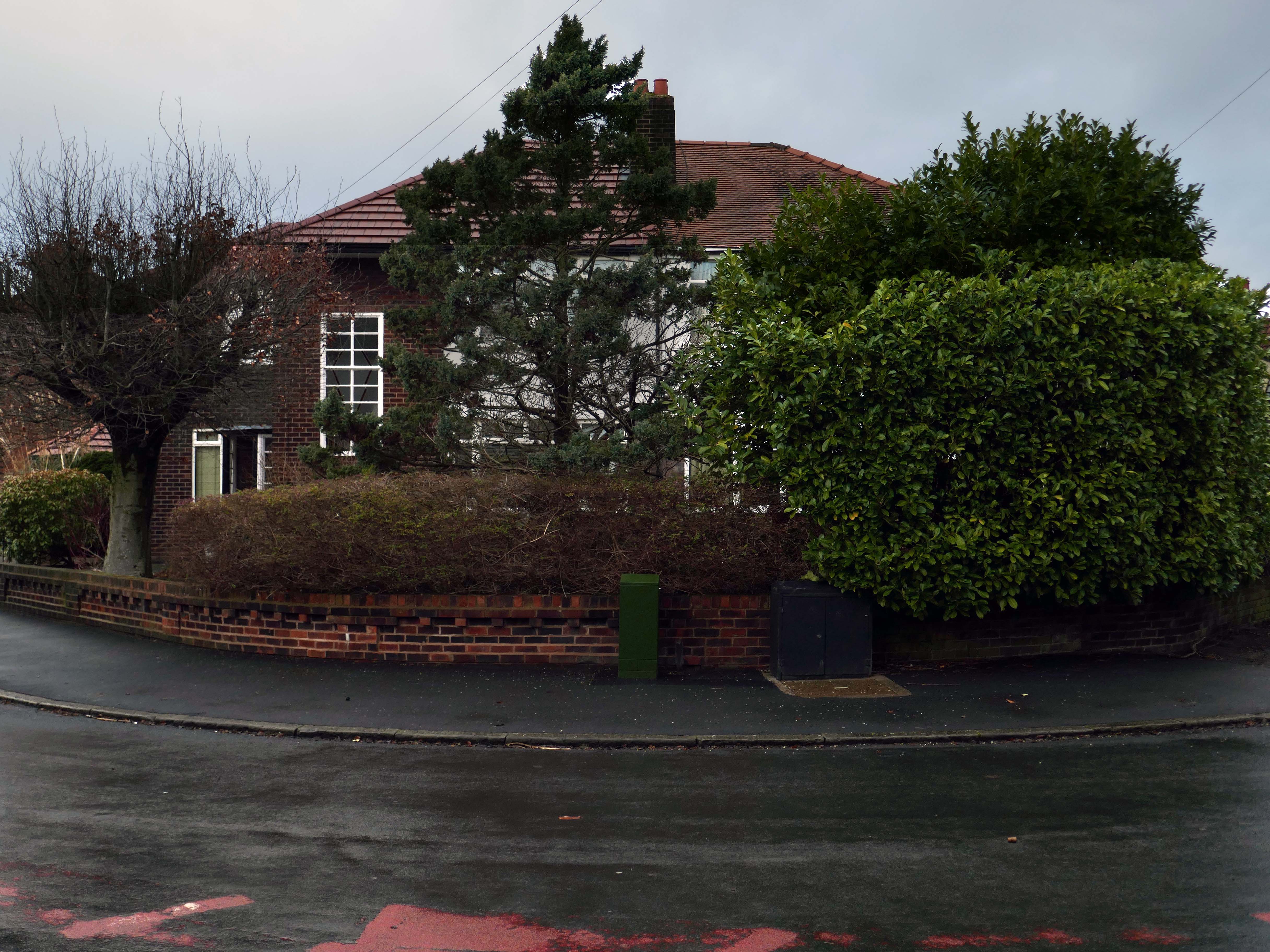
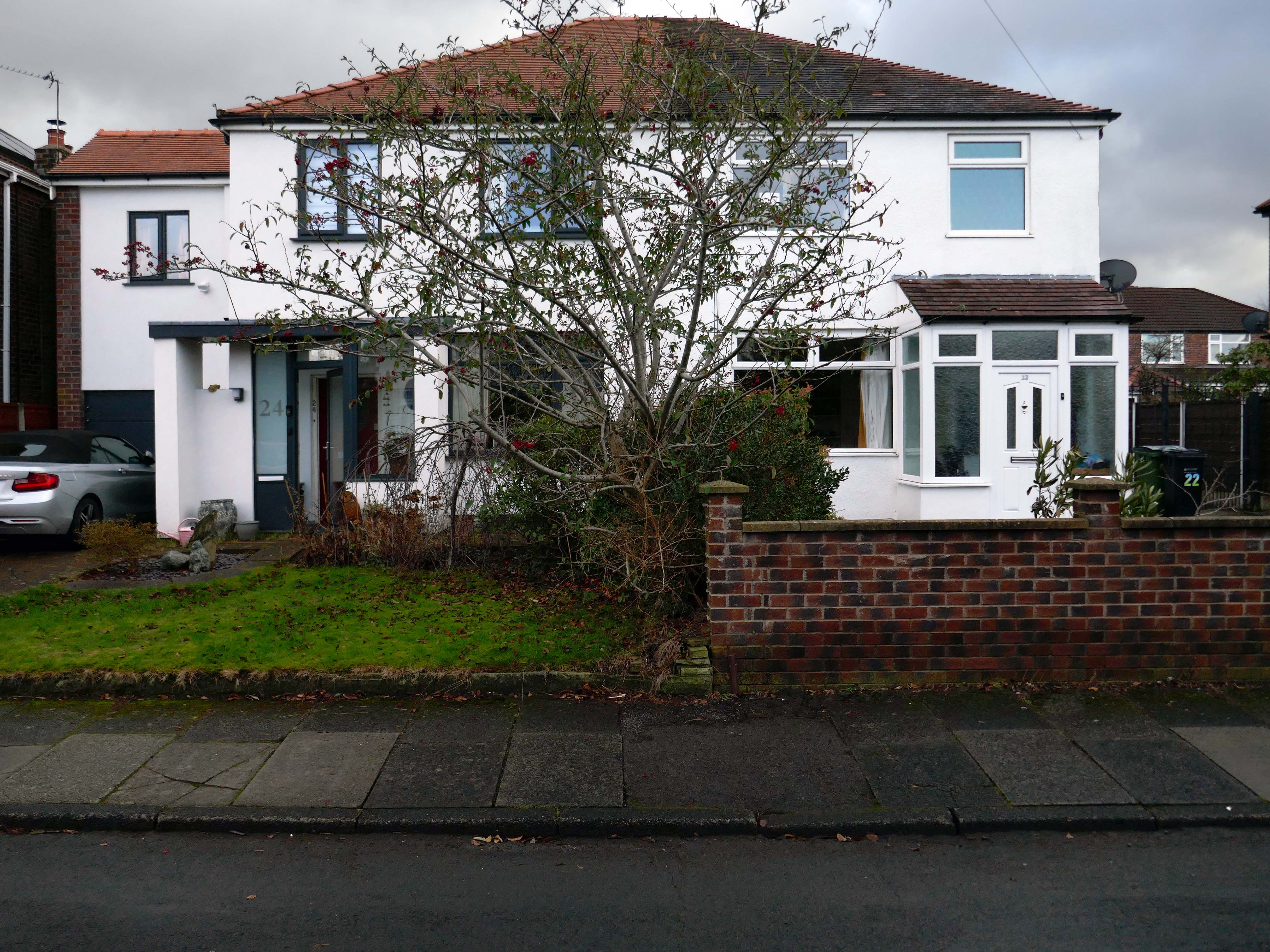
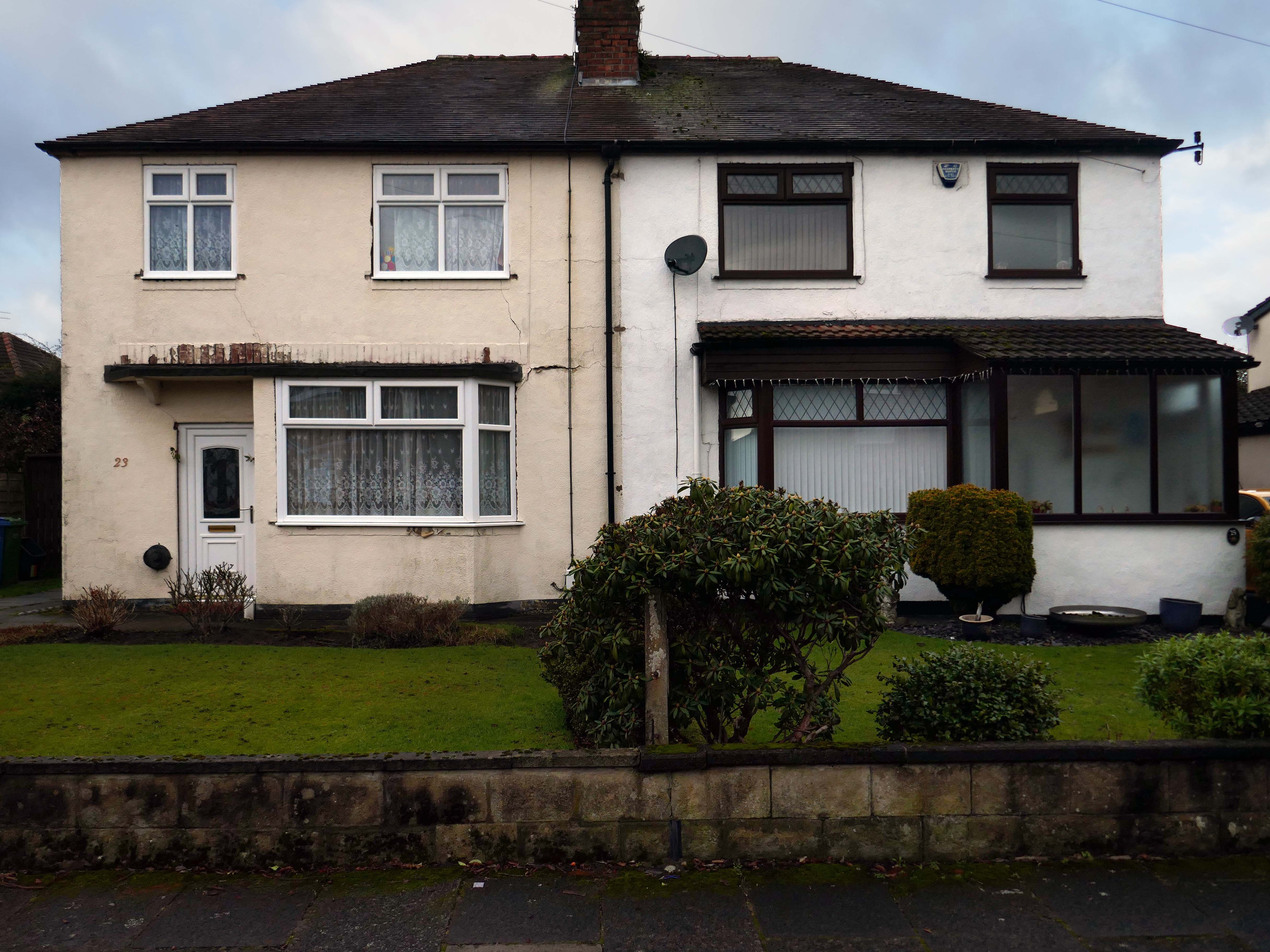
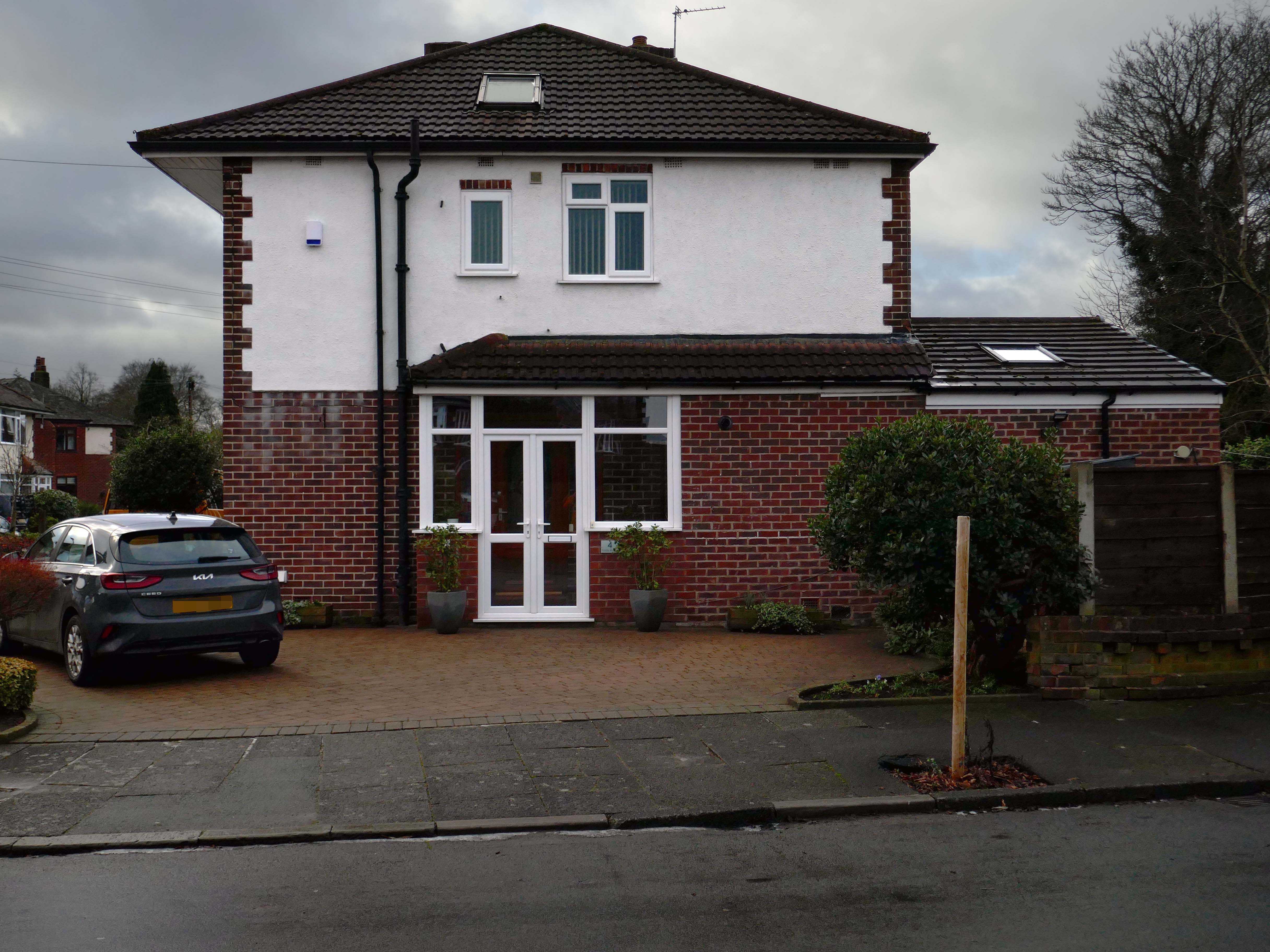
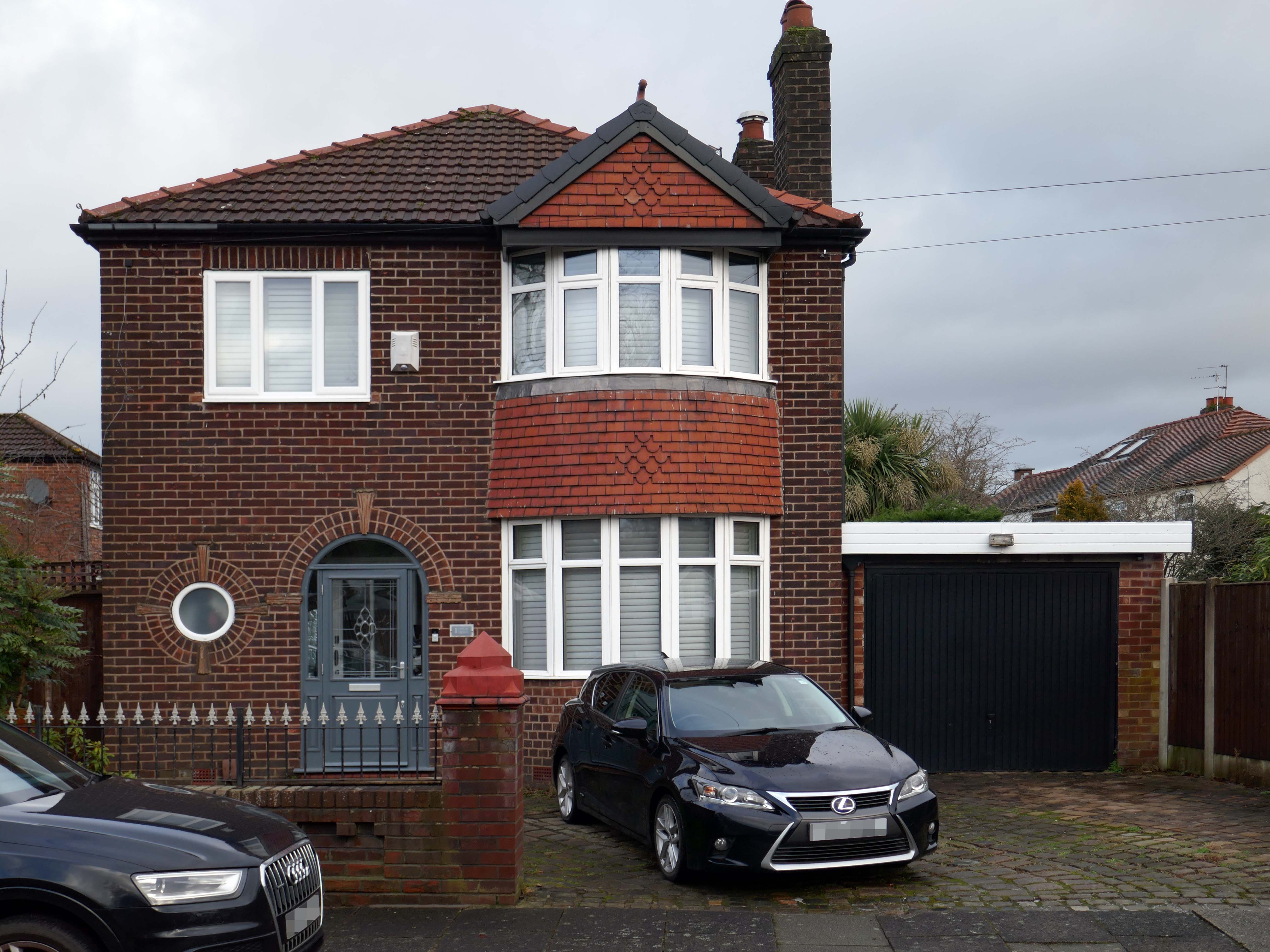
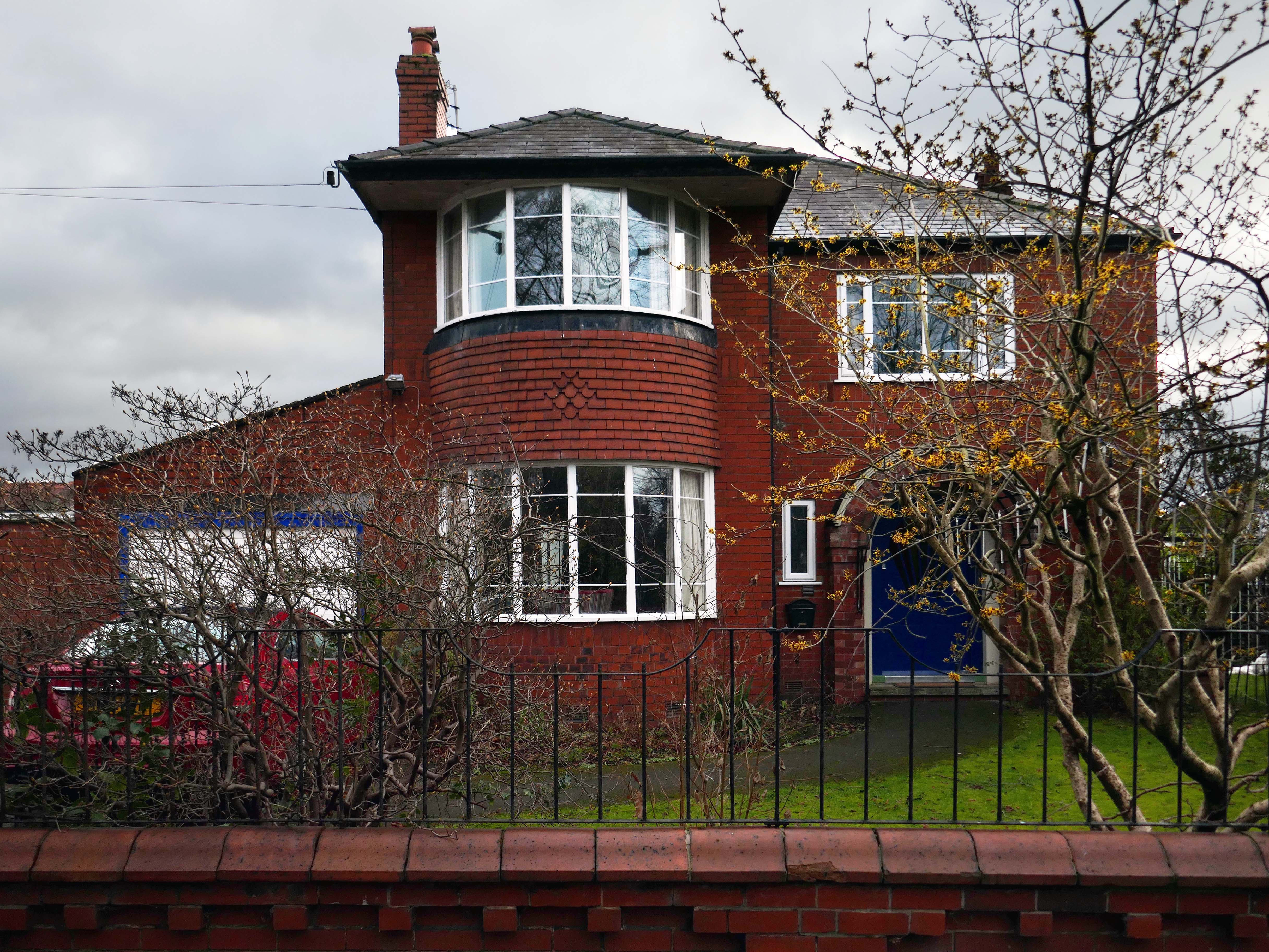
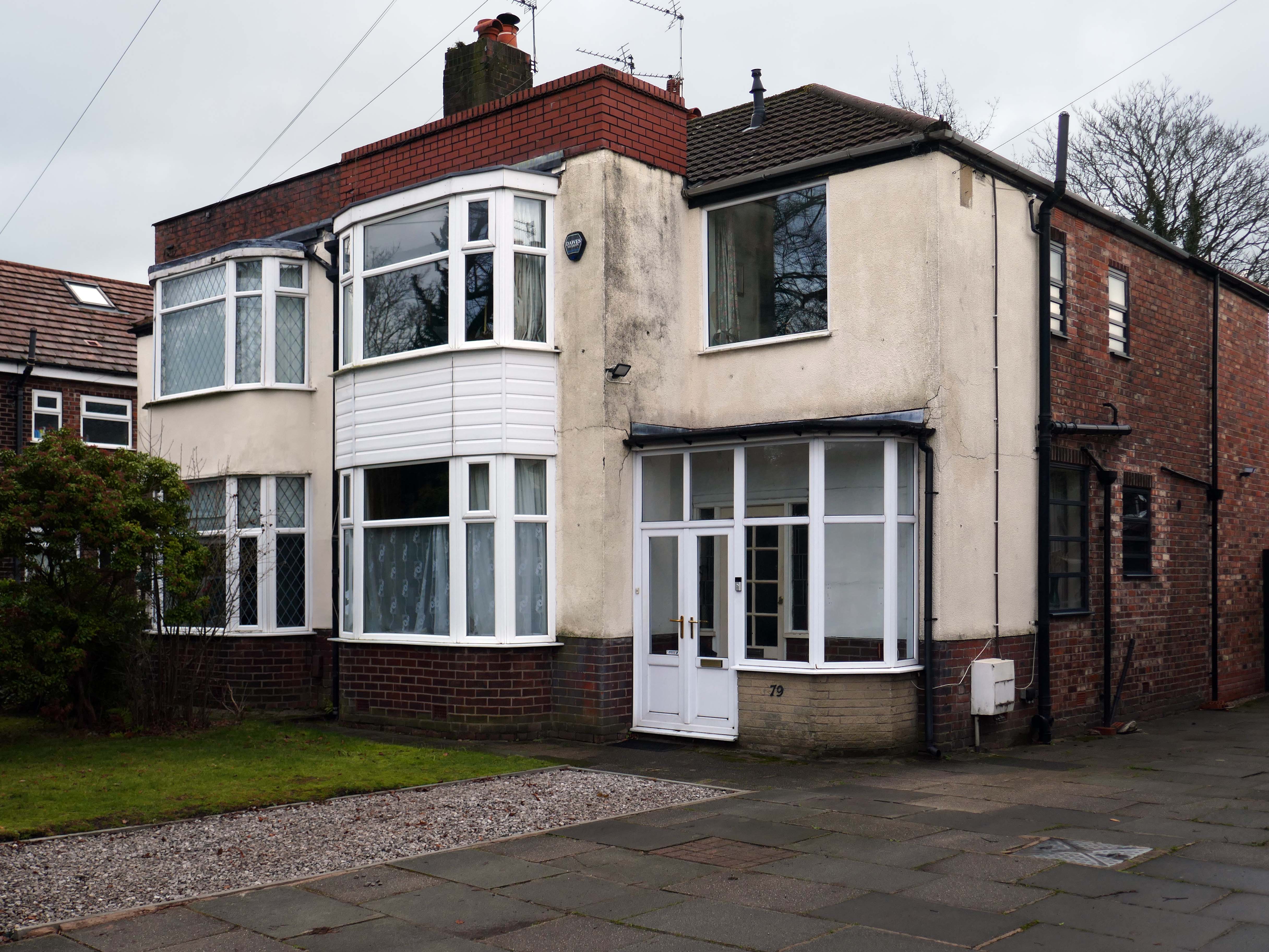
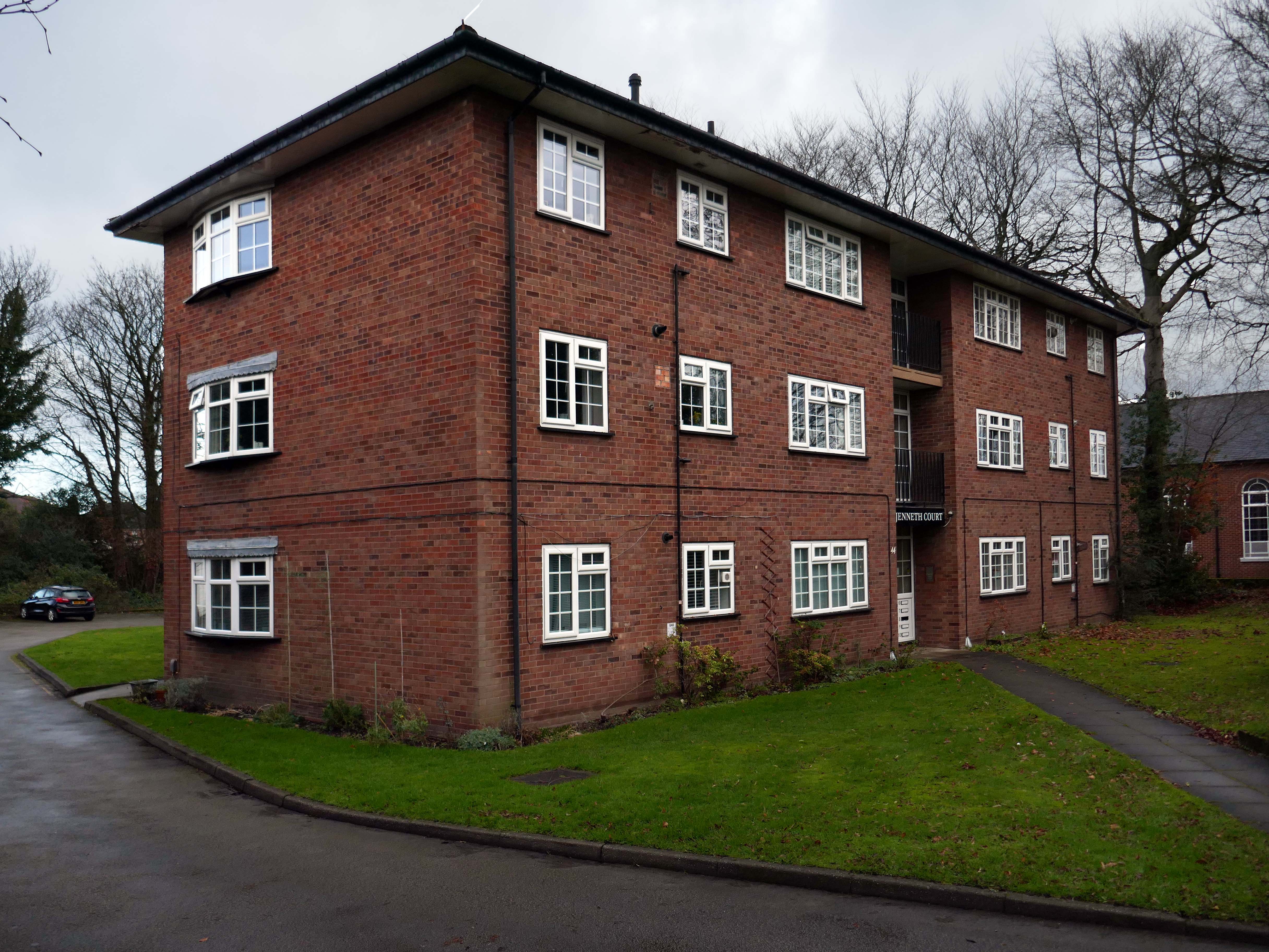
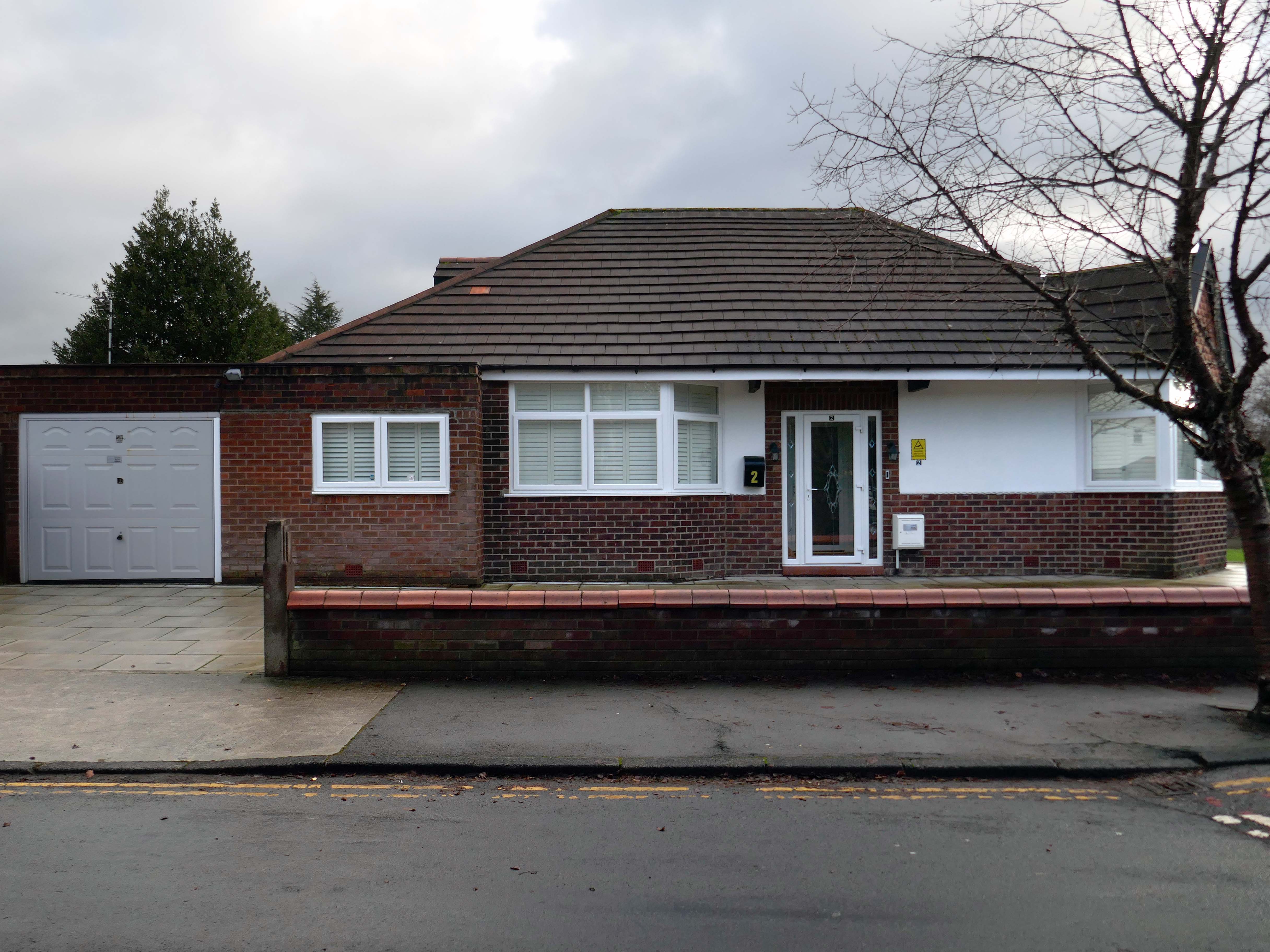
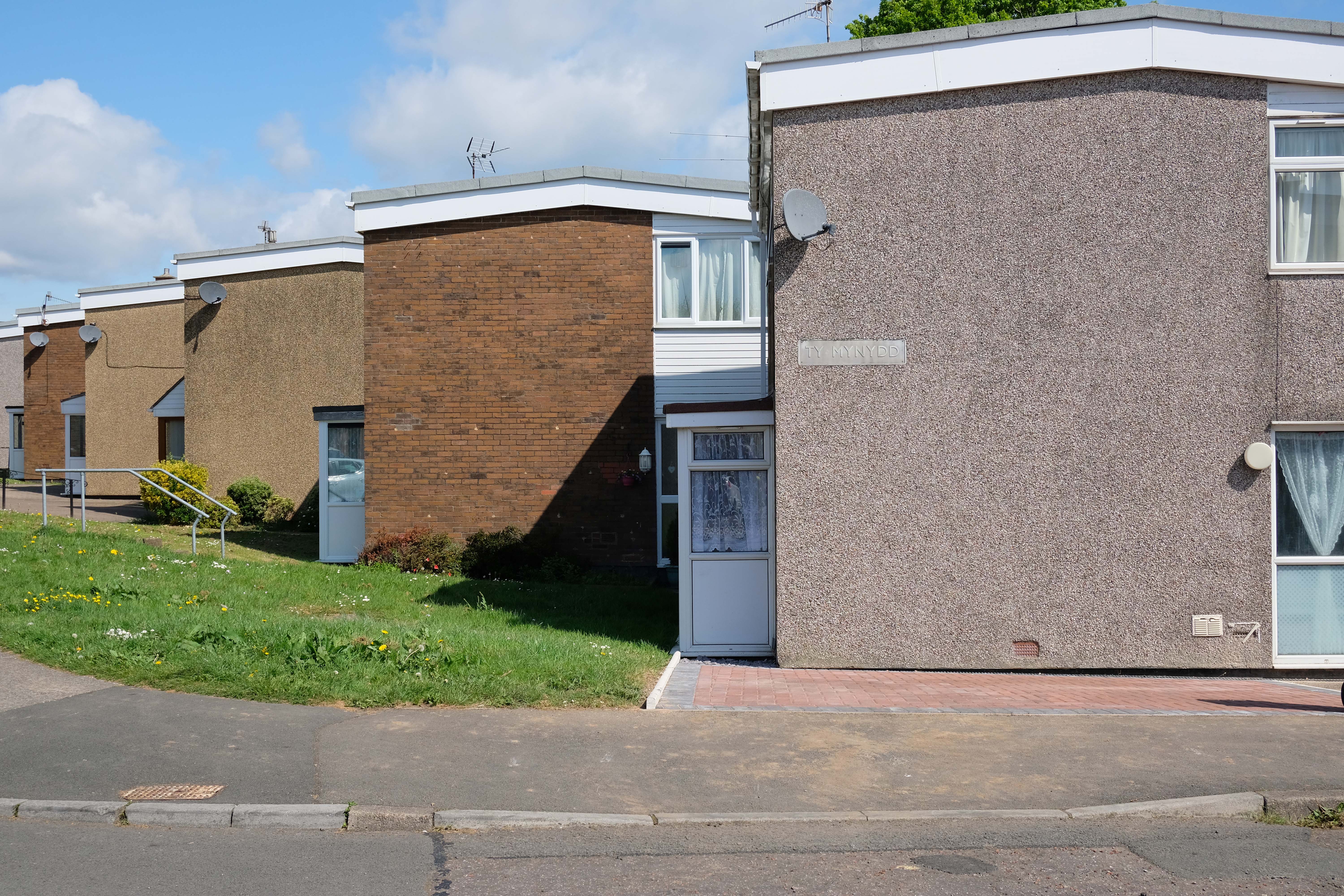
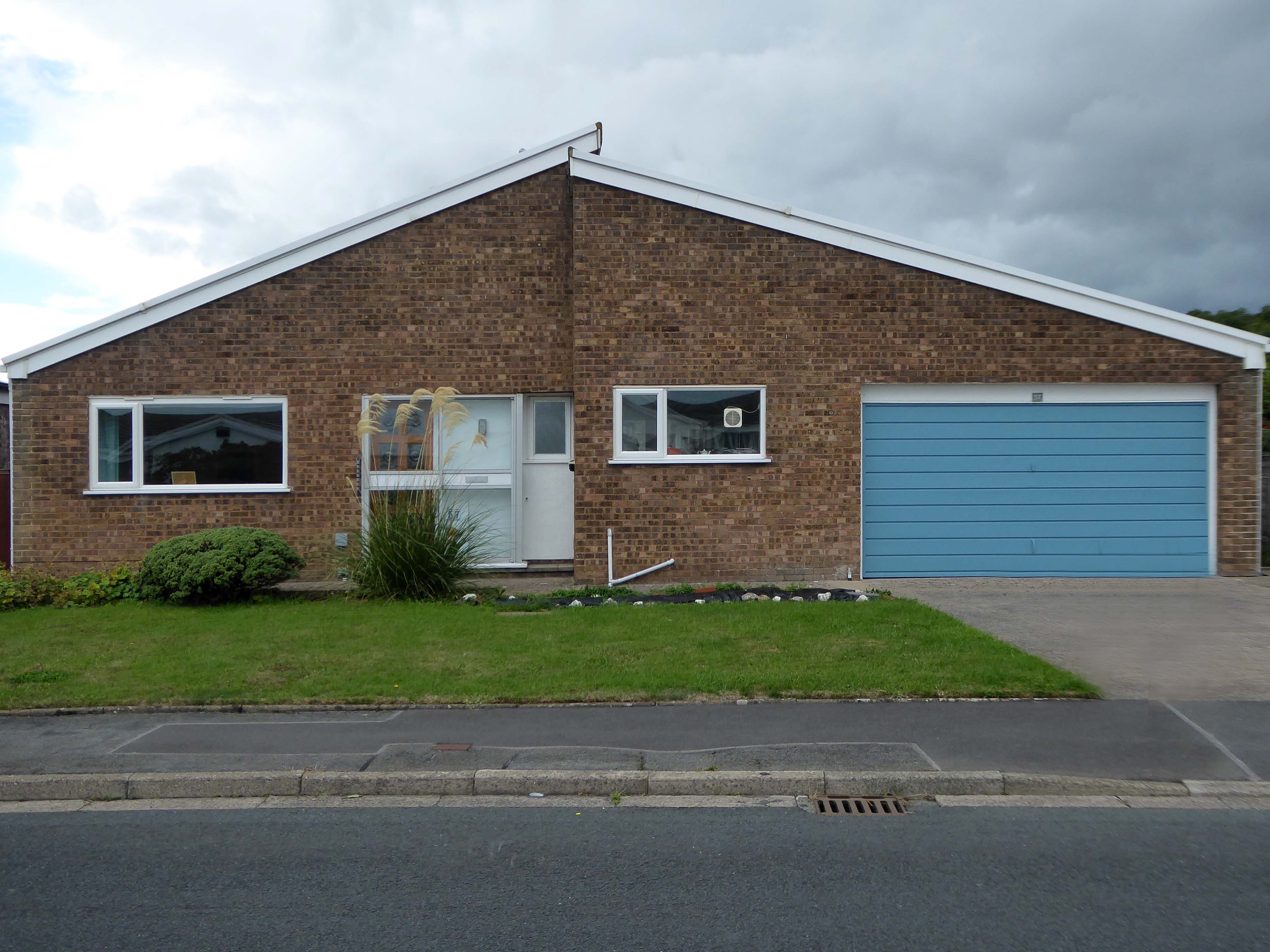
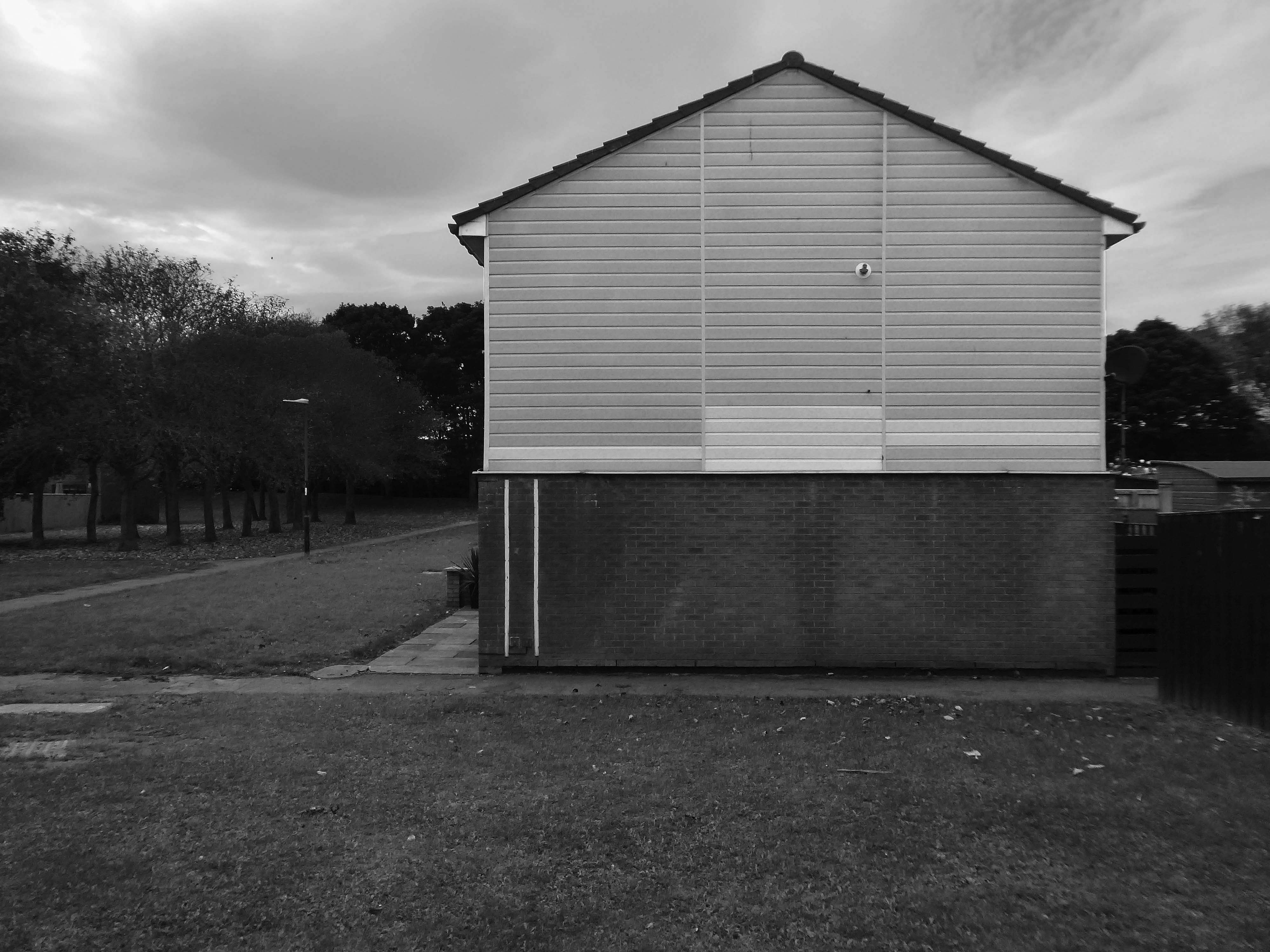
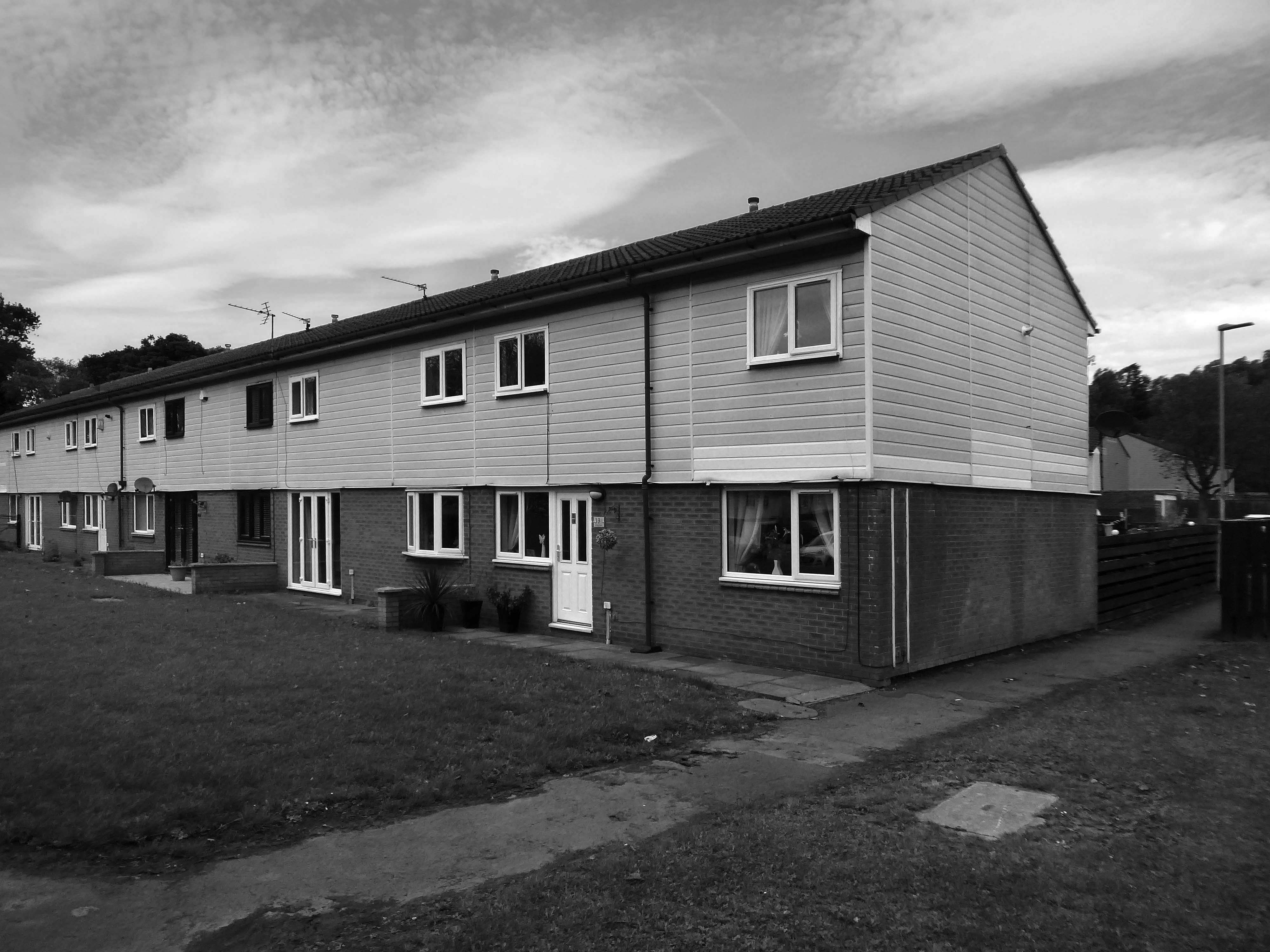
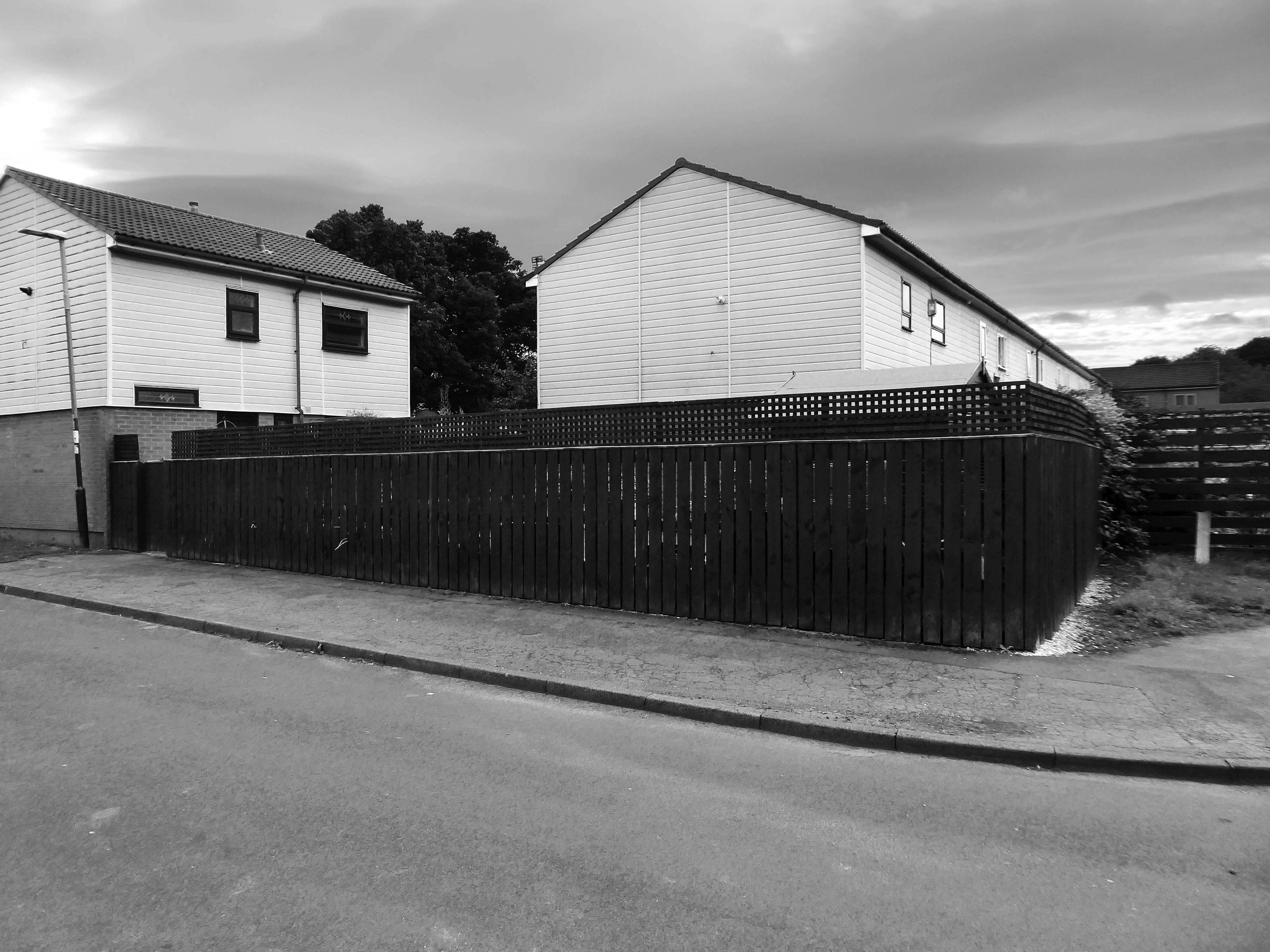
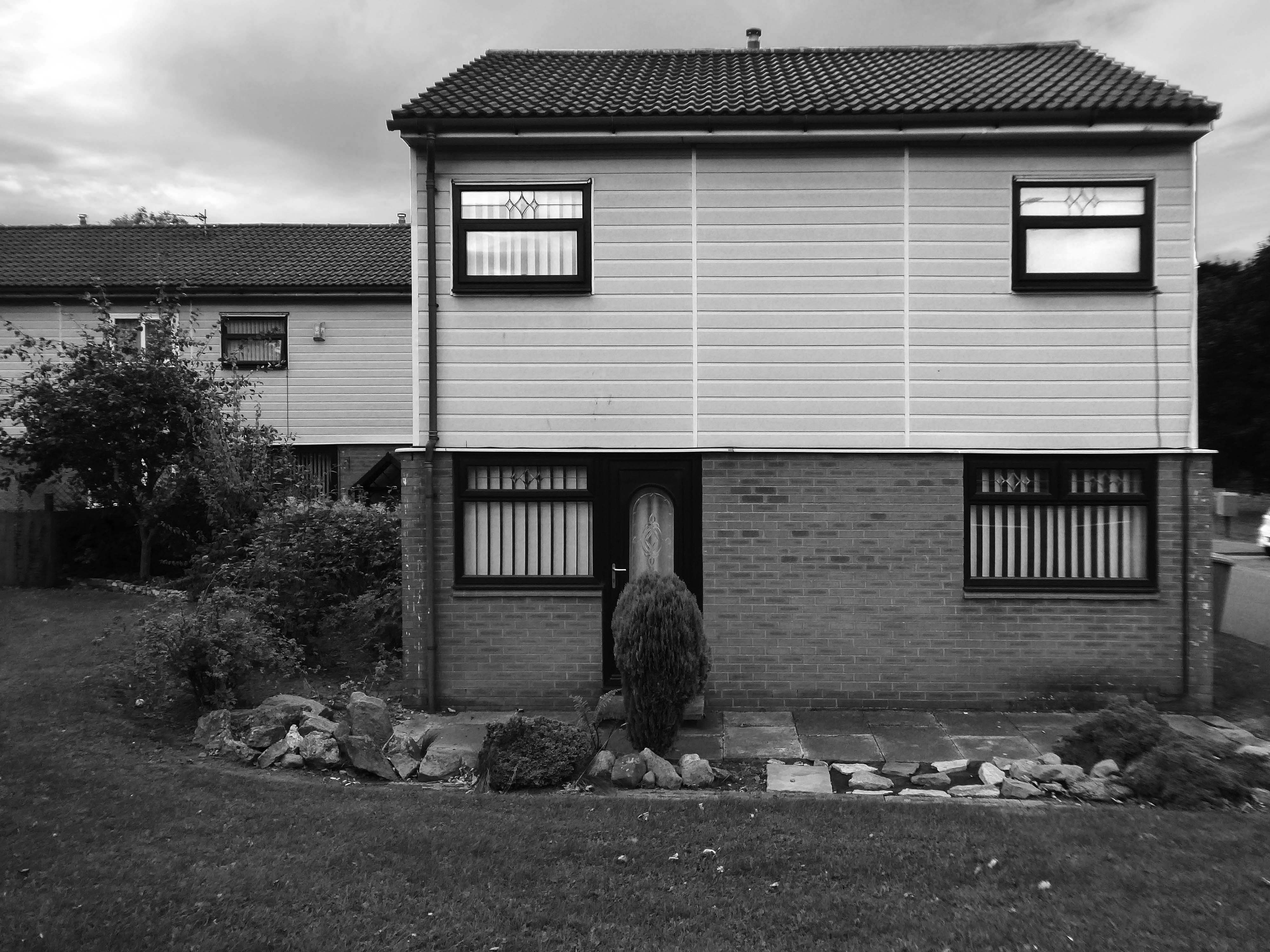
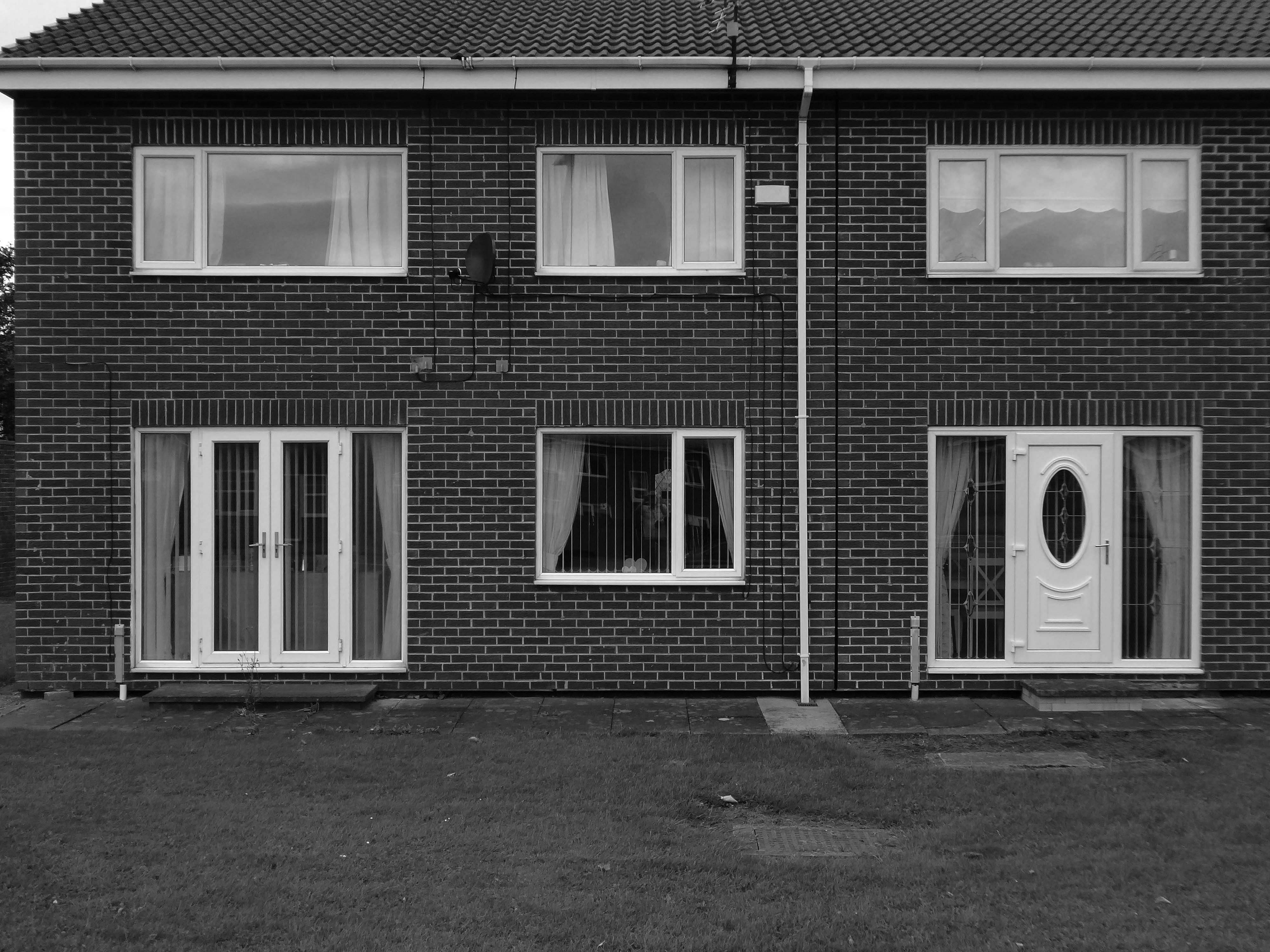
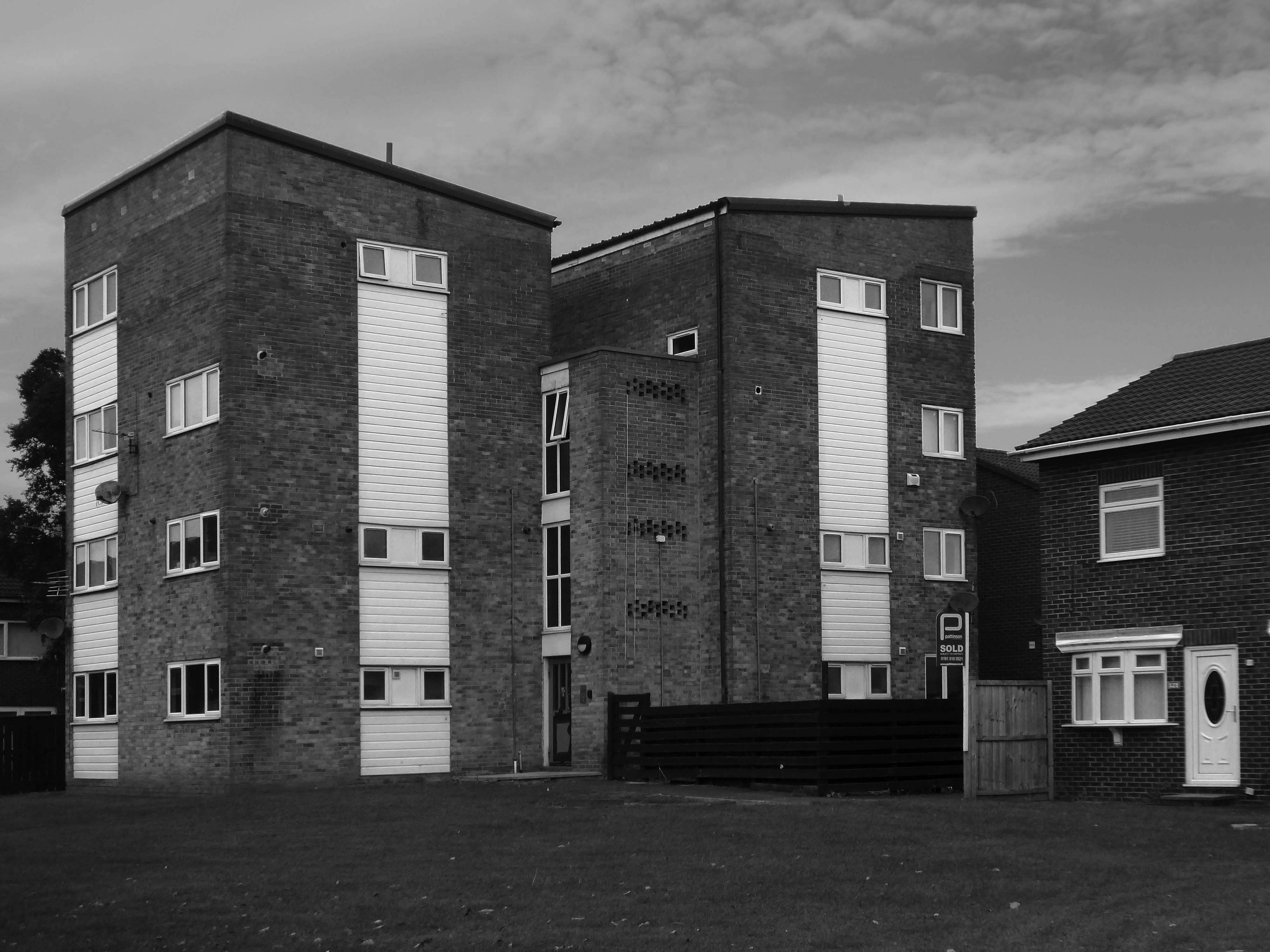
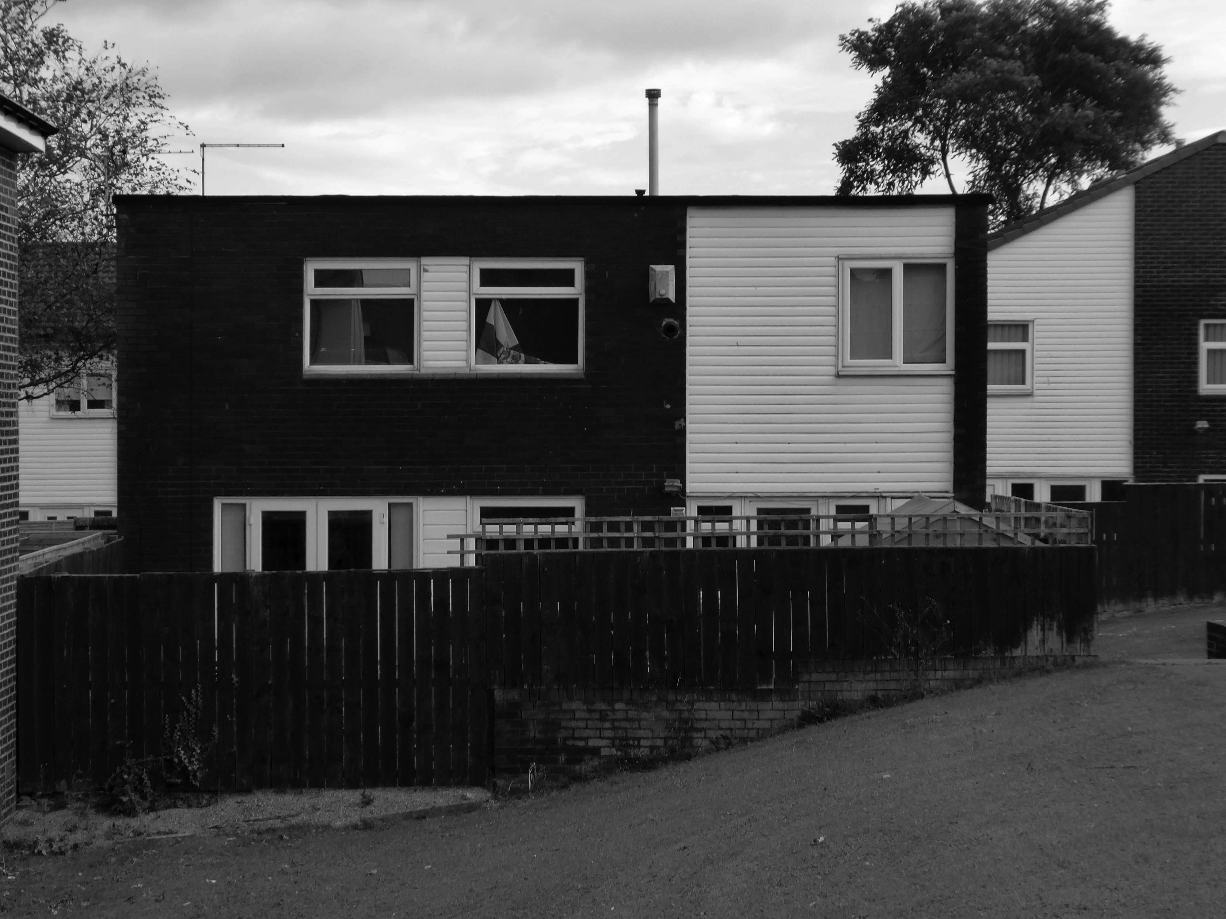
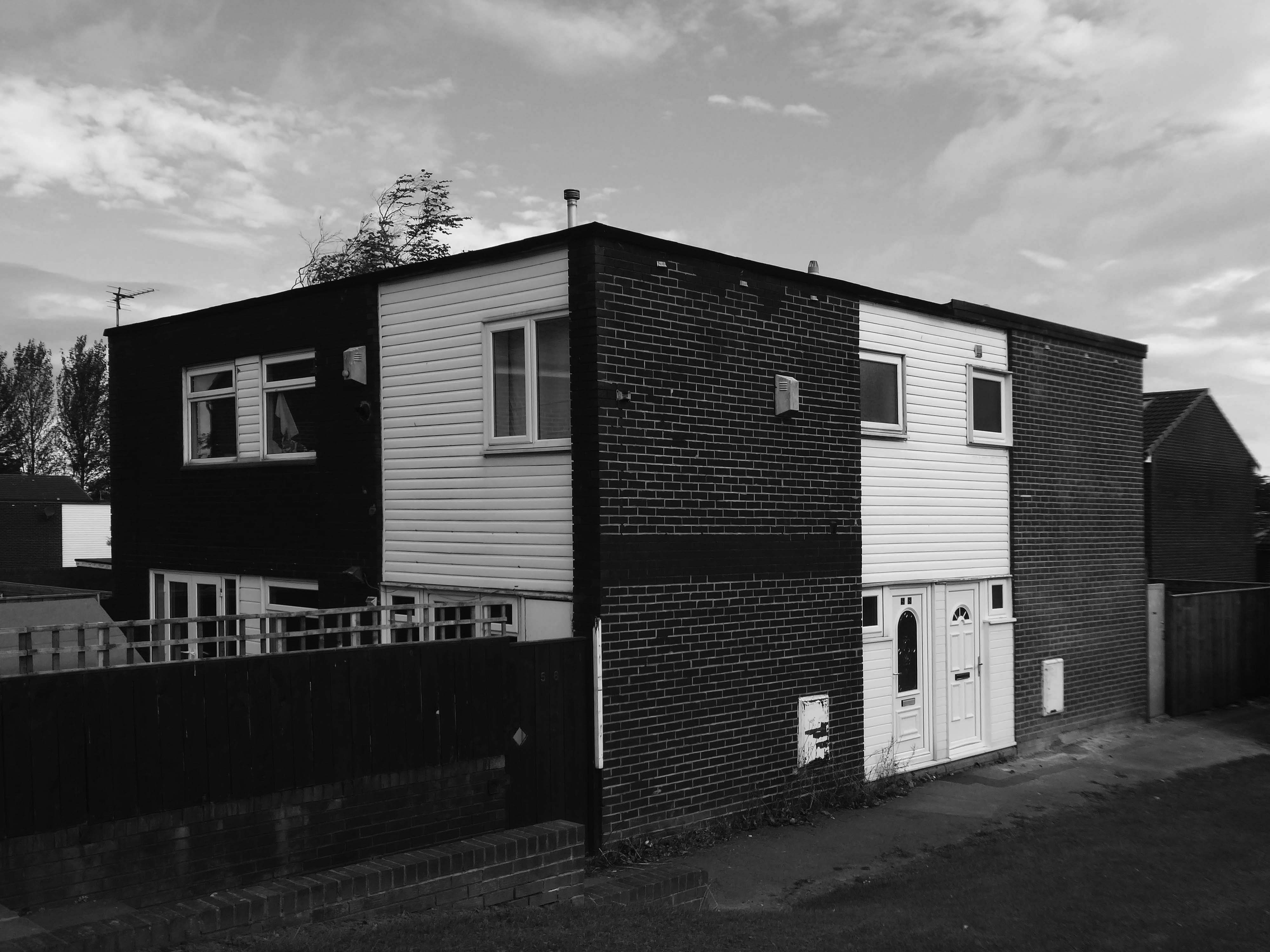
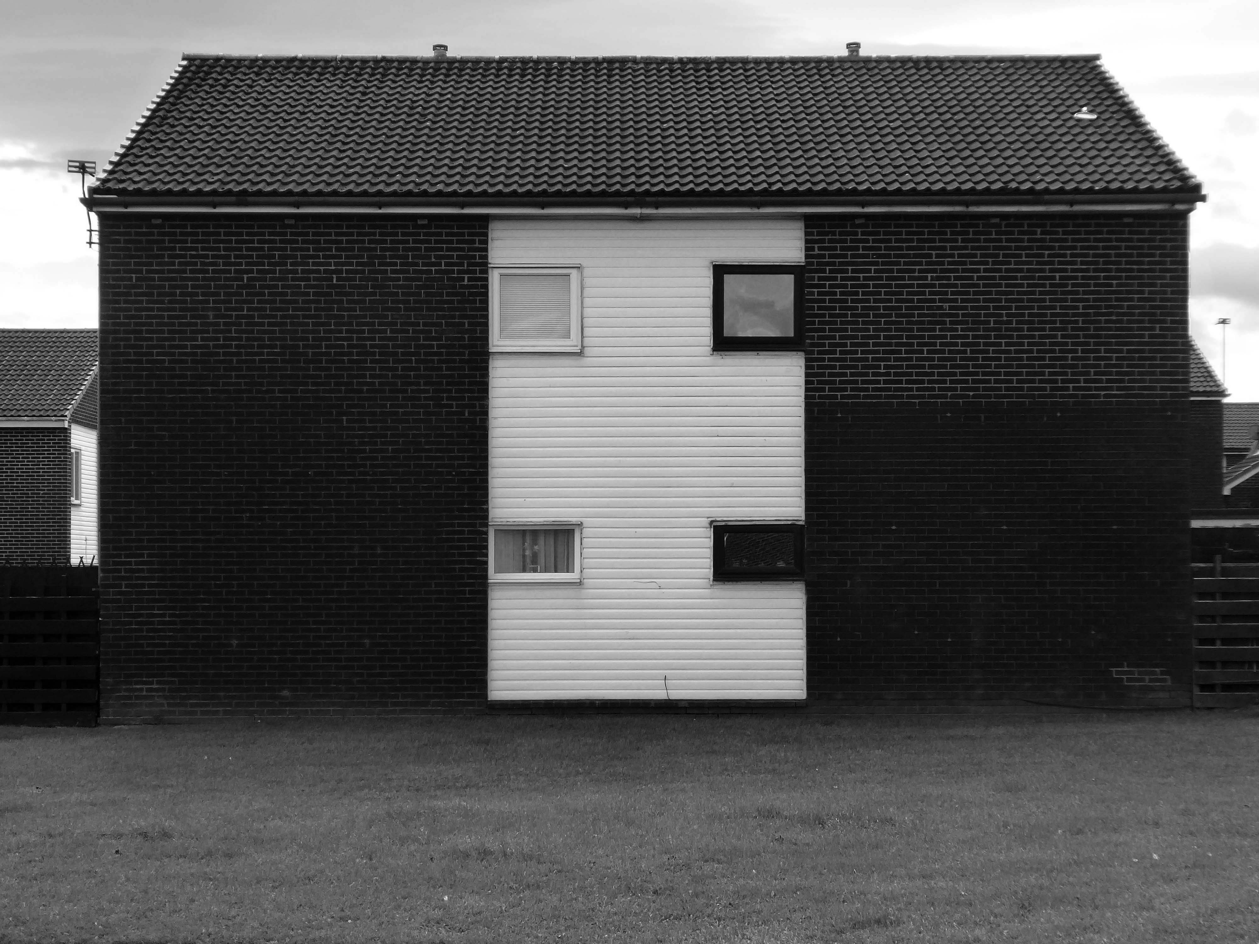
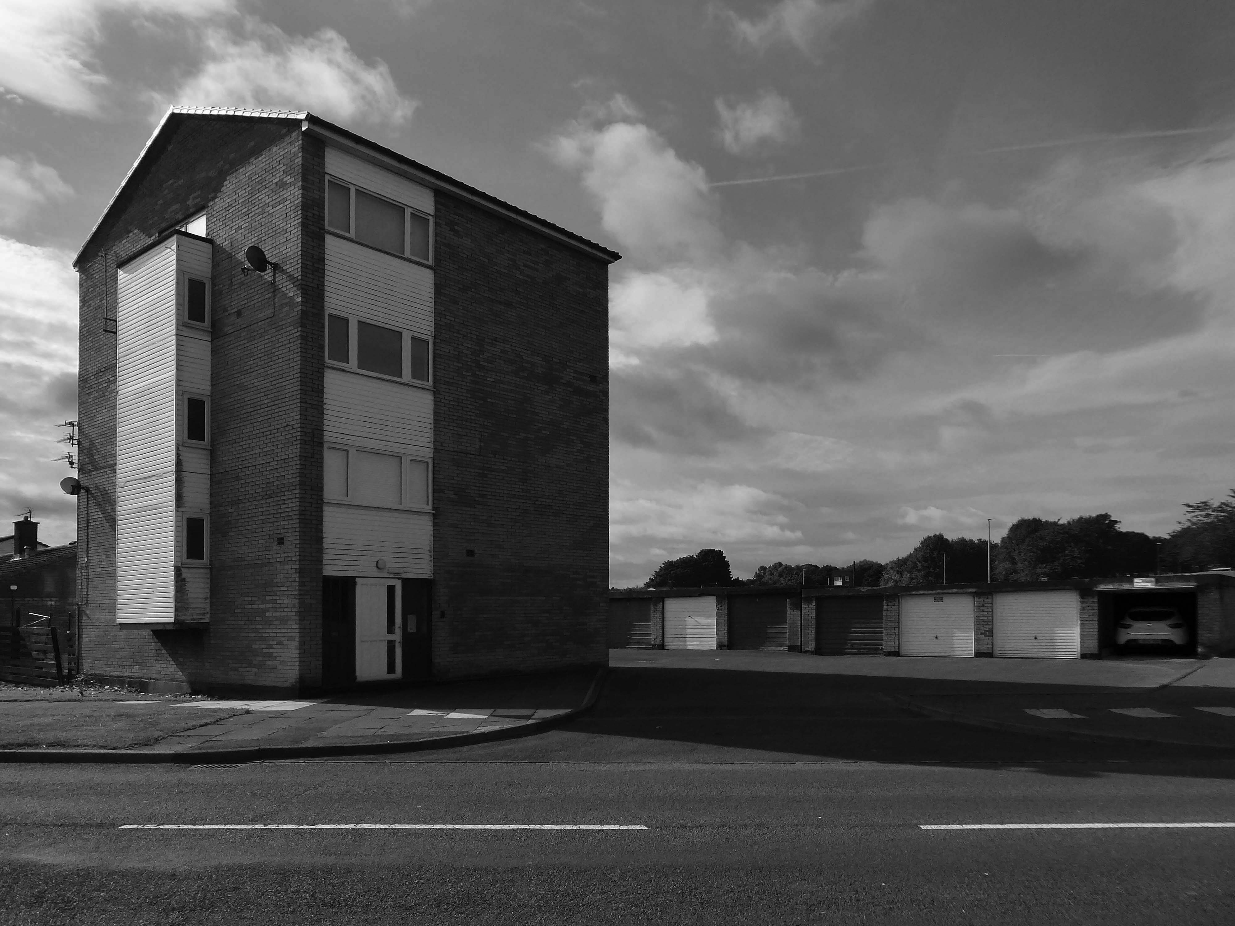
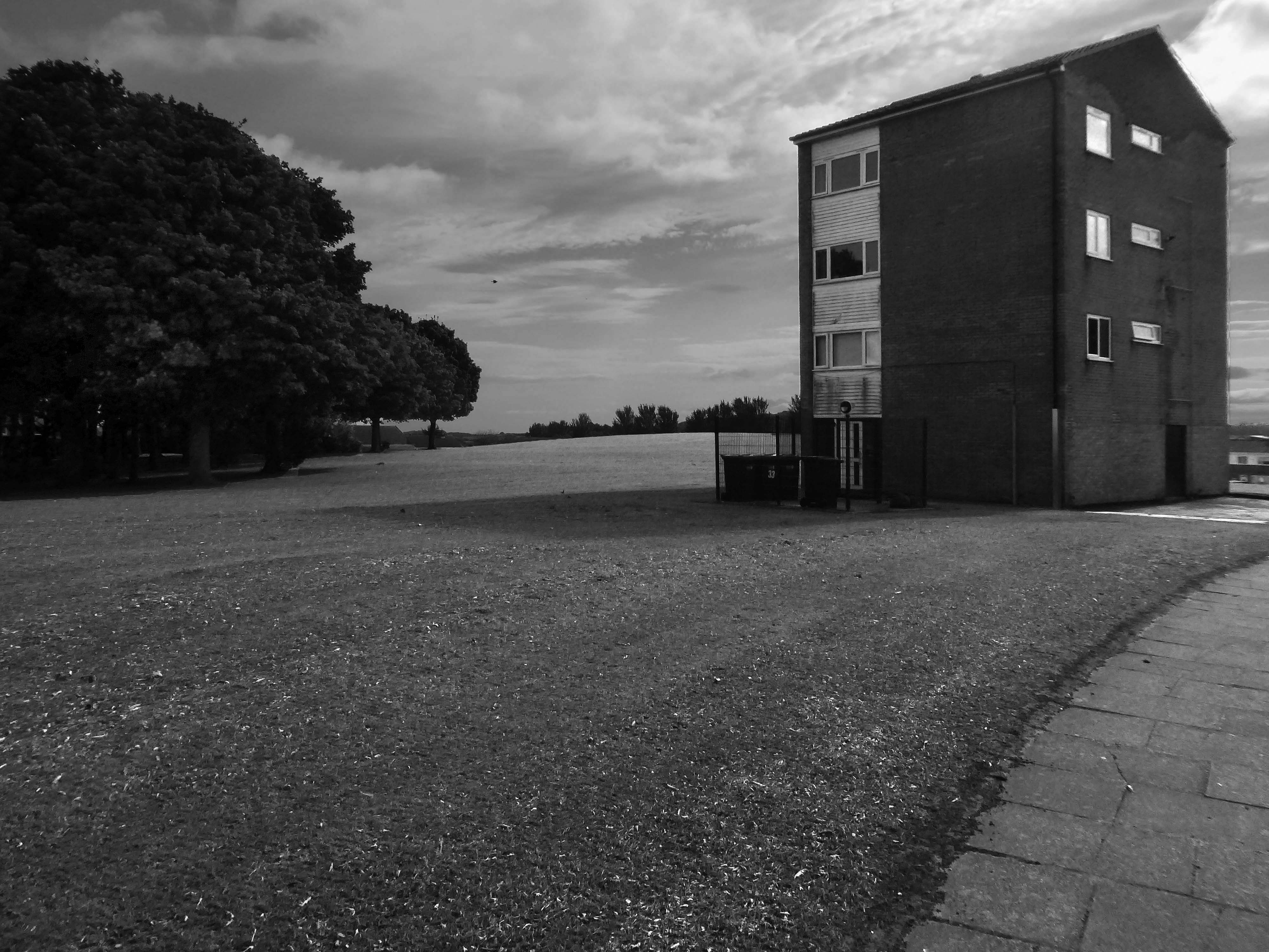
Within the typology there area number of variants, bungalow, dormer bungalow, link detached, semi-detached and detached.
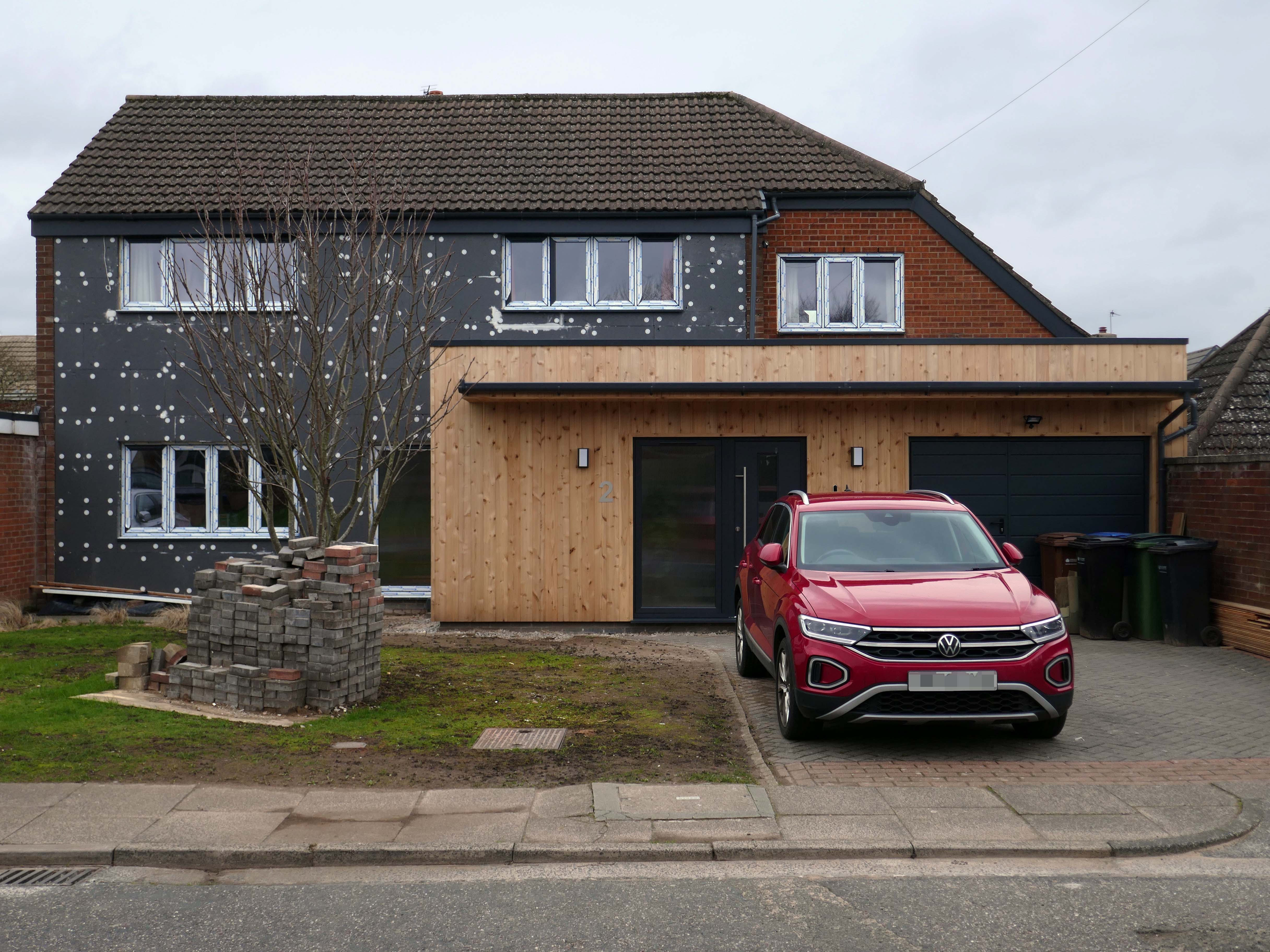
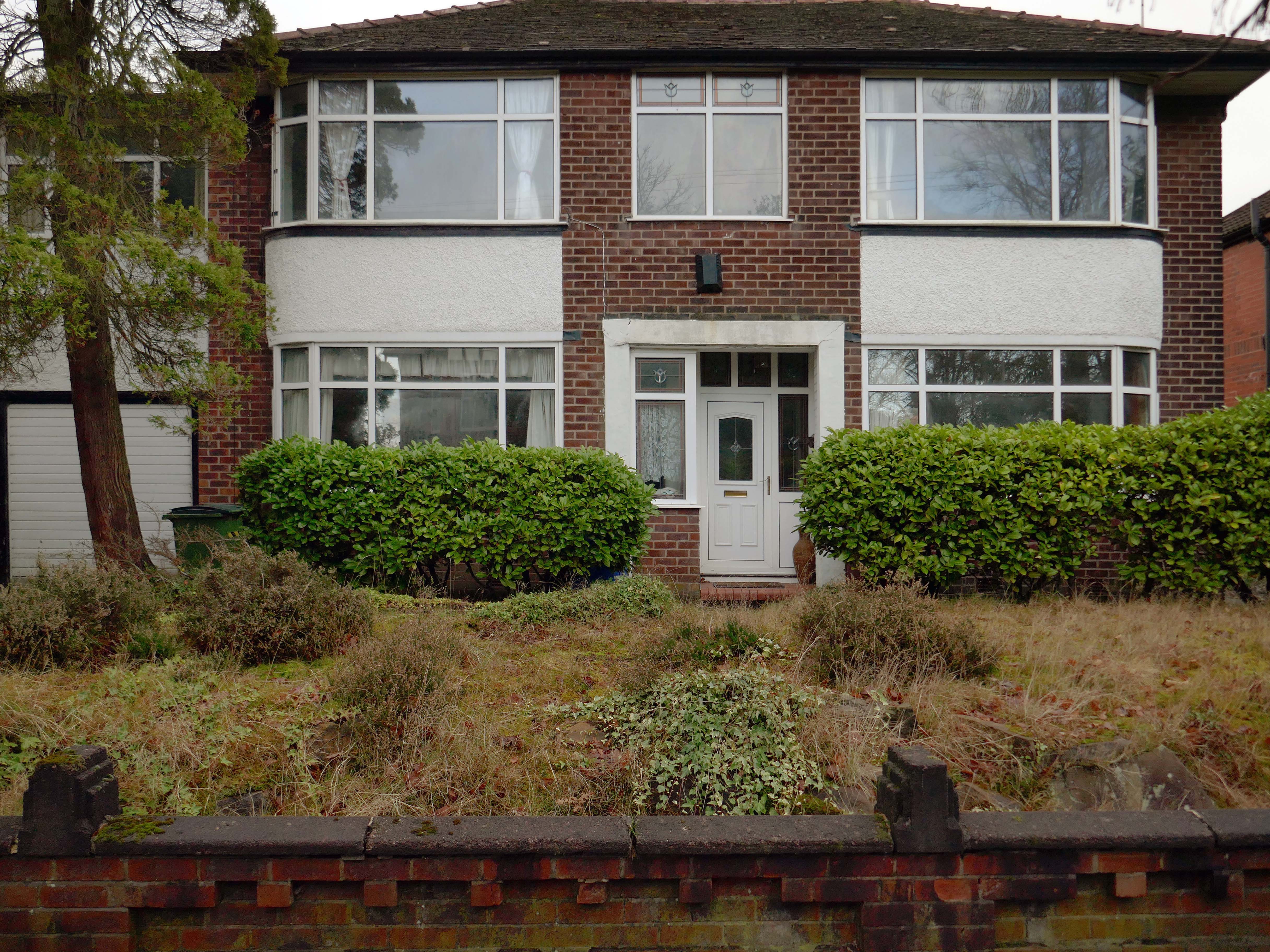
Very very few of the homes have retained their original features, the imperative of our age is to extend and improve.
There is a covenant in the deeds which prevents the building of border fencing – therefore the development retains its small-scale suburban American ambience.
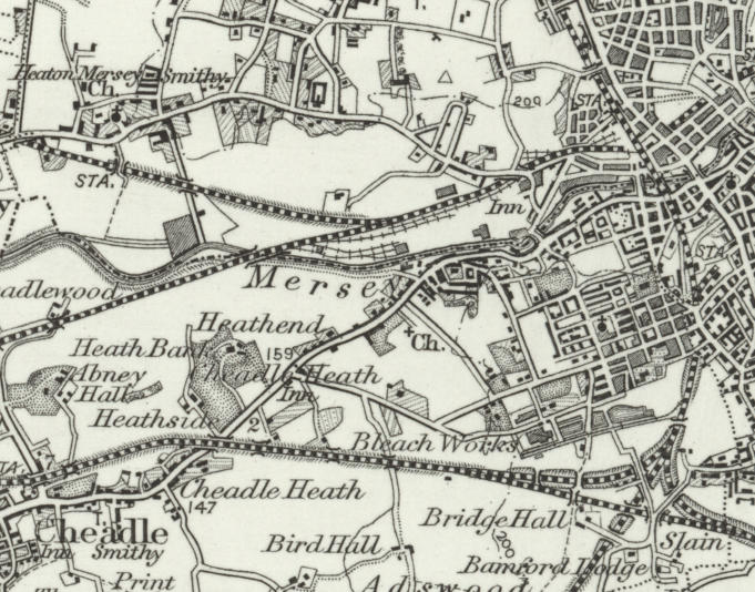
In 1896 the area to the east of central Stockport is a potpourri of emergent industry, railways, a river and agriculture – a product of the second Ice Age, the subsequent formation of the Mersey Valley and the Industrial Revolution.
By 1911 there is an expansion in the housing stock.
A comprehensive history of the area cane be found here.
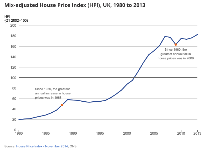
In 1918, the UK property landscape was dominated by private renters, who made up 75% of all households. At the time, only 25% of the population owned their own homes.Over the next few decades, home ownership gradually increased, reaching about 38% by 1958. This shift was accompanied by a decrease in private renting, which fell to 41% during the same period.
The most significant growth in home ownership occurred between 1958 and 2003. The percentage of owner-occupiers surged from 38% to 70%. This period saw a corresponding decline in both private renting, which fell to just 8% in 2003, and social renting, which peaked at 29% in 1978 before declining to 22% by 2003.
The pattern of home ownership has been determined by a number of factors –
The Property Owning Democracy – Coined by British MP Noel Skelton in 1920, the concept emphasised the terms ‘property-owning’ and ‘democracy’ as a conservative response to left-leaning ideas of liberalism and socialism.
Right to Buy scheme, introduced by Margaret Thatcher’s Housing Act 1980, allowed long-term council social tenants in England and Wales to buy their homes at a significant discount, fostering homeownership but drastically reducing the stock of affordable social housing, leading to ongoing housing shortages and debates over its legacy.
The Property Ladder which commodifies housing. Where once house and home were largely for life, the upwardly mobile homeowner wishes to continually acquire value and status through trading ever onwards and upwards.
Socially the role of the home has also changed over time, once a place to be outside of – working or playing, the home is now possibly a place of both work and play. A larger percentage of weekly earnings is now absorbed by housing costs, and the lure of the multi-channel Smart TV, gaming systems, take away food and supermarket lager, nails the residents’ slippers firmly to the laminate flooring.
This has gone hand in hand with the trend home improvements and extensions – fed by glossy magazines, design led property TV shows advocating a New England, Shabby Chic, Maxi/Minimalist Vibe.
Welcome to the new England.
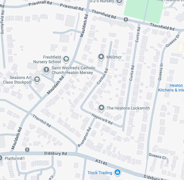
It’s January 2026 and I have taken to the area between Mauldeth Road, Thornfield Road, Queens Drive and Didsbury Road.
What is actually going on in my locale? – The only way to find out is to go and take a good look around.
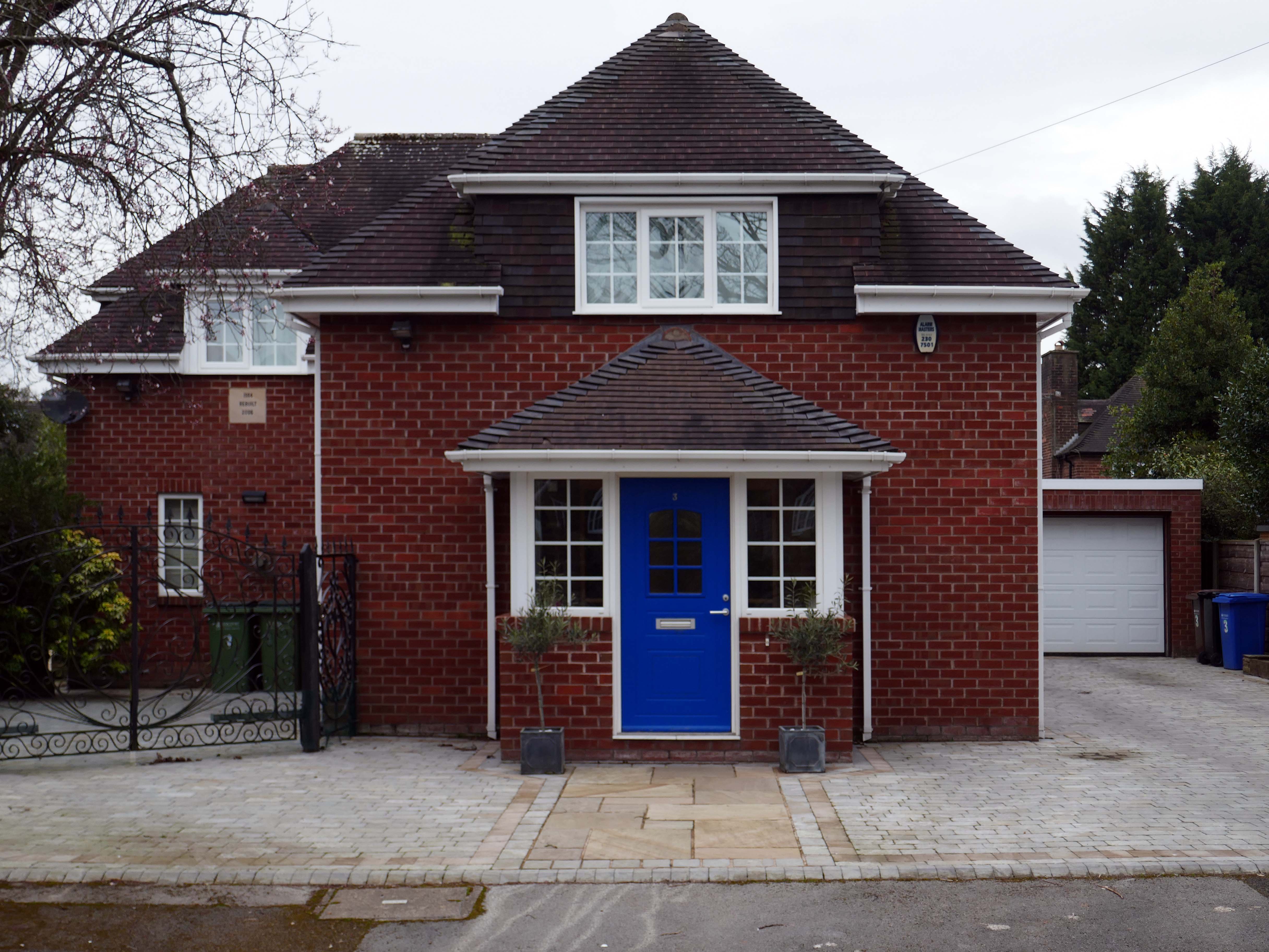
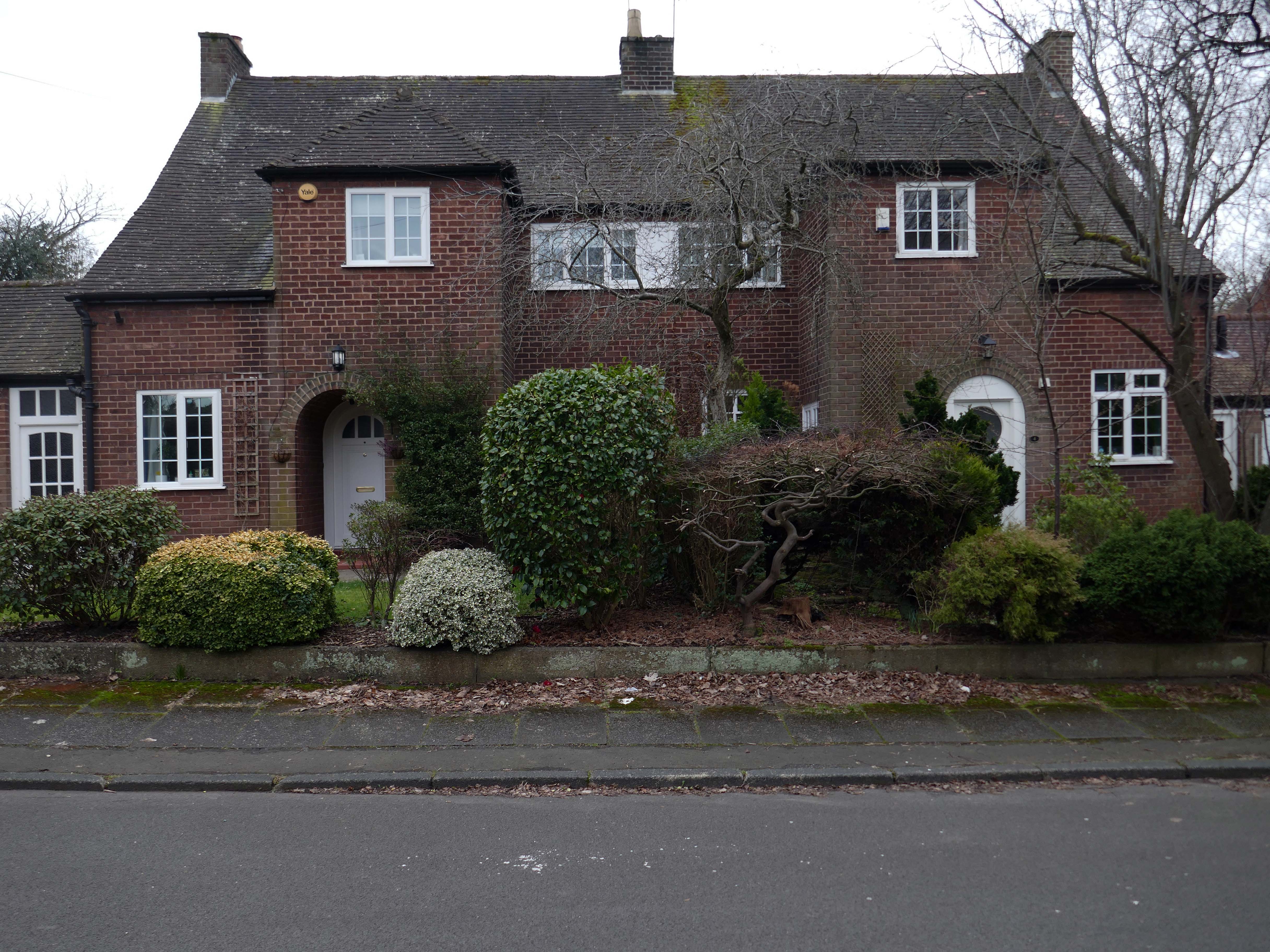
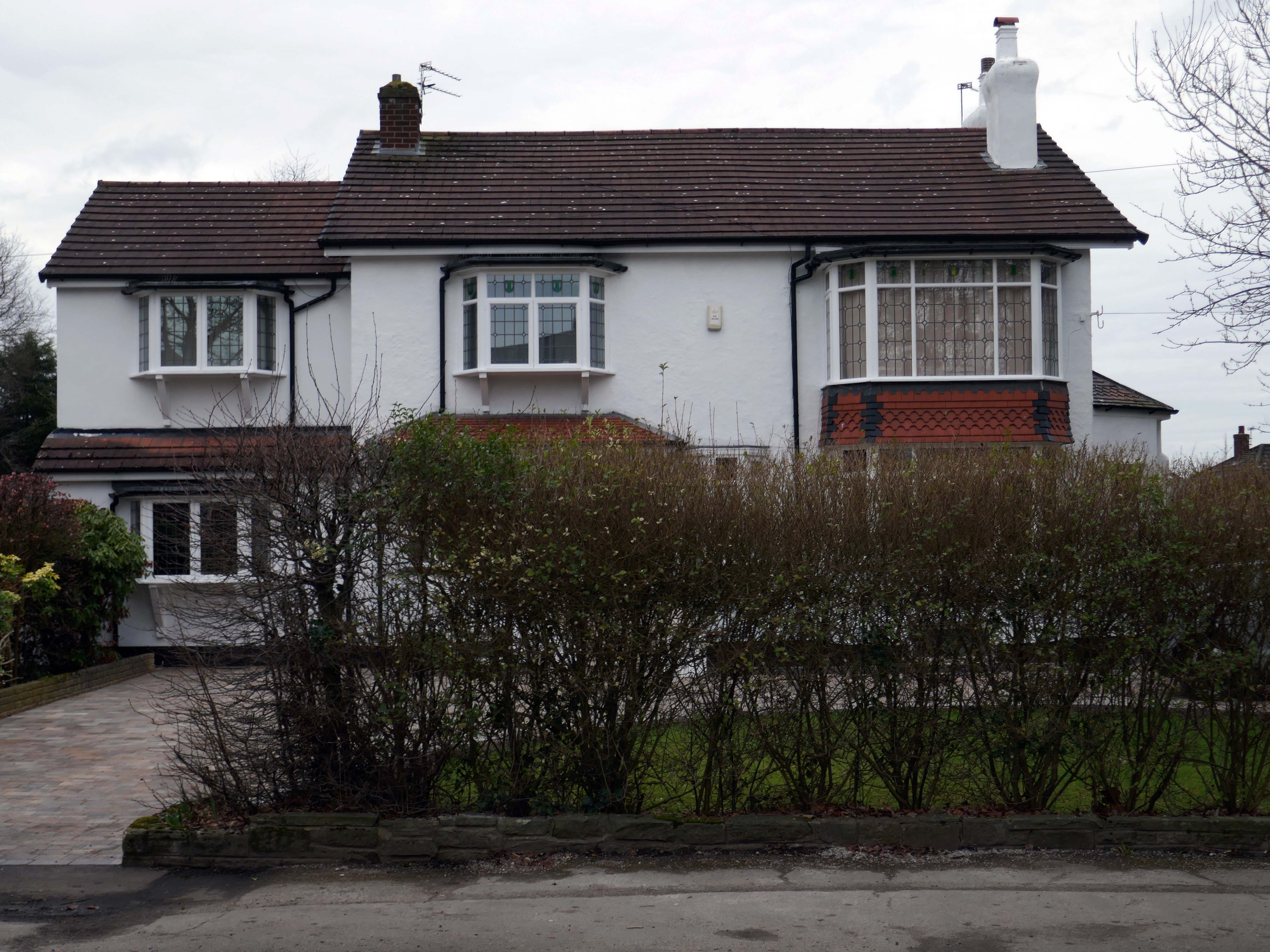
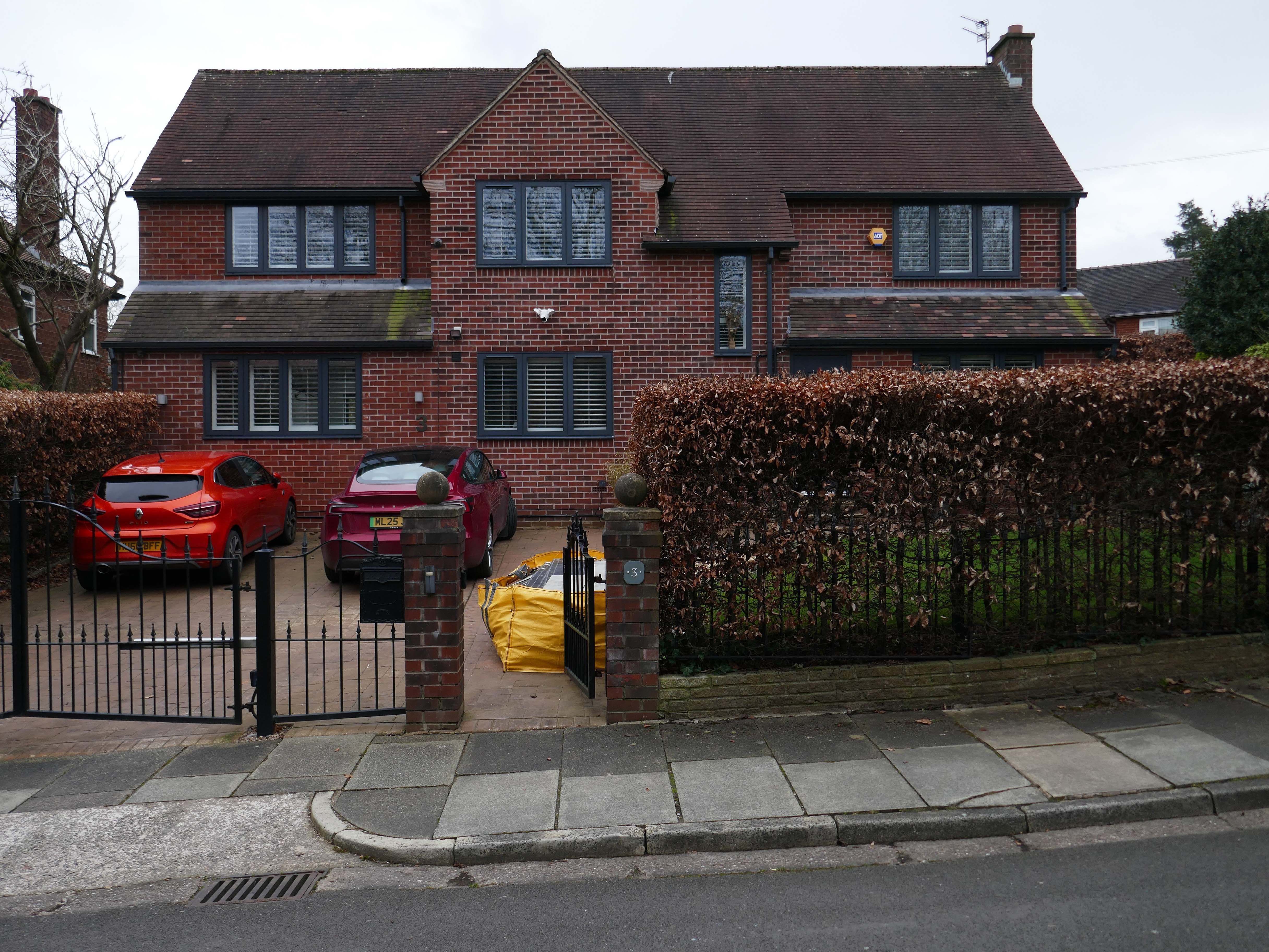
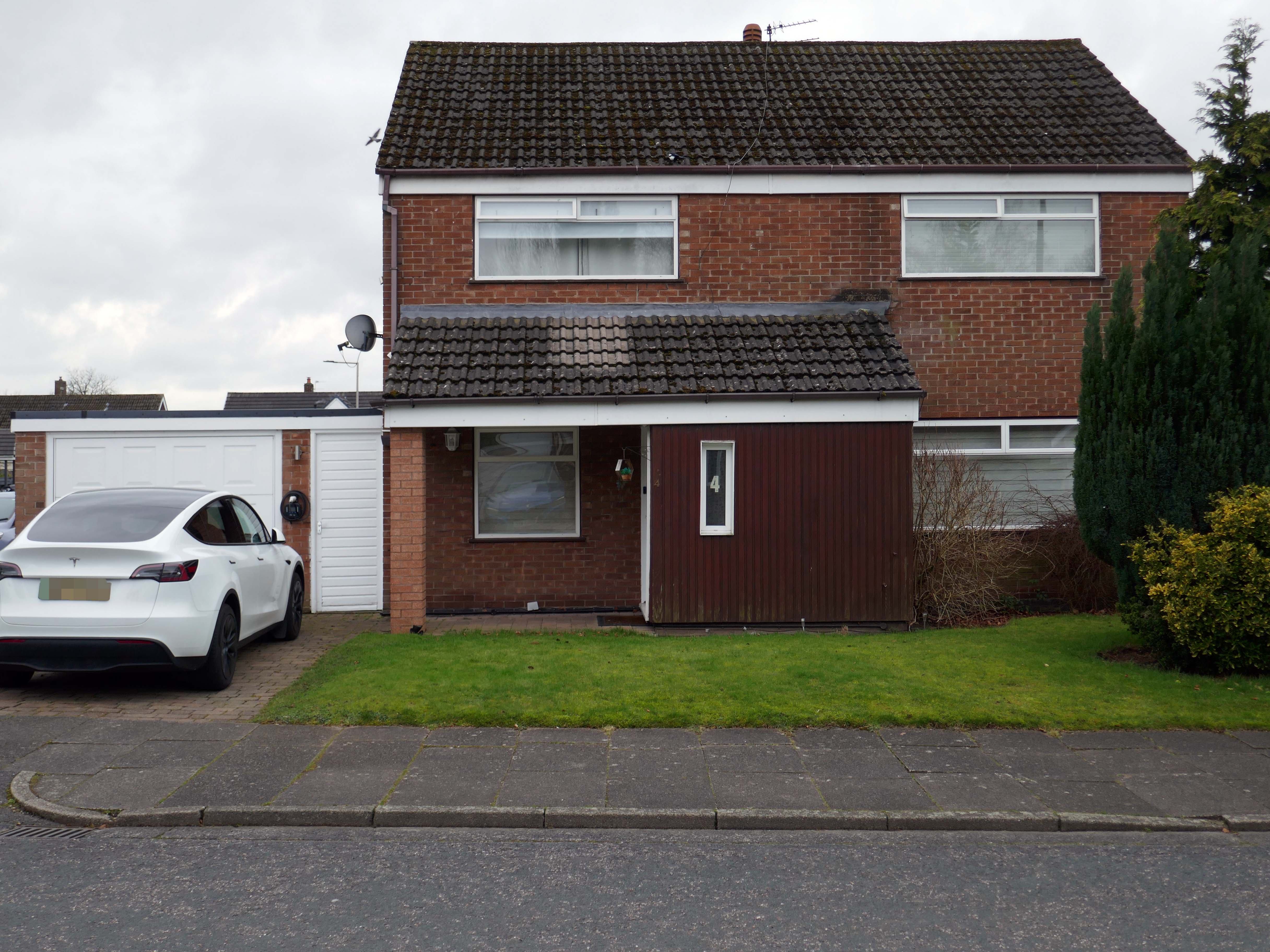
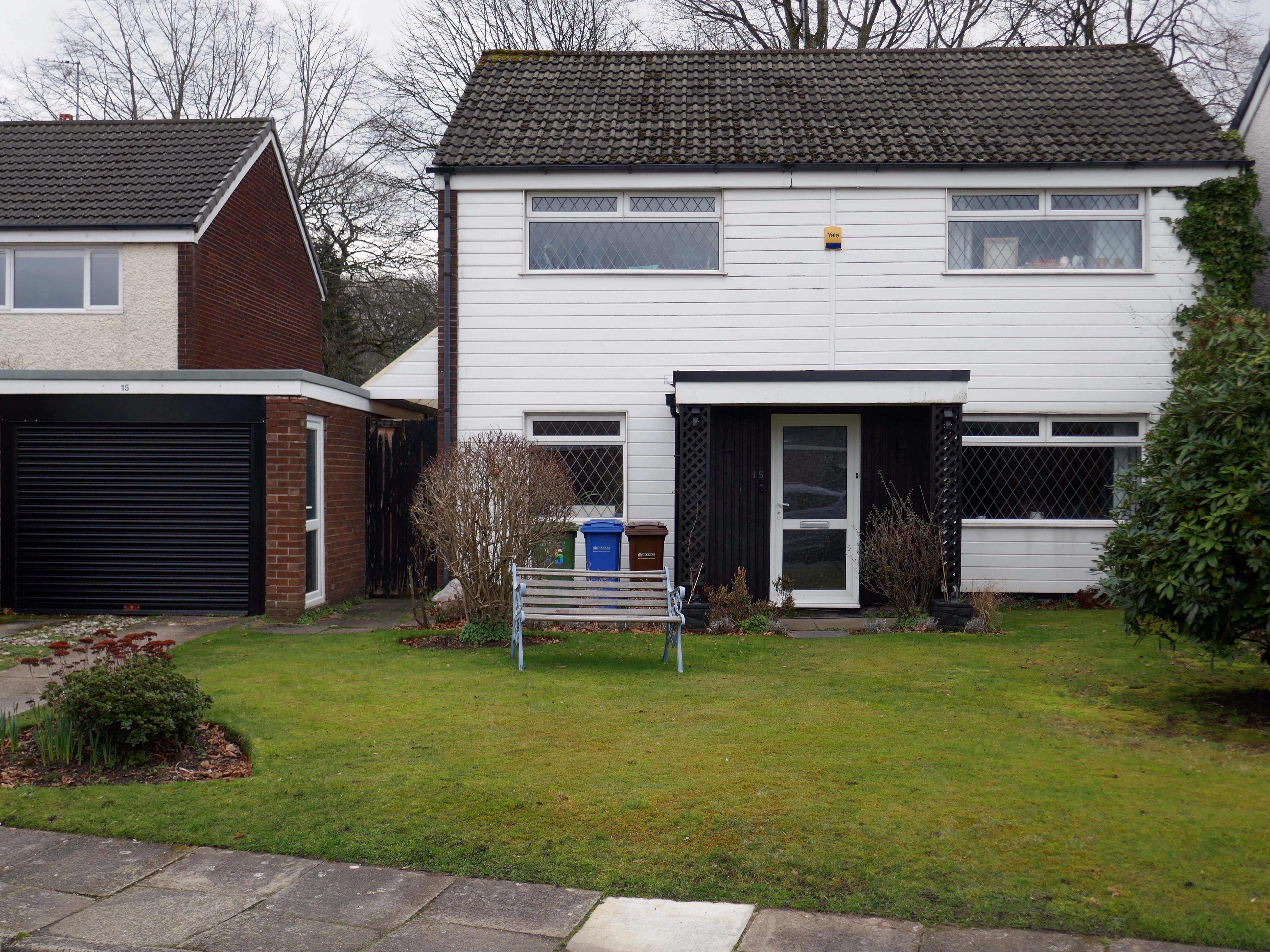
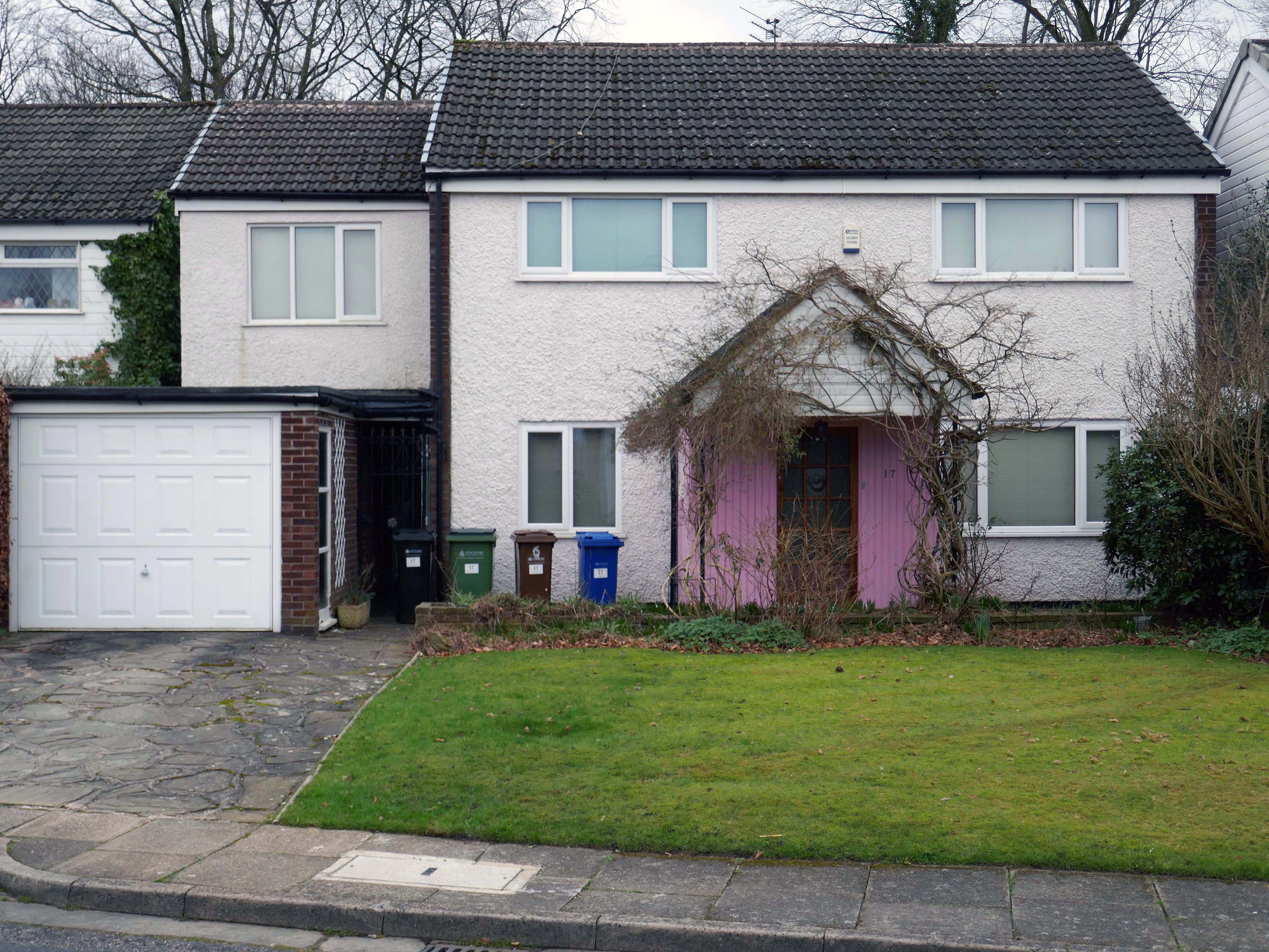
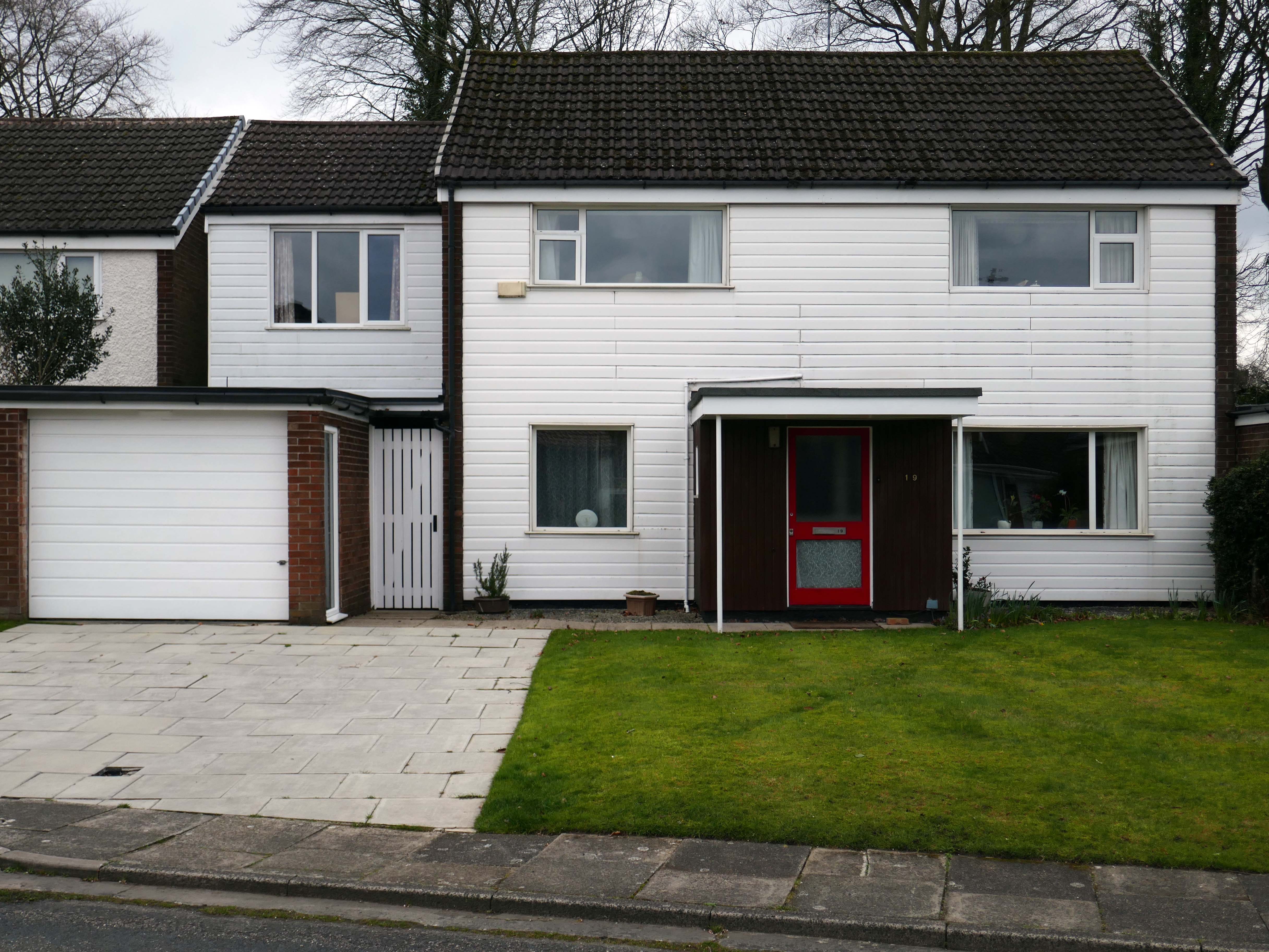
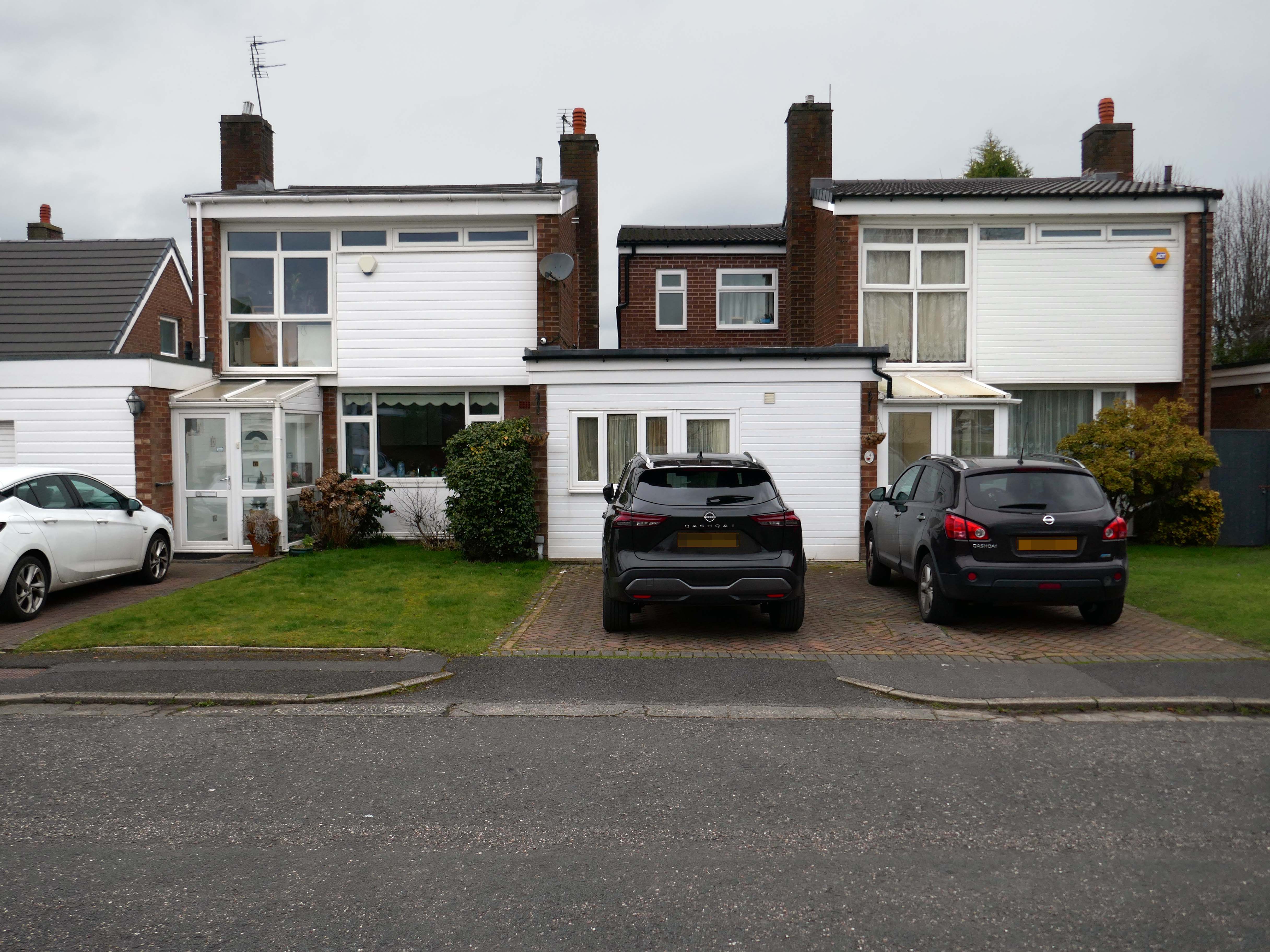
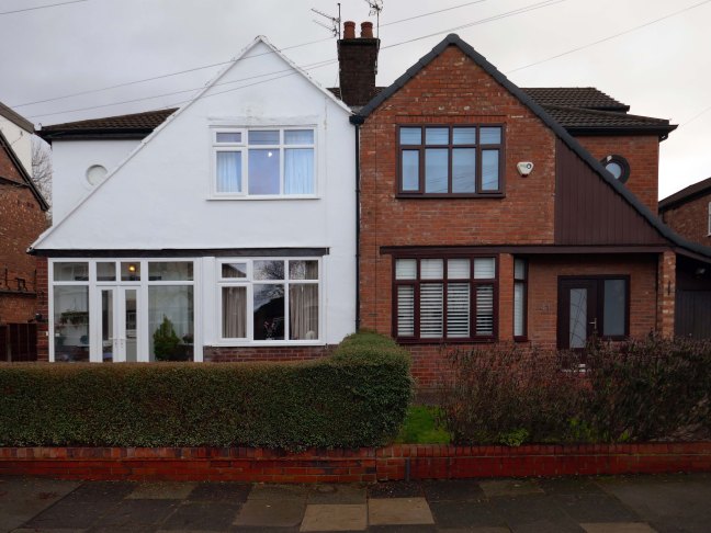
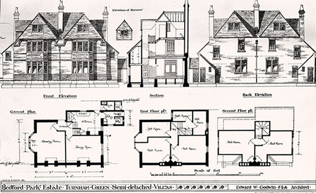
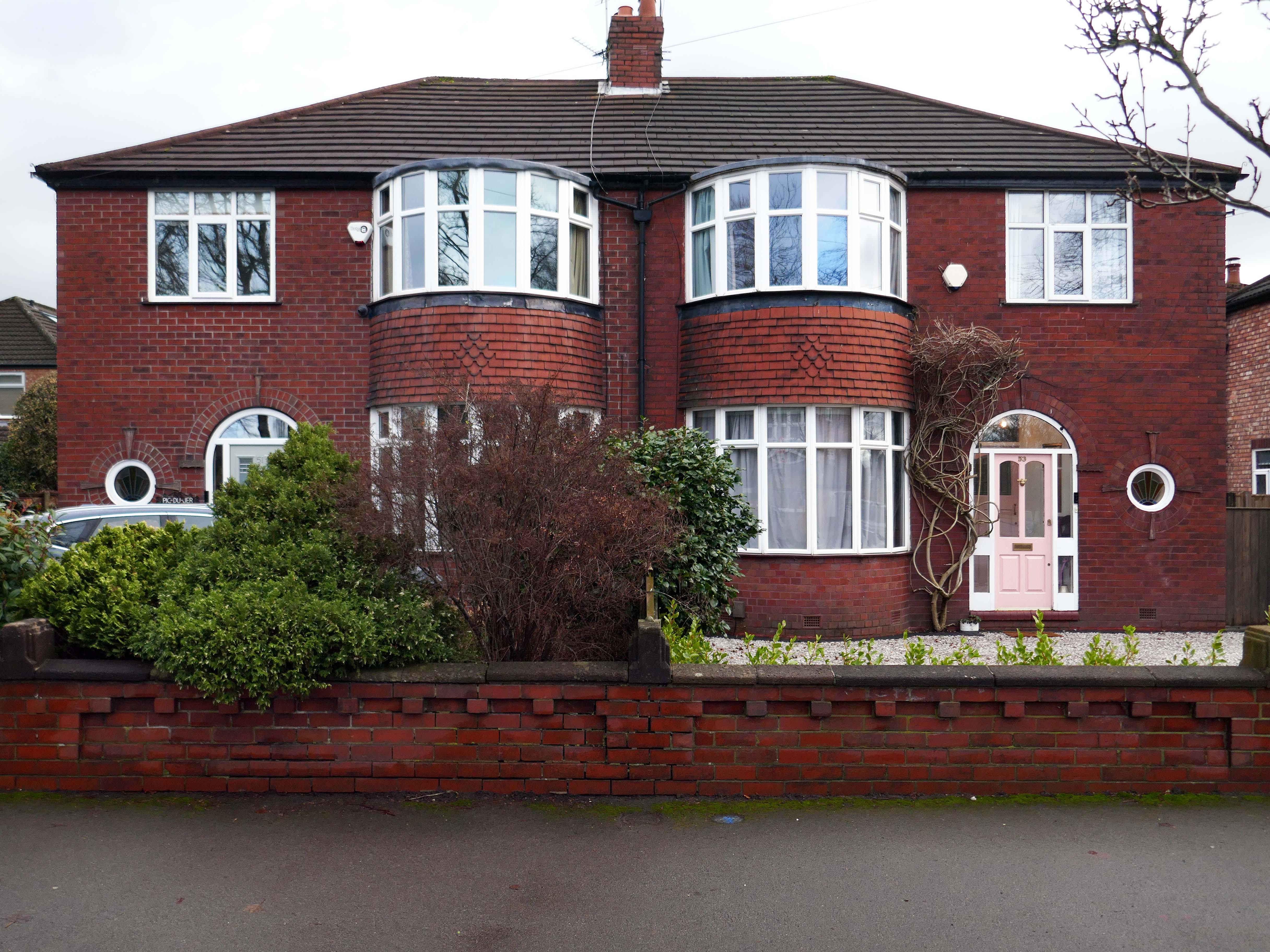
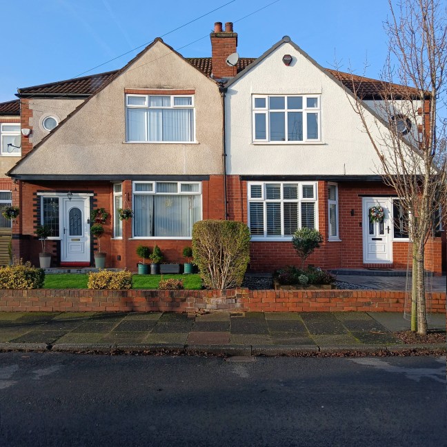
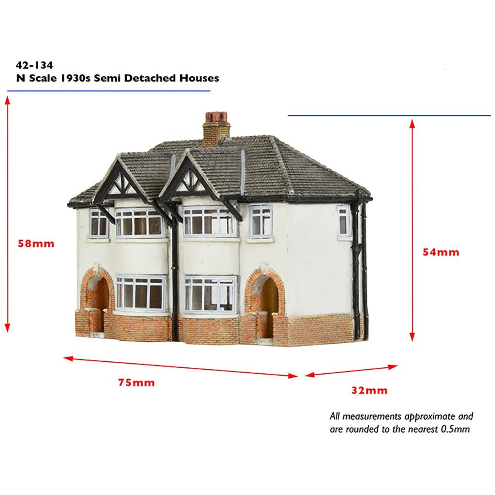
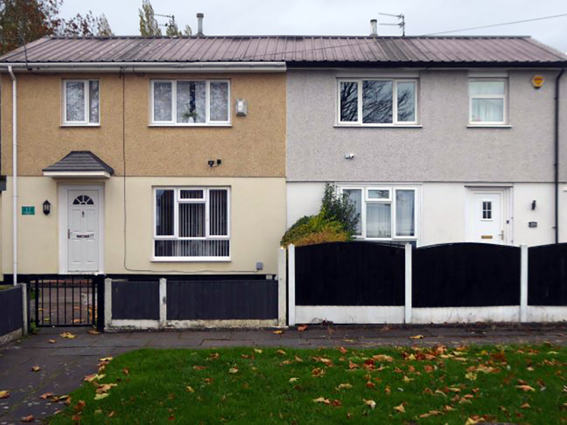
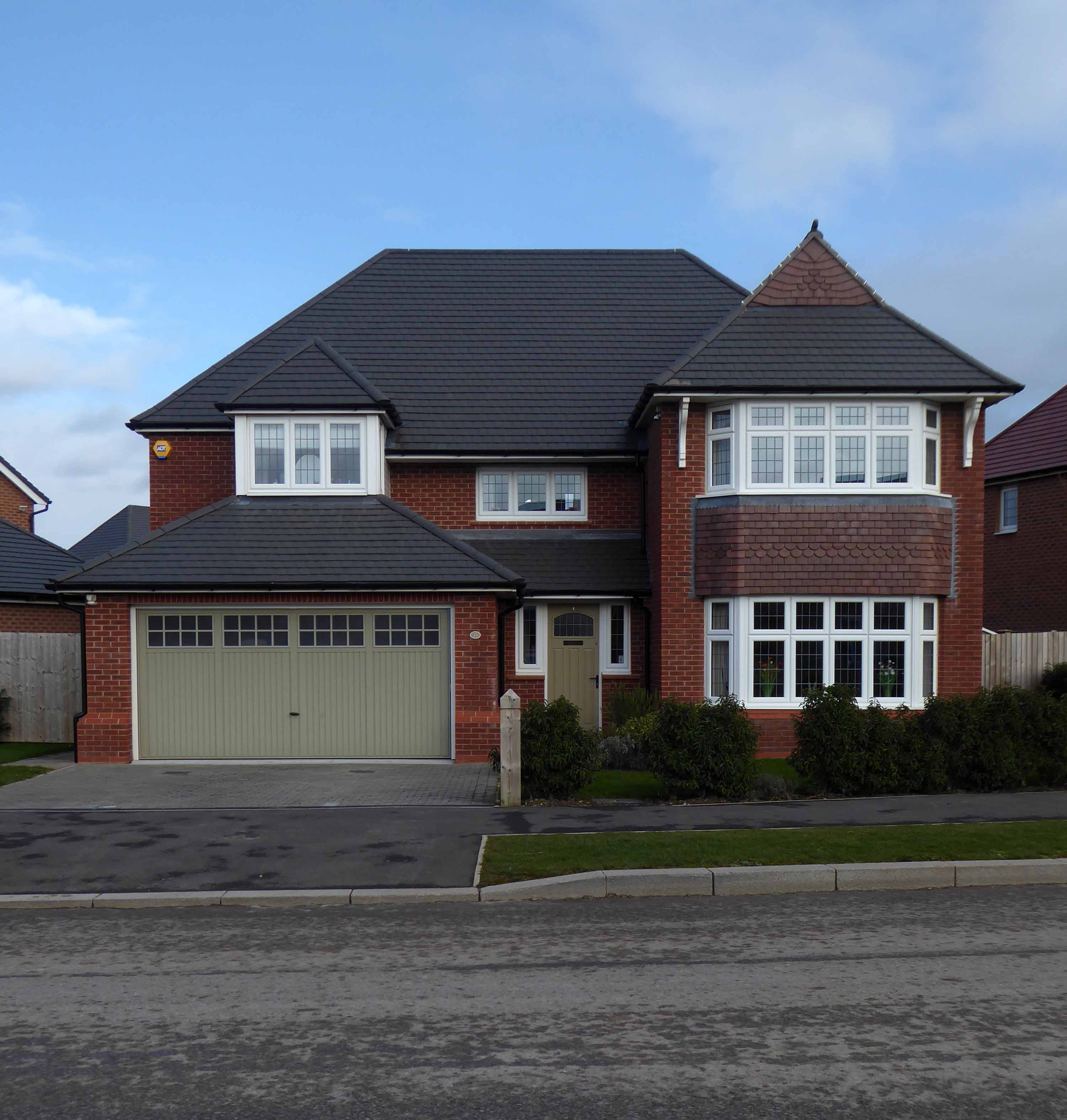
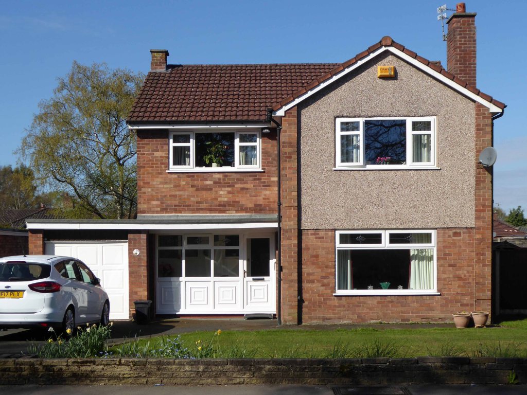
Symbol of middle-class aspiration, conservatism and compromised individualism, the semi-detached house is England’s modern domestic type par excellence.
Semi-detached houses are the most common property type in the United Kingdom. They accounted for 32% of UK housing transactions and 32% of the English housing stock in 2008. Between 1945 and 1964, 41% of all properties built were semis.
Semi-detached houses for the middle class began to be planned systematically in late 18th-century Georgian architecture, as a suburban compromise between the terraced houses close to the city centre, and the detached villas further out, where land was cheaper.
Although semi-detached housing is built throughout the world, it is generally seen as particularly symbolic of the suburbanisation of the United Kingdom and Ireland.
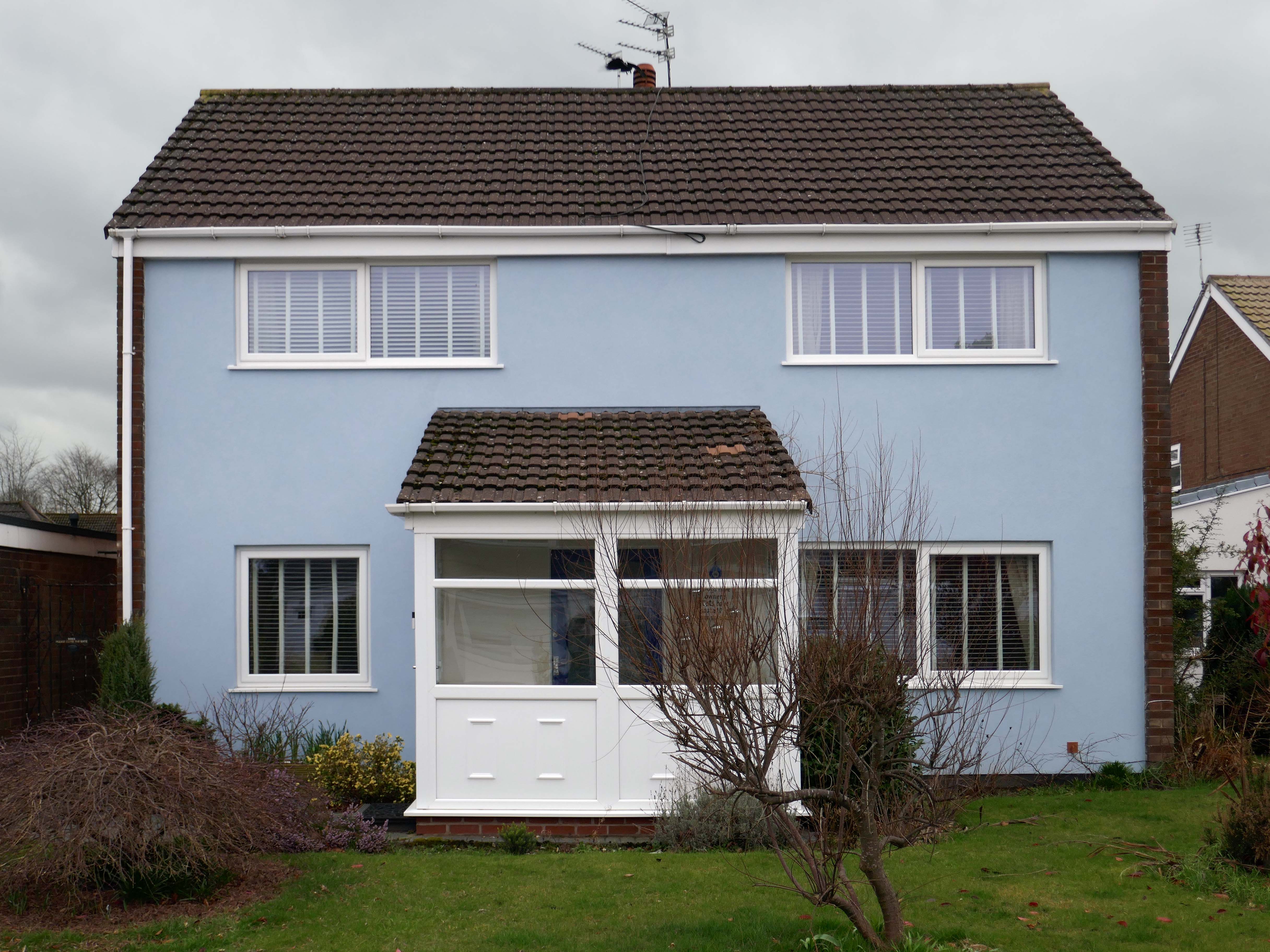
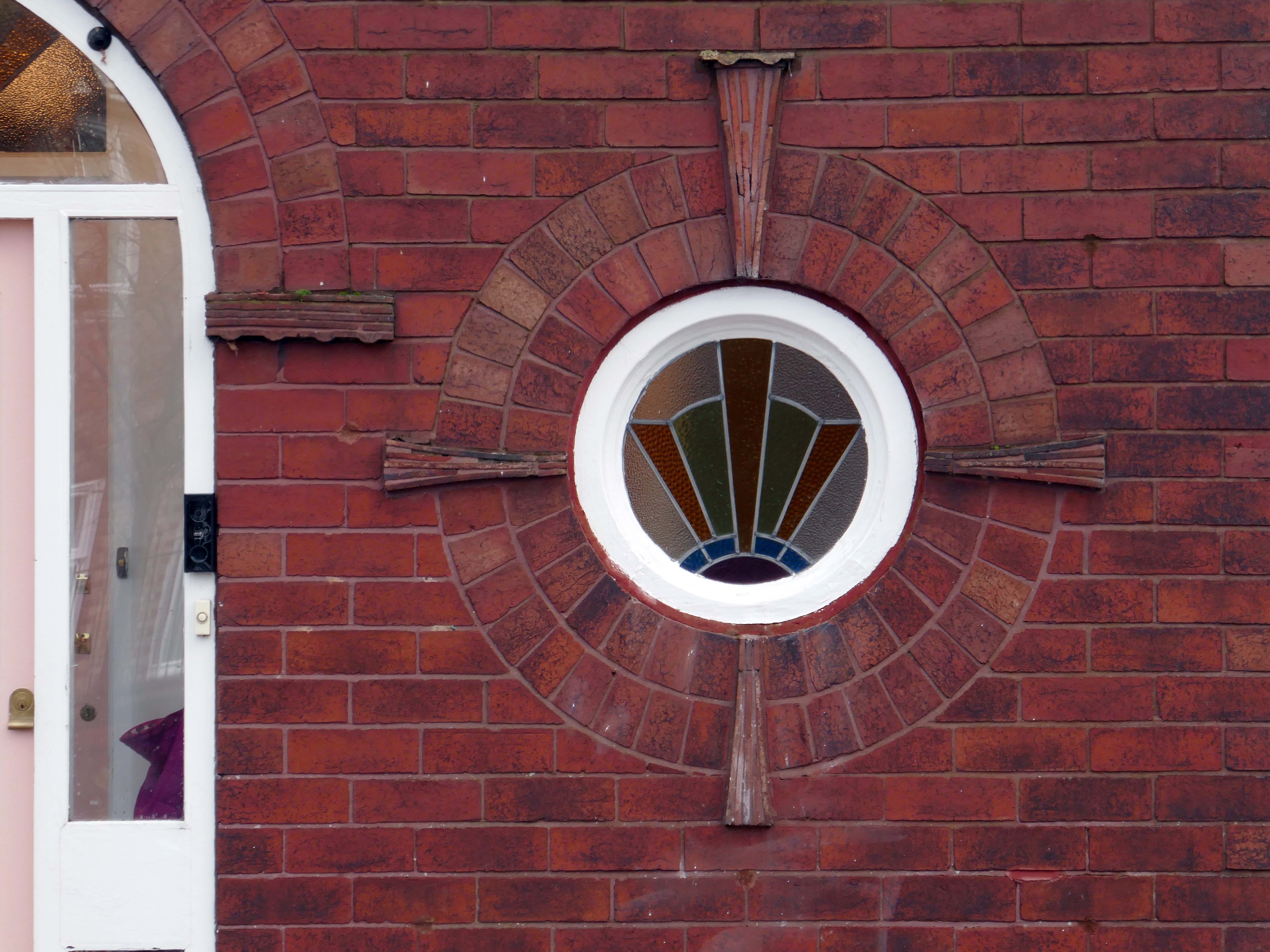
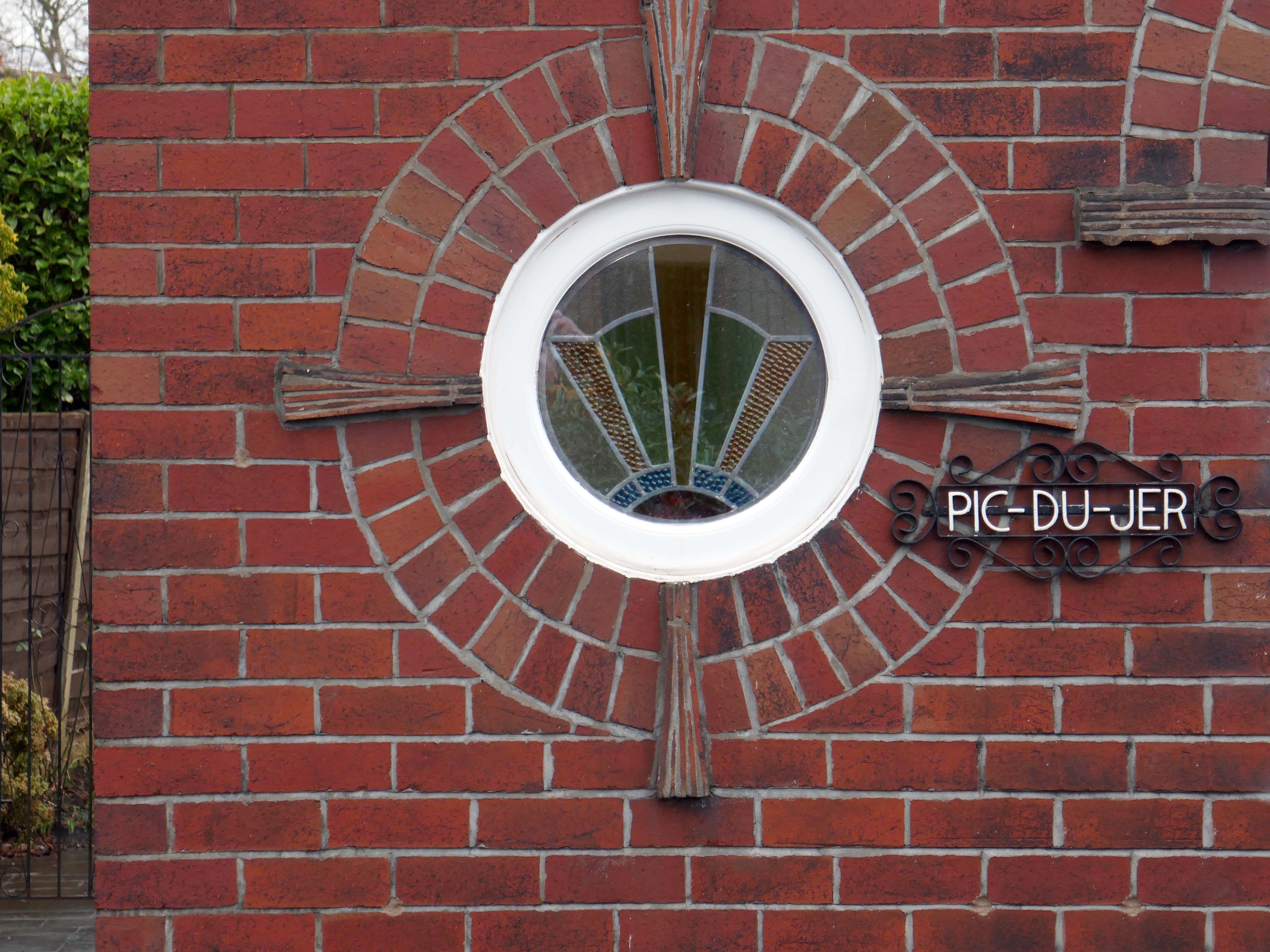
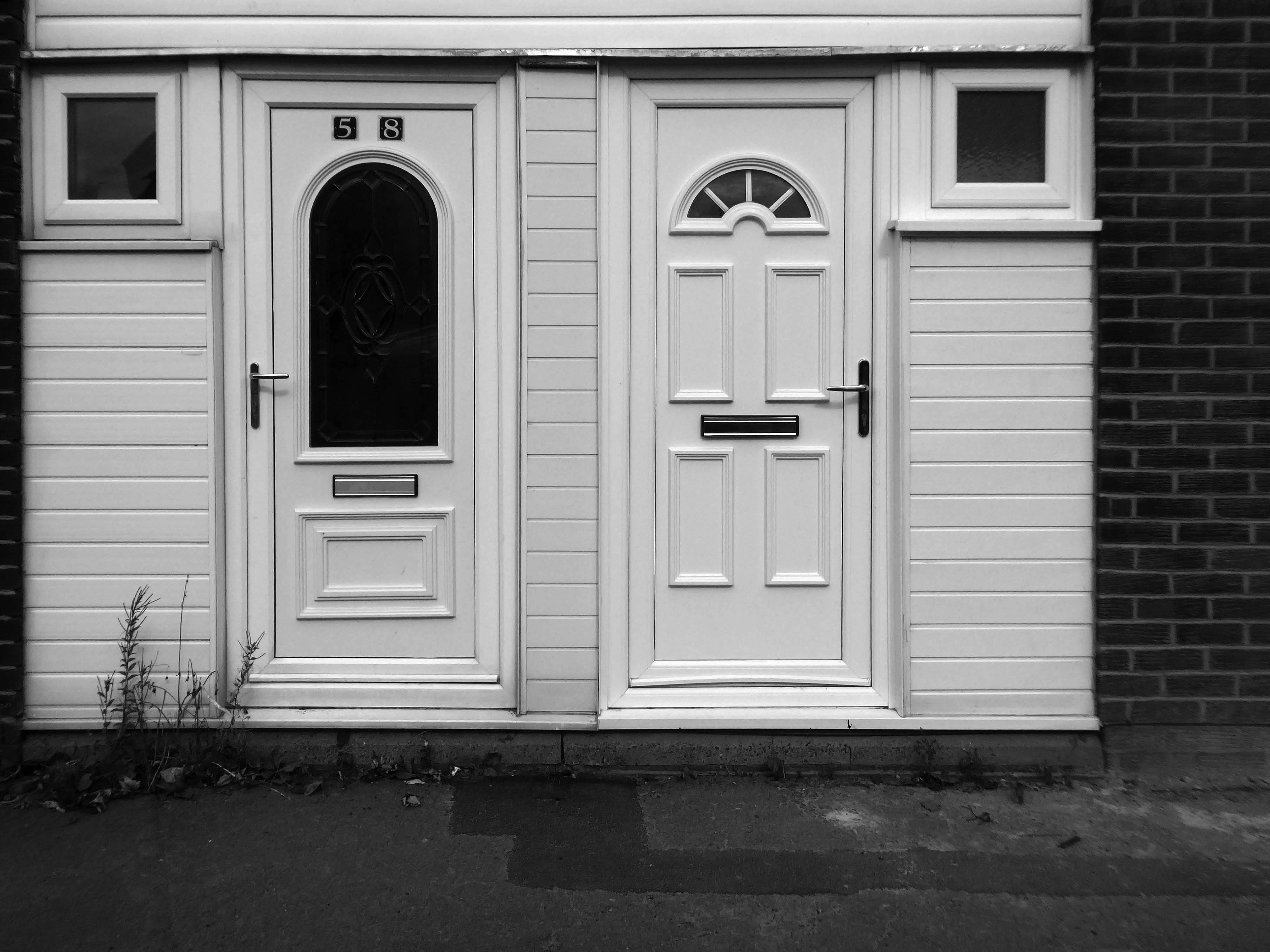
The homeowners quest for the individual within a typology, no two doors the same, render re-rendered, period details largely erased, occasionally preserved, windows awash with white uPVC, along with the more recent incursion of one shade of grey, front gardens replaced by unimpressive pressed concrete car parking, cars and more cars, bay windows held at bay by red brick walls and well-trimmed beech hedges.
My pink half of the drainpipe Separates next door from me My pink half of the drainpipe Oh, Mama – belongs to me
My baby takes the morning train He works from nine till five and then He takes another home again To find me waitin’ for him
Sheena Easton
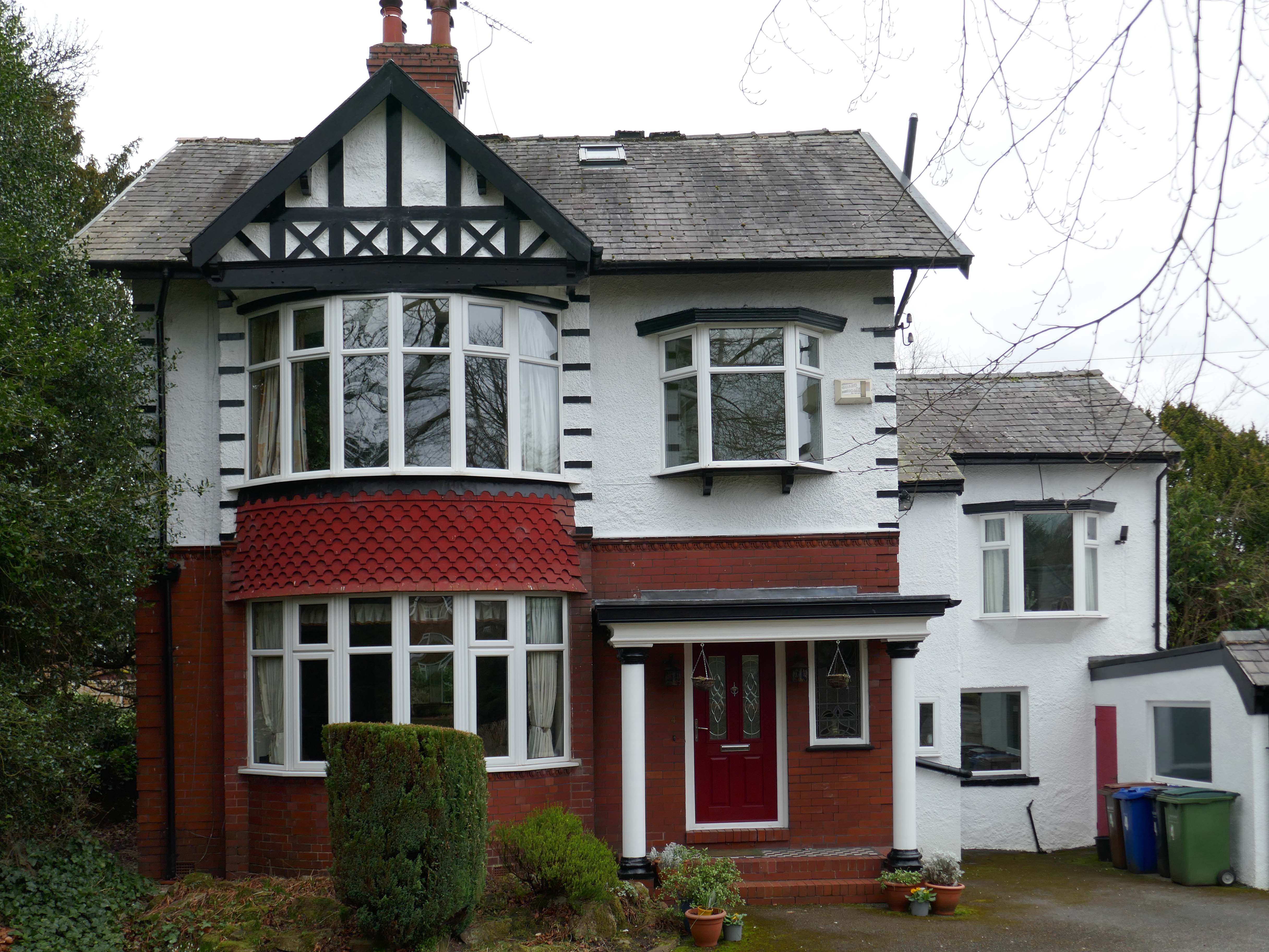
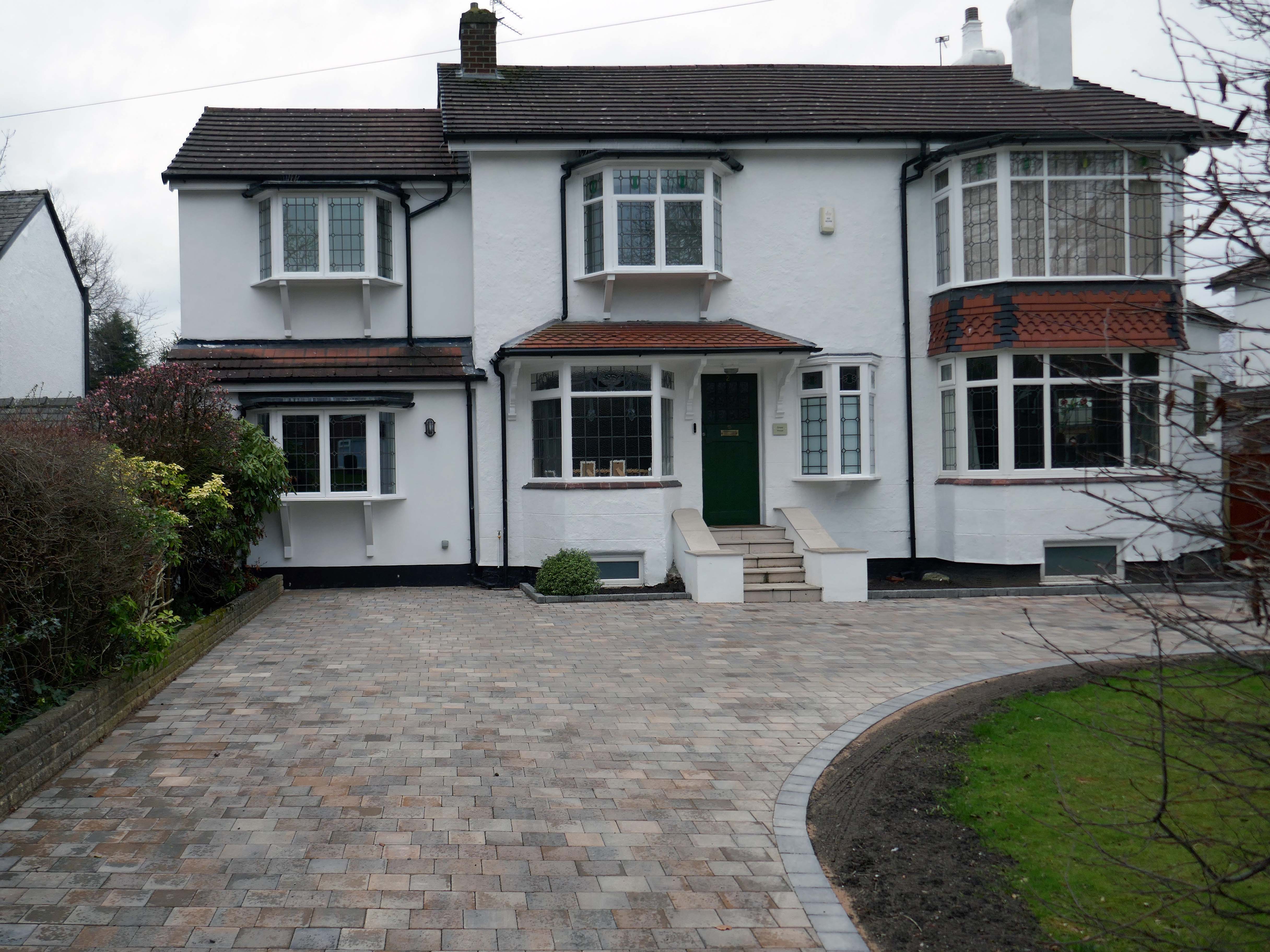
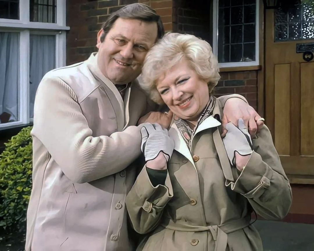
Welcome to the land of Terry and June – the seemingly complacent home to the newly aspirational classes, anathema to those thrill seeking Modernists, embracing the dynamism of the city, or those Ruralists protecting the integrity of the countryside.
Tradition has broken down. Taste is utterly debased, the town, long since degraded, is now being annihilated by a flabby, shoddy, romantic nature worship. That romantic nature worship is destroying also the object of its adoration, the countryside.
The growth of British towns and cities, from the onset of the Industrial Revolution, created a demand for new homes, the earliest developments were close to the centres of production and administration. Followed by the creation of outlying estates for the fleeing middle classes, as the smoke began to billow and the trains and buses began to run.
Originally the work of speculative private enterprise, followed by homes built by the local authority along with charitable institutions.
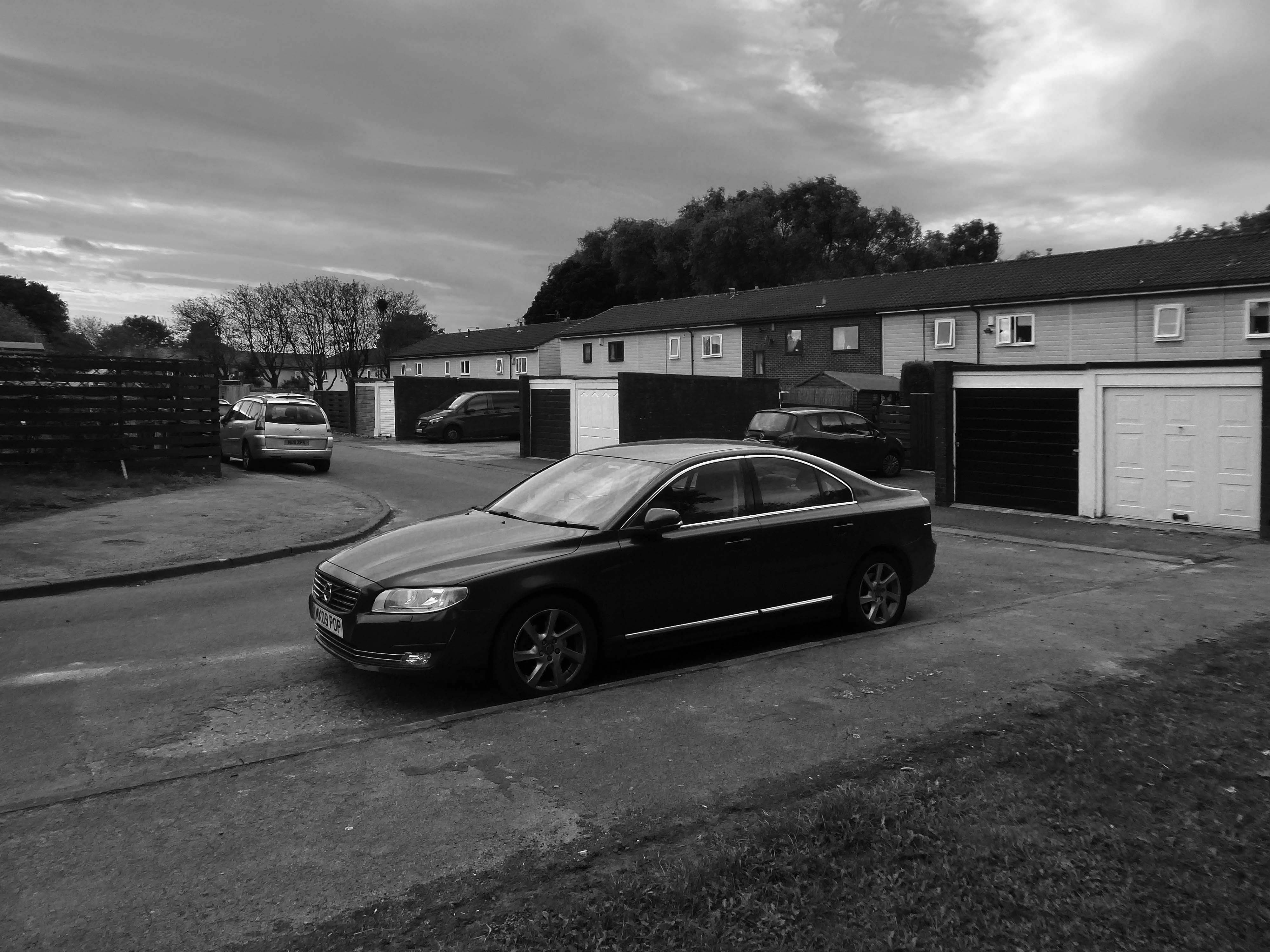
My own experience has taught me that Suburbia is architecturally diverse, socially less so, as various areas are segregated by class, and perhaps less so by ethnicity and/or culture.
The majority of the population live in Suburbia it seems, there now follows a selection of the suburban sites which I have visited in the last ten years or so.
In search of Suburbia.
There are areas of Victorian terraced housing Manchester which survived clearance – such as Jetson Street in Abbey Hey.
By 1931 1.1 million council houses were built and 2.8 million privately owned homes.
Post WW2 the emphasis was on an expansion of social housing, along with a growth in privately owned property – detailed information and analysis of social housing can be found here at Municipal Dreams.
These homes were at times both temporary and of non-standard construction.
This prefabricated house was originally built for the good folk of Doncaster, later finding itself in Humberston Fitties
These Wythenshawe BISFHomes designed by Frederick Gibberd, the so-called Tin Town are still very much habitable homes.
Post war development was inextricably linked to the New Towns.
The new towns in the United Kingdom were planned under the powers of the New Towns Act 1946 and later acts to relocate people from poor or bombed-out housing following World War II. Designated new towns were placed under the supervision of a development corporation, and were developed in three waves. Later developments included the “expanded towns”: existing towns which were substantially expanded to accommodate what was called the “overspill” population from densely populated areas of deprivation.
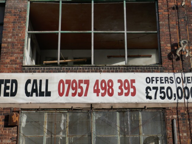
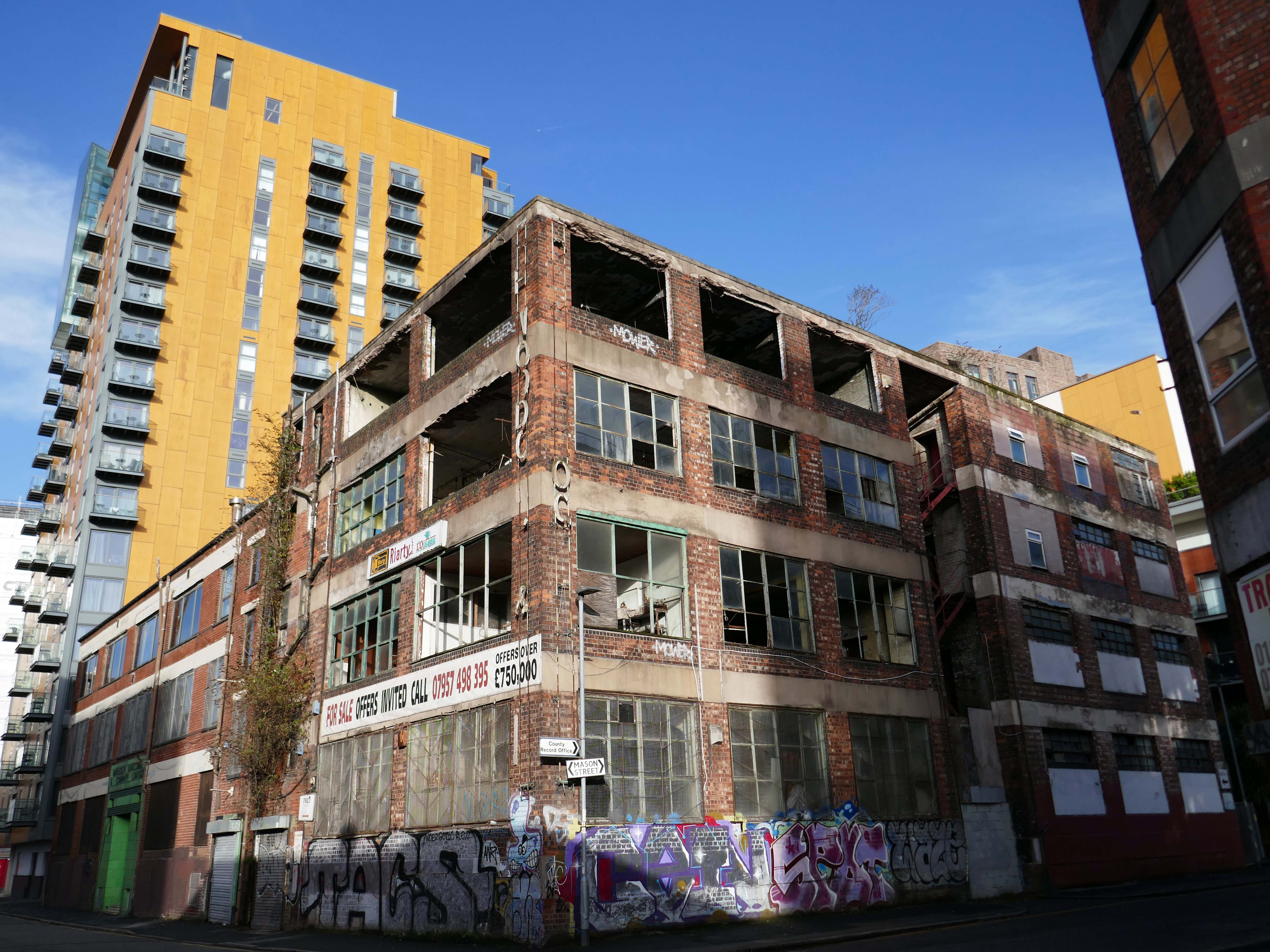
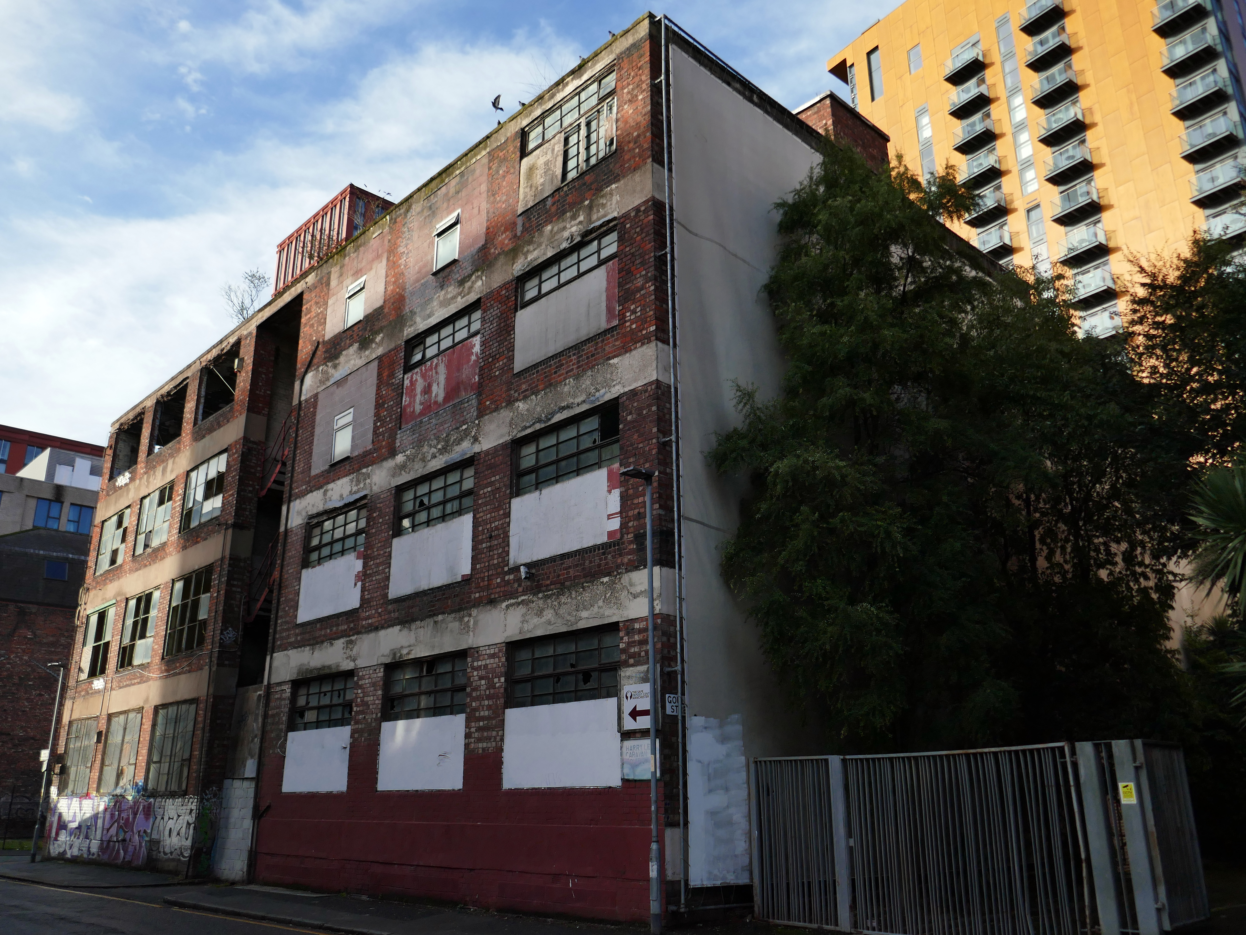
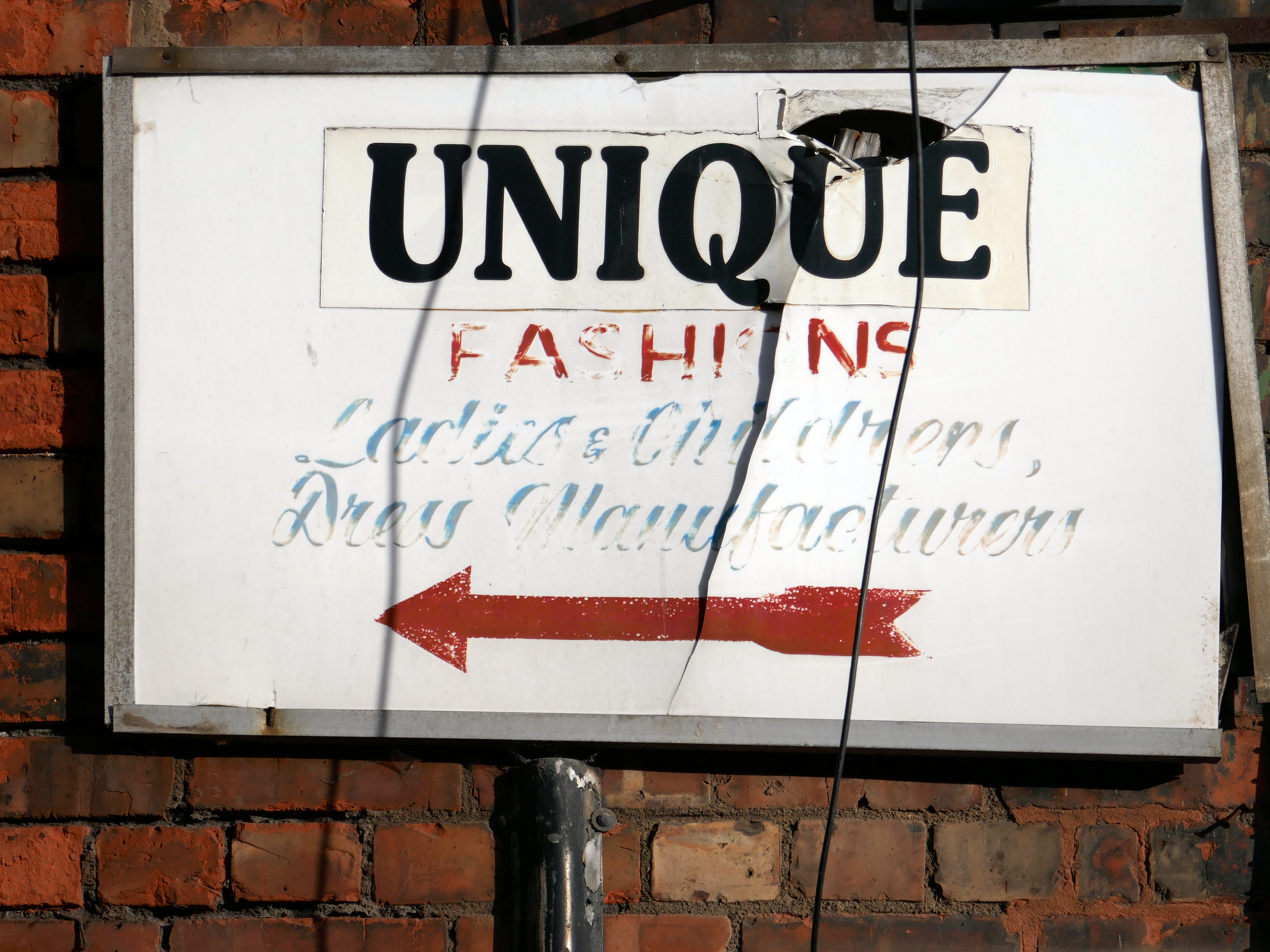
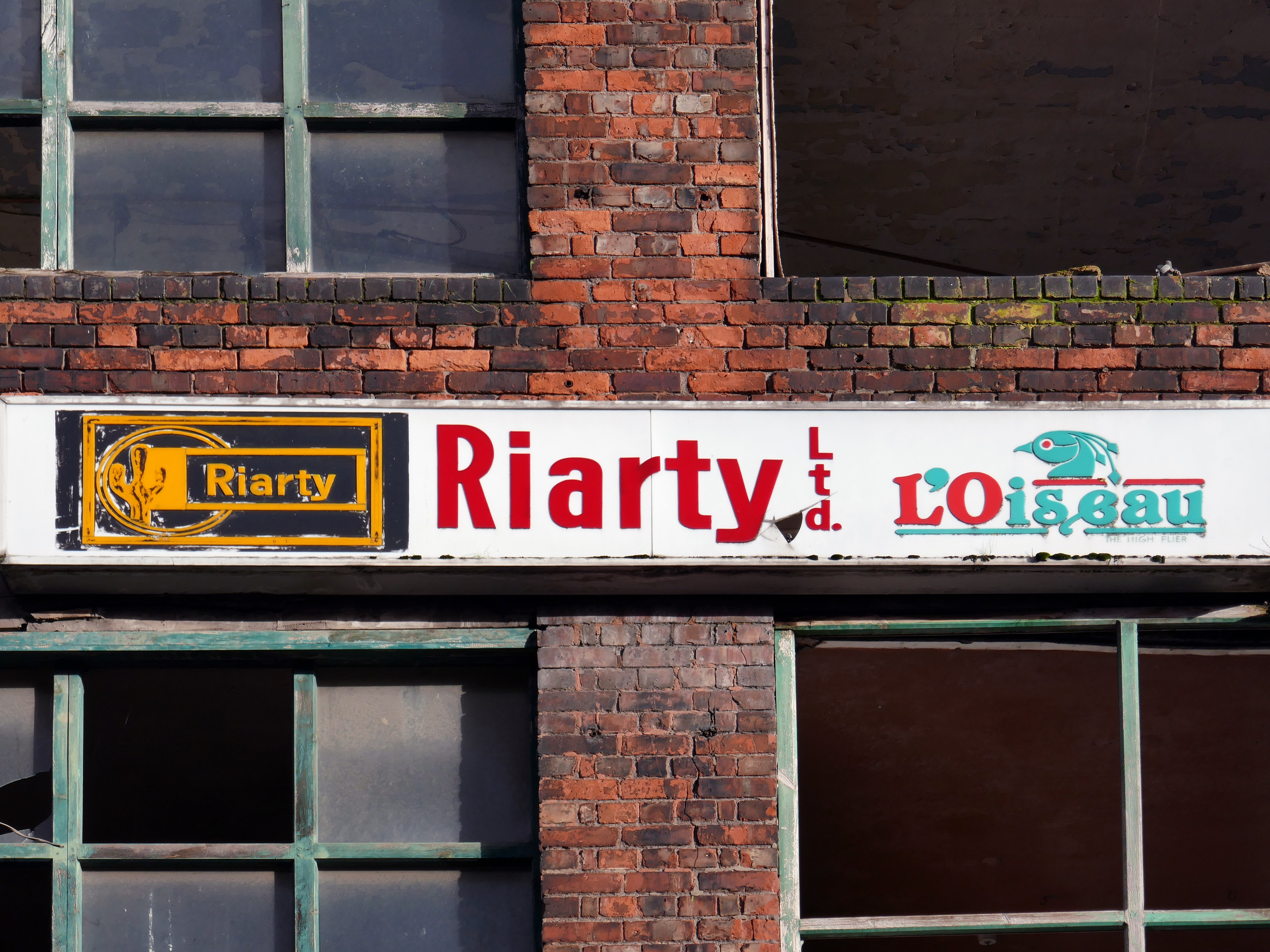
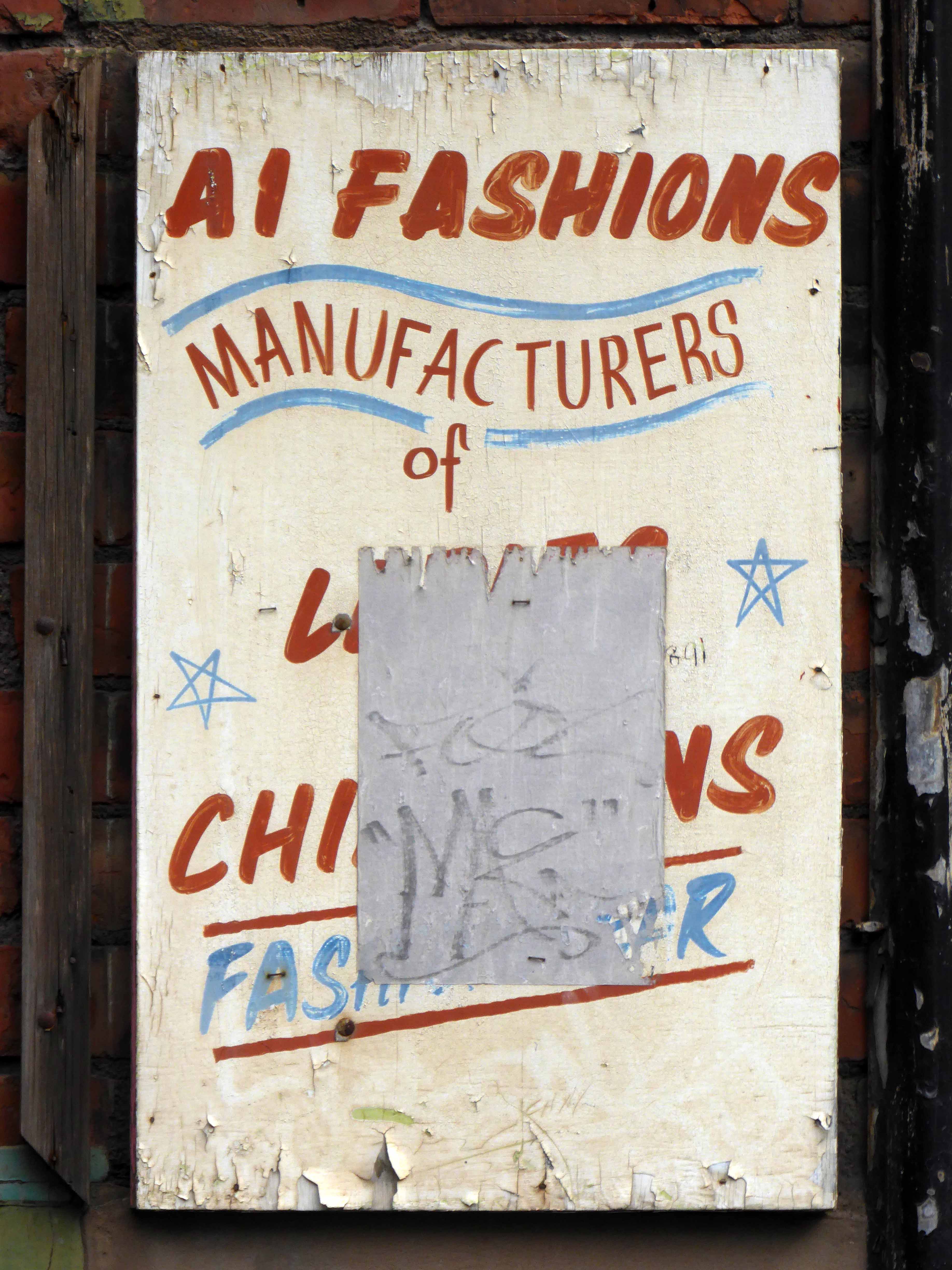
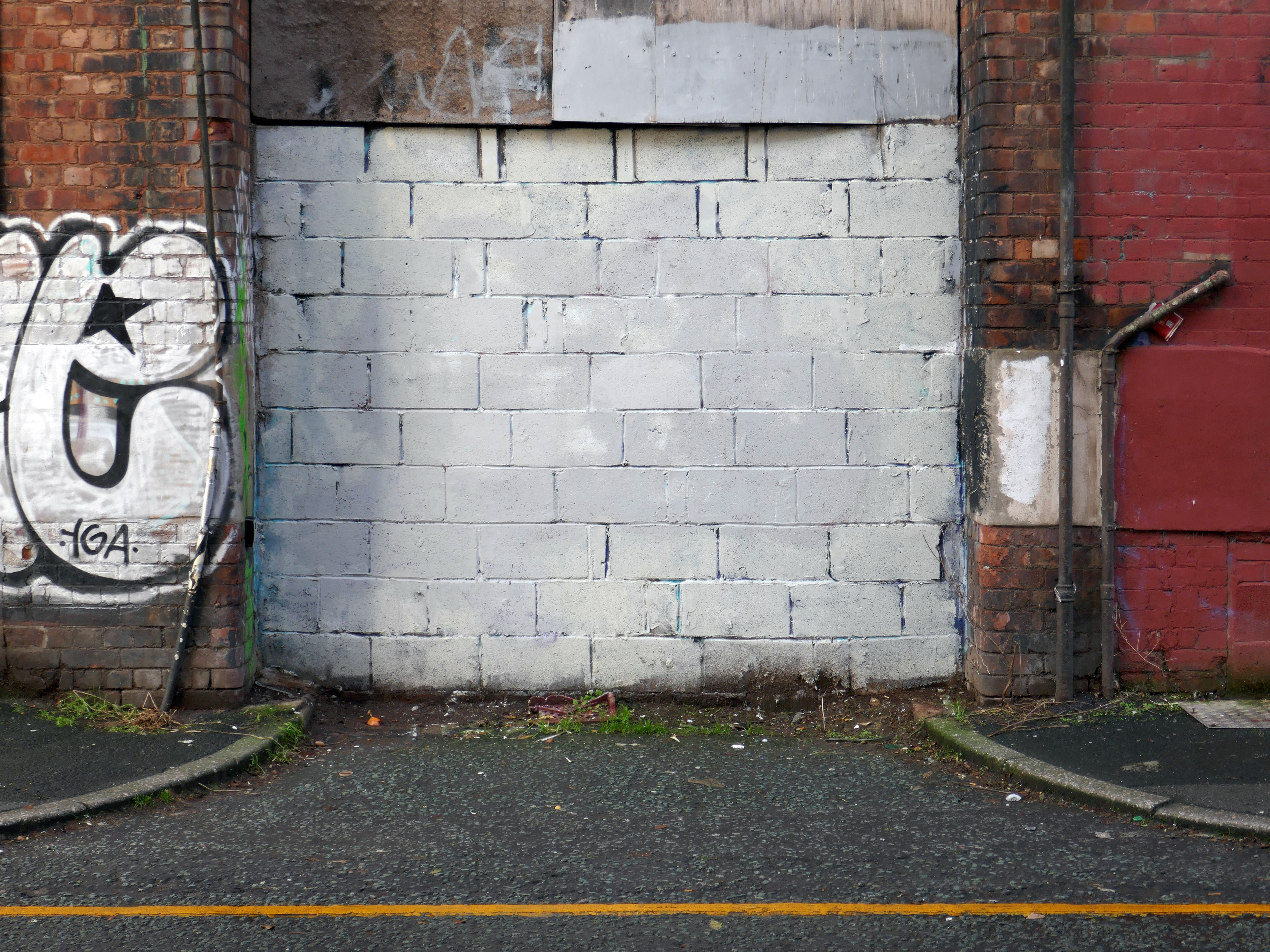
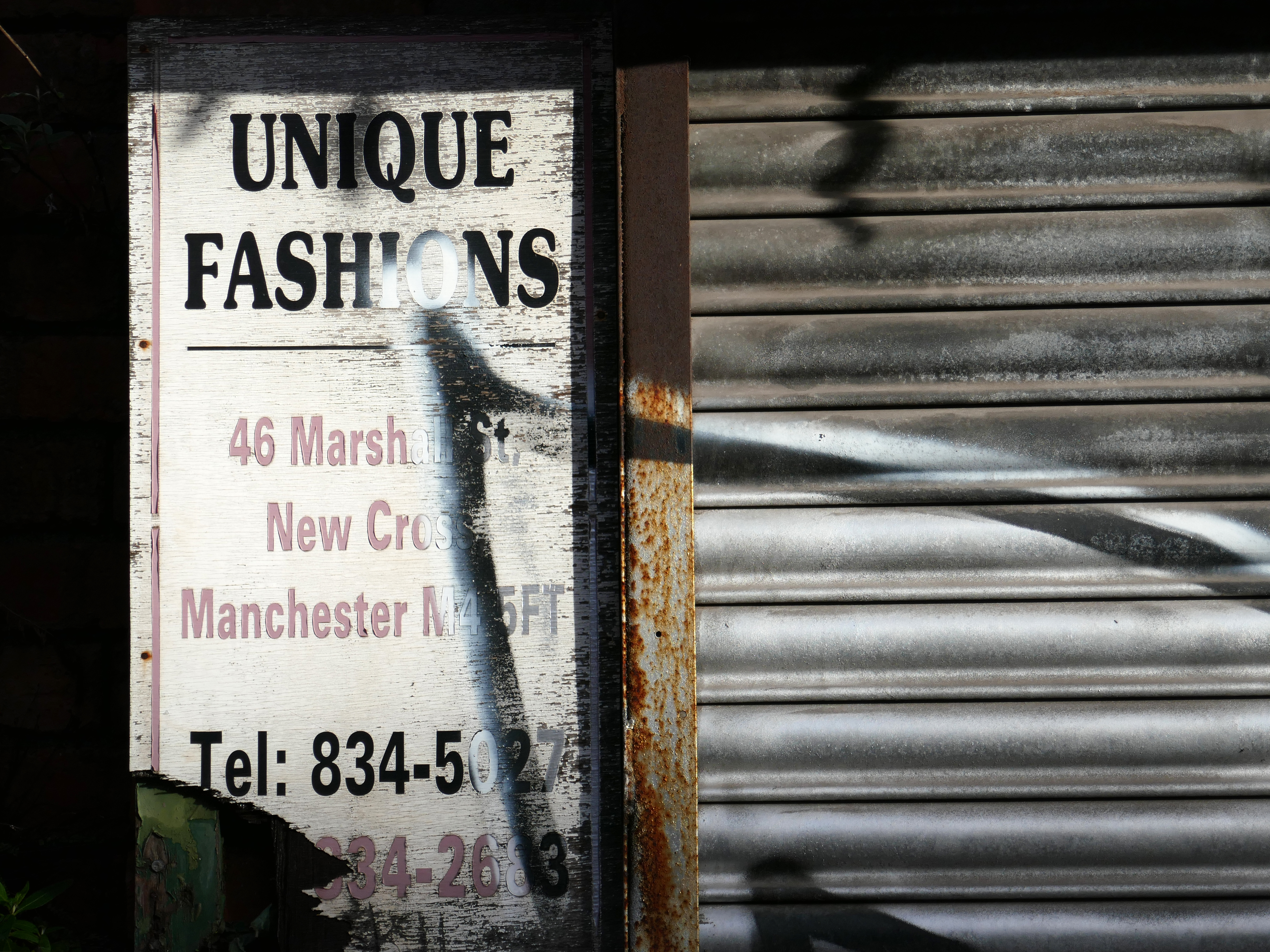
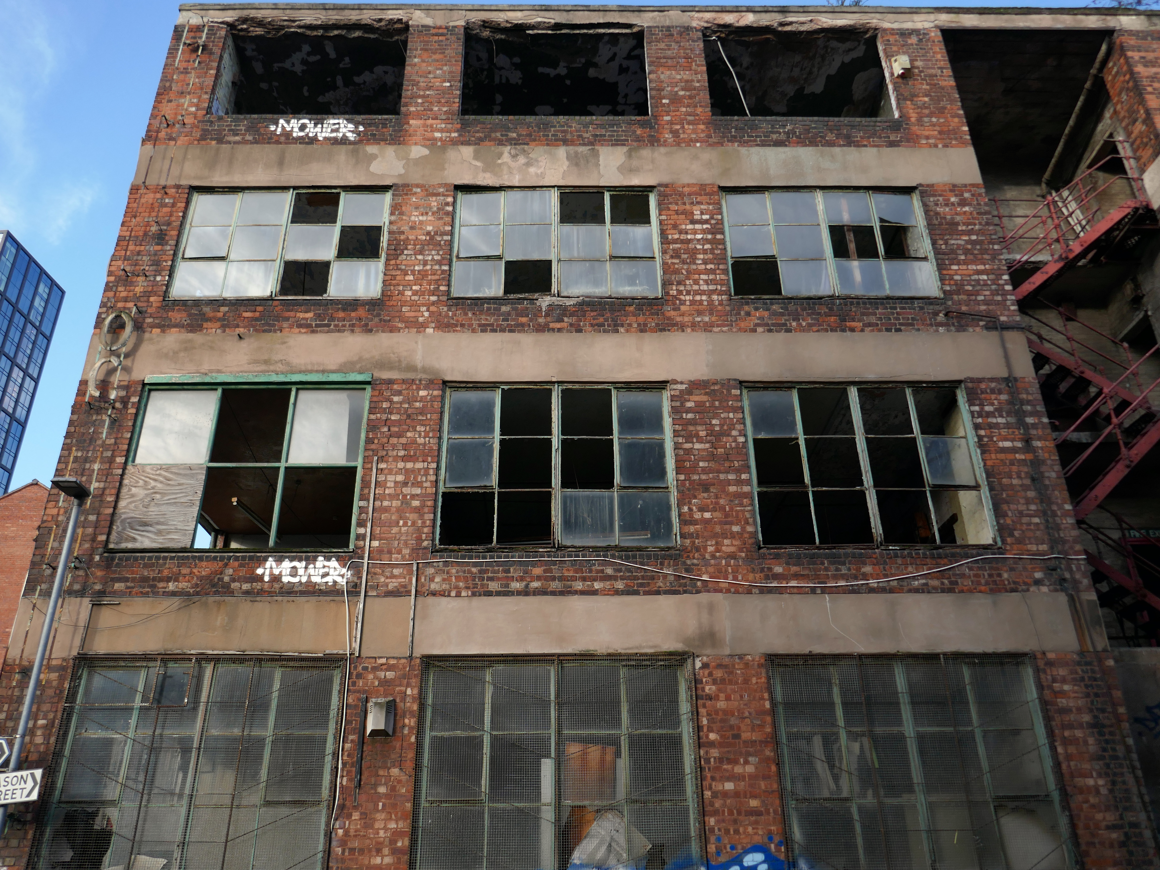
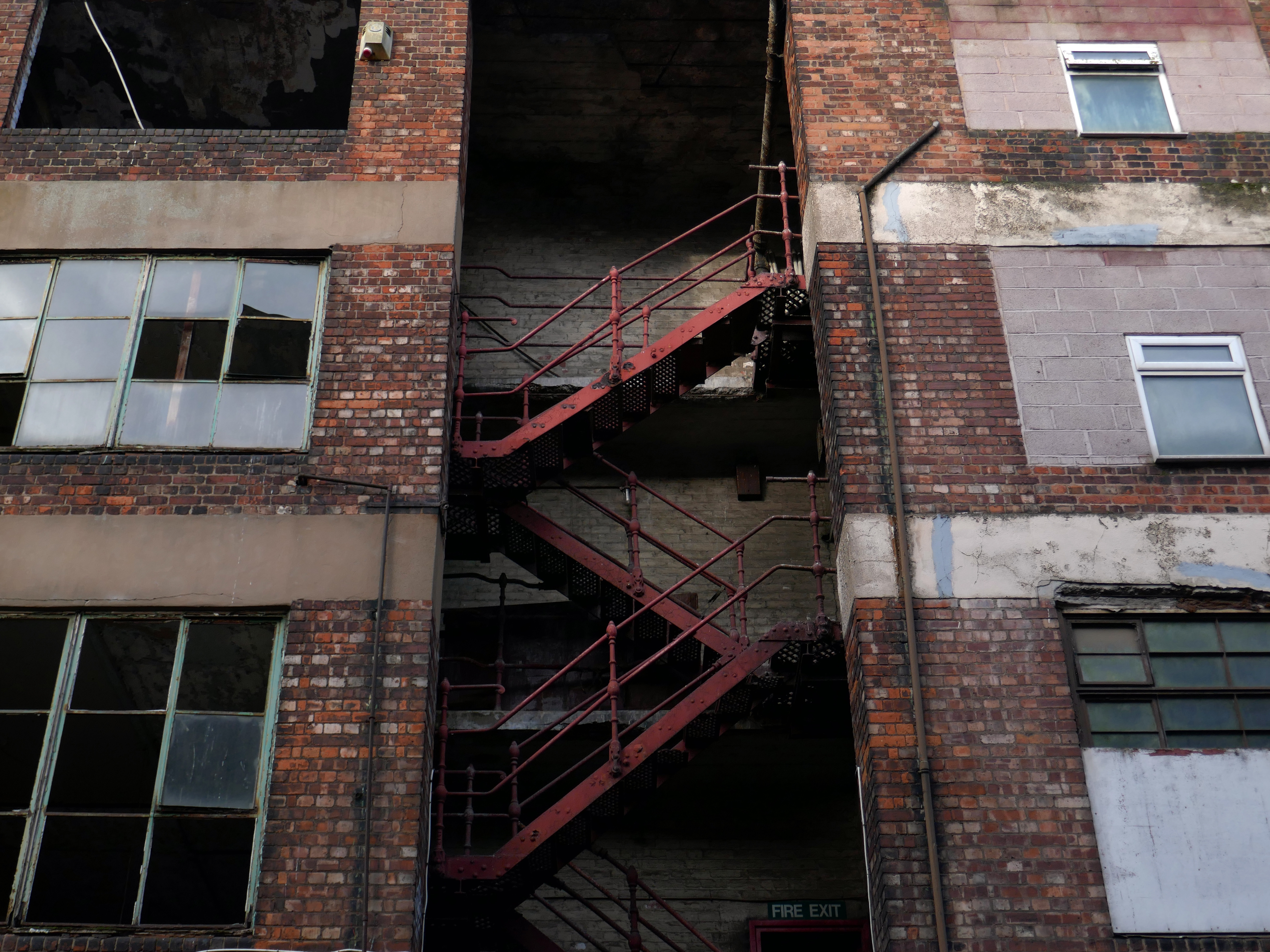
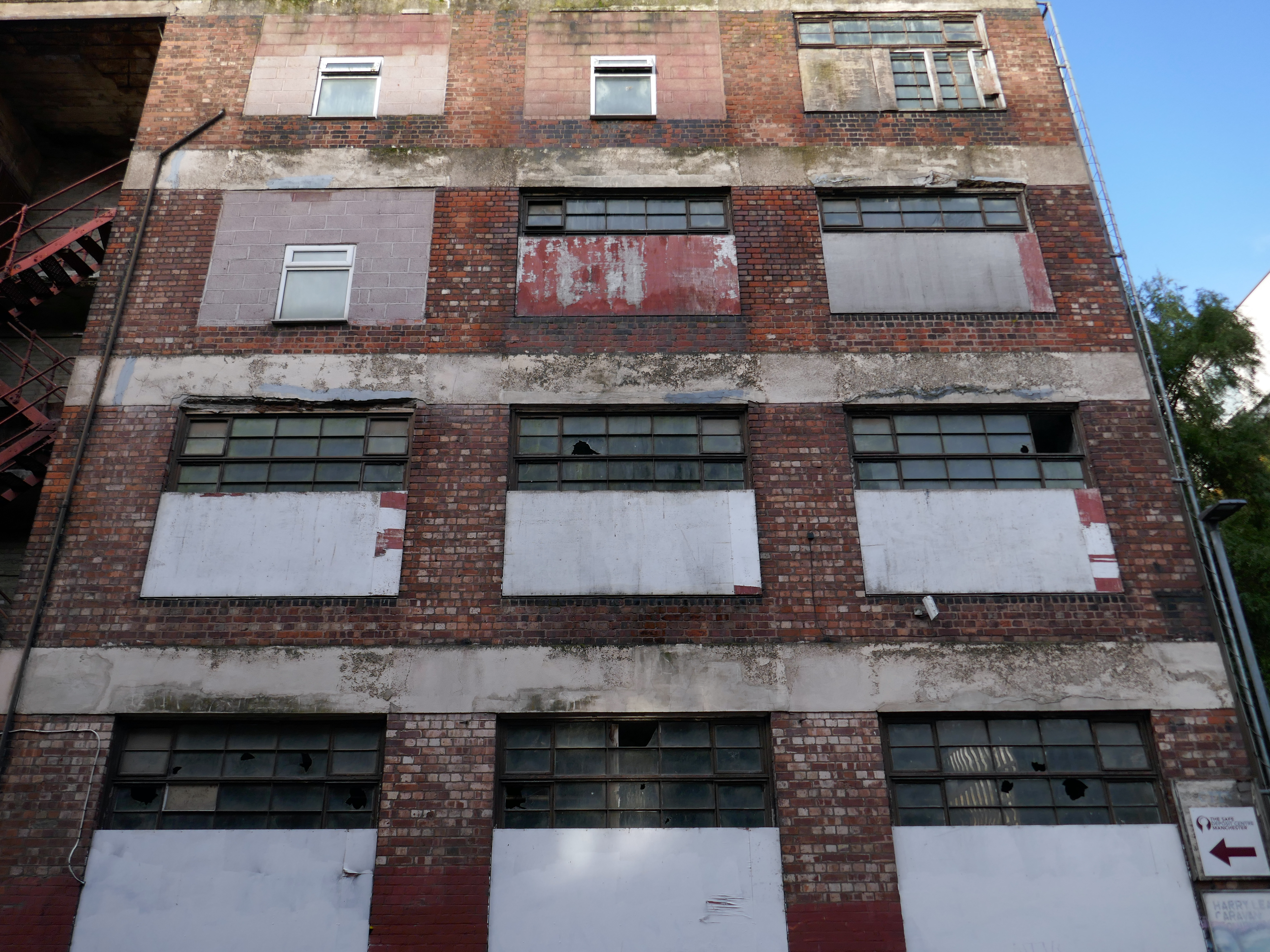
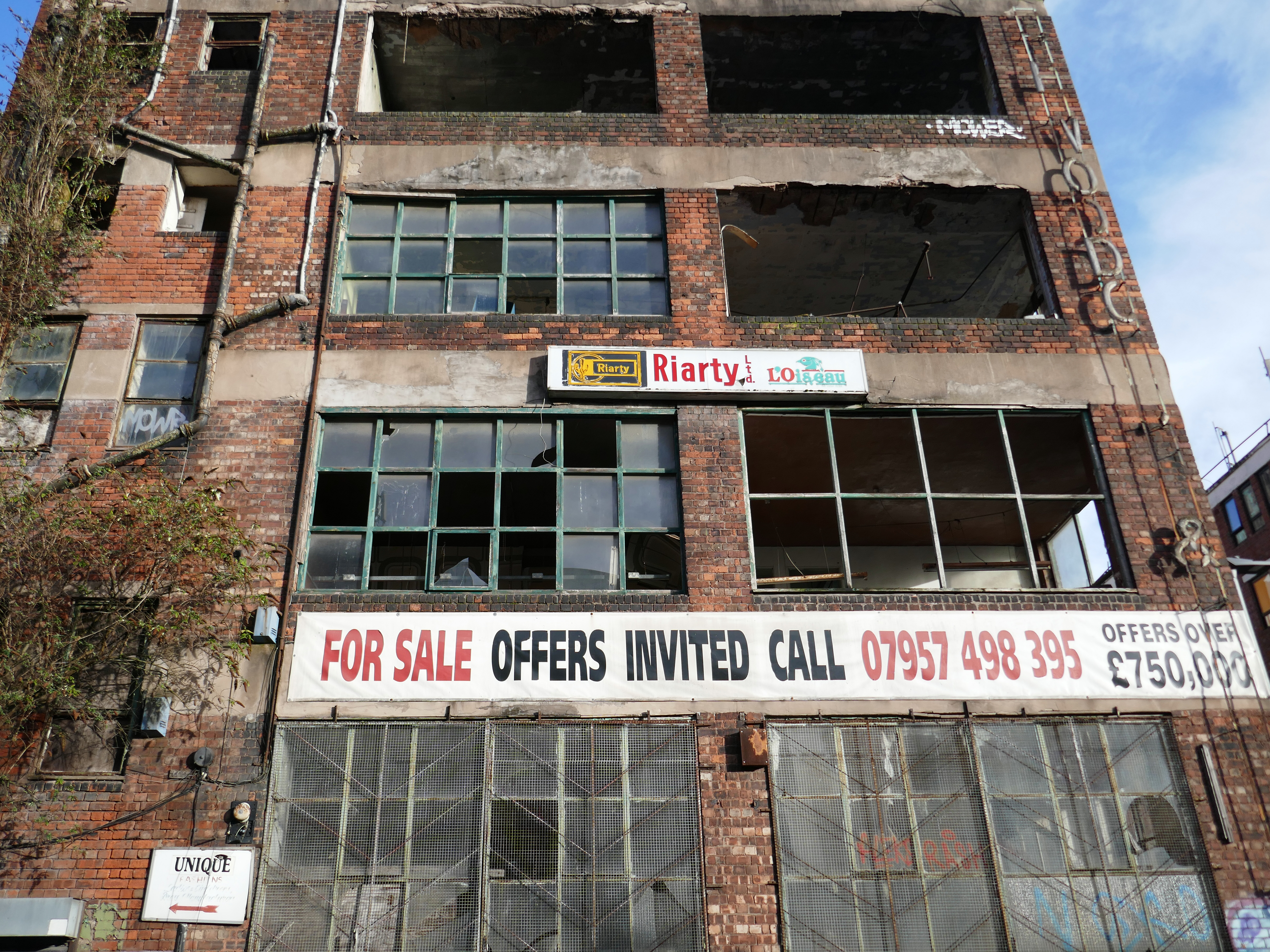
This building has always intrigued me, its sits amongst what was formerly the heart of Manchester’s Rag Trade. It is an area of signs and lost industry, the comings and goings having been and gone.
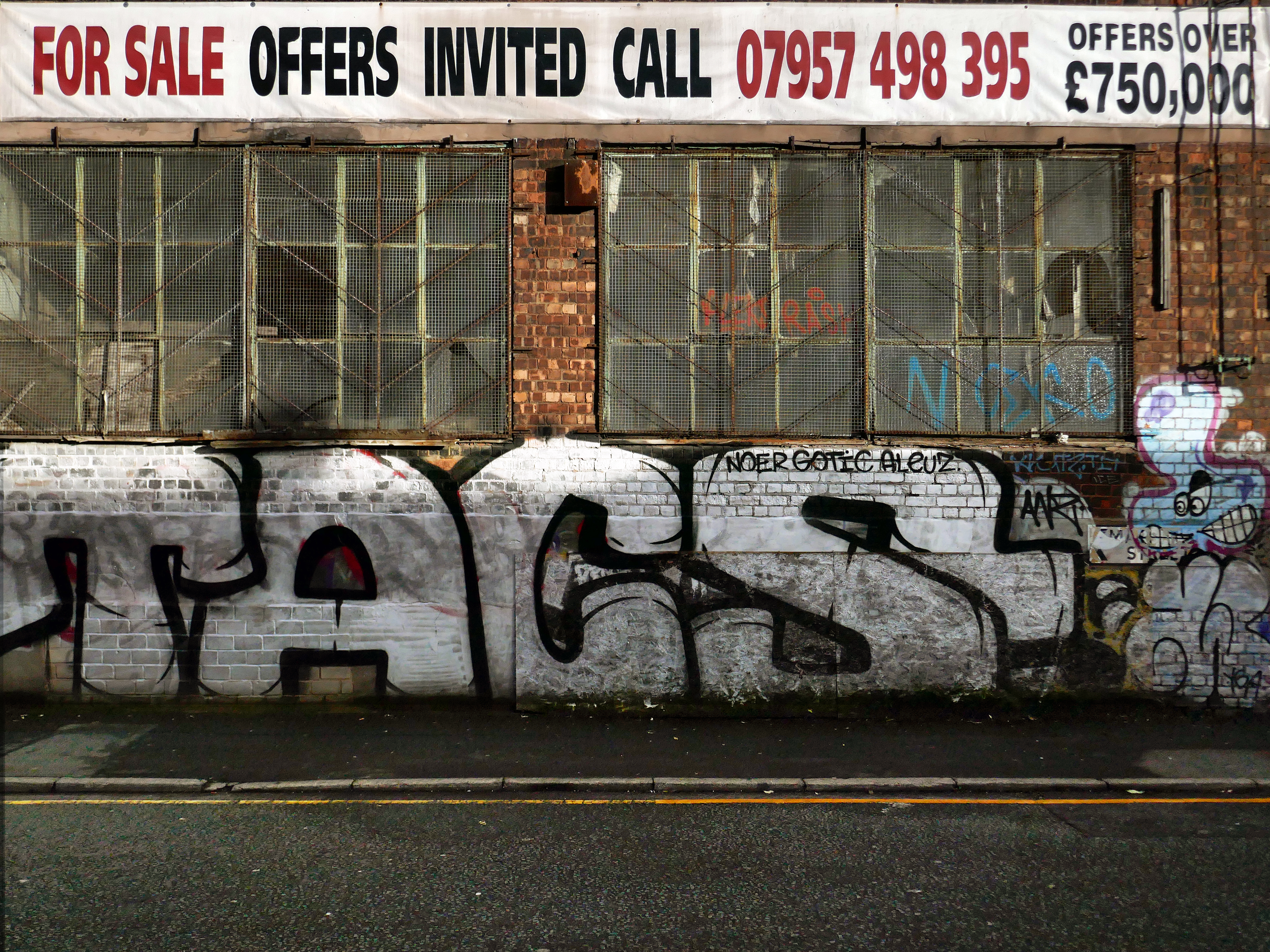
The surrounding buildings are gradually being refurbished or replaced, but somehow 46 Marshall Street is bucking the trend, though at some point someone somewhere will find over £750,000.
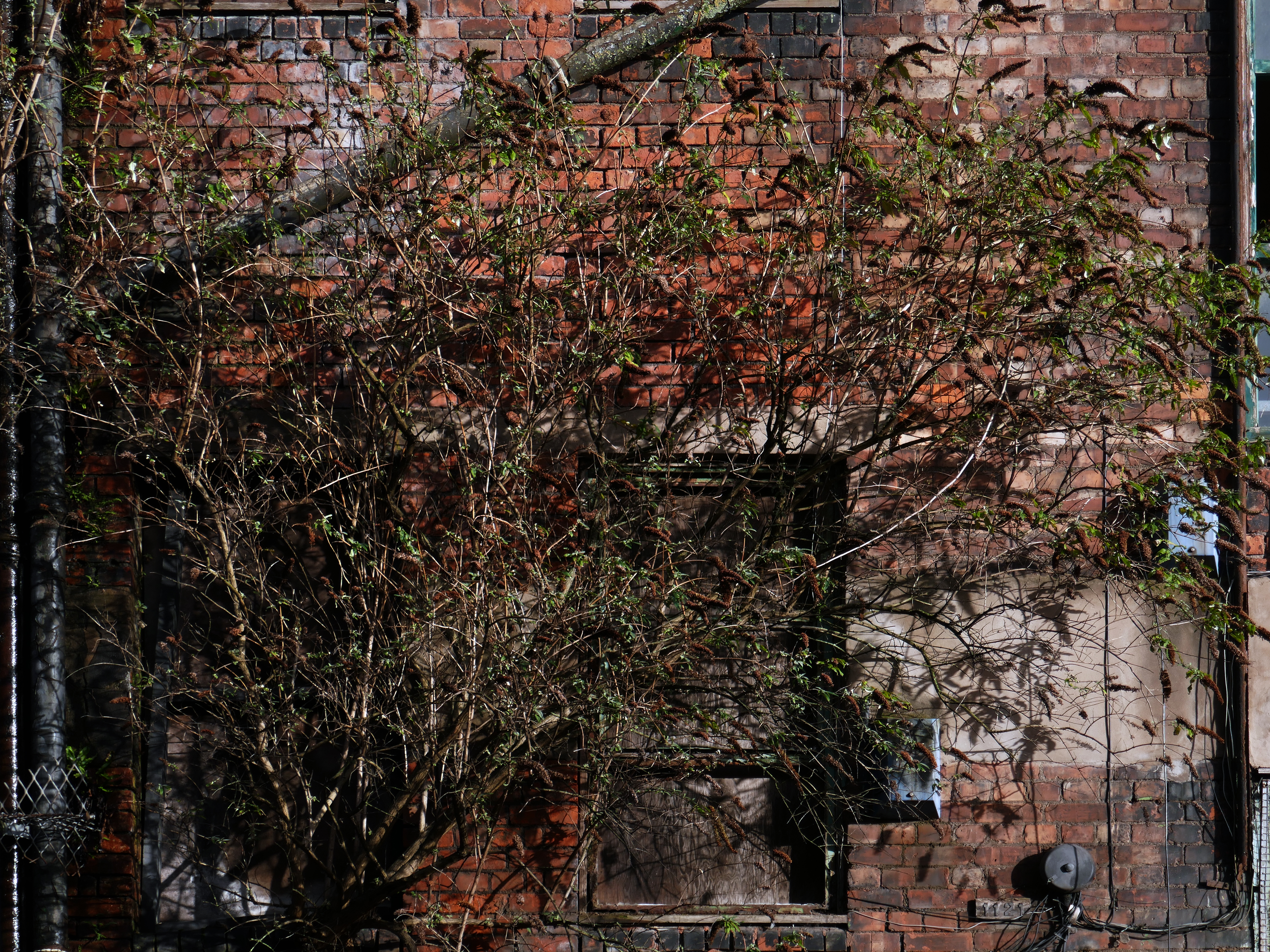
Gradually its wooden framed windows become the poked out eyes of its soul.
Light fittings hang limp and unlit, as the interior decor deteriorates.
The restless rust inhabits the lower metallic fenestration.
Block work blocks the blocked up entrances.
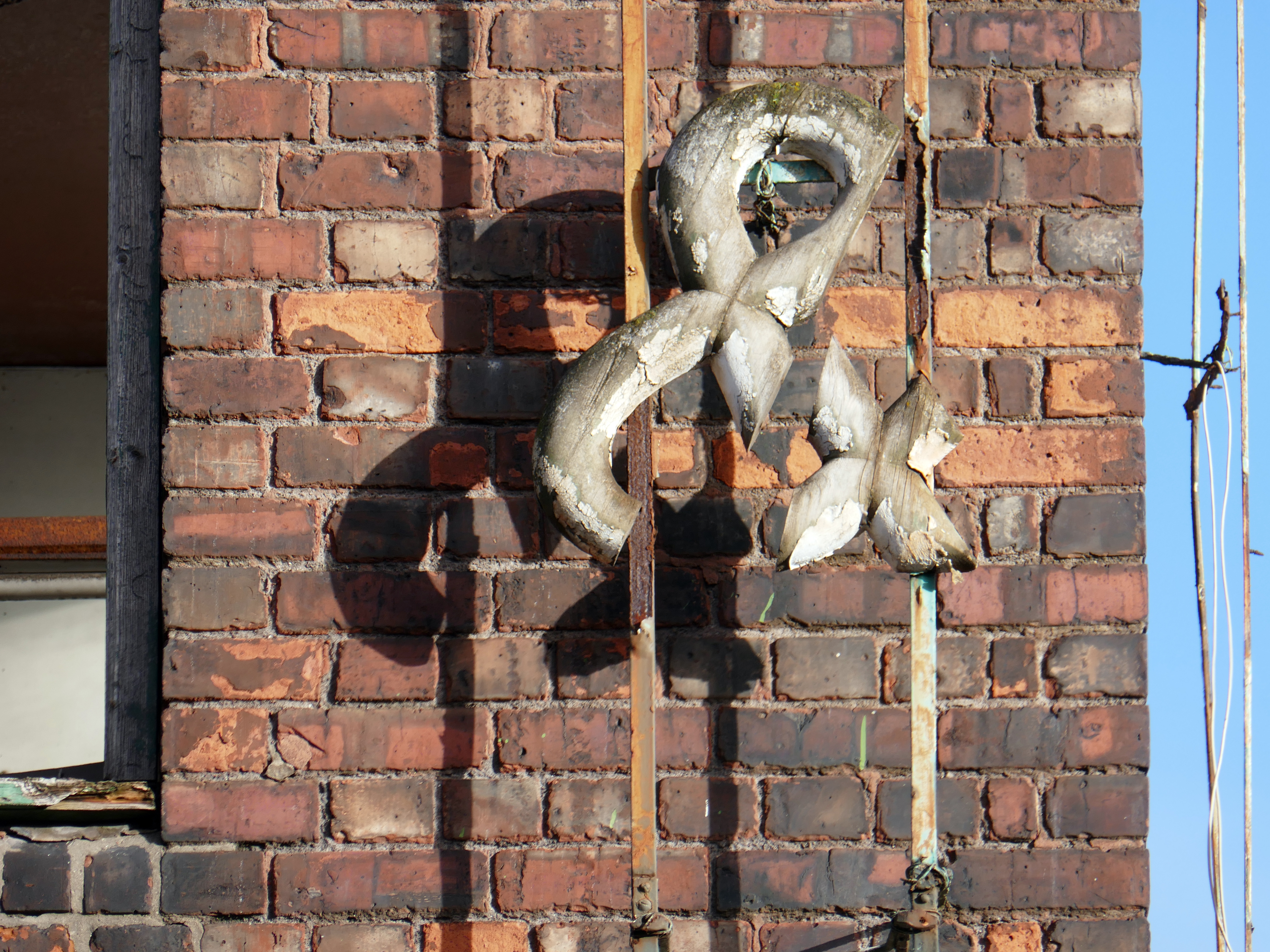
The ampersand can be traced back to the 1st century AD and the old Roman cursive, in which the letters E and T occasionally were written together to form a ligature.
The days when a vast multitude of things came and went have been and gone.
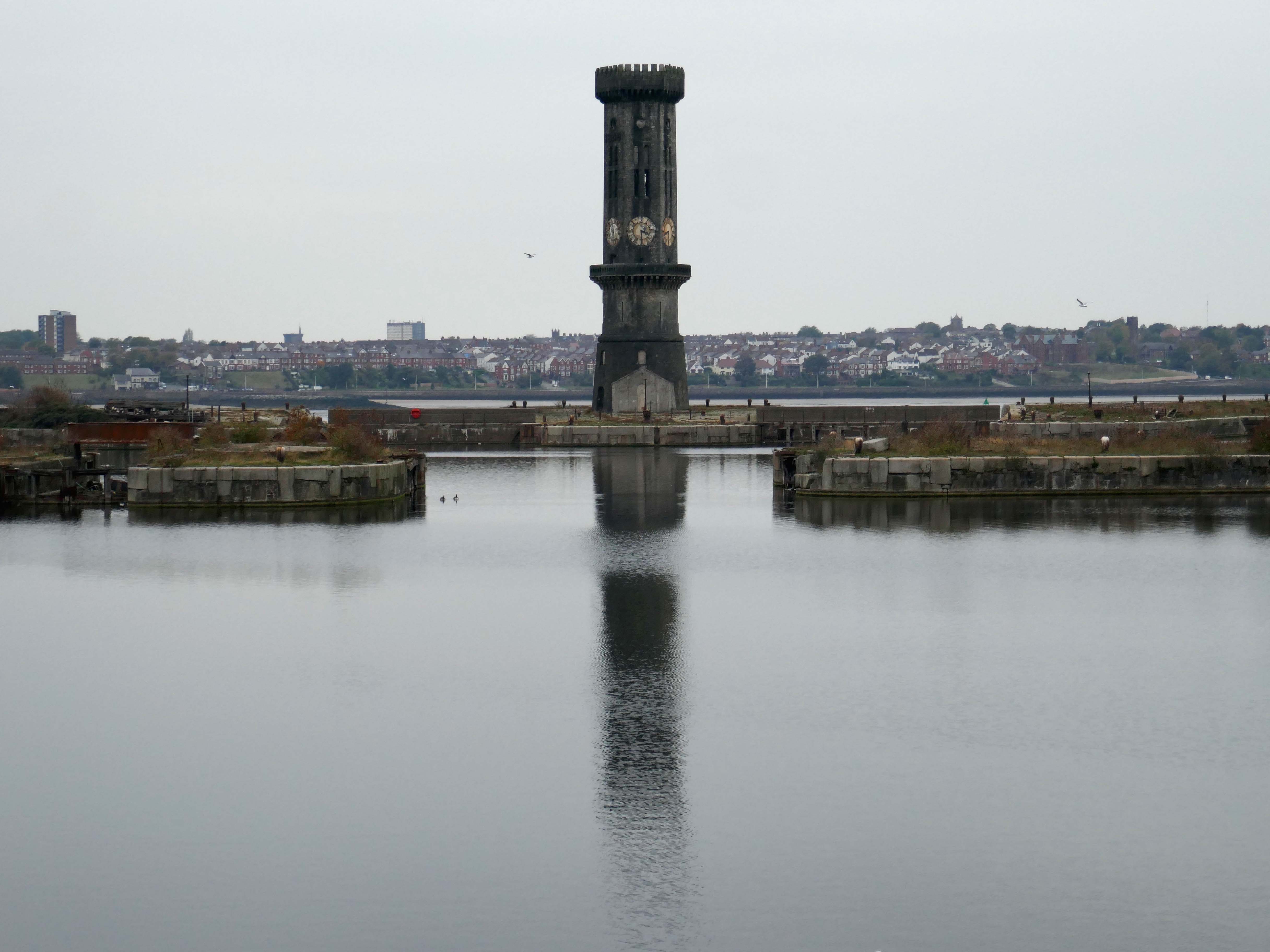
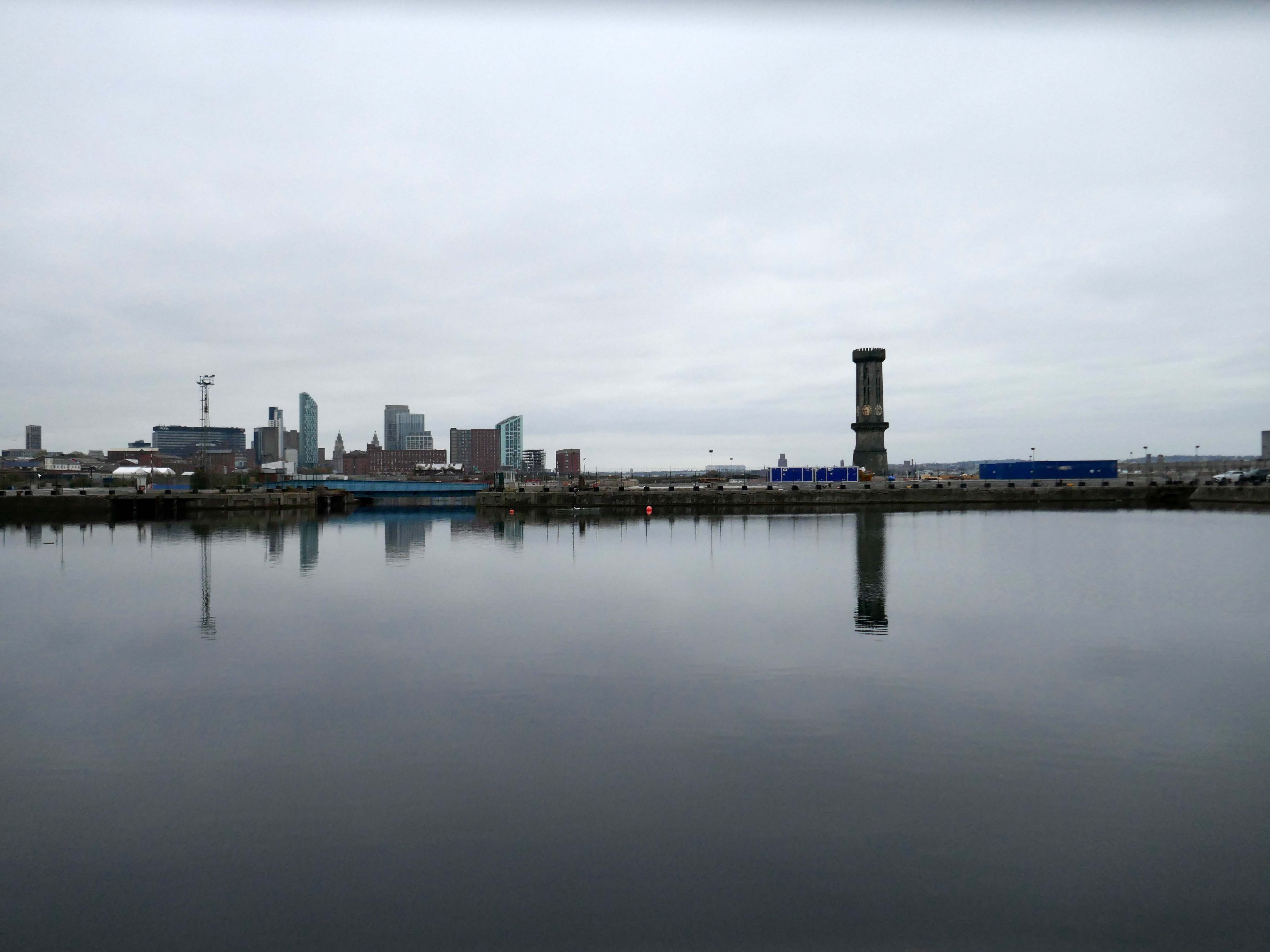
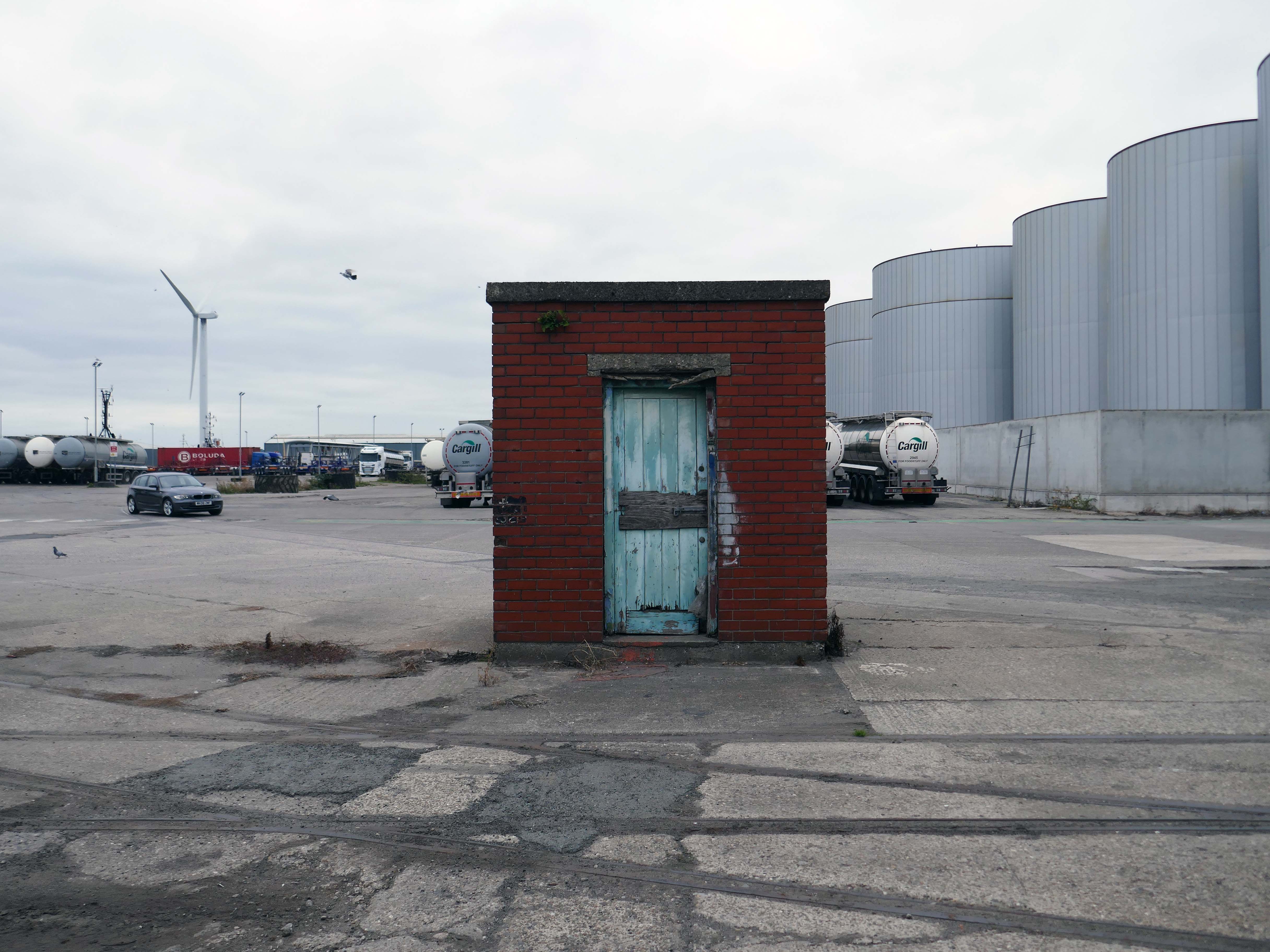
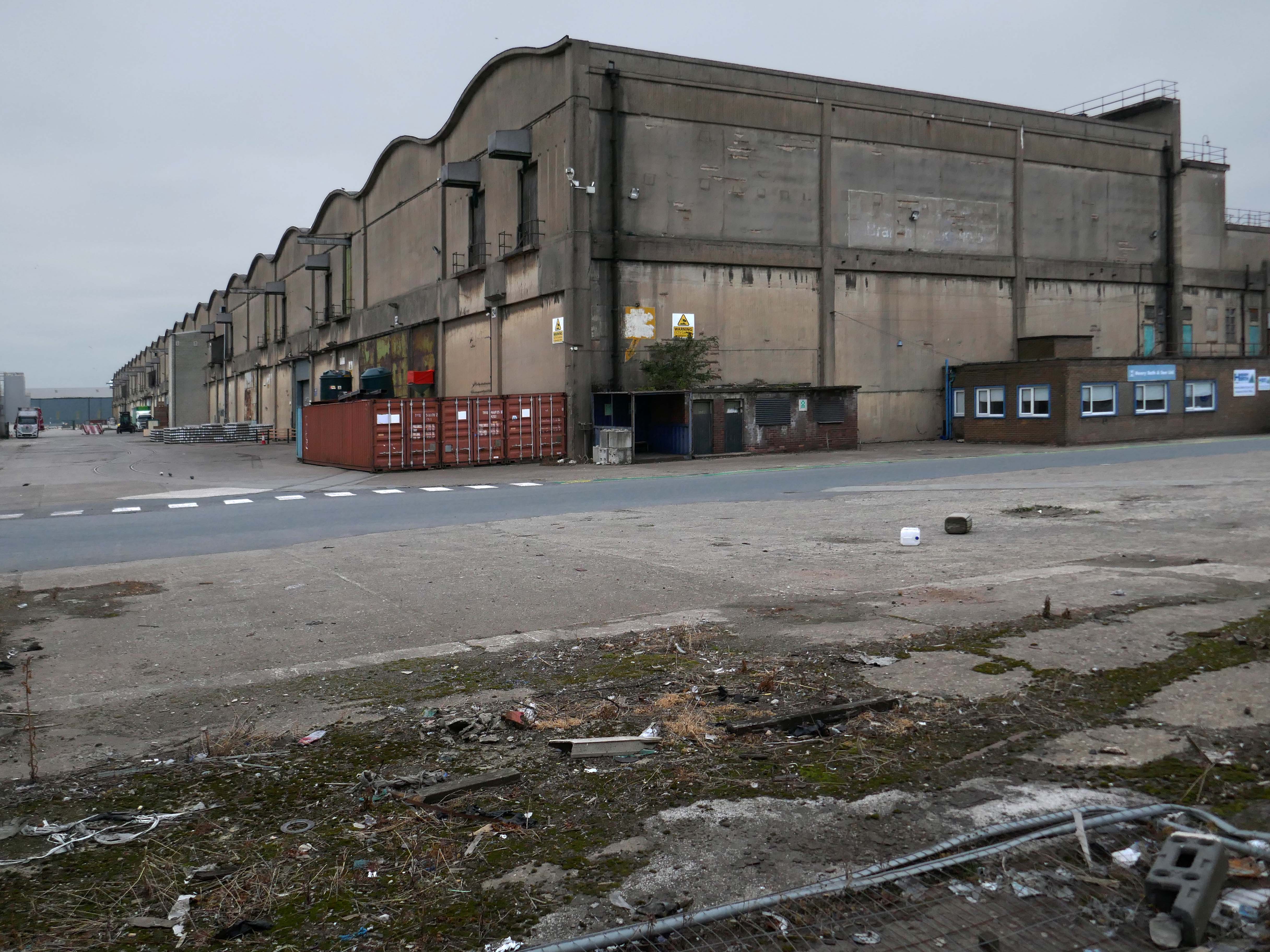
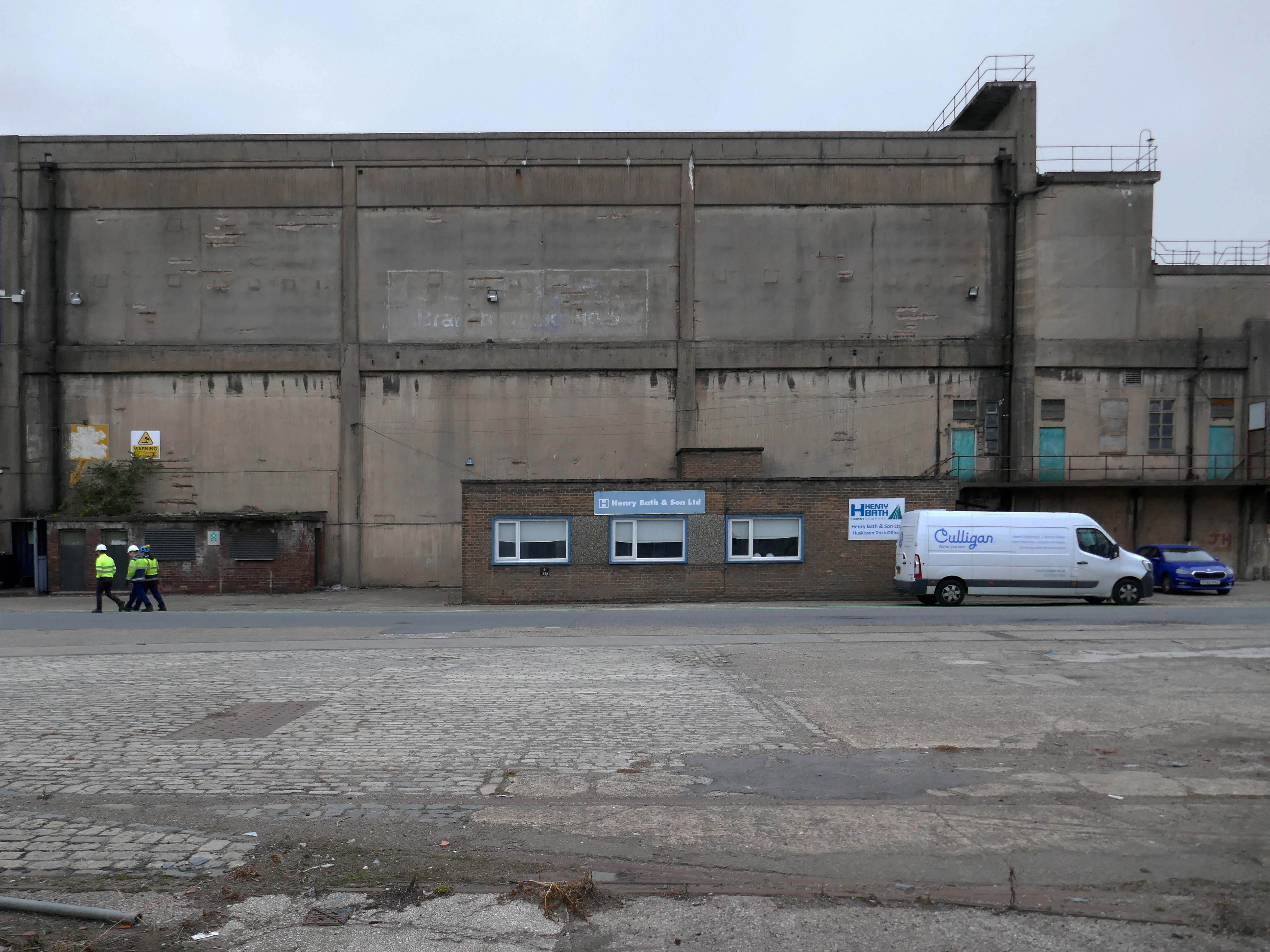
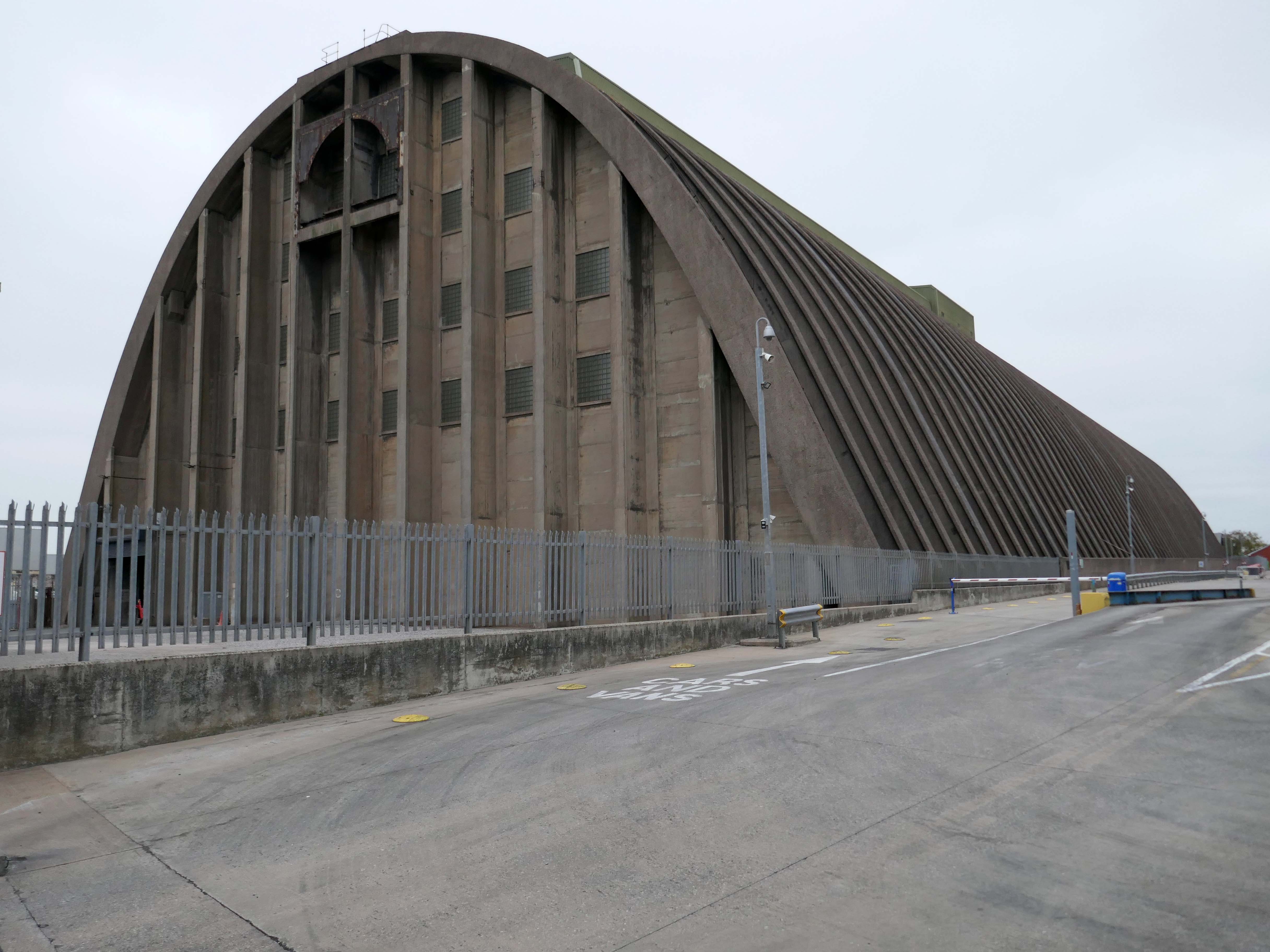
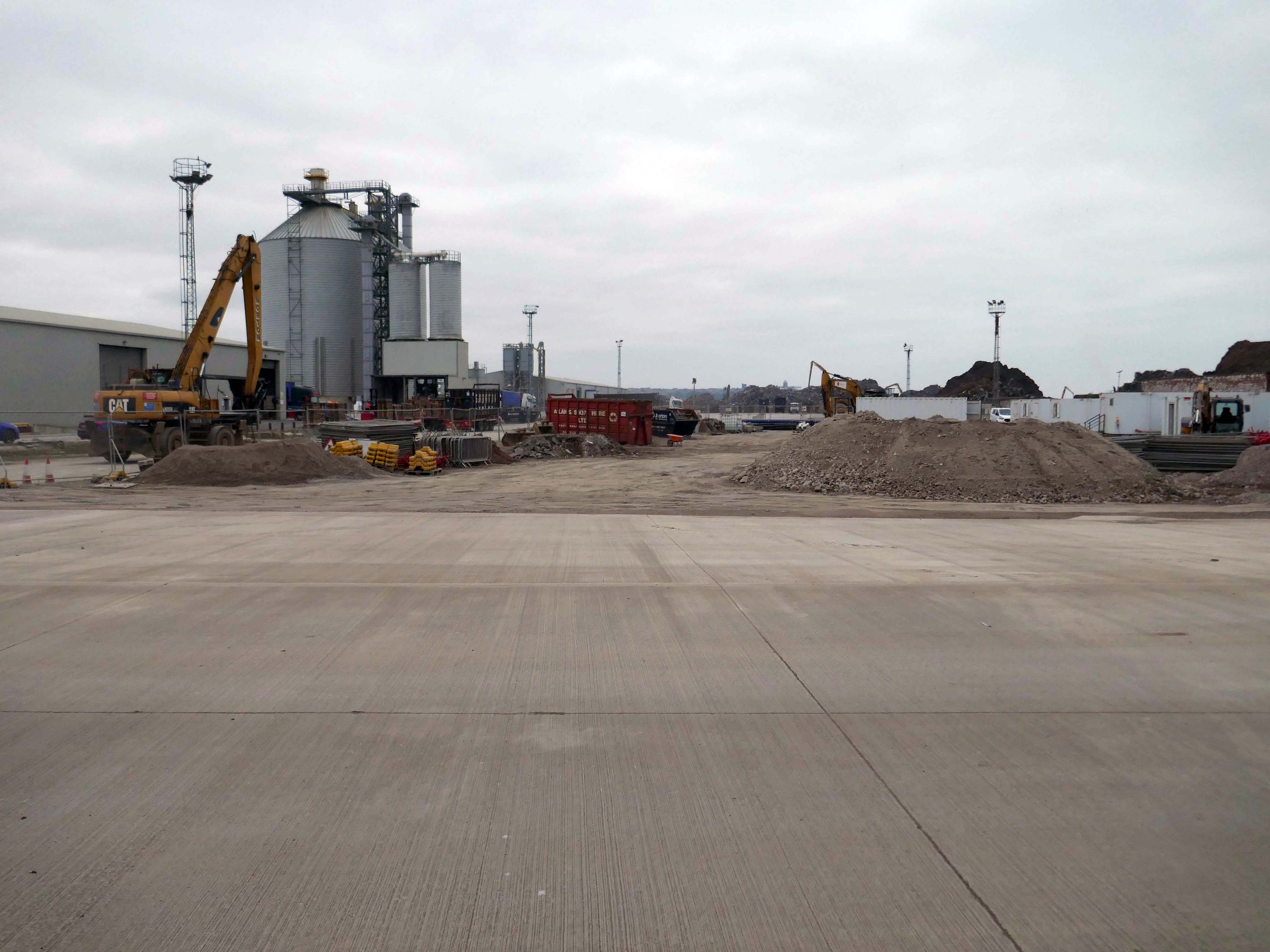
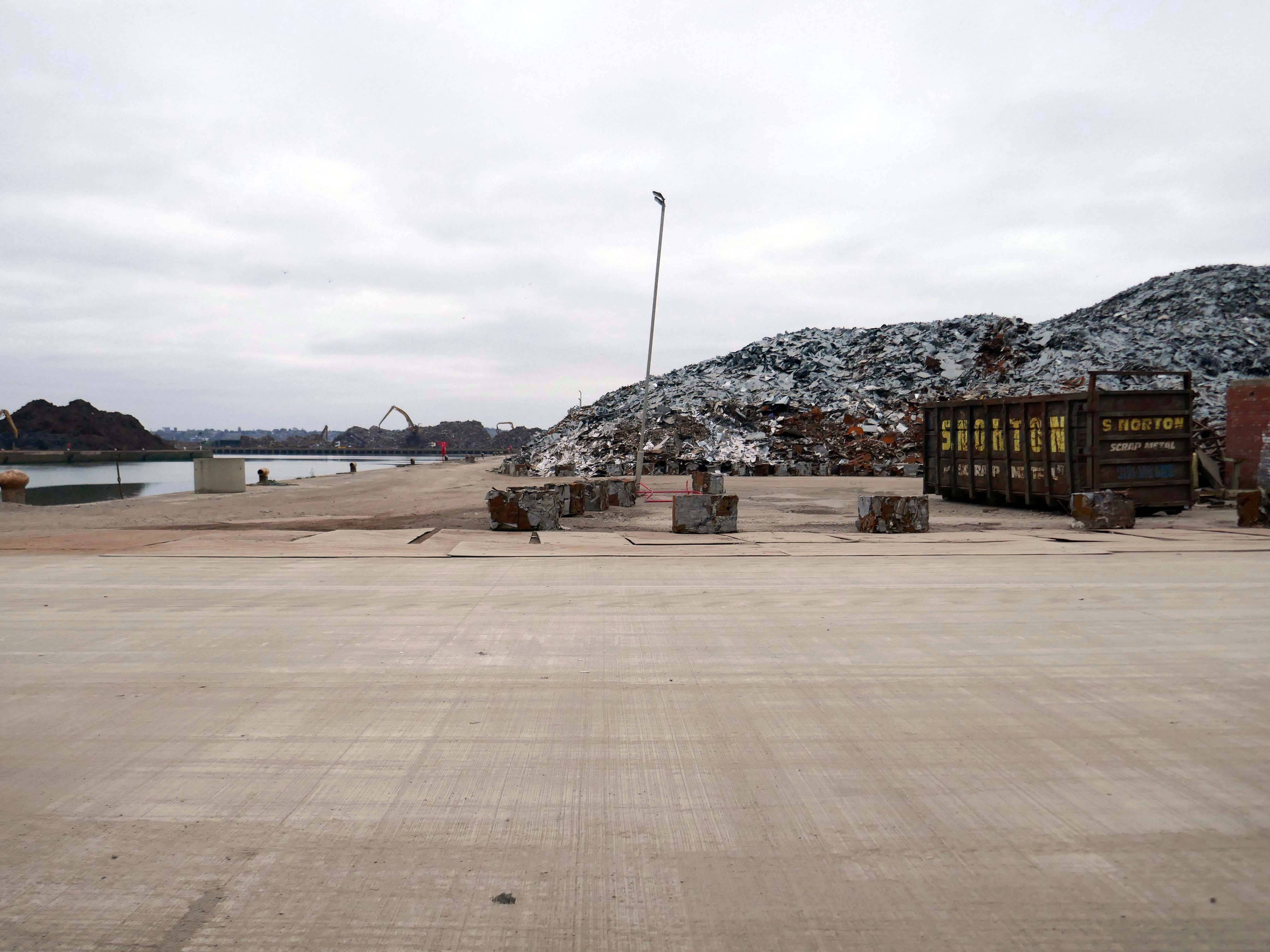
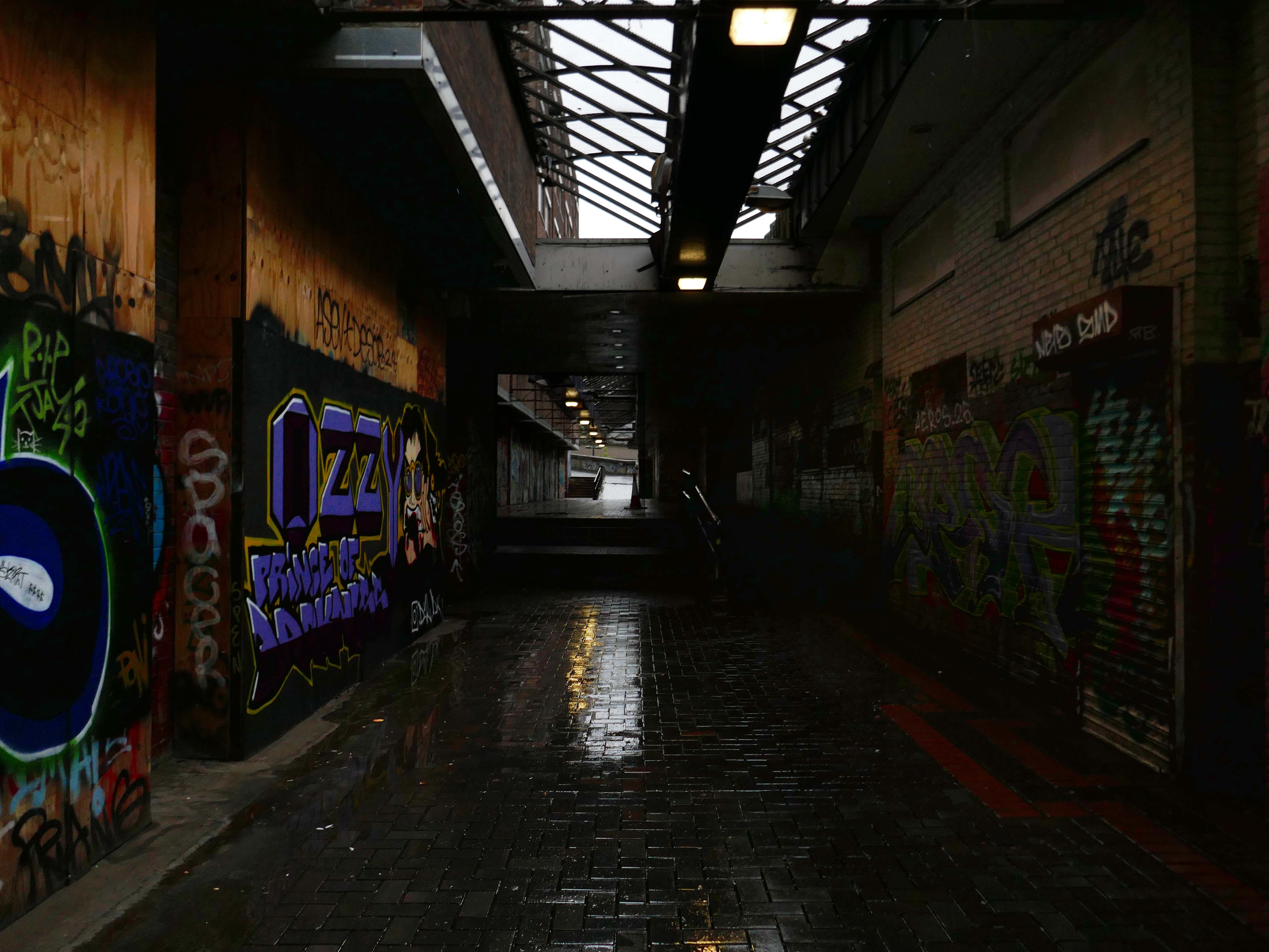
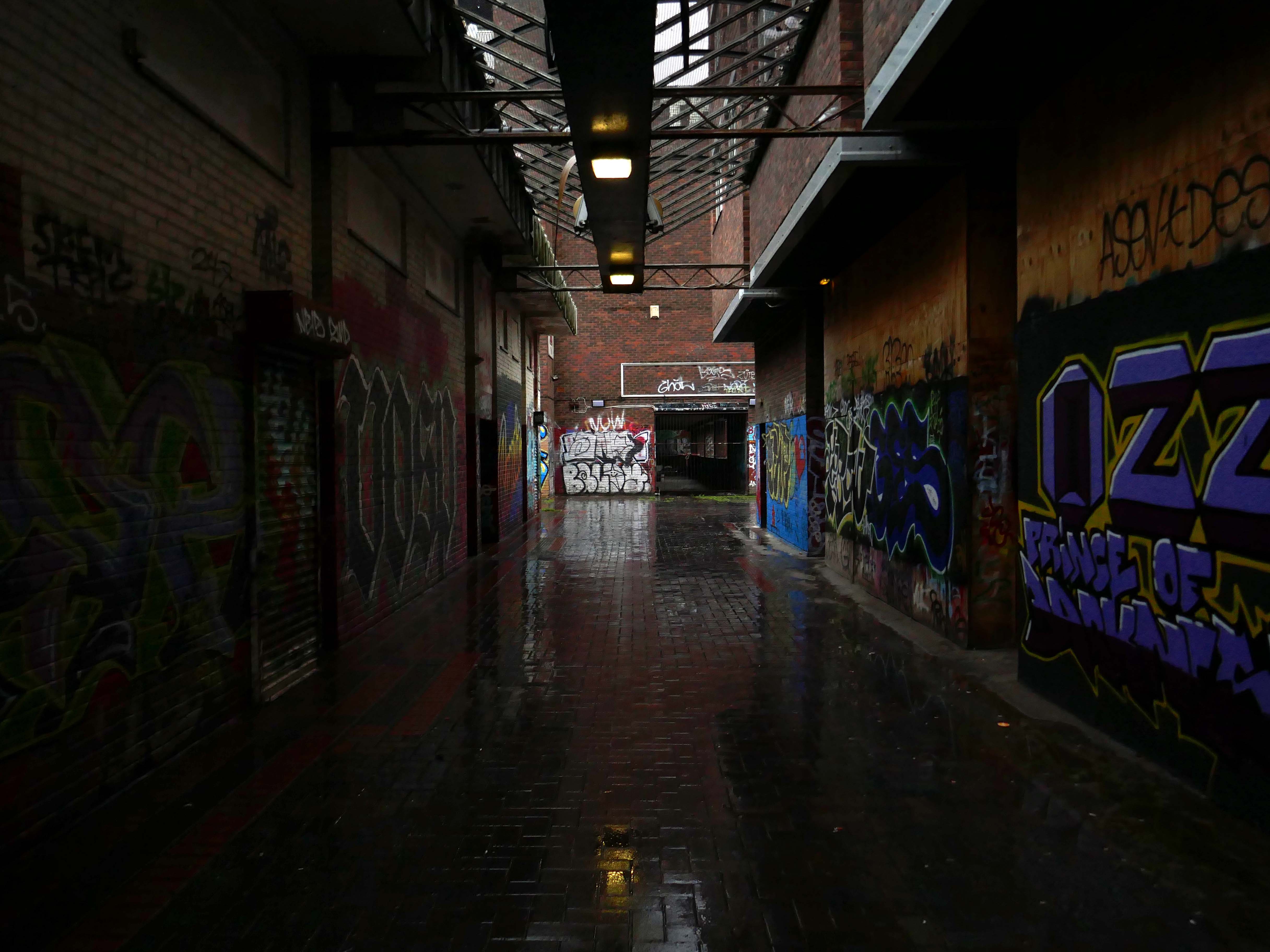
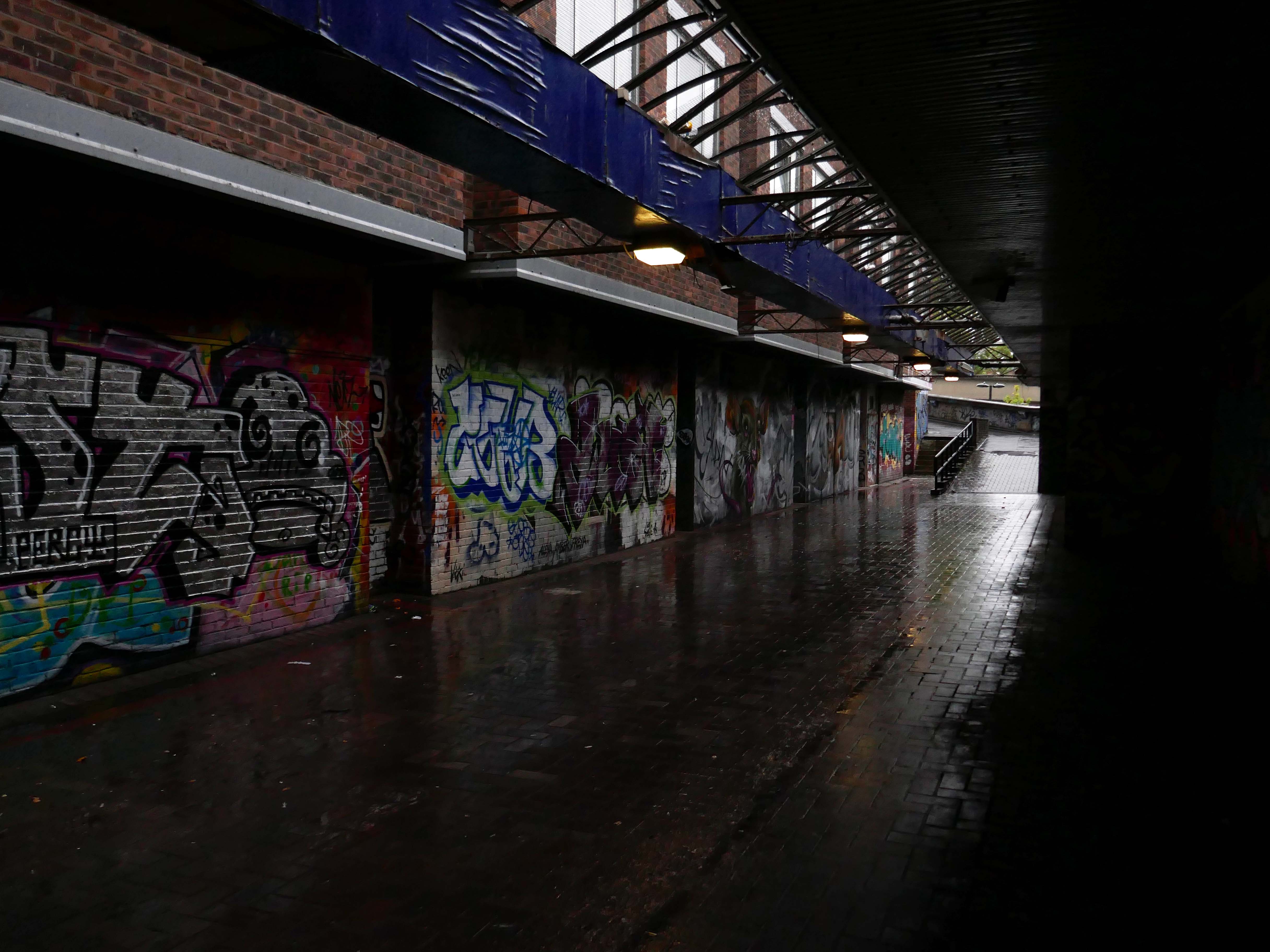
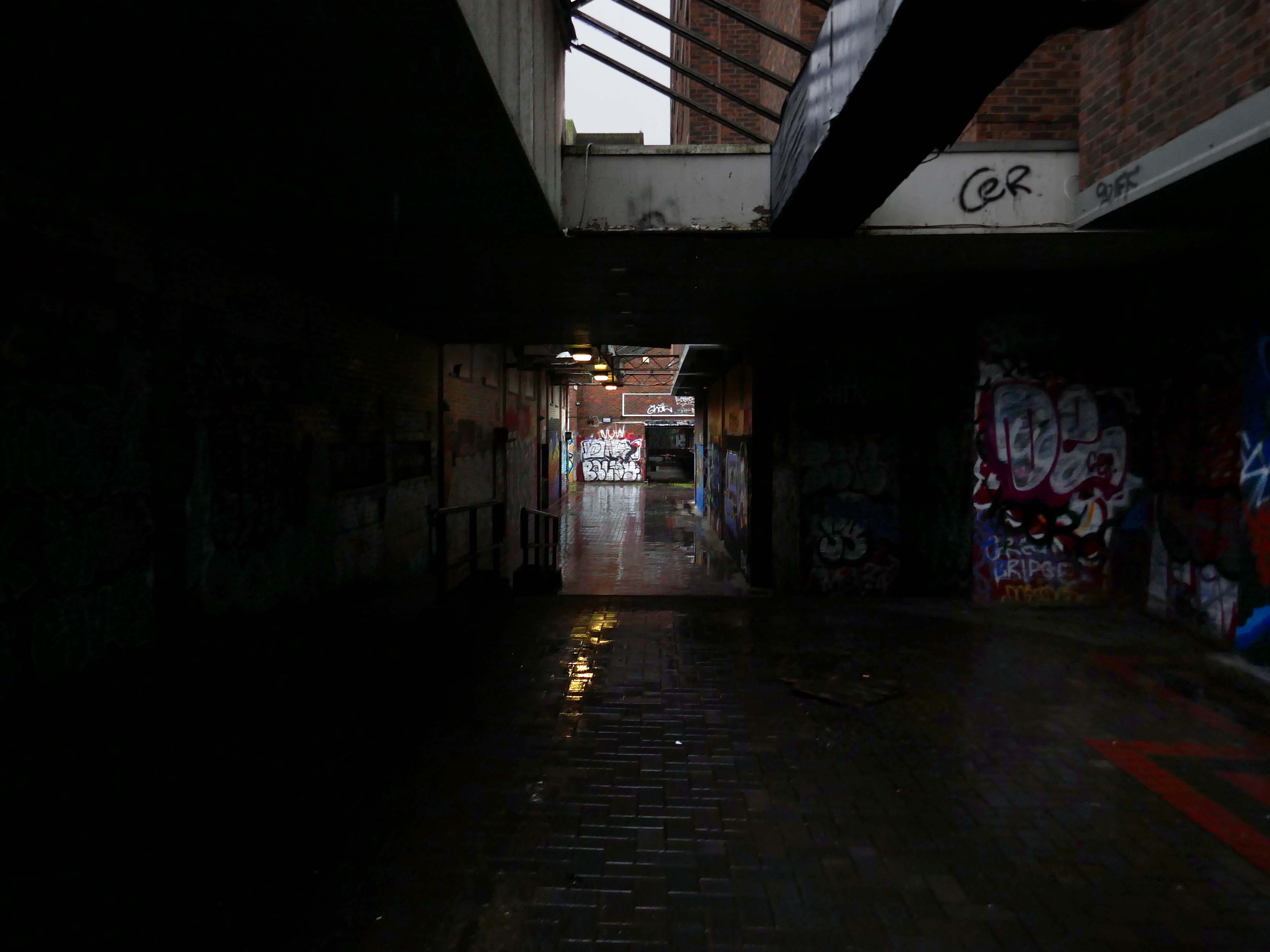
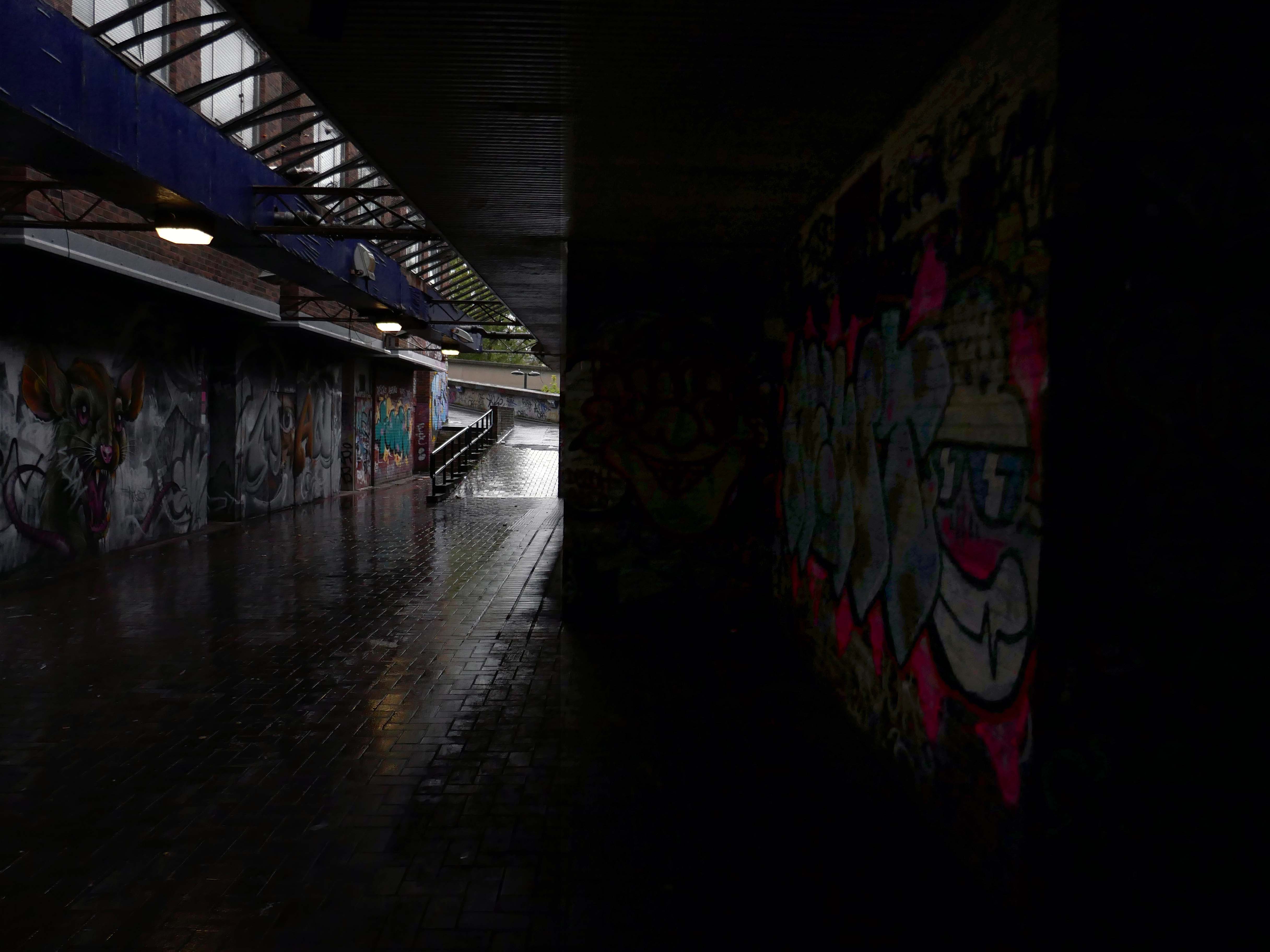
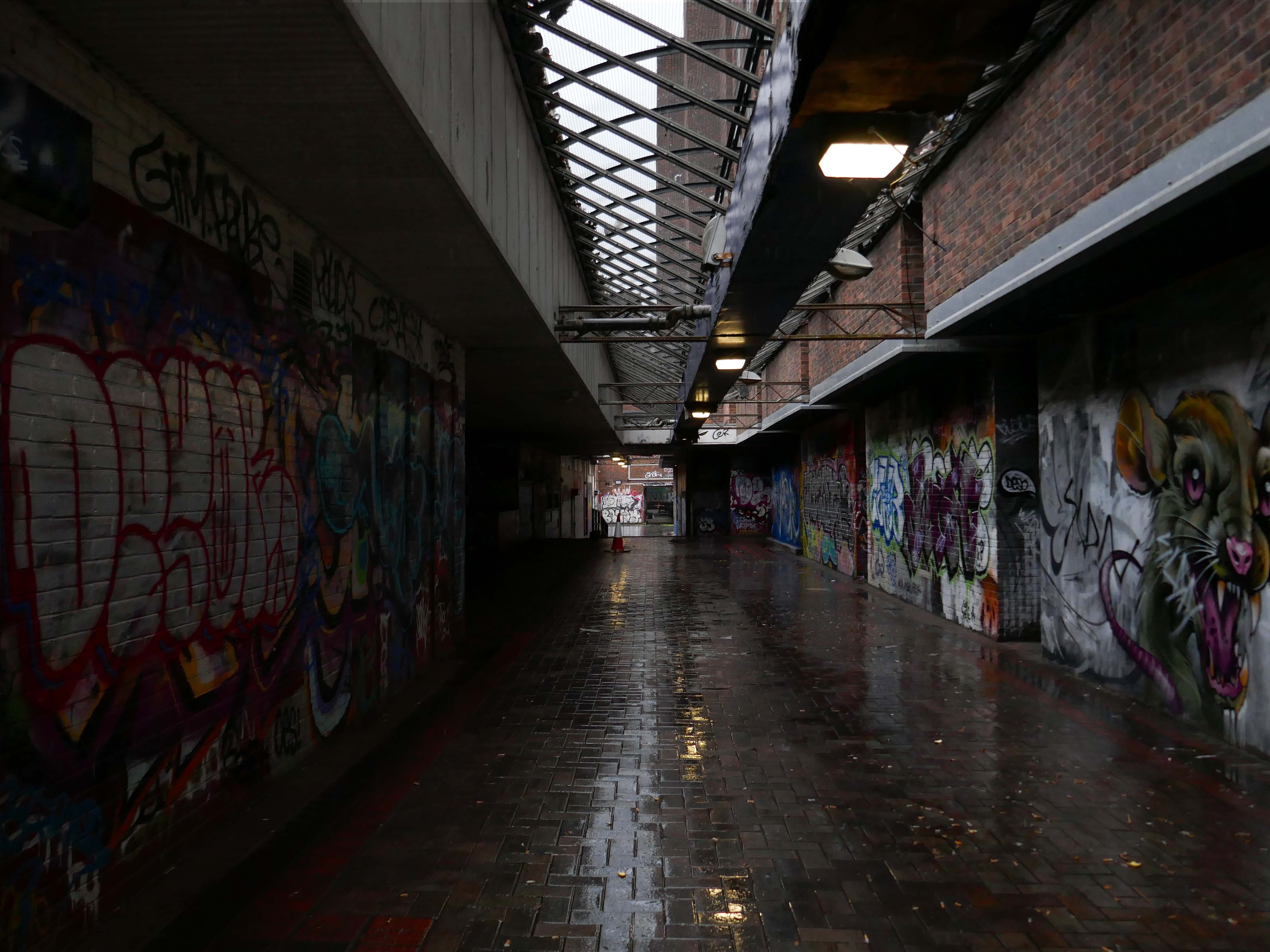
The docks as they were are no more.
Yet in 2023, the Port of Liverpool was the UK’s fourth busiest container port, handling over 30 million tonnes of freight per annum. It handles a wide variety of cargo, including containers, bulk cargoes such as coal, grain and animal feed, and roll-on/roll-off cargoes such as cars, trucks and recycled metals. The port is also home to one of the largest cruise terminals in the UK which handles approximately 200,000 passengers and over 100 cruise ships each year.
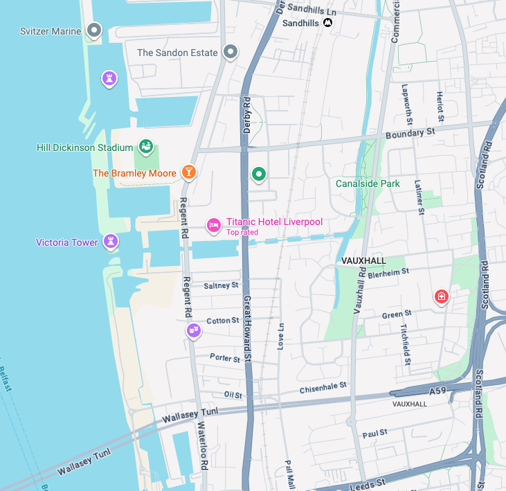
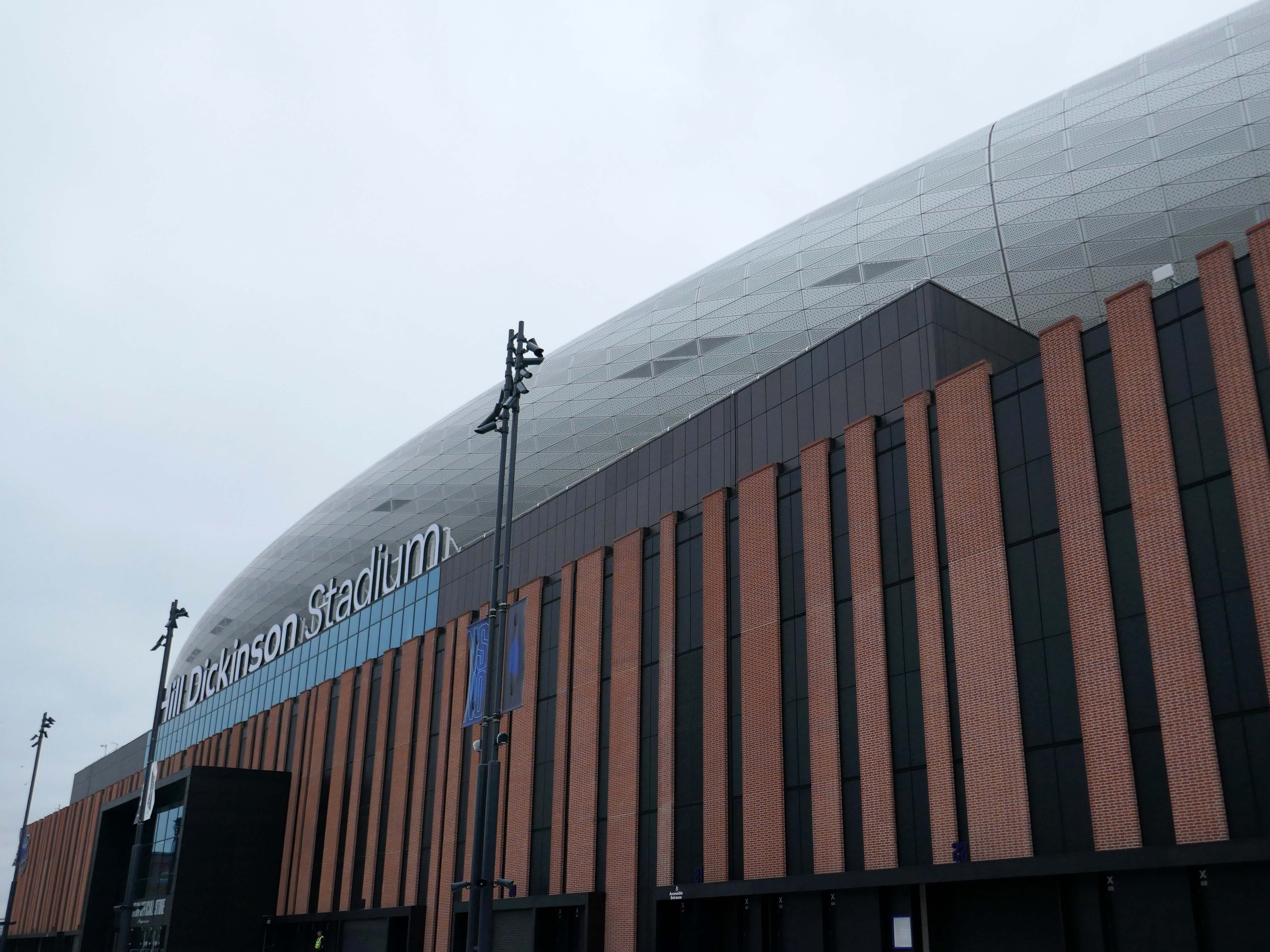
Now with the opening of the Titanic Hotel in the Stanley Dock and the arrival of the Toffees just up the road at the Hill Dickinson Stadium, the whole area is slowly being transformed into a destination, as they say in modern parlance.
However much of the Industrial heritage remains in various states of disarray, used and possibly disabused, but hanging on in there.
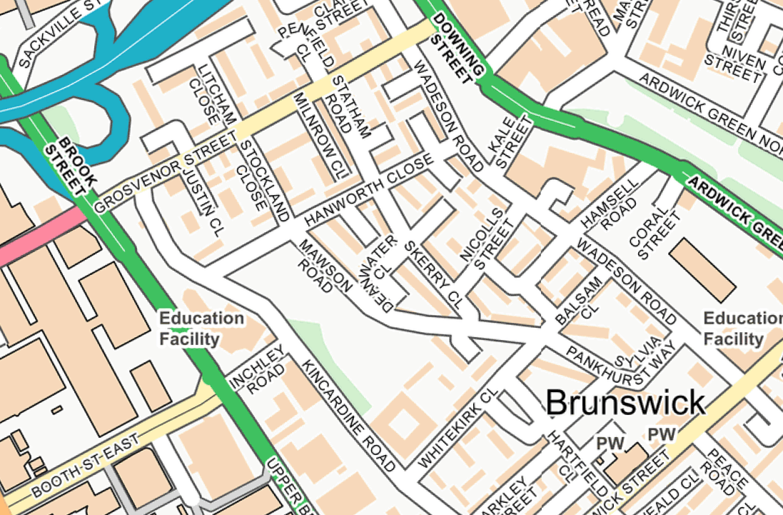
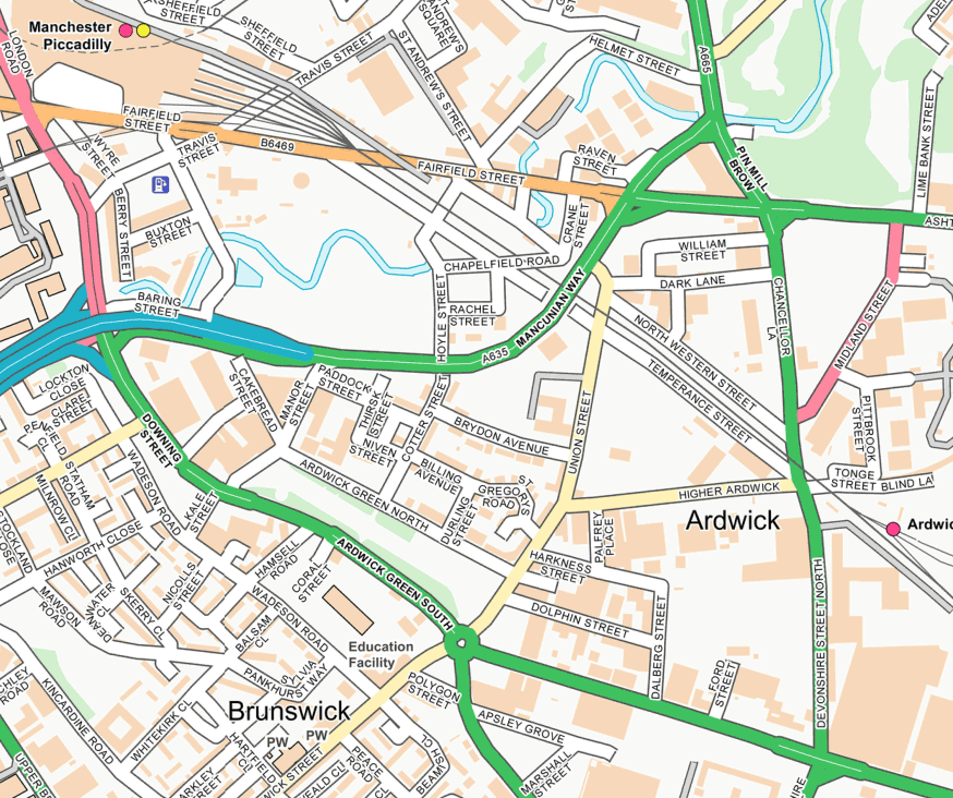
I was walking around town, with a view to updating my Ardwick Walk.
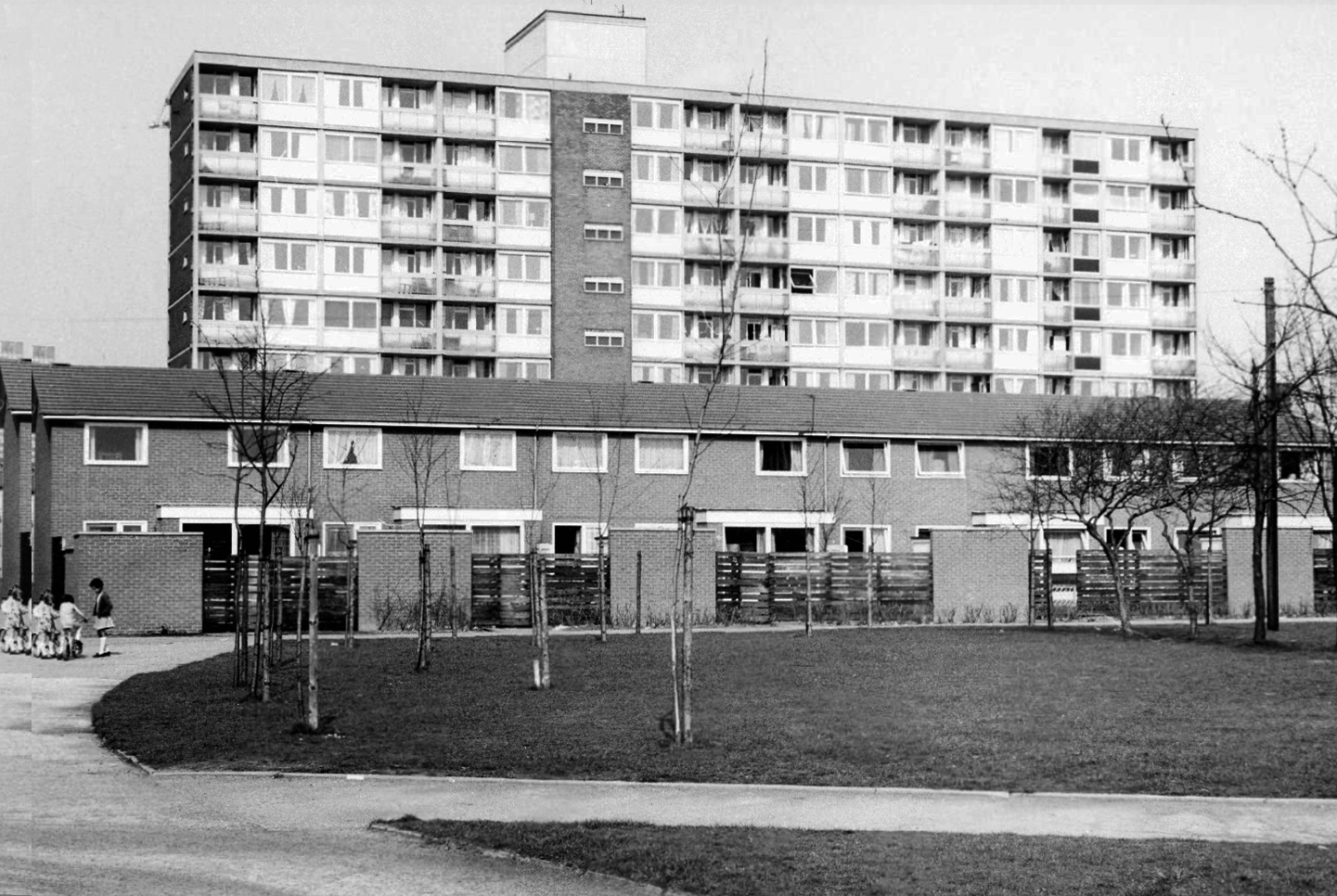
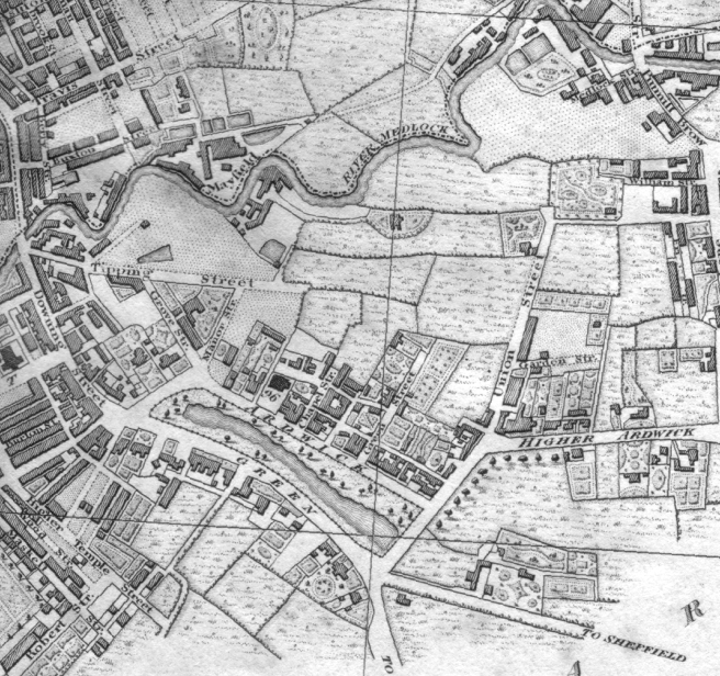
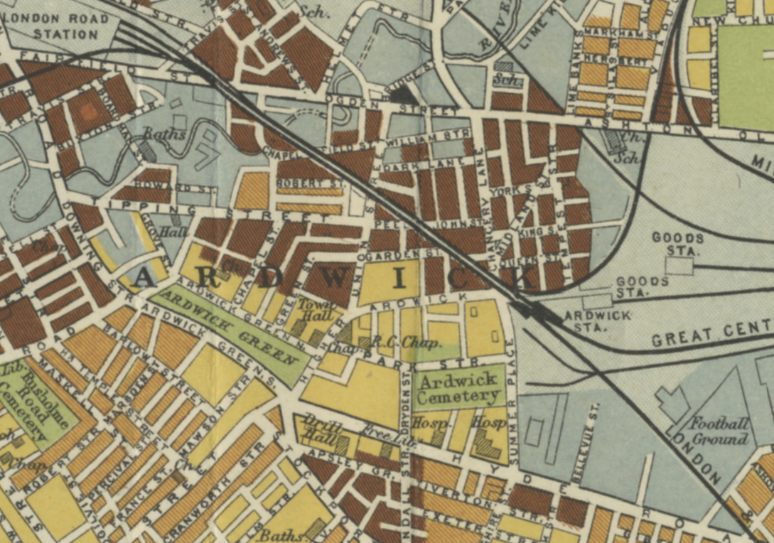
Idle curiosity took me toward the Brunswick Estate – that pocket of housing nestle twixt the Mancunian Way/River Medlock, Ardwick Green, Brunswick Street and Upper Brook Street.
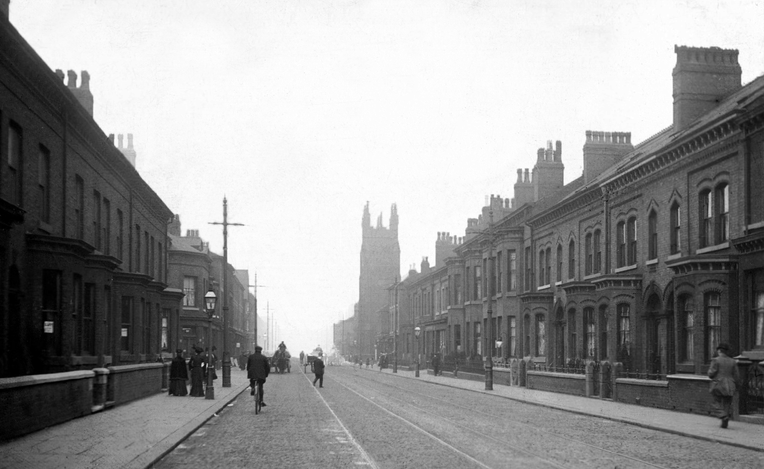
Back in 1813, a web of streets and enclosed fields, and more fields, along with small groups of higher status housing, but by the early 20th century it was very much a working class district, within which industry began to grow.
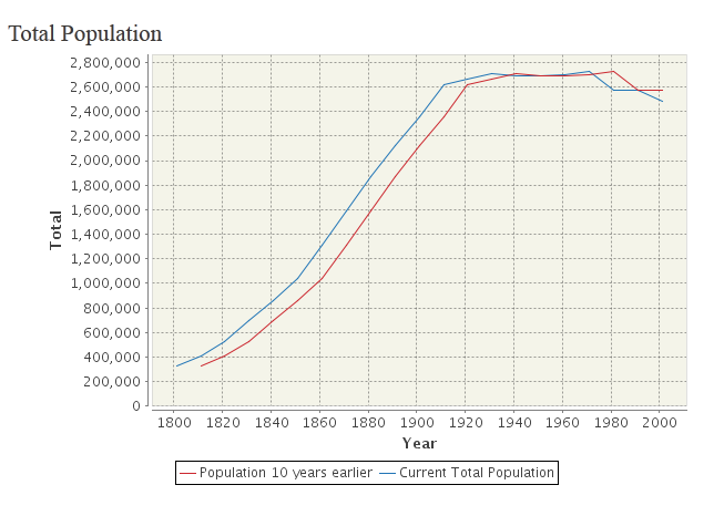
The population of Manchester expanded unstoppably throughout the nineteenth century.
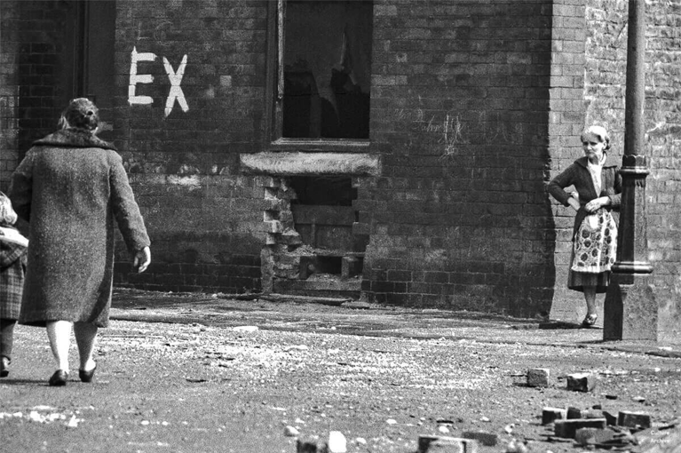
Extensive slum clearance in the nineteen sixties saw the area and its street names change, some erased forever in the new build.
In Manchester, in a vast belt immediately outside the central area of the city, there still exist all too many remnants of a planless, knotted chaos of dark, dismal and crumbling homes. Many of these crossed the verge of uninhabit-ableness long before their most elderly inhabitants were born.
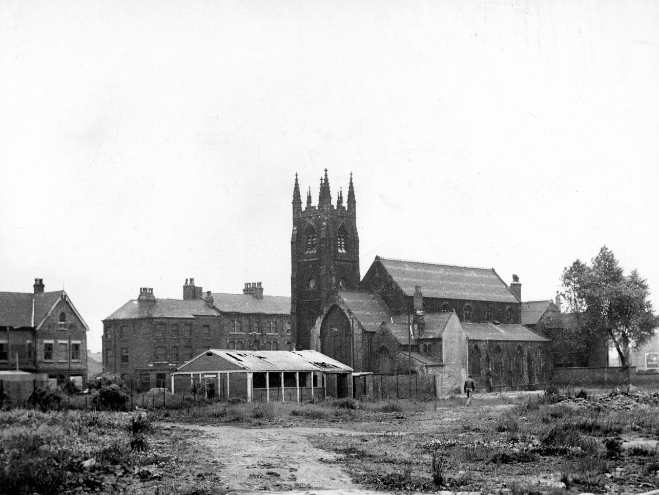
St Paul’s and St Luke’s Brunswick Street W Higham 1970
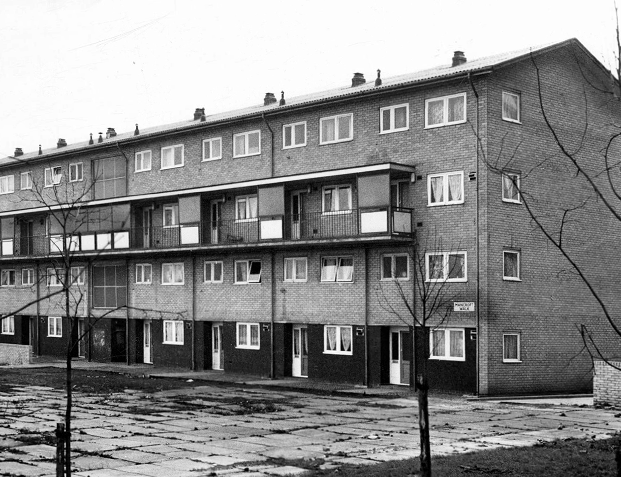
Lamport Court W Higham 1970
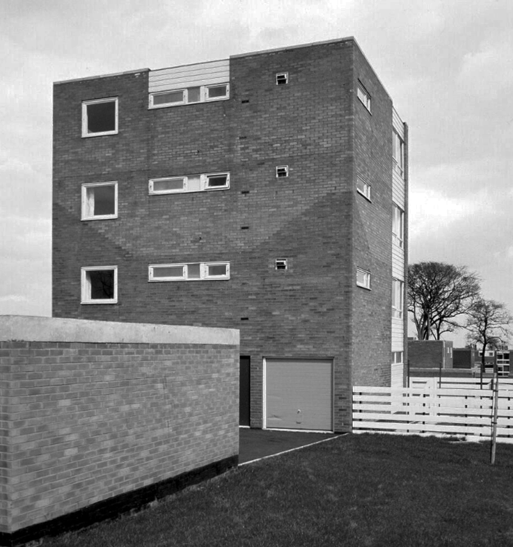
One of three nine-storey blocks, containing two hundred and nineteen dwellings; also including SilkinCourt and Lockton Court.
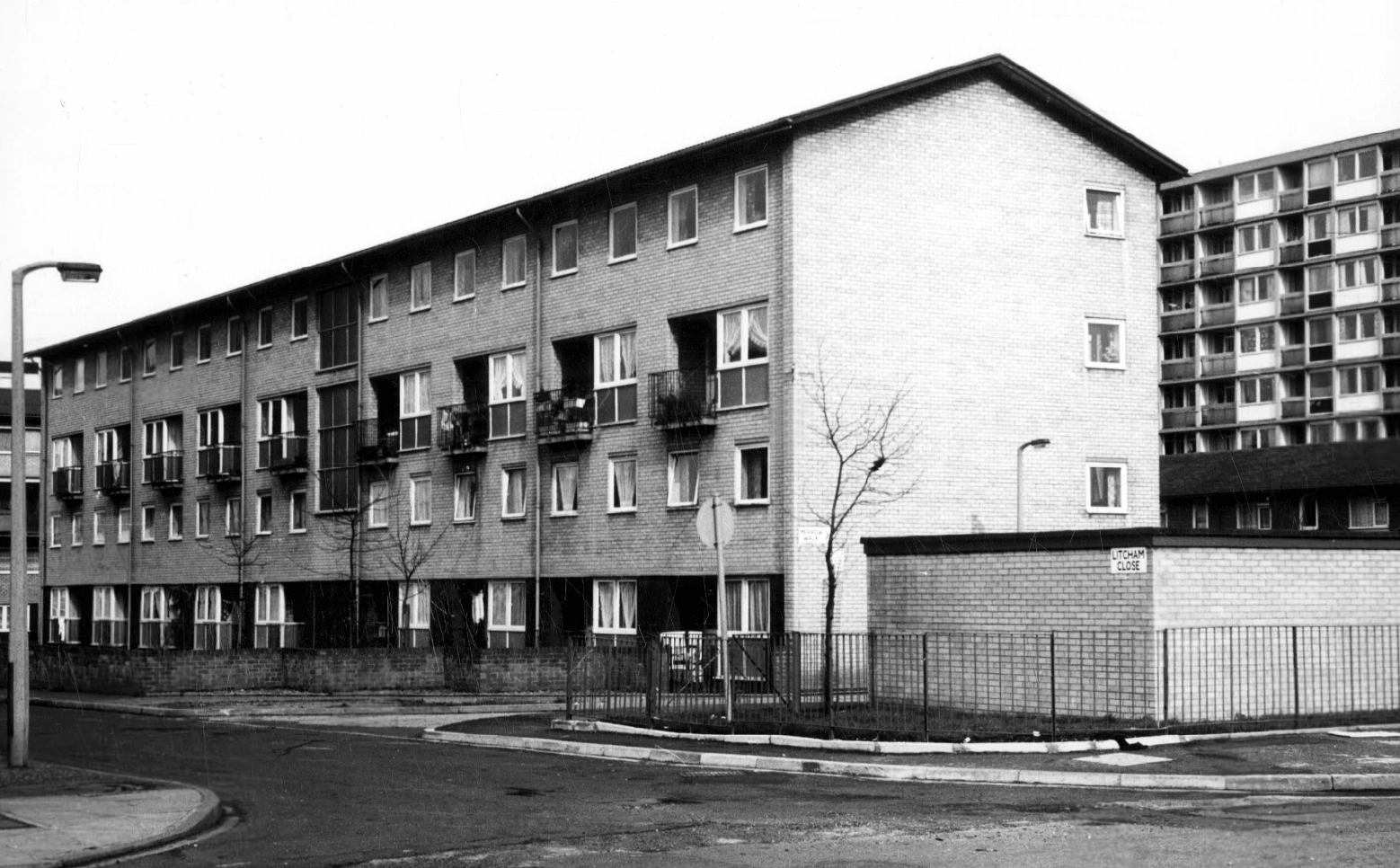
Litcham Close W Higham 1970
Harry Milligan 1903 – 1986 worked as the photographer at Manchester Central Library until his retirement in around 1968. He was instrumental in setting up the Manchester Region Industrial Archaeology Society in 1965. He volunteered at the North Western Museum of Science and Industry from 1968, assisting with reprographics requests. His knowledge of the history of photography in Manchester and the UK led to him taking on the role of Honorary Curator of Photography at the museum.
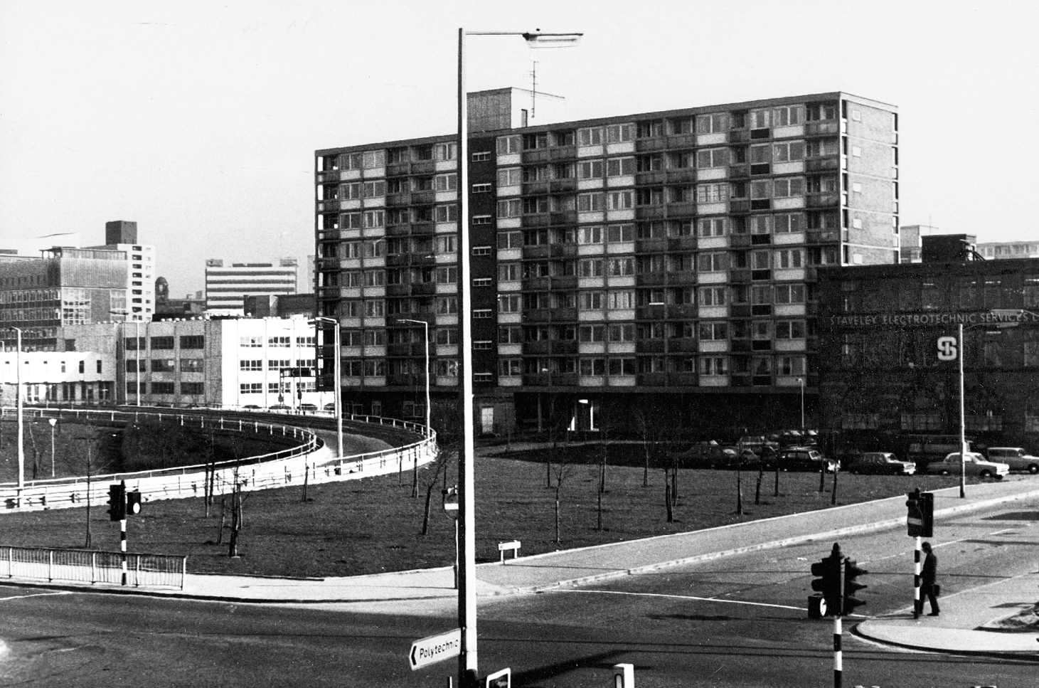
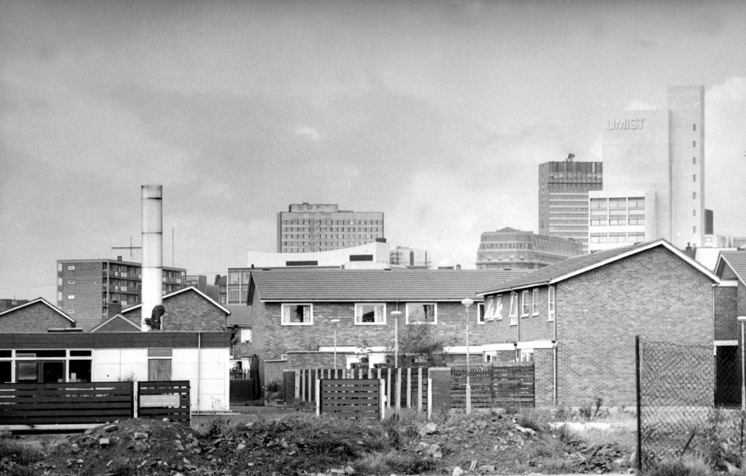
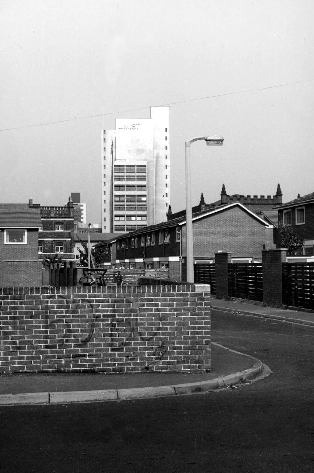
Panorama of Brunswick with UMIST in the background.
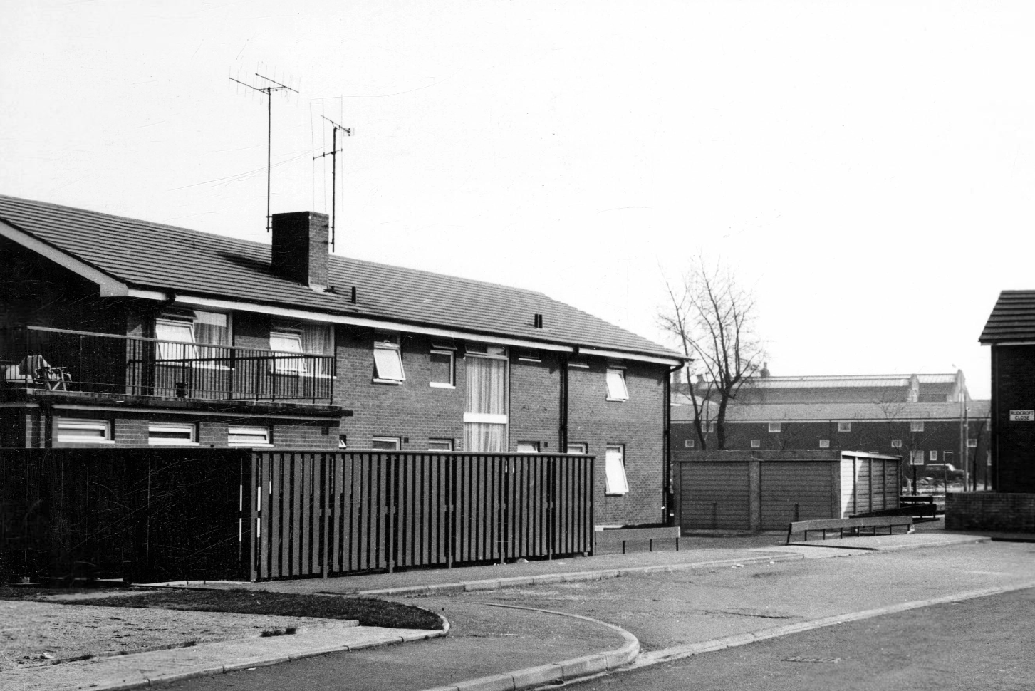
Hanworth Close area terraced housing and flats 1972.
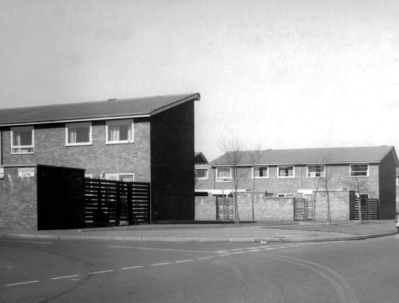
Staverton Close
Melcroft Close
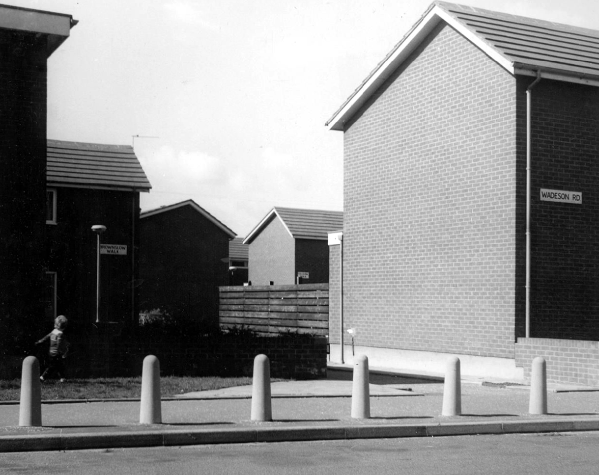
Wadeson Road
Helmshore Walk – Skerry Close
Cherryton Walk
Cray Walk
Wadeson Road
Hanworth Close
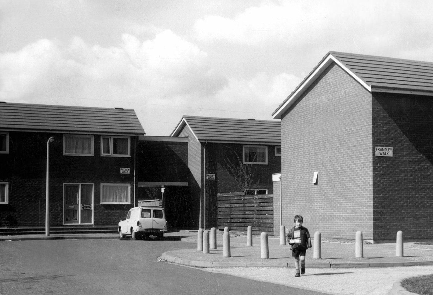
Pedley Walk
Cray Walk – note the decorative brick relief
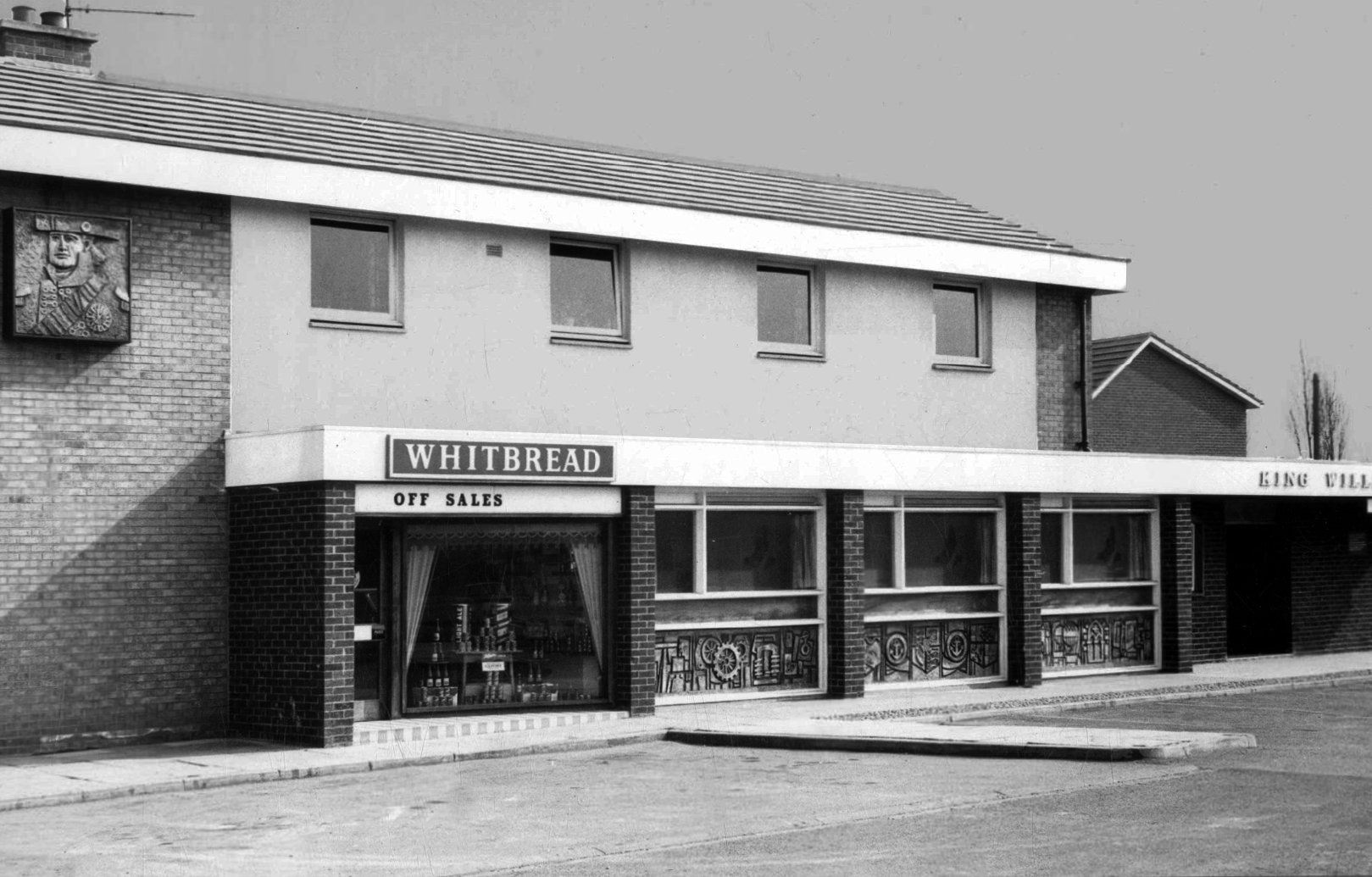
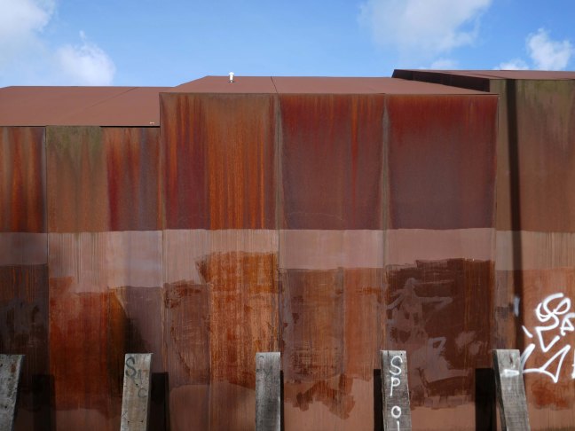
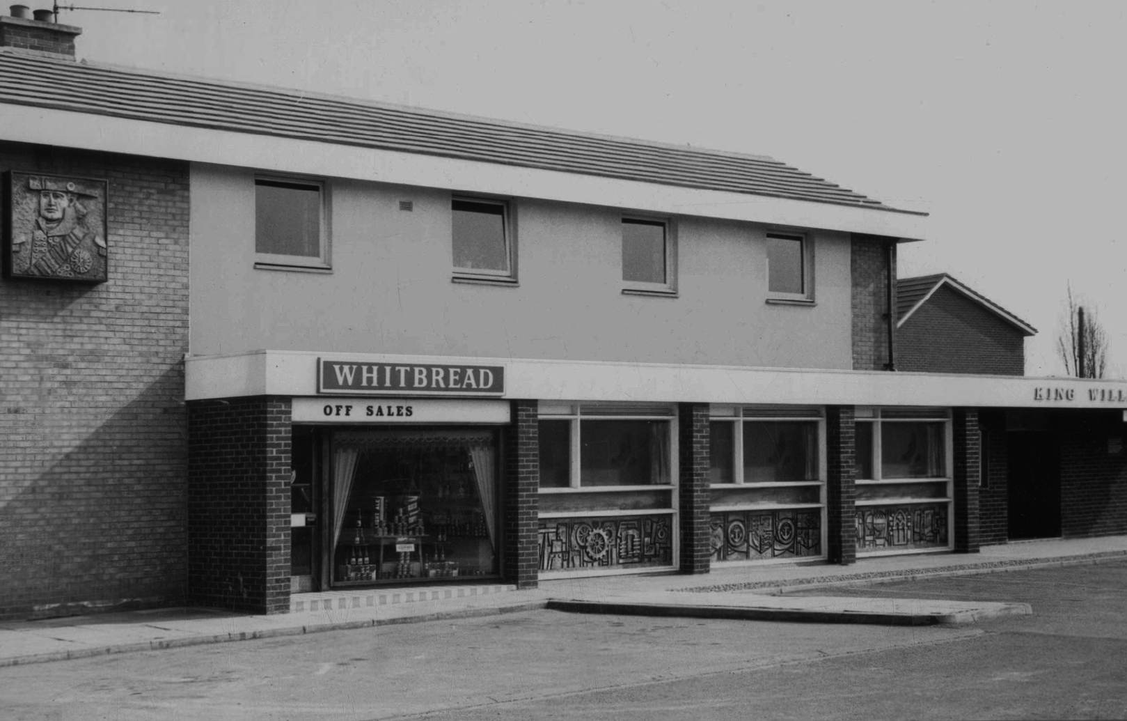
King William IV
Former Chesters then Whitbread estate pub was built in 1967. Closed in 1996 when it was converted to residential property. It had a brief spell 1991 to 1995 as brewery premises for the Dobbin’s West Coast Brewery, during this period the interior was stripped out to accommodate the brewery paraphernalia.
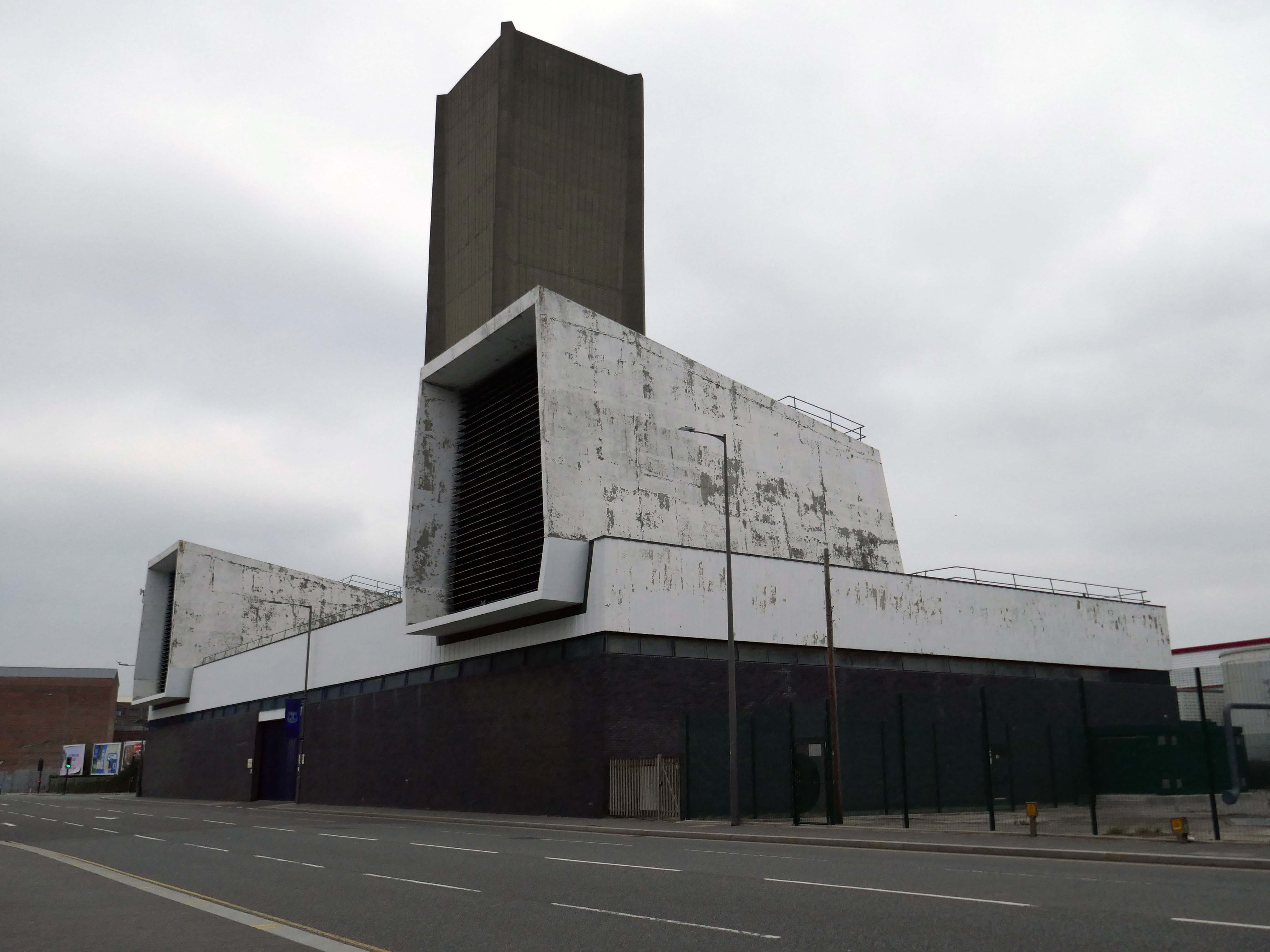
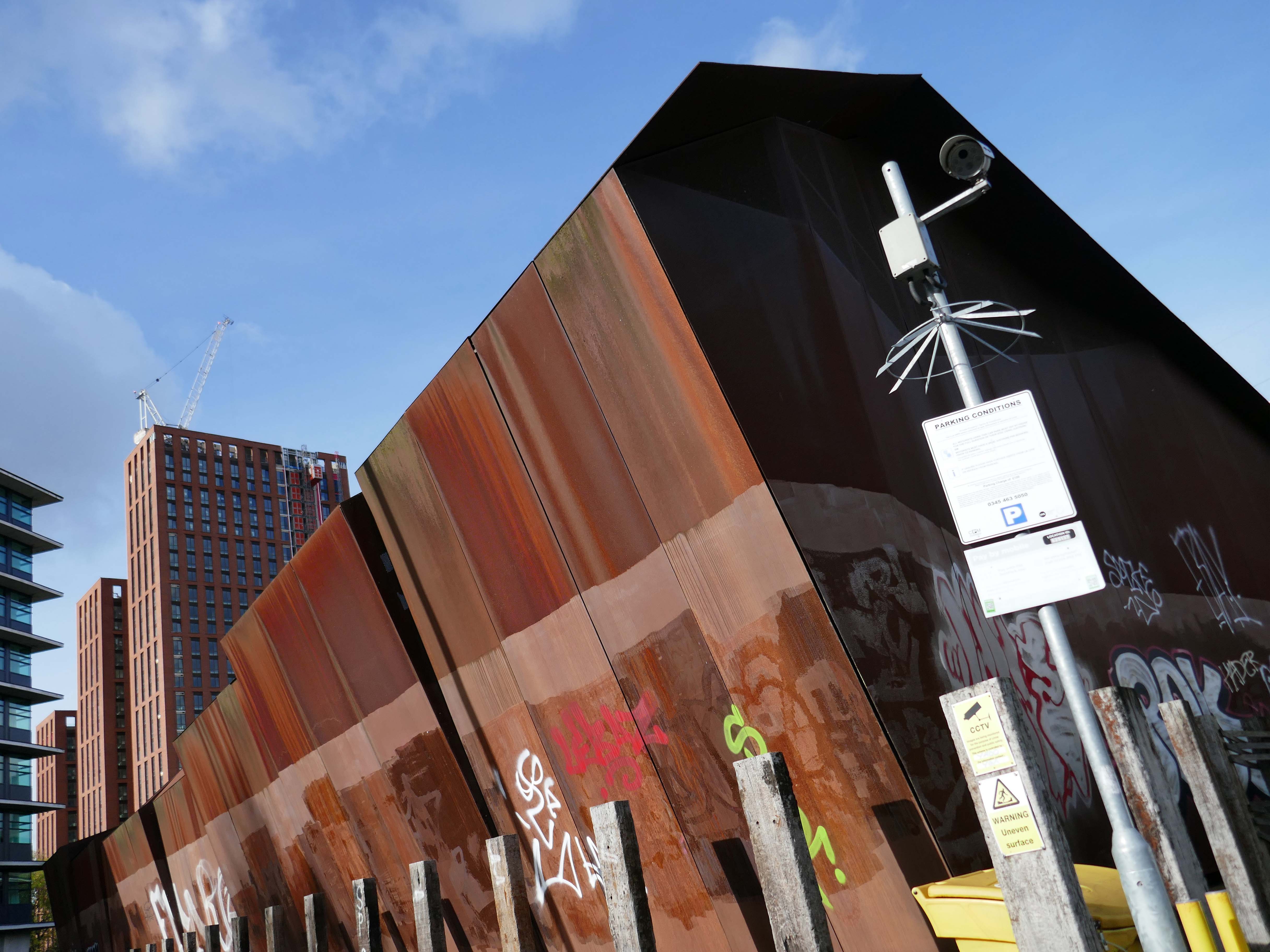
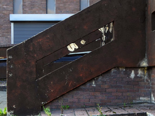
The building was cladded with a COR-TEN® steel envelope, the nature of which was relatively complex.
Corten steel sets itself apart due to the inclusion of unique alloying elements: chromium, nickel, copper and added phosphorous which gives the steel its self-protecting properties.
Platform 14 is primitive, I understand totally from an infrastructure standpoint because it’s on a bypass line on a bridge, but it gets too overcrowded and is windswept. The rest of the station is ok. Platforms 13/14 have not changed in 40 years, grim.
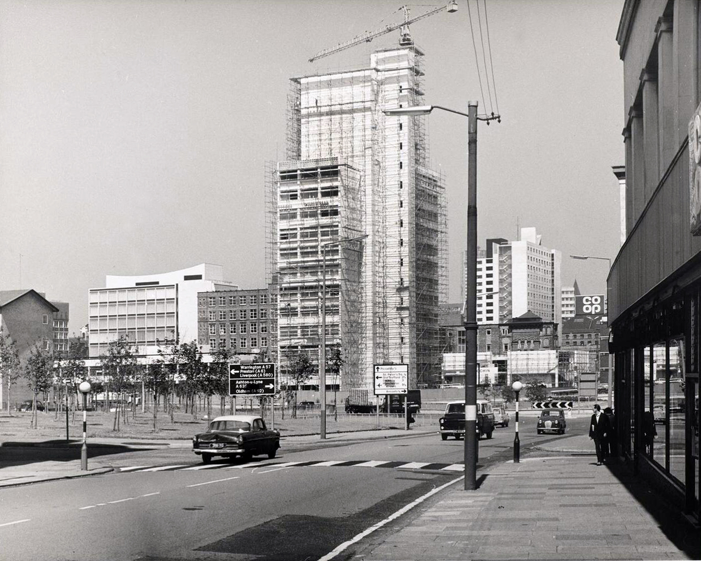
We the pass to the former BT Building – architects JW Hammond 1973.
Originally conceived as a hotel, there were no takers at the time, so it became the BT HQ.
Comprising 338 rooms, Manchester Marriott Hotel Piccadilly is near a shopping district, a 10-minute ride from Etihad Stadium. Offering a location right in the centre of a beautiful neighbourhood, this comfortable hotel boasts a lounge bar along with city views.
The developer’s architects now propose to ‘reimagine’ the artwork and incorporate it into the foyer of the new office building. However, this ‘reimagining’ requires large sections of the artwork to be removed by cutting away and ‘folding’ around 30% of the sculpture.
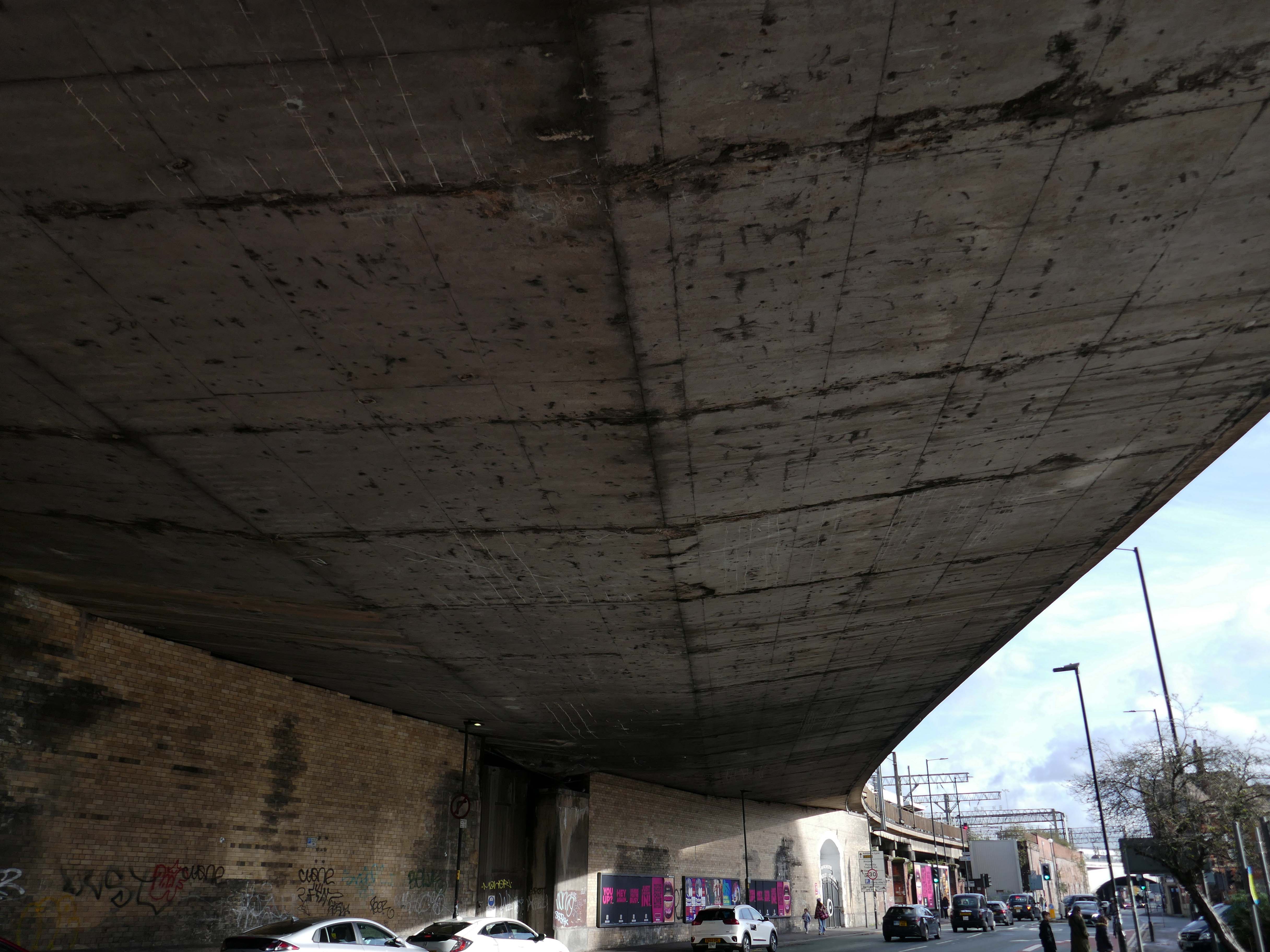
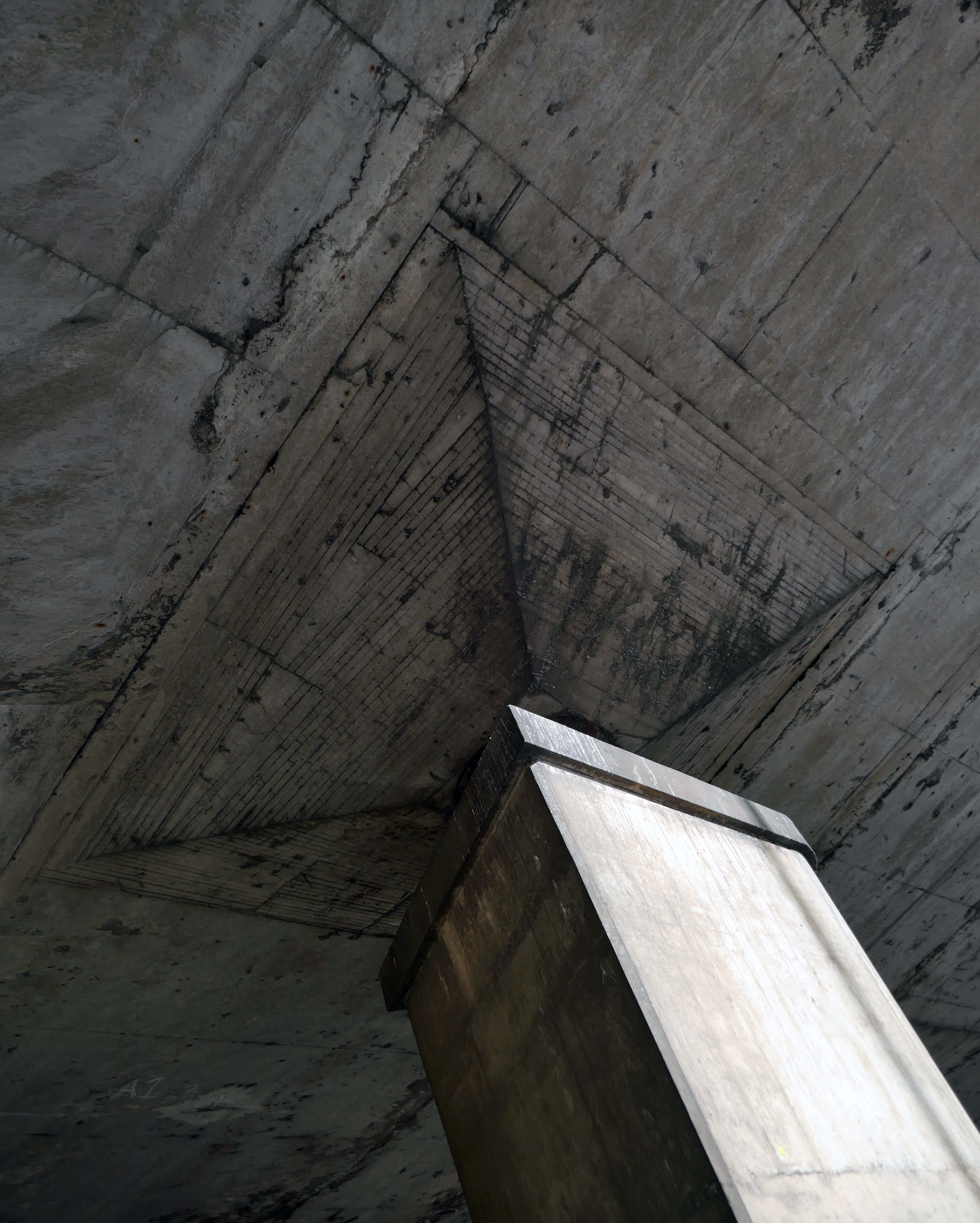
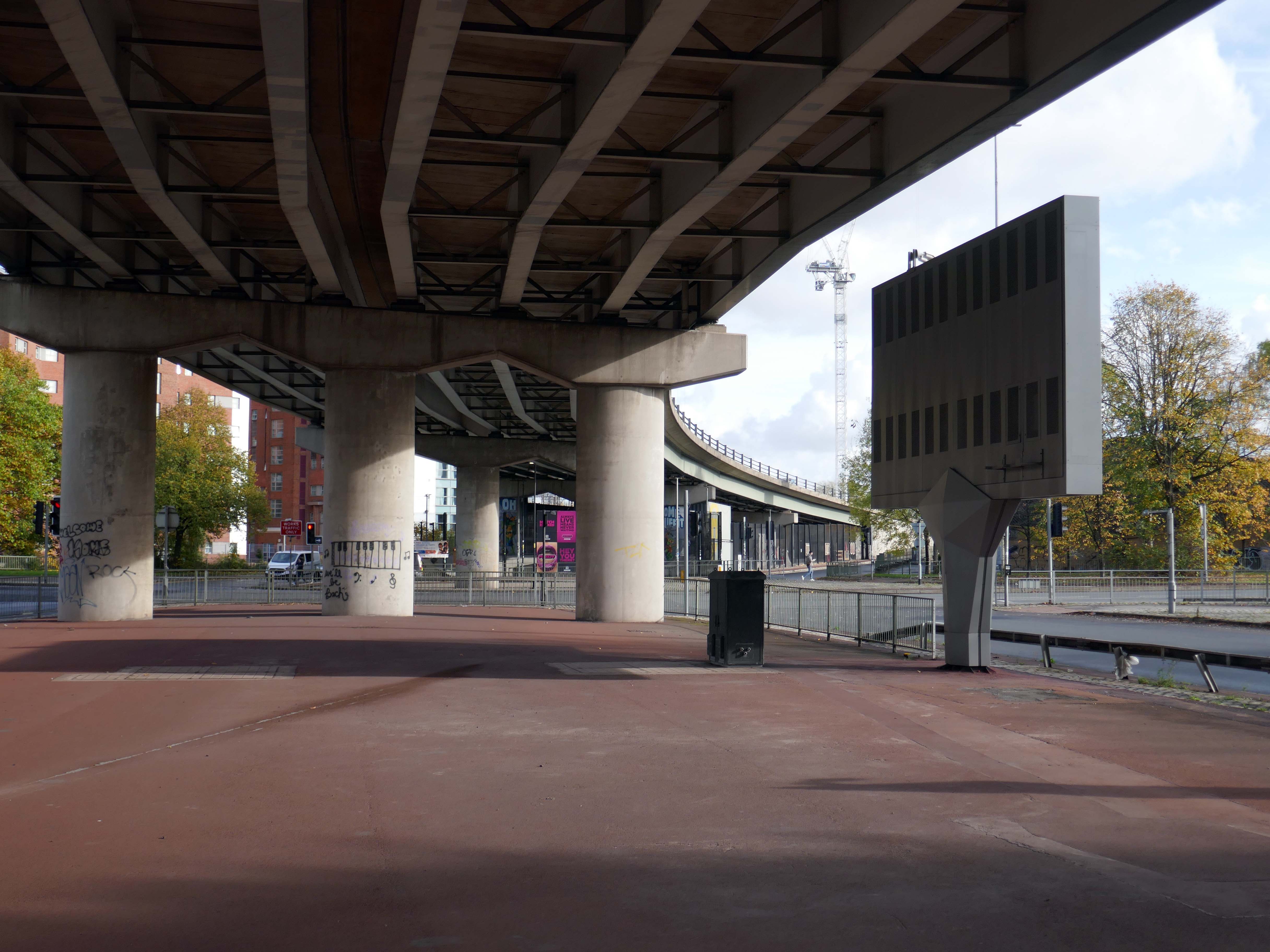
From beneath the roadway we can see the Ferranti Building.
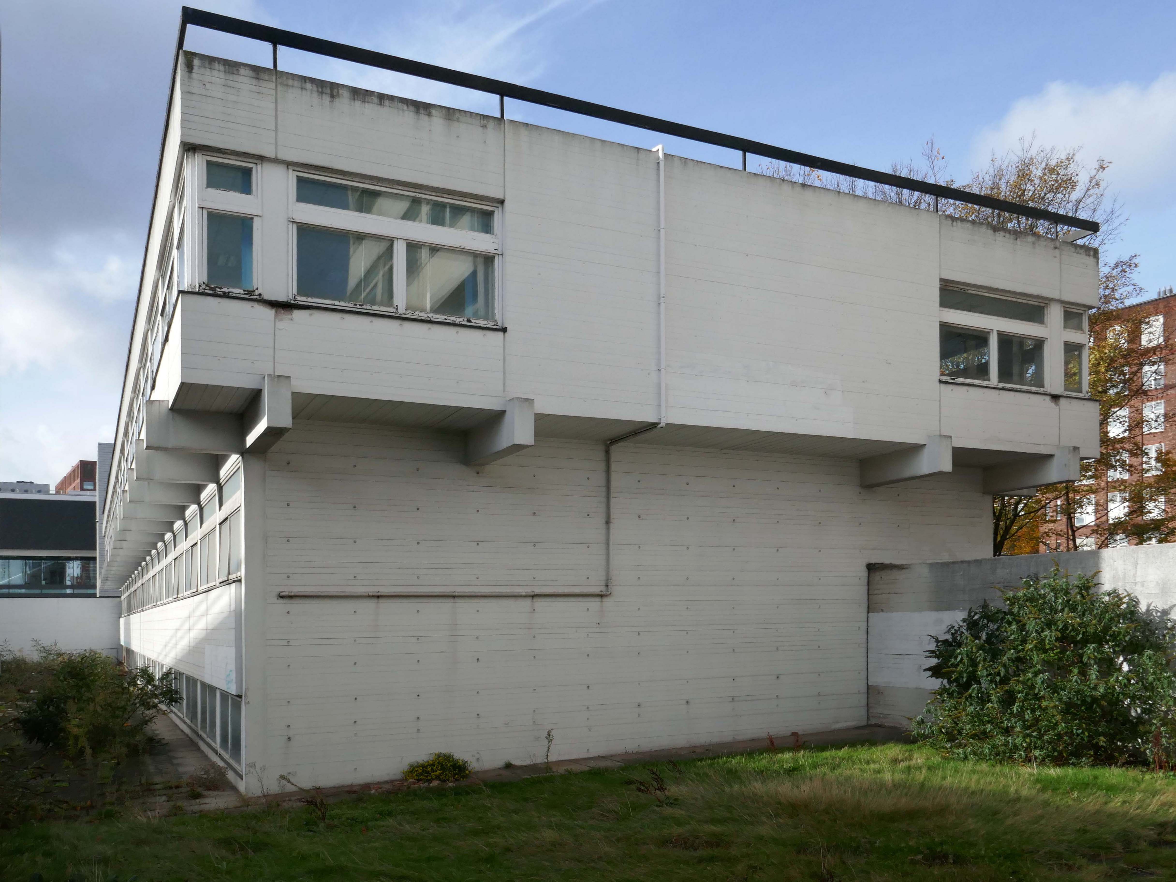
Crossing over to see the Brunswick Estate, built in the Sixties and Seventies and recently refurbished.
S4B is a partnership leading the £106m regeneration of Brunswick, Manchester. The Brunswick Regeneration PFI is a combination of government funding, private investment and expertise that will revitalise Brunswick. Improvements will include council home refurbishments, new homes for sale and to rent and an improved neighbourhood design.
Long gone lost estate pub from the estate – King William IV a former Chesters then Whitbread estate pub was built in 1967. Closed in 1996 when it was converted to residential property. It had a brief spell 1991 to 1995 as brewery premises for the Dobbin’s West Coast Brewery, during this period the interior was stripped out to accommodate the brewery paraphernalia.
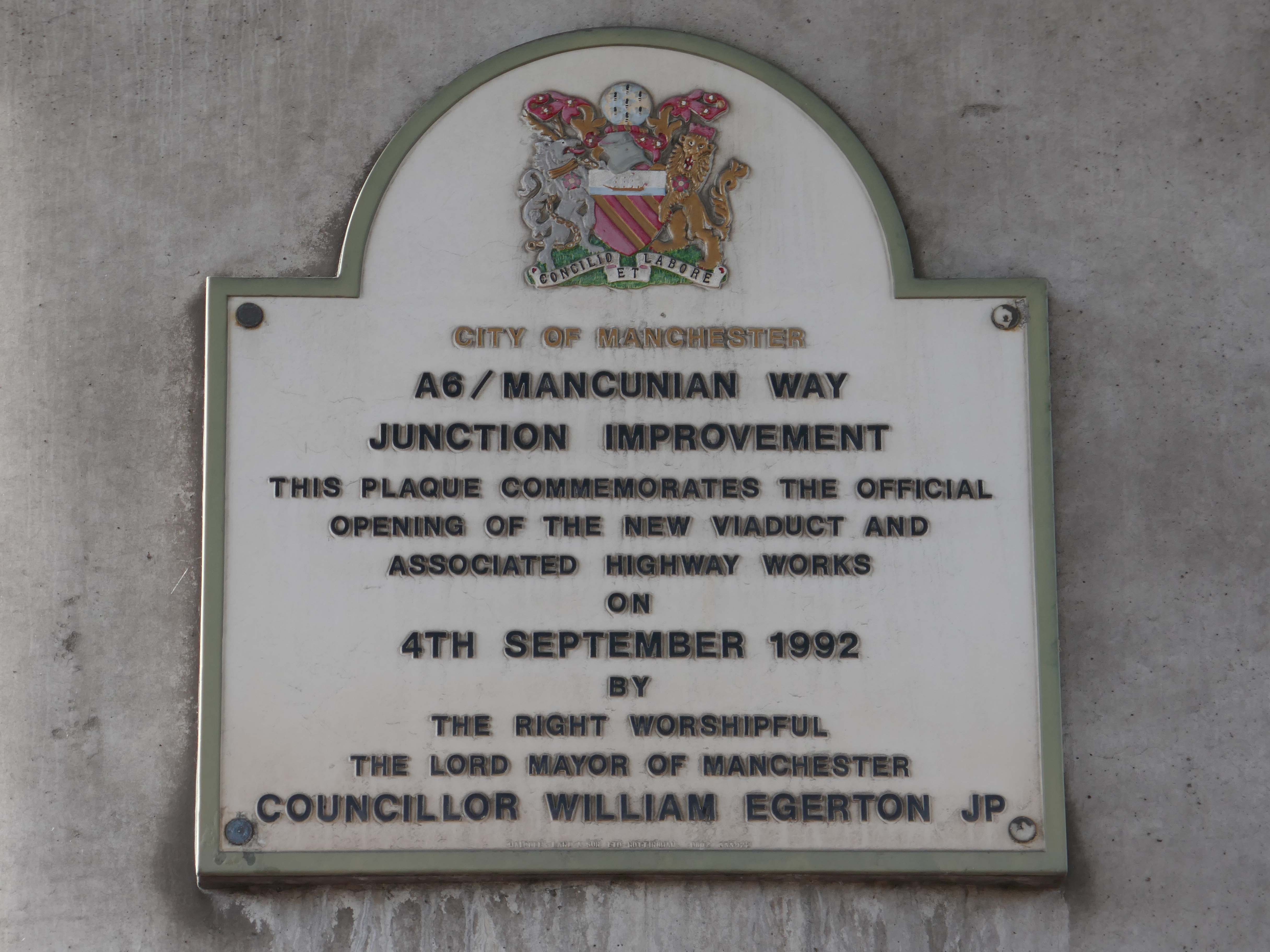
We take a jog around the block to see the concrete relief that clads the road ramp.
Where there was once a giant Cooperative Store there is now a light industrial and retail estate.
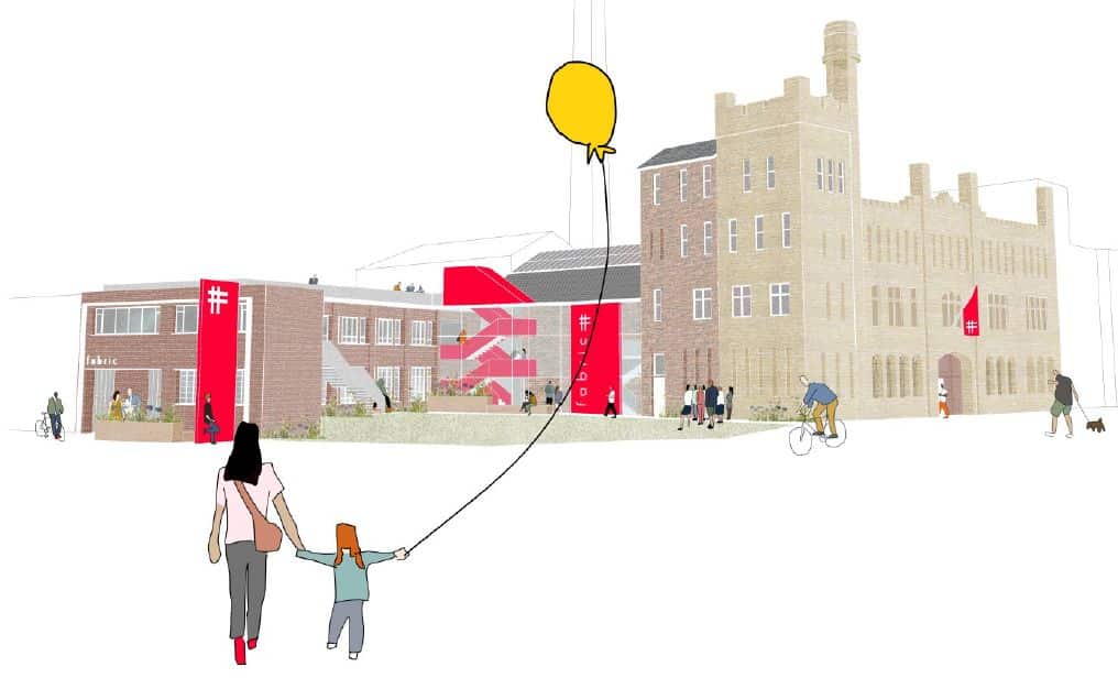
The Diocese of Manchester has been working in partnership with the Church Revitalisation Trust to open Fabric Church and refurbish the building, following a successful bid to the Church of England’s Strategic Mission and Ministry Investment Board.
We’re excited to be working alongside Fabric Church on the transformation of the Grade II listed former Ardwick Barracks in Manchester. This ambitious refurbishment project will see the historic site reimagined as a vibrant community hub, featuring a new worship hall, community café, offices, meeting spaces, and more.
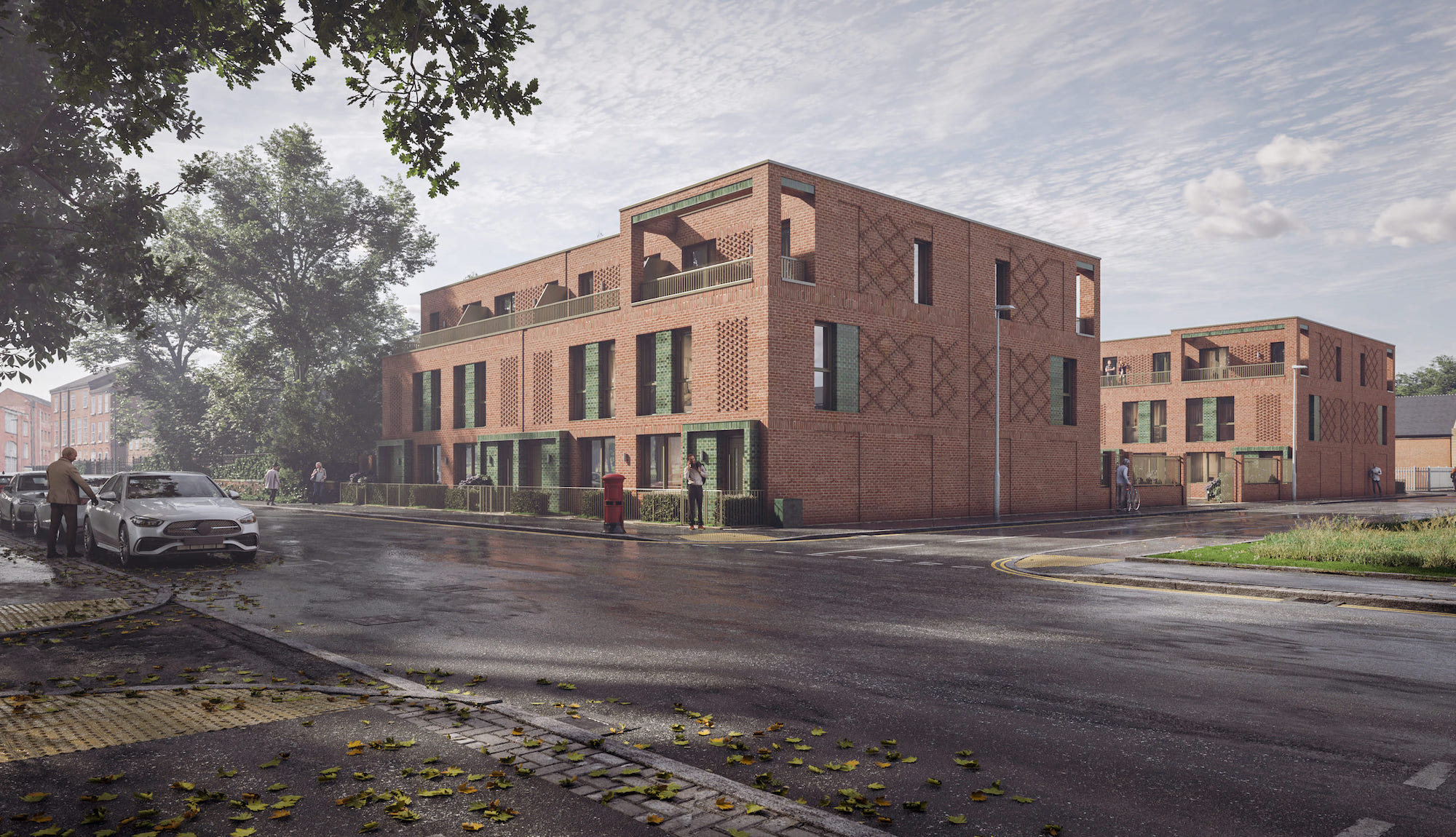
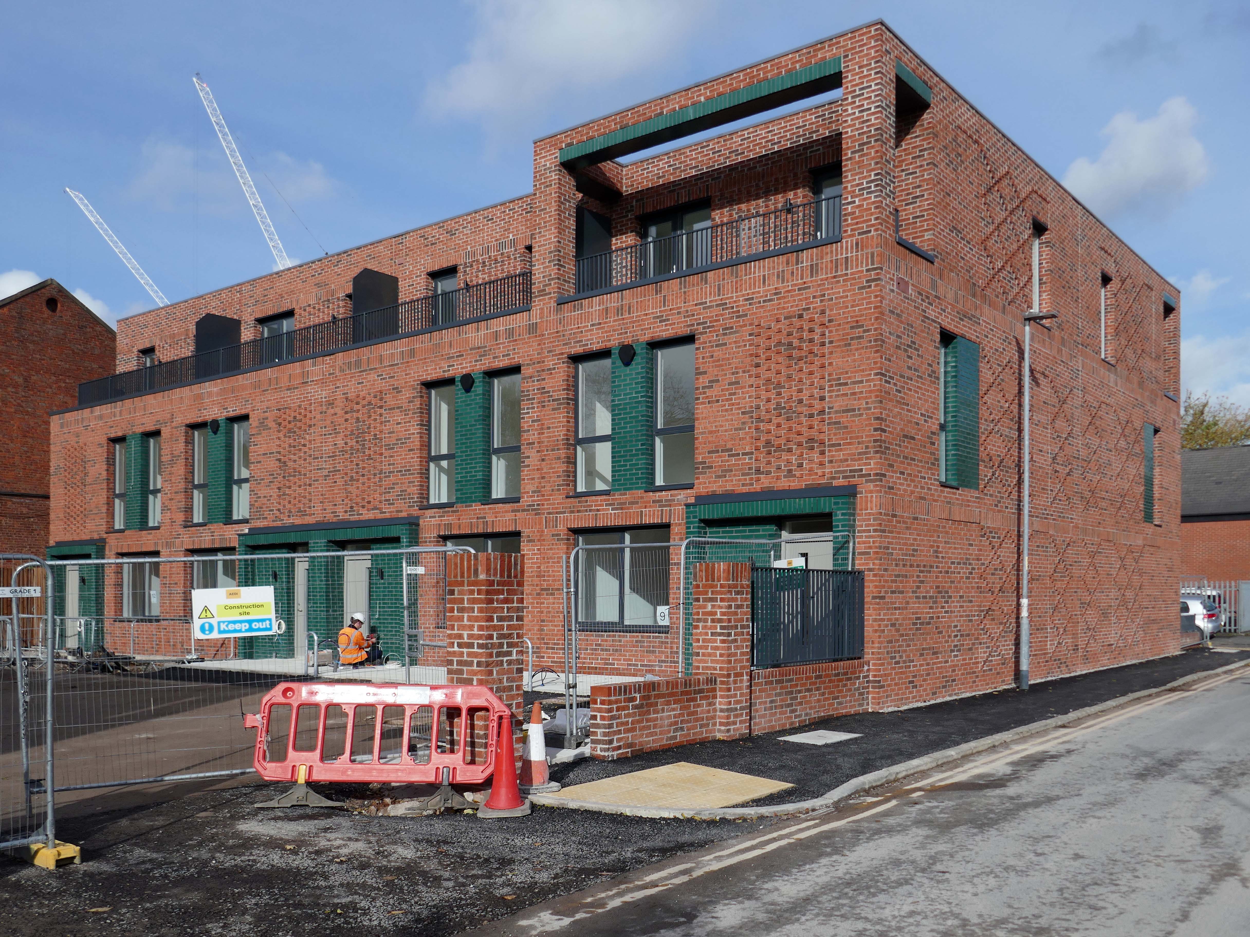
Alongside Ardwick Green Park there are new housing developments nearing completion.
Ardwick Green combines contemporary design with great light infused spaces, offering stylish homes with a modern twist, private parking, outdoor spaces and a welcoming community atmosphere an urban retreat that truly feels like home.
With the city just moments away, living at Ardwick Green will give homeowners easy access to Manchester City Centre and beyond with its vibrant social scene, bustling business landscape and extensive transport network on your doorstep.
Without which much of what we understand as the modern age would possibly not now exist.
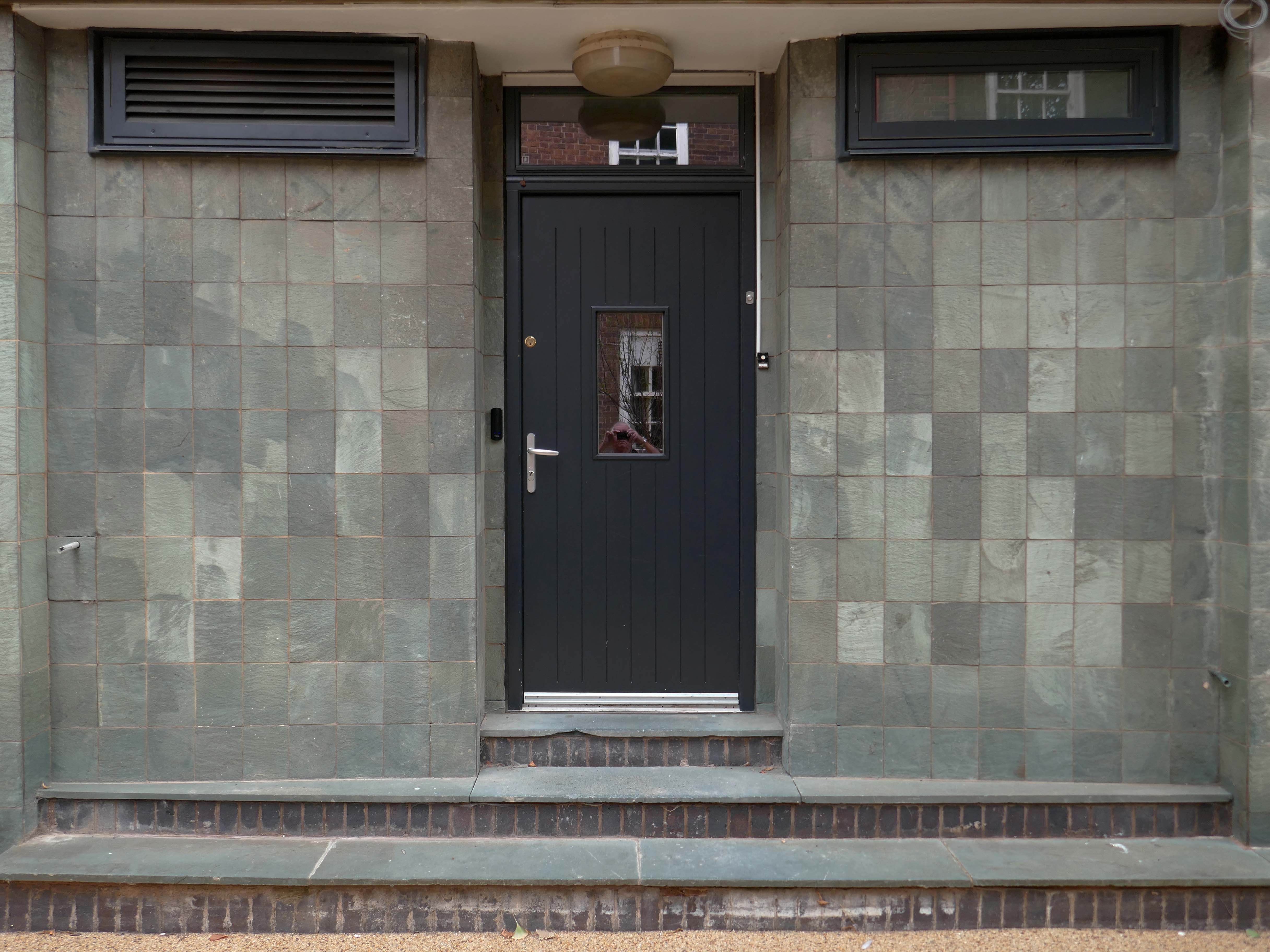
It appears to be green slate from the Lake District, the native underlying rock in this part of Manchester is a red sandstone.
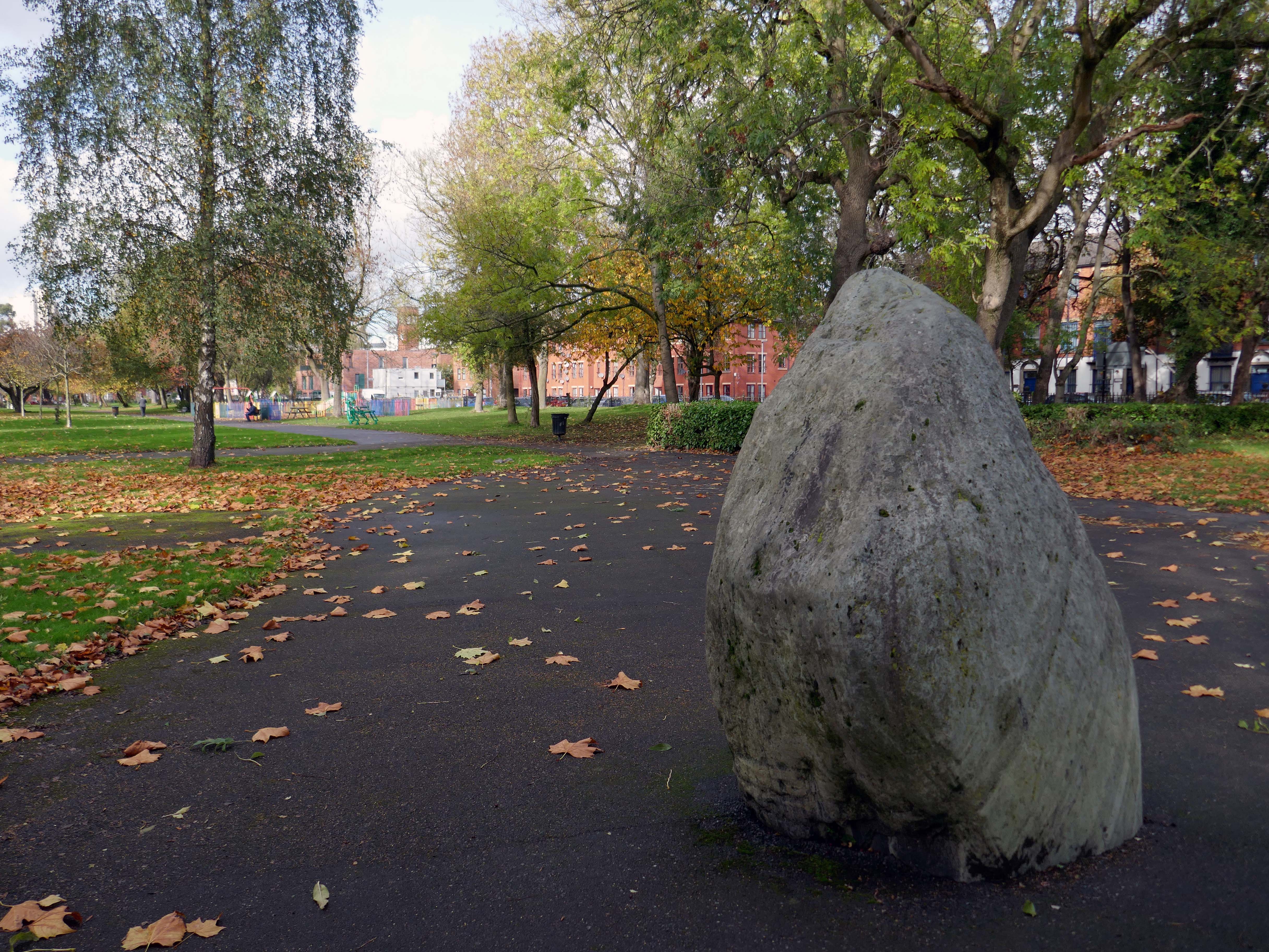
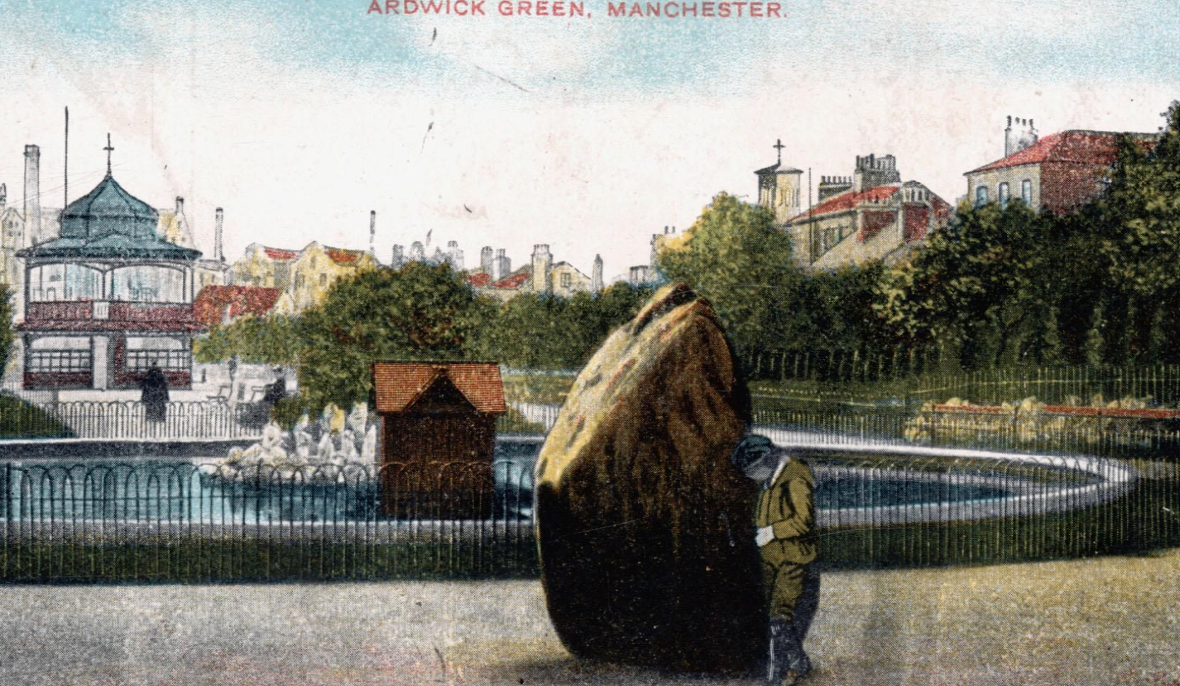
Postcard of 1906
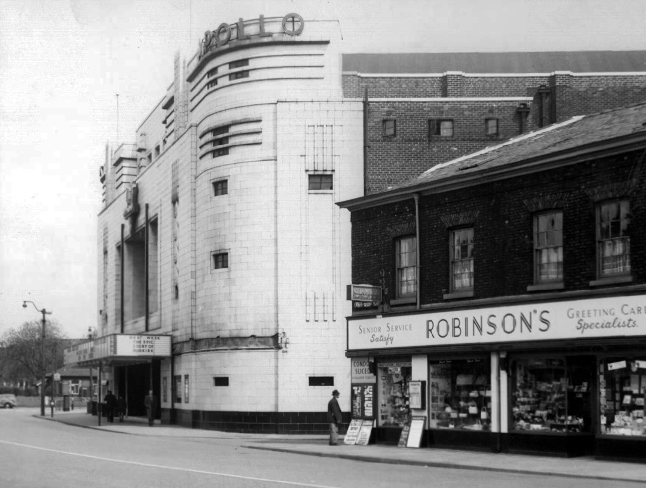
The Apollo of course prevails. – seen here in 1958
Architects: Peter Cummings Alex M Irvine
Opened on 29th August 1938 the interior decorations were carried out by noted interior designers Mollo & Egan with the Holophane lighting designed by R Gillespie Williams.
This Sixties municipal building remains a mystery.
Actor Harry H Corbett visiting his childhood area in 1969, he lived on Earl Street and later in Wythenshawe.
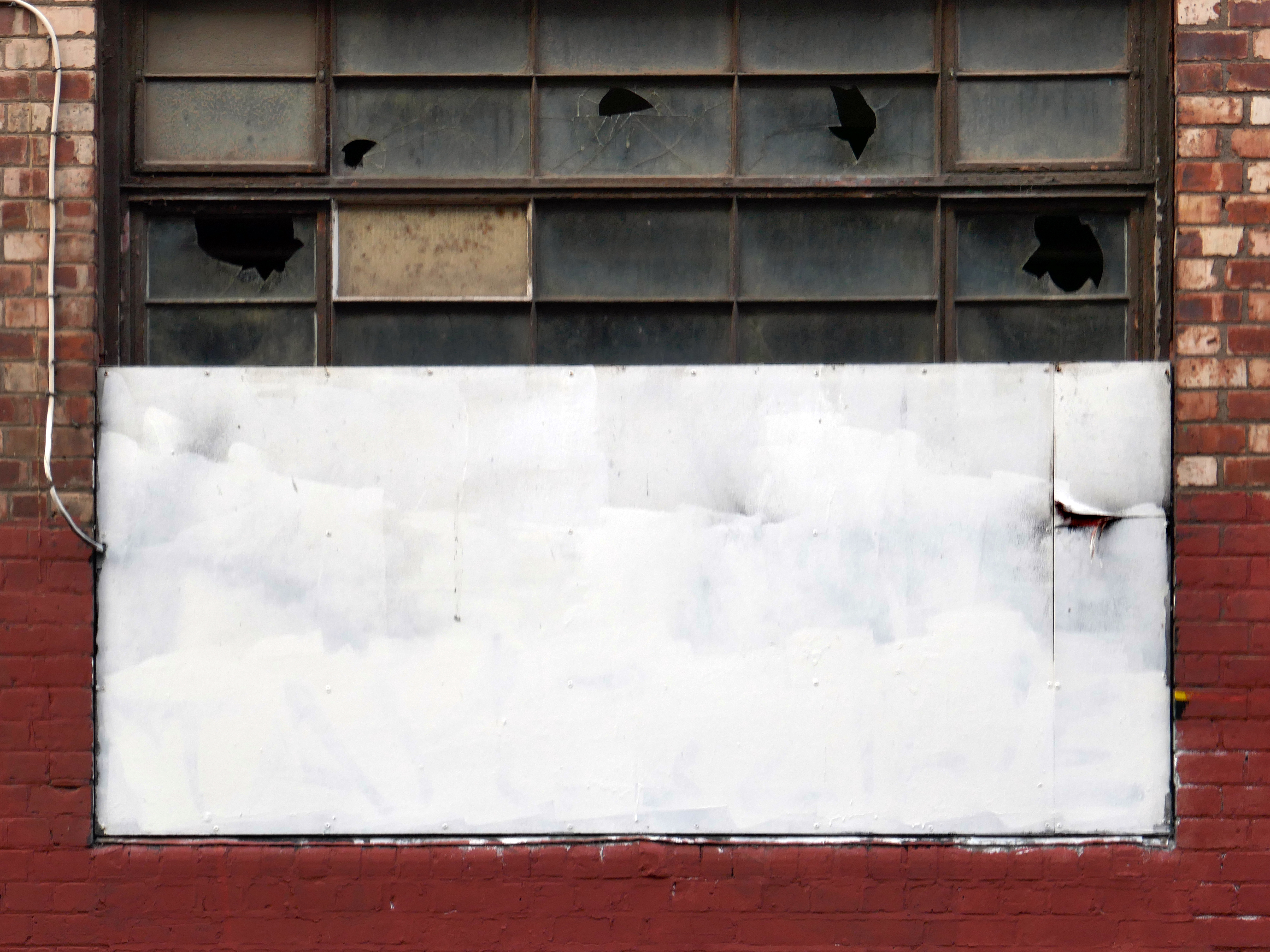
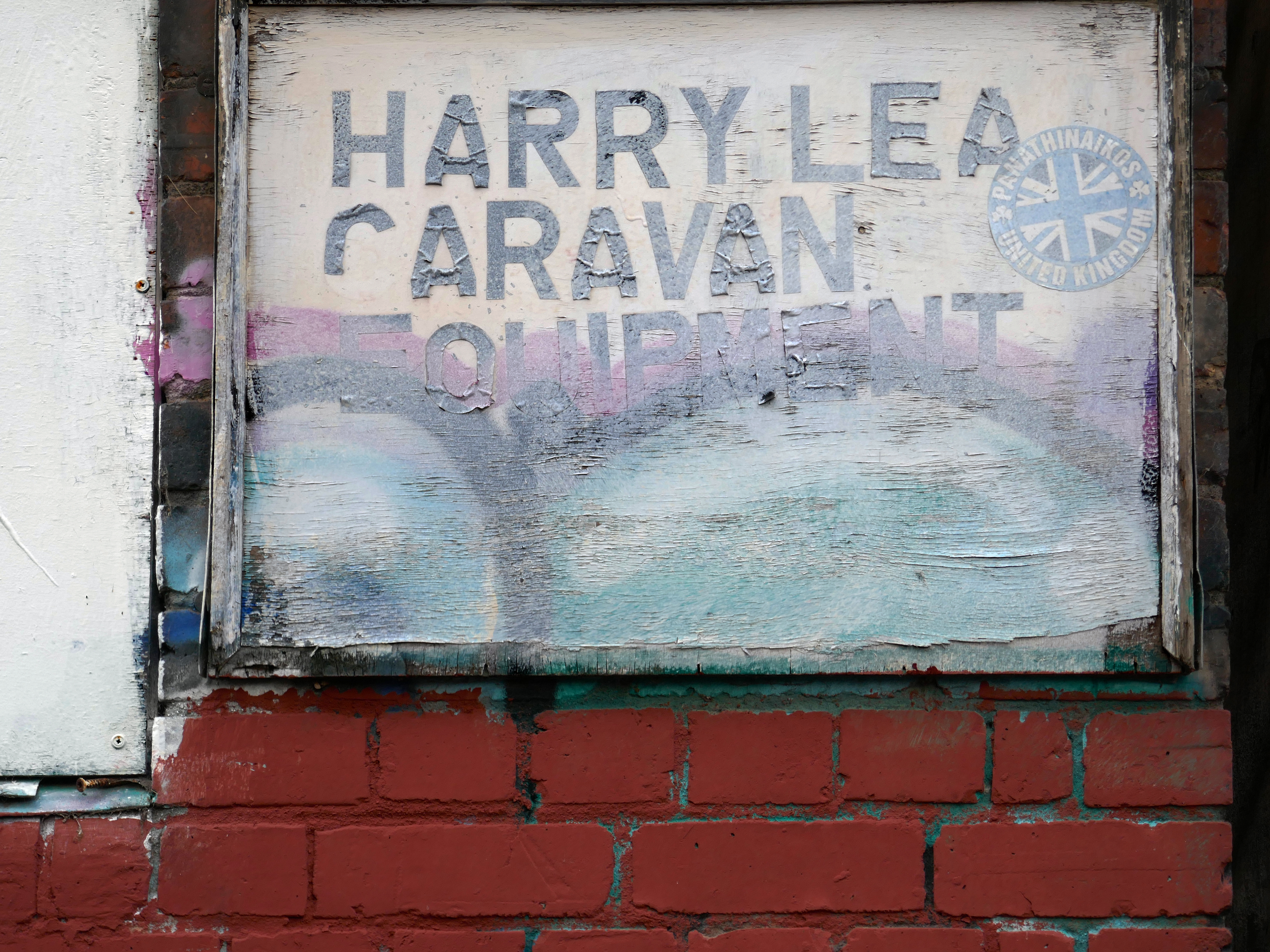
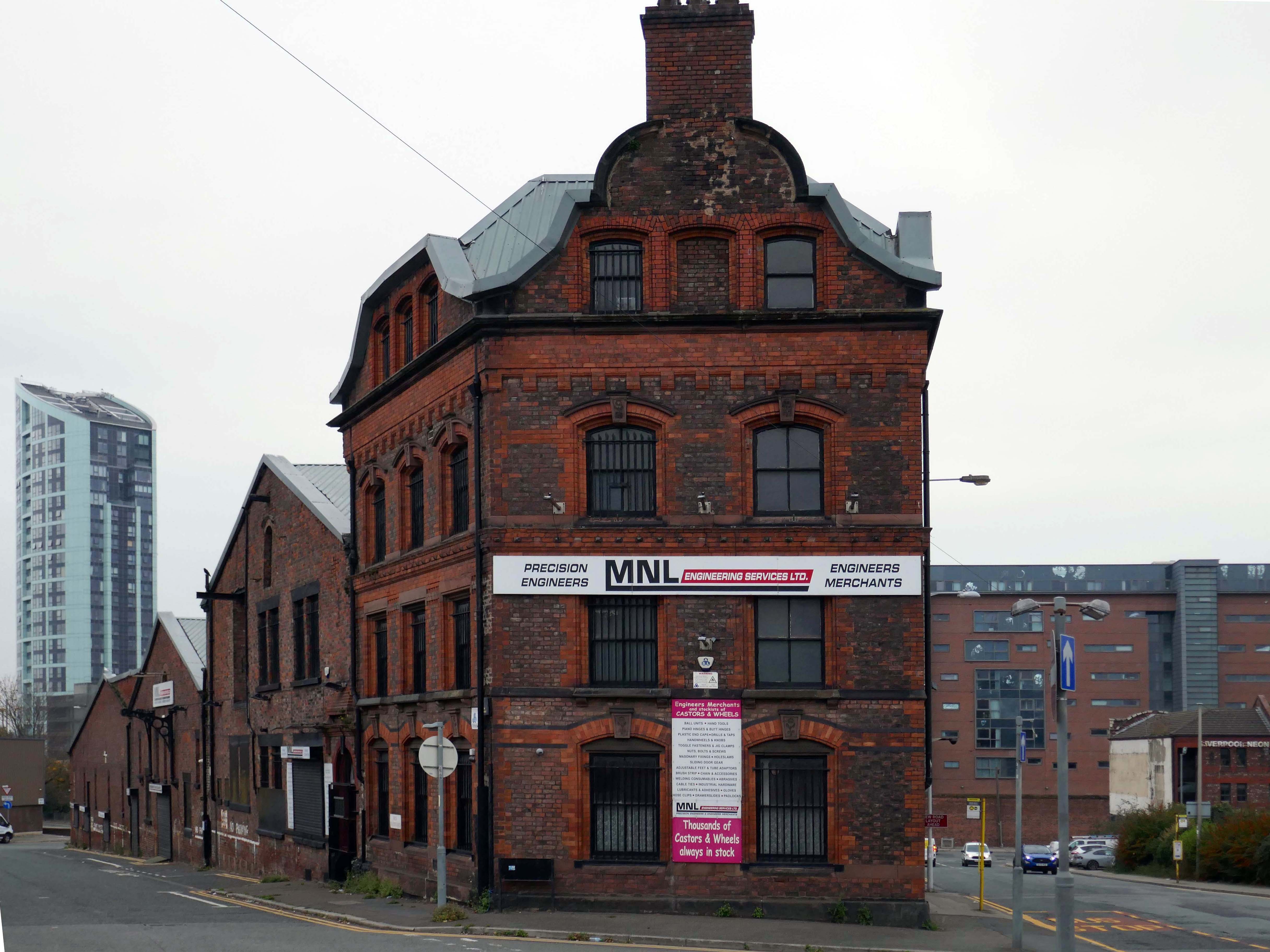
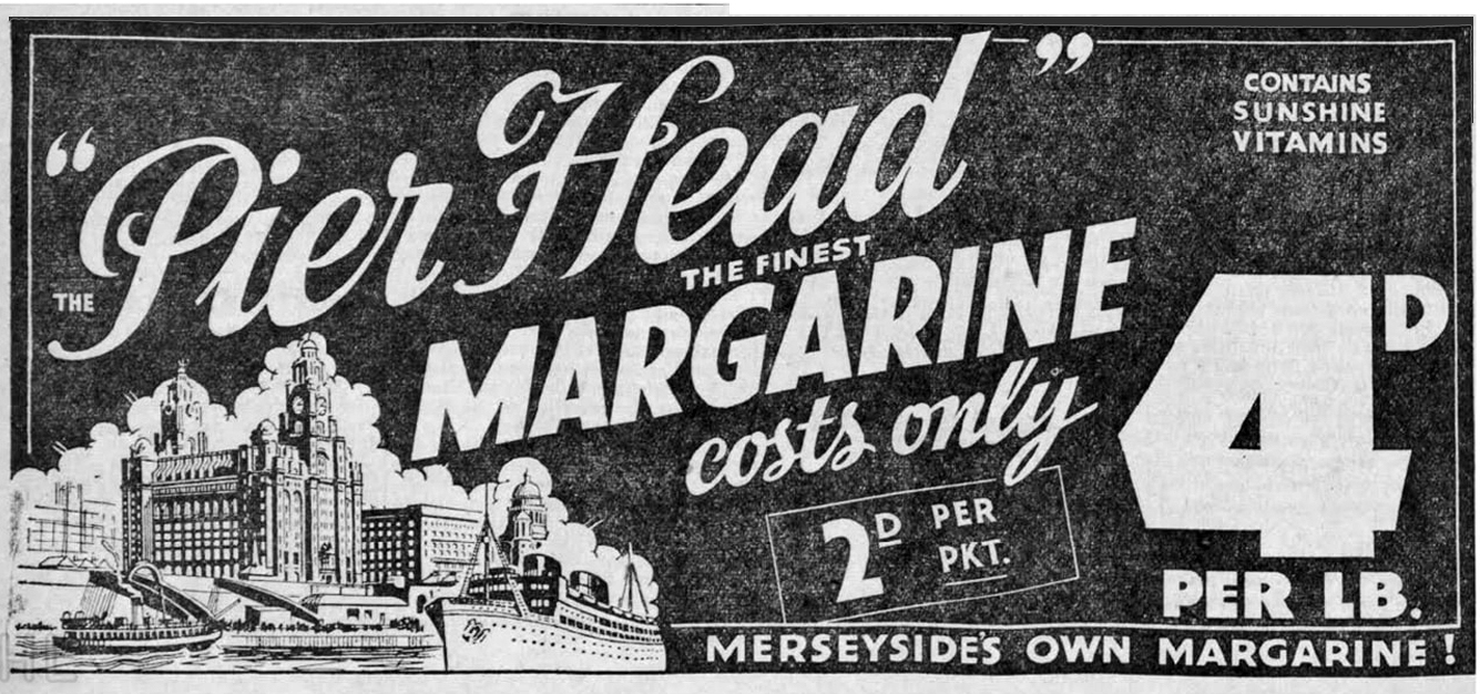
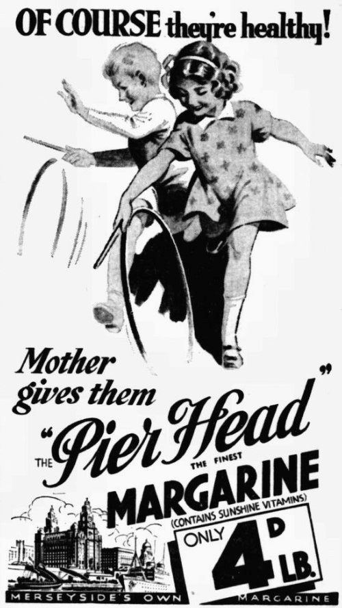
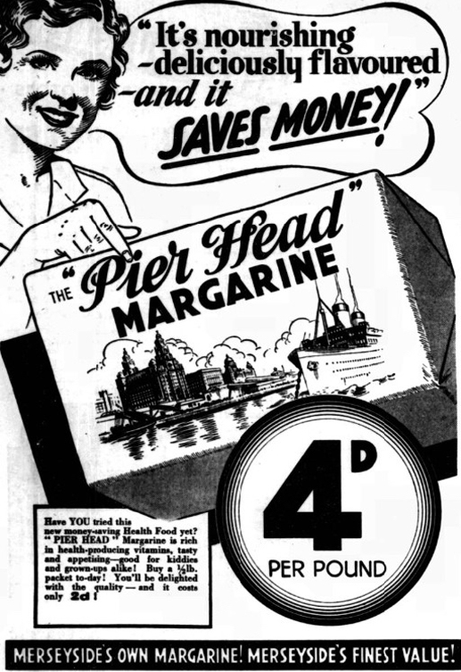
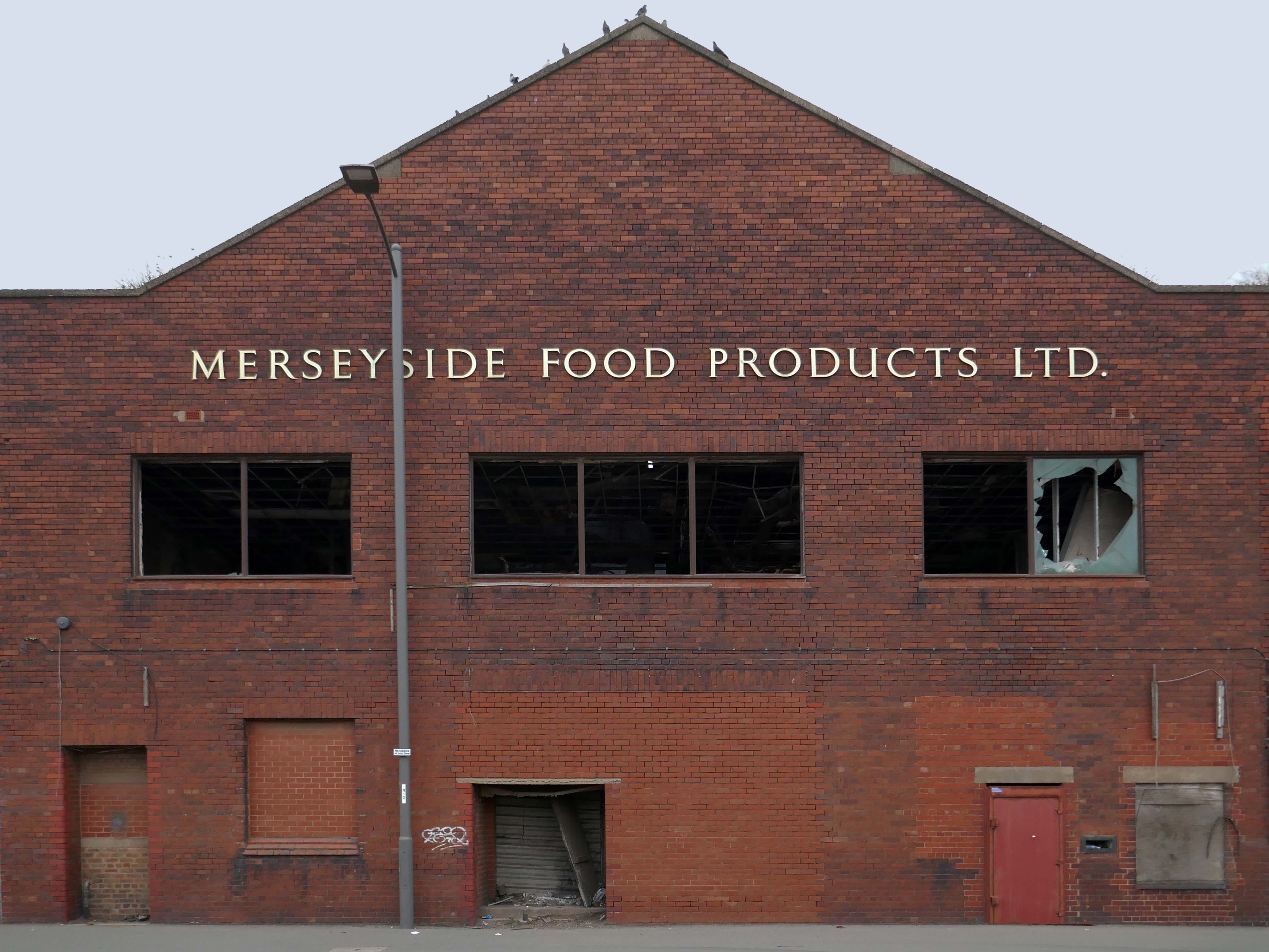
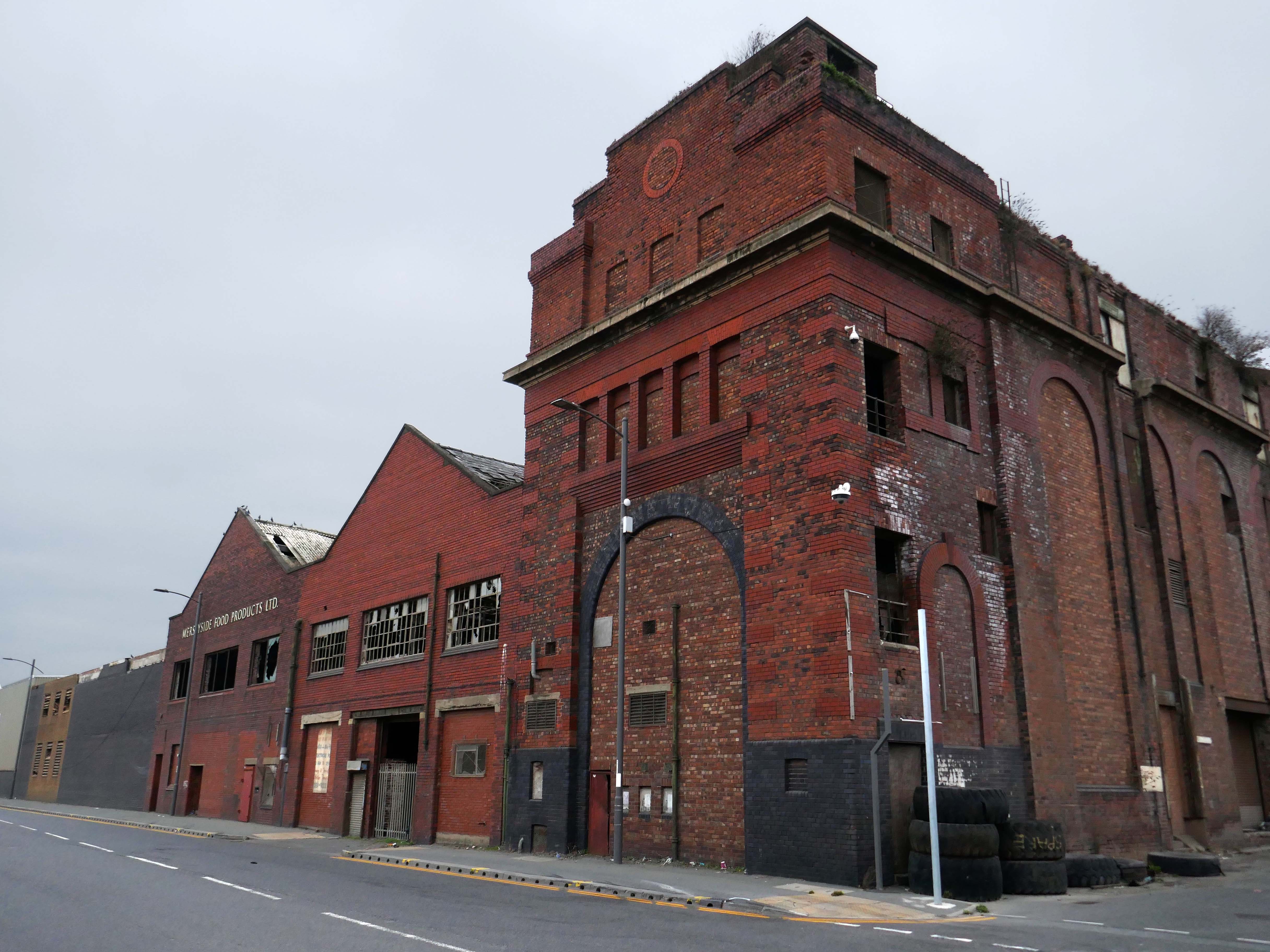
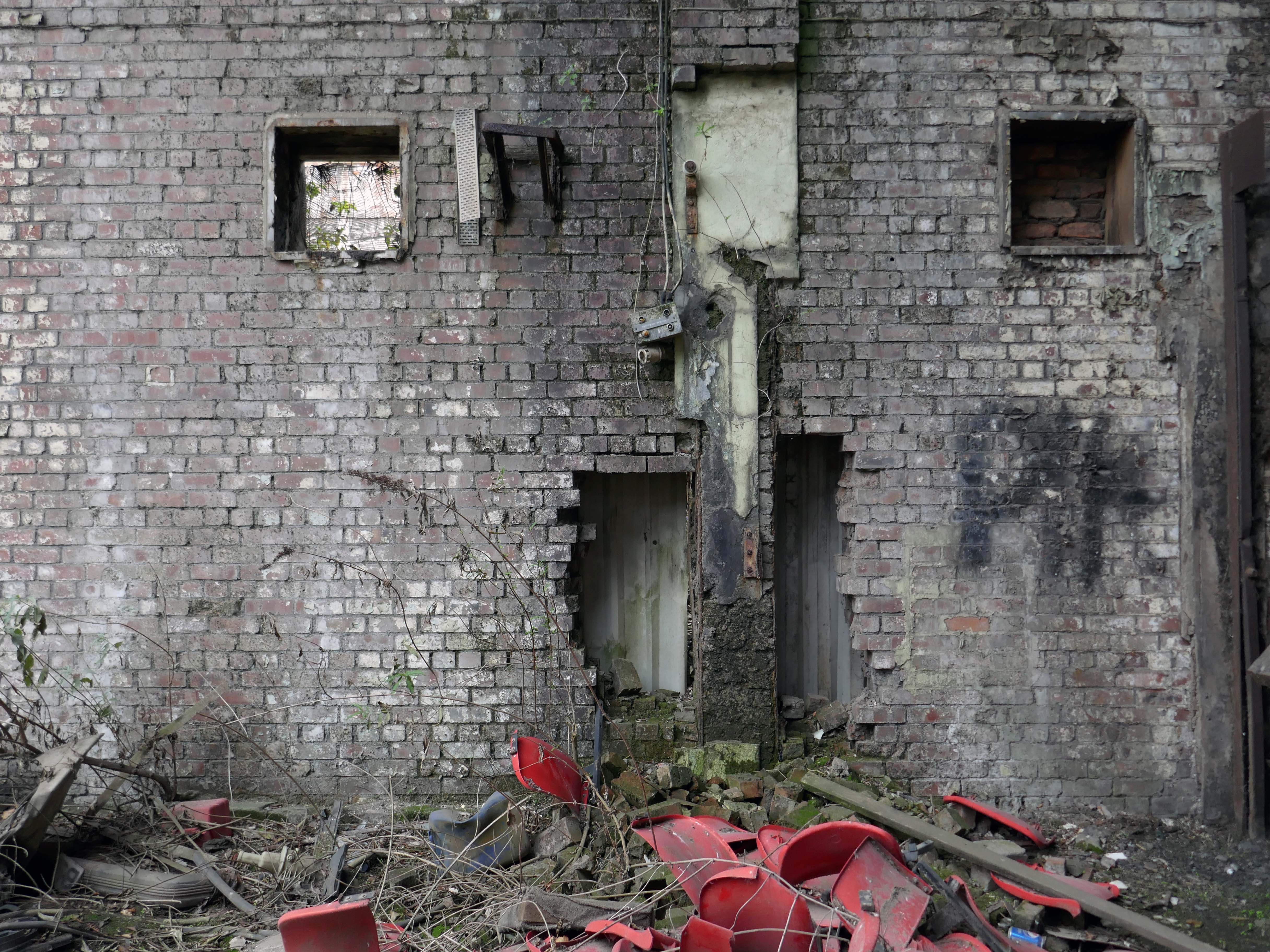
Merseyside Food Products Ltd of Marsh Lane, later 185 Regent Road.
Edible oil producers.
1939 Producing Pier Head brand margarine.
The Regent Road premises had originally been the marine engineering North Works of H&C Grayson. It appears that the southern block was converted to a warehouse at some point before being occupied by Merseyside Food Products in the 1950s.
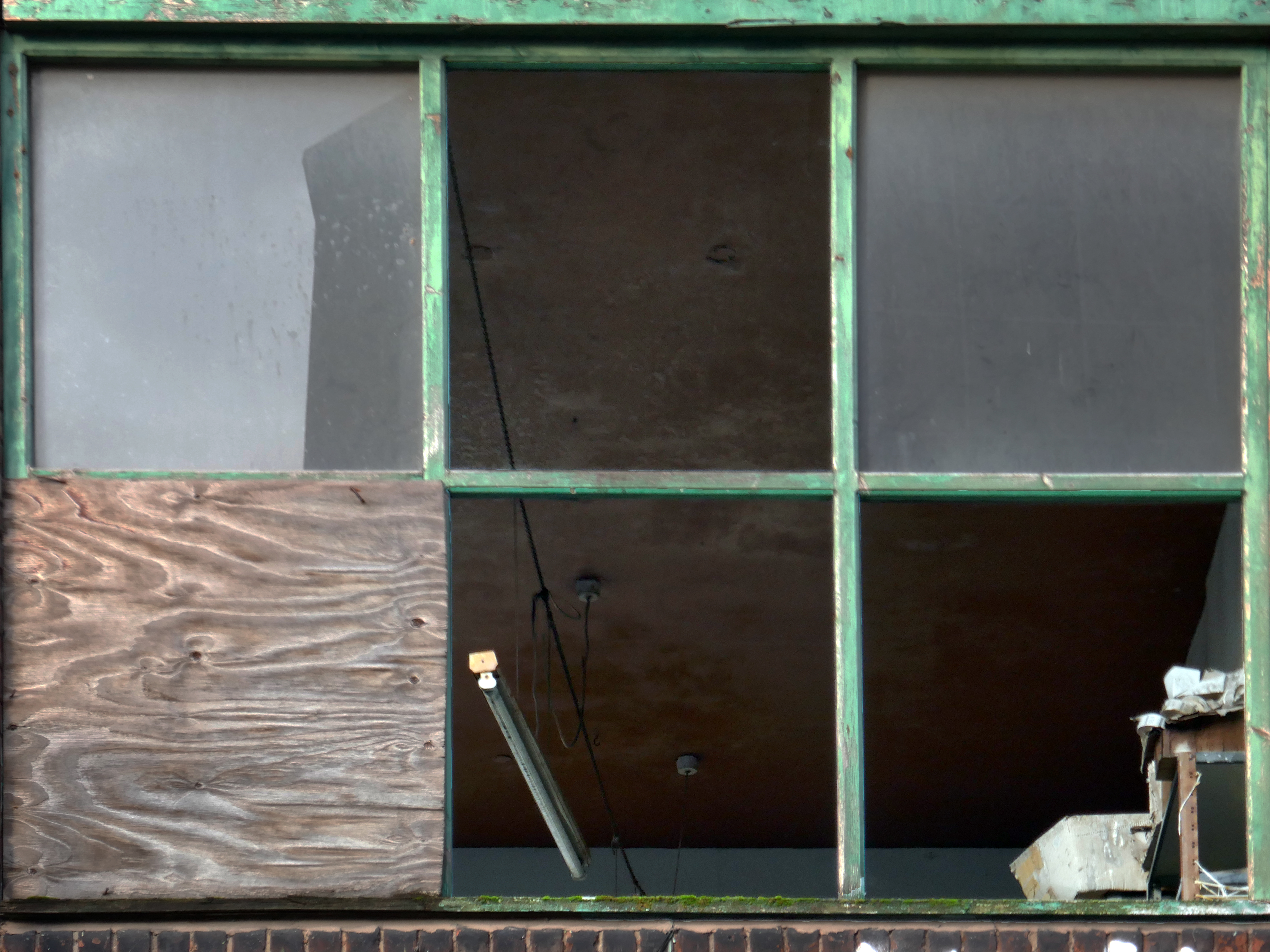
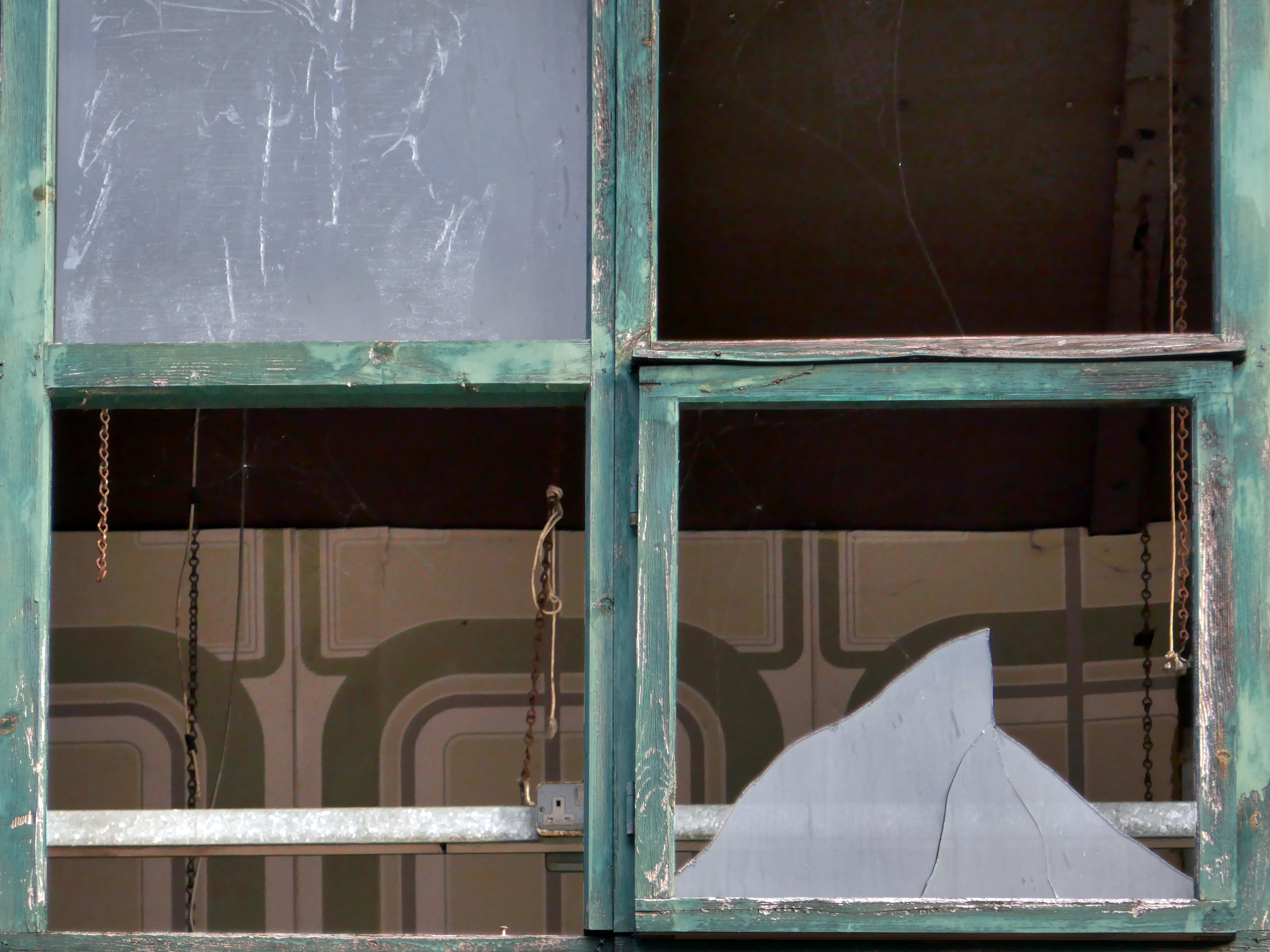
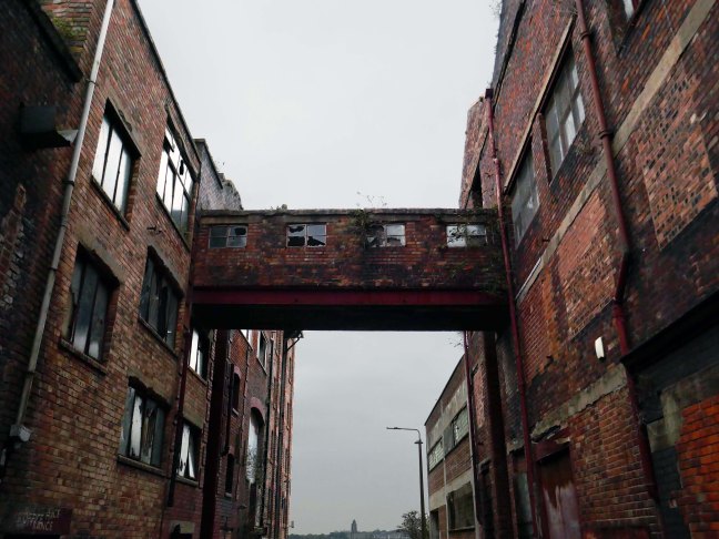
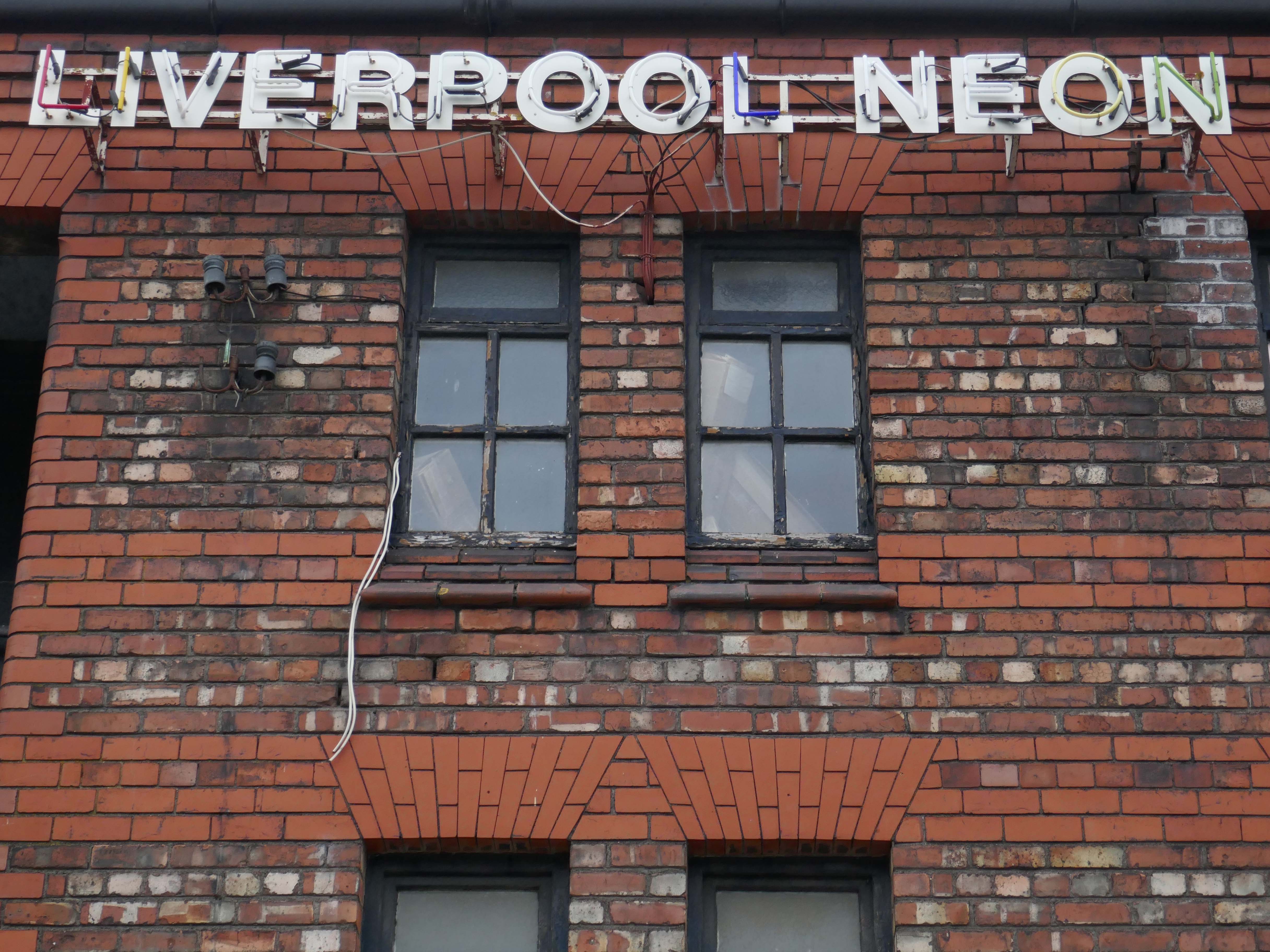
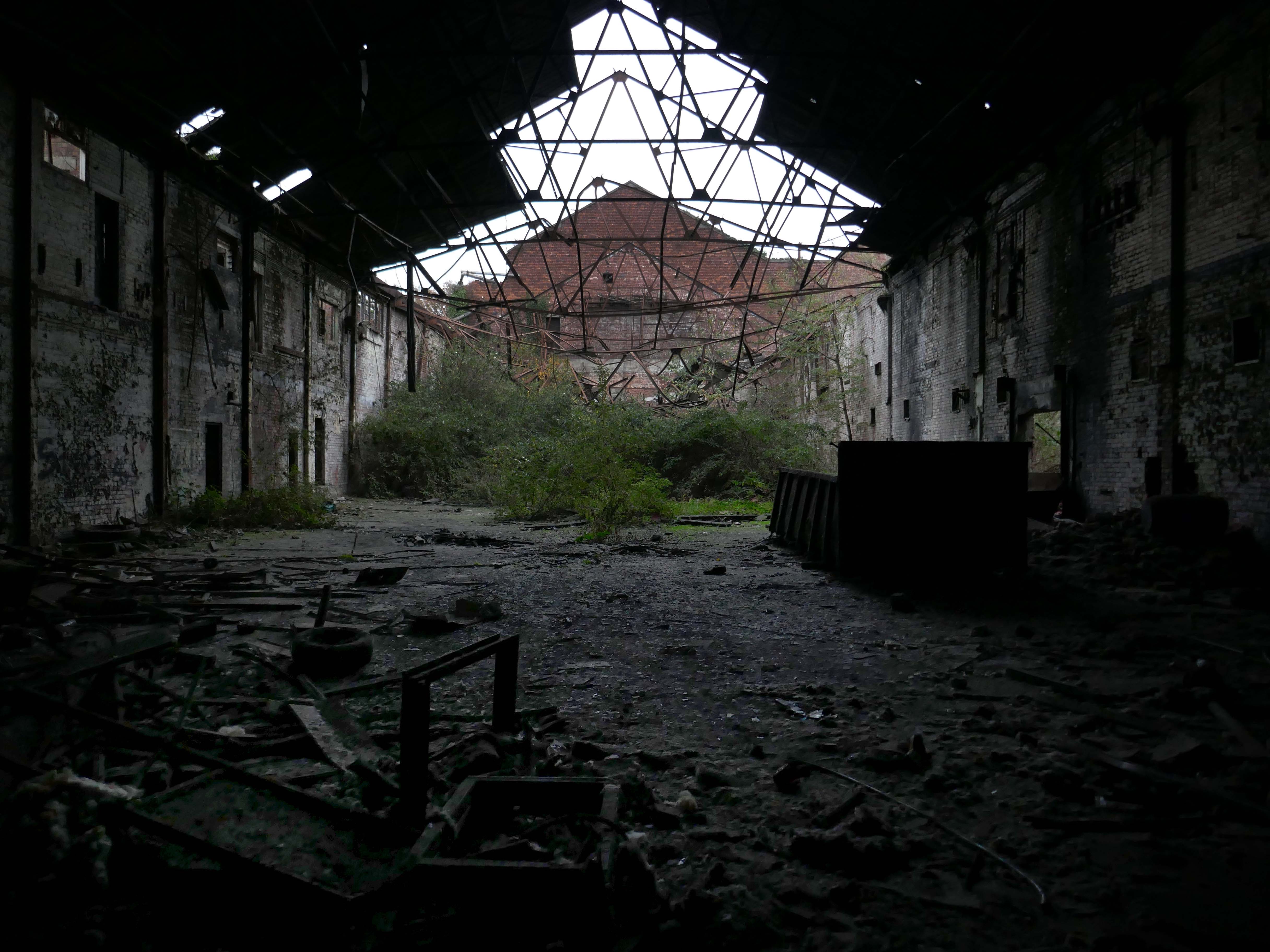
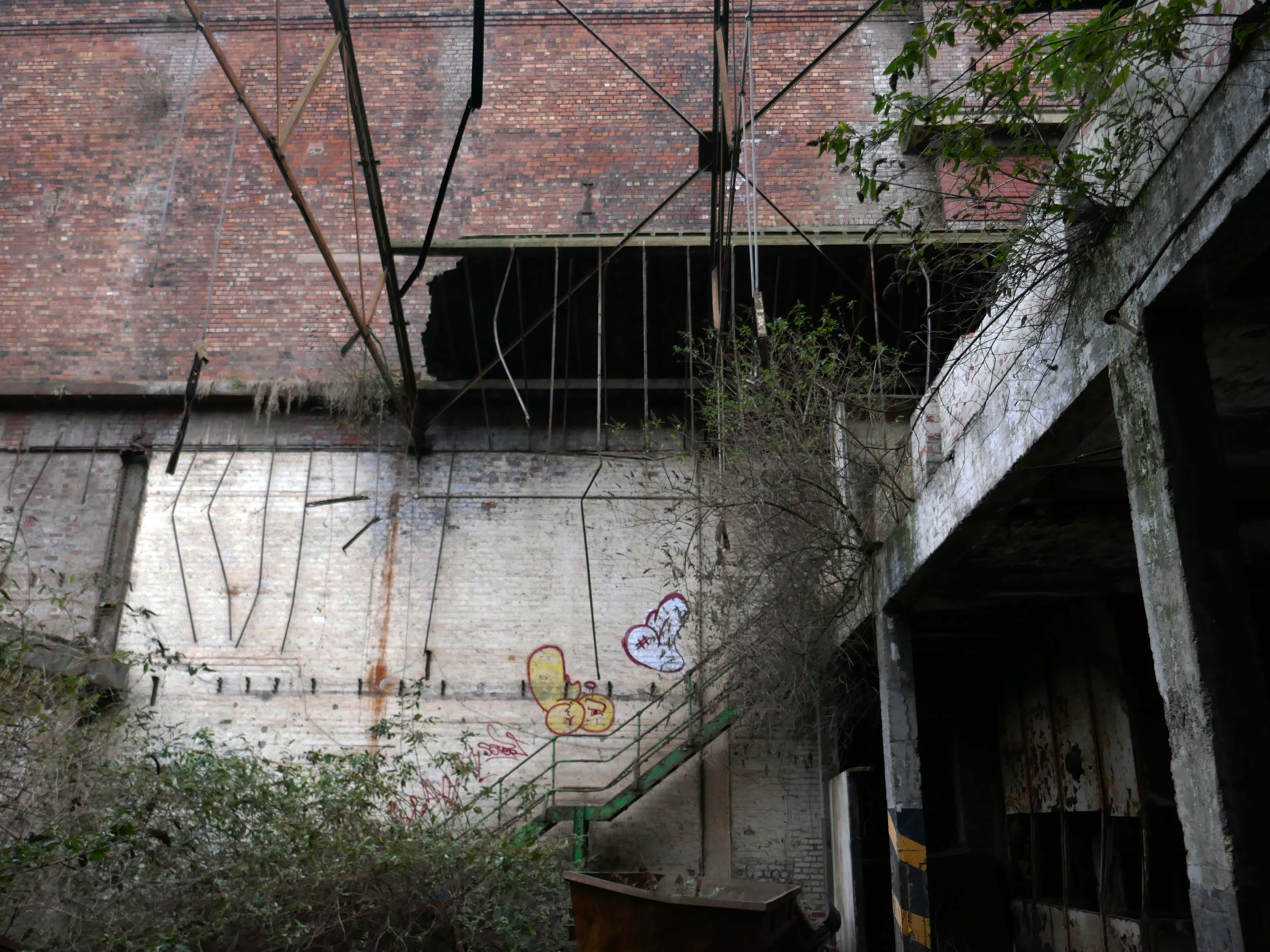
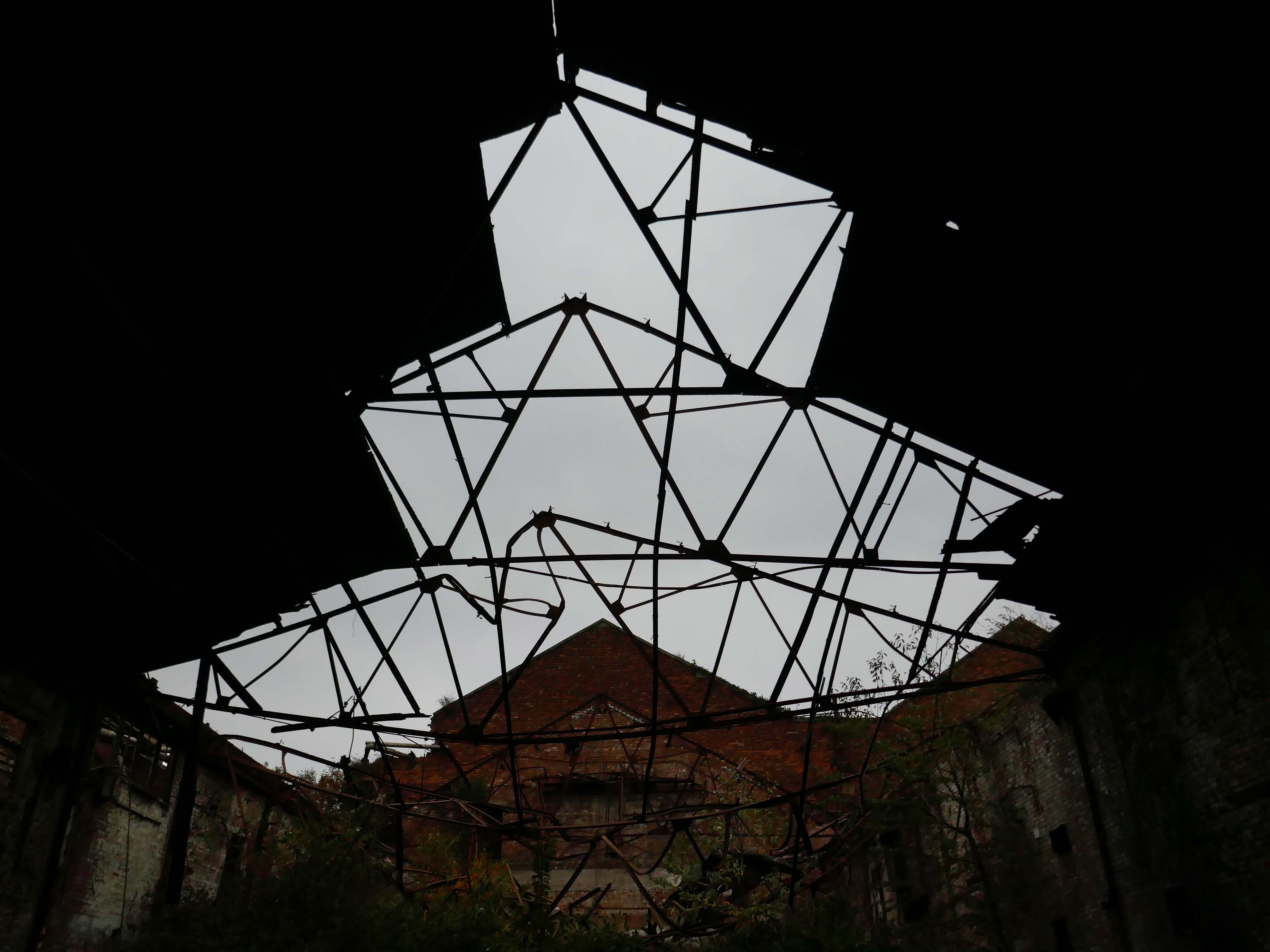
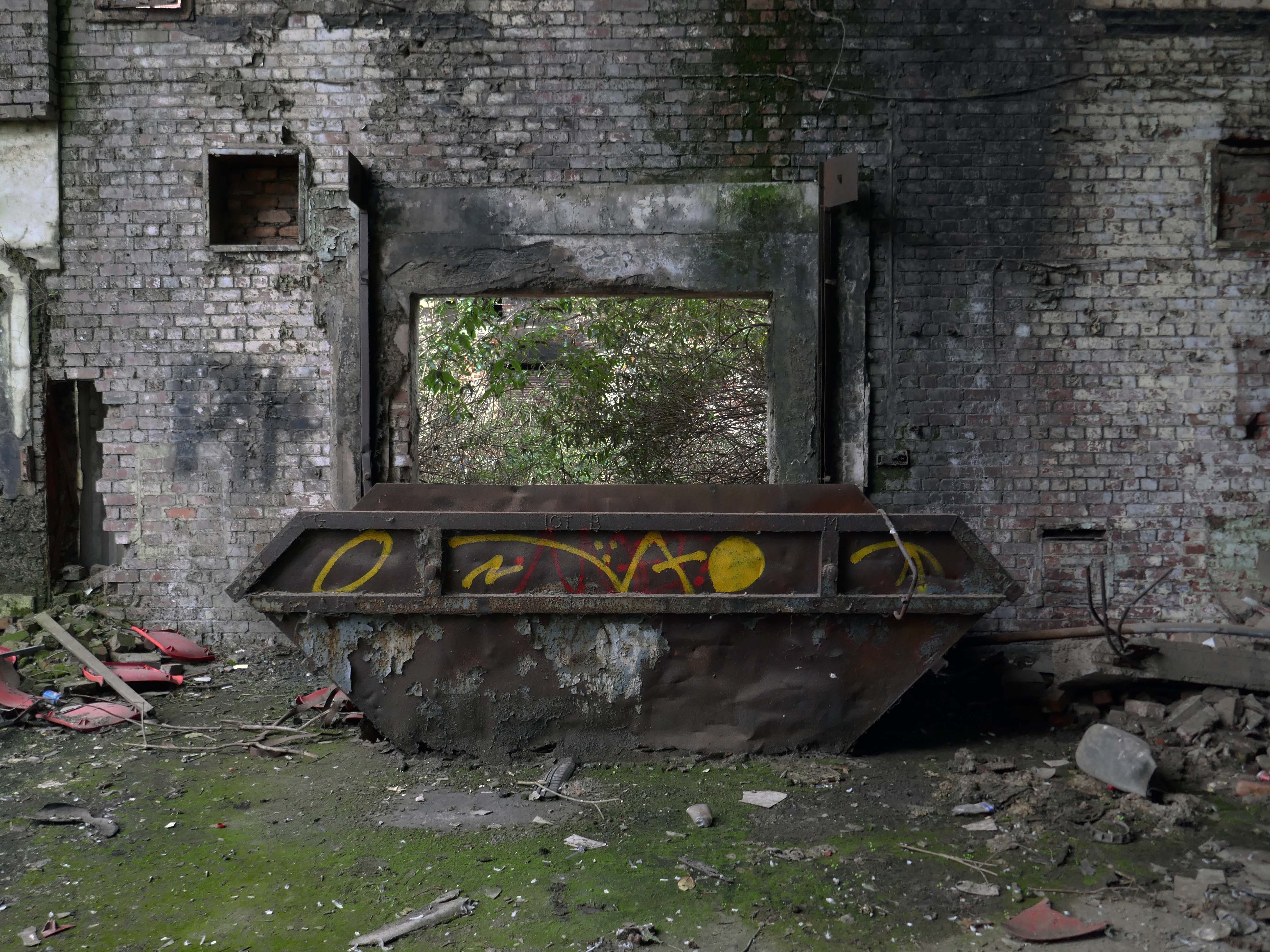
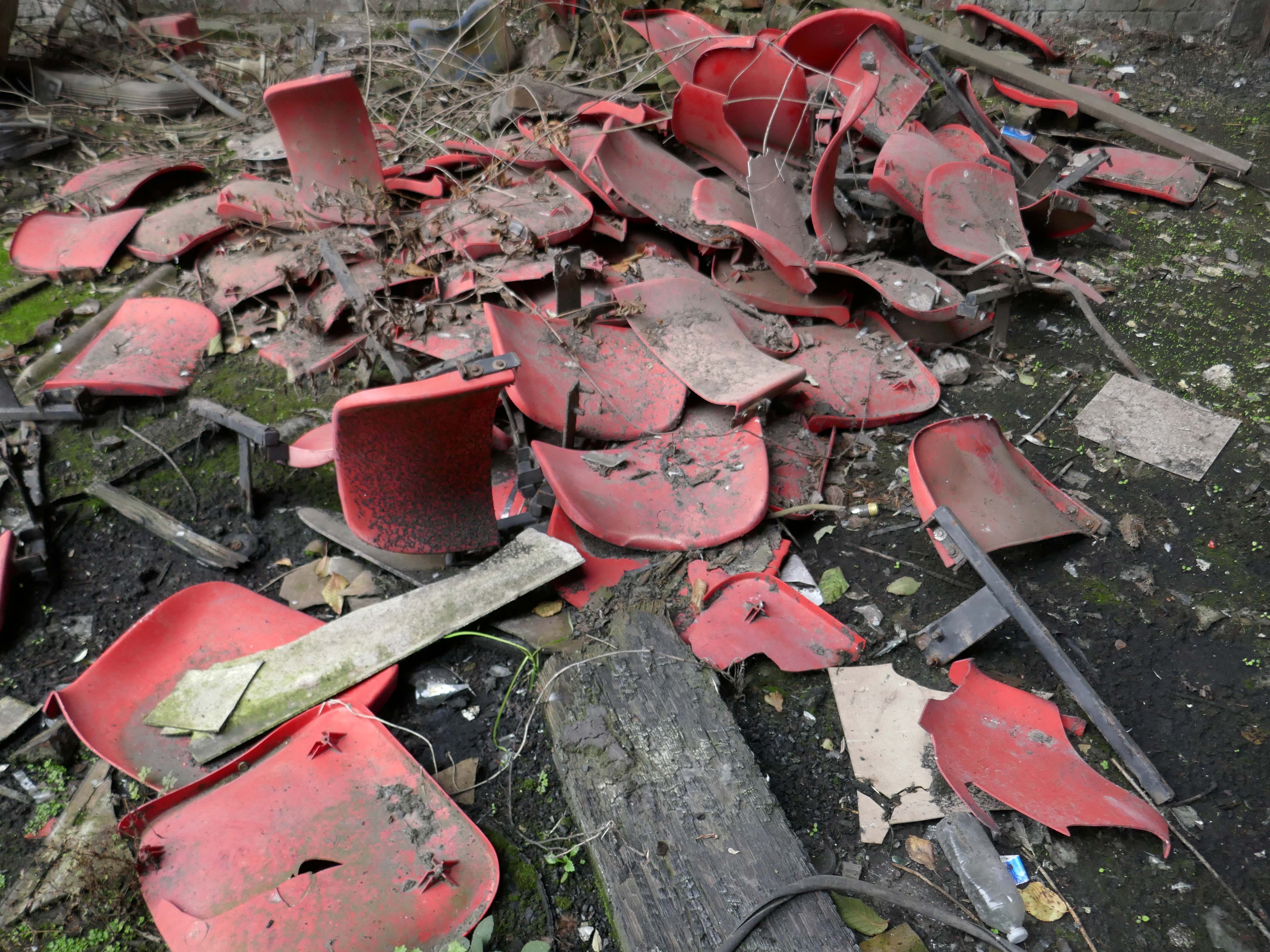
Having a casual afternoon stroll along the road, I espied a narrow gap in the railings, whilst I could never be considered a devotee of urbex, who can resist a narrow gap in the railings?
There are those who have been here before – the 28 Days Later folk take a much deeper peep.
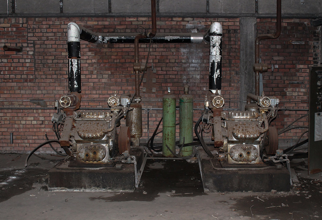
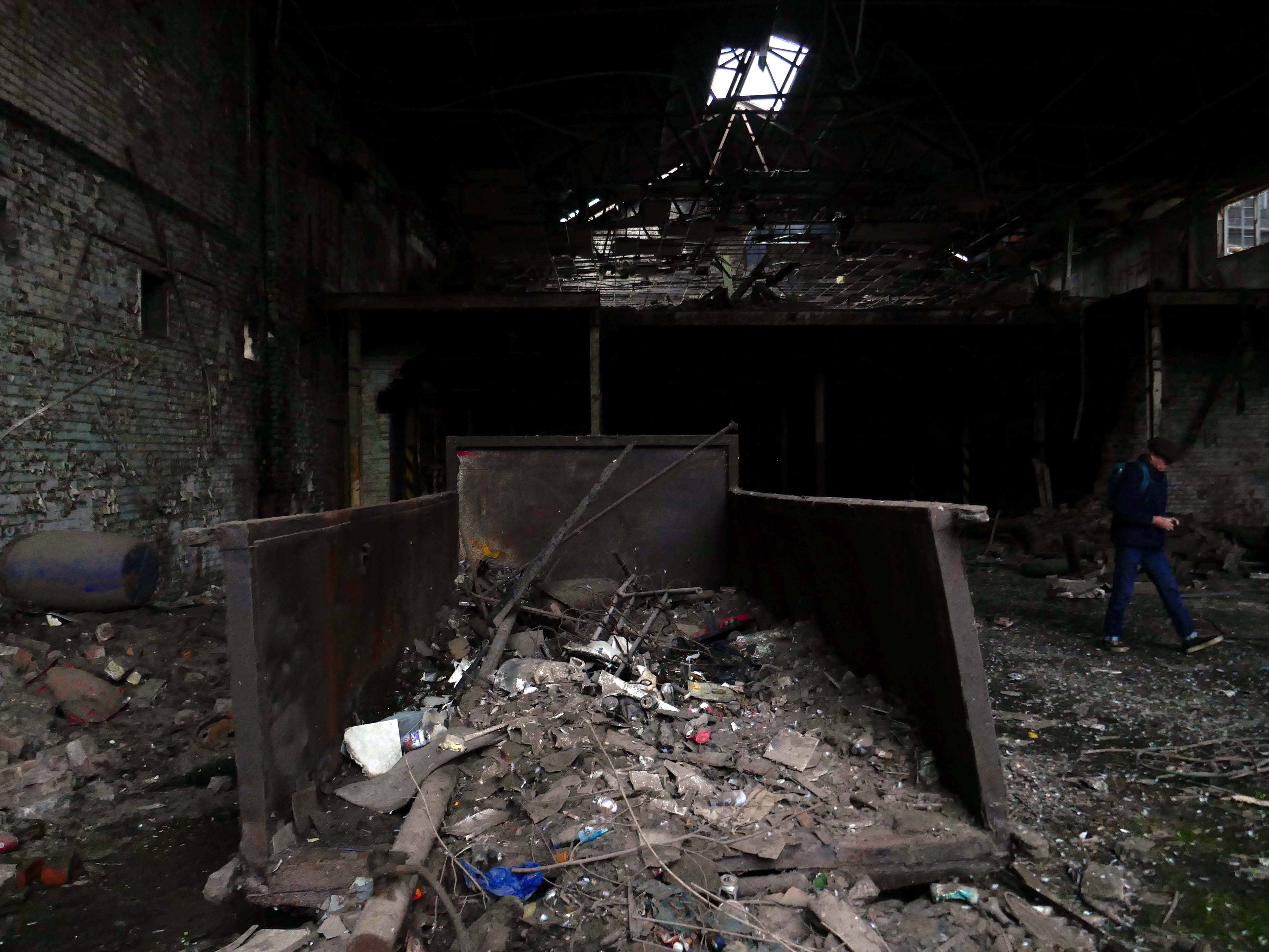
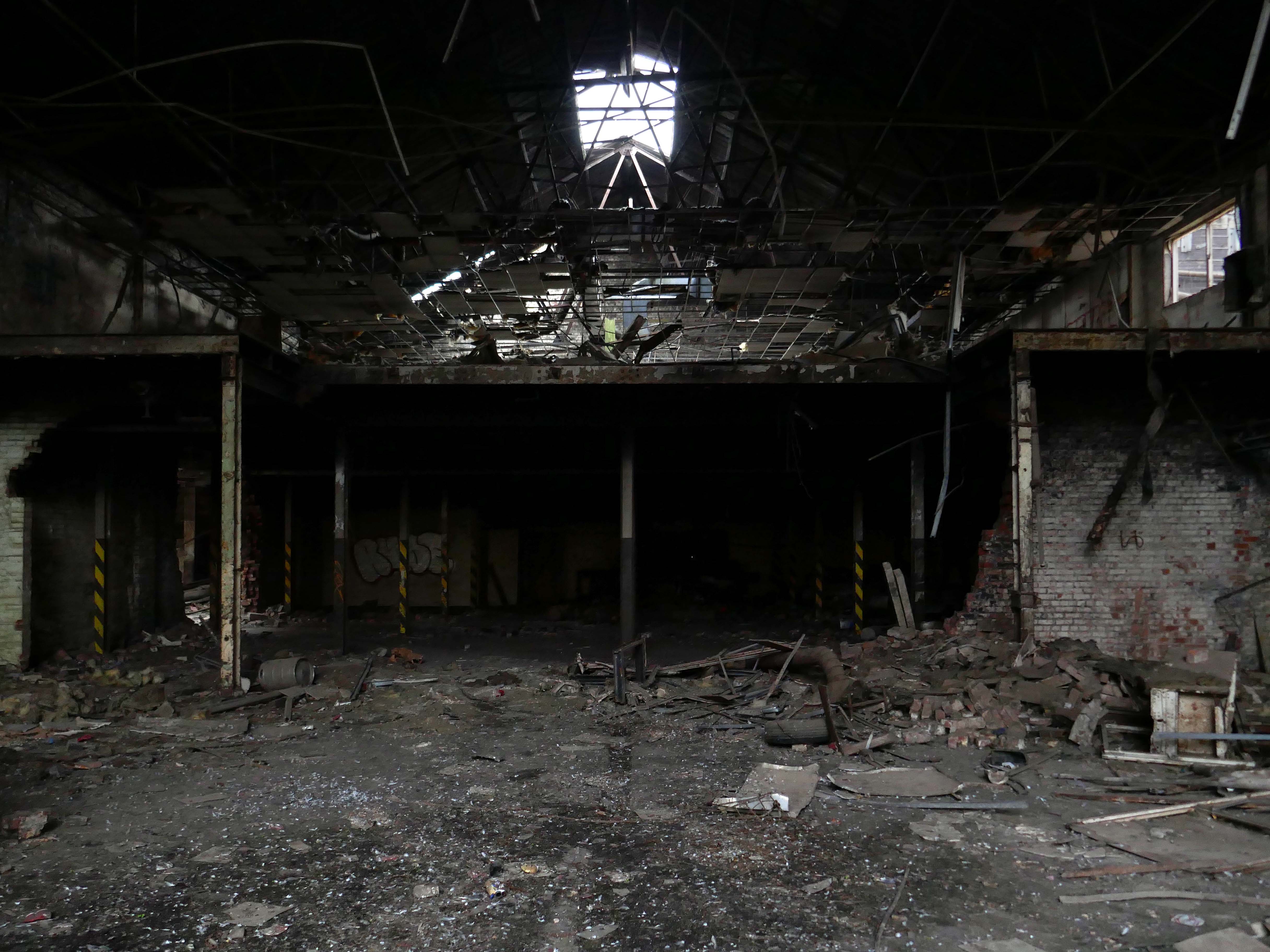
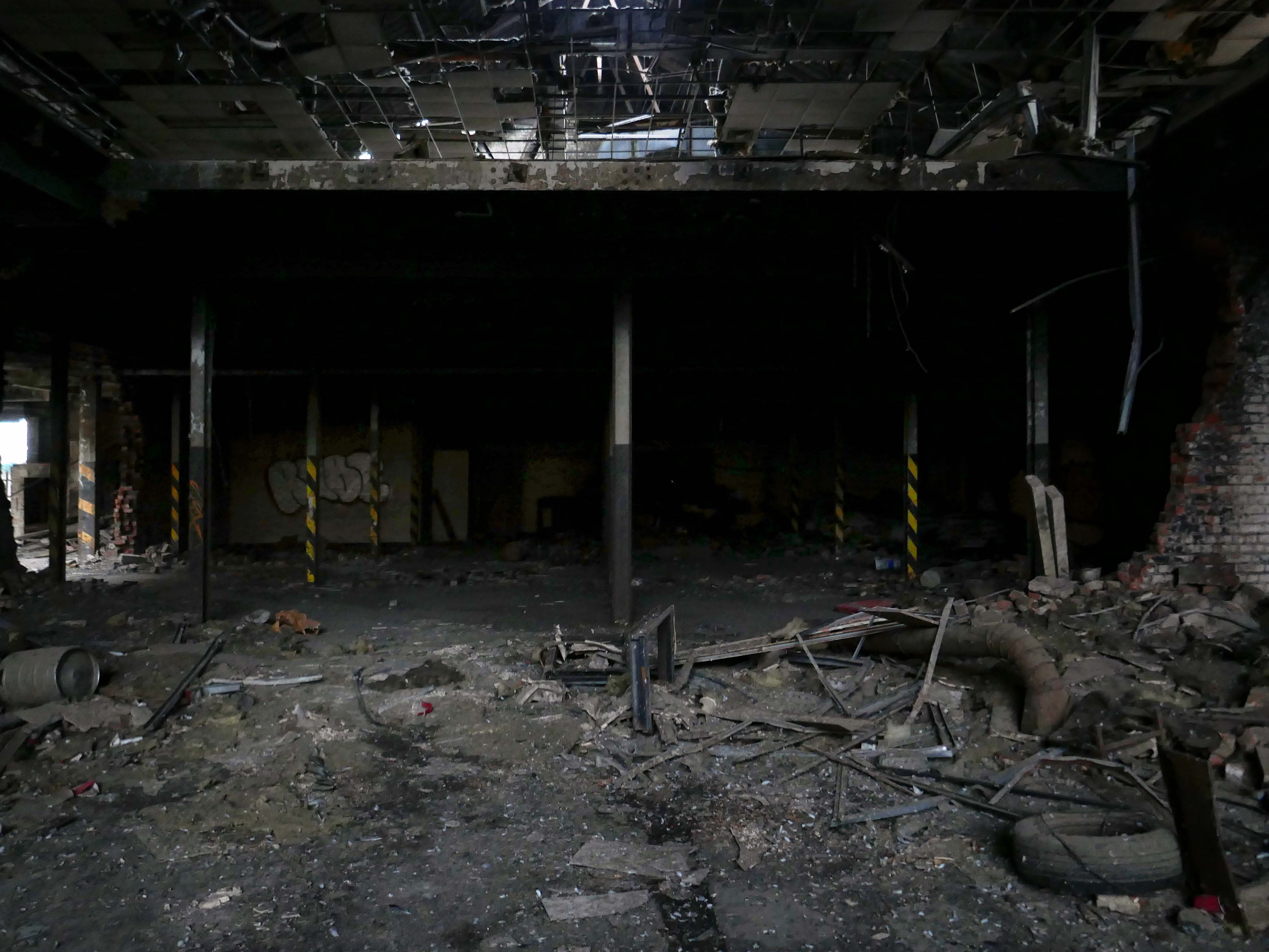
Uncovering some of the left behind plant.
And attracting a comment from a former employee:
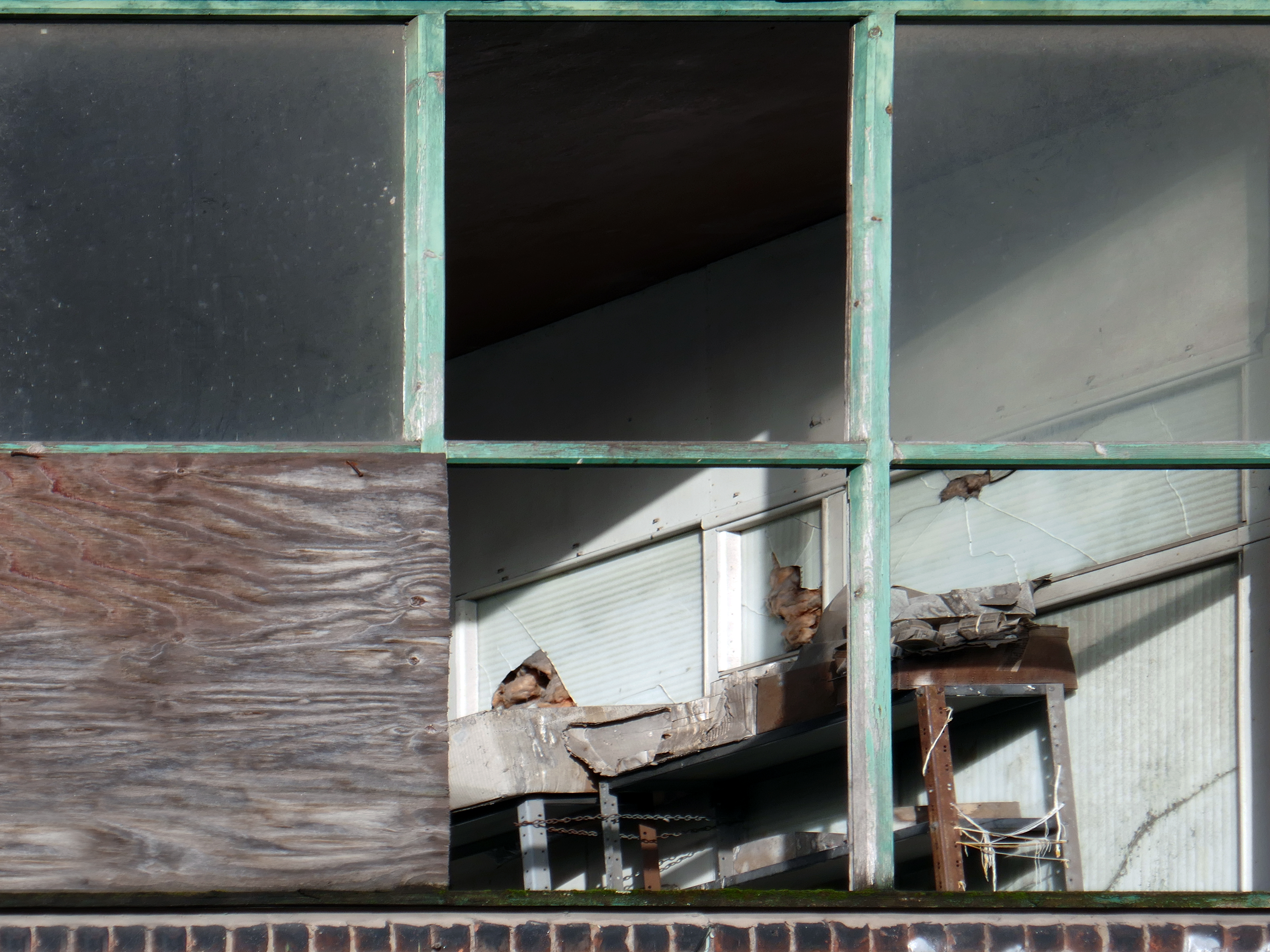
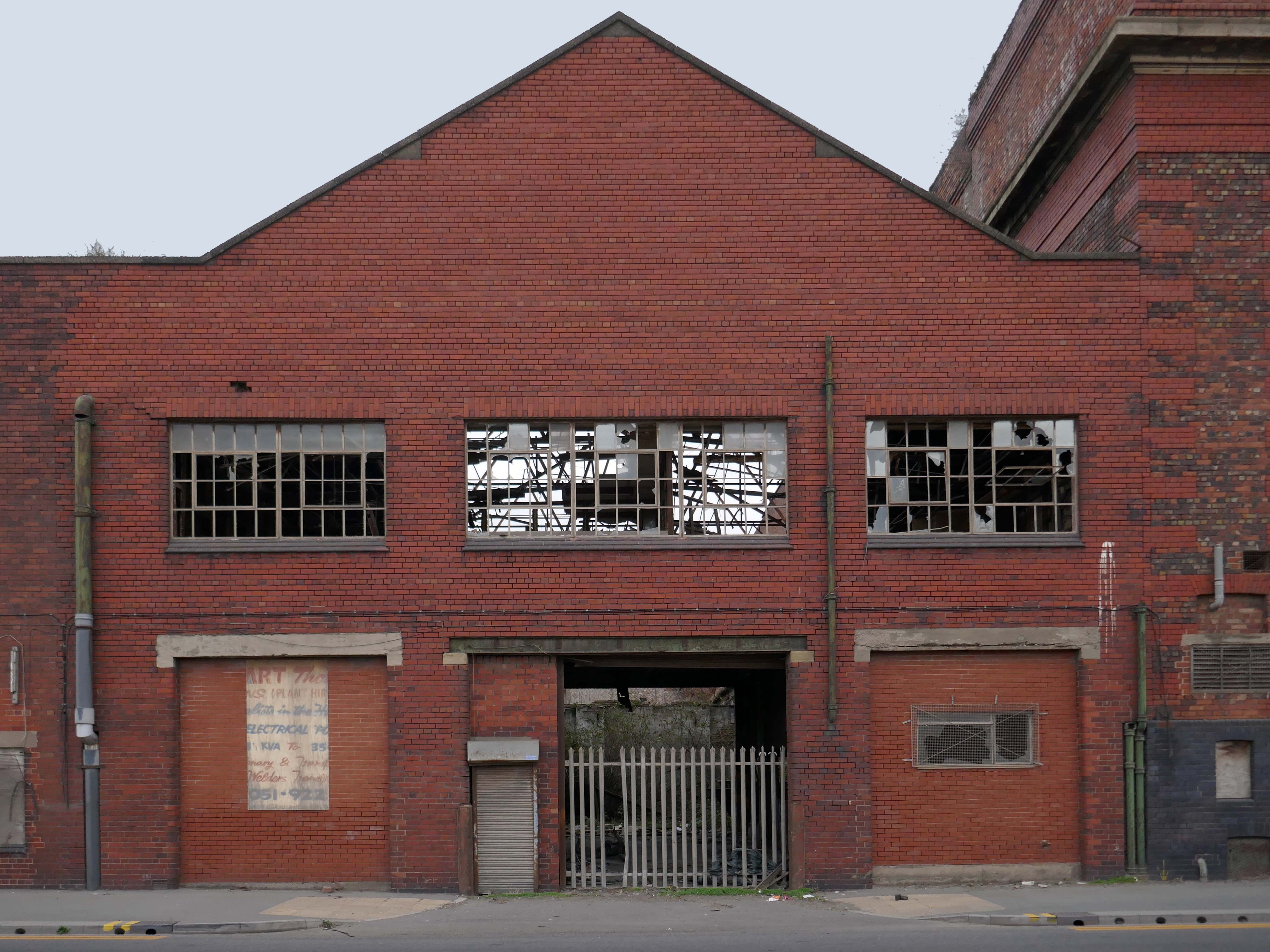
I was company microbiologist at this site, The sets of broken windows at the front of the building on the first floor were the laboratories.
The main photograph shows the chemistry laboratory, my microbiology laboratory was next door. The larger windows to the left provided light to a large open plan reception and office area. Within the factory, the main area had various packing machines for margarines, from 250g paper wrapped packets to 2 Kg catering packs.
A second packing area contained a machine that produced tinned margarine for the Ministry of Defence, who supplied it to the Army overseas.
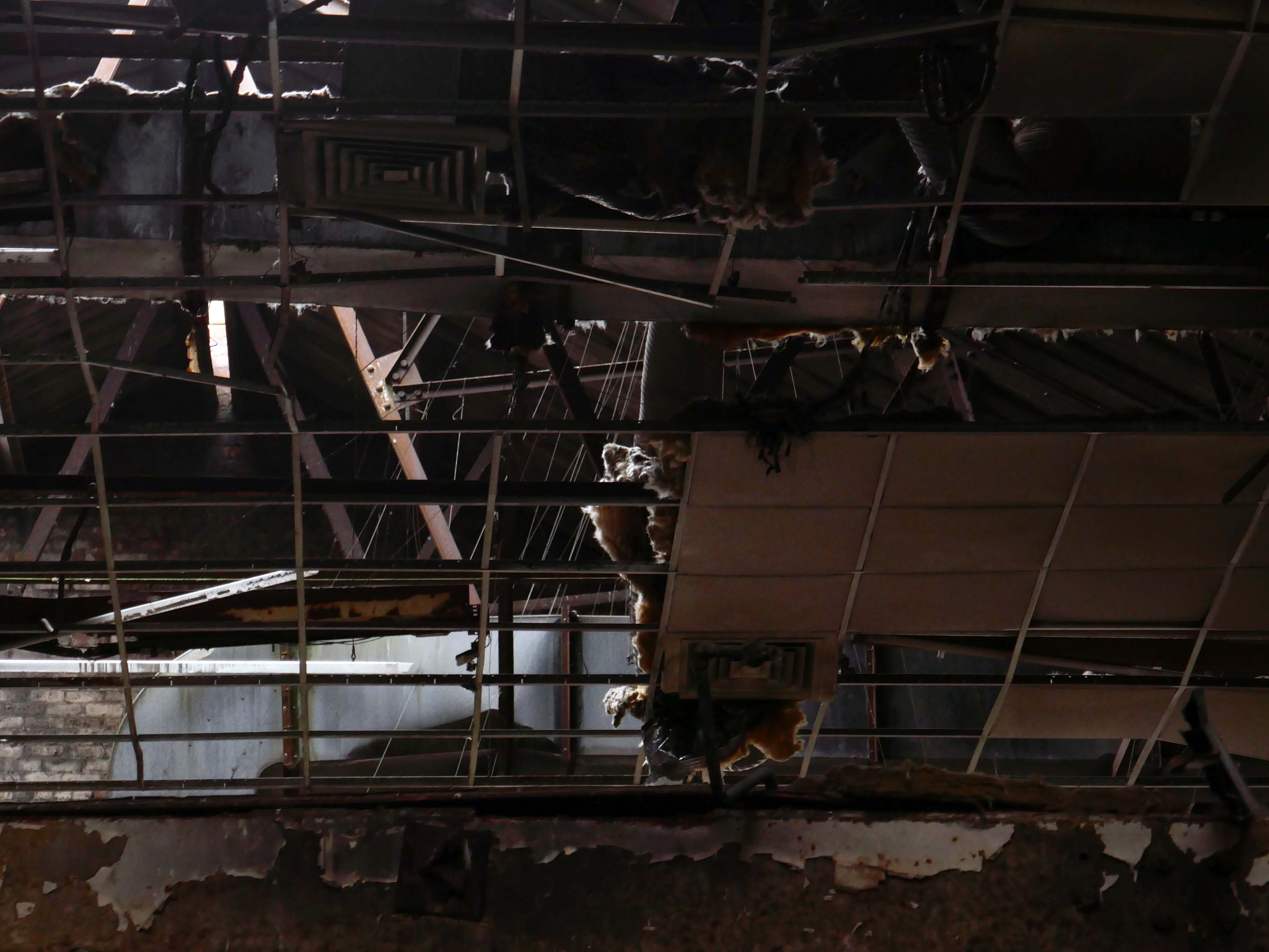
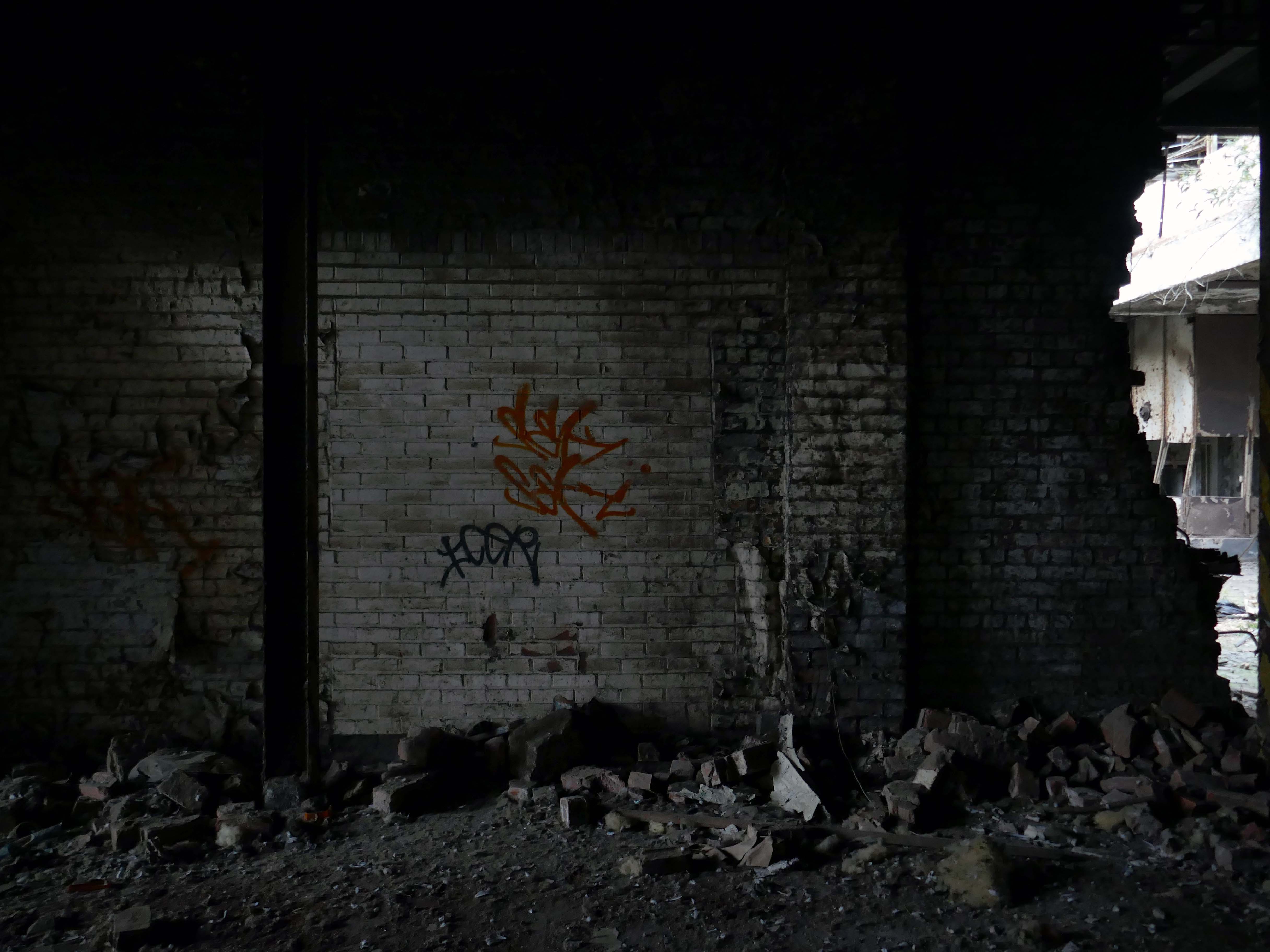
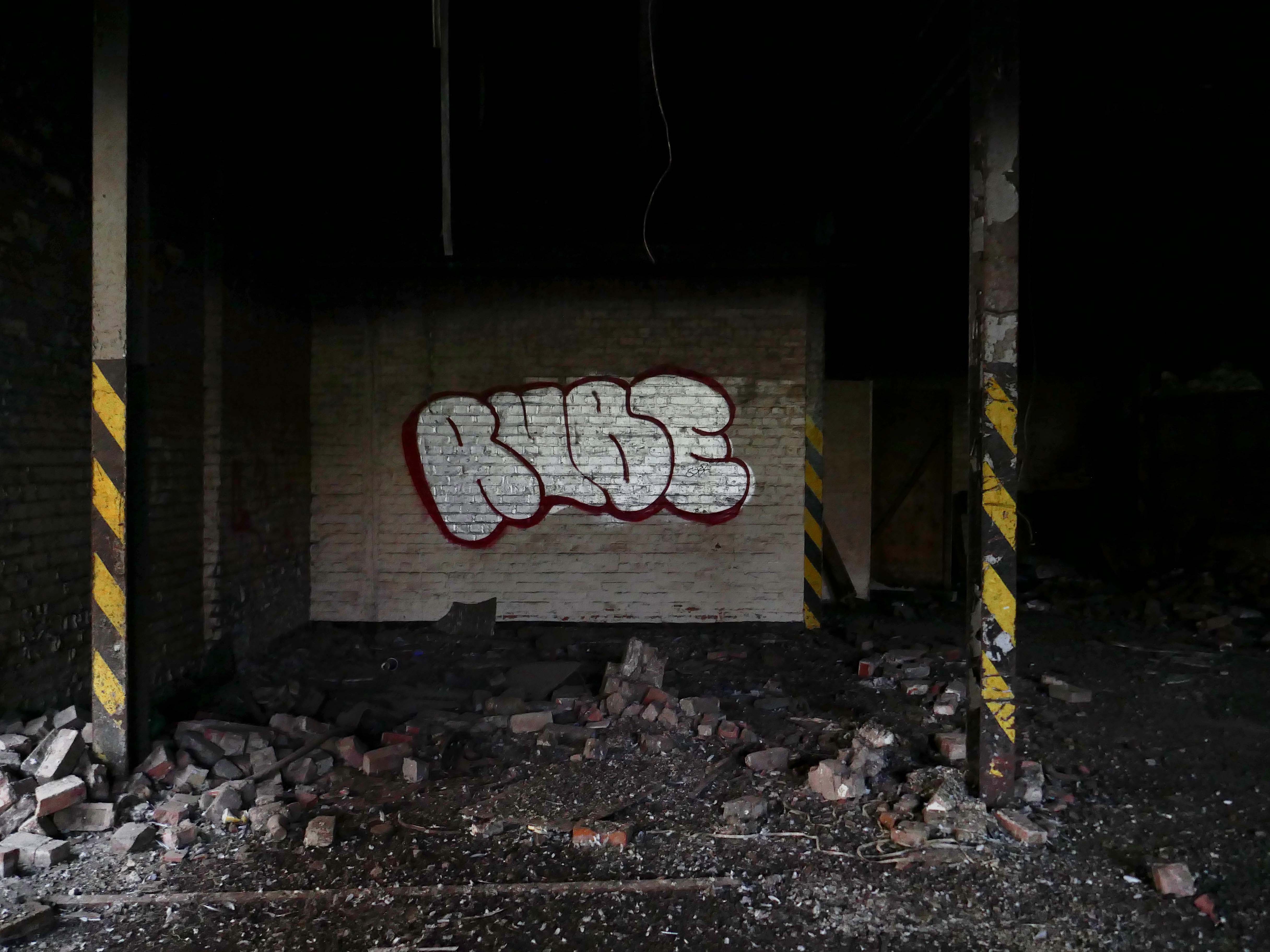
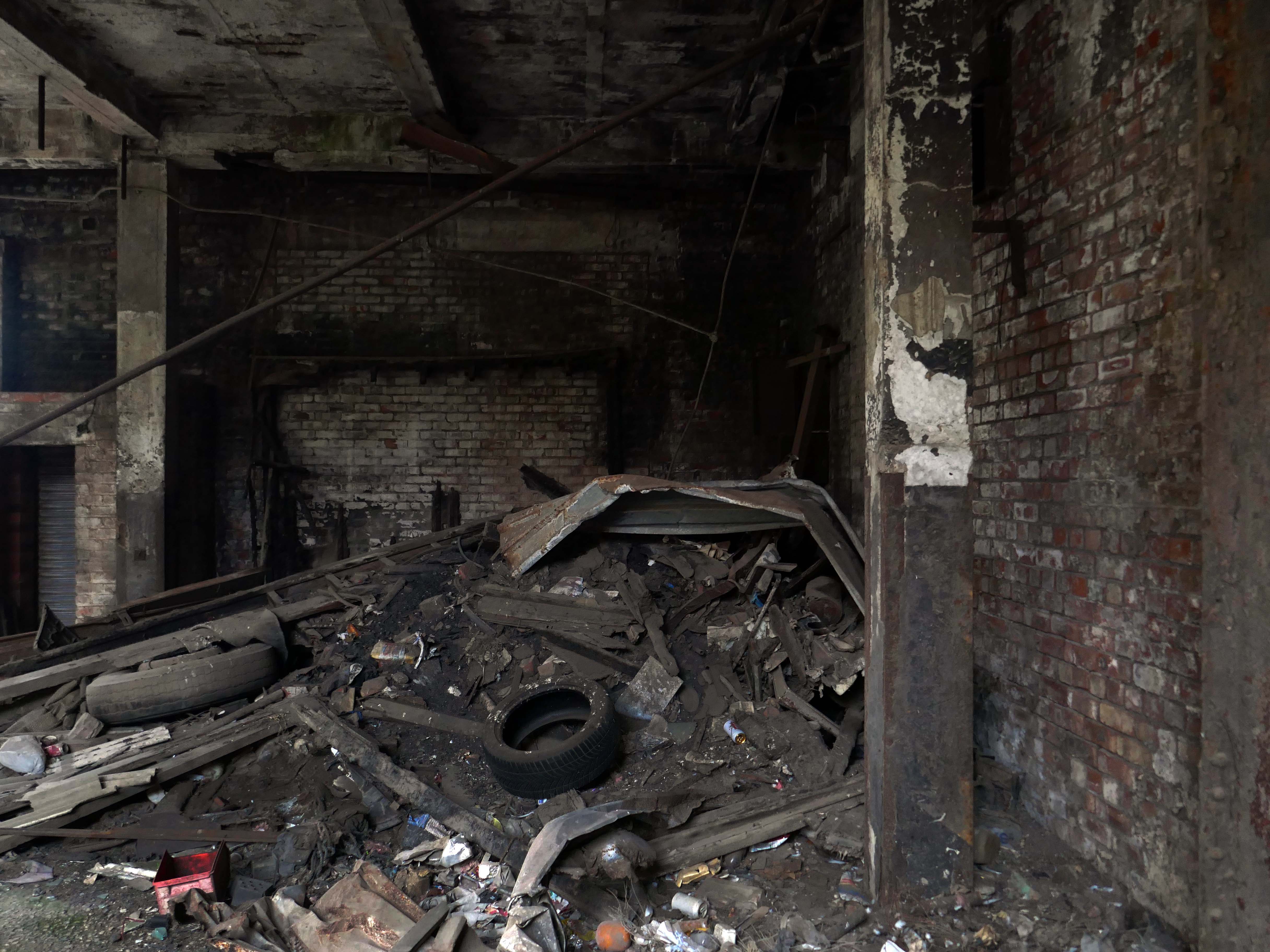
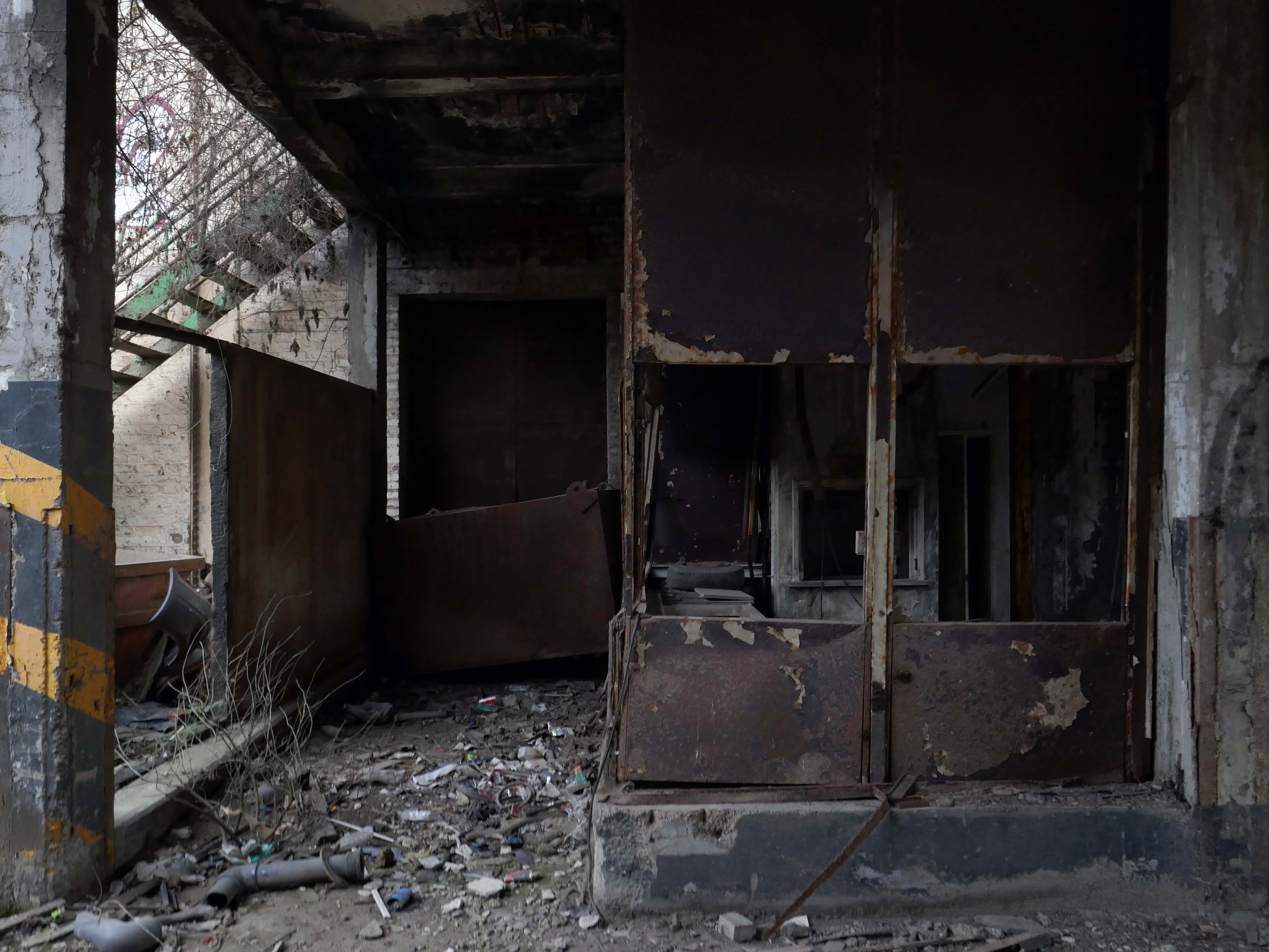
Whilst feeling that familiar frisson of mild trepidation, whilst walking through the debris, dirt and decay, it’s important to recall those who have walked and worked in these now derelict premises.
With that in mind here’s what I saw whilst feeling that familiar frisson of mild trepidation, whilst walking through the debris, dirt and decay,
When in Halifax it’s imperative to visit Haley Hill flats, as we did in May 2025.
It’s a labour of love ascending the granite setts to the side of Dean Clough.
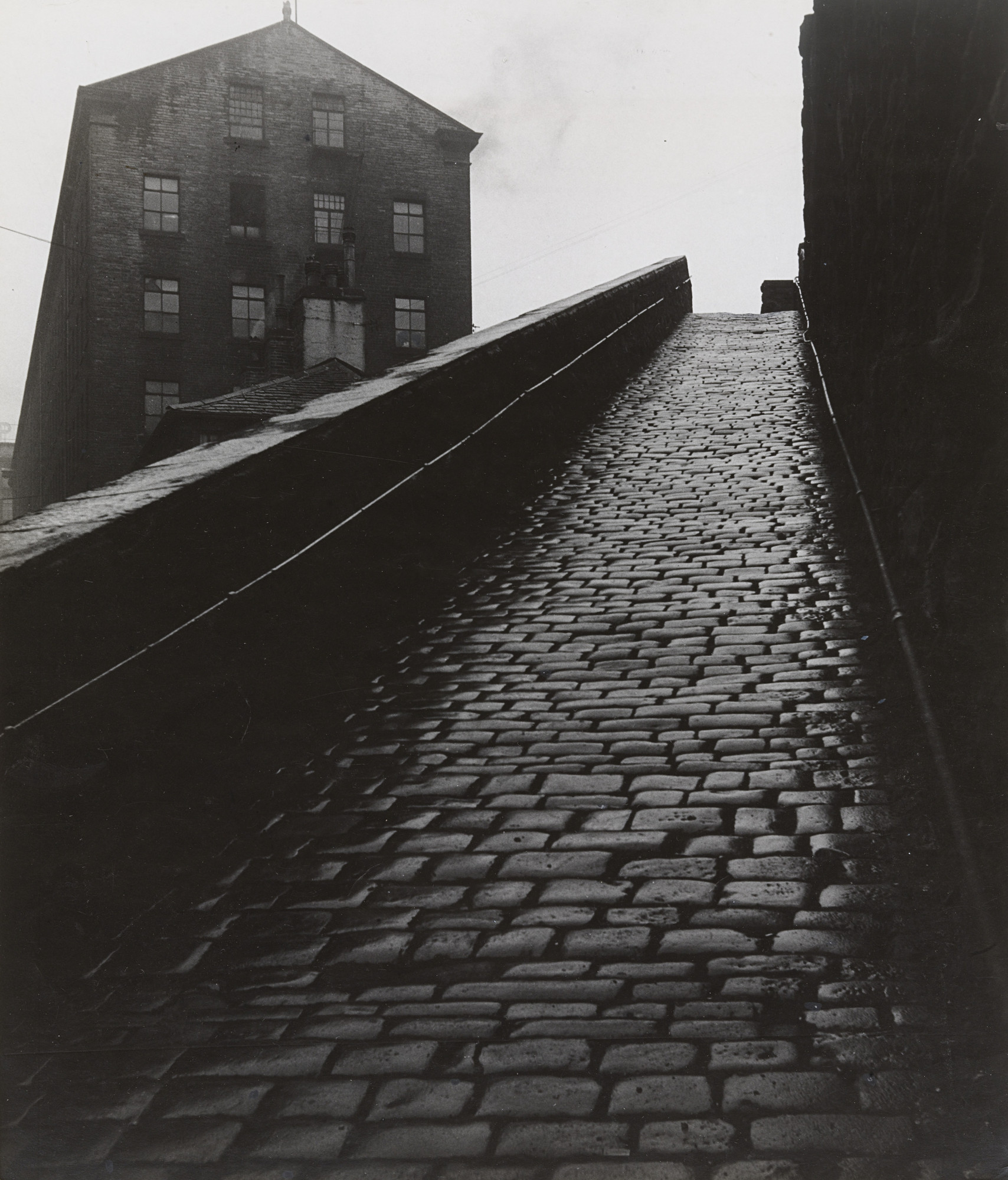
Walking in the footsteps of photographer Bill Brandt.
A Snicket in Halifax: Bill Brandt 1937
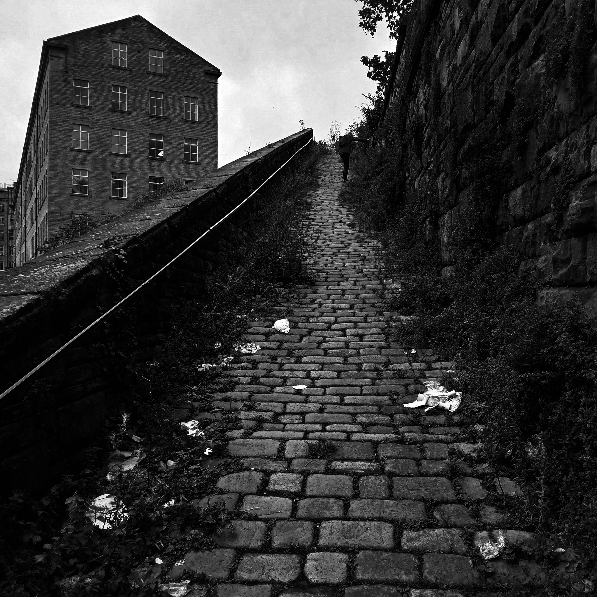
A Snicket in Halifax: Steve Marland 2025
Postcard c. 1970
So it’s October 2025 and today Matthew I am mainly Bill Brandt.
Walking in the footsteps of giants.
Print quality is a variable thing depending on the purpose of the image. I would expect a pure record photograph to have a full range of tone, with both shadow and highlight gradation. Against this, pictorial or art based imagery requires the range of tones best suited to making the statement. The classic case is the soot and whitewash printing of Bill Brandt. So we have a situation that carries a contradiction; blocked up shadows in applied work is not acceptable but blocked up blacks in pictorial work is often perfectly acceptable, if that lost information is not relative to the image. Burnt out highlights are more dangerous, but again Bill Brandt did it with great effect.
Bill Wisden
So, the record print would have an even tonality thus:
Whilst the pictorial artist may favour the higher contrast.
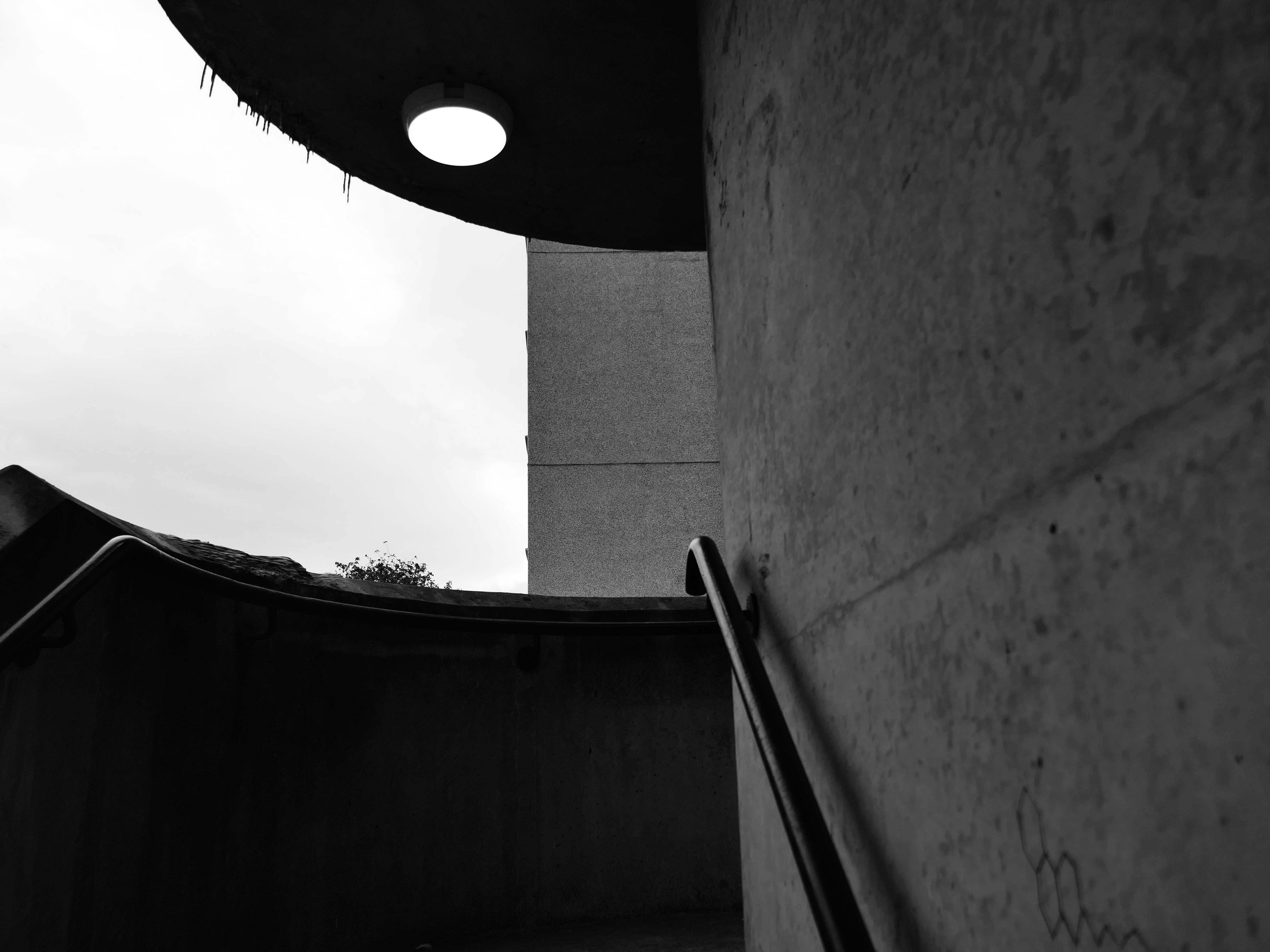
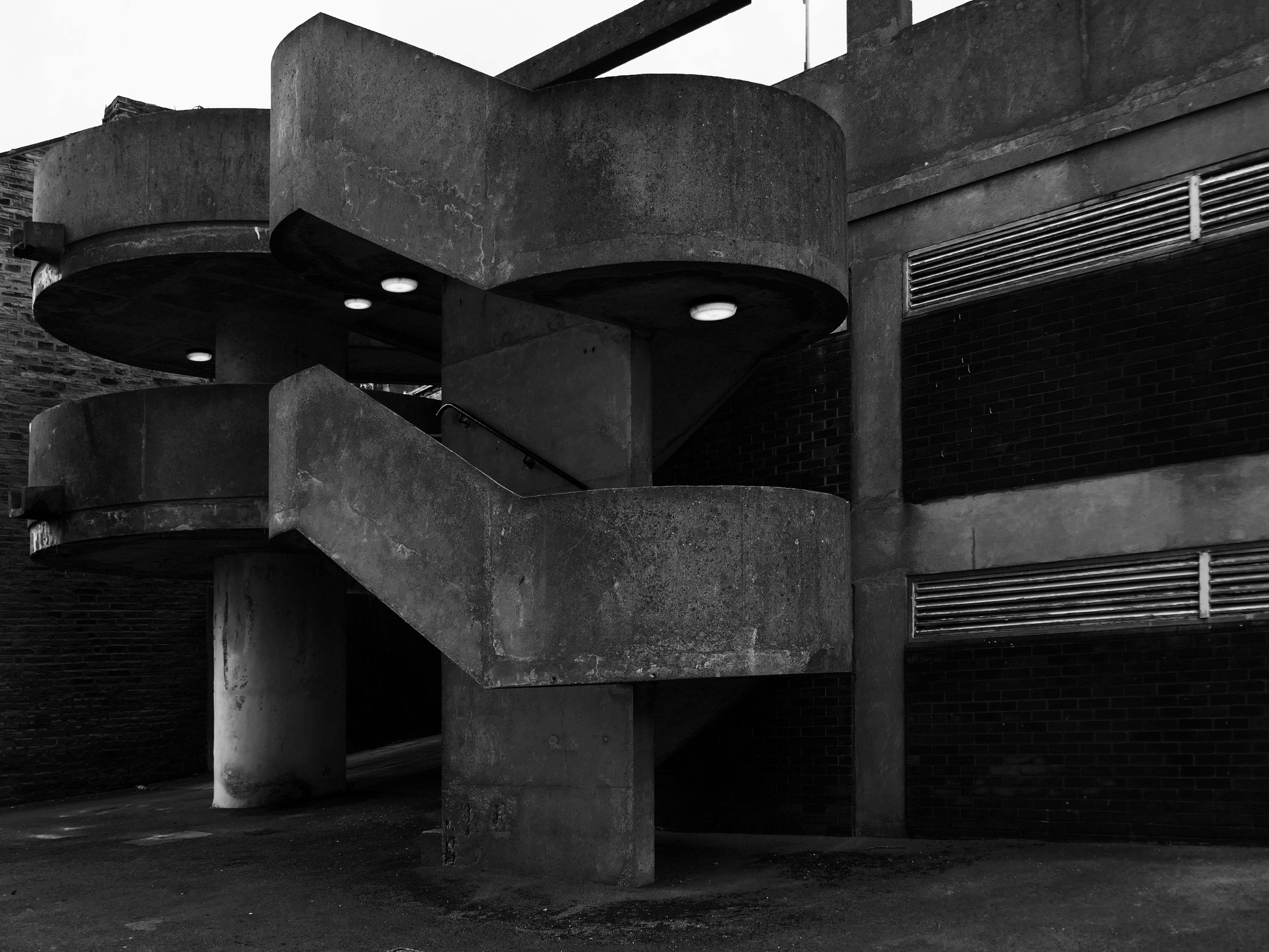
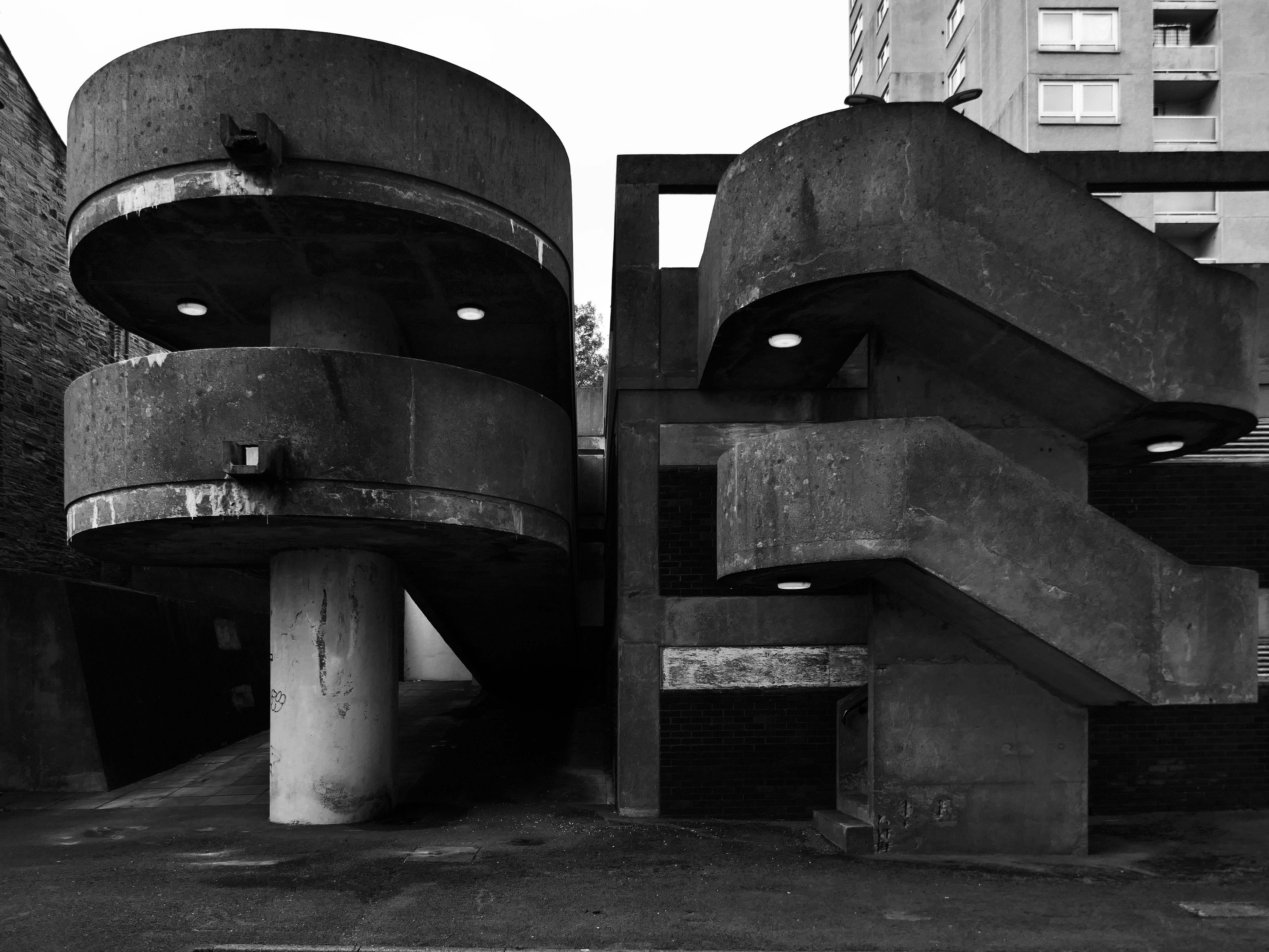
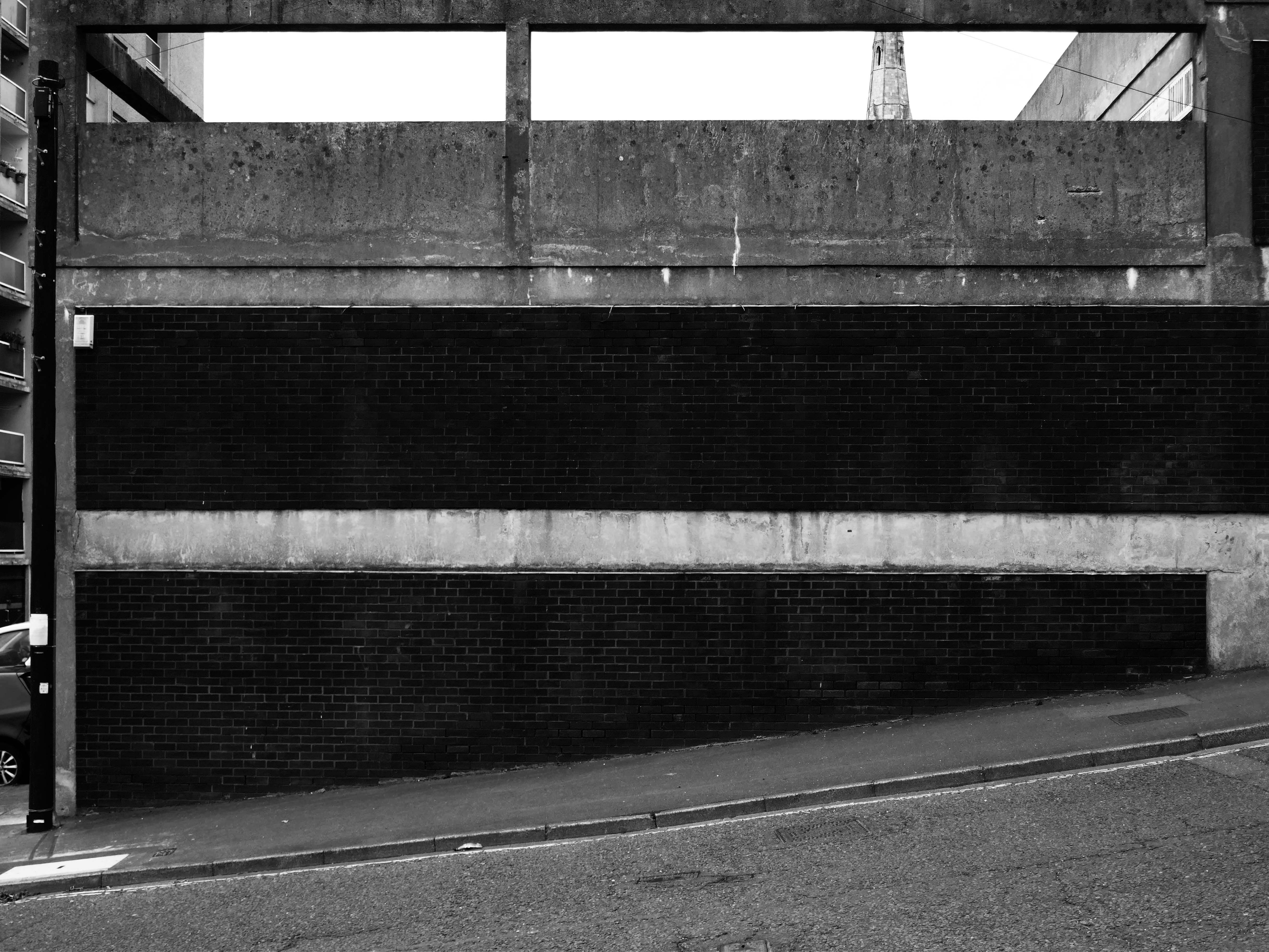
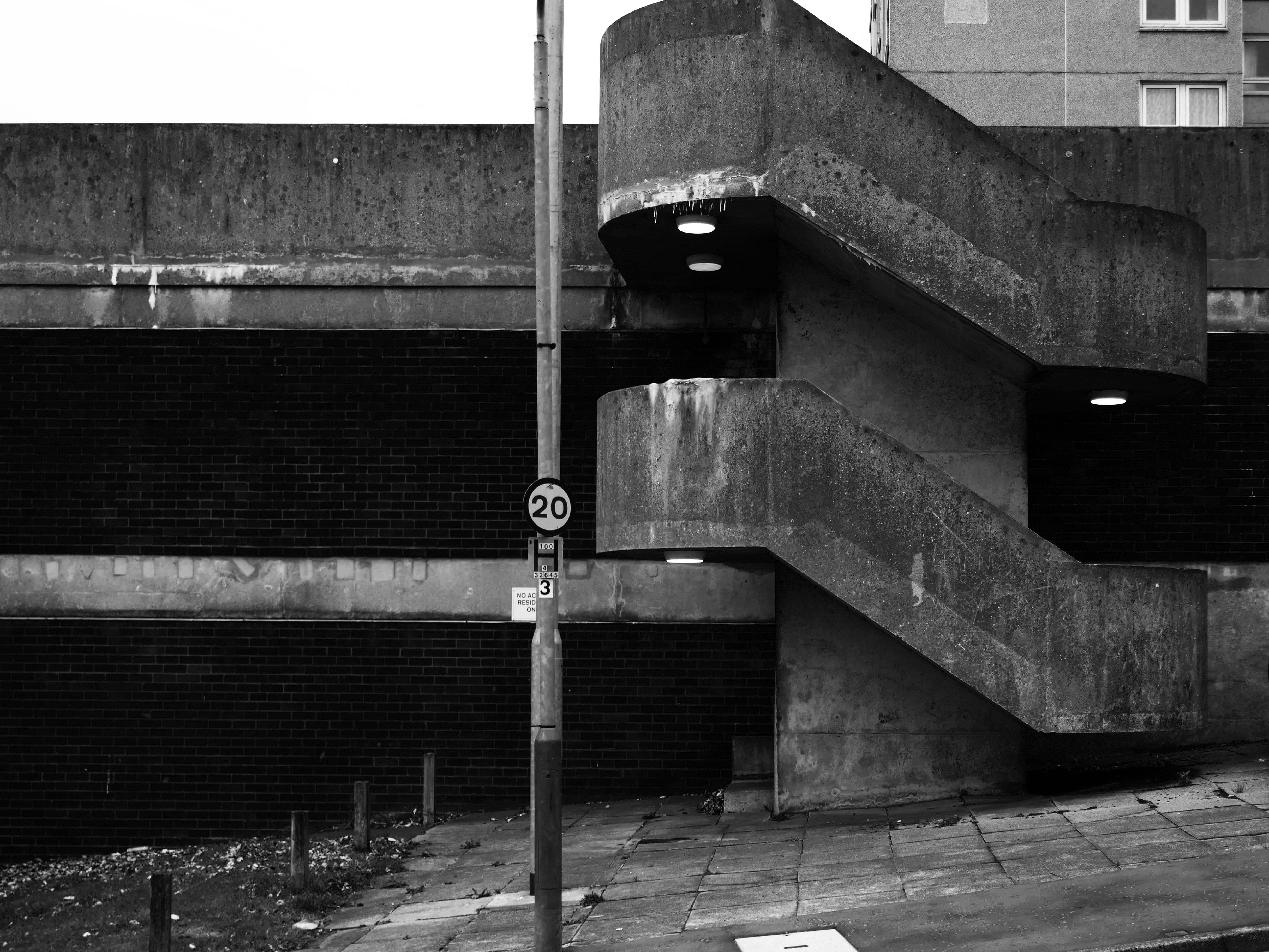
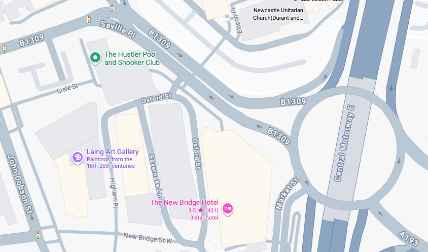
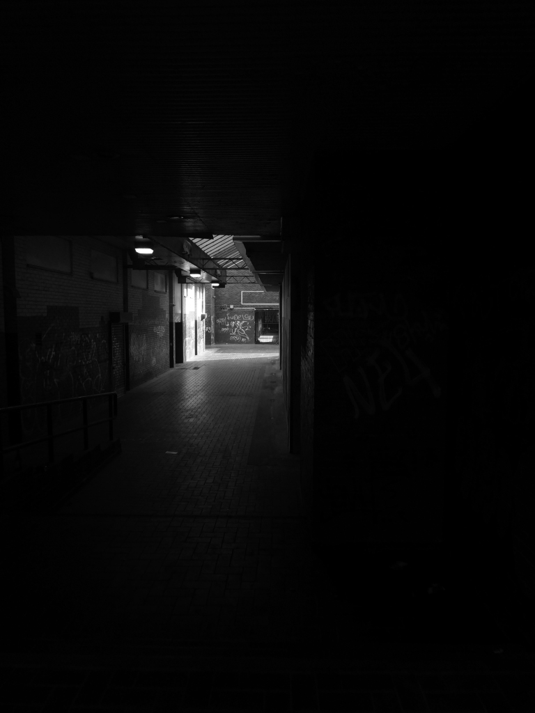
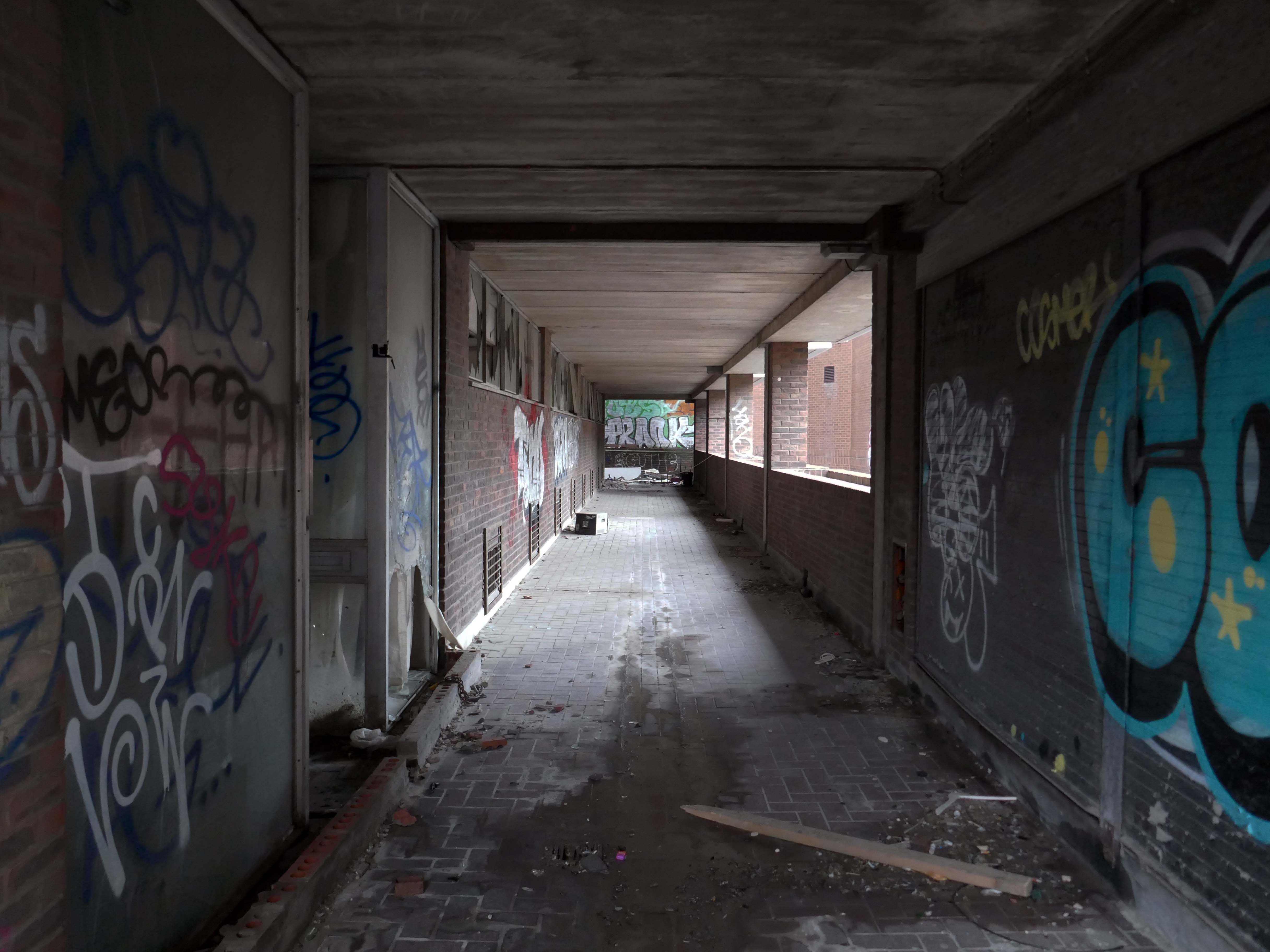
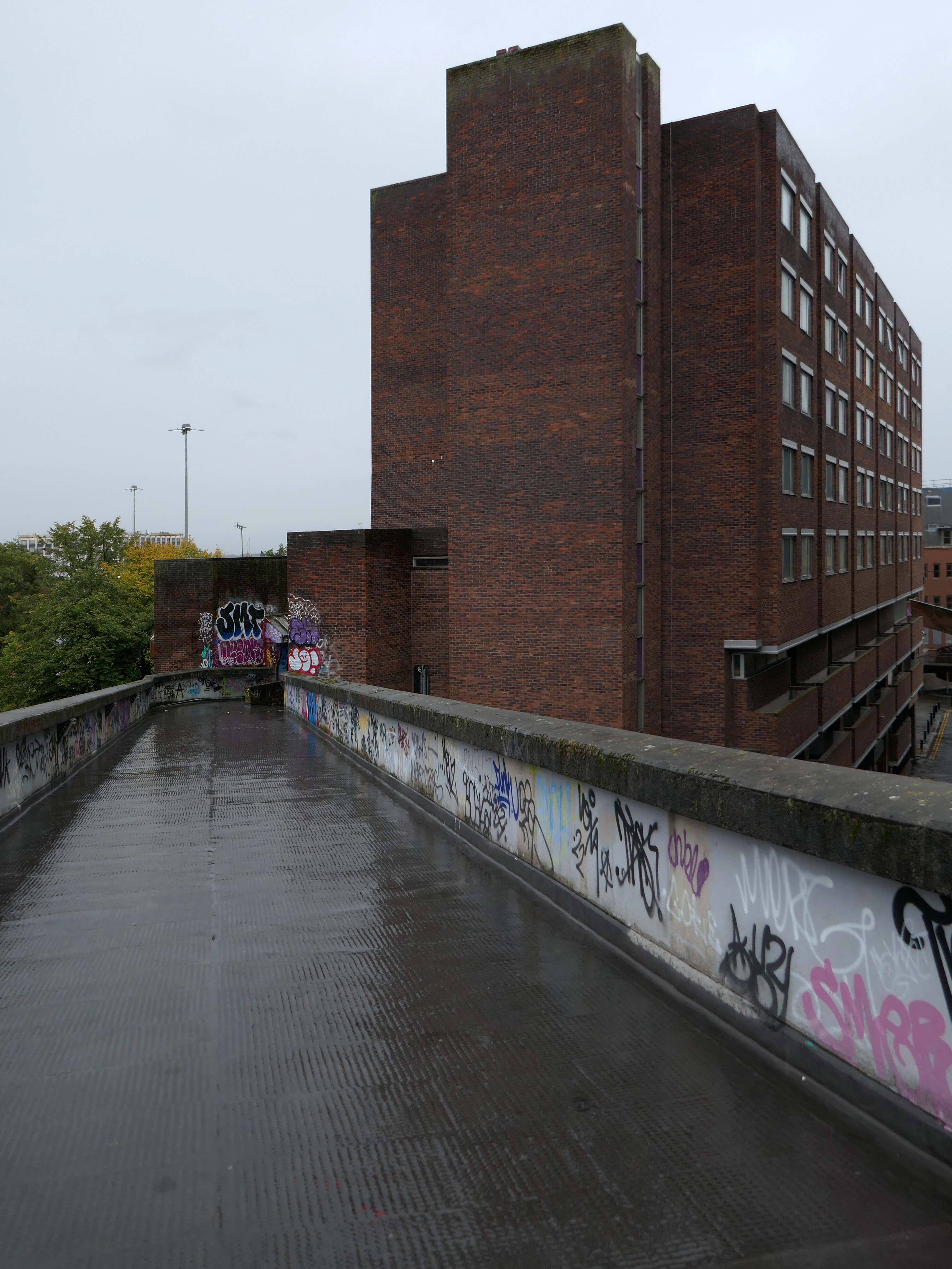
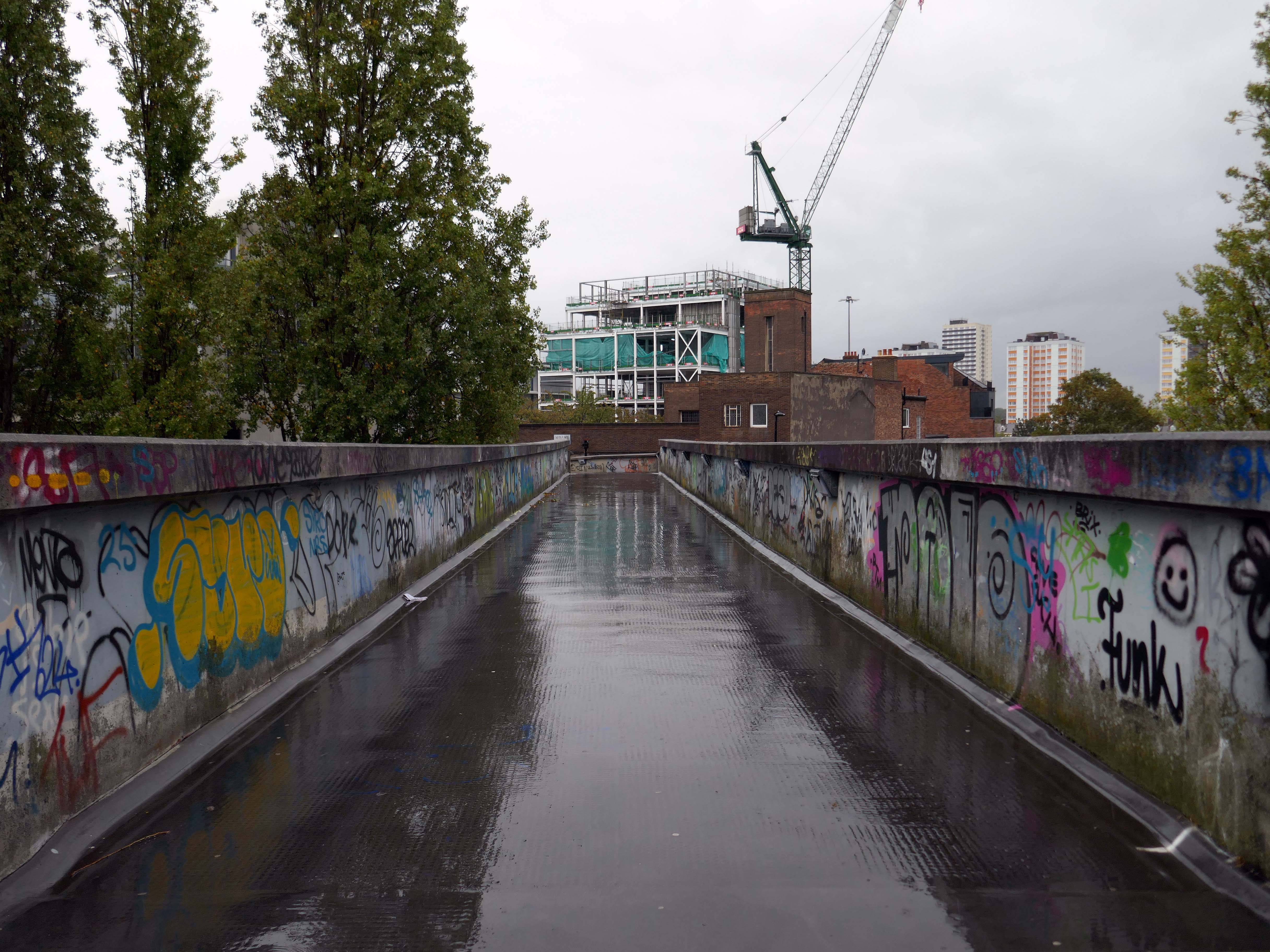
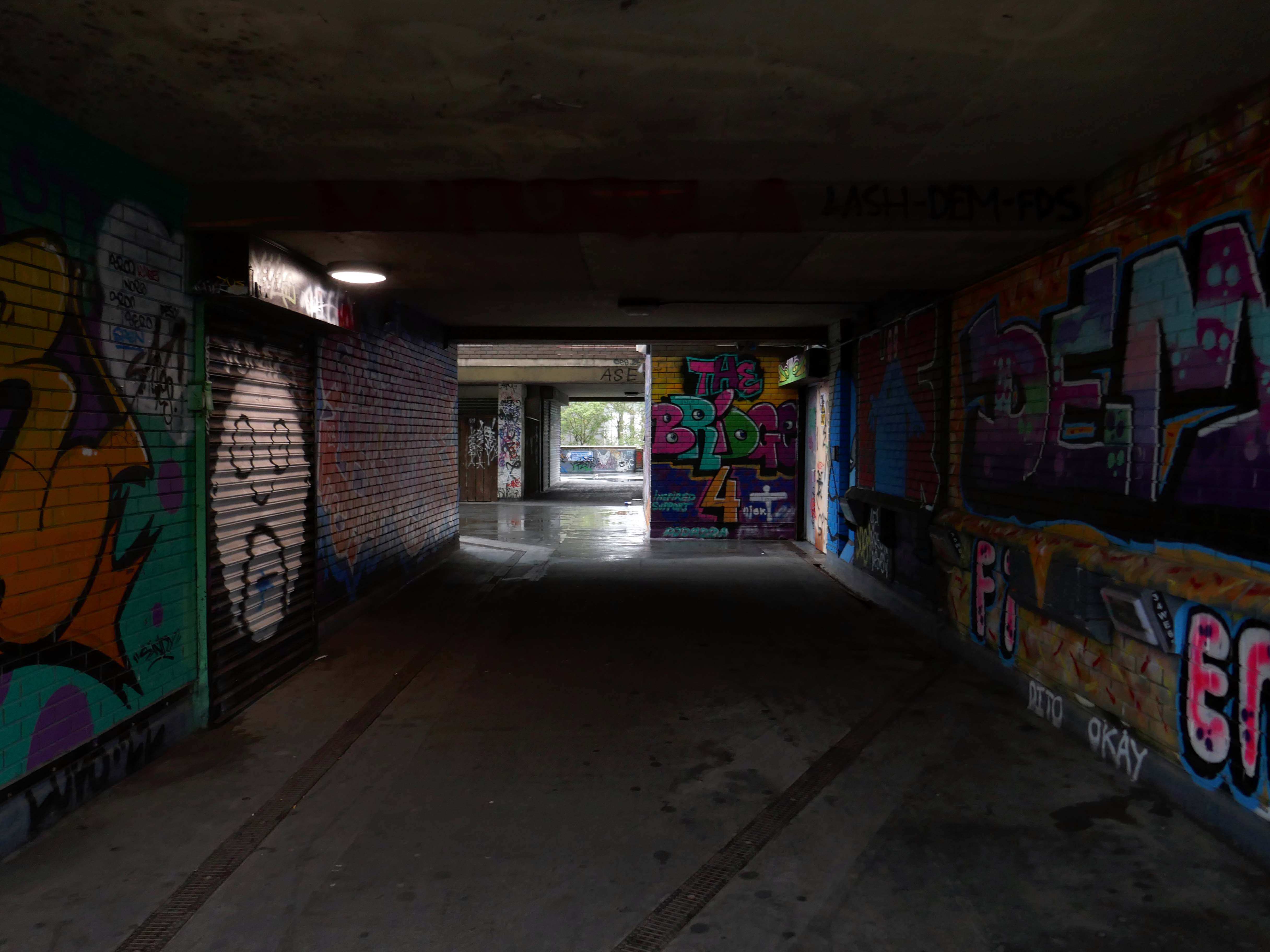
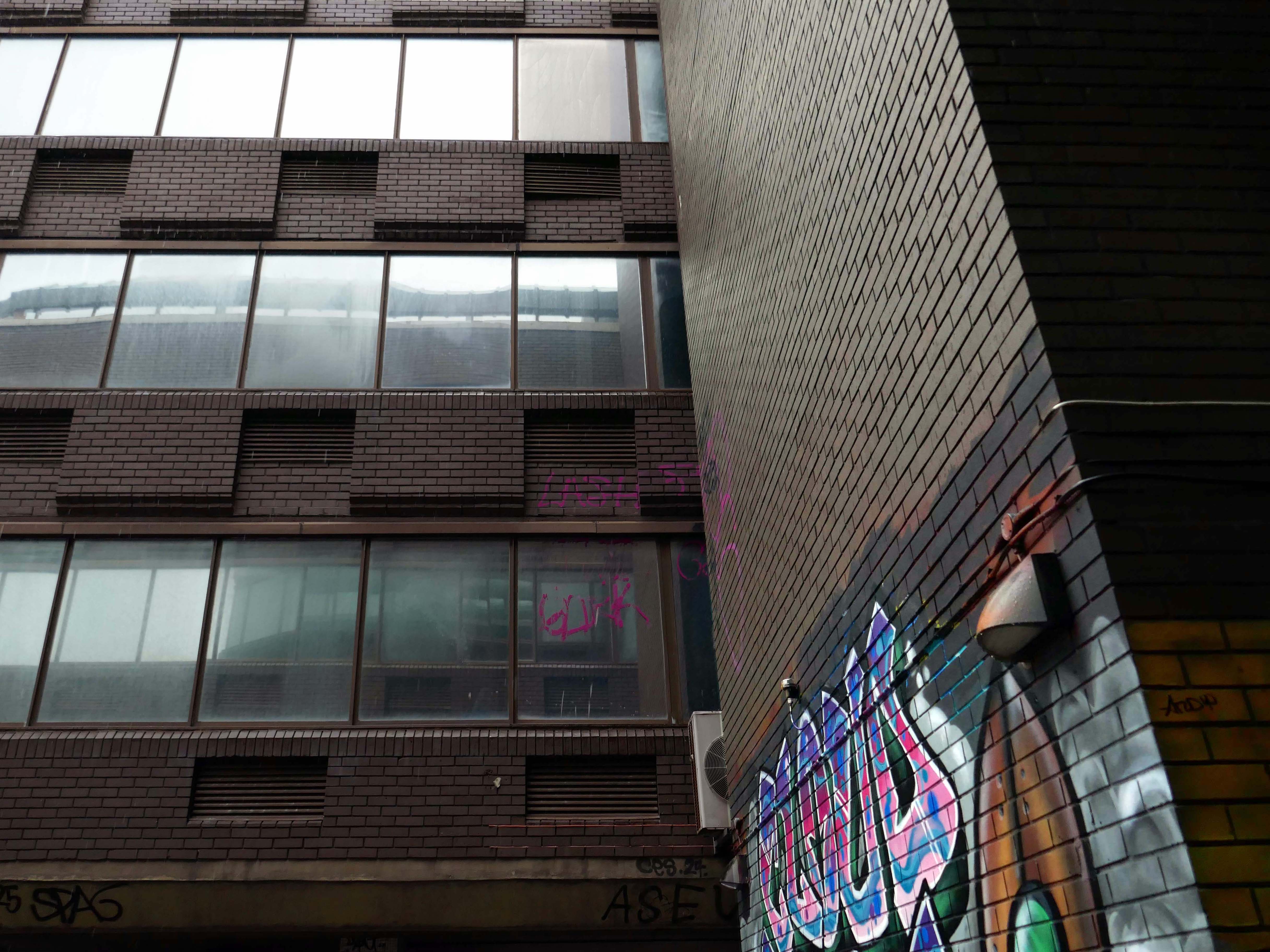
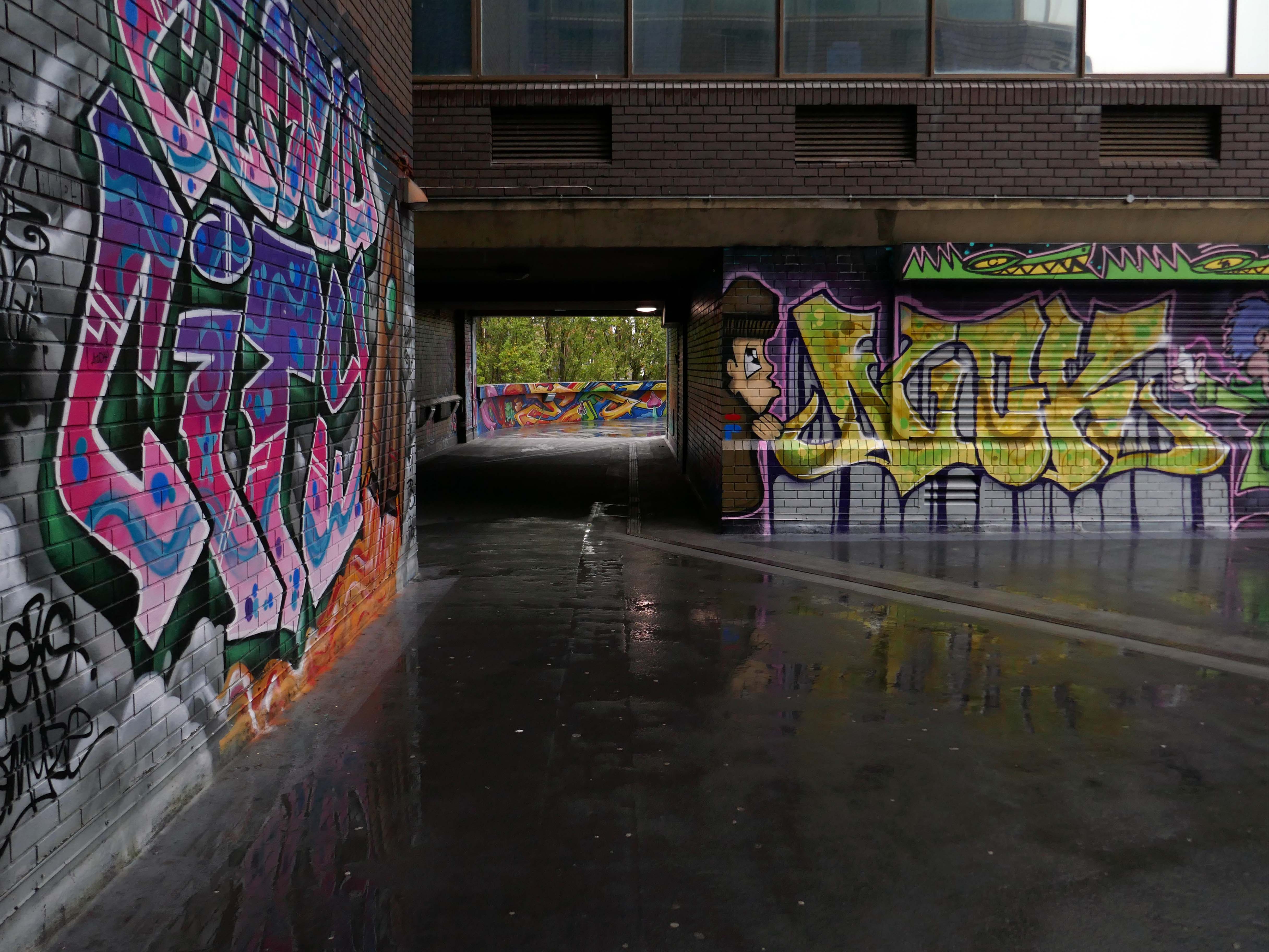
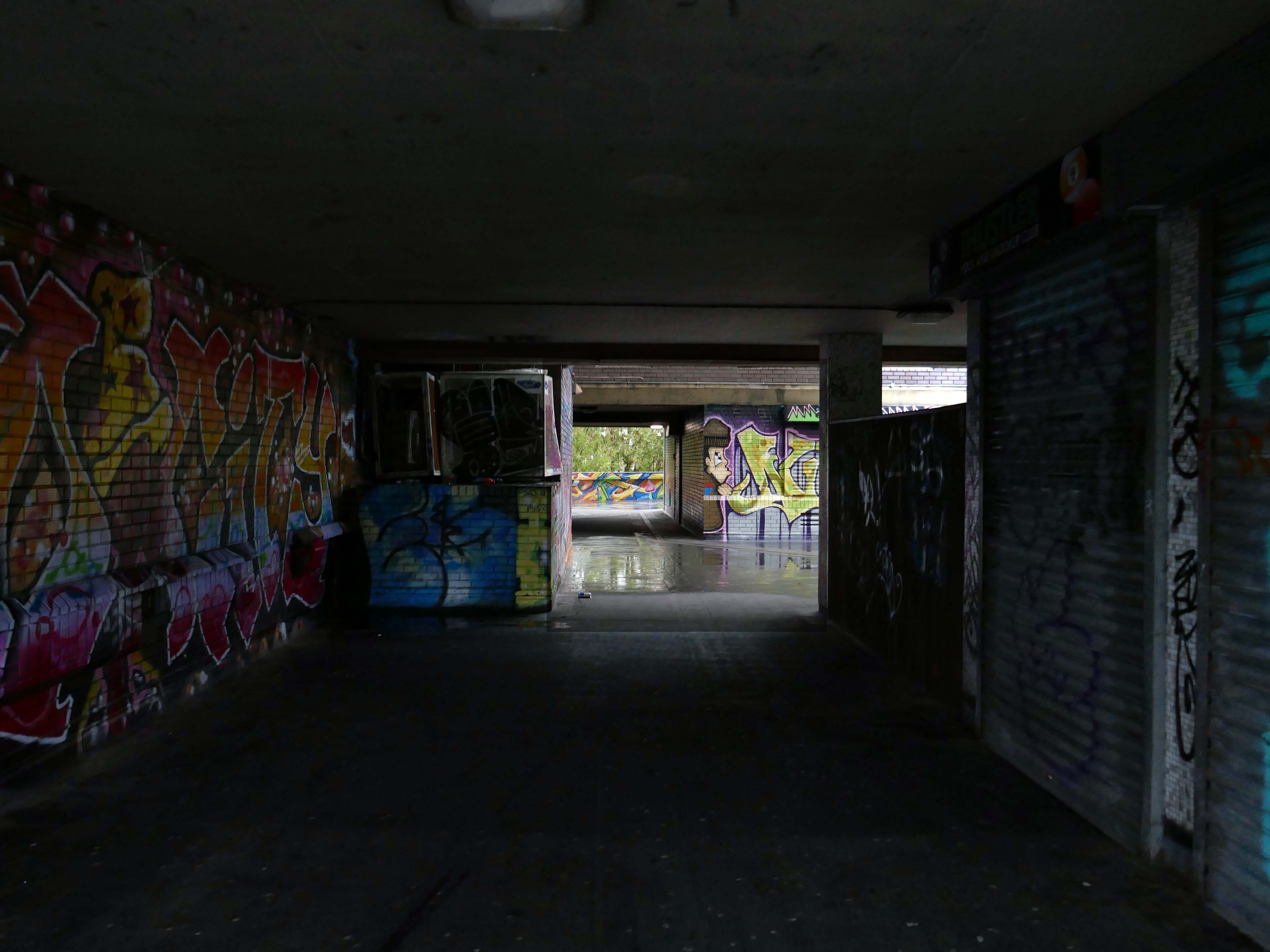
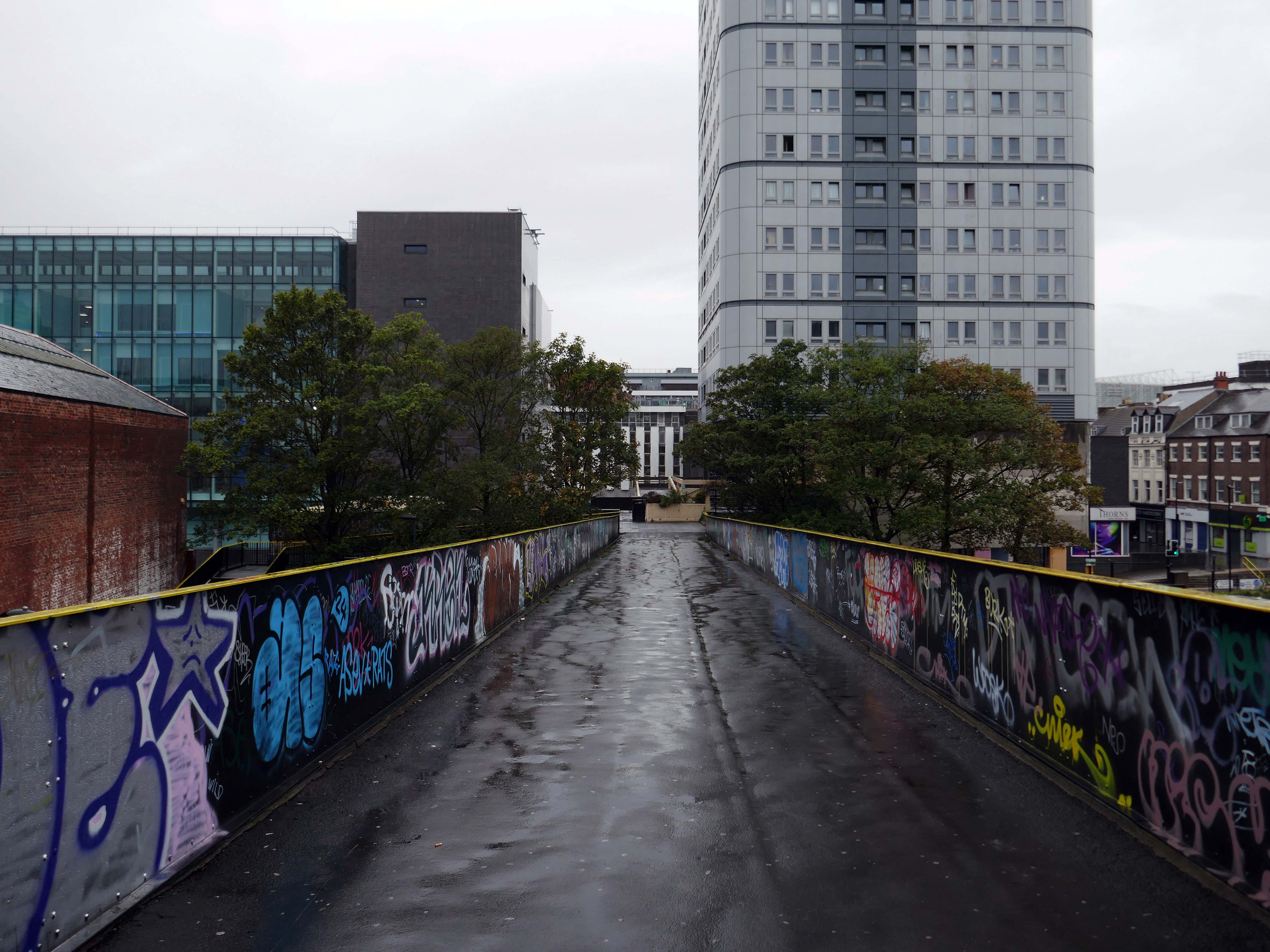
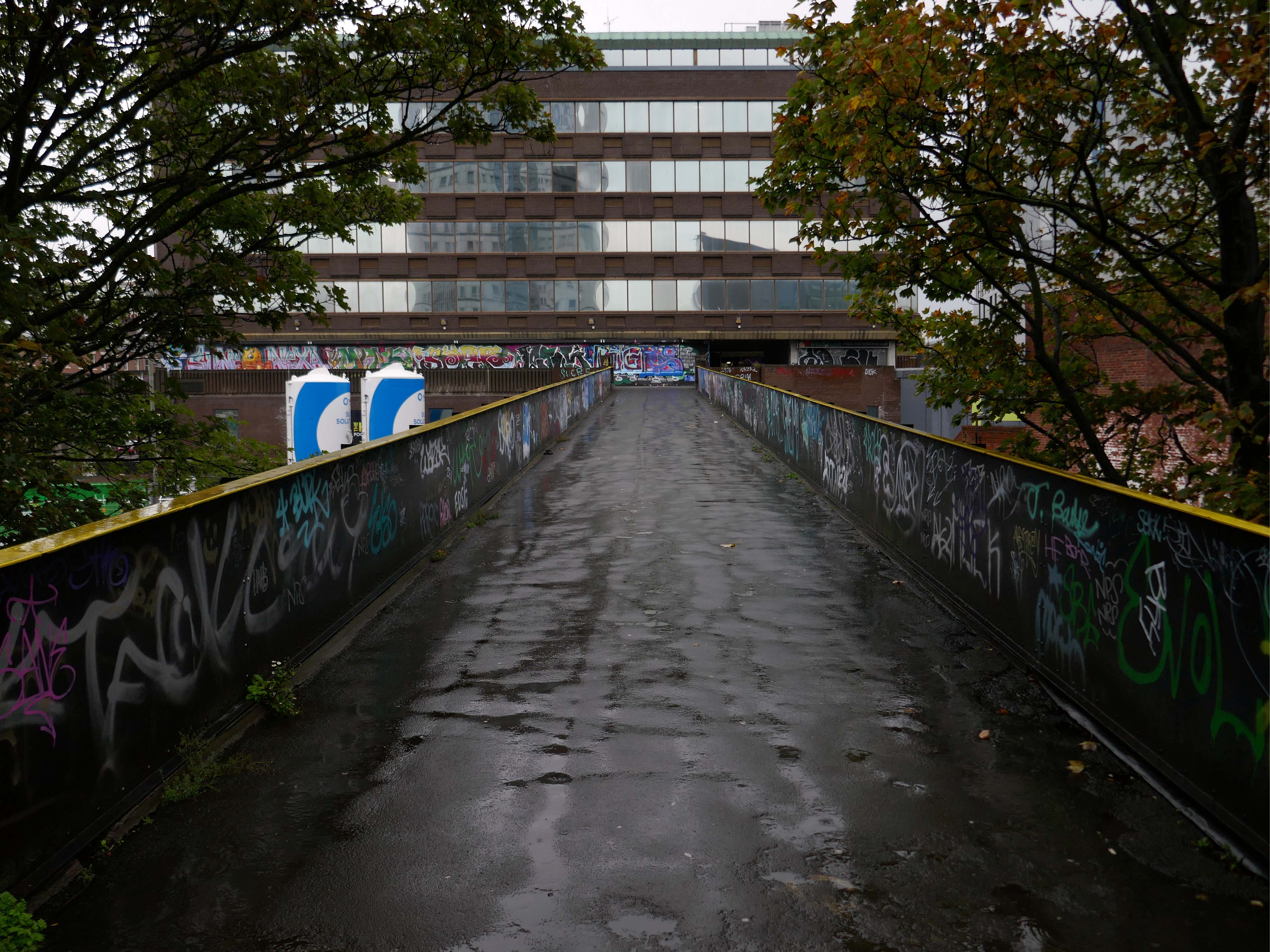
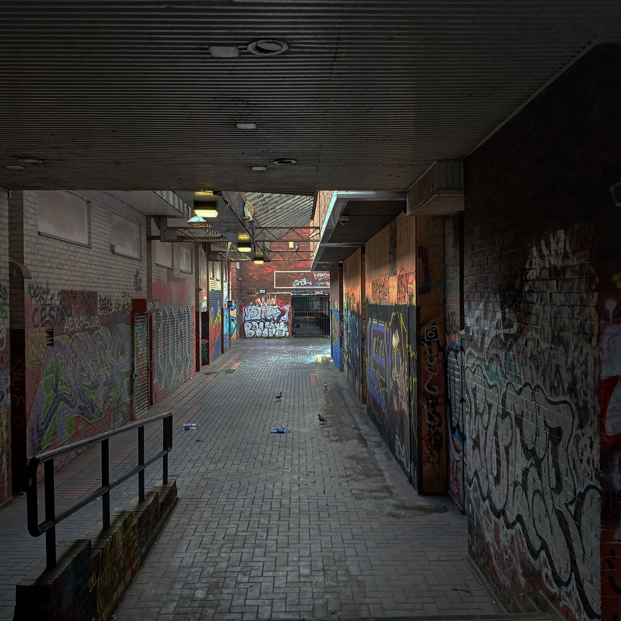
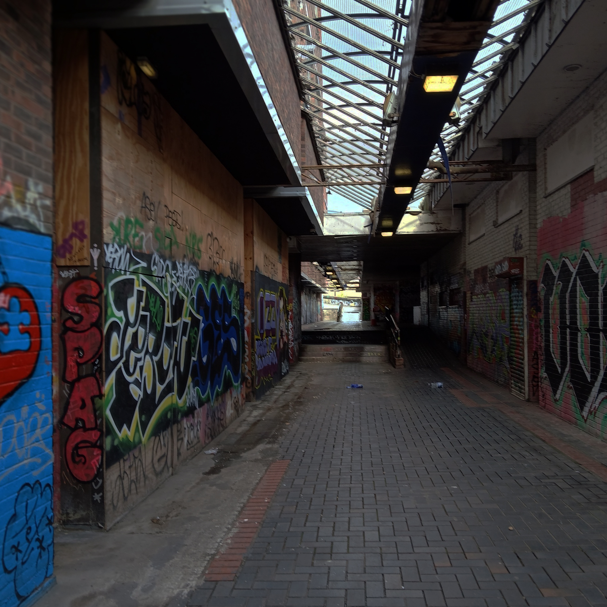
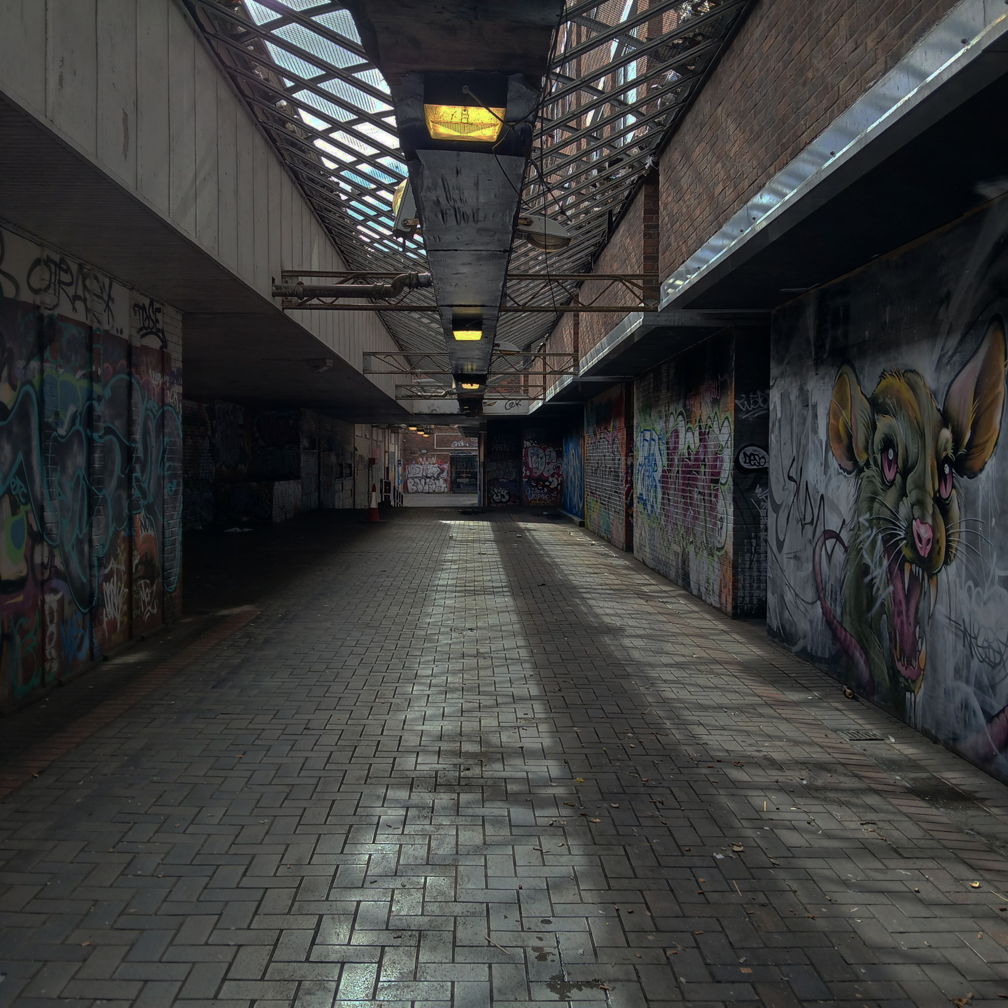
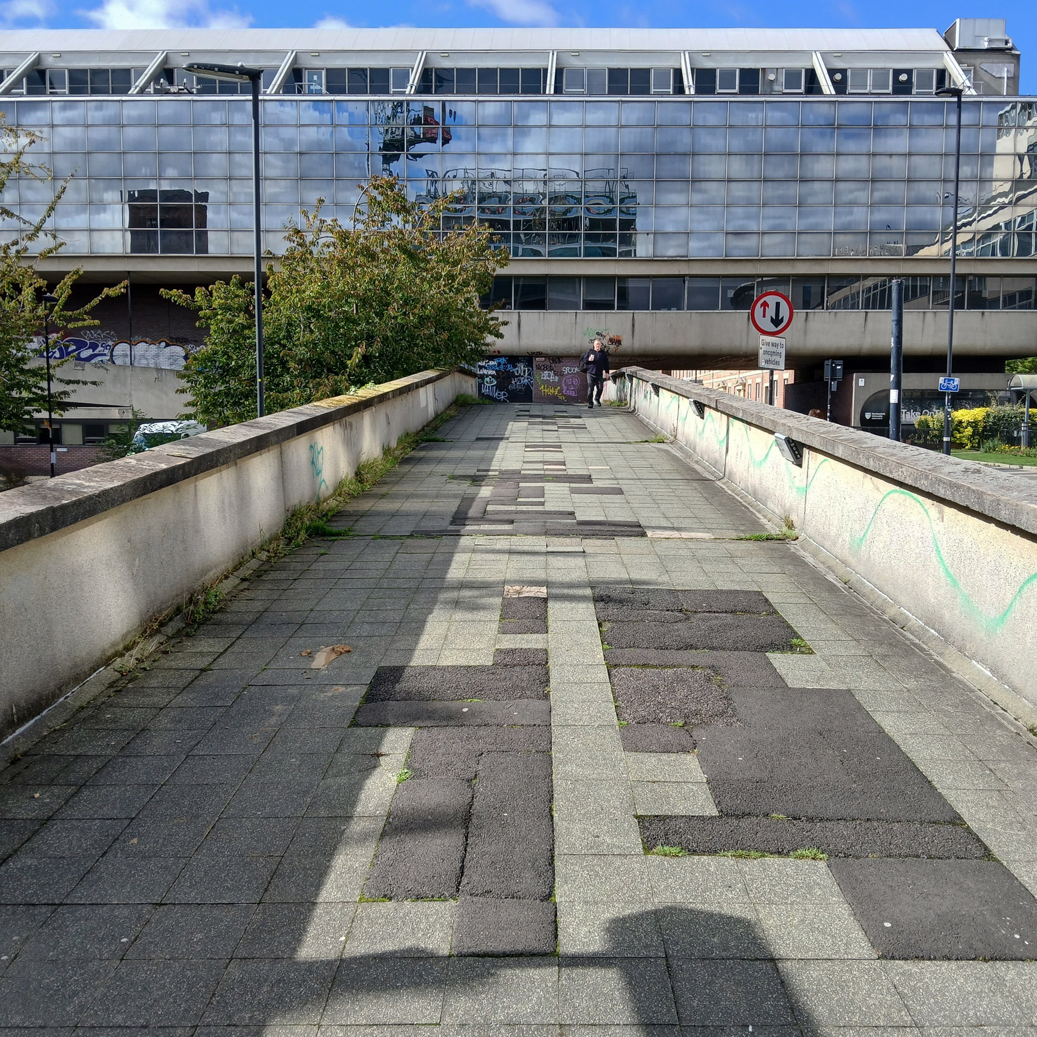
These are the streets in the sky passing between the Central Motorway, Saville Place and Oxford Street.
Streets constrained by infrastructure, a University and doomed leisure provision.
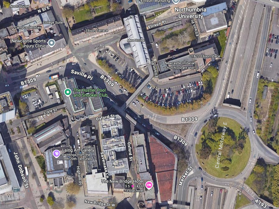
Welcome to Newbridge Hotel Newcastle upon Tyne – a charming oasis located in the heart of the vibrant city, just a short stroll from the renowned Theatre Royal and beautiful St James’ Park. Whether you’re visiting for business or leisure, the location ensures that you have easy access to the best of Newcastle, including fantastic shopping at Eldon Square and local attractions like the Metro Radio Arena.
Discover the essence of Newcastle from Newbridge Hotel, where every stay becomes a unique experience tailored to your needs.
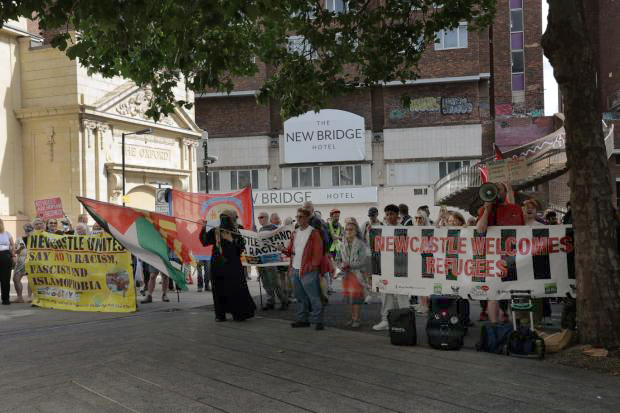
Two sets of protestors gathered outside the New Bridge Hotel in Newcastle, as “Newcastle Welcomes Refugees” stood up to “Send Them Back” protesters who want an end to migrants being housed in the hotel.
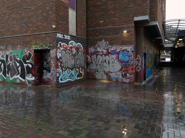
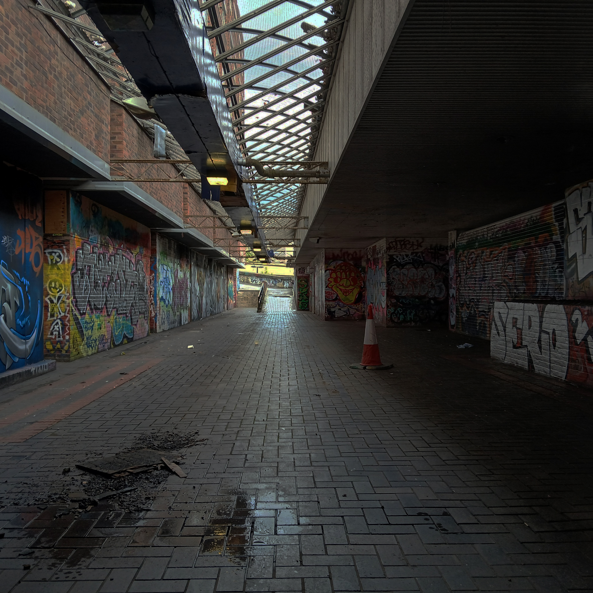
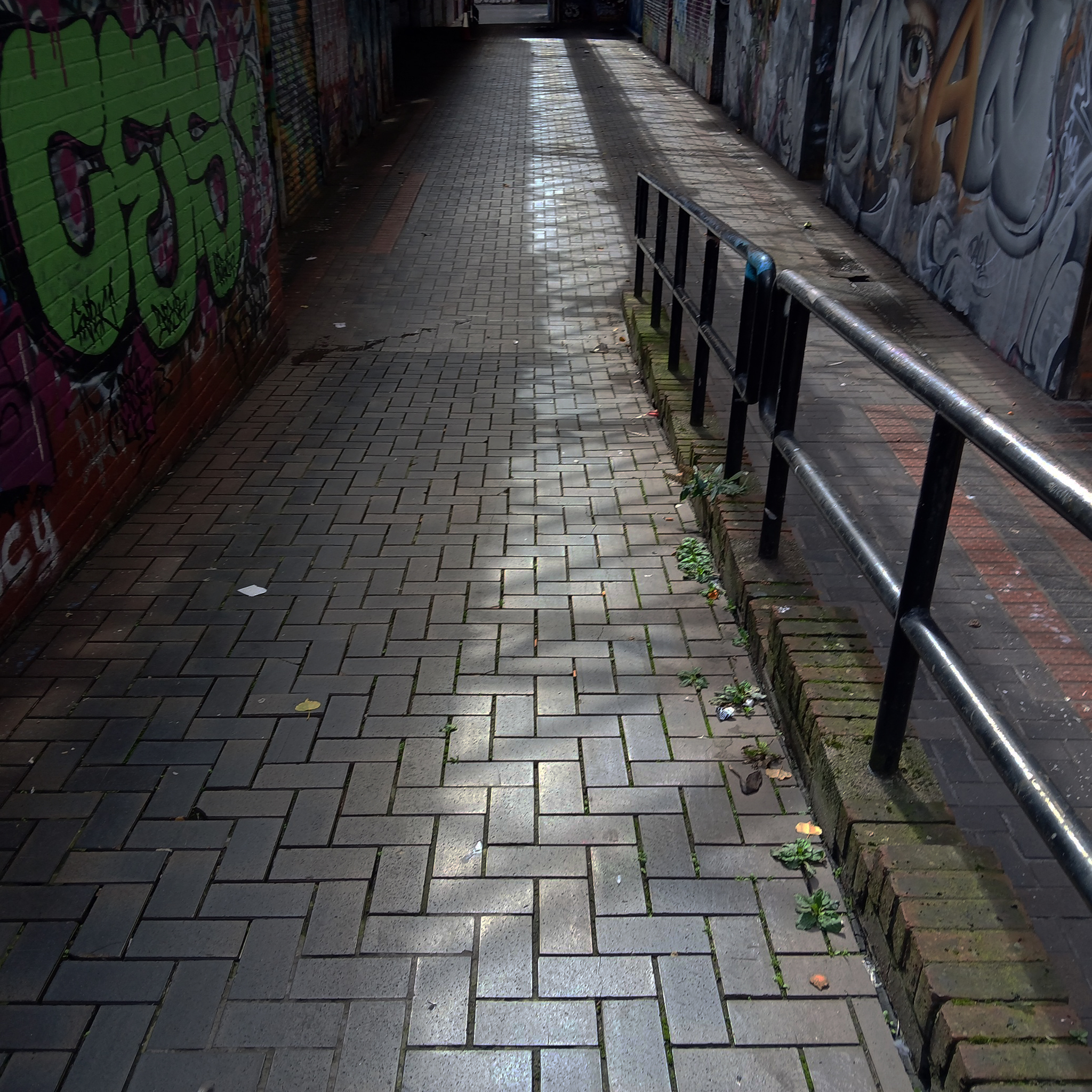
This is an inland island of anonymity, home to pigeons, shake can shakers and the terminally curious.
It always rains on Saturdays.
Happily, the sun always shines on Sunday.
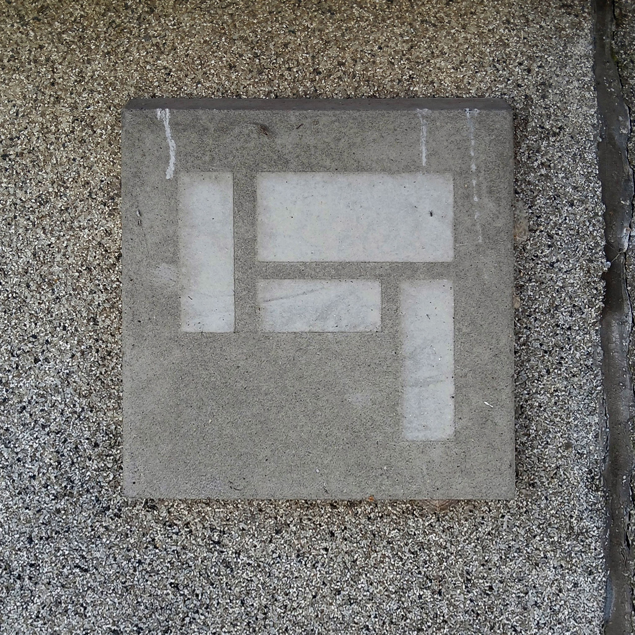
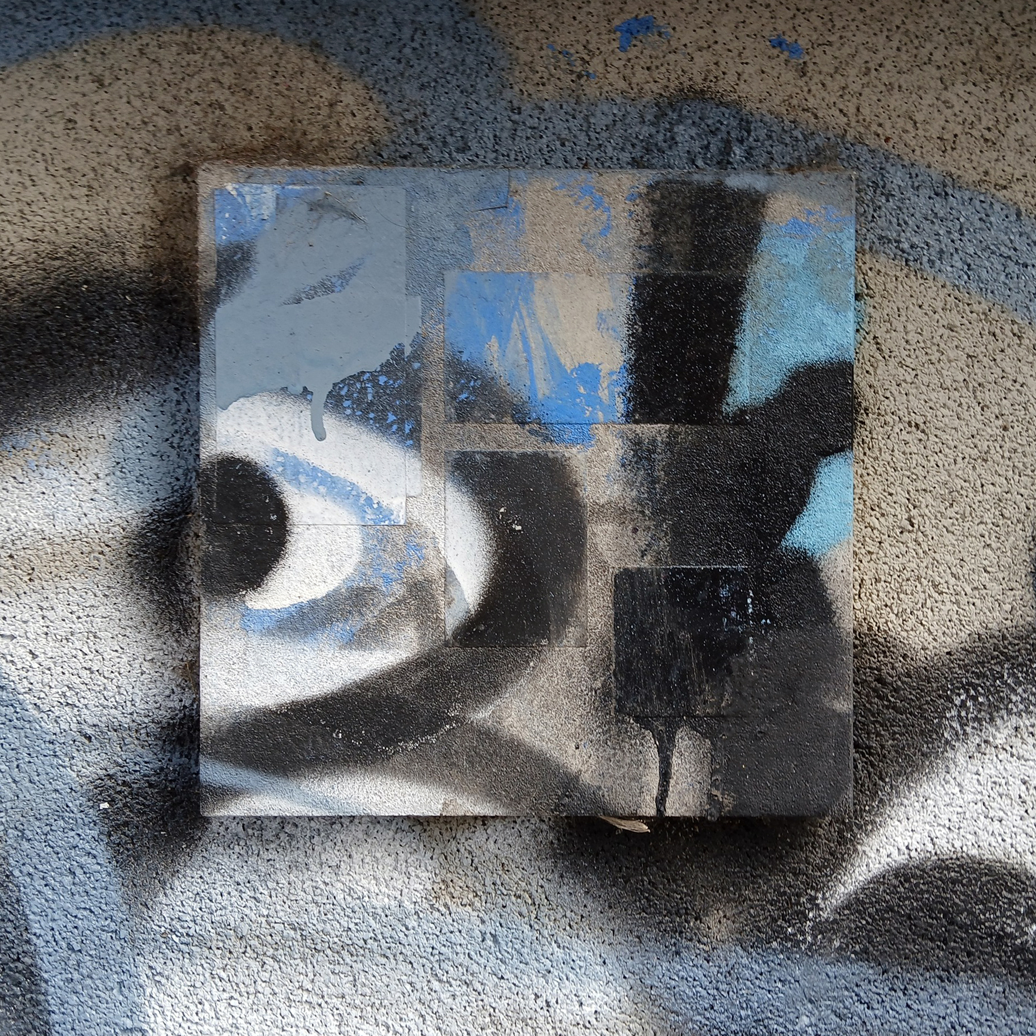
Hidden within and upon the walls of the walkways are these two cast concrete panels – the work of guerrilla artist Euan Lynn.
North east property group Gainford has unveiled its revised plan for a £170m residential and hotel project to transform Newcastle’s skyline.
It plans to redevelop a former Premier Inn site on New Bridge Street, with a 29-storey tower of 185 flats, alongside a separate 150-bedroom hotel, and bars, restaurants, and leisure space.
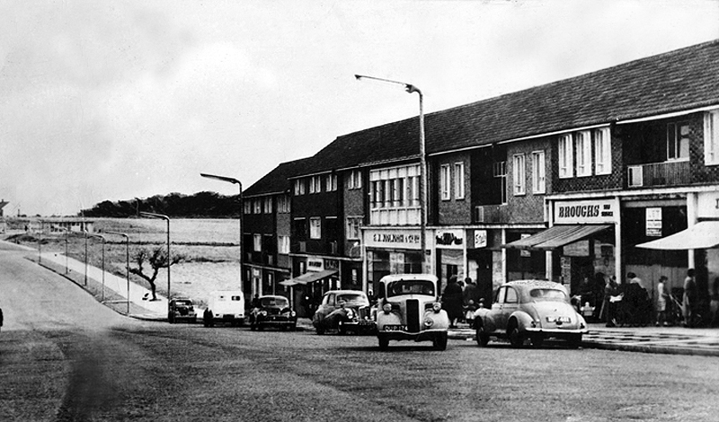
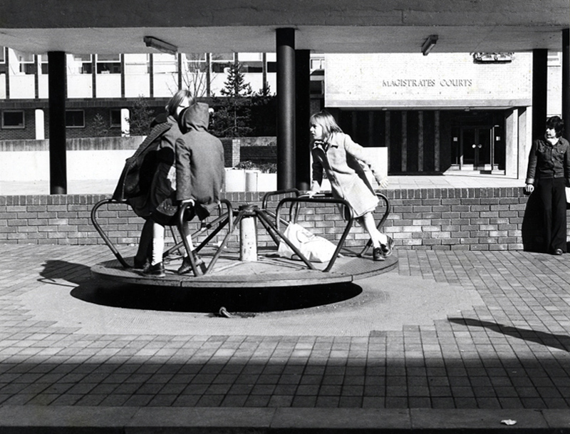
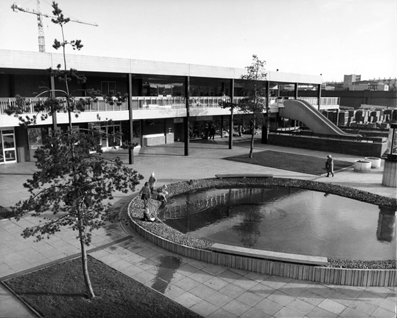
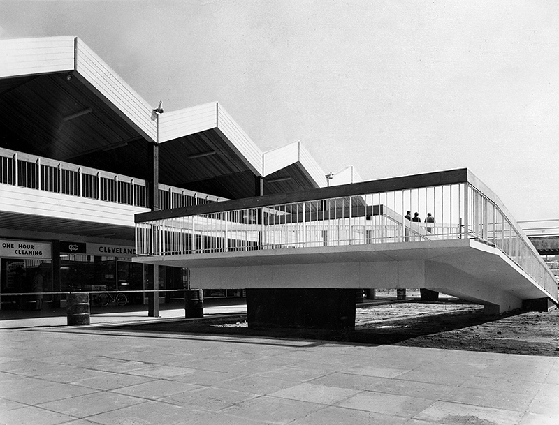
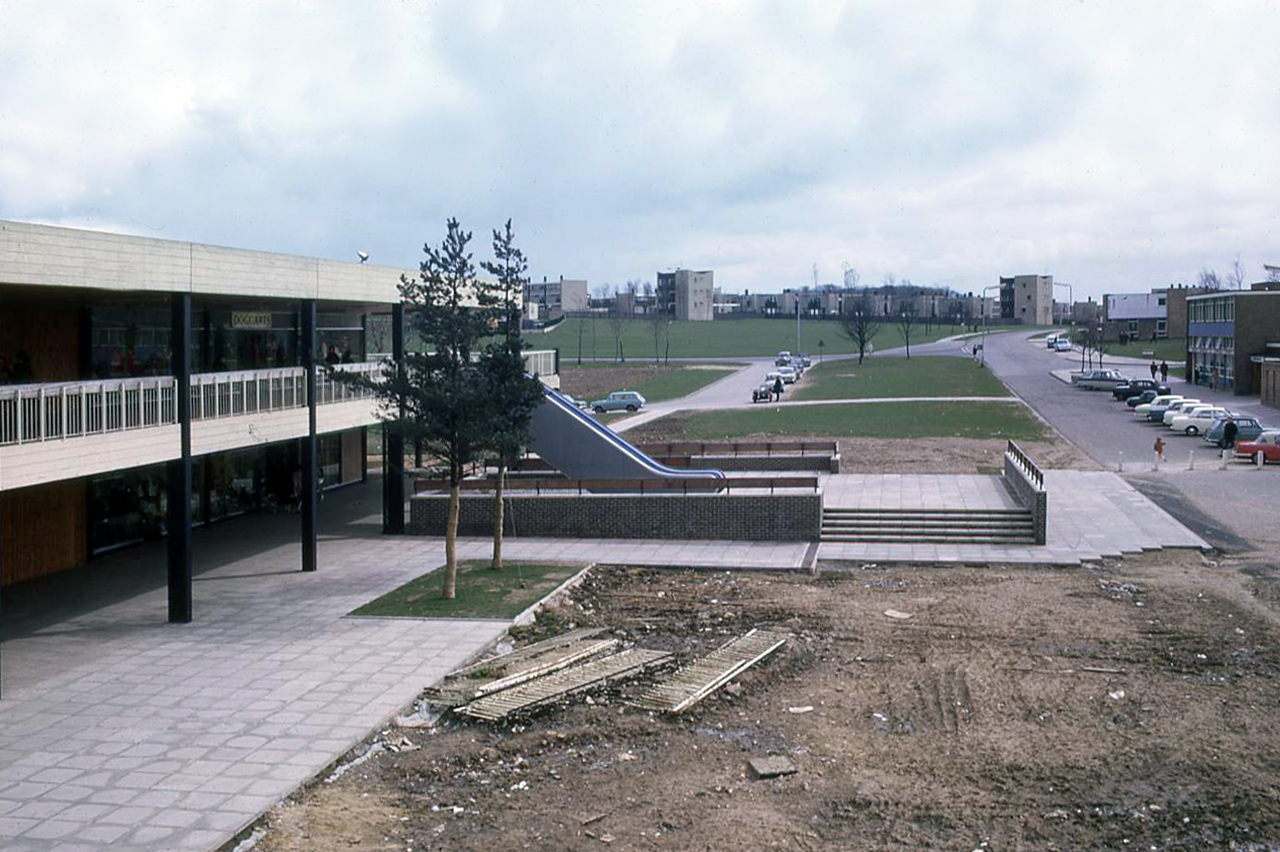
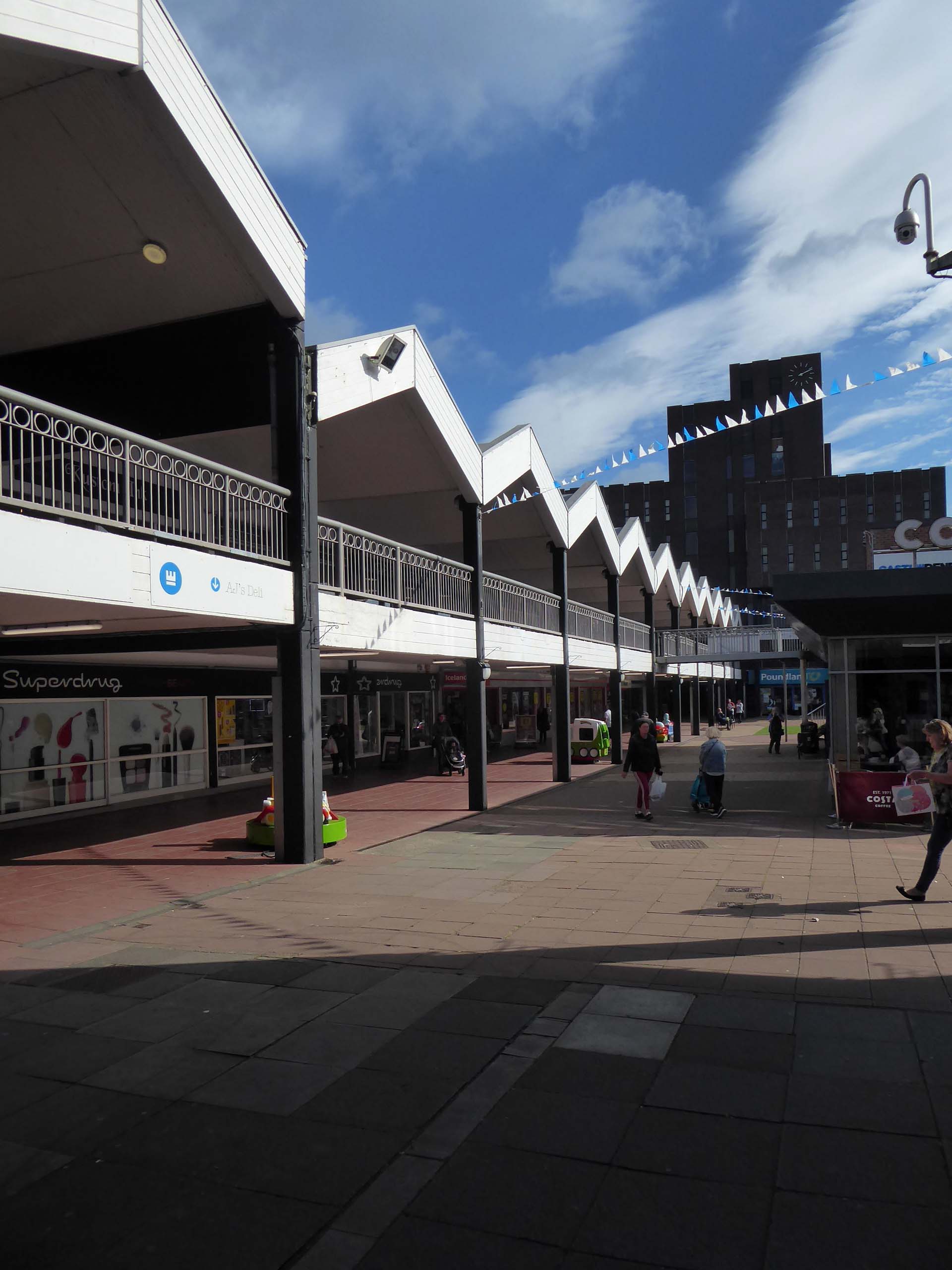
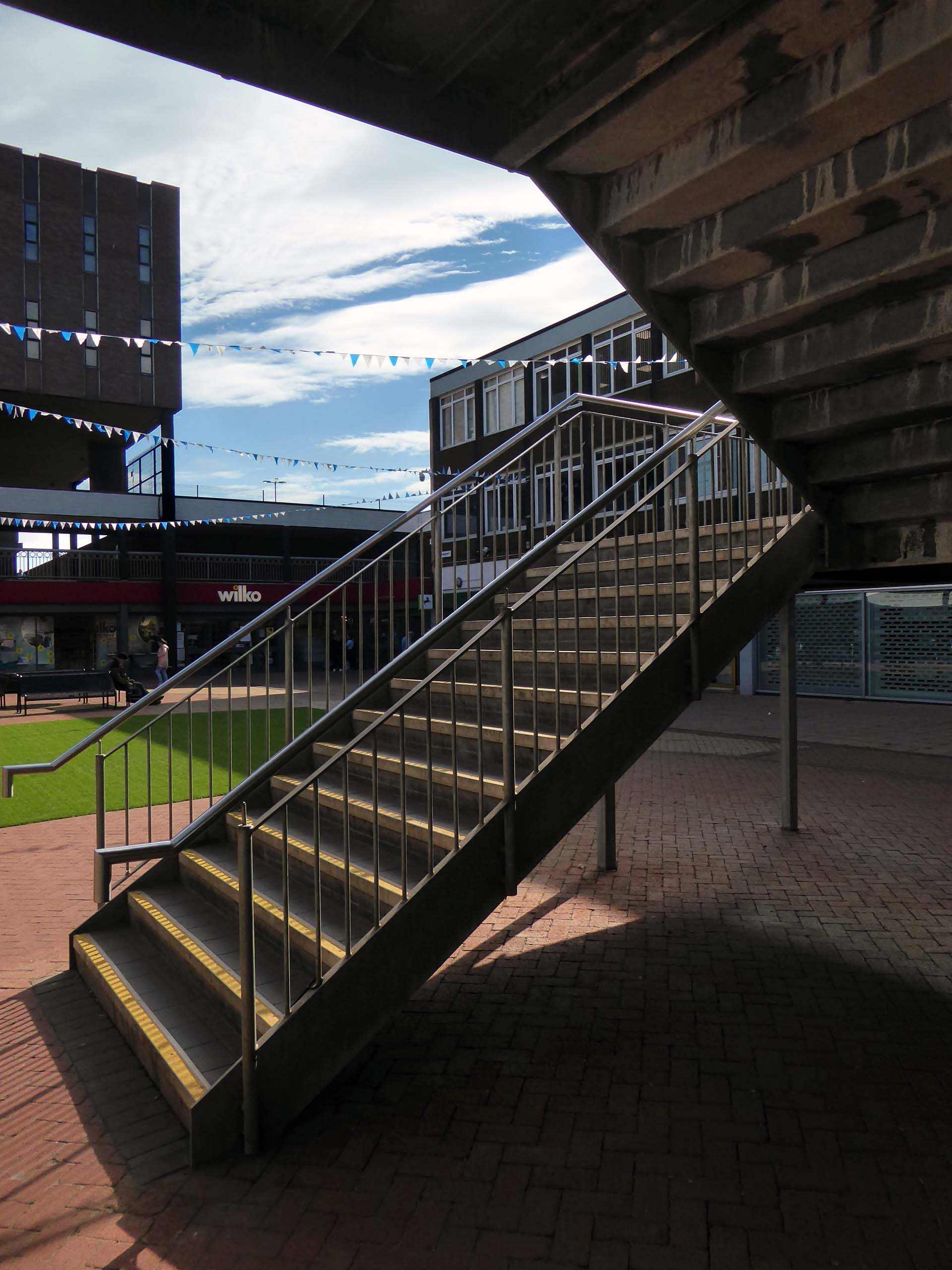
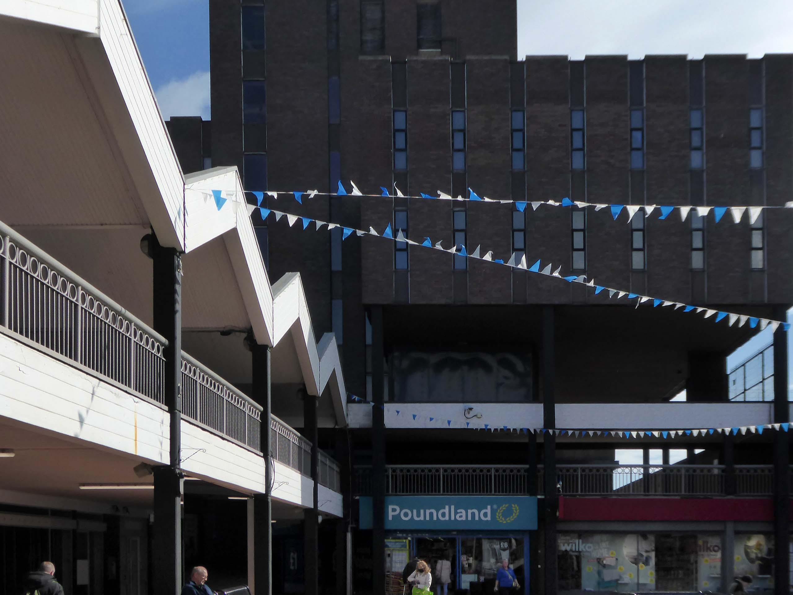
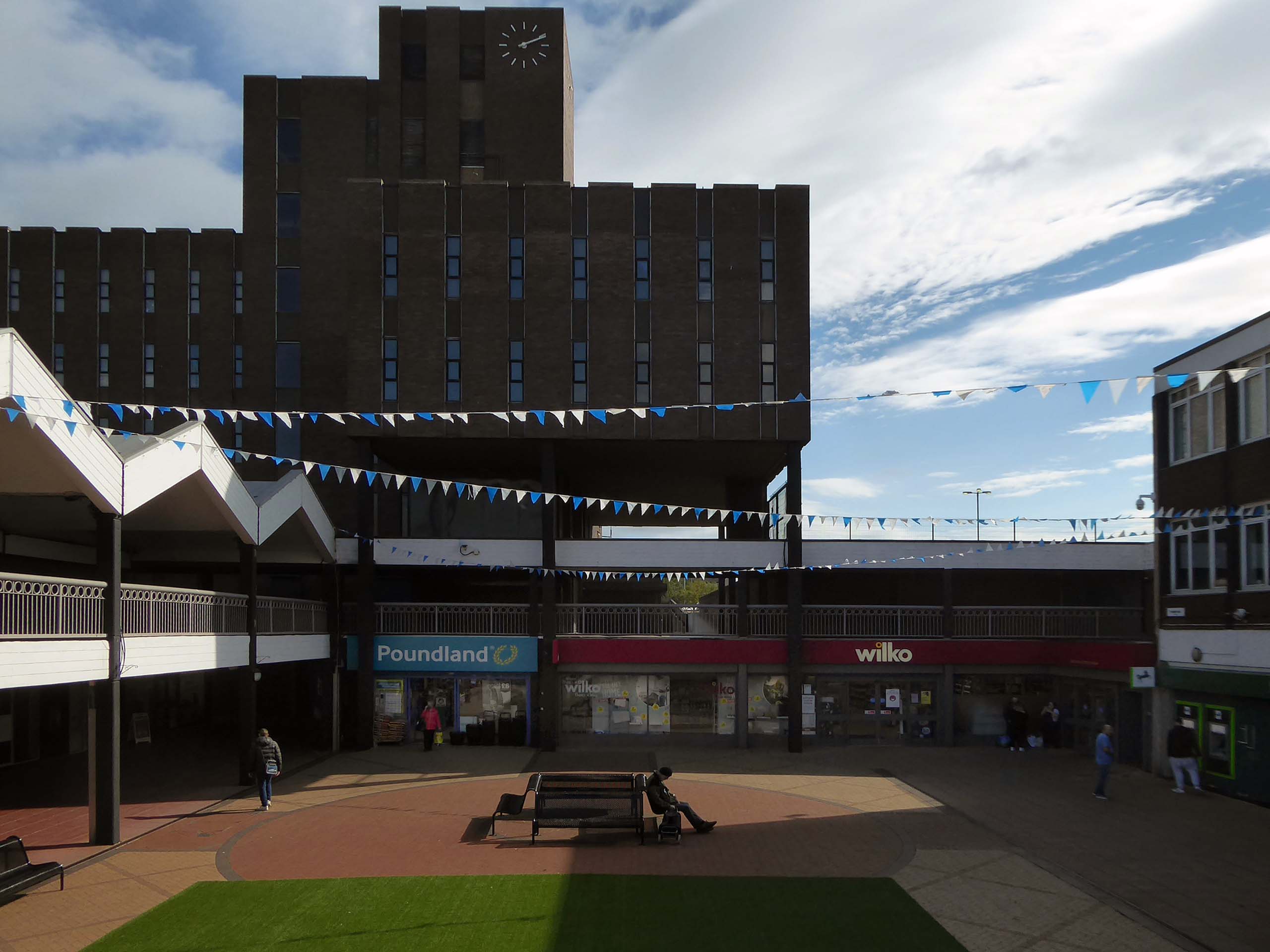
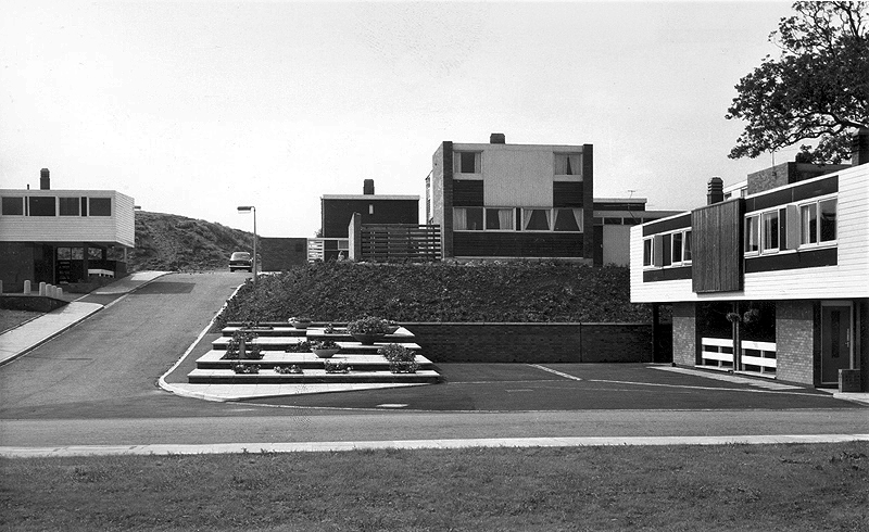
Plans for the new town centre started to be developed in 1960 by Chief Architect Roy Gazzard. The process would go through eight sets of revisions before they were finally approved in 1968. Yoden Way was then pedestrianised, and the small row of shops built in 1950’s was incorporated into the new shopping precinct, forming the north western end of Yoden Way. Like many other town centres across Britain undergoing modernisation, the high-street was split onto two levels, with ramps providing access to raised walkways.
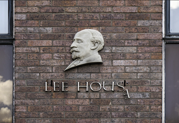
The construction of Lee House – named after Peter Lee, started in 1974. Once completed, the Development Corporation moved its Headquarters from Old Shotton Hall to Lee House in 1976, occupying the building until it was sold in 1984 and remaining staff relocated to Newton Aycliffe.
Enhancing the built environment, Peterlee Town Centre was furnished with play equipment, an ornamental pond, open air escalators, and a sculpture by John Pasmore – son of Victor.
These features were later removed after the town centre was sold to Teesdale Investments – Peterlee Limited in 1985.
Access ramp at the bottom end of Yoden Way, prior to the construction of Lee House in 1973.
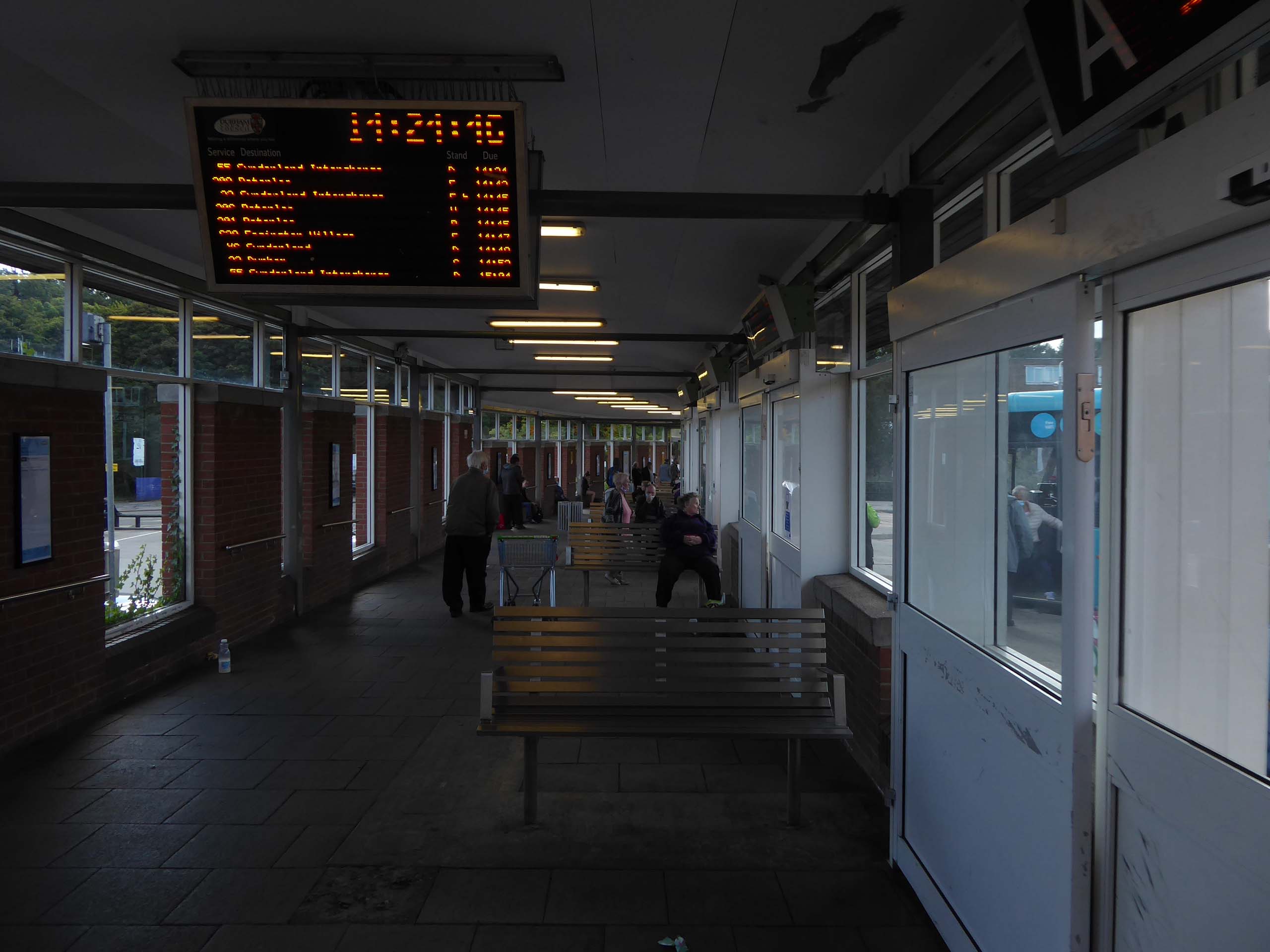
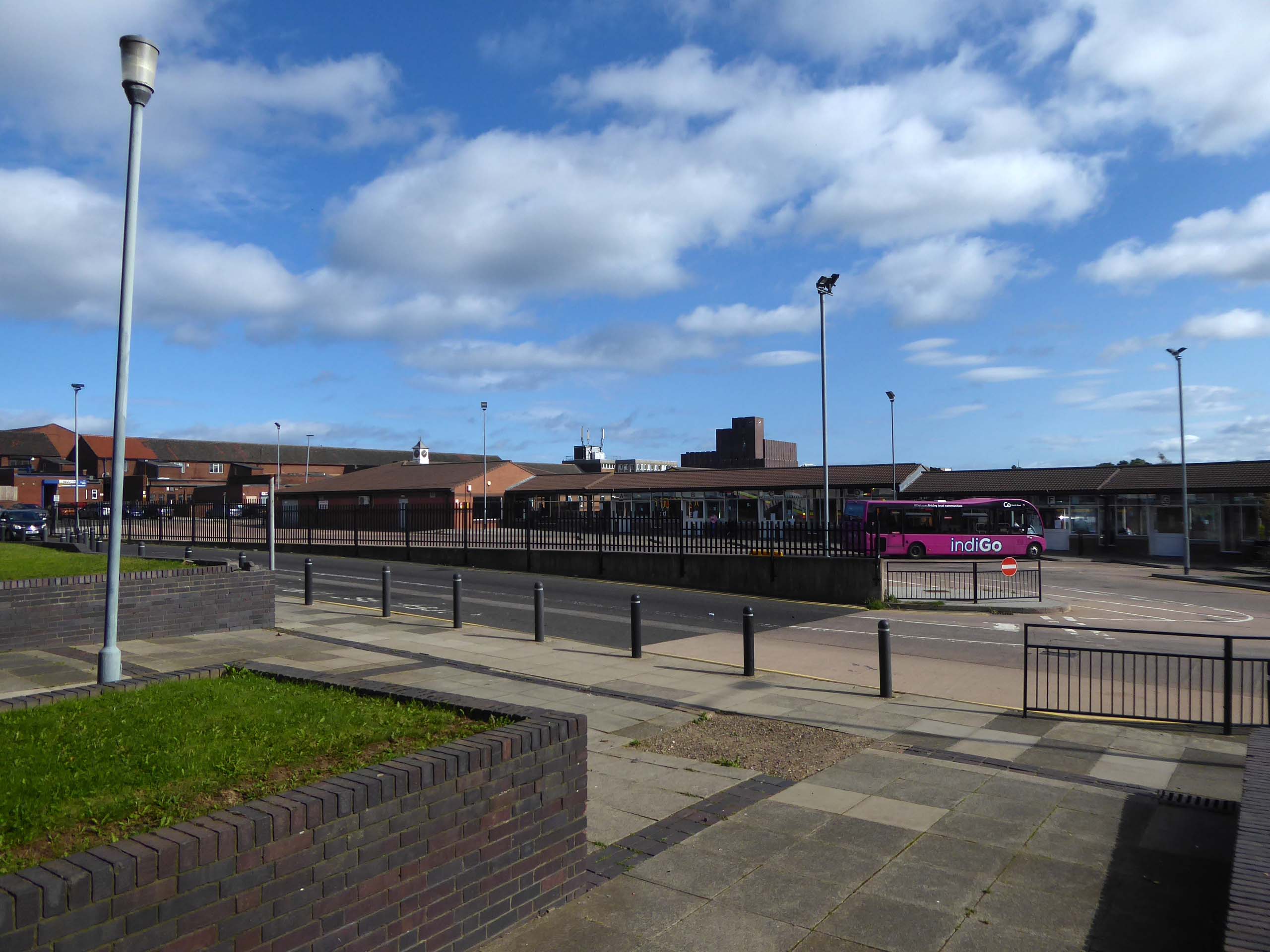
It’s 2021 and I arrive at the Bus Station.
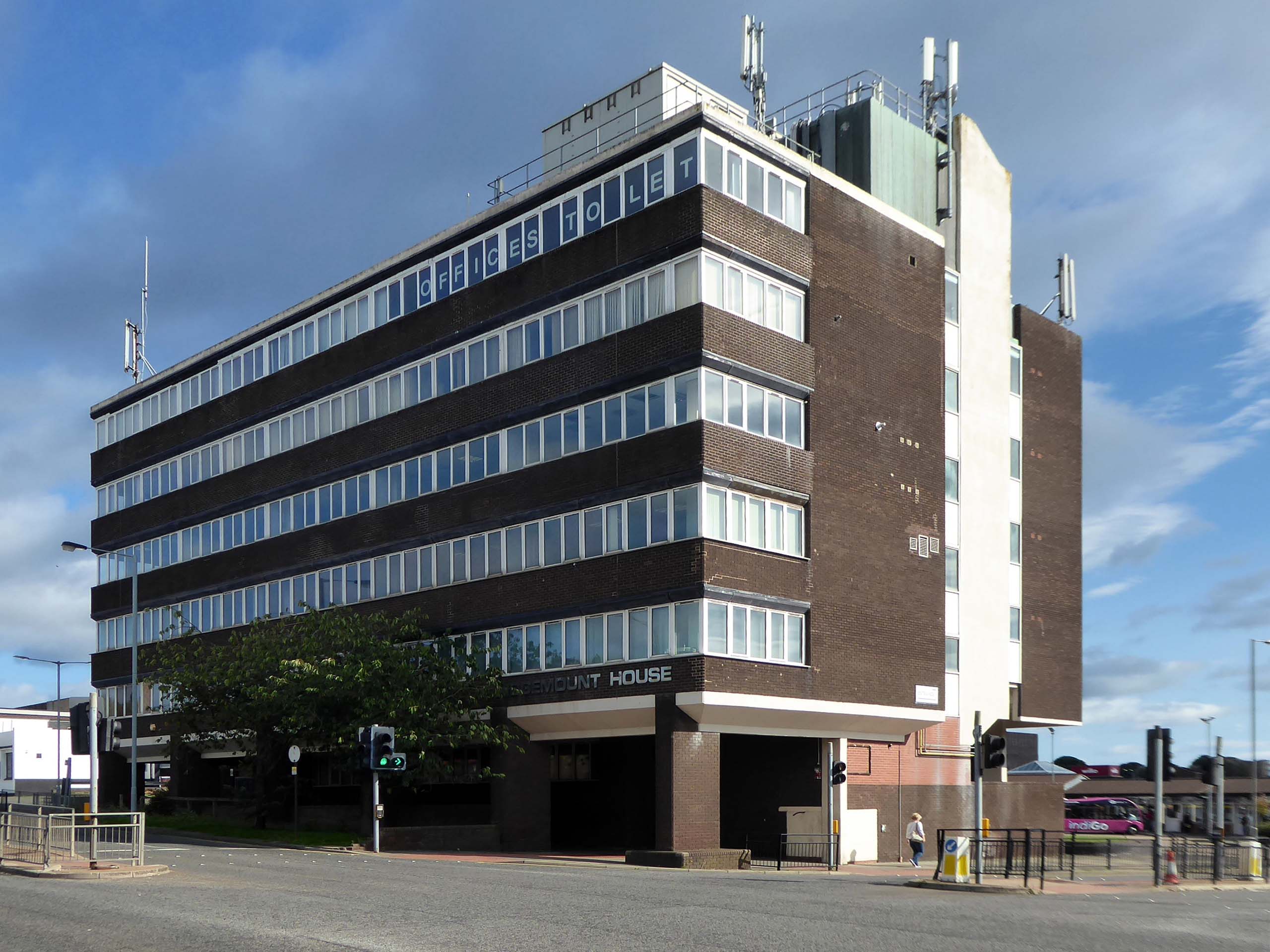
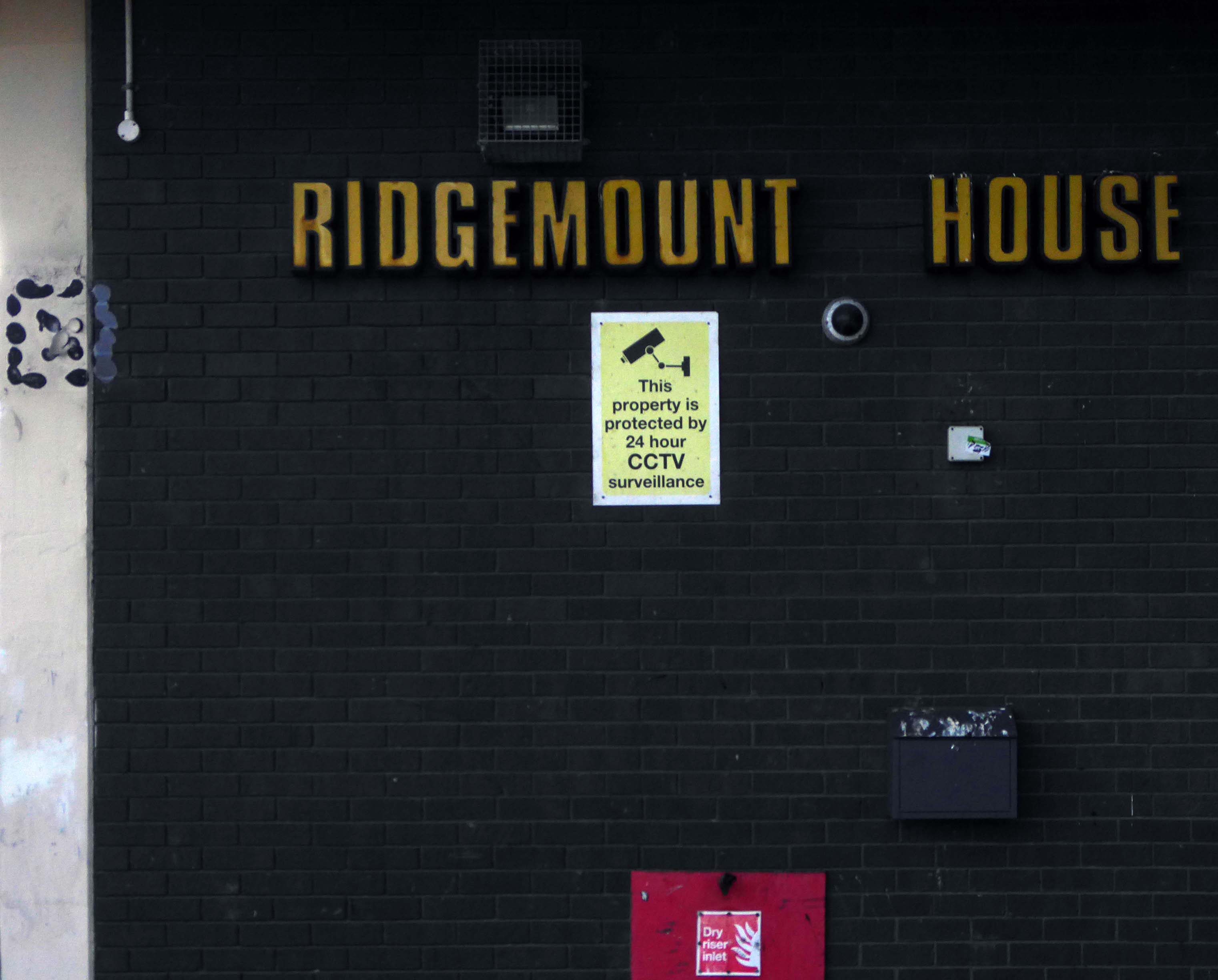
Immediately adjacent is Ridgemount House. – once home to the Job Centre.
Firefighters were called to the disused Ridgemount House on Bede Way in Peterlee on Wednesday August 16th 2023 at about 8.20pm after reports of a blaze.
Crews found a fire had broken out in the first floor of the building, which was found to be the home of thousands of pounds worth of cannabis plants back in 2020, after a man converted two floors for use as a drug farm.
Tarlochan Singh, owner of Ridgemount House, has been prosecuted following the discovery of several serious fire safety breaches at the property.
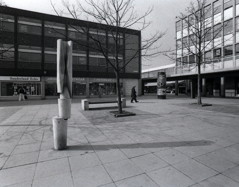
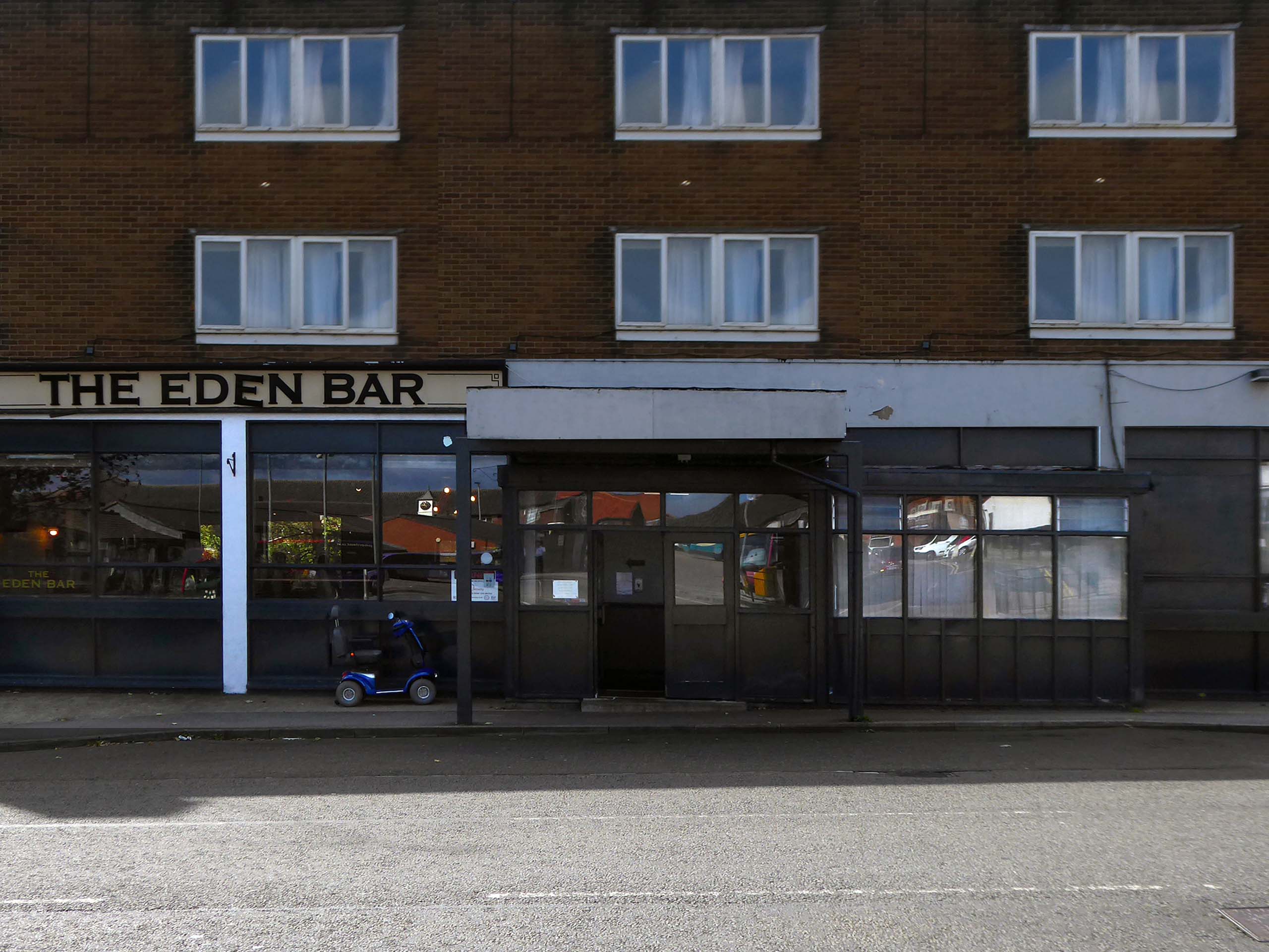
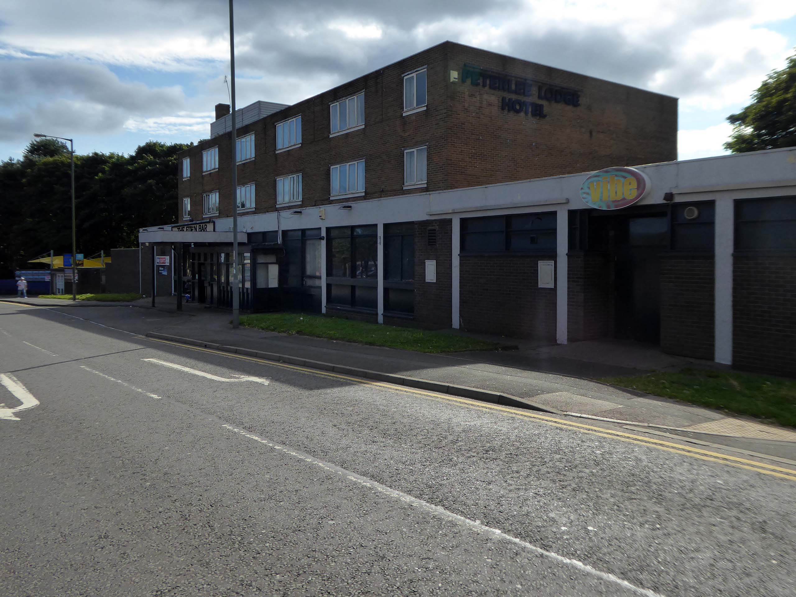
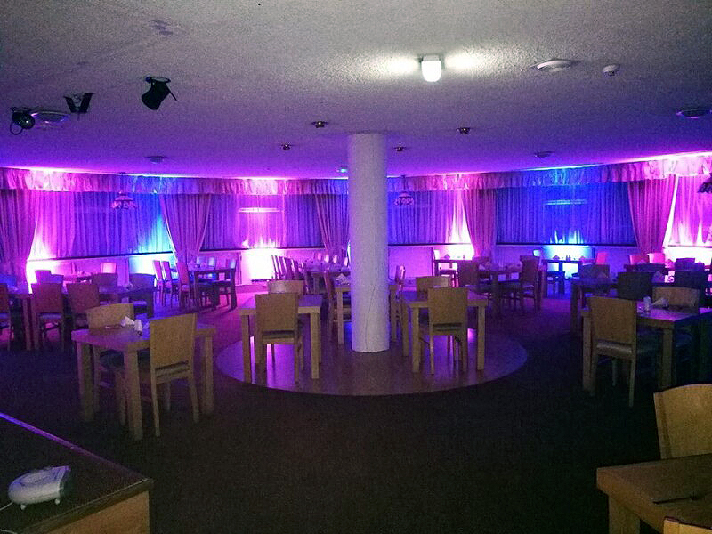
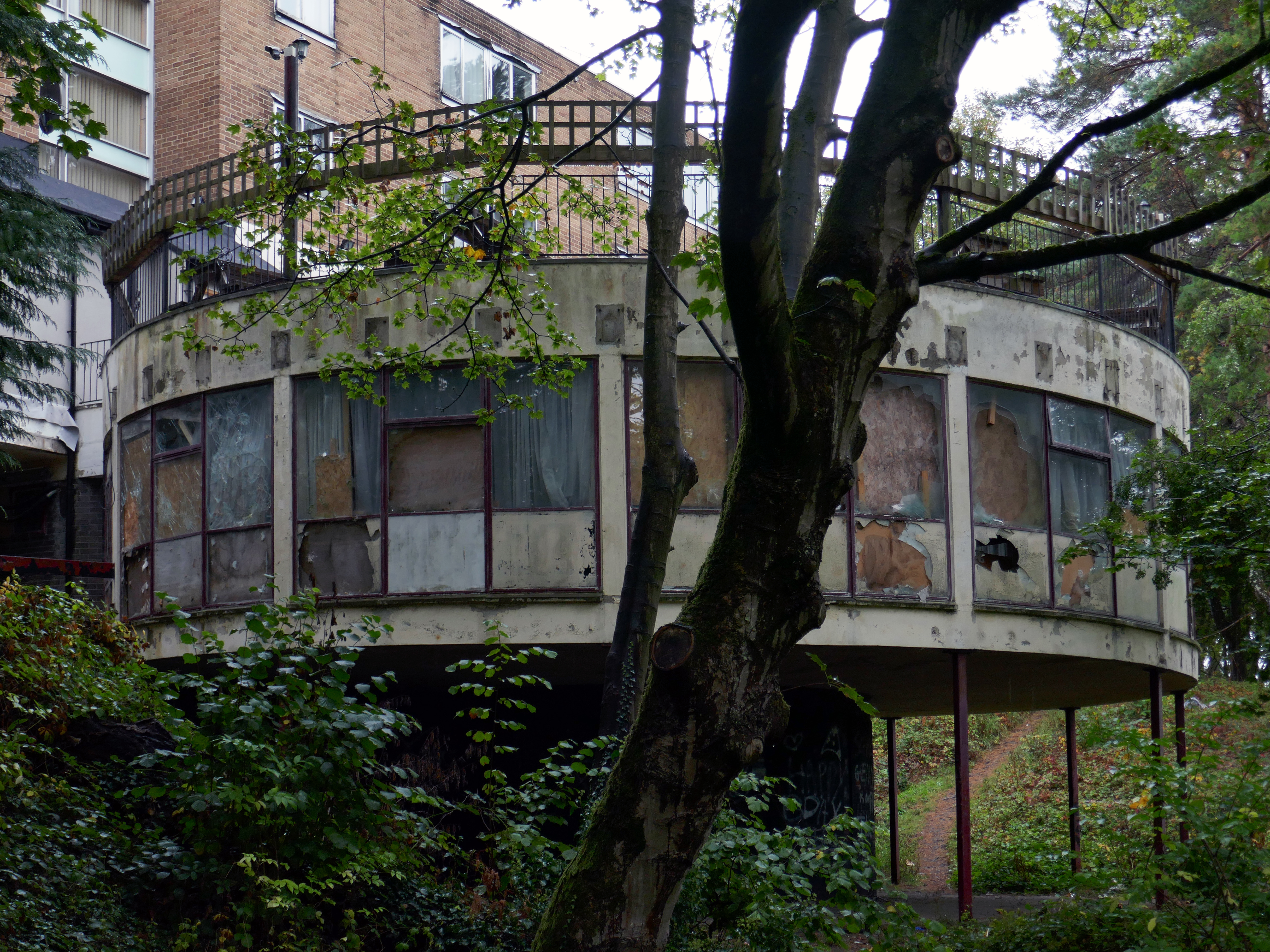
Readers have voted Peterlee nightspot Vibe as the ‘most tragic hometown club’ in the North East
Formerly known as The Dance Factory, Vibe, in Peterlee town centre, is a place famous for it’s almost impossible to get off ‘tramp stamp’ and next door neighbour The Lodge, where many locals will go for pre-drinks and some karaoke before heading to the club.
The bar which once boasted a bijou rotunda with an exclusive upper terrace, has now closed.
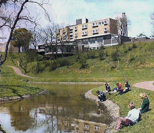
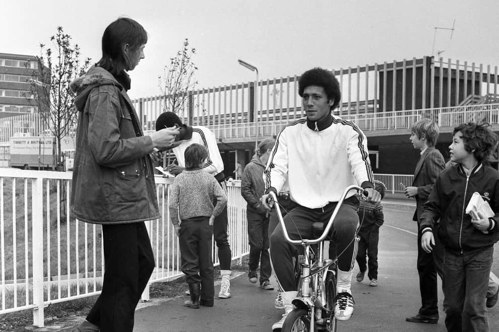
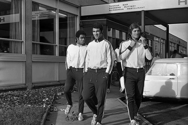
Back in 1973 the hotel was badged as the Norseman.
The giants of Sporting Lisbon faced Sunderland in the European Cup Winners Cup and they spent the build-up to the tie in the Norseman Hotel. They met local children, took a walk in the dene, signed autographs and even tried riding a Chopper bike. The side lost 2-1 at Roker Park to a talented Sunderland team before overcoming the Black Cats 2-0 back in Portugal.
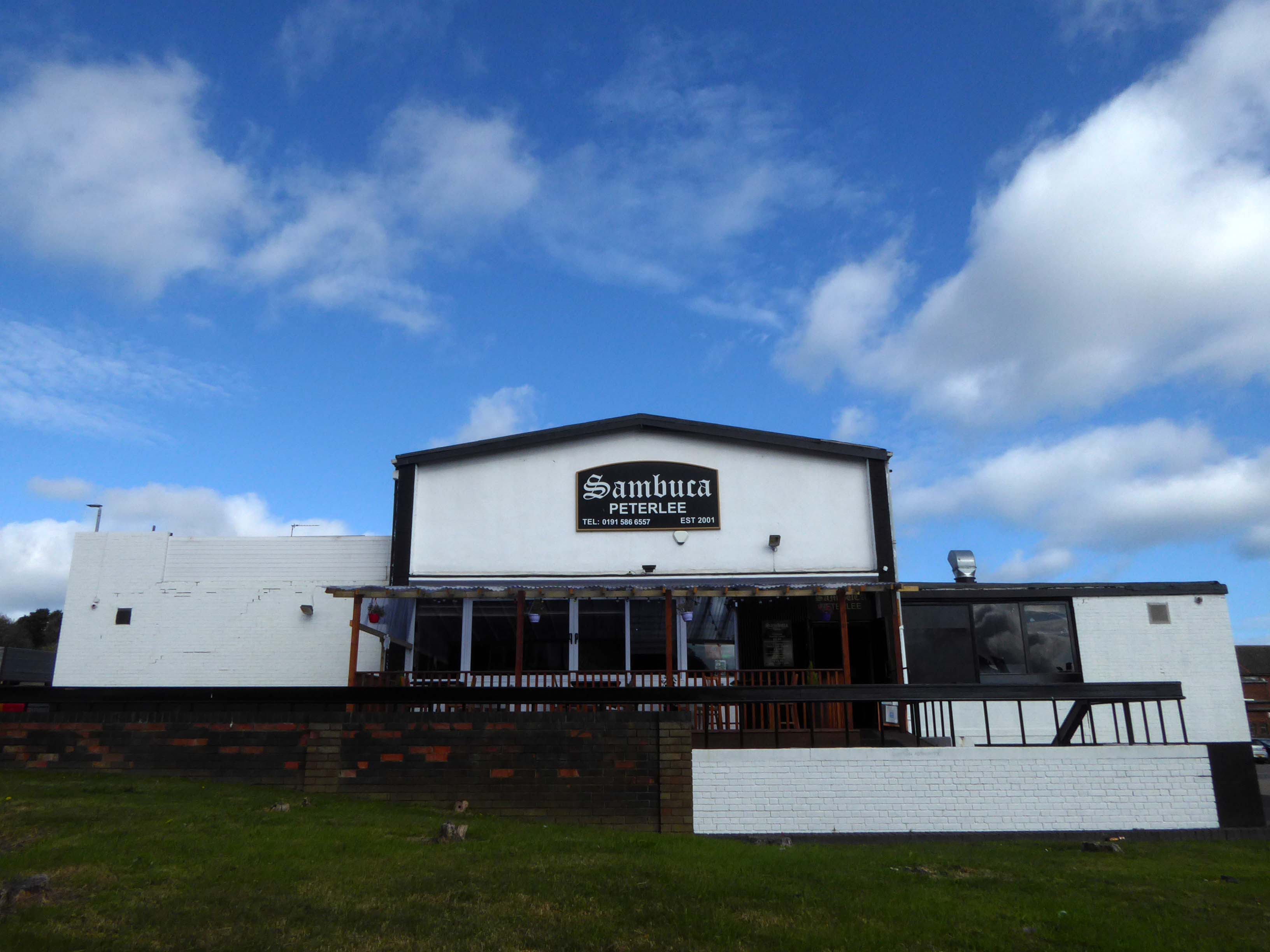
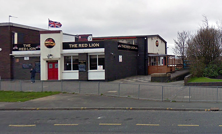
Back in 2021 Sambuca was the other town centre bar – badged with Olde English type.
Formerly the Red Lion a Cameron’s estate pub.
April 20th 2014 – Happy Easter everyone. We are open today all the way to 10pm – £2 bottles VHFs, house spirits only £3 double, buckets £4, Corona £2.50 selected shots 50p, cider cans £1 + £2 Karaoke – from now on everyone who sings gets a free shot Then we have the best in all your favourite dance ‘n’ house tunes to take you into Monday.
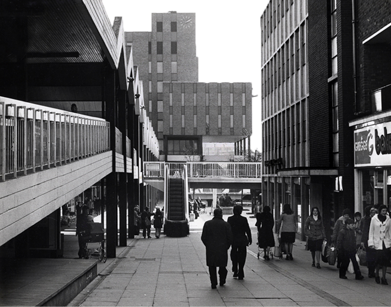
Onward to the Shopping Centre.
Yoden Way looking towards Lee House in 1977.
Photographs: JR James
The 1950’s shops are still in situ.
Though some of the original architectural detailing and features are no more.
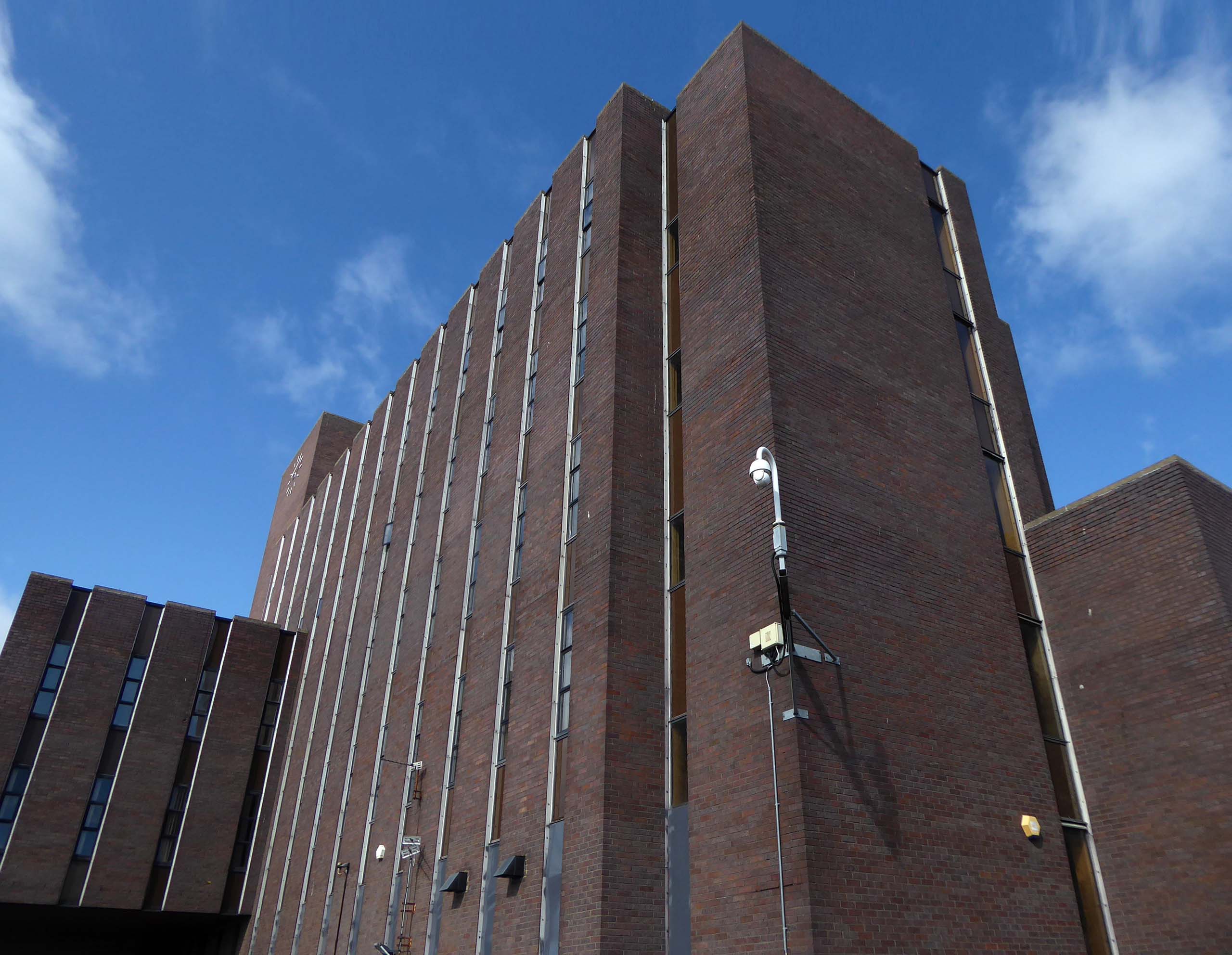
Lee House is still standing but vacant.
Lee House was once home to charity and community groups, but in 2015 the building owners ordered them to vacate the property.Even the building’s clock has stopped working and has been stuck on the same ten-past-two reading.
However, Durham County Council has now confirmed the building is in new hands. Economic development manager Graham Wood said: “We have worked with the previous owner to try to ensure the building is secured while we await proposals for its long-term future.
Four fire engines rushed to Lee House on Upper Yoden Way in Peterlee on Friday afternoon September 19th 2025 after a fire broke out on the first floor of the seven floor building.
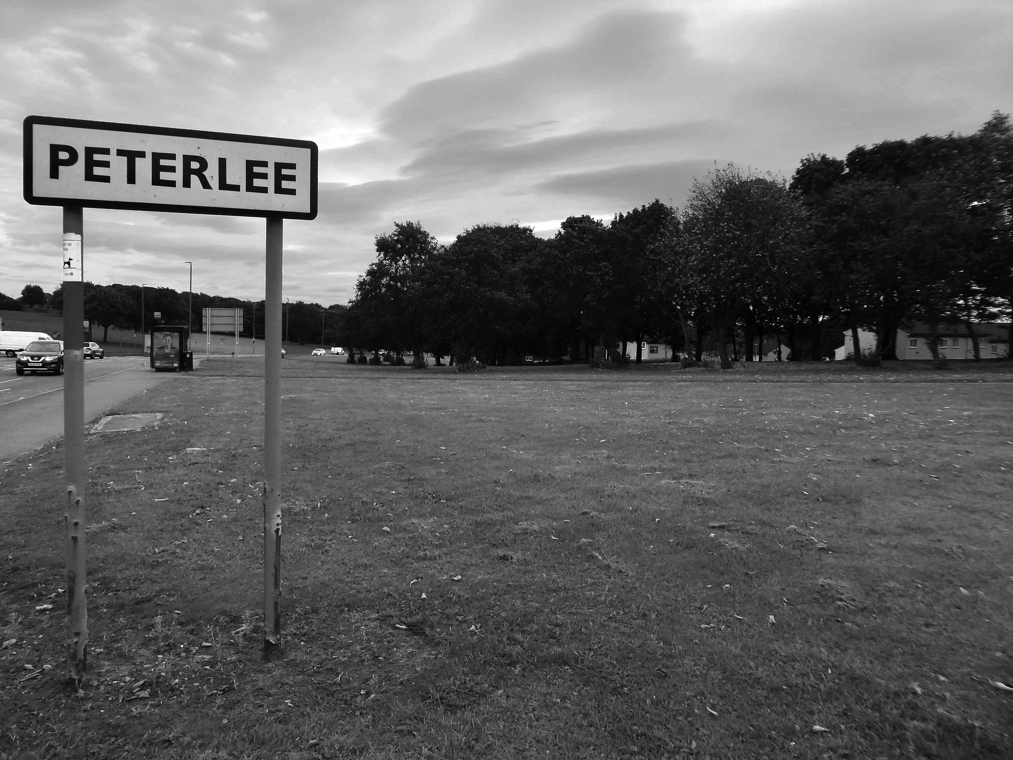
An express bus ride away from Newcastle City Centre – arriving in Peterlee, with a clear intent to wander around and look at housing.
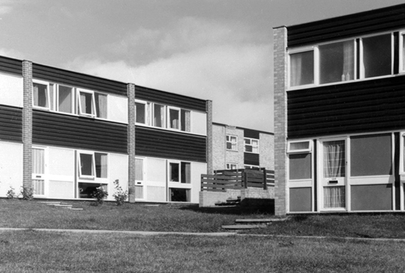
There have been many alterations and amendments made, in the short time since the inception of the Masterplan. Flat roofs have largely been and gone, timber replaced by uPVC, what remains is an interesting array of building types set in an attractive rolling landscape.
The case for founding Peterlee was put forward in Farewell Squalor by Easington Rural District Council Surveyor CW Clarke, who also proposed that the town be named after celebrated Durham miners’ leader Peter Lee. A deputation, consisting mostly of working miners, met the Minister of Town and Country Planning to put the case for a new town in the district. The minister, Lewis Silkin, responded by offering a half-size new town of 30,000 residents. The subsequent new residents came largely from surrounding villages in the District of Easington.
Peterlee Development Corporation was founded in 1948, first under Dr Monica Felton, then under AV Williams. The original master plan for tower blocks of flats by Berthold Lubetkin was rejected as unsuitable for the area’s geology, which had been weakened by mining works, and Lubetkin resigned in 1950. George Grenfell Baines’ plan was accepted, and construction quickly began, but it was of poor quality. Williams invited artist Victor Pasmore to head the landscaping design team.
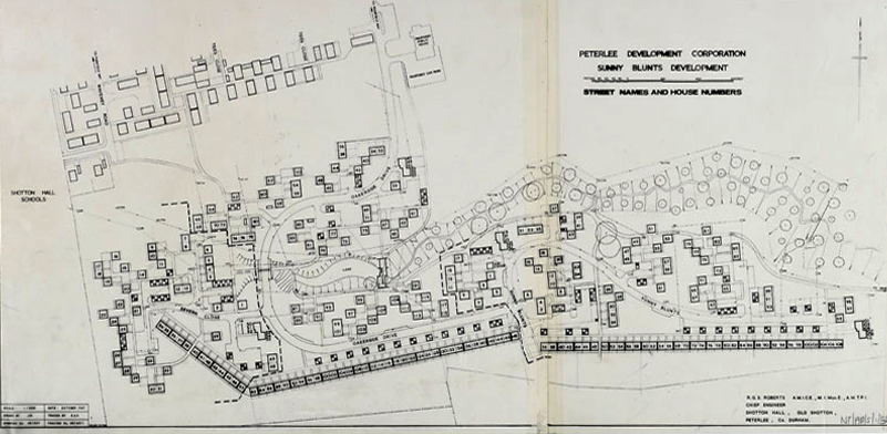
The long and narrow site intersected by a sloped ravine necessitated a new design approach for the layout of the road system and housing in Sunny Blunts. Rather than imposing a grid system as before, the roads follow the natural contours of the landscape so become curvilinear. The housing is then arranged in asymmetric patterns – a deconstructed grid system is one way of describing it.
One of the oddities of Sunny Blunts is the way the houses are rotated 180 degrees in relation to the conventional streetscape where enclosed gardens are normally at the rear of the houses. At Sunny Blunts the front door opens into the garden, while the backdoor opens out onto public realm space, often directly onto grassed areas, which because of how the houses are arranged forms small communal gardens isolated from road traffic for safe places to play. Peterlee at this time had a very high percentage of young families.
Sunny Blunts is also where the now infamous Crudens houses were introduced – along with the Howletch area. Crudens owned the British rights to the Skarne building system, where prefabricated concrete walls and floors are bolted together to form the frame of the house. The system reduced building costs by 10% per house unit, though at Sunny Blunts this saving was then absorbed by the costs of remedial work required to make many of the houses habitable for residents to move in. This still didn’t fully resolve issues with water ingress in some cases.
After the completion of Sunny and Howletch the Development Corporation reverted back to using more traditional building methods.
The Peterlee Development Corporation initially employed the Russian modernist architect Berthold Lubetkin to design the new town. Appointing a renowned Modernist architect such as Lubetkin demonstrated the importance that was placed on innovative design. Lubetkin initially planned to build a modern town of high-rise towers and walkways in the sky. However, his plan was rejected because towers of such height could not be built on land that had been mined.
After Lubetkin’s resignation in 1950 a new architect, Grenfell Baines, was employed to work on the development of Peterlee. After further dissatisfaction with the plans, Victor Pasmore was invited to collaborate on a new scheme for the south west area of the town in 1955. Pasmore’s role was to work alongside the architects to add imagination to a project that could potentially get weighed down with the restrictions of building regulations. That Pasmore – one of the most influential abstract artists in Britain at the time – was given such a vital role in the development of Peterlee demonstrates the central role art played in urban design after the war.
As well as appearing in the Chapel Hill area, this house style was also introduced in parts of Acre Rigg, along Manor Way, and in the early phases of the South West Area. These were designed and built in the early 1960’s when Roy Gazzard was Chief Architect. The three story blocks of flats with their distinctive butterfly roof design that were introduced in the same areas of the new town can also be credited to Gazzard.
Roy Gazzard left Peterlee Development Corporation in June 1962 and went on to become Chief Architect at Killingworth in North Tyneside.
The footpath running between a group of two-bedroom houses.
Essington Way is the main spine road running north from the town centre to Thorpe Road which connects Easington Village and Colliery, with Horden and Sunderland Road. East of Essington Way is the North East Quadrant . West is Acre Rigg which was built in five phases from 1956-1966. The early phases of Acre Rigg share a similar character to that of the earlier North East Quadrant. The later phases built in the 1960s contrast sharply, drawing on the design approached developed in the South West Area under the guidance of artist Victor Pasmore.
The contract to build the Howletch area was awarded to Crudens, who owned the British franchise for the Swedish designed Skarne building system.
The Crudens houses were constructed using prefabricated concrete sections bolted together to form the frame of the building. The gable end walls were then rendered with brick, with non-loadbearing glass, wood, and rendered panel sections forming the front and rear elevations of the houses.
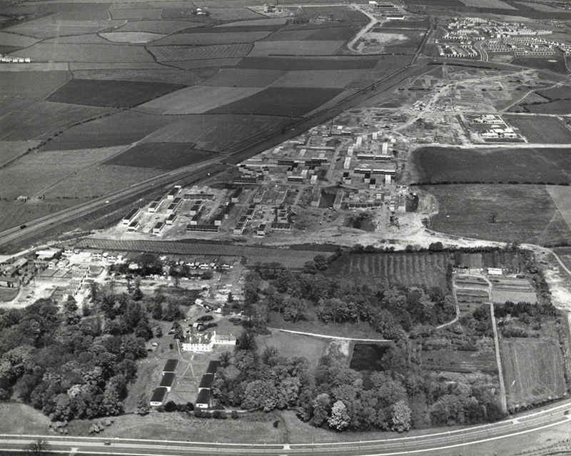
In the foreground of this aerial photo is Old Shotton Hall, which at this time was the headquarters of Peterlee Development Corporation after it was refurbished in 1948 by Architect Planner Berthold Lubetkin. In 1976 the Development Corporation moved its headquarters to Lee House in the town centre. It is now the offices of Peterlee Town Council.
After the departure of Berthold Lubetkin, Grenfell Bains was drafted in as Architect Planner to develop the new Master Plan and oversee development of the North East Quadrant. Bains at the time filled the position at Newton Aycliffe, another of the first wave new towns located 20 miles south west of Peterlee.
1956
As the dates of these aerial photographs testify, building work was already well underway in the North East Quadrant by the time the Peterlee Master Plan was published in September 1952. Indeed, as surviving residency agreements and rent books also testify, houses in this part of Peterlee were already occupied, such were the pressures on the Development Corporation to have something tangible to show for their efforts.
Thorntree Gill was the first phase of residential development completed in Peterlee. It was home to the towns first residents, who began moving in in 1951. The road layout is that designed by Architect Planner Berthold Lubetkin for his ‘Hundred Houses’ scheme , though the houses eventually built differed dramatically from what Lubetkin had envisaged.
In the first phase of the South West Area, Victor Pasmore – Consulting Director of Urban Design, Frank Dixon – Building Architect and Peter Daniels – Landscape Architect, settled upon an orthogonal layout system – roads and houses set at right angles to form a grid pattern.
Three bedroom semi-detached cantilever house on Avon Road.
Screen partition on Thames Road.
Dart Road
A stub block of single-bedroom flats over garages.
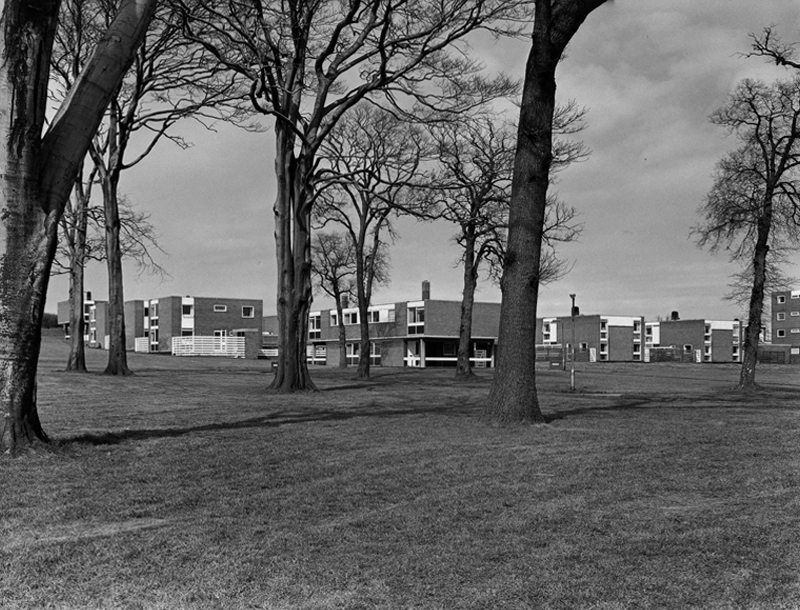
The road and housing layouts in the South West III and IV areas extend the orthogonal grid pattern introduced in the South West I and II areas.
The presence of existing mature trees is a feature of South West III which helps give the area an identity that is distinctive from South West I and II. This distinctiveness is further enhanced by the choice of building material.
The South West III and IV areas were built with cured lime brick, with black dye added to a material that is naturally white, creating symbolic reference to a coal face. The visual effect was then sharpened with white panelling. When the dye added to the bricks began fading to a pale grey colour through exposure to the elements, the intended symbolism uncannily started to mirror the fate of the coal industry across the east Durham area.
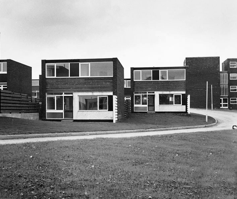
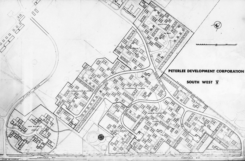
The South West V Area is approximately twice the size of Sunny Blunts. This final phase of development therefore provided Victor Pasmore with the opportunity to expand the new layout system without the constraints presented by the Sunny Blunts site.
Though the basic cubic house unit is retained in South West V, the detailing in the house elevations is much simpler and closer in feel to the South West III and IV Areas.
This is an an abridged version of the material to be found on PeterleeHistory – intended as an accessible guide to visitors wishing to explore the town.
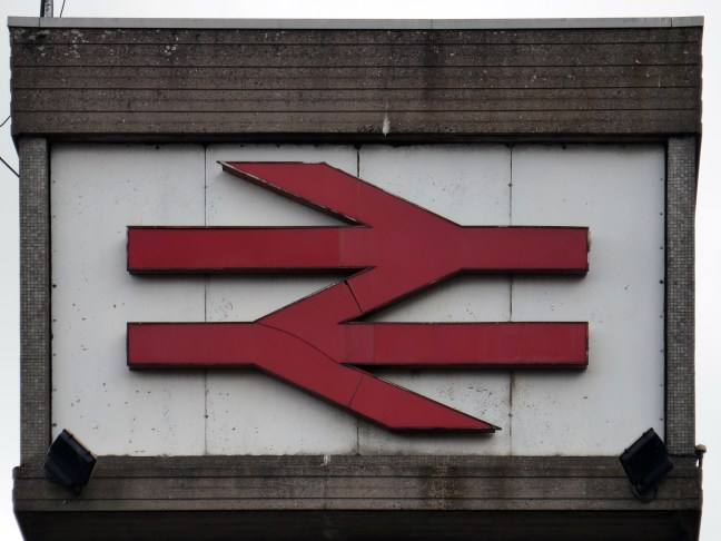
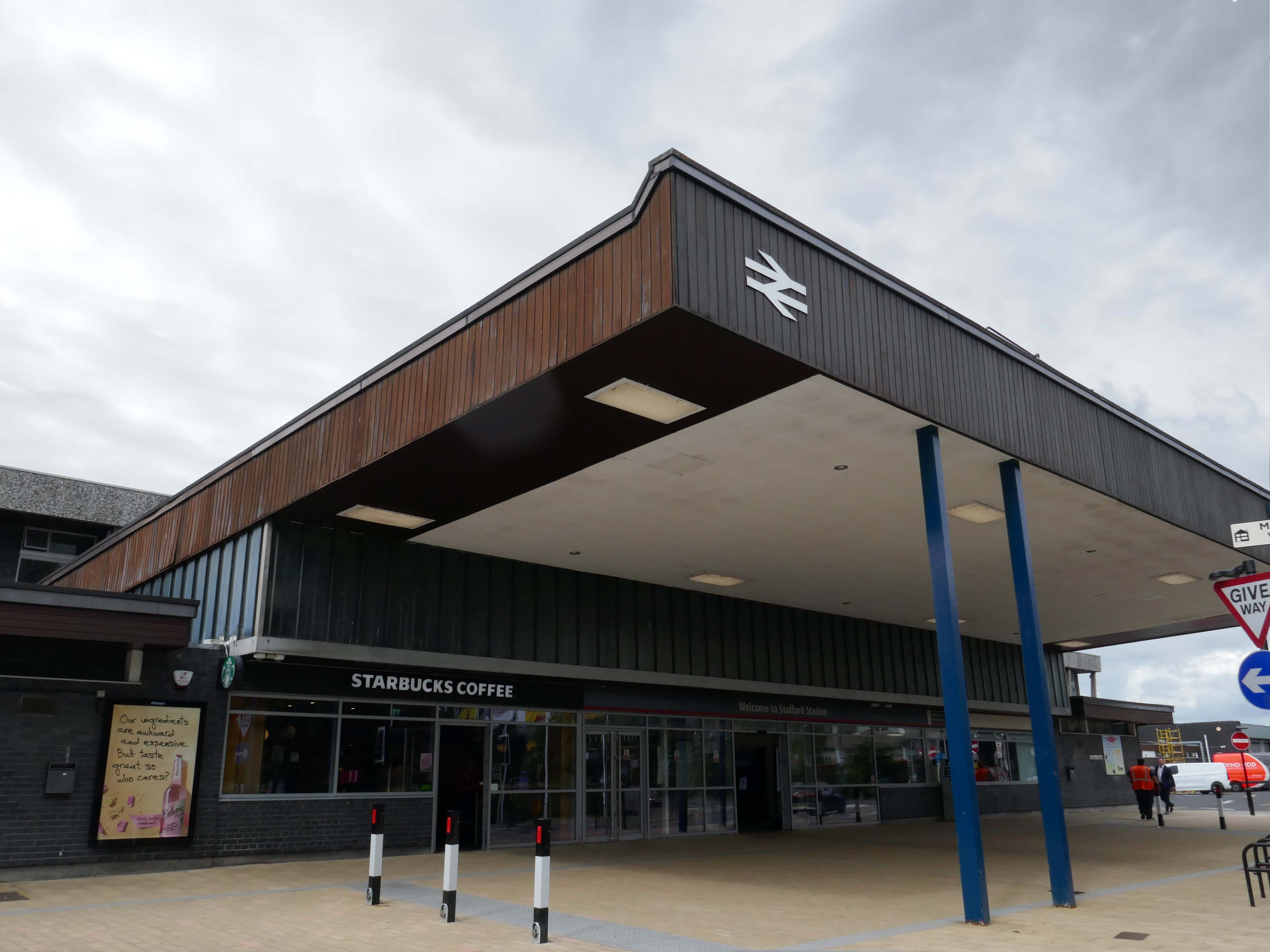
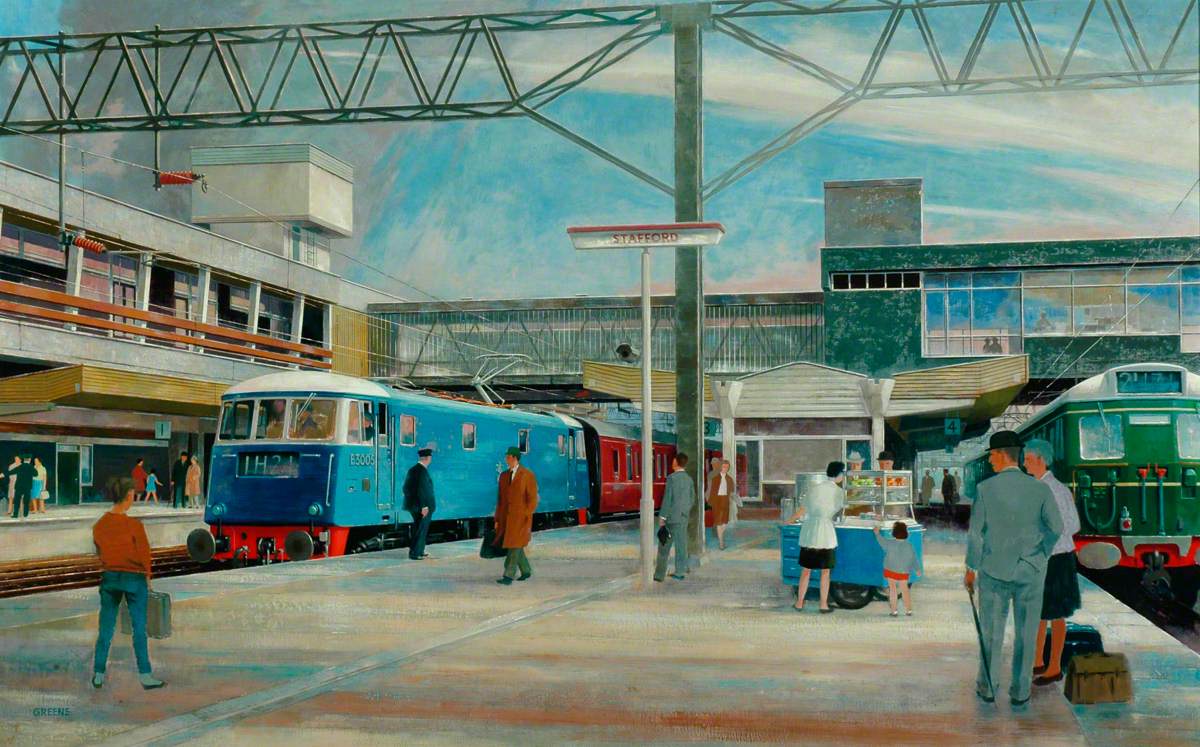
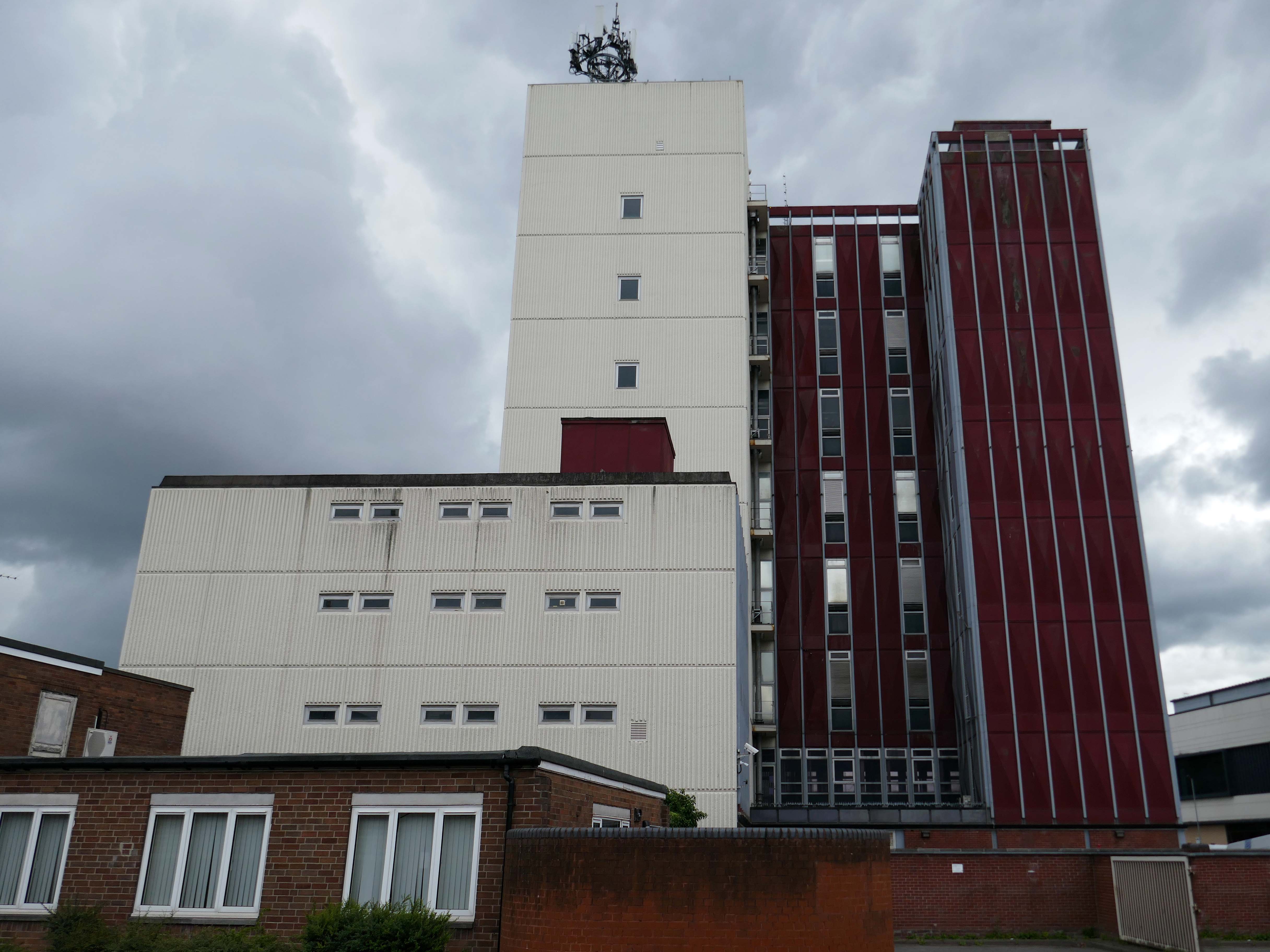
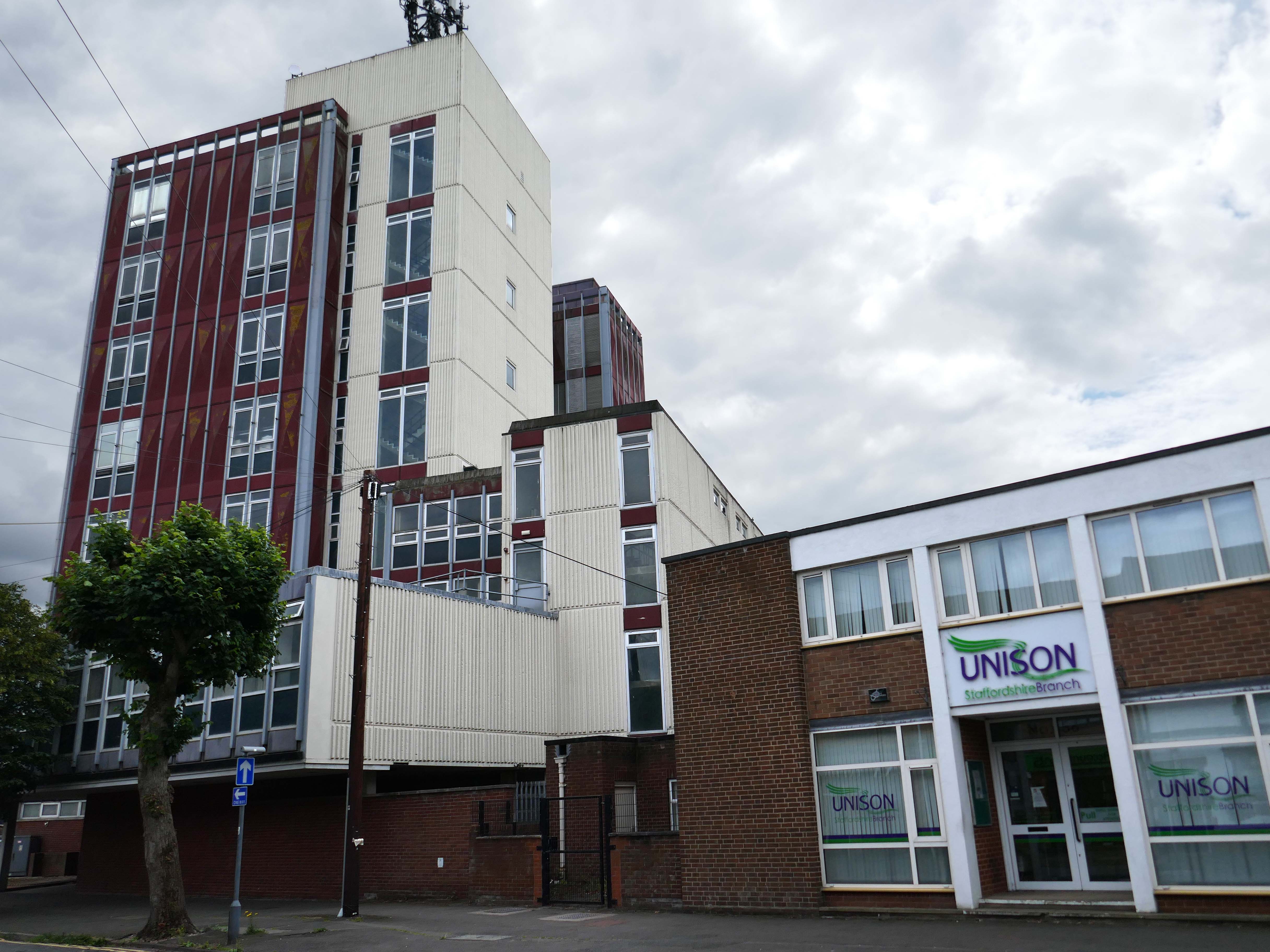
The current station was built in 1962, by the architect William Robert Headley, as part of the modernisation programme which saw the electrification of the West Coast Main Line.
On leaving the station there is an as yet partially un-let Sixties office block to let – Victoria Park House.
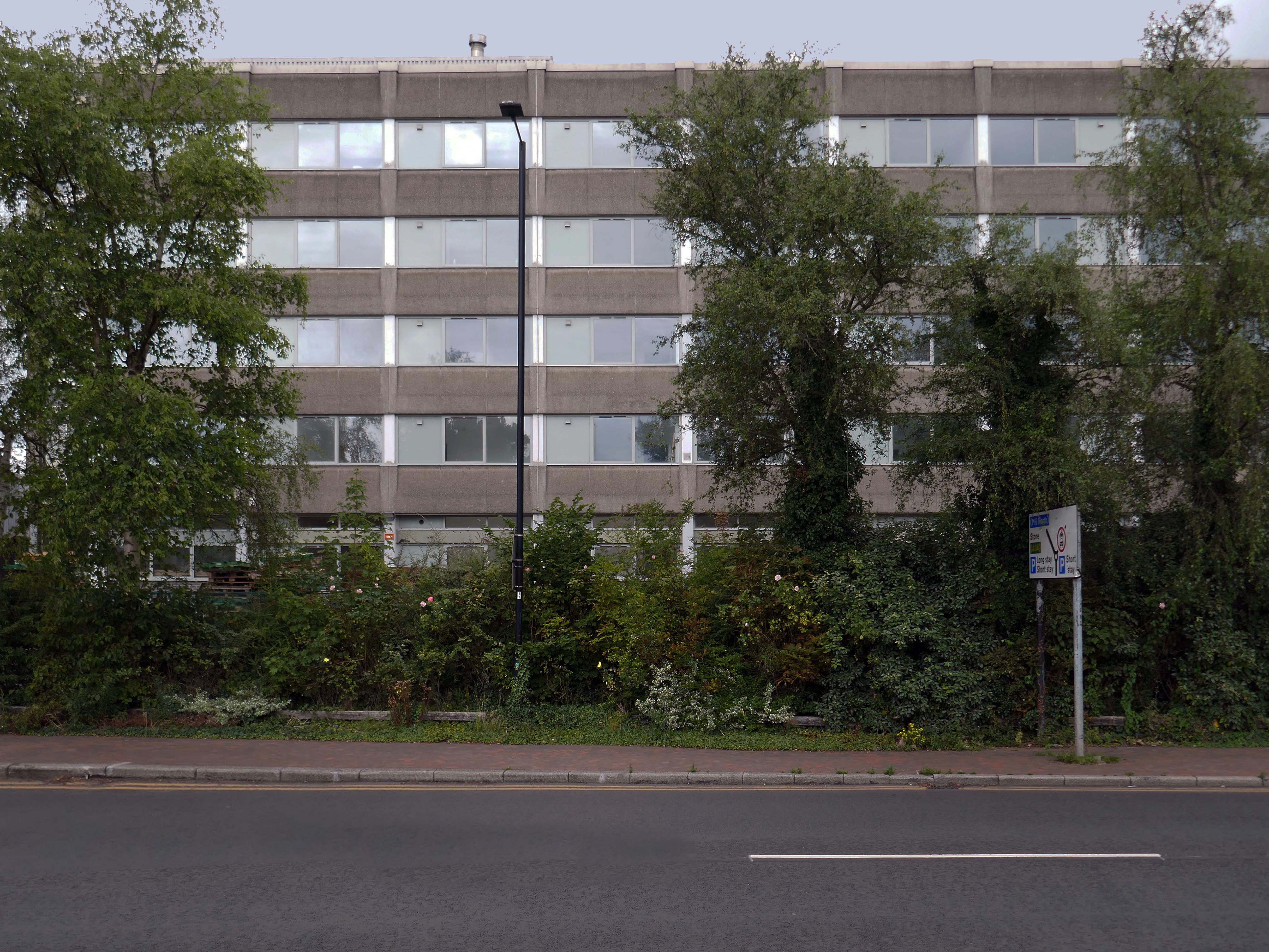
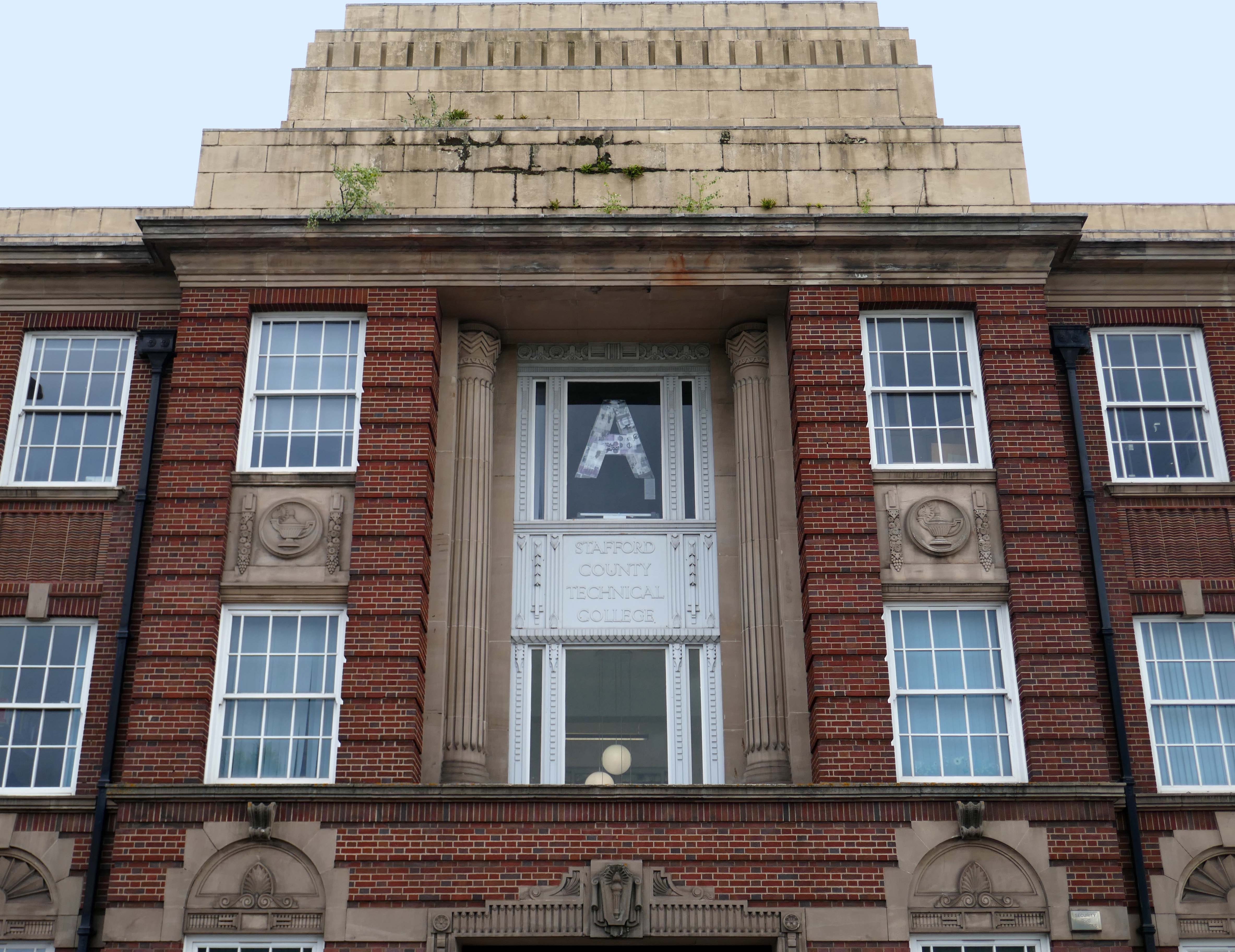
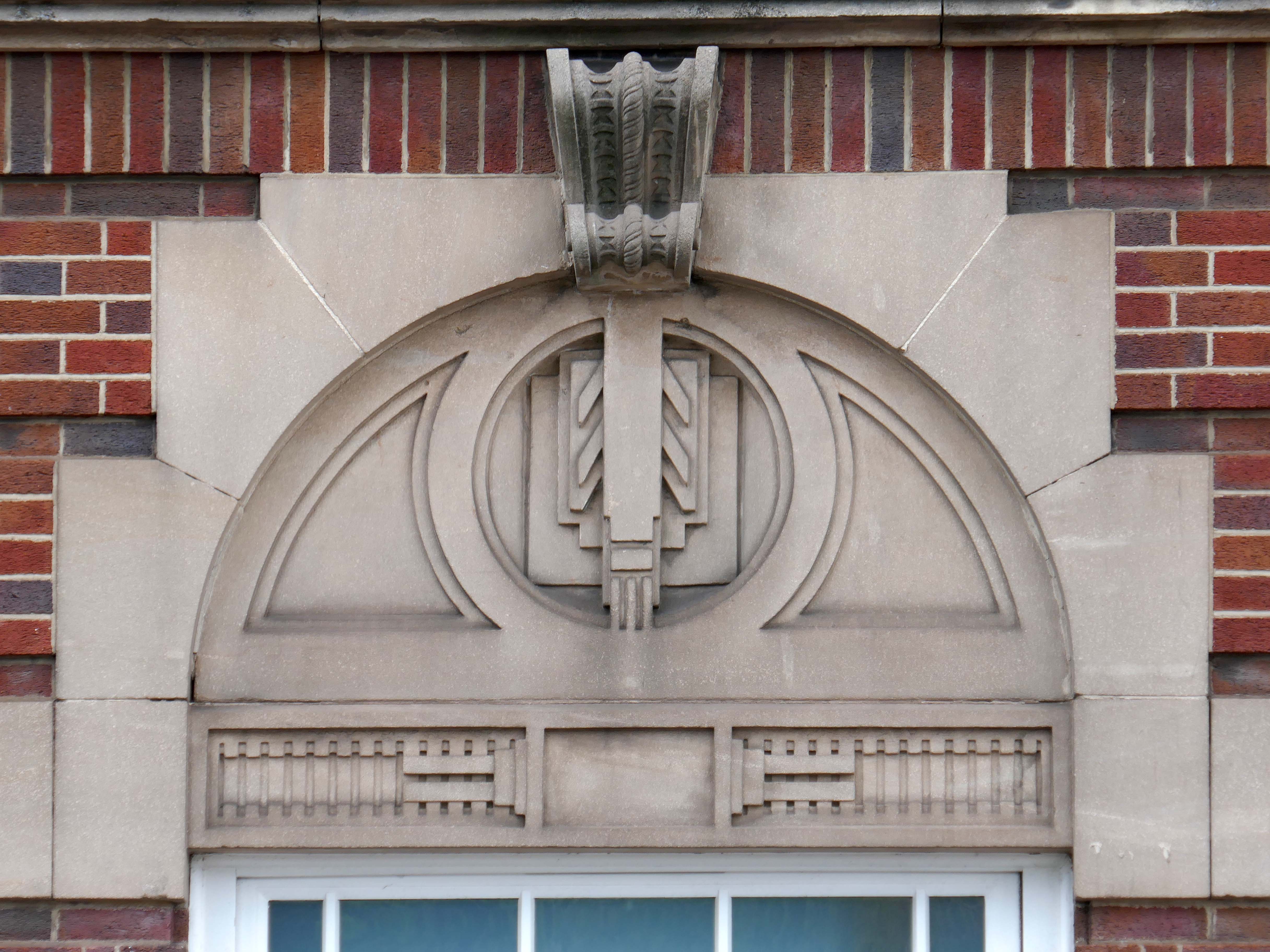
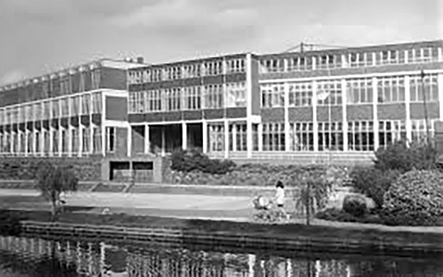
Onward to the County Technical College 1937 Grade II Listed – interior completed 1946.
The shell of the building was completed in 1937, after which it was used as an American army hospital during the war, then completed afterwards.
Heavily loaded with Art Deco details.
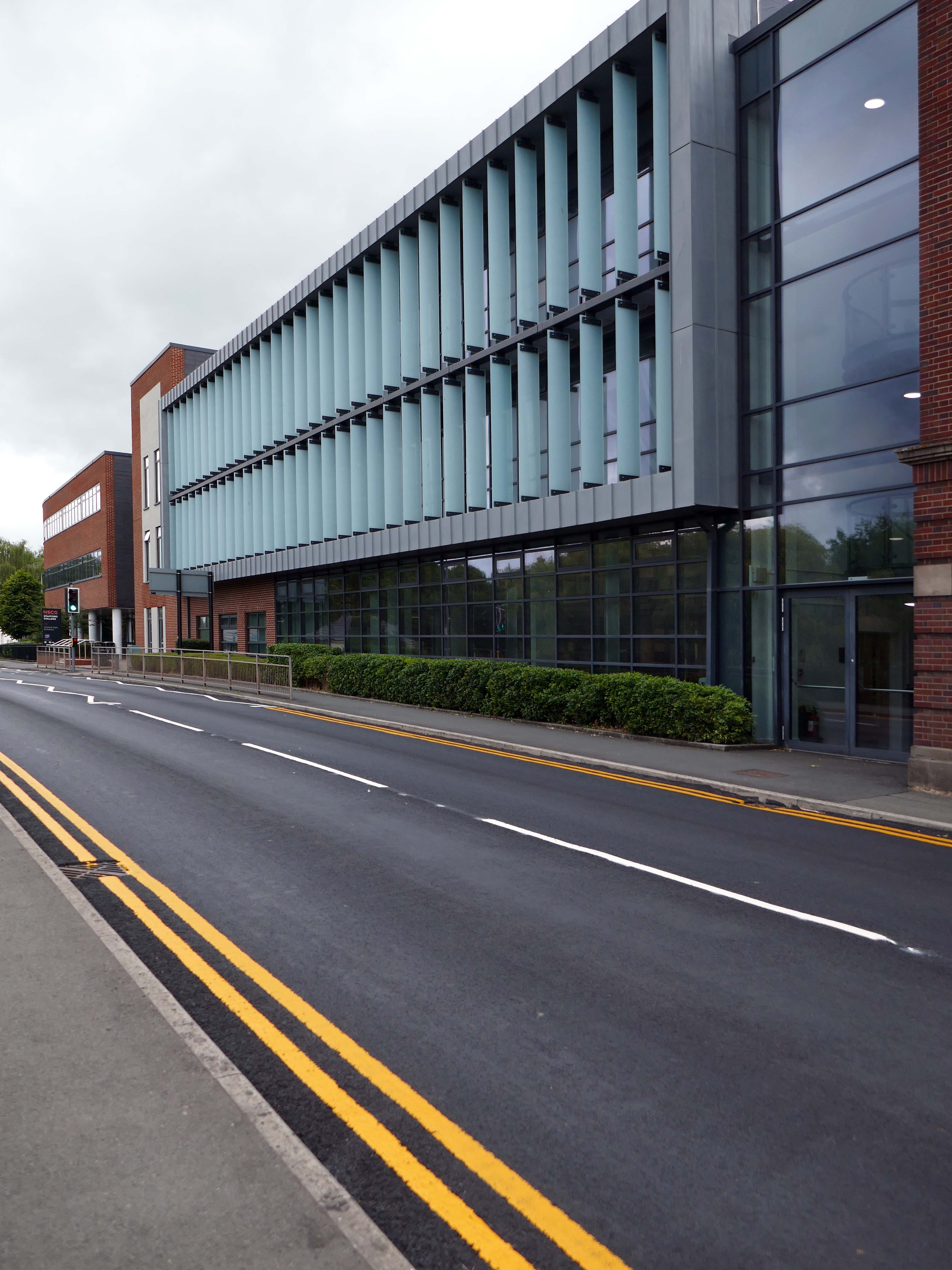
The new £28m three-storey Skills & Innovation Centre at Stafford College, completed in August 2023, was one of the first further education college schemes to be delivered under the DfE framework and a pathfinder scheme for delivery in accordance with the Further Education Output Specification. The new Centre is equipped with cutting-edge equipment and state-of-the-art facilities for construction, engineering and hybrid / electric vehicle maintenance facilities, as well as IT rich seminar suites and open learning break-out spaces along with a 4-court sports hall, a fully-equipped gym and a flexible 300-seat auditorium.
A 1970’s block was demolished to make way for the new development.
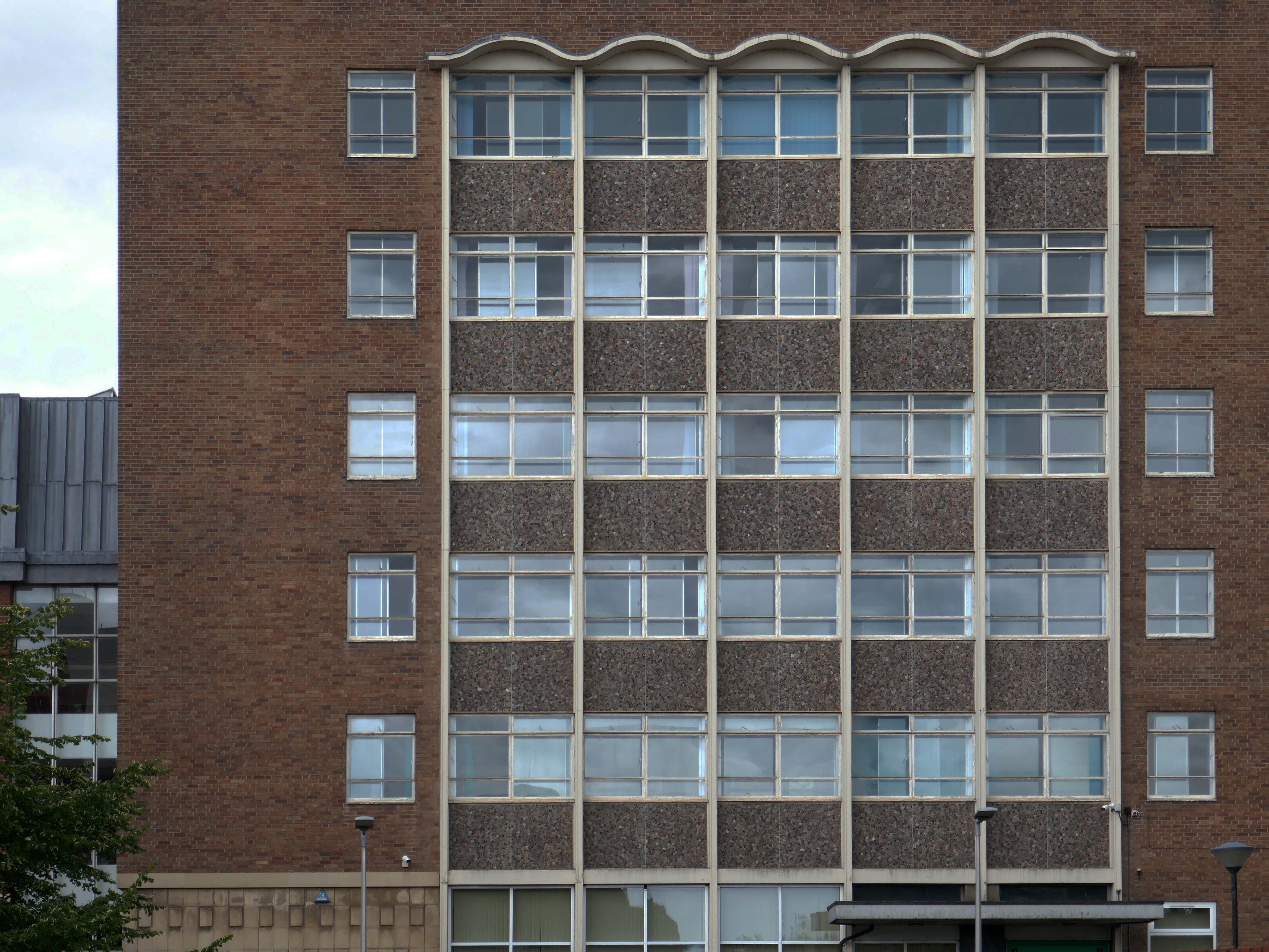
Almost everywhere we go we find a PoMo Crown Courts 1991 – architects: Associated Architects of Birmingham, cost of £10.4 million.
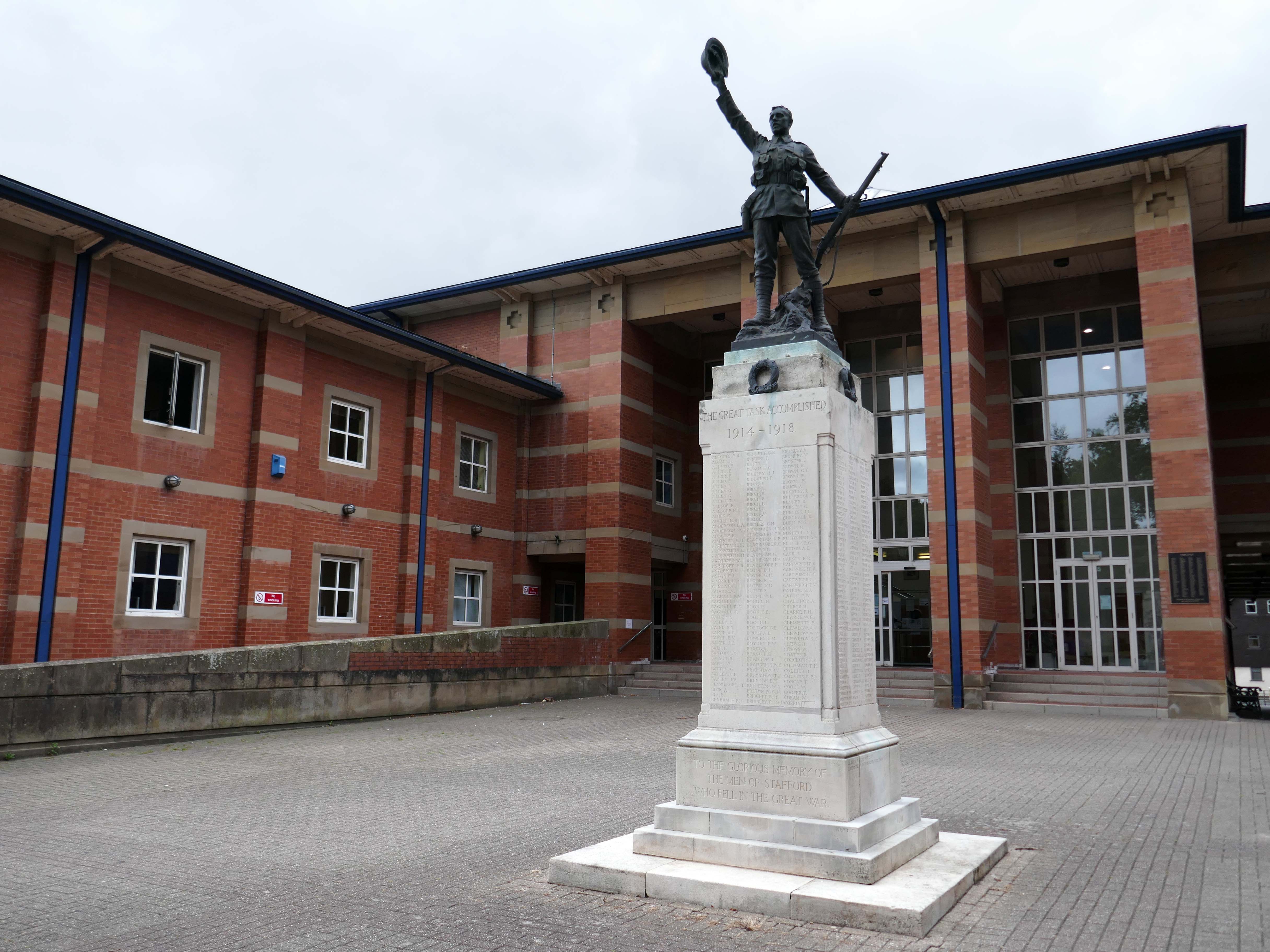
The war memorial of 1922 is by Joseph James Whitehead.
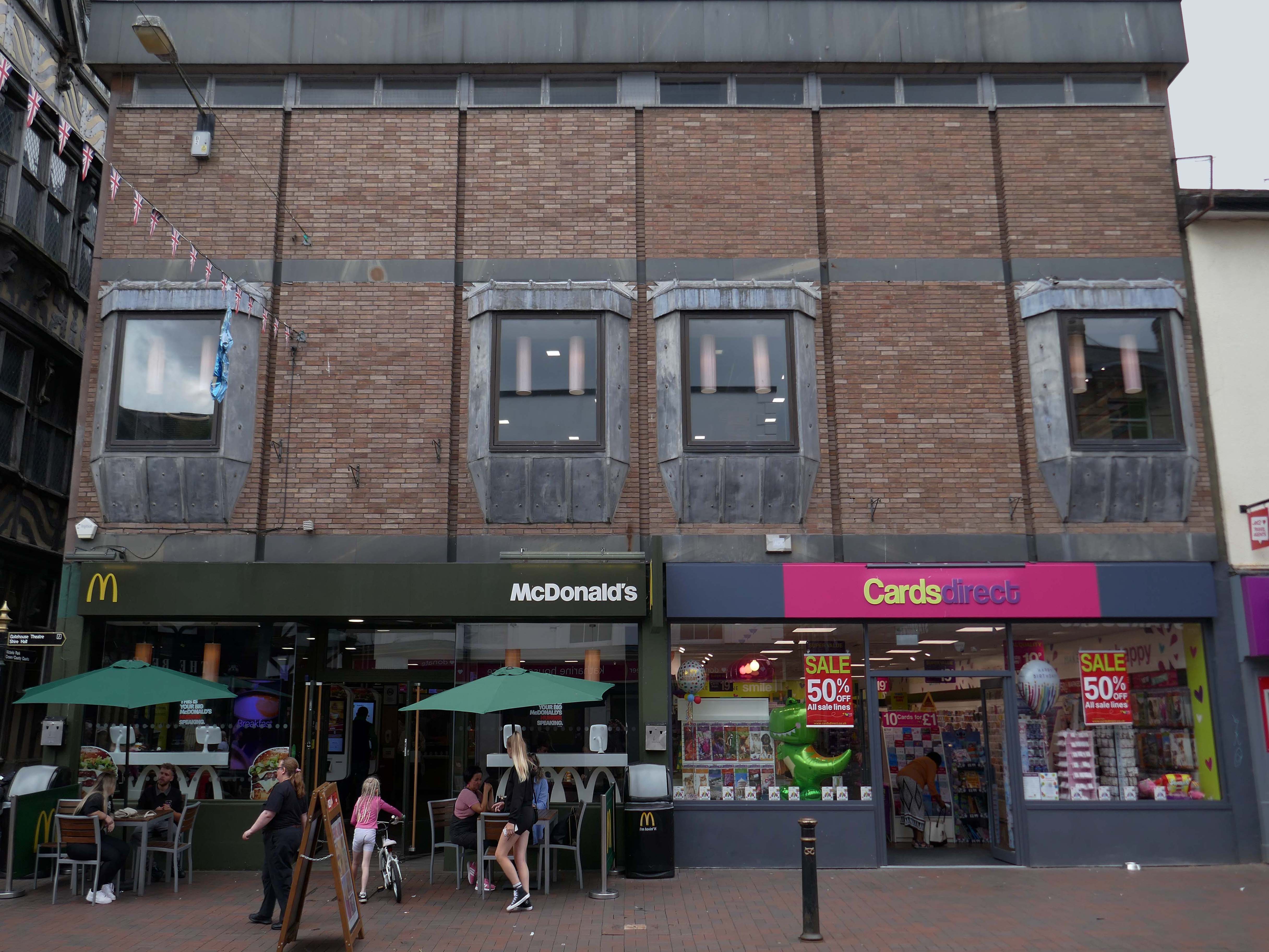
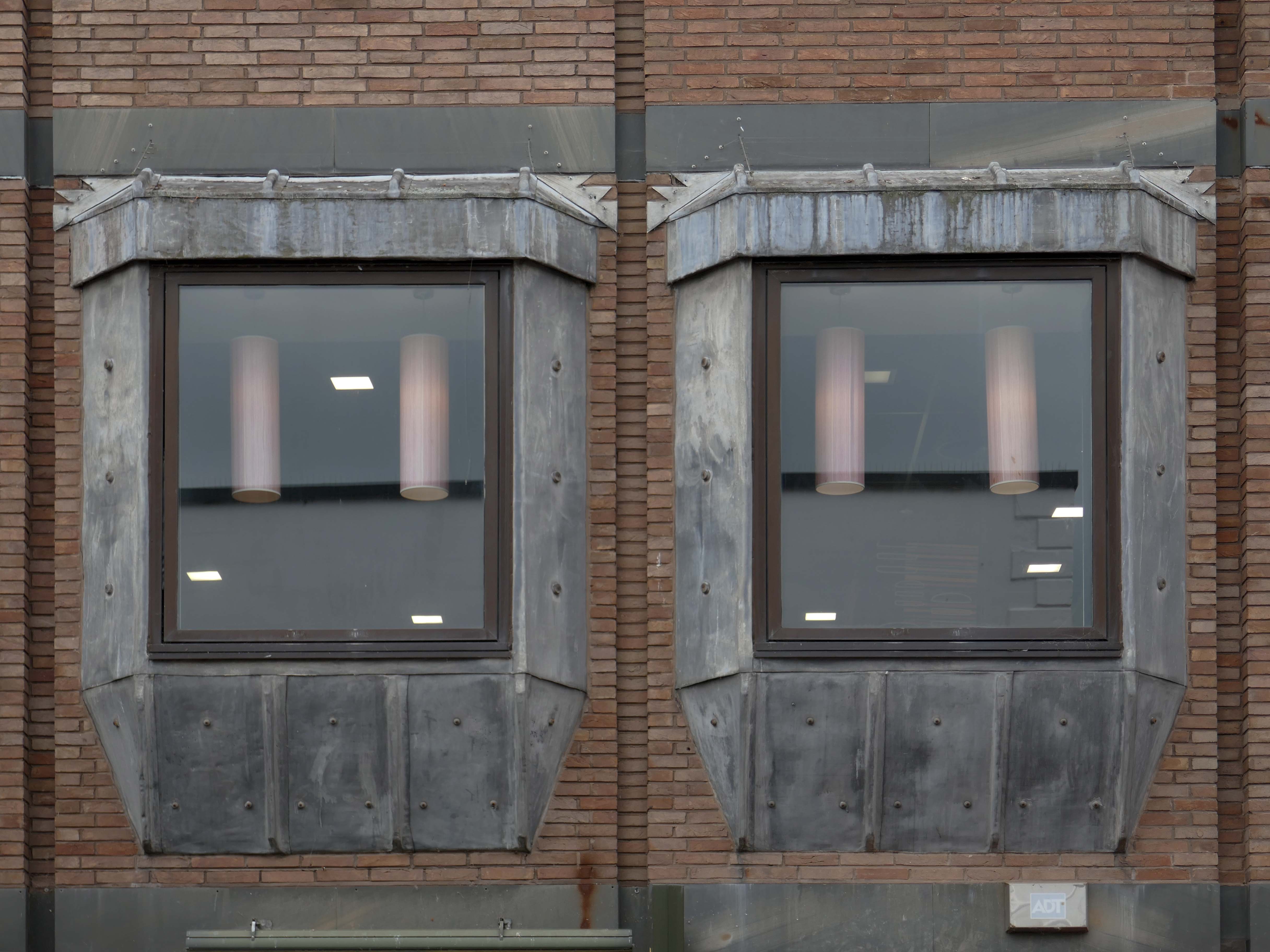
Sneaking through the alley to and before the McDonalds – one many more recent buildings with jetted lead clad bays.
Keeping the town Tudor one bay at a time..
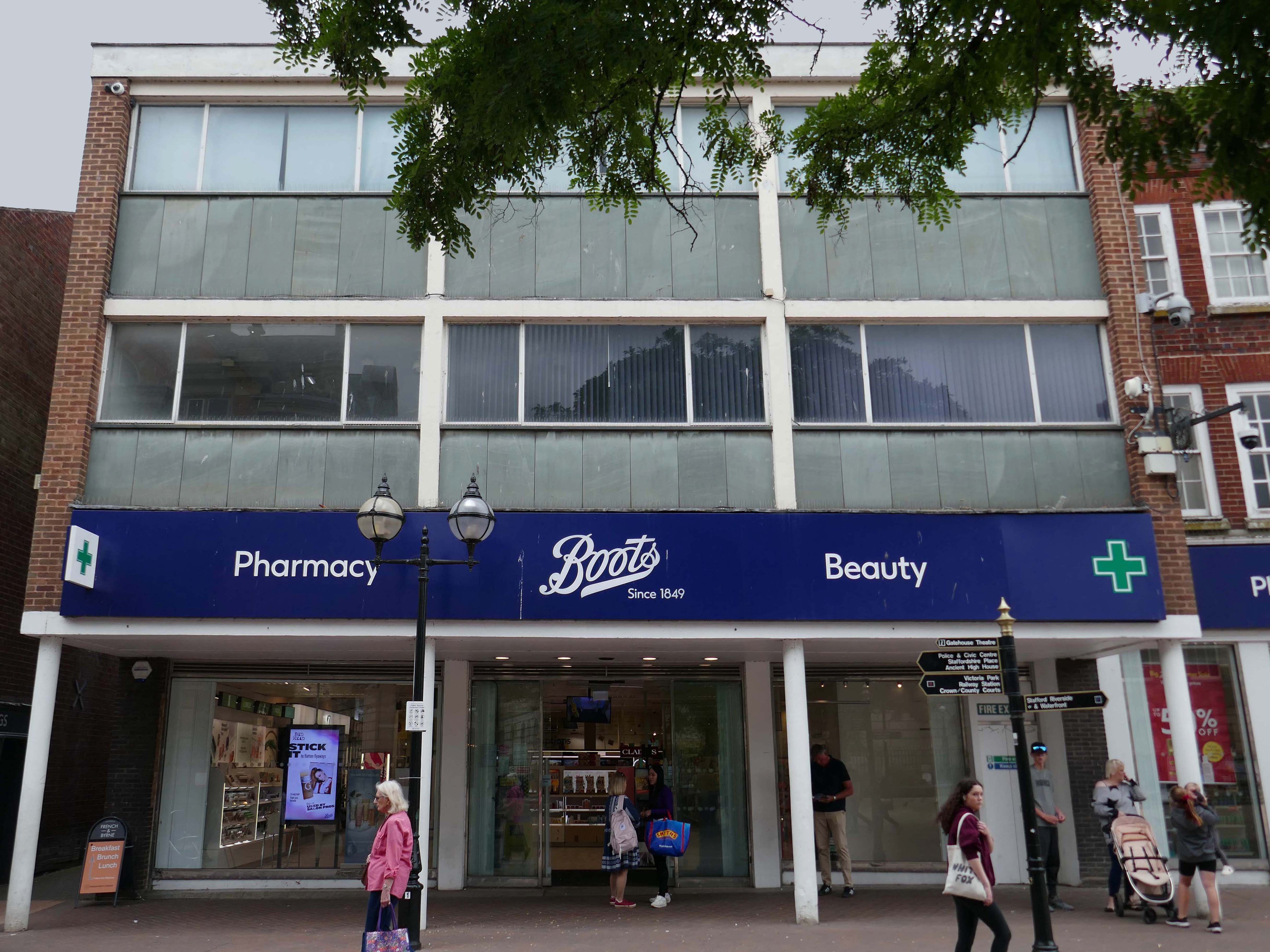
Further along a Sixties Boots.
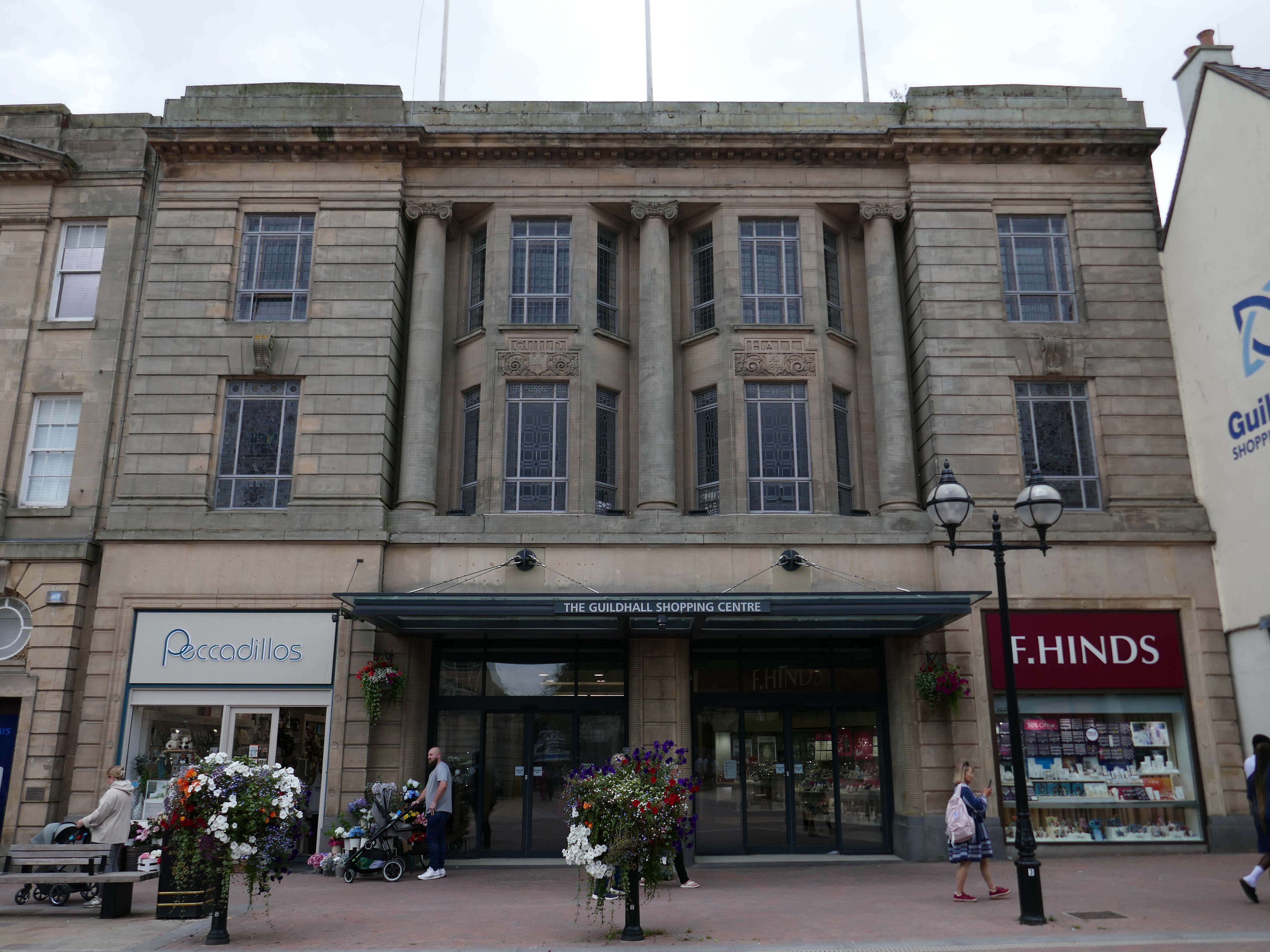
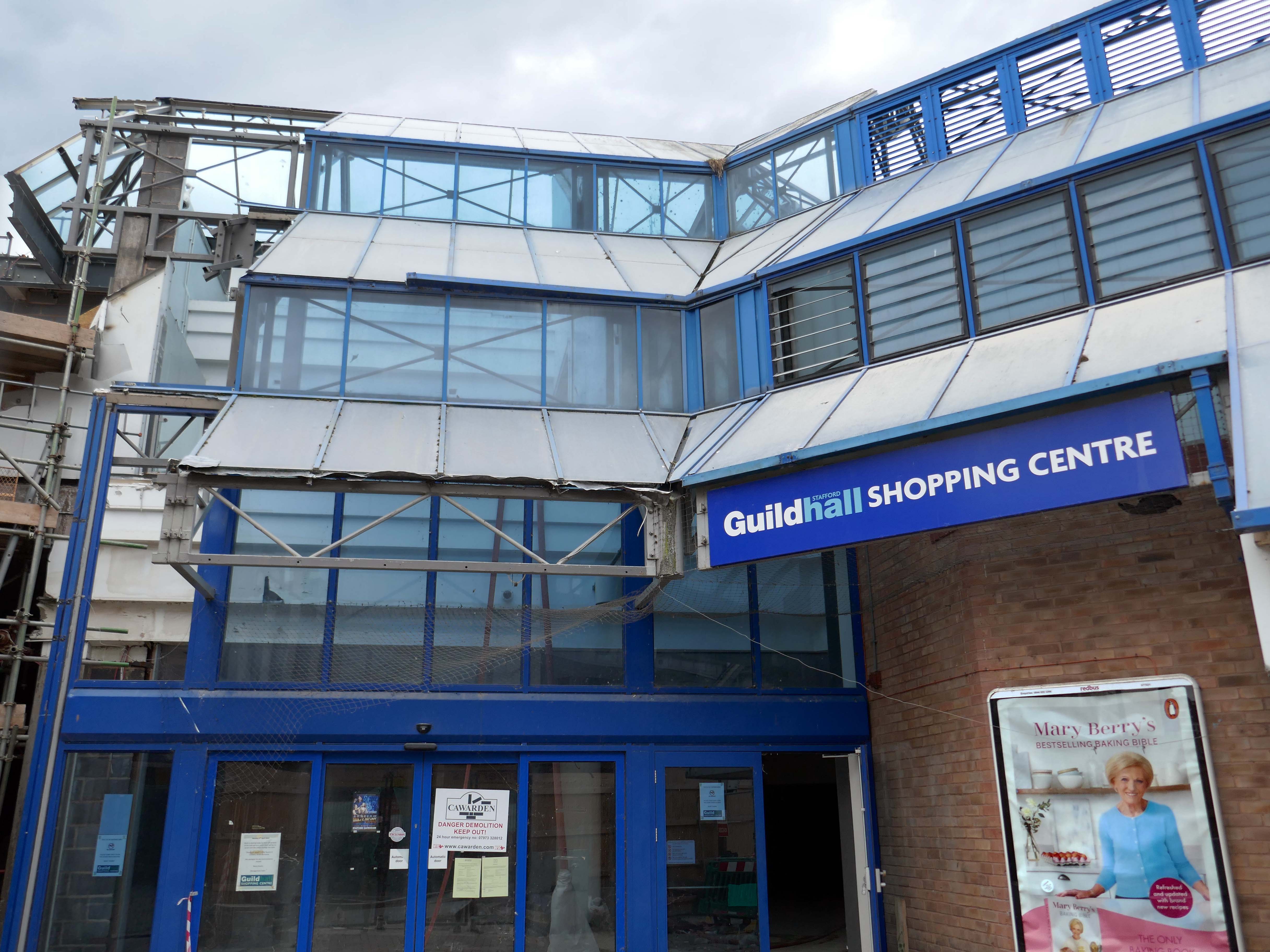
The Classical stone frontage of the Guildhall Shopping Centre.
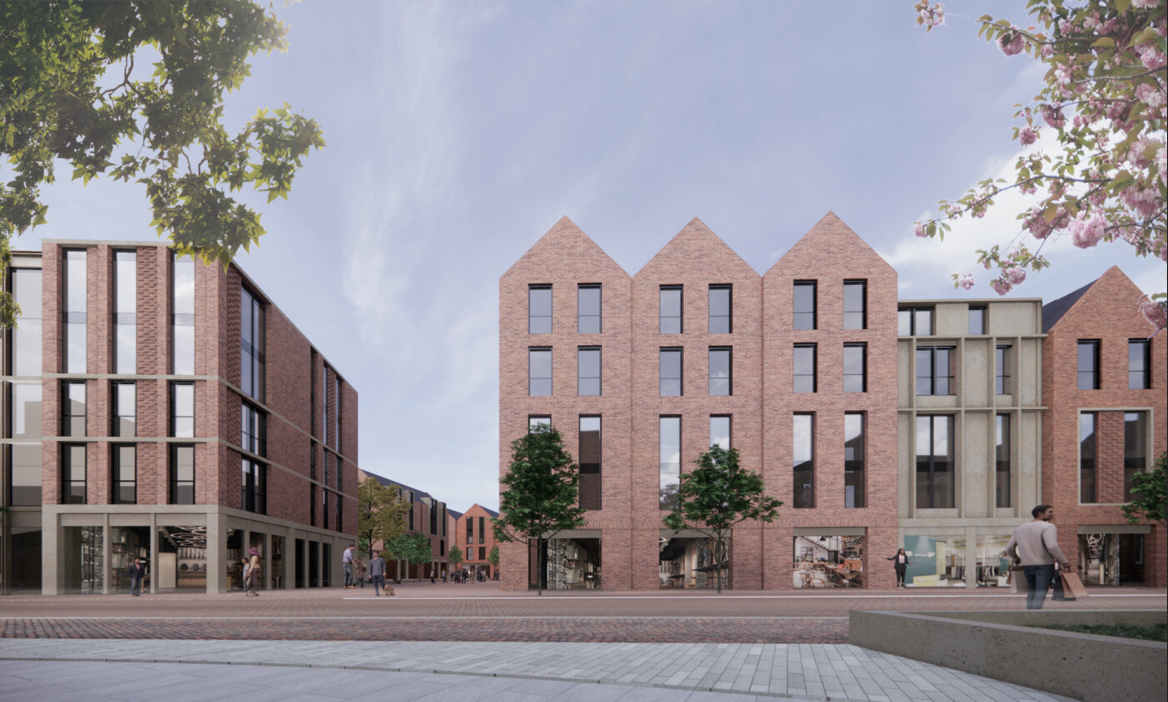
Working with Mercia Real Estate, Glancy Nicholls Architects have designed a contextual mixed-use scheme in the heart of Stafford Town Centre, within the footprint of a disused shopping centre. This includes the regeneration of the 1930’s Guildhall building that serves as the main entrance to the shopping centre and the listed Market Square building.
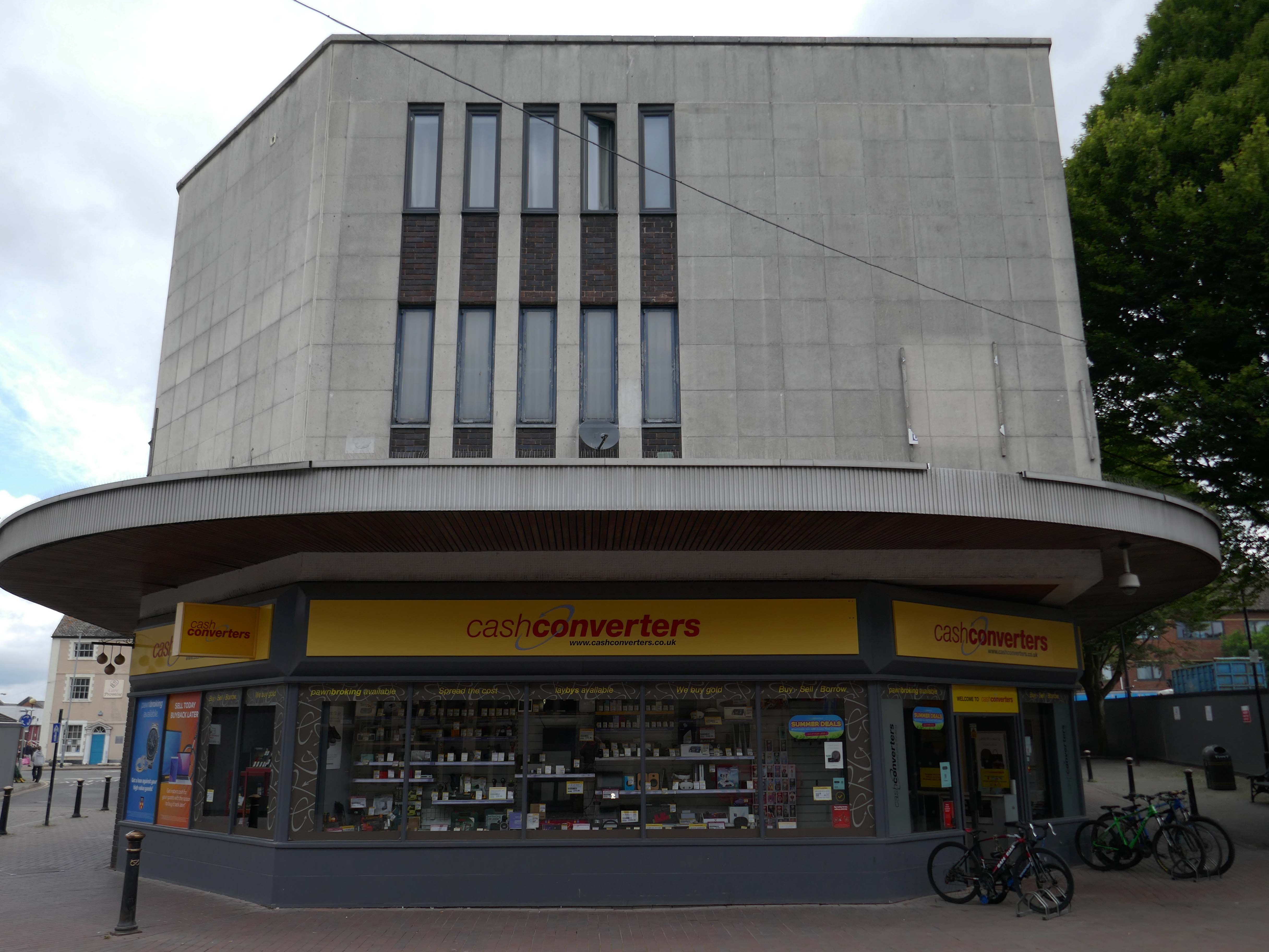
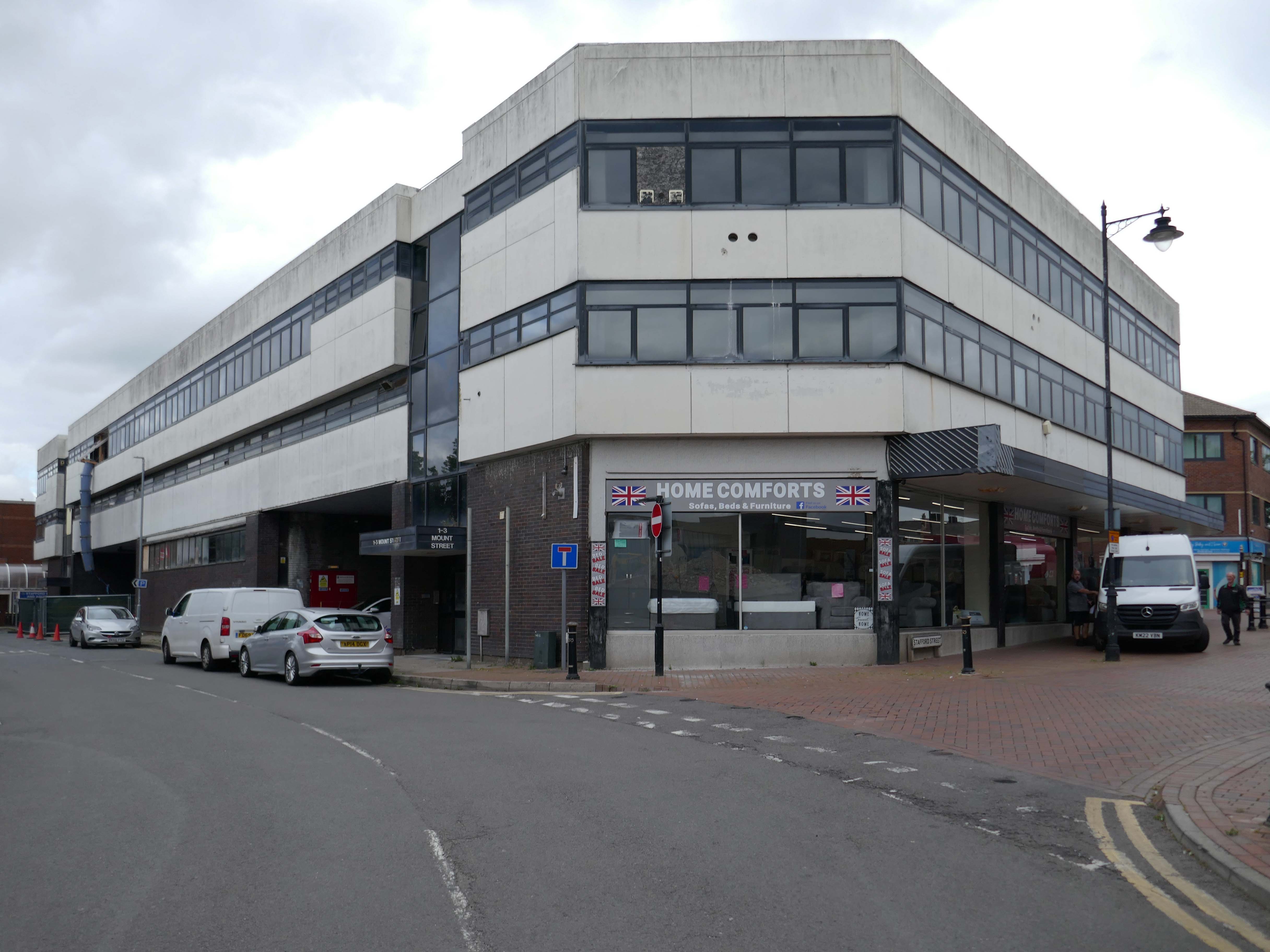
Around the corner a somewhat neglected retail development.
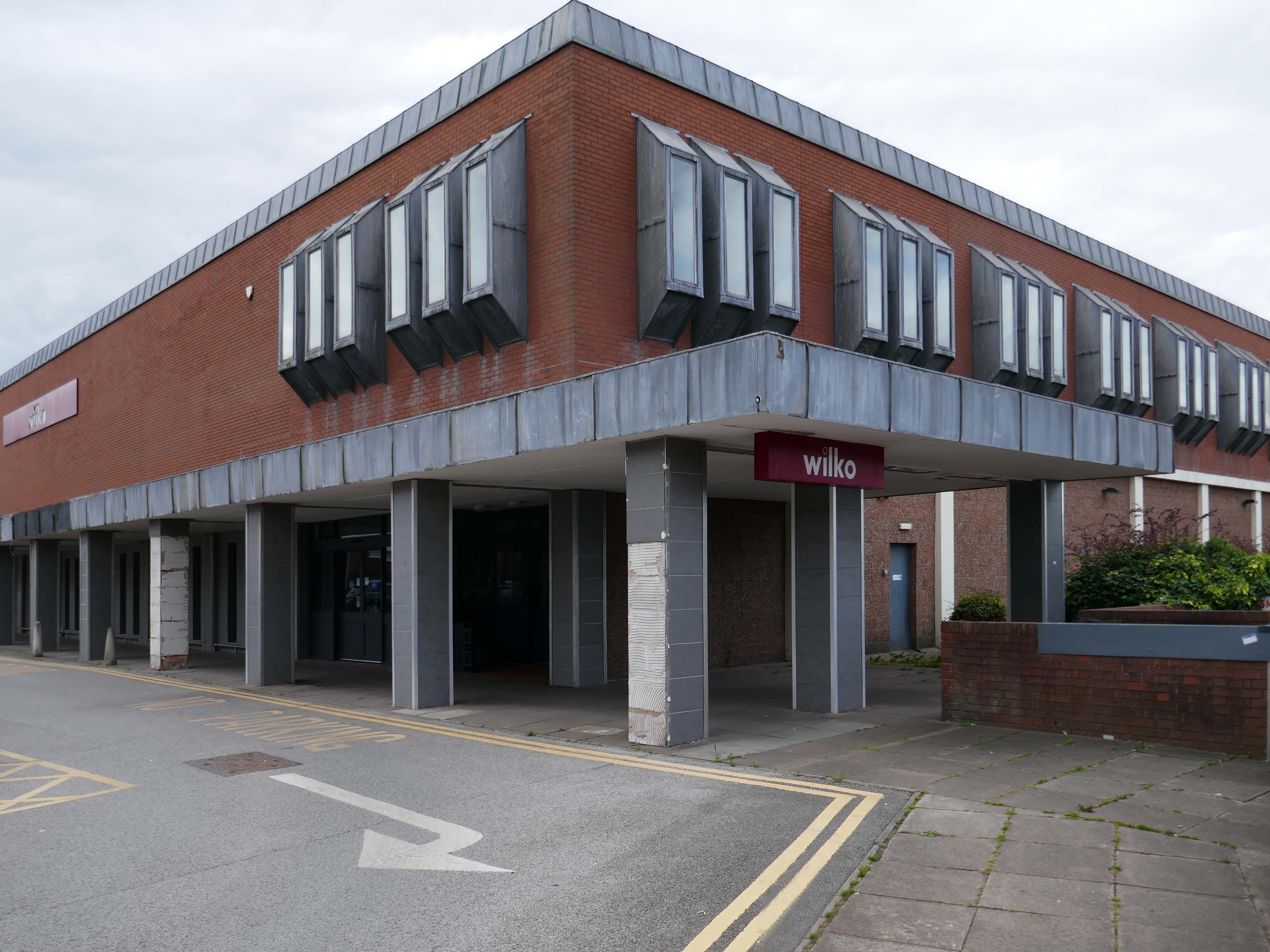
And a long lost Wilko.
Amidst it all the curious time warp that is Trinity Church 1988.
It is used by Methodist and United Reformed Church congregations.
Tucked away in a minor maze of retail a piece of figurative commemorative public art by Glynis Owen Jones, entitled Stafford Faces.
Around the corner a big B&M.
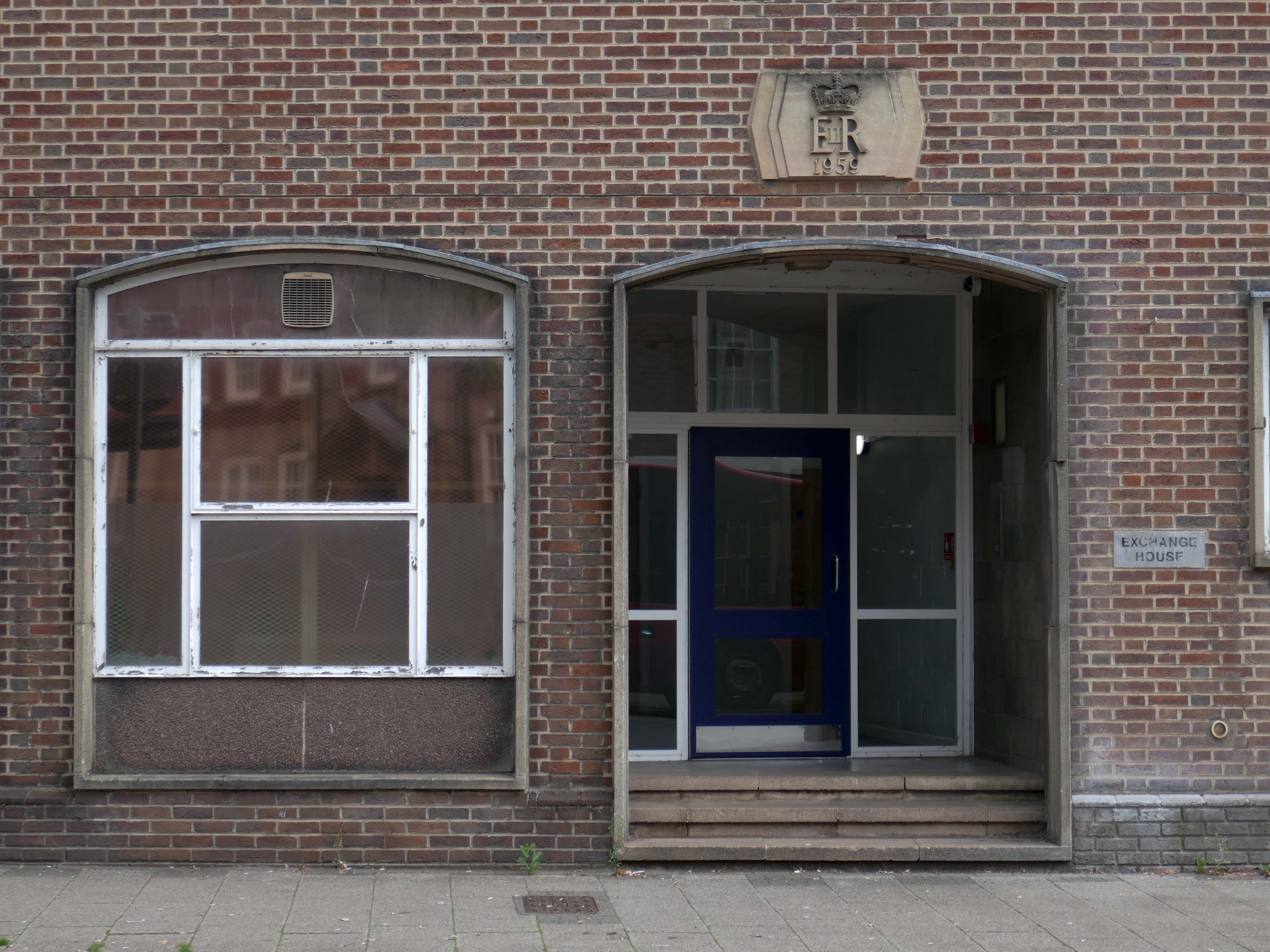
Further along a brick FoB Telephone Exchange of 1959.
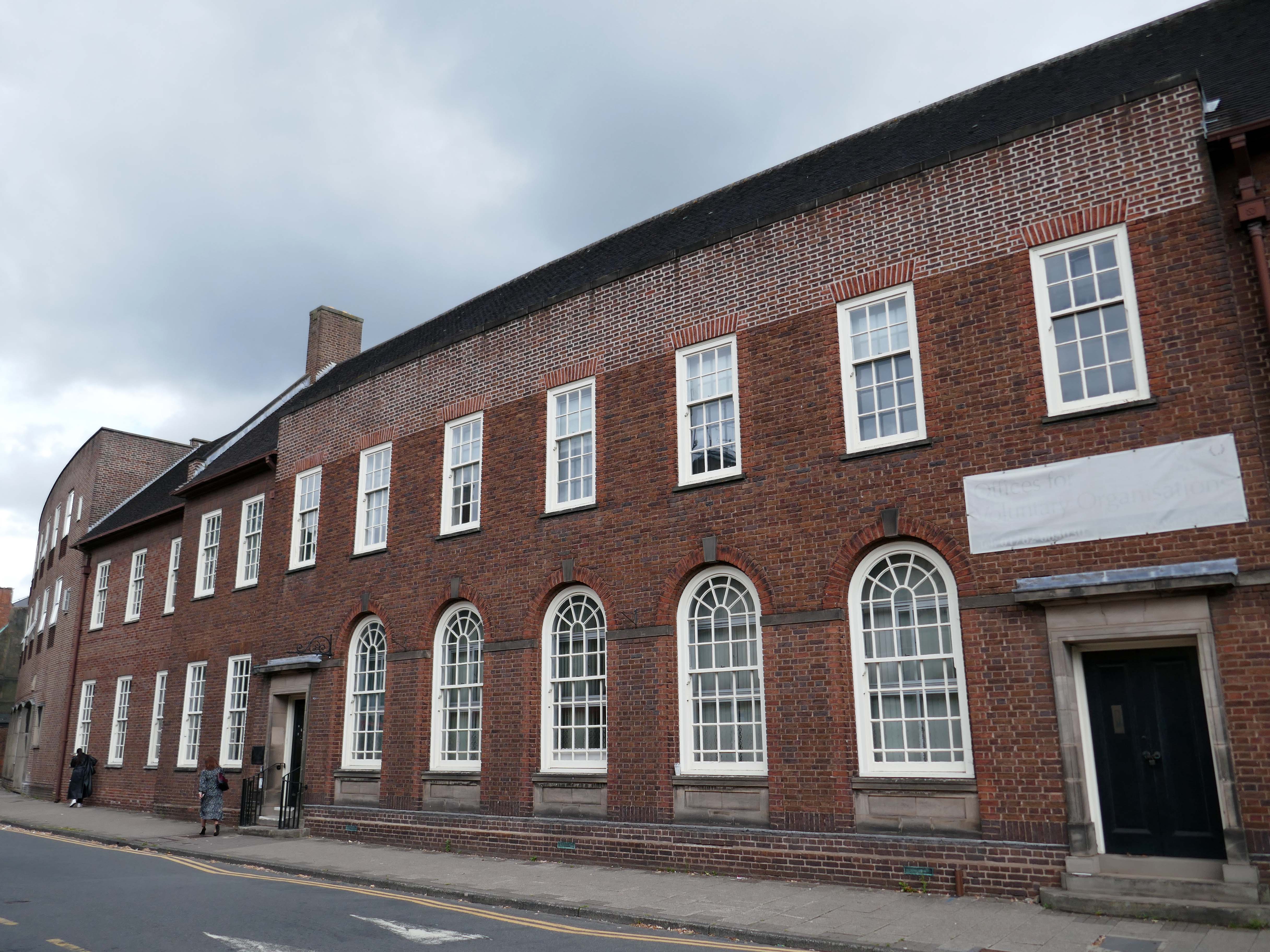
Adjoined by the County Records building.
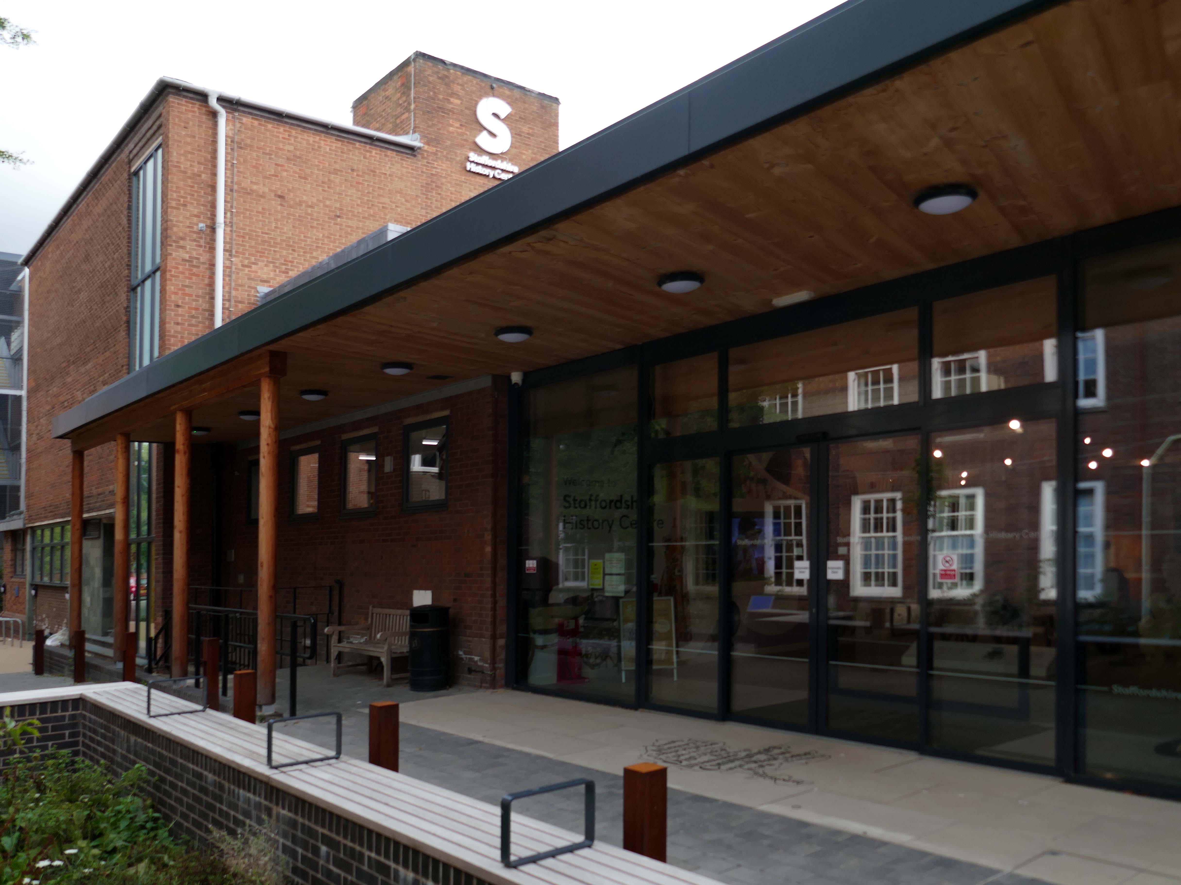
Pringle Richards Sharratt Architects have been appointed by Staffordshire County Council to create a new History Centre for Staffordshire and Stoke on Trent.
The new £4m centre will be located on Eastgate Street in Stafford and will hold historical records and collections up to 1,000 years old.
The scheme will help to provide a rejuvenated service combining the existing Records Office building and William Salt Library, in Stafford and provide a welcoming destination for all of those with an interest in local history. This will include bringing on to the Stafford site the Lichfield Records Office and aspects of the County museum.
Further FoB in the Civic Building.
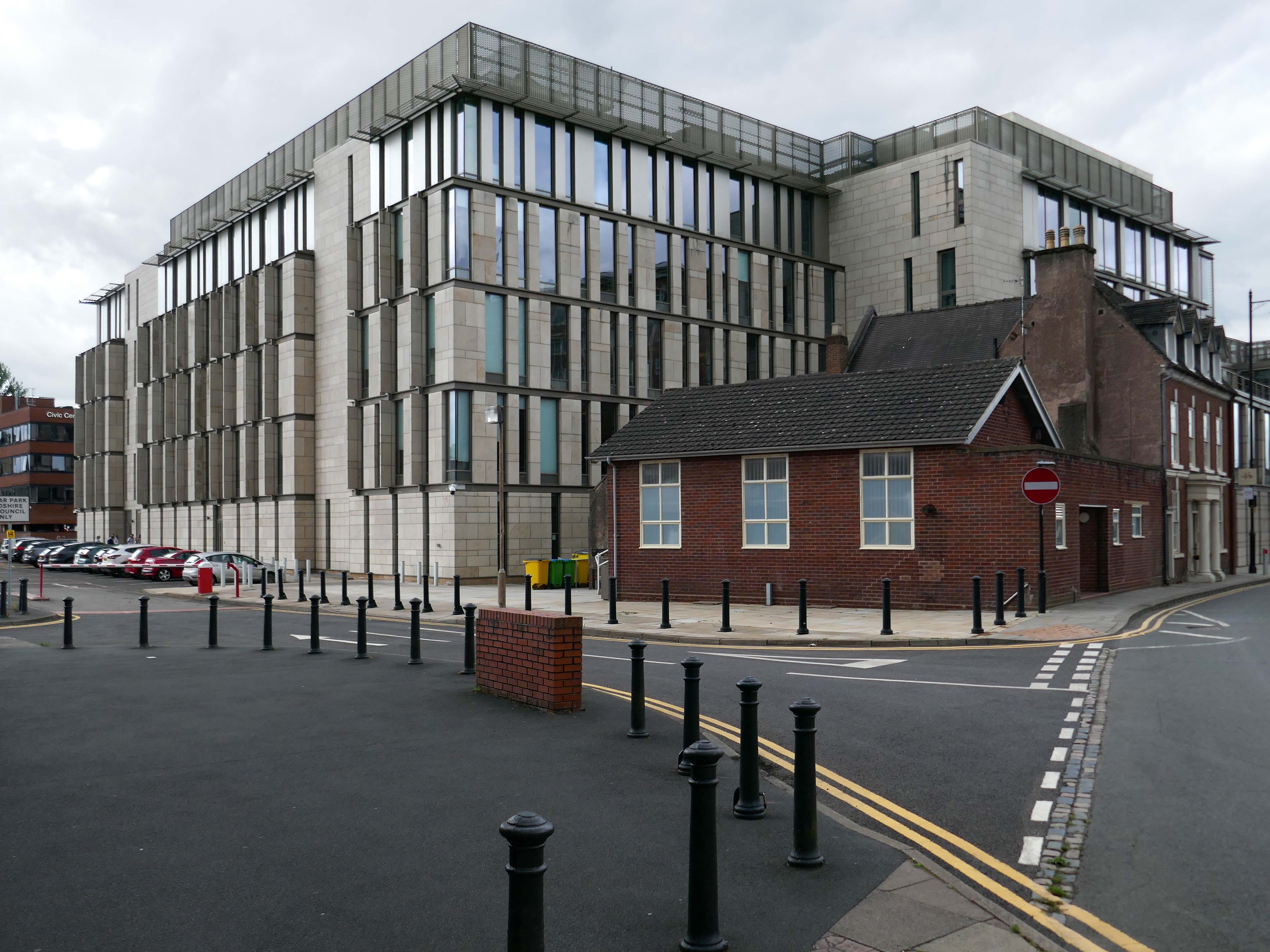
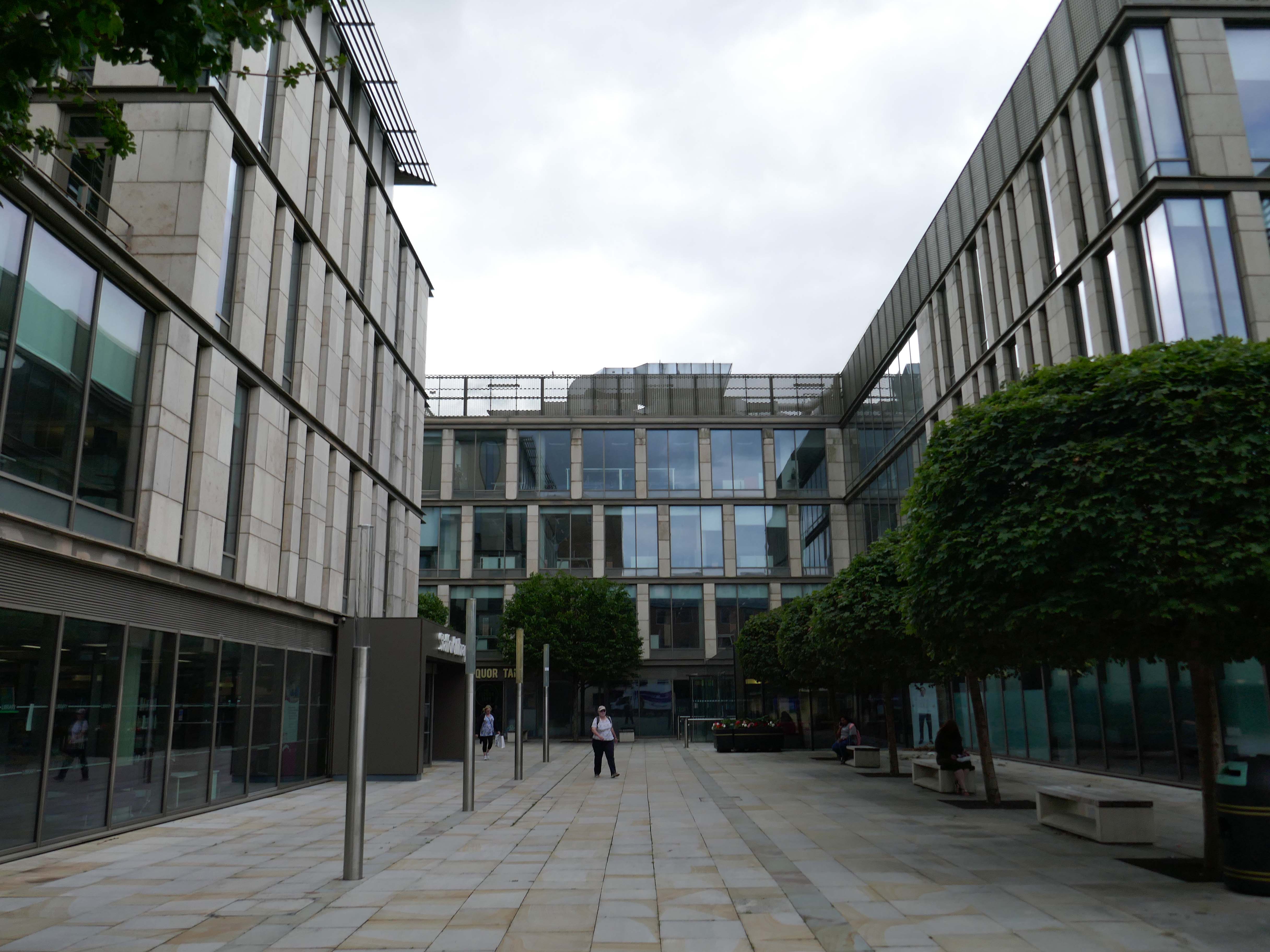
Close by the Staffordshire Place a civic and retail mixed use development.
Our scheme delivers 135,000 ft2 of high quality contemporary office space across two buildings linked by a new town square. The ground floor incorporates a mix of retail and leisure uses around a sequence of smaller public spaces to maximise the amount of visible active frontage and create a natural extension to the town centre.
Sustainability issues fundamentally informed the design approach, from mitigating energy consumption to ‘future proofing’ the finished building. The building achieves a BREEAM ‘Excellent’ rating and a European Energy Performance of Buildings Directive Rating ‘A’.
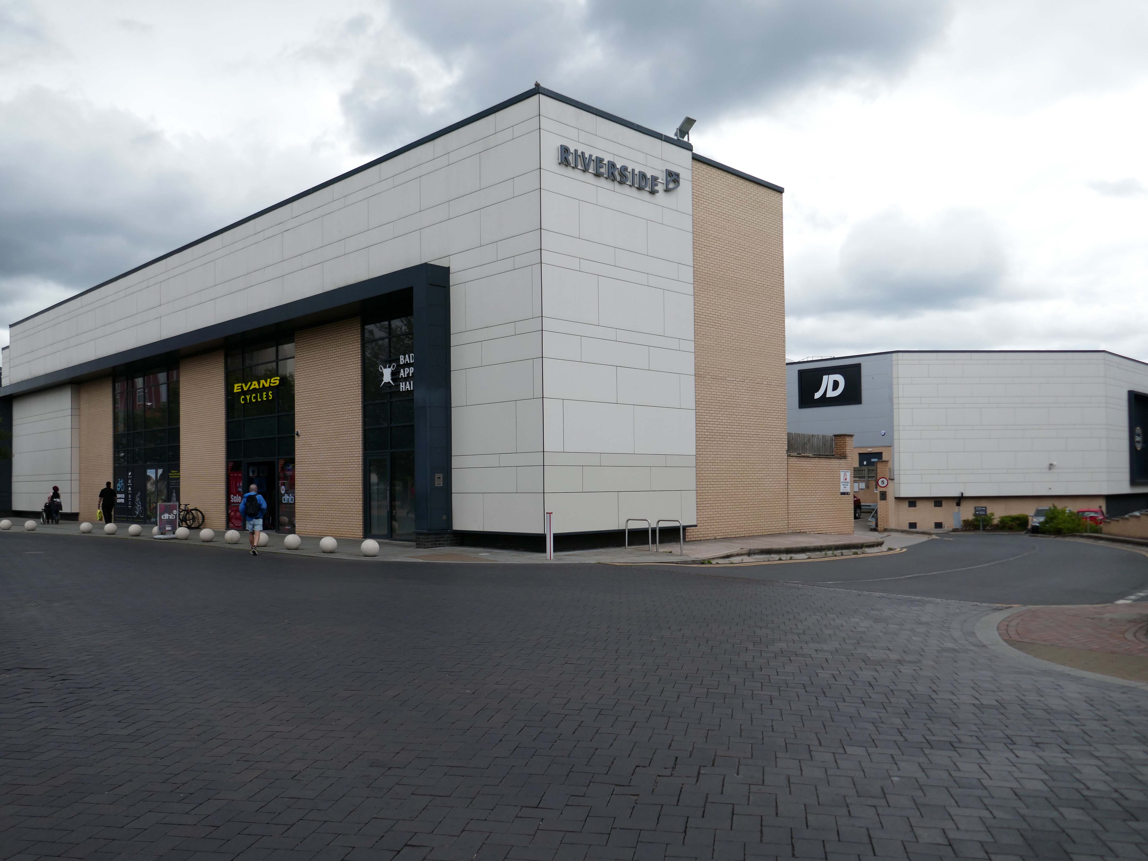
Surprise surprise another retail development Riverside.
£70m riverside town centre retail and leisure development in the heart of Stafford. The 230,000 sq. ft. scheme anchored by M&S will deliver 18 retail units arranged over ground and first floors, five leisure units and a six-screen cinema to complement and strengthen the town centre economy and create new businesses and jobs.
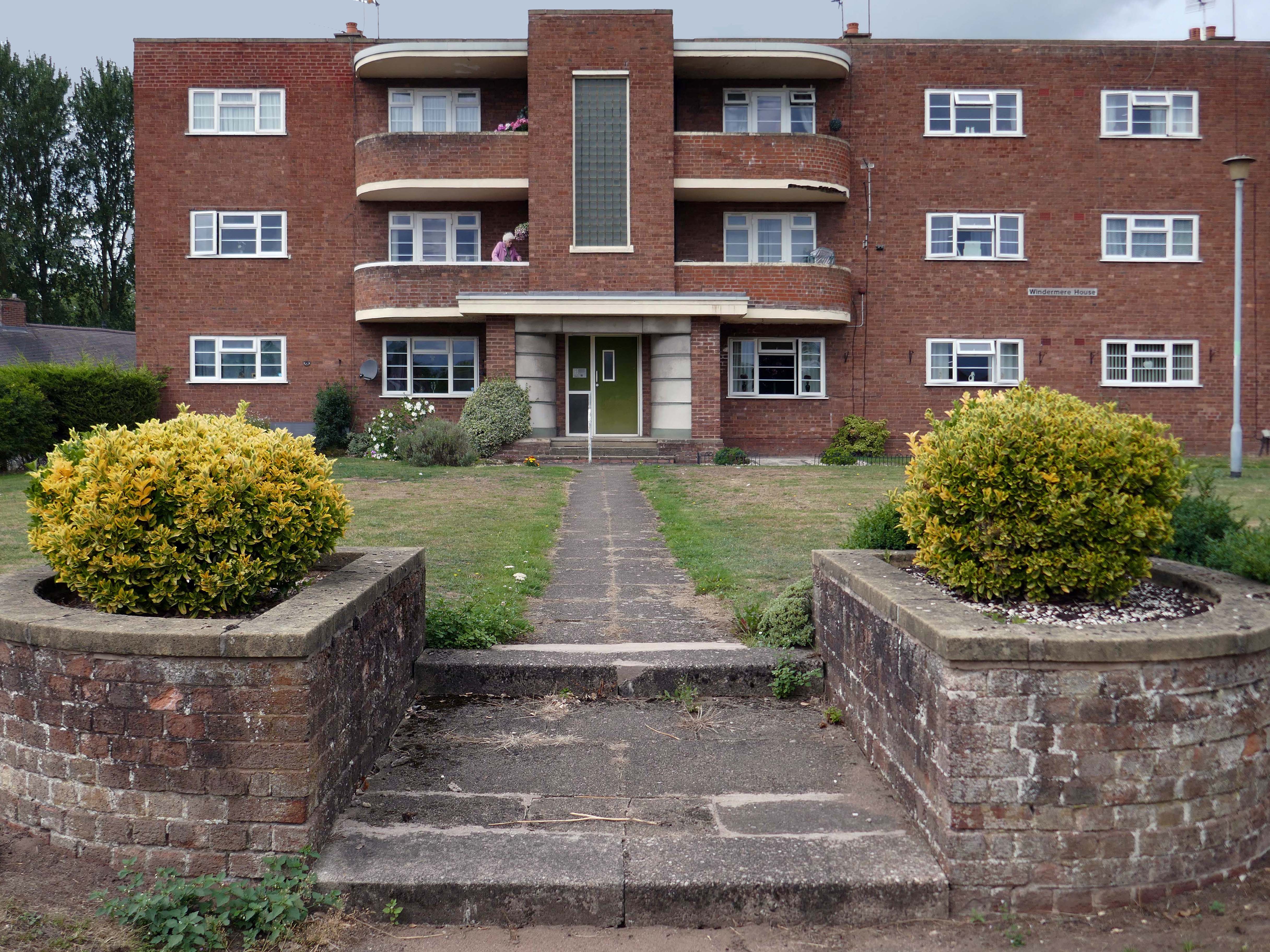
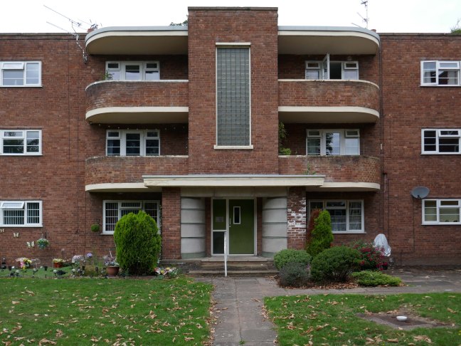
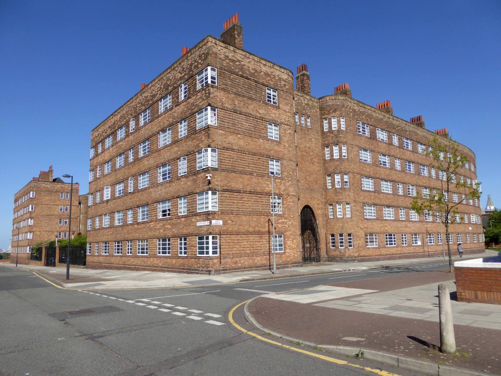
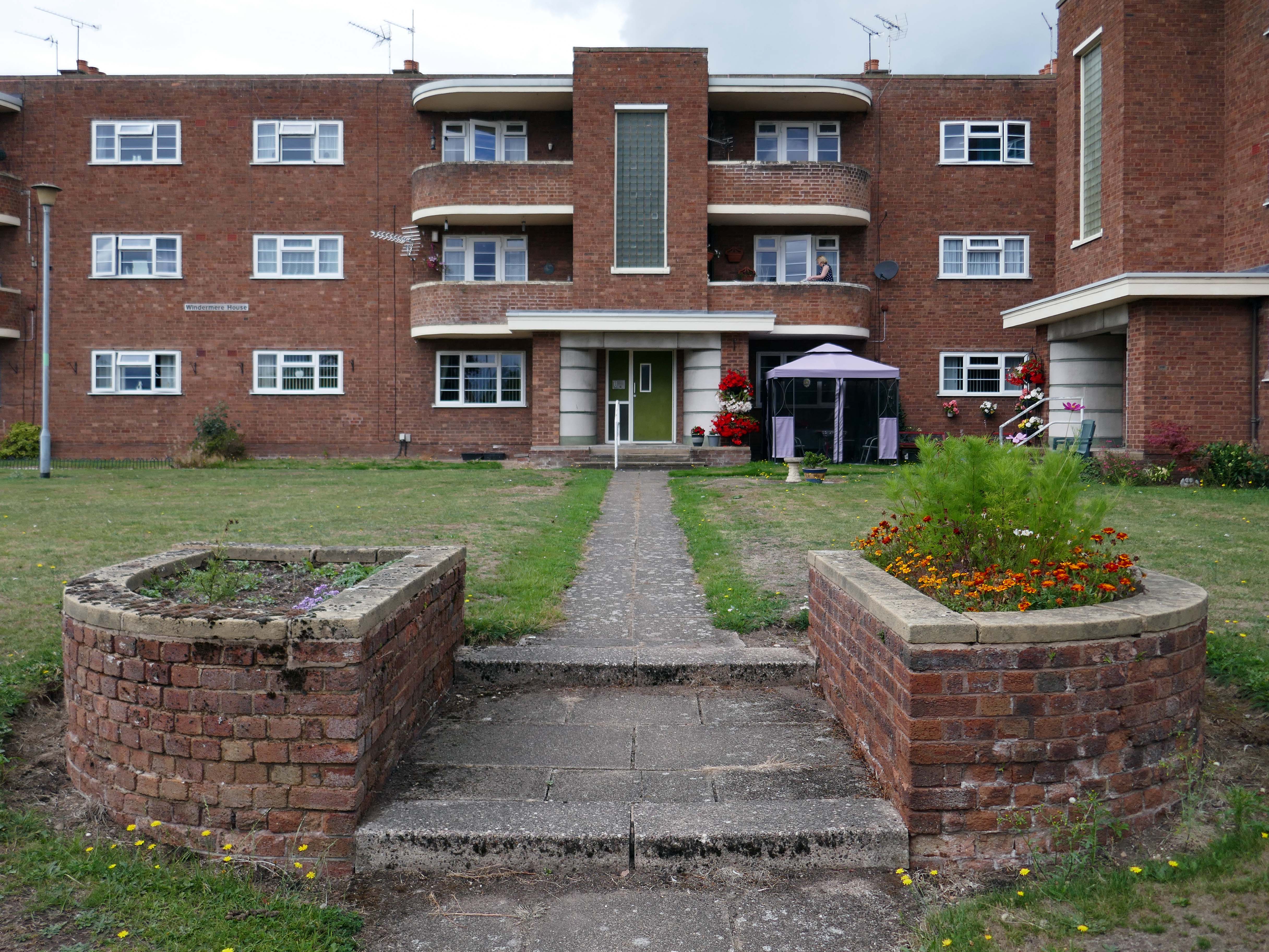
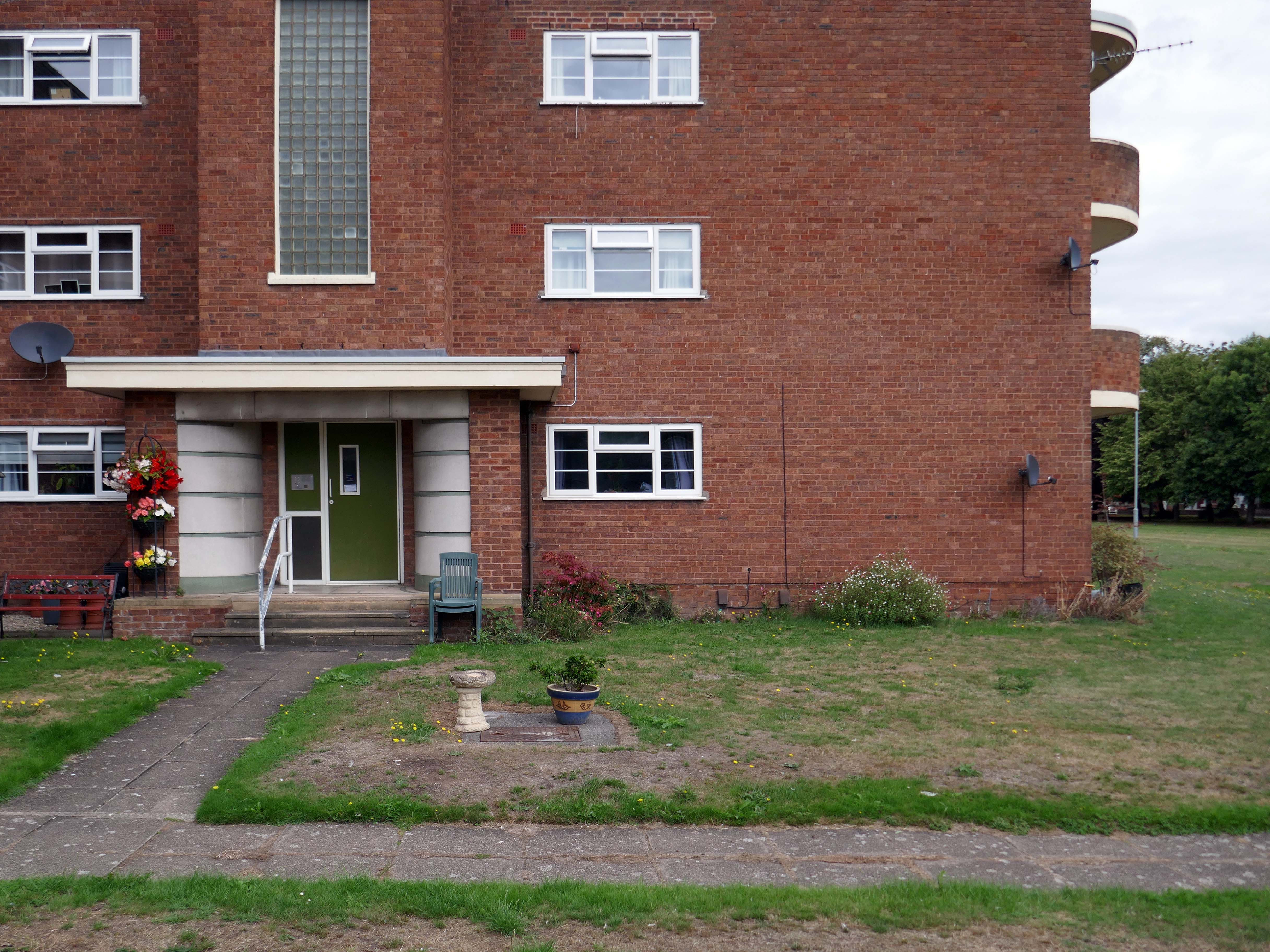
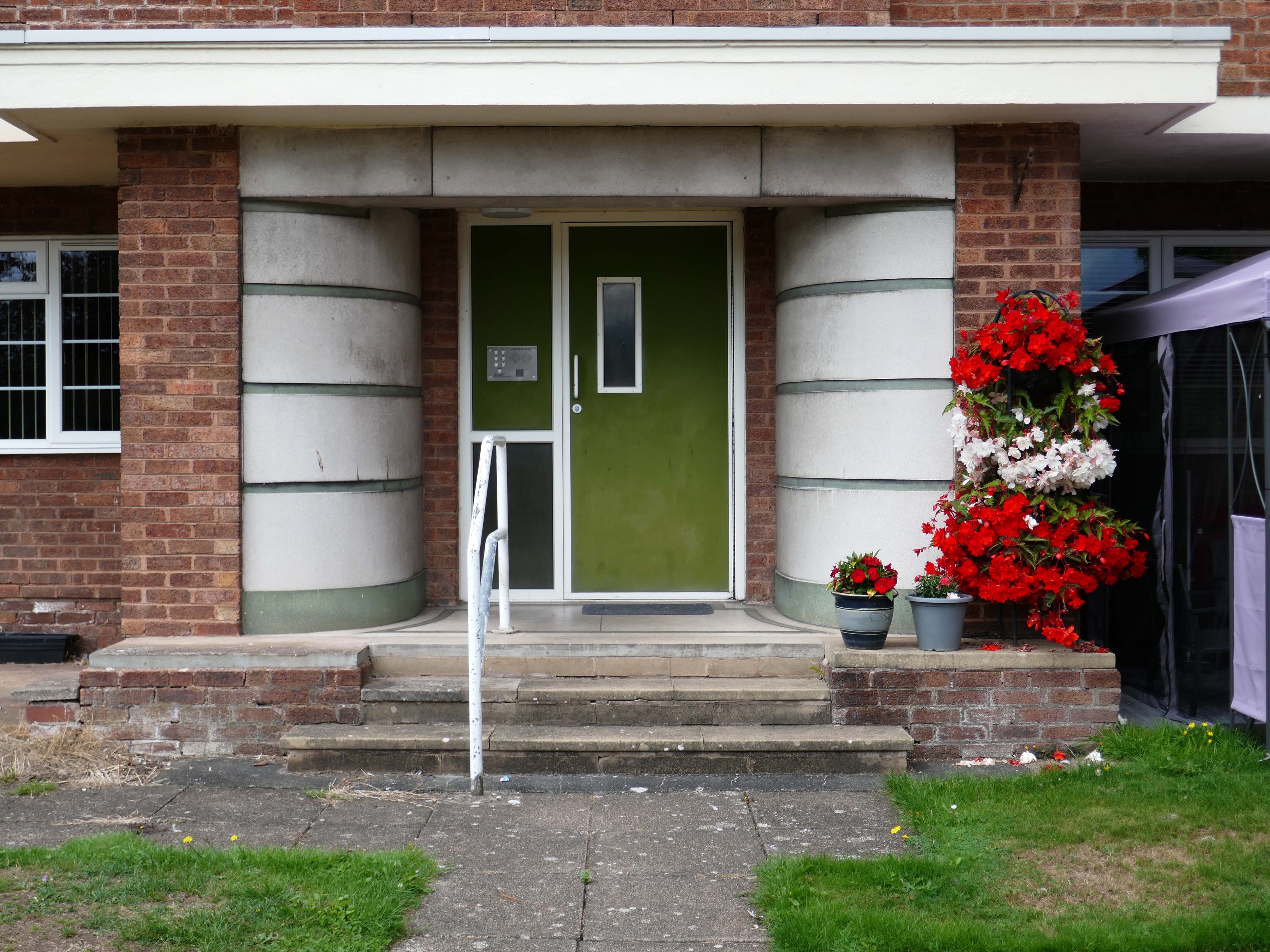
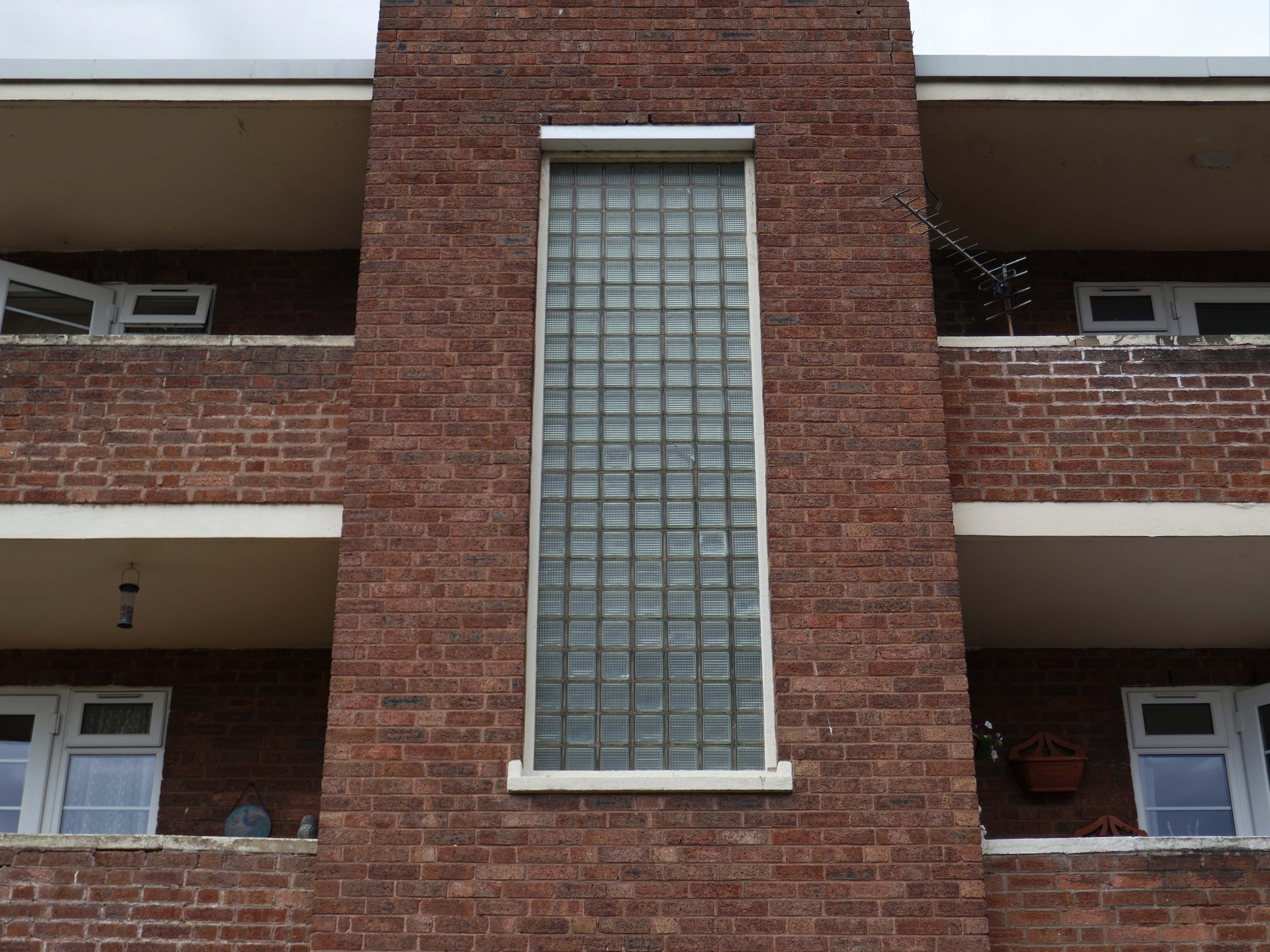
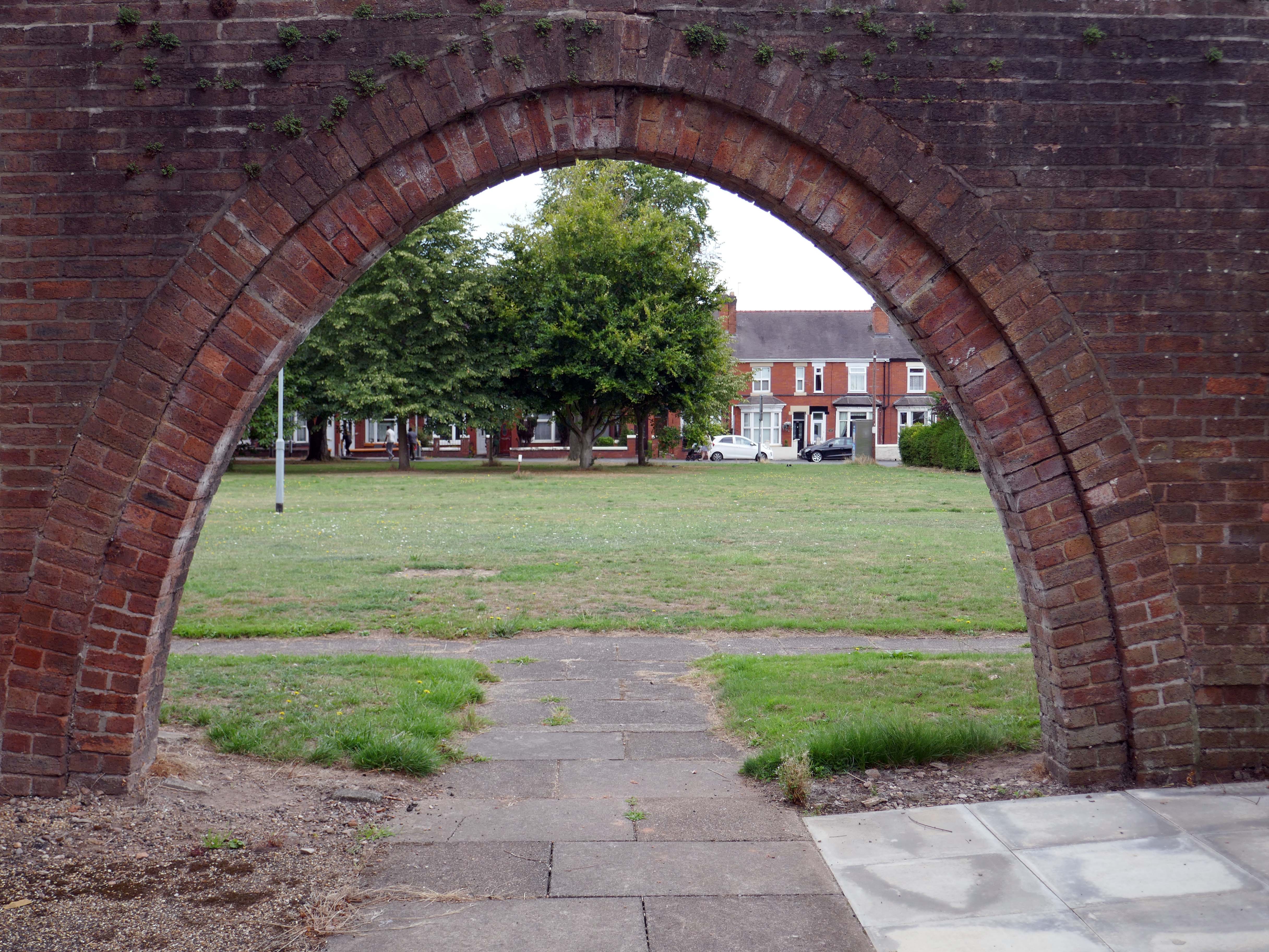
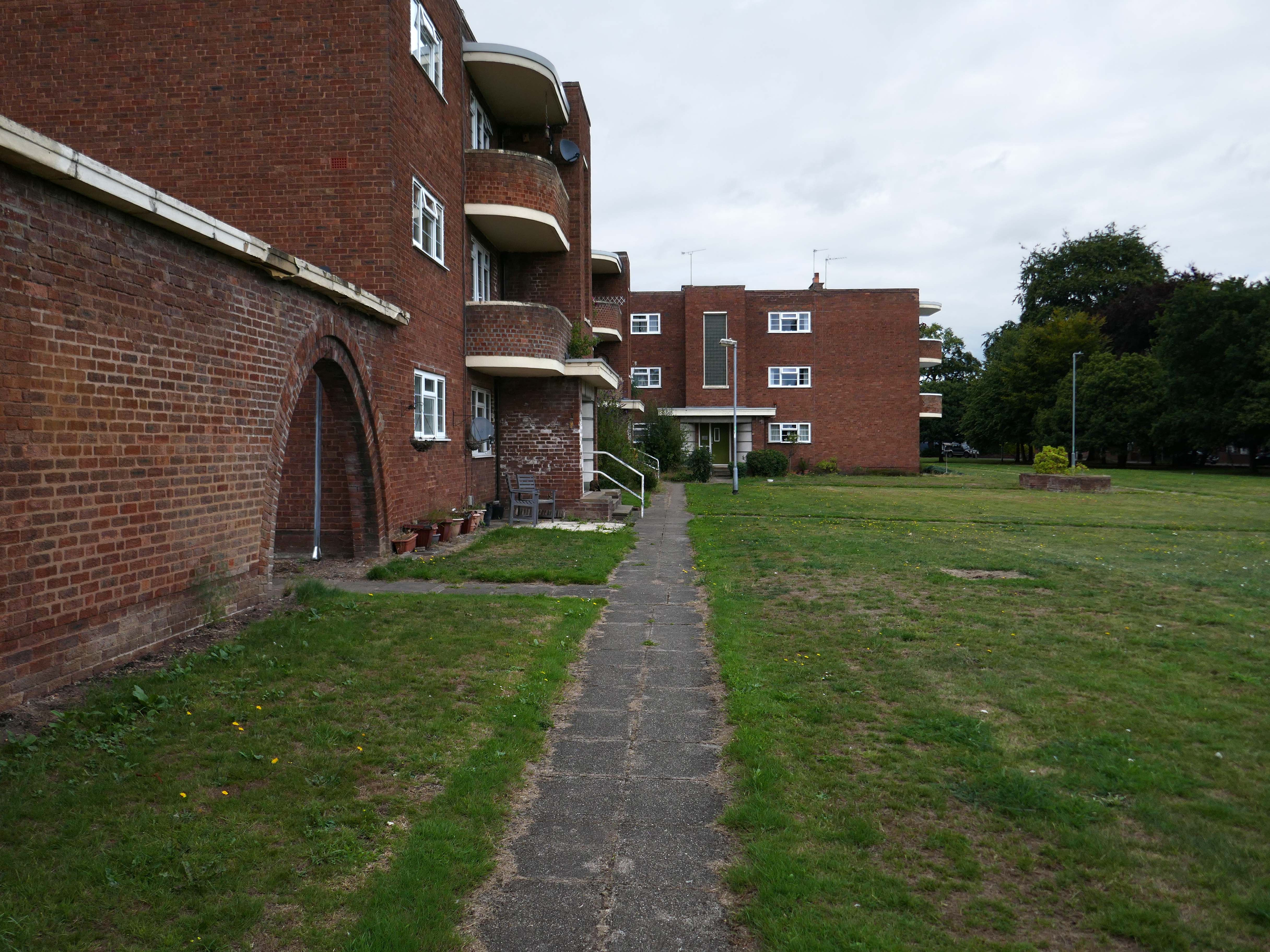
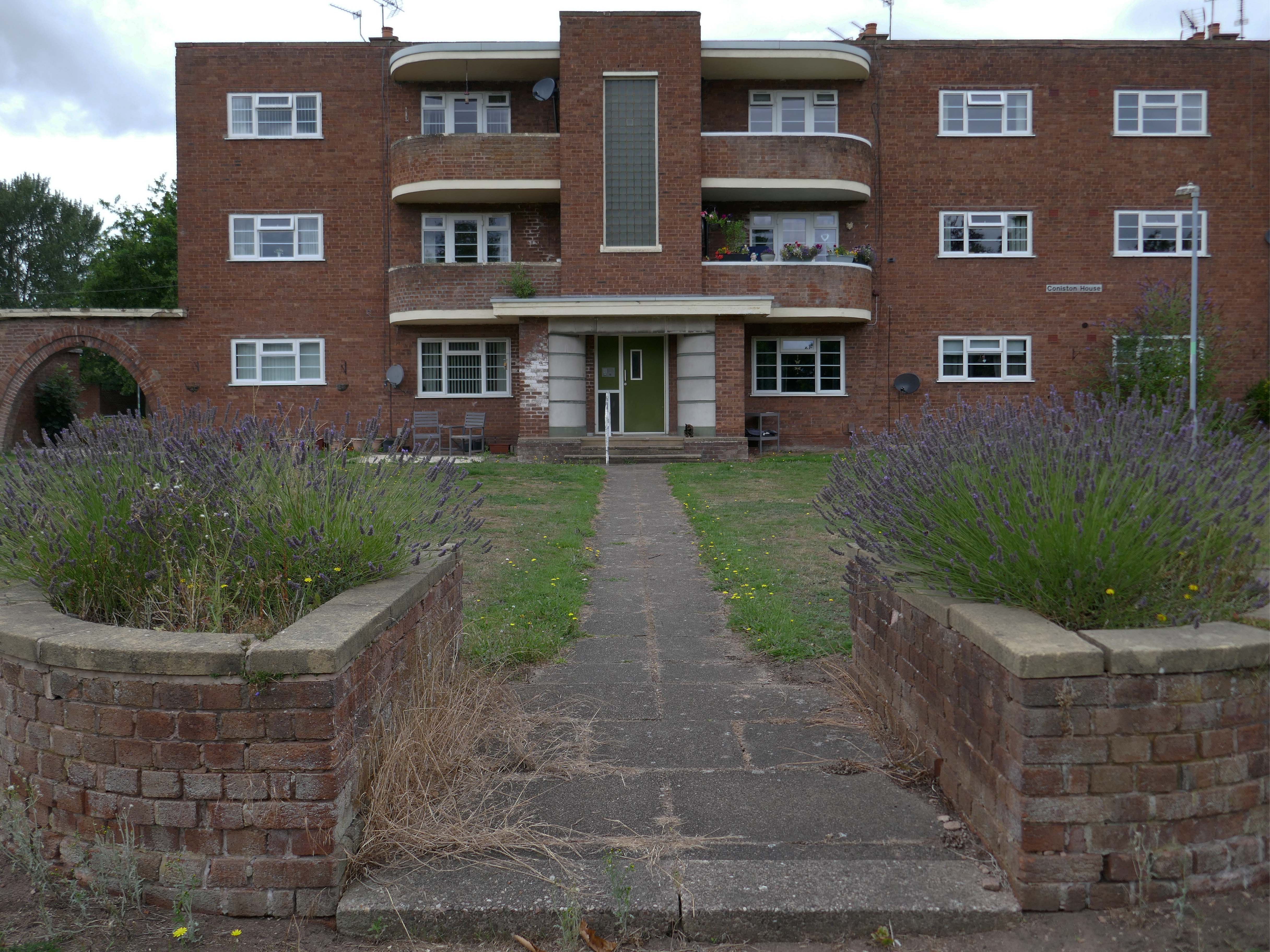
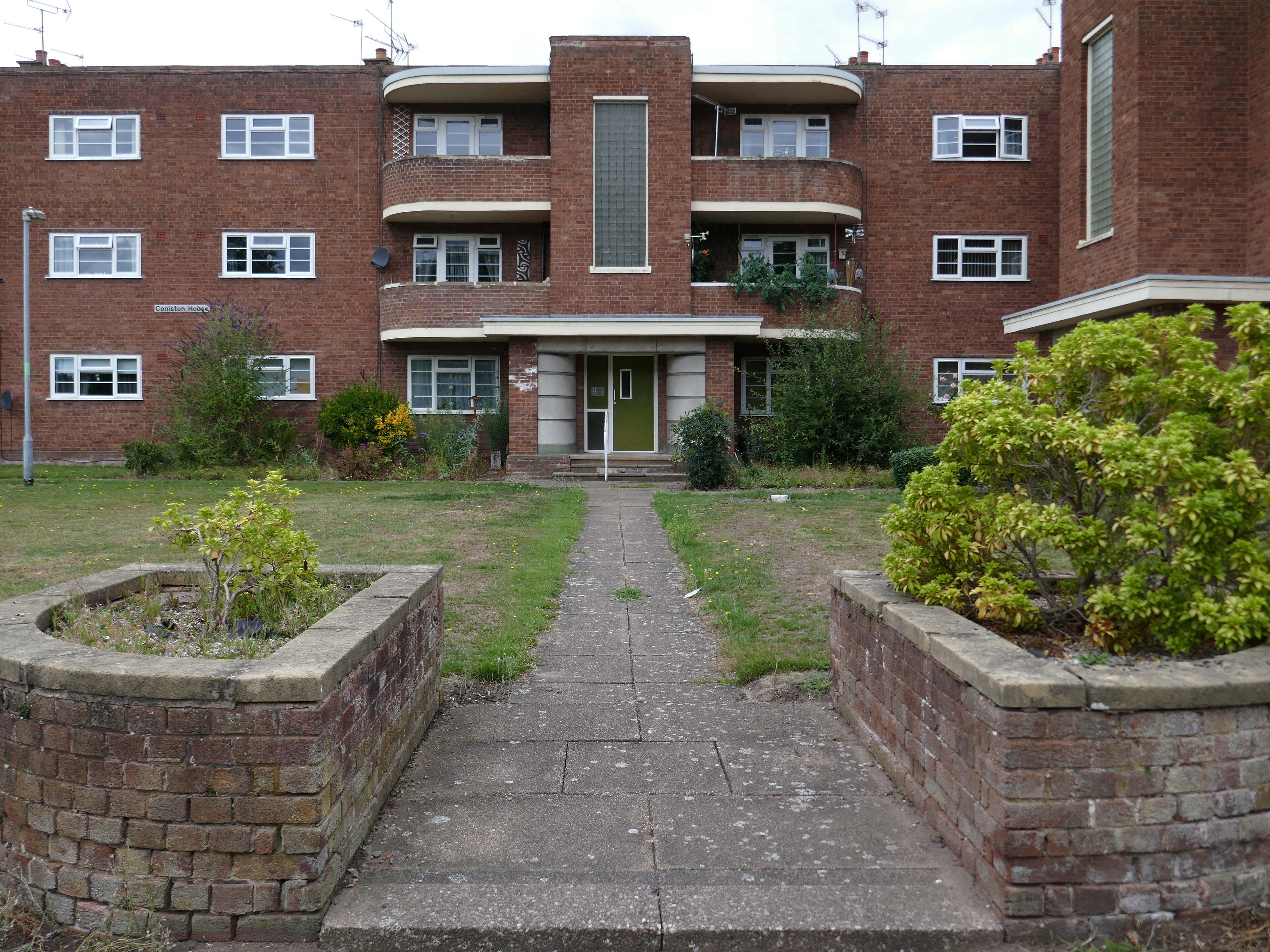
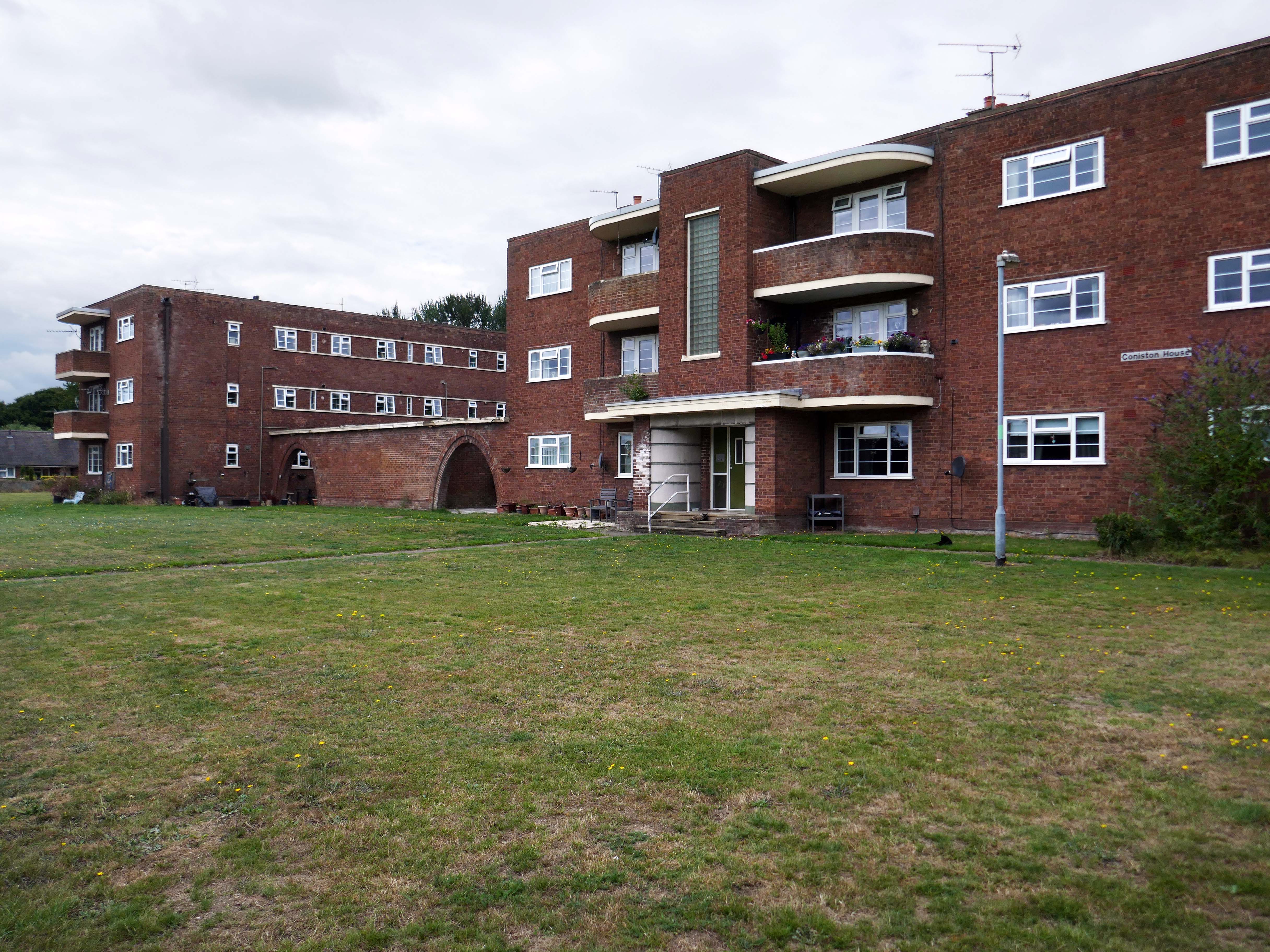
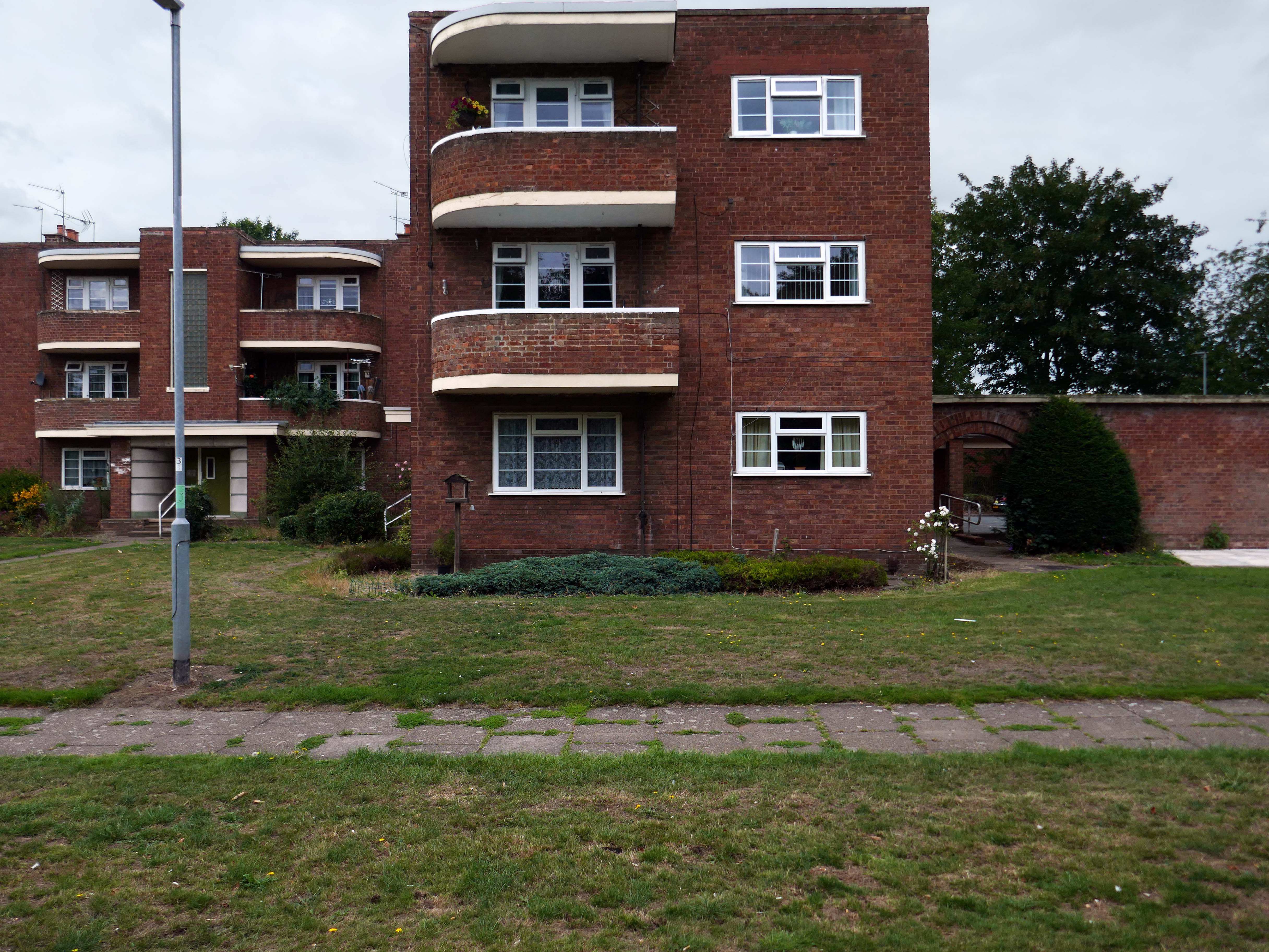
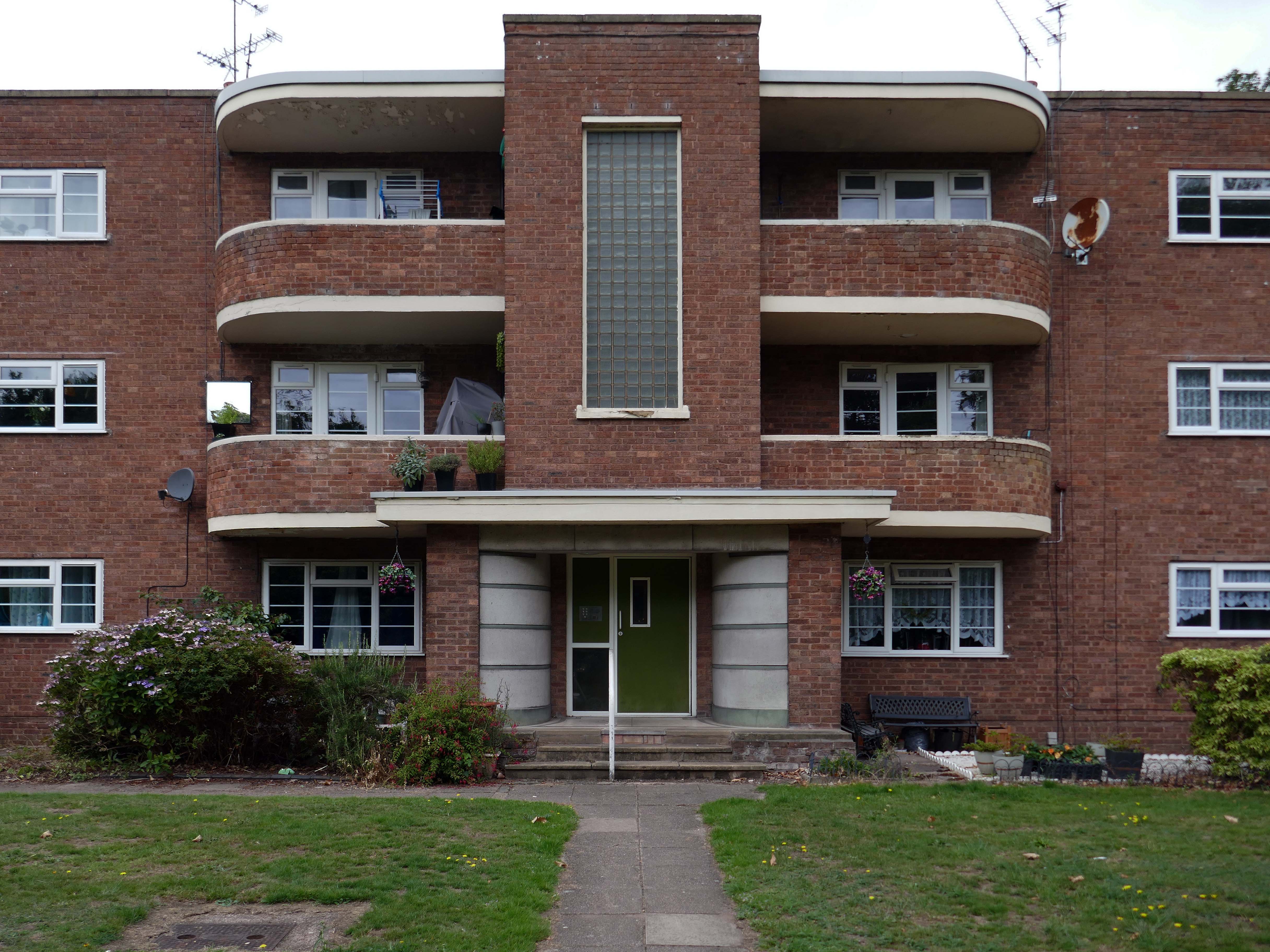
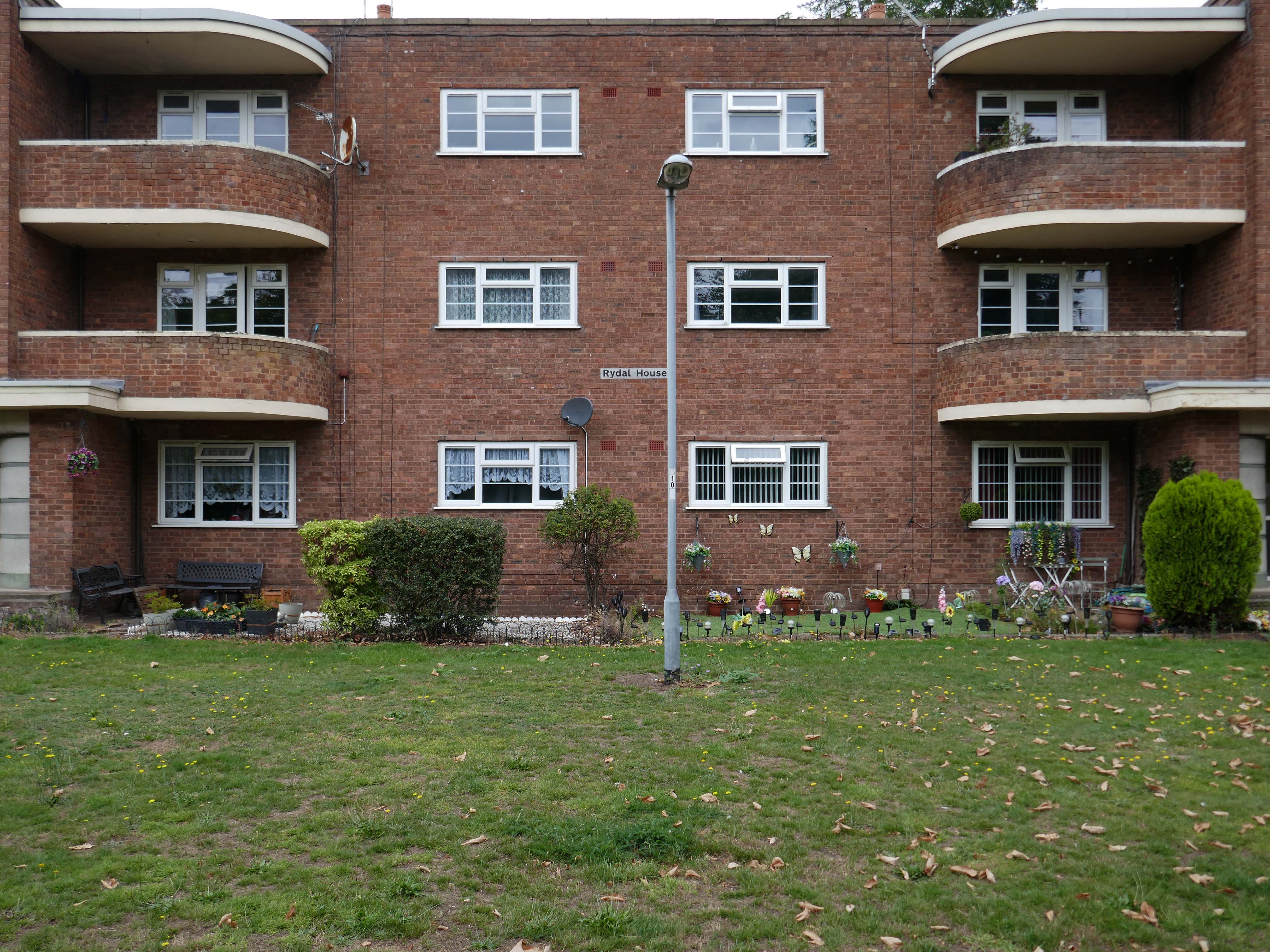
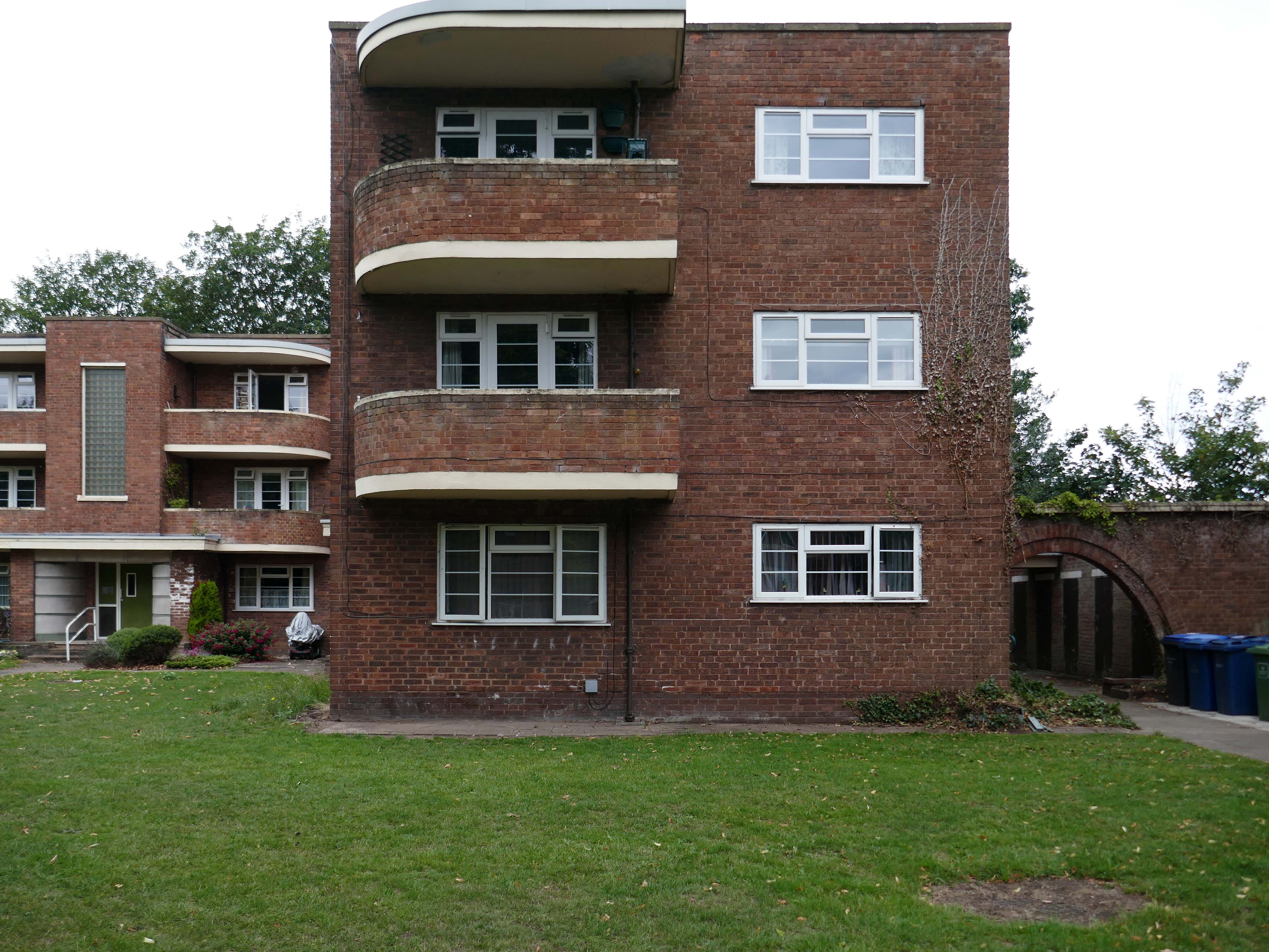
Coniston, Windemere and Rydal were among the first council homes to be built in Stafford, between 1951-52, under the direction of County Architect CM Coombes.
The flats were built as a result of The Housing – Financial and Miscellaneous Provisions Act 1946, which gave subsidies to local authorities to provide social housing. The expansion of the Borough Council’s civic duties included the employment of County Architects, in this case CM Coombes FRIBA, to whom these flats are attributed.
54 flats were built in total, to a distinctly Modernist design, and their appearance and setting are very well preserved.
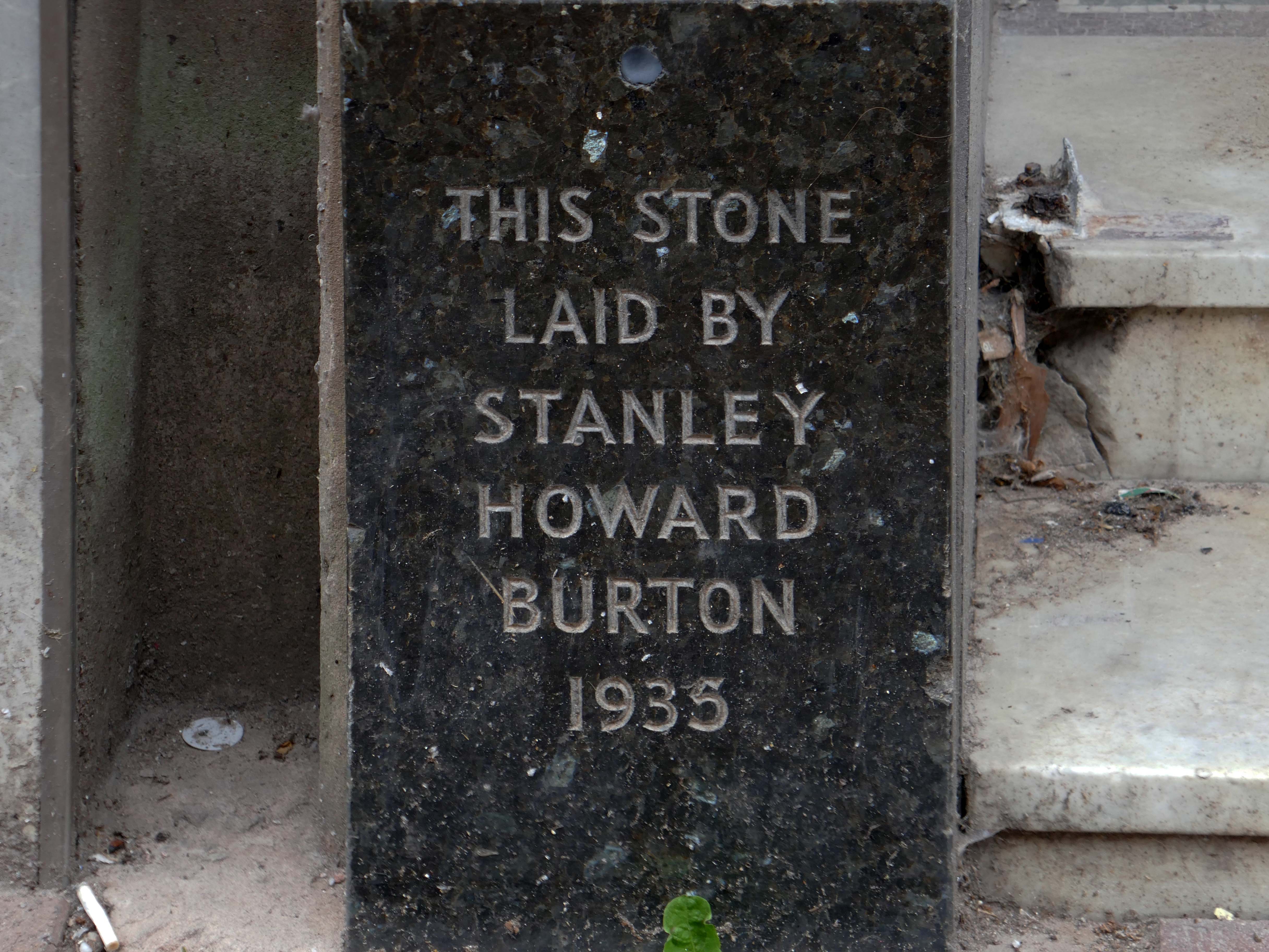
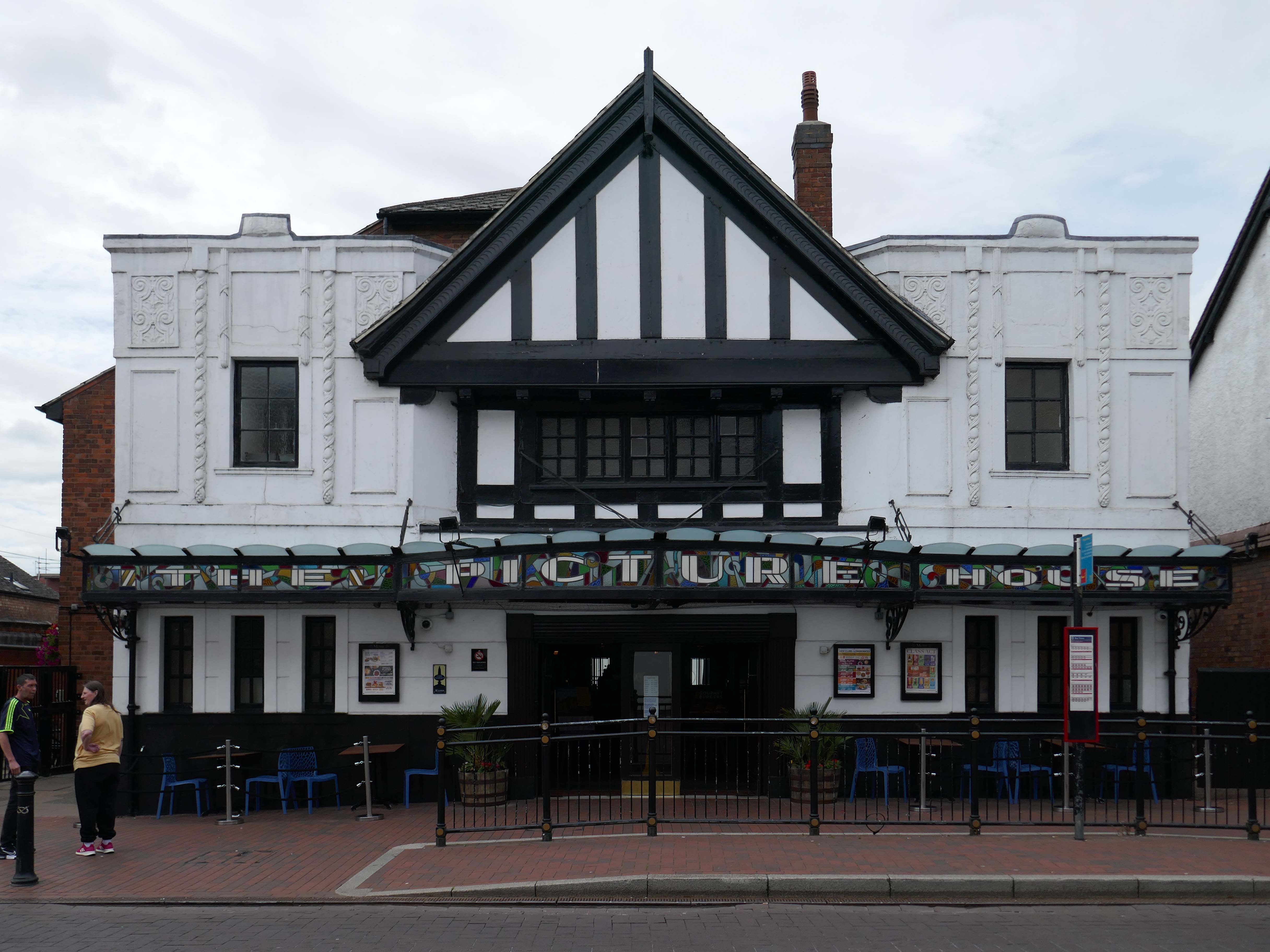
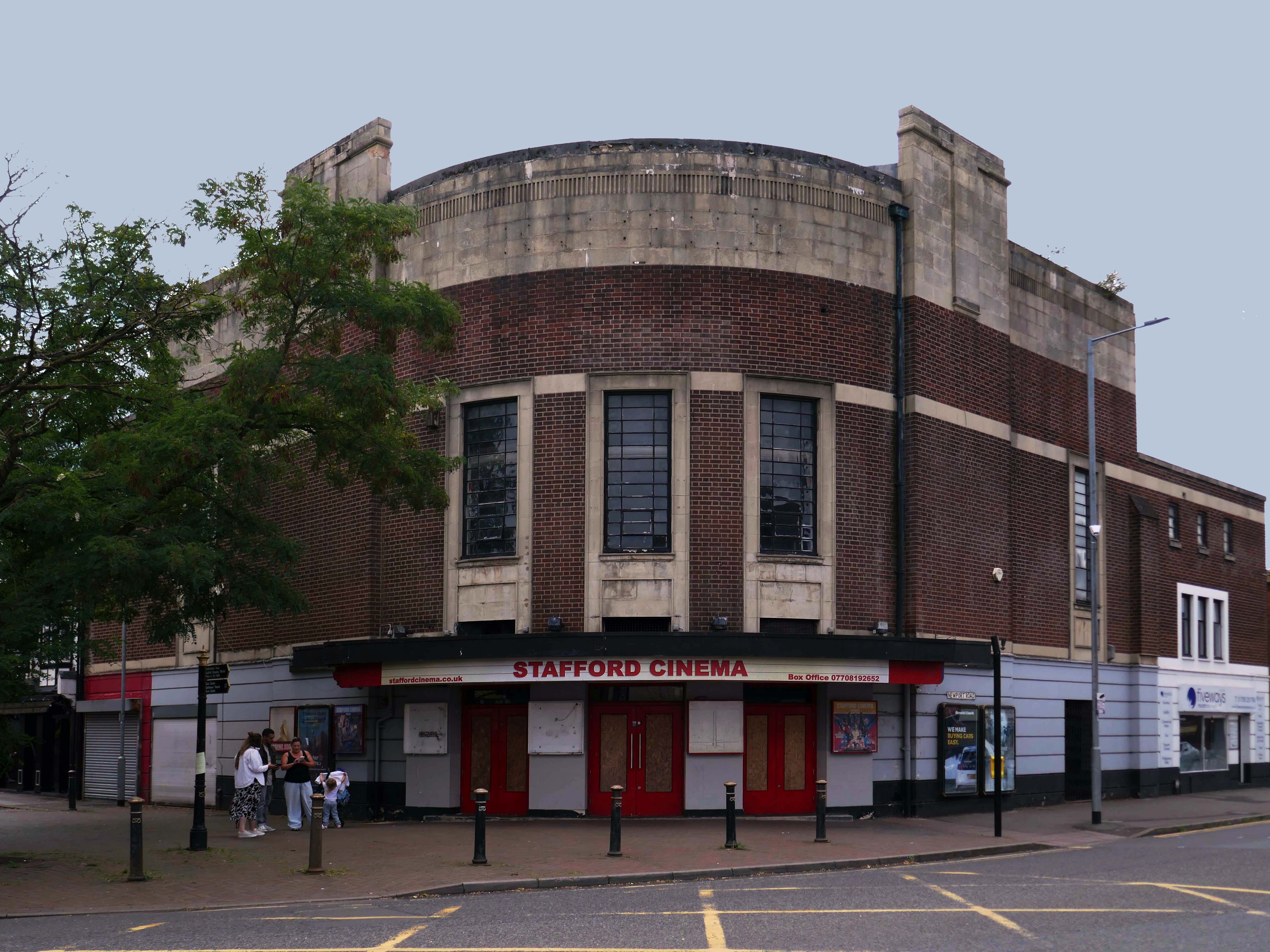
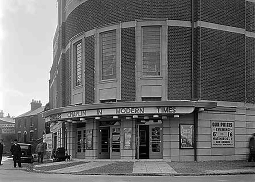
Let’s head back into the town centre – to the Grade II ListedPicture House 1914
The Picture House was closed on 30th March 1995 after a three week run of Disclosure starring Michael Douglas, there were seventy eight attending the final performance.
It was disposed of by the Rank Organisation in July 1981 and was taken over by the Hutchinson Leisure Group who re-named it Astra Cinema. In December 1981 it was tripled with 435 seats in the former stalls and two mini cinemas in the former circle seating 170 and 168.
In 1988 it was taken over by Apollo Cinemas and re-named Apollo Cinema. The downstairs cinema was closed and became a bingo club for a couple of years, during which time the two mini cinemas in the former circle remained open. The bingo operation gave way to films again in 1990 and all three screens were again open, with seating for 305, 170 and 164. In January 2014 it was taken over by the Curzon Cinemas chain and renamed Stafford Cinema.
It was closed on 18th December 2017 with Star Wars:The Last Jedi.
The current church occupies this corner site by the mini roundabout – a very particular architectural style, an angular brick low level ziggurat, with buttresses to the side elevation and entrance. There are glazed brick details around the buttresses, windows and doors.
It has a central entrance which divides the main body of the chapel from the function room.
There are Victorian stained glass panels, which may be from the previous chapel.
Below the pitched roof there is a modern inset decorative glass panel.
Coniston, Windemere and Rydal were among the first council homes to be built in Stafford, between 1951-52, under the direction of County Architect CM Coombes.
The flats were built as a result of The Housing – Financial and Miscellaneous Provisions Act 1946, which gave subsidies to local authorities to provide social housing. The expansion of the Borough Council’s civic duties included the employment of County Architects, in this case CM Coombes FRIBA, to whom these flats are attributed.
54 flats were built in total, to a distinctly Modernist design, and their appearance and setting are very well preserved.
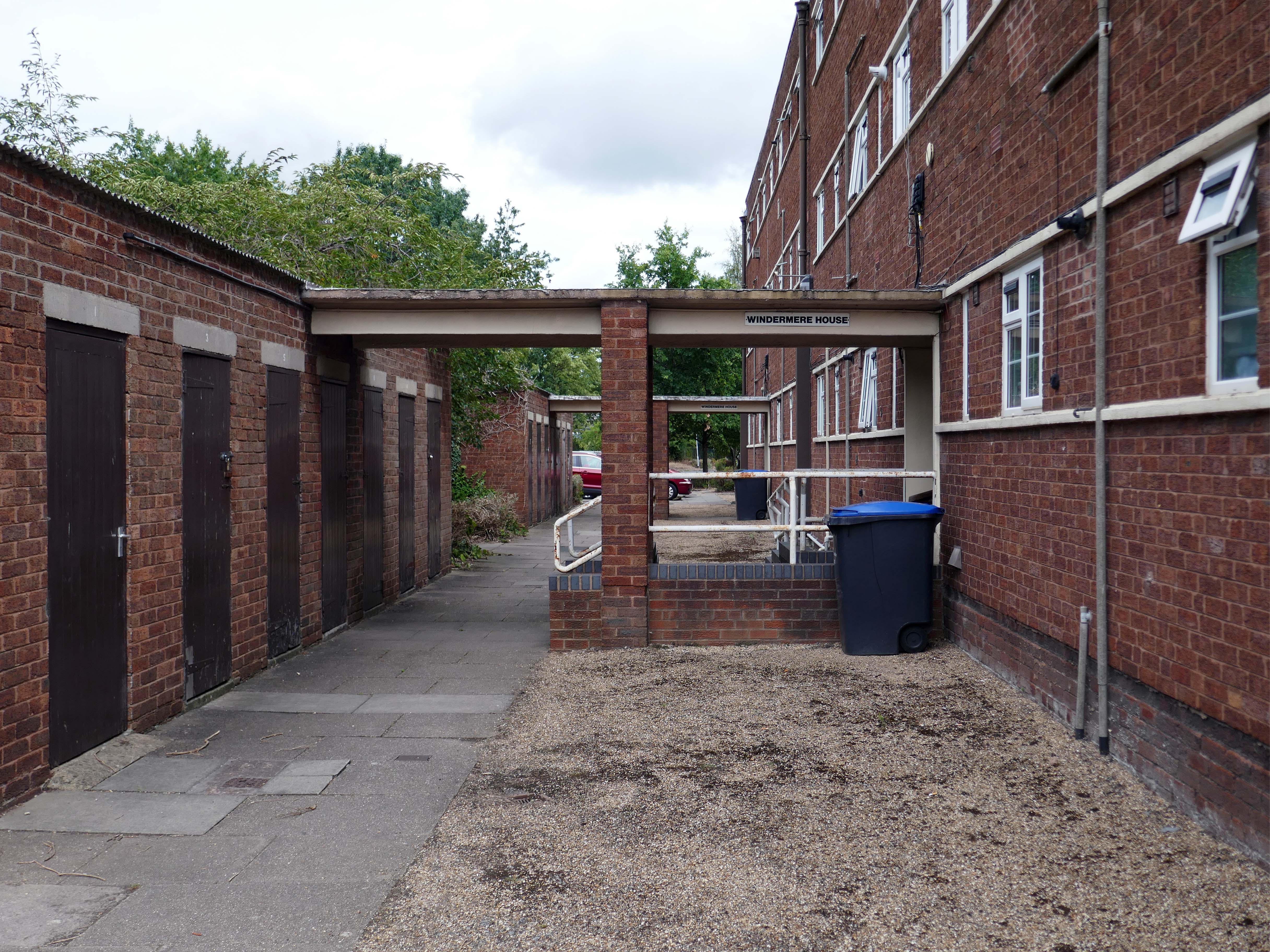
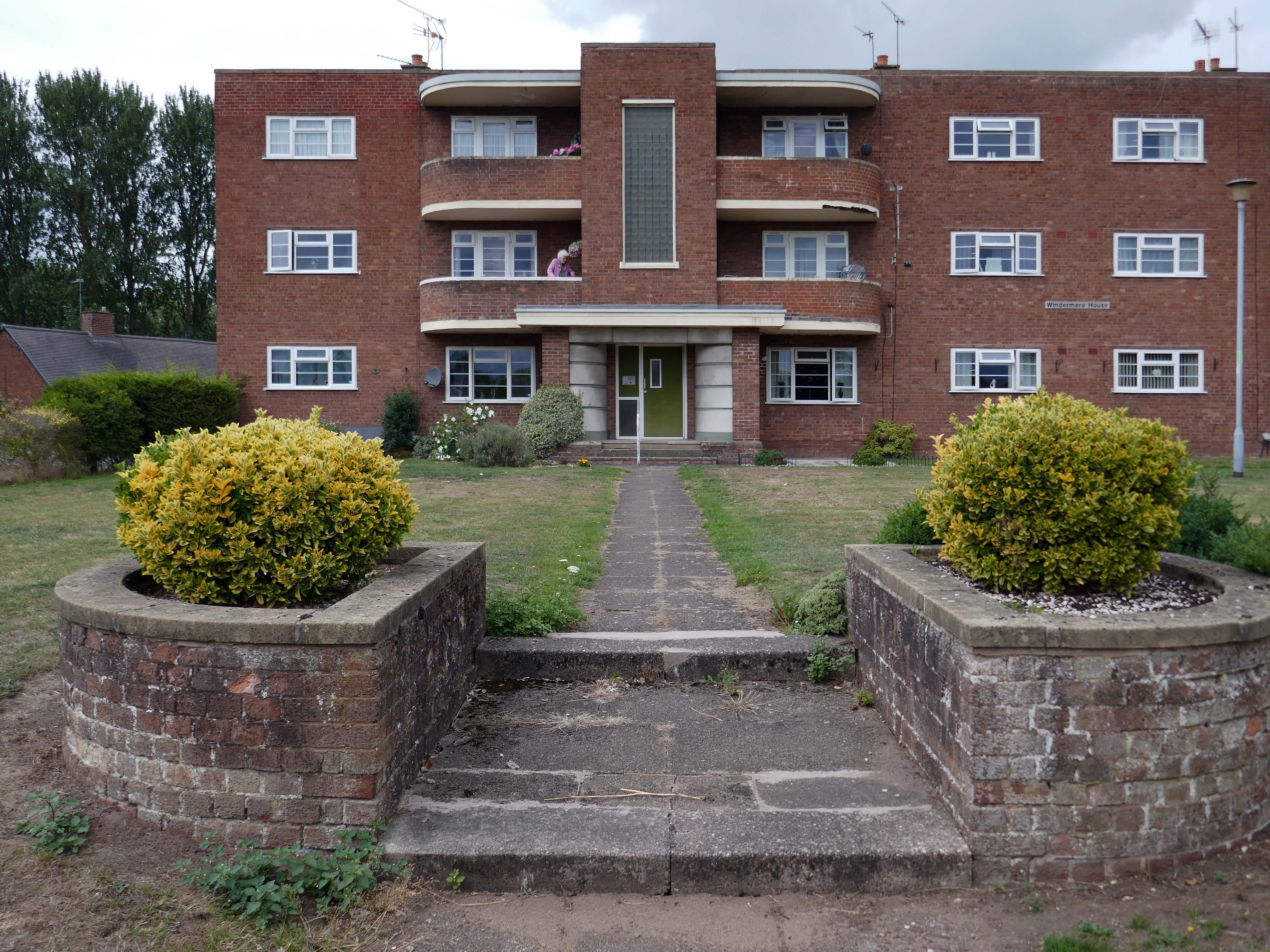
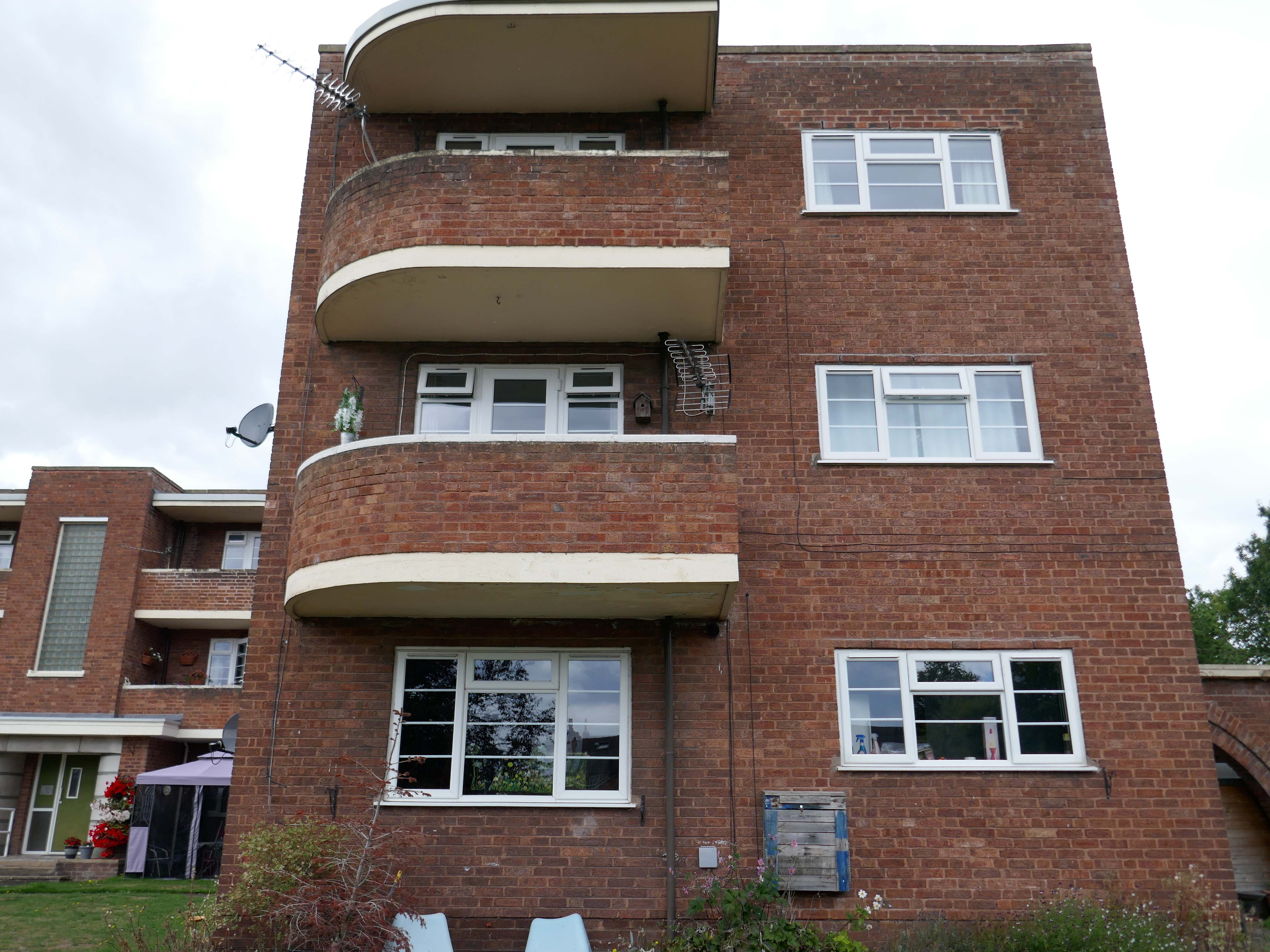
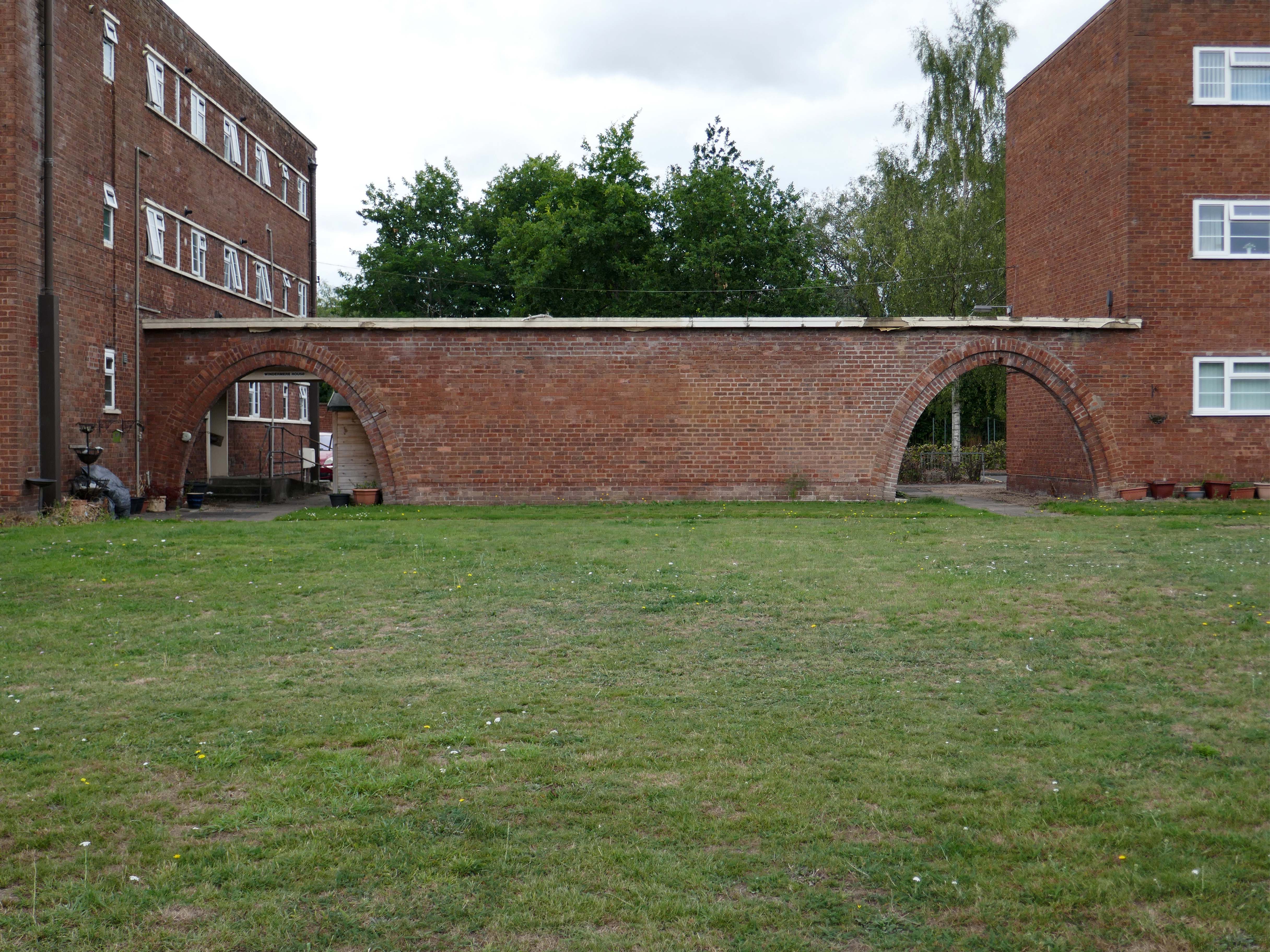
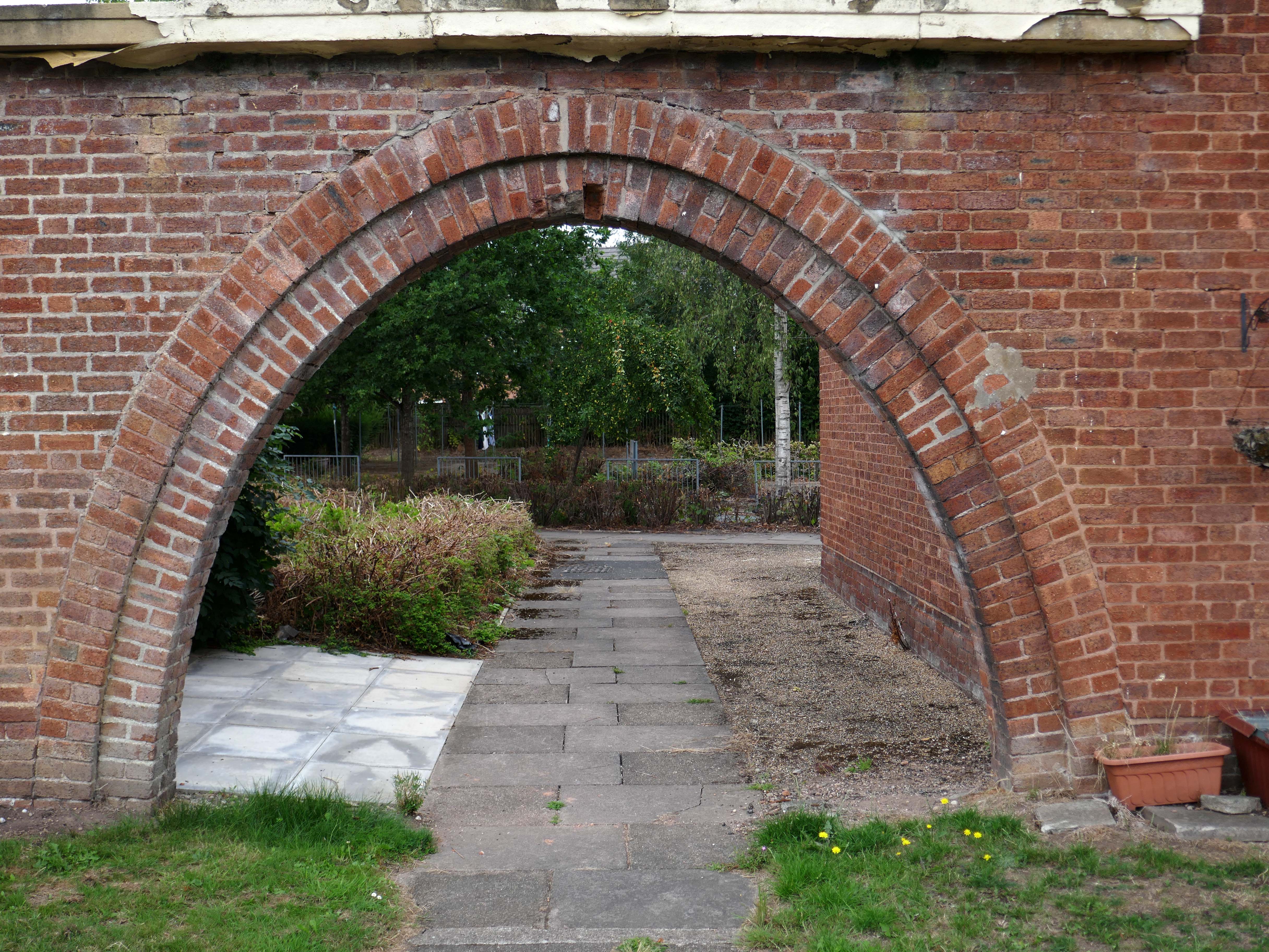
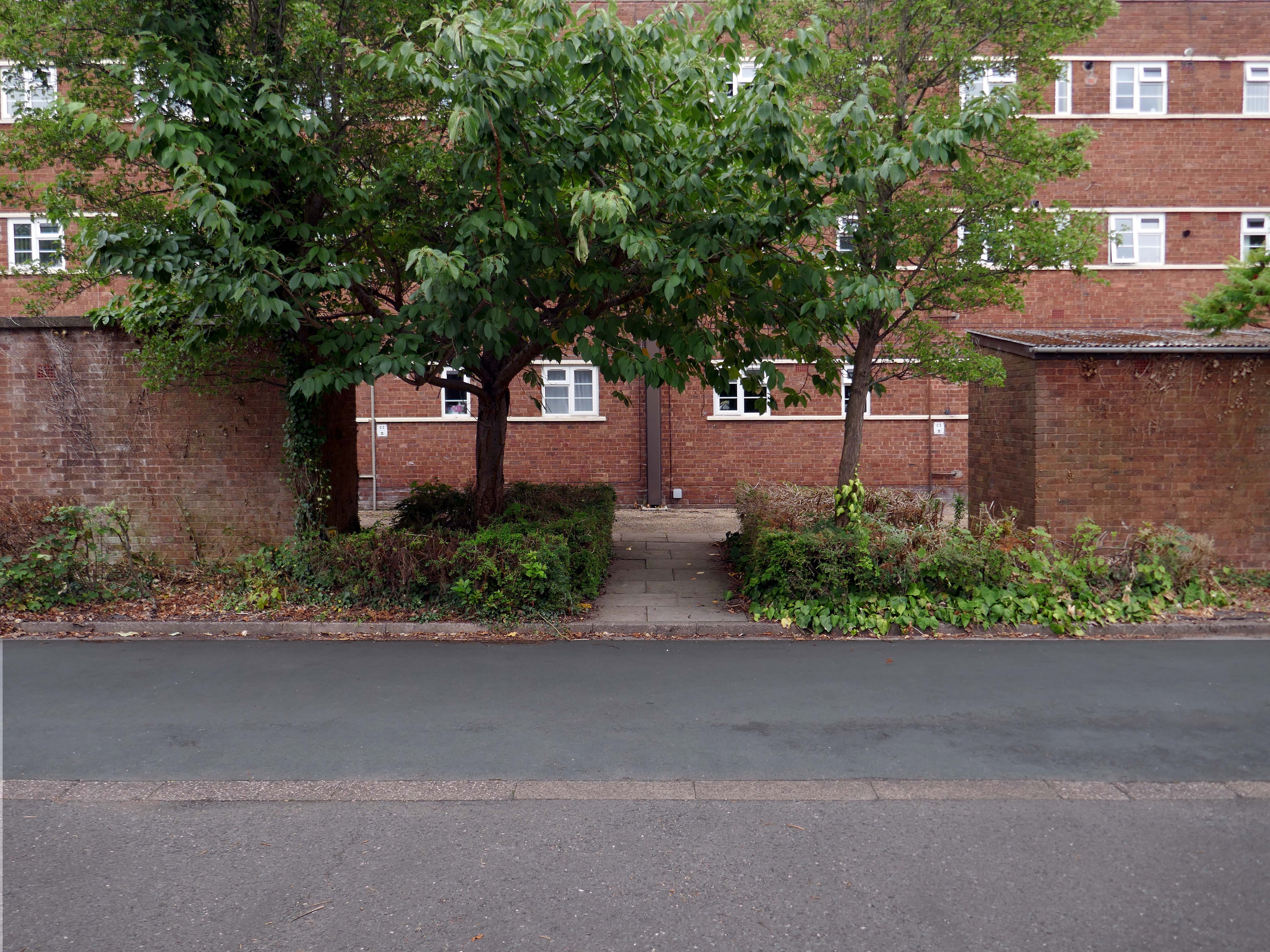
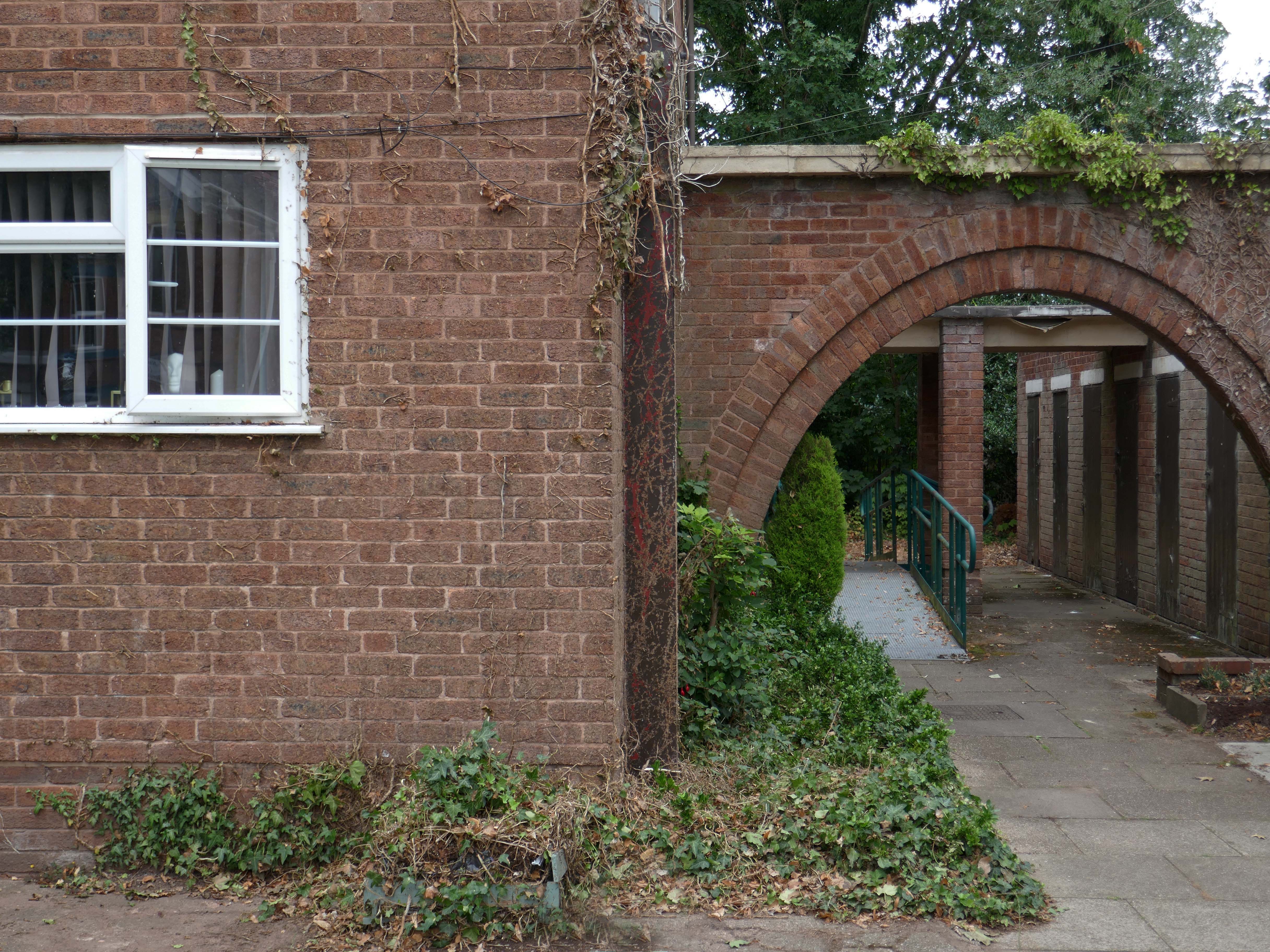
Whilst there are some common stylistic characteristics the Corporation Street Flats are of a more modest order. There are communal areas and a grassed apron, balconies and arched passages.
Over time the standard of maintenance seems to have declined, and the Crittall Windows have been replaced by white uPvc, where once there was a bowling green, this is now roughly mown and unused.
Walking from Cornbrook toward Stretford along Chester Road – which is one half of my Tram Trip to Altrincham
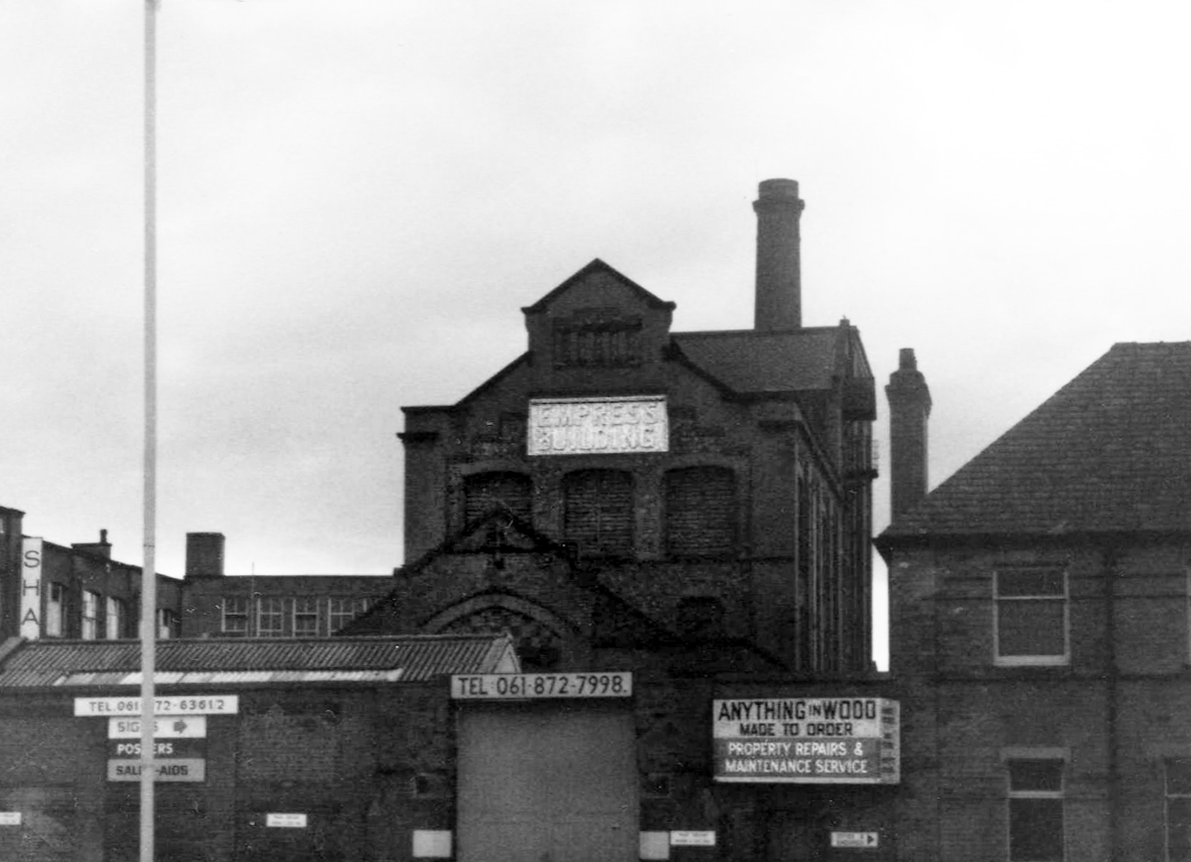
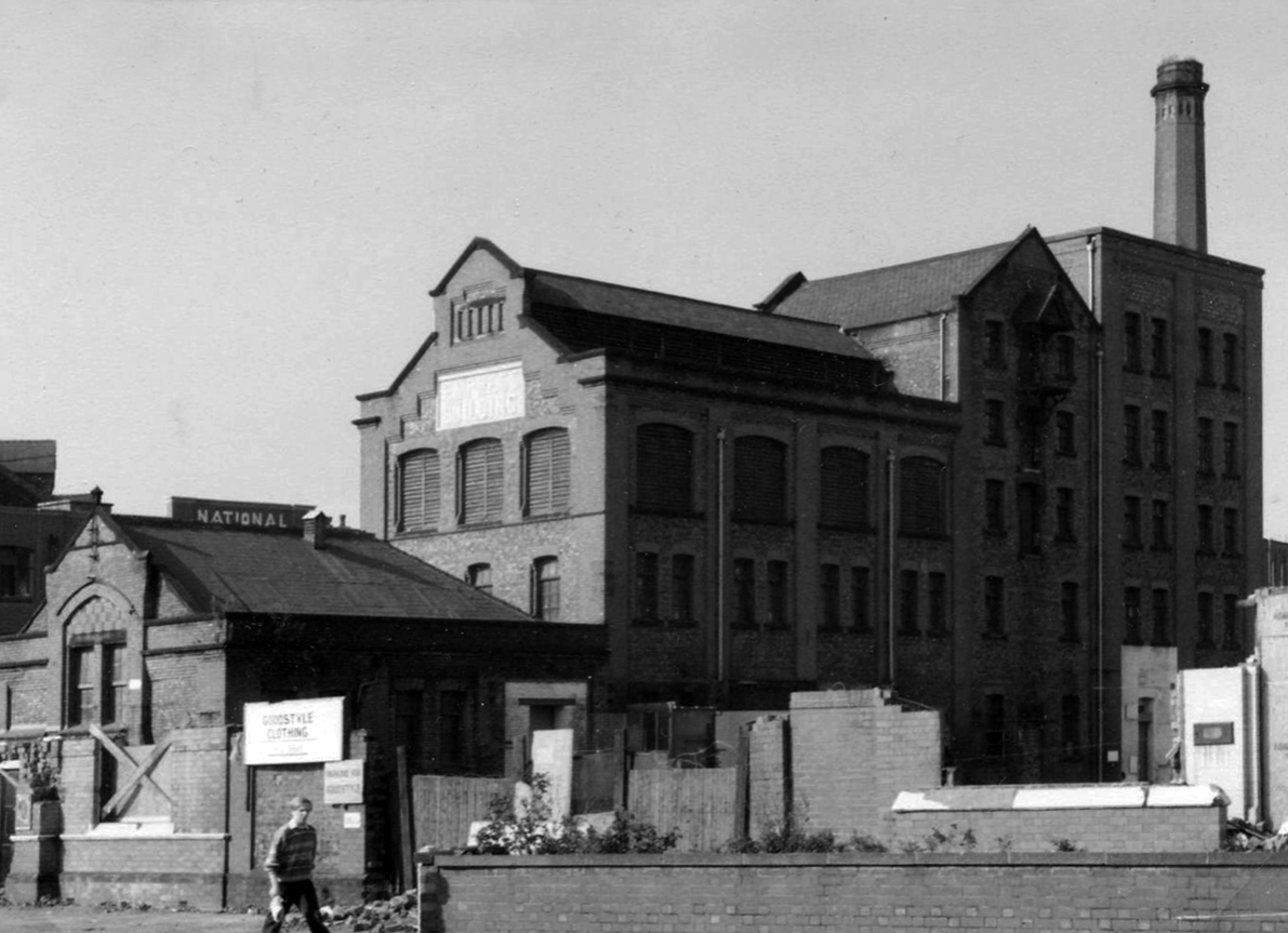
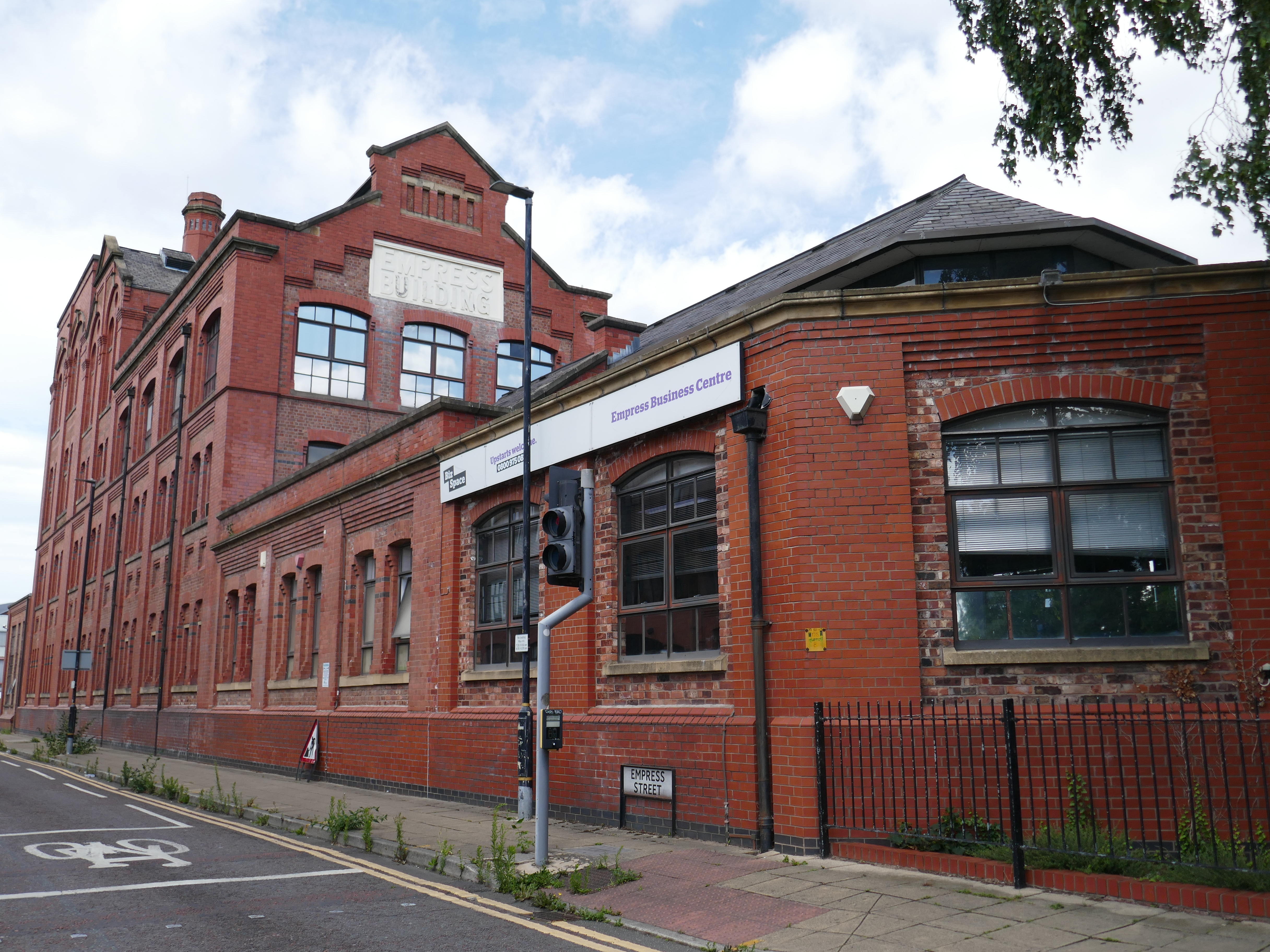
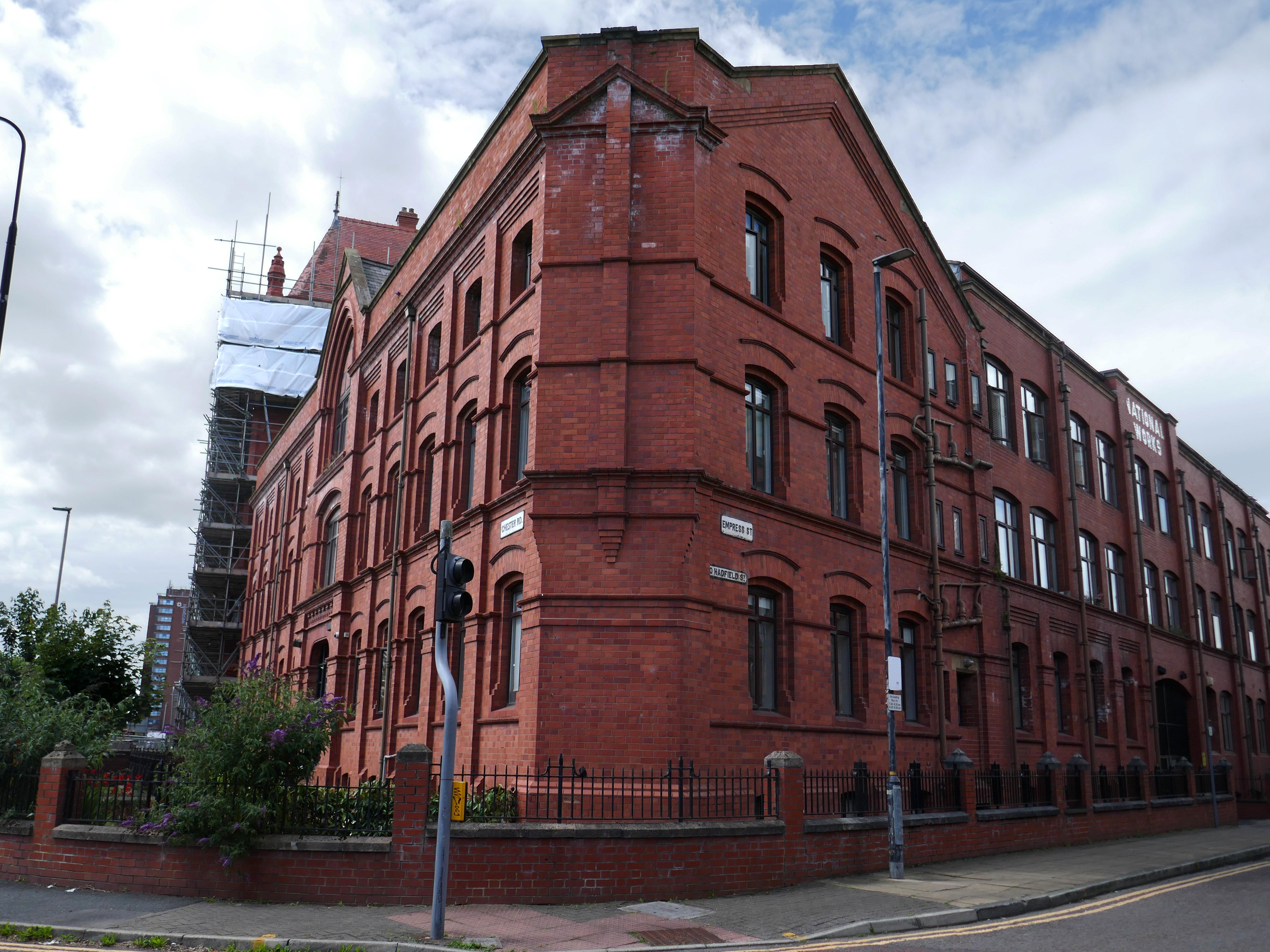
There is a cluster of former industrial buildings around Empress Street.
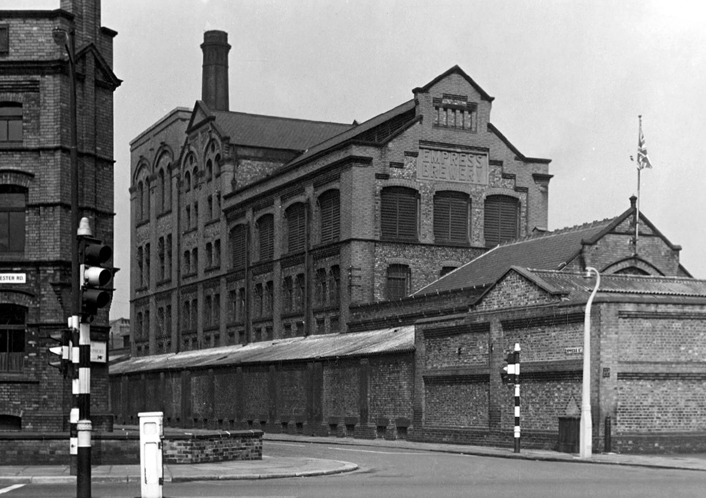
First up is the Empress Brewery.
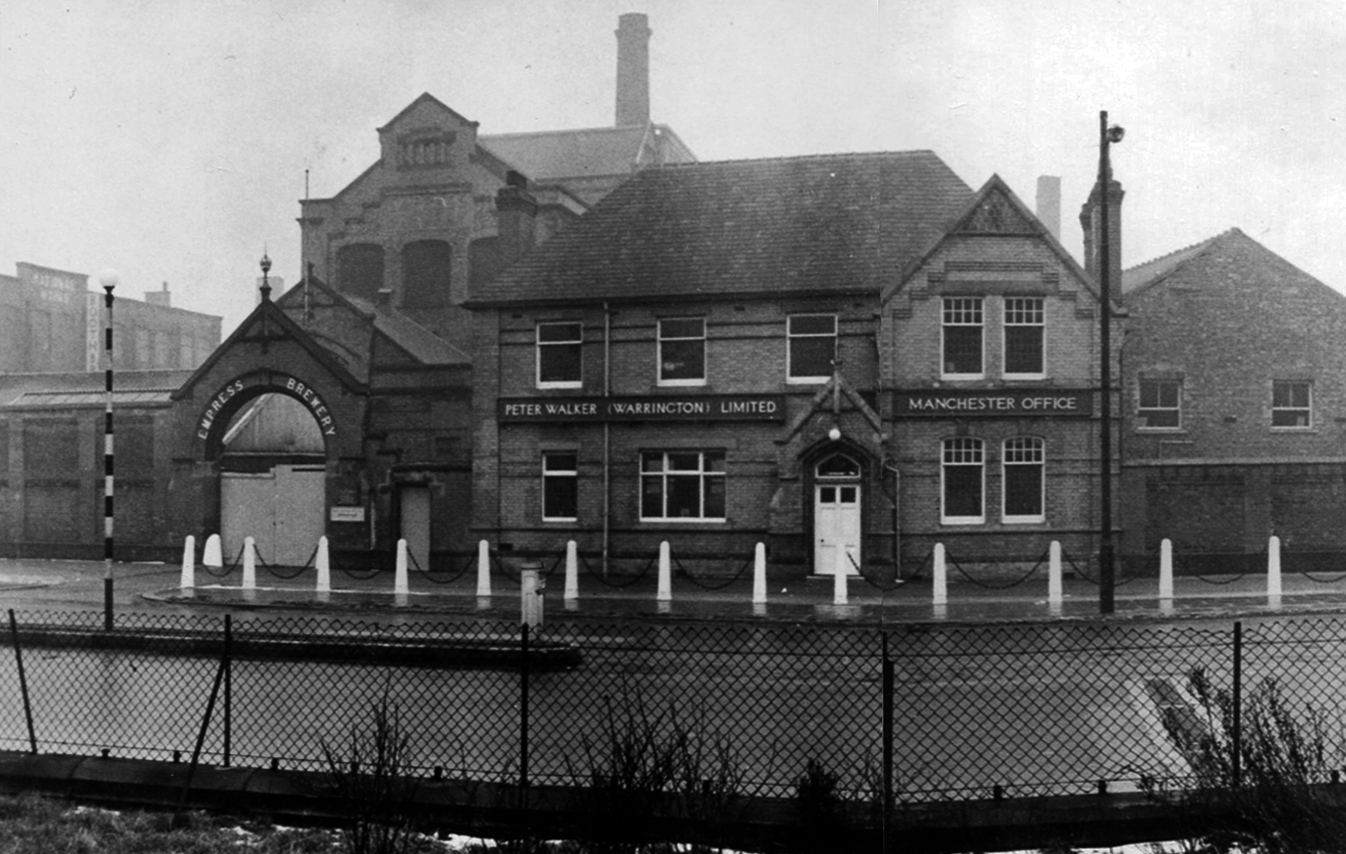
The Empress Brewing Company was established by Charles Dawes in c. 1880, although the company was sold to William Henry Fulford in 1884, who had recently sold the Monarch Brewery in Salford. Fulford was based at the Empress Brewery on Clarence Street in Manchester, but had relocated to new premises on 383 Chester Road. These had been built in 1889 and operated initially as the Old Trafford Brewing Company, but the name had changed to the Empress Brewery Company by 1895. The company acquired a number of breweries and associated licenced house during the early 20th century, however, in 1929 it was taken over by Peter Walker and Son. The brewery closed in 1955.
The building was converted into offices in 1992 as part of the development of the Empress Business Centre, which saw new office and business units built to form a courtyard.
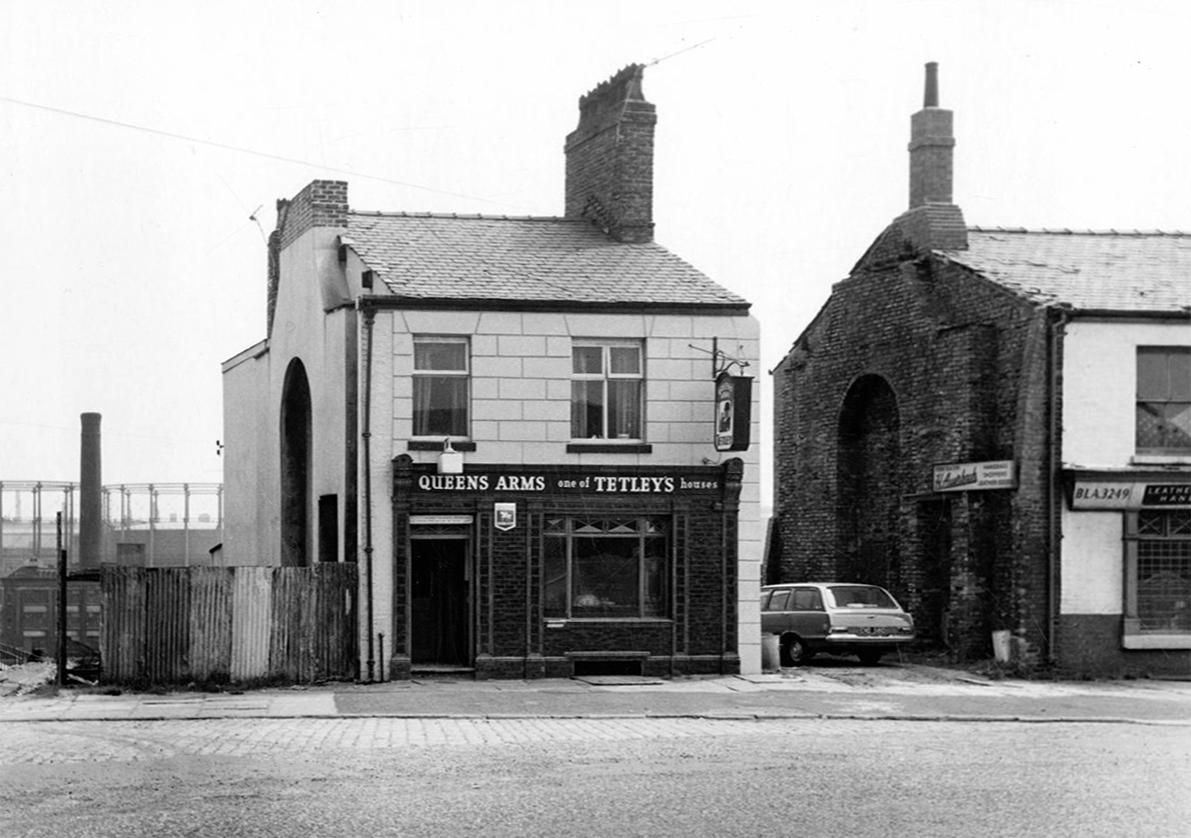
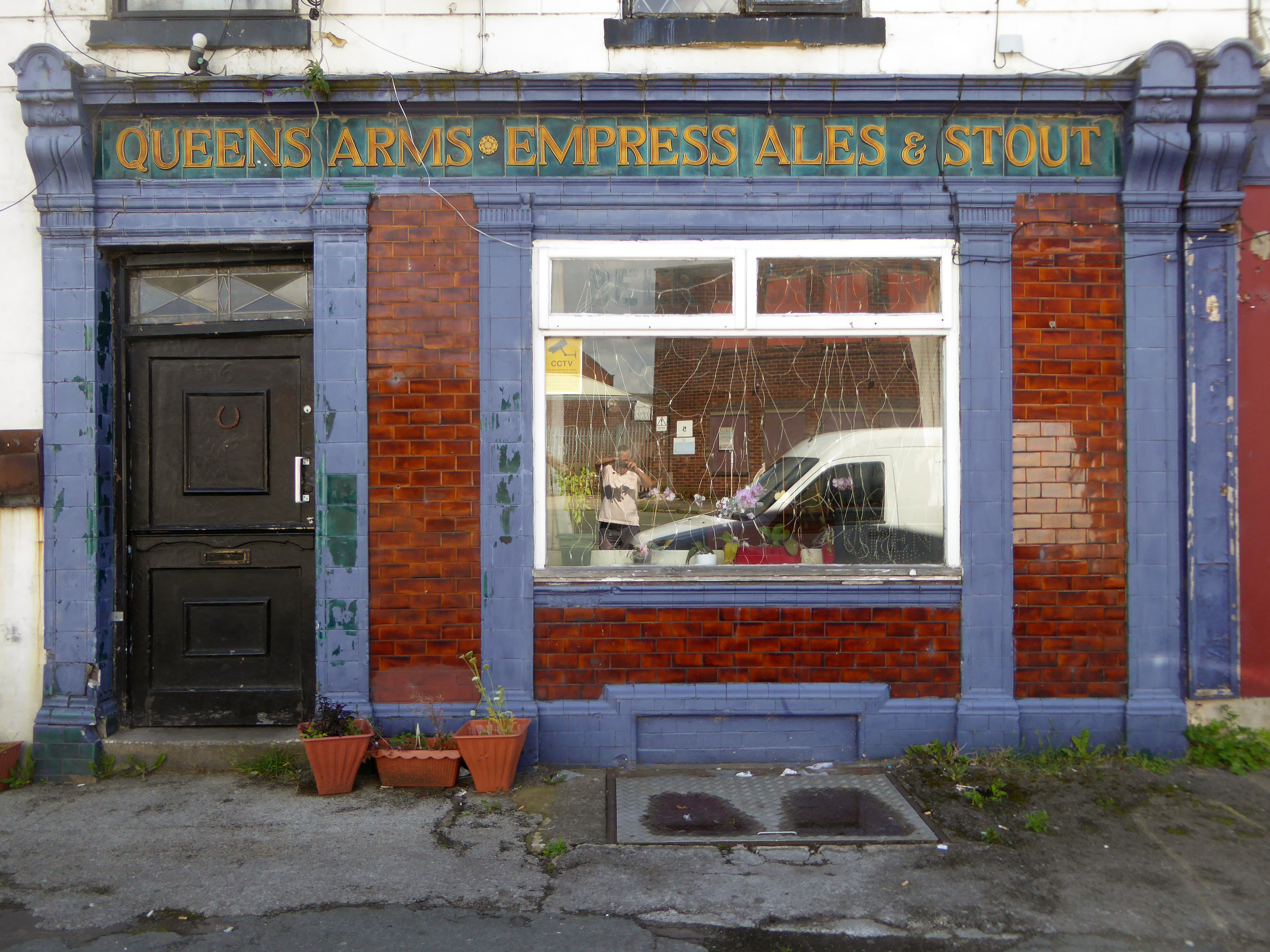
Including the Queens Arms on Honey Street Red Bank, one of the first independent real boozers back in the 1980’s, subsequently it has seen various uses last seen on my Collyhurst Circular walk.
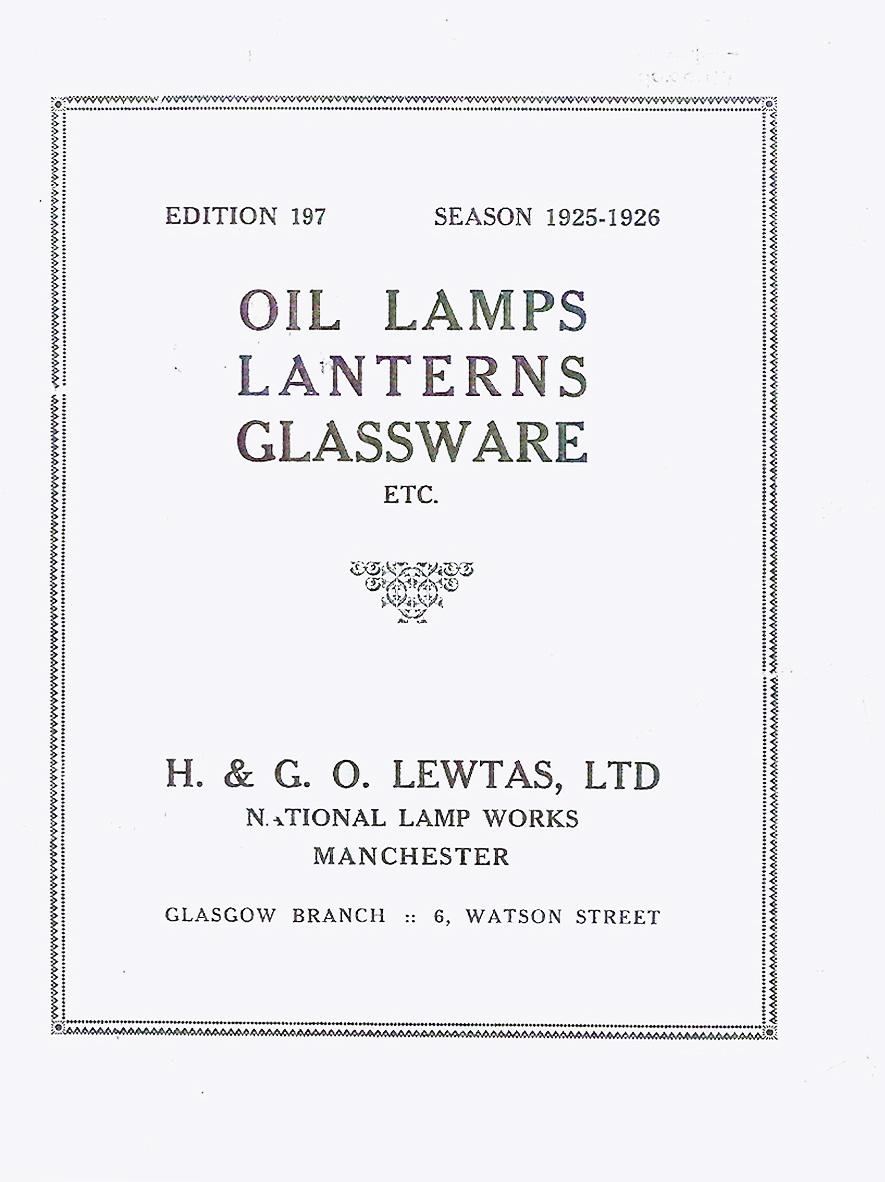
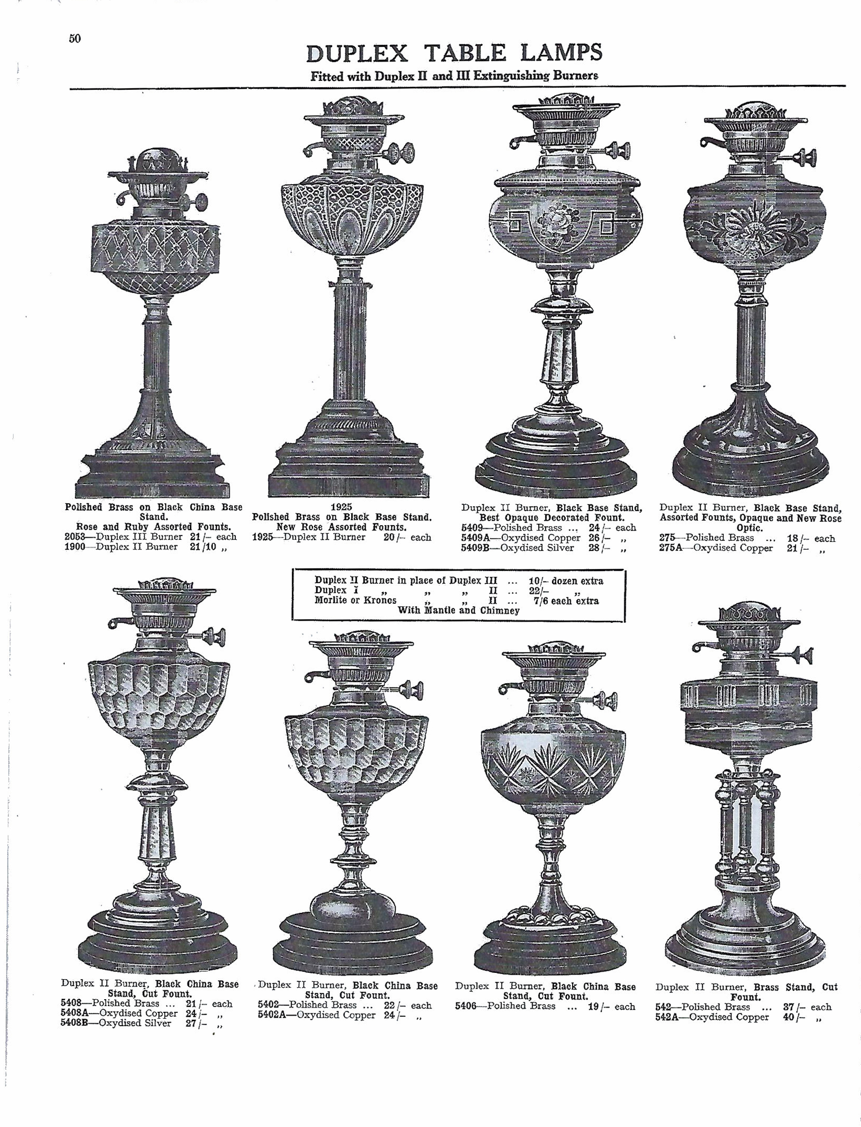
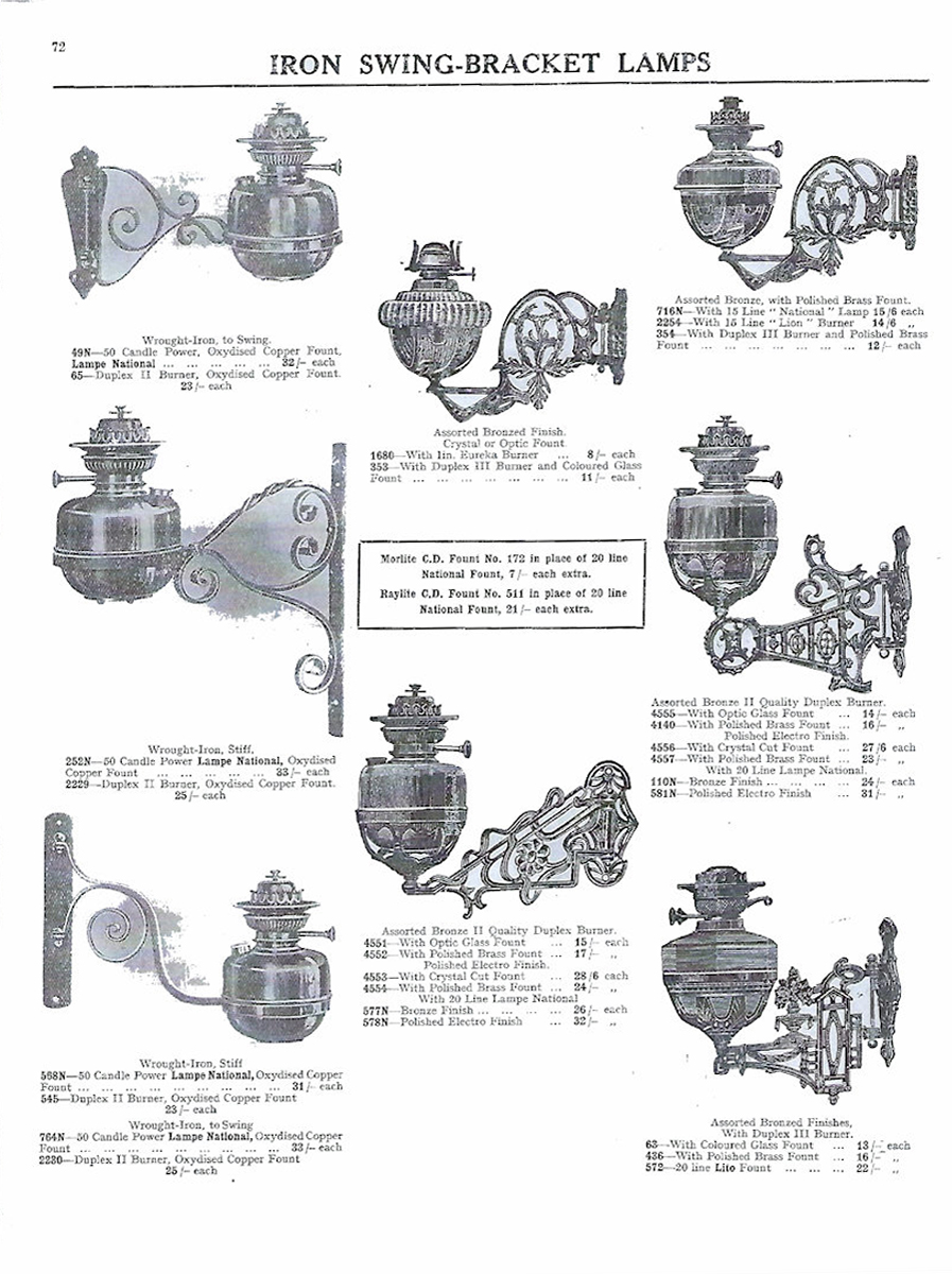
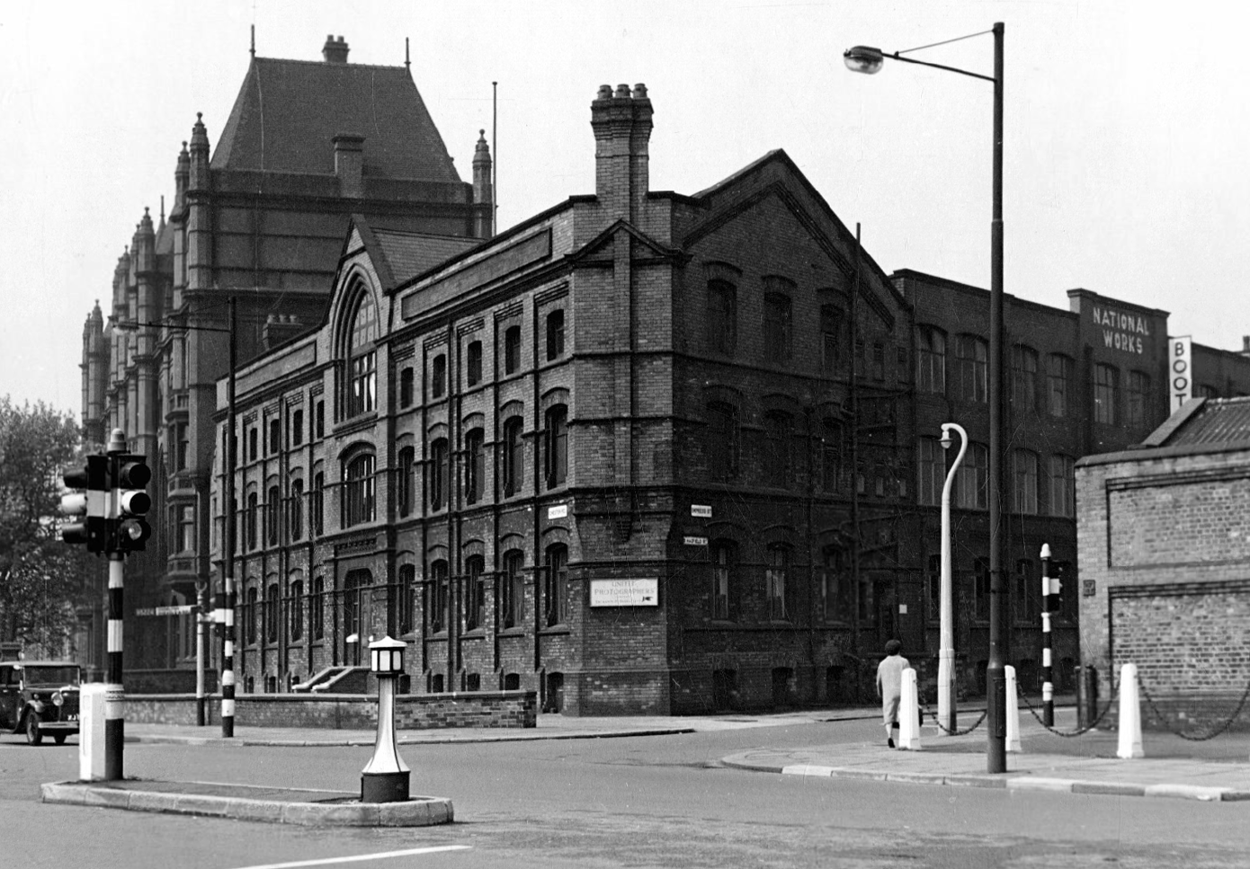
The development of the site can be traced from the sequence of Ordnance Survey 1:2500 maps. The First Edition of 1893 shows the site as undeveloped. The First Revision map of 1908 shows 384 Chester Road to have been developed, and the site of the National Works to have been occupied by an open-fronted L-shaped range along the western and southern sides, with a detached rectangular building in a central courtyard. It is possible that these buildings all formed part of 384 Chester Road, listed as being occupied by H, G & O Lewtas, lamp manufacturers, in Slater’s trade directory for 1911. The Second Revision map of 1922 shows the early building to have been subsumed by the current building.
1961 Local Image Collection
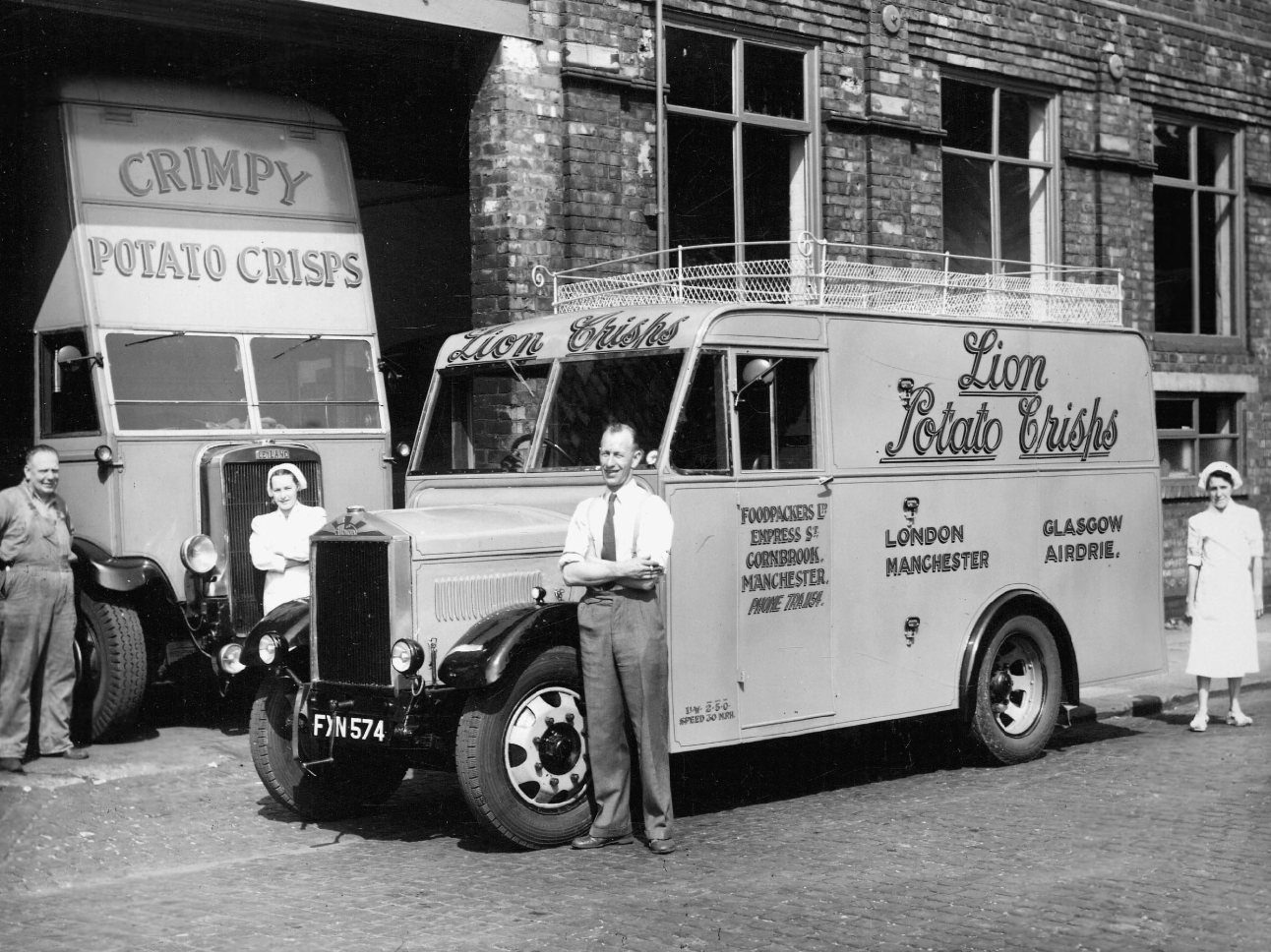
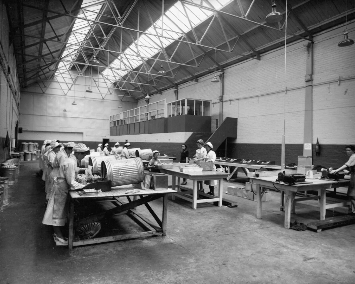
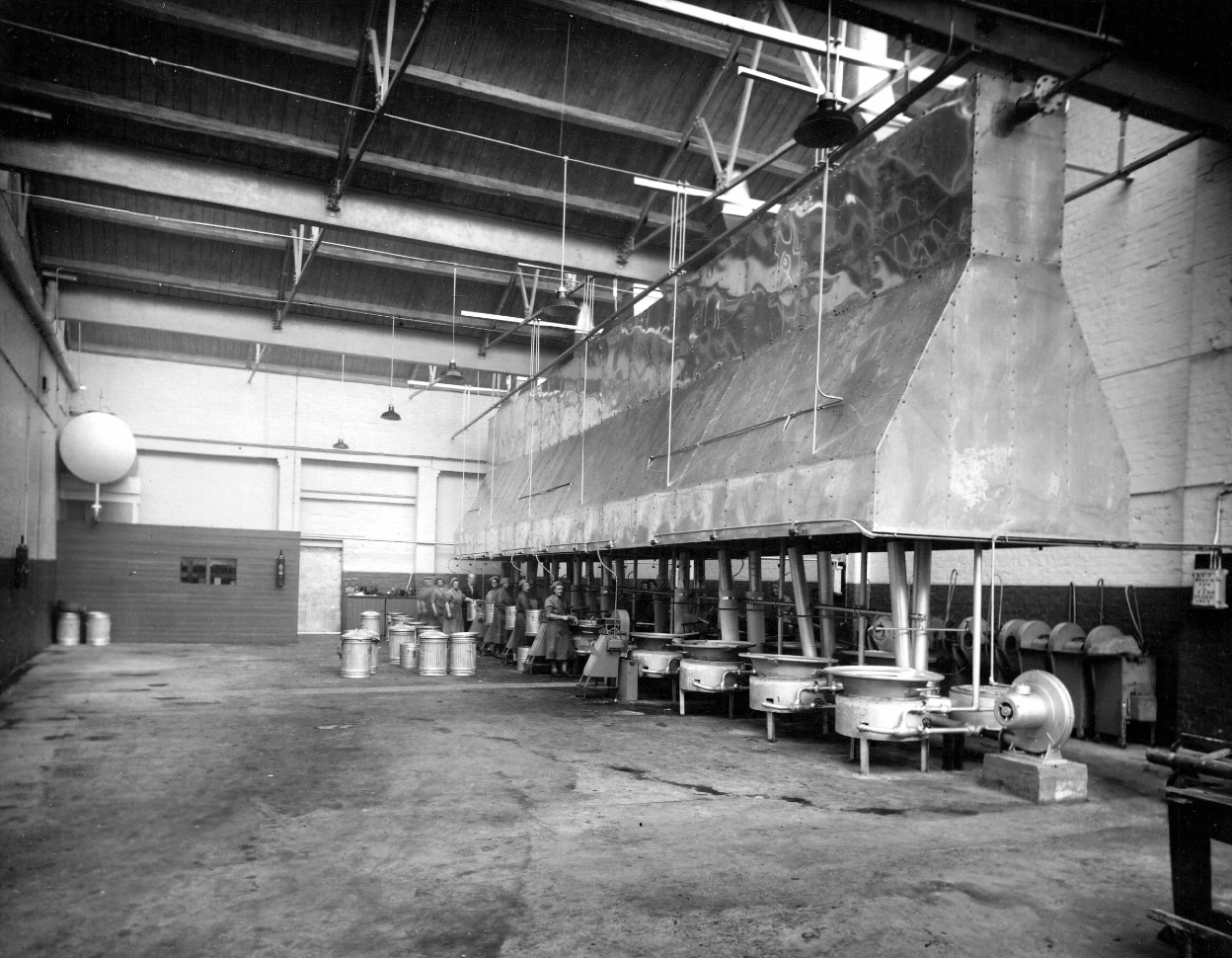
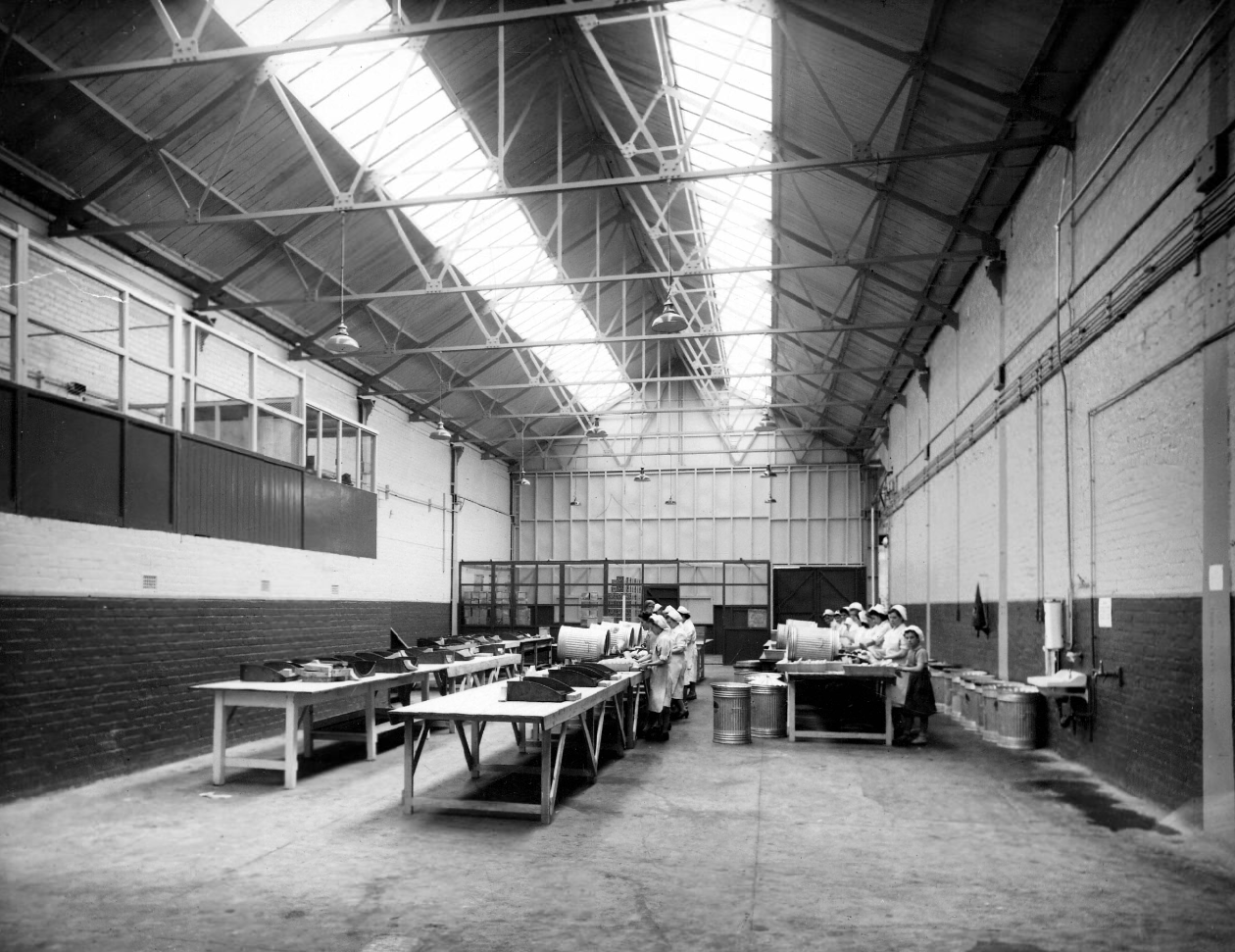
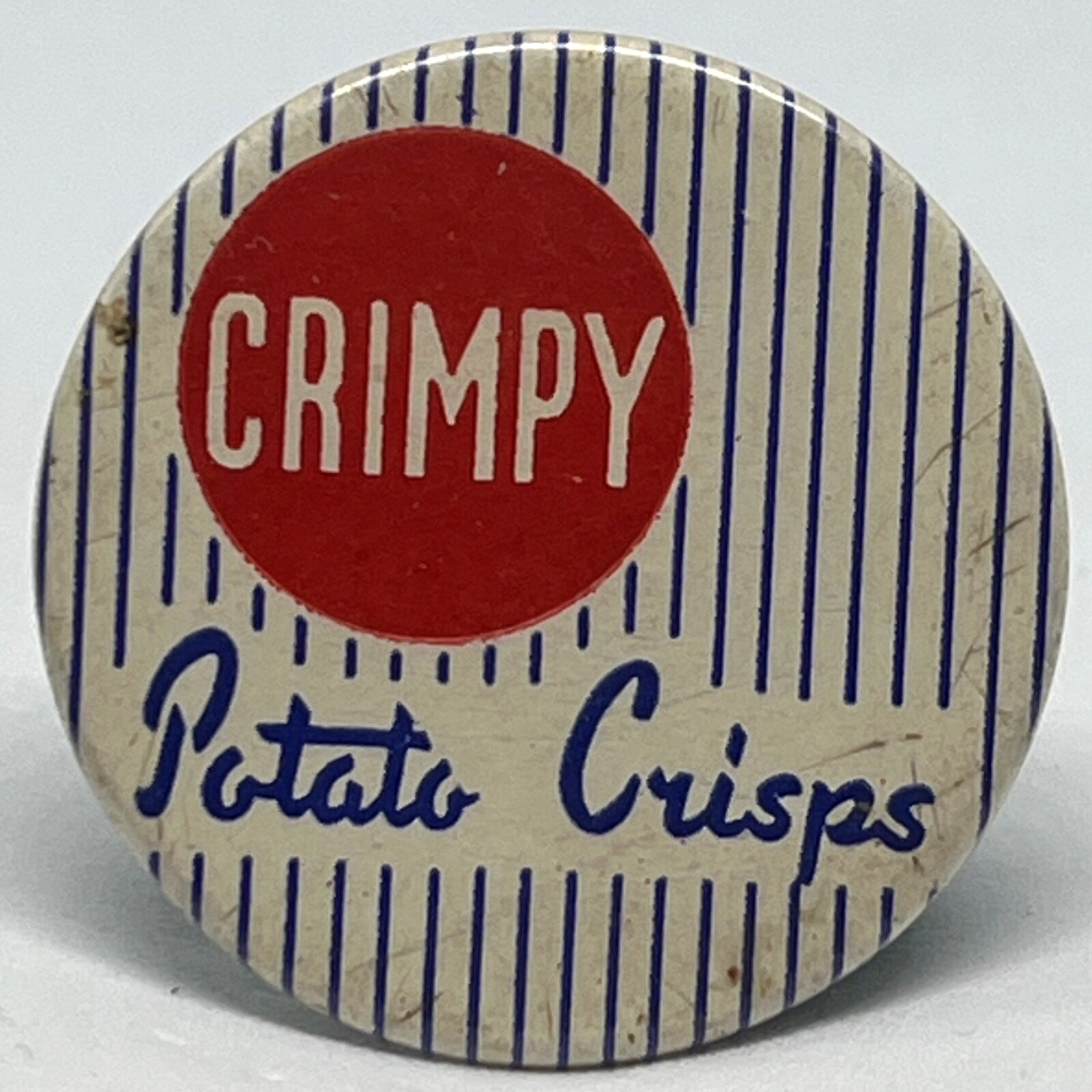
Later the home of Lion Foodpackers Ltd and Crimpy Crisps.
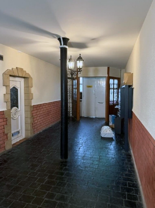
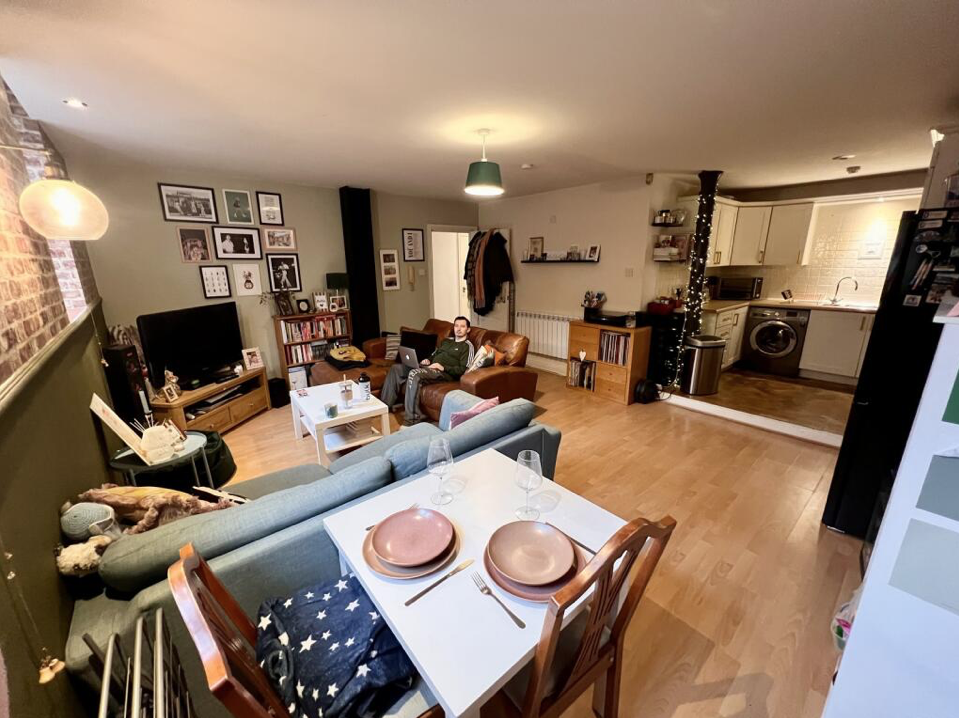
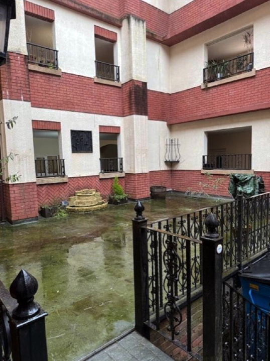
Situated on the lower ground floor of a gorgeous, red brick, landmark building, this 2 double bedroom apartment merits further inspection. A good size living room opens on to a good fitted kitchen. It also has a great, spacious shower room. It also benefits from a parking space, although a great attraction is the location, being just 1 mile from Deansgate and the City along with being 10 minutes walk to a Metro station.
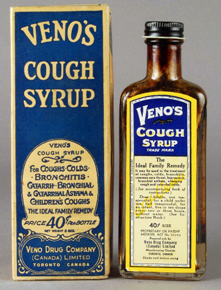
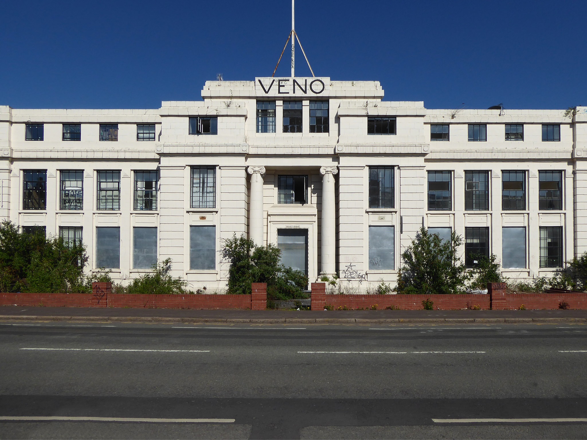
Then we have the Veno’s Building, which was once a pharmaceutical company founded by William Henry Veno. He established a company in the US before returning to Britain and founded the Veno drug Company in Manchester in 1898.
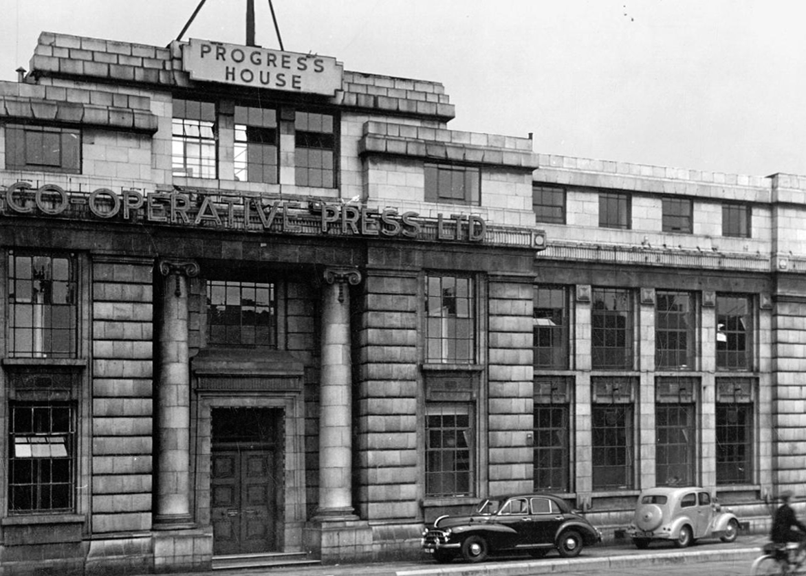
In 1925 the company was sold to Beecham Estate and Pills Ltd. In the 60s the building was under the name Progress House and was home to the Co-Operative Press Limited, later to become Trafford Press.
Rare sighting of a Profil aka Stymie Bold Italic hyphen.
Designed by brothers Max and Eugen Lenz and first cast by Haas in 1947.
The front elevation was originally in red brick, with a later faience facade applied.
Veno’s a stalled and cursed development. In 1925 William Henry Veno sold his company for £500,000, a decision he later rued. He sought to enhance his million pound fortune but lost everything through speculative investments and the 1929 Depression. He shot himself at his home during a fit of impulsive insanity.
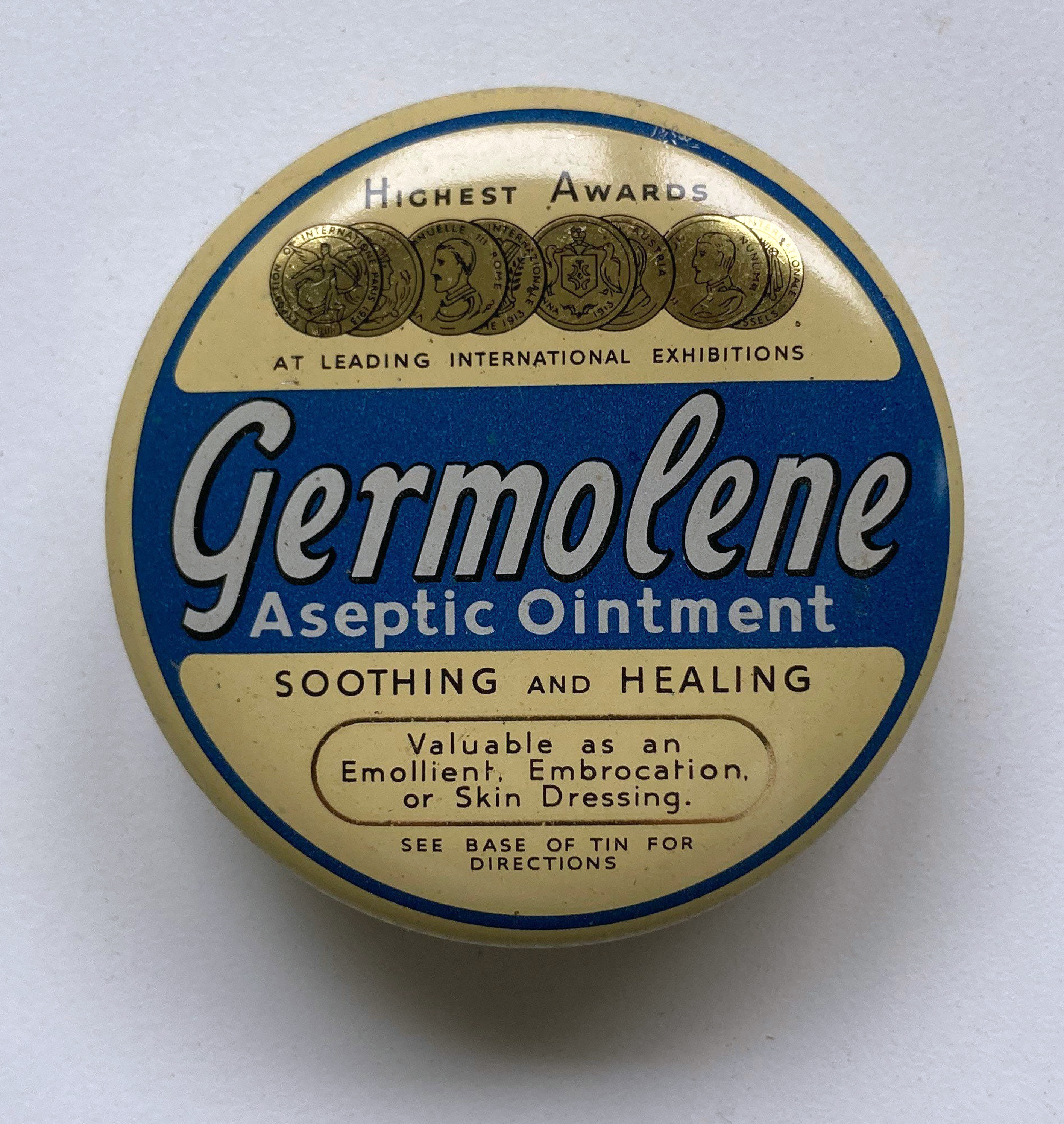
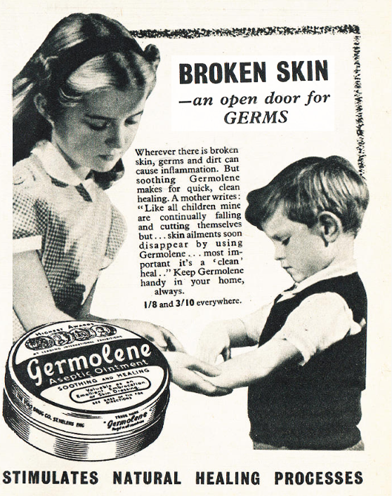
It was also the home of Germolene, a thick antiseptic ointment with a distinctive pink colour and scented with oil of wintergreen